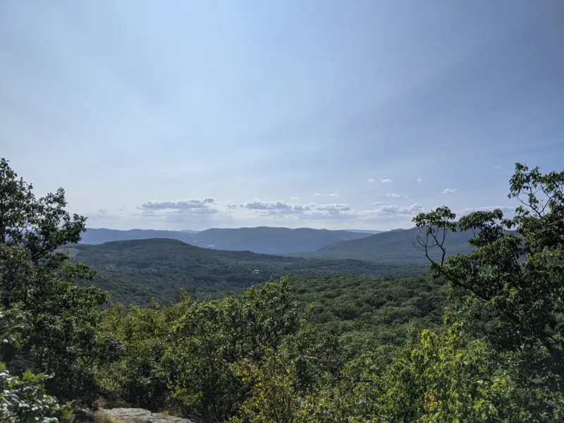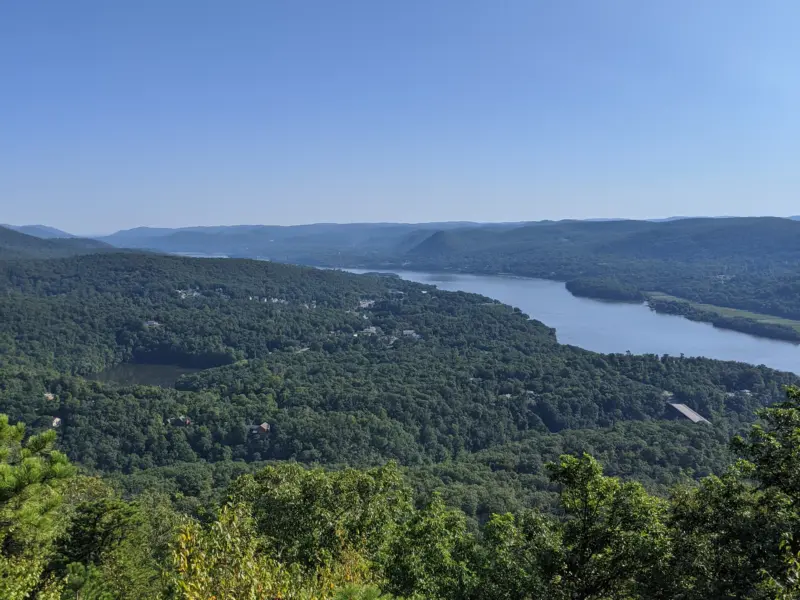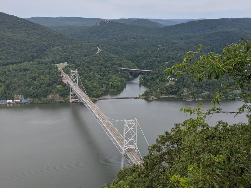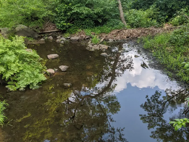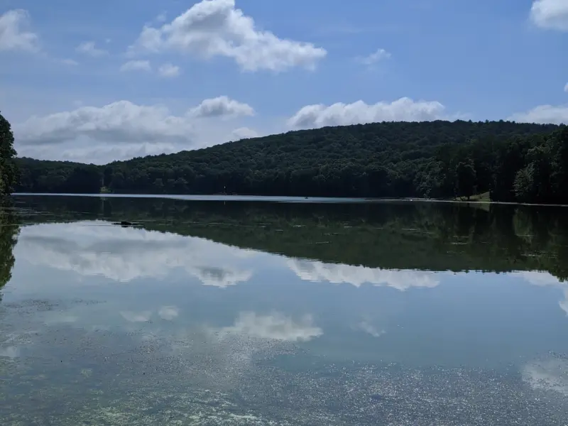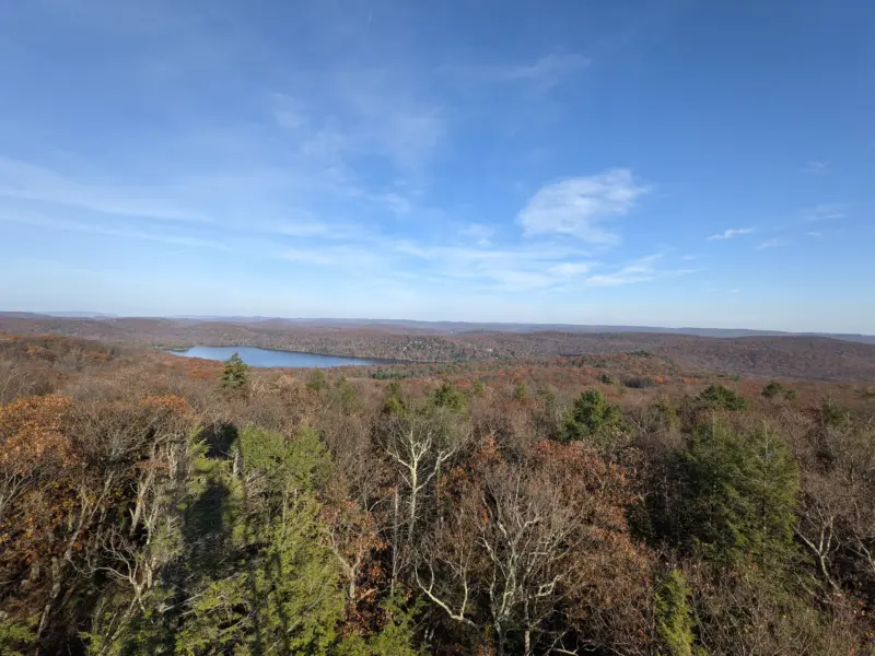
Sterling Forest State Park – Greenwood Lake, Fire Tower, Jennings Creek, Bare Rock
- 12 mi
- 1,942 ft gain
- 06:57:59
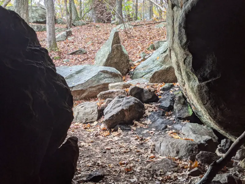
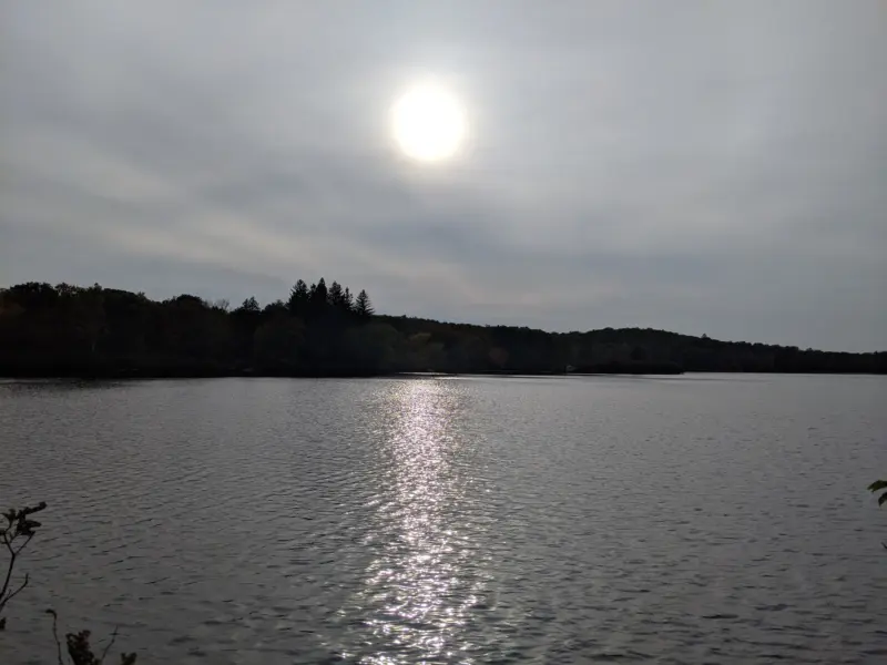
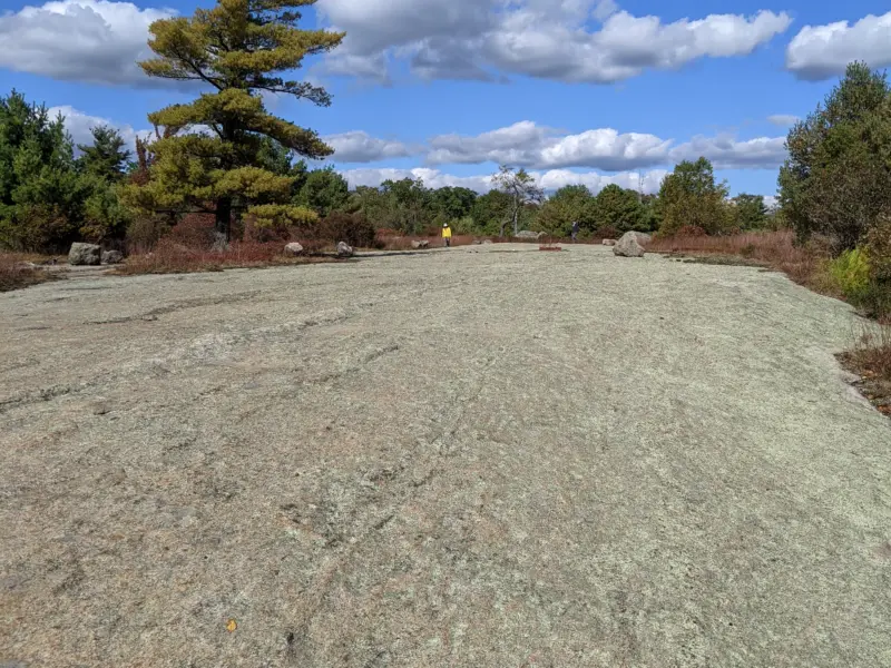
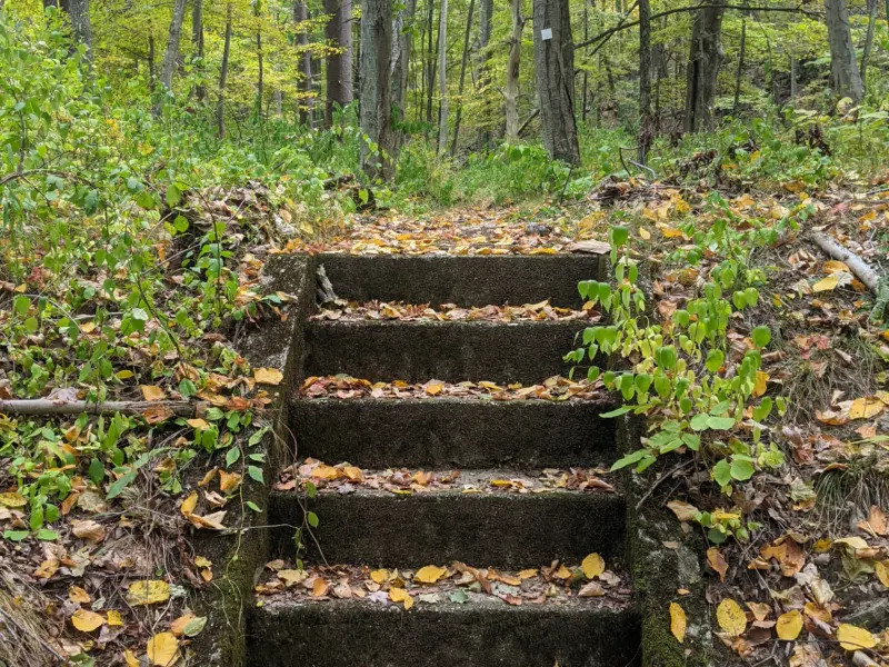
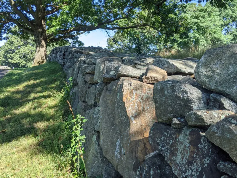
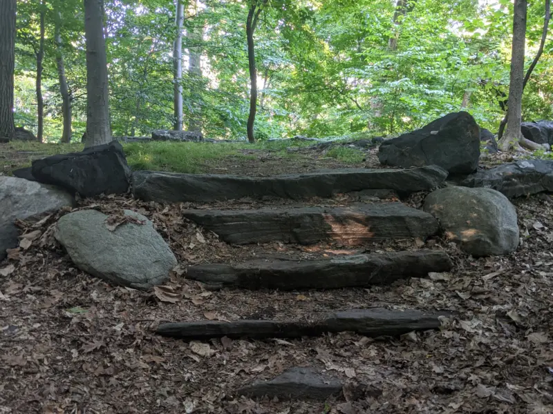
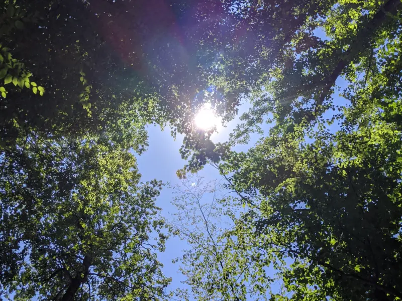
The Bare Rock lookout offered amazing views of Greenwood Lake and I'm so glad I took this detour. Climbing the Fire Tower was the highlight of the day; I only wish I took better photos. The area around Jennings Creek and the rest of the park did not disappoint. As usual, I could spend days here taking in all the various areas of the park. I especially want to visit the old mine areas the next time around. Trails were blazed well, with signs at the major intersections giving trail names, trail lengths, and POIs.