Ward Pound Ridge Reservation – Leatherman’s Cave, Wildflower Garden, Nature Museum
- 9.7 mi
- 1,250 ft gain
- 04:41:42
- 207 photos
- 1 video
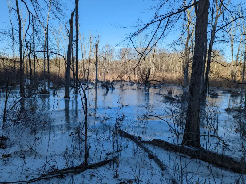
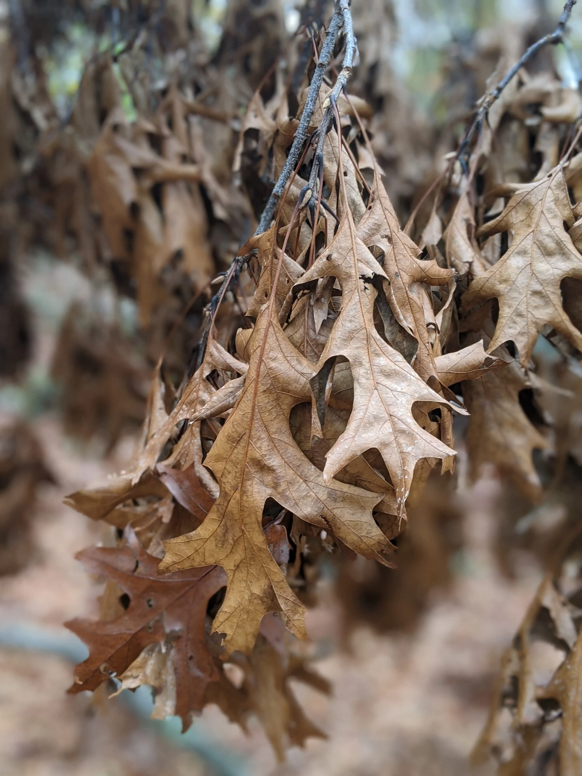
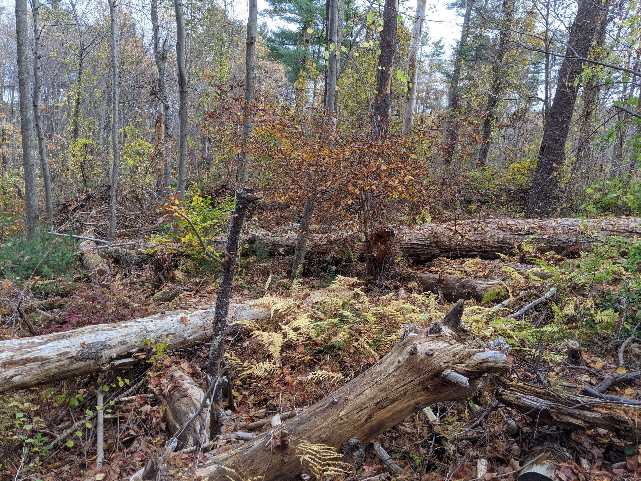
This was my second visit to Ward Pound Ridge Reservation and it was as satisfying as my first visit. I was able to check out a few new parks of the park, including Leatherman’s Cave, Wildflower Garden, Trailside Nature Museum, phenology trail, Lenape indian wigwam shelter, and more.
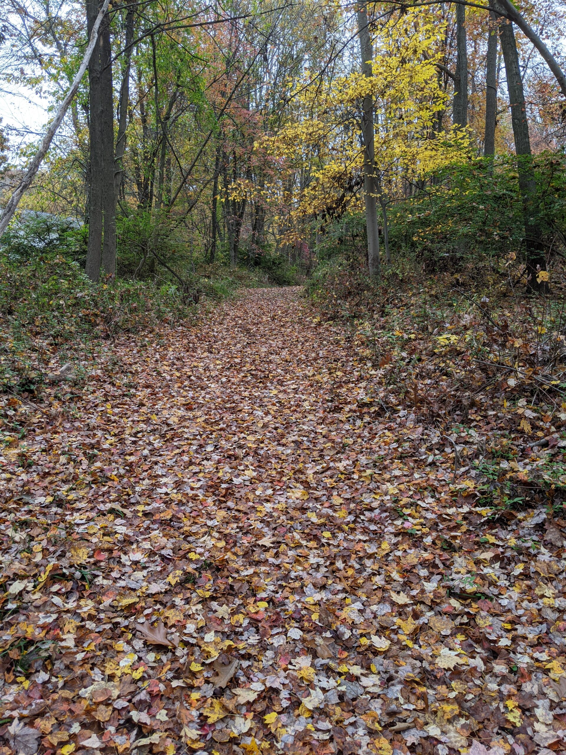
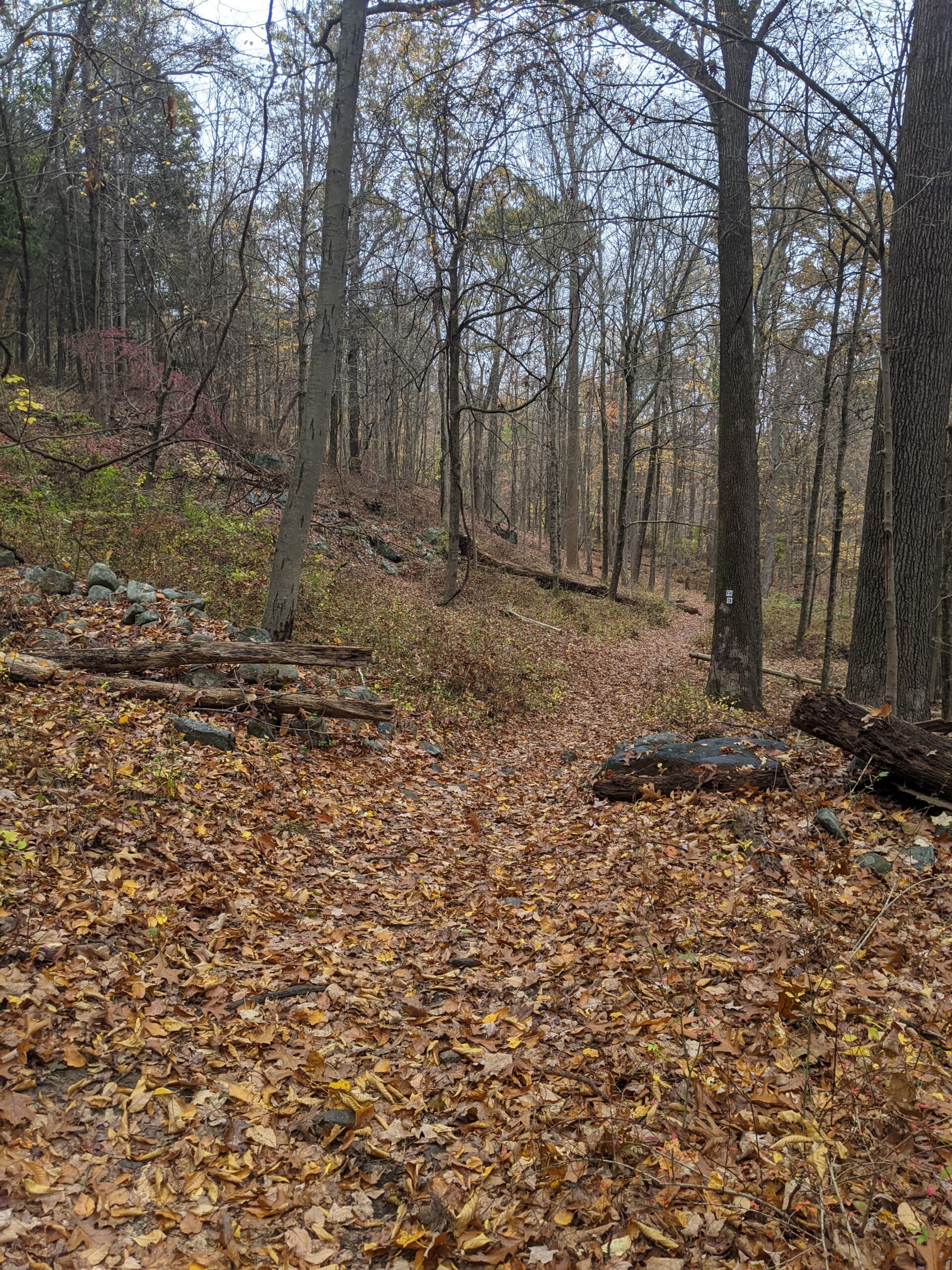
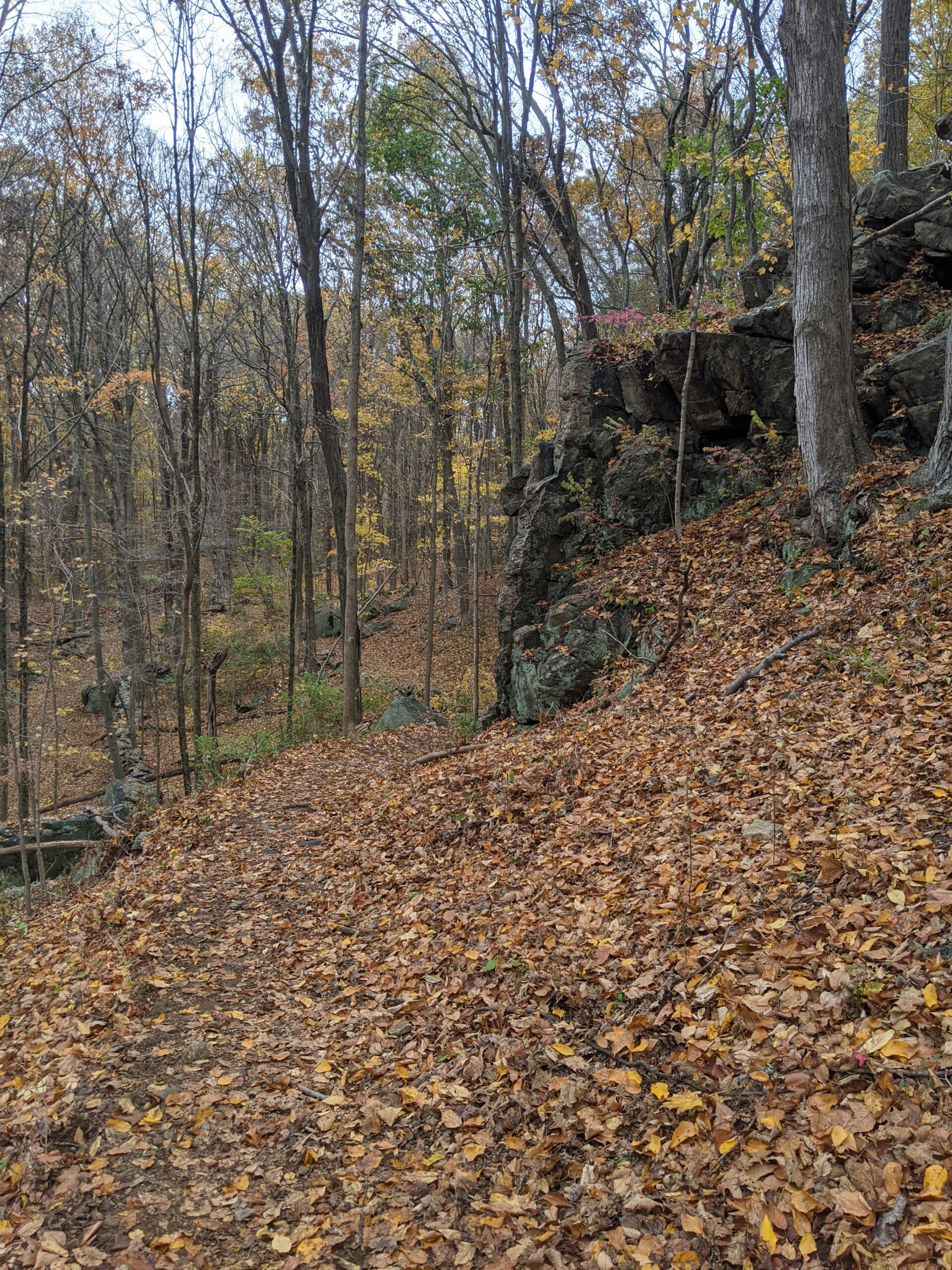
I mapped out a path taking me from the upper west part of the park, counterclockwise south along the western border, then to the northeast and back to my starting point. On the maps, I noticed an unblazed trail off of Route 35 that I used as my starting point. I parked one block over on Adams Hill Road around 12:40p and walked the short distance to the trailhead. I did not know this while I was planning, but there is a sign at this entrance prohibiting entry from this point. Instead of remapping my whole journey, I decided to enter anyway. Now that I know this is not allowed, I won’t be using this entrance for future hikes and I’ll remember to pay double next time I visit to make up for this trip.
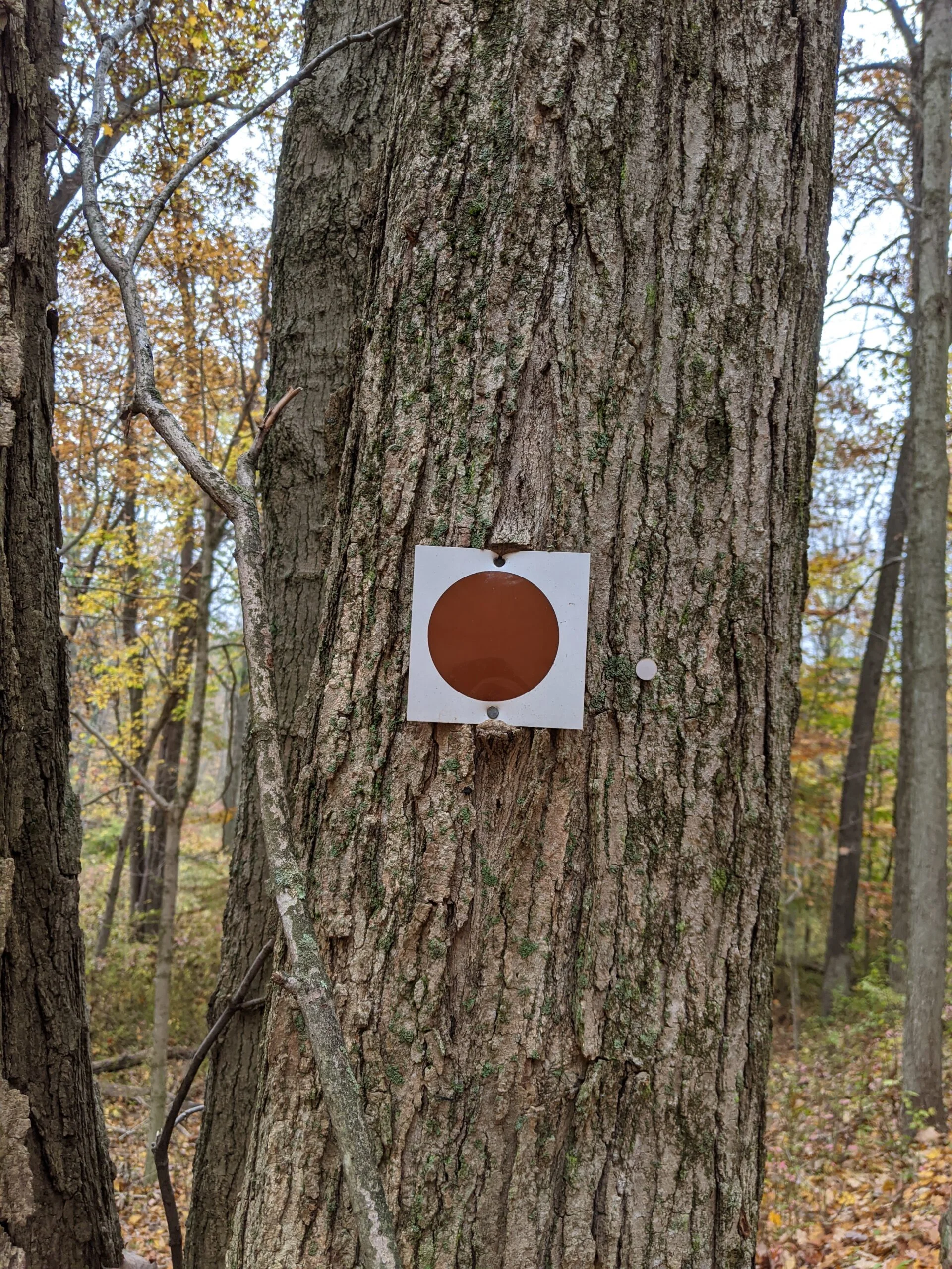
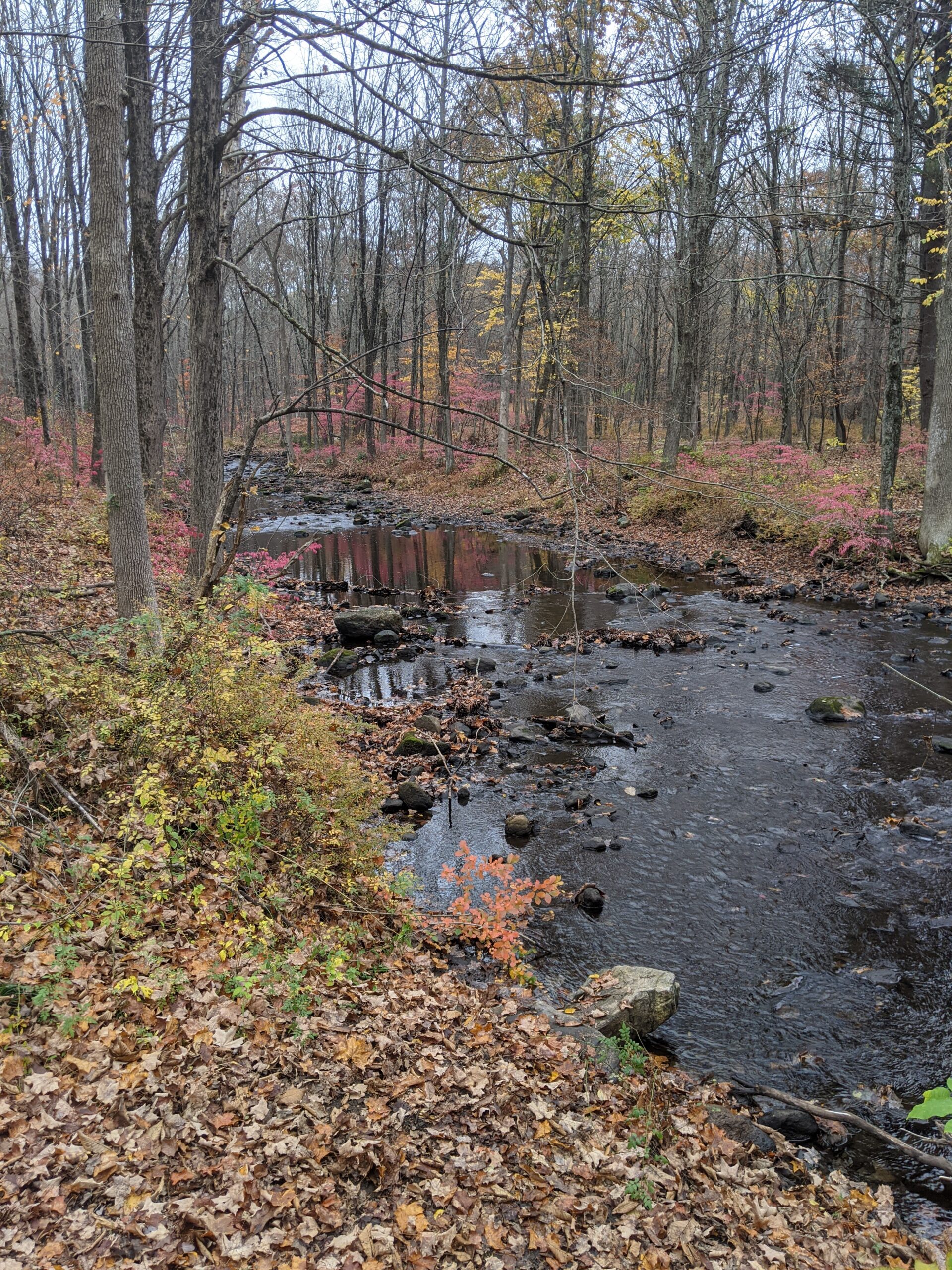
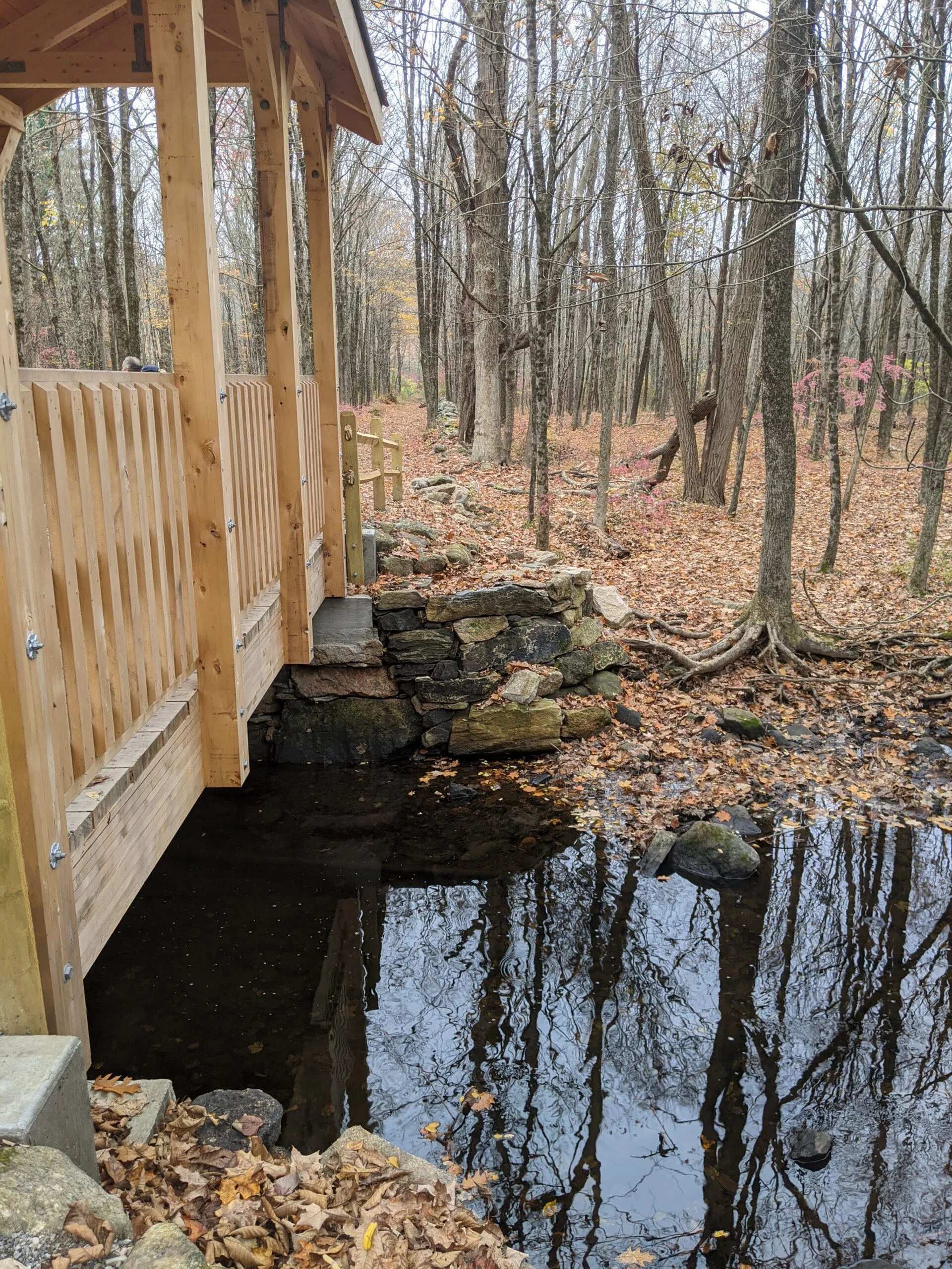
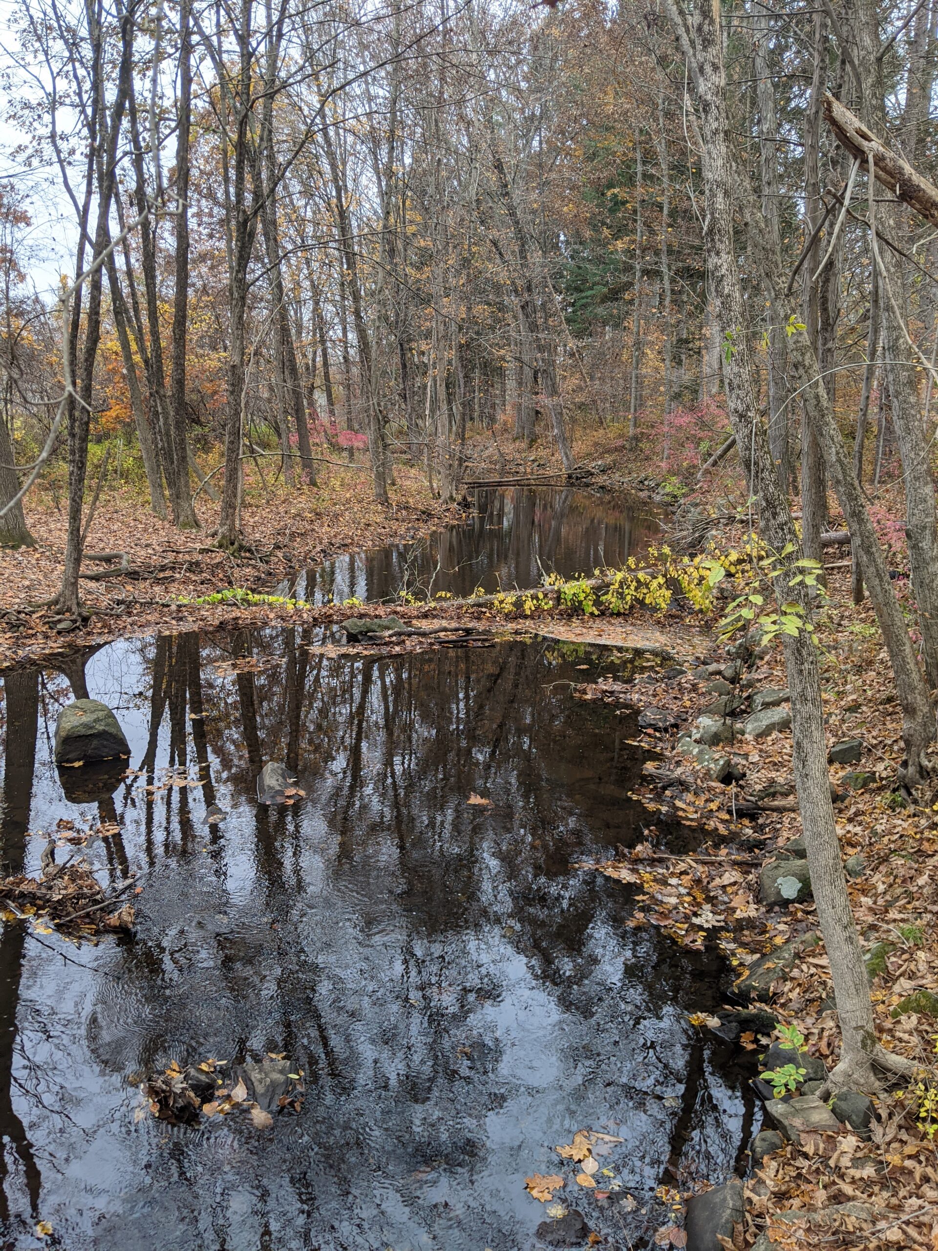
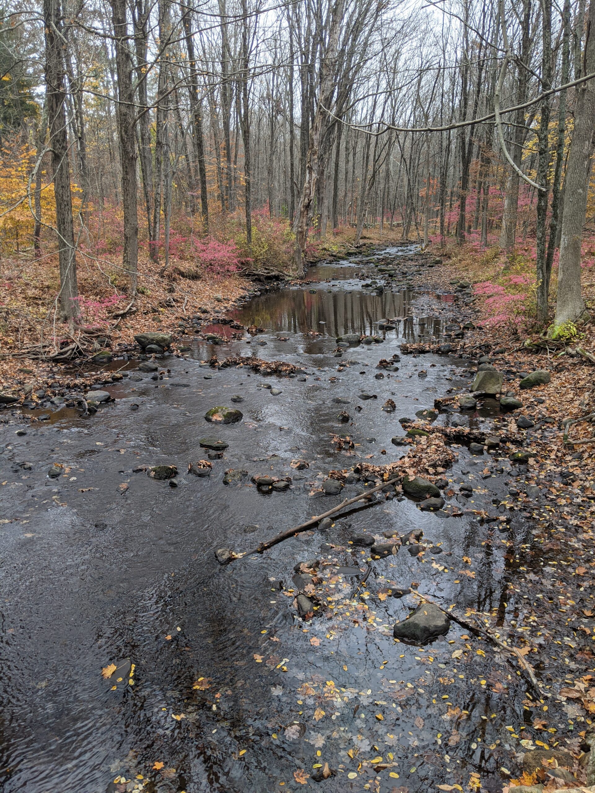
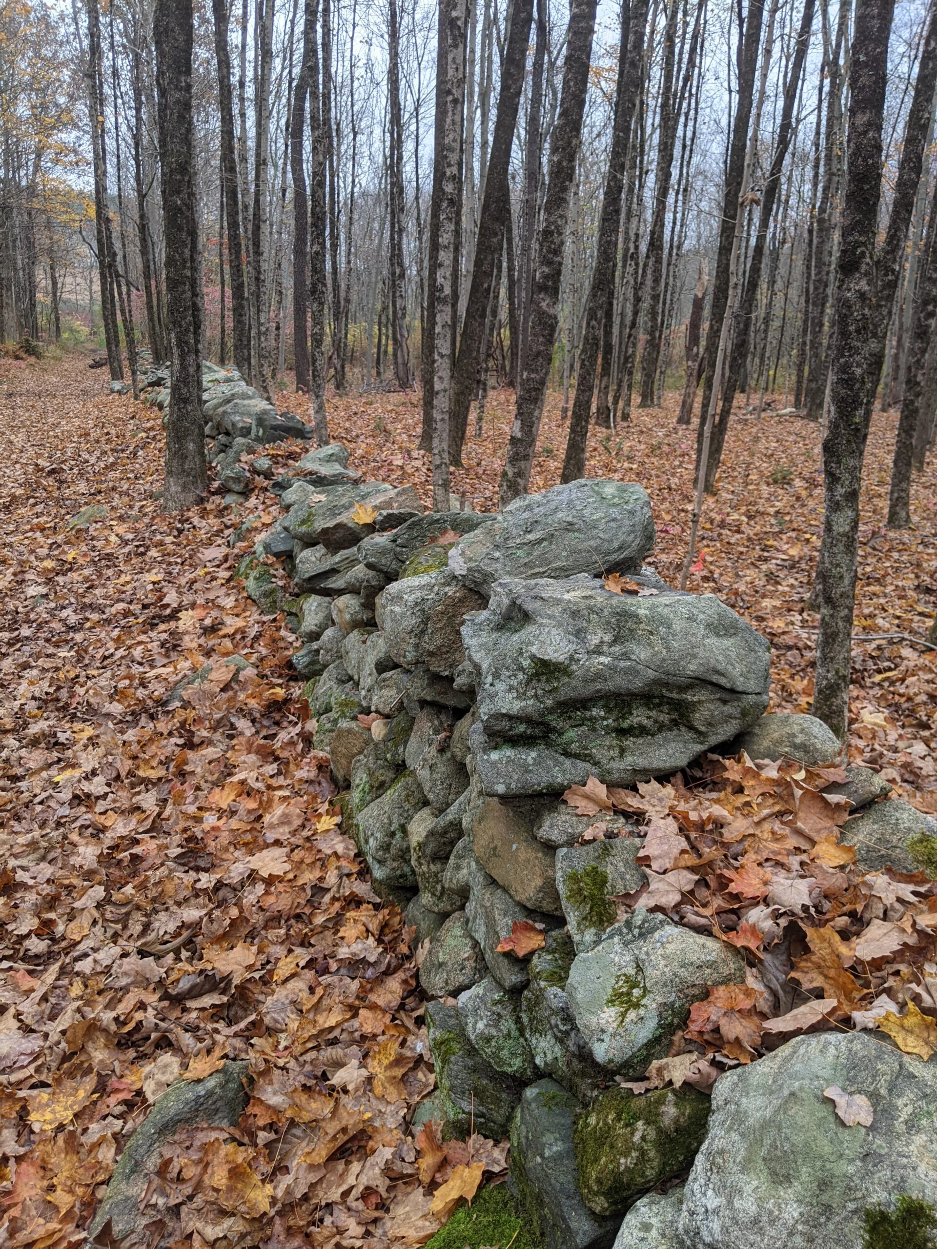
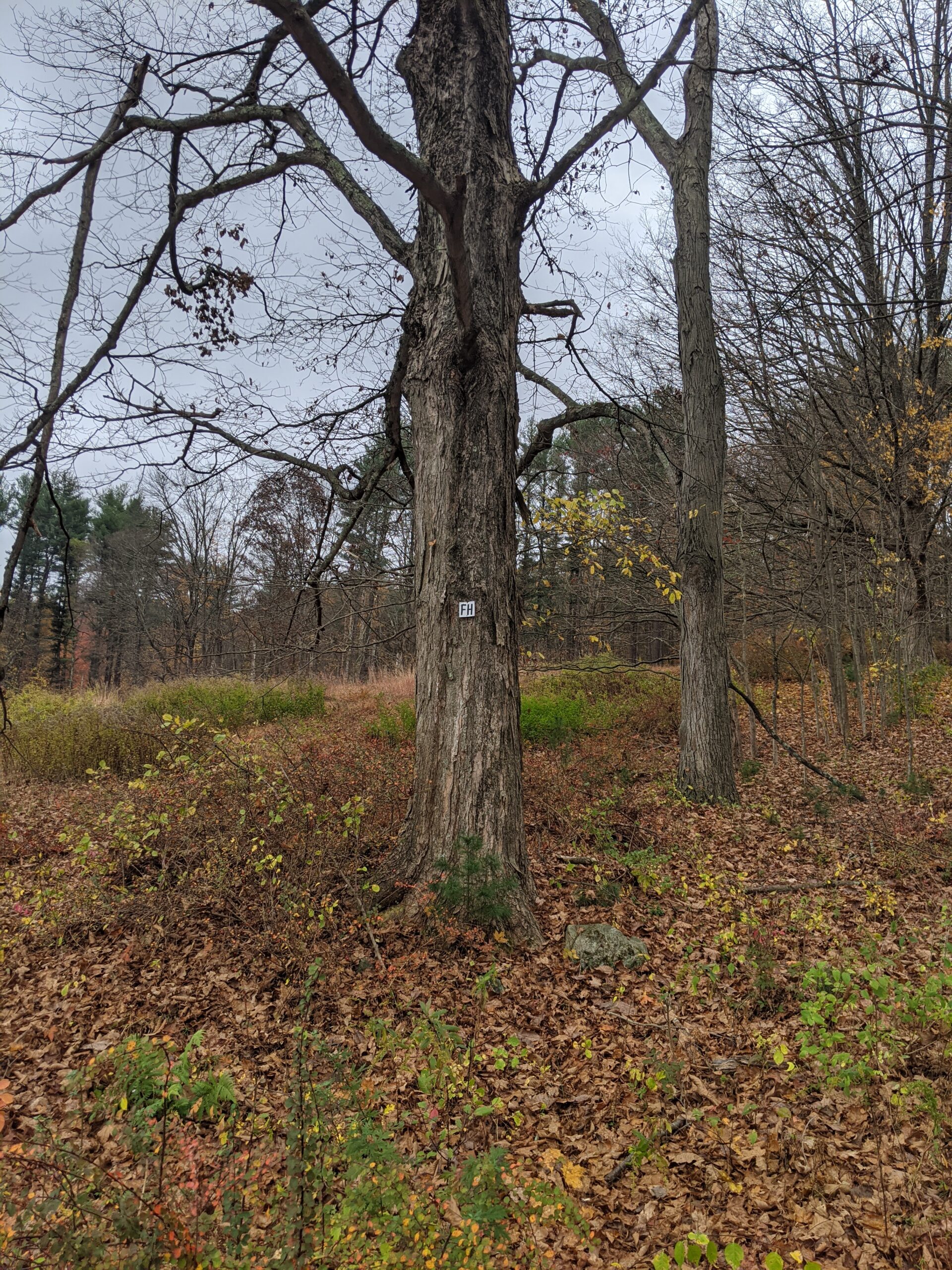
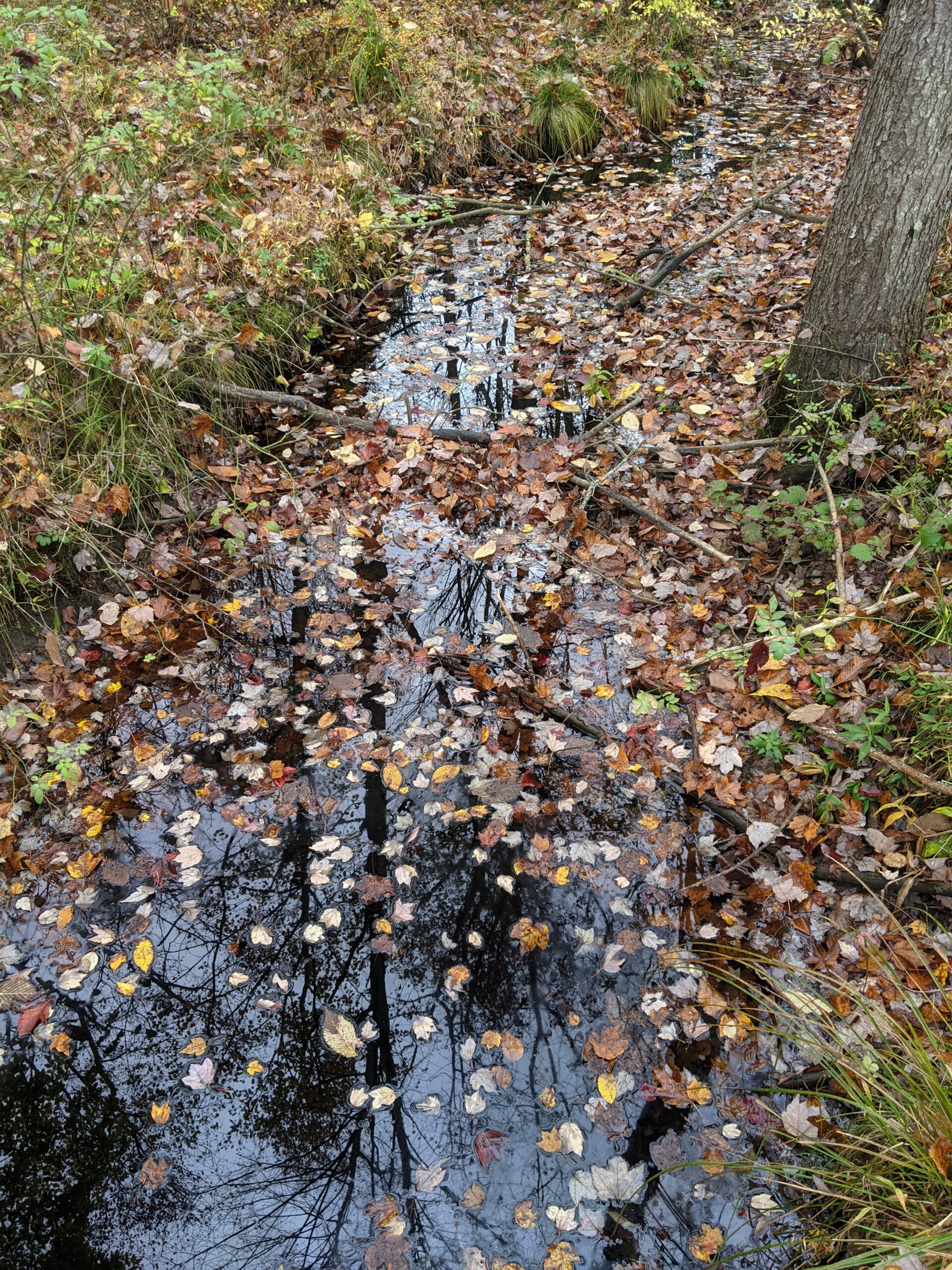
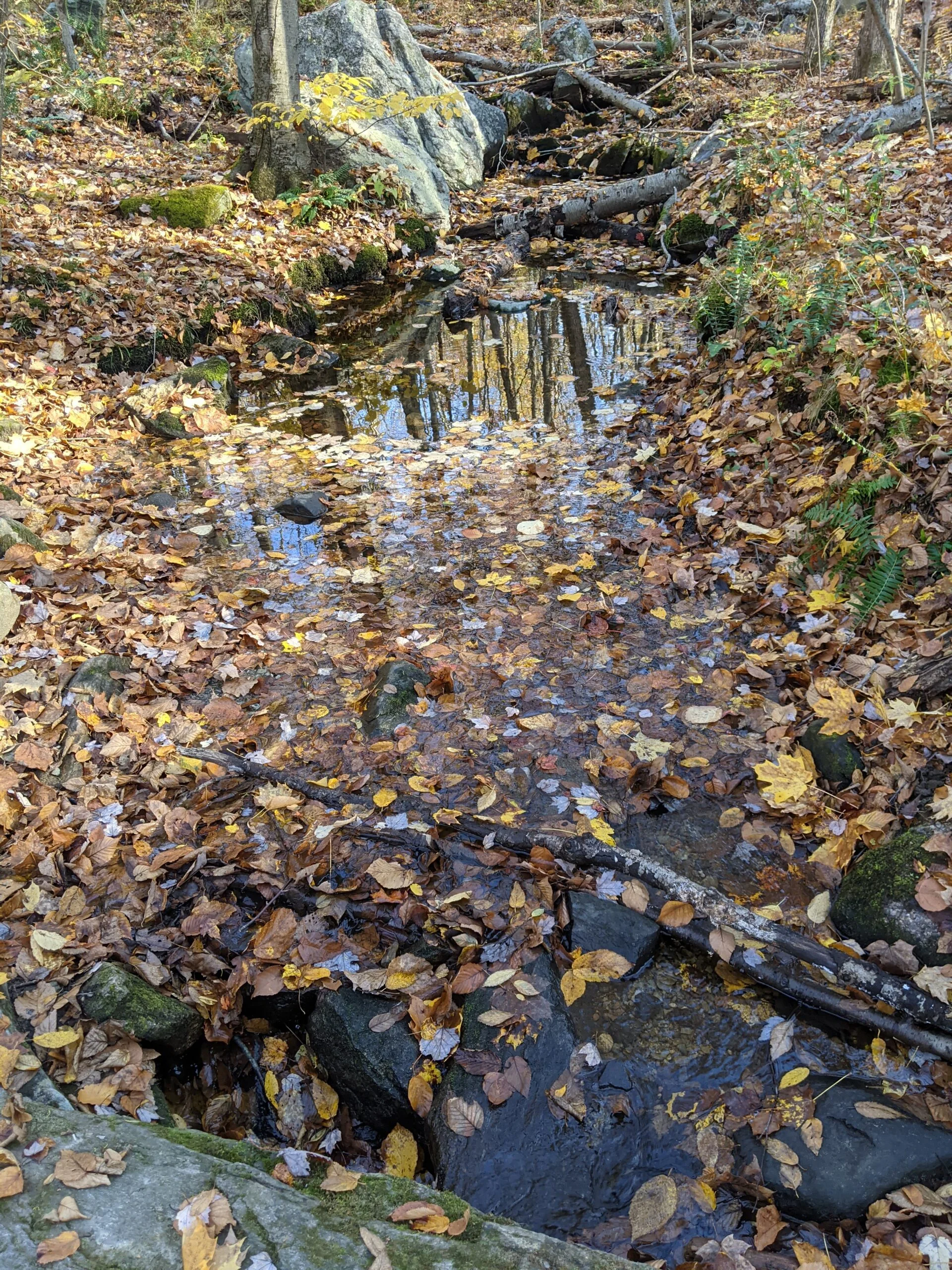
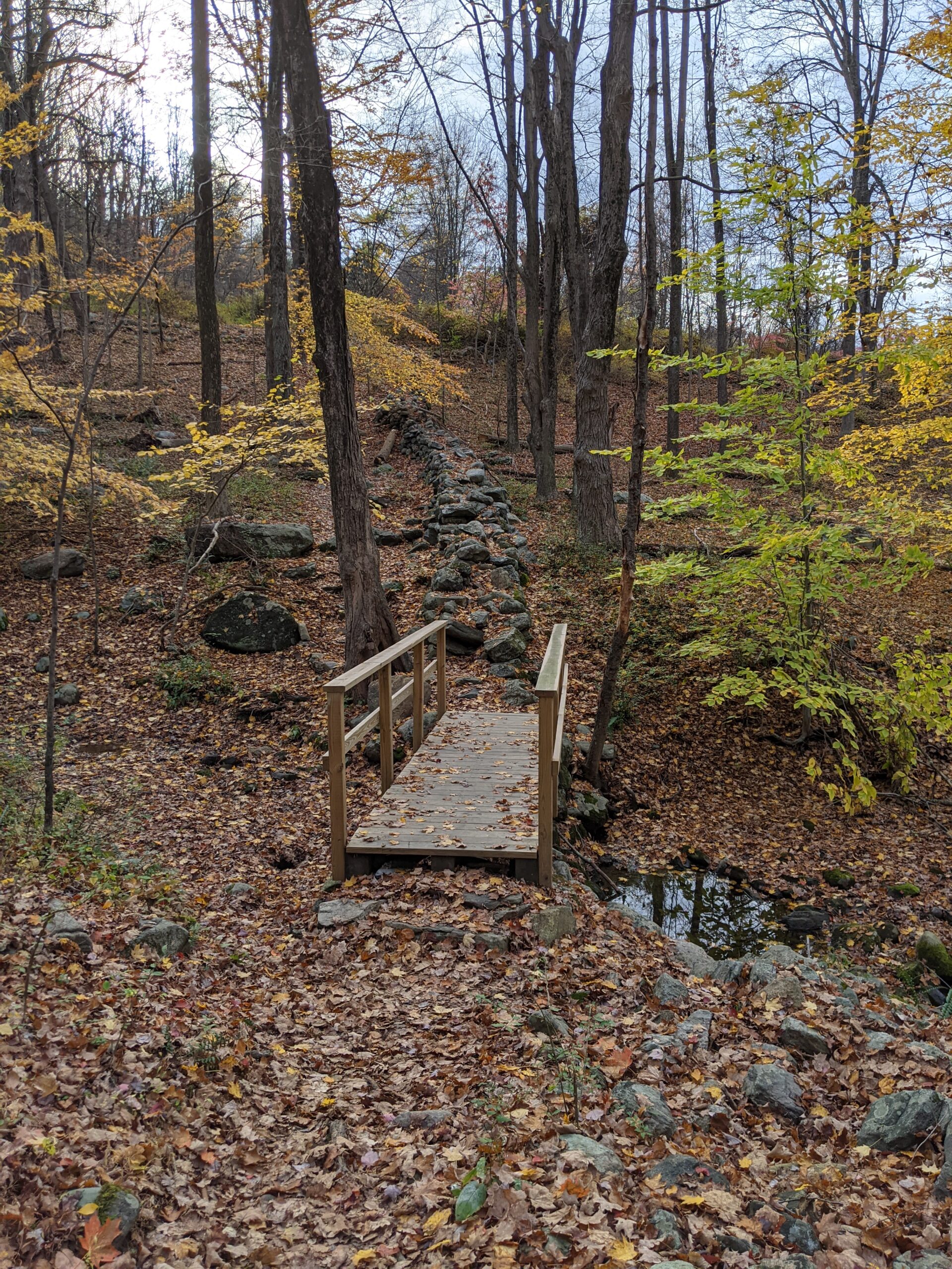
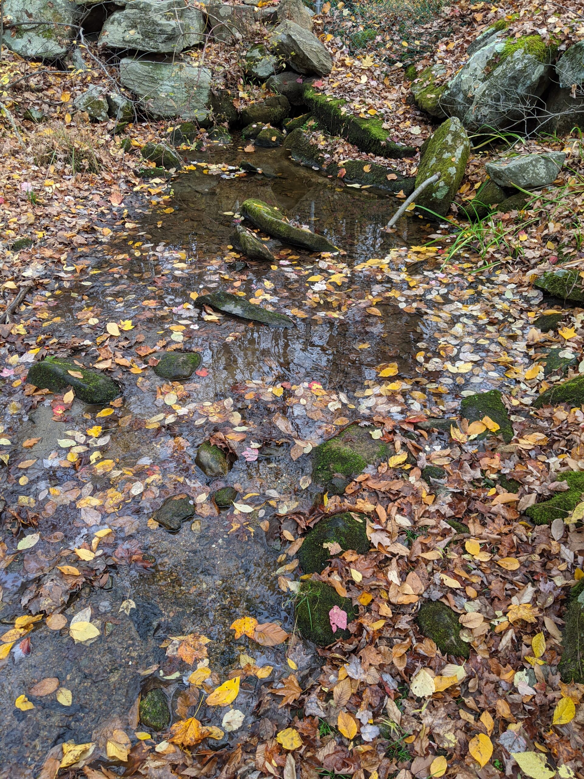
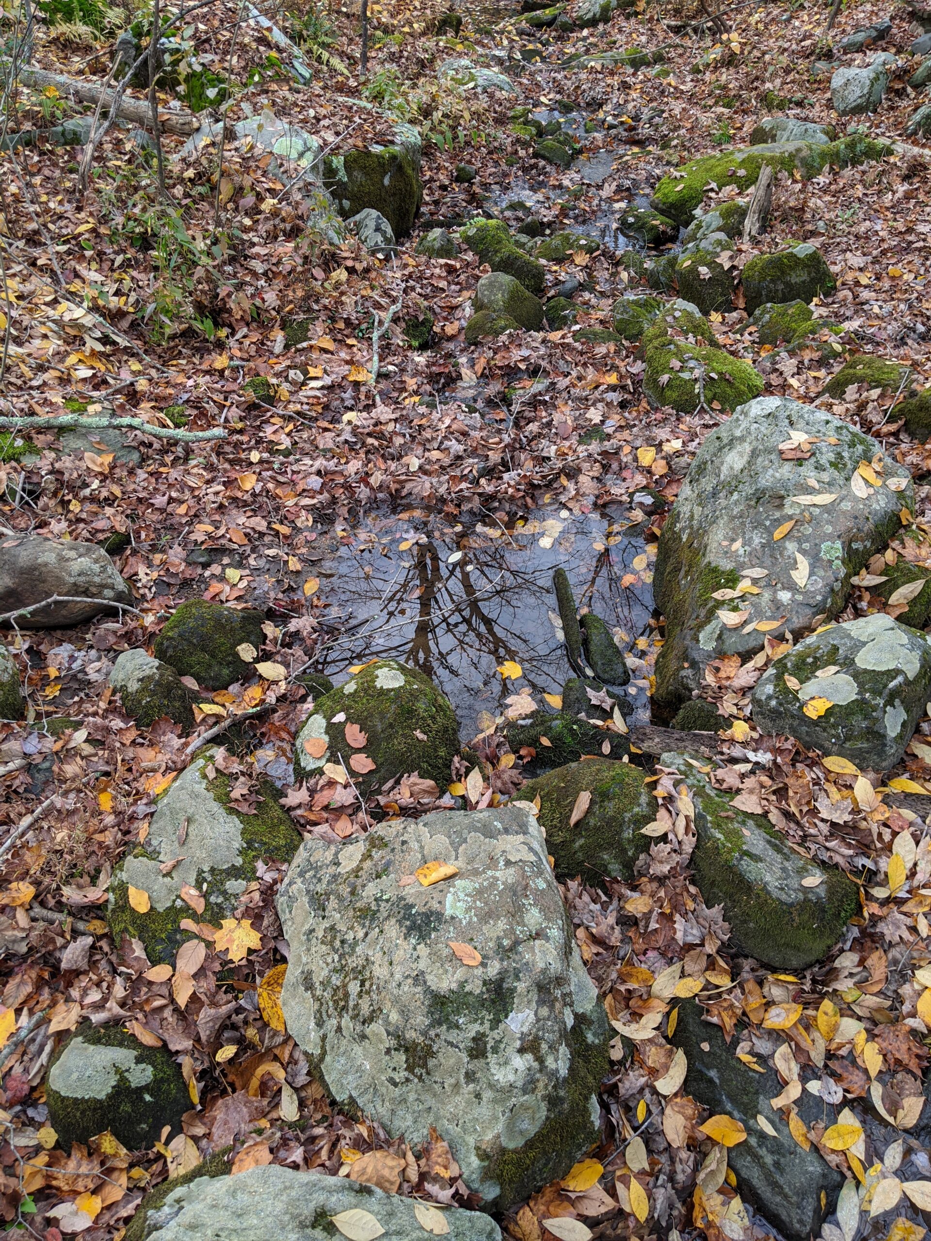
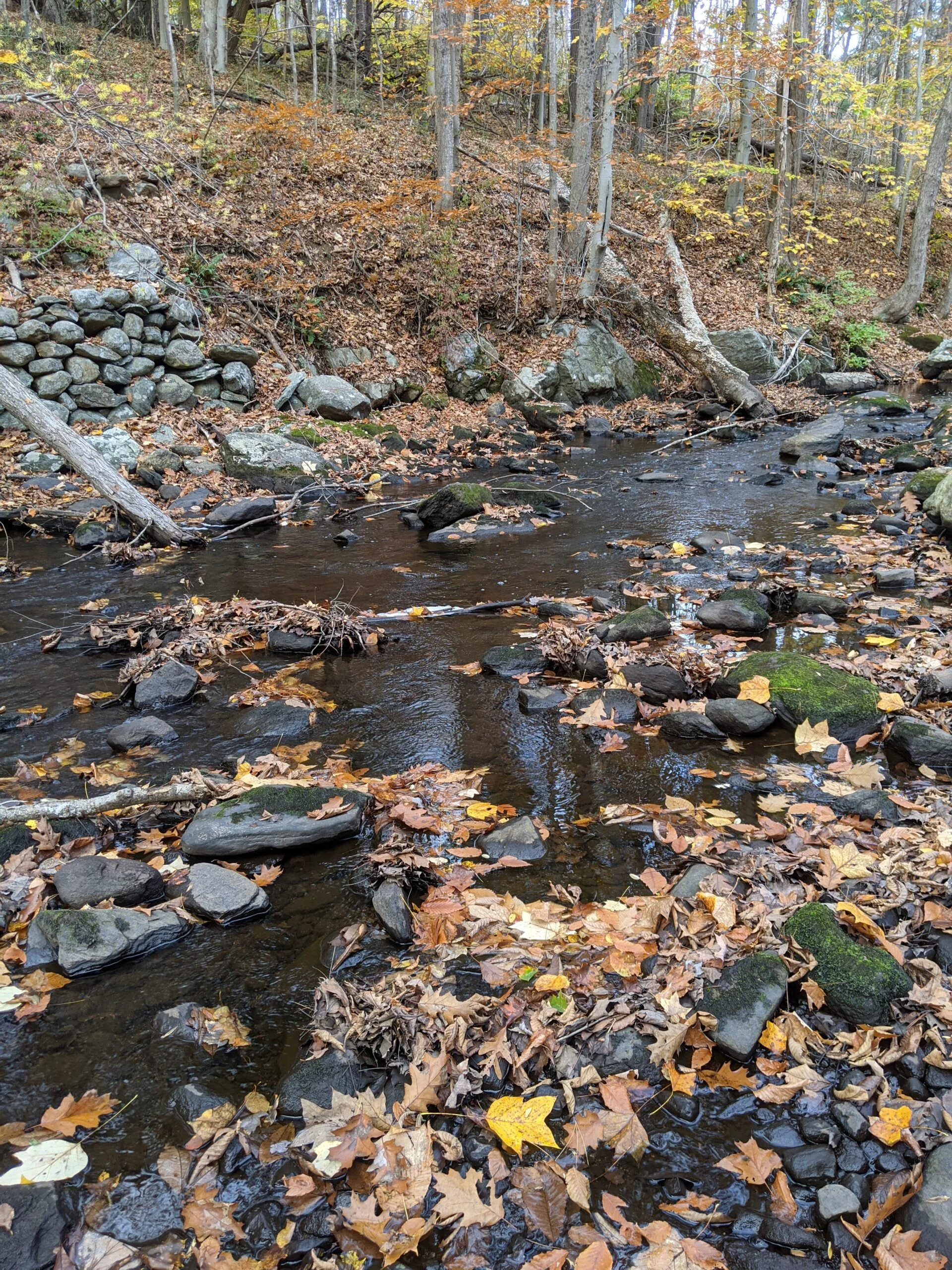
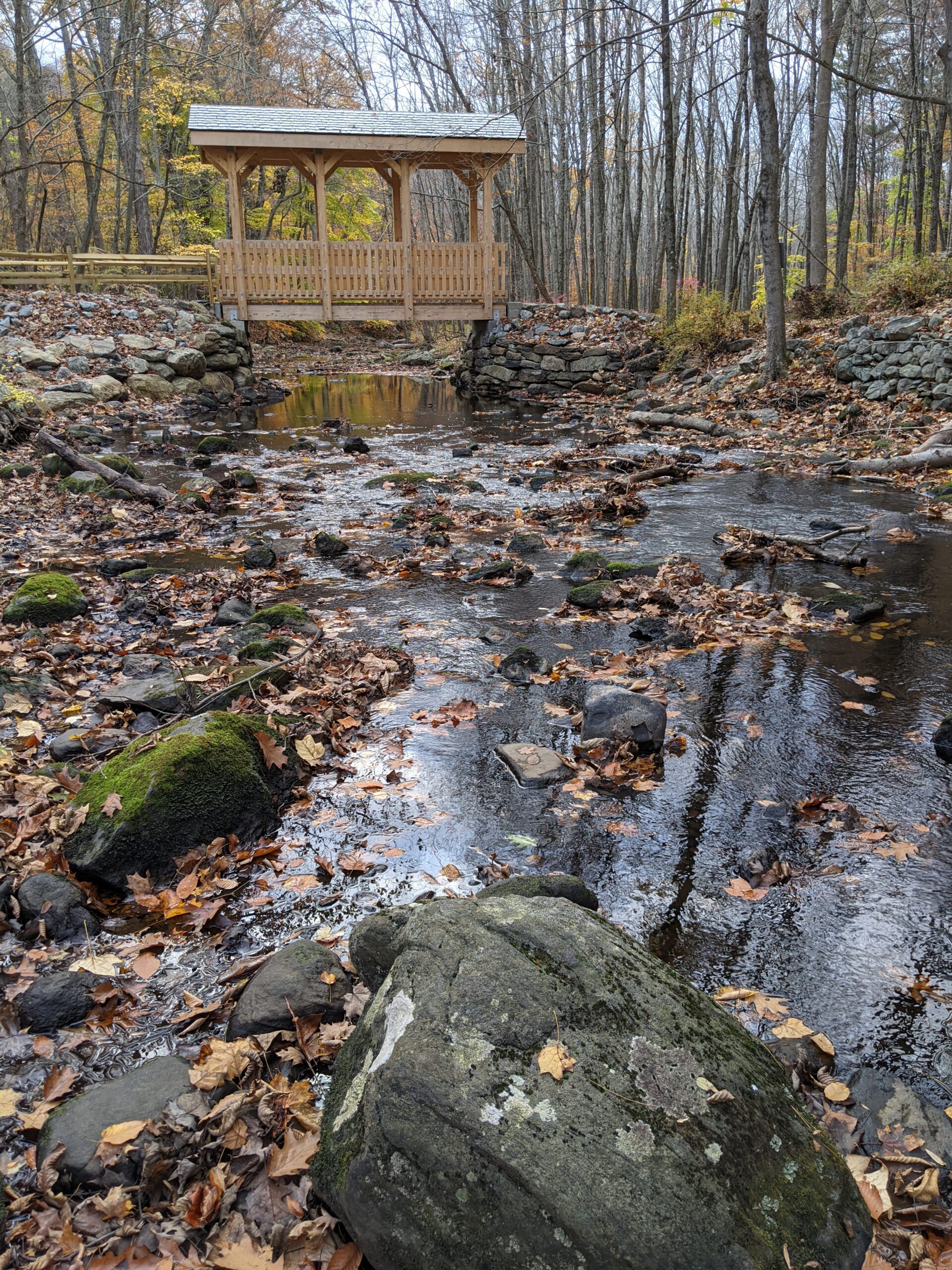
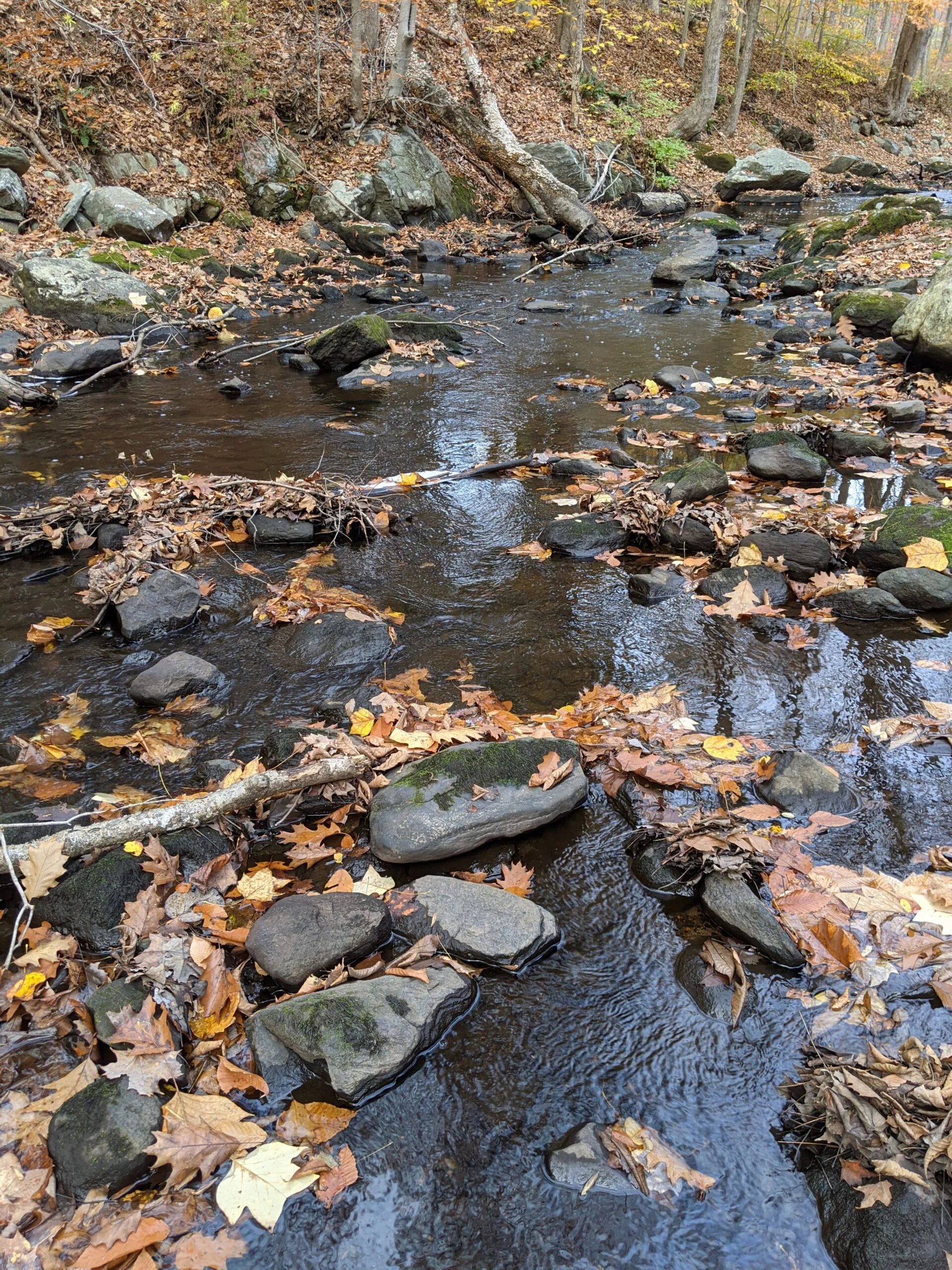
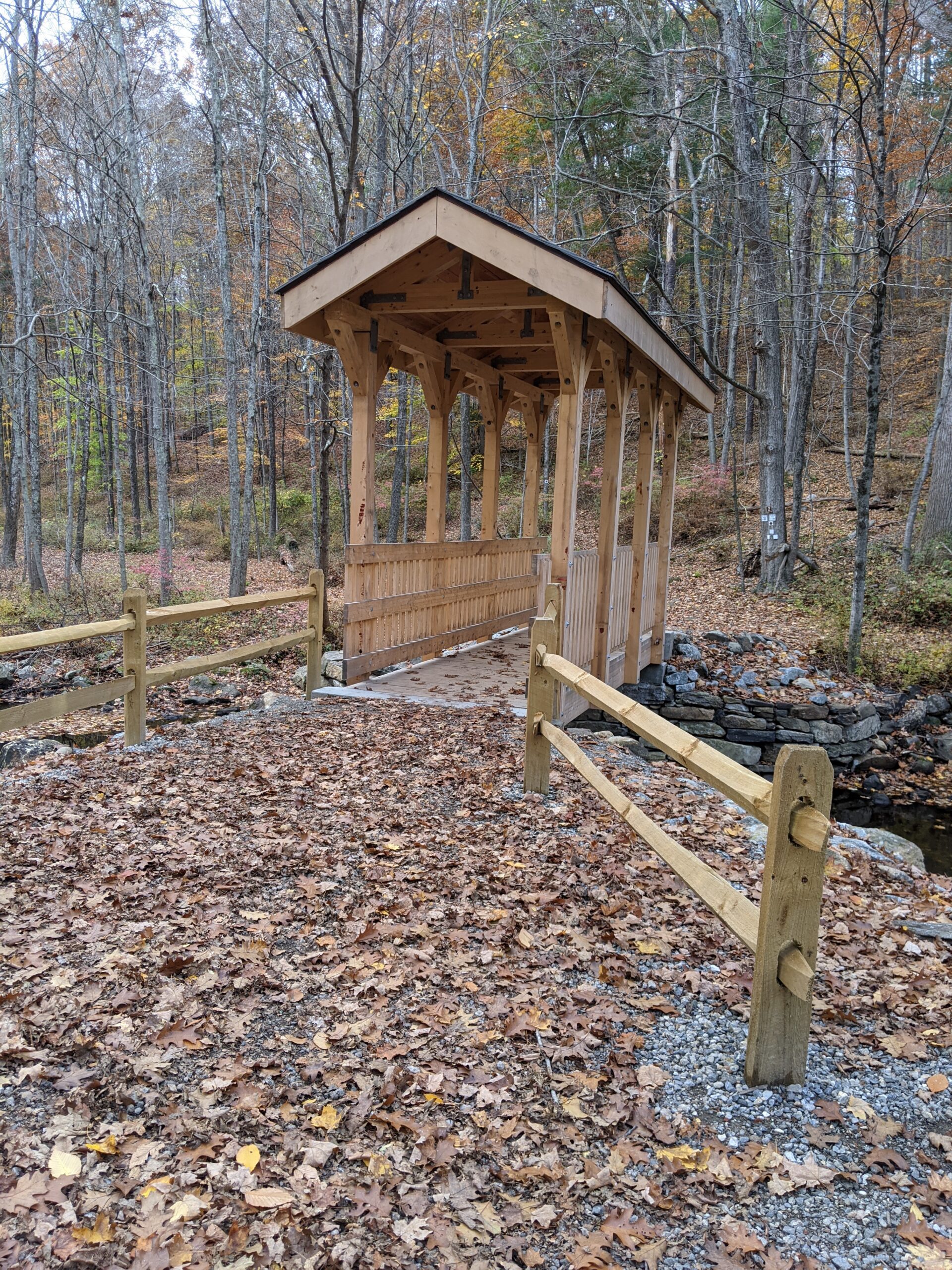
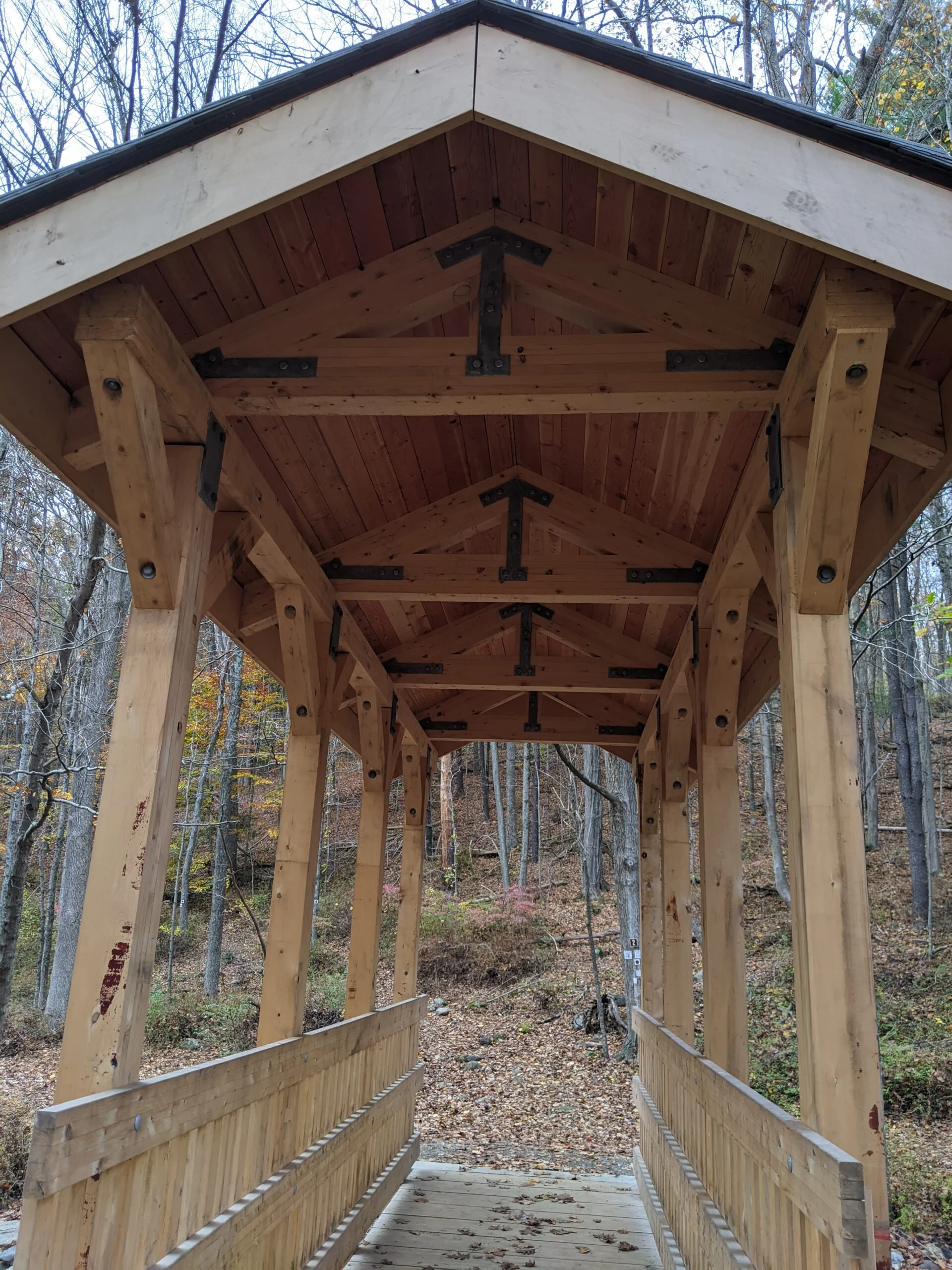
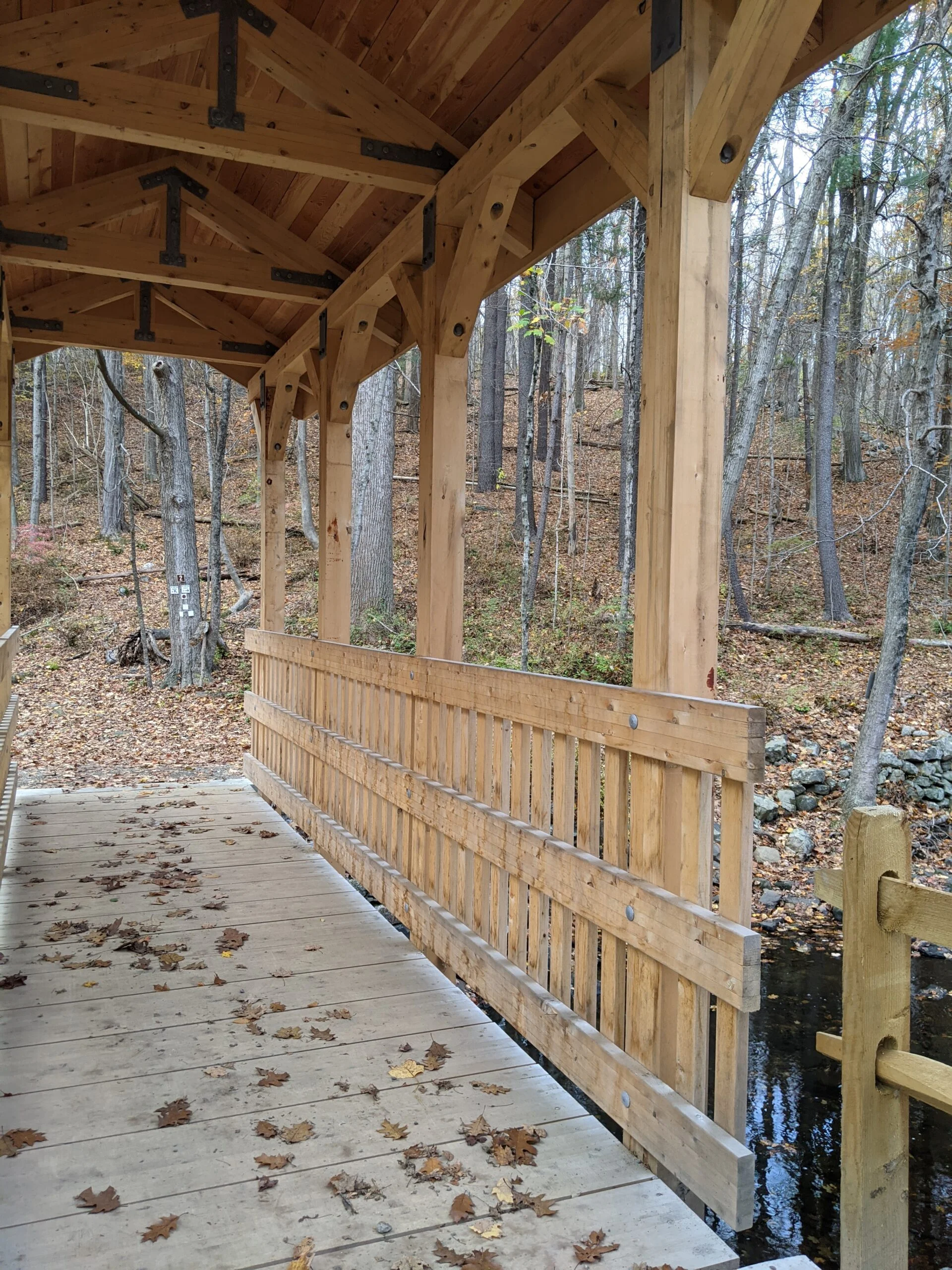
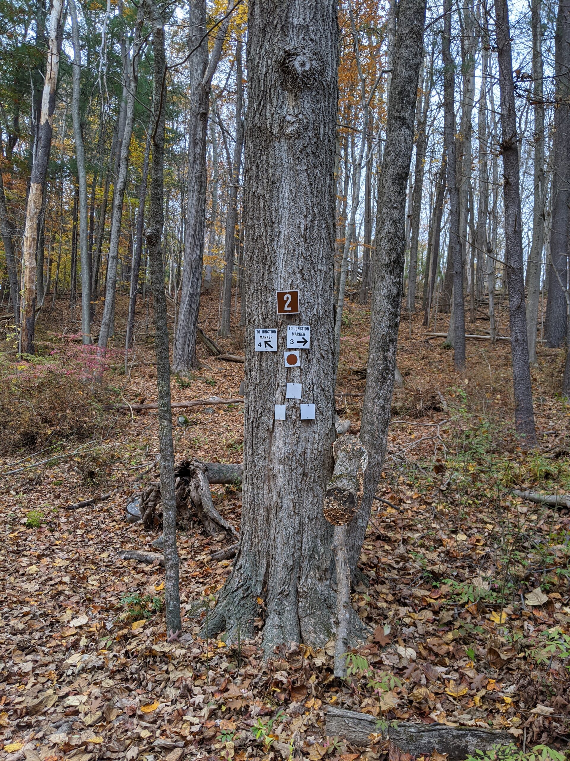
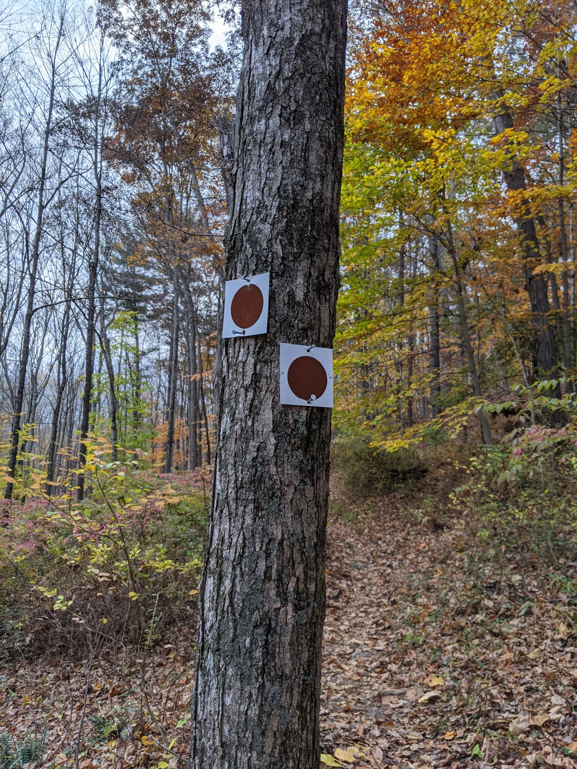
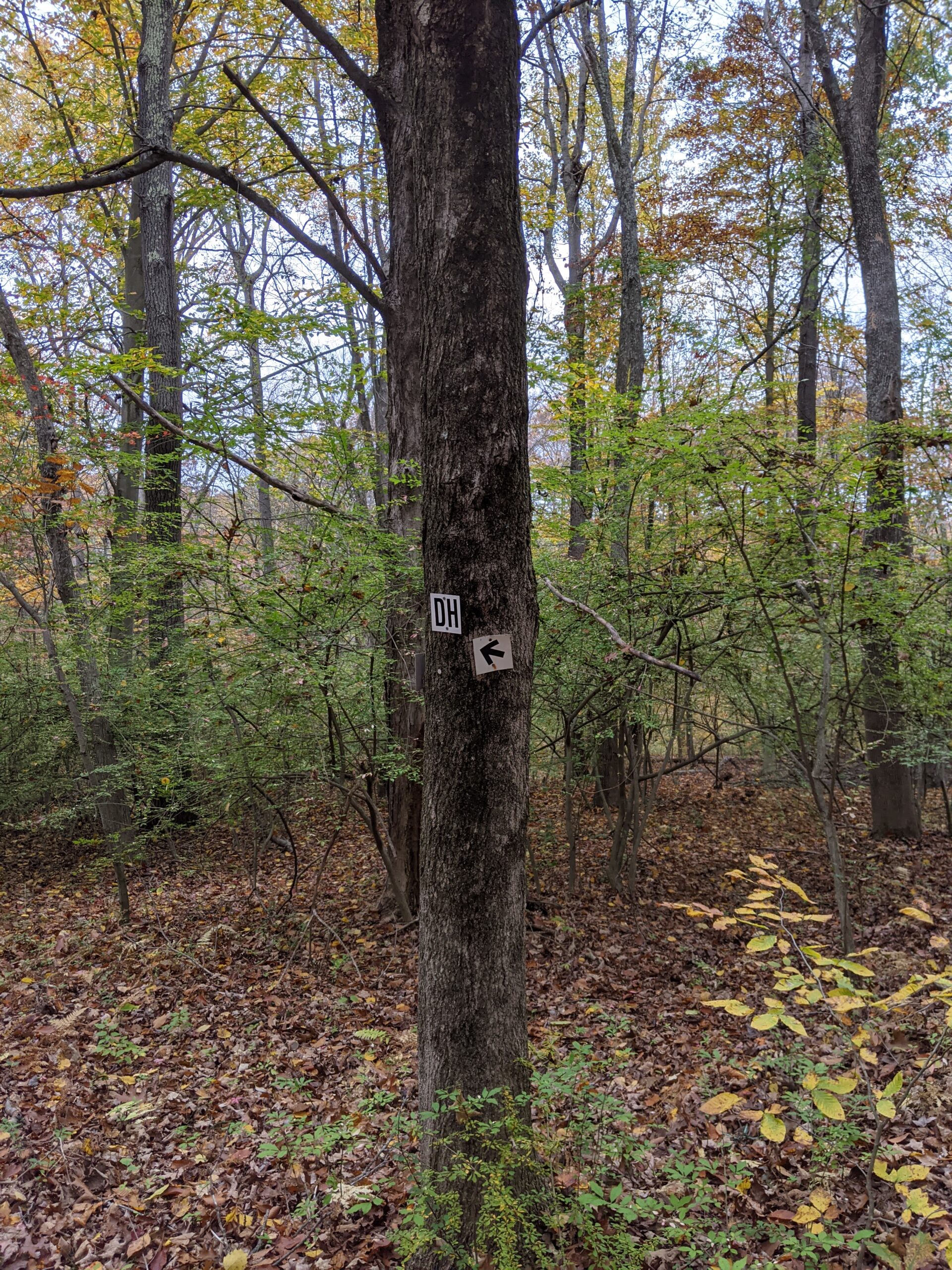
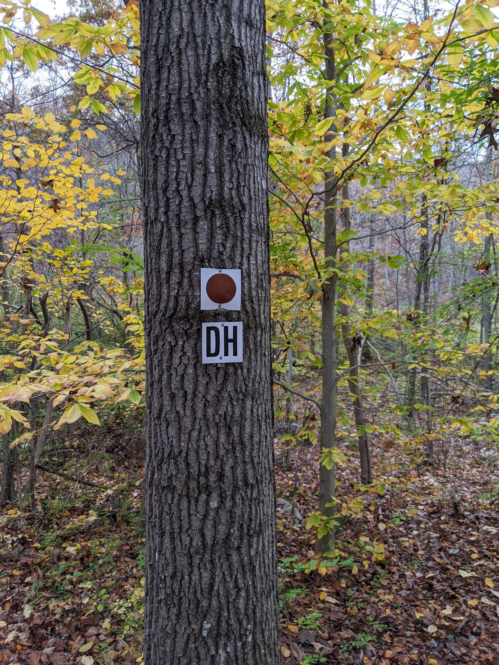
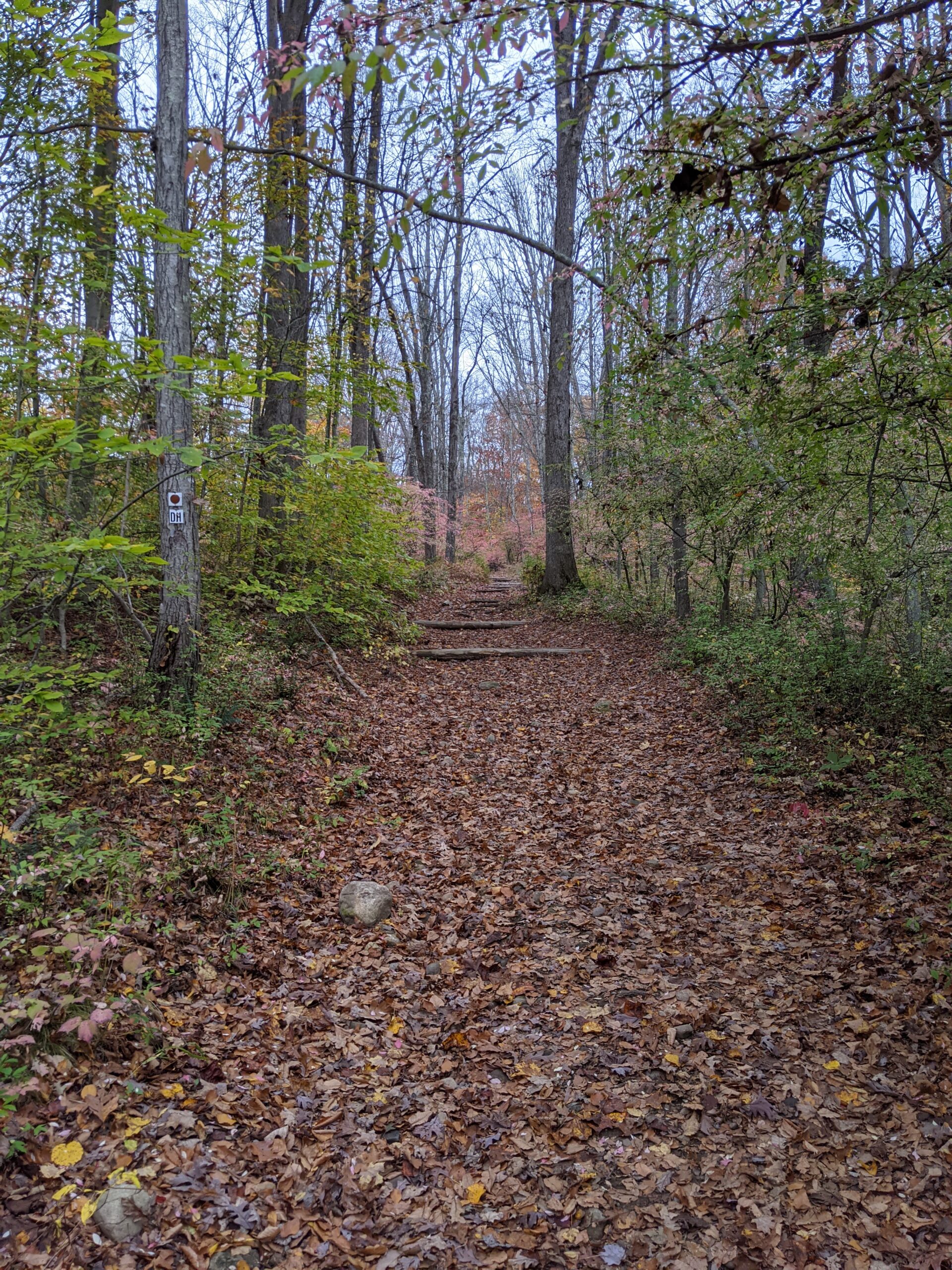
After walking 1/2 mile down the unblazed trail, I came to an intersection (#44) with the Deer Hollow trail (DH blazes) to my left and the brown trail (brown circle blazes) to my right. I made the right onto the brown trail, followed it past intersection 46 and down to intersection 1 at the Cross River. I came across a beautiful wooden bridge spanning the river and took a bunch of photos of the area. I crossed the bridge onto the Fox Hill trail (FH blazes) to continue further south.
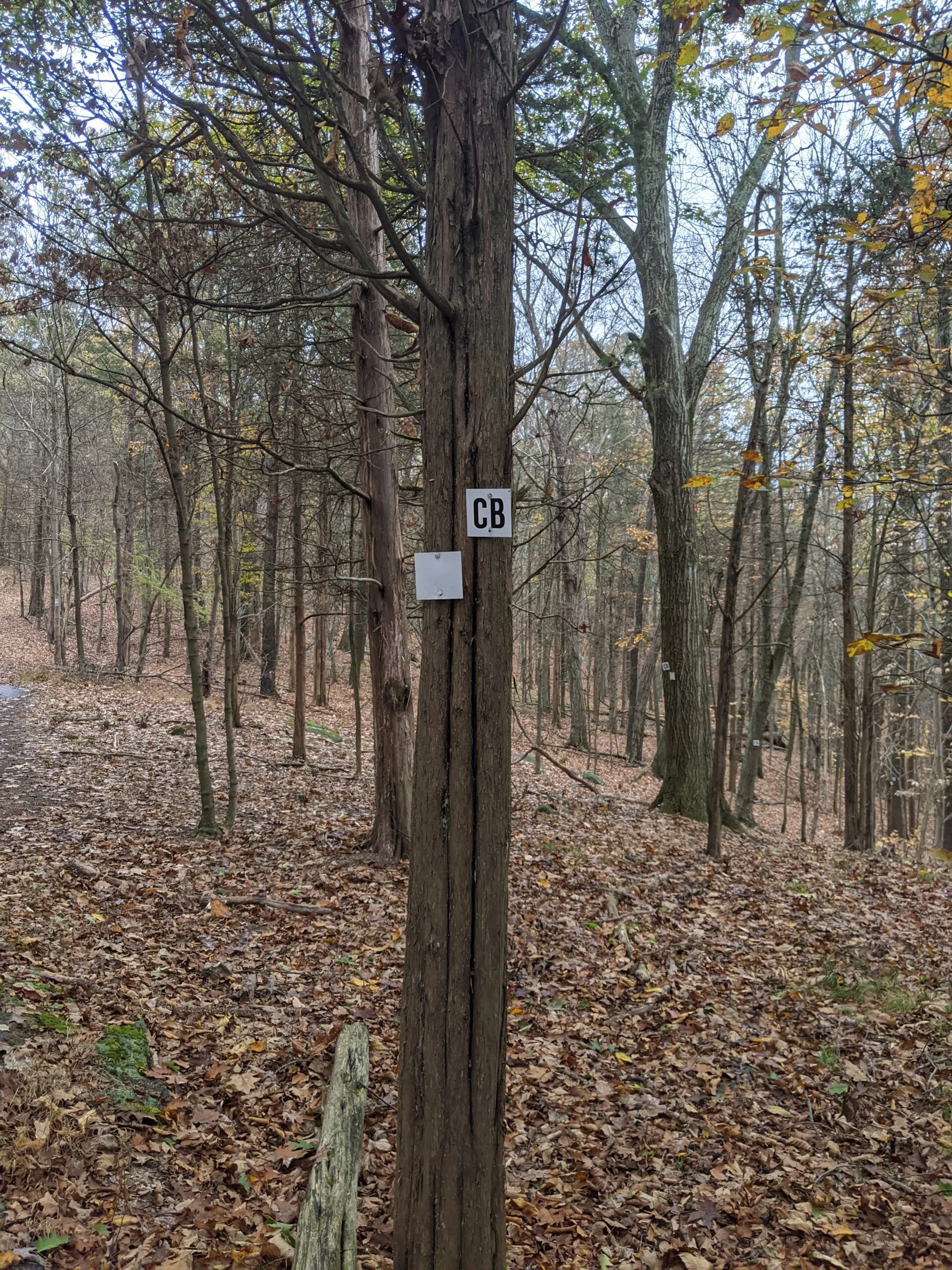
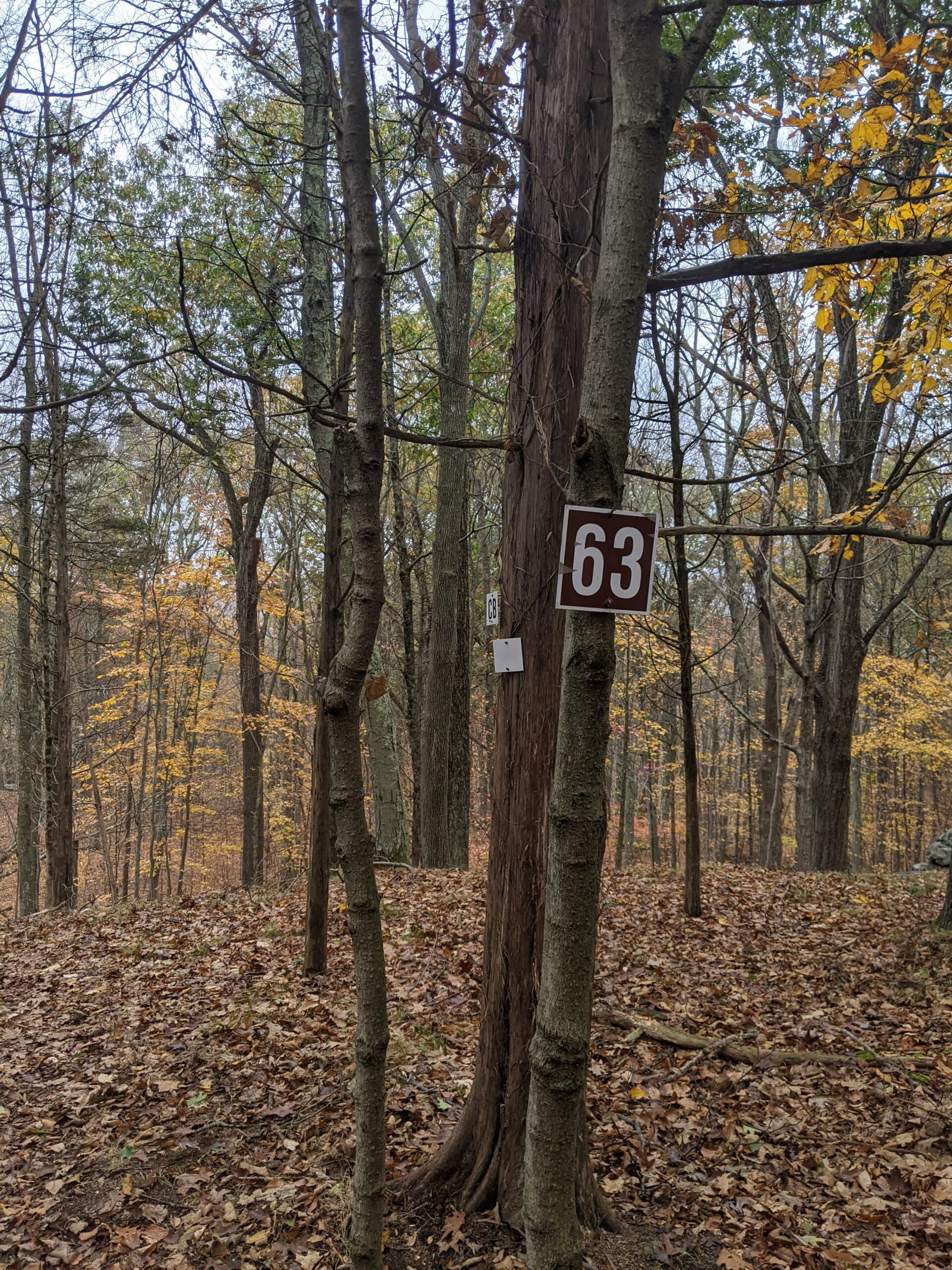
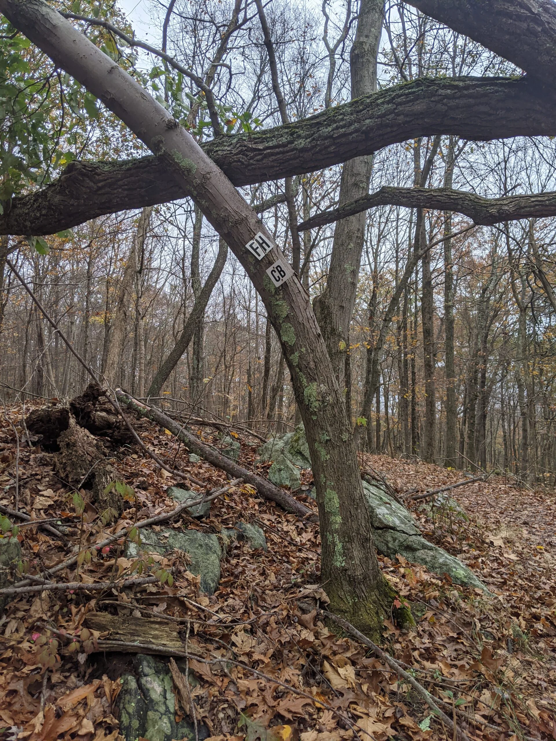
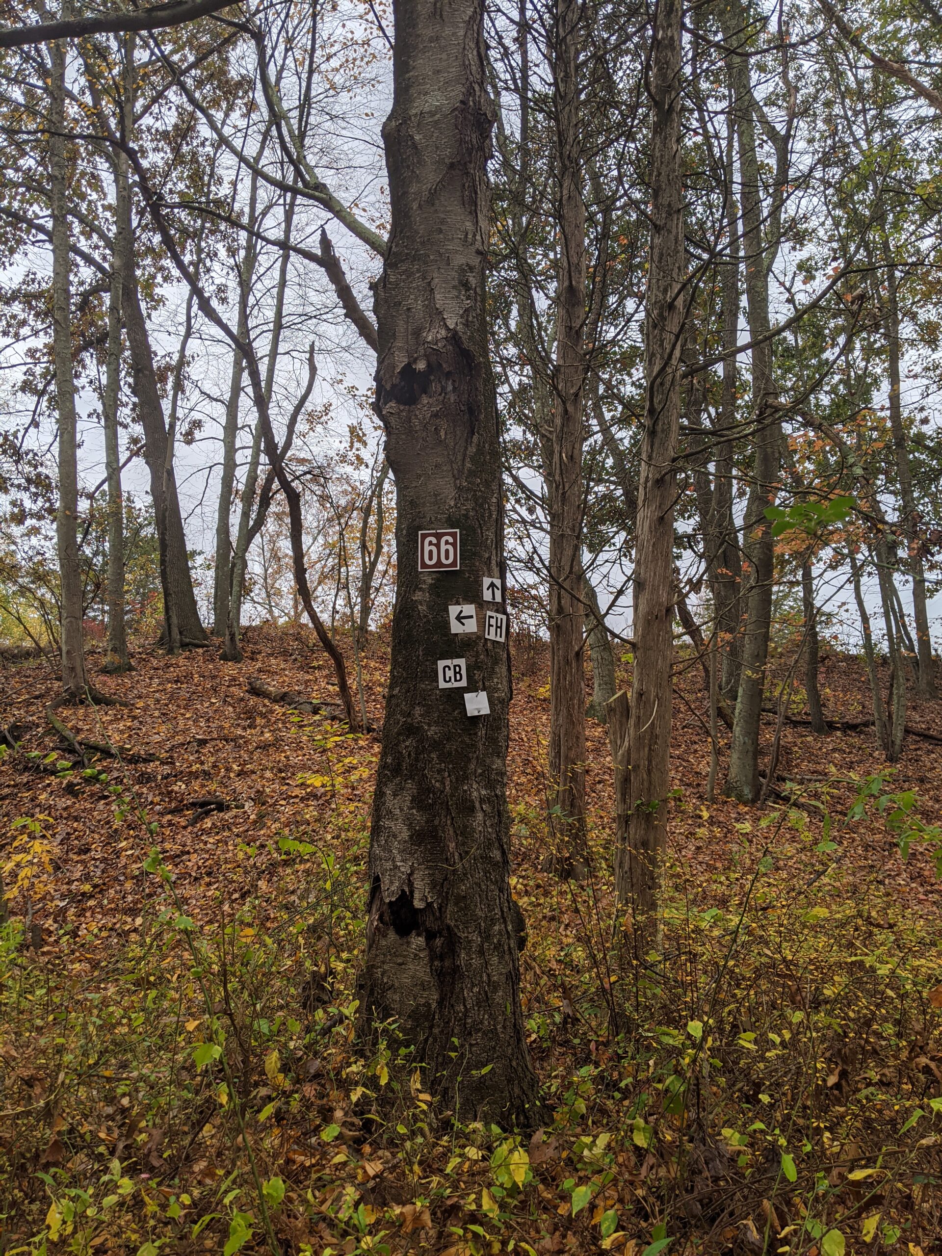
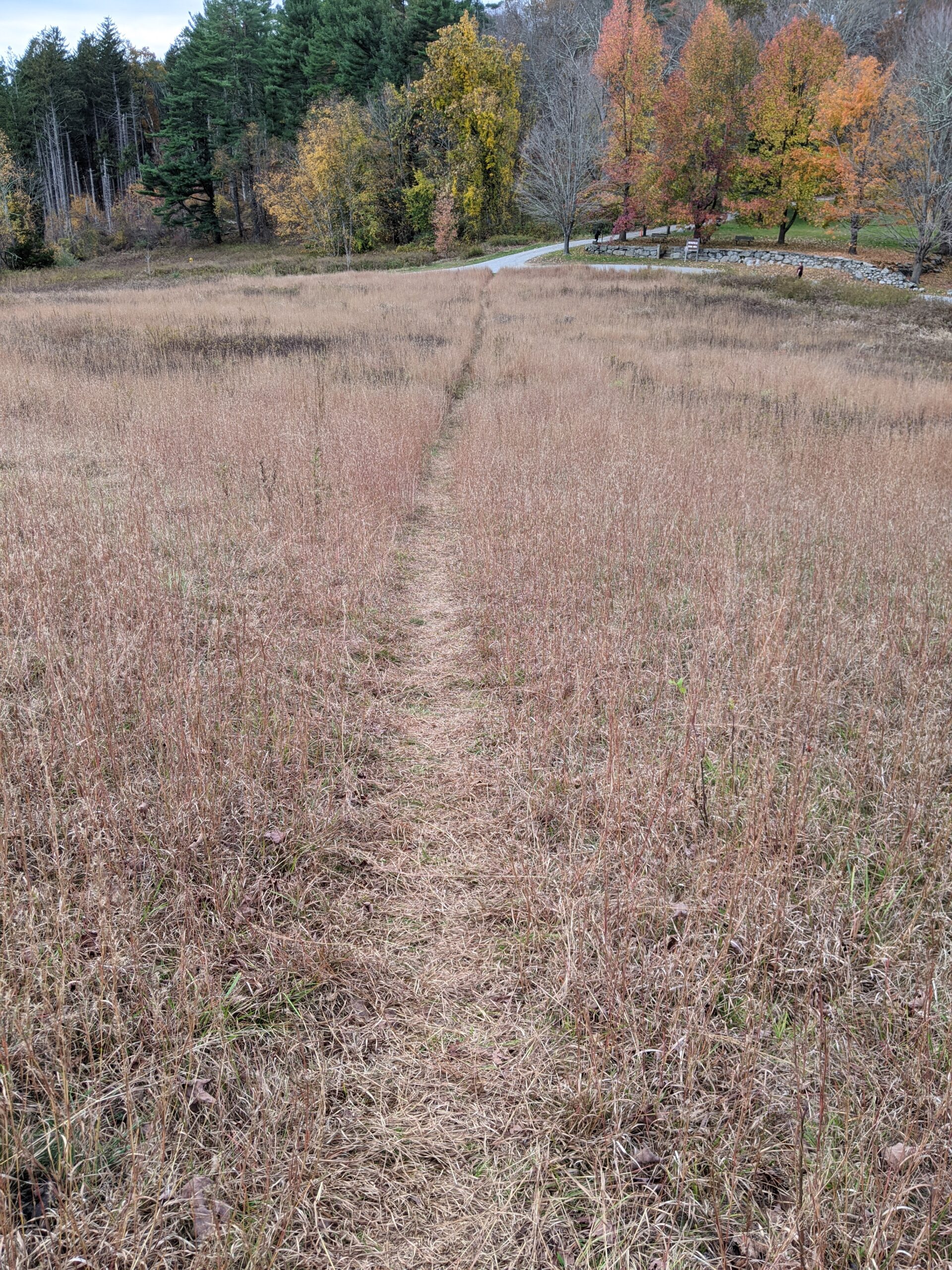
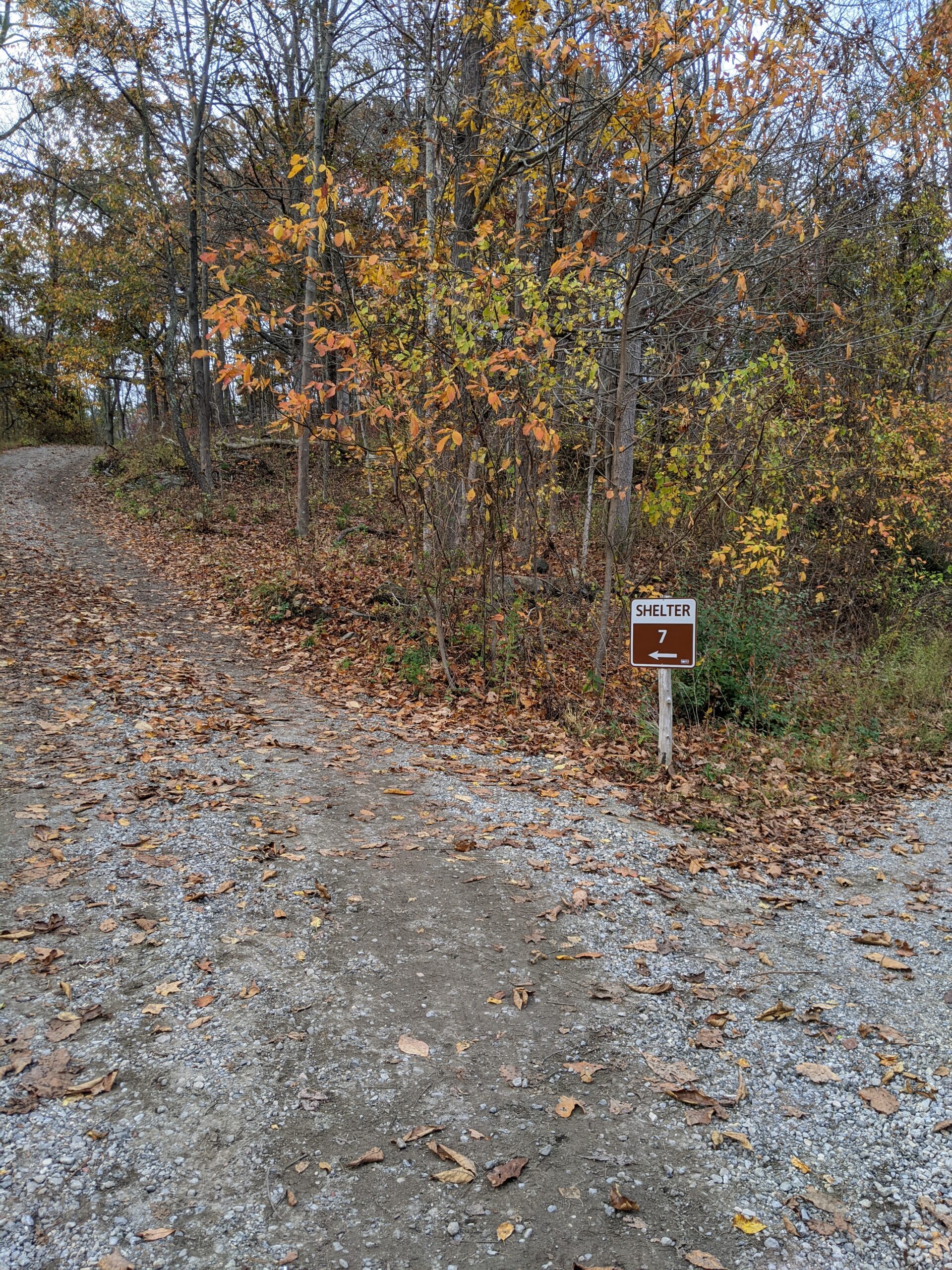
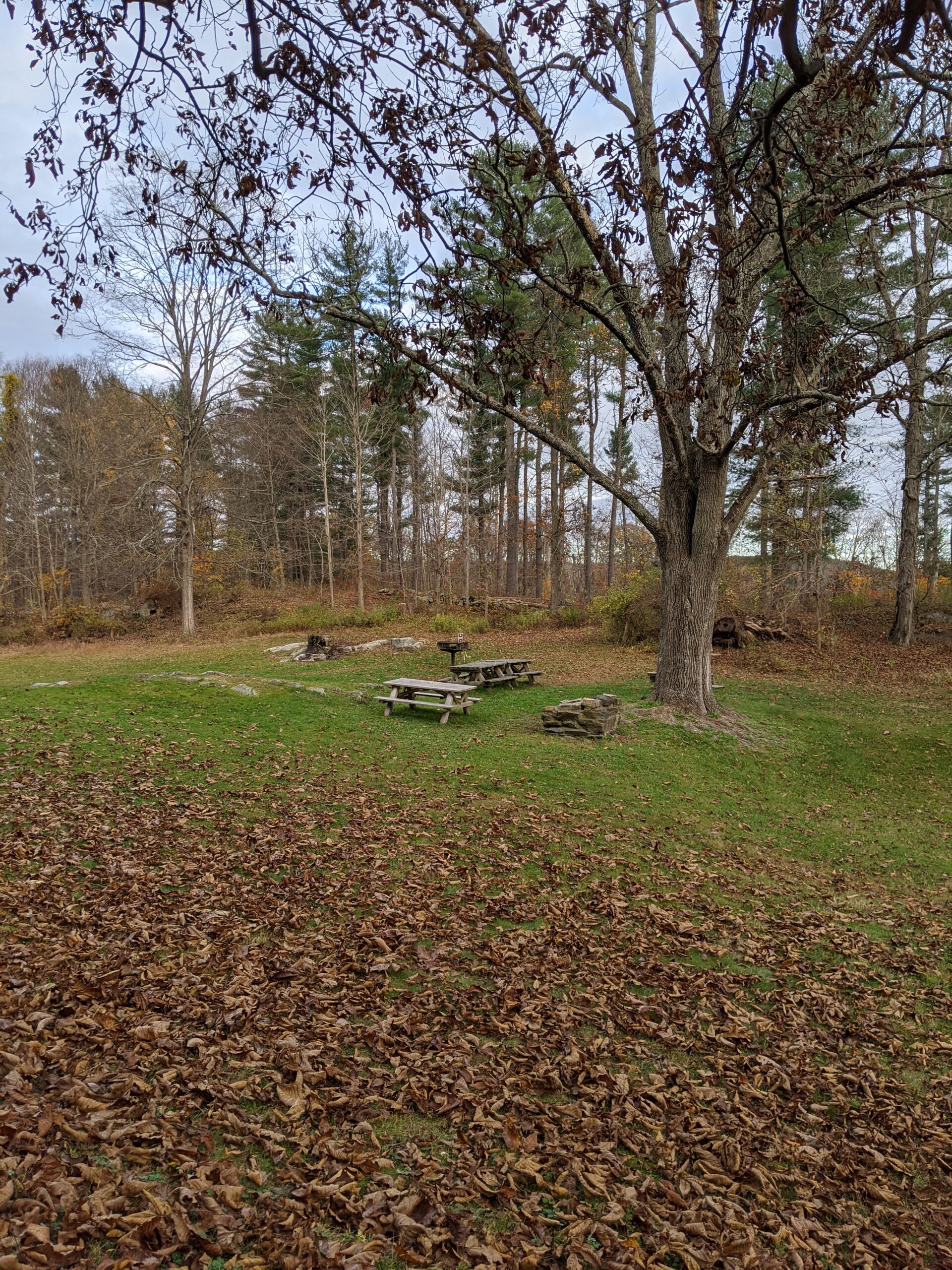
This route took me through one of the parking lots on Reservation Road, then through a large open field, before dumping me back in the wilderness. At intersection 63, FH connects with the Covered Bridge trail (CB blazes) and they parallel each other for a bit. I got confused at intersection 66 because there are 5 different paths to choose from, but I corrected myself and continued following FH to the west now. This took me past shelter #8 and to the Michigan Road parking lot, where I started my first trip.
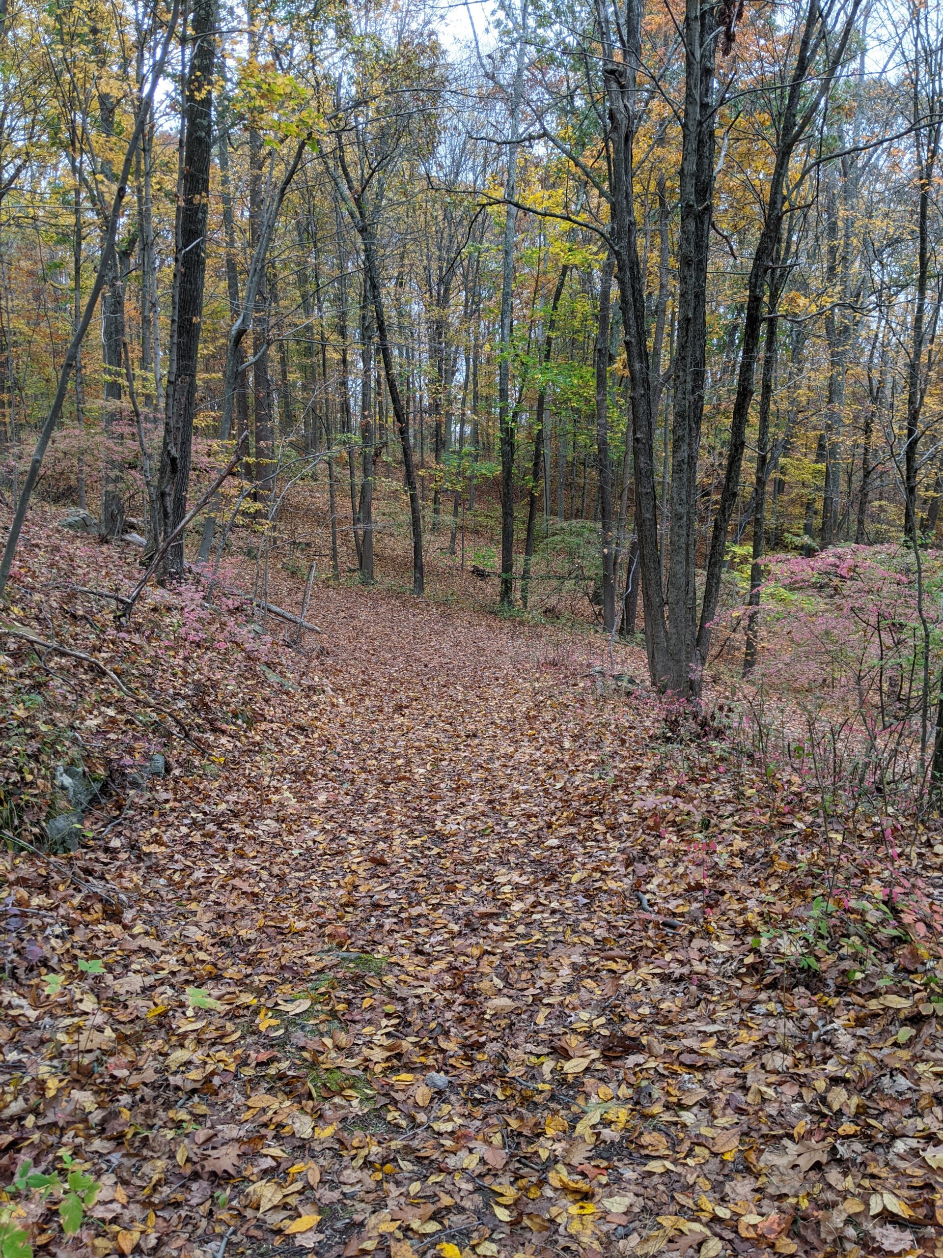
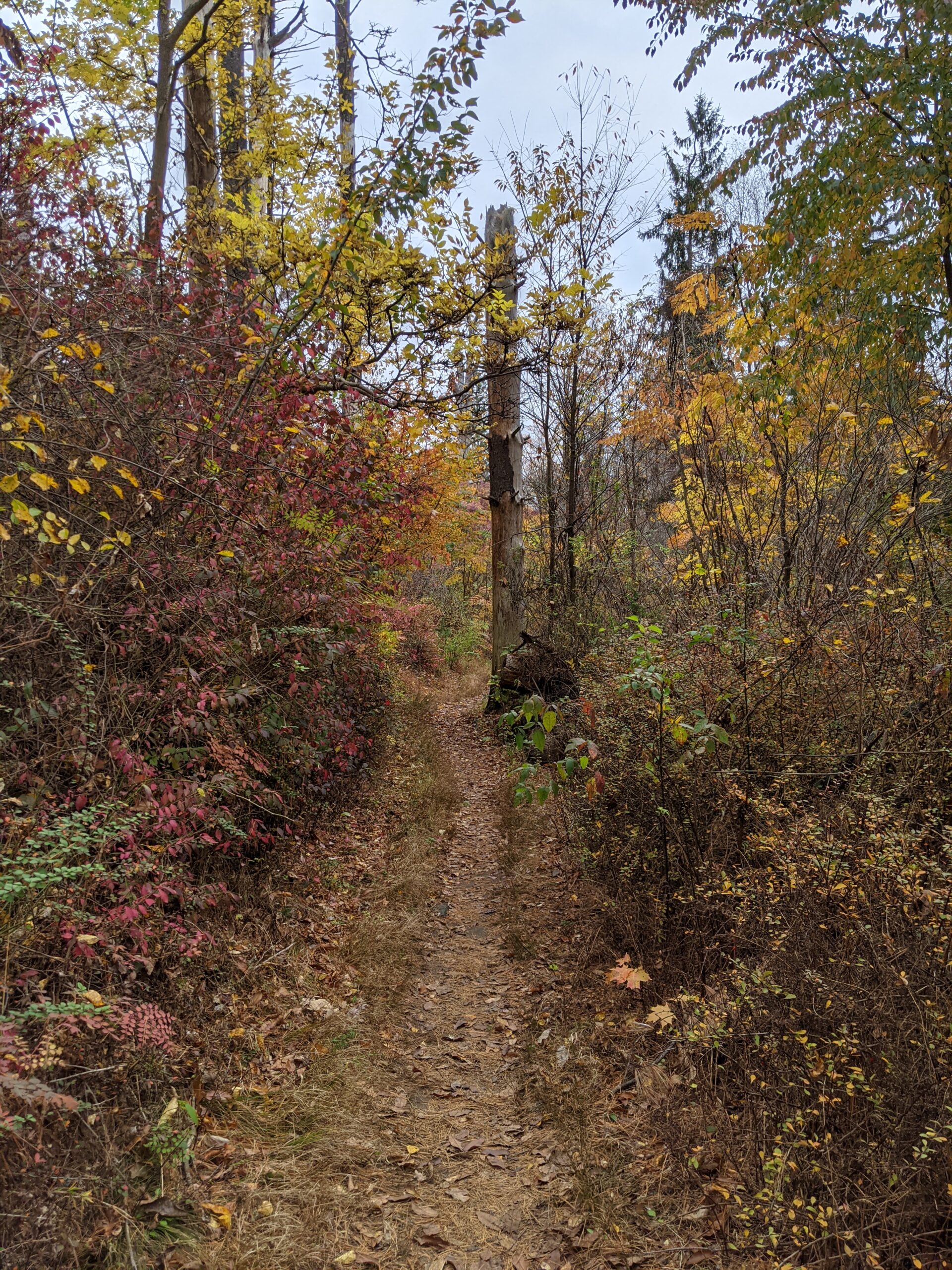
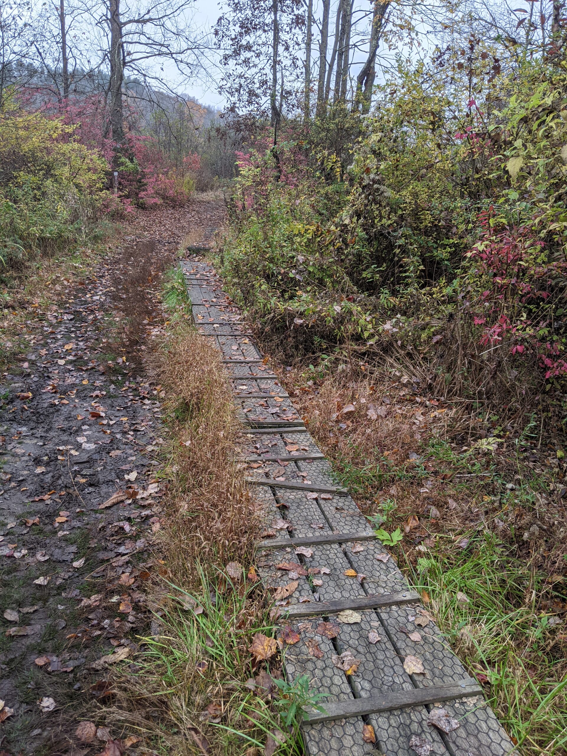
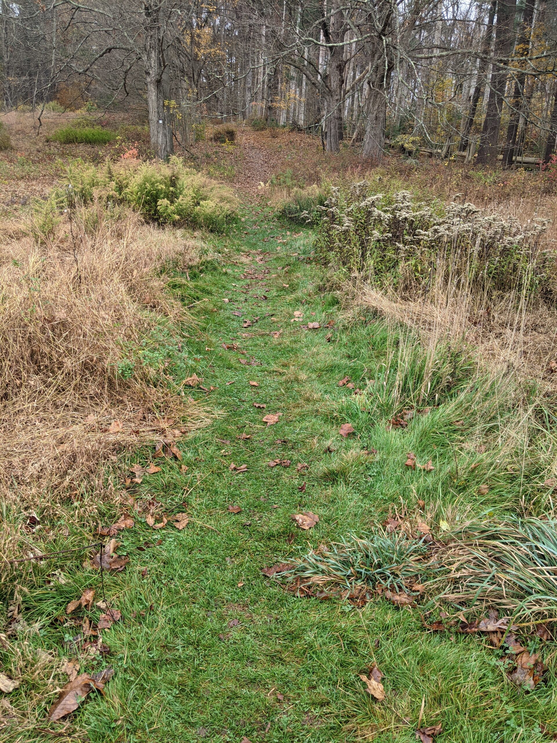
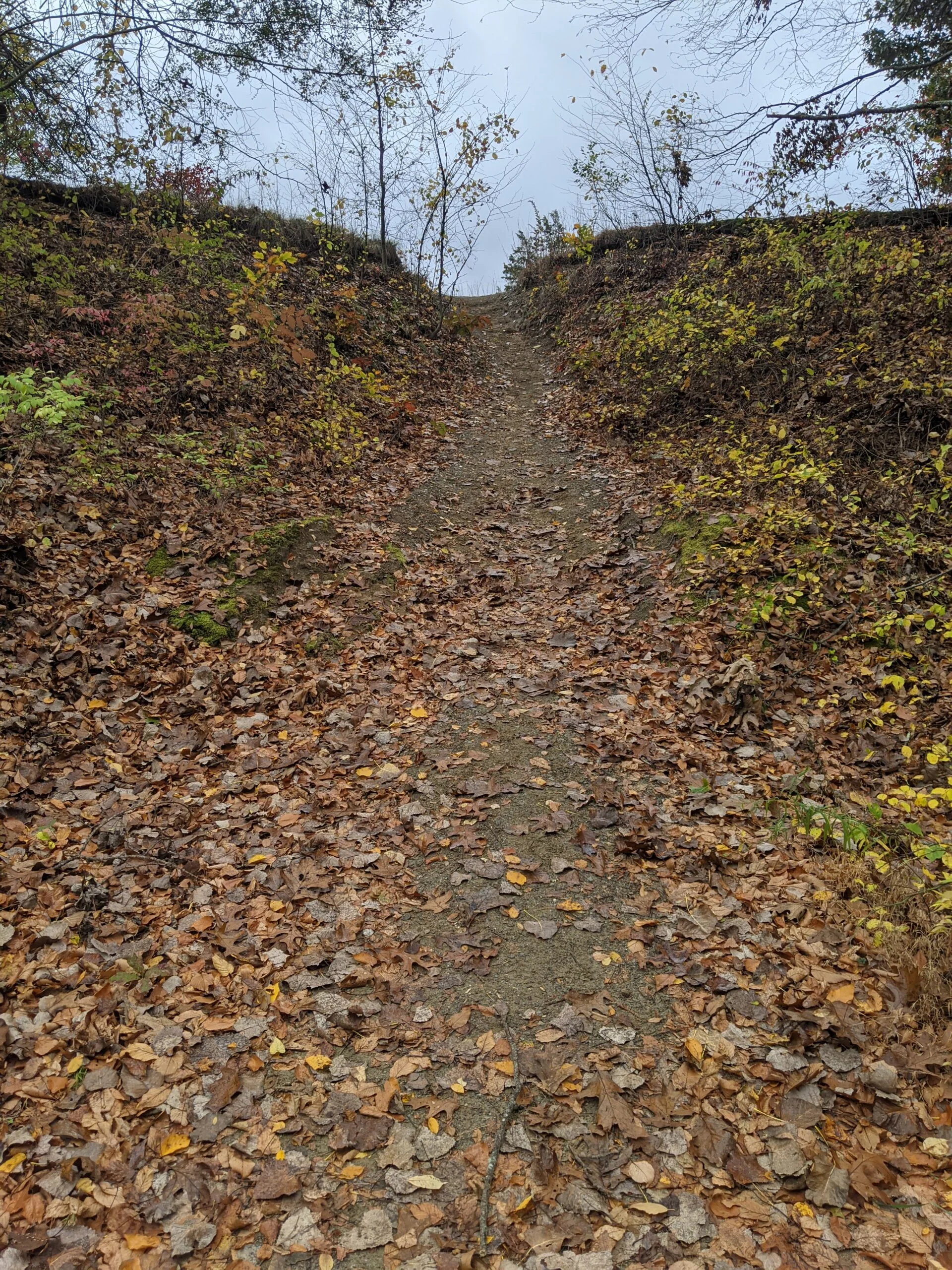
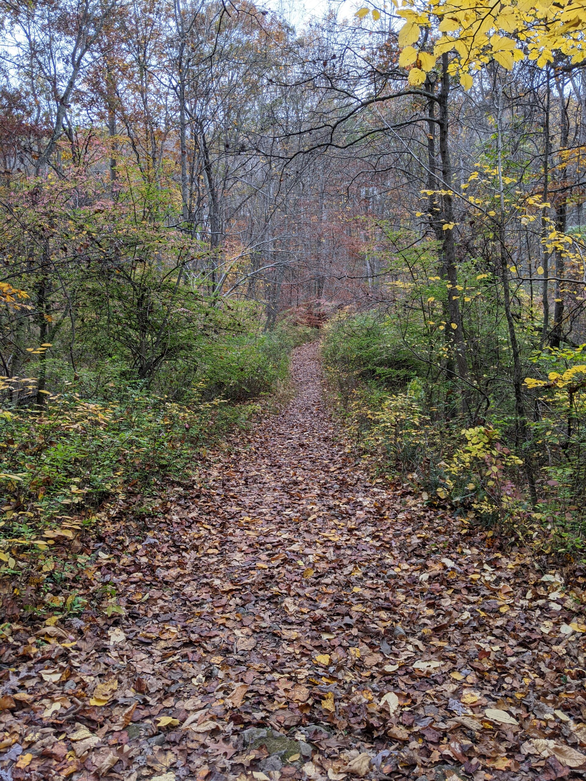
I barely found the White Trail Connector (unblazed) near the portable restrooms in the parking lot. This is a very narrow trail that I probably wouldn’t have found without the help of GPS. With all the leaves covering the ground, it’s getting hard to spot and follow some of these trails, but enough grass and plants were stomped down to make it out. A quick 2/10 of a mile put me onto the White Trail to Campsite Connector (white blazes), which I took to the right (north), making my way towards intersection 55.
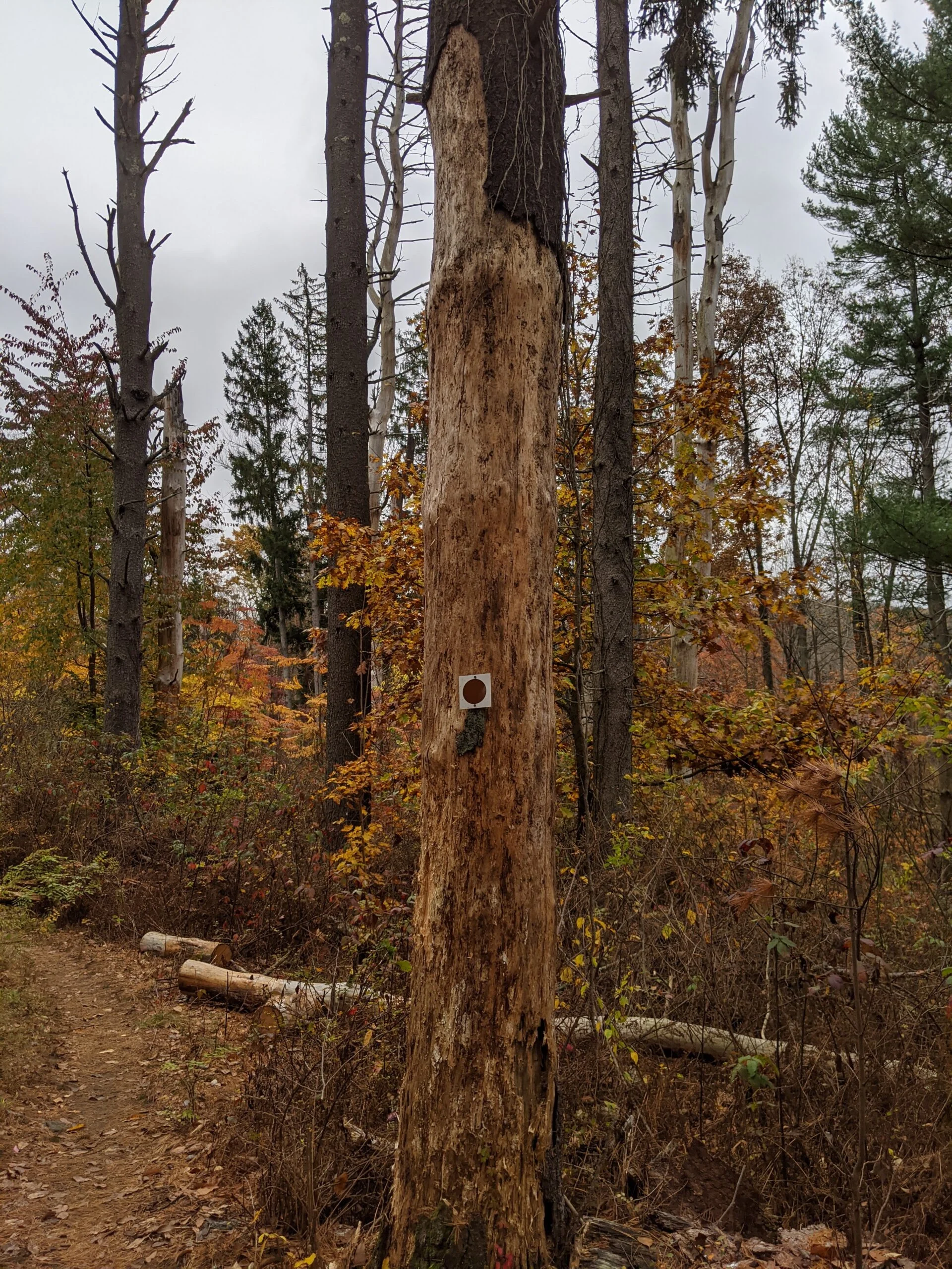
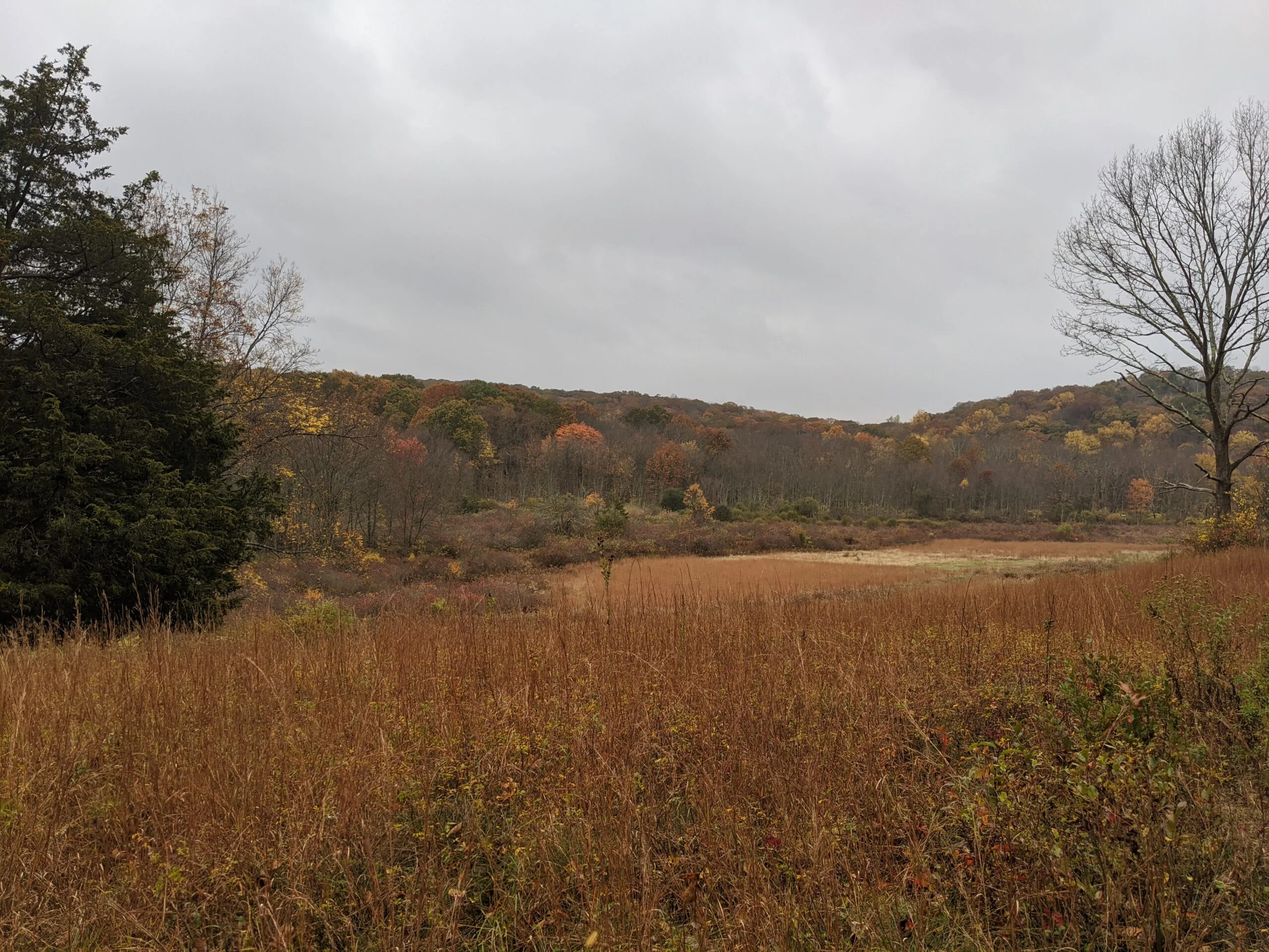
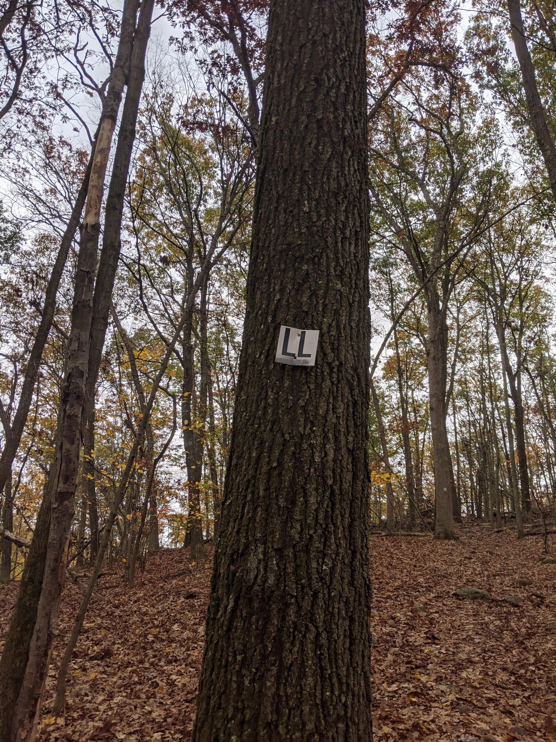
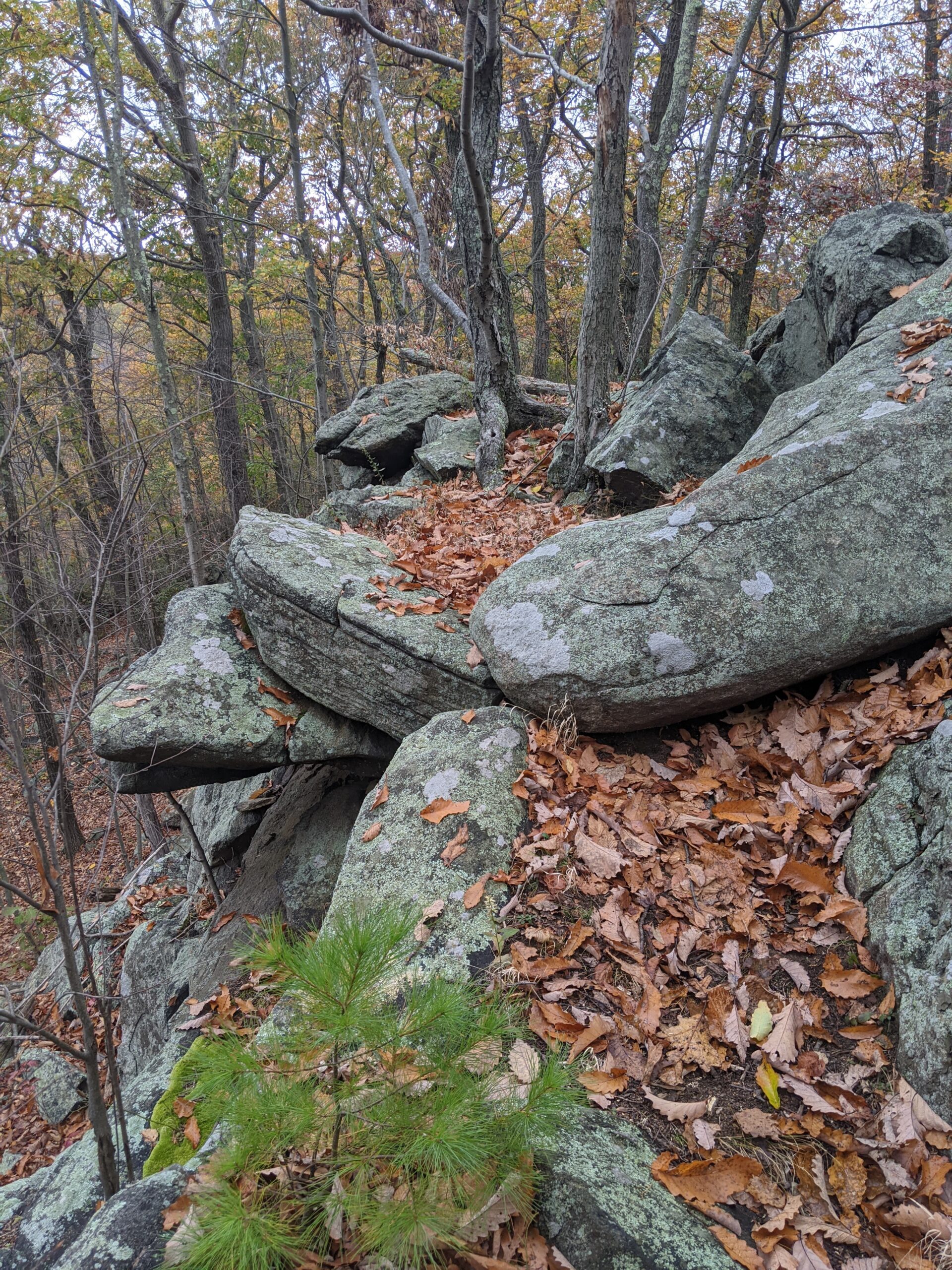
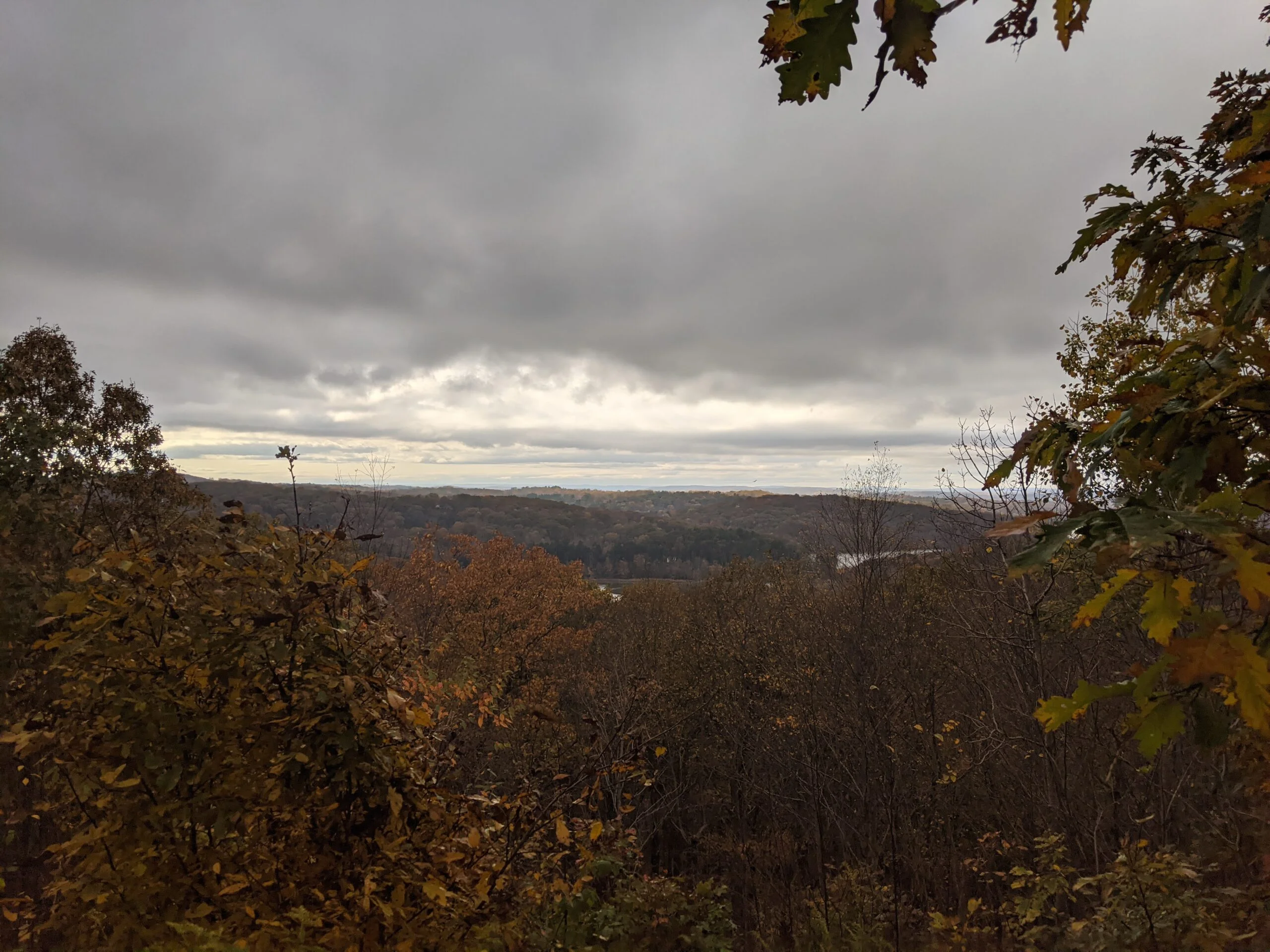
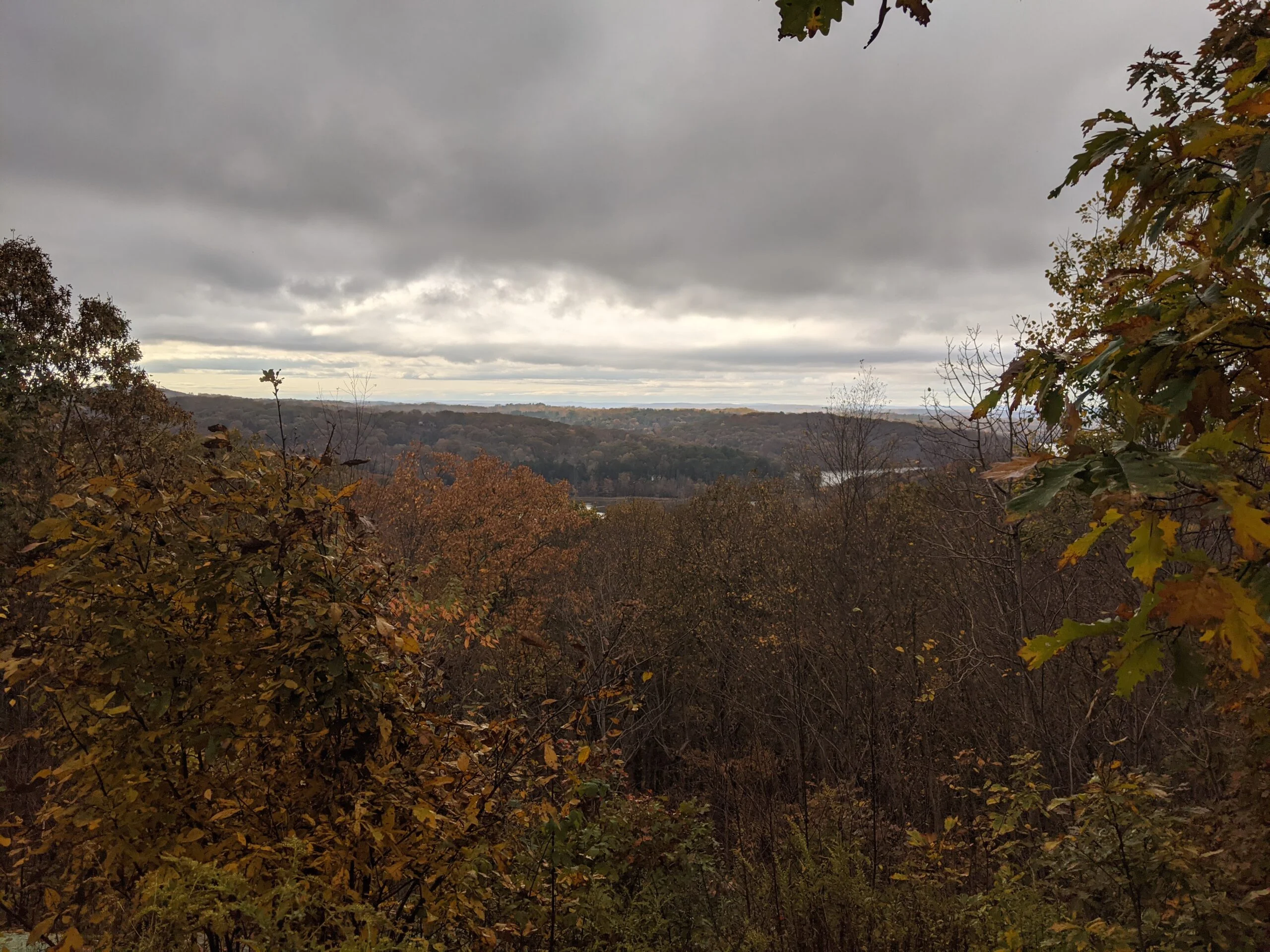
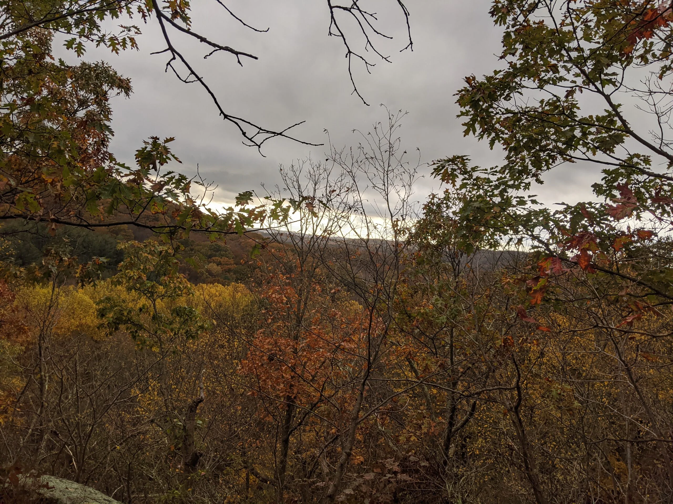
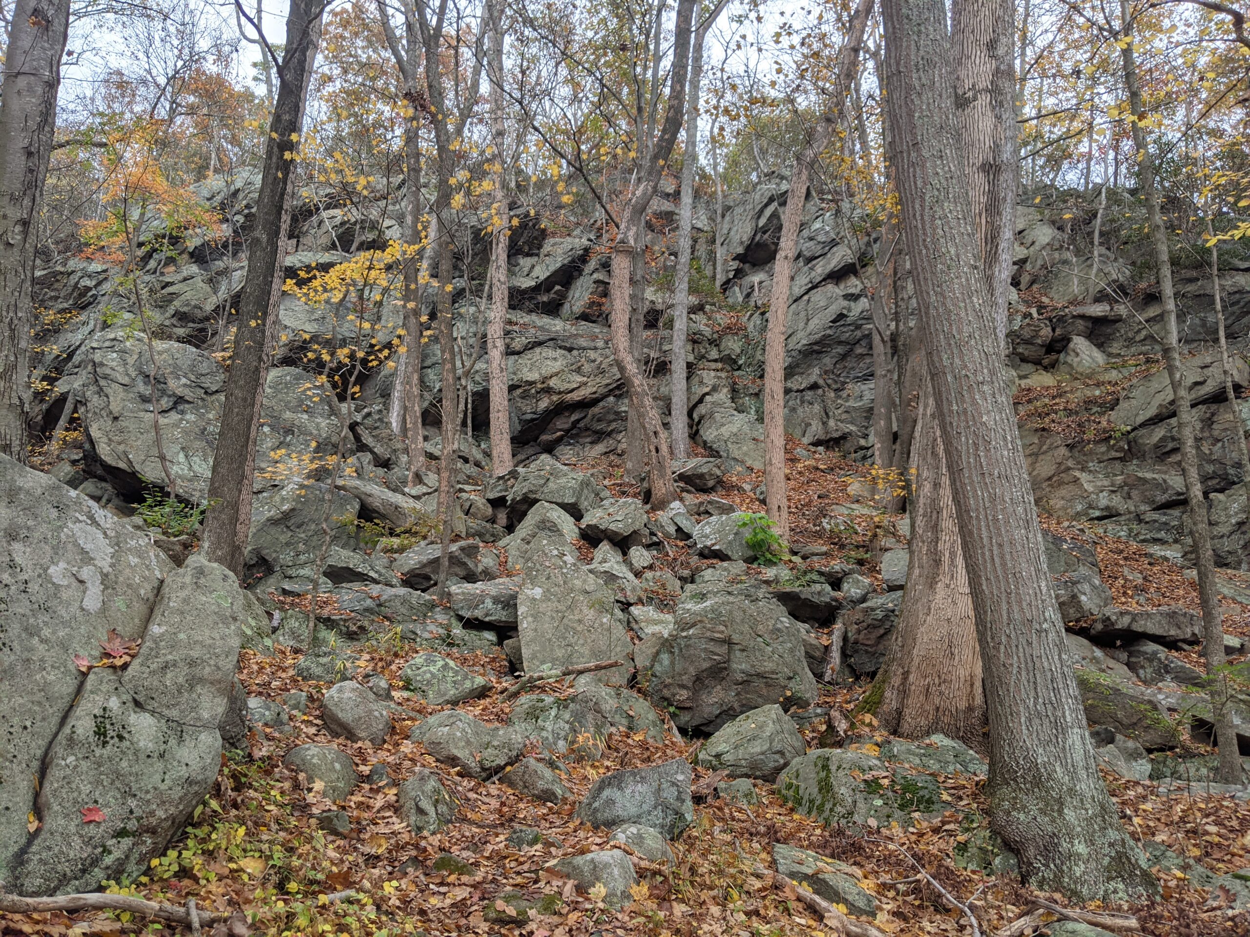
From there, I took a left onto the White Trail proper and followed that around to intersection 27, which joins up with the Leatherman’s Loop trail (LL blazes). I made a right there to follow LL along a ridge way with a couple different lookouts. The views were mostly blocked by trees, but I was able to peek through and see a large body of water in the distance. I think I was looking at the Cross River Reservoir. I descended LL about 200 ft lower to make it to intersection 29.
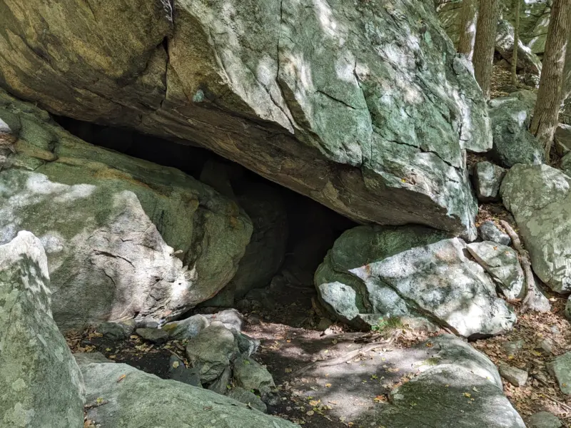
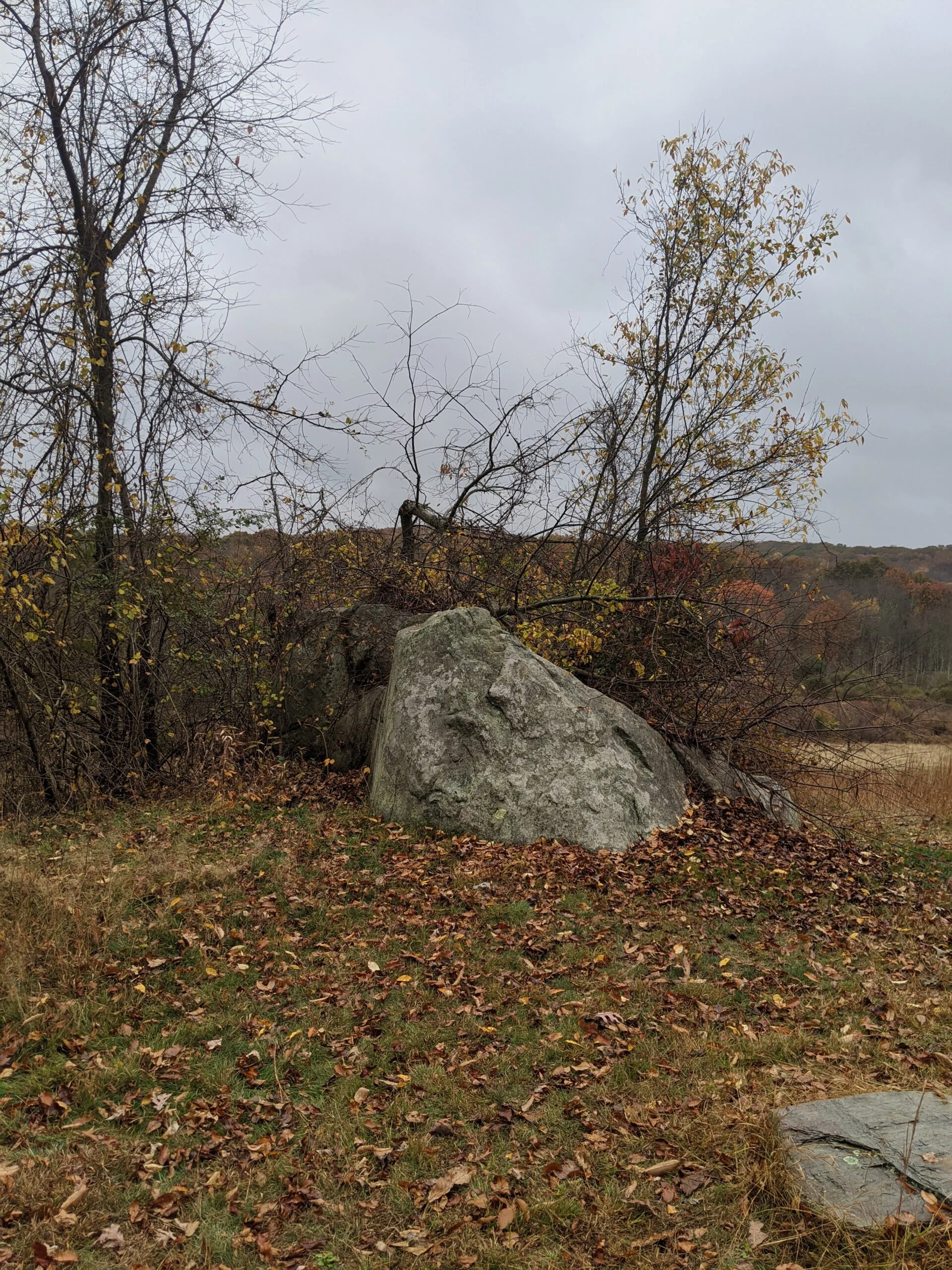
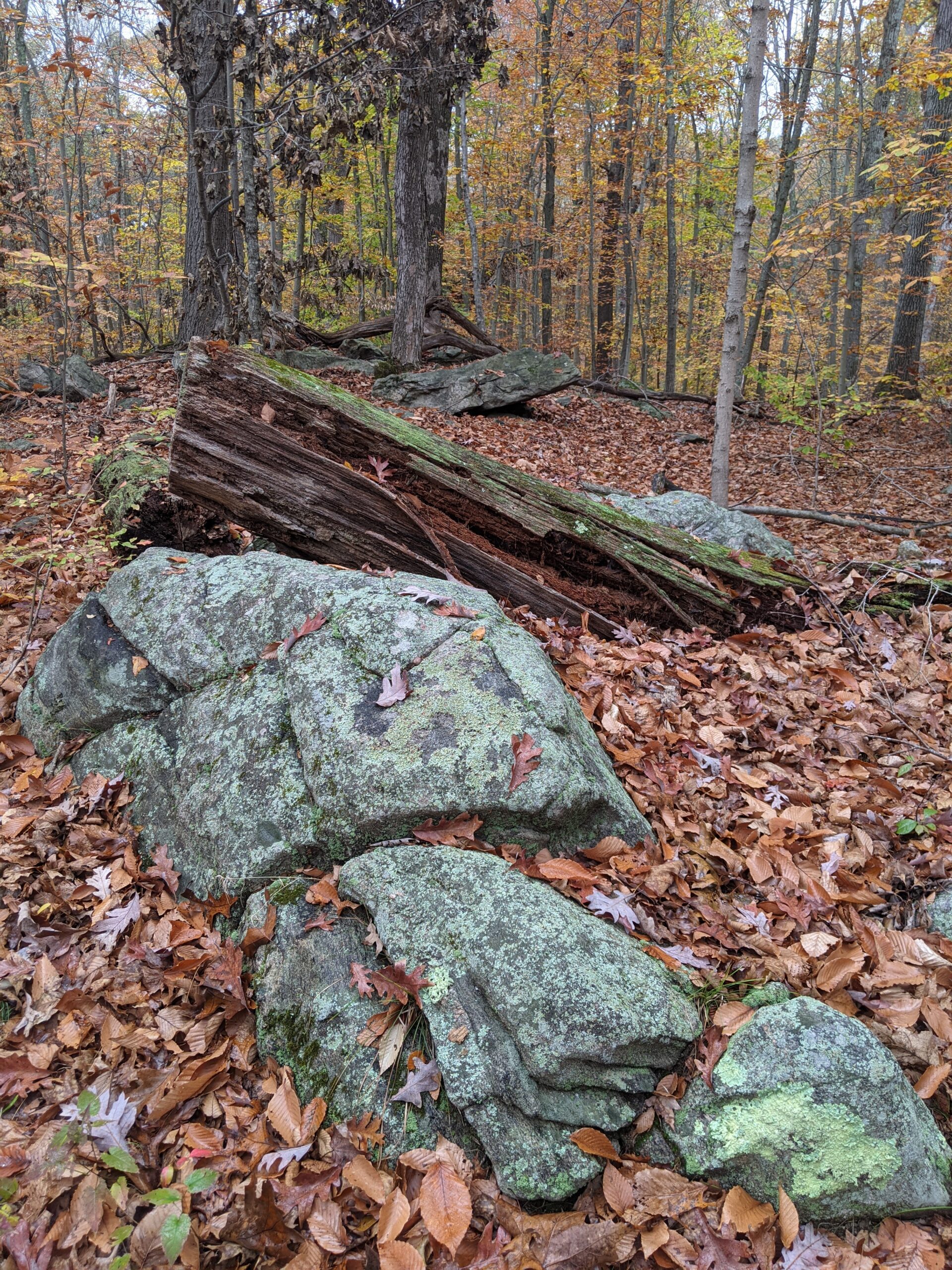
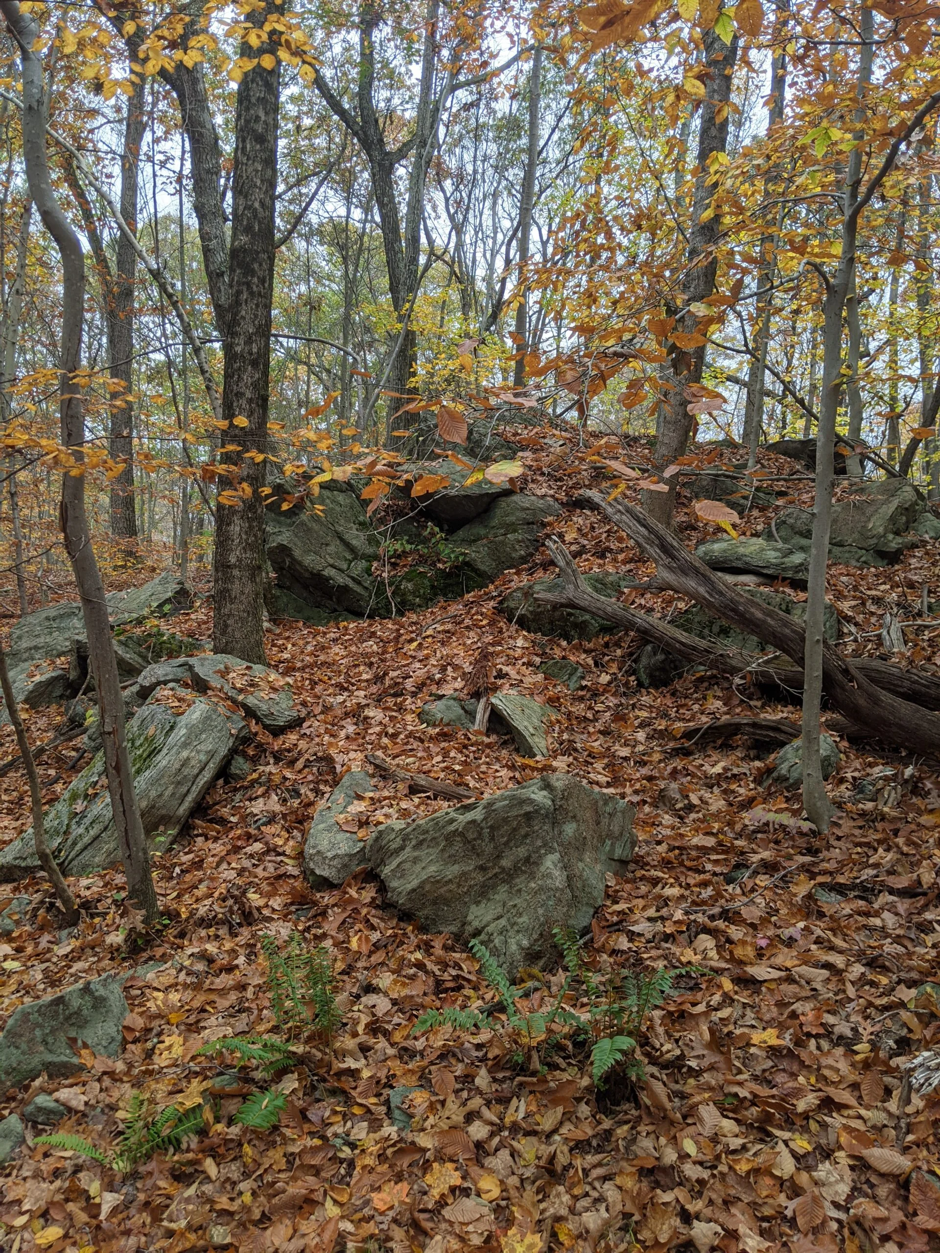
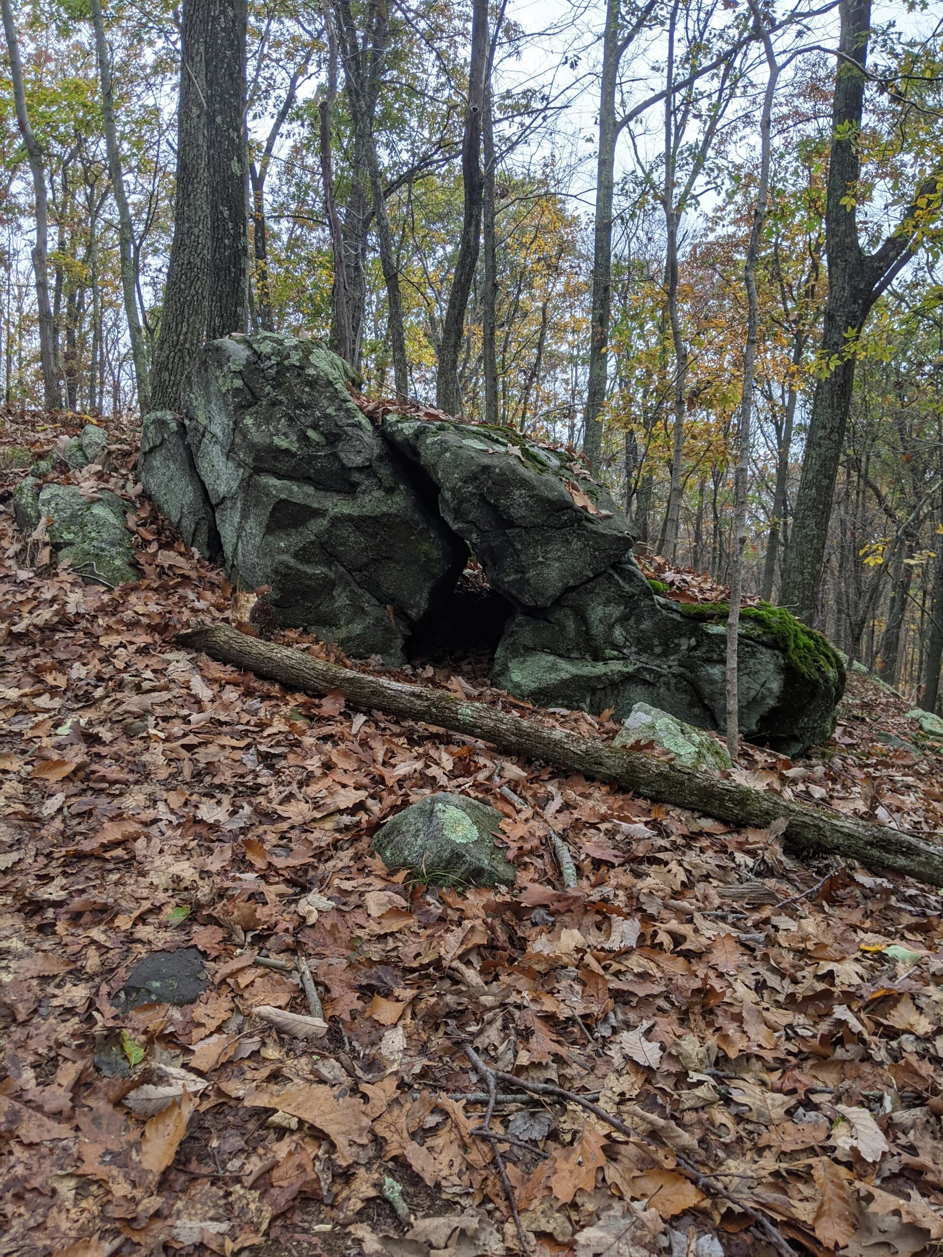
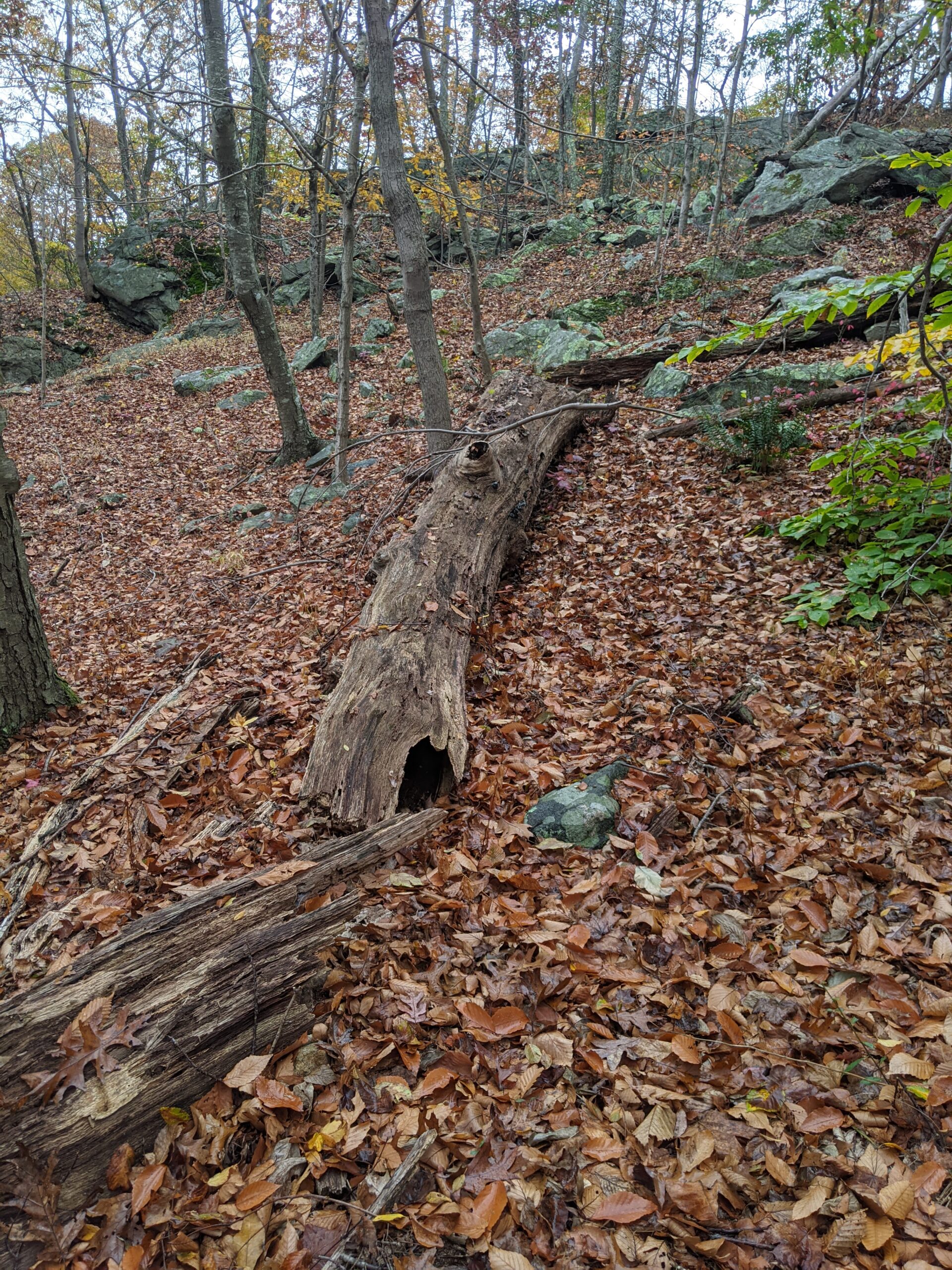
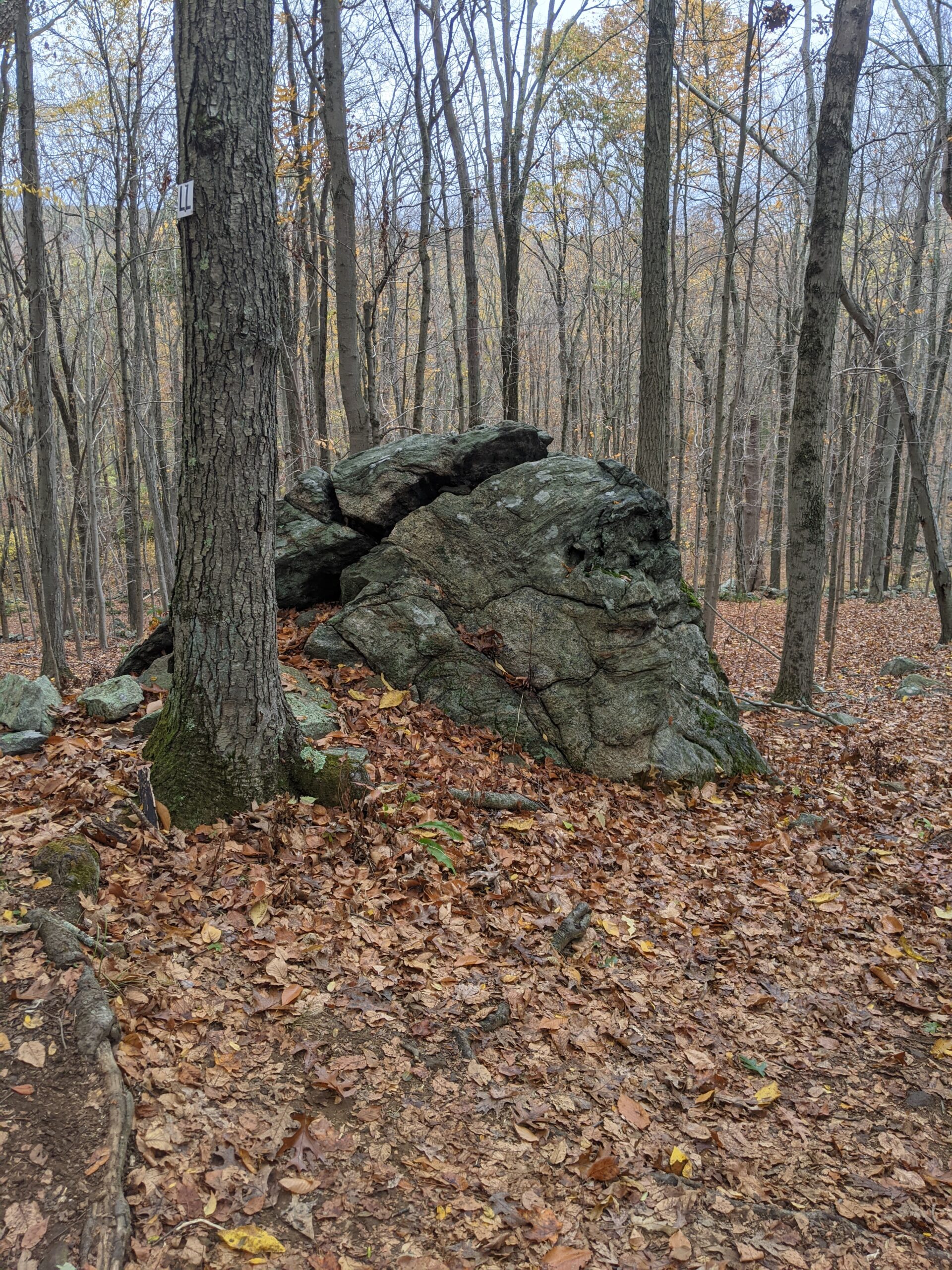
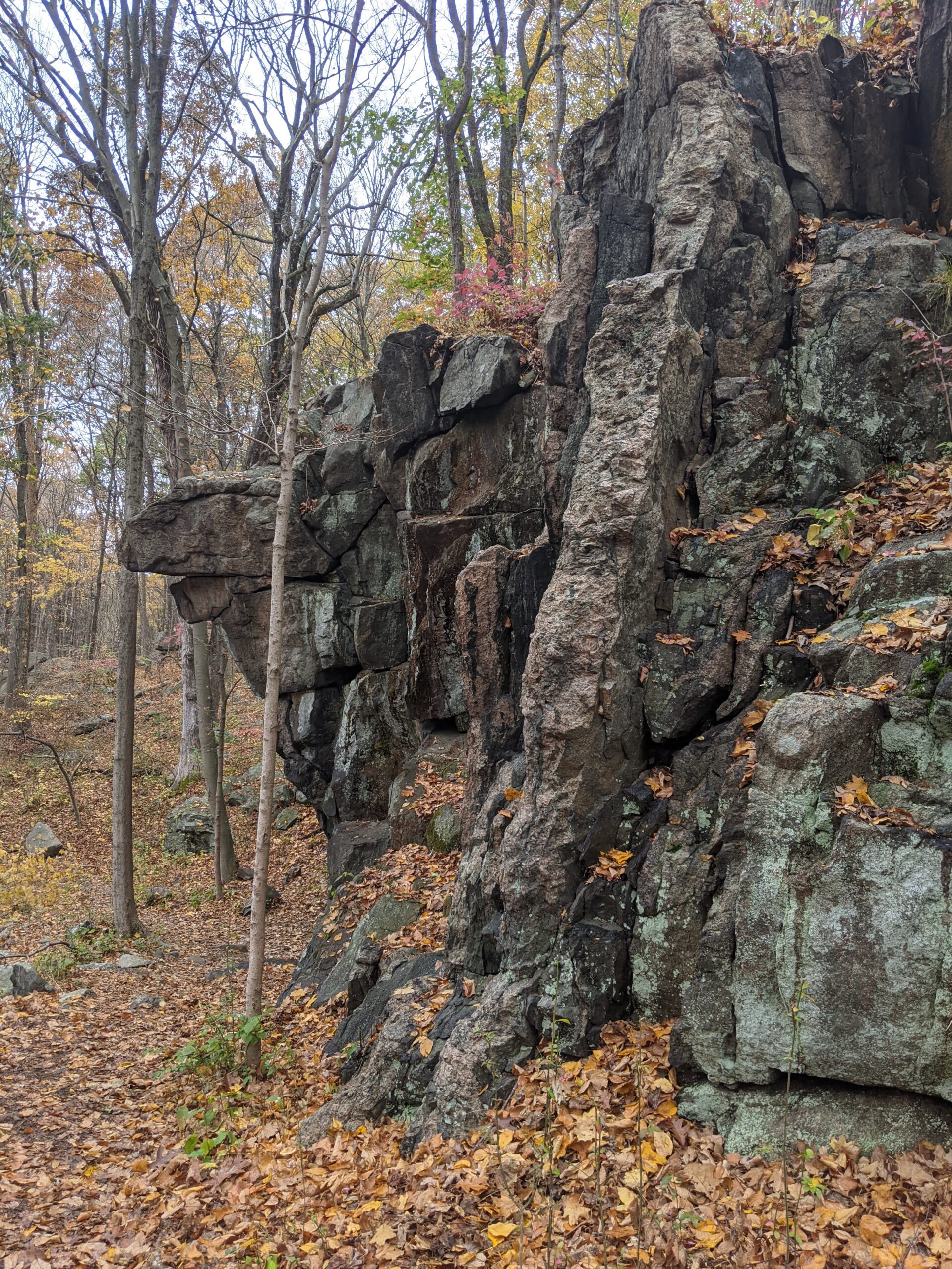
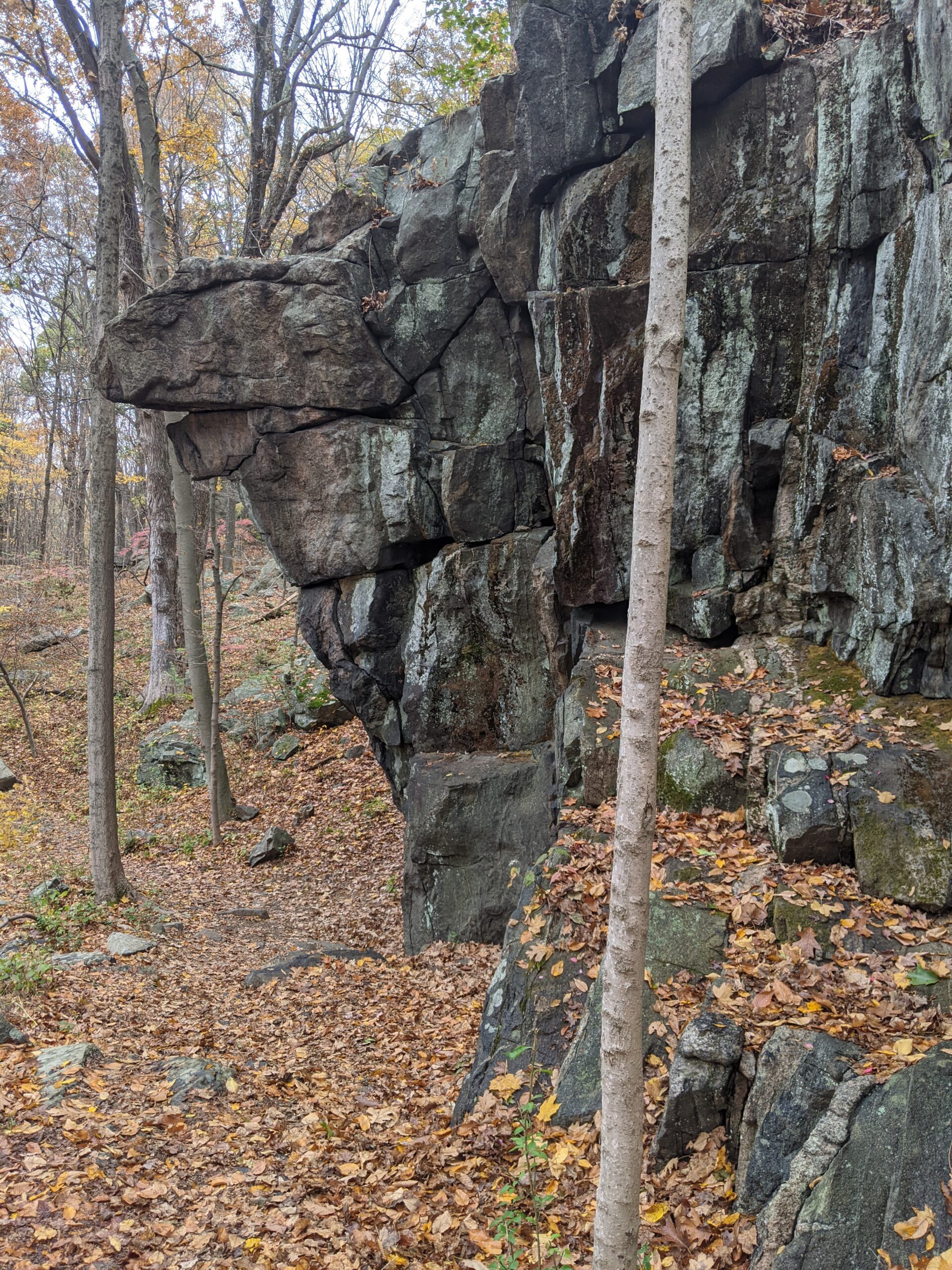
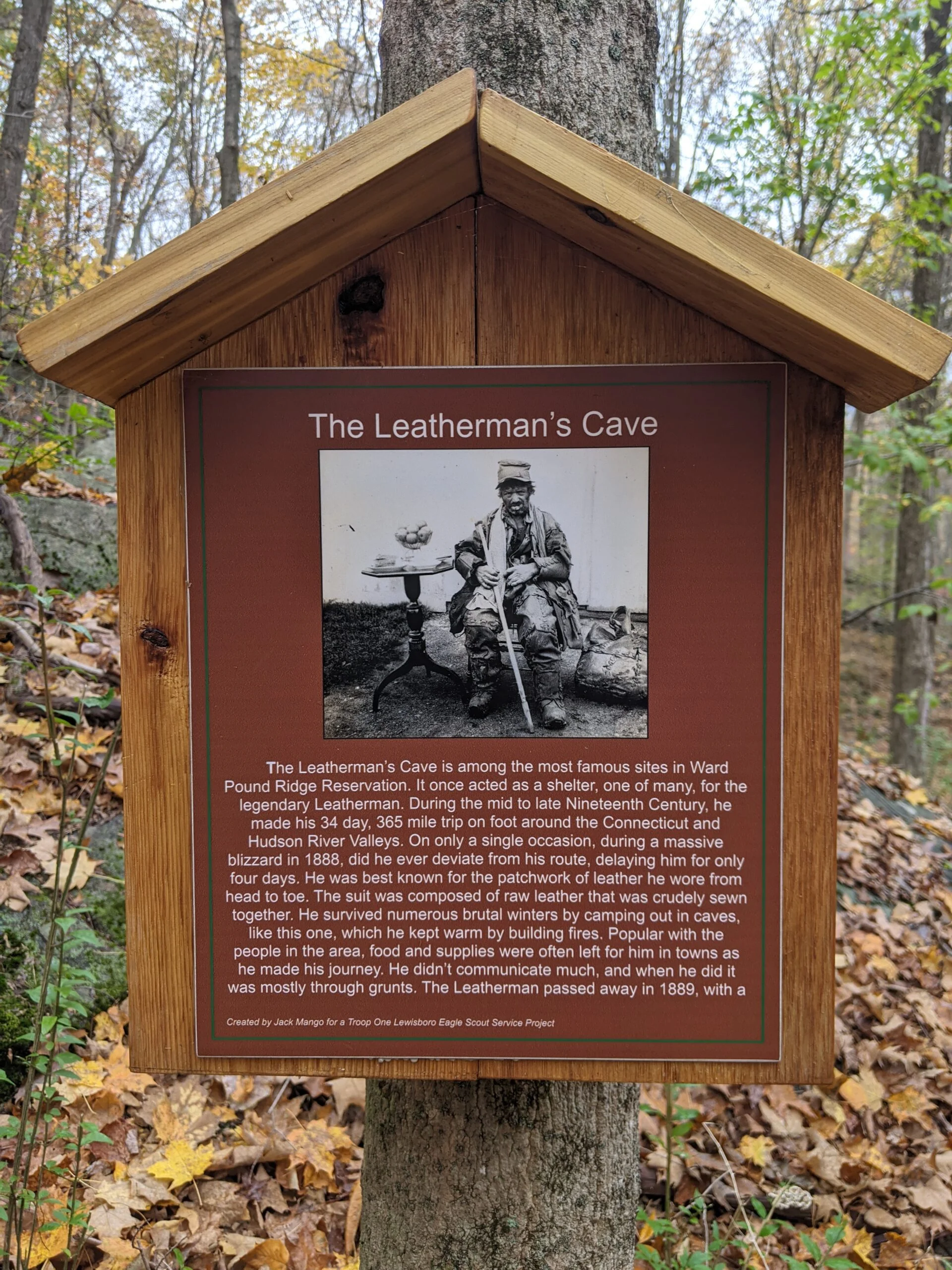
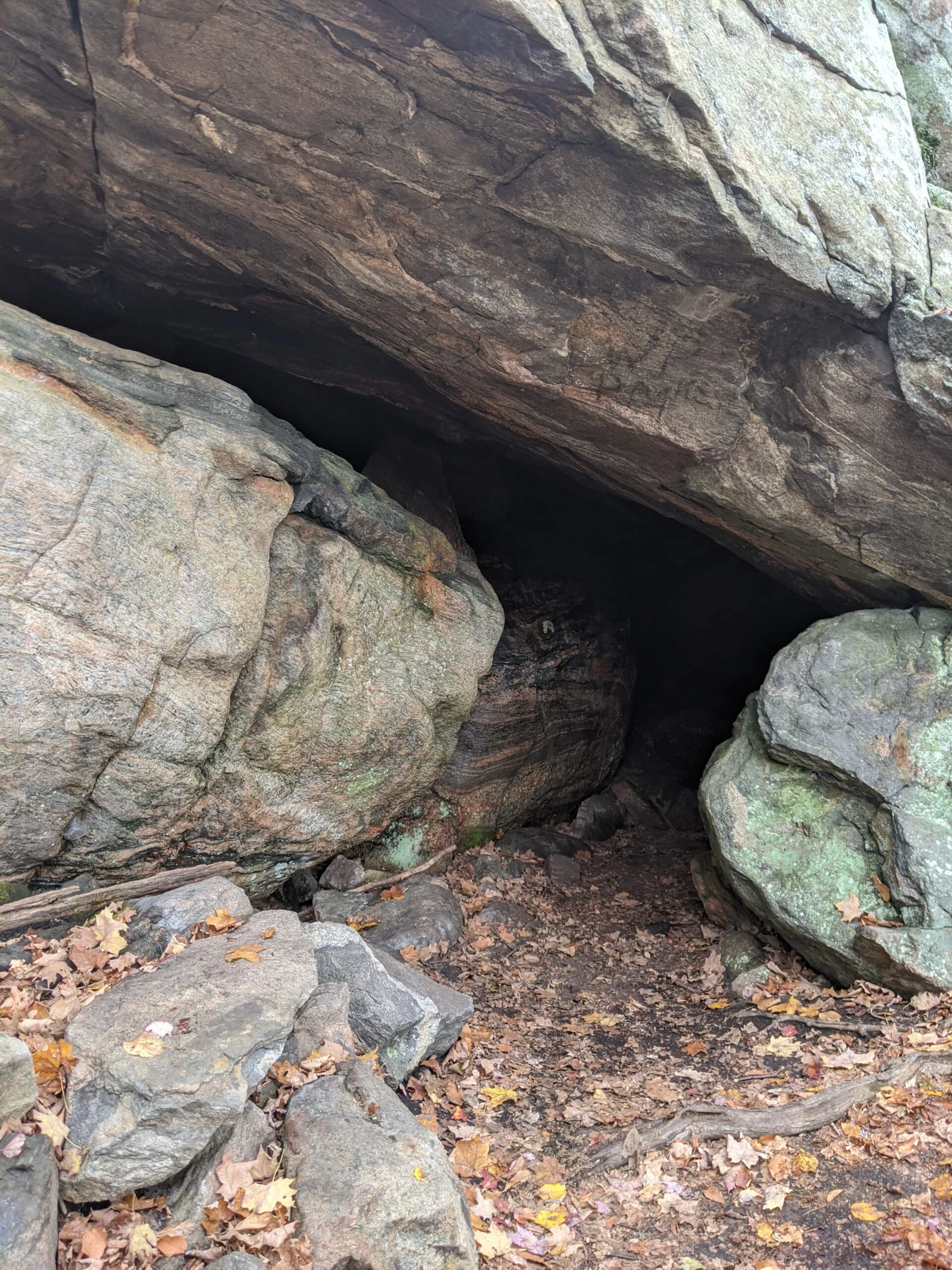
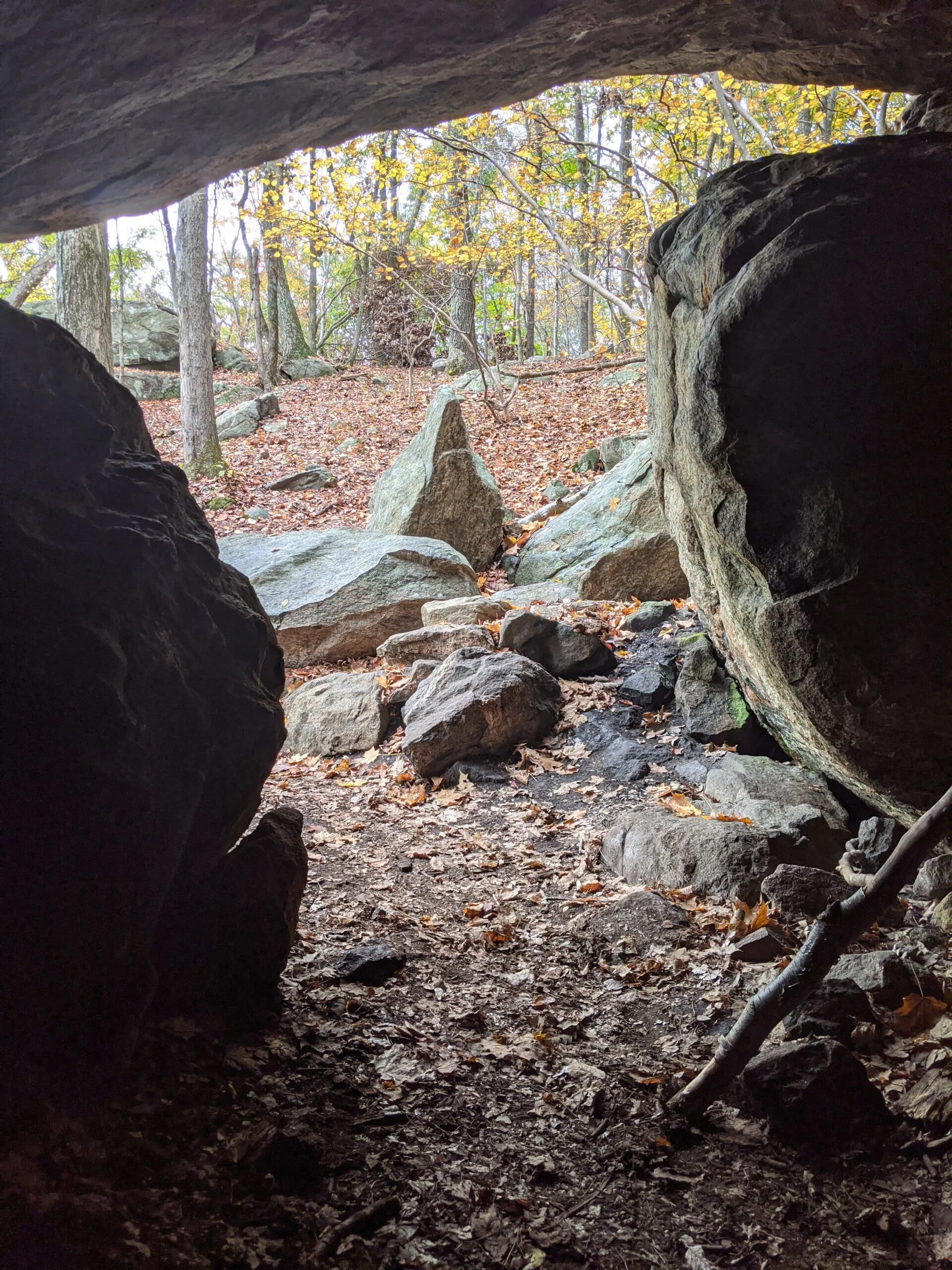
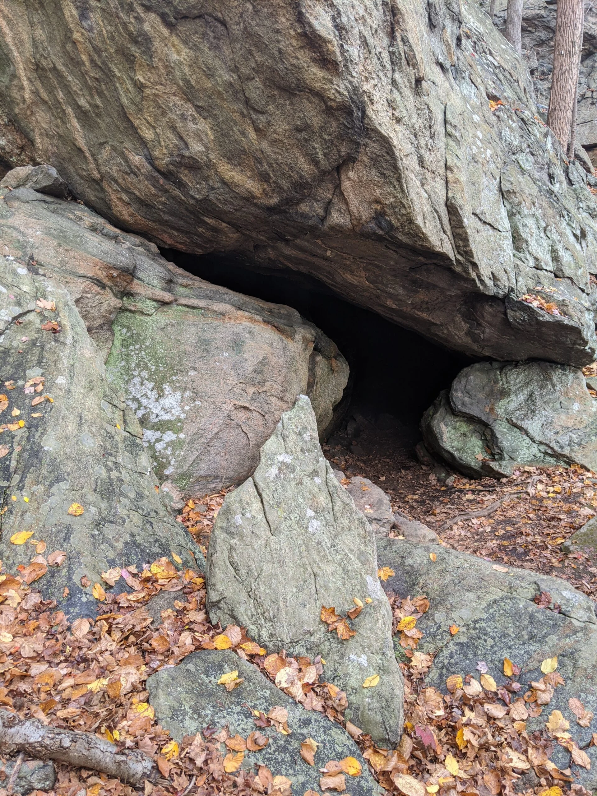
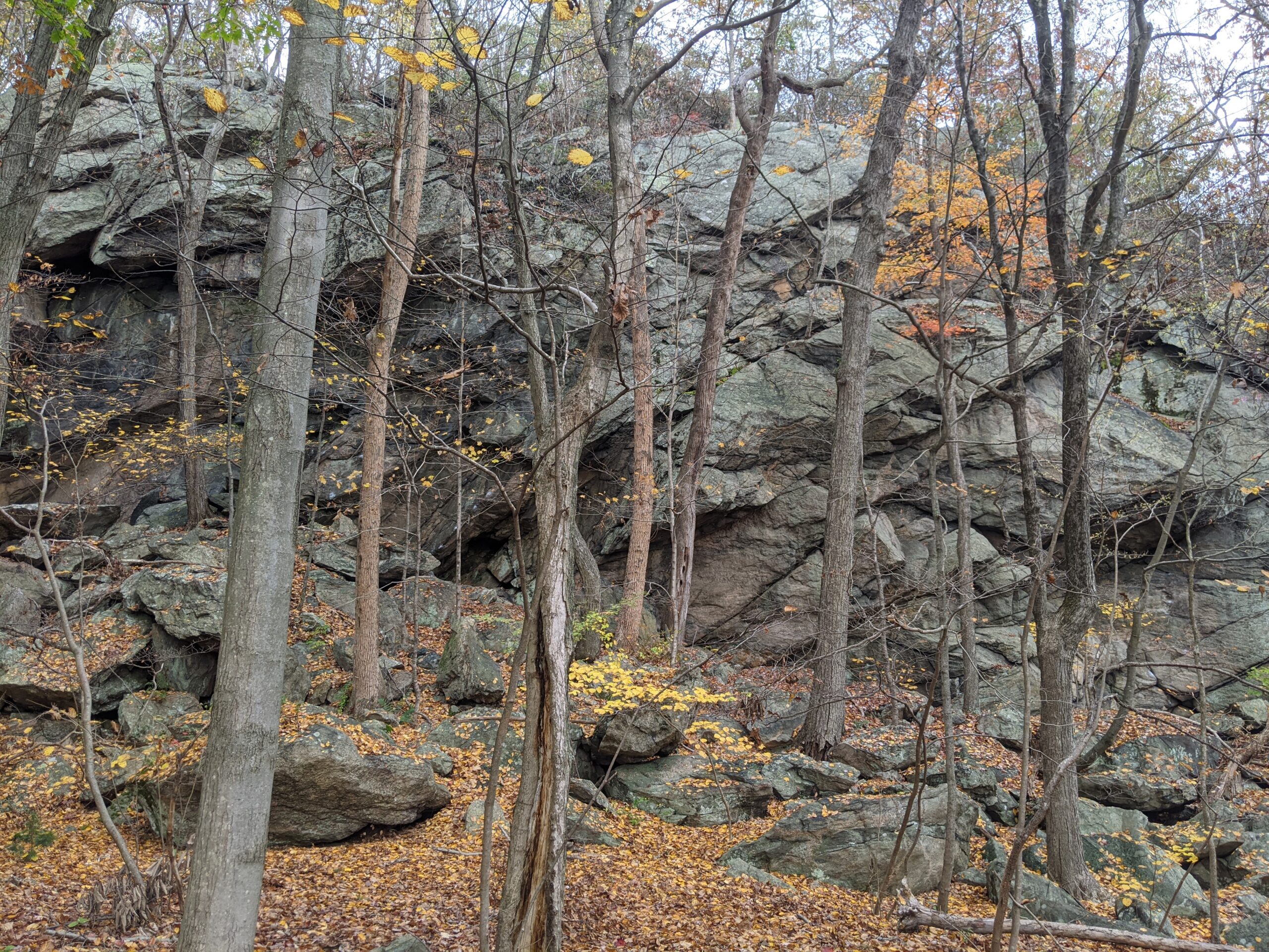
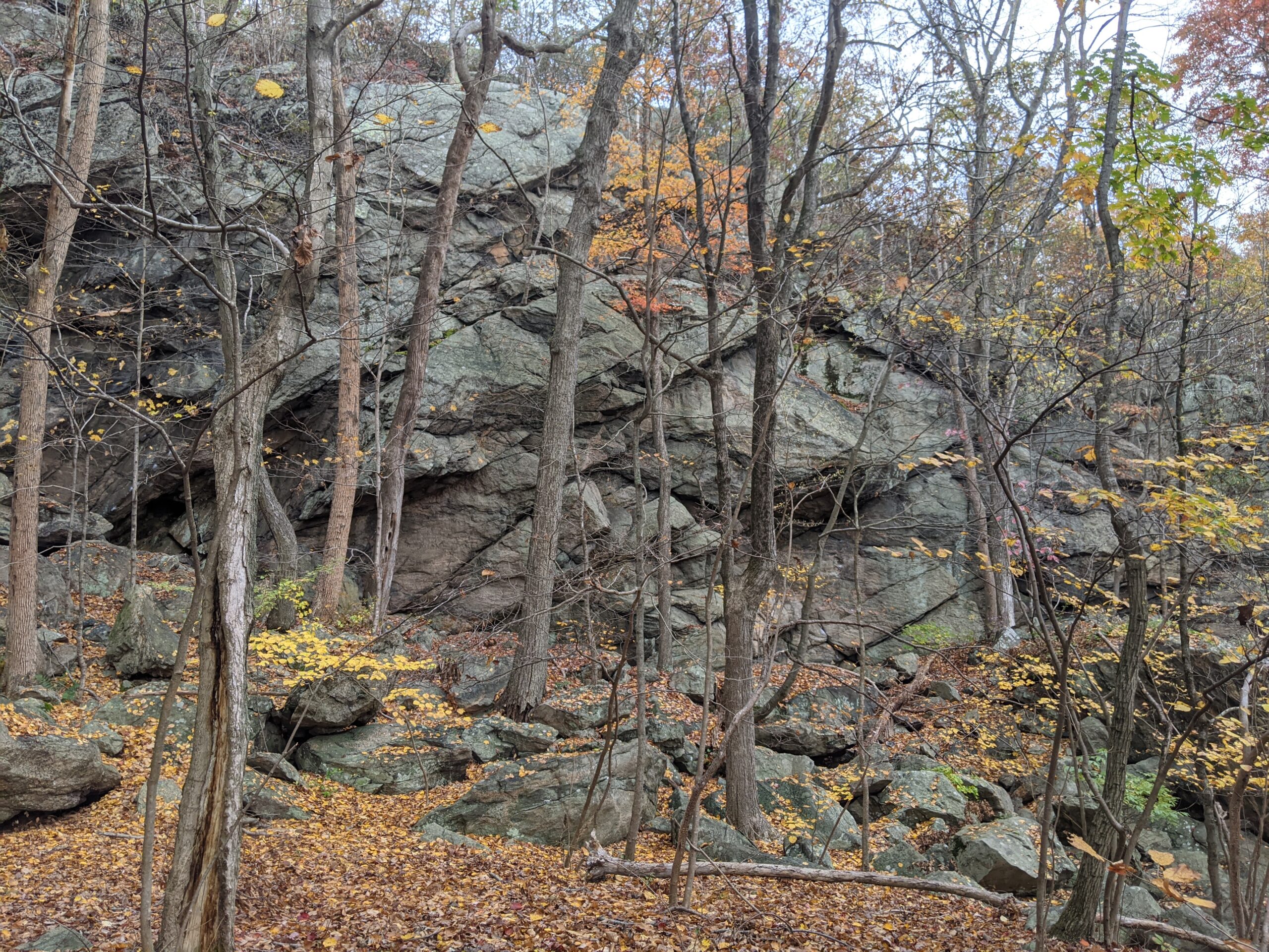
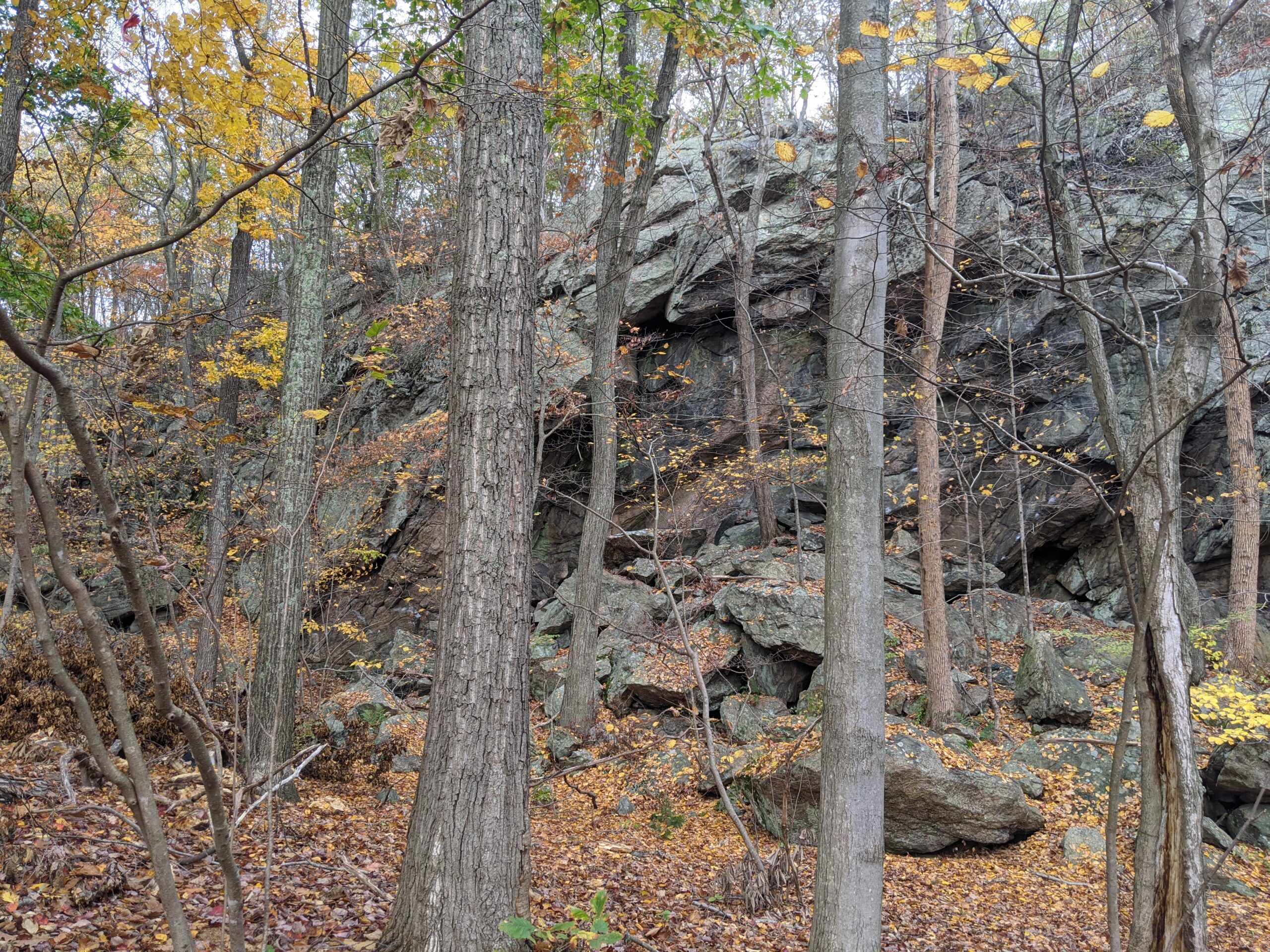
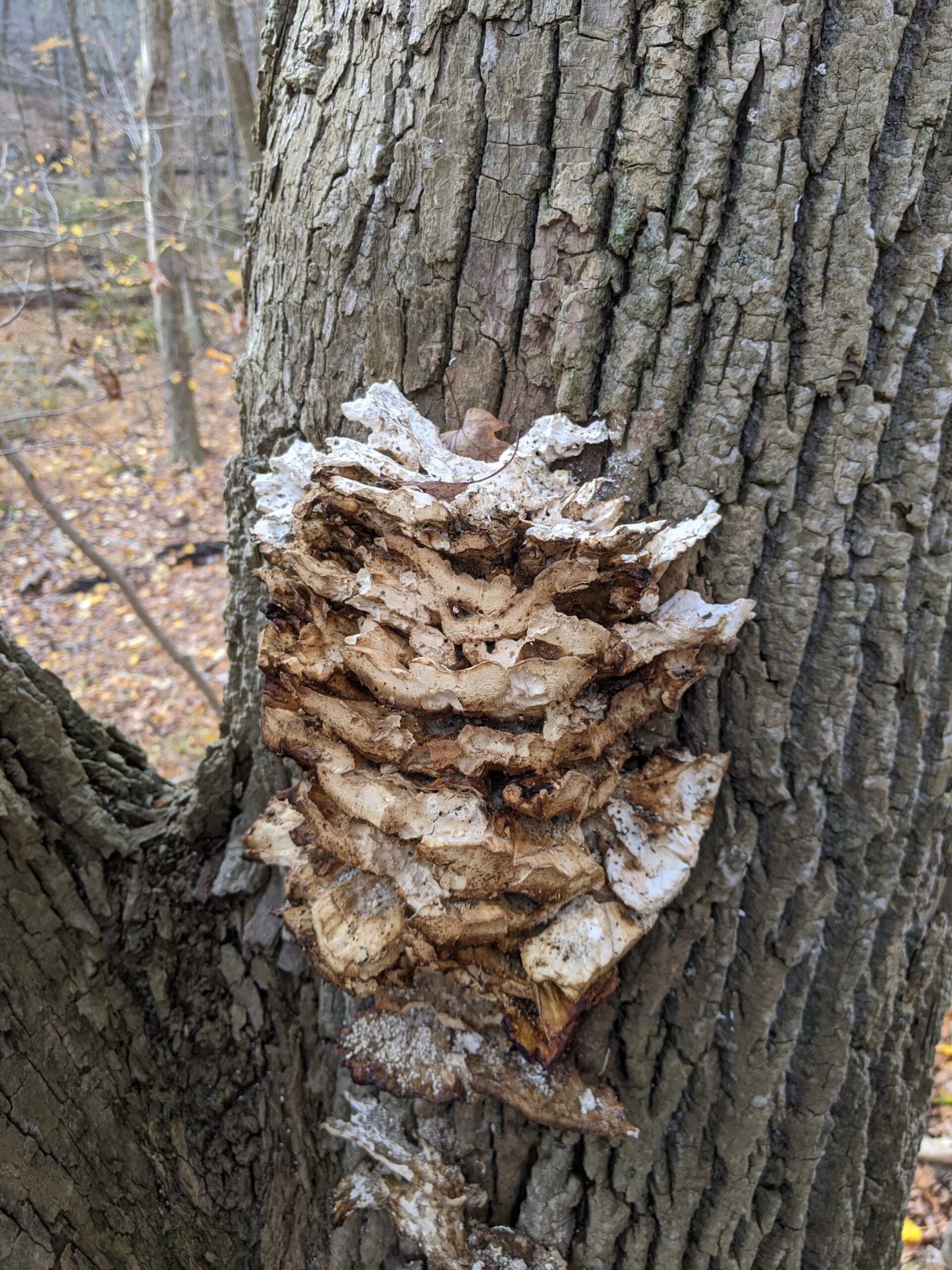
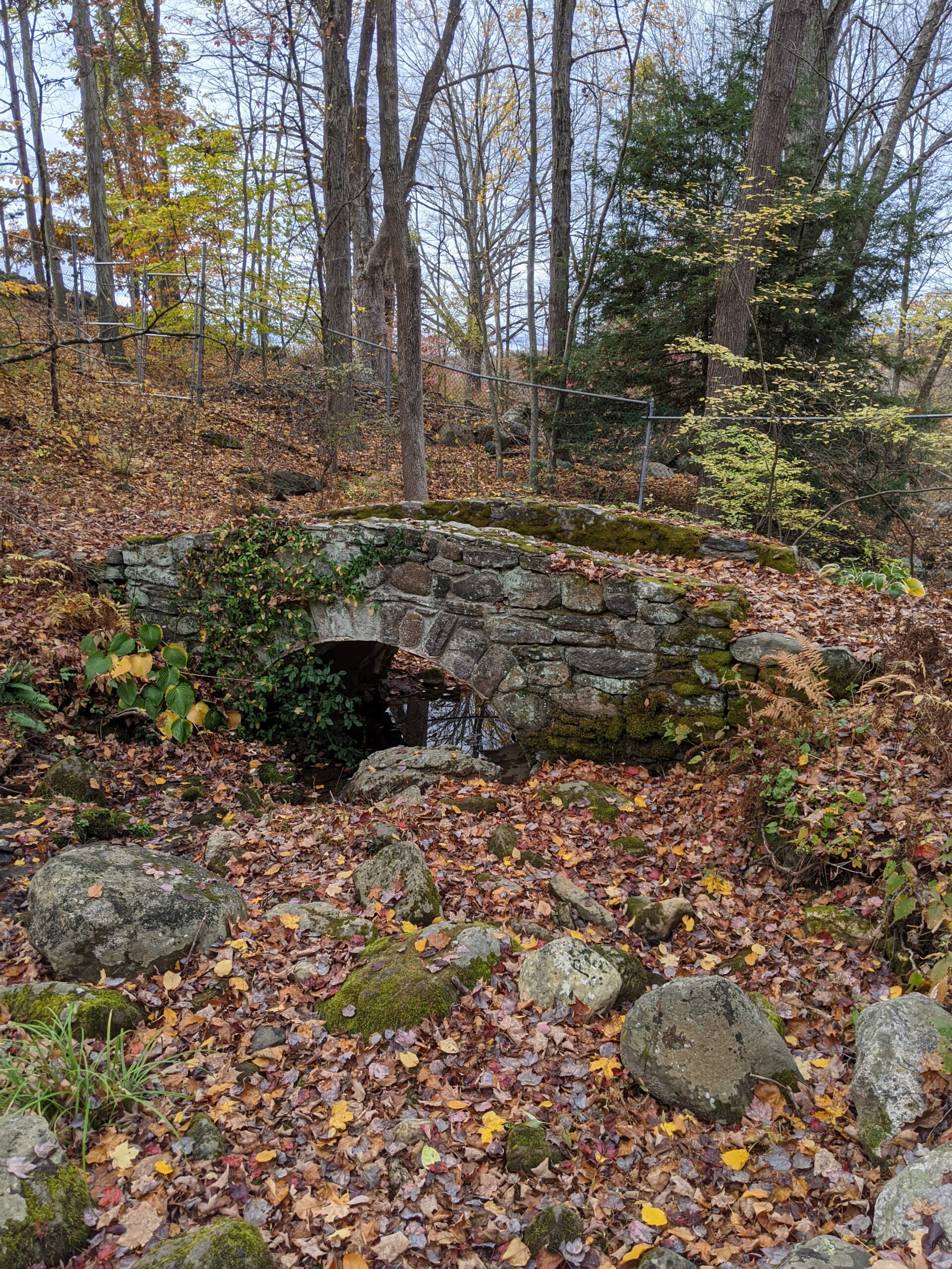
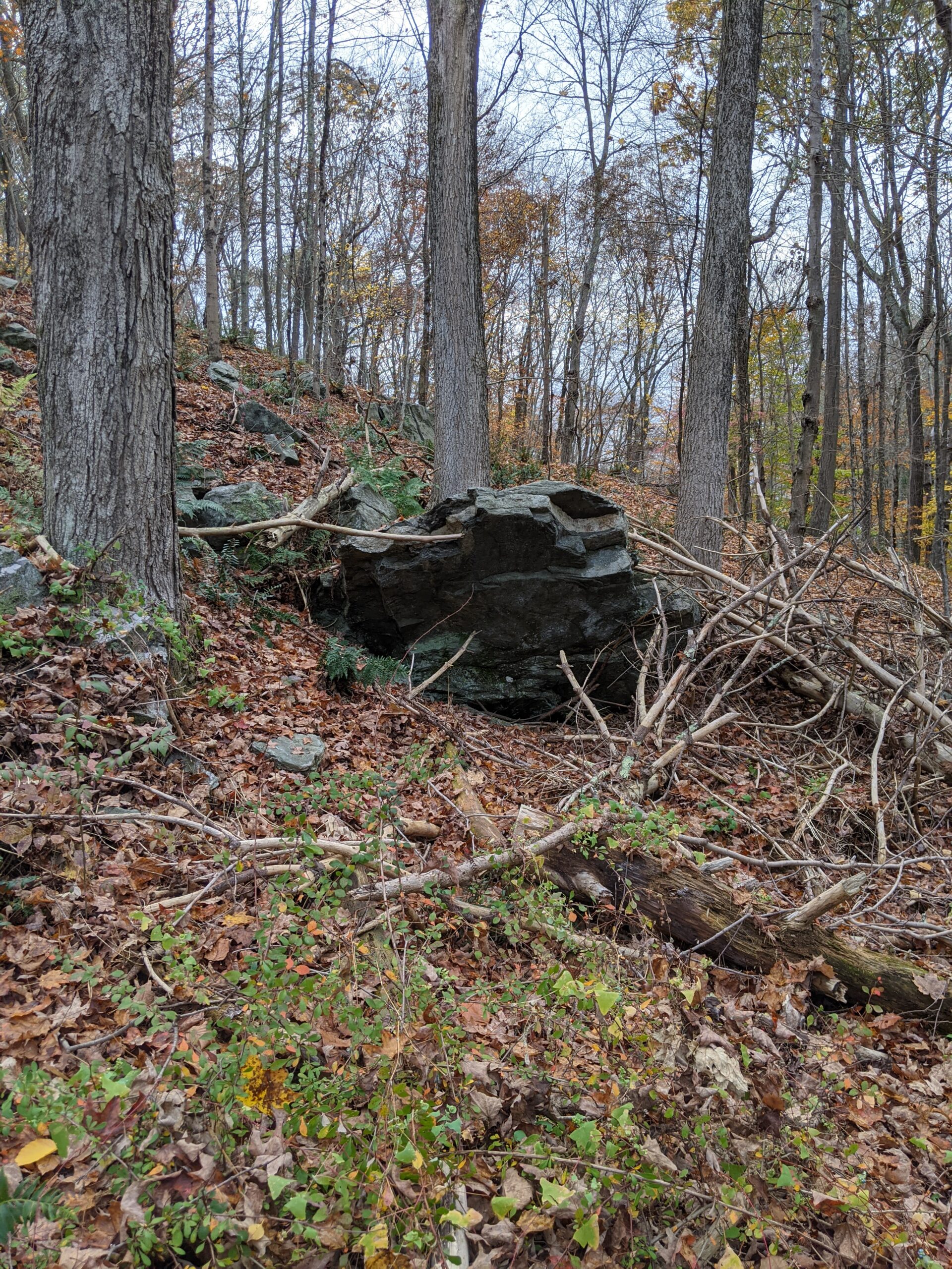
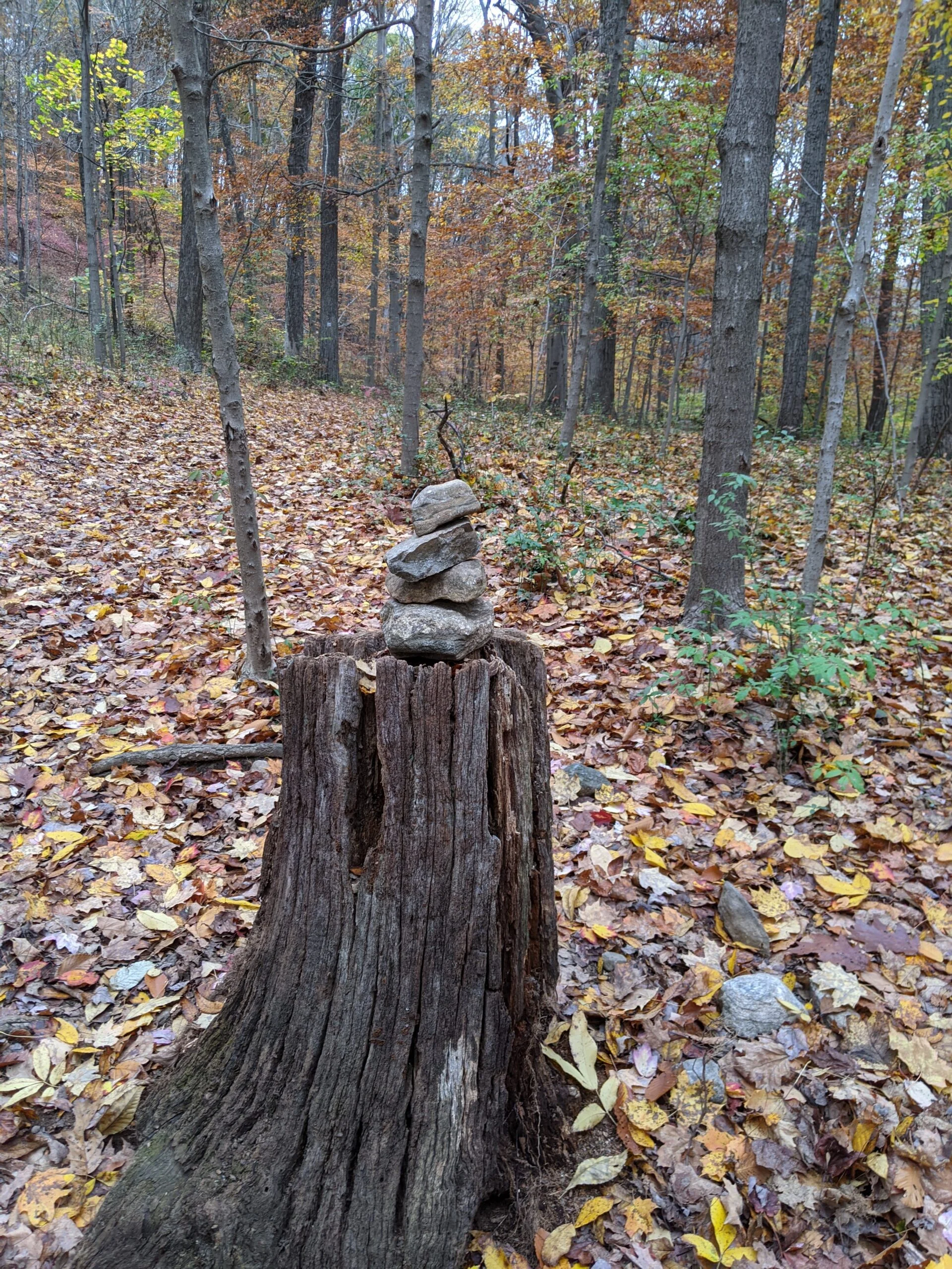
I noticed a POI called Leatherman’s Cave and couldn’t resist checking it out. I’m so happy I did. As I started up the hillside, a placard explained a bit of history of The Leatherman. According to an article on TheAirLandAndSea.com, “In 1883 in Connecticut in the USA a man appeared with startling regularity between 41 towns in a loop that spanned 365 miles. Every 34 days he would appear at the same town. He did this for 6 years before dying on the 20th March 1889. He had first been seen in 1857 and in the earlier parts of his life was reported wandering as far north as Vermont and Canada.” One of his stops was purportedly this rock cave in Ward Pound.
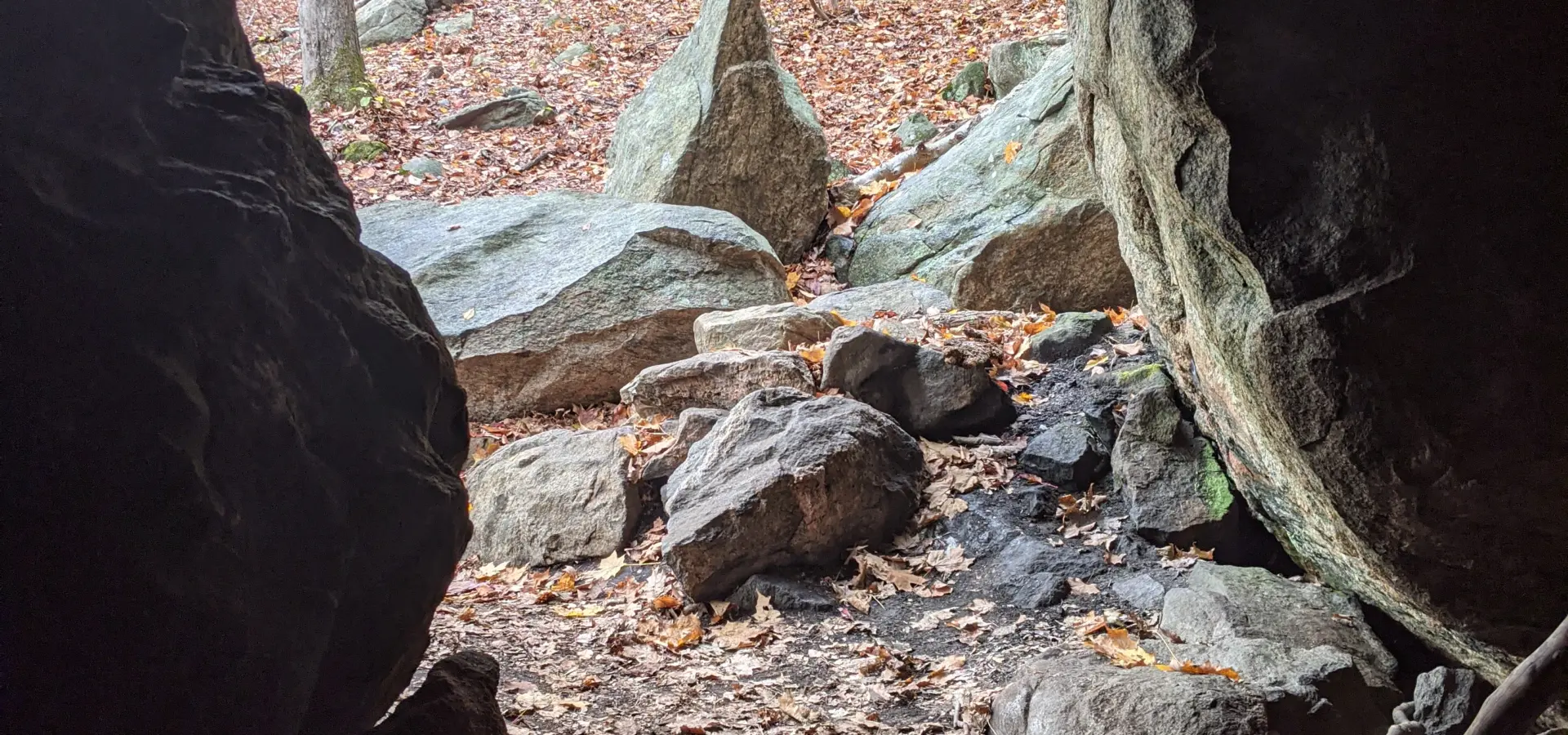
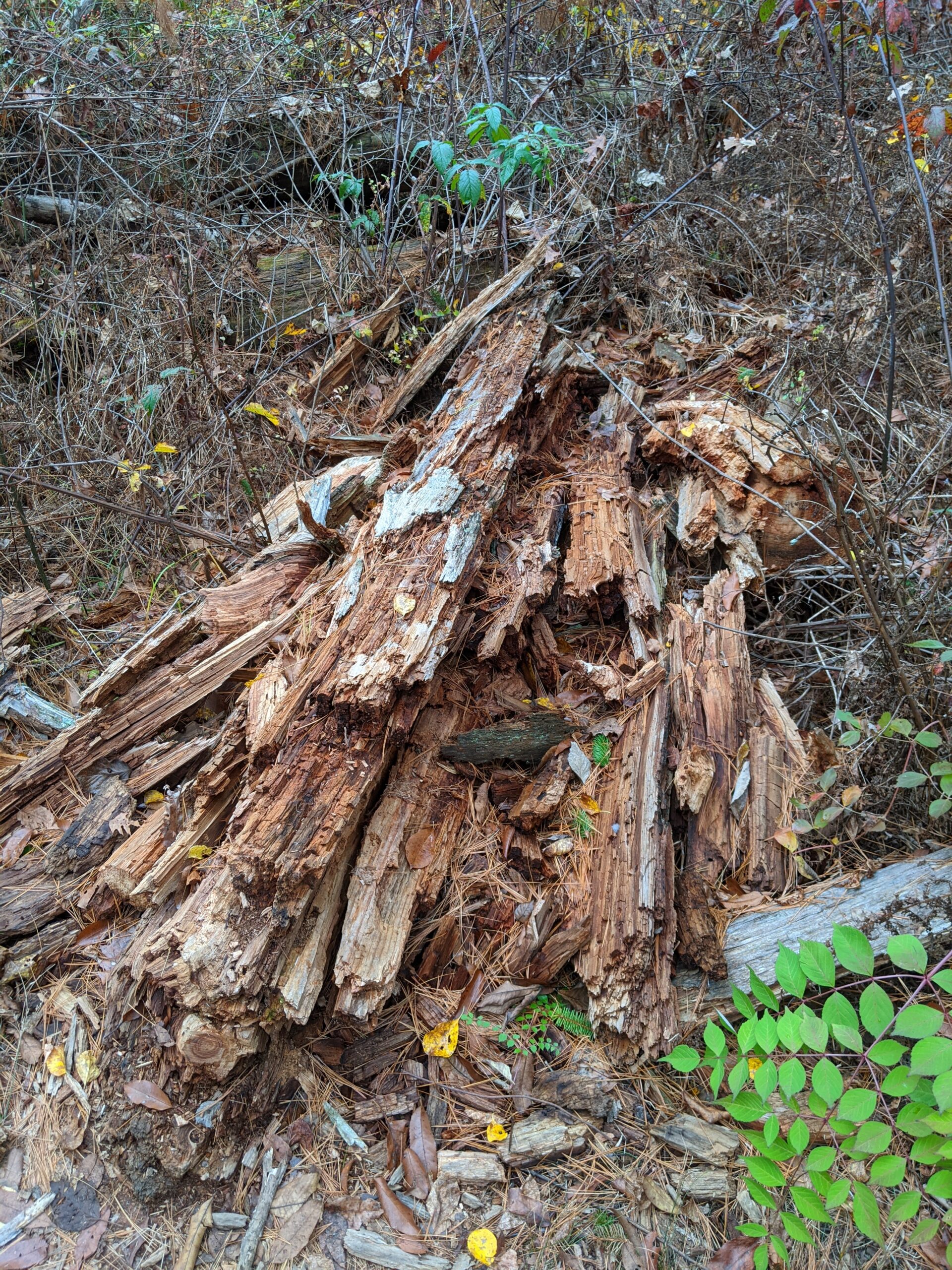
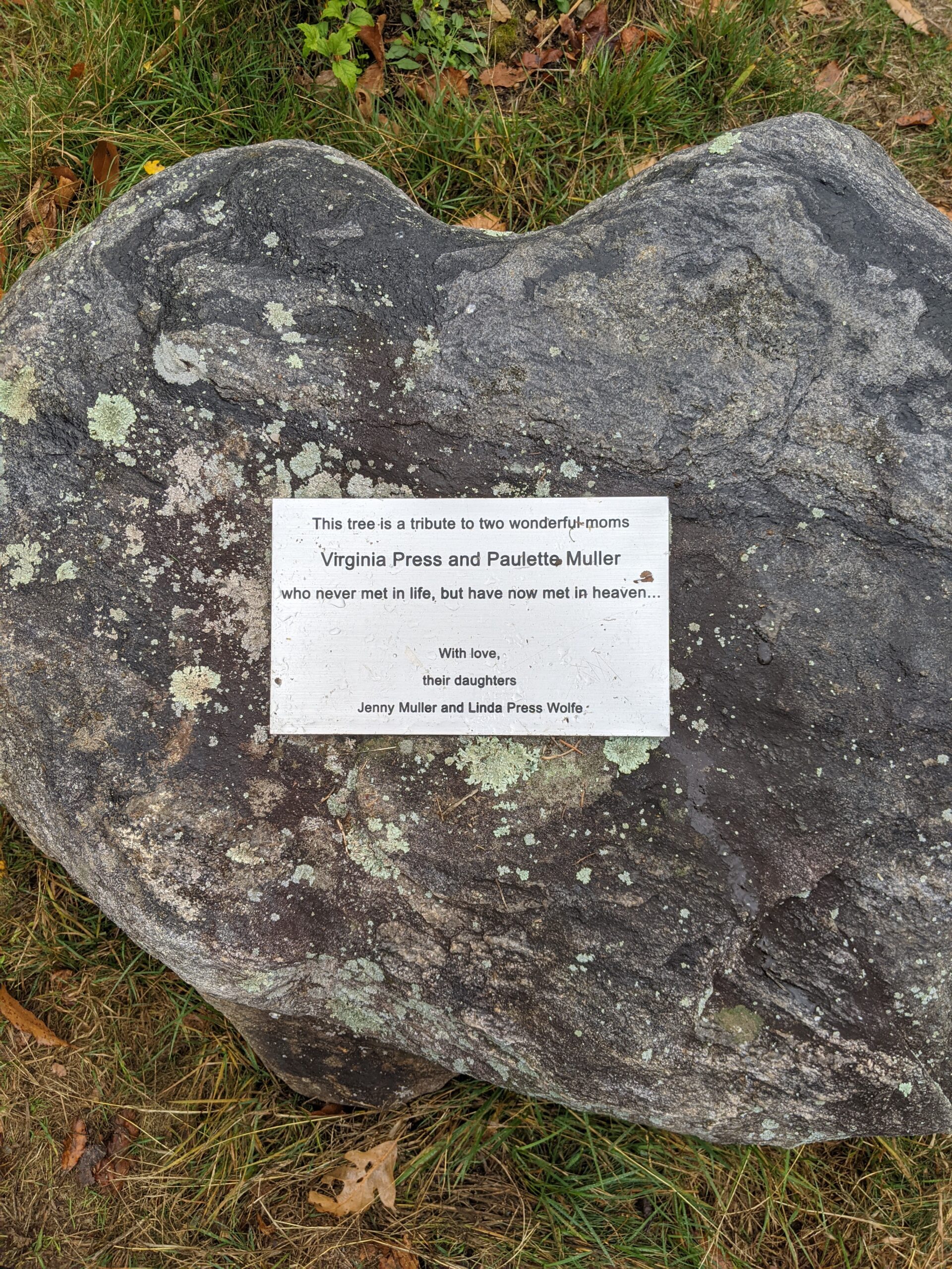
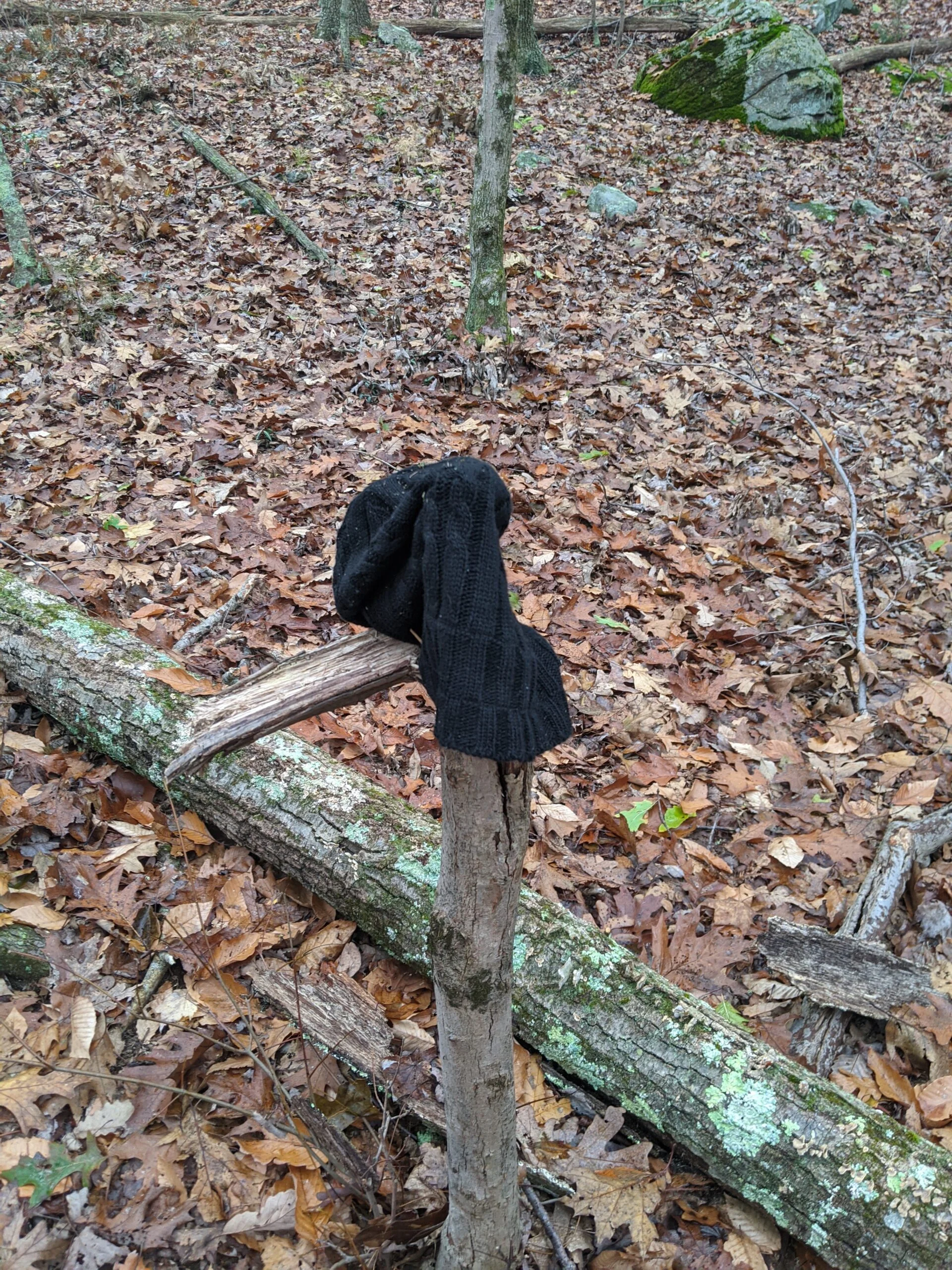
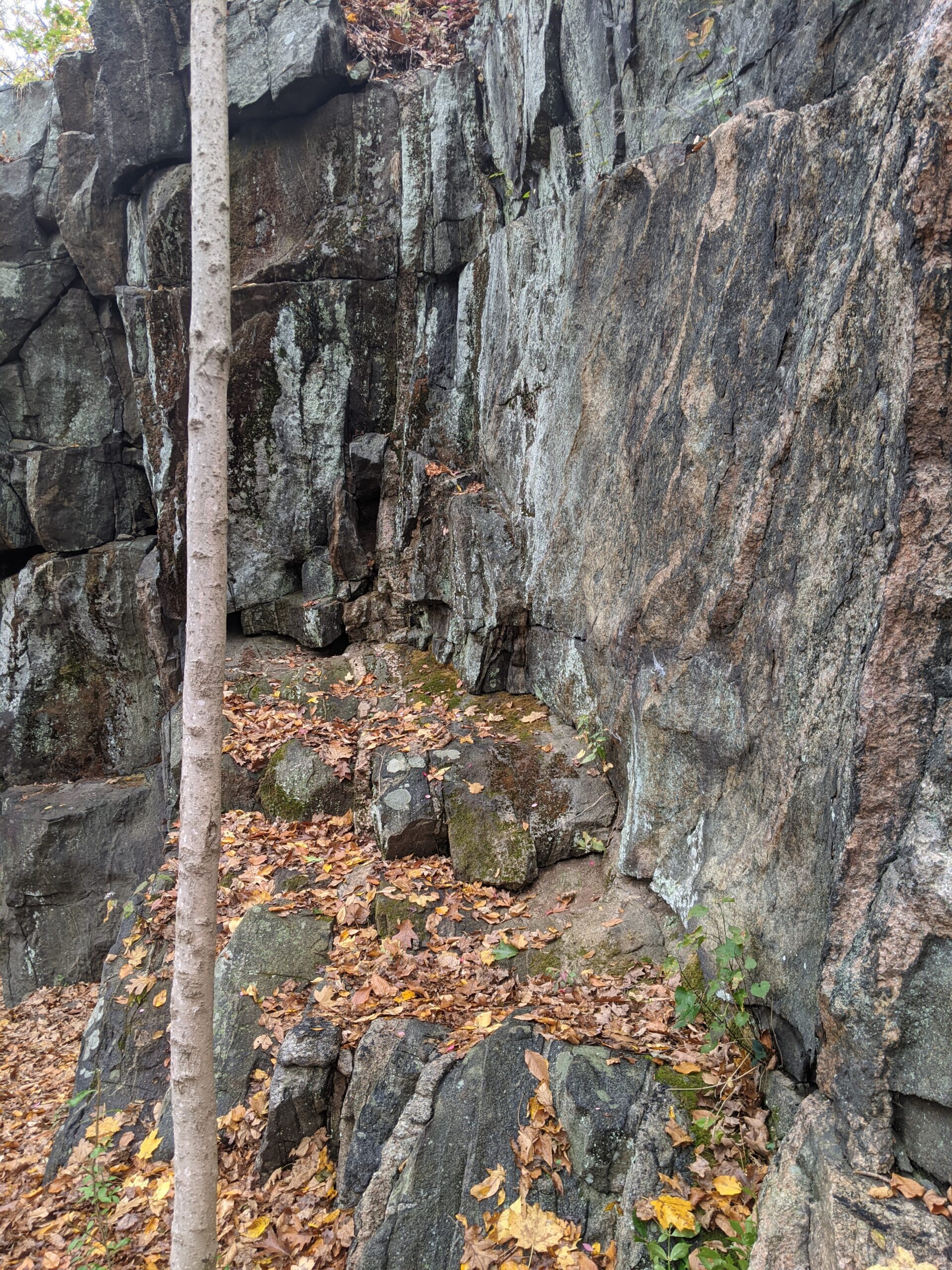
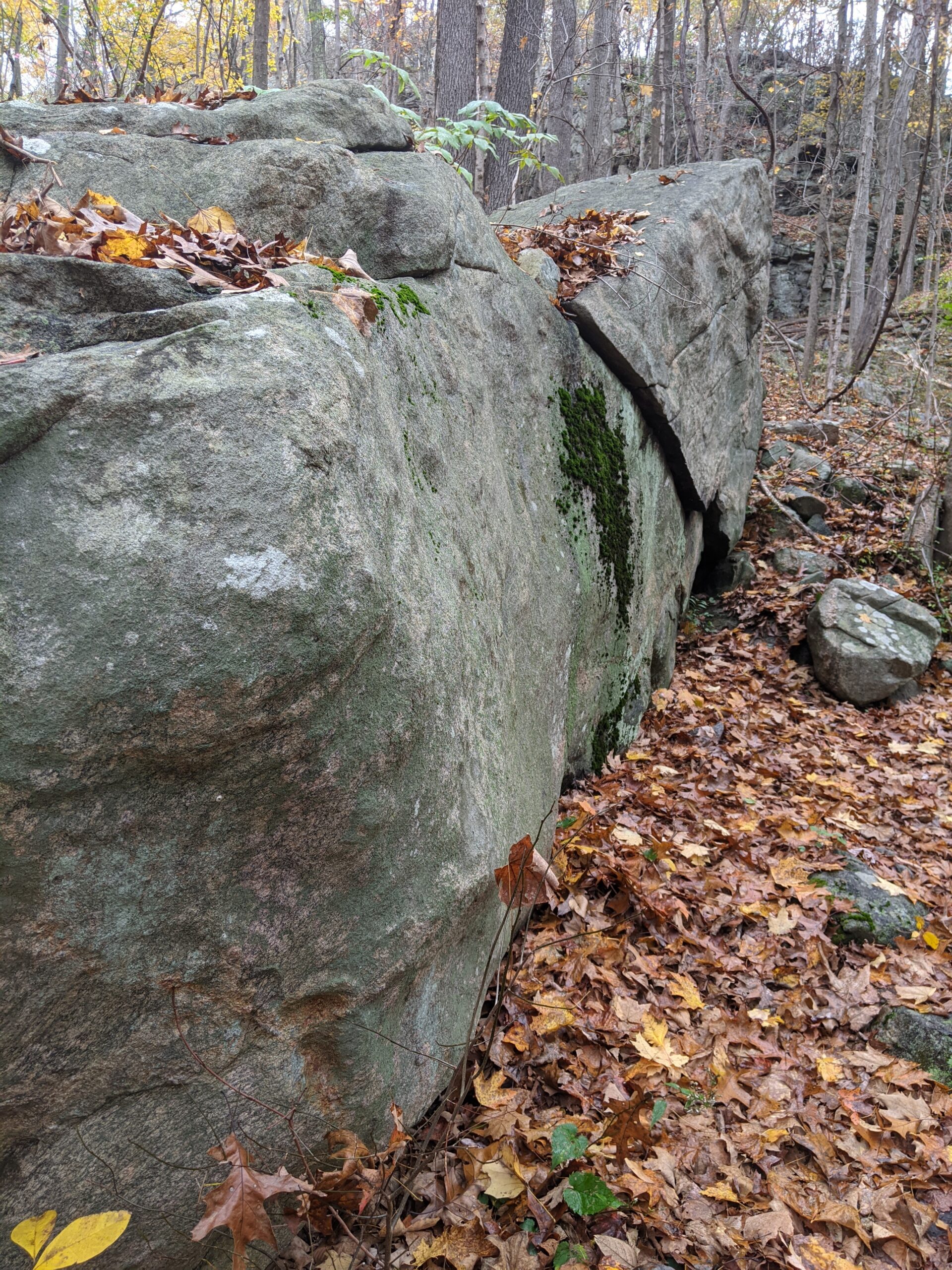
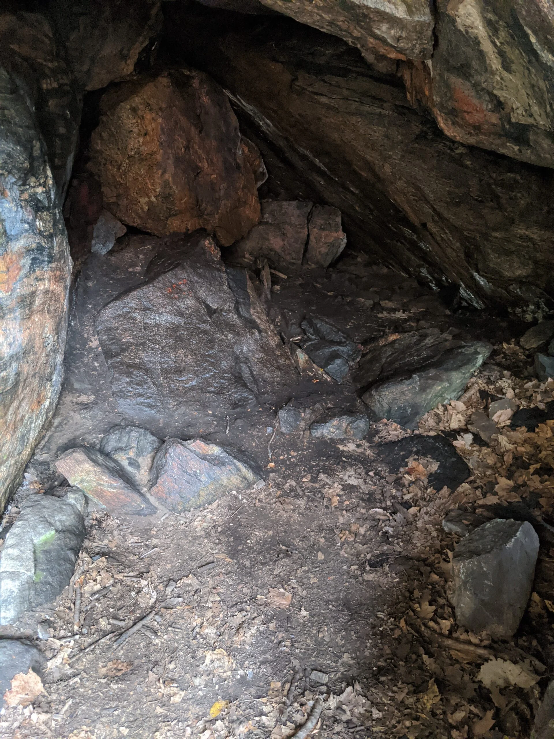
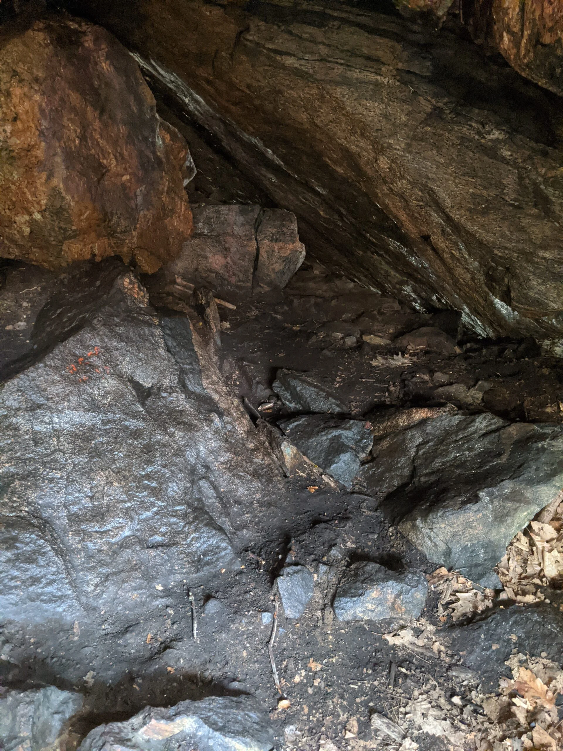
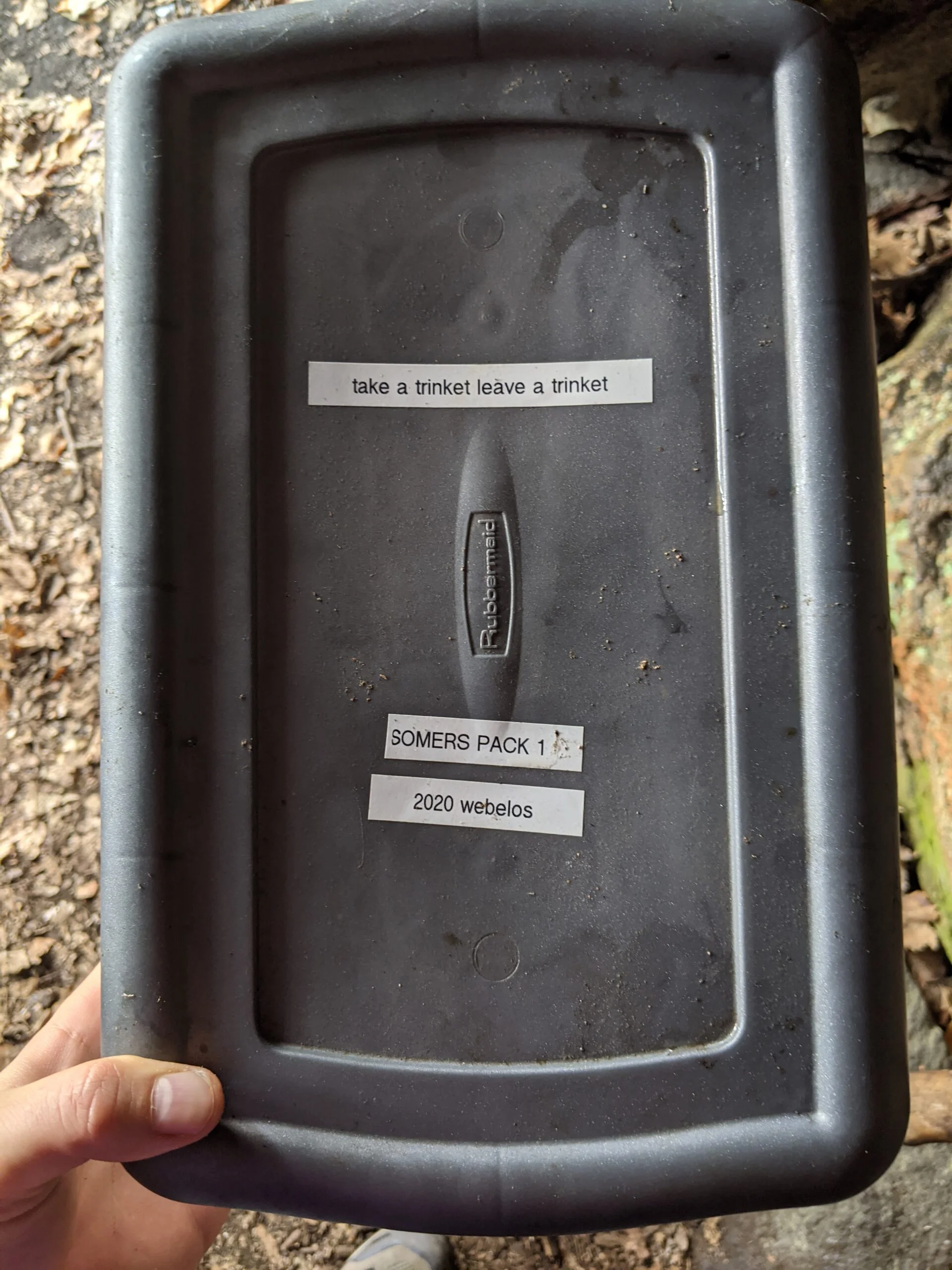
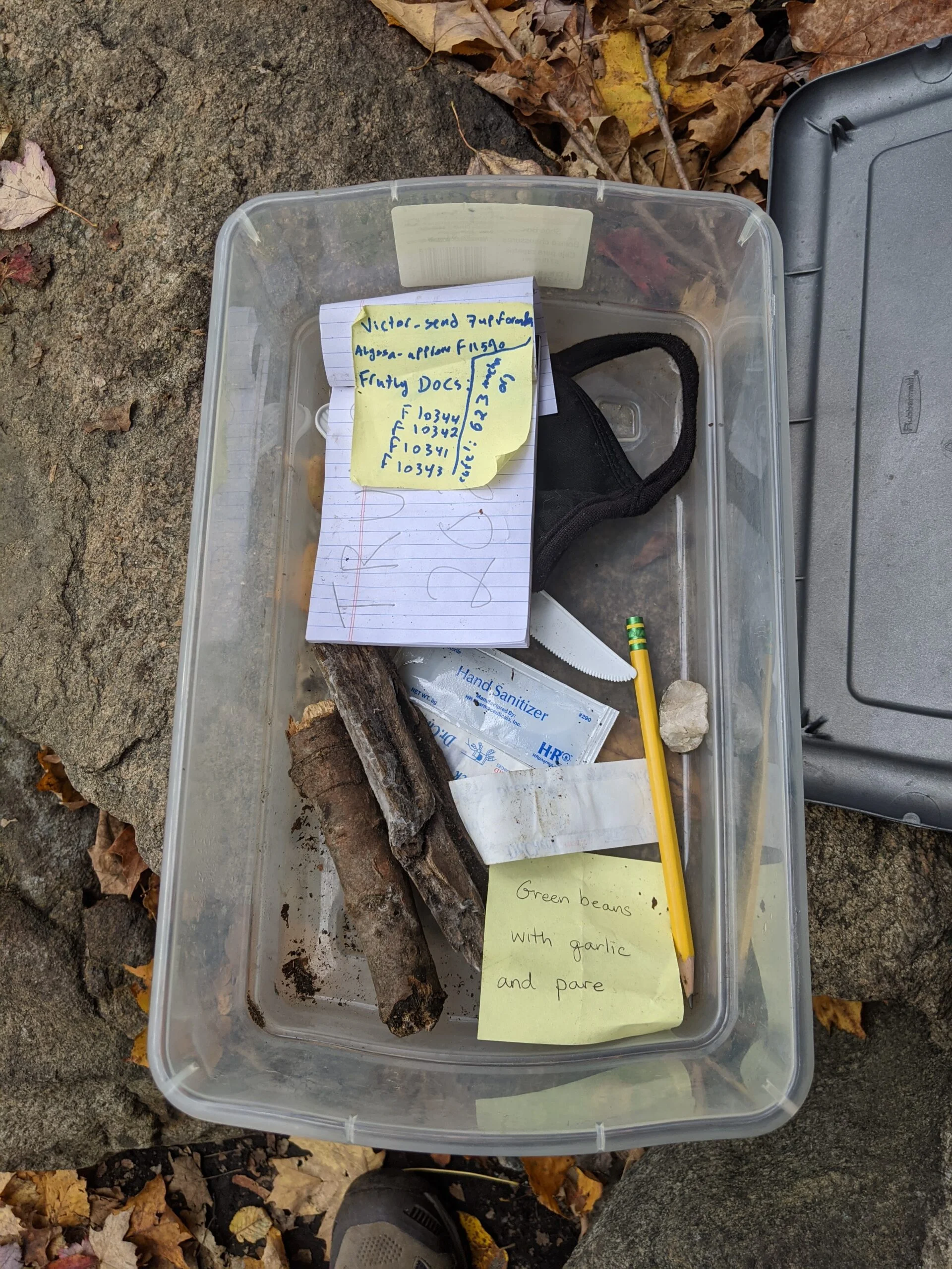
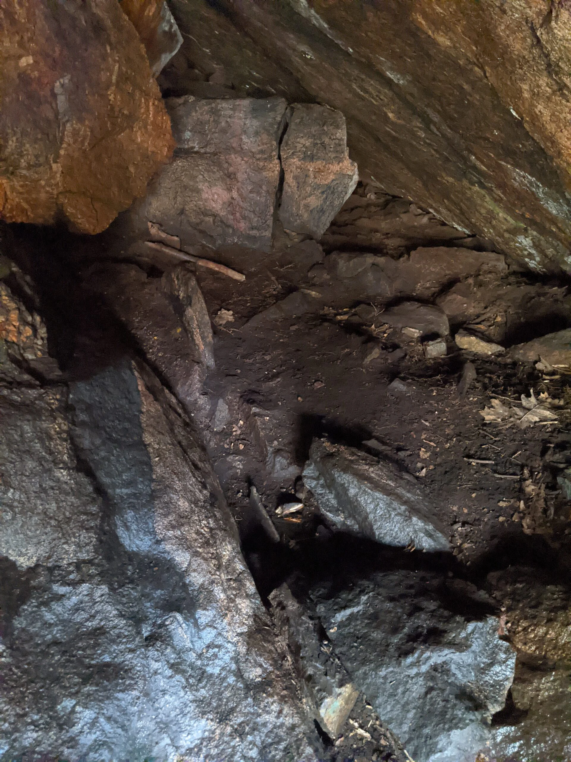
Upon approaching the entrance, it appears deceivingly small and shallow, but after walking inside, I saw the cave has a depth of at least 15 feet. There’s plenty of room for a few people to shelter from the elements, although not a lot of flat ground space to lie down in. Since The Leatherman traveled alone, I’m sure this wasn’t a problem. While taking photos of the interior, I noticed a plastic container on a rock shelf to my left. I pulled it down and found a geocache from the Somers Weblos Cub Scouts pack. Inside was a mask, a hand sanitizer packet, adhesive bandages, a writing pad, a pencil, a face mask, a rock, and some sticky notes. I wrote my initials and the date in the notebook. I’m so glad I made this detour, as the cave and the geocache were both great finds!
After descending back down the hill, I followed LL to intersection 28, made a left, continued on LL to intersection 26, making a right there and following LL to the end at intersection 31. From there I made a left onto the Red and Green trail. I took Red and Green to the north, almost hitting the Michigan Road parking lot again, but making a sharp right onto the Red and Yellow trail at intersection 70.
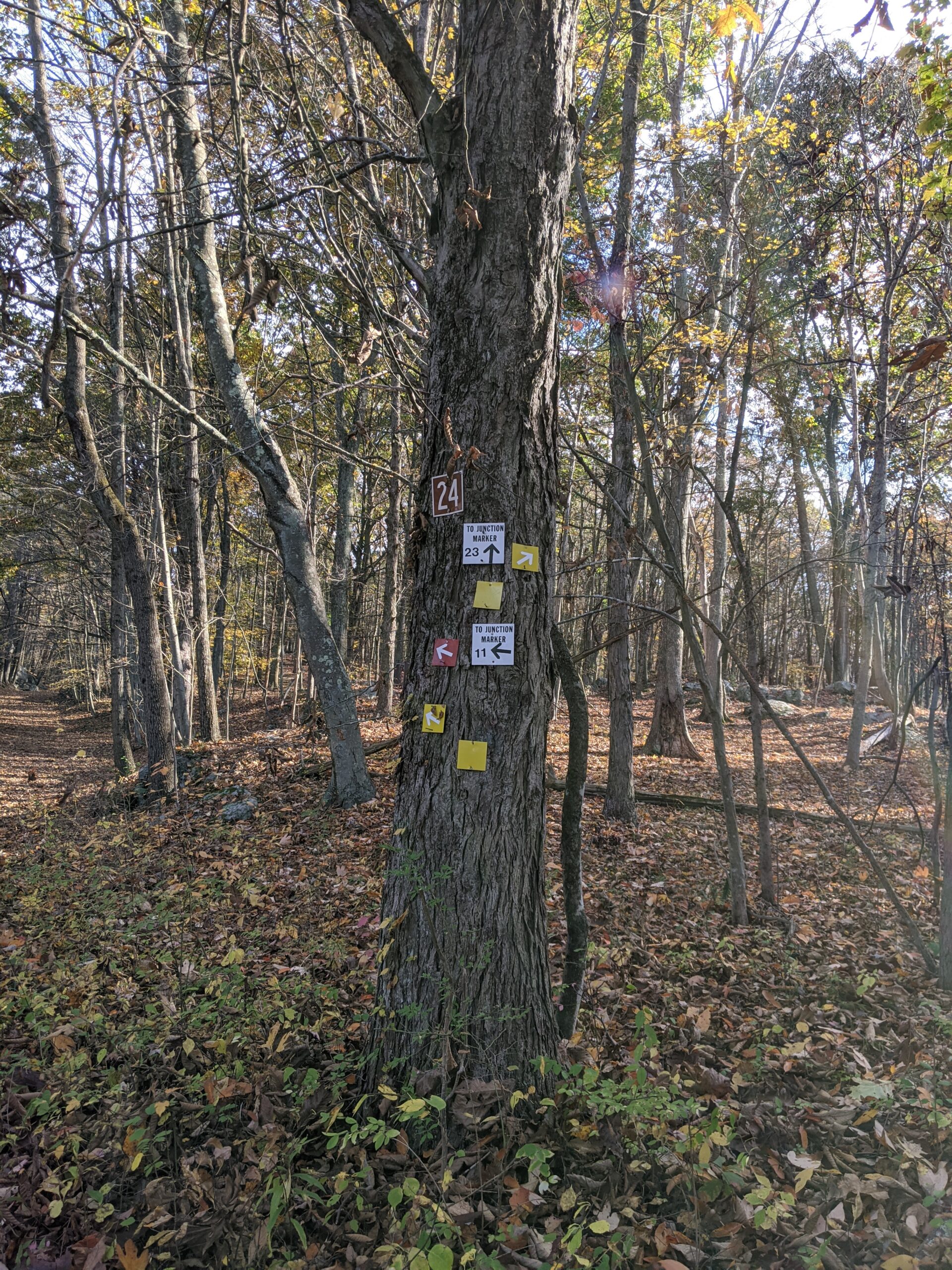
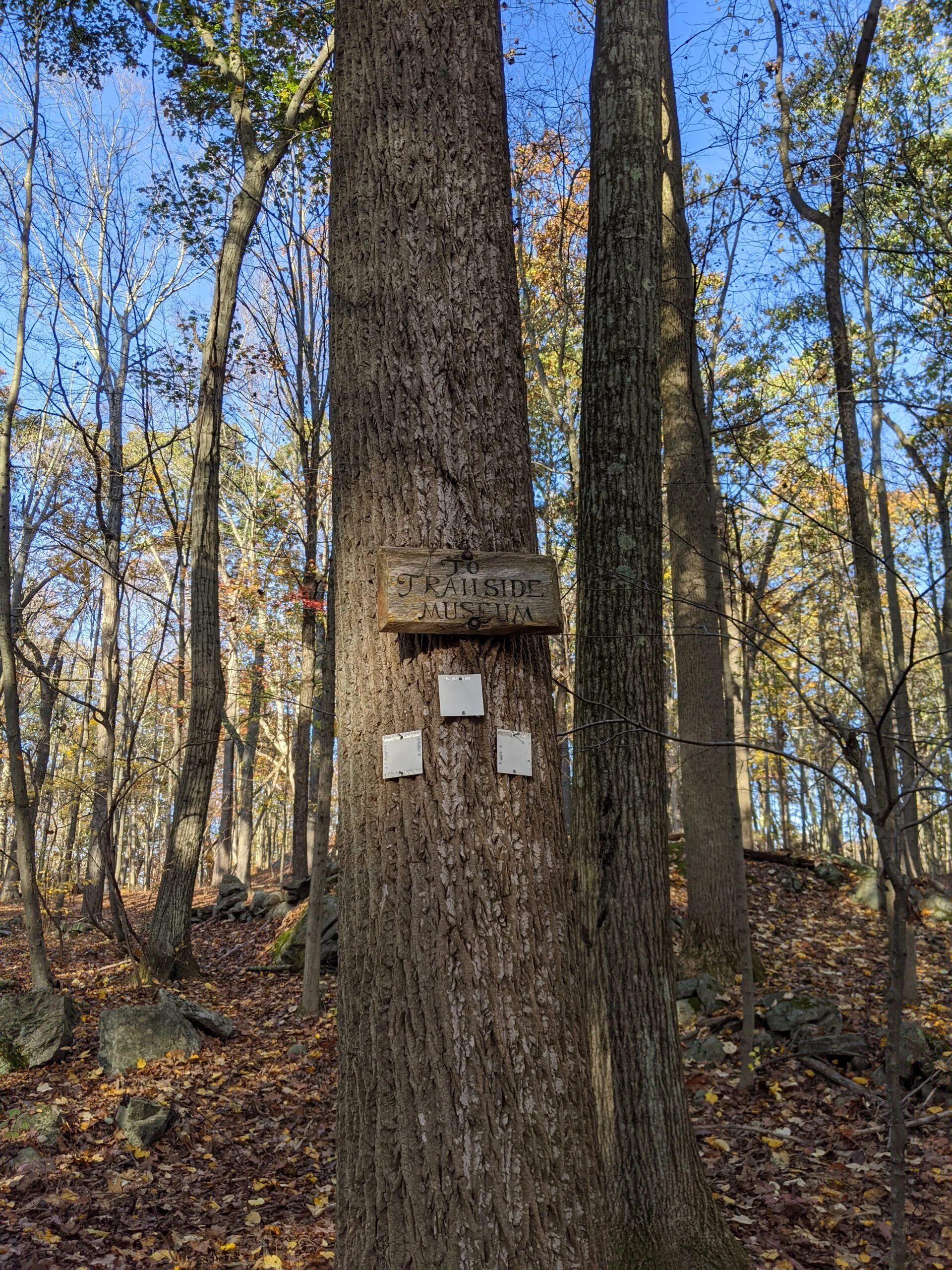
At intersection 24, I veered left, opting to stay on the Red and Yellow trail a little further. At this point, I decided to alter my planned route, which was going to take me all the way east and around to my starting point. I was losing steam and I was around the 7 mile mark. It felt like taking my original route would have been another 6 miles, so at intersection 11, I made a left on an unblazed trail headed toward the Trailside Nature Museum and I’m so glad I made this detour.
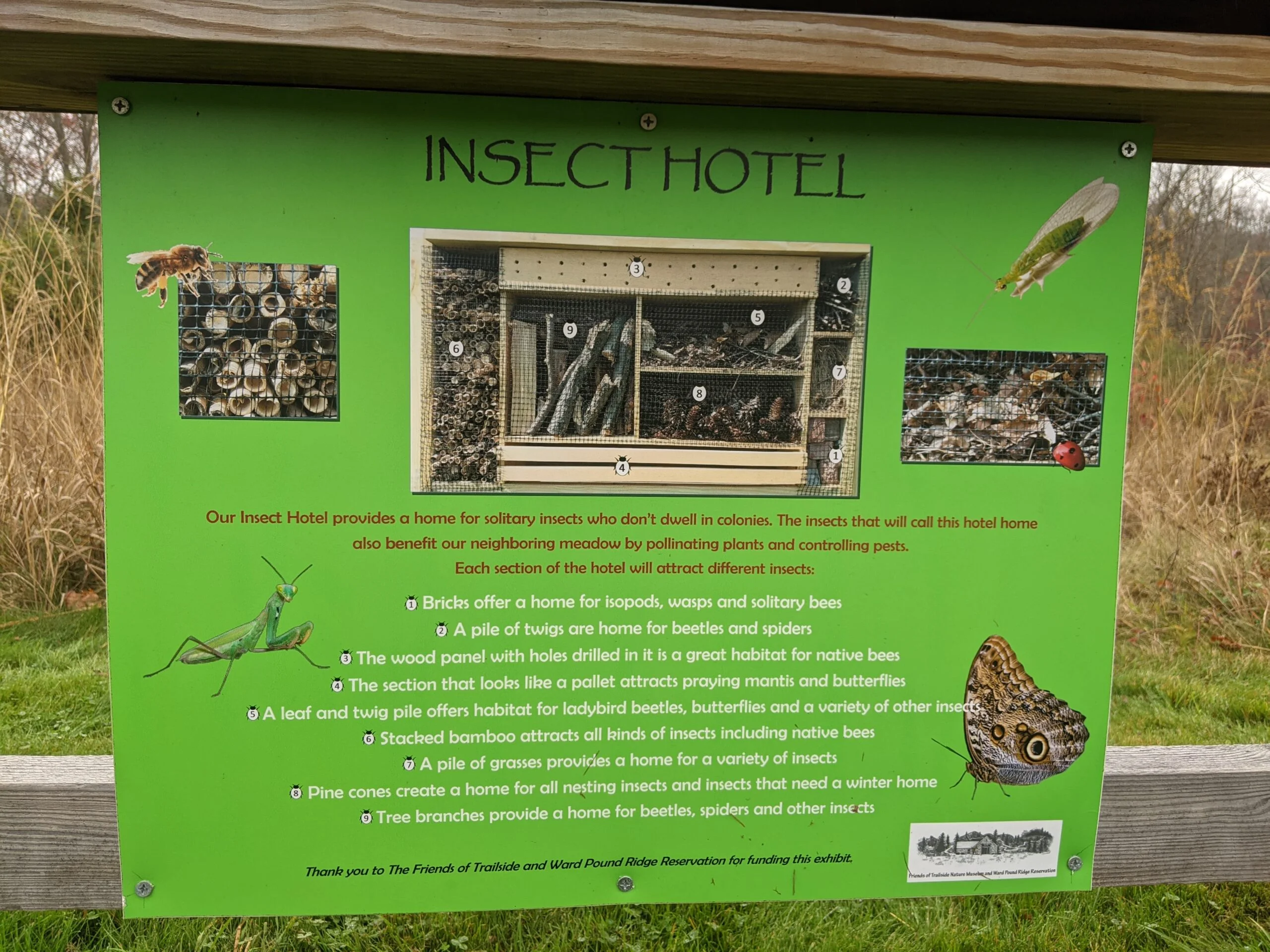
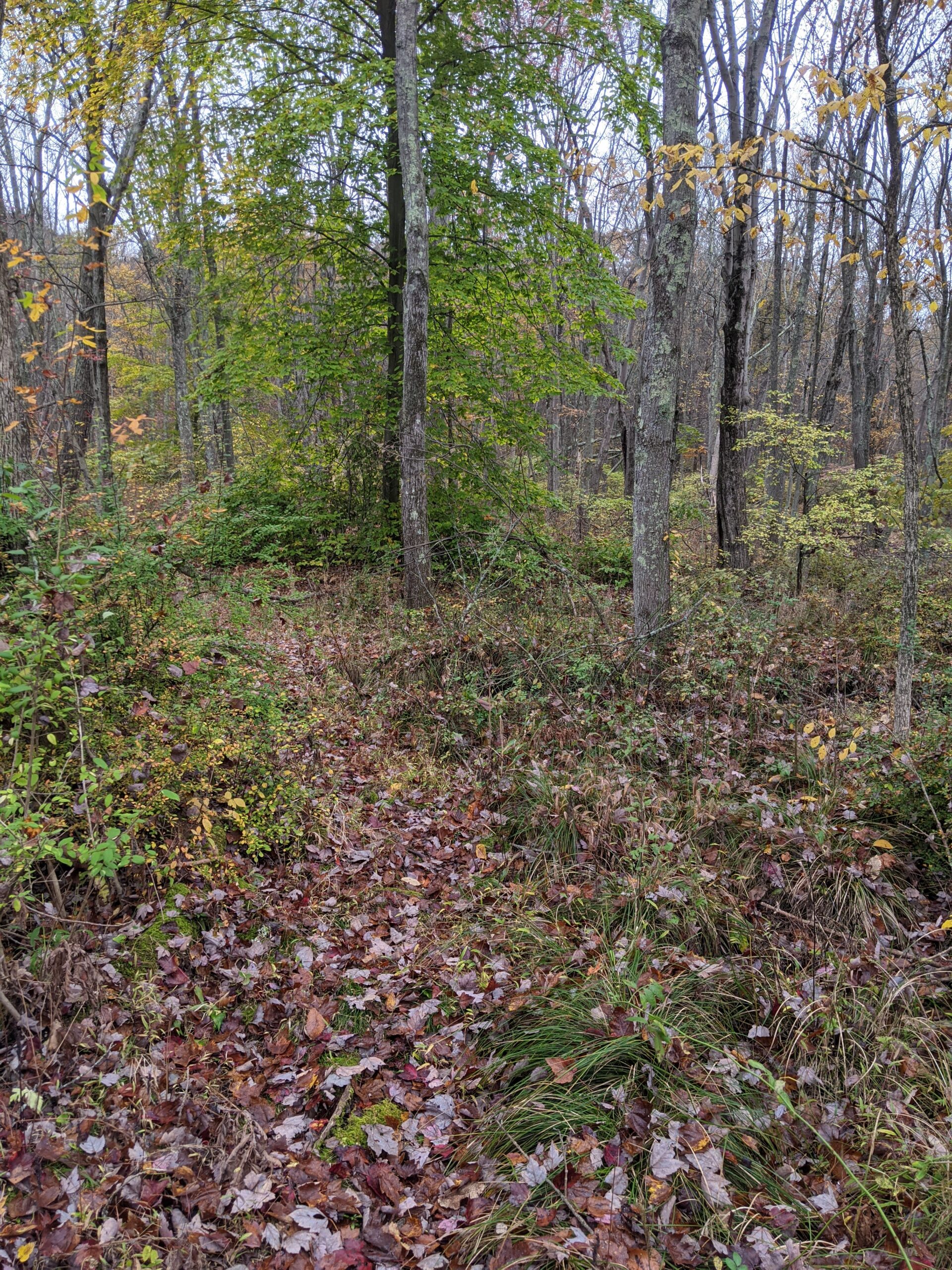
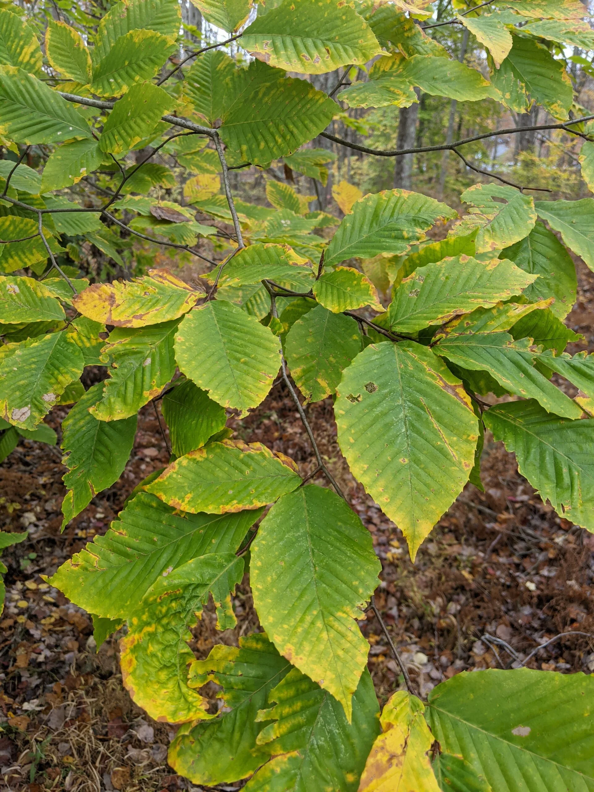
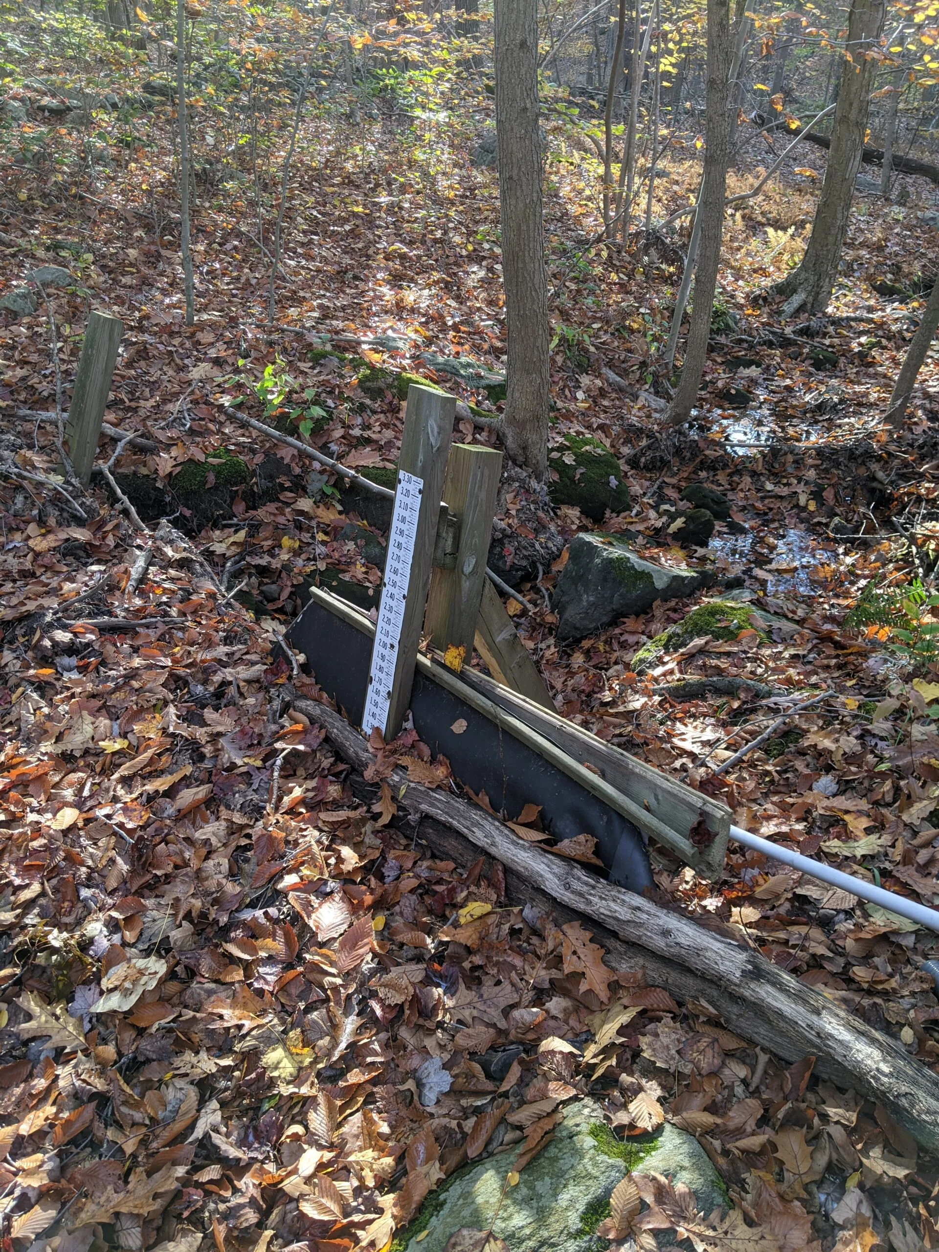
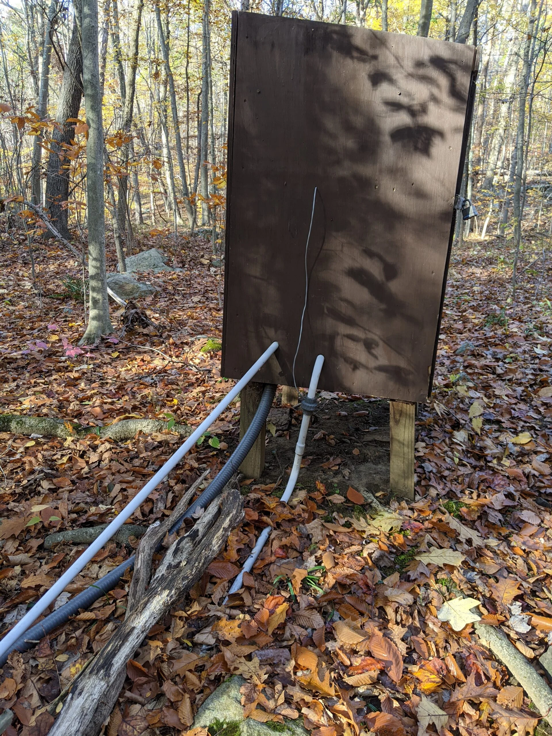
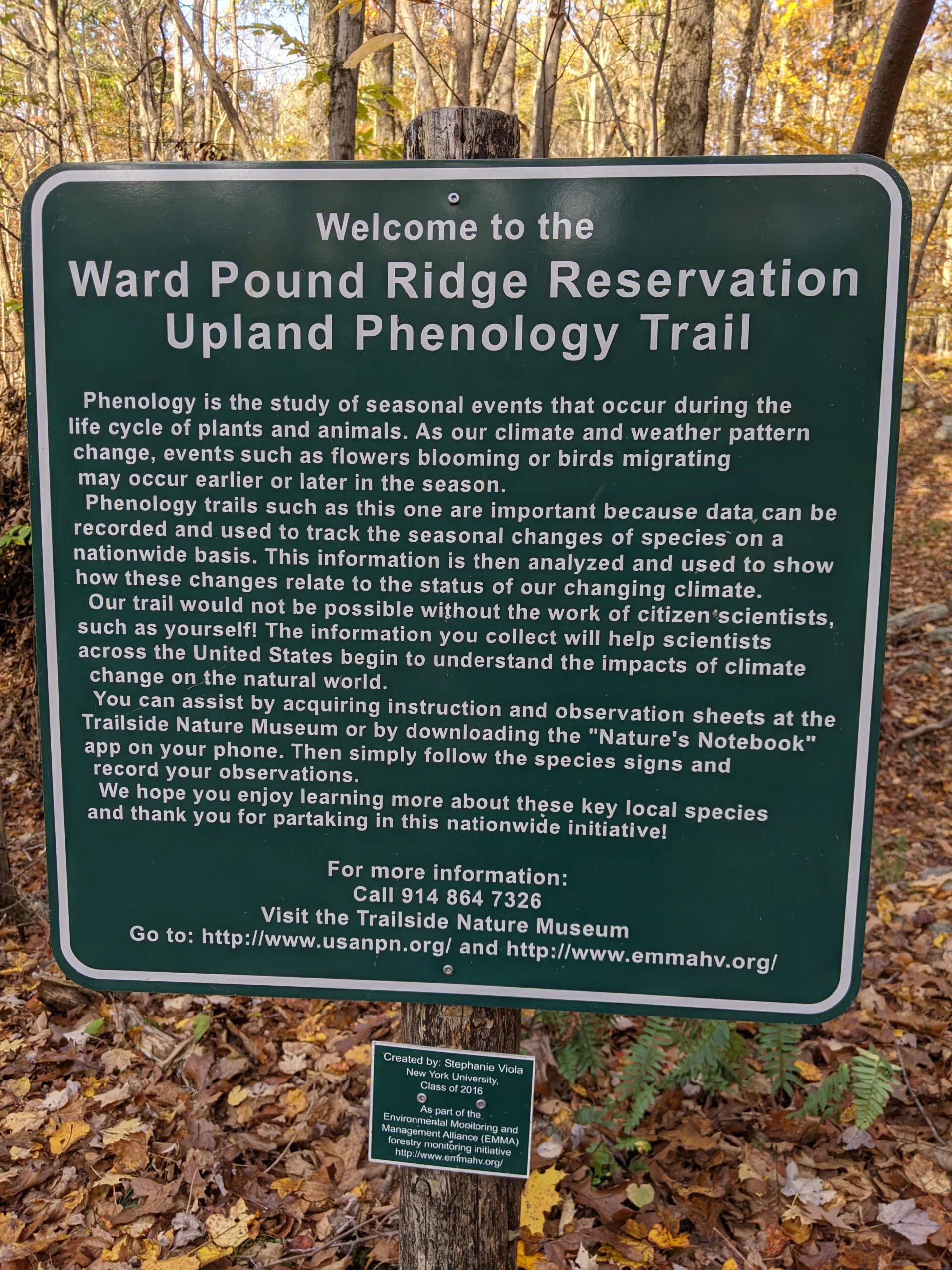
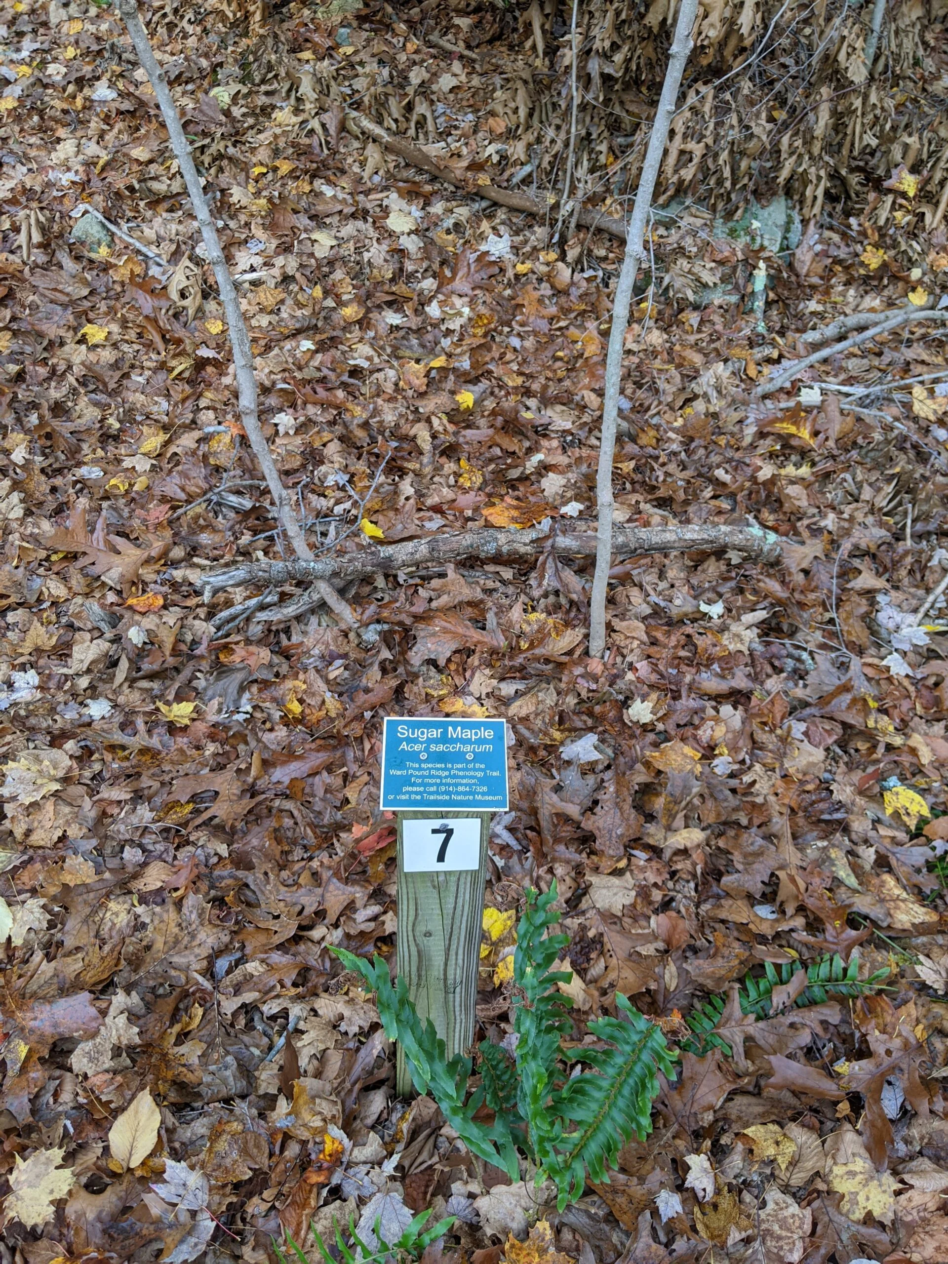
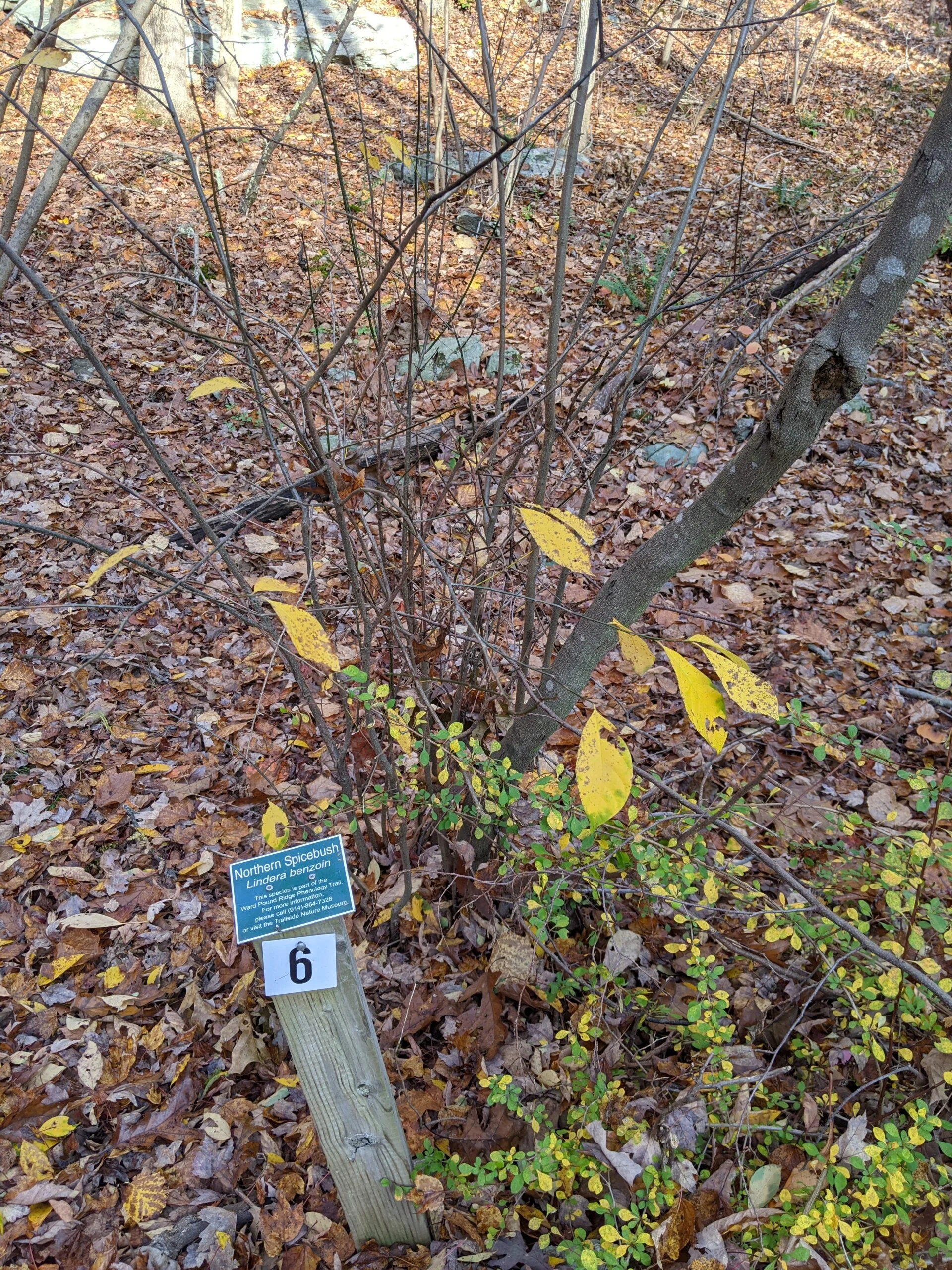
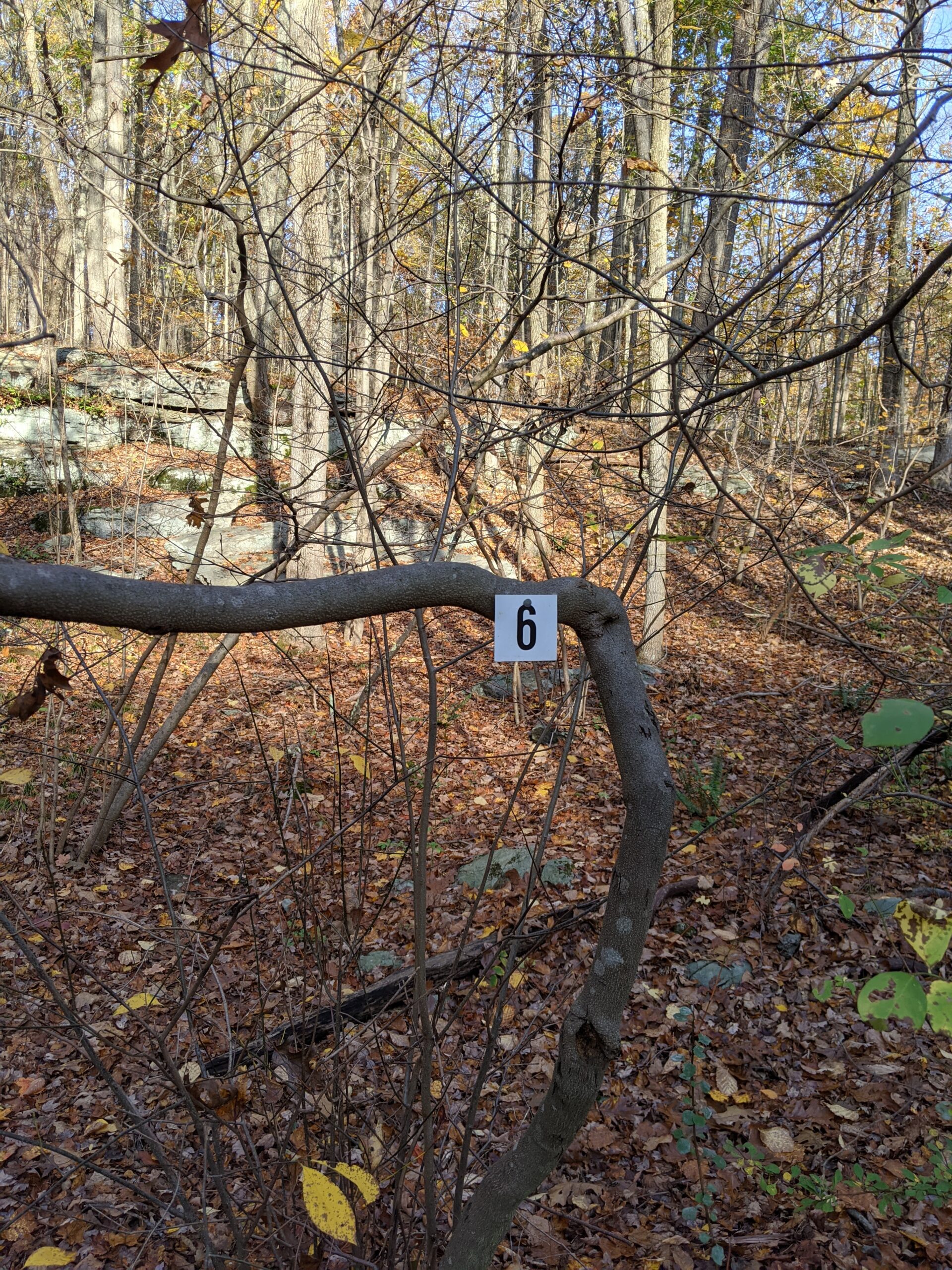
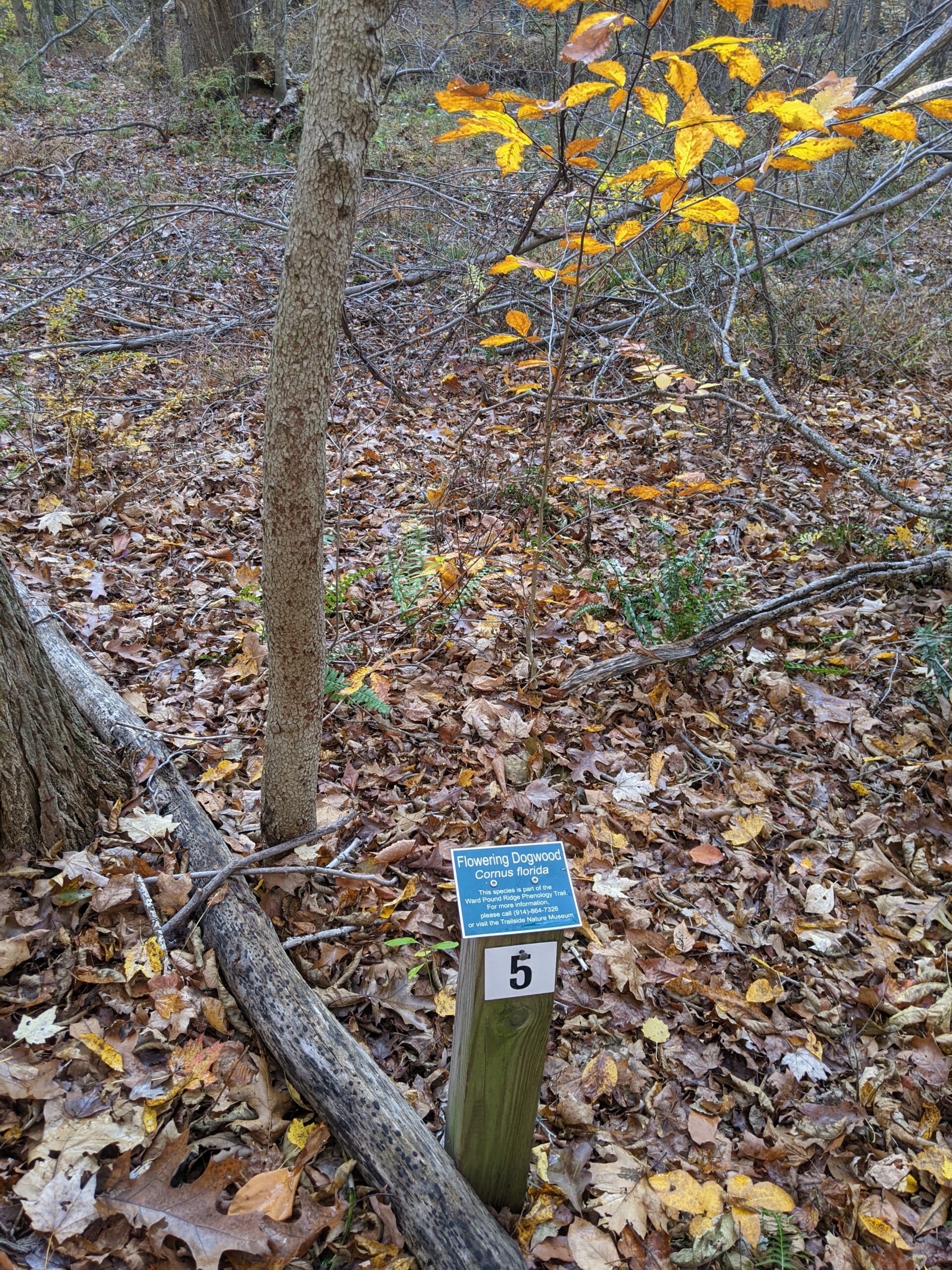
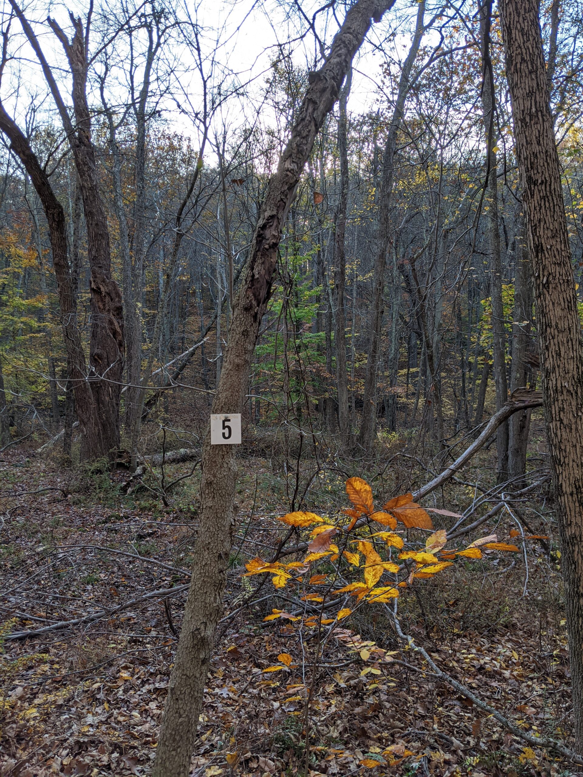
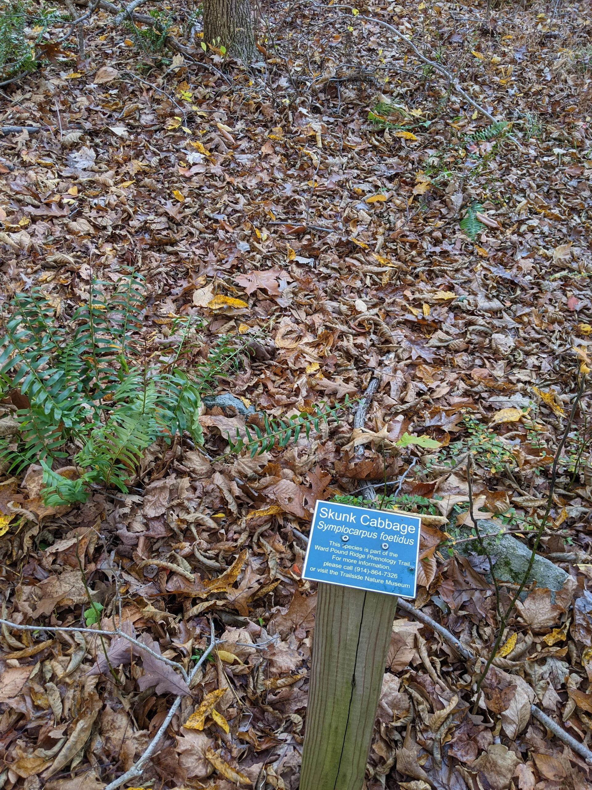
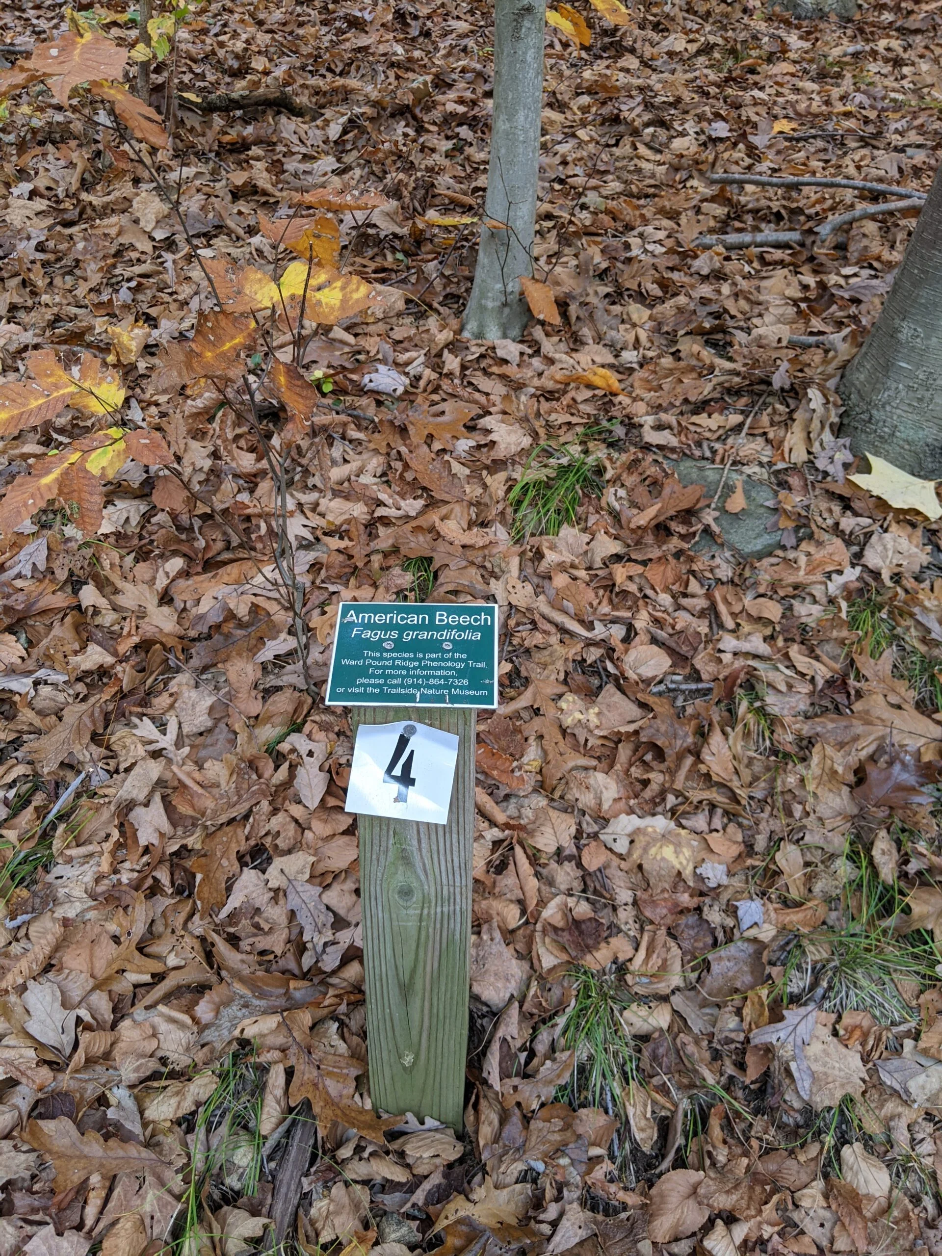
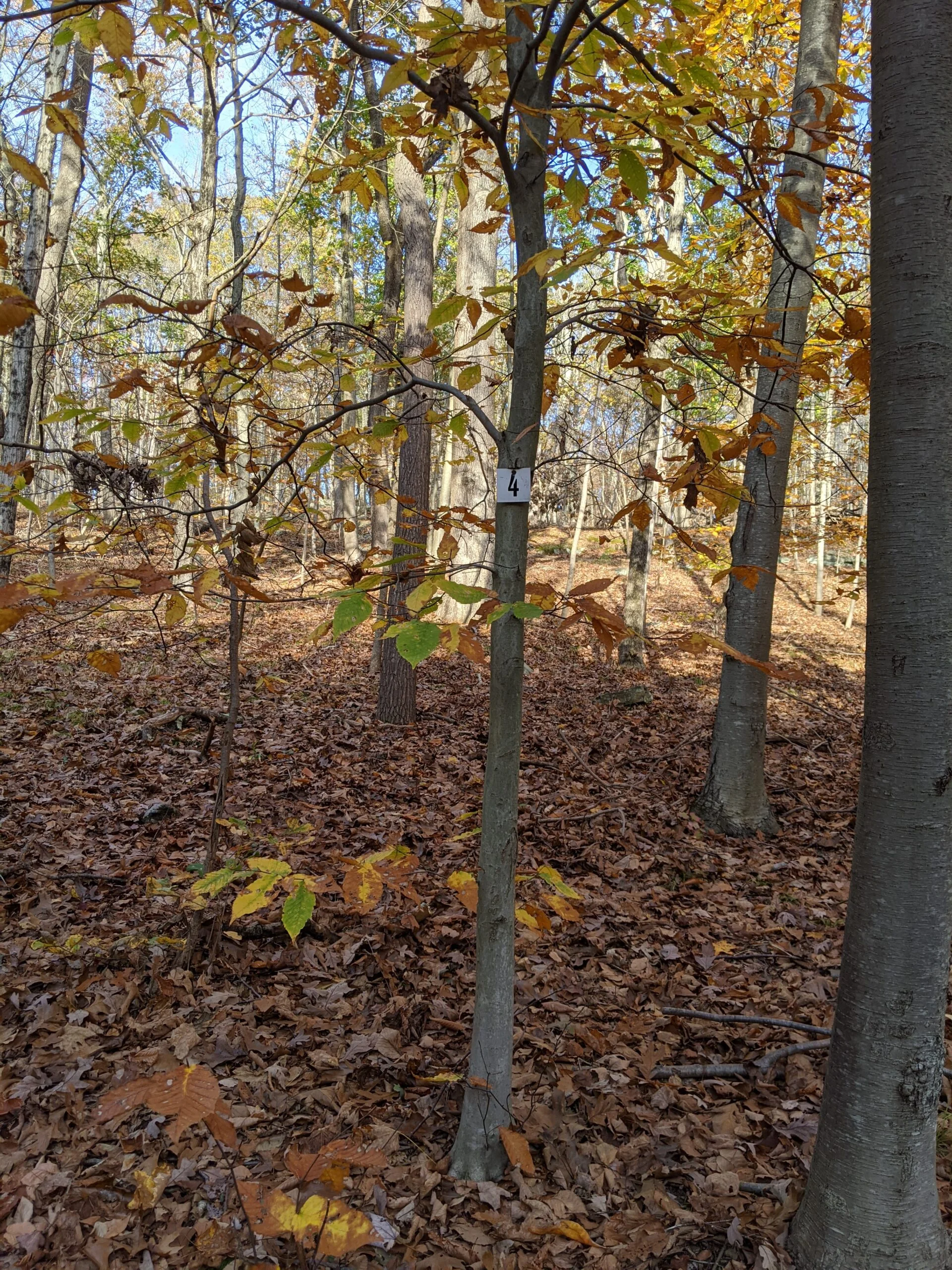
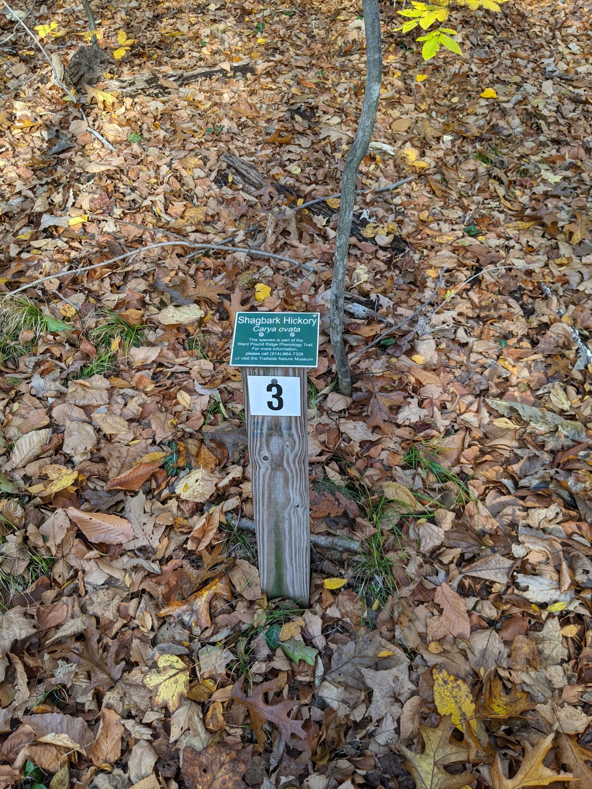
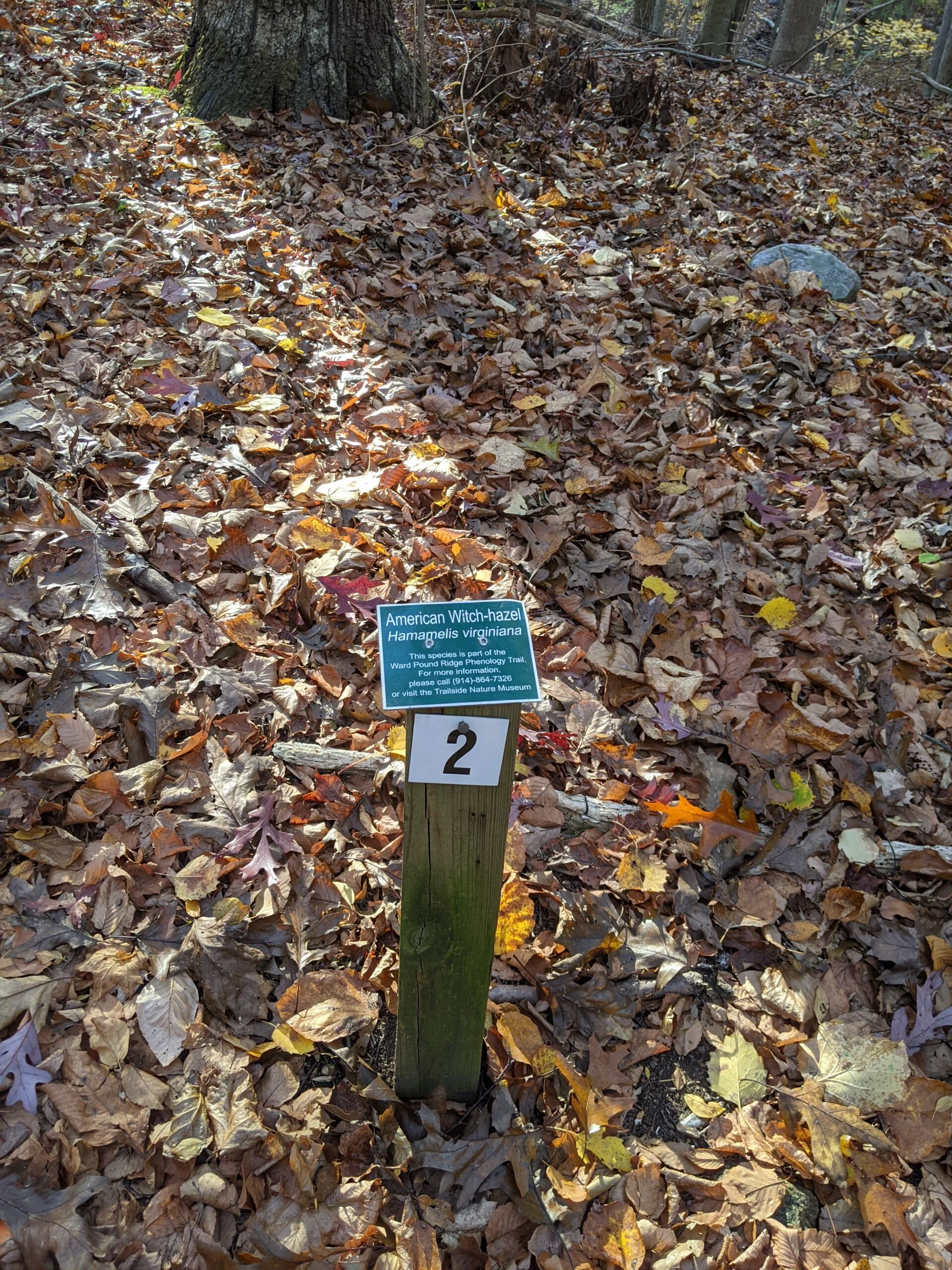
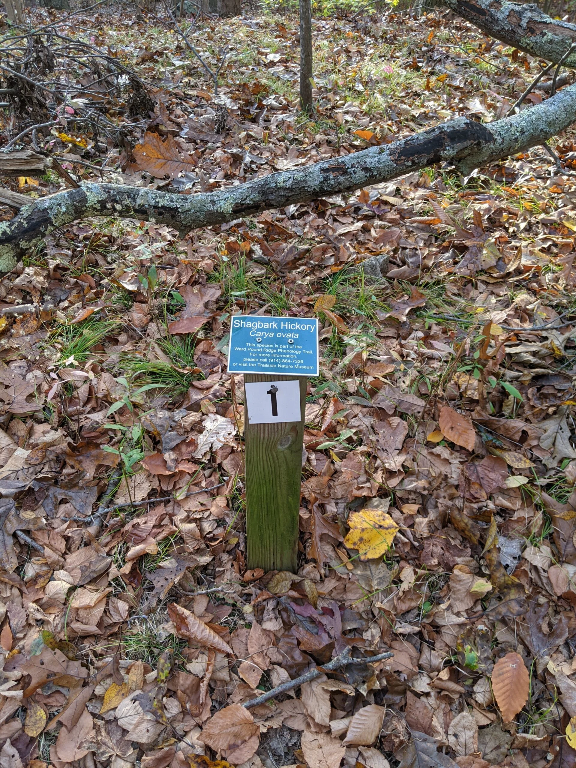
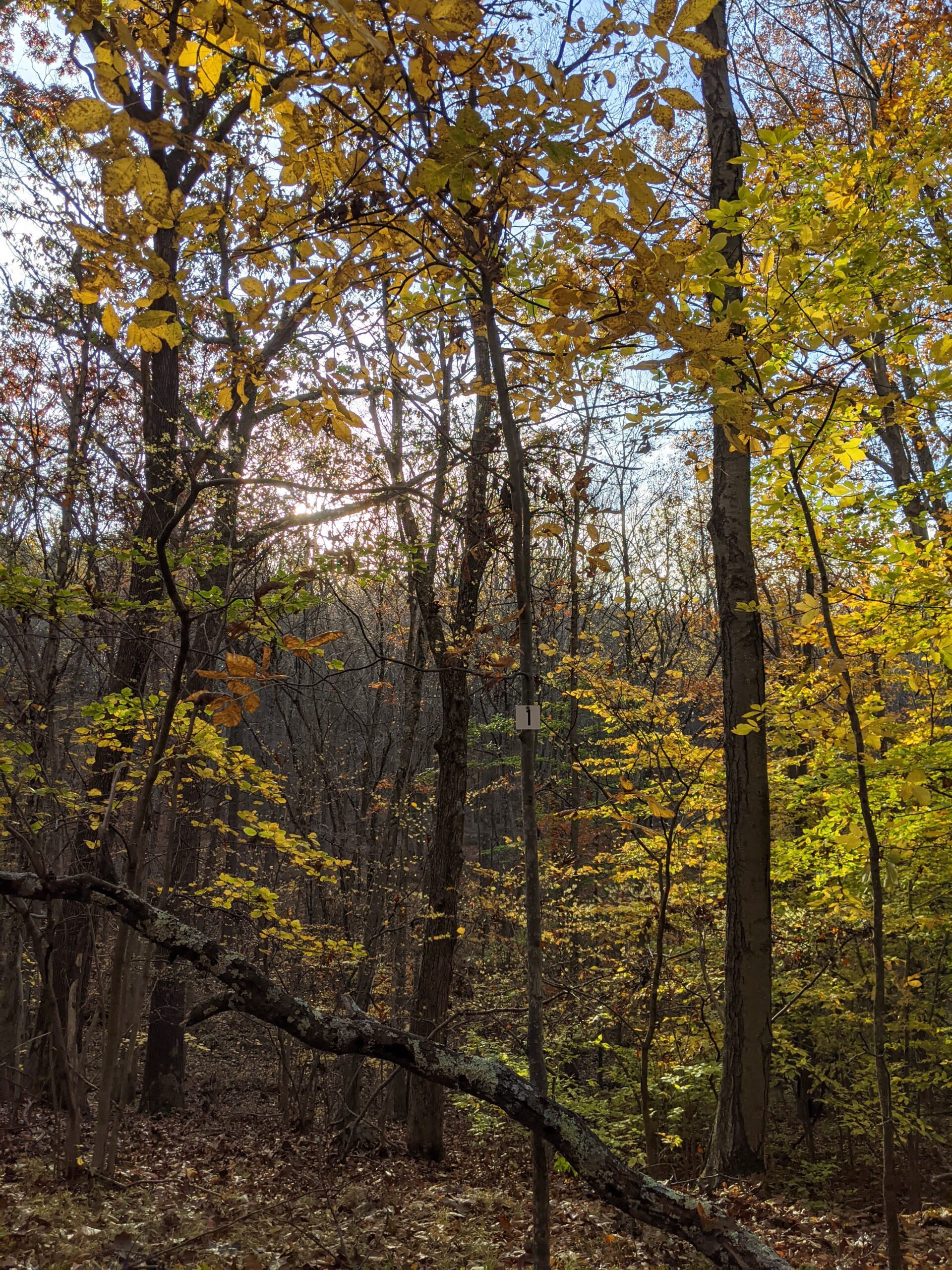
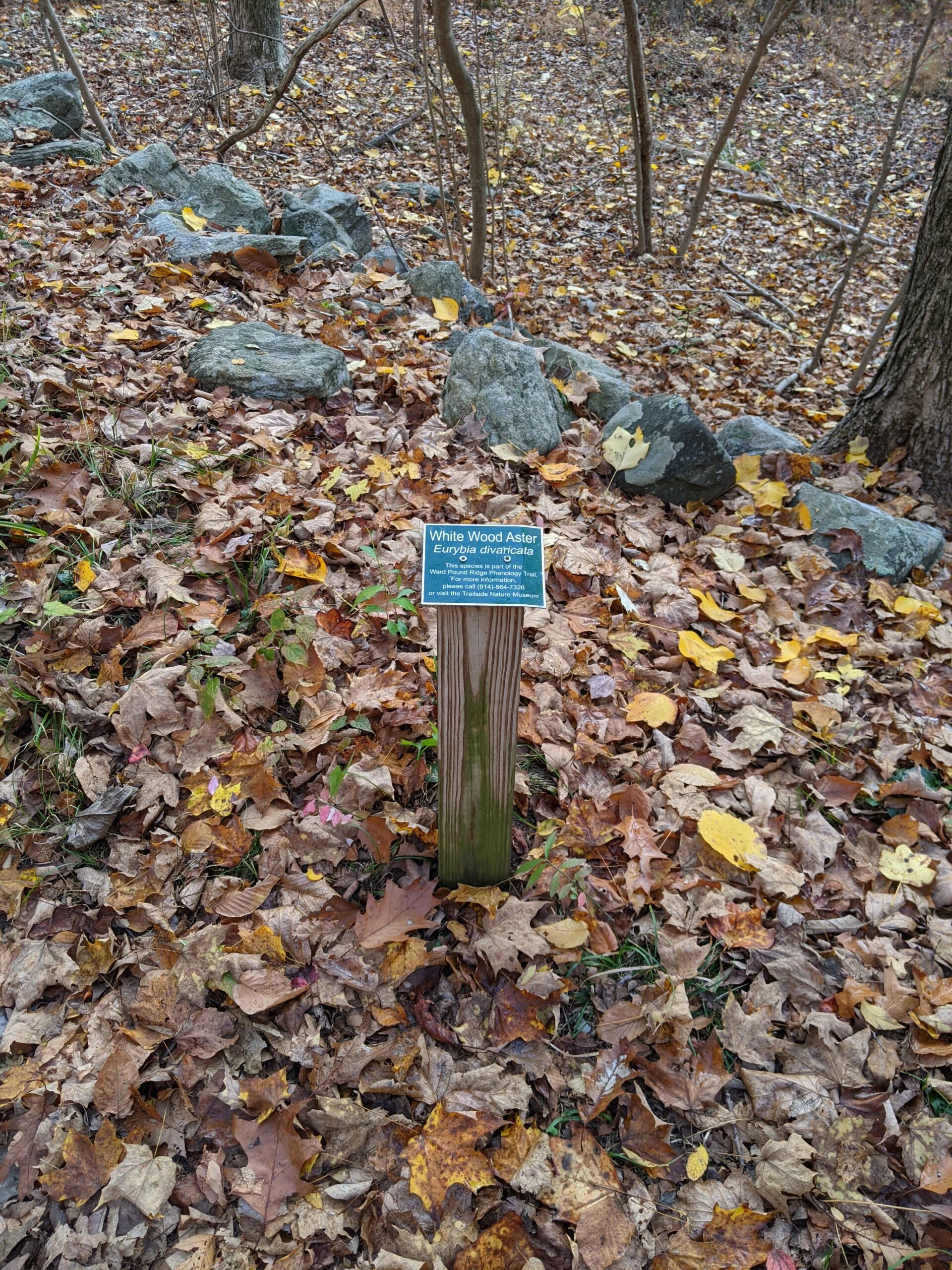
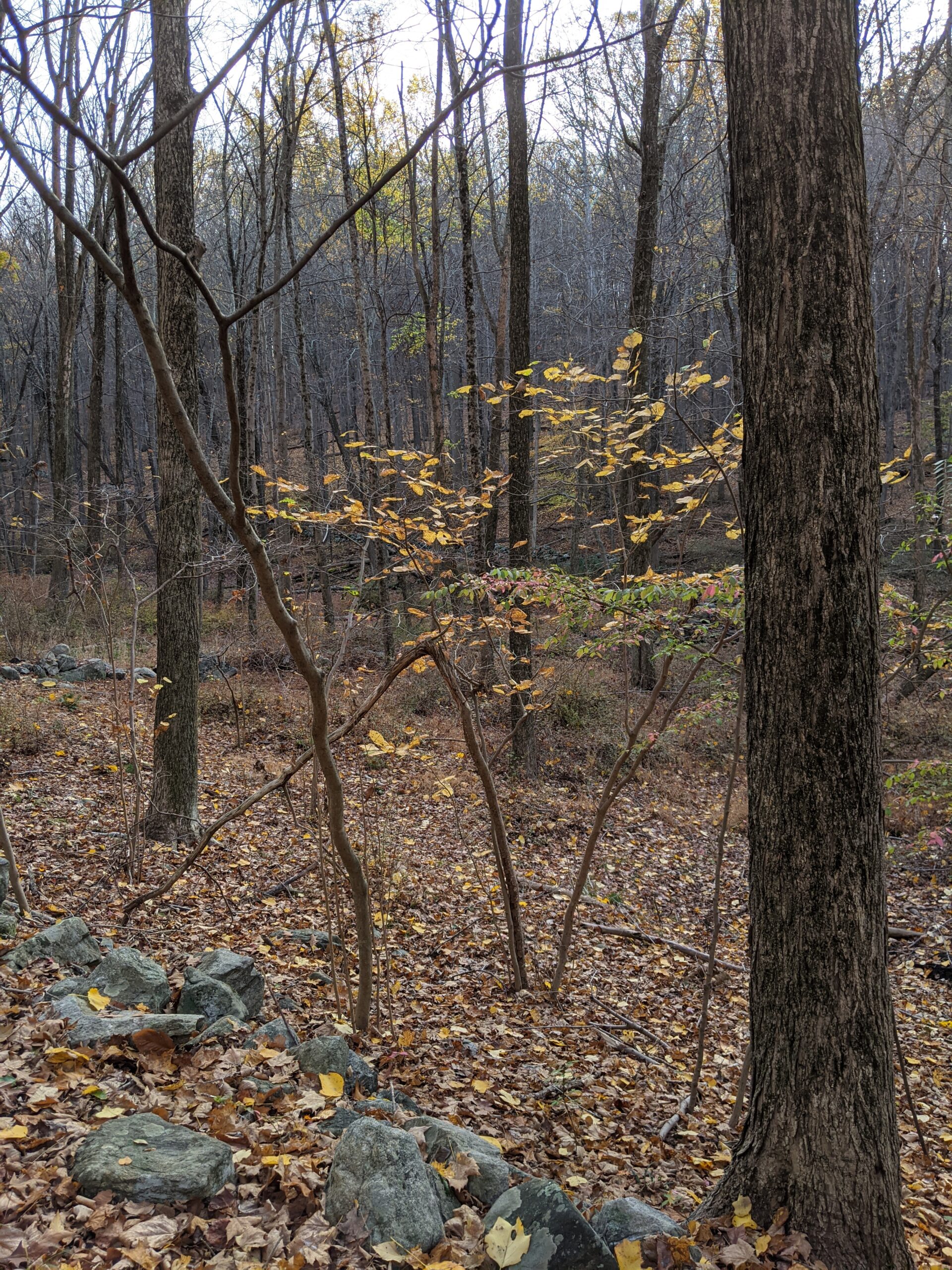
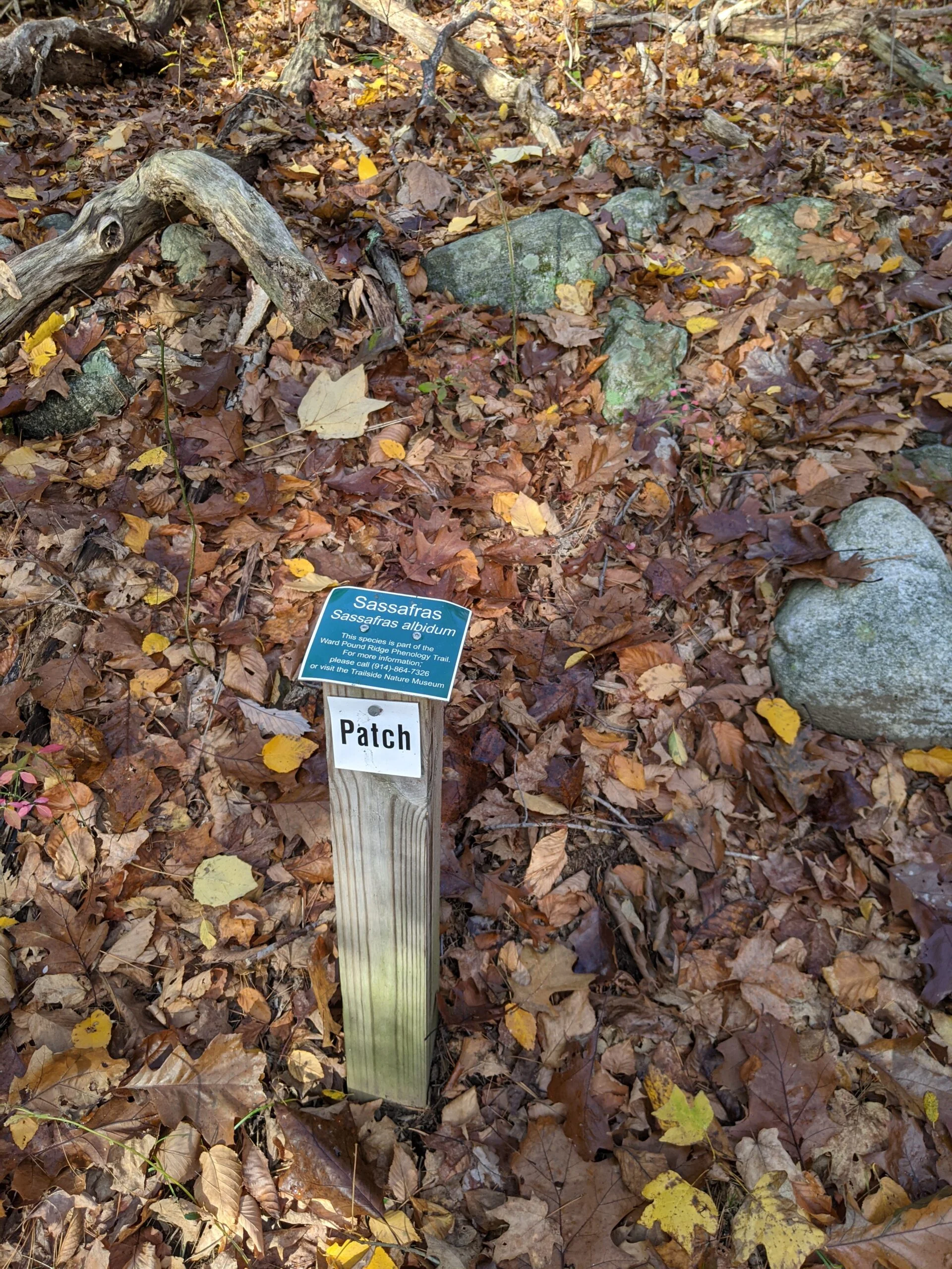
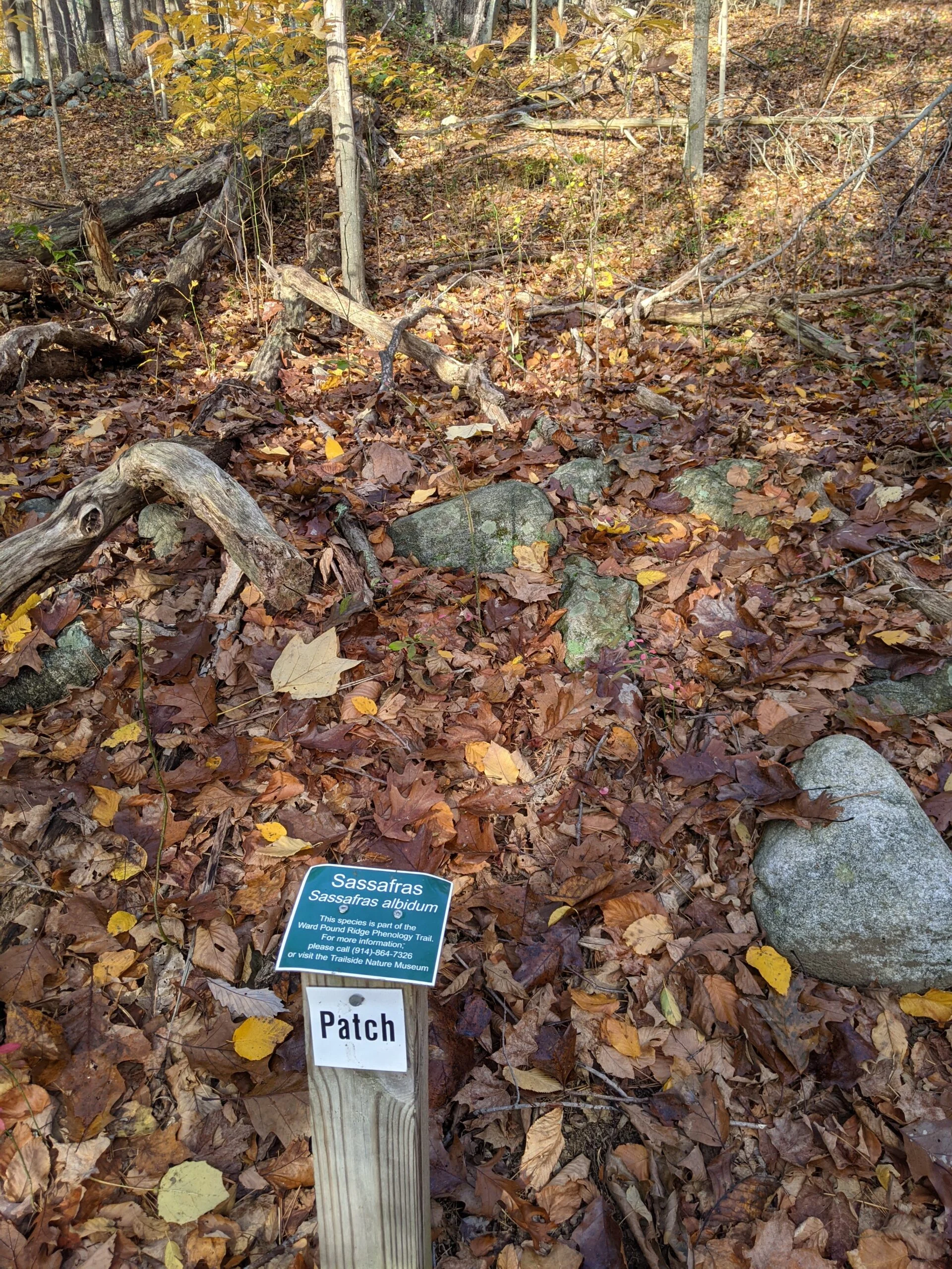
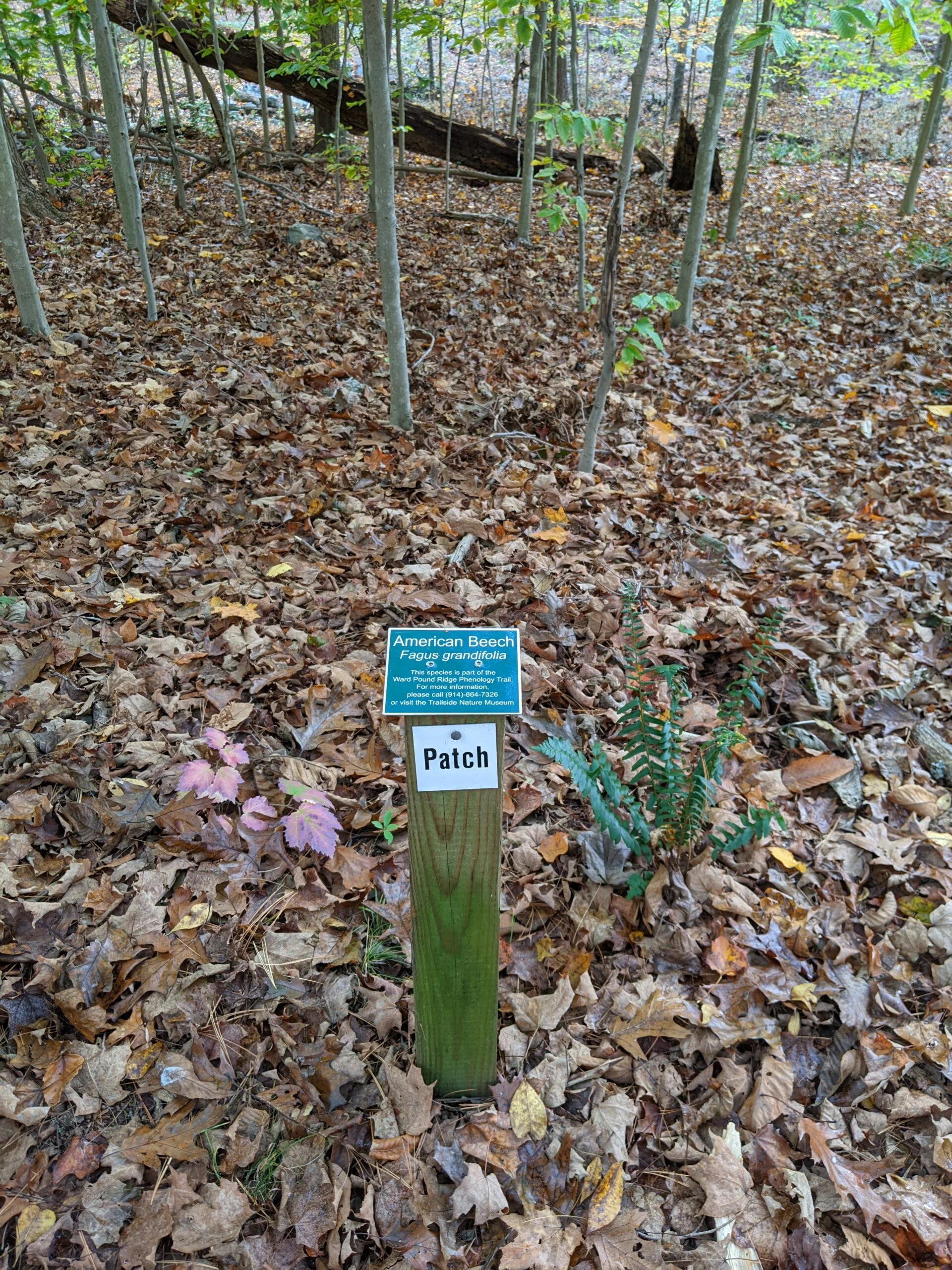
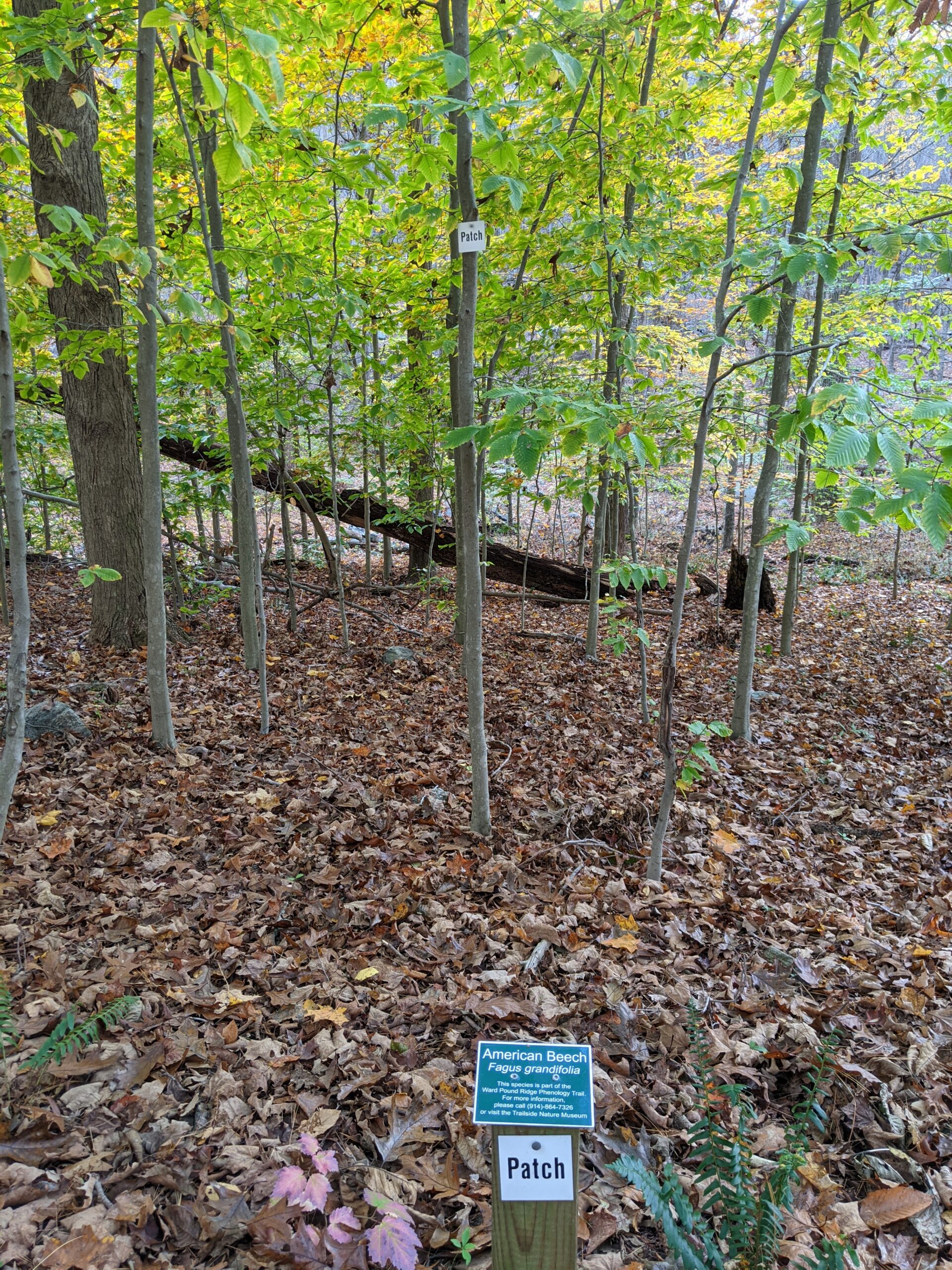
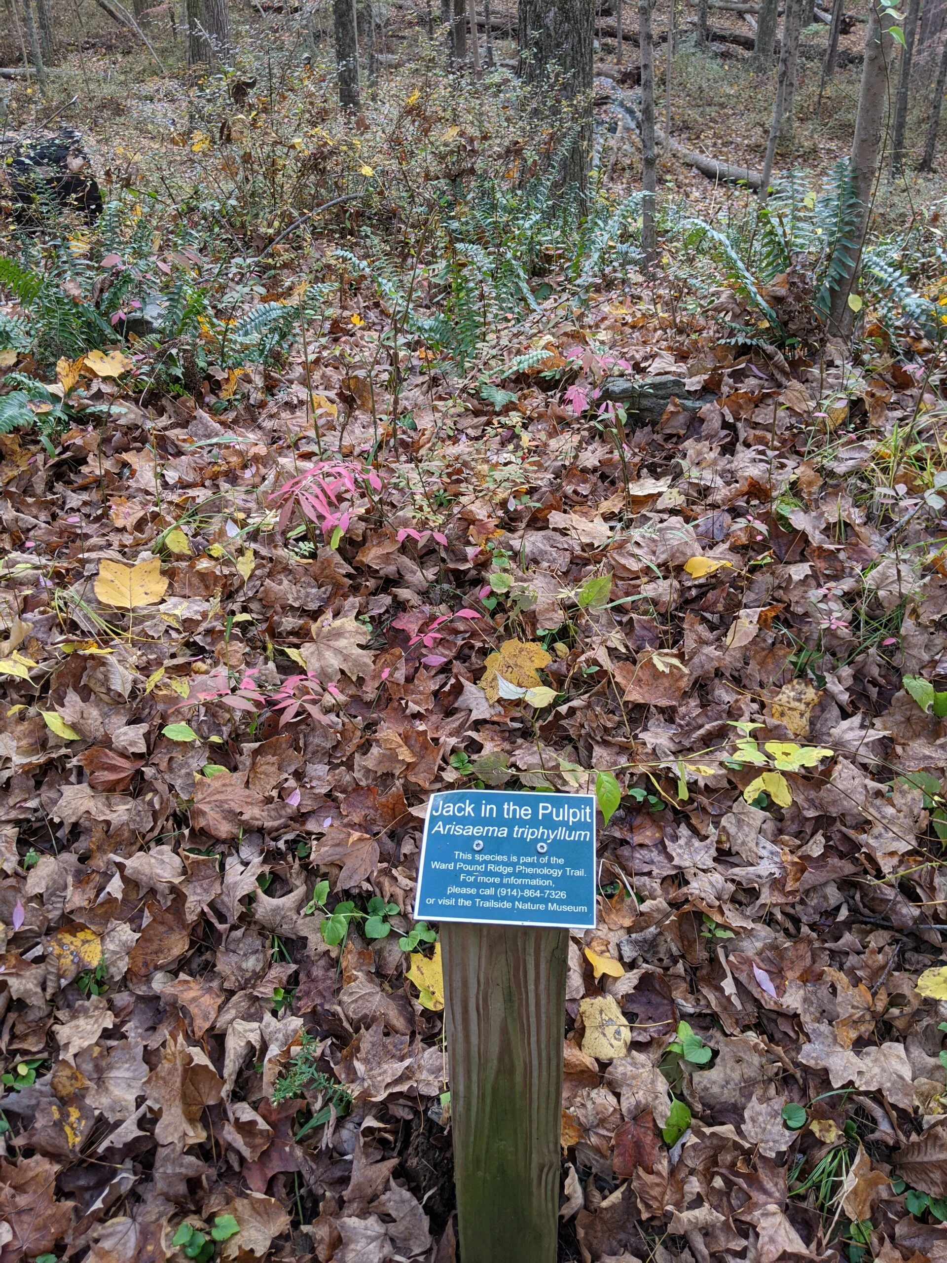
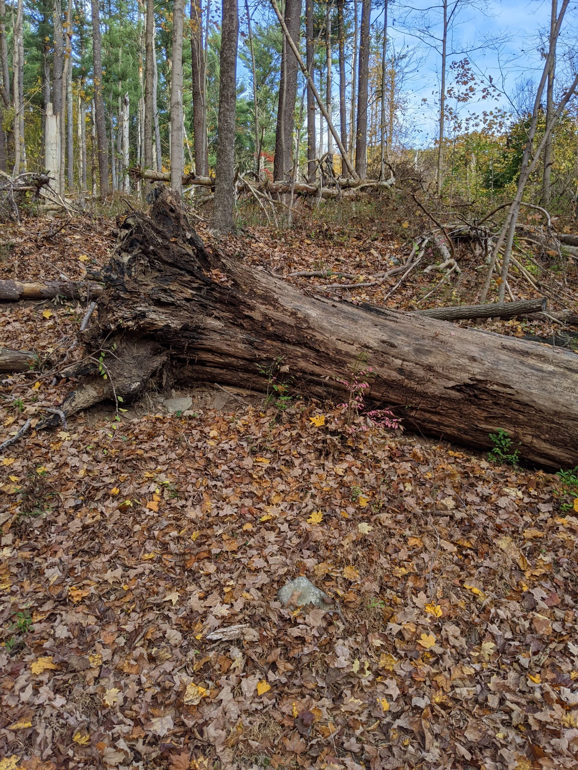
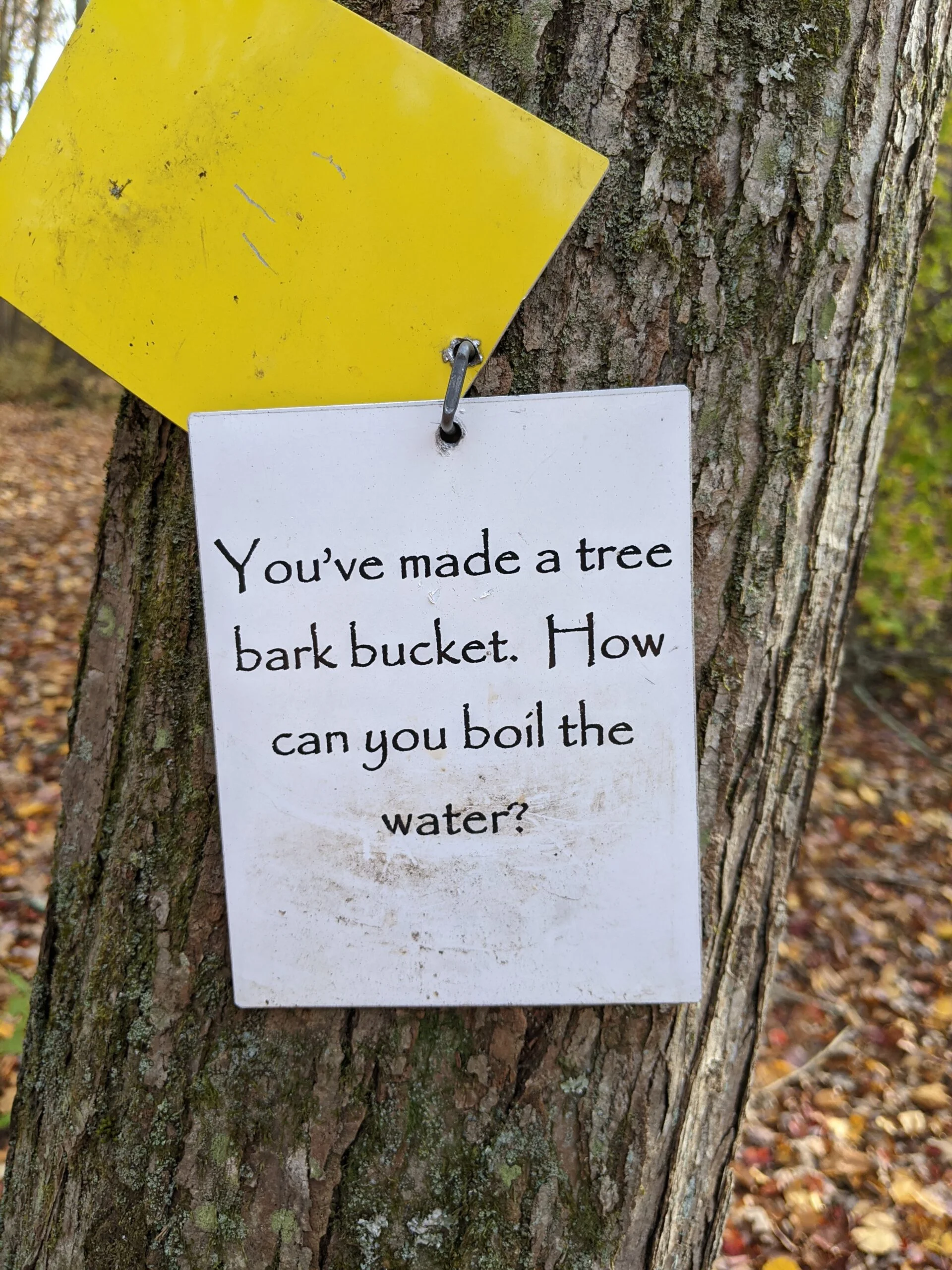
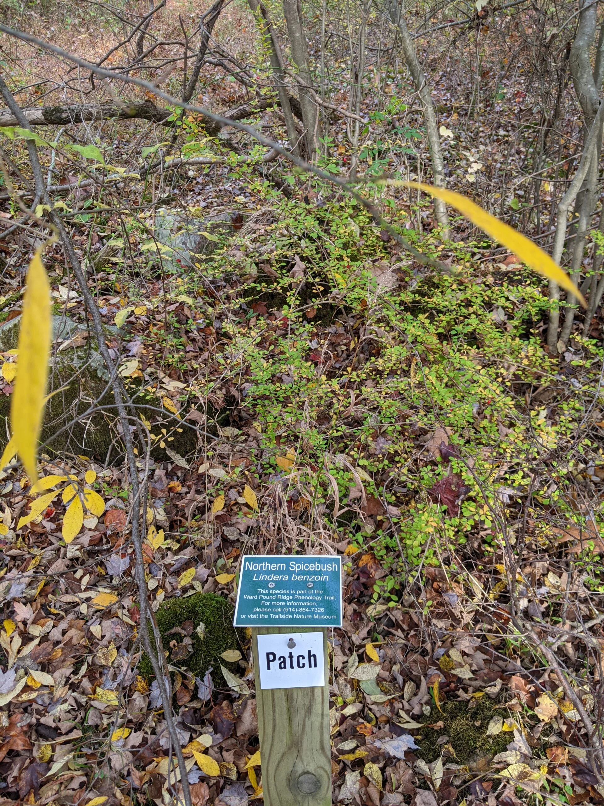
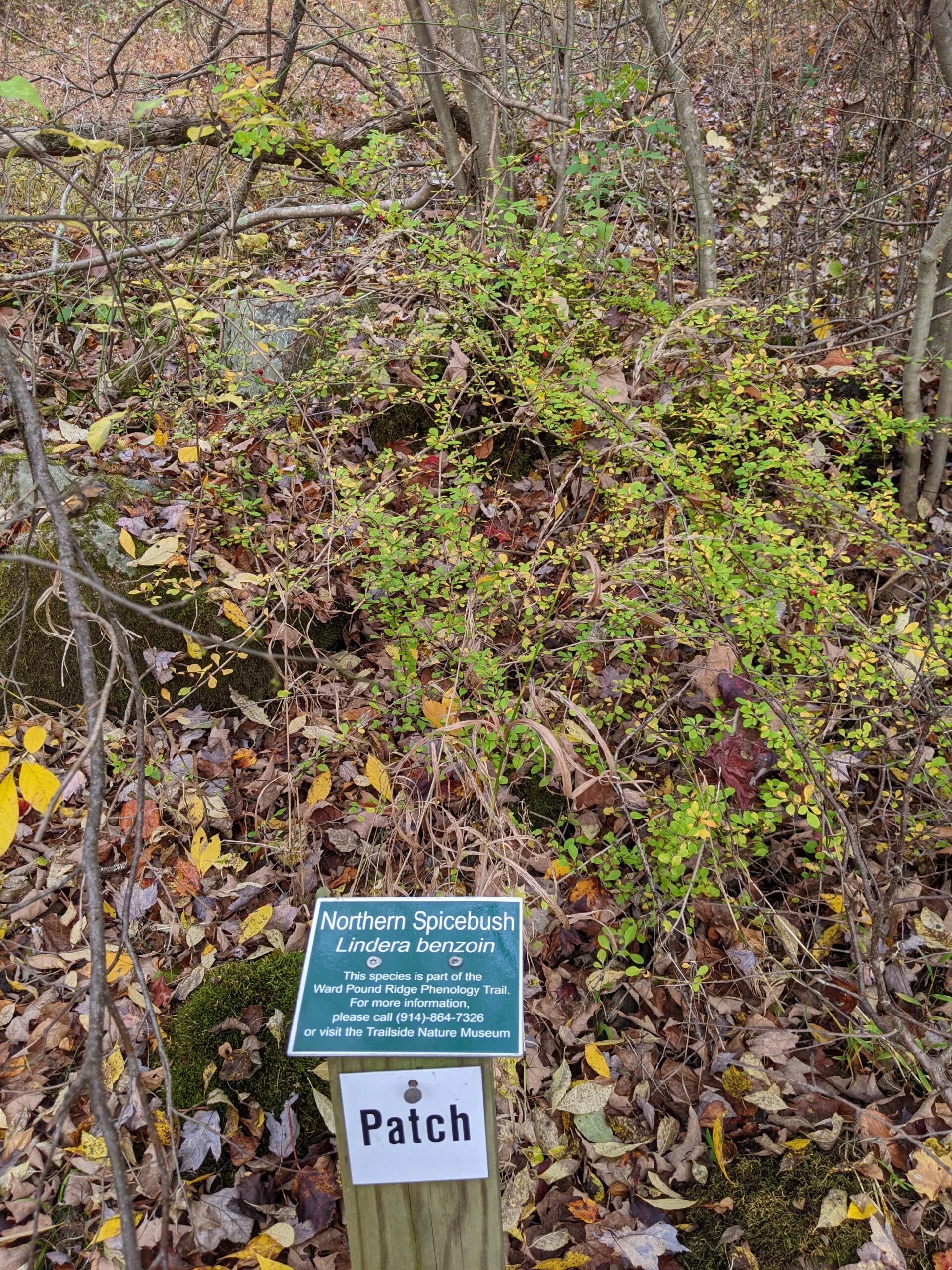
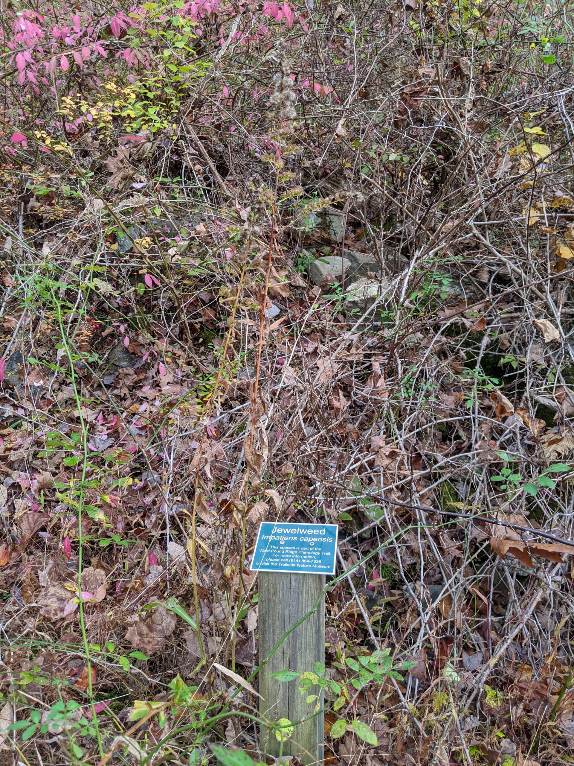
At intersection 10, I connected with the Orange trail and things got interesting. I came upon a sign welcoming me to the Ward Pound Ridge Reservation Upland Phenology Trail. As explained on the sign, phenology is the study of seasonal changes during the life cycle of plants and animals. As I walked along the trail, several plants and trees were identified with markers. The idea is to visit several times a year and watch the changes that occur with the seasons.
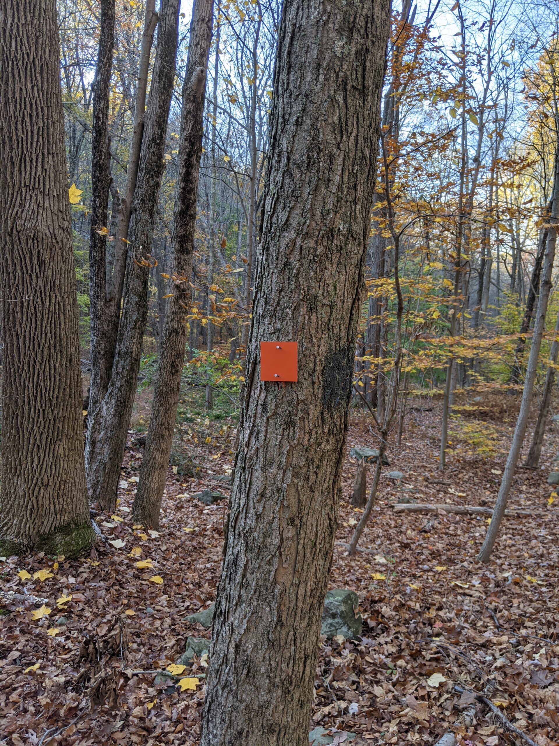
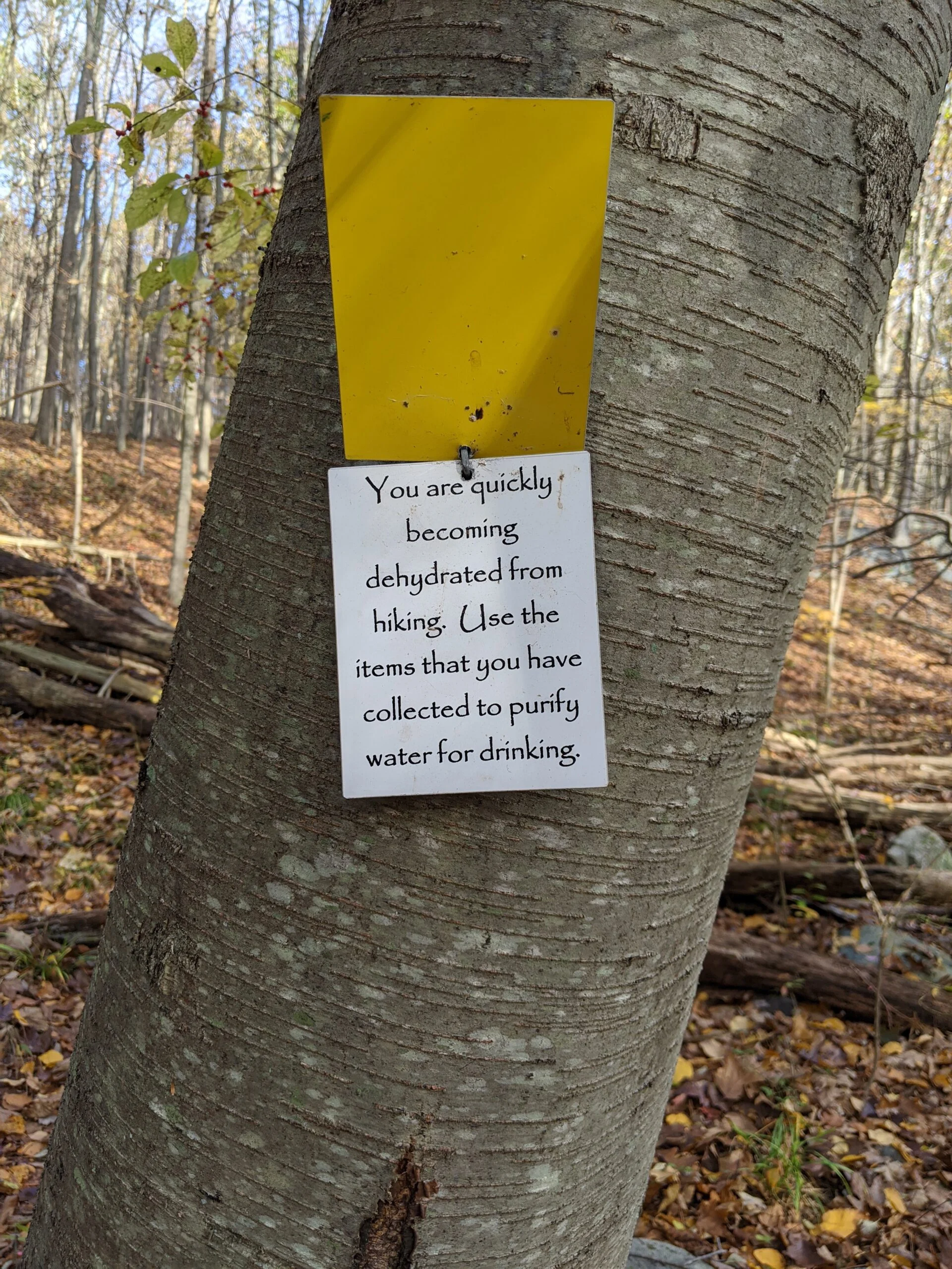
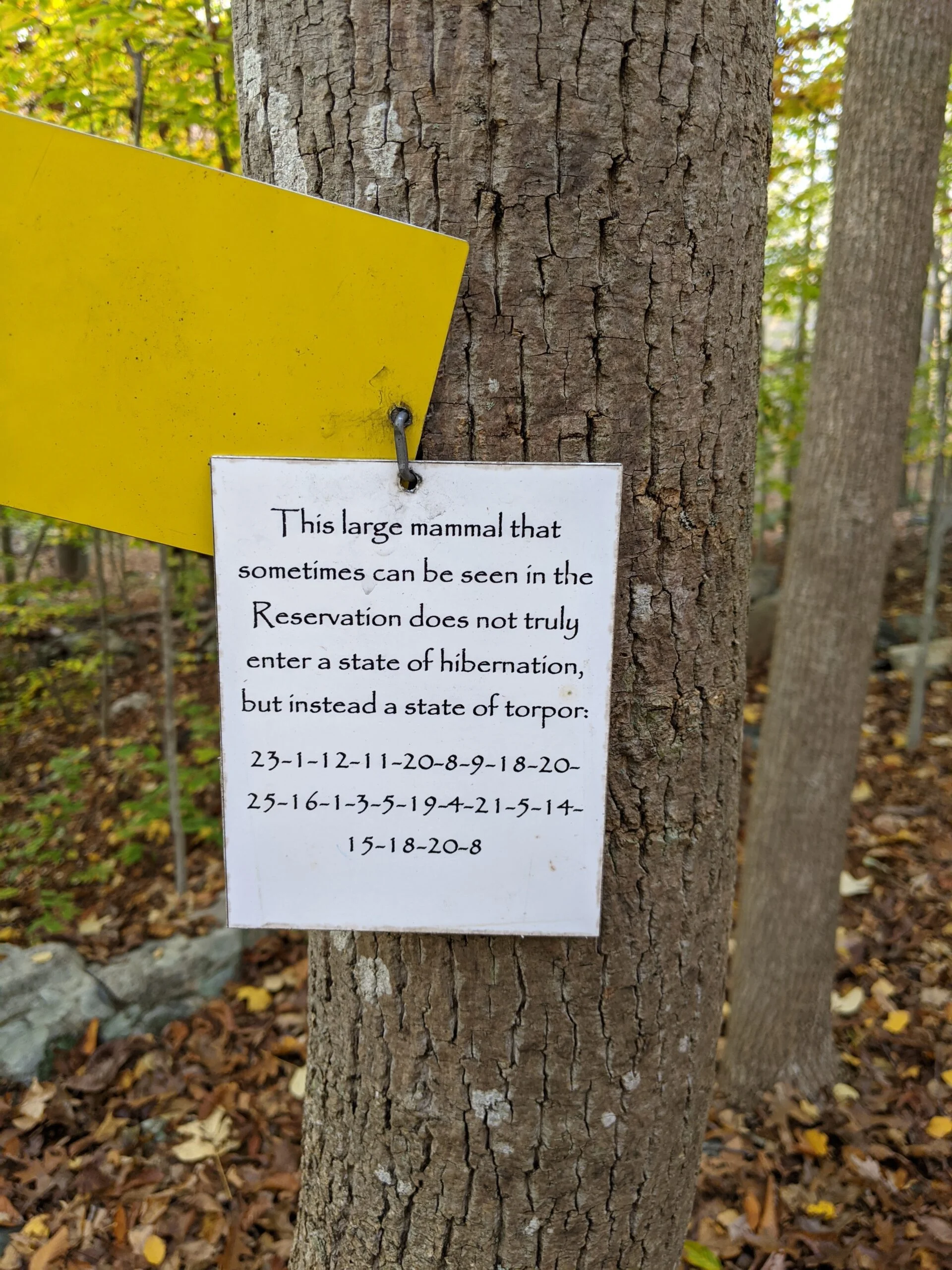
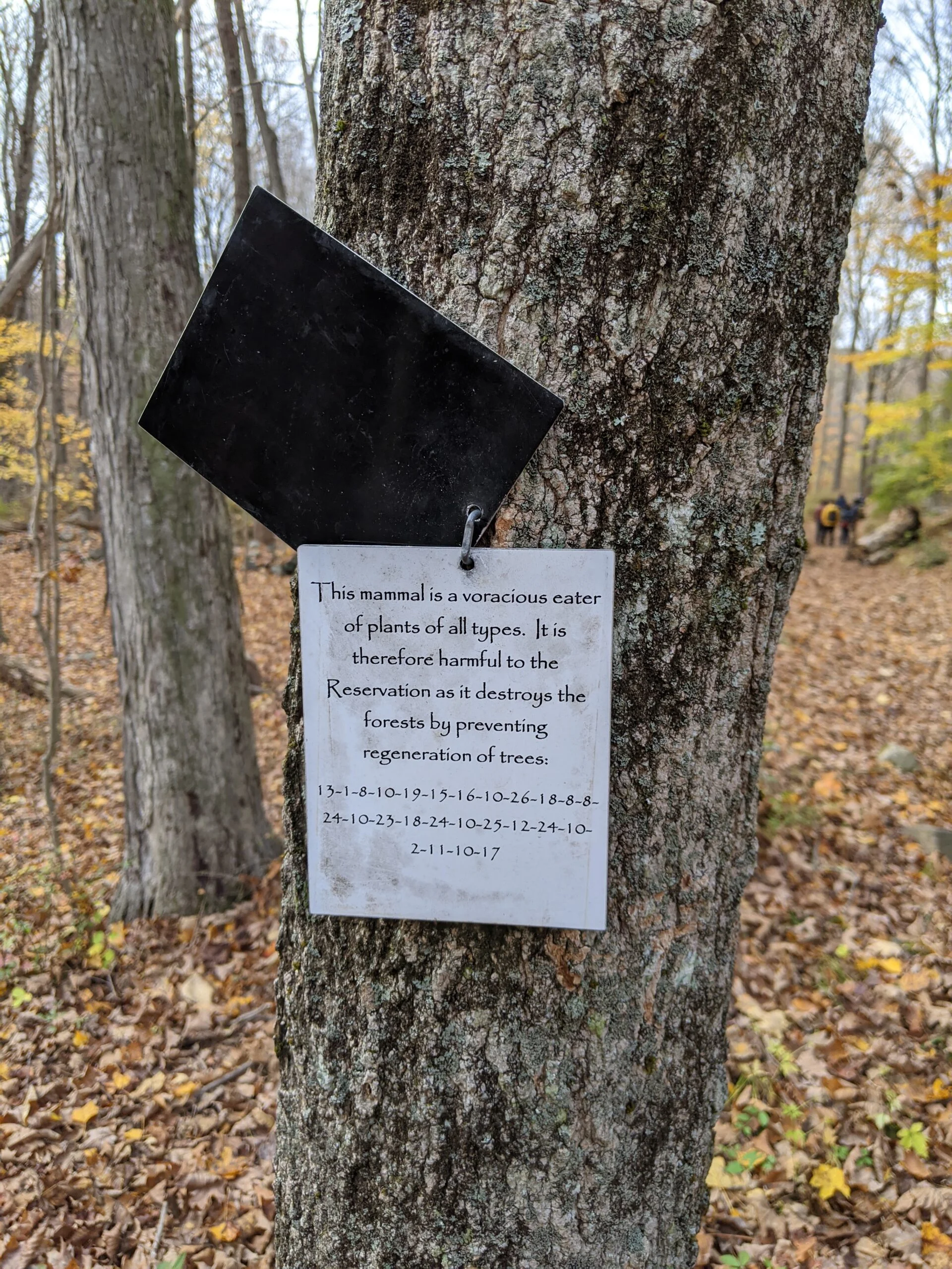
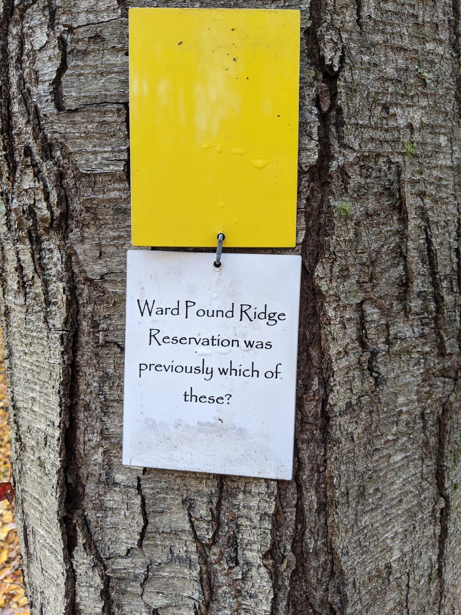
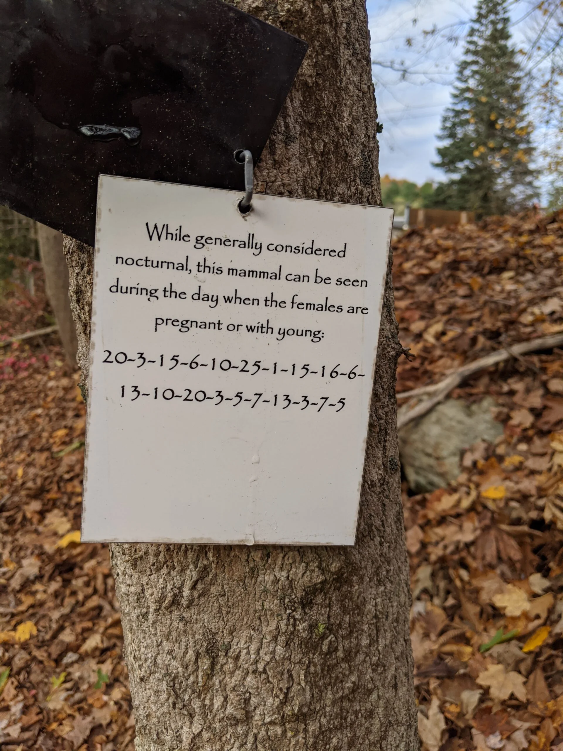
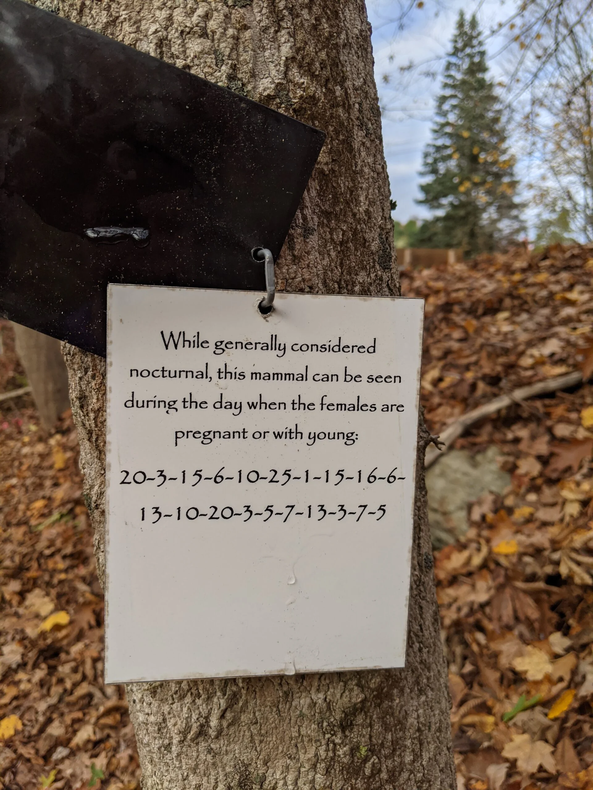
Along this trail, I also noticed metal placards on some of the trees. Basically there was one metal sheet covering another and when I lifted up the first sheet, there were various questions, riddles, and tasks. I think this is some kind of survival exercise. Some of them had numeric codes to decipher. Although I photographed all the ones I found, I didn’t participate in the game. I would be cool to come back, find them all, and solve the riddles.
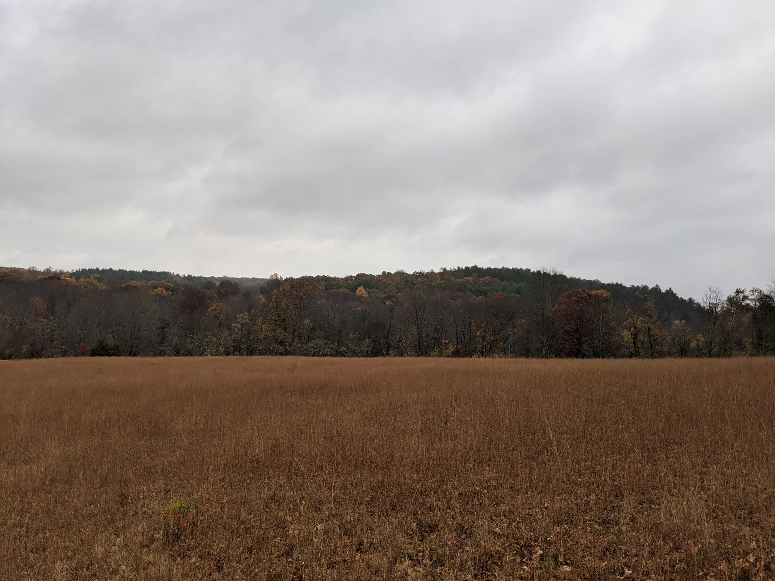
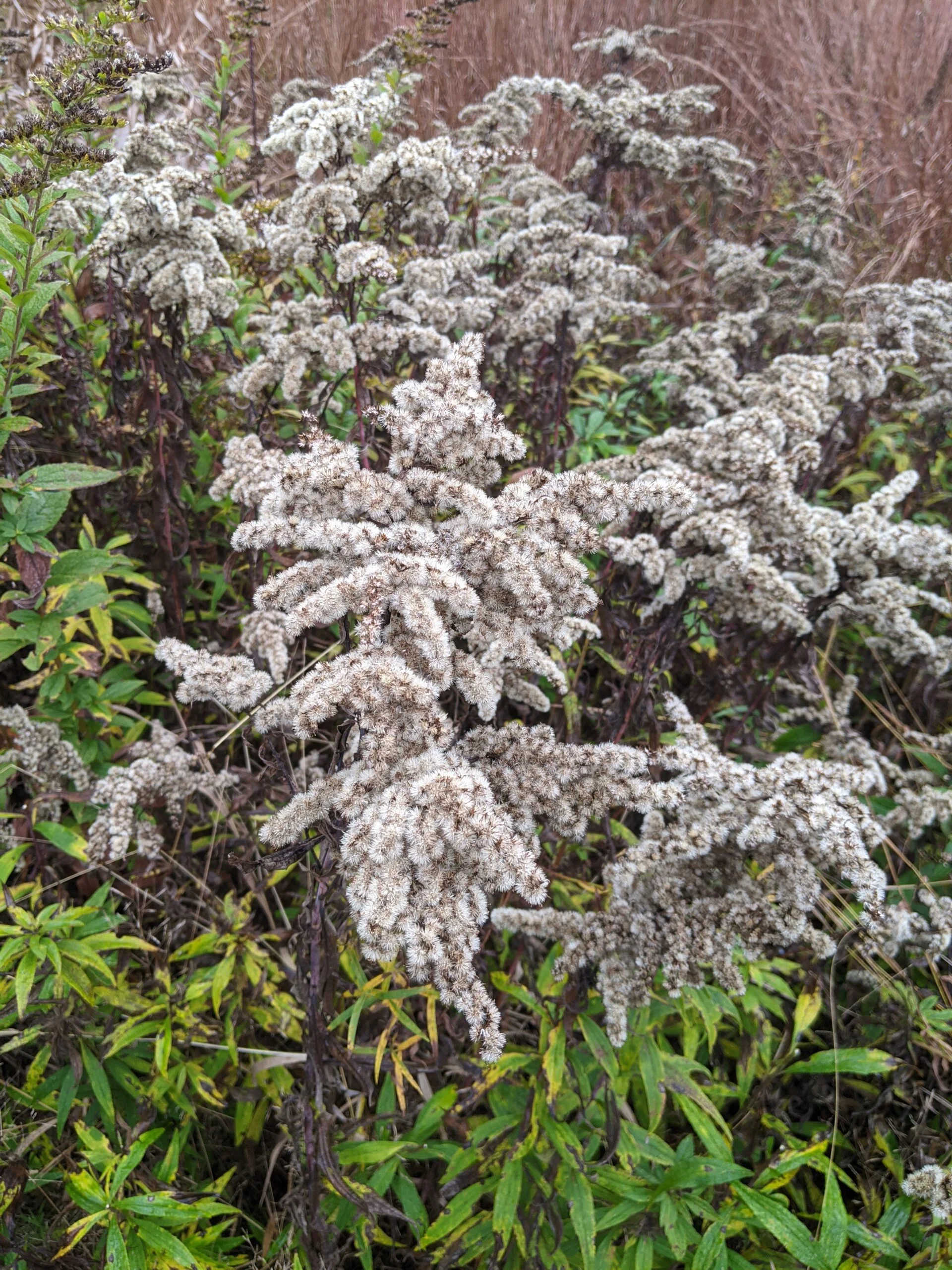
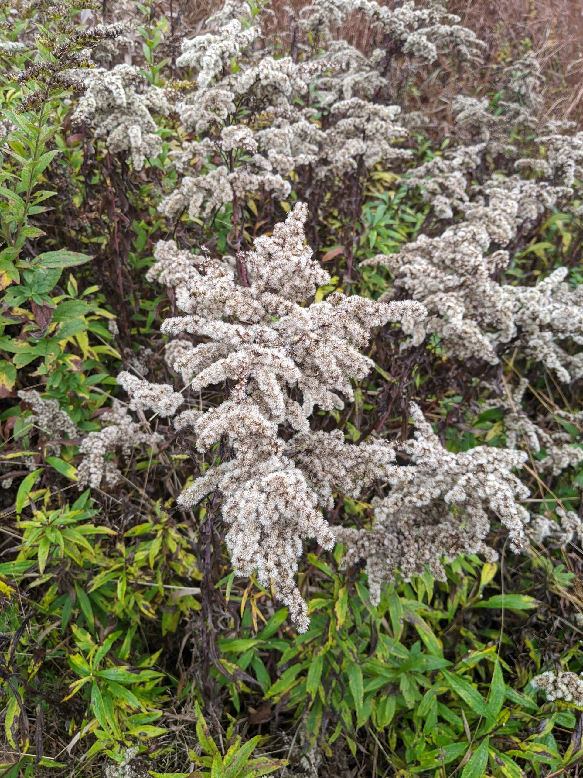
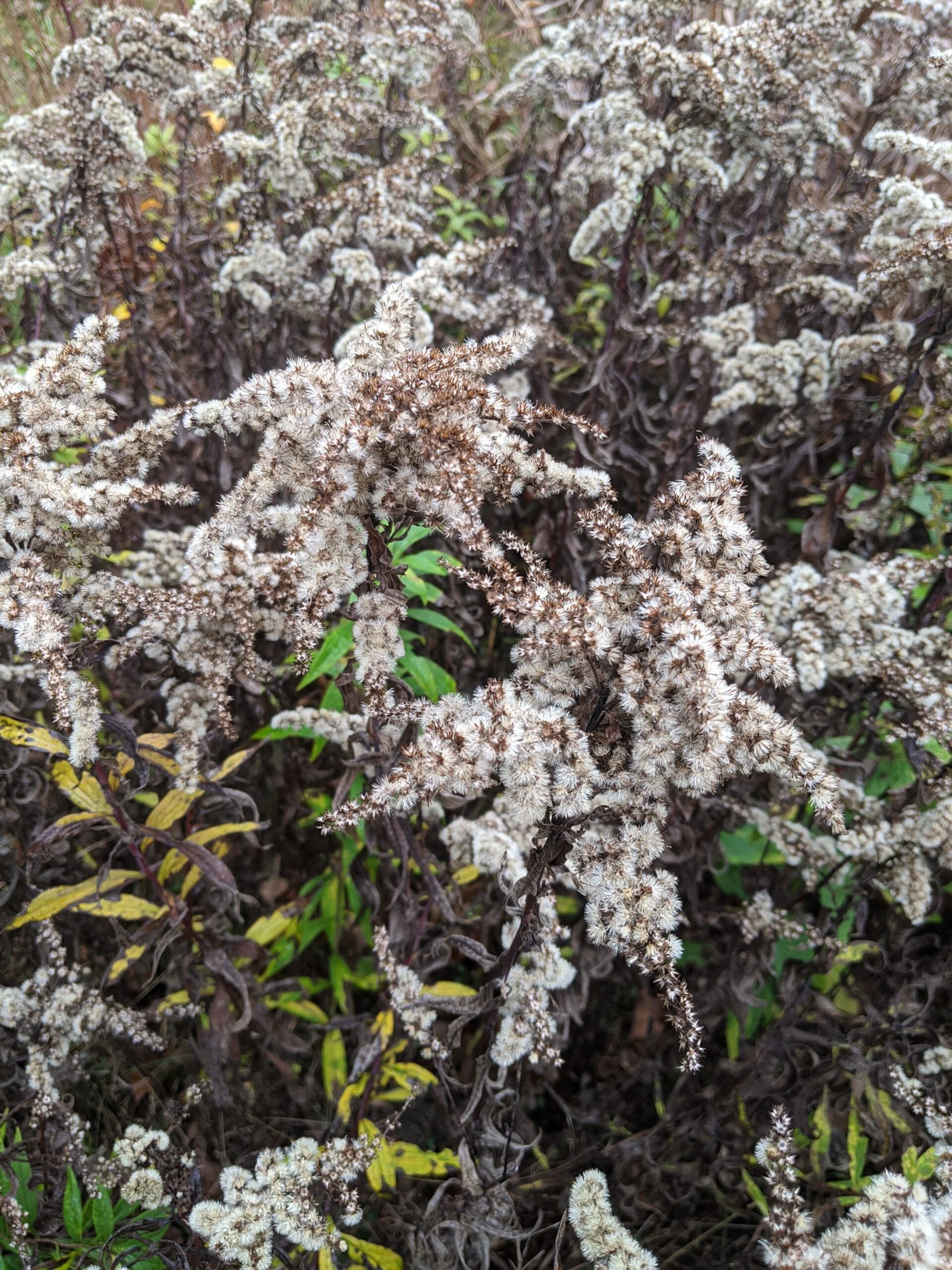
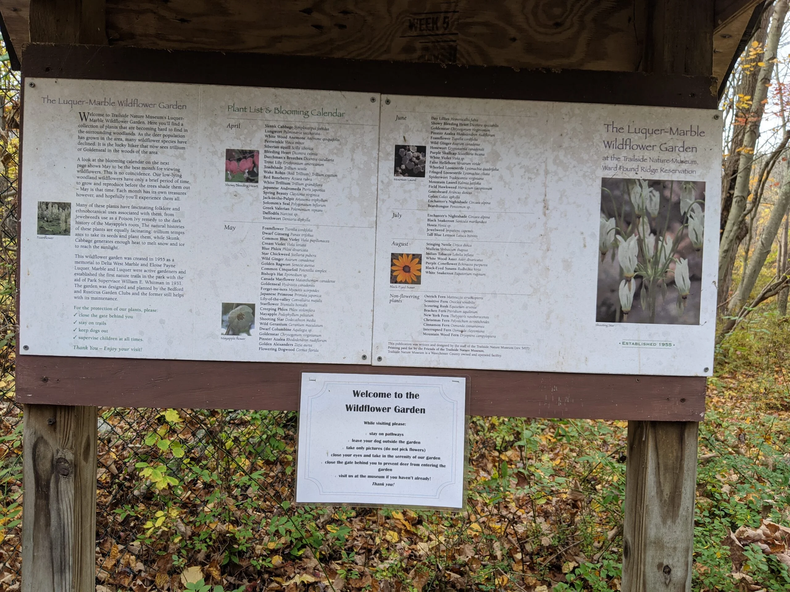
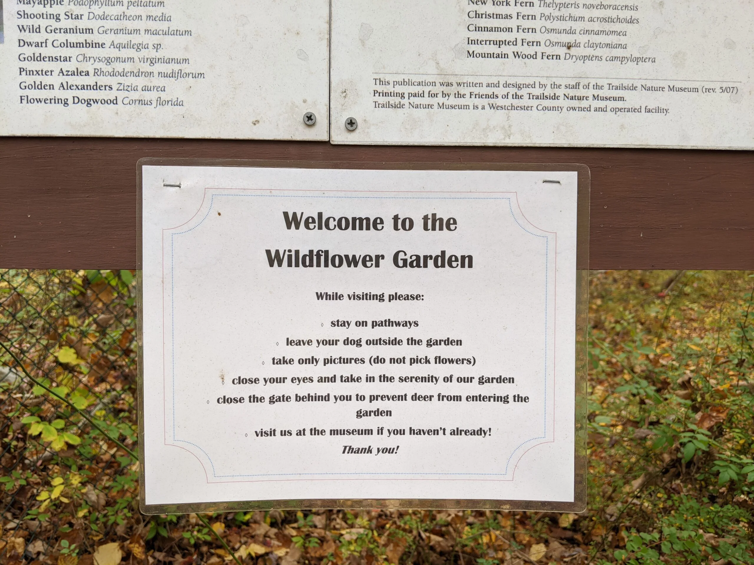
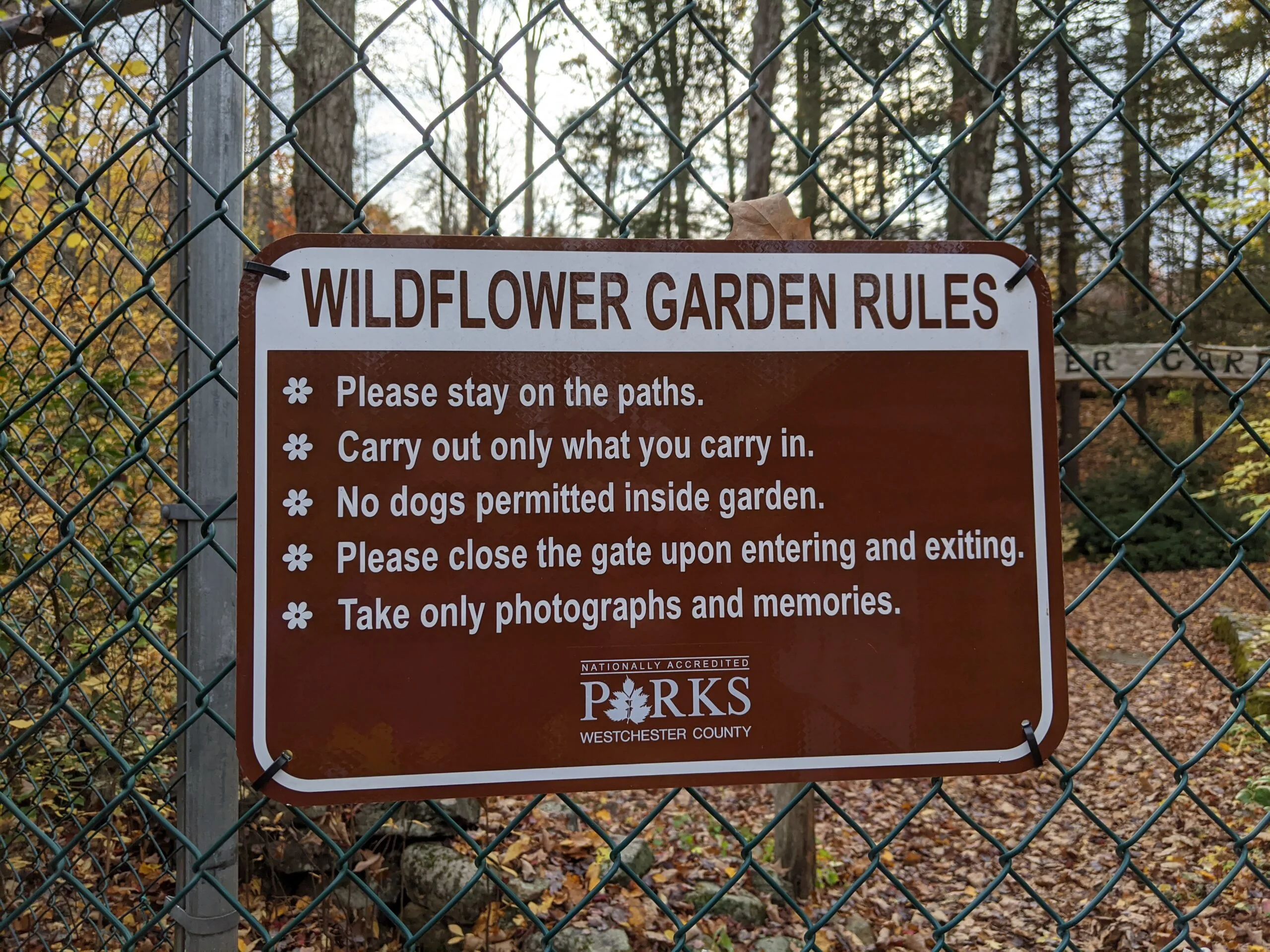
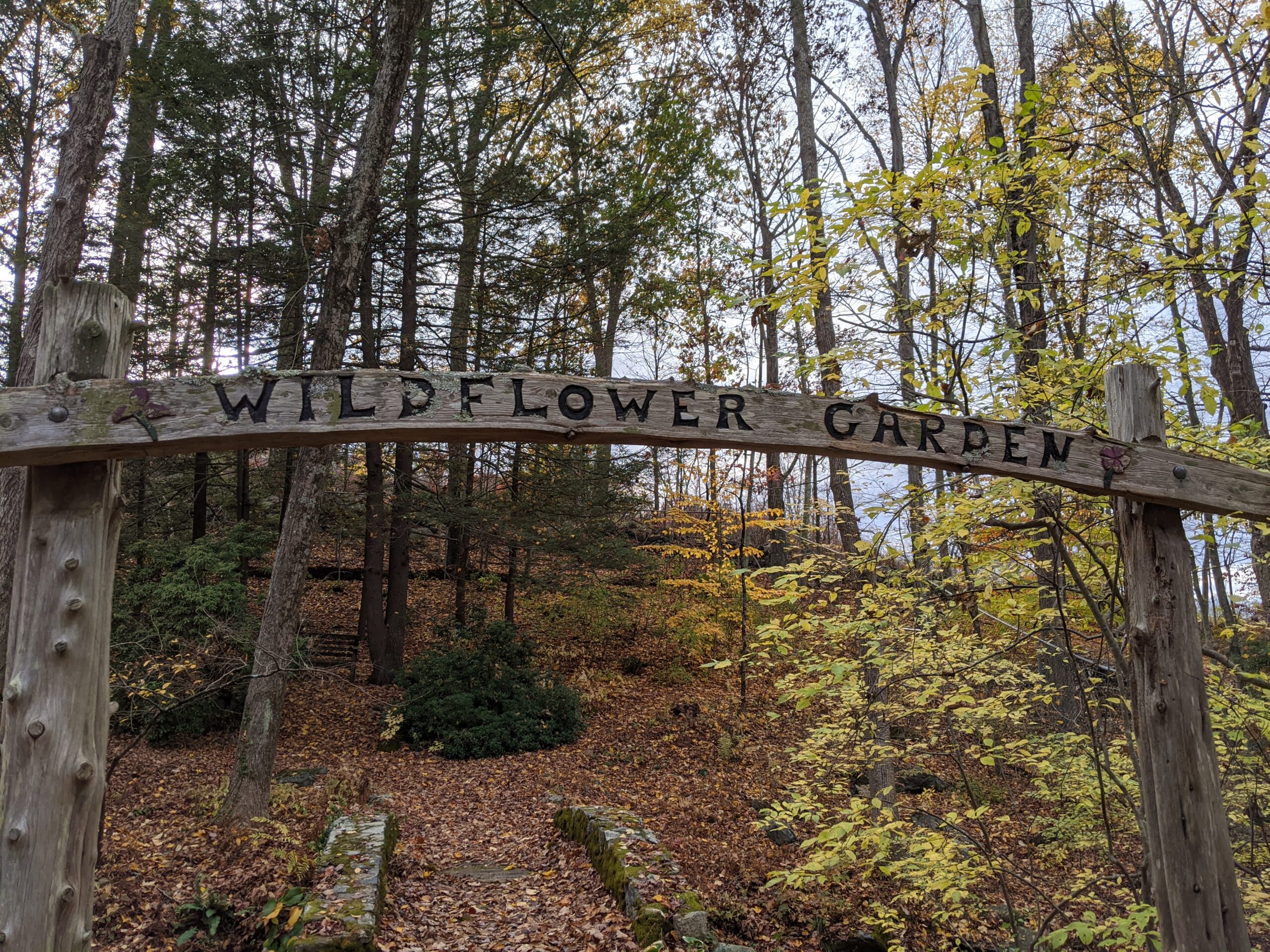
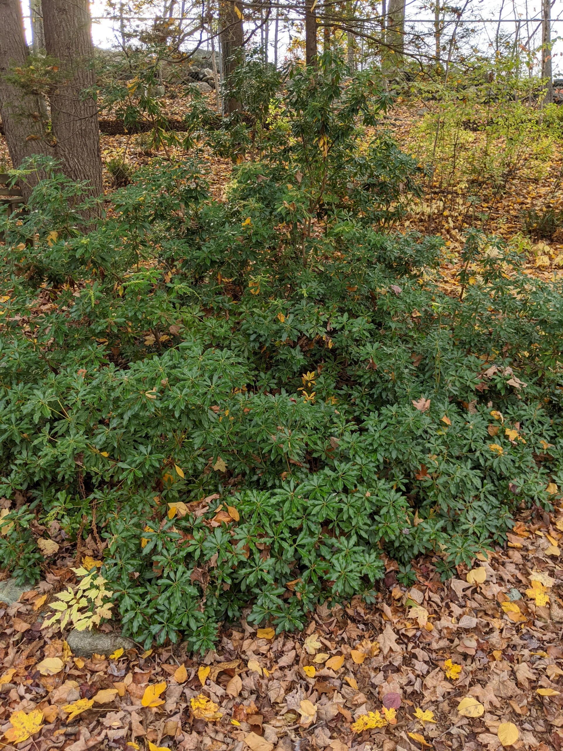
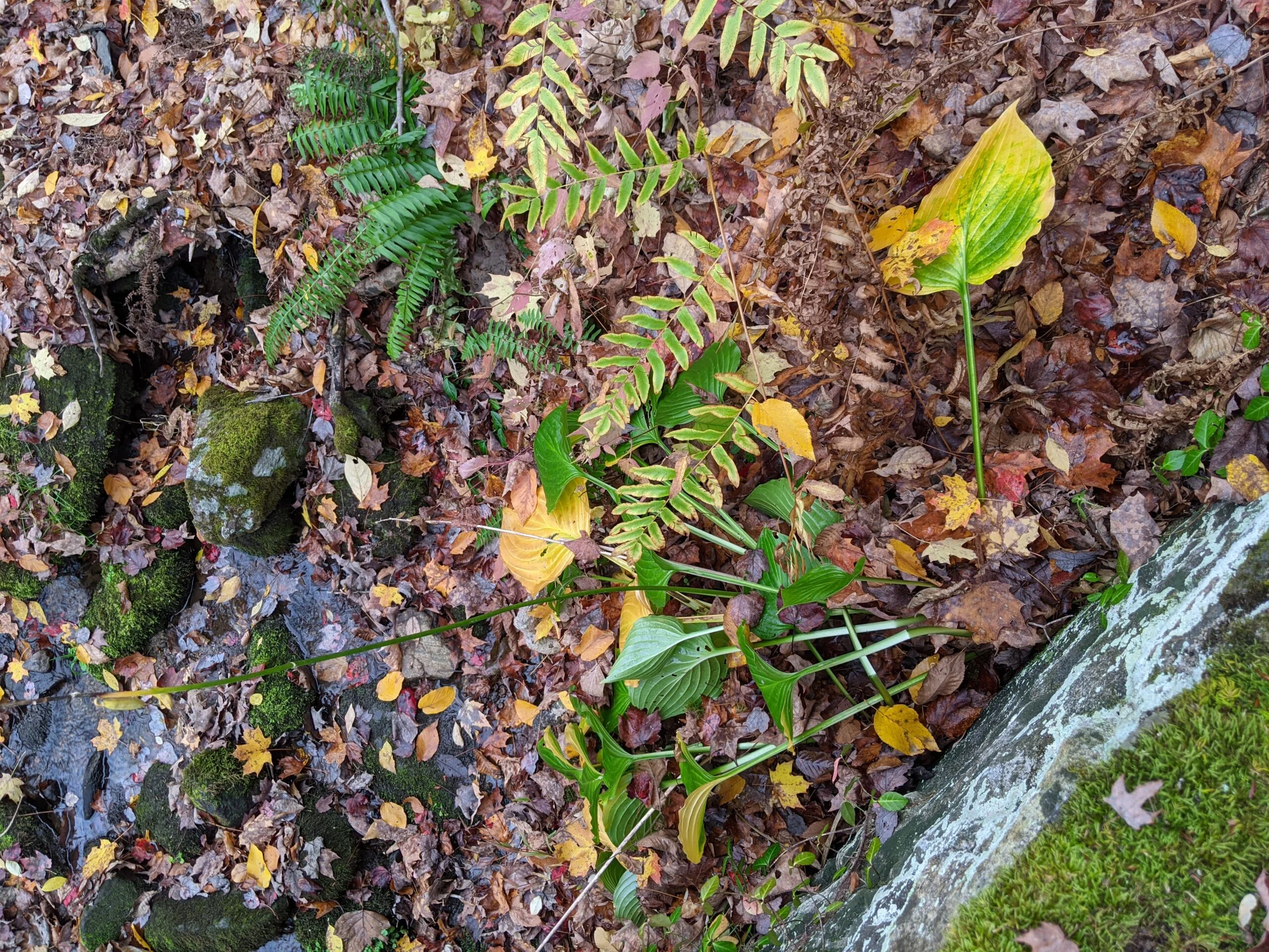
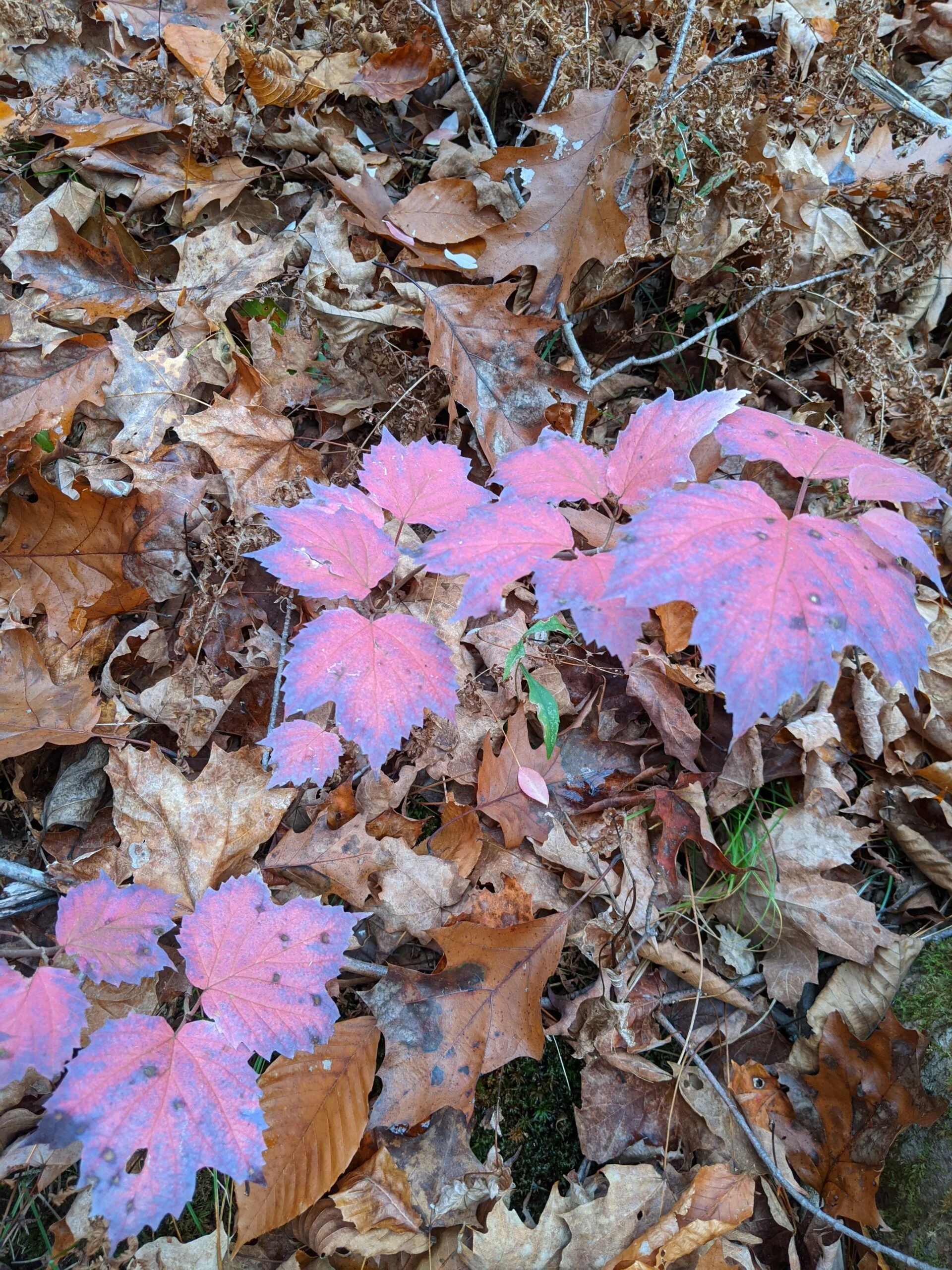
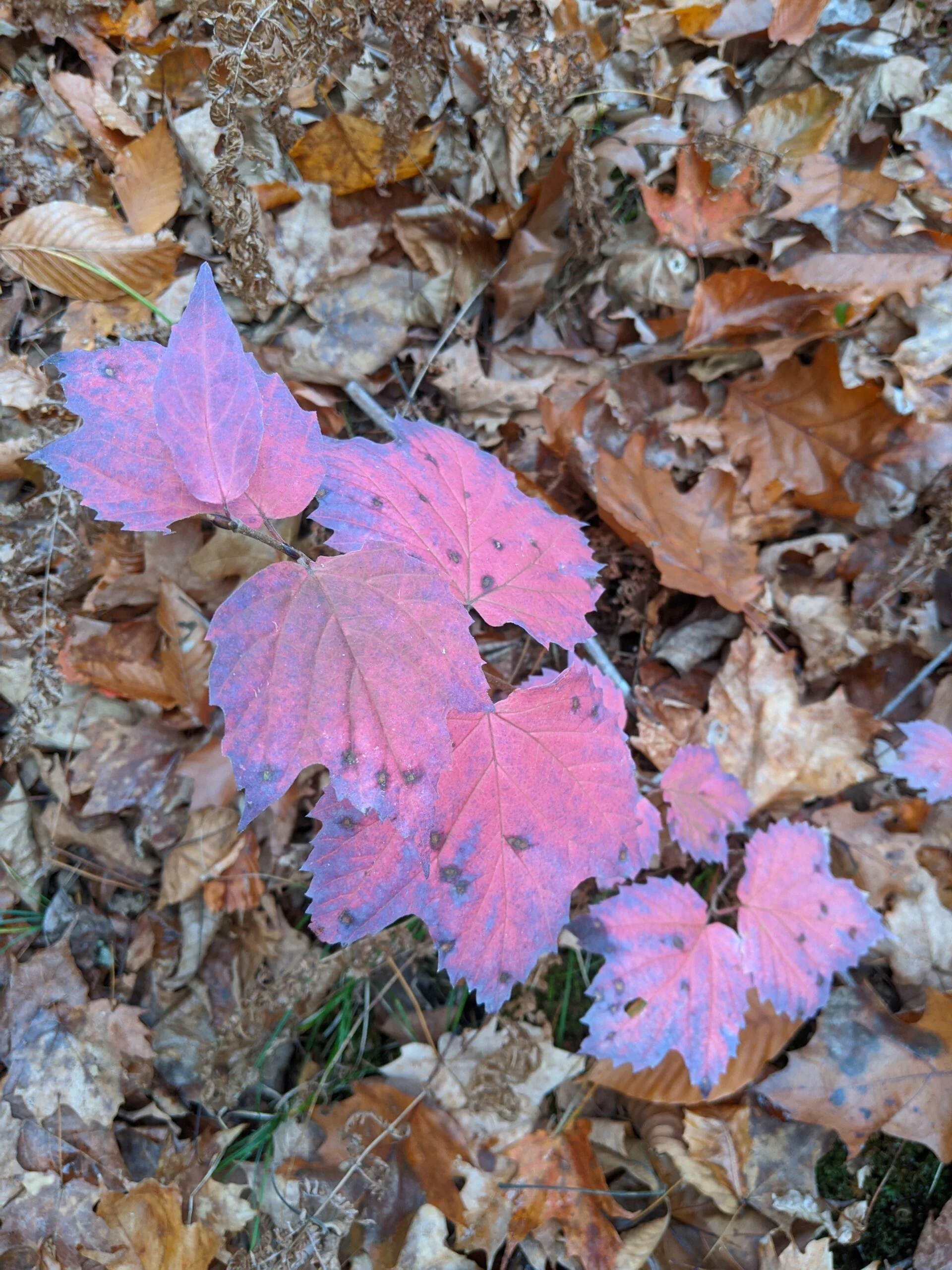
I came to the end of the Orange trail and saw something off to my left. Welcome to the Wildflower Garden. This is a fenced off area with a variety of plants – close to 100, according to the sign. Since I was visiting the garden at the end of October, there were only a few plants still readily visible. I’d love to come back during the blooming season to see how beautiful this area must look!
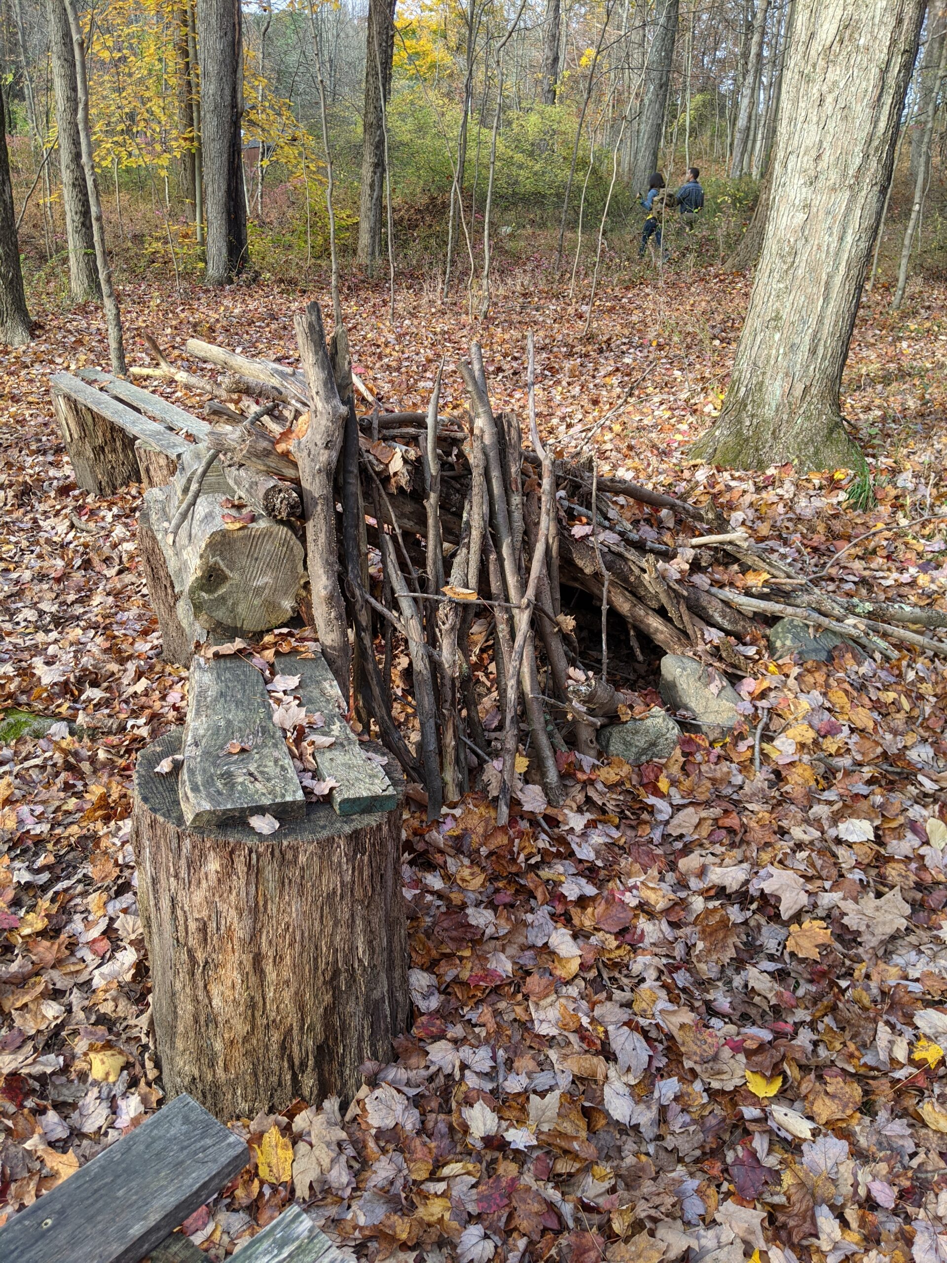
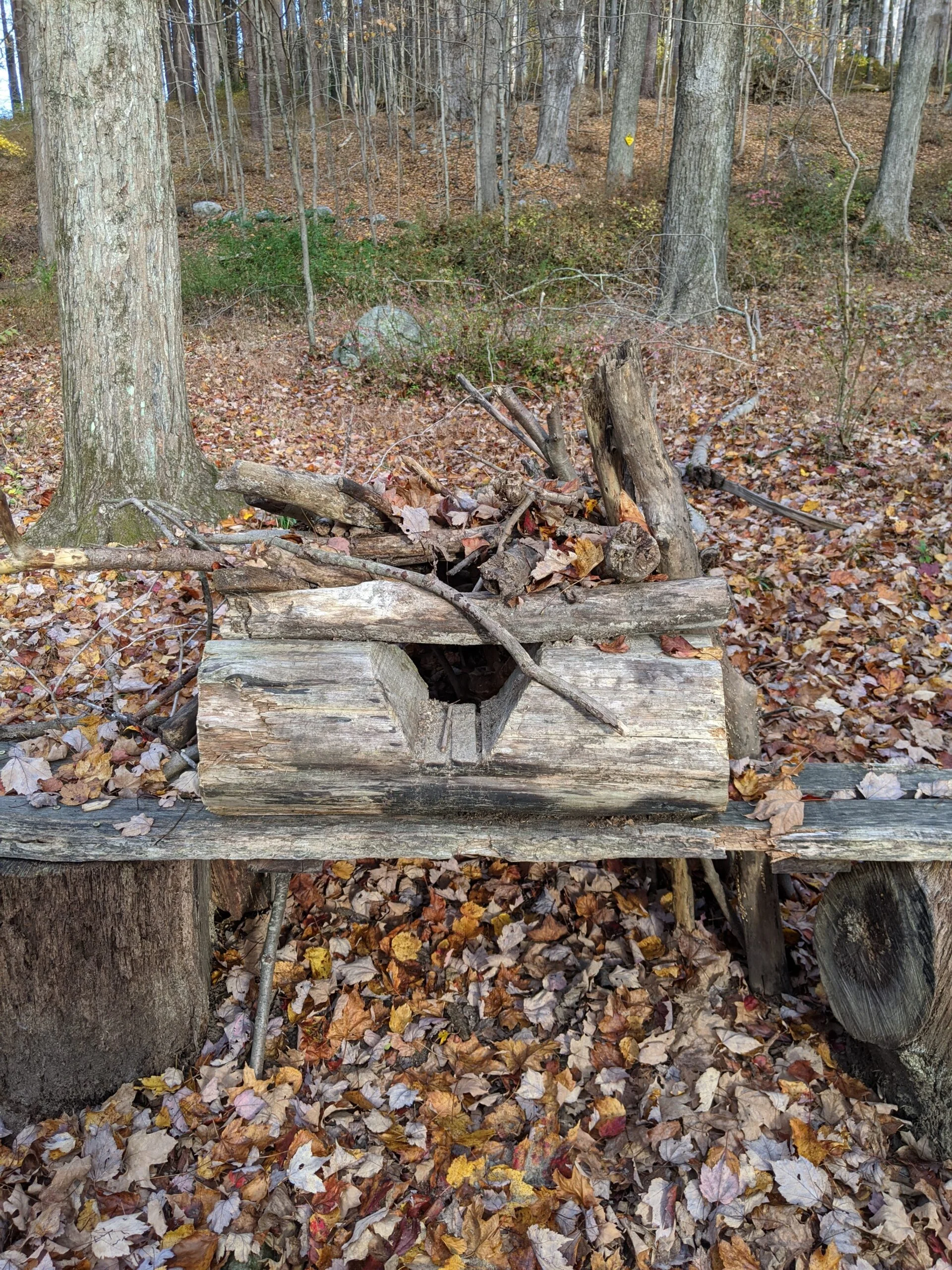
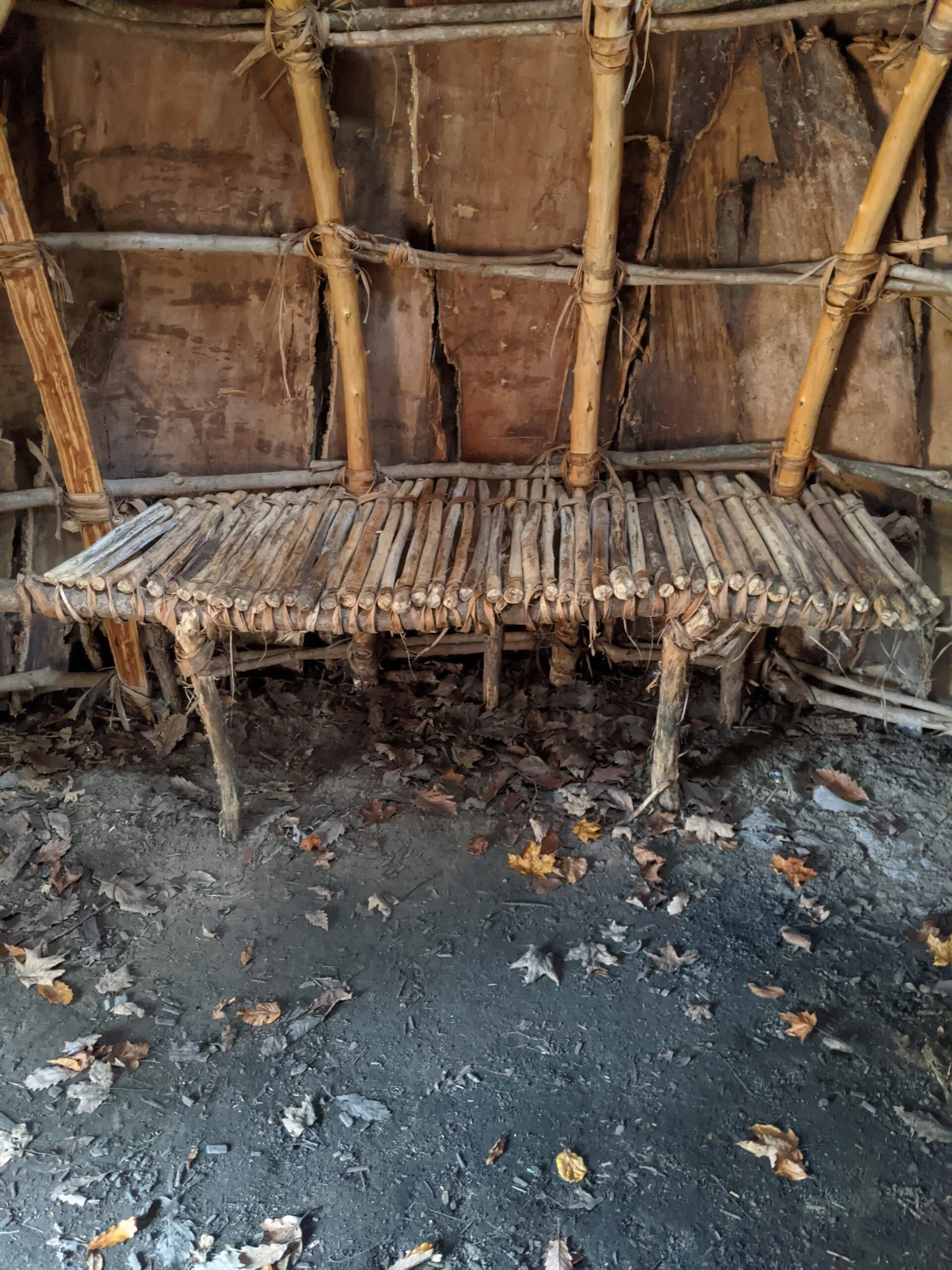
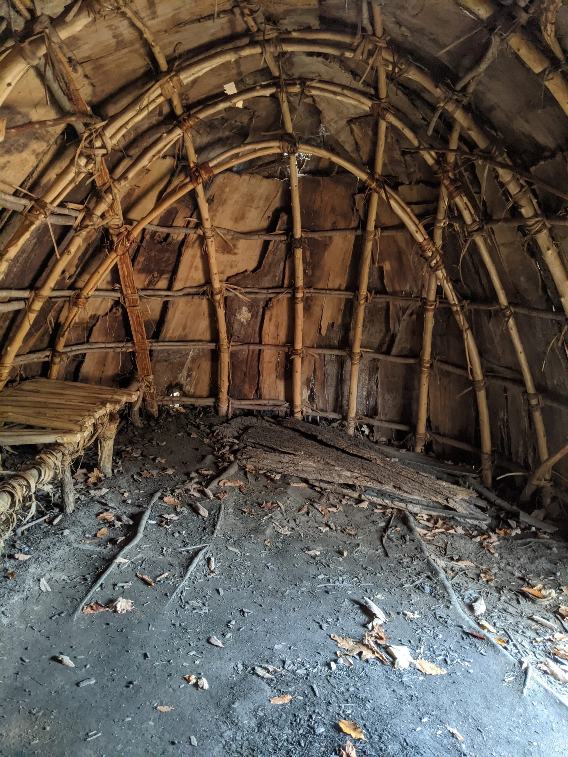
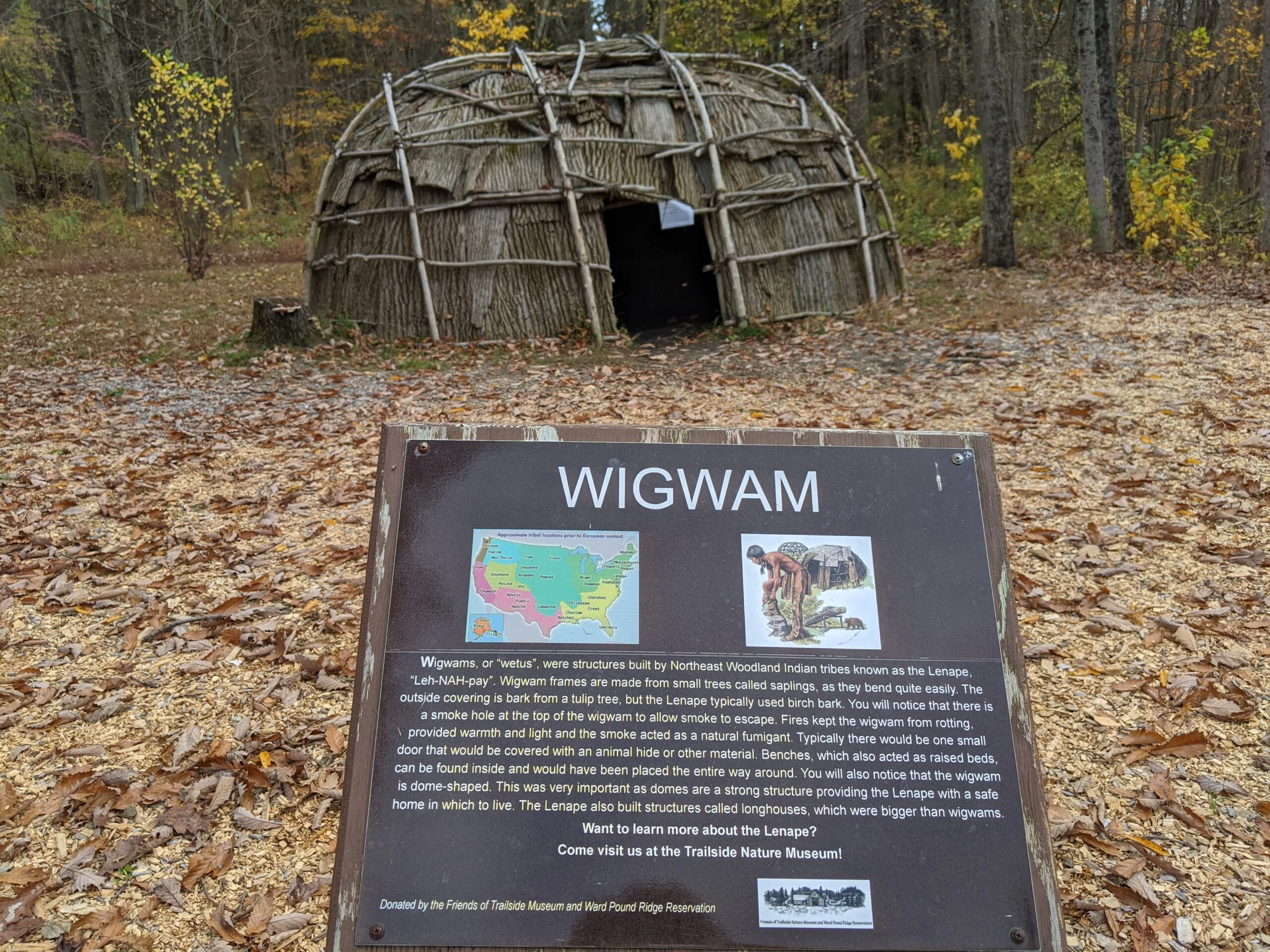
After exiting the garden, I explored the area around the Trailside Nature Museum. There’s an authentic Indian wigwam shelter made out of small trees and bark. I ventured inside the shelter. It could easily fit 30 people standing and probably a dozen or so sleeping. Such a cool and interesting structure!
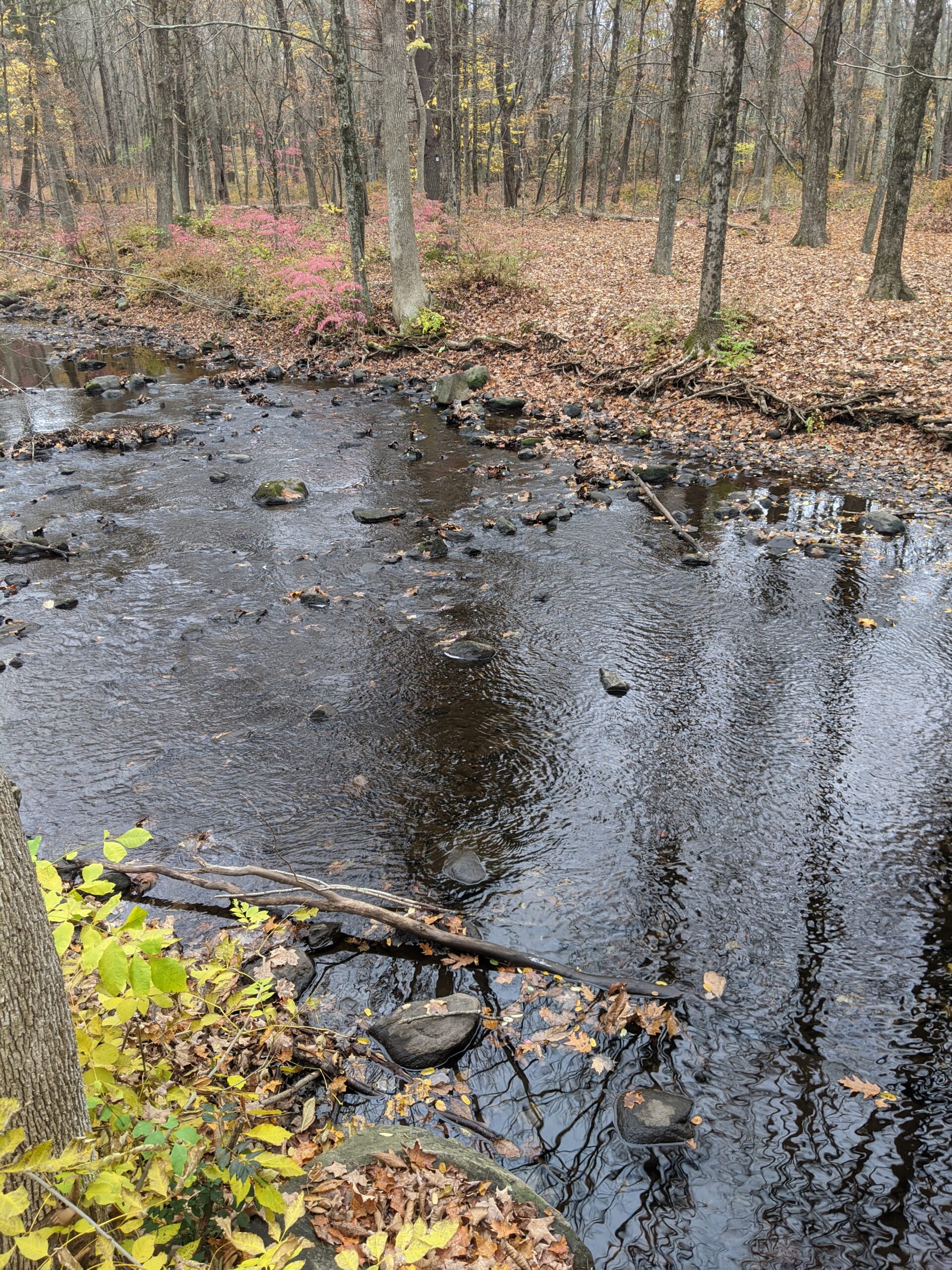
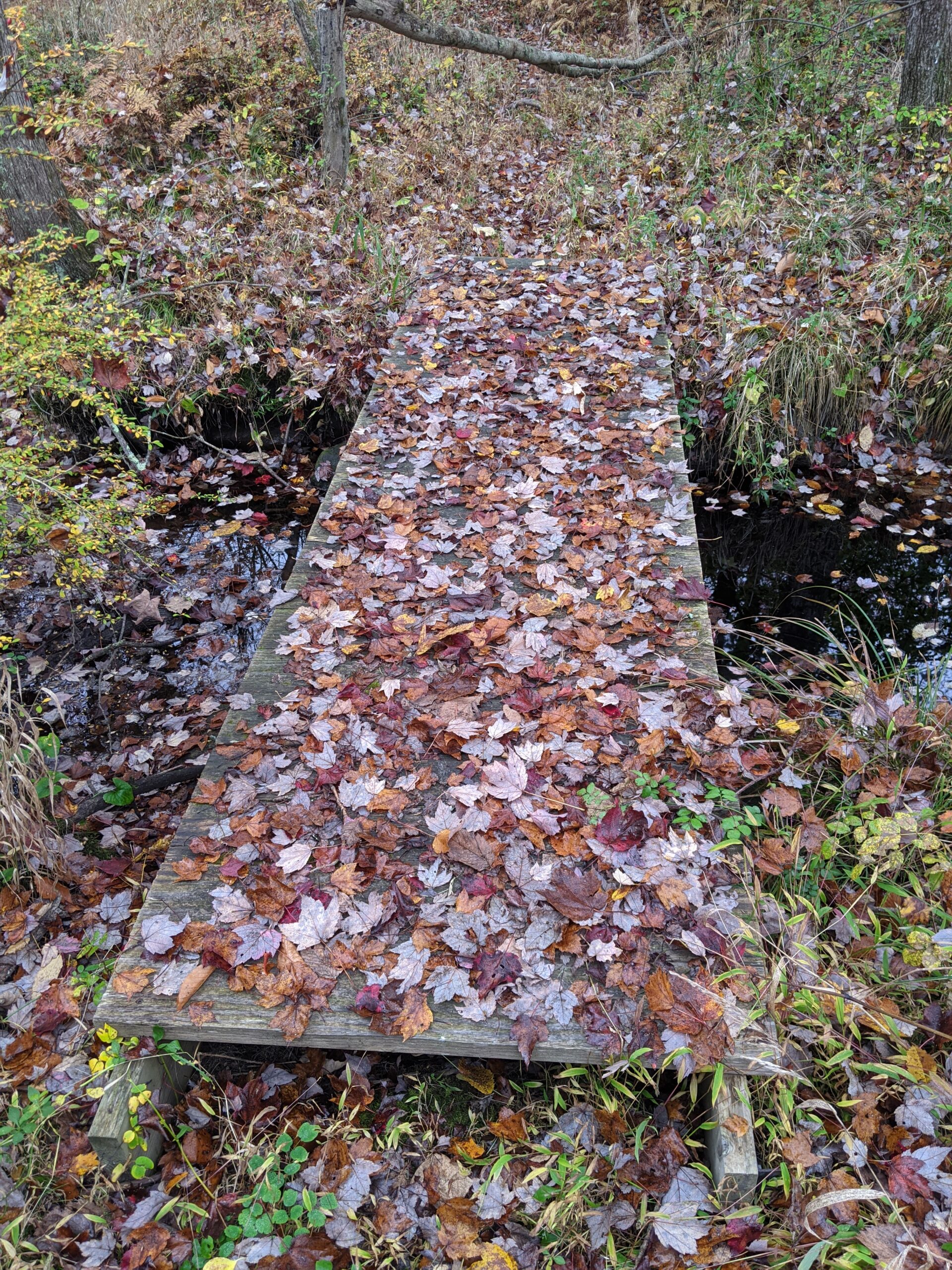
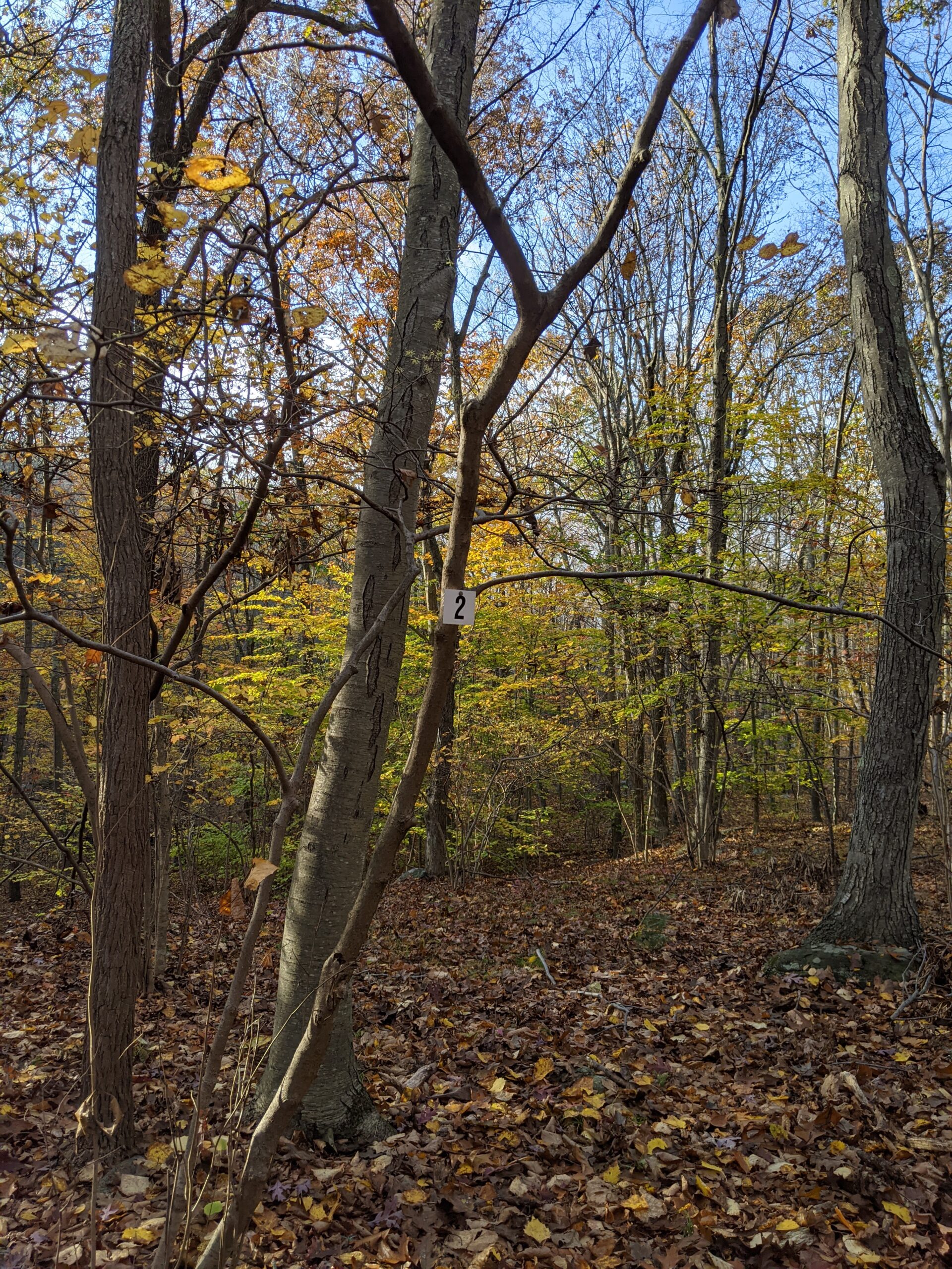
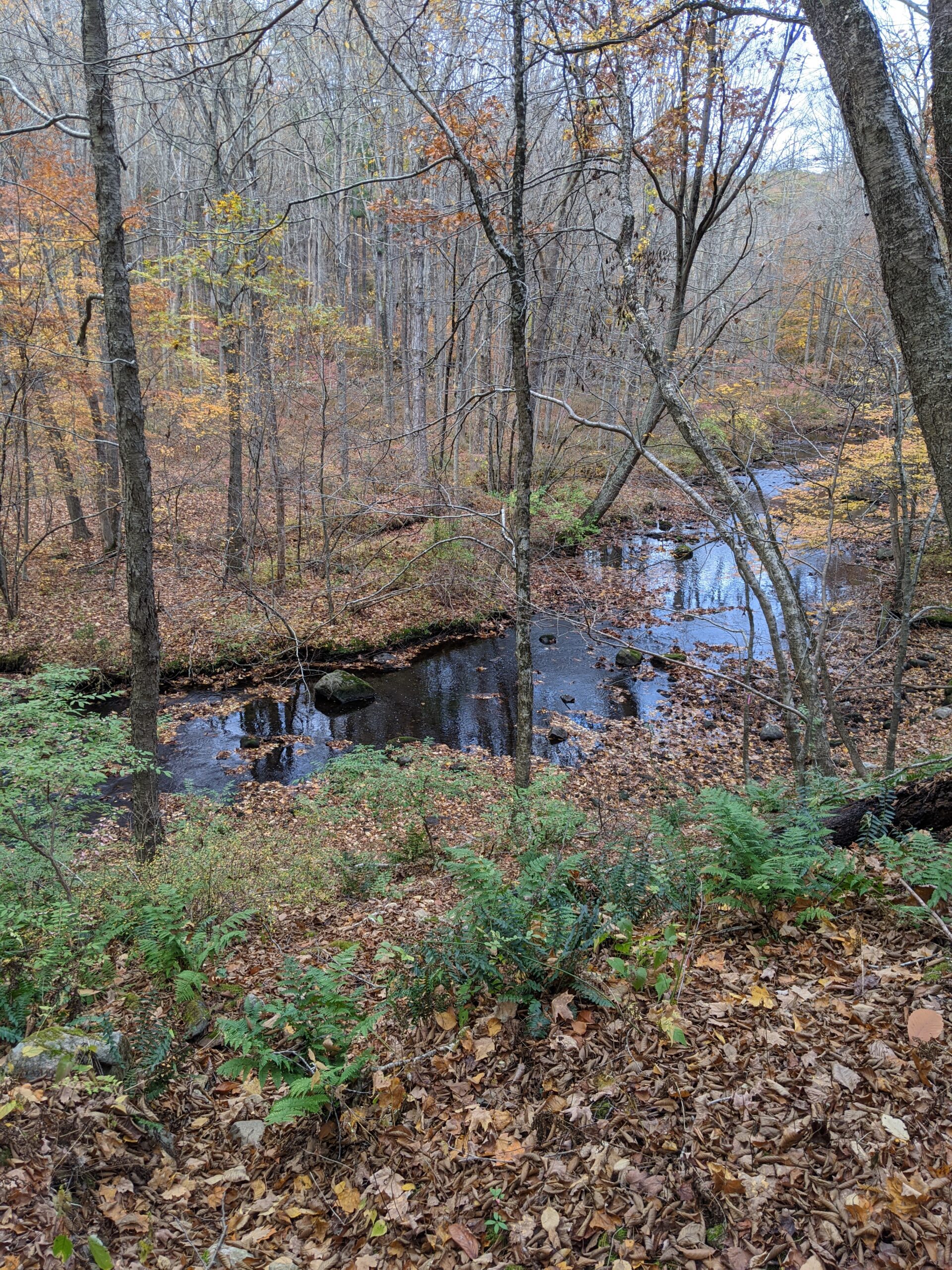
After crossing another parking lot and another open field, I connected to a section of the Fox Hill trail I had not explored earlier. I swiftly made it to intersection 2, where FH crosses the Cross River via another beautiful wooden bridge. I walked down to explore the riverbed. A sign said that catch and release trout fishing is allowed. From there, I took the unnamed white blazed trail, connecting with DH at intersection 4, then making a left at DH/Br at intersection 43, and finding my way back out to Route 35 via intersection 44. I walked back to my car to end my journey.
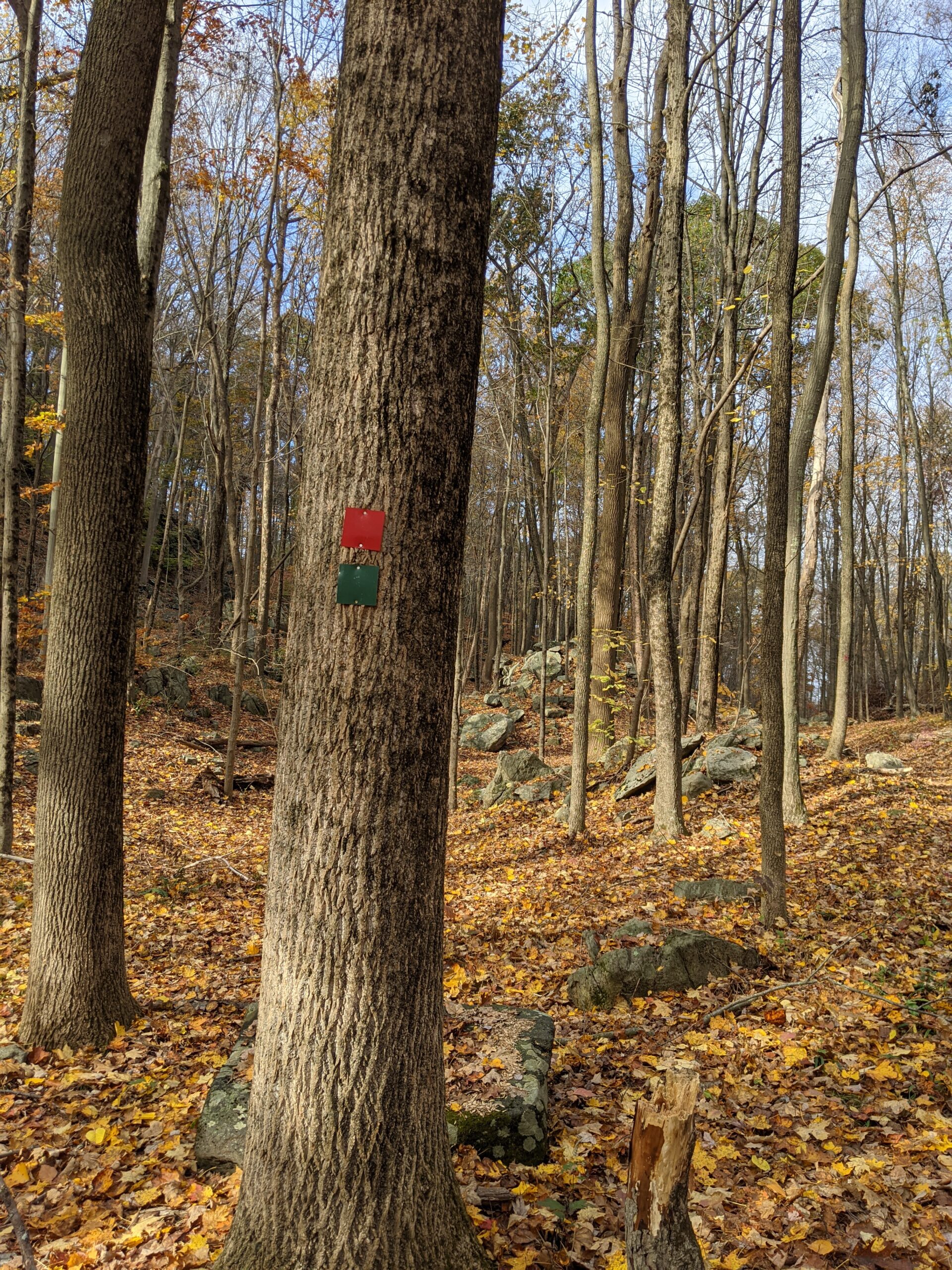
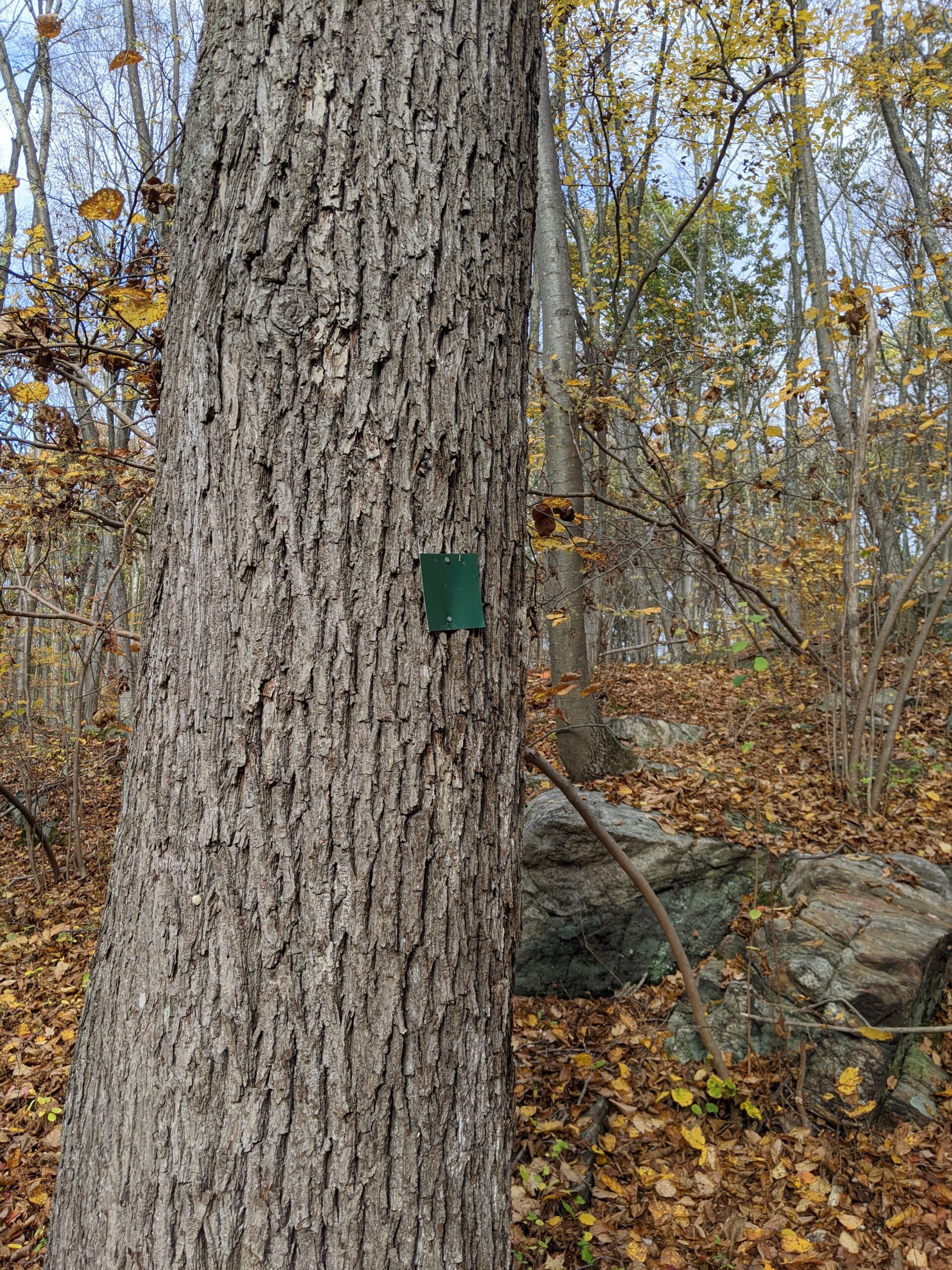
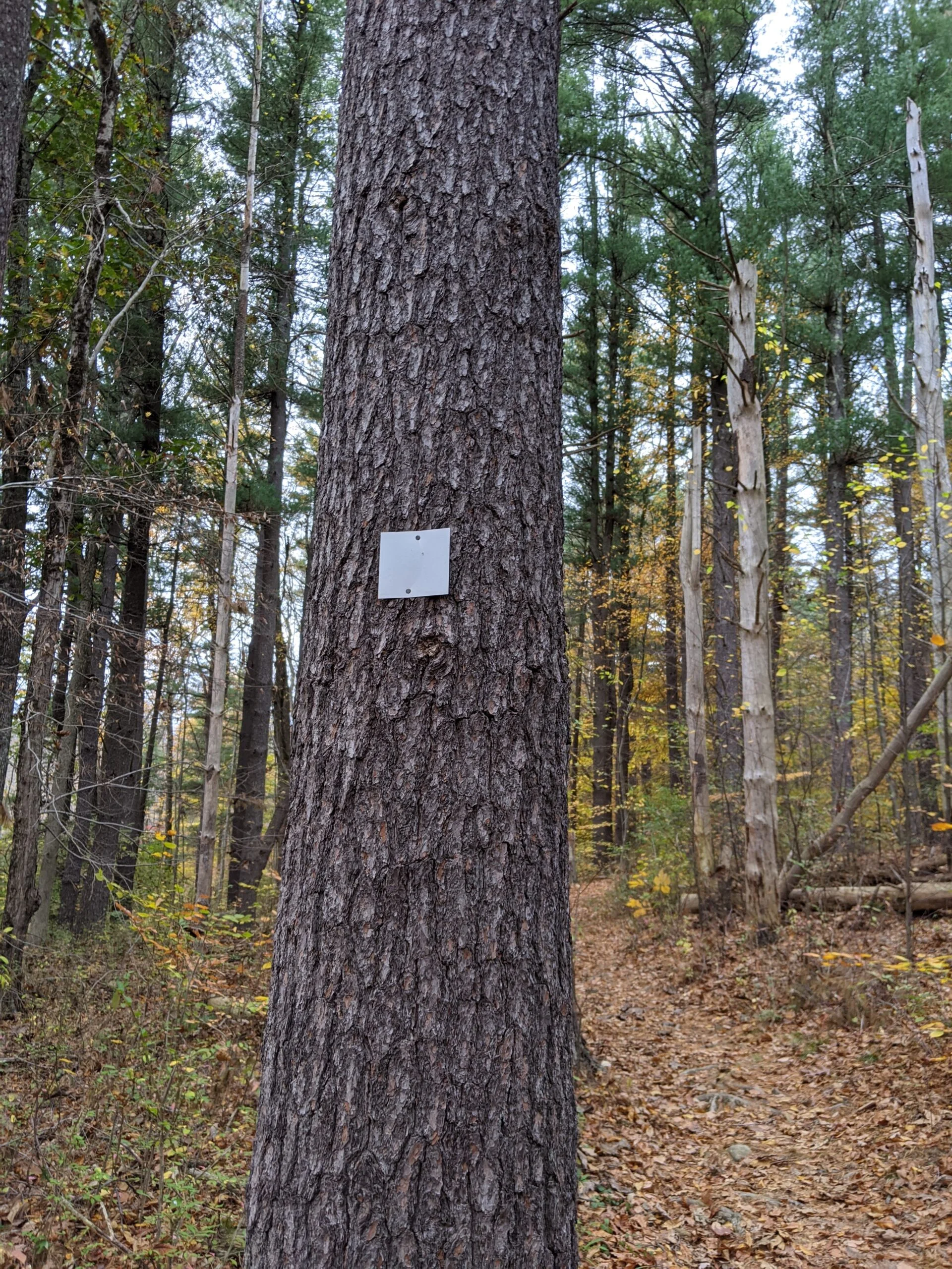
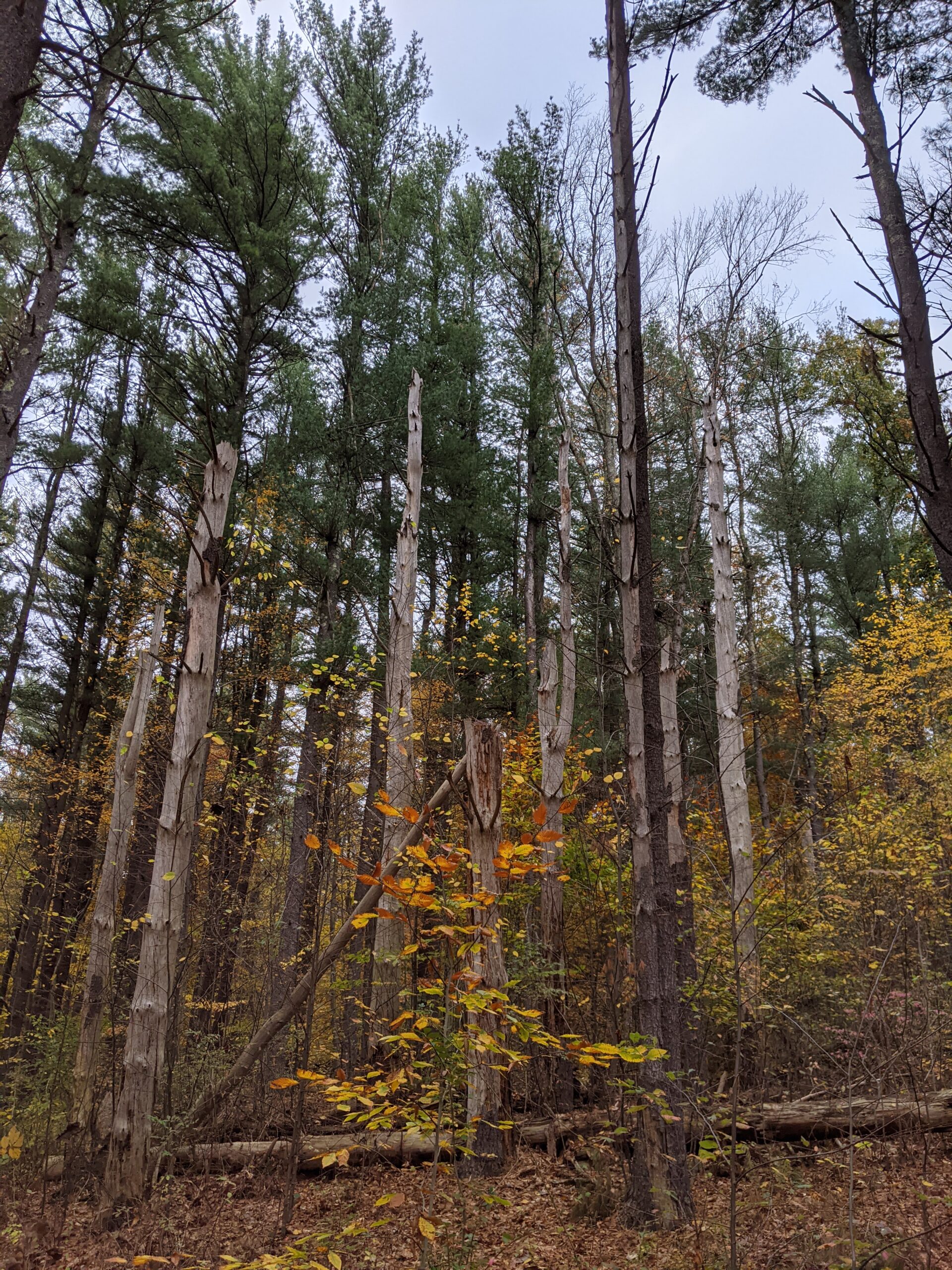
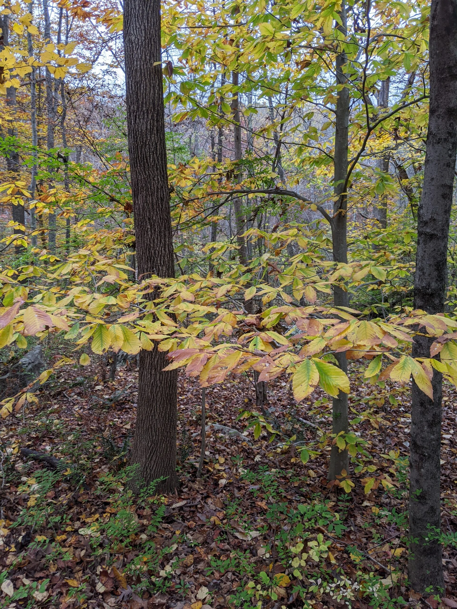
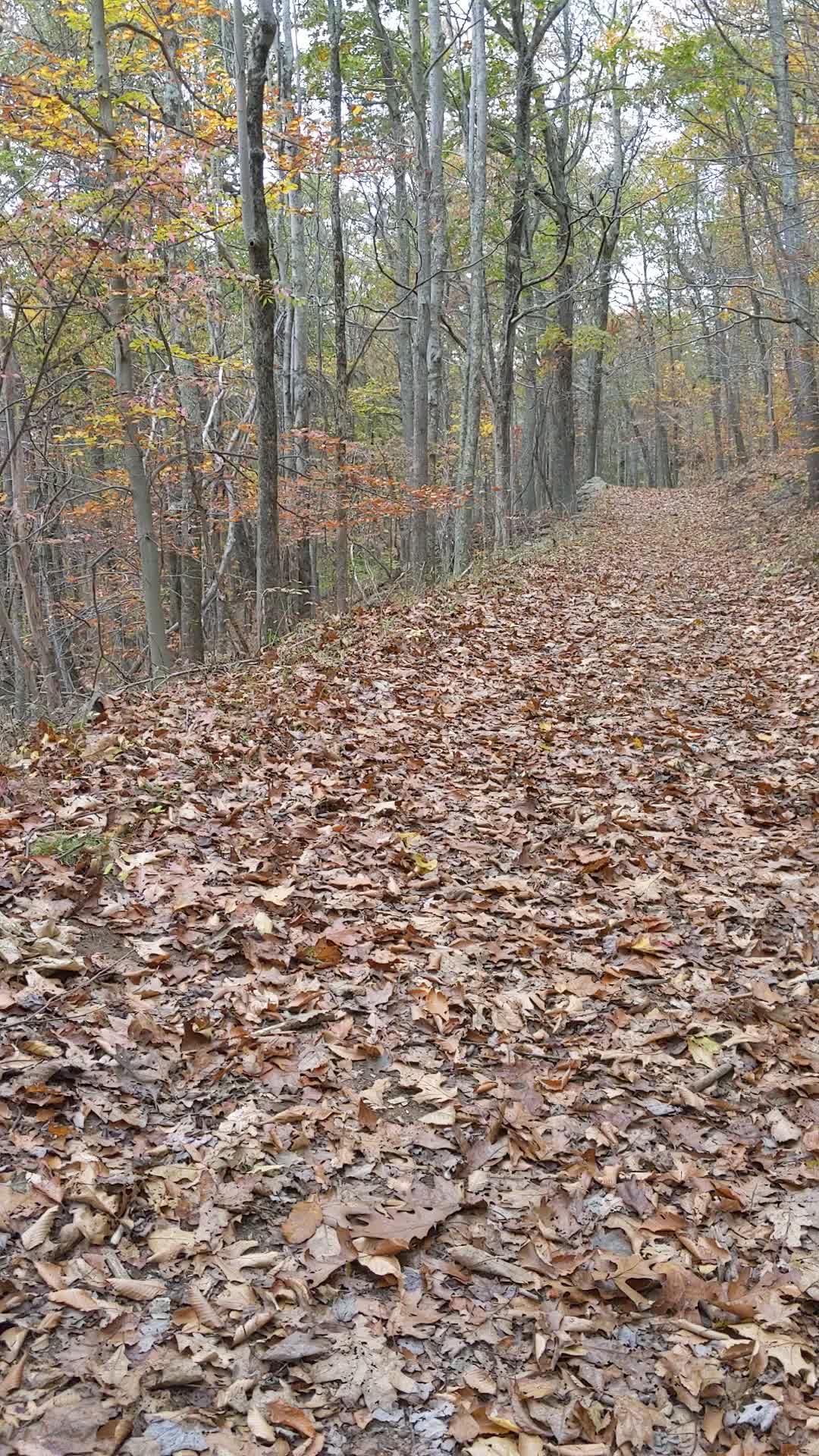
I lost some energy toward the middle of my hike, but overall I was pleased with the day. About 40 minutes in, the clouds started letting down a light rain for about 30 minutes, but it wasn’t enough to get me too wet. I really want to come back and explore that Orange phenology trail again and checkout the wildflower garden in the spring or summer. I’m pleased with the intersection markings in this park. They make it so much easier to navigate with a paper make and figure out exactly where you are.
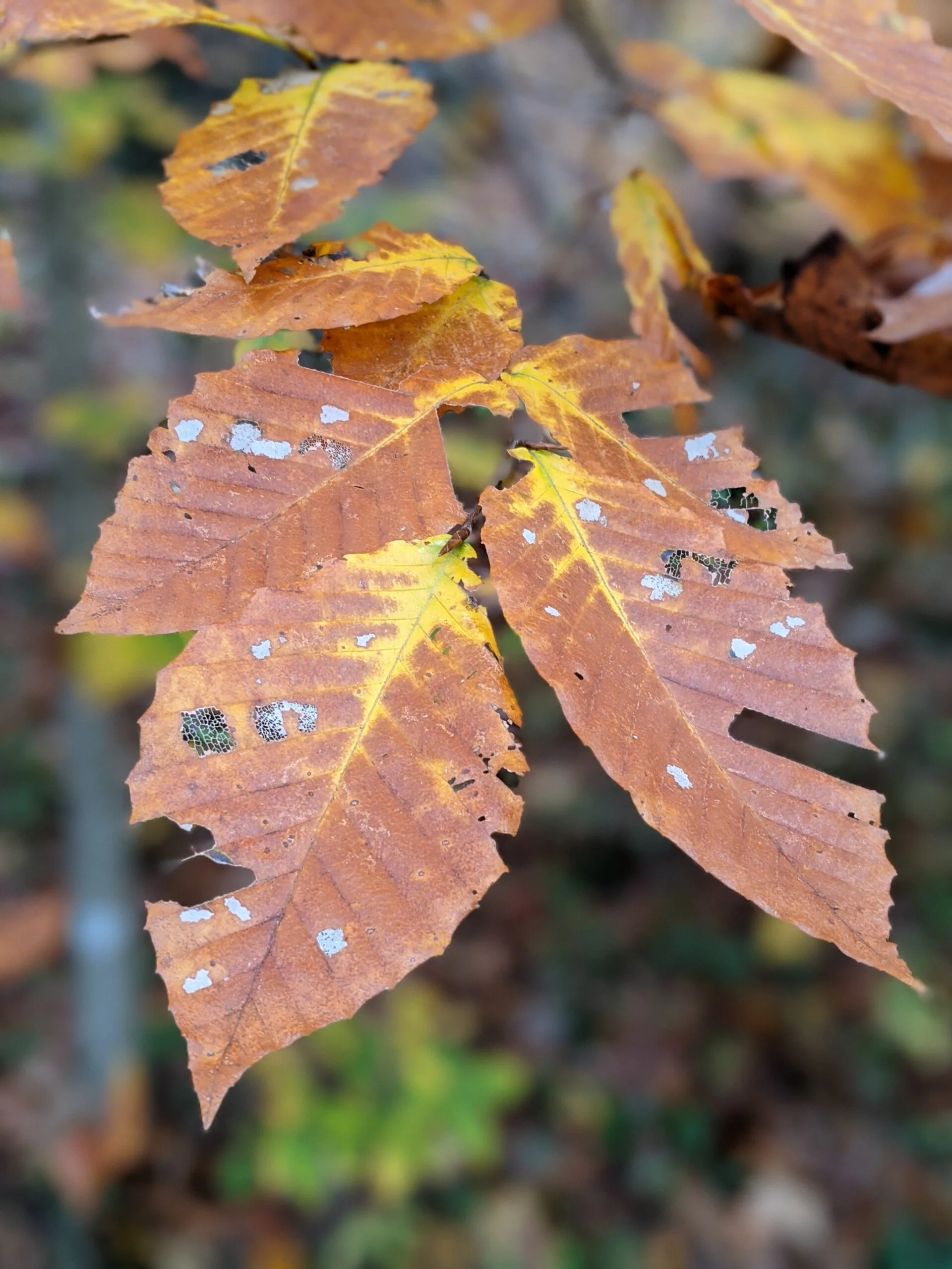
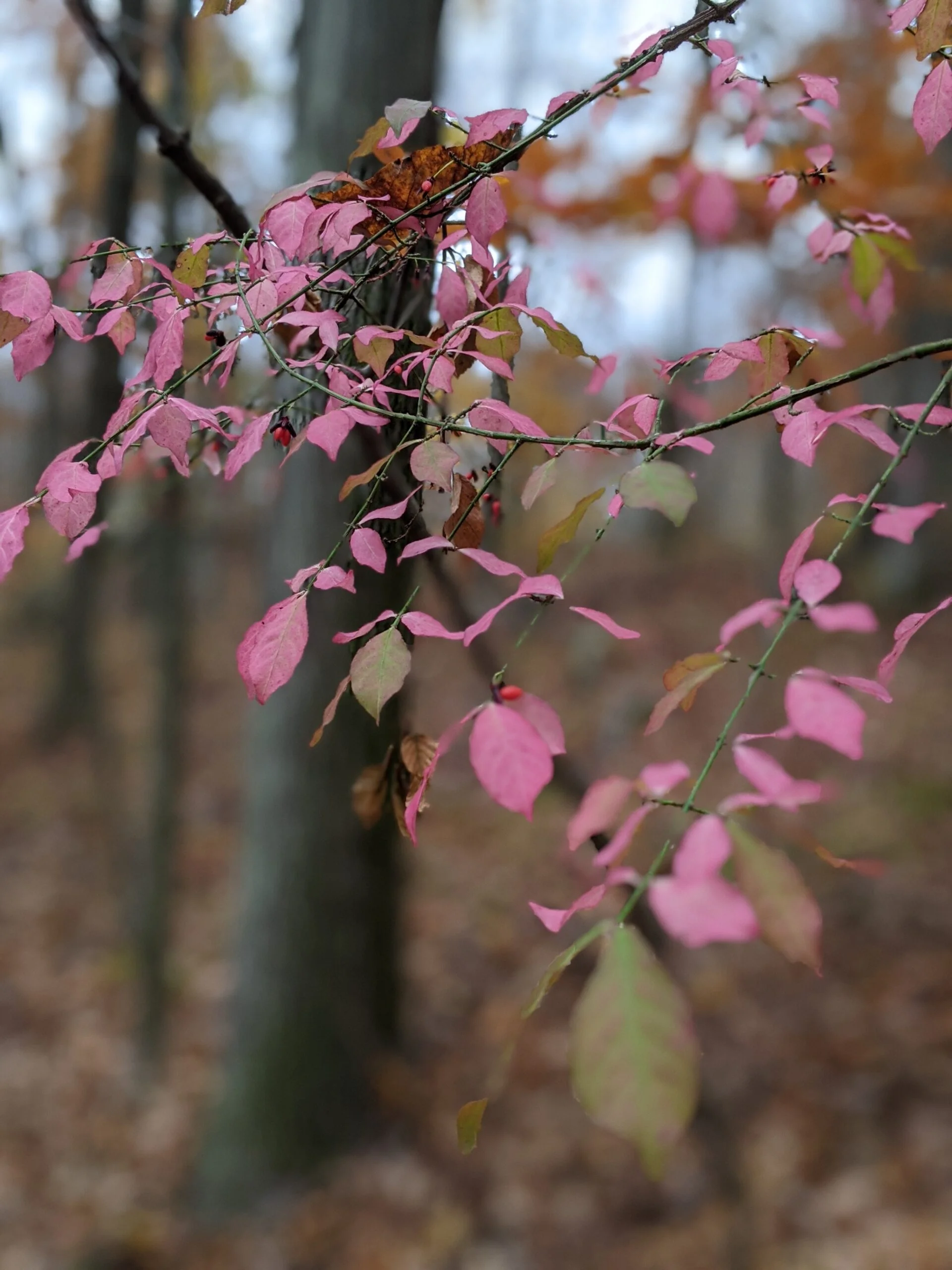
Photos


GPS Route & Elevation
Loads an interactive map; map tiles are served by the U.S. Geological Survey, which receives your IP address. Learn more about maps and your privacy