Skip to content
Hiking Photos

Tag: Ward Pound Ridge Reservation

Loads an interactive map; map tiles are served by the U.S. Geological Survey, which receives your IP address. Learn more about maps and your privacy

Ward Pound Ridge Reservation – Leatherman’s Cave, Joe’s Hill, Green/Red Trail

  • 3.77 mi
  • 515 ft gain
  • 02:02:26

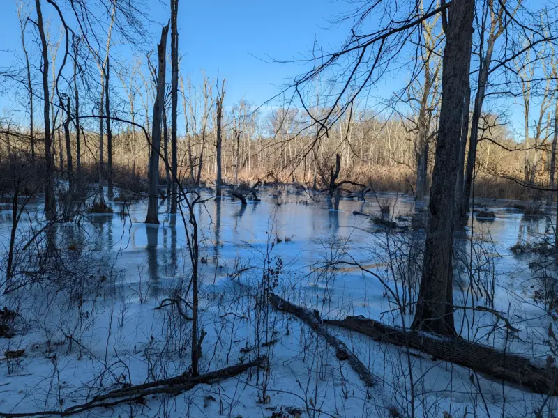
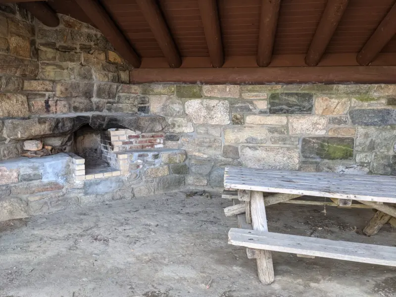
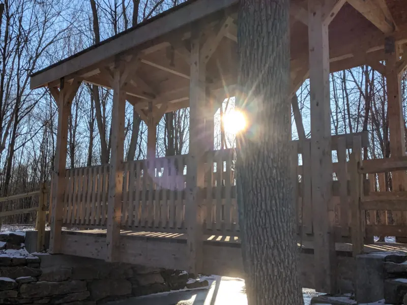
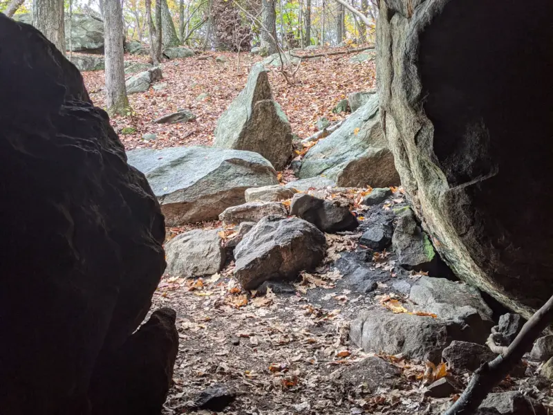
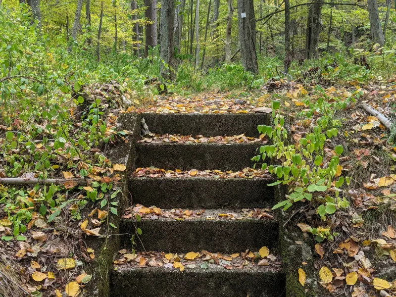
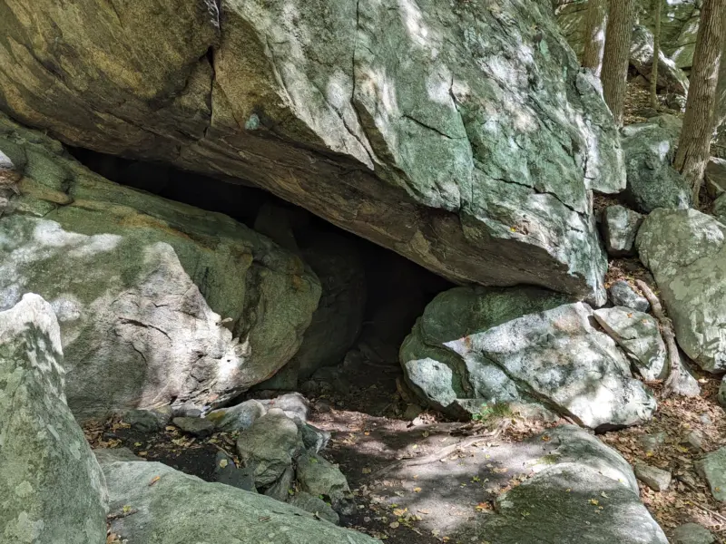
I took a friend from New York City out to explore Ward Pound Ridge Reservation, starting from the Michigan Road parking lot. We followed the green/red trail south and west to Leatherman’s Loop, passed the outlook, then spent time at Leatherman’s Cave, where we found a geocache with a few goodies inside. From there we continued west, picked up the unmarked Blue Moon trail, skirted partway up Joe’s Hill, and looped back to the green/red trail for the walk north to the car. A good hike, even if hiking with friends meant I barely took photos along the way.

Ward Pound Ridge Reservation – Cross River, Kimberly Bridge, Deer Hollow

  • 5 mi
  • 577 ft gain
  • 02:40:10

There's something special about the Cross River in the warmer months, but nothing compares to seeing it weave through patches of snow and ice. I was super impressed with how well my crampons performed on the ice-covered trails. Throughout the day, I encountered icy inclines, icy declines, and ice so smooth it looked like panes of glass. Never once did I feel any sort of slippage or instability in my walking. Temperatures were in the low 20s with very little wind, so as long as I was moving along, I barely noticed the cold.

Ward Pound Ridge Reservation – White Trail, Red Green Trail, Lean-To Shelters

  • 5.6 mi
  • 554 ft gain
  • 02:41:41

An easy stroll through the woods with two friends and their dog was a great way to spend a beautiful spring afternoon! I chose Ward Pound Ridge Reservation due to its variety of trails. There's something for the beginning hiker through the advanced hiker. It was the first day of spring and the temperature peaked in the low 60s in the afternoon. We stopped to explore one of the lean-to shelters available for rental. I'm interested in adding camping to my hiking experience, so will look into investing in camping gear for the summer or fall season this year.

Ward Pound Ridge Reservation – Deer Hollow, Cross River, Kimberly Bridge

  • 4 mi
  • 453 ft gain
  • 01:42:45

The views of the partially-frozen Cross River and the snow-covered scenery gave a new perspective of the park. After some initial frustrations at the start of the hike, I made some adjustments to my gear and attire to get comfortable and the rest of the hike was enjoyable. I'm still getting used to using trekking poles. I've got a good rhythm with them now and am ready to try them on steeper terrain. Overall, I think I've become more acclimated to winter hiking and am ready to tackle some longer, more challenging winter hikes in the coming weeks!

Ward Pound Ridge Reservation – Leatherman’s Cave, Wildflower Garden, Nature Museum

  • 9.7 mi
  • 1,250 ft gain
  • 04:41:42

So many wonderful new finds on my second visit, including Leatherman's Cave, Wildflower Garden, Trailside Nature Museum, phenology trail, Lenape indian wigwam shelter, and more. I really want to come back and explore that Orange phenology trail again and checkout the wildflower garden in the spring or summer. I'm pleased with the intersection markings in this park. They make it so much easier to navigate with a paper make and figure out exactly where you are.

Ward Pound Ridge Reservation – Raven Rocks, CCC Camp, Castle Rock, Spy Rock, Dancing Rock

  • 8.9 mi
  • 1,147 ft gain
  • 04:48:33

The diverse scenery and designated points of interest, including the former fire tower, Raven Rocks, Indian Rock Shelter, the former CCC Camp, Castle Rock, Spy Rock, Dancing Rock, Bear Rock Petroglyph, and Matey’s Gulch, make for a very enjoyable hike for all skill levels. The ascents and descents were manageable and not grueling. The views on the Rock Trail to the south are magnificent. I found the trails to be very clearly marked, blazed at short intervals, and most of the intersections are numbered, which made it very easy to follow along on the trail map.