Sterling Forest State Park – Greenwood Lake, Fire Tower, Jennings Creek, Bare Rock
- 12 mi
- 1,942 ft gain
- 06:57:59
- 161 photos
- 4 videos
This post may contain affiliate links. If you buy through them, I may earn a commission at no extra cost to you. As an Amazon Associate I earn from qualifying purchases.
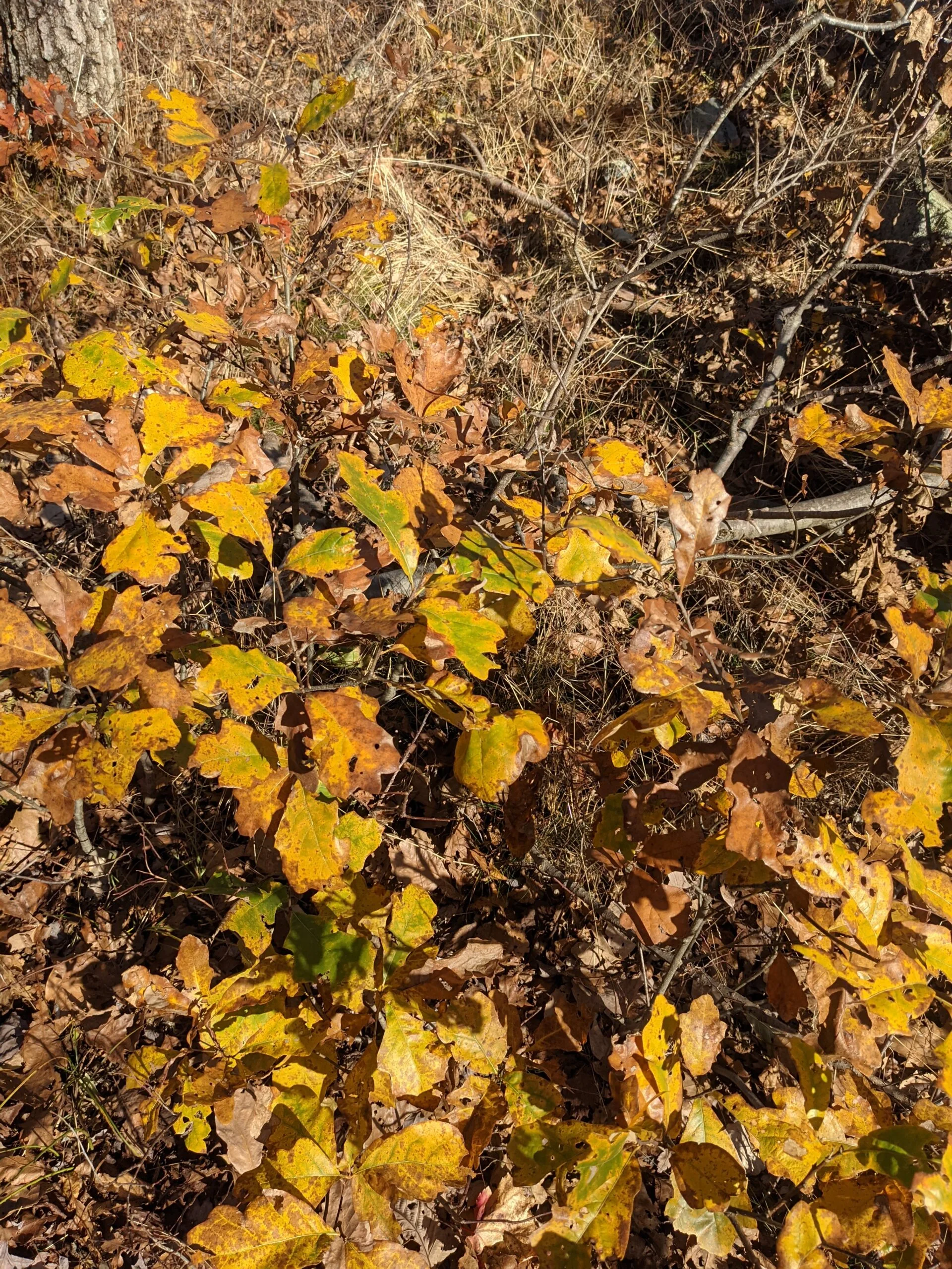
This was my first visit to Sterling Forest State Park and it was amazing on an unseasonably warm Saturday in November, with temperatures peaking in the low 70s. I was able to check out Greenwood Lake, the Sterling Forest Fire Tower, Jennings Creek, and the Bare Rock lookout.
I mapped out a path starting near Greenwood Lake that would haven taken me north east to Sterling Lake, then turning back south past the fire tower and back to the parking lot. I ended up altering my course as I went, finding new things to explore that were not on my original route.
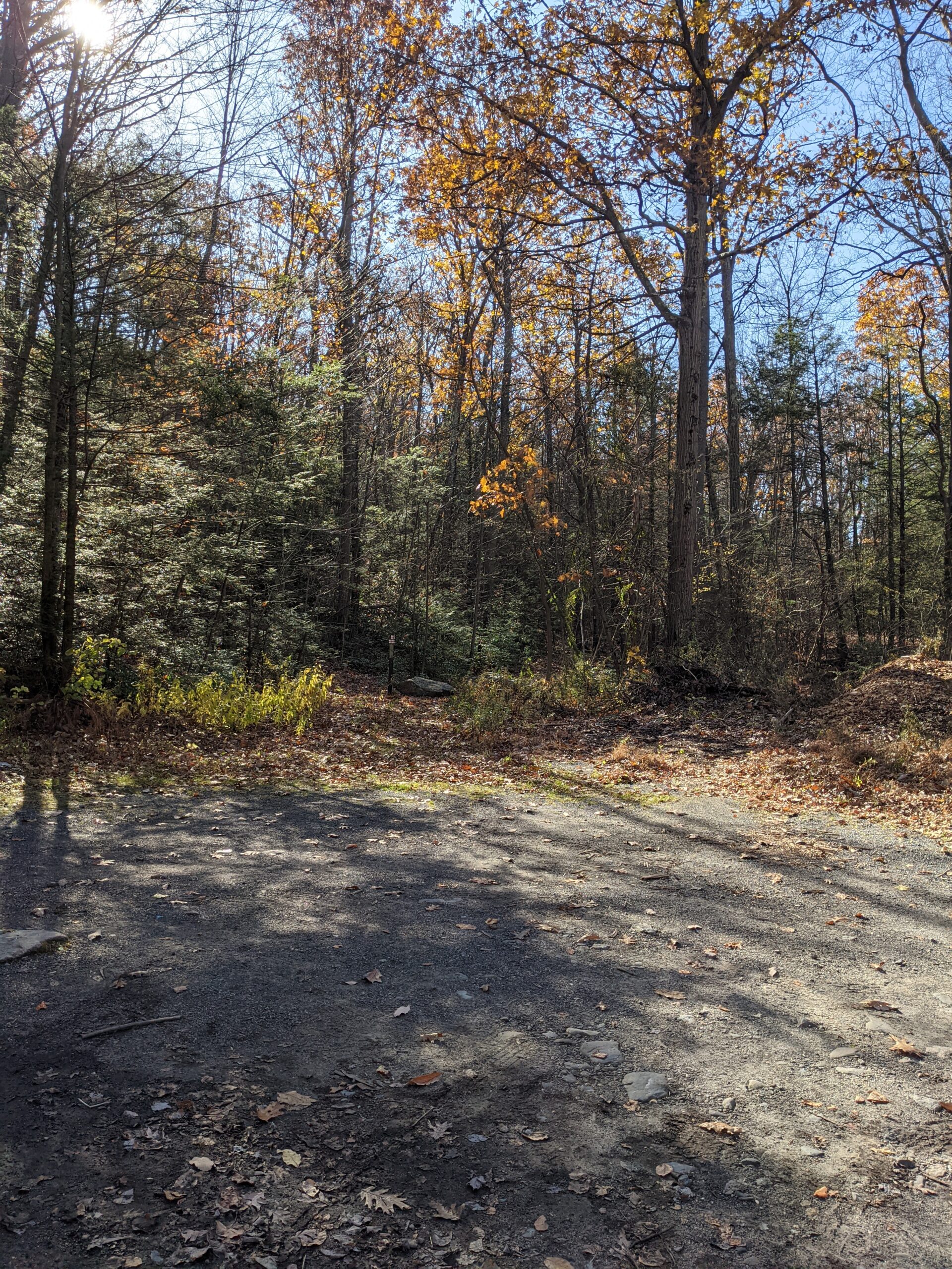
I arrived at the parking lot on E Shore Road at 10:30am. For GPS purposes, the address is approximately 251-219 E Shore Rd, Greenwood Lake, NY. It’s an unmarked lot on the east side of the road, not too far from Gamache Lane on the other side of the road. I was the only car in the lot.
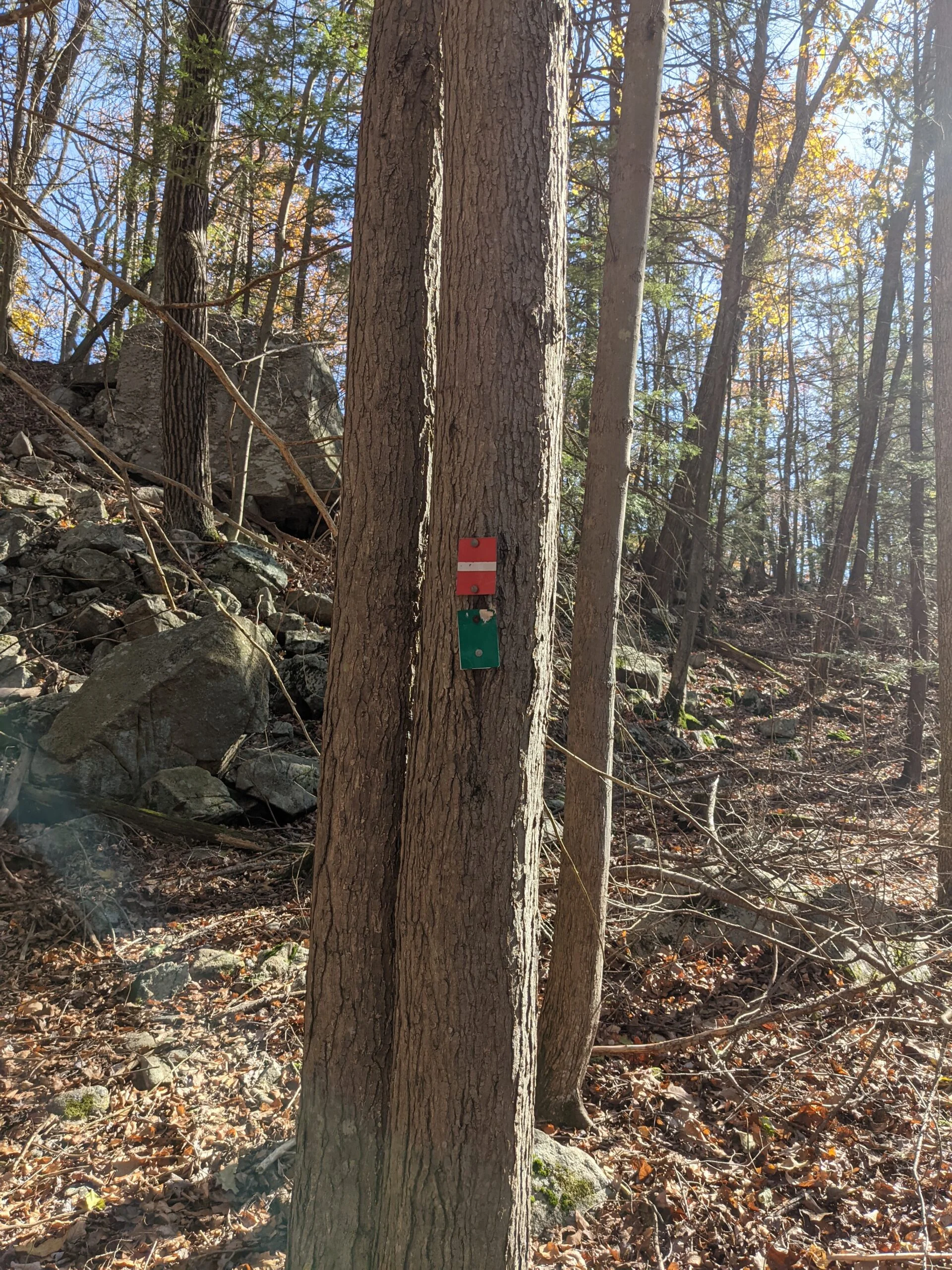
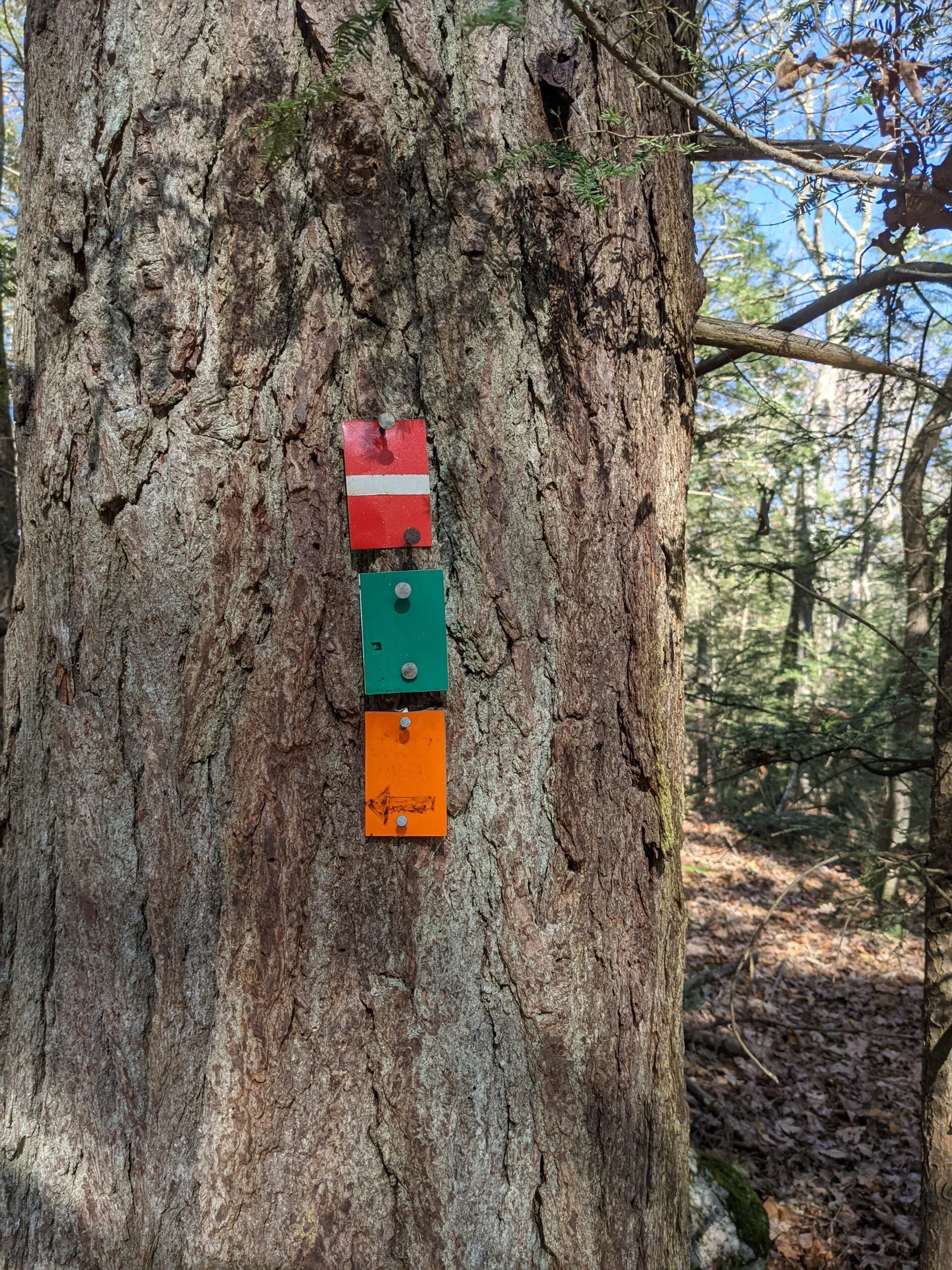
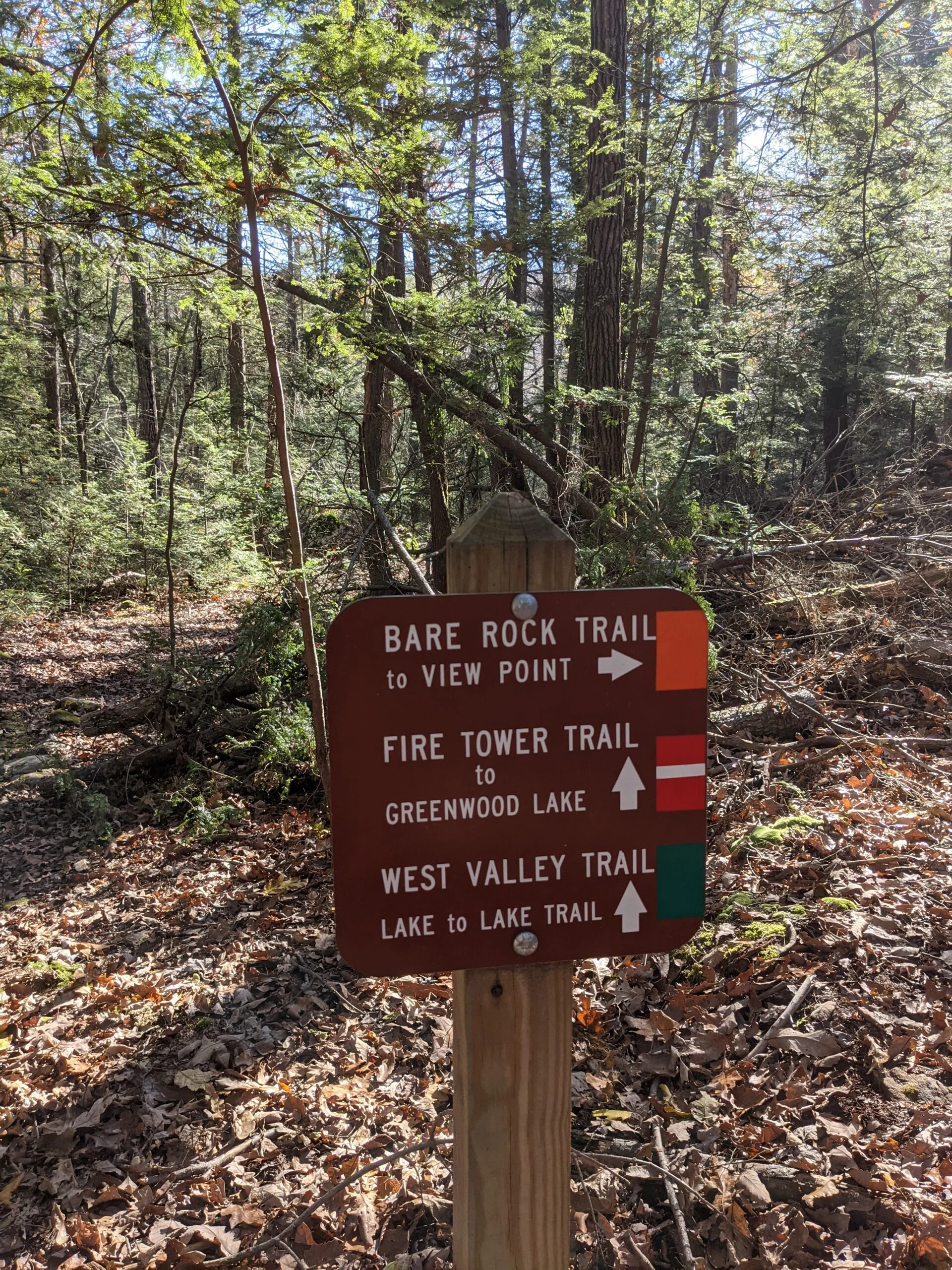
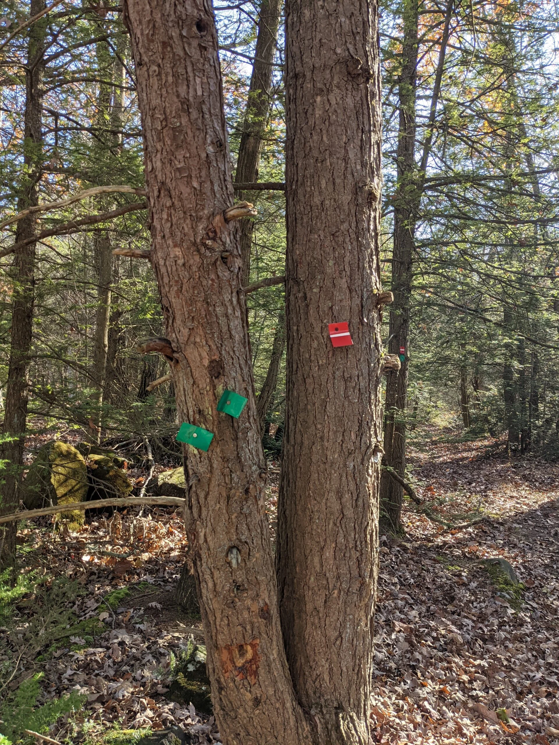
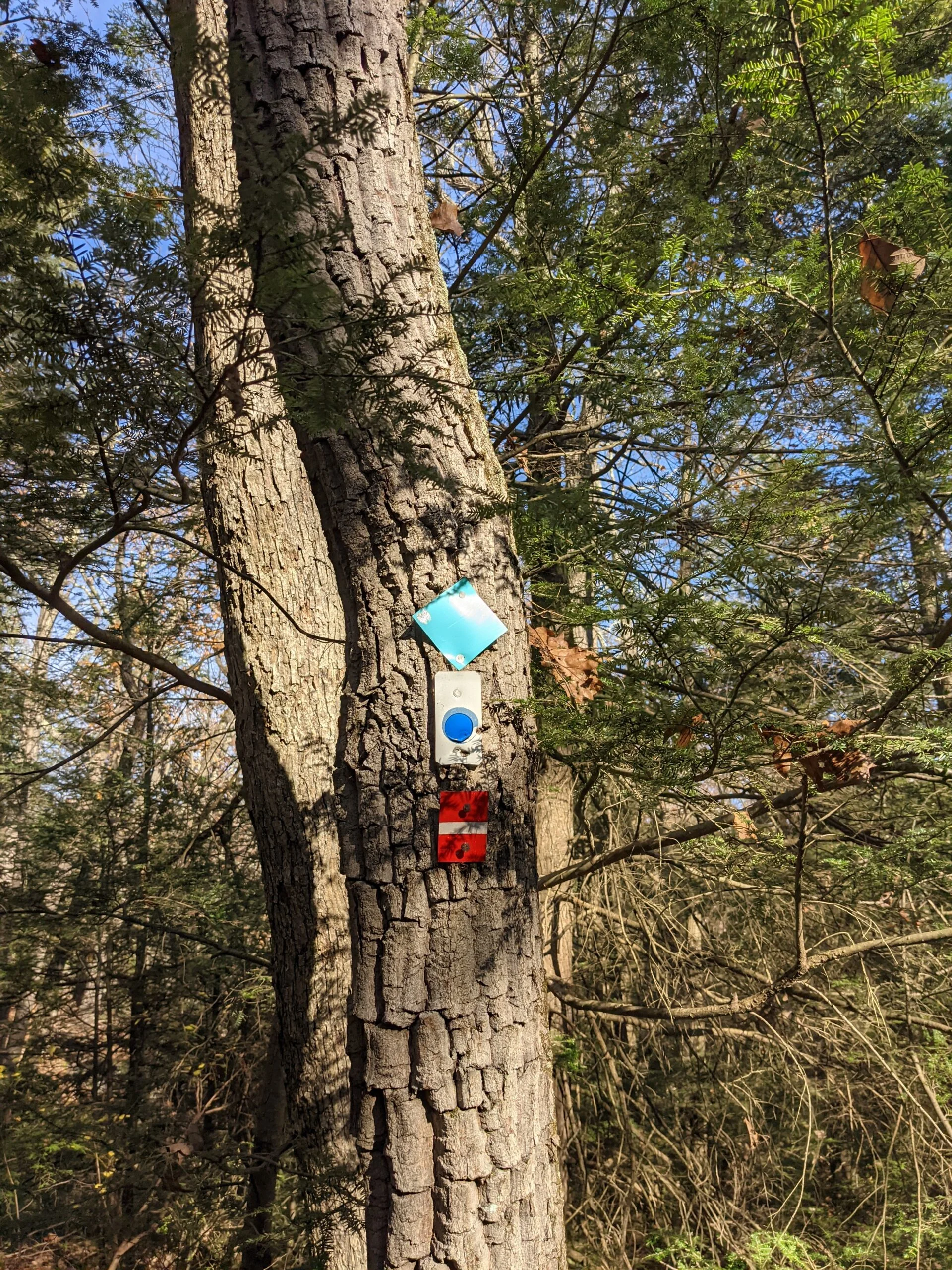
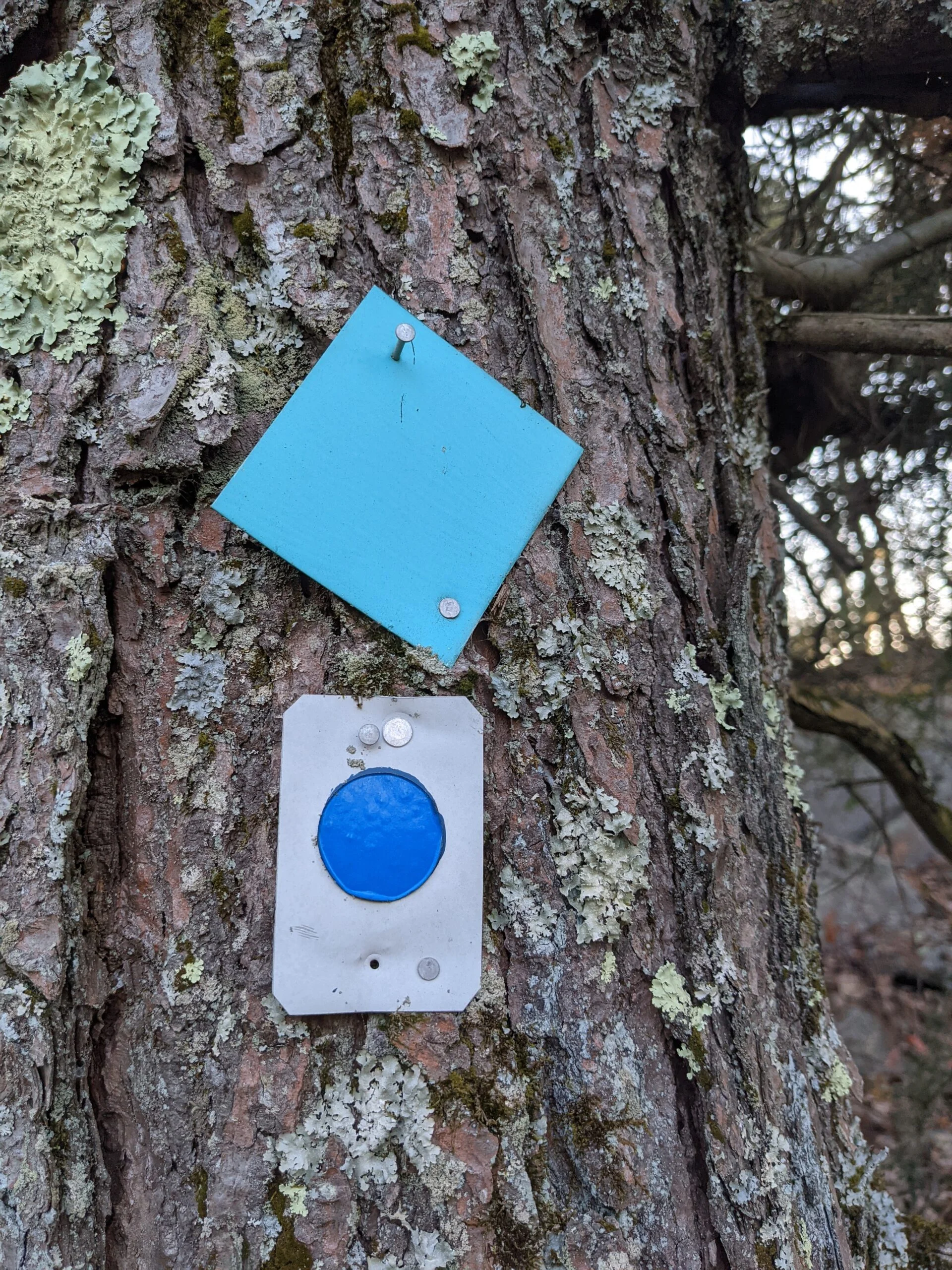
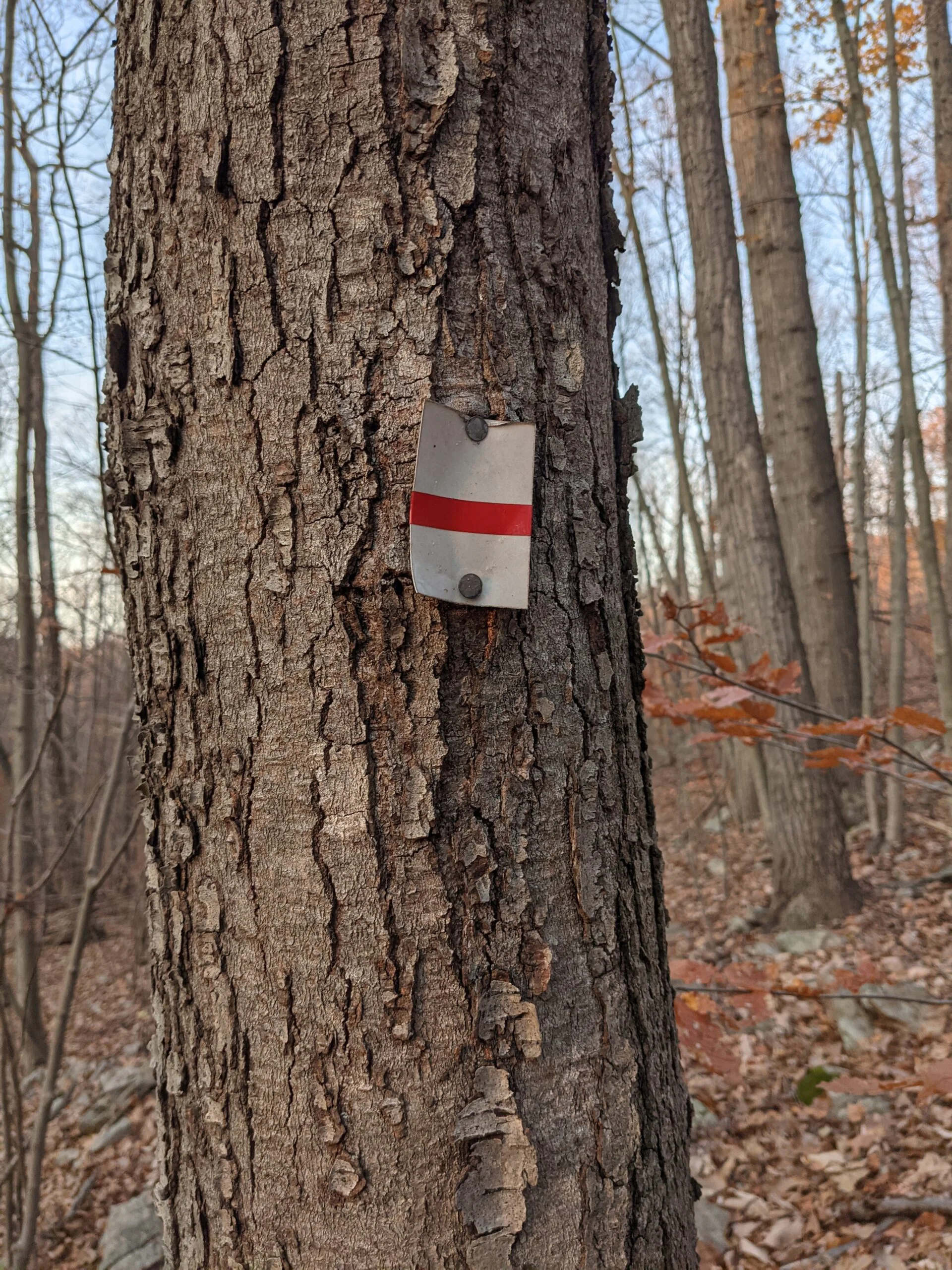
From the parking lot, my options were to either take the Fire Tower trail (FT, red blazes with a white line) on the left (to the north) or the Lake to Lake trail (LL, white blazes with a red line) on the right (to the south). I choose FT, wanting to do my planned route clockwise.
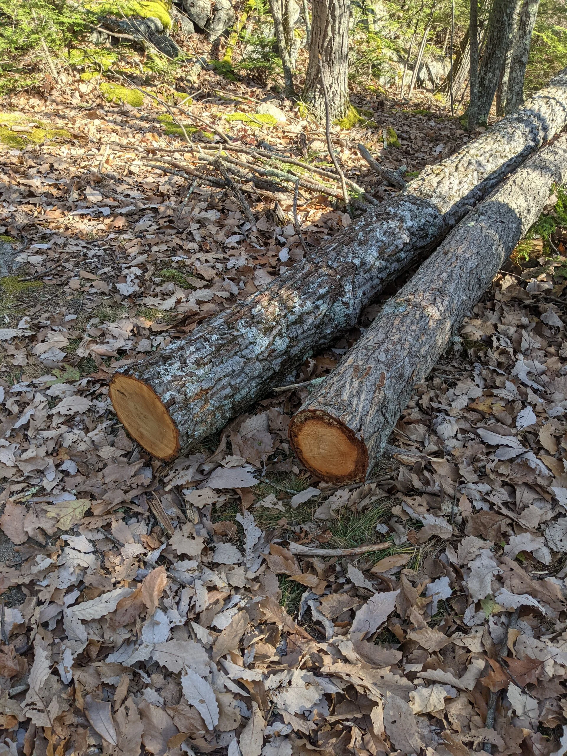
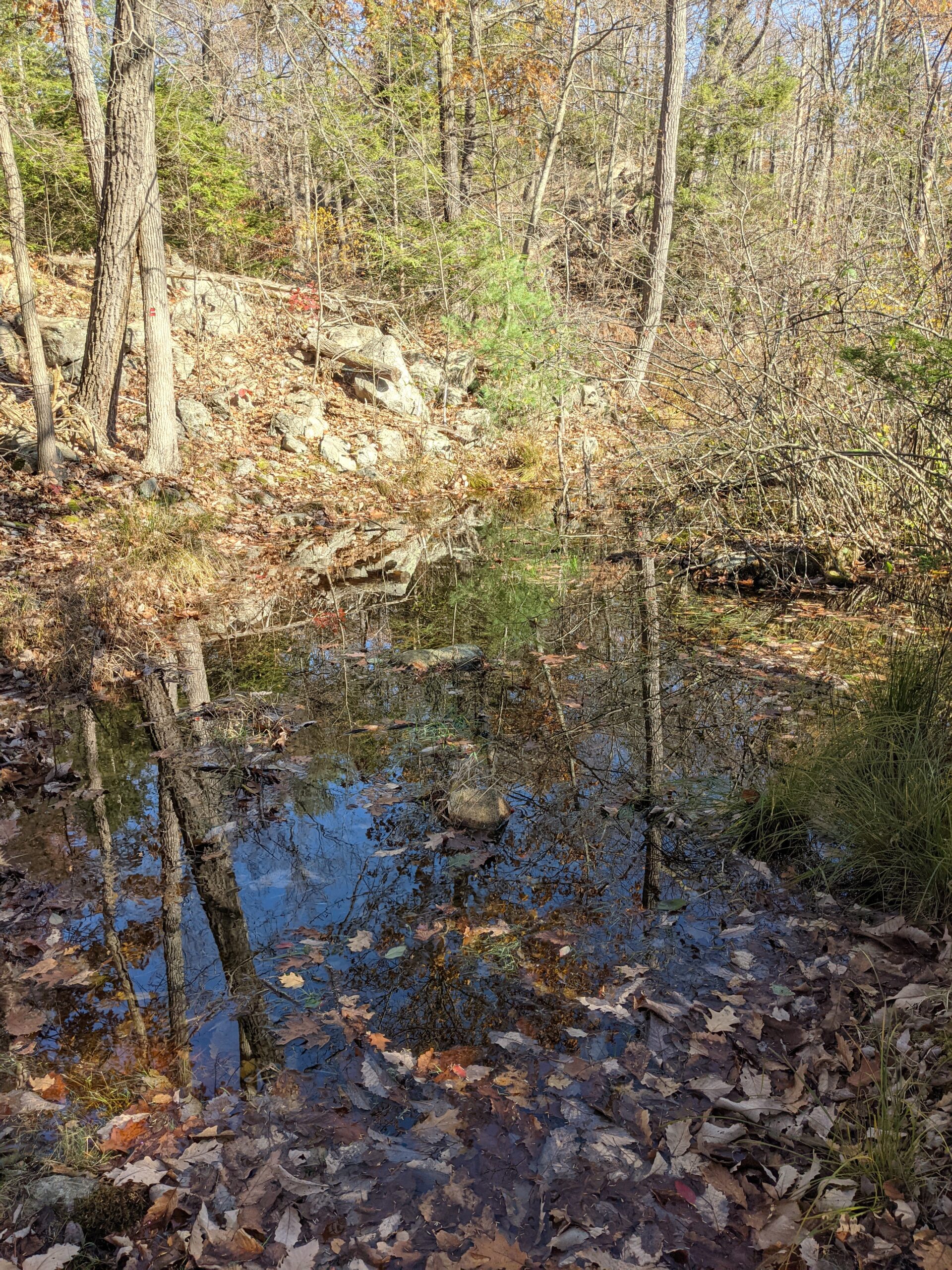
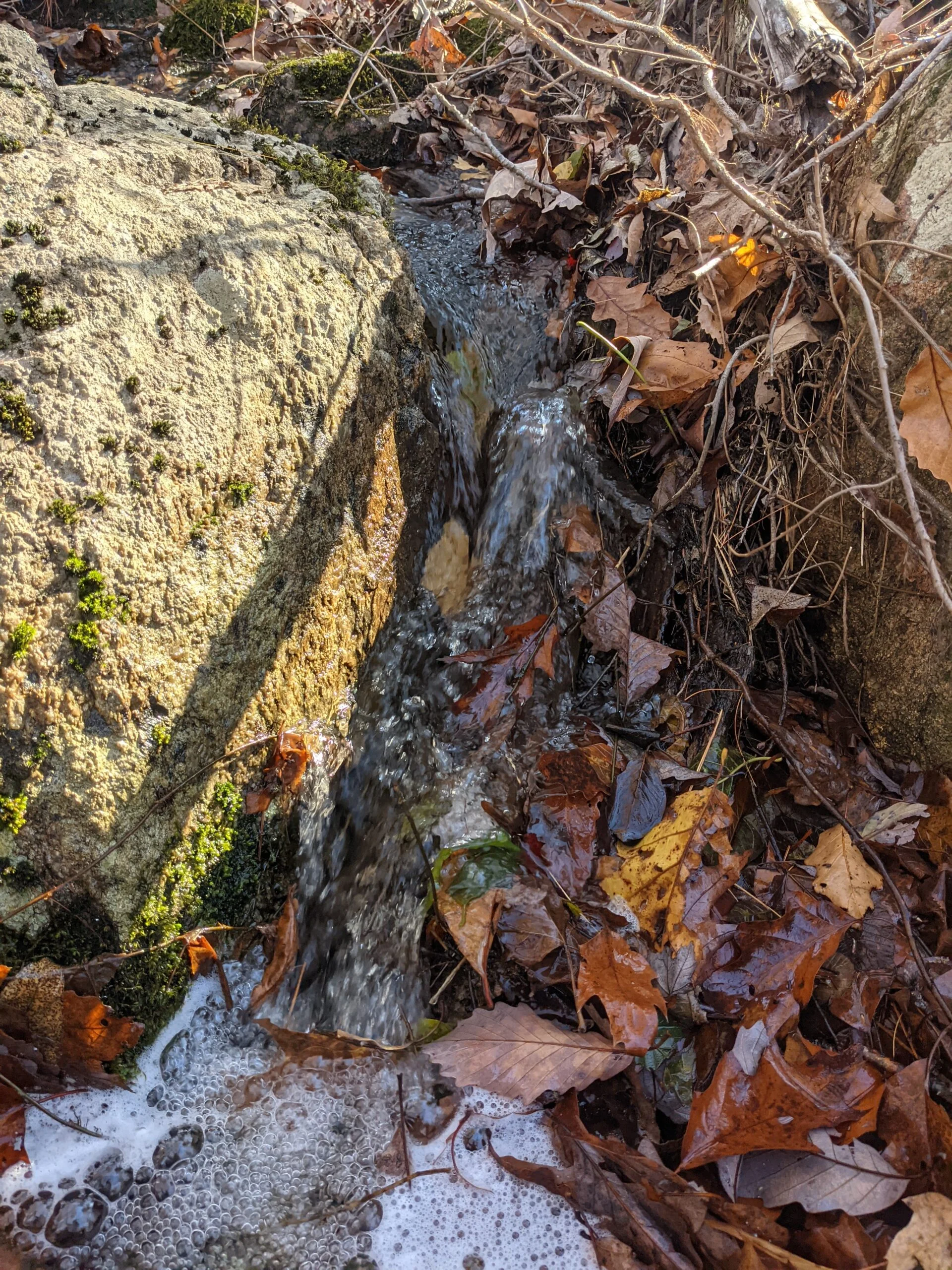
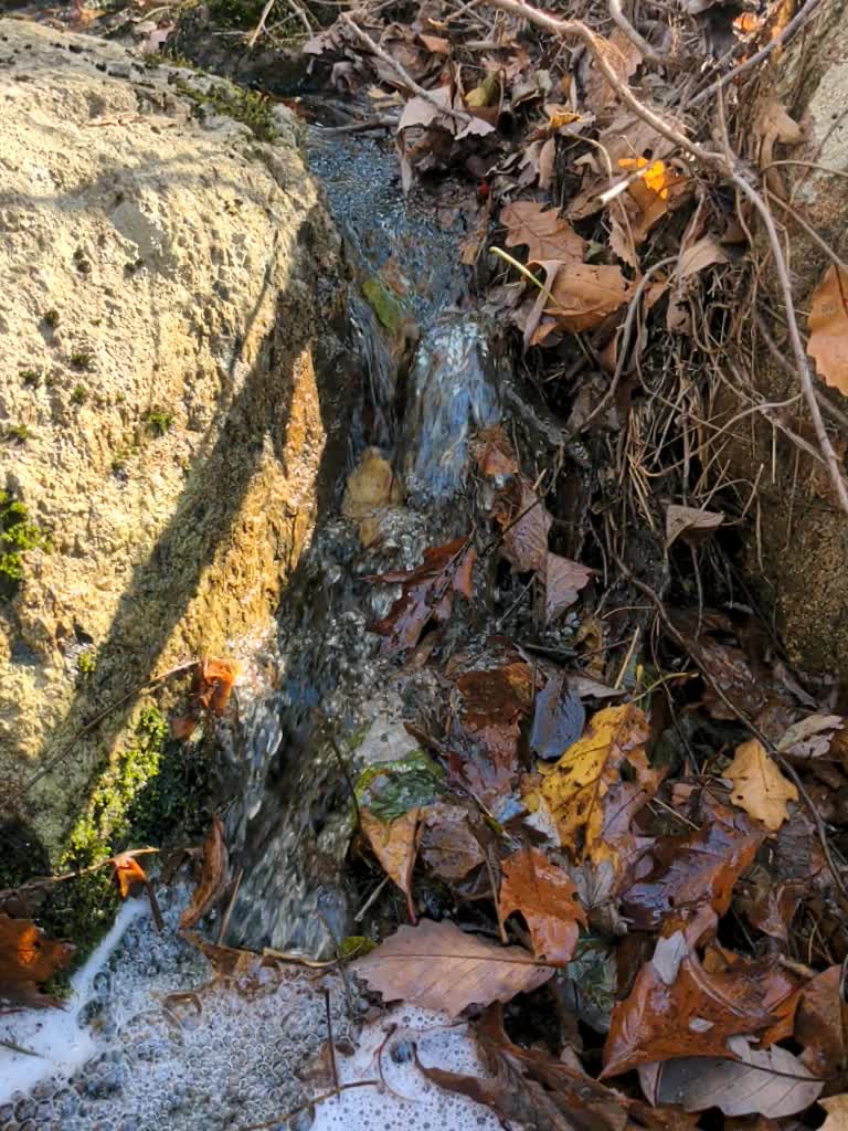
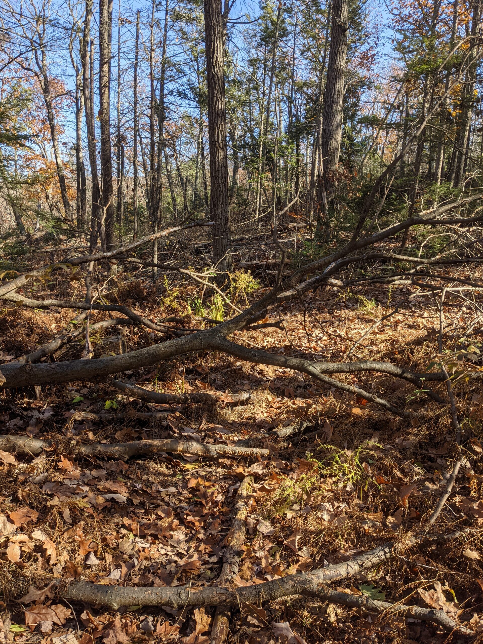
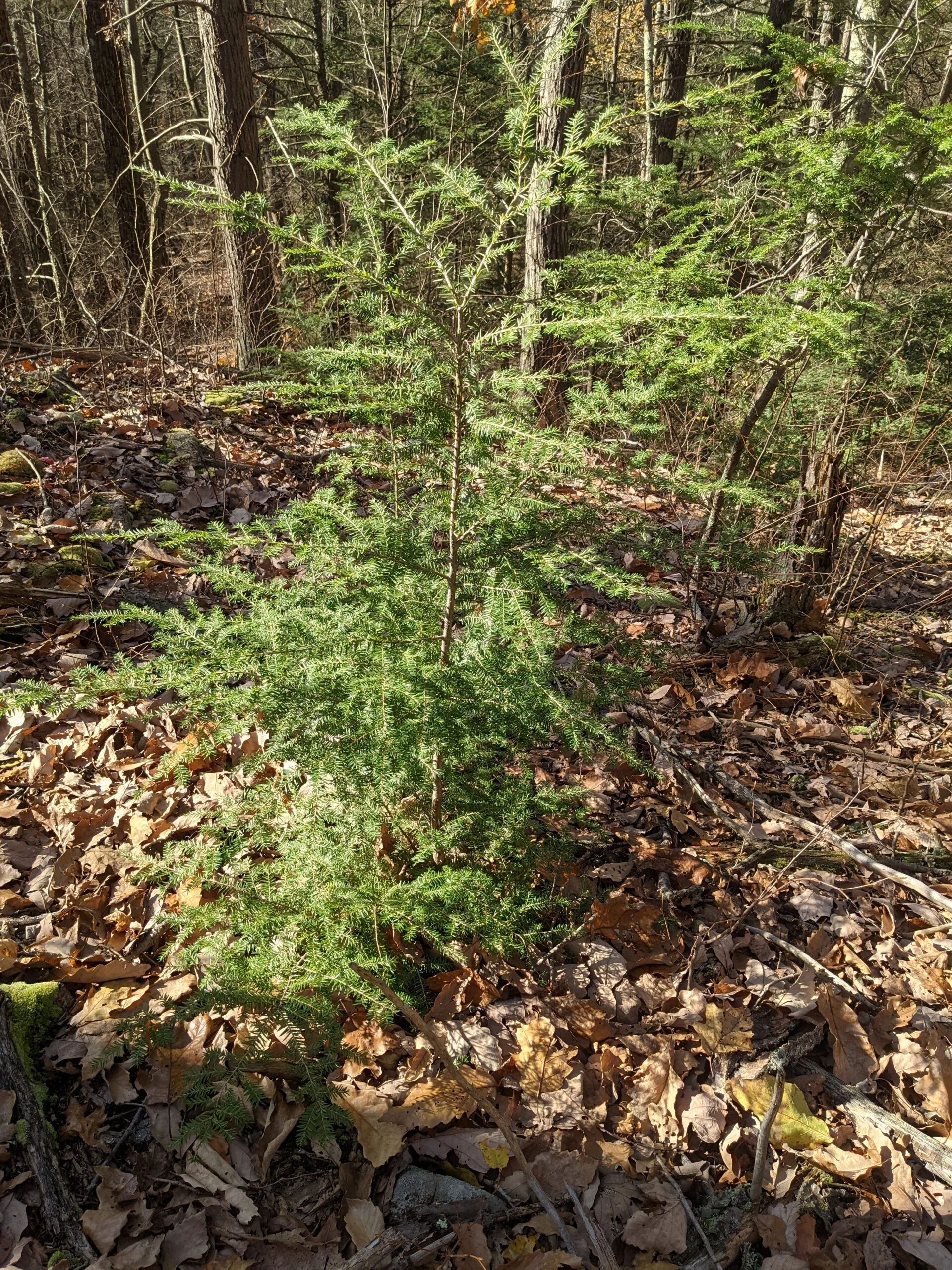
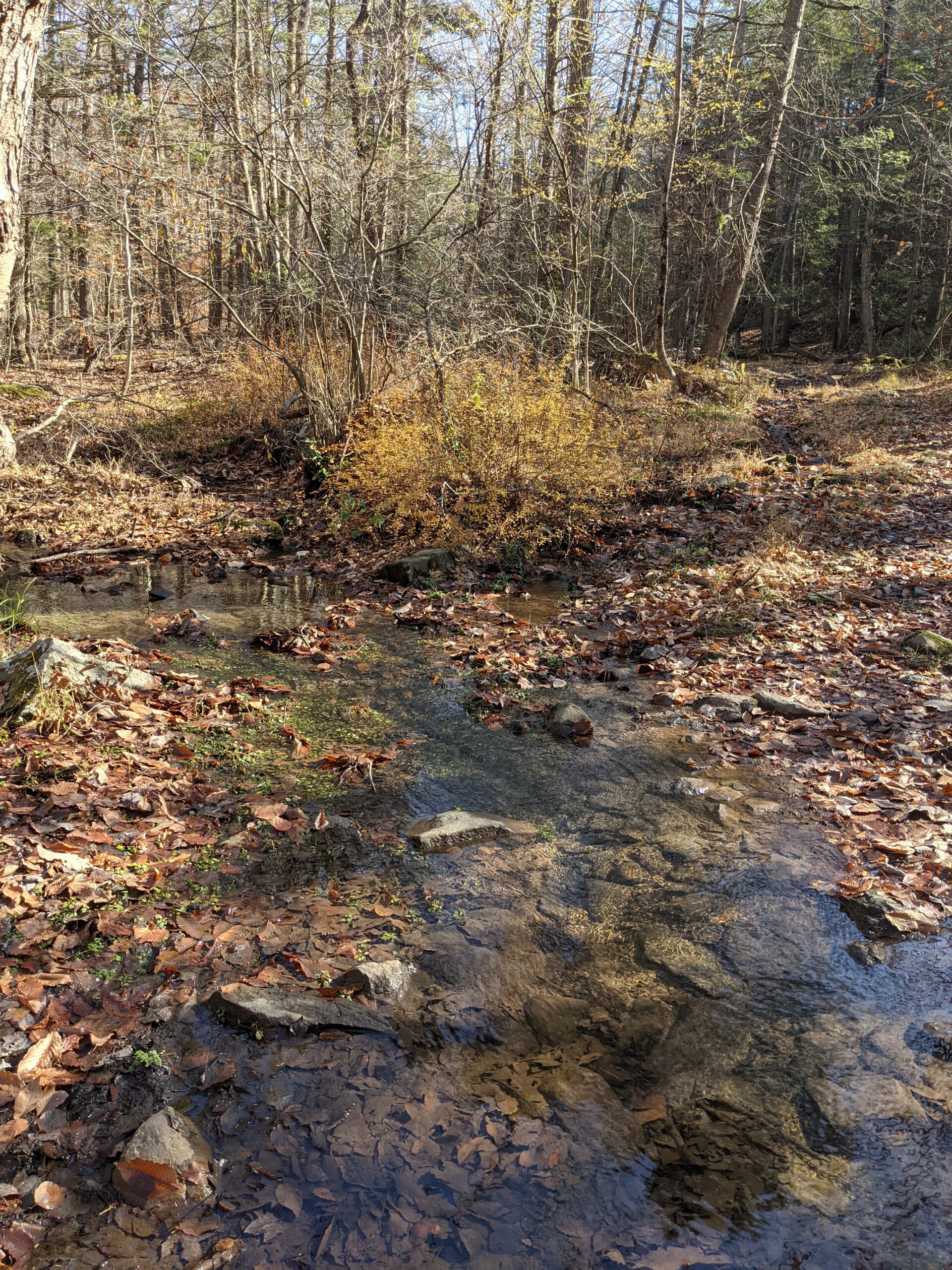
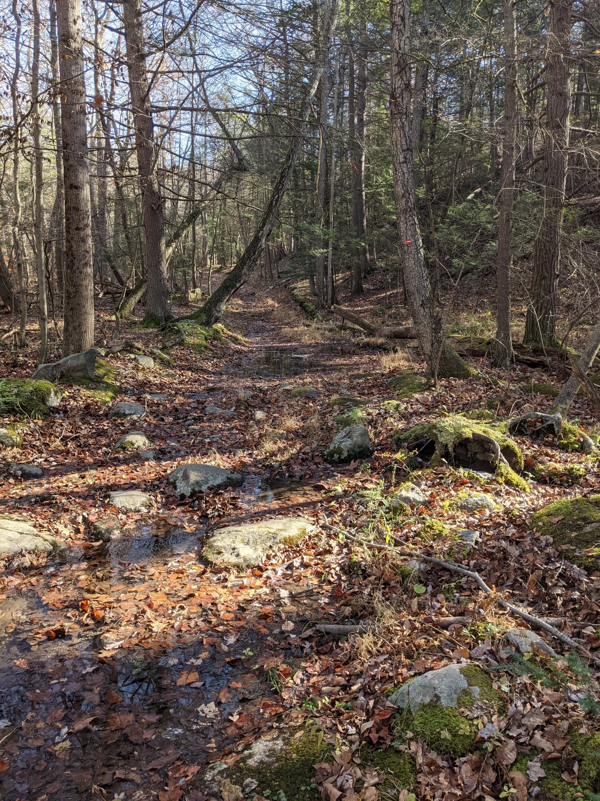
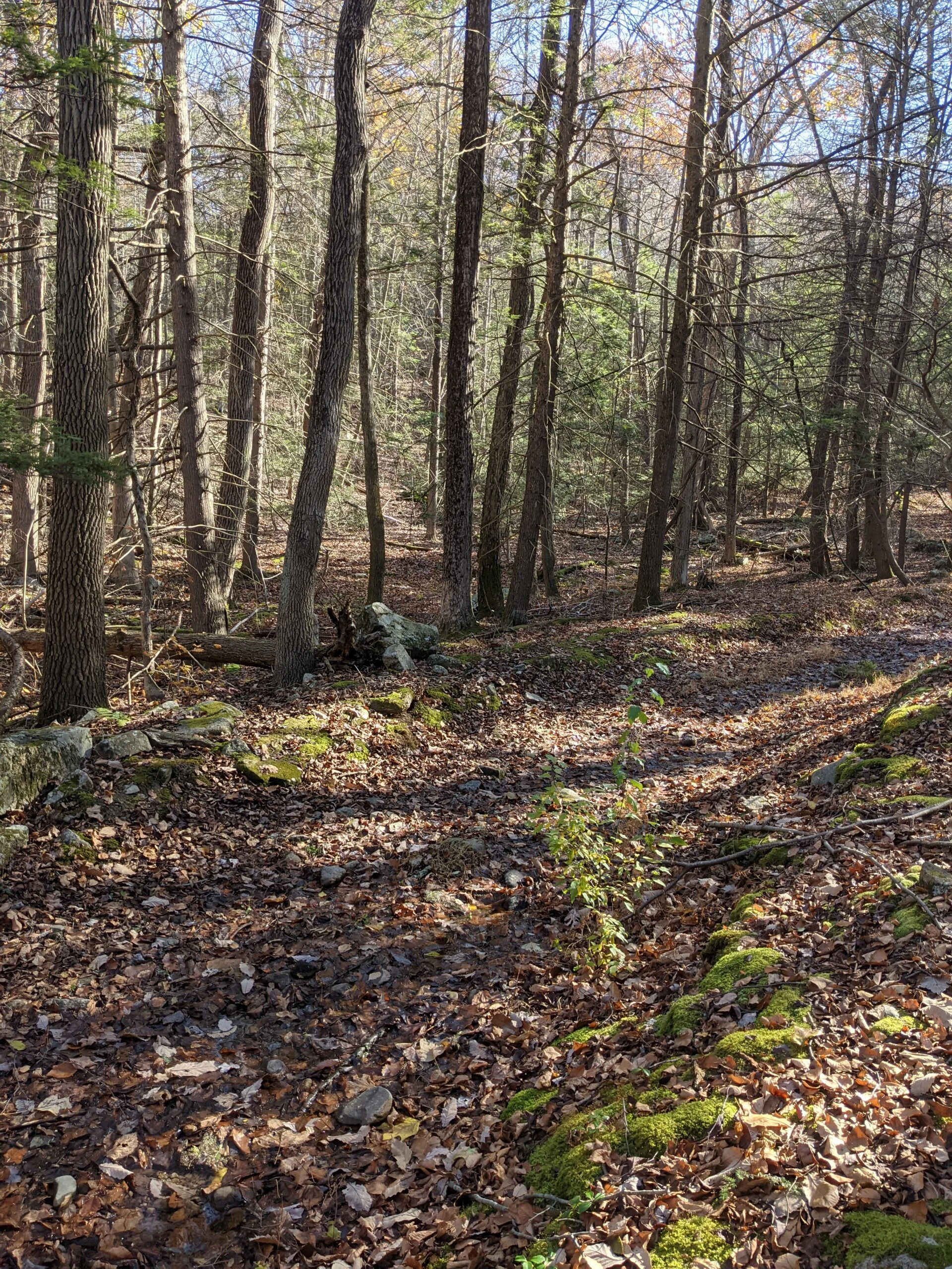
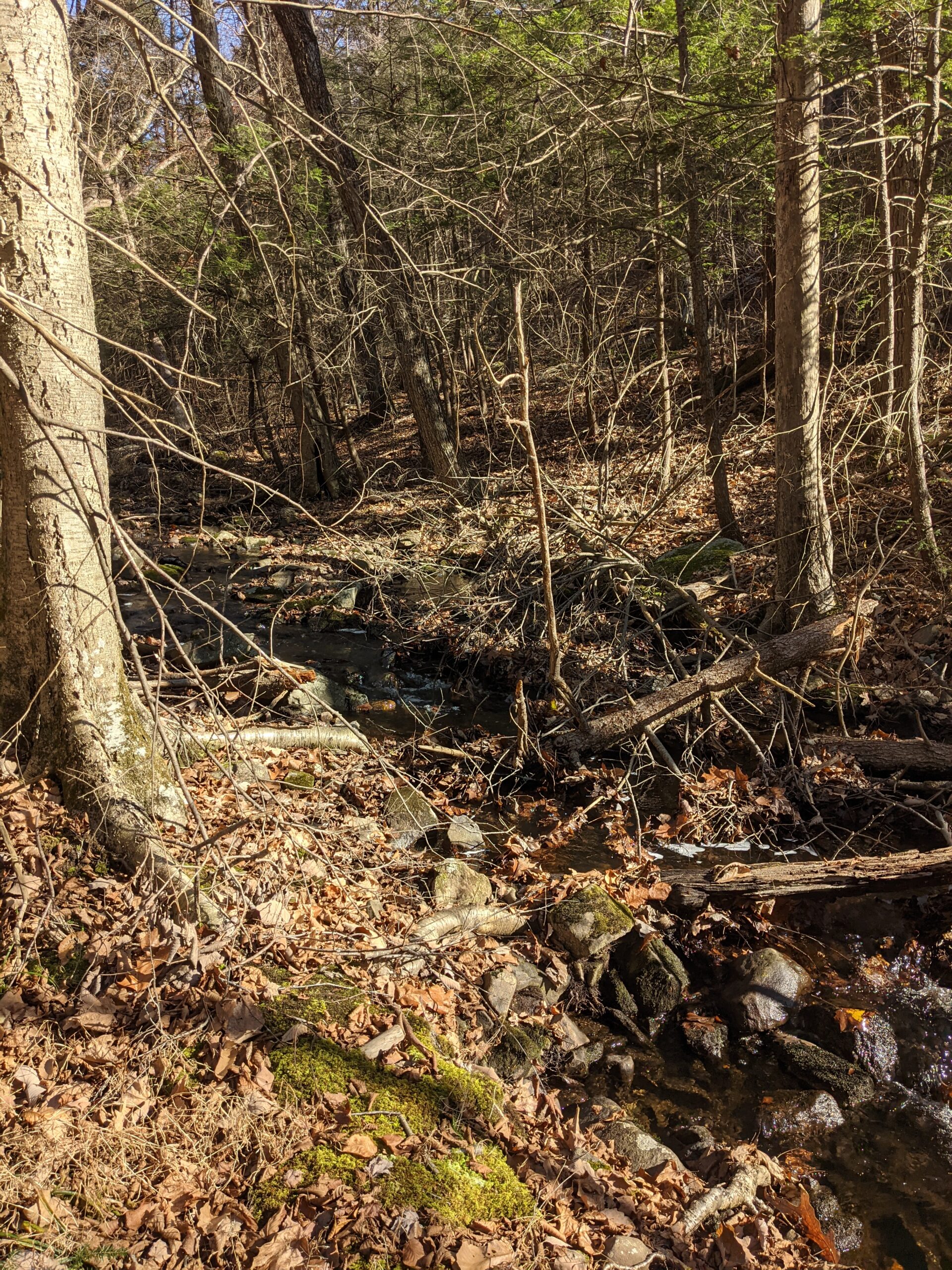
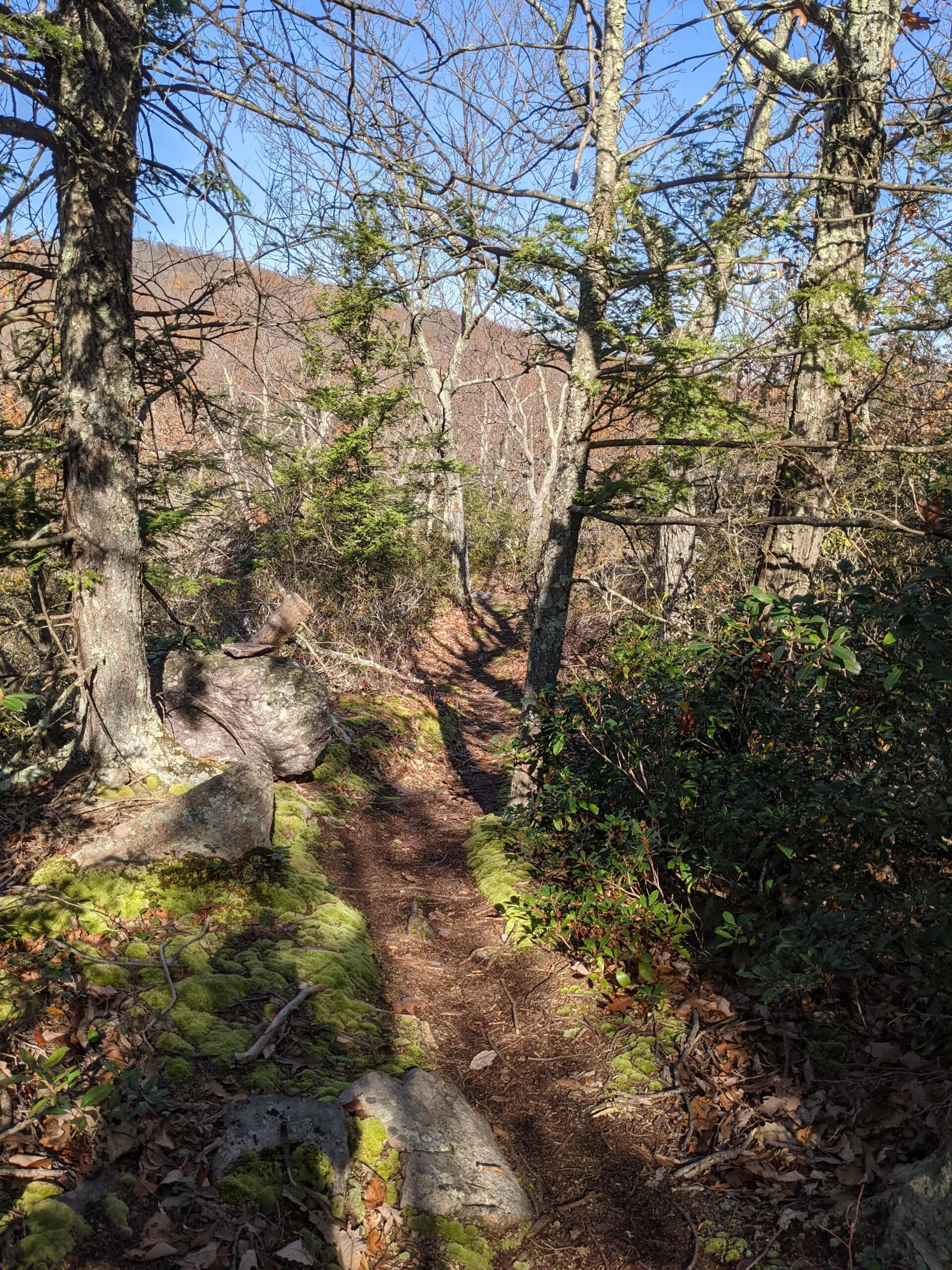
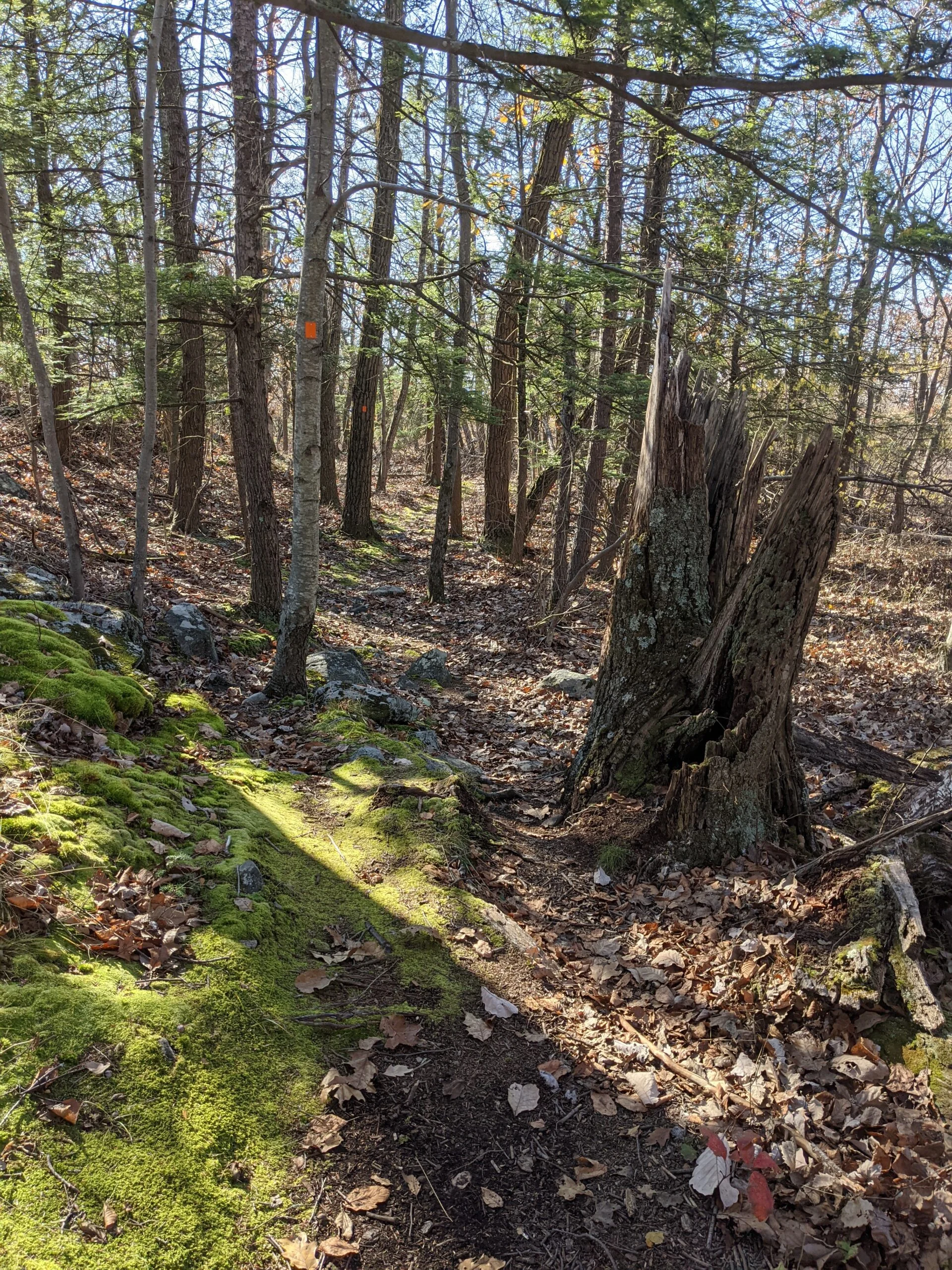
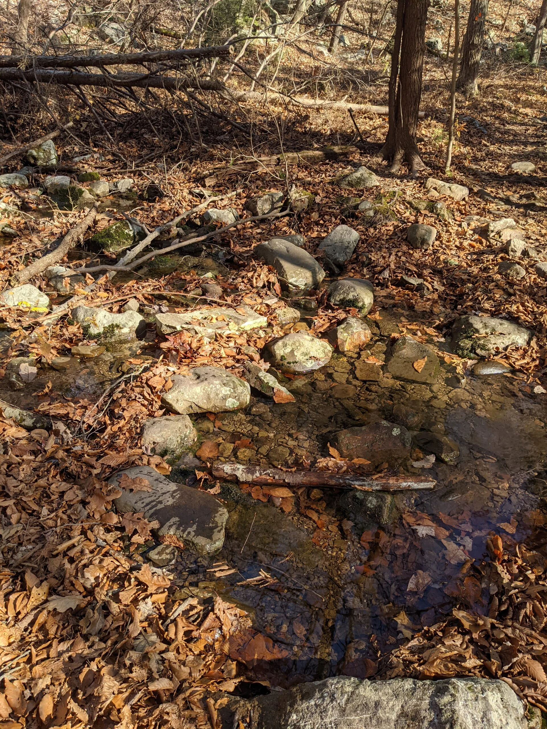
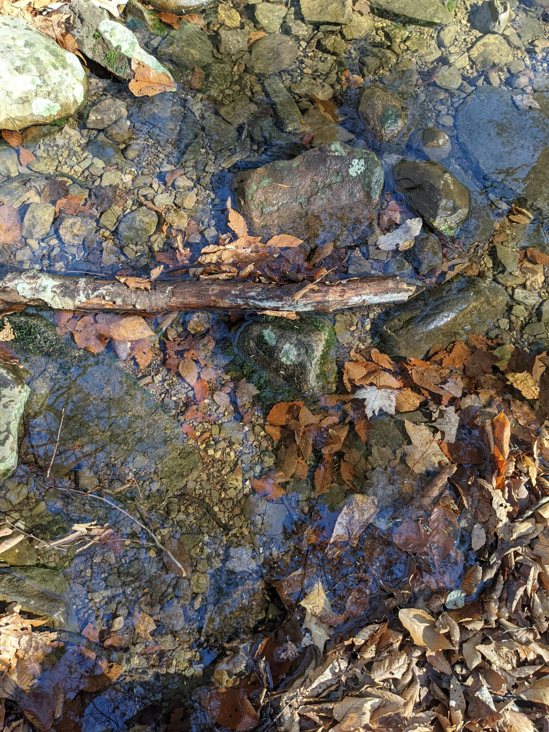
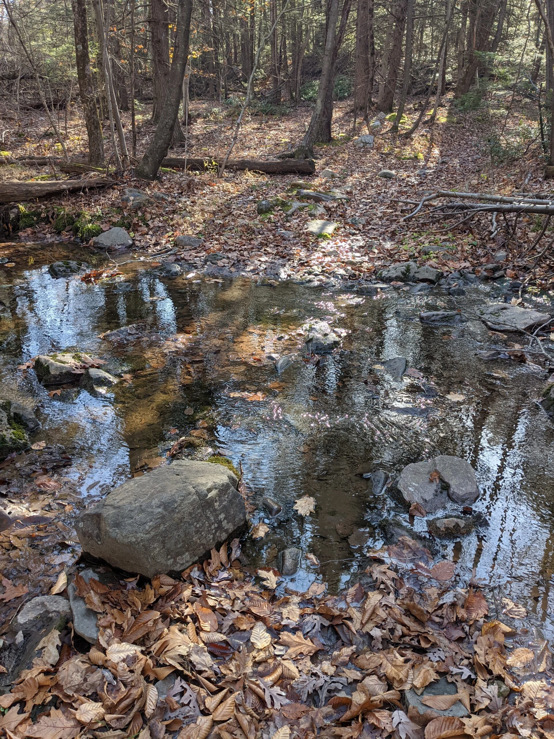
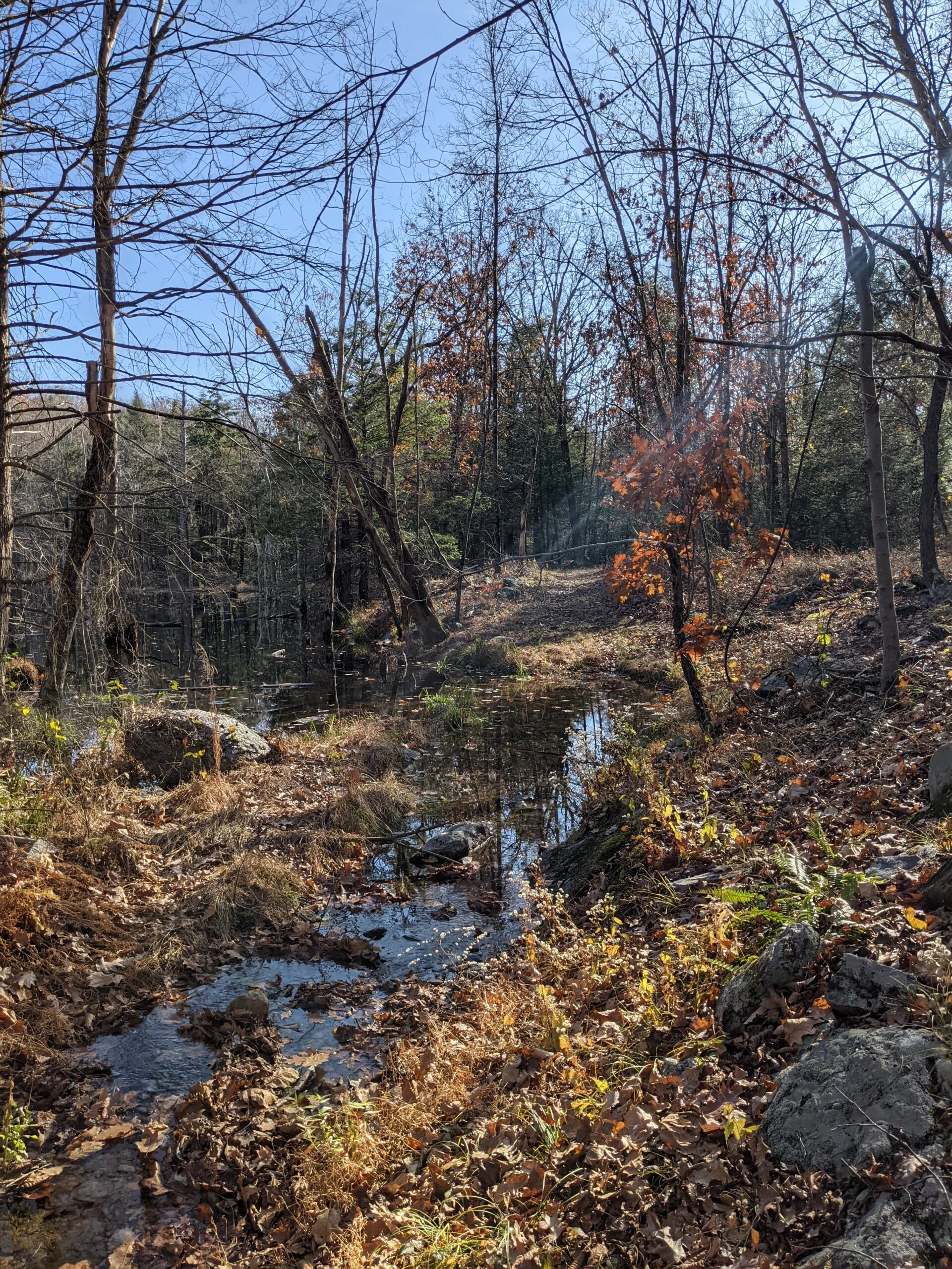
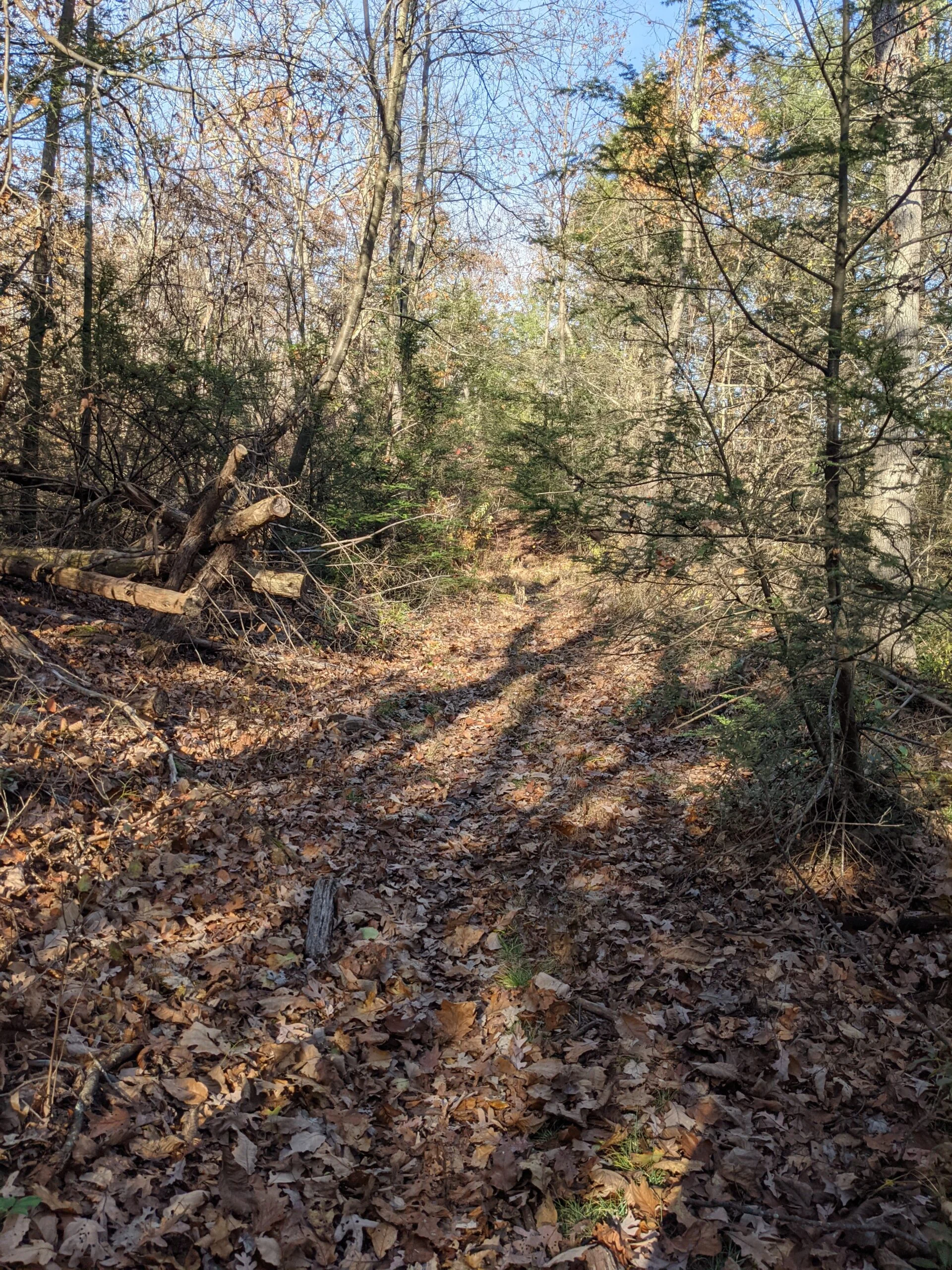
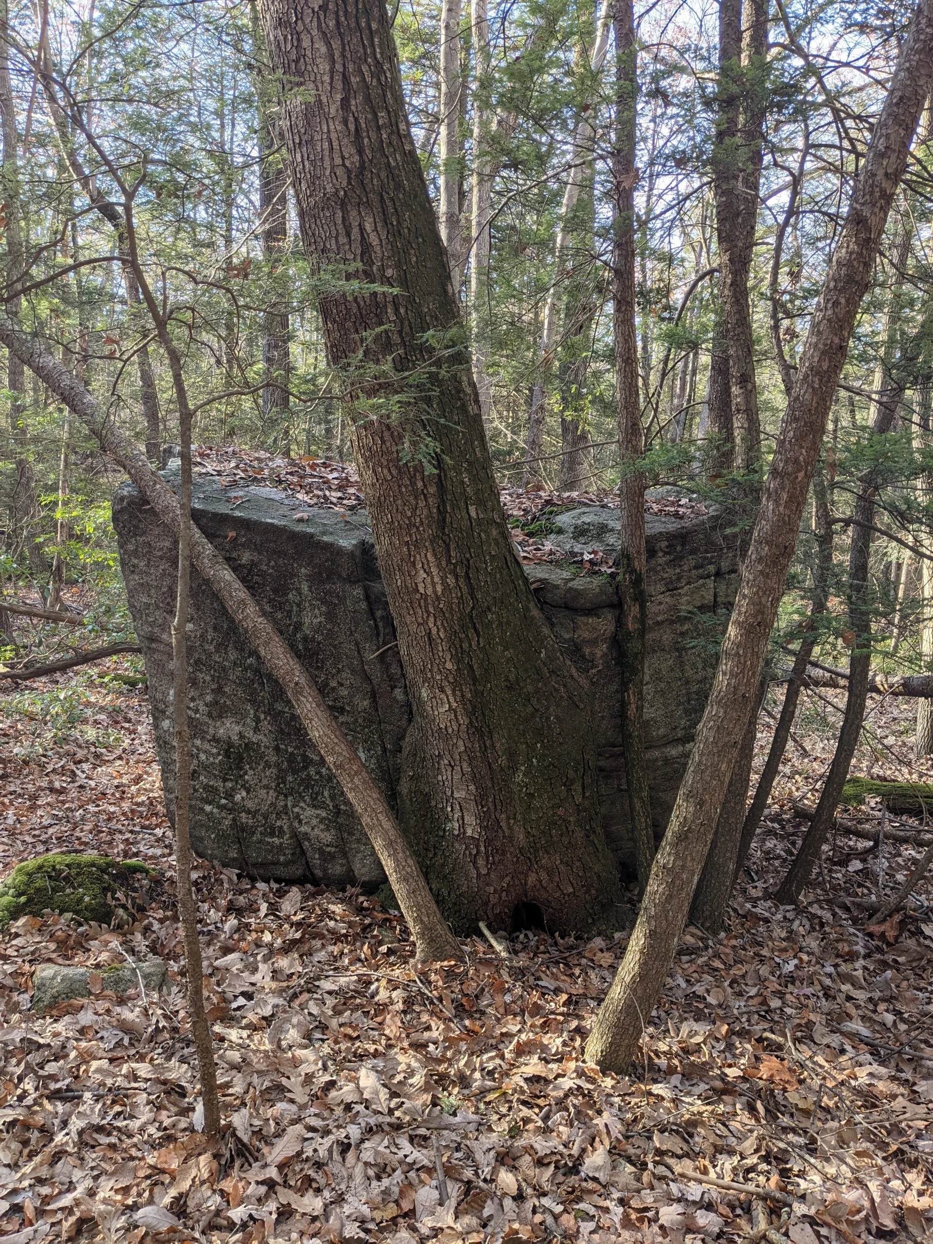
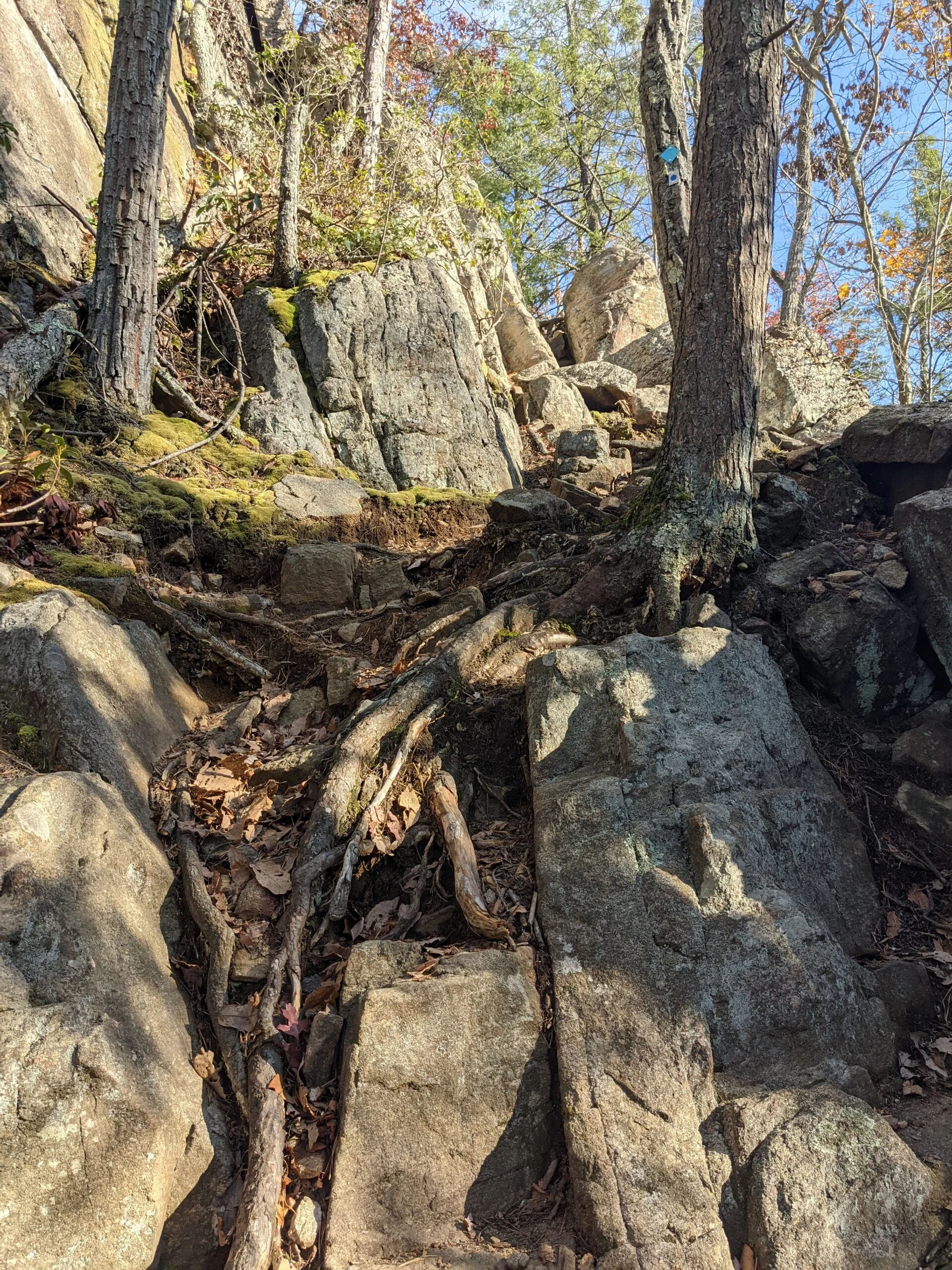
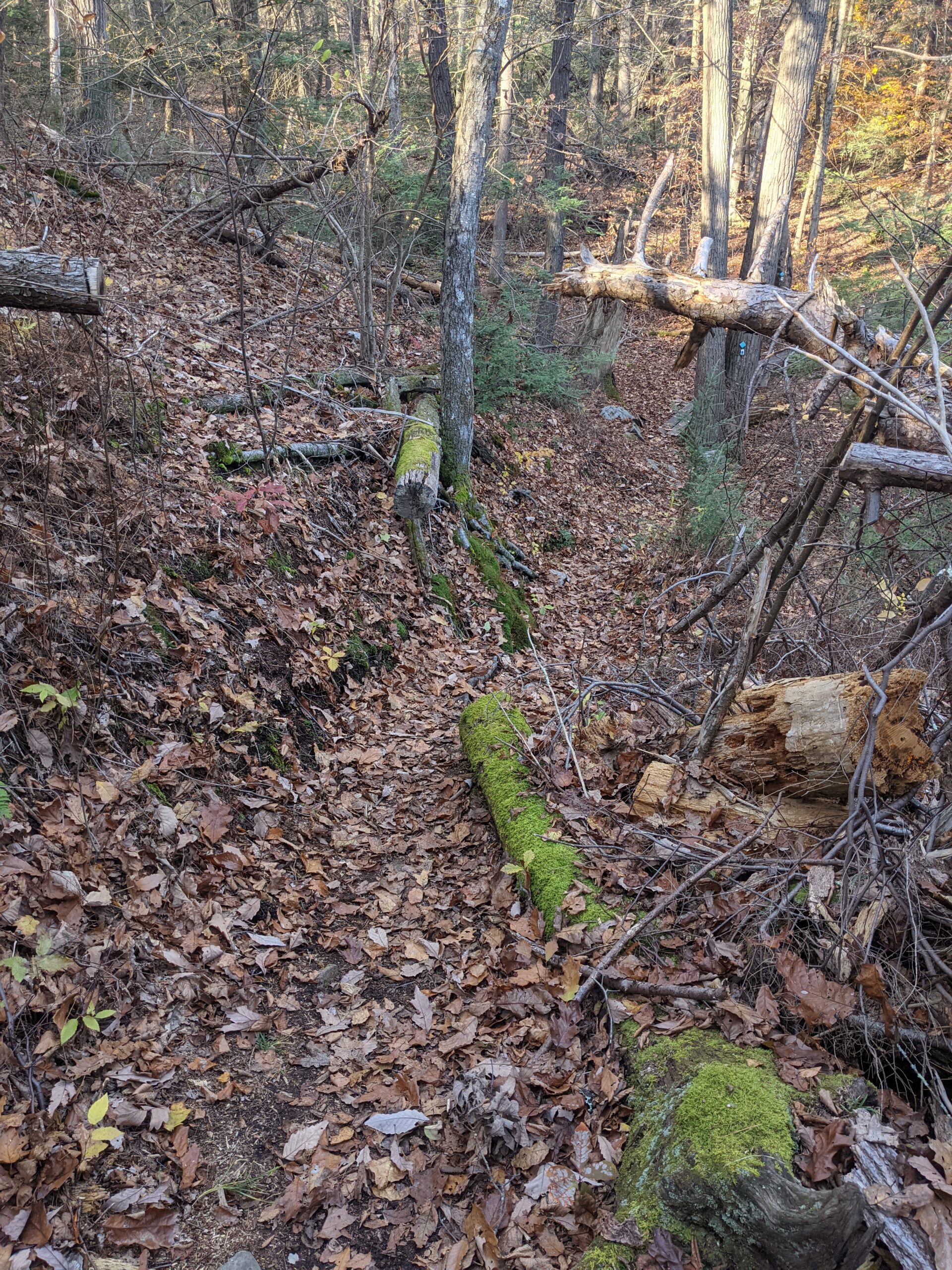
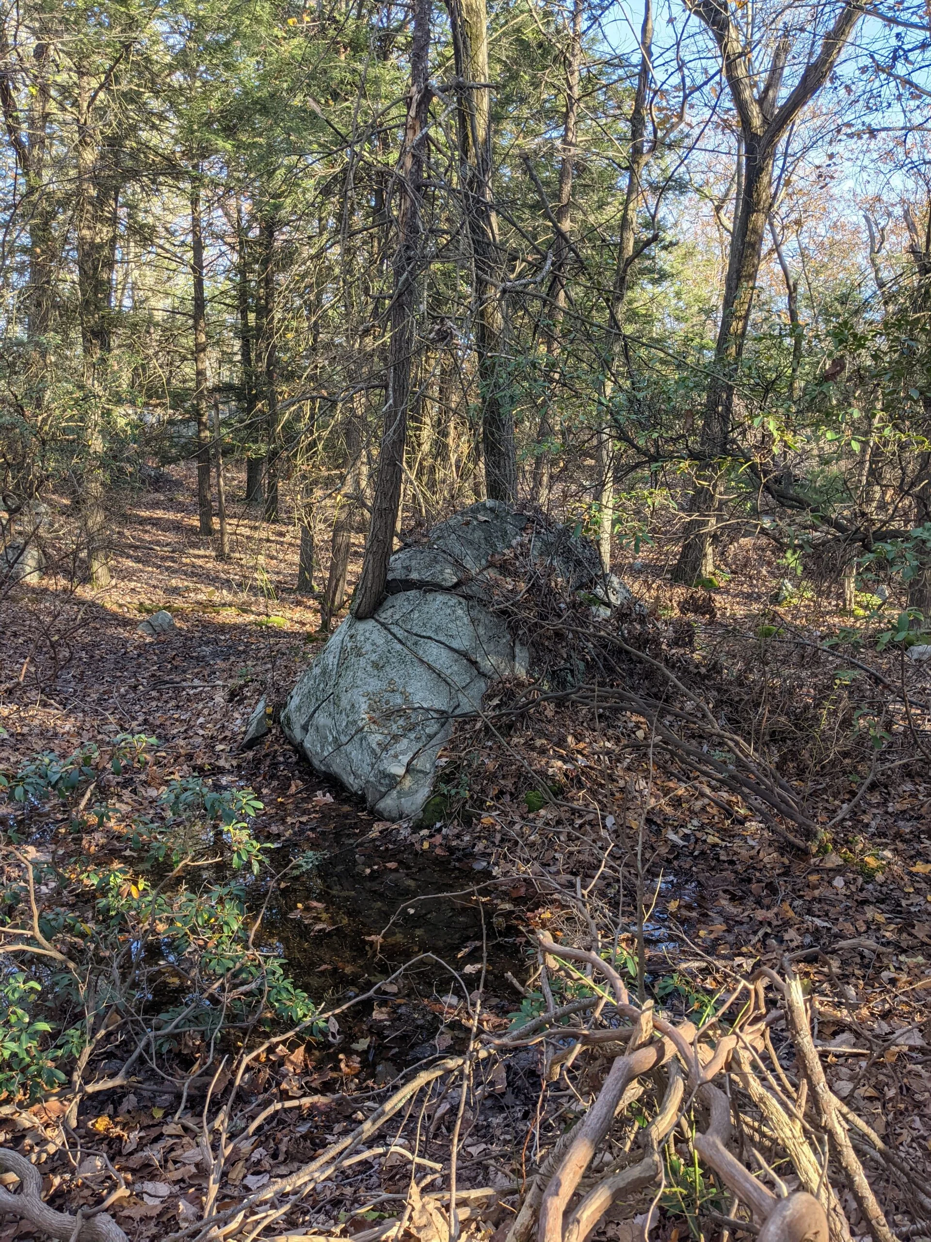
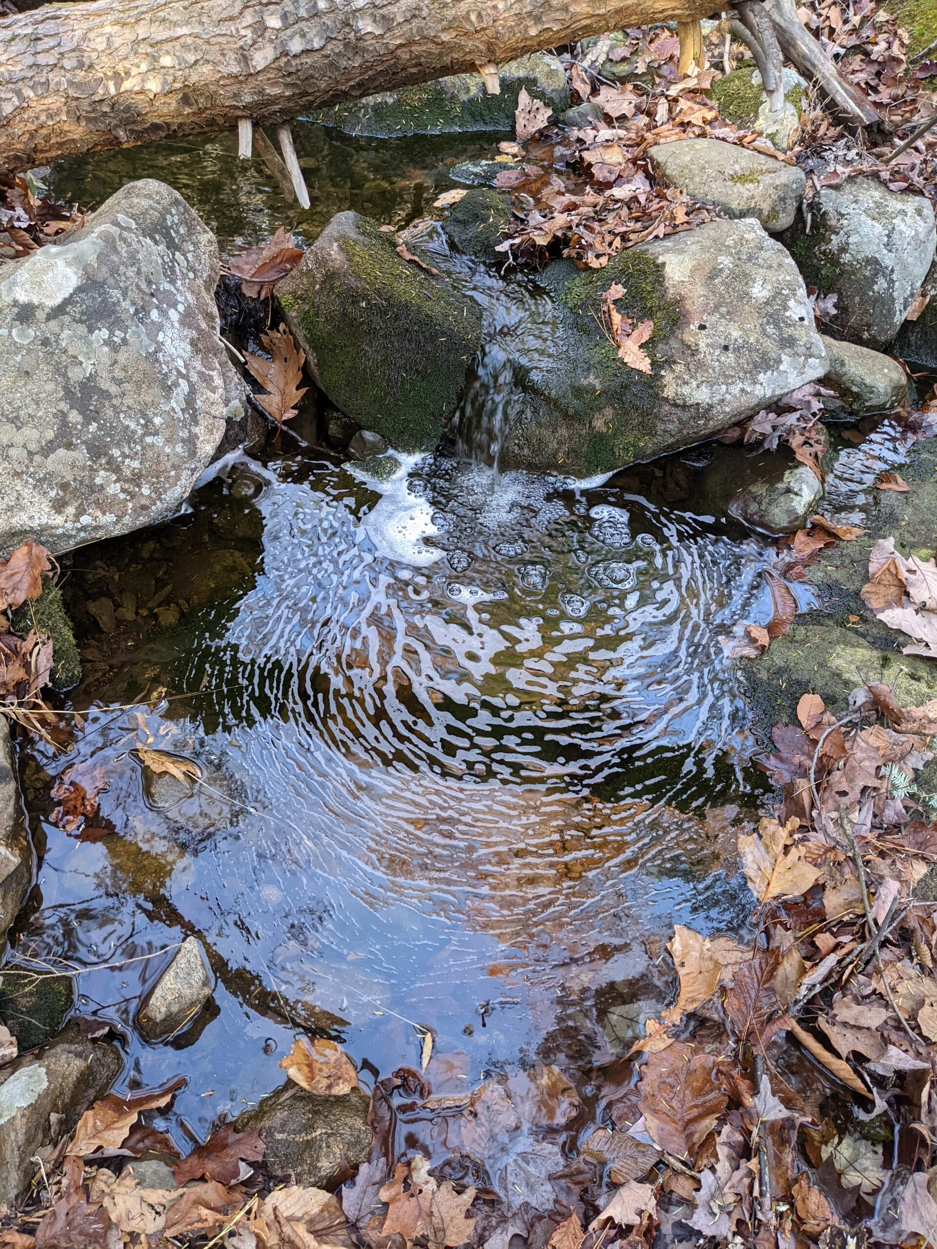
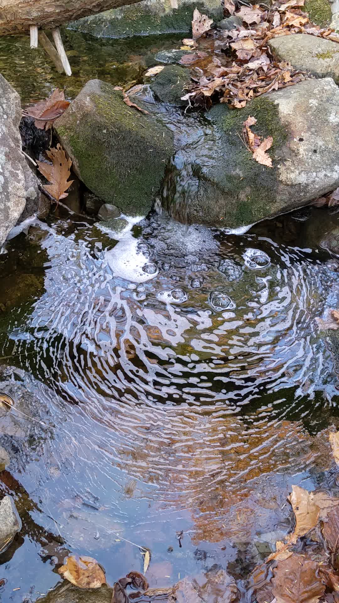
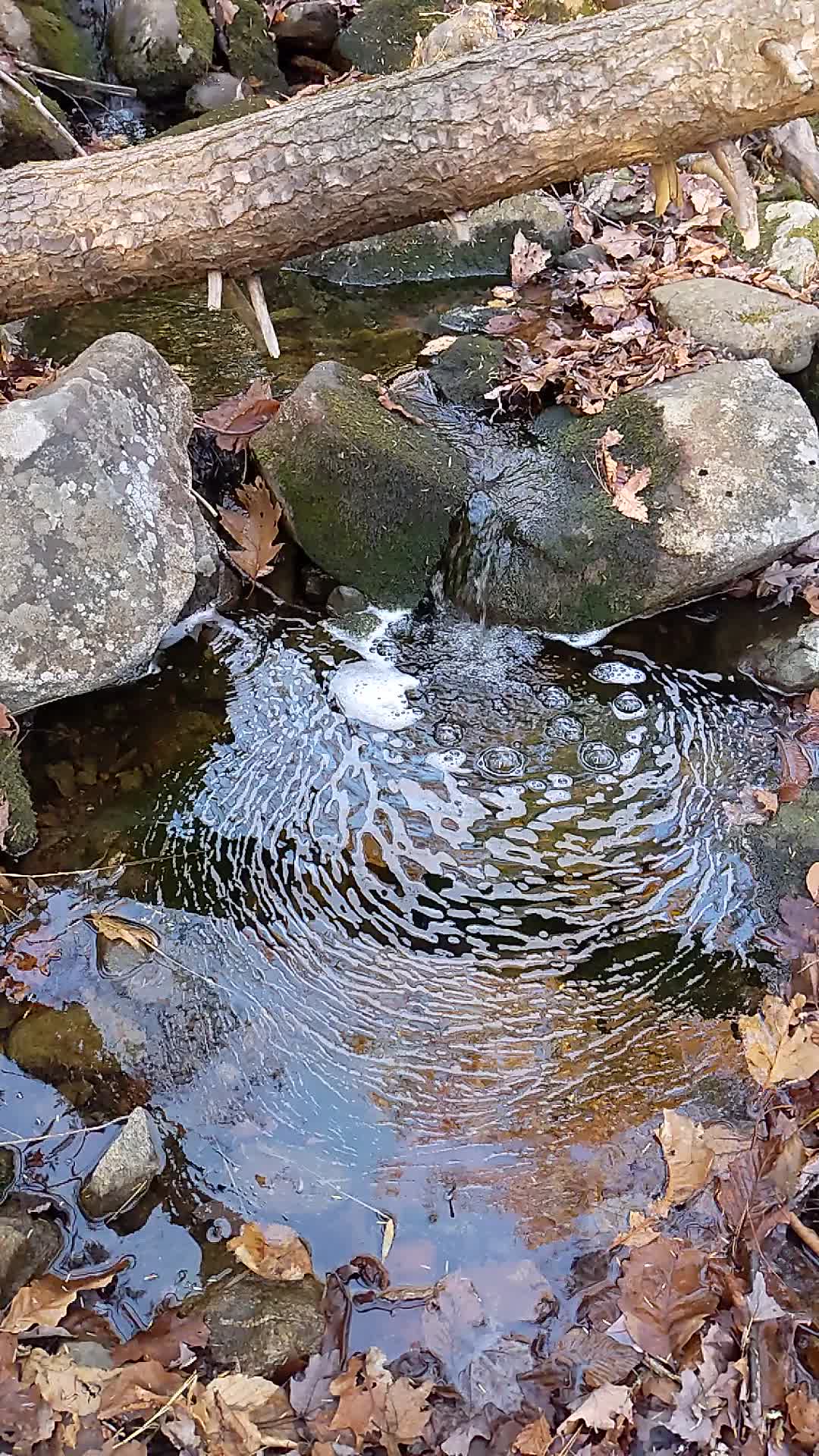
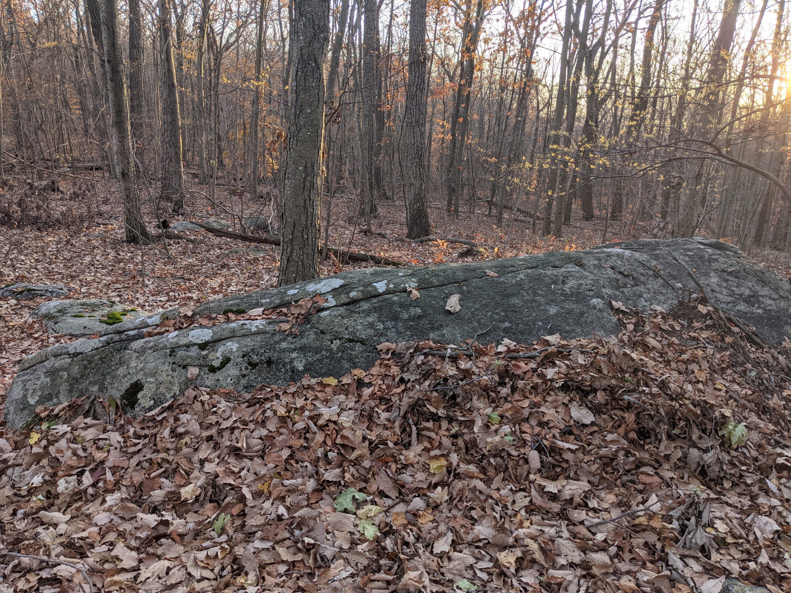
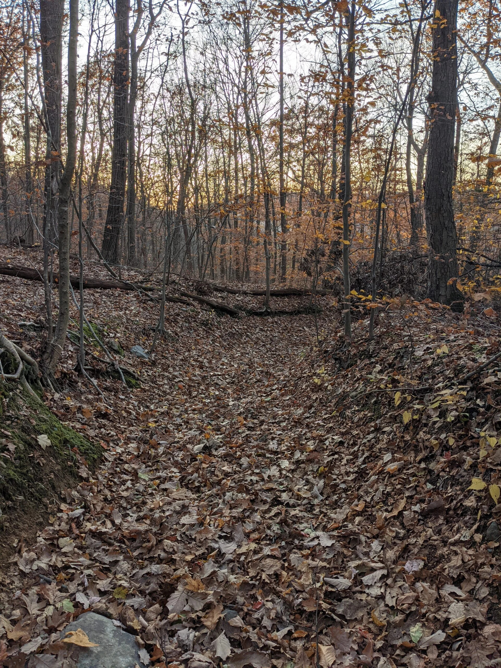
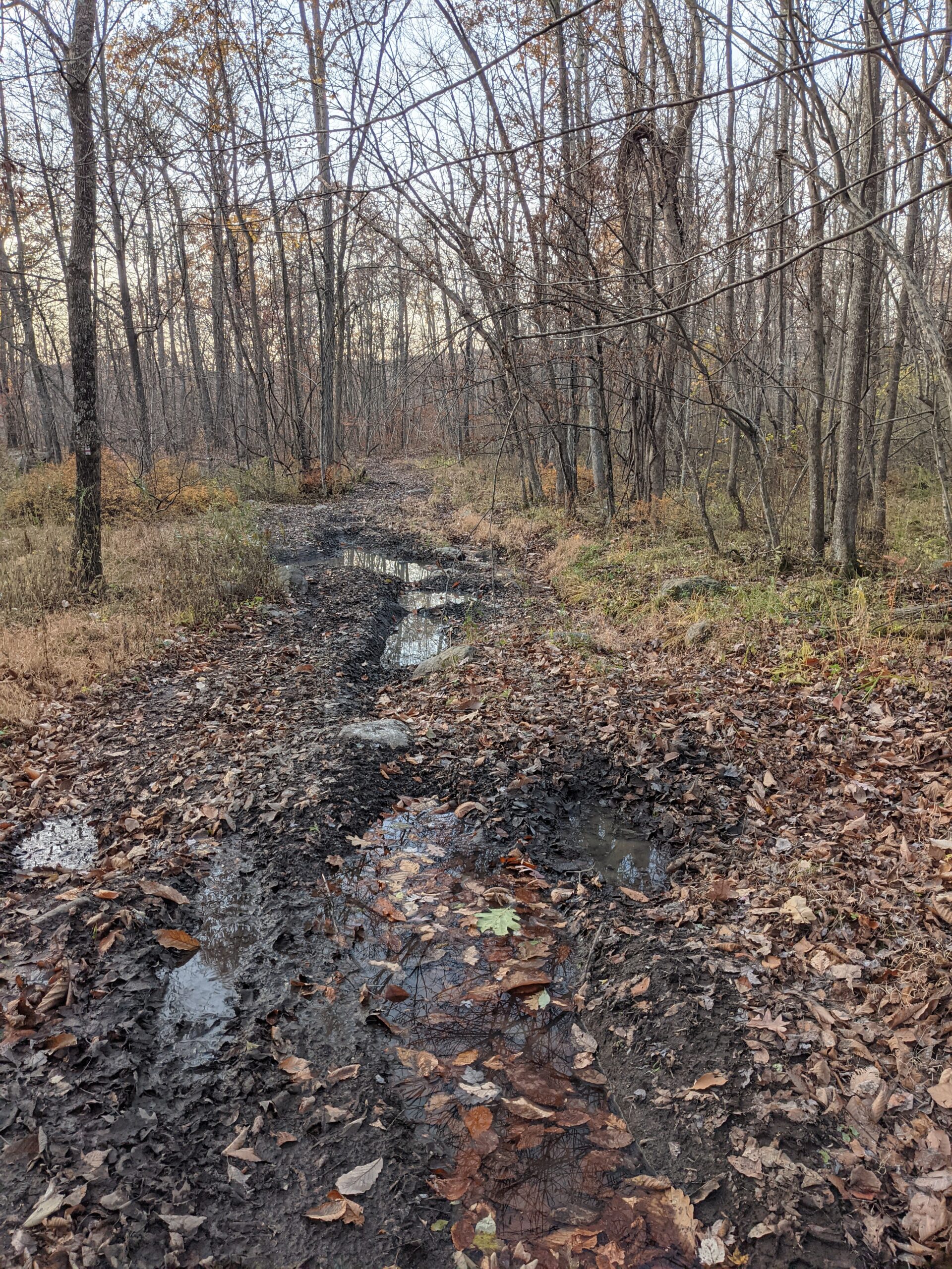
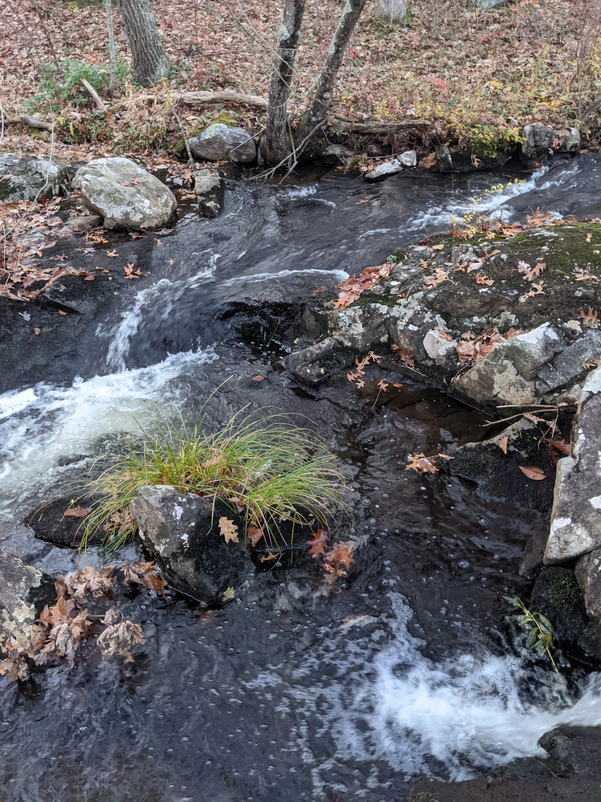
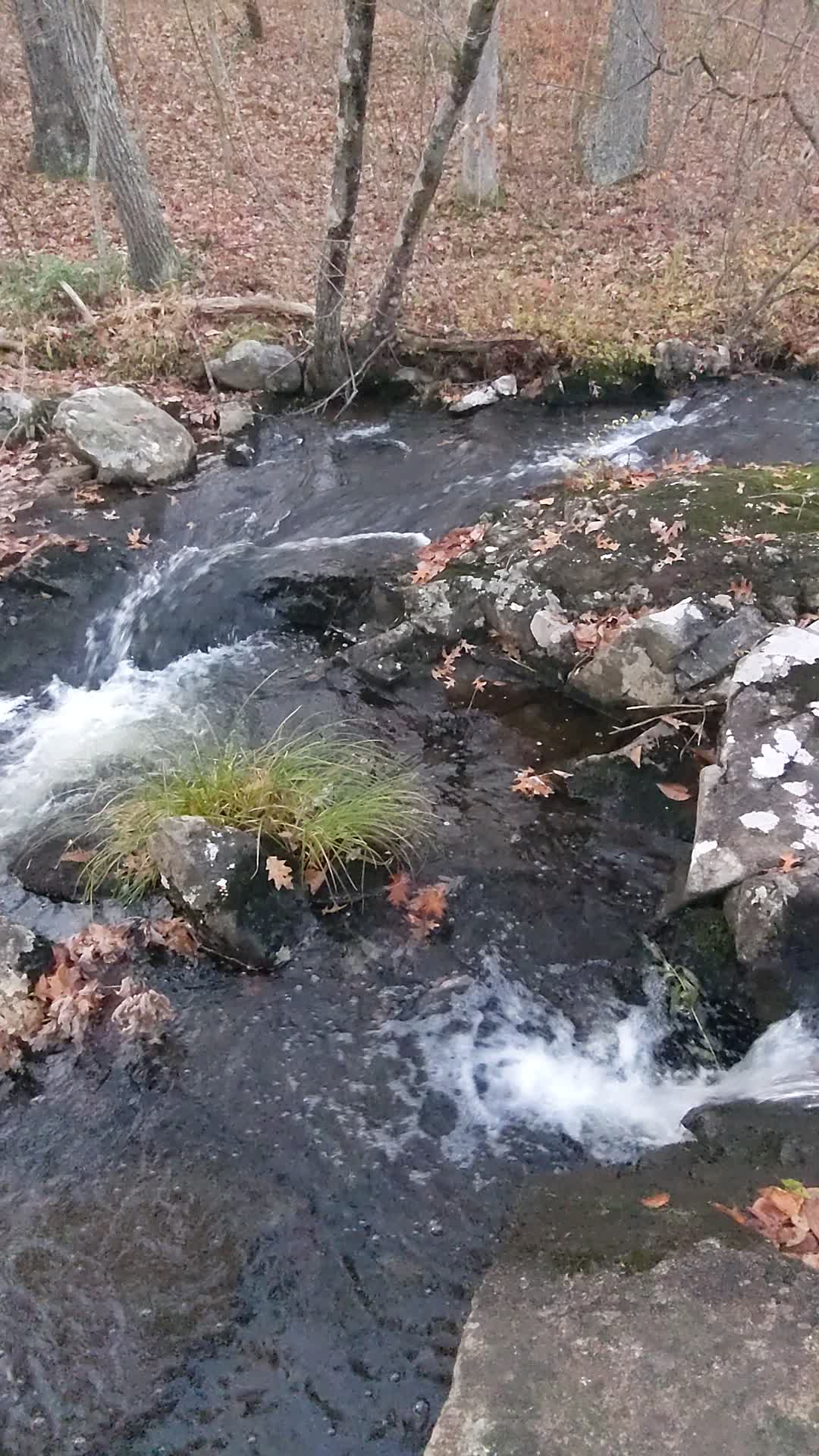
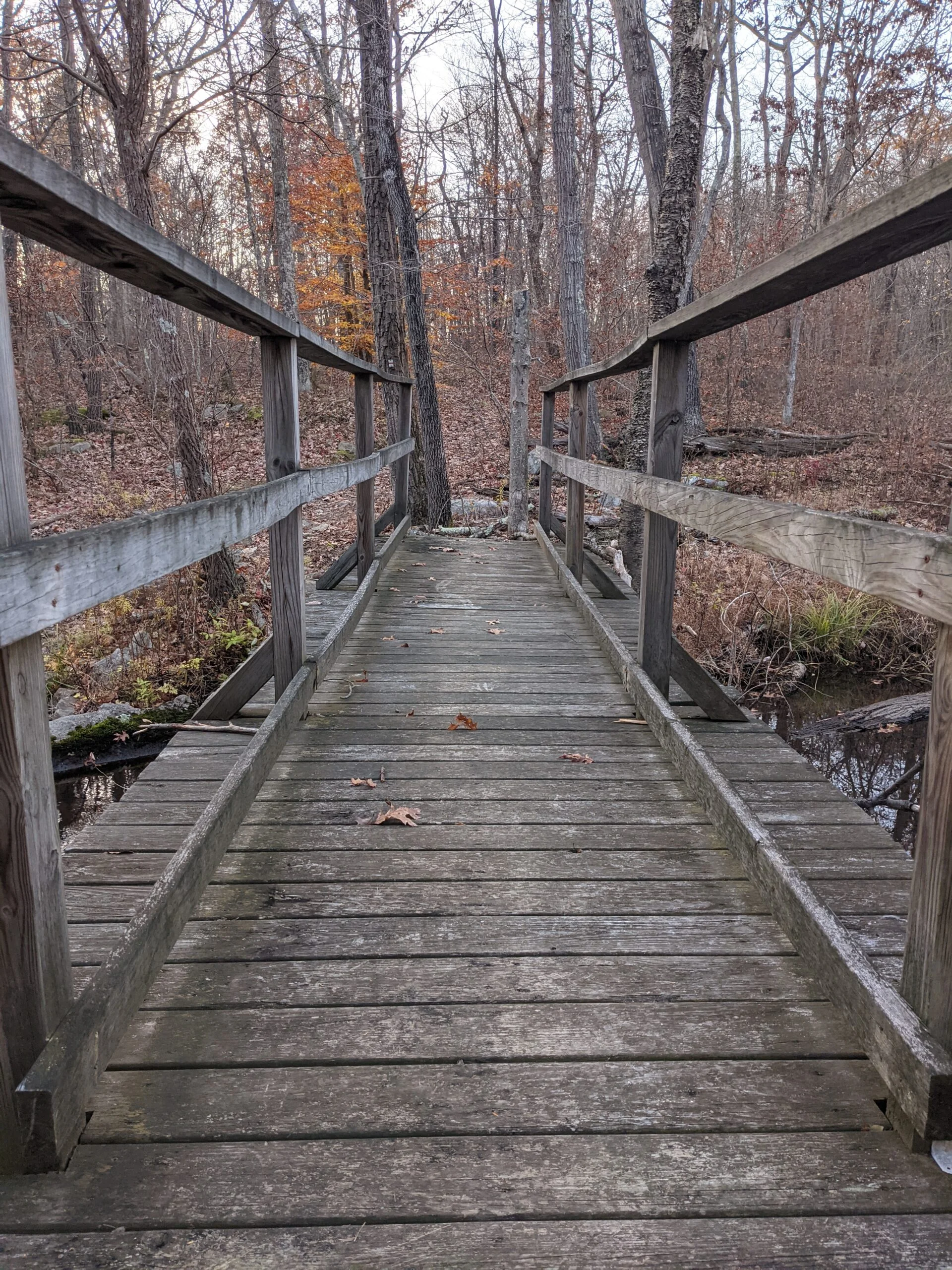
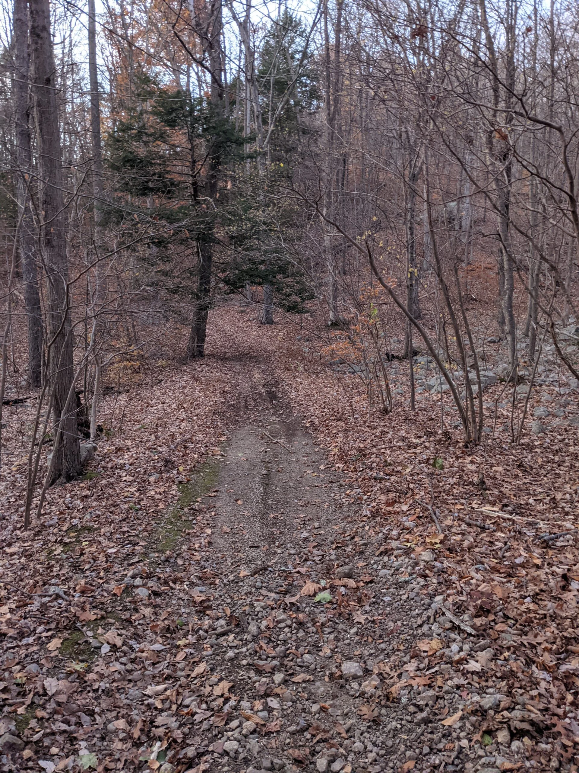
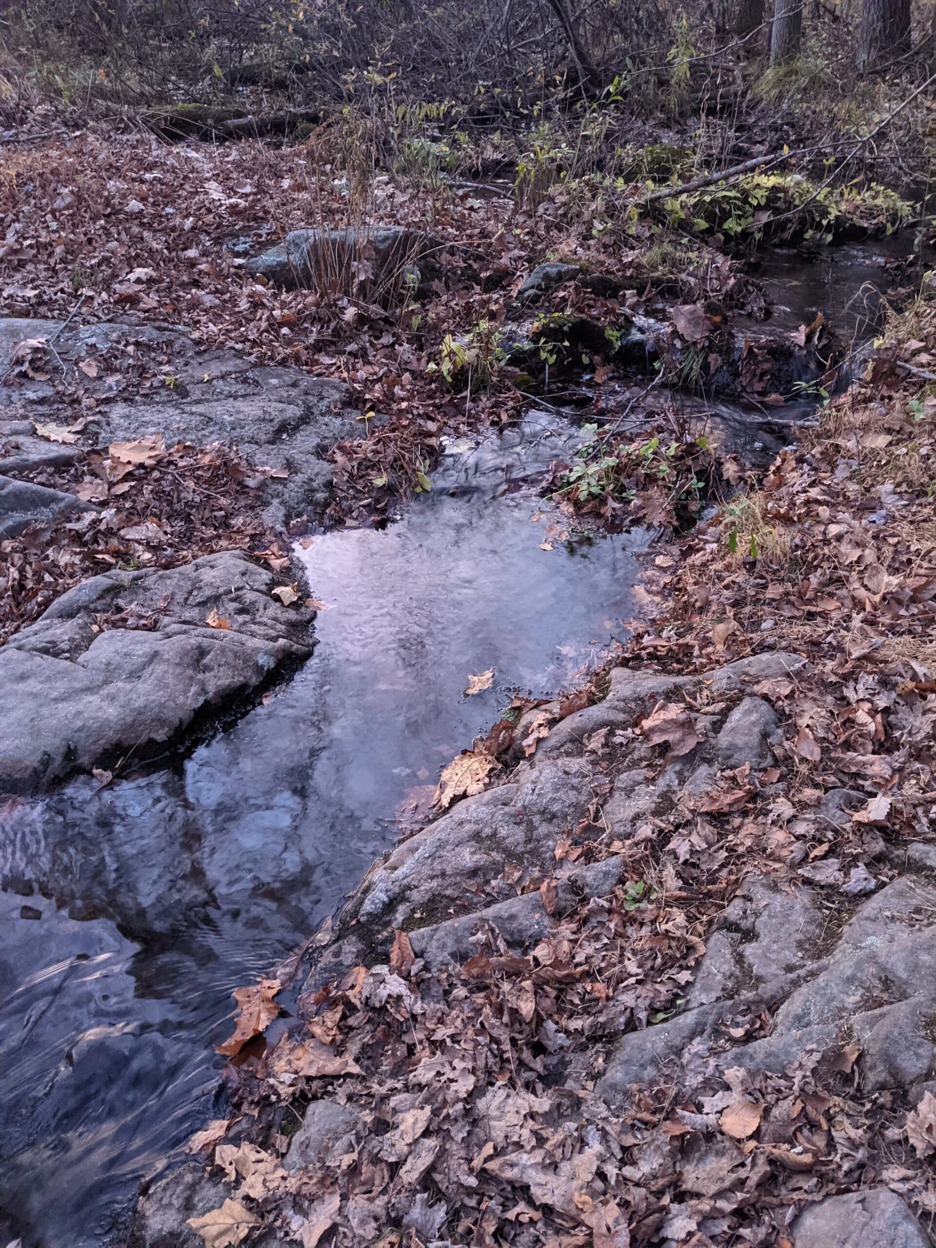
Along the way, I came across several little streams and standing puddles of water. Throughout the whole day there were many sections of the marked trails that were either completely washed out or very muddy, despite not having rained in weeks. I avoided the water as much as possible because there really was no need to walk right through it, but there were a few times where I didn’t see the water underneath the leaves and my Vasque Breeze AT Mid GTX Hiking Boots held up well in the shallow water and muddy areas I encountered. My feet and socks stayed dry the entire trip.
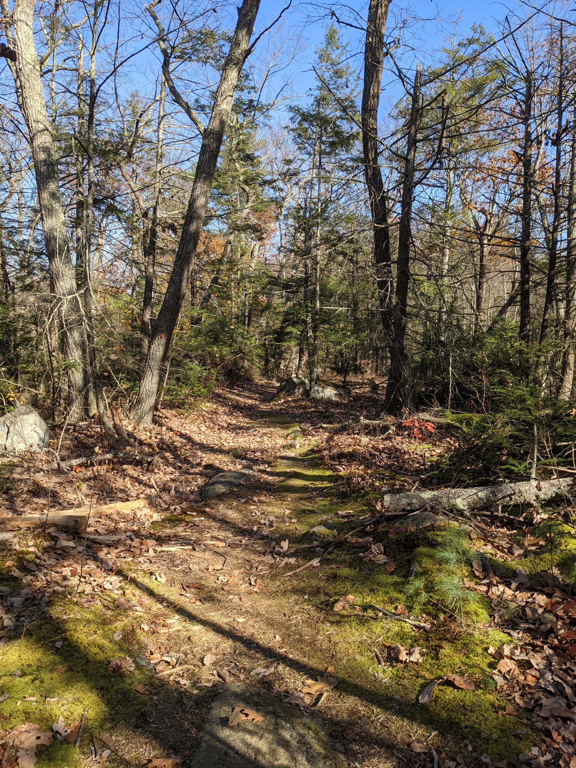
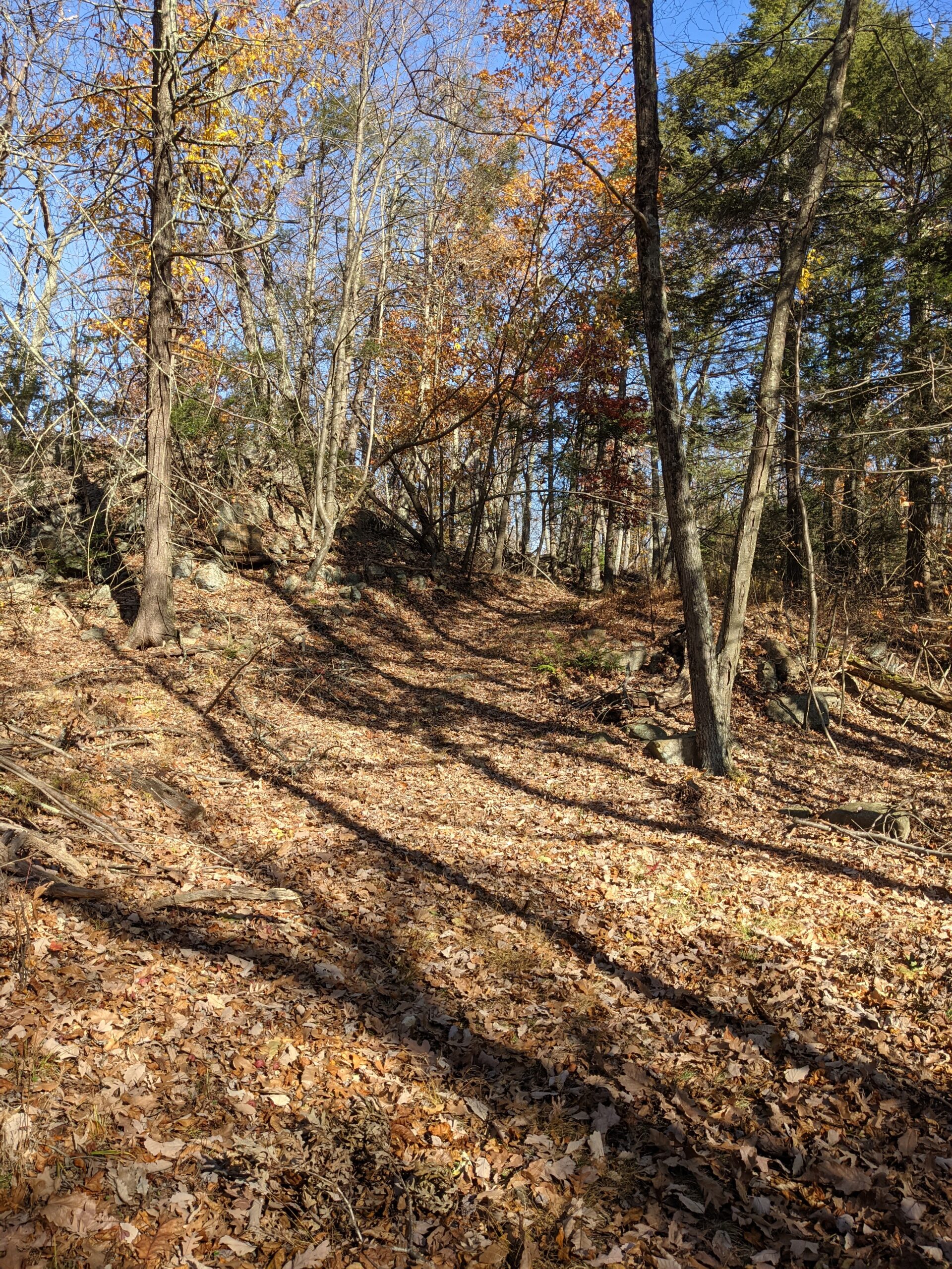
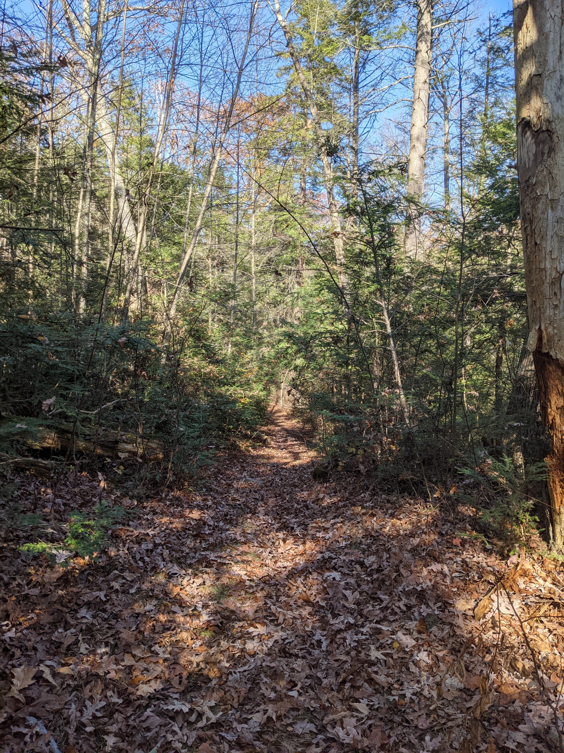
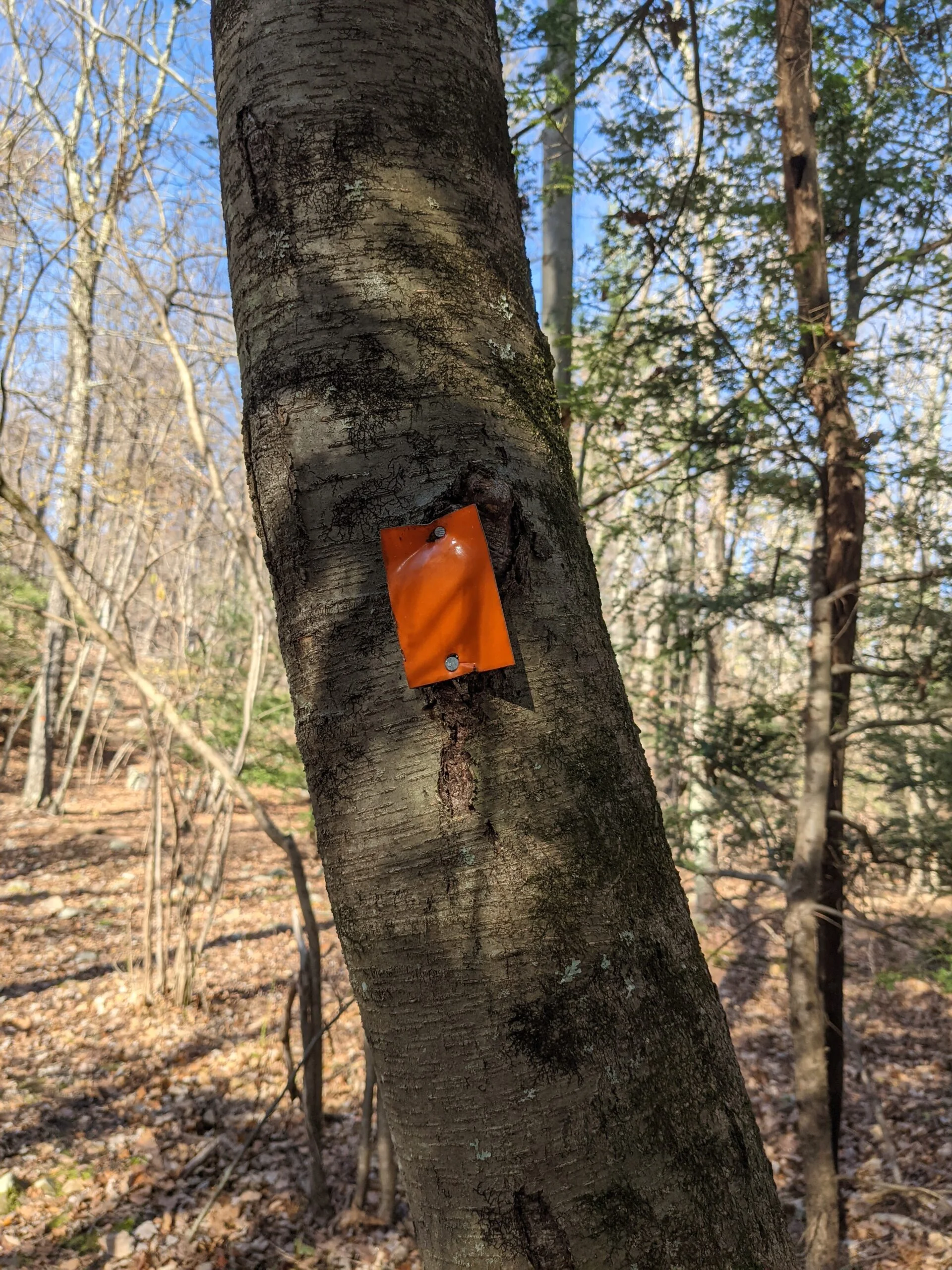
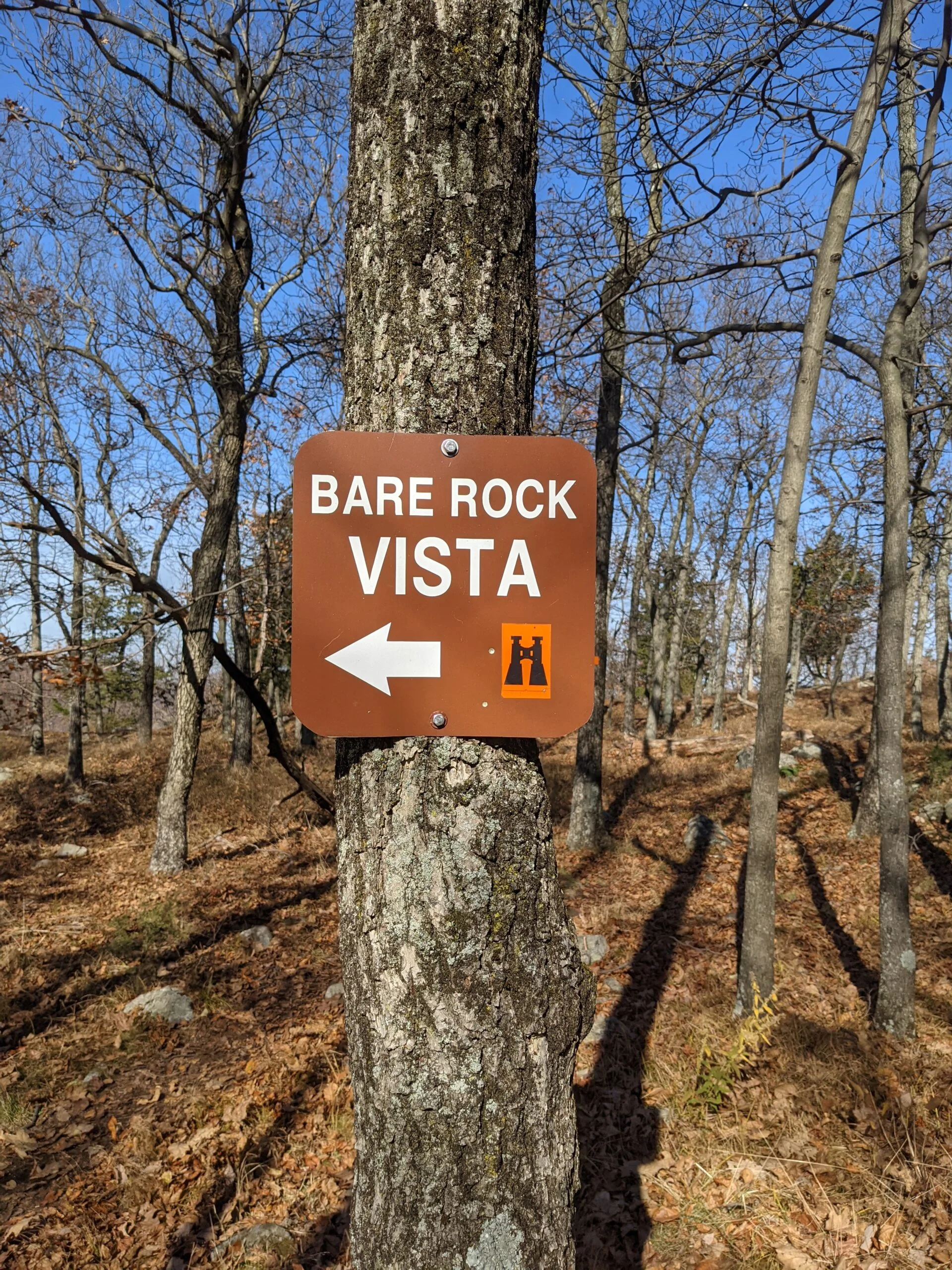
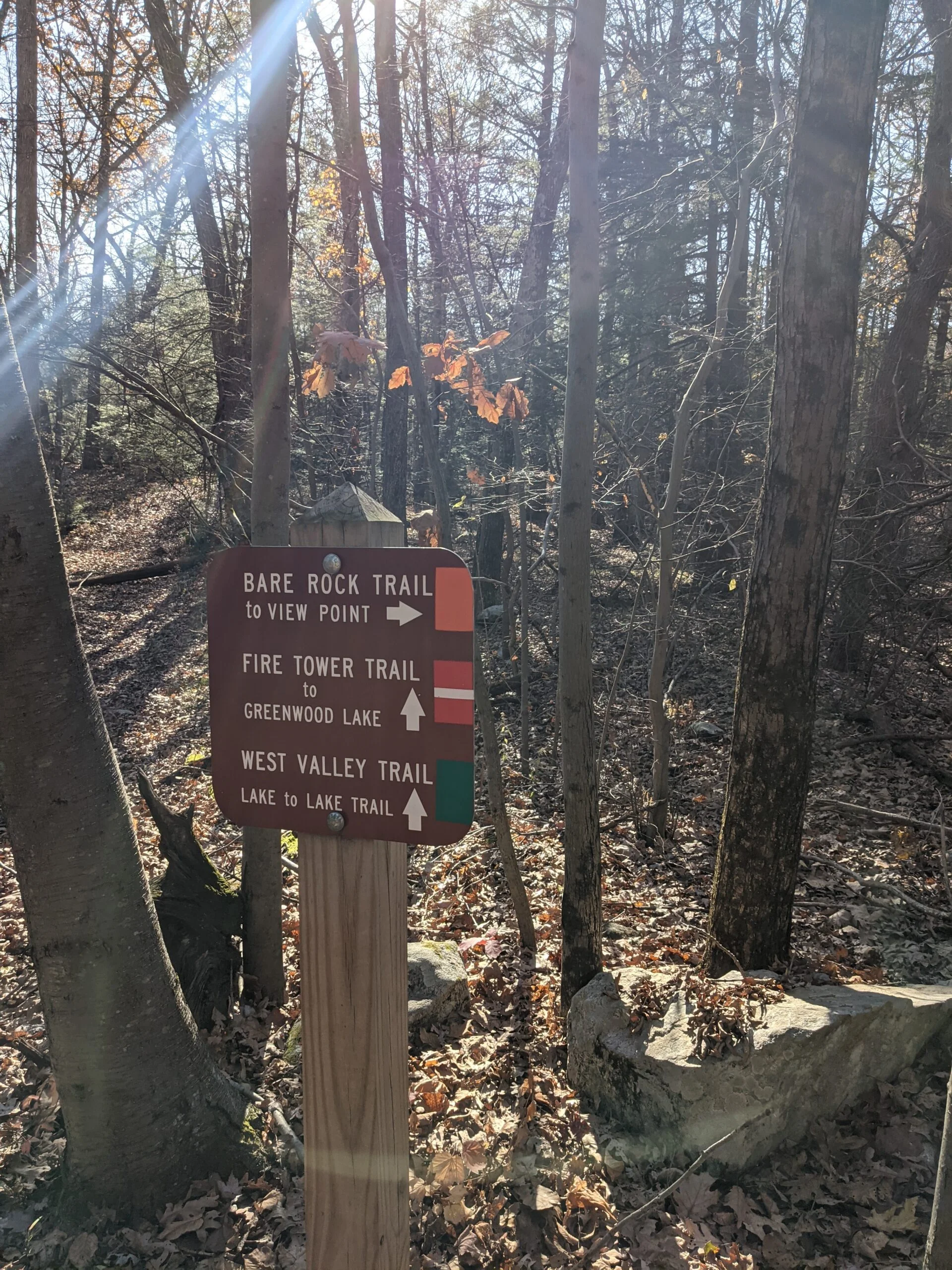
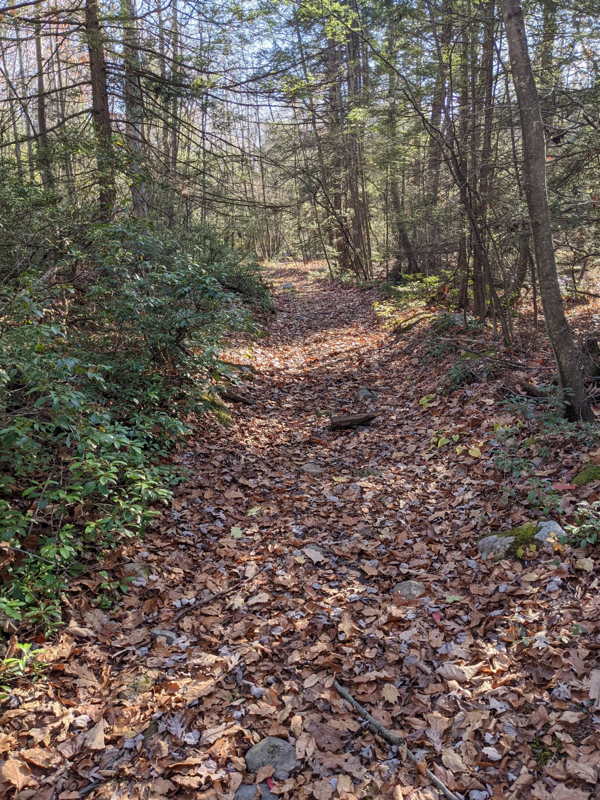
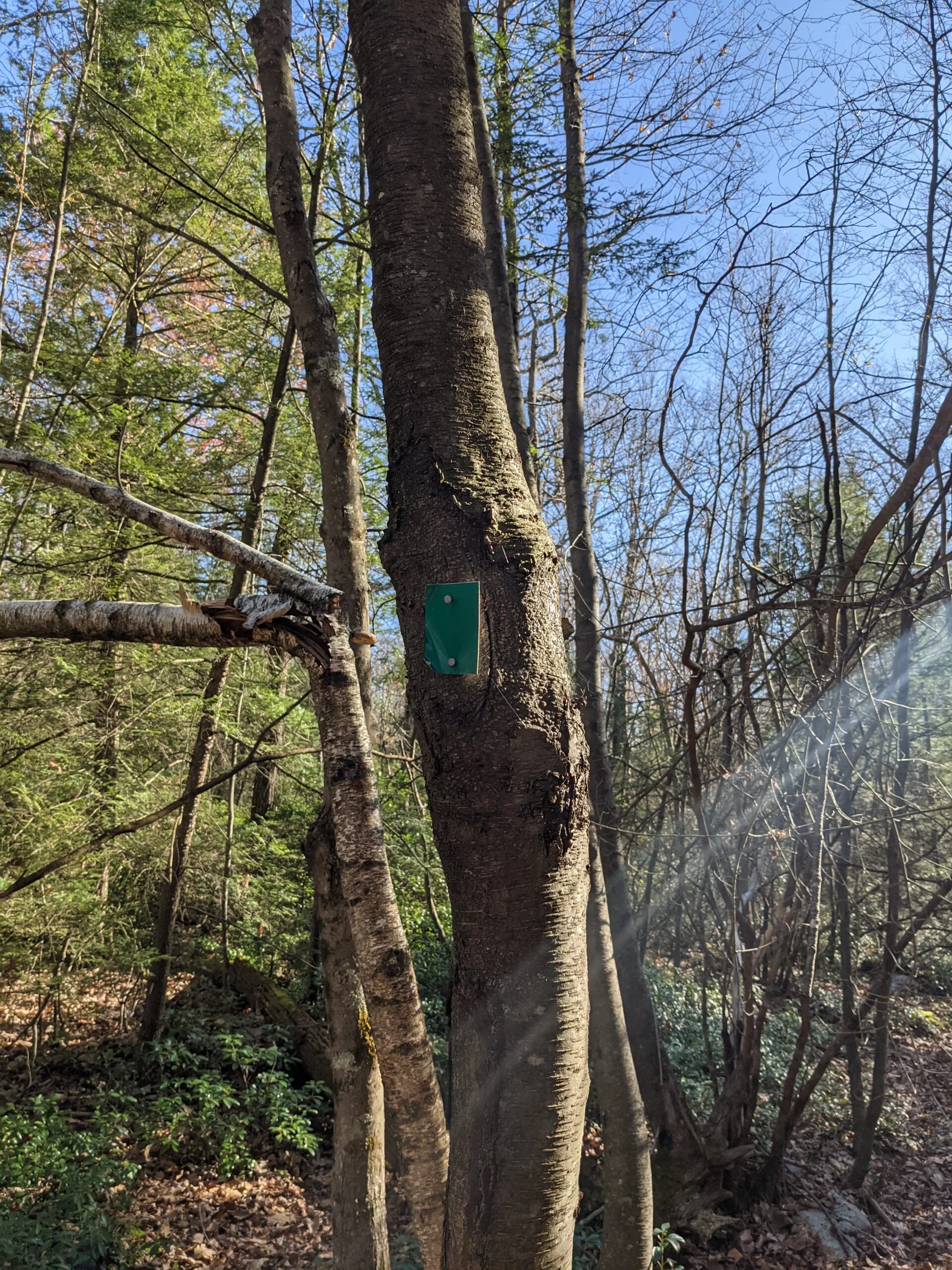
About a mile in, the FT trail connects and runs congruous with the West Valley trail (WV, green solid blazes). This initial section of the FT and WV trails were quiet and I went for almost 2 miles before encountering any other hikers. When I came to the intersection with the Bare Rock trail (BR, orange solid blazes), a sign advertised a lookout, so although this wasn’t in my original route, I decided to take the detour onto BR.
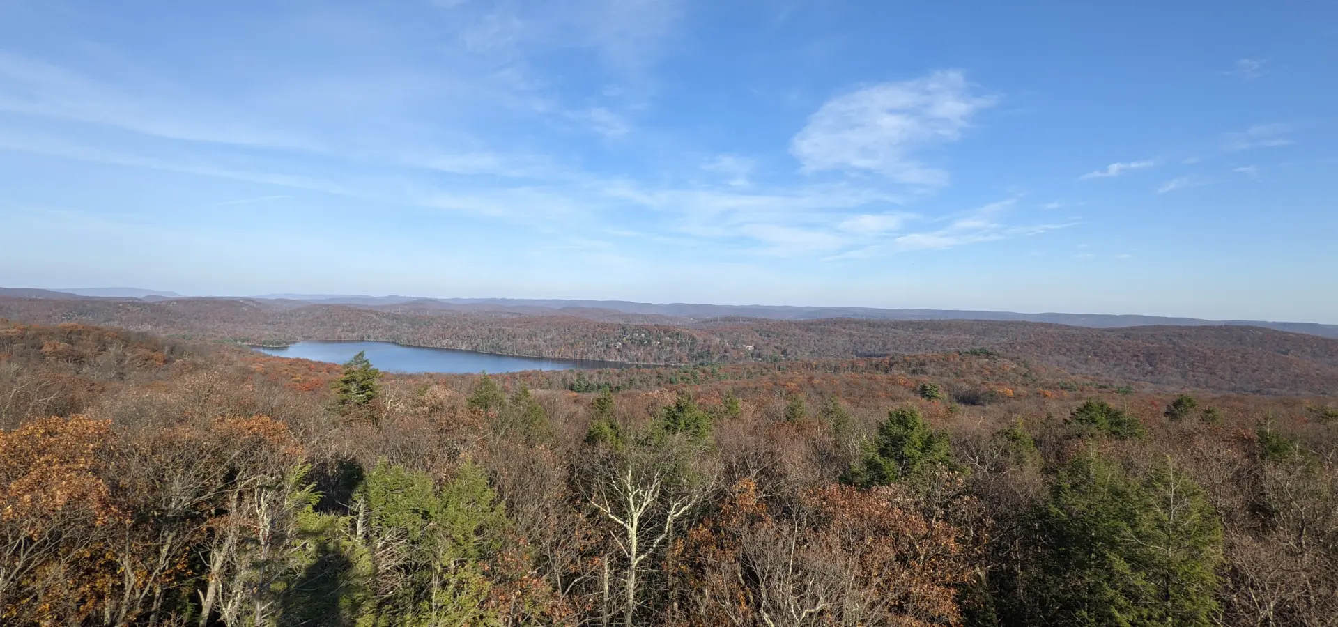
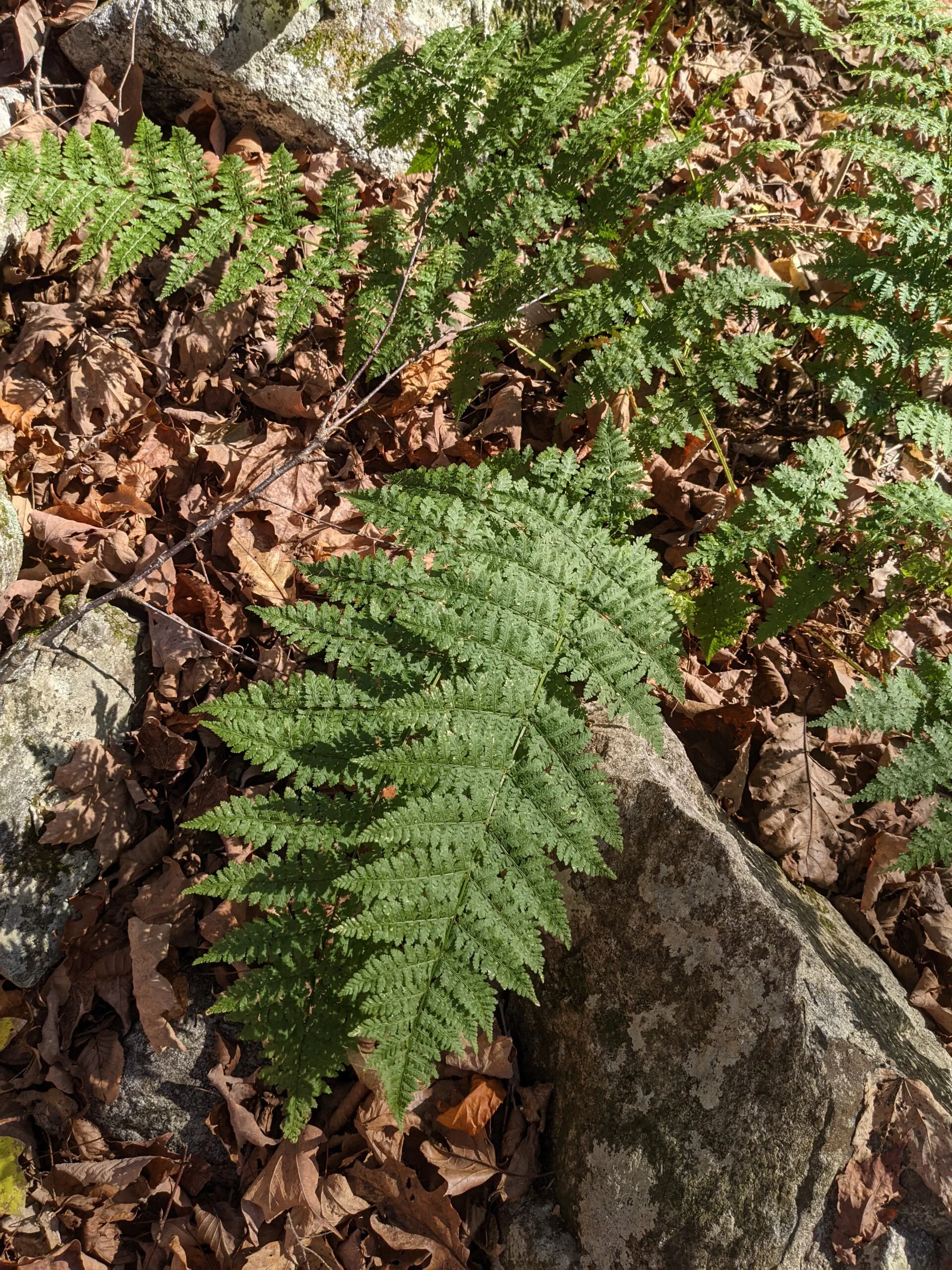
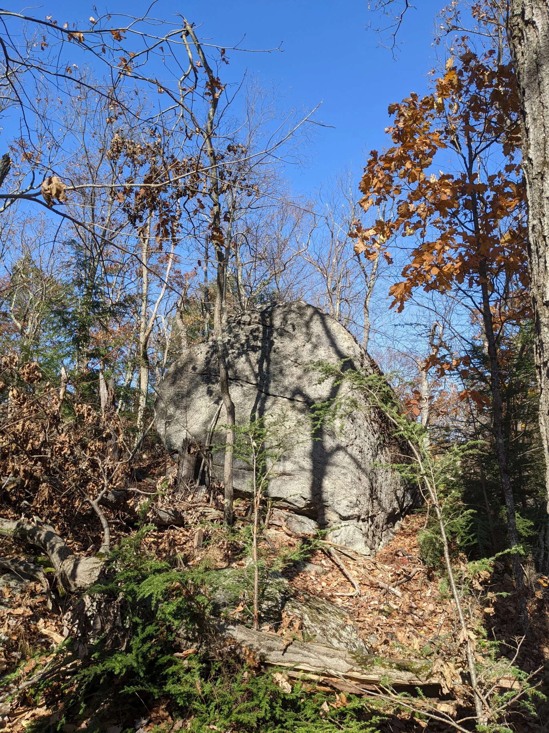
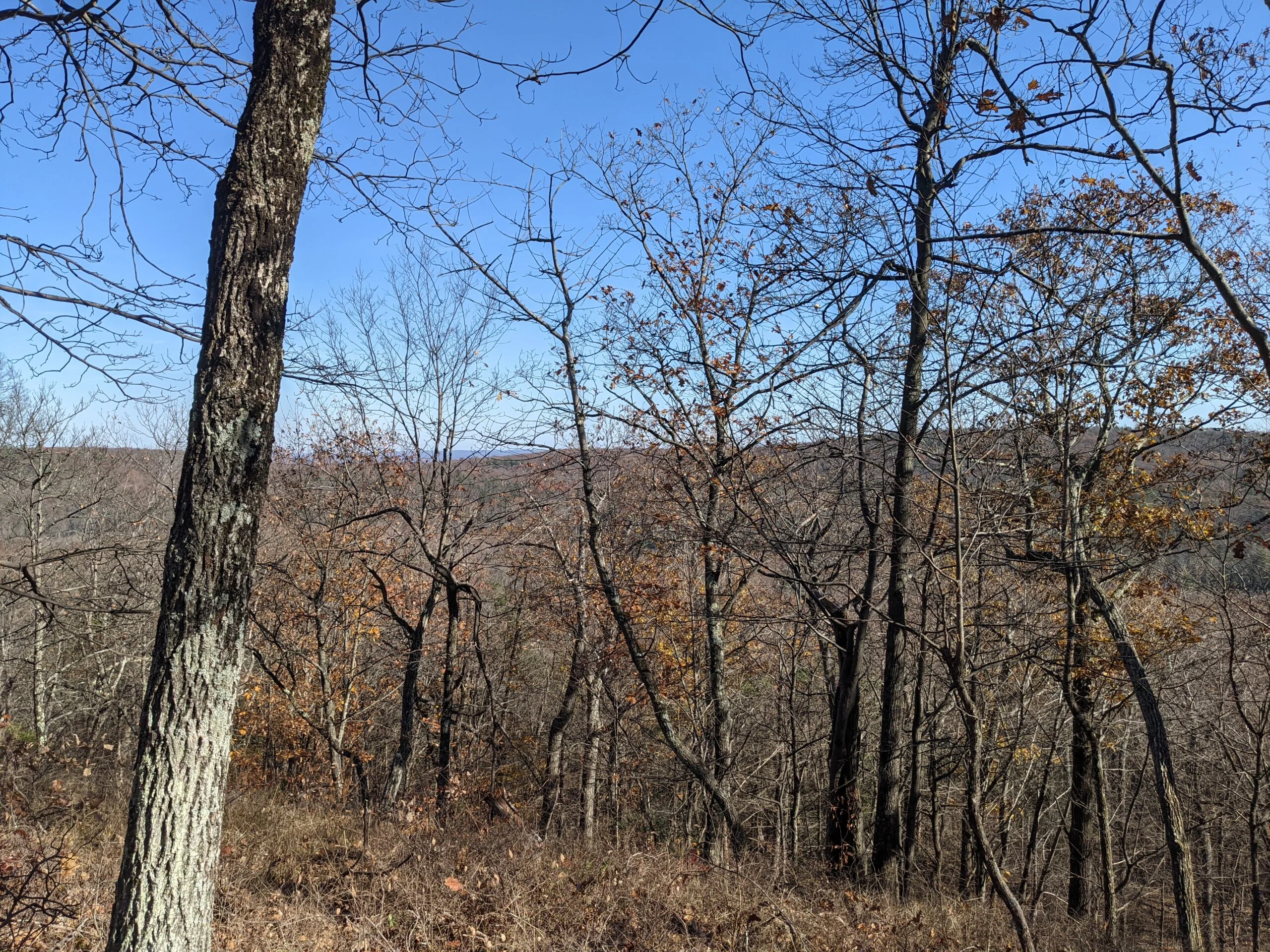
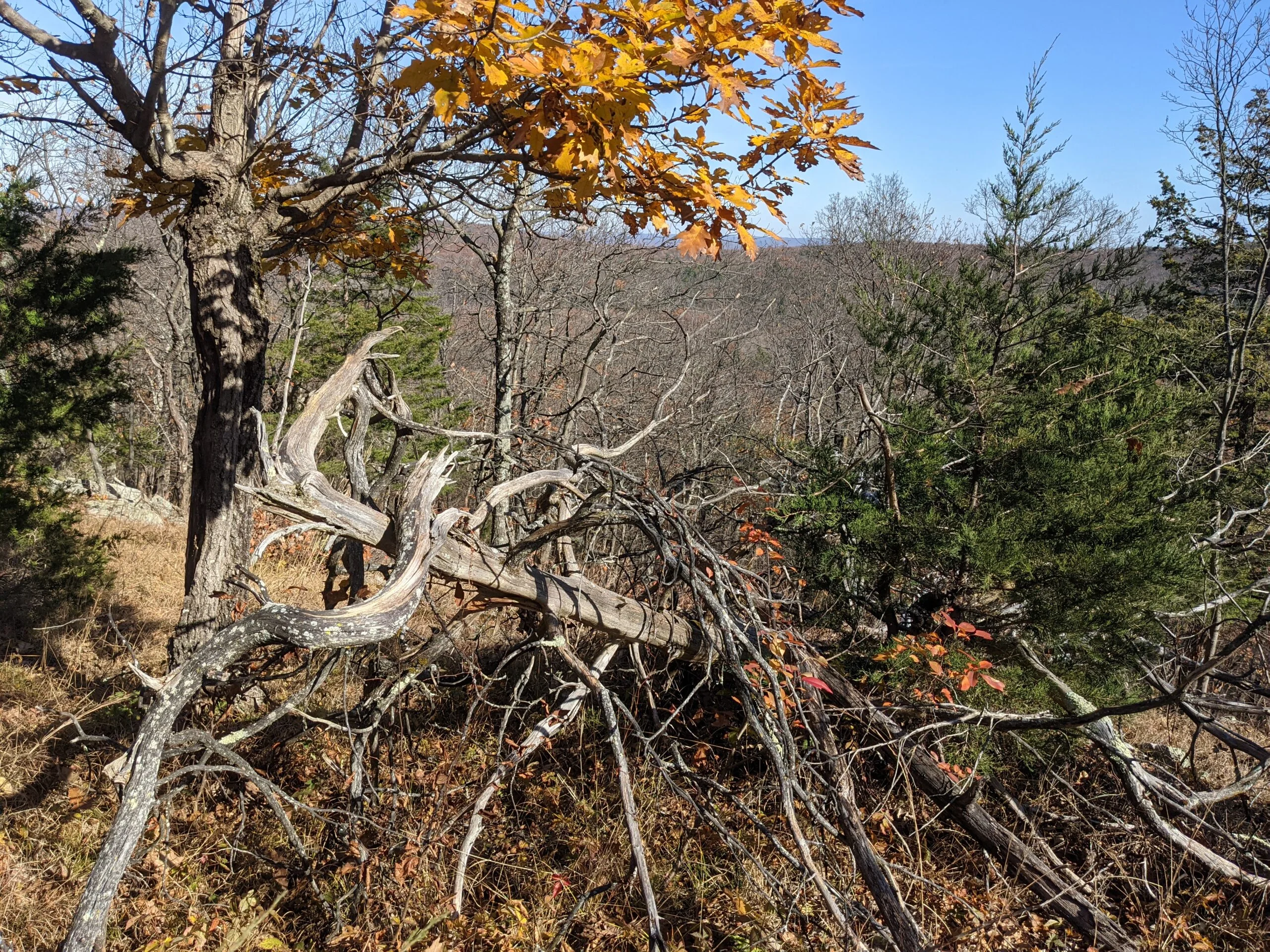
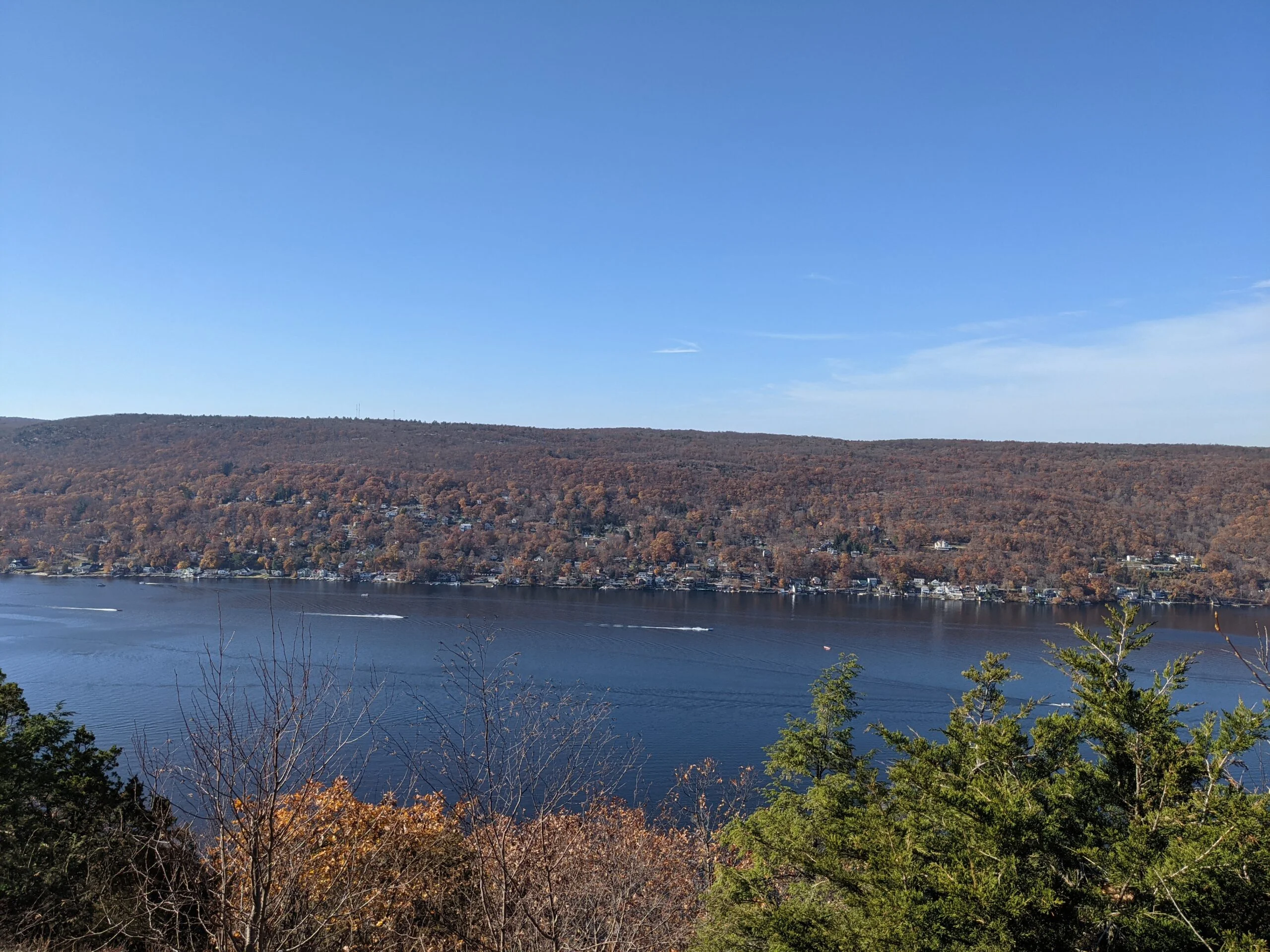
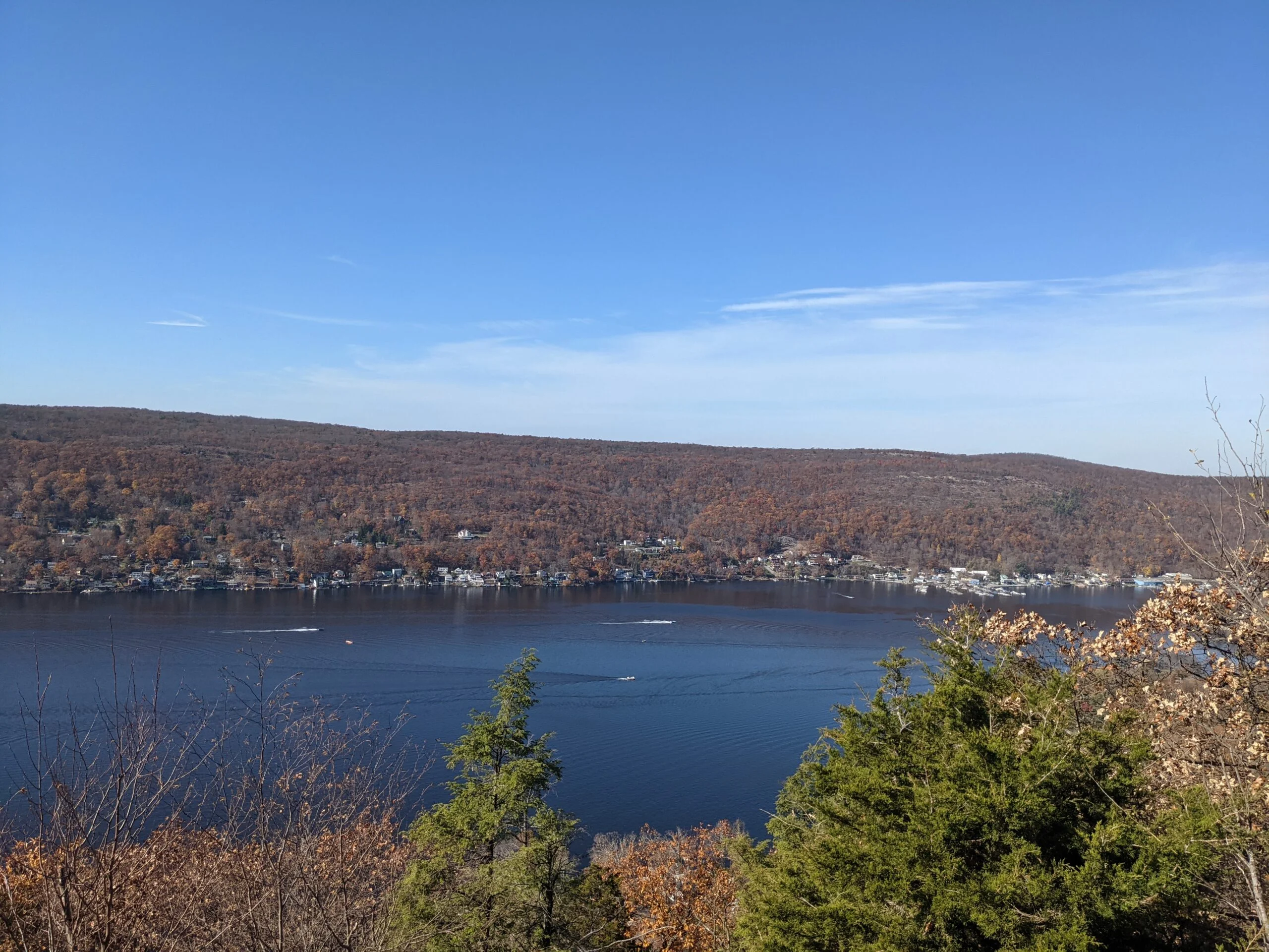
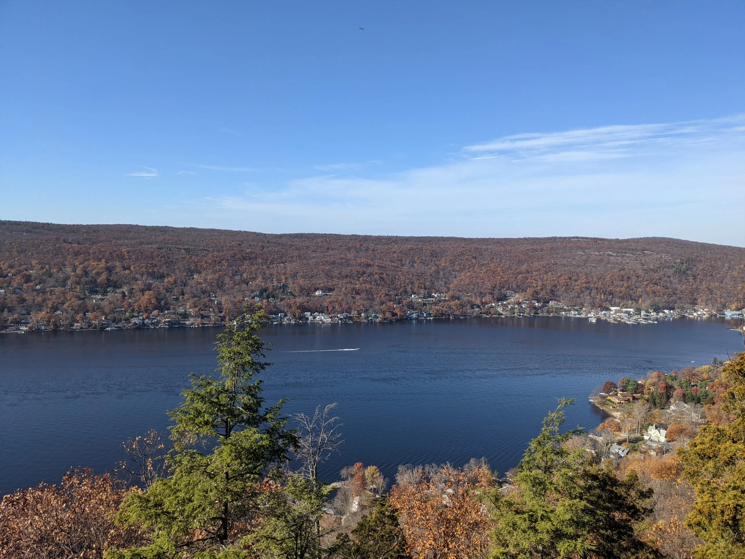
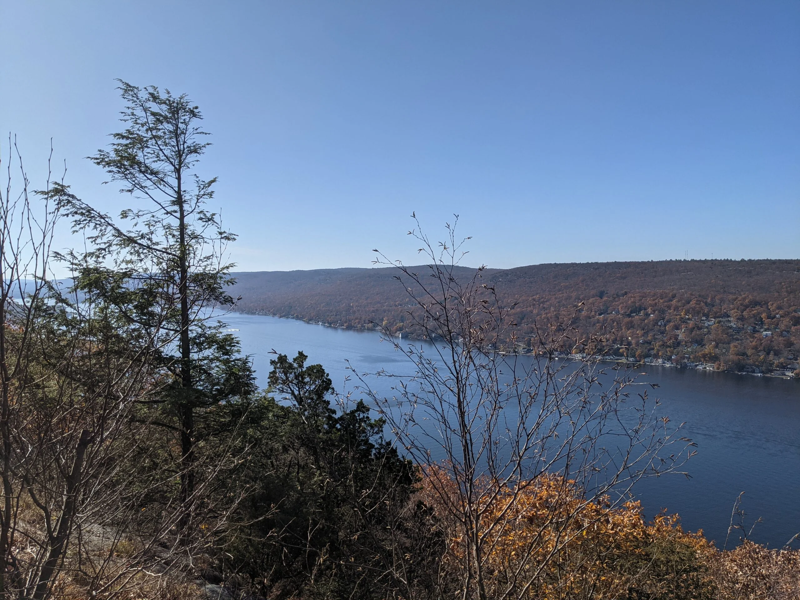
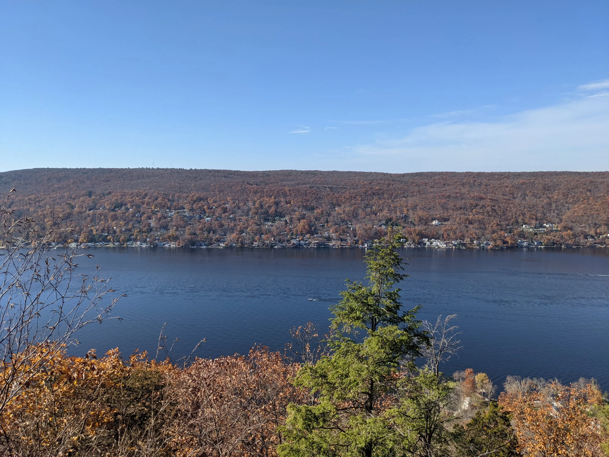
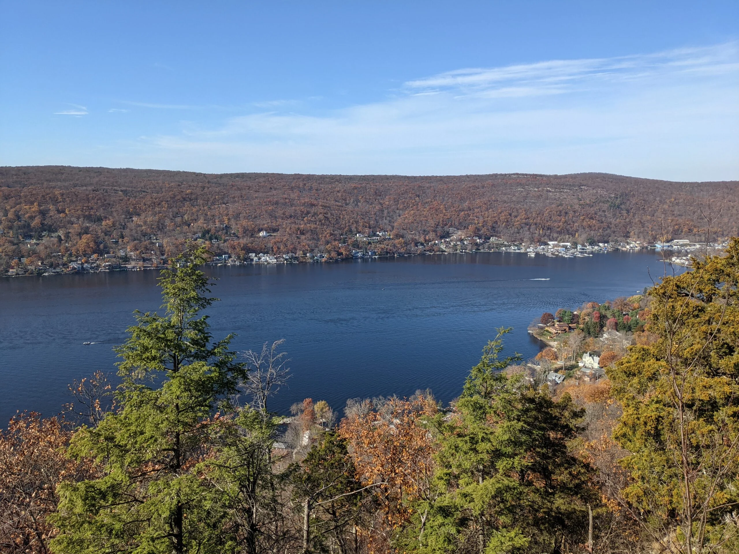
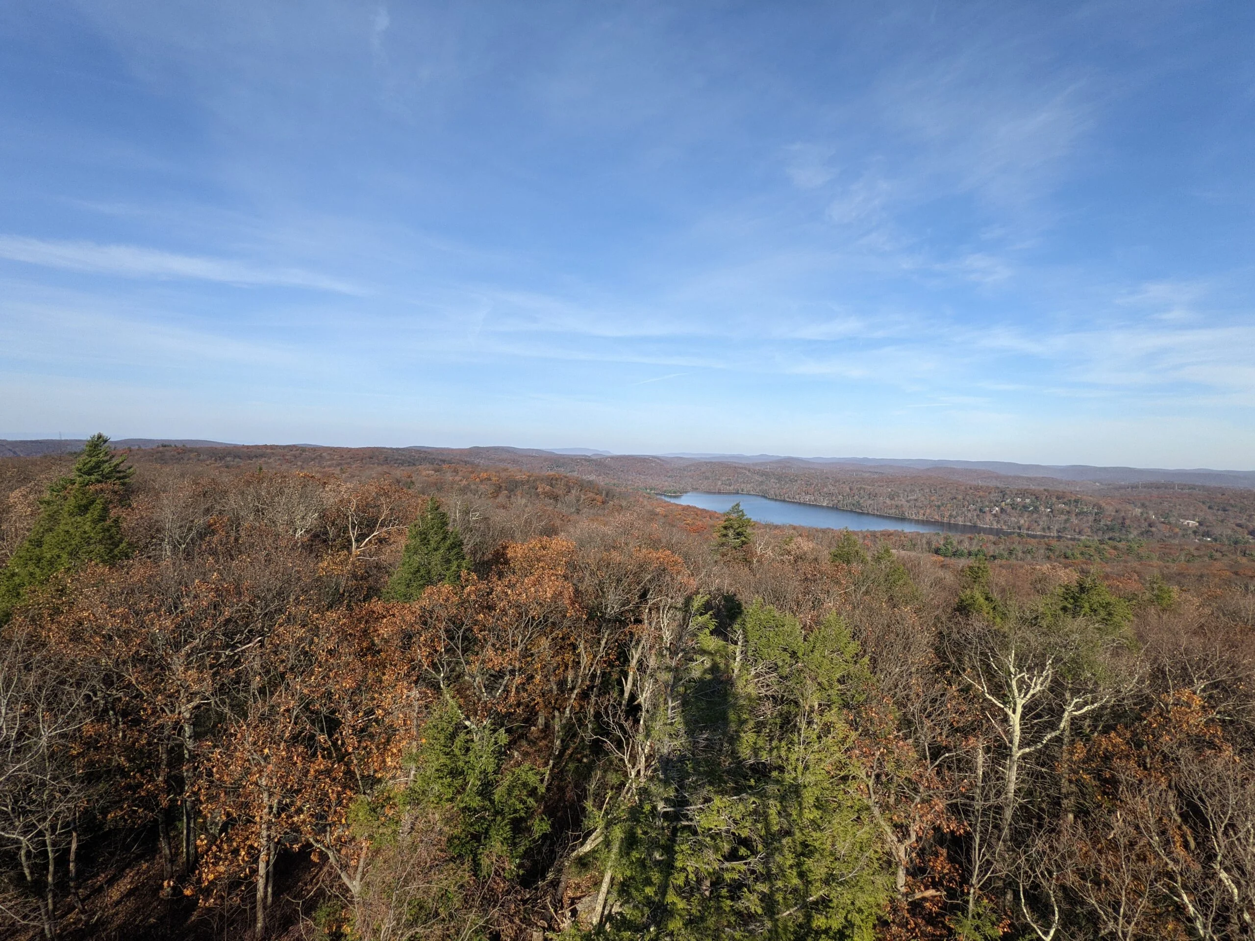
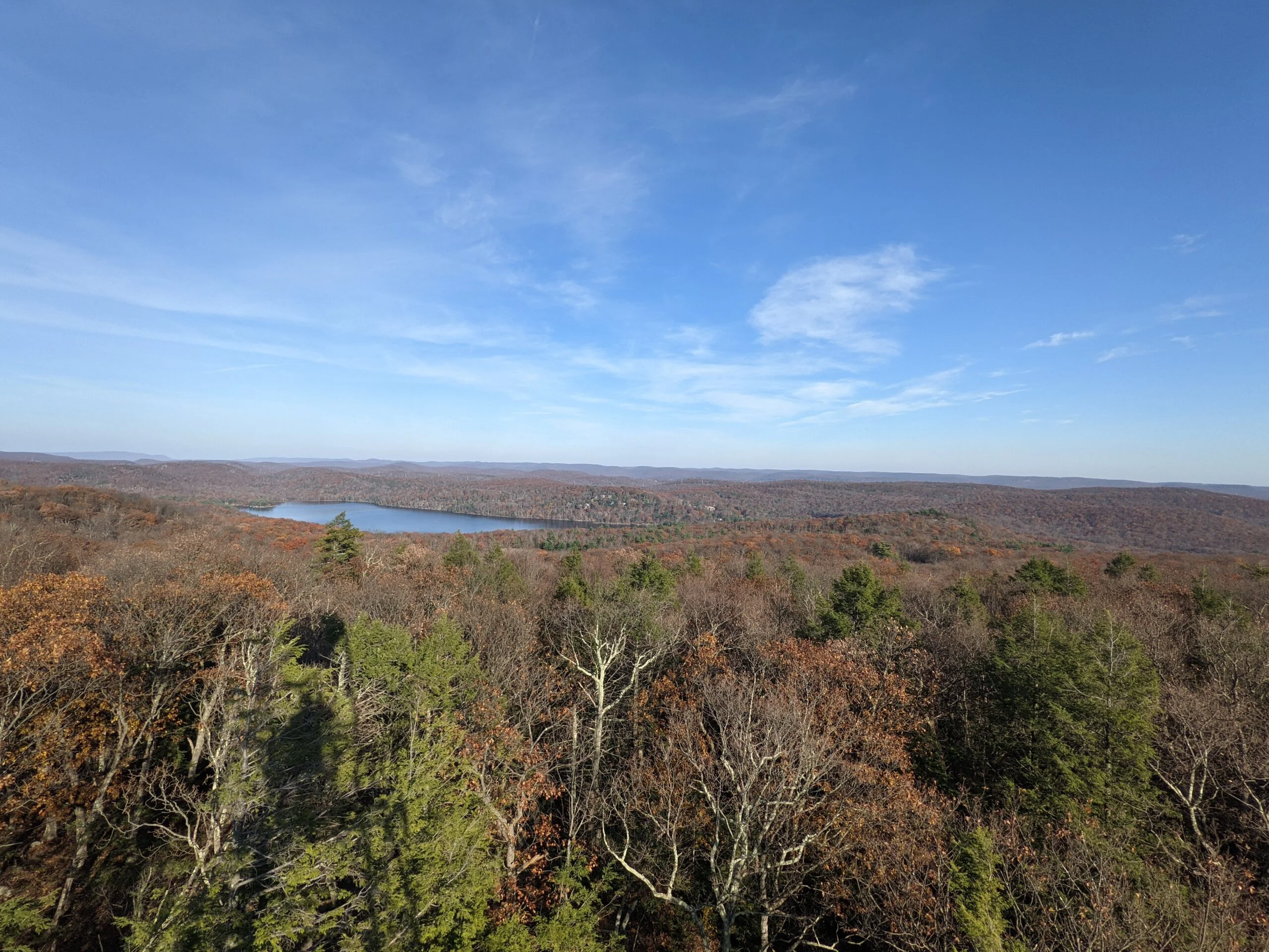
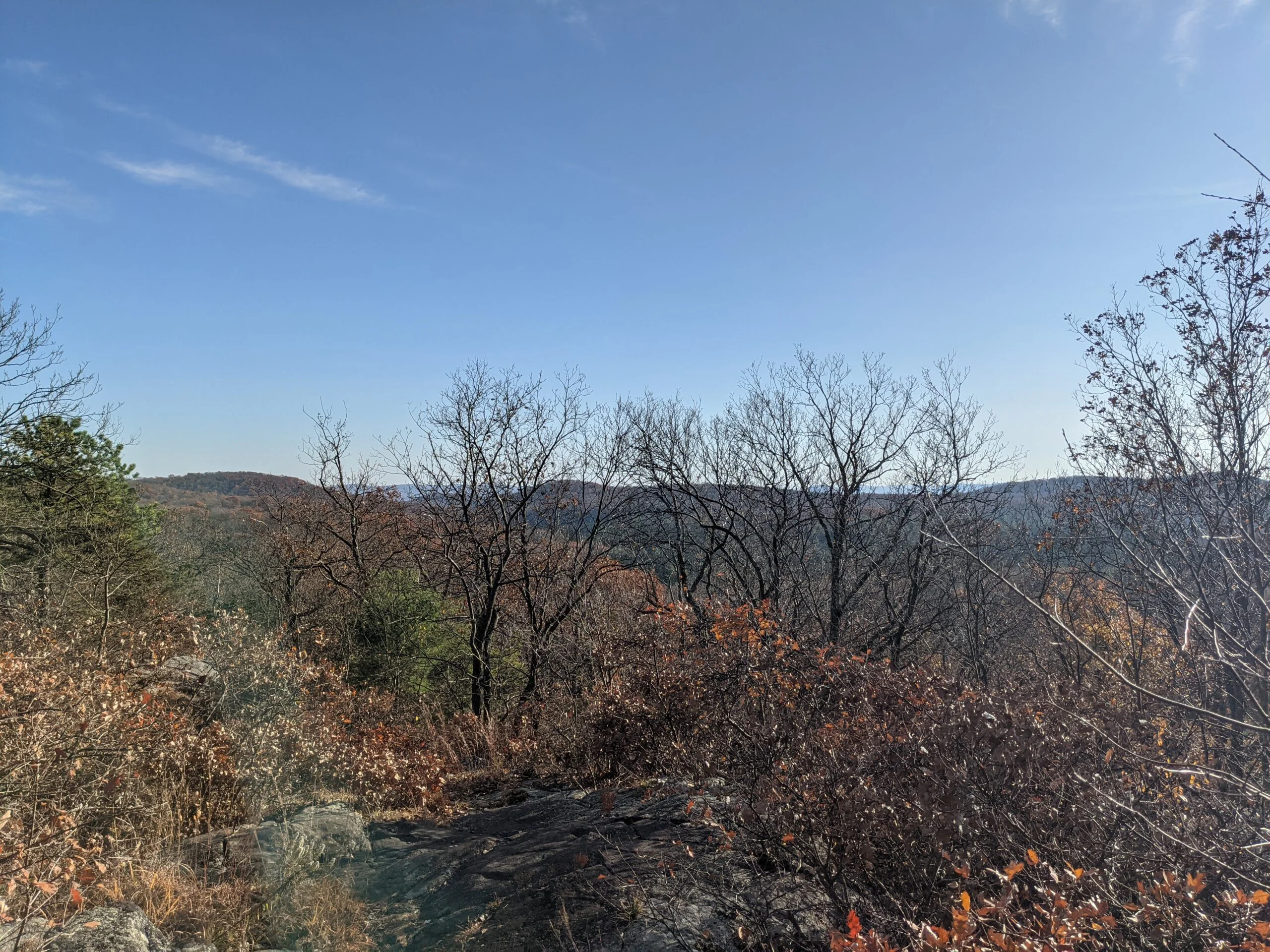
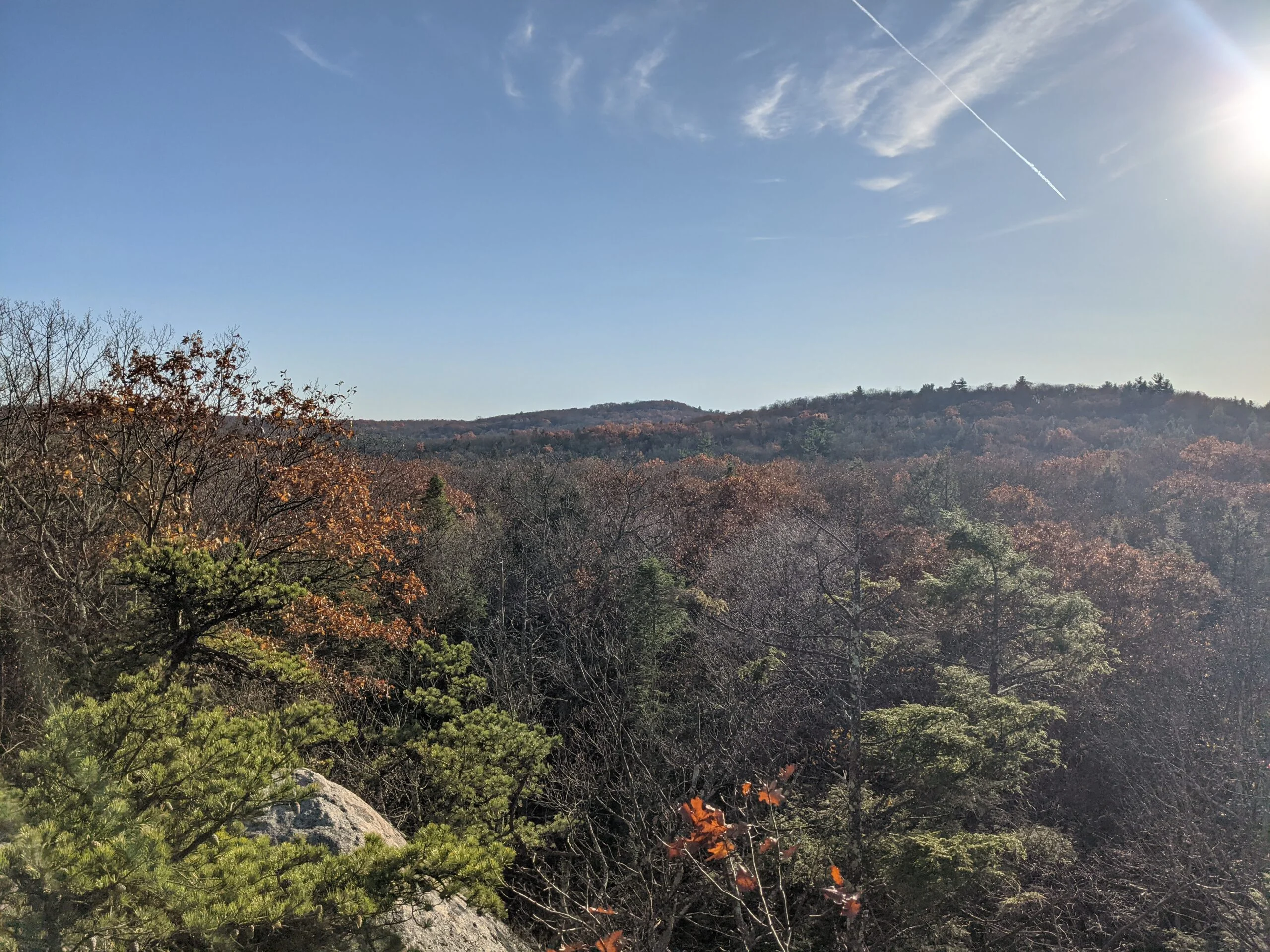
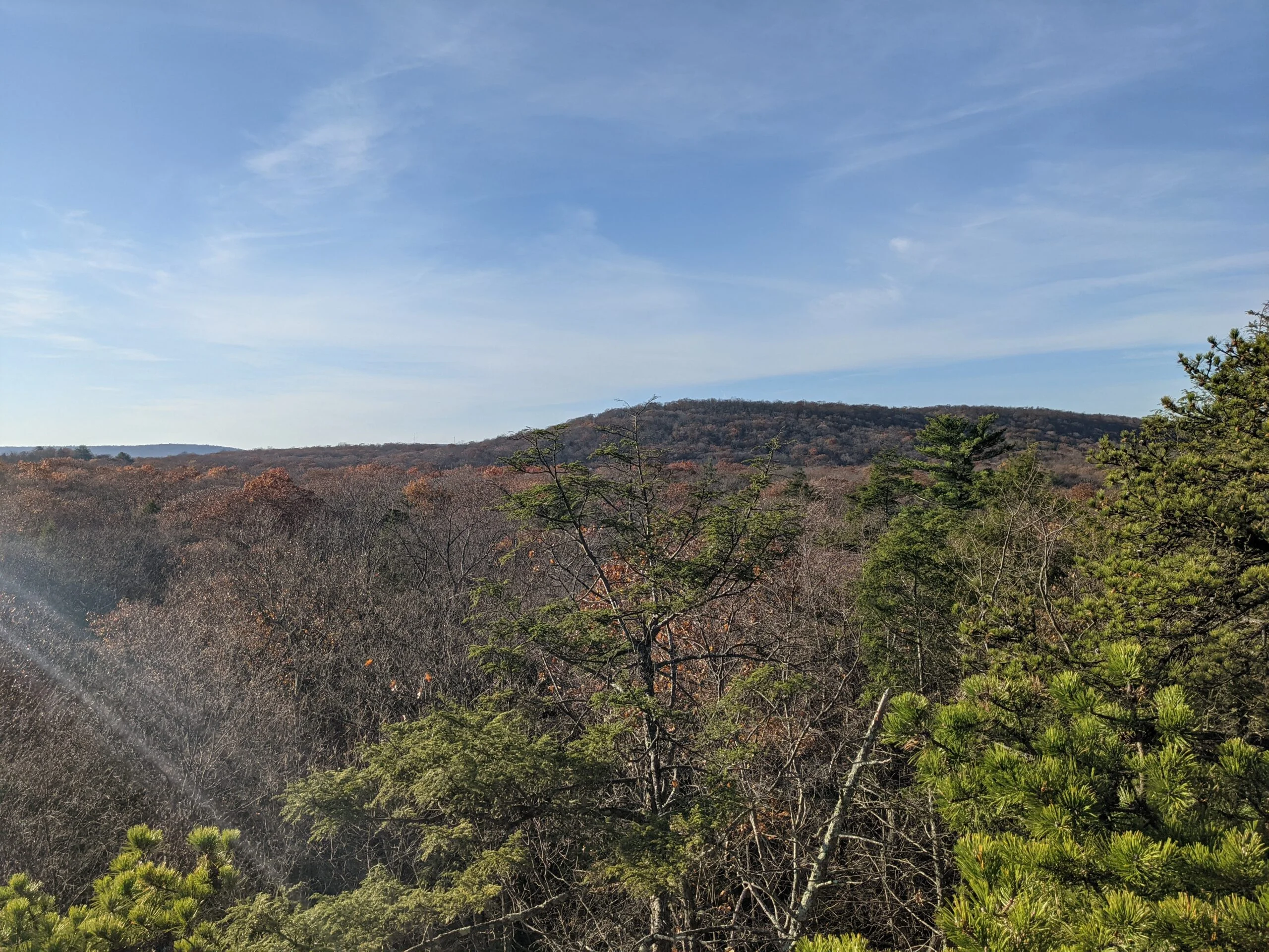
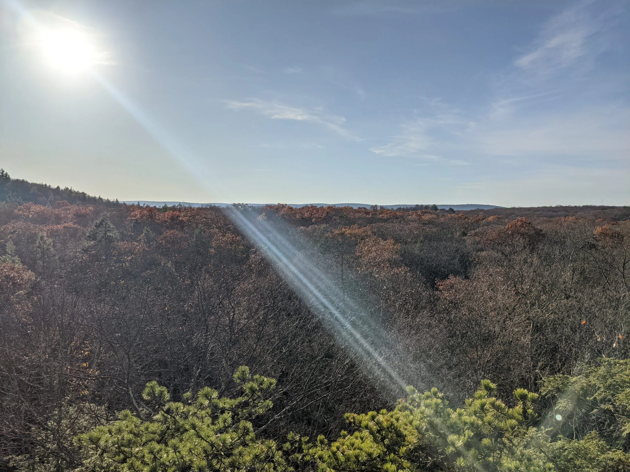
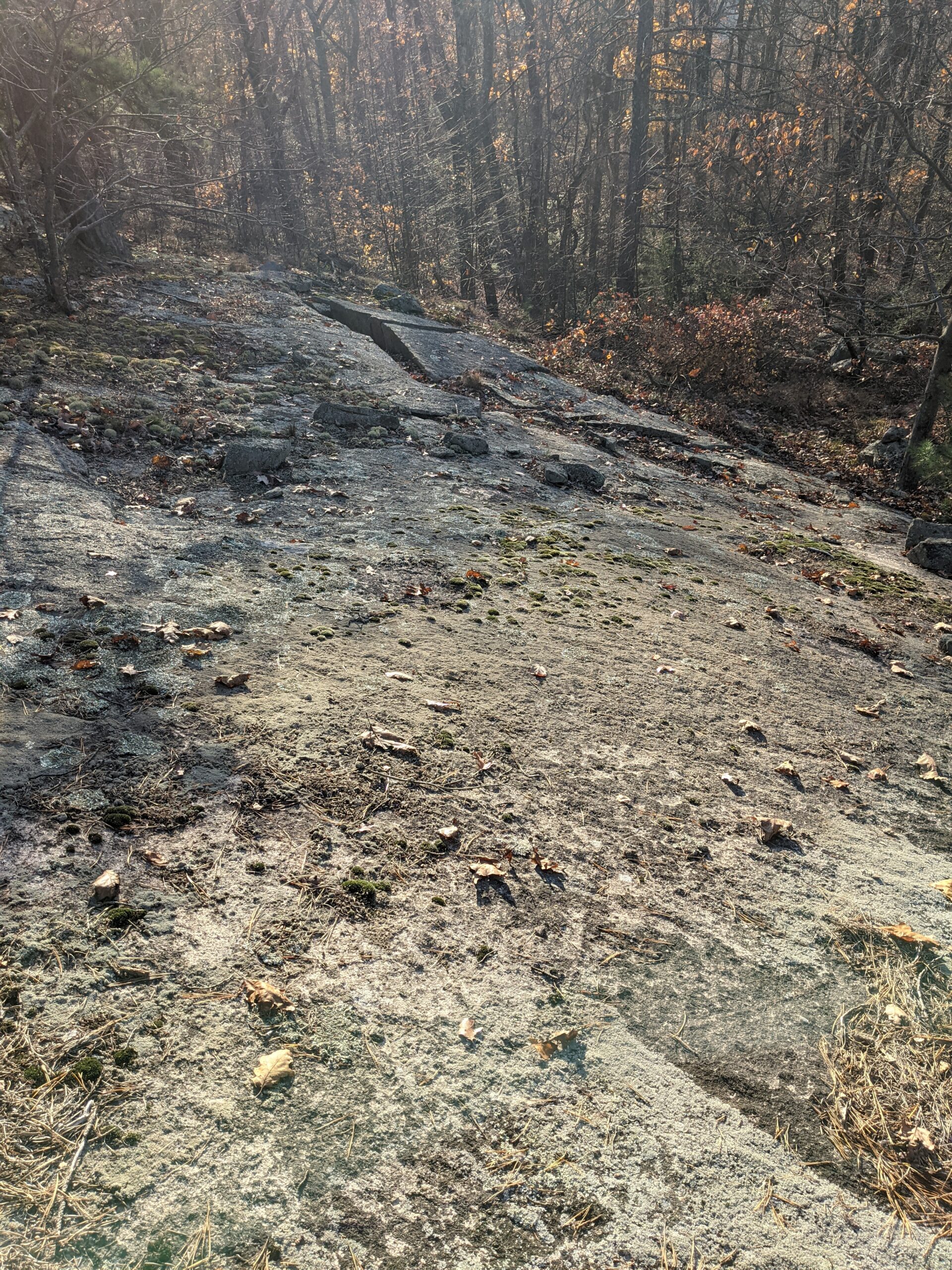
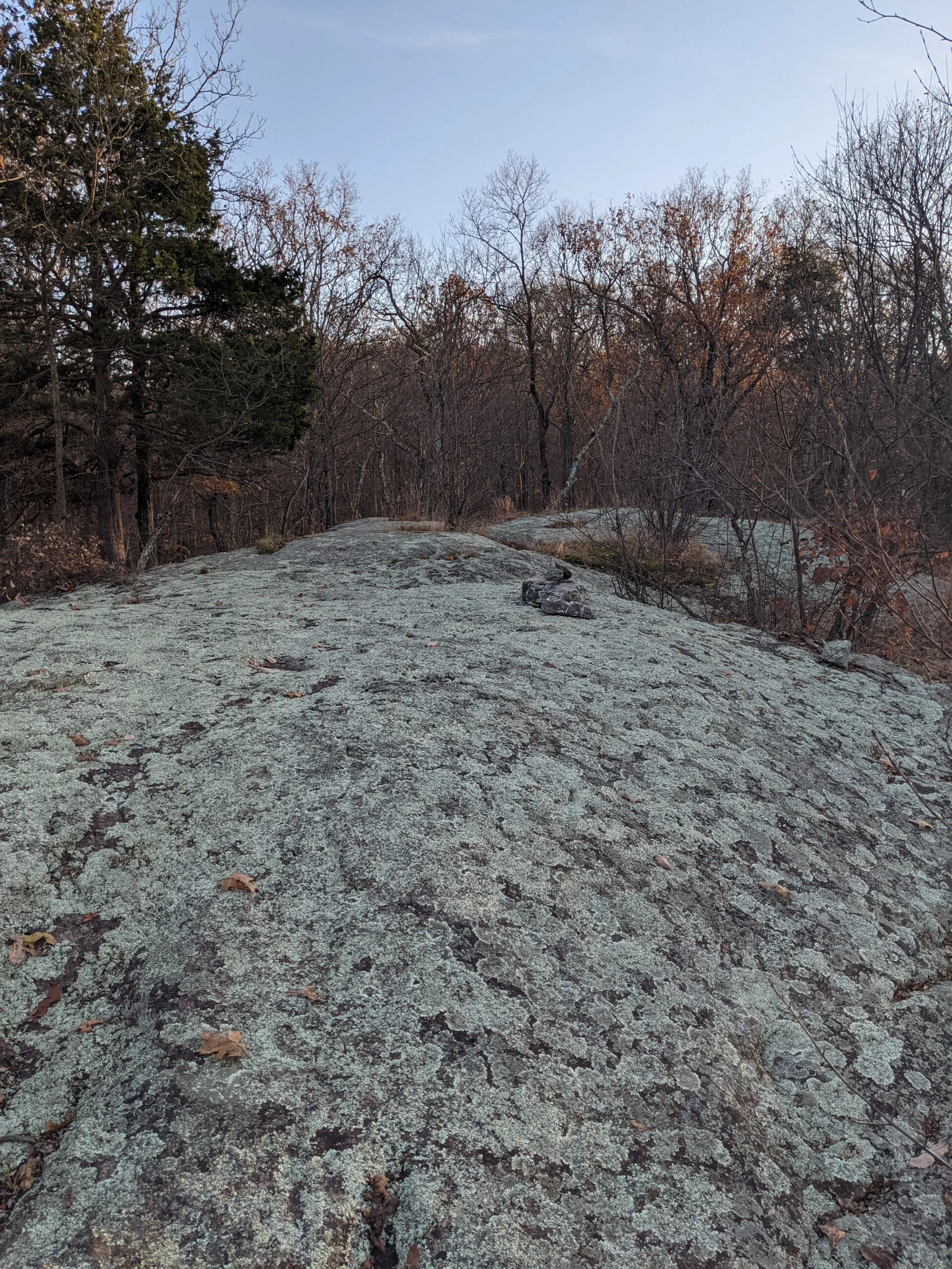
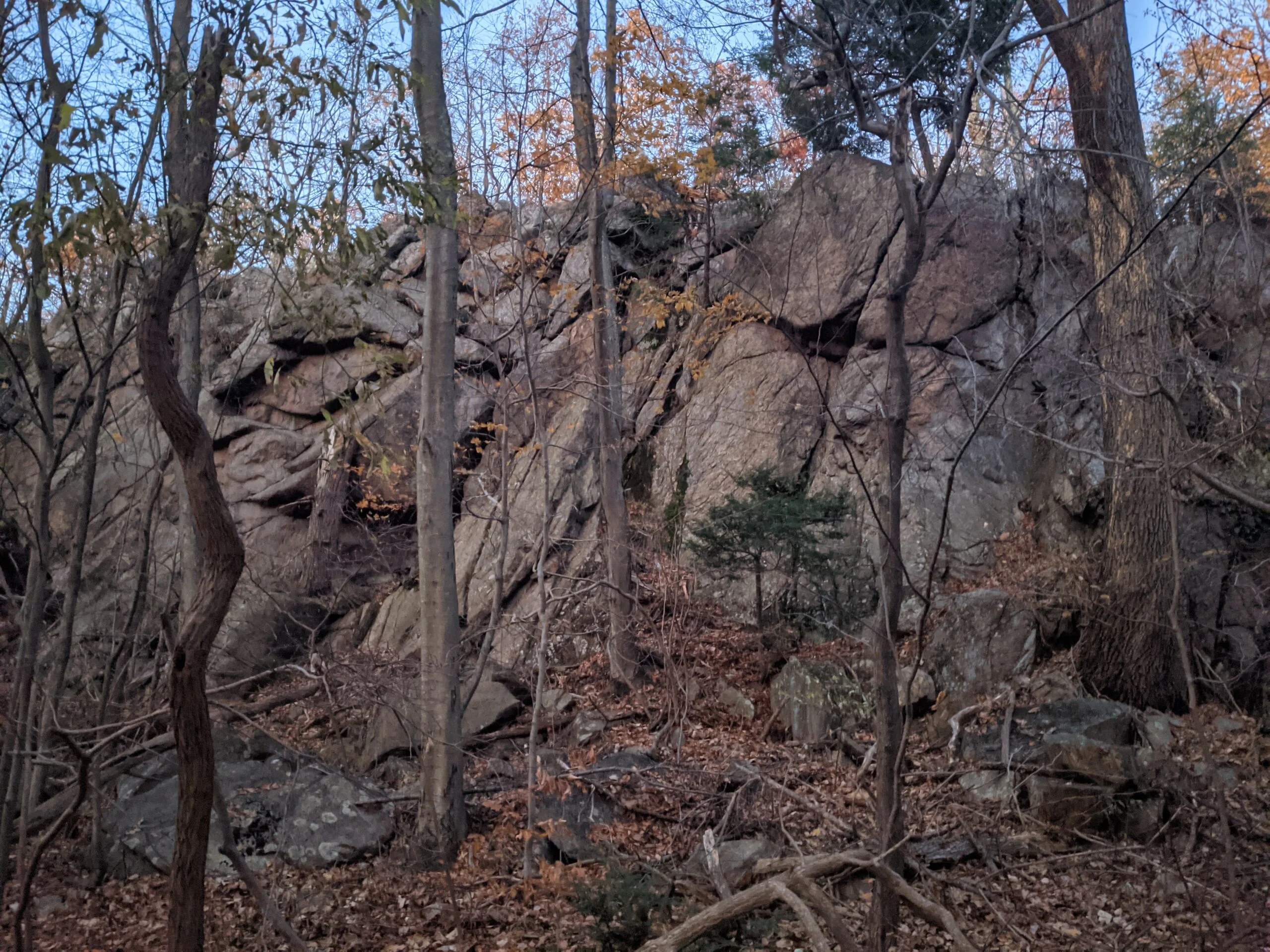
About 1.7 miles into the BR, I came to the lookout point, Bare Rock Vista, overlooking Greenwood Lake. The lookout is at an elevation of 1,156 ft, giving me an elevation gain of about 350 ft from the start of the hike. It was an easy hike up, with no grades that were super steep. There were almost 30 people sitting on the rocks, which surprised me because I had only encountered 3 other people on the trail up until this point. The view from here is amazing! The lookout is towards the northern end of the lake and I could see almost all of the way south to the other end of the lake, which extends into New Jersey. I stayed for almost 30 minutes, soaking in the sun and having lunch, including an apple, a banana, and a PROBAR Meal Bar ($).
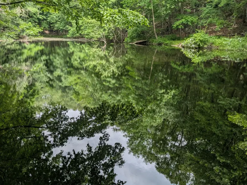
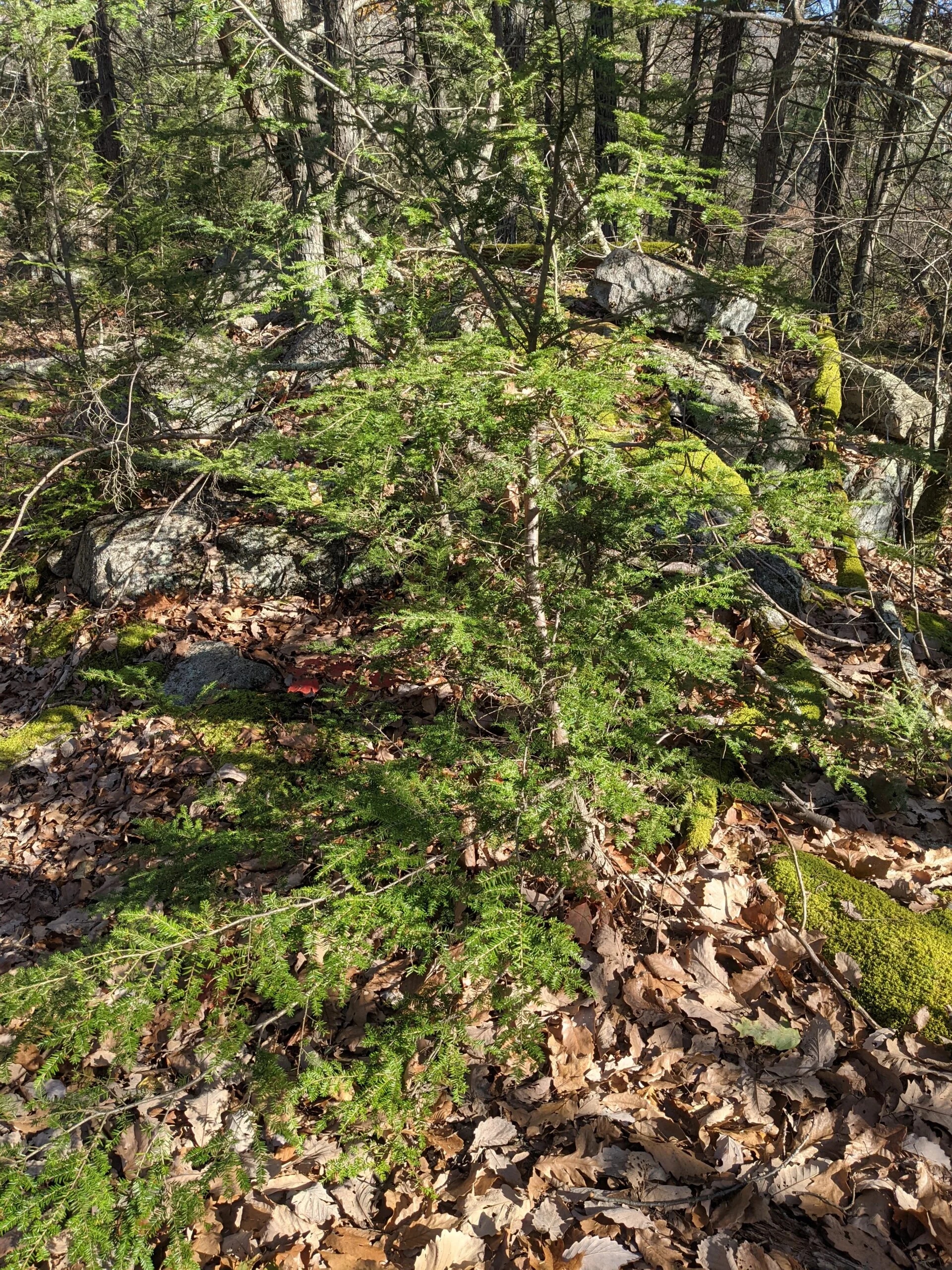
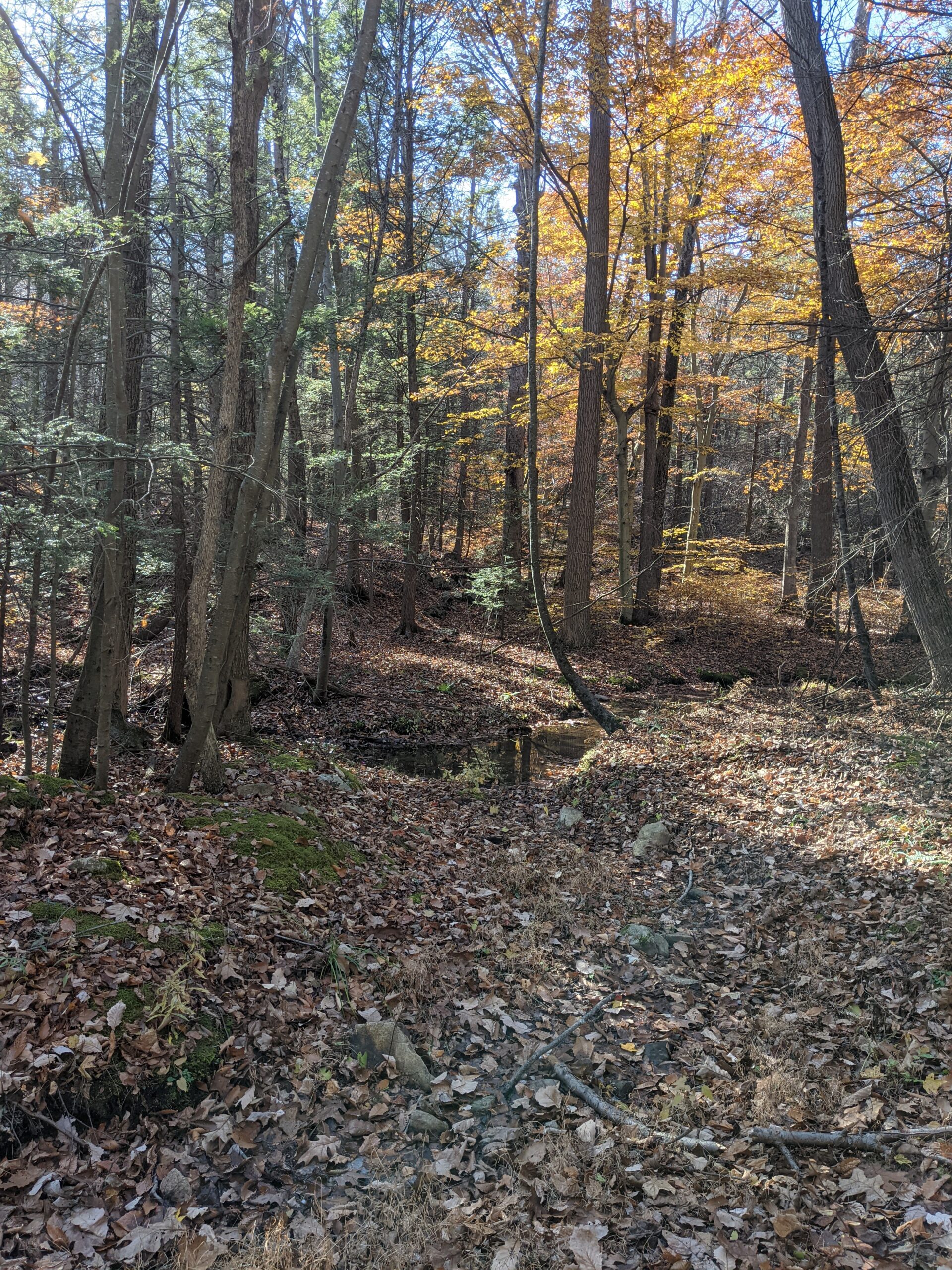
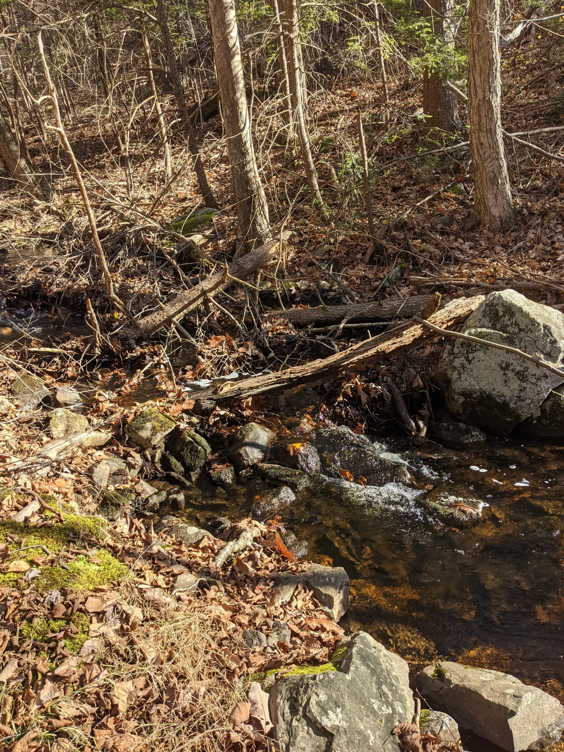
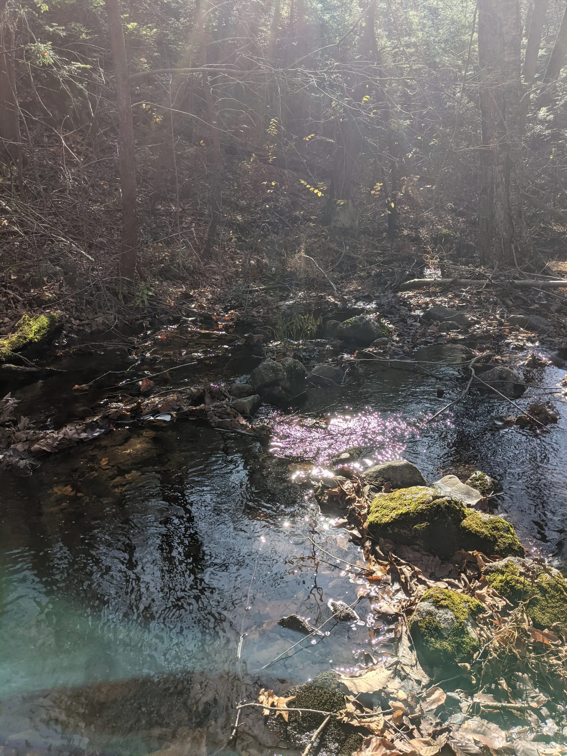
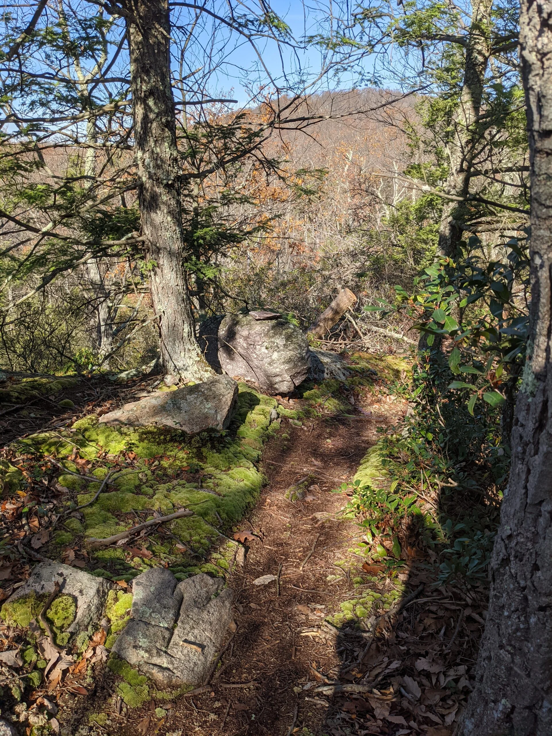
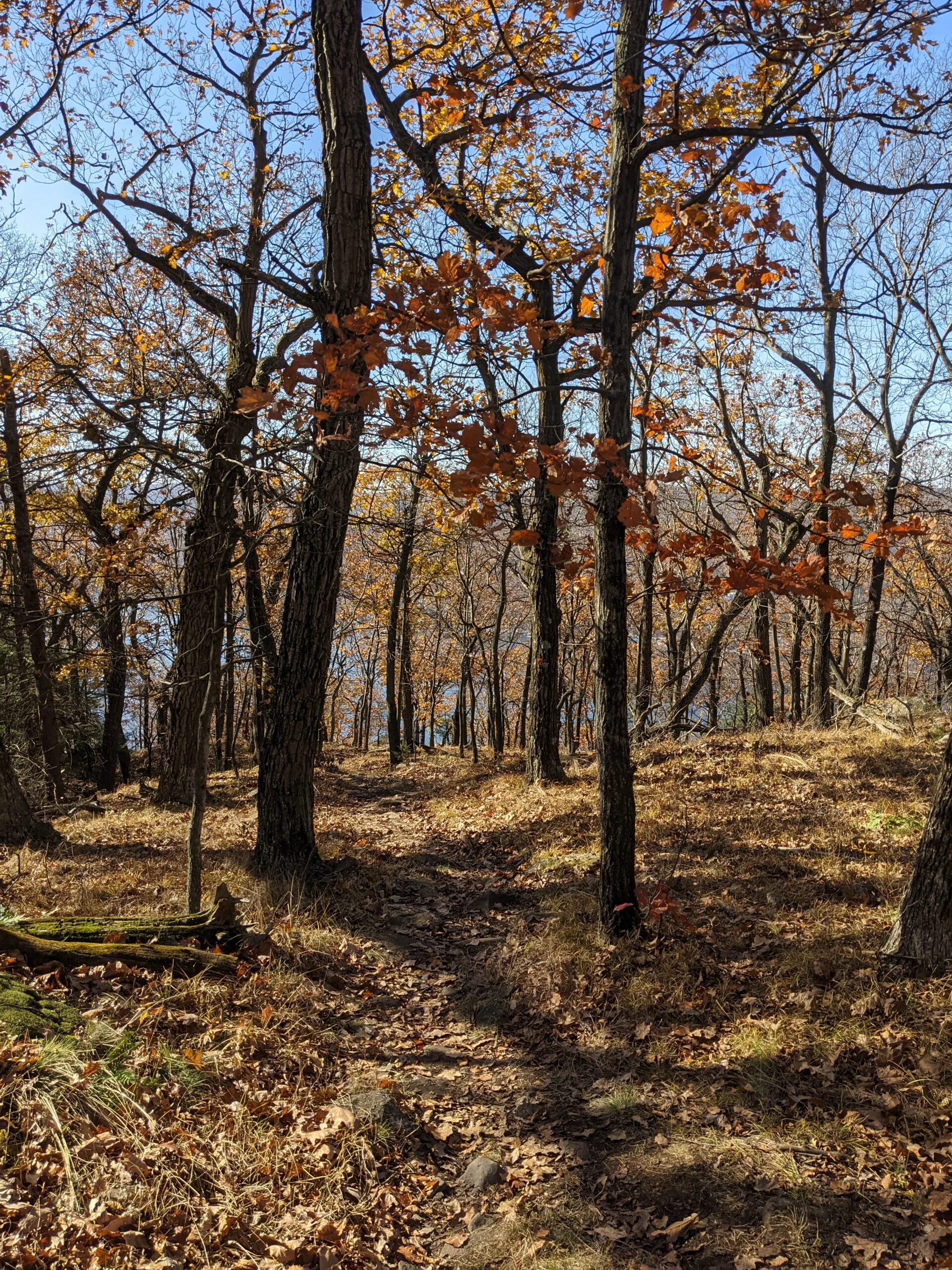
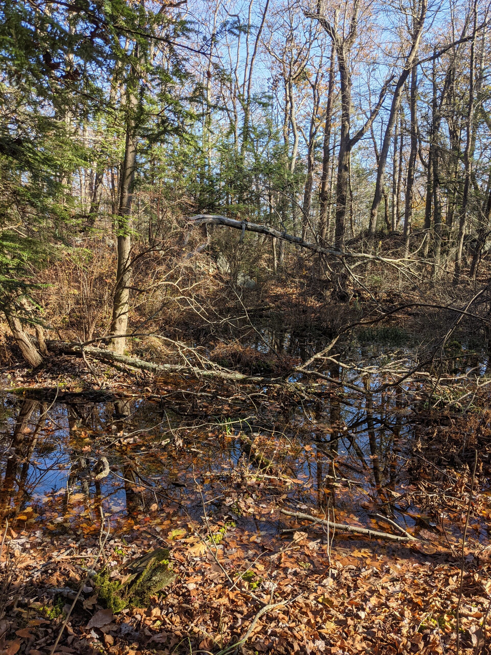
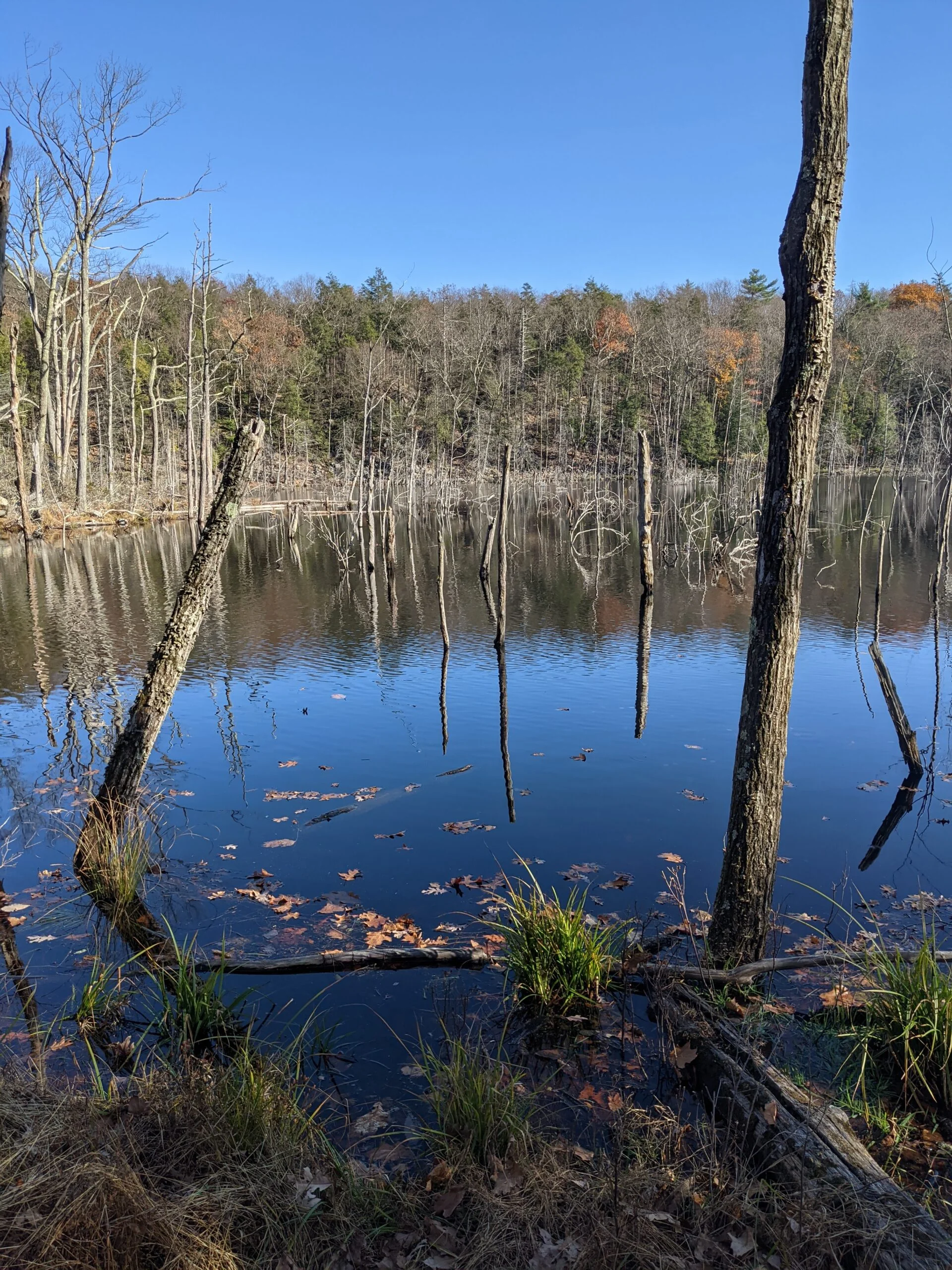
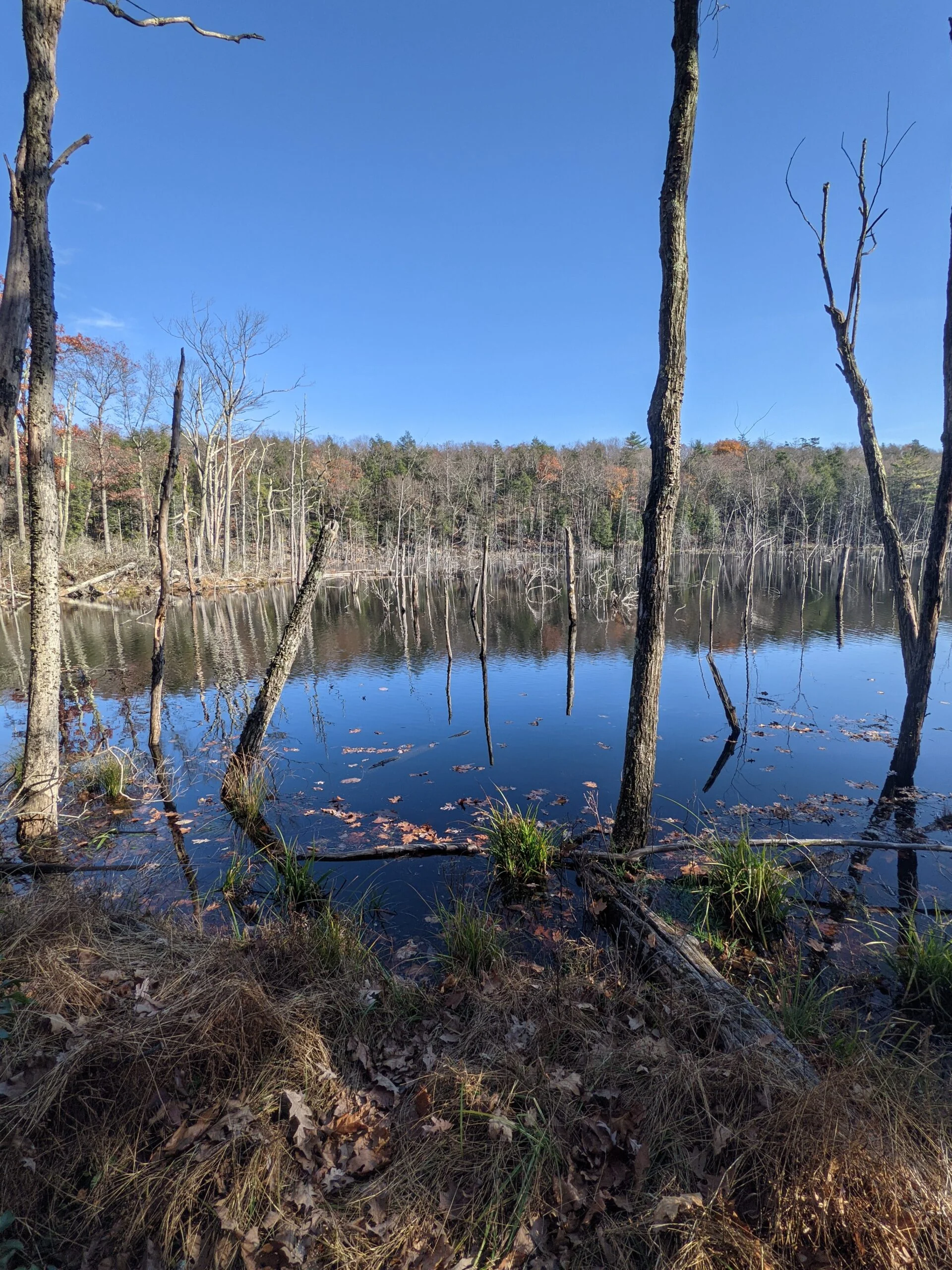
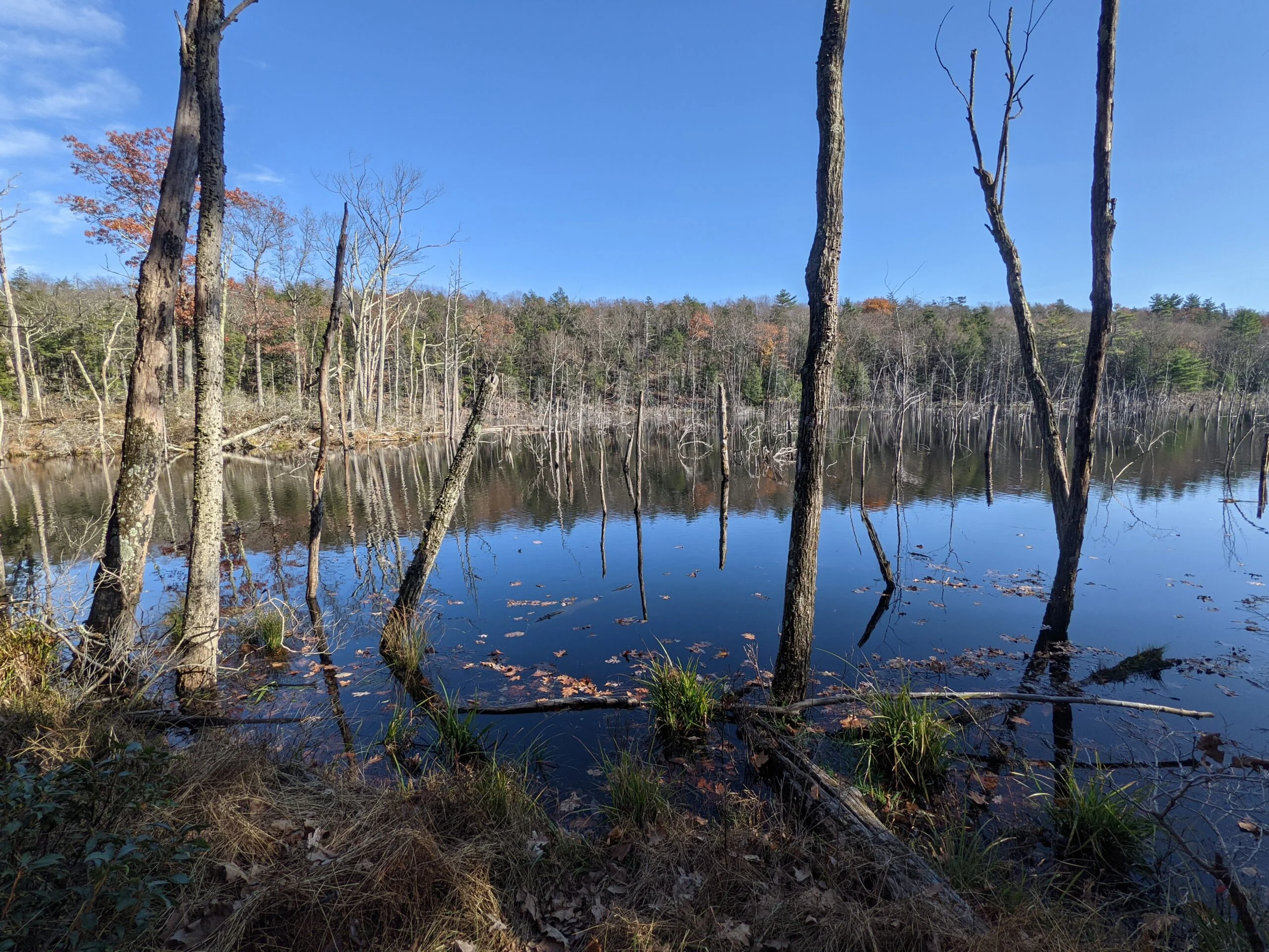
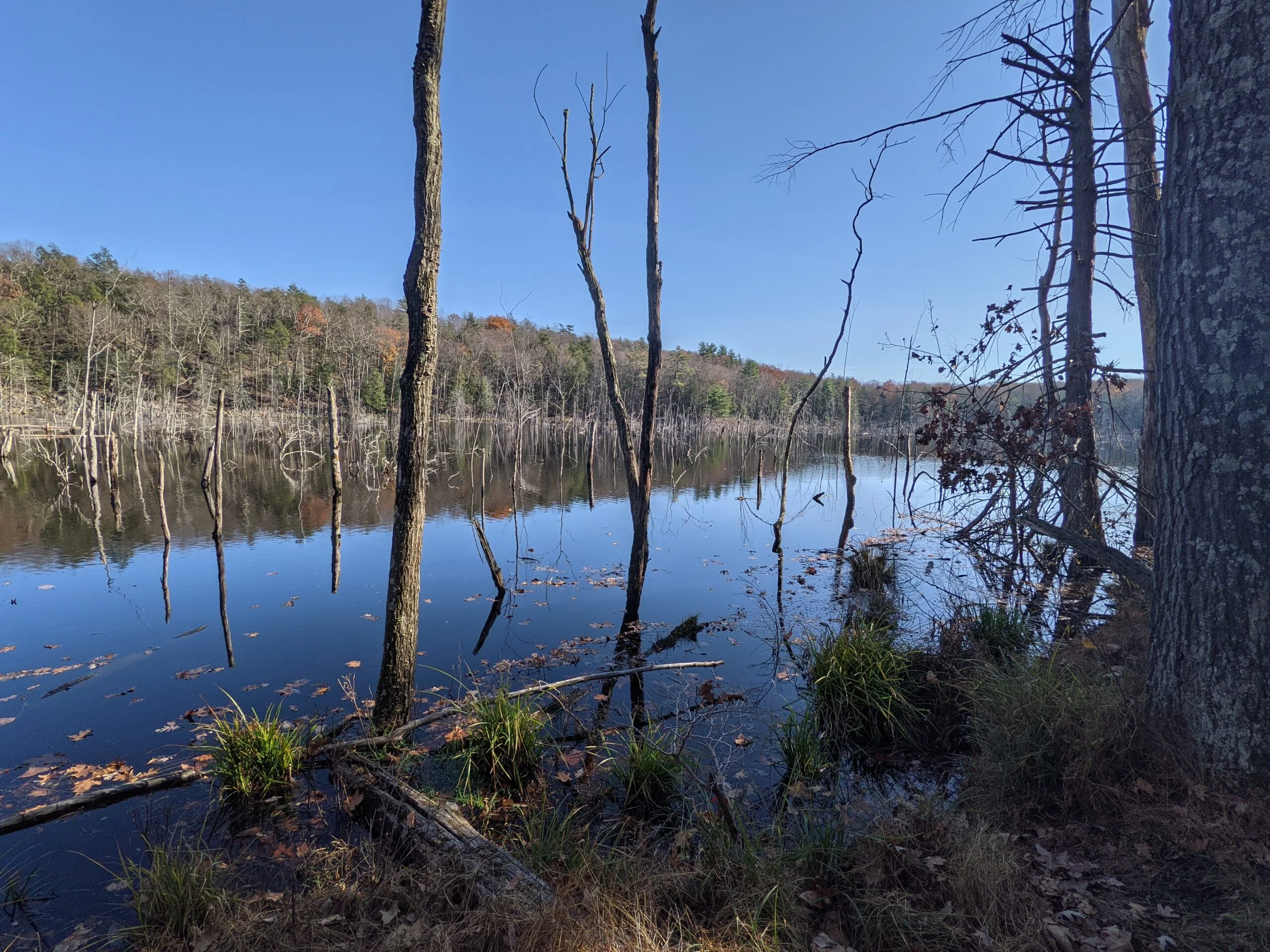
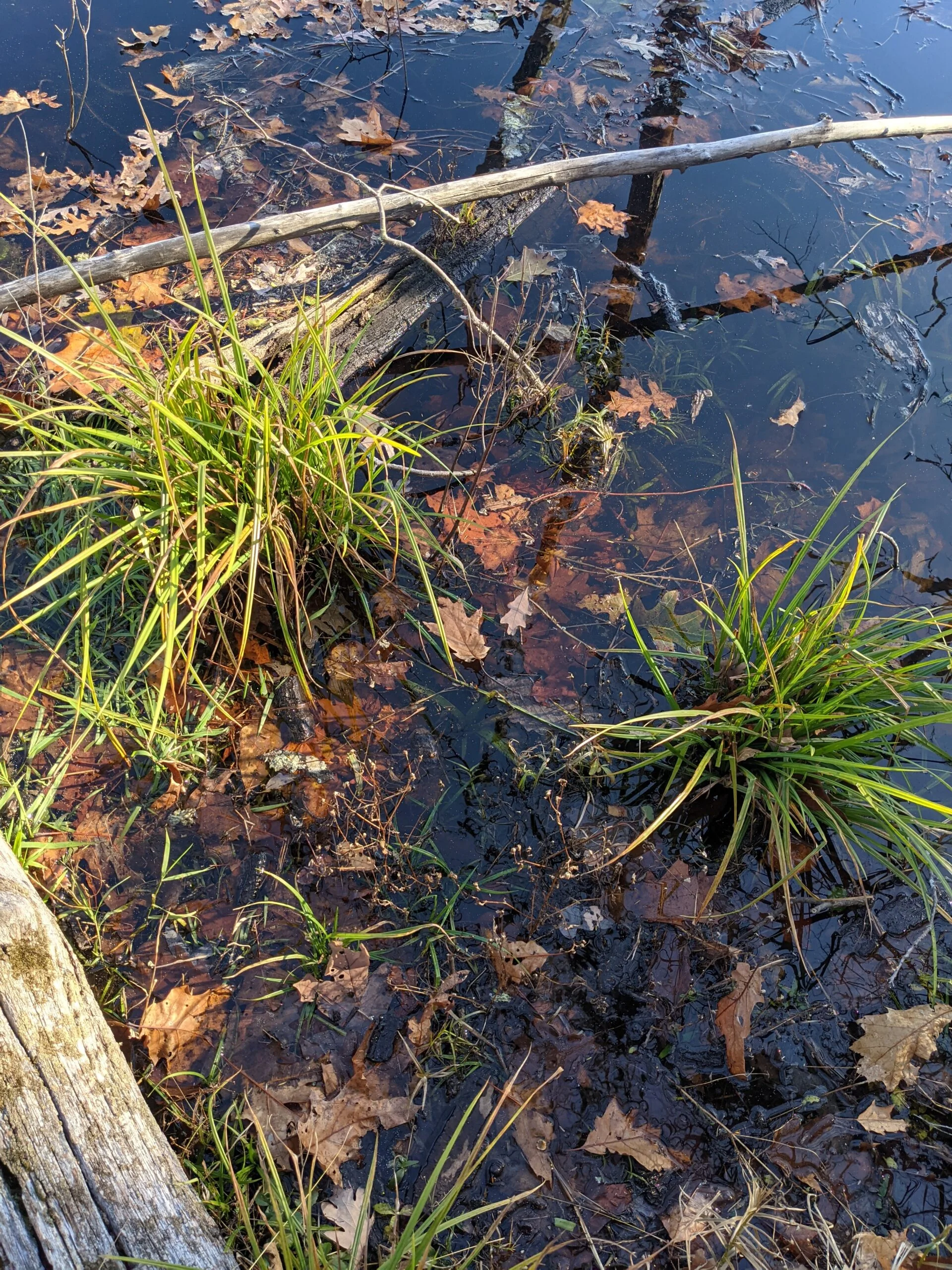
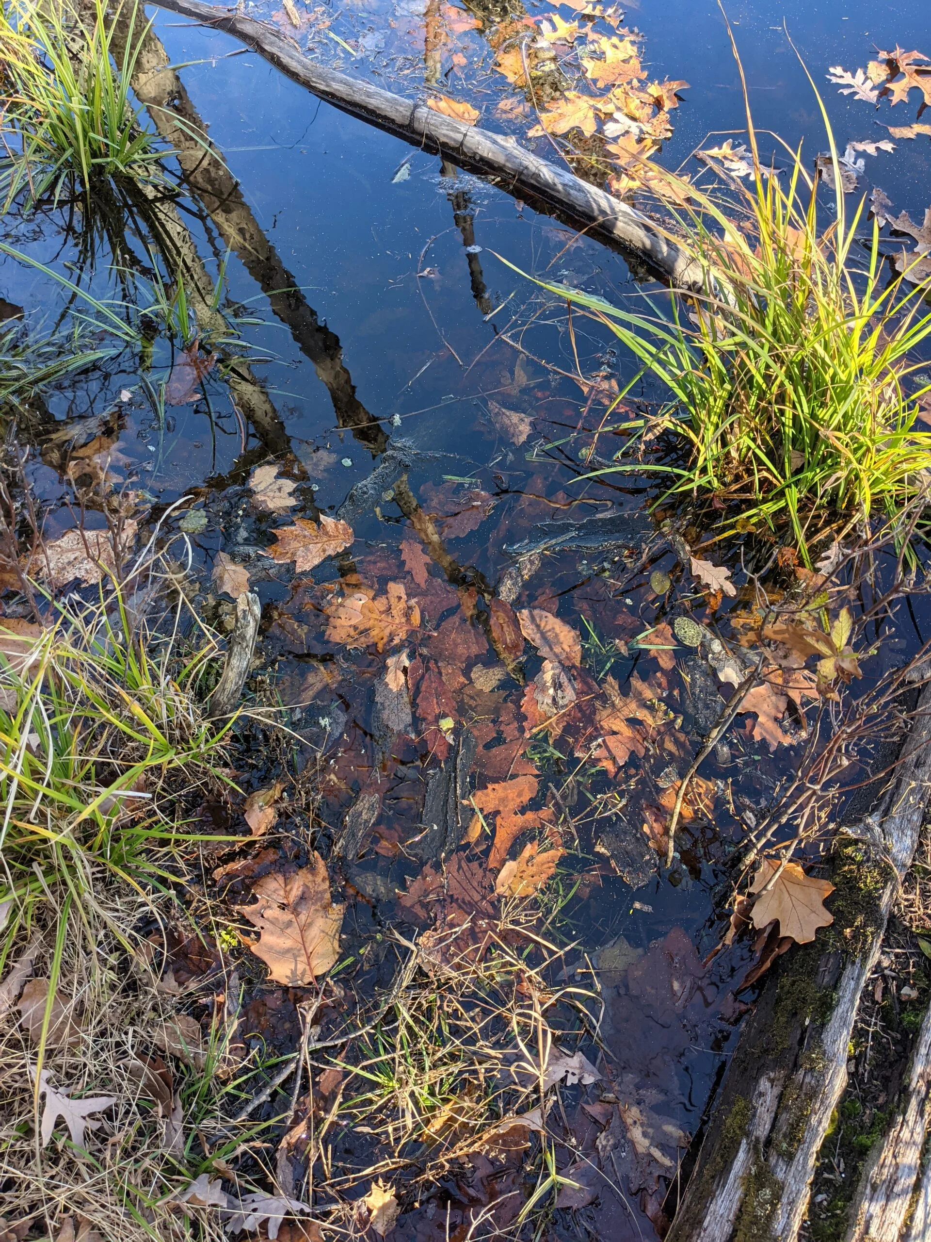
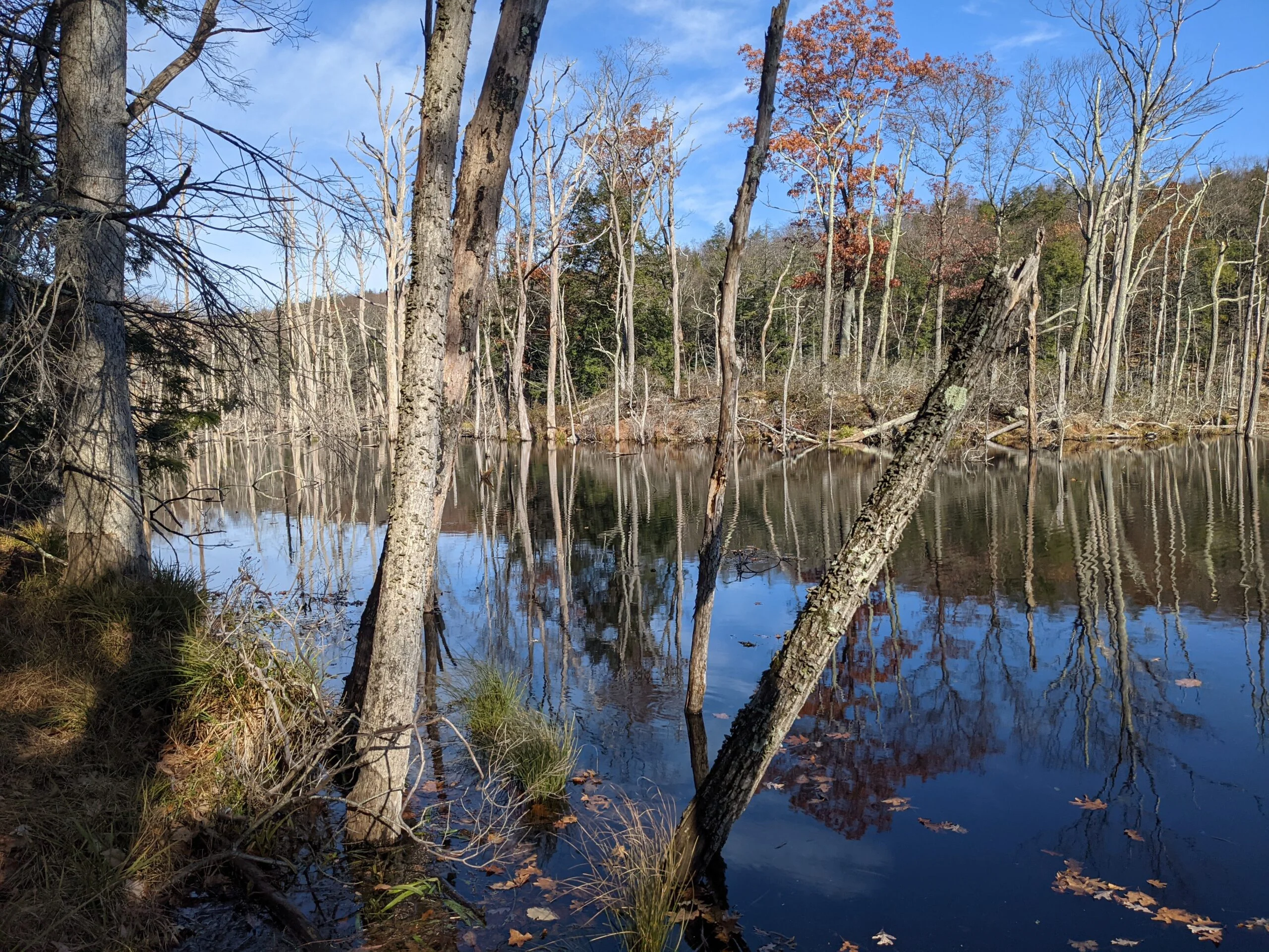
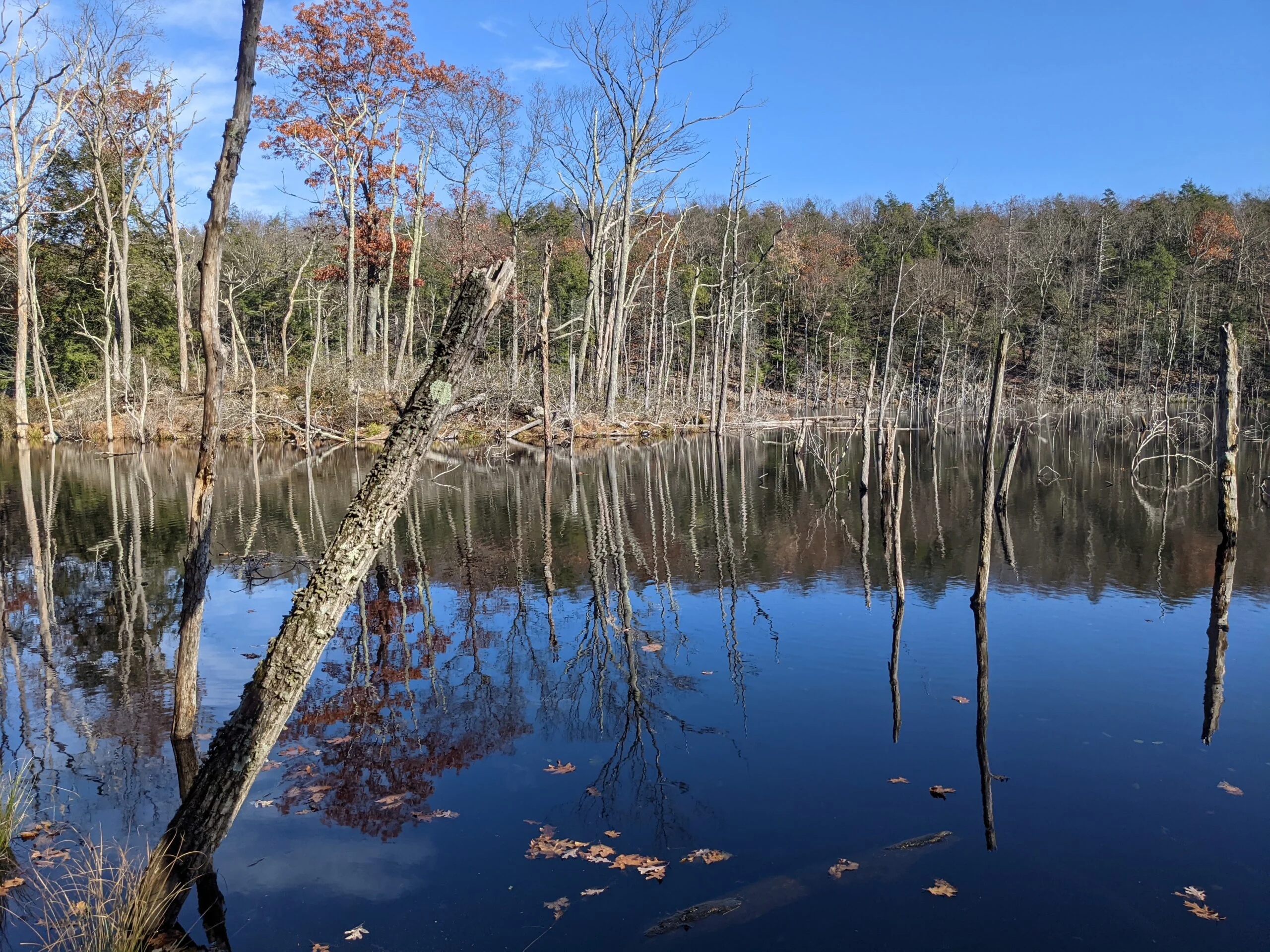
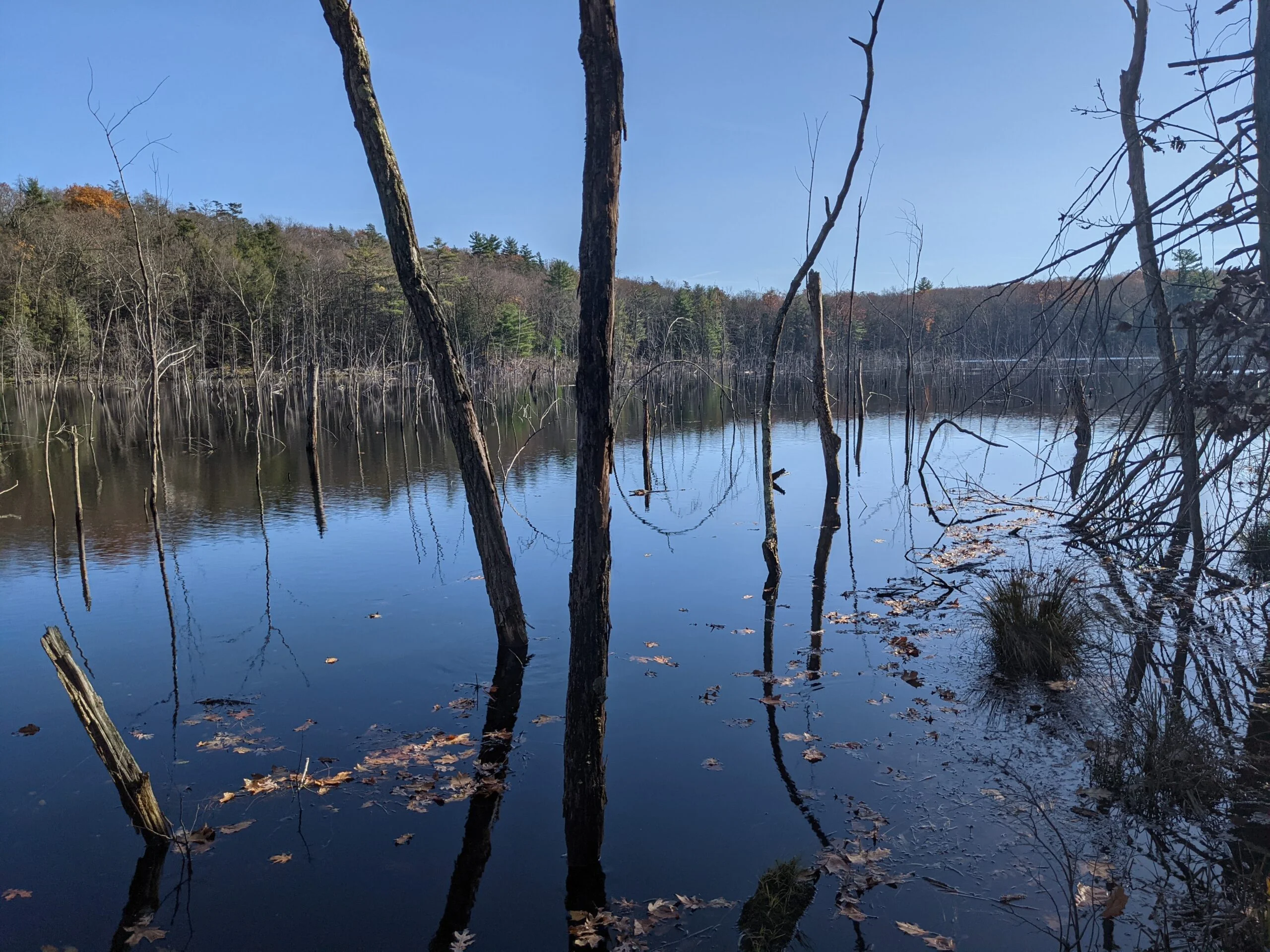
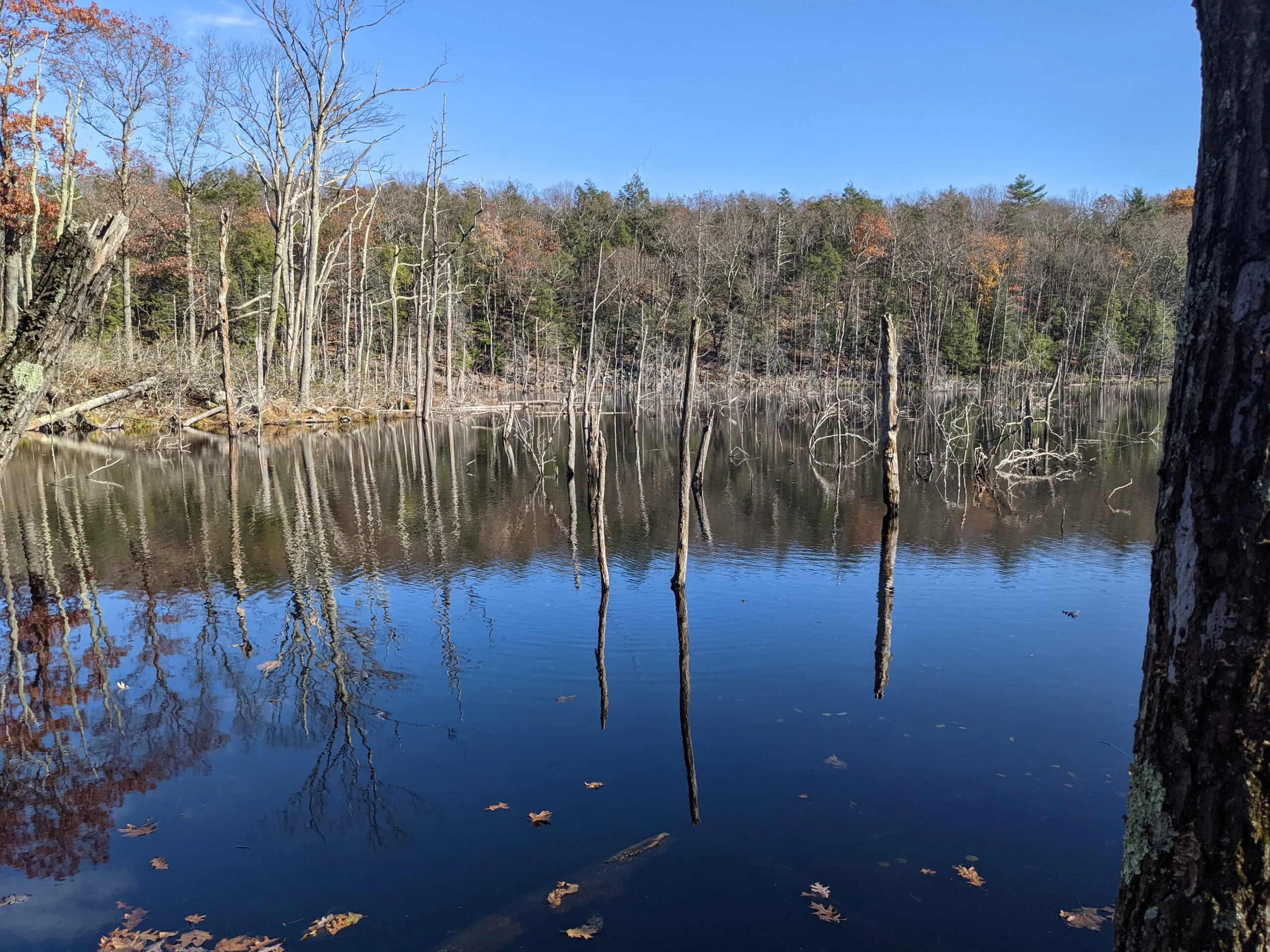
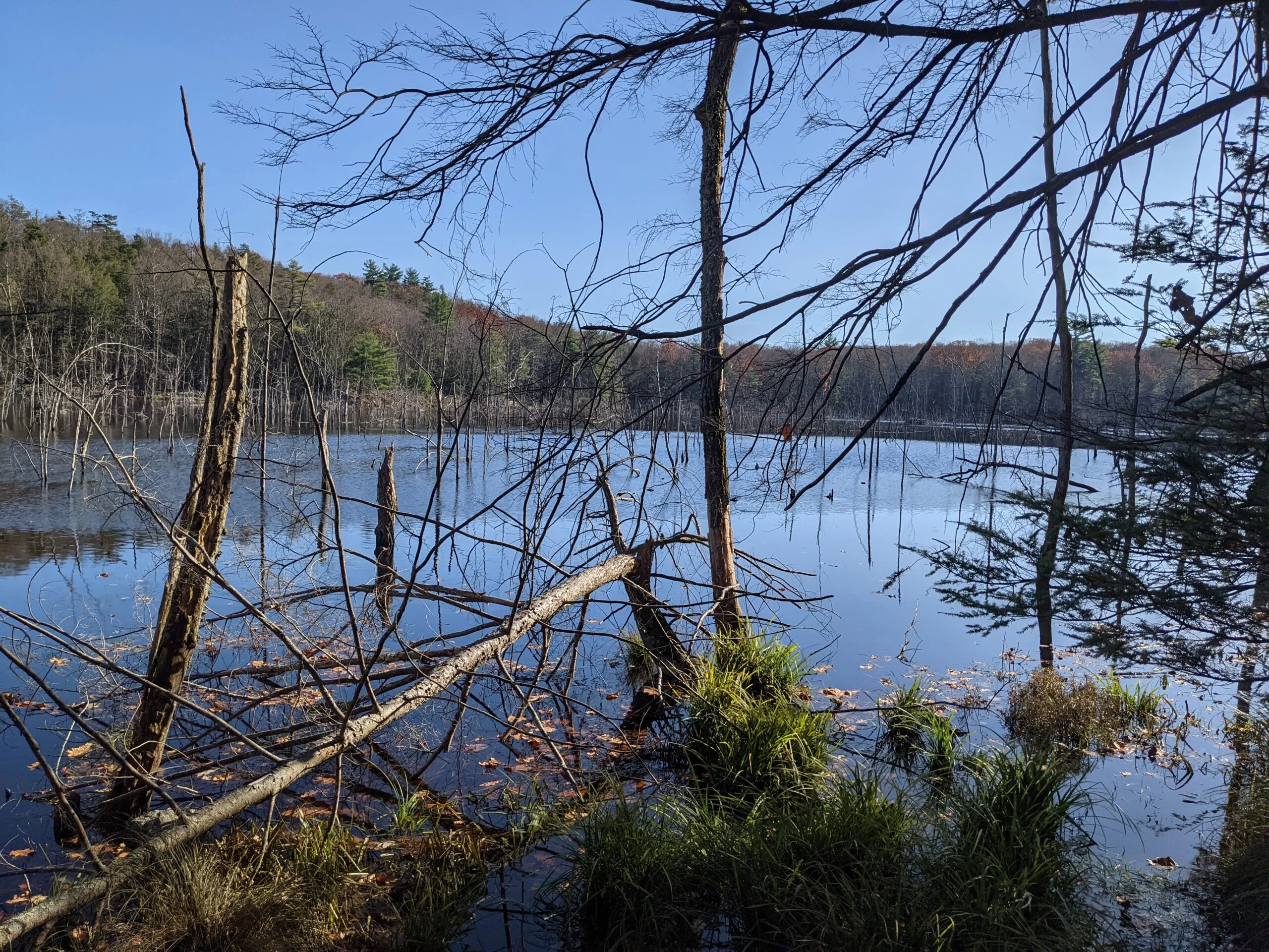
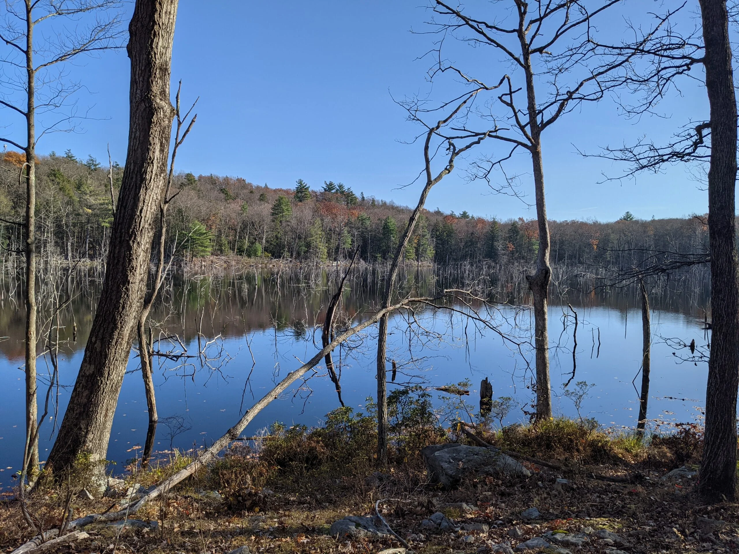
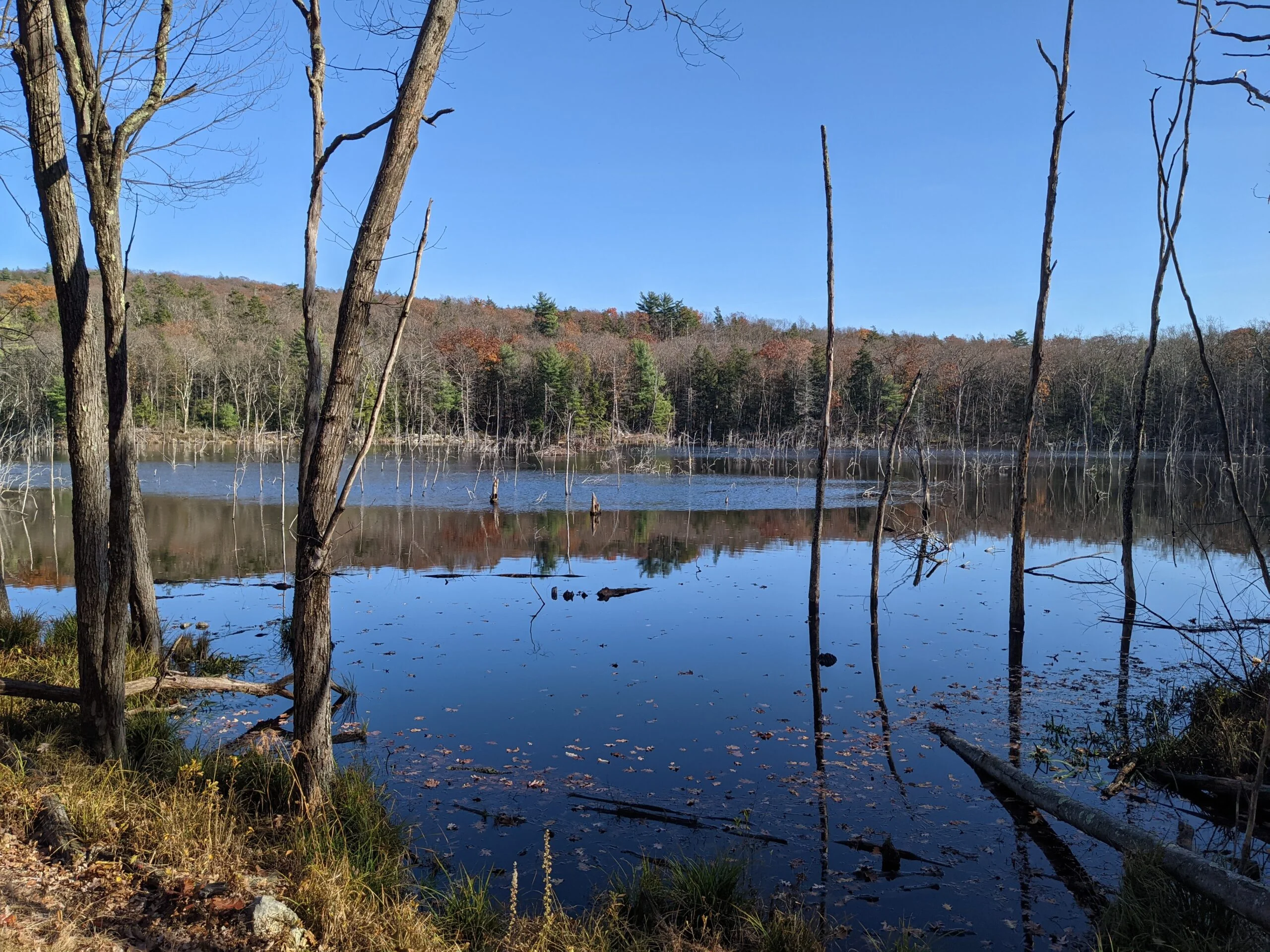
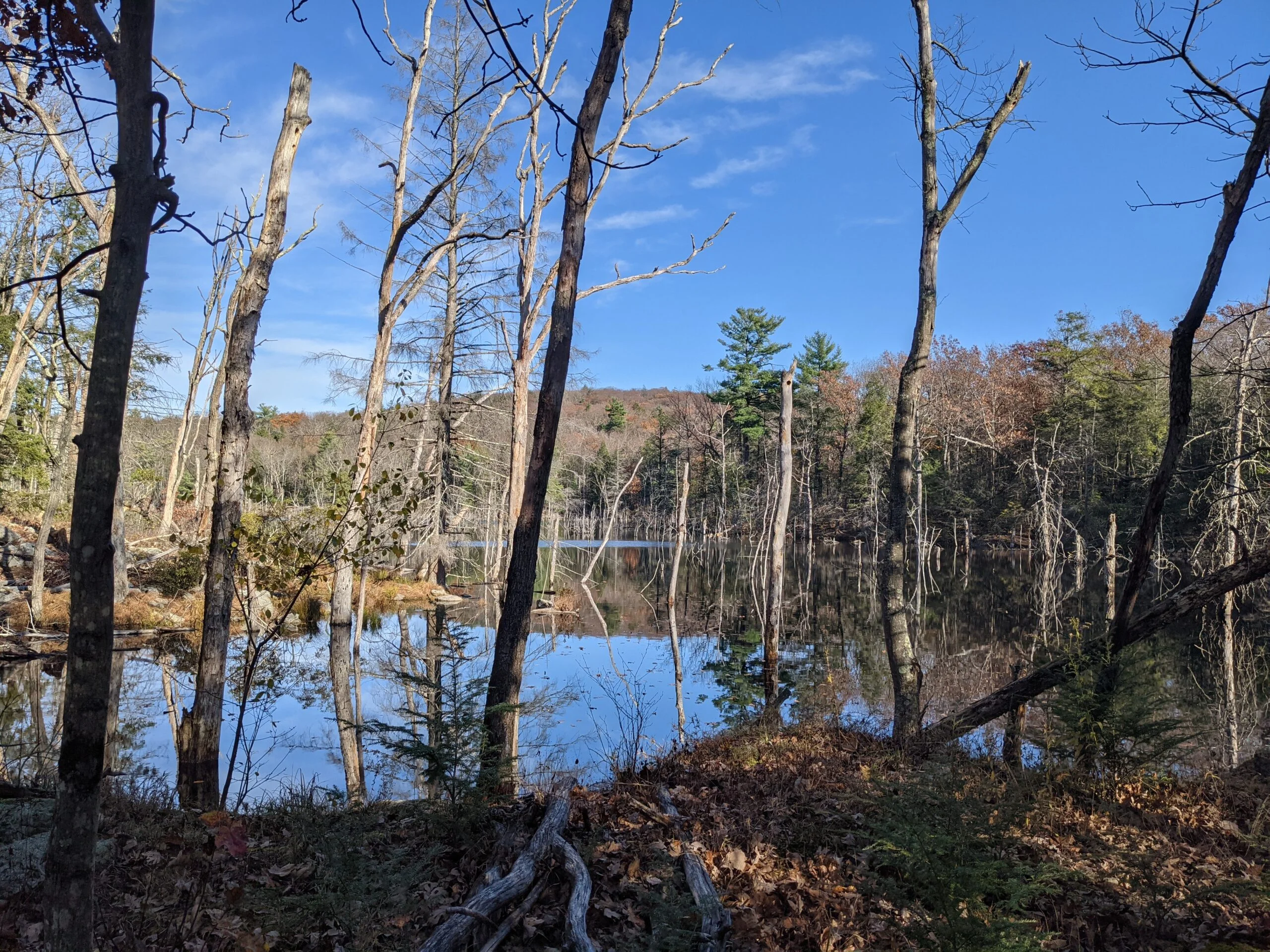
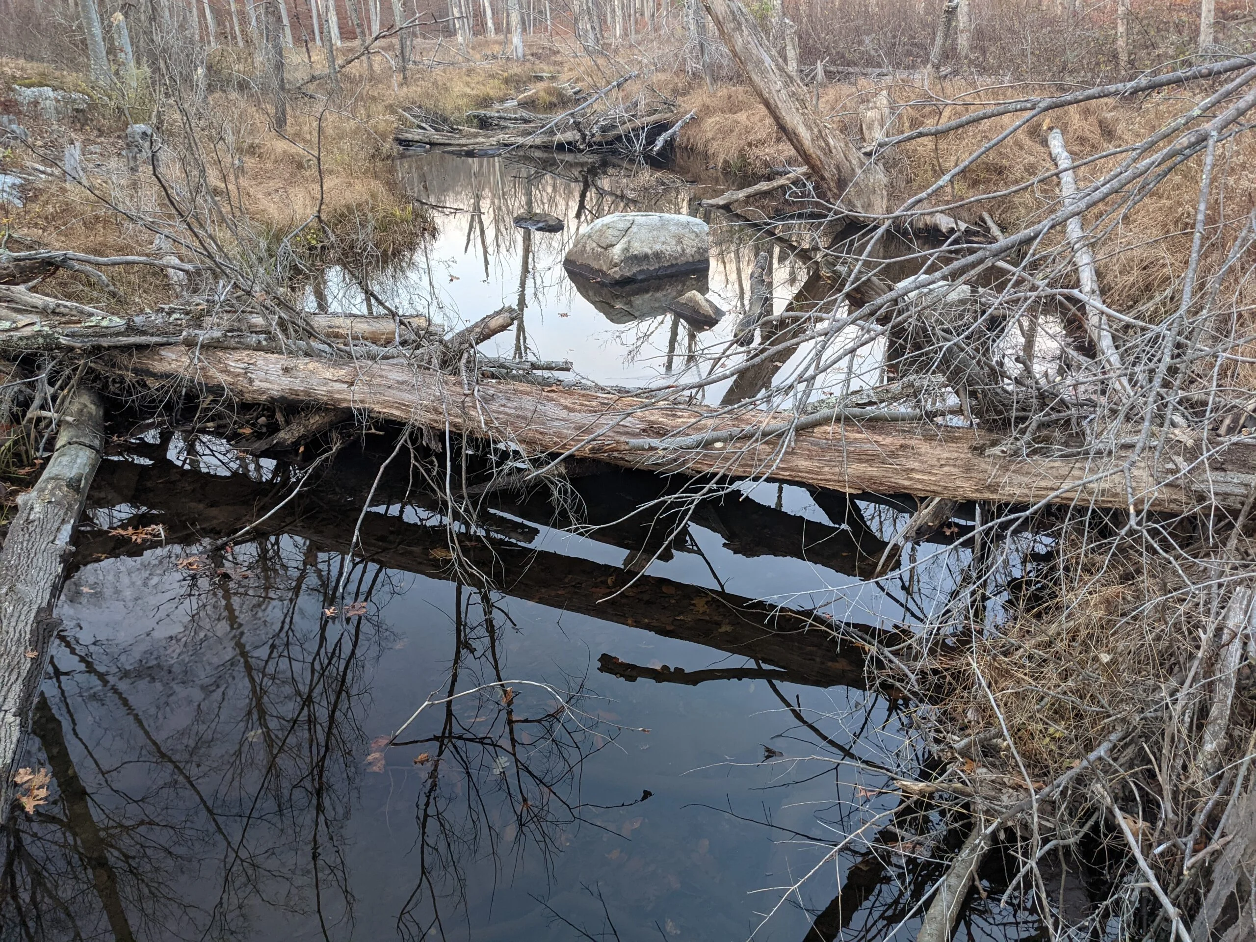
I continued on the BR loop, meeting up with the other side of WV after about 7/10 of a mile. My original plan was to continue on BR east to Sterling Lake, but after the BR detour, I decided I really wanted to find the Fire Tower, so I opted to head south on WV. After a half of a mile, WV starts hugging Jennings Creek. It looks like a marshy type area, with many trees growing up out of the lake.
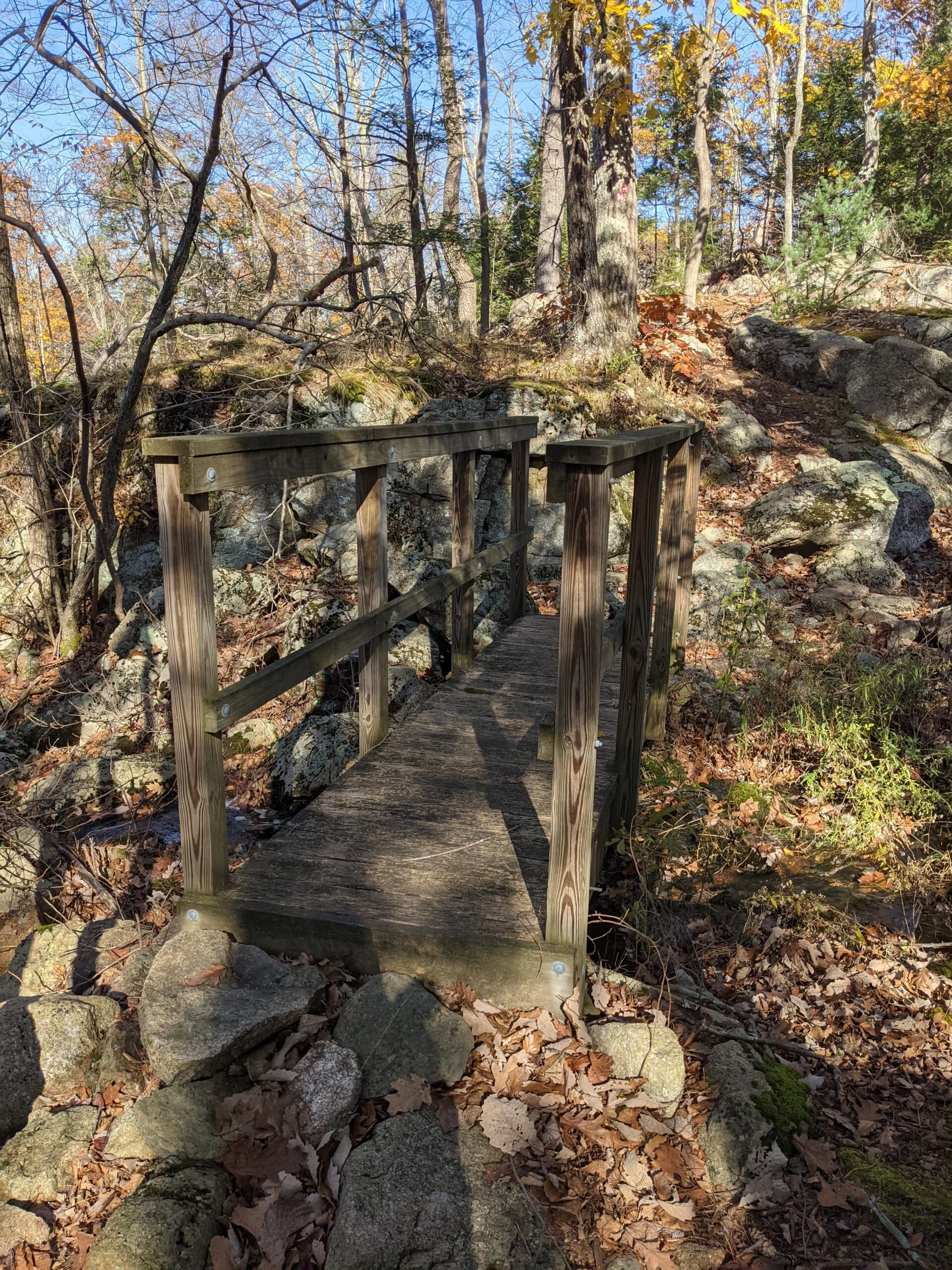
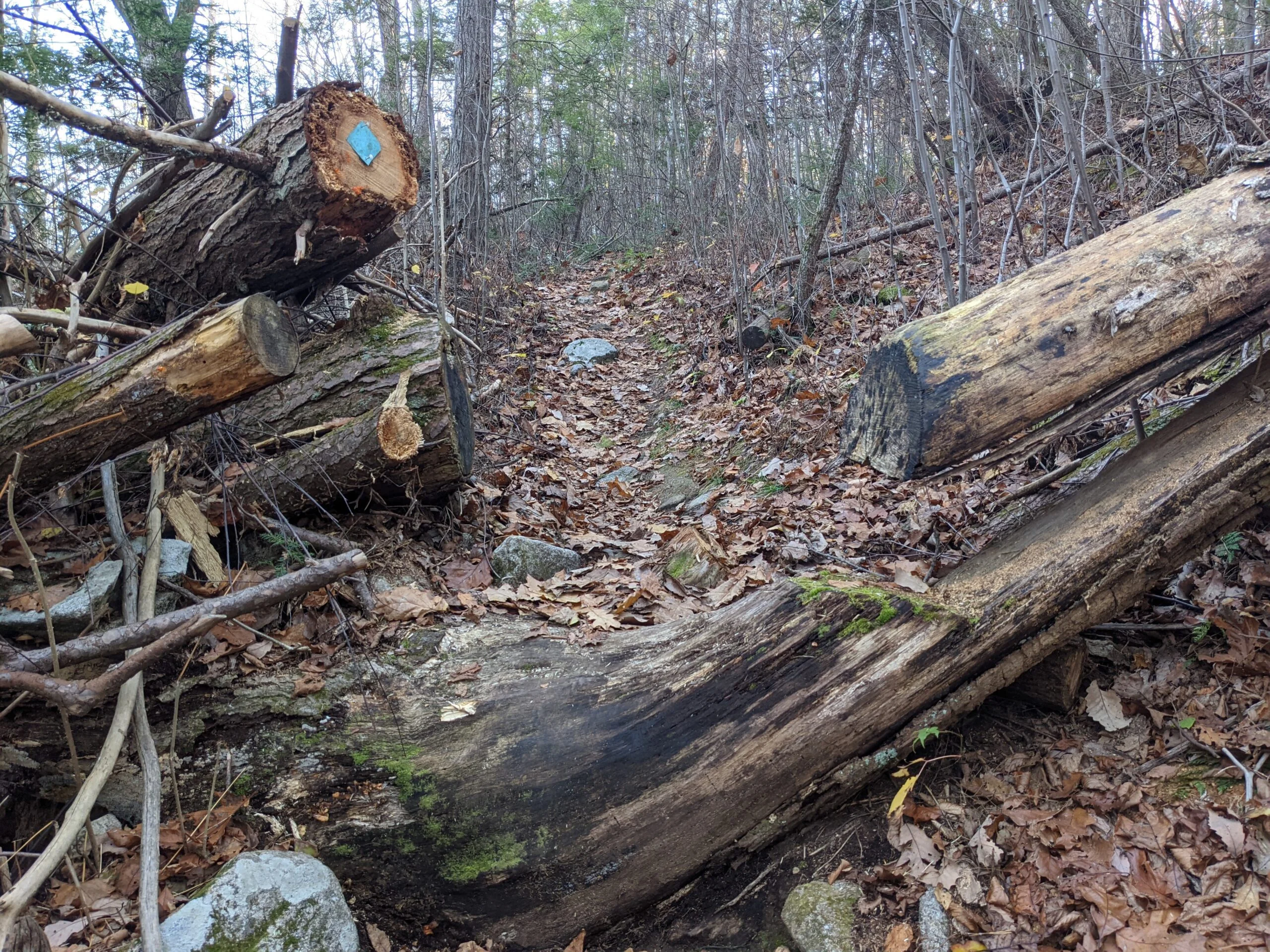
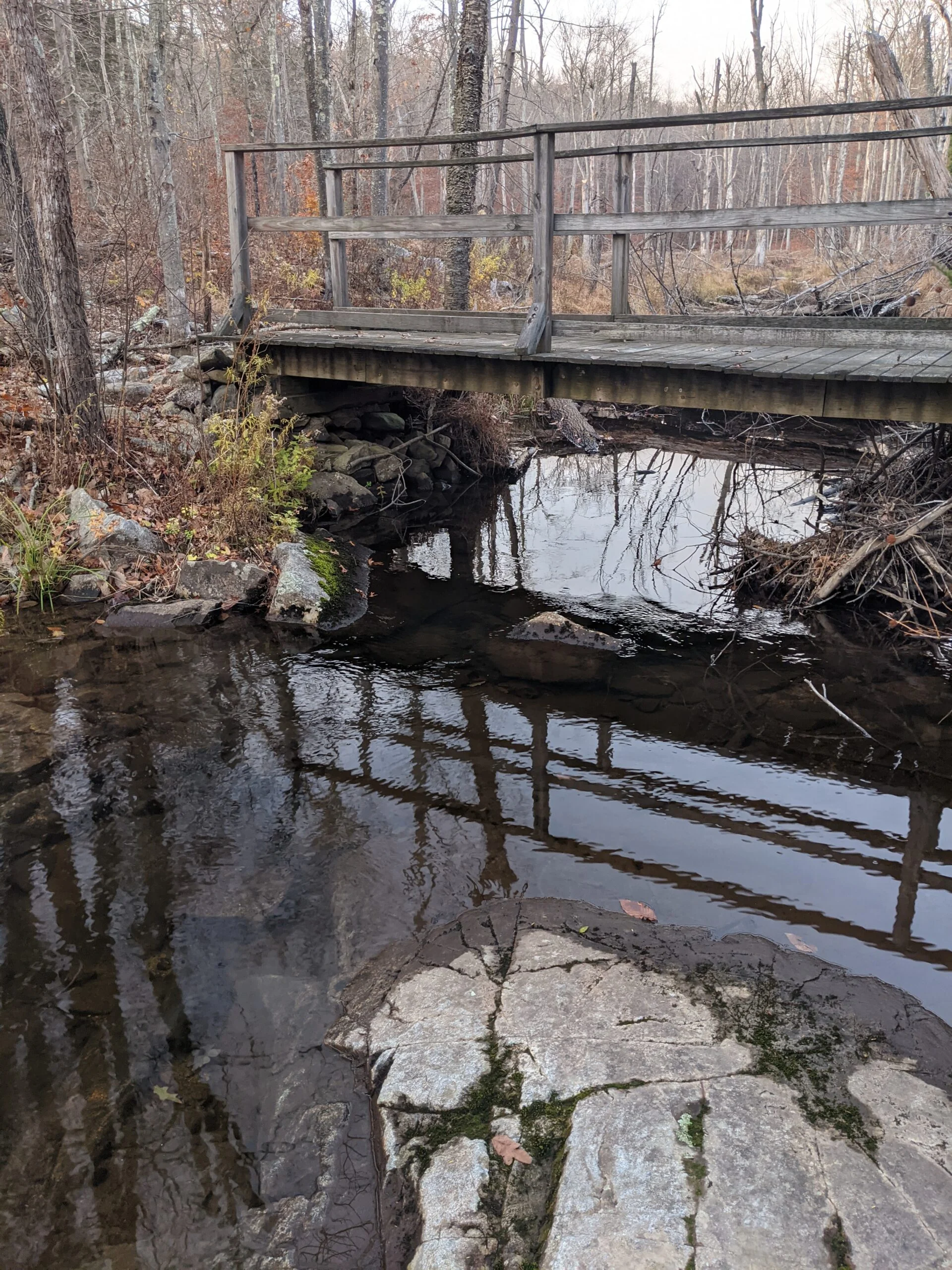
After passing the end of the lake, I continued along WV for another 2/10 of a mile, not realizing that I missed the fork for FT. It’s a sharp turn around the southern end of the lake that I wasn’t looking out for carefully, so I after I realized my mistake, I backtracked to the FT trailhead, followed it across the Jennings Creek stream until it met up with the Sterling Ridge trail (SR, blazed with both light blue diamonds and white with a dark blue dot). FT and SR run congruous on this section of trail.
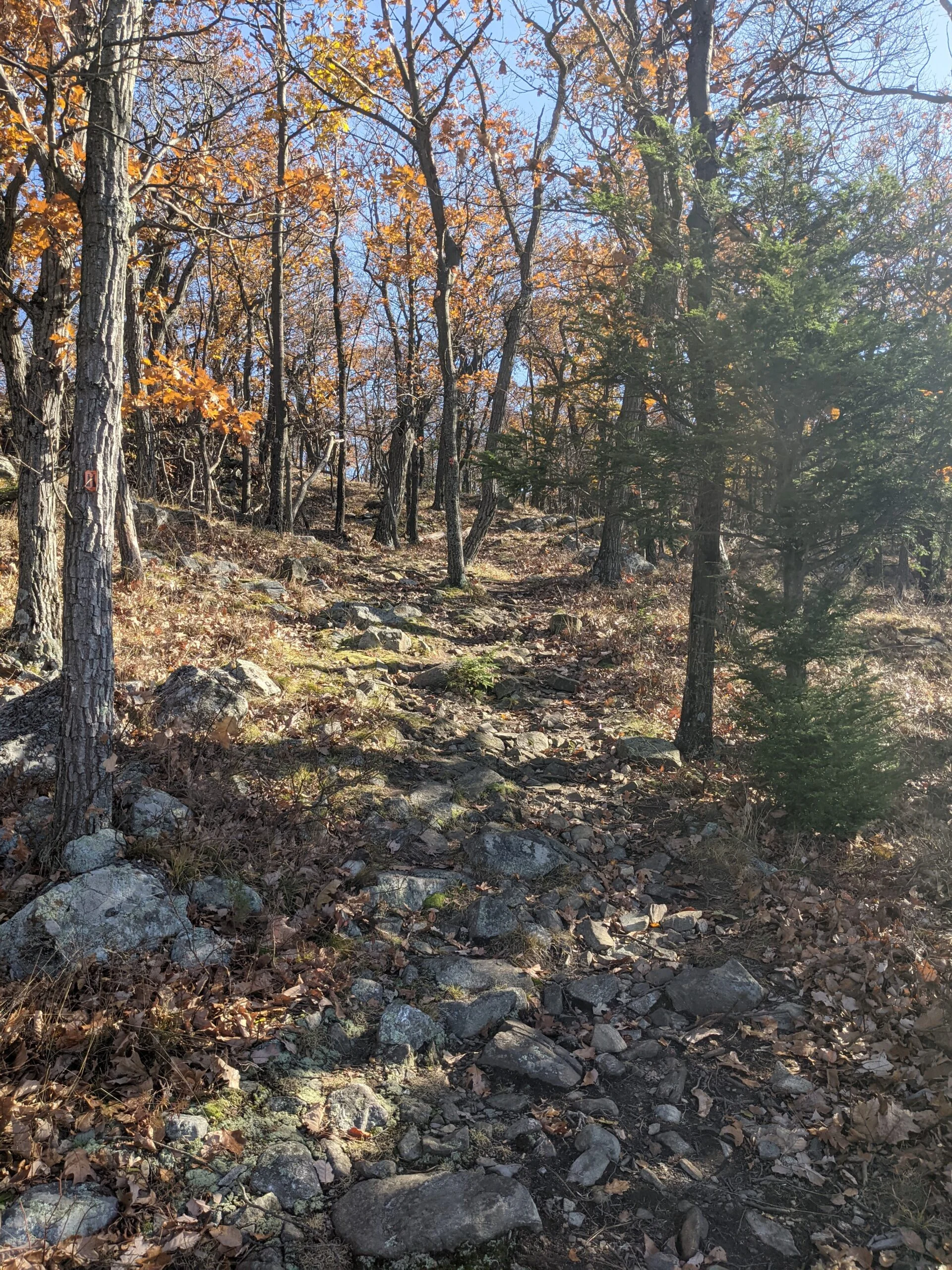
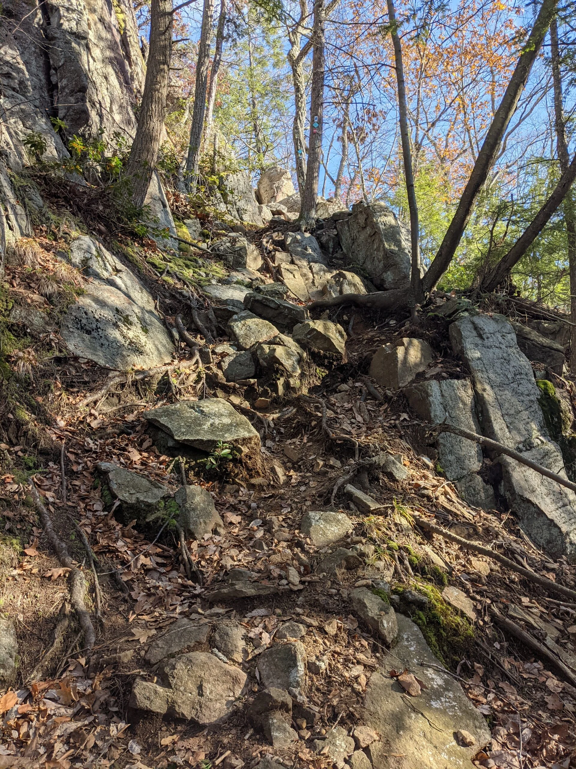
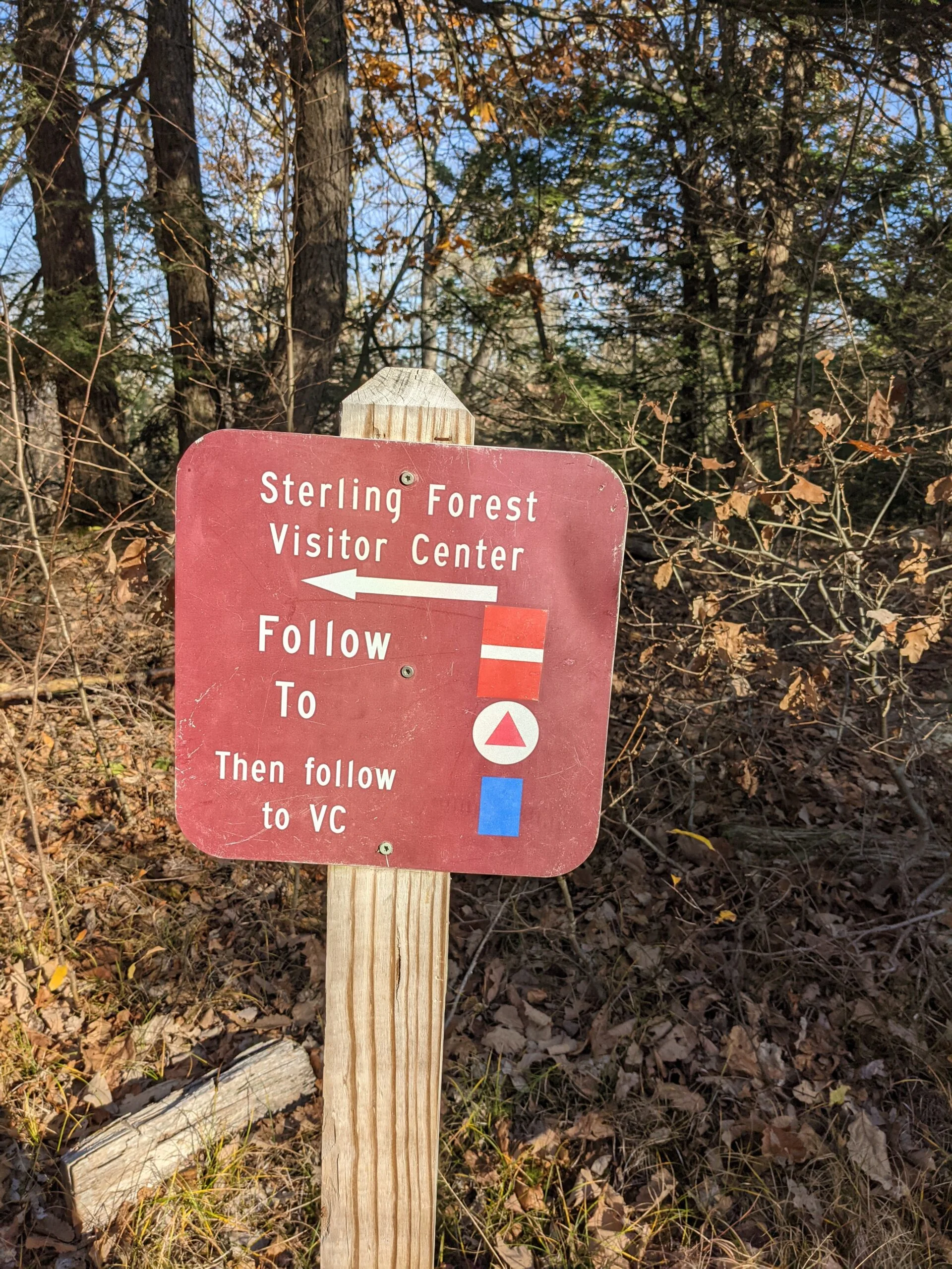
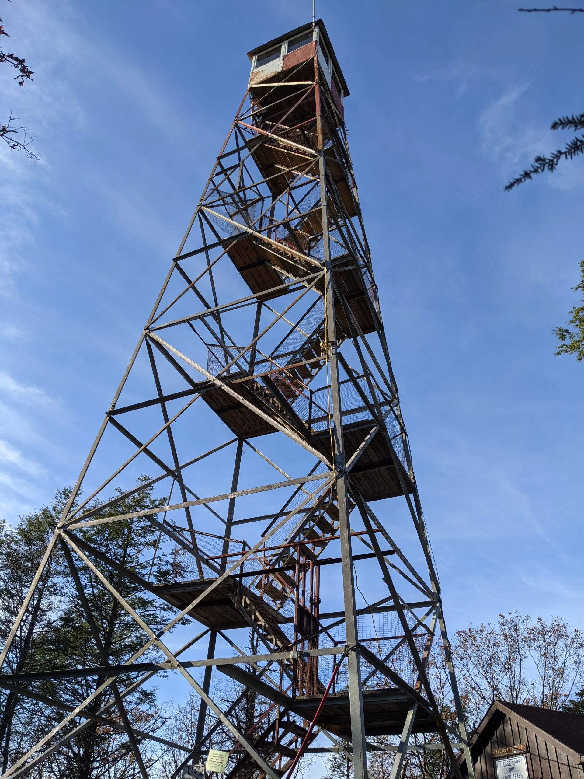
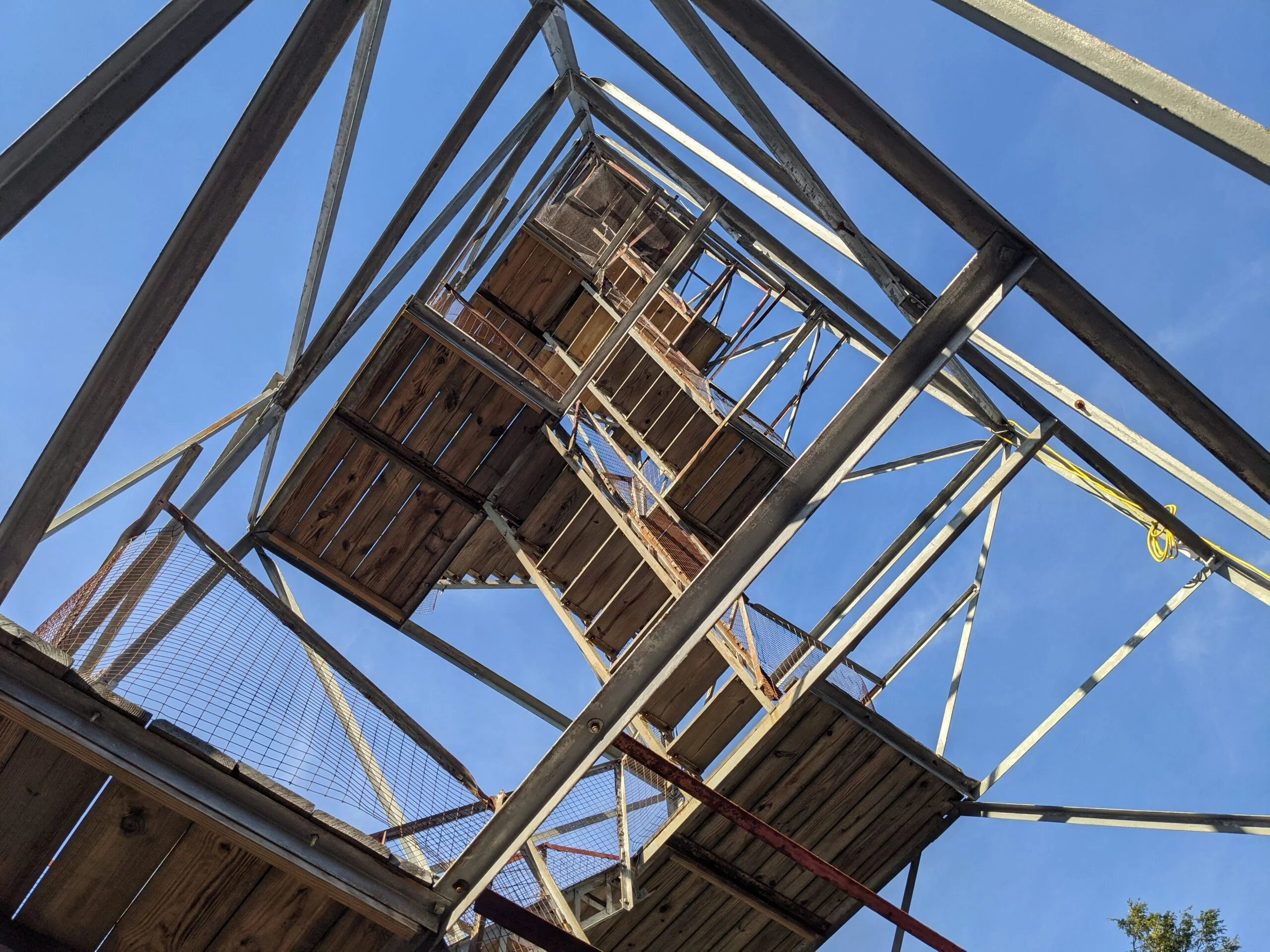
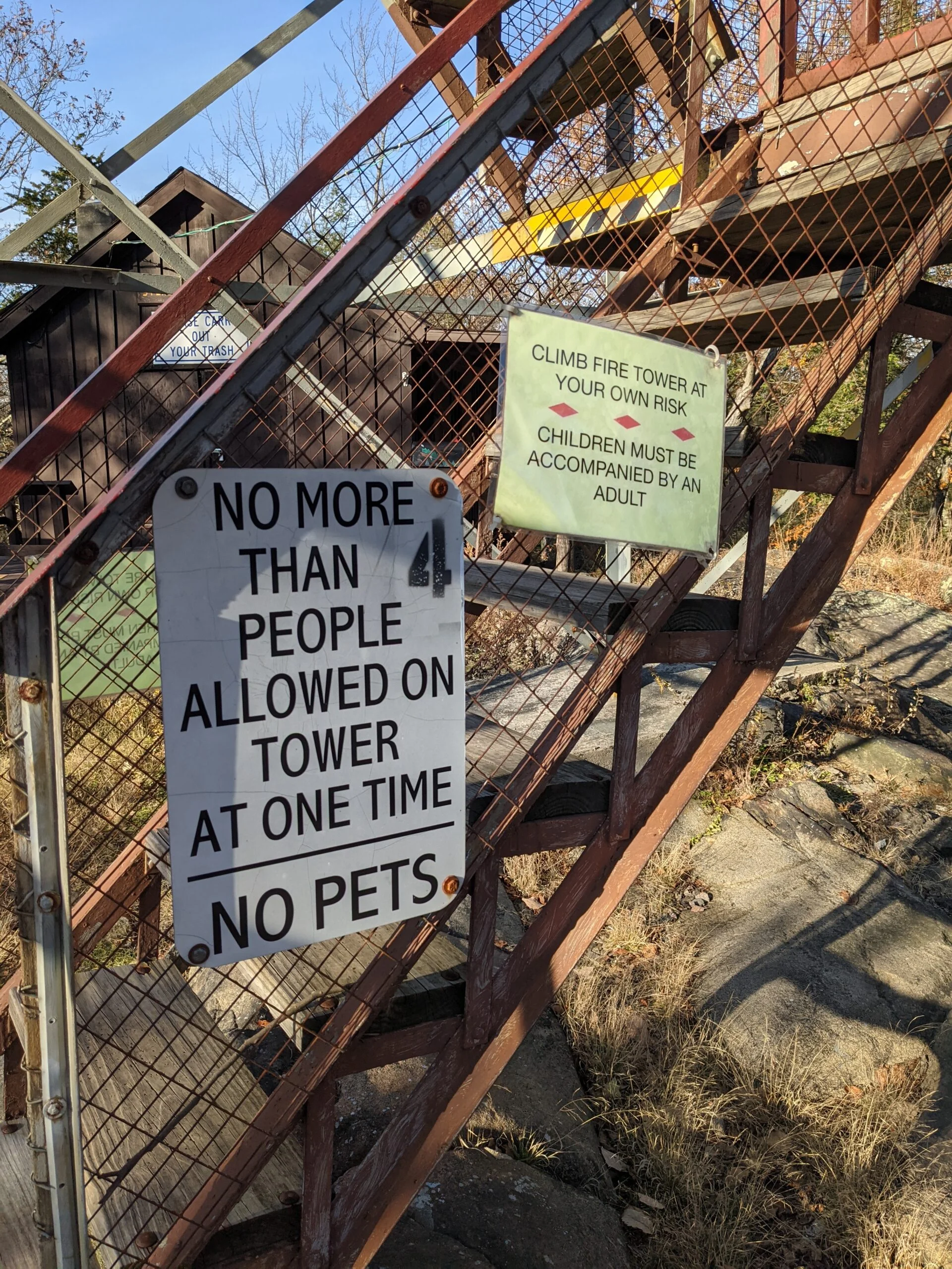
From this point forward, expect to do some climbing. The fire tower is less than 300 feet up, and the climb is pretty spaced out so it’s not too demanding. From the start of the FT trail at Jennings Creek to the tower is about 1.2 miles. The tower is located next to the Sterling Forest Visitor Center, which was closed.
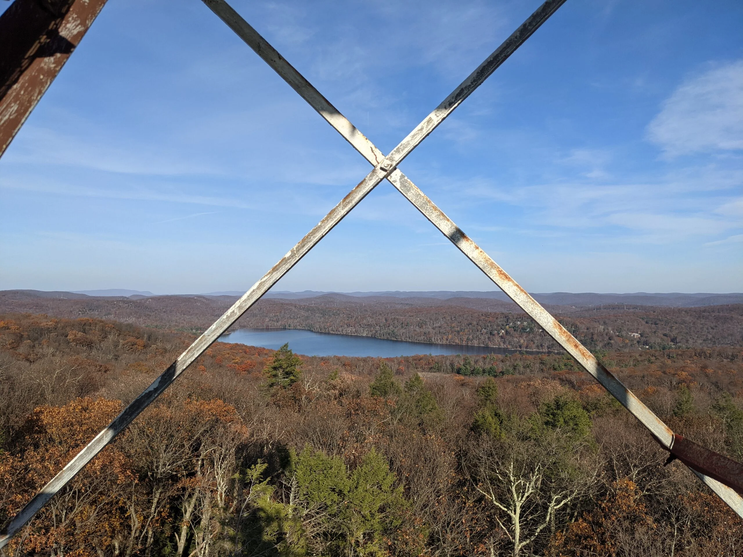
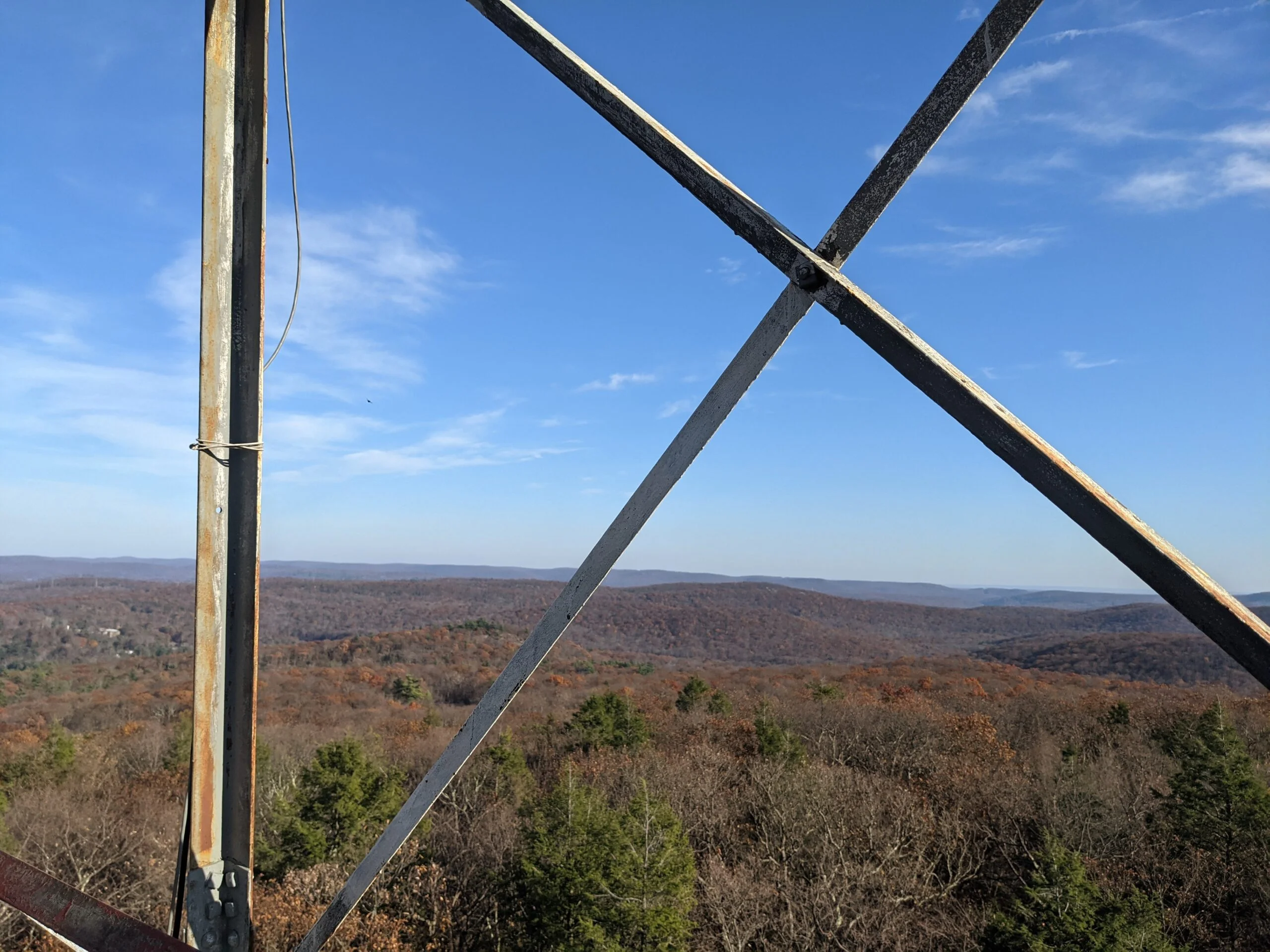
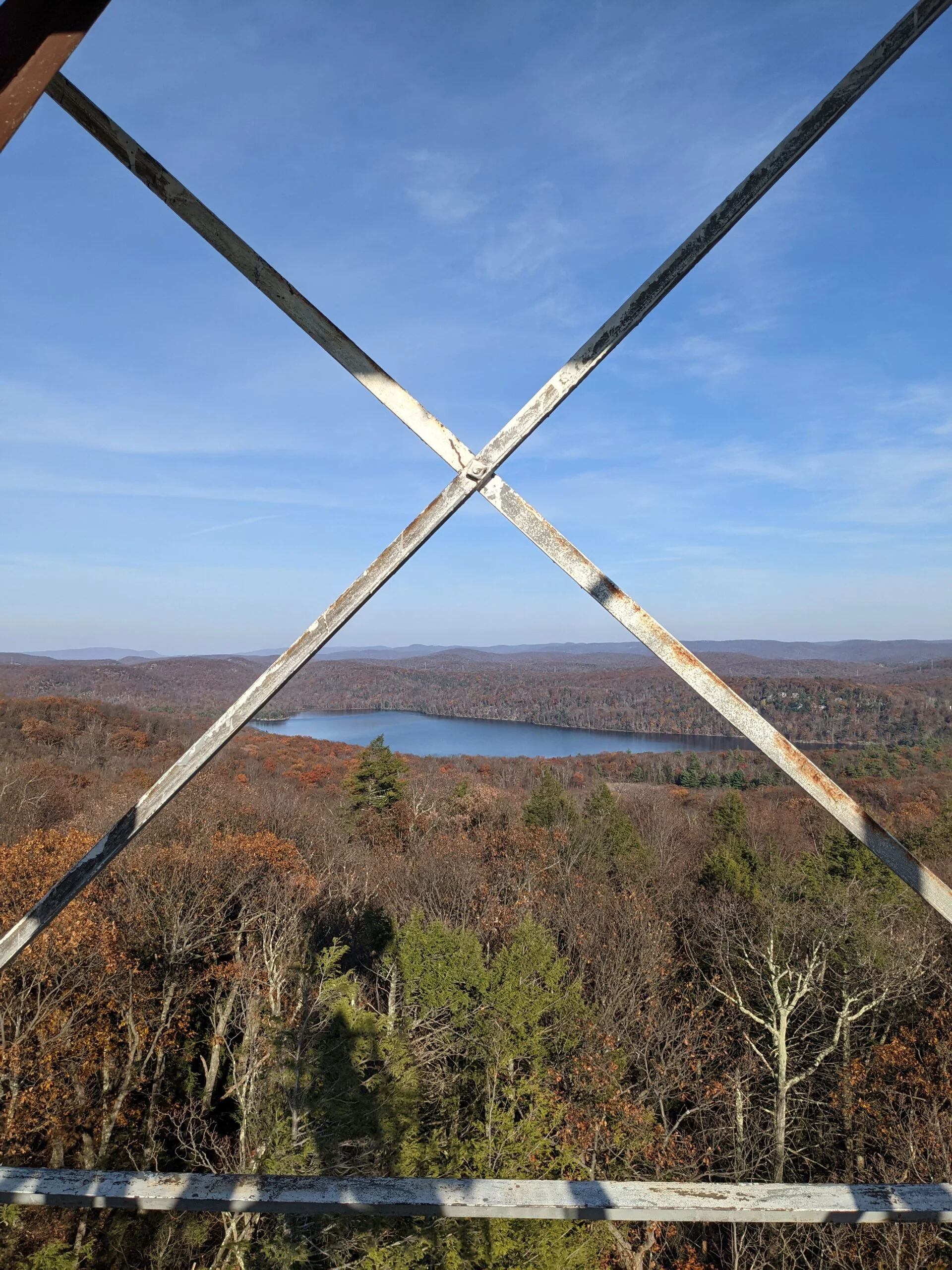
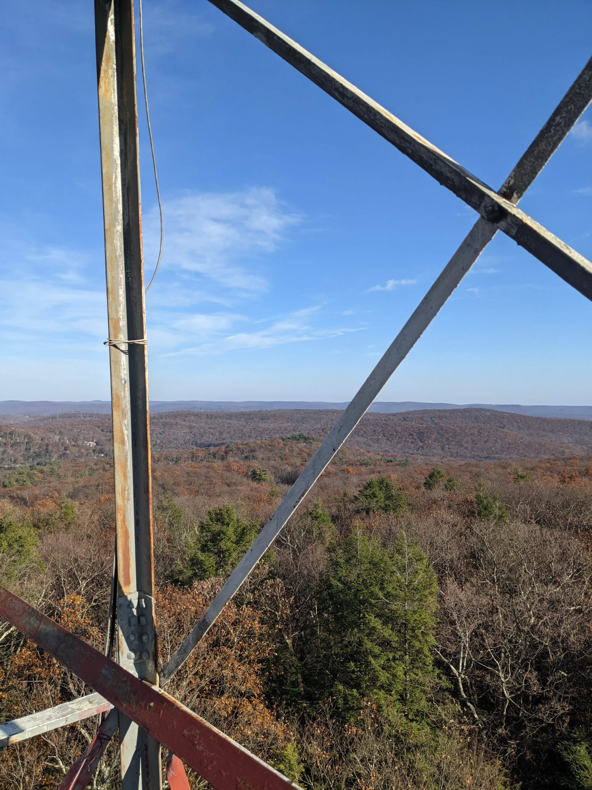
I can’t tell exactly how high the tower is, but it’s 8 flights of stairs up to the top. Once up there, the views are amazing! I could see Sterling Lake to the northeast and the surrounding forest and park around the rest of the tower. This was one of the must-sees for my trip and I’m so glad I was able to make it here. I only wish I took more photos and better photos. I feel like I didn’t capture the full experience.
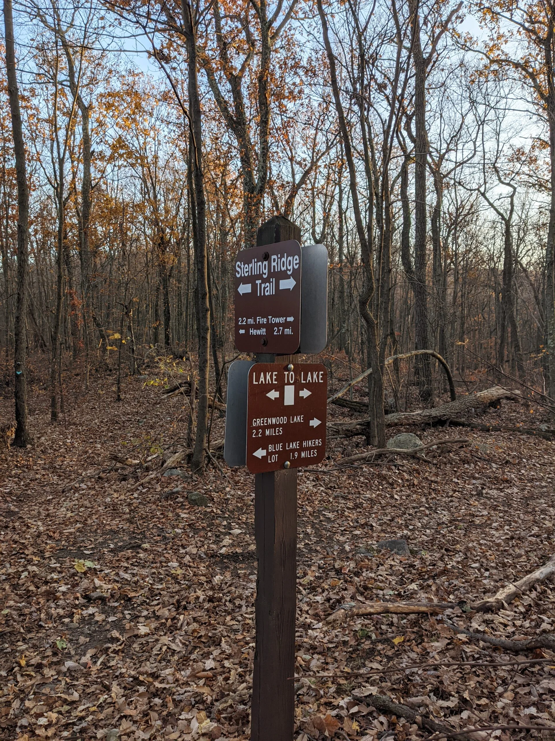
At this point, I was almost 7 miles and about 4 hours into my hike and I had to make some decisions about getting back to the parking lot. I knew I only had about 3 hours or less of daylight left and a decent trek back to my car. I probably could have saved some time and distance by taking FT/SR to FT, to FT/WV, to FT, to the parking lot, retracing the first section of my hike, but I’m not a fan of out and back routes, so I decided to take a longer loop route, following SR south to Lake to Lake trail (LL, white blazes with red stripe).
I retraced my route from the fire tower along FT/SR to where SR split off to the south and started my journey back. I reached the intersection with LL around 4:15p. The sign at the intersection indicated it was 2.2 miles to Greenwood Lake, but I wasn’t sure at what point along Greenwood Lake that was referring to.
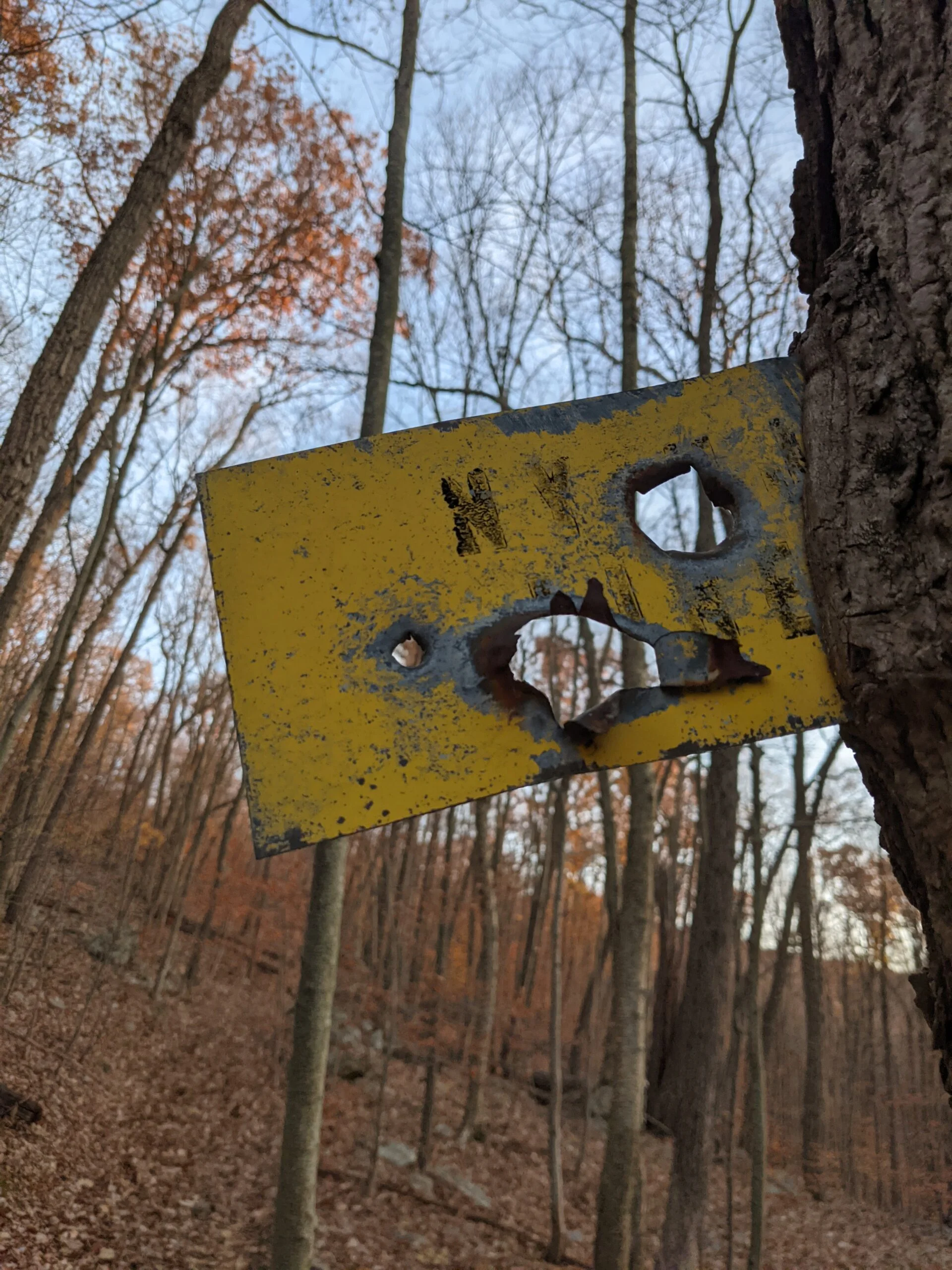
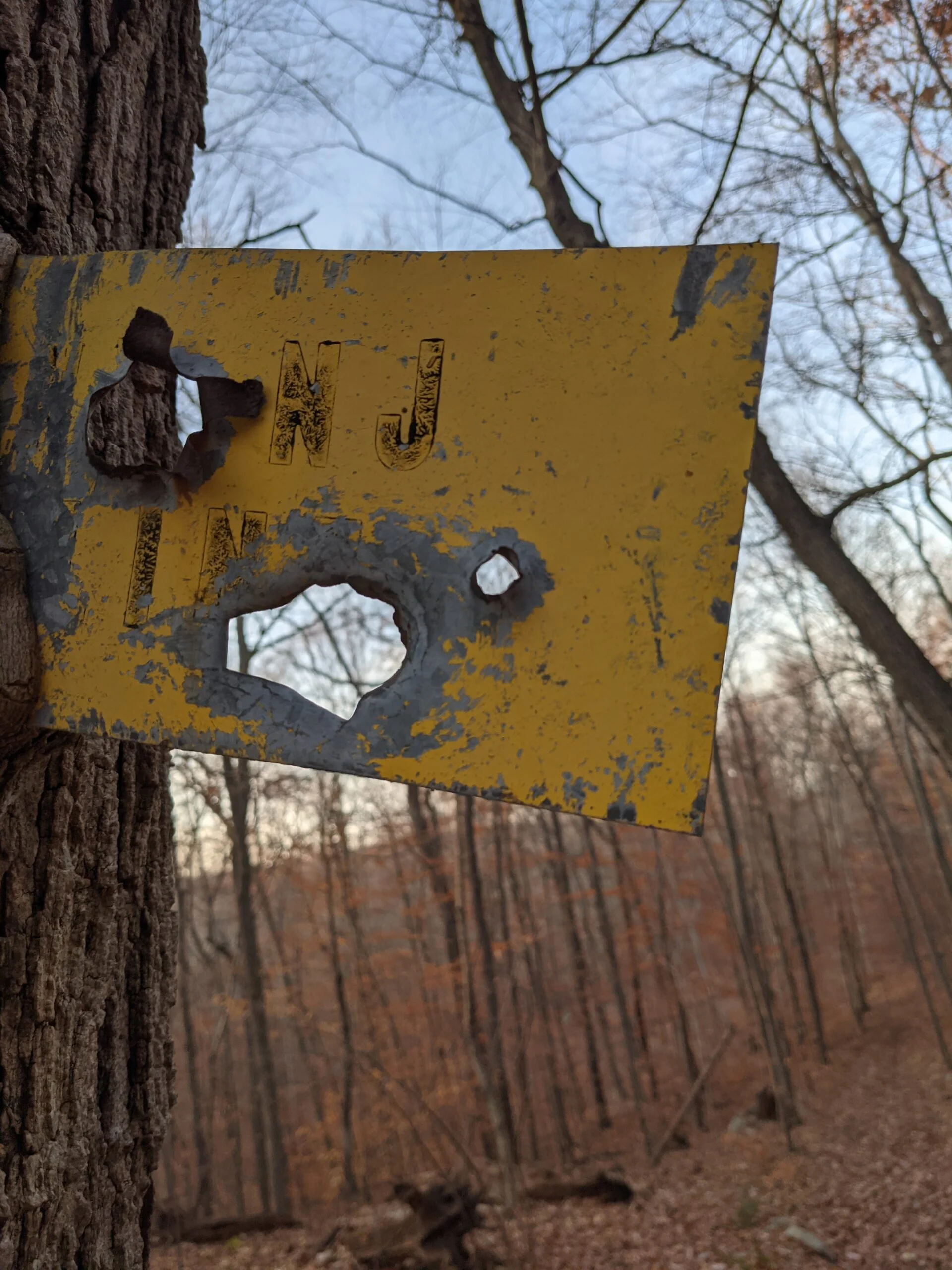
I took a right (west) onto LL, which was a well worn carriage or road path. It dipped into New Jersey for about 2/10 of a mile before returning back into New York. There was a yellow metal sign in one of the trees de-marking the state borders and it appears to have been shot through several times. I crossed over another section of the Jennings Creek stream, and then met up with the intersection to the West Valley trail (WV, green solid blazes) which heads north, but I continued east on LL. This whole section of SR and LL trail was very quiet at this hour and I only encountered one other person along the way. It appeared to be a hunter who had driven up part of the trail and was on his way back out.
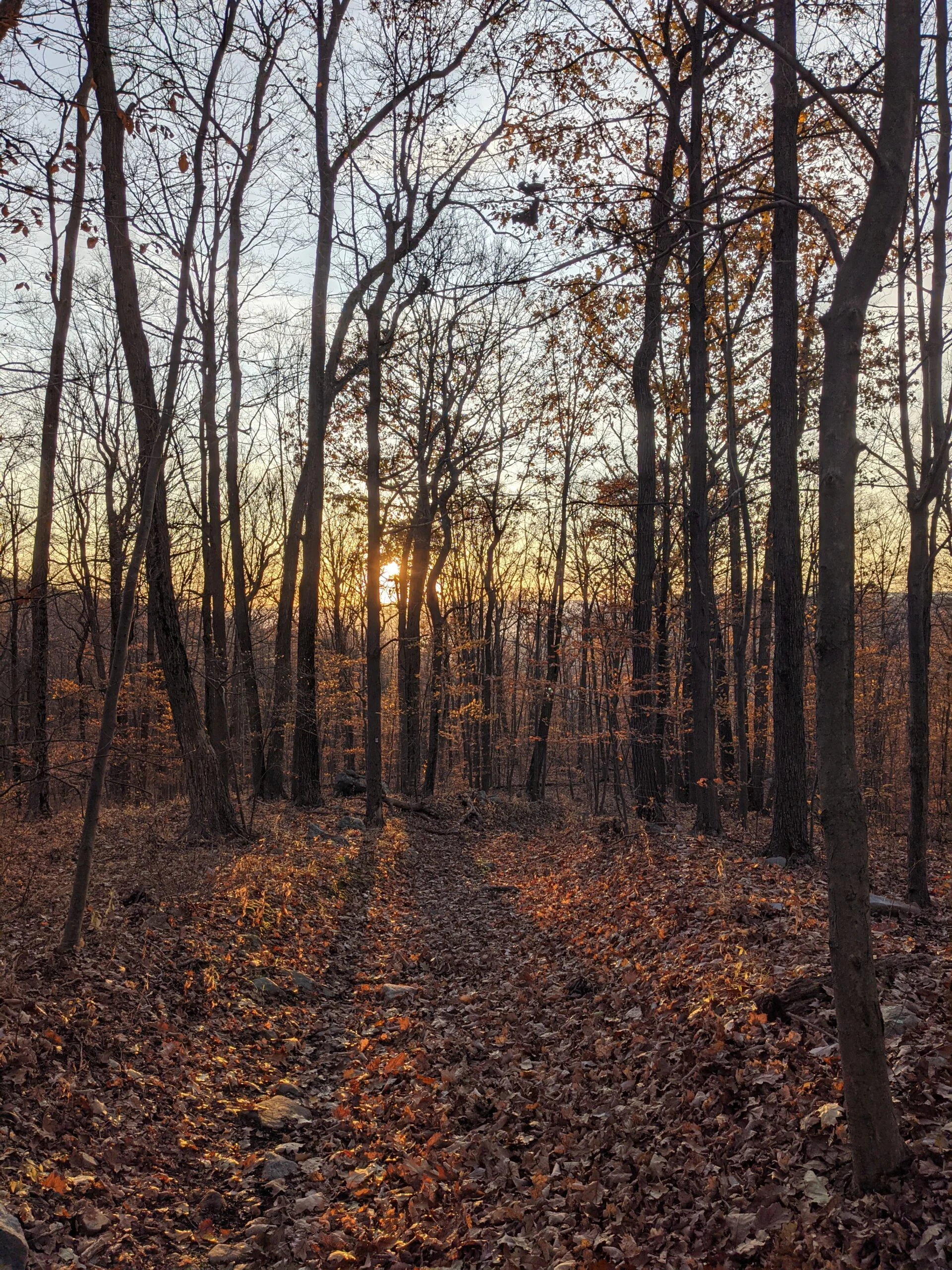
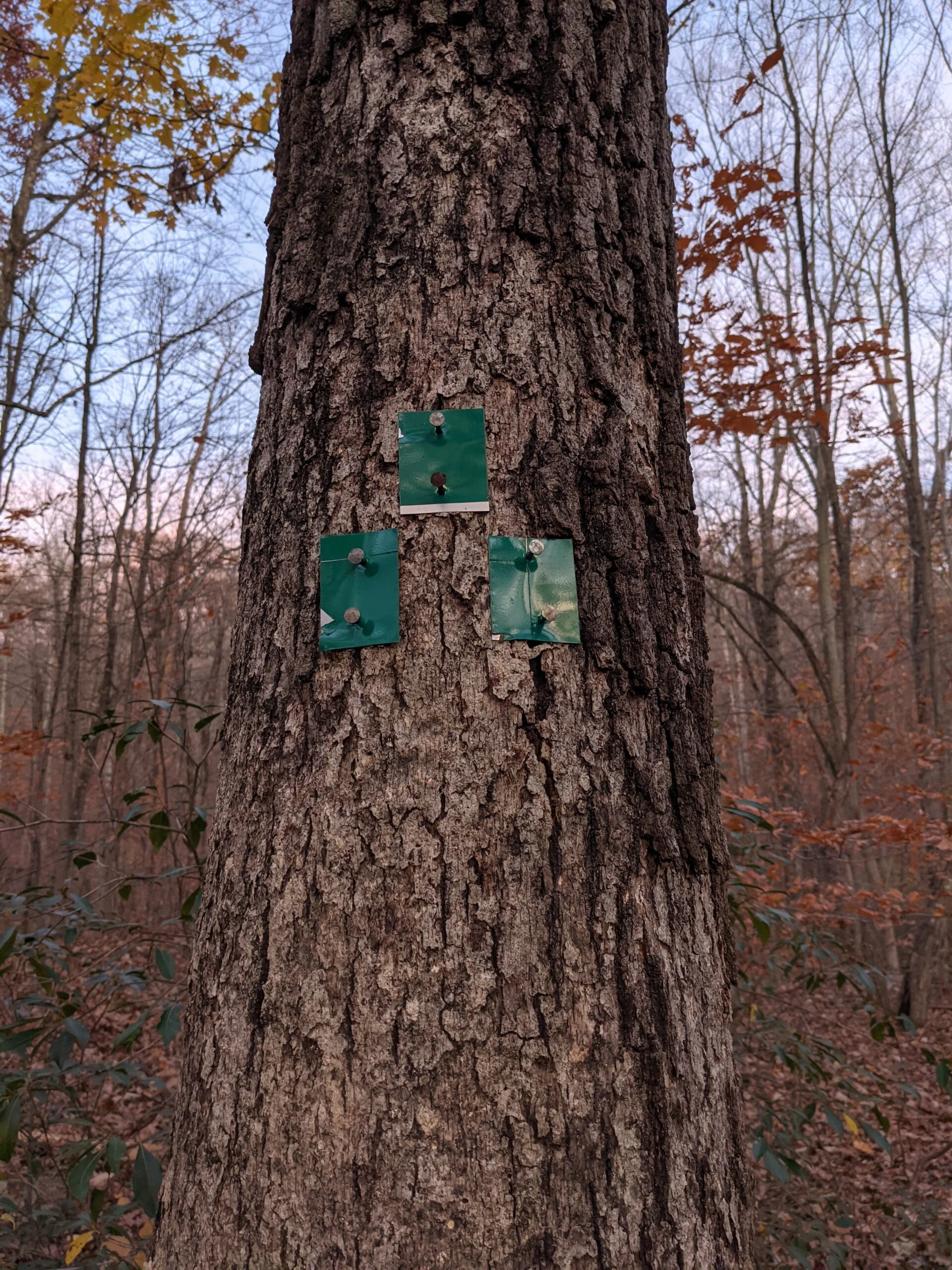
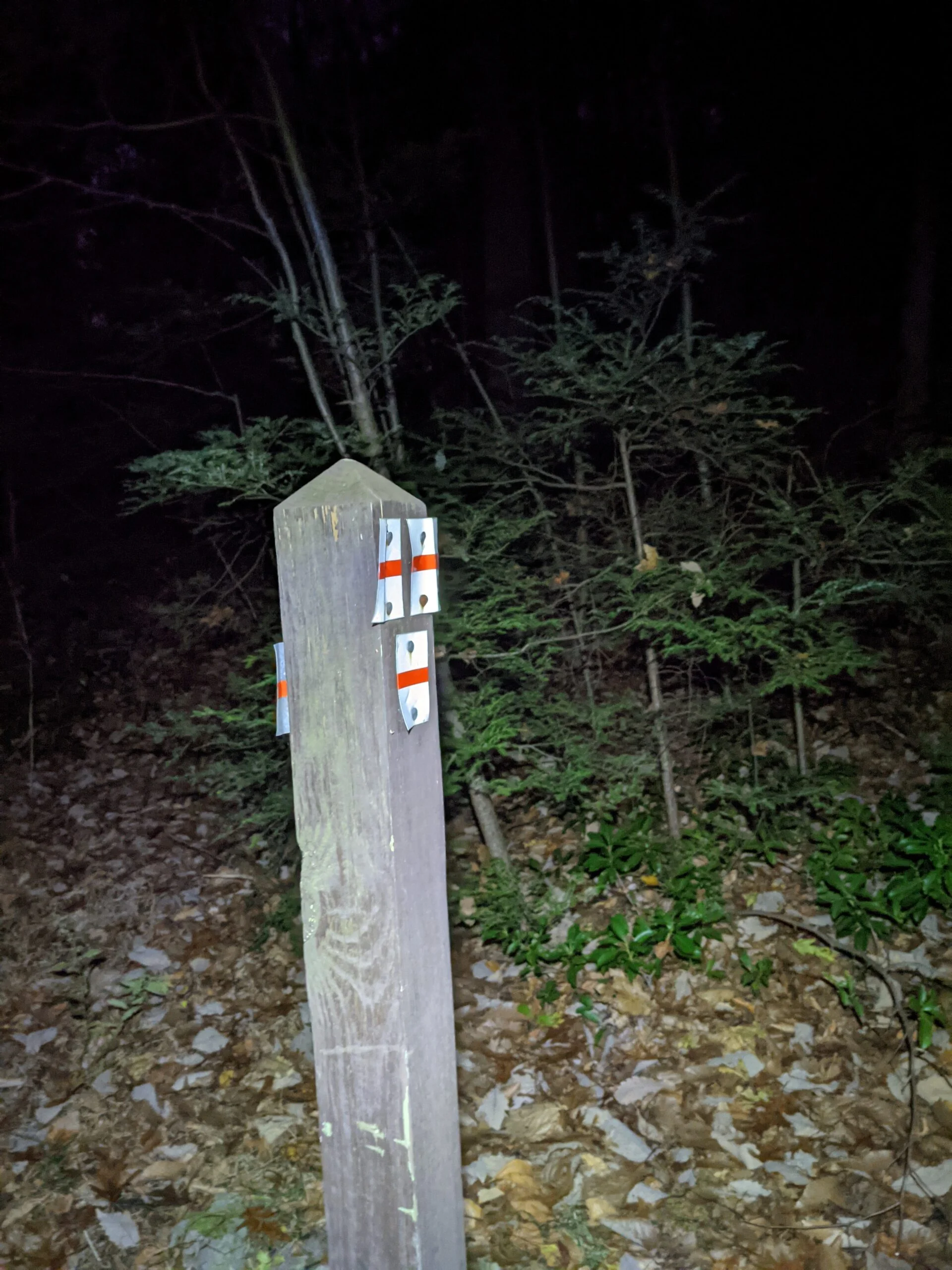
It was nearing 5p now and the sunlight was starting to fade quickly. The night sight mode on my camera made my photos appear extra vibrant when in reality it was getting hard to see. At 5:15p, I made the call to put on my Dorcy LED headlamp ($). This was my first time using it on an actual hike and it worked wonders! The straps kept it snug on my head and the LEDs were super bright. What had never occurred to me up until this point is that the trail blazes — at least in this park — were luminescent. This was a true saving grace as I could easily see several blazes ahead of me, even farther than I would have been able to see in the daylight.
I wasn’t expecting to hike in the dark, but this is why it’s always good to prepare for any situation. I also had a handheld flashlight with me, but I didn’t ended up needing it as the headlamp provided more than enough light and coverage. I was able to find my way back to my car and end the hike just after 5:30p.
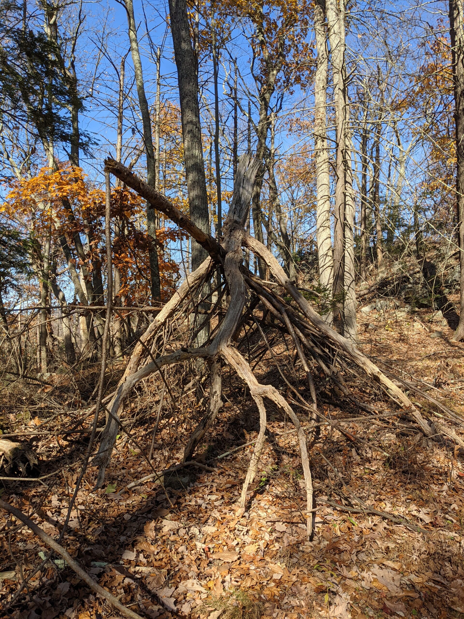
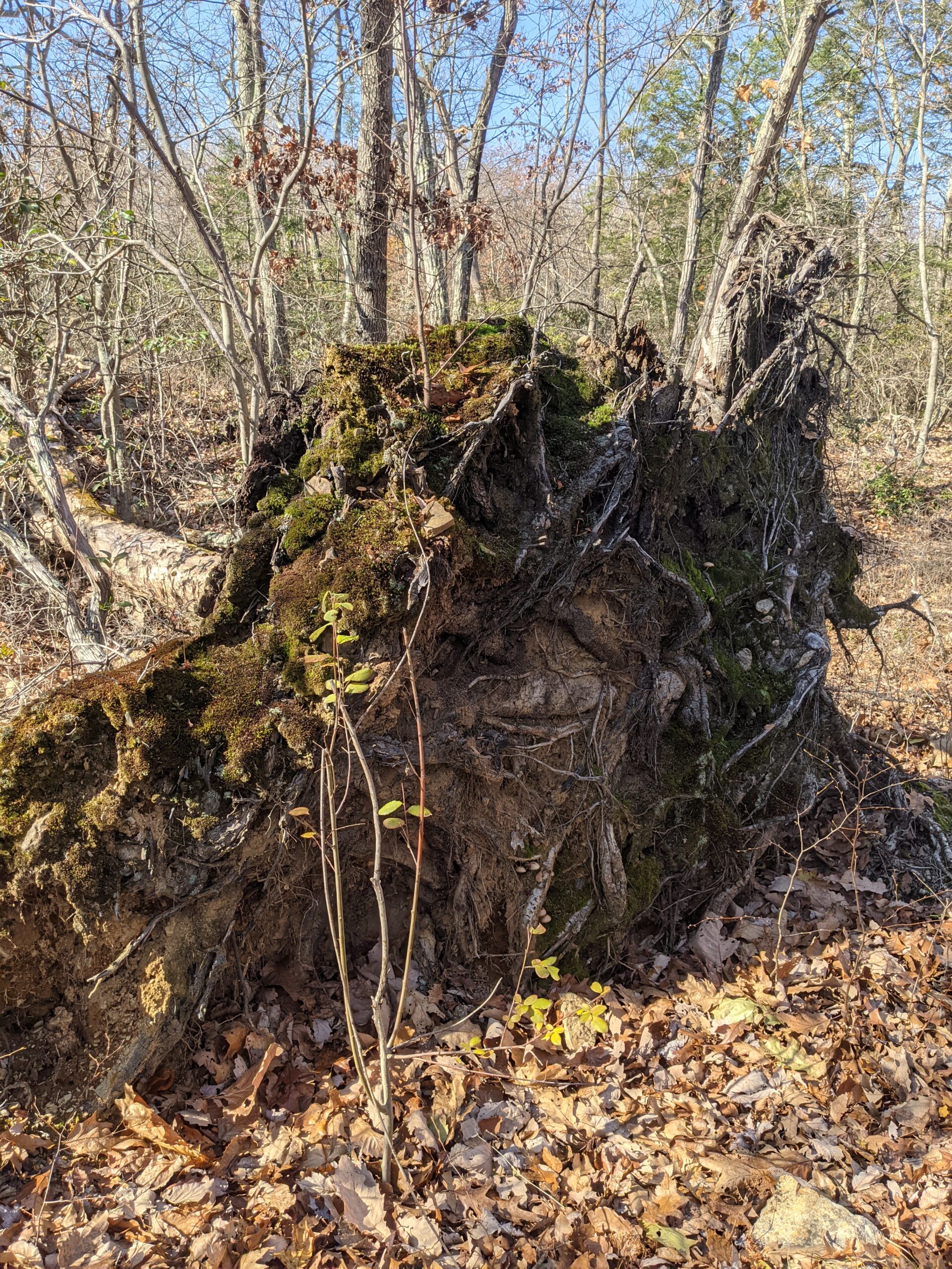
As with most of my previous hikes, I really enjoyed this one. This one is on my list to return to, as I have now seen photos of some of the old mine areas, with abandoned ruins and structures still partially intact. This looks like a really interesting area of the park to explore.
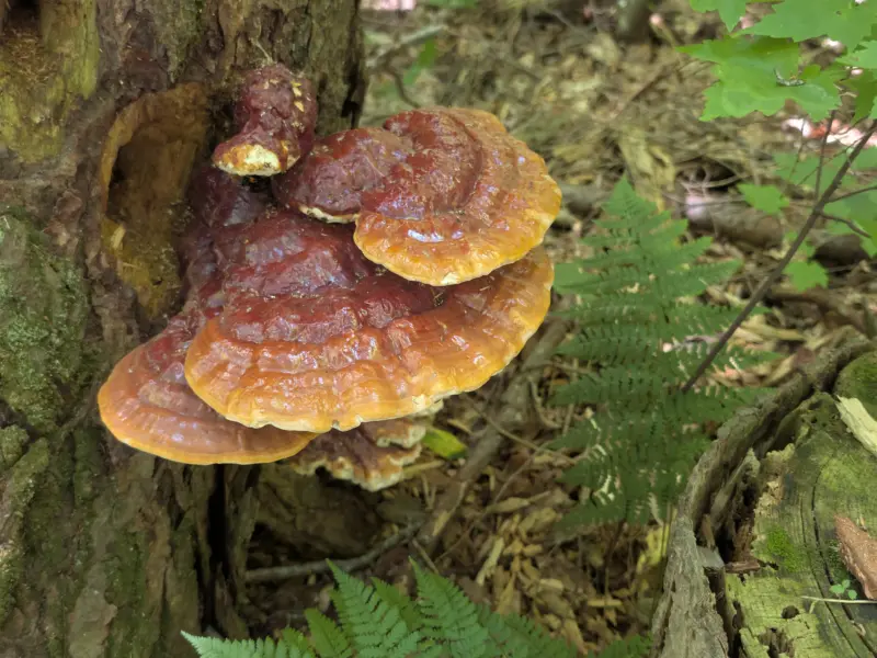
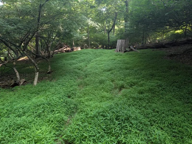
Photos


GPS Route & Elevation
Loads an interactive map; map tiles are served by the U.S. Geological Survey, which receives your IP address. Learn more about maps and your privacy