The Irvington Woods – Hermit’s Grave, Sunset Rock, Split Rock, Barney Brook, Ice Pond
- 5.6 mi
- 843 ft gain
- 03:17:35
- 97 photos
I made three trips to The Peter Oley Trailways System at The Irvington Woods back in July (visit #1, visit #2, visit #3). I decided to return to see how the preserve looks in the fall.
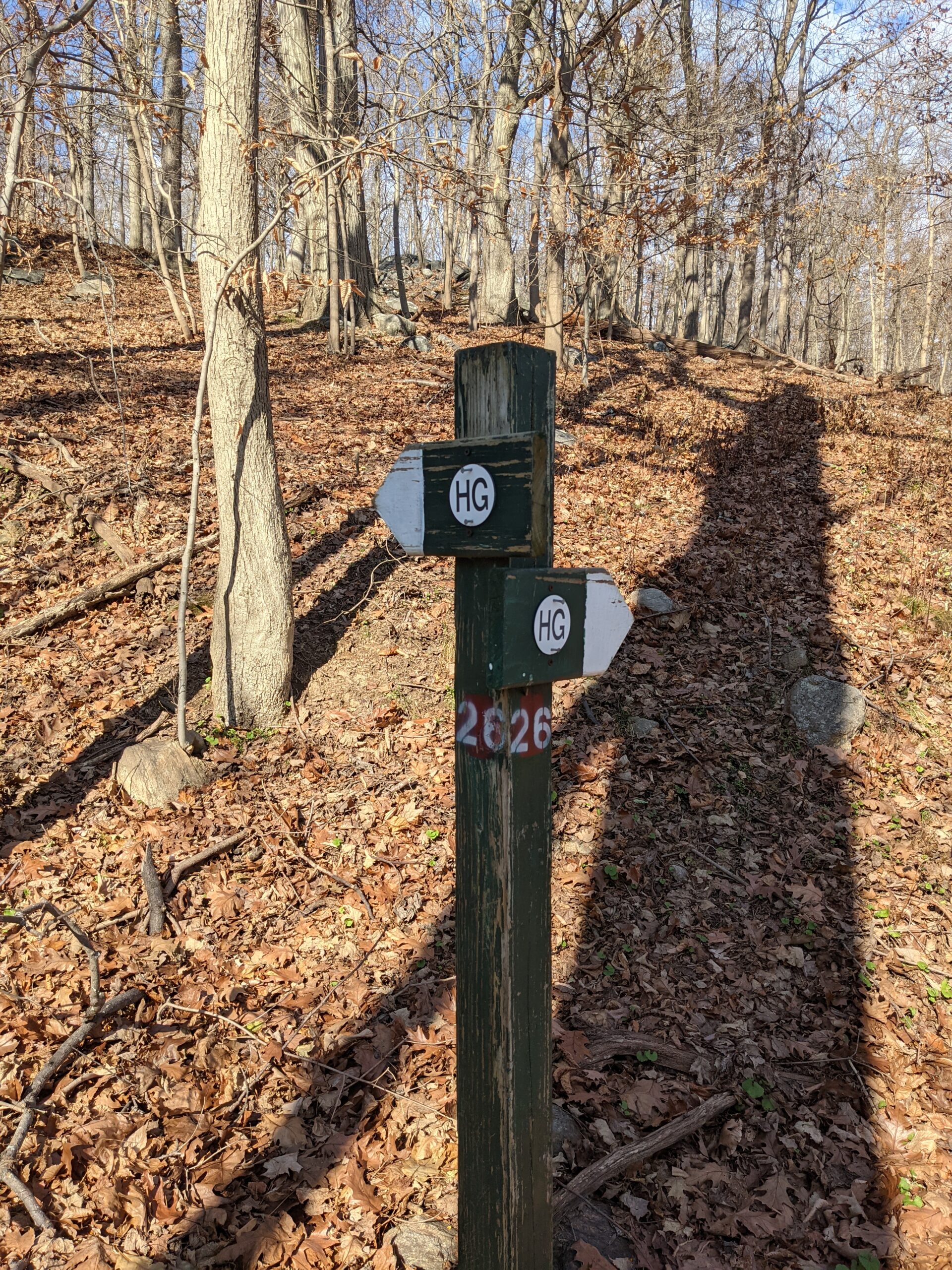
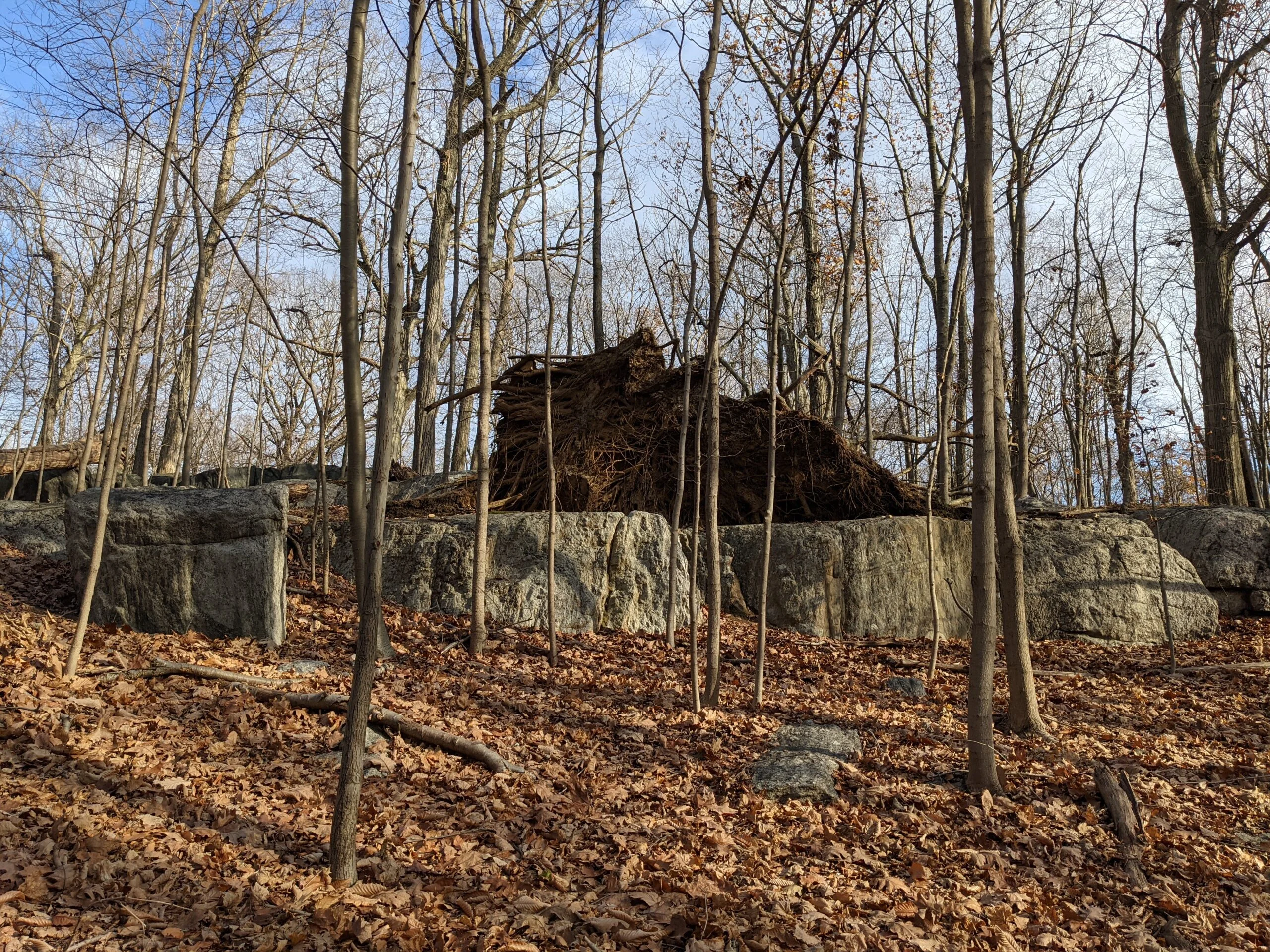
I only had one goal for this trip: check out the unmarked trail that runs north from intersection #26 near Hermit’s Grave. I stumbled across this path on my first visit, but did not explore it at the time because I had other priorities. Now was the perfect opportunity to check it out!
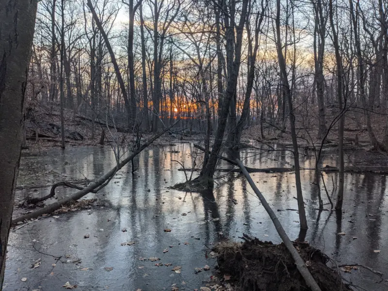
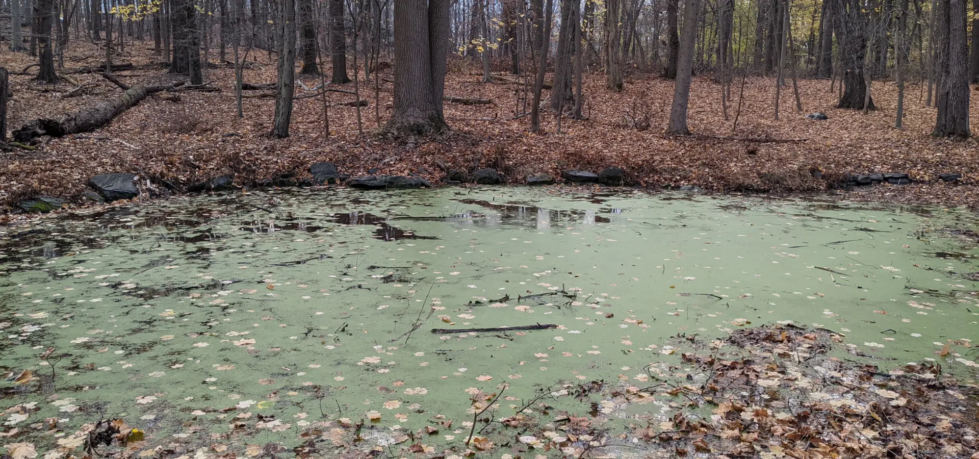
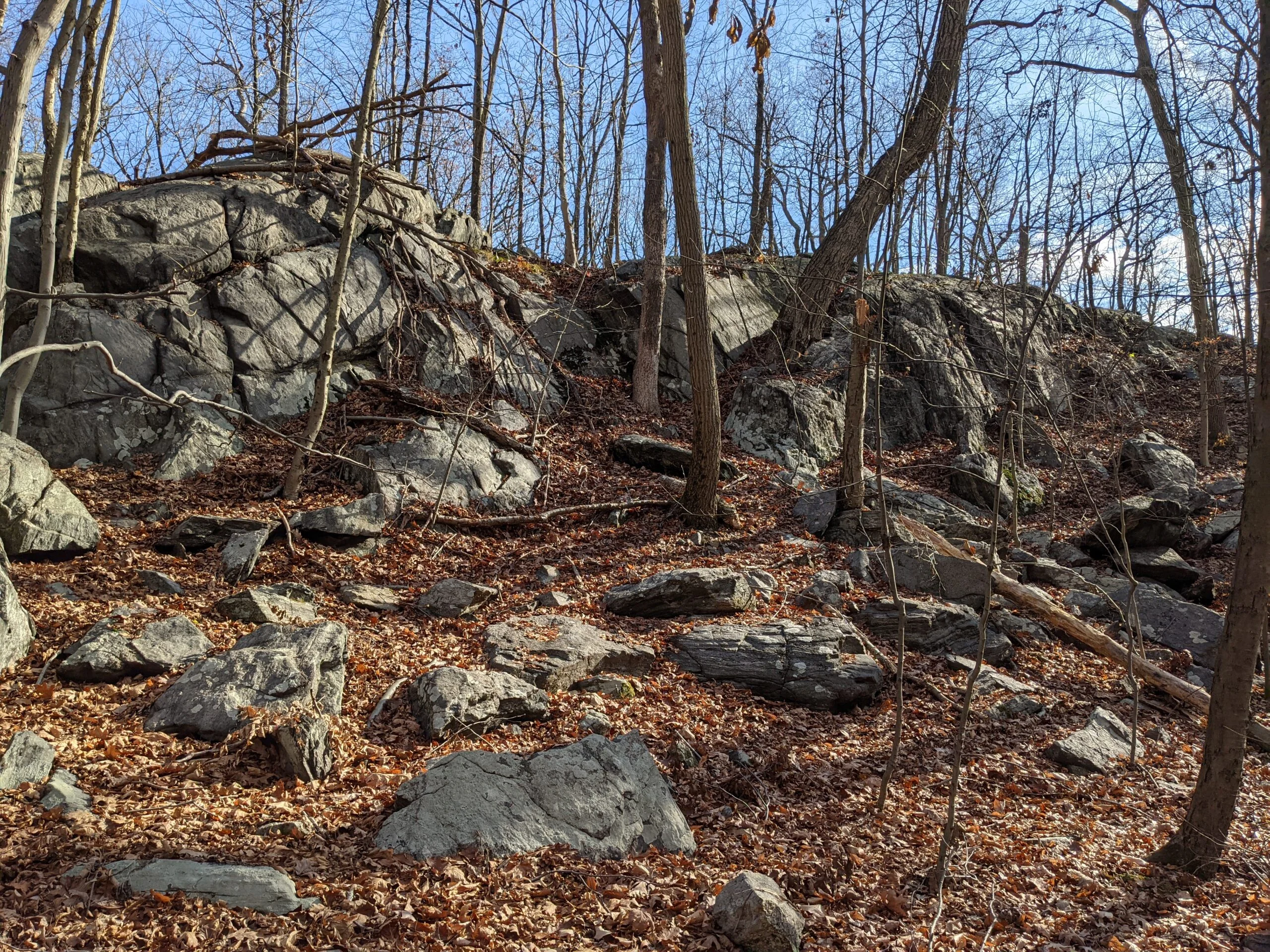
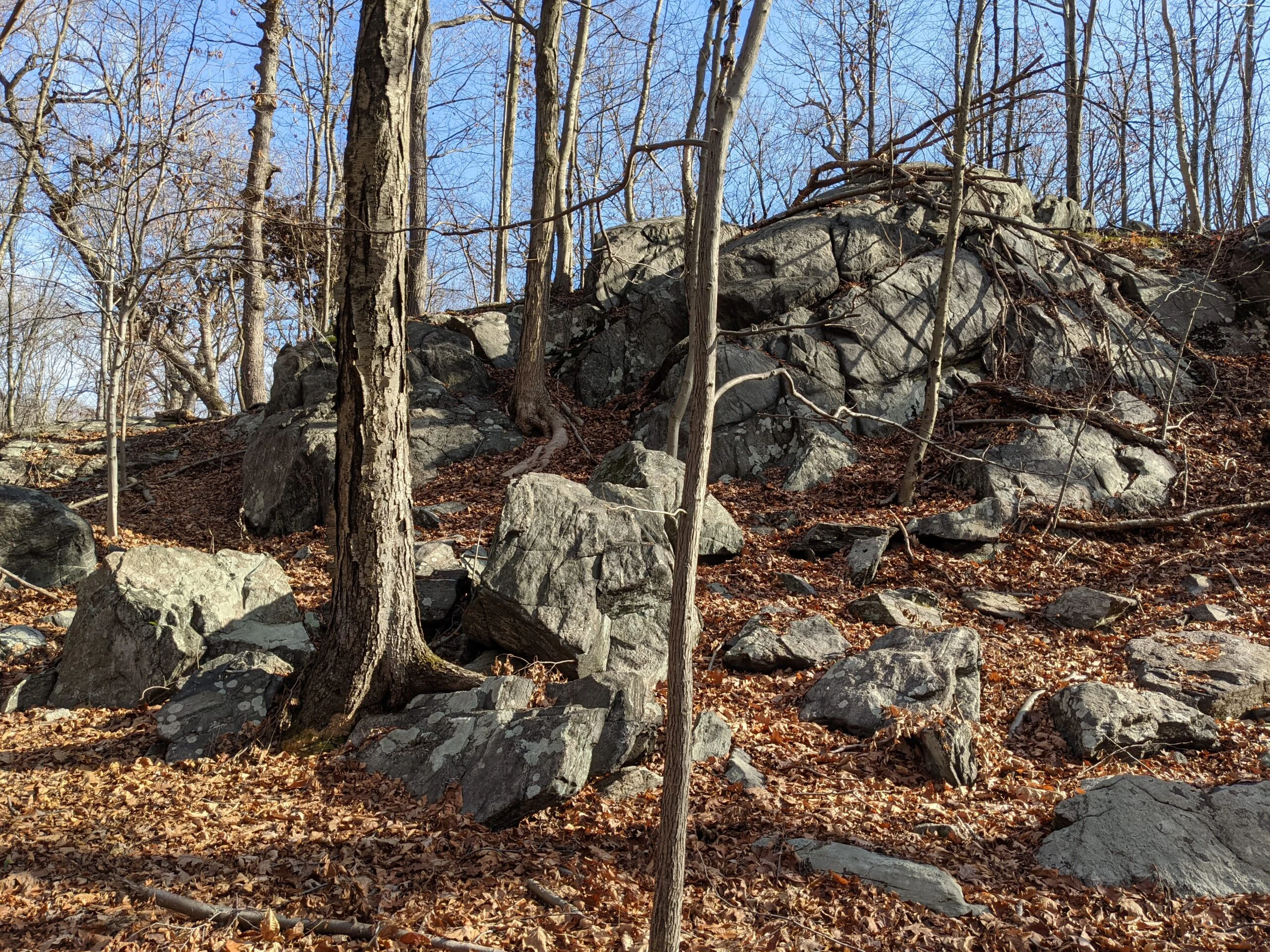
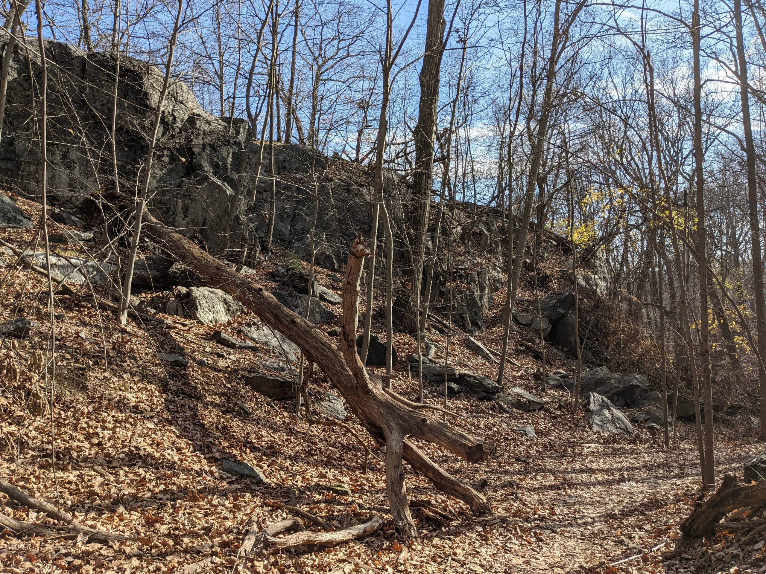
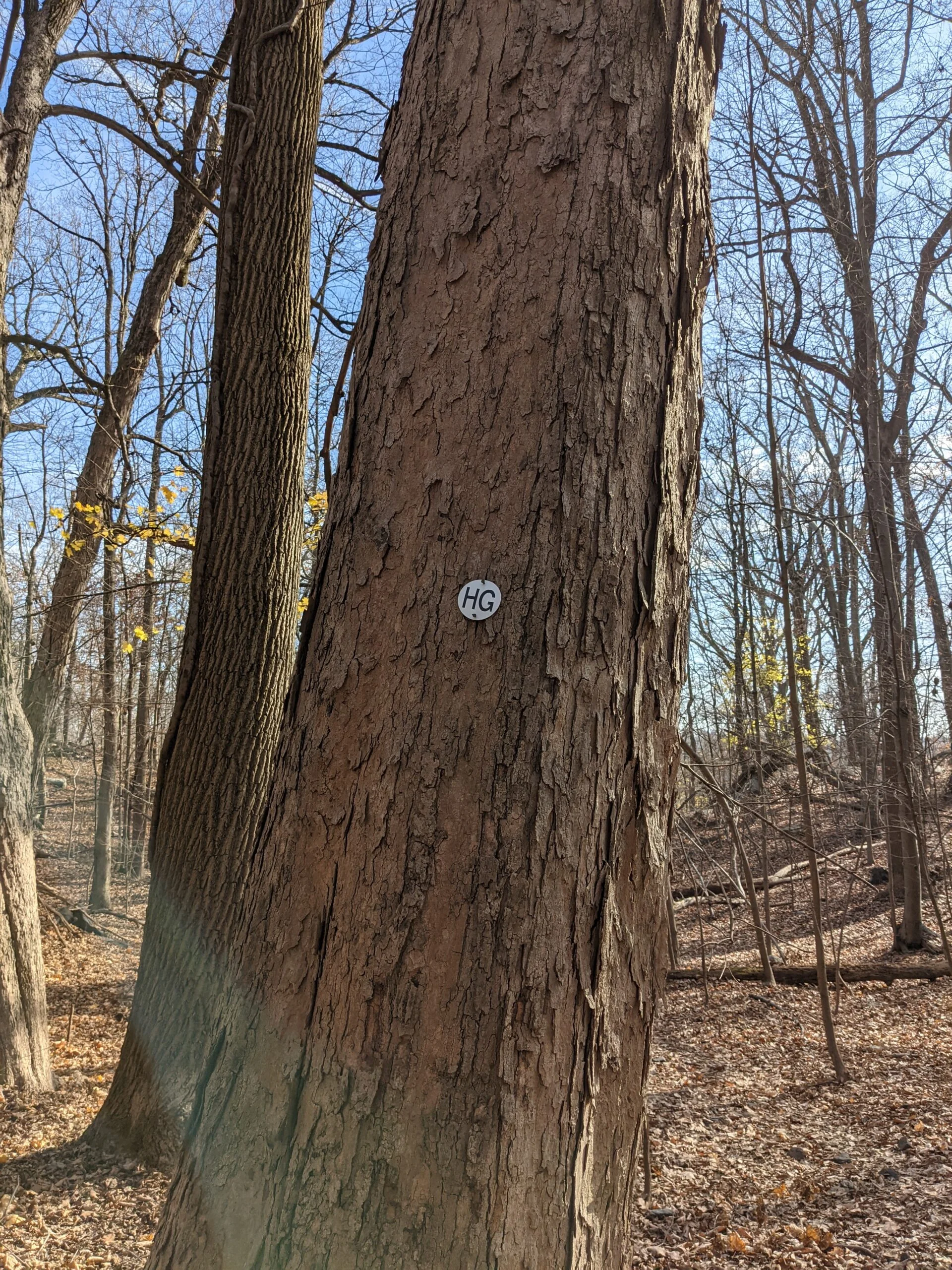
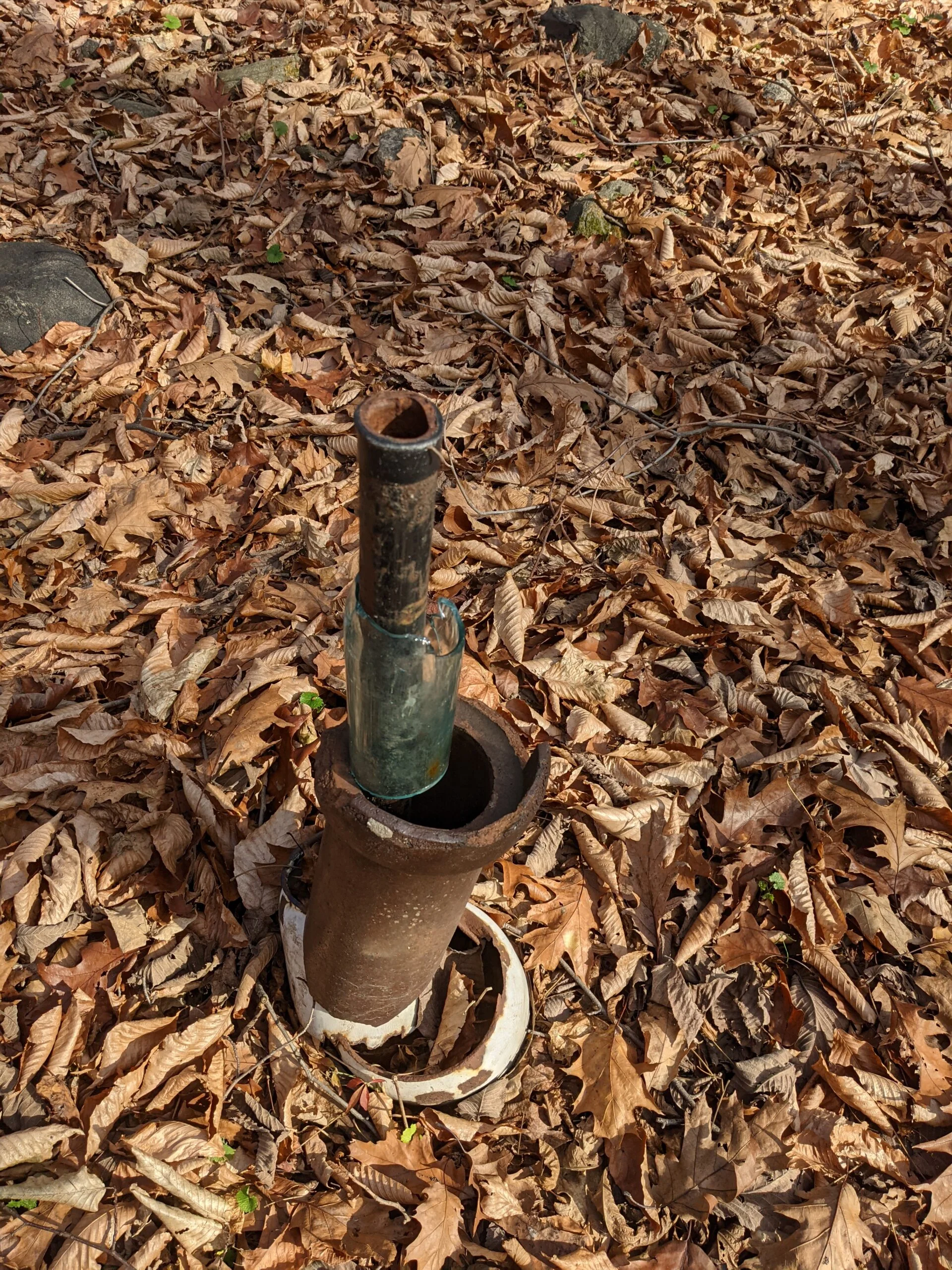
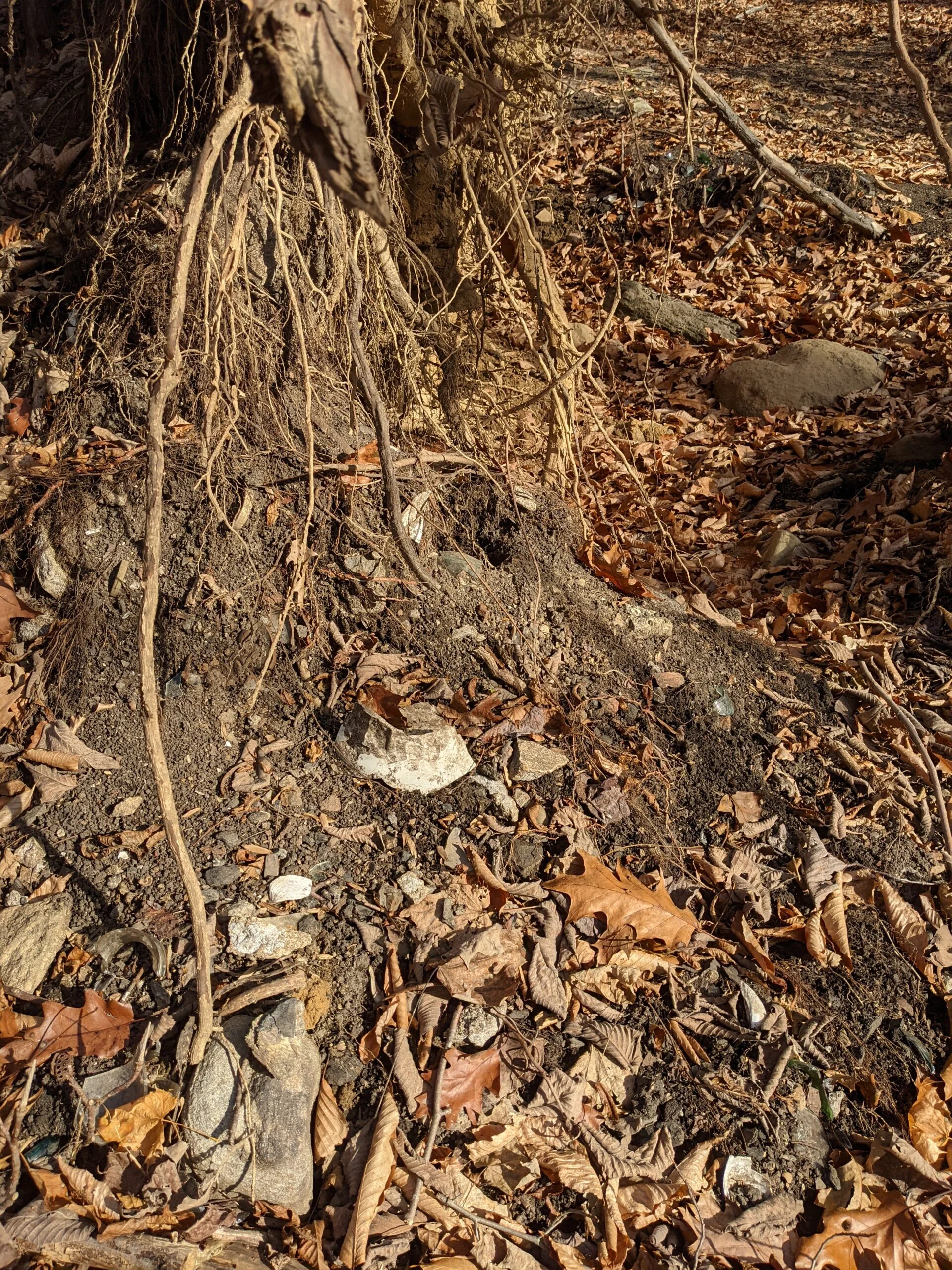
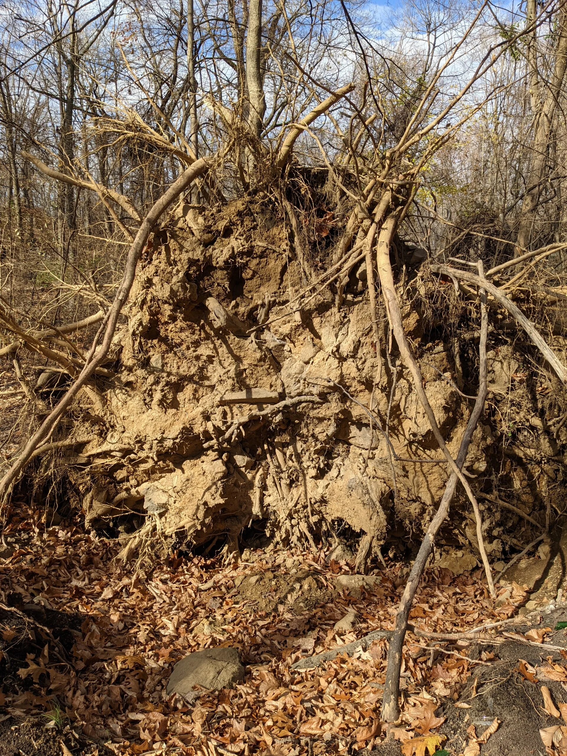
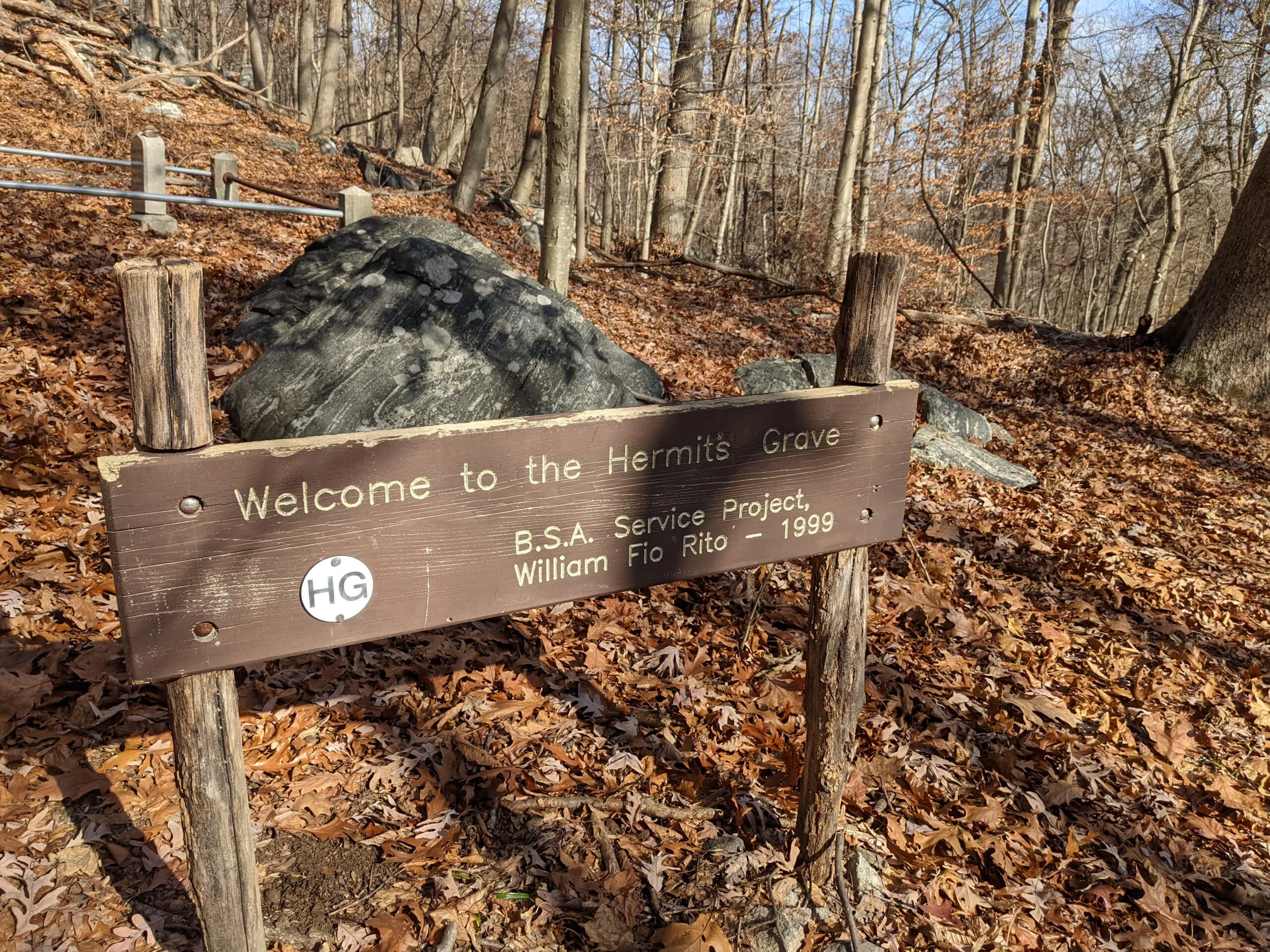
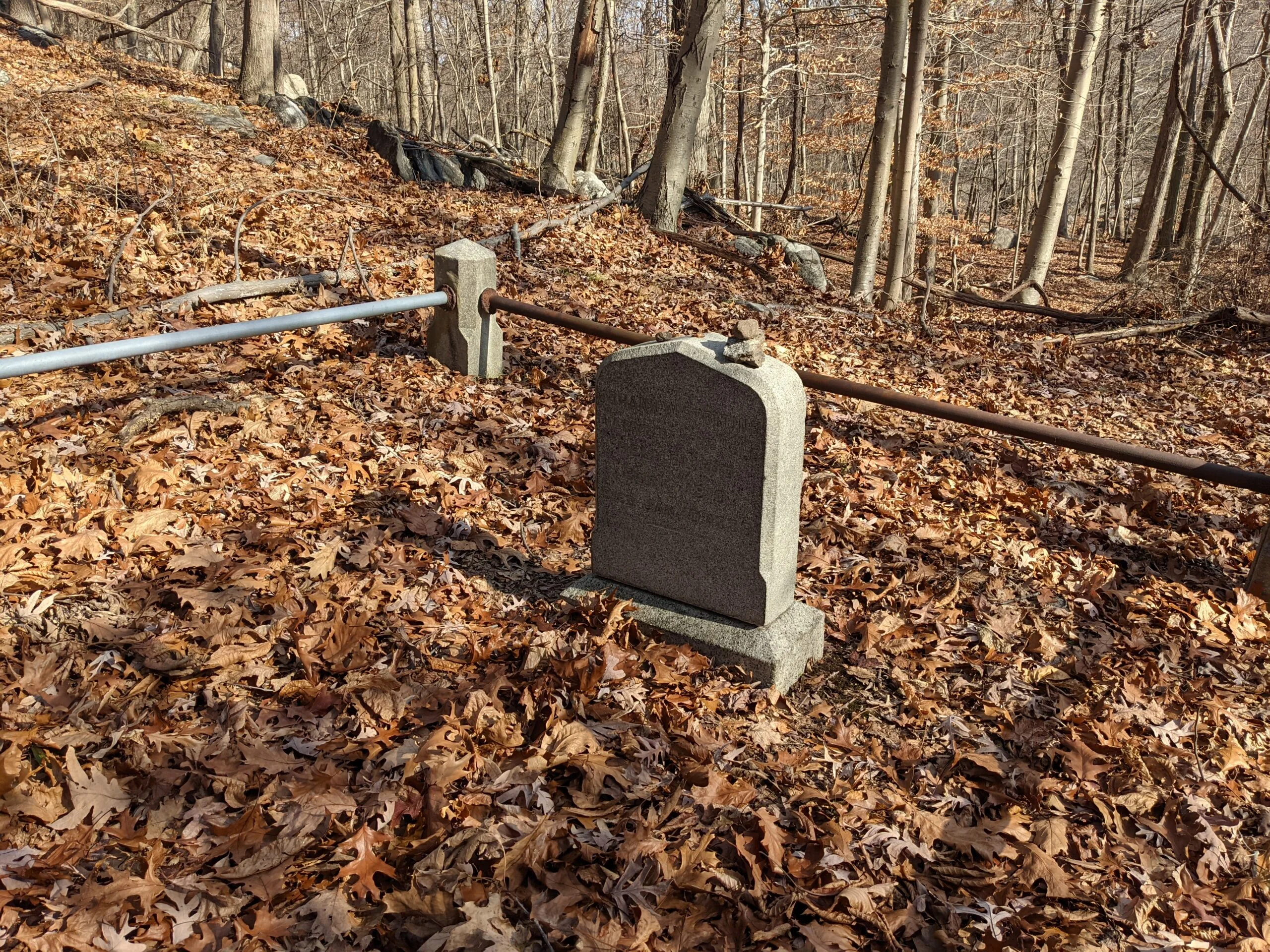
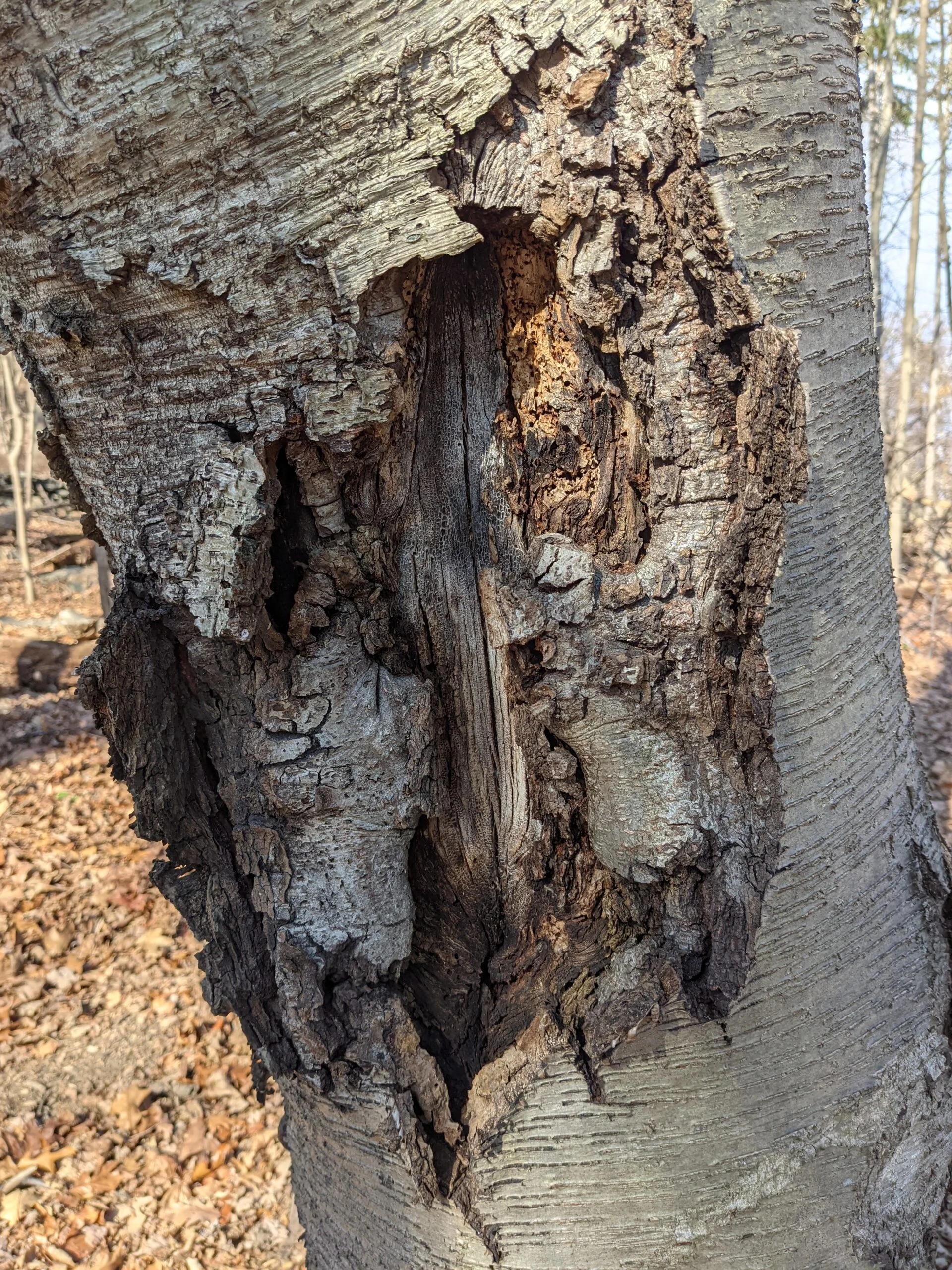
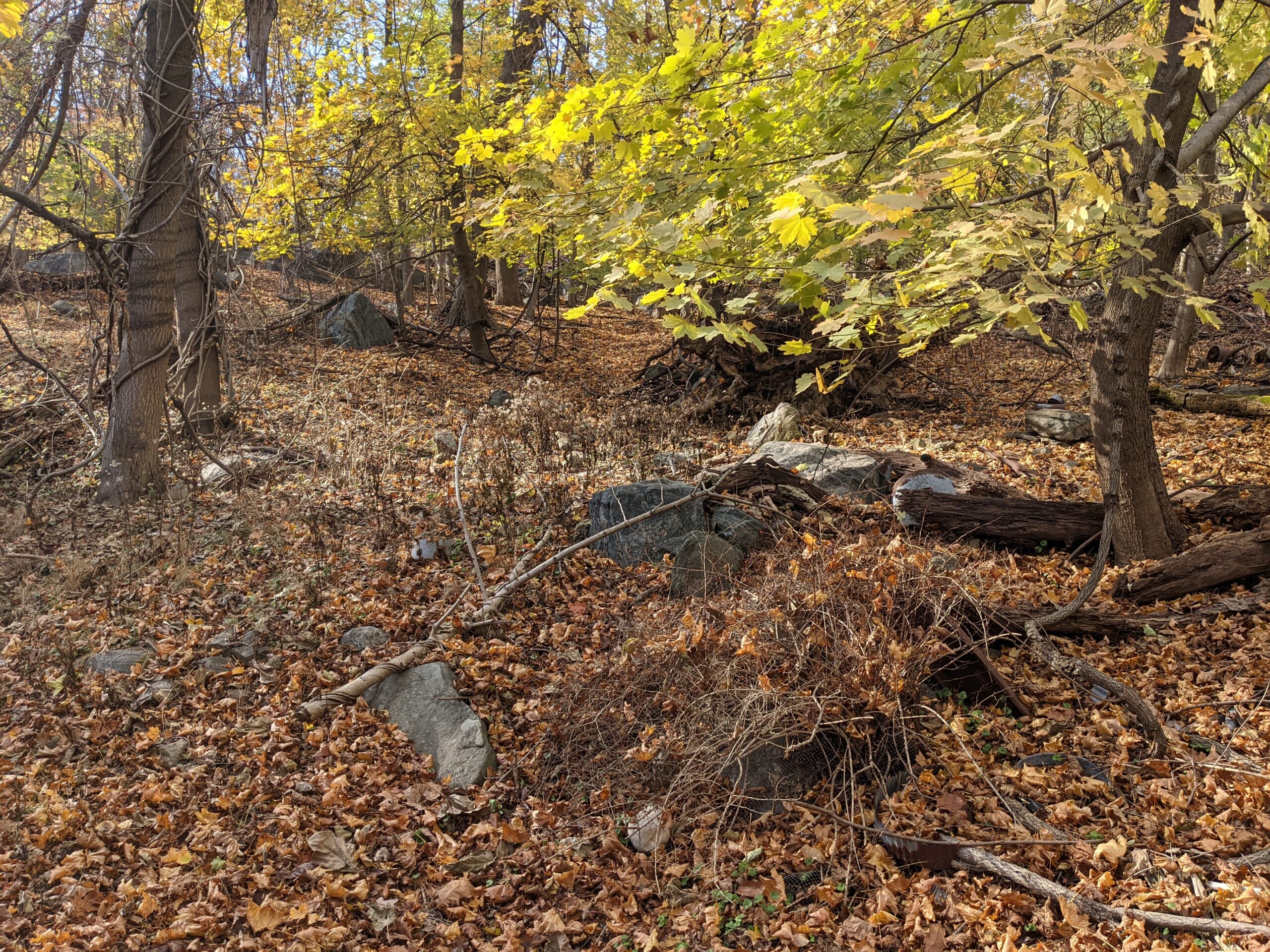
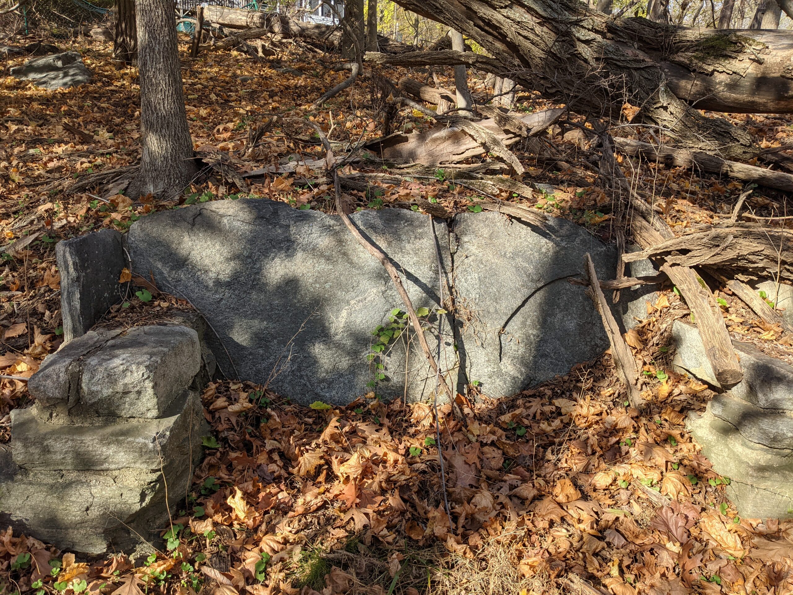
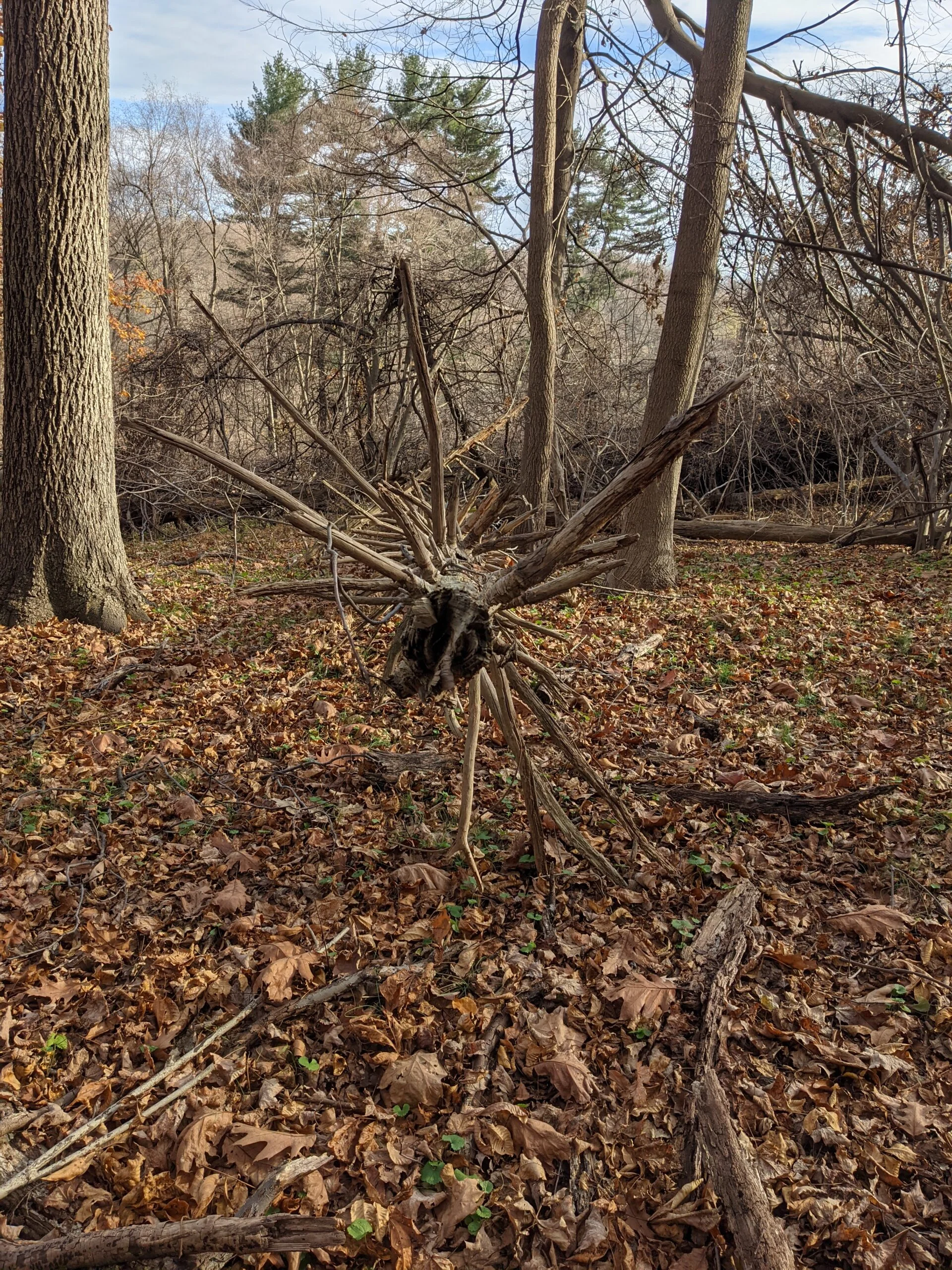
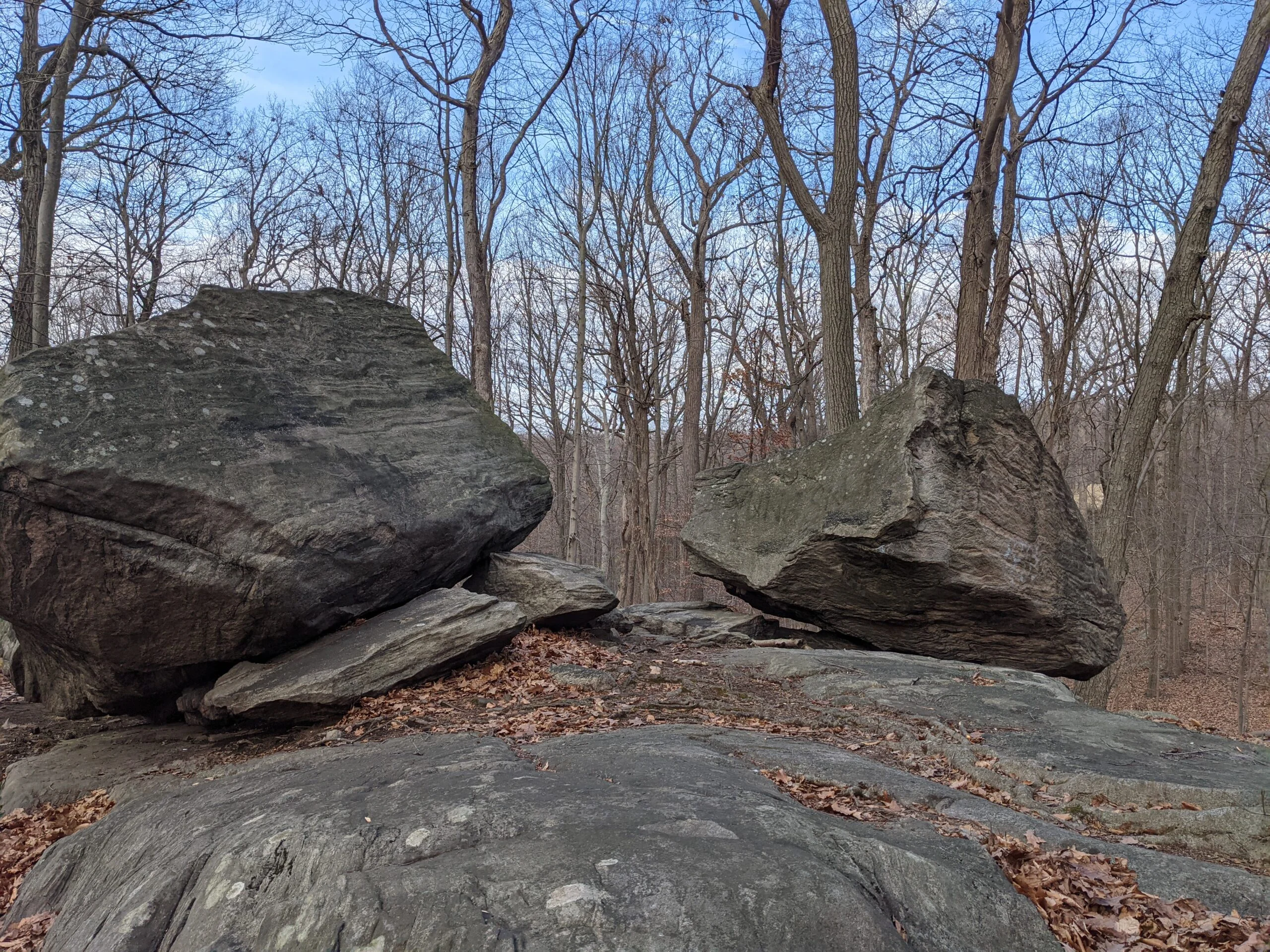
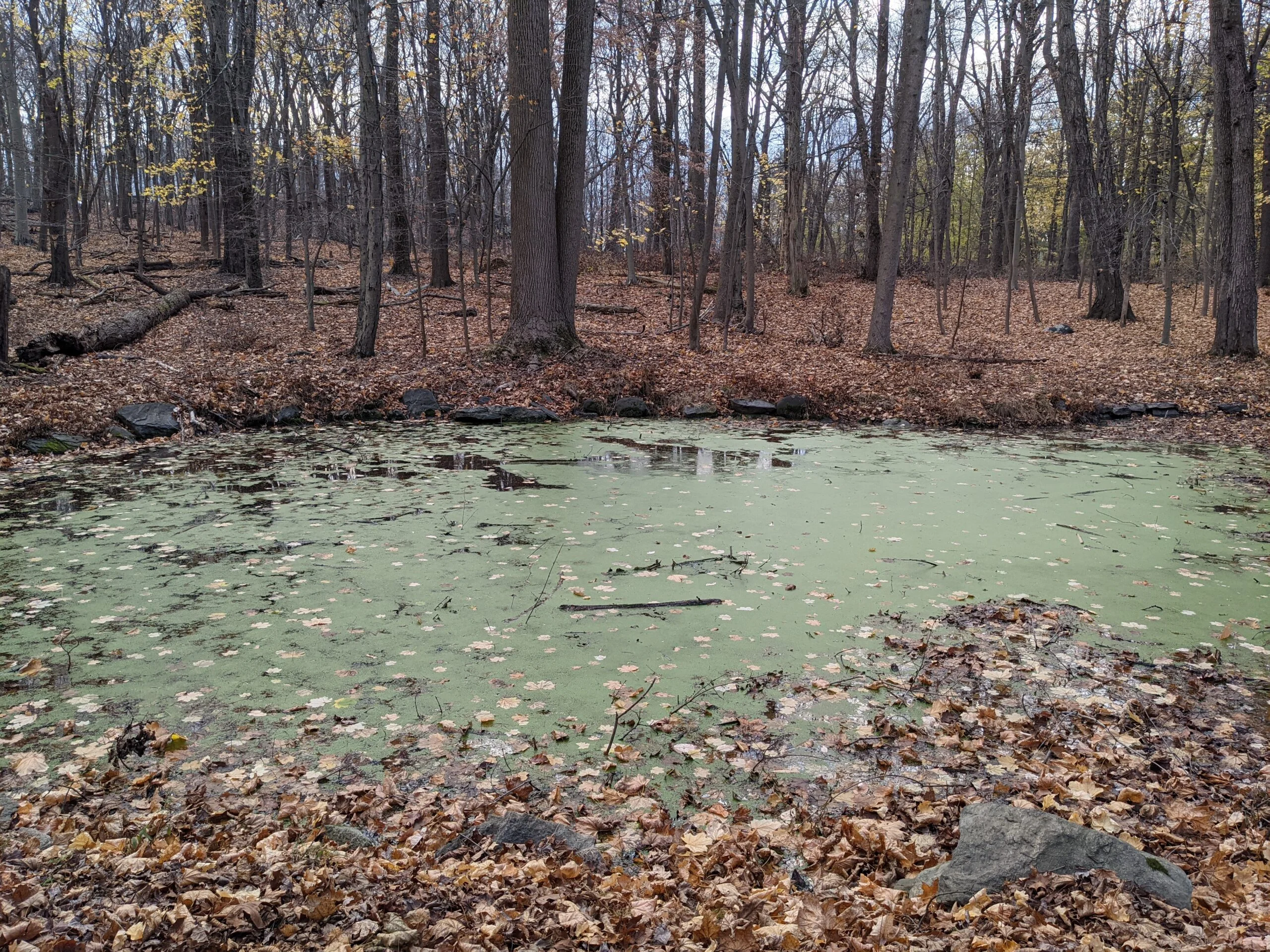
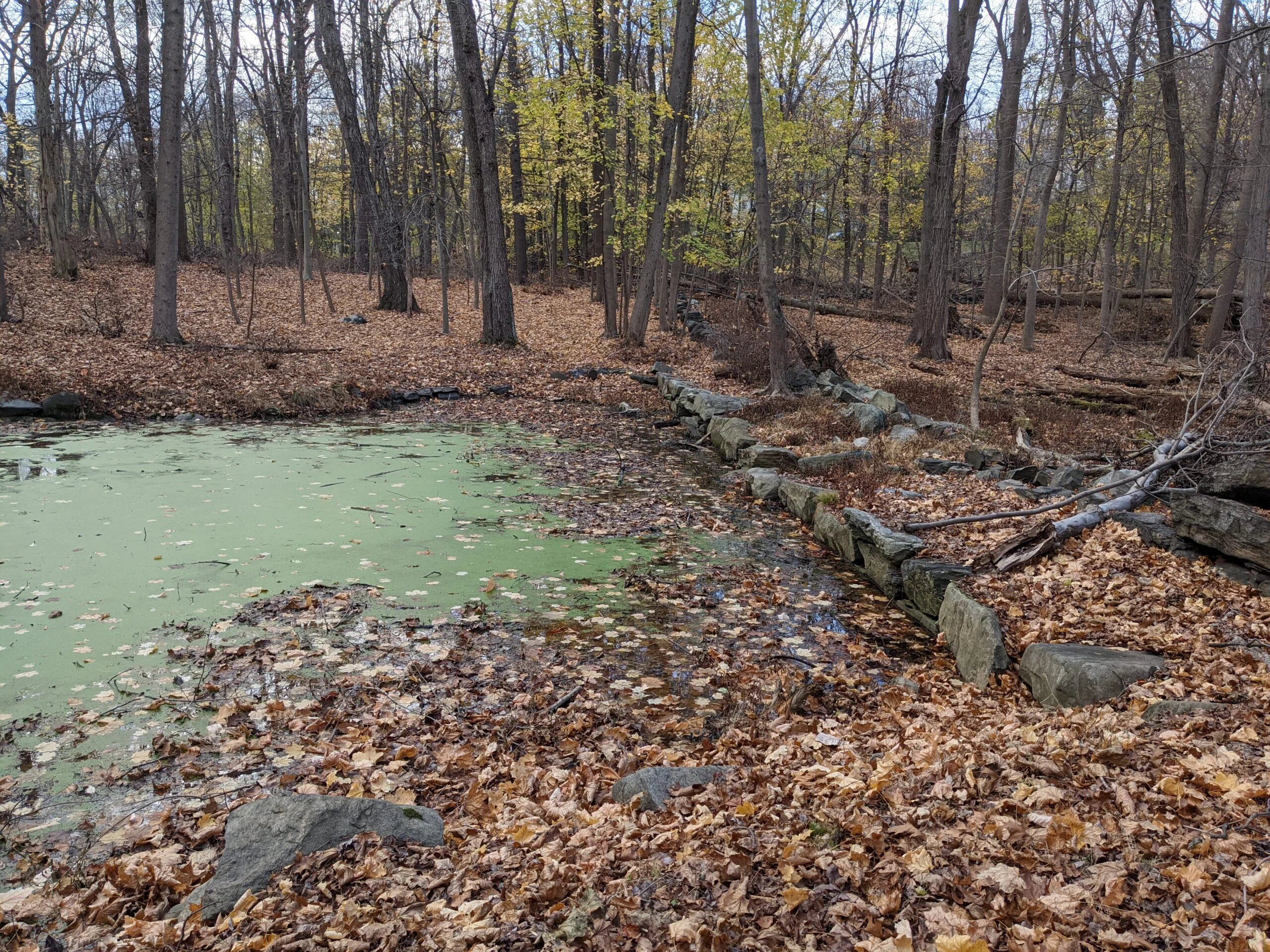
My hike started off at the North South (NS blazes) entrance at the O’Hara Nature Center parking lot. I followed NS south to Hermits Wetlands (HW blazes). Once I got to the algae pond, I made a left to circle behind the pond, connecting to Hermits Grave (HG blazes). This is an unmarked path I found on my third visit. From there I followed HG over to the actual Hermit’s Grave, and I stopped to take a few new photos.
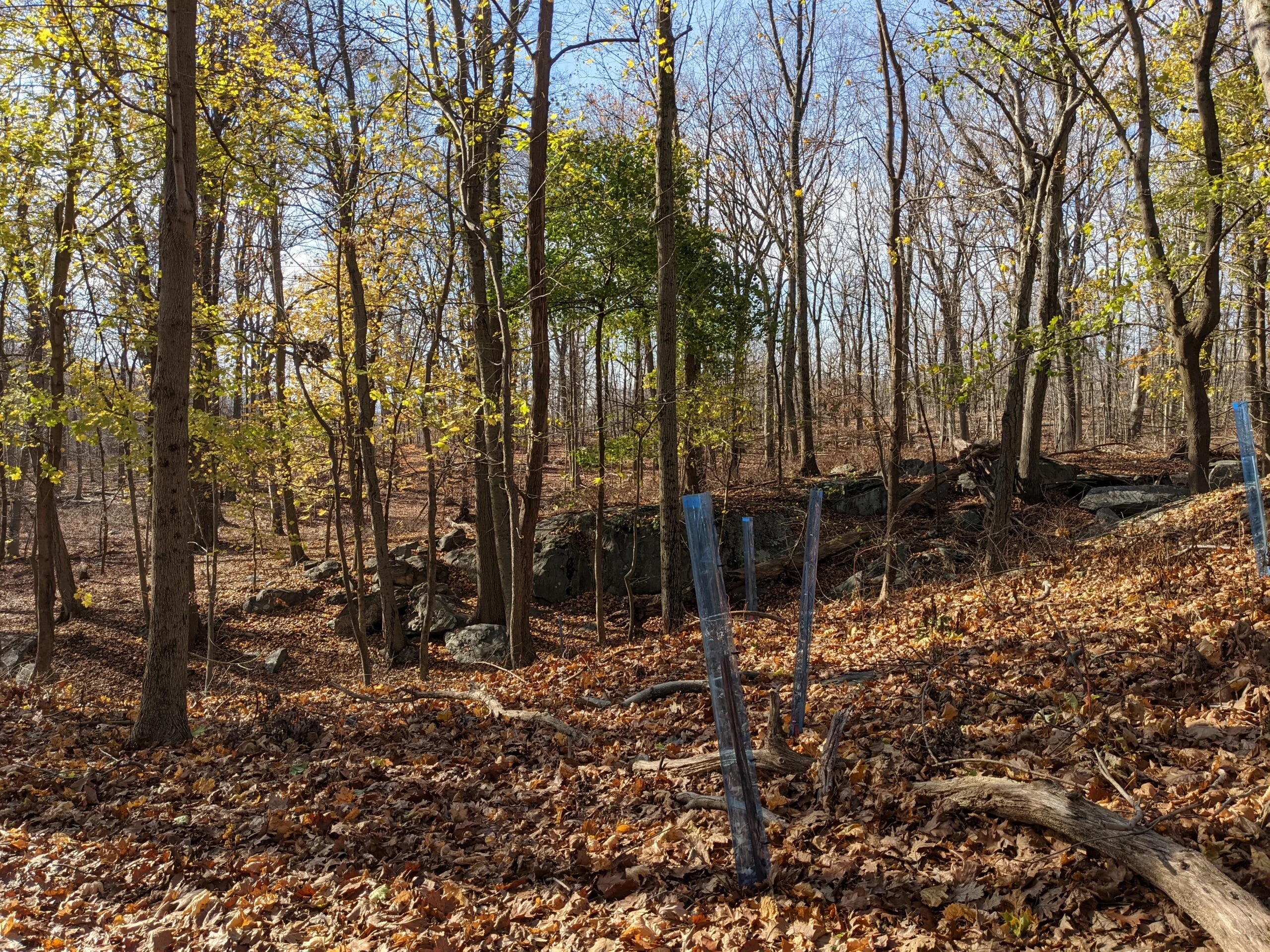
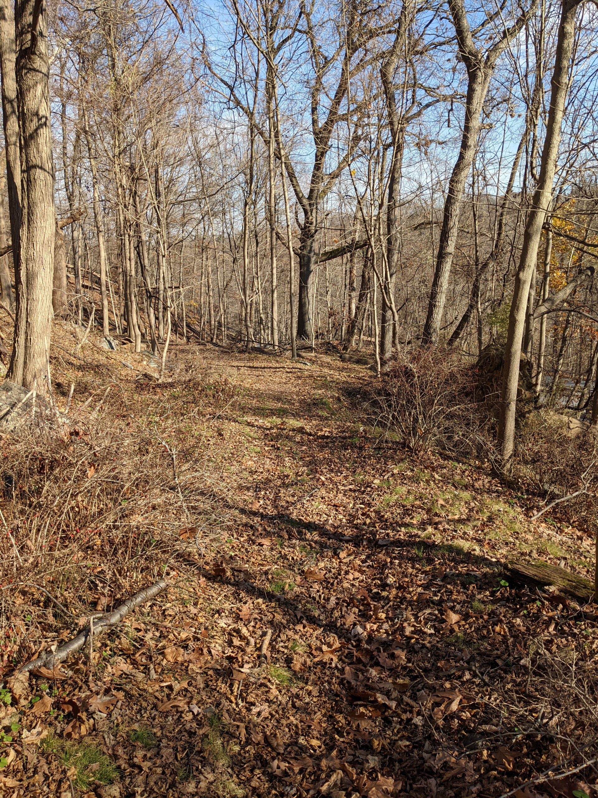
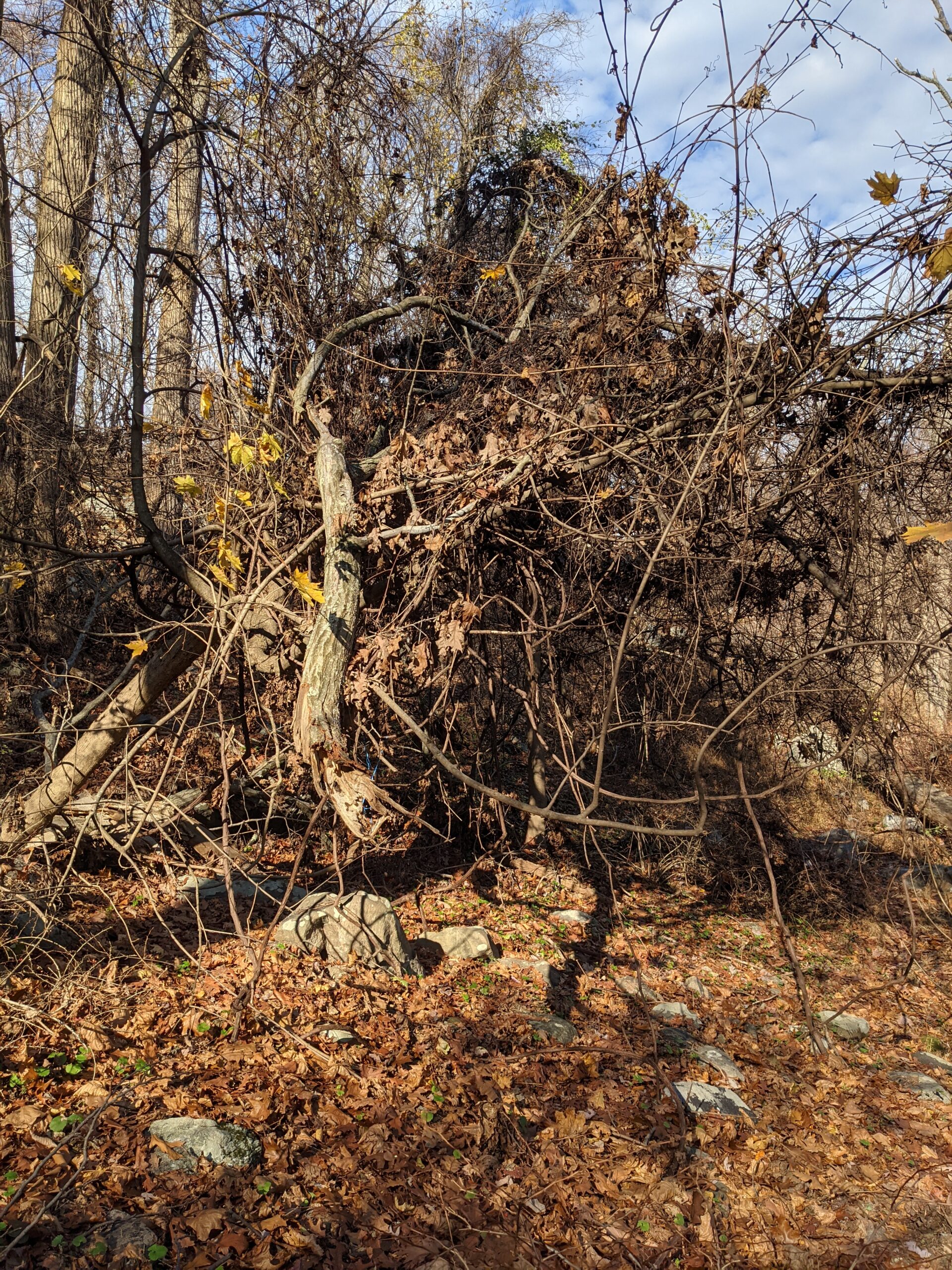
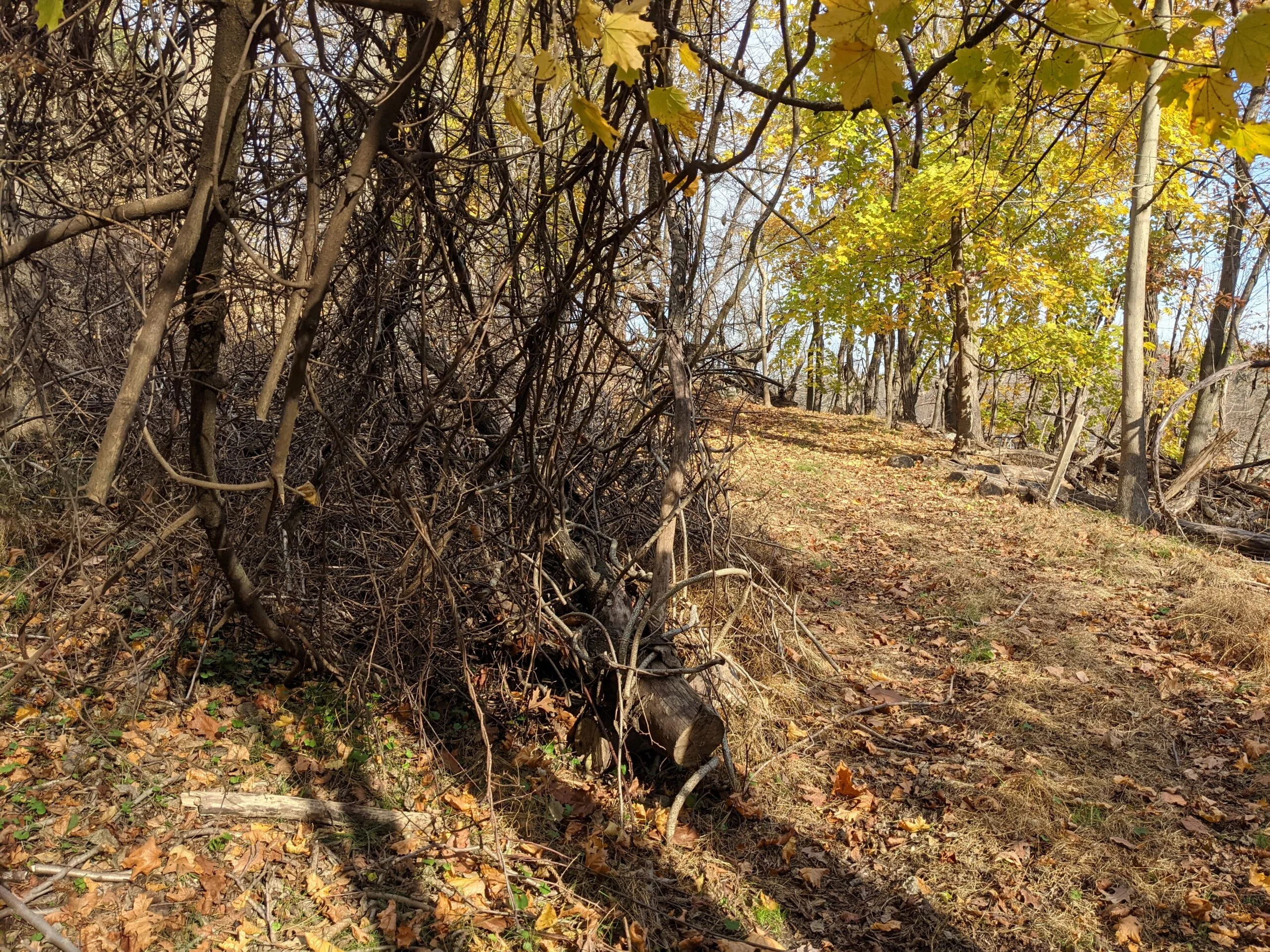
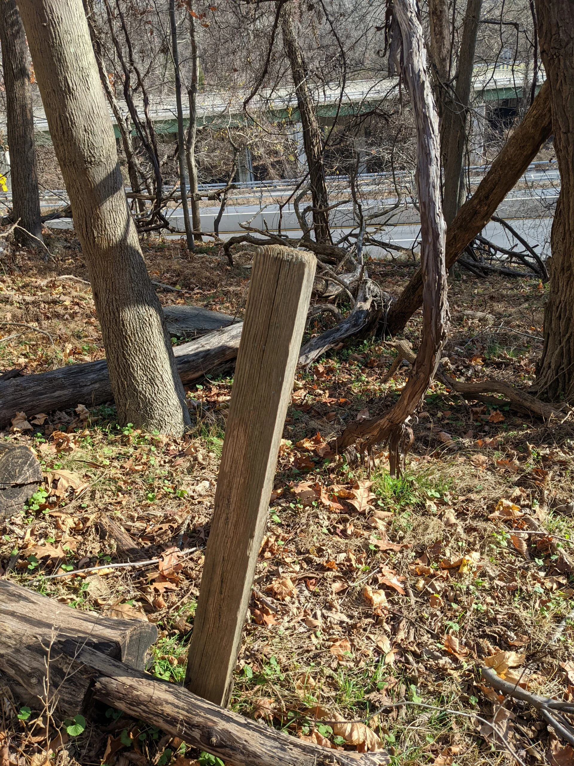
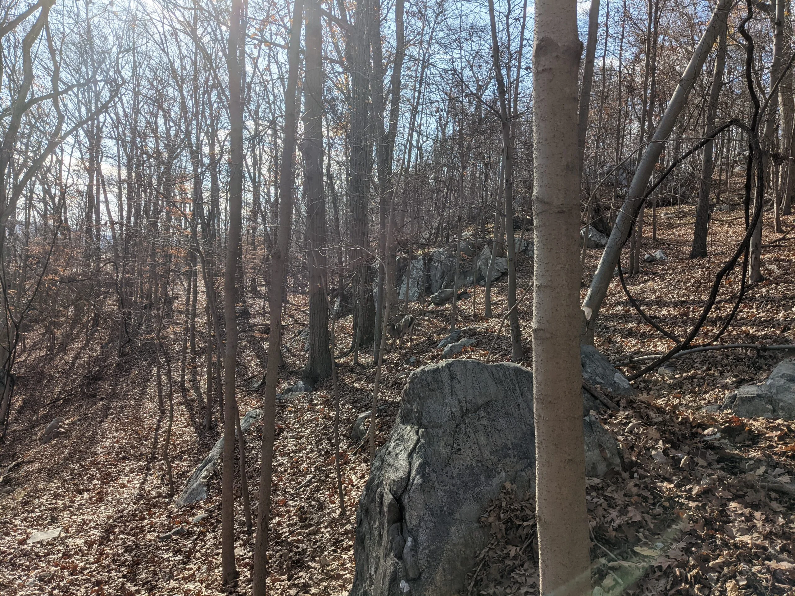
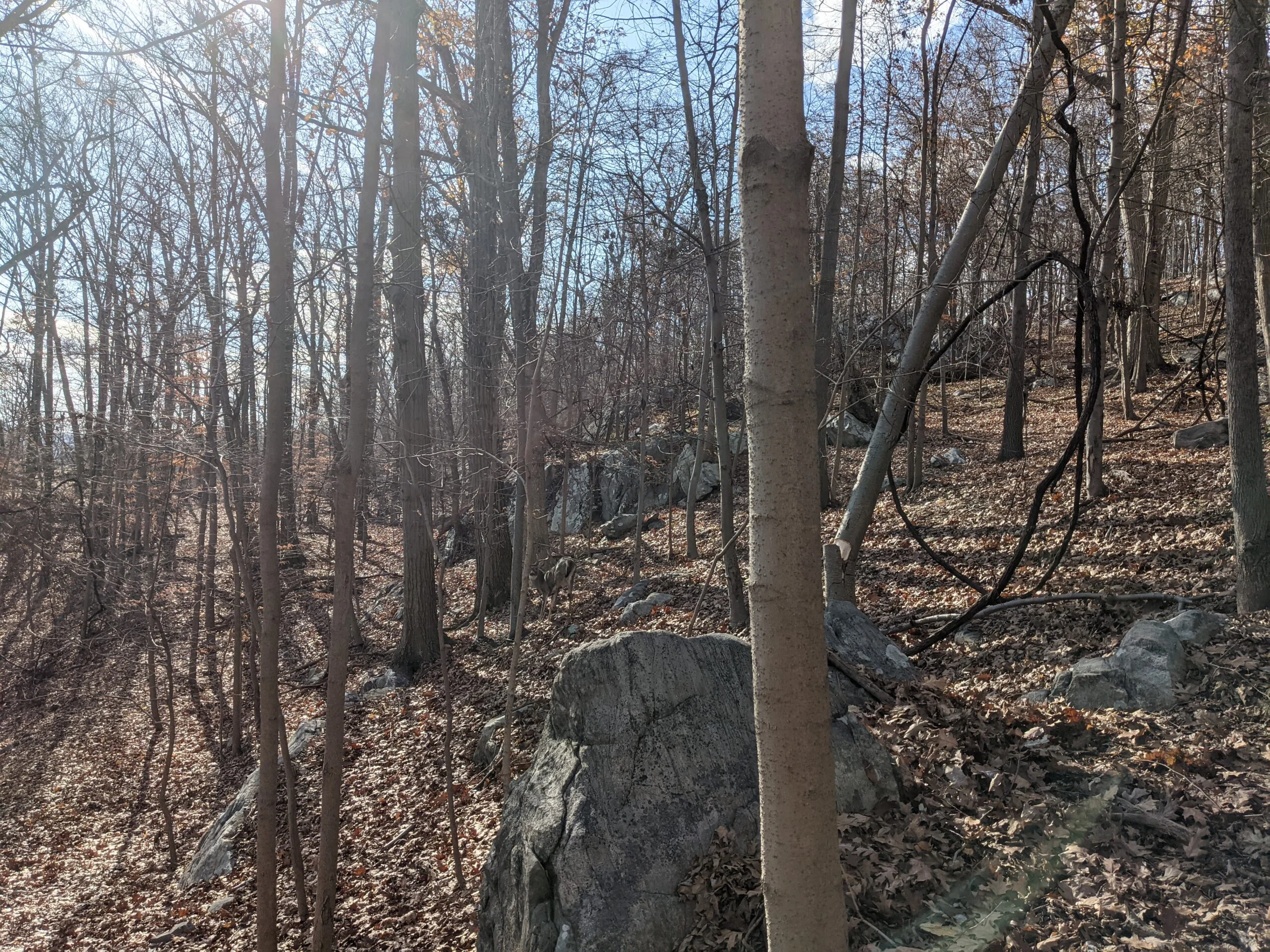
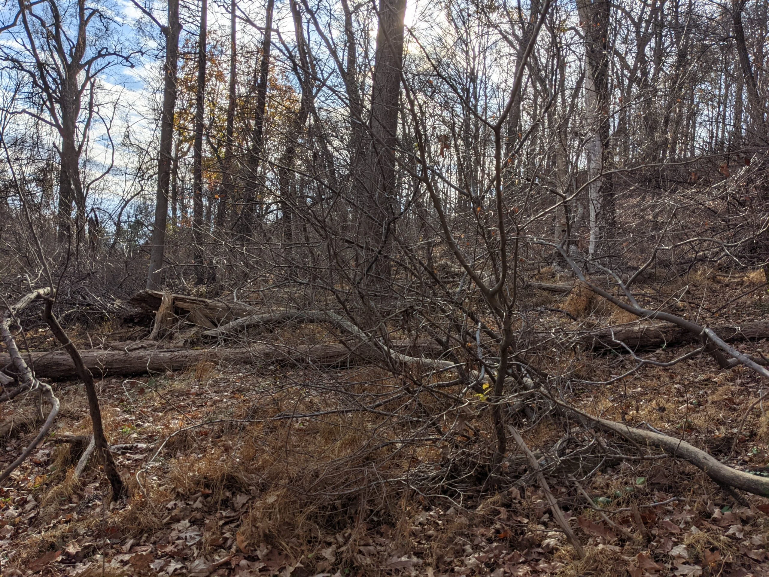
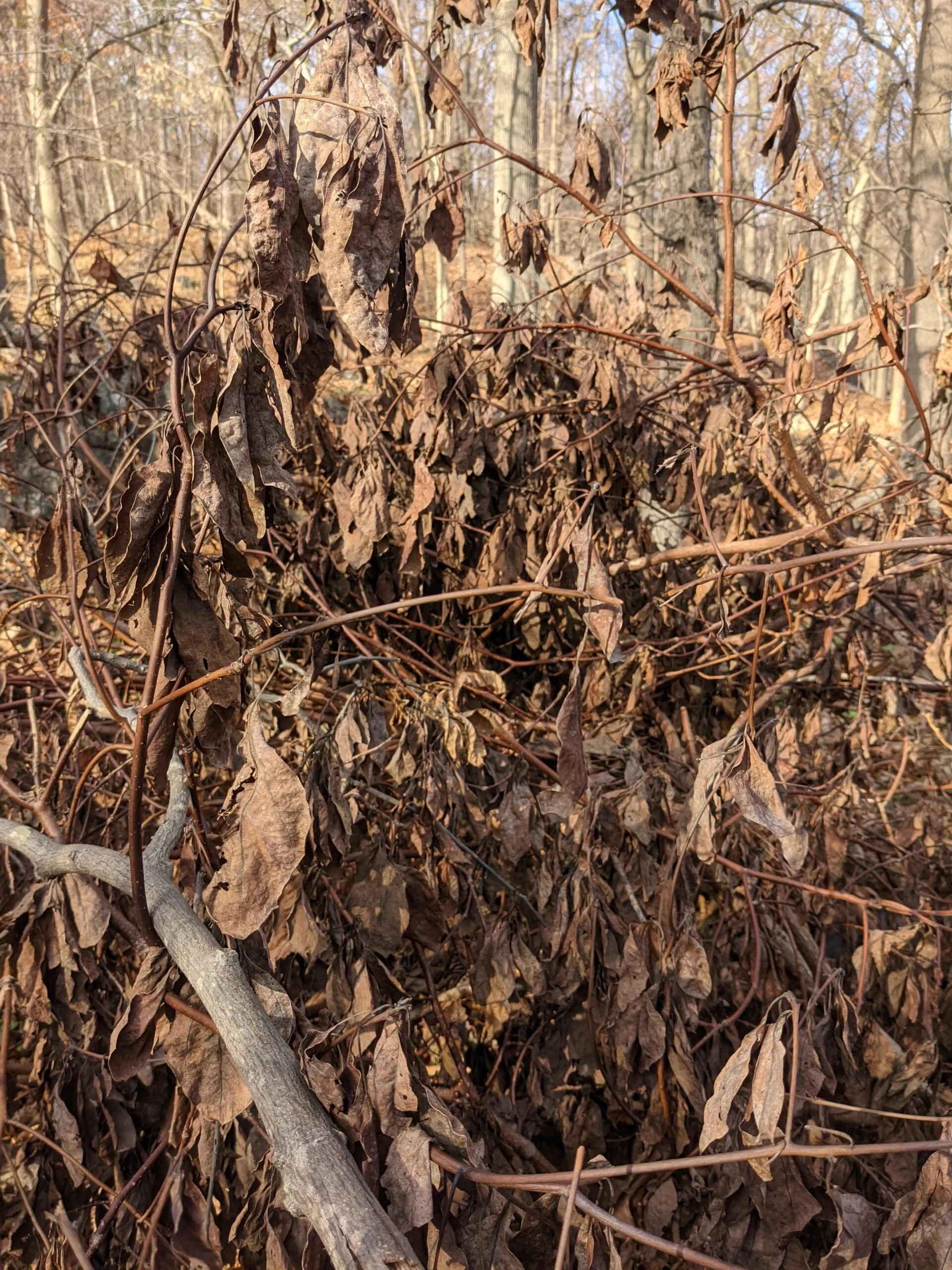
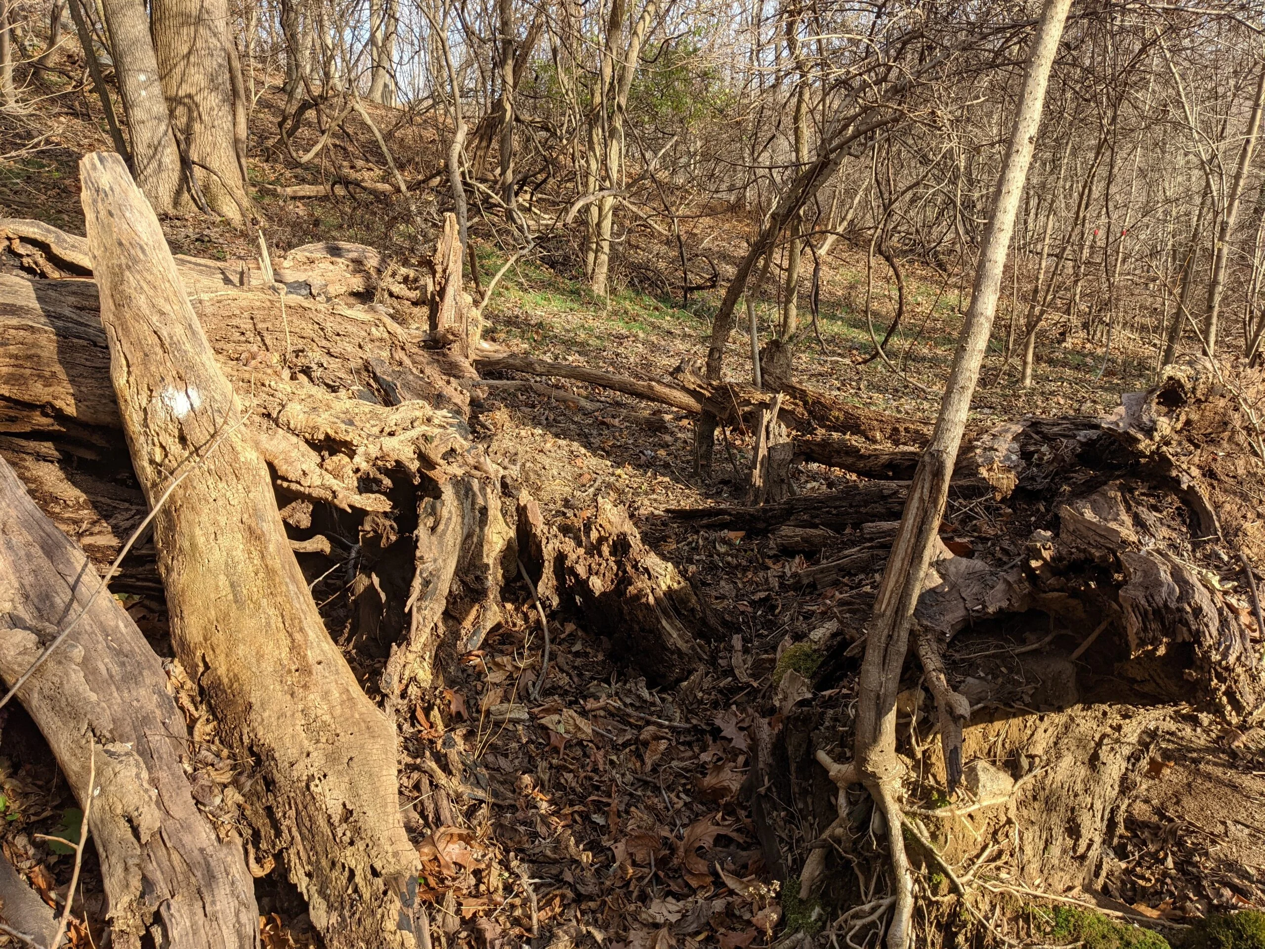
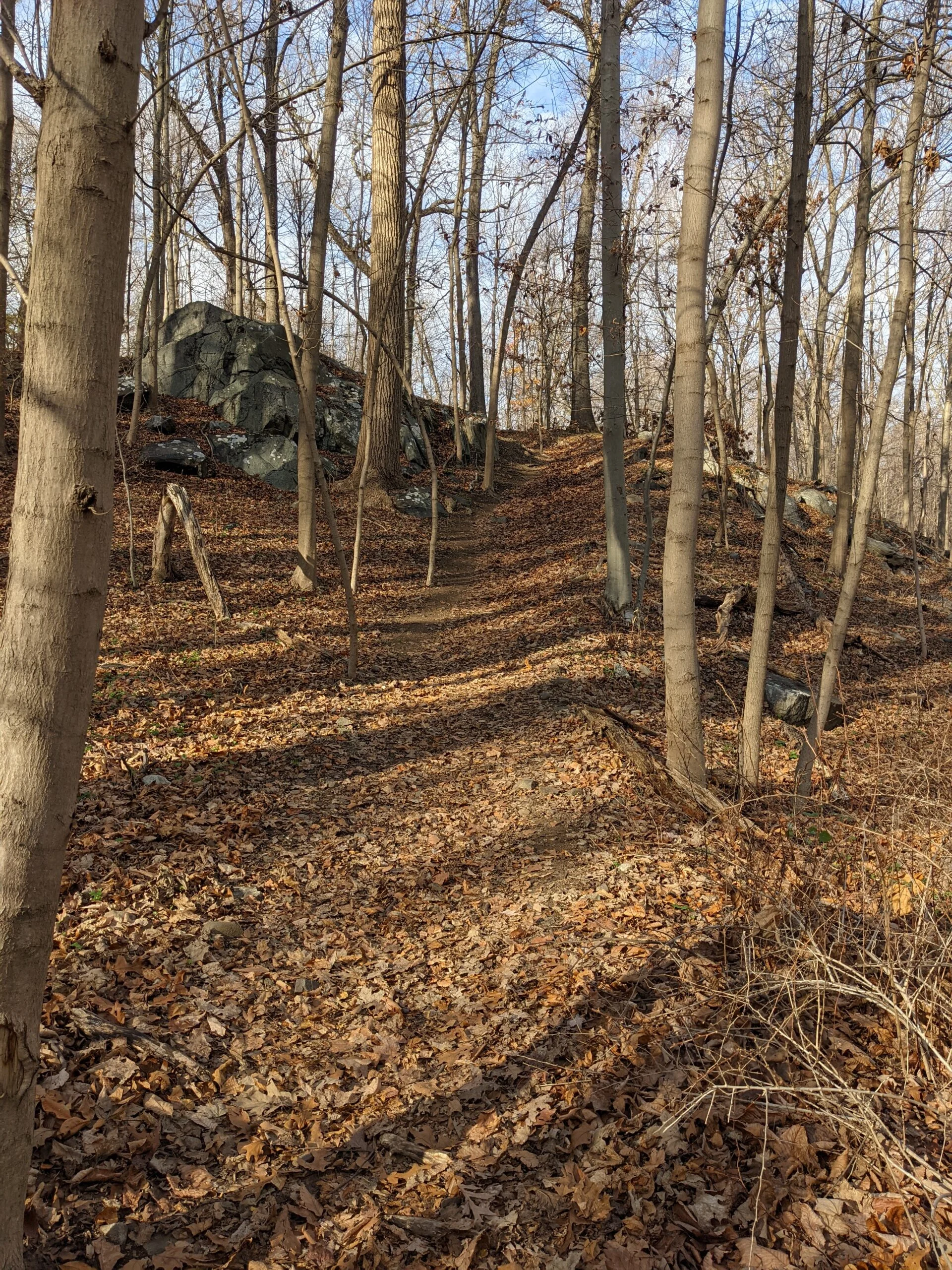
I worked my way down to intersection #26 and started the trek north on the unmarked path. The trail started off clear enough, but since is not blazed and there were leaves covering the ground, I got to a point where I wasn’t sure where to go. I saw a path that veered left and followed it. It look me up toward the property lines of some residences. I suspect they use this as a private entrance to the park.
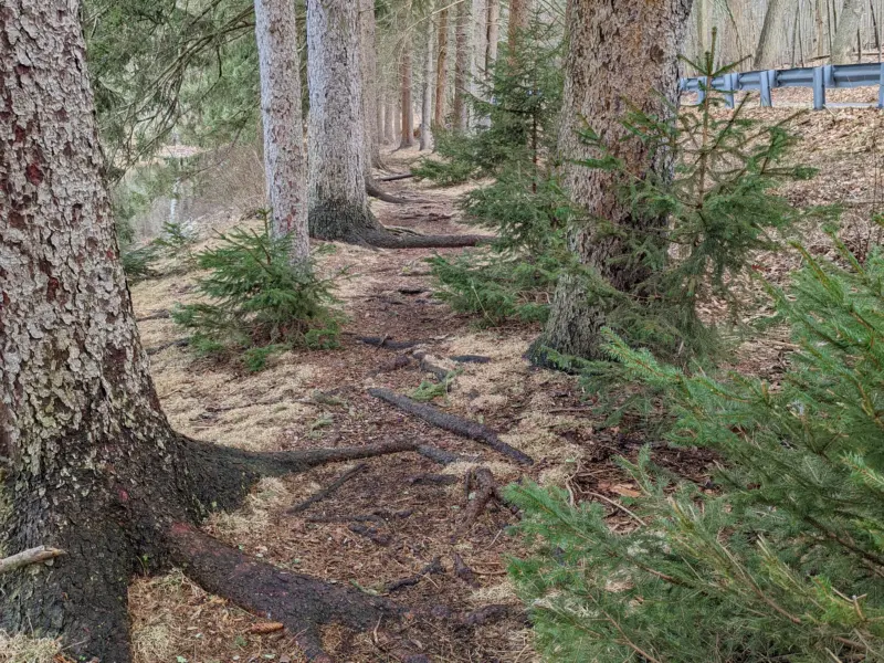
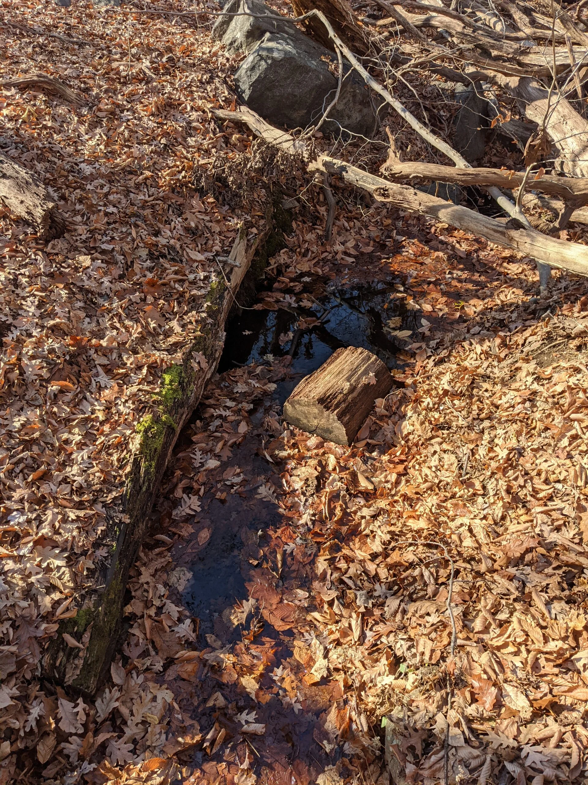
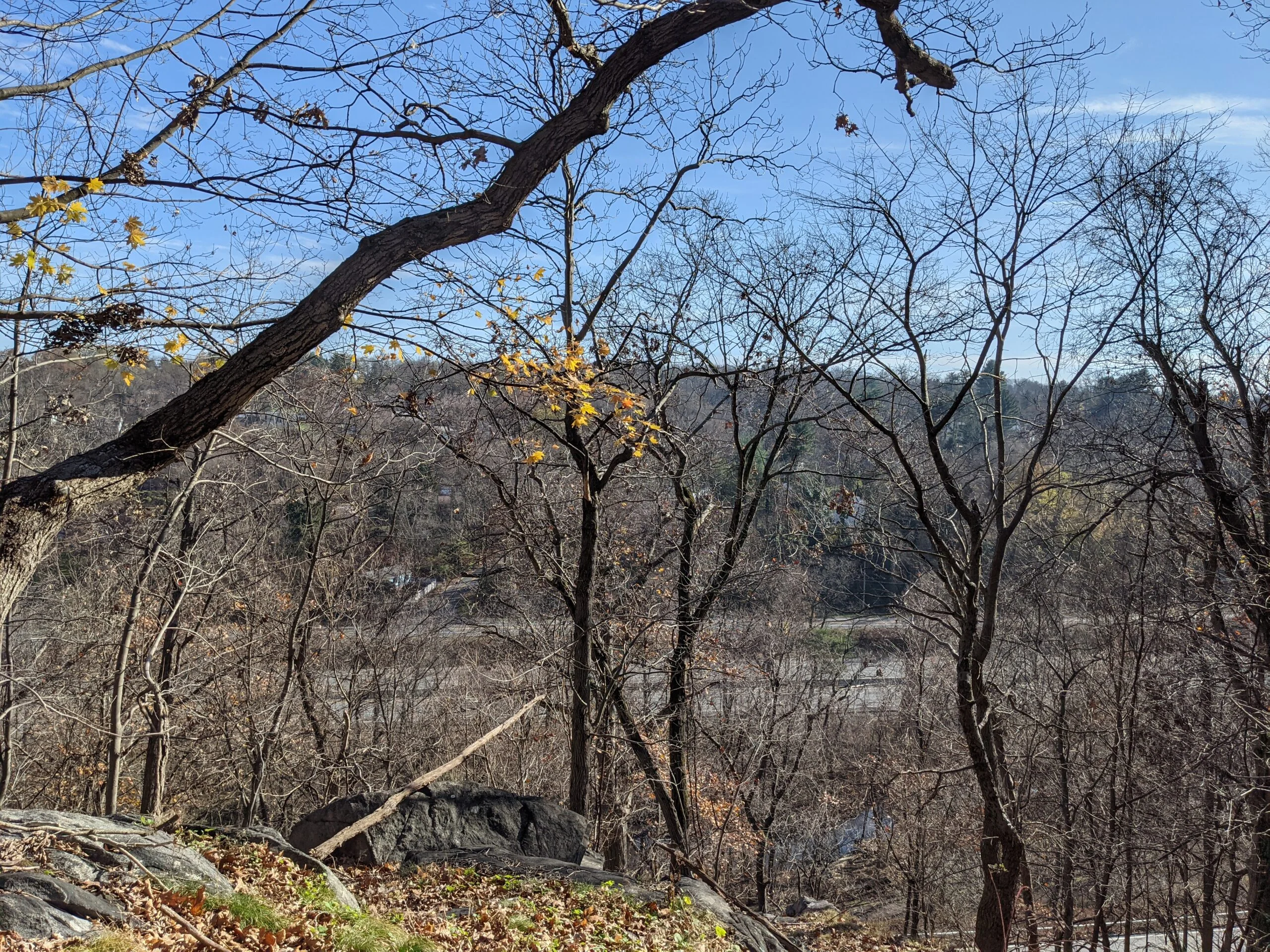
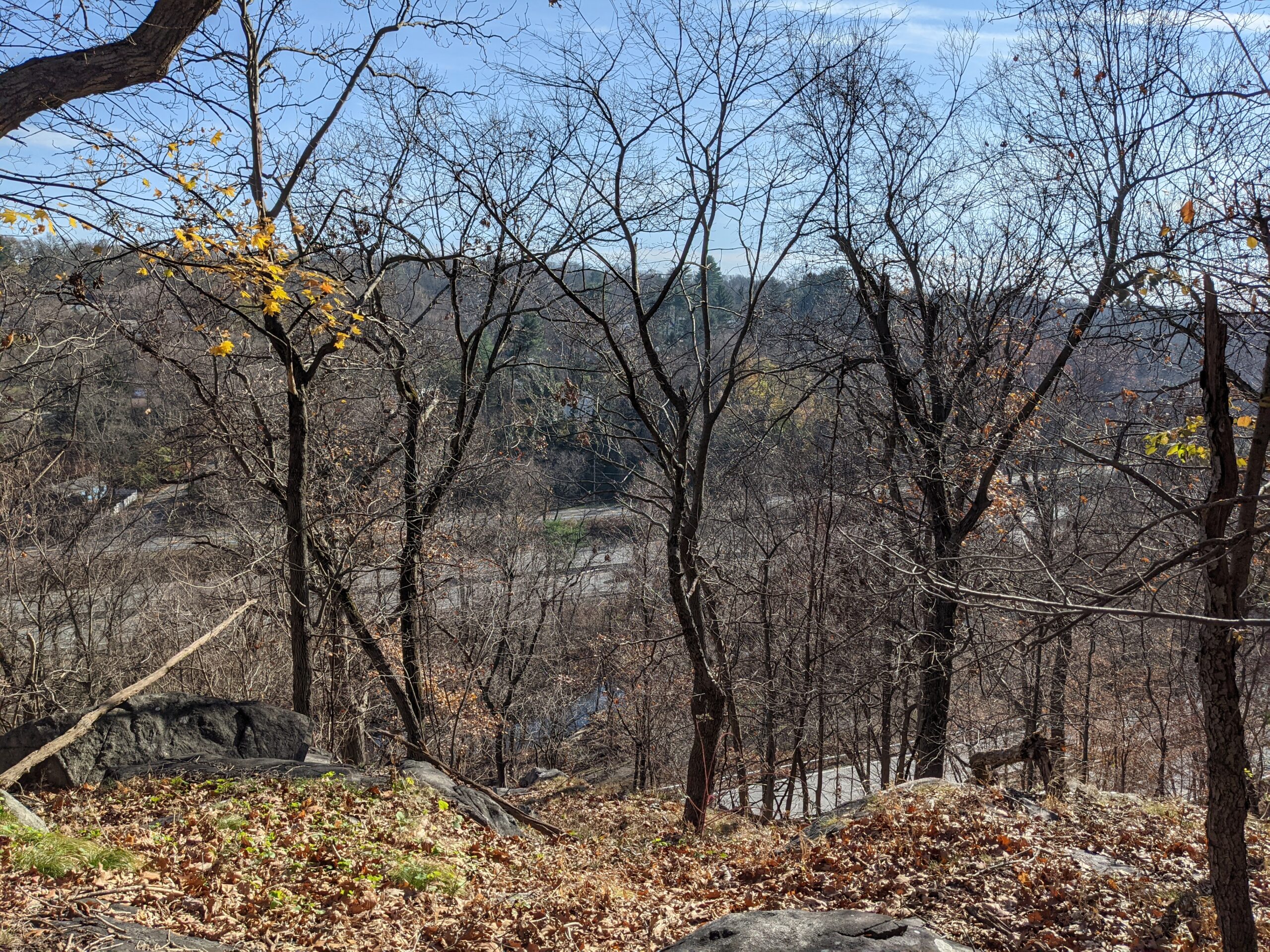
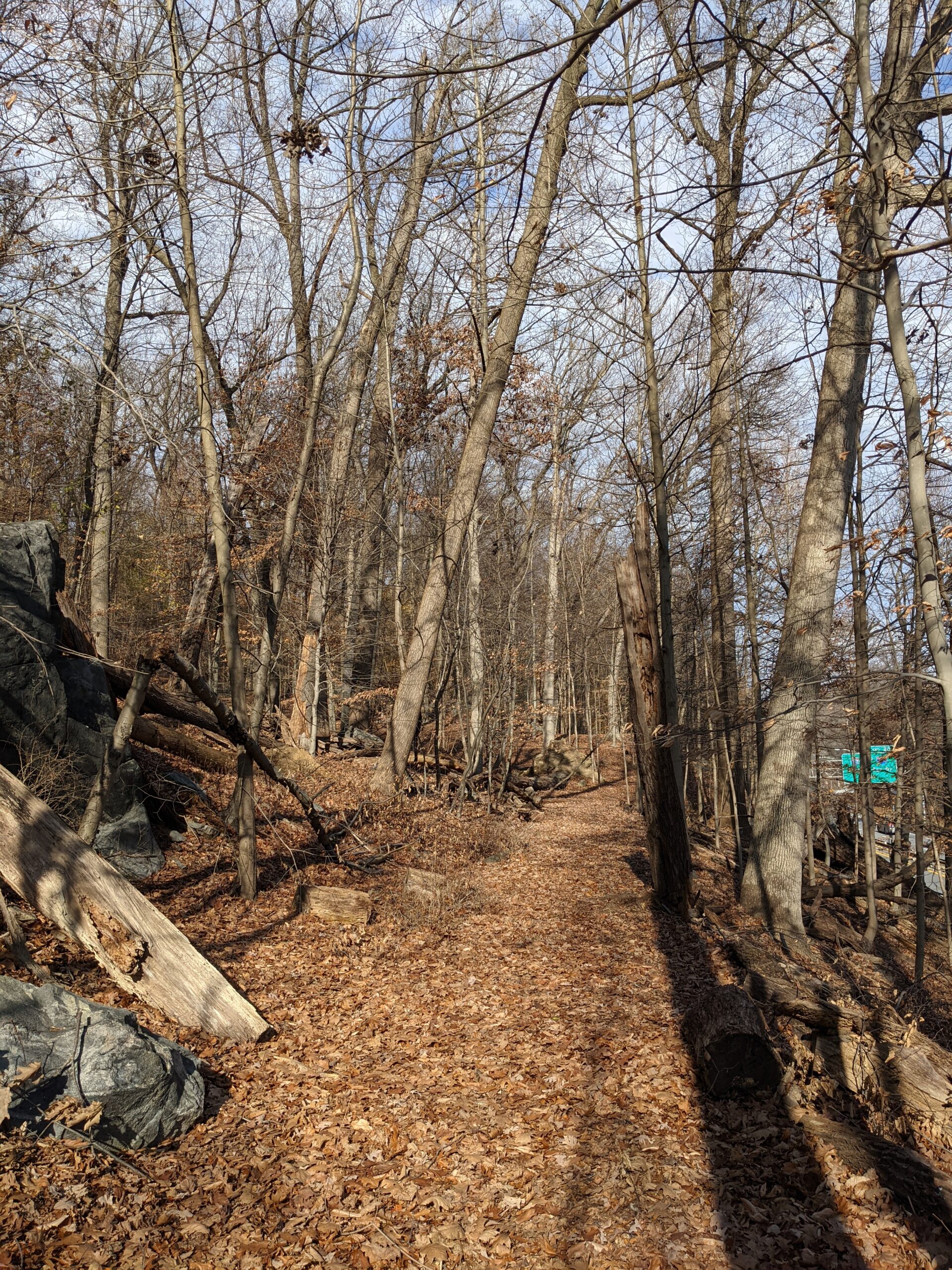
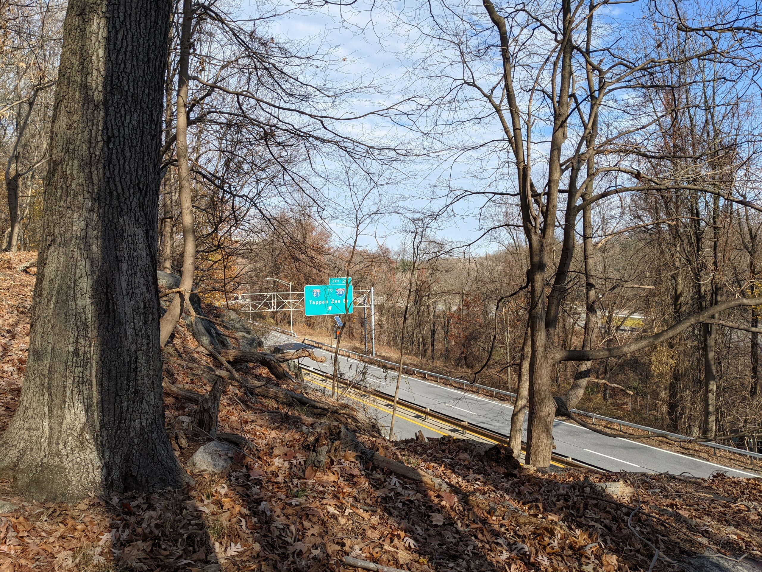
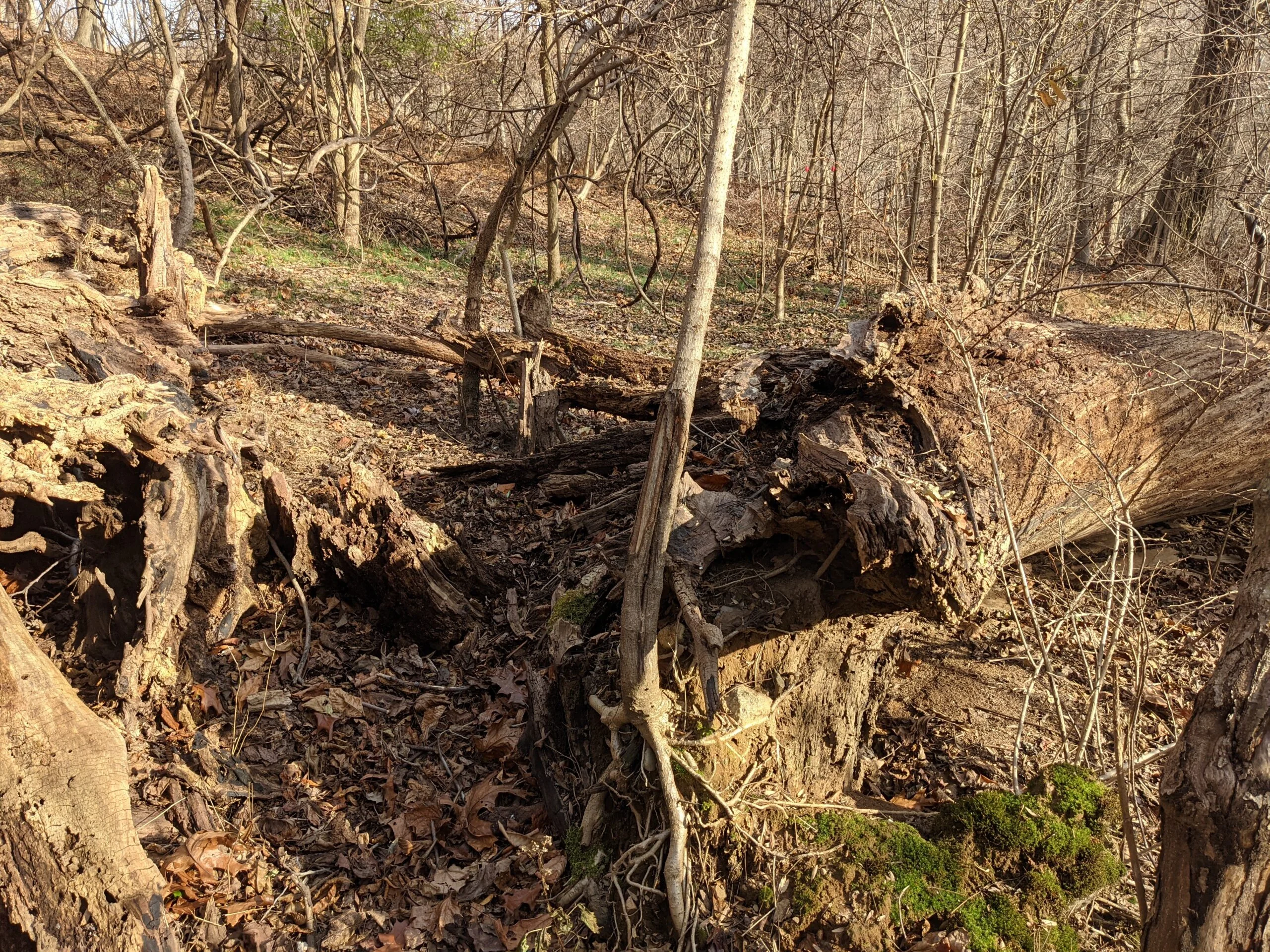
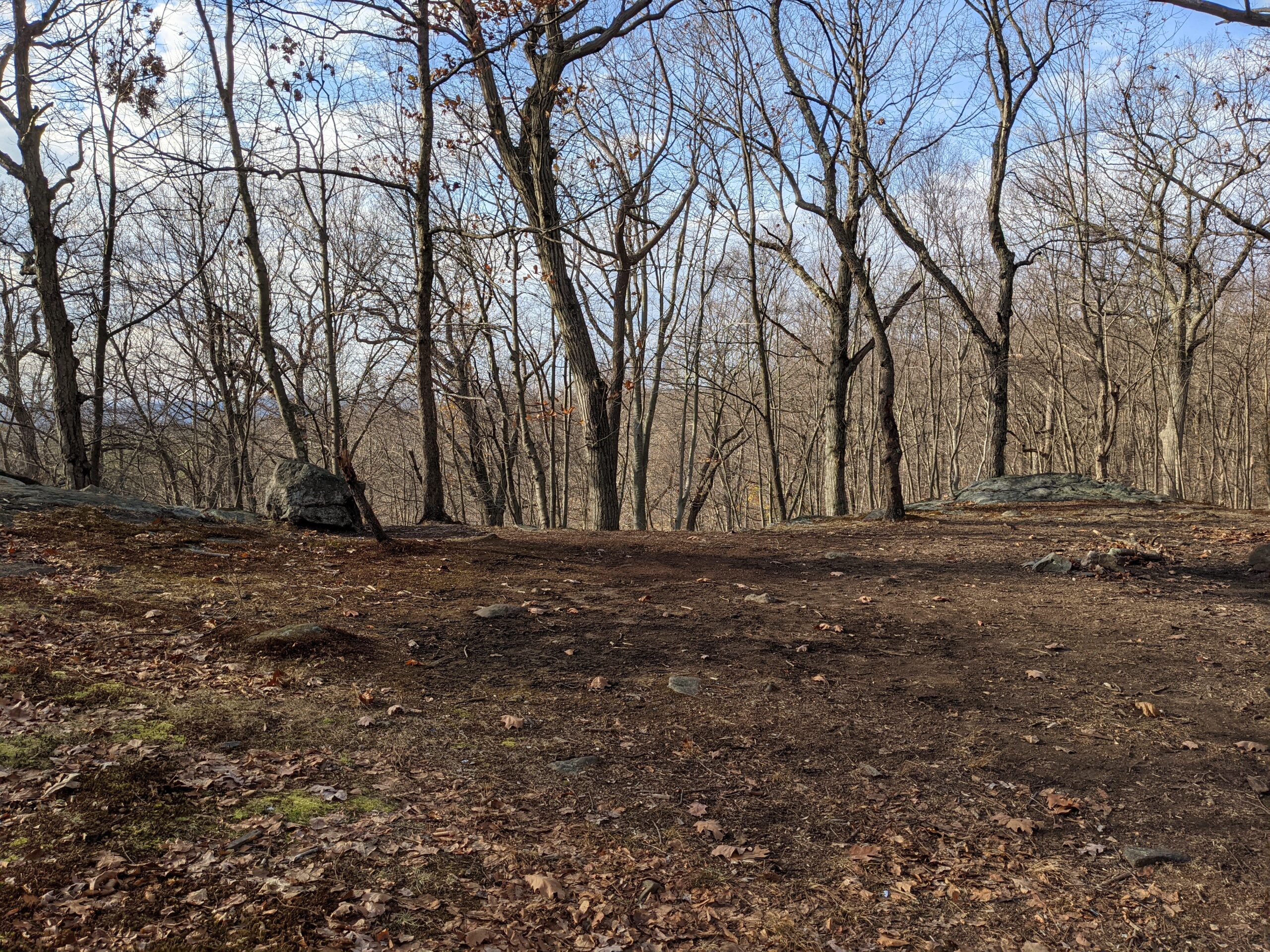
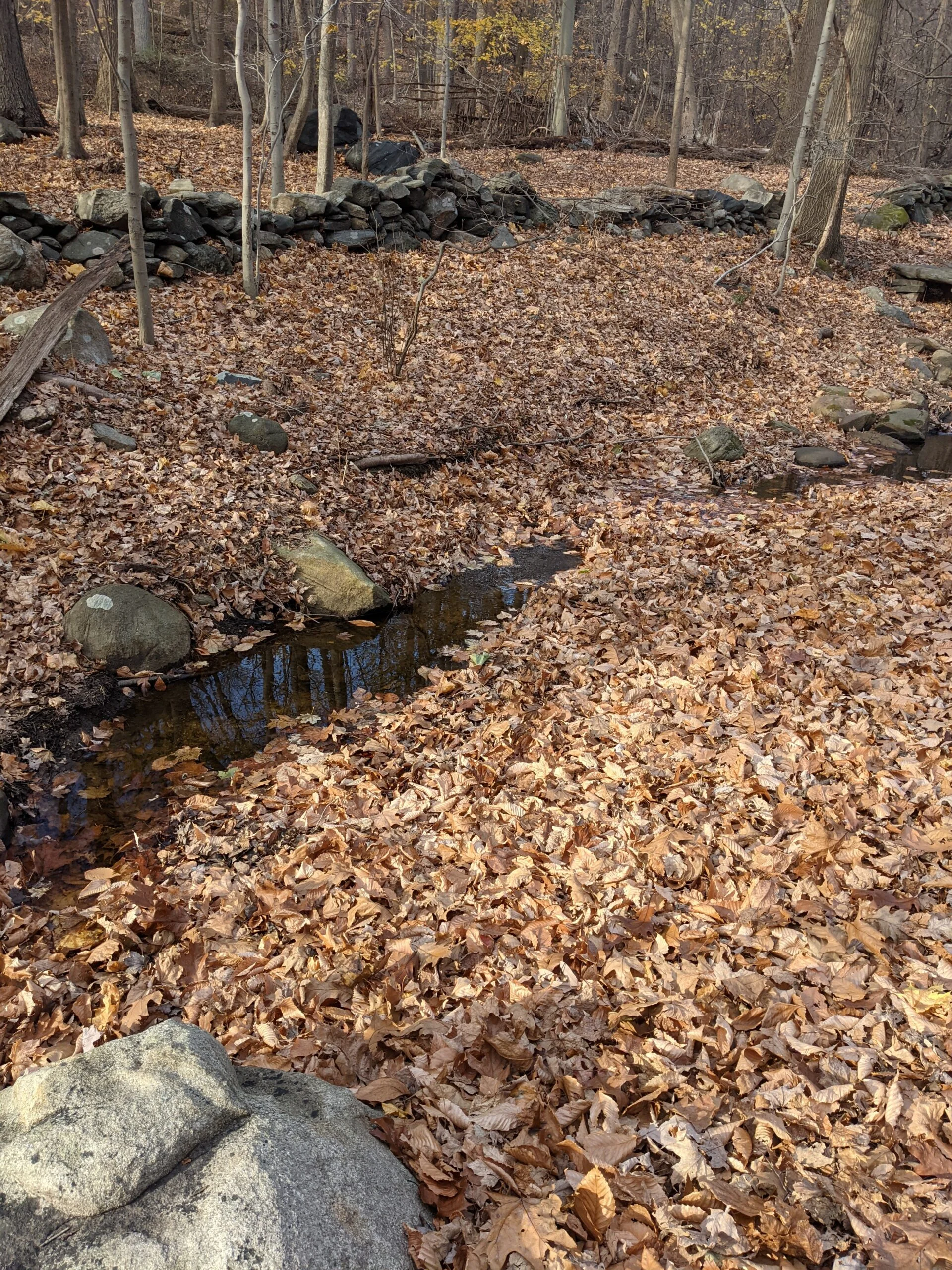
After retracting my steps, I came across what appeared to be a path, so I continued north in that direction. Since the trail runs parallel to the Saw Mill River Parkway, I knew there was little risk of getting too lost as long as I kept the highway on my right and kept moving north. I kept moving forward, through some brush at times, and eventually caught up to the real trail, slightly right (east) of where I was walking. Now that I was on the right path, I kept following it for a total of about a mile until I hit the end of the trail at Peter Bont Road.
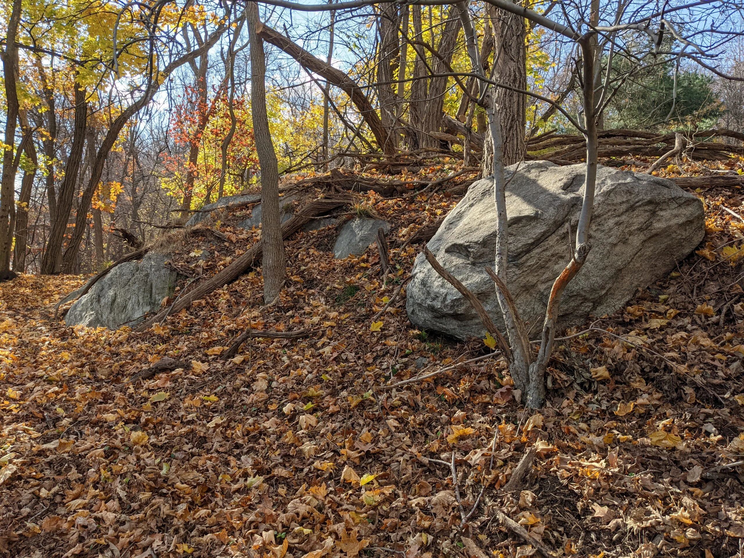
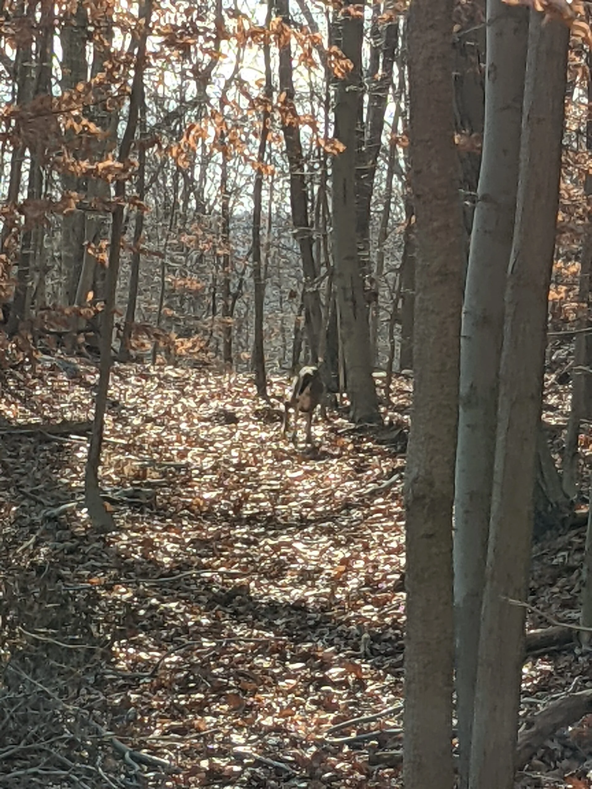
I turned around and started my journey back to the main area of the park. About 3/4 of the way back, I was not fully paying attention when all of the sudden a deer jumped up from a rock no more than 2-3 feet from me. He was tucked in next to a rock to the right of the trail and I didn’t even see him as I approached. I think maybe he was sleeping and didn’t hear me until I was right on top of him. It scared the daylights out of me and him at the same time. As he jumped away, I noticed one of his back legs was just dangling there. It appeared to be broken above the knee. My guess is that he was resting from his injury and I startled him. I can only imagine how painful that must have been, but it didn’t seem to phase the deer. It was not making any noise or anything, and just hobbled away from me slowly, continuing down the trail I was taking.
I proceeded very slowly because I wasn’t trying to chase the deer or scare it further, but it stayed along the trail for a while. It would stop, look back at me, wait until I got a little closer, then continued ahead. Finally, as I neared intersection #26, it split off from the trail and into the distance until I couldn’t see it anymore. Aside from the excitement of the deer, this trail was pretty uninteresting. The noise of being so close to the parkway, combined with the occasional smell of exhaust fumes, make me think I won’t be back anytime soon.
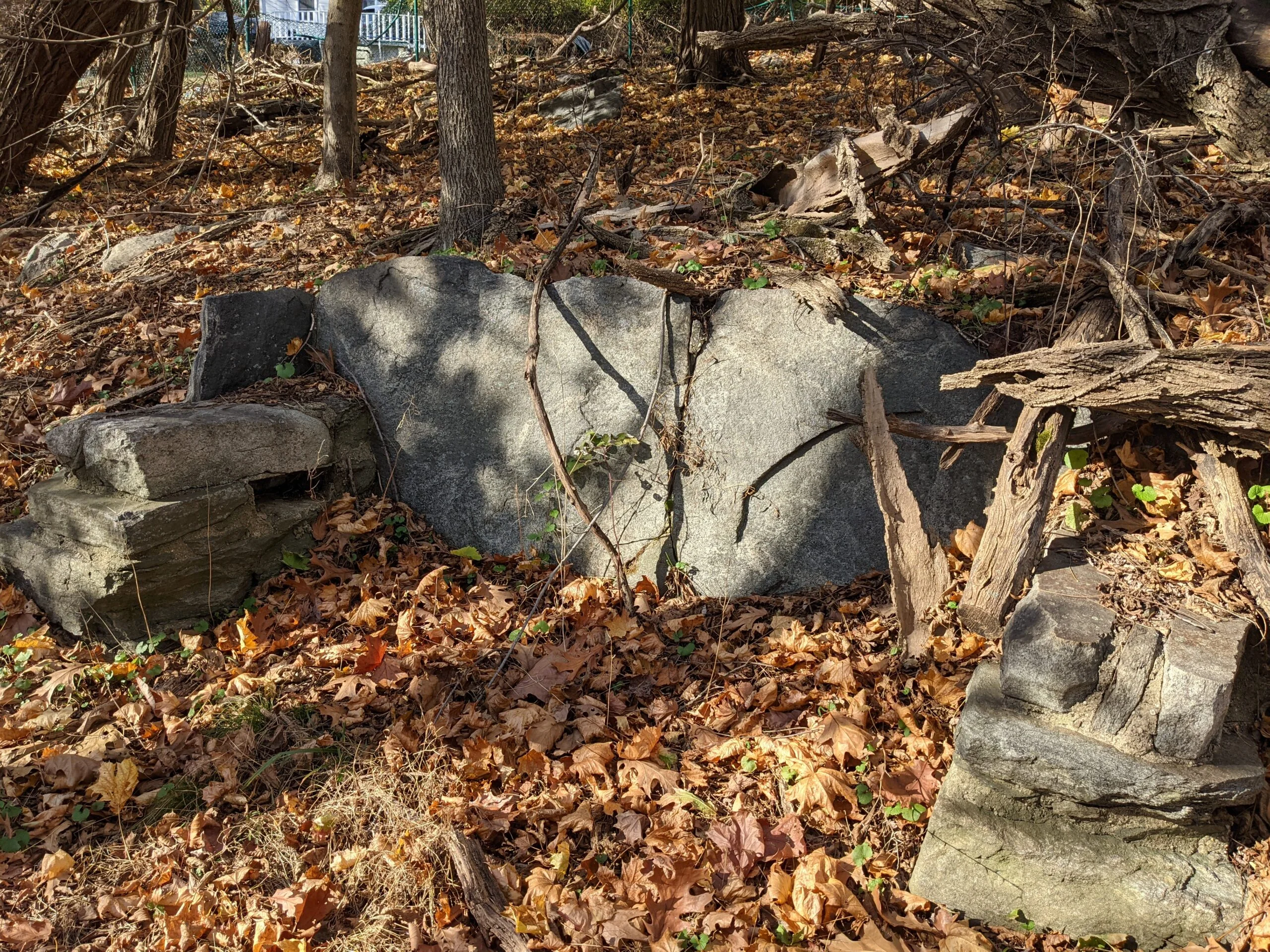
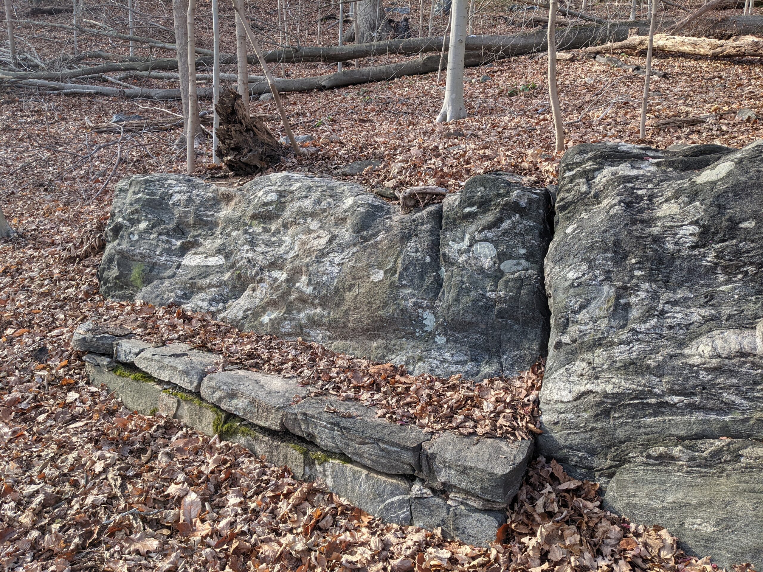
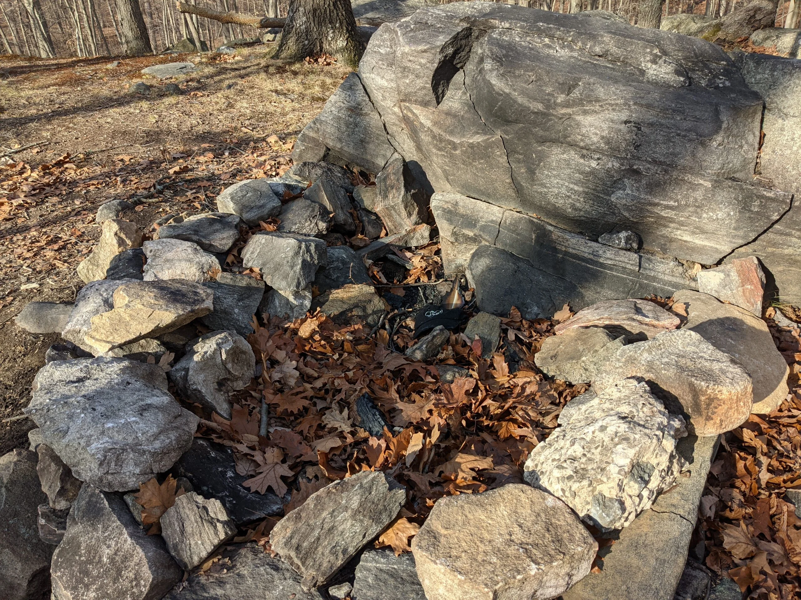
After connecting back to intersection #26, I took a left (south), at intersection #25 down the Monument Loop (ML blazes) path. There are several rock benches along this path and I stopped at one of them for a snack break and to read up about the deer injury. According to sportsmansguide.com, deer “have lots of endorphins in their brain and this means they don’t feel pain like we do at all. They do feel some pain, but nothing like we do. This is true for most animals and with all that happens to them in the wild, that’s a great adaptation.” It is likely the deer will survive and adapt to the injury.
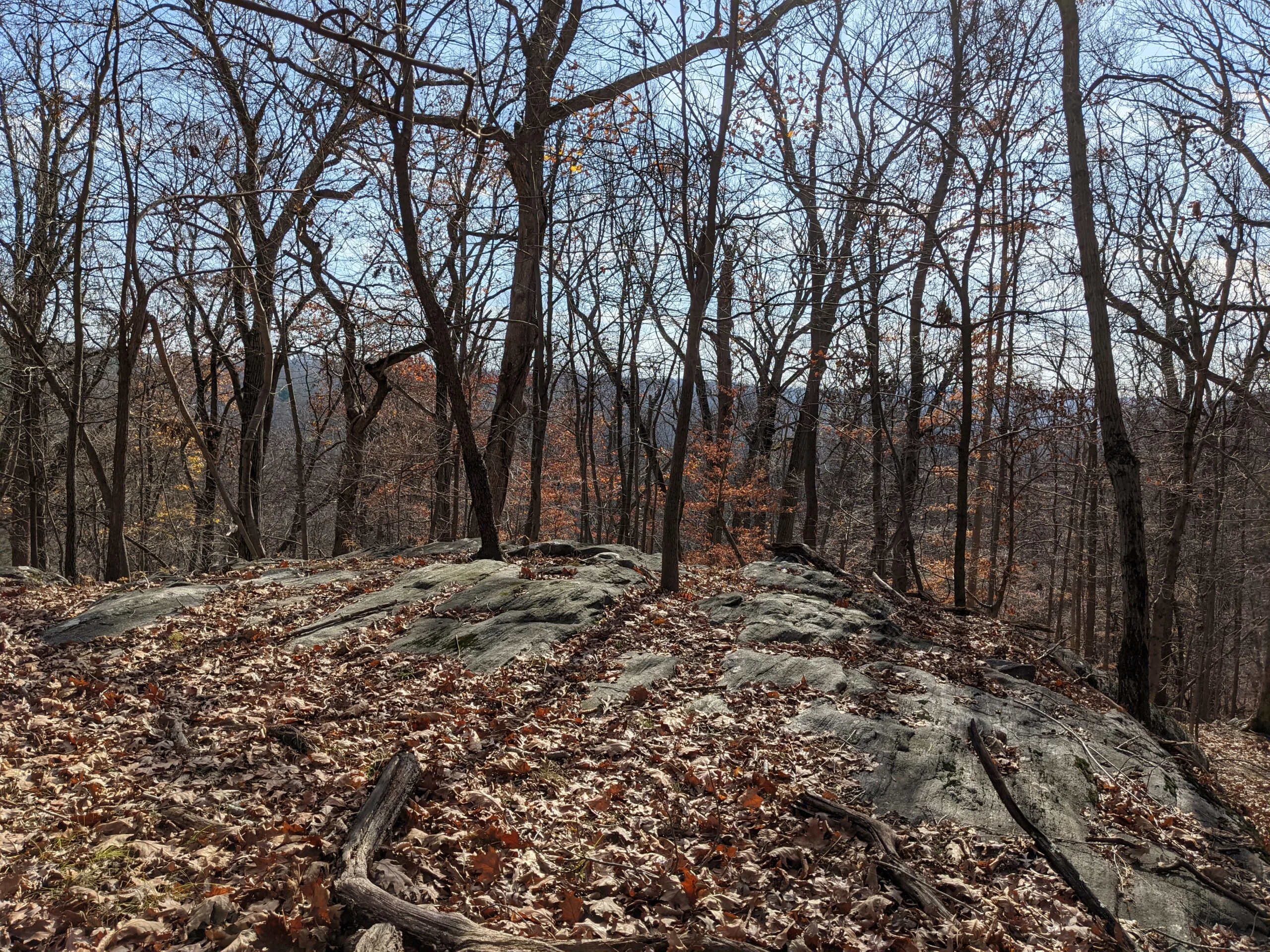
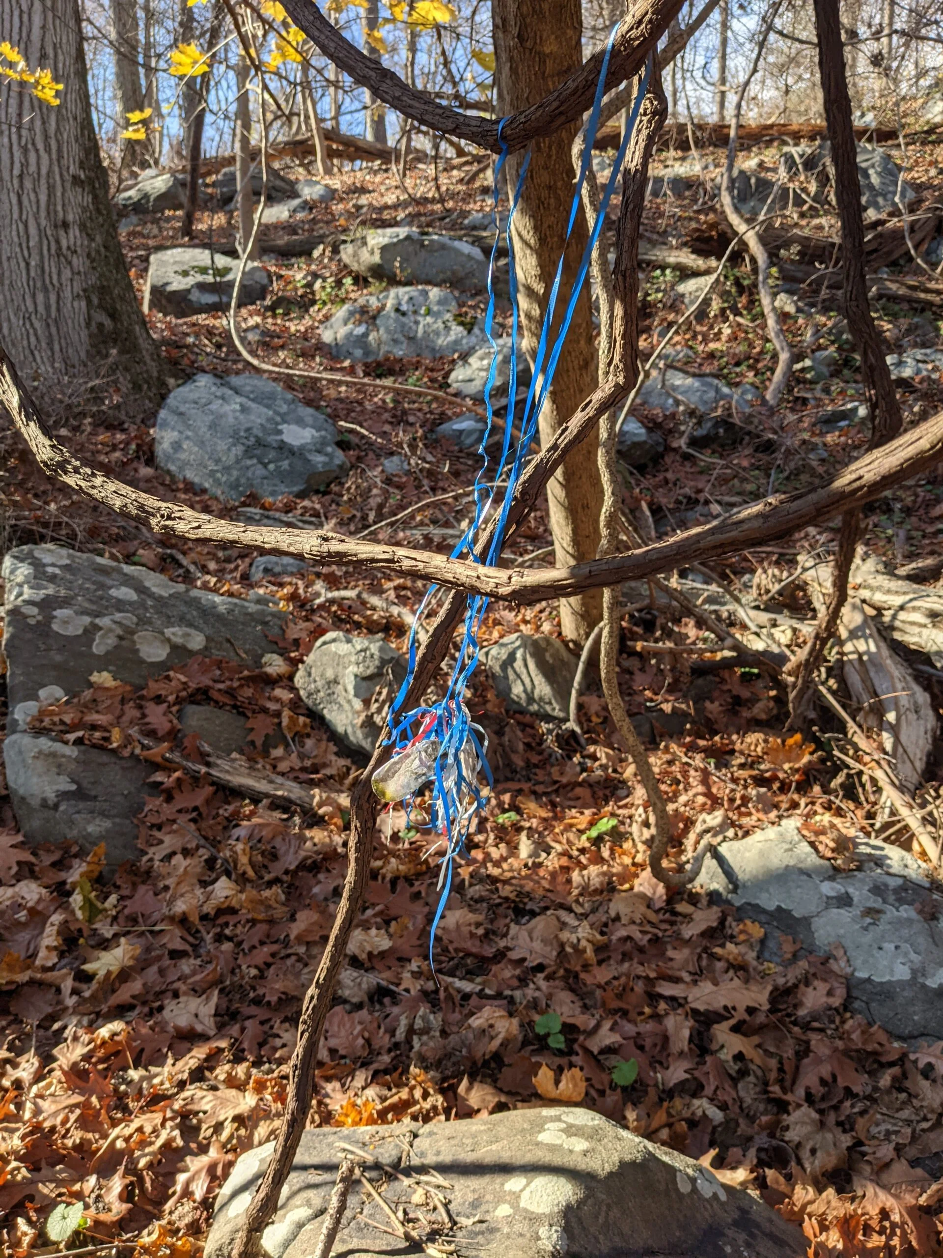
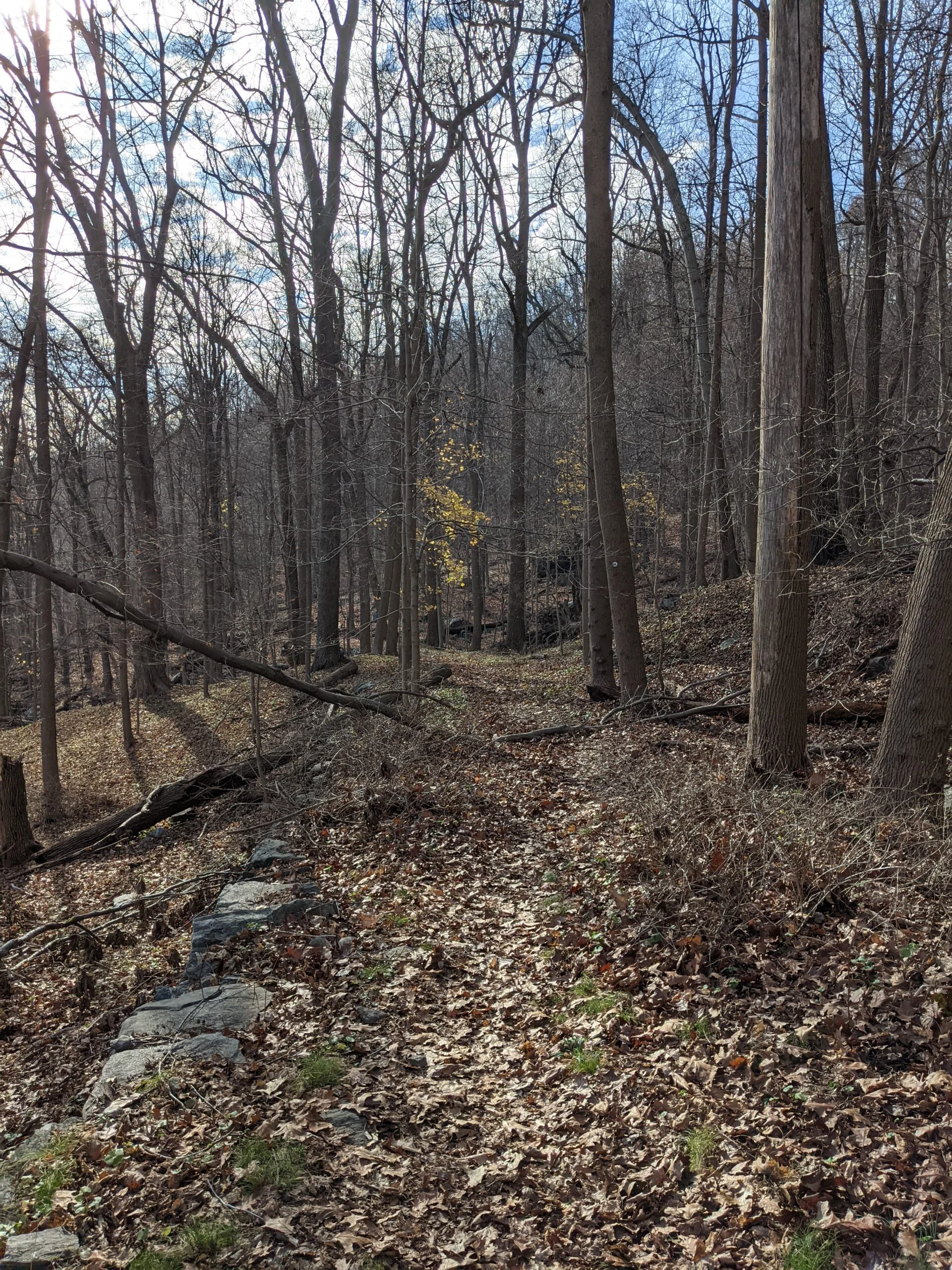
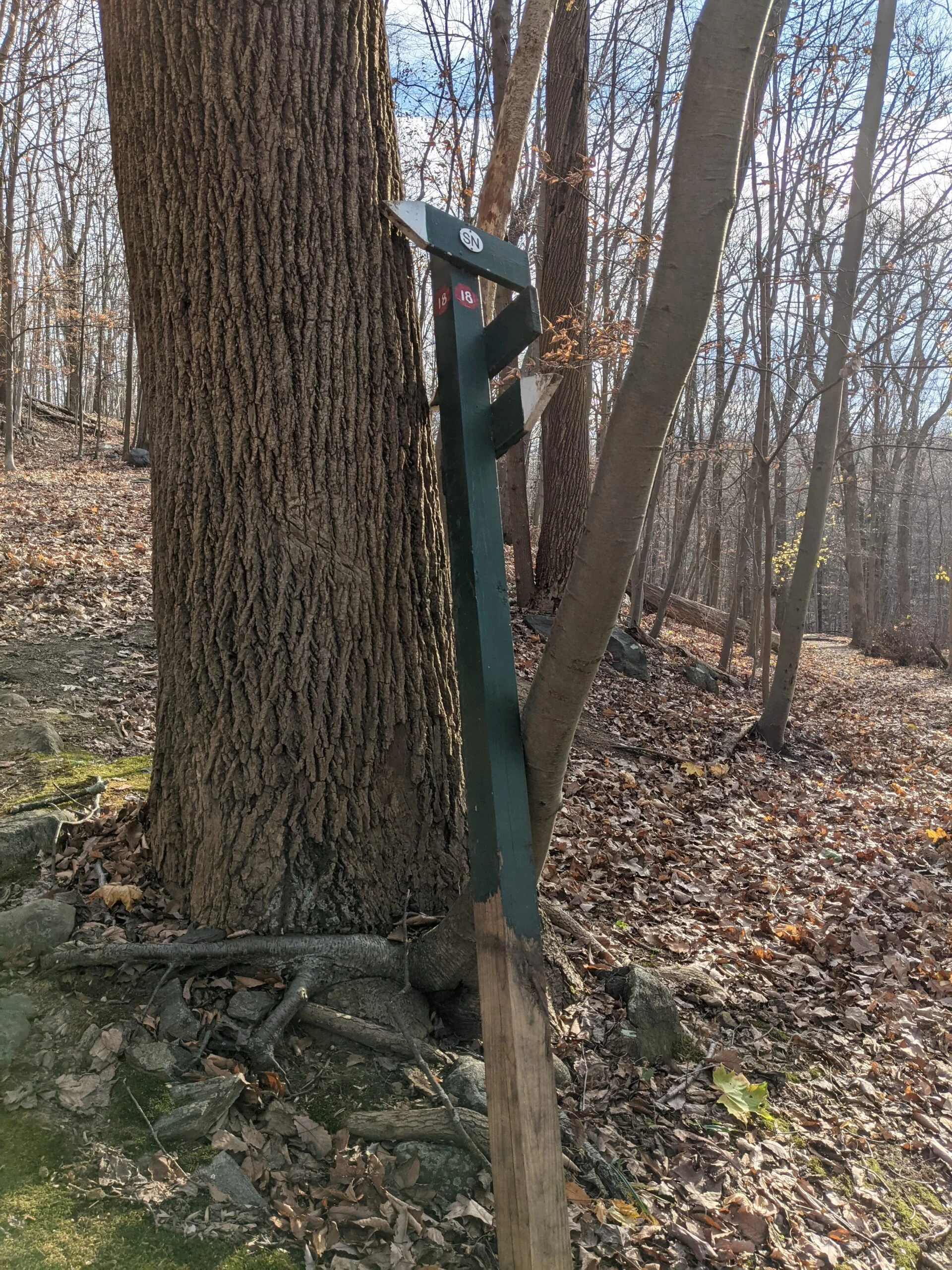
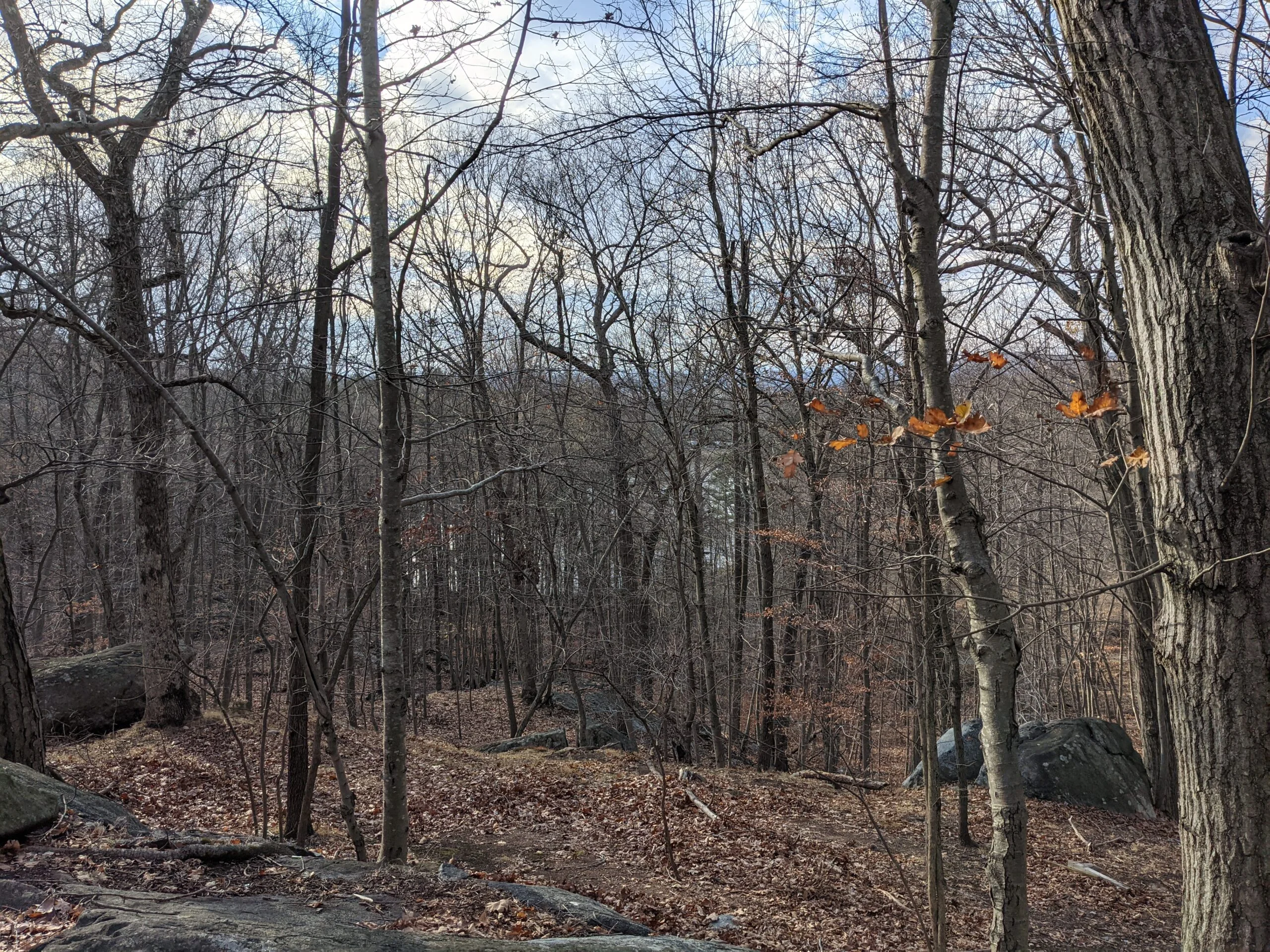
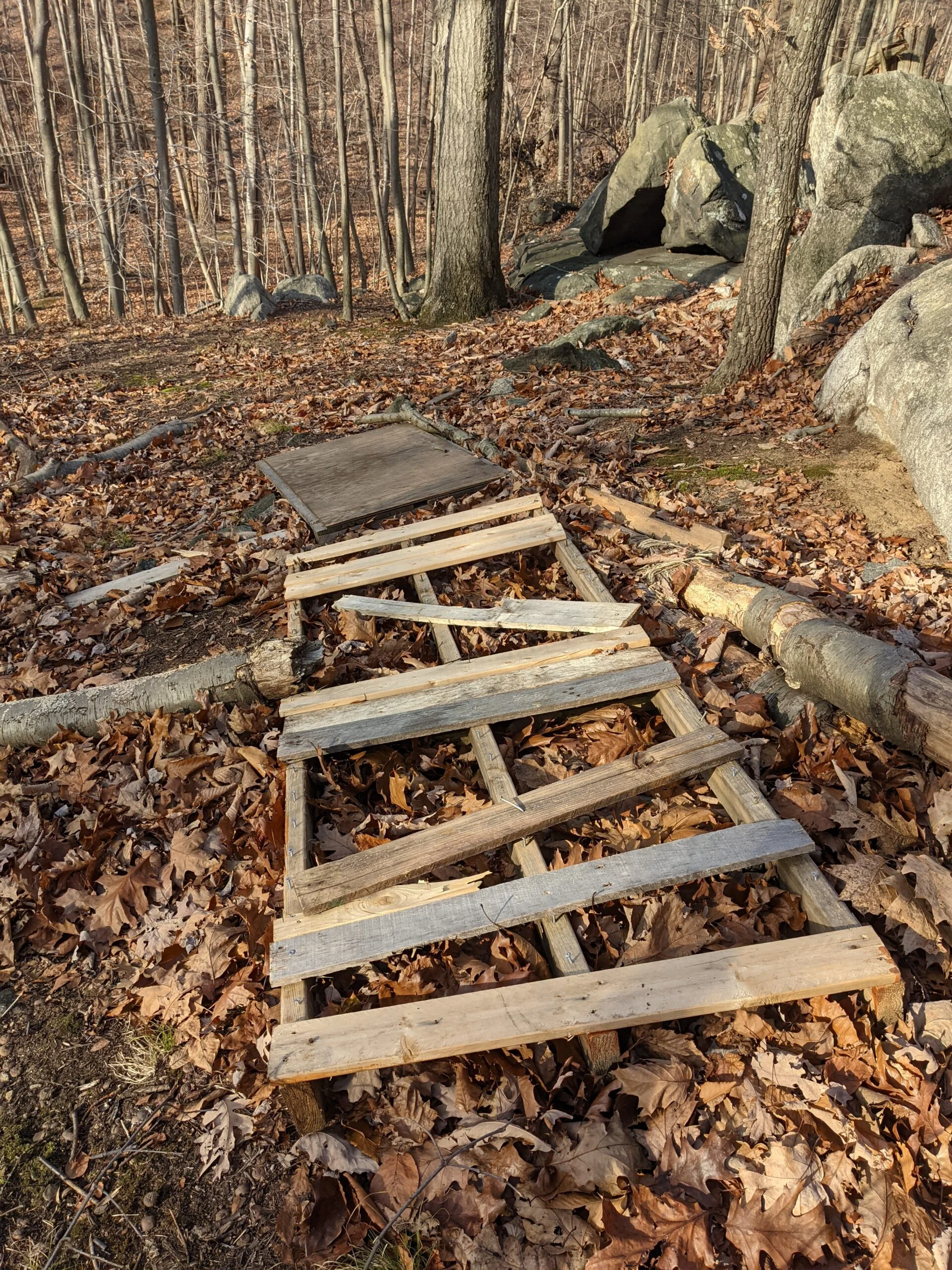
I continued south on ML to intersection #24, where I split off and took the white blazed loop around and back to intersection #23. From there, I took ML north to #22, to #21, to #18, where I took the Sunset Rock (SN blazes) trail. I wanted to see if there were any improvements to the Sunset Rock area, as I saw a lot of garbage and evidence of a party and campfire on my previous visits. I was pleasantly surprised to find the area cleaned up, with the table and all of the garbage gone.
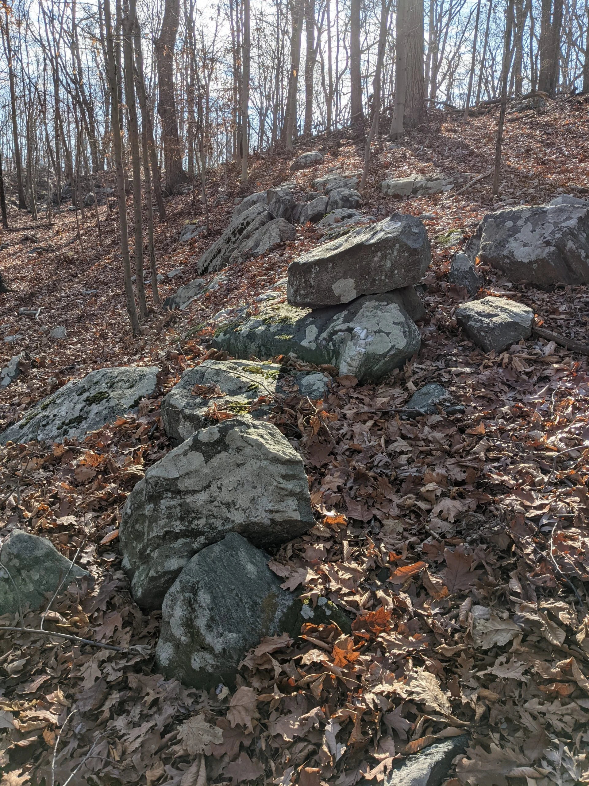
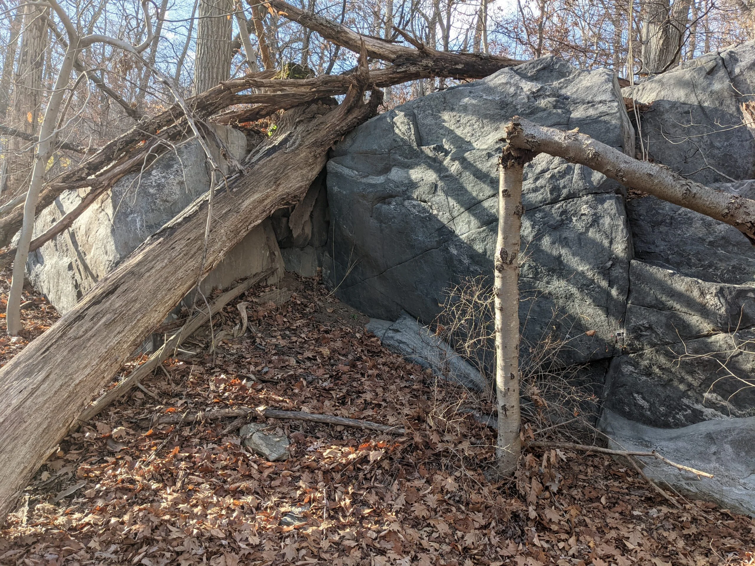
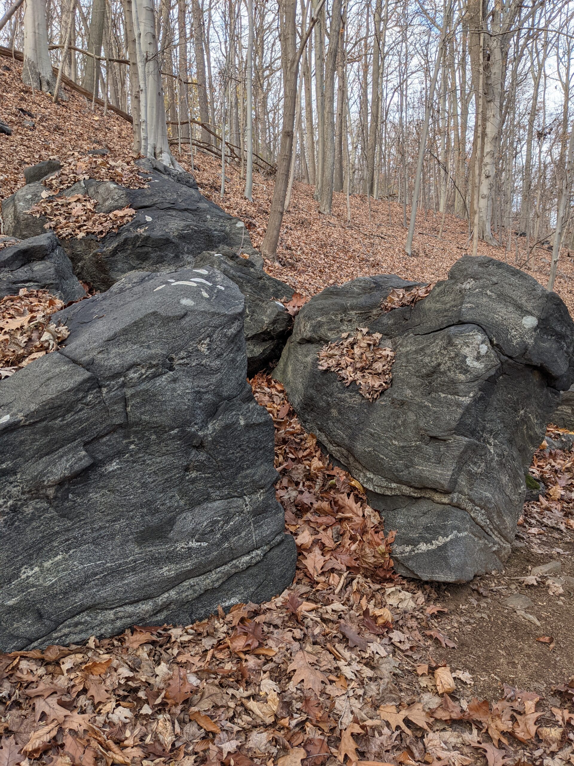
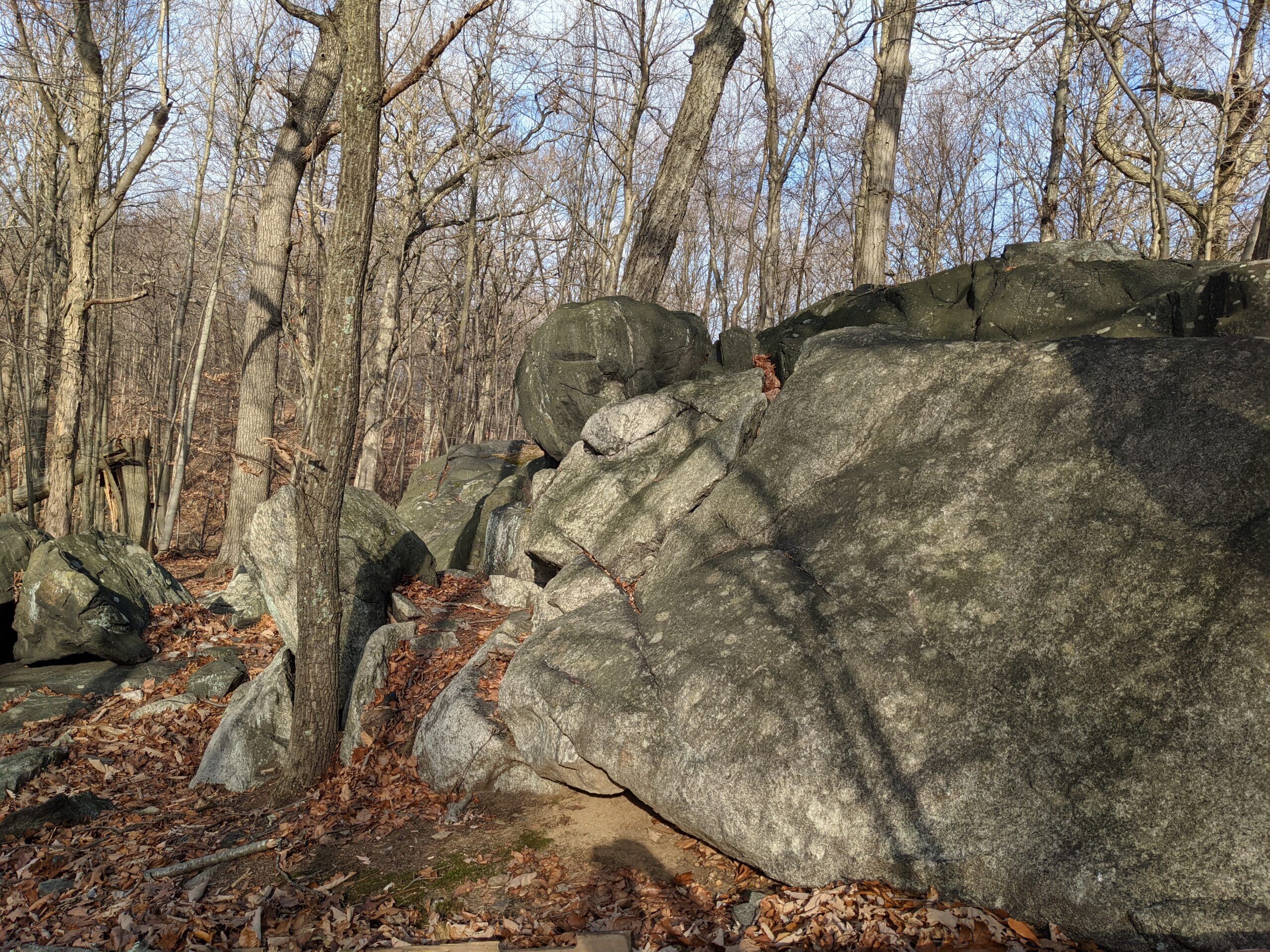
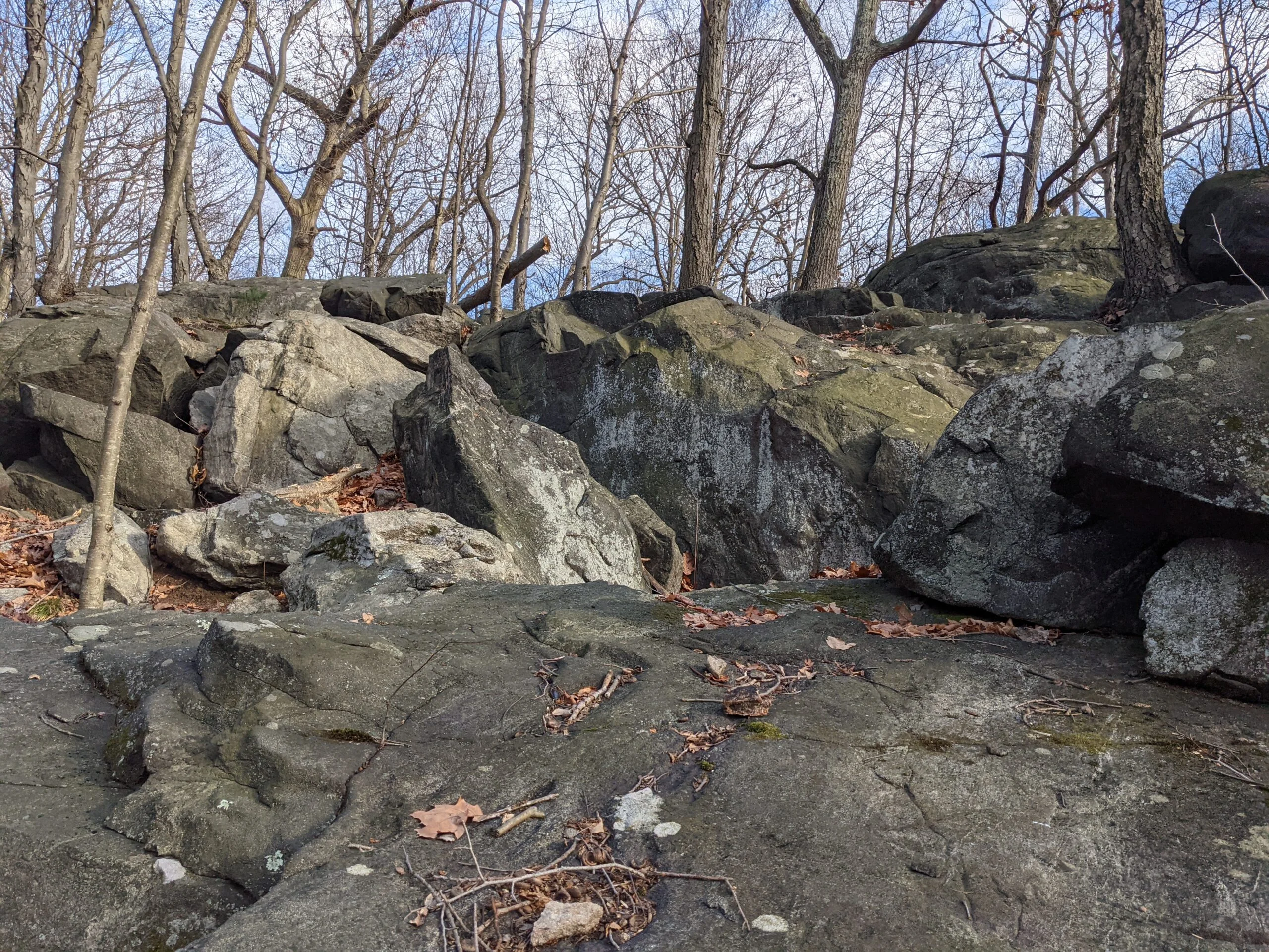
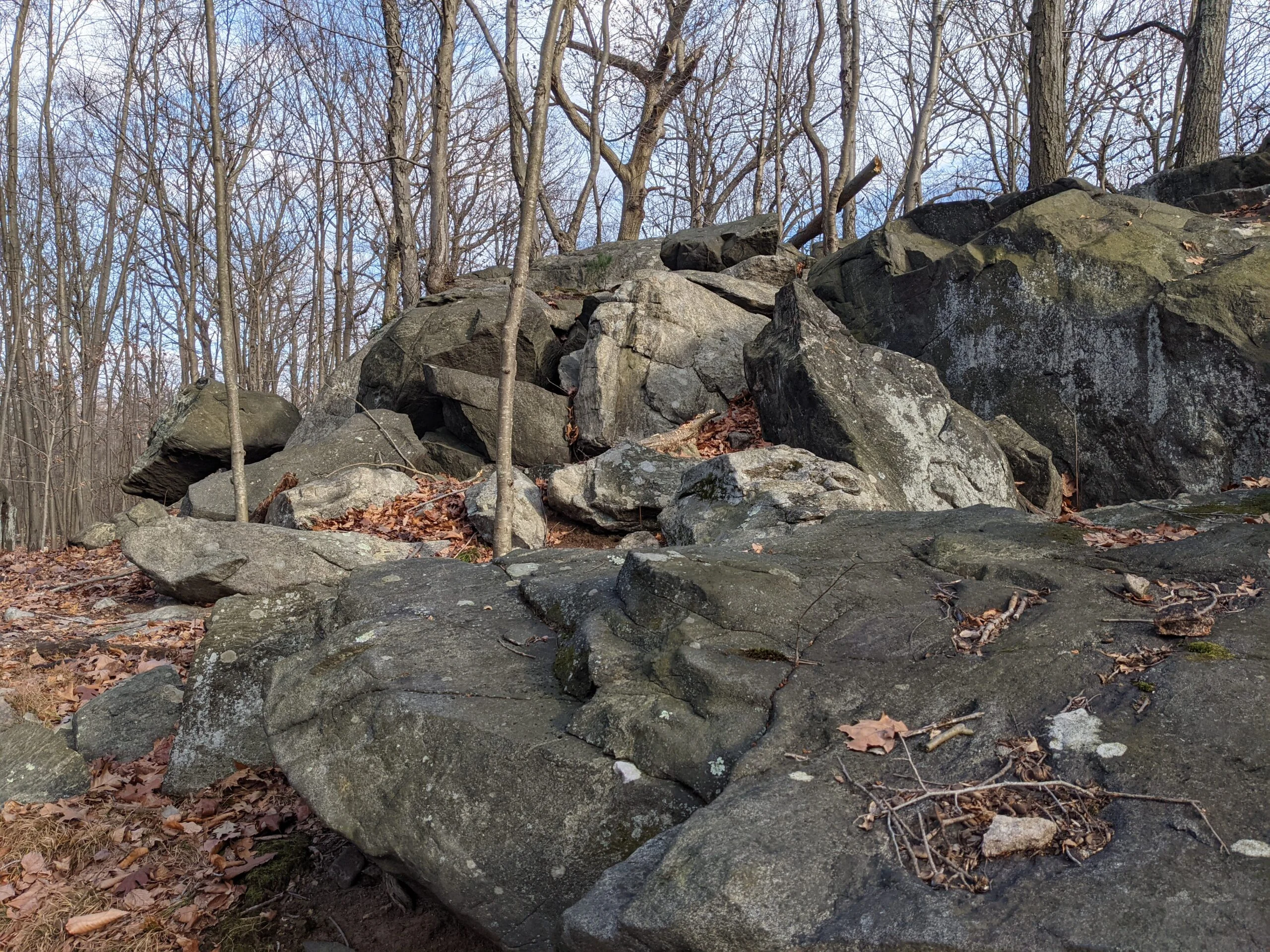
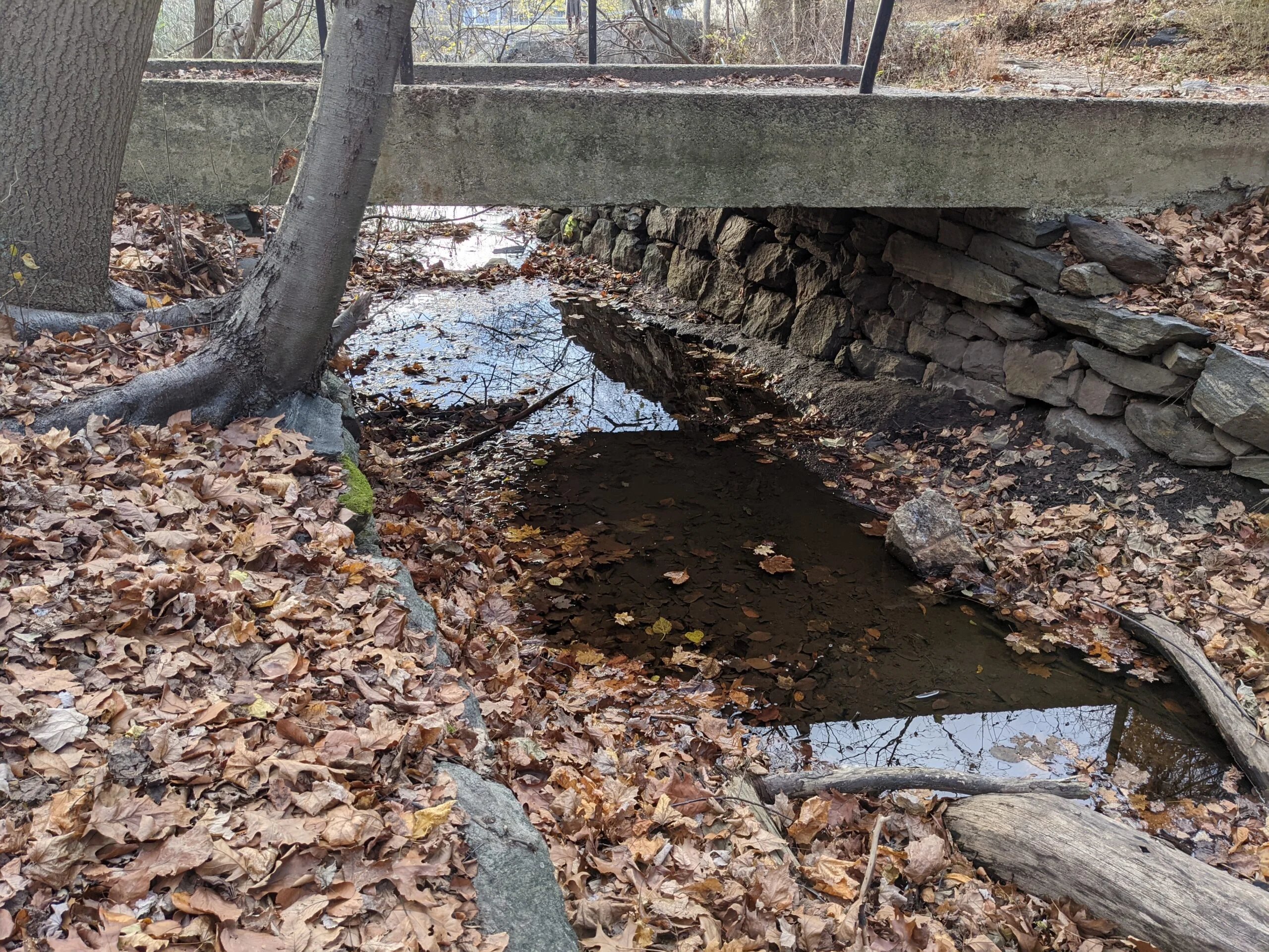
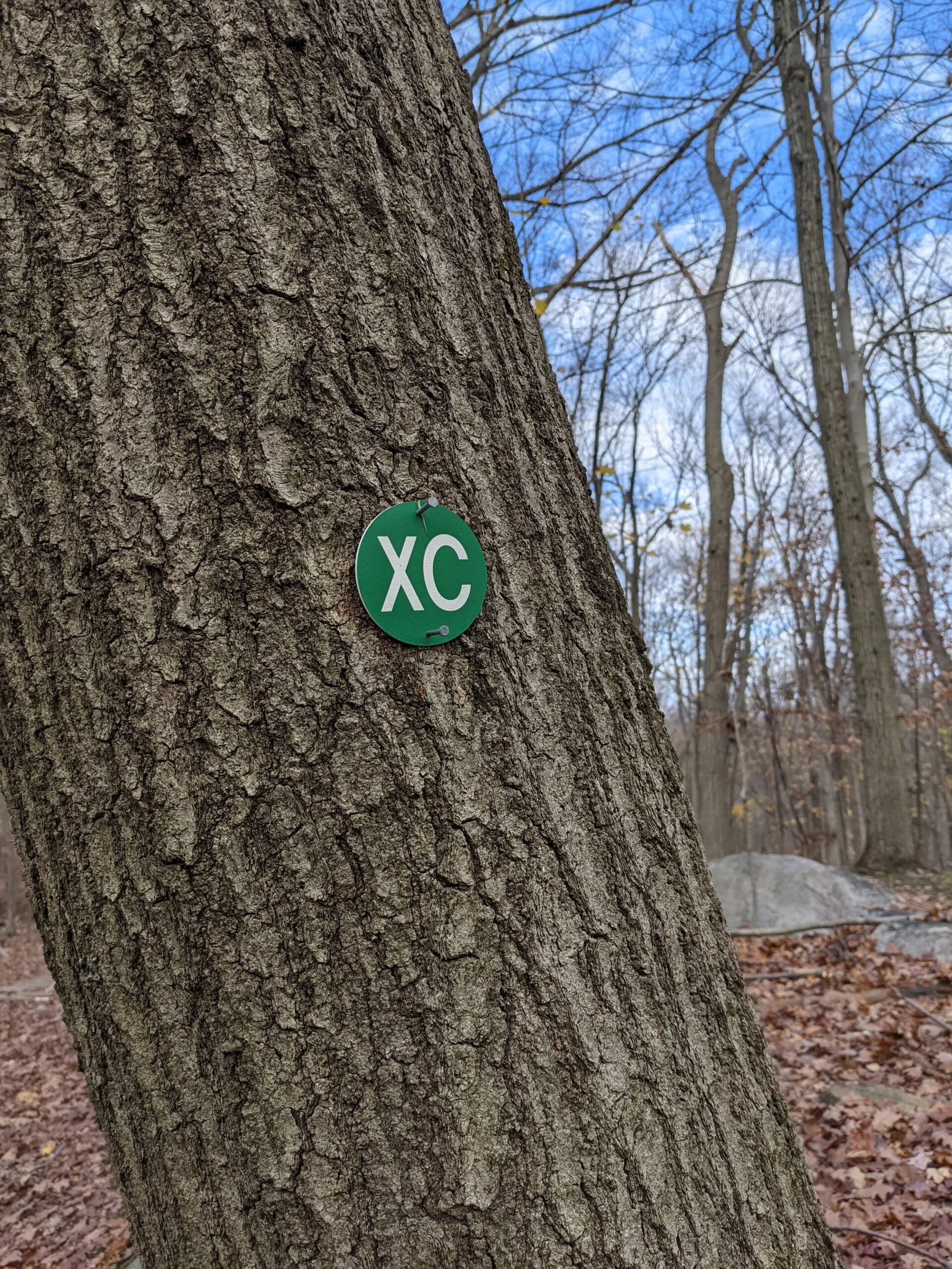
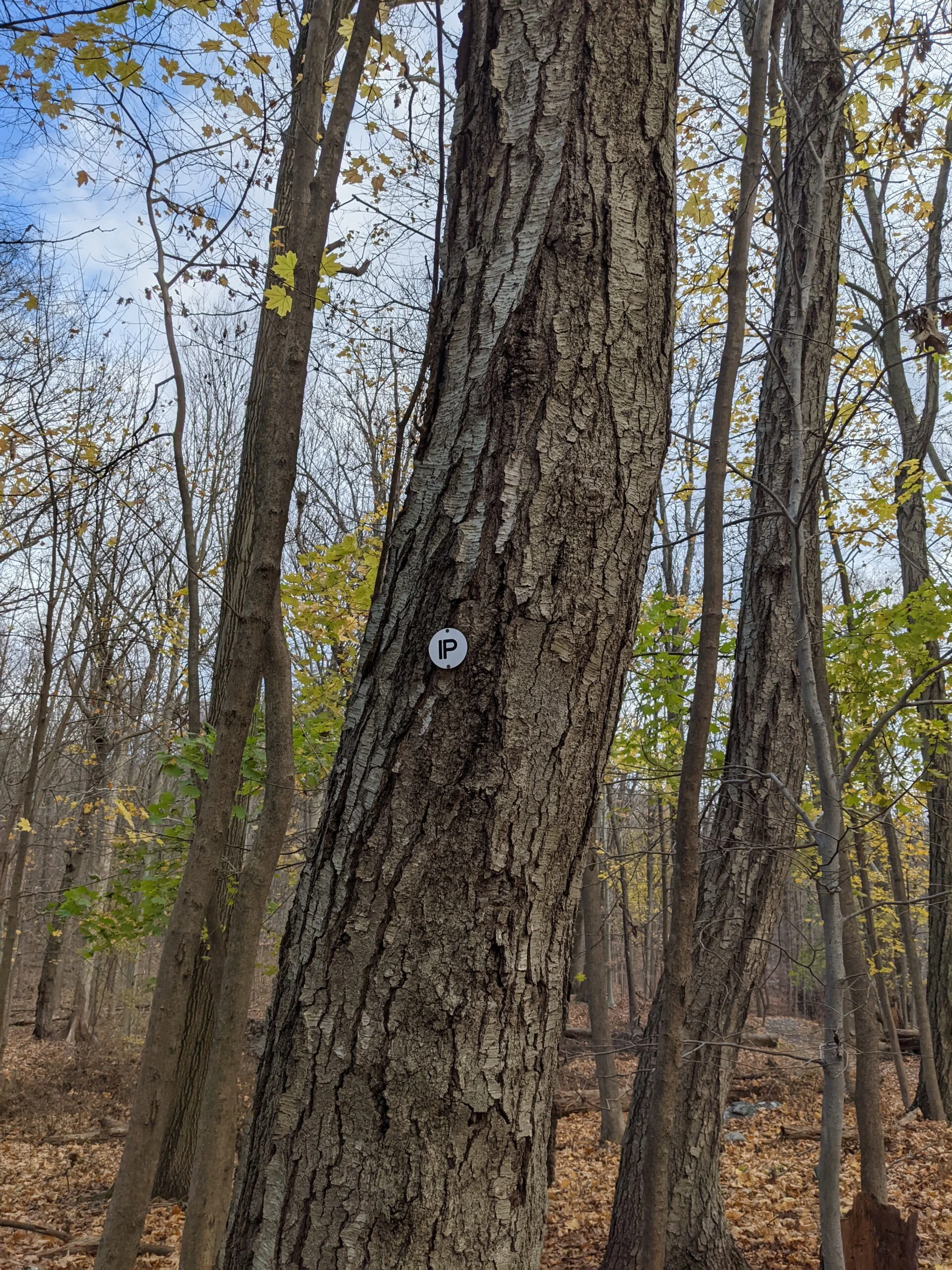
I connected to HG/NS and followed it north to intersection #15, continued north, then made a left onto Split Rock (SR blazes) at intersection #10. After a quick photo of Split Rock, I took Barney Brook (BB blazes) at intersection #8, followed it to intersection #7, passing Jenkins Rock, and connecting with the unblazed trail on the western part of the park. I followed this trail until it met up with Cross County (XC), then to Ice Pond (IP blazes).
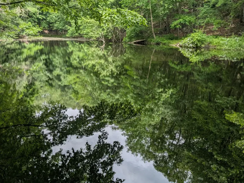
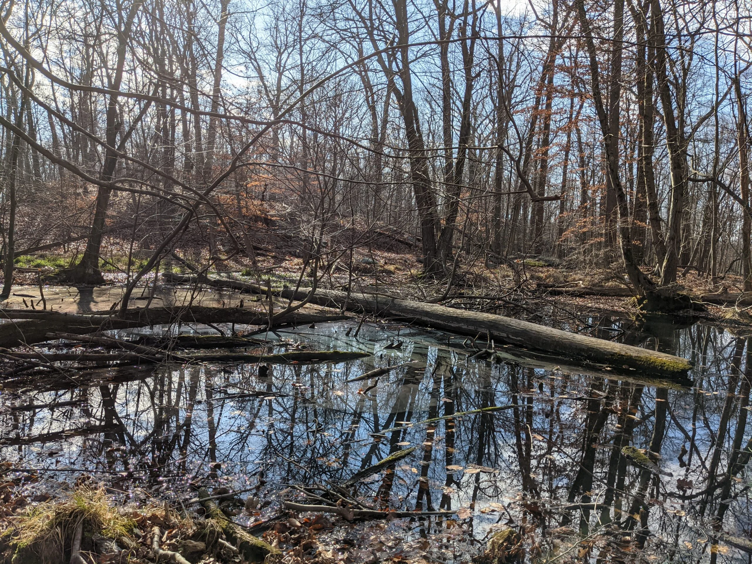
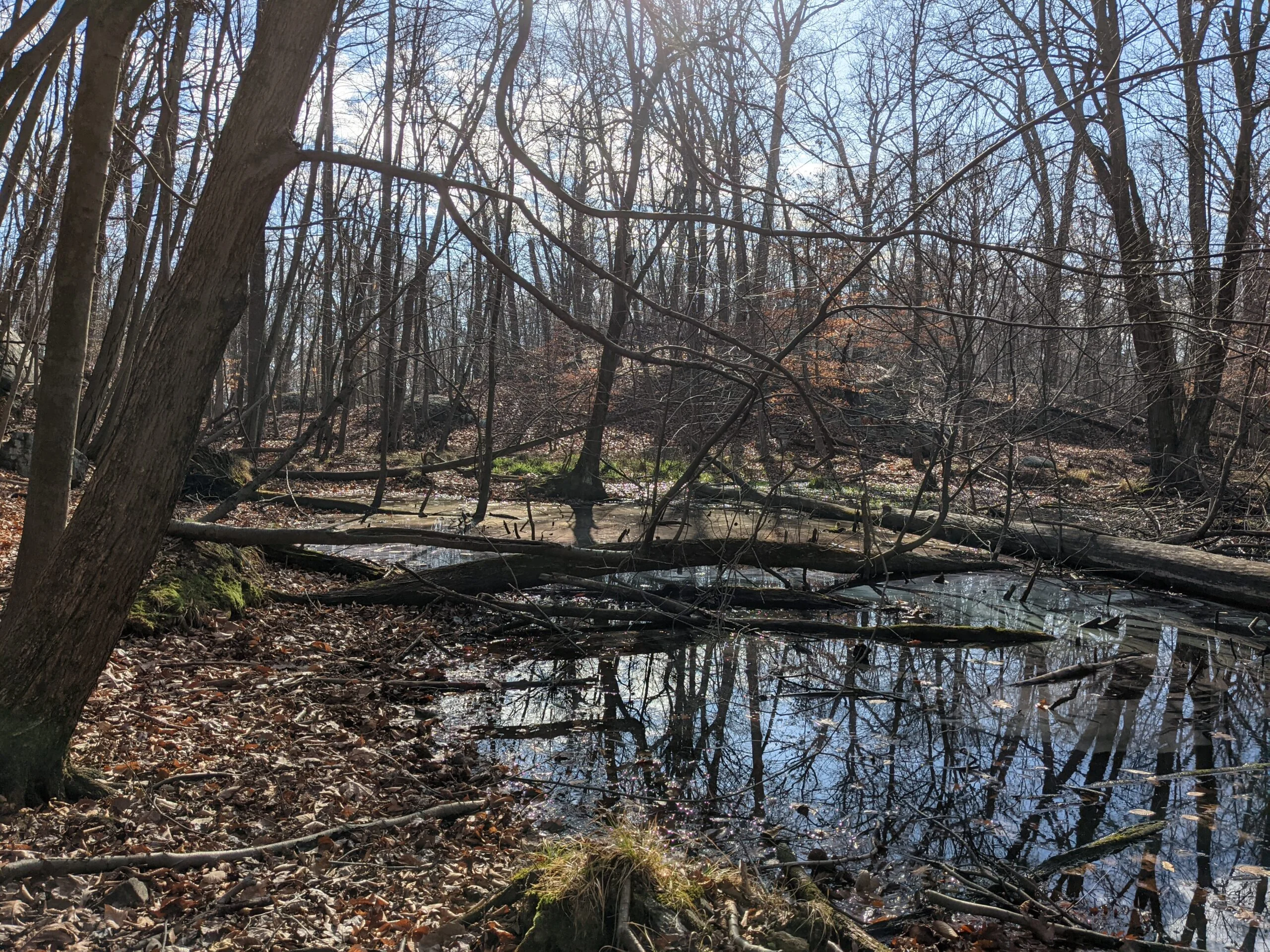
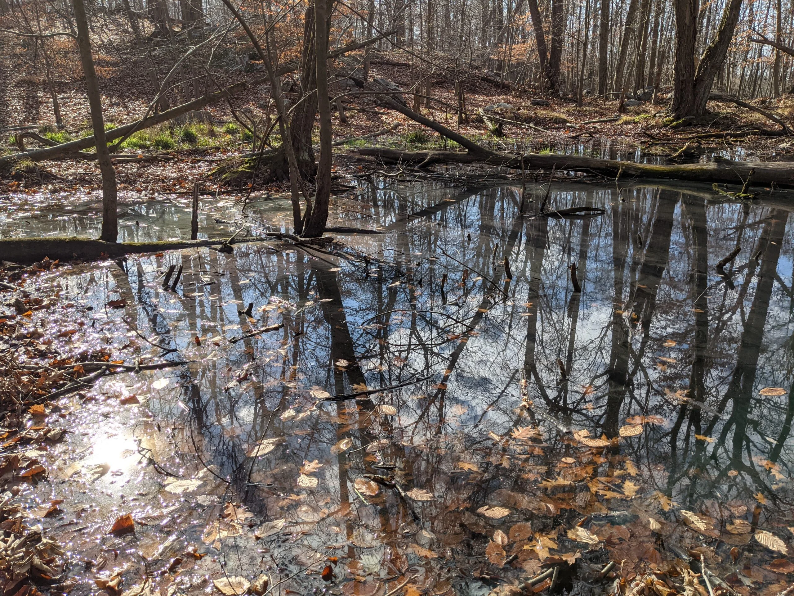
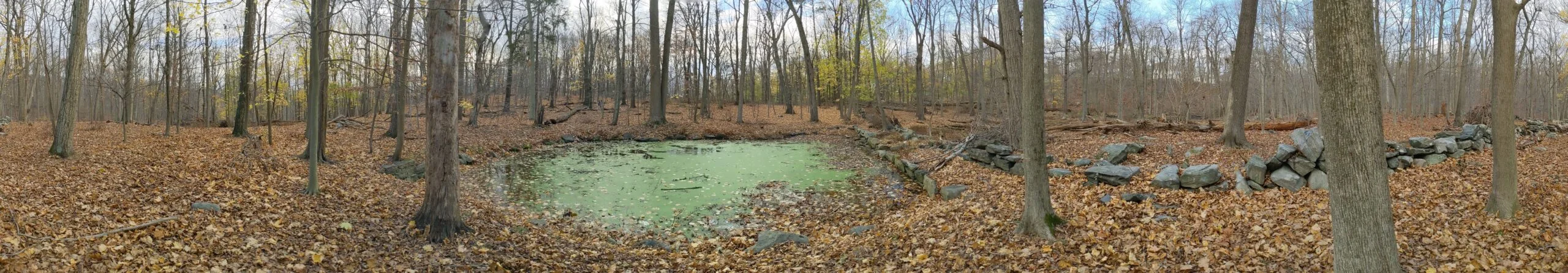
Once I got to Ice Pond, I stopped to take a few photos, including another set of panoramic photos. I took the original header on the top of this site at this spot back in July, so I wanted to compare the change in seasons to my first set of photos. Then I continued on IP east, back to NS, and back to the parking lot.
Overall, this was a nice, leisurely stroll through the woods. I didn’t have a set mileage goal going into this, but I knew I wasn’t in the mood for an intense hike, so I took it easy and called it a day when I felt like I was ready. I was happy to get out of the house in the 60 degree weather to enjoy another fall hike!
Photos


GPS Route & Elevation
Loads an interactive map; map tiles are served by the U.S. Geological Survey, which receives your IP address. Learn more about maps and your privacy