The Irvington Woods – Split Rock, Sunset Rock, Marshall Pond, Ice Pond, Hermit Wetlands
- 6.0 mi
- 579 ft gain
- 03:00:43
- 122 photos
- 2 videos
This post may contain affiliate links. If you buy through them, I may earn a commission at no extra cost to you. As an Amazon Associate I earn from qualifying purchases.
This was my third visit to The Peter Oley Trailways System at The Irvington Woods. I saw almost everything on my first and second visits, but there were still a few routes and places I wanted to check out. Plus, I was testing a bunch of new gear and wanted to stay closer to home.
I knew the weather was going to be hot, so I started earlier than normal. For me, “early” was 10:45 am, but in hindsight I should have started at 7 am due to the heat. It reached the mid 90s by the time I finished at 1:45 pm.
The first piece of gear I was testing is the Osprey Skarab 18 Men’s Hiking Hydration Backpack ($). The backpack is light without gear and fits nicely. The adjustable straps were comfortable. I carried a first aid kit, extra bottle of water, knife, headlamp, snacks, electrolyte tablets, hand sanitizer, and toilet paper.
The backpack includes a 2.5L Hydrapak reservoir bladder. I also brought along another 1.5L in a water bottle as a reserve. Due to the heat, I ended up going through all 4L throughout the course of the trip. The bite tip does not come with a cover, so I brought along a small plastic baggie to cover it when I wanted to set the pack down. Afterwards, I purchased a Osprey Packs Hydraulics Bite Valve Cover ($). It fits a little loosely, but we’ll see how it performs on my next trip. This should really be part of the original kit, in my opinion.
To keep my body in balance, I added five Nuun Sport: Electrolyte Drink Tablets ($) to the original 2.5L bladder. It gave a light flavor to the water, but not overpowering and not sweet or sugary. I tried the orange flavor this time and liked it.
During my prior trip, I got blisters on the back of both of my ankles. As a novice, I was not aware of horrors cotton socks can cause for hikers. I applied Band-Aid Brand Hydro Seal Adhesive Bandages ($) to those blisters immediately after my last trip. The gel bandages healed the blisters nicely during the week break, and I left them on, secured with medical tape, for this hike for extra cushion and protection.
Before this trip, I also purchased two pairs of Wrightsock Men’s Escape Crew Single Pair Socks ($).
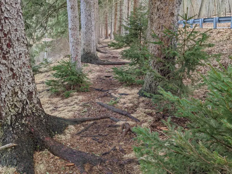
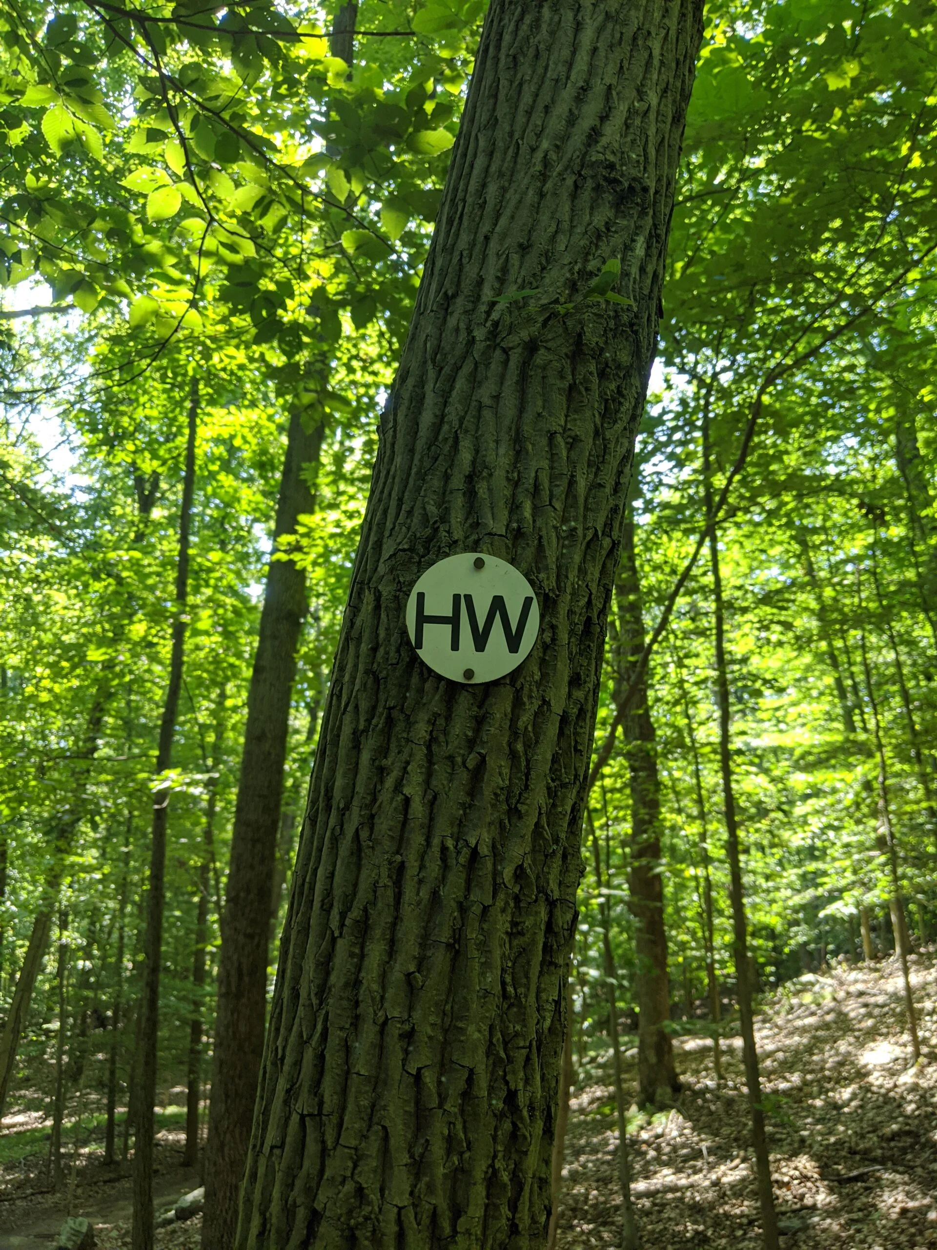
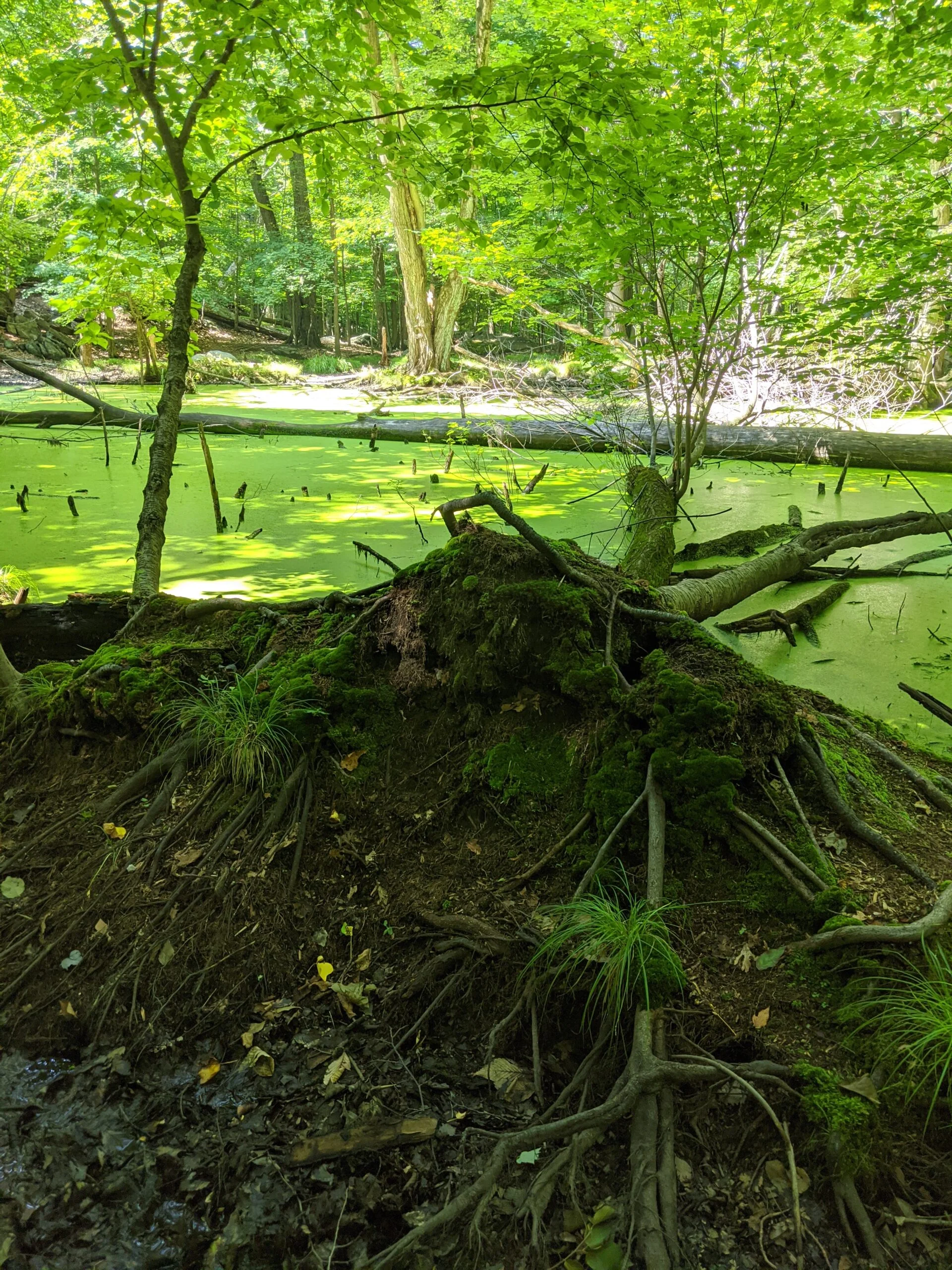
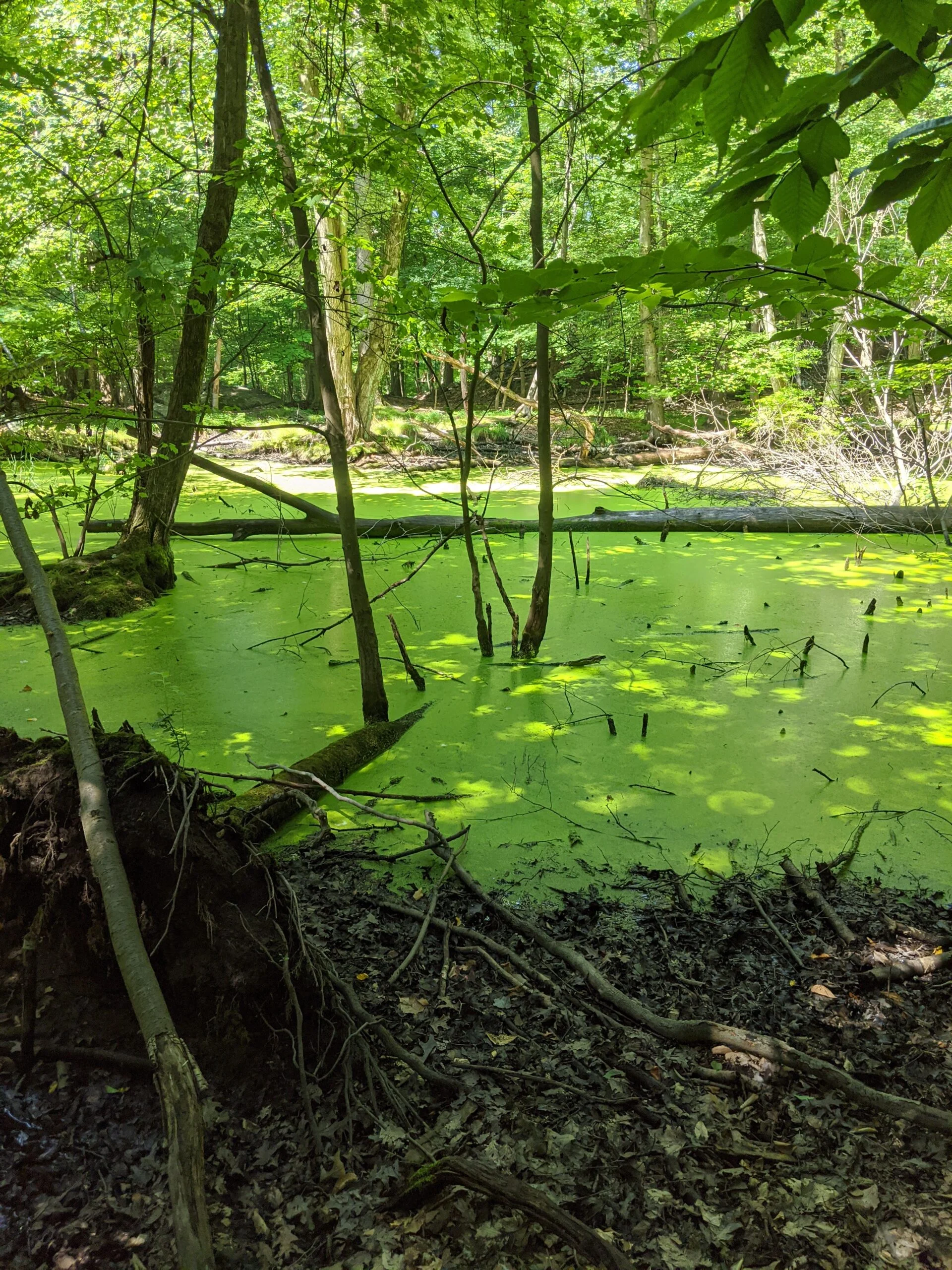
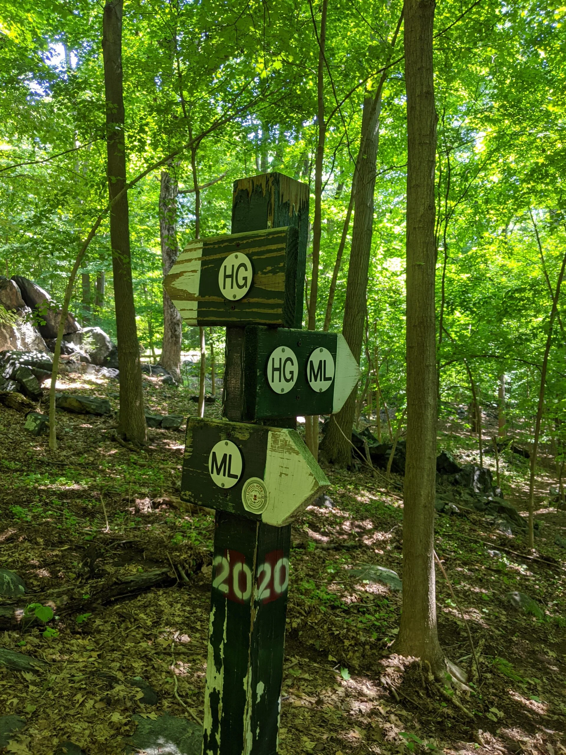
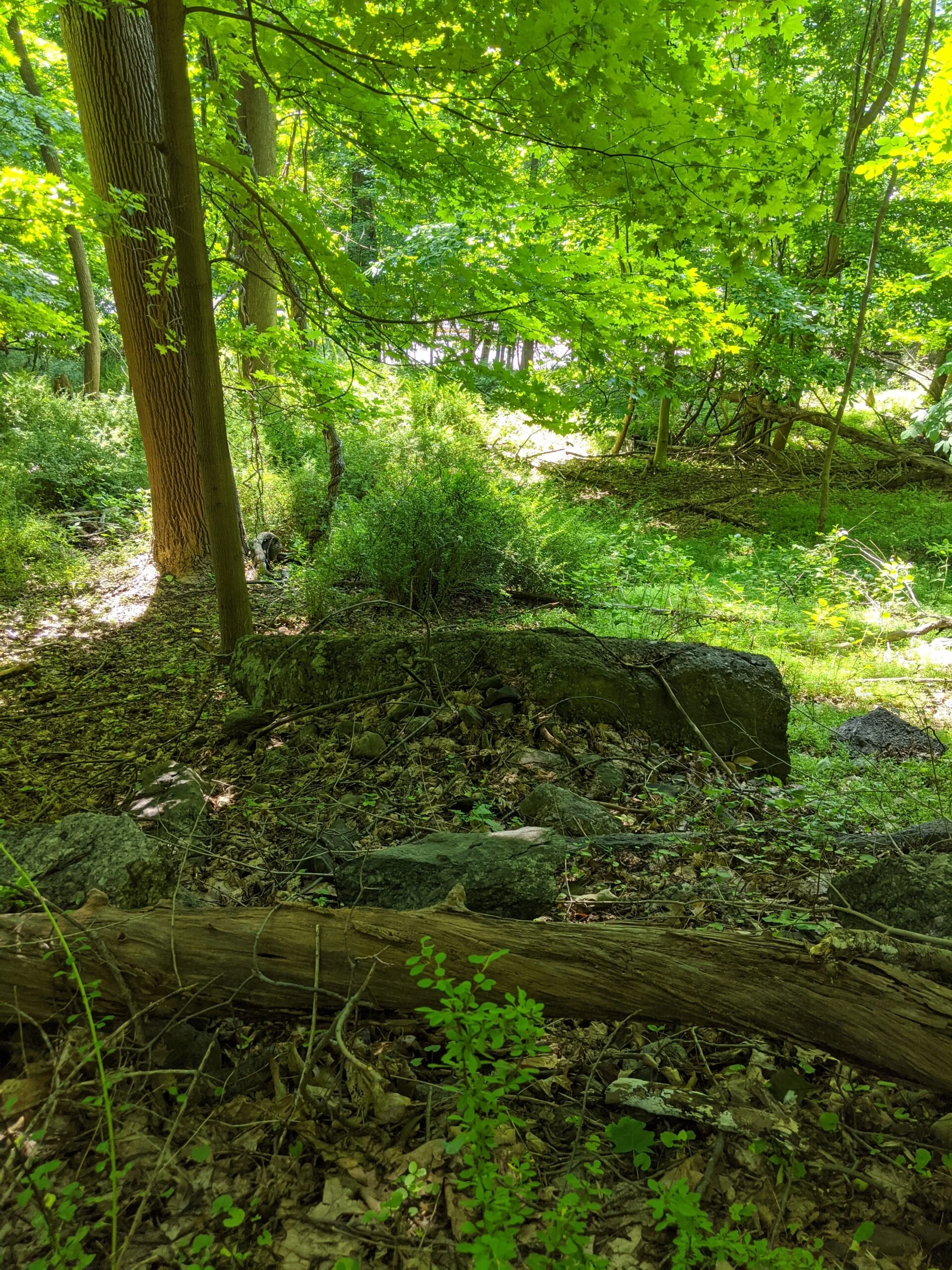
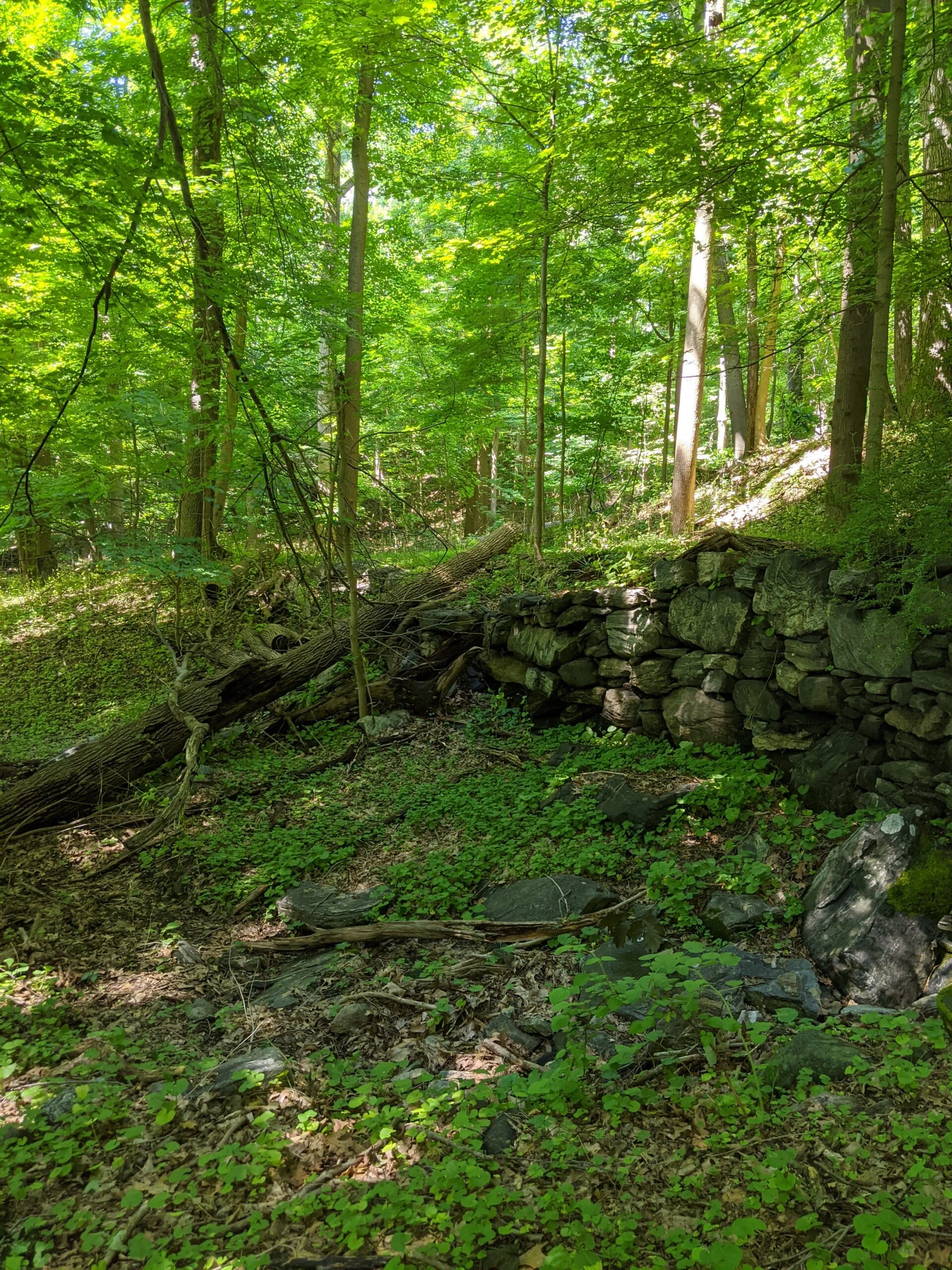
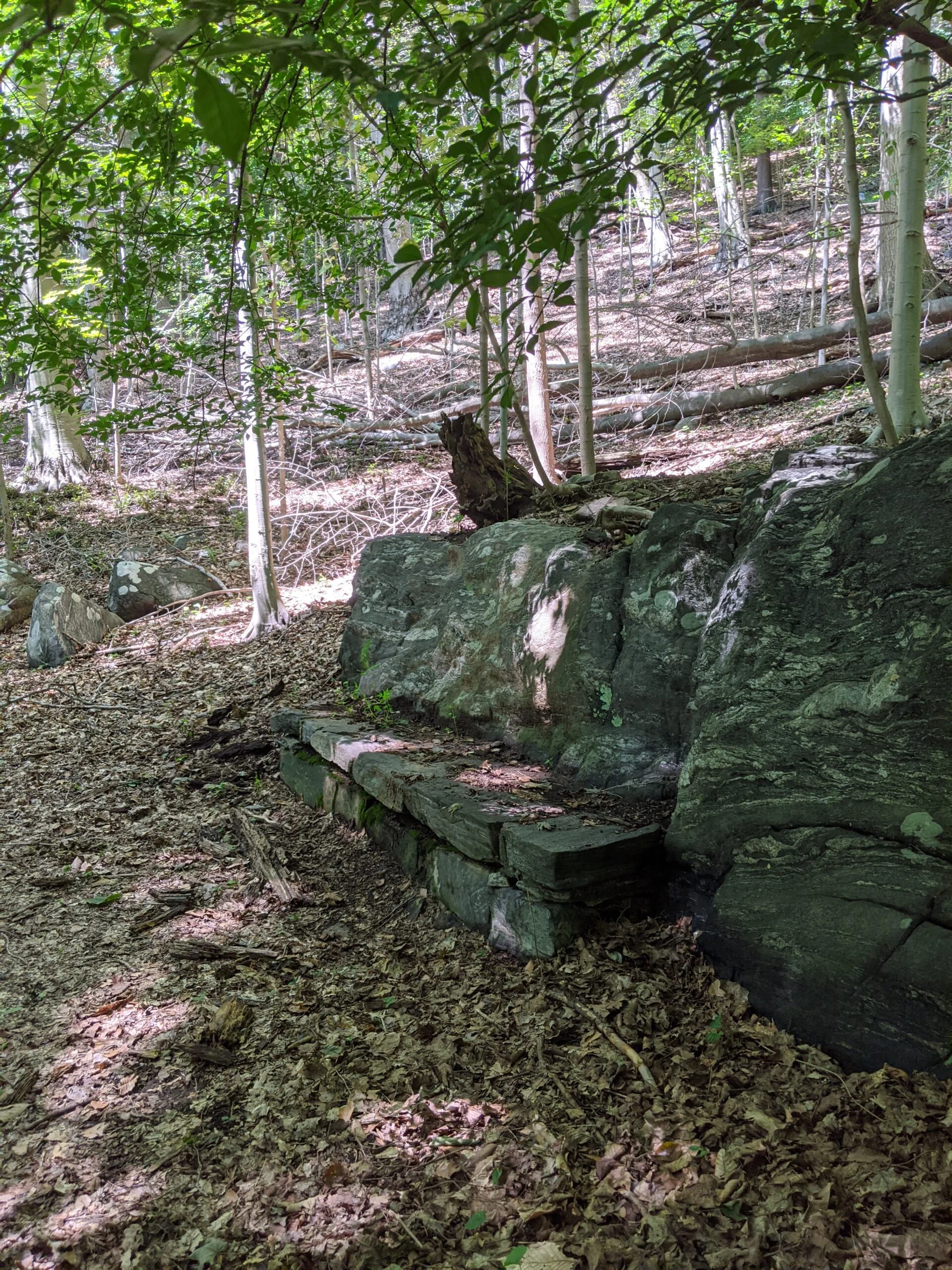
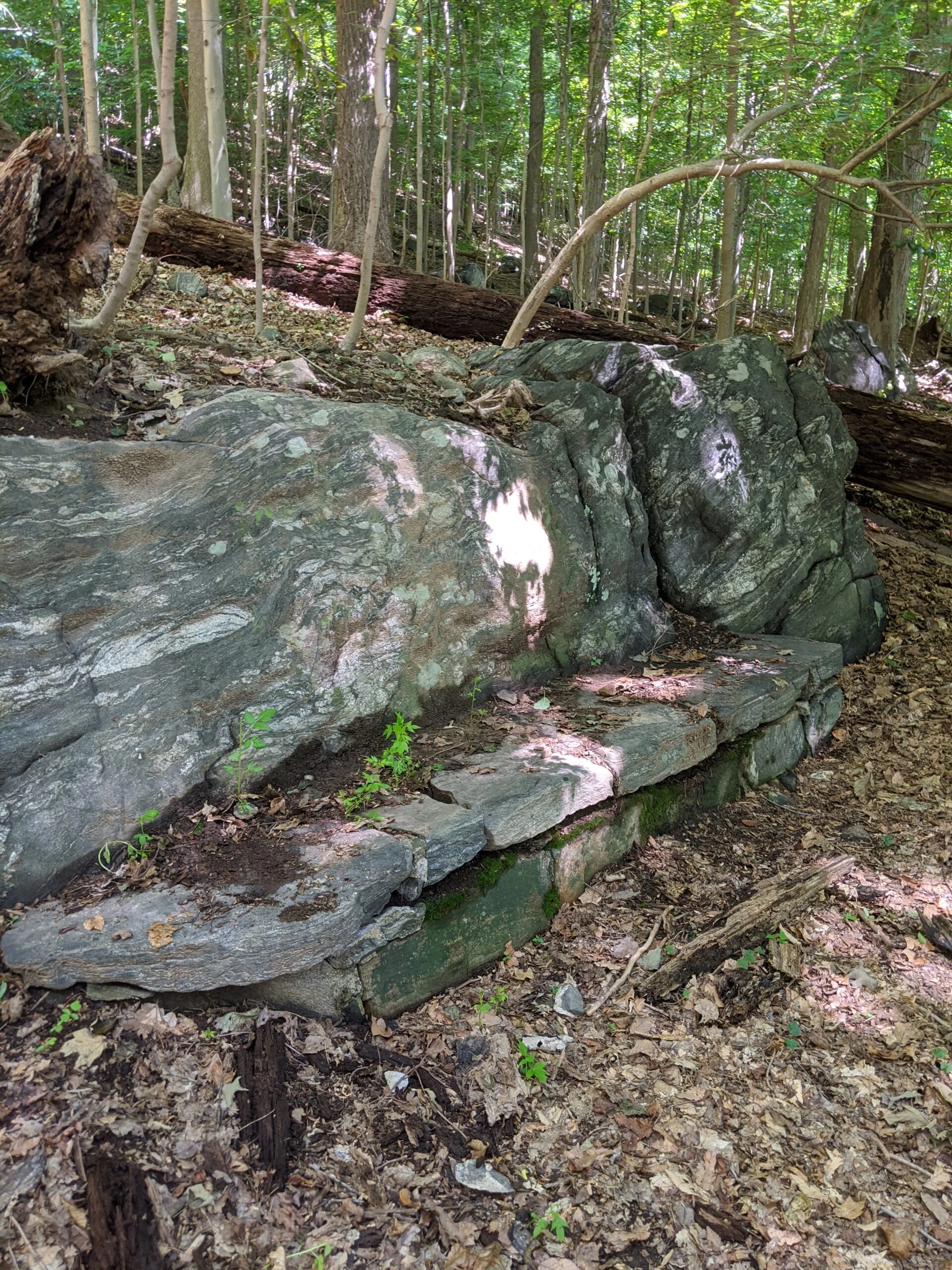
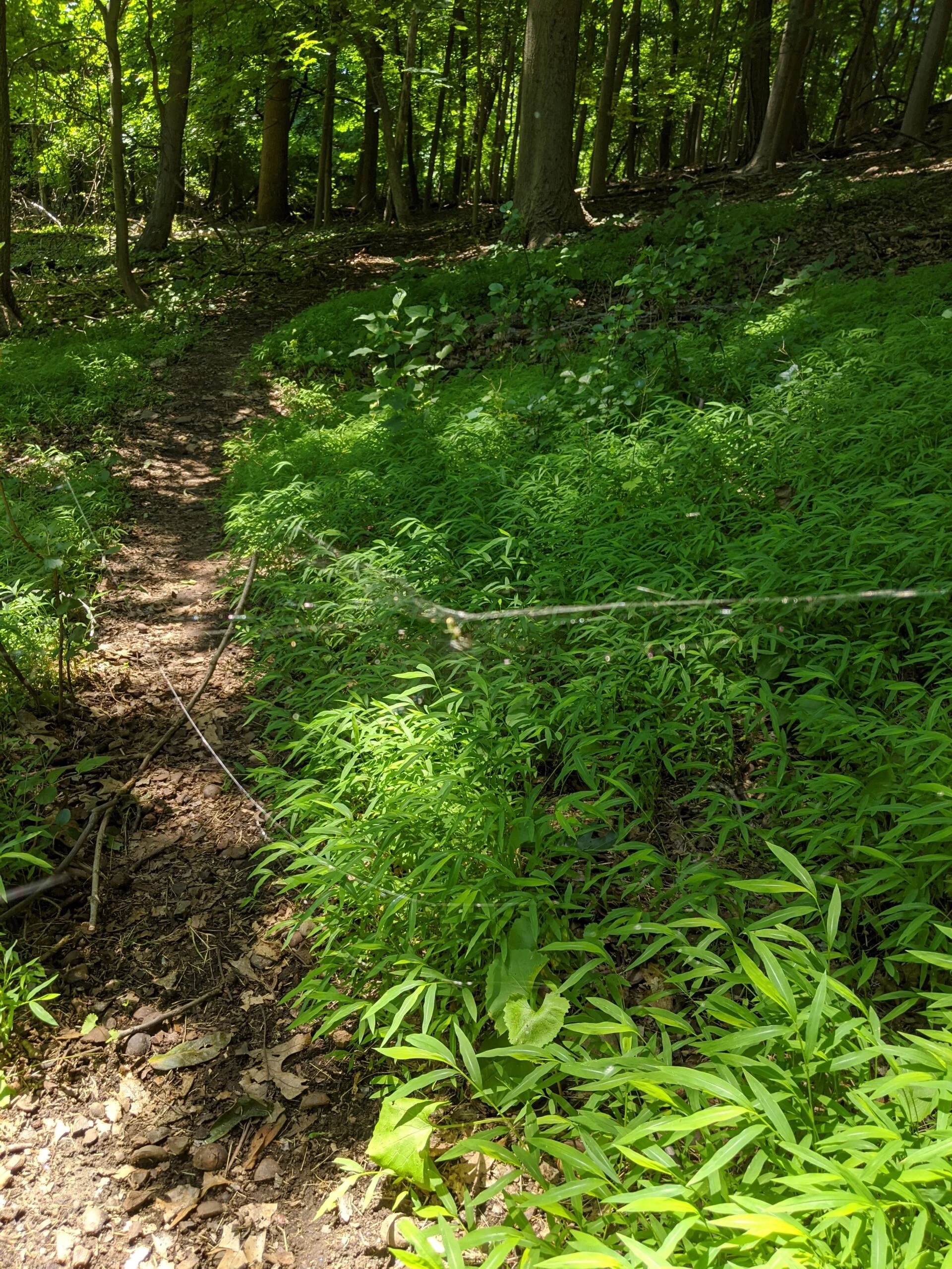
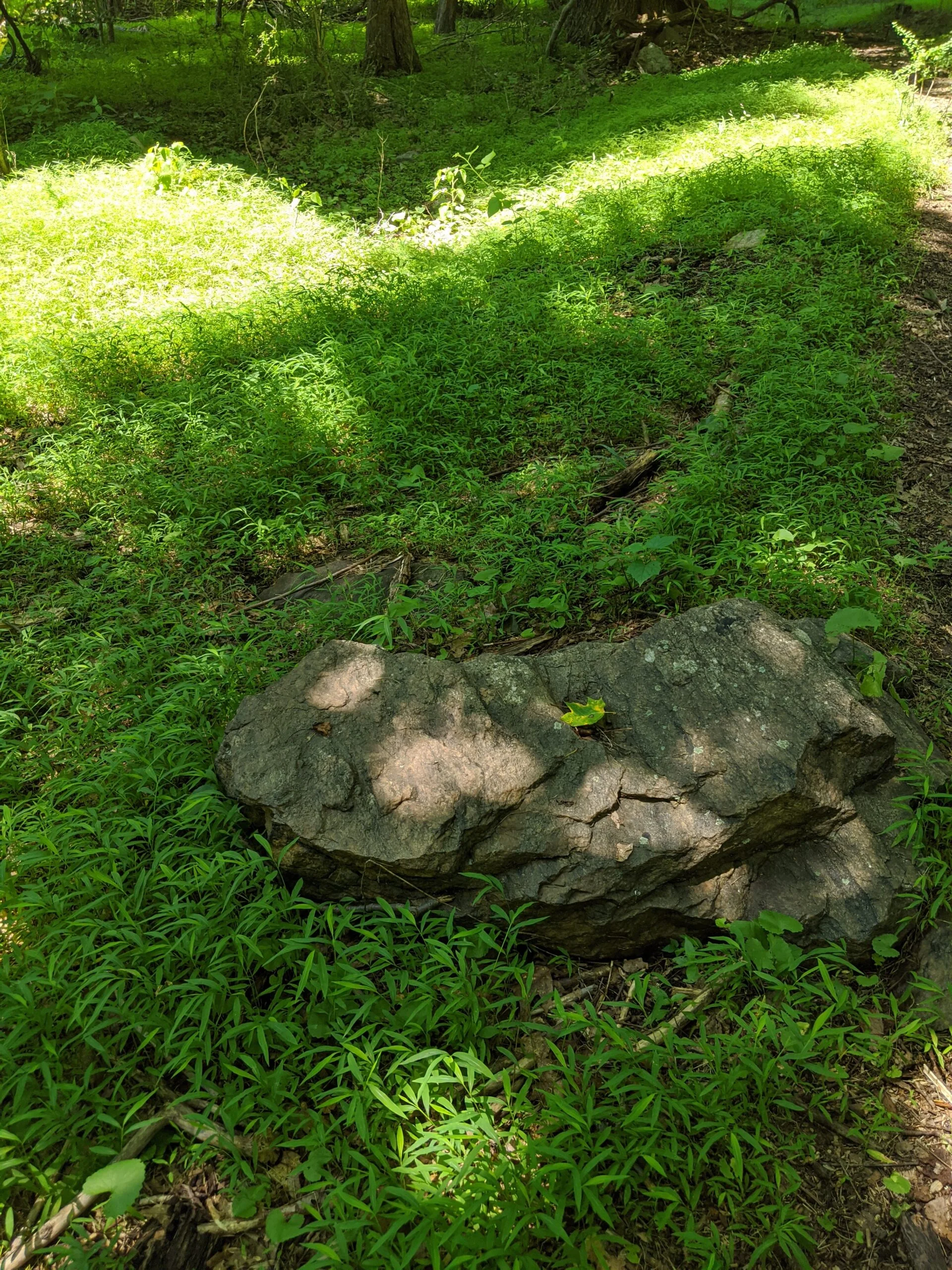
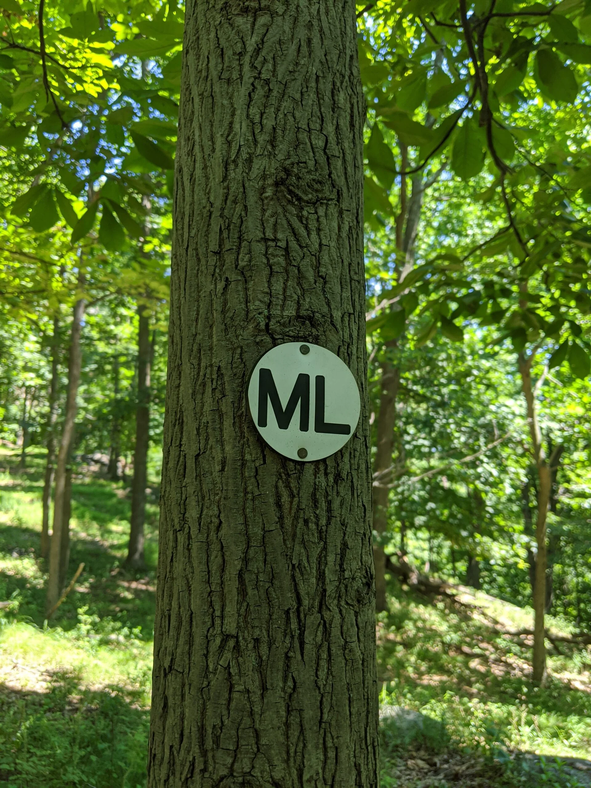
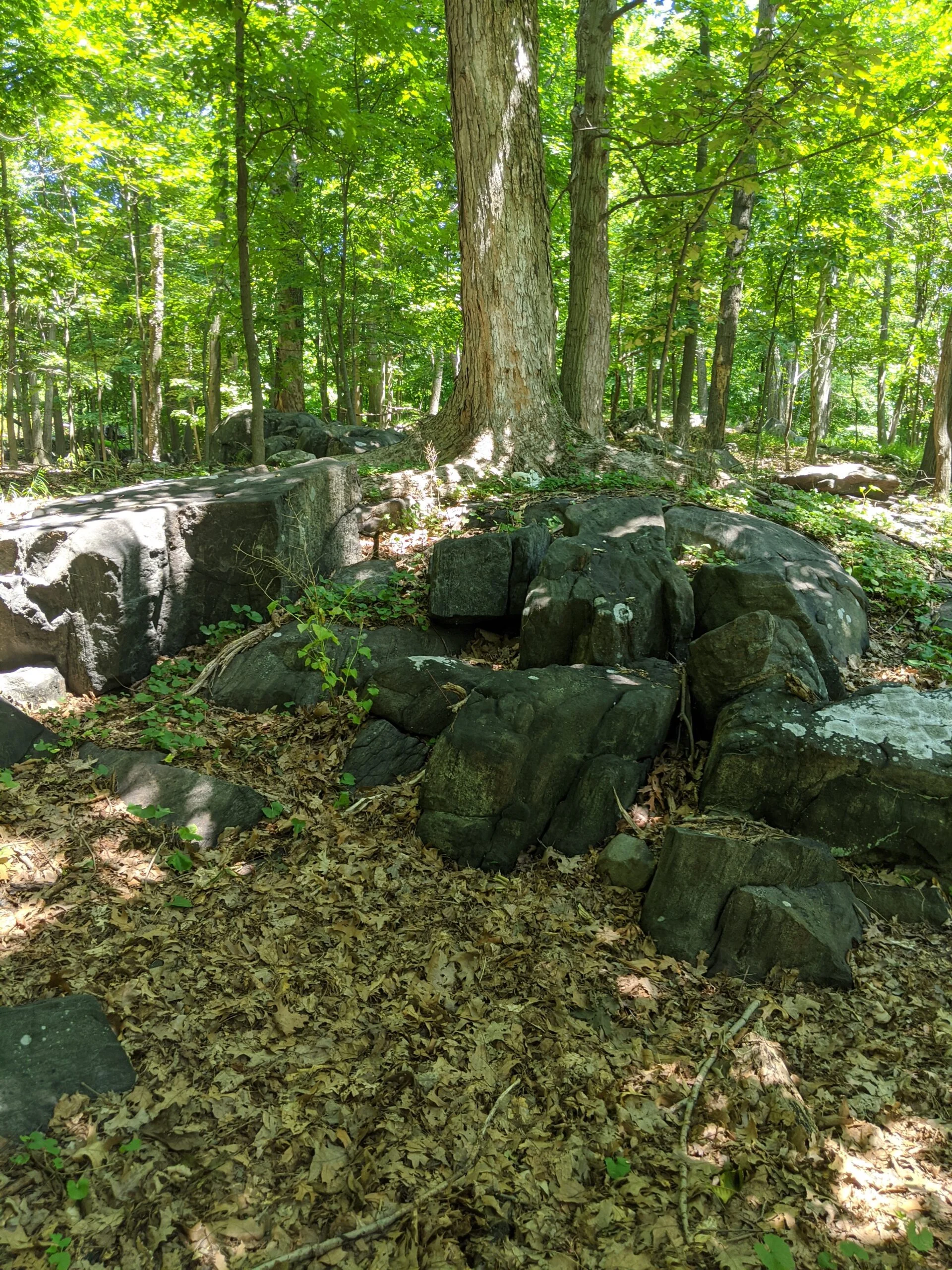
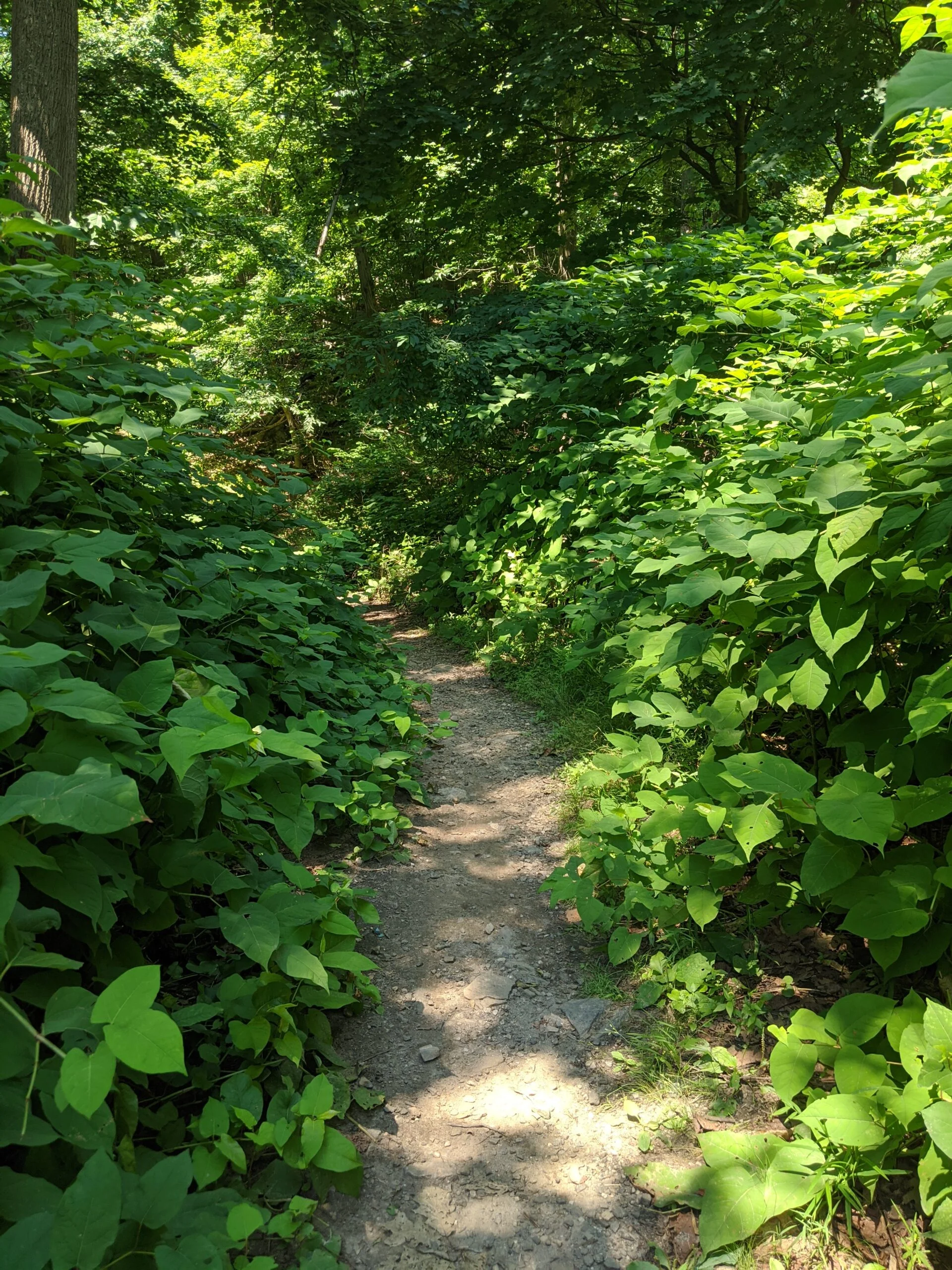
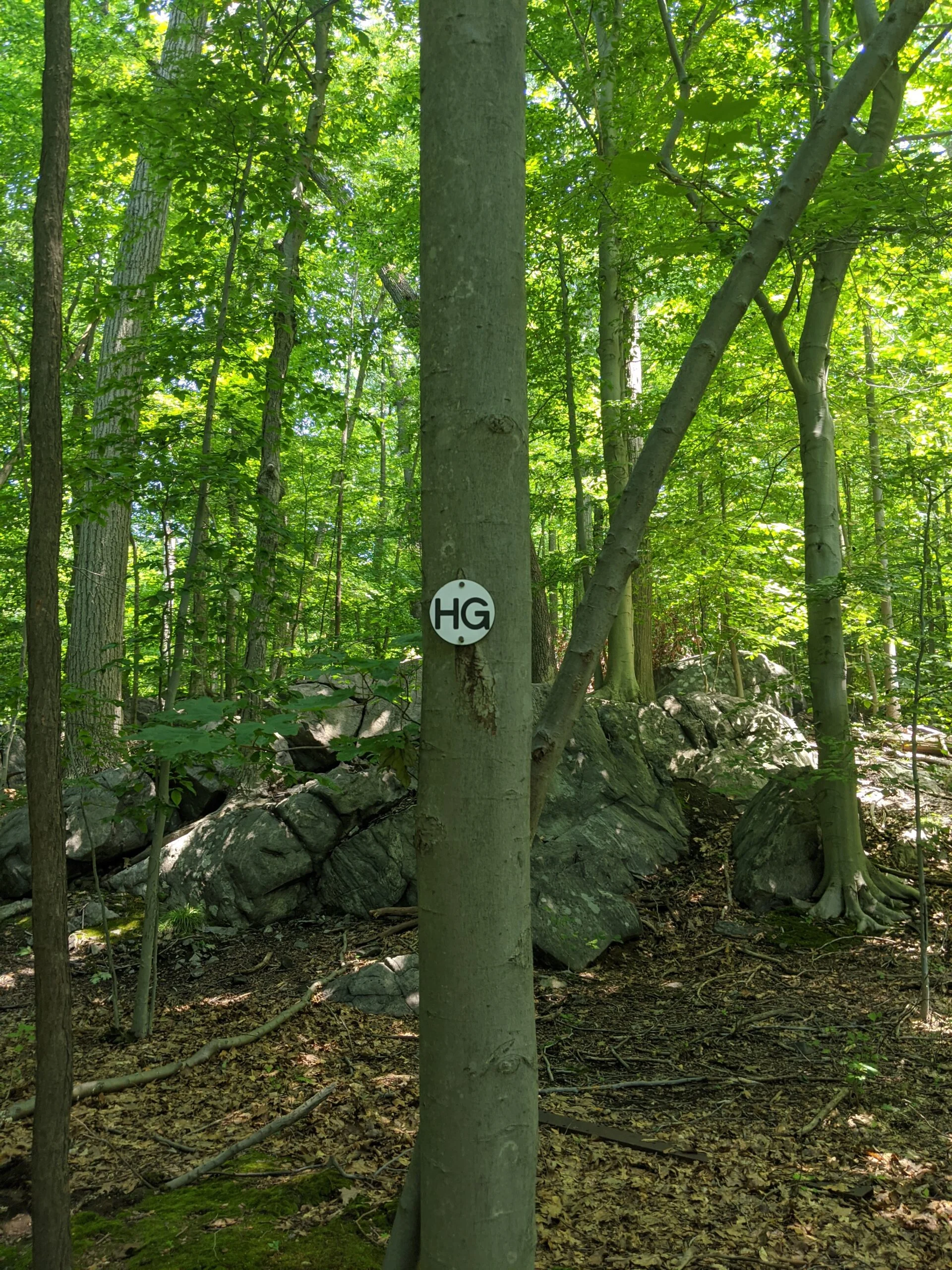
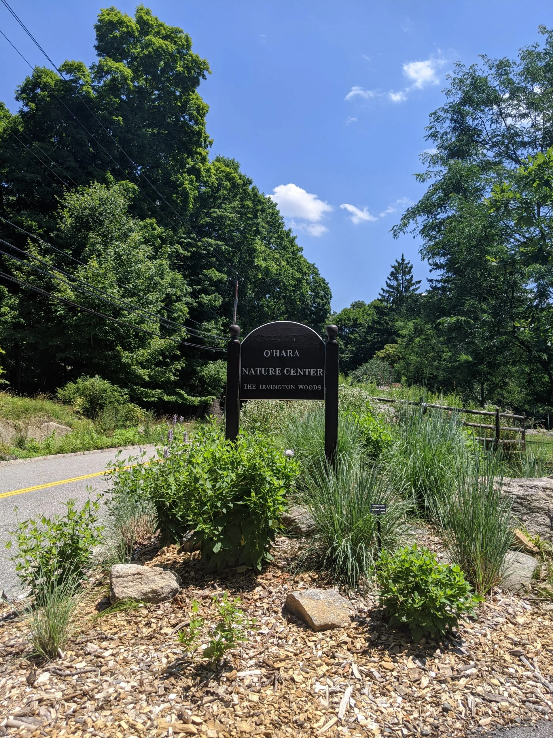
My hike started off at the NS entrance at the O’Hara Nature Center parking lot. I followed NS south to HW. As I was circling an algae pond for photos, I found a new unmarked path off to the left behind the pond, so I followed it until it put me down near 17A. I traced HG to ML/GL, then south on ML at 25. There’s a cool rock bench and some rock walls along that eastern ML route.
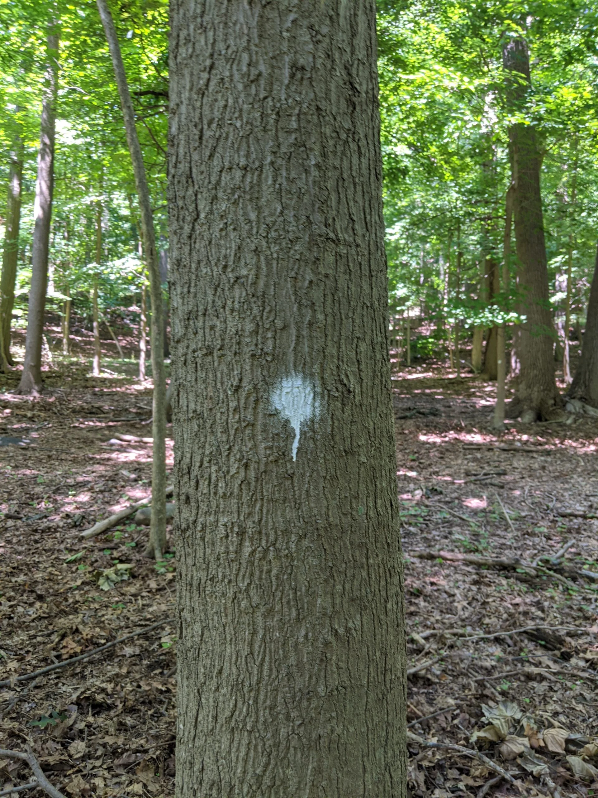
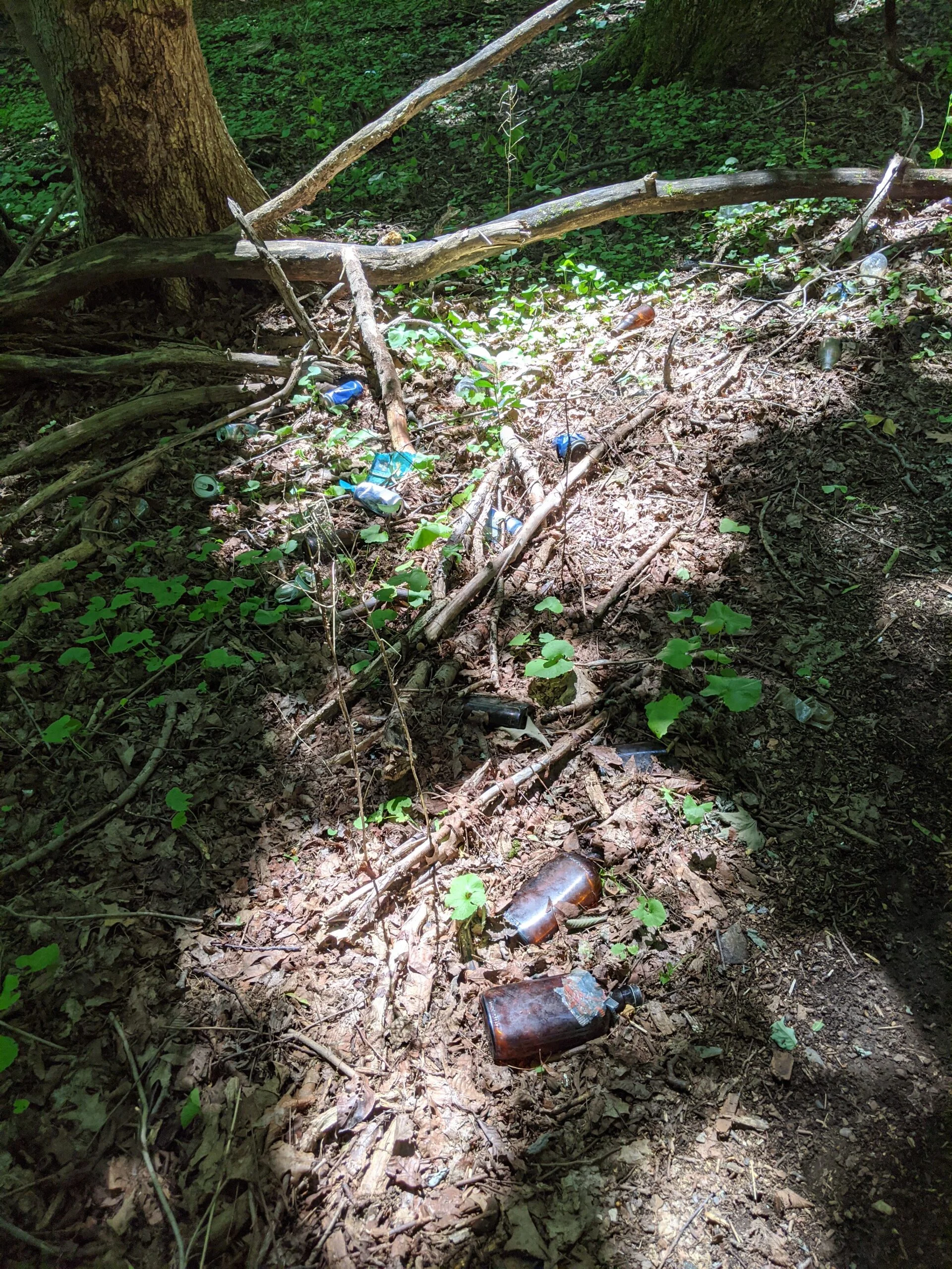
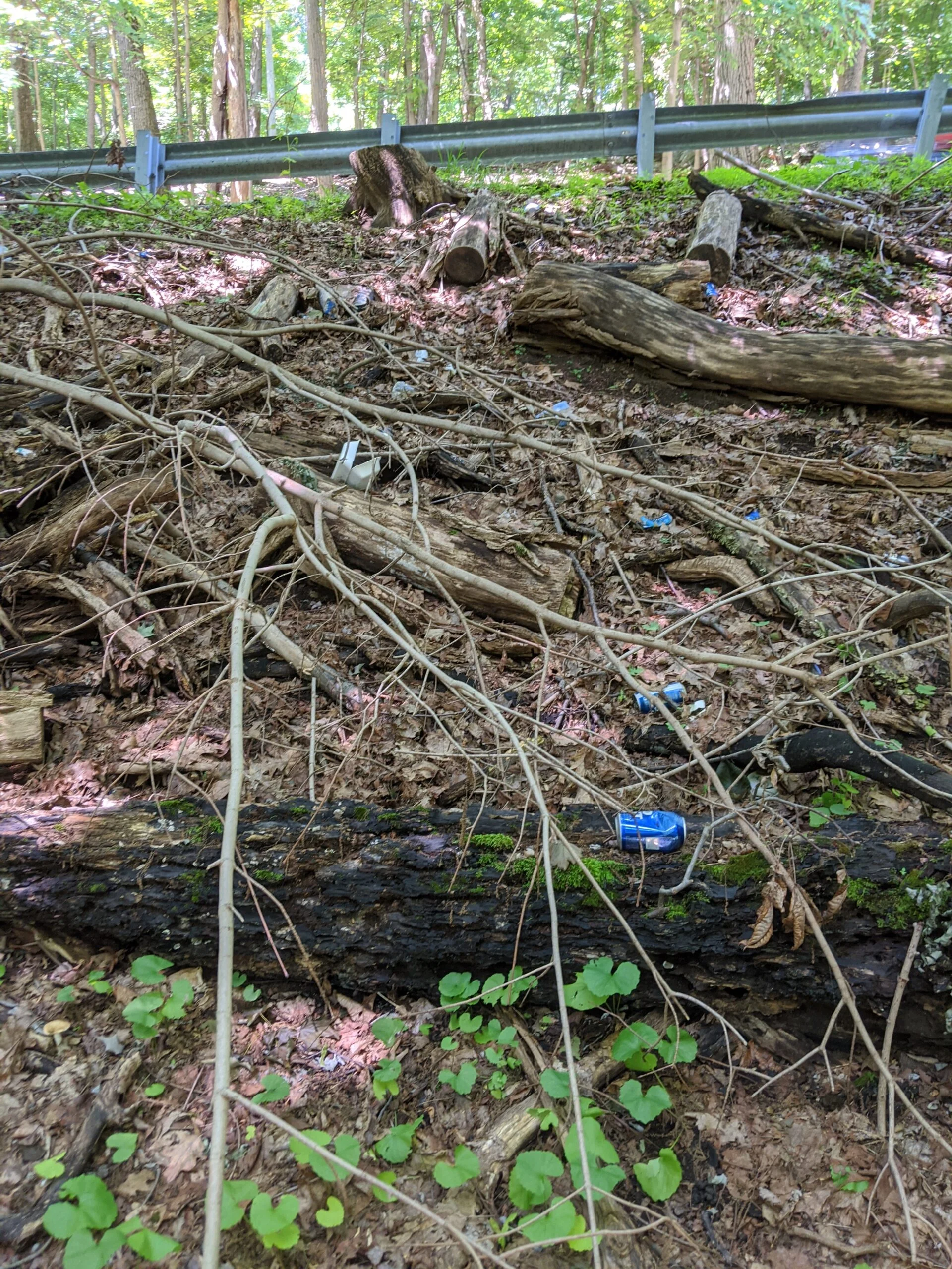
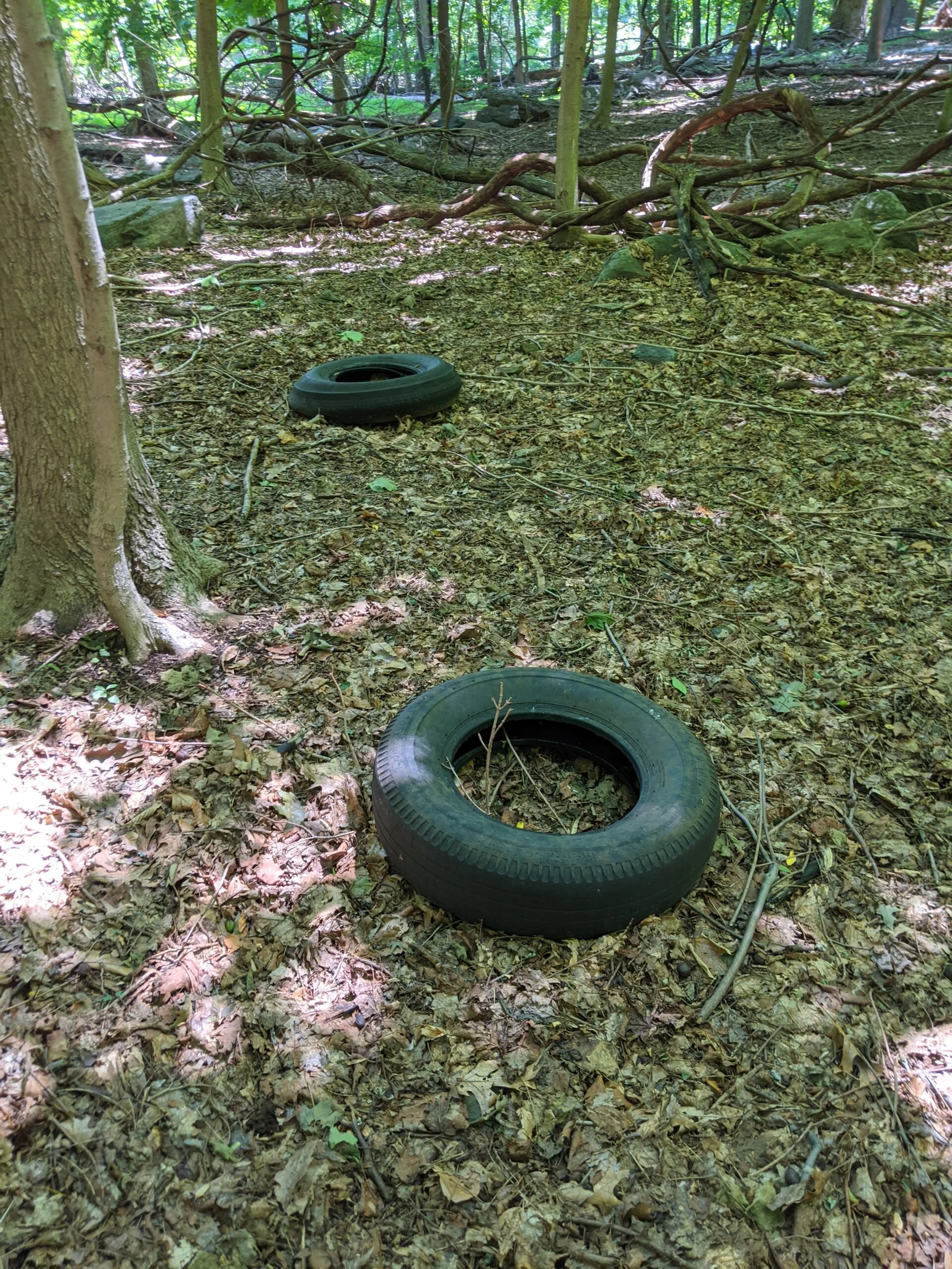
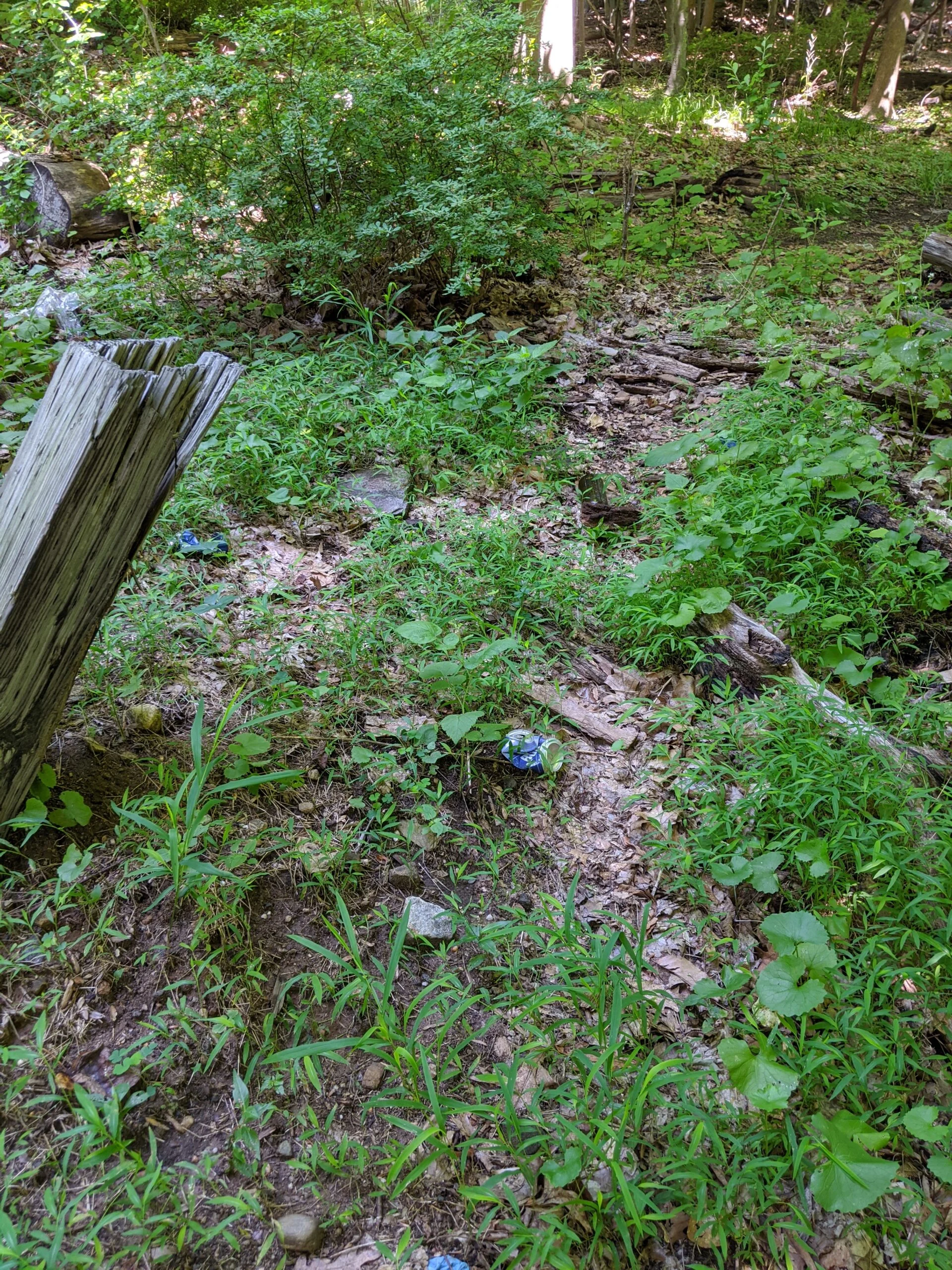
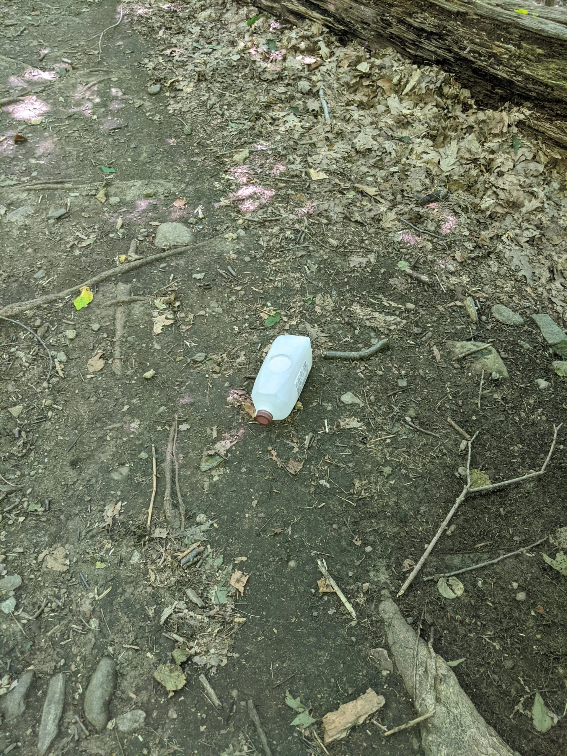
My goal for the day was to surpass the 5 miles I did last time, so I ventured off ML onto the white paint marked trail that splits off at the Terrace. As I rounded the bend of the trail which leads back to ML, I noticed a fork and ventured to the left (west) instead of the to the right (east). This took me on a quaint and quite southwest route that eventually intersected with Cyrus Field Road nearly at the southern most part of the park. There’s a ton of trash and debris along the side of the road. It’s a shame the park is marred by trash thrown from passing vehicles.
I could have doubled back on the white trail at that point, but I didn’t want to retrace my steps, so I walked up Cyrus Field Road (what an incline!) back to the ML trail entrance at 22. After having walked up the road with the heat glaring down on me, I refilled my bladder with the extra 1.5L of water I brought, plus an additional 3 Nuun tablets.
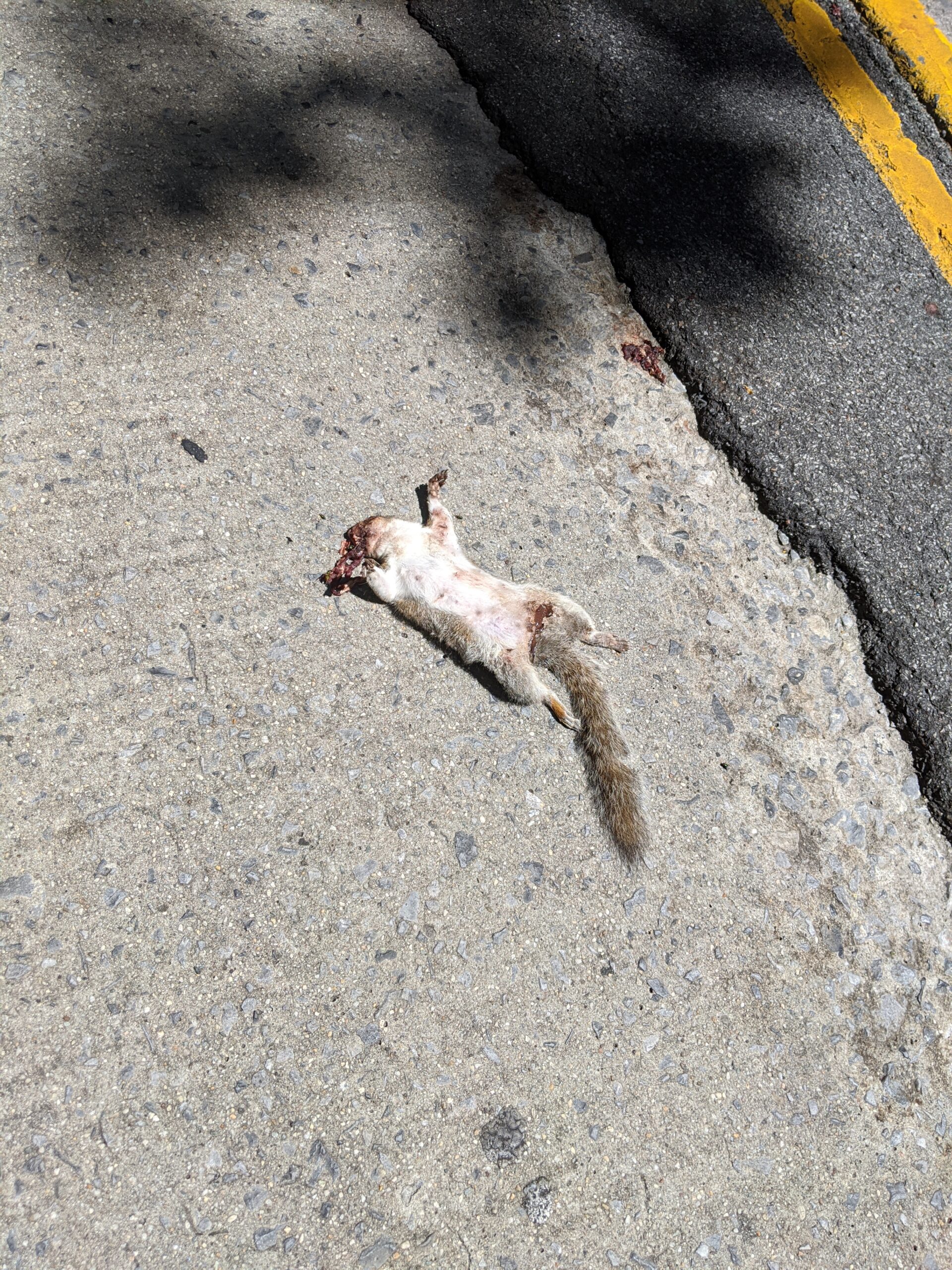
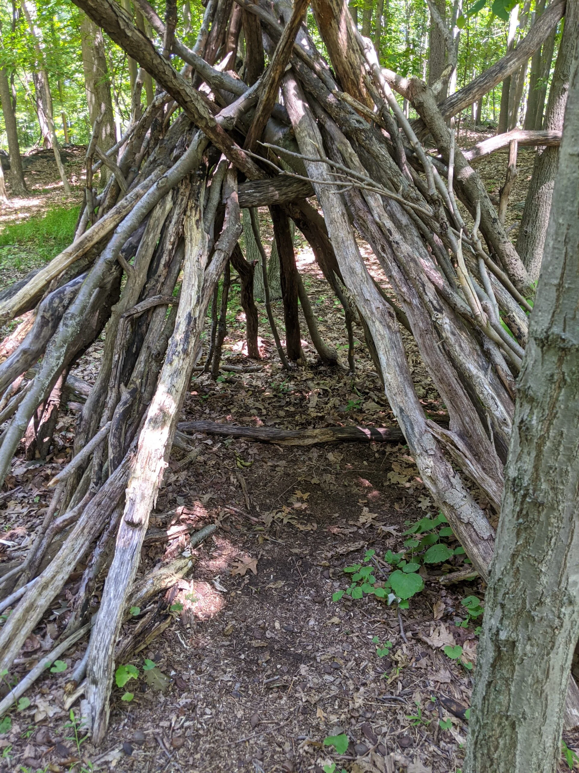
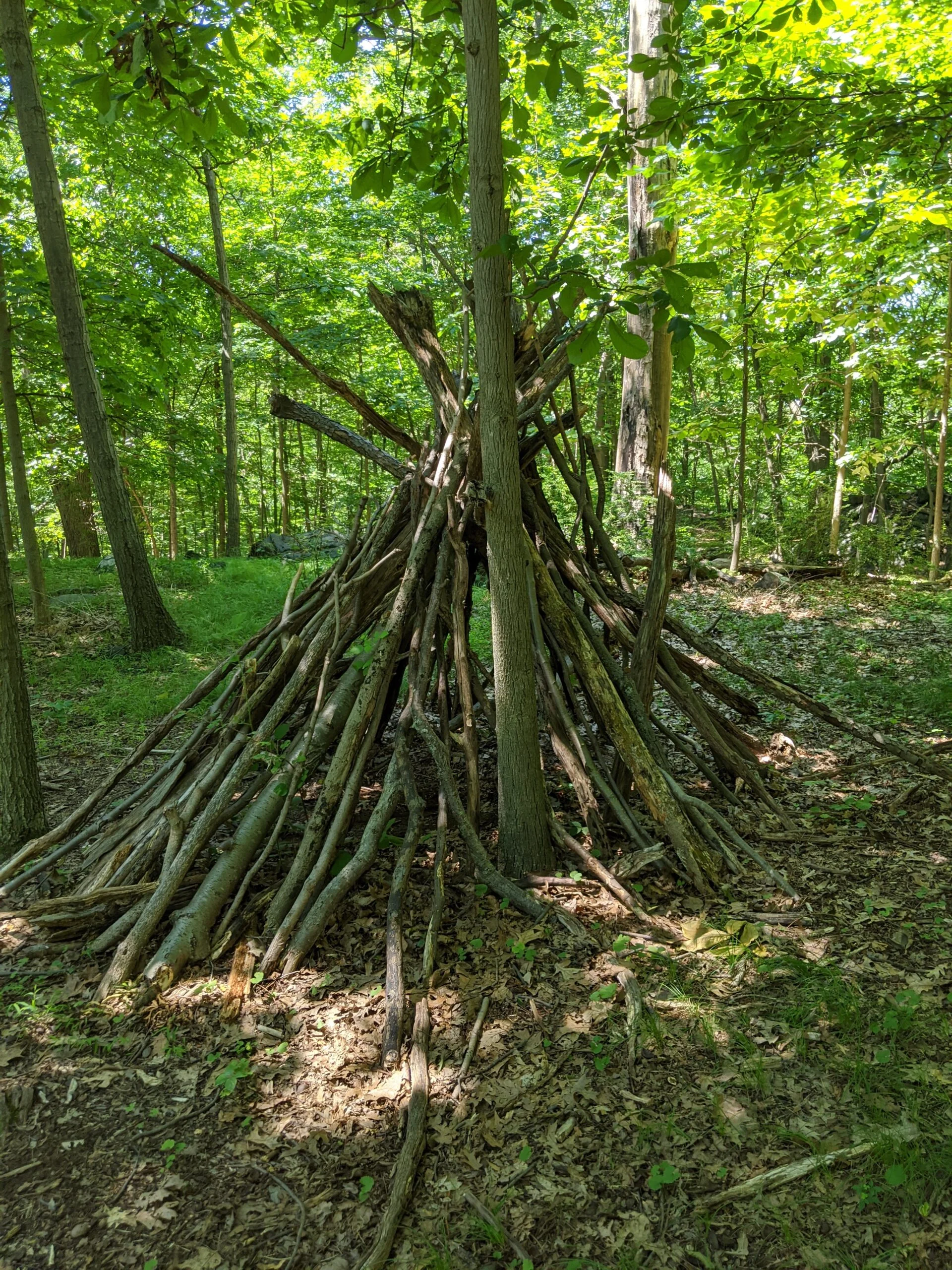
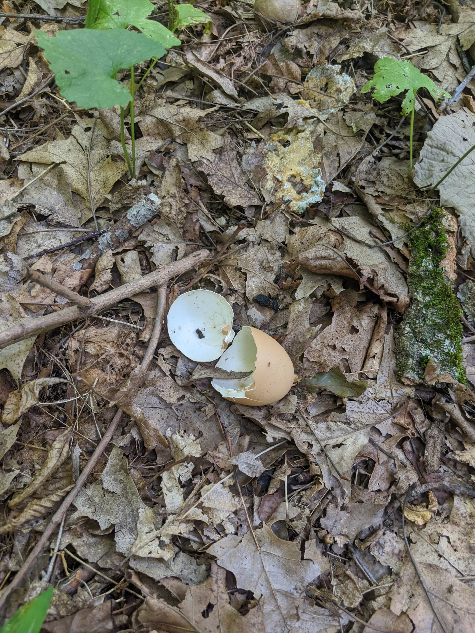
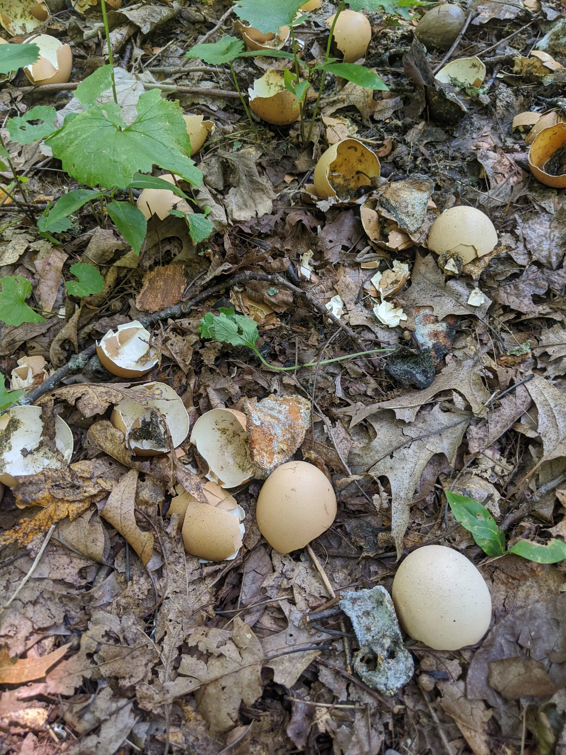
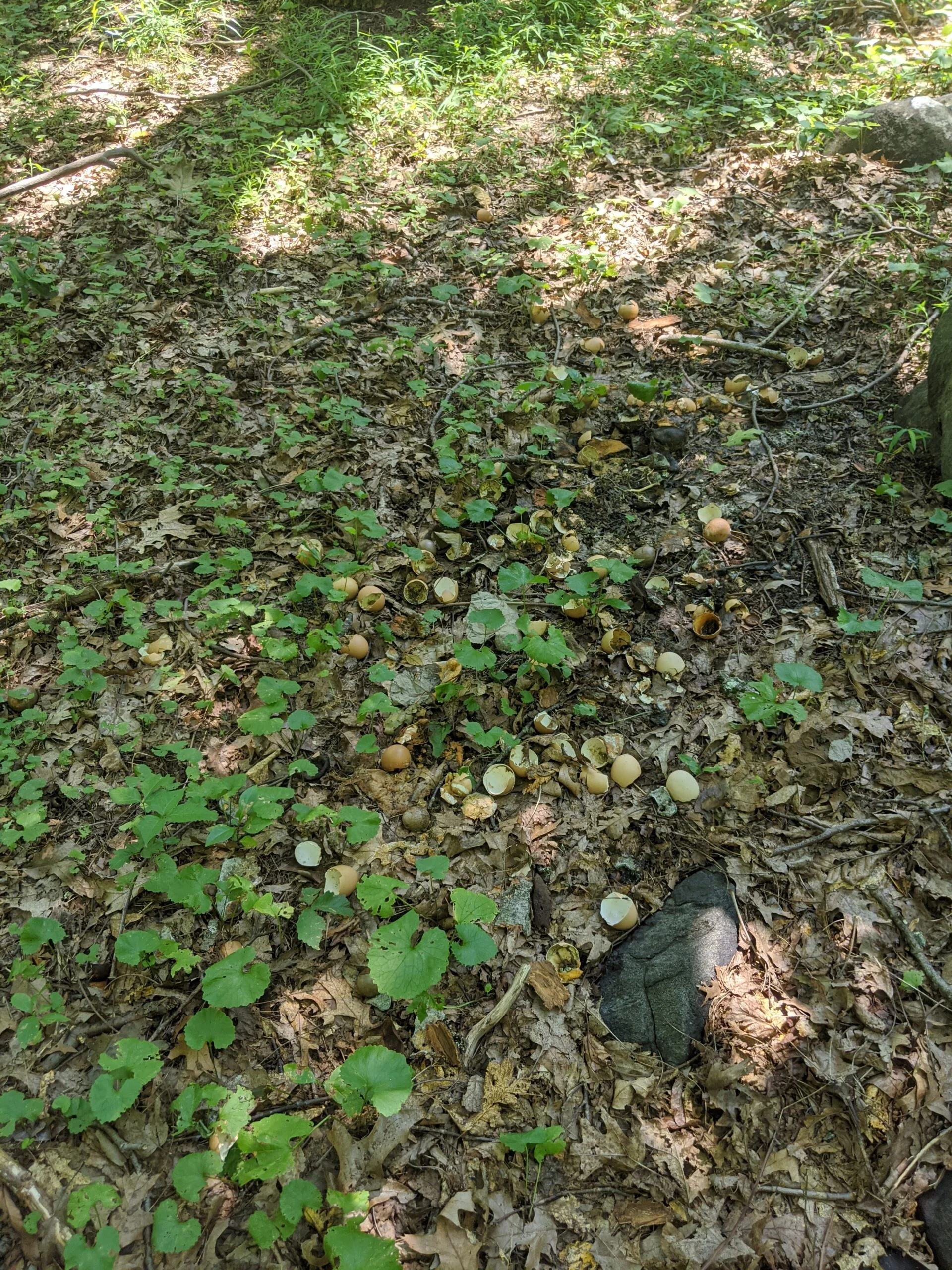
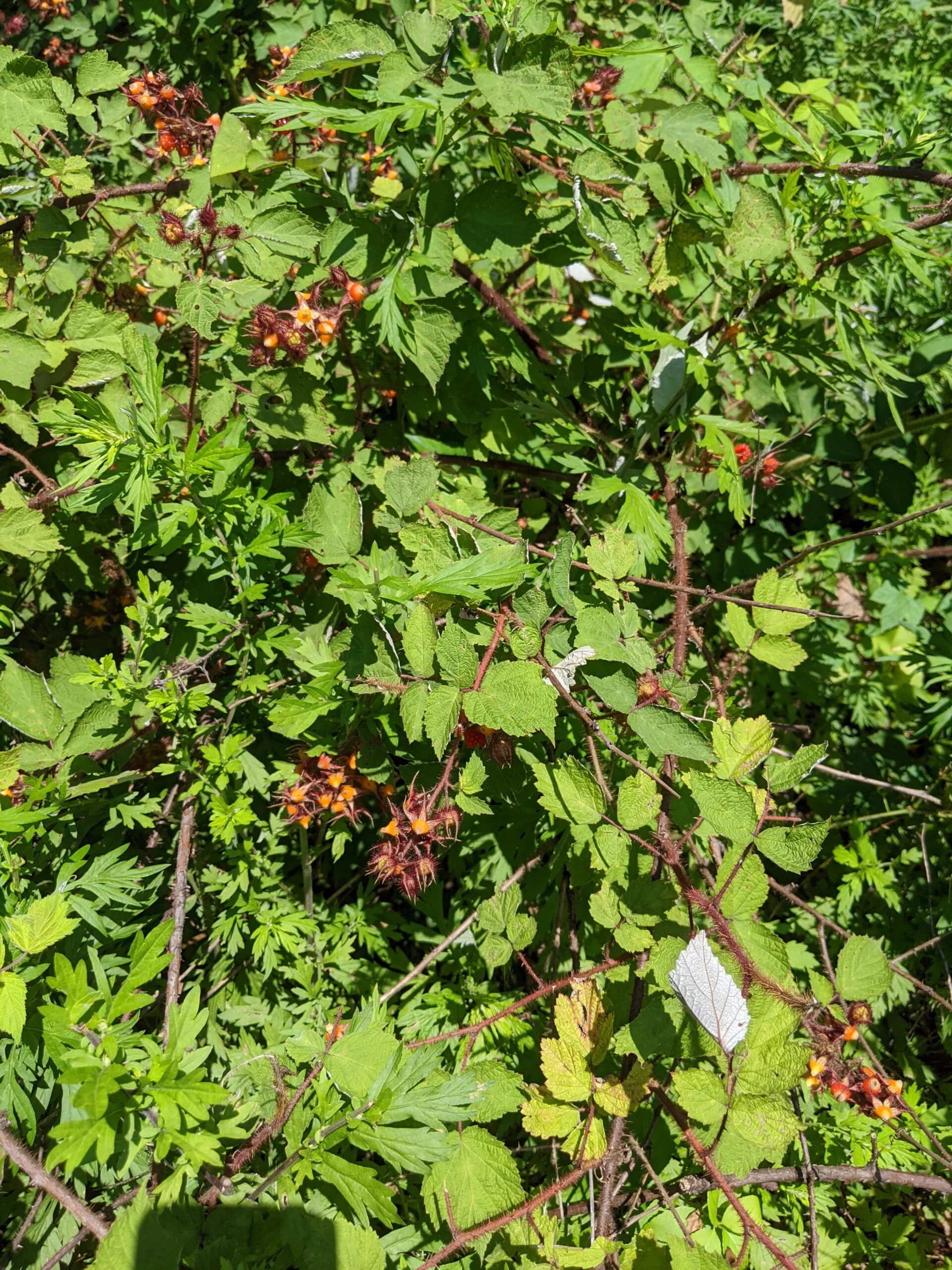
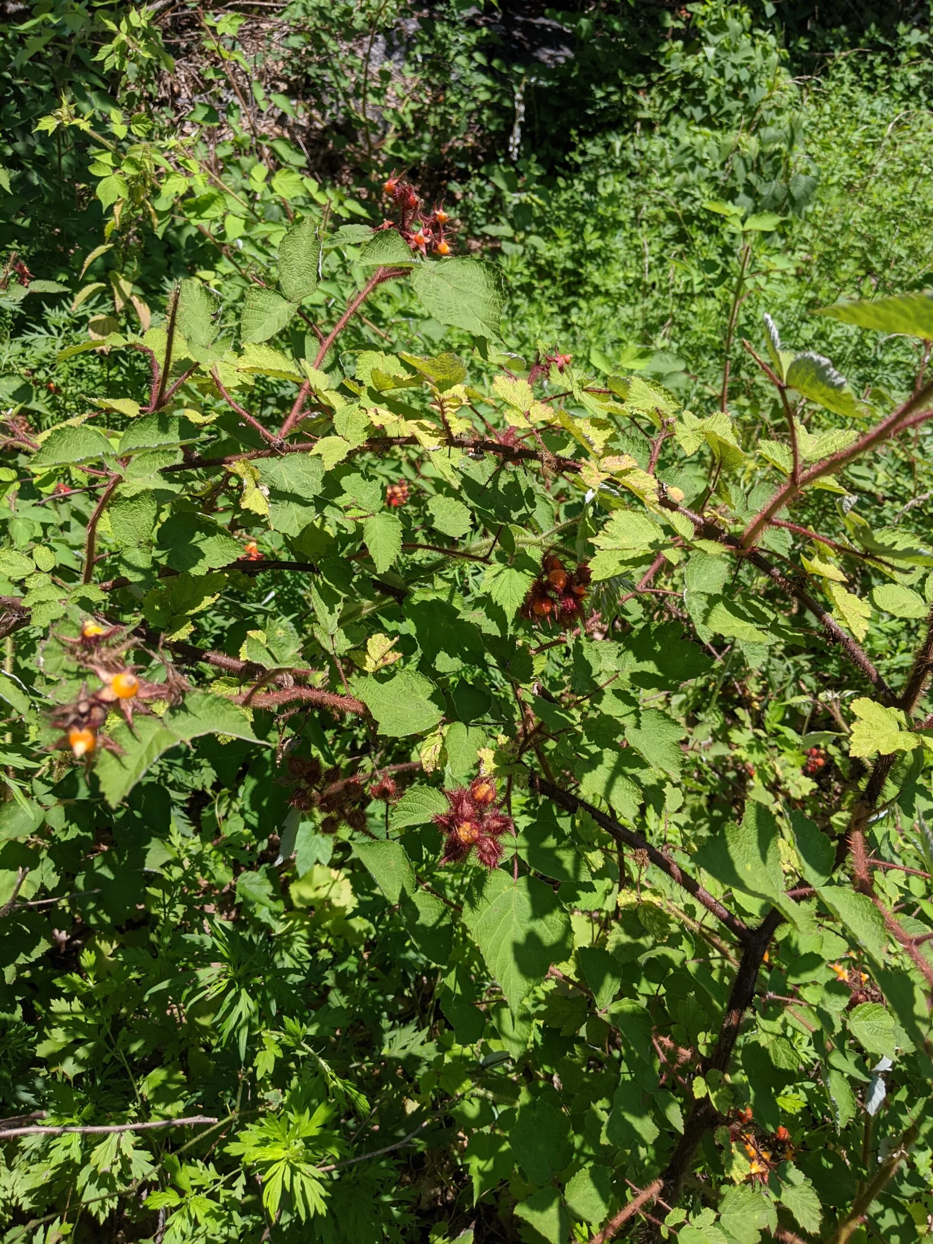
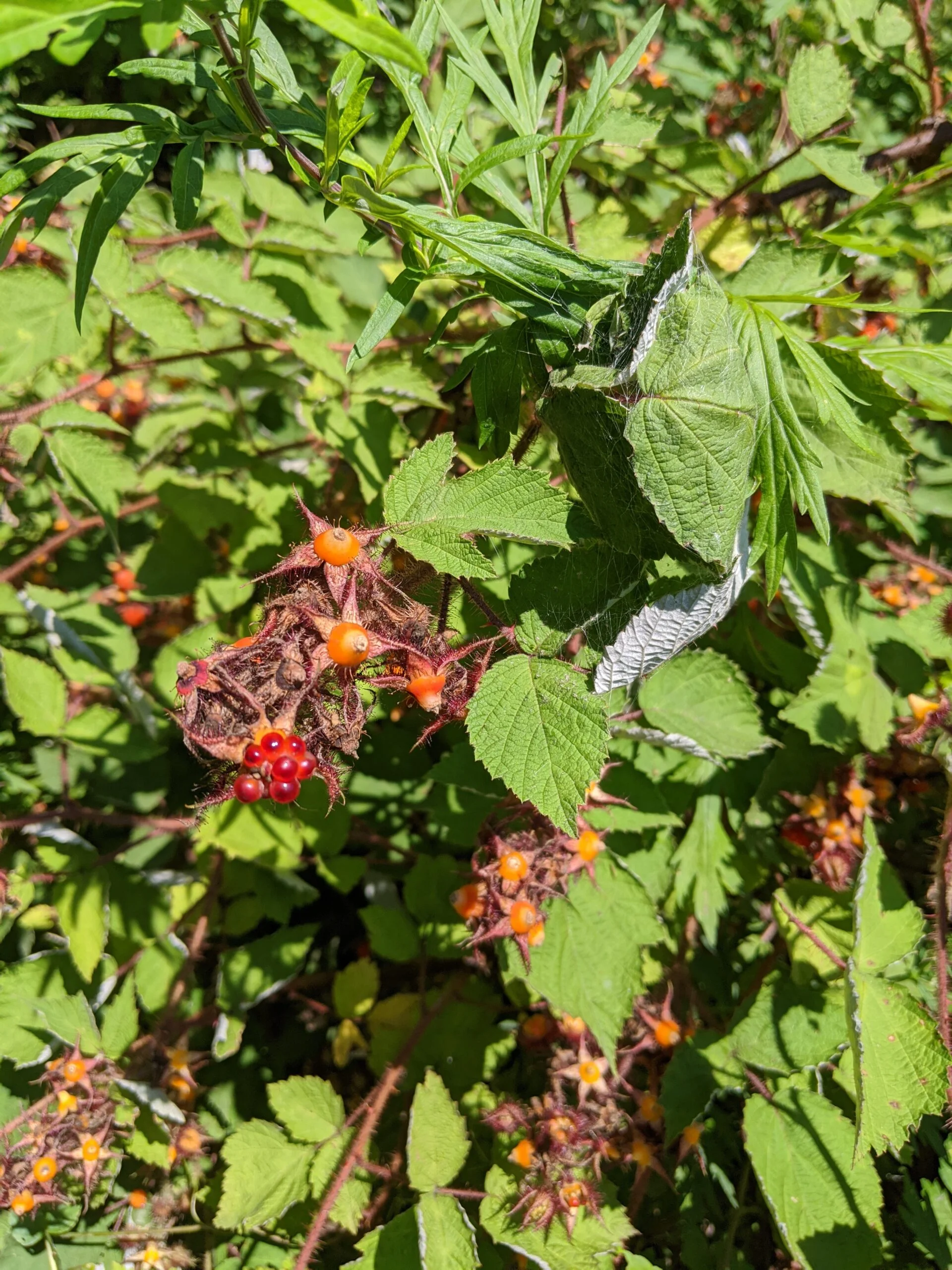
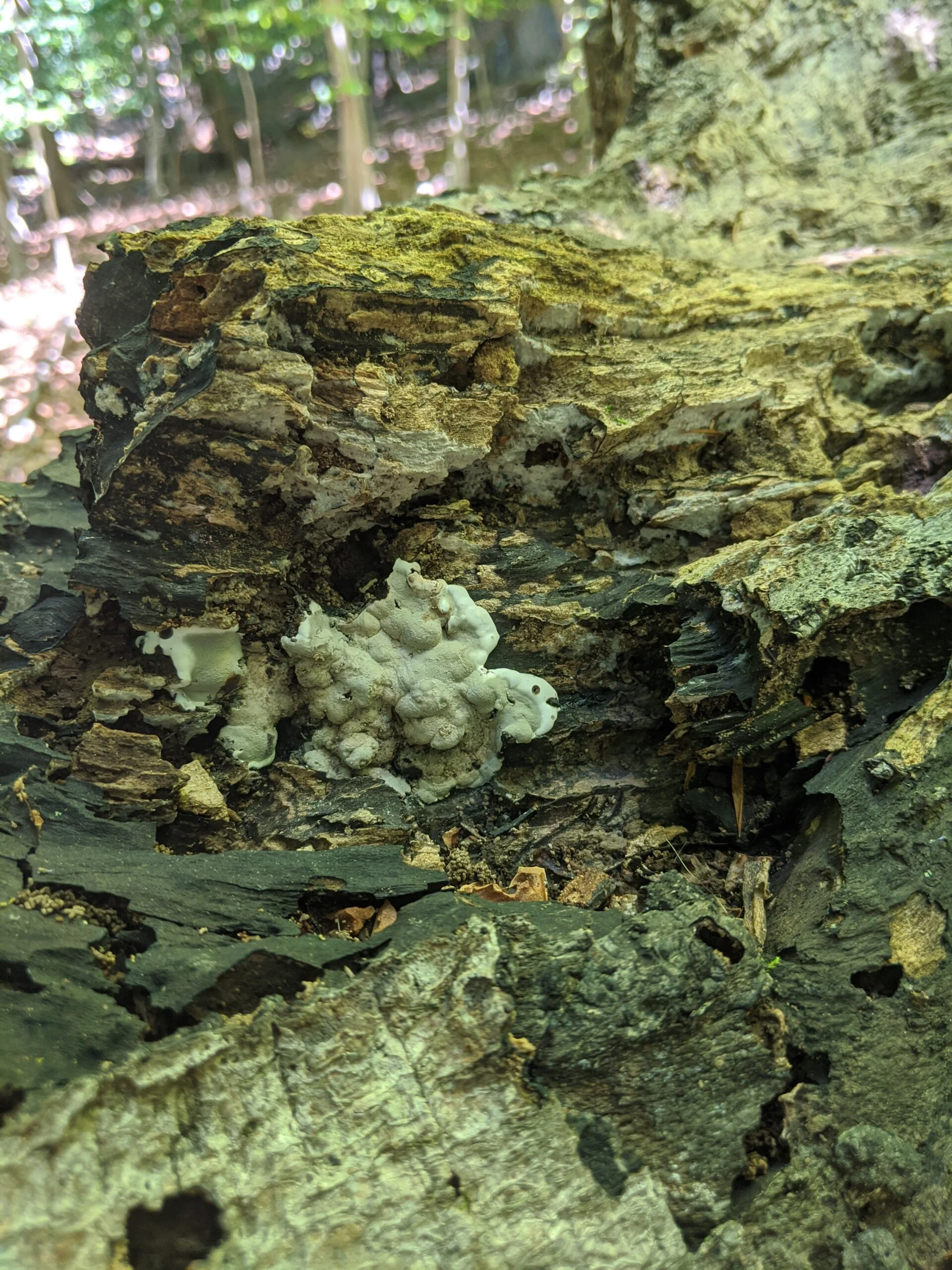
I continued north on ML and stopped for a selfie at a teepee along the northern ML route. I made it up through some of those interior paths that are not marked, then stopped to snack on a Cranberry Almond KIND bar ($). Where I happened to stop, there were a bunch of hatched eggs, but I couldn’t tell what kind of animal they were from.
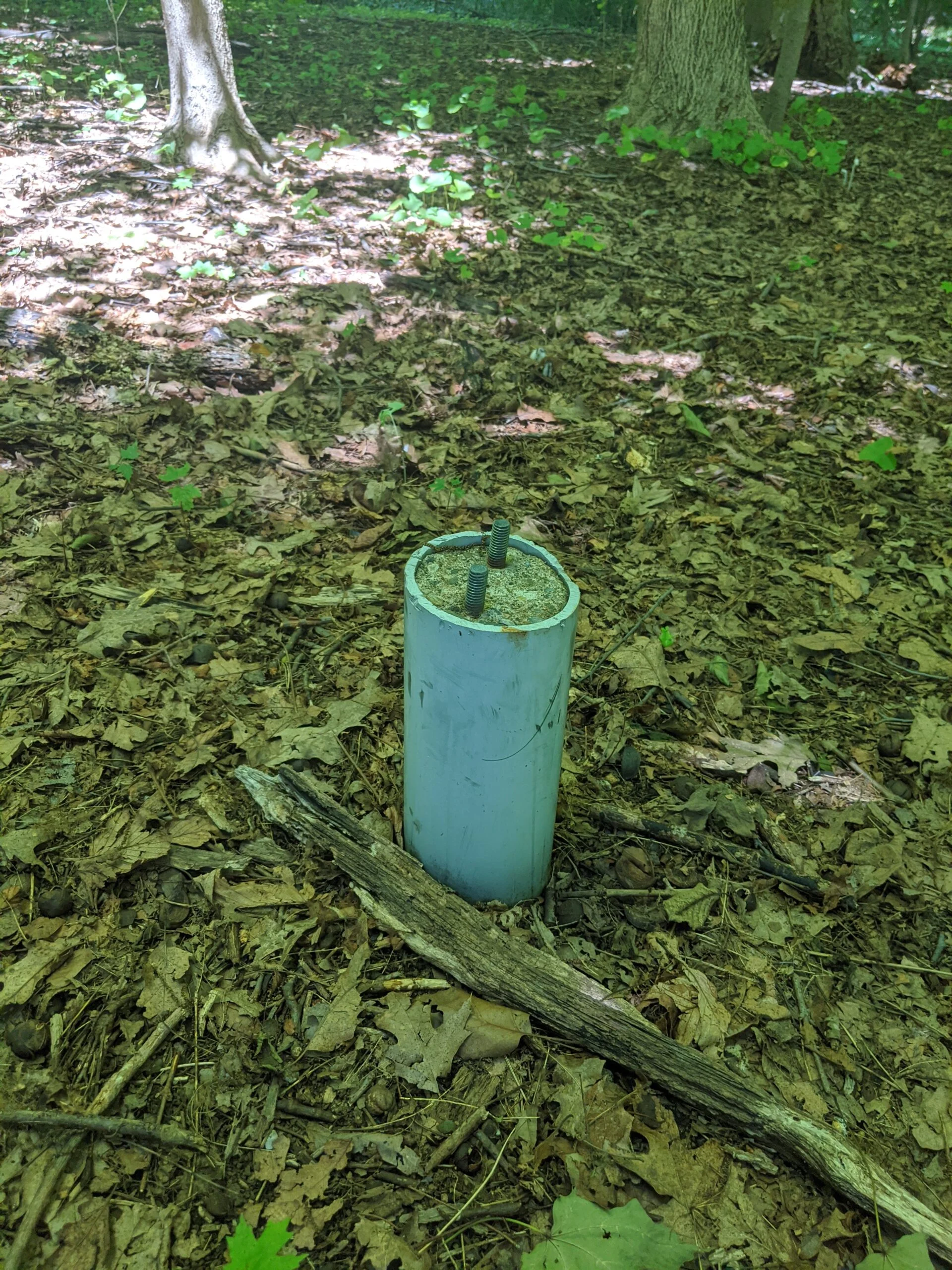
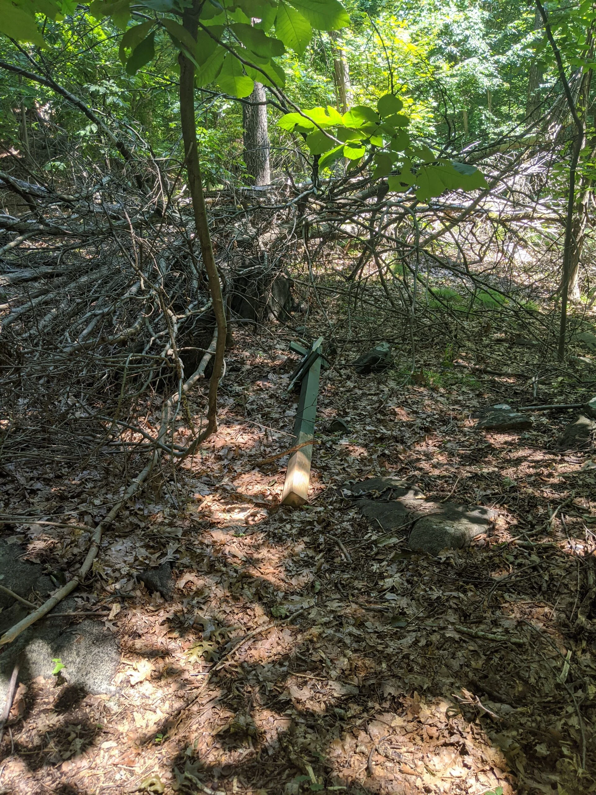
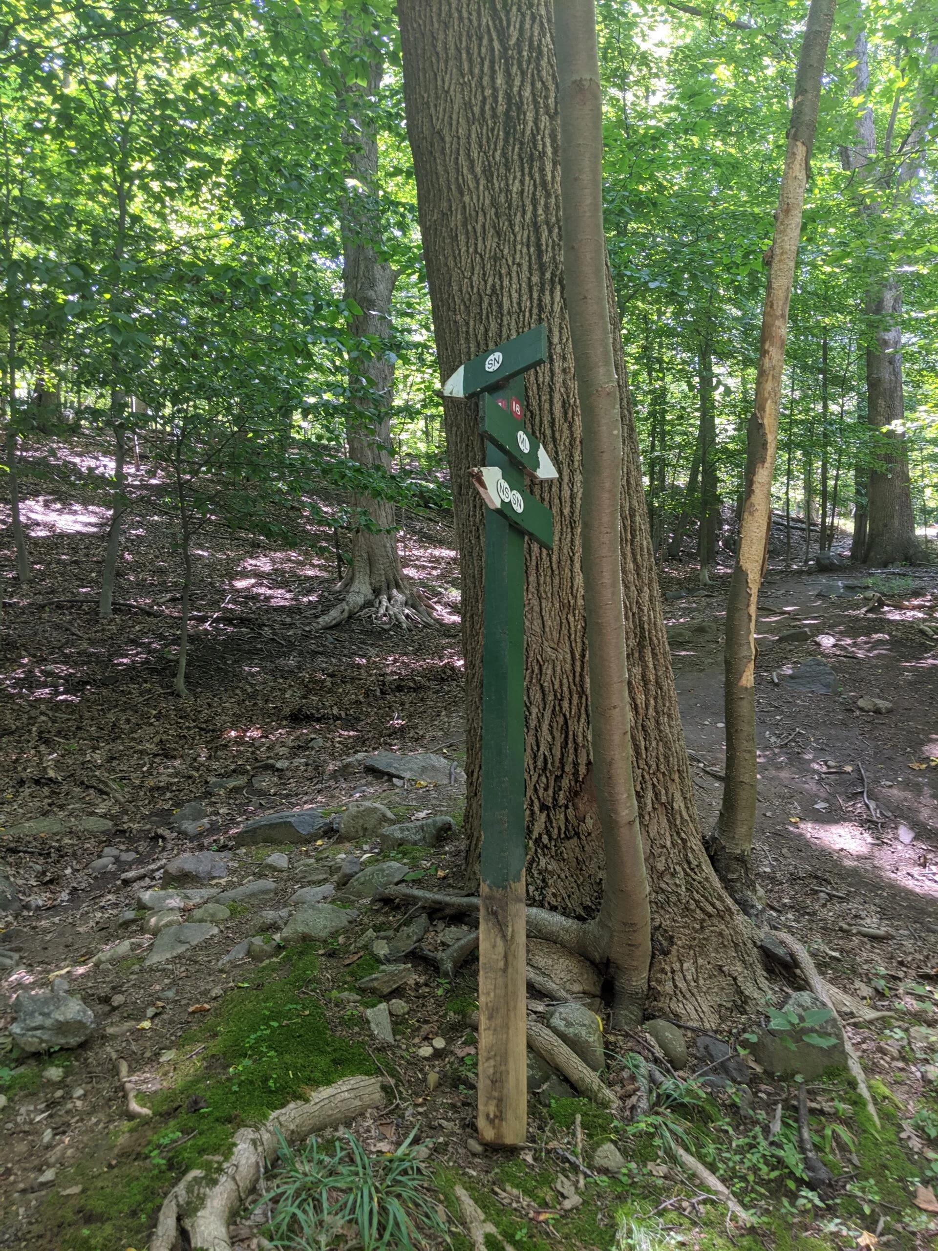
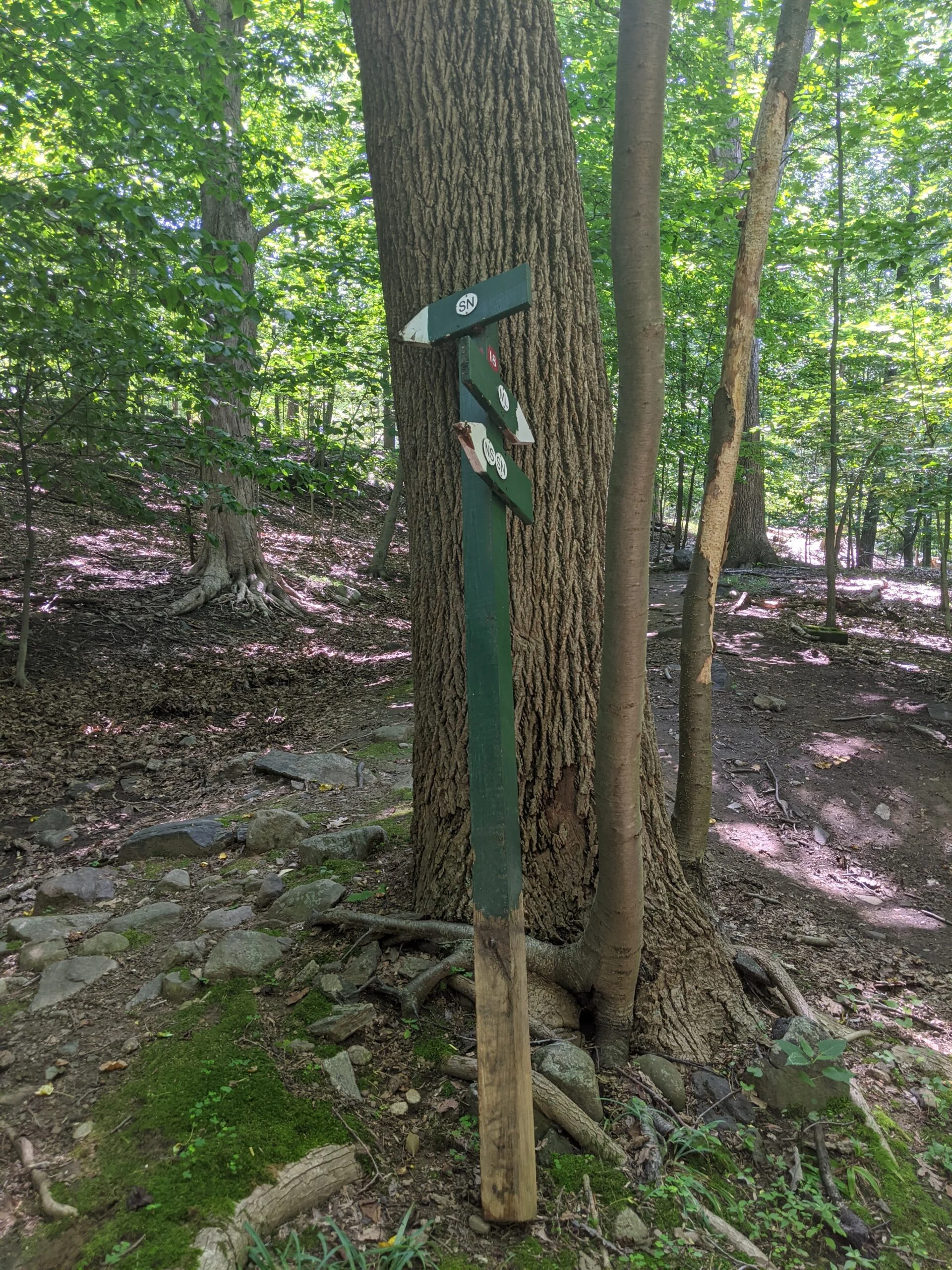
I made it up to 17 and happened to notice the 18 signpost laying about 50 feet away in the brush. The 18 post belongs way down the path at the interior 5-way intersection, so someone must have moved it as a prank. I carried it myself down to the area it is meant to be in and leaned it up against a tree the best I could. I later emailed the staff to tell them about the misplaced post.
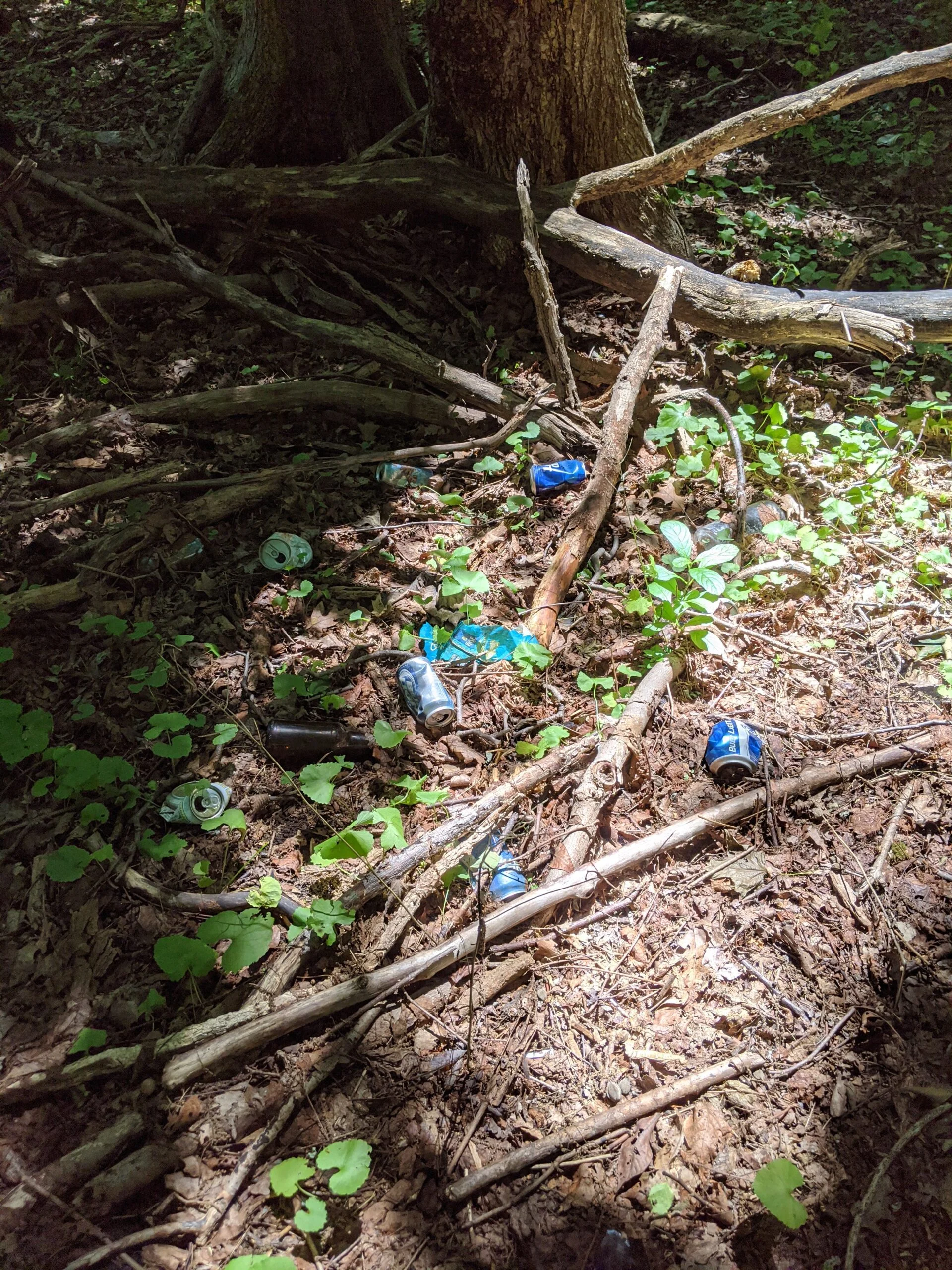
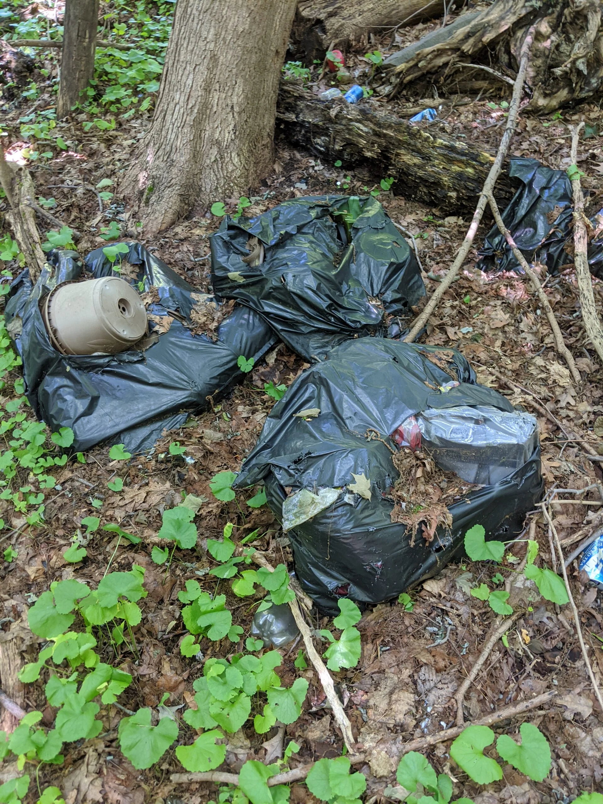
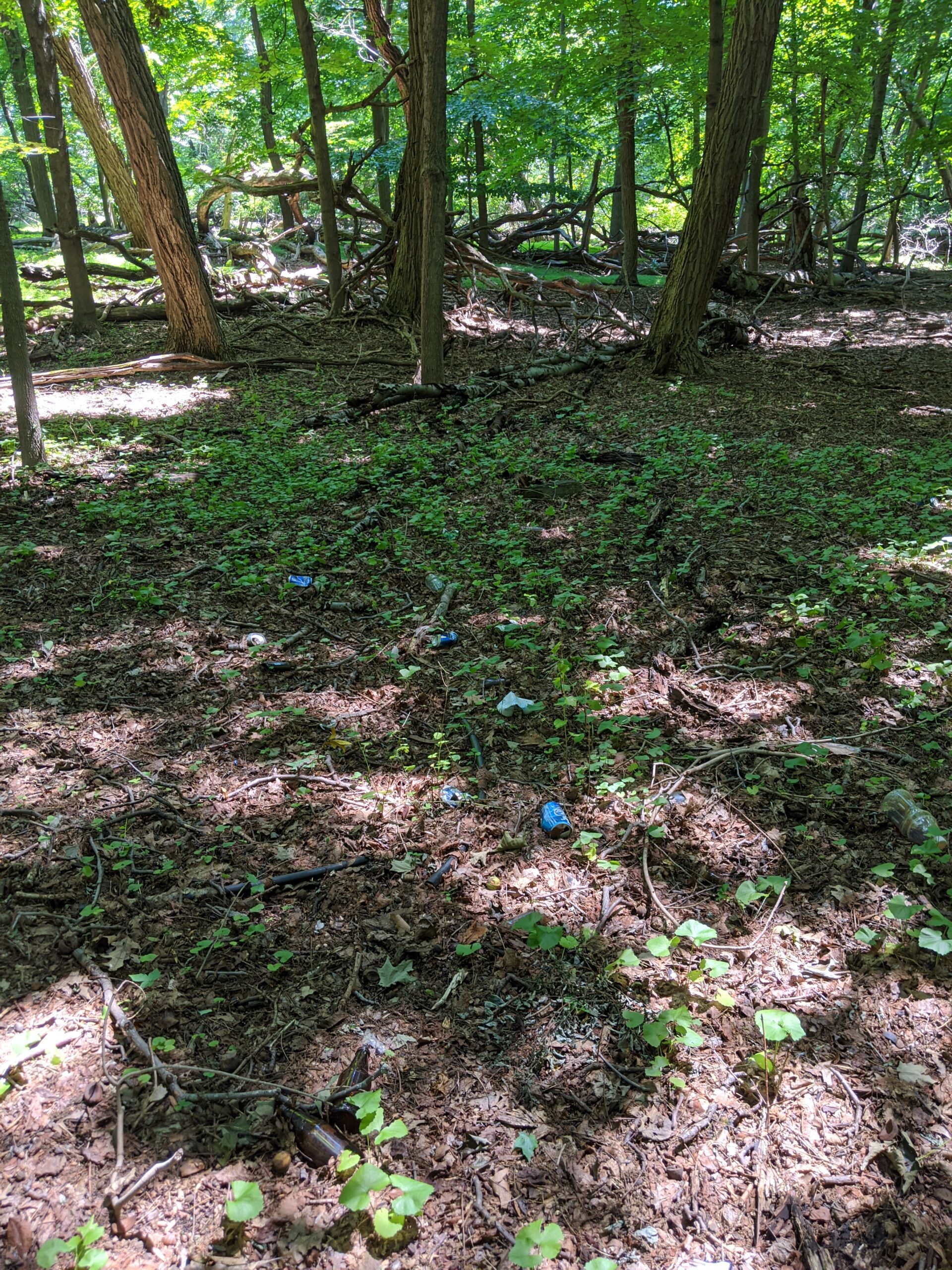
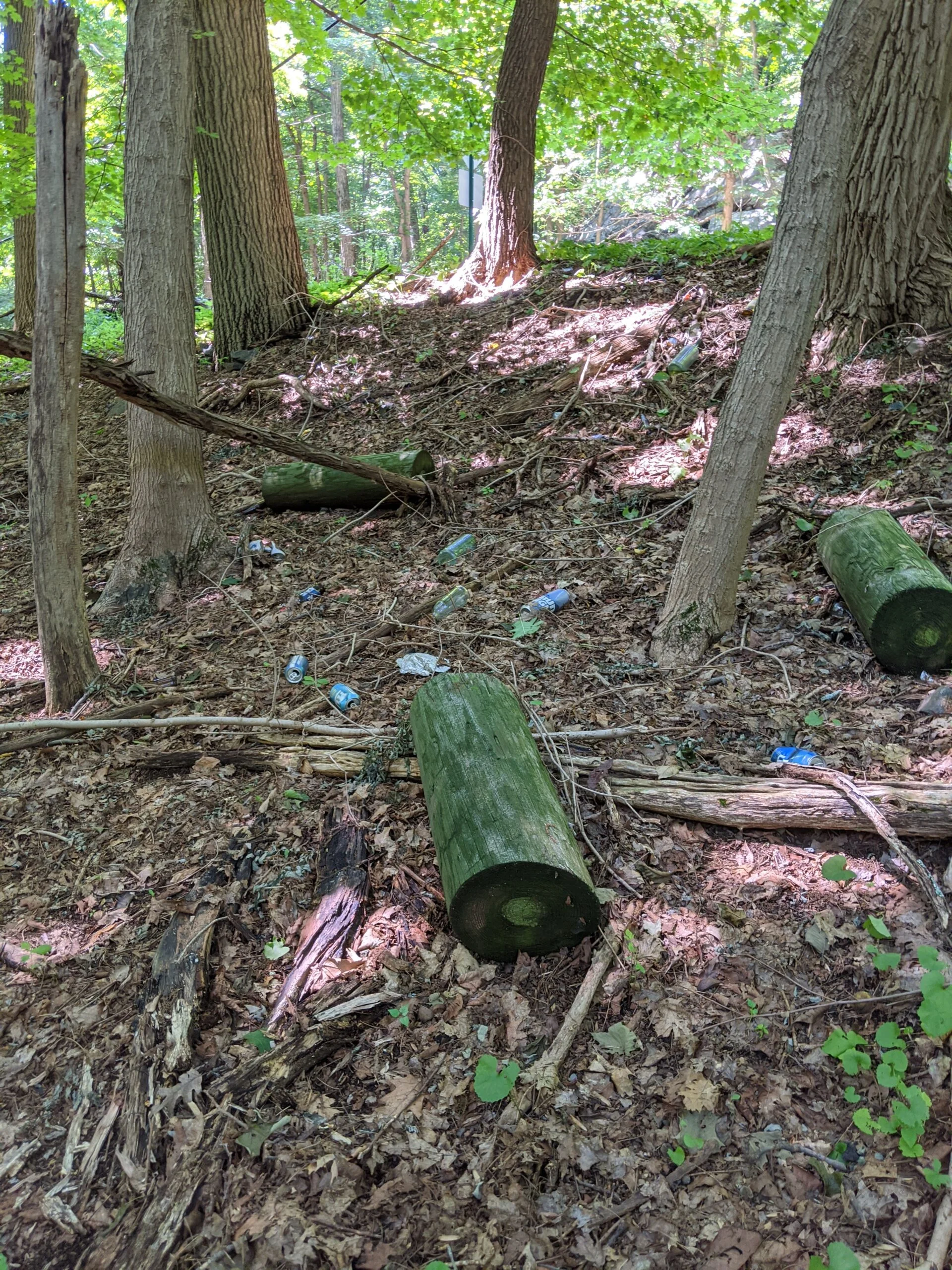
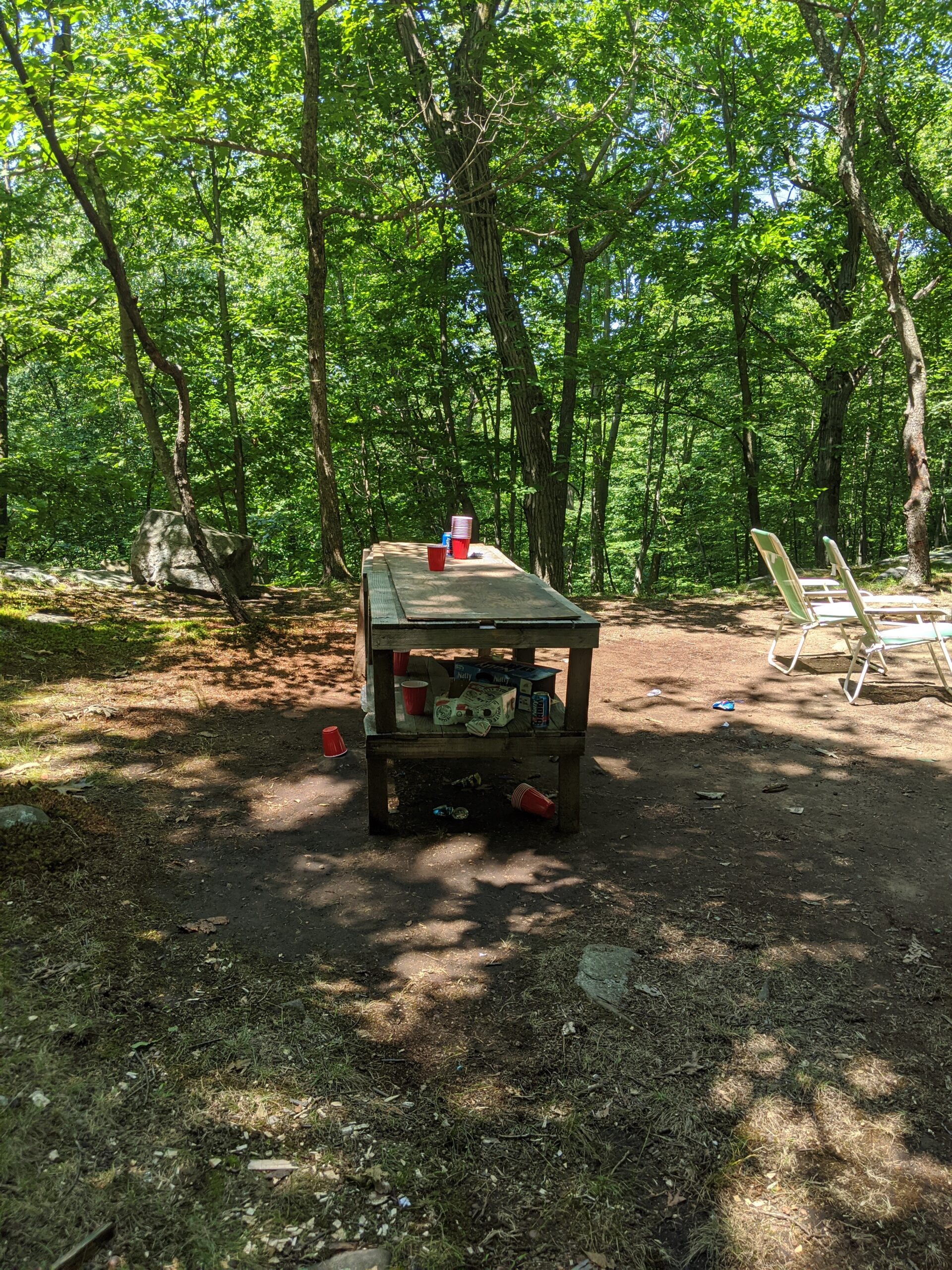
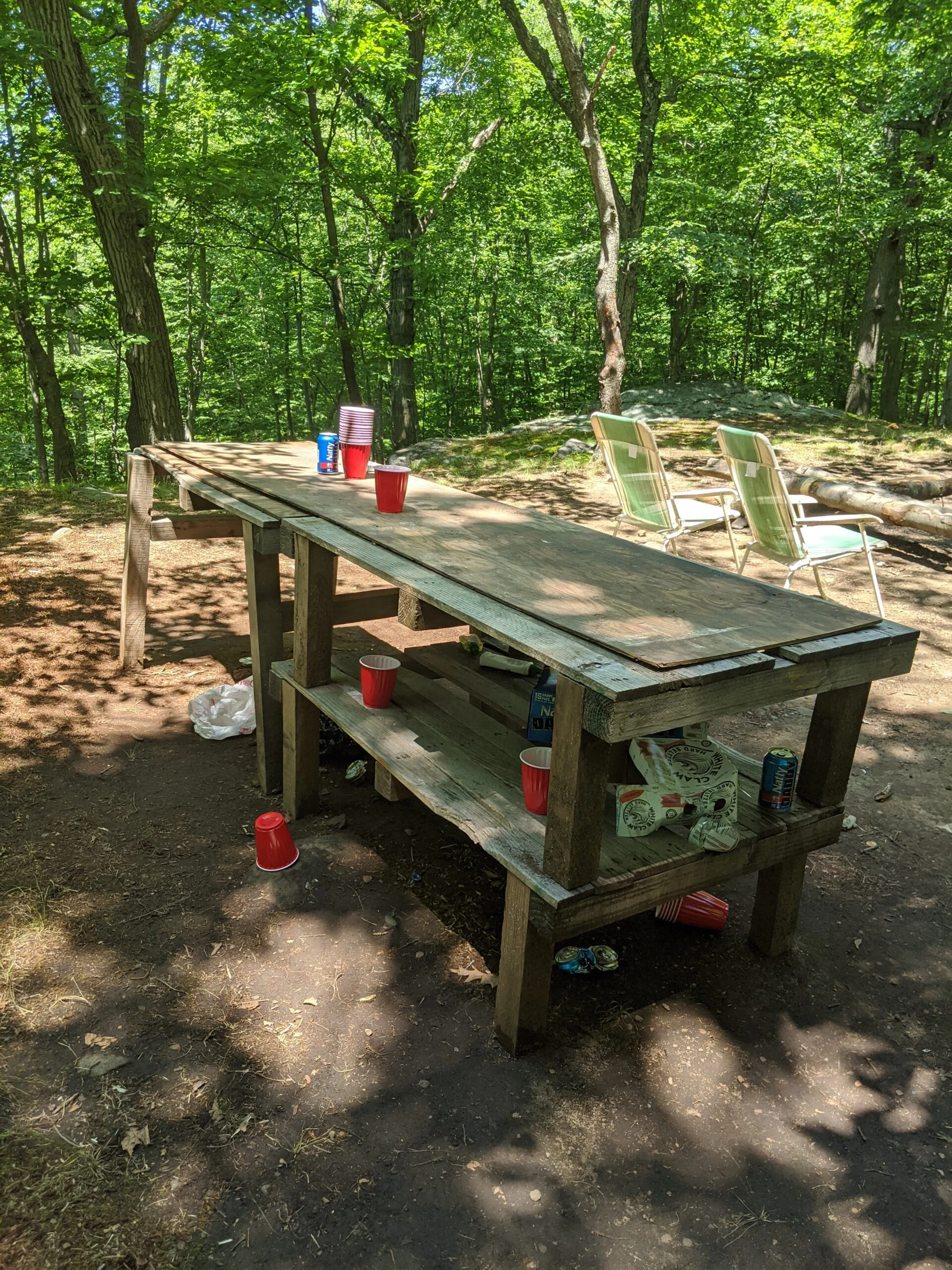
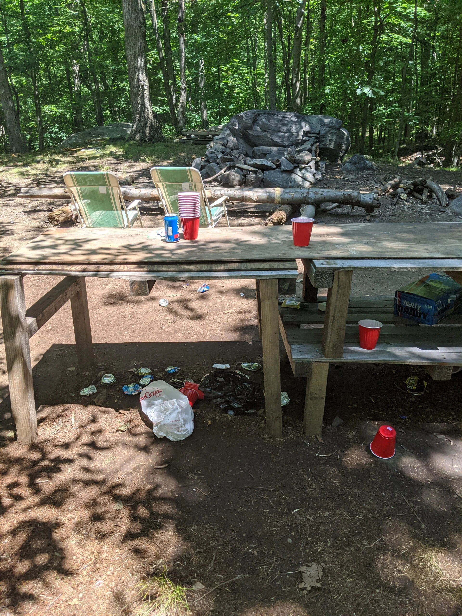
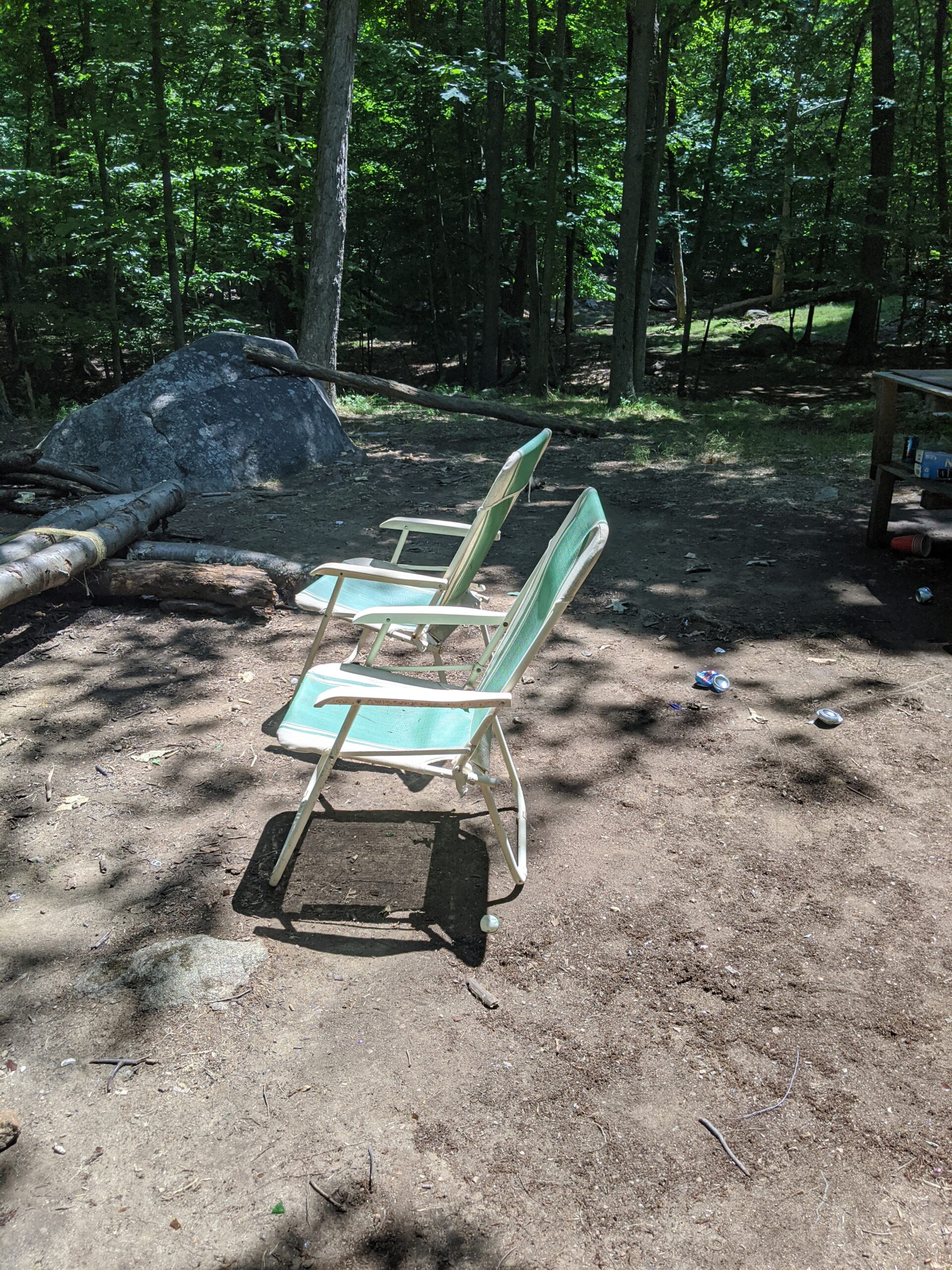
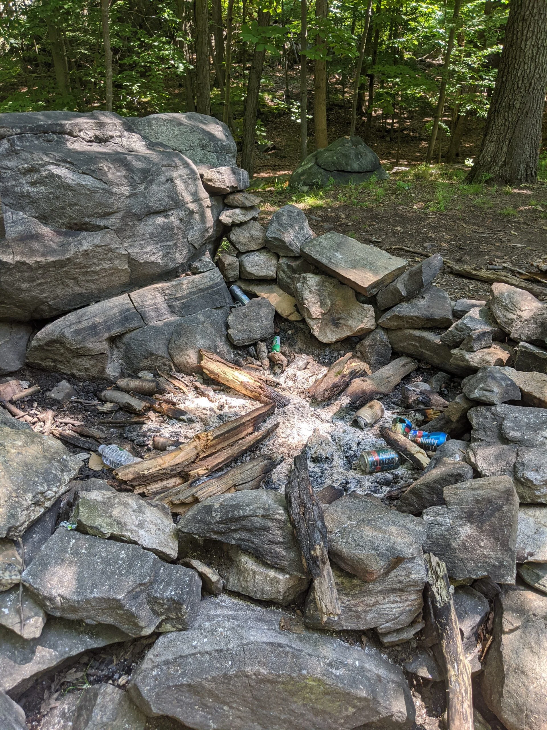
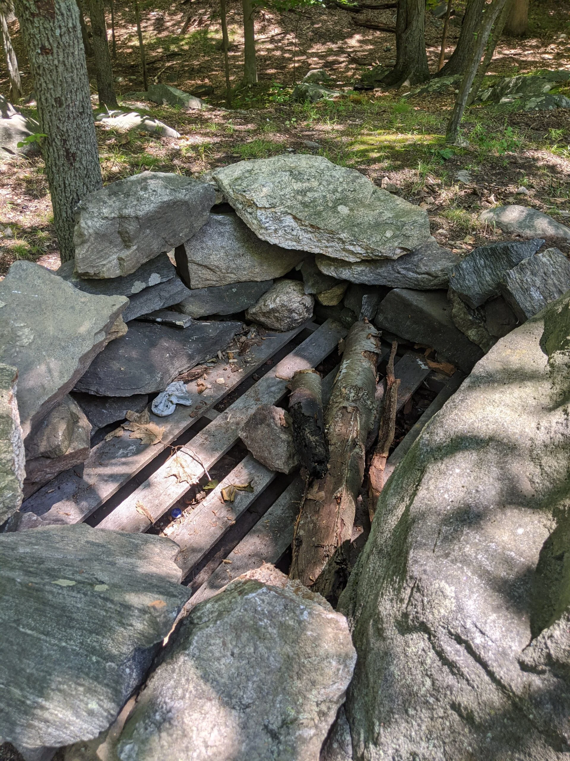
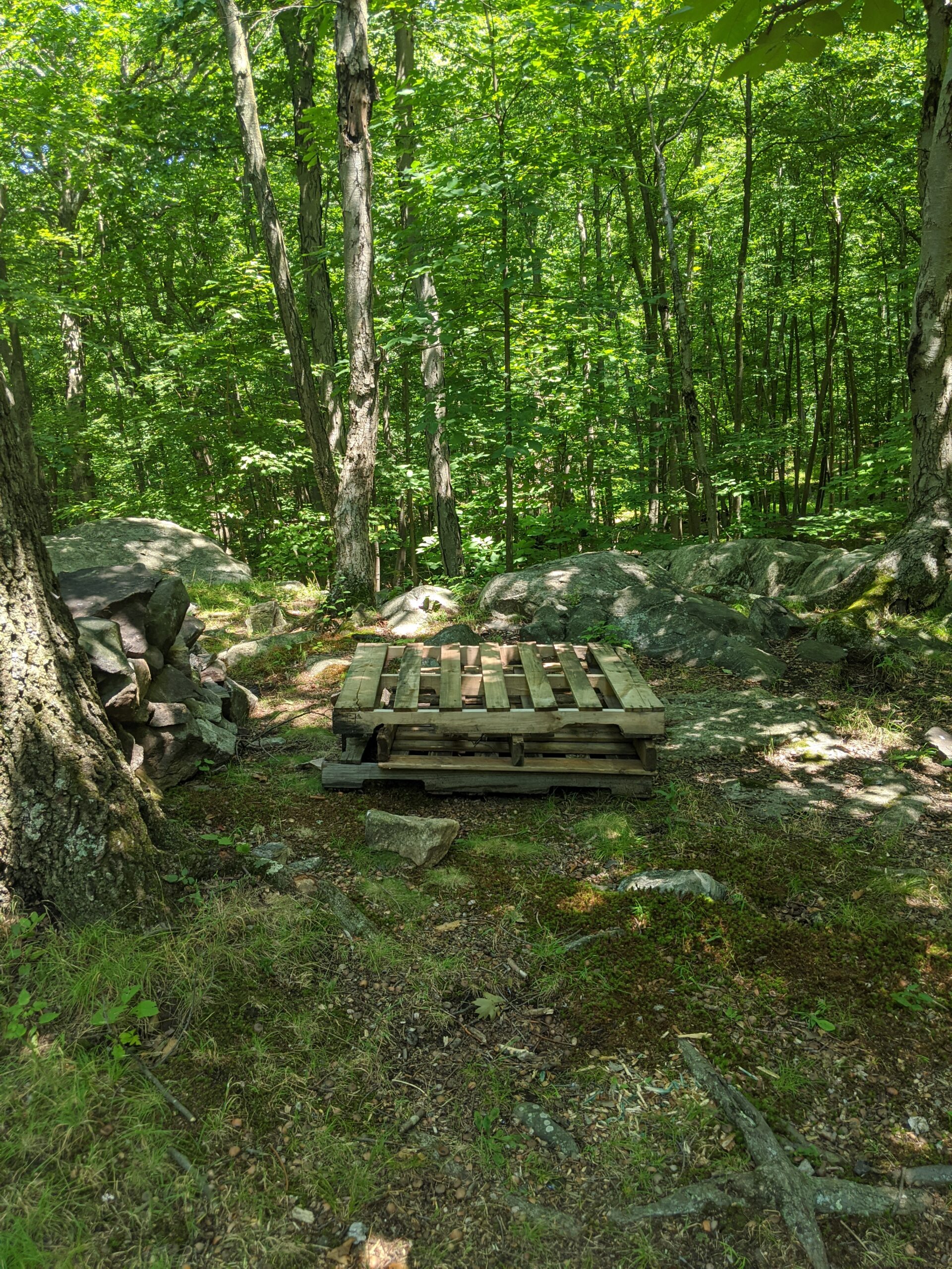
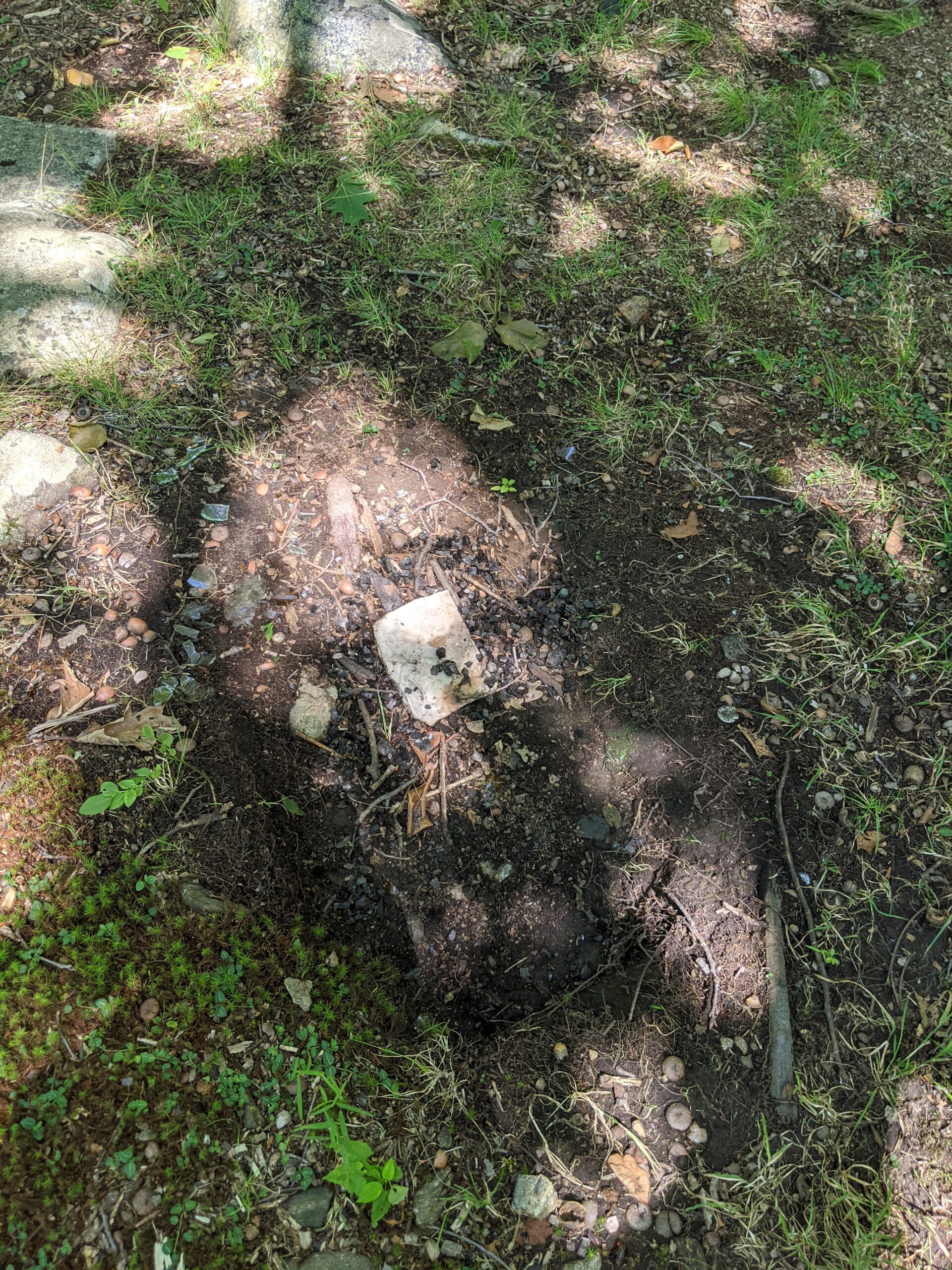
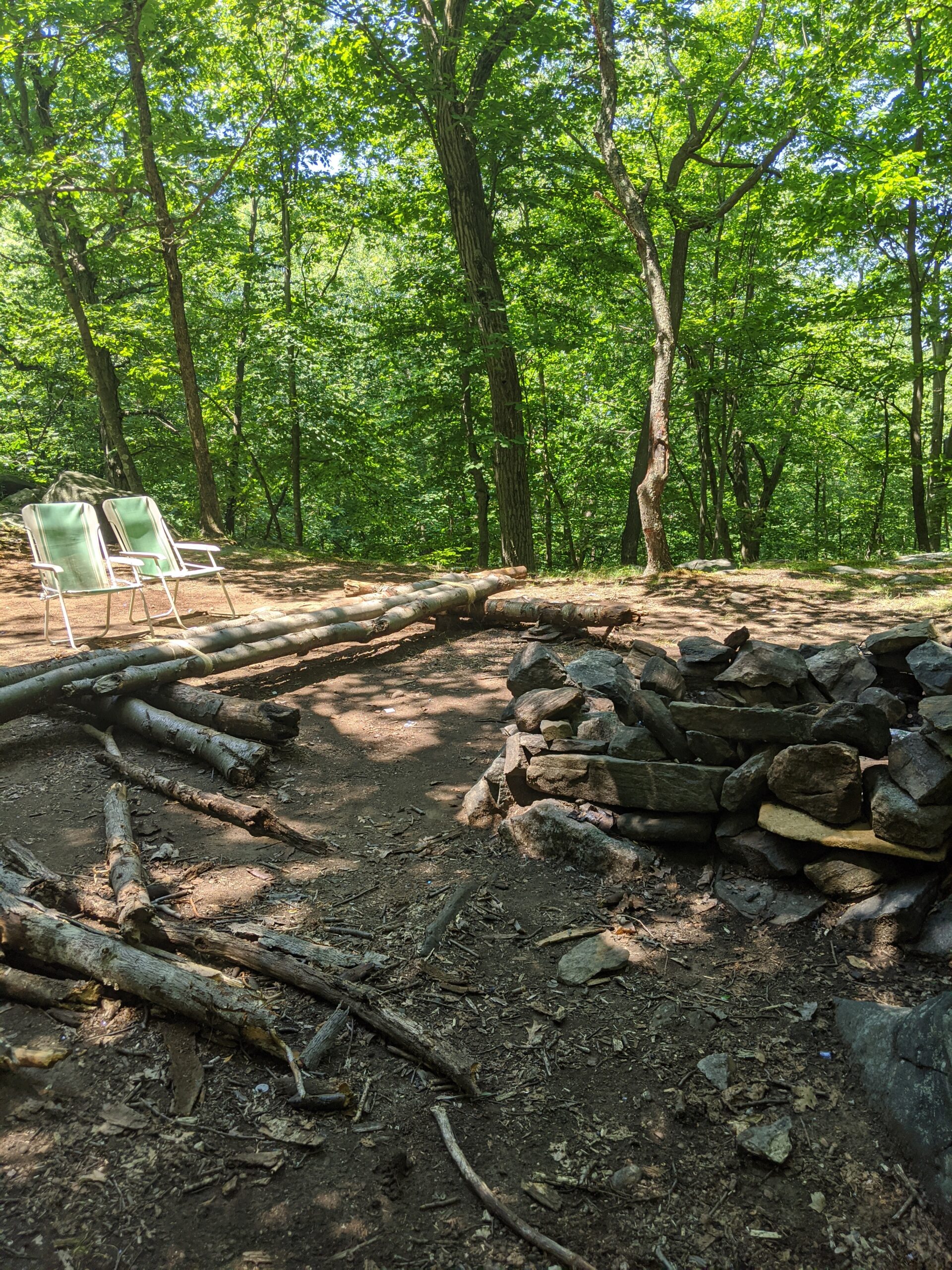
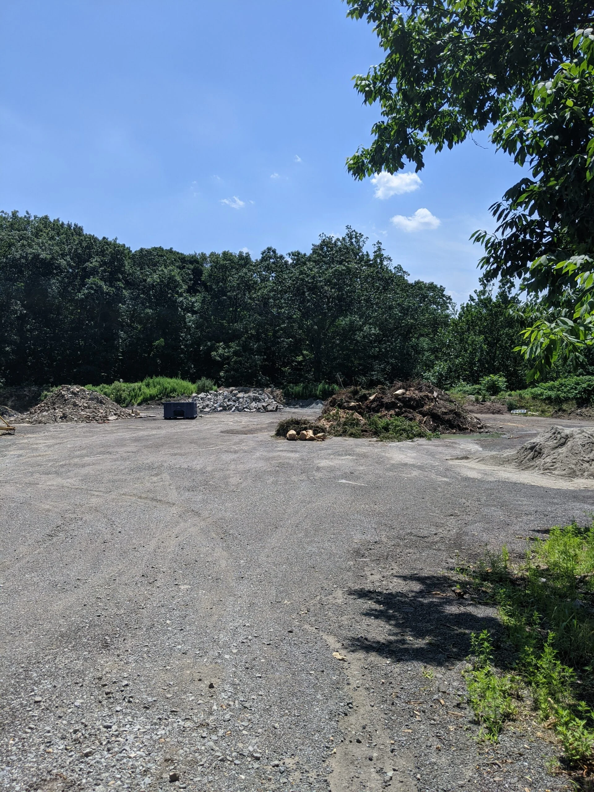
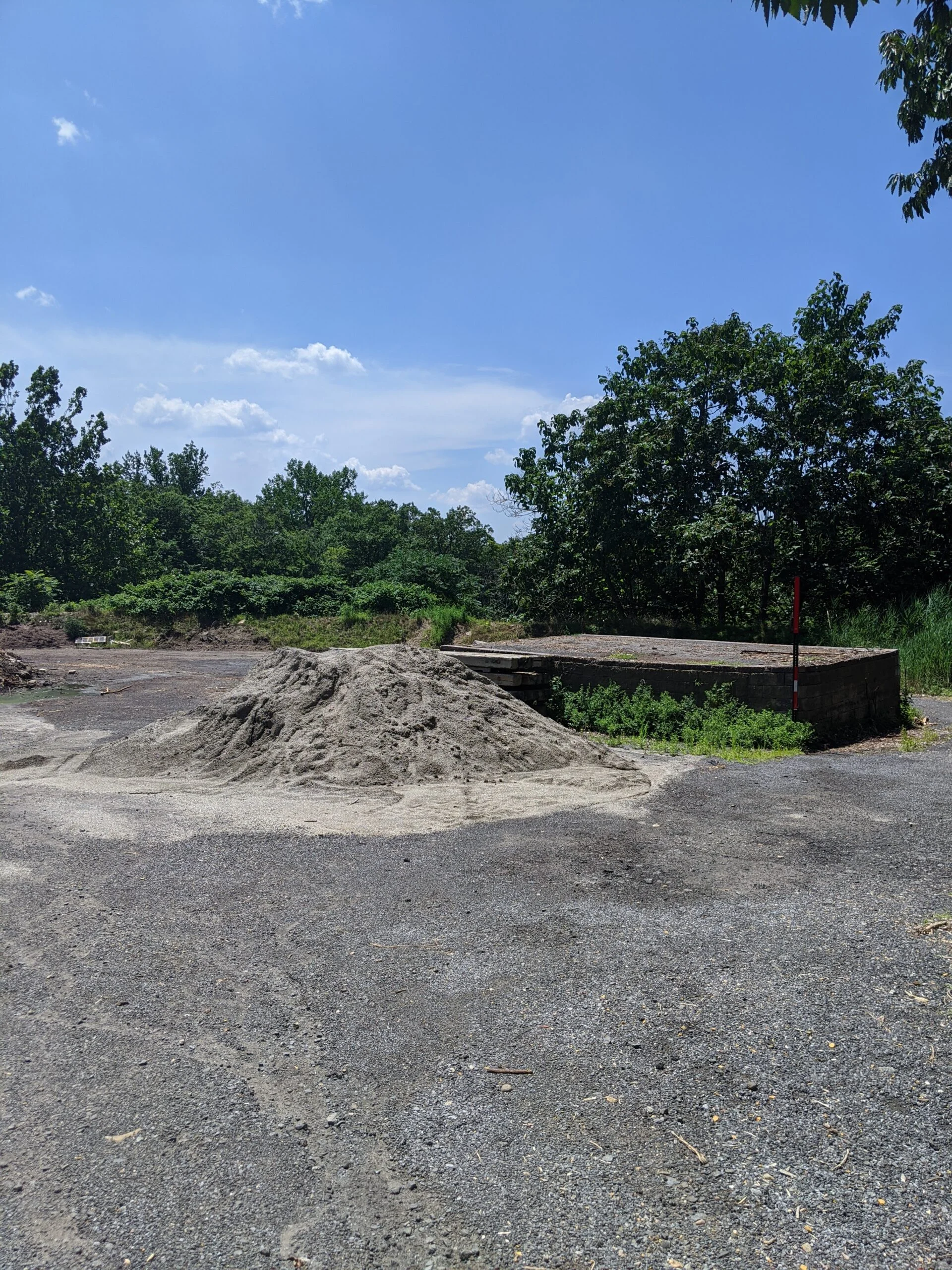
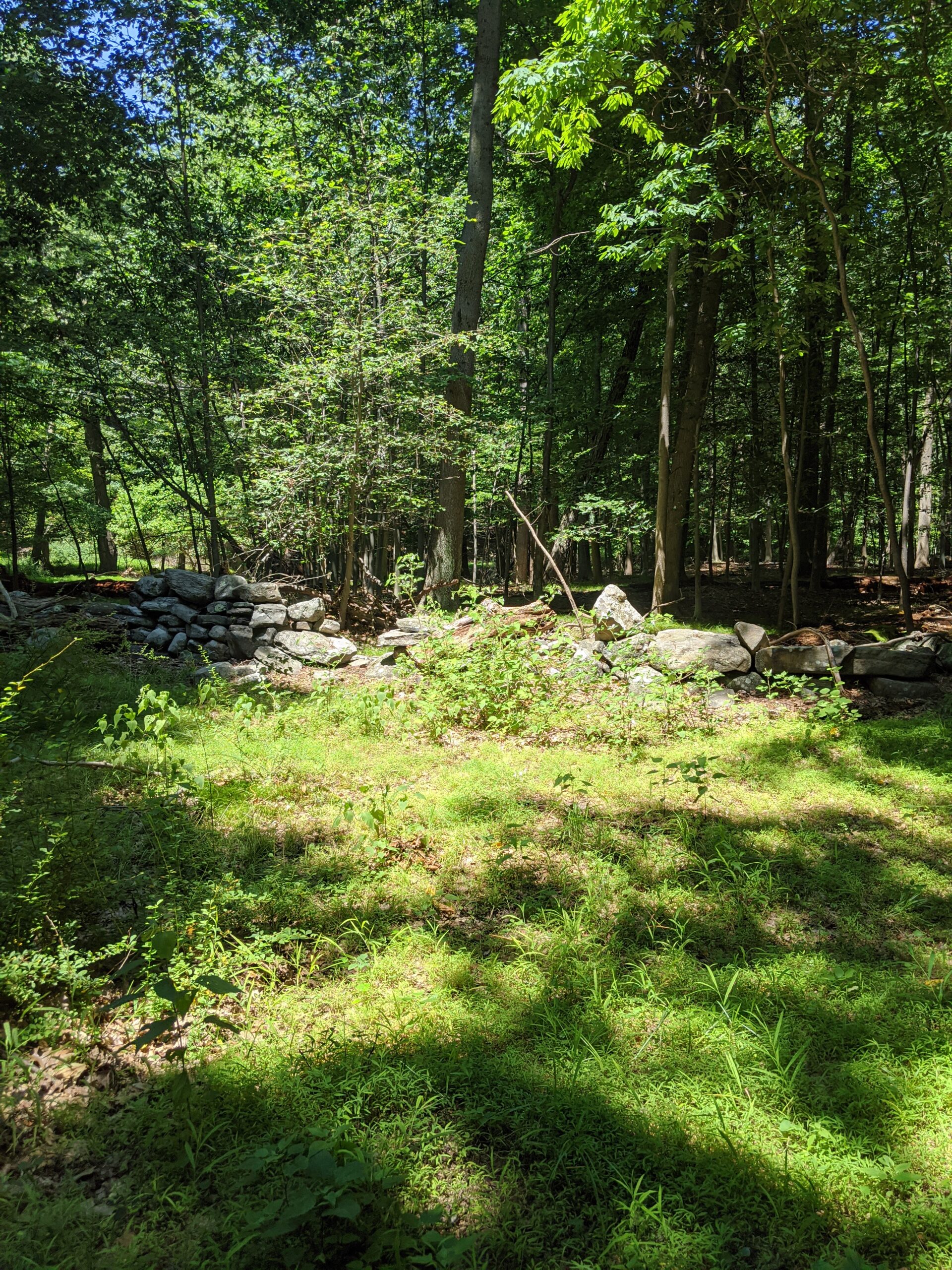
After fixing the post, I went back up SN to Sunset Rock to check on the garbage and party situation. As was the case last week, there were cups, beer cans, plastic bags, cardboard boxes, and other debris strewn across the site. I could tell there had been new activity, because the debris was different, the material in the fire pits was different, and this week there were two lawn chairs setup to watch the fire pit that were not there last week. In my email to the staff, I notified them of the garbage and apparent party activity. I suspect it’s happening at night when no one is around.
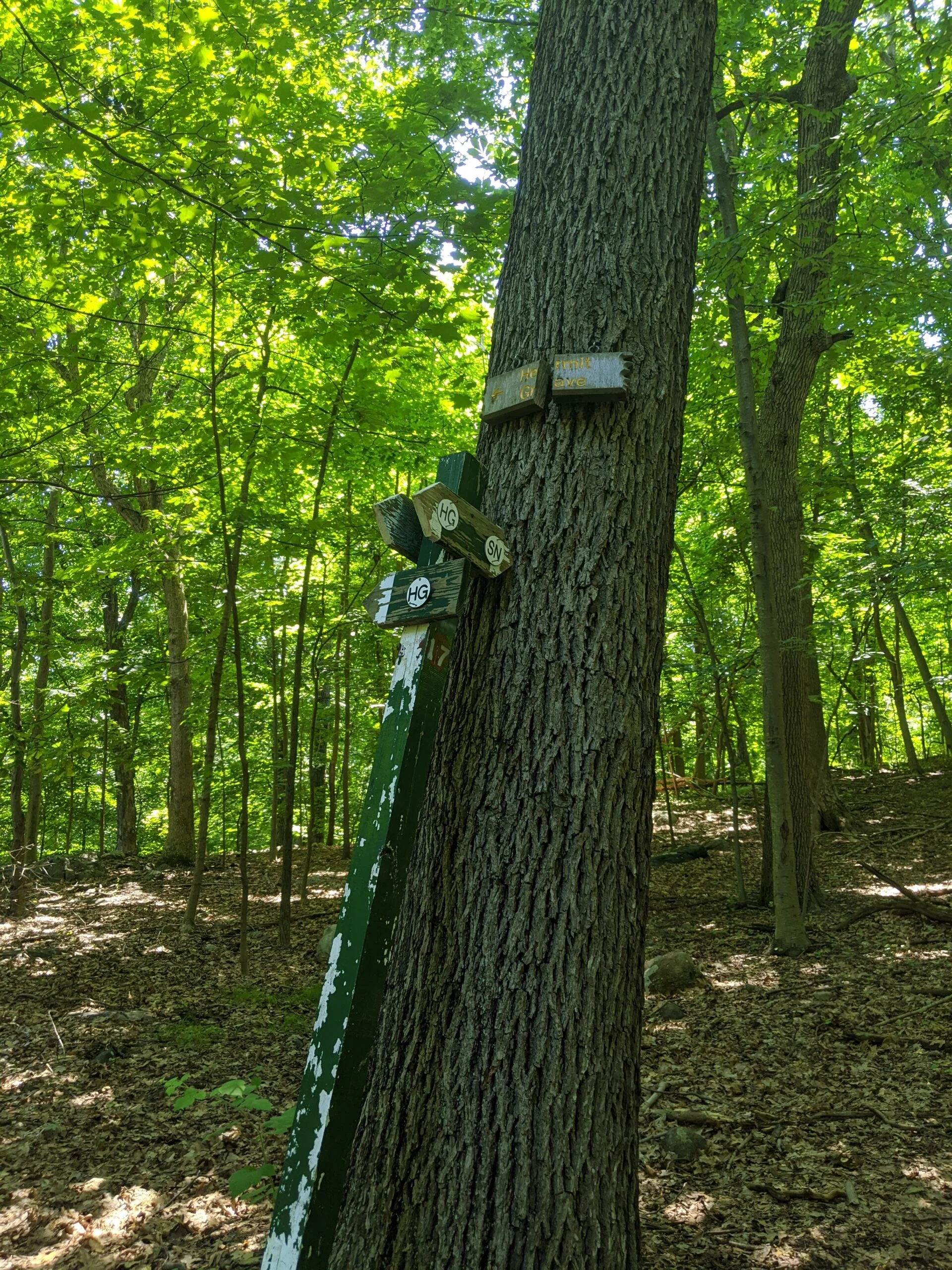
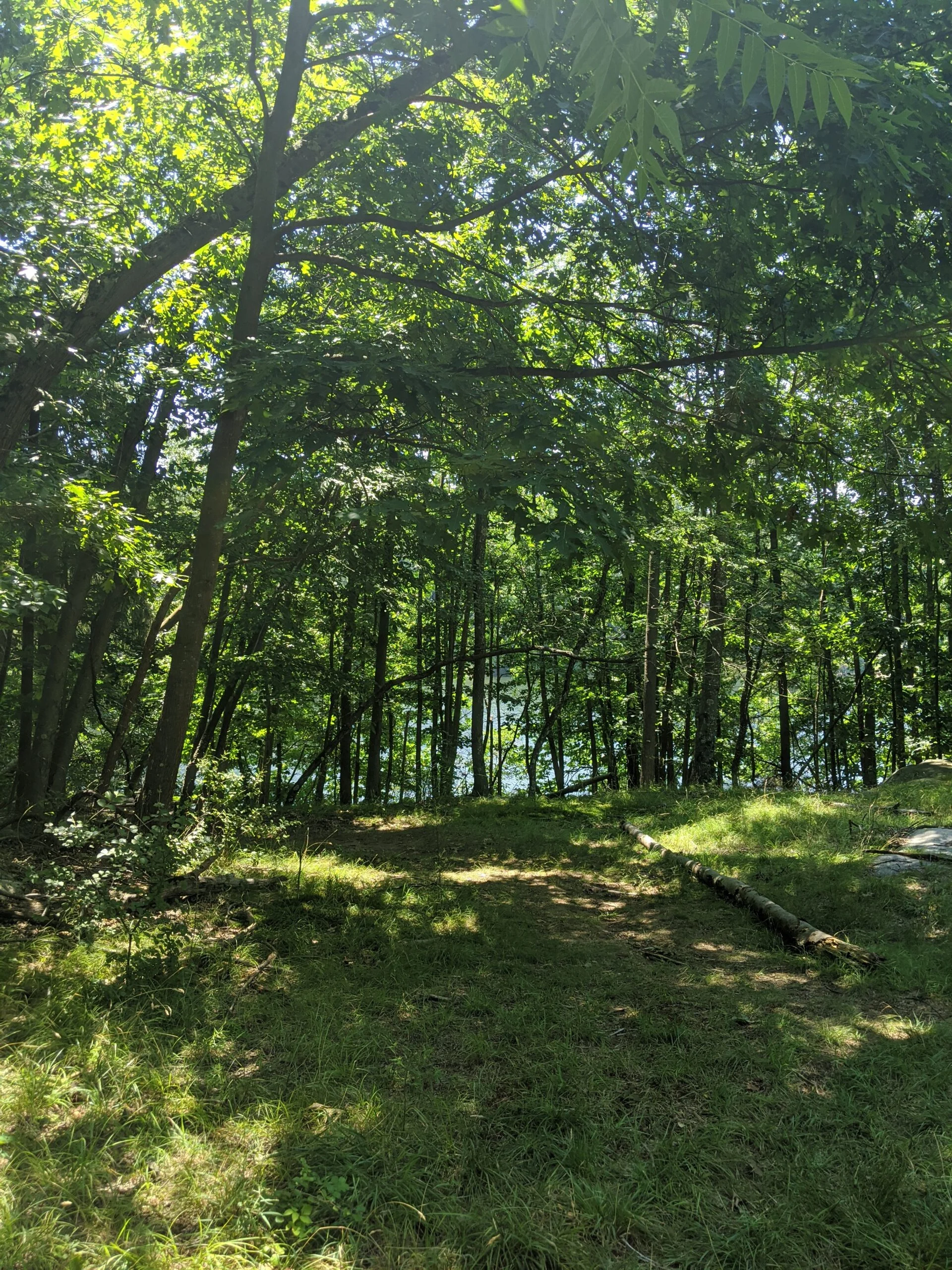
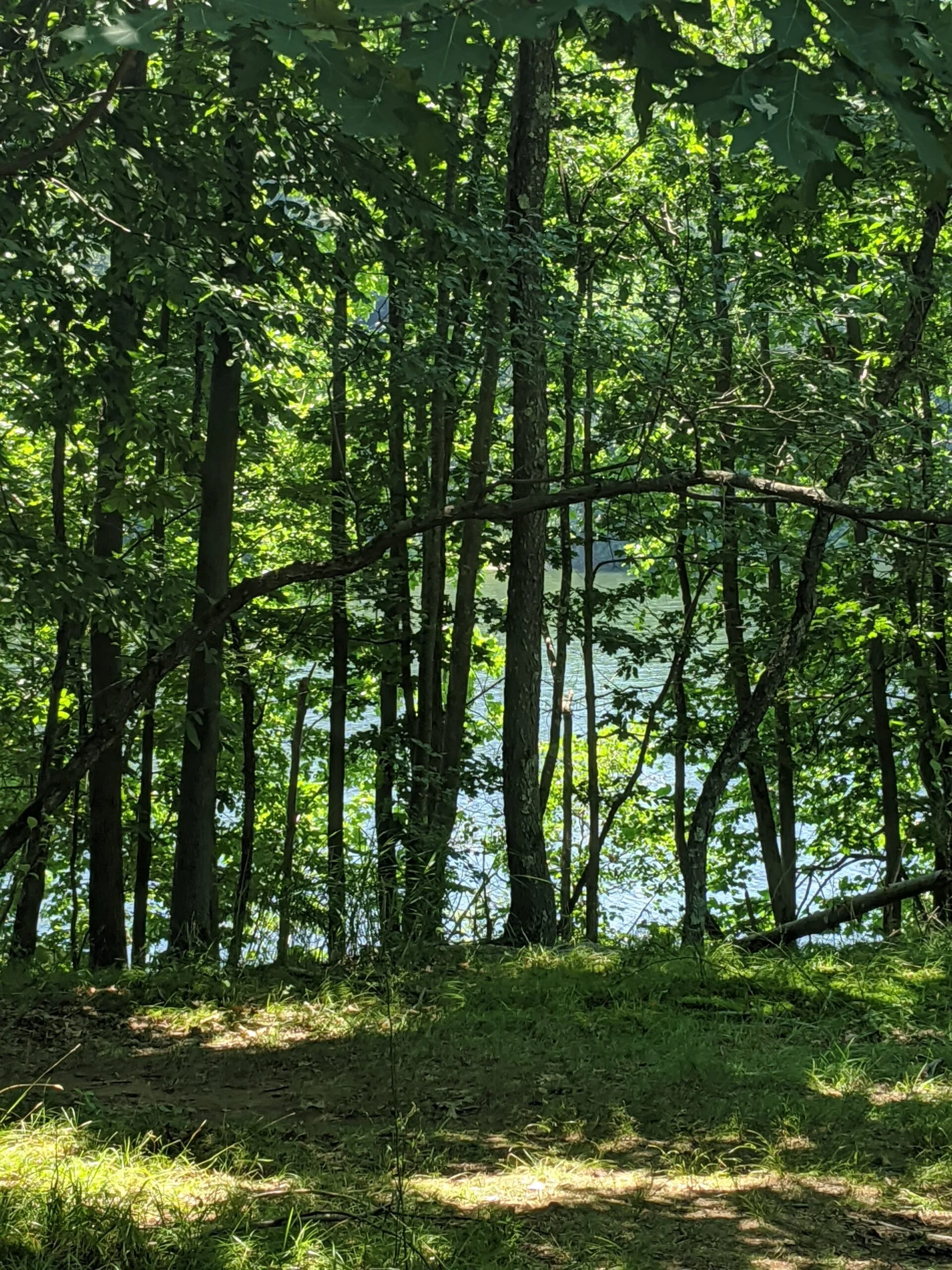
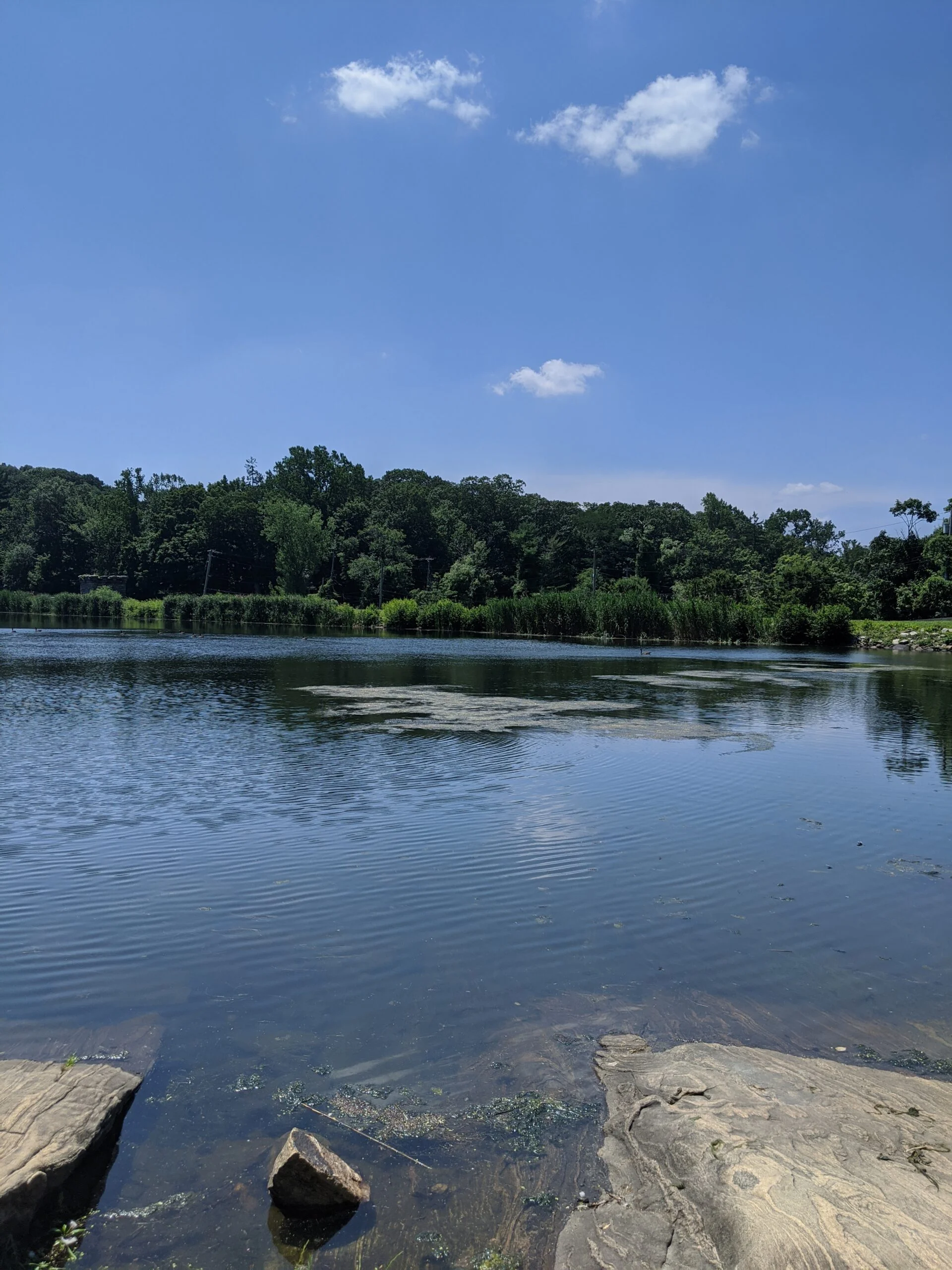
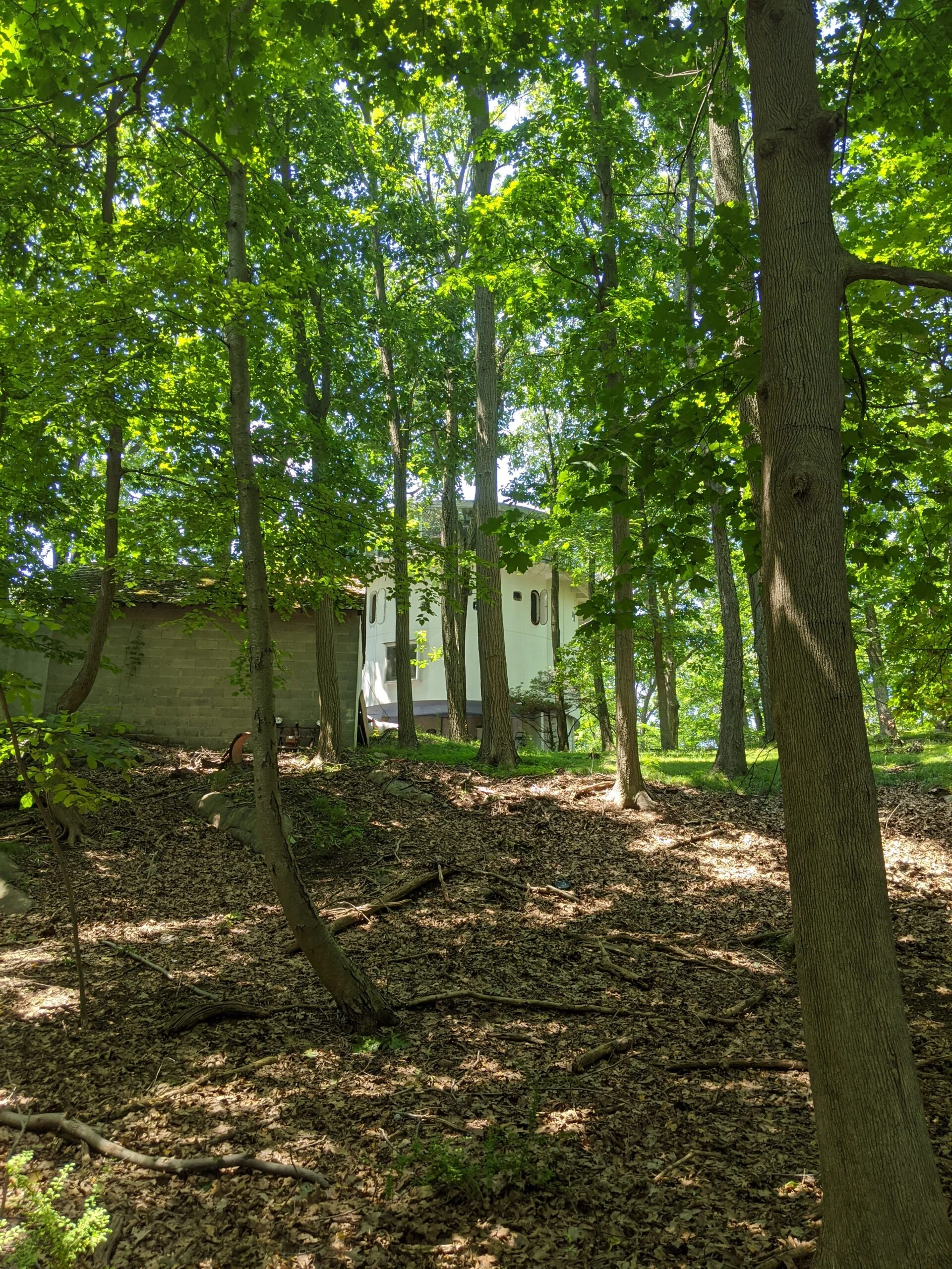
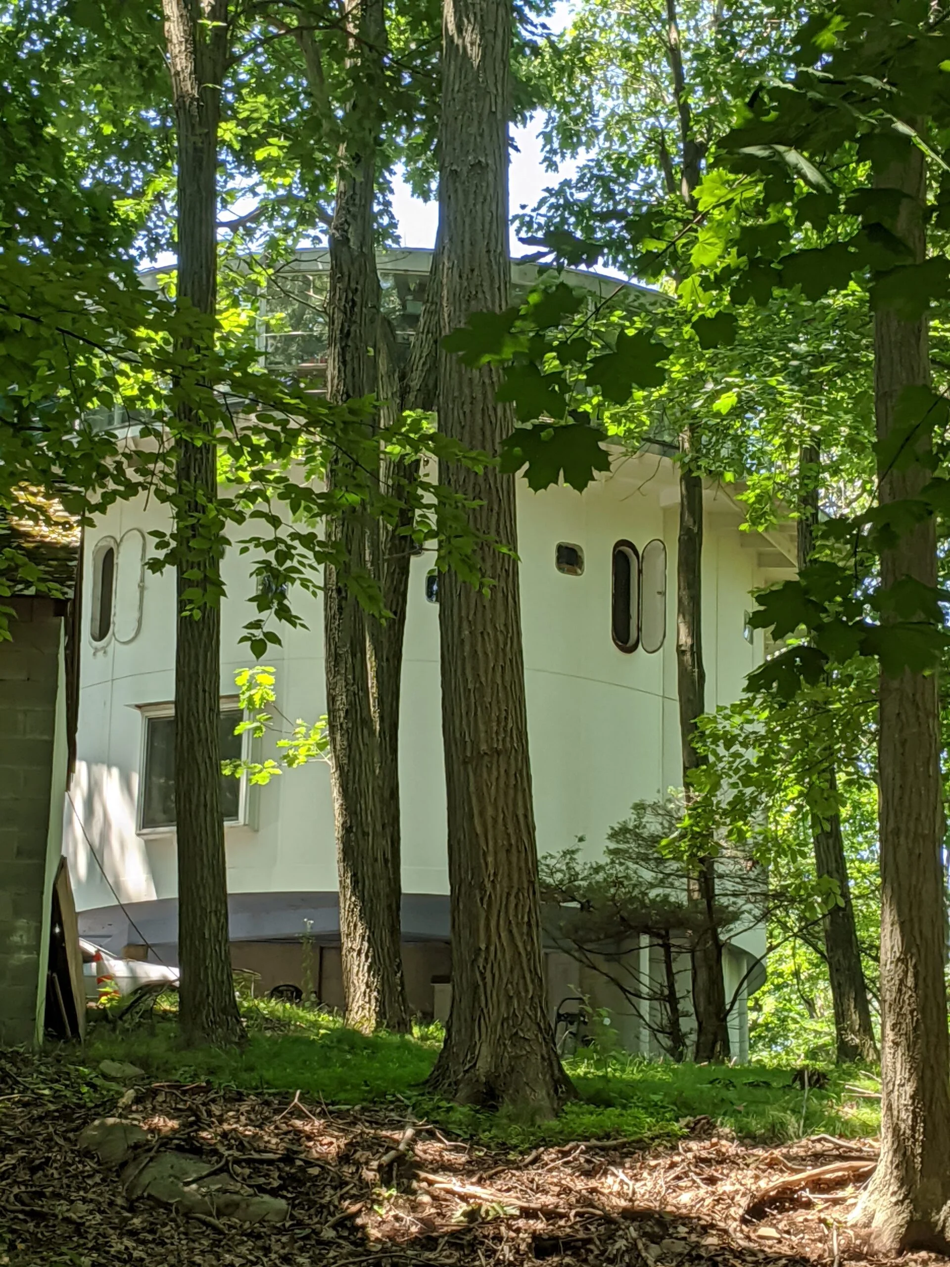
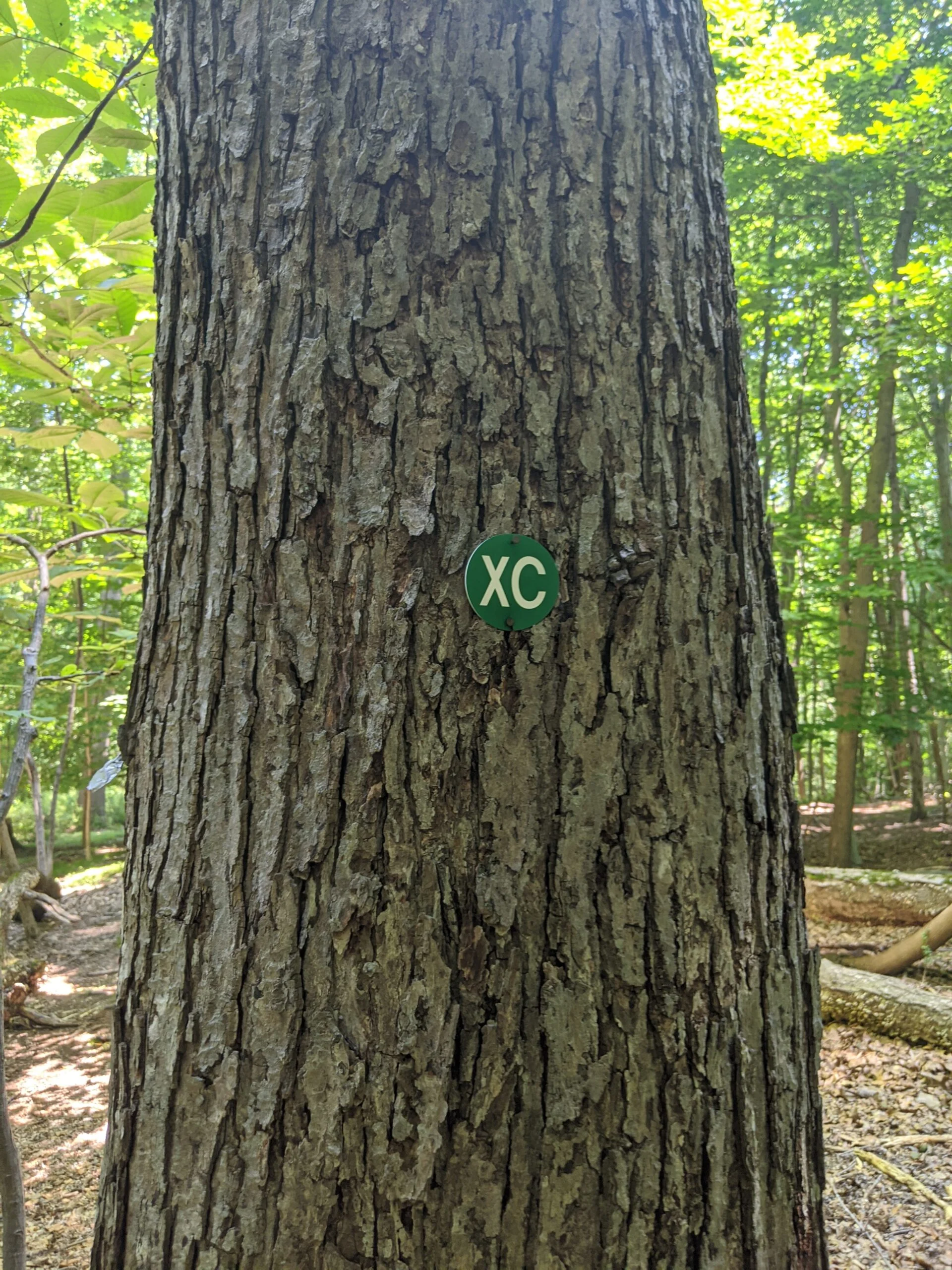
I took SN over to HG, which passes the Irvington Reservoir. Took a couple pictures in the cool breeze of the field at Jenkin’s Rock, then followed the unmarked path back north to XC. There’s an interesting circular shaped house along that path, just outside of the park. It resembles a ship with portholes and I snapped a few more photos of it.
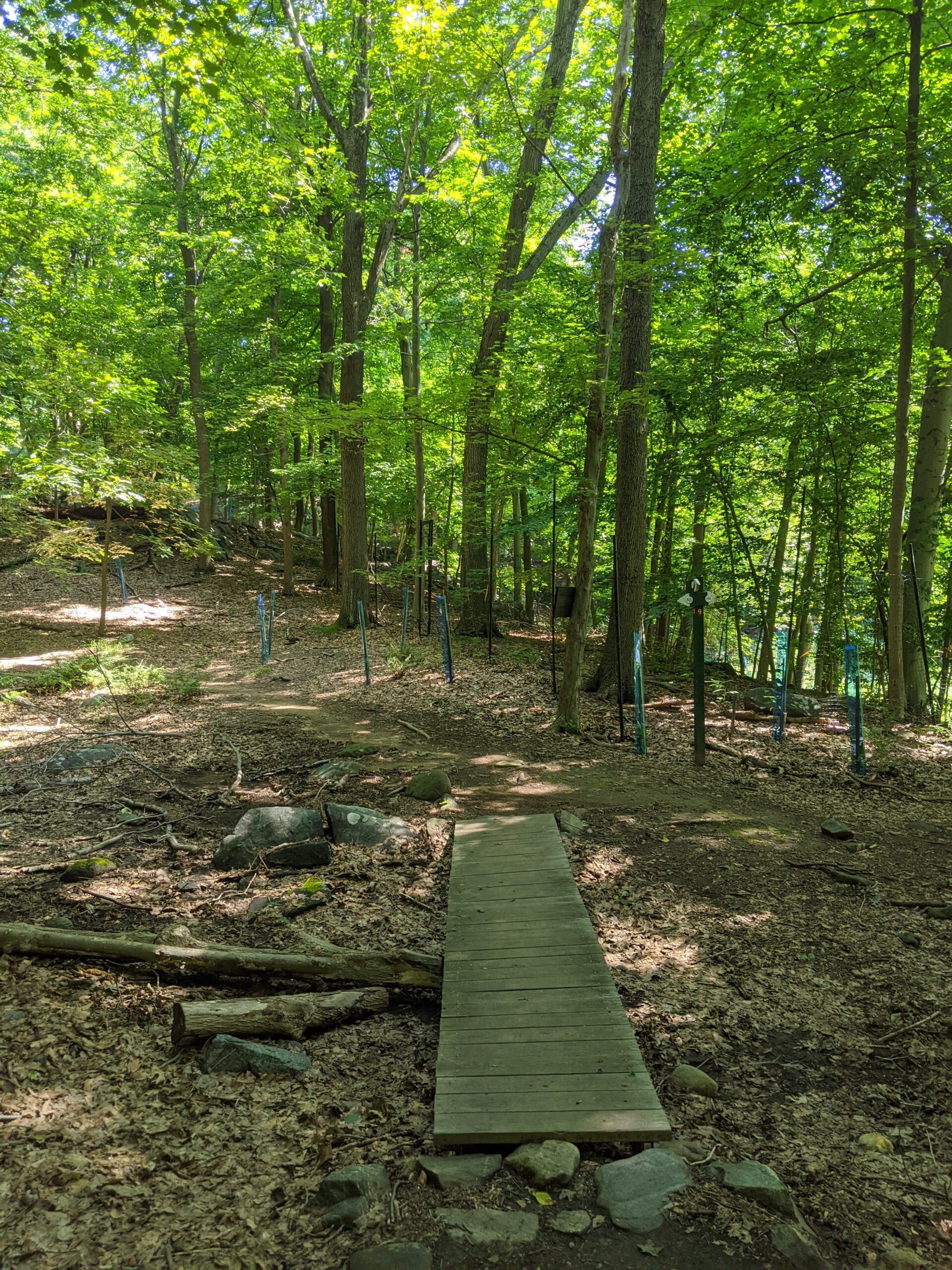
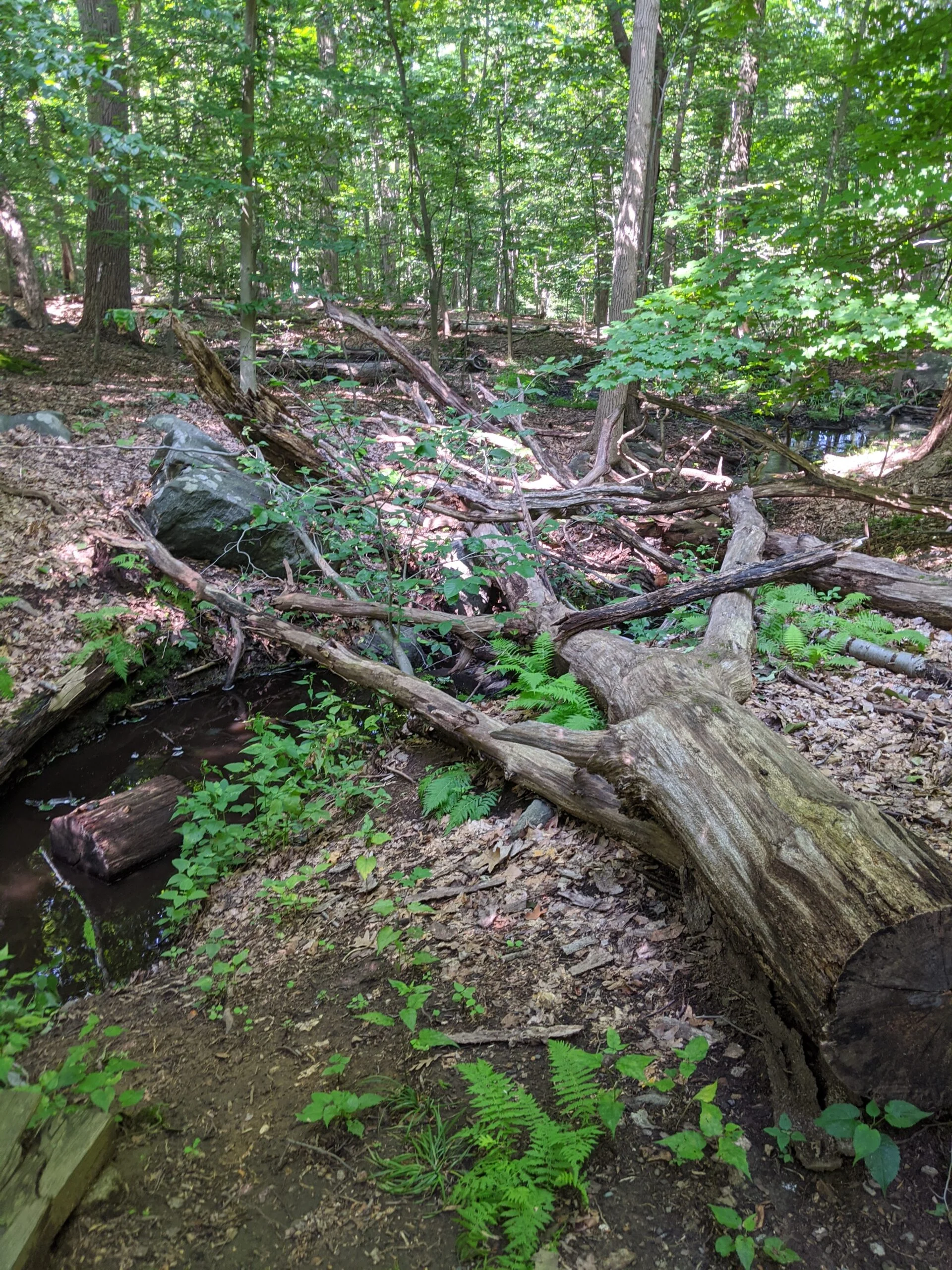
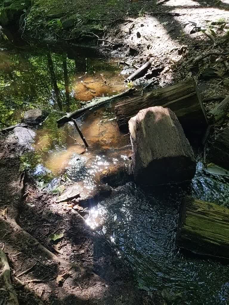
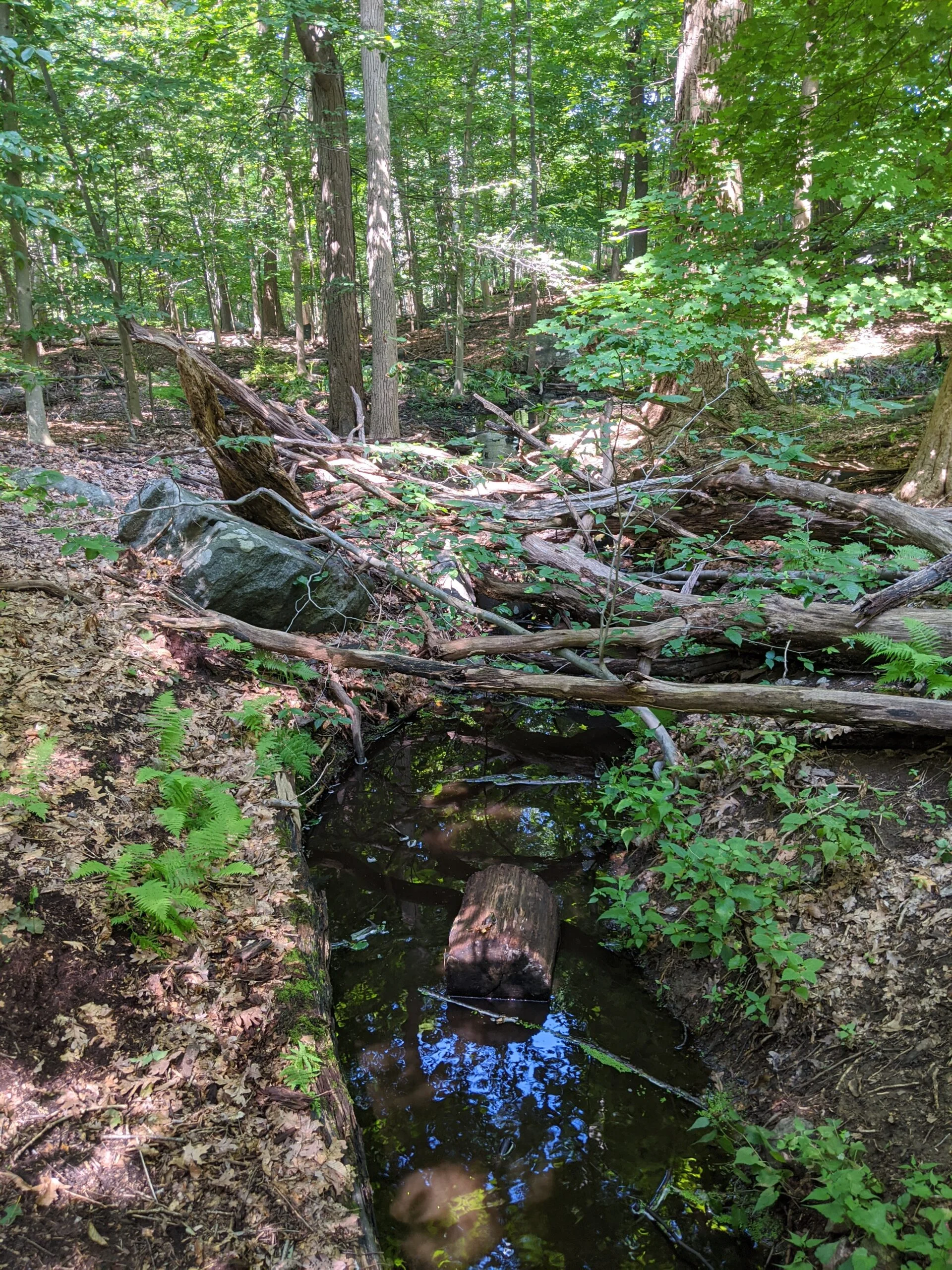
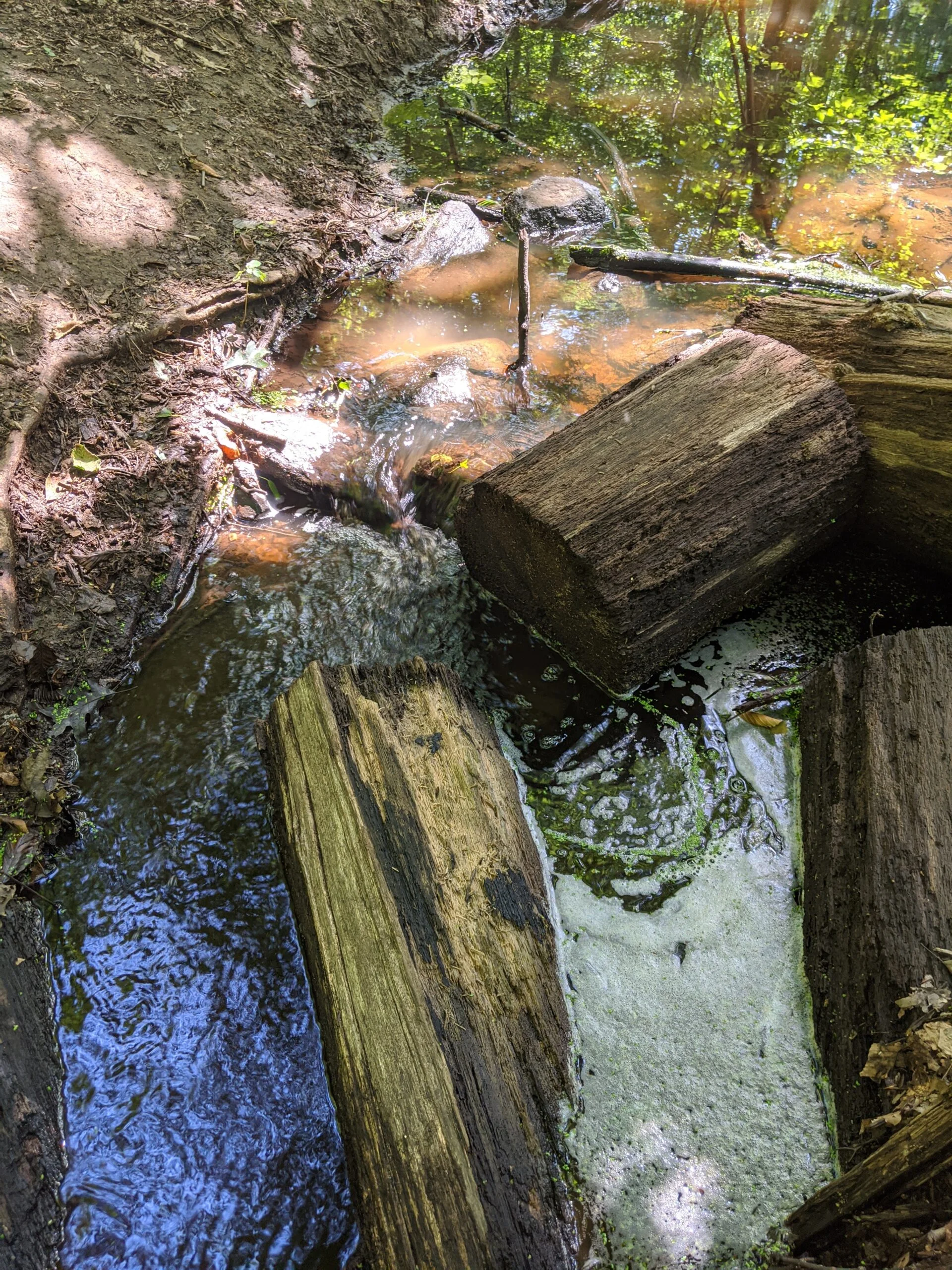
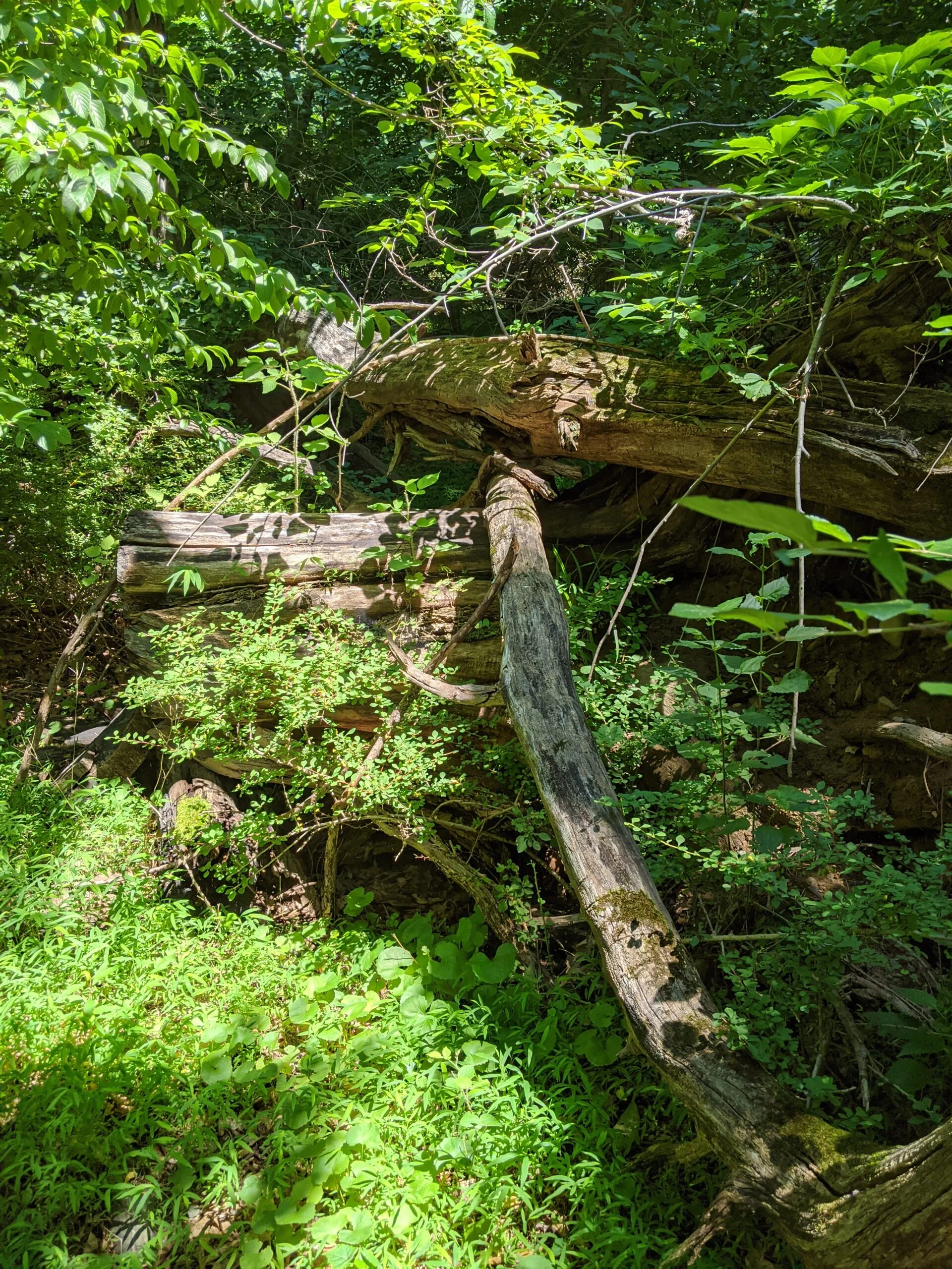
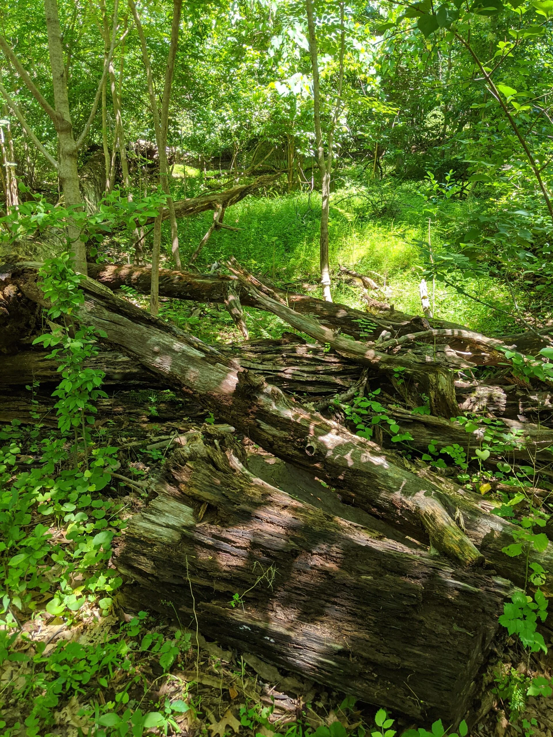
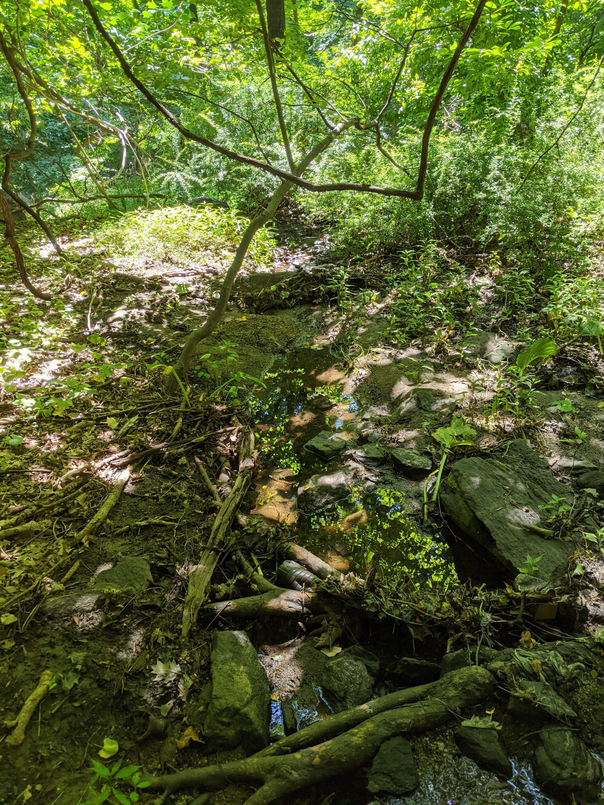
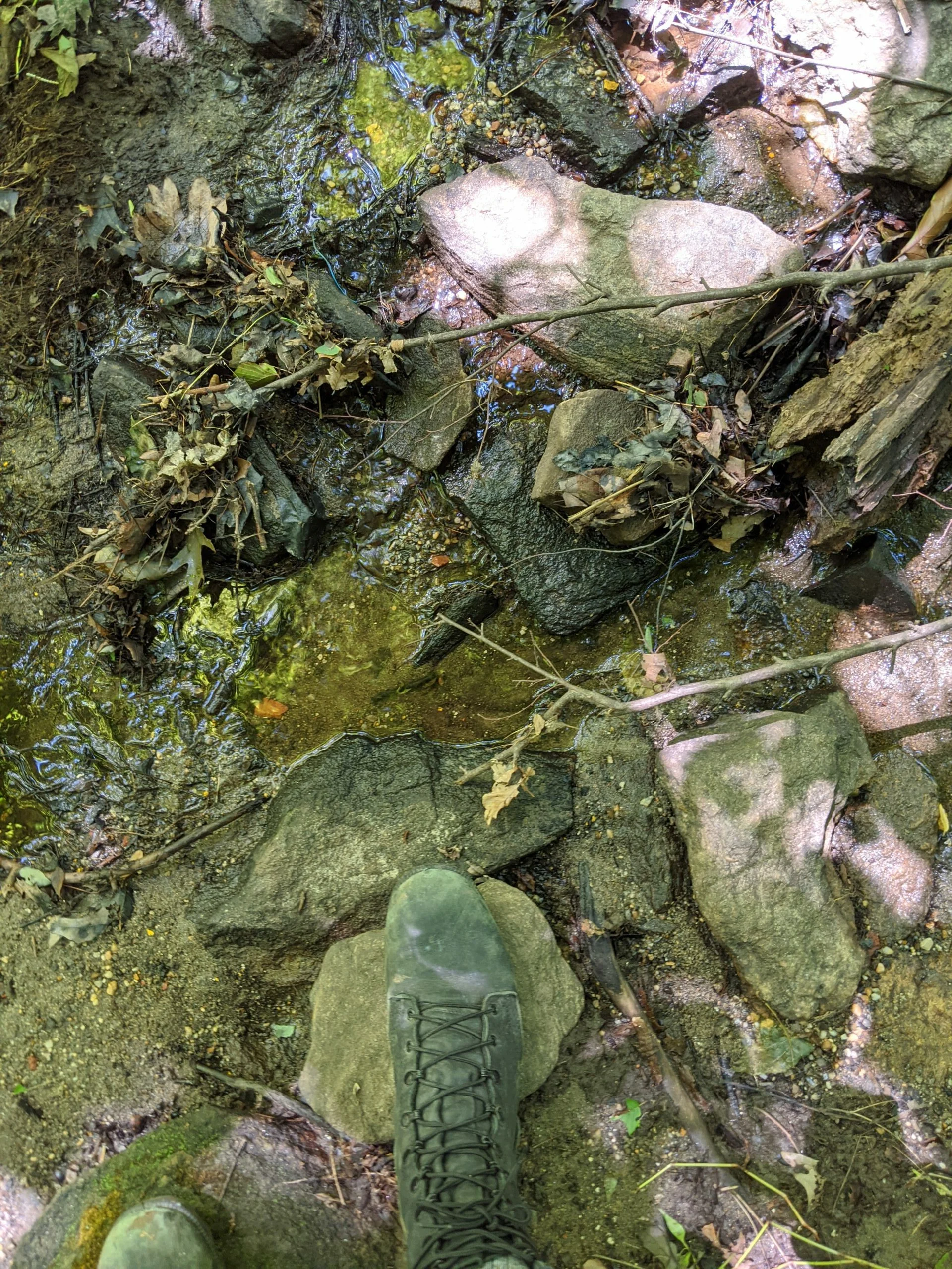
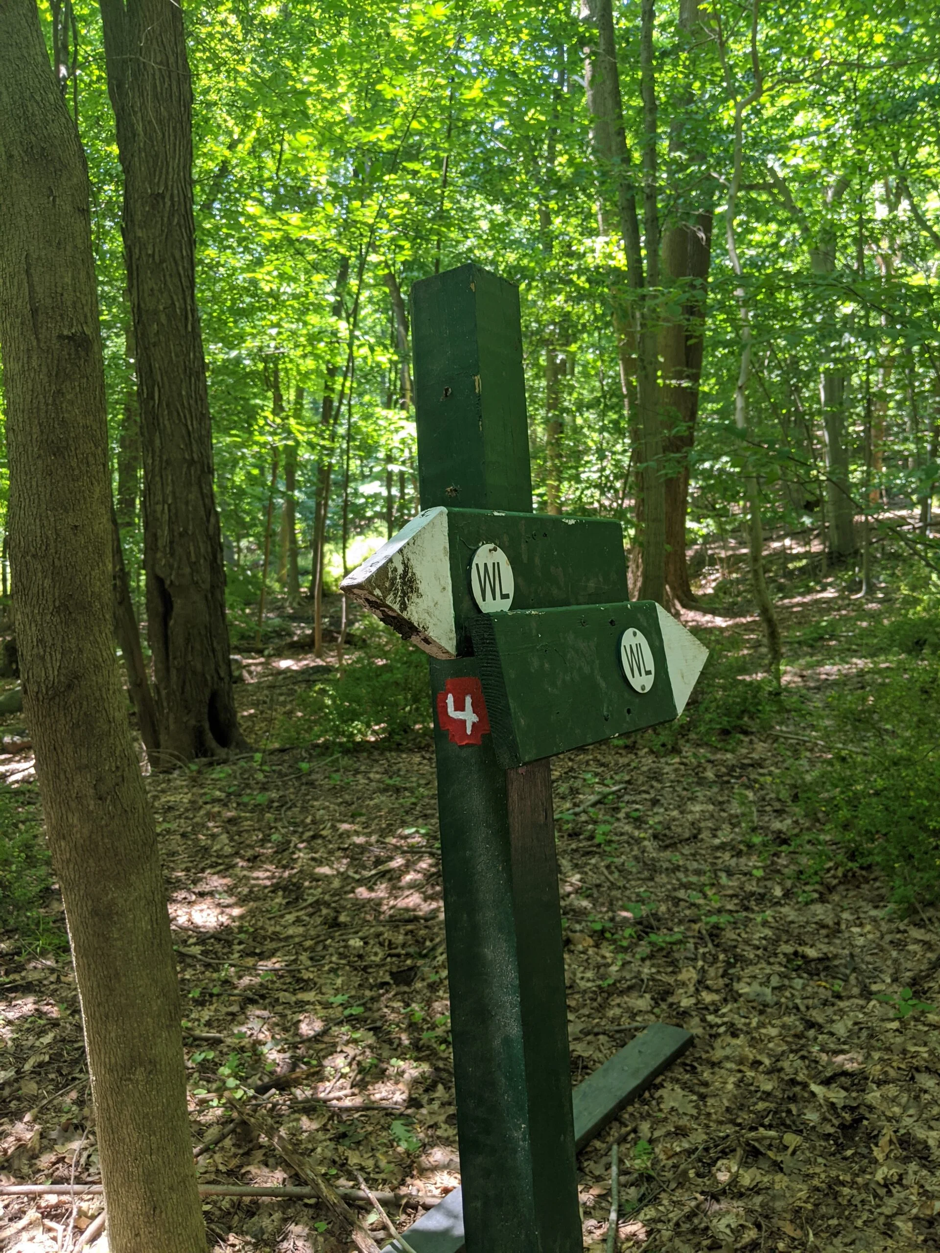
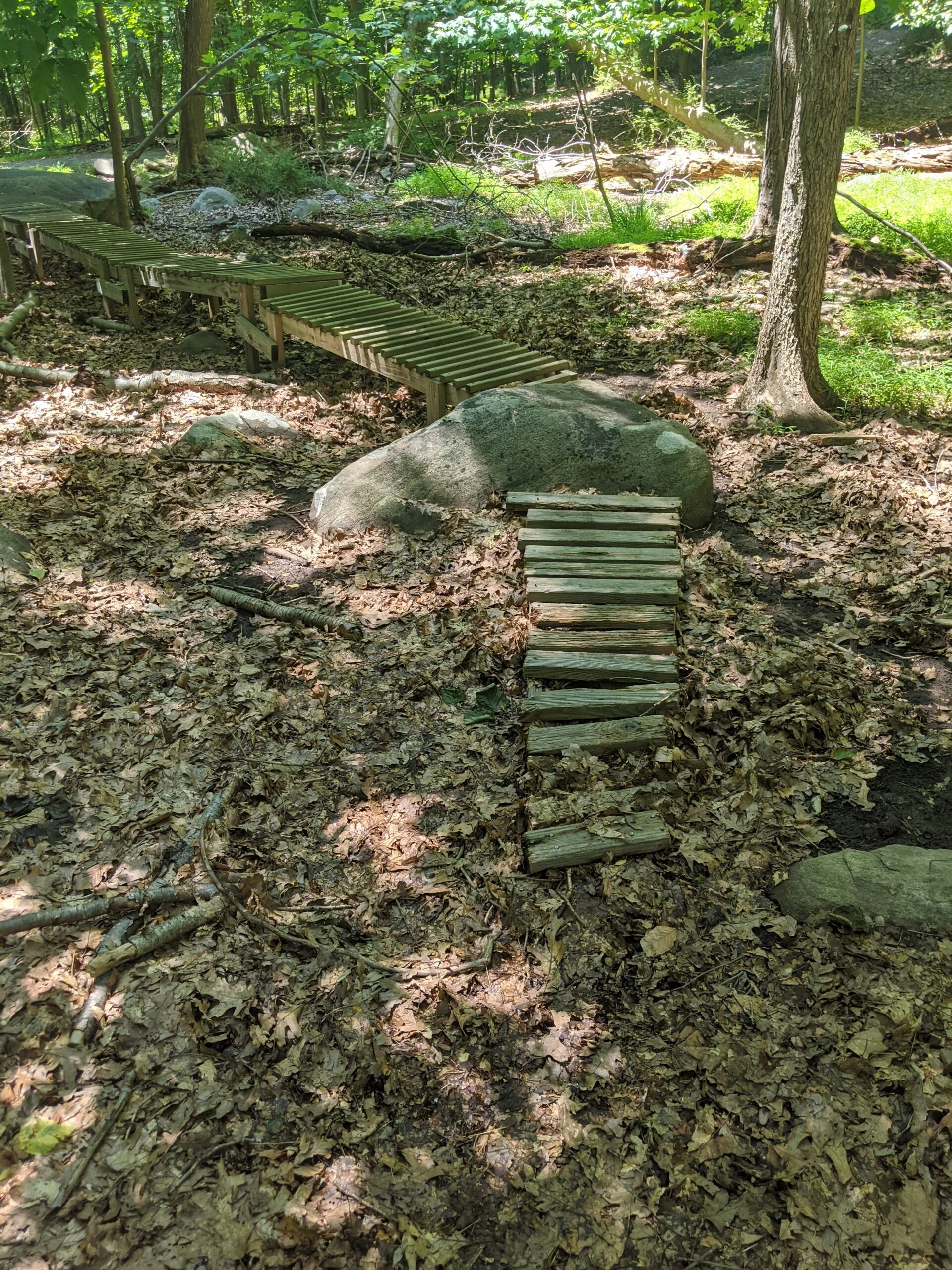
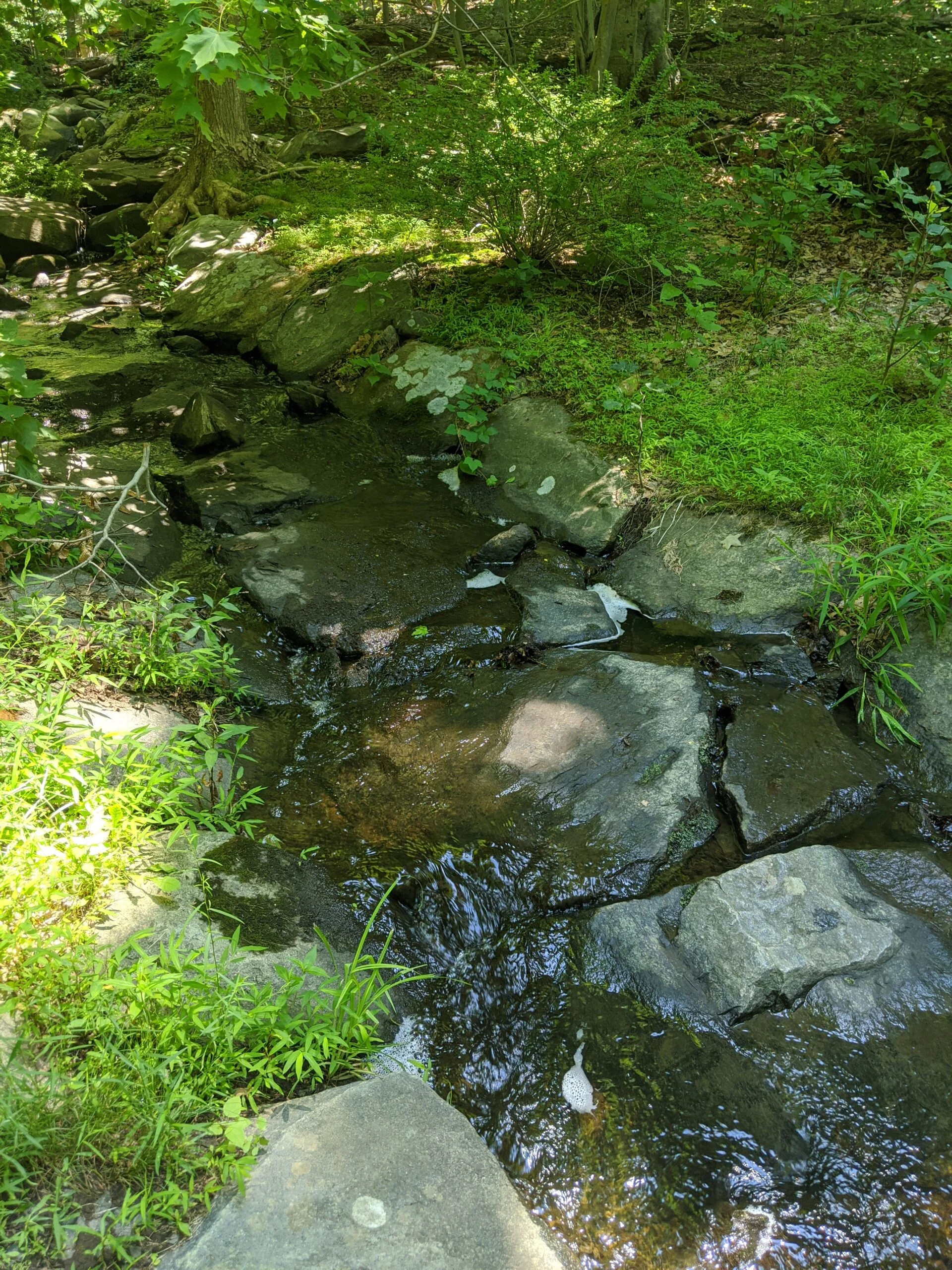
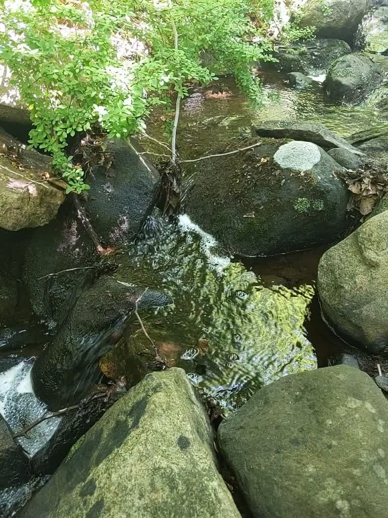
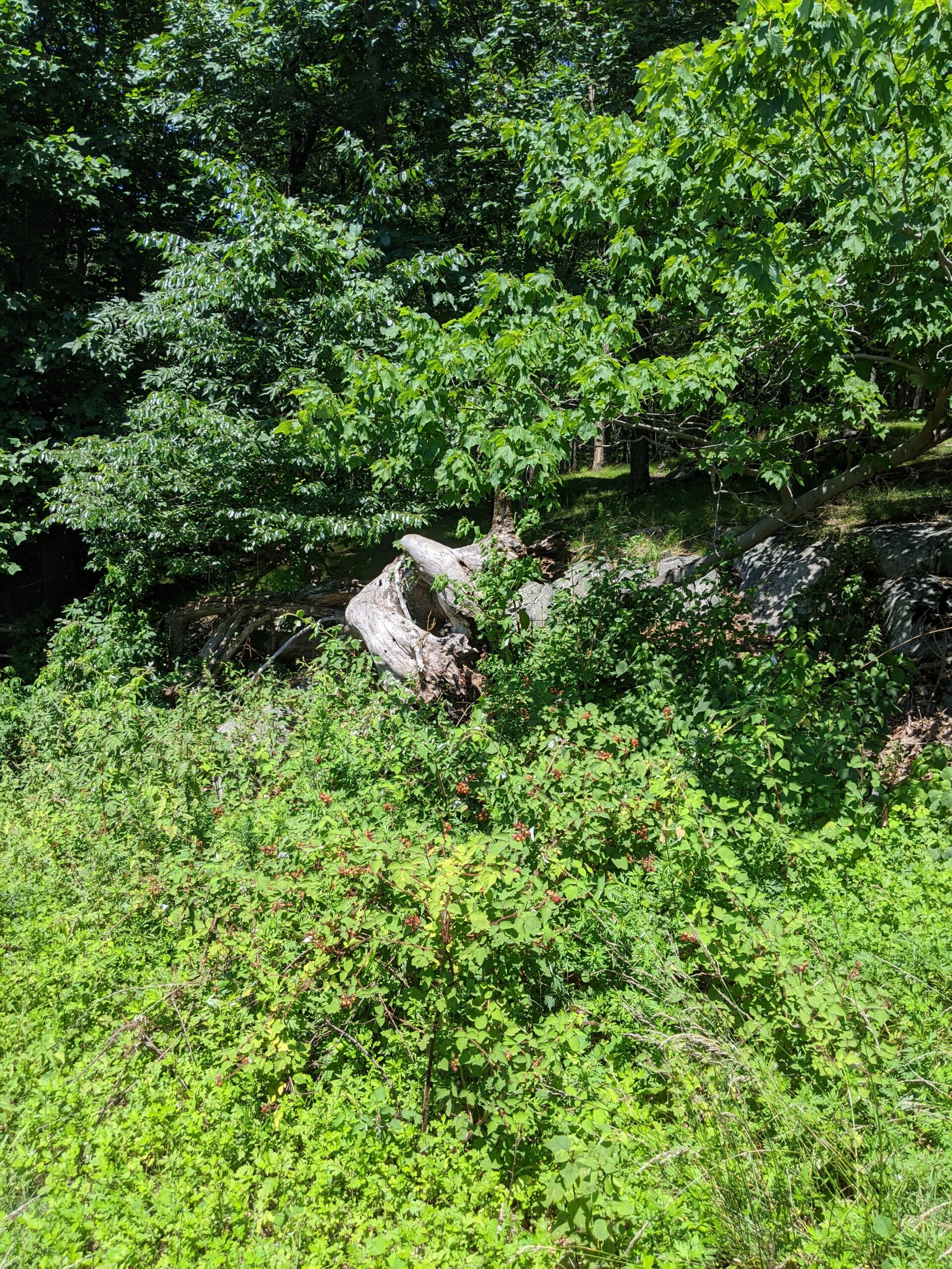
I then connected with WL, which brought me south again. I love the running stream that passes through WL. It’s a great spot for photos and videos! I also found a random wooden foot bridge off to the left. I’m not sure what that’s there for, as it doesn’t lead anywhere.
I connected back to the interior of the park and headed north on NS up to IP. At this point, I think I was near the 4 or 4.5 mile mark and I really wanted to get more distance in, so I turned off IP onto the compost path for the first time. I took that over to WL, then connected back with the other side of IP.
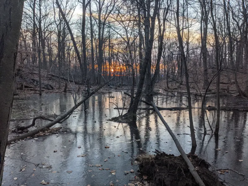
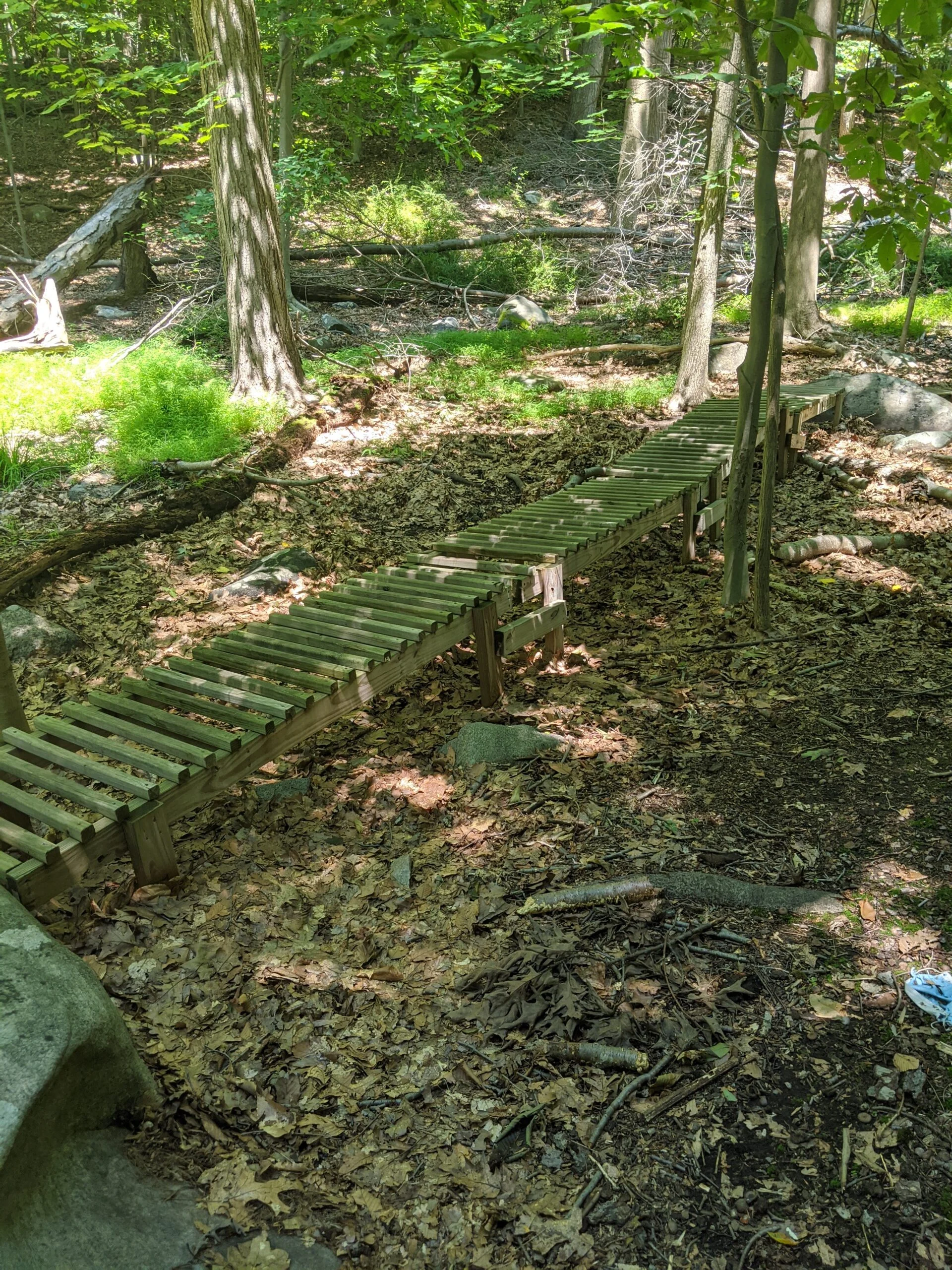
I headed back south down NS over to HW and made a quick stop at the Hermit Wetlands. Walking through the vegetation creeping onto the wooden path in is always a fun experience! From there, I took NS north back to the parking lot to pass the 6 mile mark.
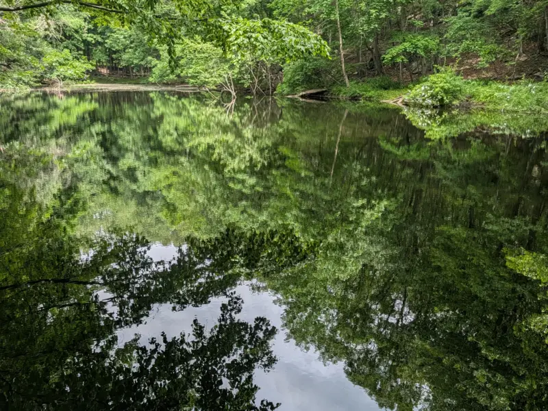
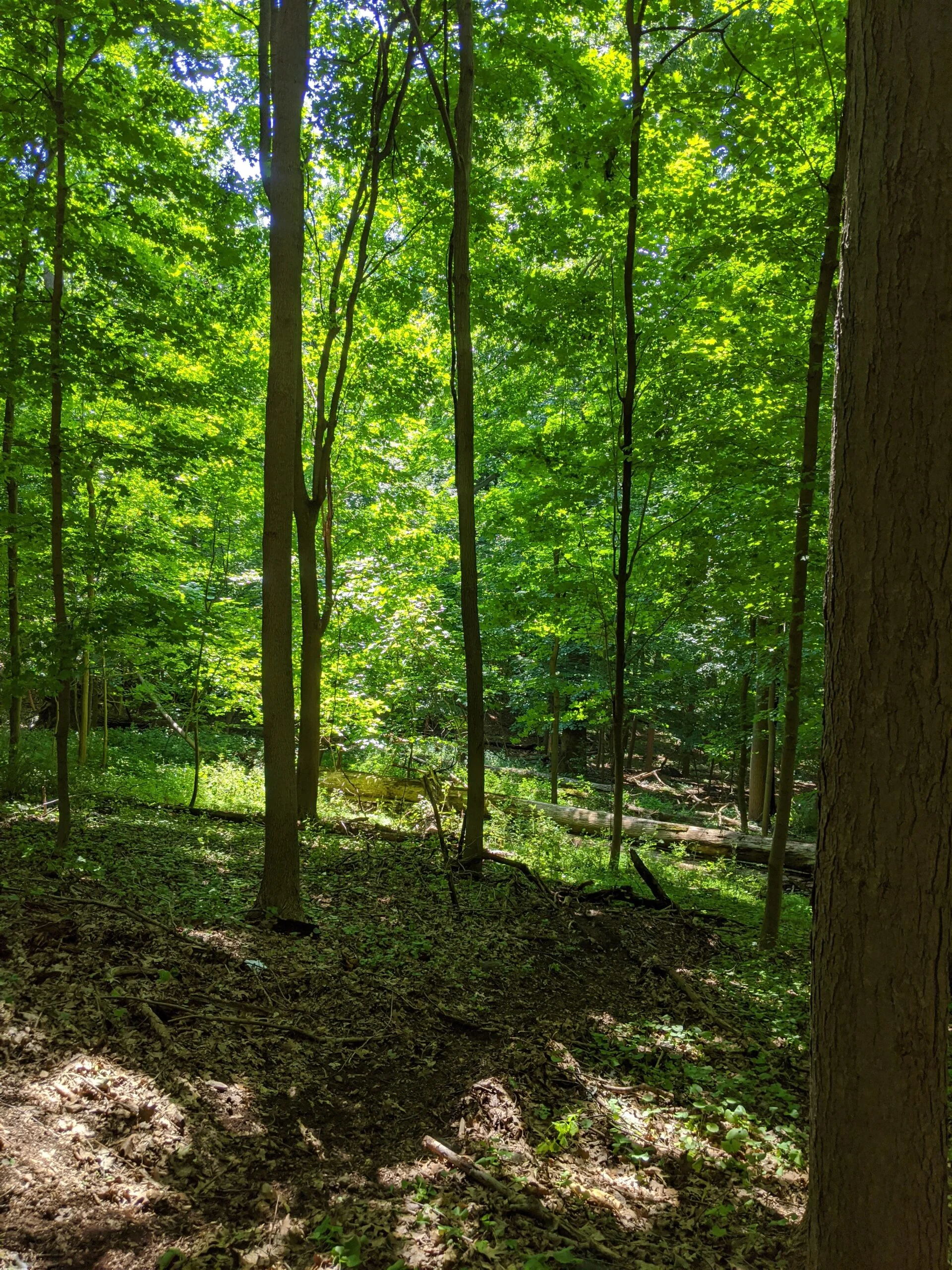
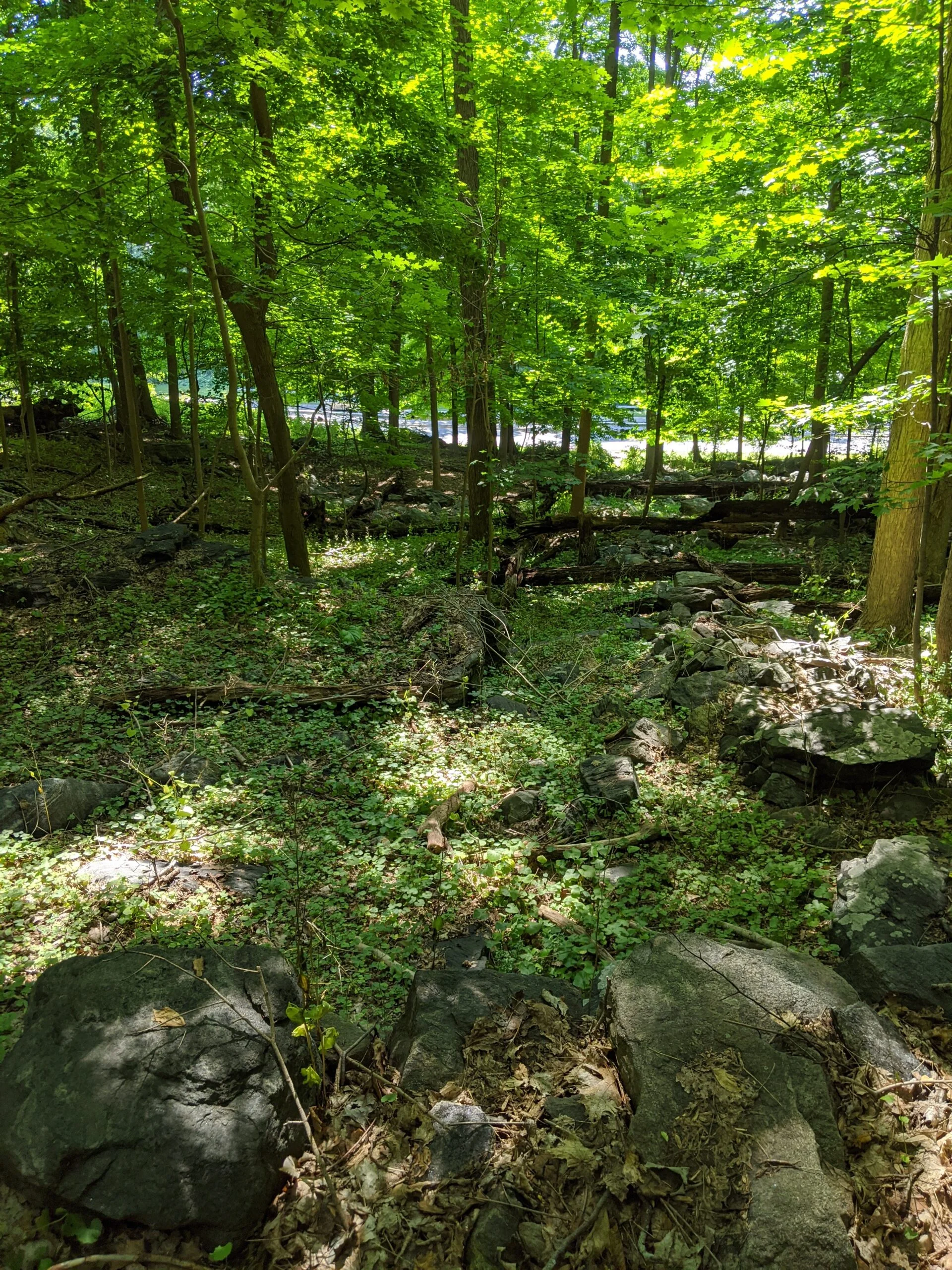
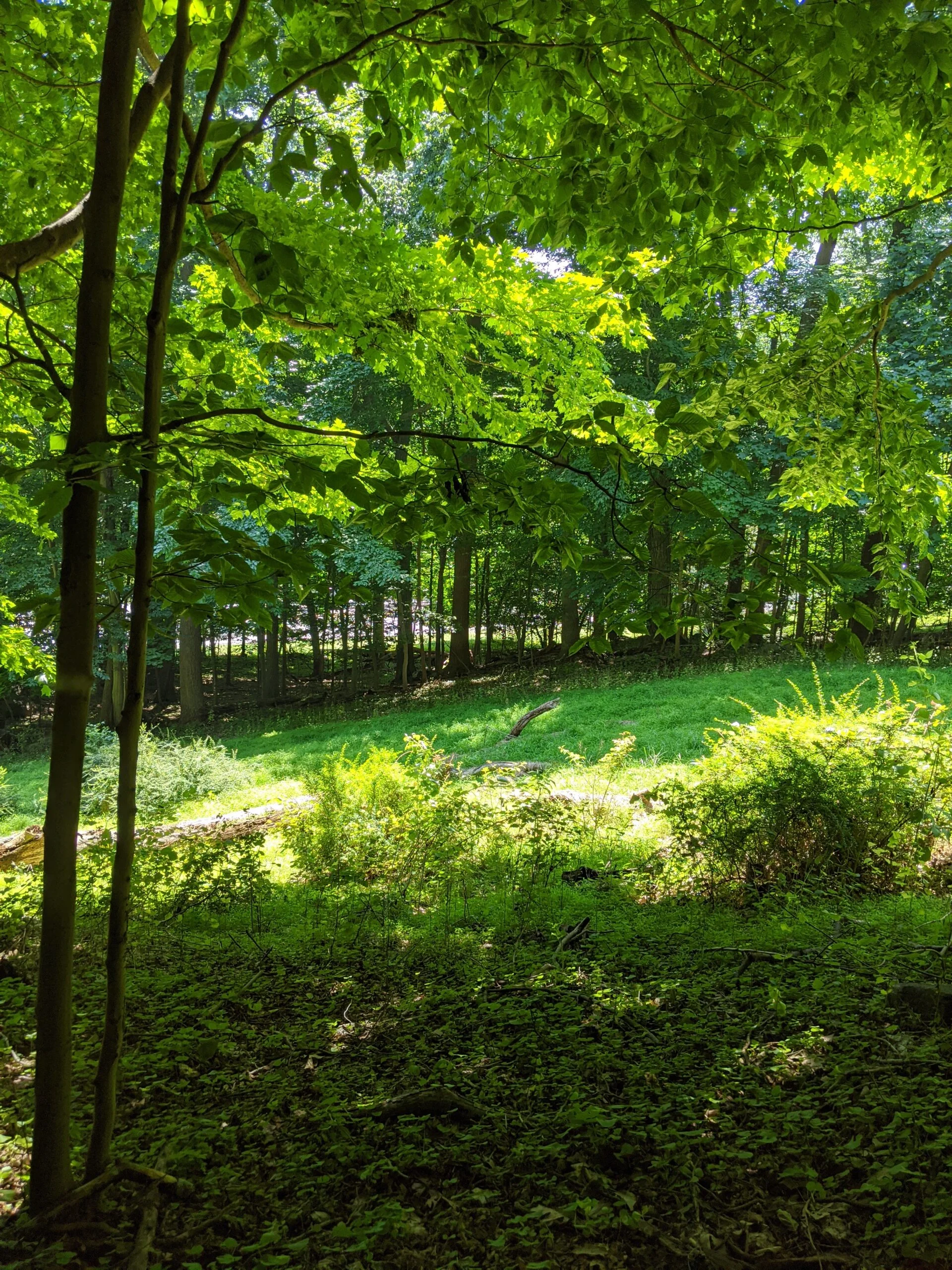
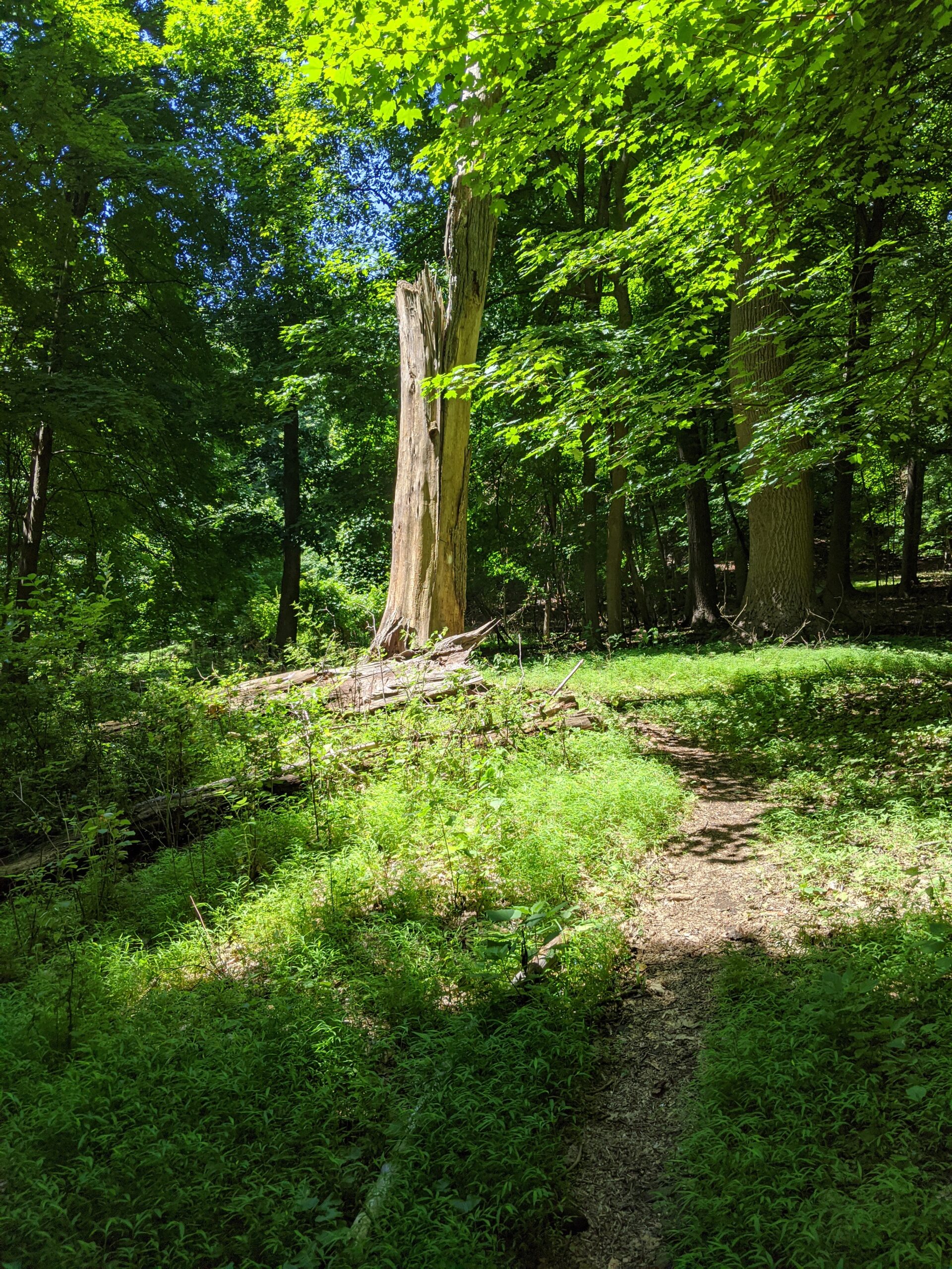
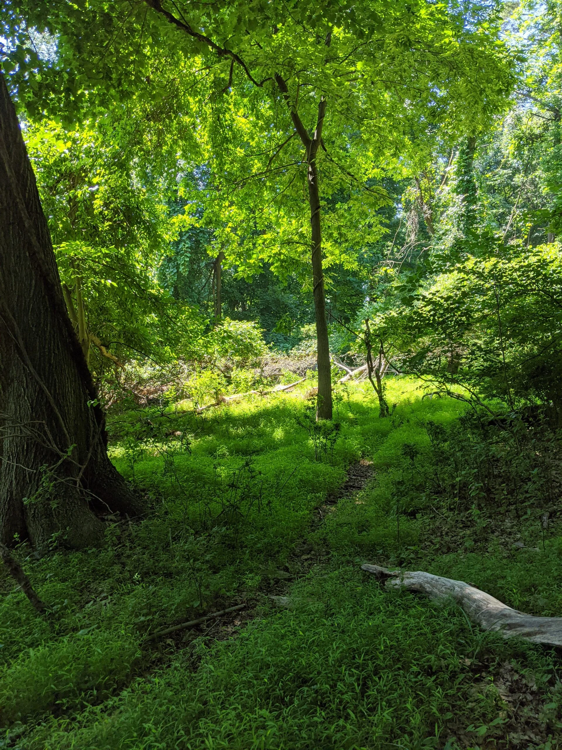
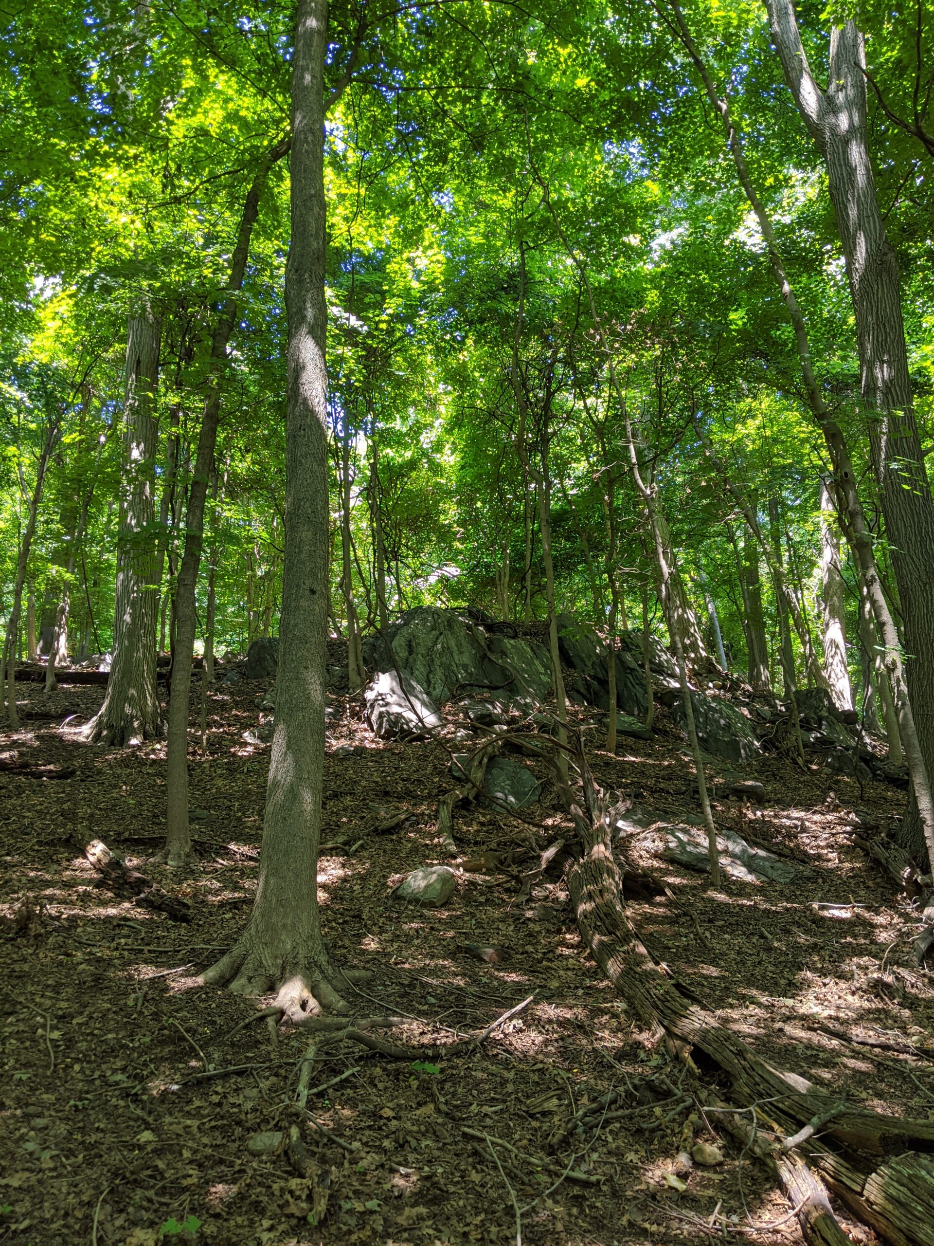
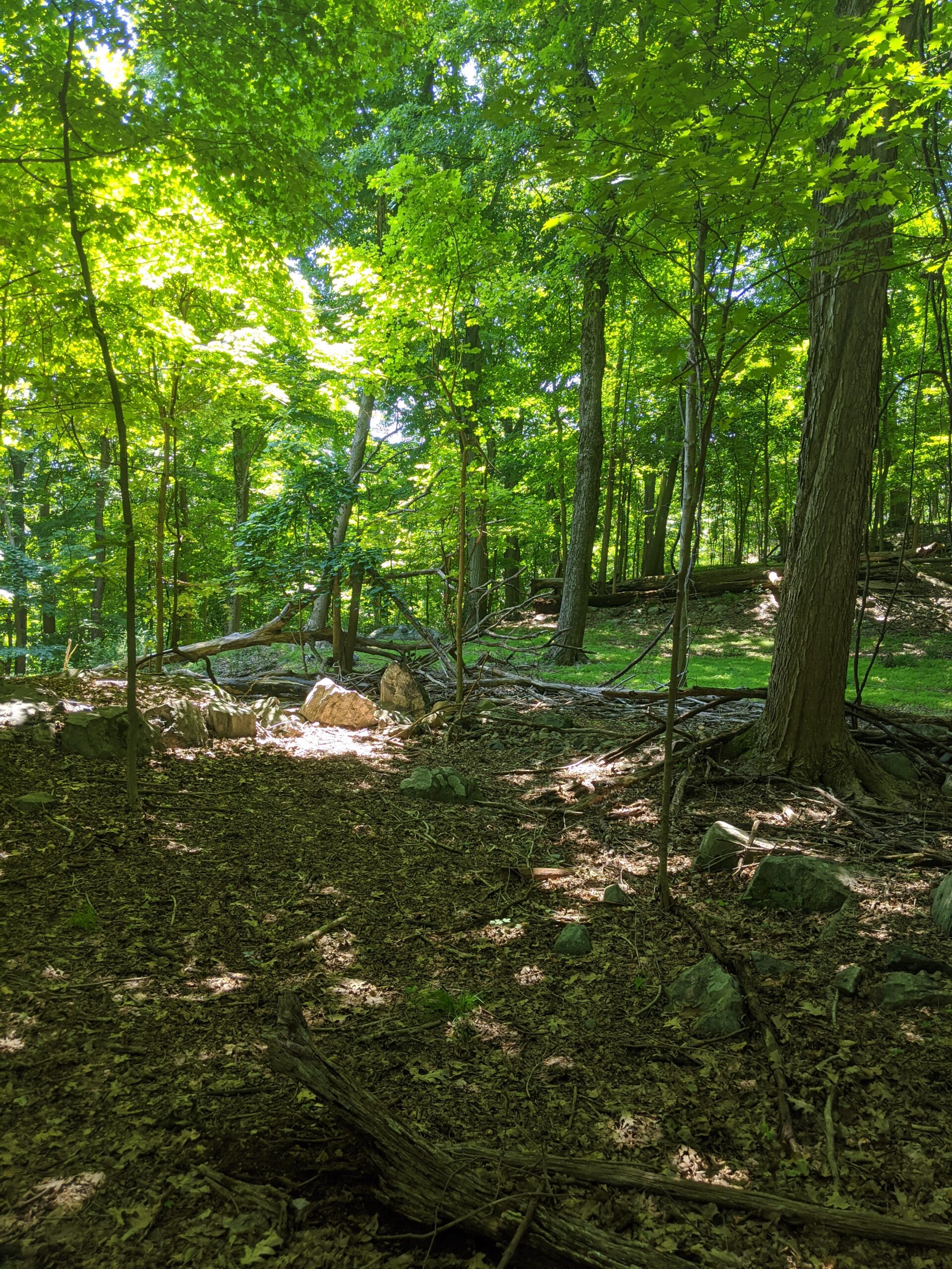
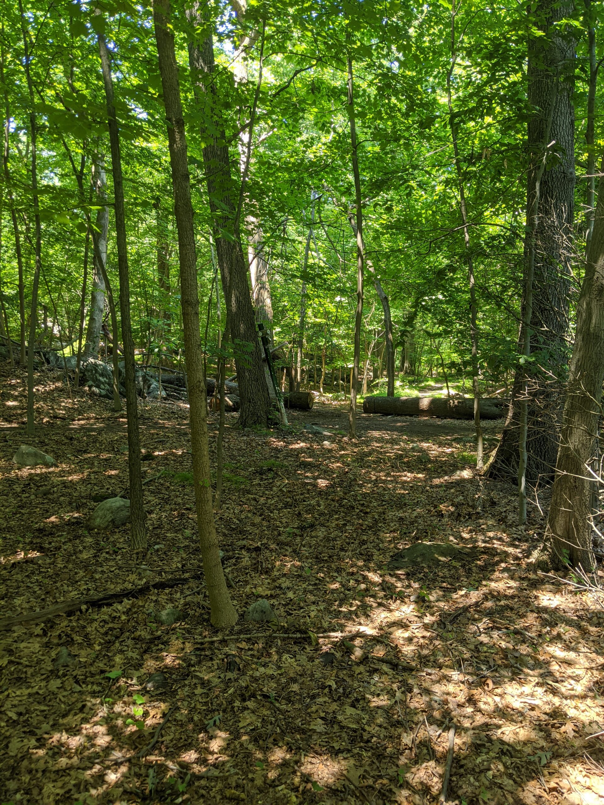
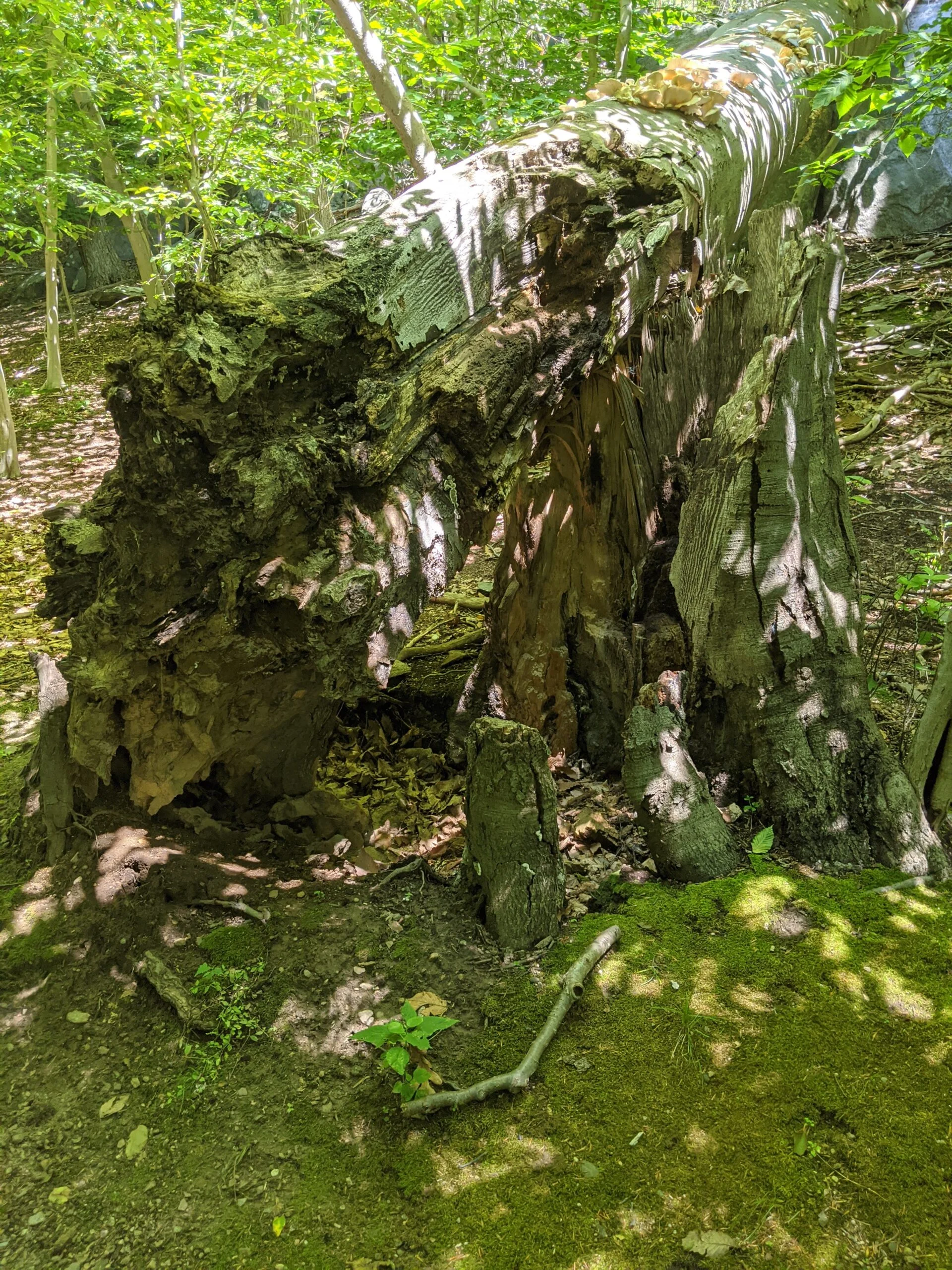
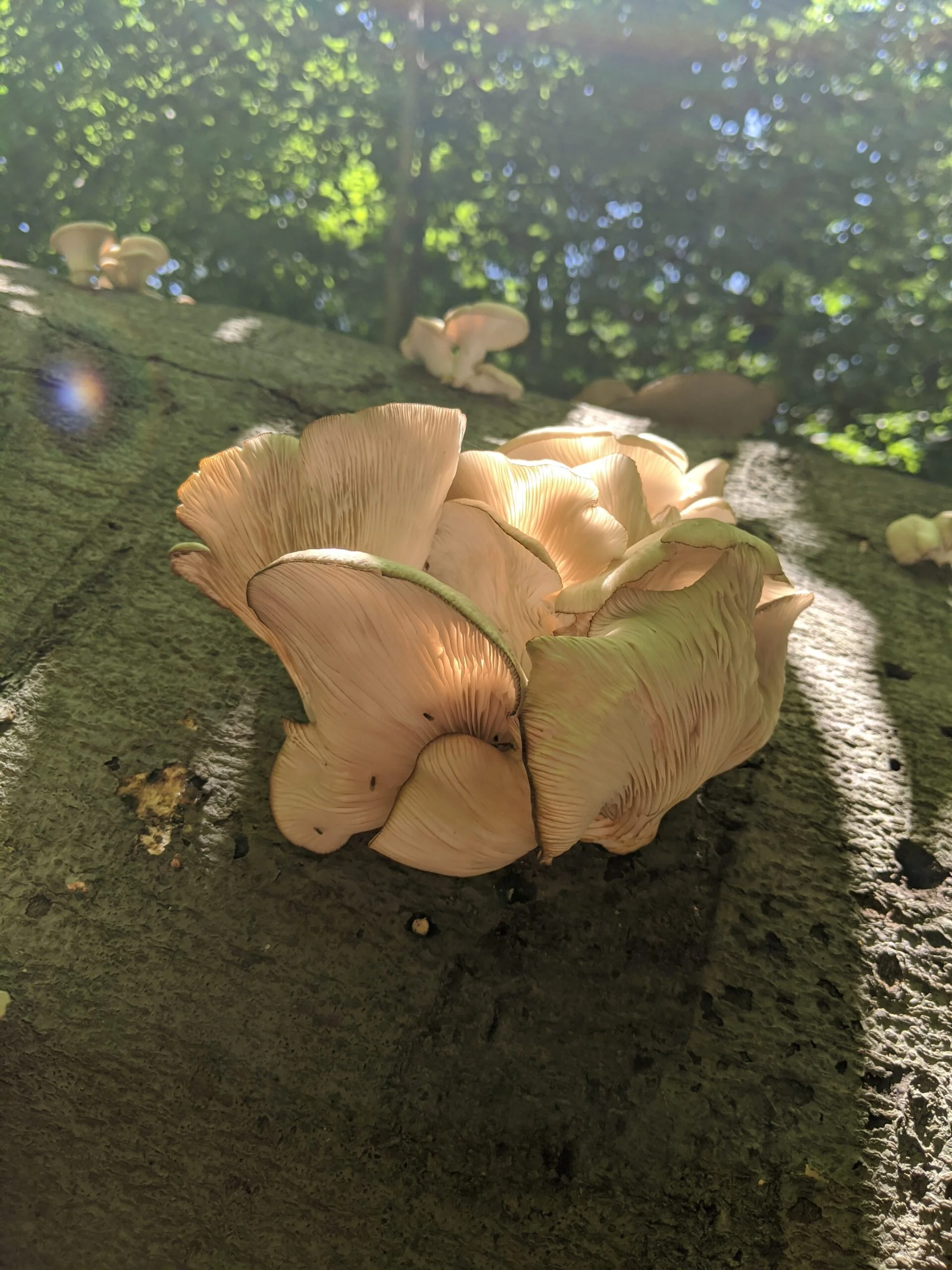
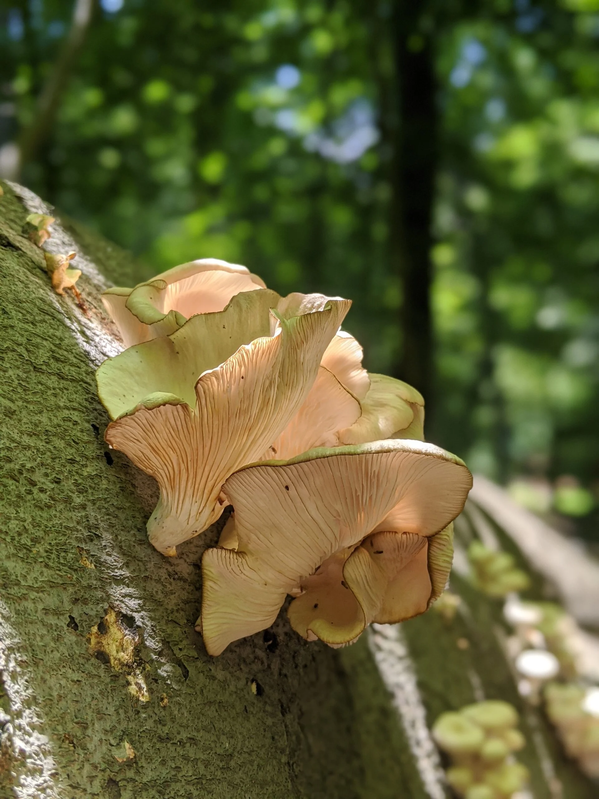
Overall, this was another fun and exhilarating hike through The Irvington Woods. I really enjoy the variety of this park. The eastern part of the park near the Saw Mill River Parkway drops off quite a bit and has a certain feel to it, with its rock benches, carriage paths, steps, and monuments. Coming back up into the interior is a little shadier and less vegetative, with awesome rock formations at Split Rock and Sunset Rock. The reservoir to the west is breathtaking. Then the northern Marshall Pond and Ice Pond are quaint and lush. I can still hear the ducks and other wildlife living in the Hermit Wetlands to the east.
Speaking anecdotally, the Nuun tablets and water seemed to keep me properly hydrated and stable, even on such a hot day. The new socks combined with the bandages lead to no pain and no new blisters this week. I look forward to trying the socks without any bandages, but so far the socks have performed well.
Having walked almost every path at least once now, I really starting to get a good feel and appreciation for this park. I will definitely be back!
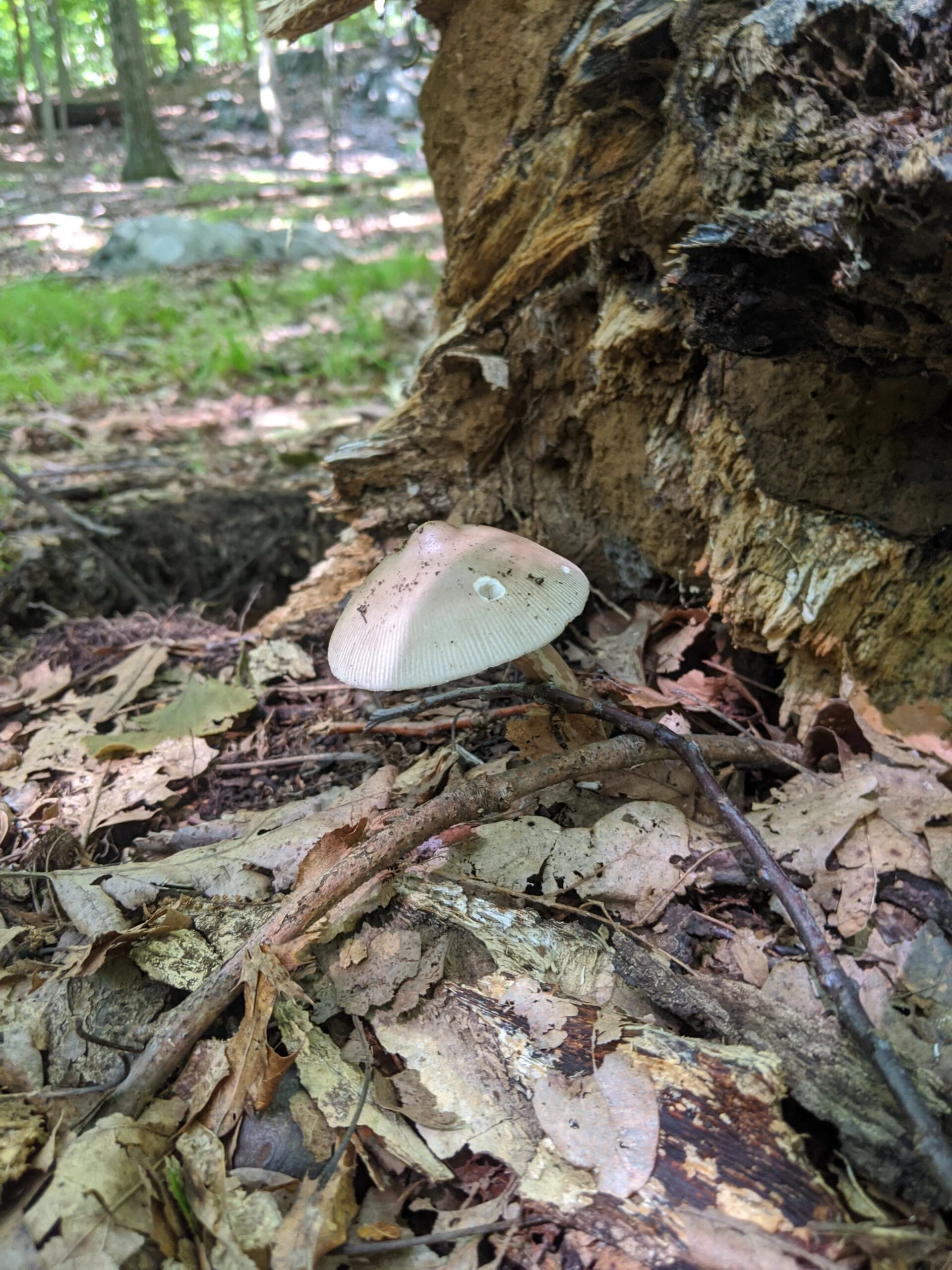
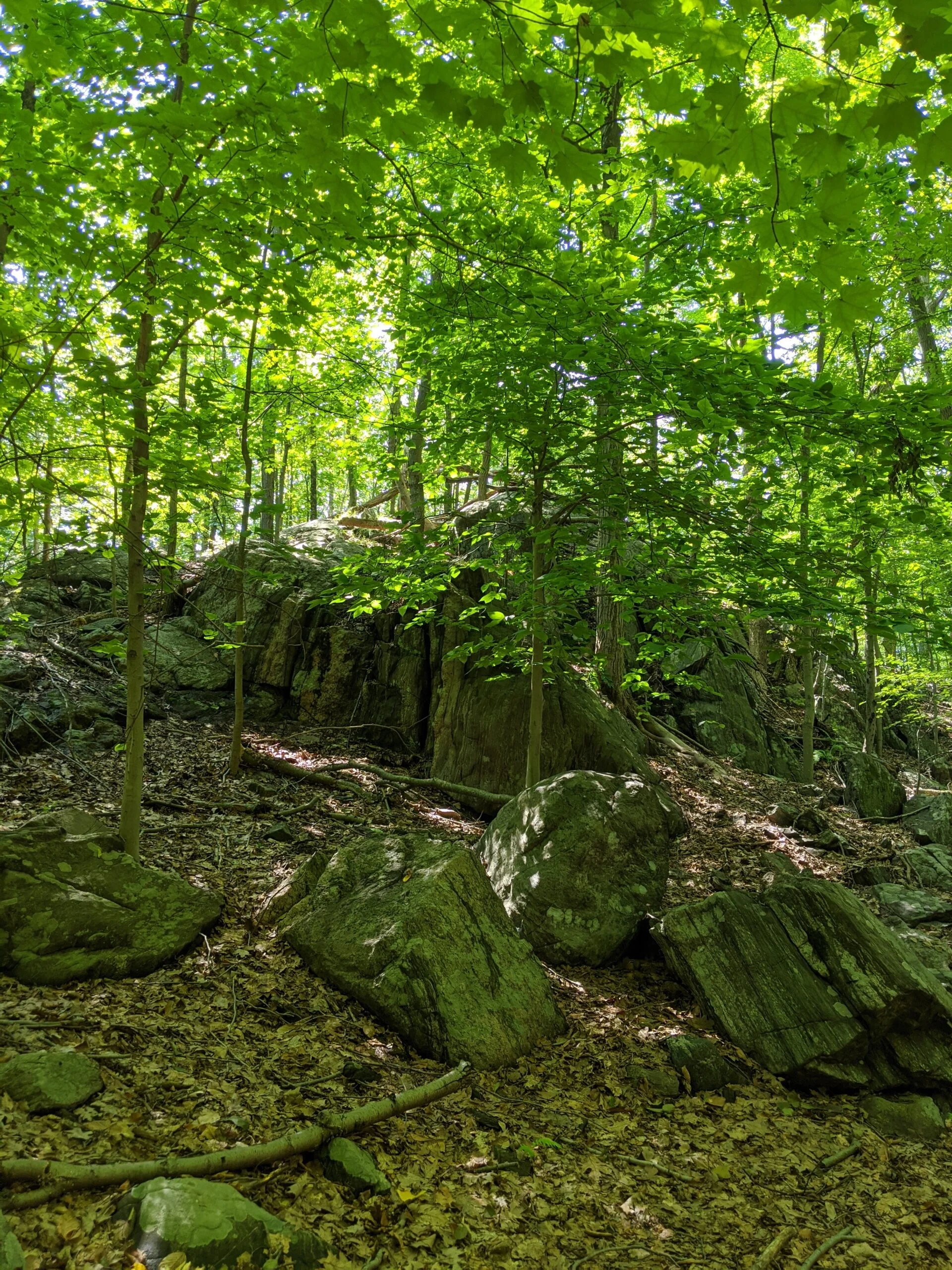
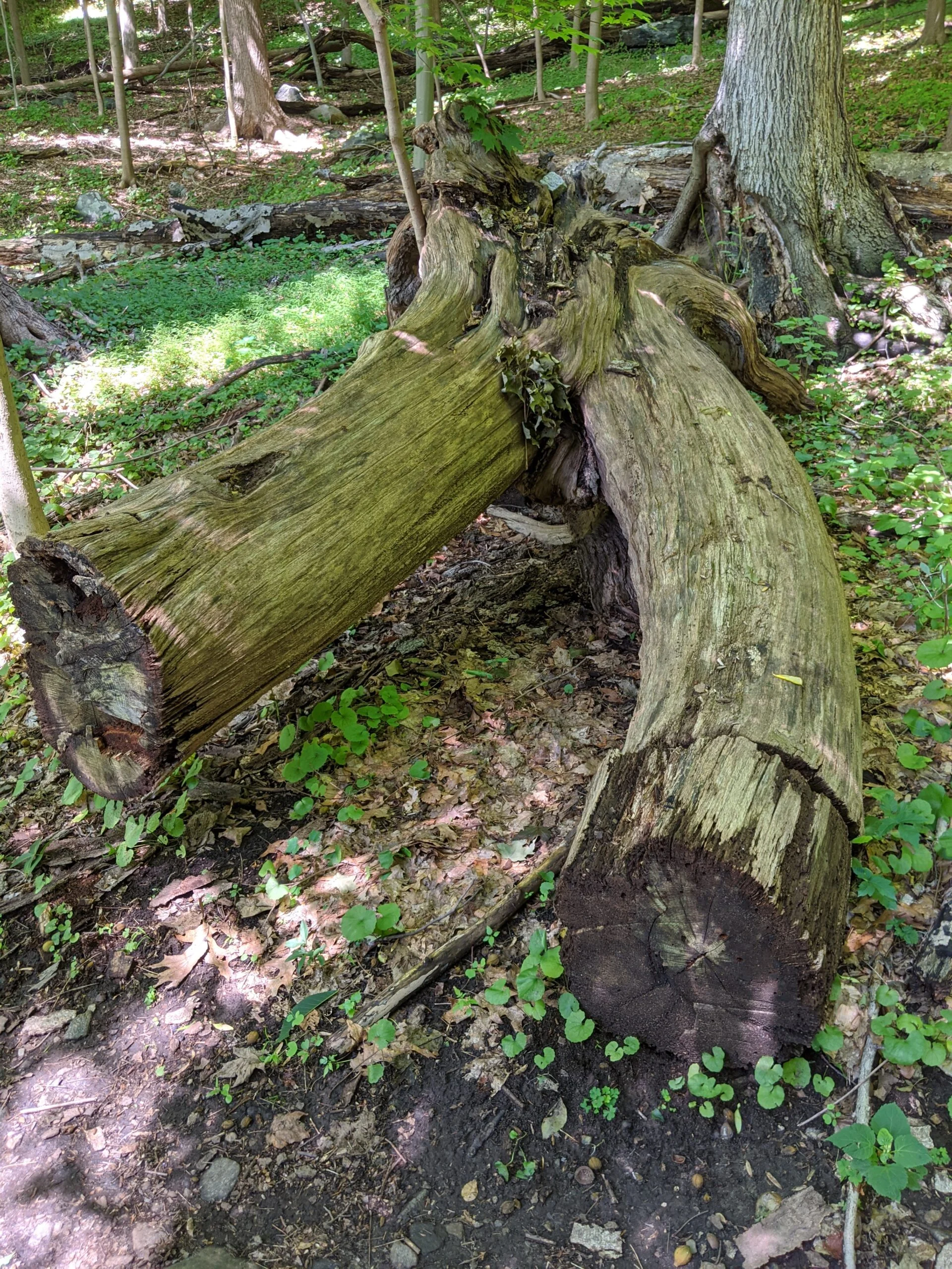
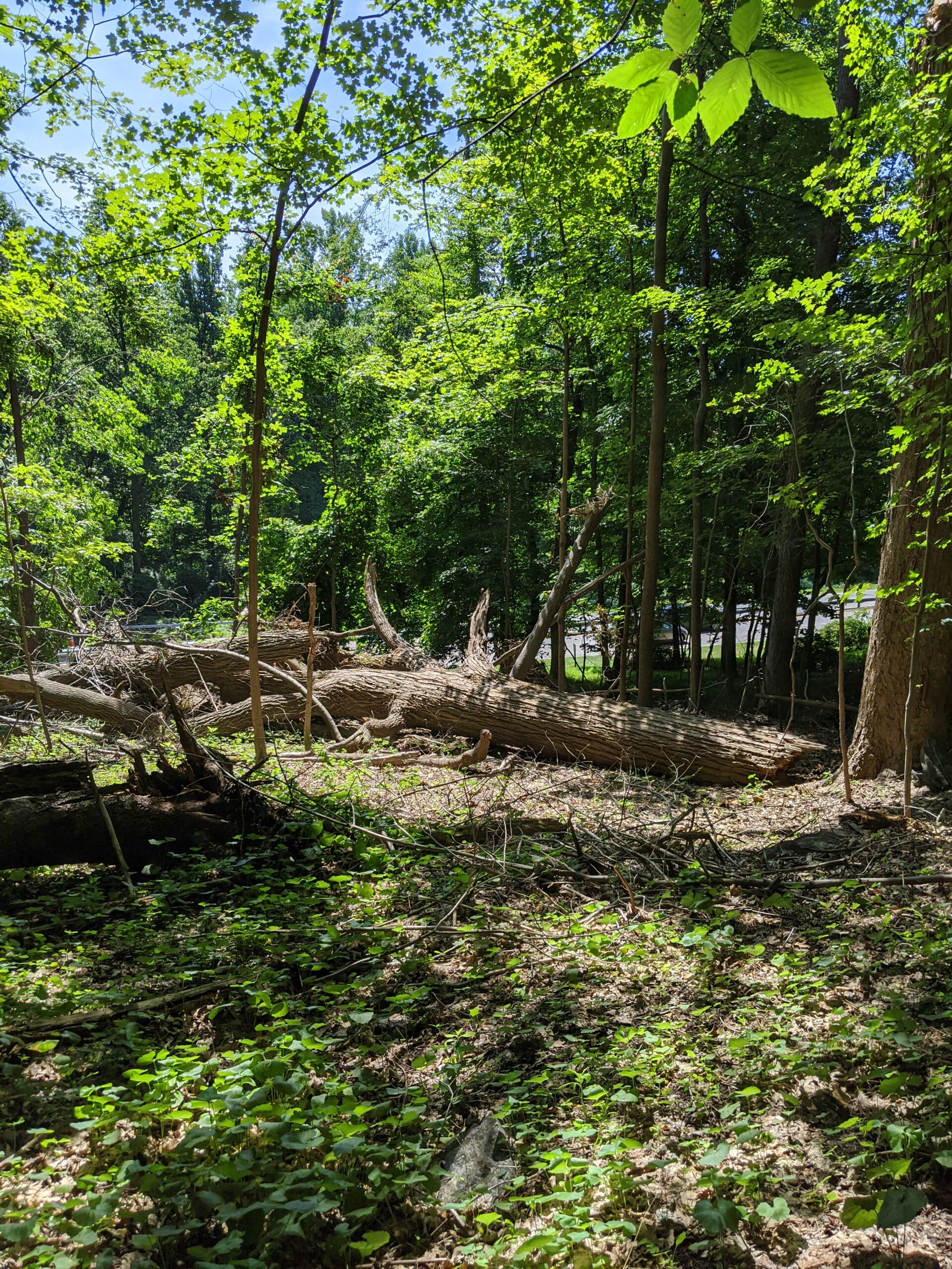
Photos


GPS Route & Elevation
Loads an interactive map; map tiles are served by the U.S. Geological Survey, which receives your IP address. Learn more about maps and your privacy