Rockefeller State Park Preserve
Rockefeller State Park Preserve – Swan Lake, Buttermilk Hill, Rock Wall Loop, Spring Trail
- 7.8 mi
- 626 ft gain
- 02:57:13
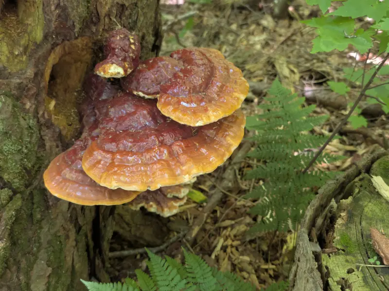
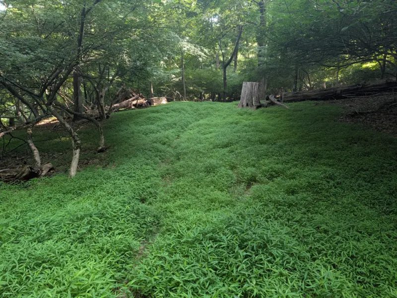
- 93 photos
This post may contain affiliate links. If you buy through them, I may earn a commission at no extra cost to you. As an Amazon Associate I earn from qualifying purchases.
I first visited Rockefeller State Park Preserve back in 2013, but I did not recall much about the park or that visit.
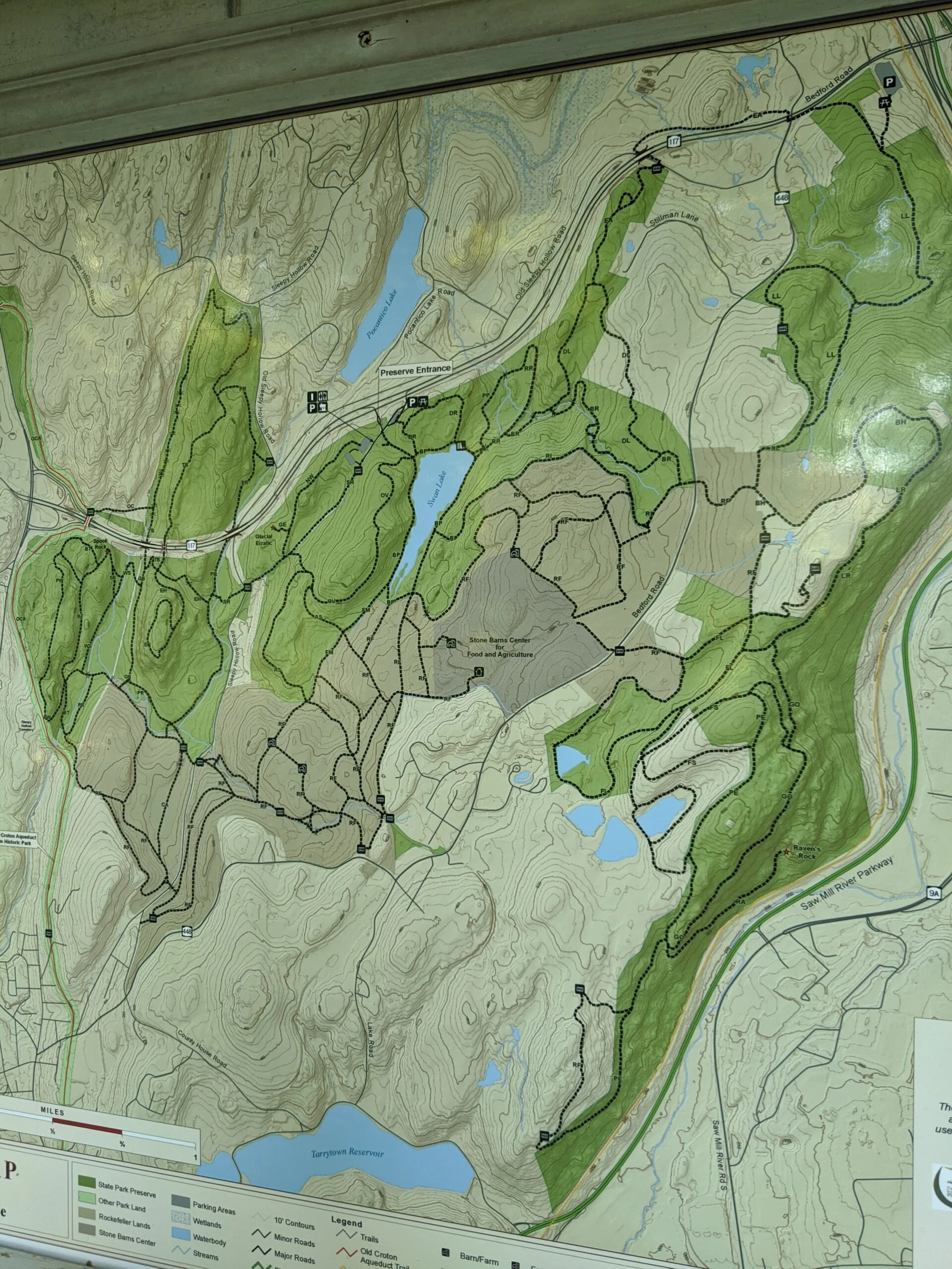
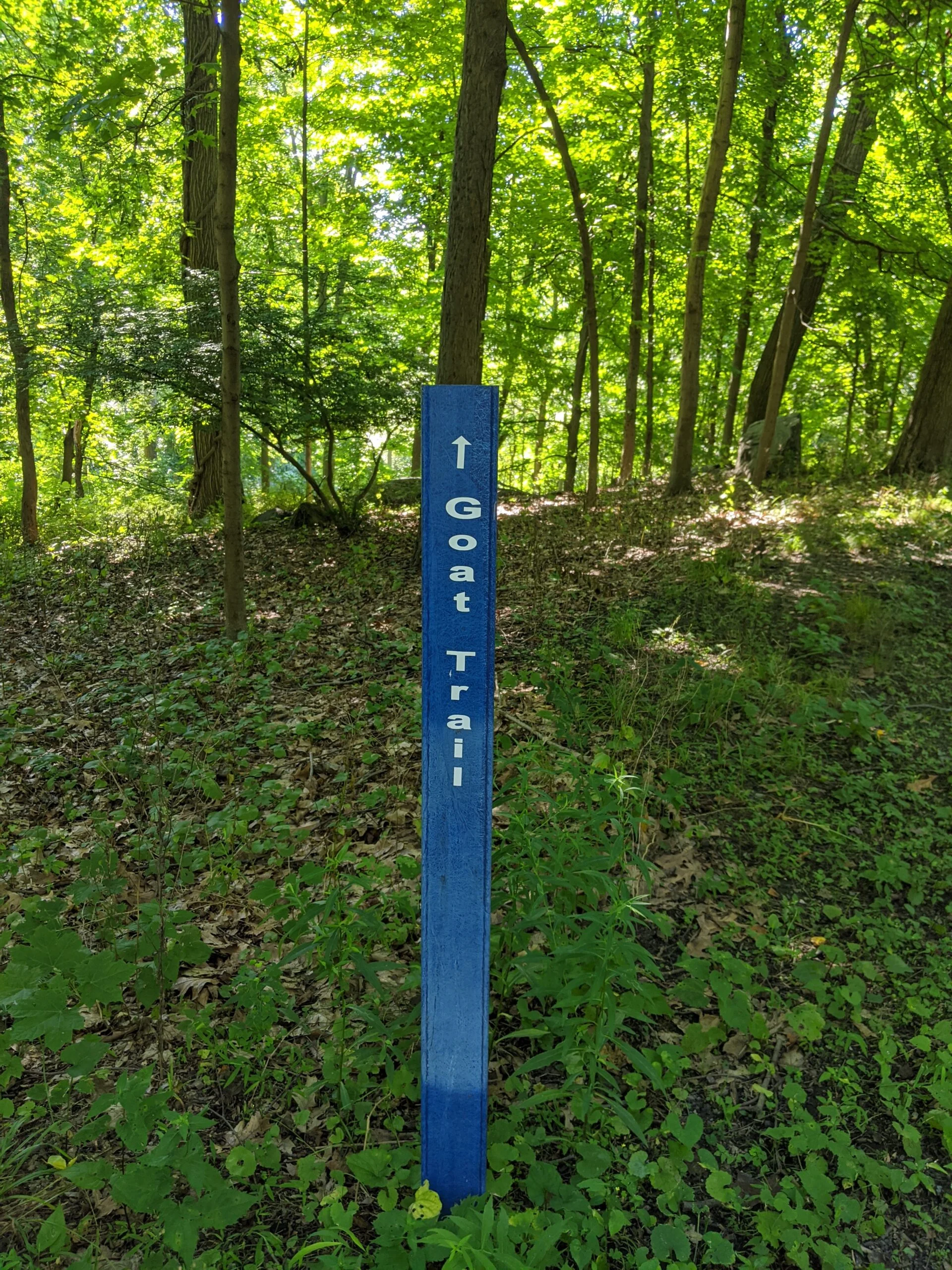
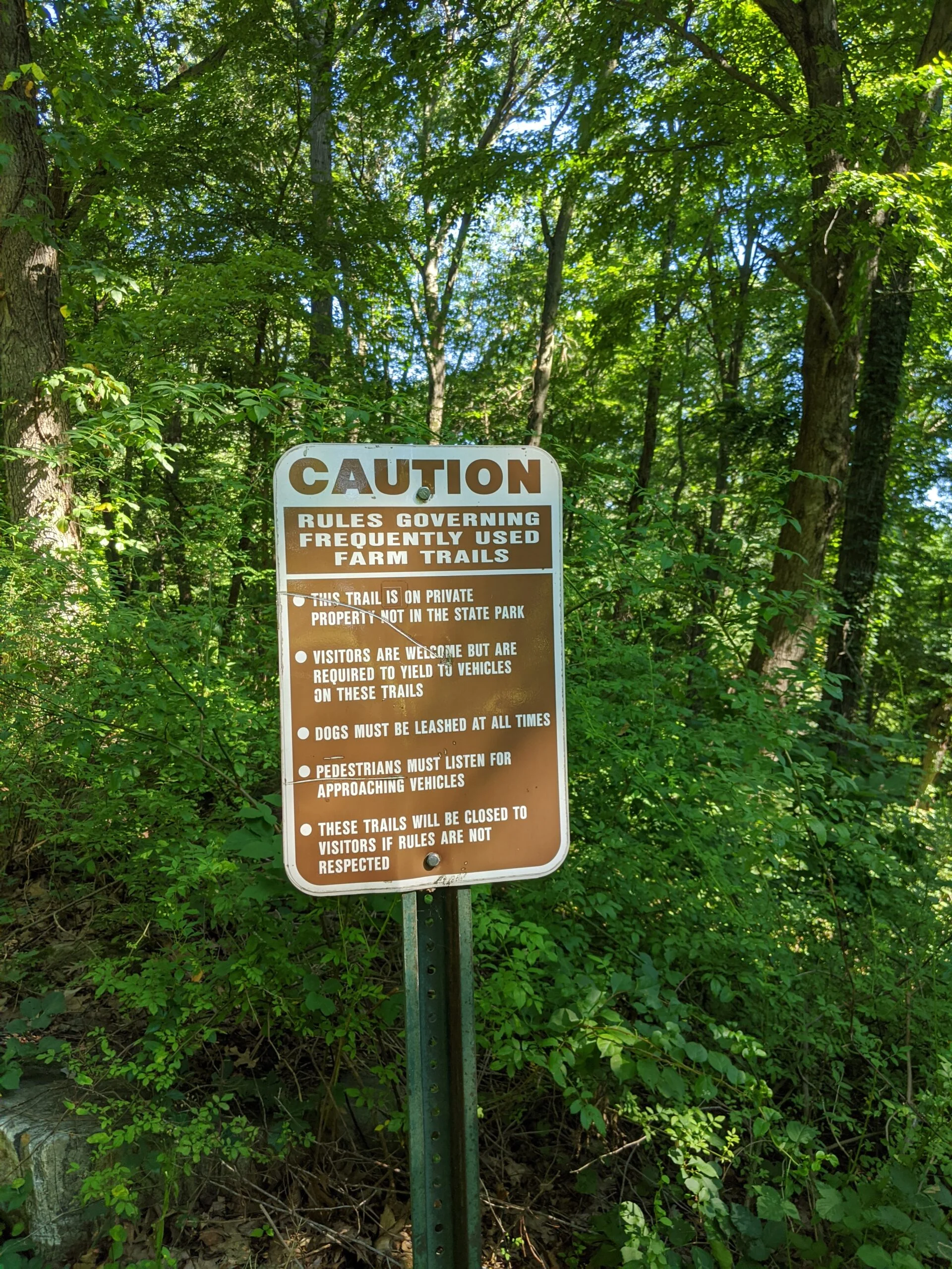
For this trip, I started by reviewing the trail map the night before. There are over fifty marked trails on this property, so it’s impossible to hit them all in one trip. I scoped out a few areas to the north and to the east that I wanted to explore. I normally like to rely on paper maps only, so I printed out a copy of the map, but I saw on the website a link to an offline version of the map available through Avenza Maps. I downloaded that app and the map to my phone as a backup. It ended up coming in handy a few times during the hike where I really needed to zoom into an intersection and see which path led where.
After a good night’s sleep and a healthy breakfast, I prepped my Osprey Skarab 18 Men’s Hiking Hydration Backpack ($) at home. I filled the bladder about 2/3 full of water and dropped in five orange flavor Nuun Sport: Electrolyte Drink Tablets ($). After the tablets were fully dissolved, I added a full tray of ice cubes to the bladder and topped it off with more water. I learned from my first time that adding the ice cubes before the Nuun tablets are fully dissolved slows down the process.
At the same time, I also filled two separate 1.5L bottles with water and 3 Nuun tablets each. I’ve learned it easier to prep the bottles at home than to try to fumble with the tablets out on the trail. Plus, they’re already dissolved by the time you need them, so there’s no need to wait to drink. The only thing missing from this setup is ice, since by the time these bottles are used, the ice from the main bladder is already melted and gone. I am going to purchase an ice stick tray mold before my next trip.
Now I was ready to set out on my way. I arrived at the main parking lot off Route 117 around 7:40am. There were about 30 cars in the lot and a few people milling around. Admission is $6 per vehicle, payable by automated machine and valid until sunset of that day. Cash and credit card are accepted, but cash is exact change only.
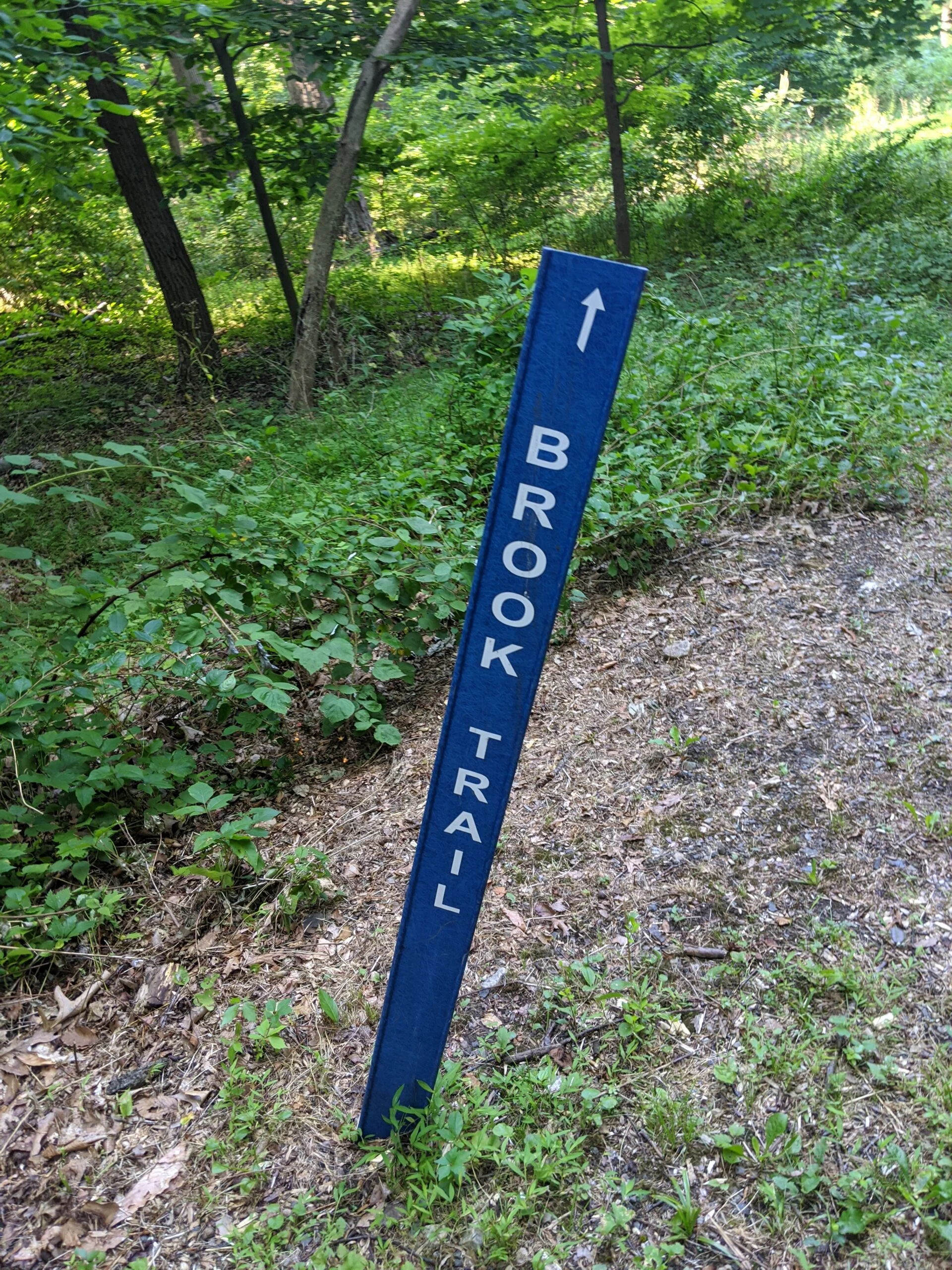
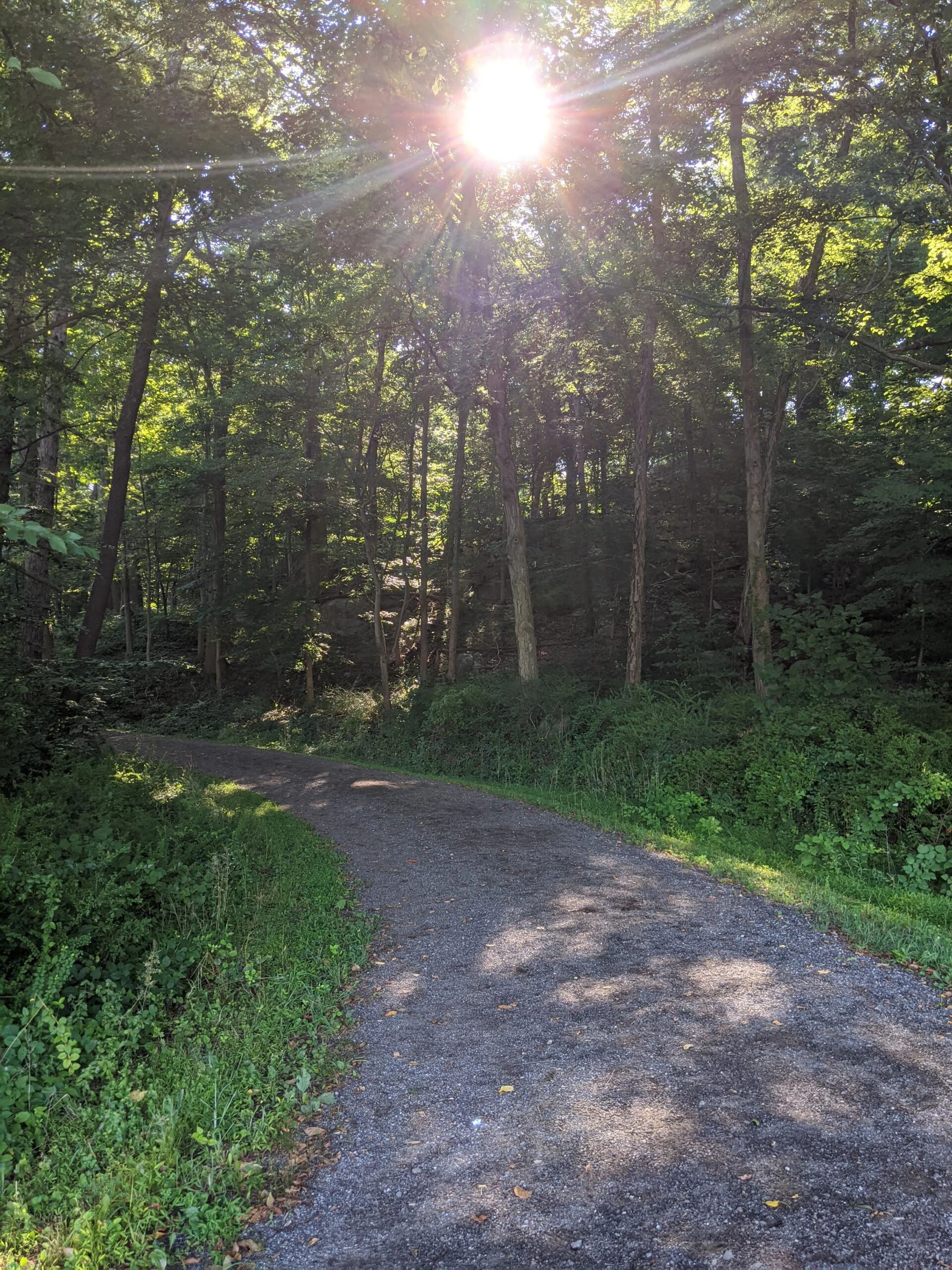
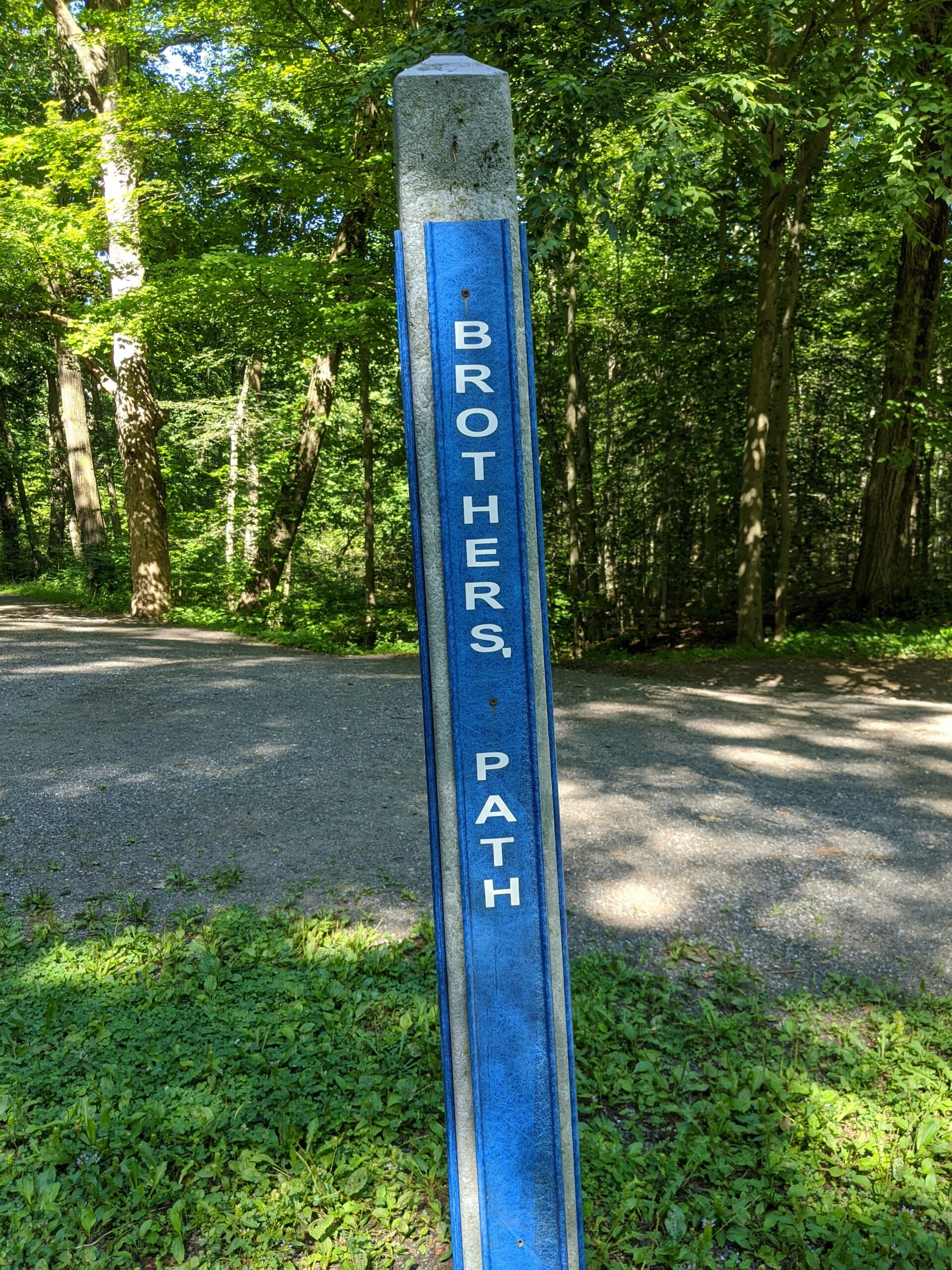
I started off passing the Visitor Center and down Brothers’ Path (BP) toward Swan Lake. I made a left (north east) turn onto Old Railroad Bed (RR) with the intention of following that to David’s Loop (DL). I missed the DL path, so ended up following RR all the way around to Peaceful Path (PP), and then retraced my steps to pick up DL as I intended.
About 2.5 miles into my walk, while on DL, I could feel the beginning of blisters on my ankles. I found a rock to sit on and applied FirstChoice Extra Durable Moleskin ($) to the back of both ankles, using the scissors from my Swiss Safe First Aid Kit ($) to cut the right size. When I resumed walking, there was a noticeable difference in the amount of friction I felt against my ankles. It was not completely gone, but it was better.
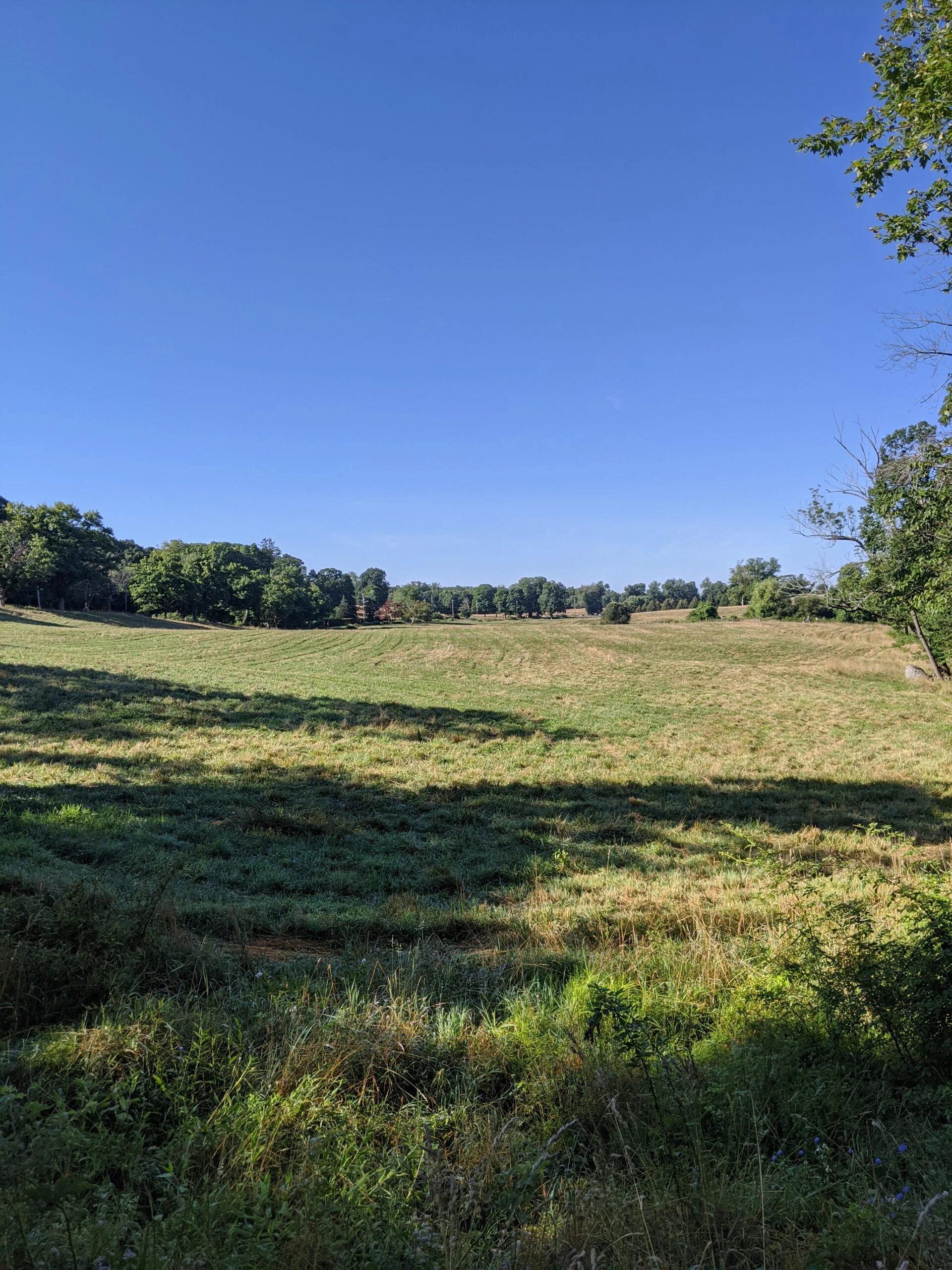
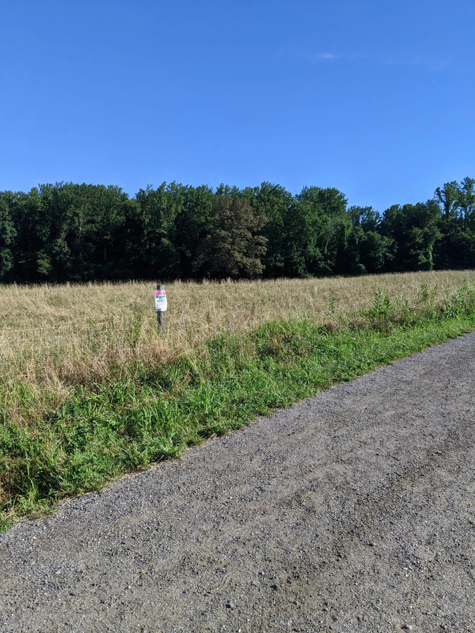
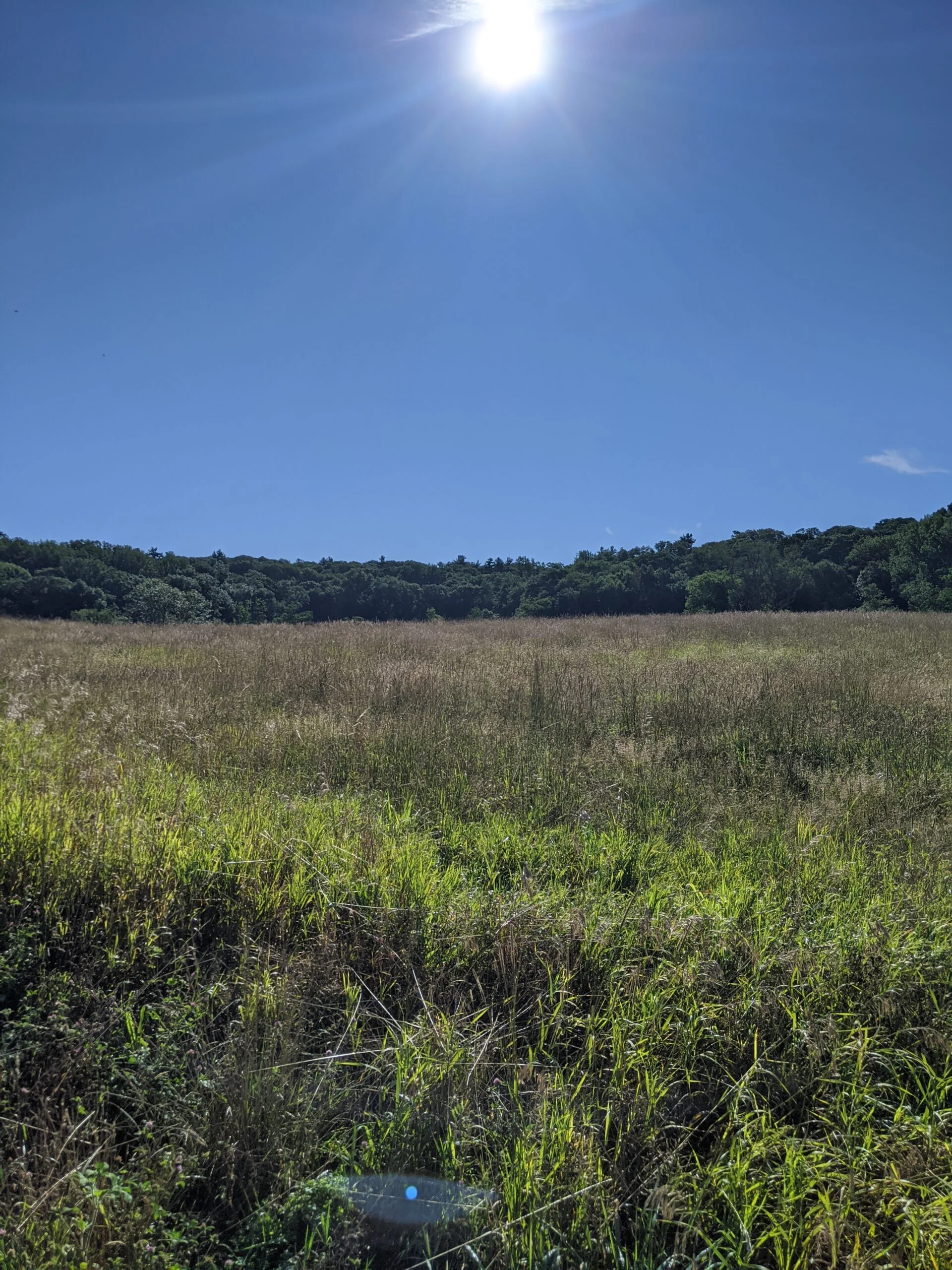
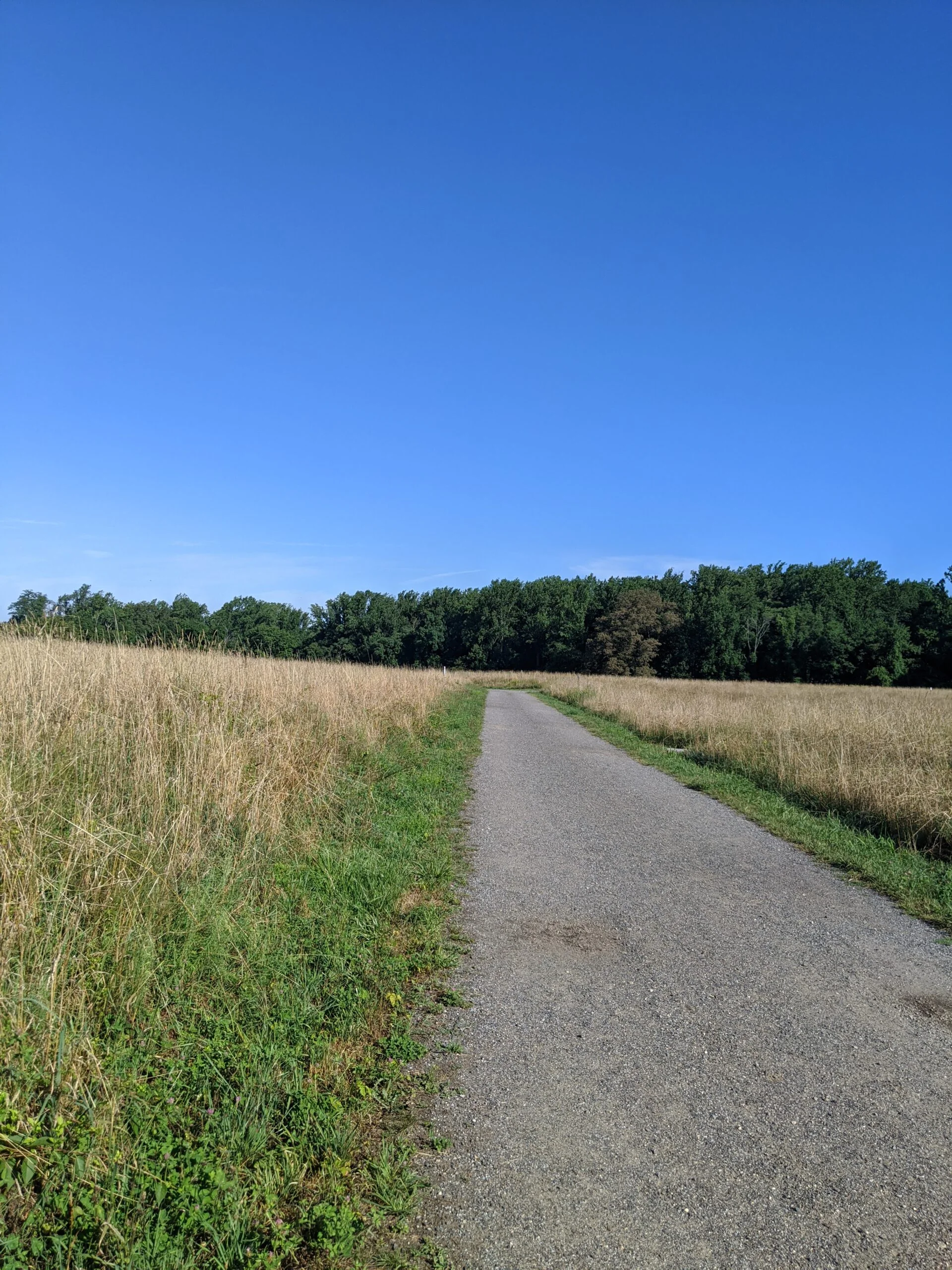
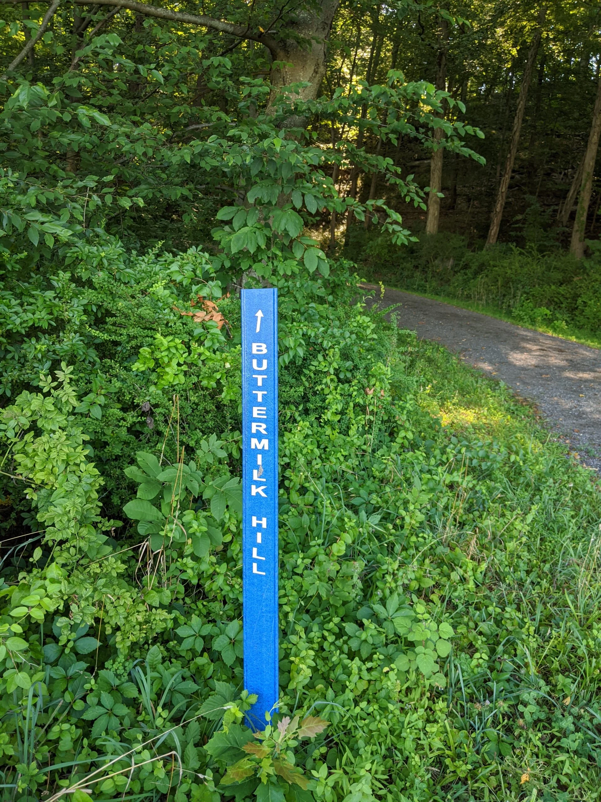
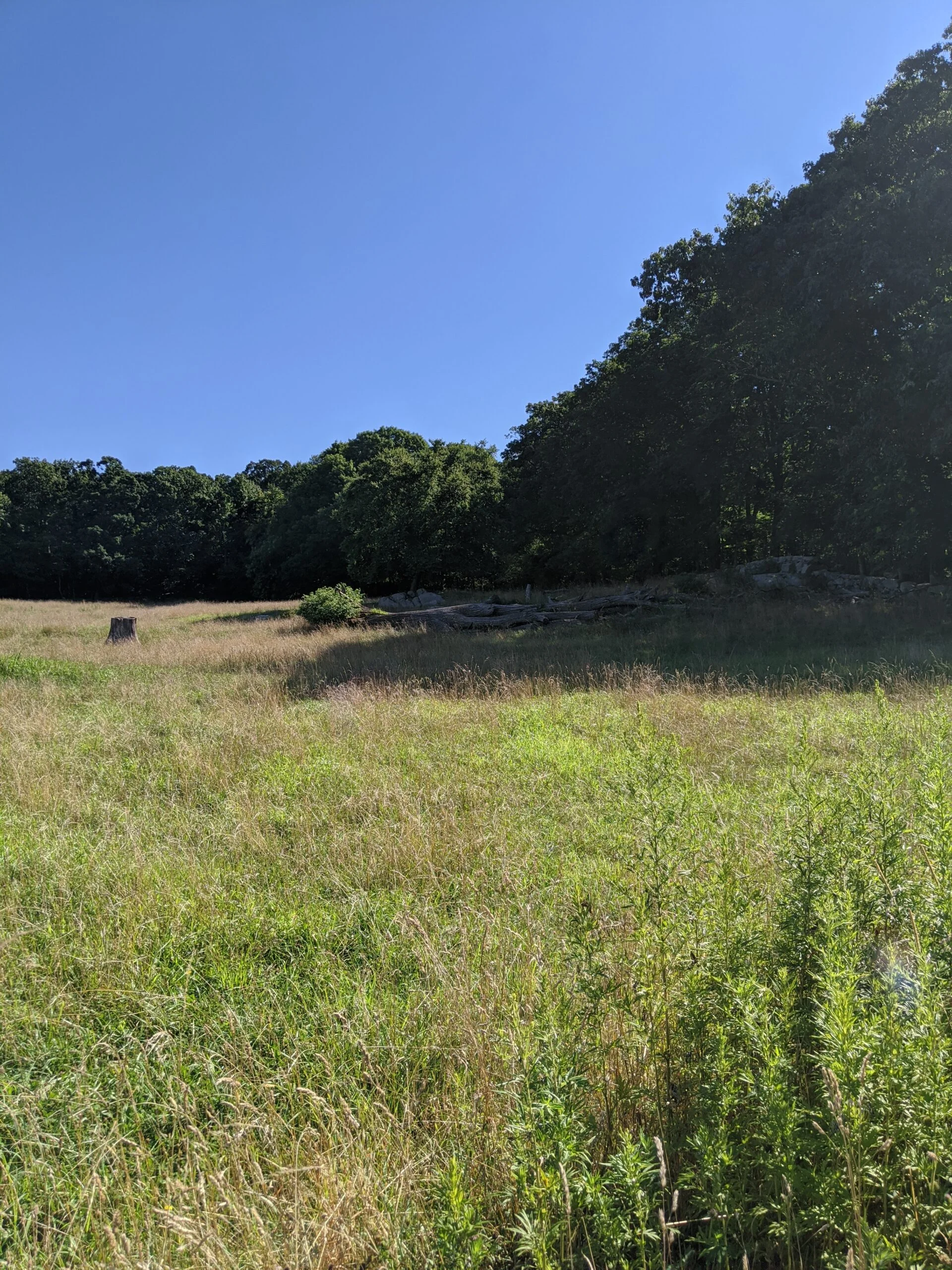
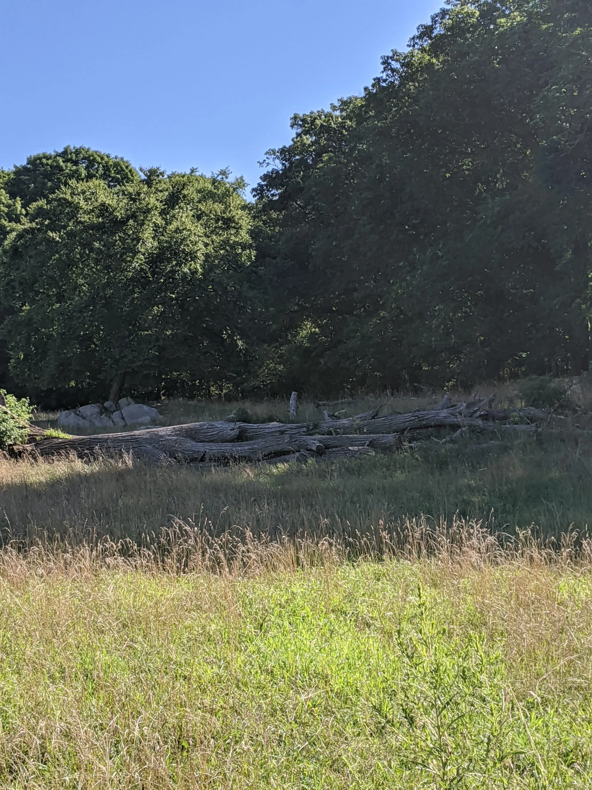
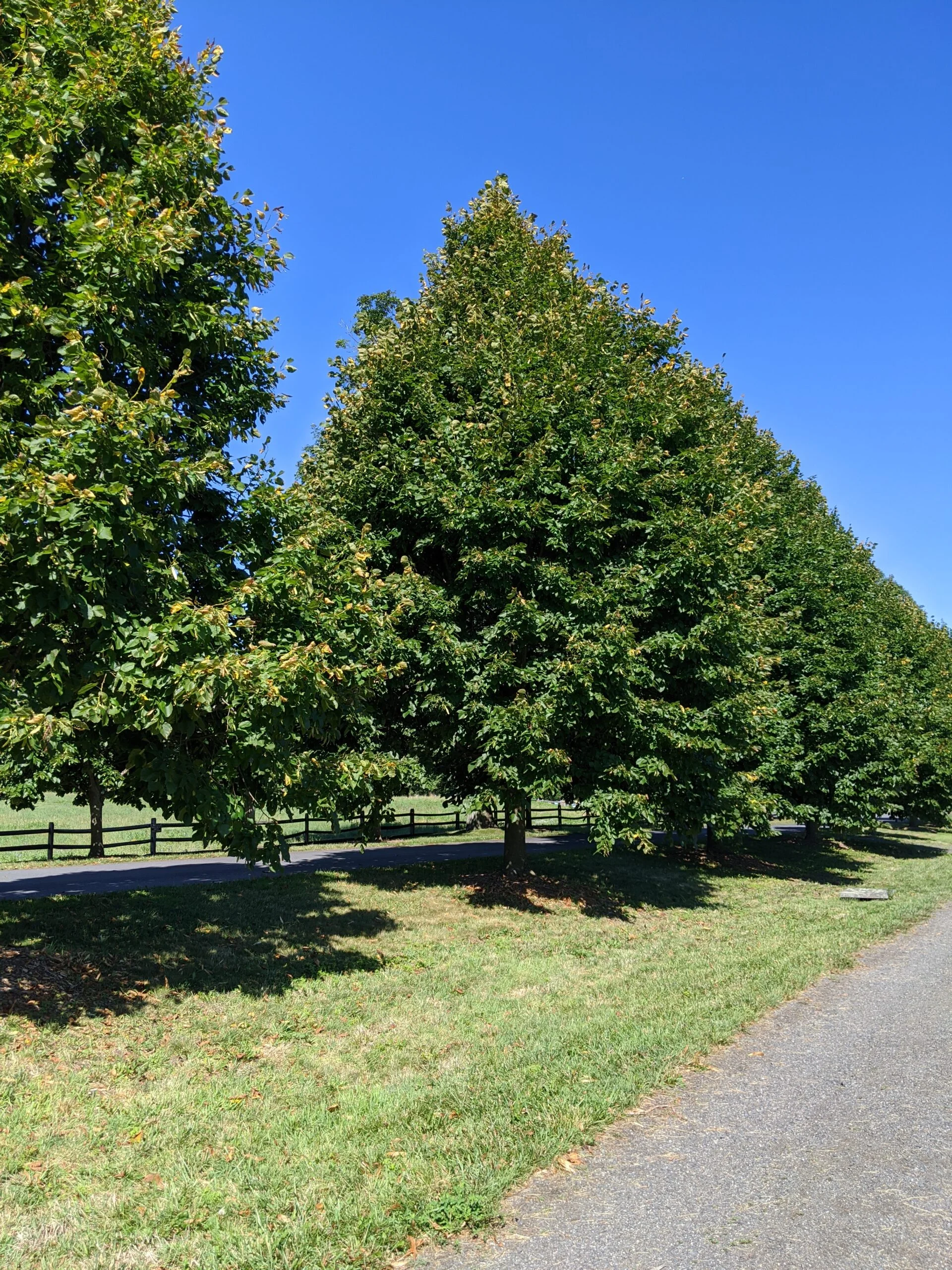
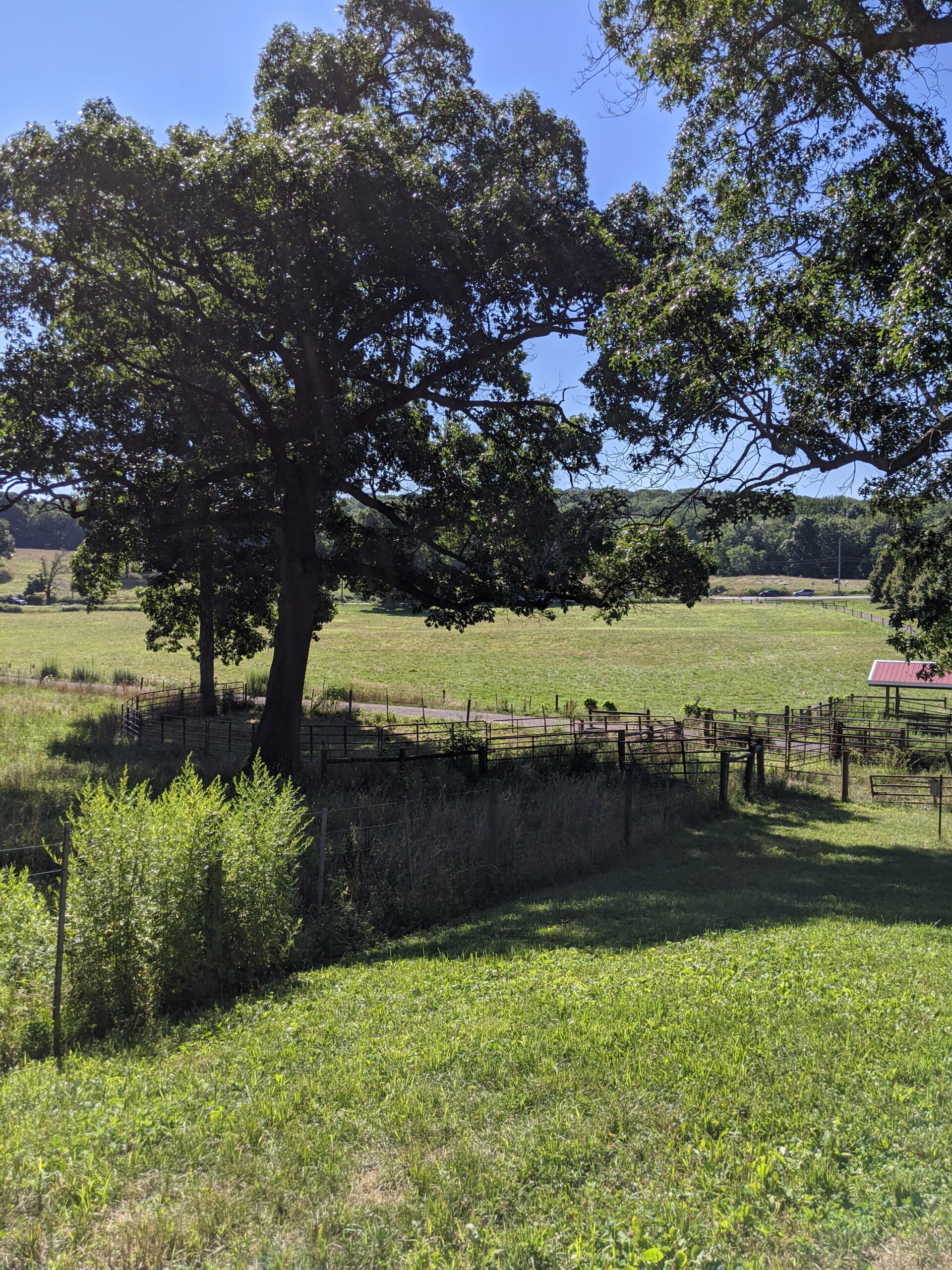
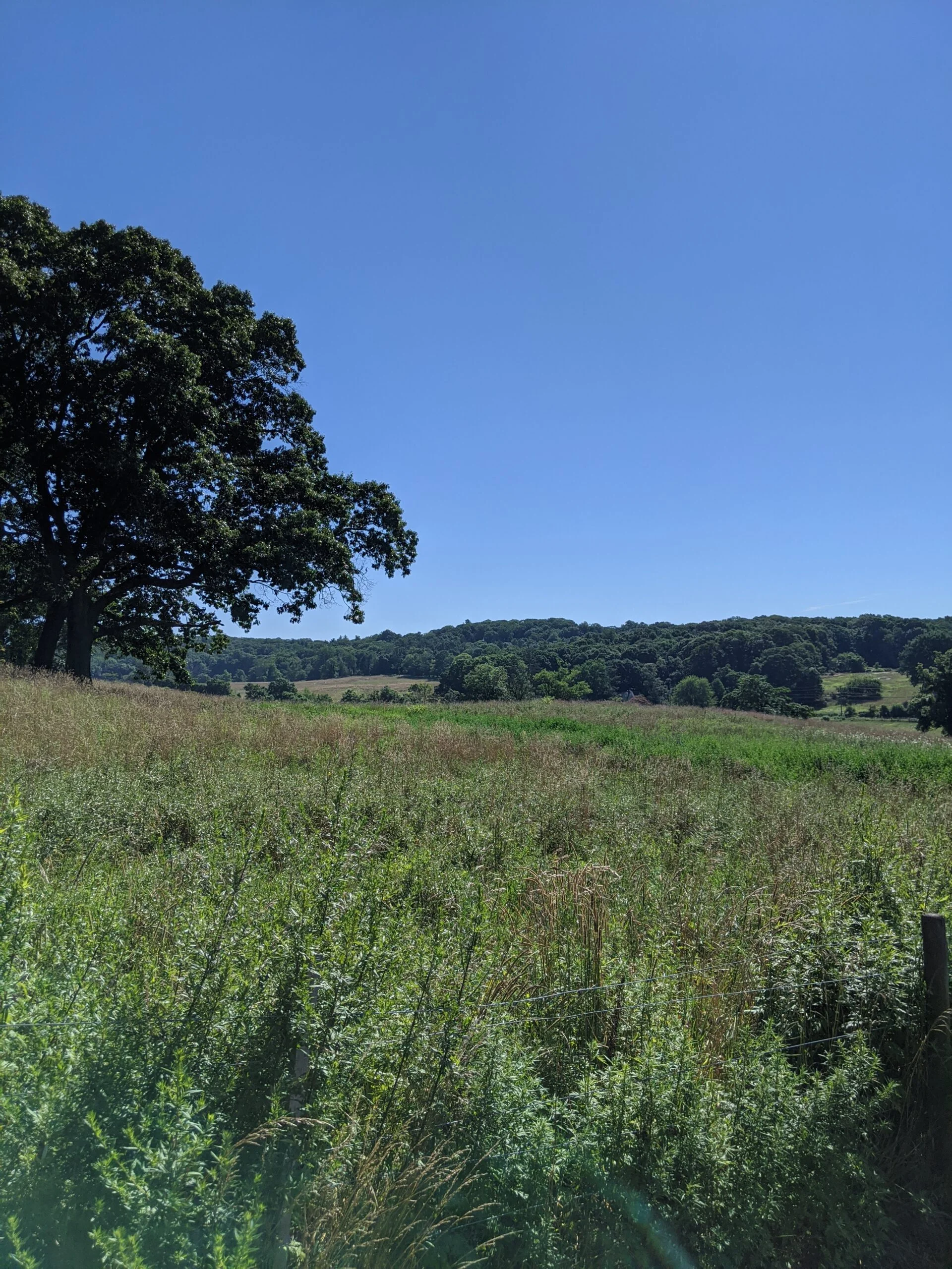
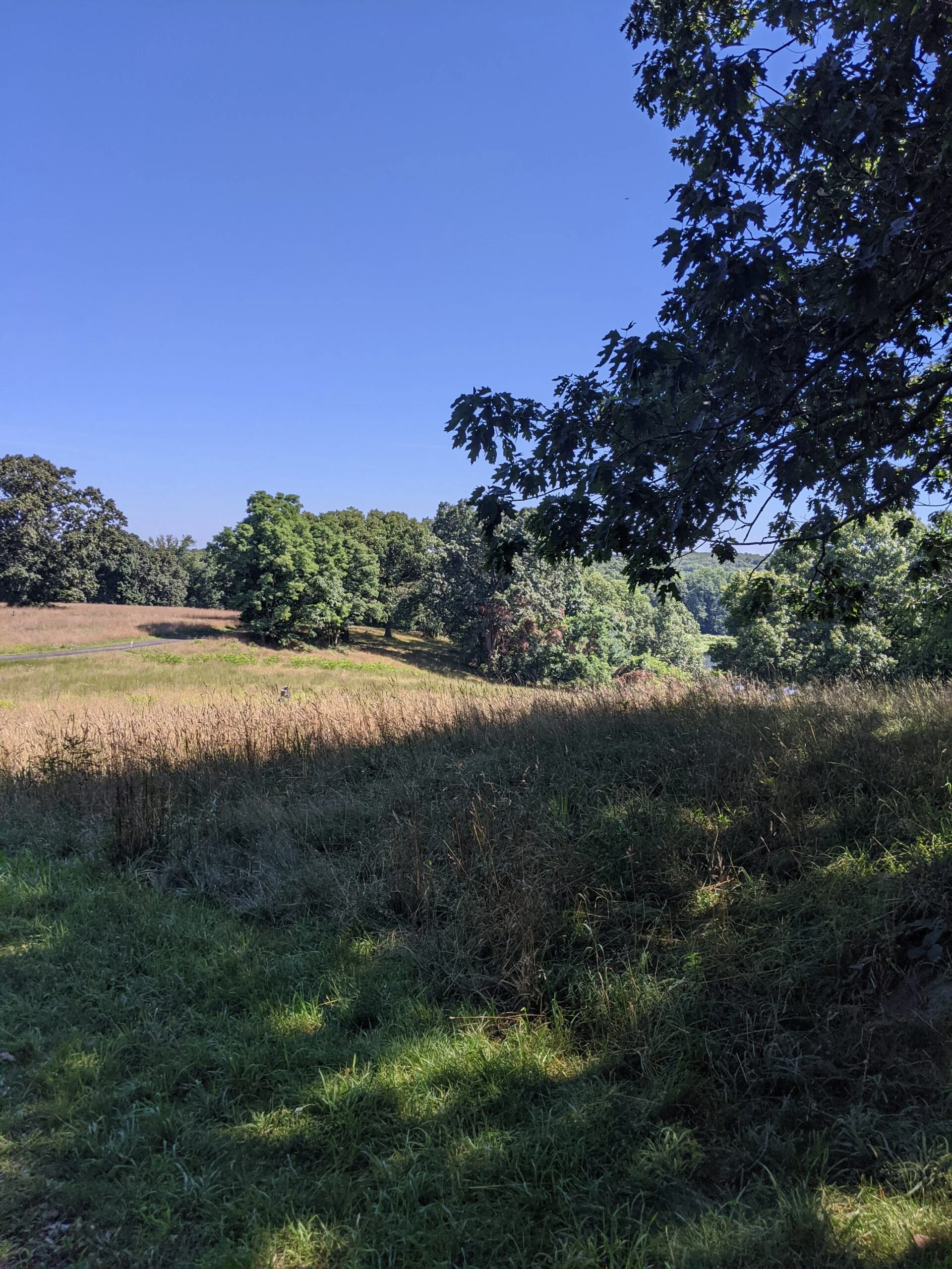
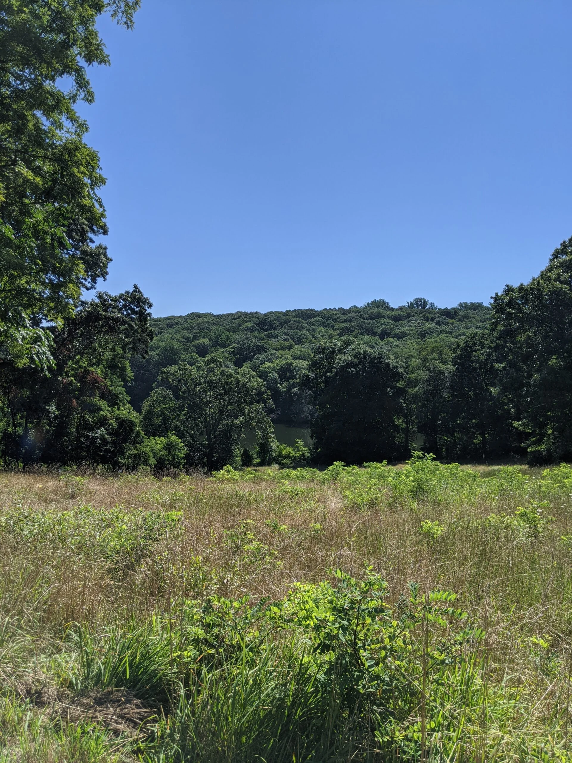
I followed DL to the end where it meets Ridge Trail (RI). I took RI left (east) until it met up with Buttermilk Hill (BH). Up until this point, I was following carriage paths through the interior of the preserve. Once I hit BH, the path opened up into a vast field area with no covering at all. It’s an interesting transition from trees and woods to open land and grass. After about a half mile or less, BH eventually connects back with a more wooded area, and stays like that for the remainder of the loop south.
About halfway through my journey on BH, I found another rock to take a break at and eat a Blueberry Muffin PROBAR Meal Bar ($). It was super tasty, and contains 400 calories with 10g of protein and 6g of fiber.
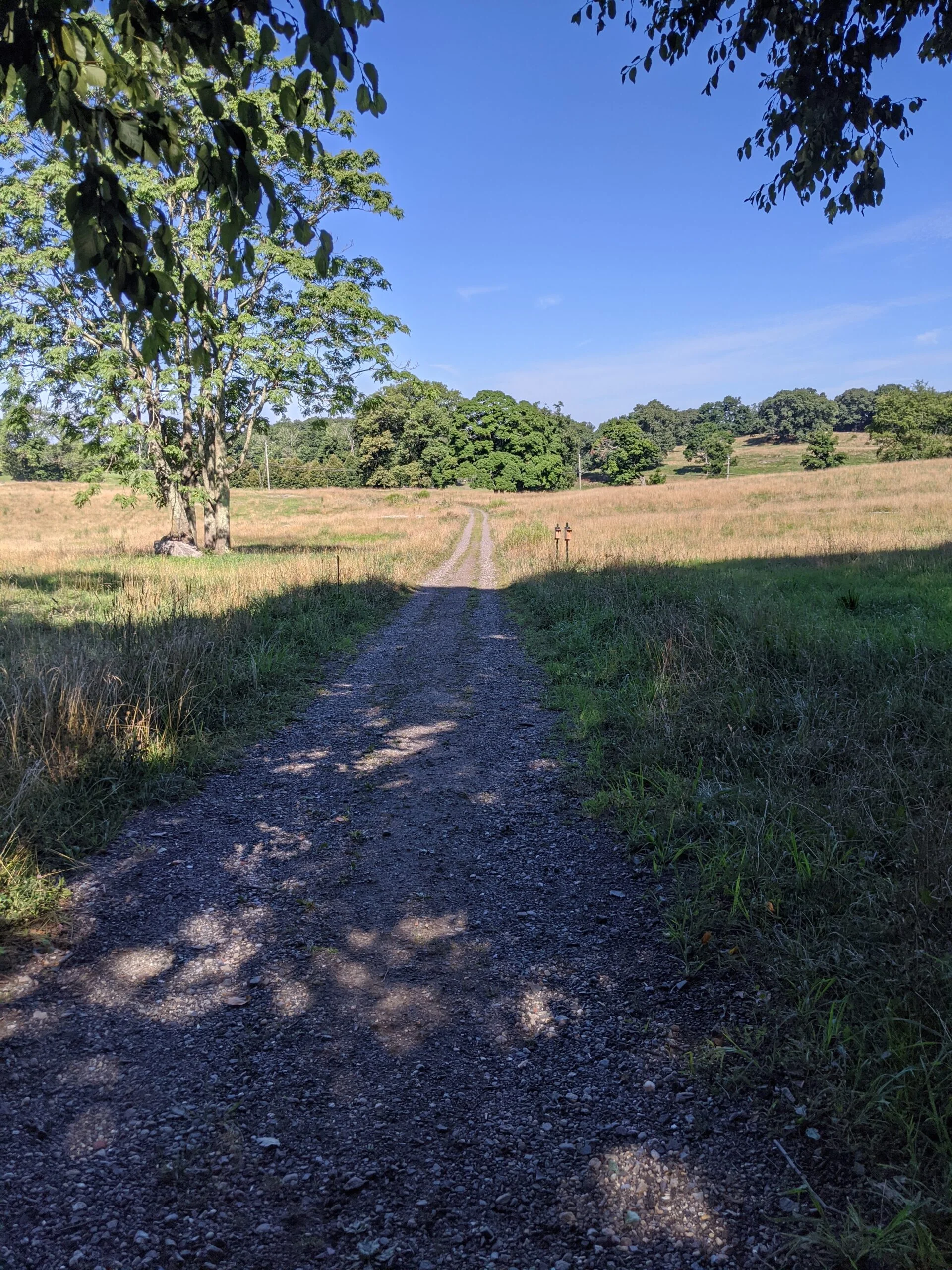
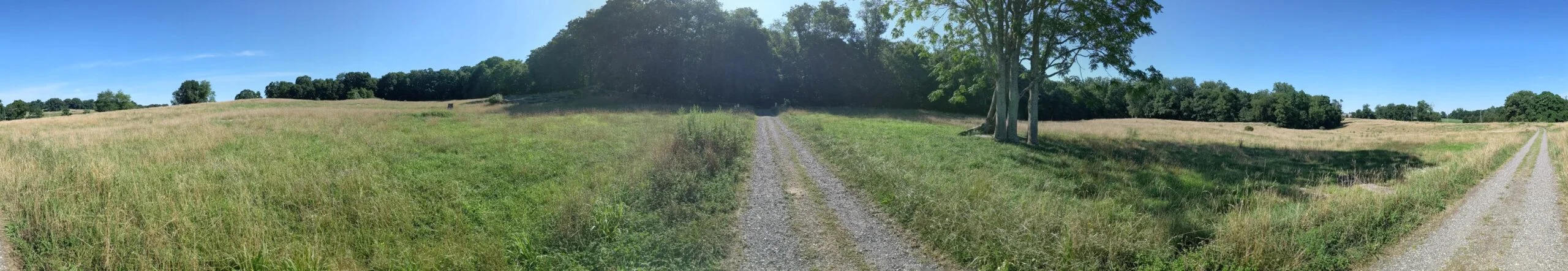
Coming to the end of BH, I took Ferguson Lake (FL) right (north east) for a short way, then followed it left (west) to Pasture Lane (PL). PL opens up to another flat field area as it heads westerly toward Route 448. As I walked through the field, I could hear cows mooing in the distance.
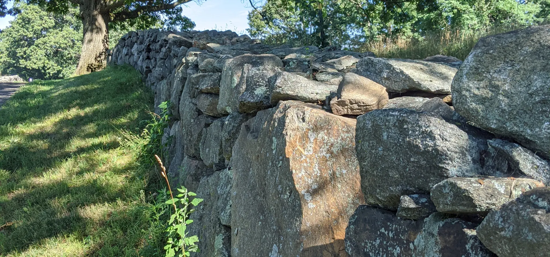
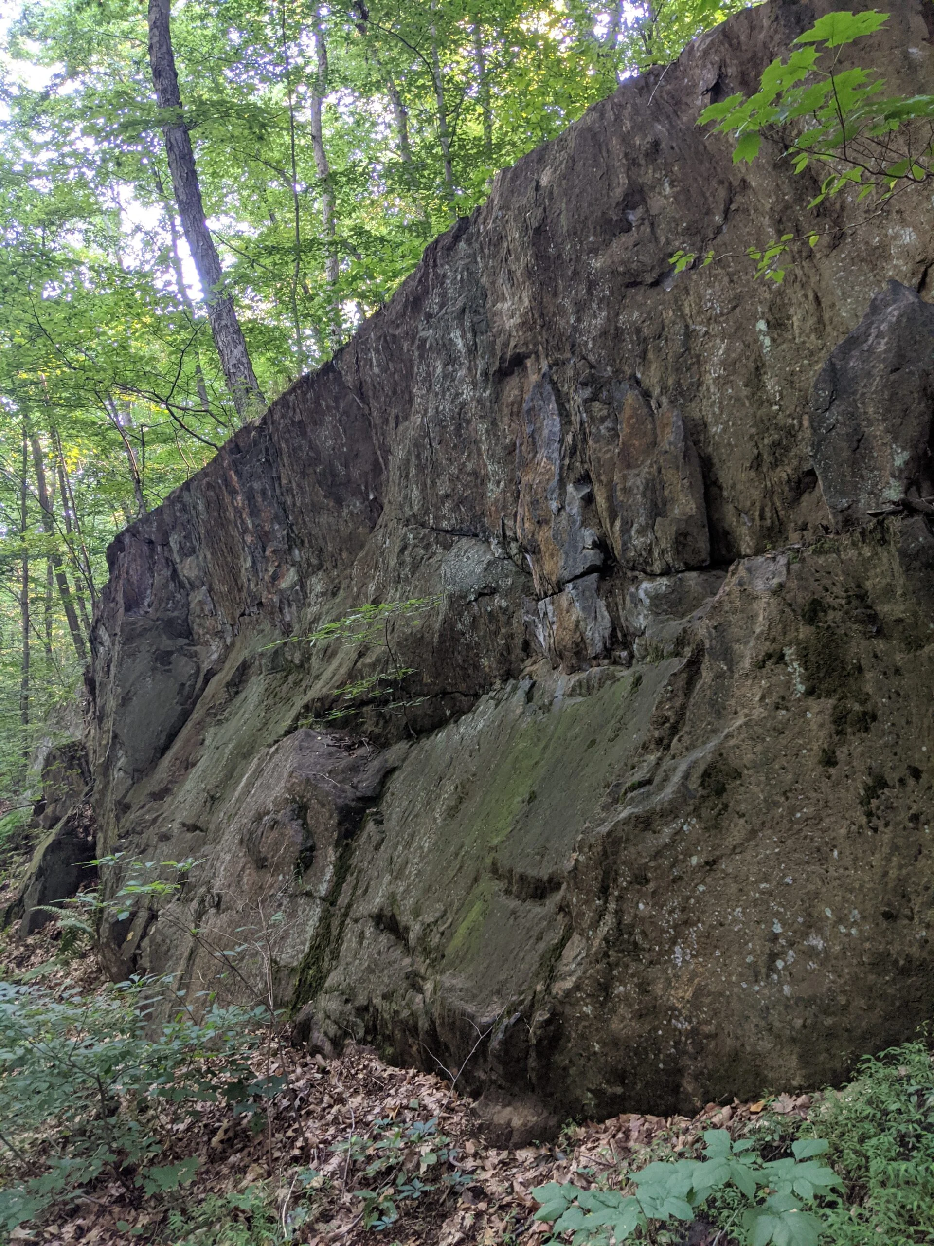
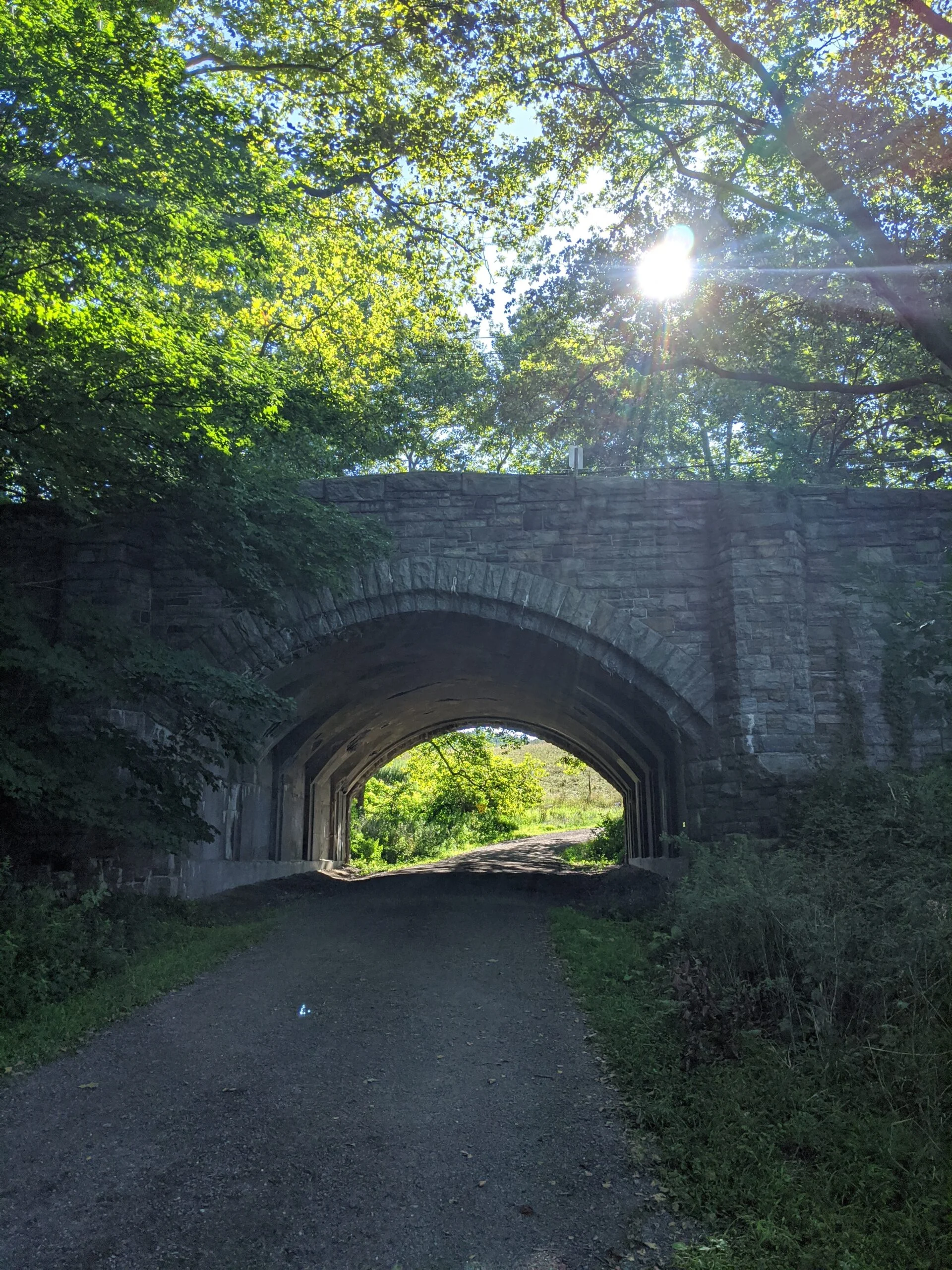
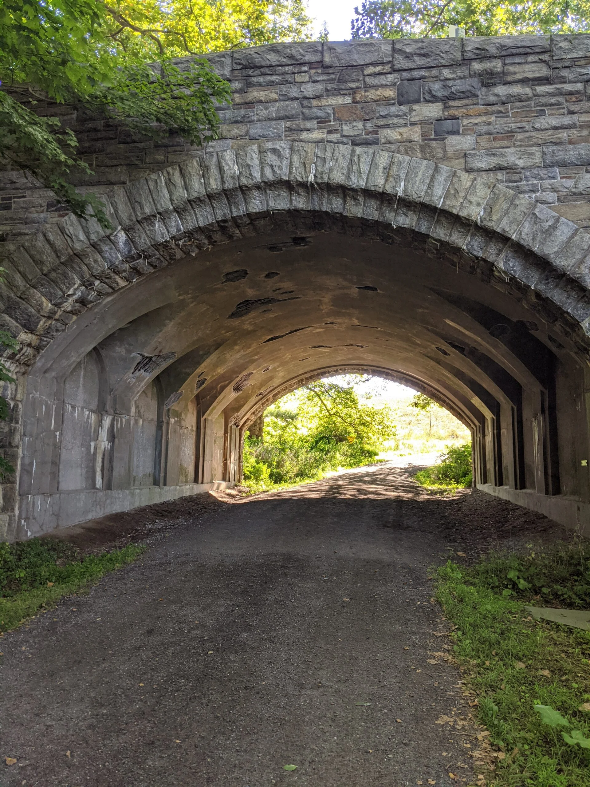
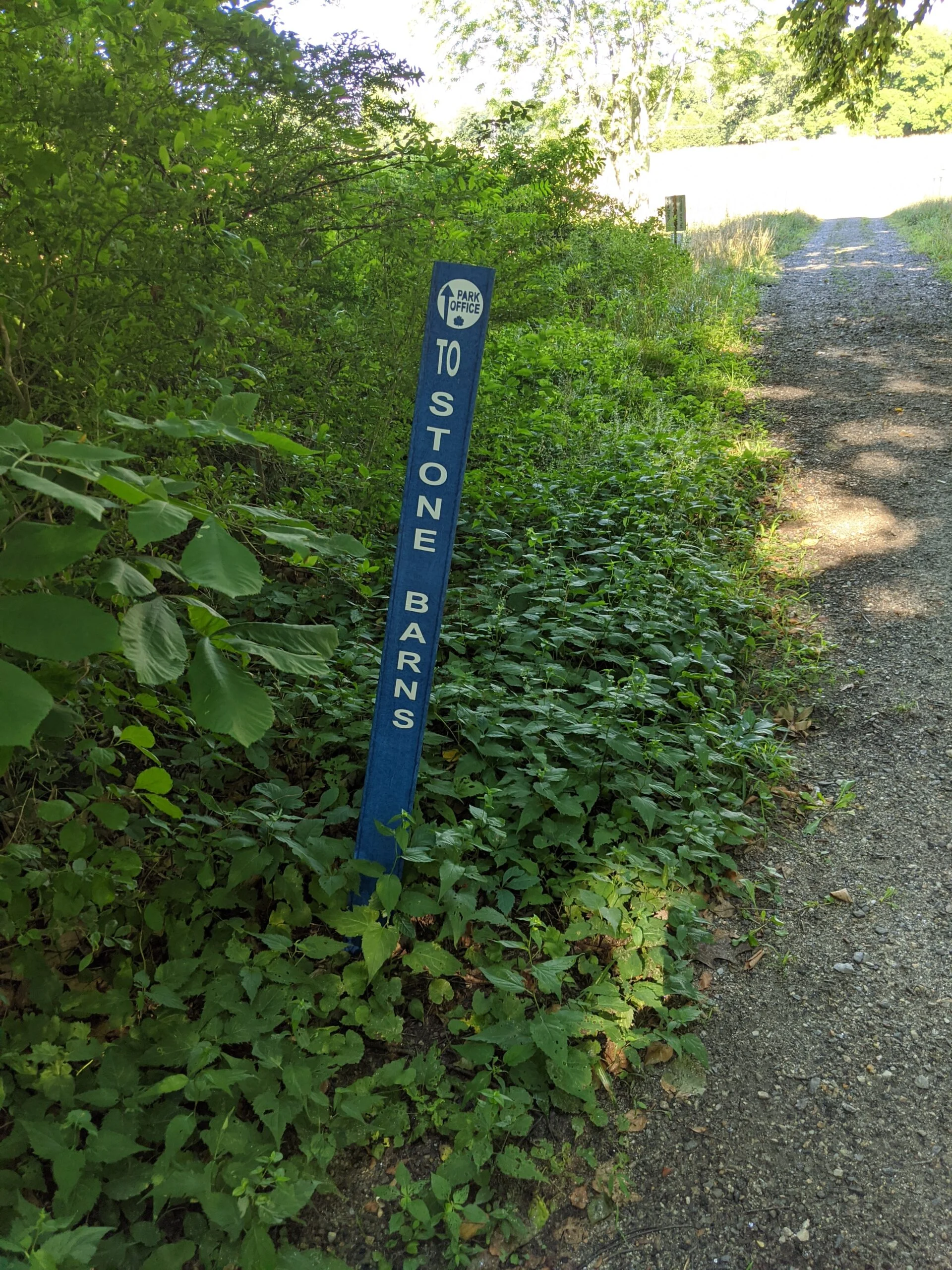
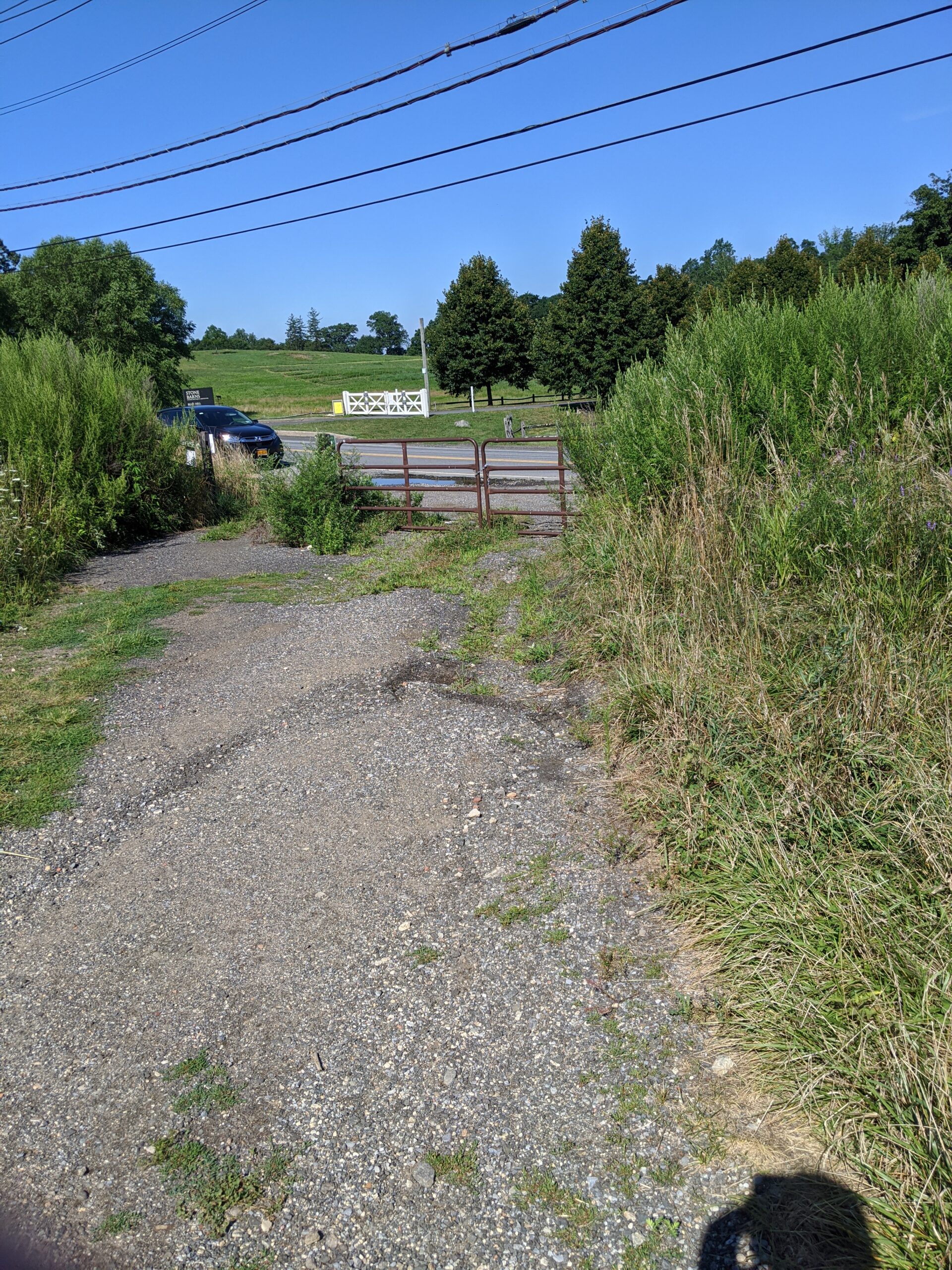
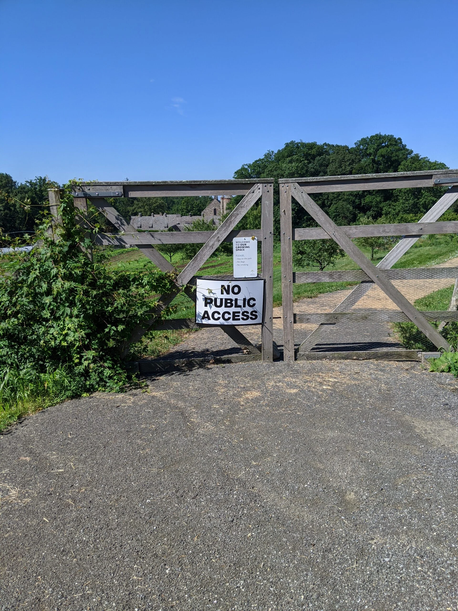
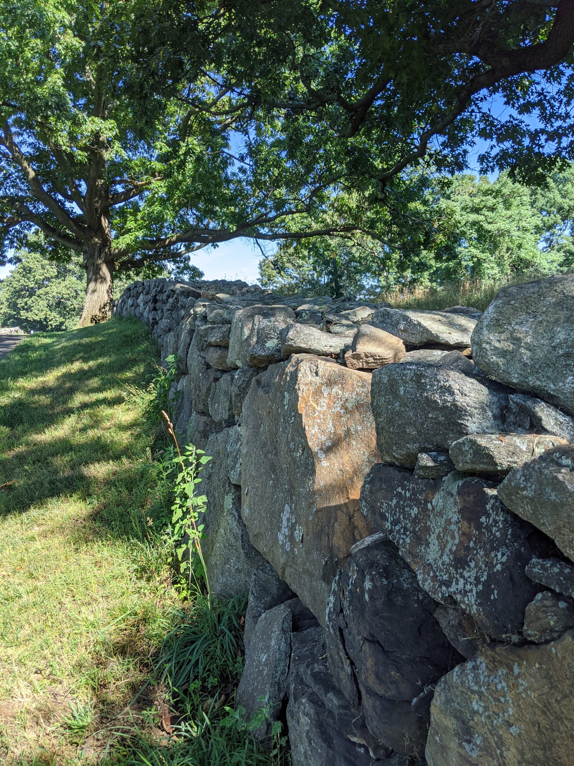
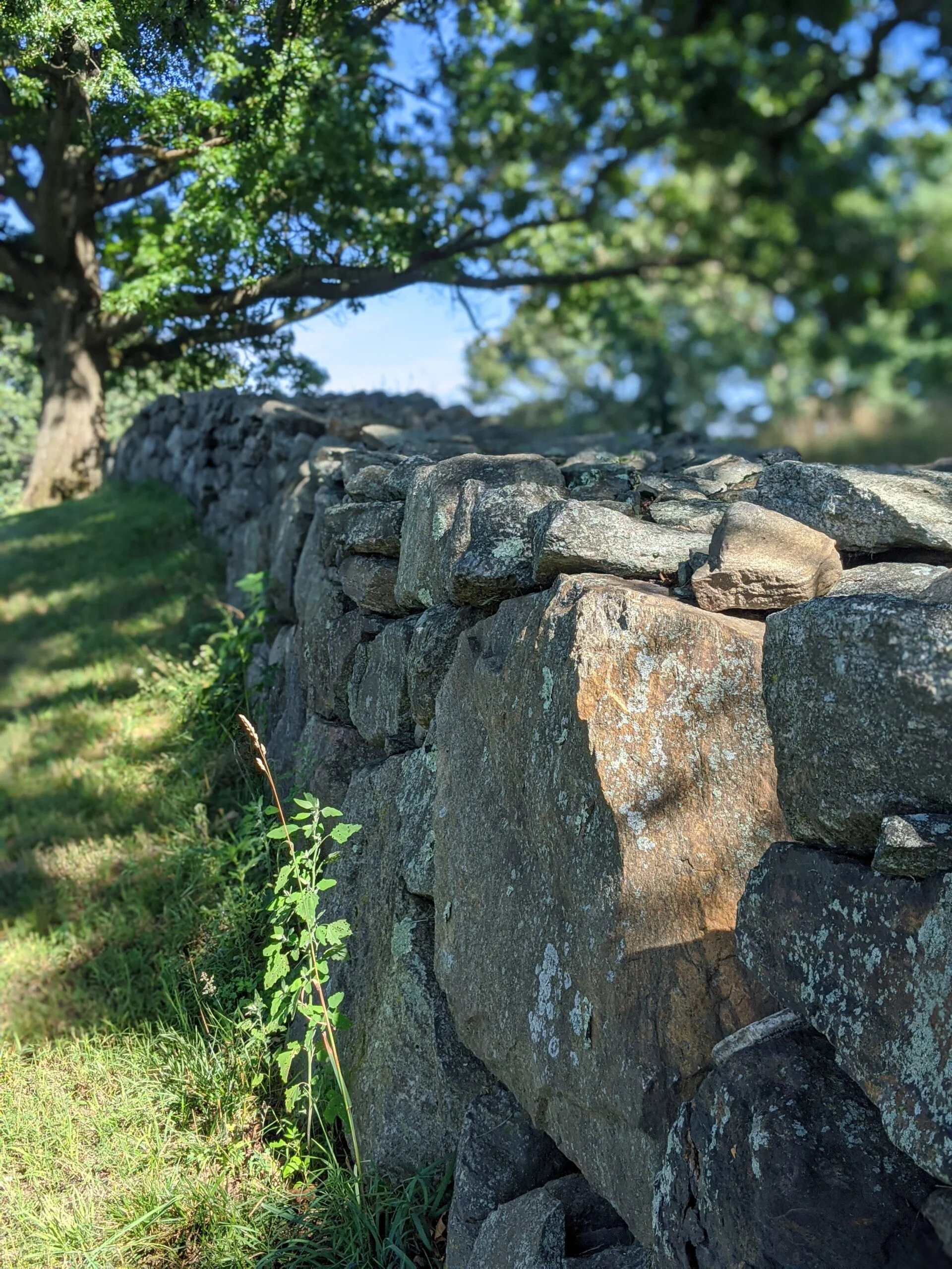
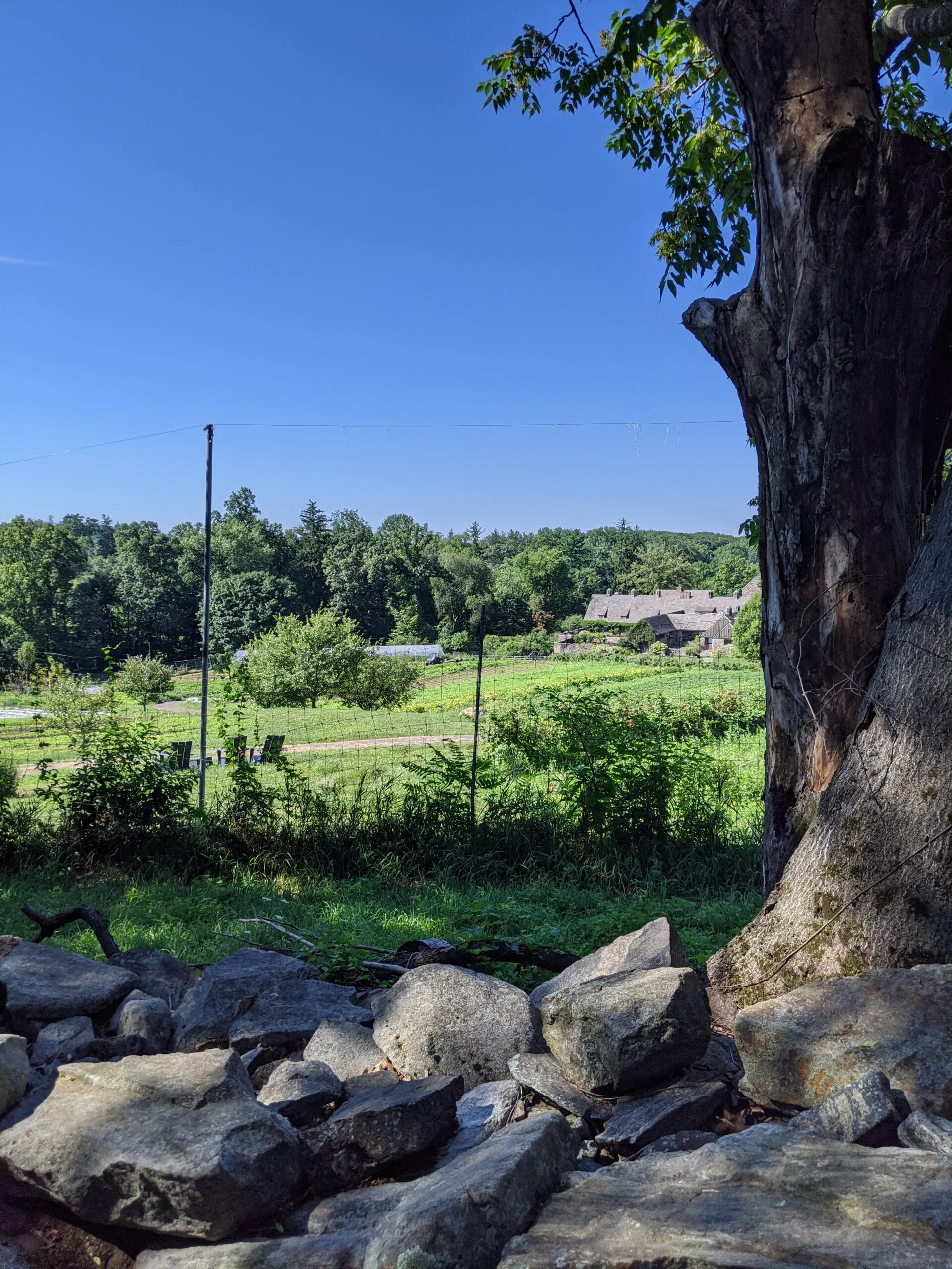
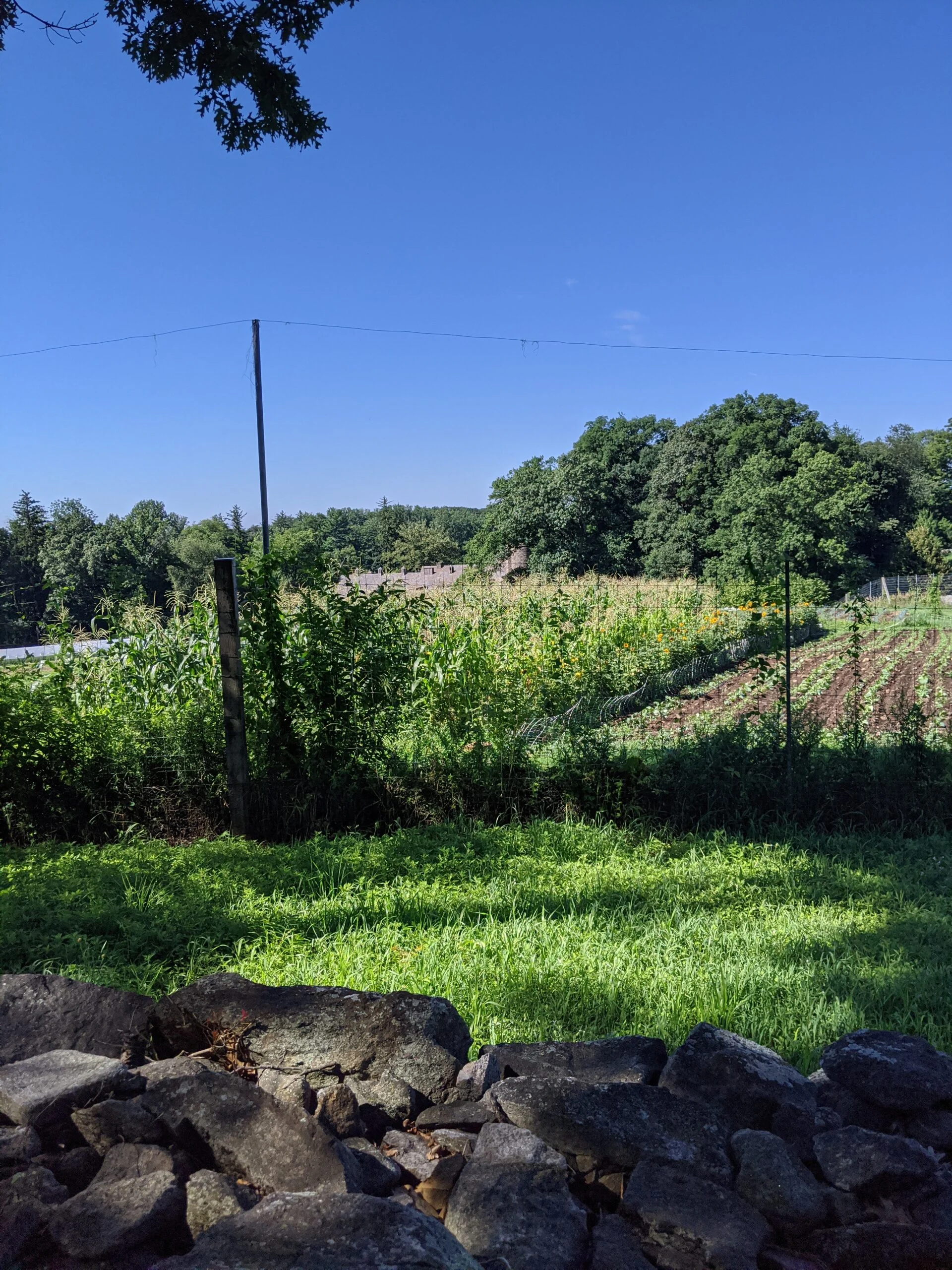
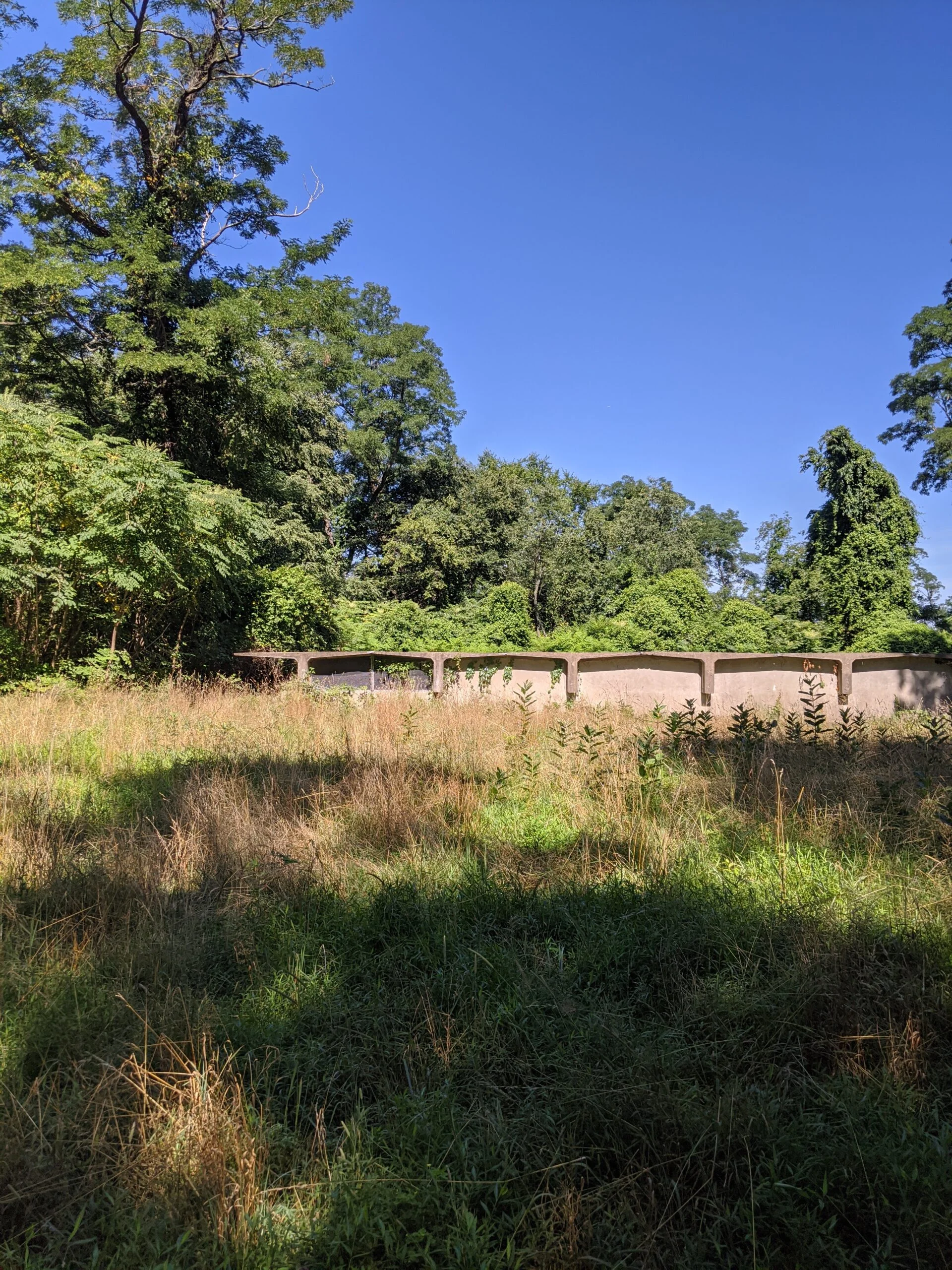
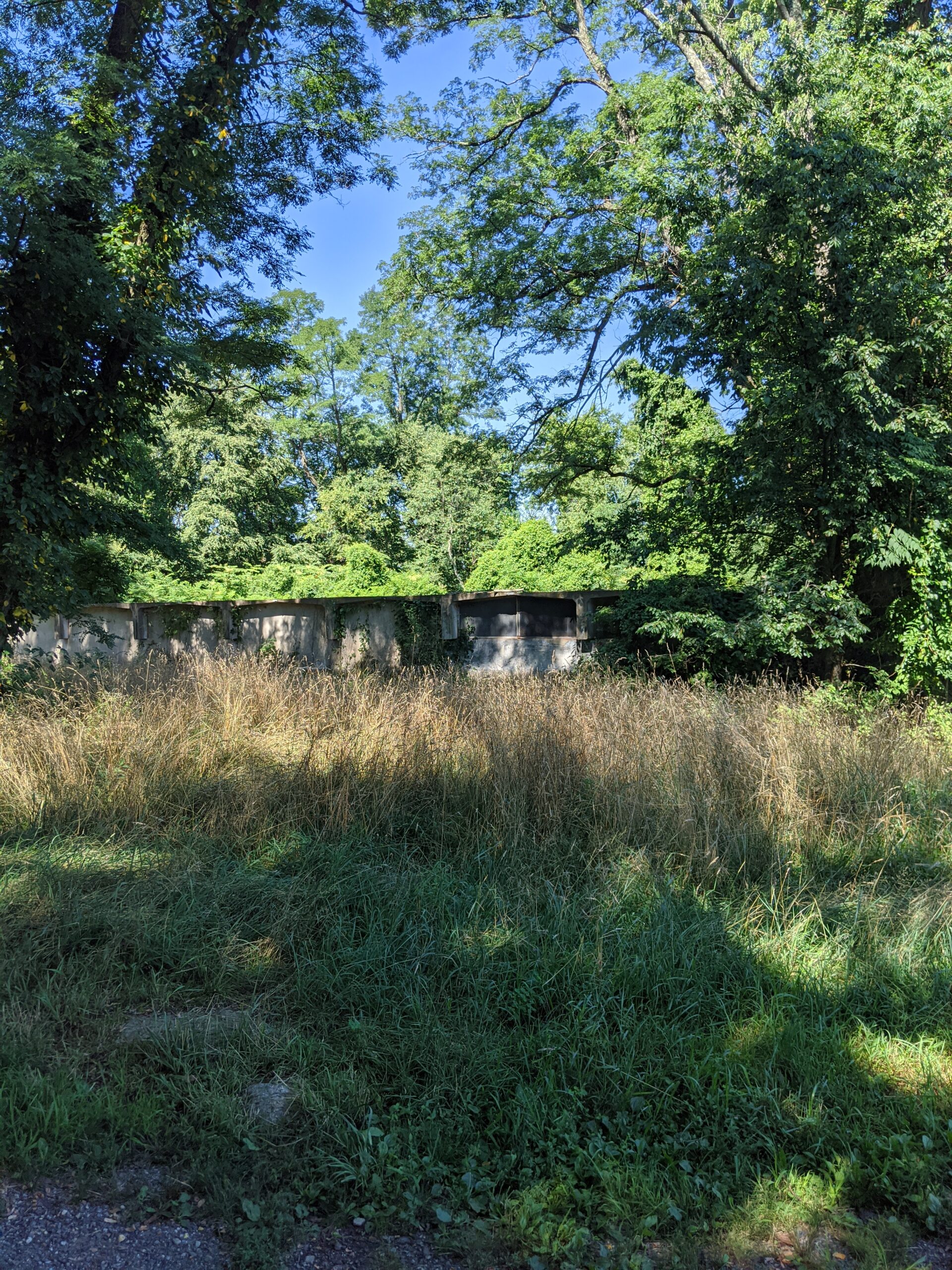
I crossed over Route 448 and connected with Rock Wall Loop (RW) and then Spring Trail (ST), which runs past Stone Barns Center for Food and Agriculture. Although the facility was closed to the public, I could see a few workers tending to the crops and snapped a few photos of their garden.
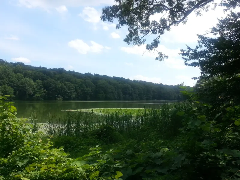
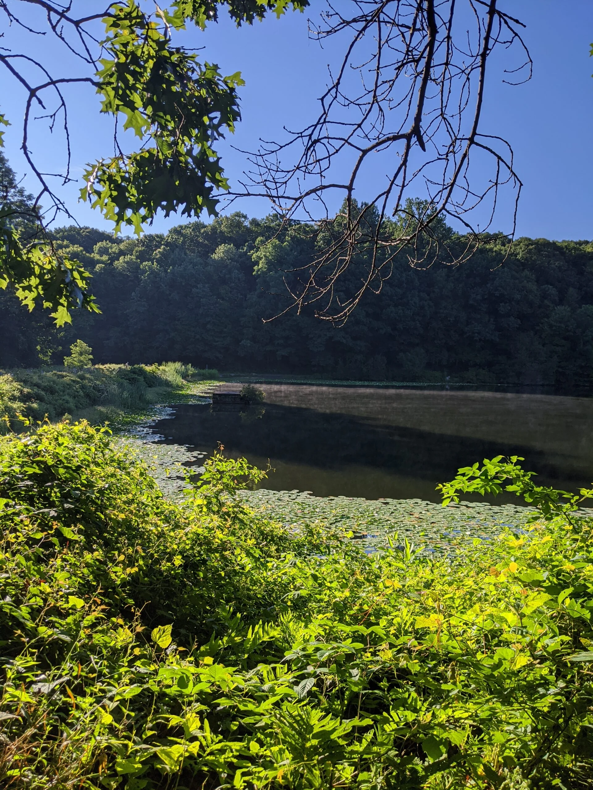
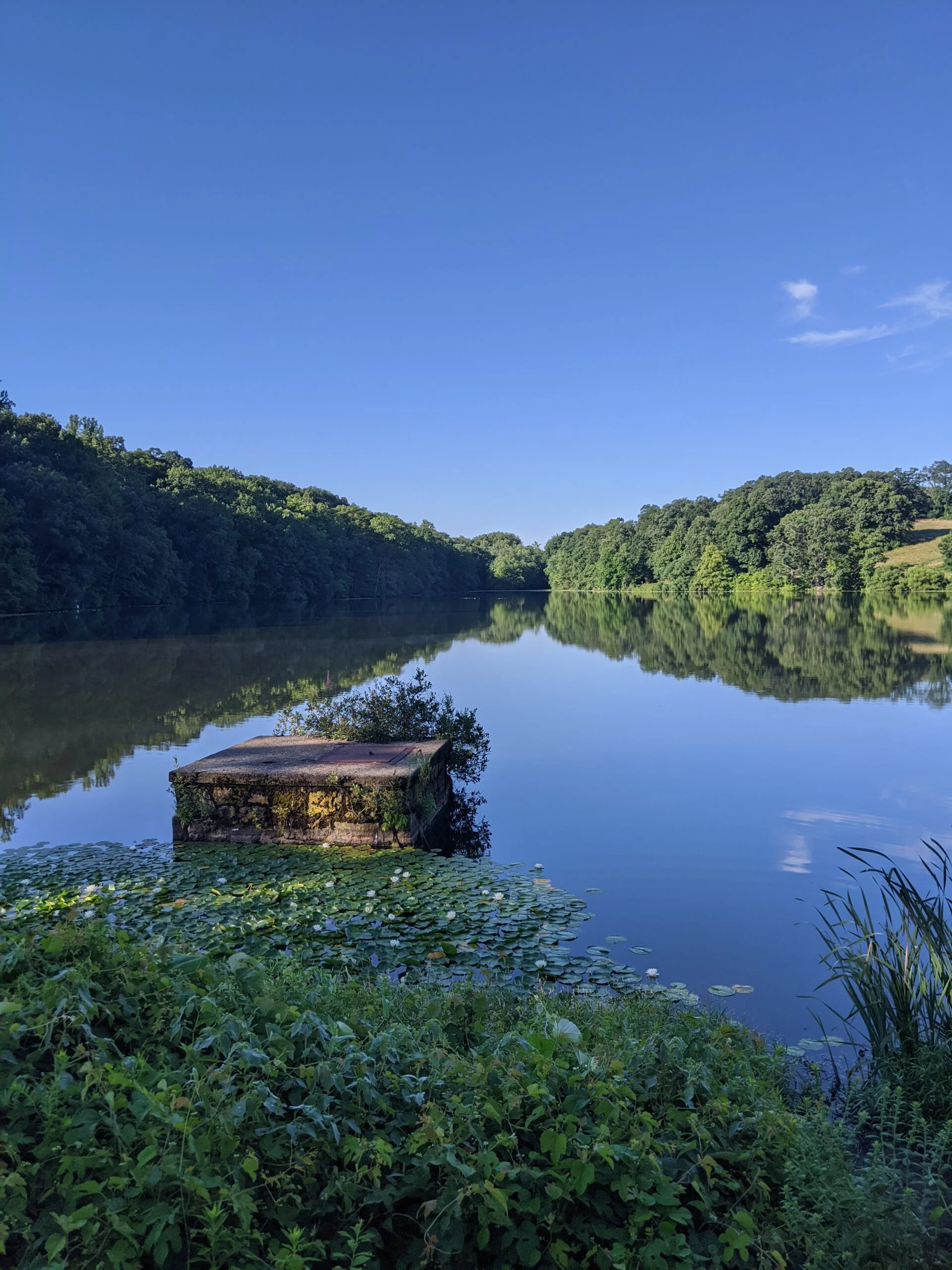
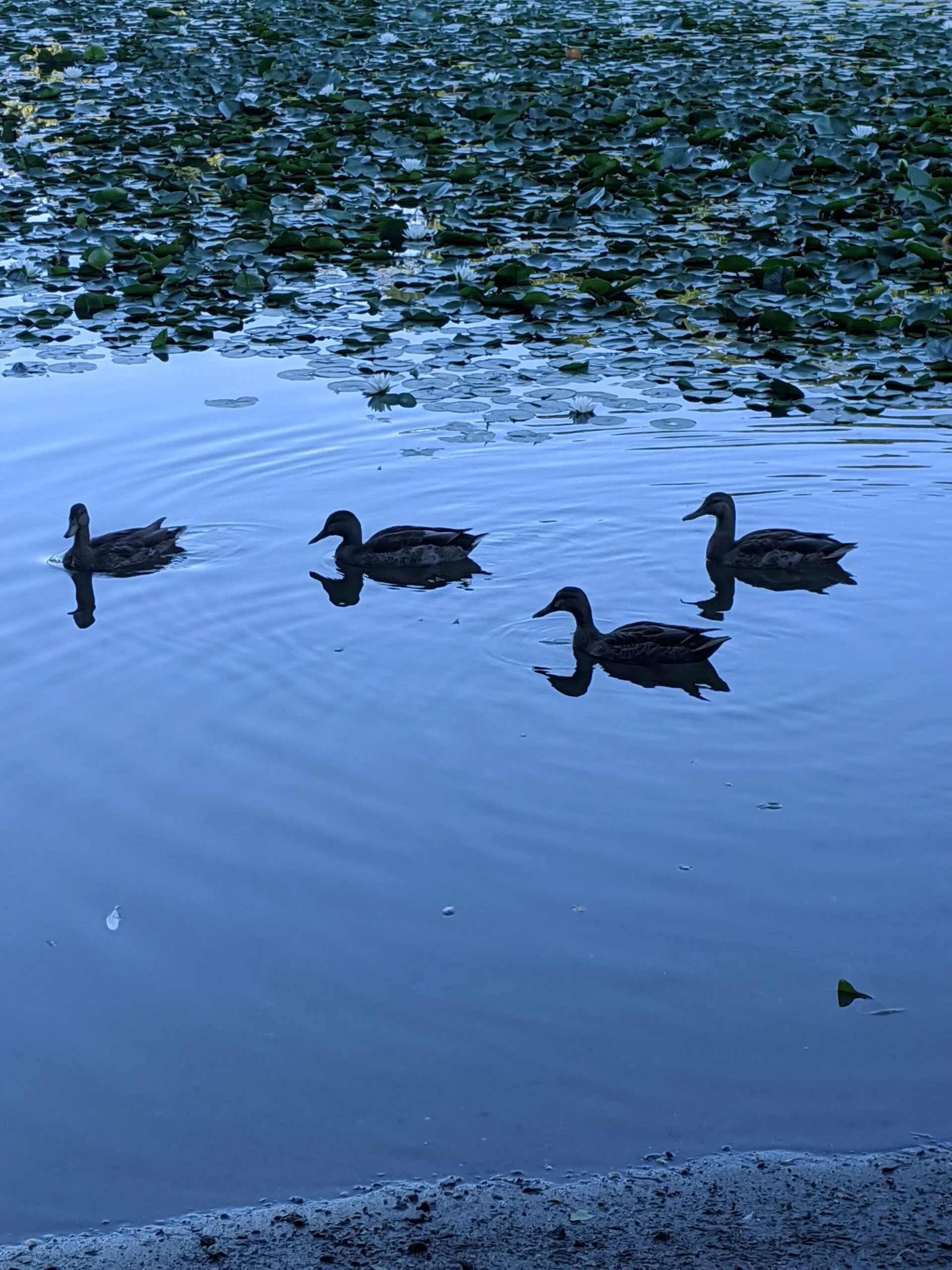
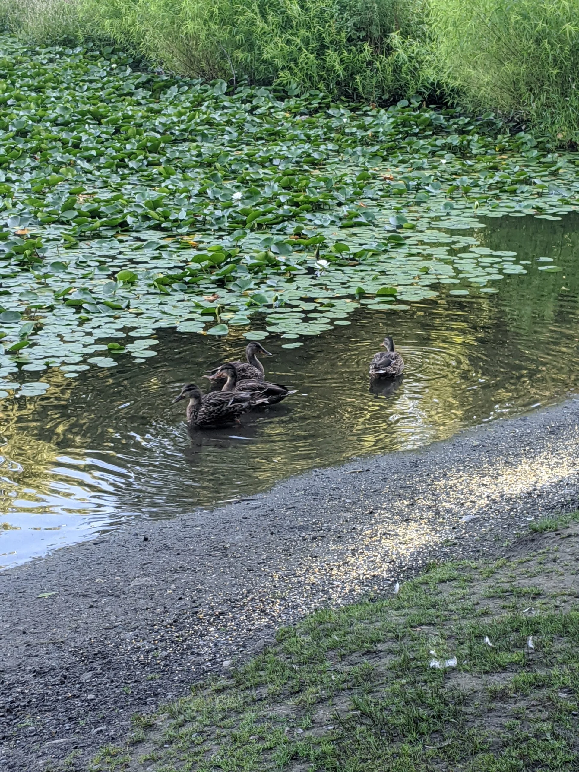
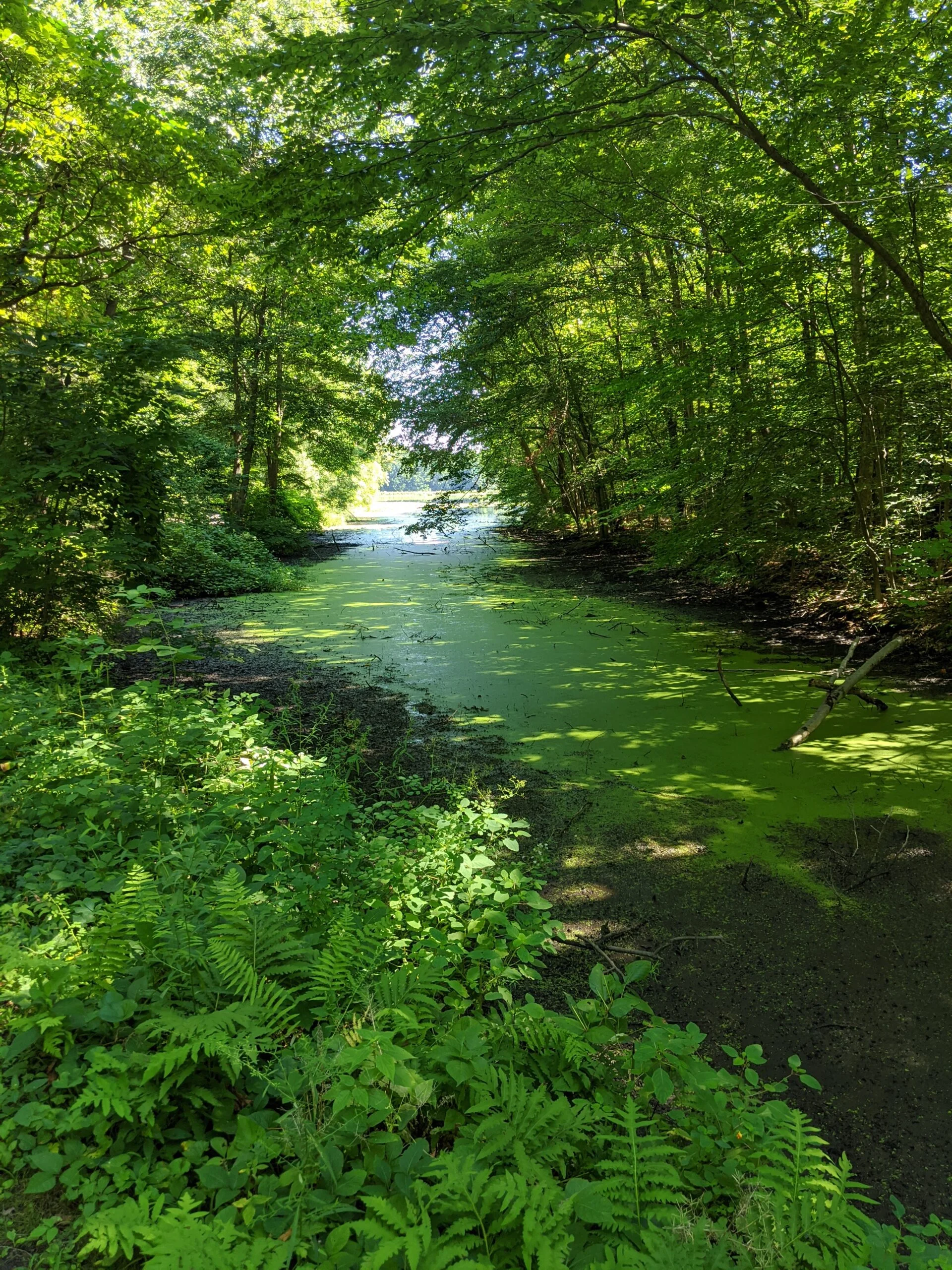
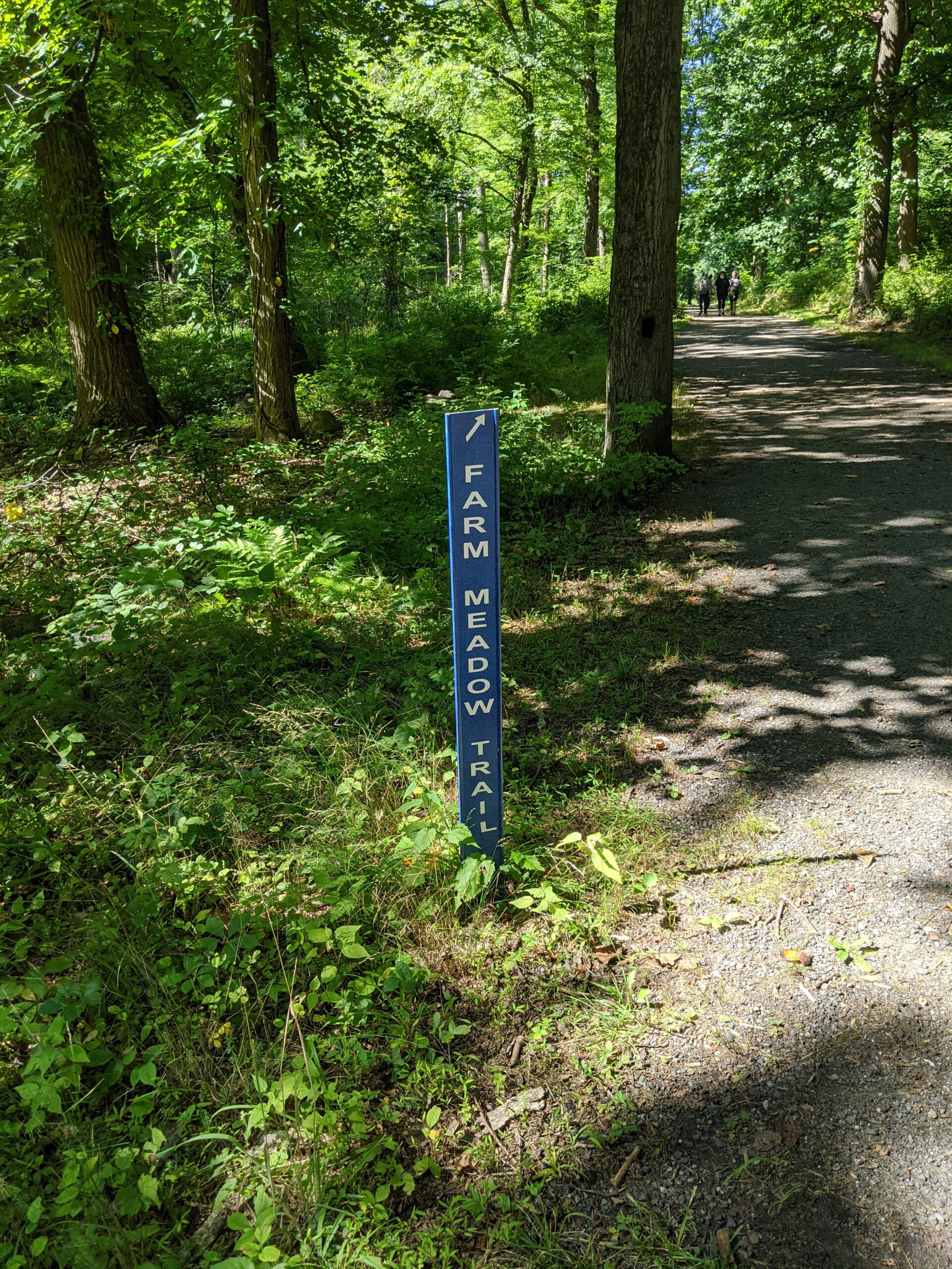
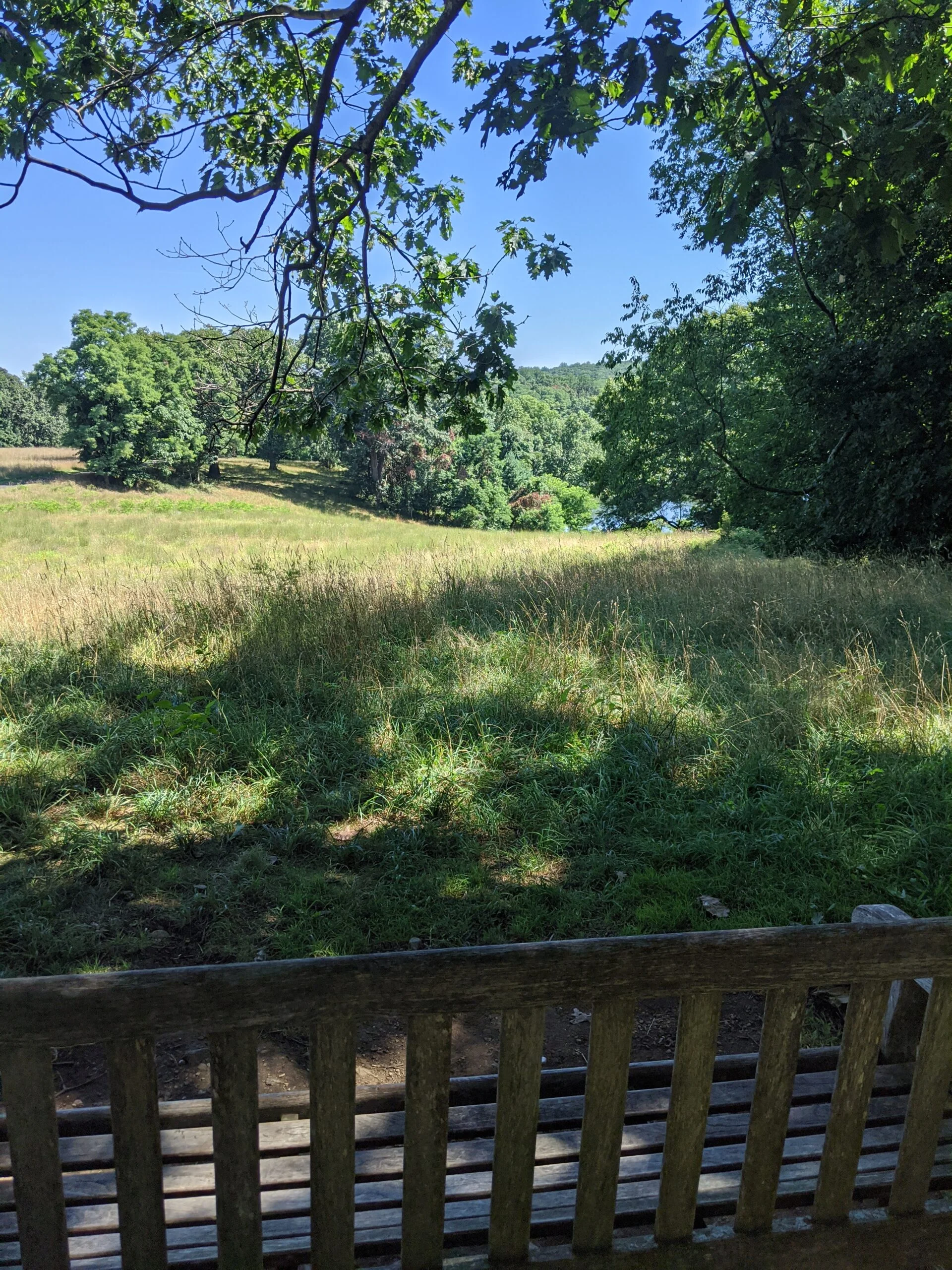
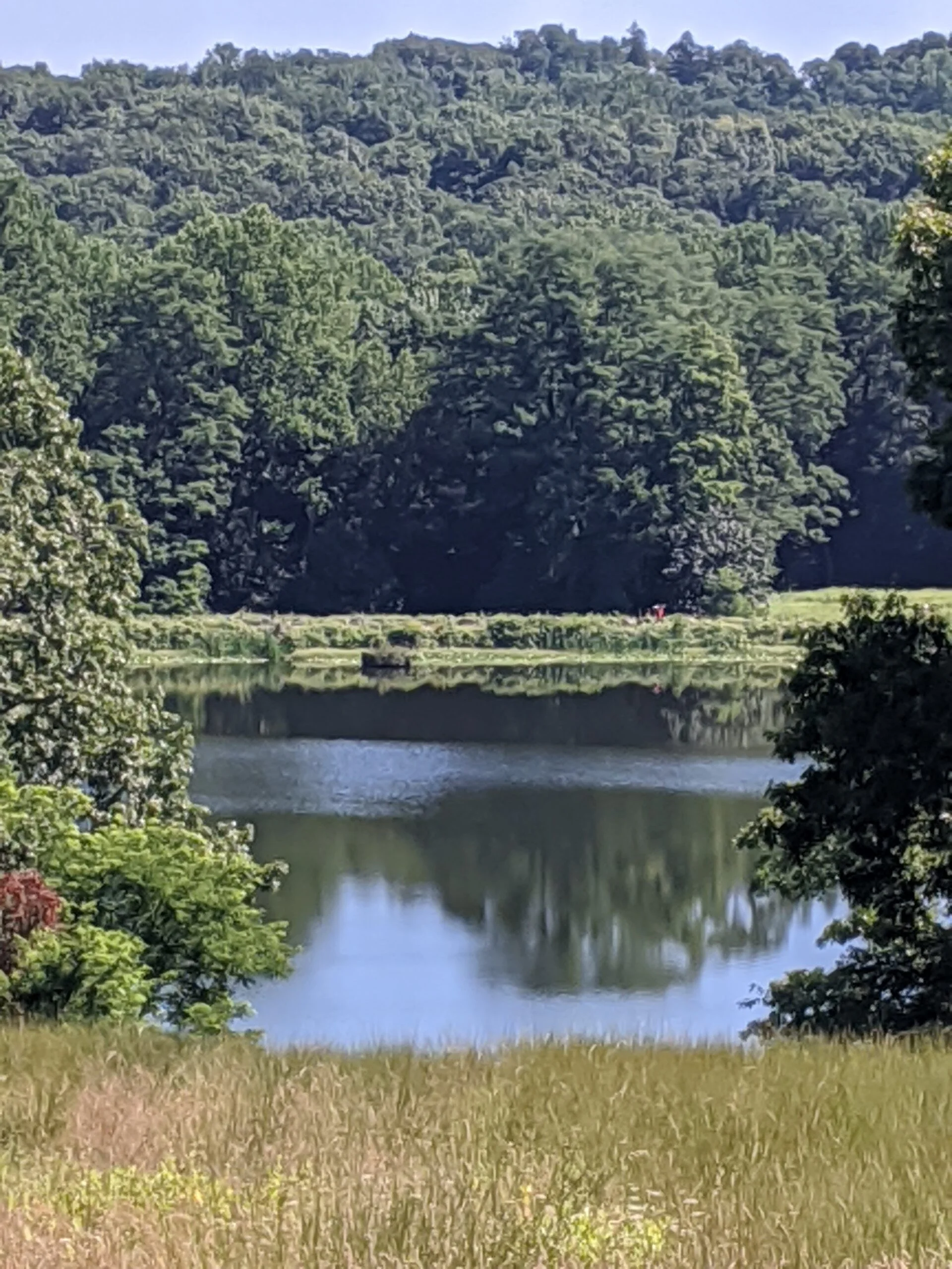
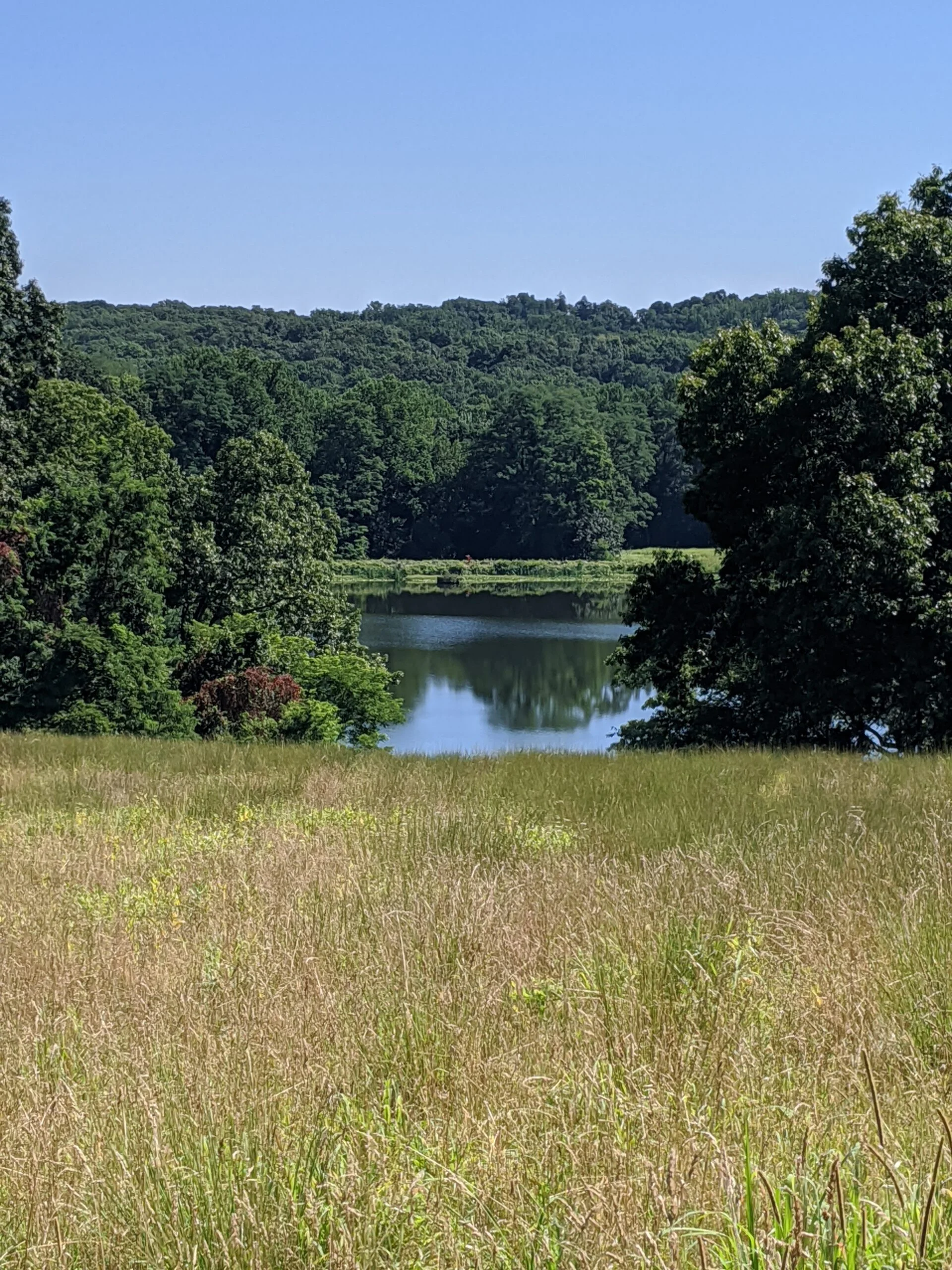
I followed ST to where it intersects with BP and where Swan Lake comes to a narrow, shallow point. Then I made a left (west) turn onto Farm Meadow (FM), which led me to Ash Tree Loop (AS), which connected with Overlook Trail (OV). There’s a spot on OV that has a nice view of Swan Lake from above with a small clearing to see through to the water. From OV, I connected back with BP, and into the main parking lot where I started. When I ended my hike 3 hours later, there were a lot more people and activity in and around the visitor center and parking lot areas.
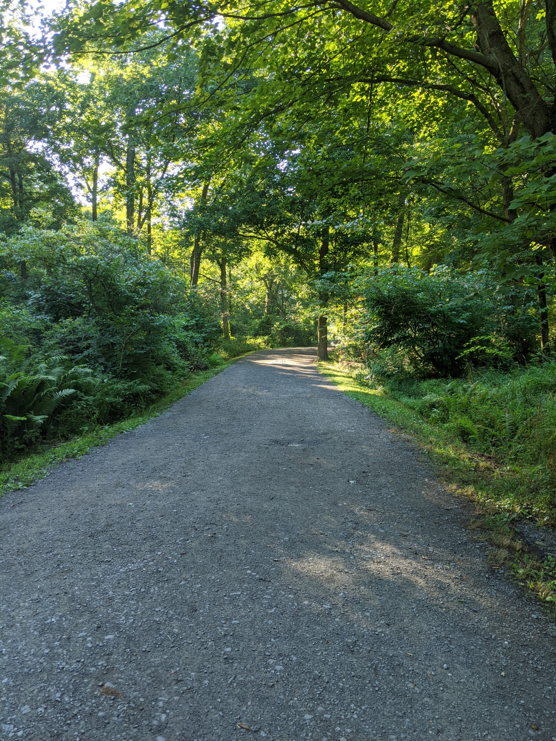
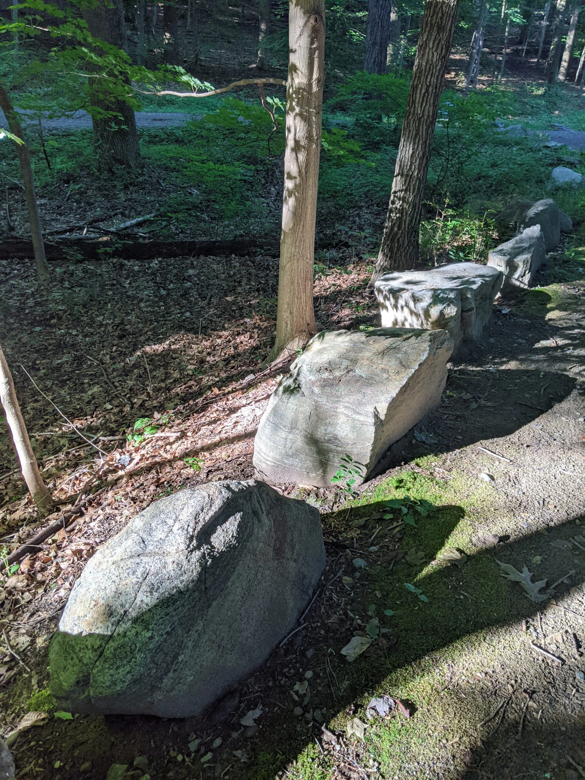
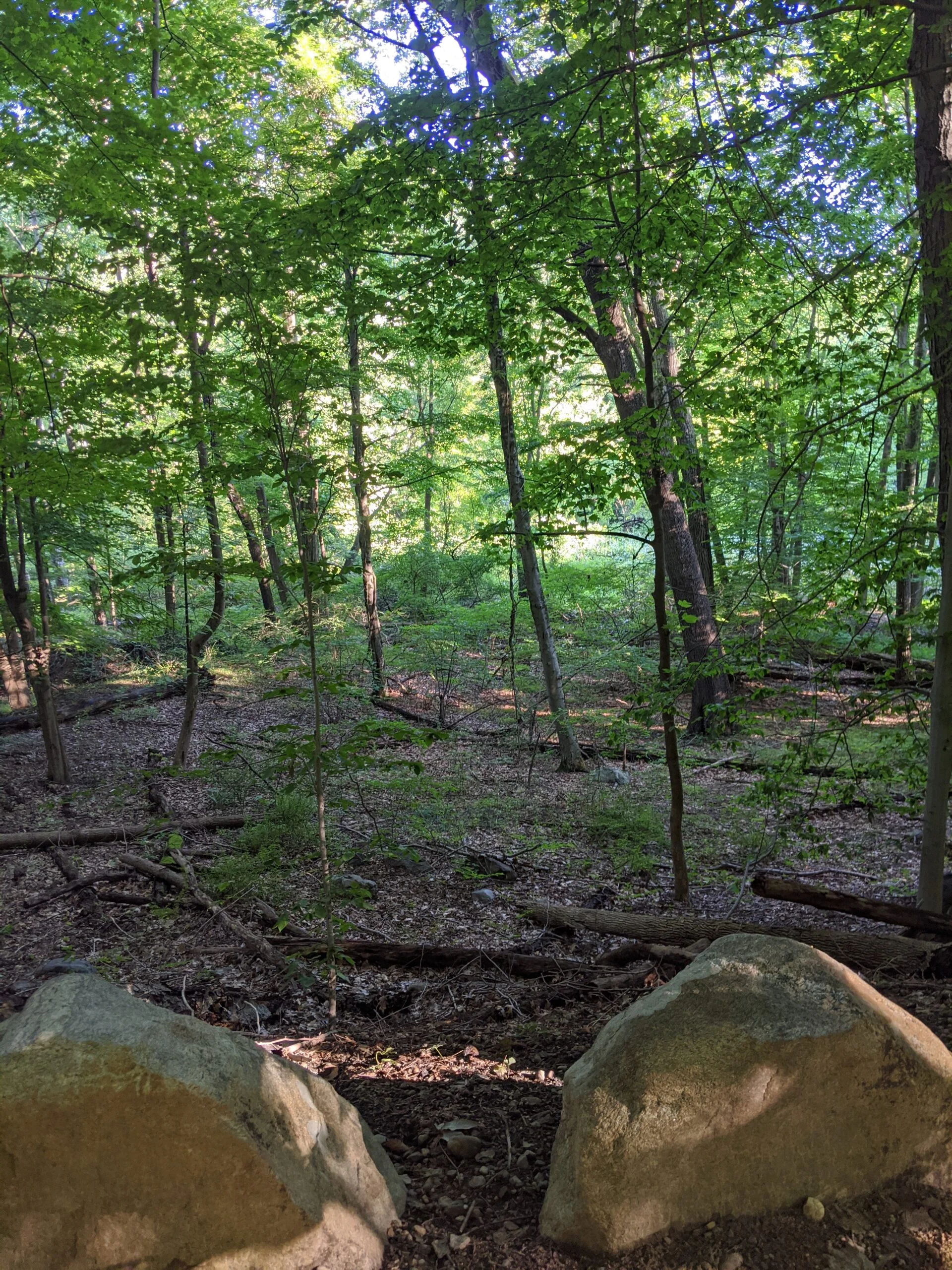
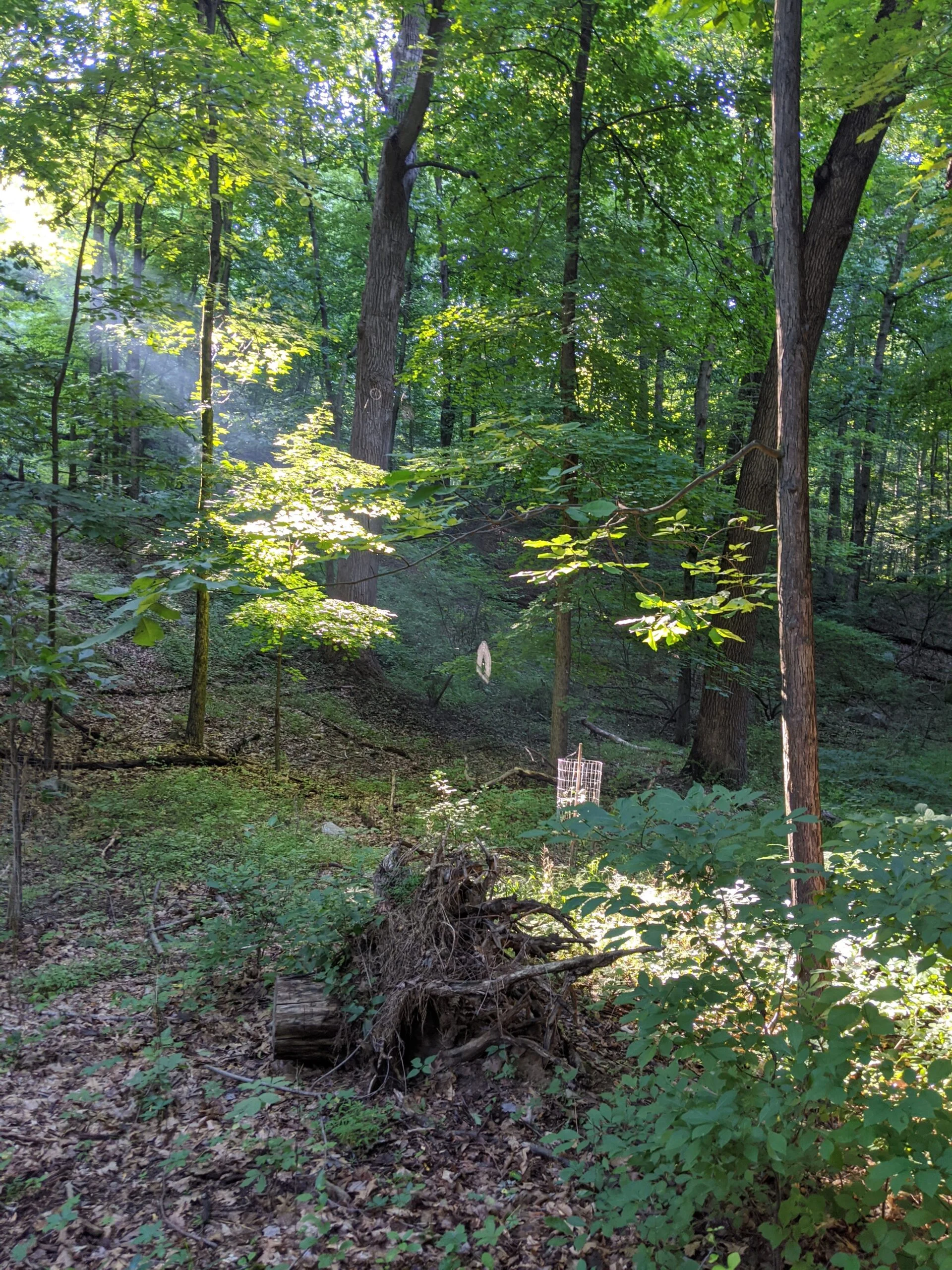
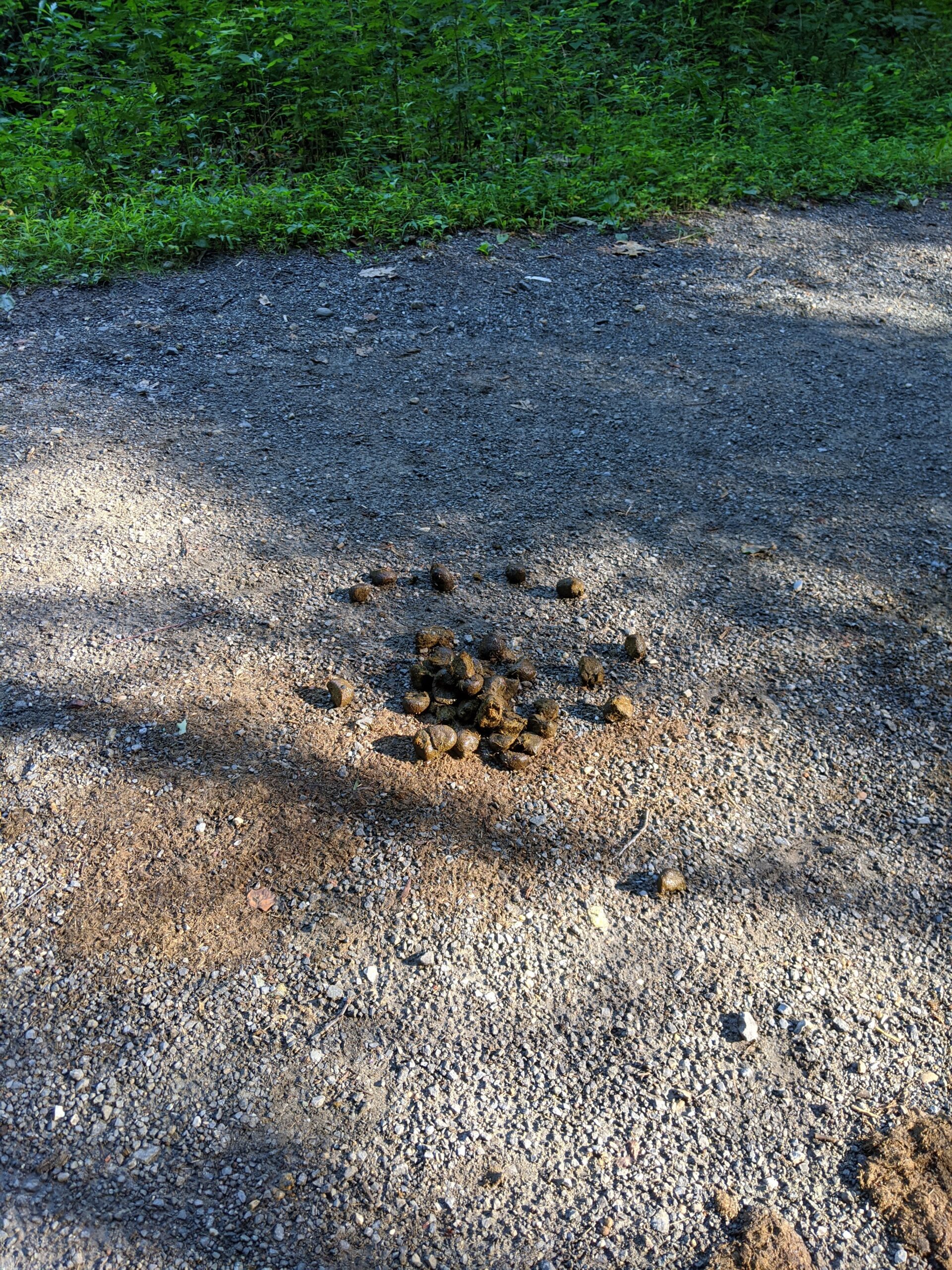
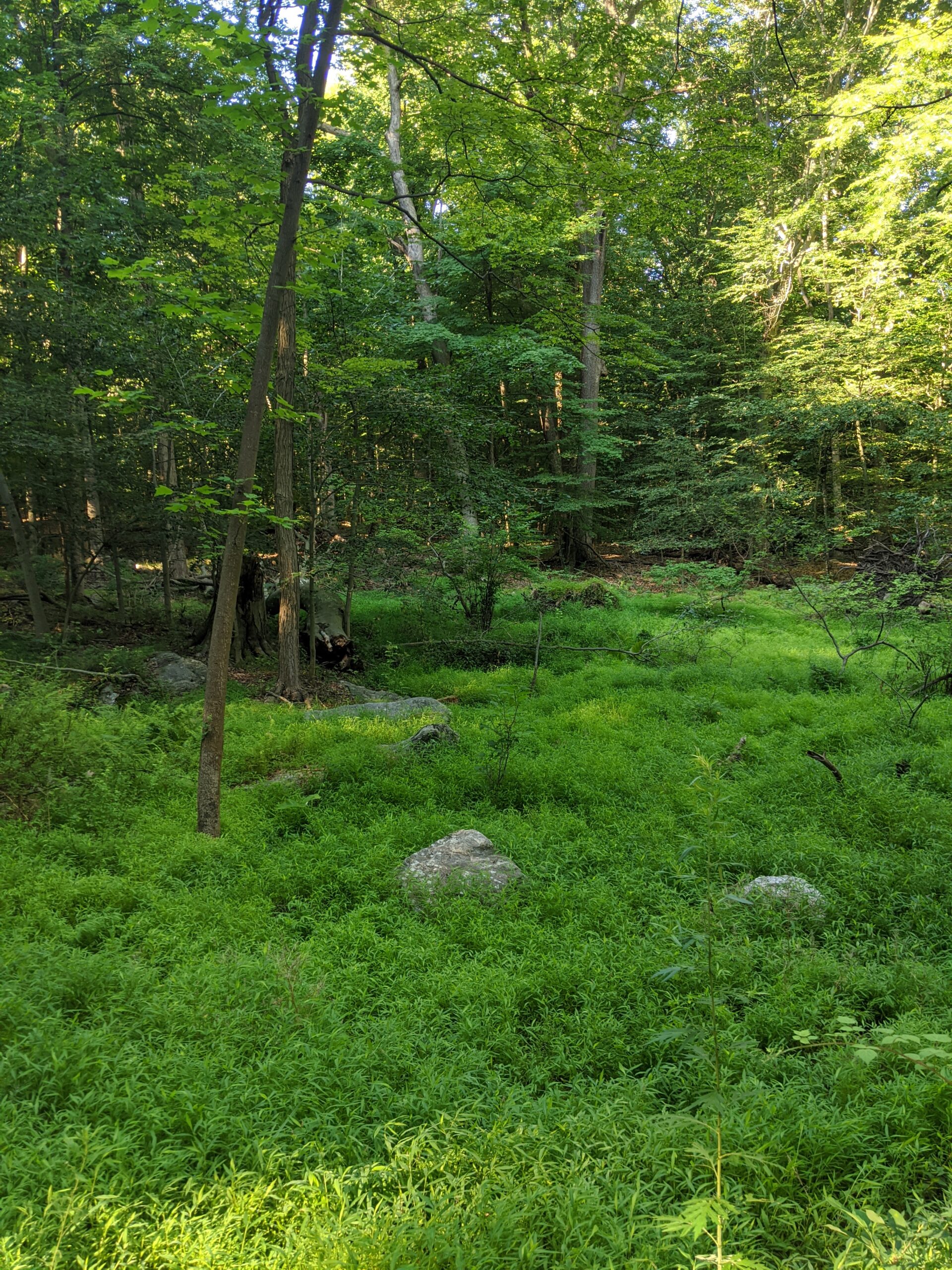
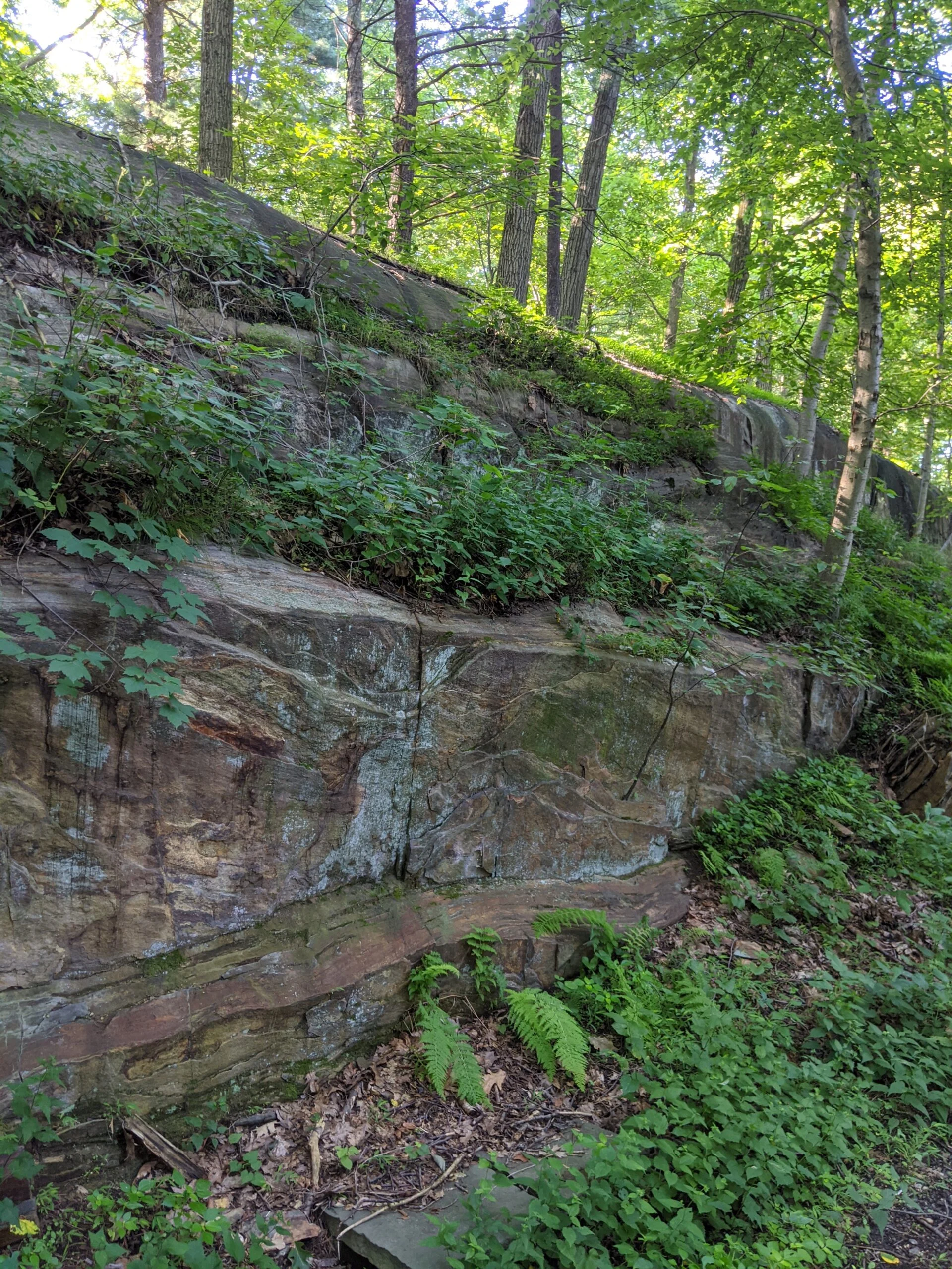
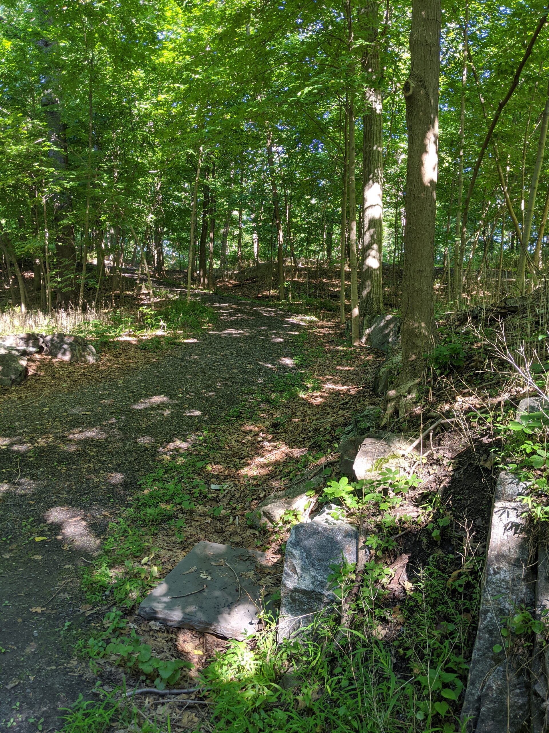
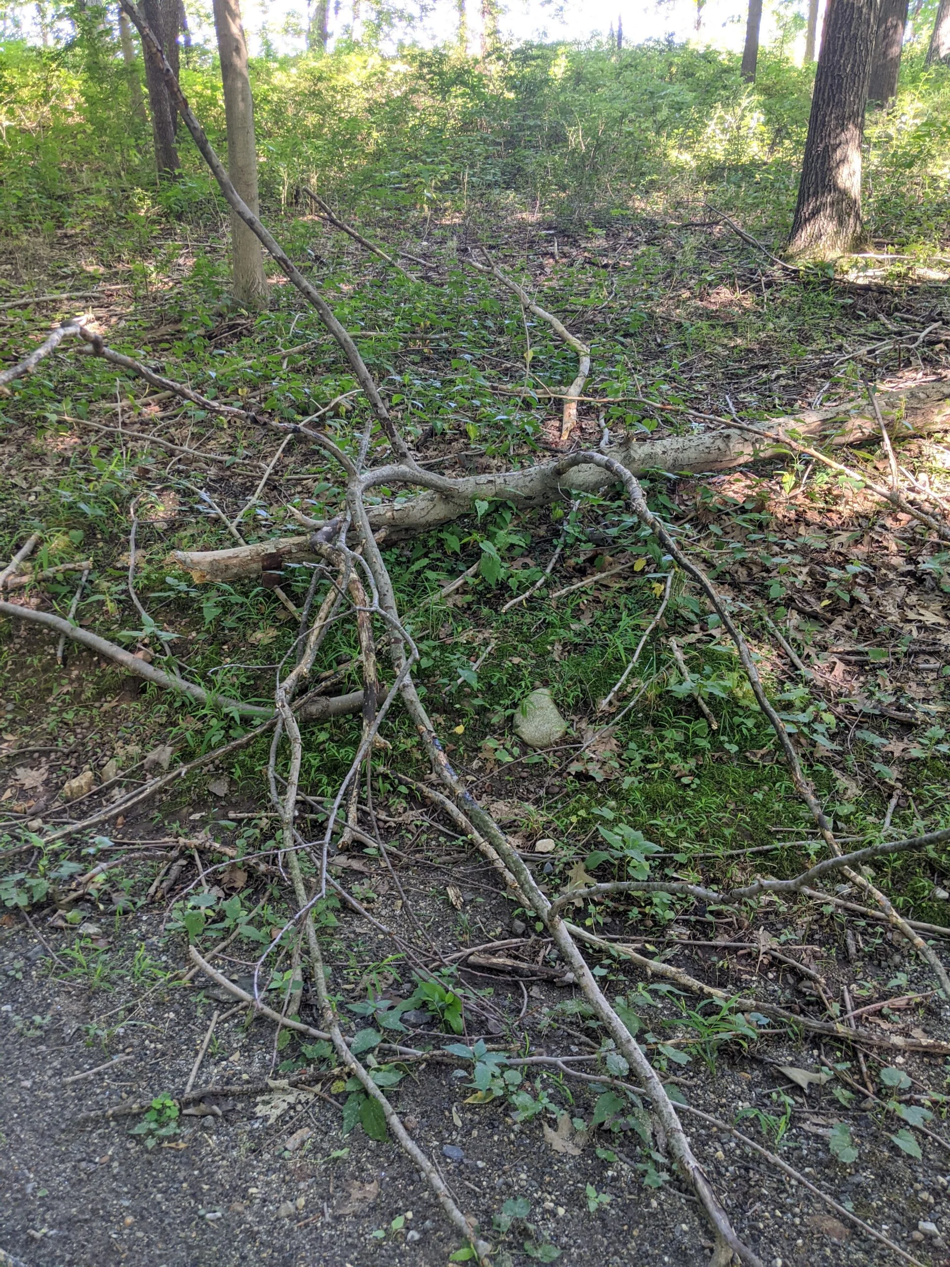
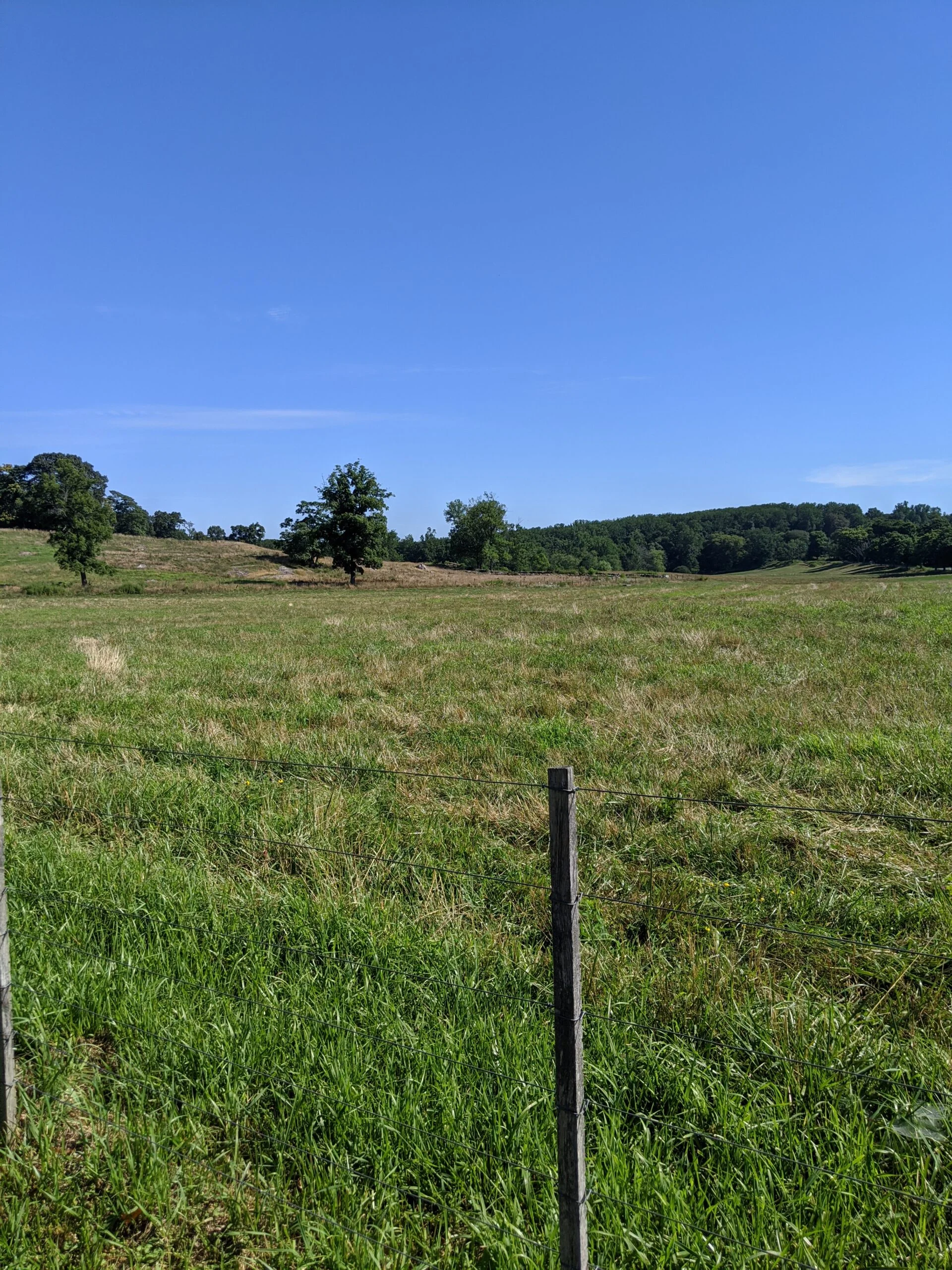
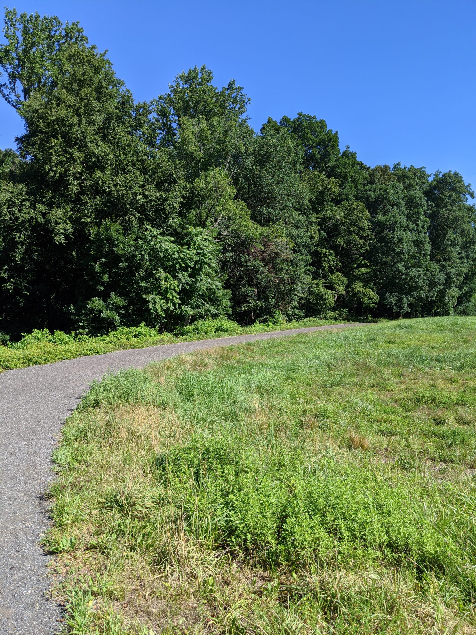
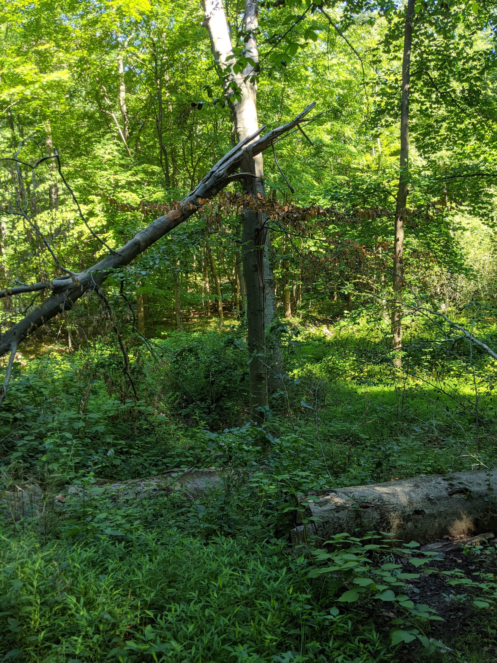
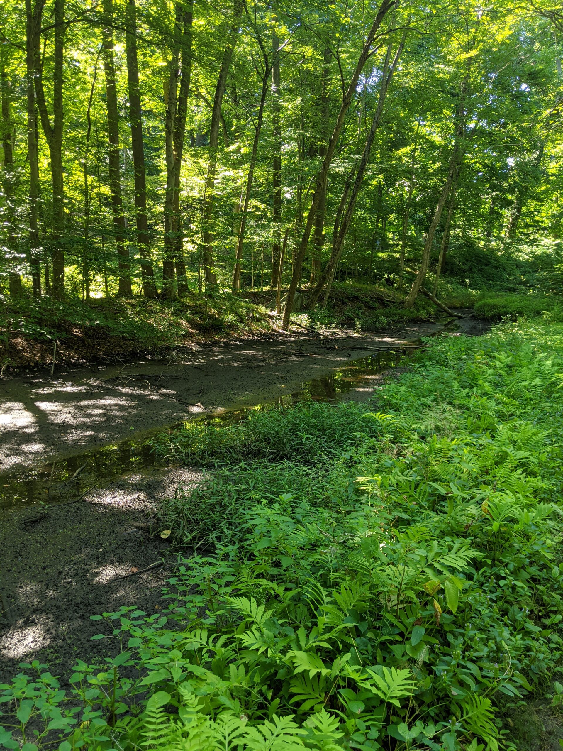
Overall, I considered this more of a walk than a hike. All of the paths I ended up on were dirt or gravel carriage paths. Although I did not see any horses on my visit, it was clear from the fresh droppings that horses do regularly travel some of these paths. Rather than being a hike deep in the woods, it was more like a walk through and near wooded areas. A lot of the paths had little canopy and it sometimes felt like walking down a quiet street. It was still great exercise and it was outdoors, but I’d much prefer being more immersed in the woods than this.
This was my first trip using the Osprey Packs Hydraulics Bite Valve Cover ($). It’s a nice addition to the setup, especially when I had to set my bag down for a refill or for a break. It definitely kept sweat and dirt away that otherwise would have contaminated the valve. Although the cover does not snap on super tight and I was worried it might fall off, it stayed on securely for the duration of my trip. The only thing I noticed is that if I didn’t hold the cover loop in place as I drank, the cover slipped down the tube. I might think about adding a rubber band as a stopper to keep it from moving around when unfastened.
After getting home and removing the moleskin, I have mixed feelings. Overall, I think it did help prevent more blisters from forming. I do have one on my right ankle, but it’s hard to say if I had applied the moleskin from the very start instead of partway through the trip if I would have had different results. I’ll try using the moleskin before I leave the house next time. I applied a Band-Aid Brand Hydro Seal Adhesive Bandage ($) to the blister and expect it to be healed in about 4-5 days.
It was great to get almost 8 miles in on an early morning walk. Now that I have a better lay of the land, I’m going to do more research about Rockefeller State Park Preserve to see if there are more traditional hiking paths. There are over 45 miles of trails here, so there is plenty to explore on future visits!
Update 8/4/20: I noticed that some of the moleskin adhesive was stuck to the inside of my socks. I was able to get a lot of it off by hand washing, but there are some stubborn pieces that are embedded into the fabric. The benefit of the moleskin still probably outweighs this side effect.
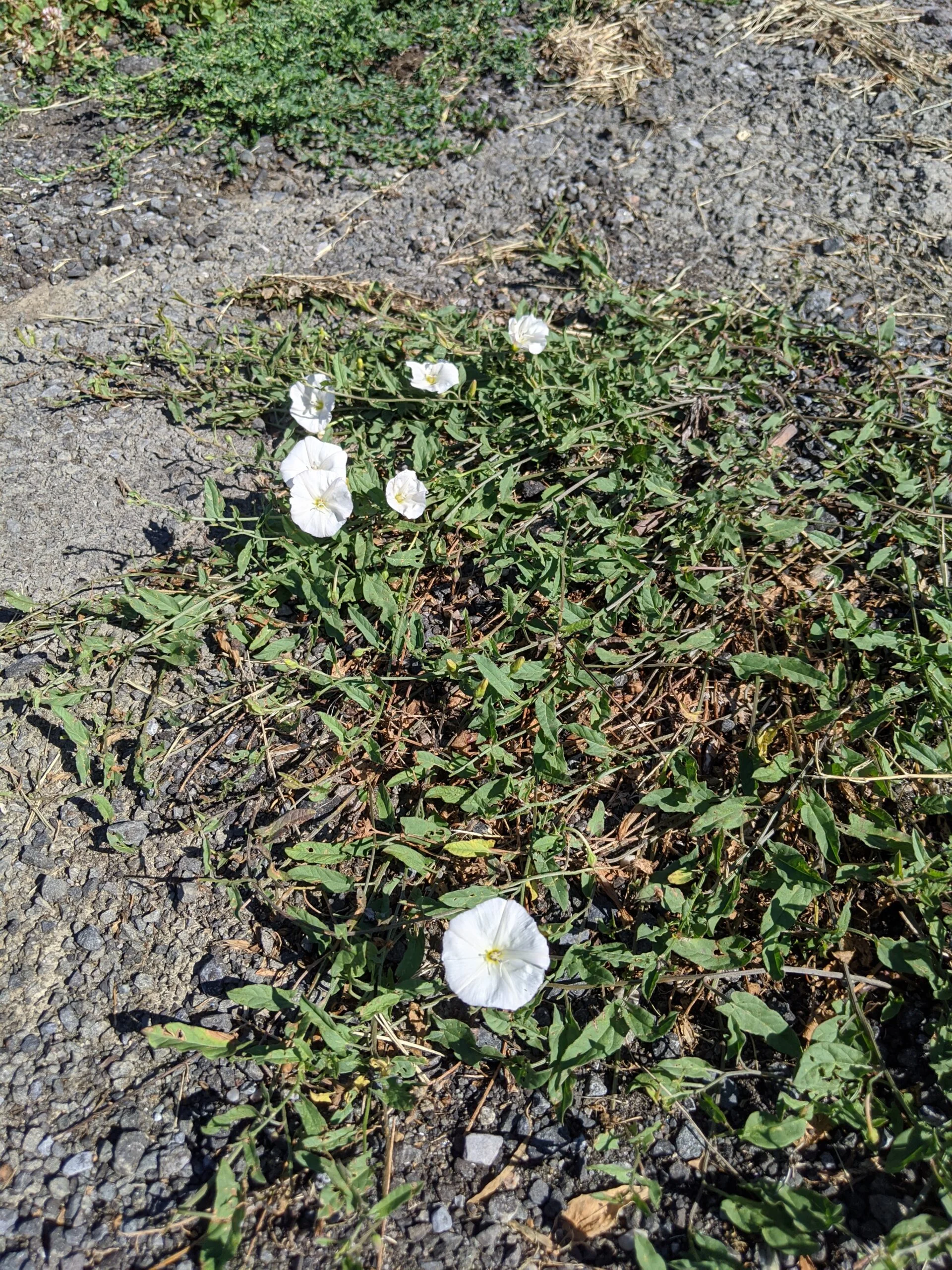
Photos


GPS Route & Elevation
Loads an interactive map; map tiles are served by the U.S. Geological Survey, which receives your IP address. Learn more about maps and your privacy