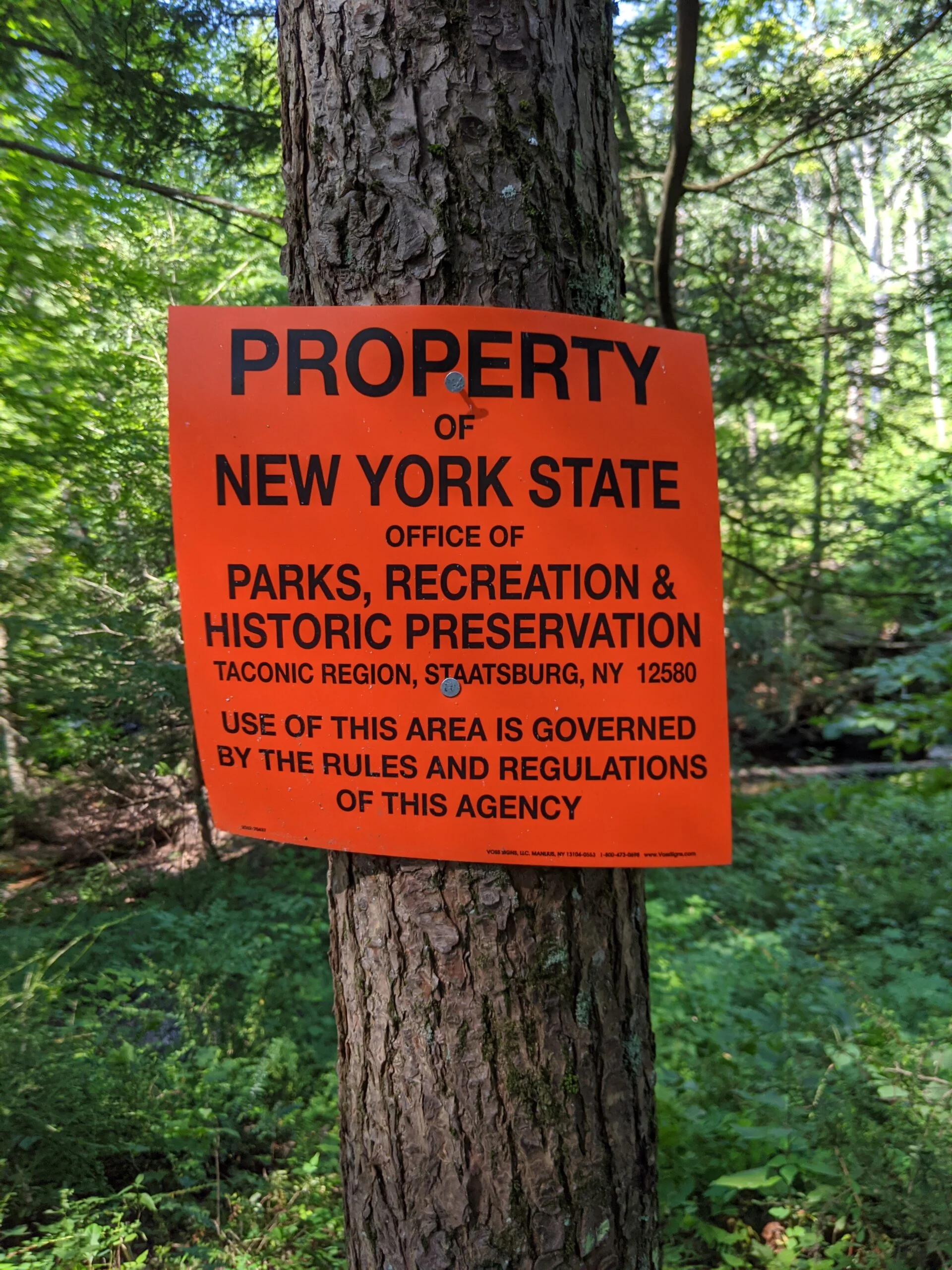
Fahnestock State Park – Pelton Pond, Three Lakes Trail, Canopus Lake, Candlewood Hill Trail
- 9 mi
- 894 ft gain
- 05:04:37
- 185 photos
- 2 videos
This post may contain affiliate links. If you buy through them, I may earn a commission at no extra cost to you. As an Amazon Associate I earn from qualifying purchases.
Today’s hike was a lesson in planning and adaptation. Earlier in the week, I mapped out an 8-mile hike through Bear Mountain State Park. The night before my hike, I went to their website to print out a map, as I always like to carry and follow a paper copy. A notice on the website explained that all facilities and hiker parking lots were closed for the weekend due to the damage caused by Tropical Storm Isaias. I probably could have found a trailhead accessible from the road and parked there, but I didn’t want to risk making the drive only to have problems.
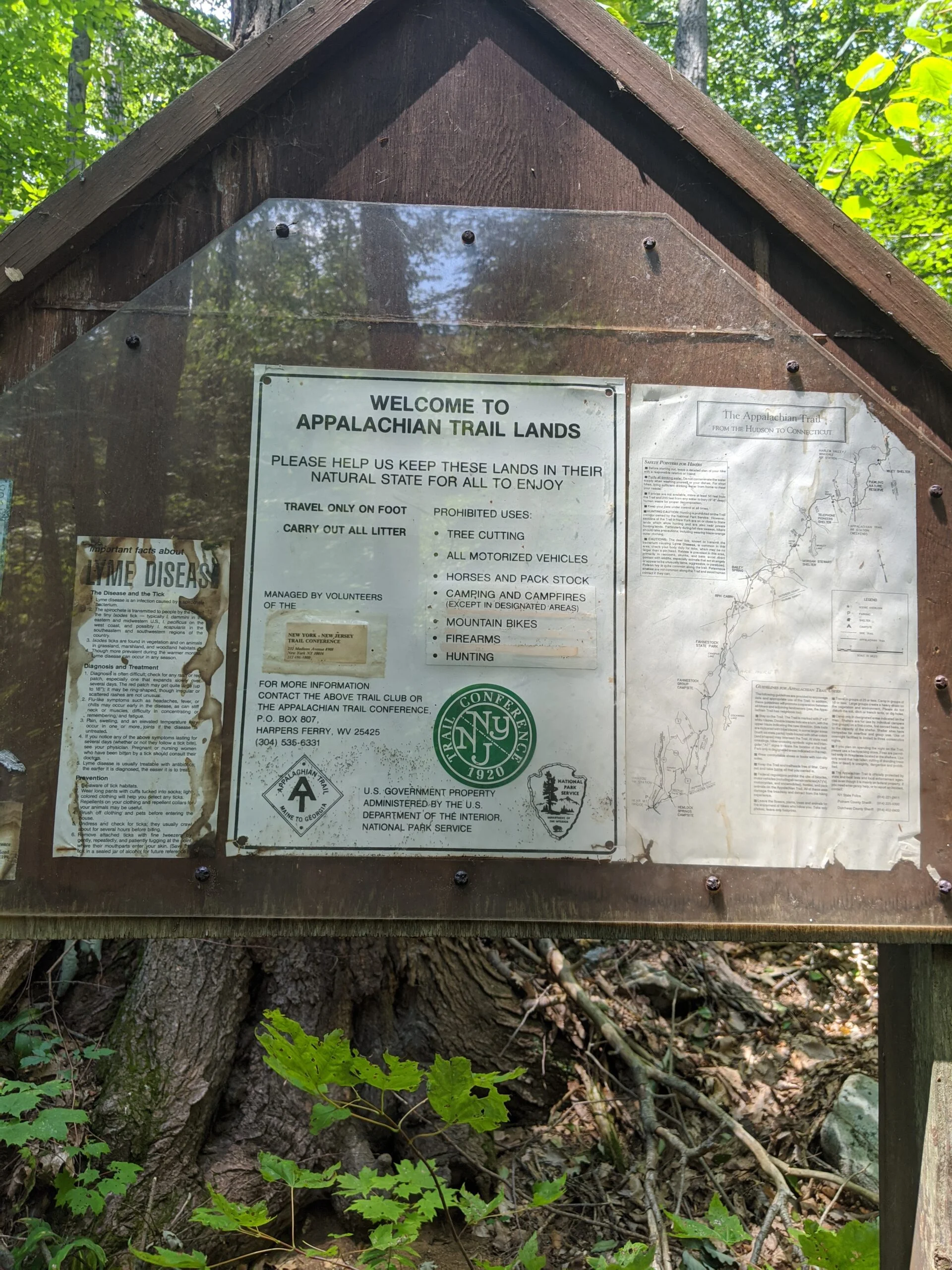
Nothing like a last minute scramble! It just so happens I was texting with my sister who mentioned that one of her friends had visited Fahnestock State Park earlier in the day. This park was not yet on my radar, so I looked it up. It’s an over 14,000-acre property with hiking, boating, fishing, and camping. More importantly, there is a vast array of trails to explore, including a section of the Appalachian Trail. Score!
In preparation for the trip, the night before I filled my three 1.5L water bottle reserves with water and three Citrus Fruit flavor Nuun Sport Electrolyte Drink Tablets ($) each, then placed them in the refrigerator to chill overnight. I also prepared two Silicone Ice Stick Trays for Water Bottles ($) in advance to be used in the morning.
After waking up the day of my hike, I added the ice from the trays to the water bottles. Not all of the ice stayed in nice cylindrical shapes, but since this was more about function than form, it didn’t matter and got the job done. I then filled my Osprey Hydration Backpack ($) with water, five Nuun tablets, and regular ice cubes. I packed an apple, a banana, two PROBAR meal bars ($), and a packet of Chicken of the Sea Pink Salmon ($).
Now that my gear was ready, it was time to hit the road! I had mapped my journey starting at a parking area on the map near Stillwater Pond, rather than the main entrance, figuring it would be less crowded. As I headed north on the Taconic State Parkway, I was able to see that the Stillwater Pond gate was closed. Rather than waste time figuring out if I could park there or not, I decided to continue on to the Pelton Pond parking lot off Route 301. Since the route I mapped was going to take through this area anyway, I figured it wouldn’t be that big of a deal to start in a different spot.
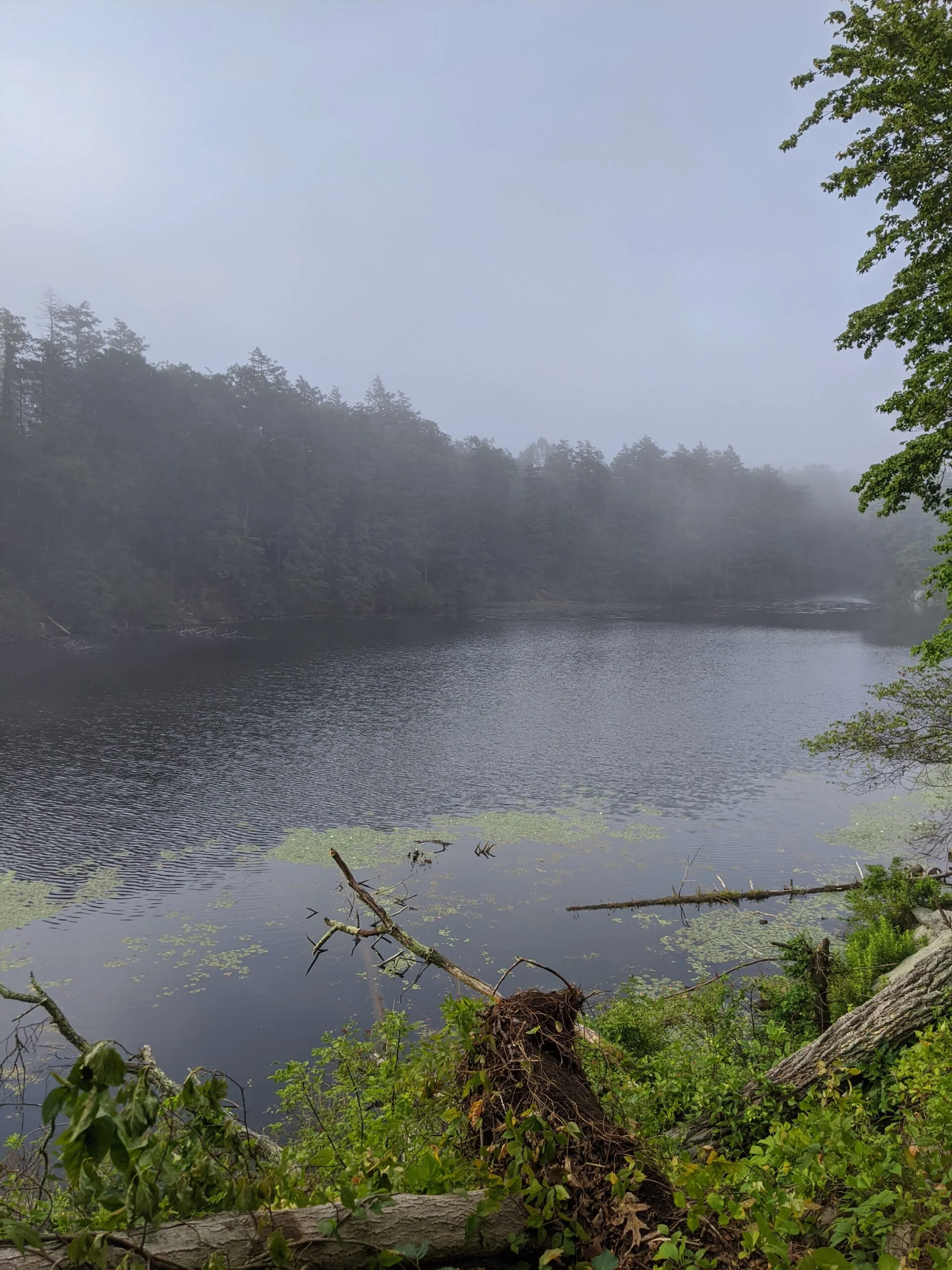
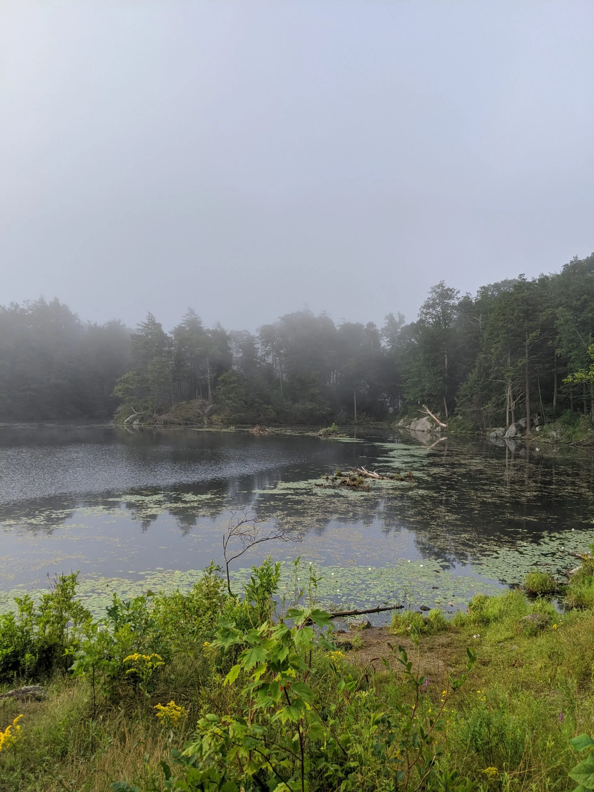
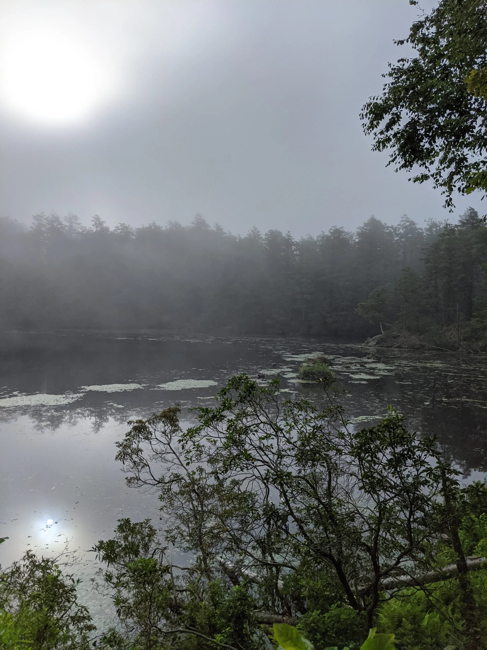
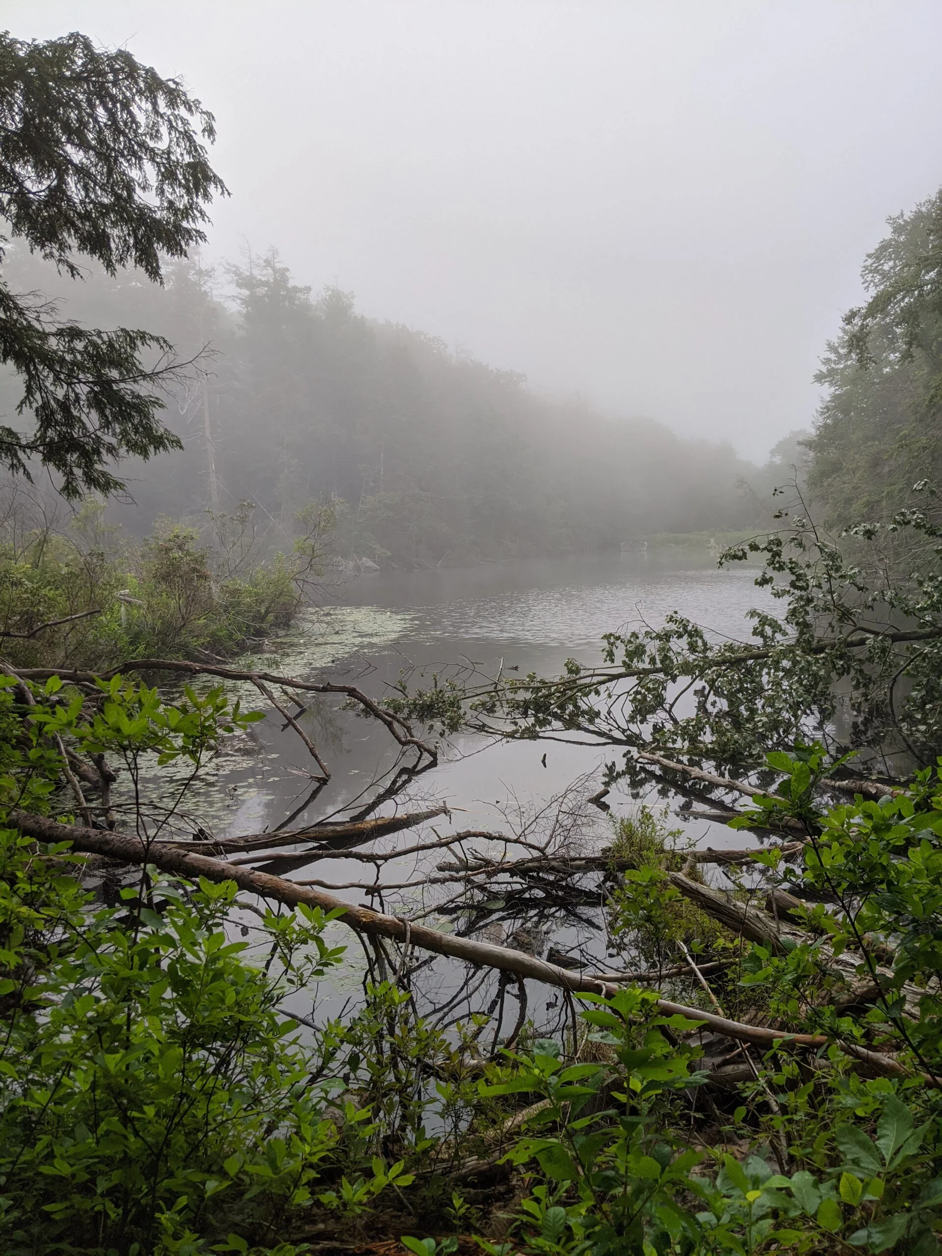
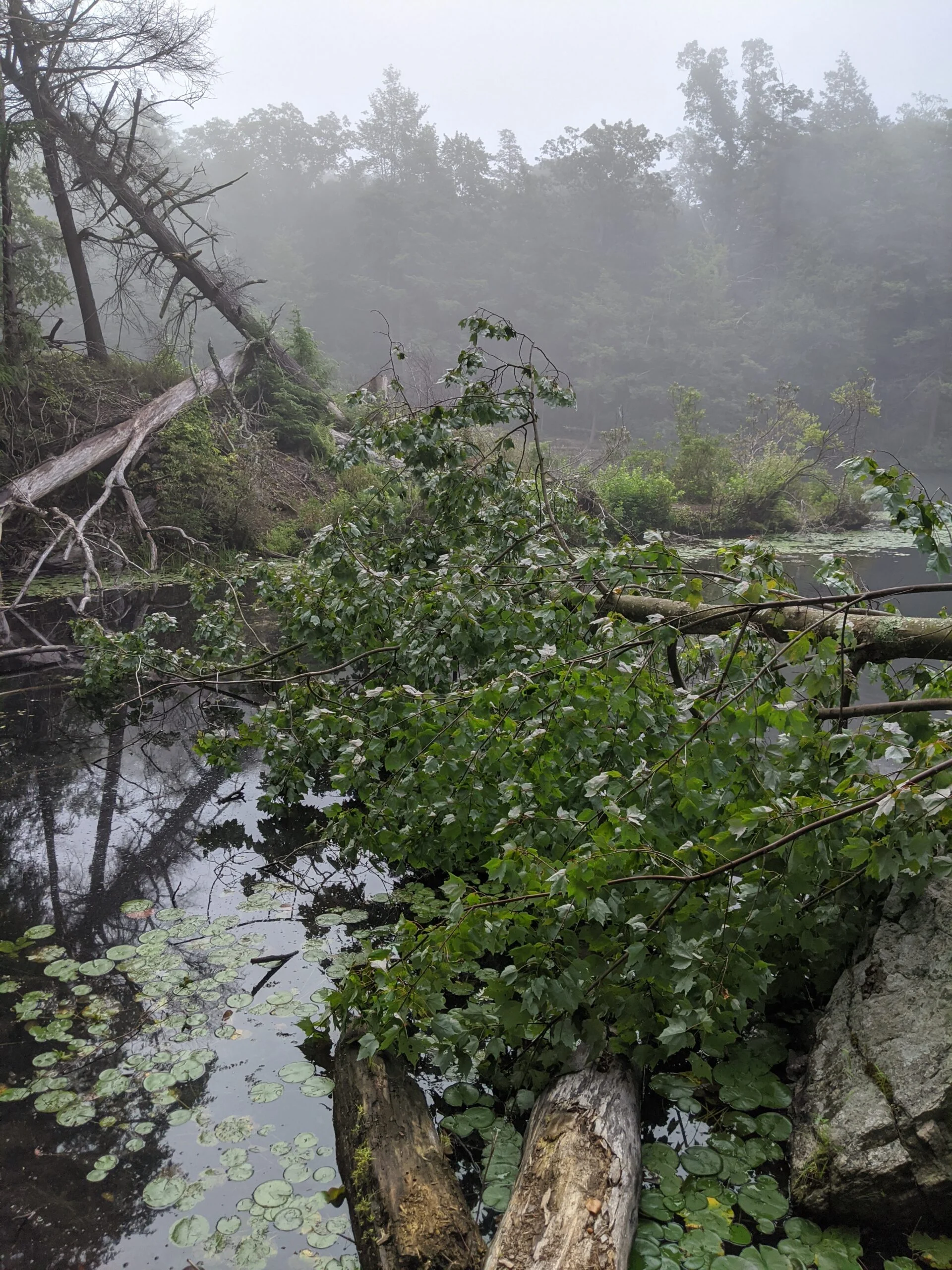
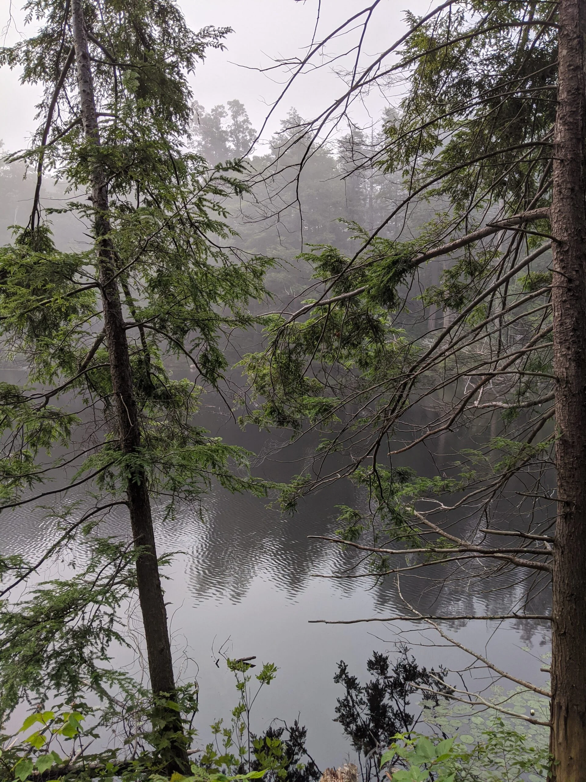
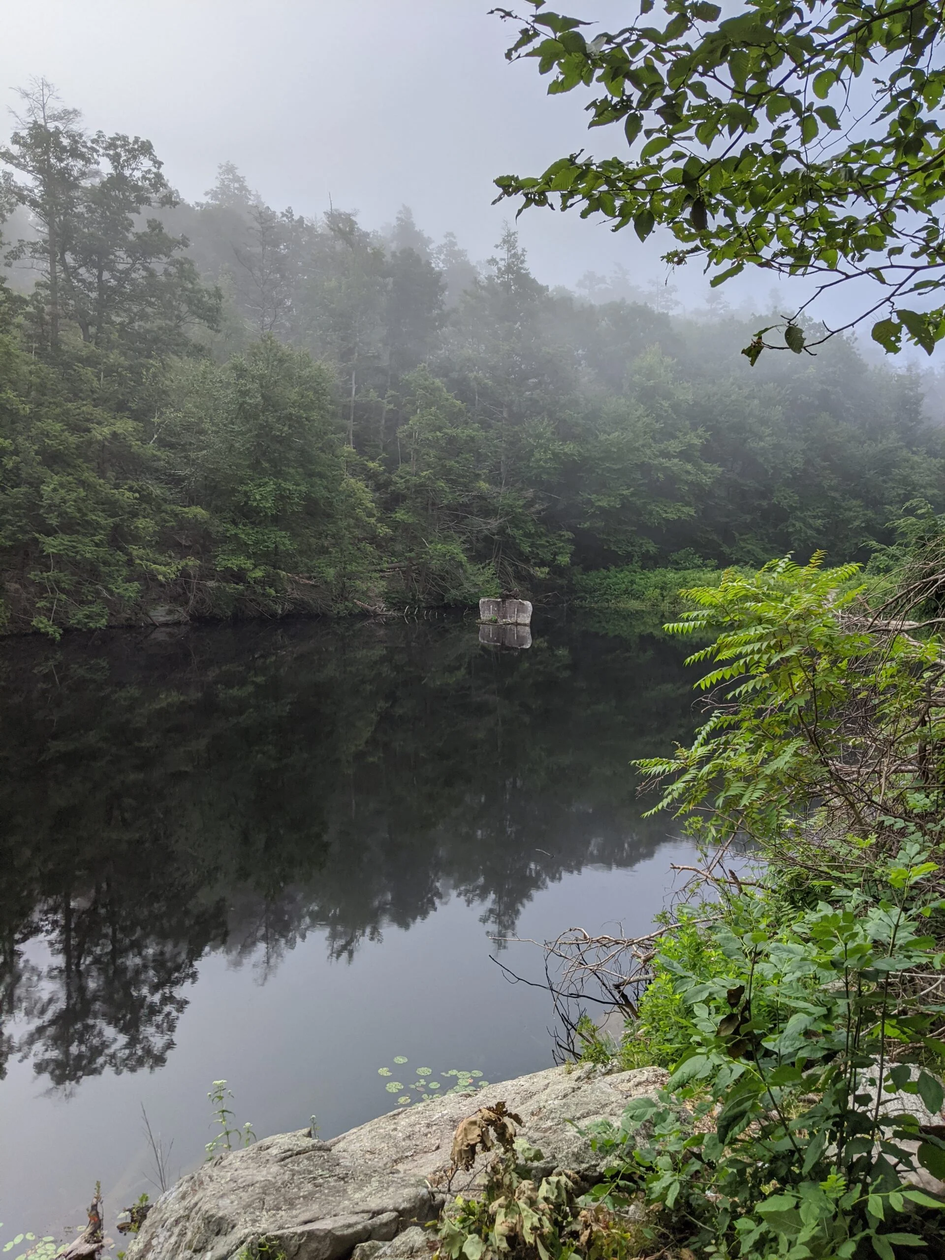
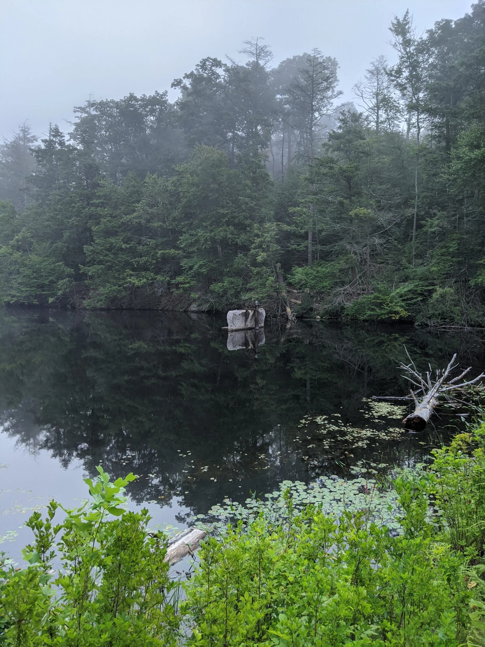
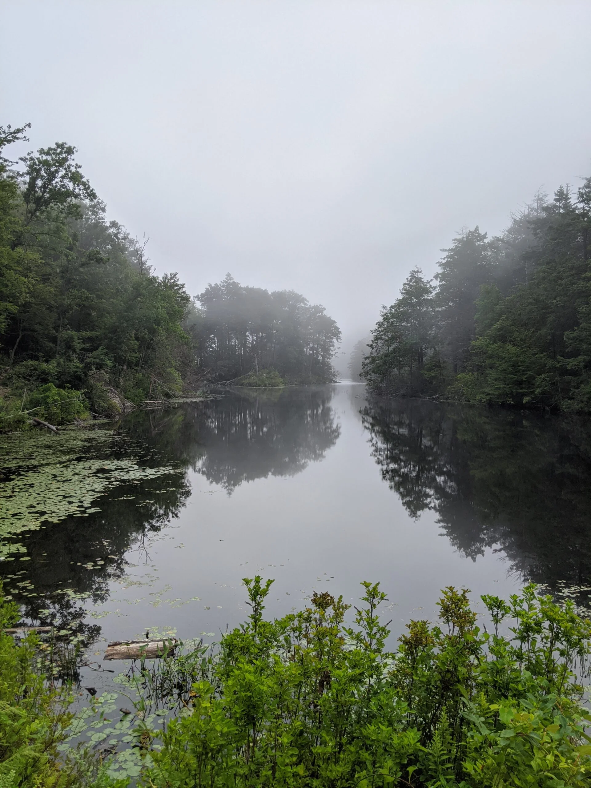
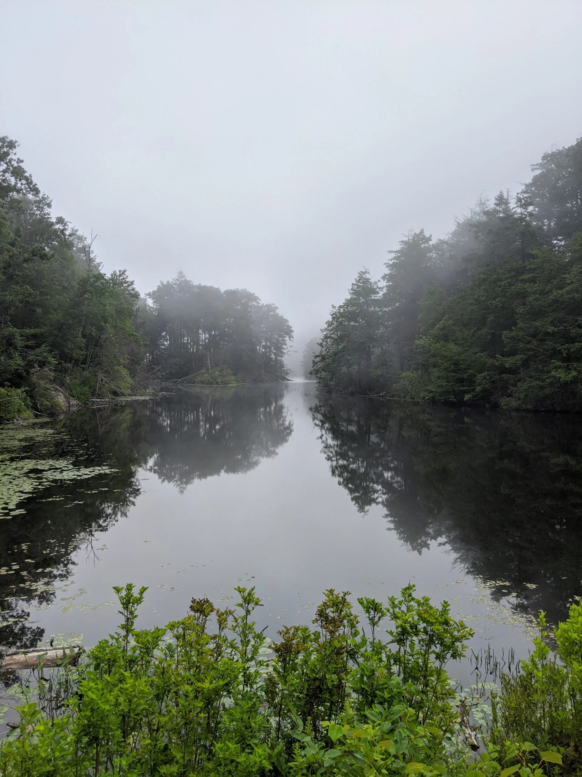
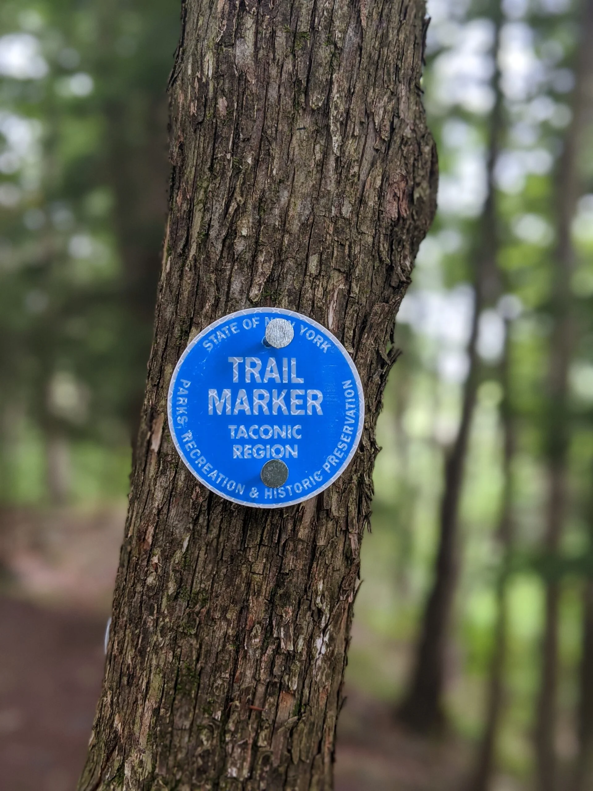
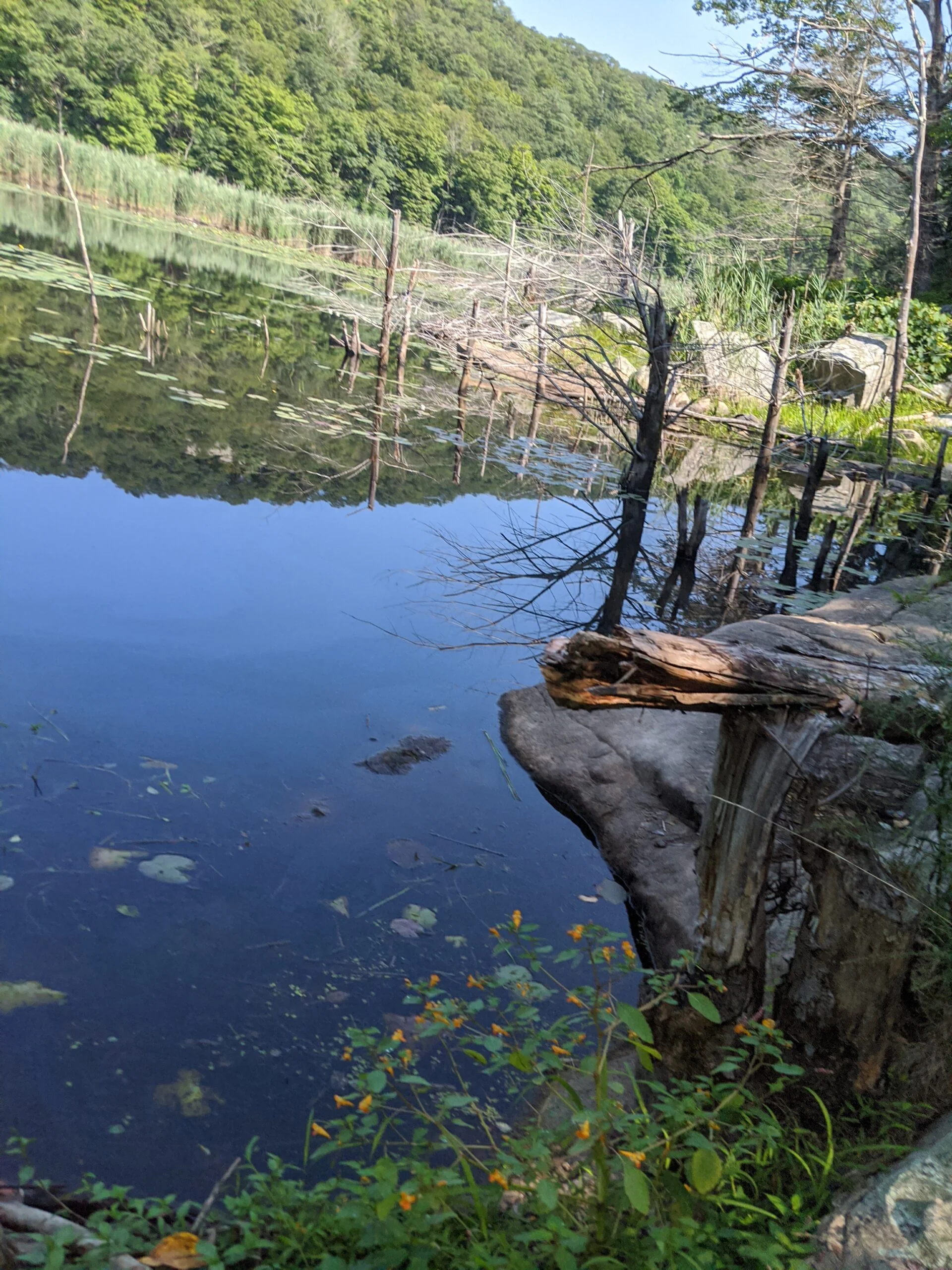
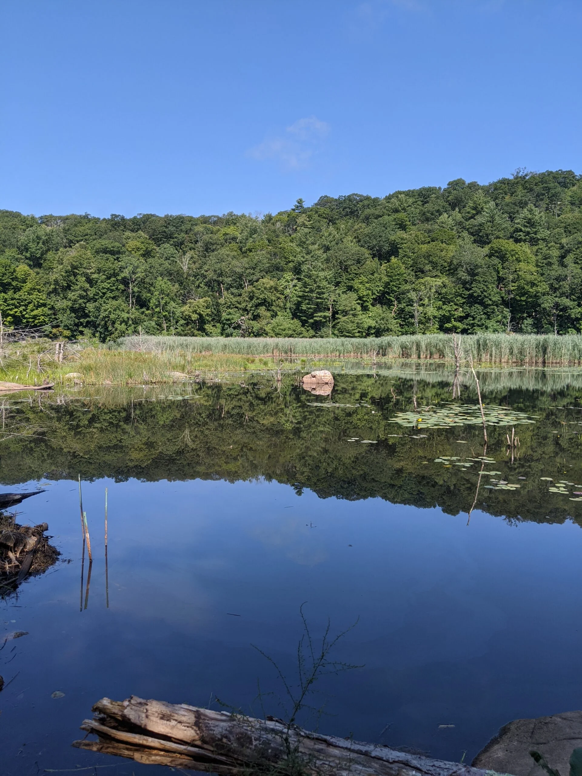
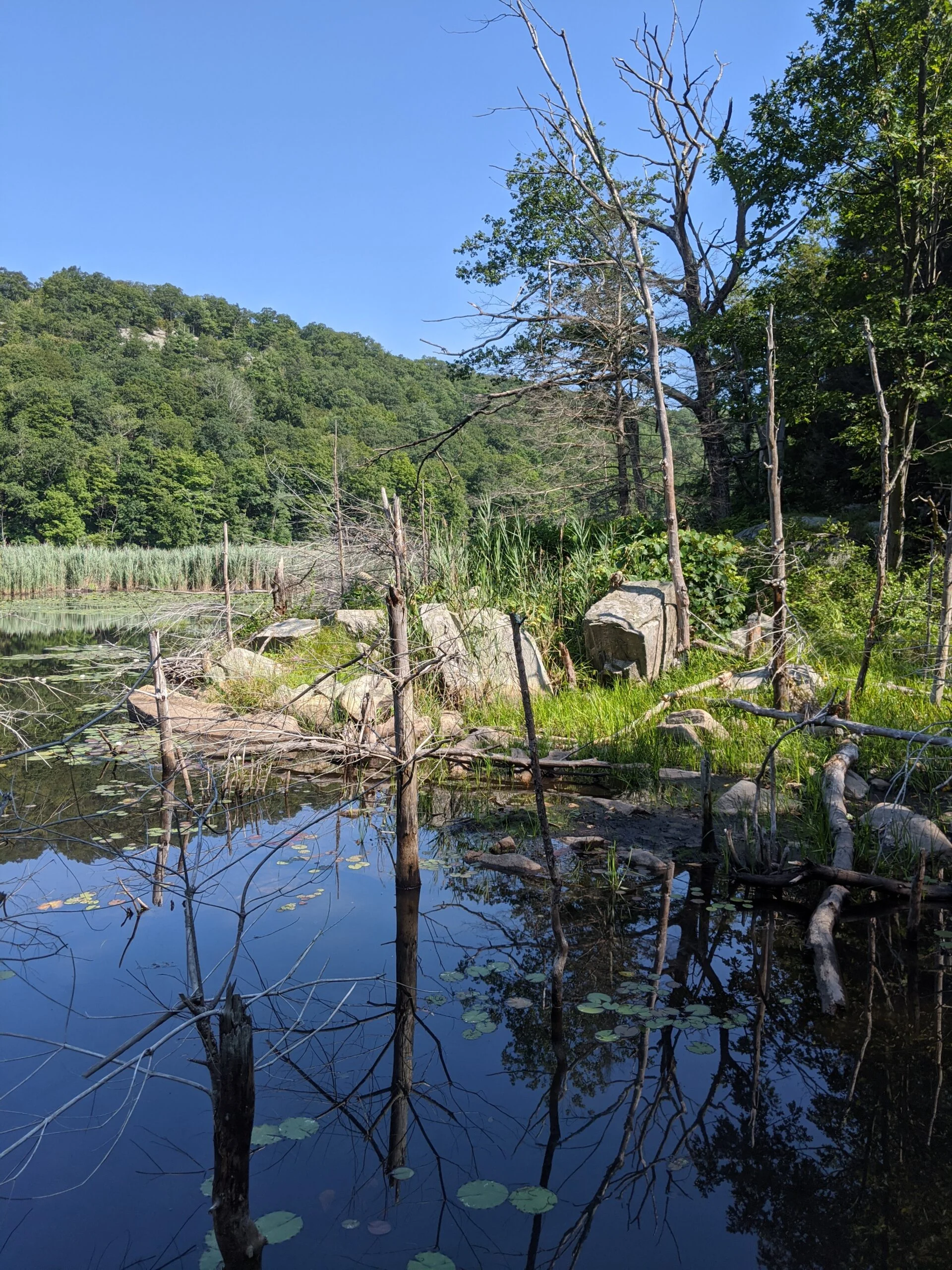
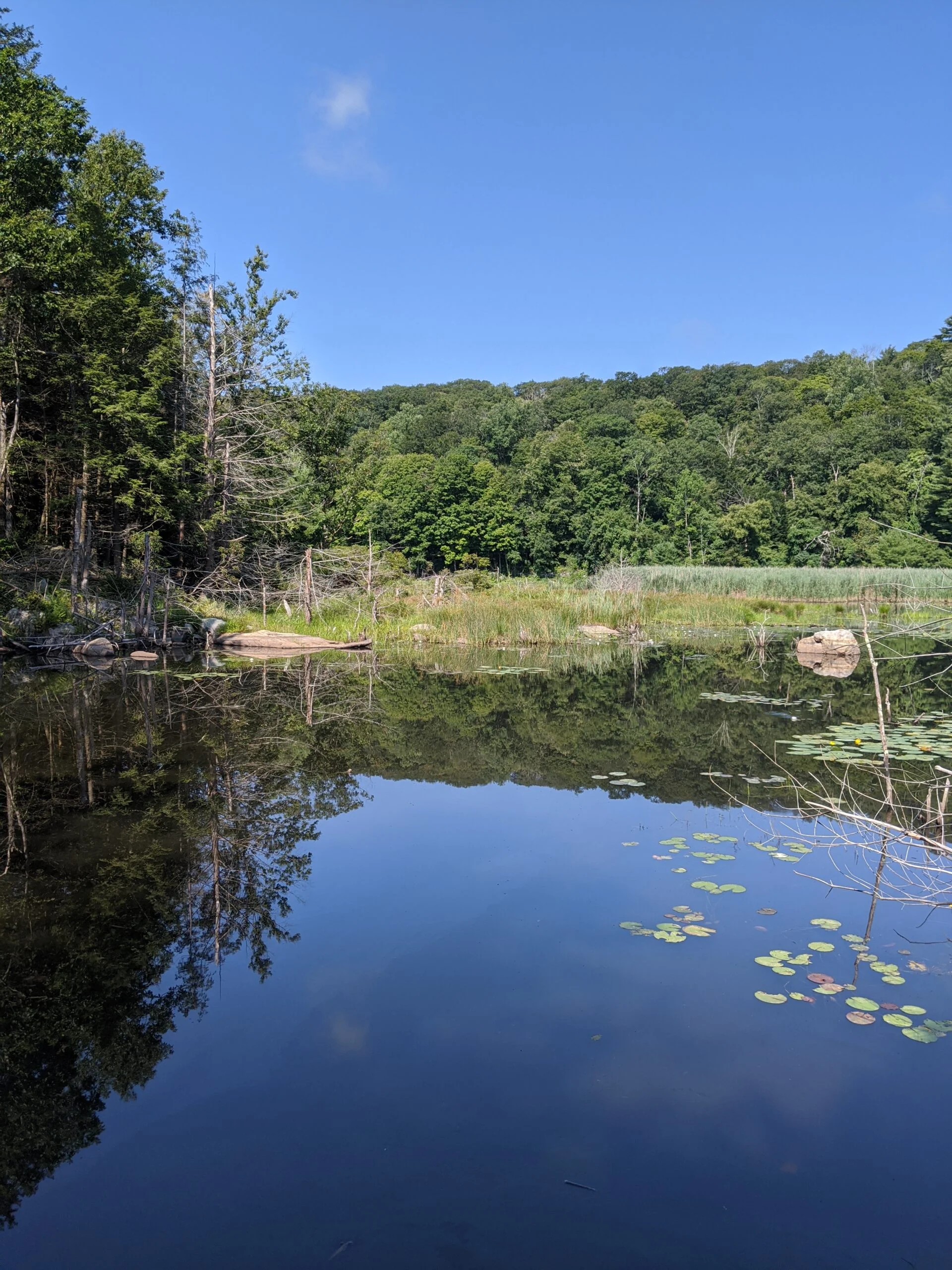
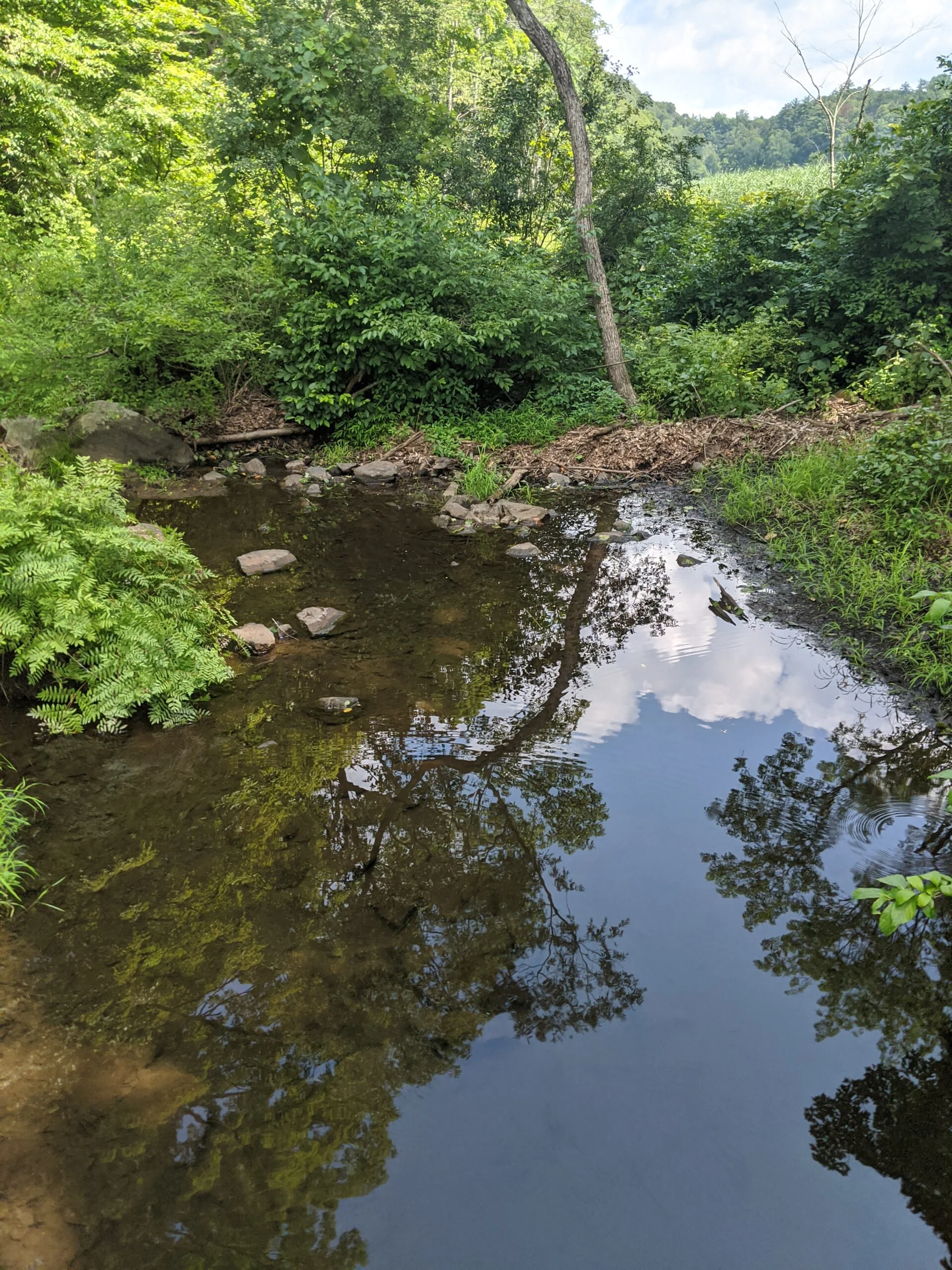
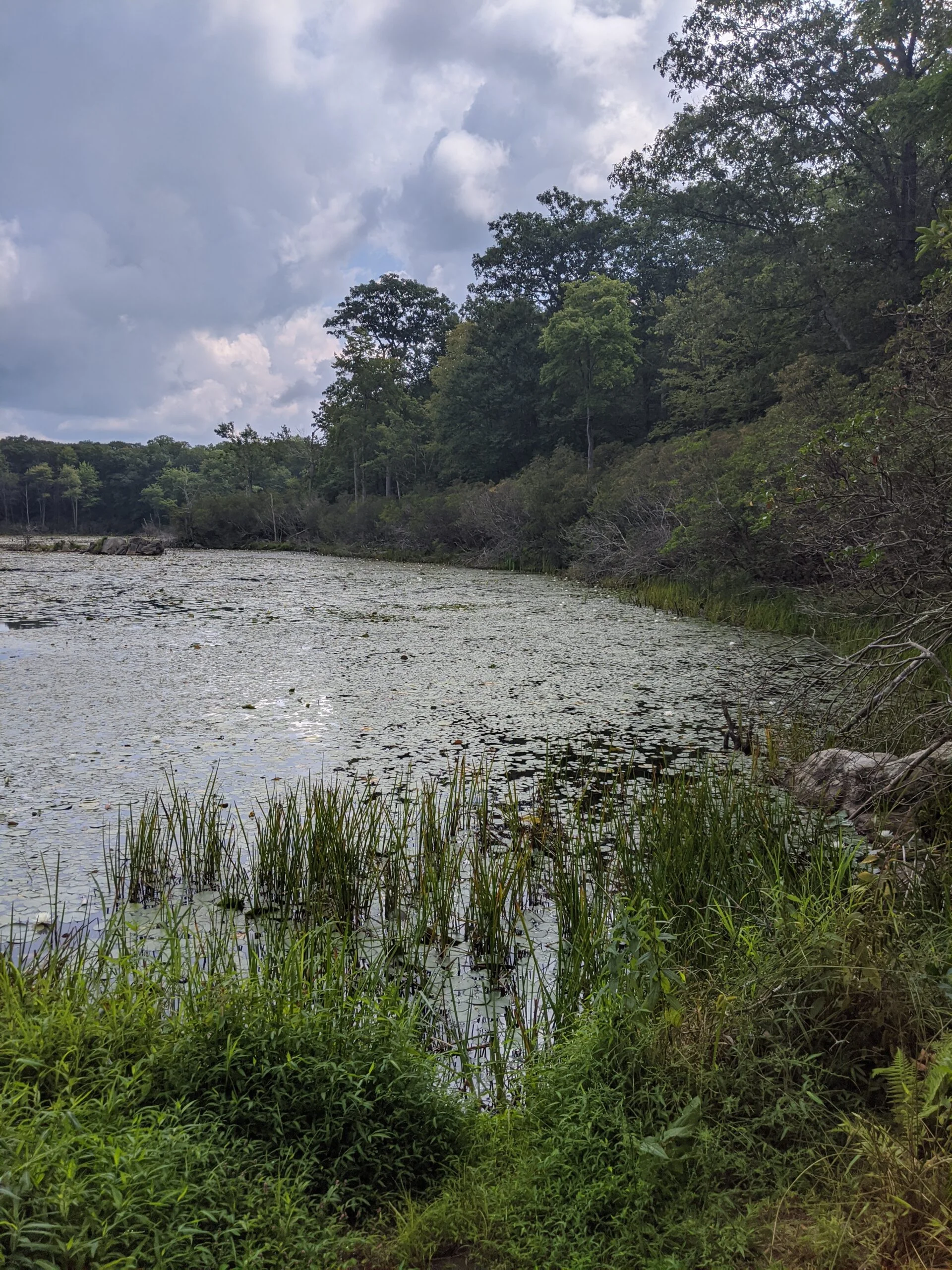
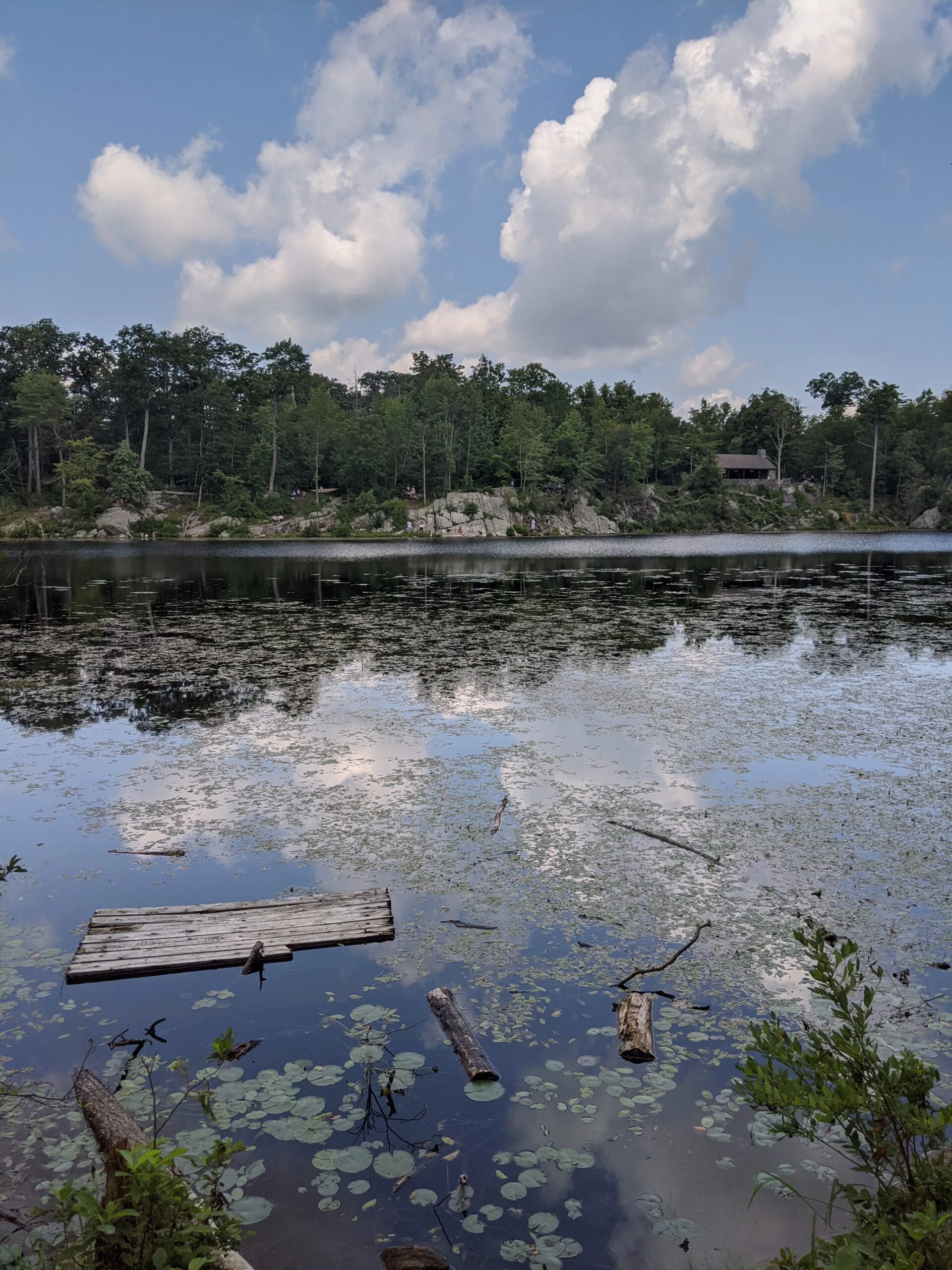
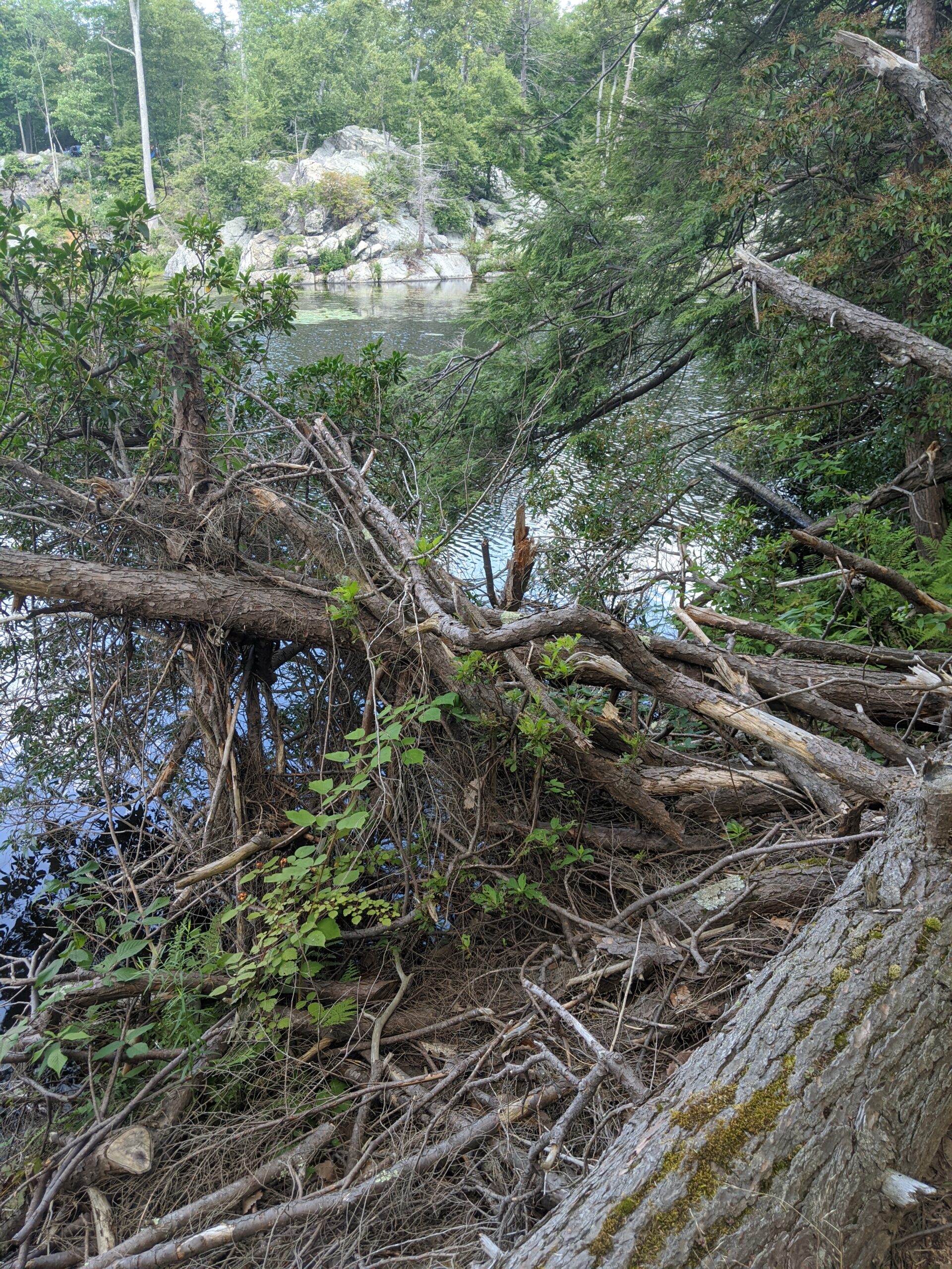
I arrived right at 8am and the parking lot had about 10 cars in it. I started my journey on the yellow Pelton Pond Nature Trail (PP), following it to the south on the west side of the lake. Being so early in the morning, there was still a fog over the lake. Having reached the southern tip of the pond, I turned to the right (south west) on an unmarked trail in an attempt to locate Three Lakes Trail (TL, blue blazes).
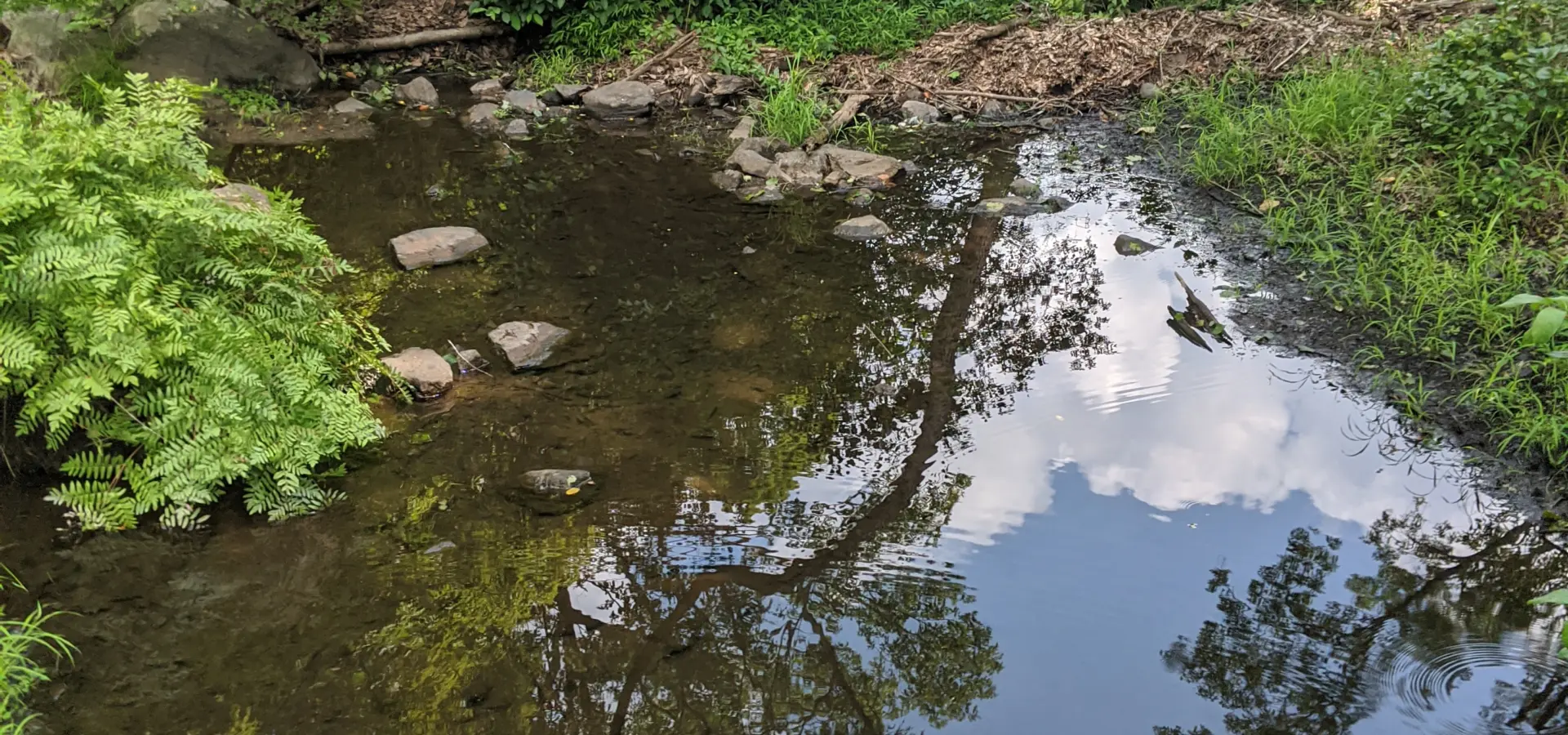
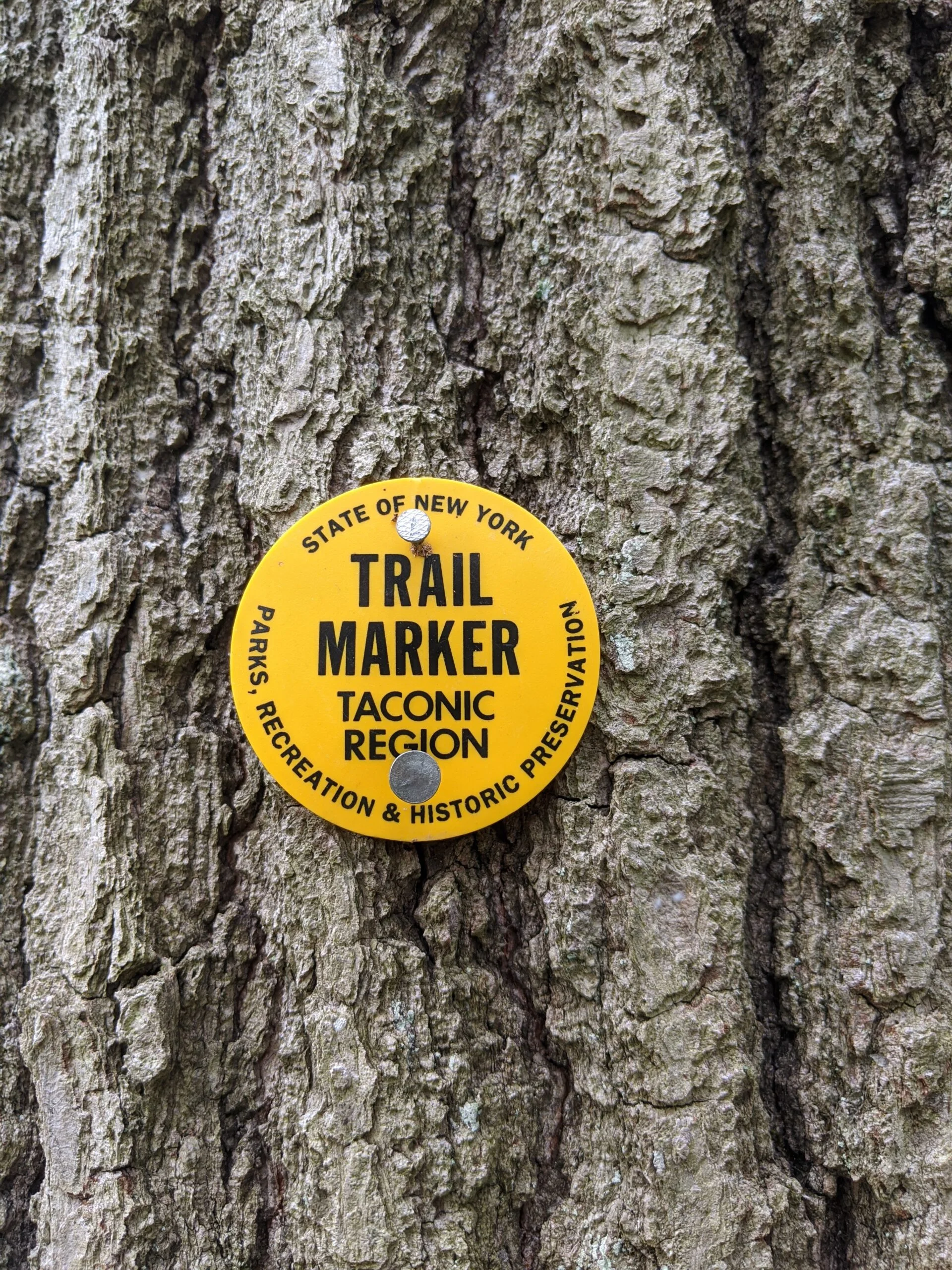
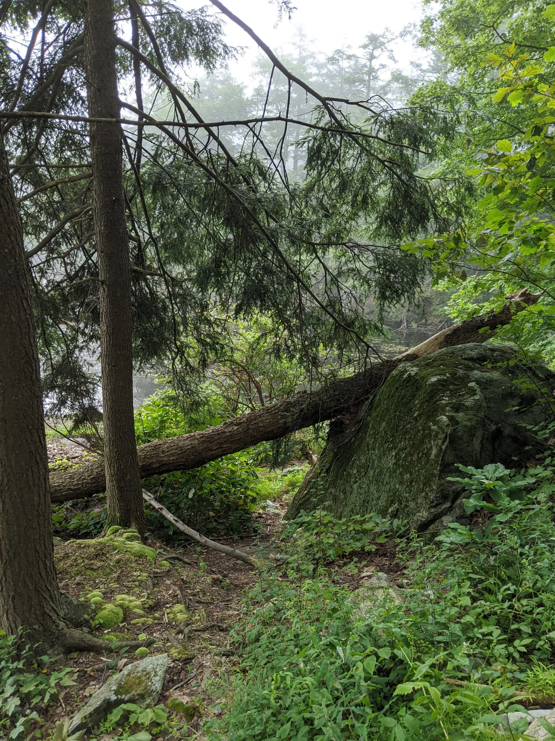
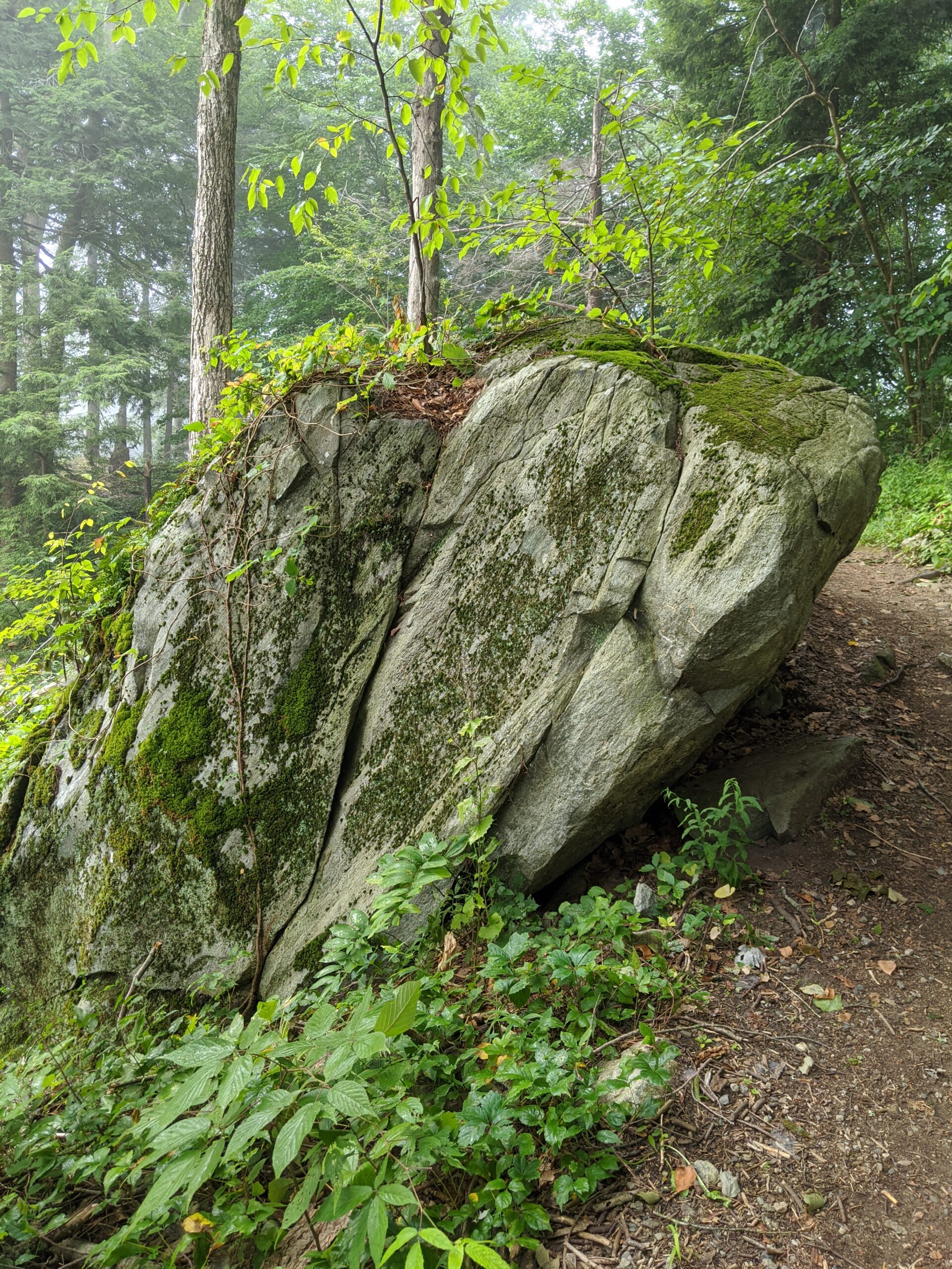
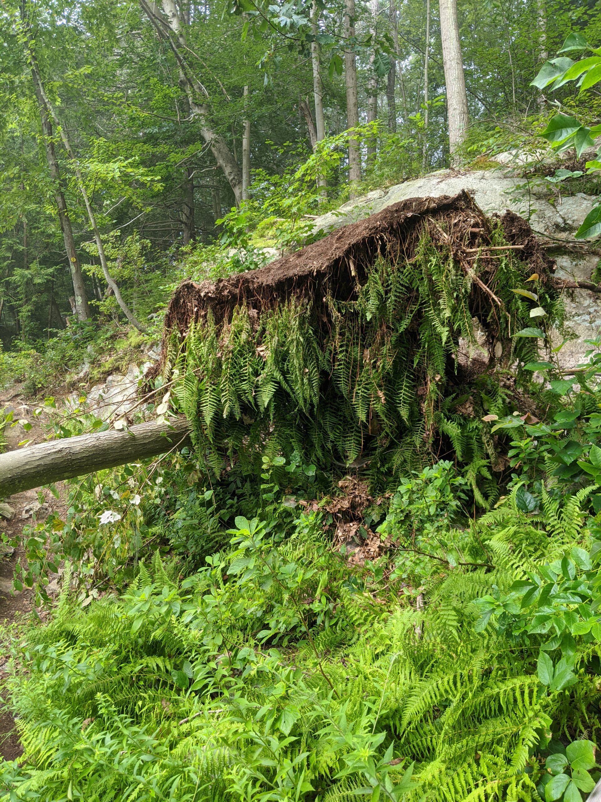
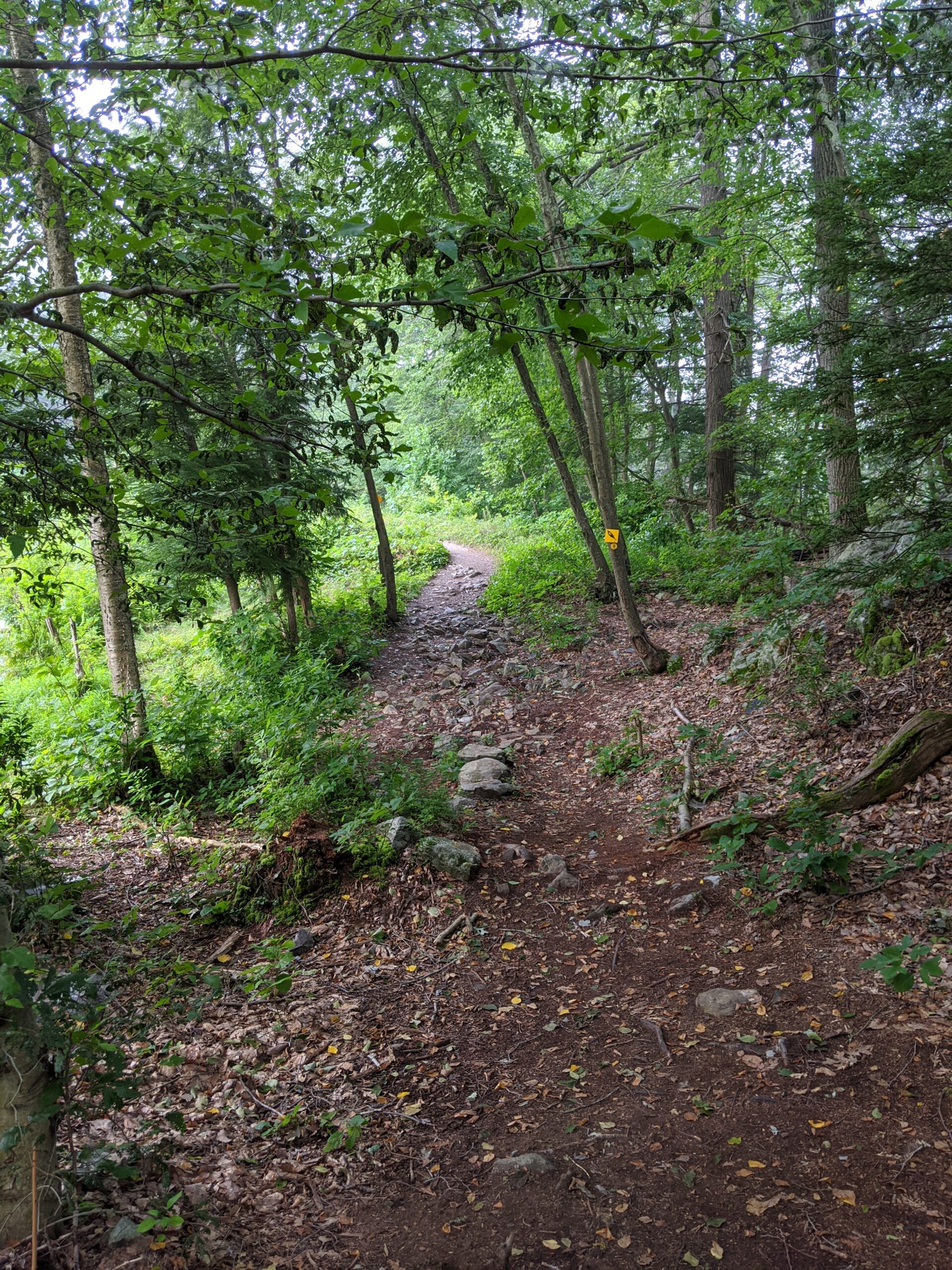
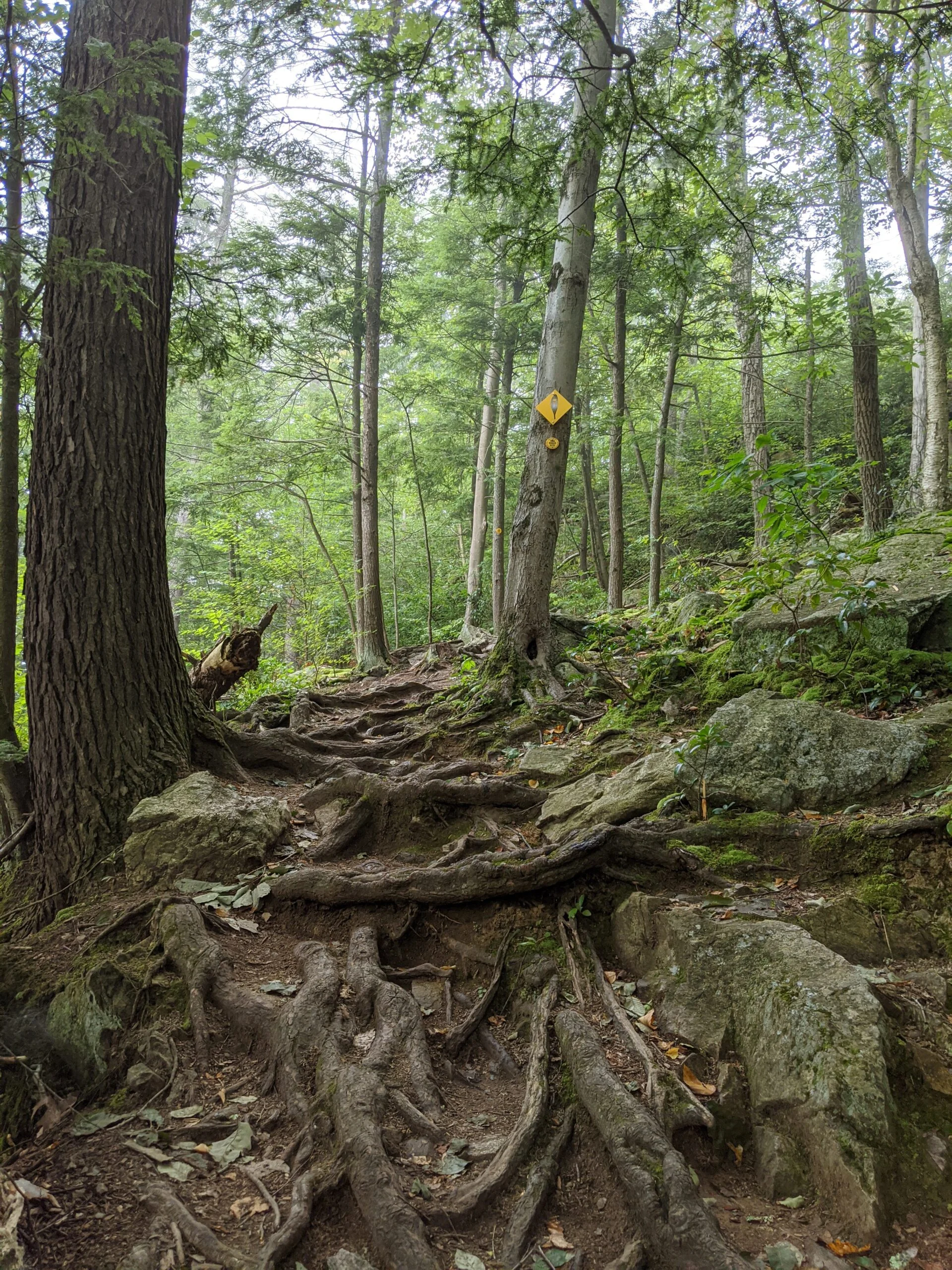
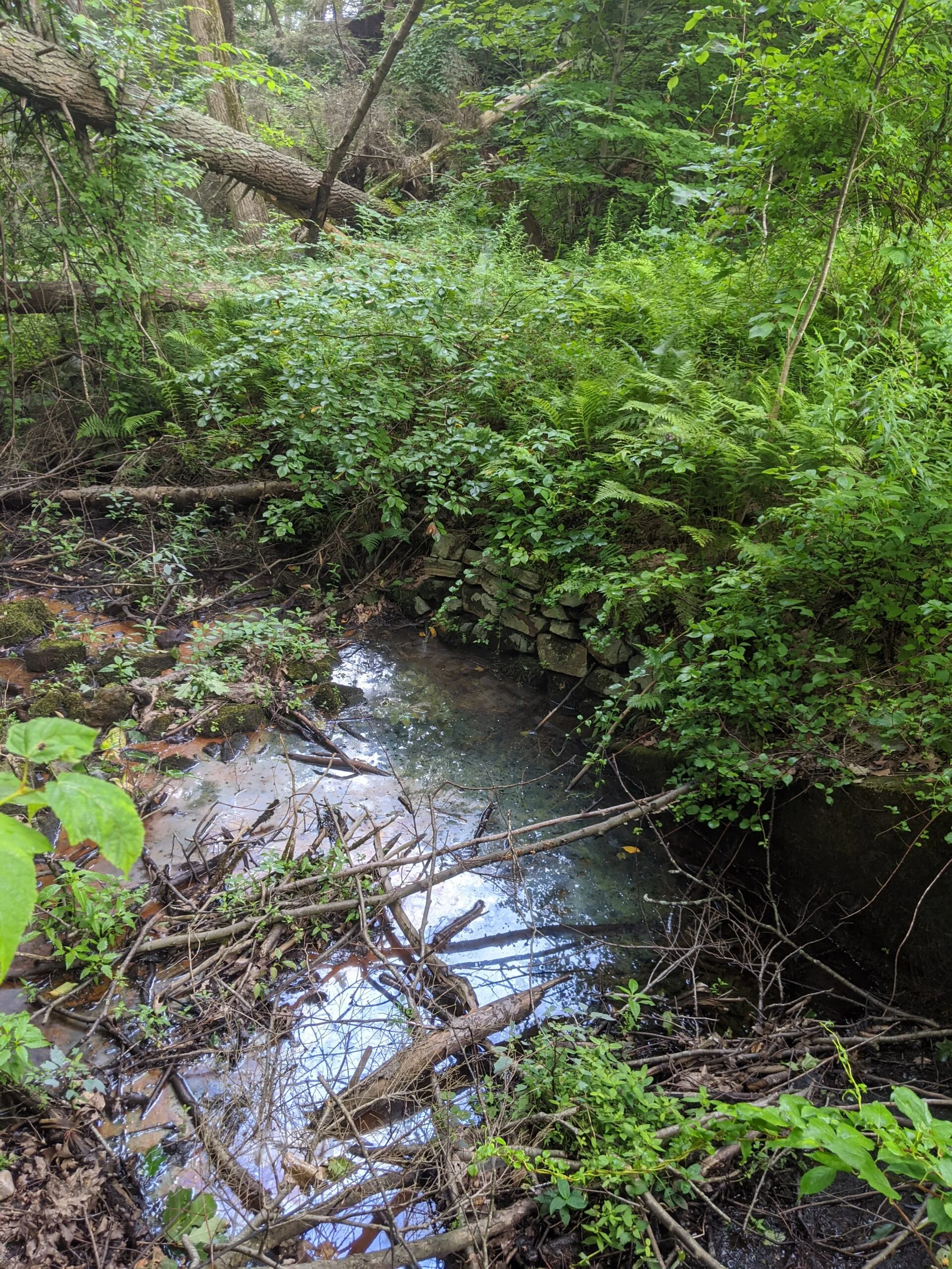
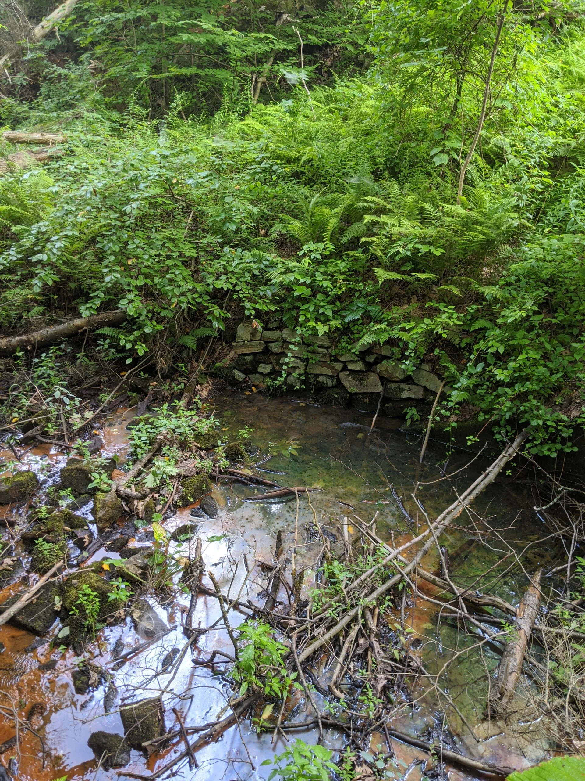
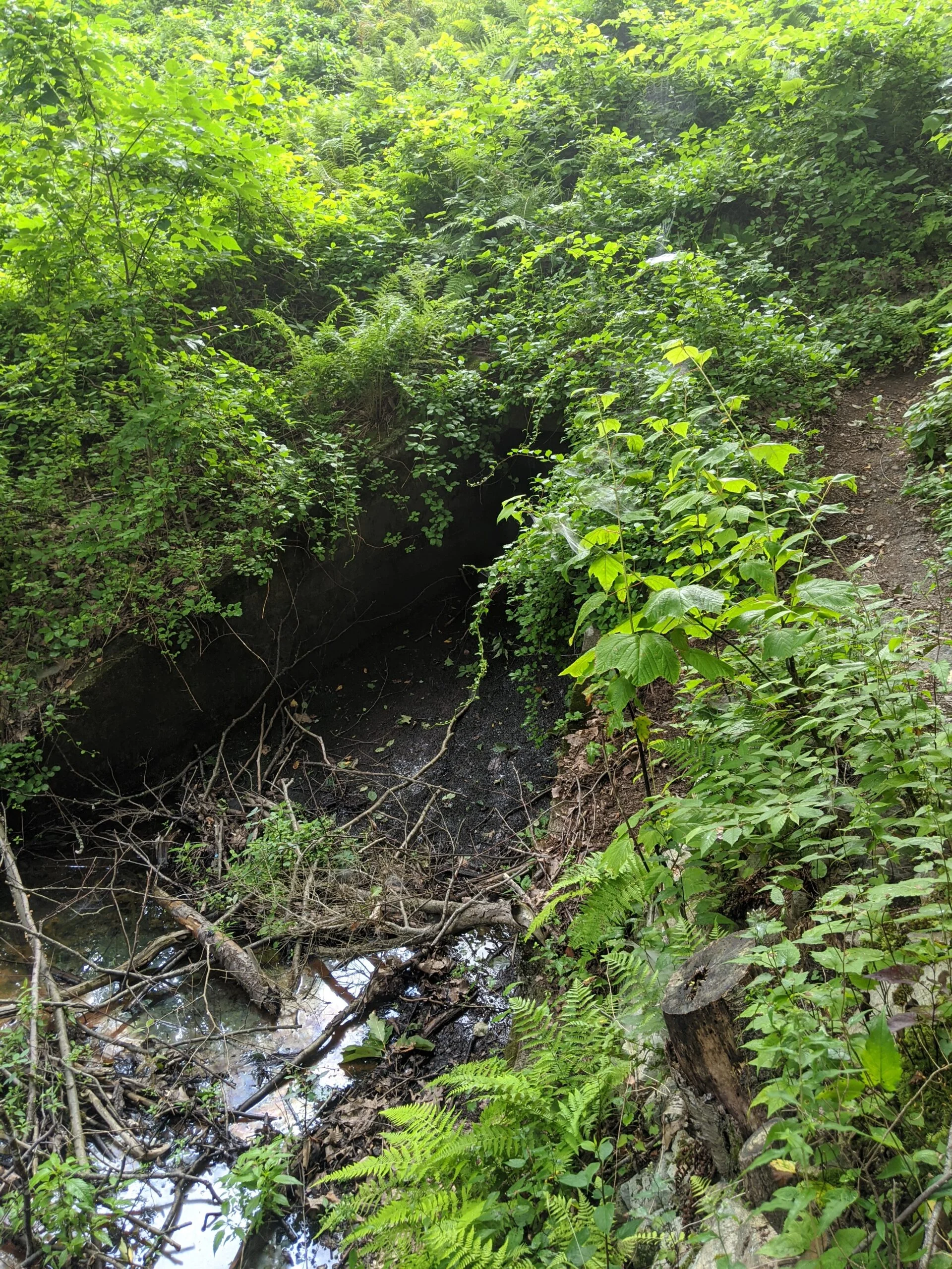
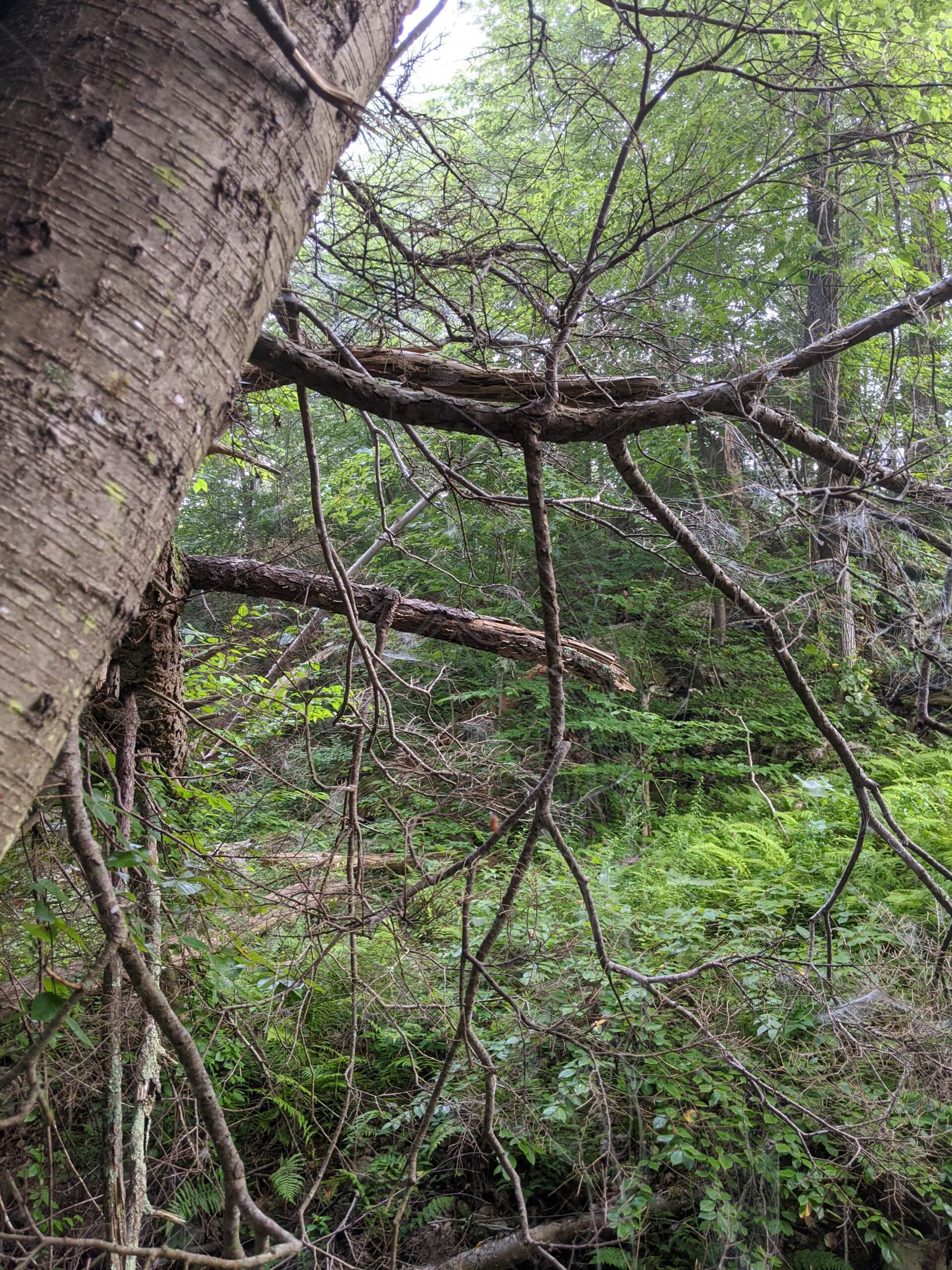
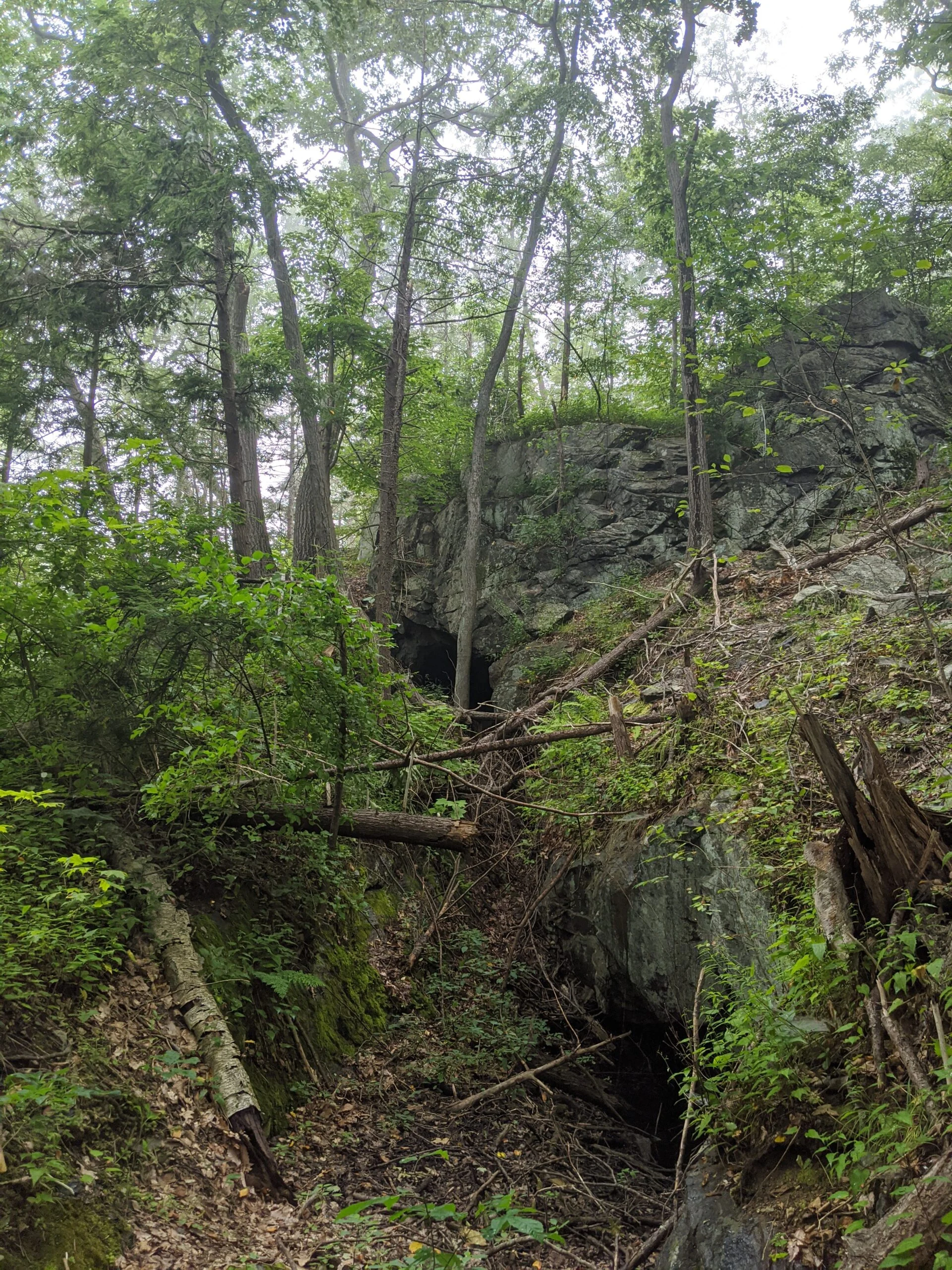
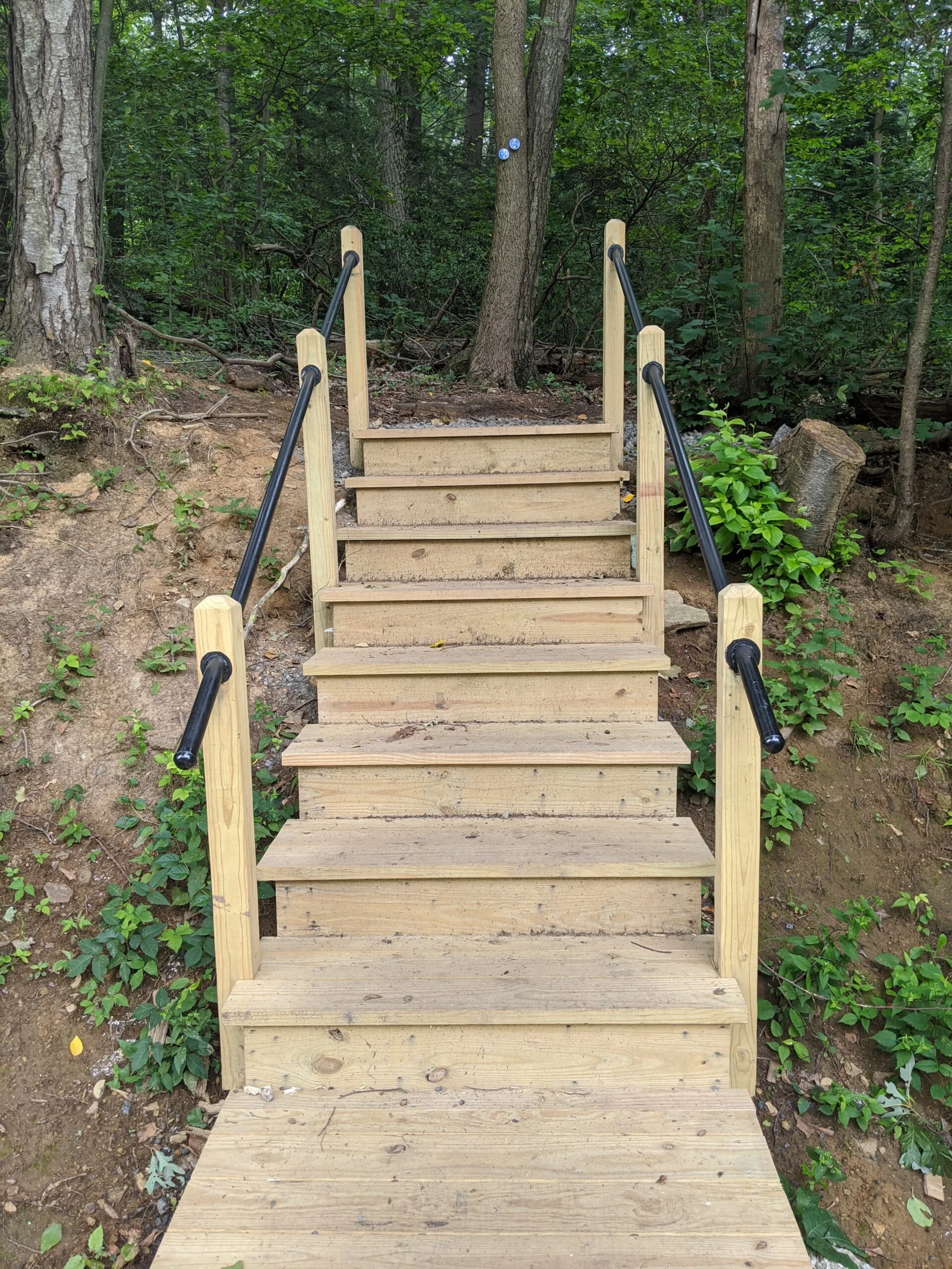
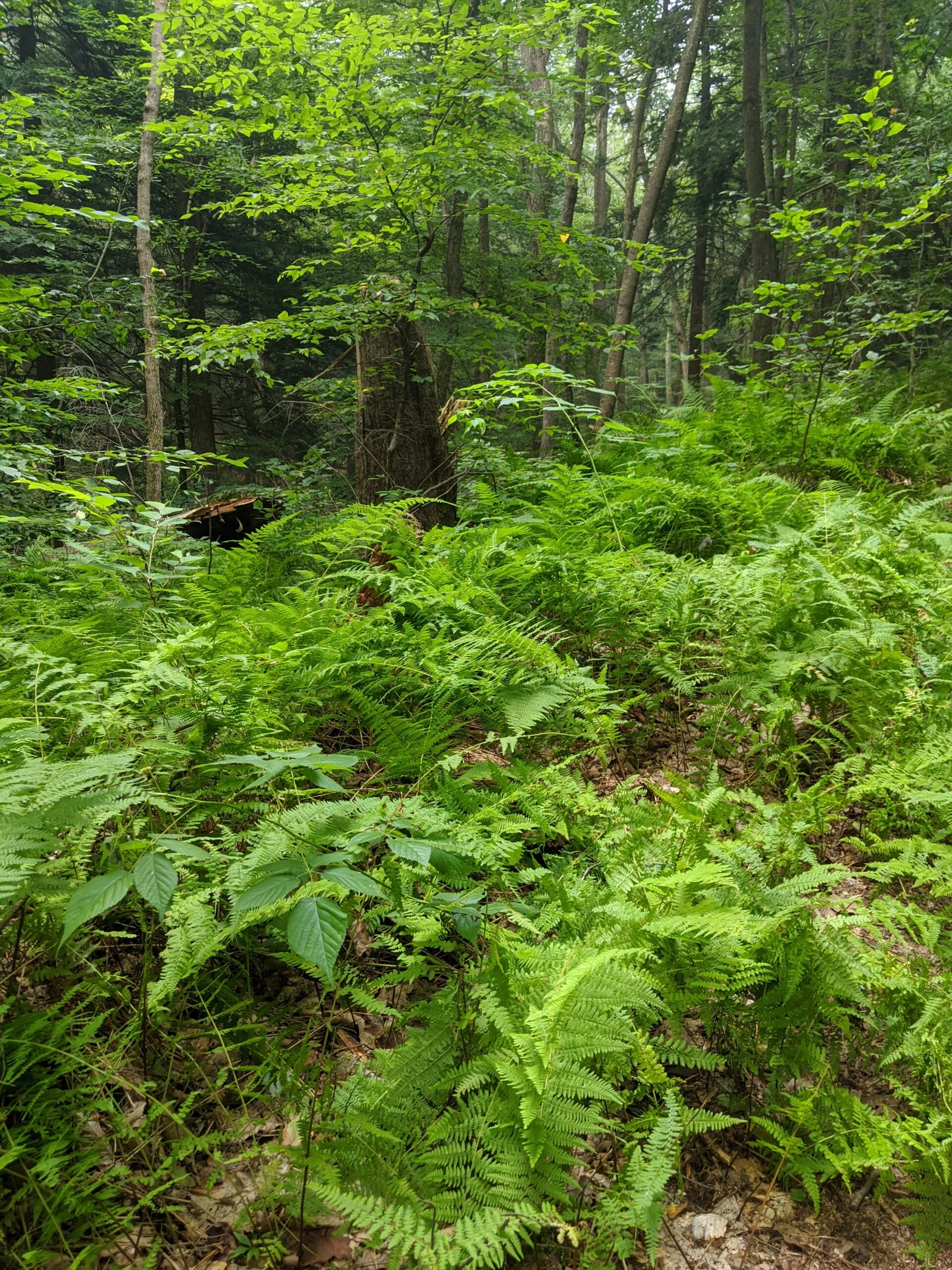
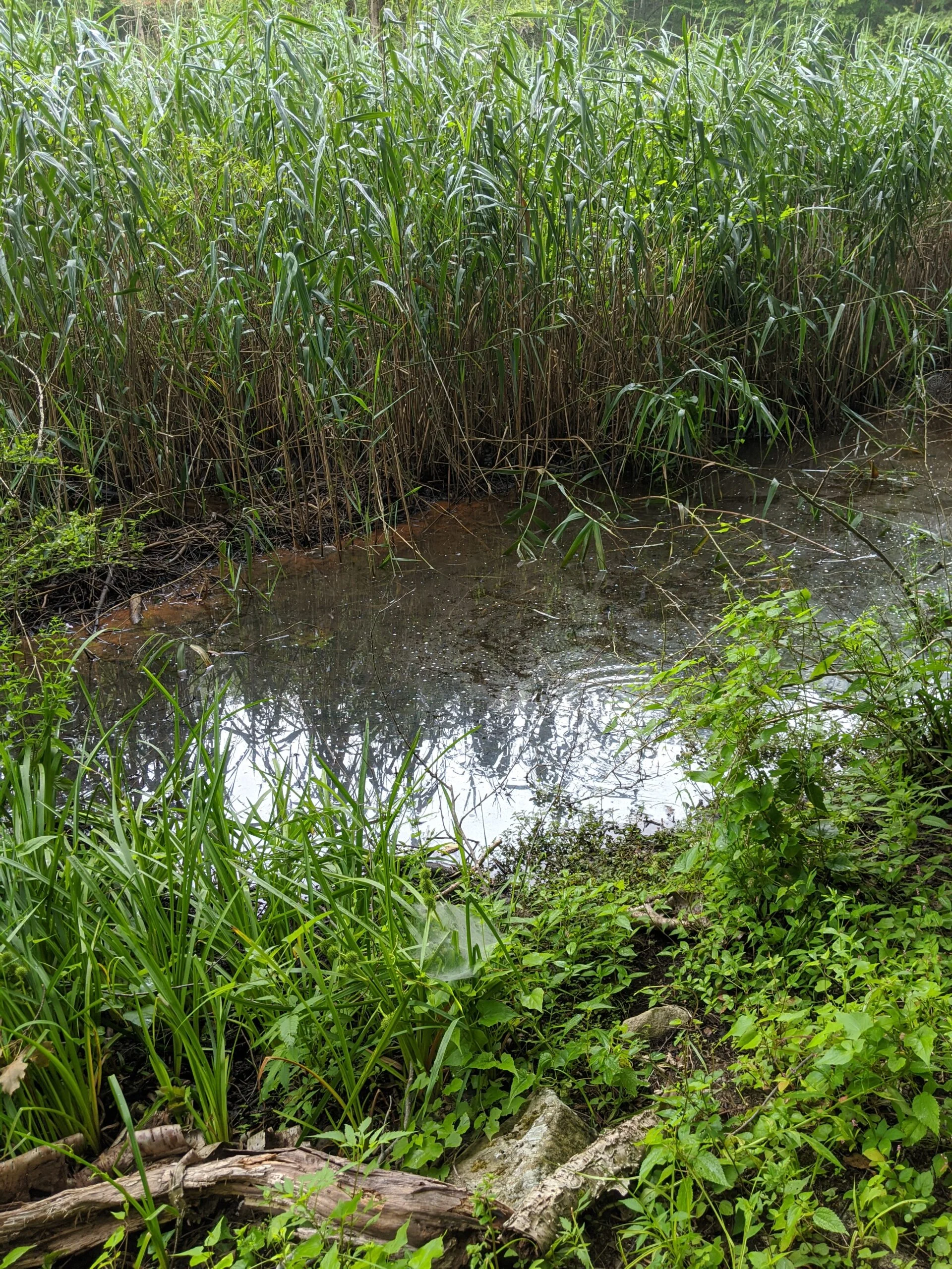
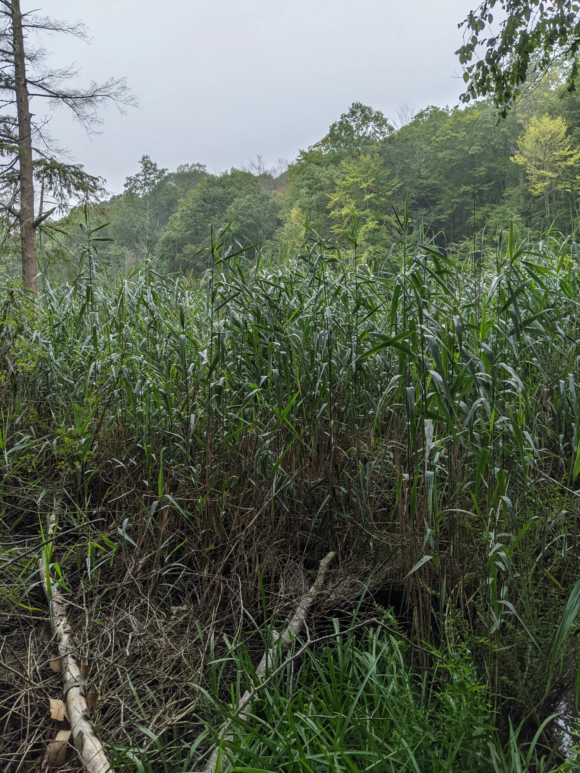
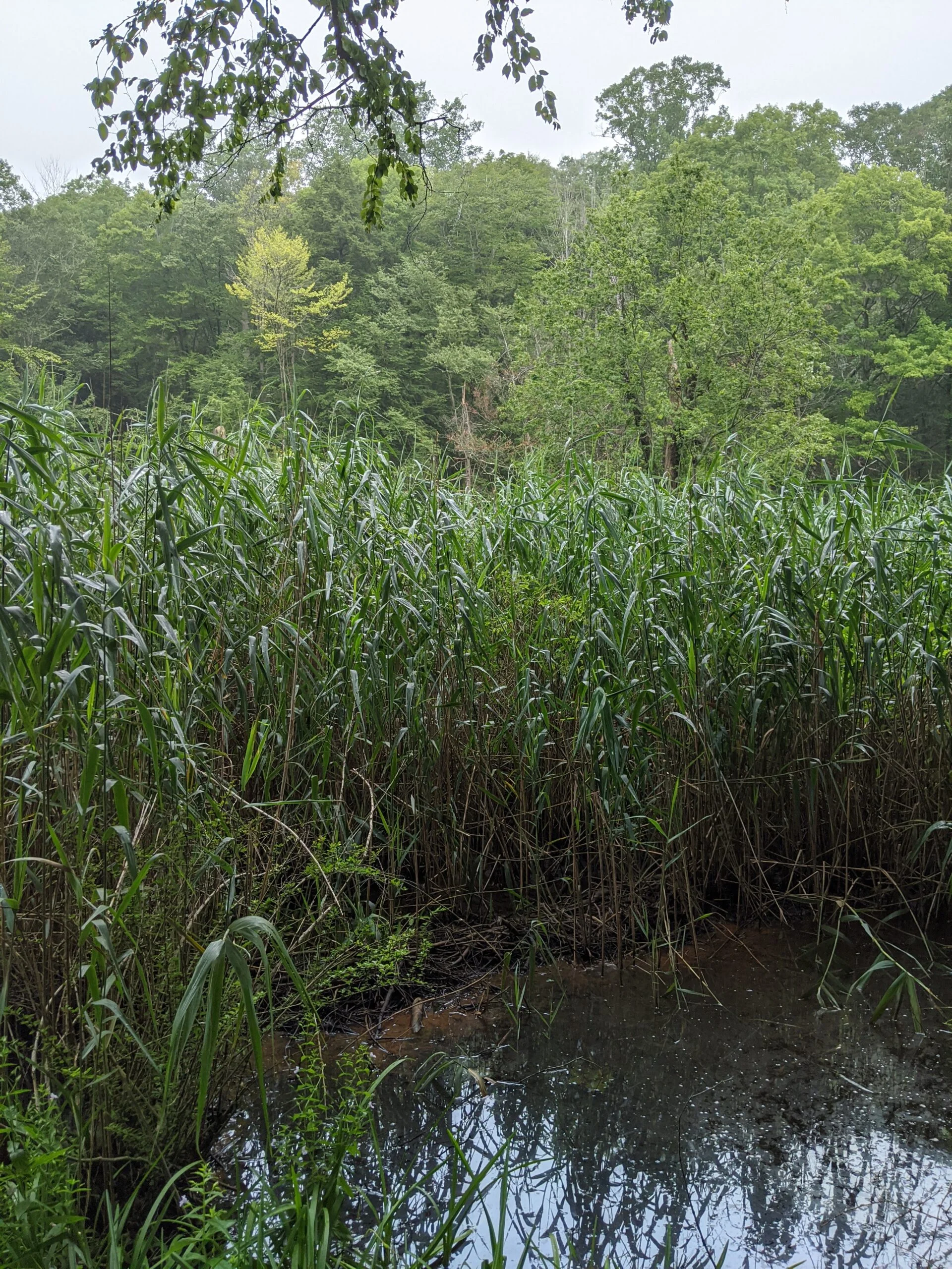
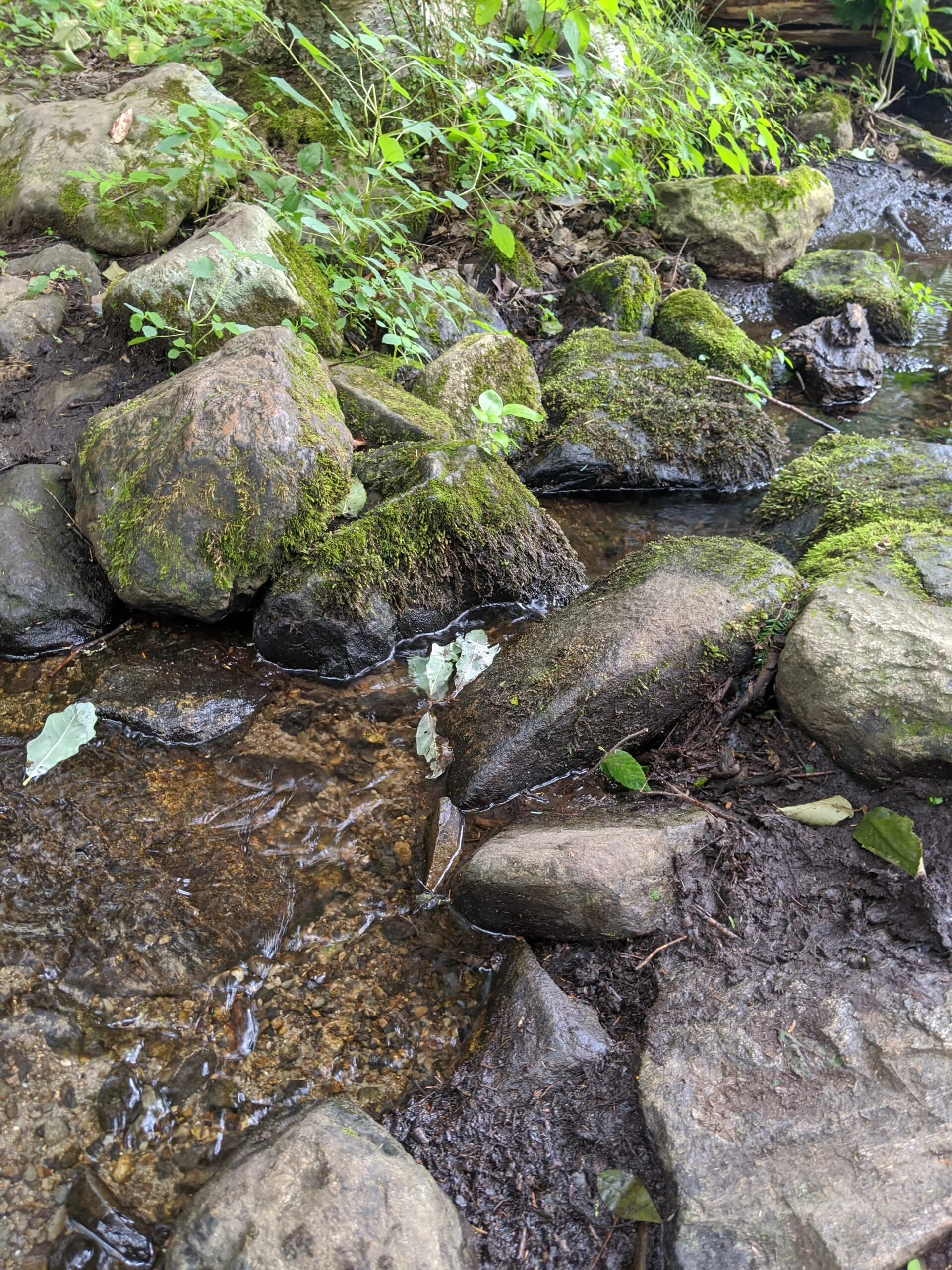
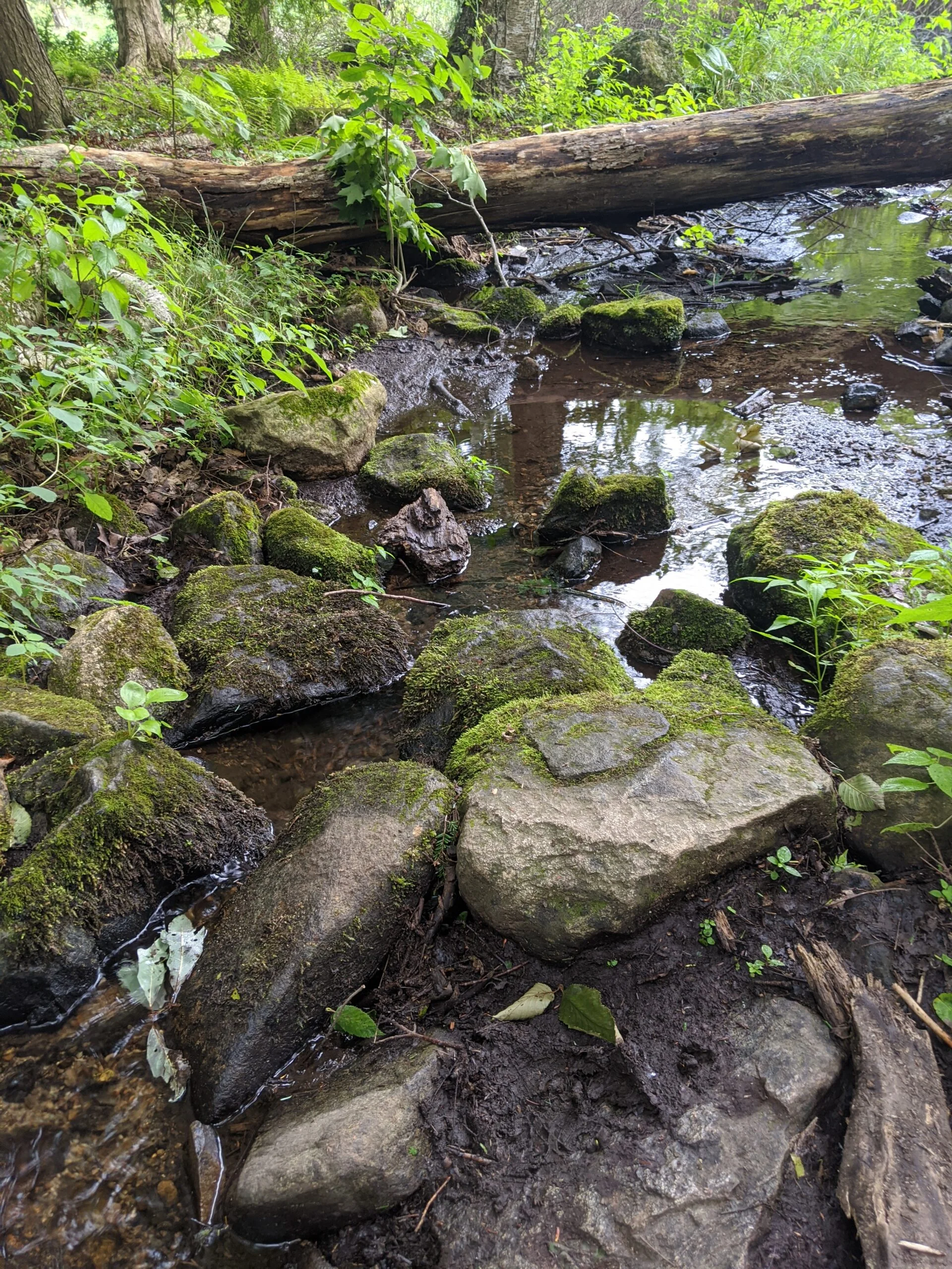
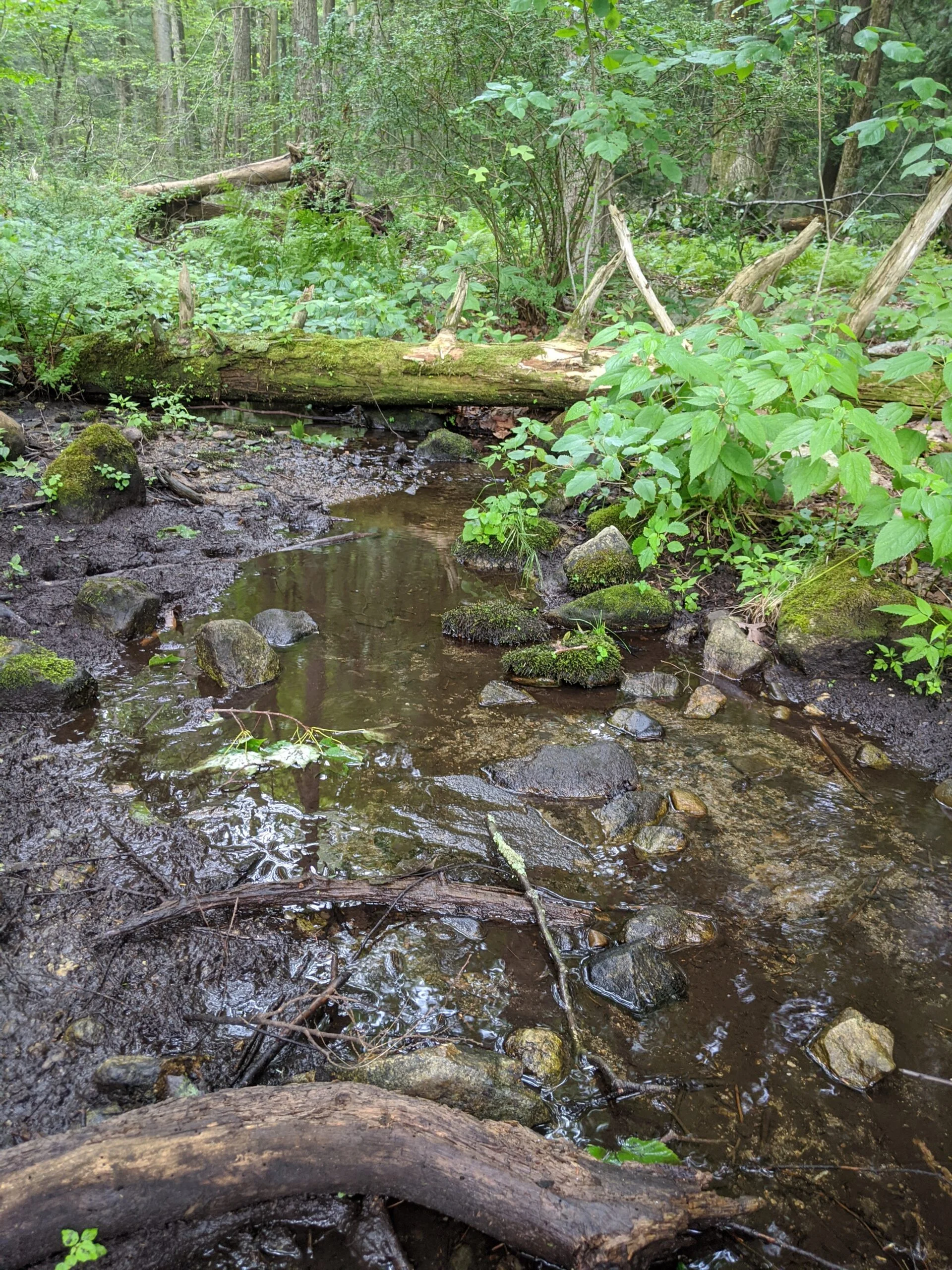
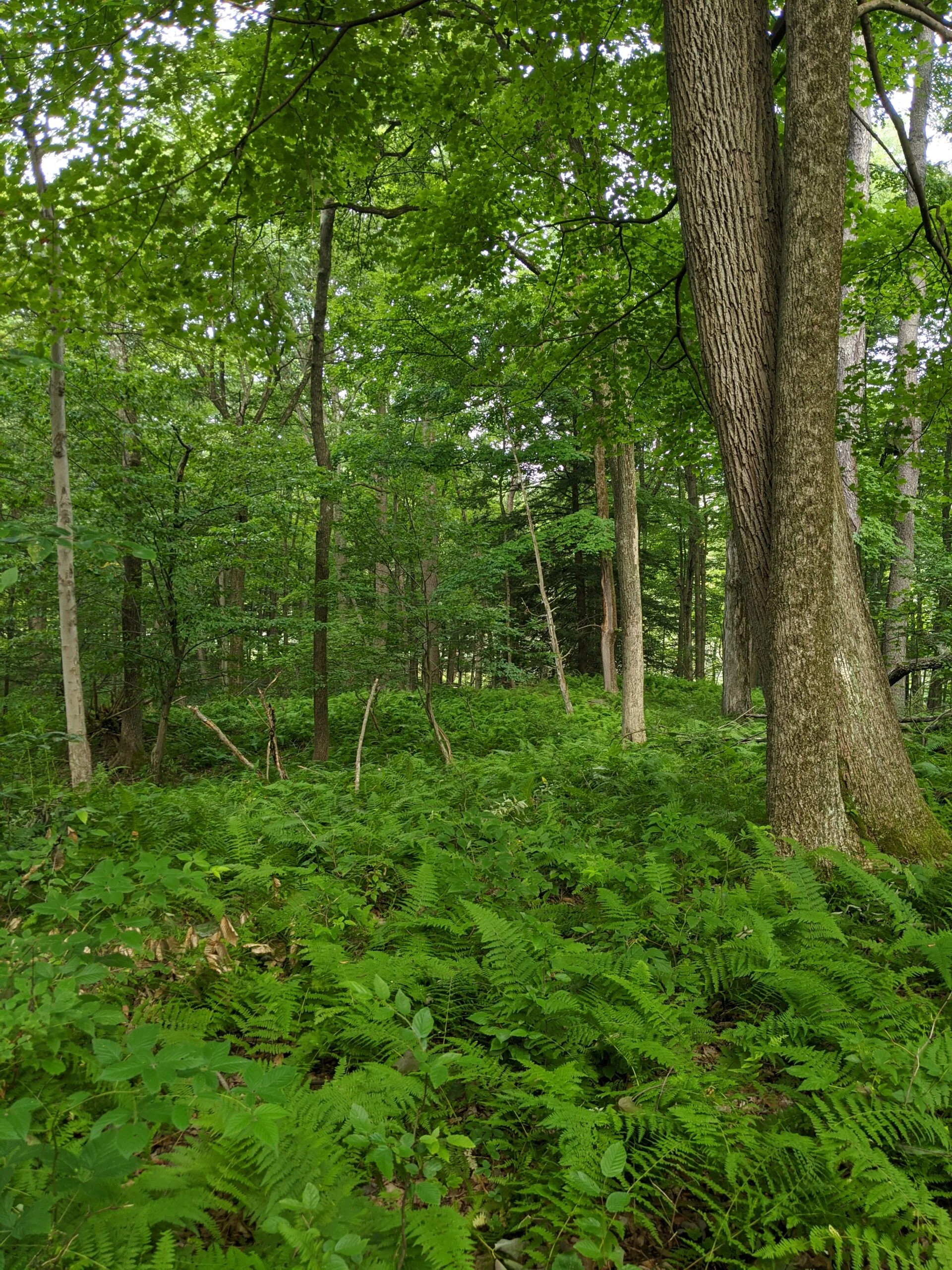
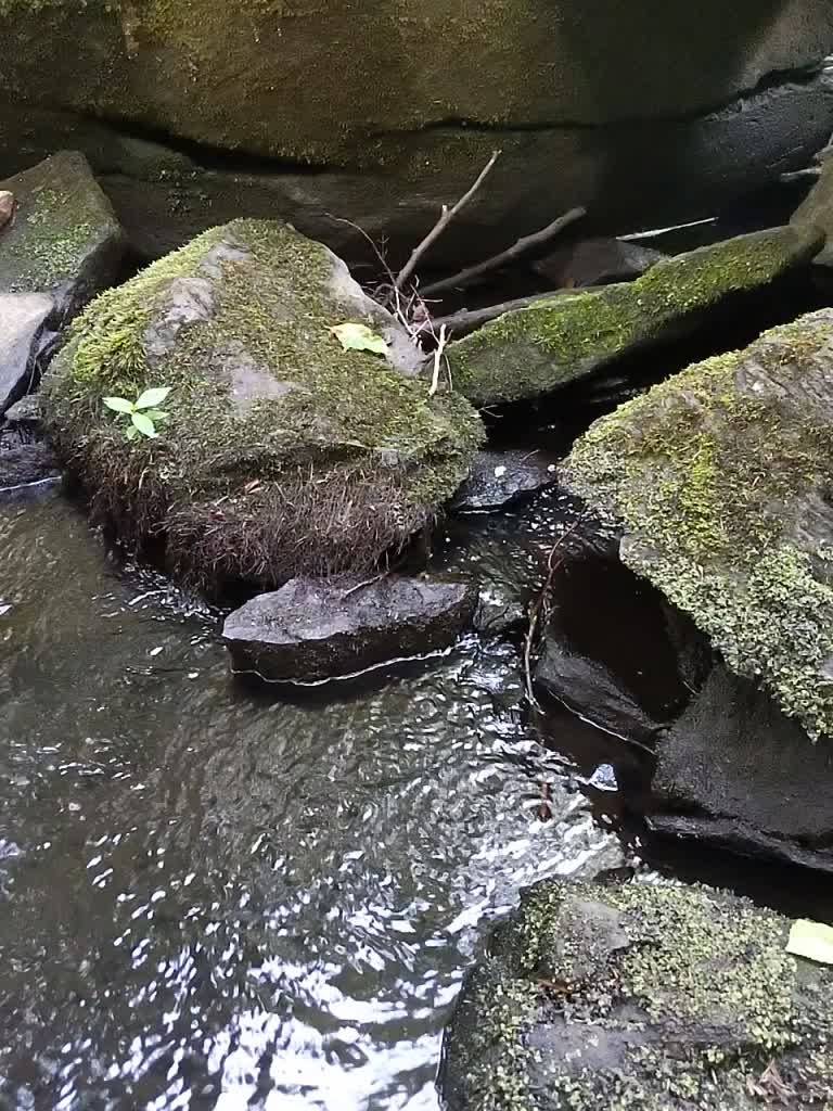
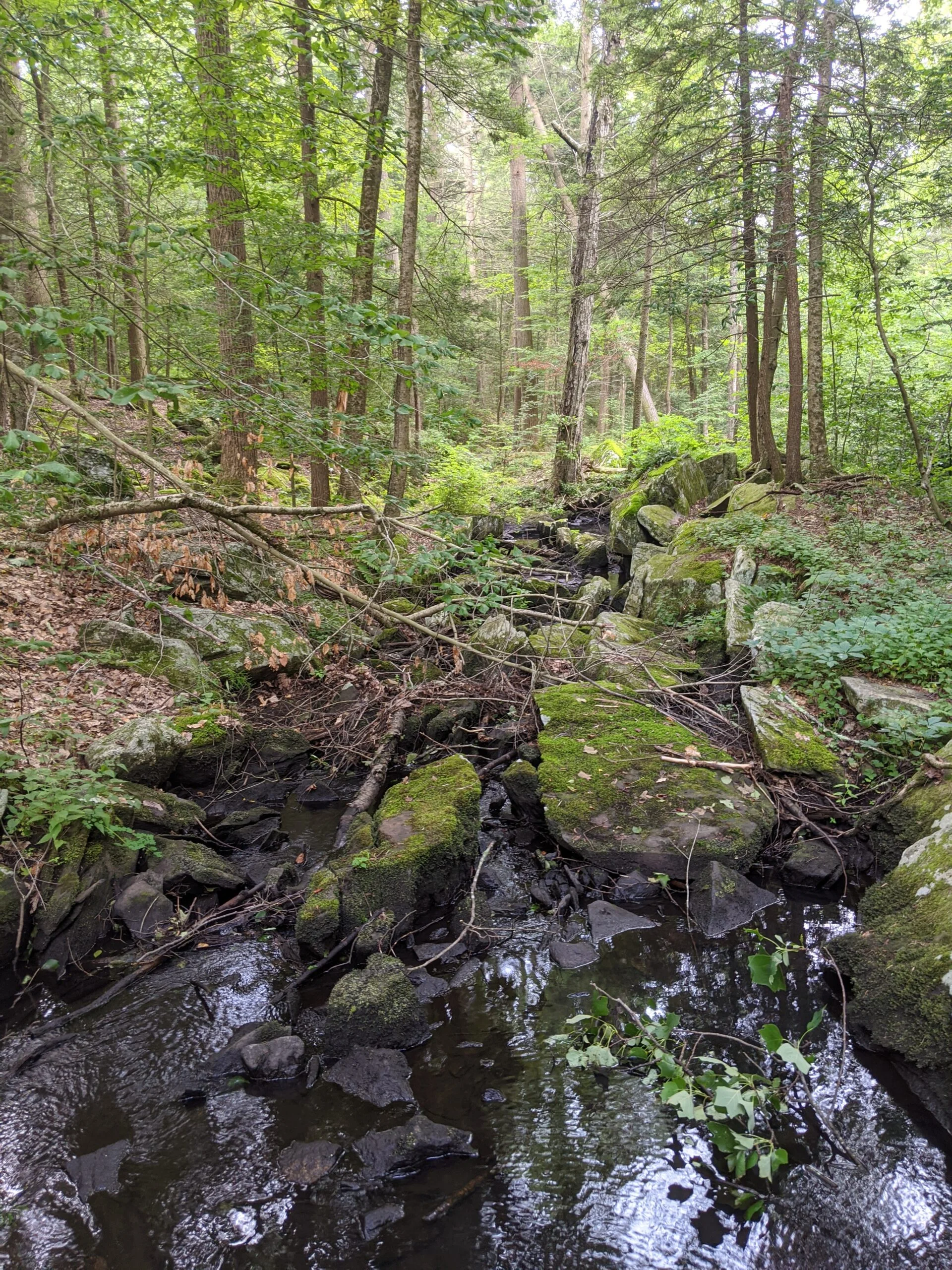
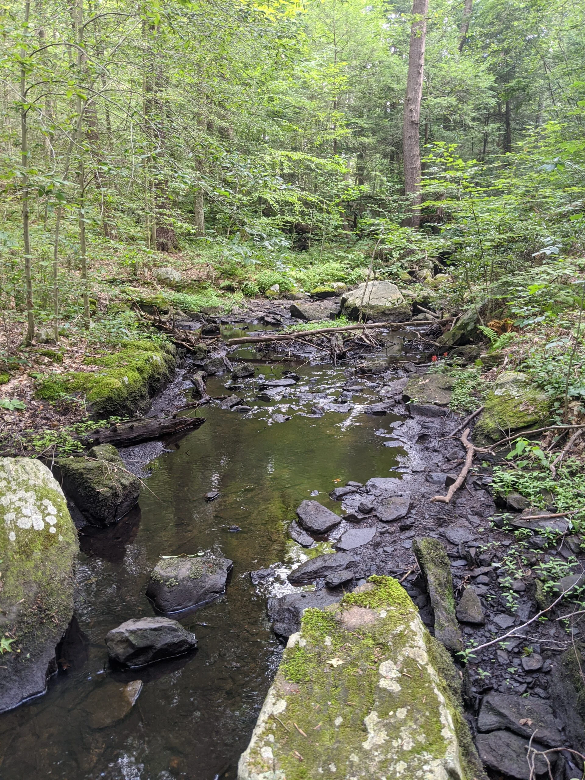
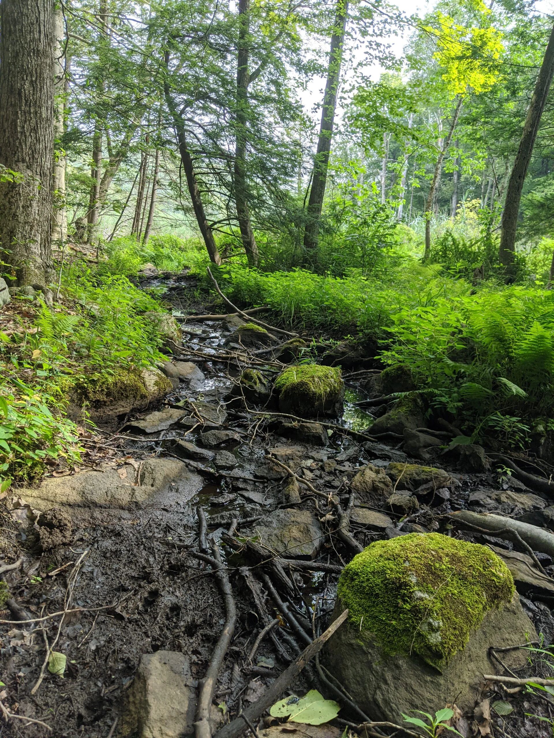
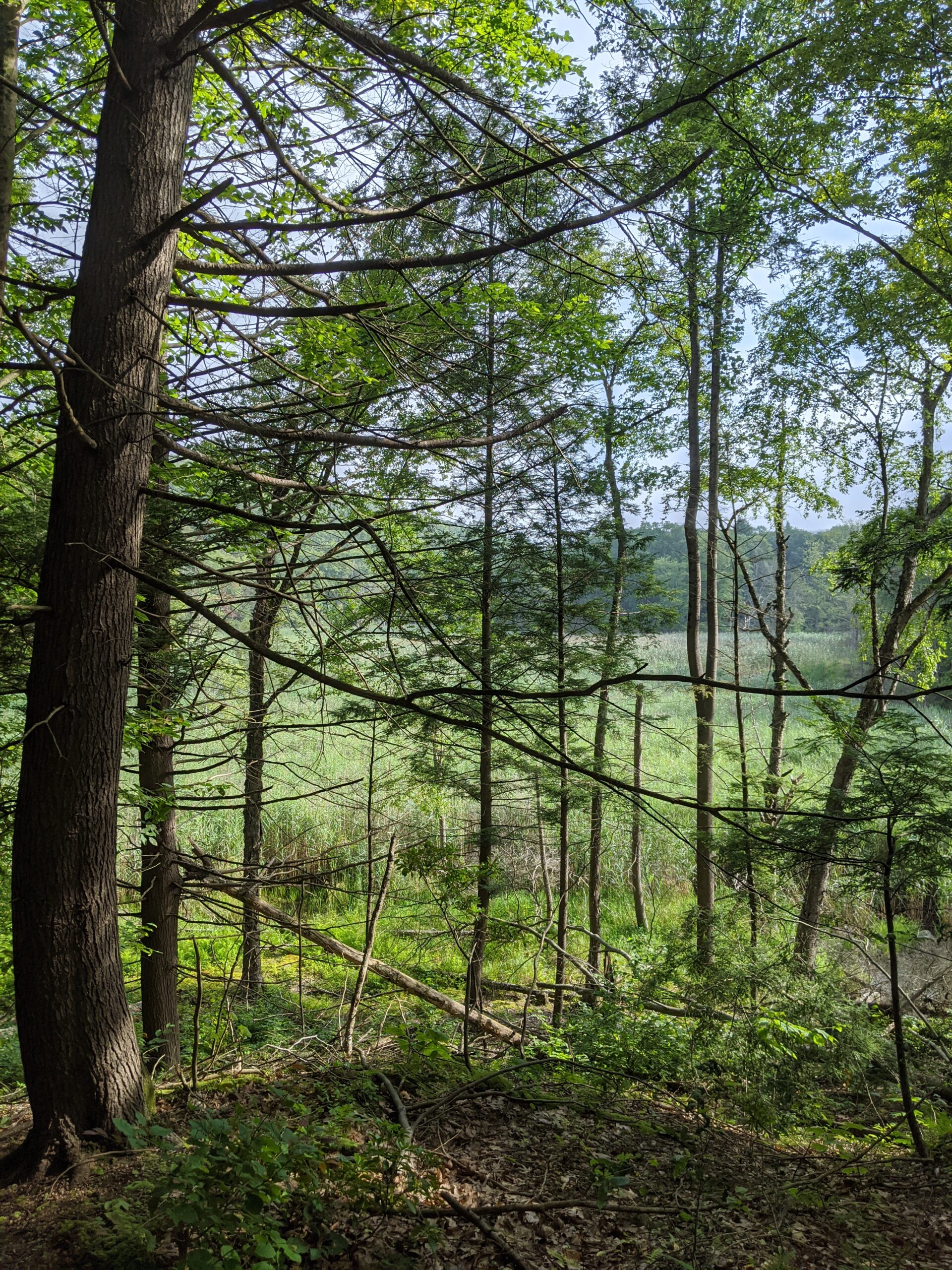
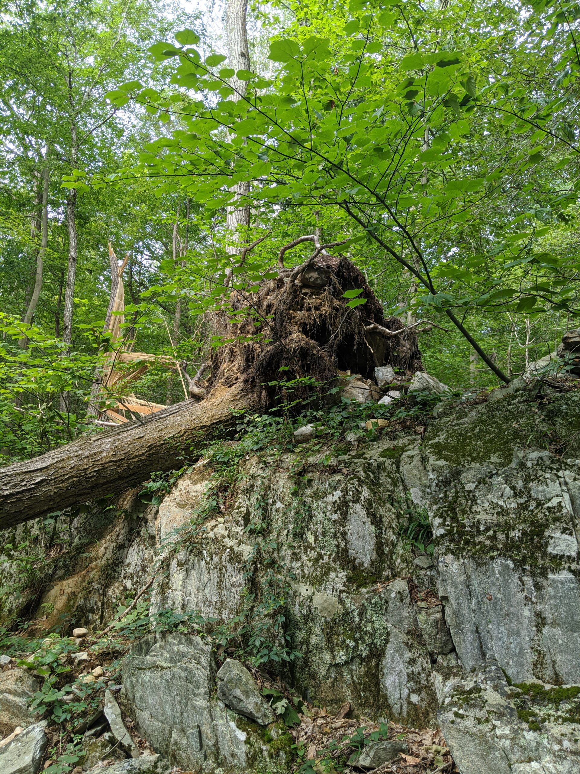
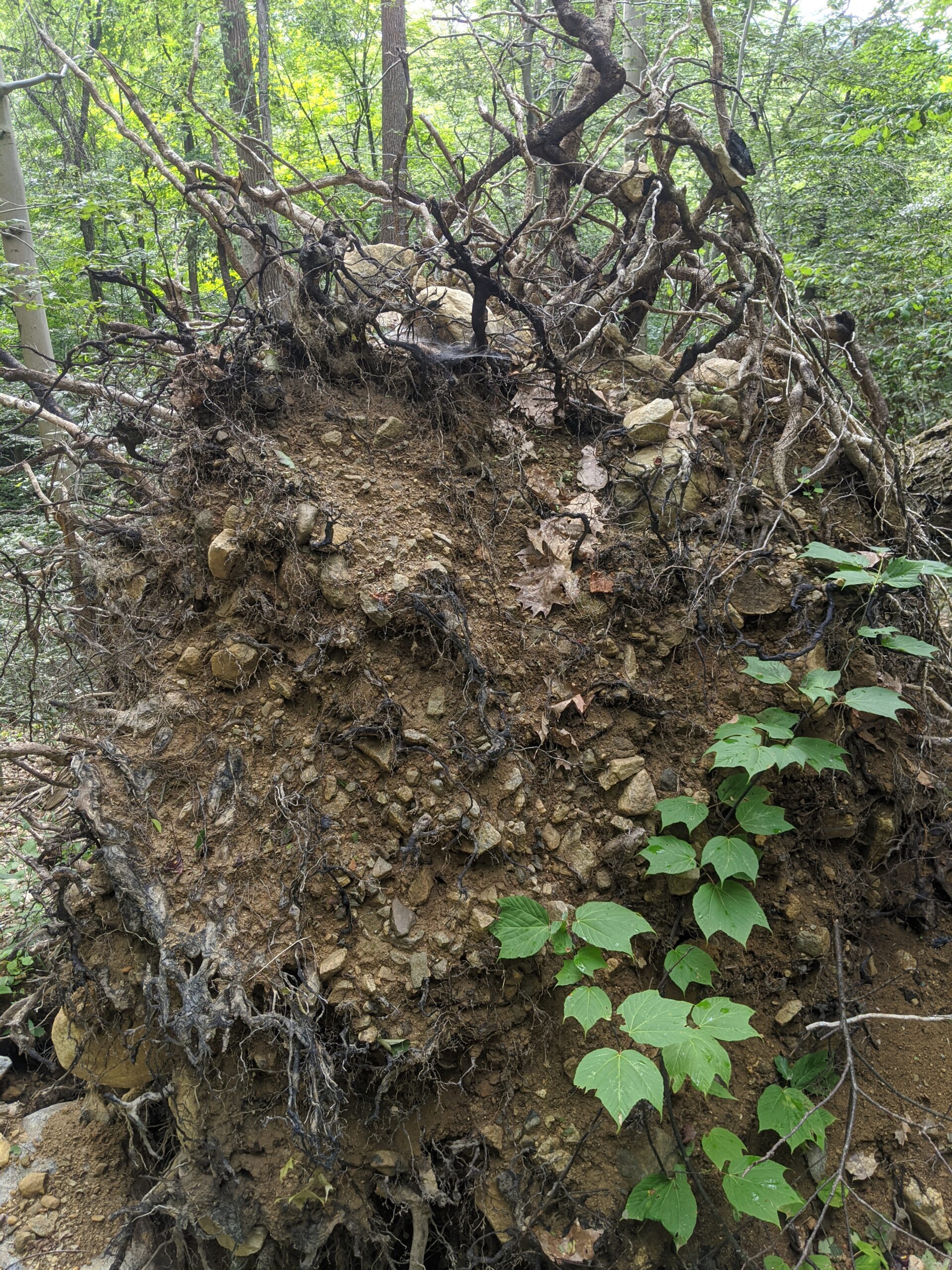
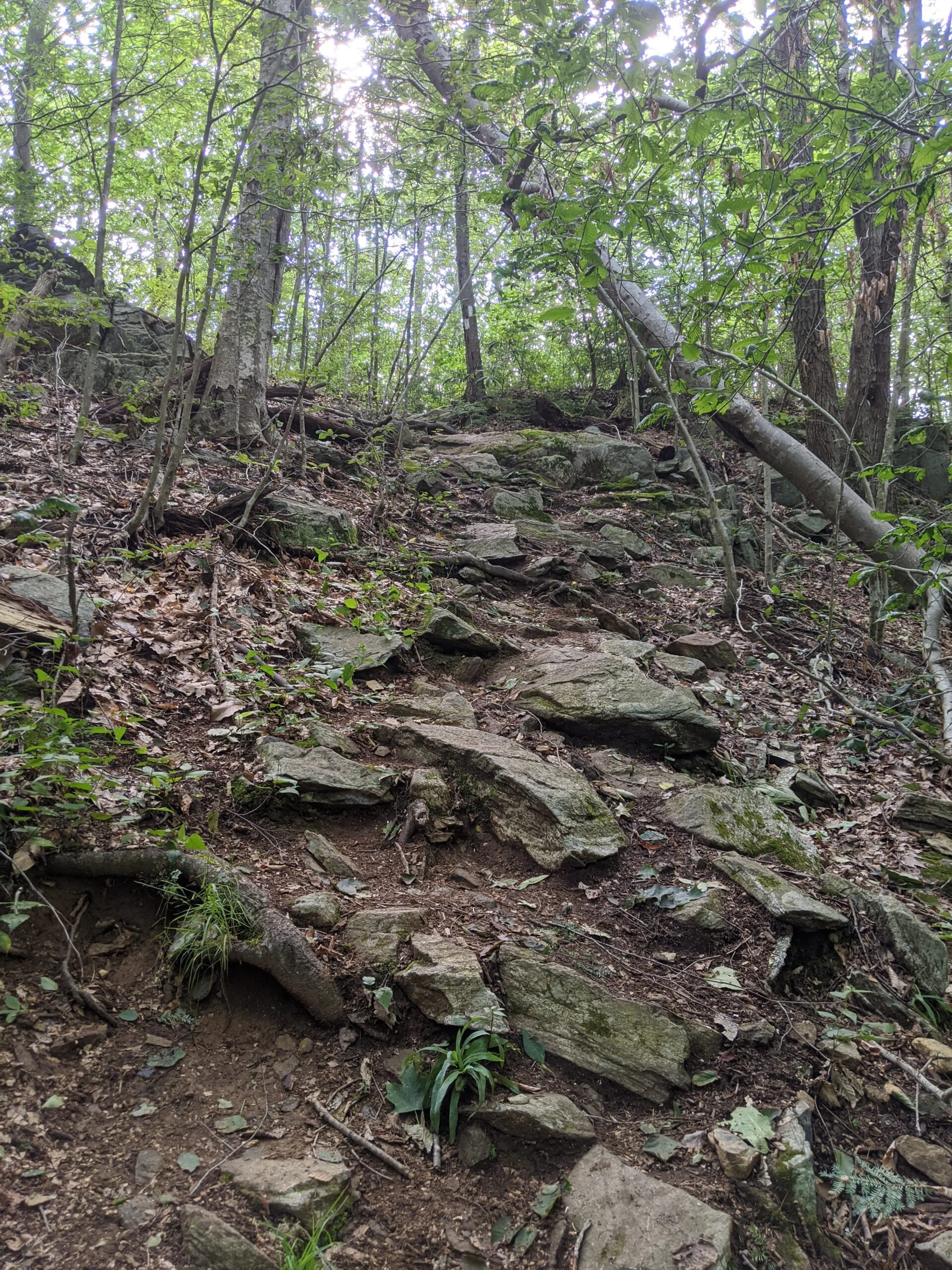
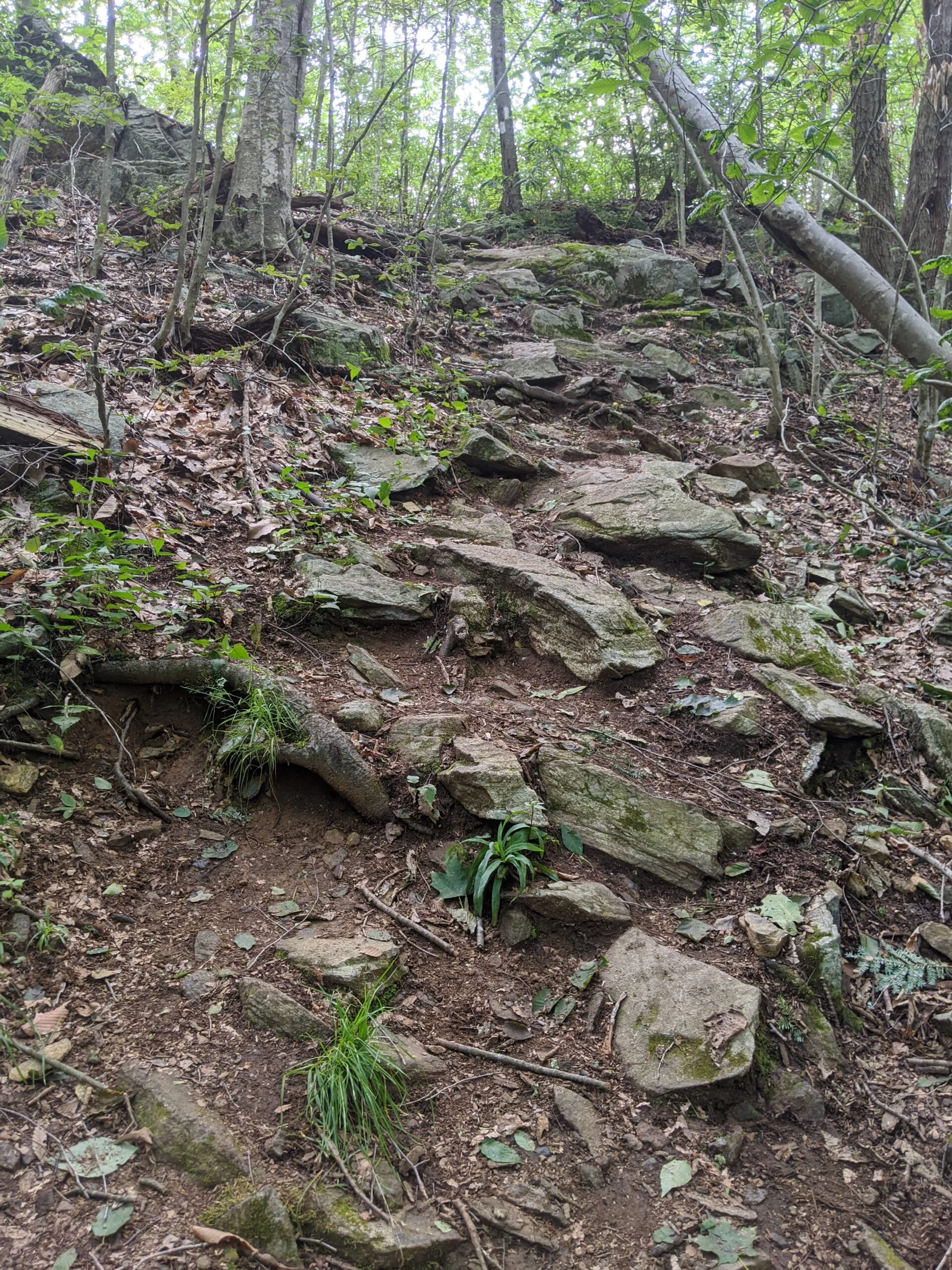
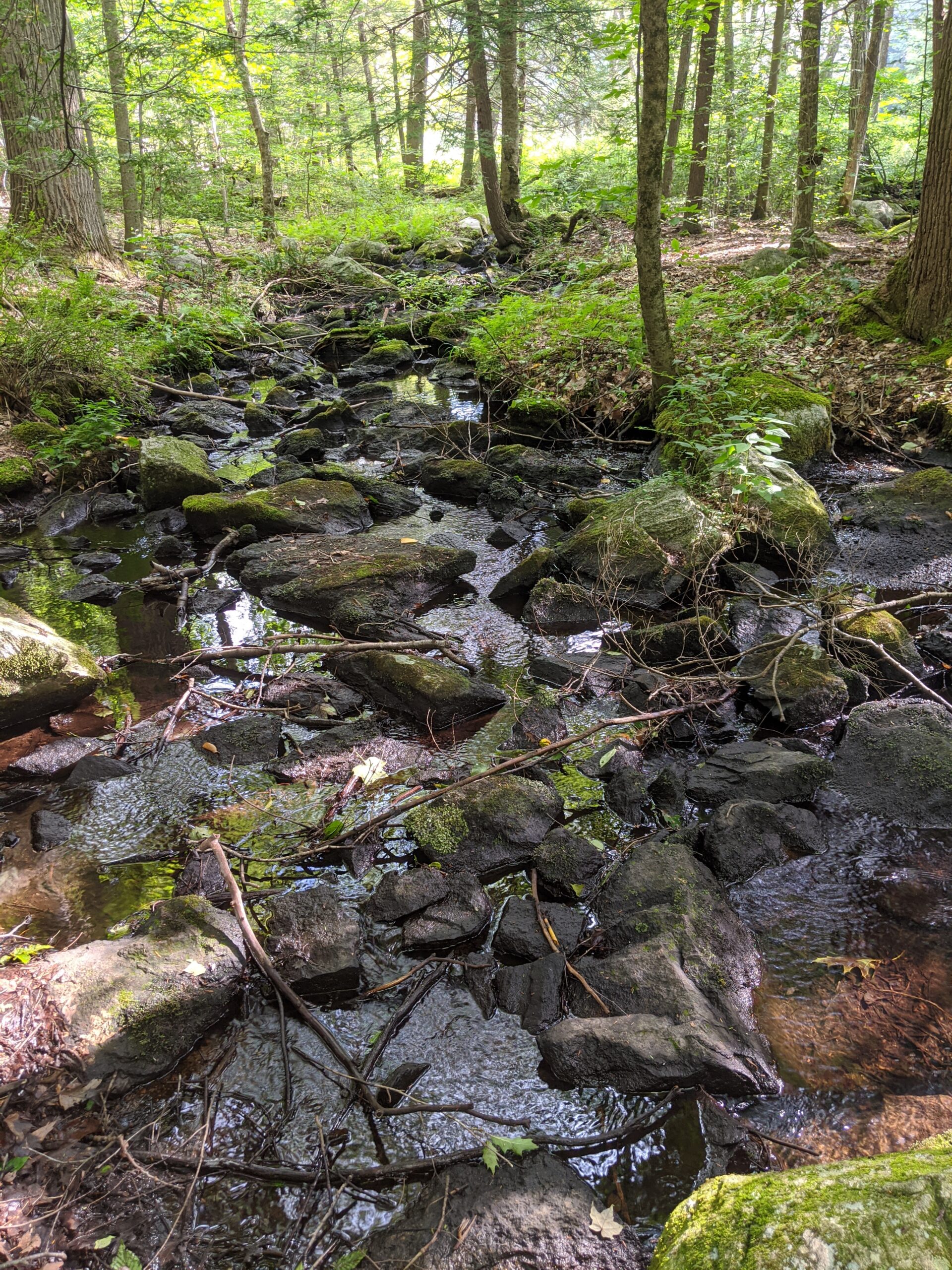
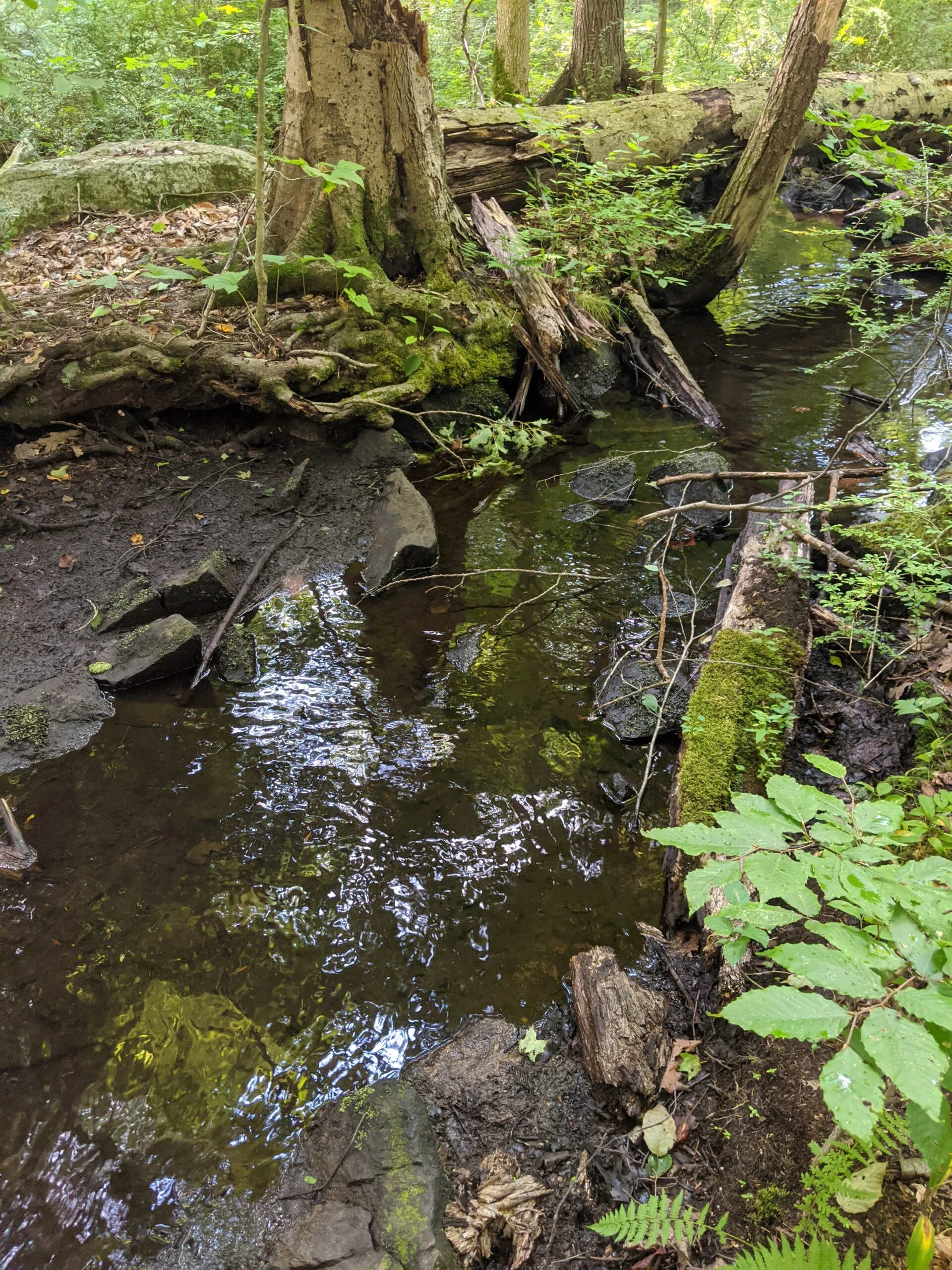
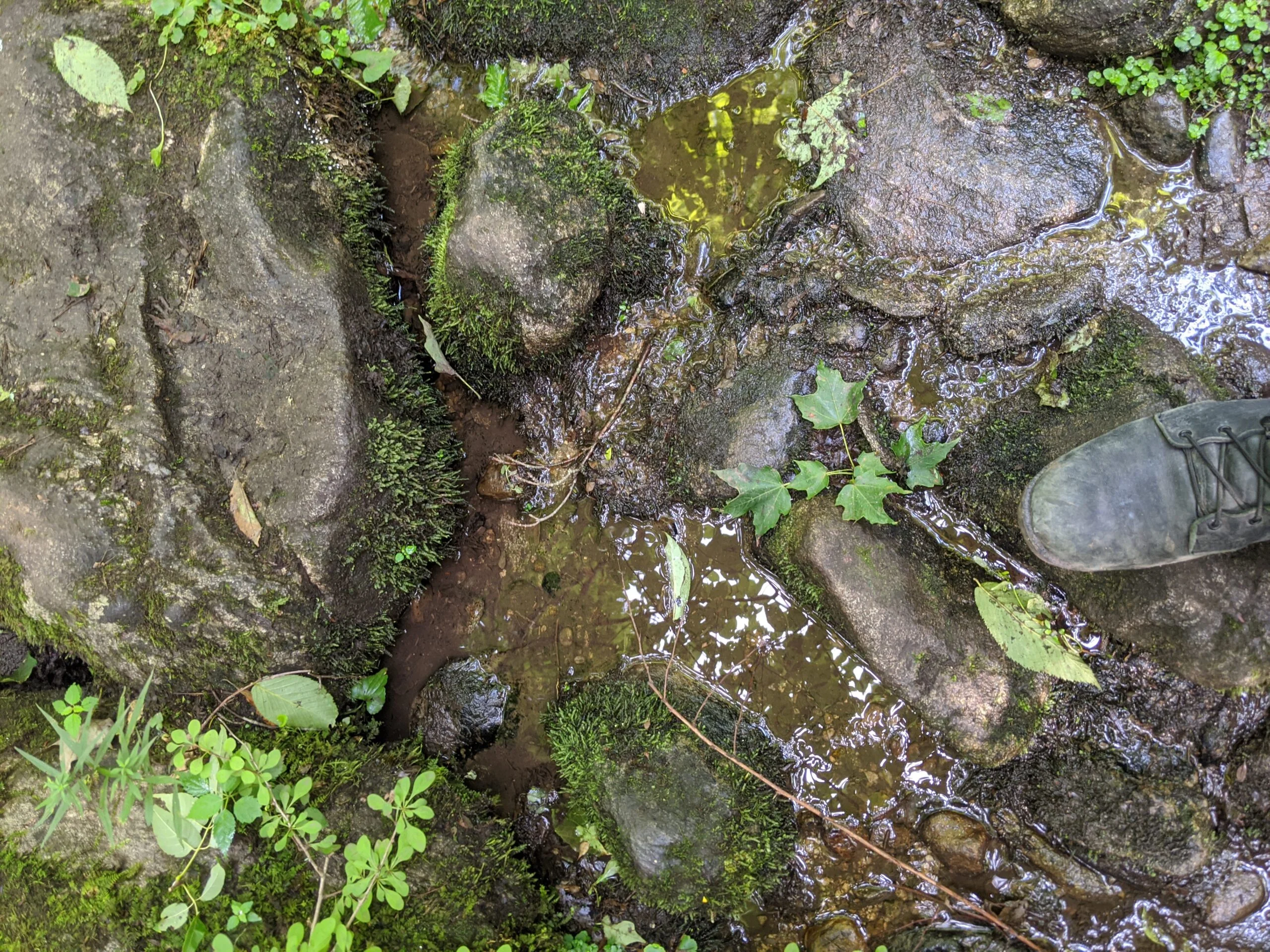
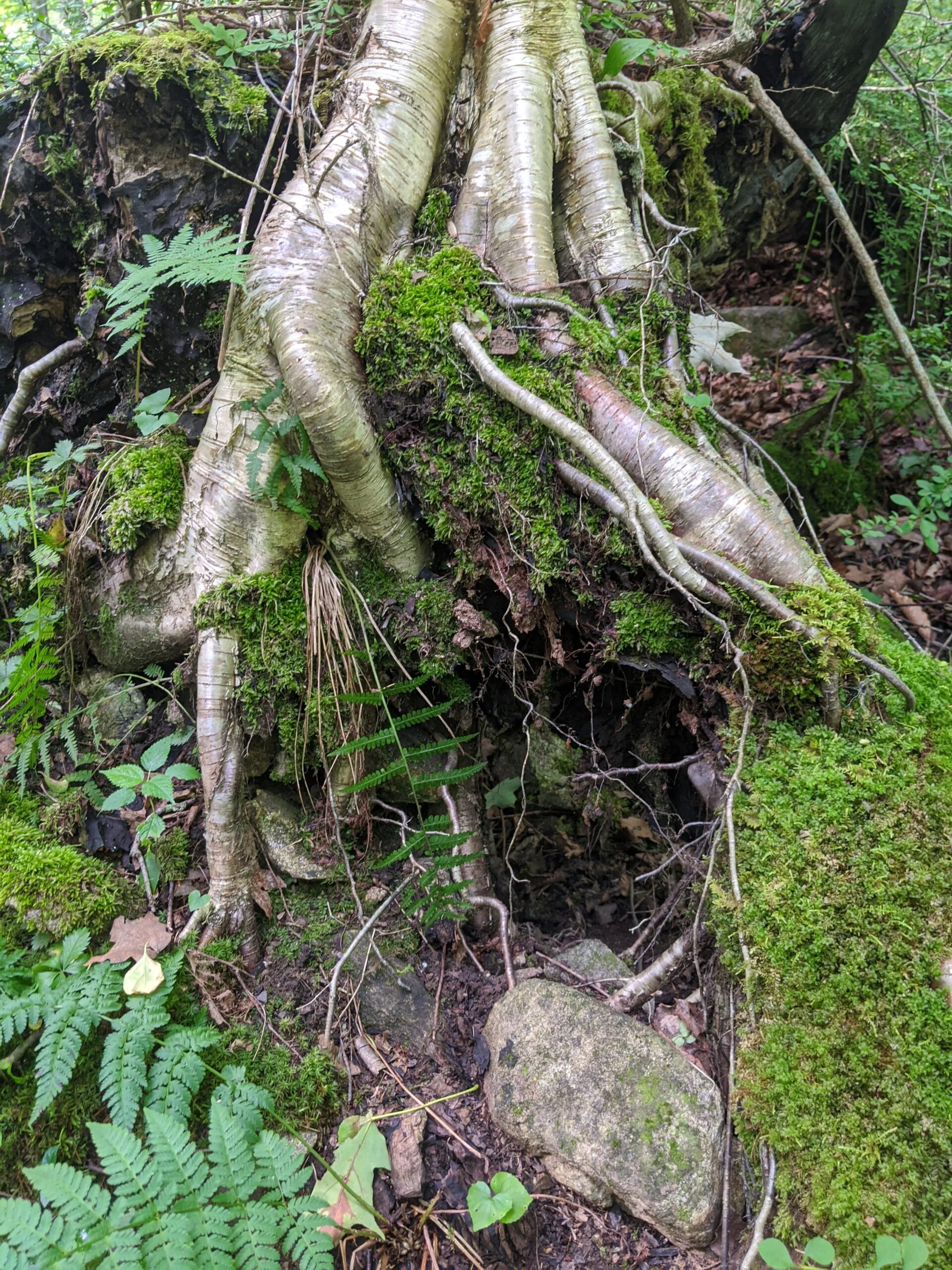
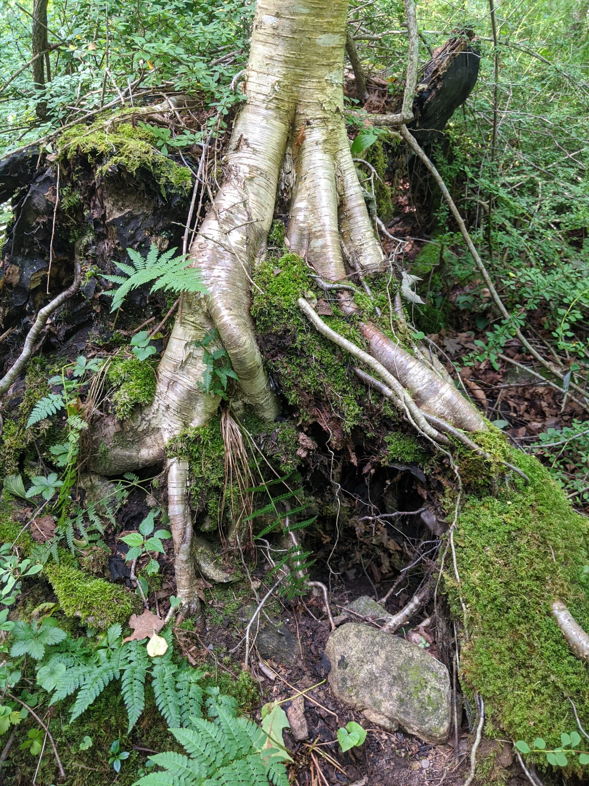
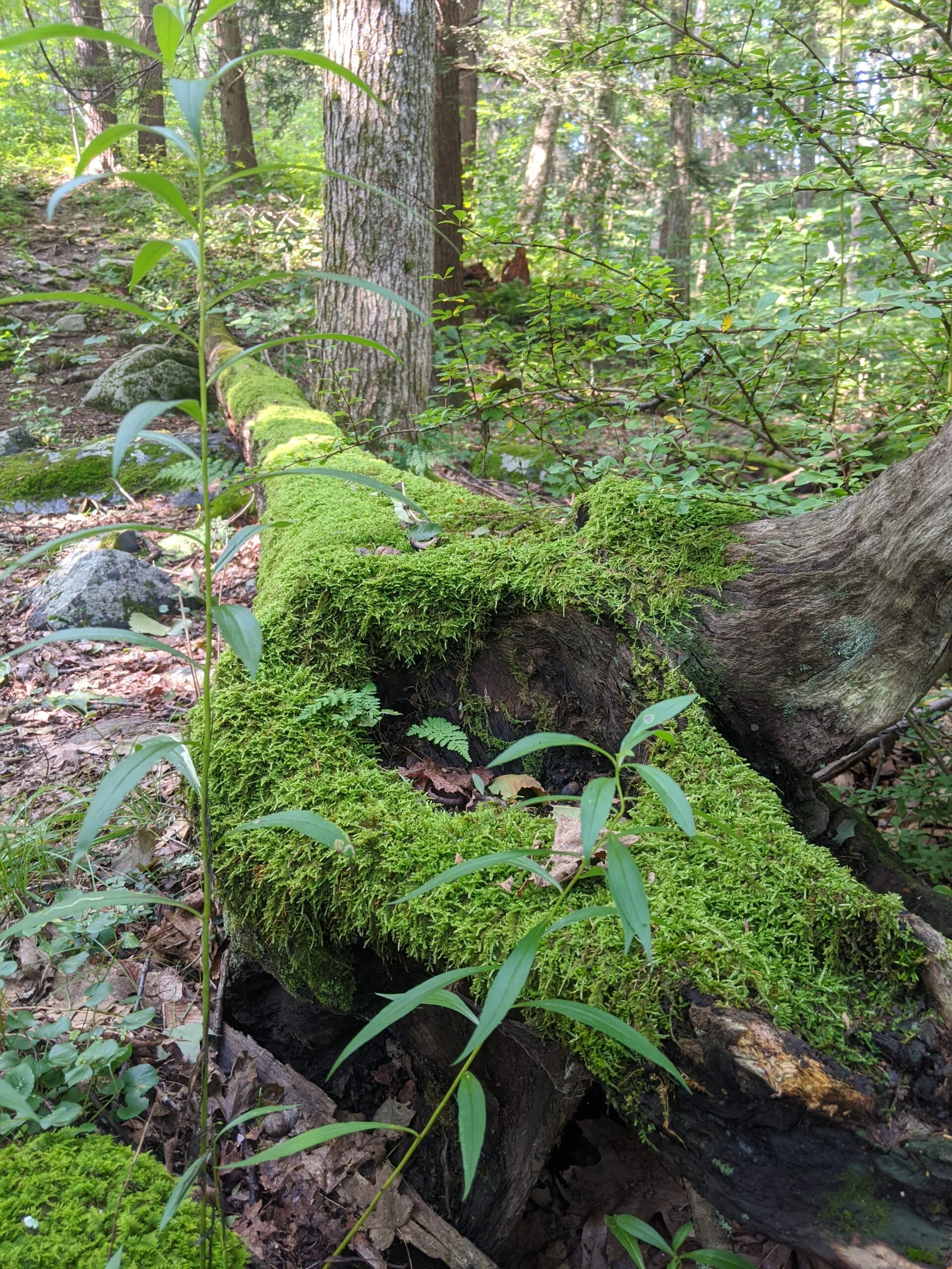
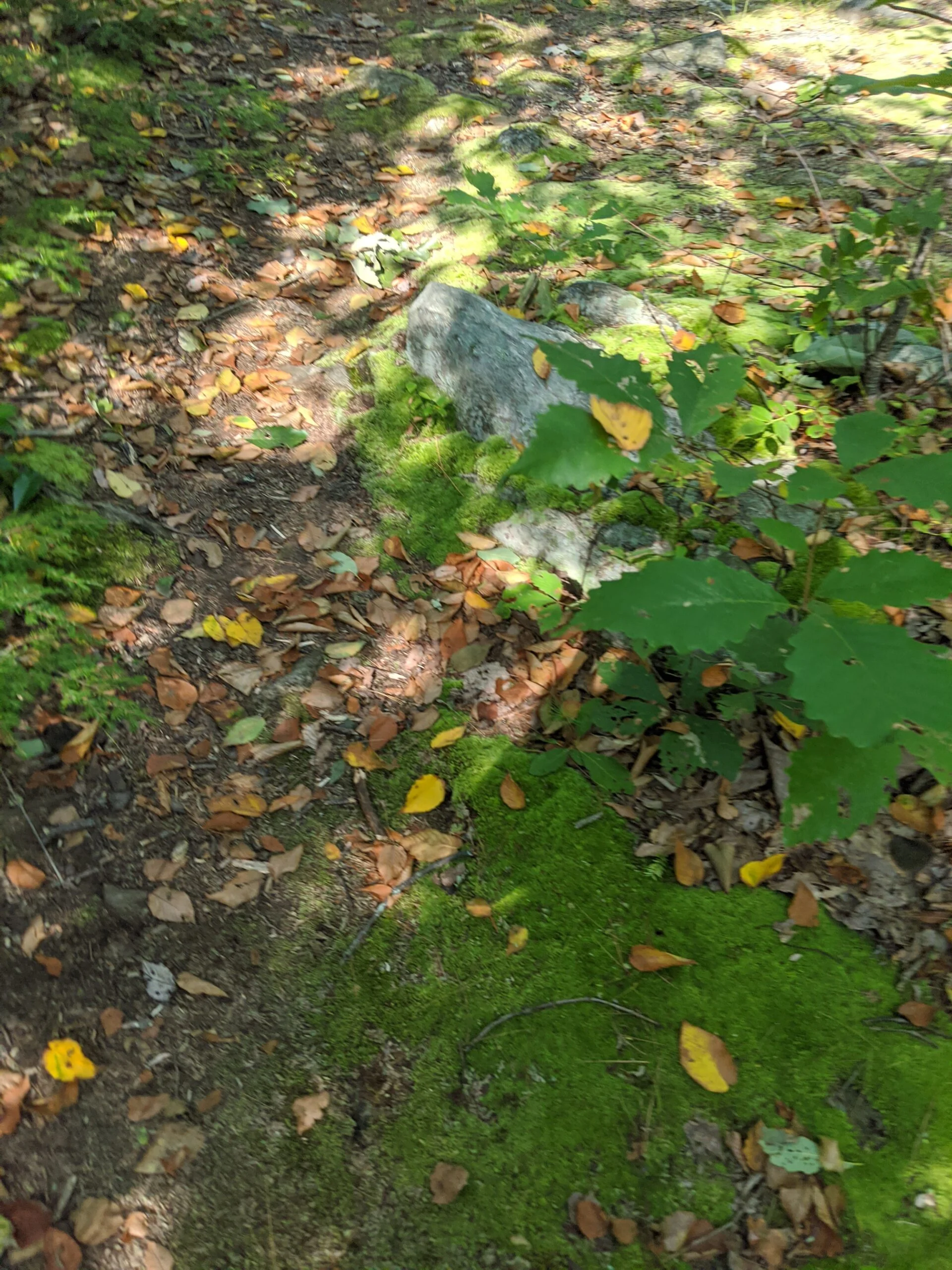
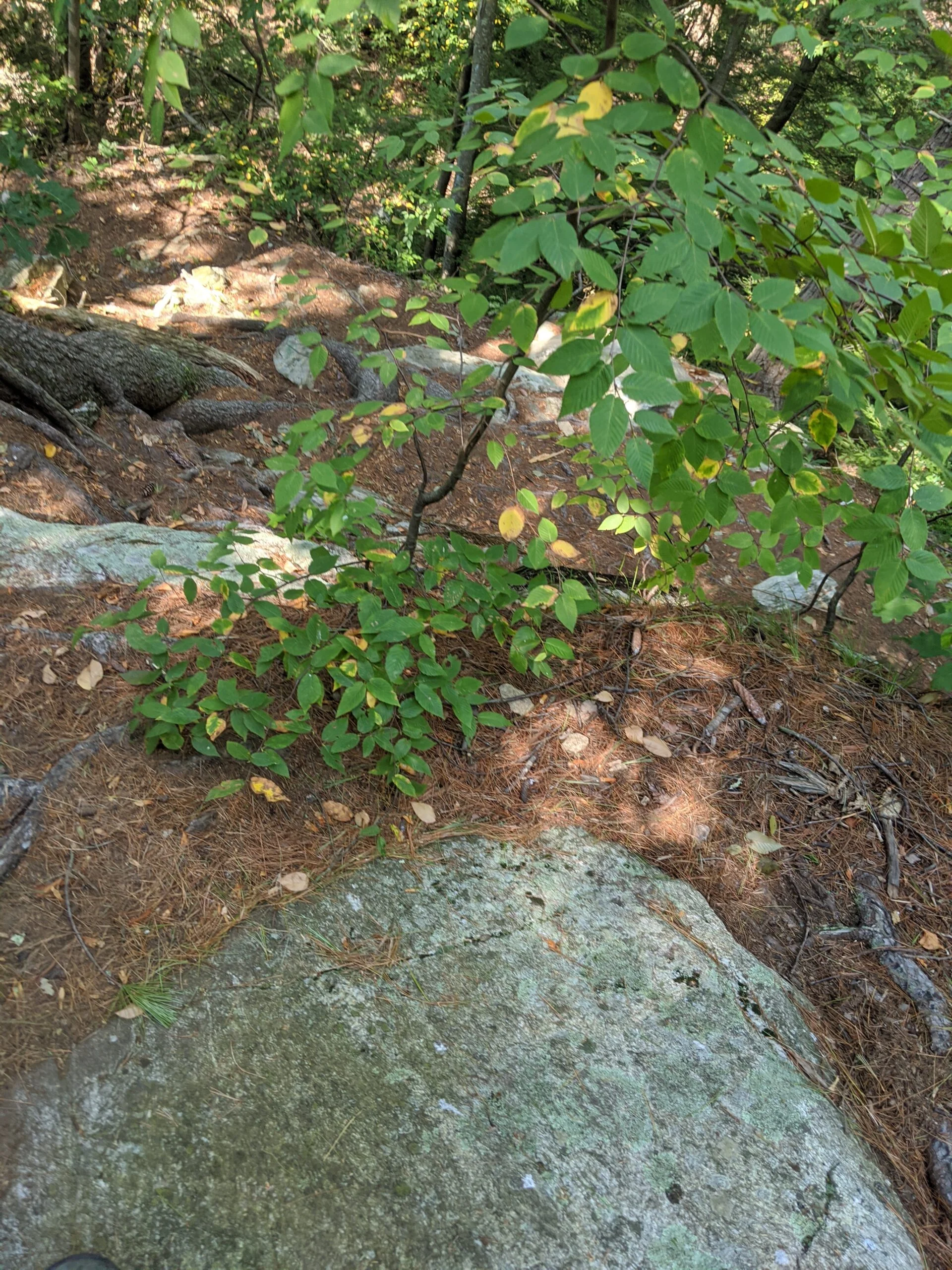
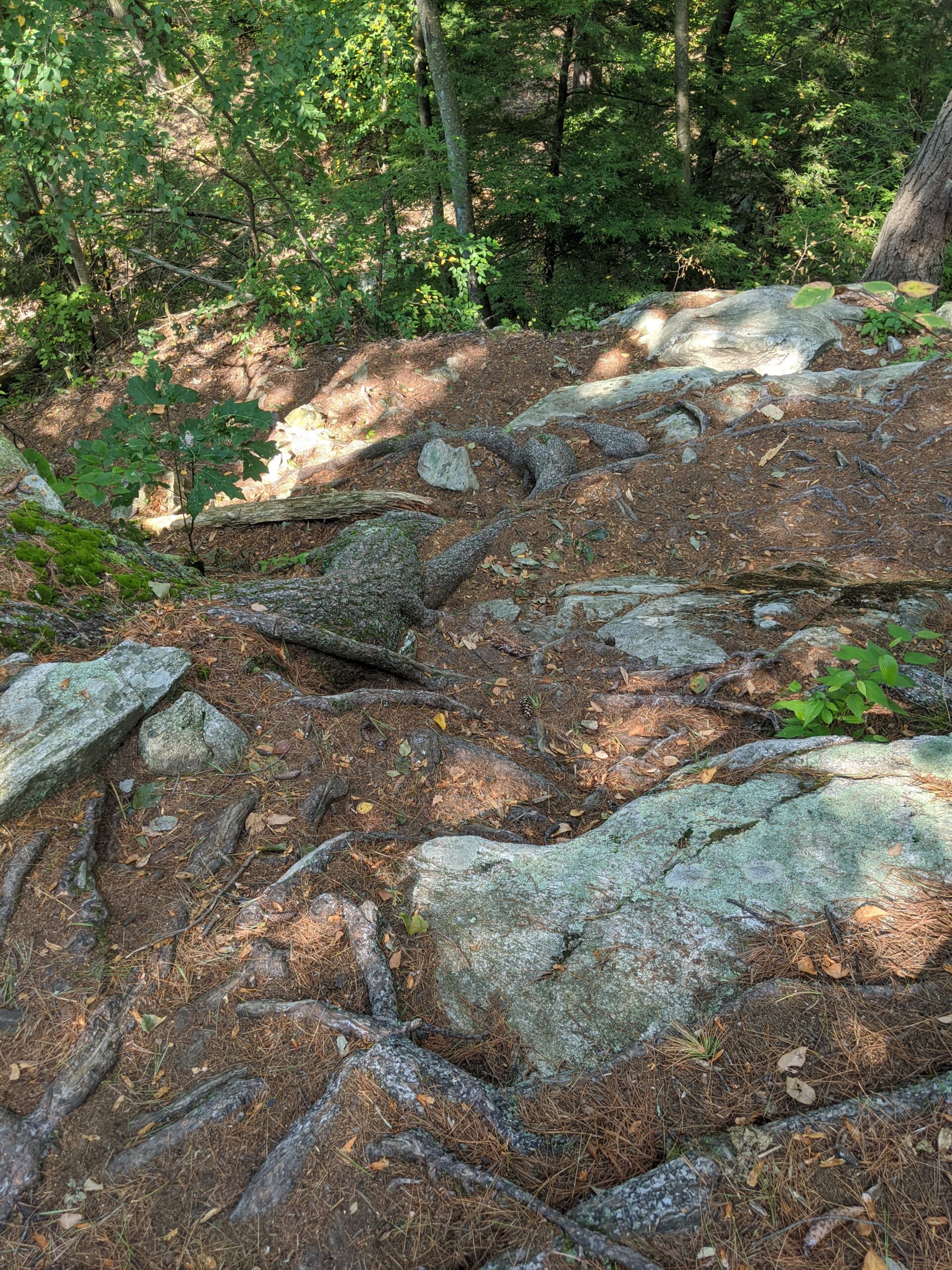
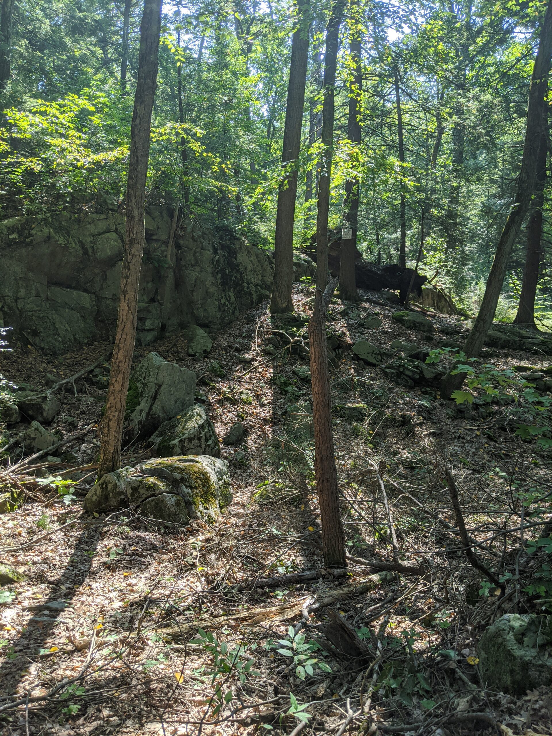
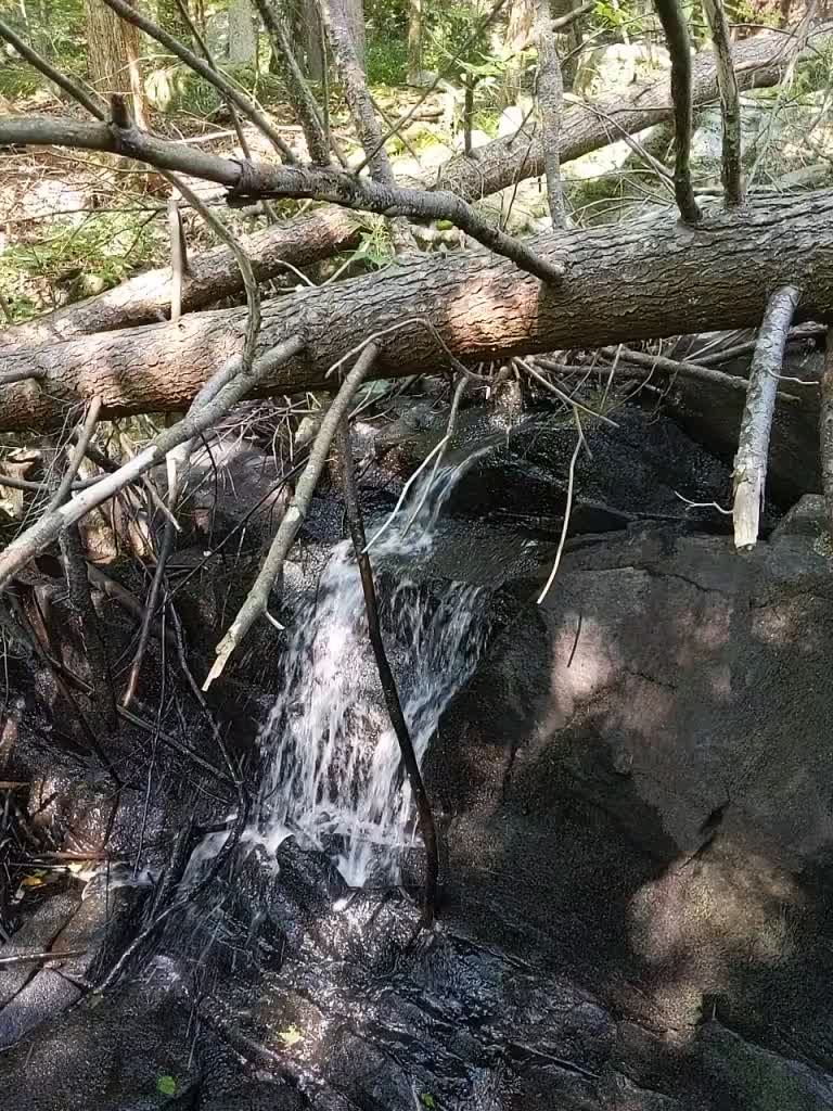
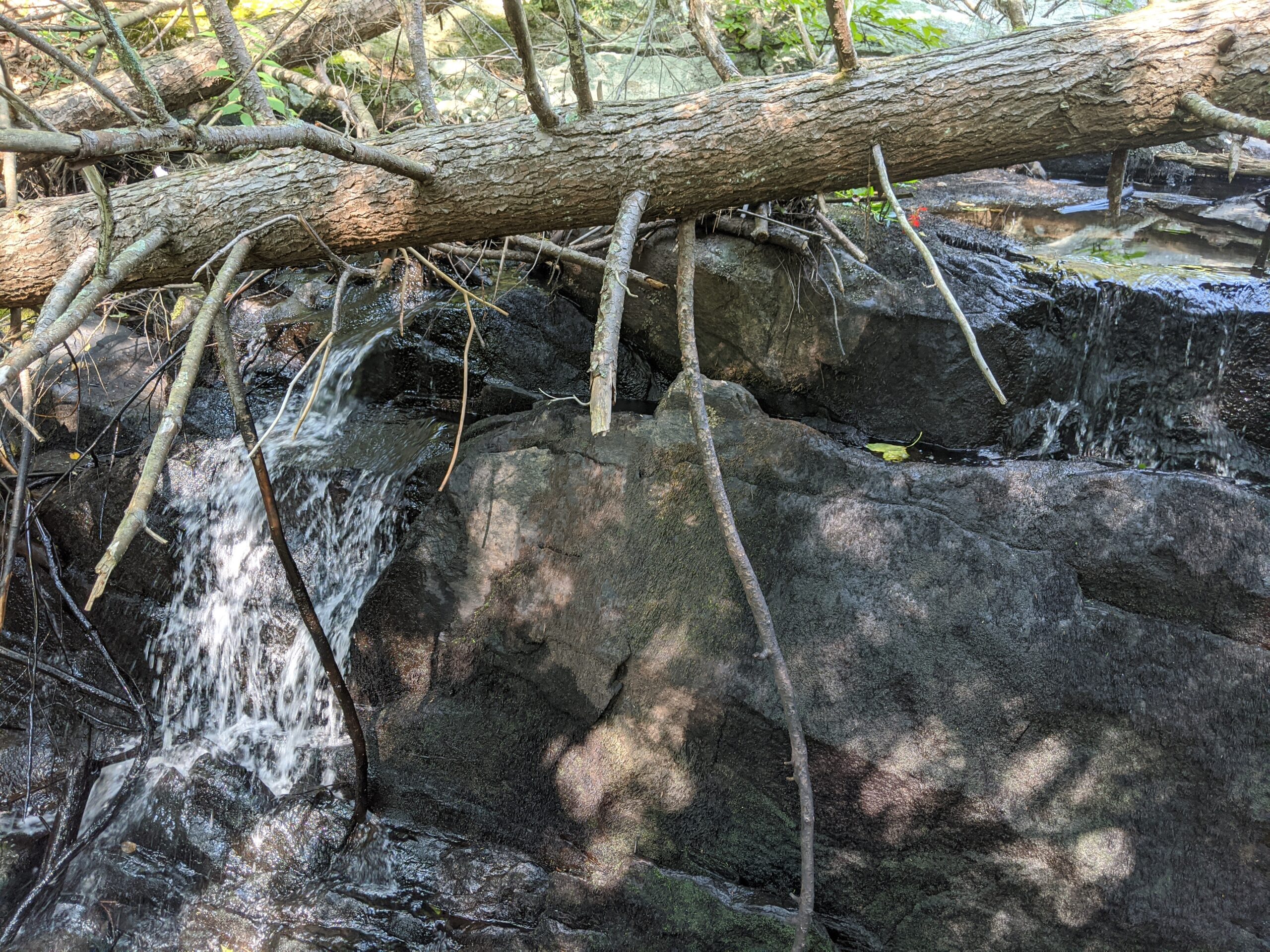
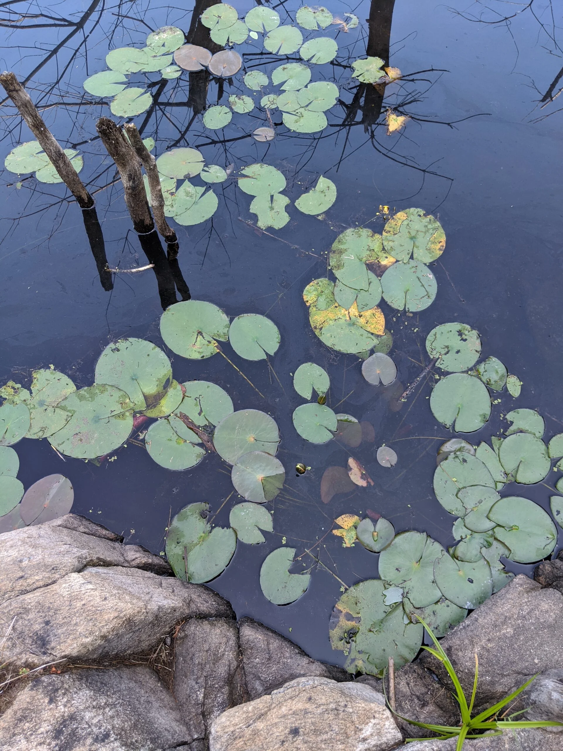
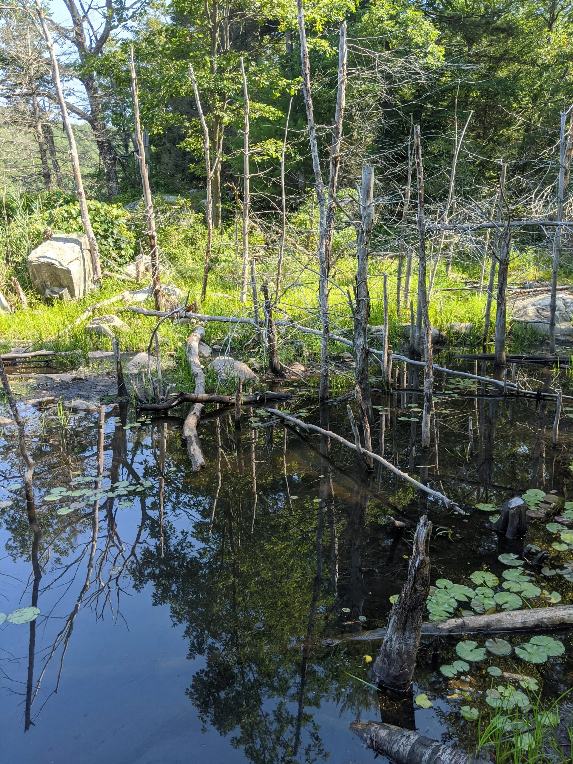
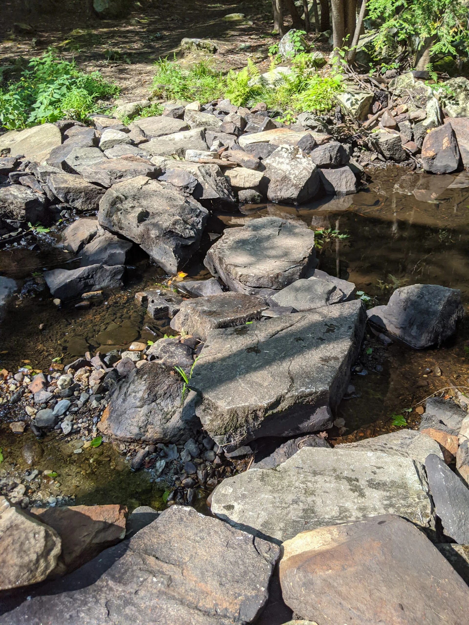
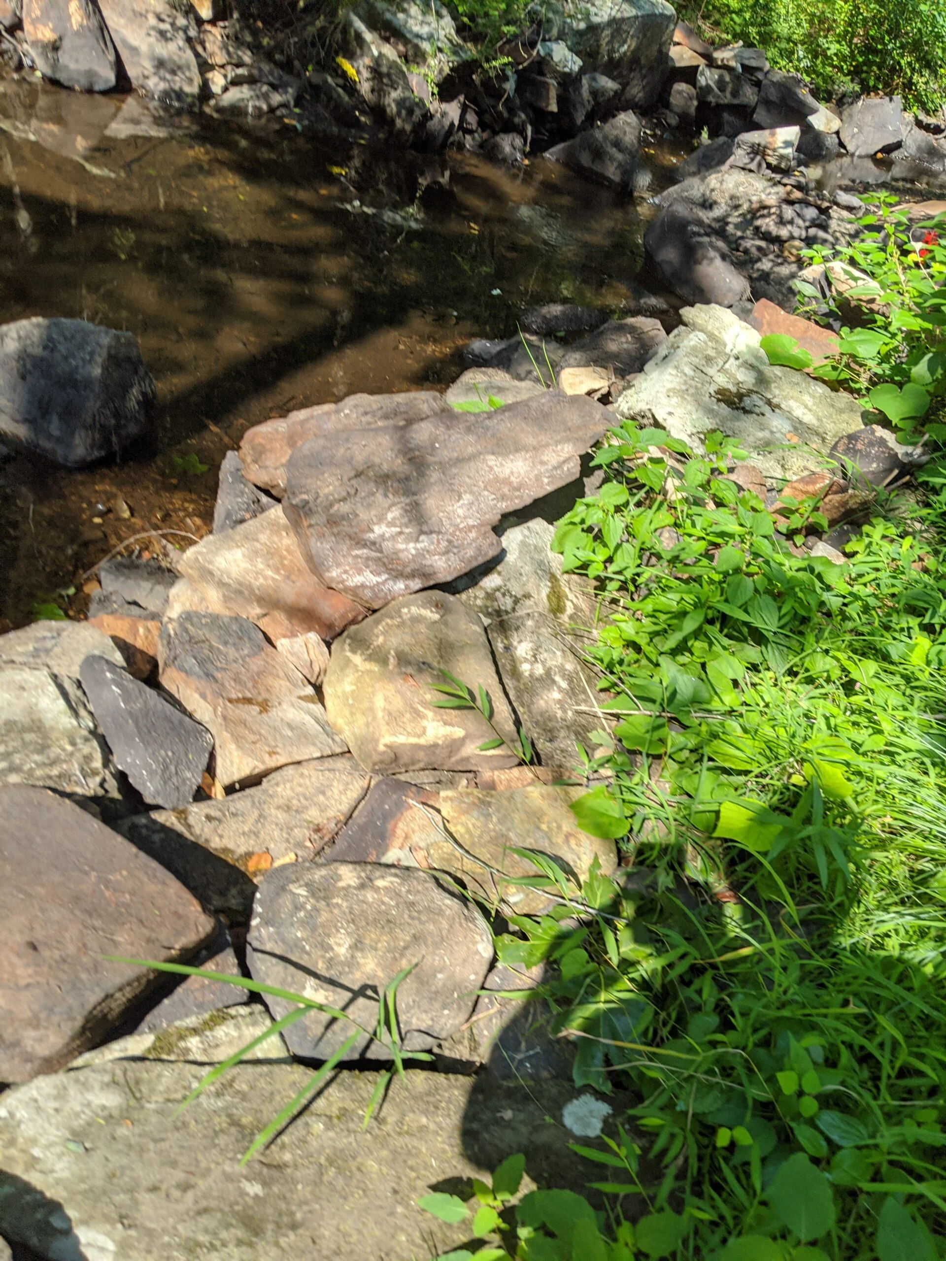
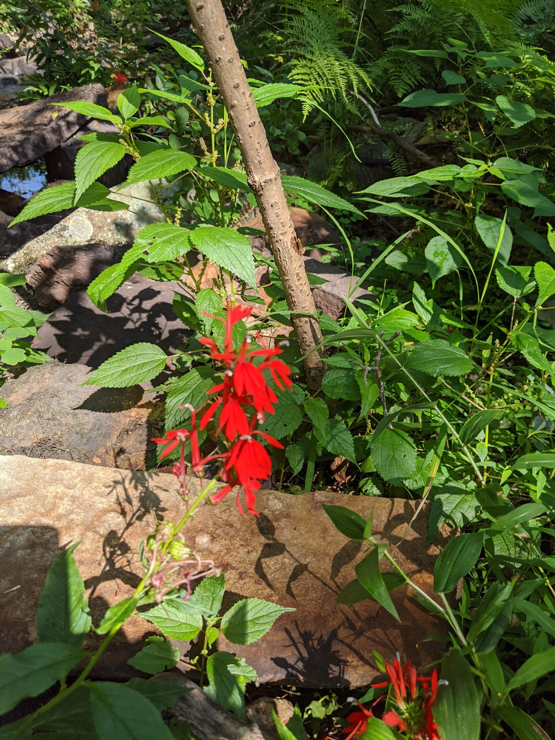
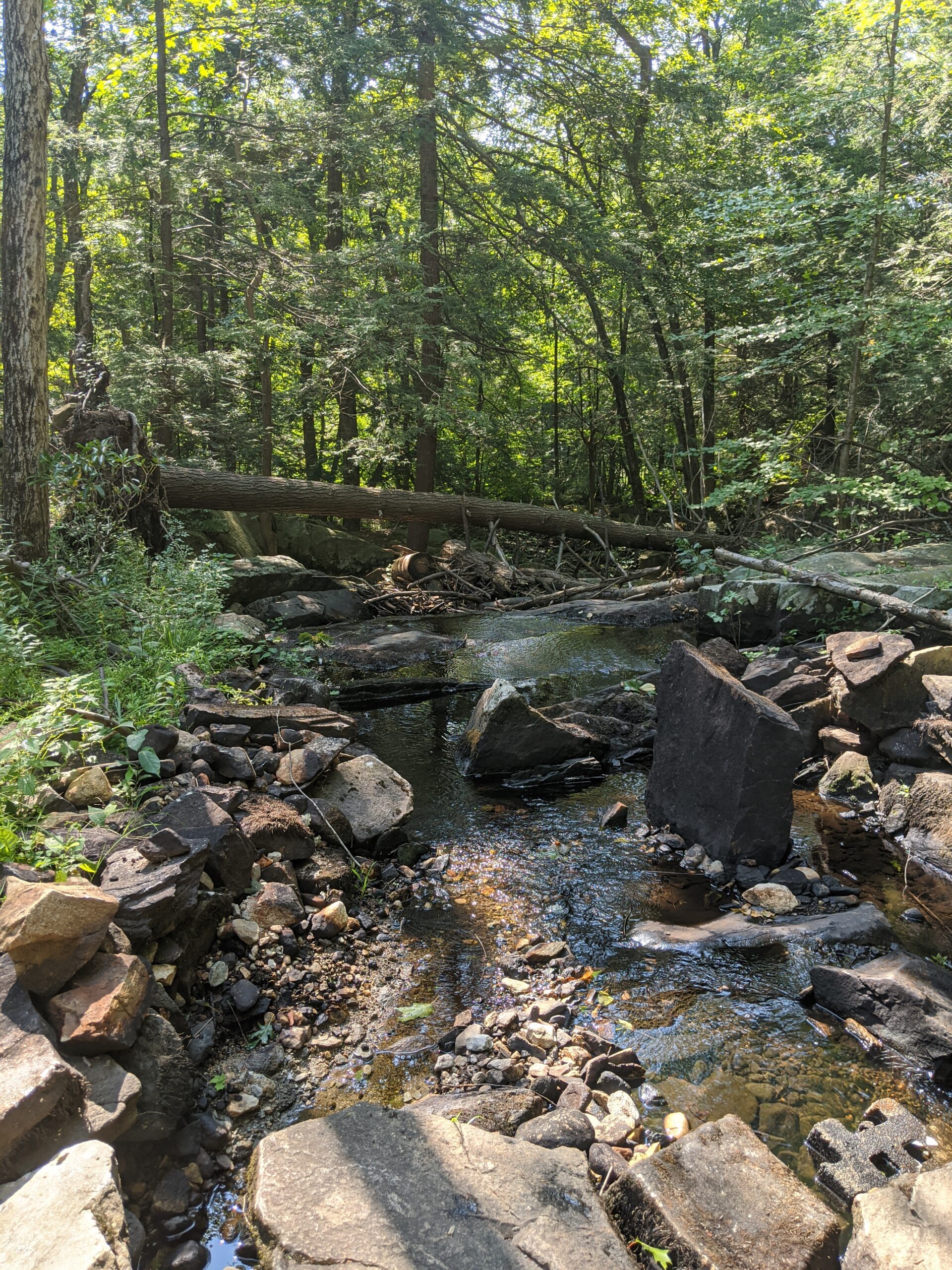
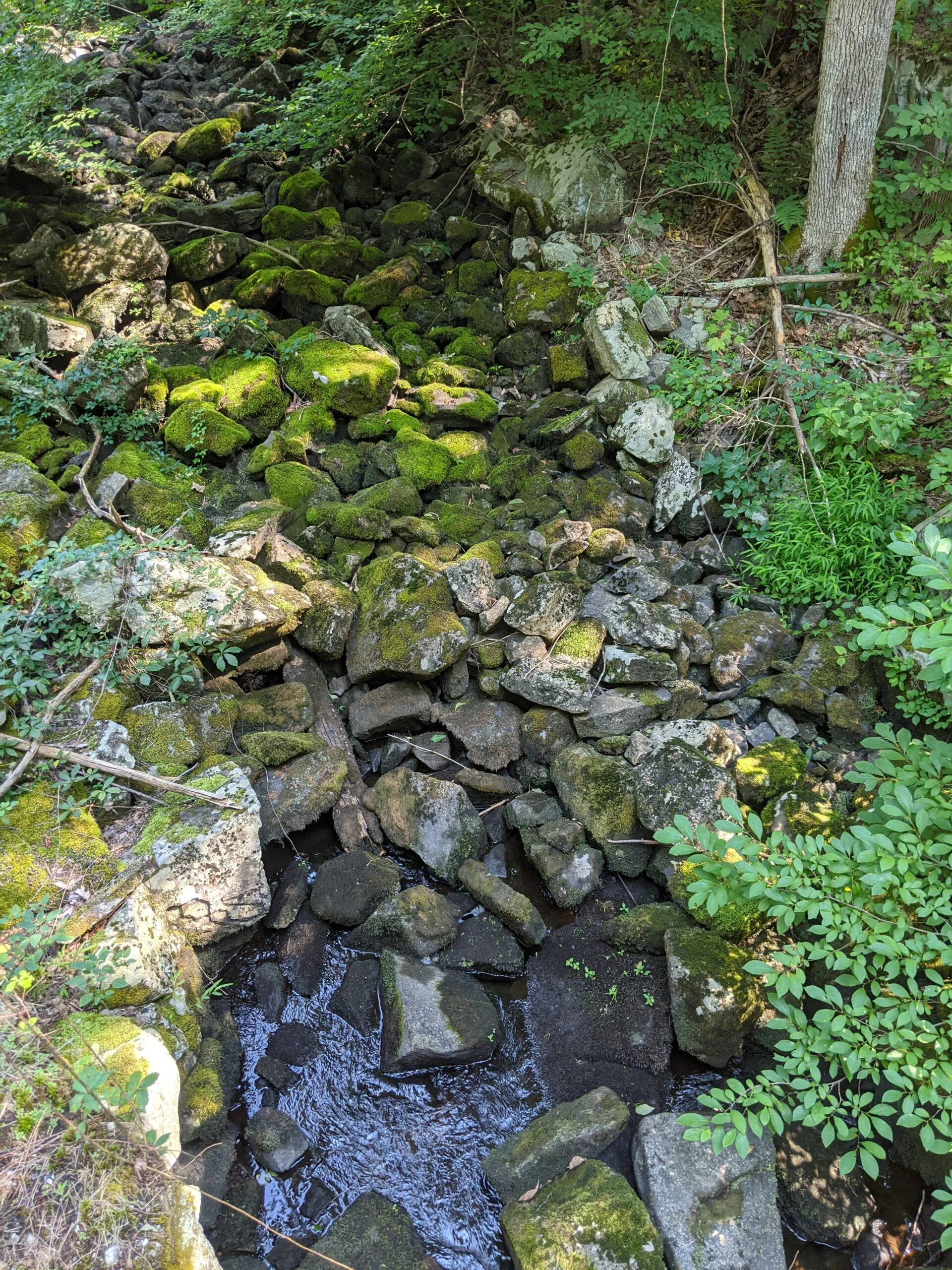
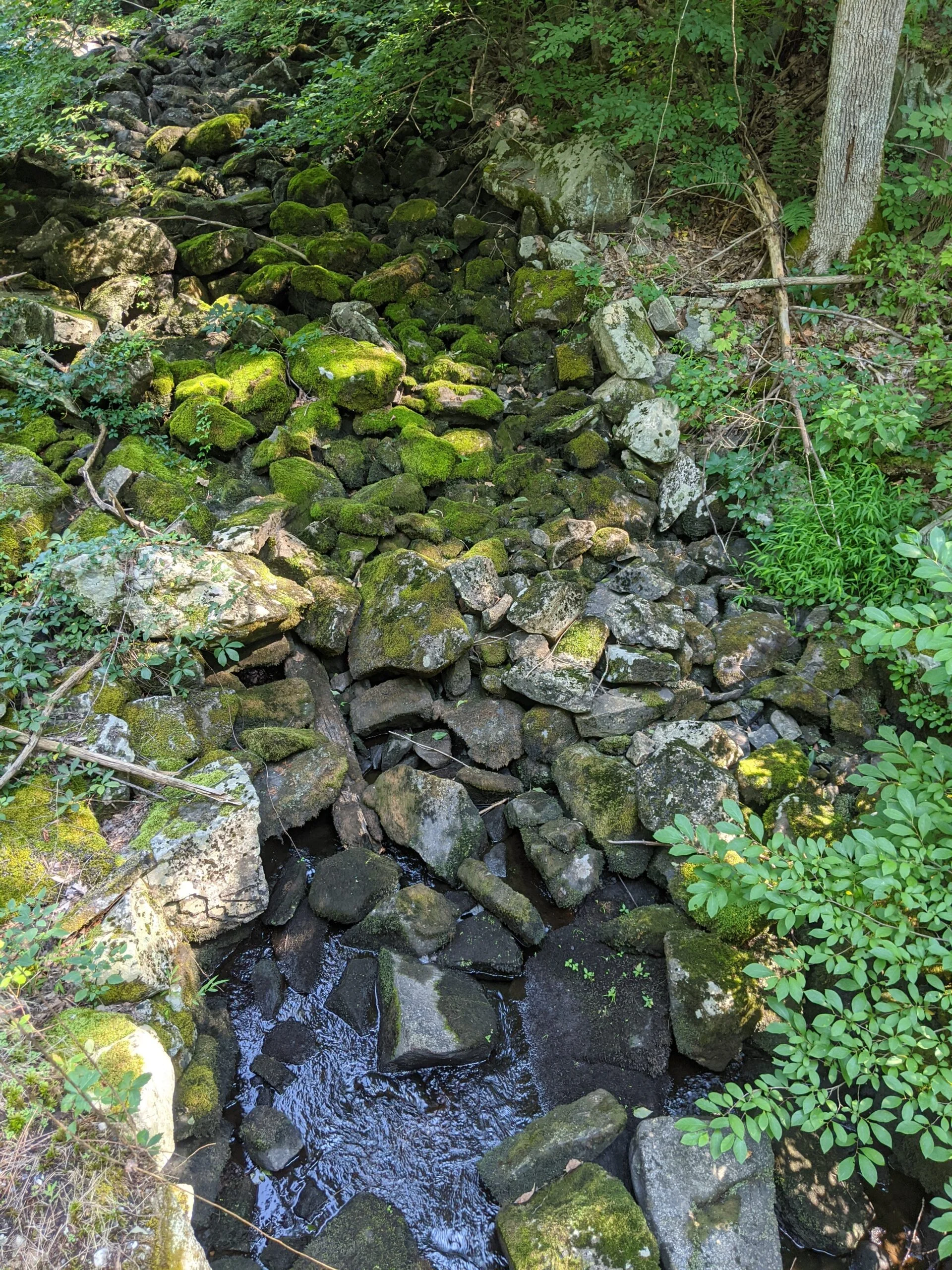
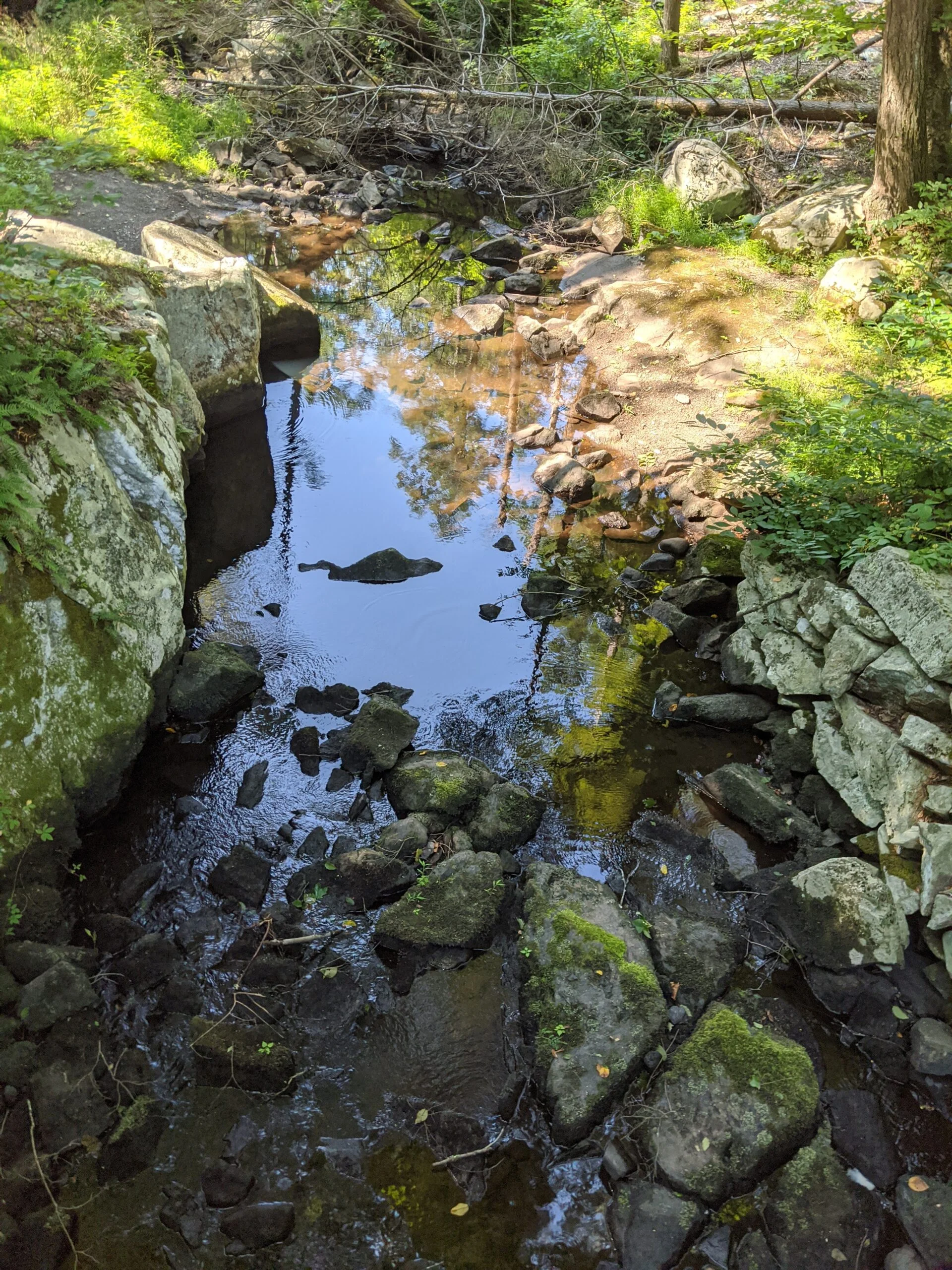
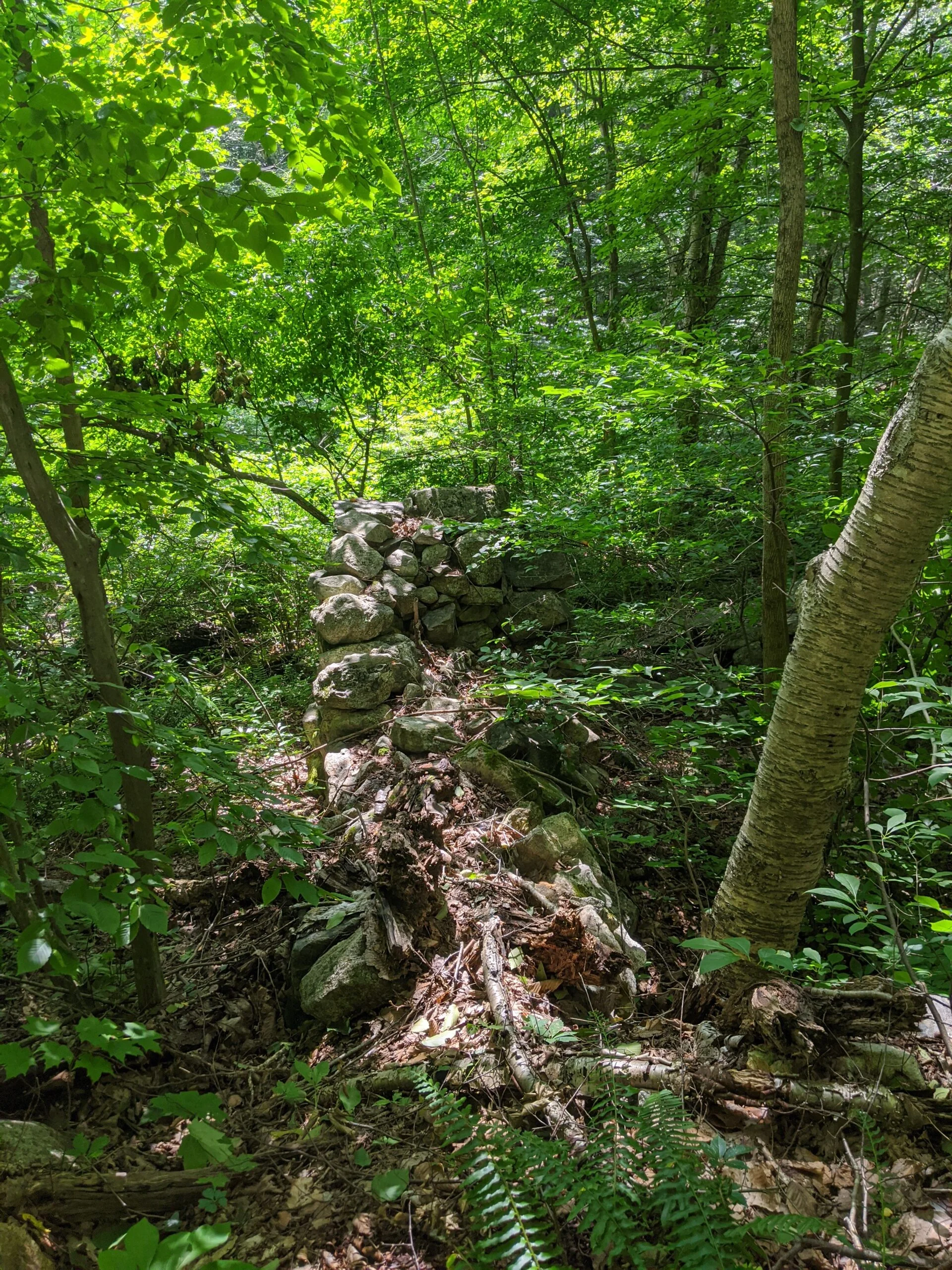
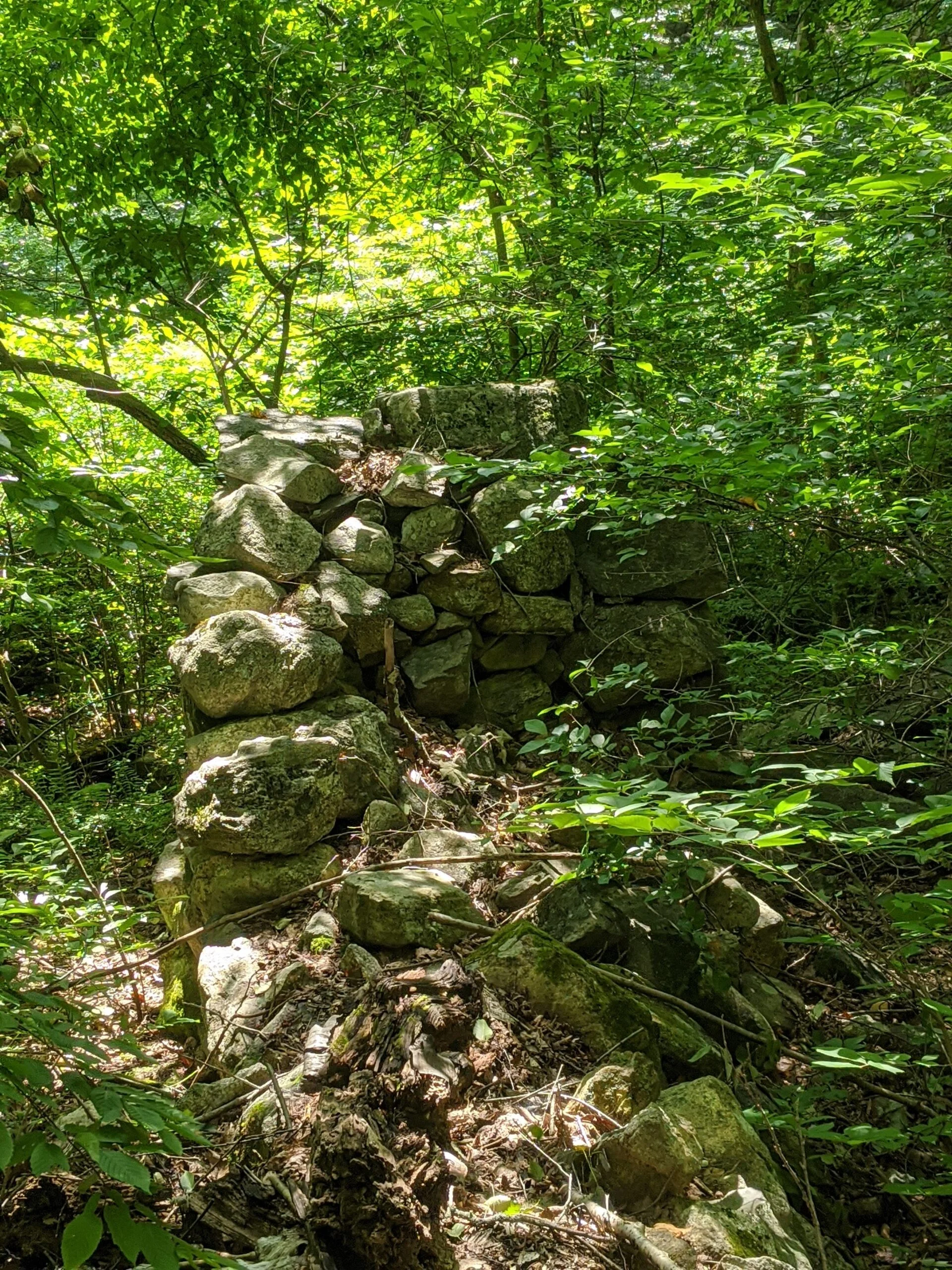
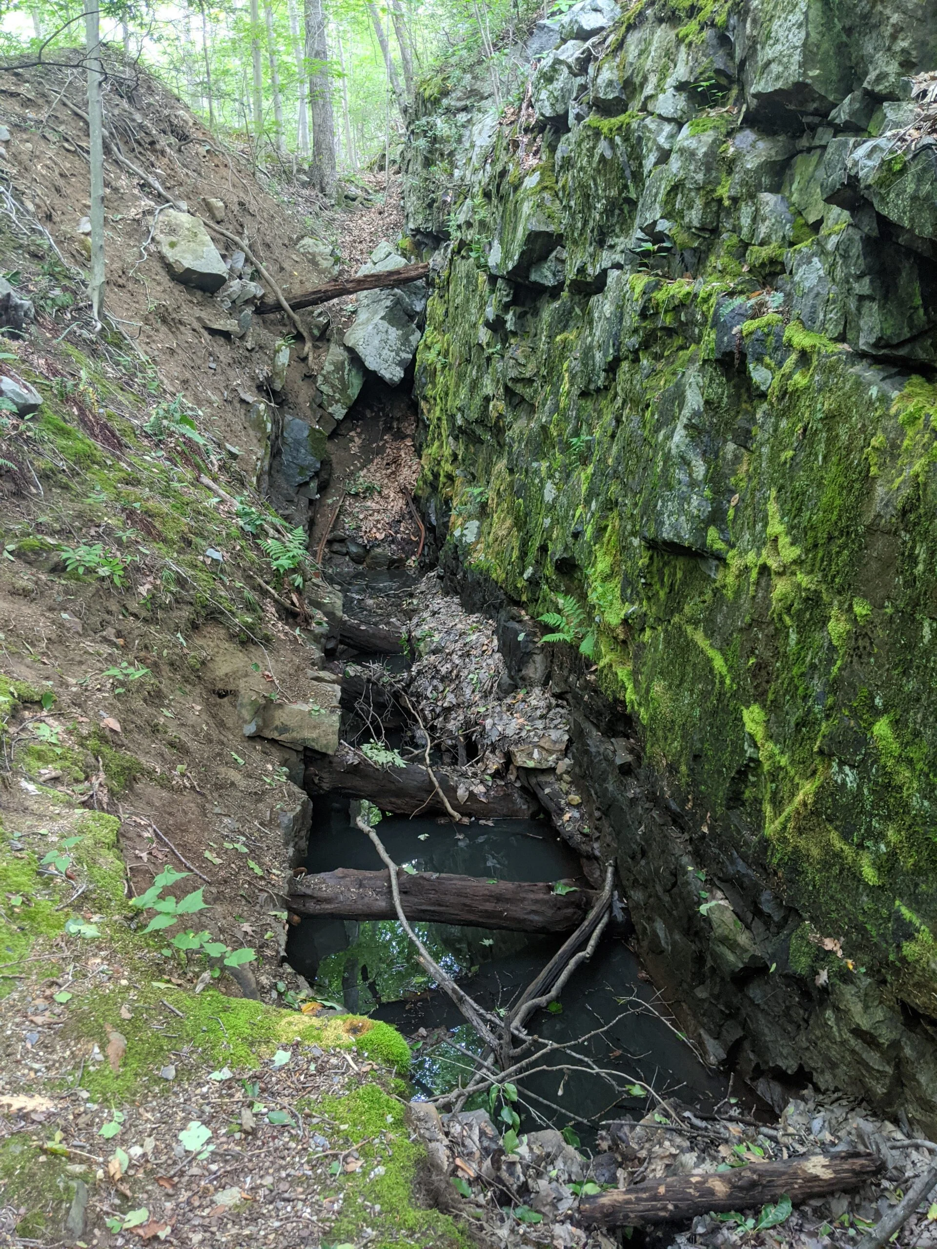
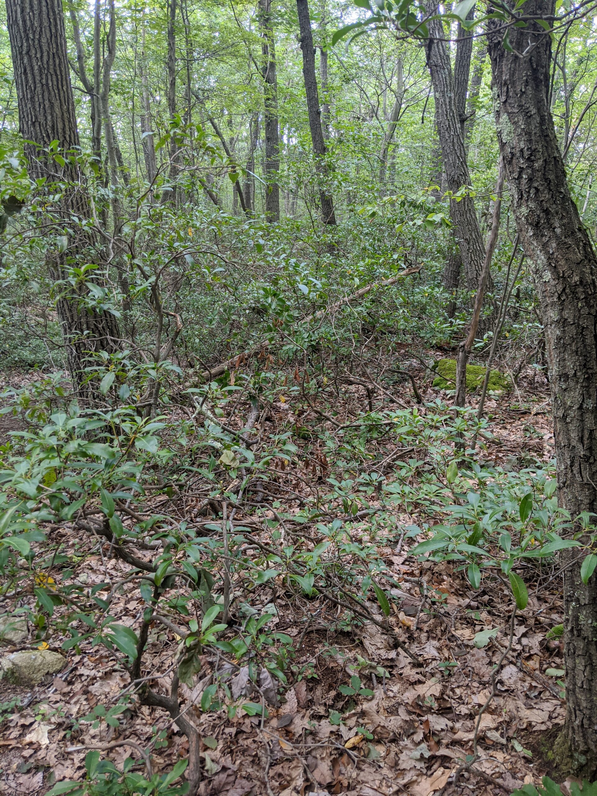
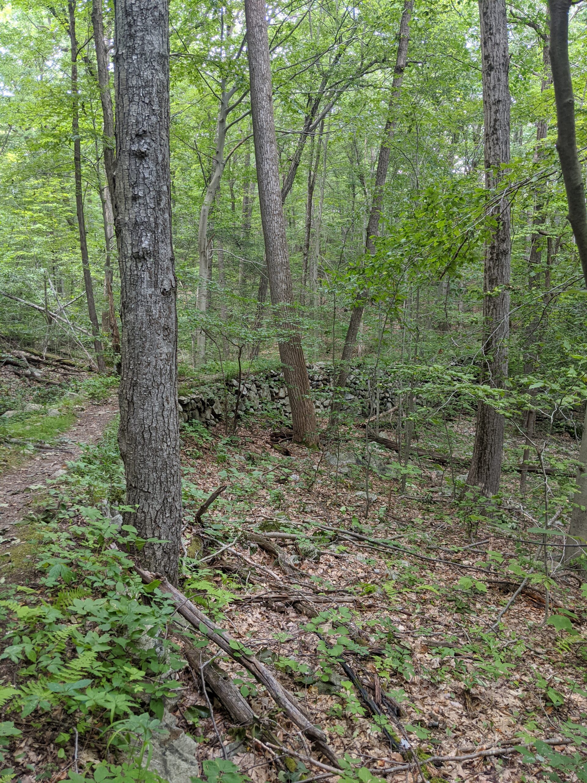
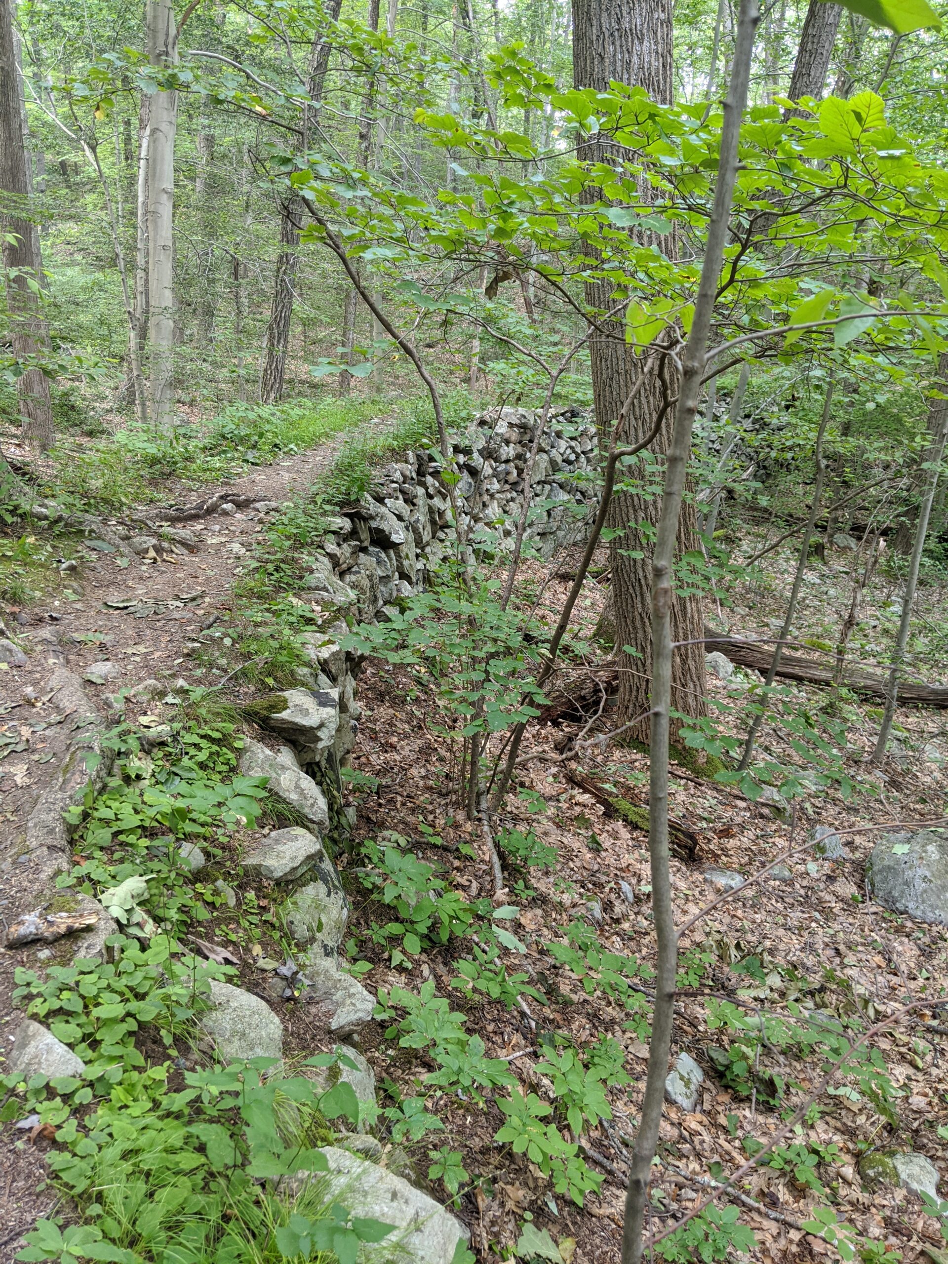
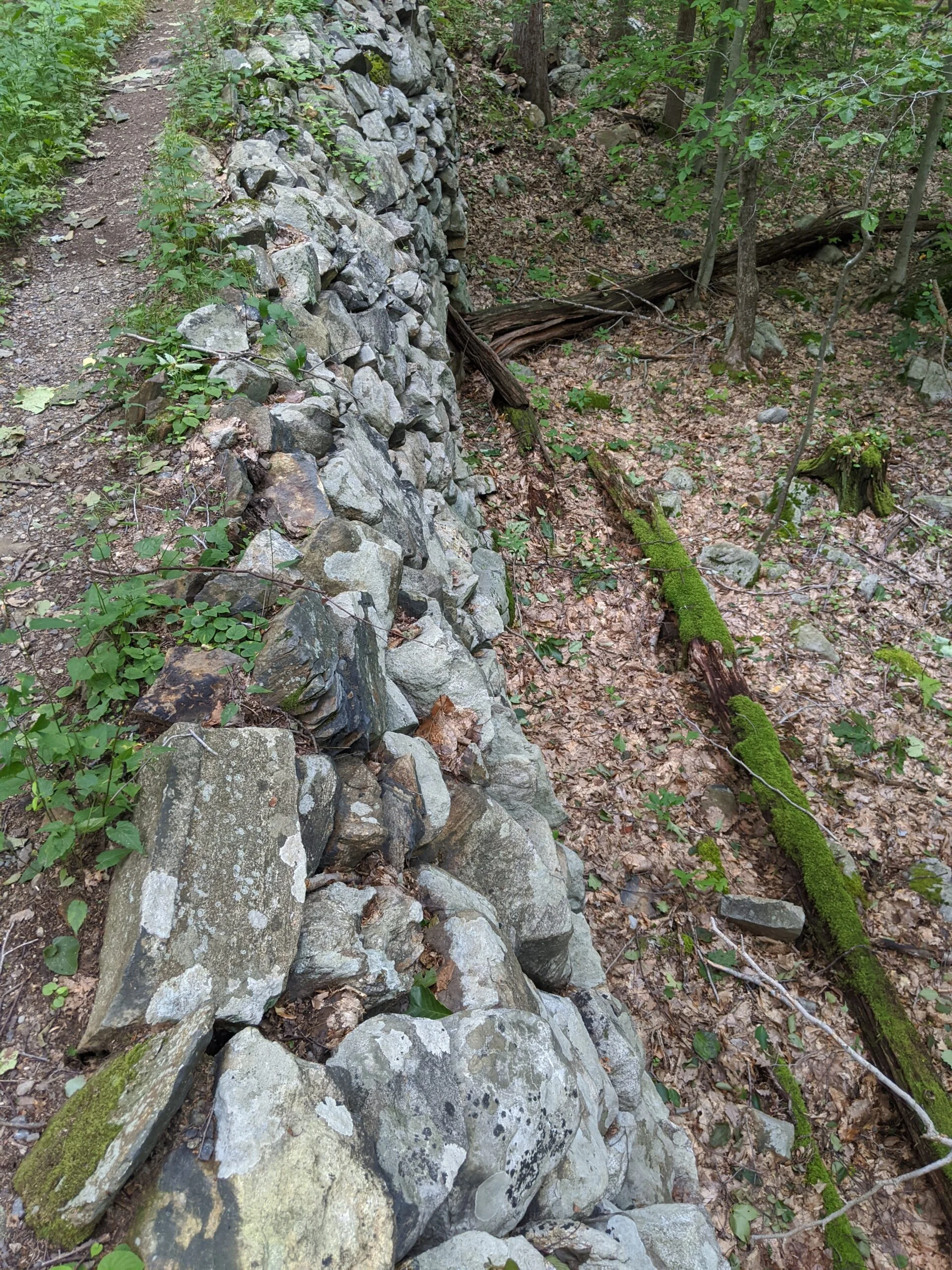
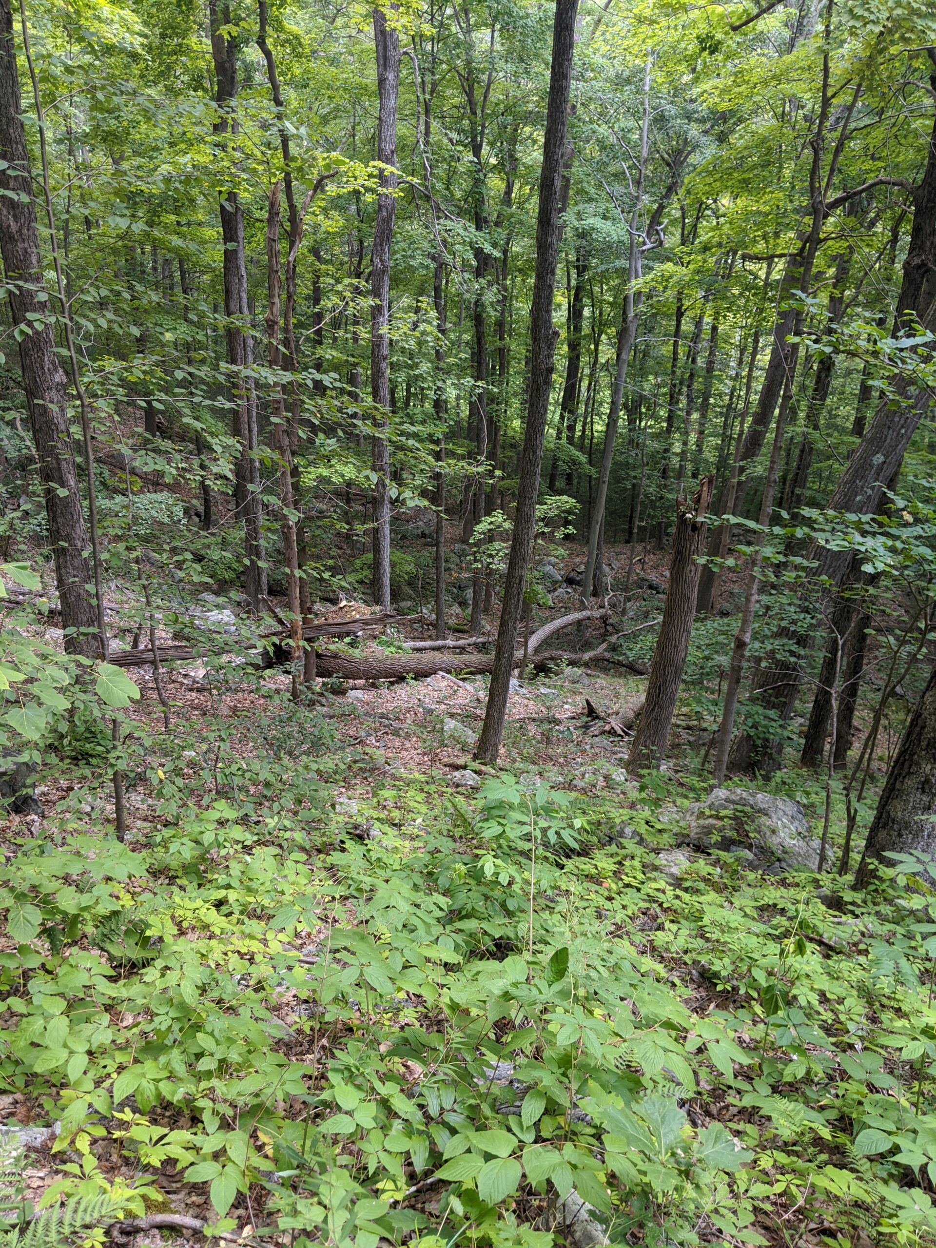
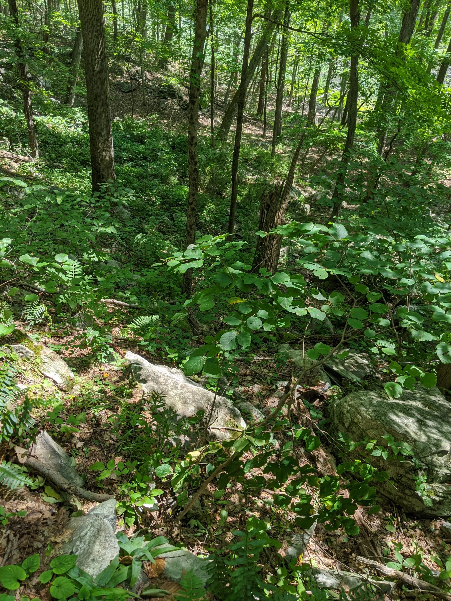
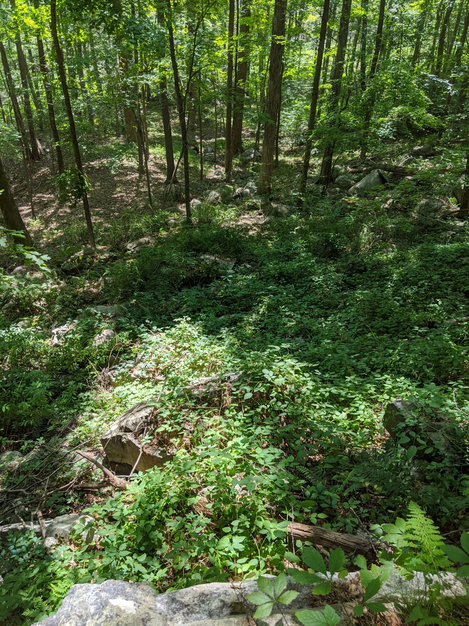
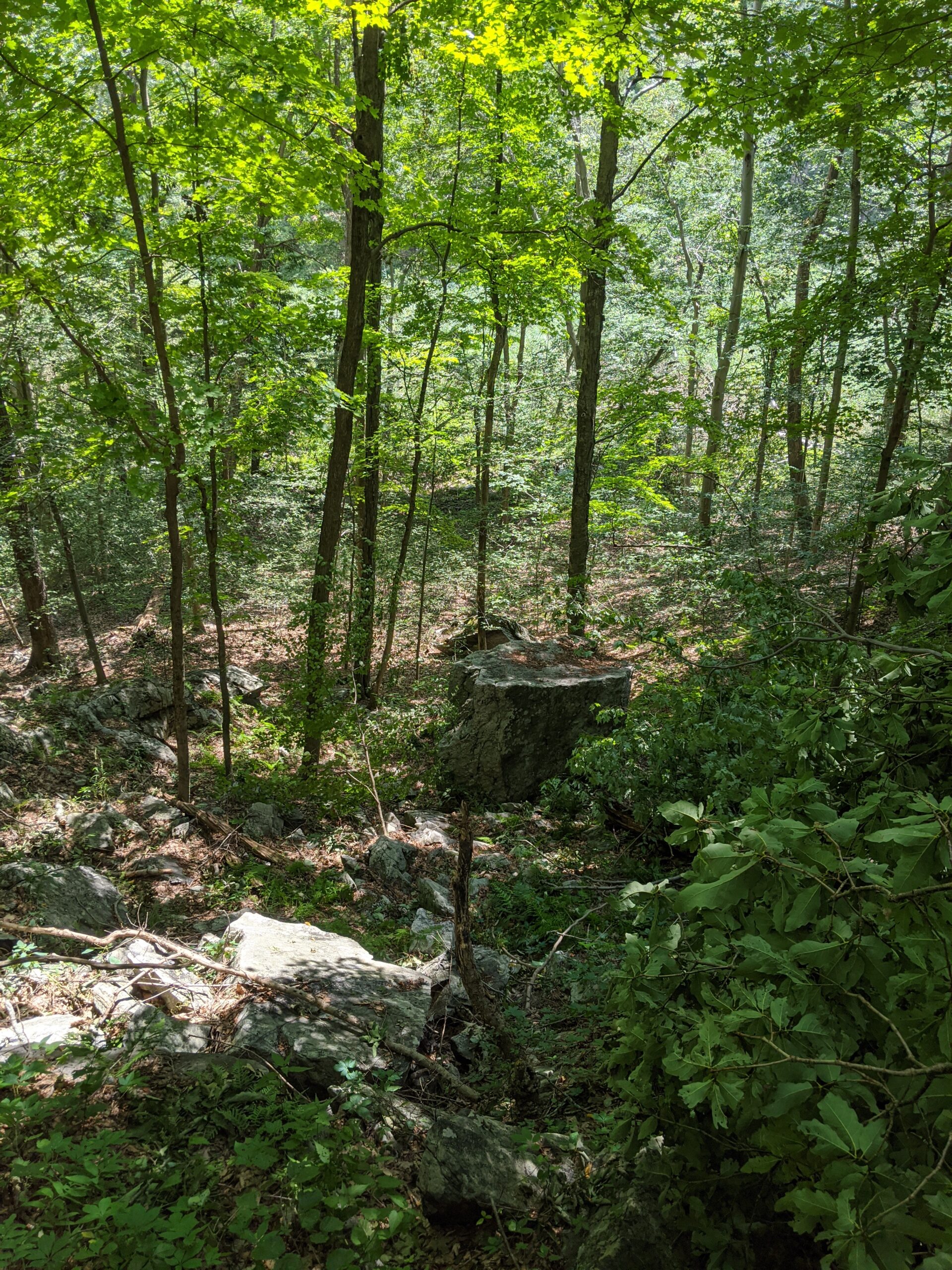
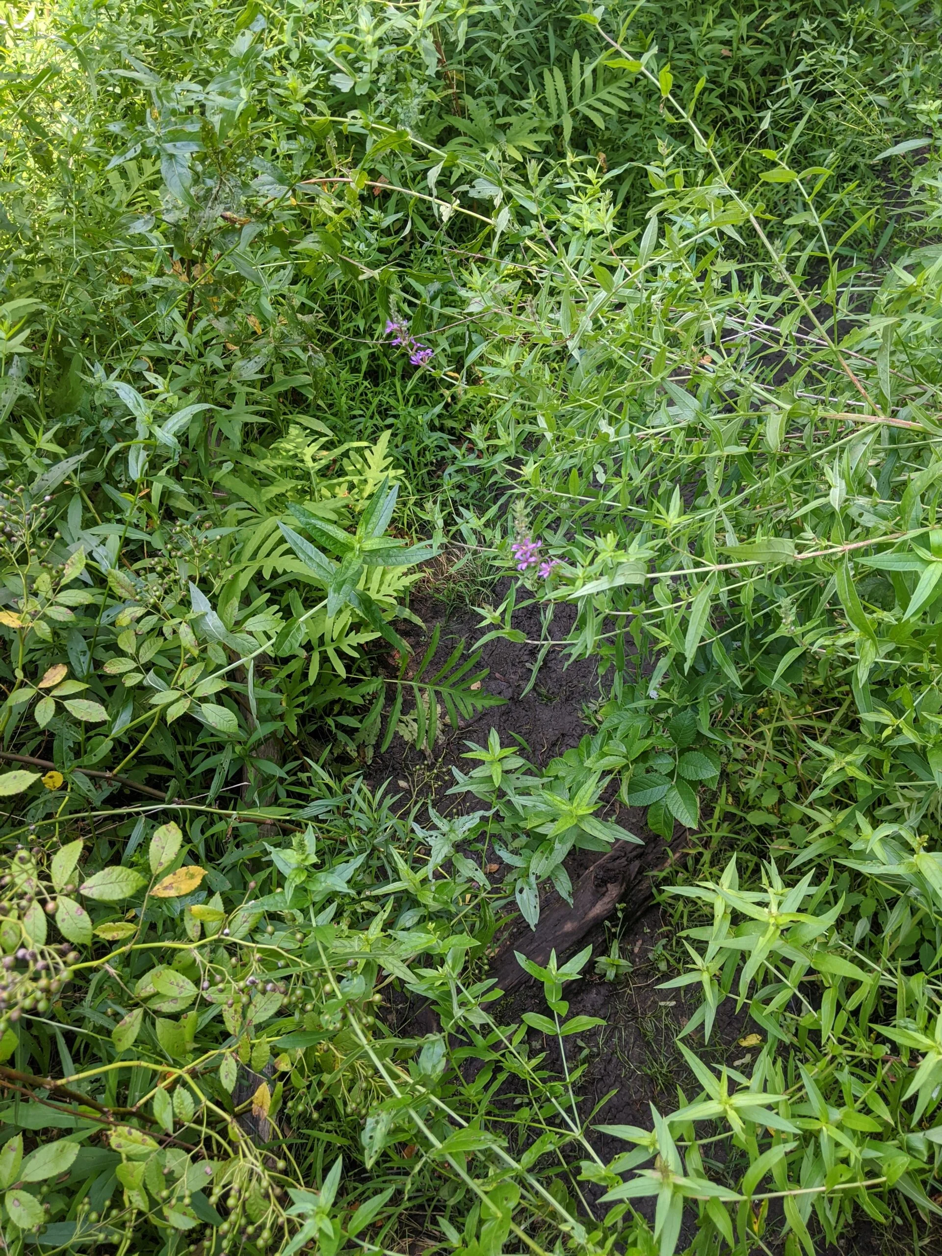
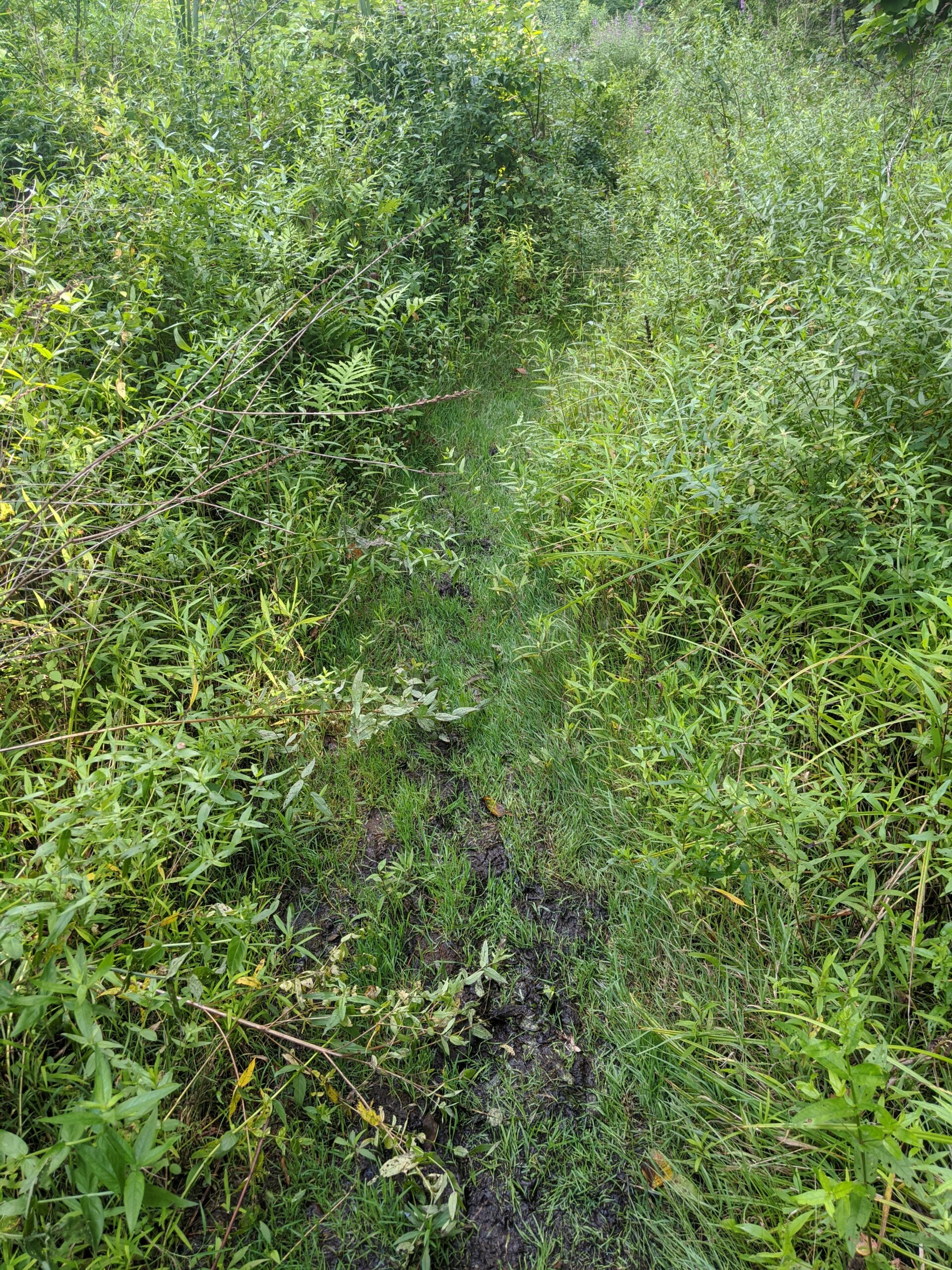
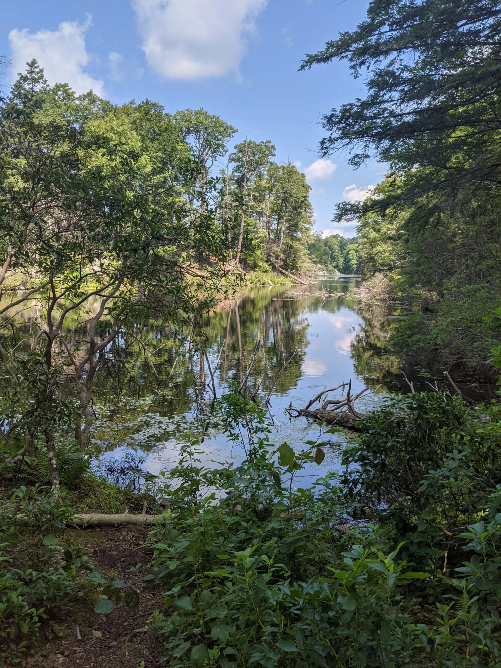
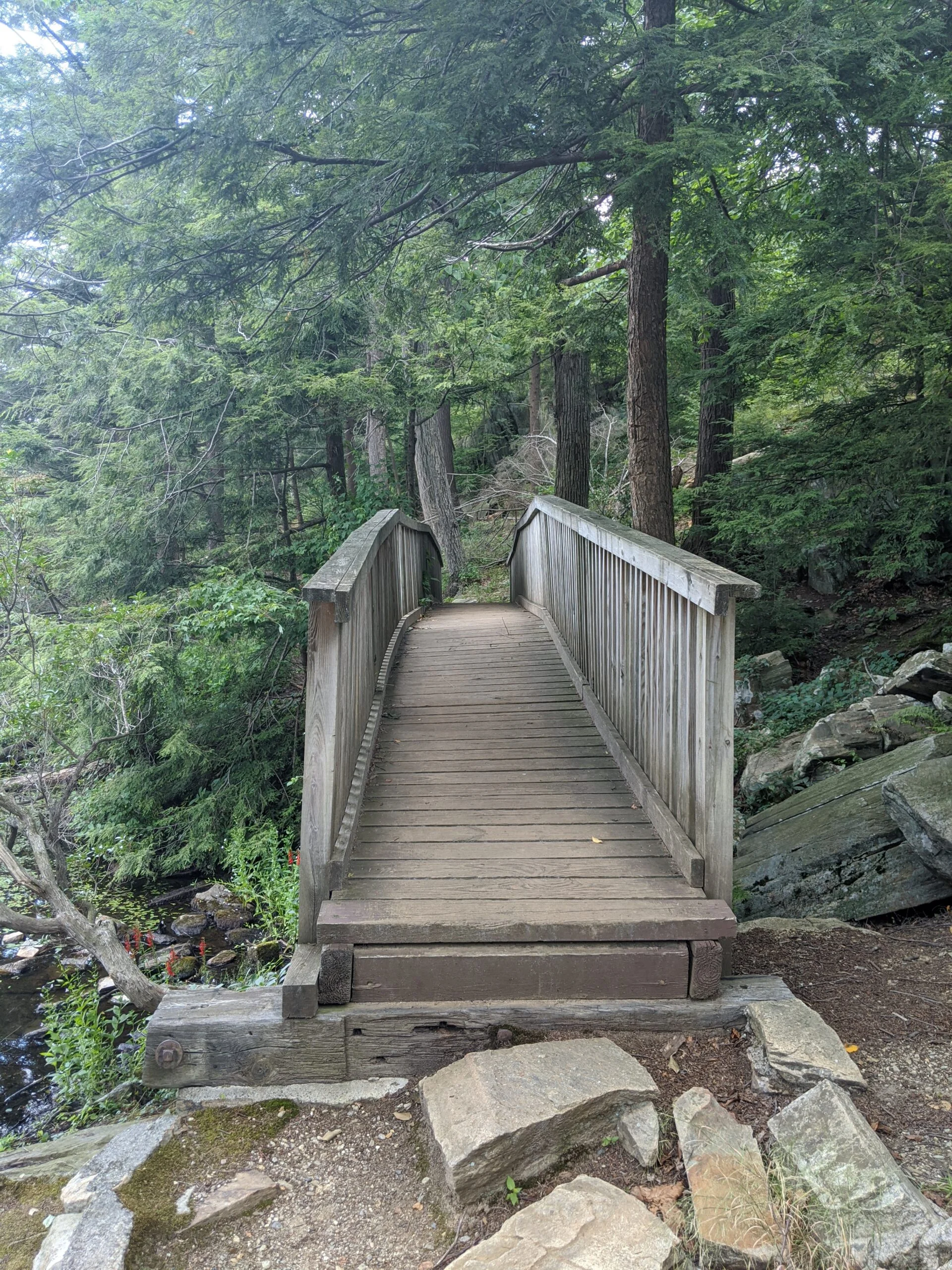
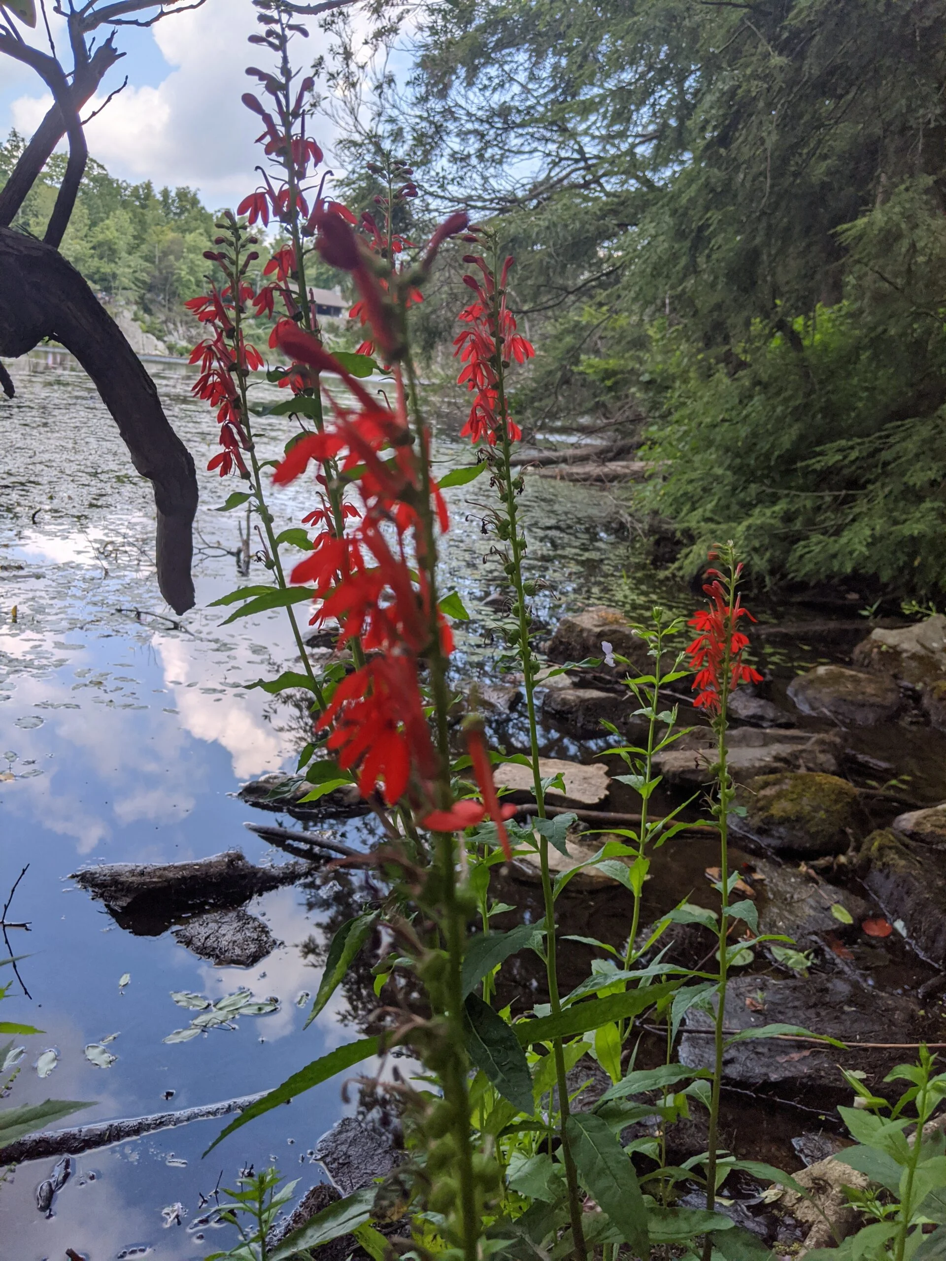
This short trail led me out to Route 301, across from Canopus Lake. I walked the side of the road for about a half a mile or so until I saw the entrance to TL. I picked up an official map and walked the wooden staircase to the trail head. This was a really nice area of the trail, with marshy areas, rocky areas, some streams and rivers, and tons of greenery. I continued following this south until I came across the Clear Lake Scout Reservation Trail (CL, green blazes). I decided to stay on TL, as my route was going to take me back up through the Clear Lake area later.
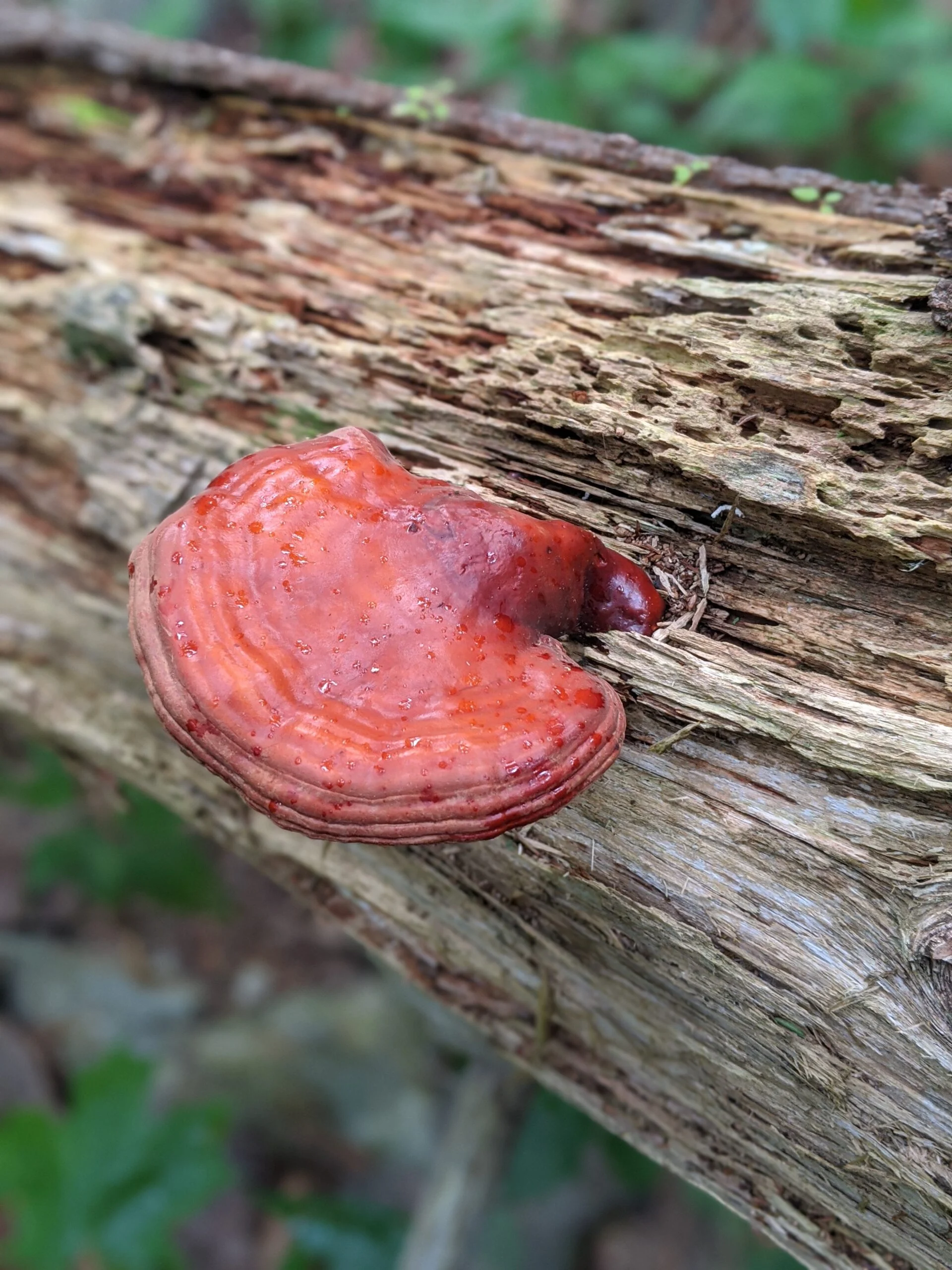
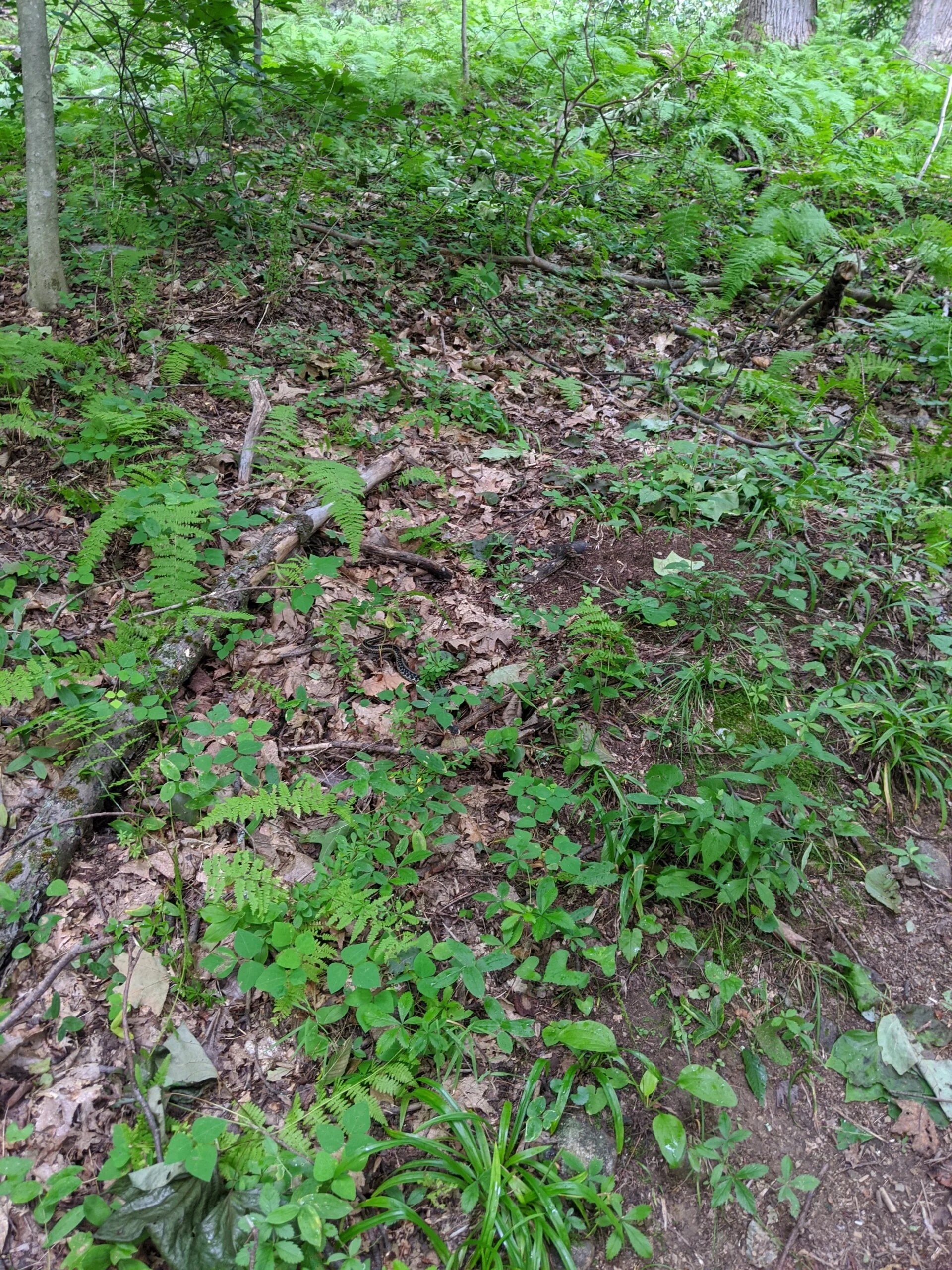
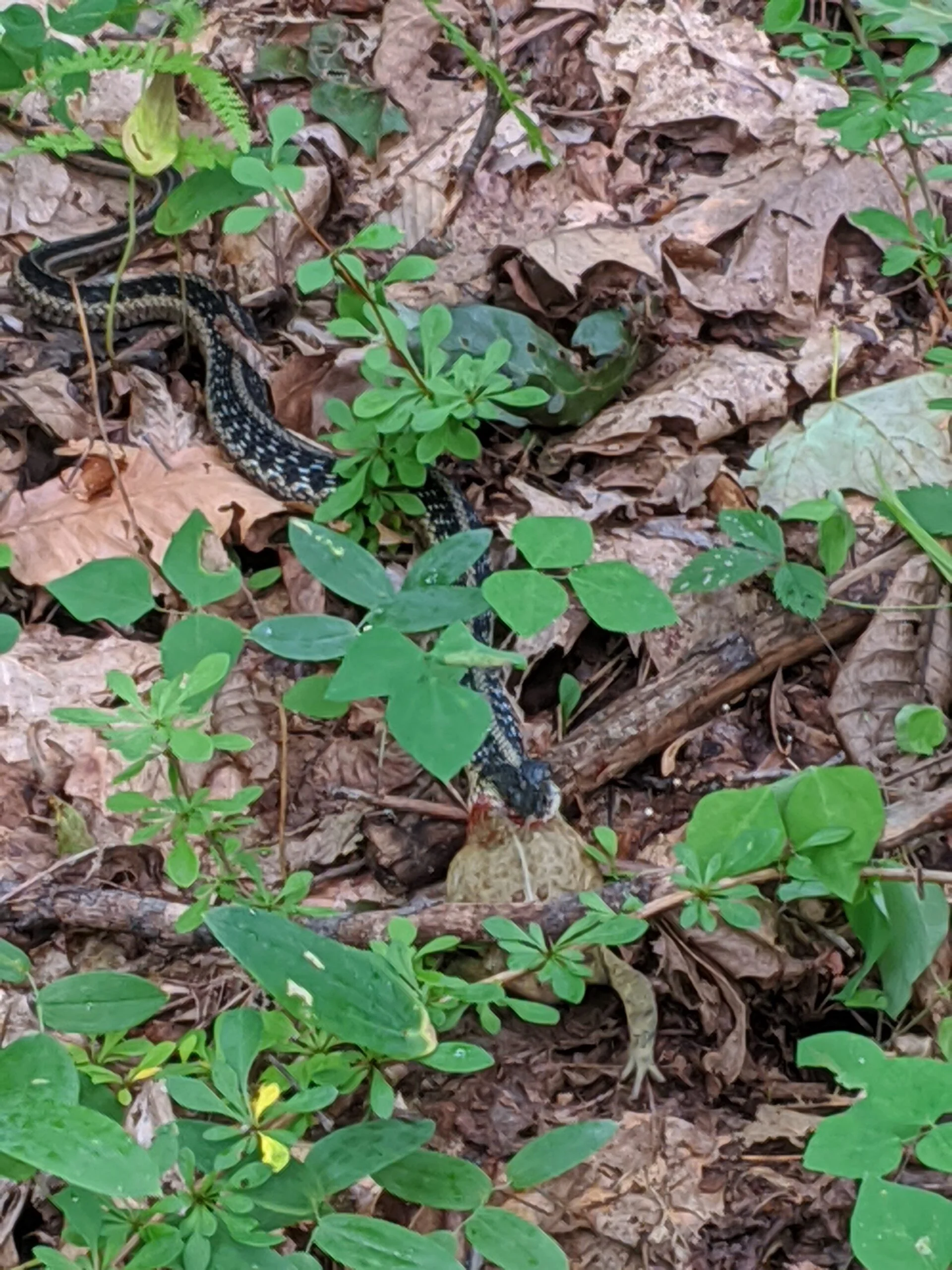
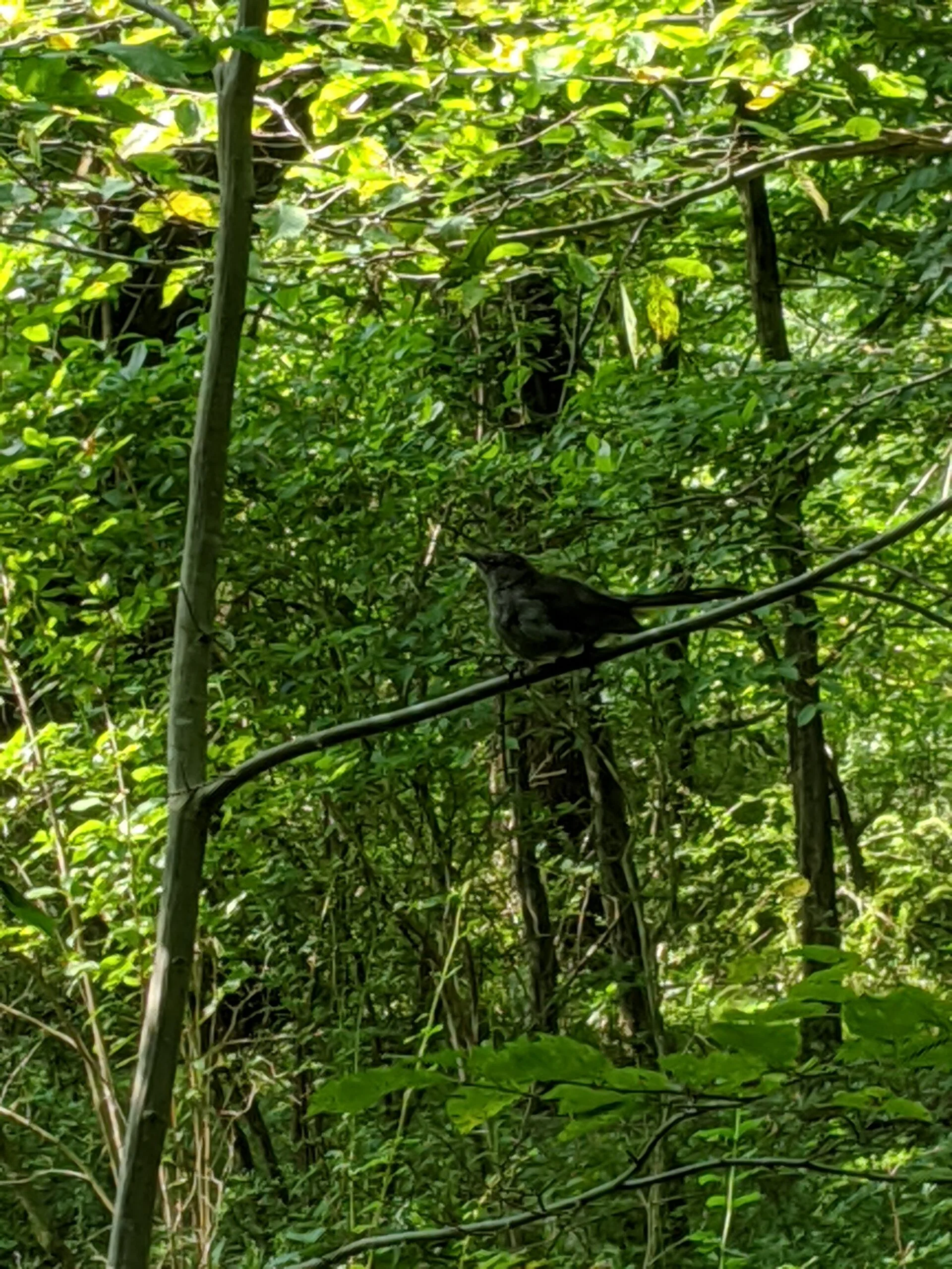
Eventually, TL crisscrosses the Appalachian Trail (AT, white blazes), so I took AT to the south. I took it slow because there were so many awesome things to see and explore! During the first part of my journey on AT, I came across a snake who had recently captured a toad or a frog. The toad was still alive and struggling to get out of the snake’s mouth, but the snake would not relent. I snapped a couple photos from a safe distance using zoom.
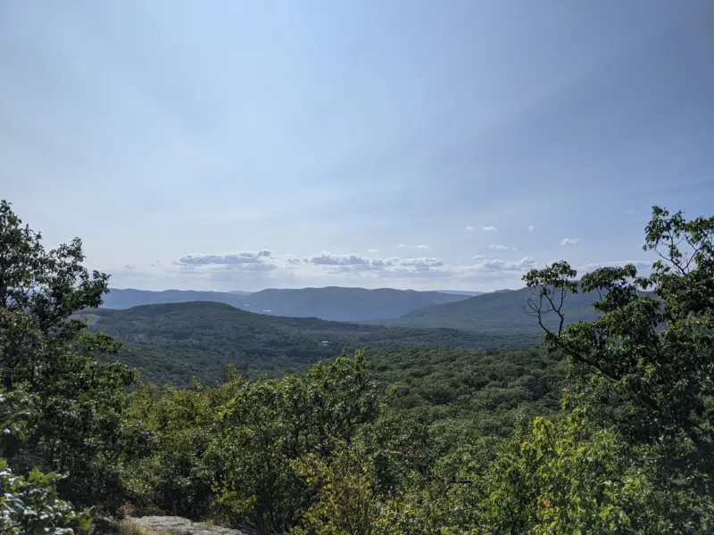
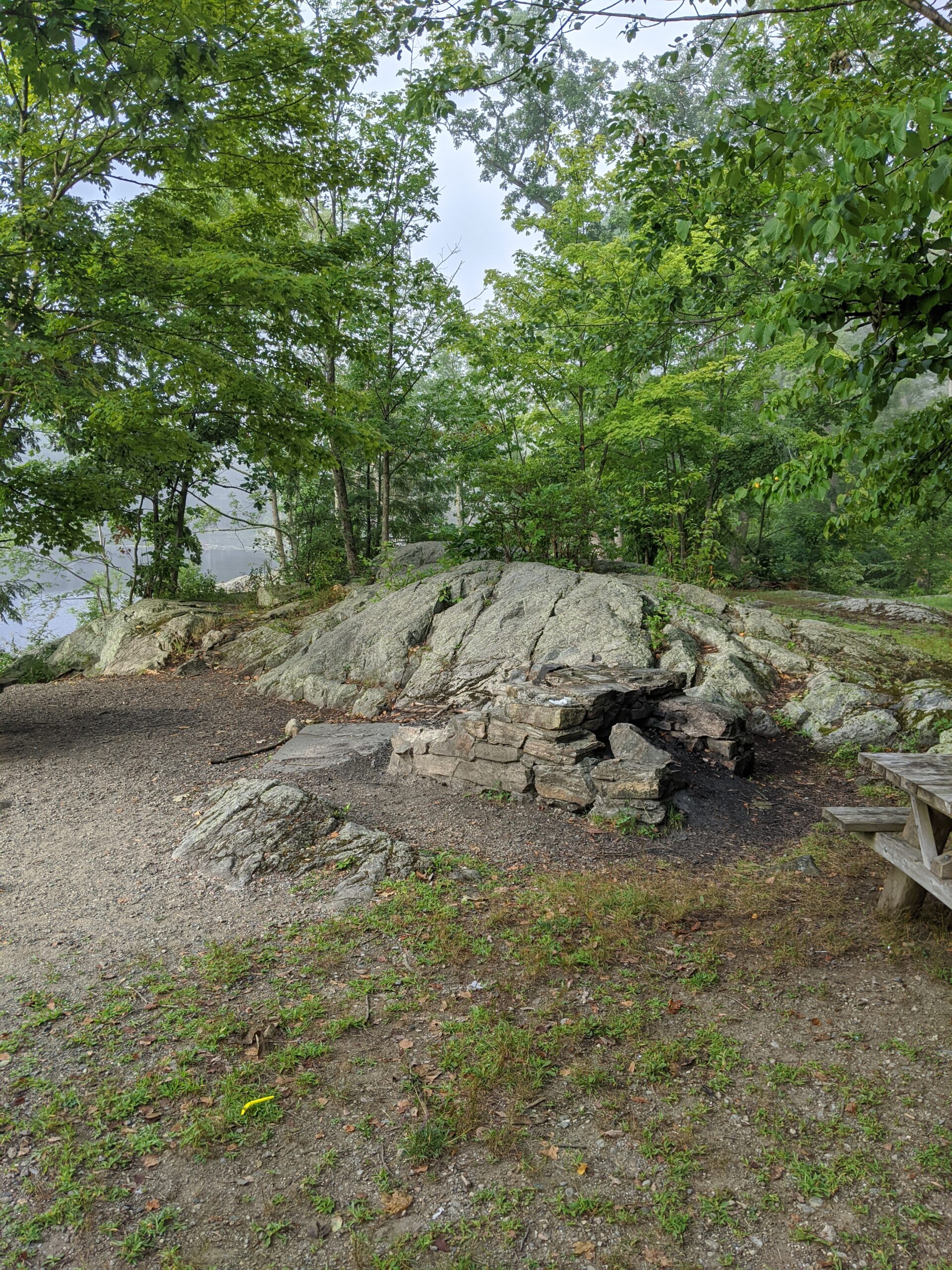
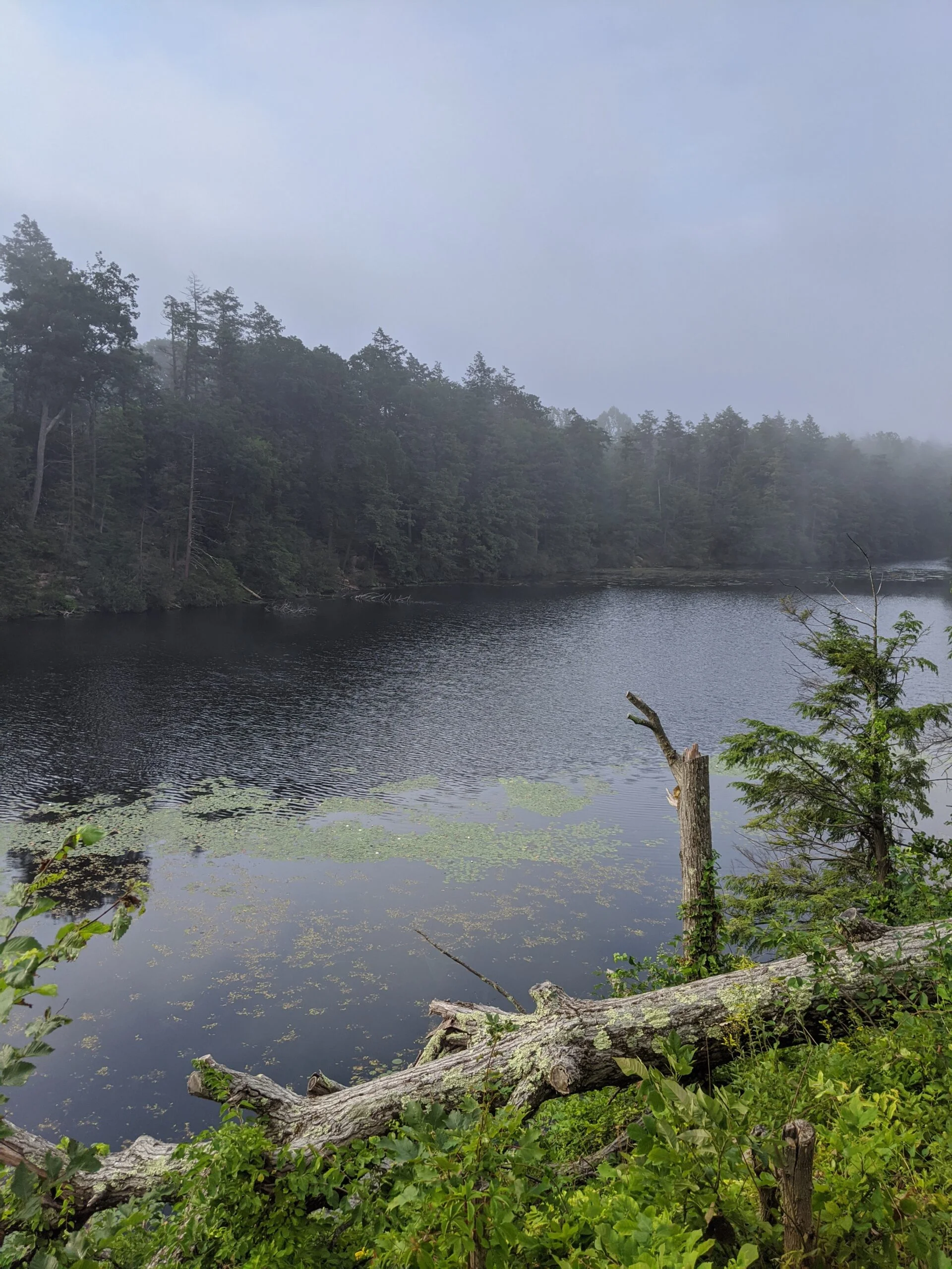
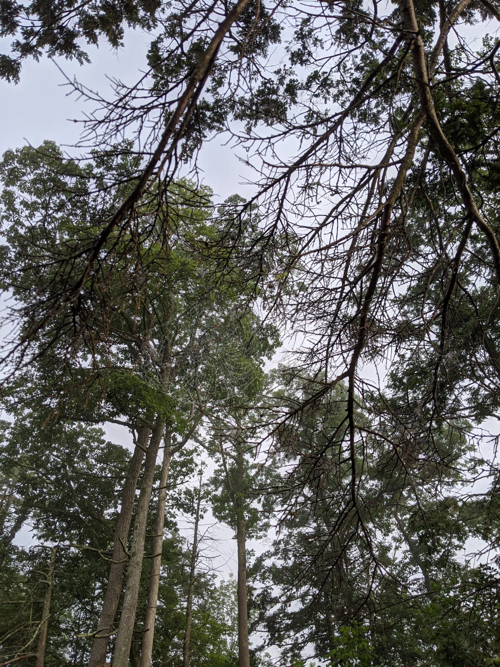
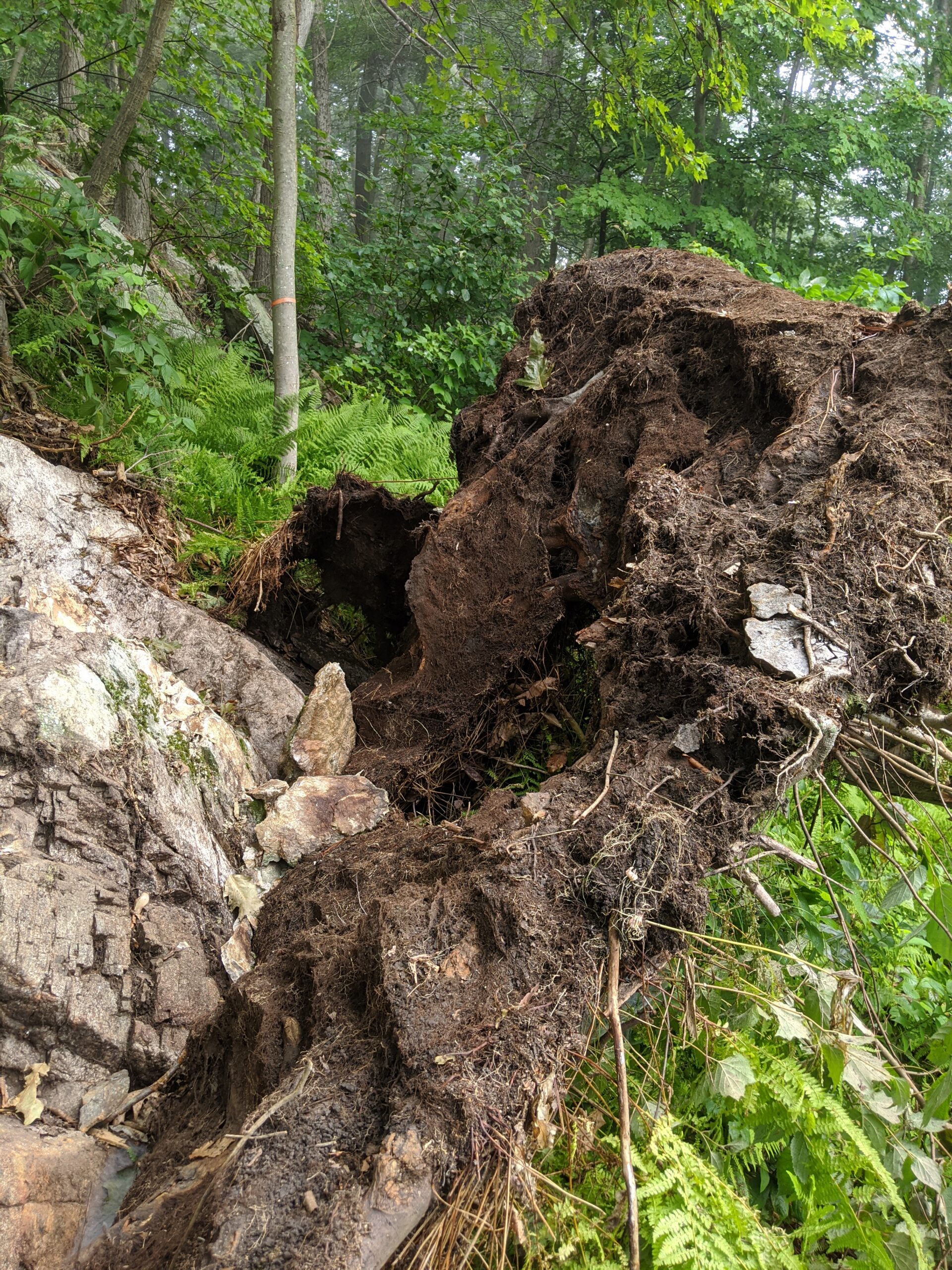
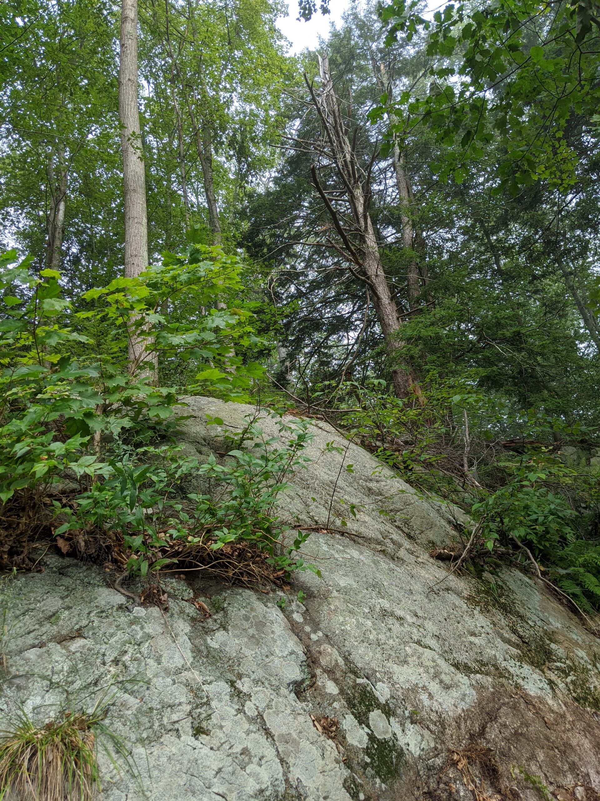
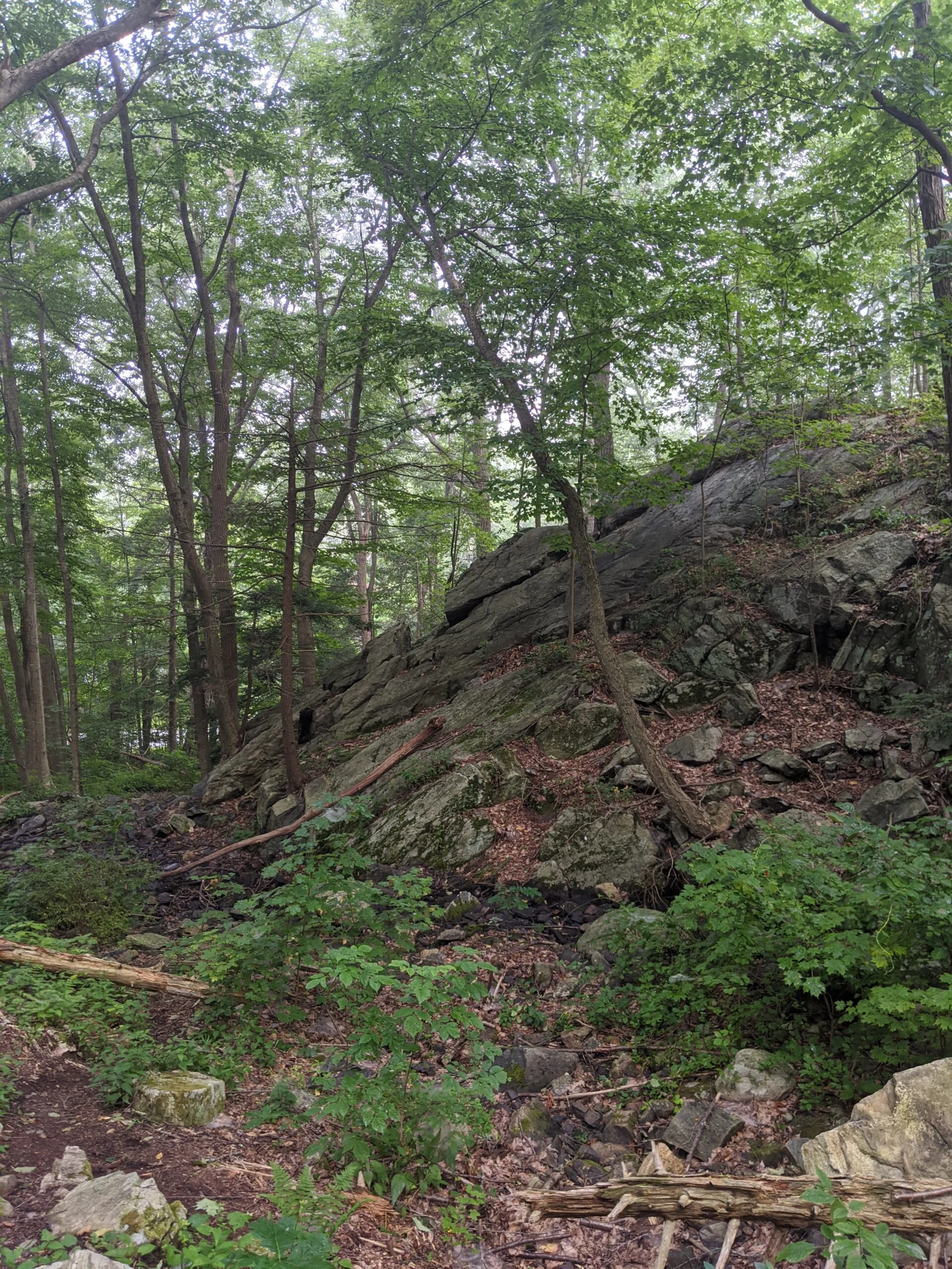
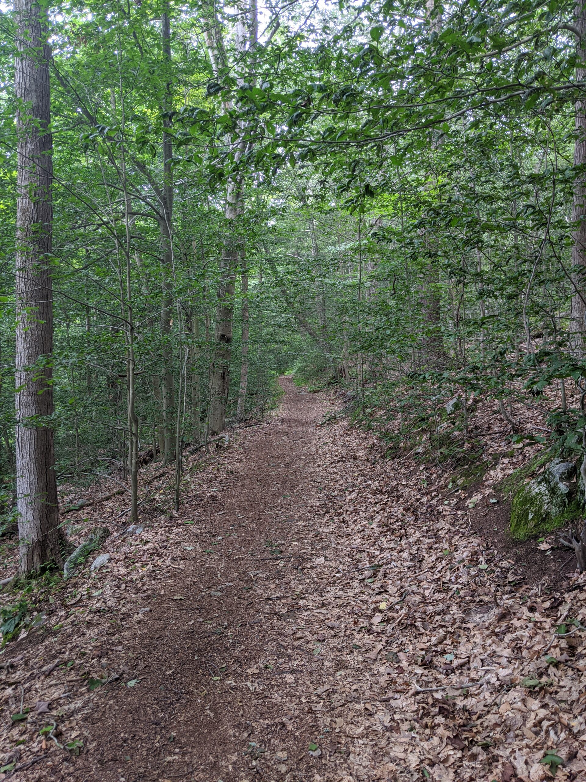
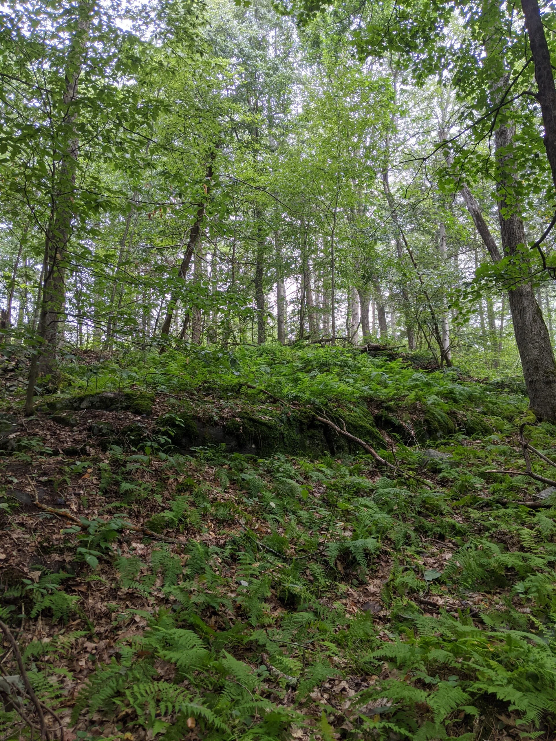
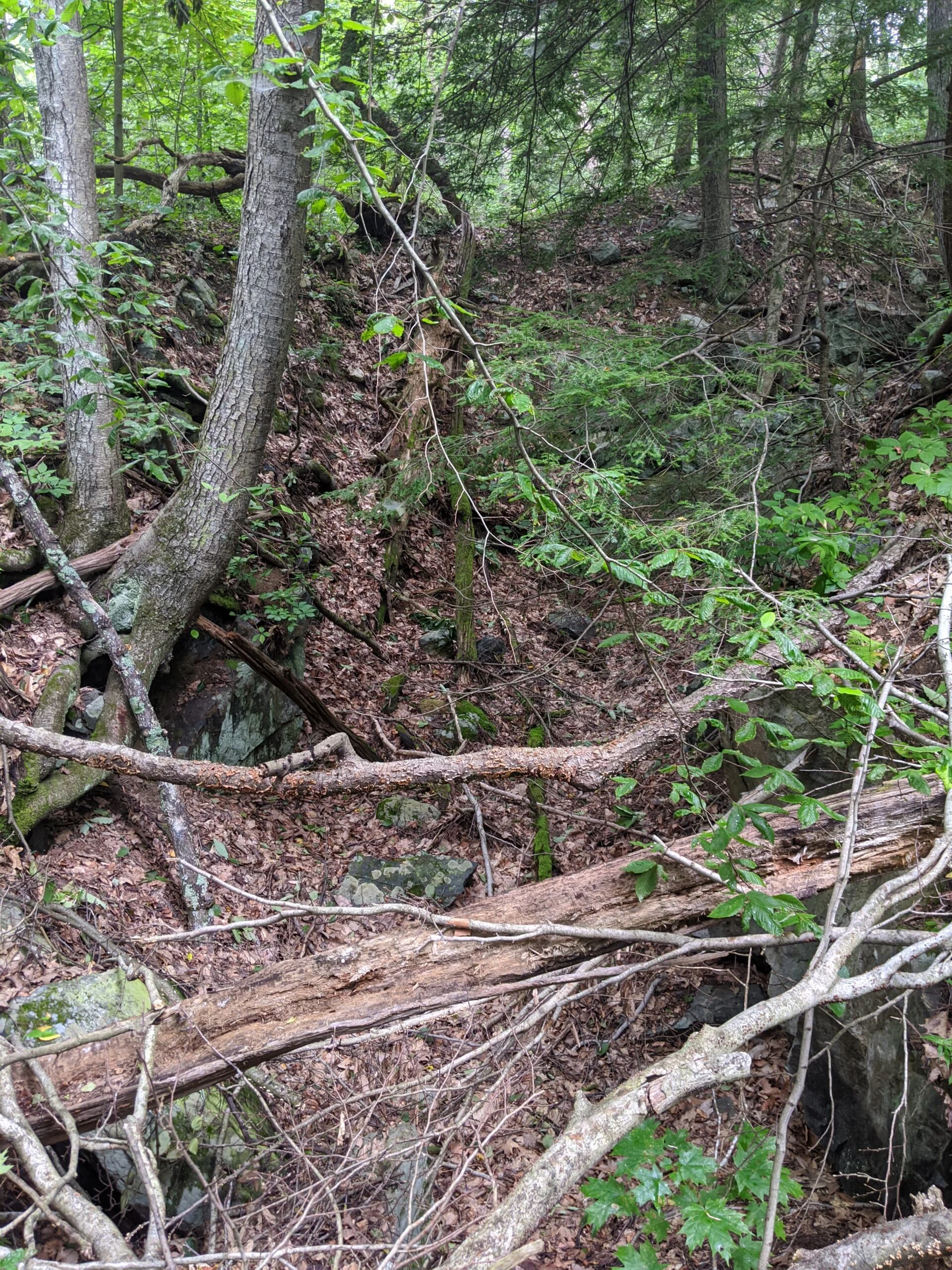
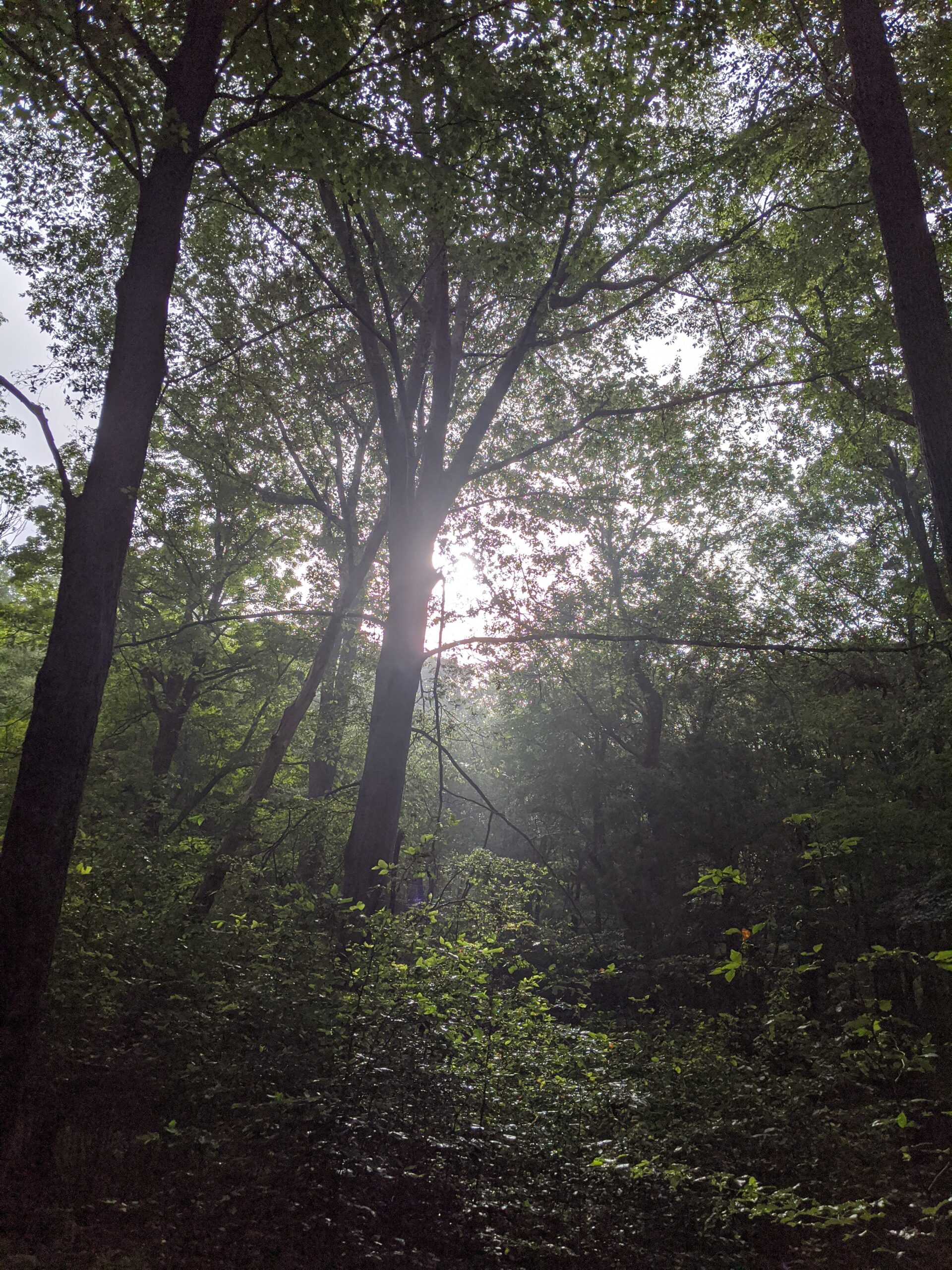
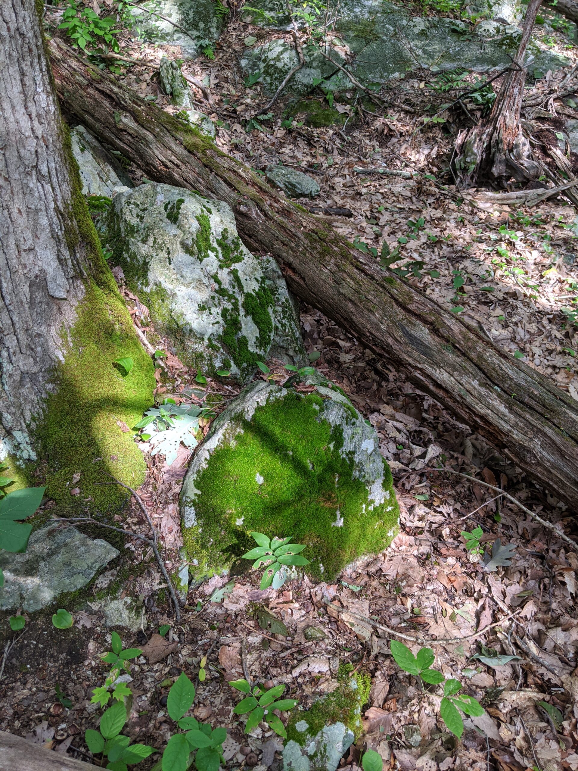
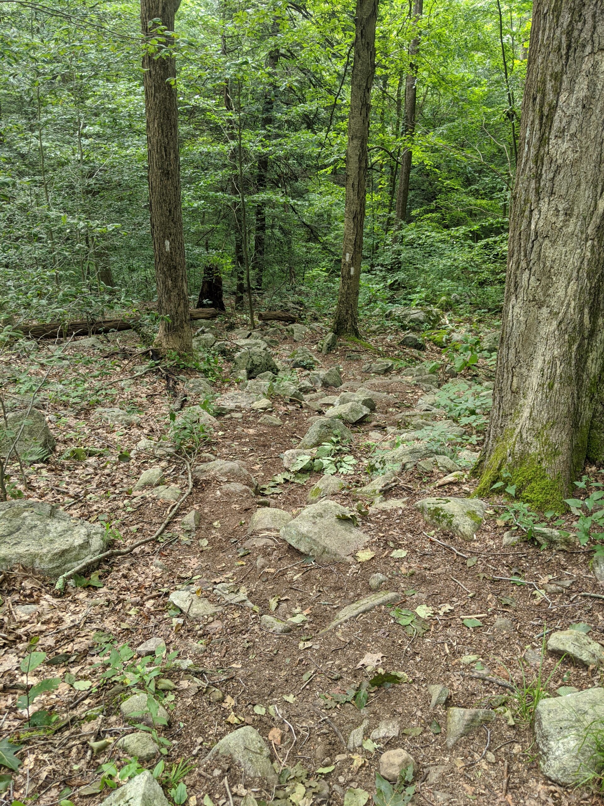
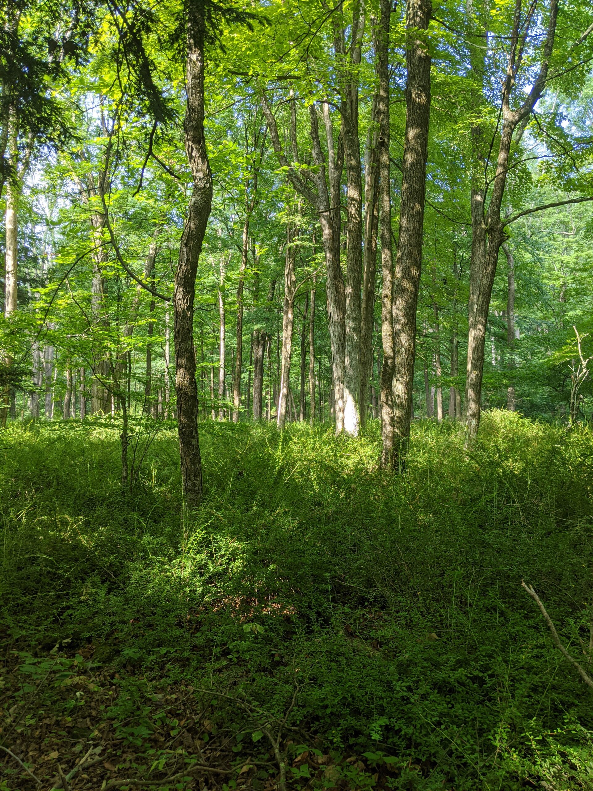
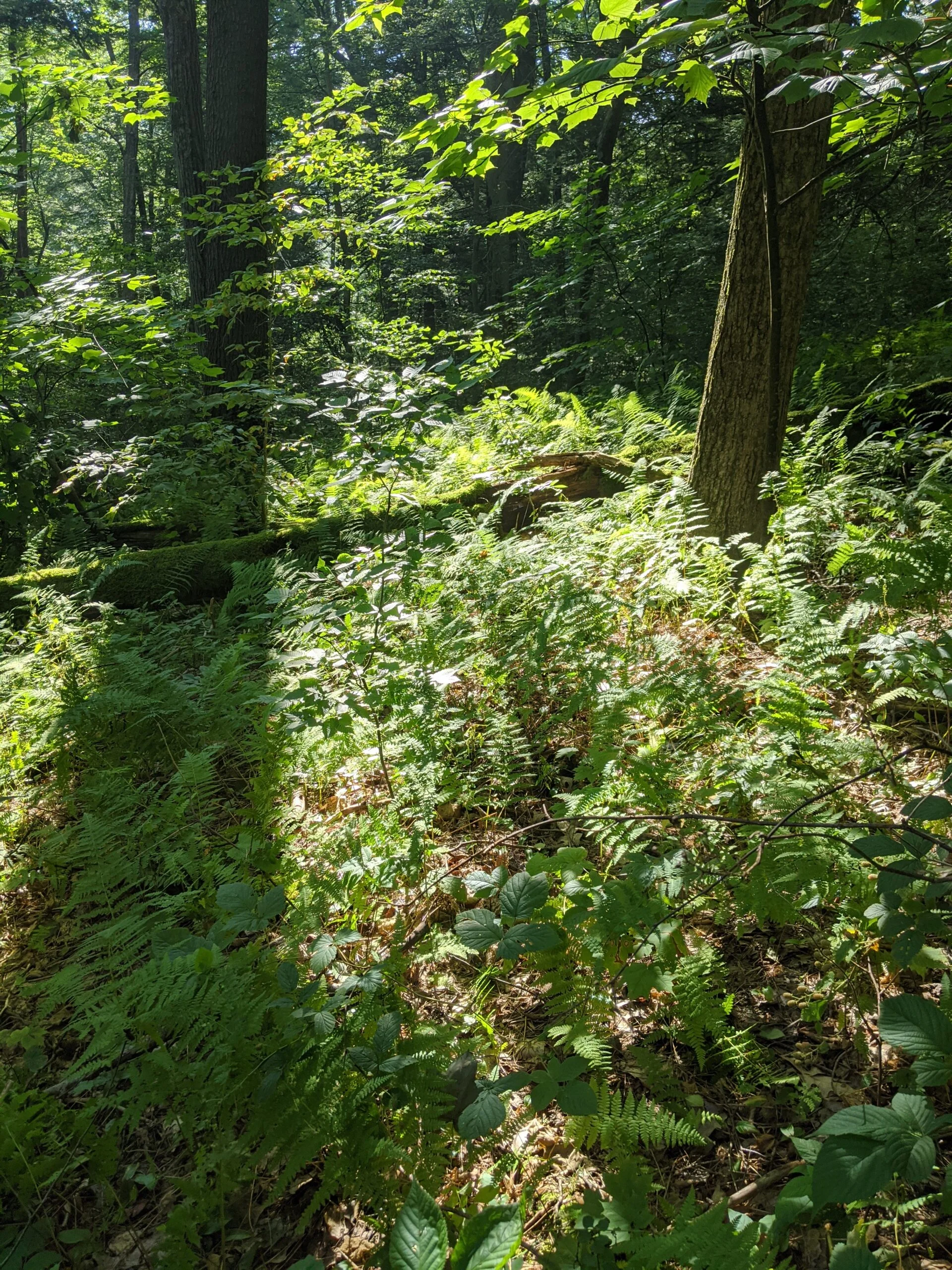
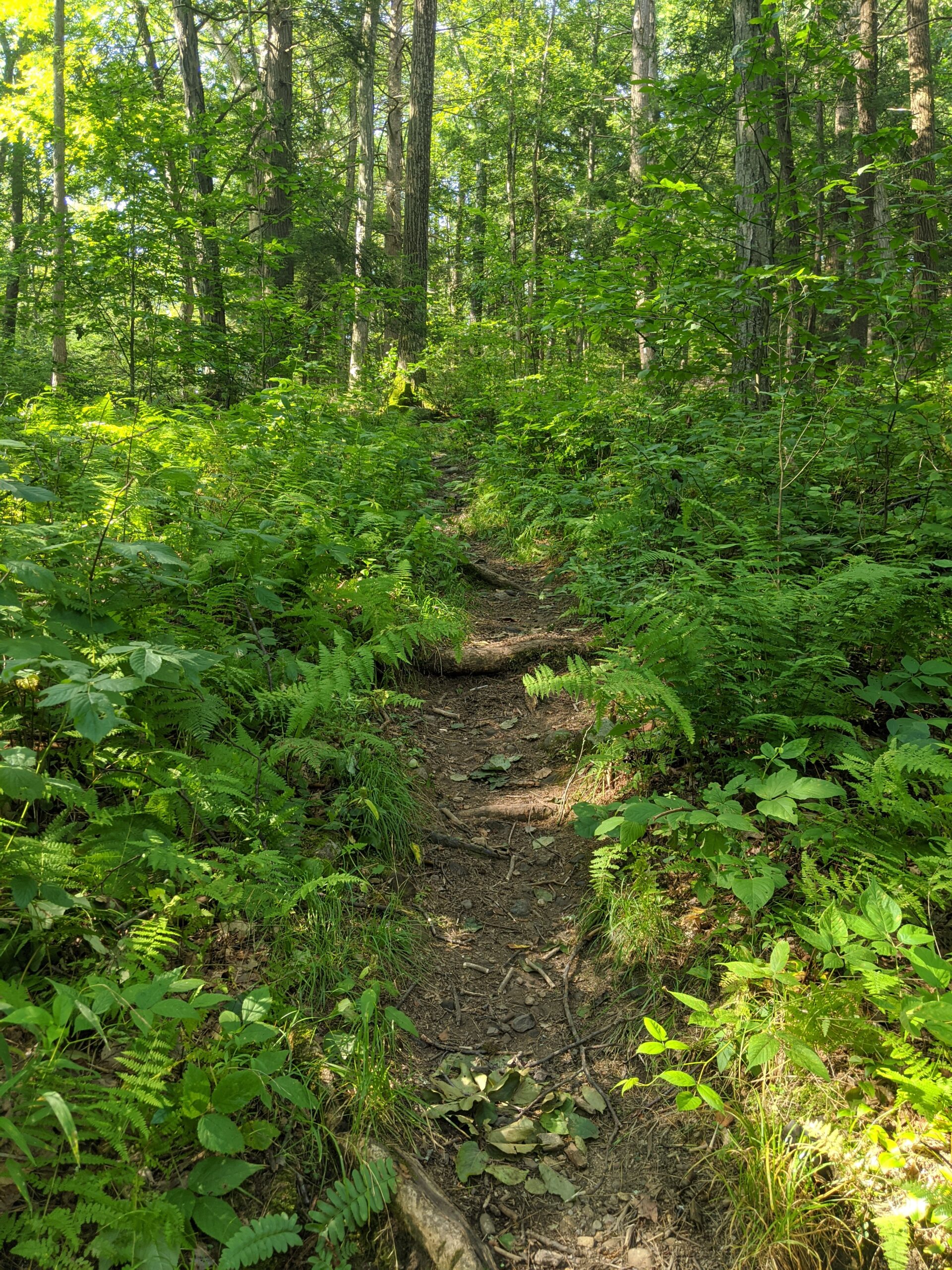
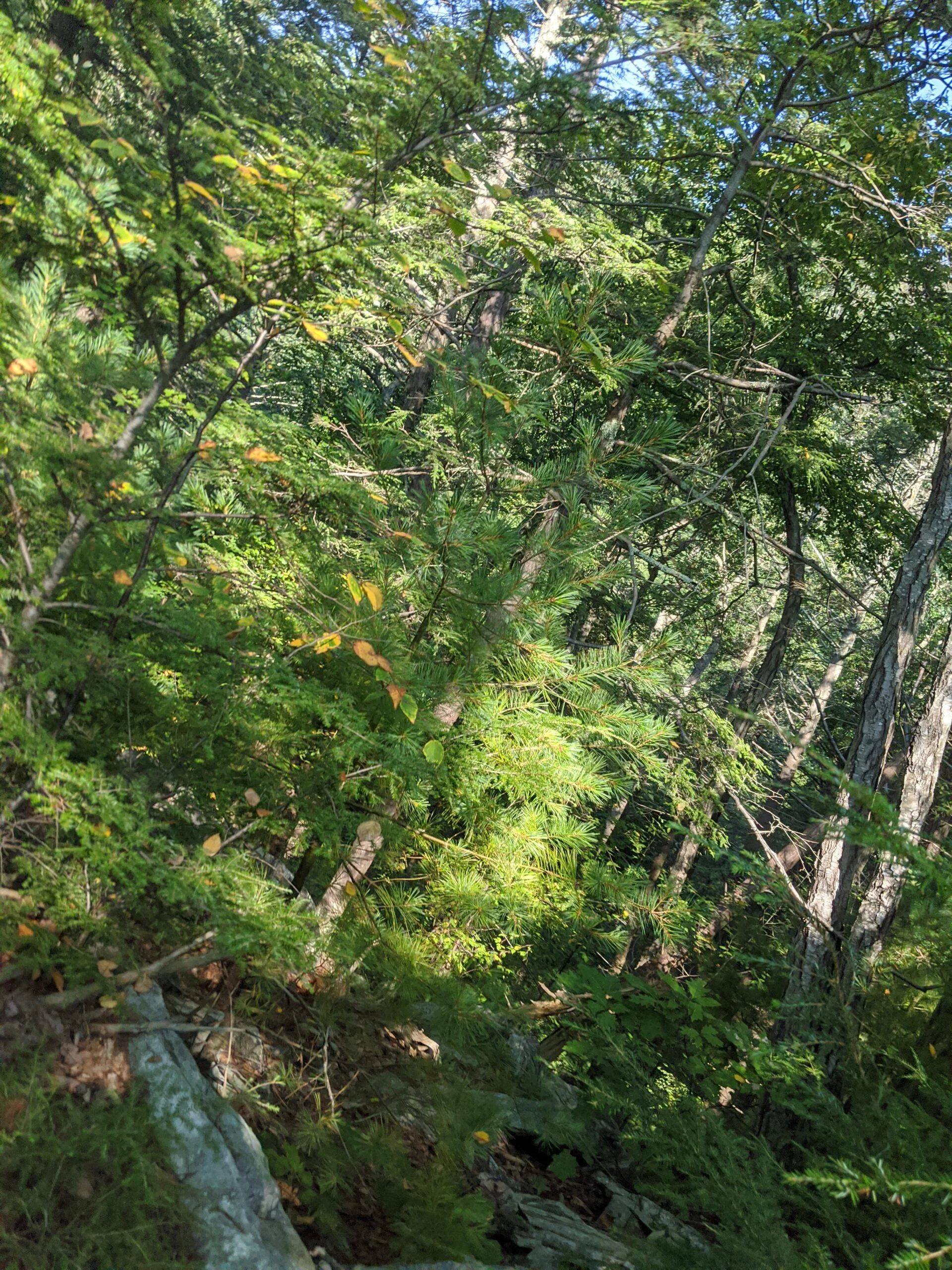
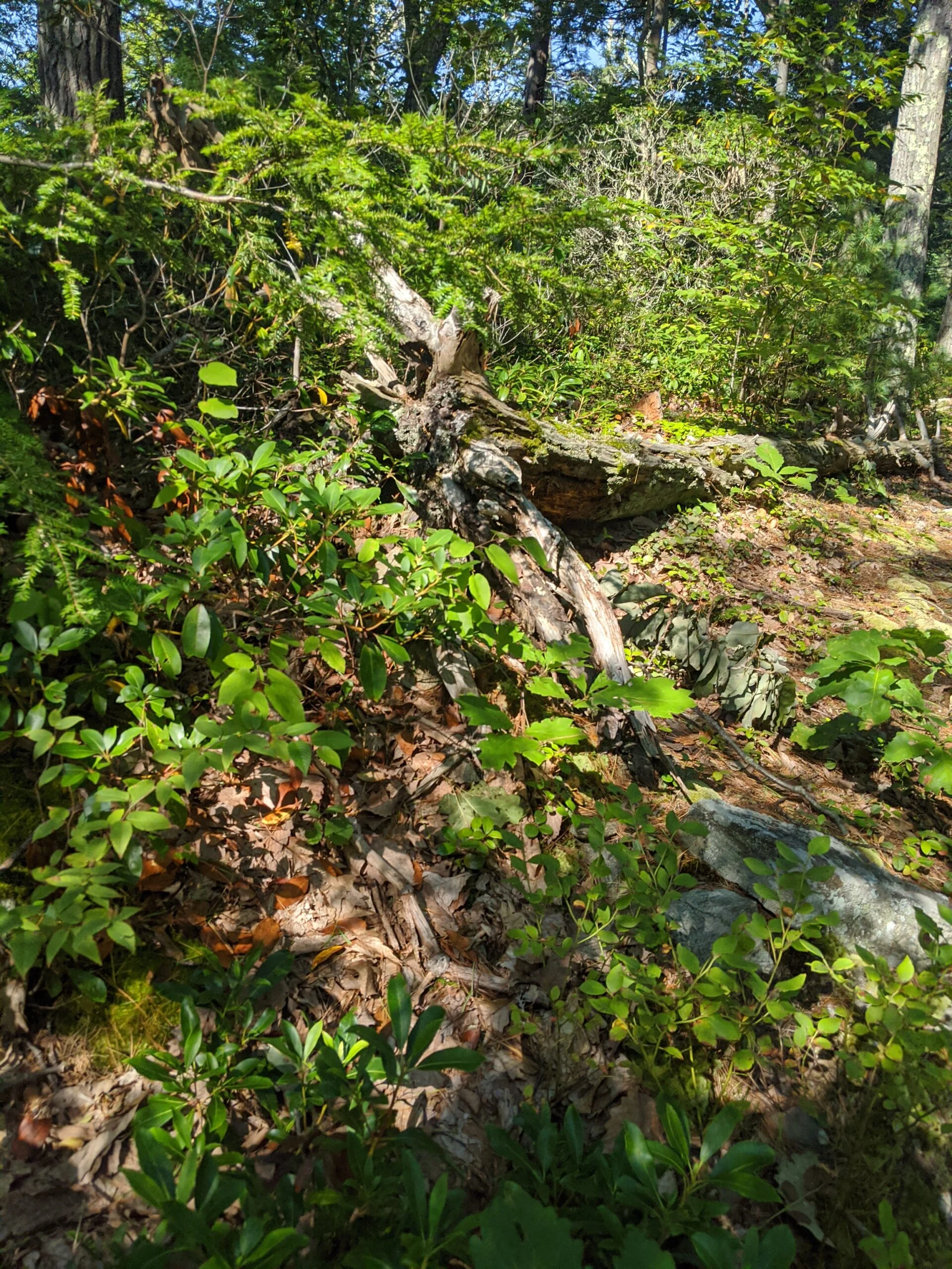
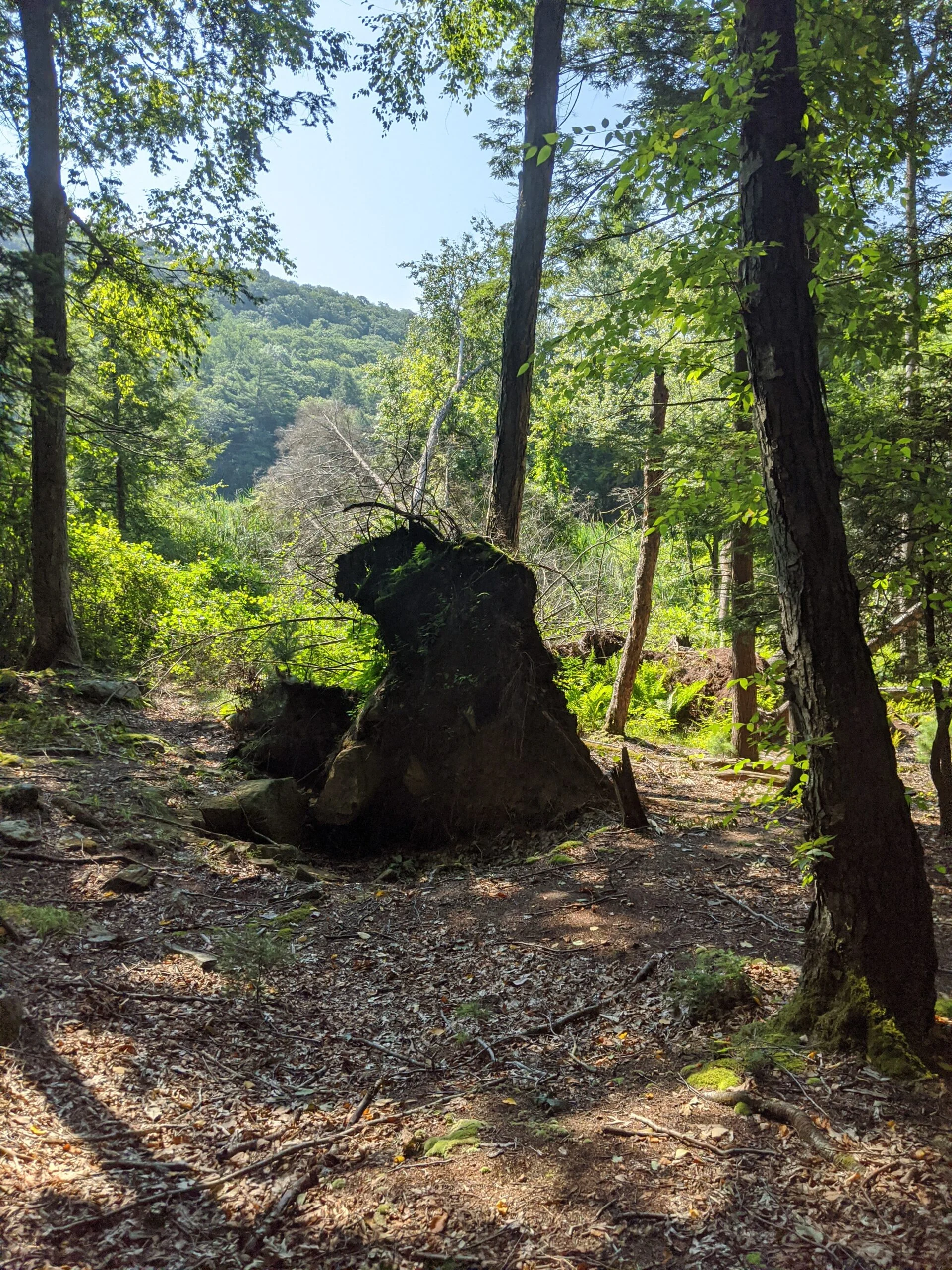
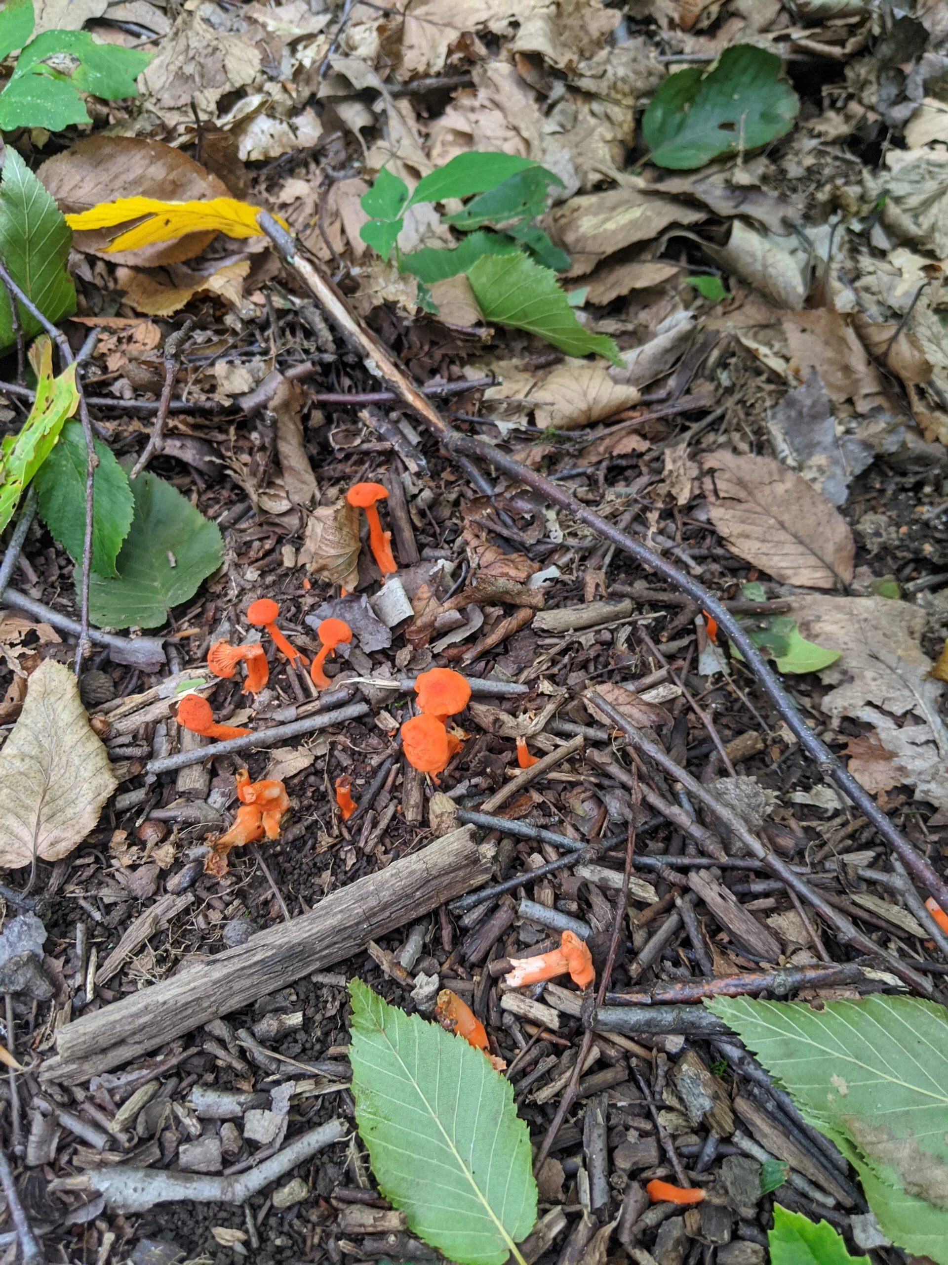
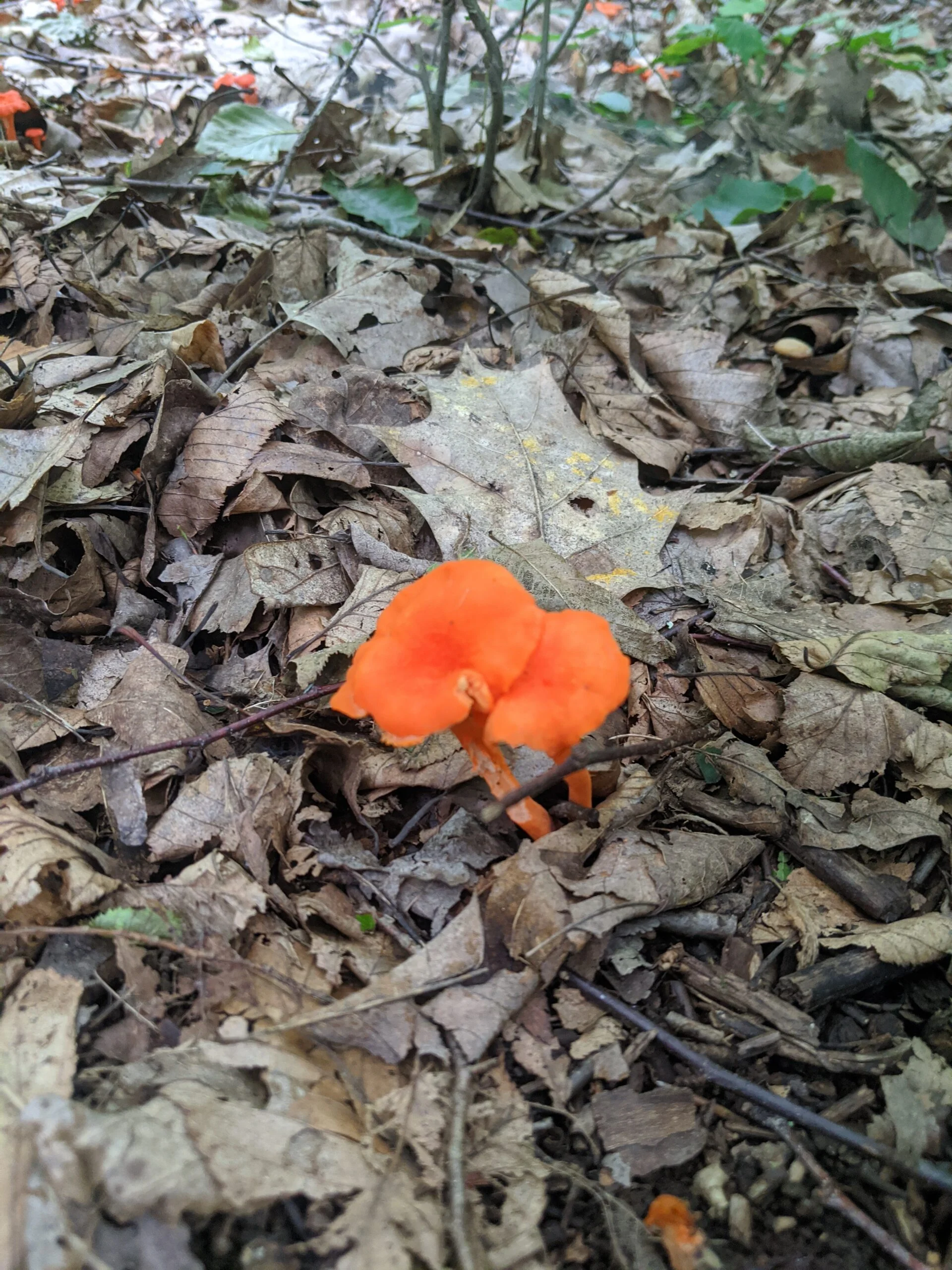
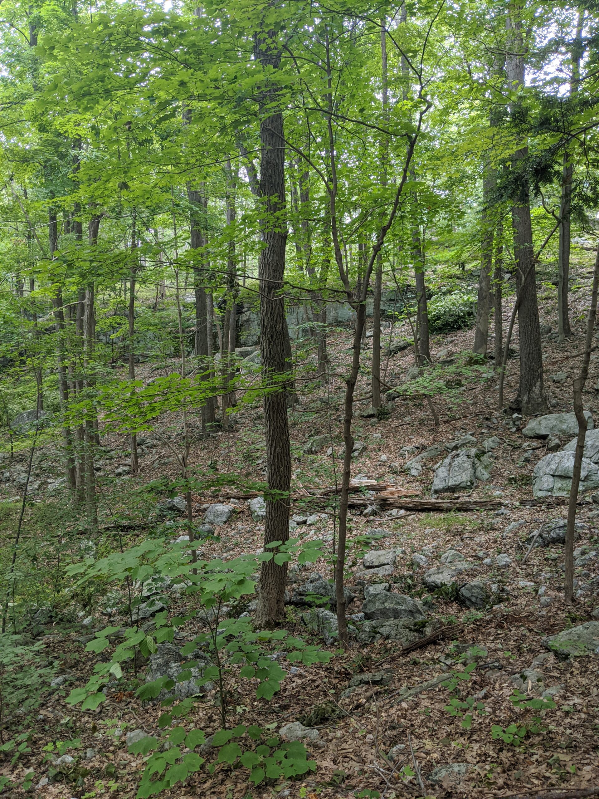
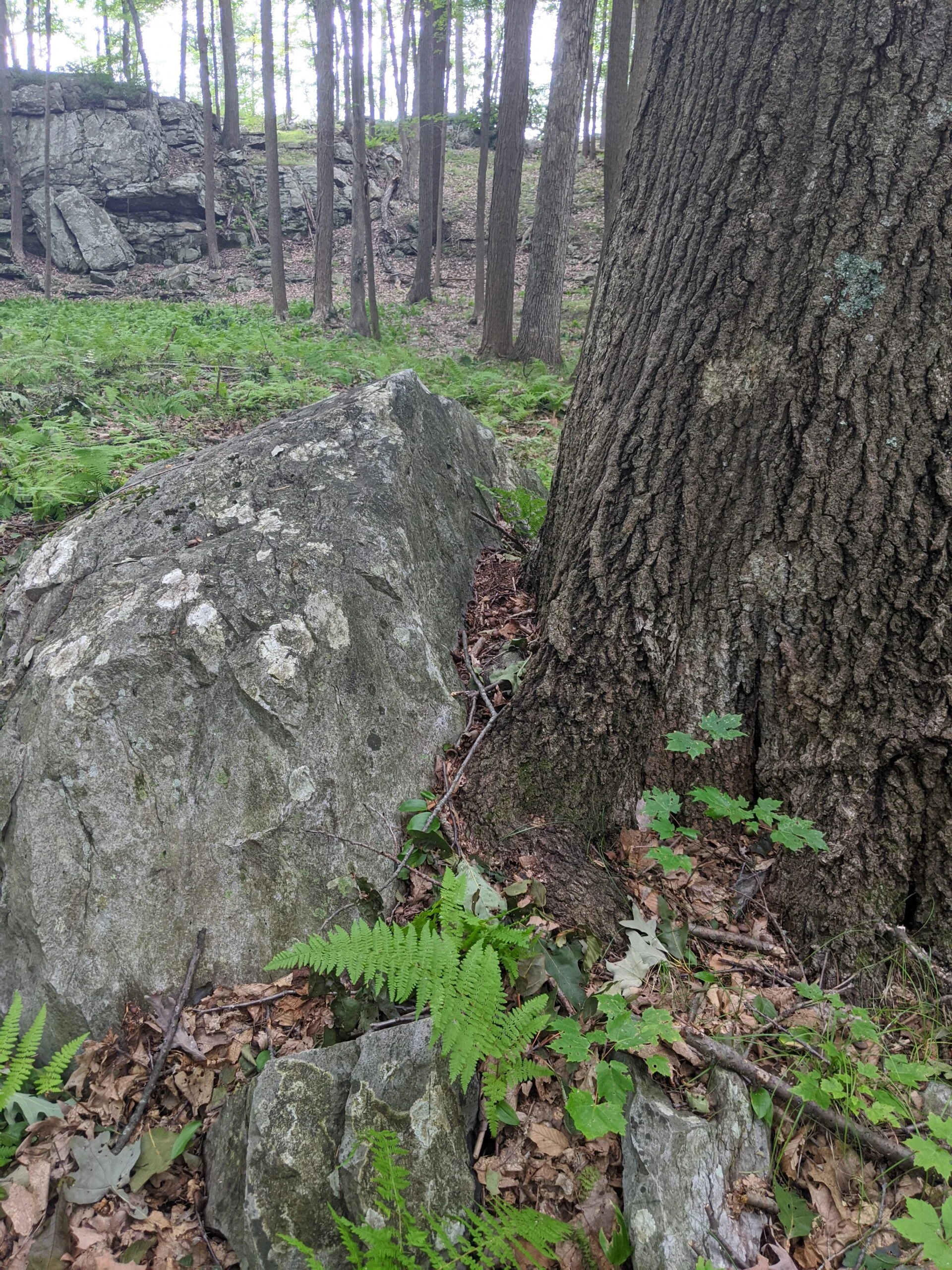
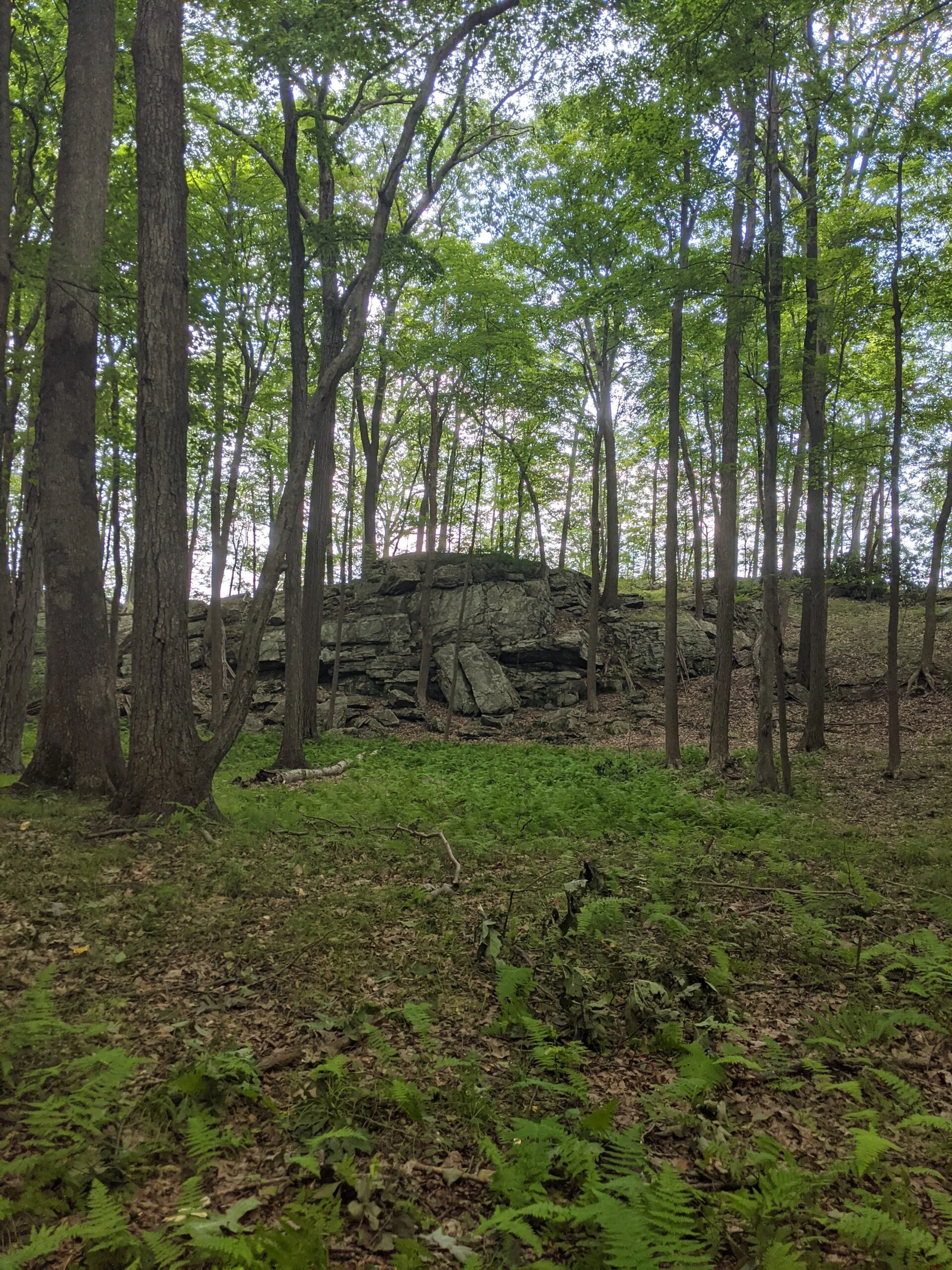
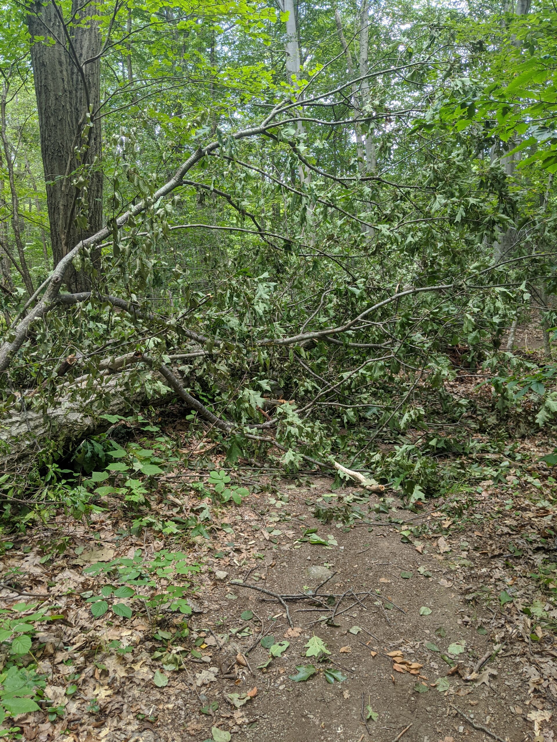
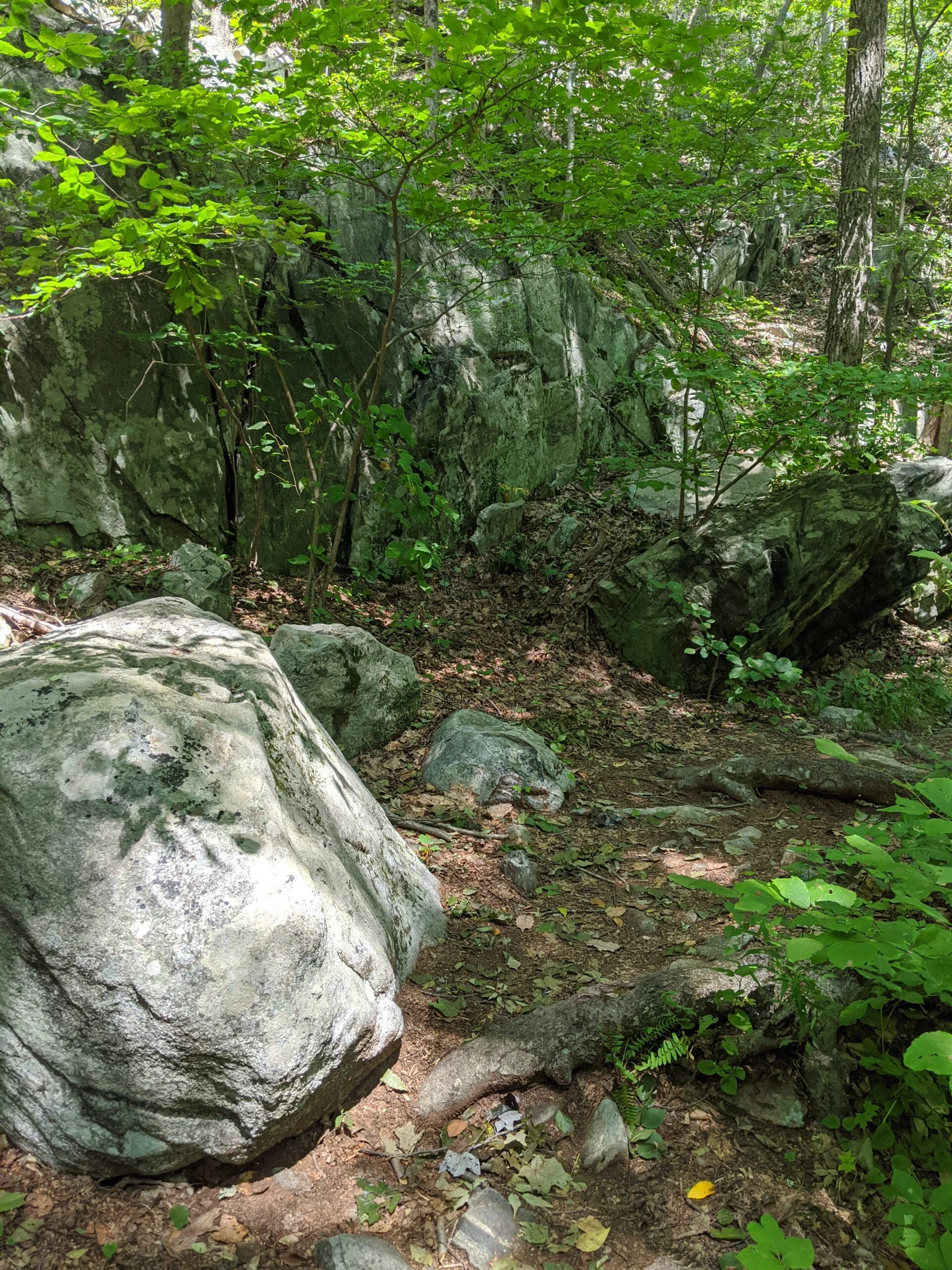
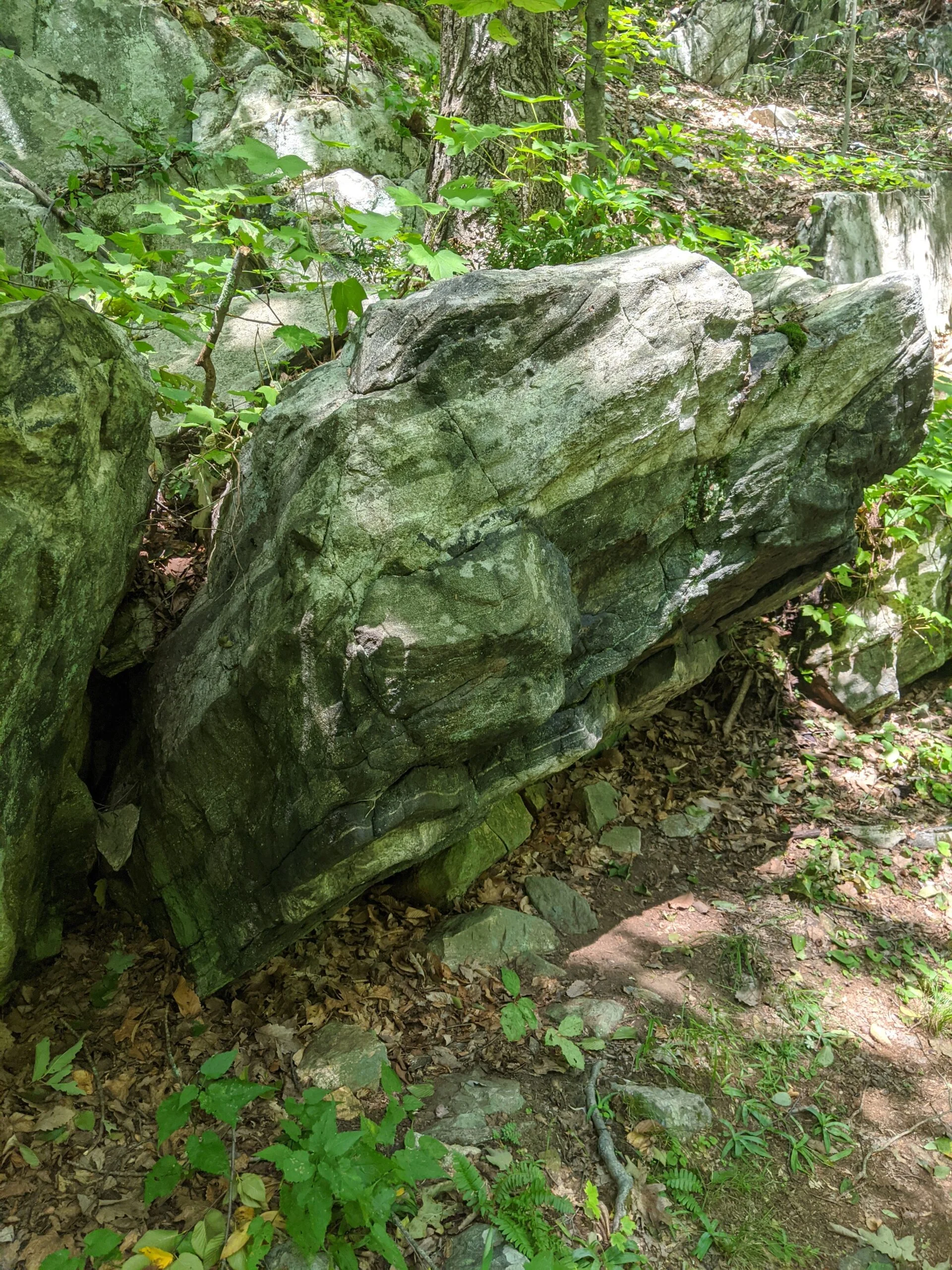
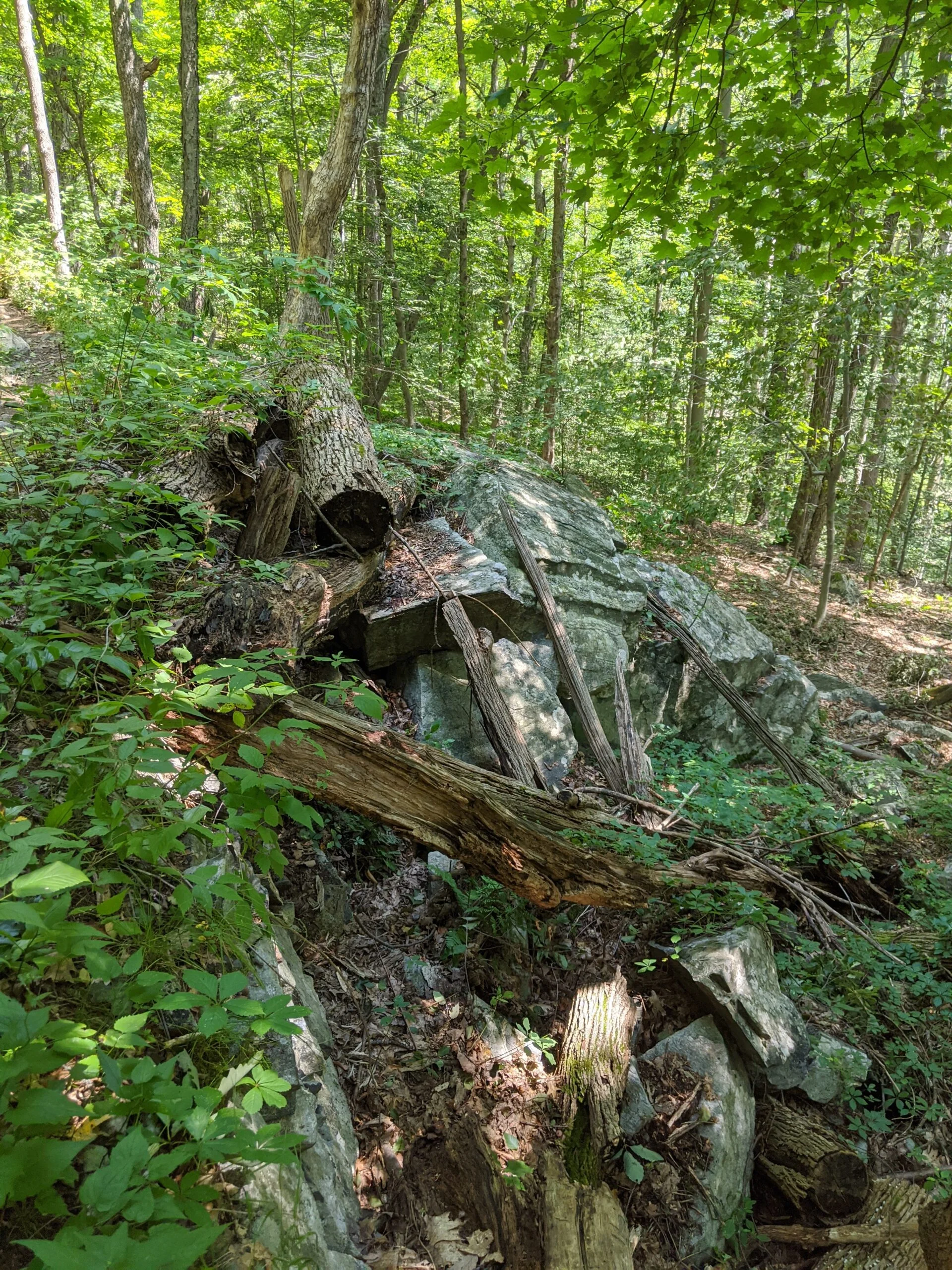
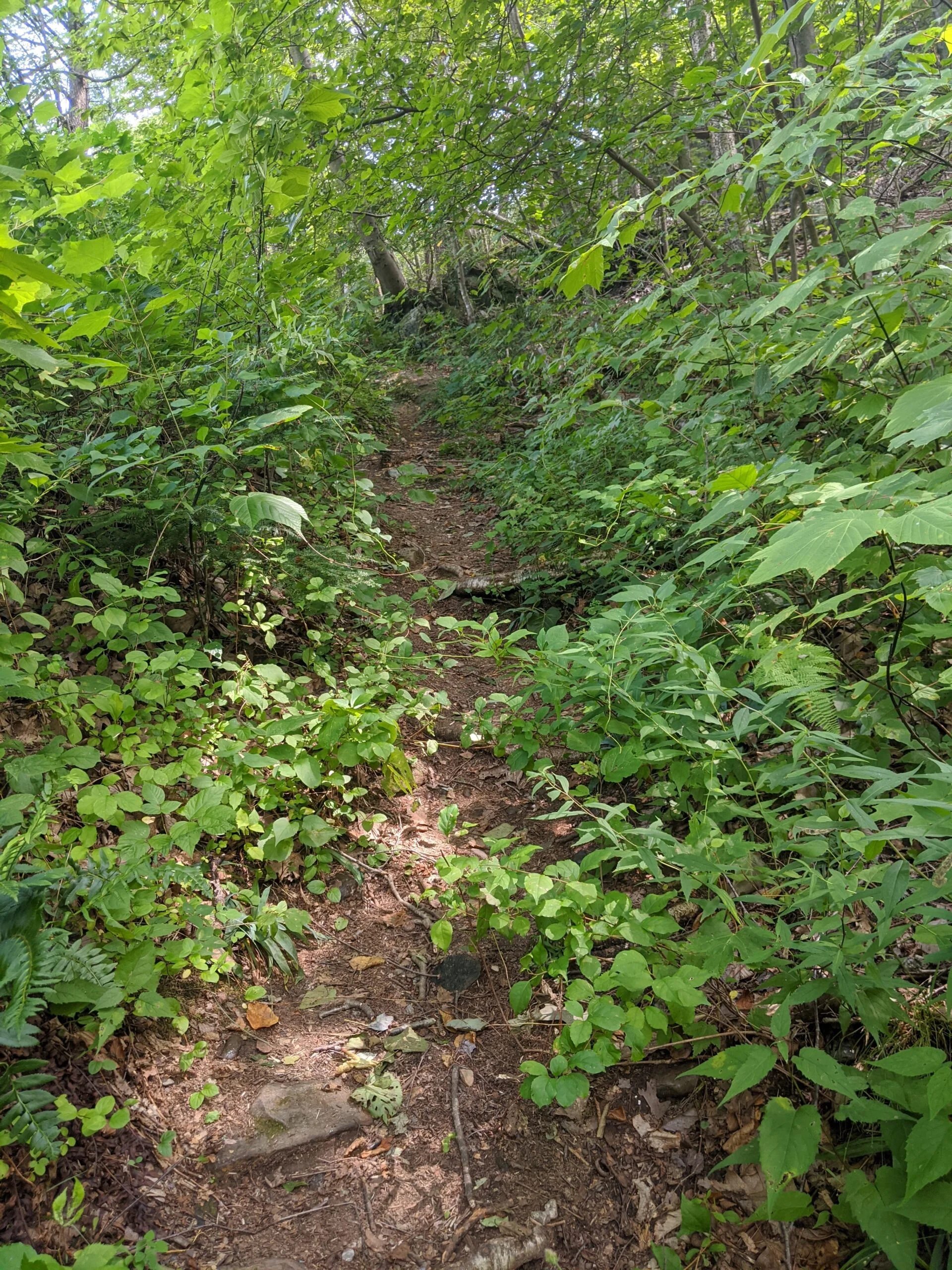
It’s a very peaceful trail, with lots of rocks to navigate, some elevation changes up and down hills, and more streams and ponds. About halfway in, I came across a resting spot with a big rock and an overlook to the valley below. I used this as a meal break, eating the apple and banana.
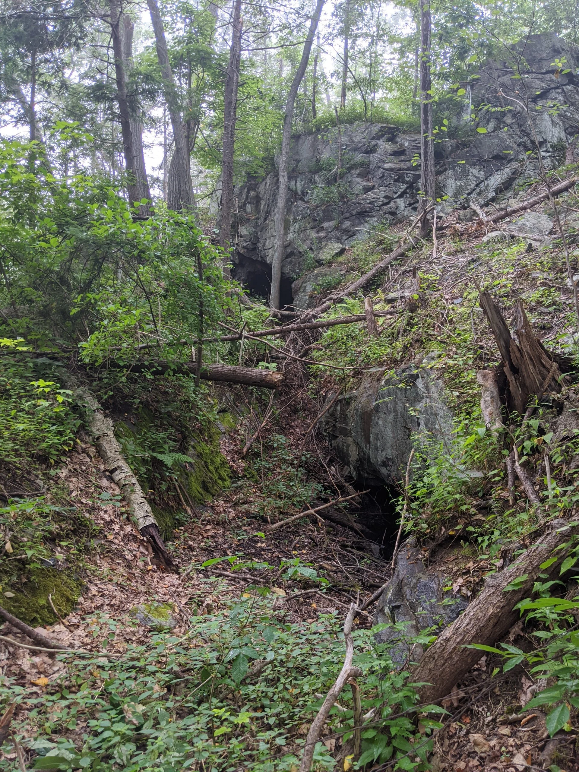
I continued on and after about a mile, AT meets up with Candlewood Hill Trail (CH). As I was reading my map and trying to decide where to go next, a NYS Park Police officer happened to be driving by. He stopped and asked if I needed help. I told him I was deciding if I wanted to check out the Sunken Mine area or not and asked his opinion. He said that it wasn’t much different than the area I was in, except there were a lot more snakes. Since I was hiking alone, I decided the detour wasn’t worth the risk.
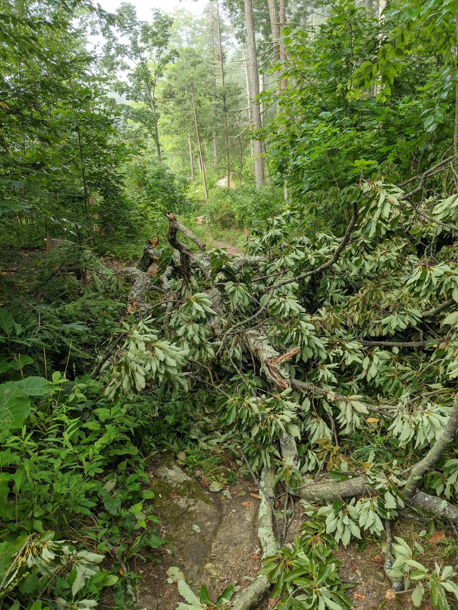
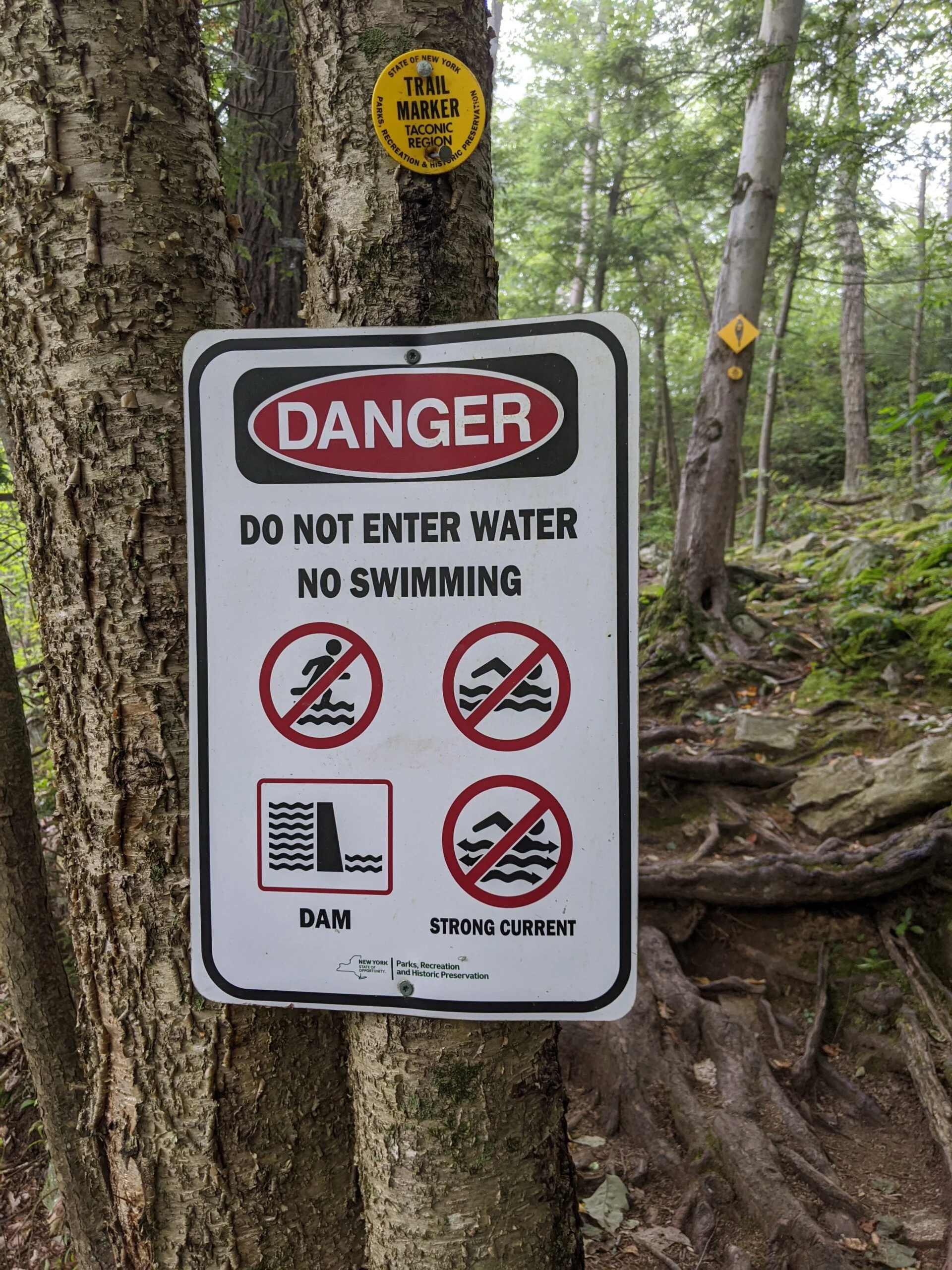
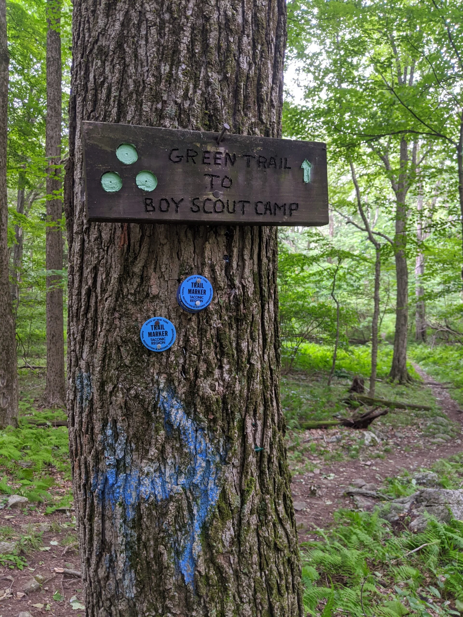
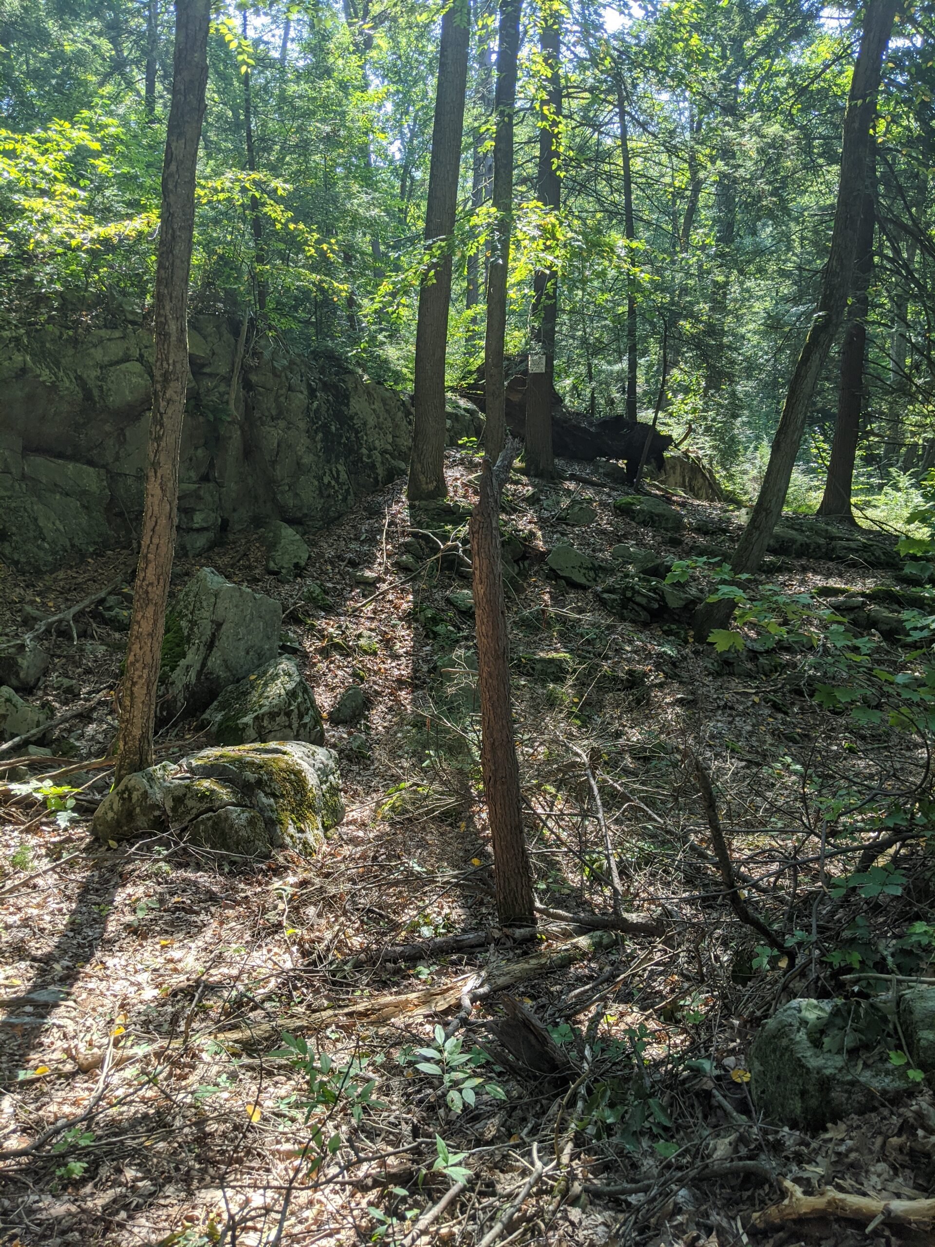
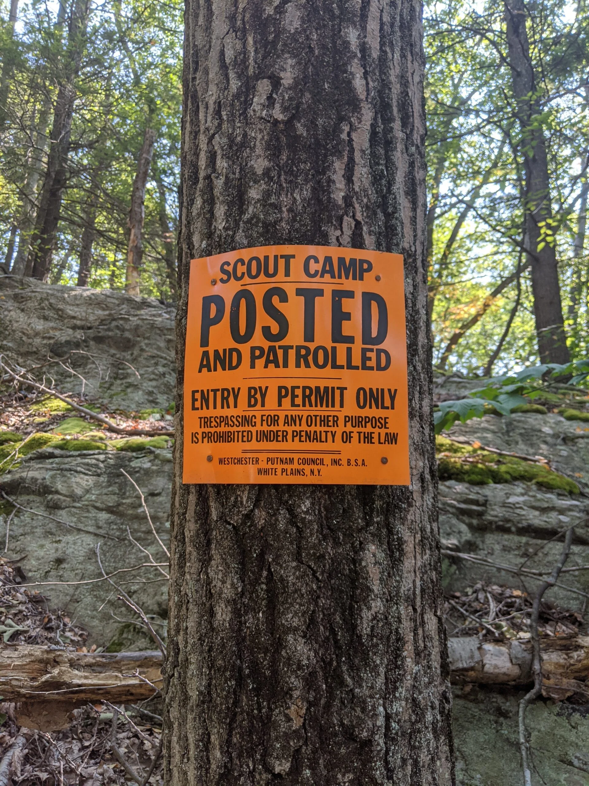
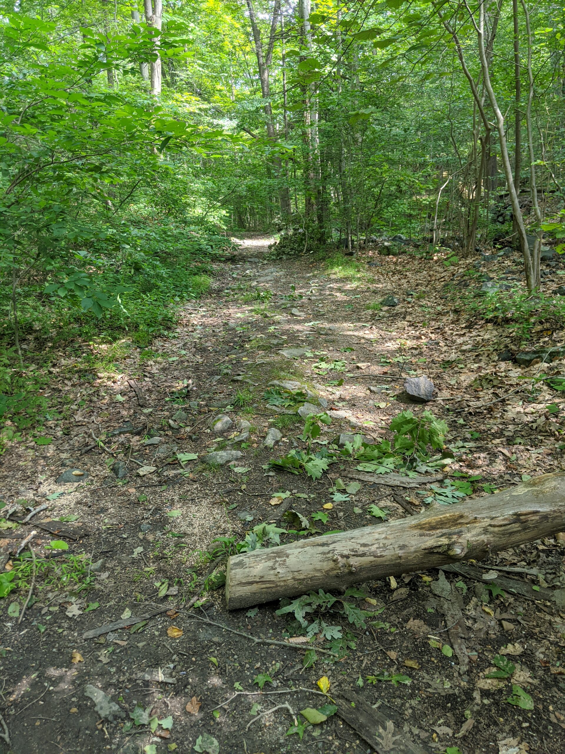
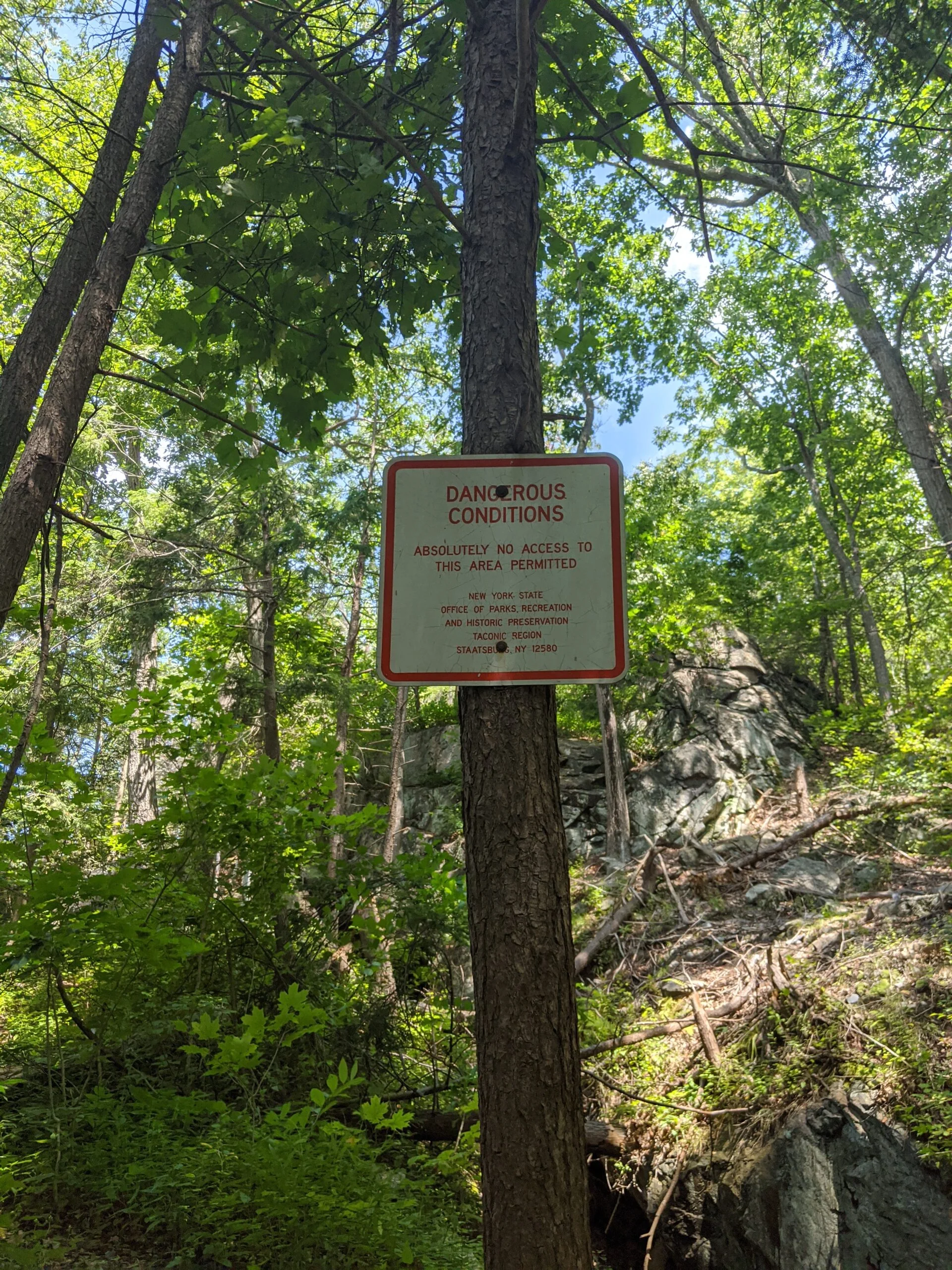
I followed CH, which is a dirt road with very light vehicular traffic, for about 3/4 a mile to where it meets up with CL; however, what I did not know going into this is that CL is part of the Durland Boy Scout Reservation and is off limits to the general public. Signs at the entrance of the trail read, “Scout Camp. Posted and Patrolled. Entry by Permit Only. Trespassing for any other purpose is prohibited under penalty of the law.”
This presented an interesting wrinkle in my plans because I thought I was going to be able to follow CL up to CLC to RB to SL, past Stillwater Pond, to PL, and back to where I started. With my path now blocked, that whole eastern section of my journey was off limits, at least from this approach. I tried calling the park office several times to see if there was an alternate route to the east, but I kept getting a busy signal and was never able to get through. I decided to take a break here to regroup, refill my hydration pack, and eat one of the PROBAR meals.
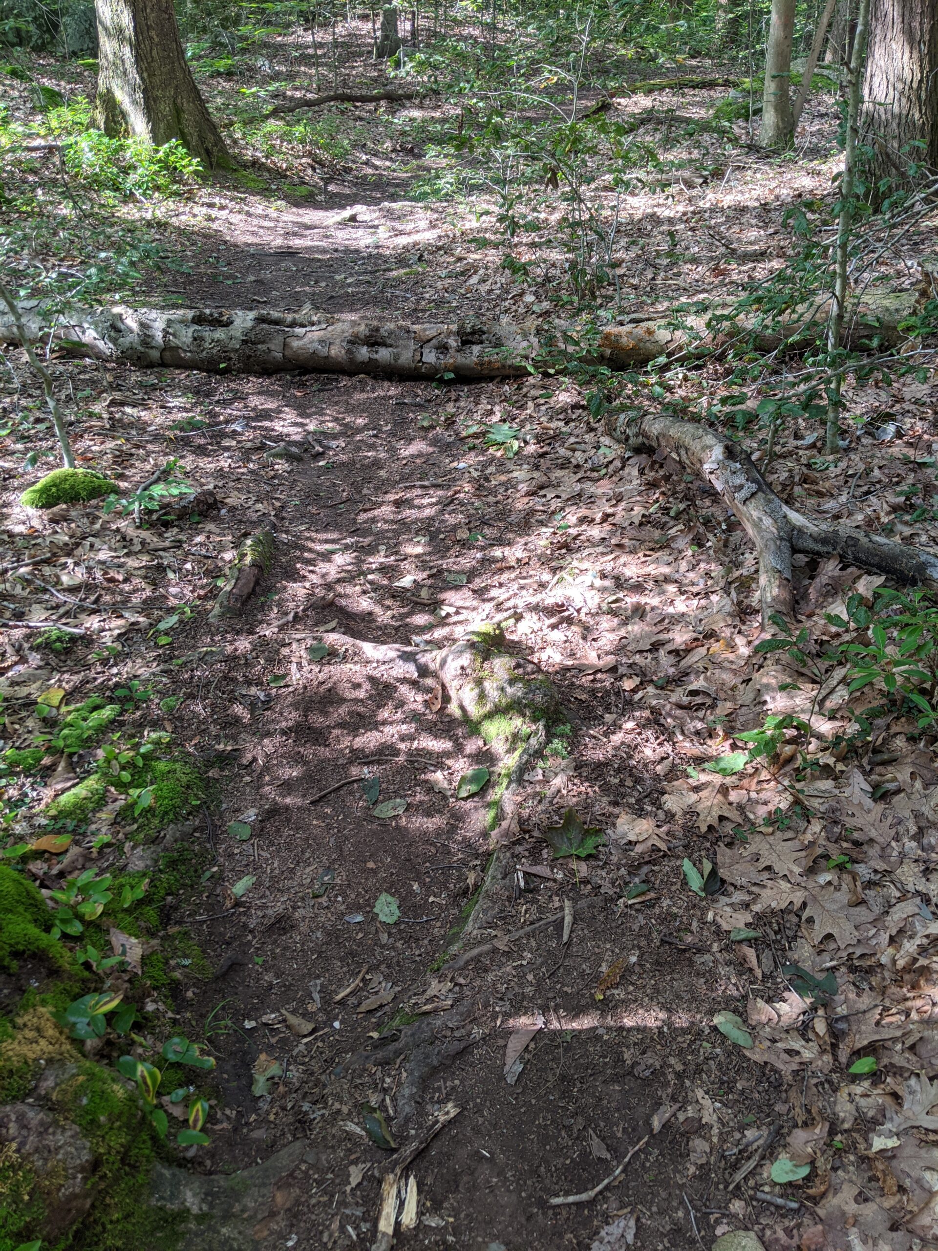
Without any other options, I was forced to retrace my route along CH back to where I had split off from AT. I’m not a big fan of out and back trails and retracing of steps. I get a lot more joy out of exploring new trails. Having to adapt to this new route, I decided I would reverse my journey north. When I came south, I followed TL to AT. On my way back, I decided to follow TL to AT north, effectively switching to parts of each of those trails I had not hiked earlier.
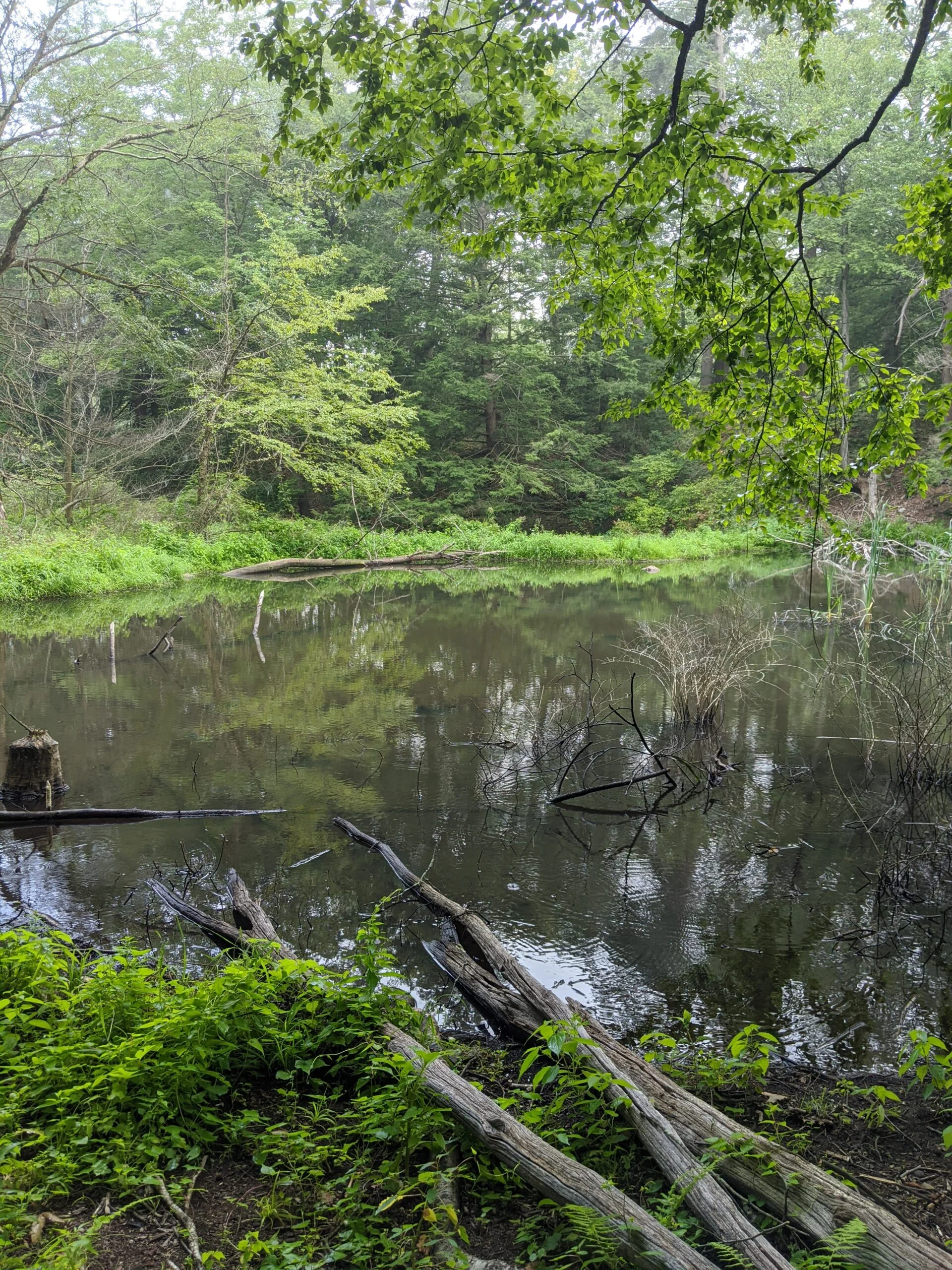
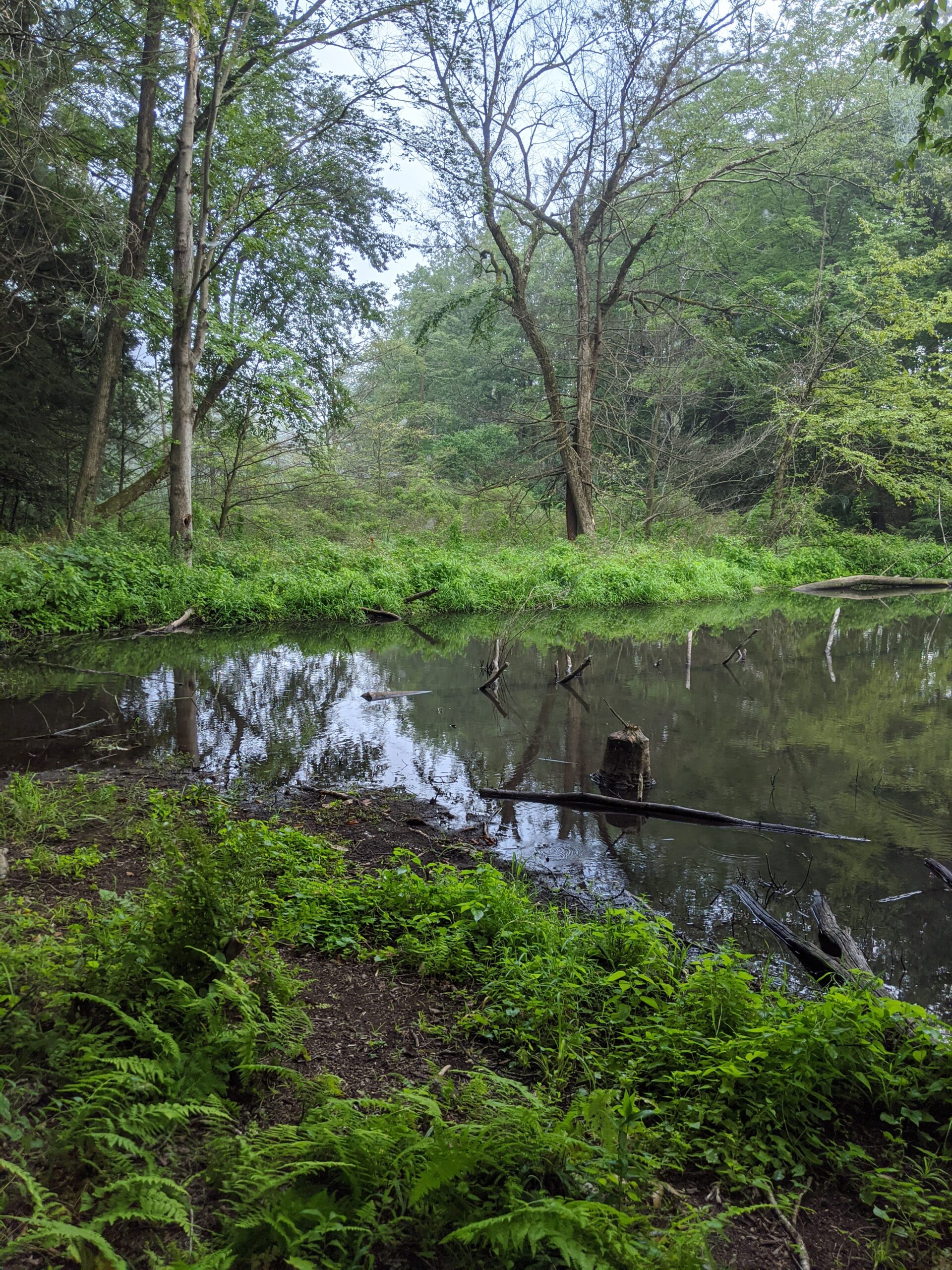
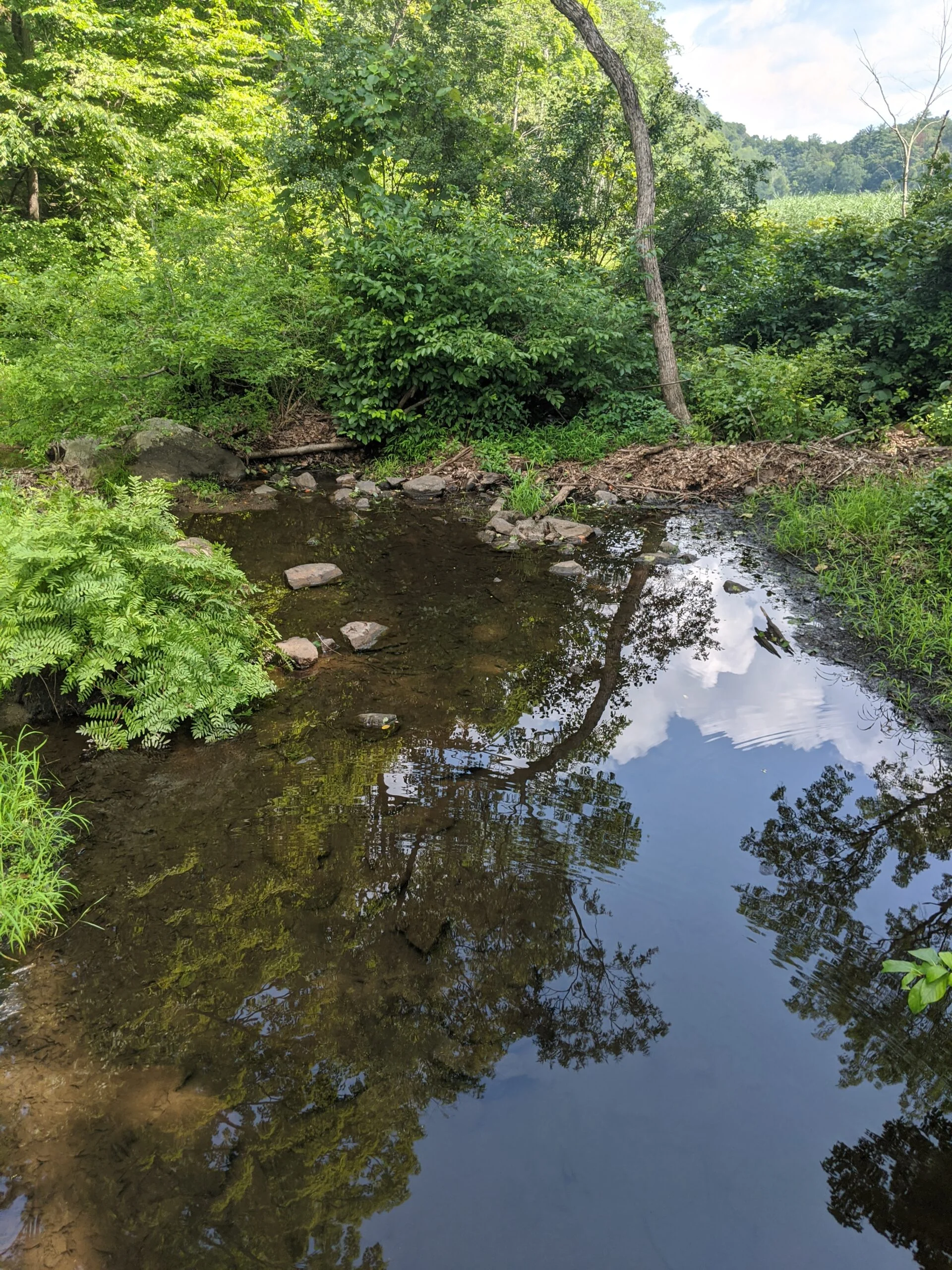
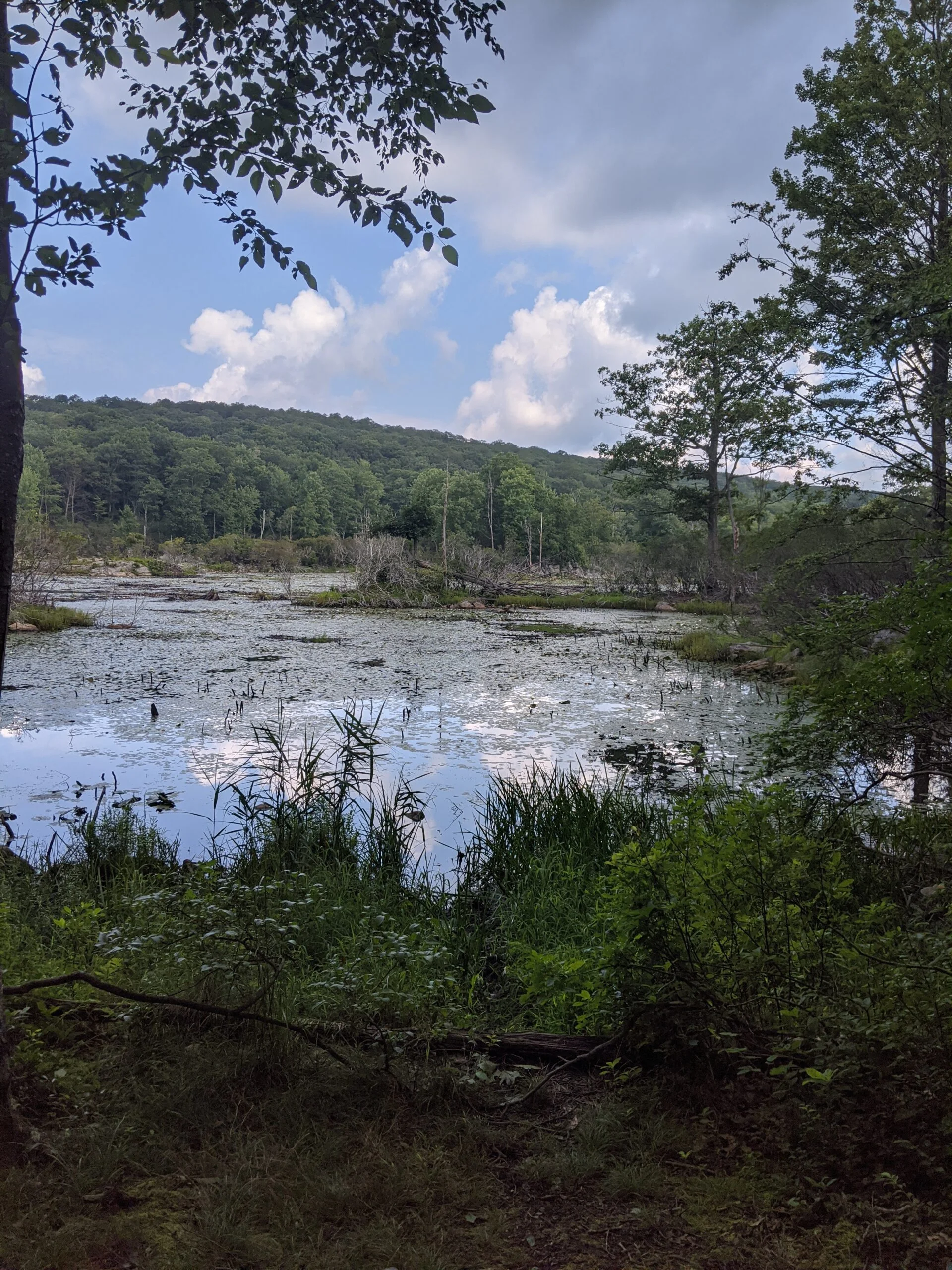
I followed CH past where AT crosses over it and eventually onto an unmarked trail that heads north and meets up with TL. This was a really good choice because it brought me past Hidden Lake, which I had not seen earlier.
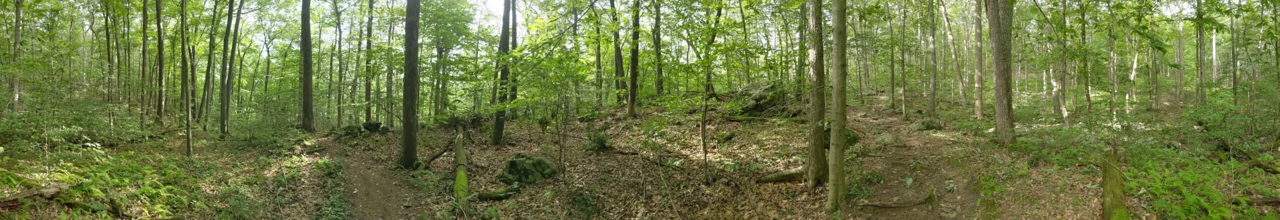
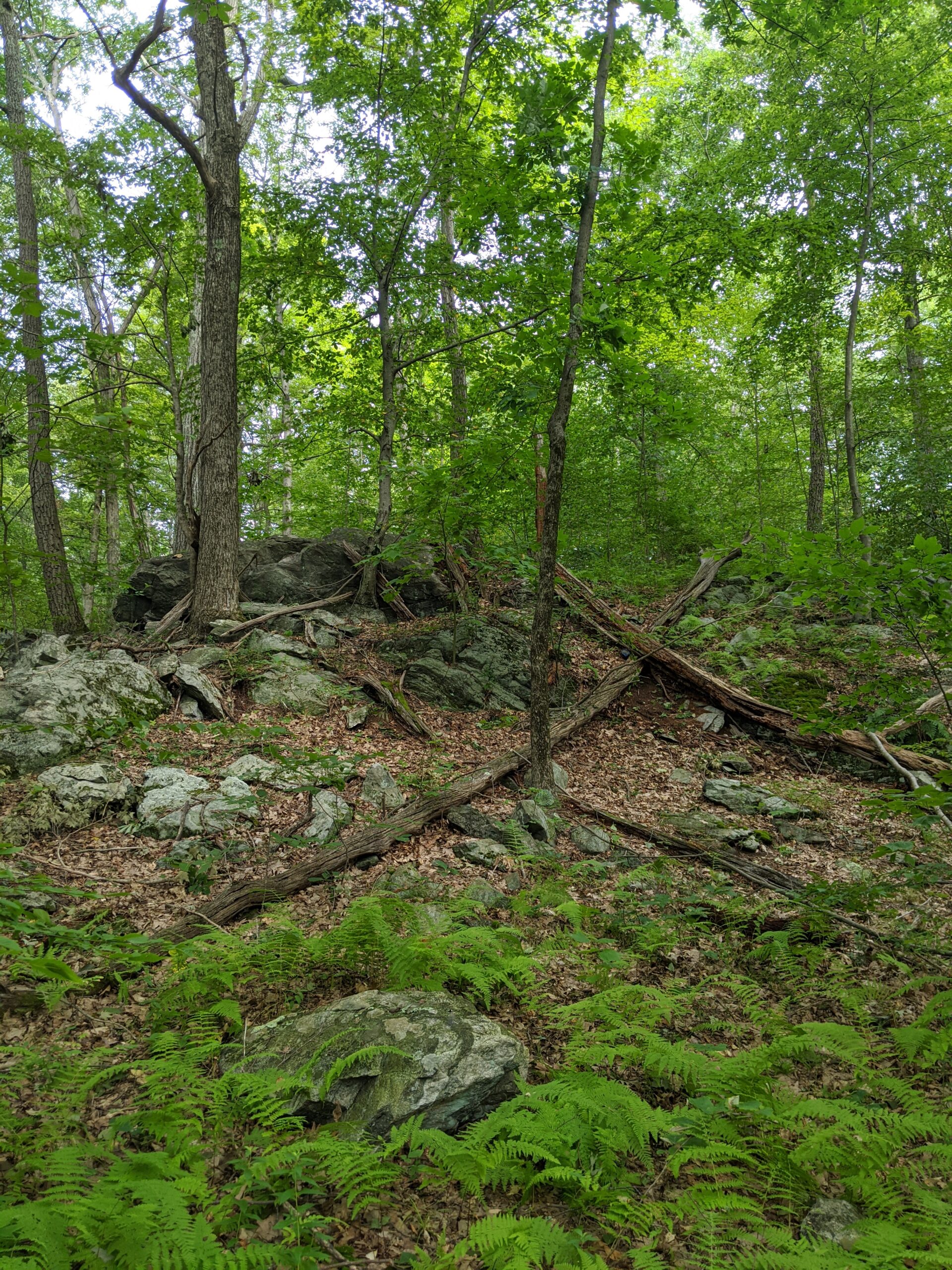
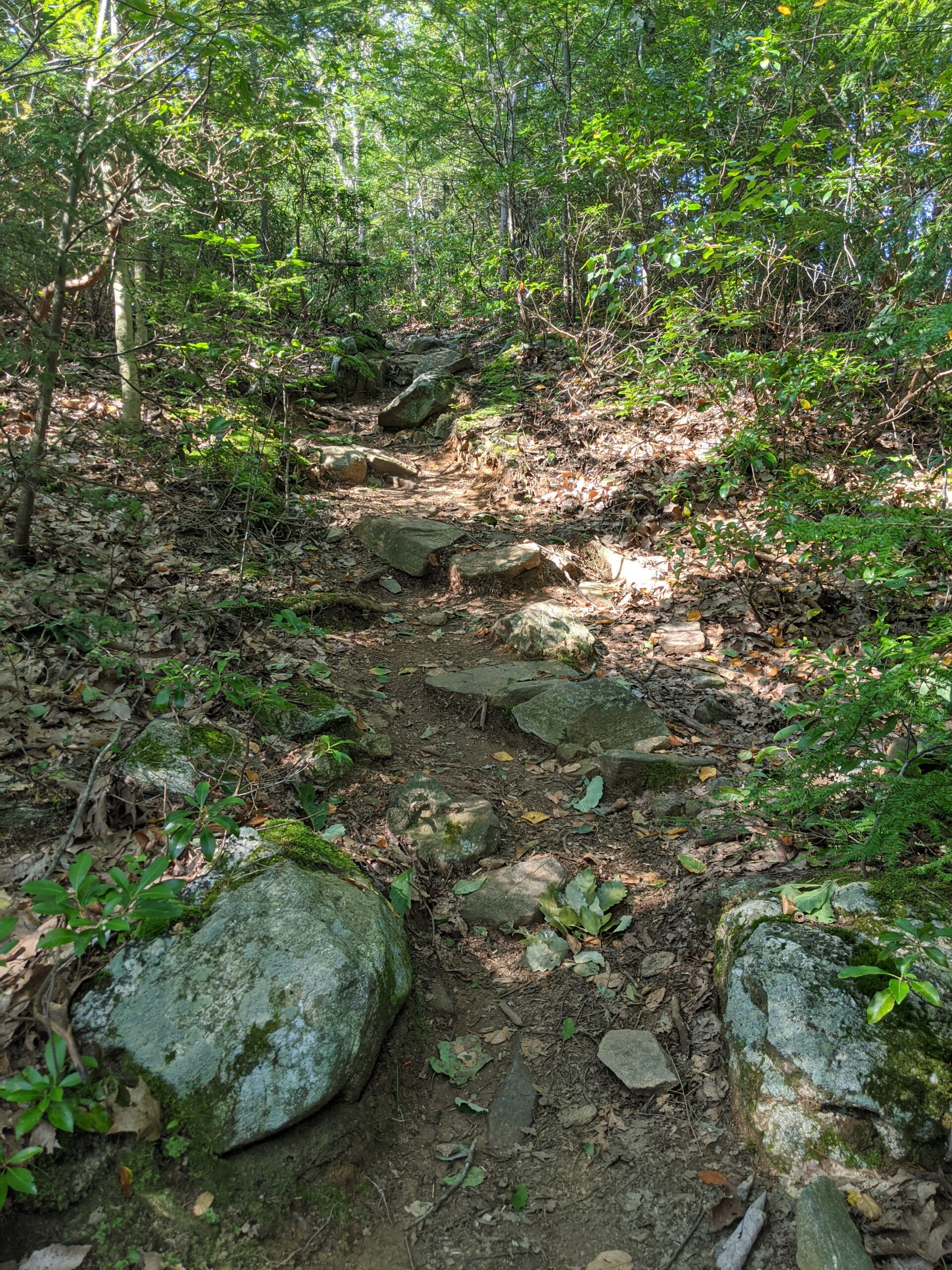
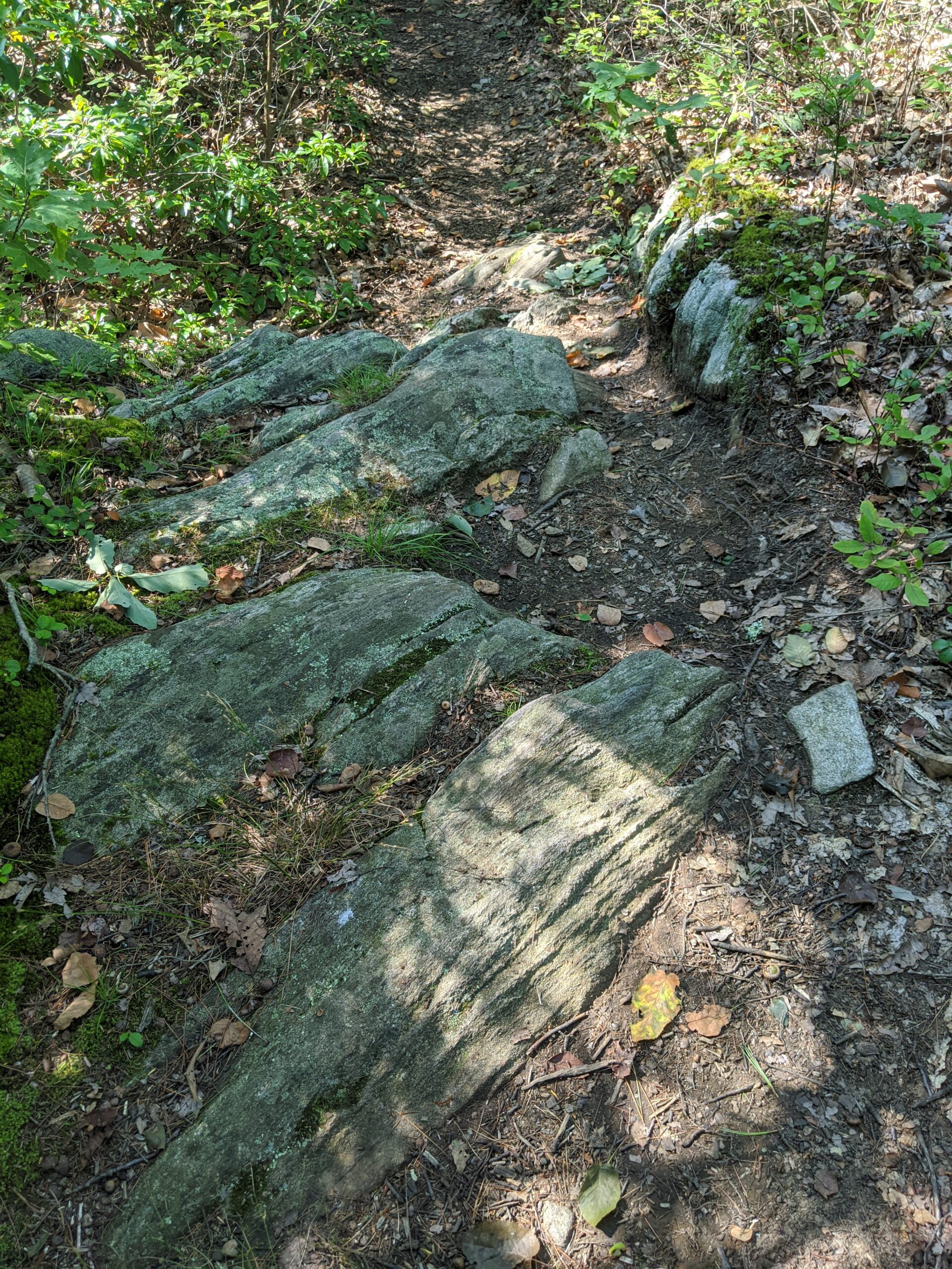
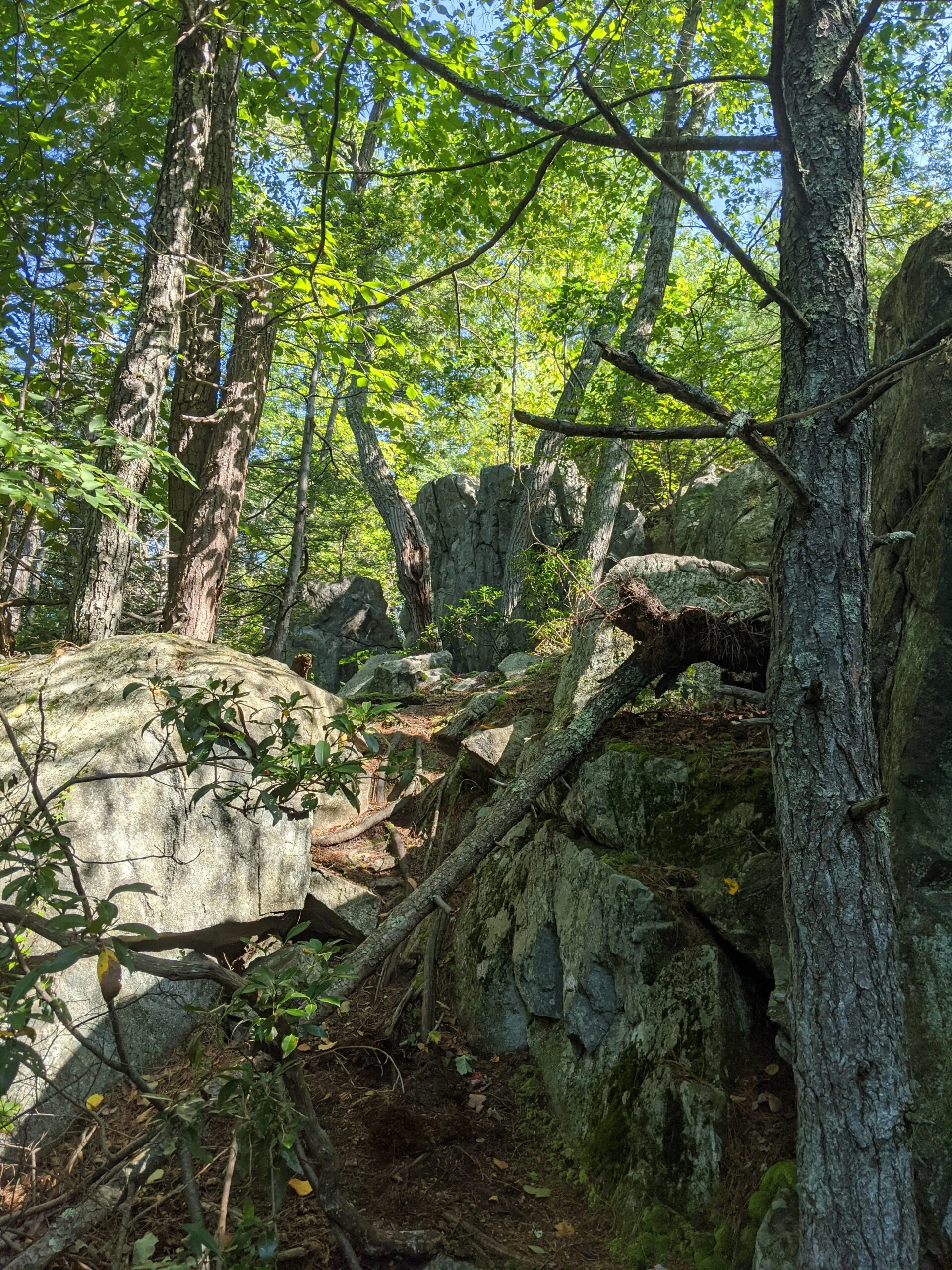
I continued north to where TL meets AT and took the upper section of AT back towards Canpous Lake. This section of the AT is really interesting! There are several skinny rock paths that were literally built up almost like bridges looking down into the valley below. It must have been challenging to build these! The photos I took don’t do this area enough justice. About halfway along the way, I stopped to refill my reservoir and eat the salmon. It reminded me of tuna fish with a slightly different flavor.
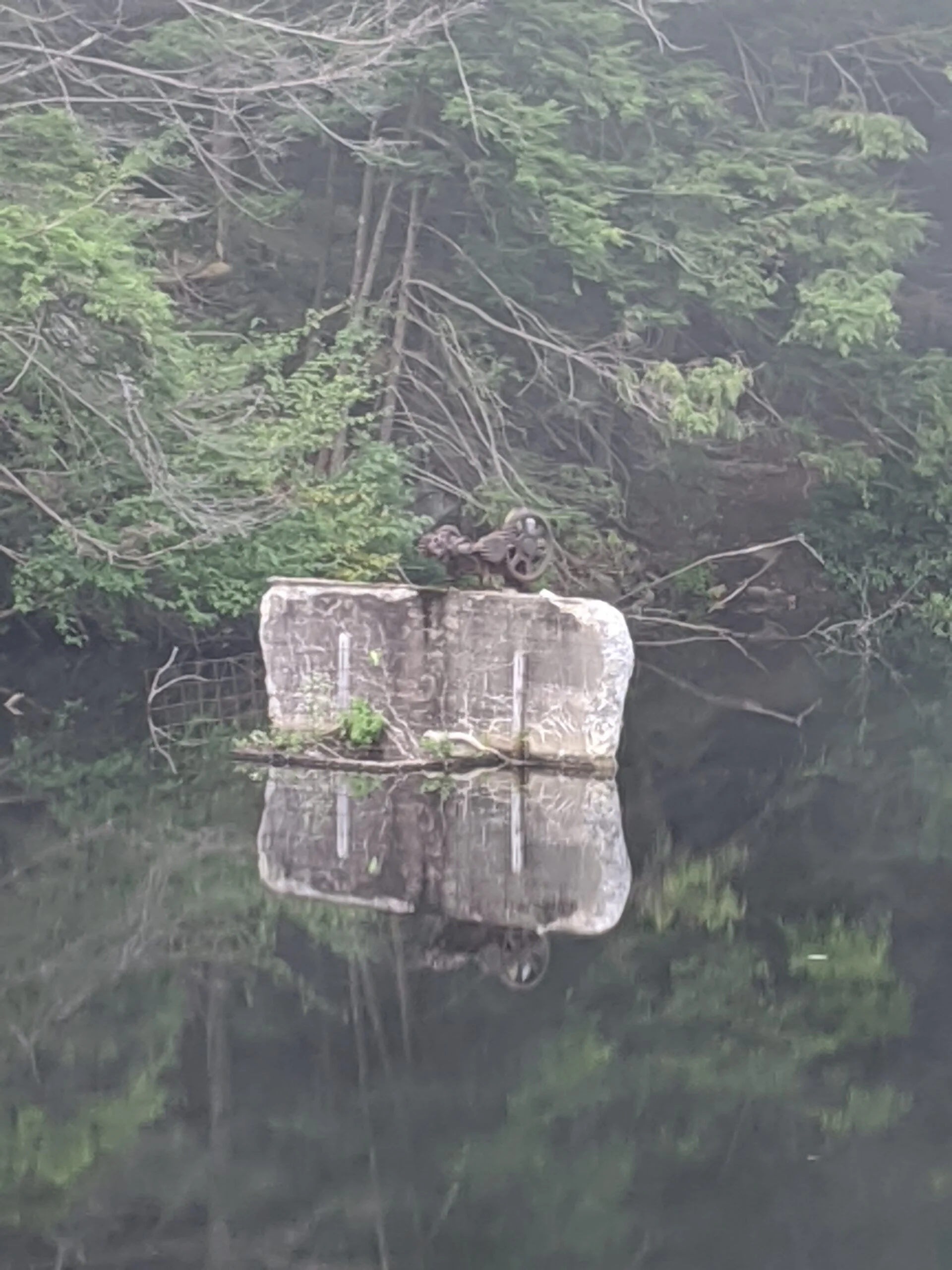
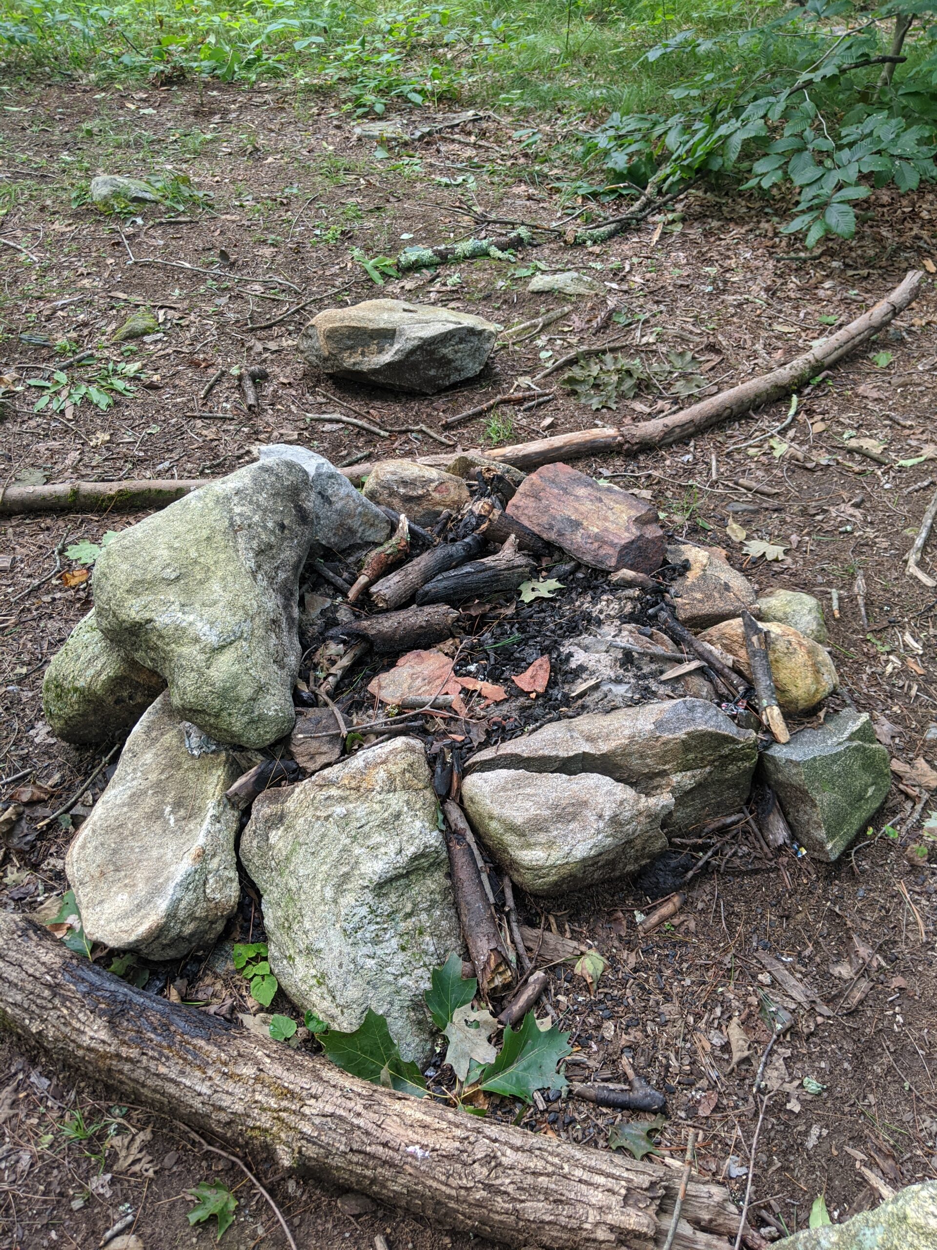
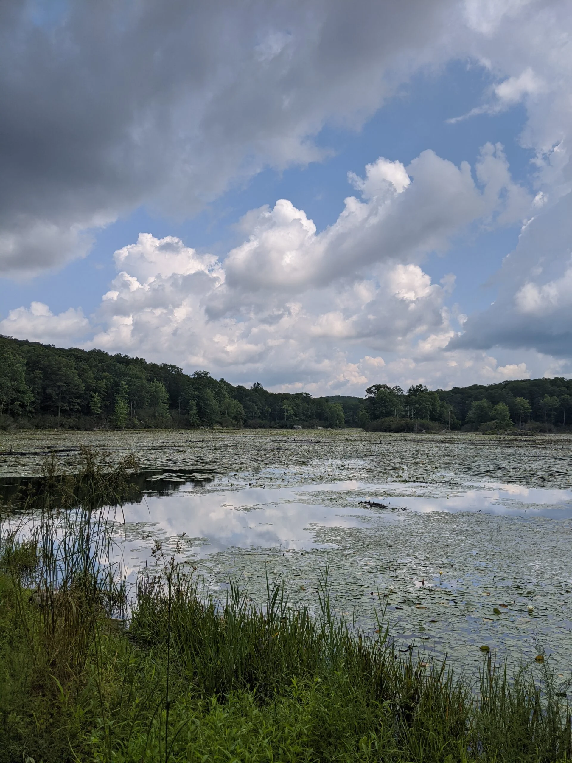
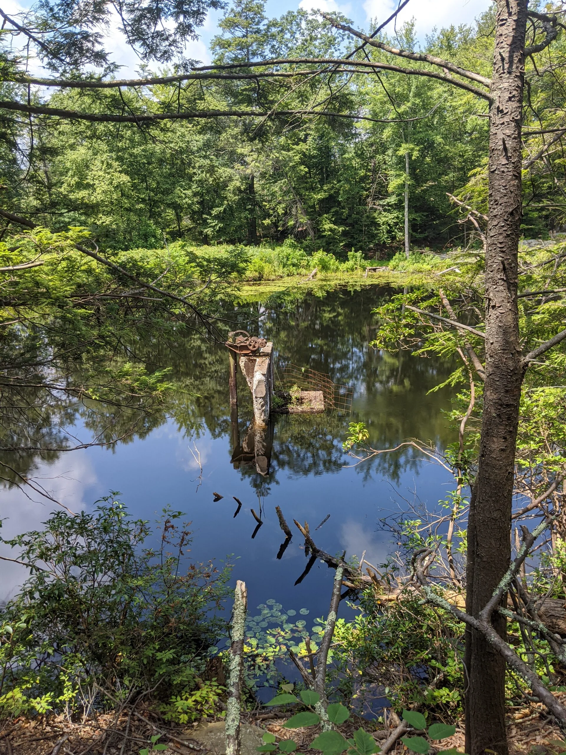
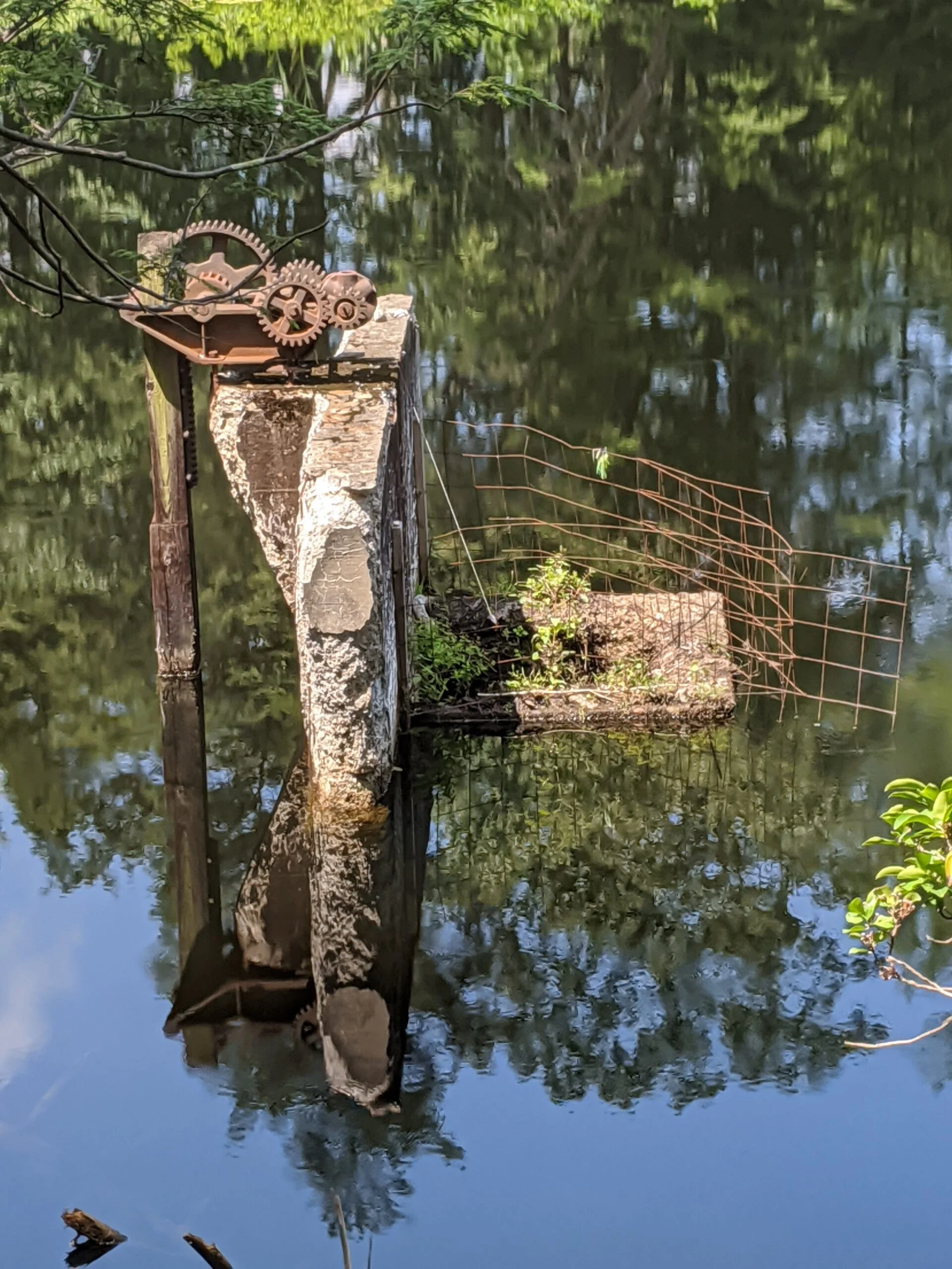
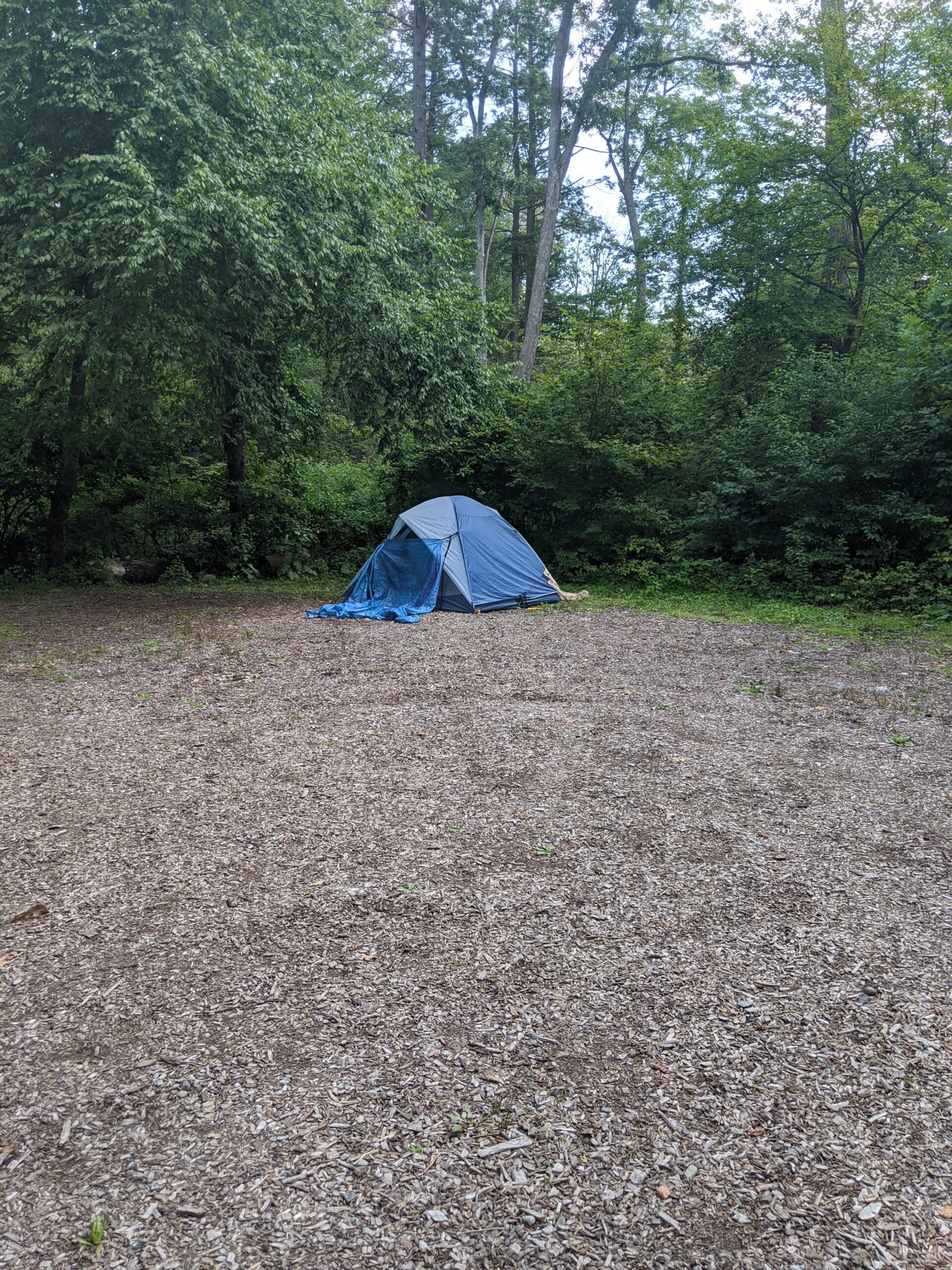
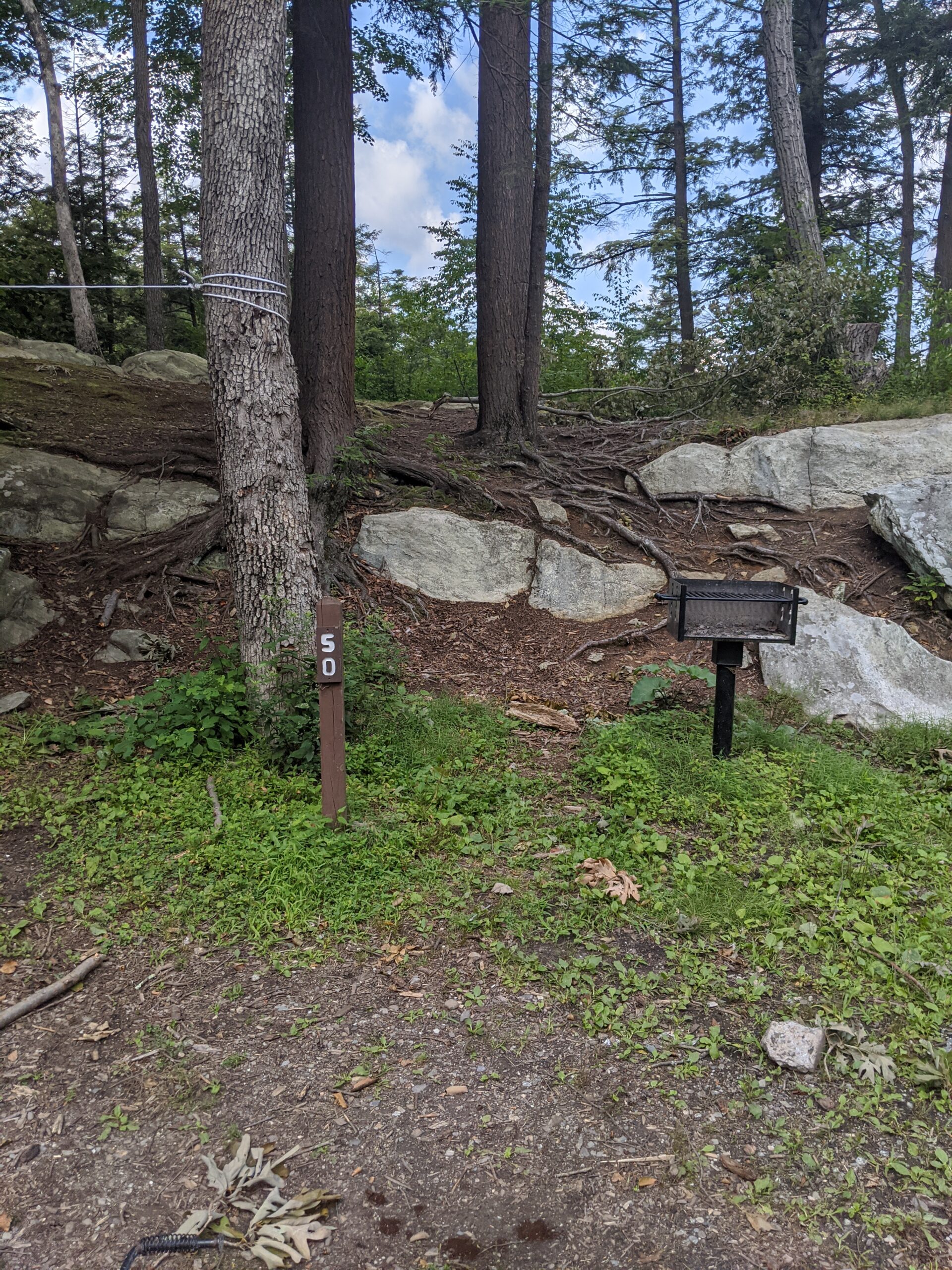
My journey on AT ended at Canopus Lake, where I walked the side of Route 301 again until I found the unmarked trail I had taken earlier to lead me back to PP (yellow). This time I decided to walk the eastern shore of Pelton Pond. I passed several numbered camp sites along this route, which I want to look into for a future hike to include an overnight stay. I followed PP all the way north, then hooked around to the south for a short walk back to the parking lot where I started.
Overall, this was my best hike yet! I’m really impressed with this park and the variety of terrain it offers, including the elevation changes; navigation of rocks, streams, and trees; and beautiful scenery. Being able to hike a section of the Appalachian Trail was super exciting too!
The trails were not crowded by any means. I encountered about 15 or so different groups throughout the day. Most were friendly, but I could do without the loud talkers. When I’m out alone, I like to take in the sounds of nature, not random blabbering in the distance from people I don’t know. Such is life, I guess.
On previous hikes, the backs of my ankles became blistered. I think I have toughened them up enough now and no longer have pain there; however, this time the bottom of my feet became tender, even after getting home and resting. I’ll have to look into options for my next hike.
I’ve explored less than 10% of this park, so I will definitely be back to see more. There are several summits to the west that look interesting and several trails to the south that I’d like to see. Fahnestock, we will meet again!
Upon returning home, I used the Osprey Packs Hydraulics Reservoir Cleaning Kit ($). The long tube cleaning brush is nice, but it only reaches about 3/4 the way down the tube. The drying rack doesn’t quite make sense to me. I feel like the reservoir should be hung upside down, to let any residual water drip out of the bag and the tube, but the drying rack hangs the bag right side up. I’ll give this one more try before deciding whether to return it or not.
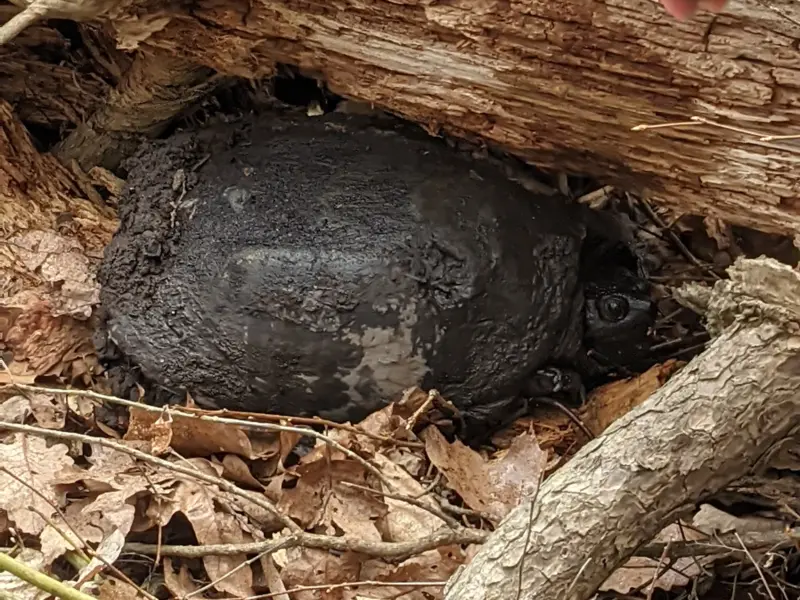
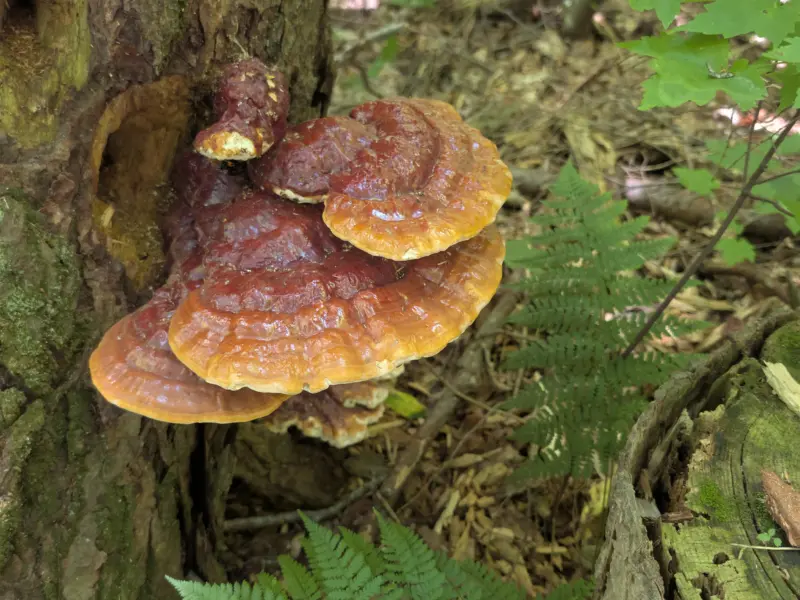
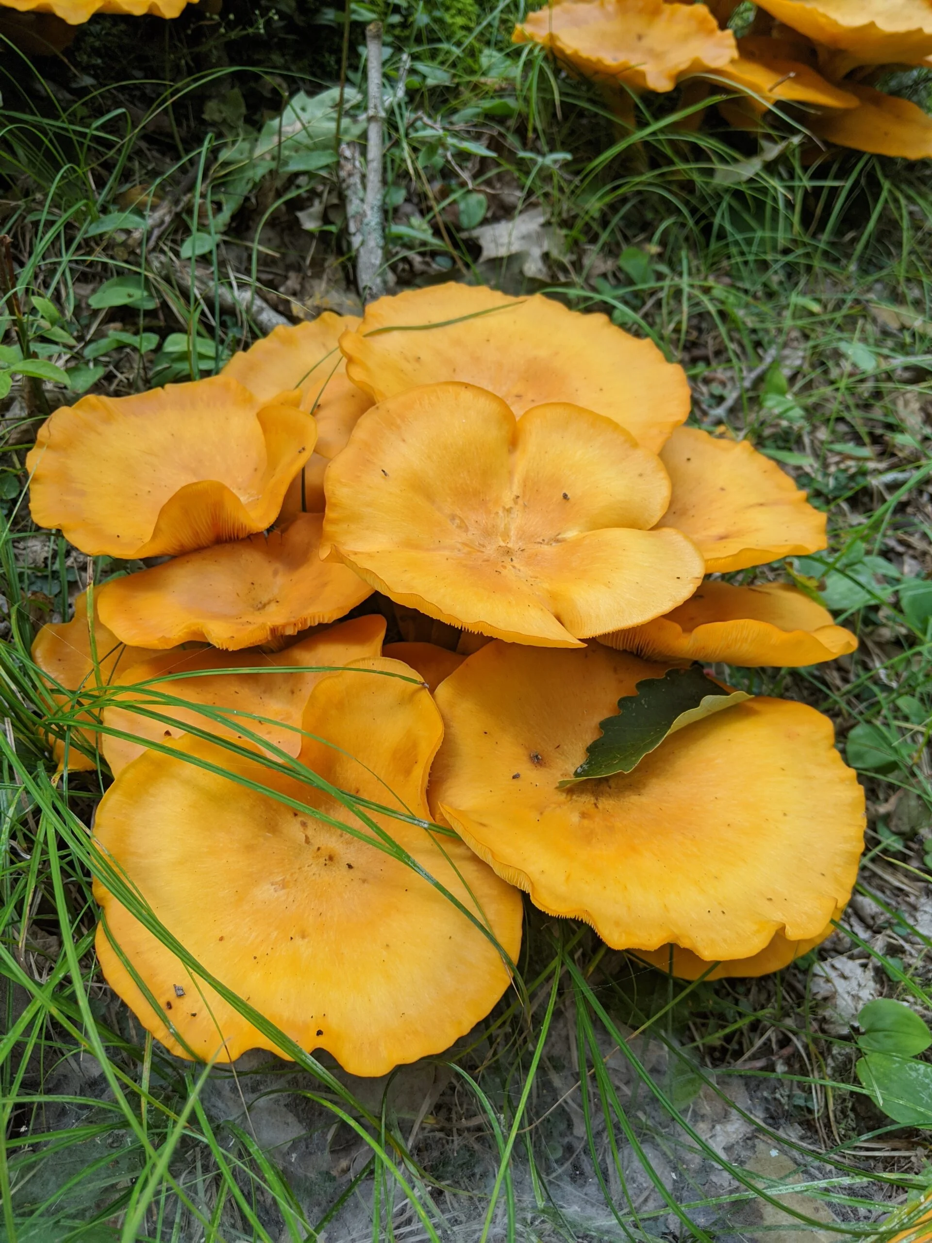
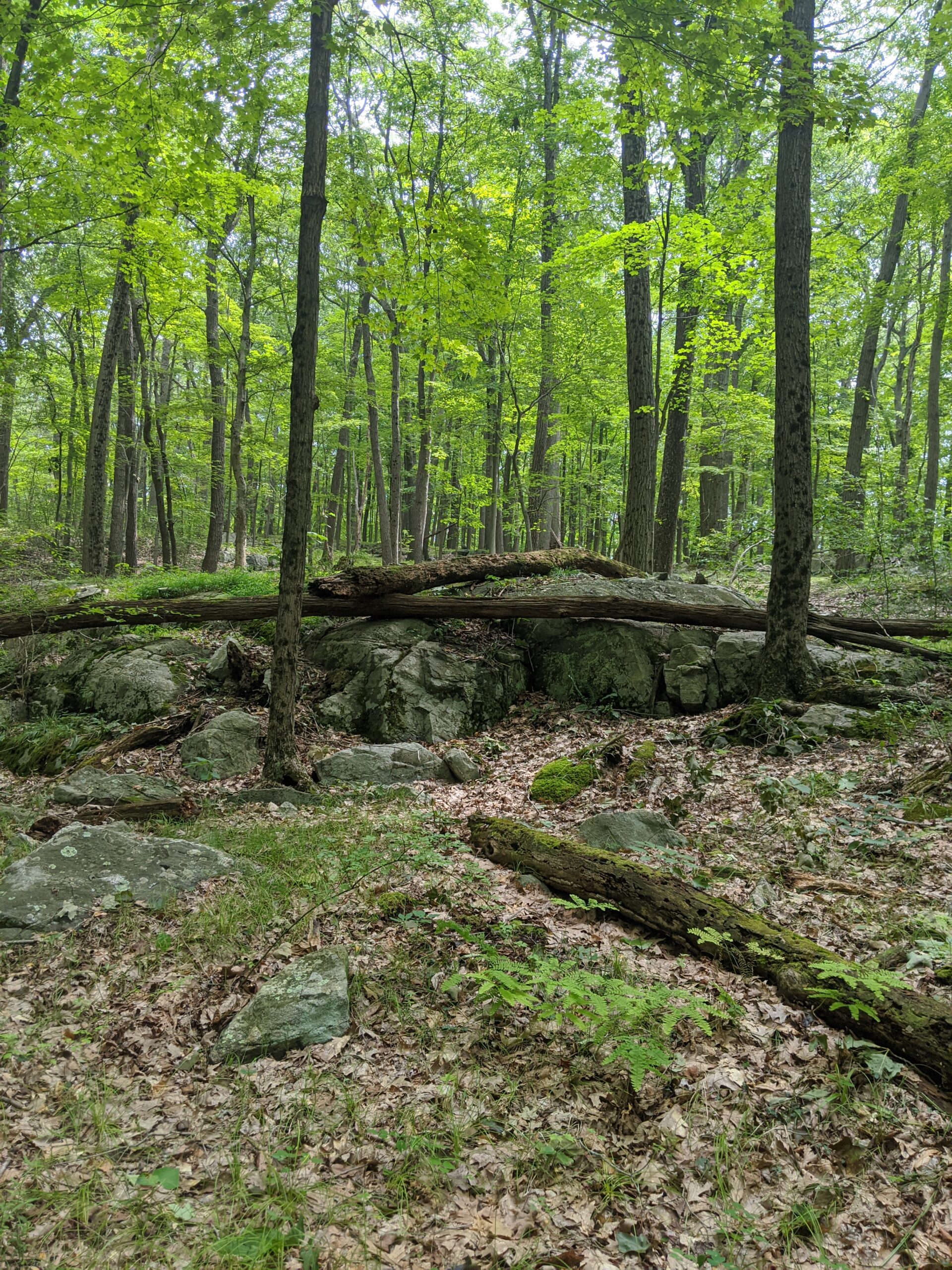
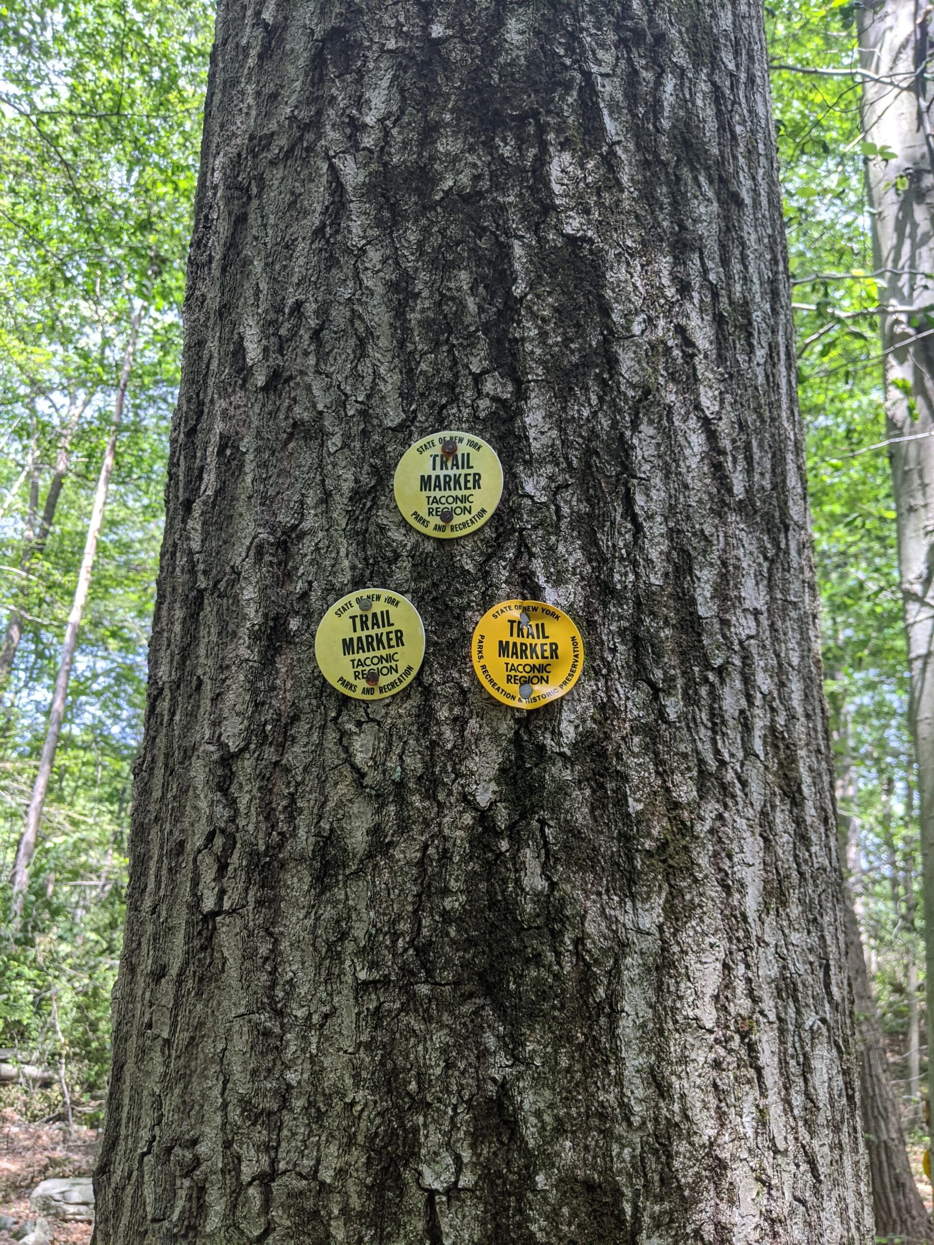
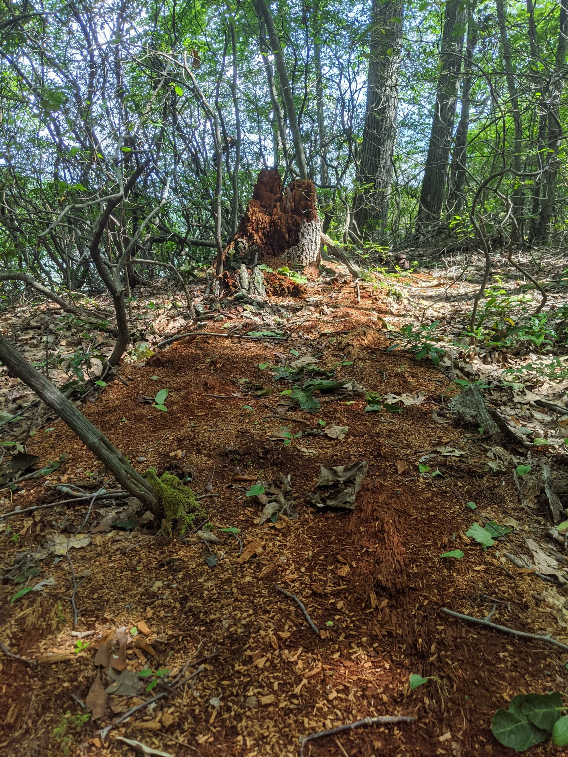
Photos


GPS Route & Elevation
Loads an interactive map; map tiles are served by the U.S. Geological Survey, which receives your IP address. Learn more about maps and your privacy