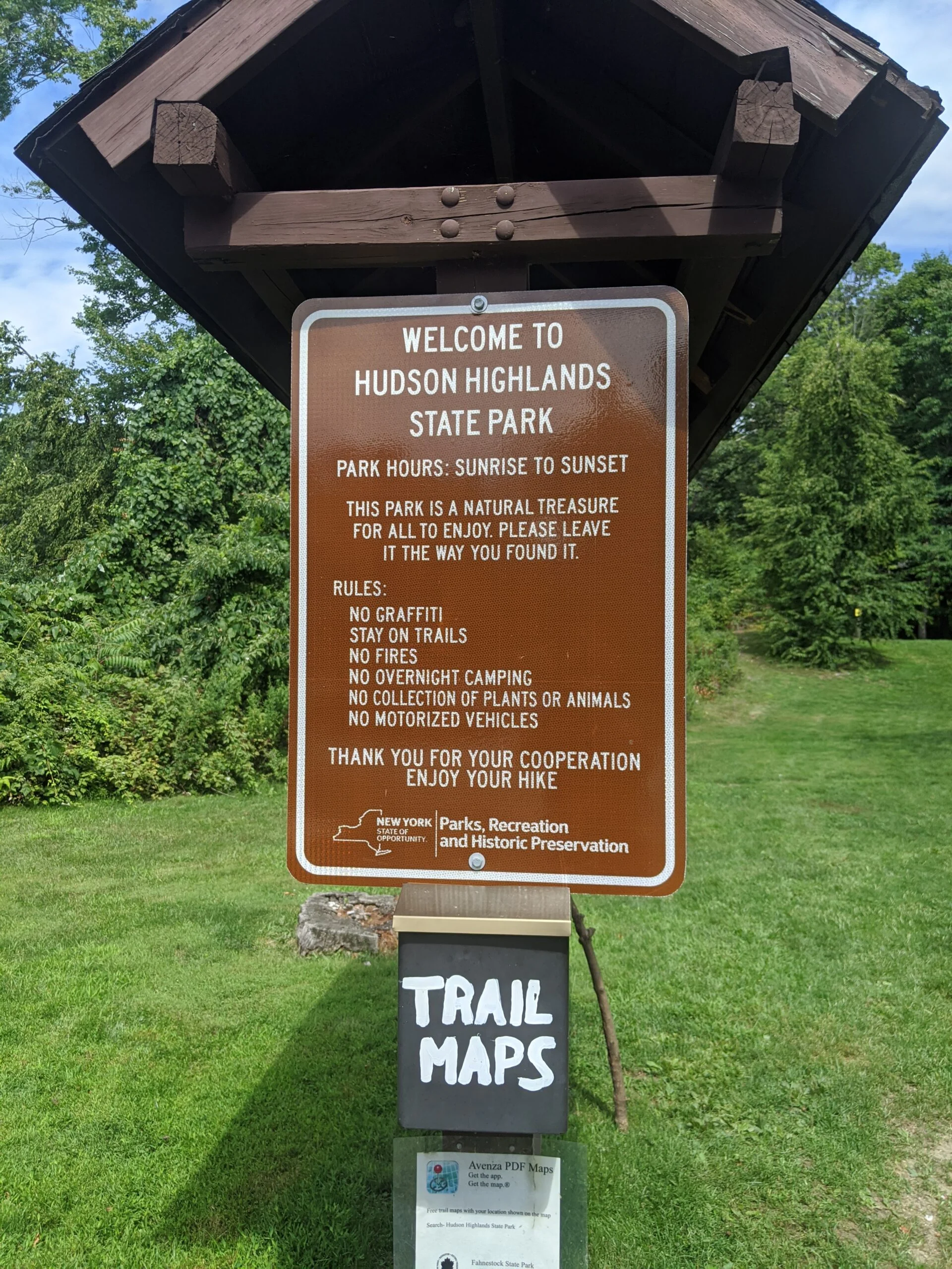
Hudson Highlands State Park Preserve
Hudson Highlands State Park Preserve – Anthony’s Nose, Camp Smith Trail, Bear Mtn Toll House
- 9.1 mi
- 2,498 ft gain
- 07:51:00
- 155 photos
This post may contain affiliate links. If you buy through them, I may earn a commission at no extra cost to you. As an Amazon Associate I earn from qualifying purchases.
Wow, this was definitely the most intense hike I’ve done yet! Going into the trip, I had read some of the comments online, but there’s nothing like experiencing it yourself firsthand.
Anthony’s Nose and the Camp Smith Trail are part of the Hudson Highlands State Park Preserve, an 8,000-acre non-contiguous state park comprised of four separate tracts of land spanning Westchester, Putnam, and Dutchess counties in New York.
I met a friend, who is an experienced hiker, camper, and backpacker, at the Appalachian Trail trailhead (AT, white blazes) along Route 9D in Cortlandt Manor (labelled “Anthony’s Nose Trailhead” on Google Maps). There is no official parking lot here, but parking is allowed on the northbound shoulder of most of this stretch of Route 9D. Just watch for no parking signs in one section where the shoulder is particularly narrow.
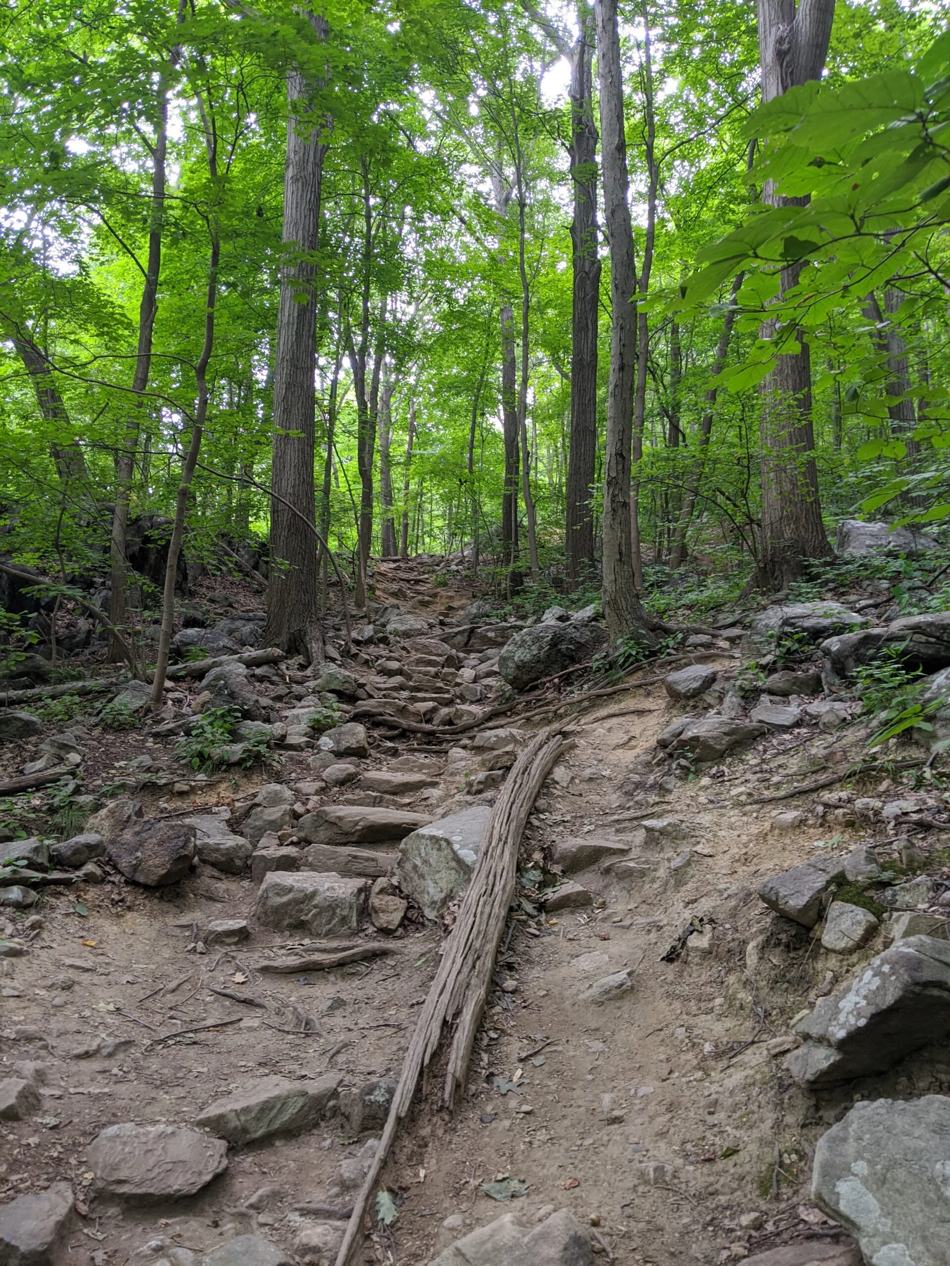
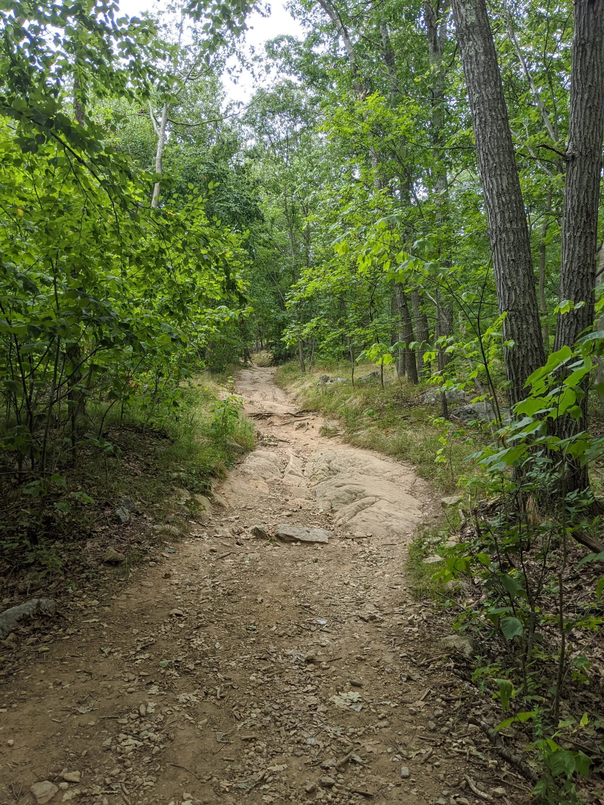
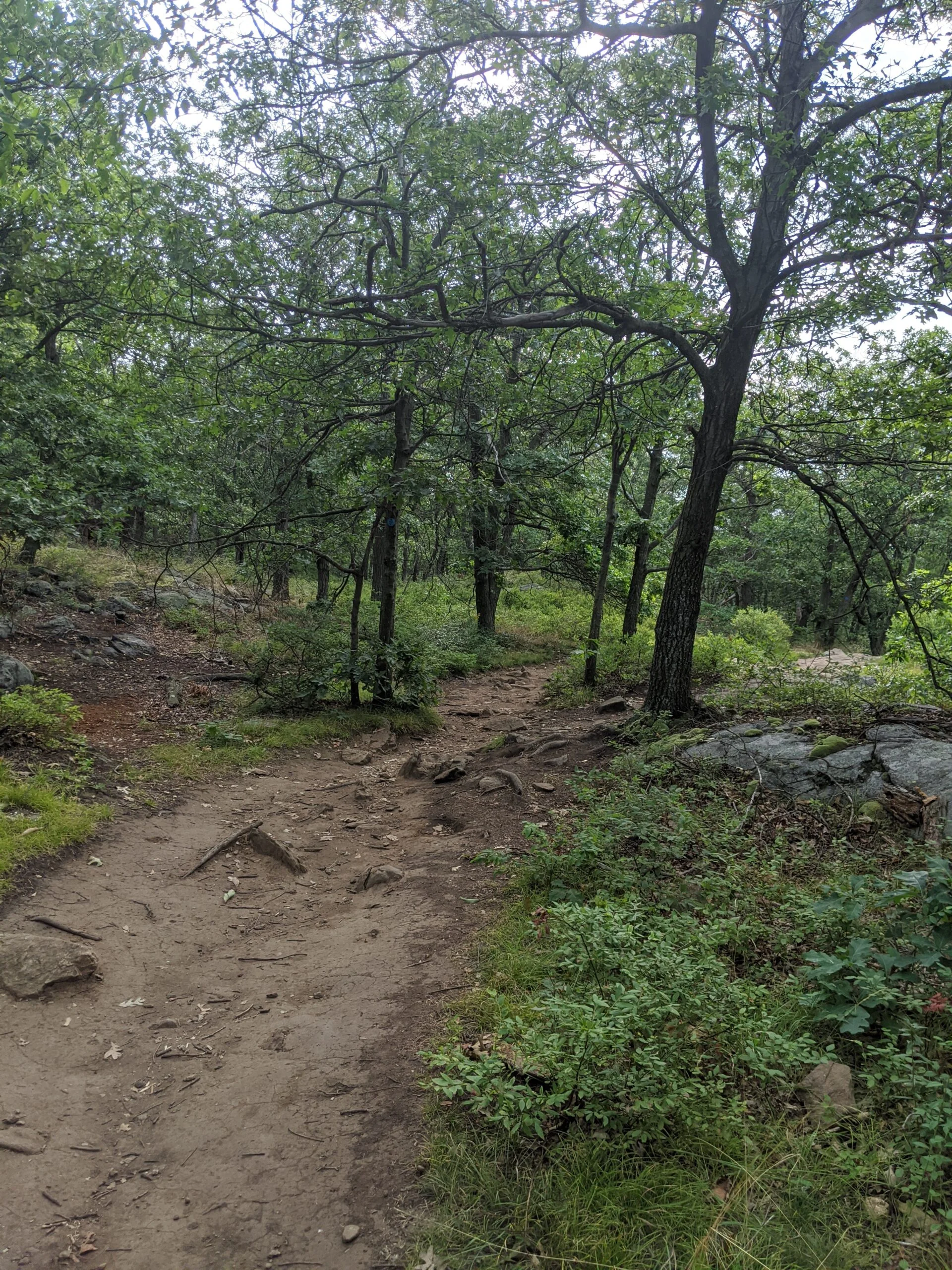
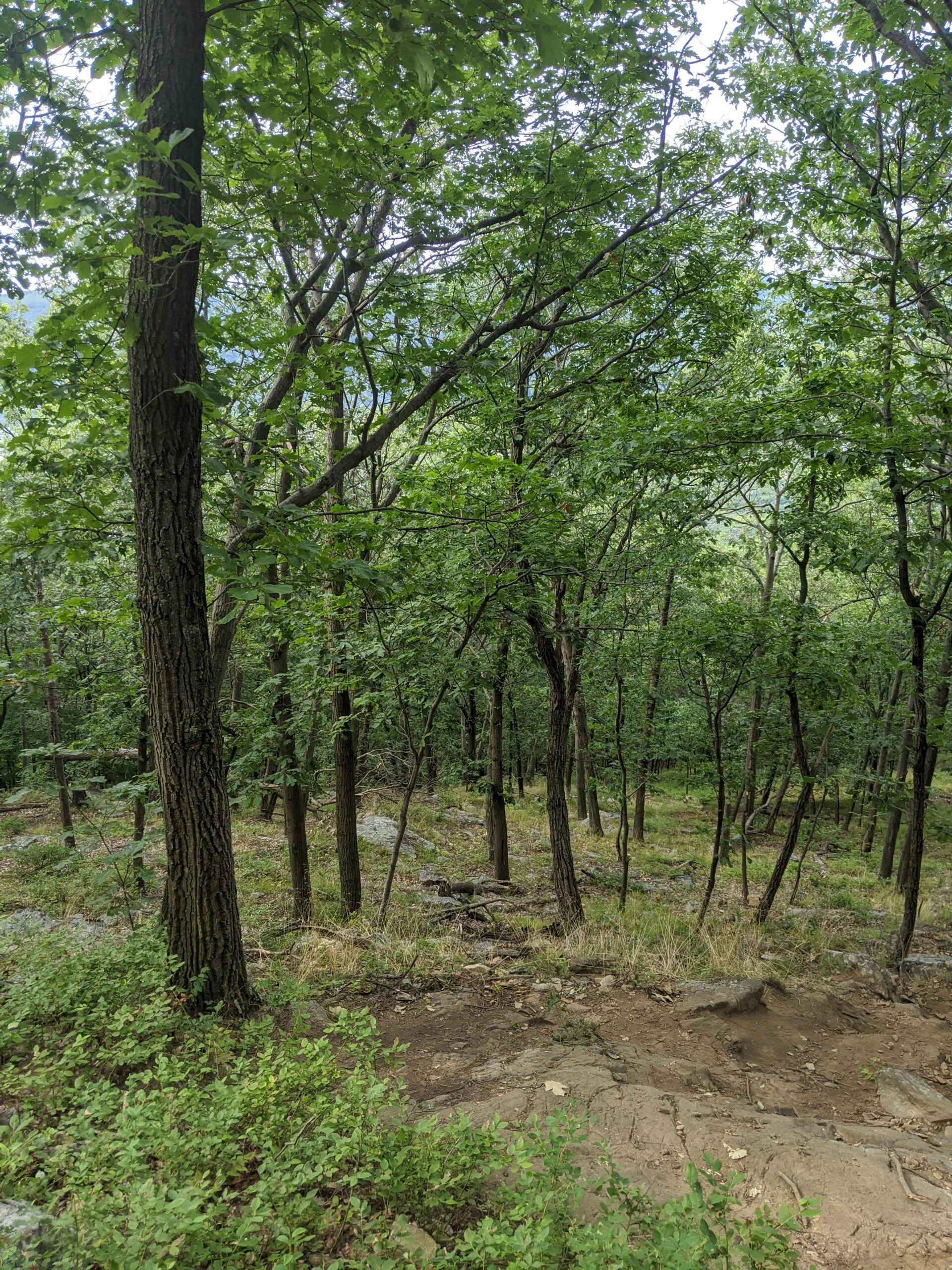
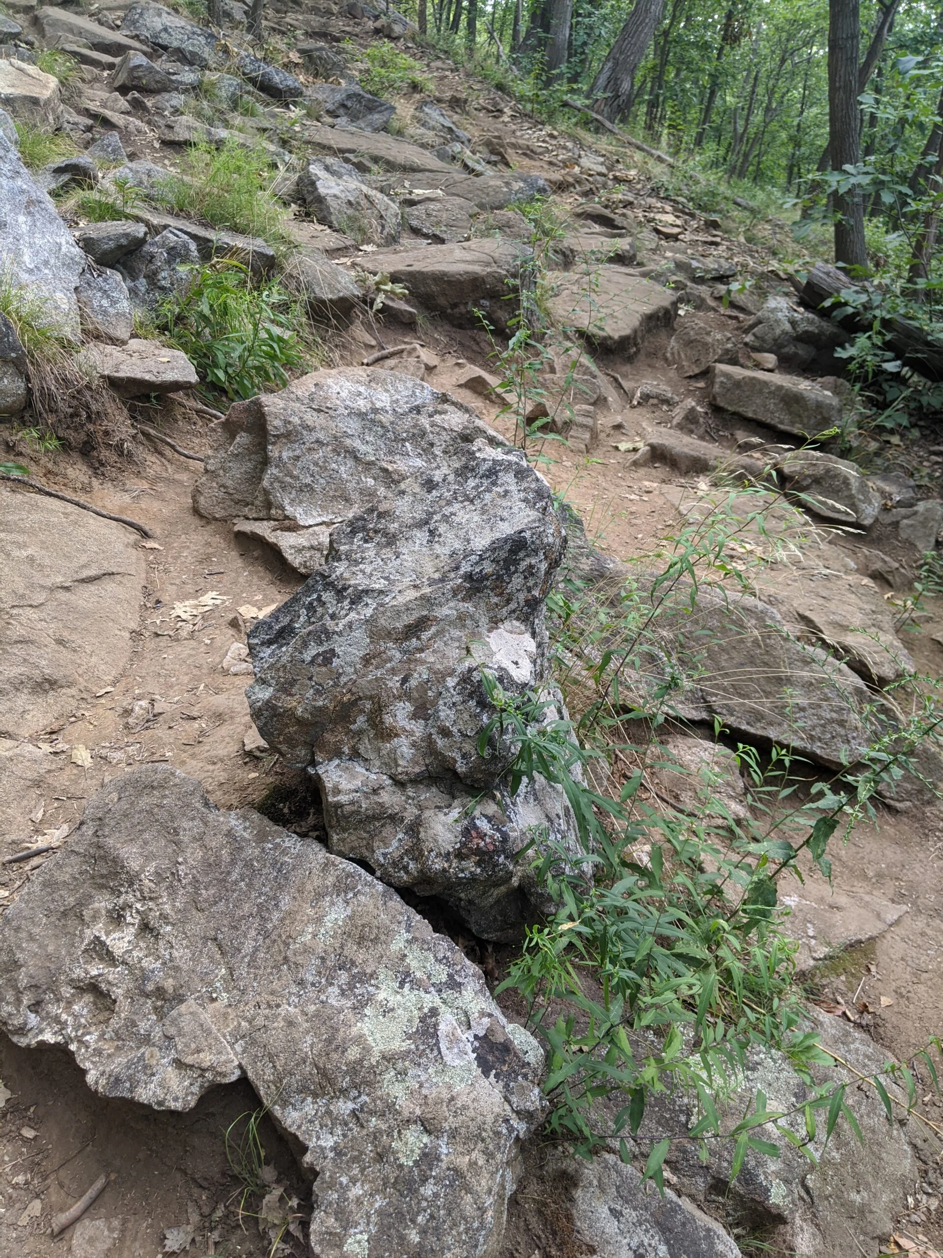
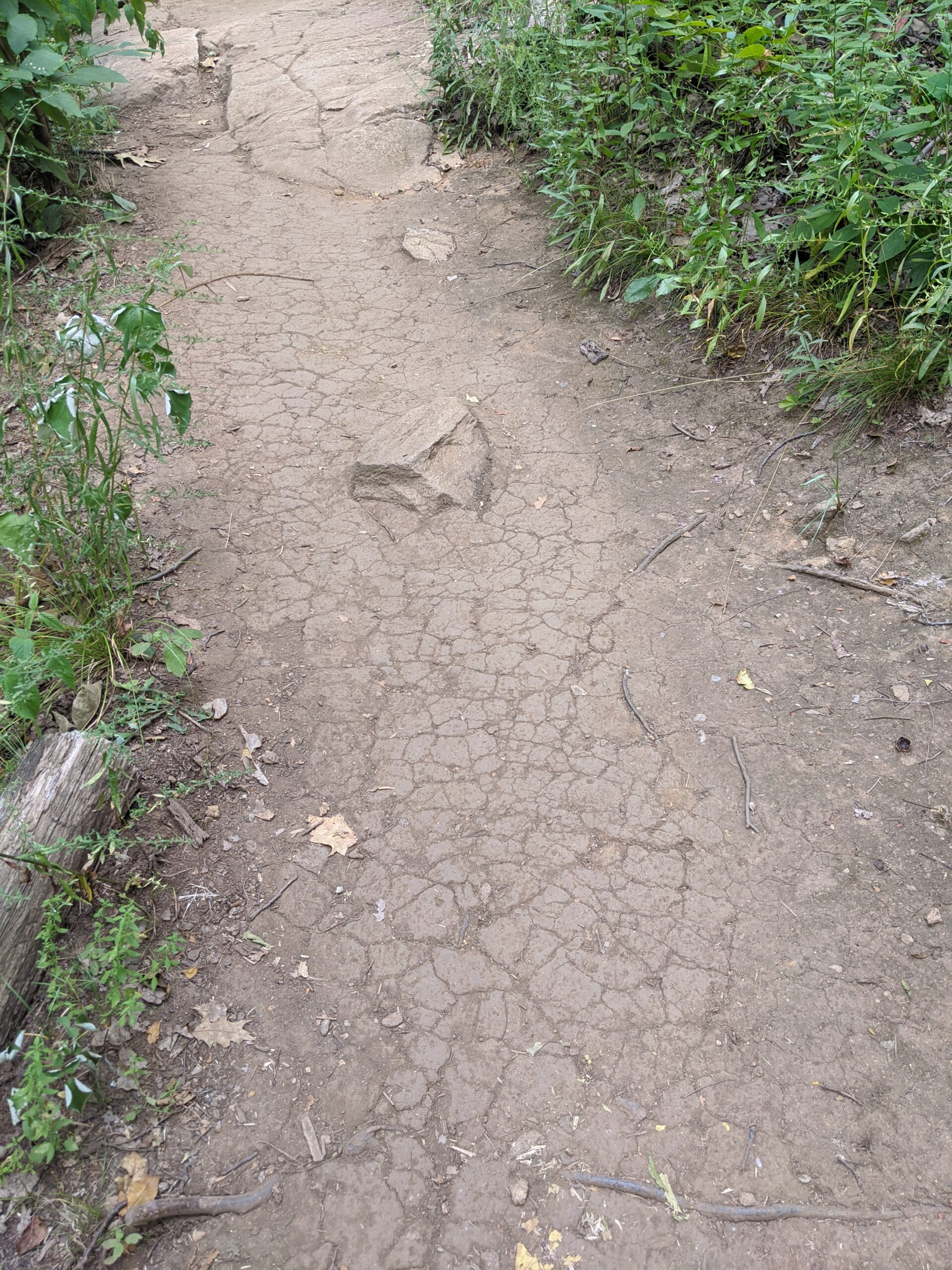
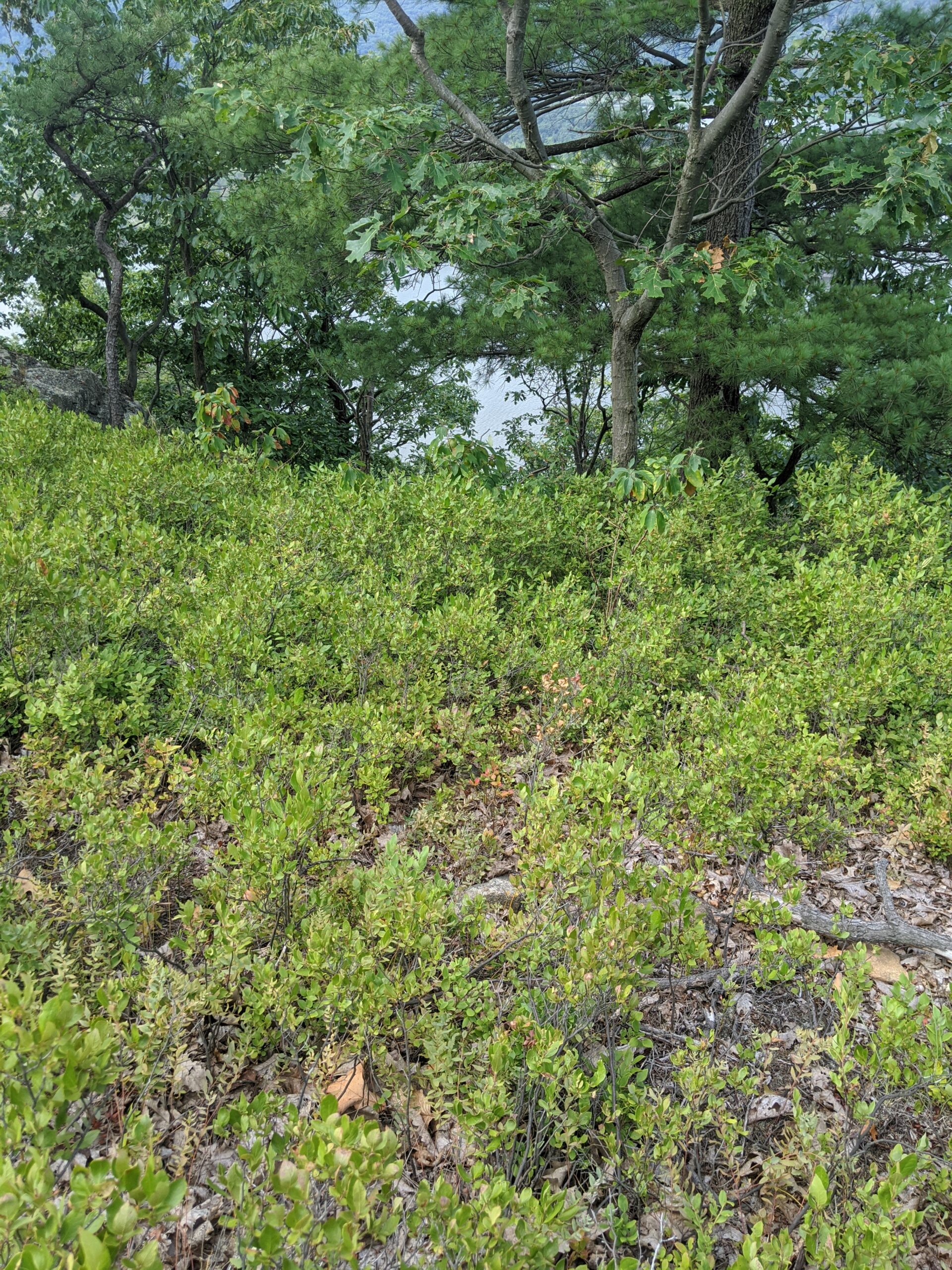
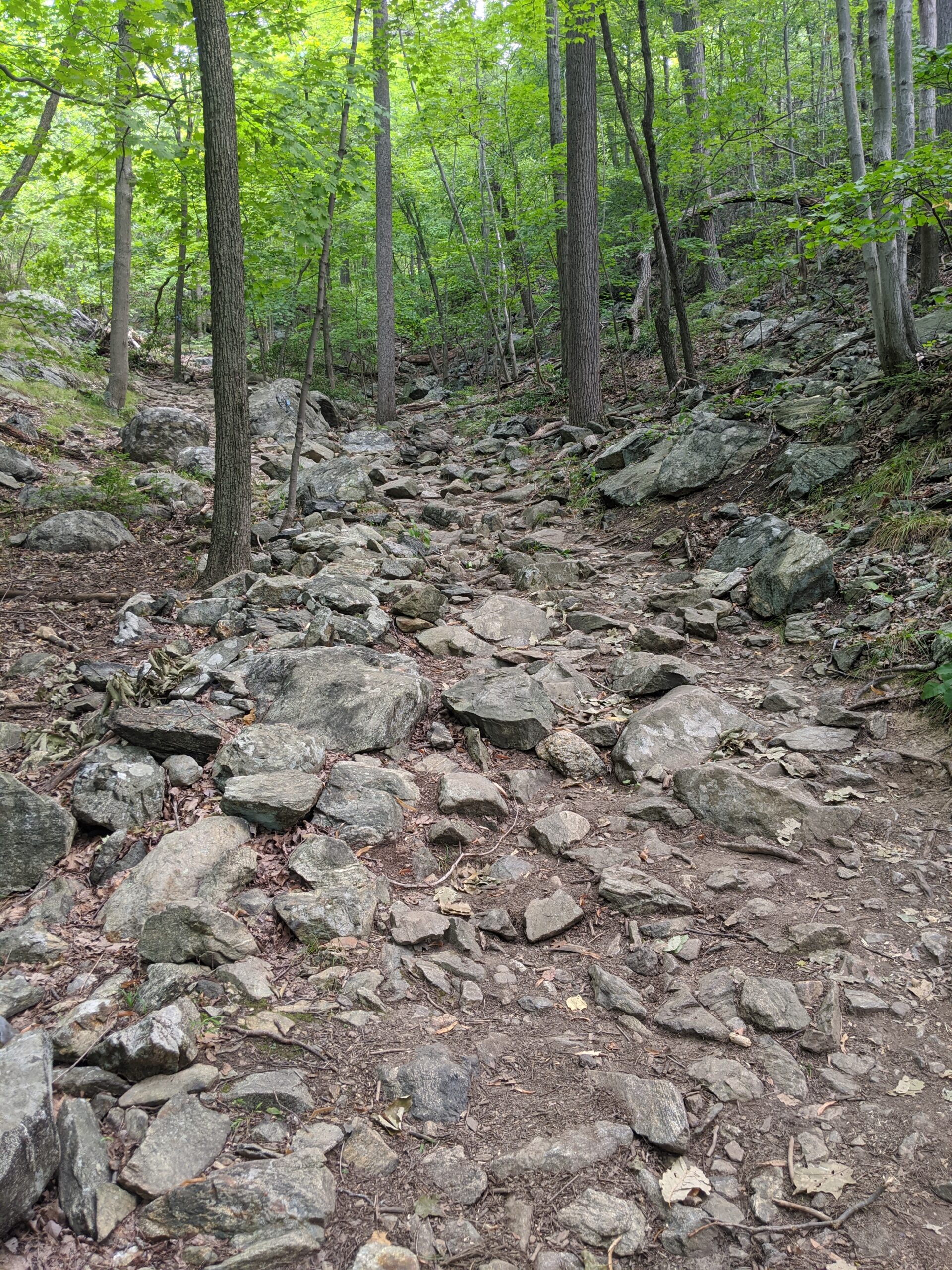
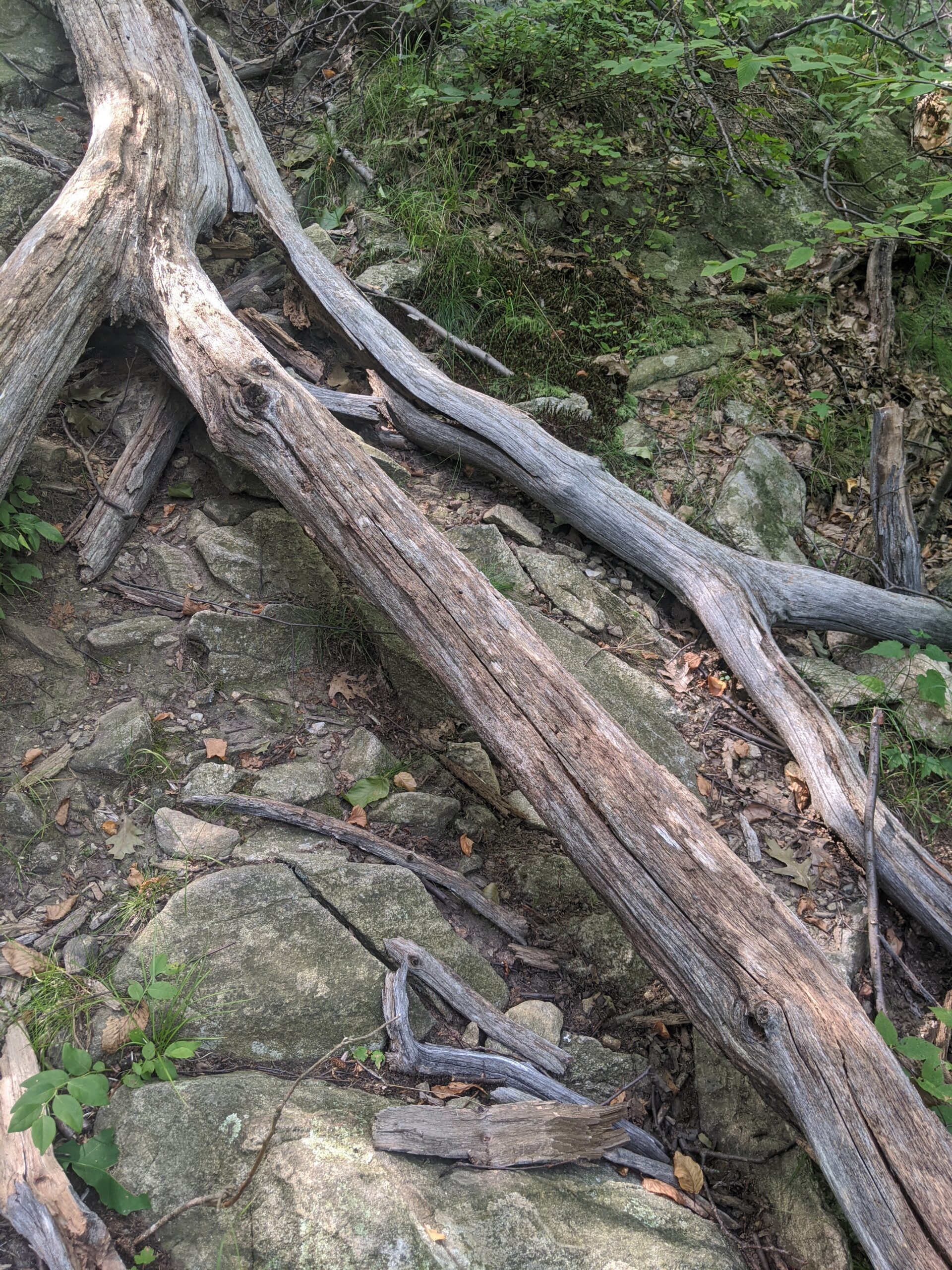
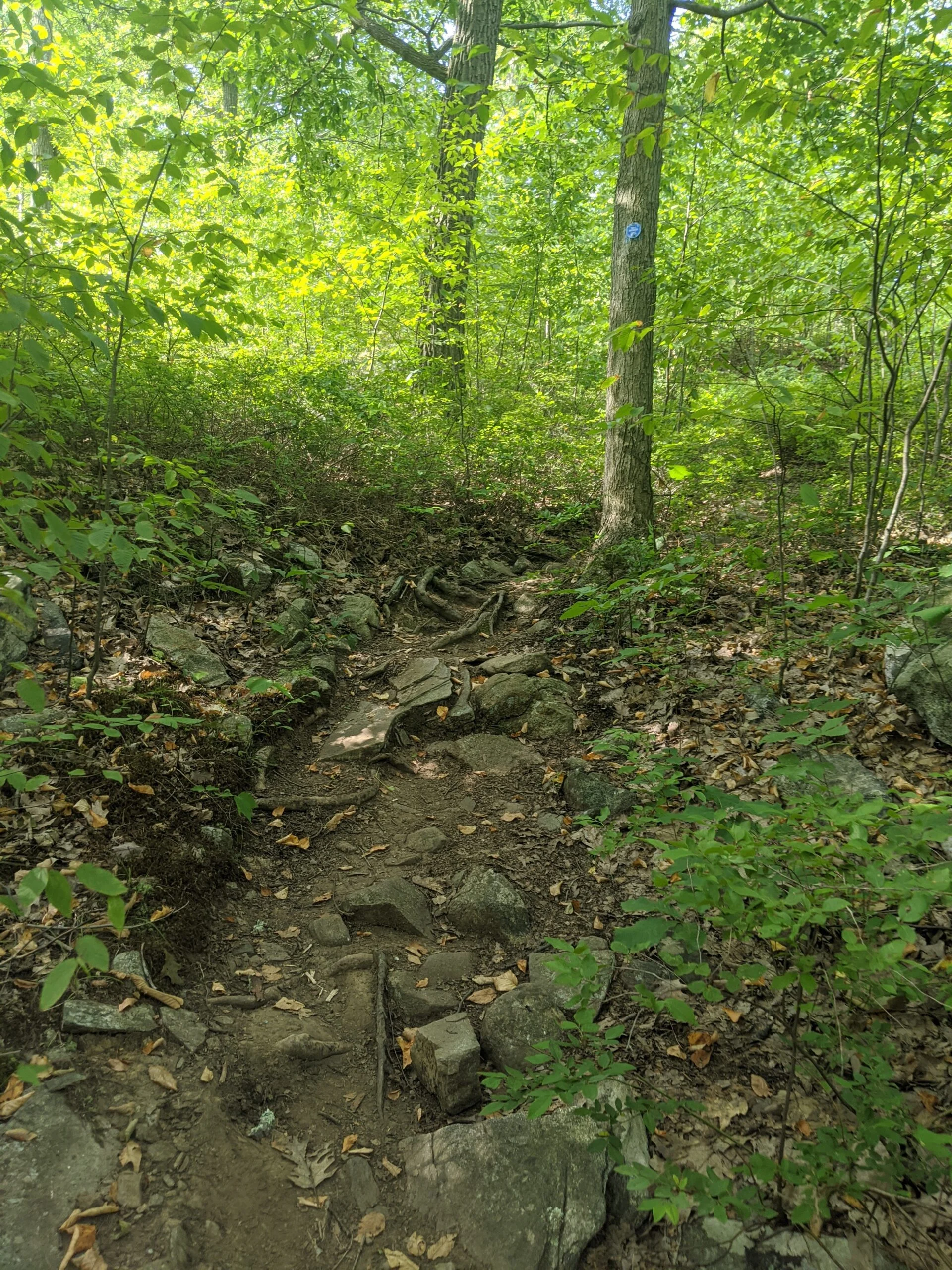
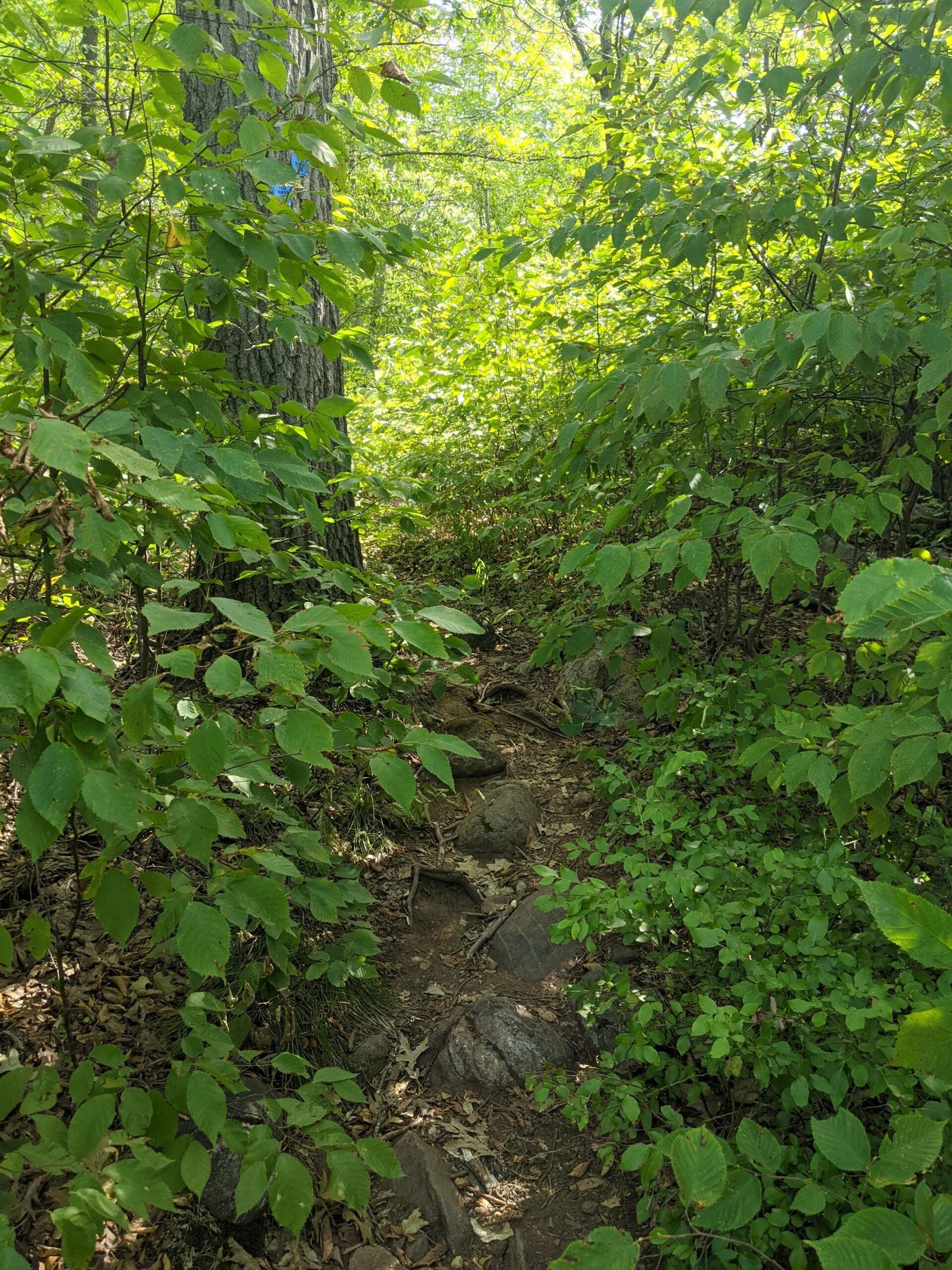
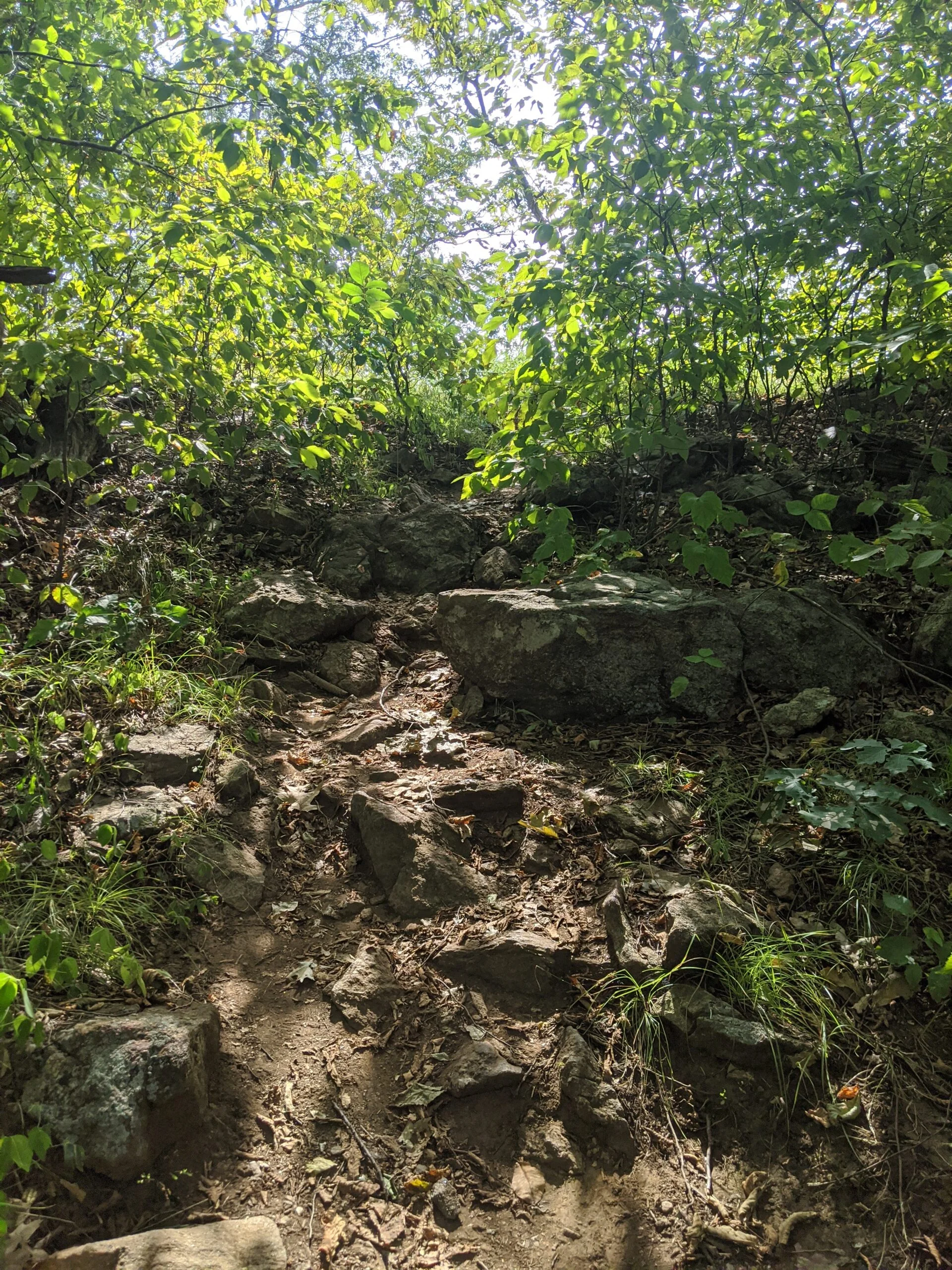
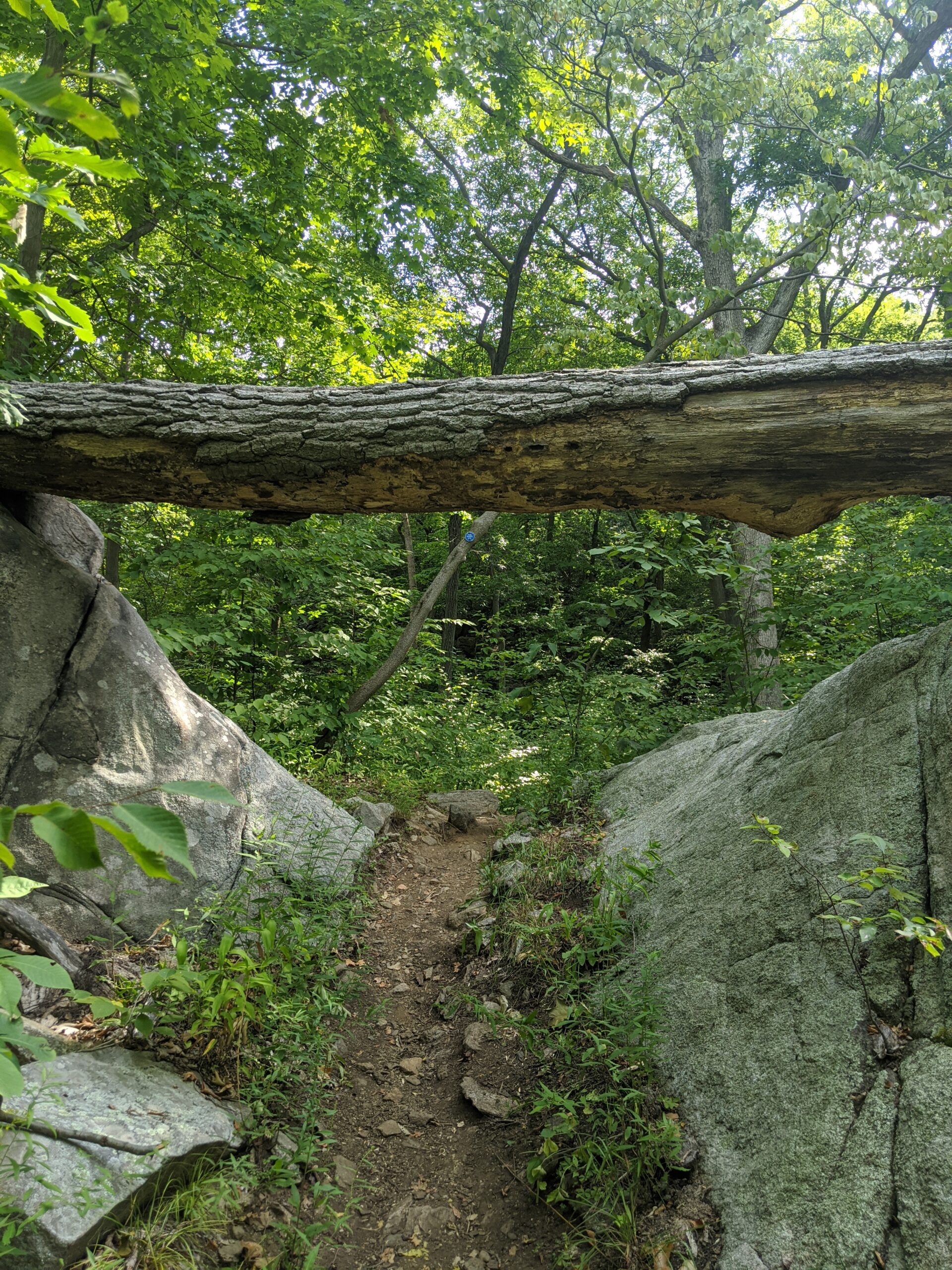
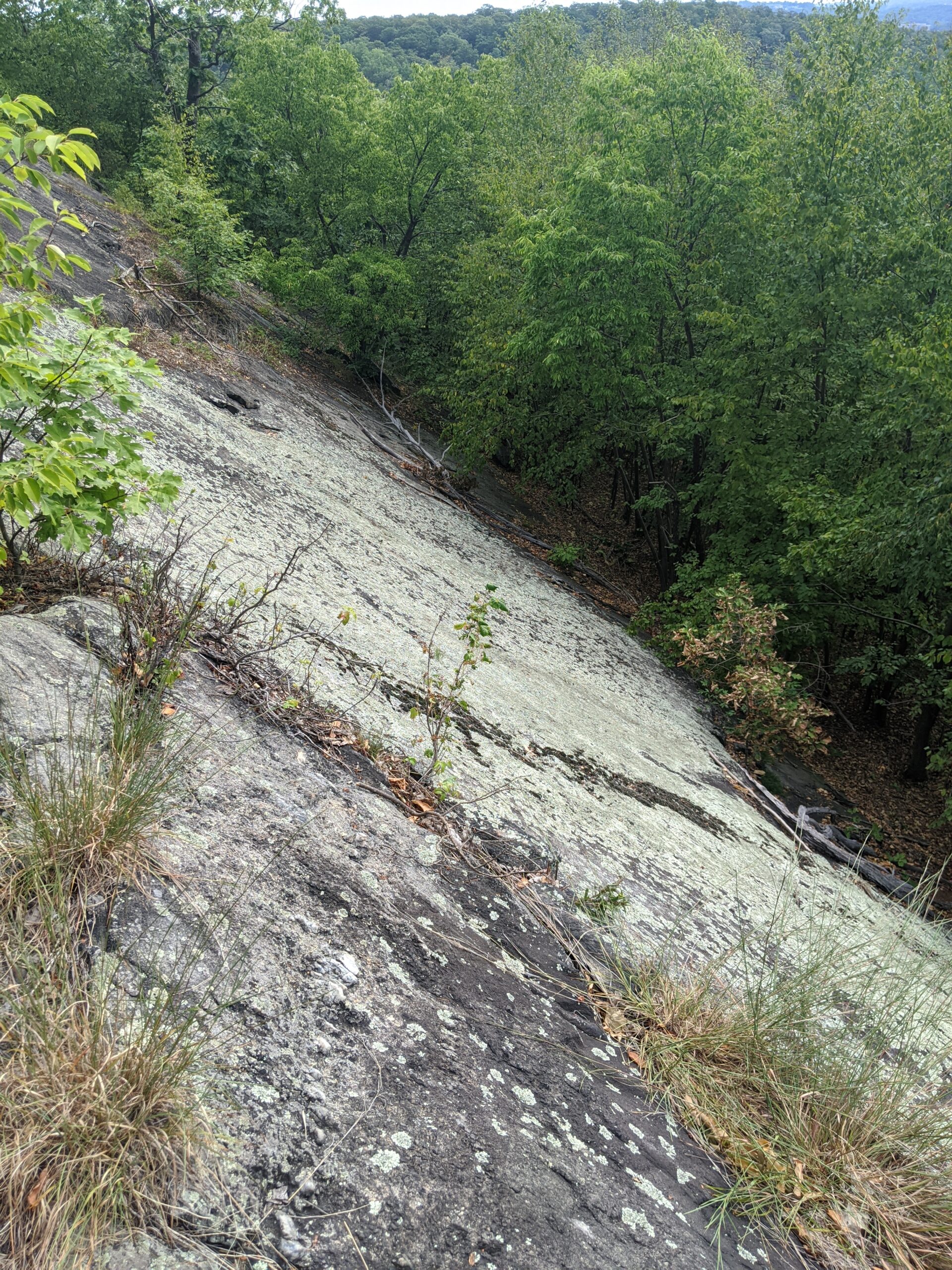
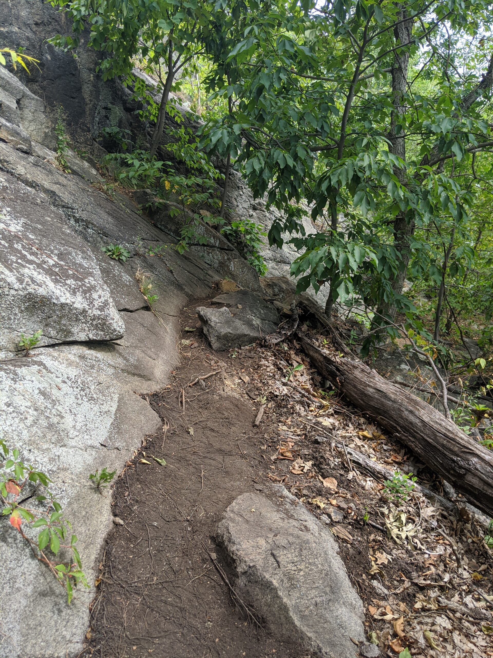
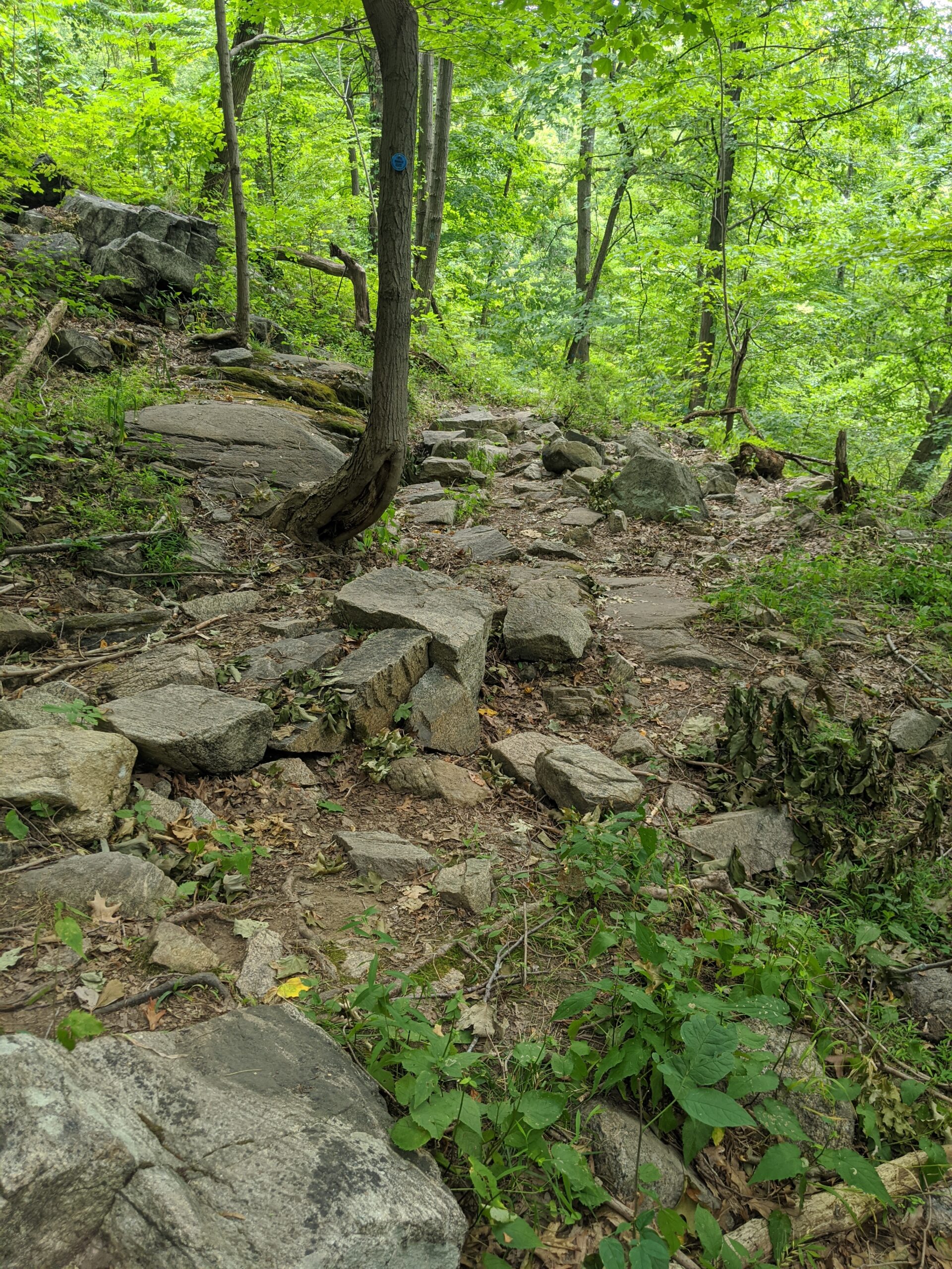
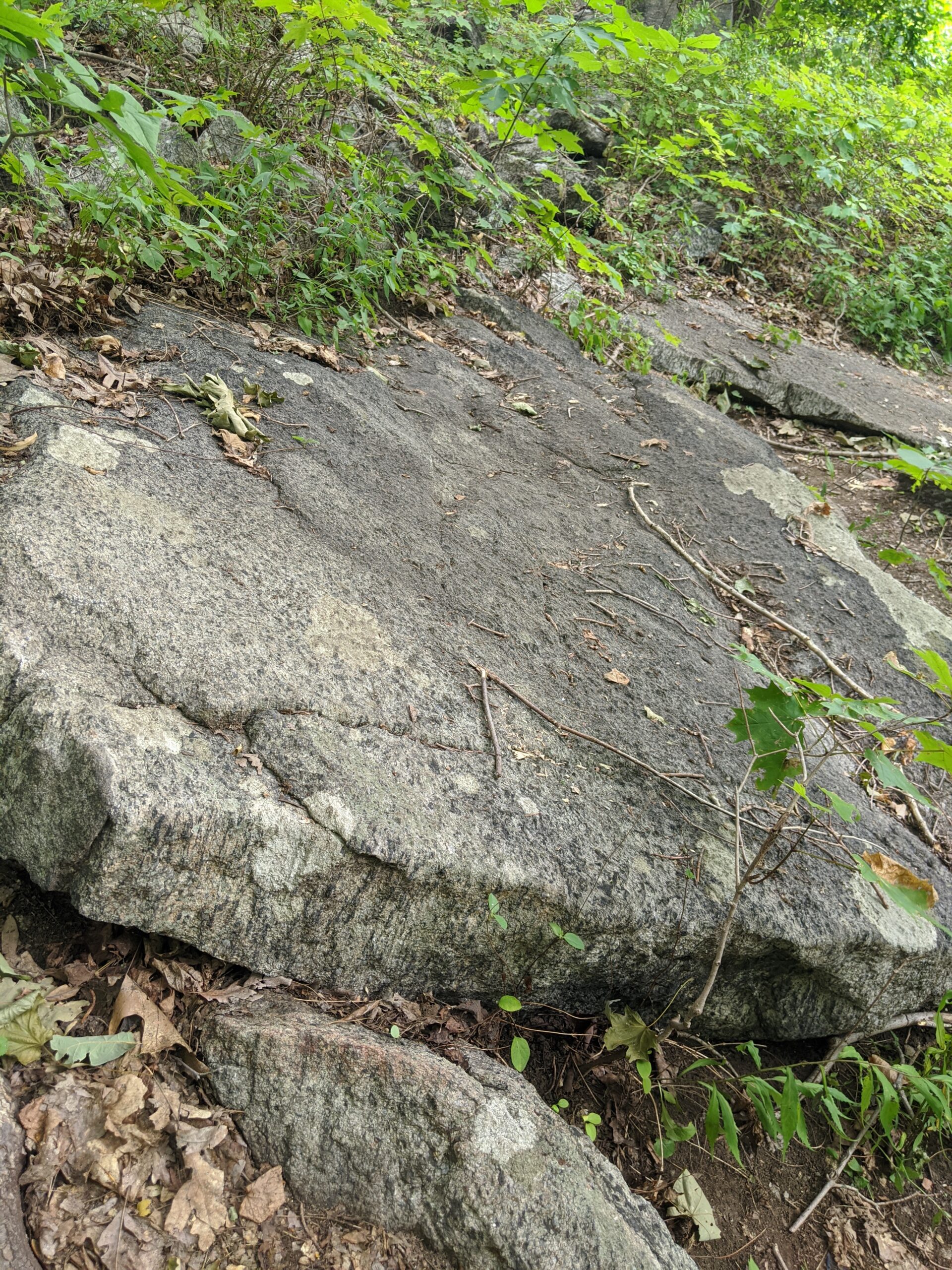
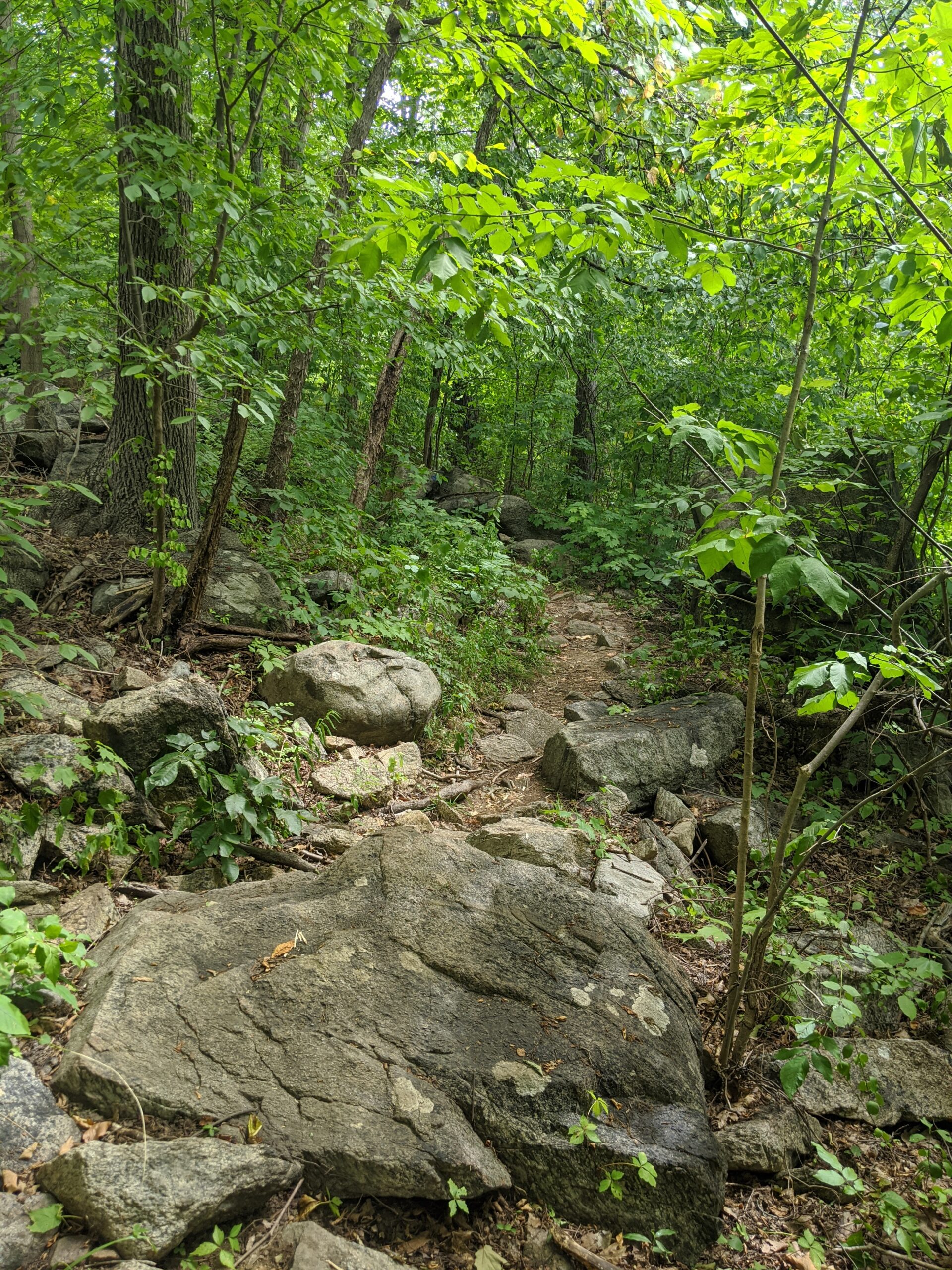
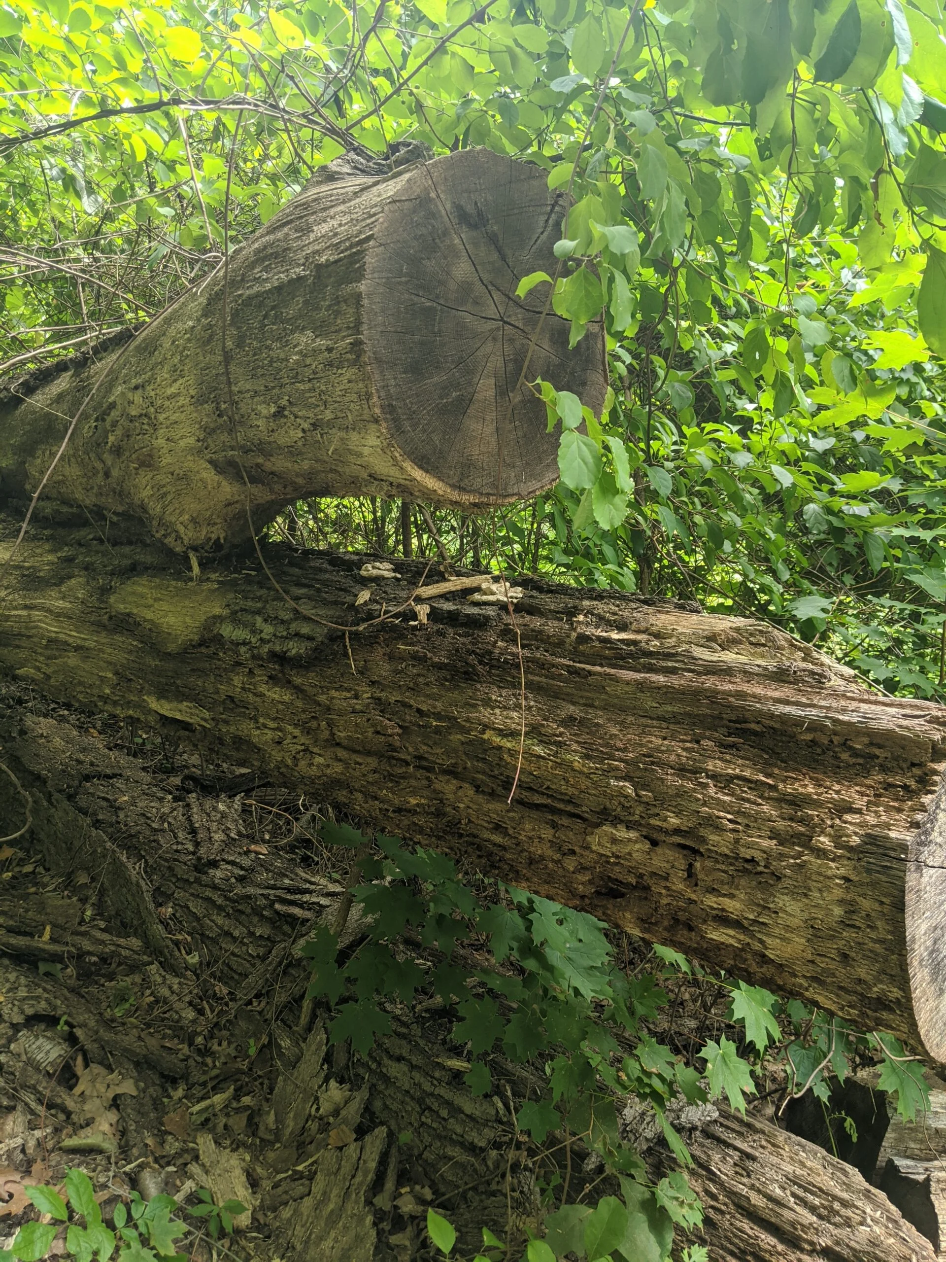
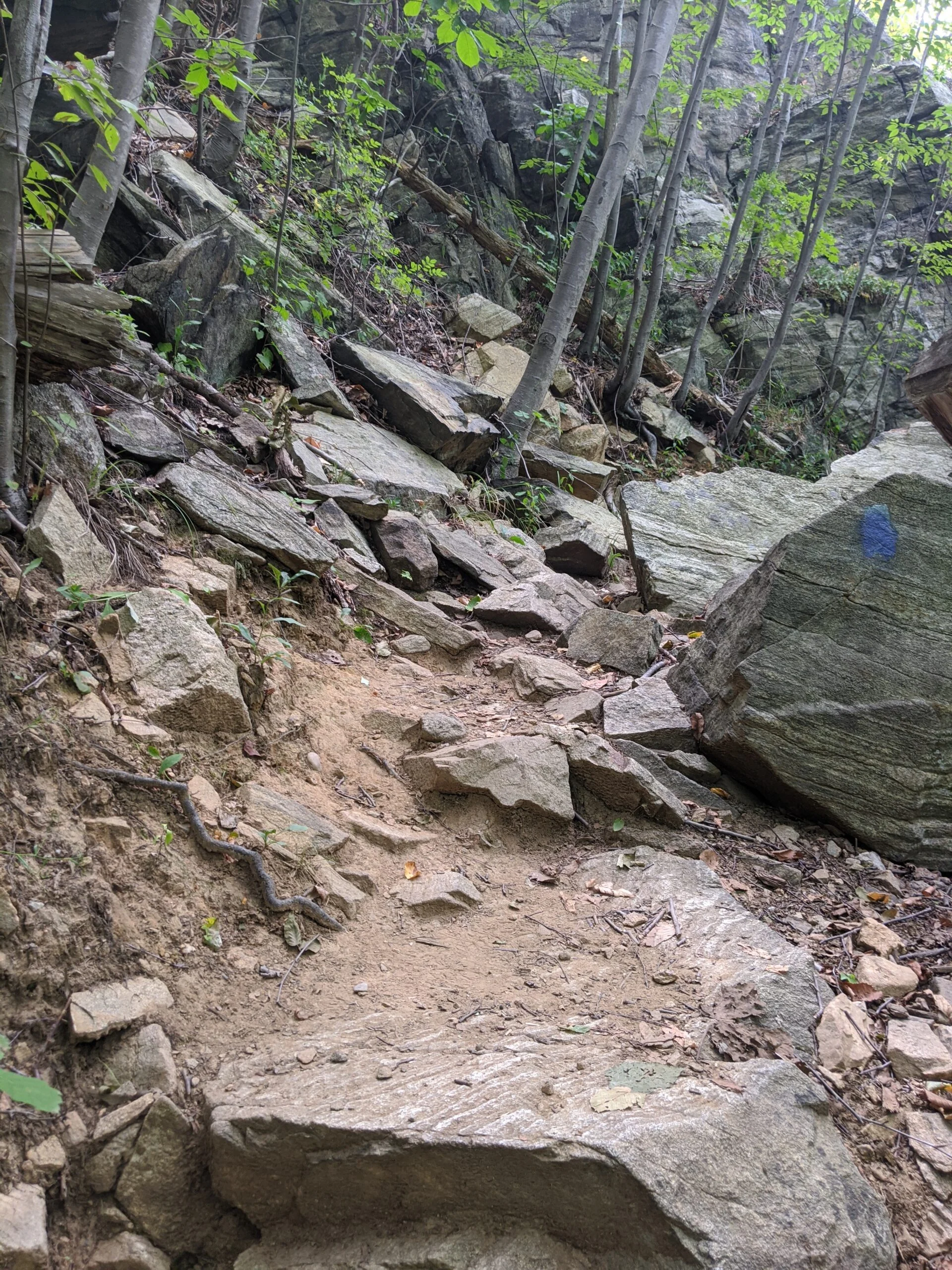
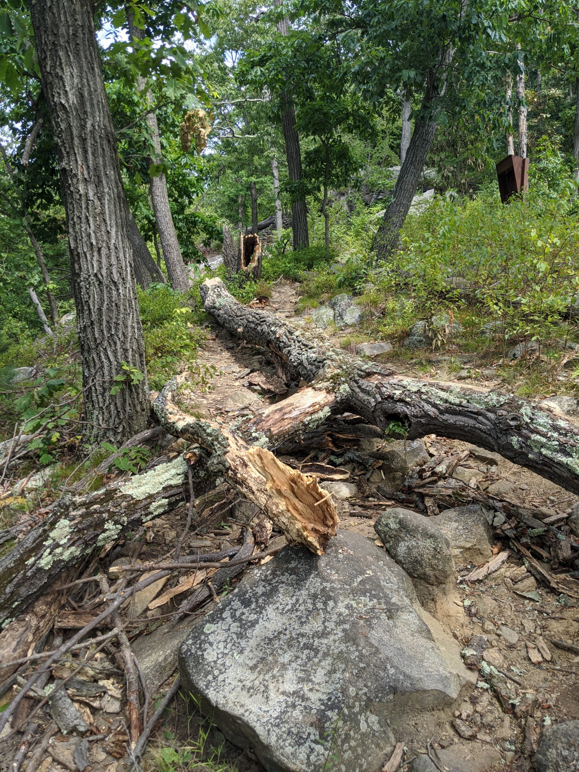
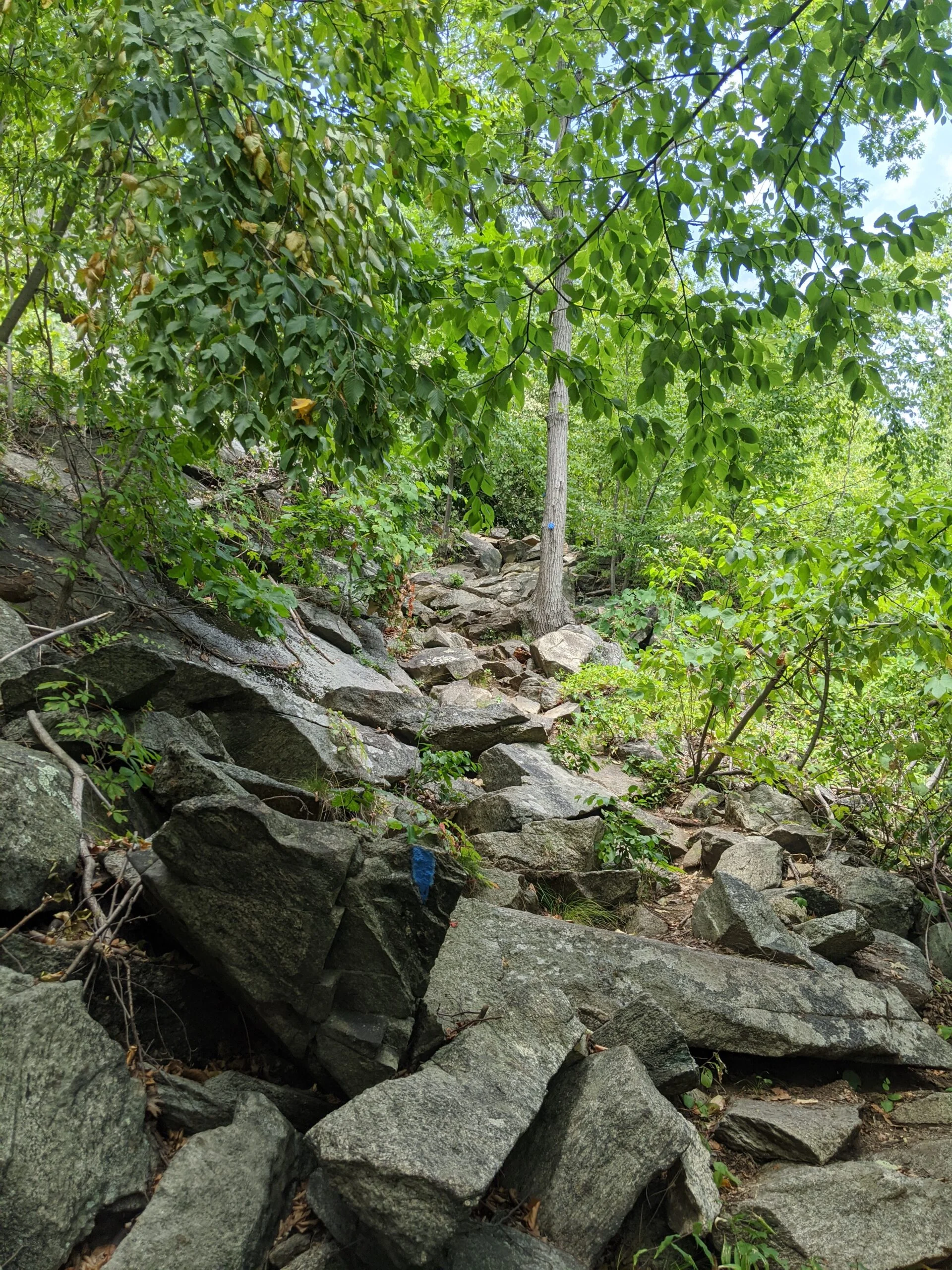
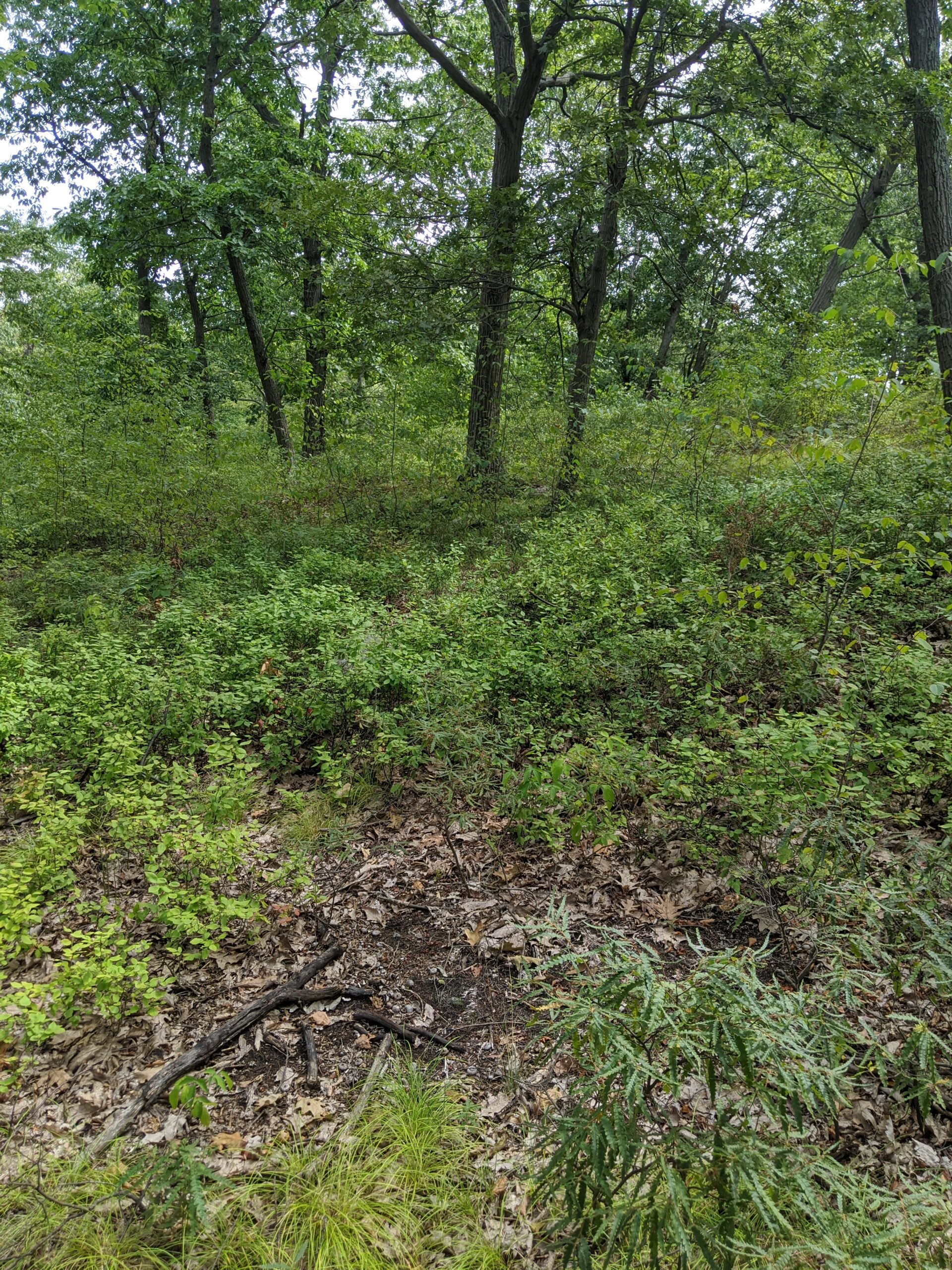
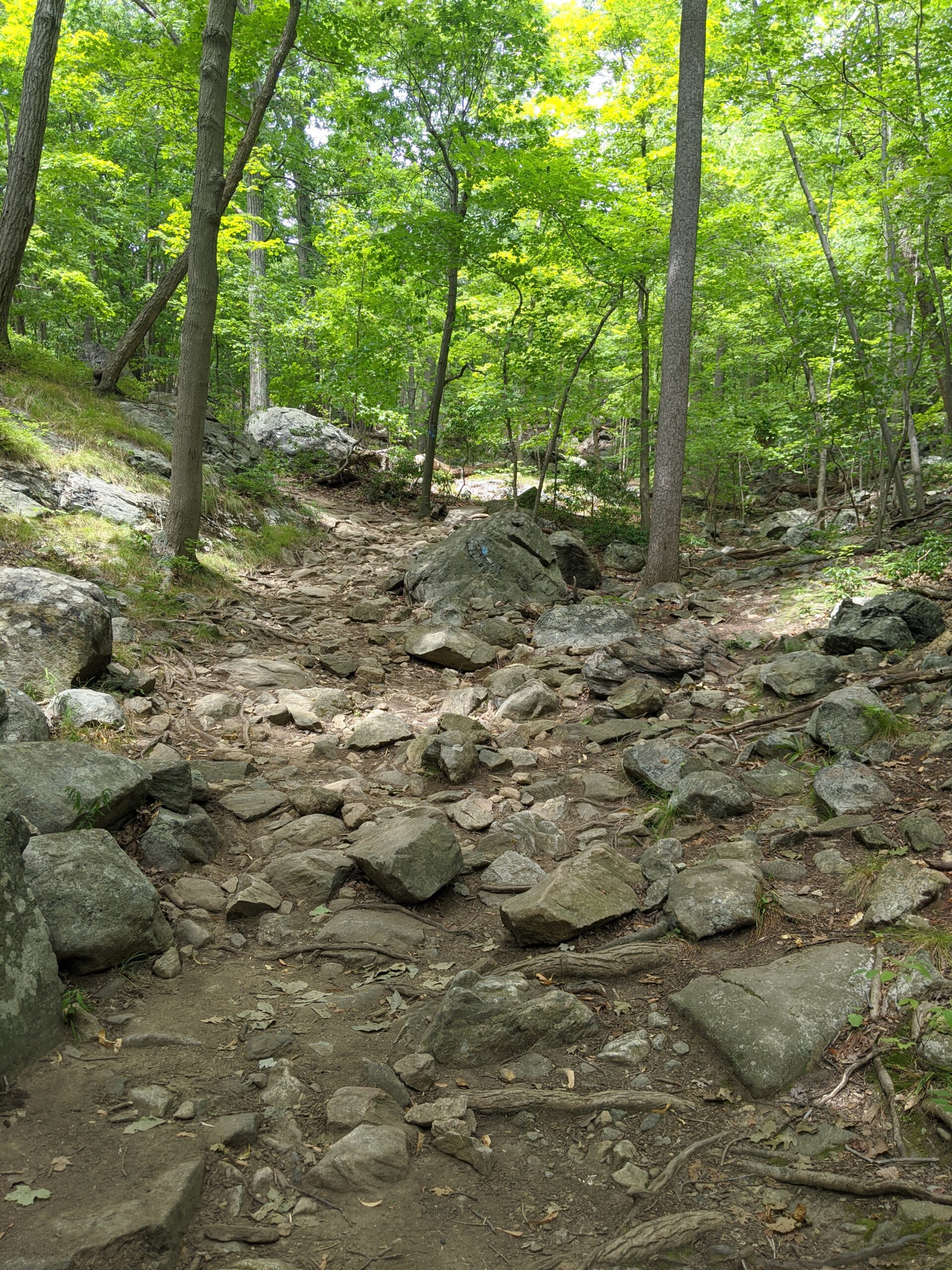
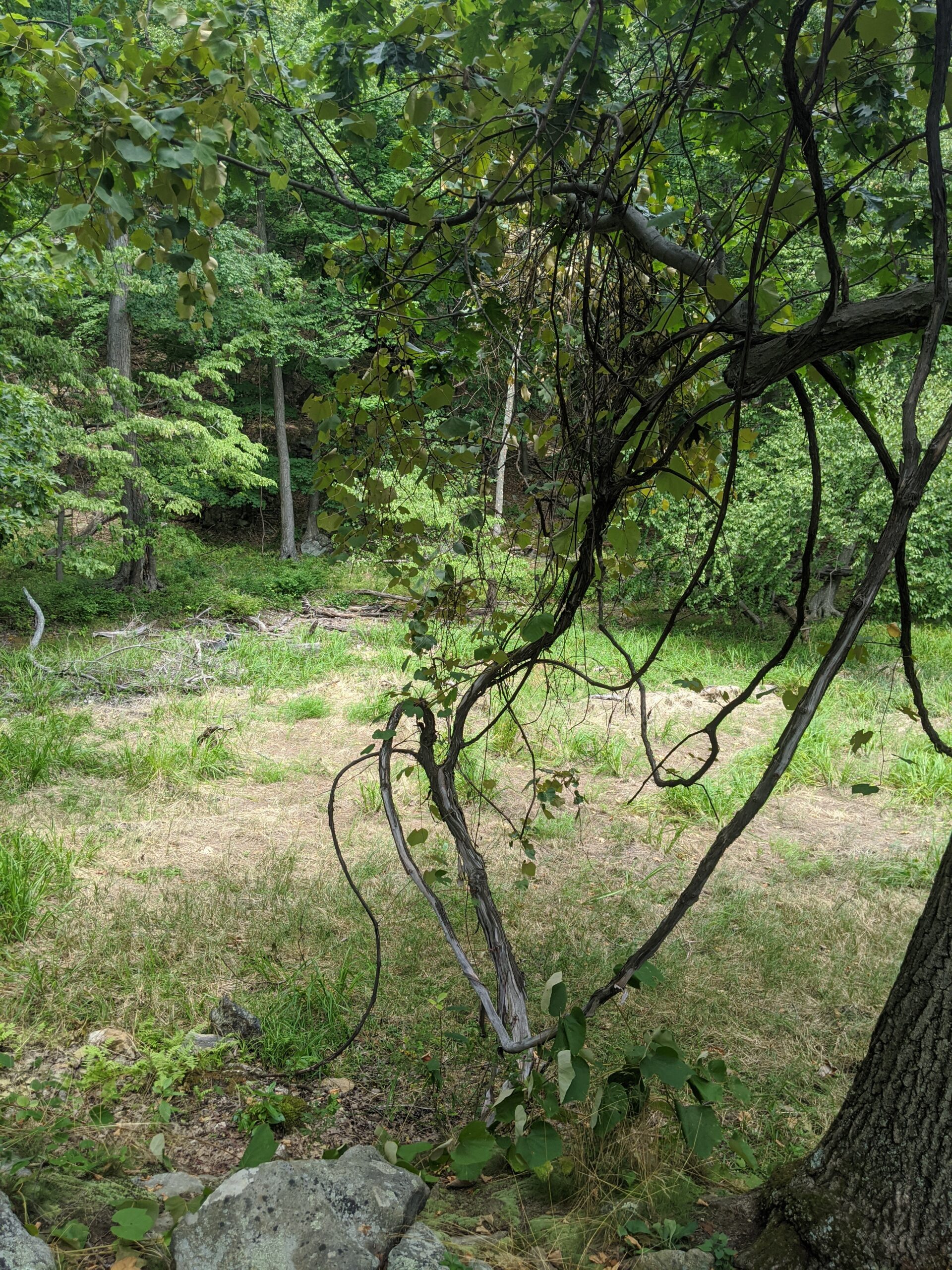
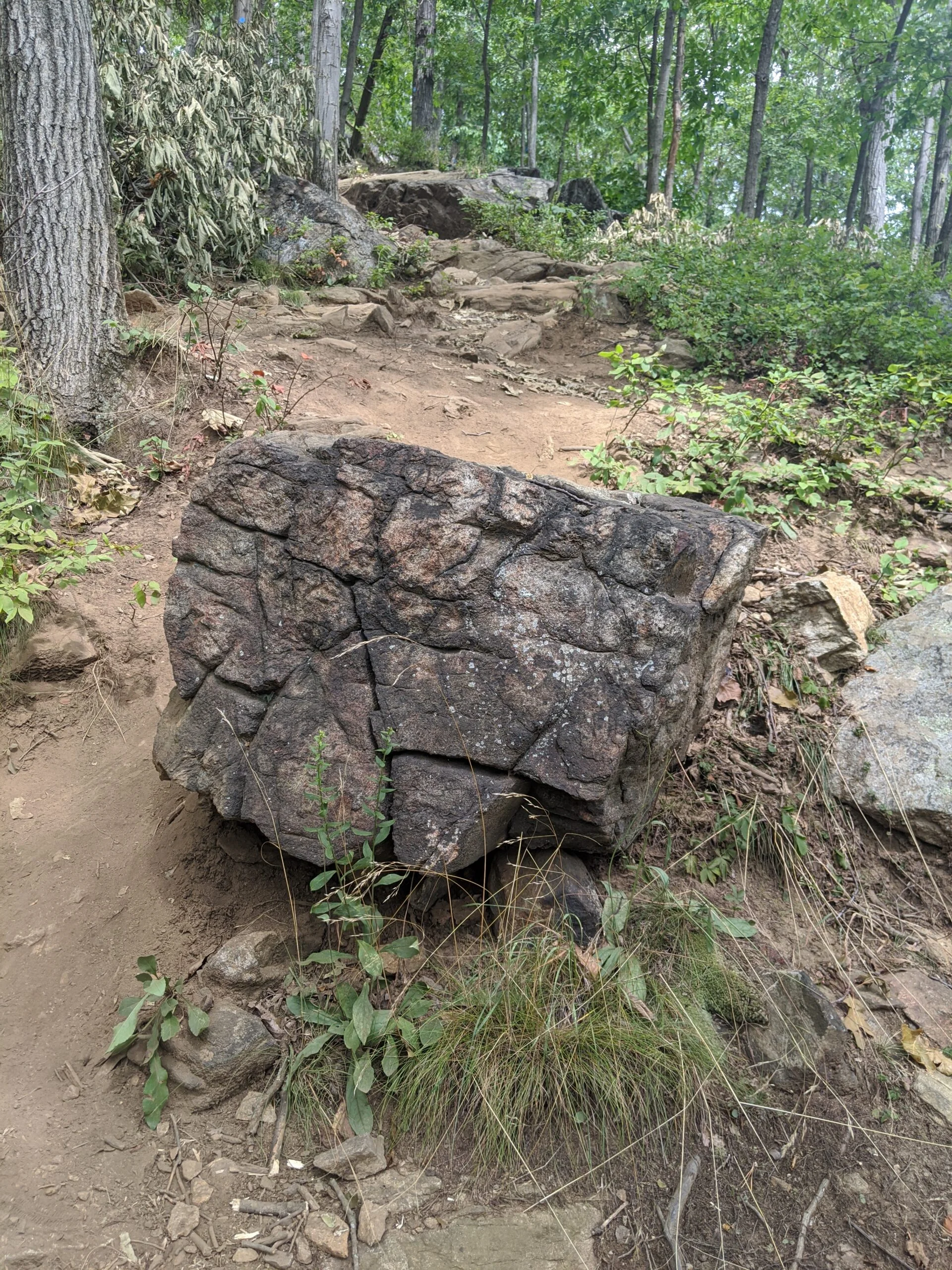
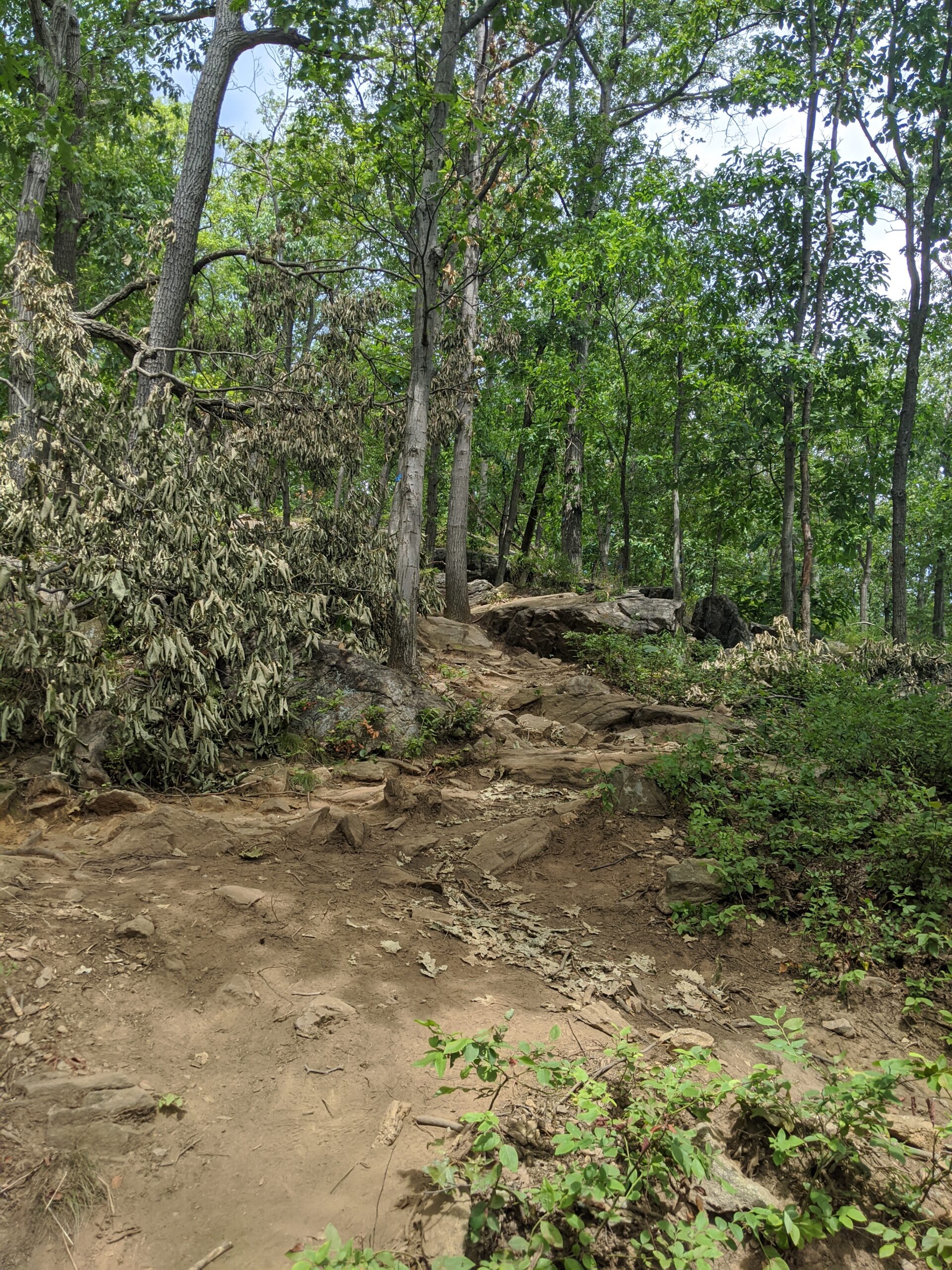
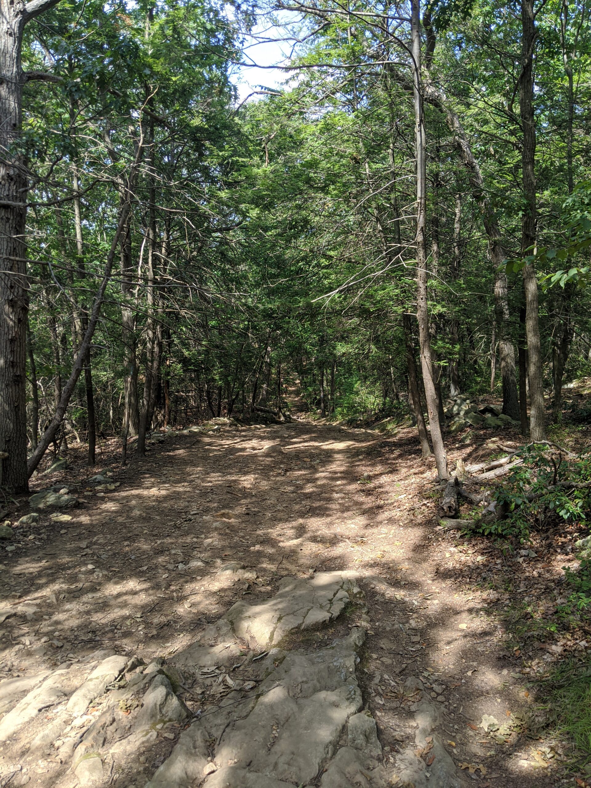
We began our hike at 7:45a. The trail begins with a small incline up, followed by a flat path, and then a steep rise of about 700 feet over a 1/2 mile. There are a few spots where it levels off for a moment, but it’s mostly a windy ascent up. Many people compare it to climbing a staircase, given the amount of rocks and roots on the path that act like stairs.
This part of the hike definitely got my blood pumping and sweat dripping. I was out of breath several times and stopped for a couple of breaks. This signaled to me that I need more experience to improve my stamina and endurance for these steep slopes. Estimating from my photos, it took us about 25 minutes to ascend this part of the trail. Neither of us were using trekking poles, so this was all legs and glutes.
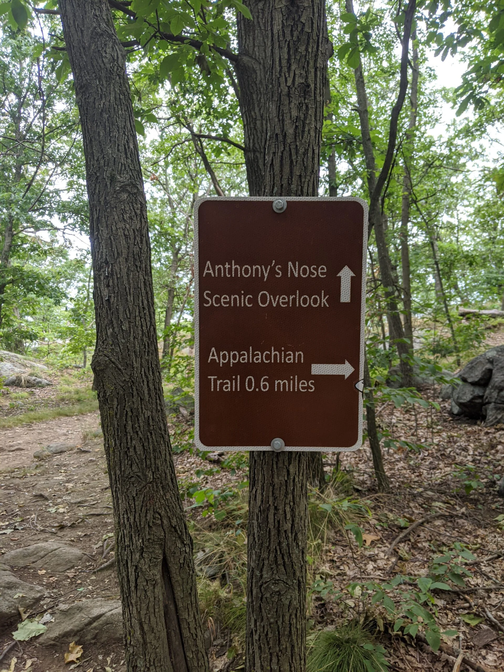
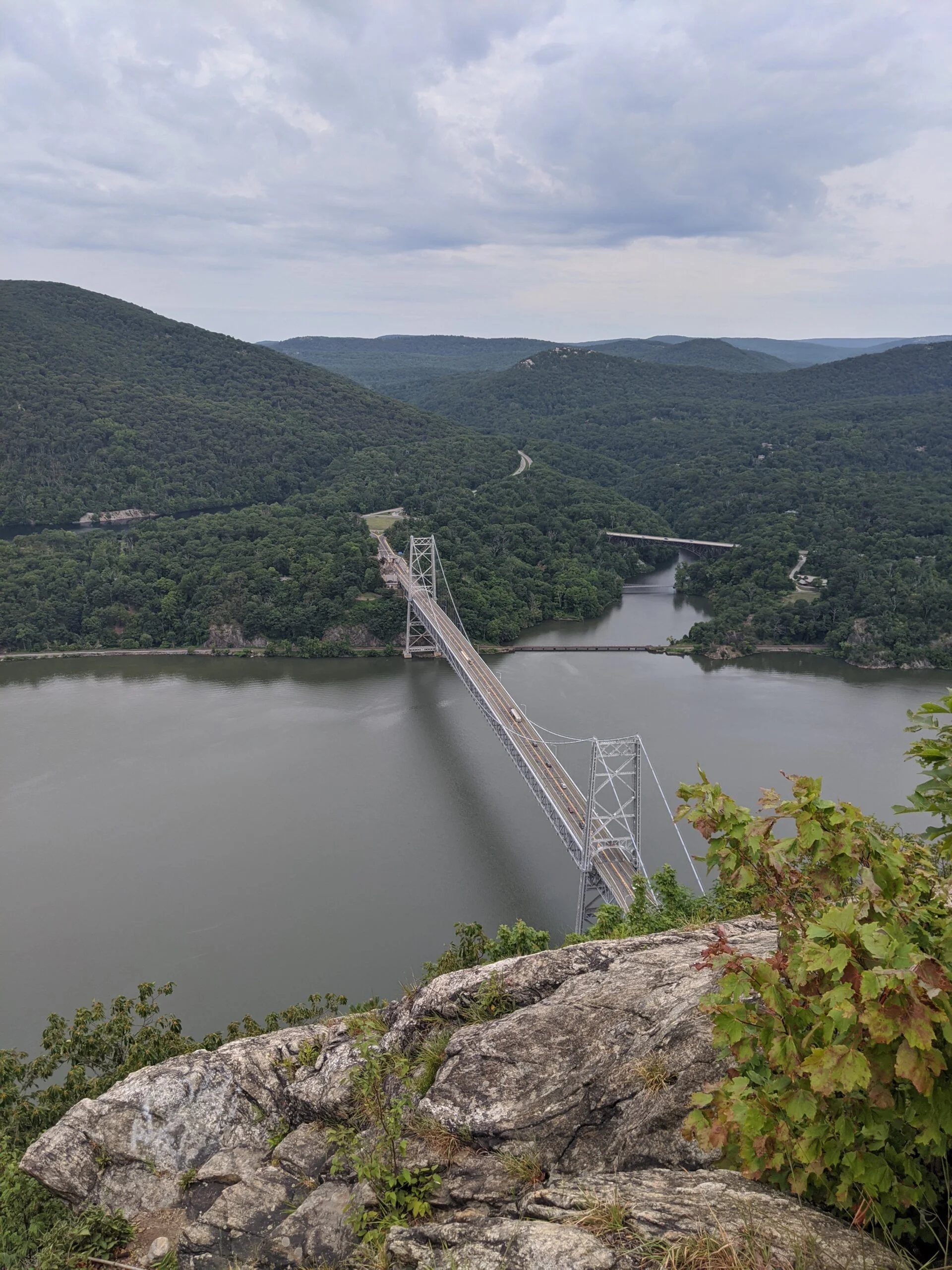
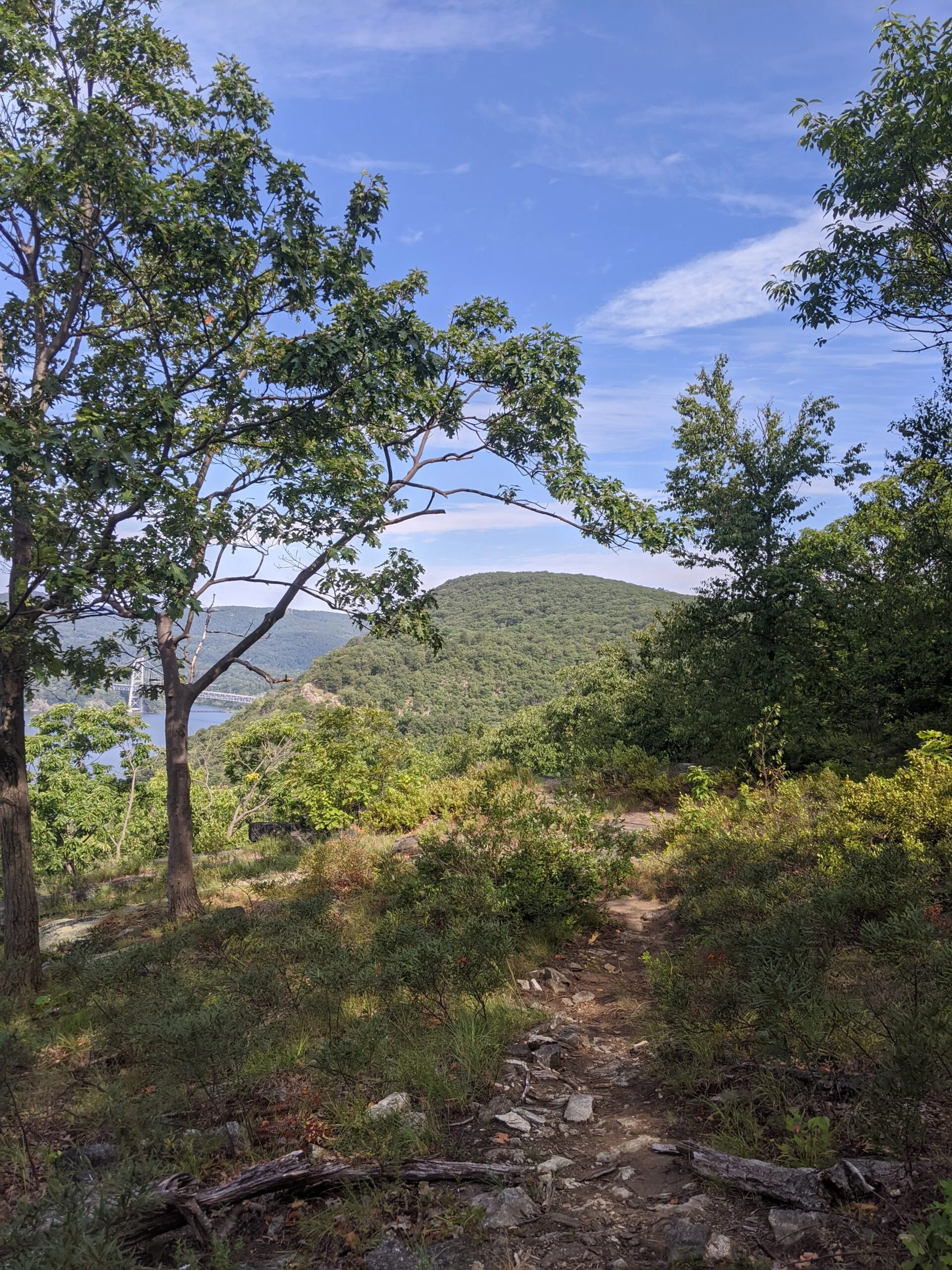
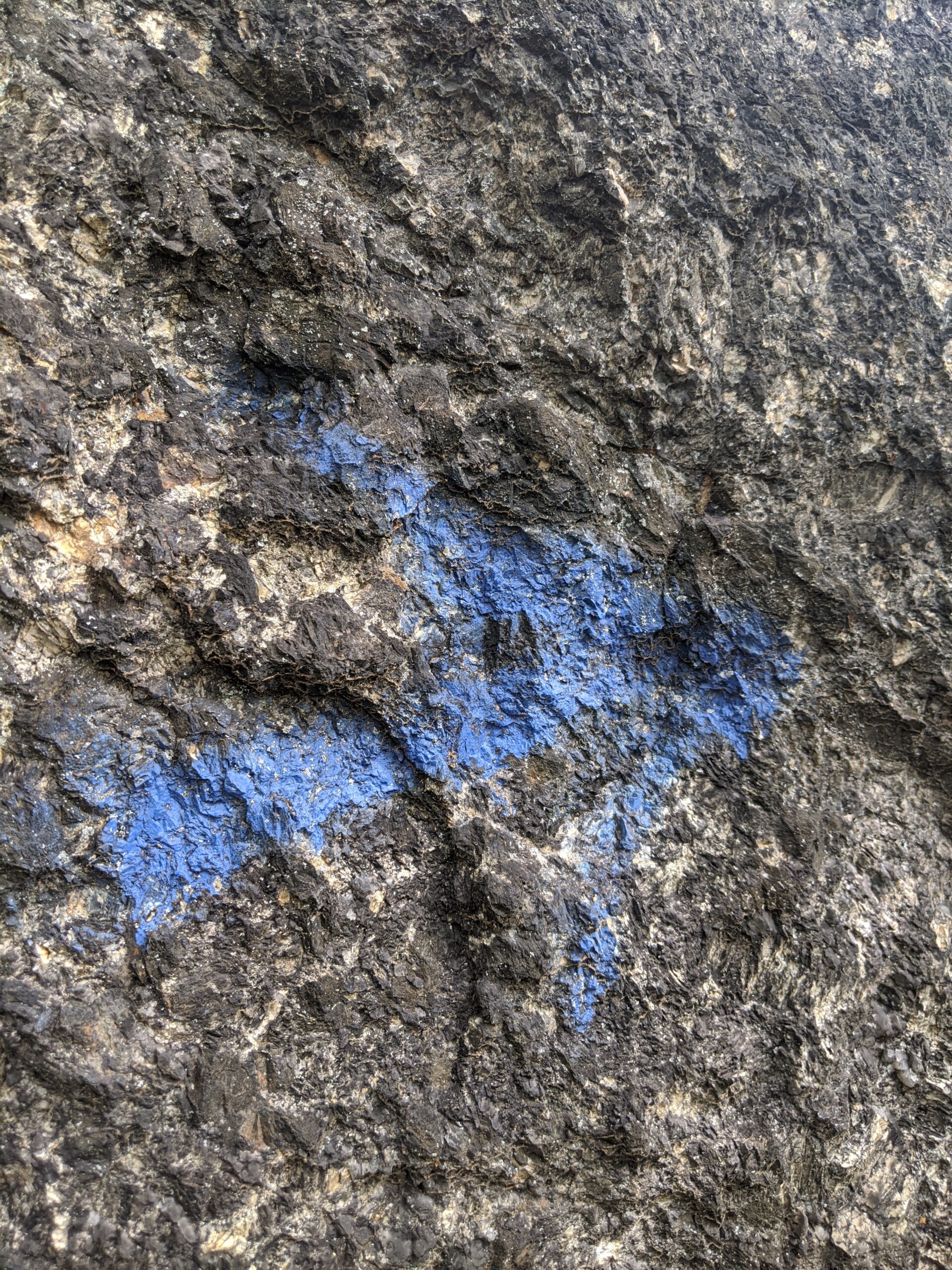
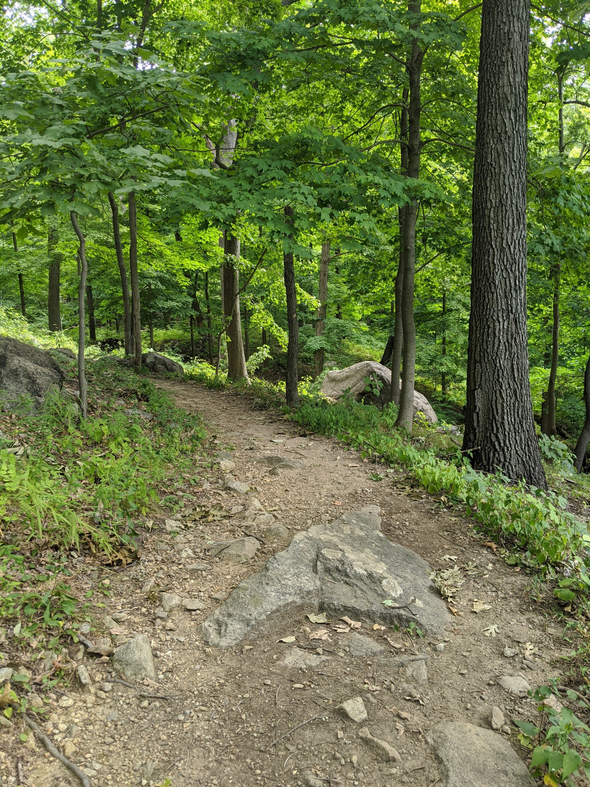
Once we made it to the top, the AT continues to the north east, but we were interested in visiting Anthony’s Nose, so we took a right (south west) onto the Camp Smith trail (CS, blue blazes). At this point, we were able to let our muscles cool off on a wide, mostly flat, dirt trail leading the way to the Anthony’s Nose overlook (approx 0.6 miles). There’s an elevation gain of about another 150 ft along this trail but it’s very gradual. We made it here about 40 minutes after starting.
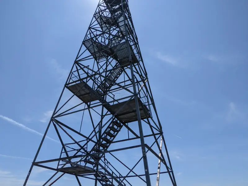
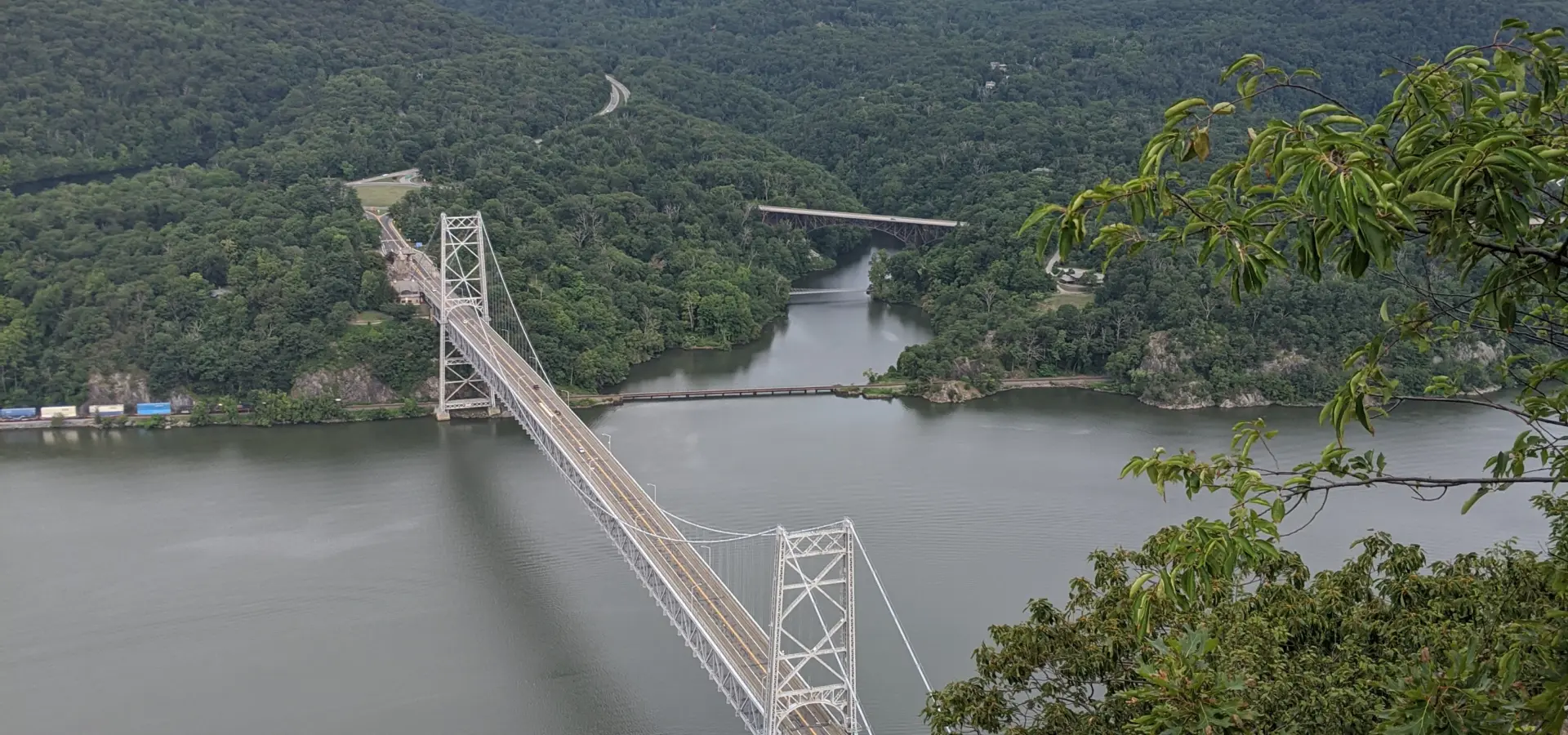
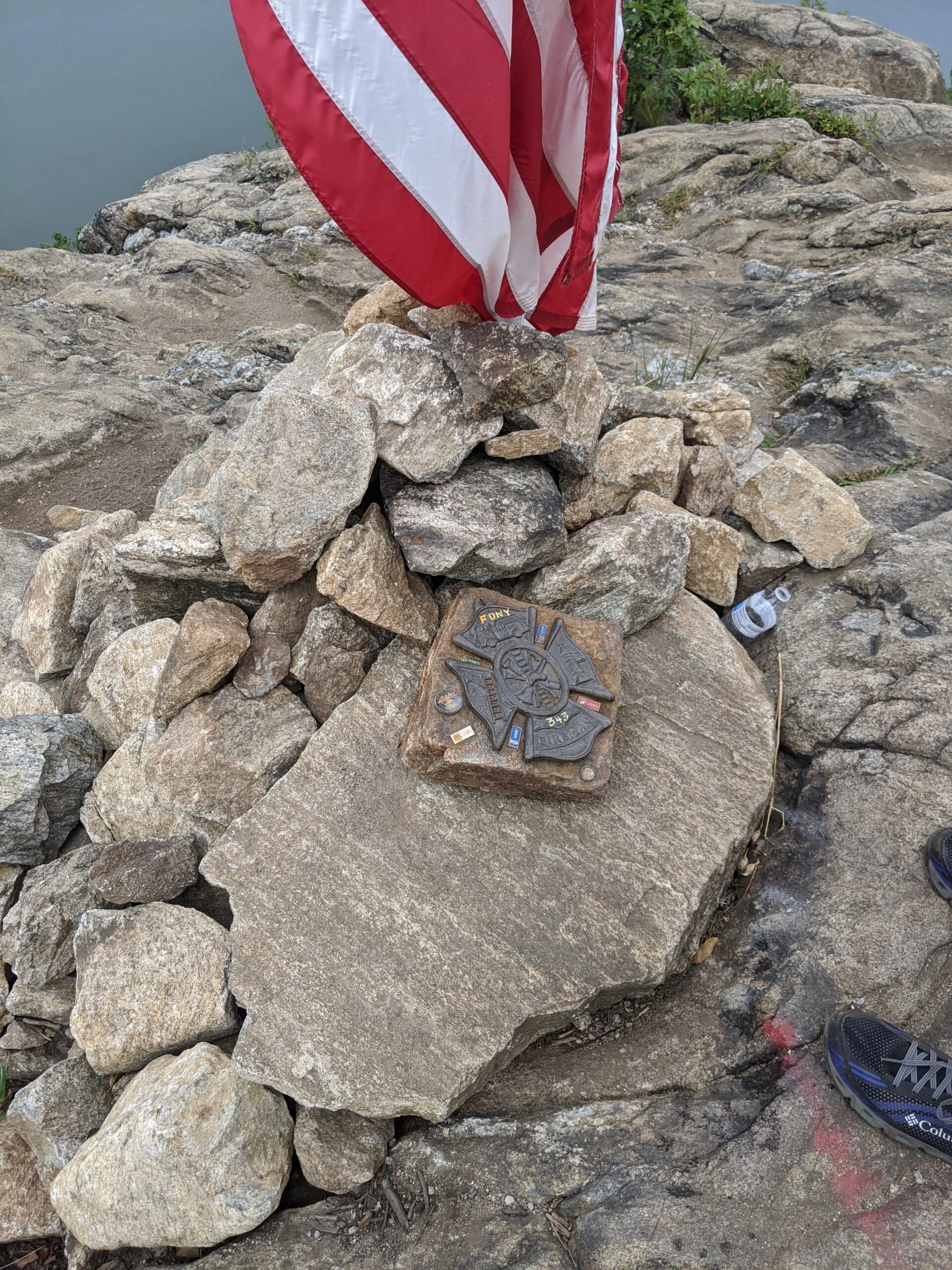
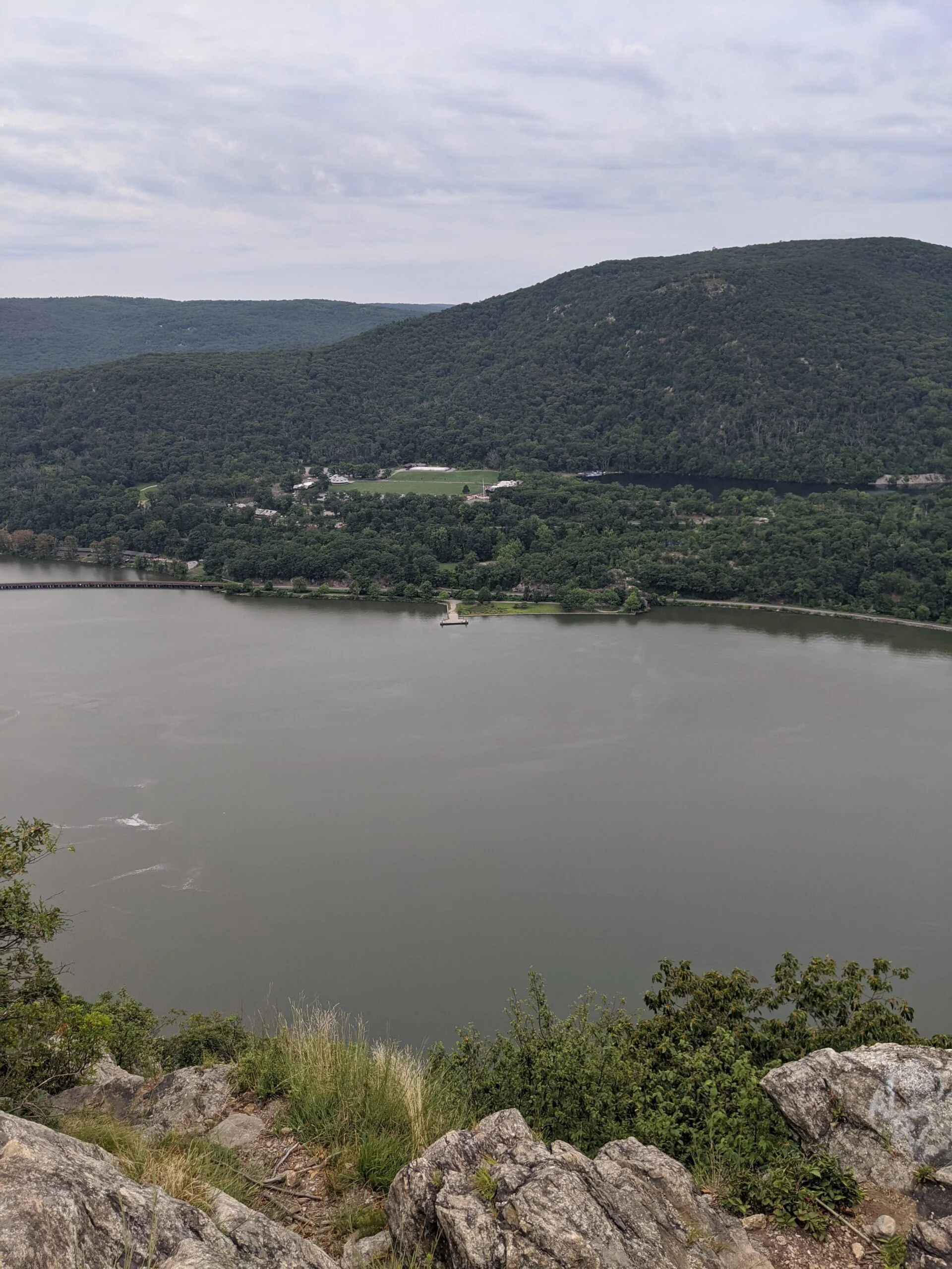
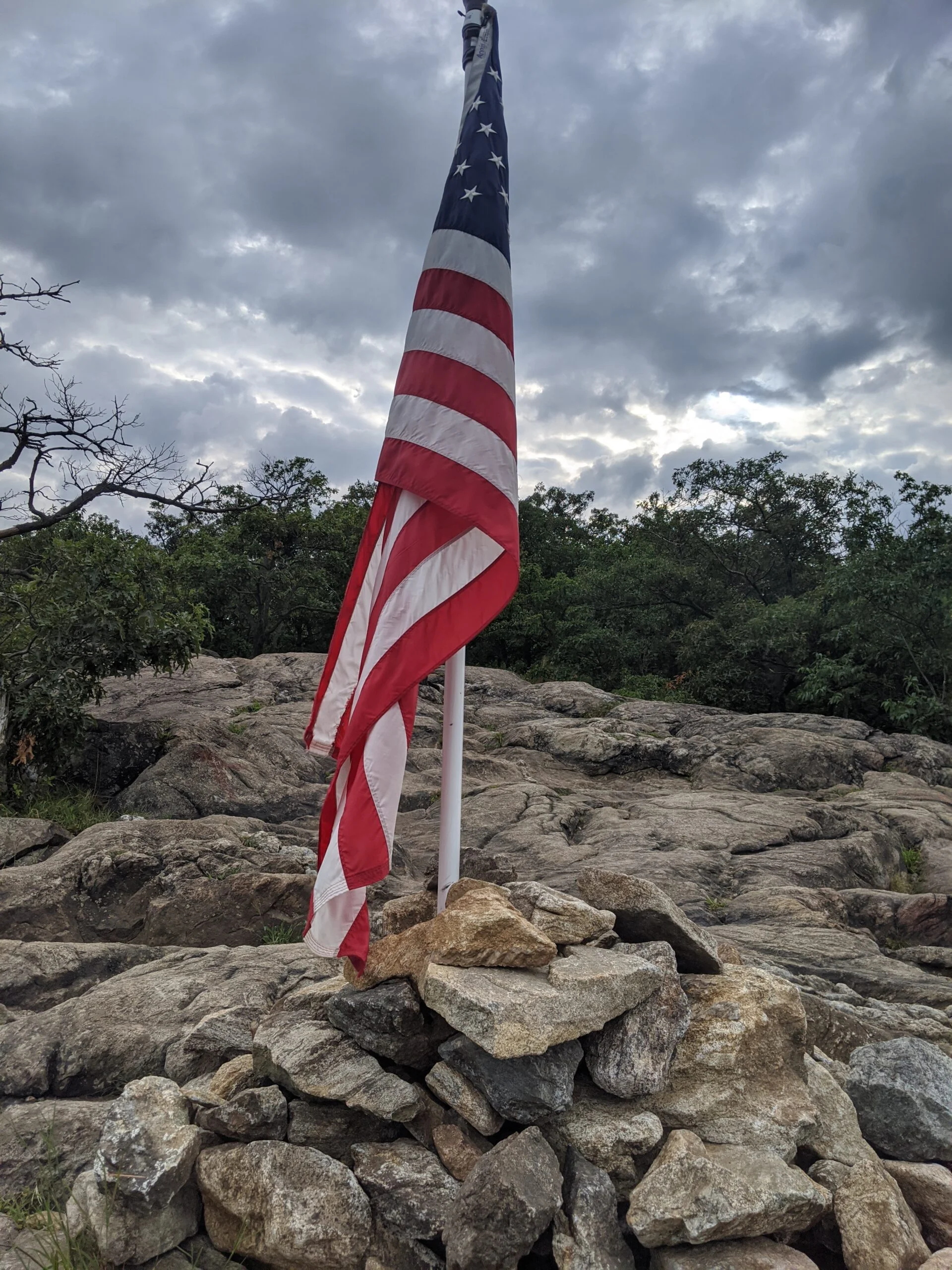
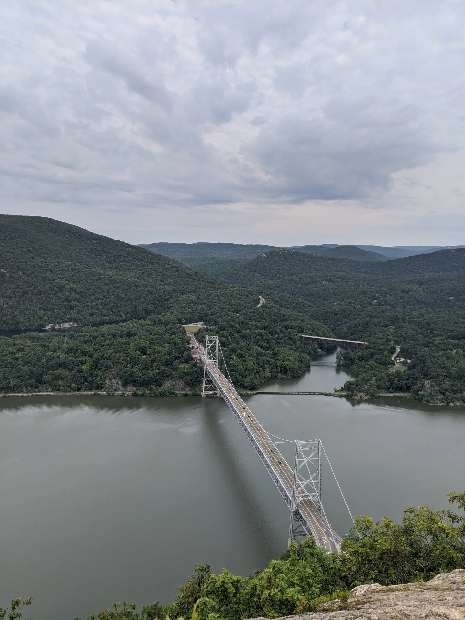
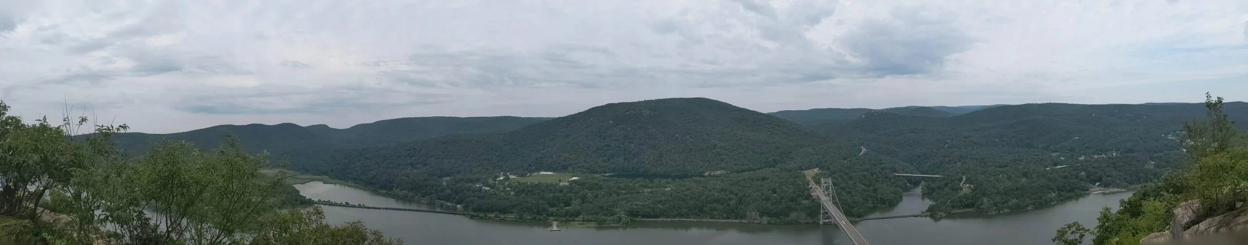
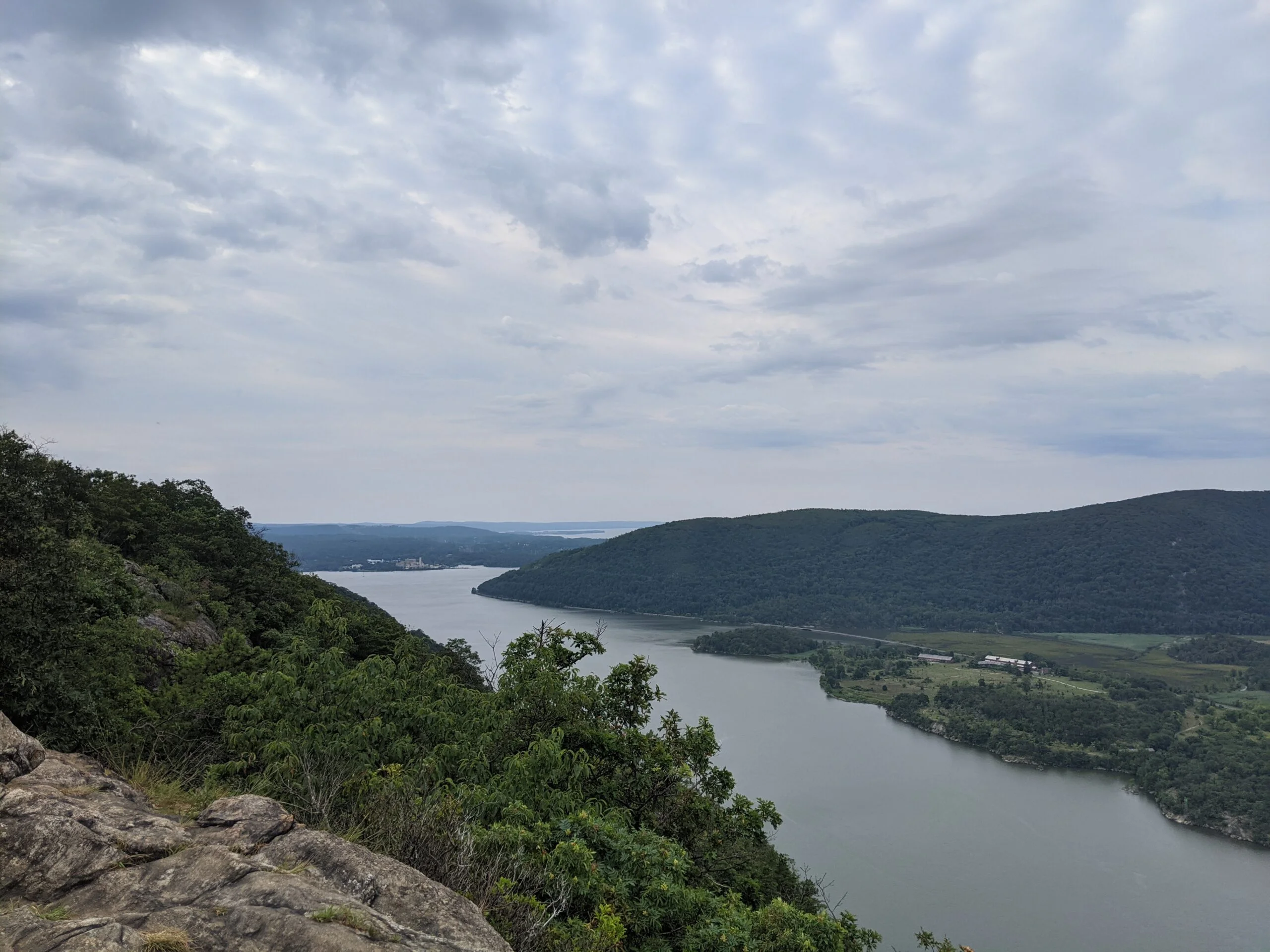
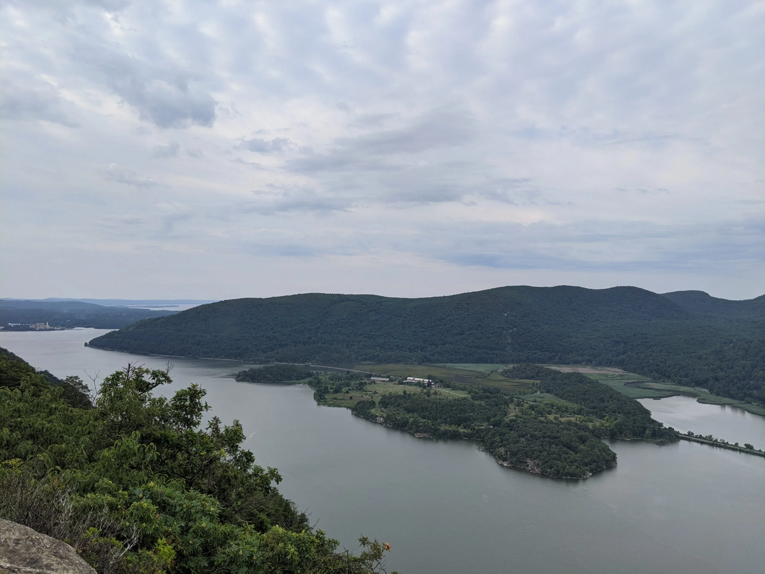
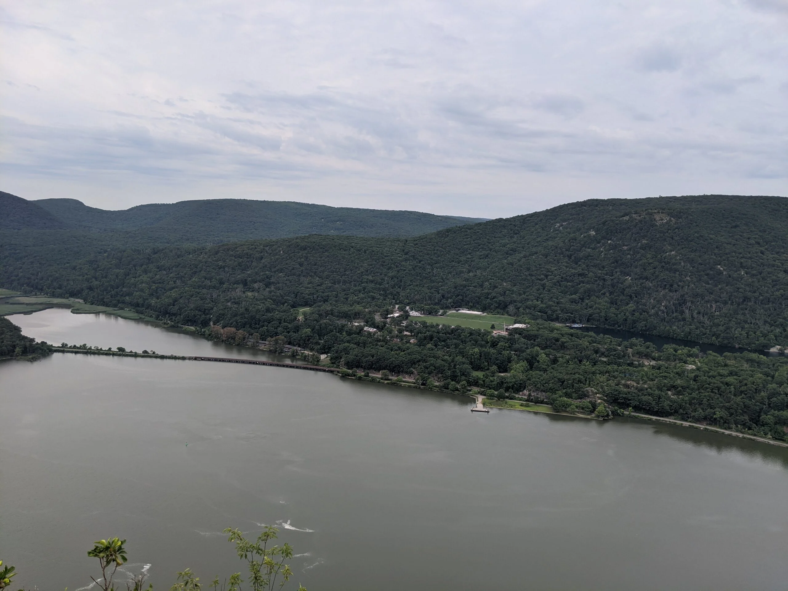
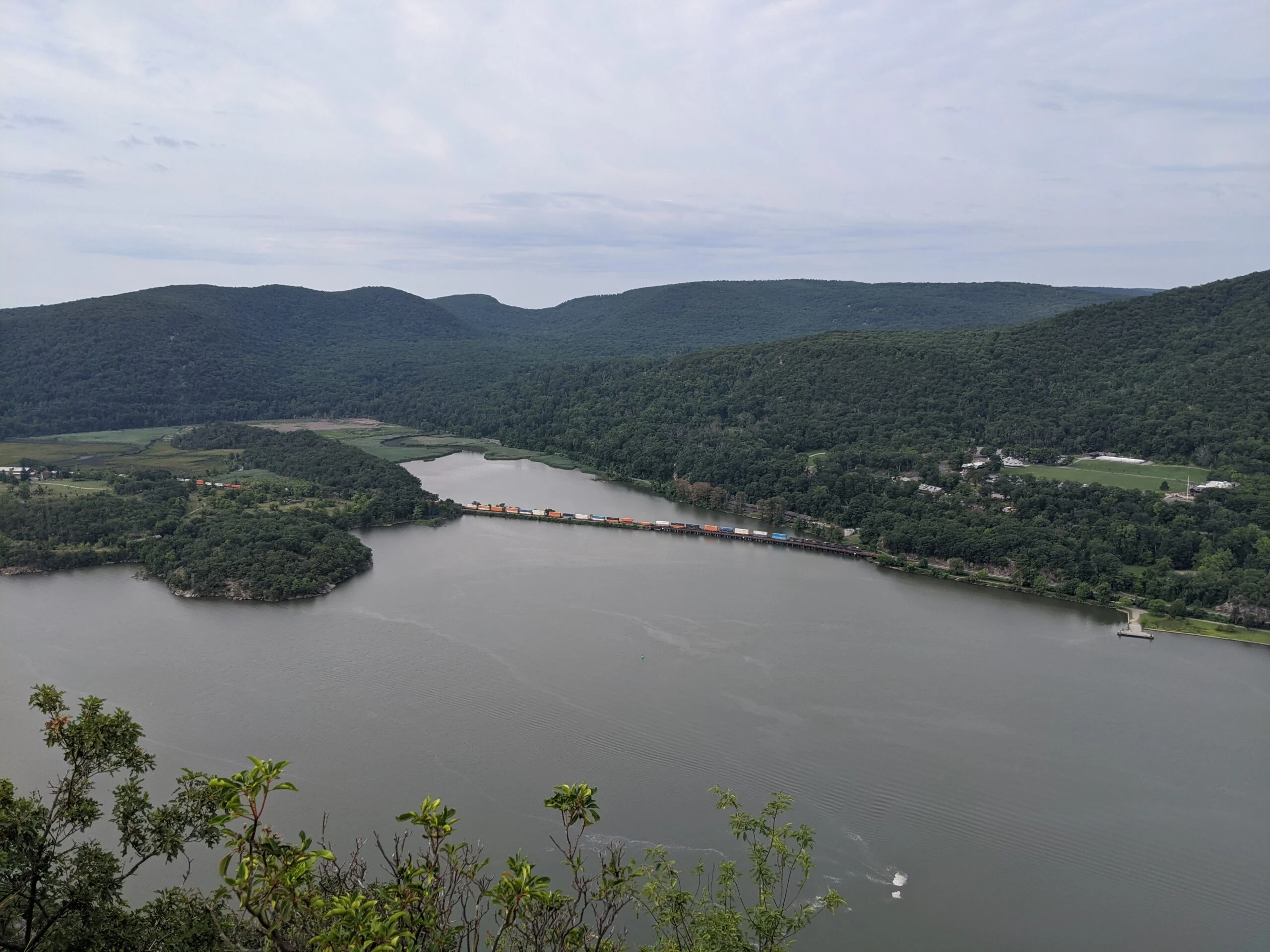
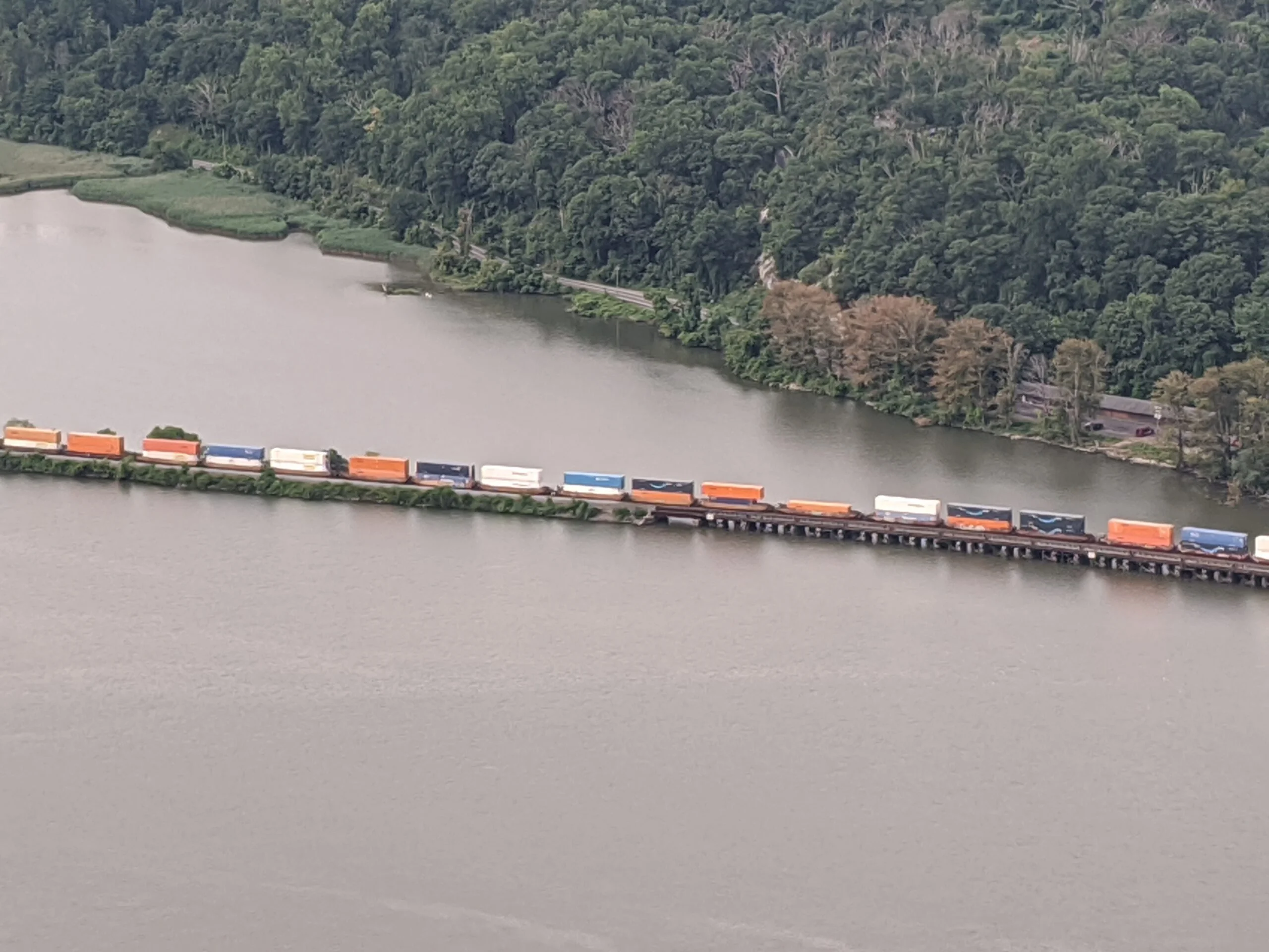
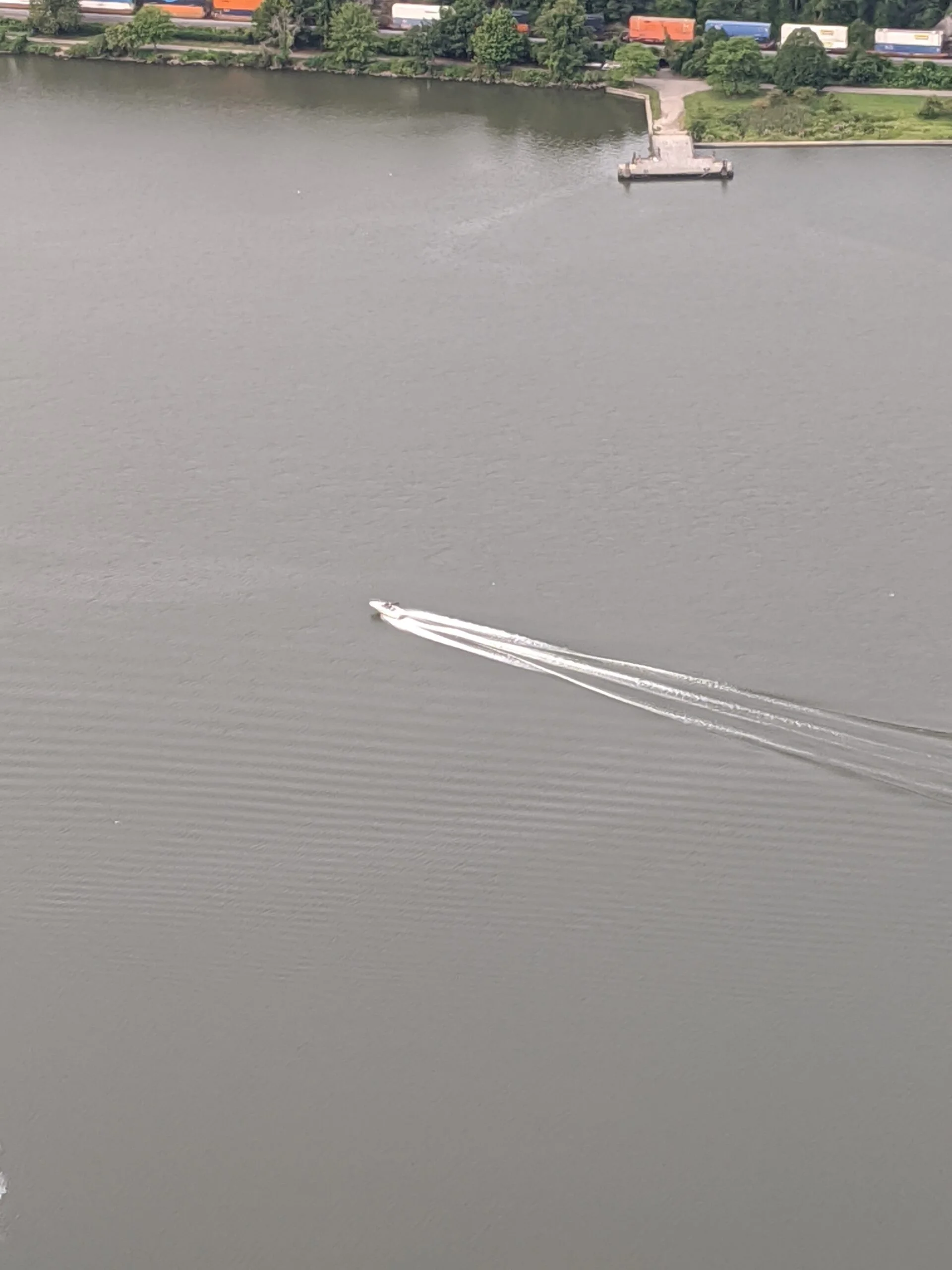
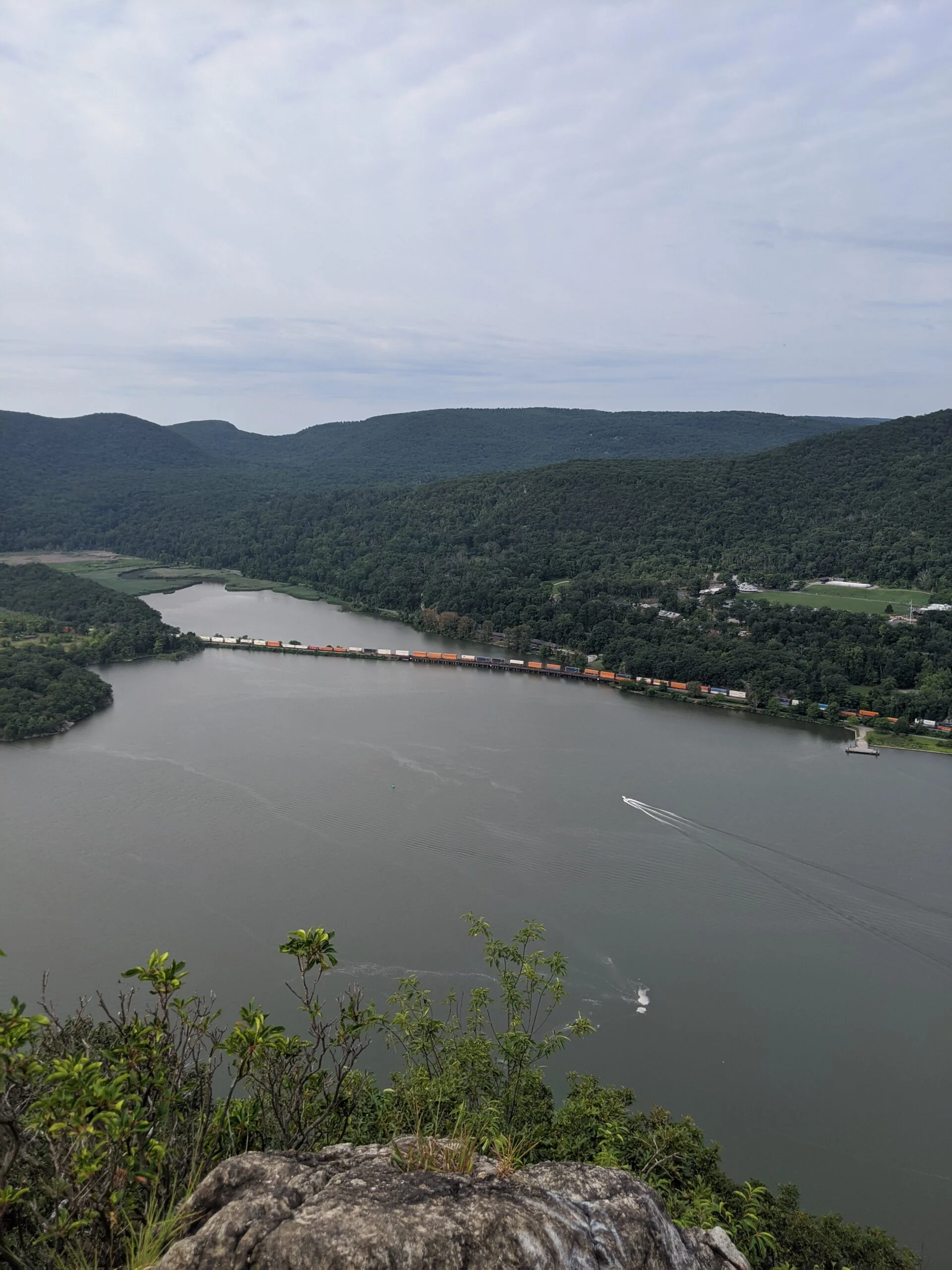
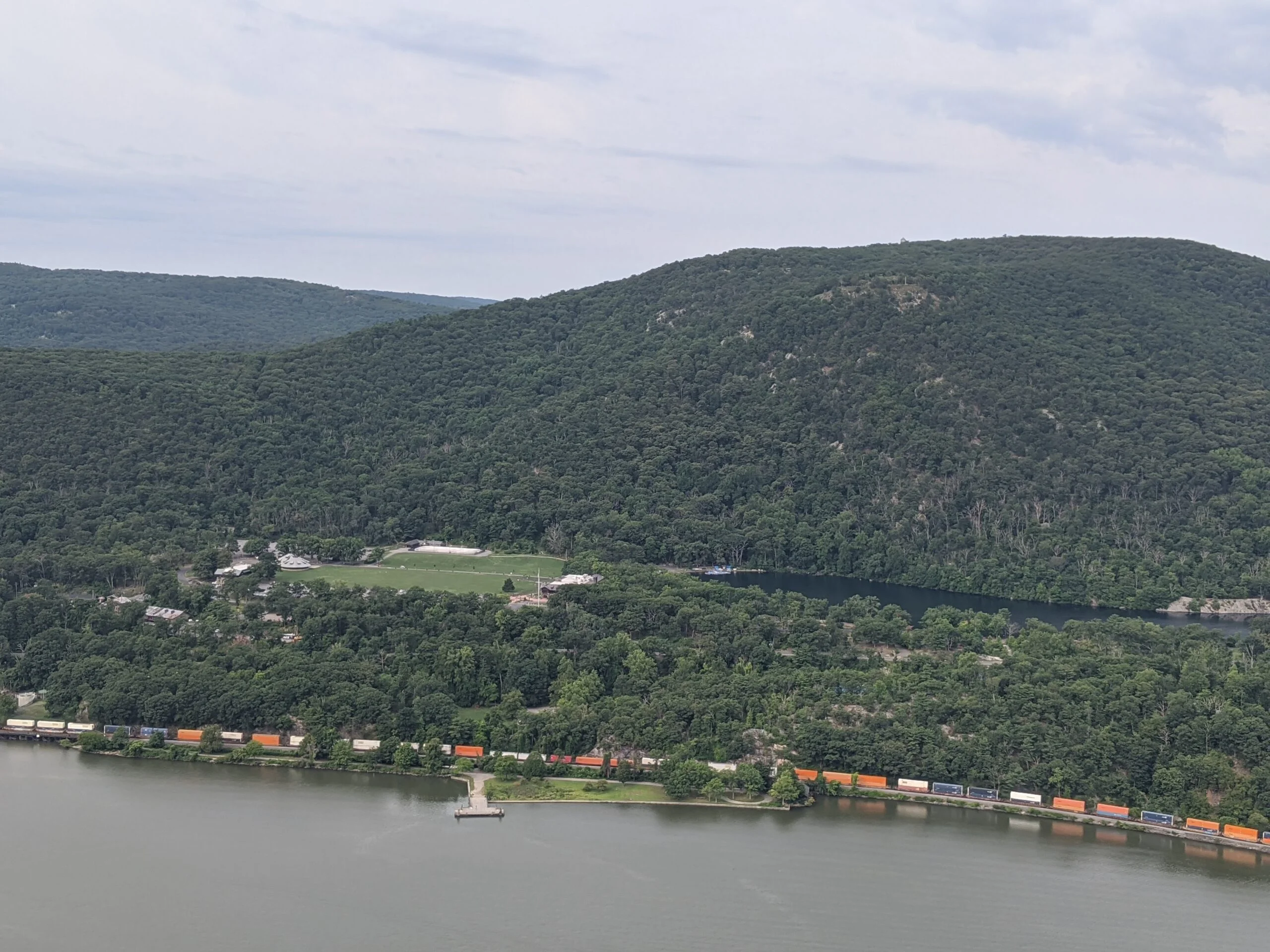
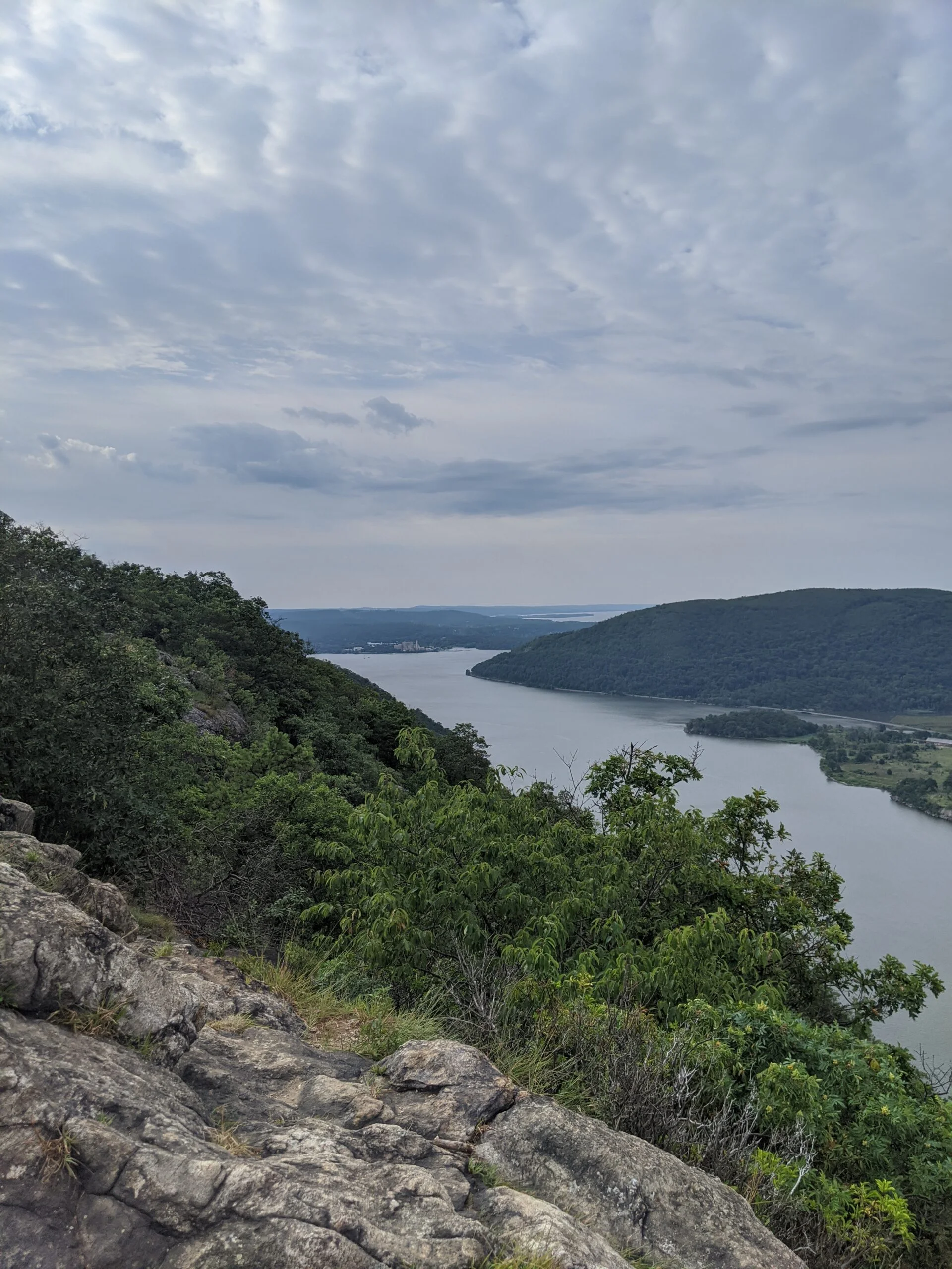
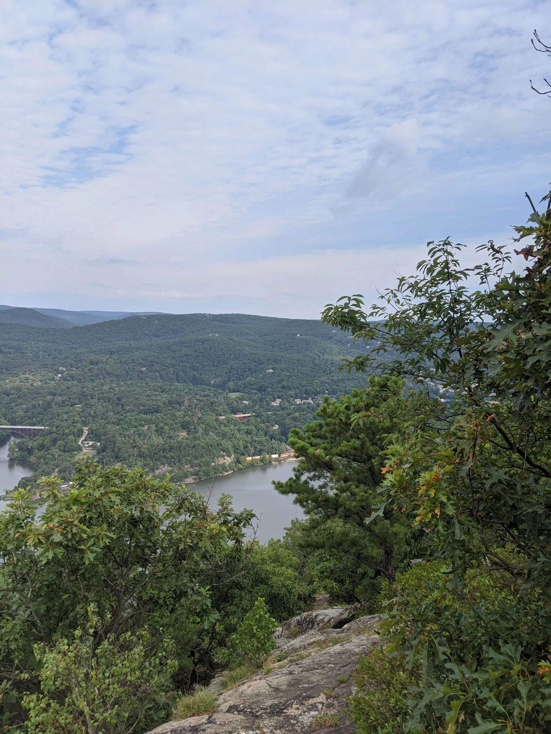
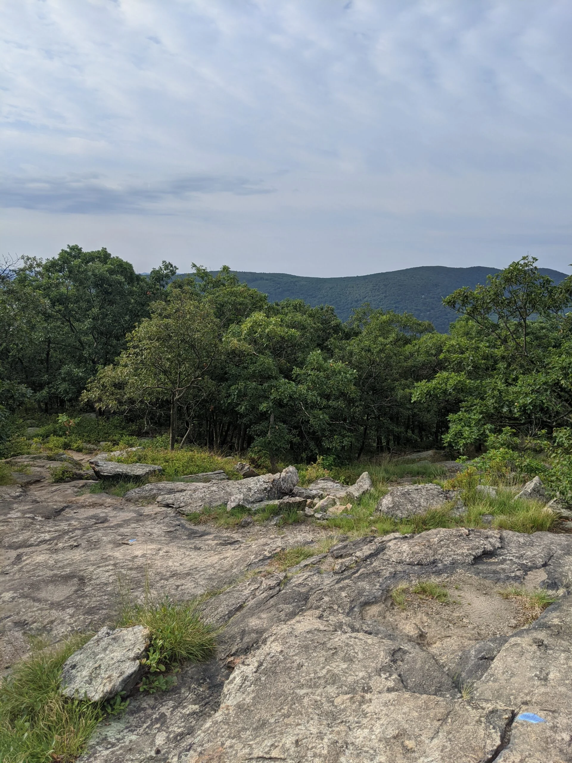
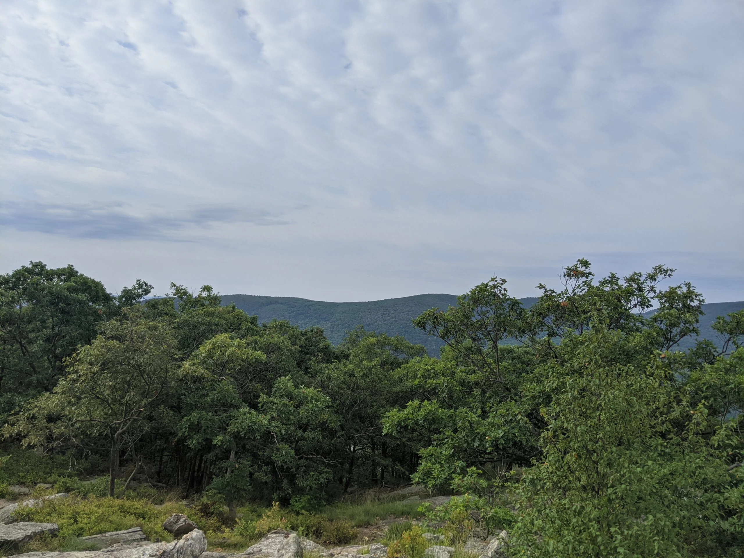
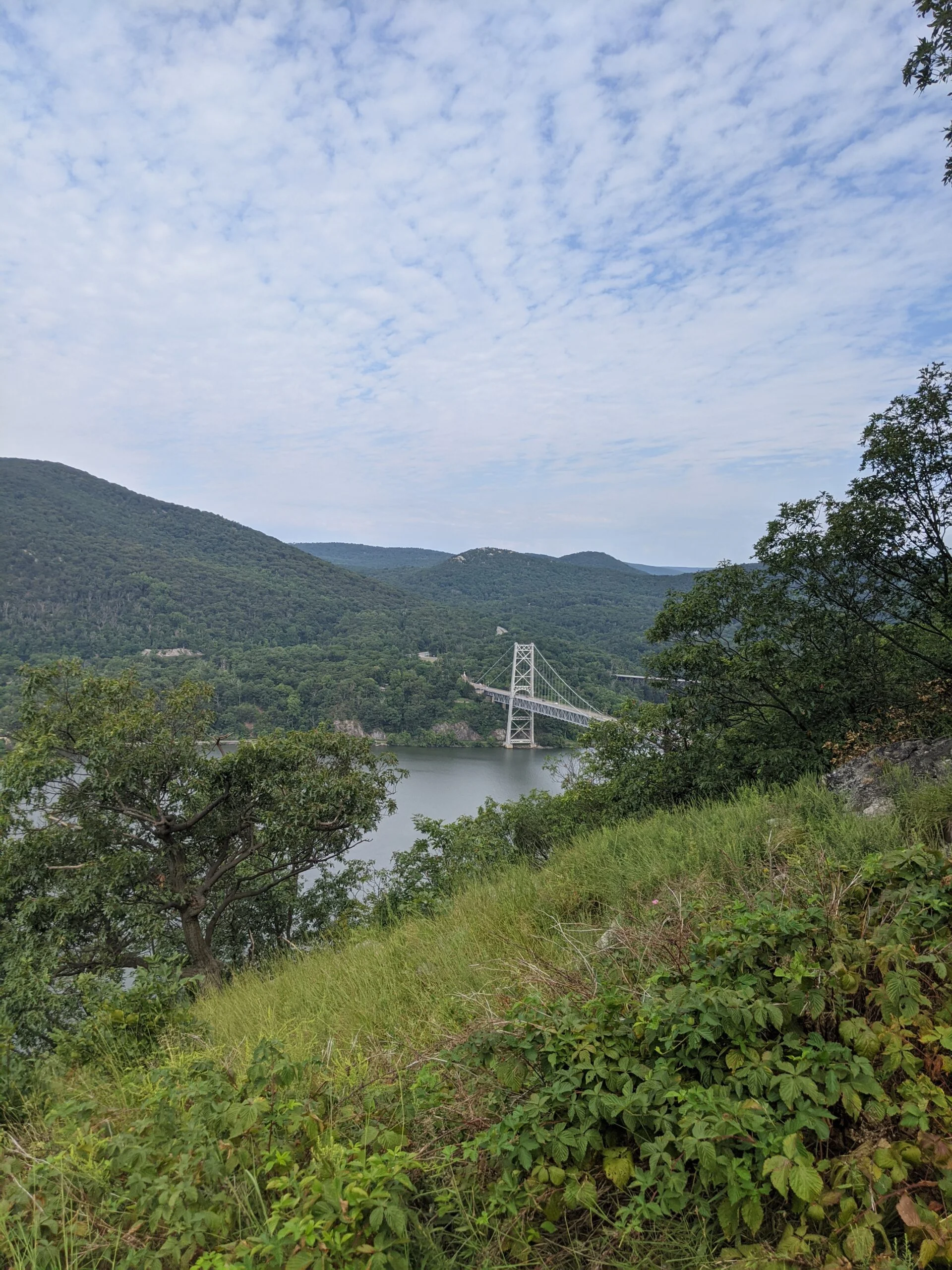
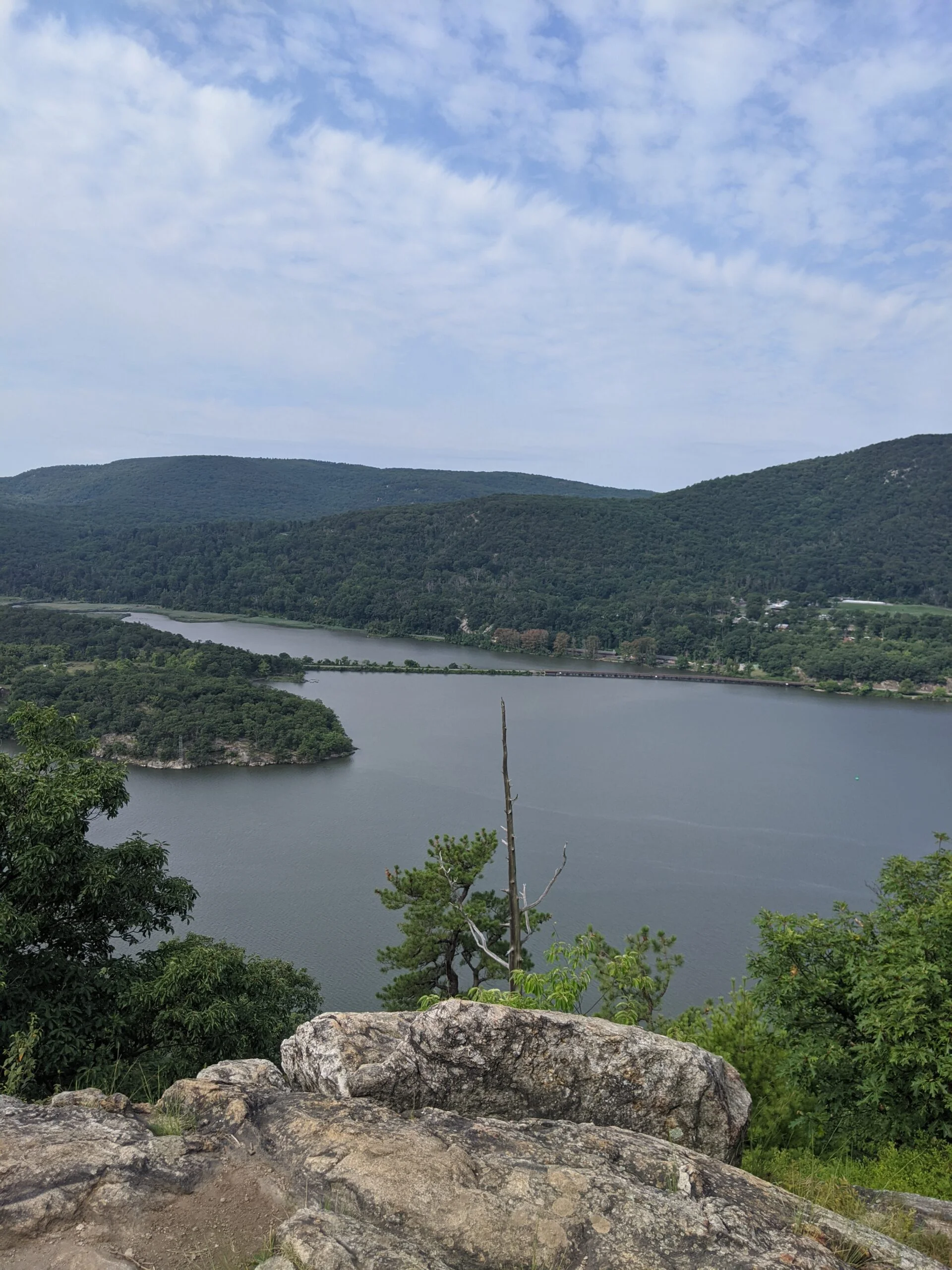
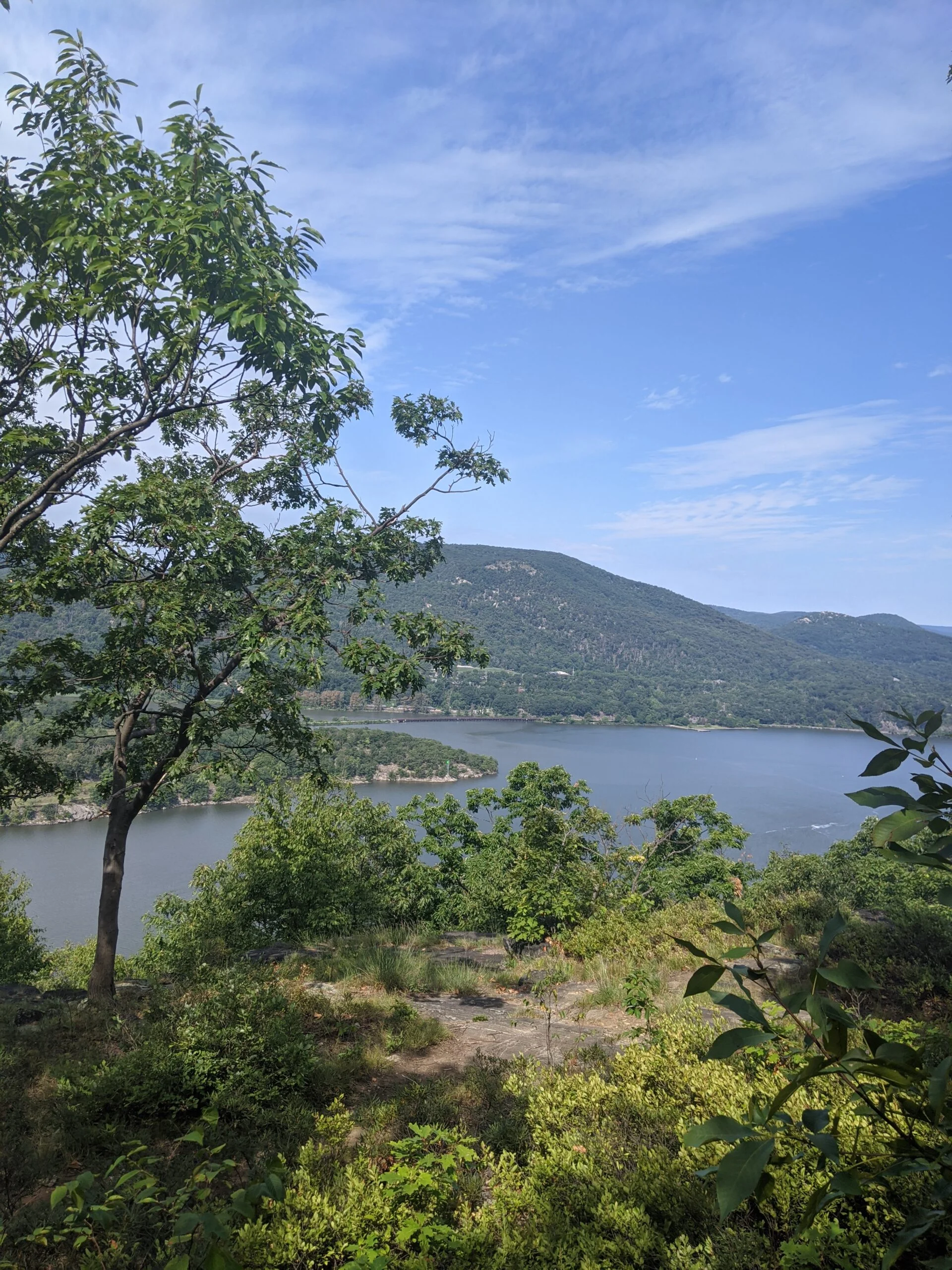
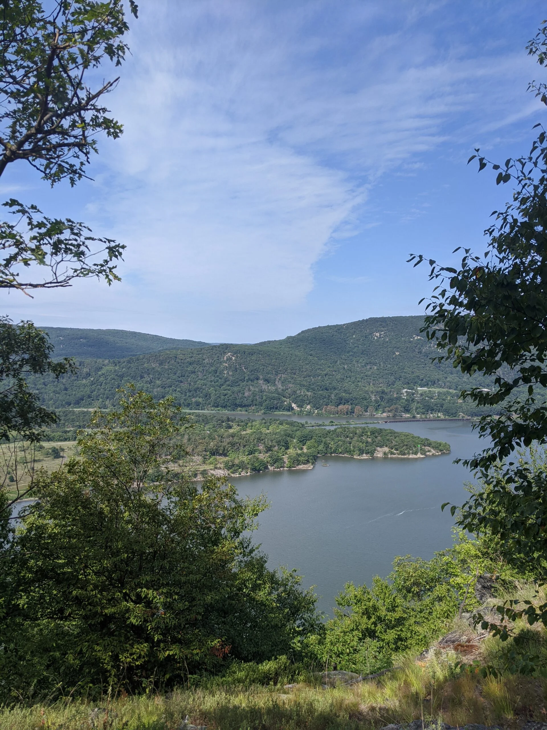
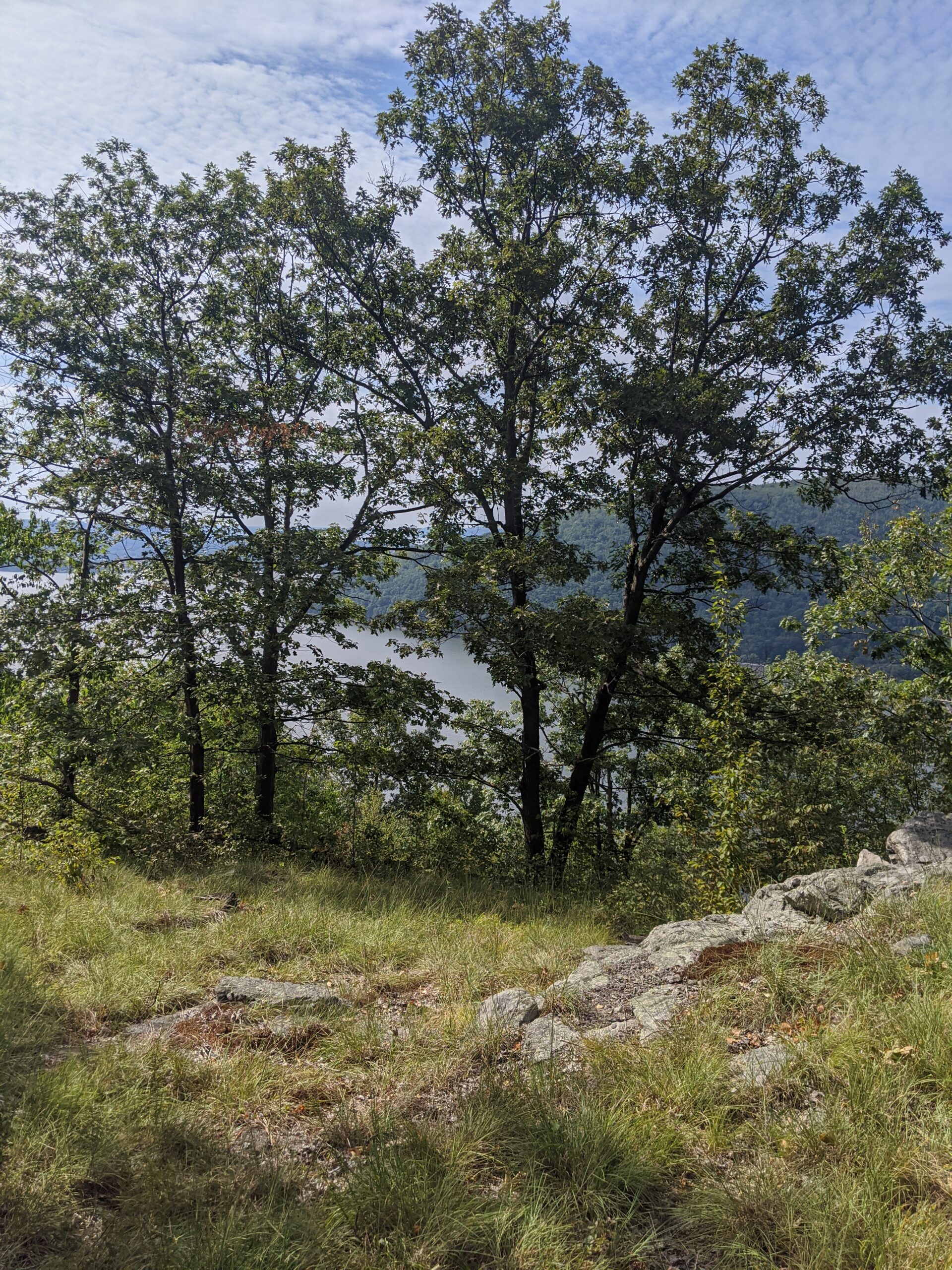
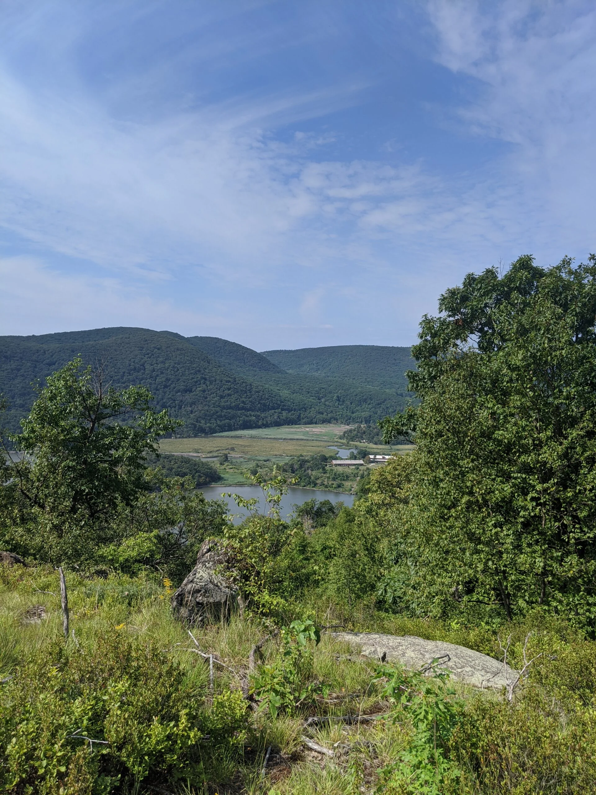
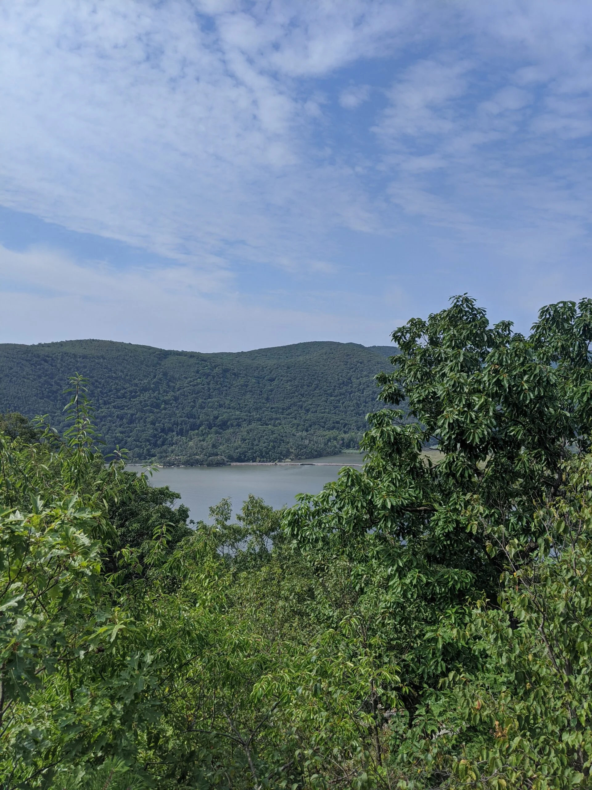
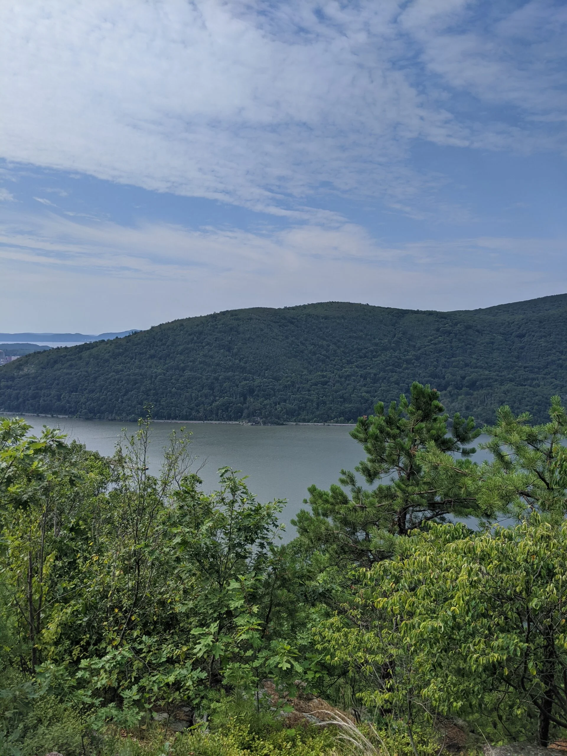
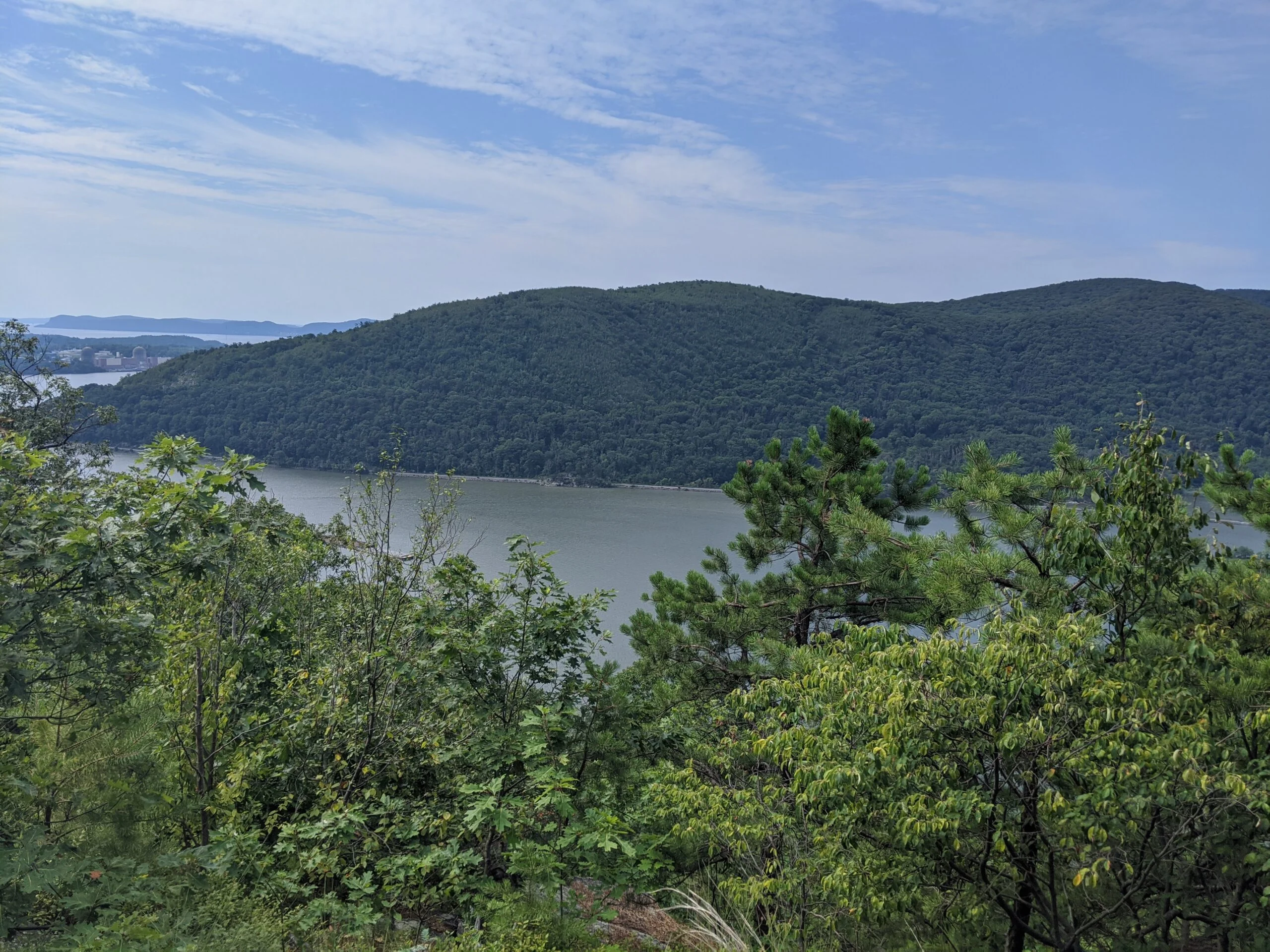
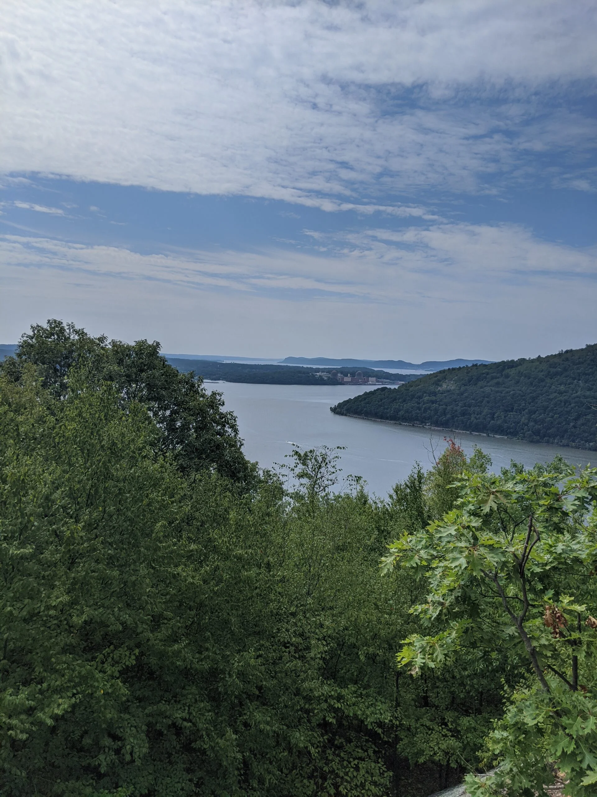
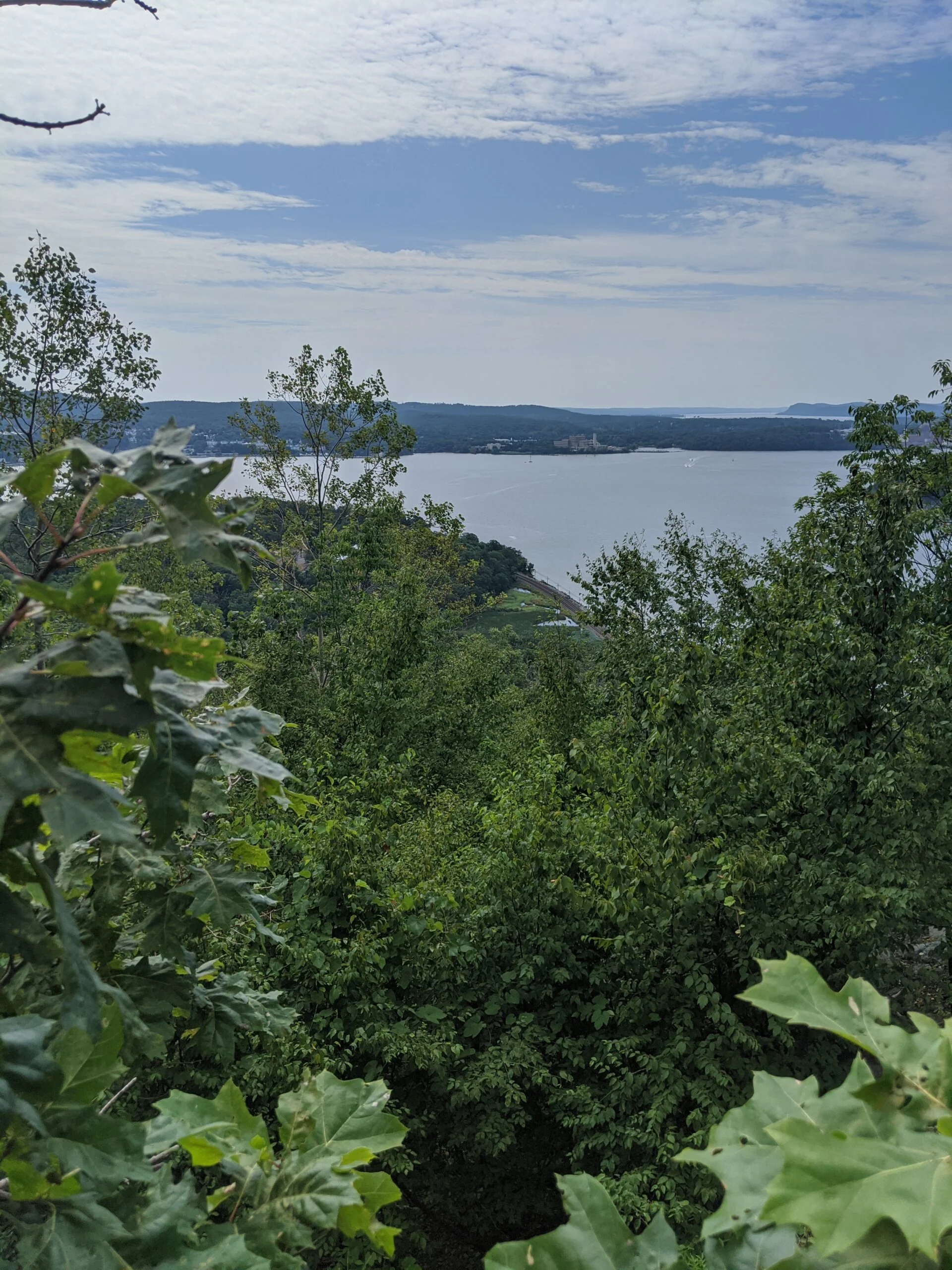
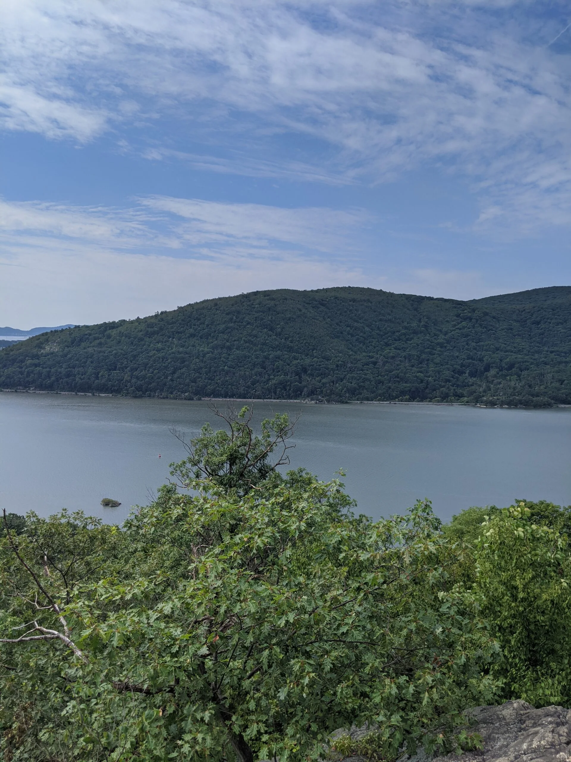
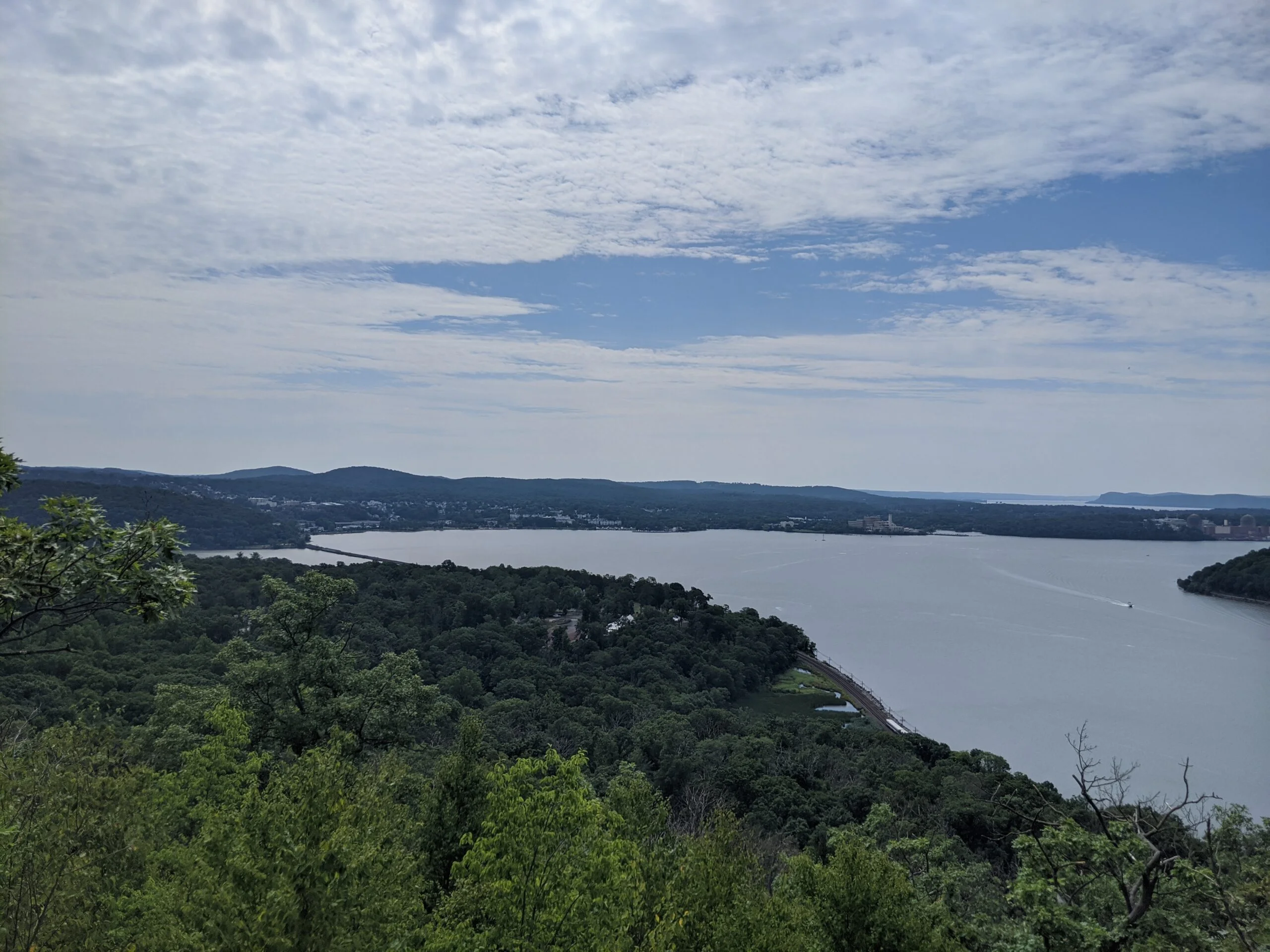
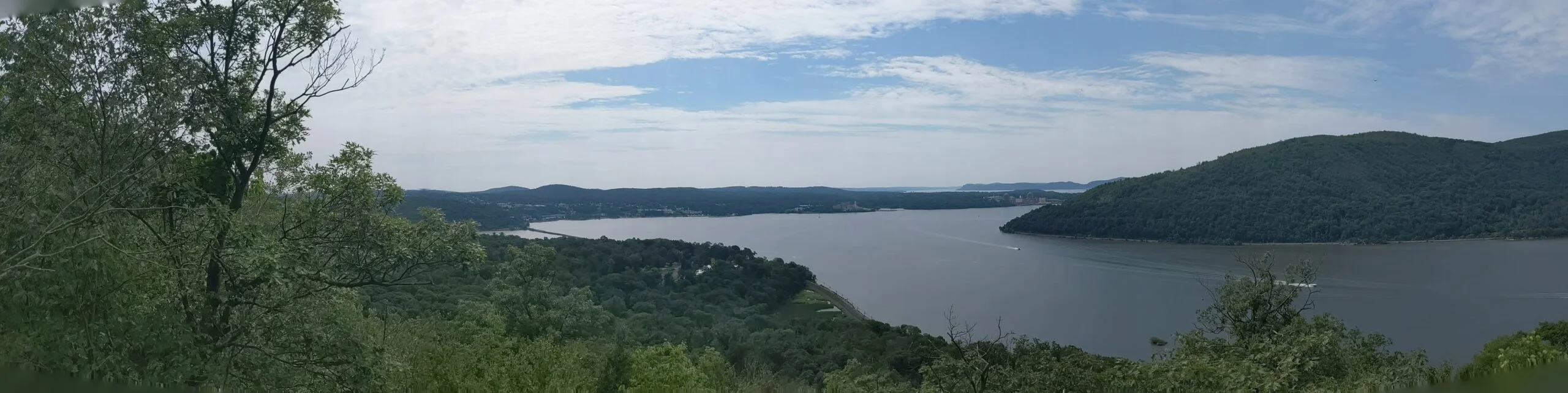
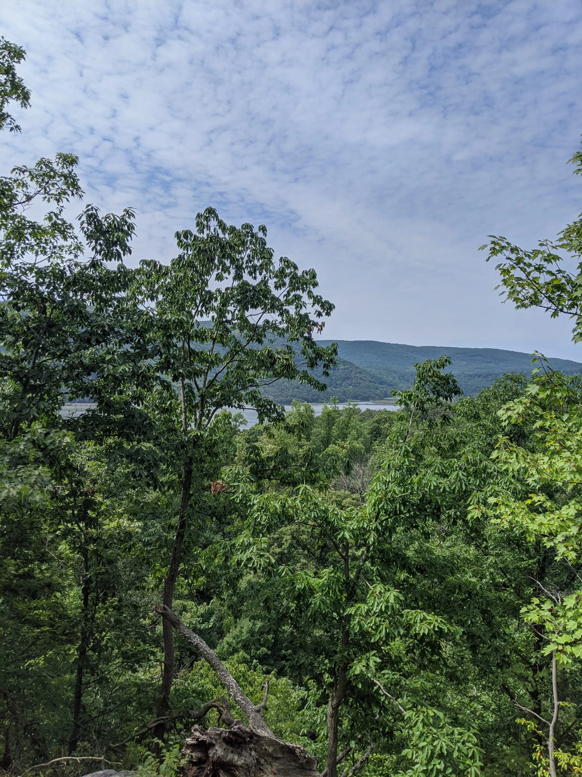
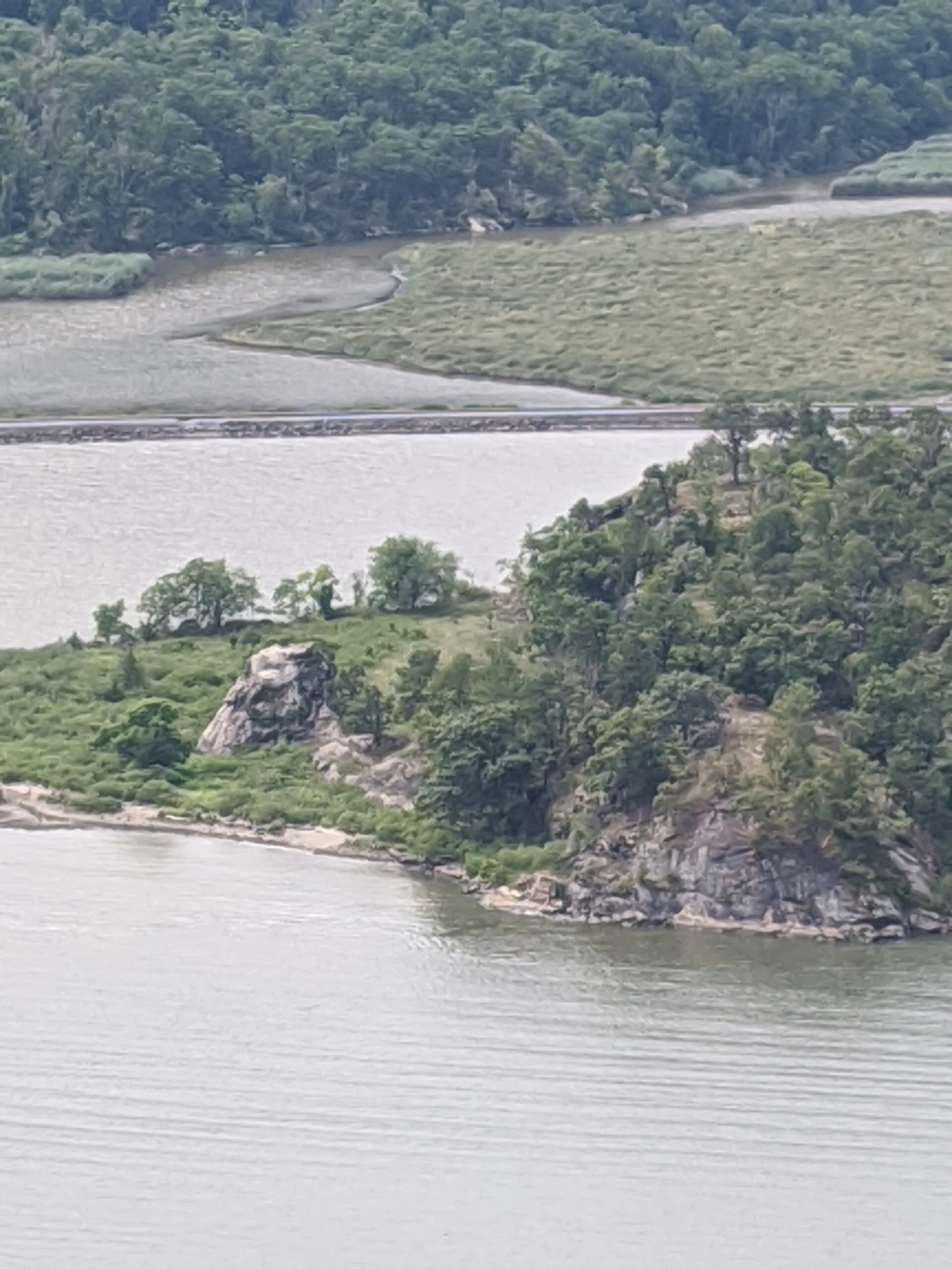
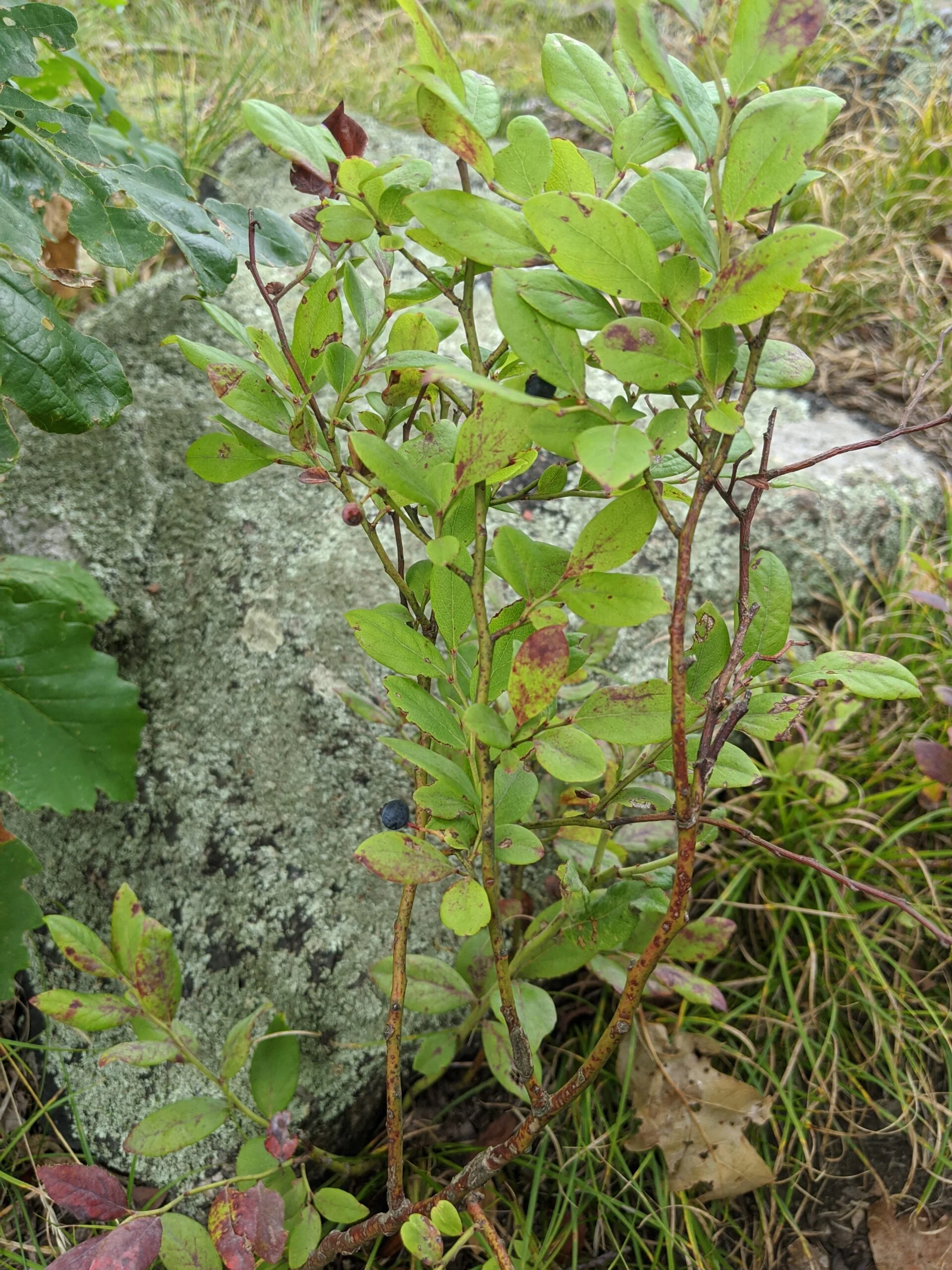
The views of the Hudson River, Bear Mountain-Harriman State Park, and the surrounding areas are magnificent! It was definitely rewarding after the journey up to relax and take it all in. Since it was still early in the day, there were a few groups of people, but it wasn’t crowded. Someone erected a US flag and at the base is a memorial for FDNY and all branches of the US military. We spent about 30 minutes up there taking photos, resting, and enjoying the scenery.
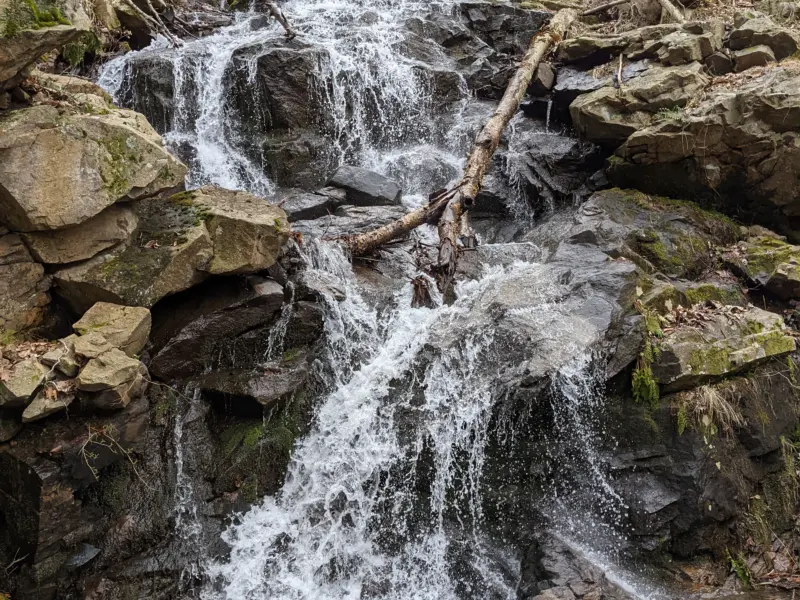
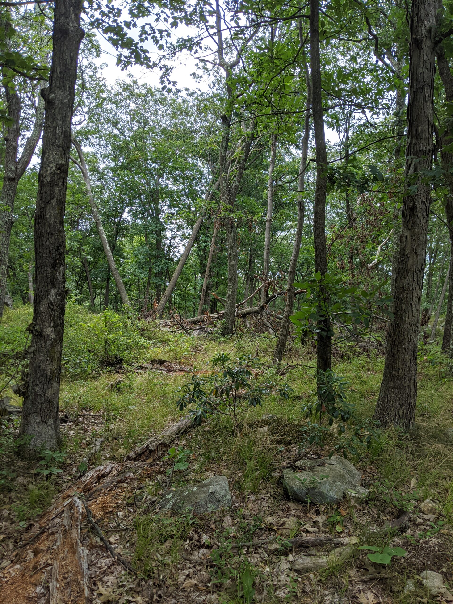
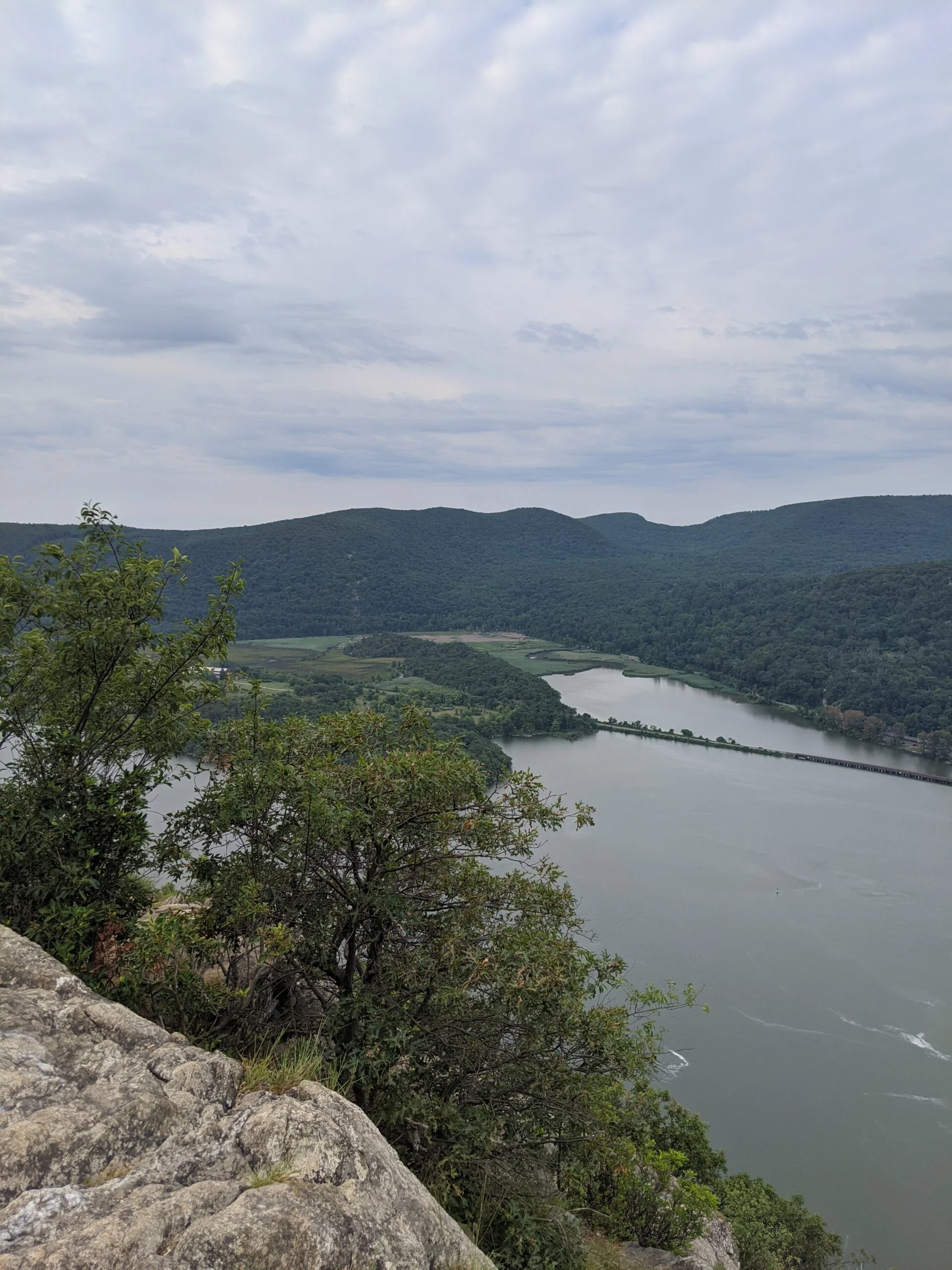
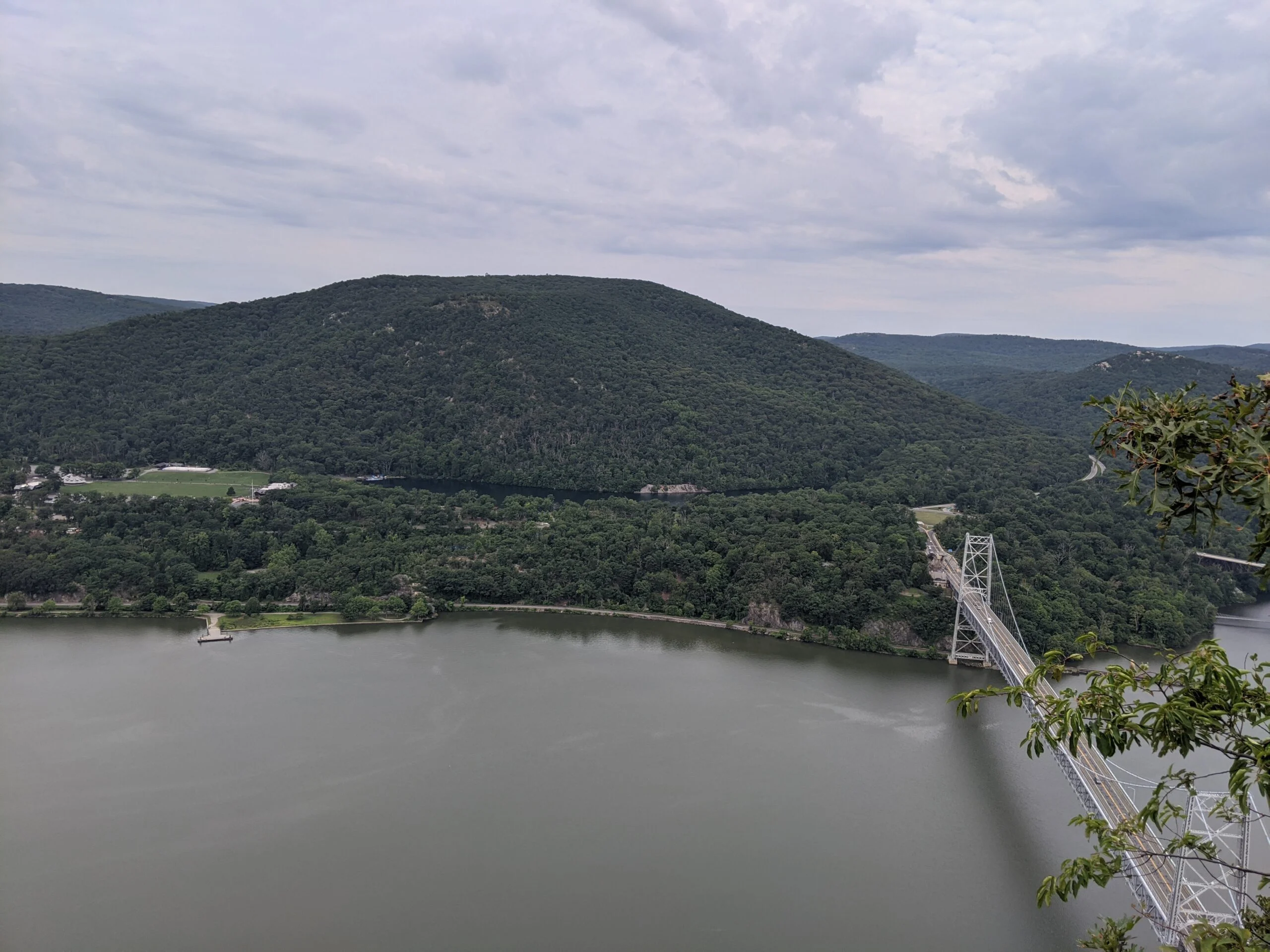
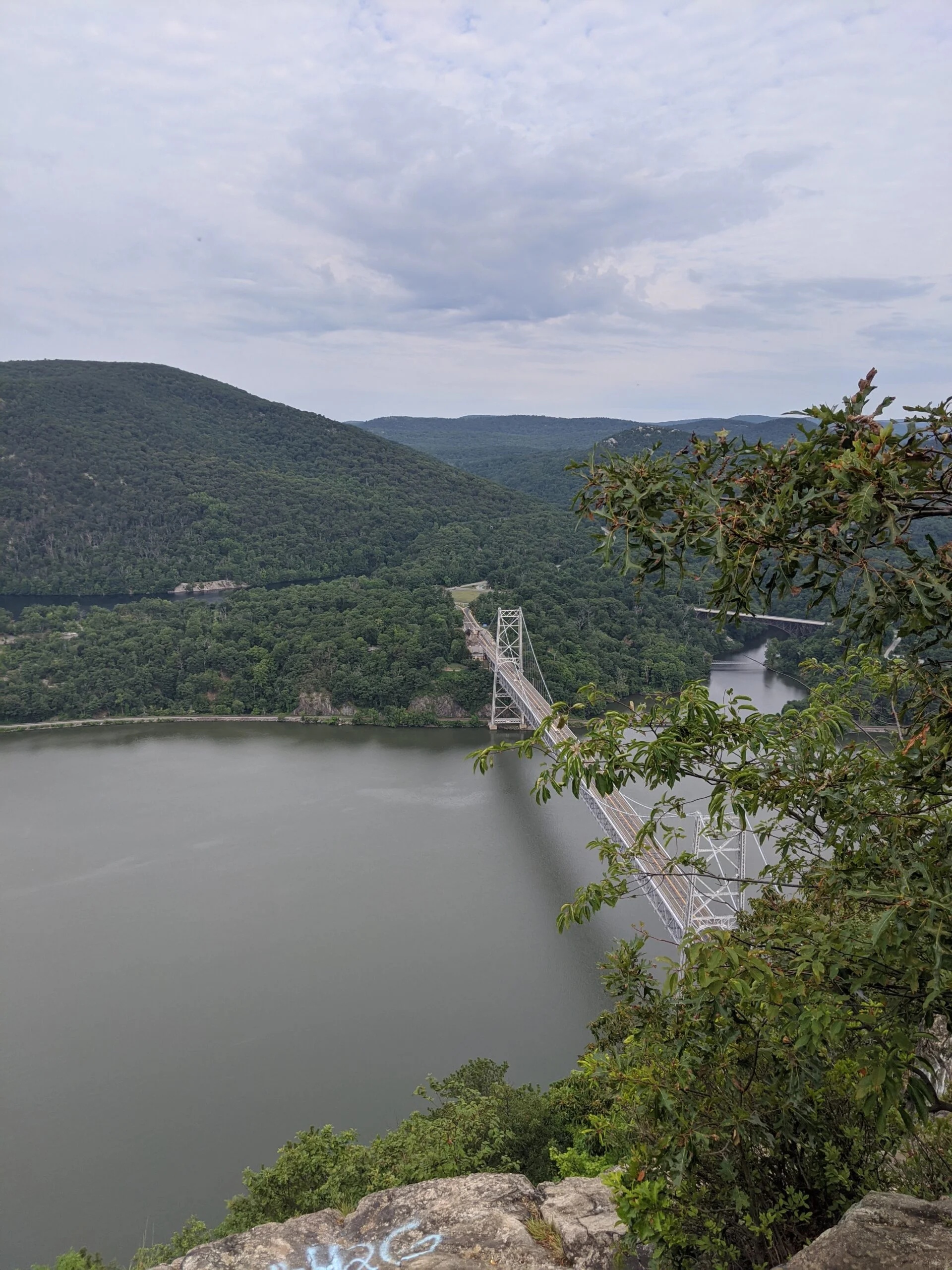
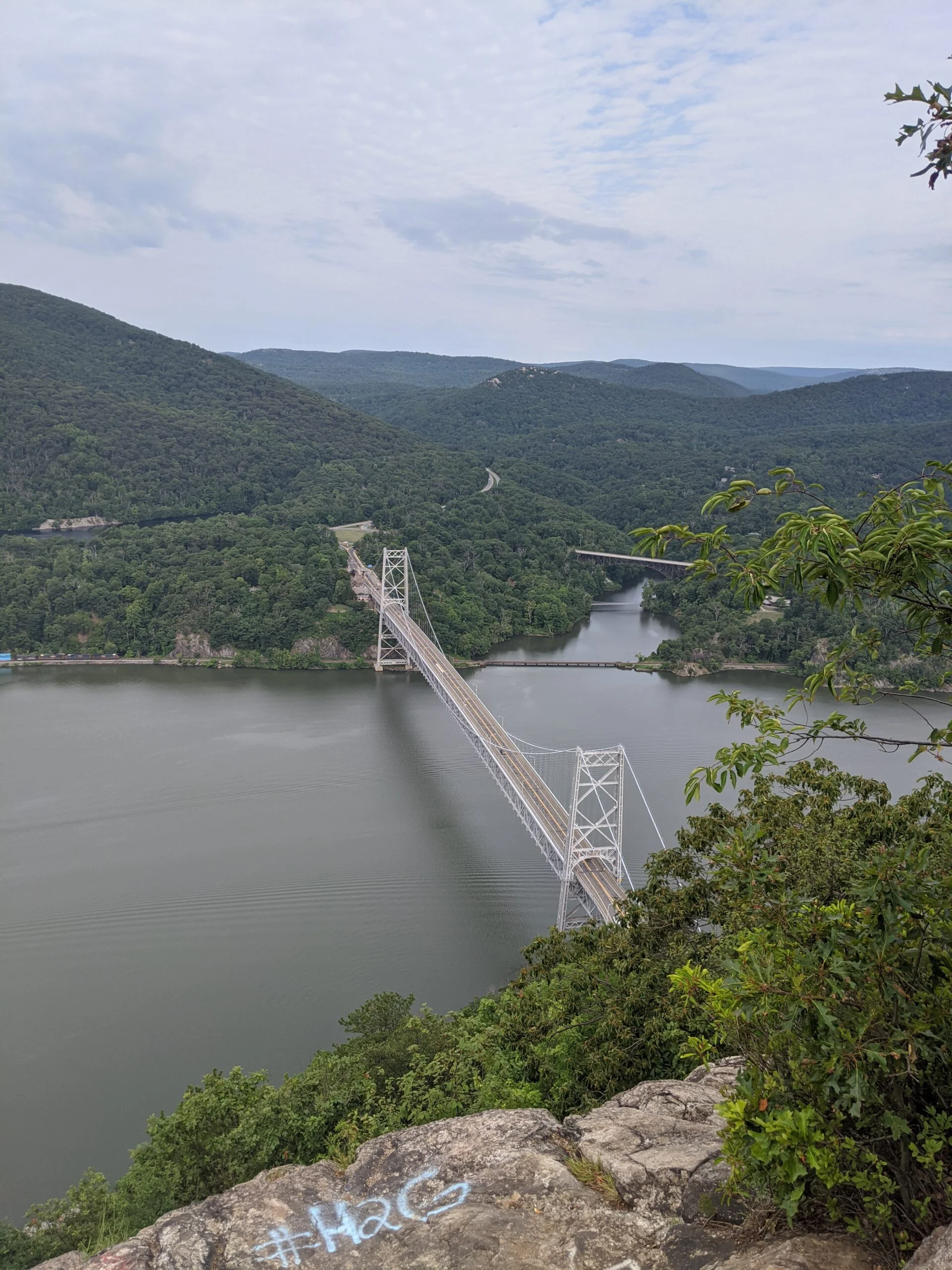
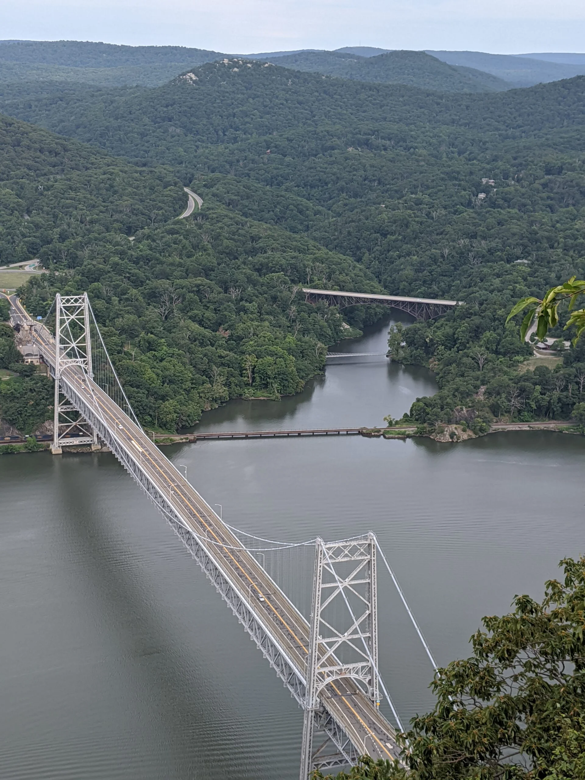
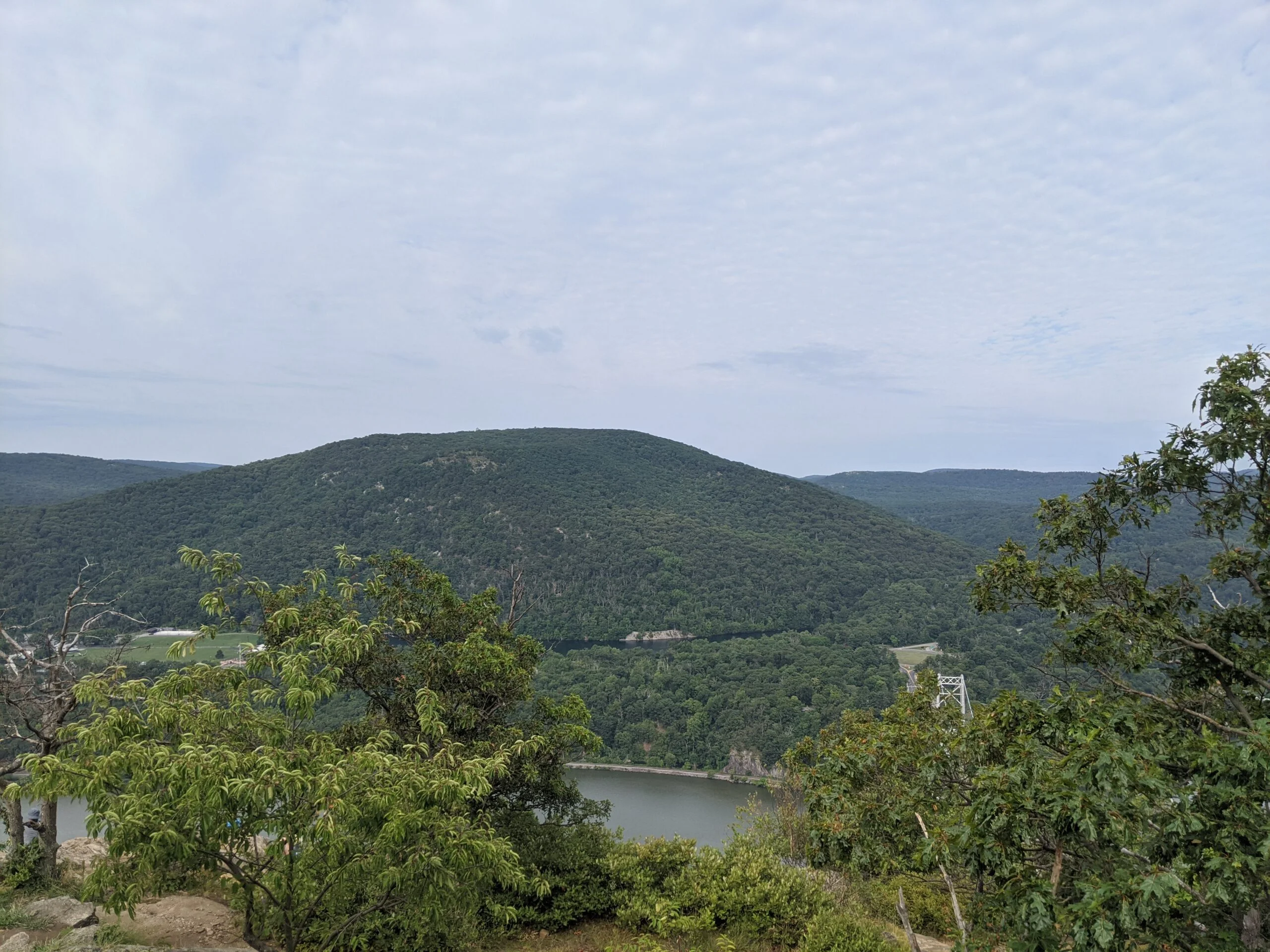
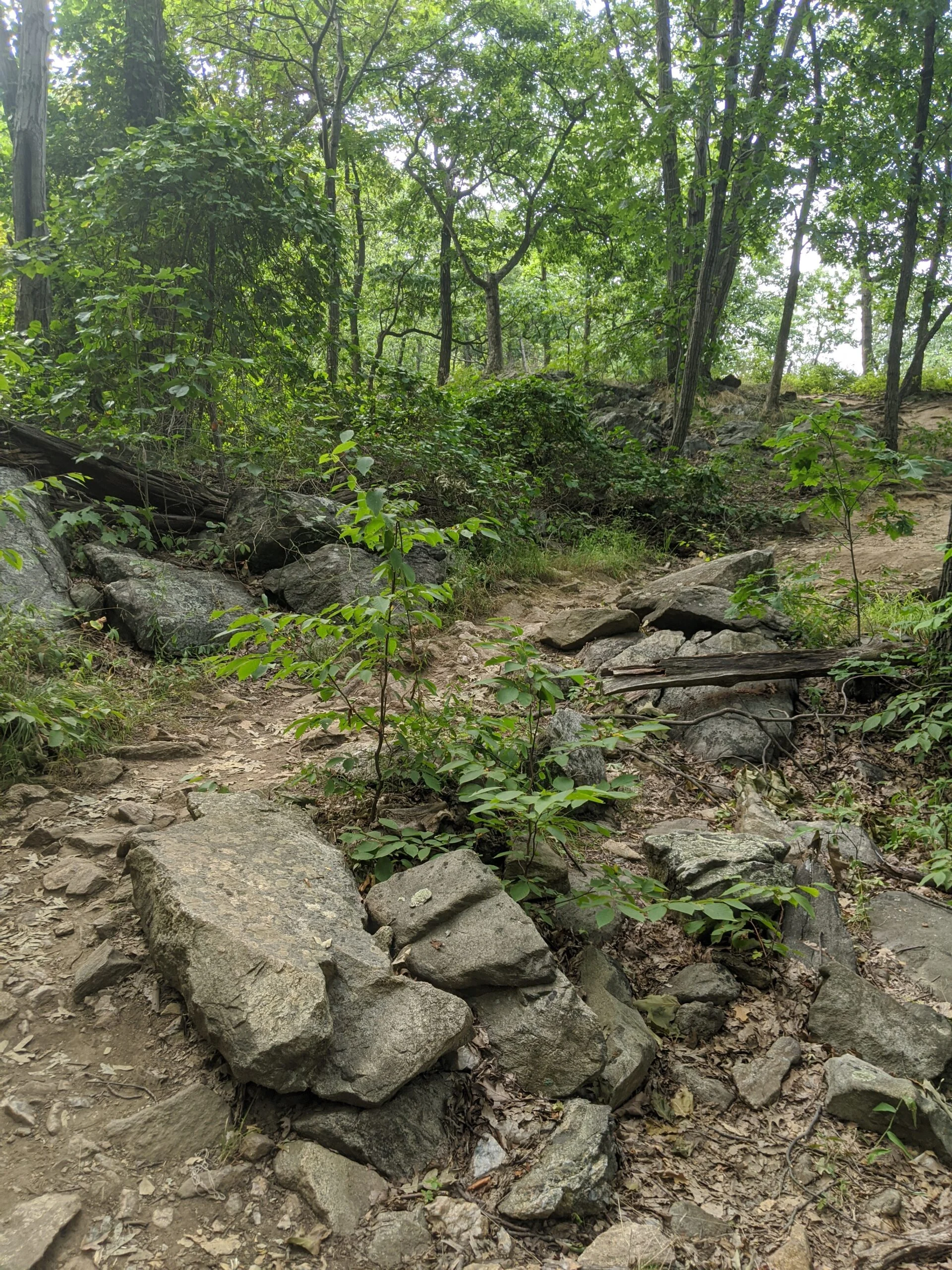
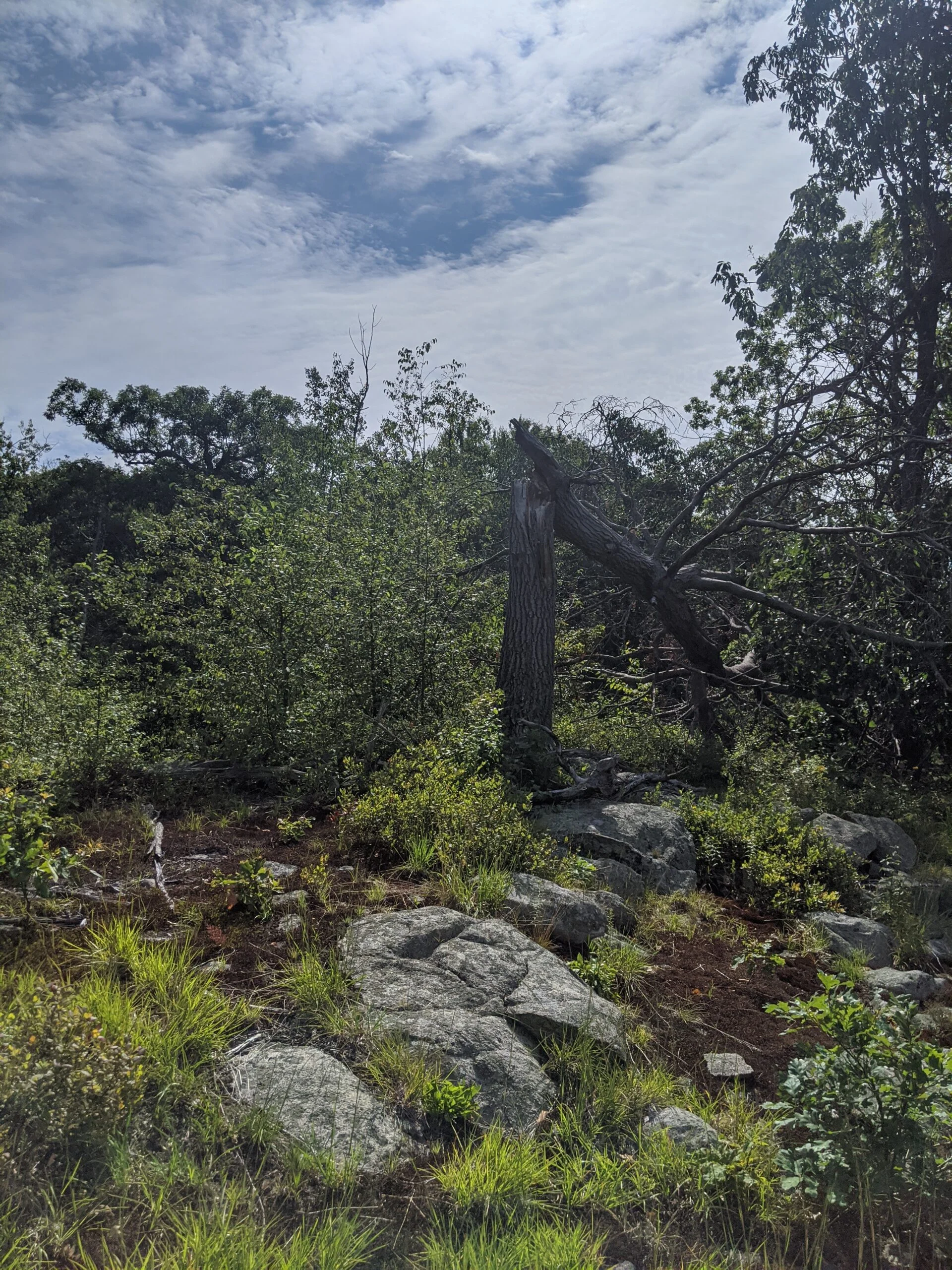
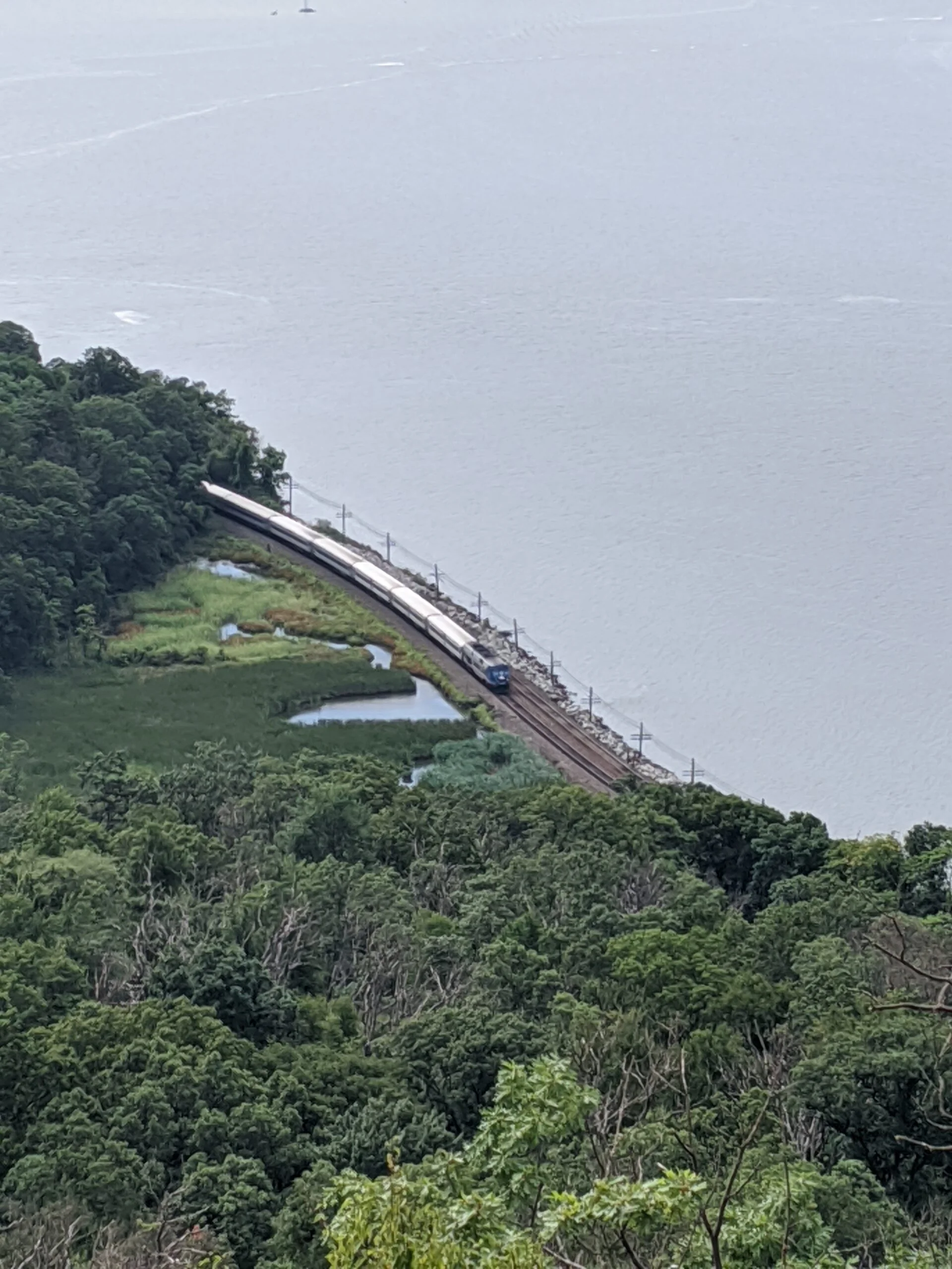
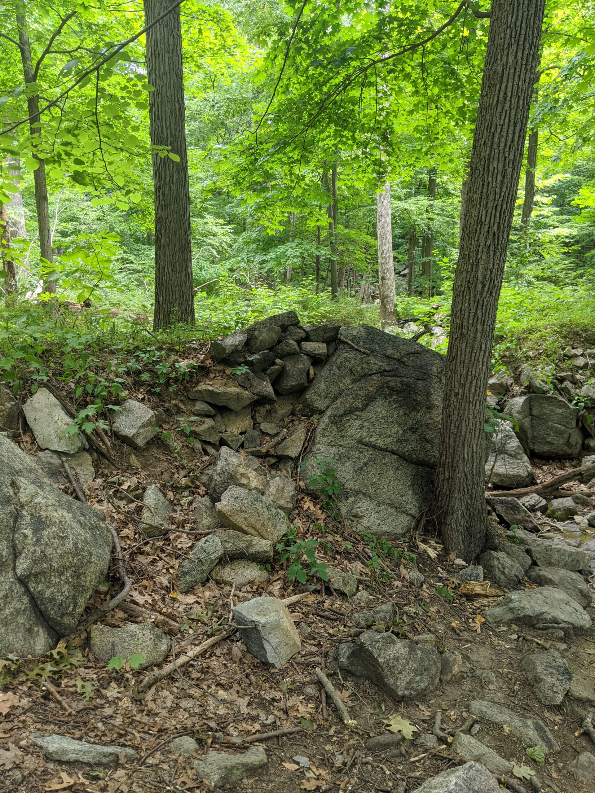
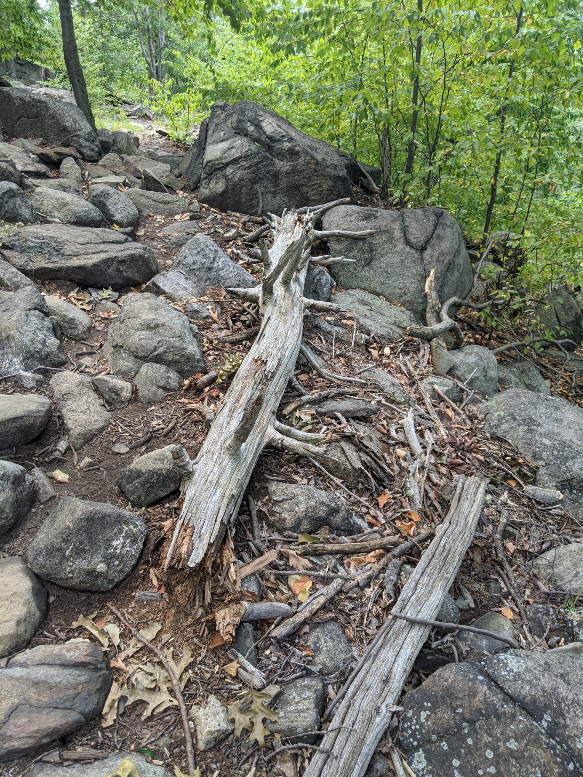
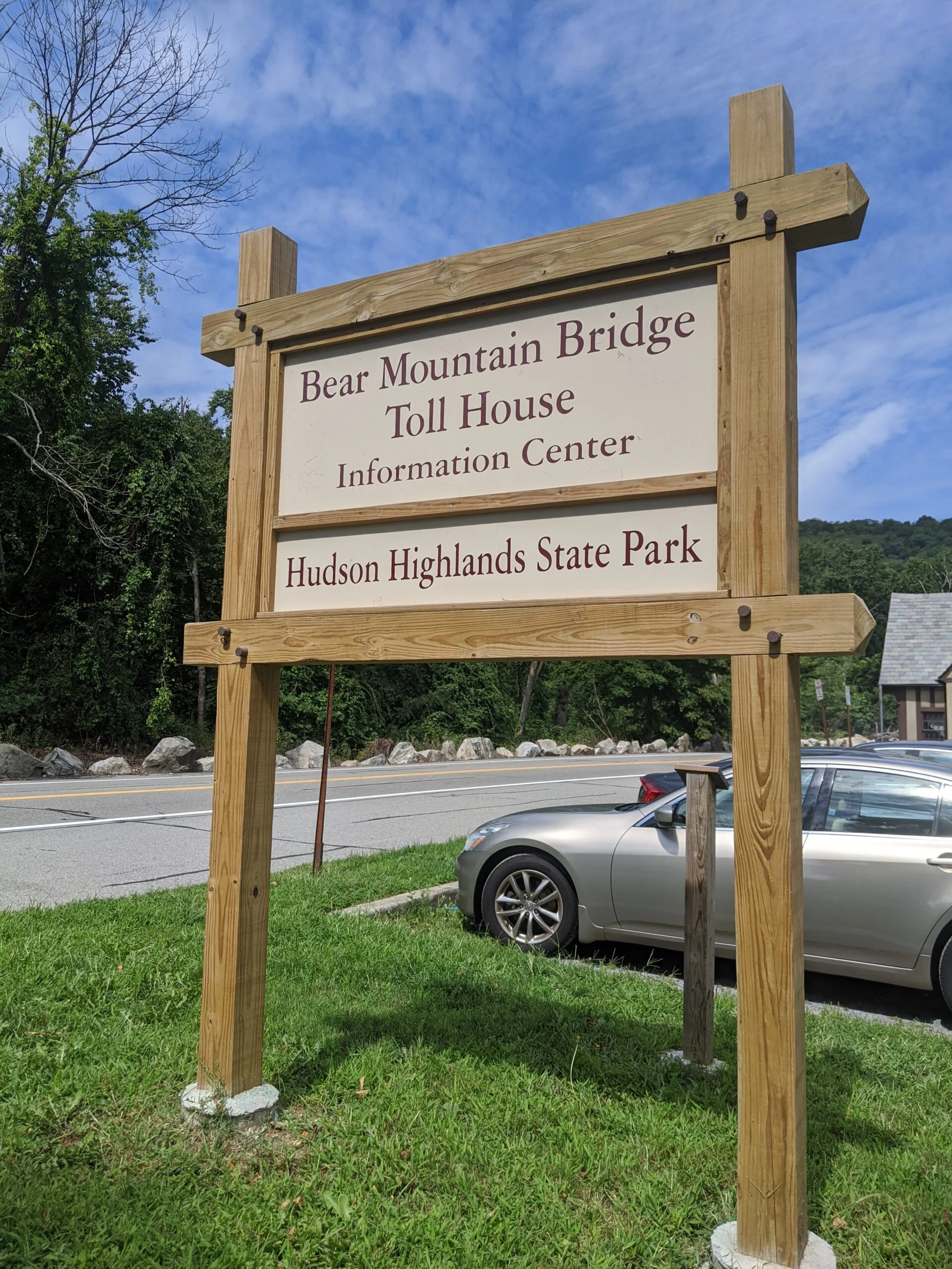
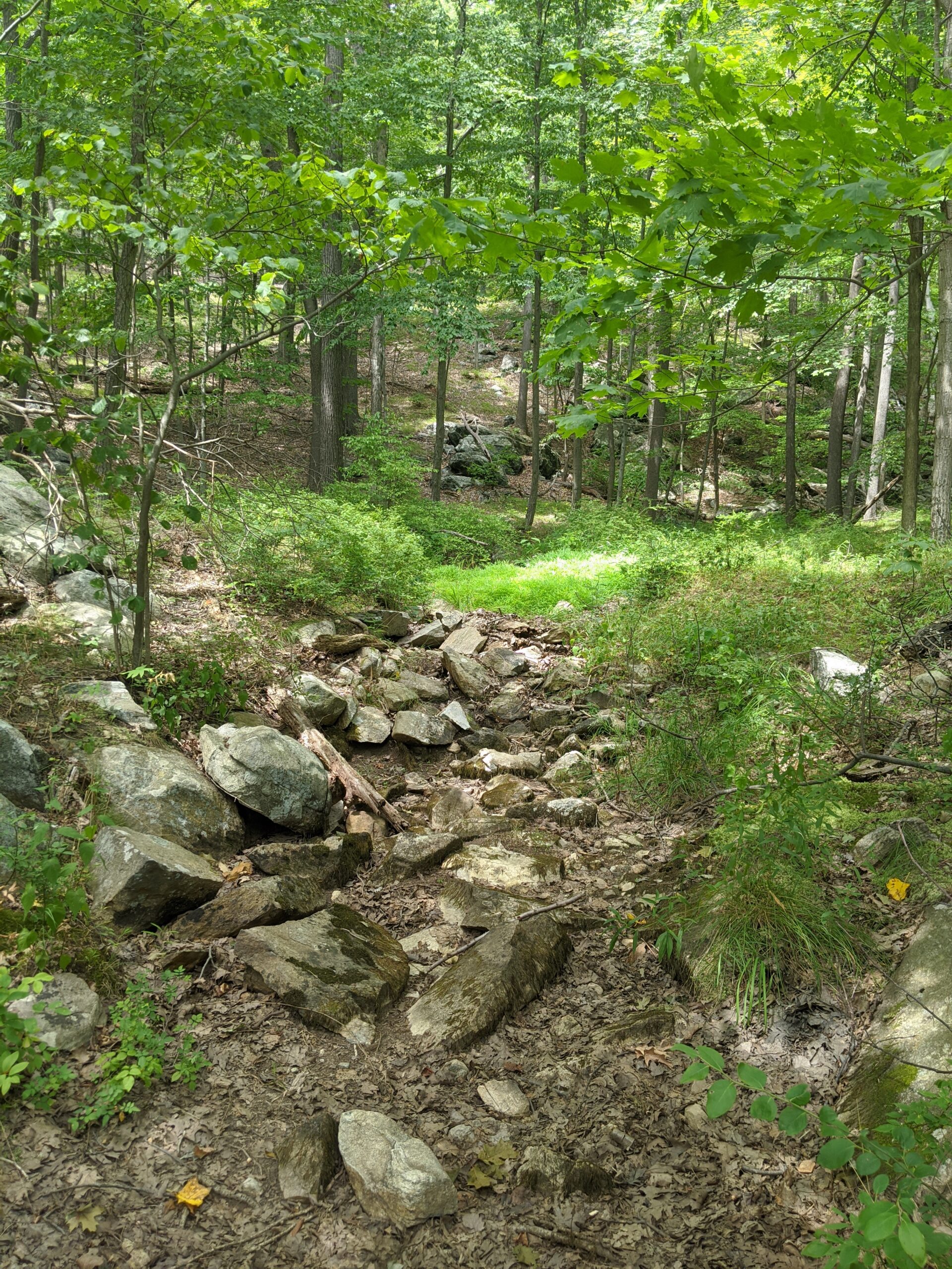
At this point, some people make the return trip back to the road and call it a day, but were just beginning our journey. As planned, we continued south on the CS trail toward the Bear Mountain Bridge toll house. It’s about 3.1 miles from the nose to the tollhouse on a path that runs parallel to Route 6/202, with at least four or five more scenic outlook points of the river and the valley along the way. We thought we had most of the hard work out of the way with that initial ascent in the morning. Little did we know there were several more rocky stair-like climbs and descents along this trail.
At roughly a mile south is another trailhead along Route 6/202 labelled “Anthony’s Nose II – Trail Head” on Google Maps. I stopped to refill my water bladder and to snack on a PROBAR meal bar ($). I would say starting the journey here up to Anthony’s Nose is a slightly easier than from Route 9D, as the ascent from this direction is a little more gradual, but it’s still a 600 ft rise this way.
We continued south from that trailhead, accidentally picking the wrong path to start from. You’ll want to take the trail off to the left/east when coming south, not the trail that continues straight ahead to the south. We retraced our steps and found the blue blazes we were looking for.
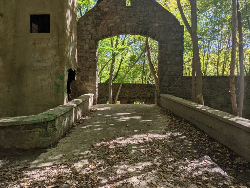
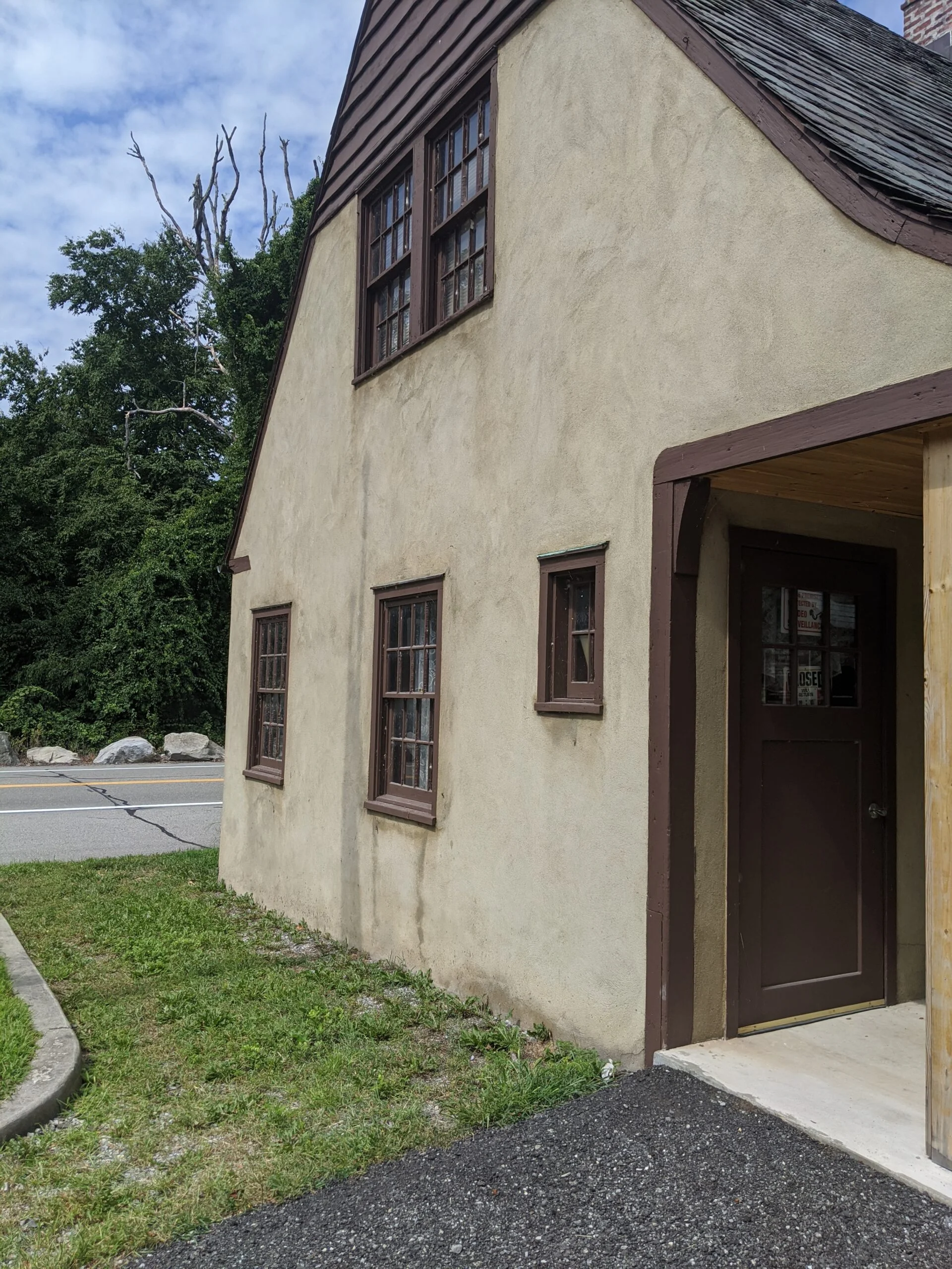
We made it to the old stone tollhouse around 11:30a, a little under 4 hours after we started. This trailhead is labelled Camp Smith Trail on Google Maps. We stopped here to rest and to snack. I had an apple and a packet of Chicken of the Sea Pink Salmon ($). The permanent bathroom was closed, but there was a portable toilet available.
Now that we had seen the whole trail, we knew what to expect, but that didn’t make it any easier! Coming back in this direction, there are a few ascents that are almost as steep and brutal as the original, resulting in an 1,100 foot rise from the tollhouse to the summit. No matter which of the three trailheads you start at, expect a lot of uphill and downhill work involved.
We retraced our steps all the way back to Anthony’s Nose and arrived around 2:30p. The overlook was markedly more crowded now, but still offered enough space for everyone to socially distance. We were surprised at the number of small dogs at the overlook and along the trail all day. I wouldn’t have expected this to be a dog hike given the terrain, but I guess they get carried most of the way. This time we noticed a memorial to fallen New York State Police officers that we hadn’t seen earlier.
From Anthony’s Nose, we followed CS back to AT to make our descent down to where we started on Route 9D. It felt longer going down because there’s more work involved in descending slowly and methodically than hiking up. We finished the hike around 3:30p, a little under 8 hours after we started. AllTrails gave a moving time of 5 hours and 45 minutes, which accounts for our lunch break and a few stops to enjoy the scenery.
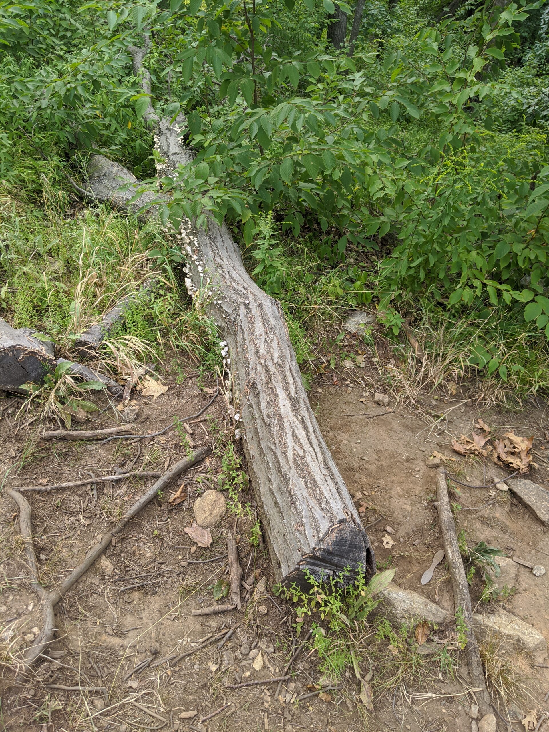
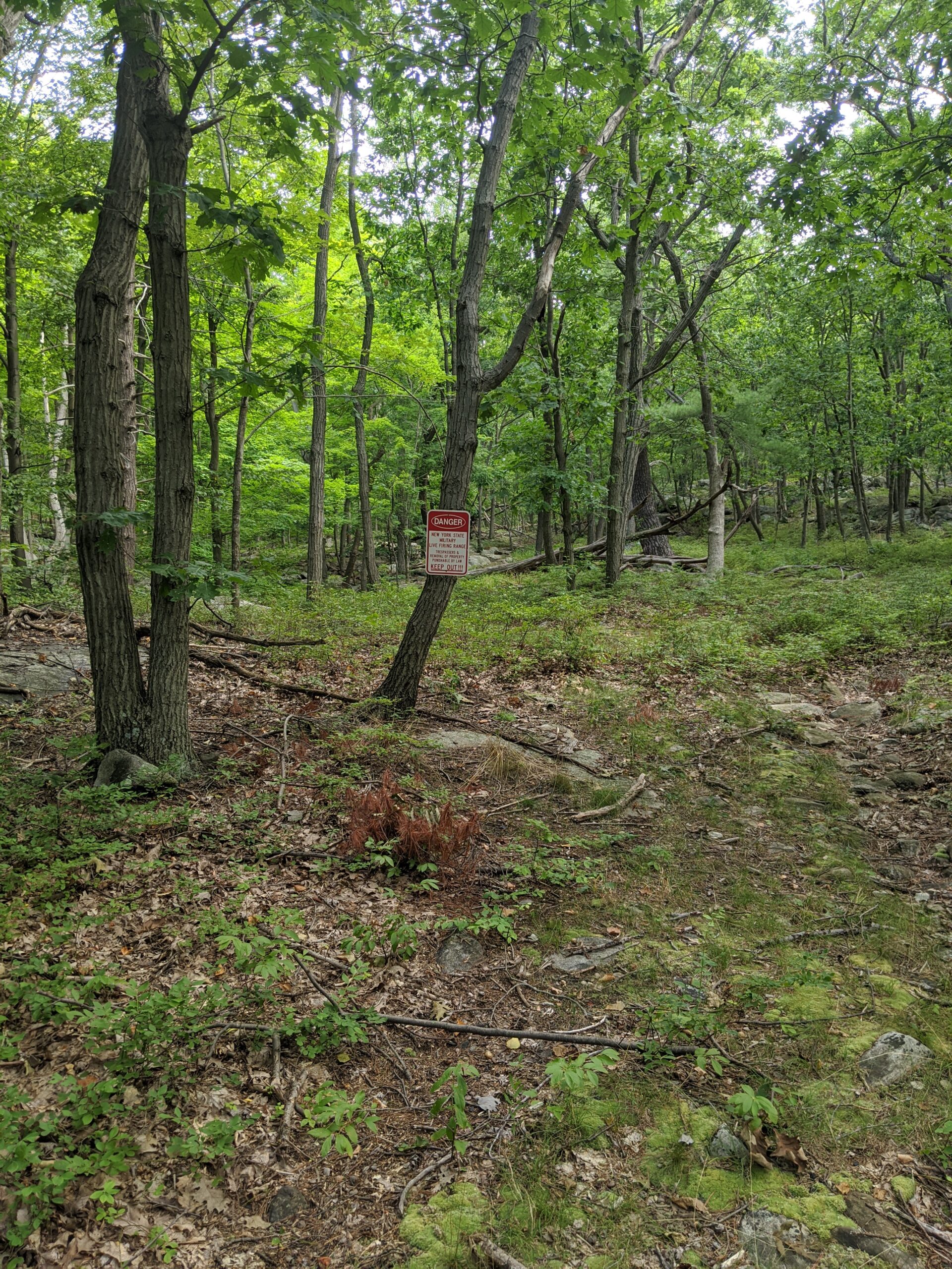
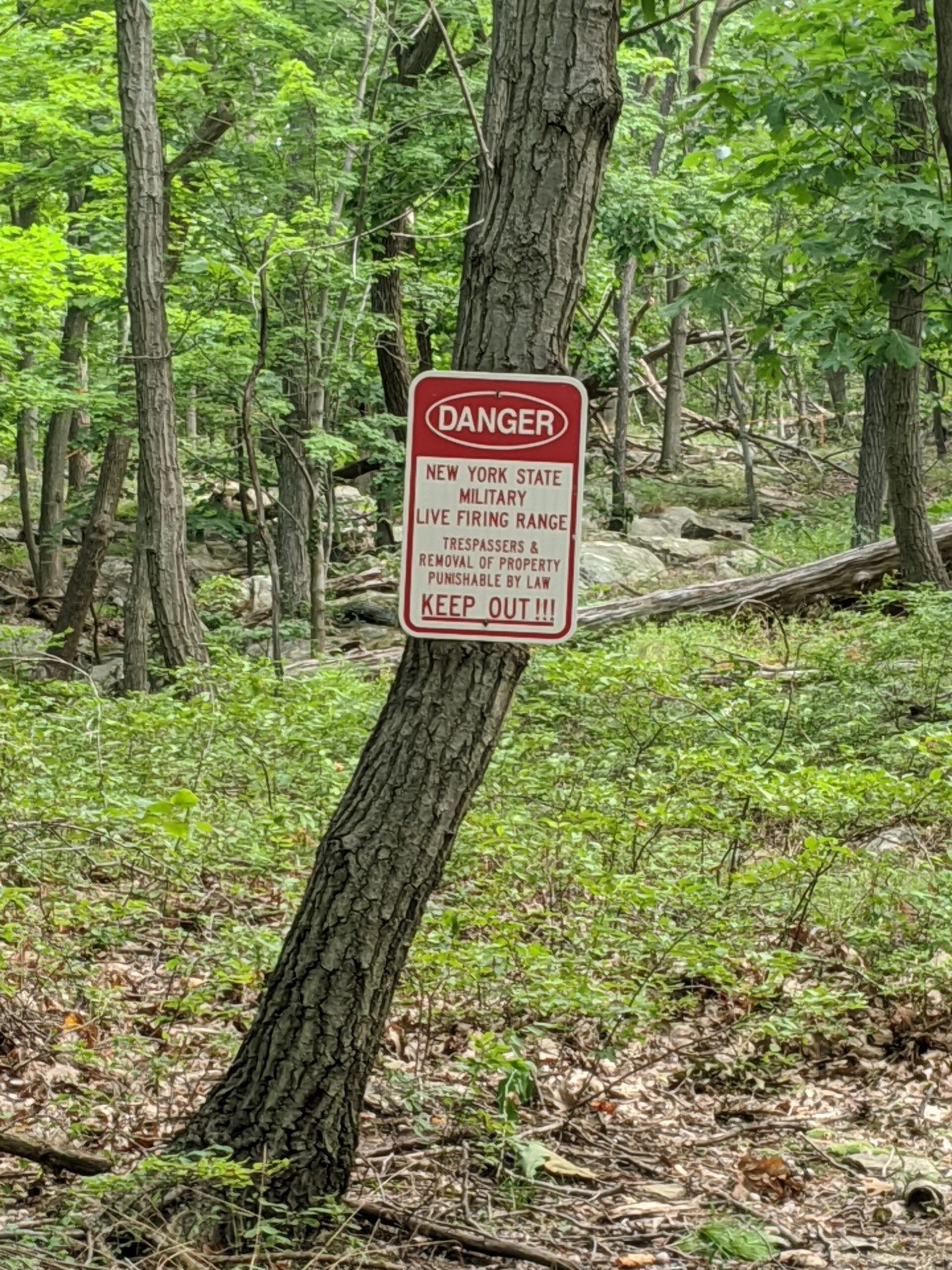
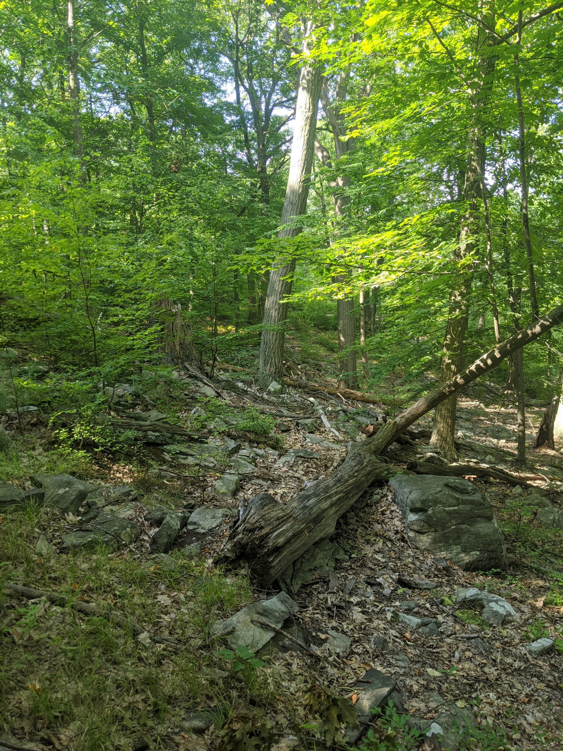
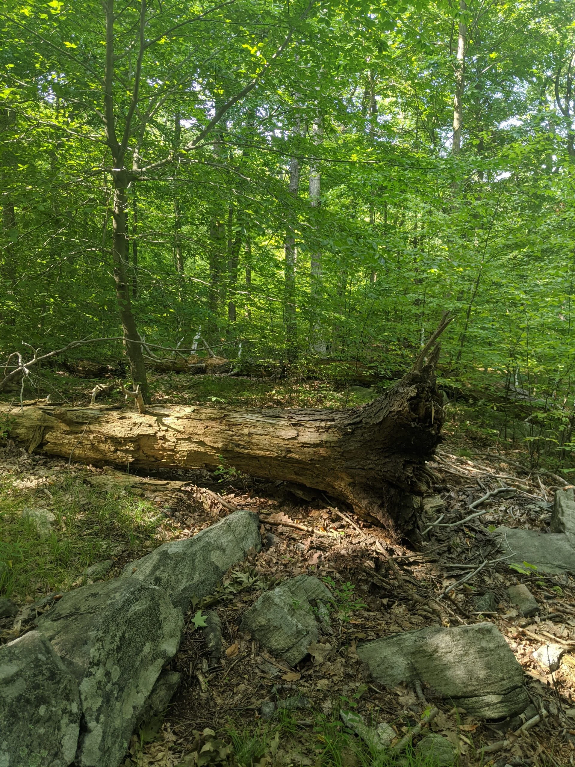
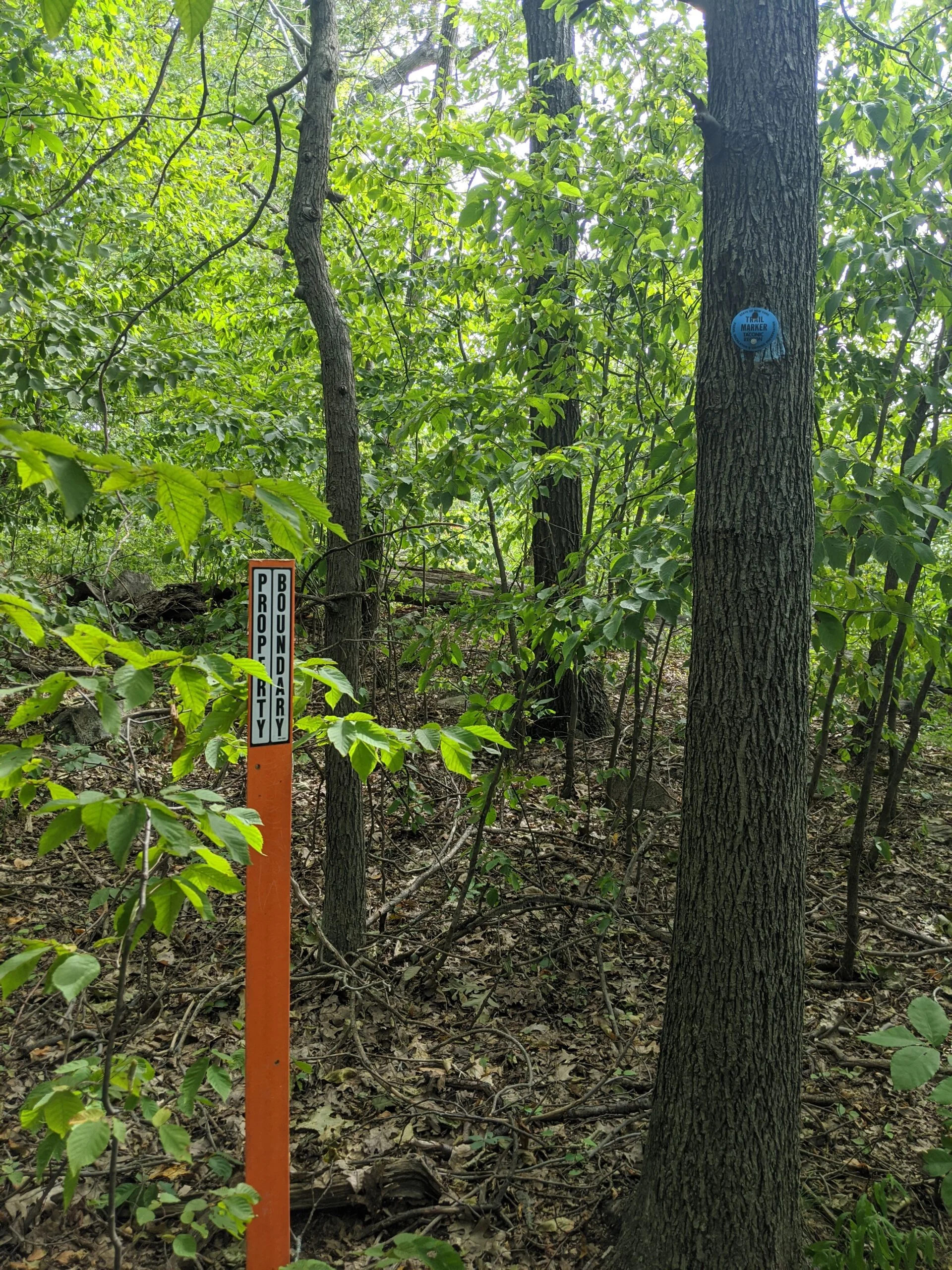
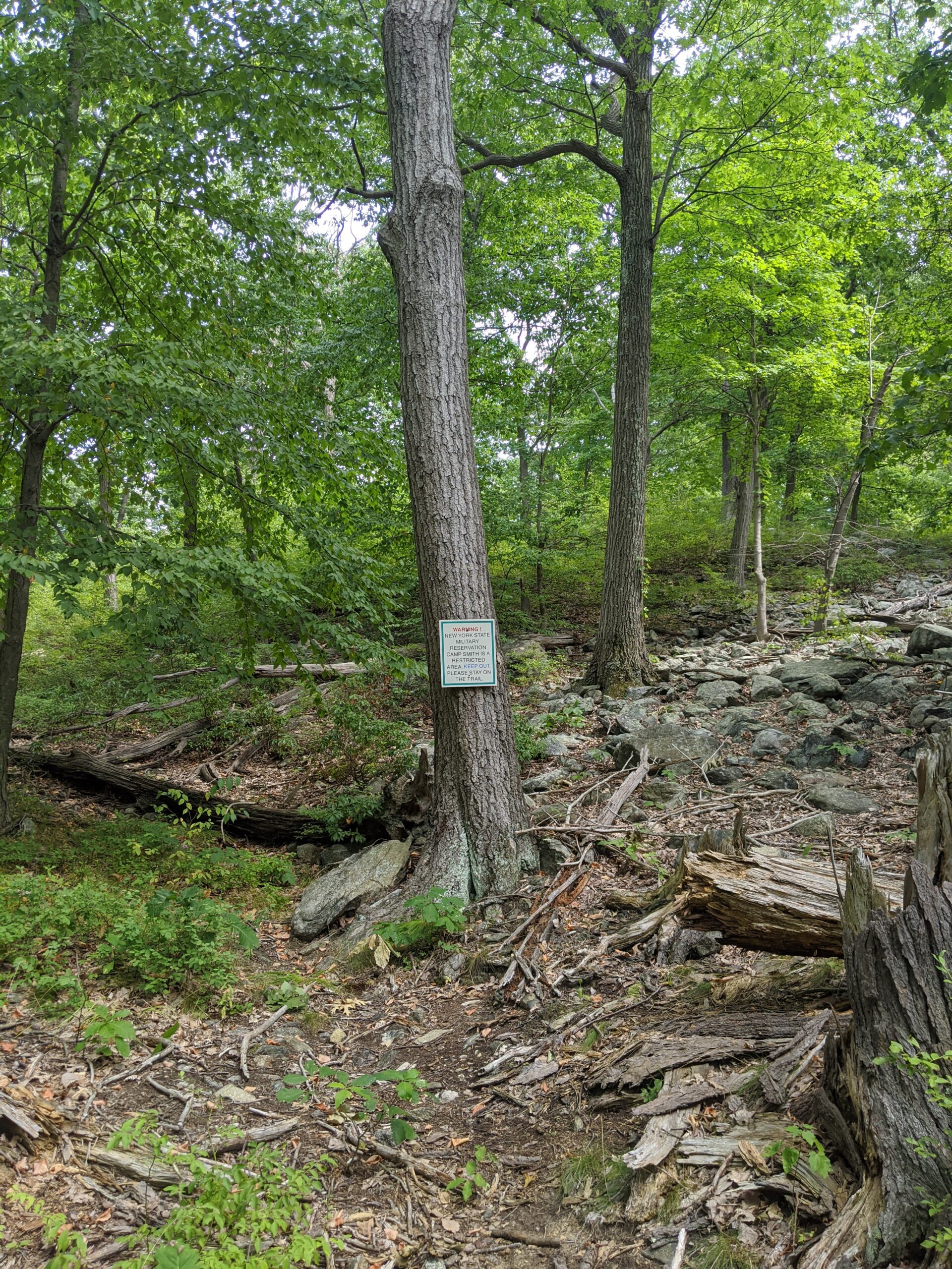
CS is a unique trail in the fact that it borders and sometimes crosses through Camp Smith, a New York Army National Guard training facility, to the east for its entire length. There are several signs, property markers, and rope boundaries setup to keep hikers from wandering on to the military base. A few times during the day, we could hear gunfire off in the far distance, but it was no where near close enough to be concerning.
Overall, this is probably not the right hike for a first-timer, given the intensity and longevity of doing the full trail. That being said, if you take your time, take breaks, and come prepared with the right shoes and supplies, it’s manageable. The temperature peaked at 83 degrees in the afternoon. I went through 7L of water and could have used about another liter as I took my last sips about a mile or so before the end of the hike. Like my last few trips, I used my Osprey 2.5L Hydration Backpack ($) and three separate 1.5L bottle reserves. All of the water was prepared with orange flavor Nuun Sport Electrolyte Drink Tablets ($) and chilled the night before. In comparison, my friend used 3L of water, so everyone’s intake will vary, but definitely don’t think you’re doing this hike with a 12 oz water bottle :). I would think 3L is the absolute minimum if doing the entire 9 miles. I also recommend snacks or a meal to keep your energy levels in check.
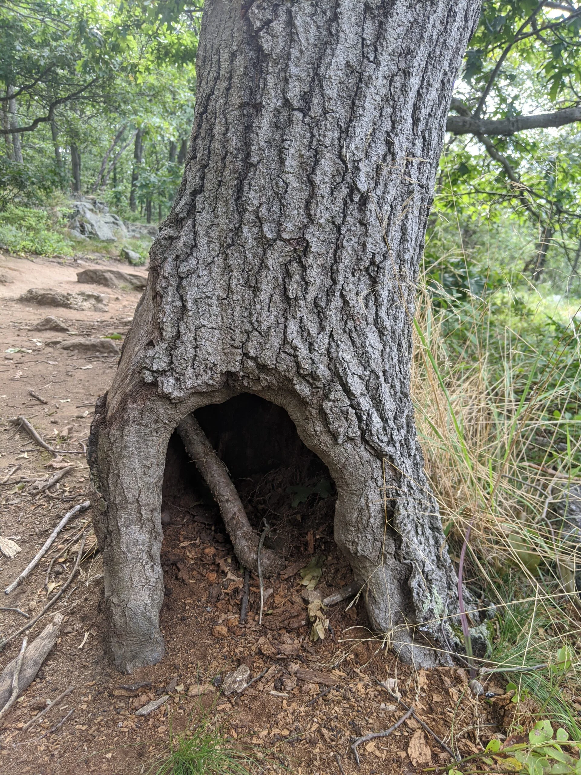
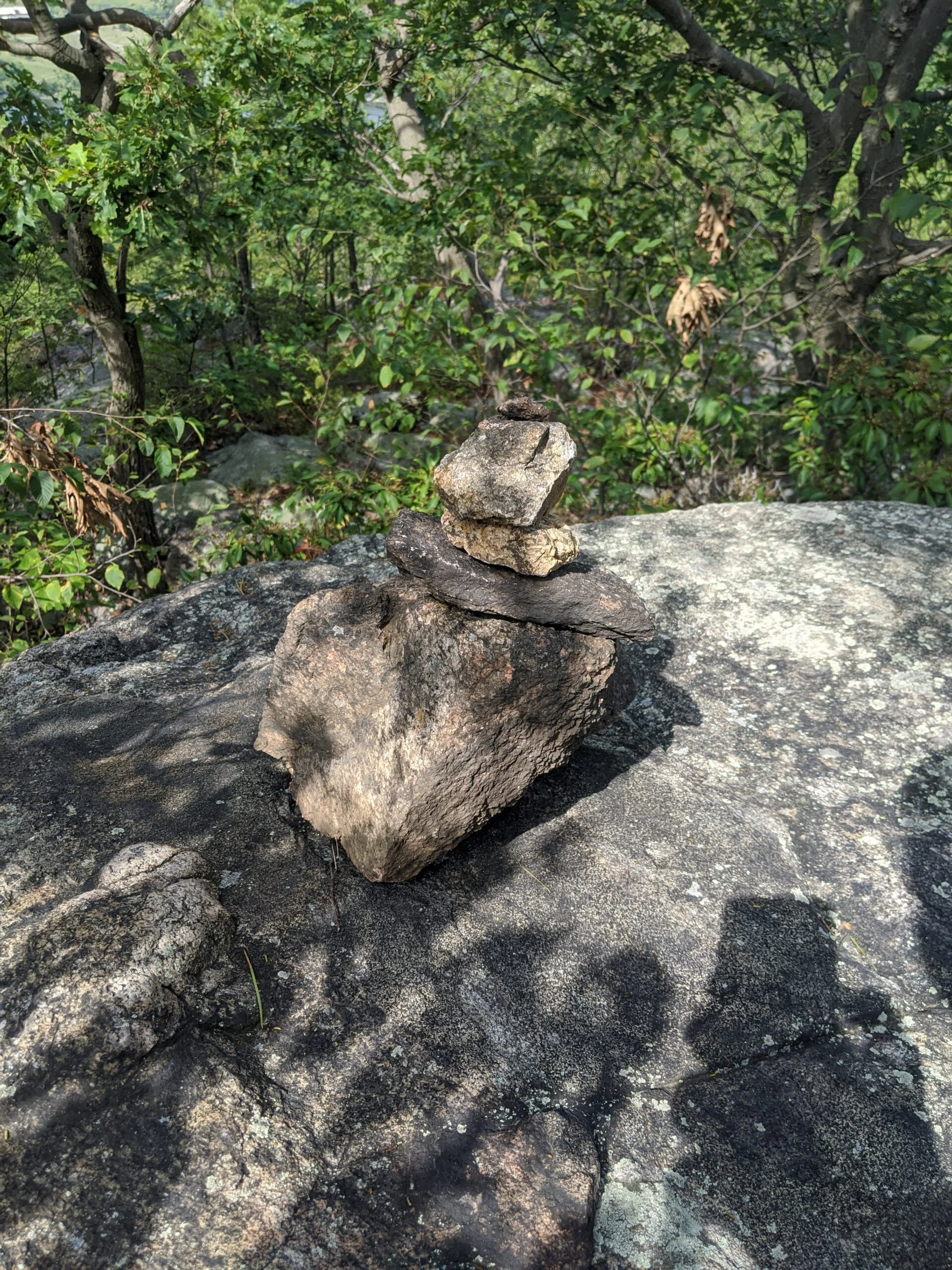
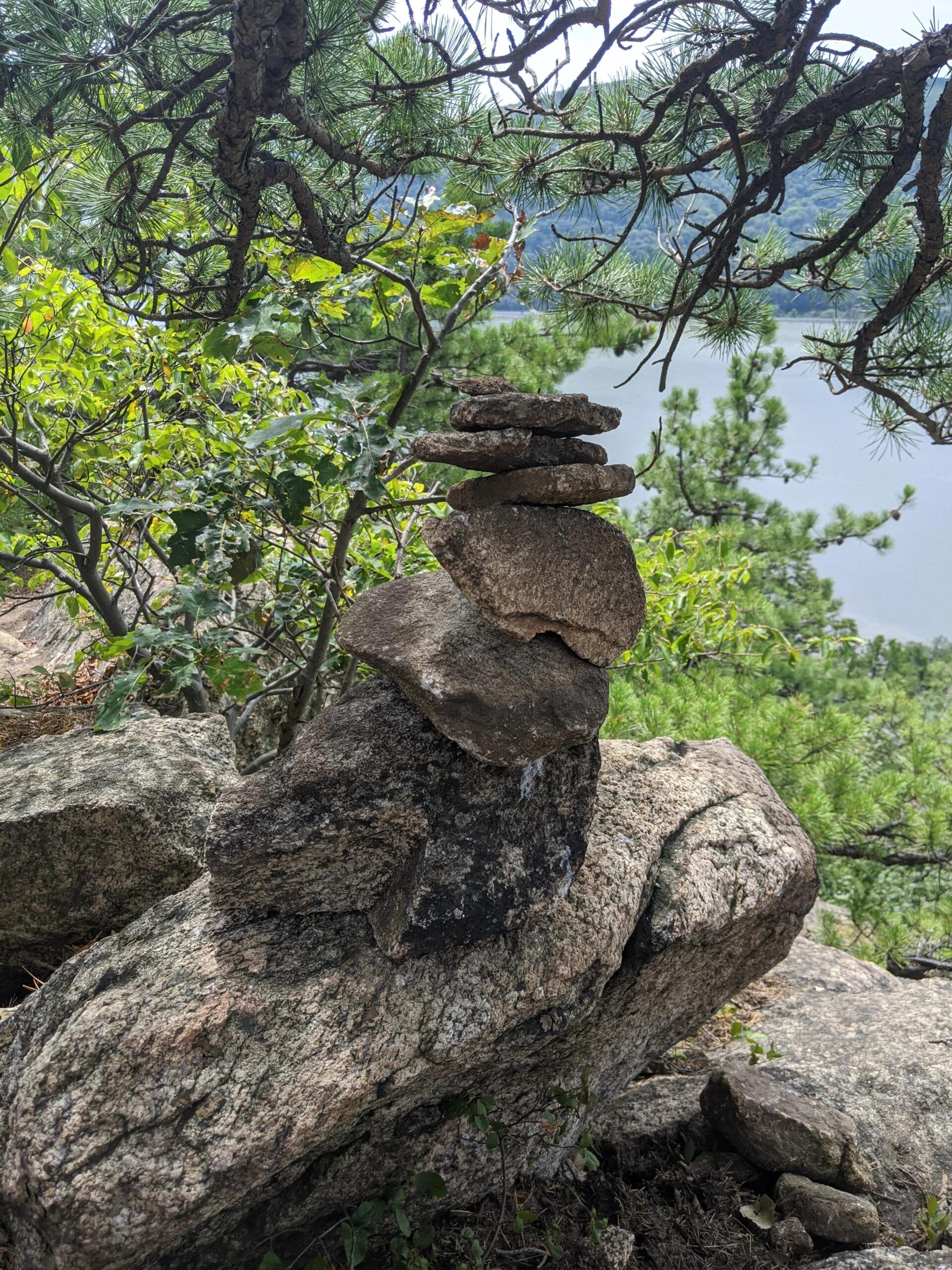
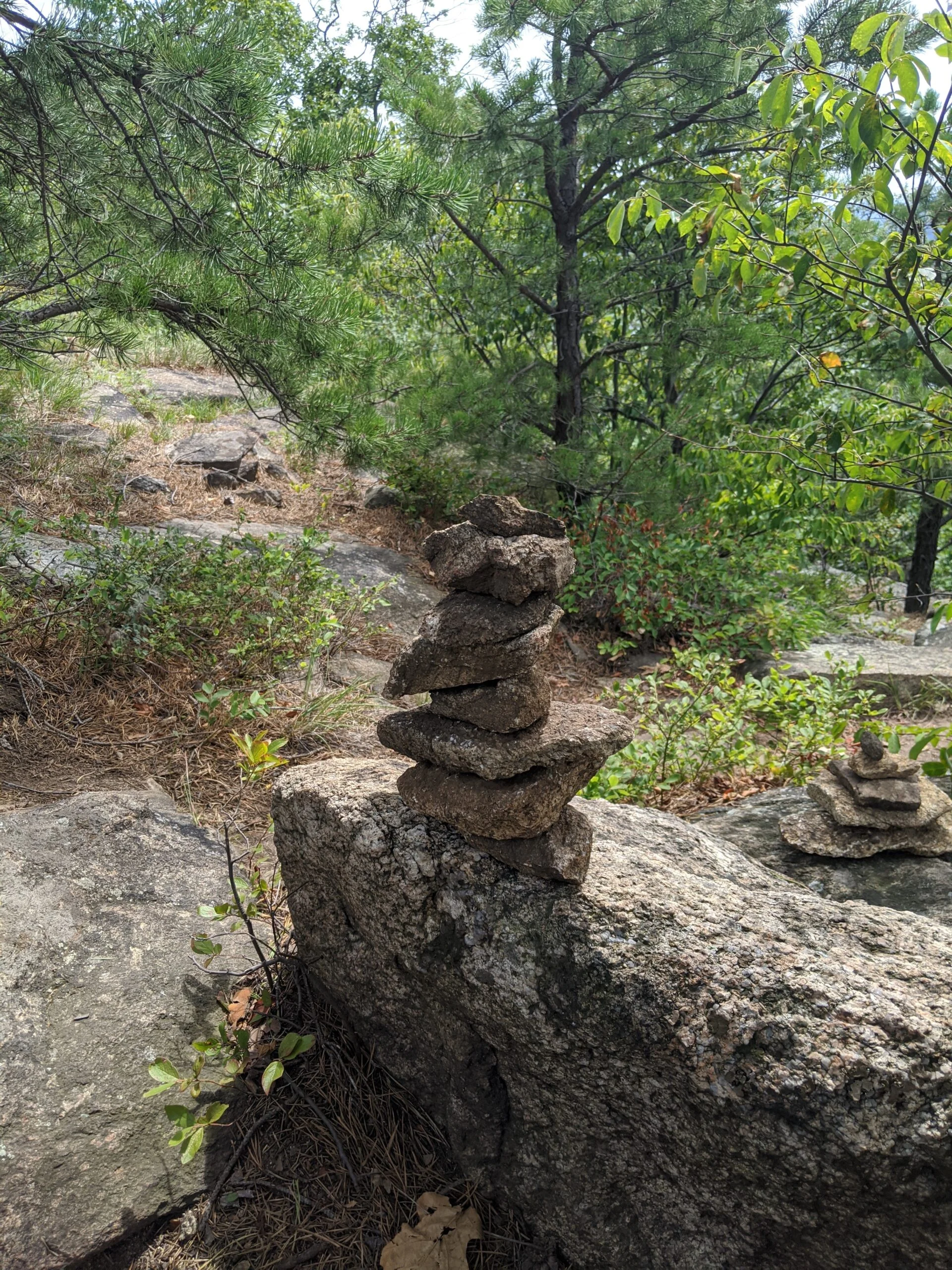
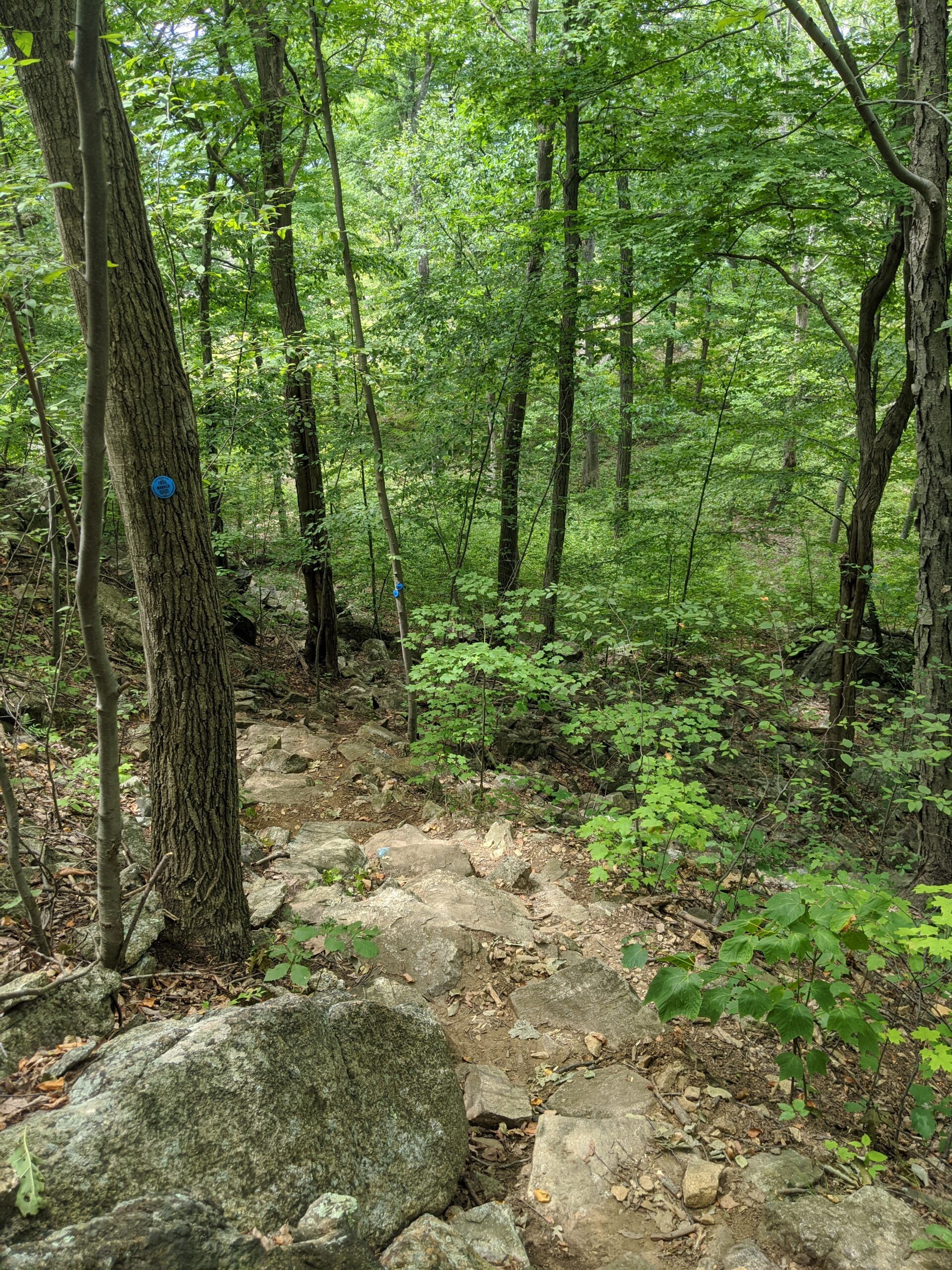
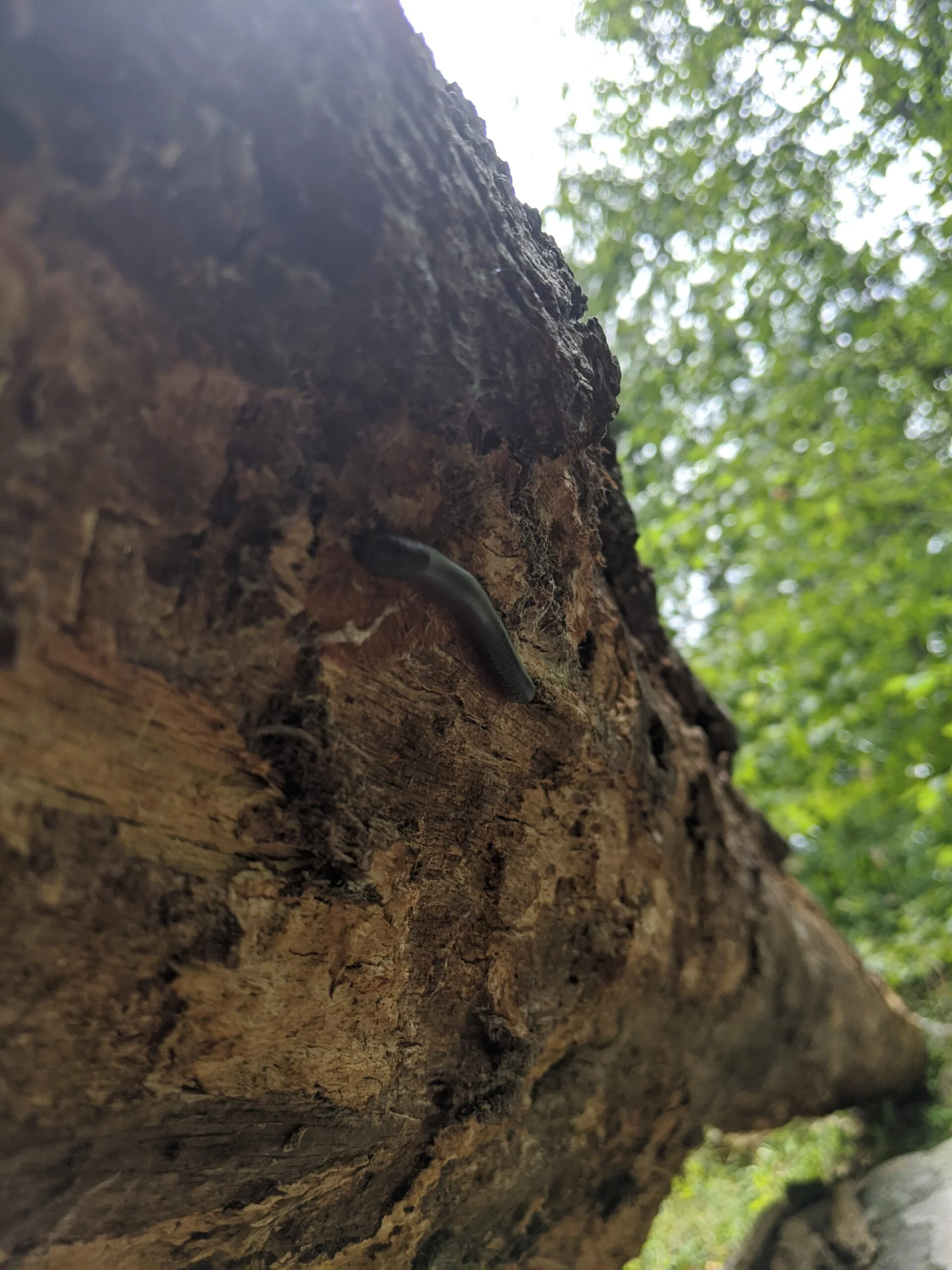
Photos


GPS Route & Elevation
Loads an interactive map; map tiles are served by the U.S. Geological Survey, which receives your IP address. Learn more about maps and your privacy