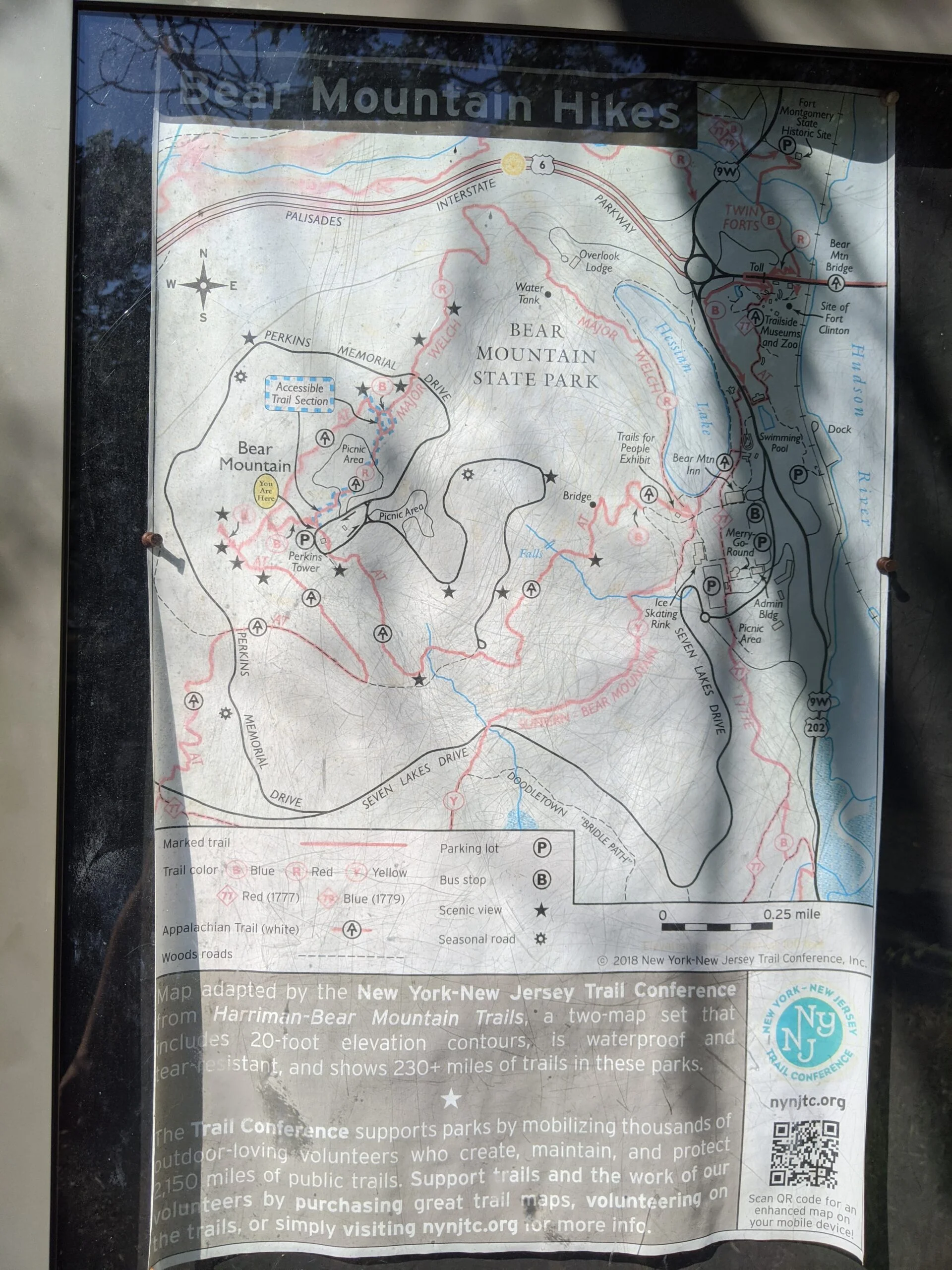
Bear Mountain State Park Harriman-Bear Mountain State Parks
Bear Mountain State Park – Hessian Lake, Major Welch Trail, Perkins Tower, 1777W Trail, 1777E Trail
- 7.5 mi
- 1,484 ft gain
- 04:32:03
- 116 photos
This post may contain affiliate links. If you buy through them, I may earn a commission at no extra cost to you. As an Amazon Associate I earn from qualifying purchases.
Wow, this was a beautiful hike on a beautiful Sunday of Labor Day weekend!
I packed what has become my standard kit at this point: Osprey 2.5L Hydration Backpack ($) and three separate 1.5L bottle reserves, an apple, a banana, two PROBAR meal bars ($), and two Chicken of the Sea Pink Salmon ($) packets. All of the water was prepared with citrus fruit flavor Nuun Sport Electrolyte Drink Tablets ($) and chilled the night before.
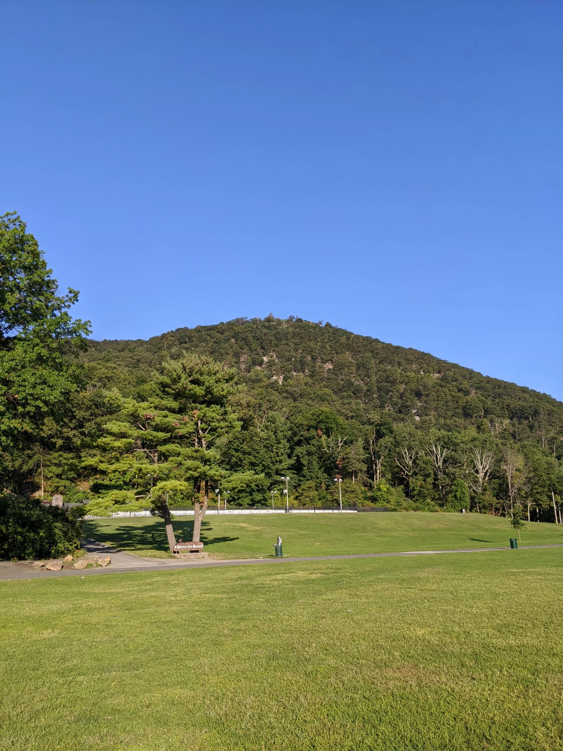
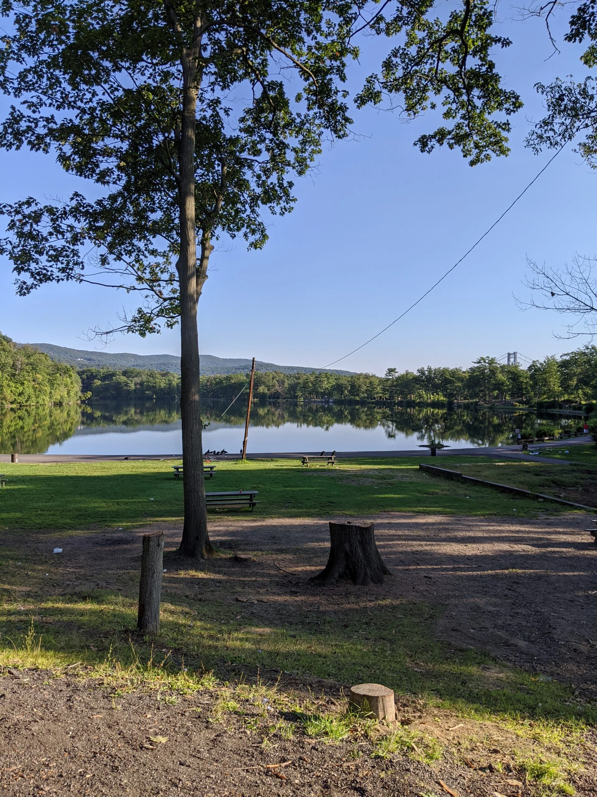
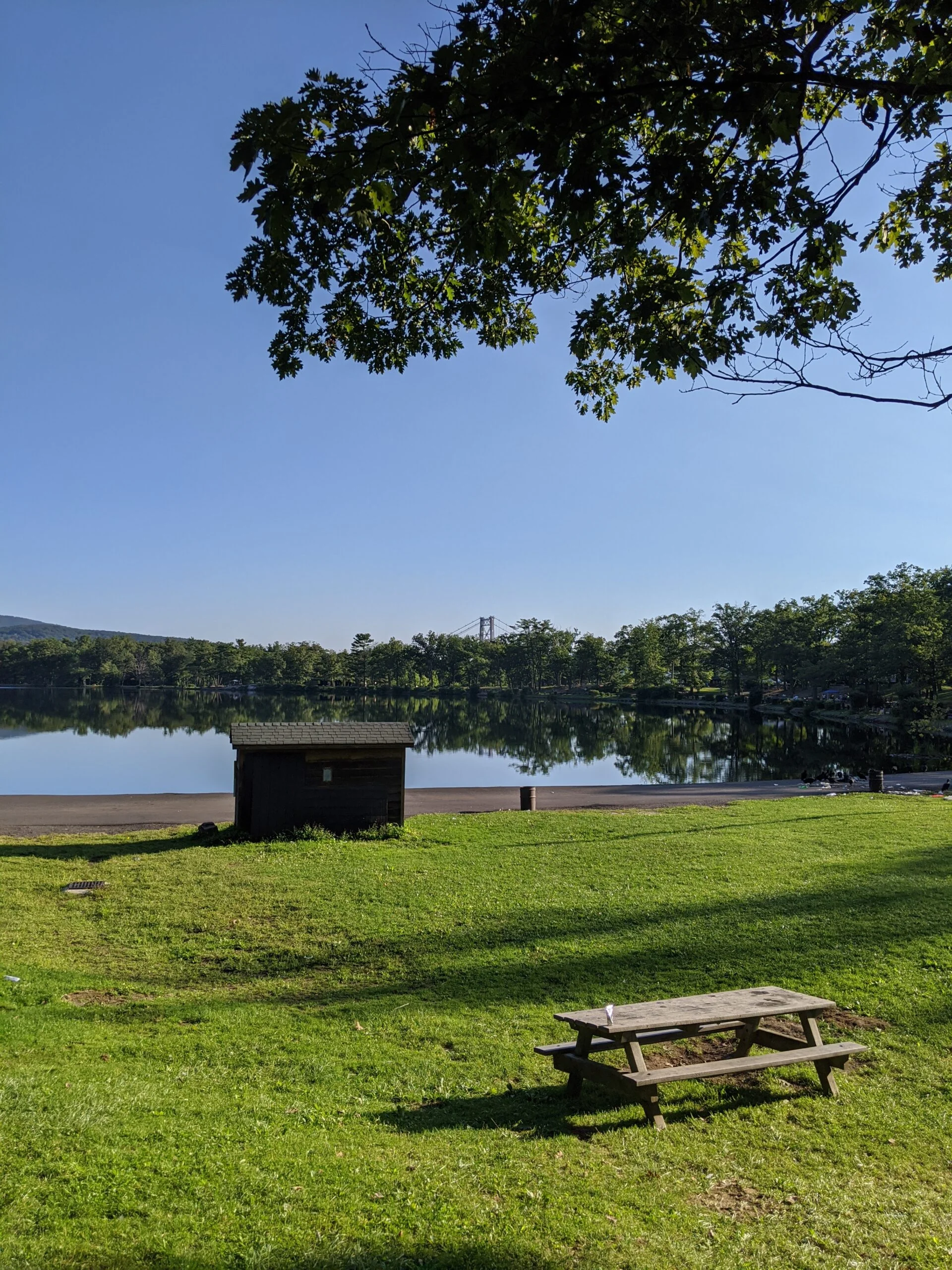
A childhood friend and I met at parking lot #1, south of Hessian Lake, at 8am. The crowds were at low levels given the early hour, but there were still more people than I expected. We would later encounter hikers coming down from the mountain who must have started a hour or two earlier than us.
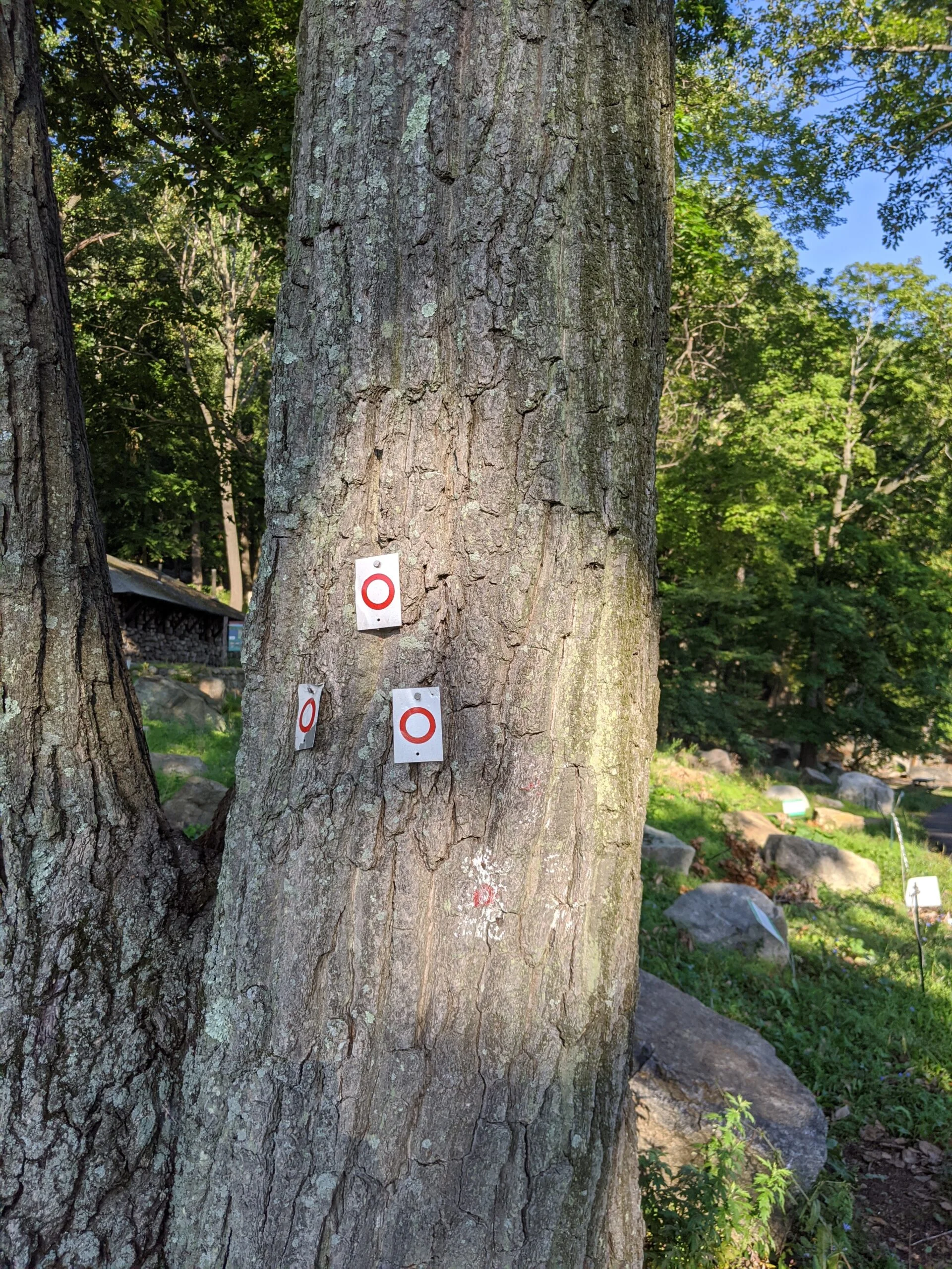
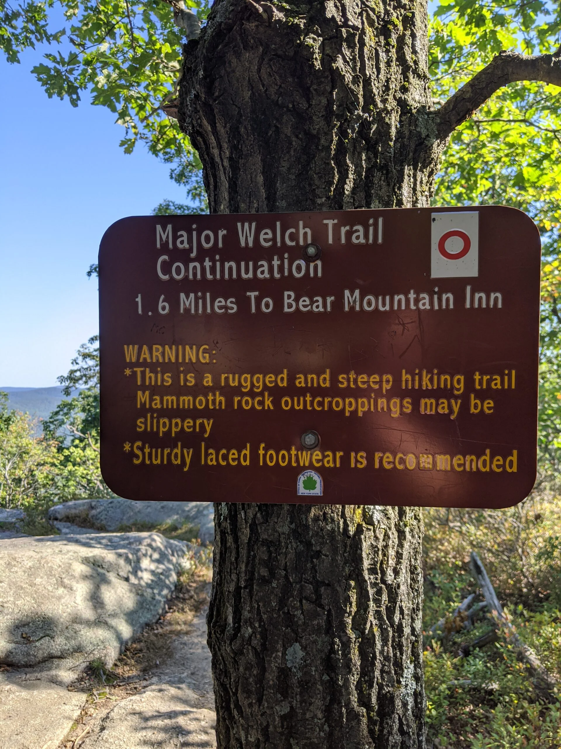
We began our hike by heading north on the Major Welch Trail (MW, white blaze with a red circle) around the west side of Hessian Lake. We missed the intersection where it breaks off from the lake loop and had to retrace our steps back to the trail head which ascends the mountain.
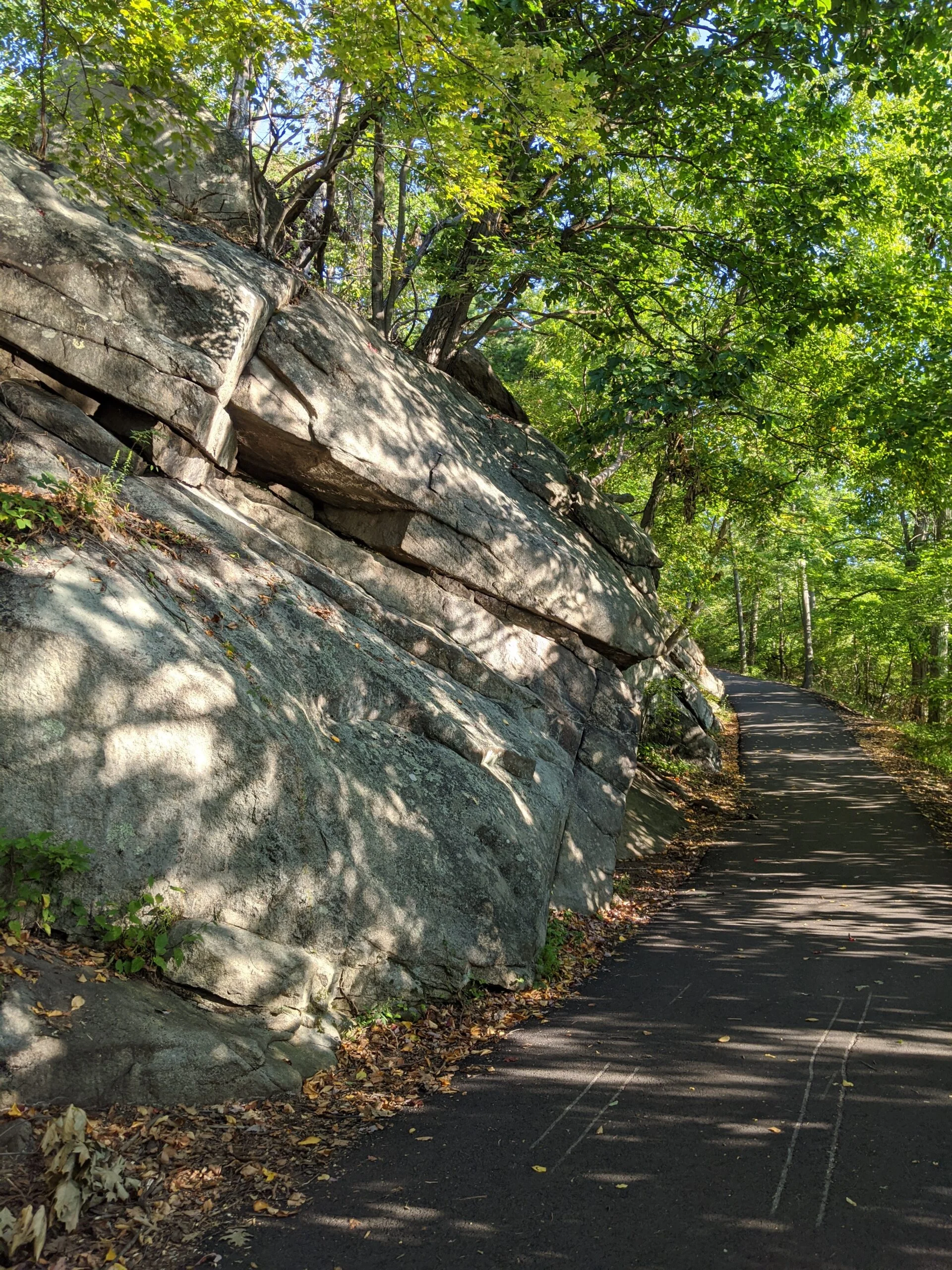
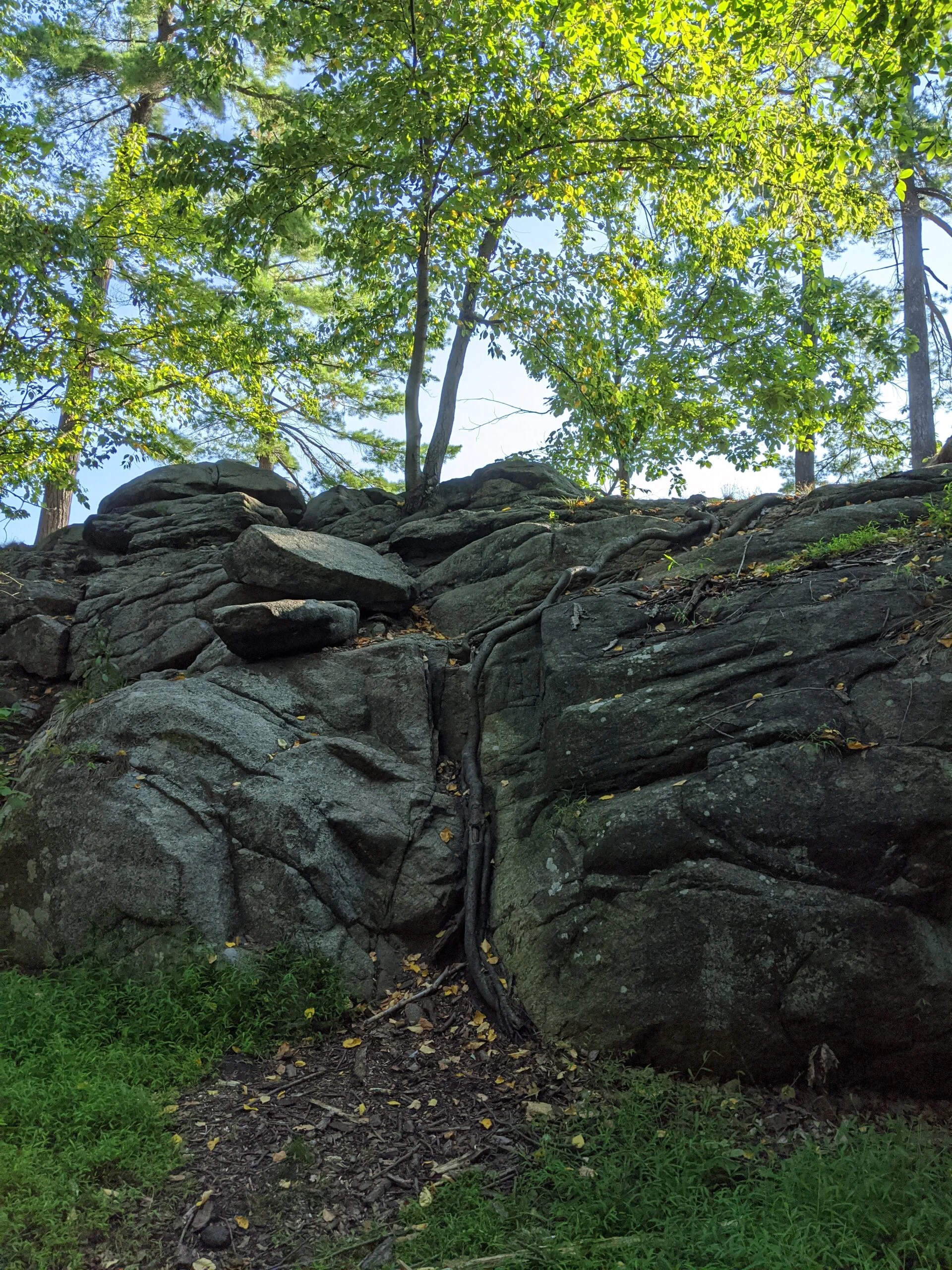
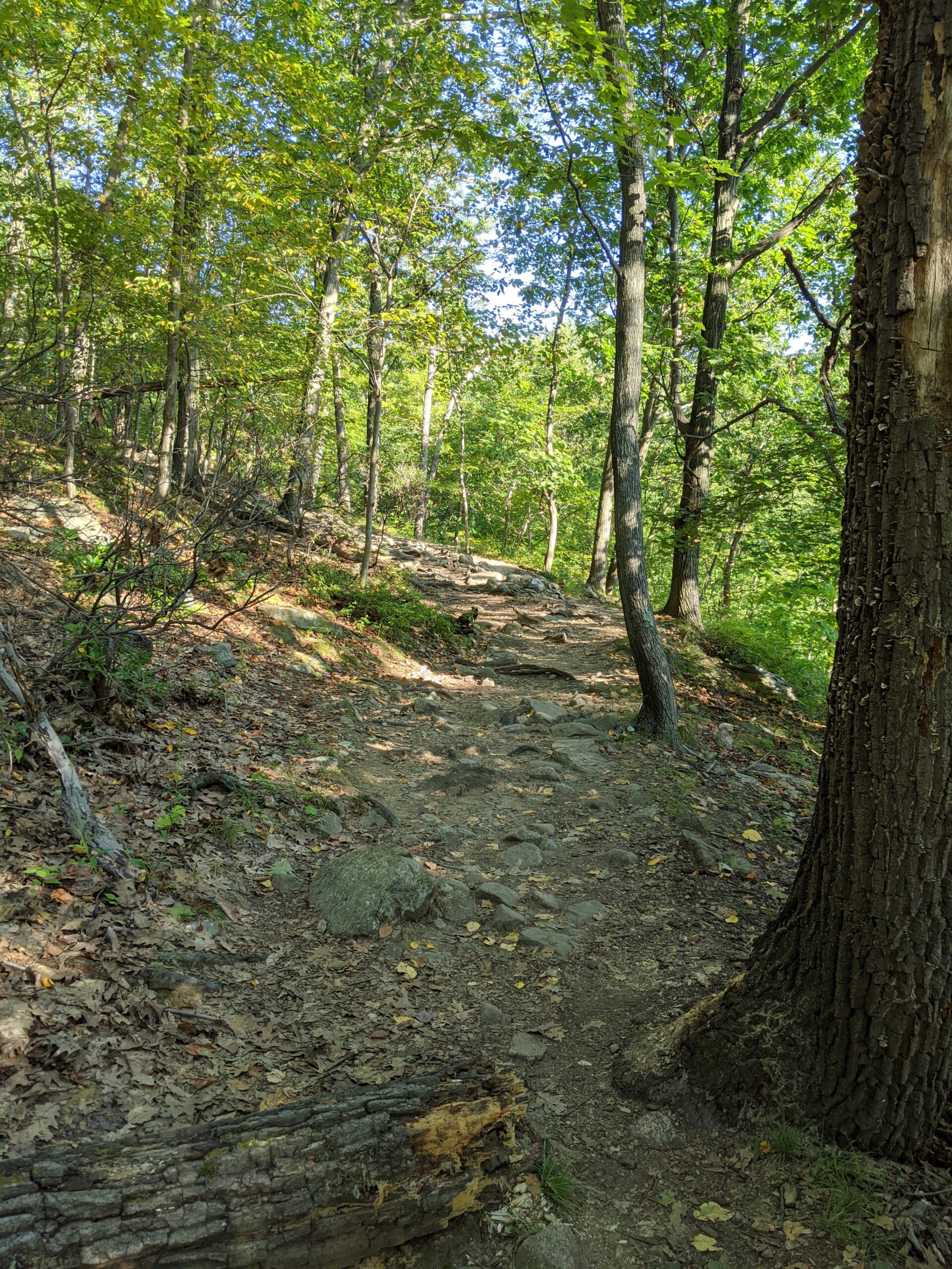
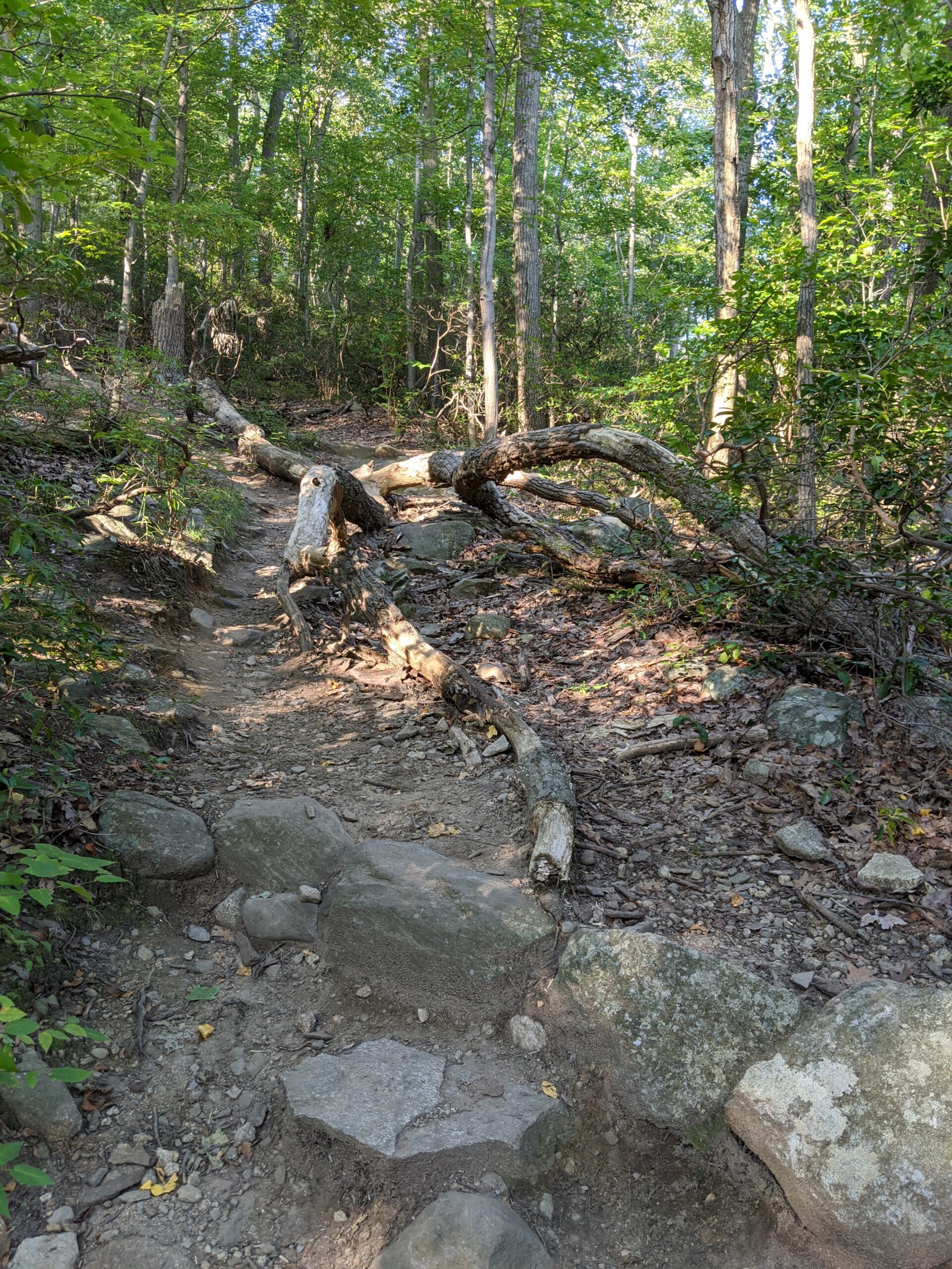
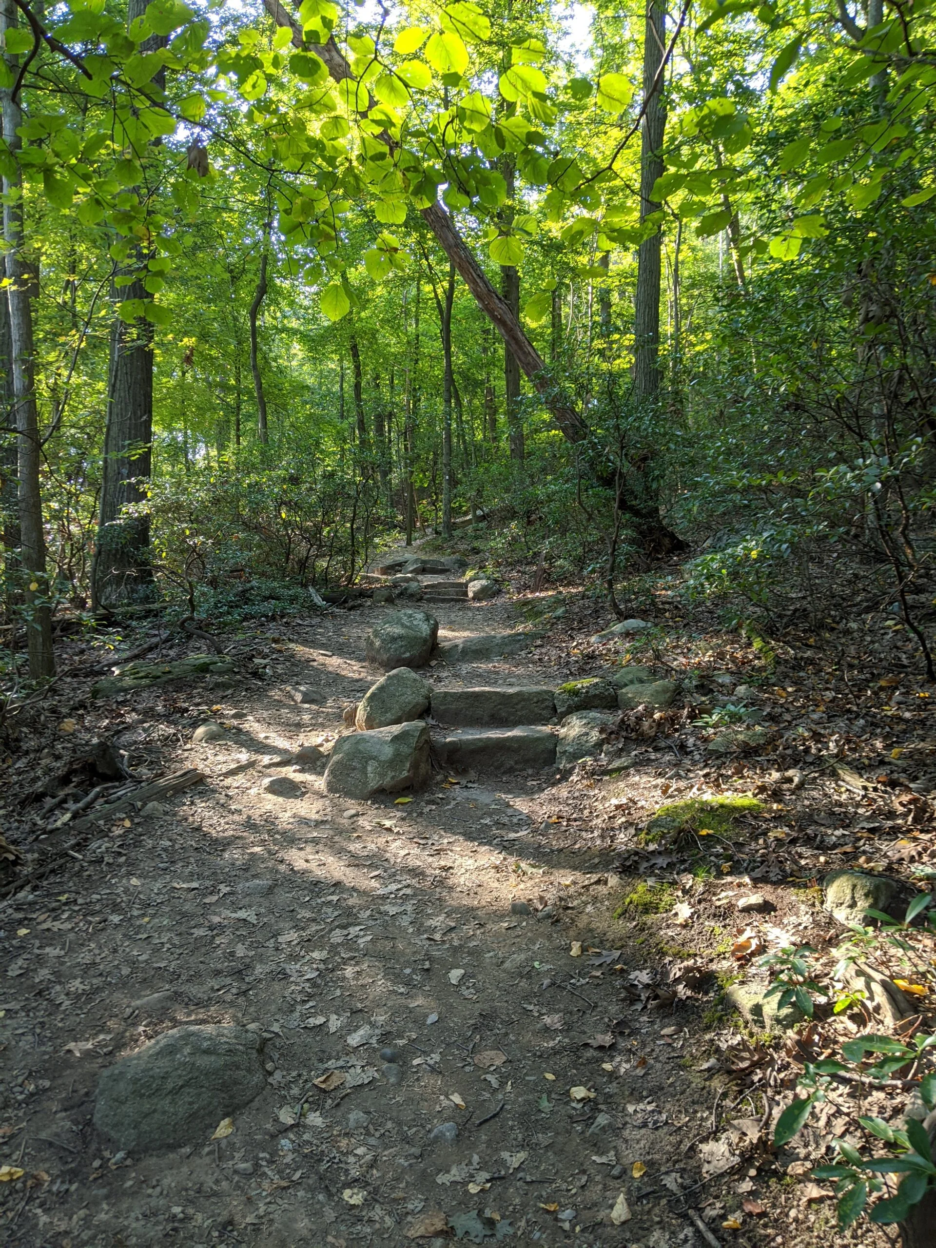
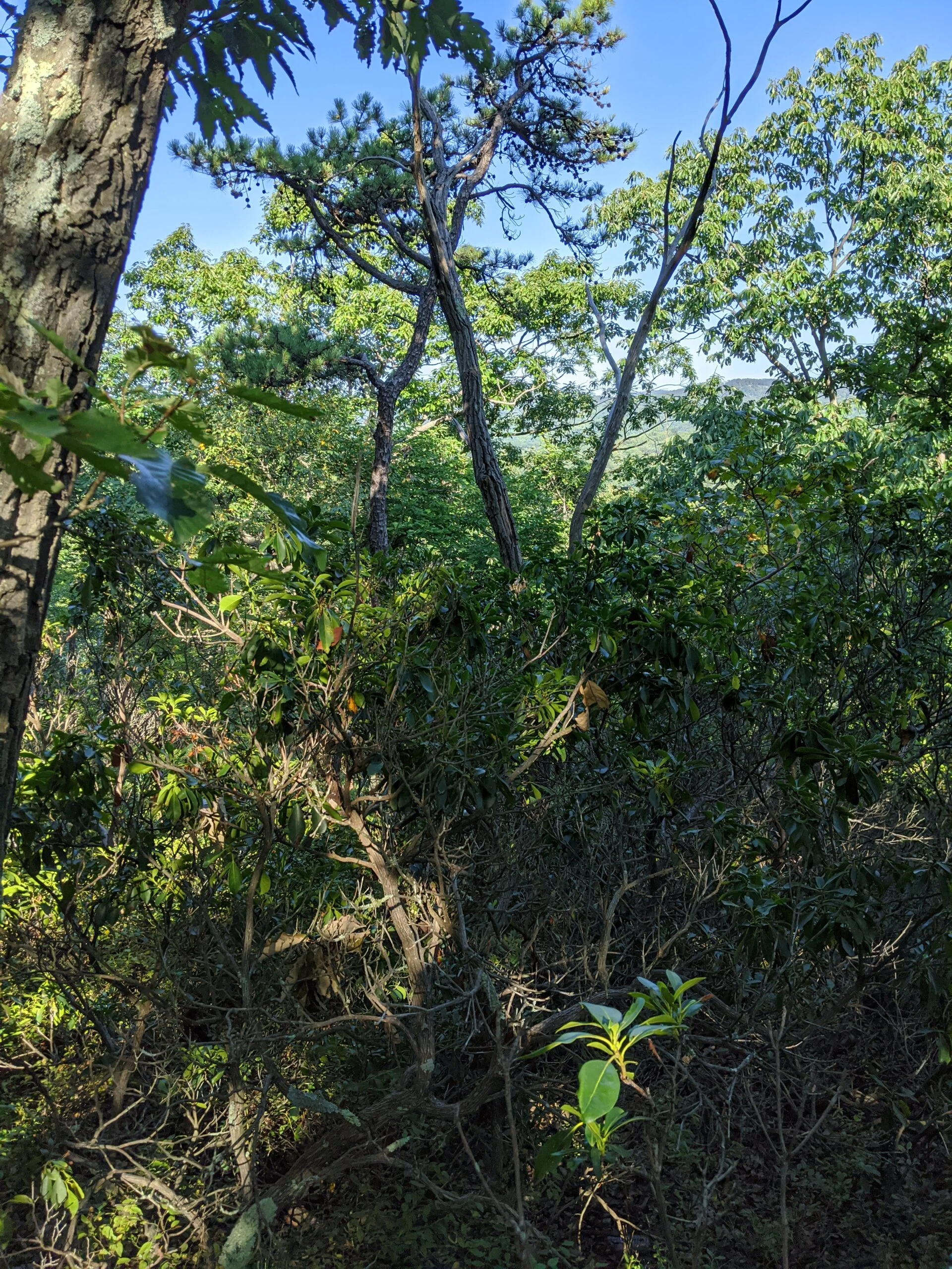
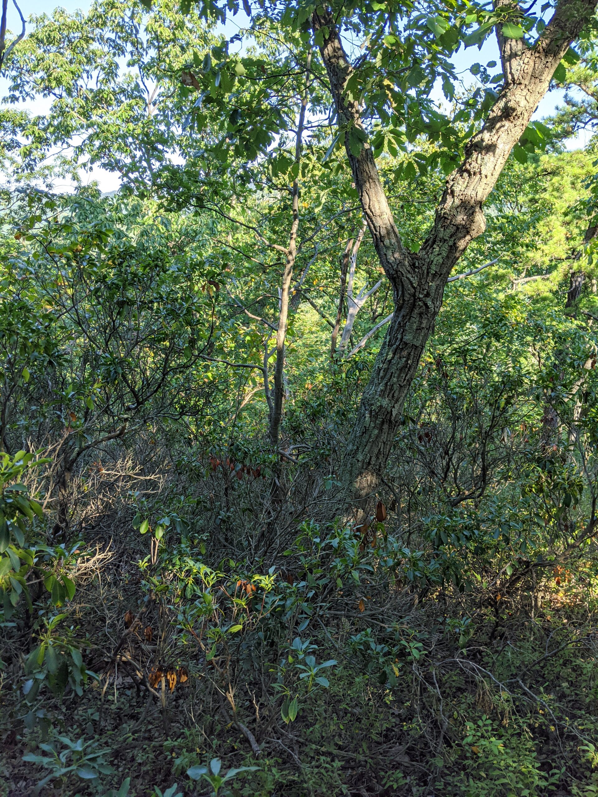
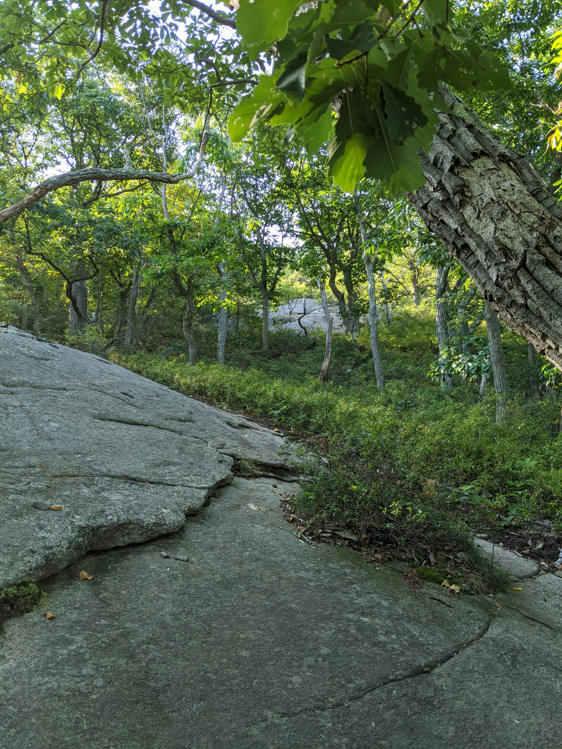
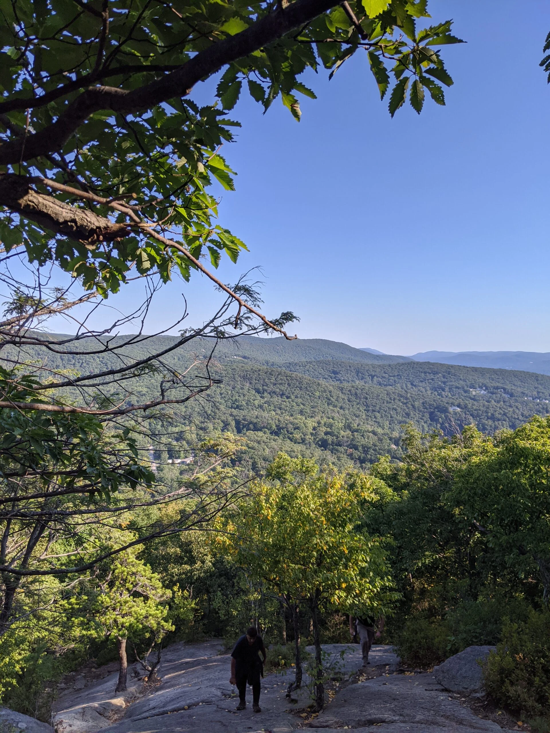
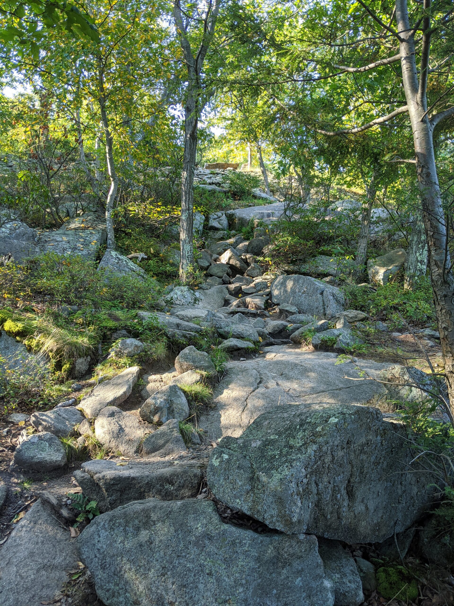
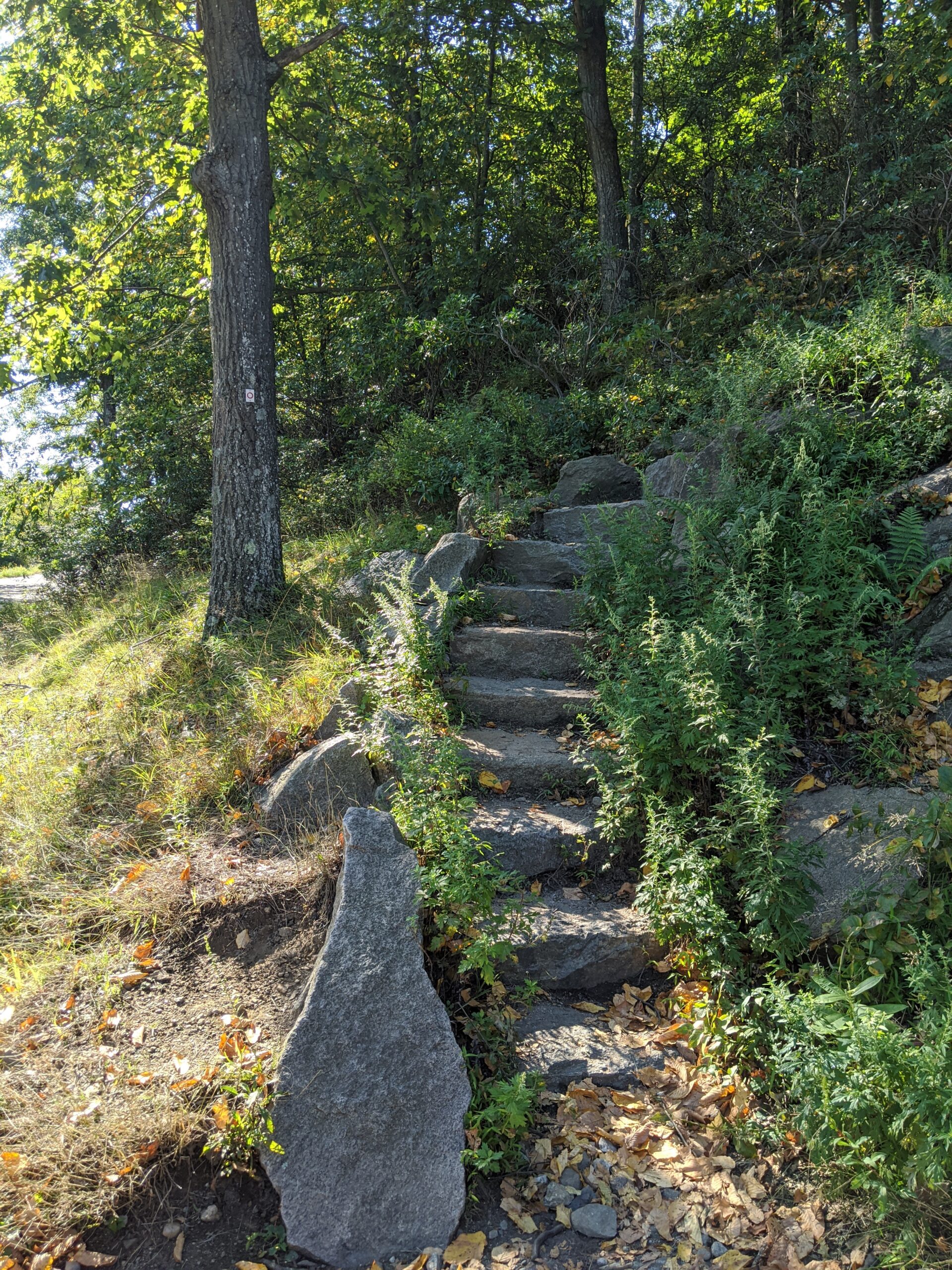
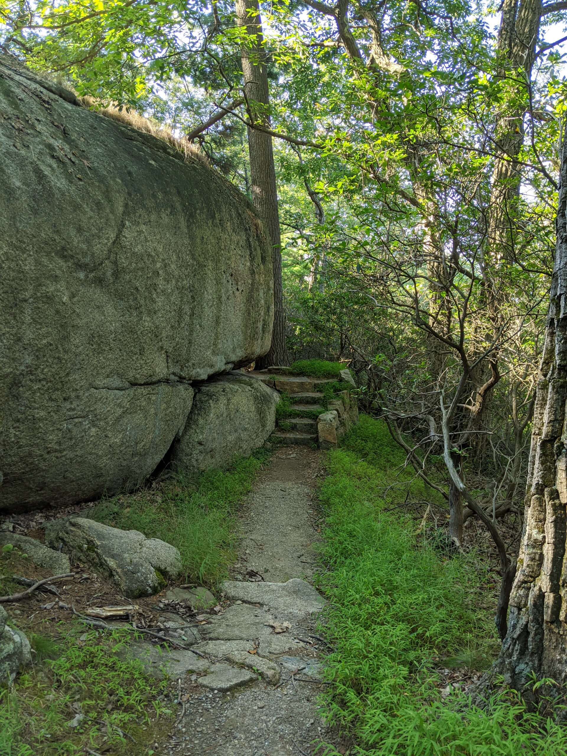
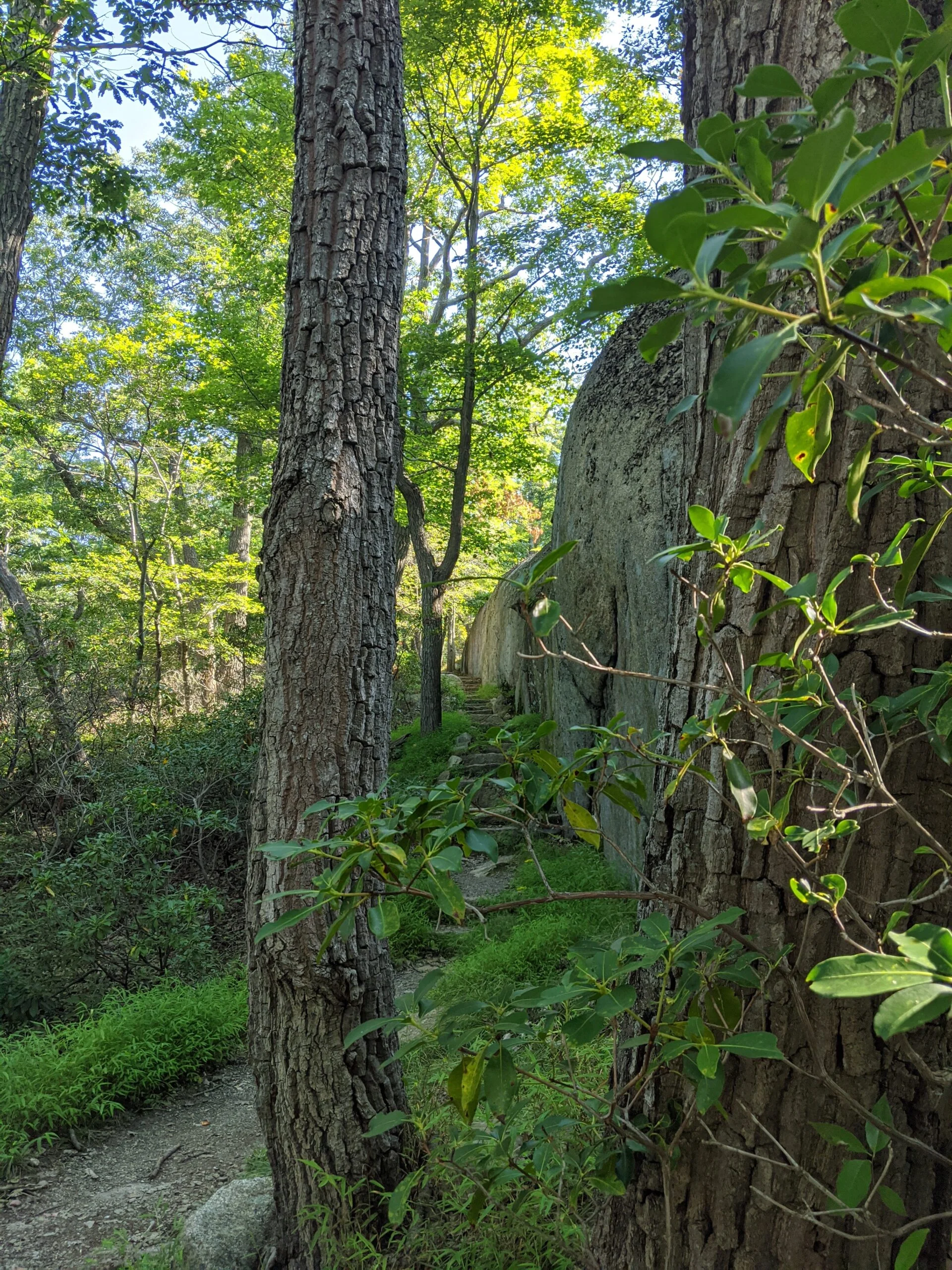
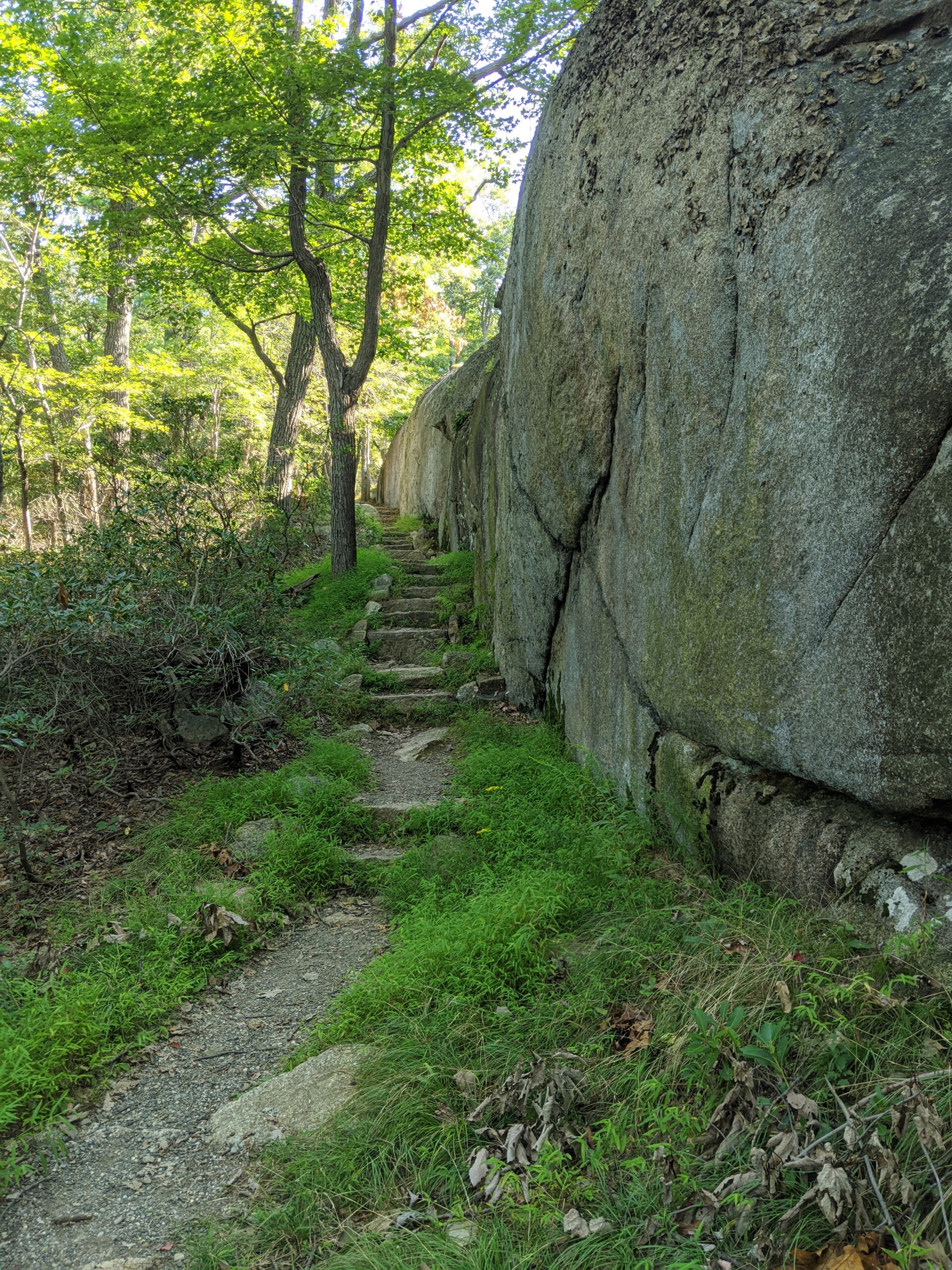
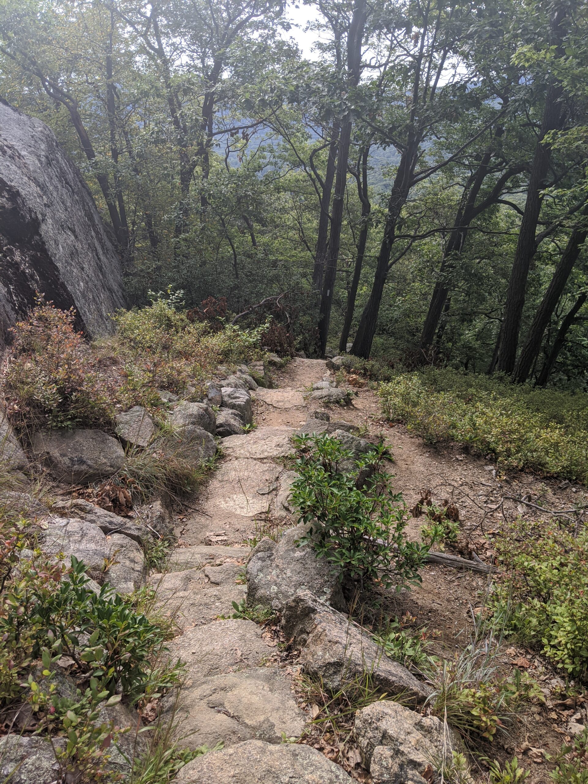
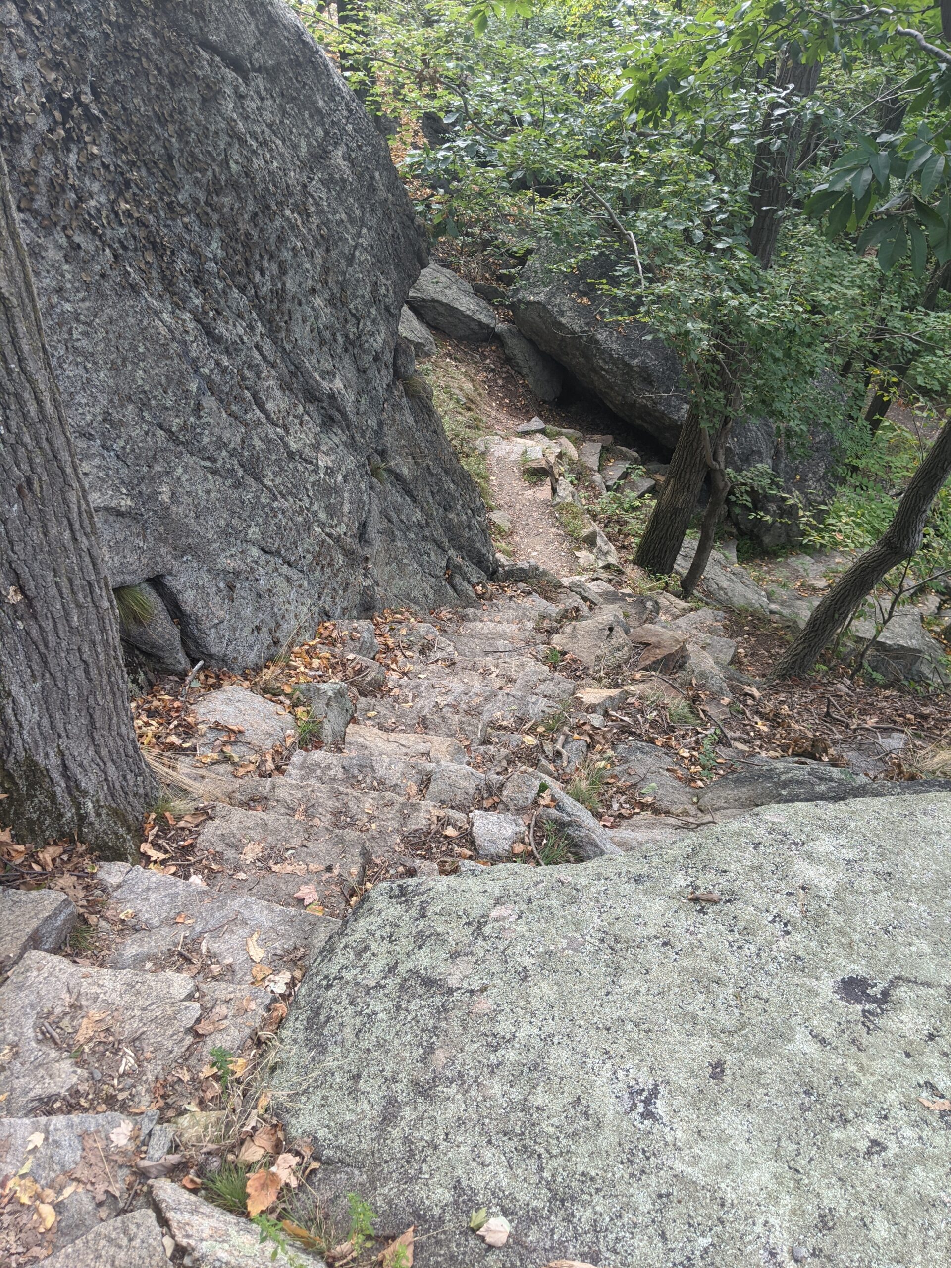
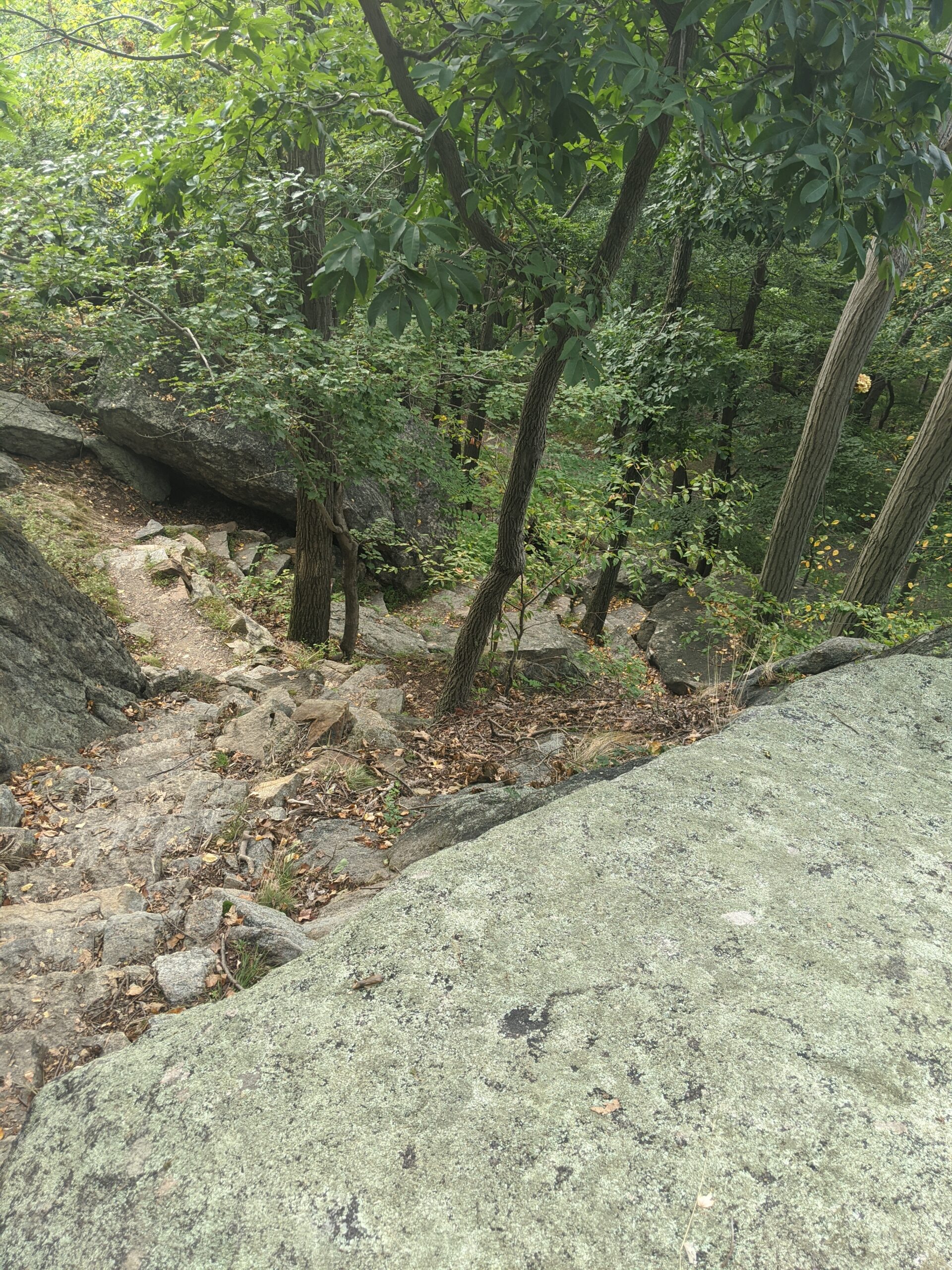
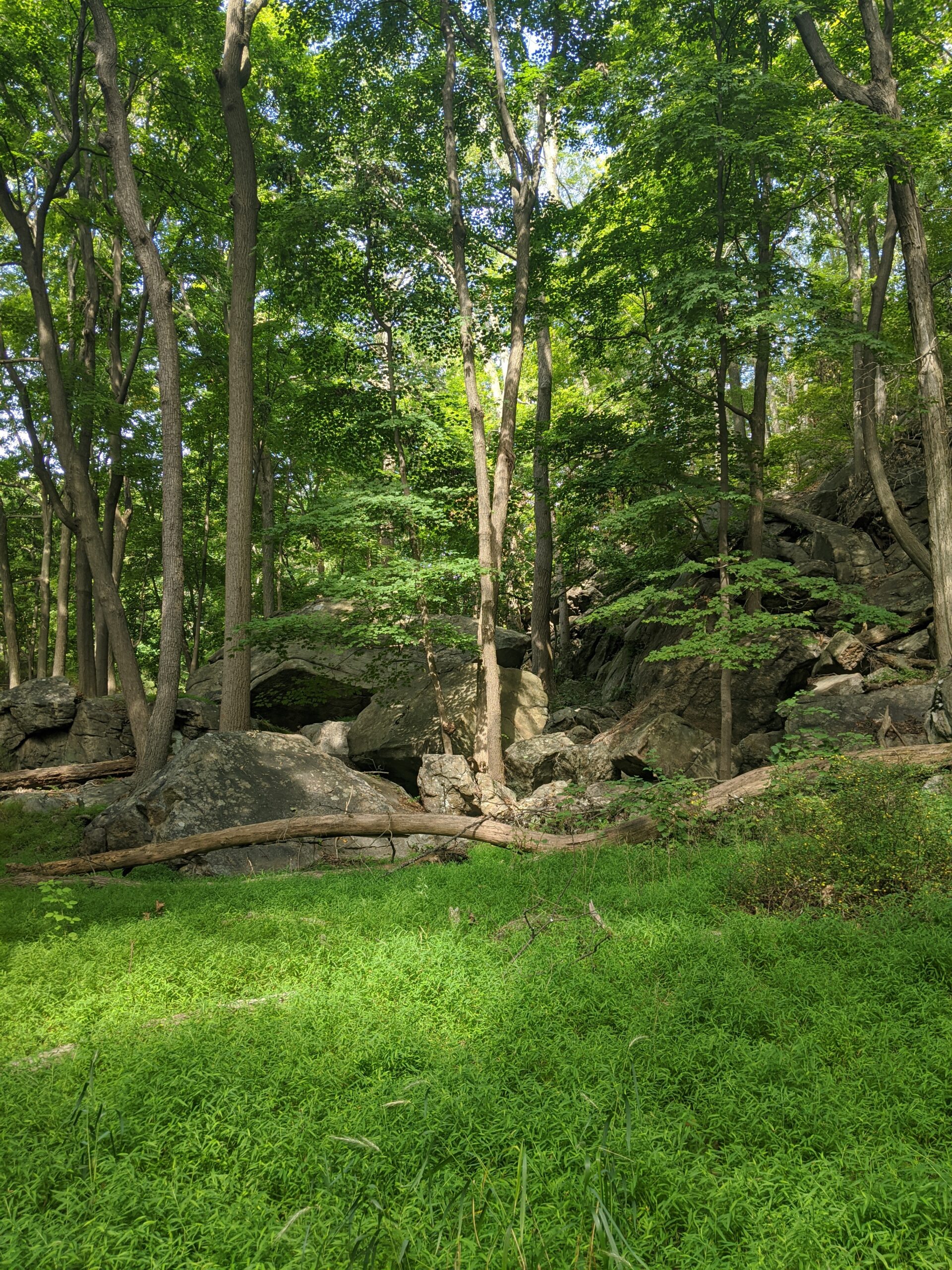
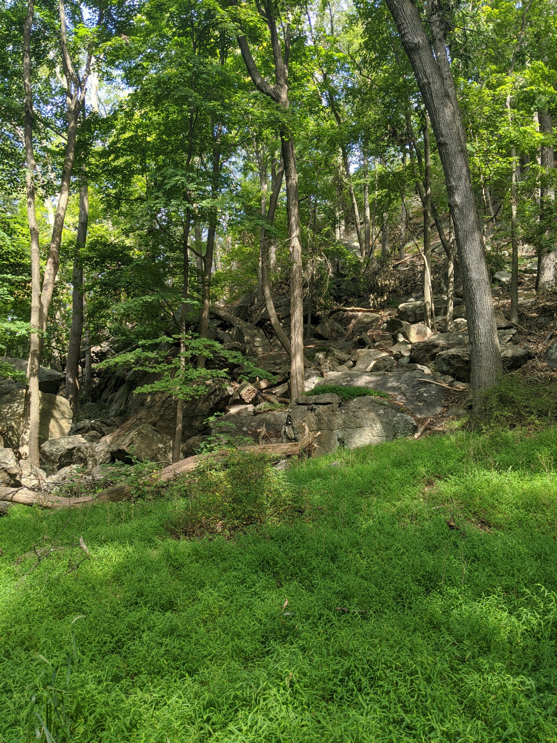
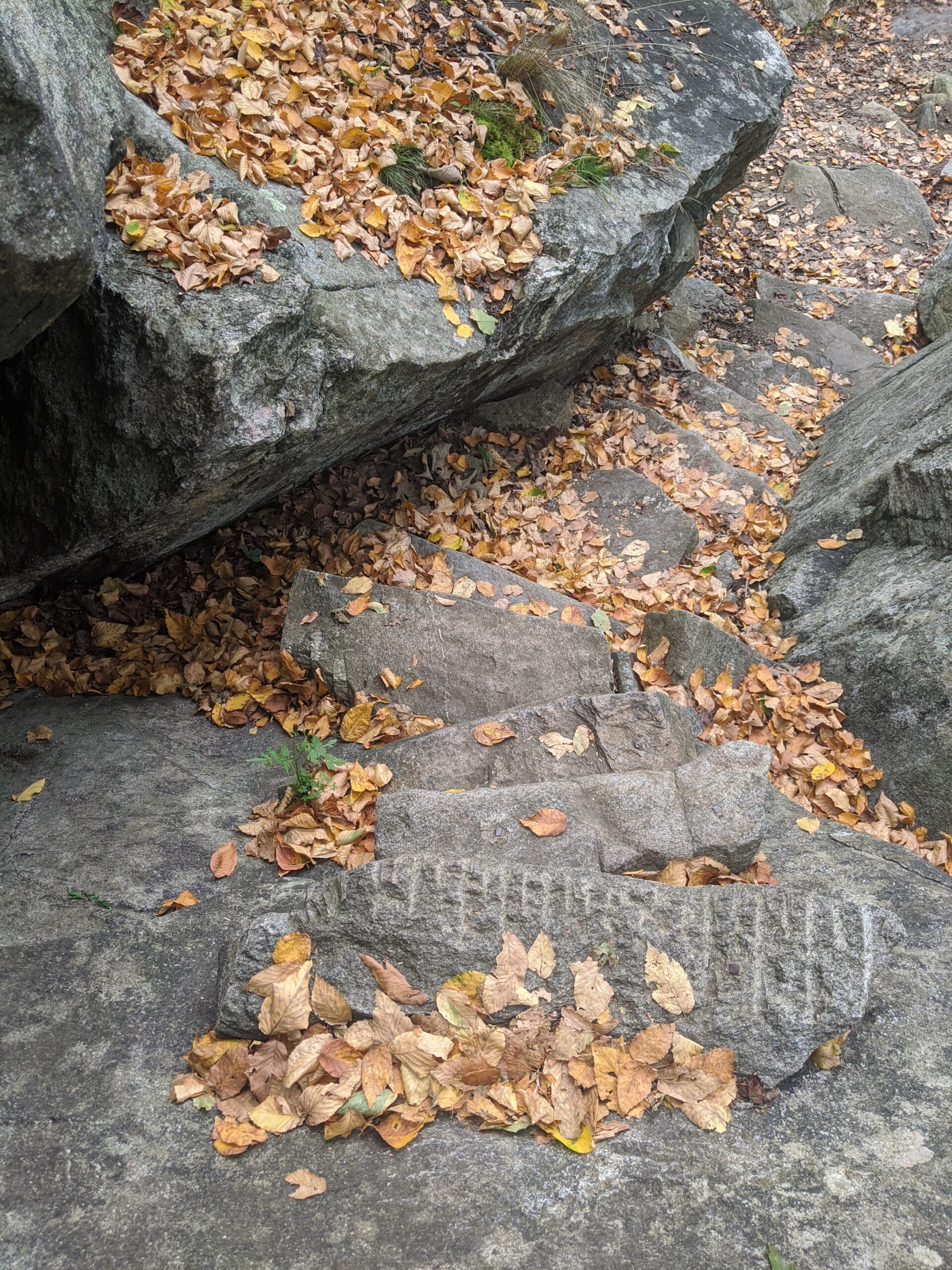
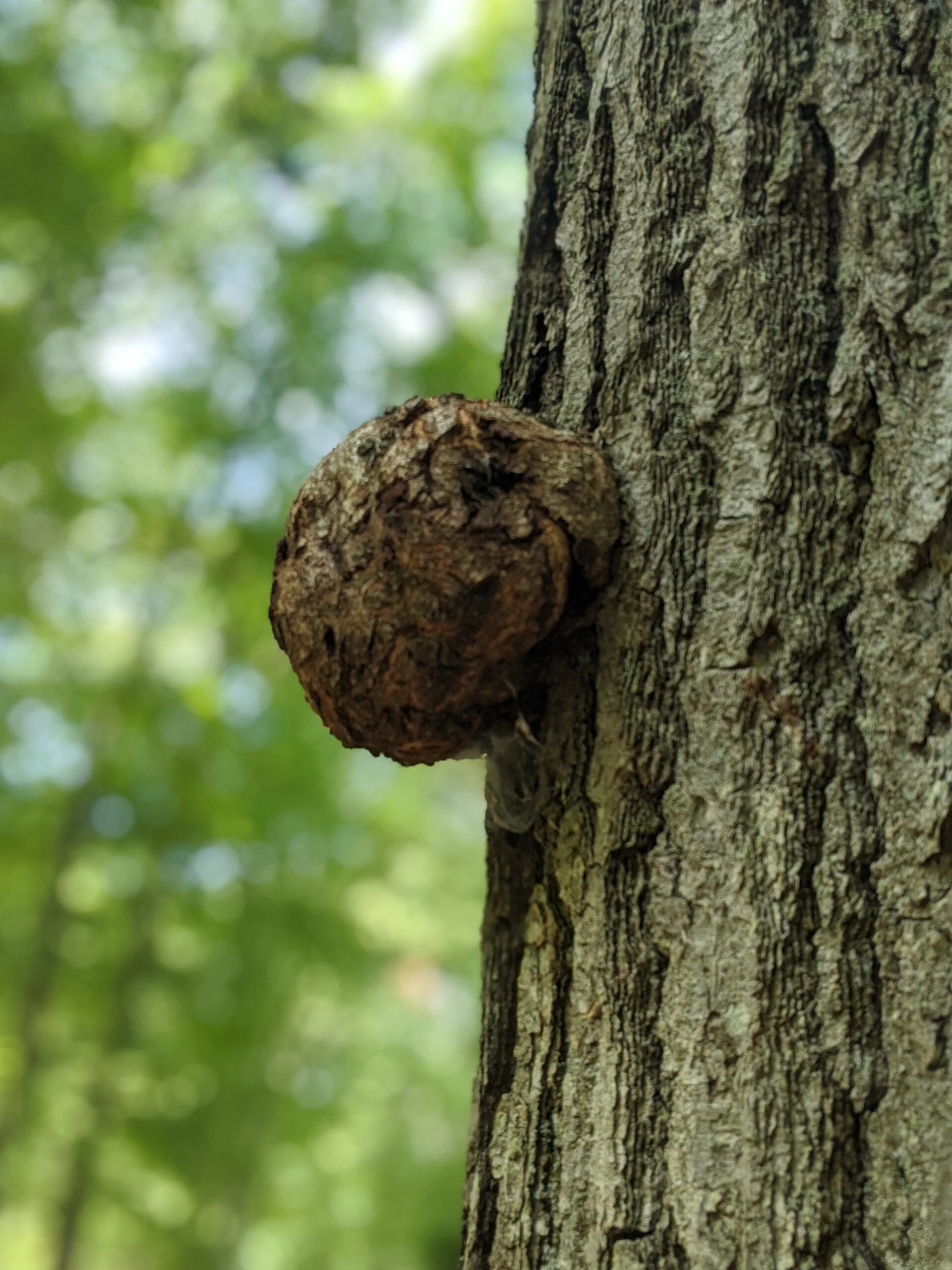
This is where the climbing starts! The first half mile is not terrible. It’s a gain of roughly 200 ft that runs parallel to the mountain. After that point, the trail follows the slope of the mountain and there’s a gain of another 800 ft over the next mile. The terrain is mixed. There are several spots of typical dirt trail, there a lot of areas with rock steps, and then some of the ascent is directly on Mammoth rock faces at steep angles. Prepare for a good calf workout!
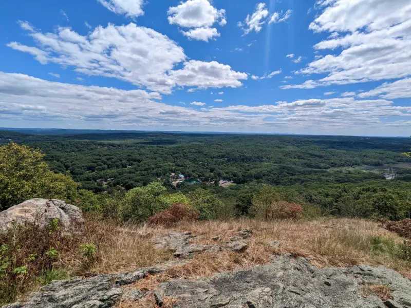
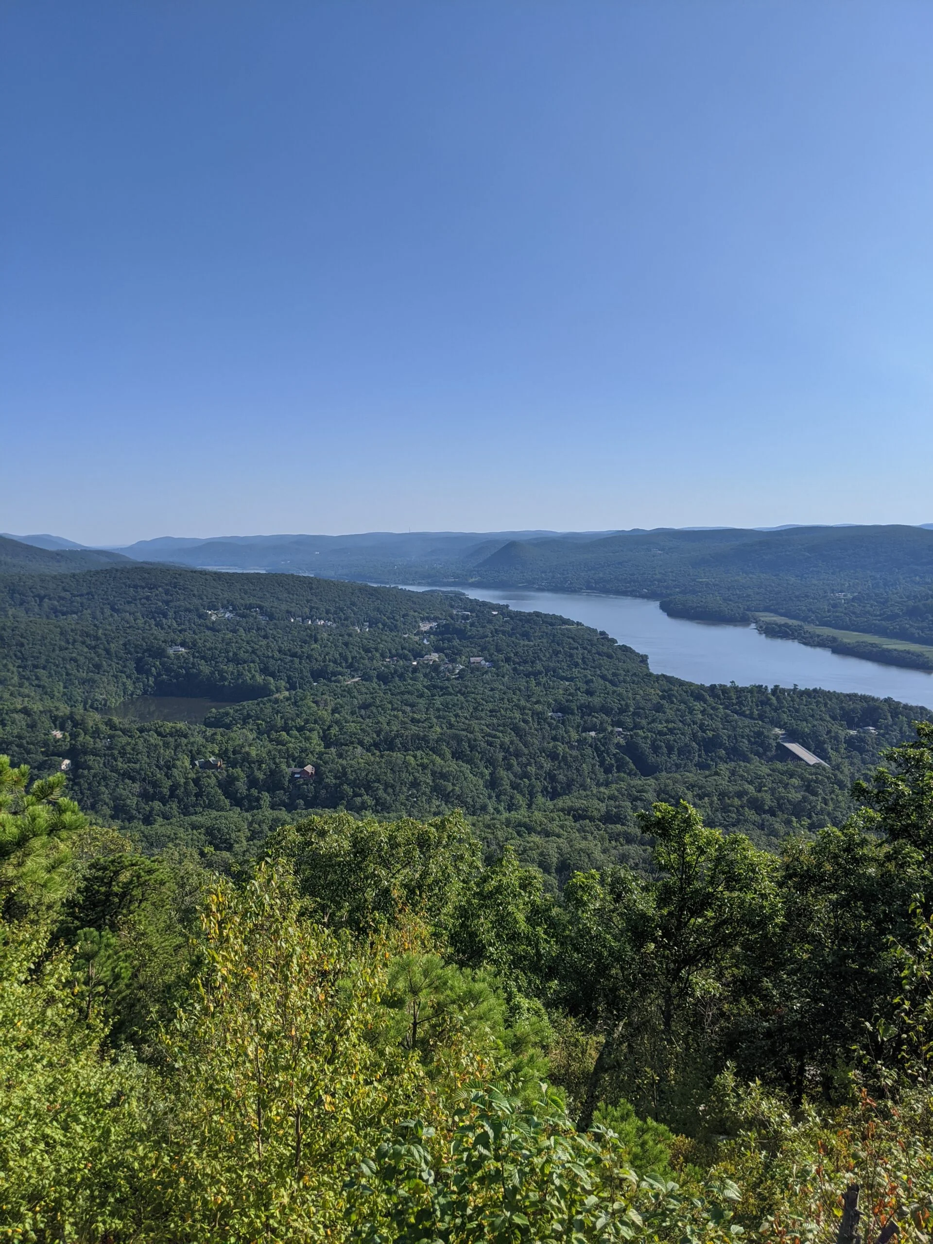
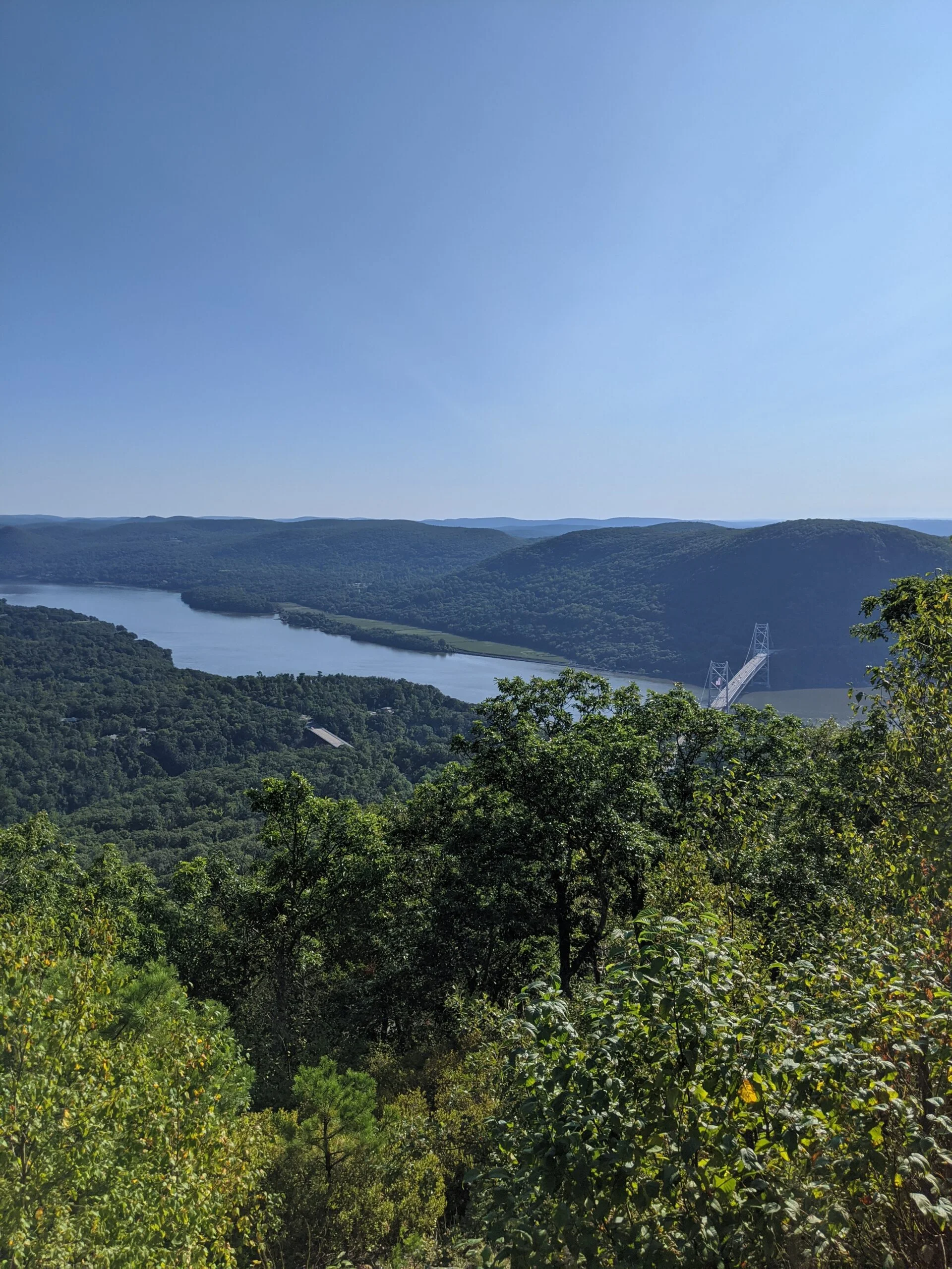
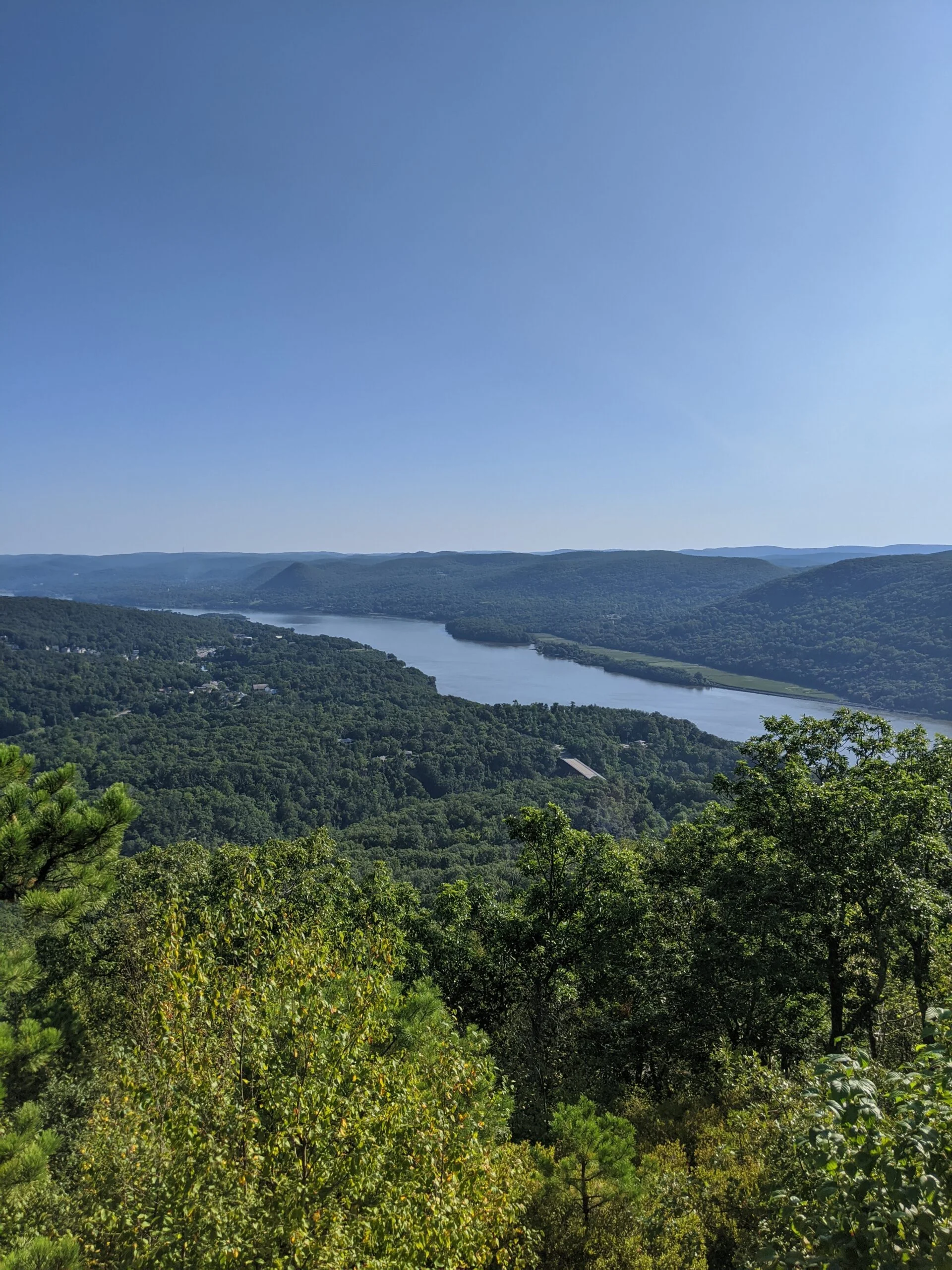
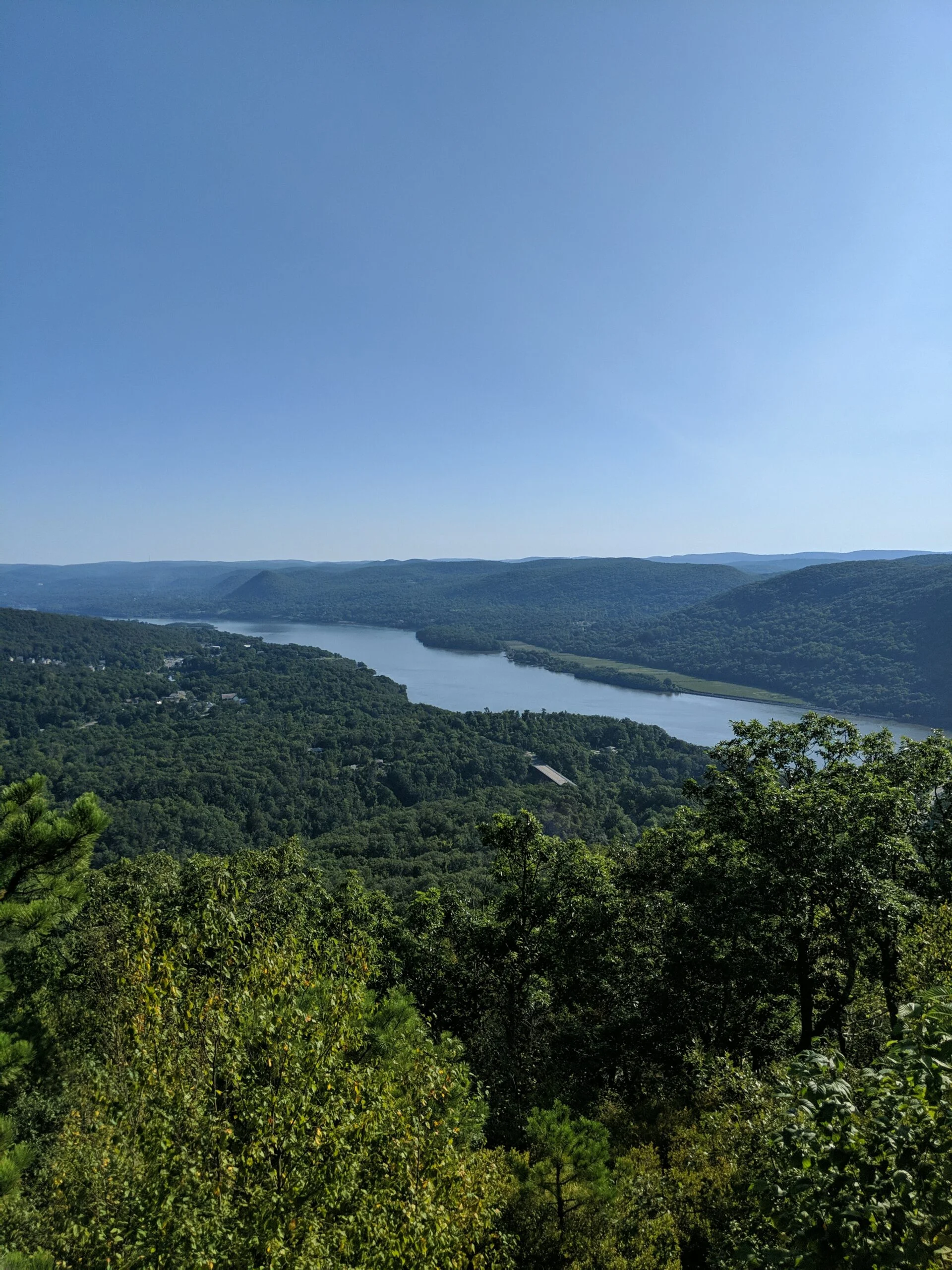
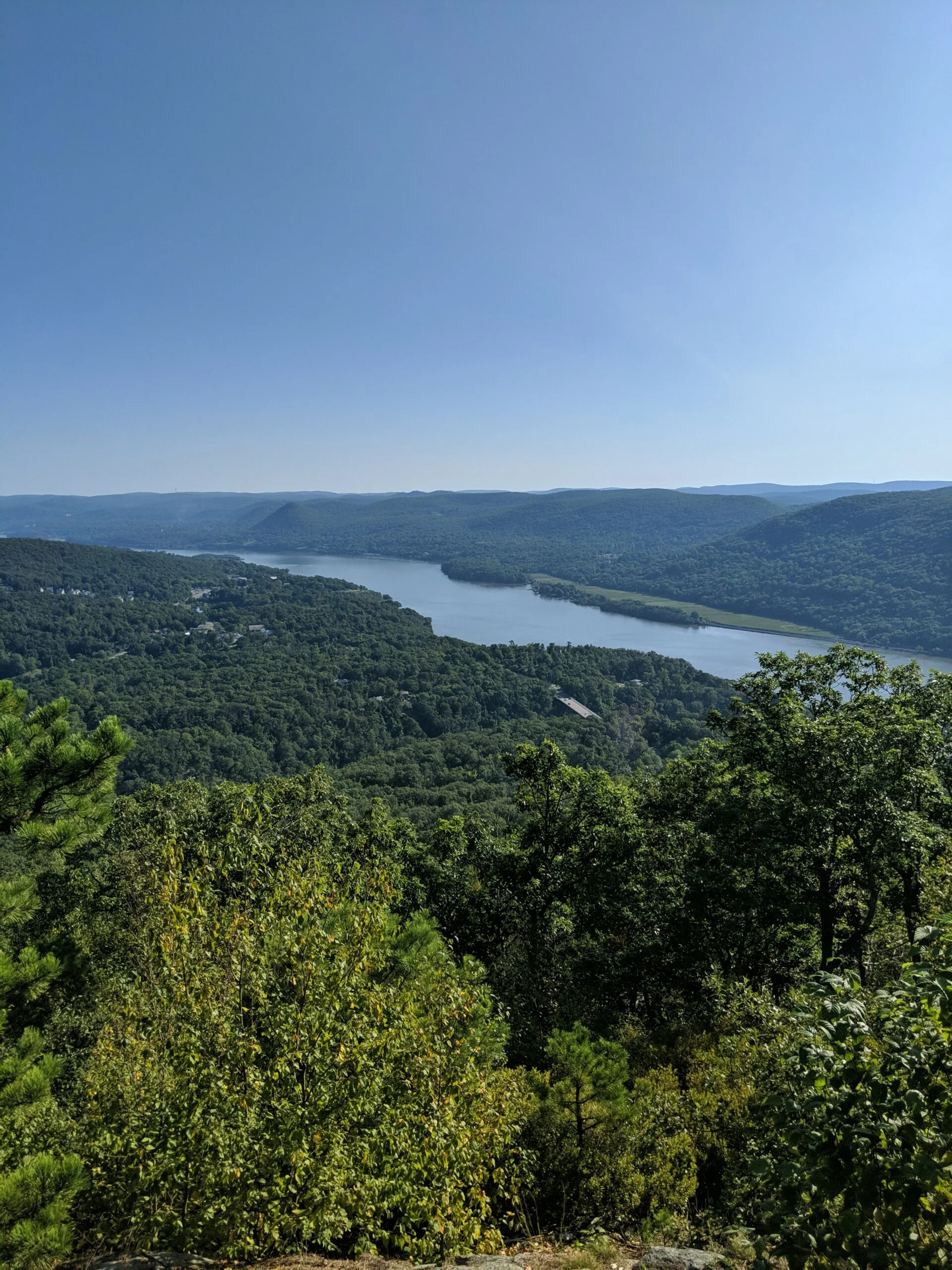
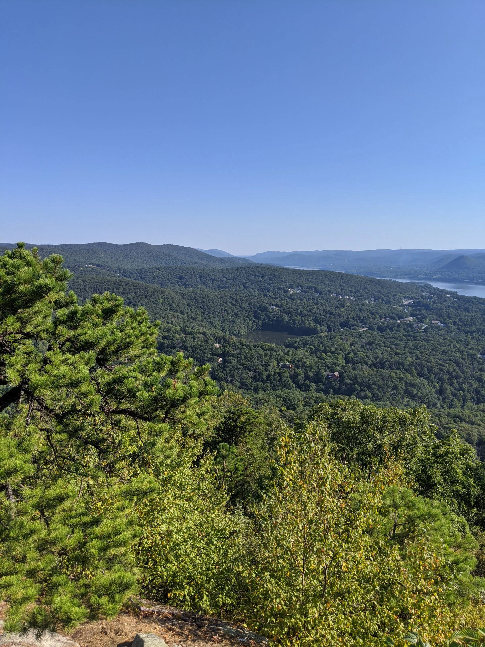
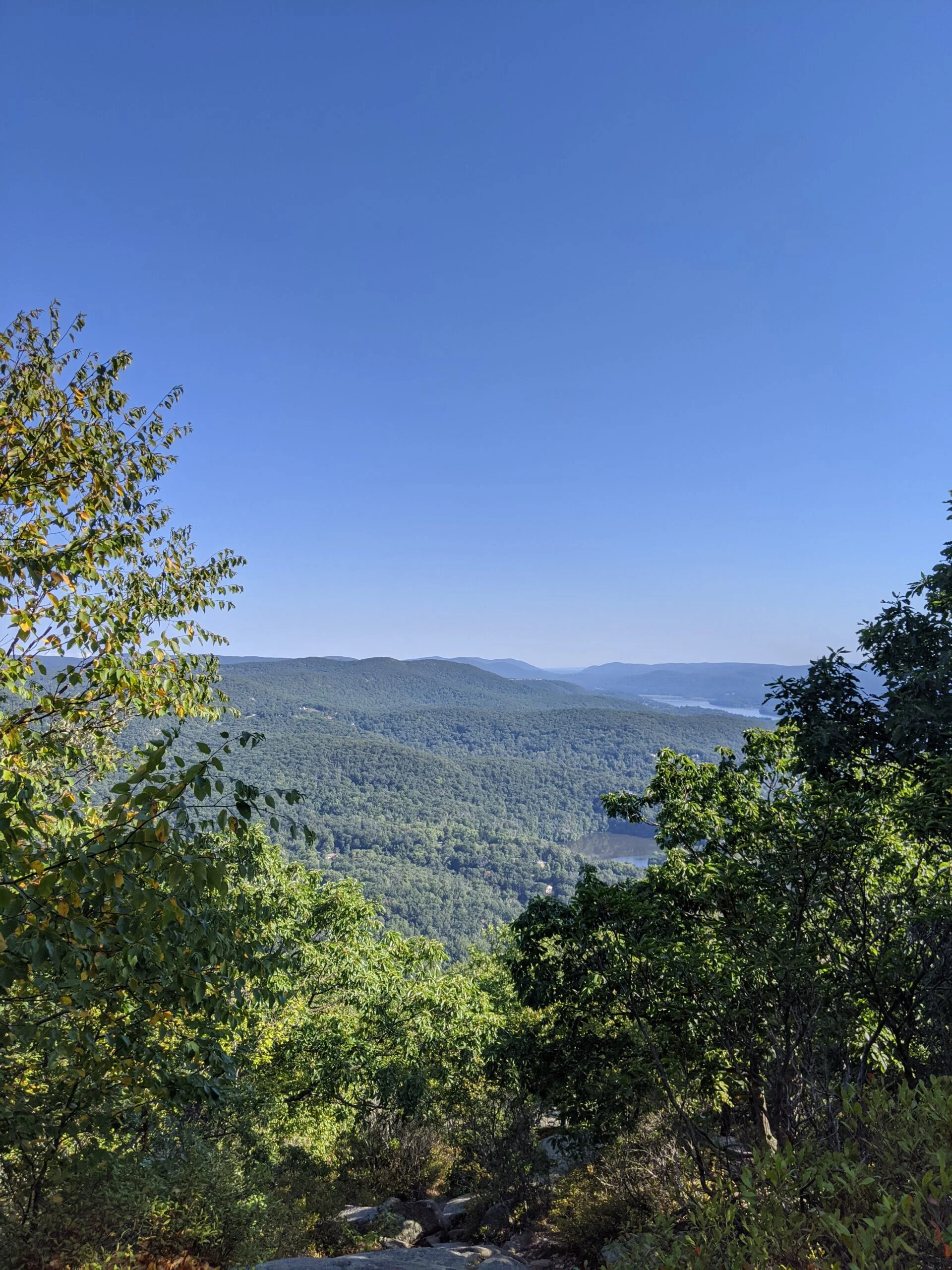
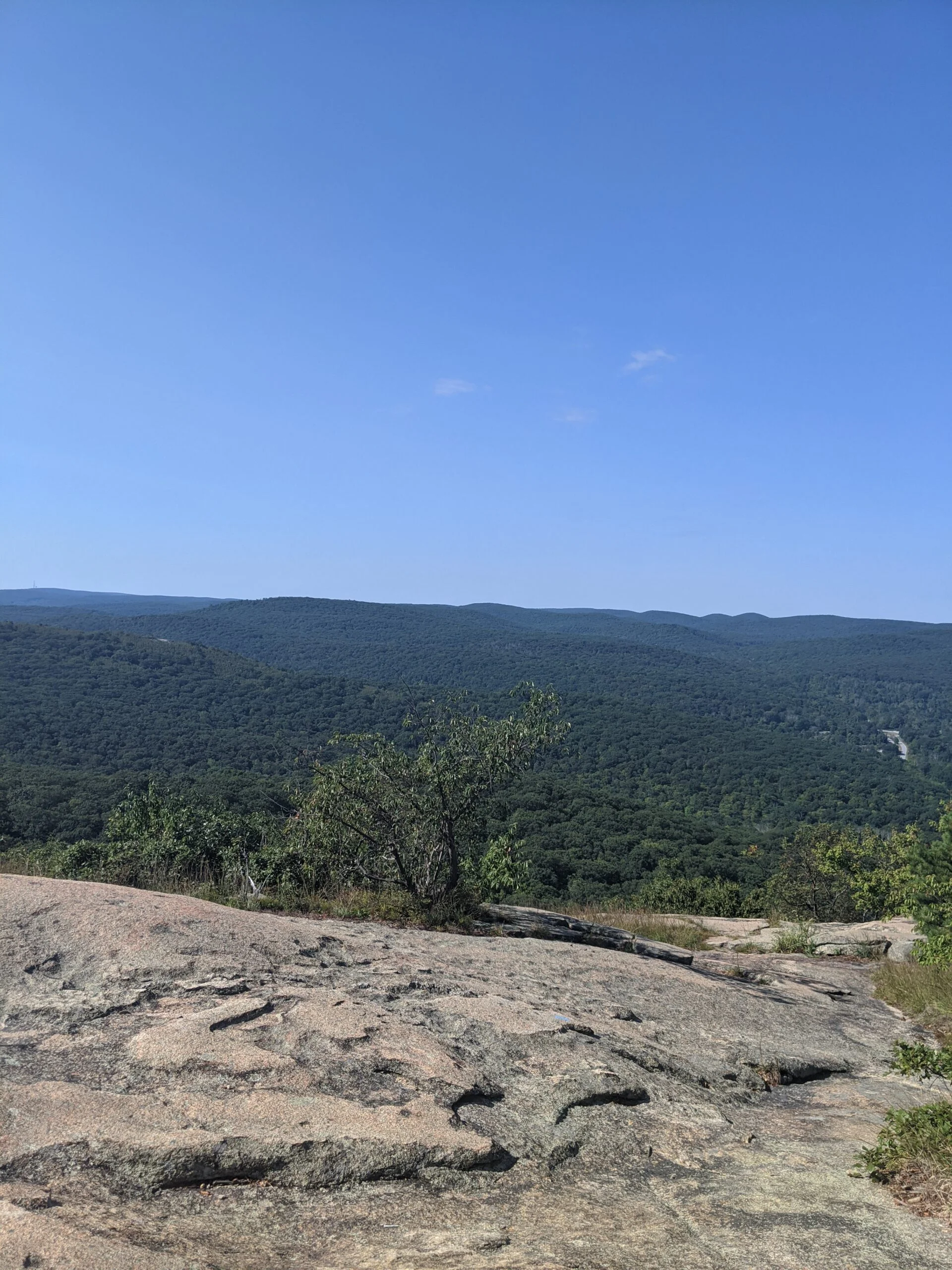
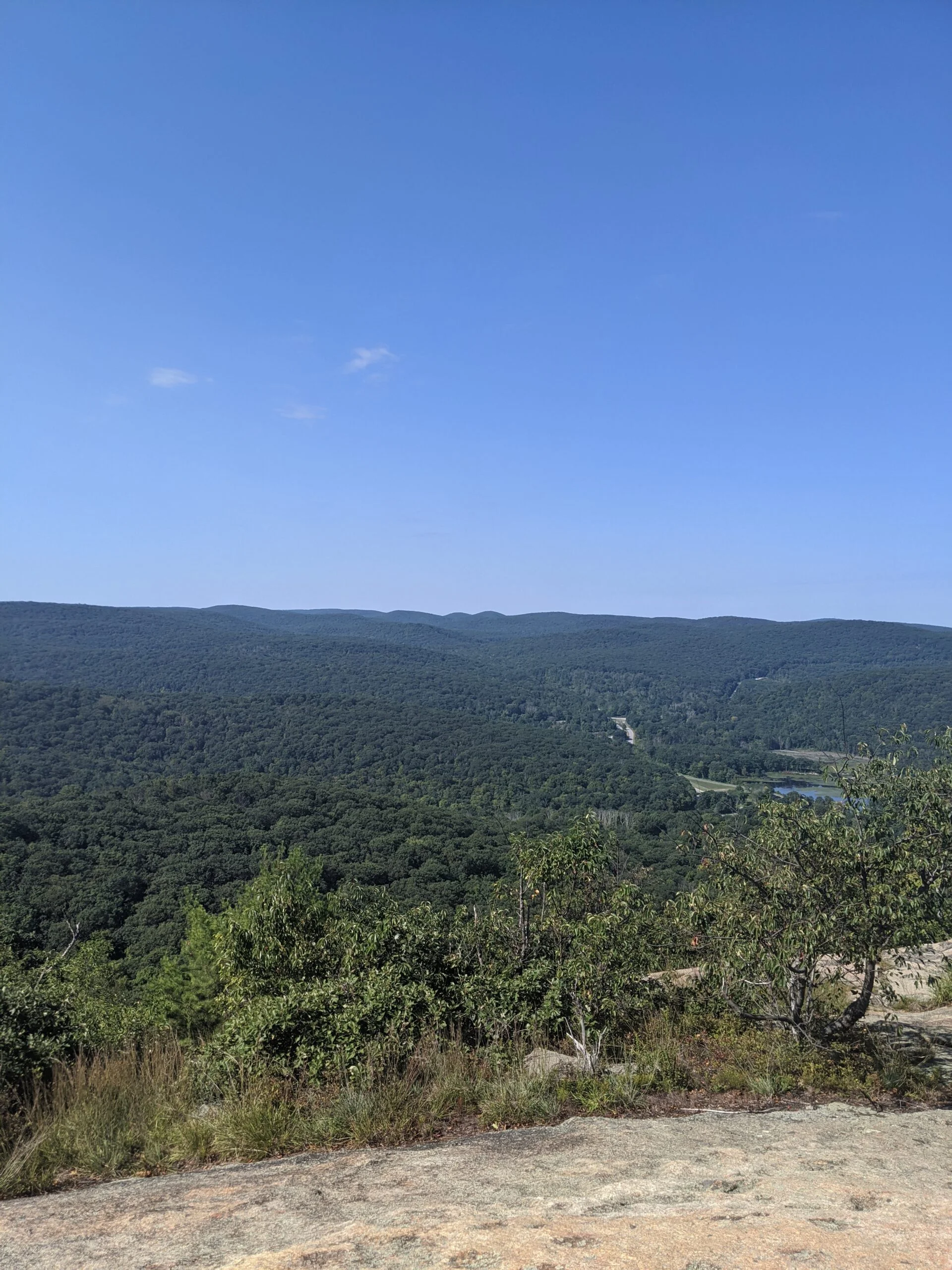
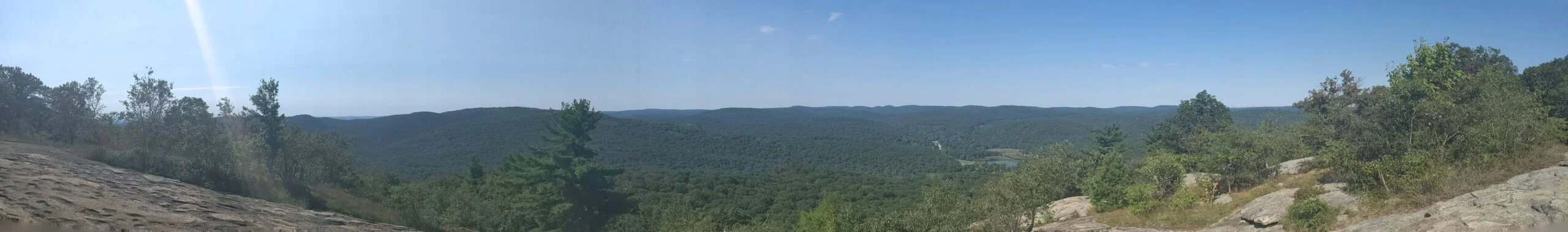
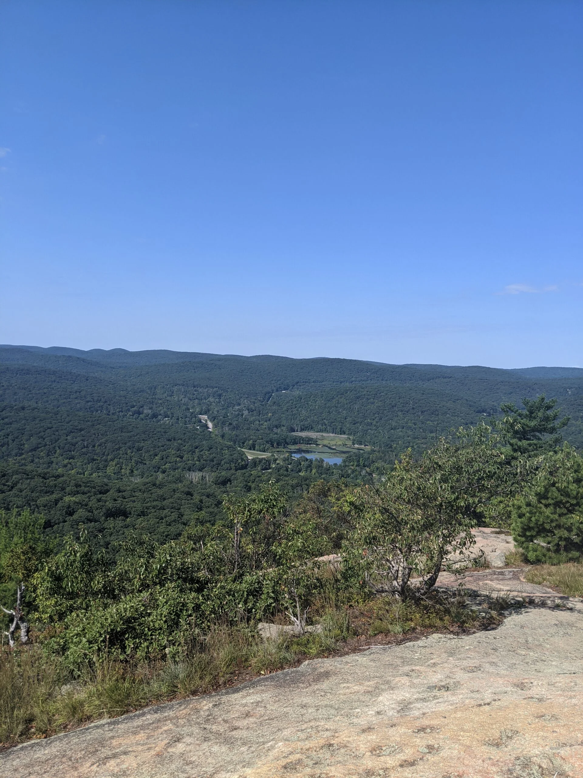
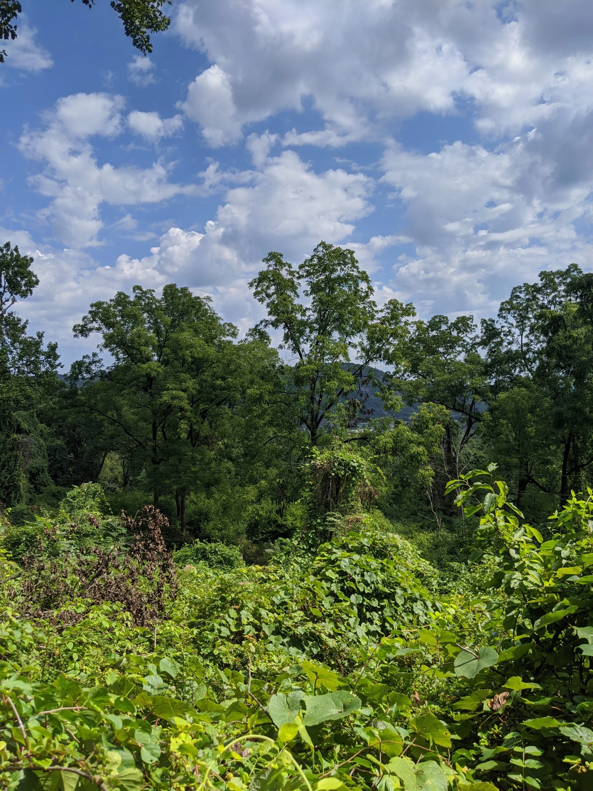
A tenth of a mile or so after crossing over Perkins Memorial Drive, after a steep ascent, there’s a really nice lookout area on the north west corner of the mountain that has great views of the northern valley, the Hudson River, the Bear Mountain Bridge. In my opinion, this was better than the other lookouts that we would later encounter. We made it to this point about an hour after we started.
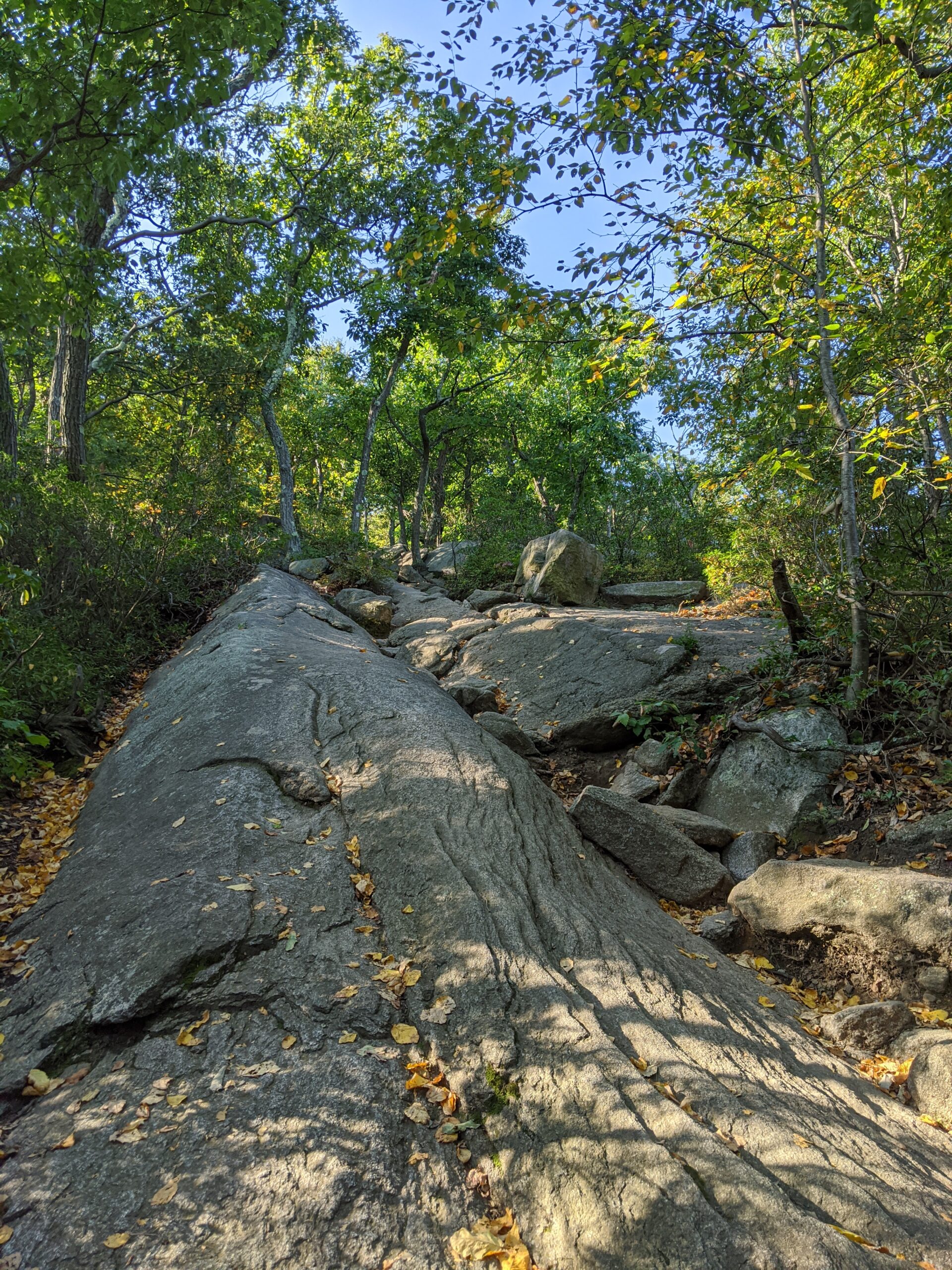
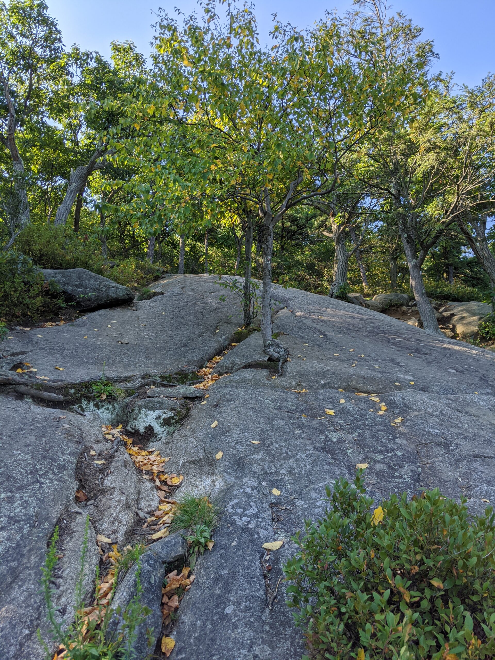
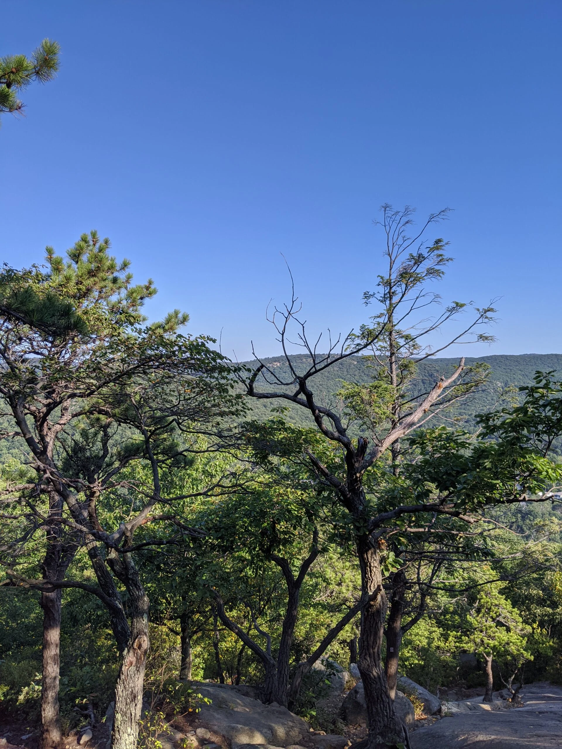
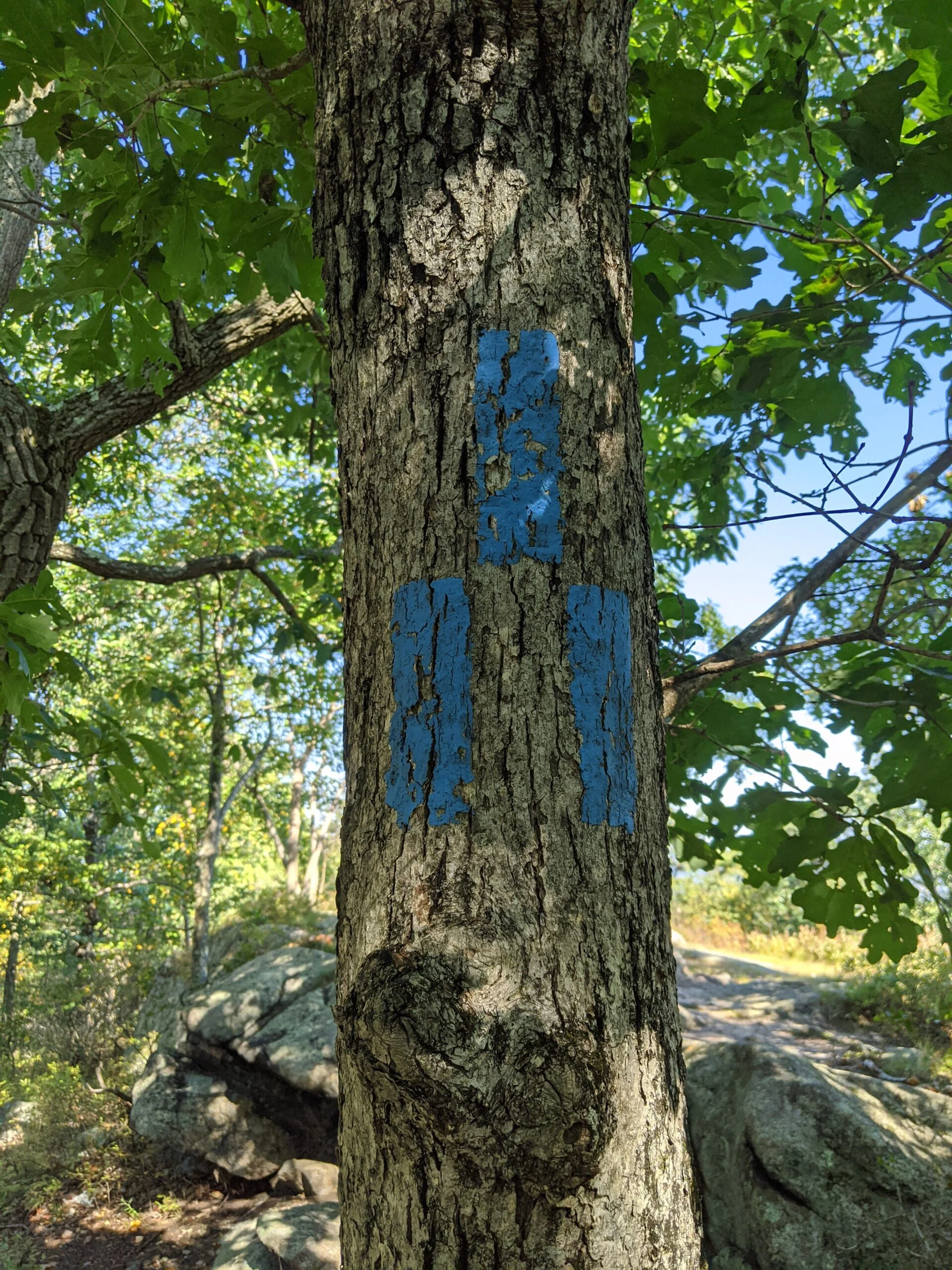
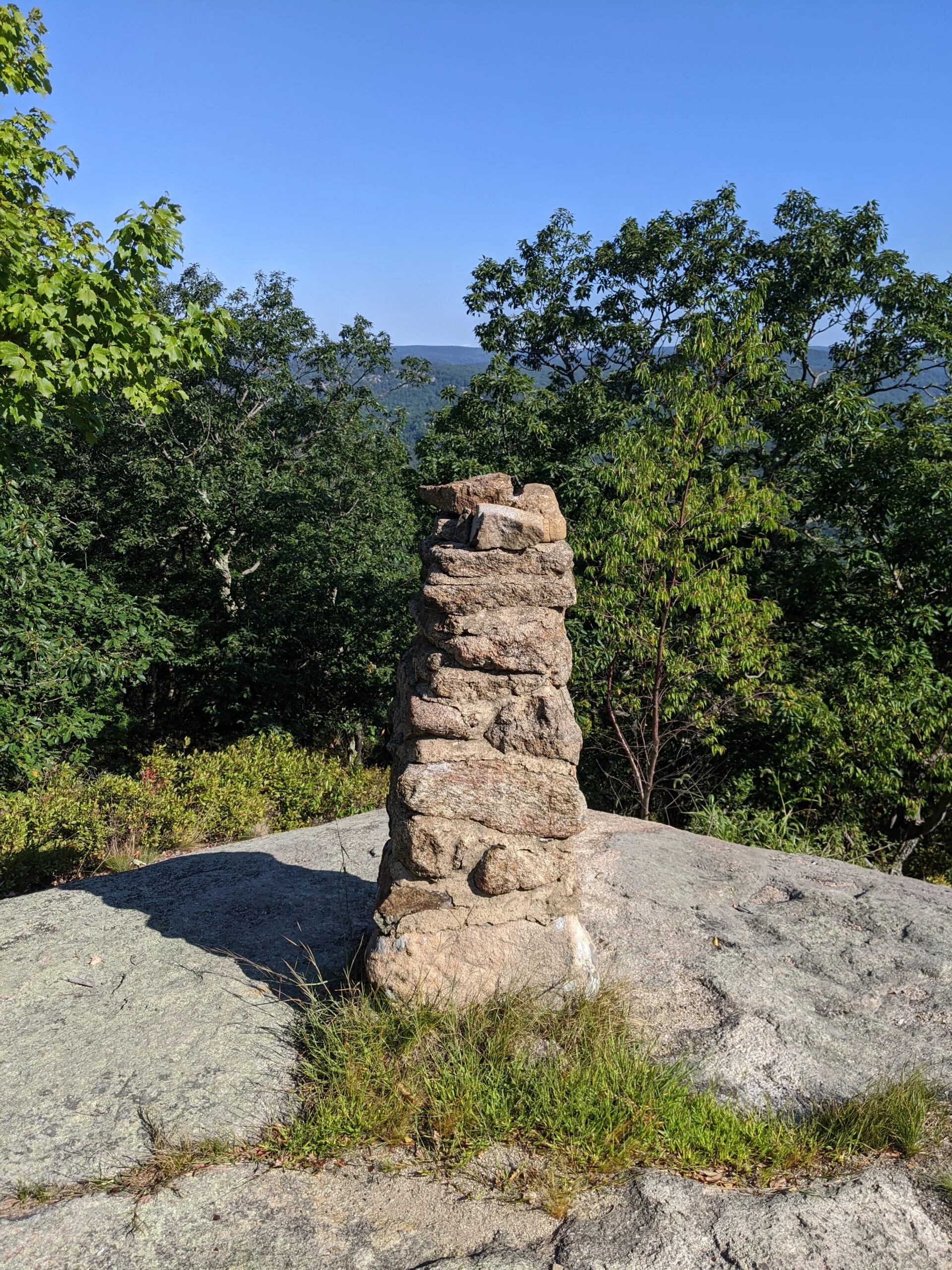
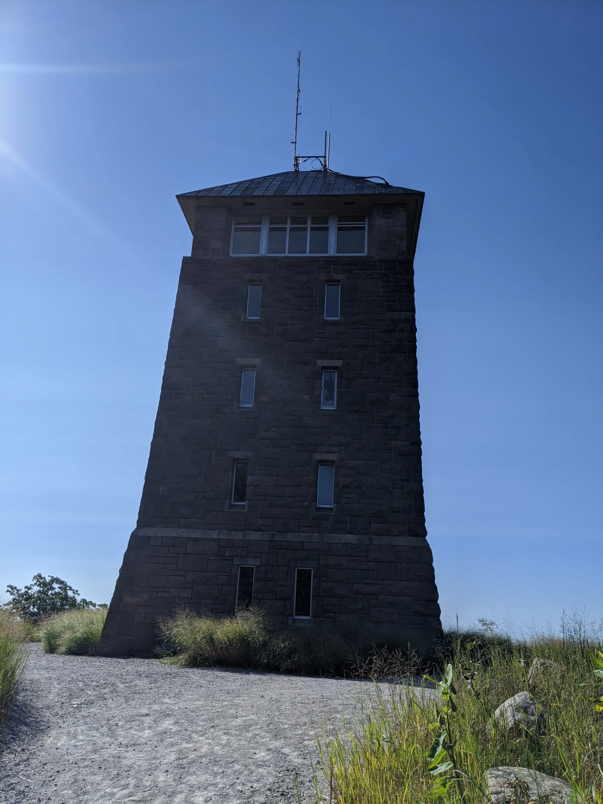
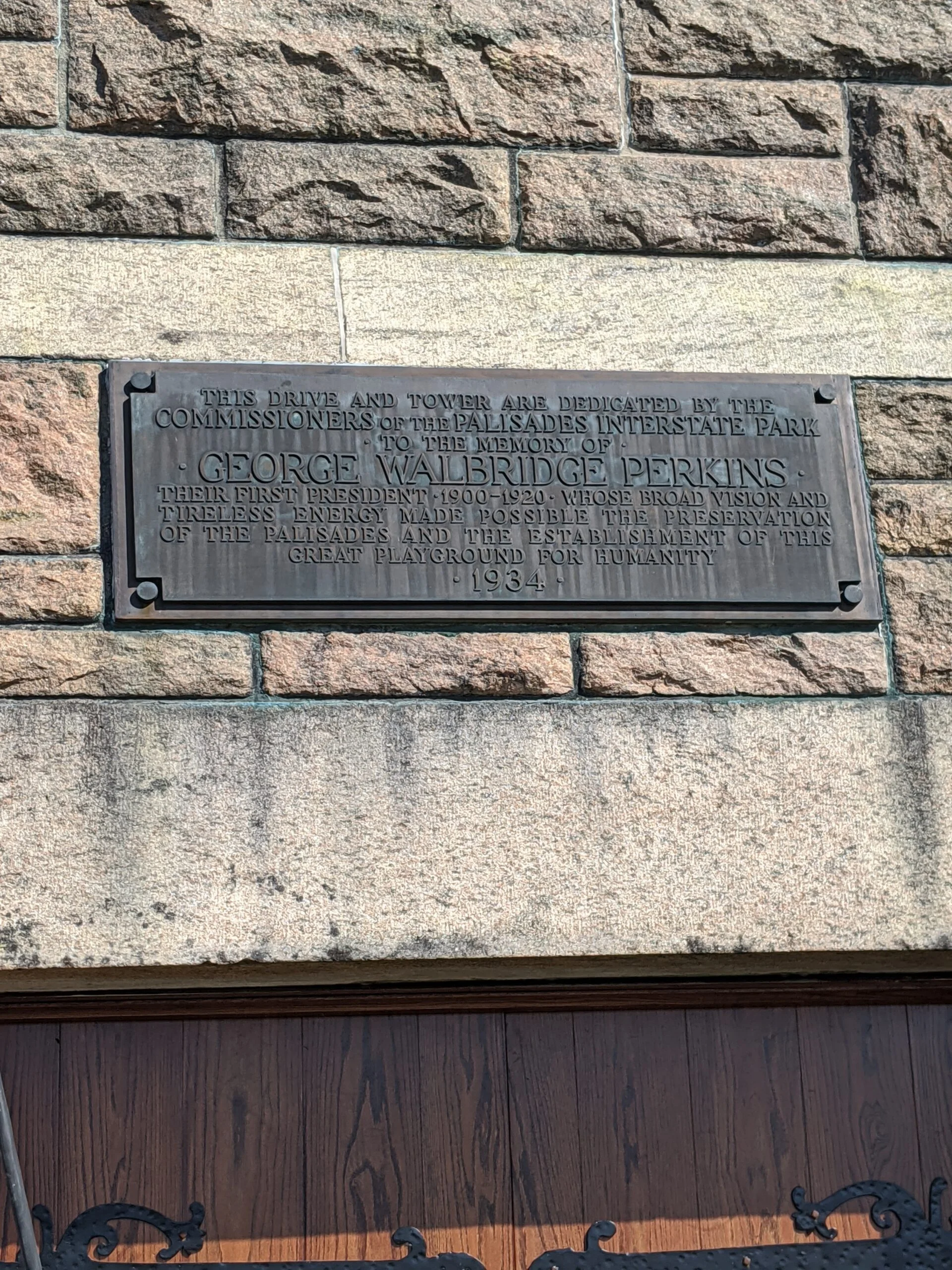
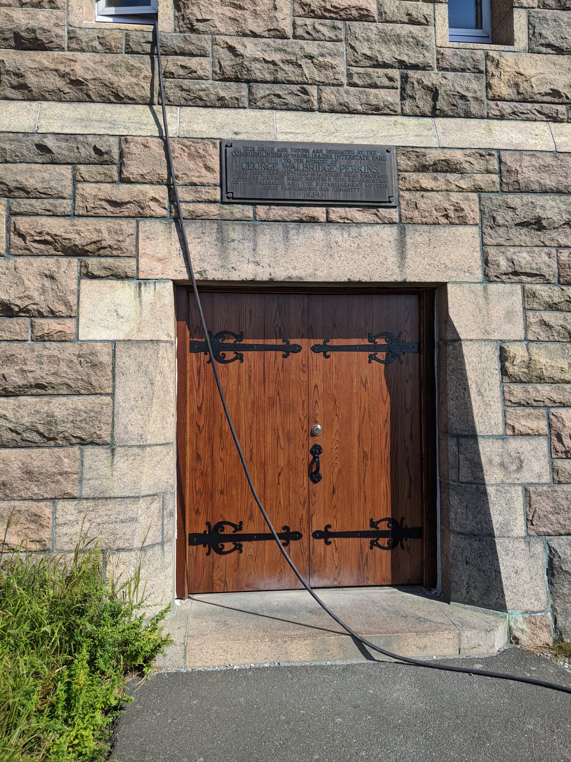
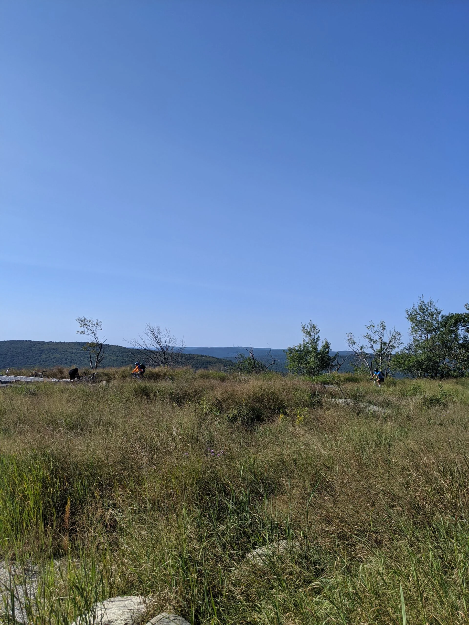
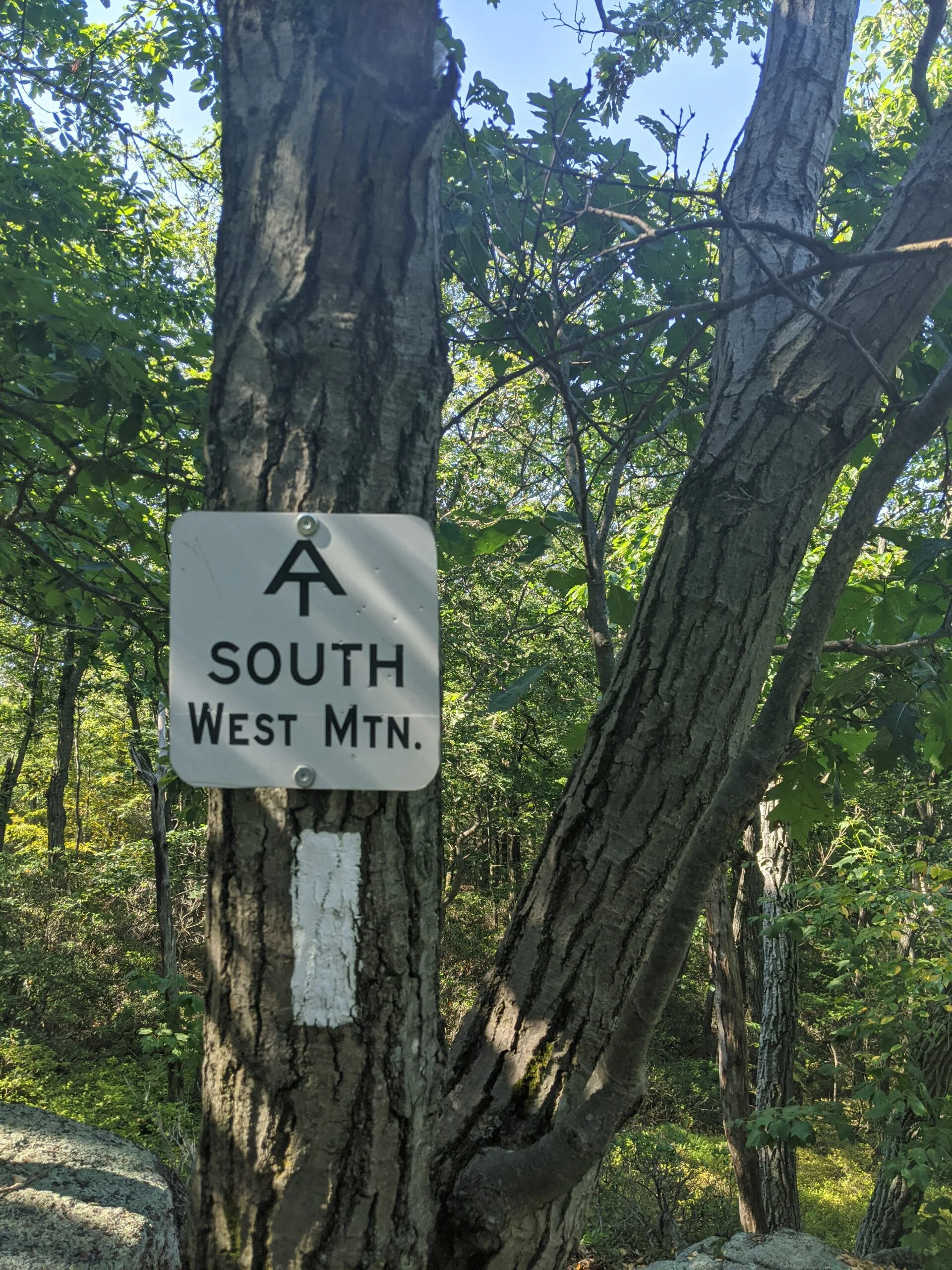
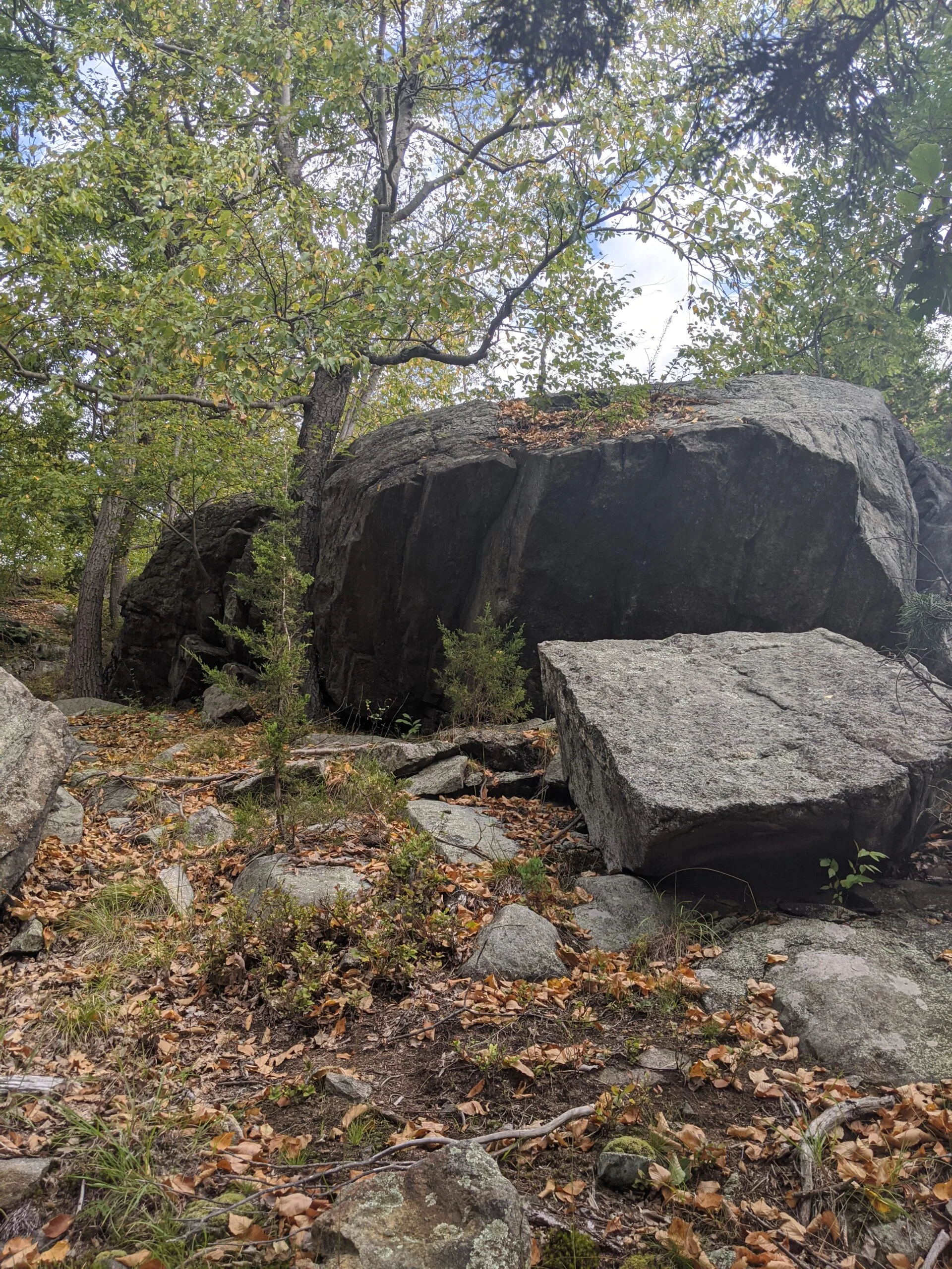
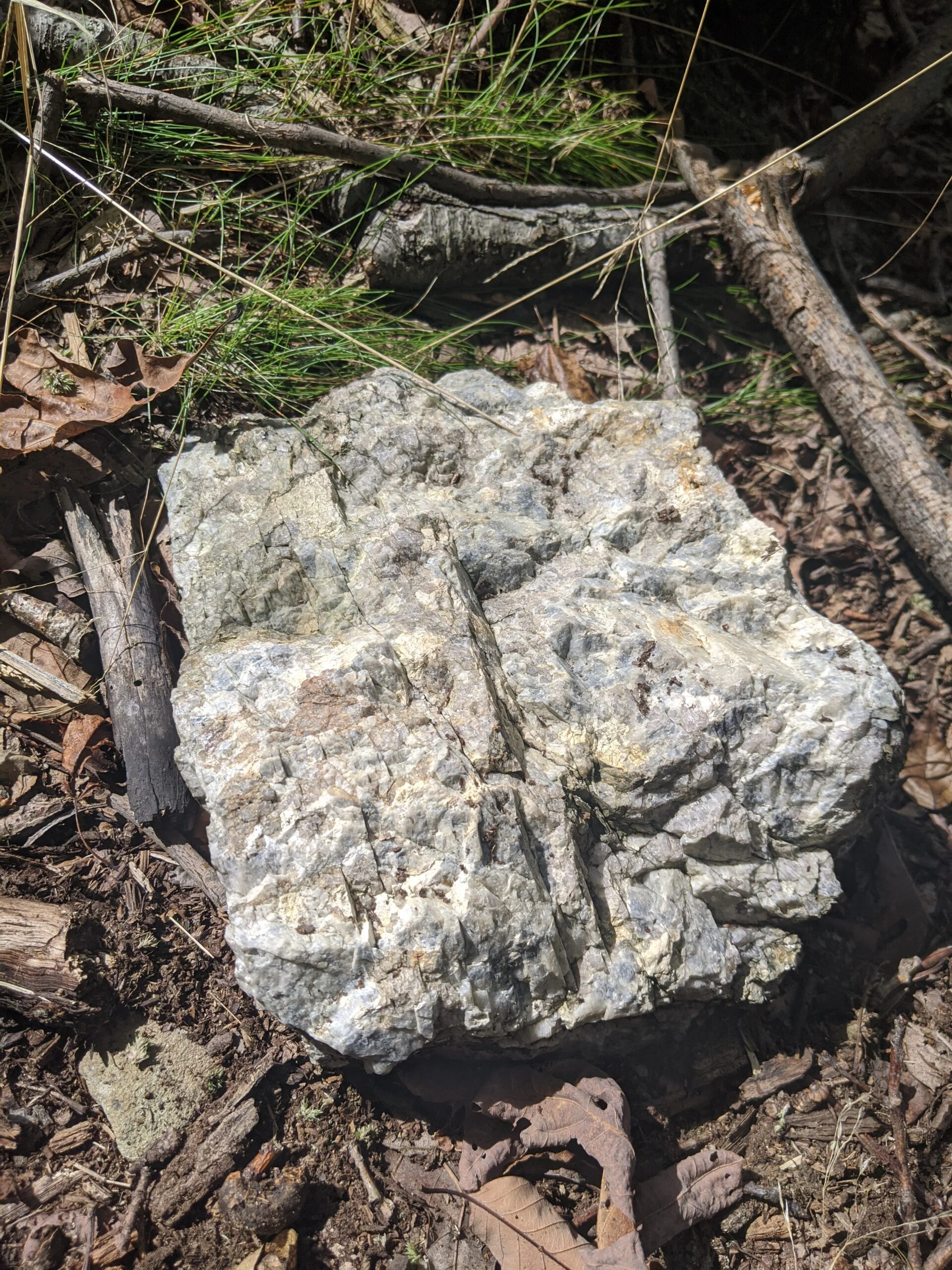
After this lookout, MW connects with the Appalachian Trail (AT, white blazes), which can be taken either southeast or southwest. It was unclear from our maps where exactly Perkins Tower was, so we took the southwest route. There are some really large and amazing rocks in this area, which resemble the size and shape of a large whale. Having not encountered the tower on this route and taking the advice of another hiker, we followed the blue blazed trail around to the east and made it to the tower.
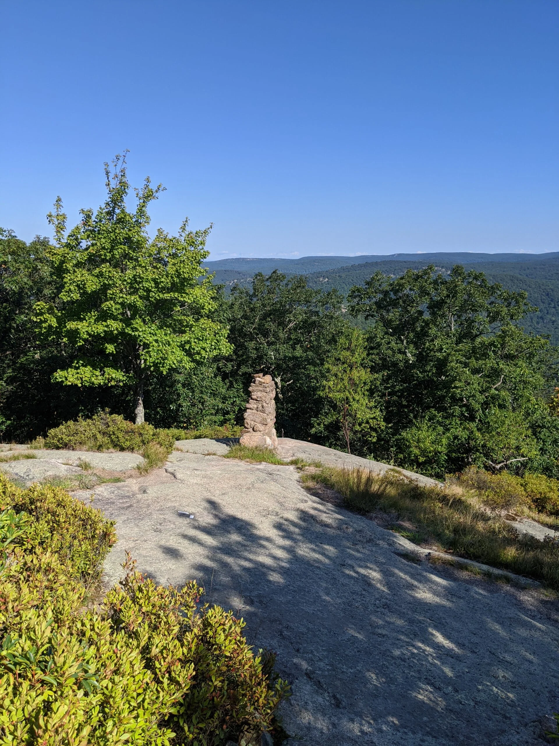
The views from the tower area were nice, but the main lookout was crowded with hikers and a ton of bicyclists. Most people were not wearing masks, so we decided not to get close enough to the lookout to take in the full view. Unfortunately, the tower was closed too. I’d like to come back on a less crowded day to get the full experience.
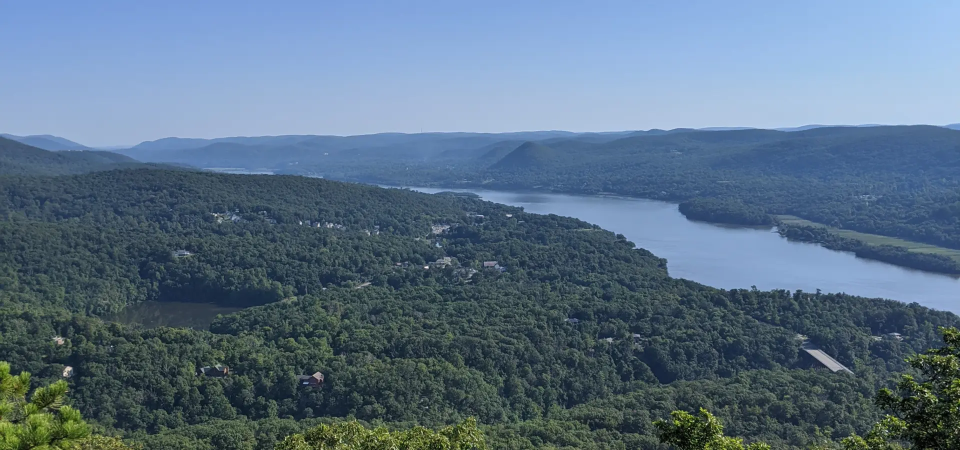
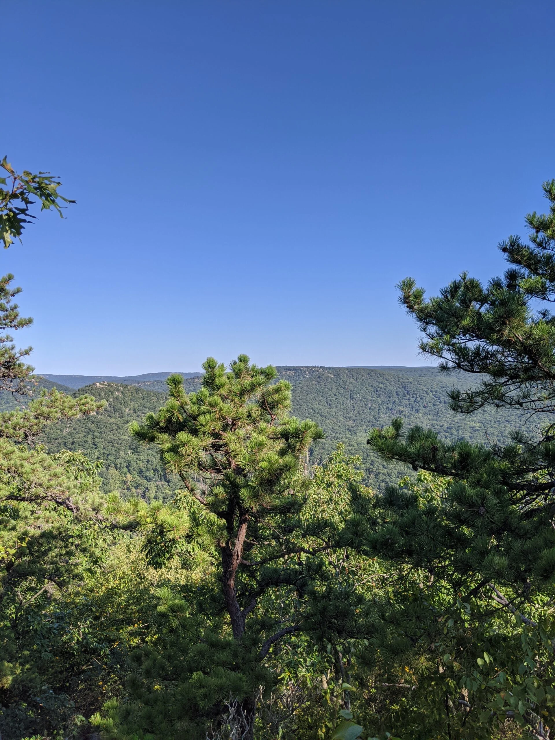
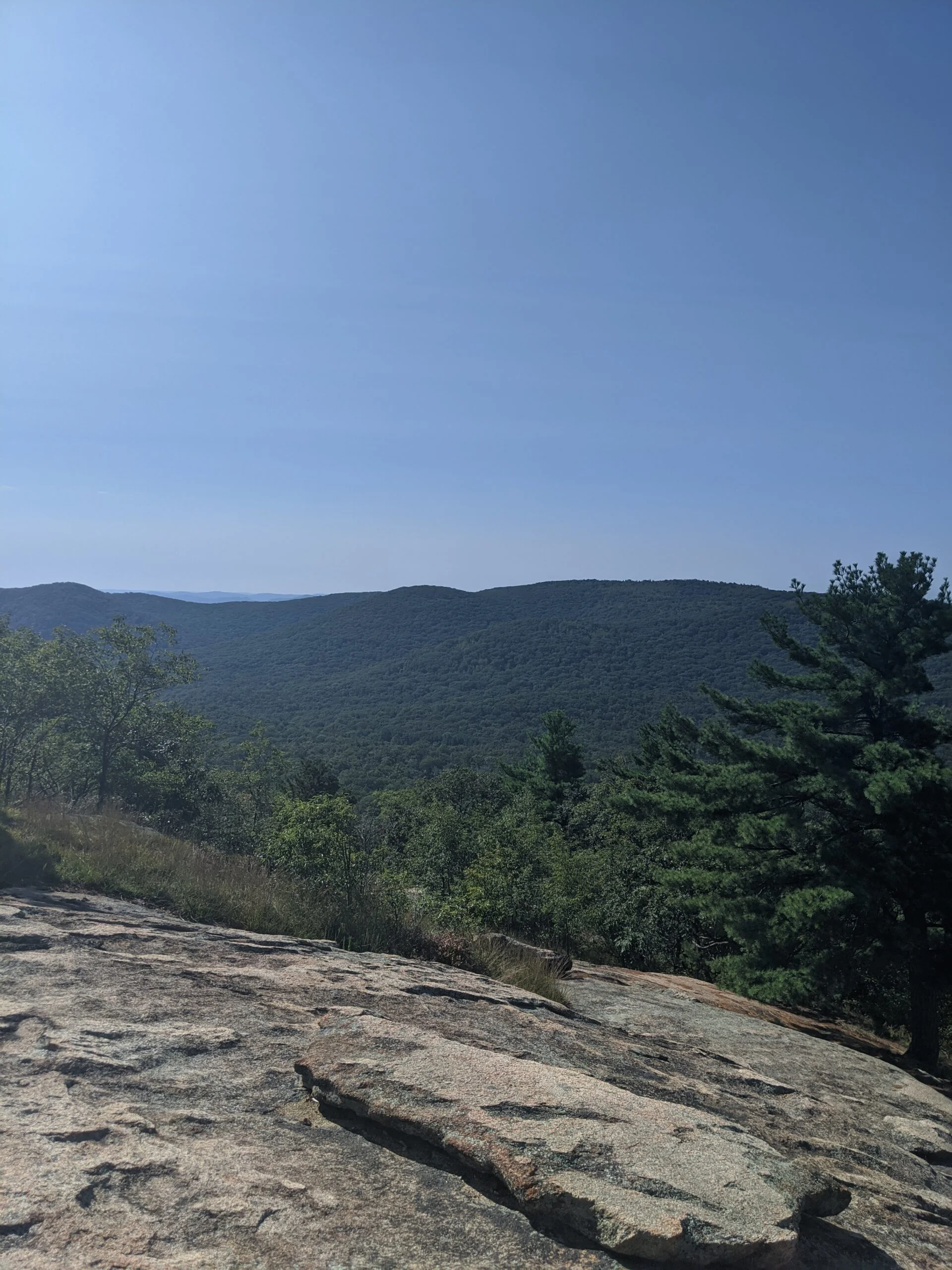
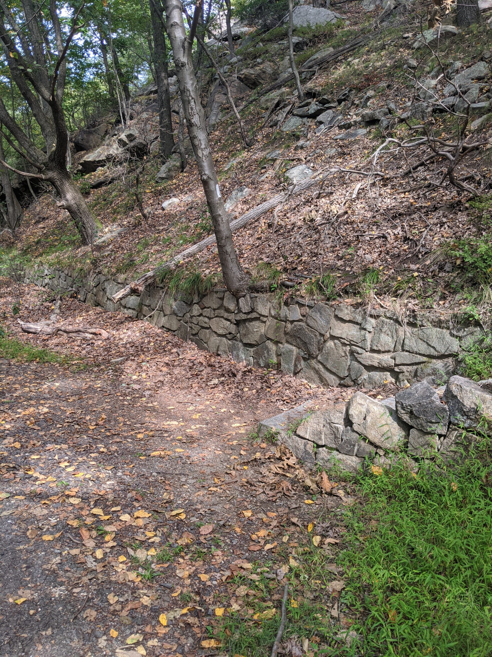
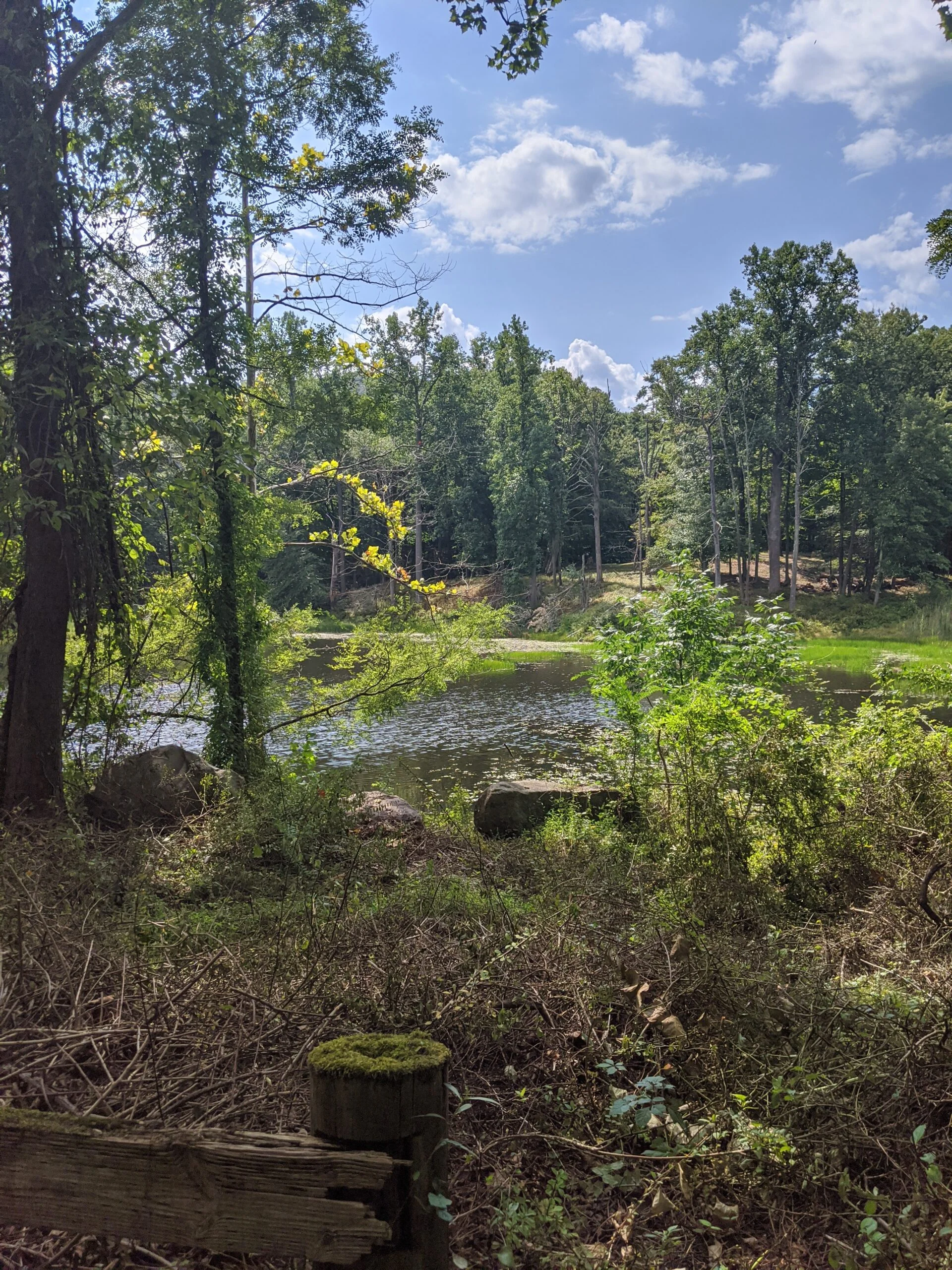
We retraced our steps back onto AT and followed that down the mountain for almost 2 miles. Along the way, there are some amazing views of the valley to the west. The descent was more gradual than the ascent, only dropping about 500 ft of the full 1,200 ft we ascended. Again there was a mix of dirt paths, natural steps, and man made rock steps. We did not encounter many of the Mammoth rock faces on this side of the mountain. We made it down to the bottom of
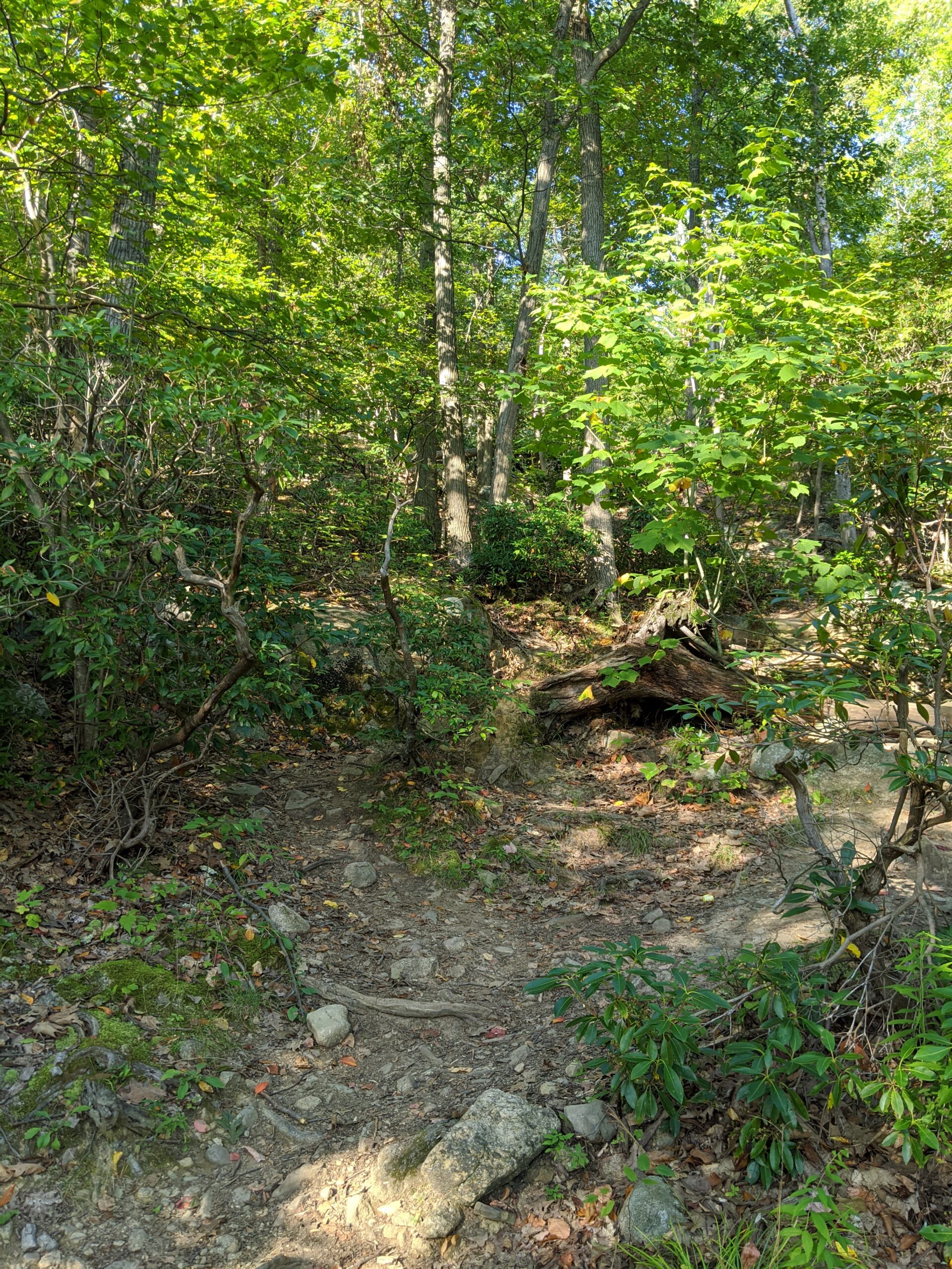
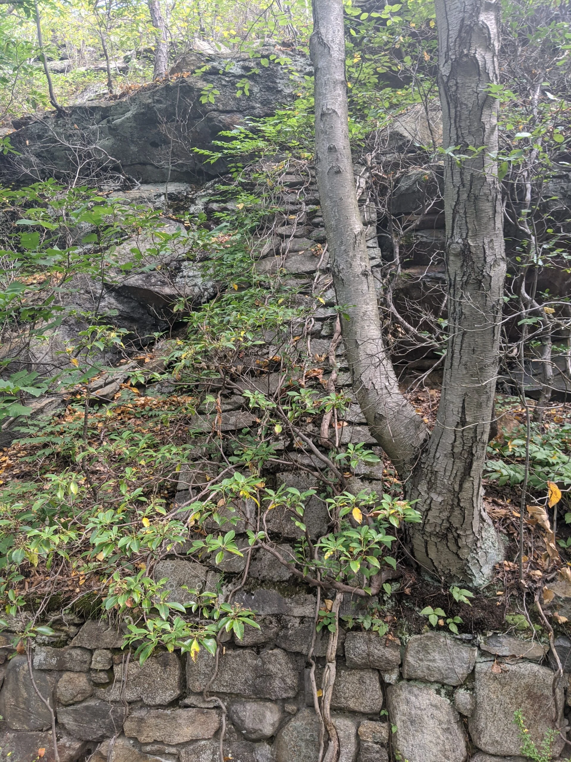
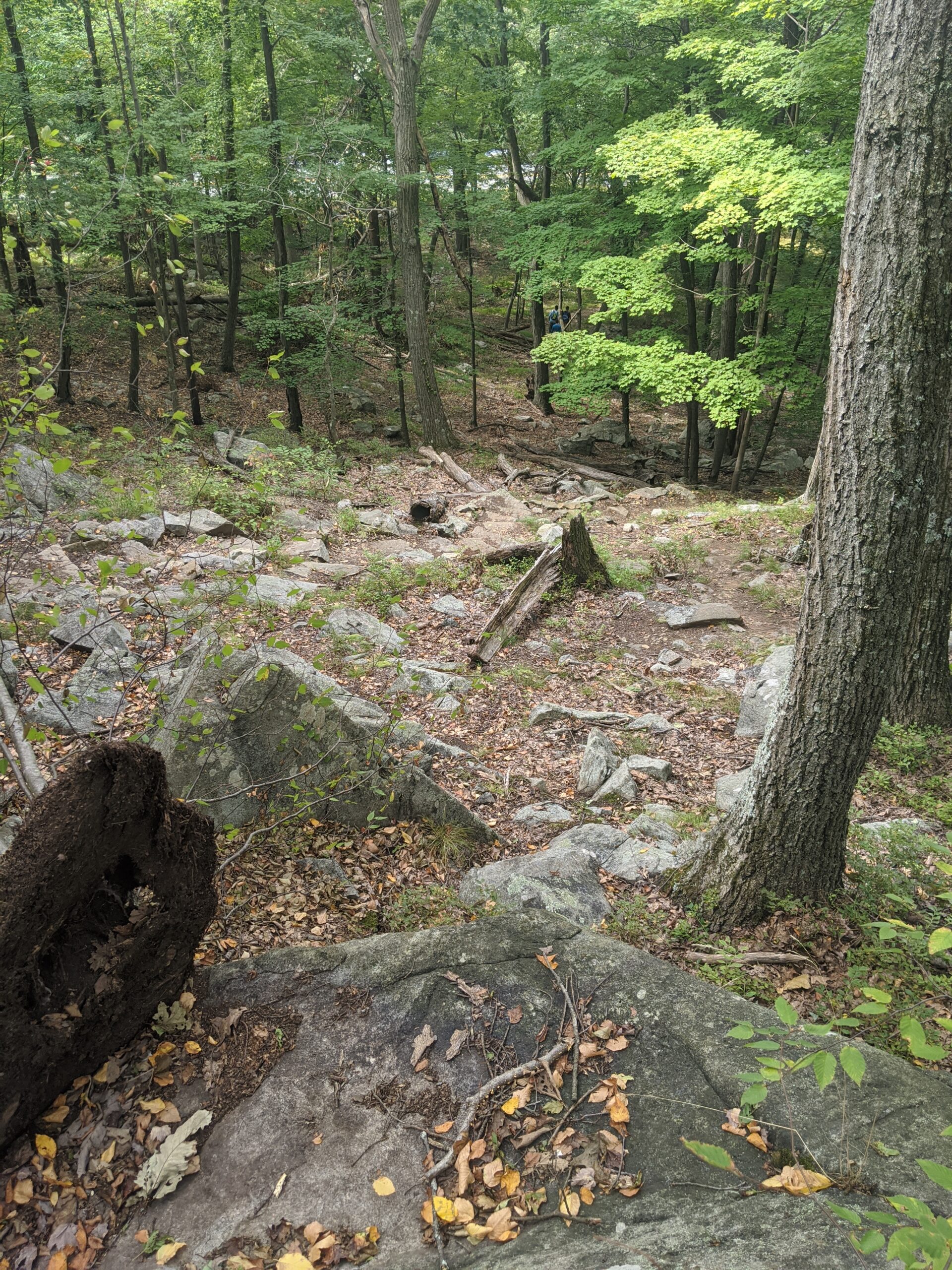
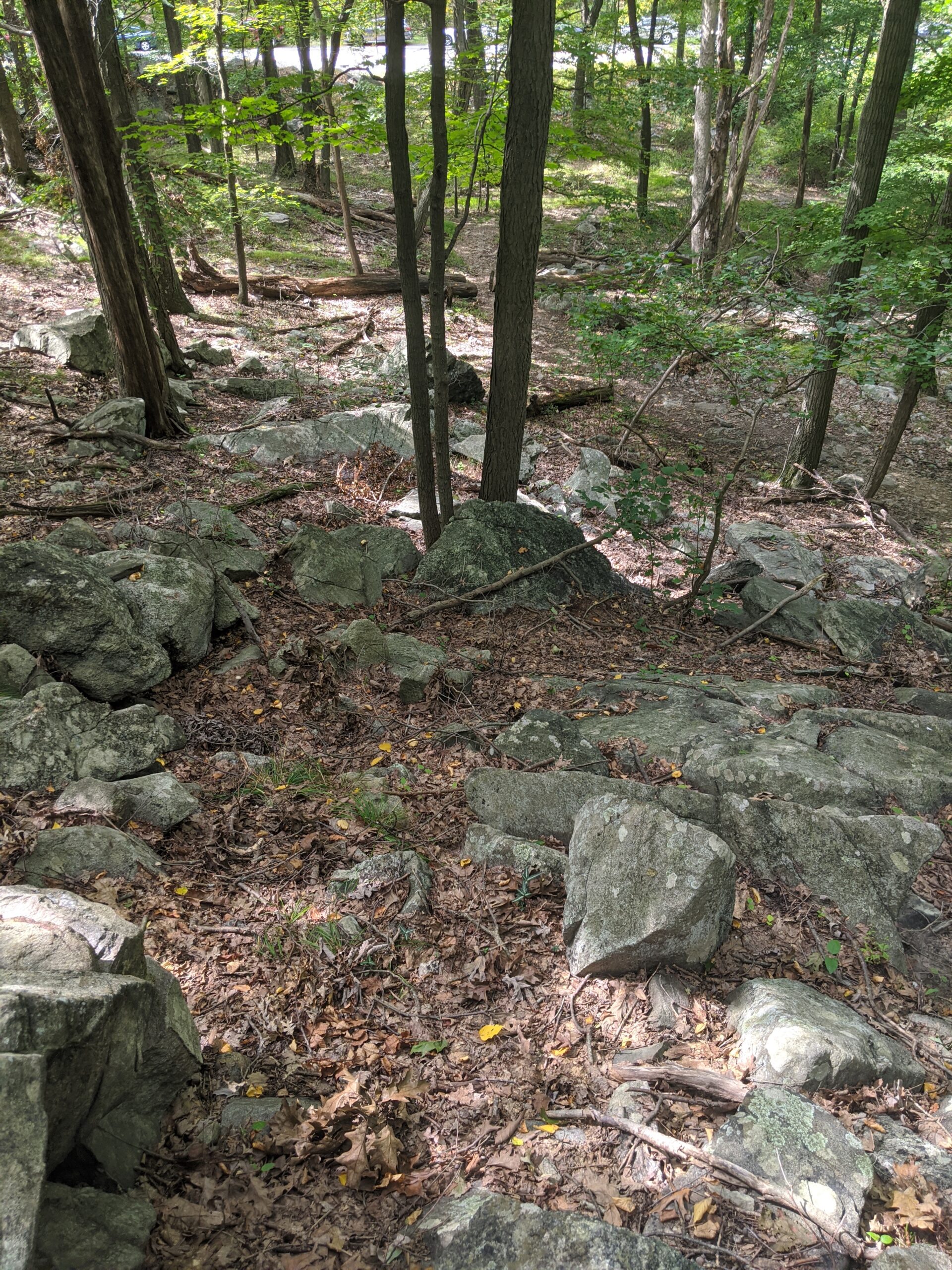
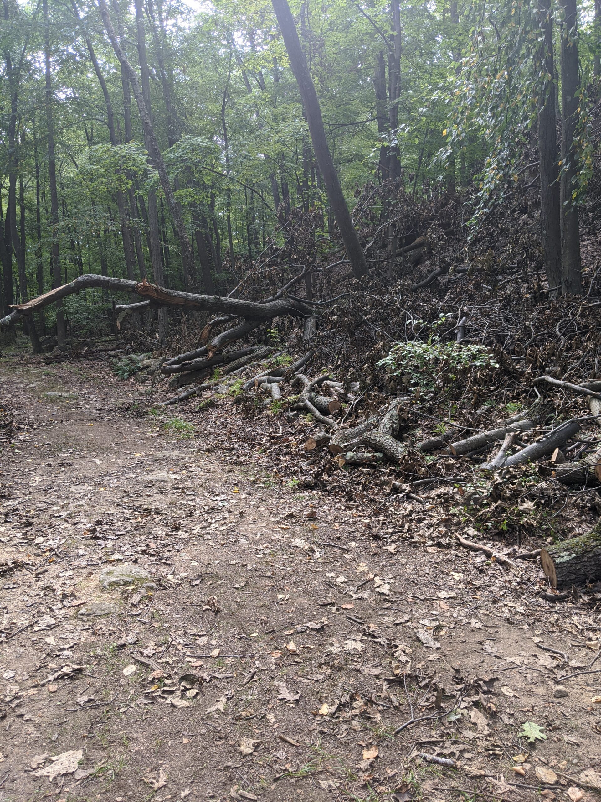
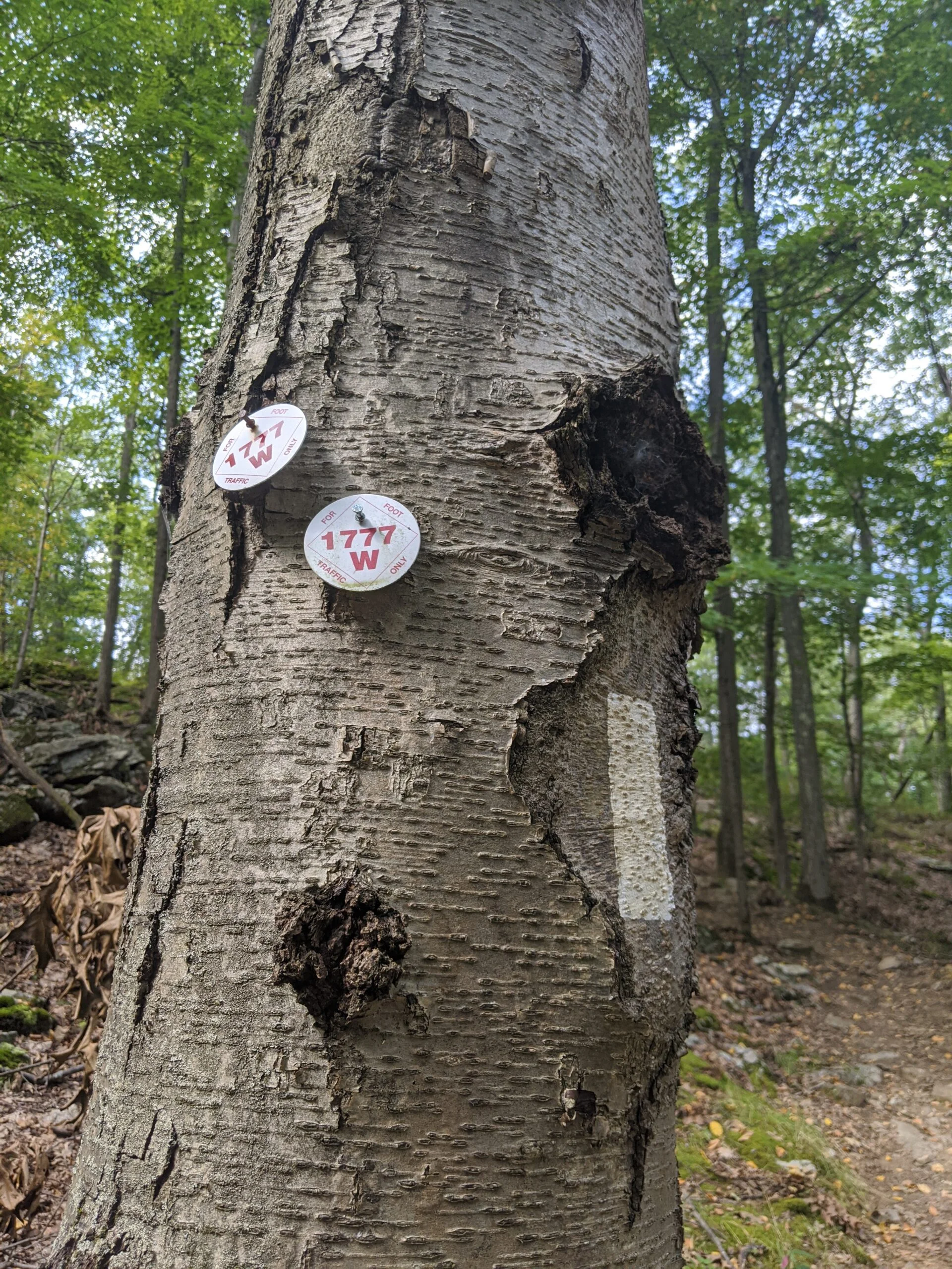
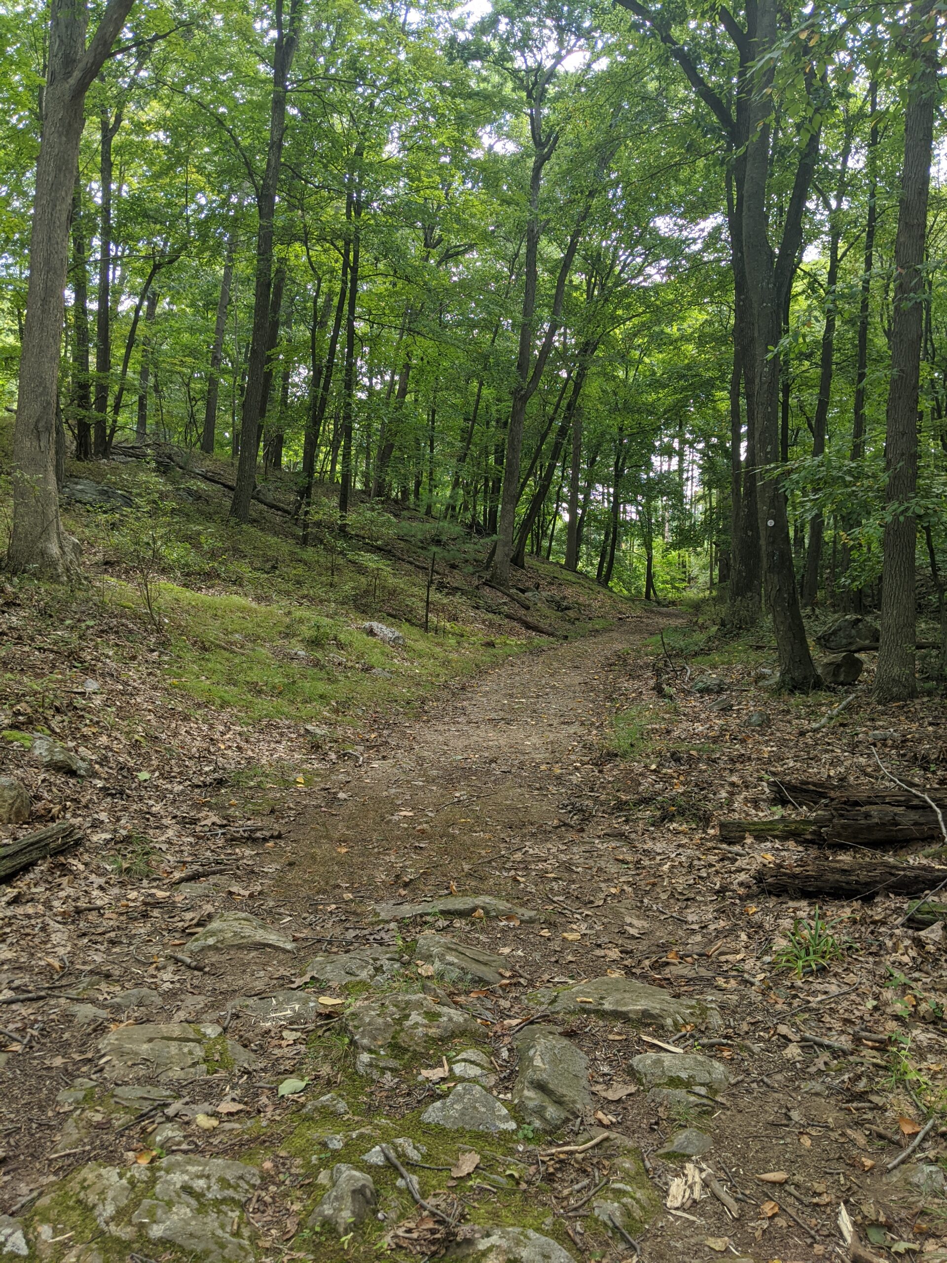
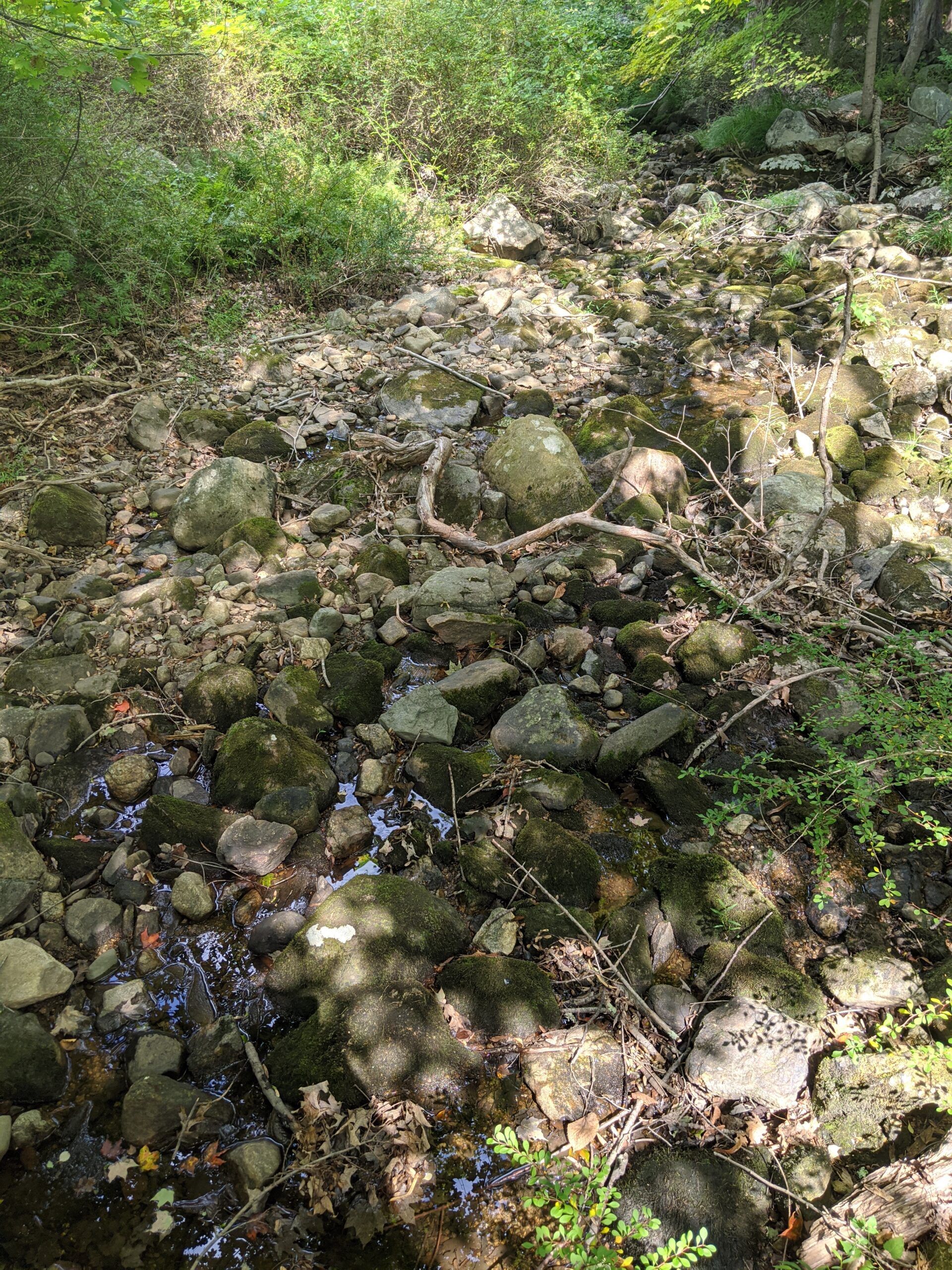
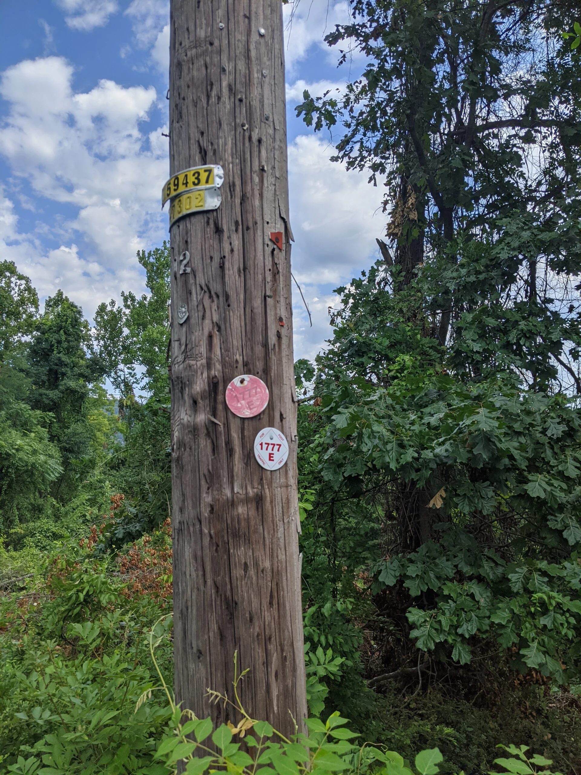
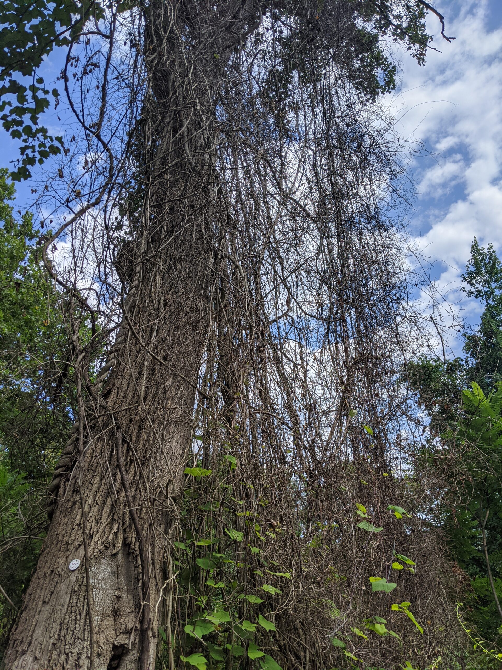
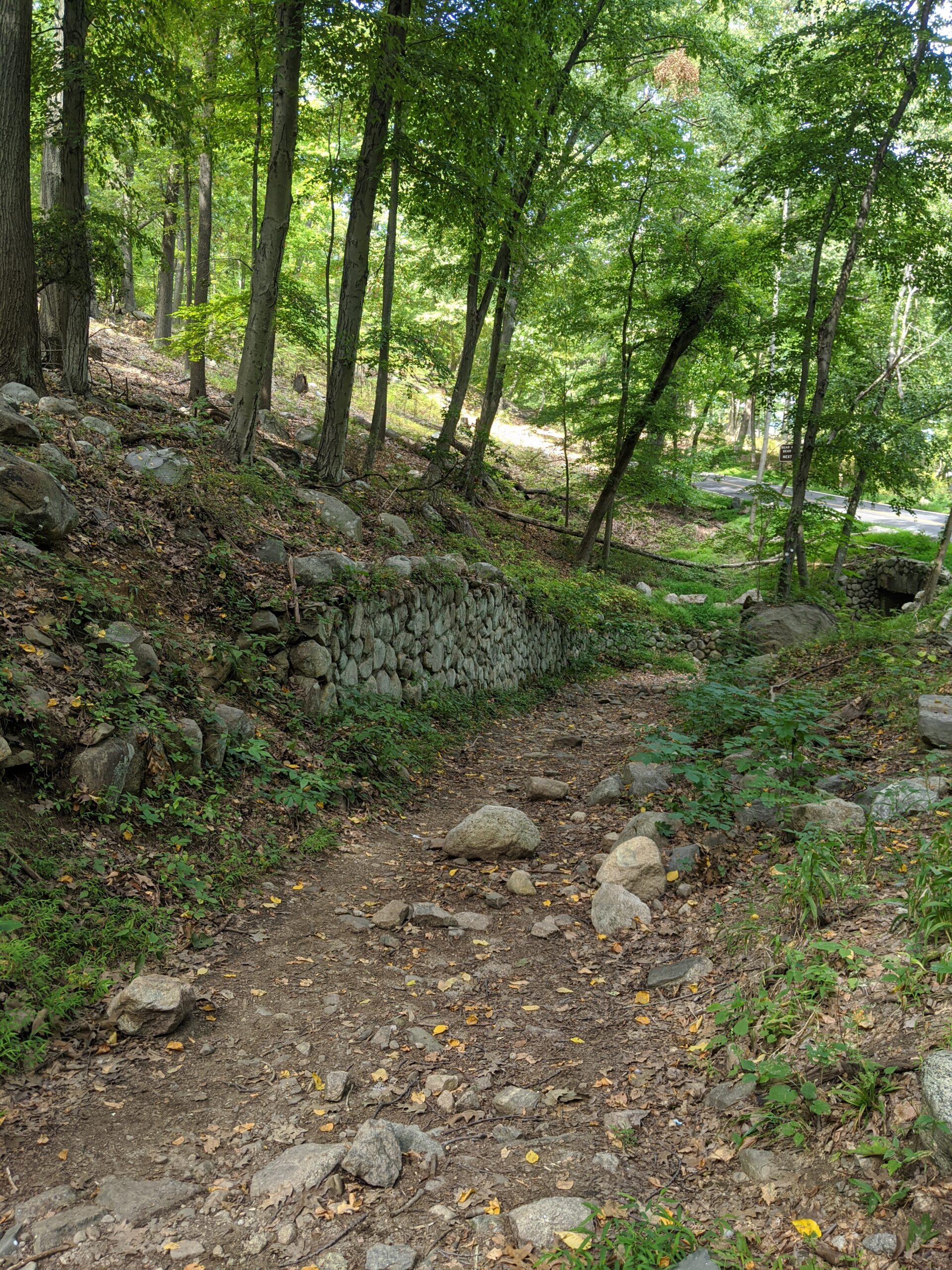
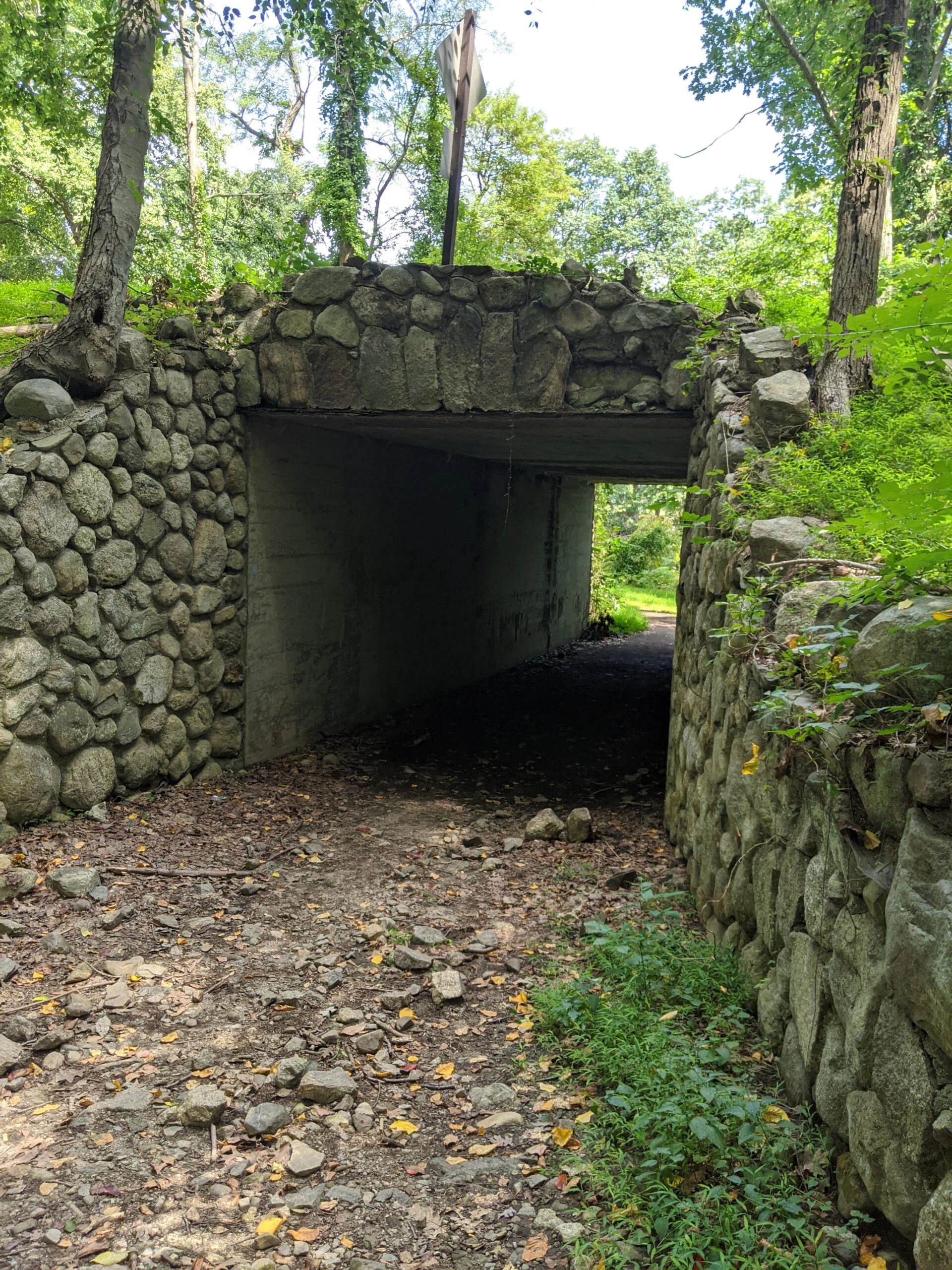
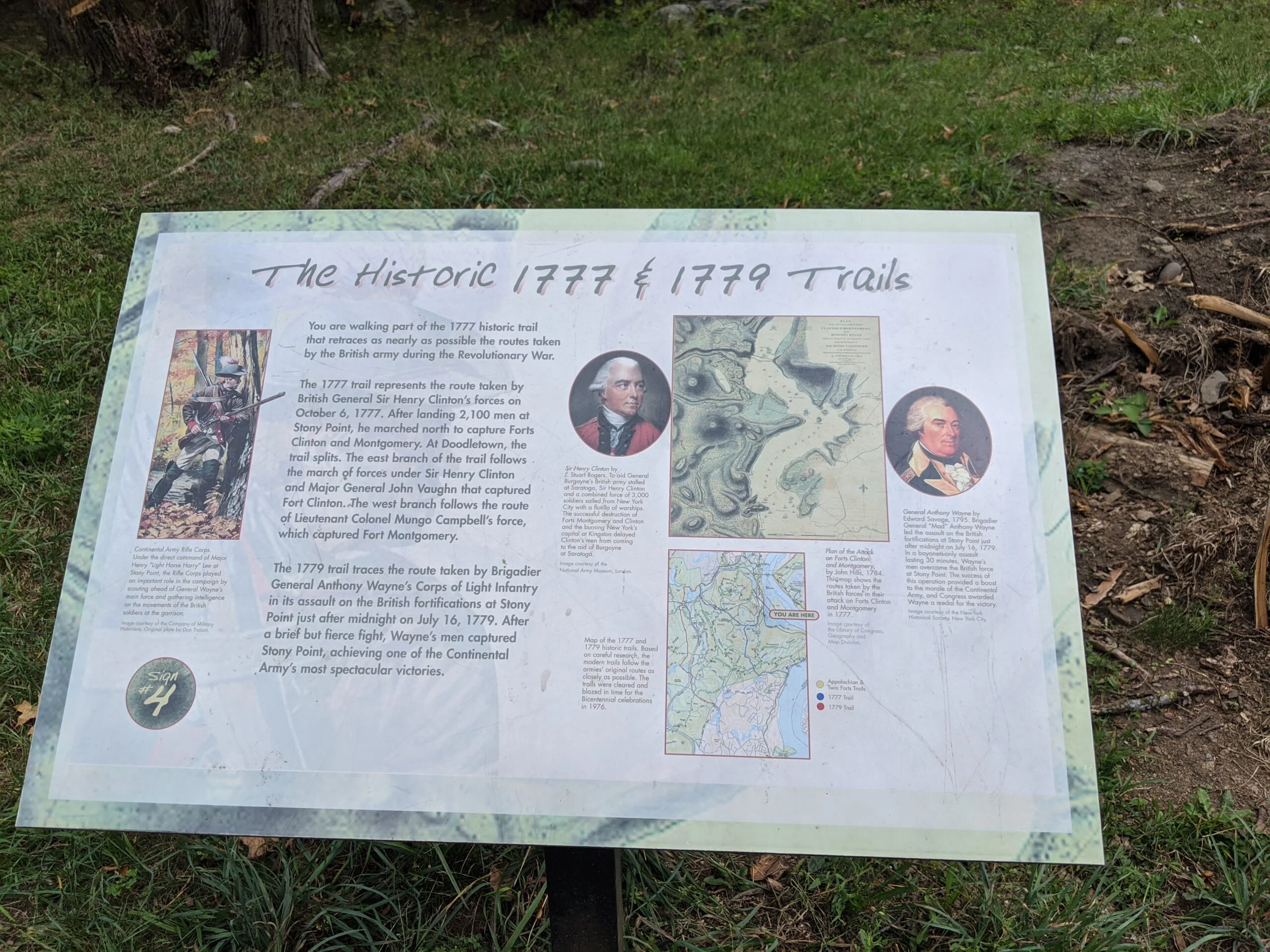
From here, we took the 1777W trail to the east. We had originally planed to do a whole loop through Doodletown, the cemeteries, and the mines, but given the time and distance we had already covered, we didn’t want to overdo it on this trip, so we decided to follow 1777W to 1777E and back up to the parking lot where we started. A note for reference: the majority of the 1777E trail is very rocky, which was slightly annoying to navigate after a long hike.
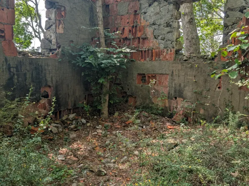
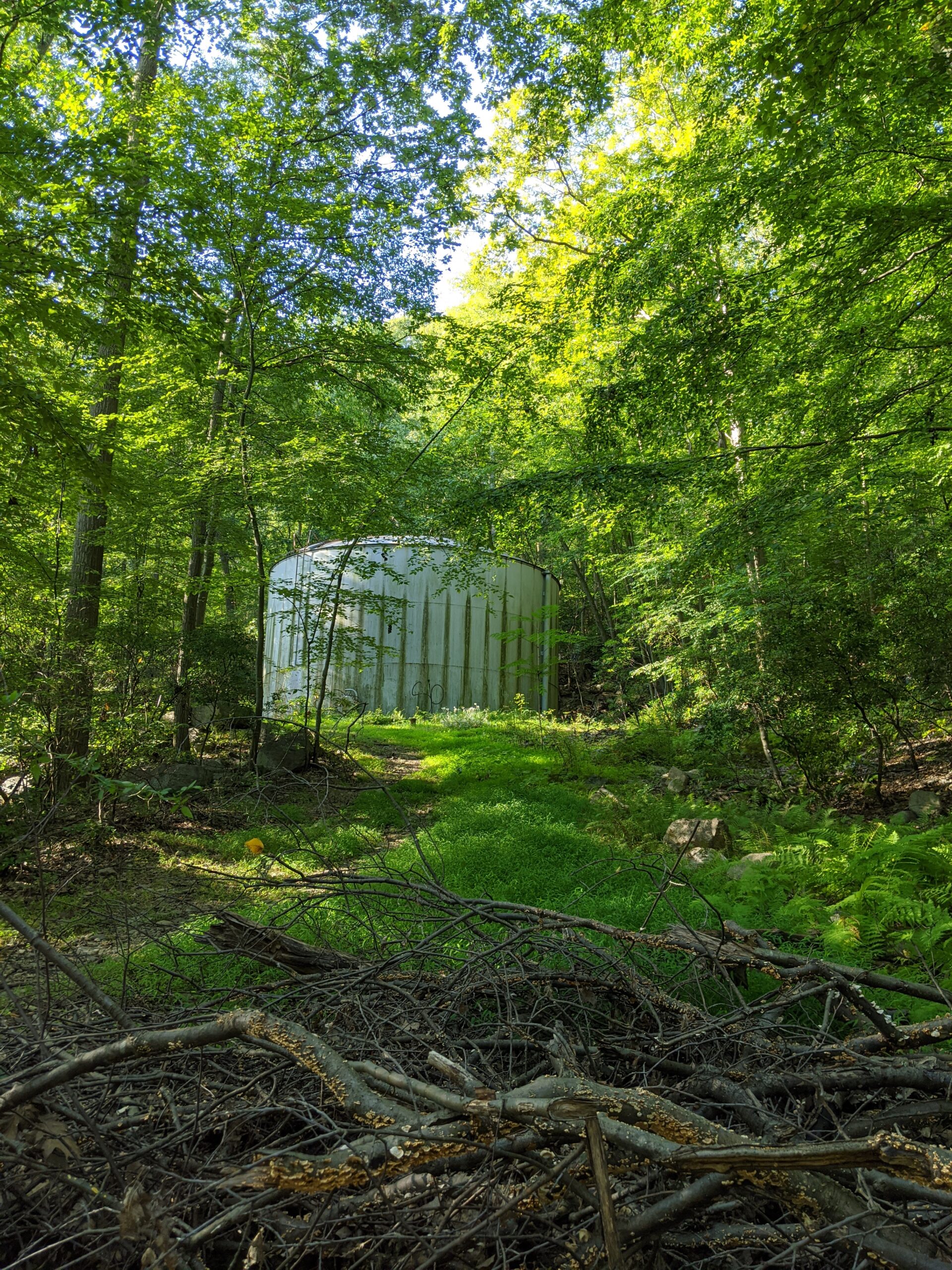
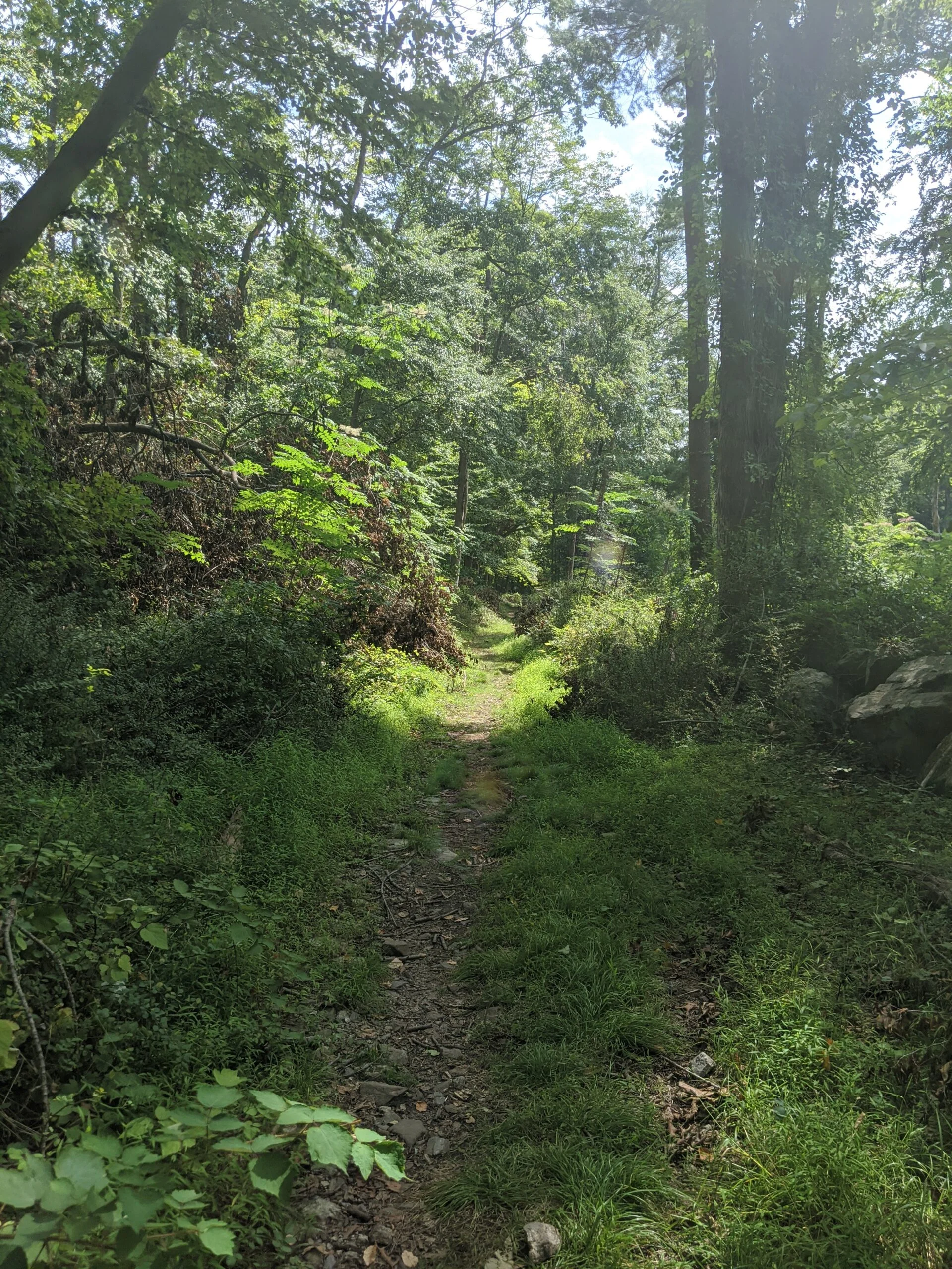
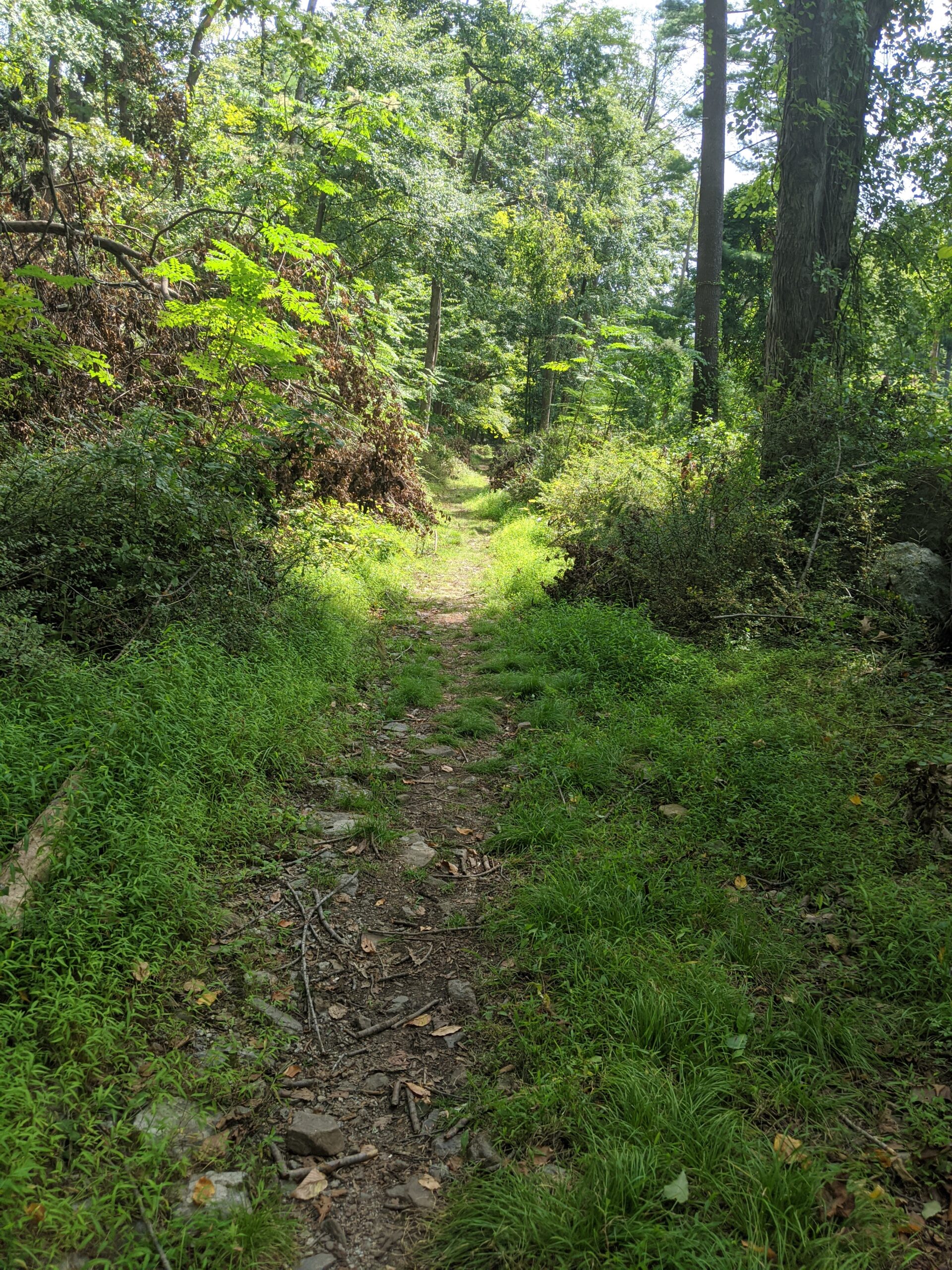
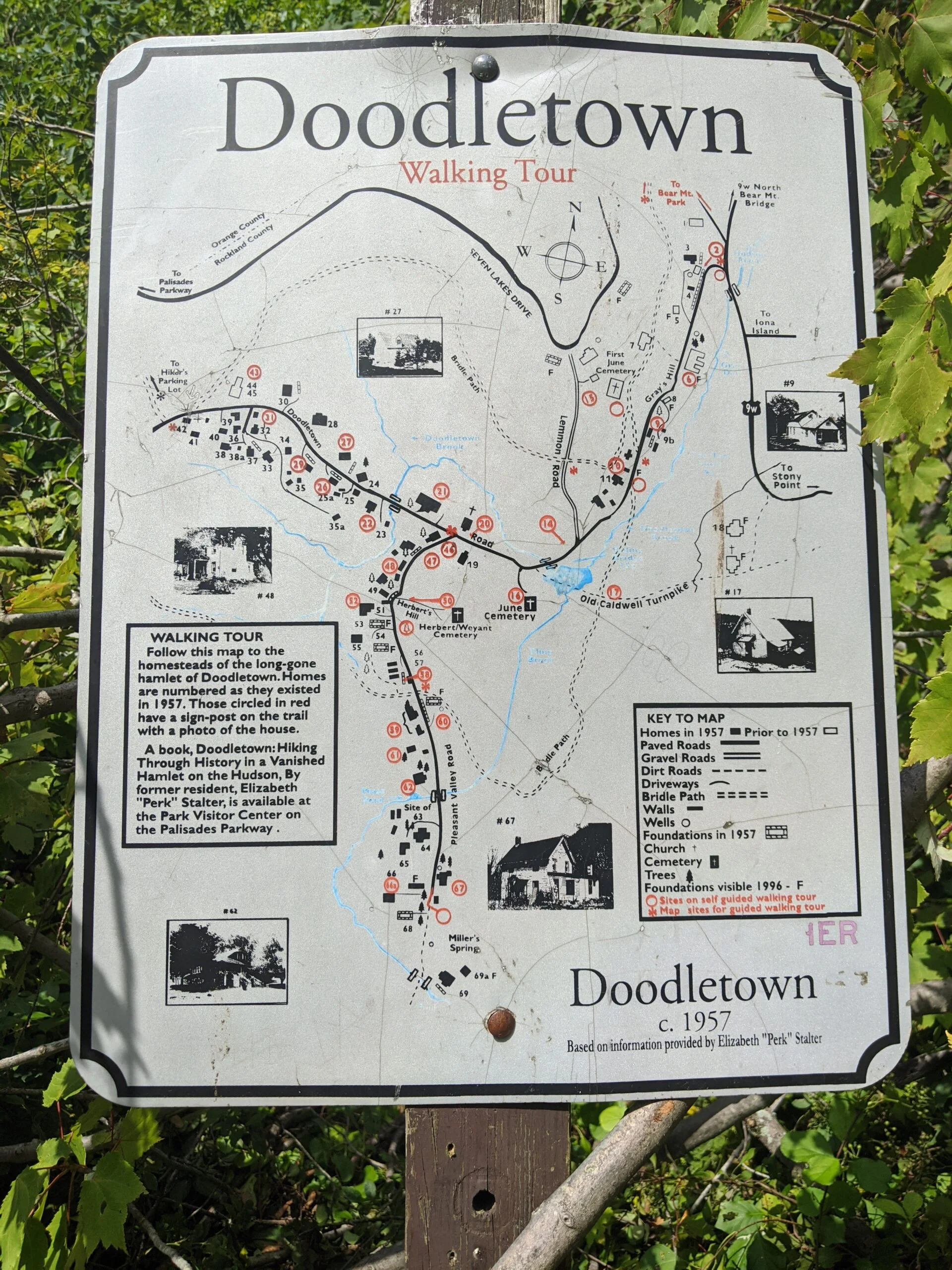
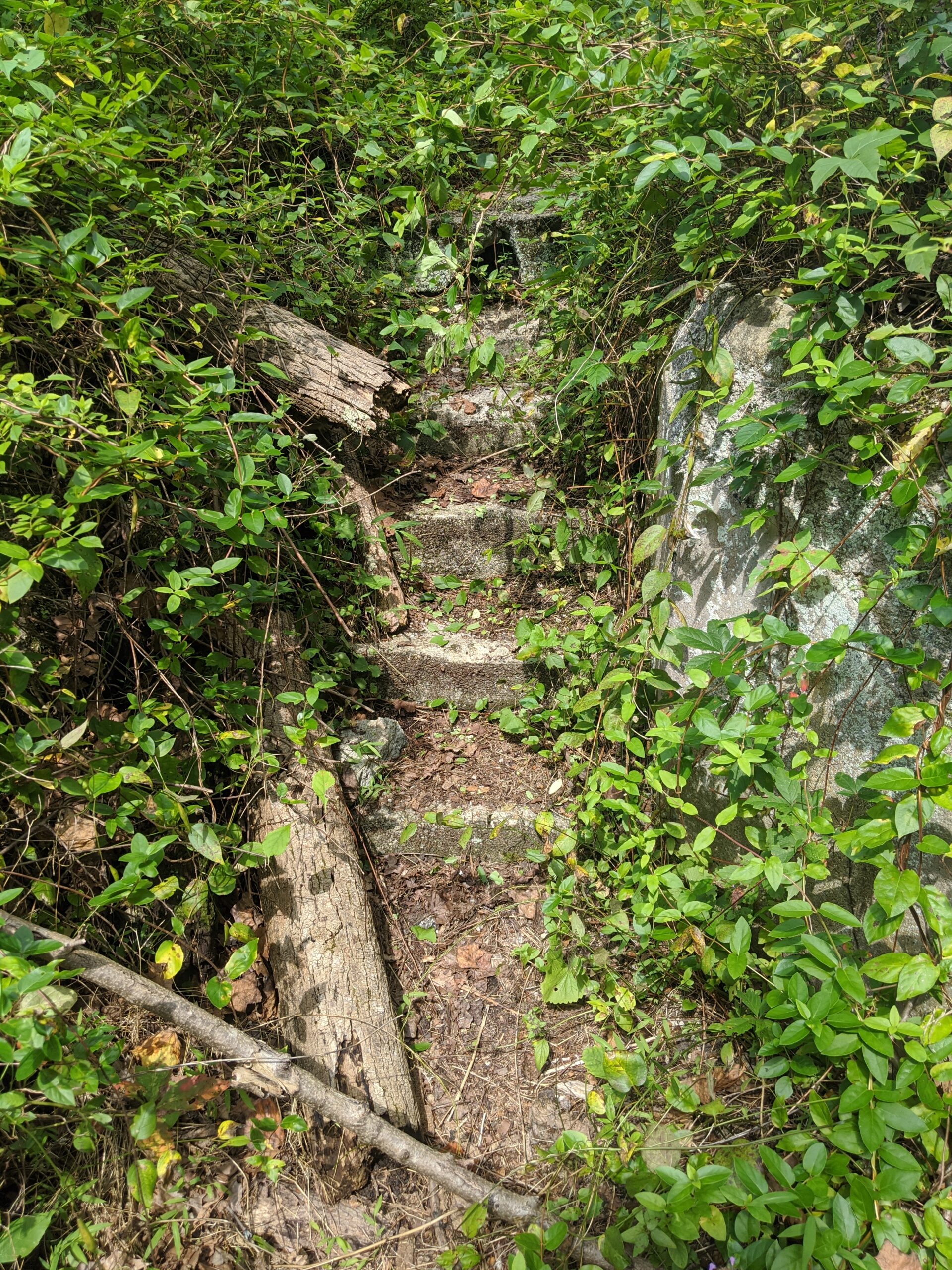
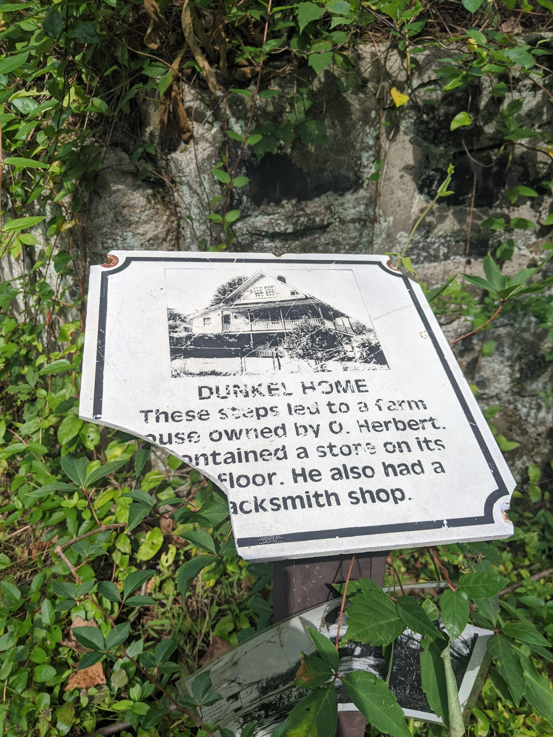
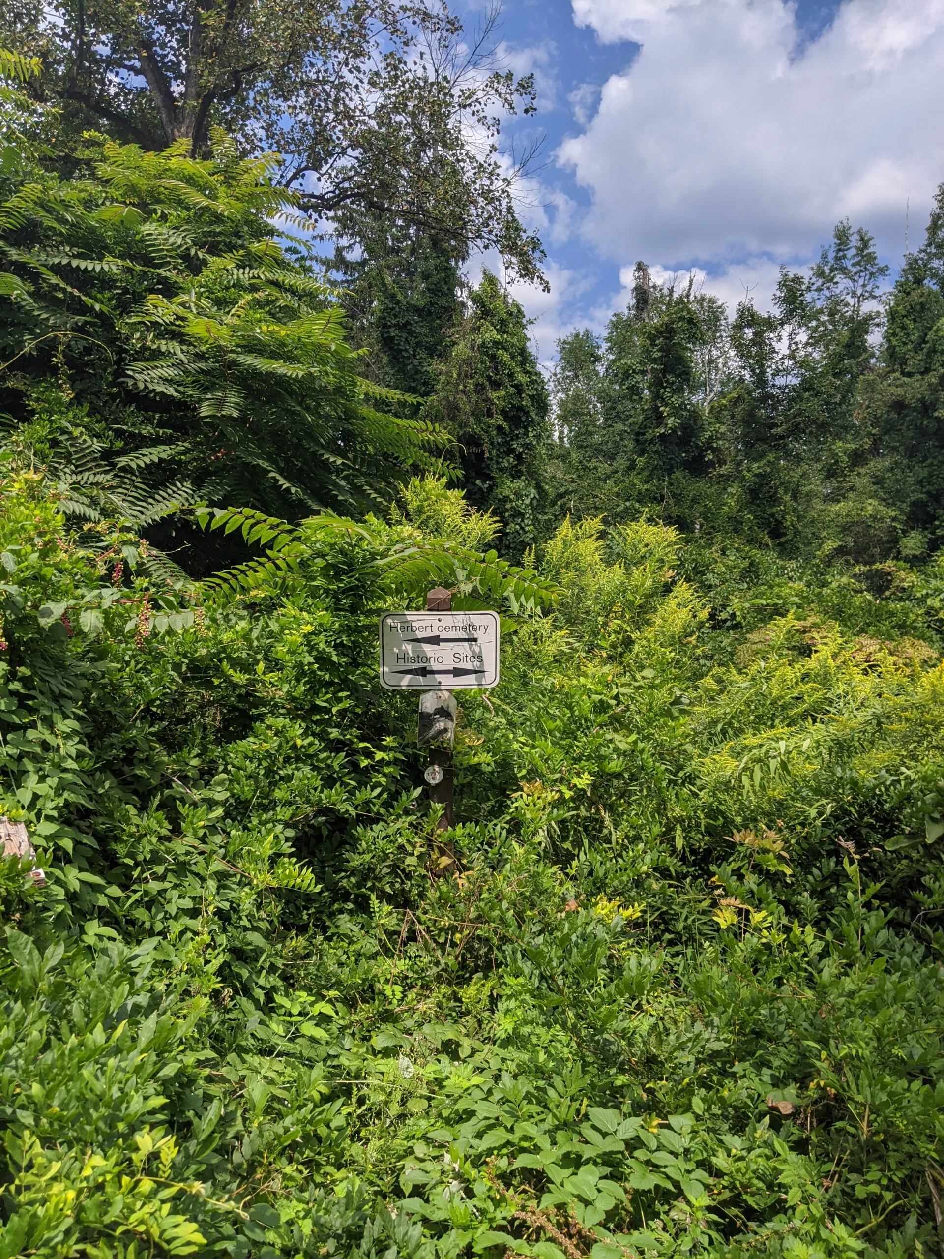
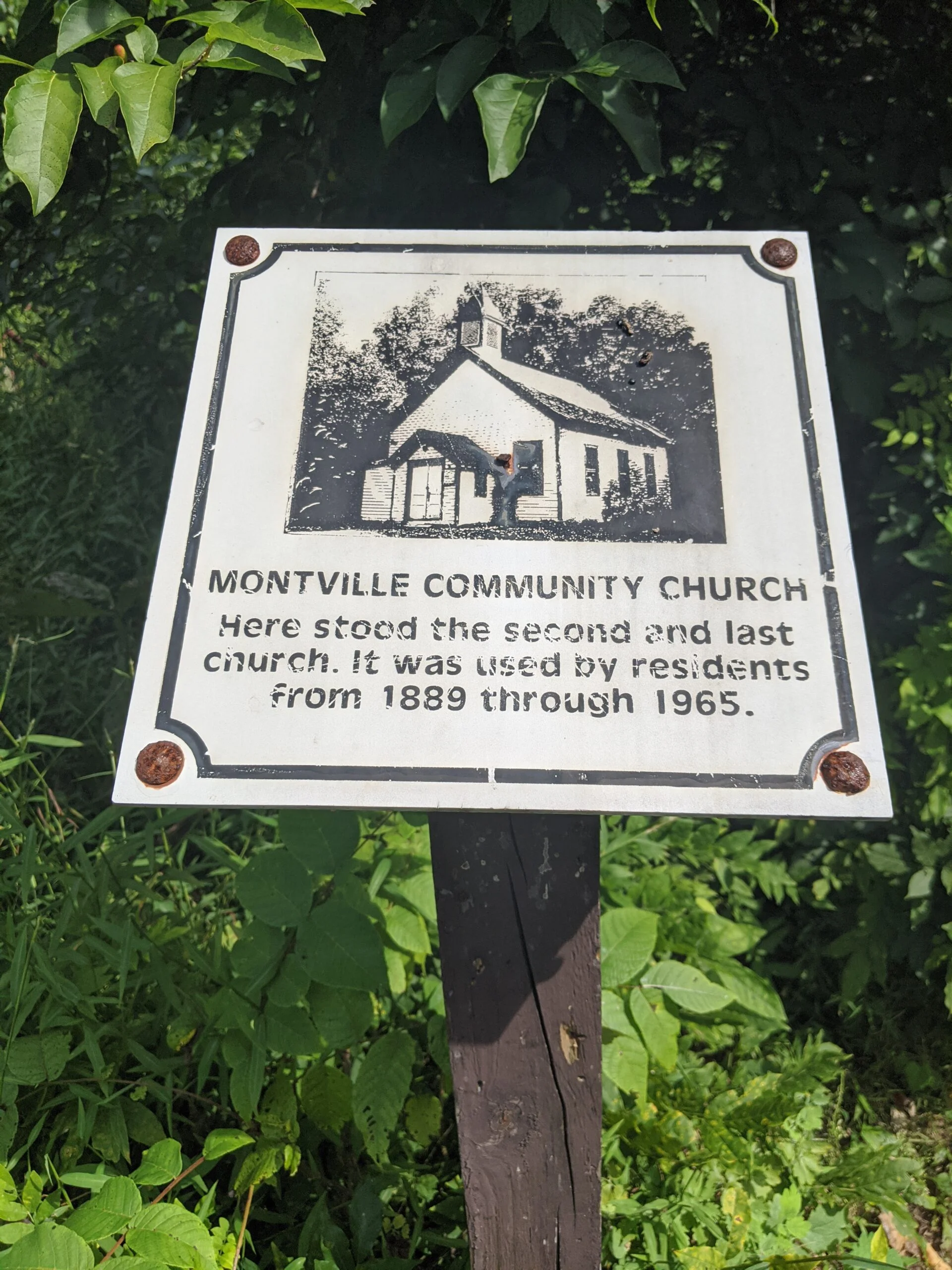
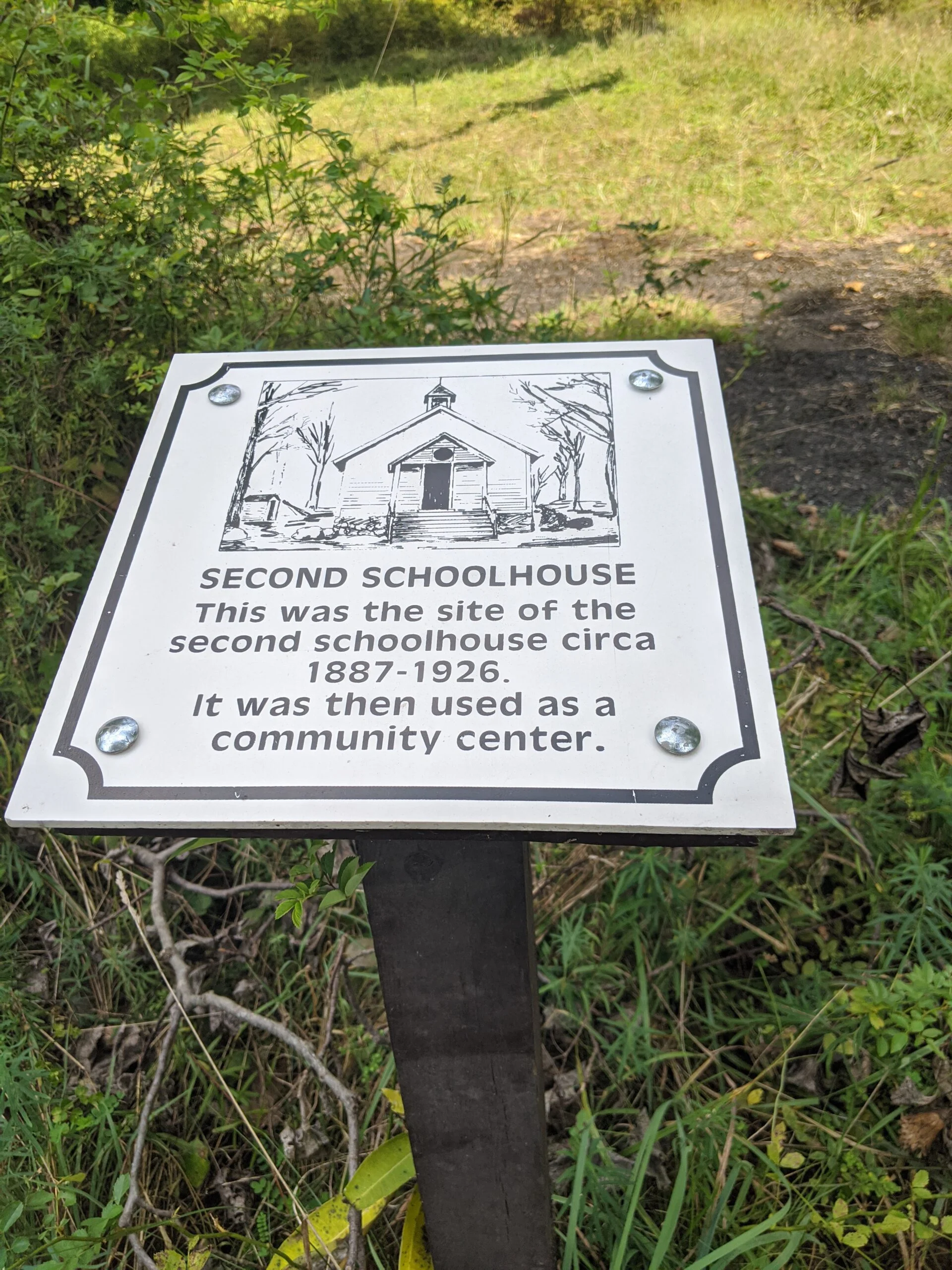
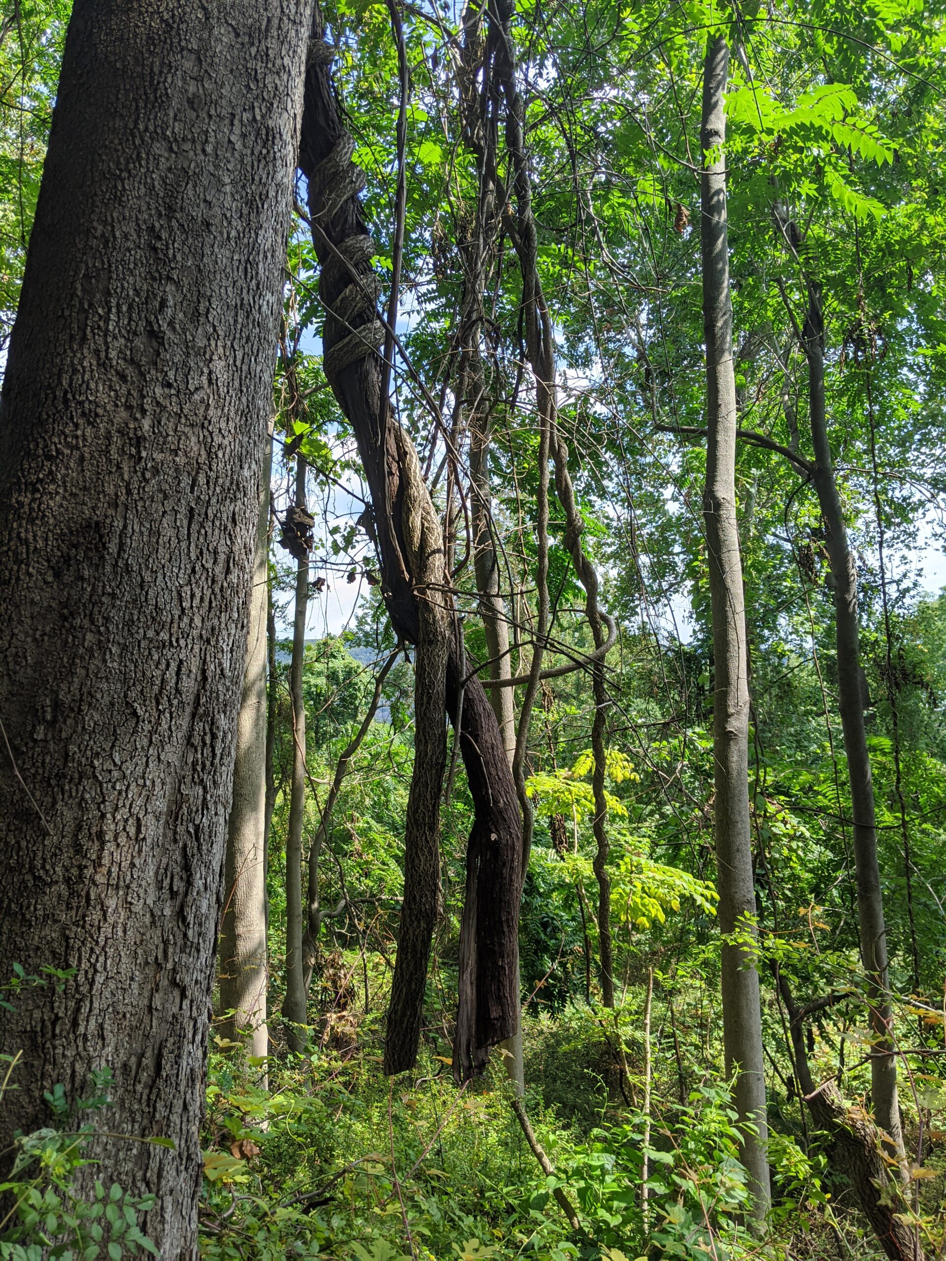
Along the way, we did encounter a few sections of Doodletown which looked really cool! I plan to come back and explore this area of the park more, as there’s some really rich history here.
We made it back to a completely full parking lot, with kids playing on the playground, families sitting and eating, and many people milling around. Even with a mask on, I was not comfortable being around that many people, so I left and headed home. There was a steady line of cars to get into the park backed up for at least a mile along Route 9W.
Overall, I really enjoyed the hike and the company of my friend! The first part of the day was challenging getting up the mountain. Most the rest of the hike was moderate to easy, with many sections on paved or packed gravel pathways. If the mountain is too much, there are plenty of other trails to the south that don’t require as much work.
I didn’t end up using all my water this trip. I brought my standard 7L and only went through about 5L. Either this trail wasn’t as challenging, it wasn’t has hot out today (peak of about 80F), or my body is becoming more accustomed to hiking. I guess I’ll see what happens on the next one :).
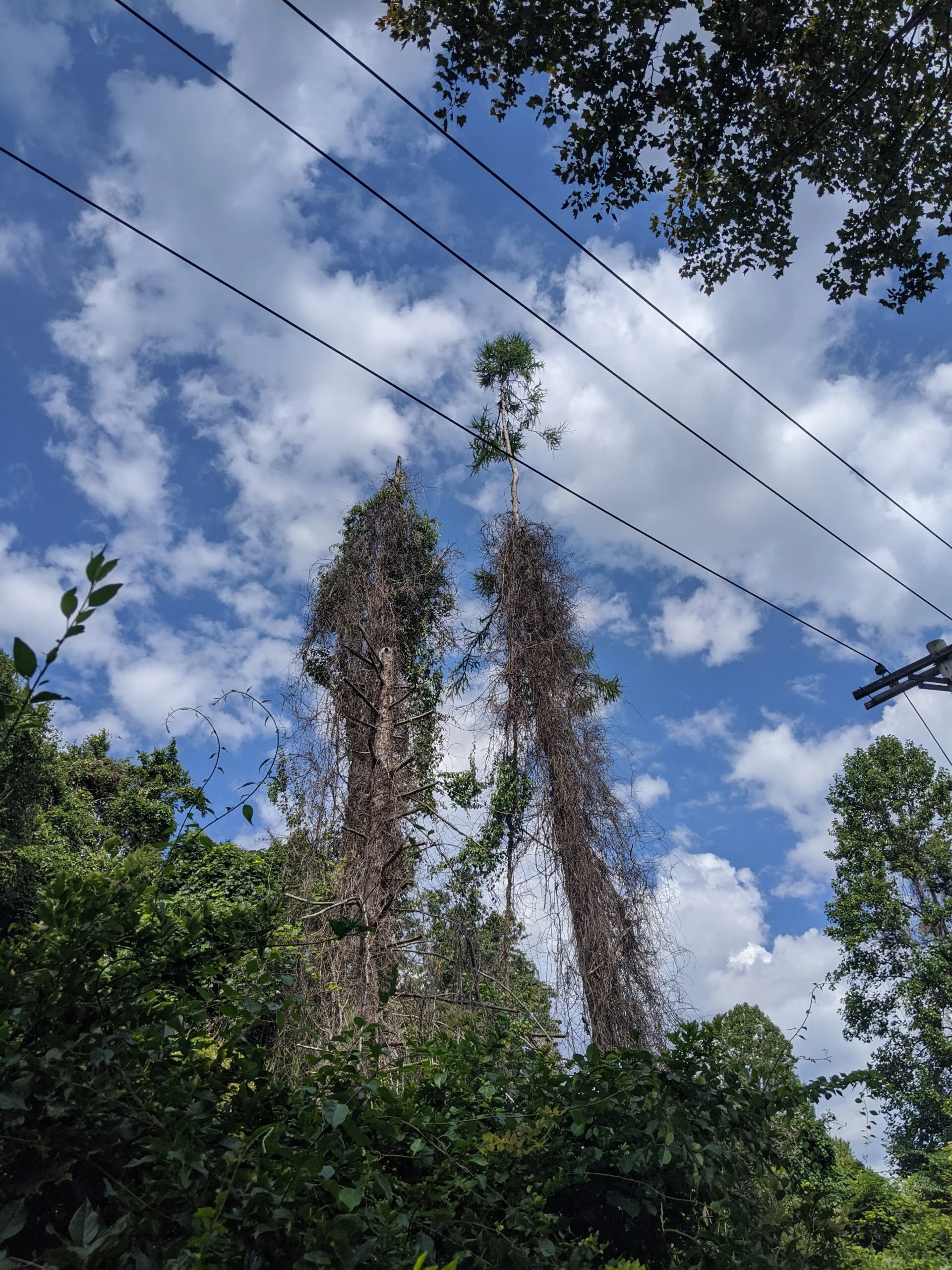
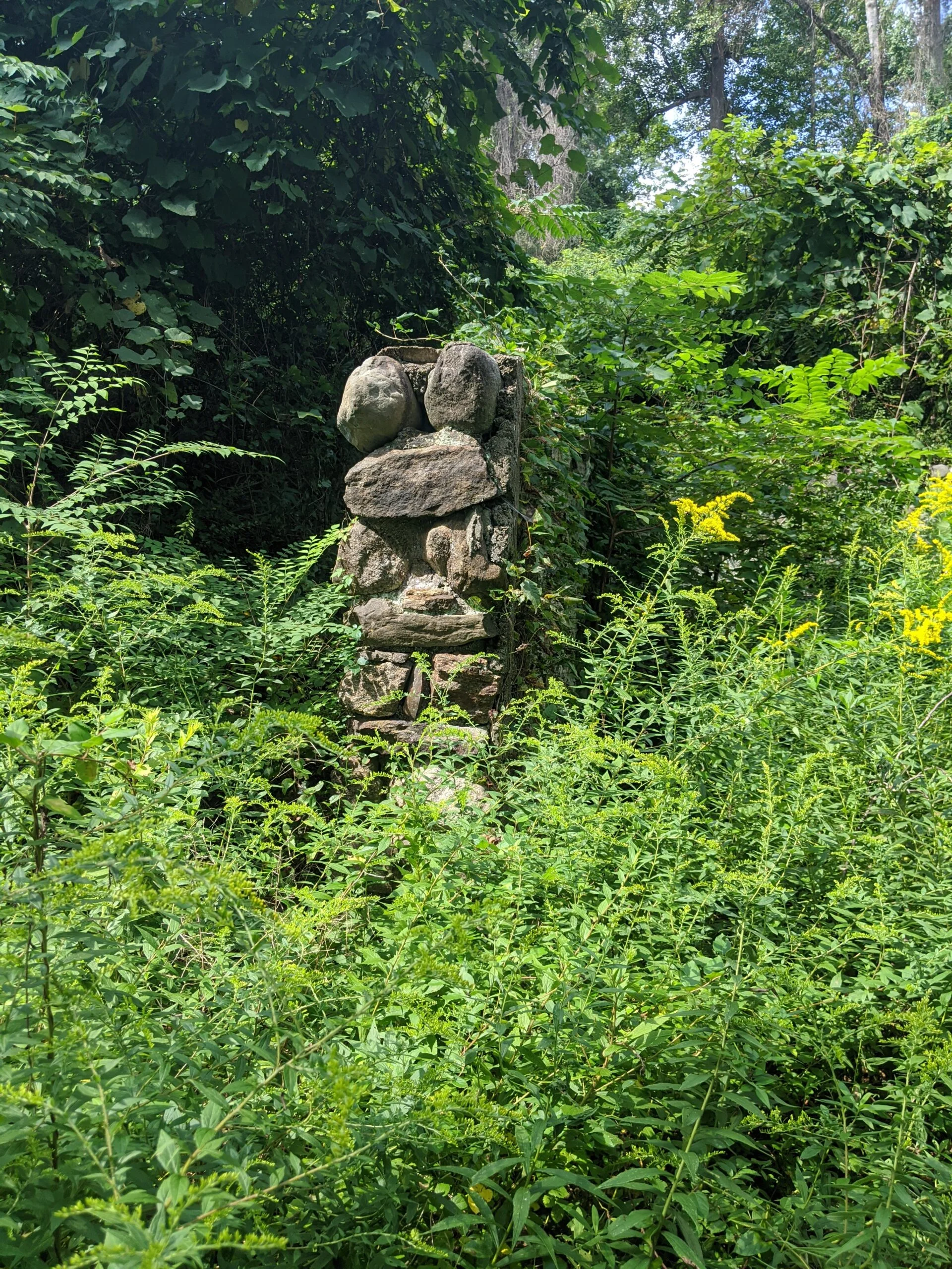
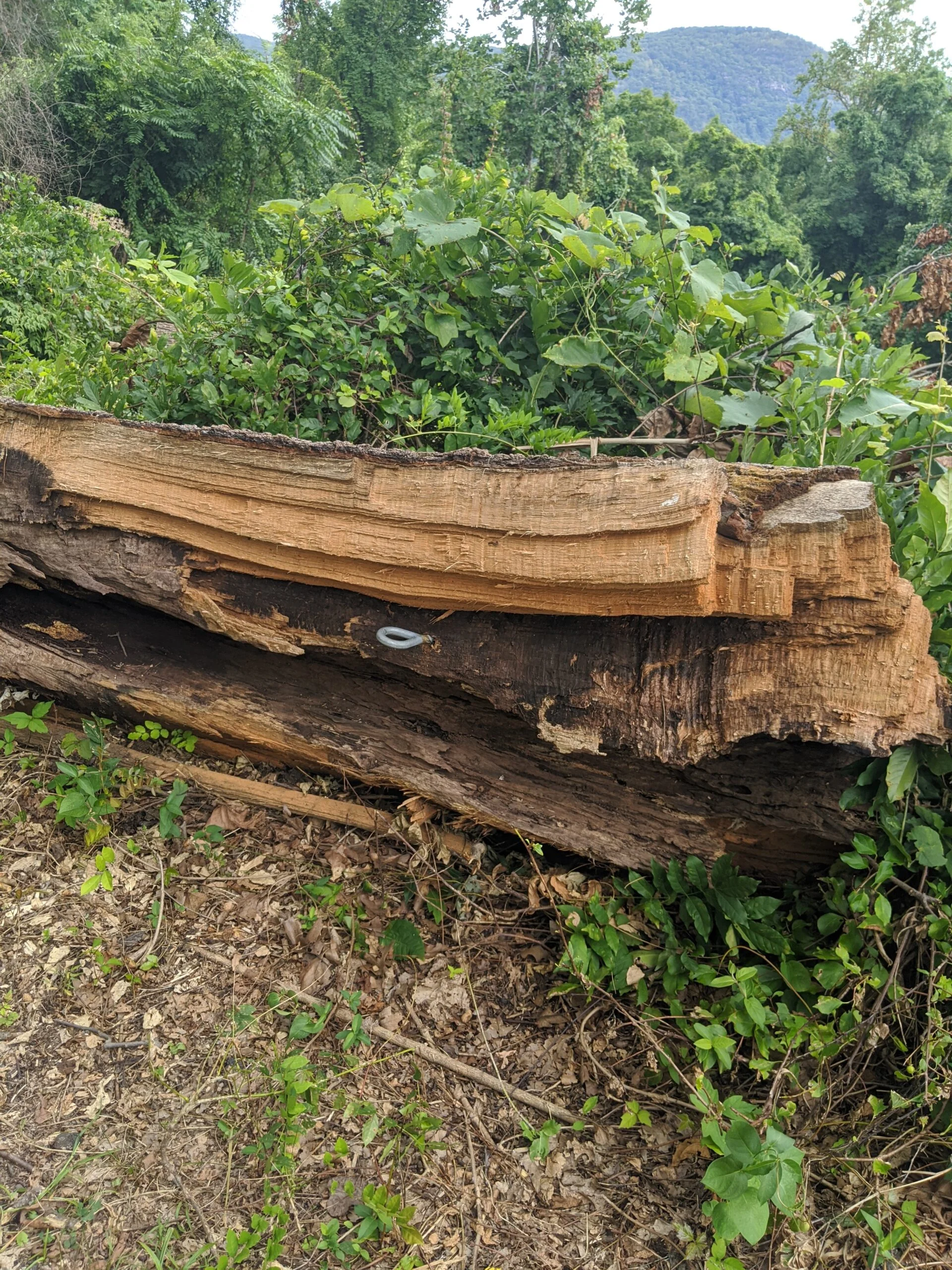
Photos


GPS Route & Elevation
Loads an interactive map; map tiles are served by the U.S. Geological Survey, which receives your IP address. Learn more about maps and your privacy