Fahnestock State Park – Round Hill, East Mountain, Spooky House, Hubbard Lodge
- 7.5 mi
- 1,328 ft gain
- 03:31:13
- 176 photos
This post may contain affiliate links. If you buy through them, I may earn a commission at no extra cost to you. As an Amazon Associate I earn from qualifying purchases.
During my first visit to Fahnestock State Park, I explored the eastern parts of the park, around Pelton Pond, Canopus Lake, and points south down to Candlewood Hill.
For this visit, I hiked the western parts of the park, including Round Hill, East Mountain, and Hubbard Lodge. Knowing I had a busy weekend ahead of me, I decided to do this hike on Friday afternoon. The high temperature for the day was predicted to be 70 degrees, so I knew it would not be too hot to hike in the afternoon sun.
In preparation for the trip, the night before I filled my three 1.5L water bottle reserves with water and three Citrus Fruit flavor Nuun Sport Electrolyte Drink Tablets ($) each, then placed them in the refrigerator to chill overnight. I also prepared two Silicone Ice Stick Trays for Water Bottles ($) in advance to be placed in the bottles before leaving.
After eating lunch, I filled my Osprey Hydration Backpack ($) with water, five Nuun tablets, and regular ice cubes. I packed an apple, a banana, two PROBAR meal bars ($), and two packets of Chicken of the Sea Pink Salmon ($). I was ready to start my journey!
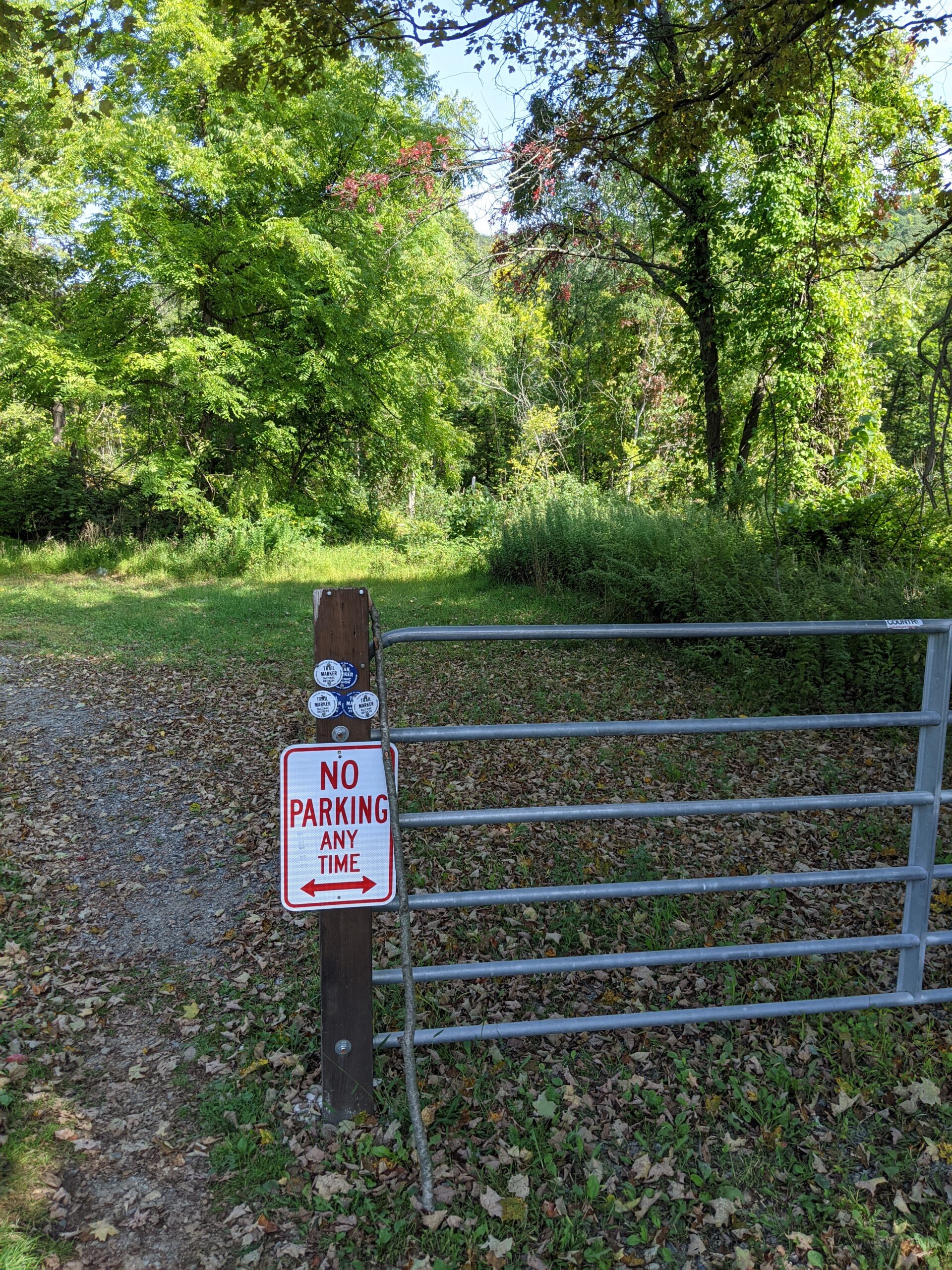
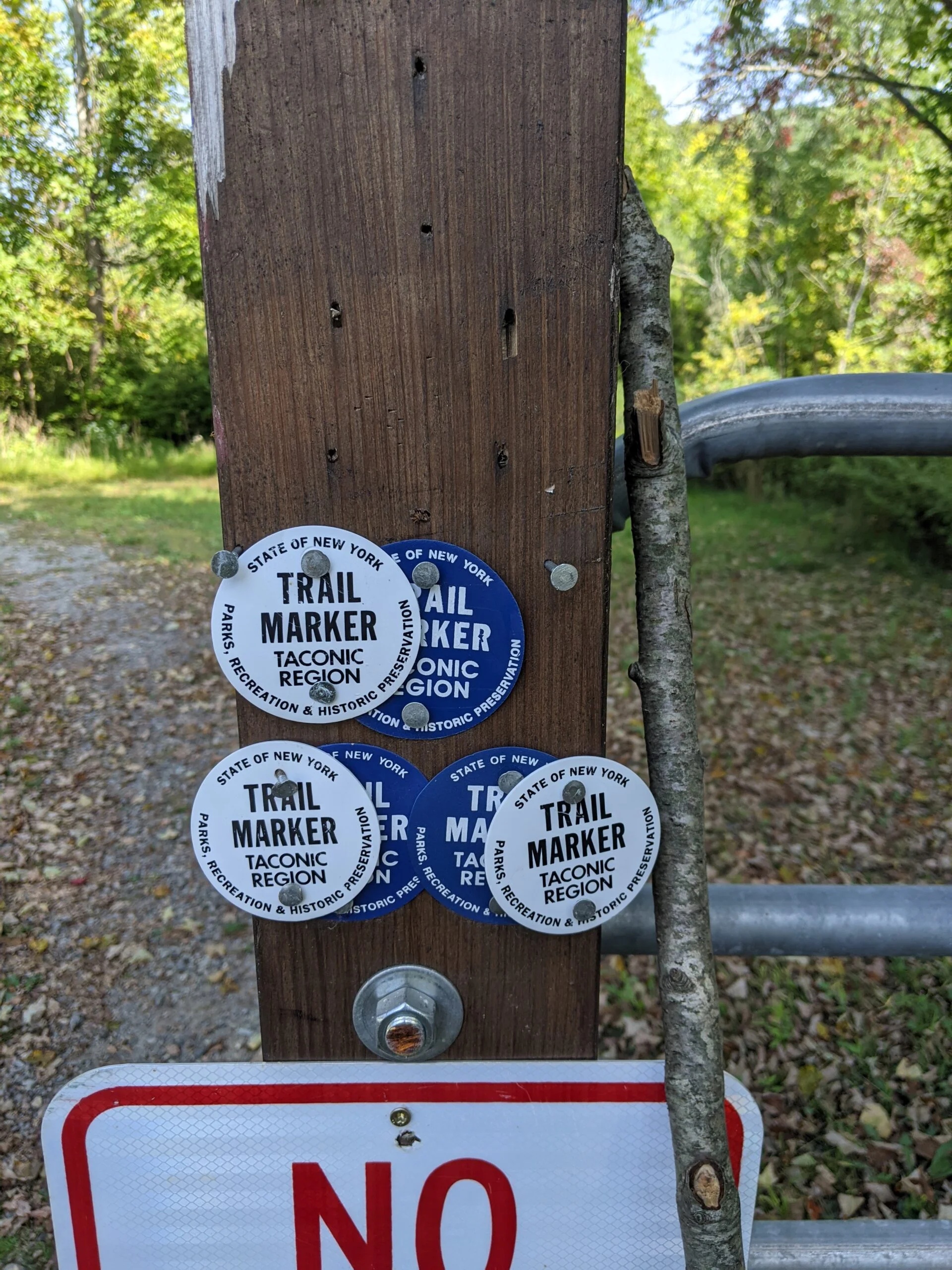
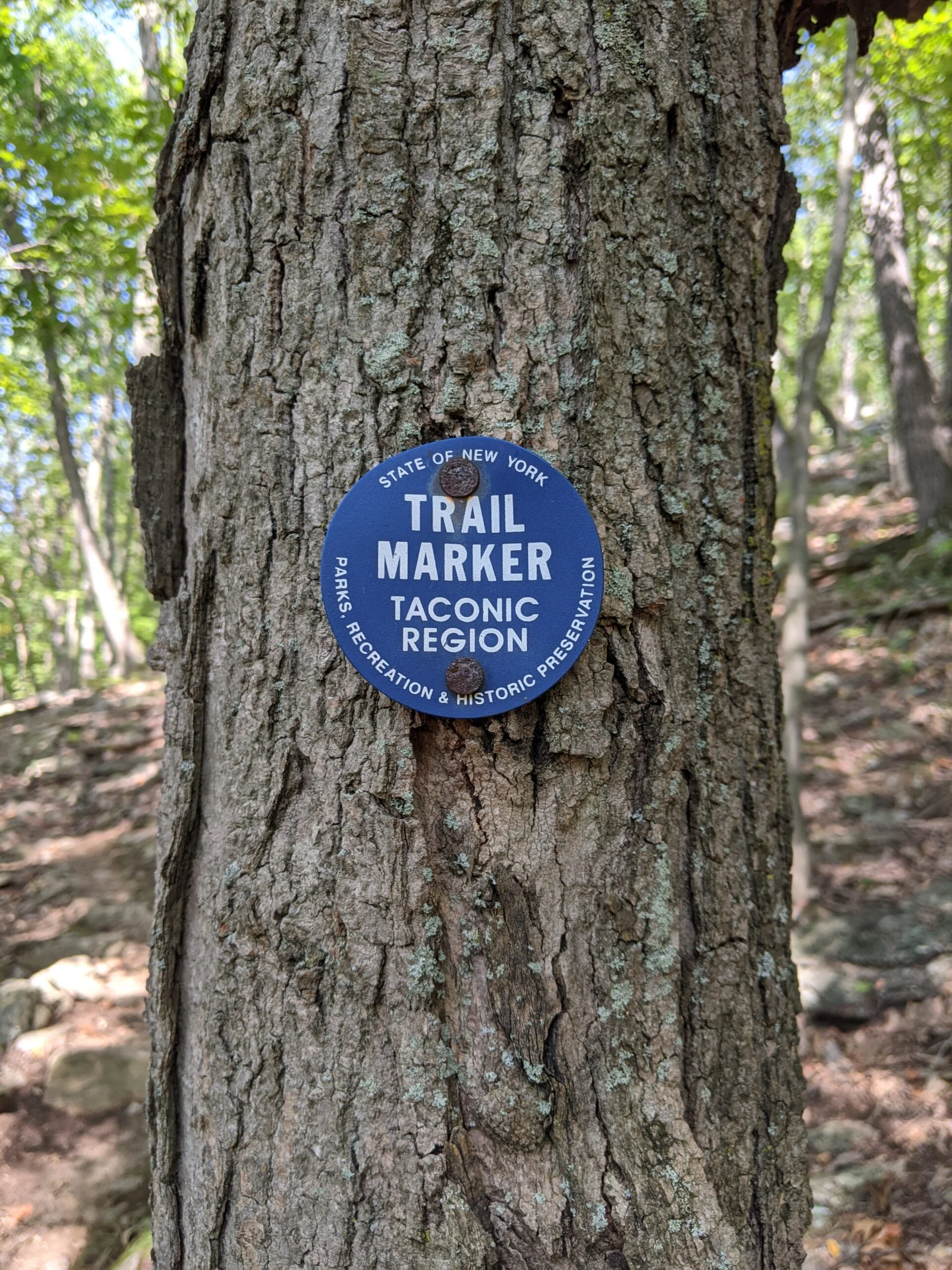
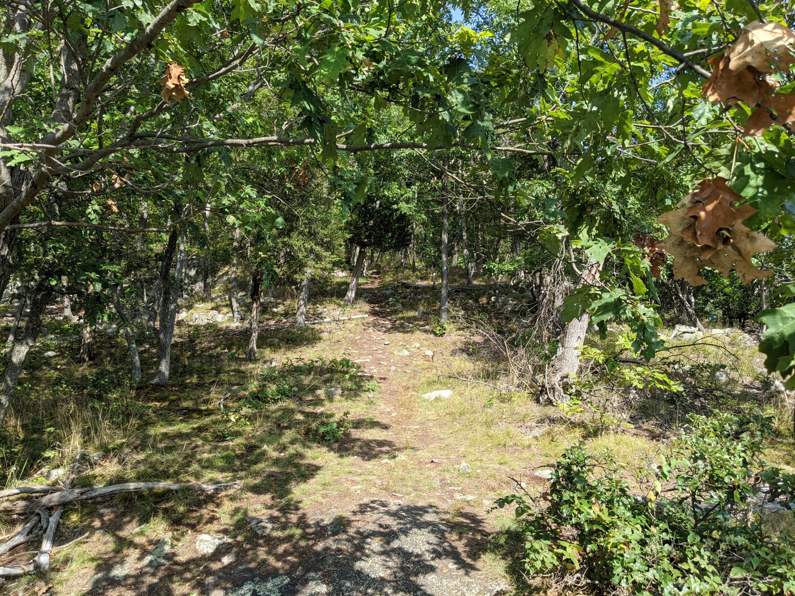
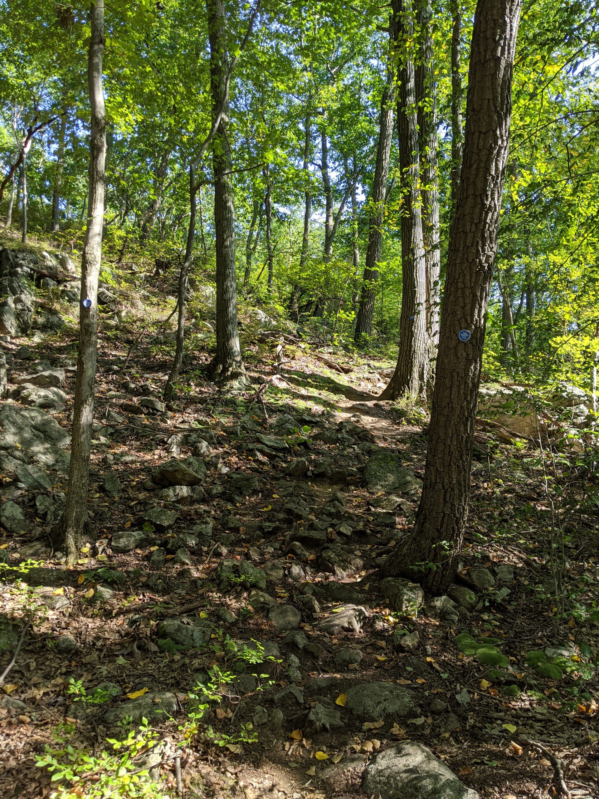
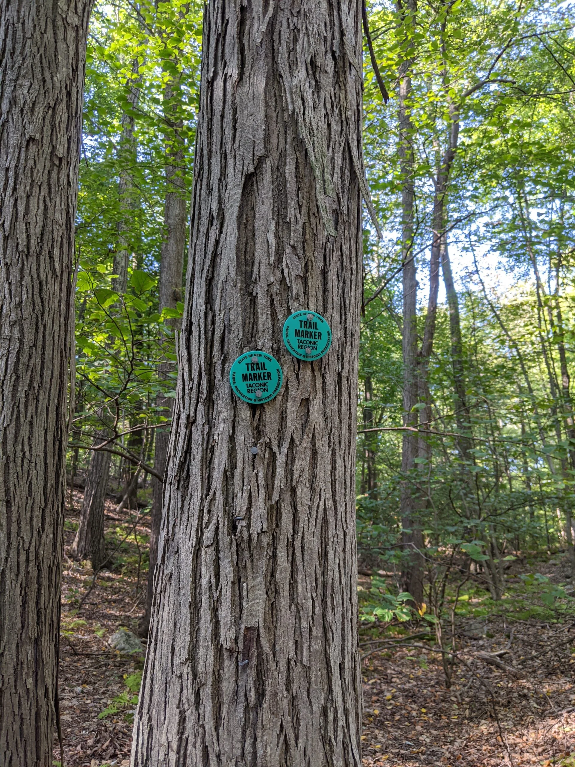
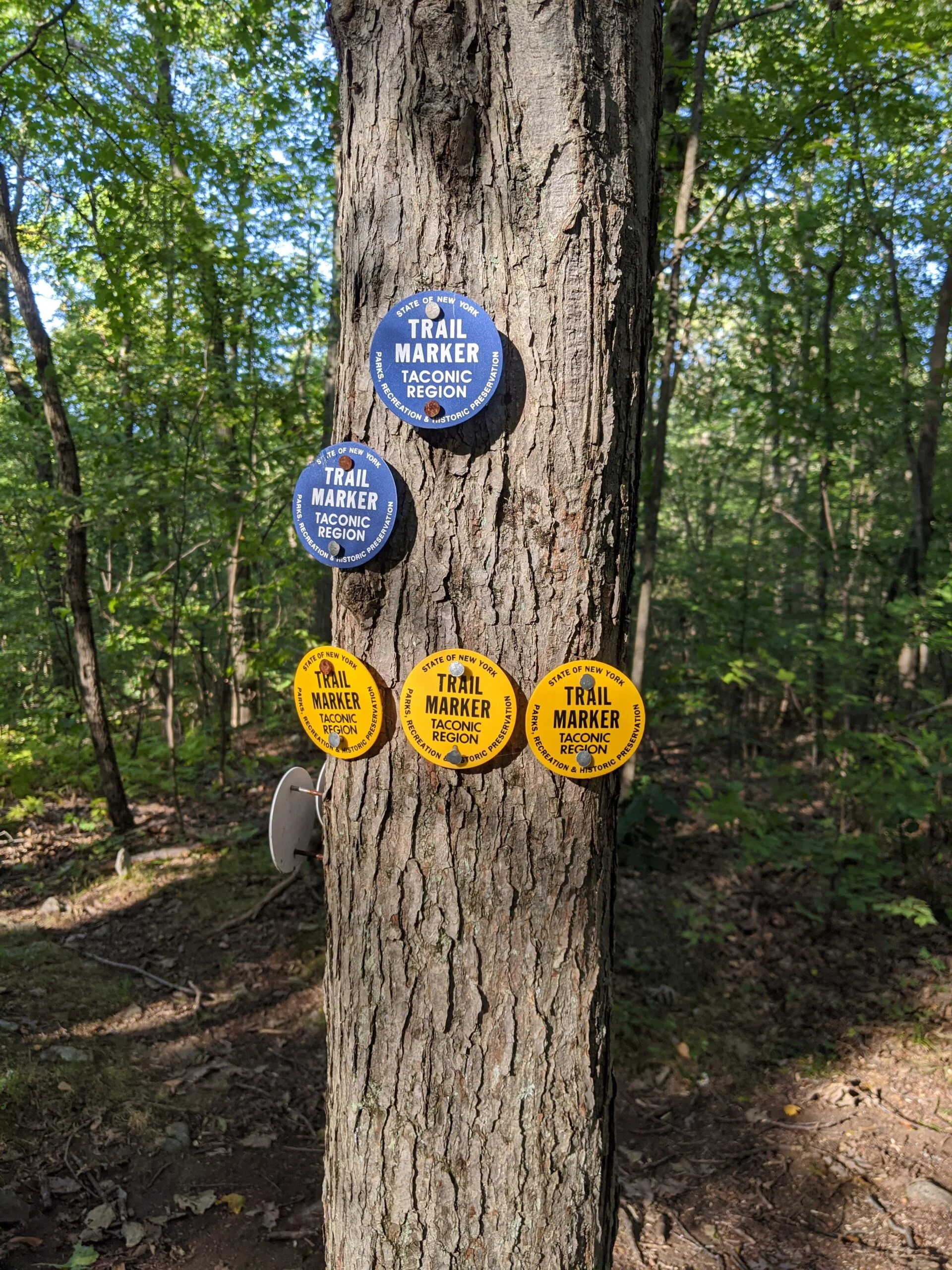
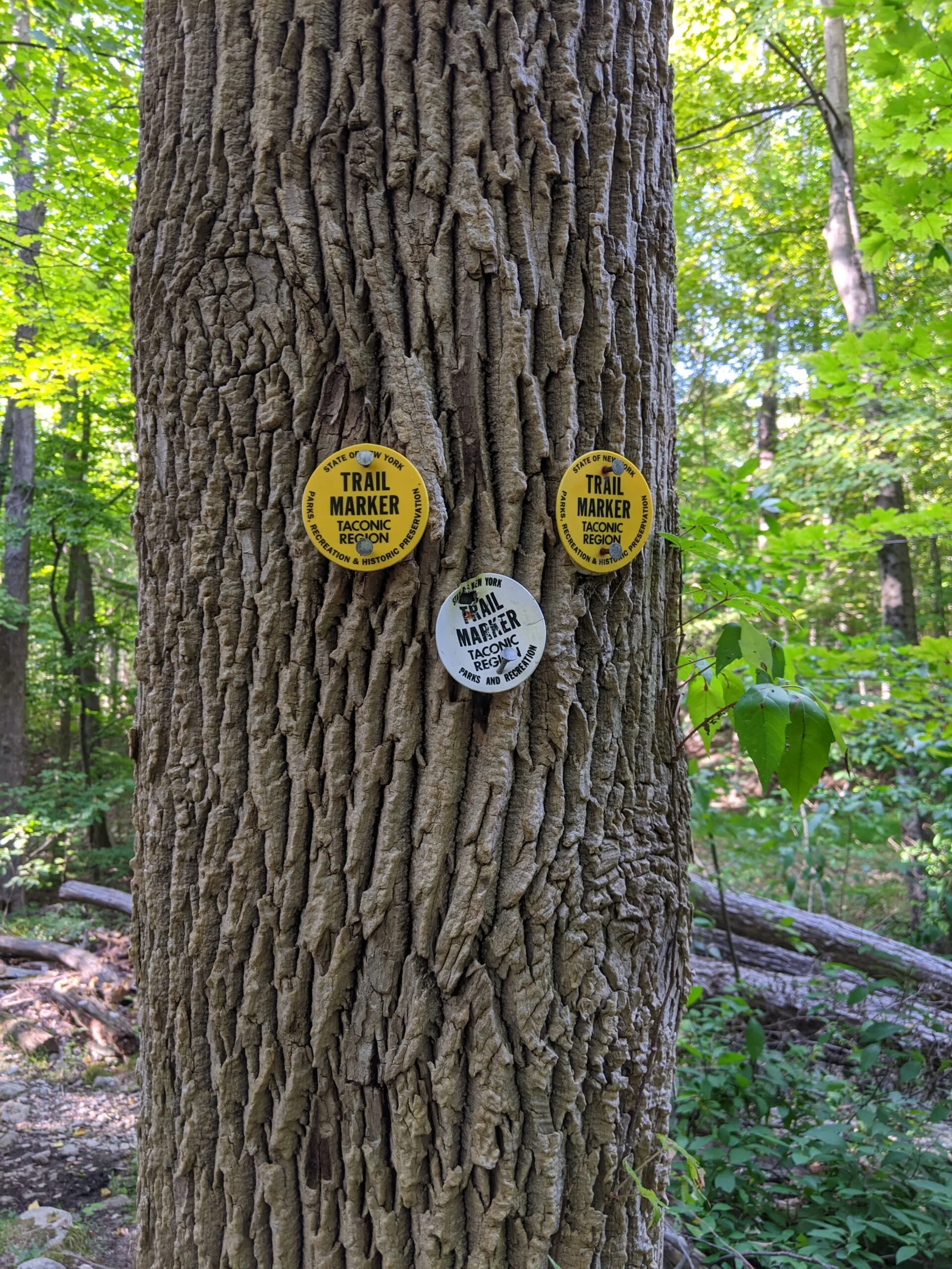
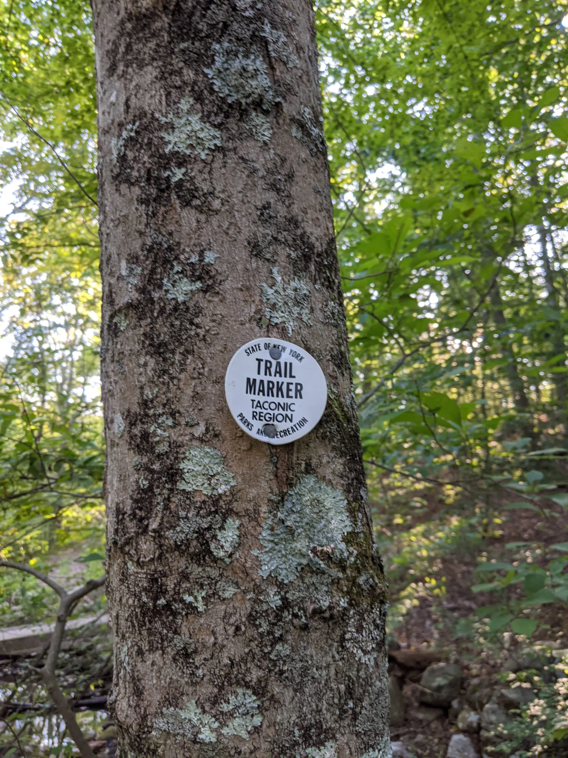
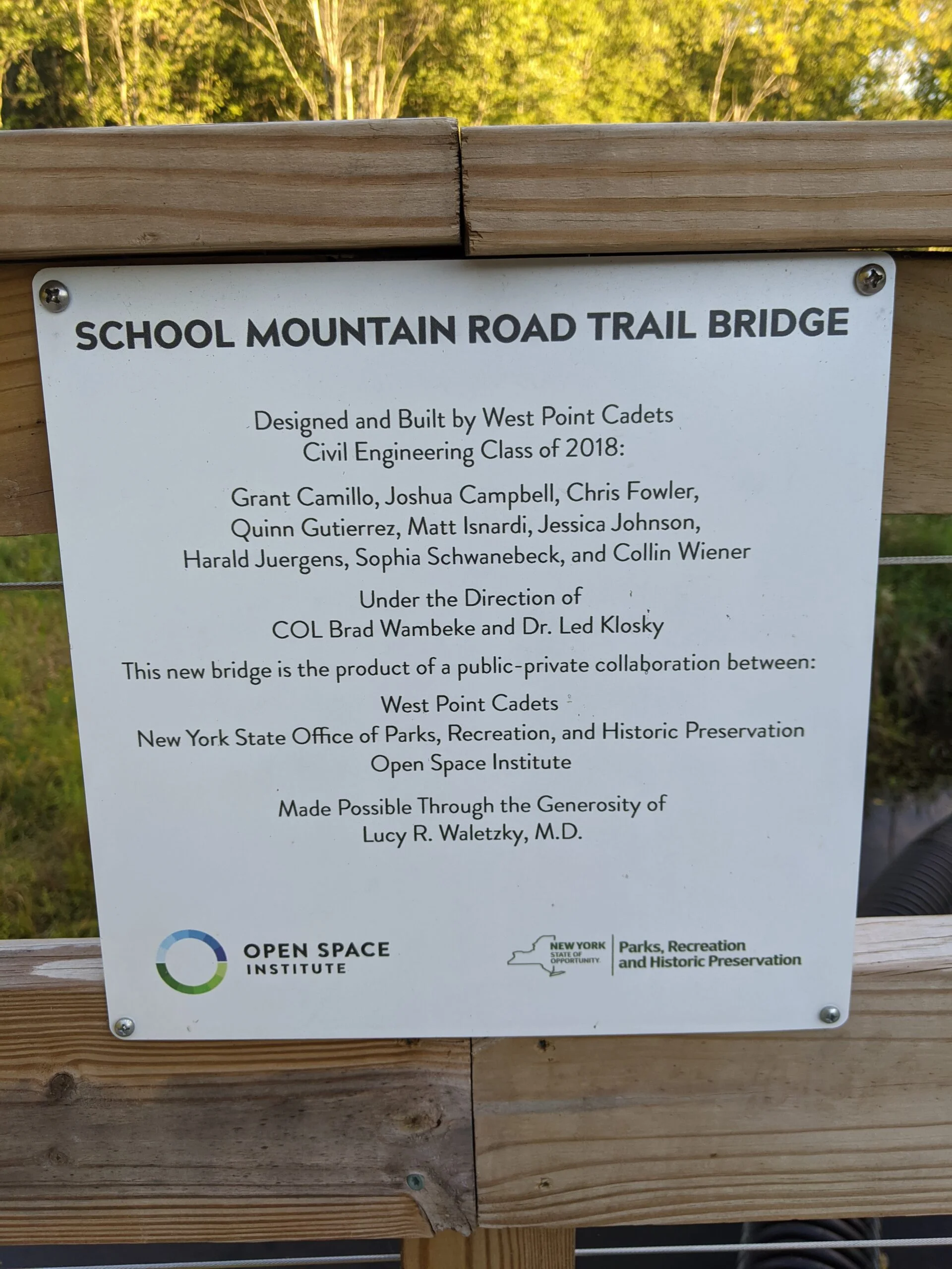
I set my GPS for Hubbard Lodge and arrived on Campbell Road around 2:30p. I saw 4 cars parked on the shoulder of the road and pulled in front of one of them. I made my way back south on Campbell Road a couple hundred feet to the steel gate, marking the trailhead for the School Mountain Road Trail (SM, both white and blue blazes on this section of the trail).
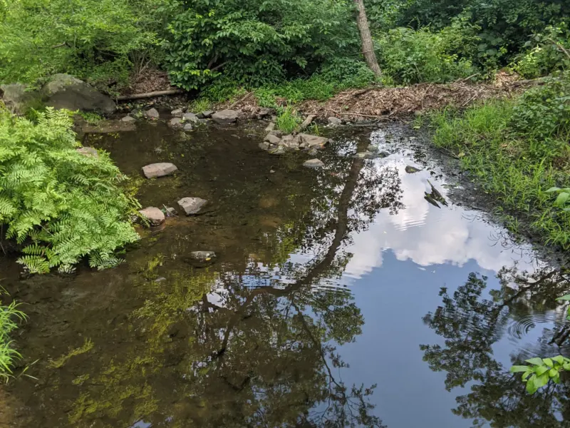
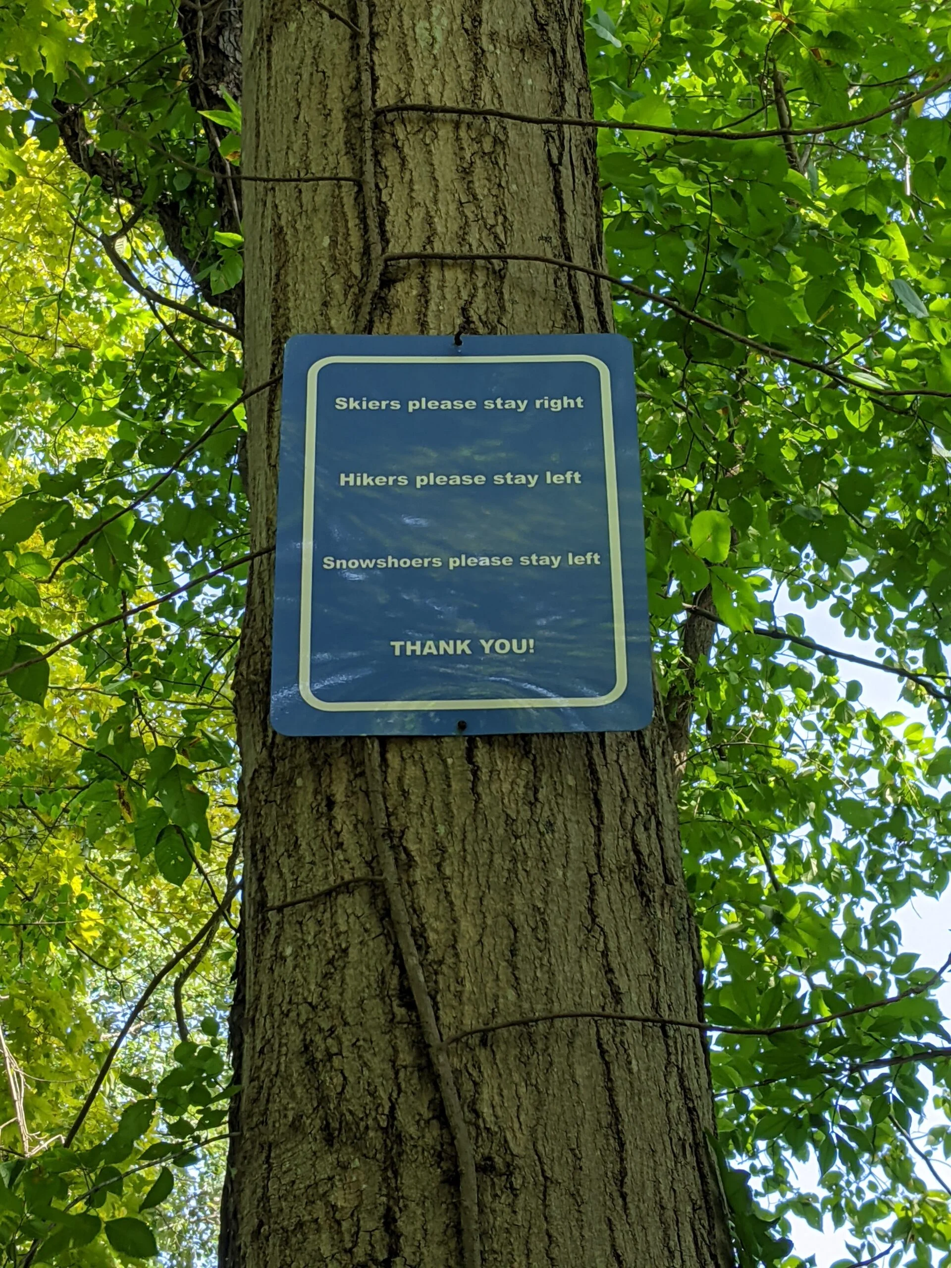
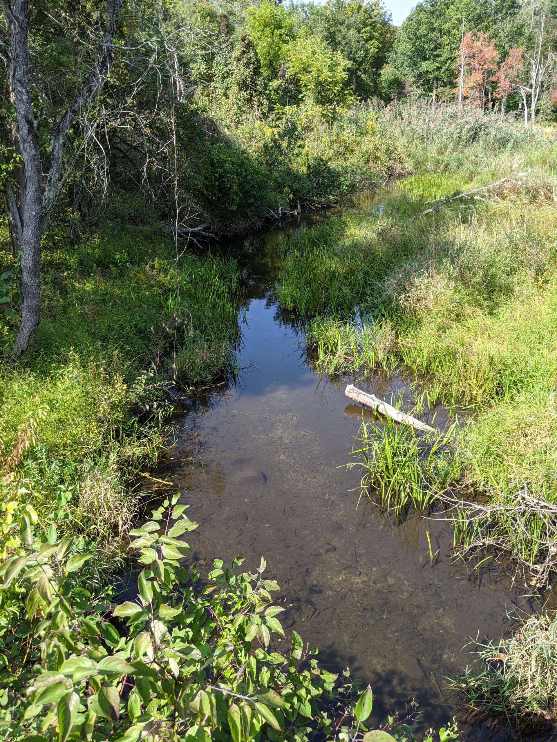
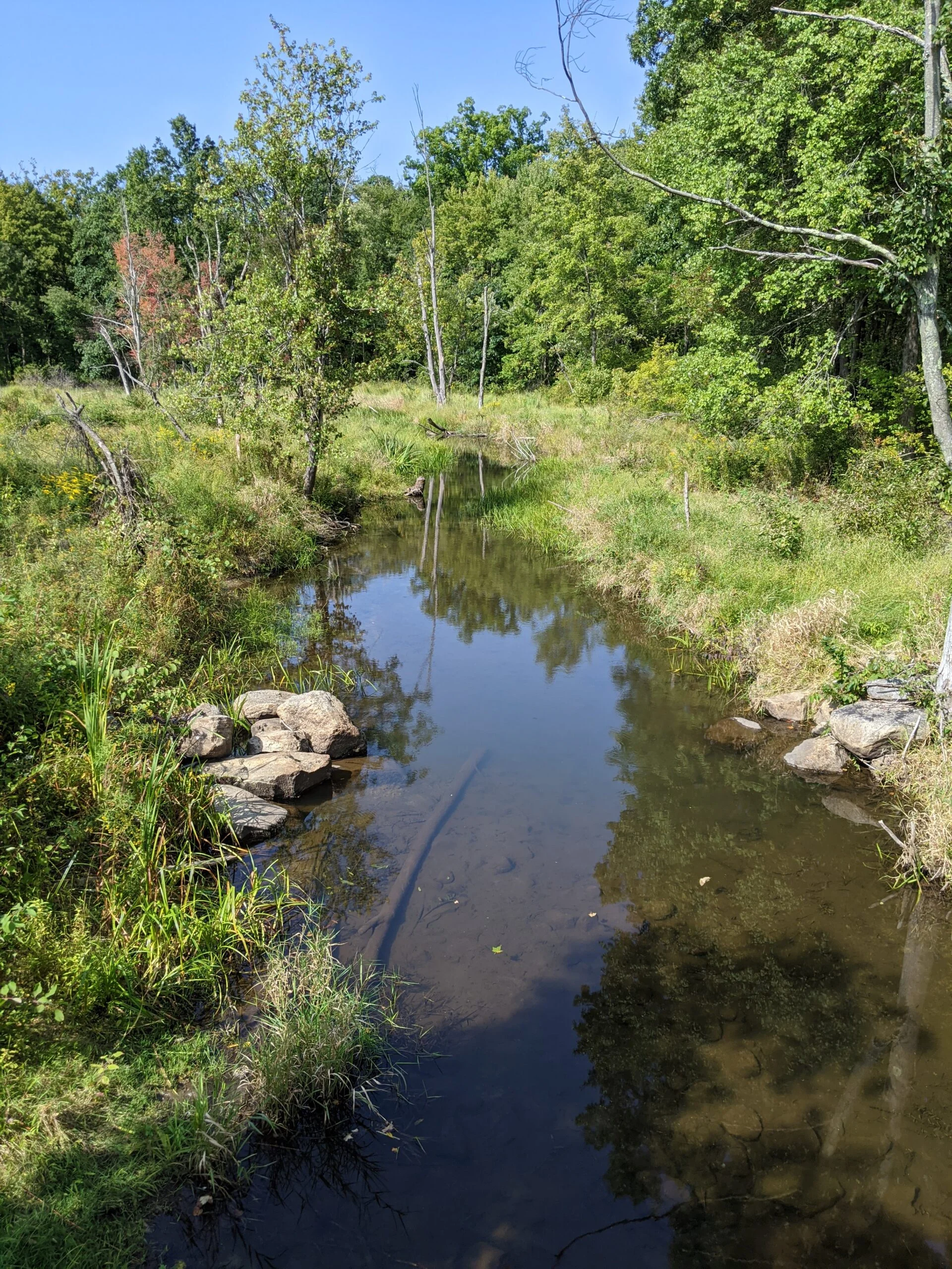
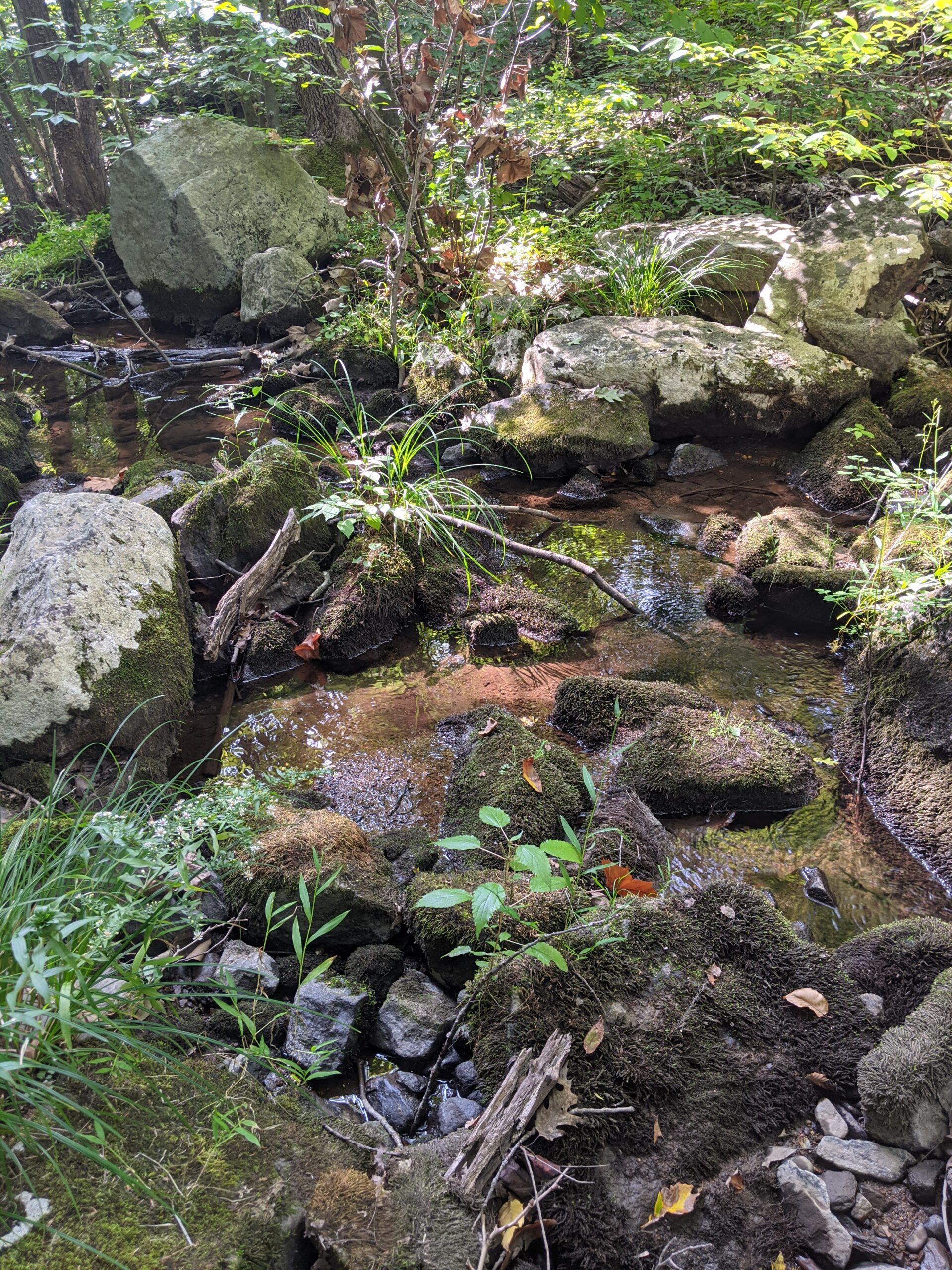
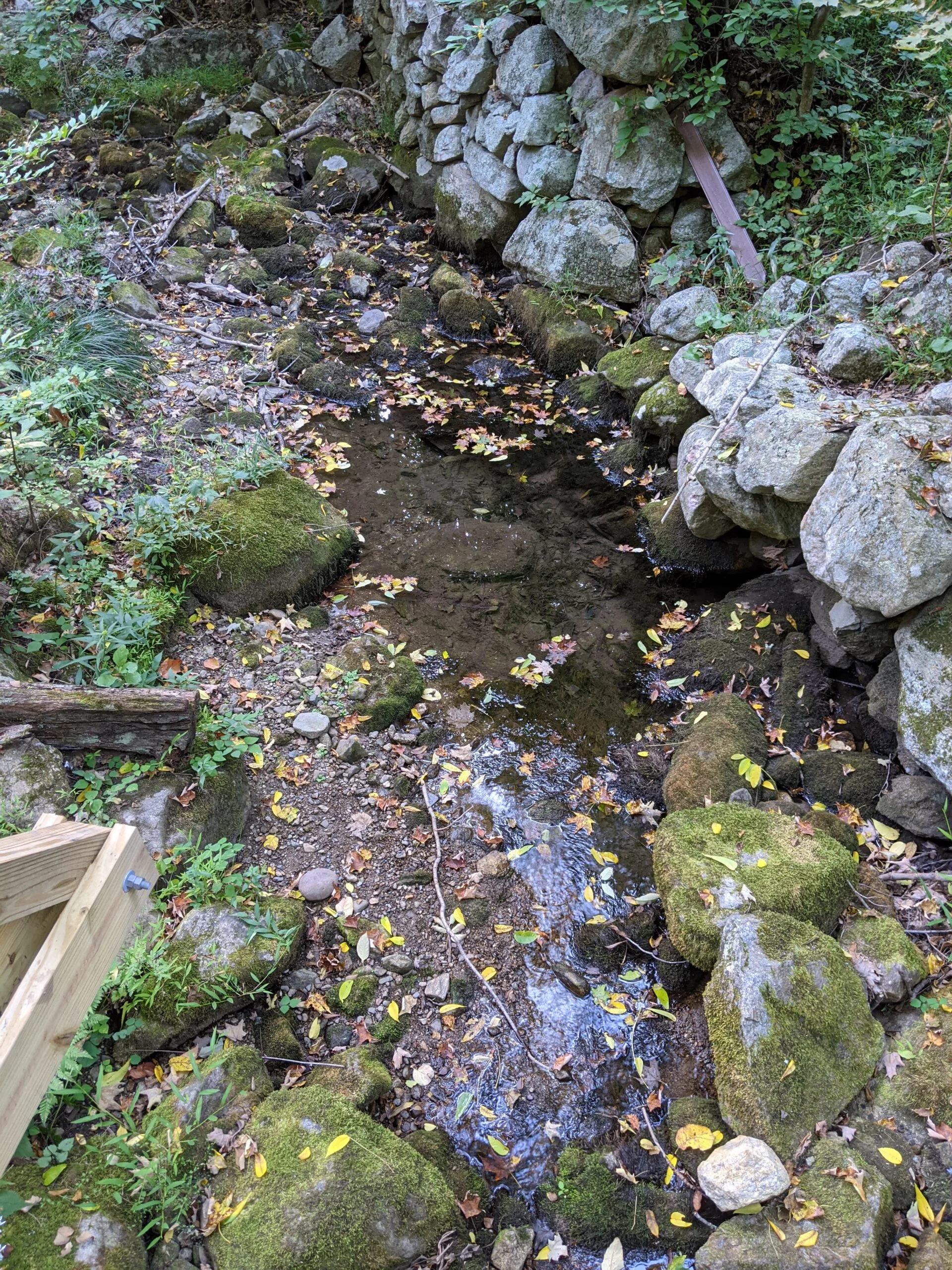
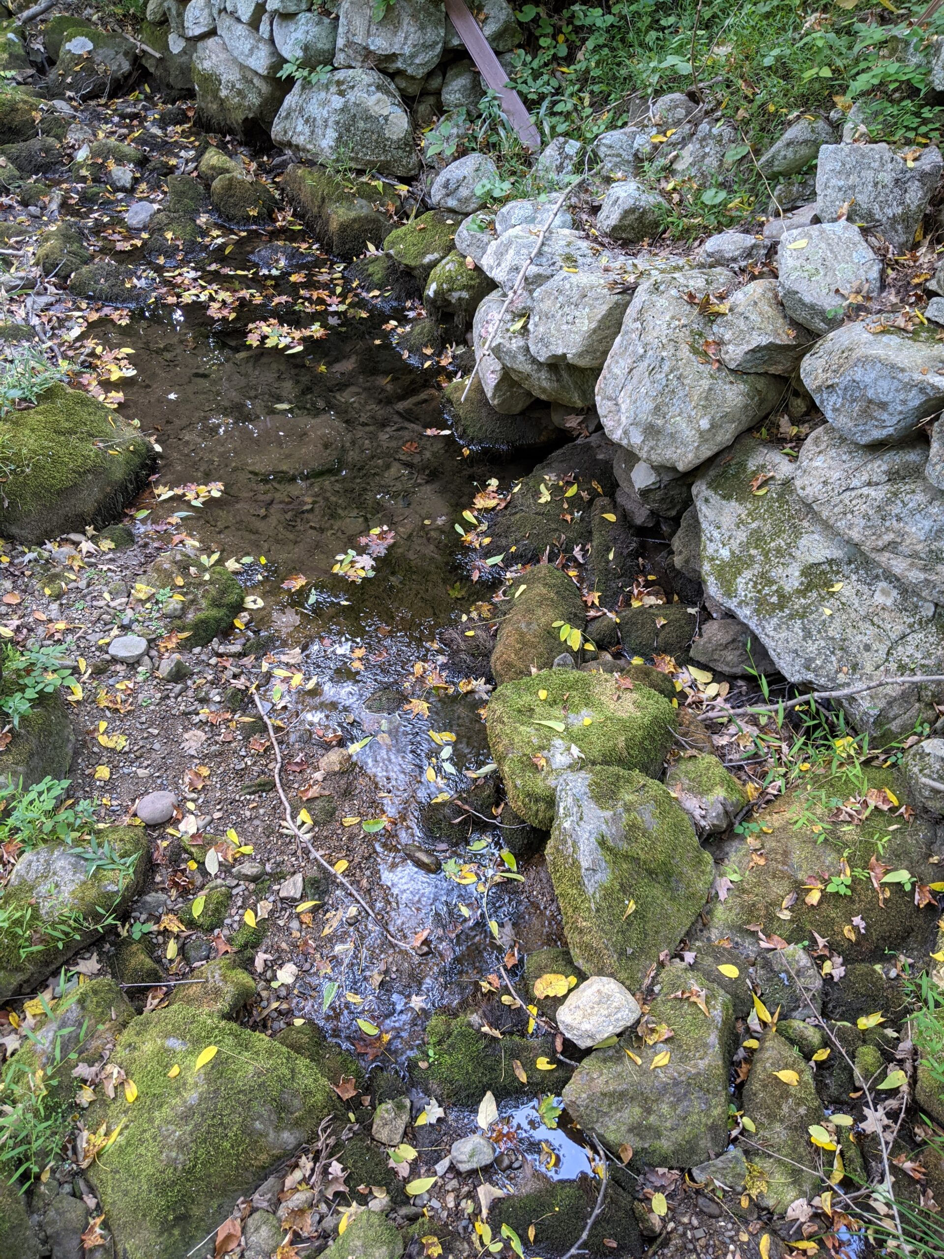
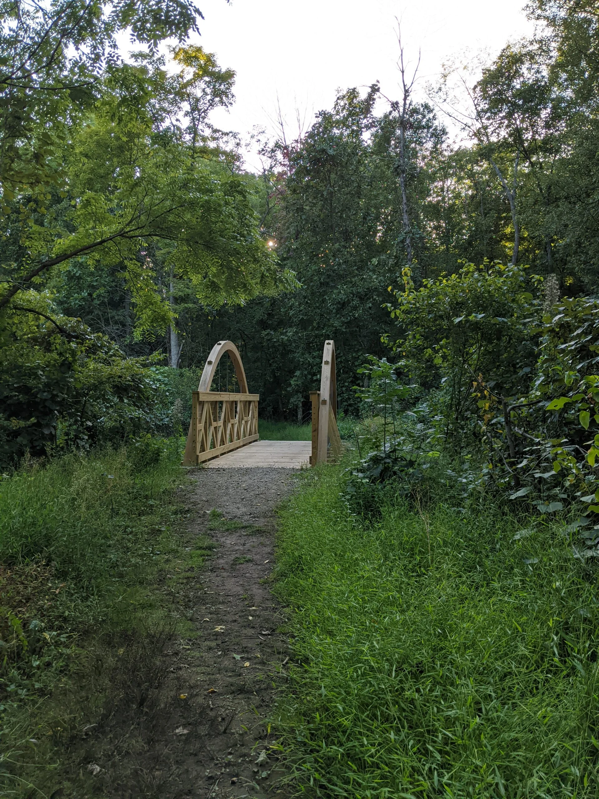
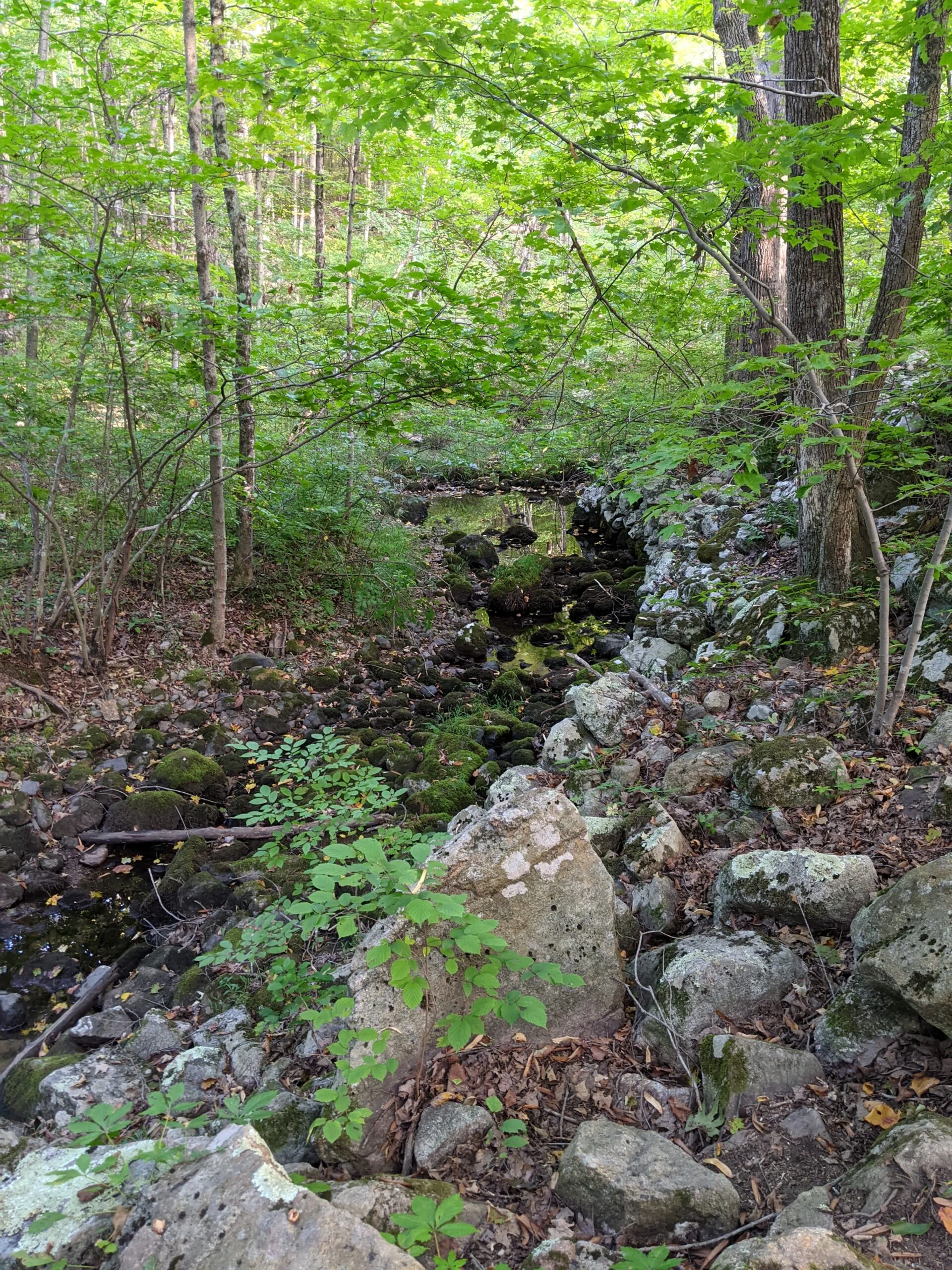
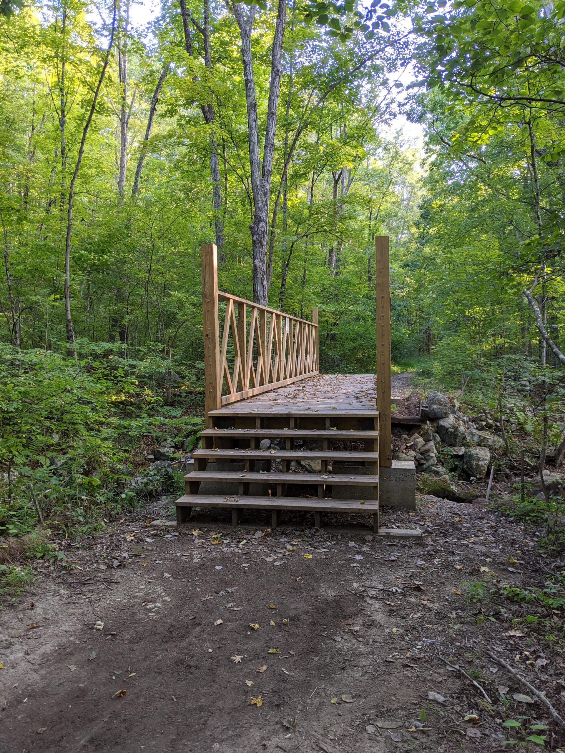
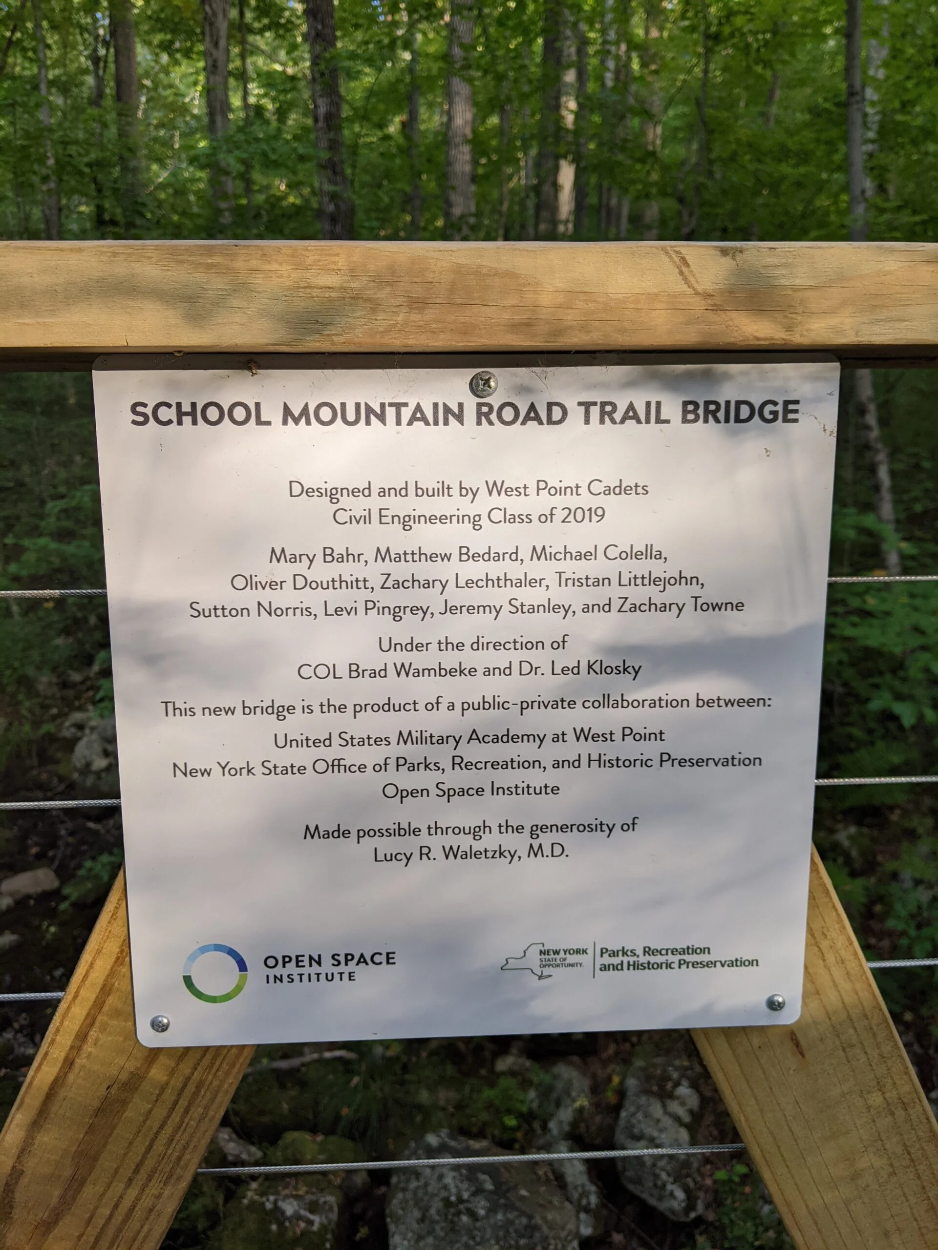
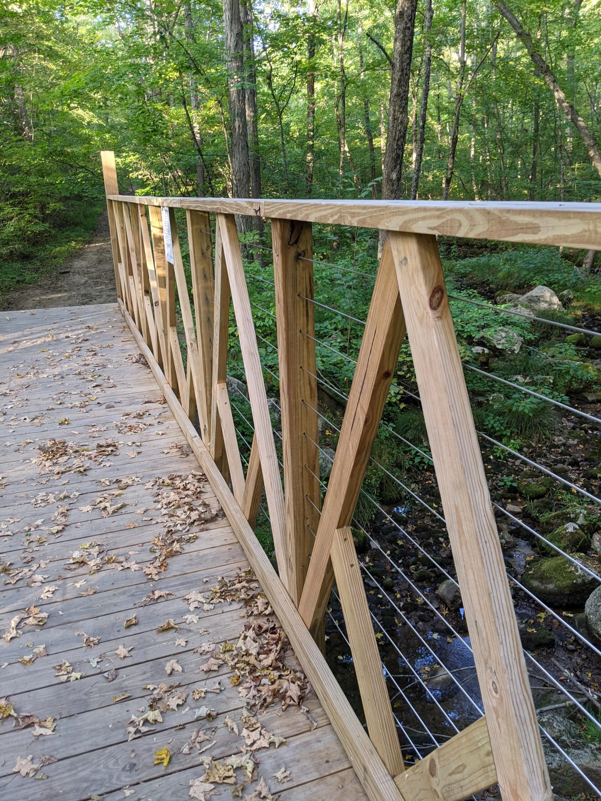
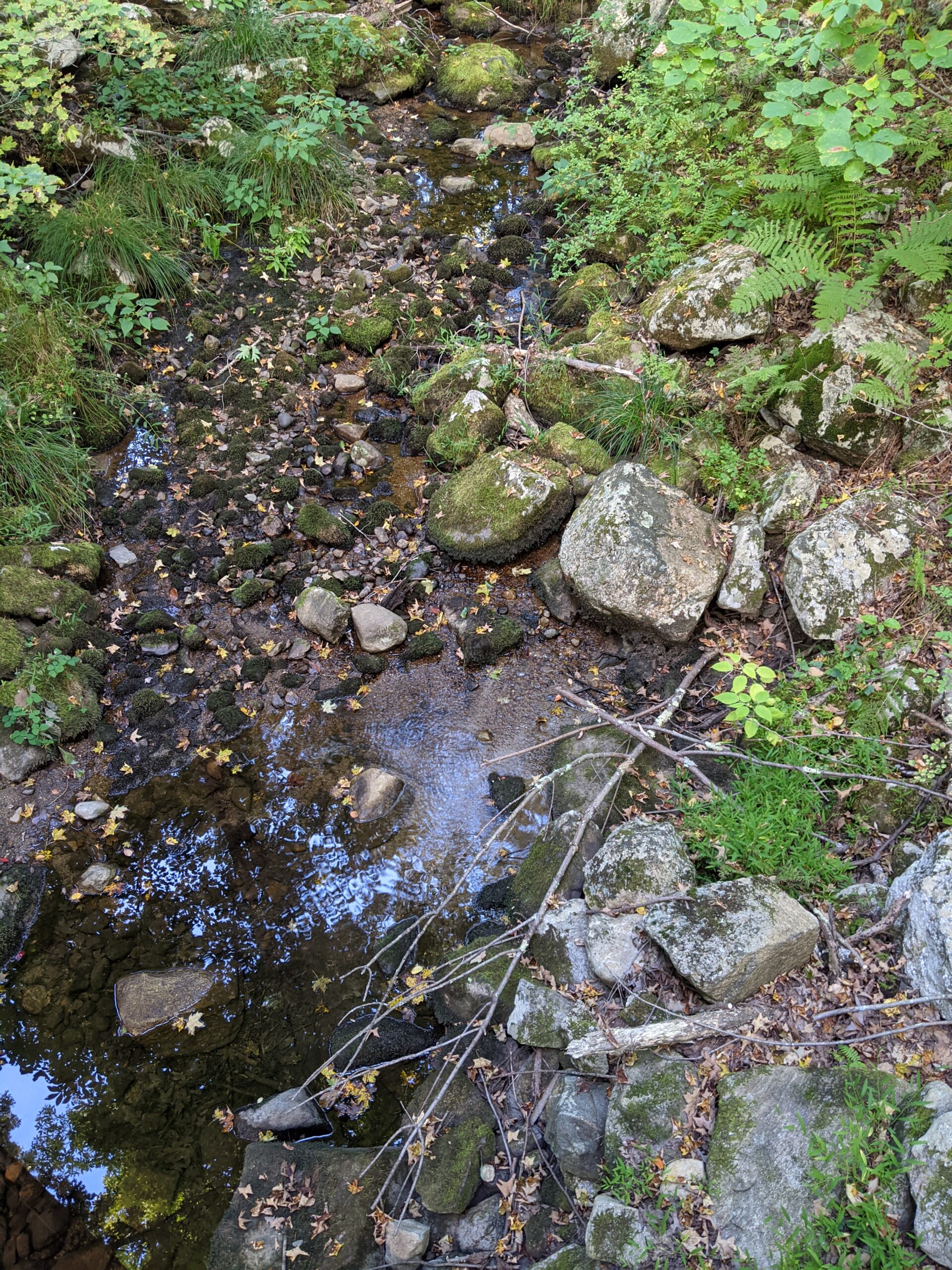
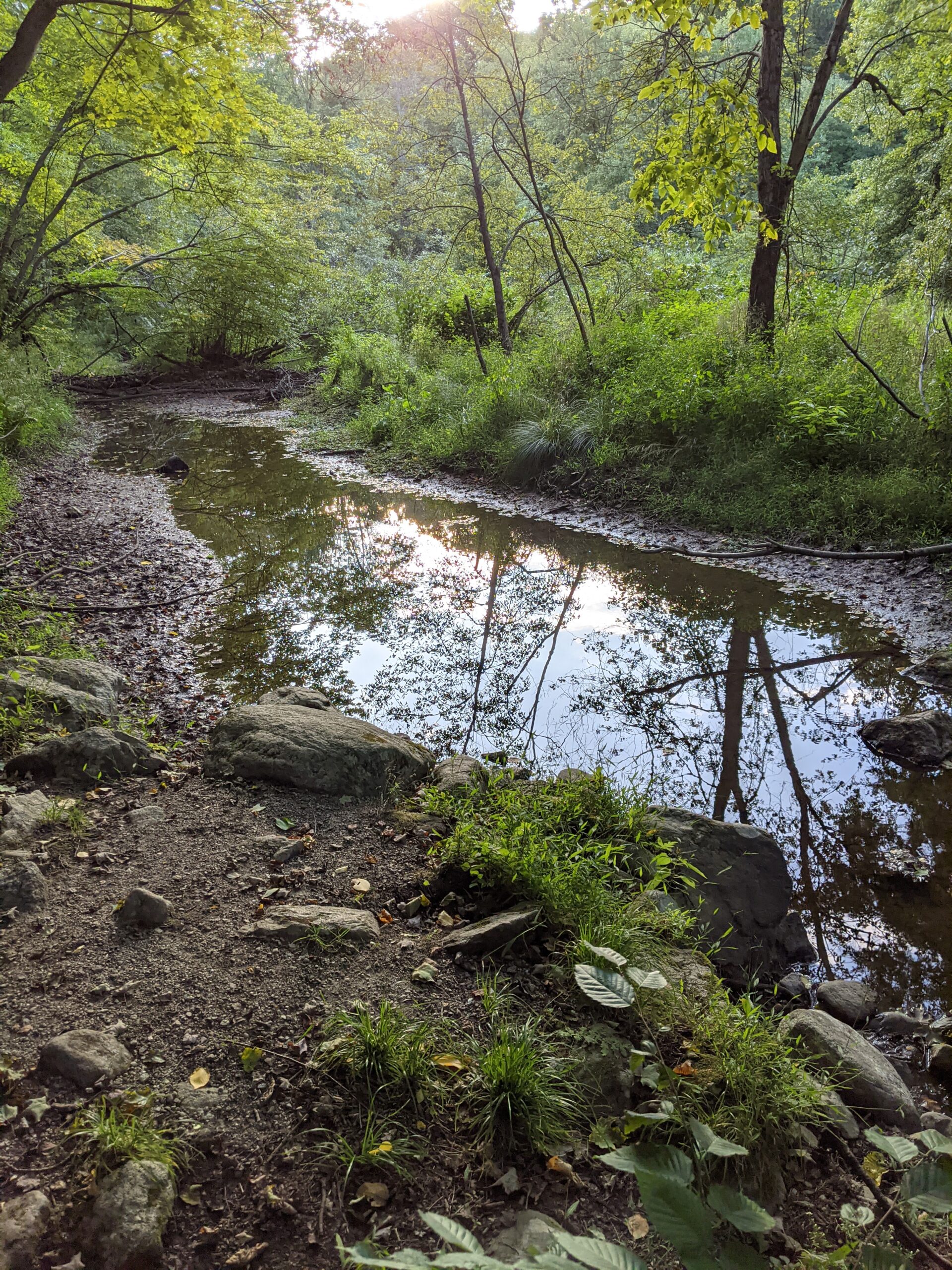
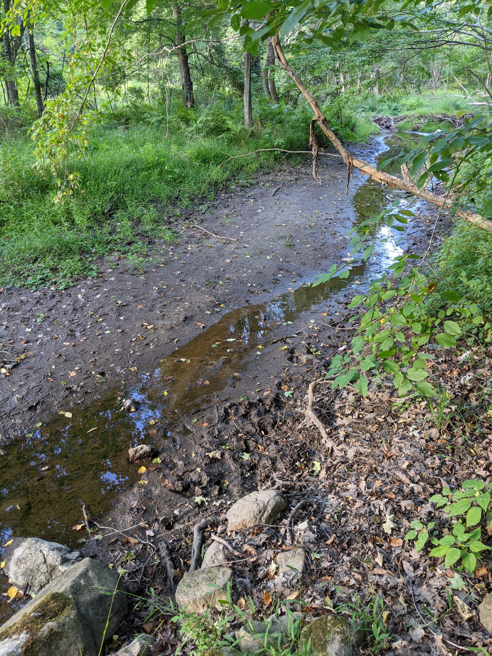
School Mountain Road is an abandoned farm road that has turned into a bicycle, horse, and hiking trail. I soon came across a wooden bridge over a small stream. A sign on the bridge said it was built by the West Point Cadets Civil Engineering Class of 2018.
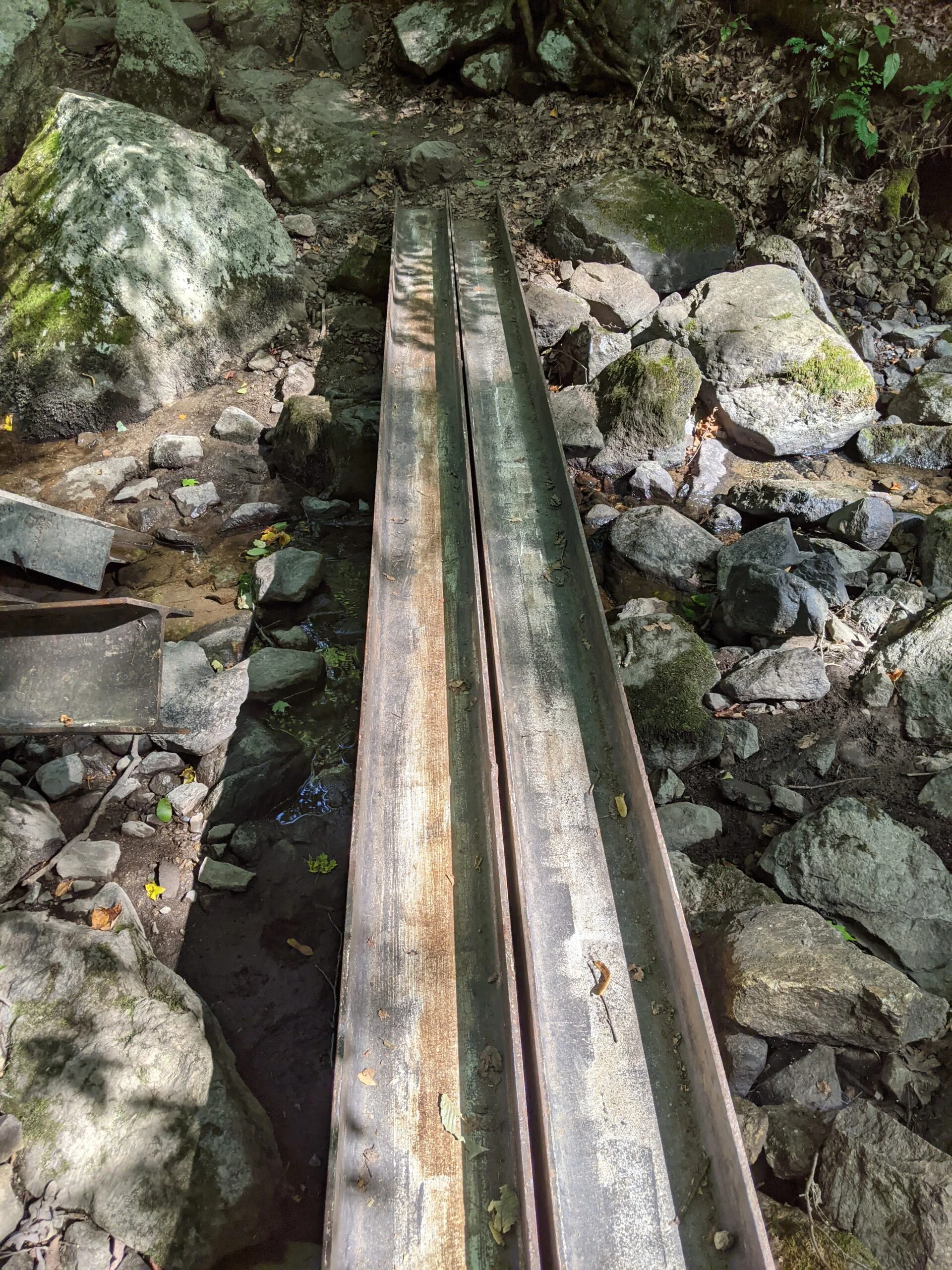
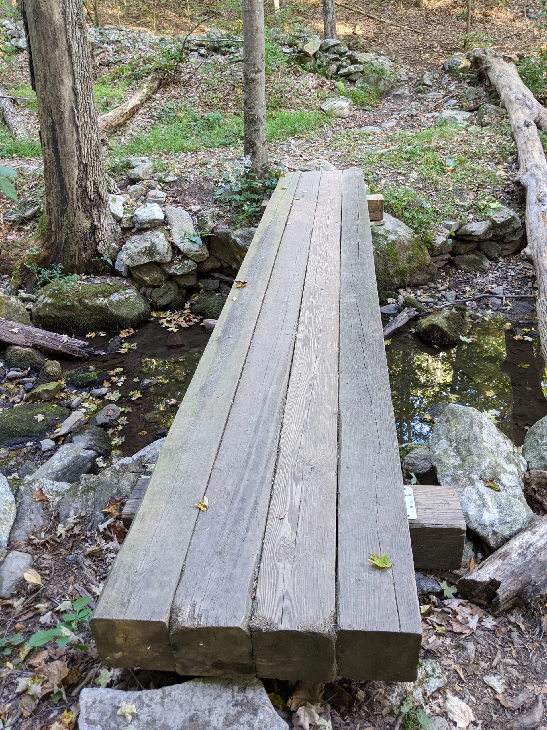
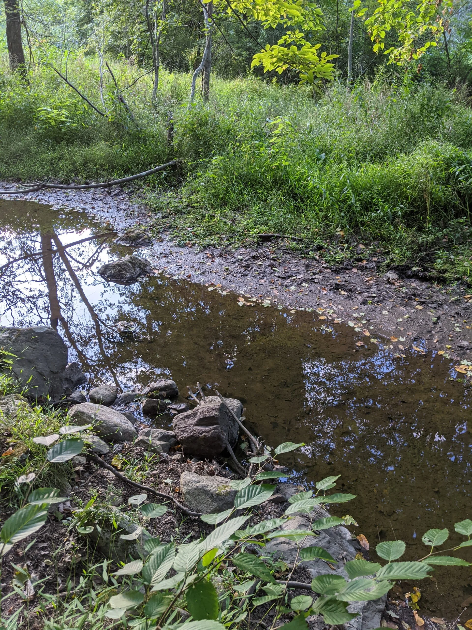
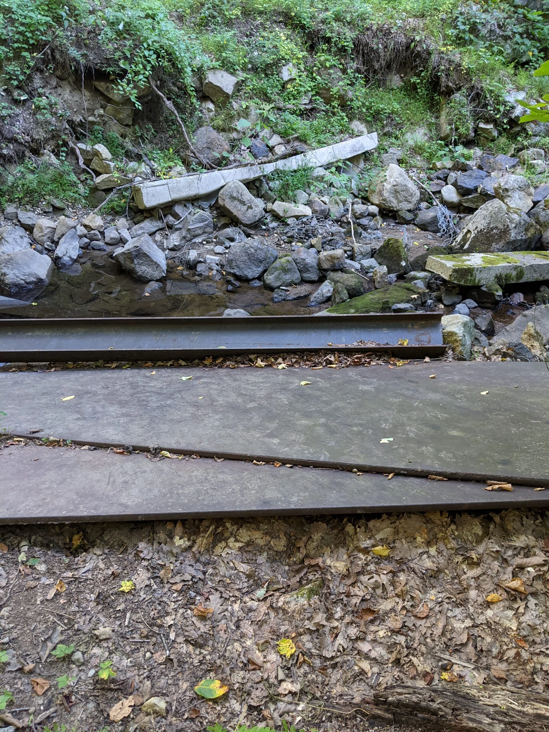
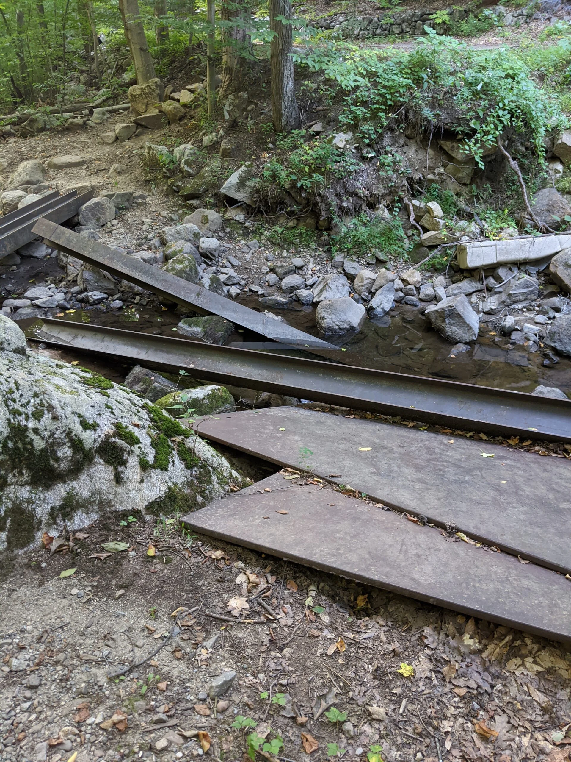
About 0.5 miles in, I hit an intersection with the Hubbard Loop trail (HL, yellow blazes). If you continue straight, you’ll be taking HL off to the west. If you turn right, you’ll cross a small stream bed via a set of two steel beams laid over the rocks. After crossing, a left turn will continue on SM (white blazes) and a right turn will take you to Fahenstock Trail (FS, blue blazes).
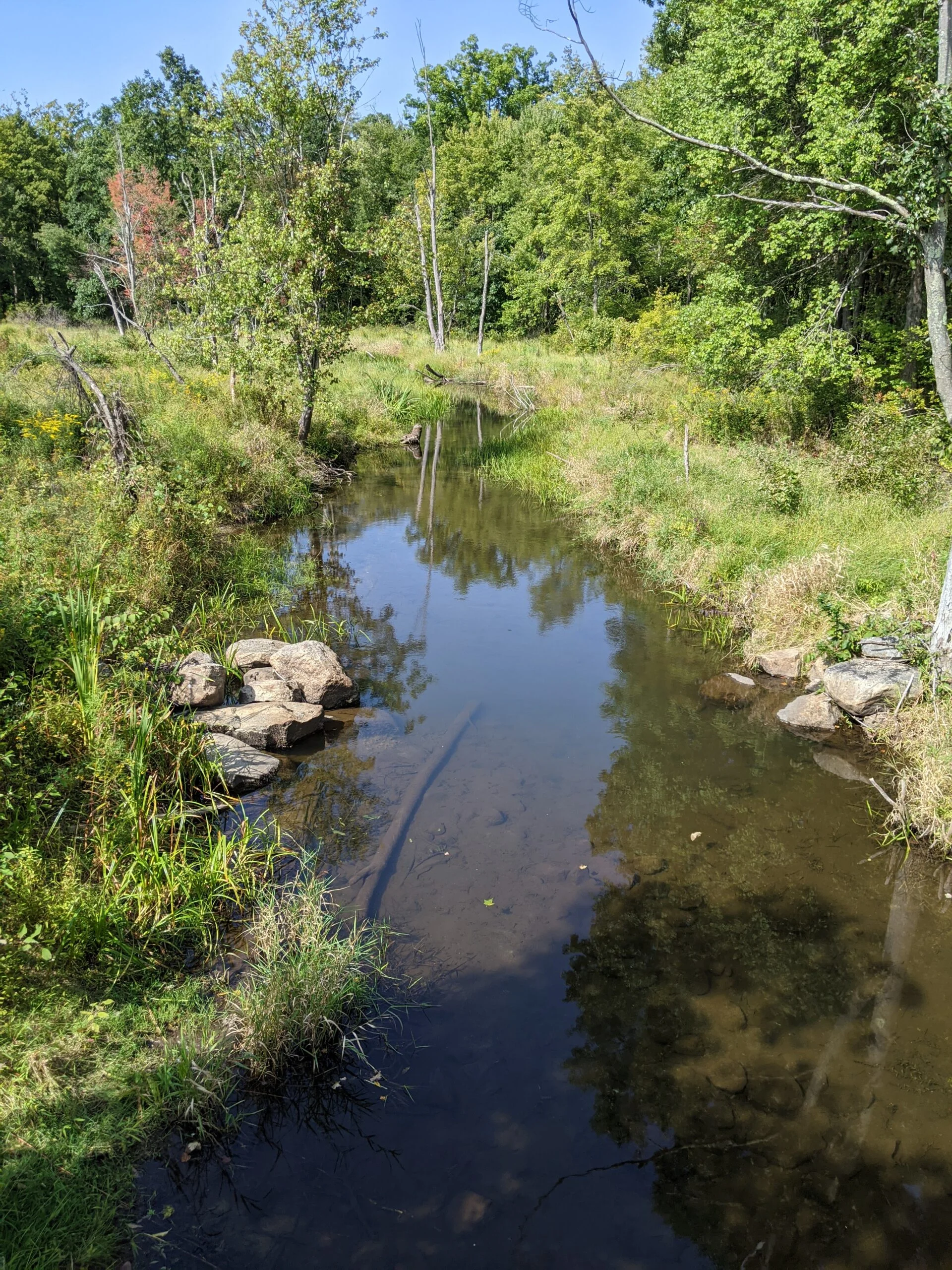
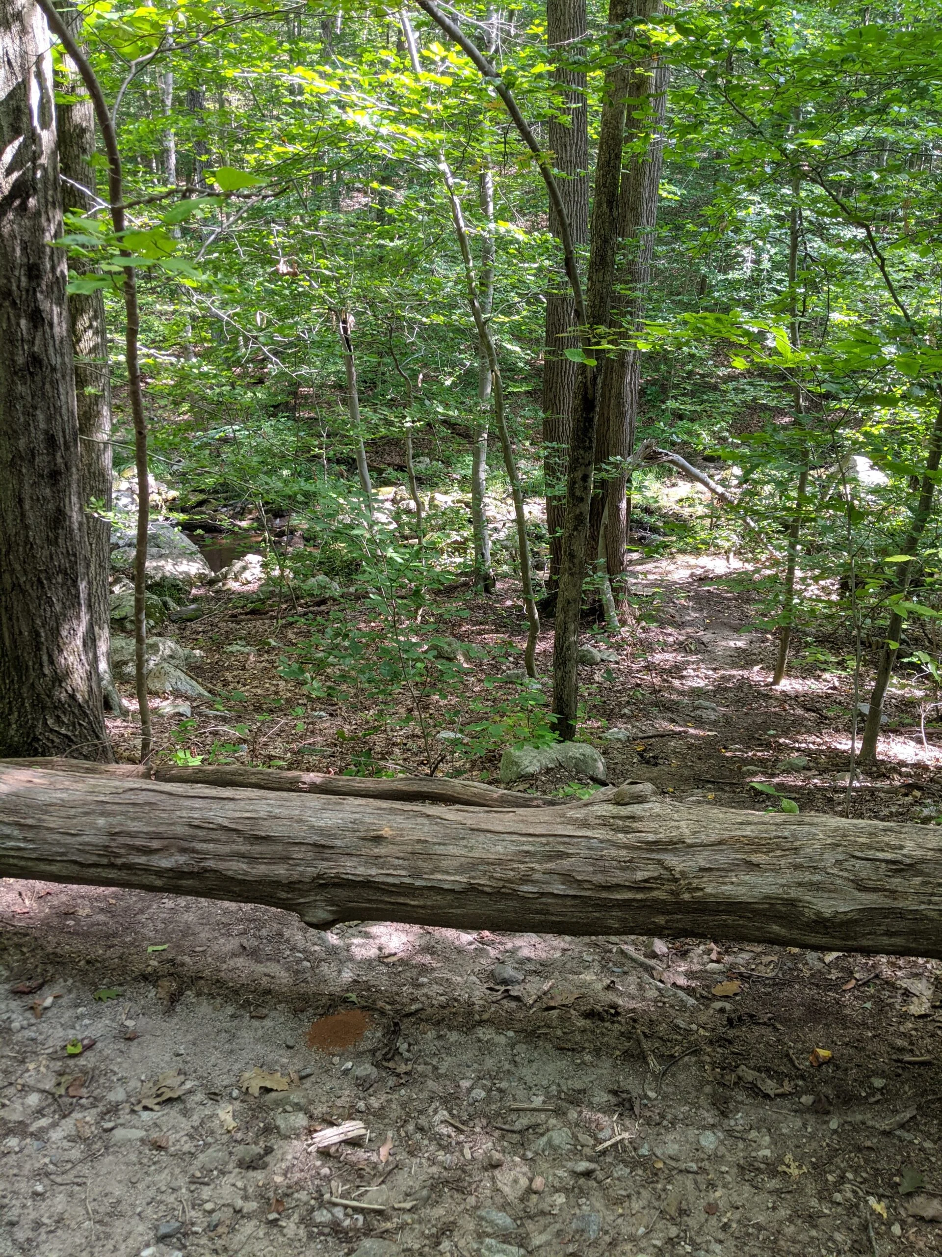
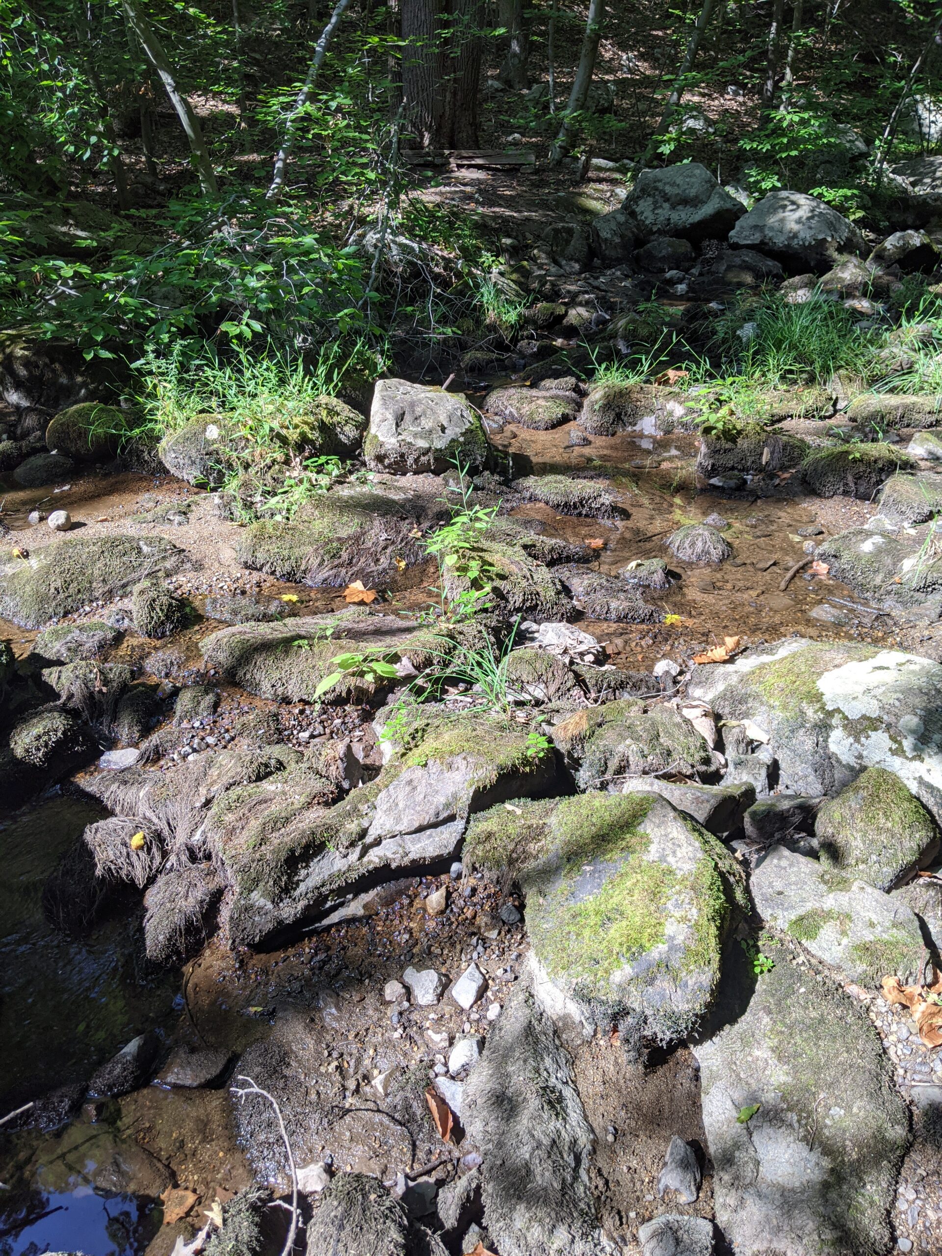
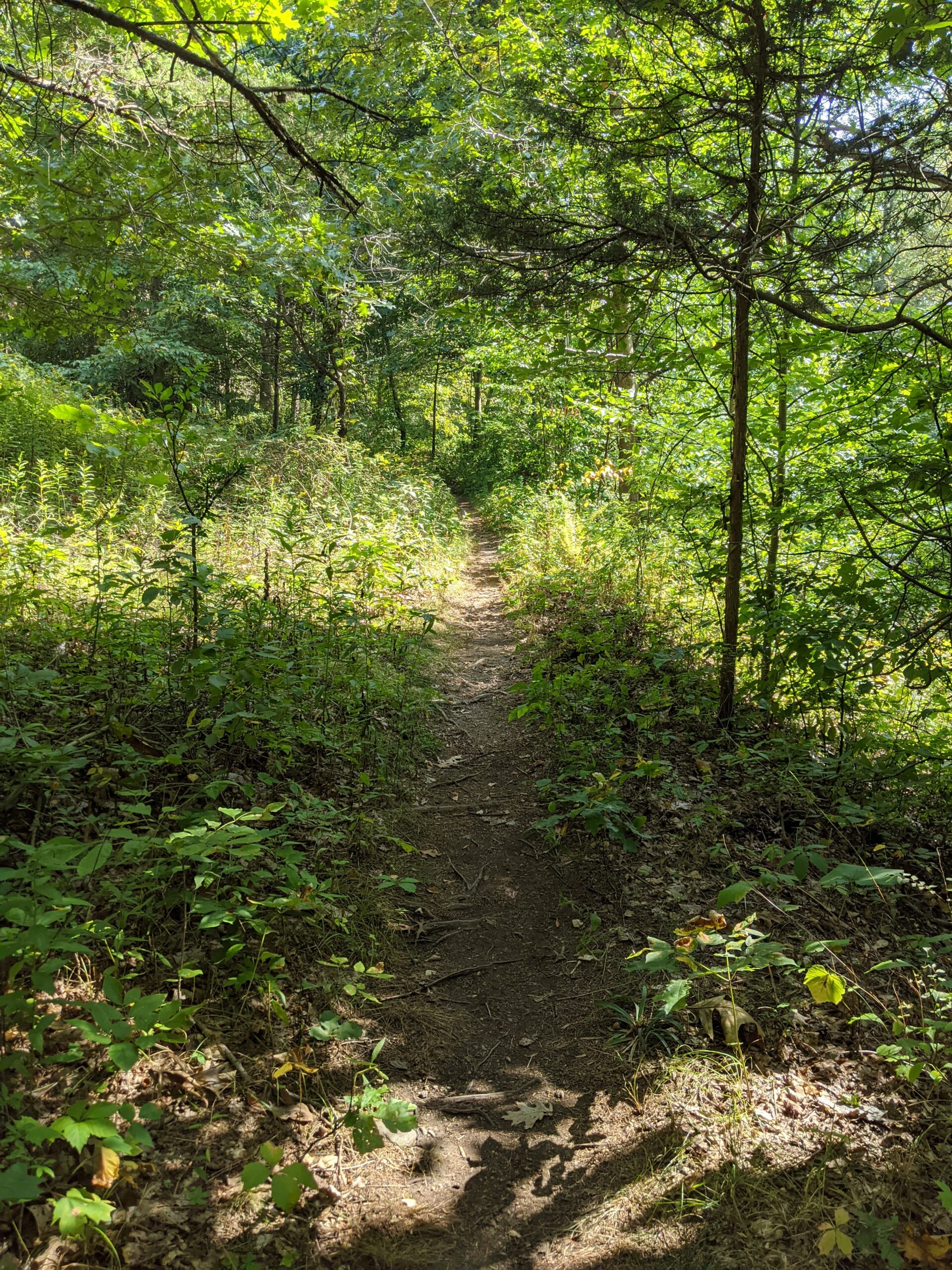
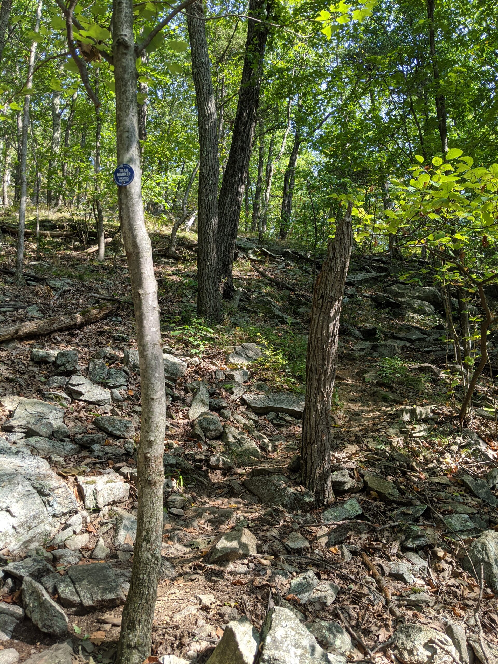
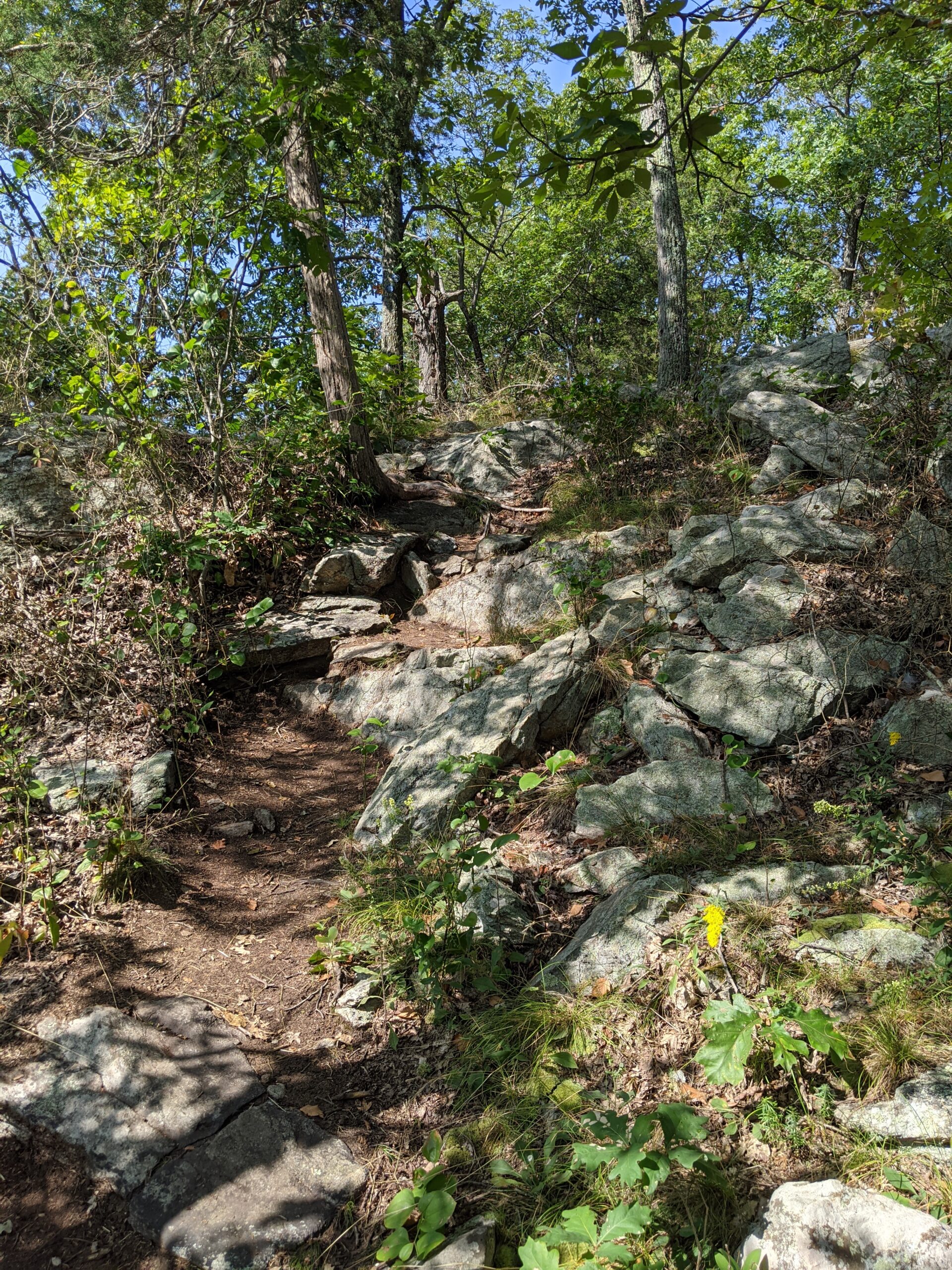
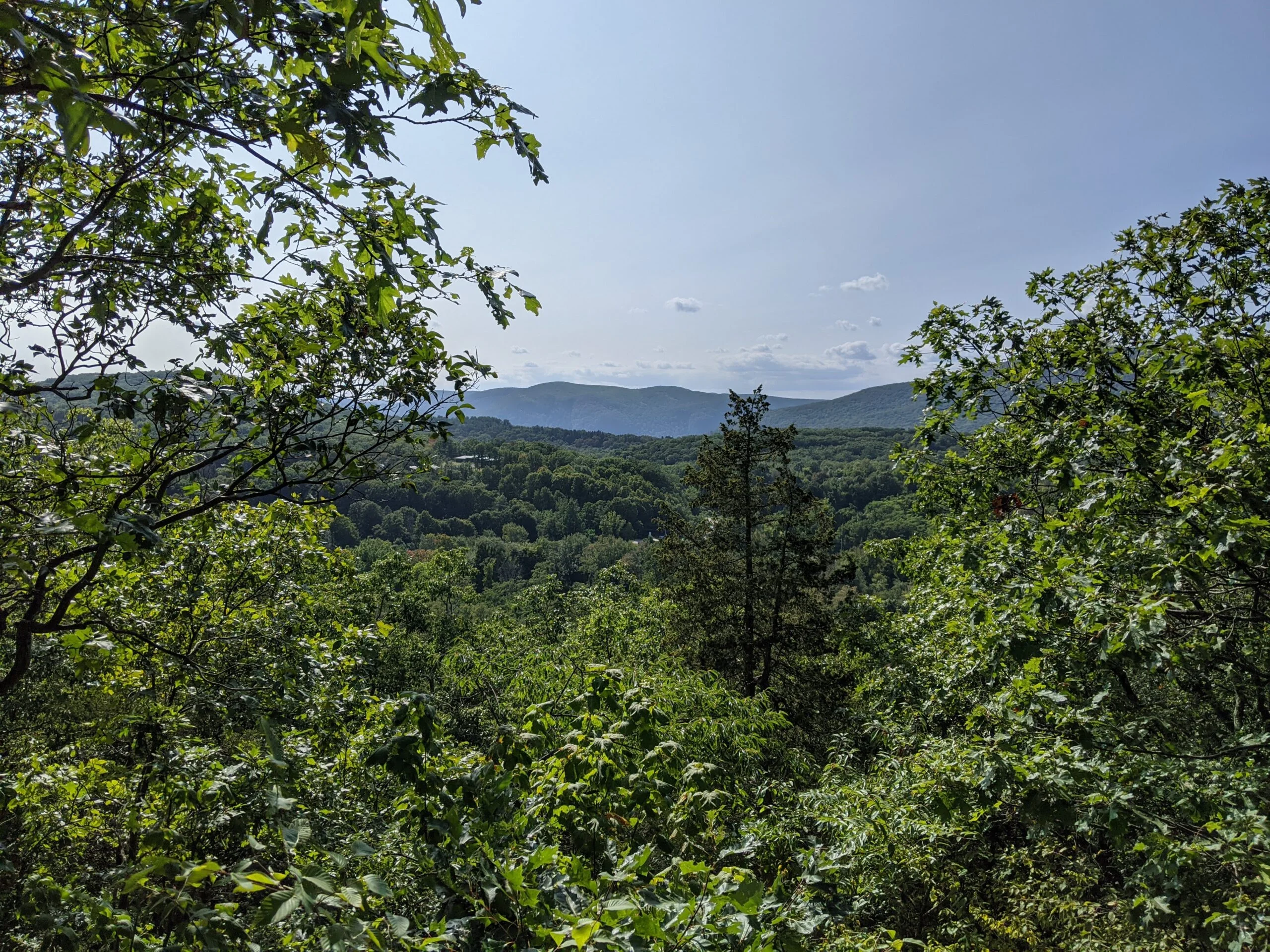
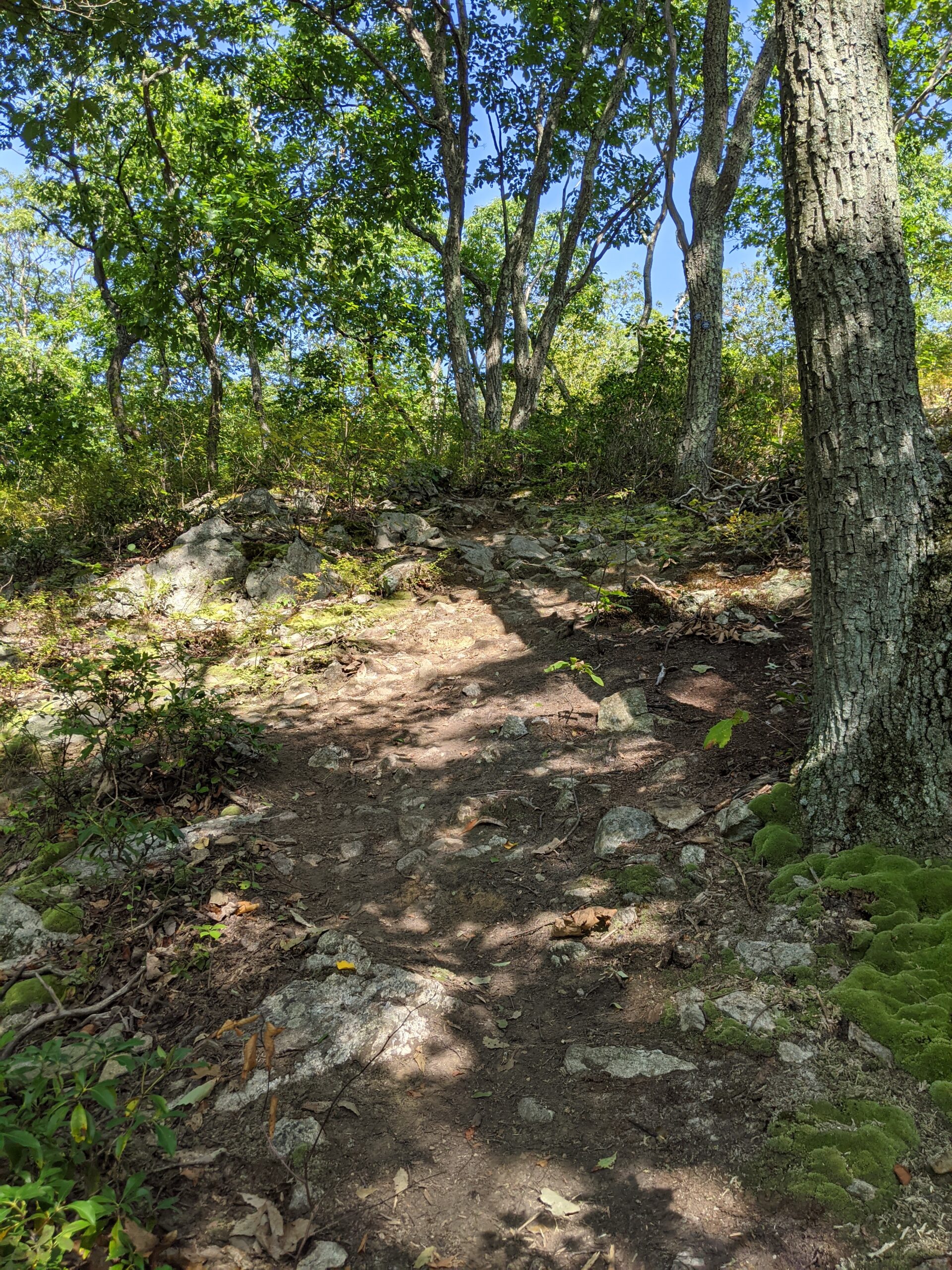
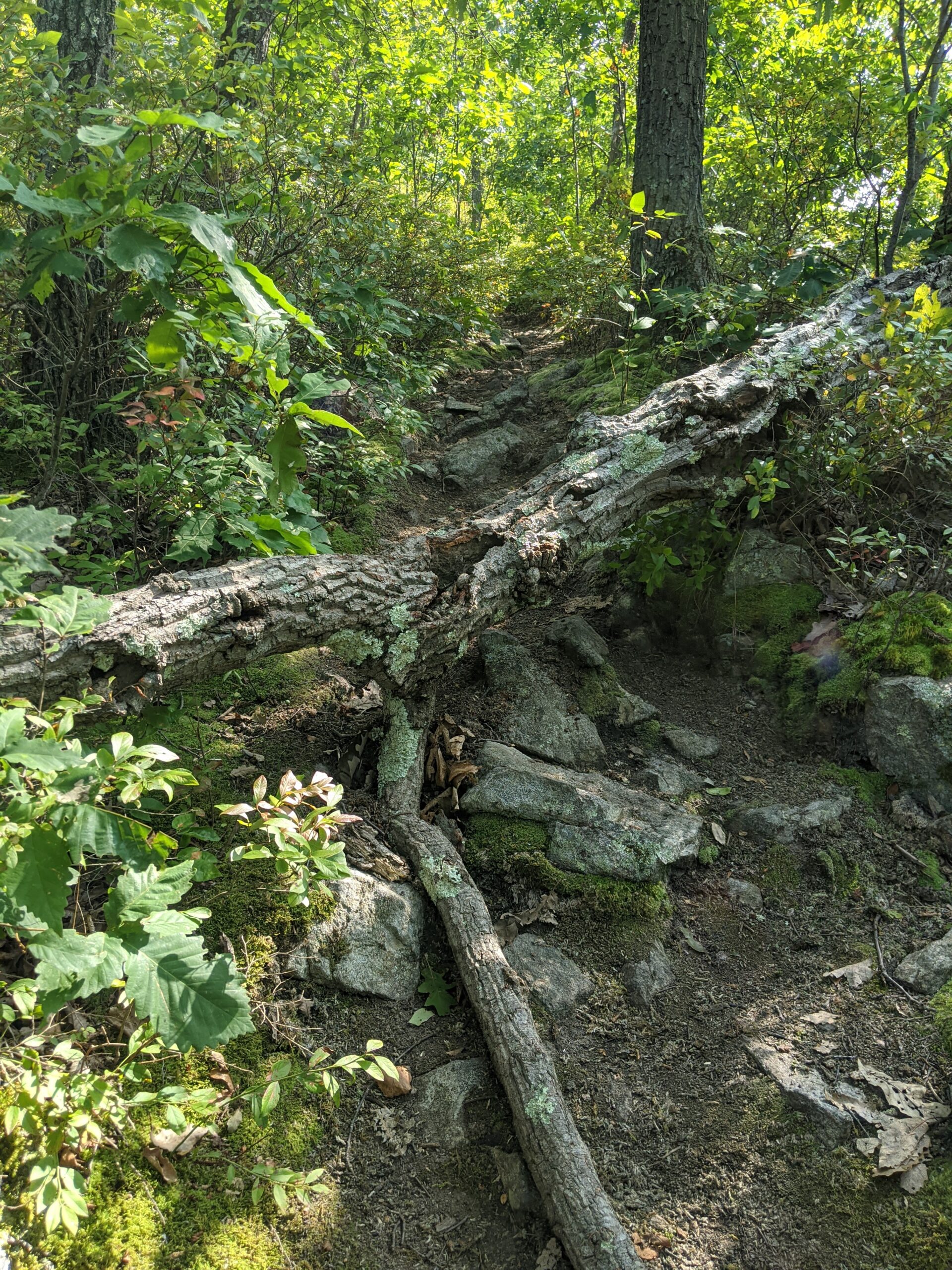
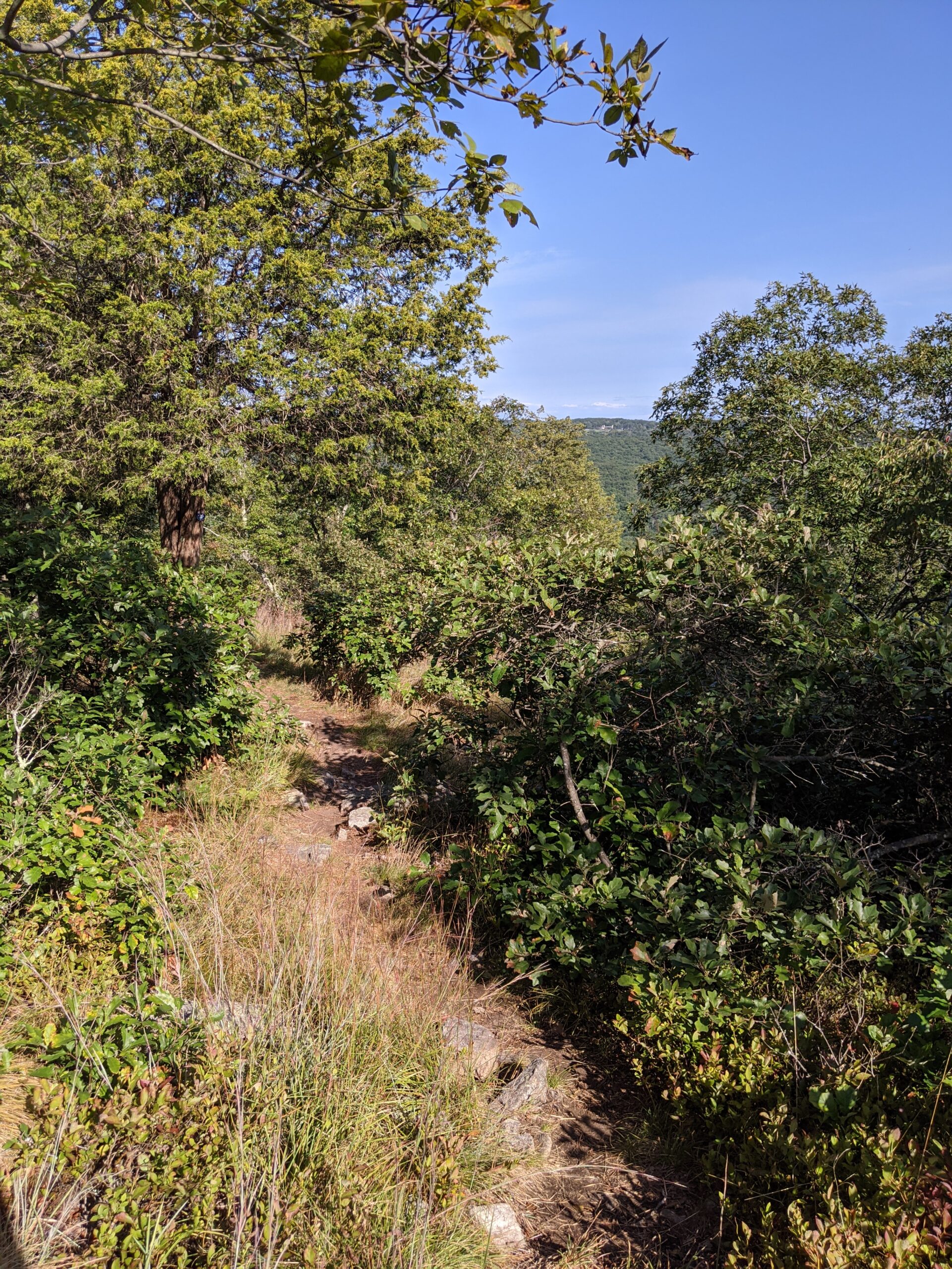
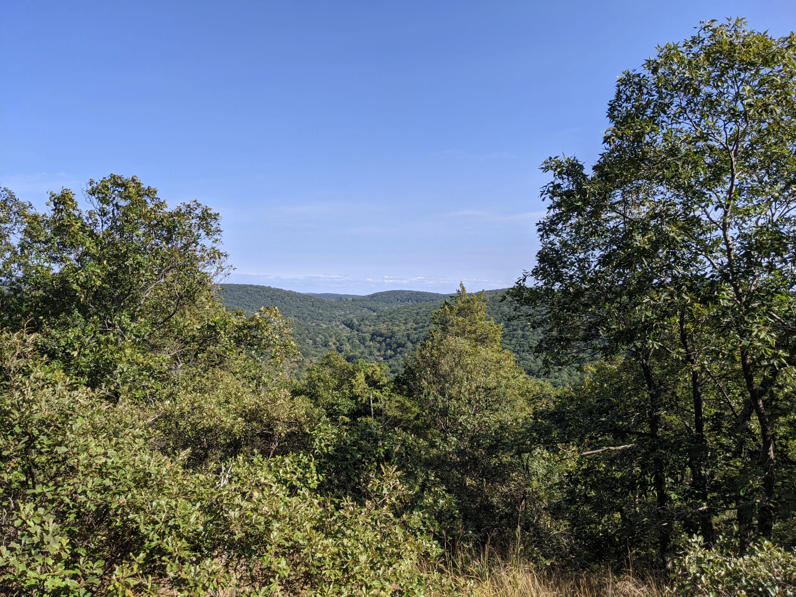
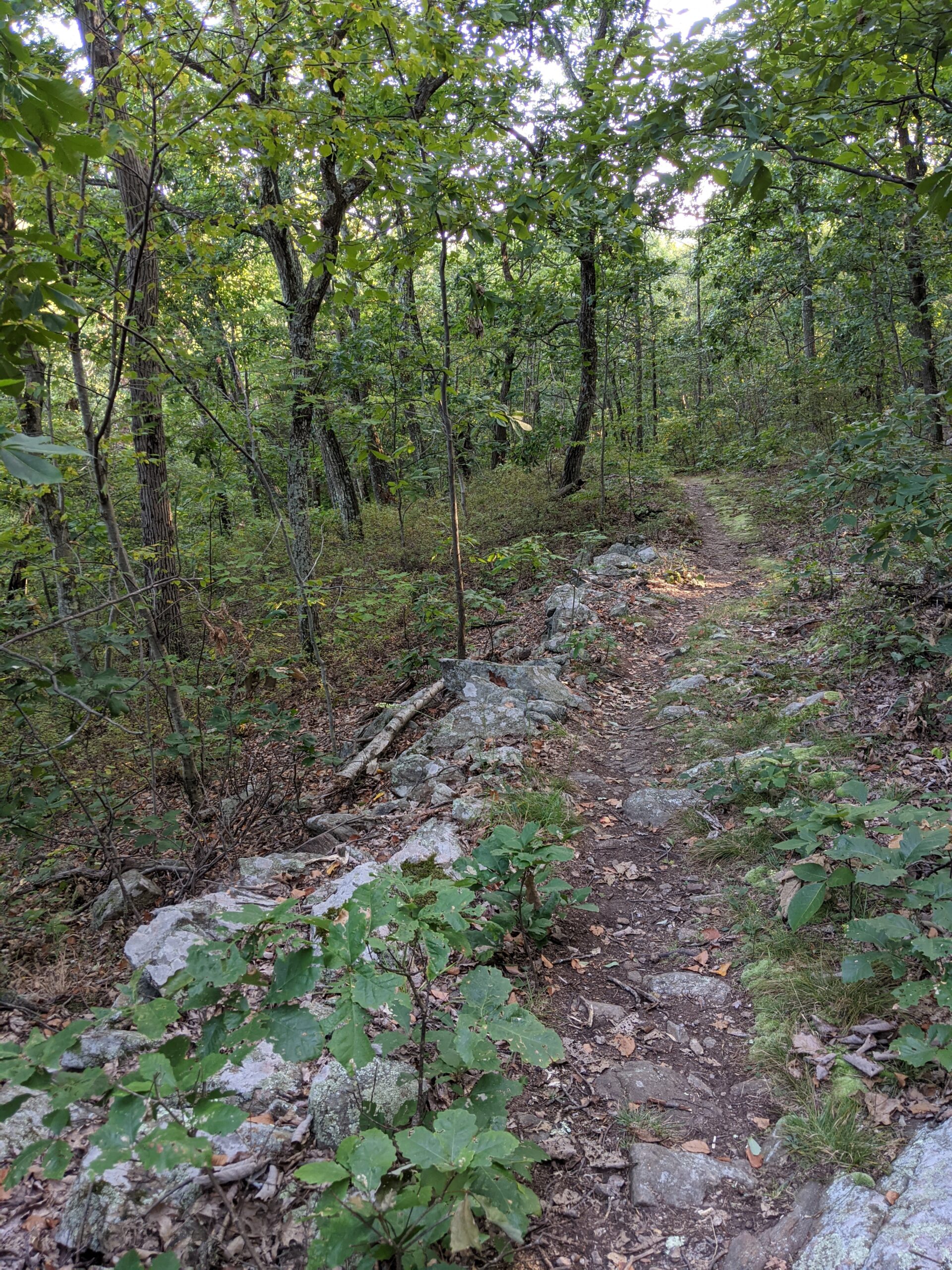
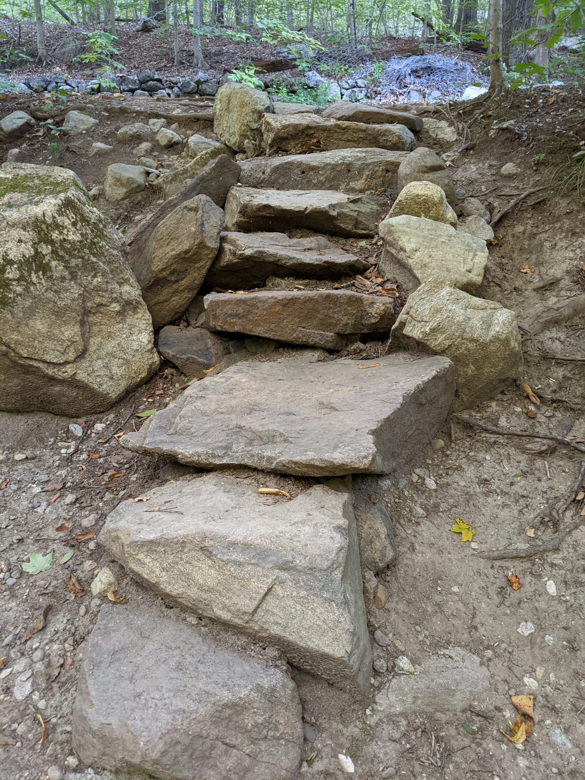
I took the the right turn onto FS, which follows the stream in a south westerly direction. This section of the trail was flat and easy for about 1/2 a mile, then I started ascending up Round Hill. It was an elevation gain of about 600 ft over about a mile. It’s not the most difficult or steep climb I’ve done, but it did slow me down a bit.
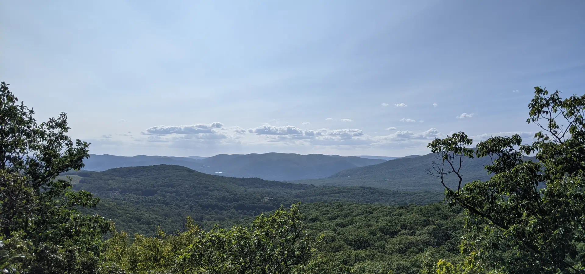
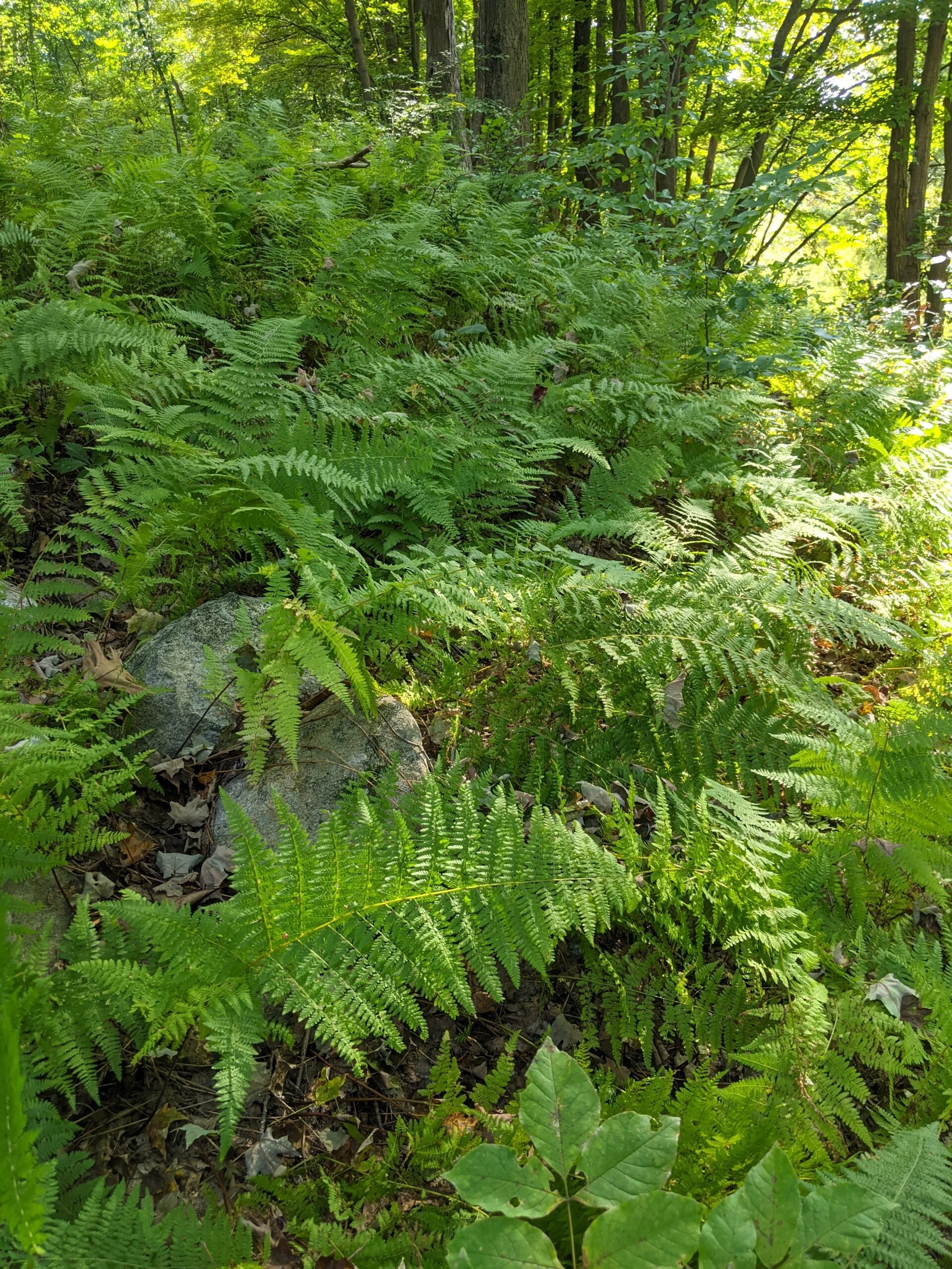
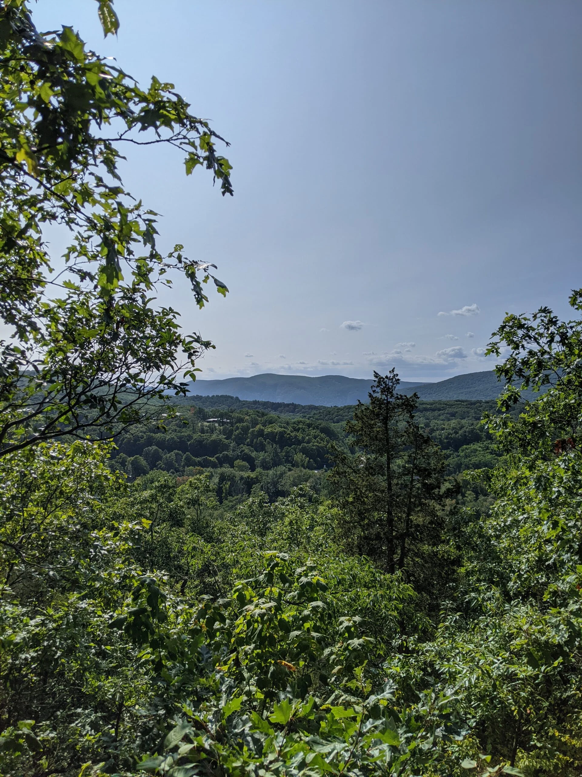
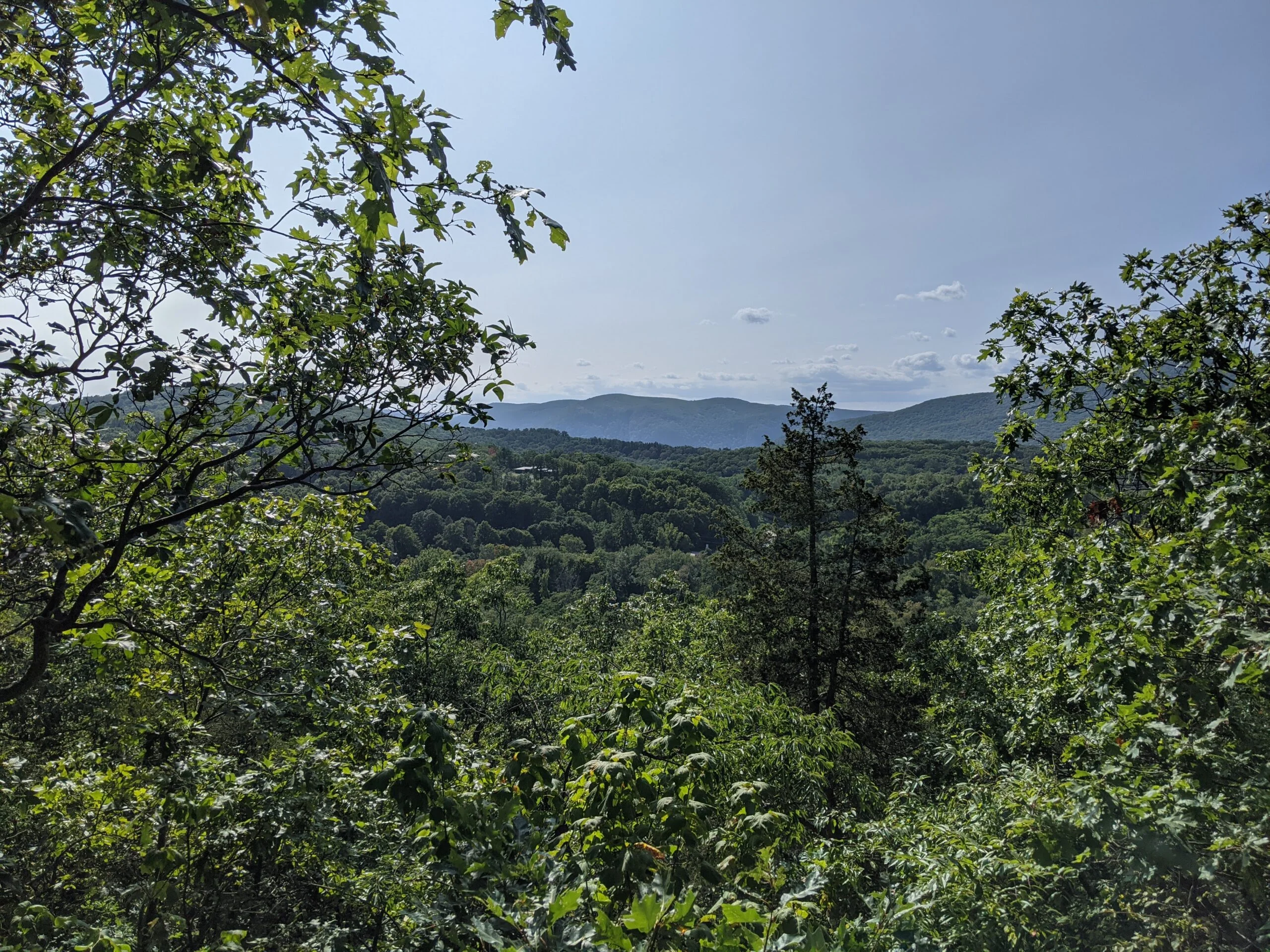
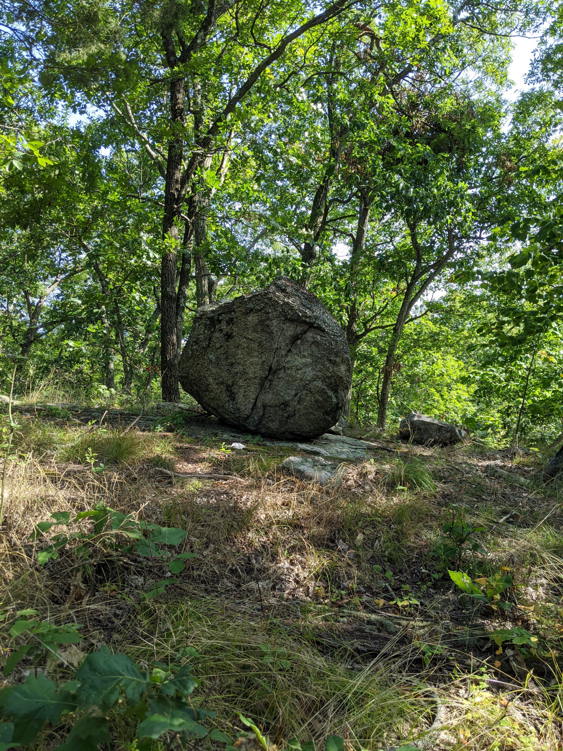
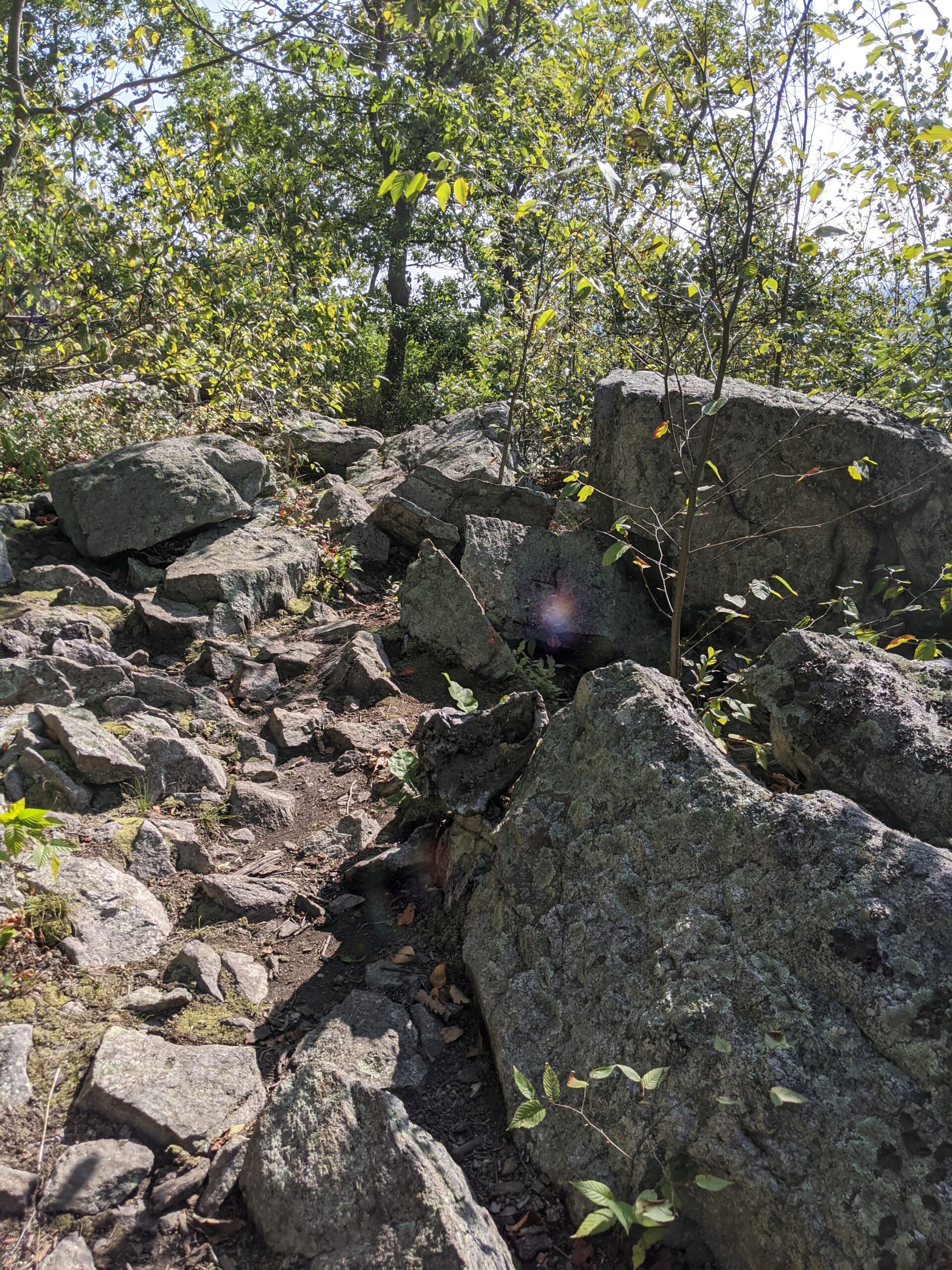
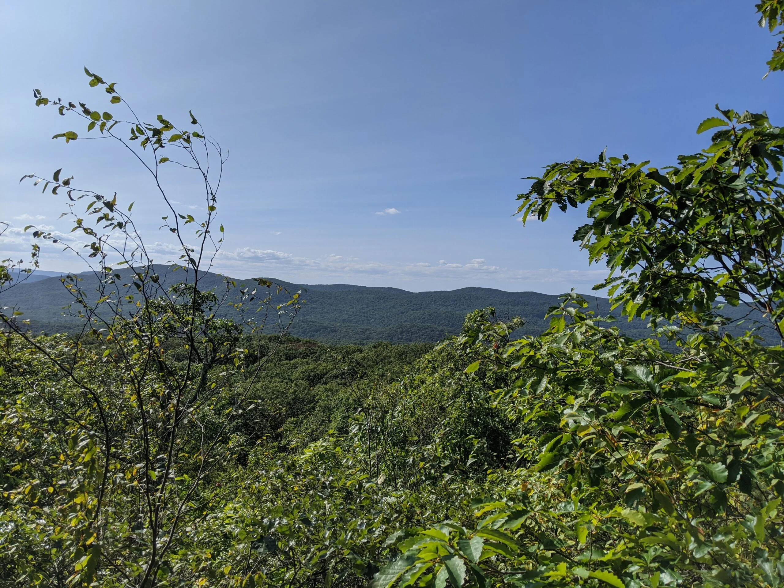
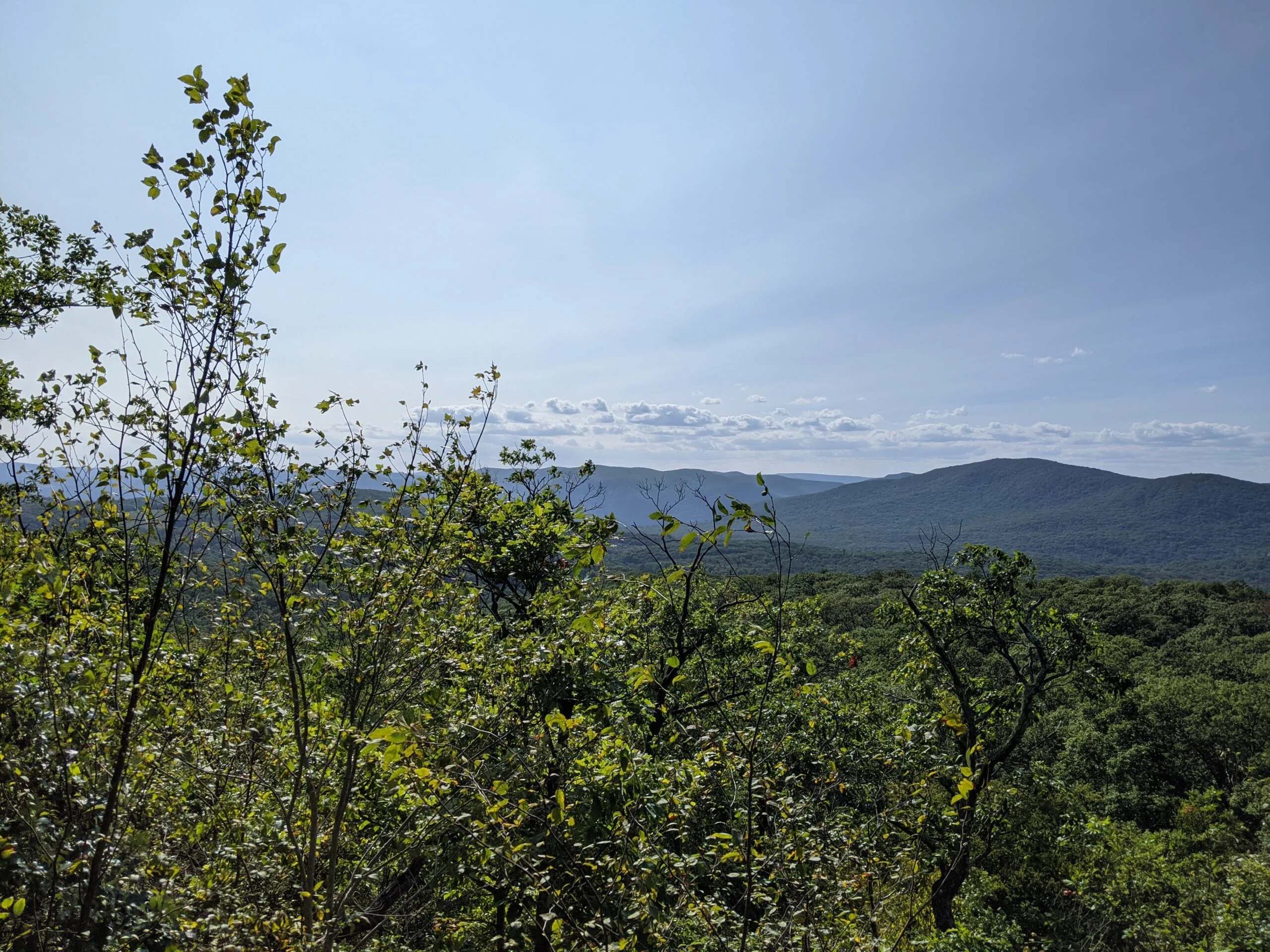
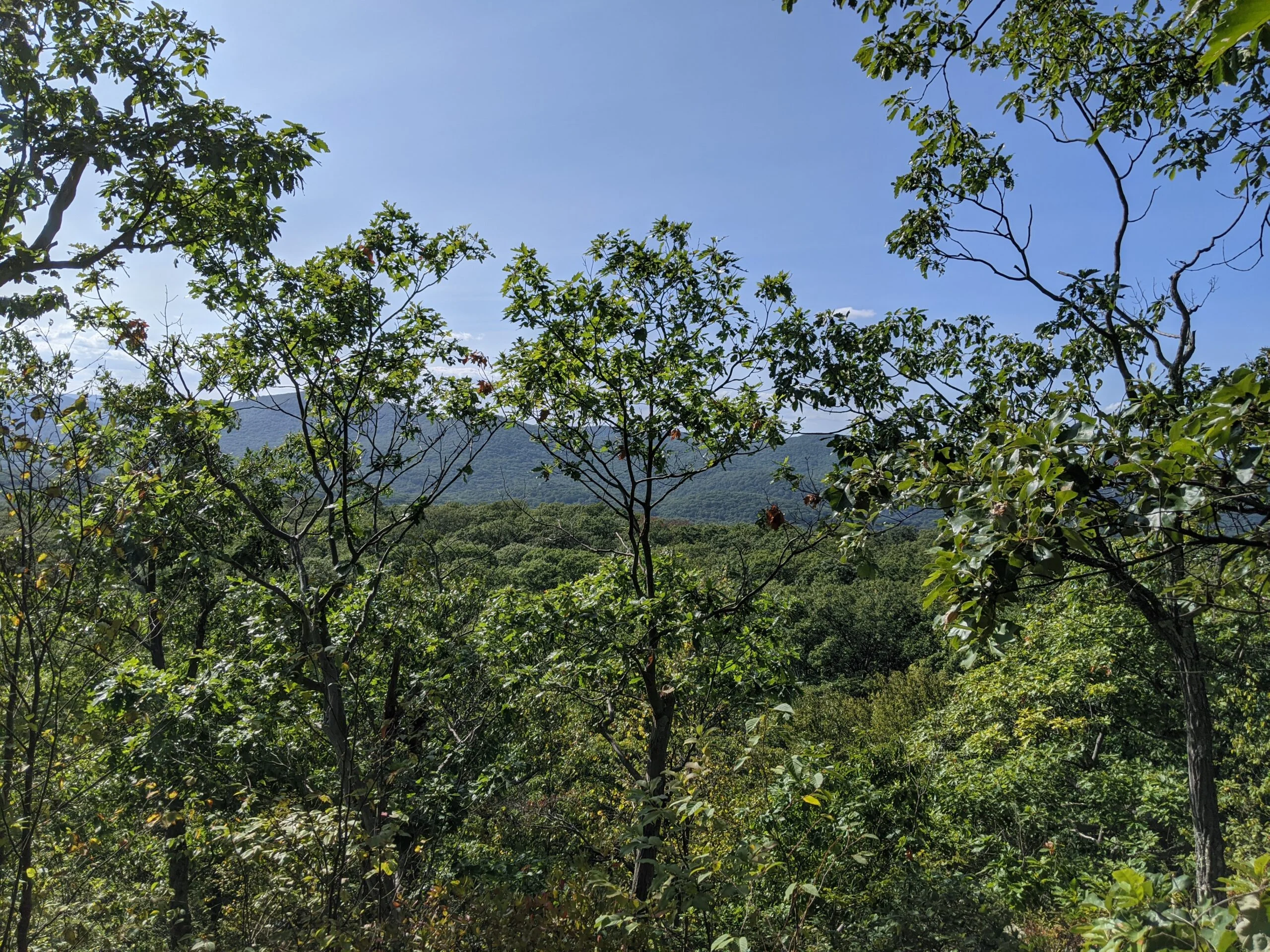
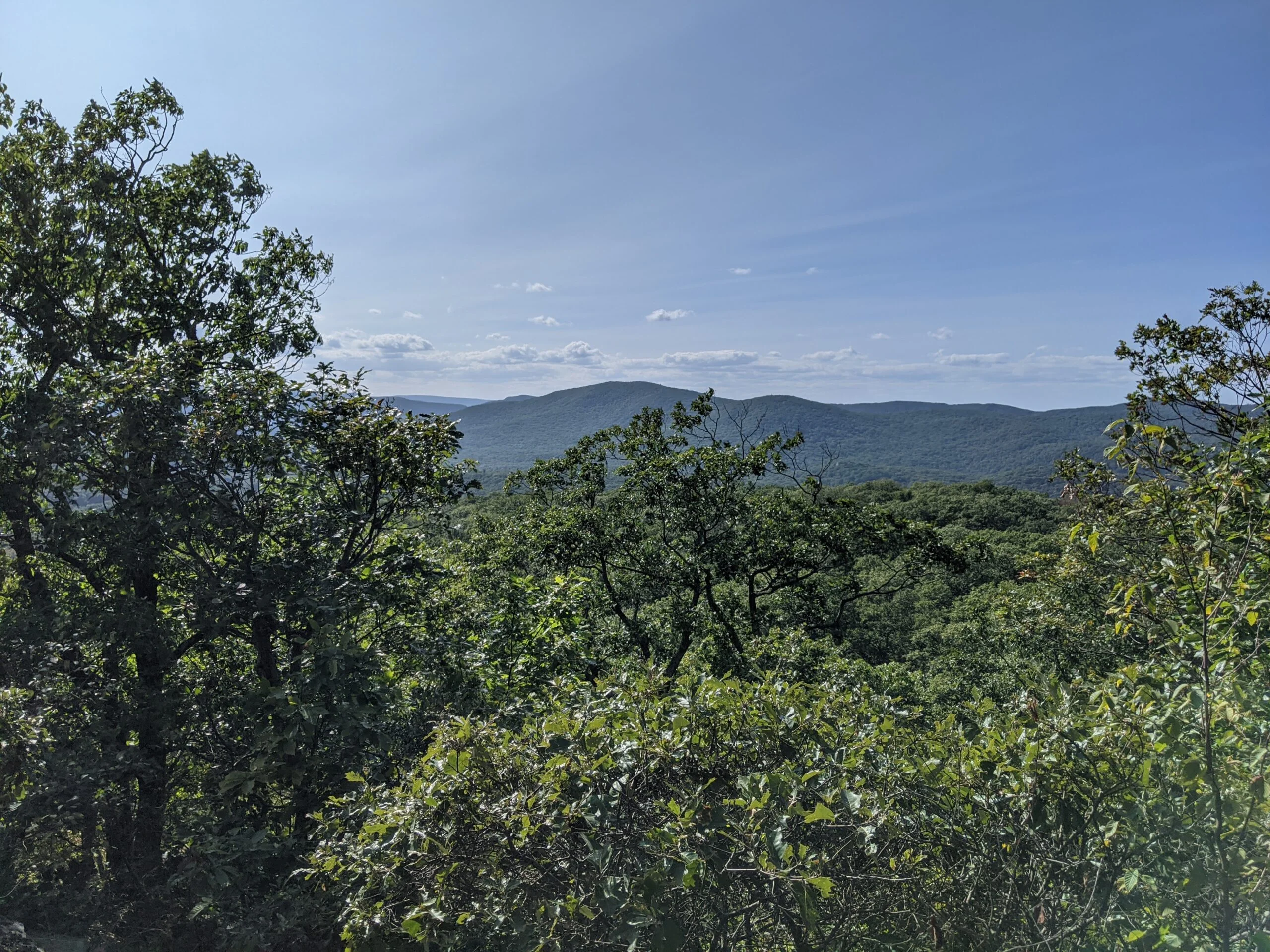
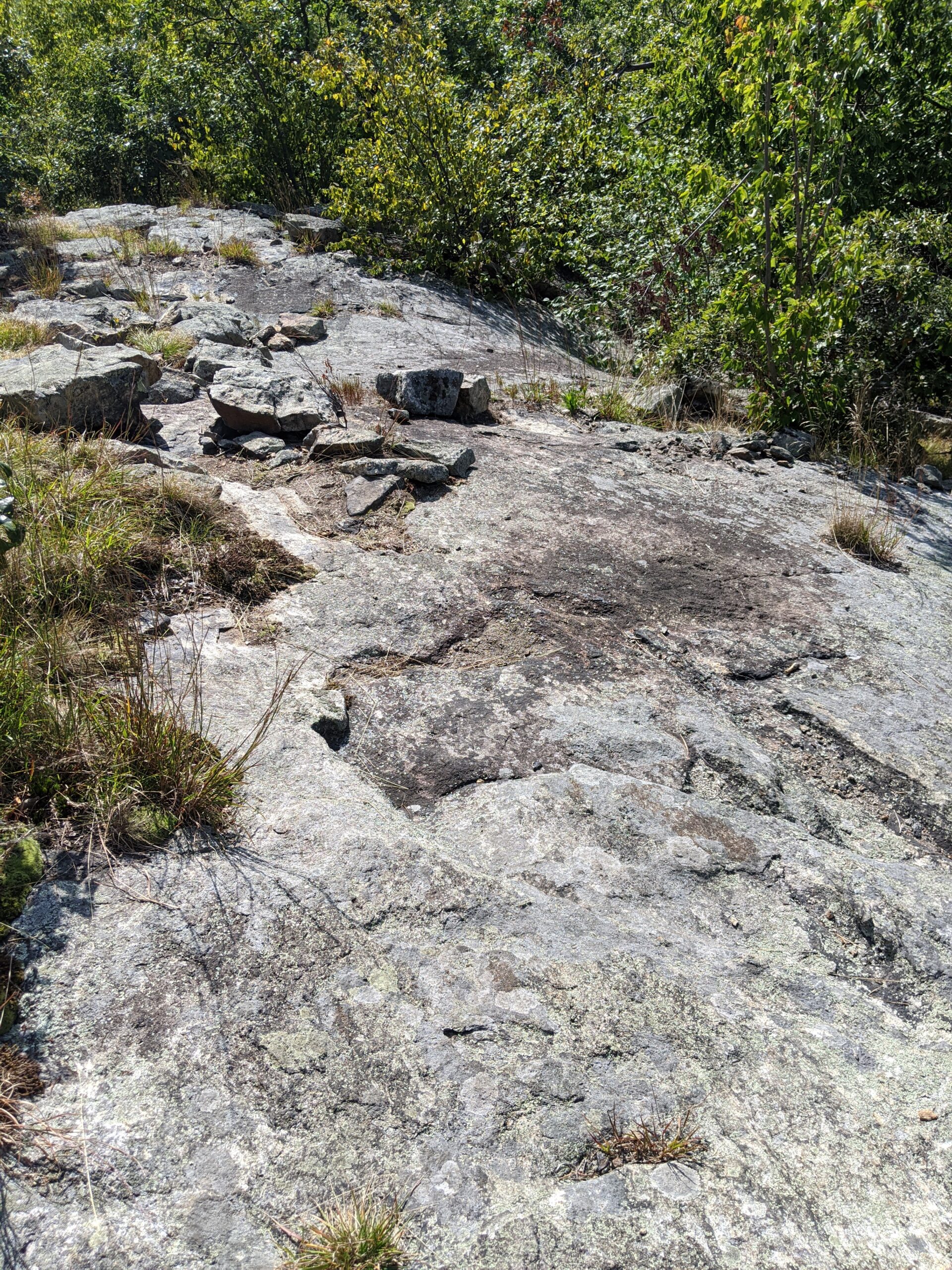
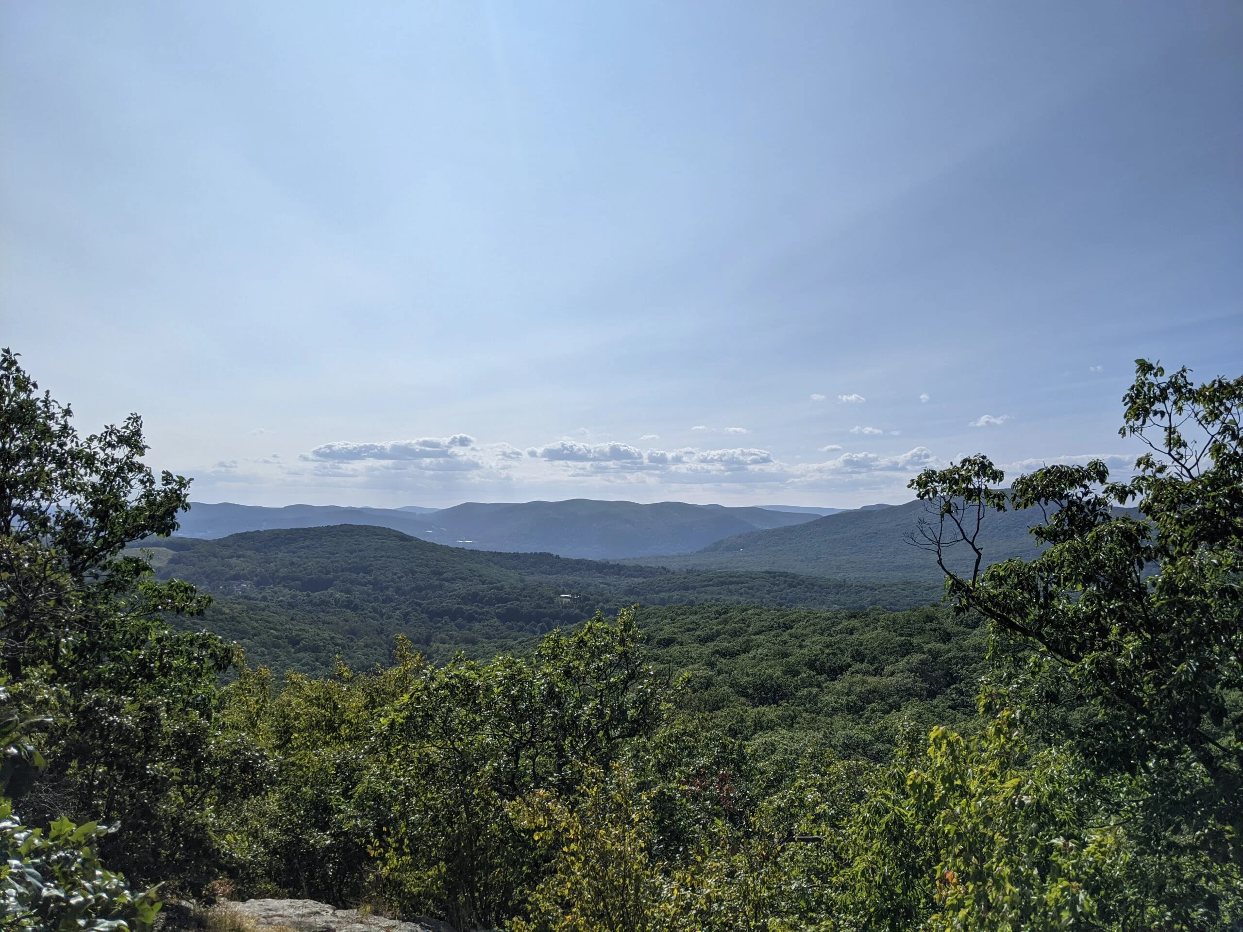
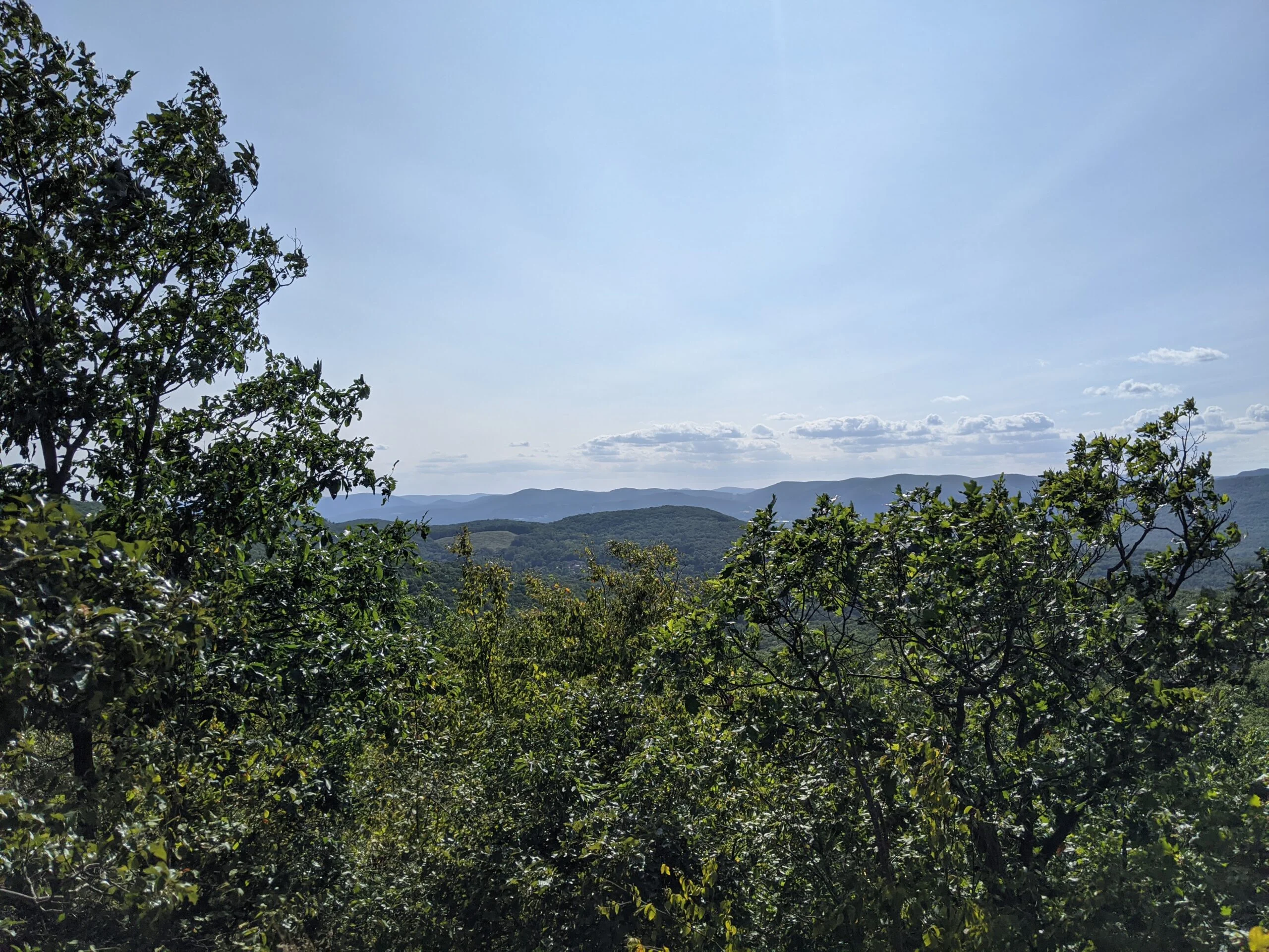
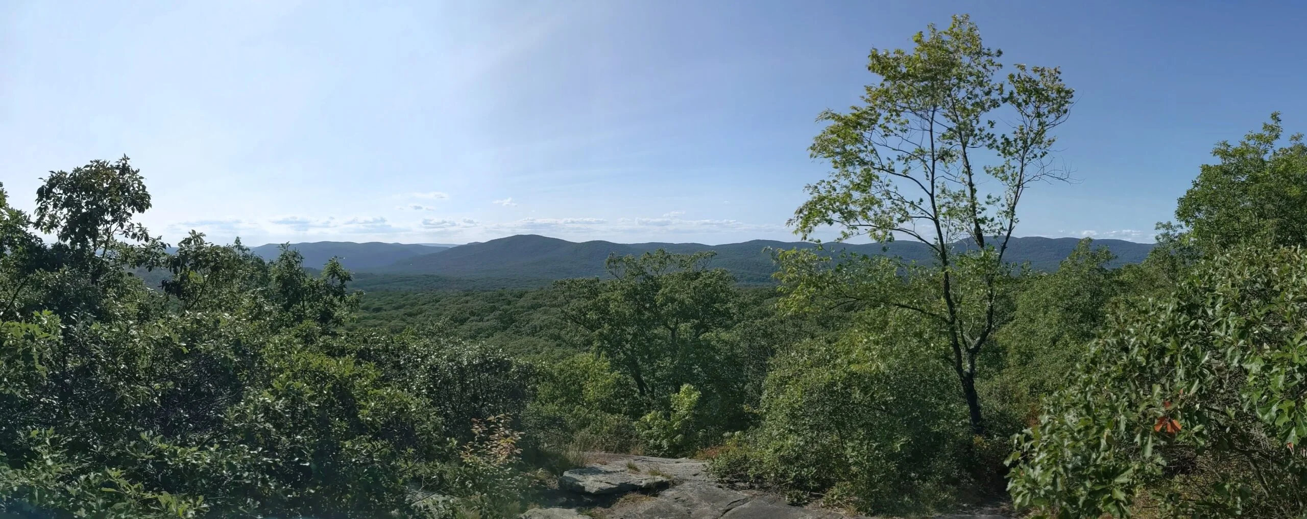
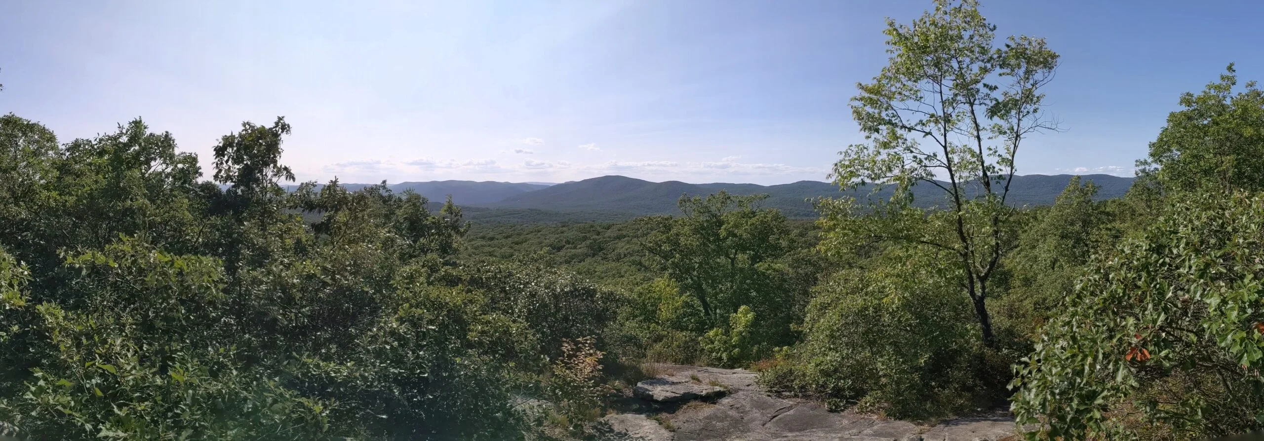
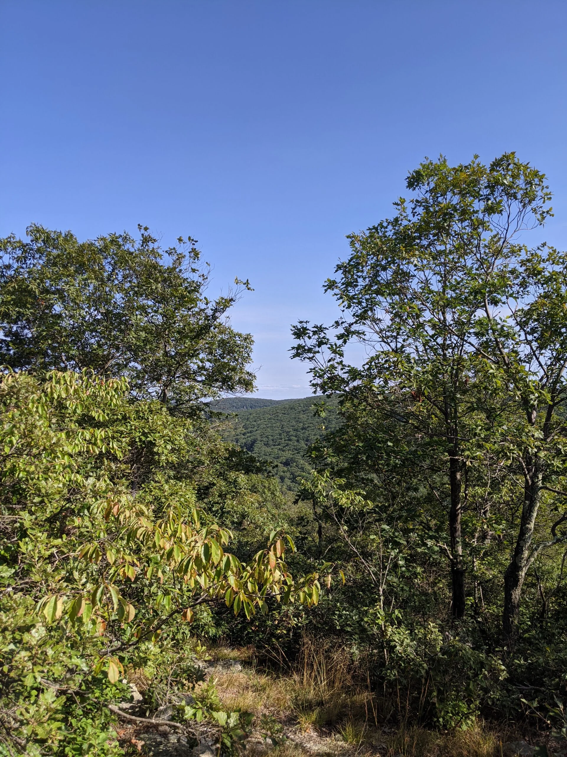
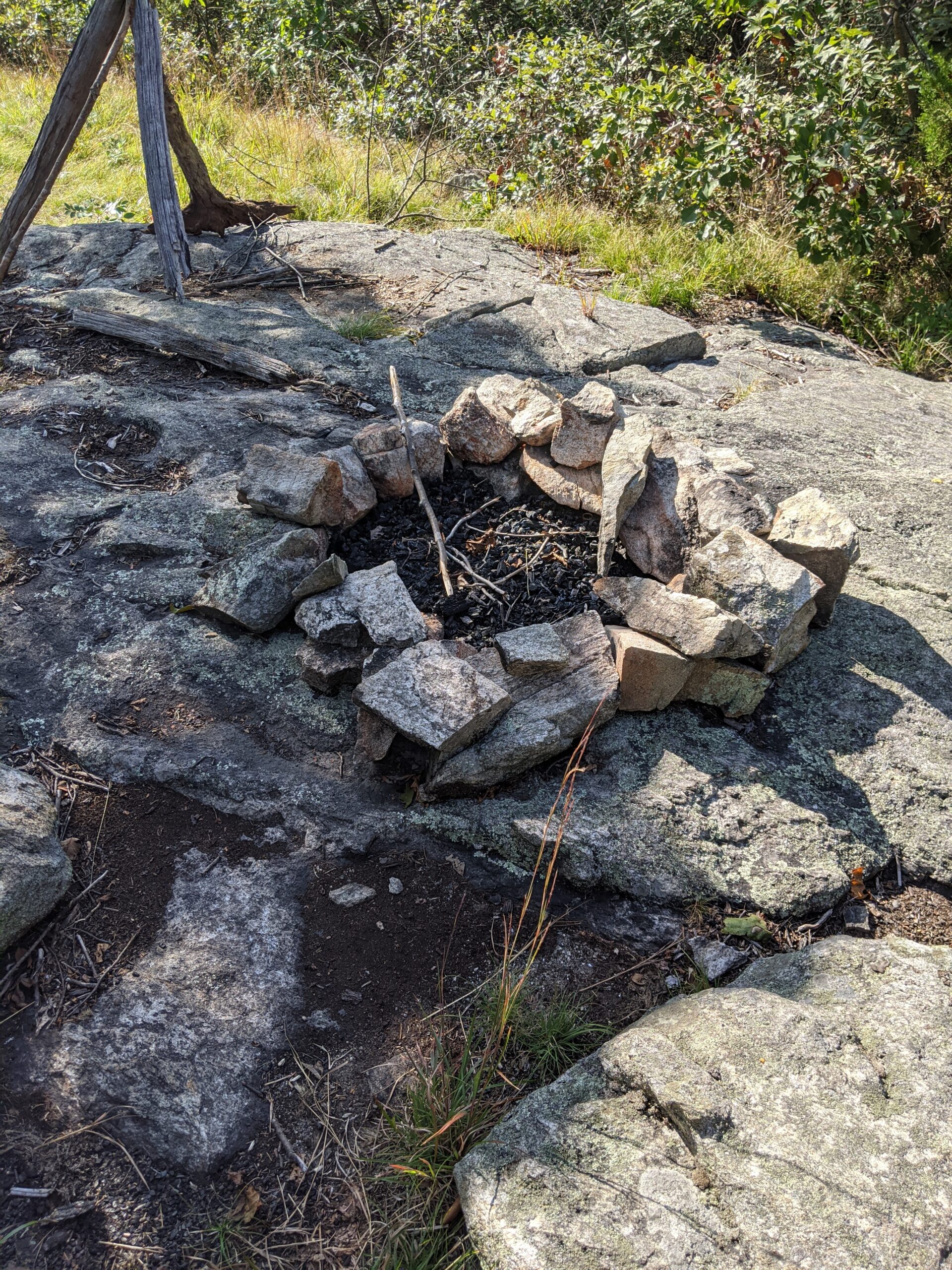
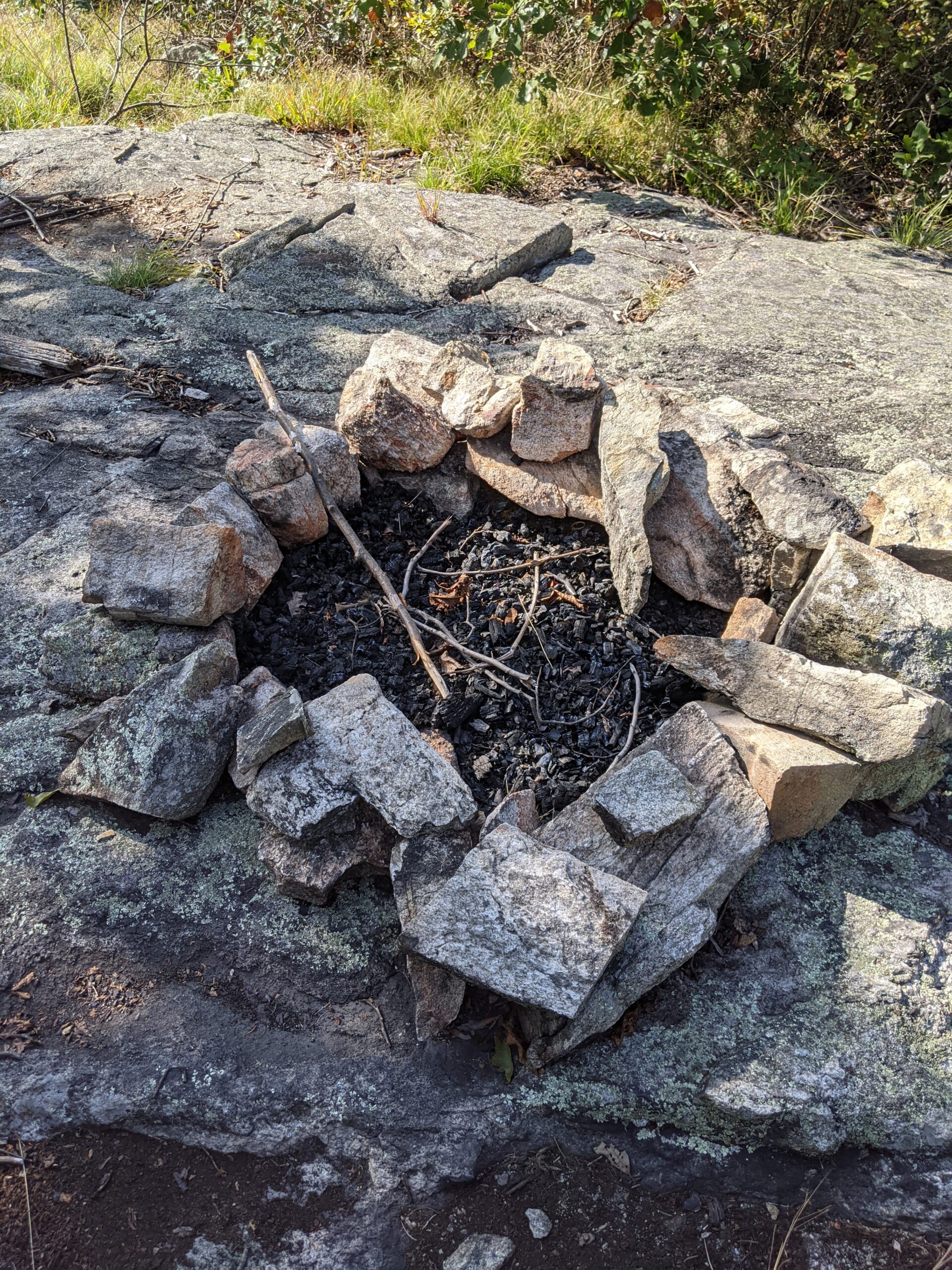
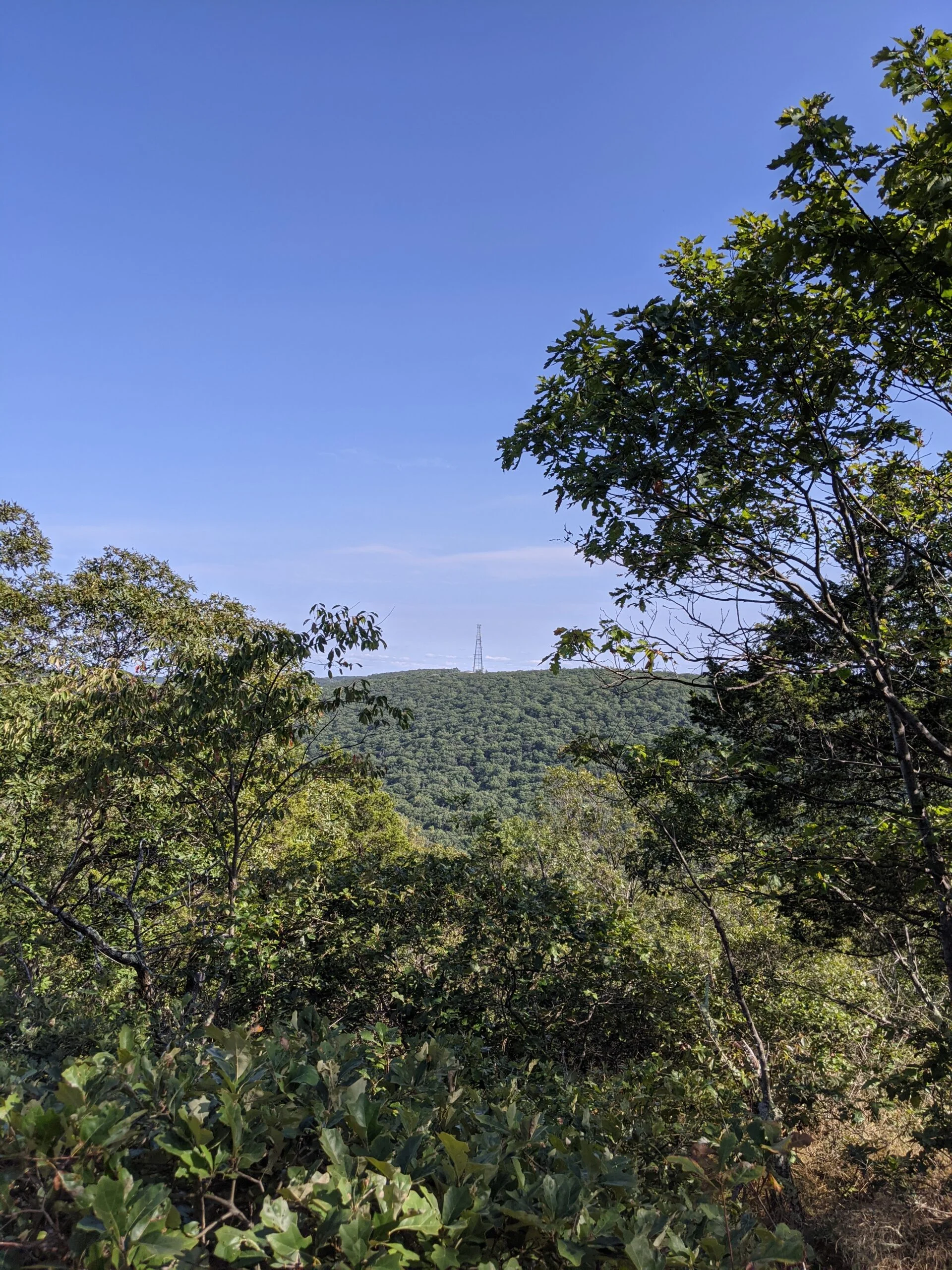
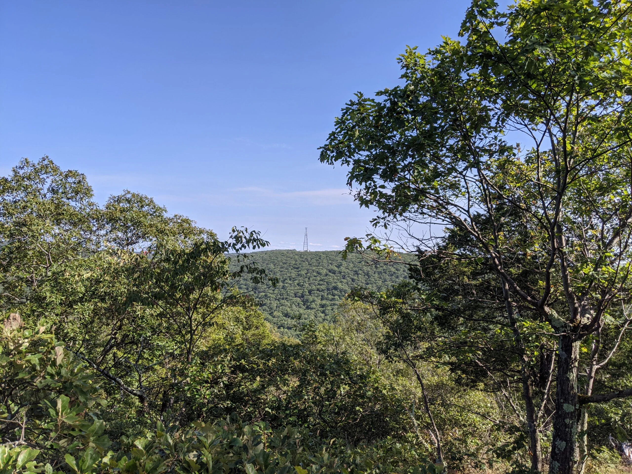
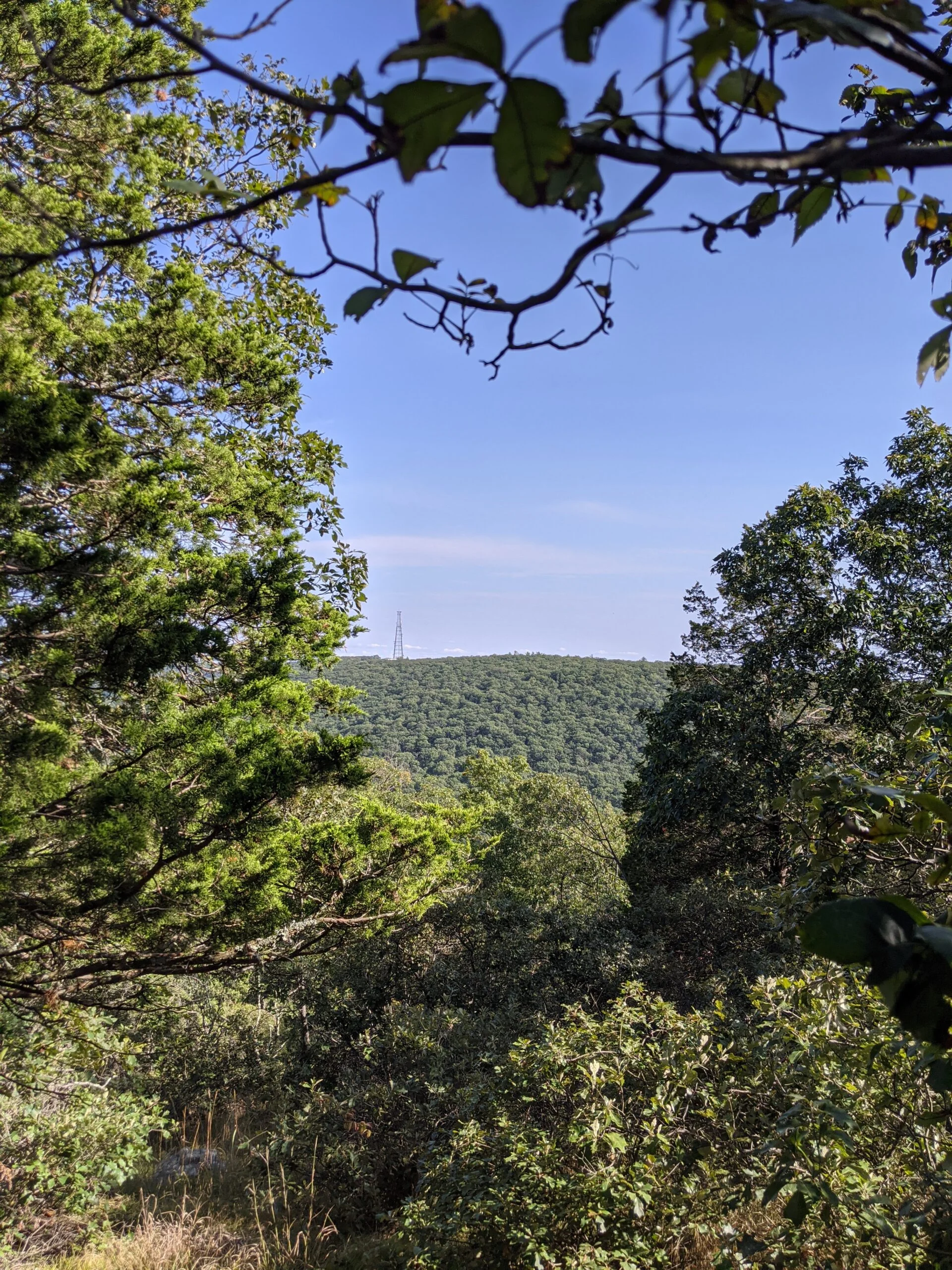
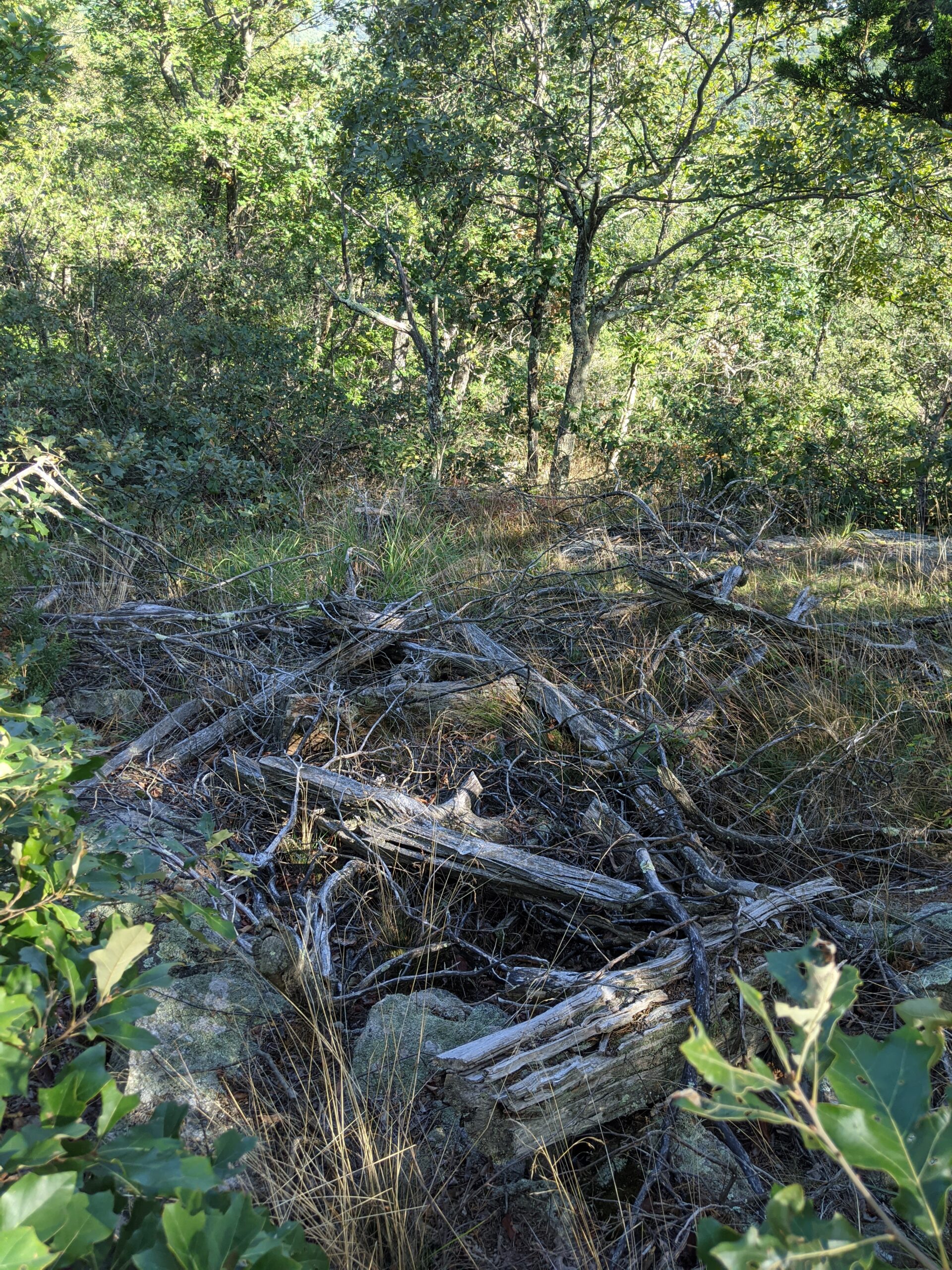
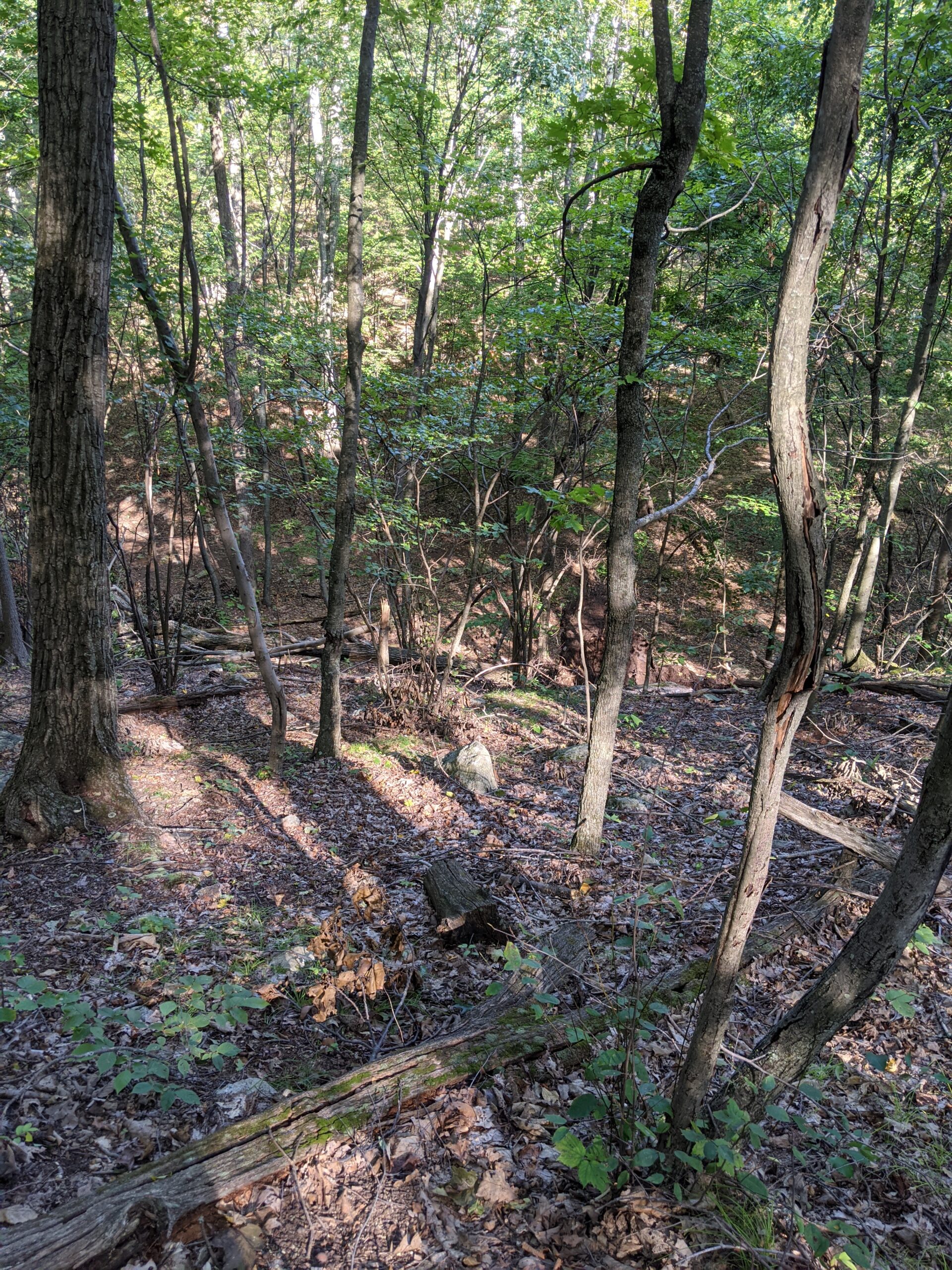
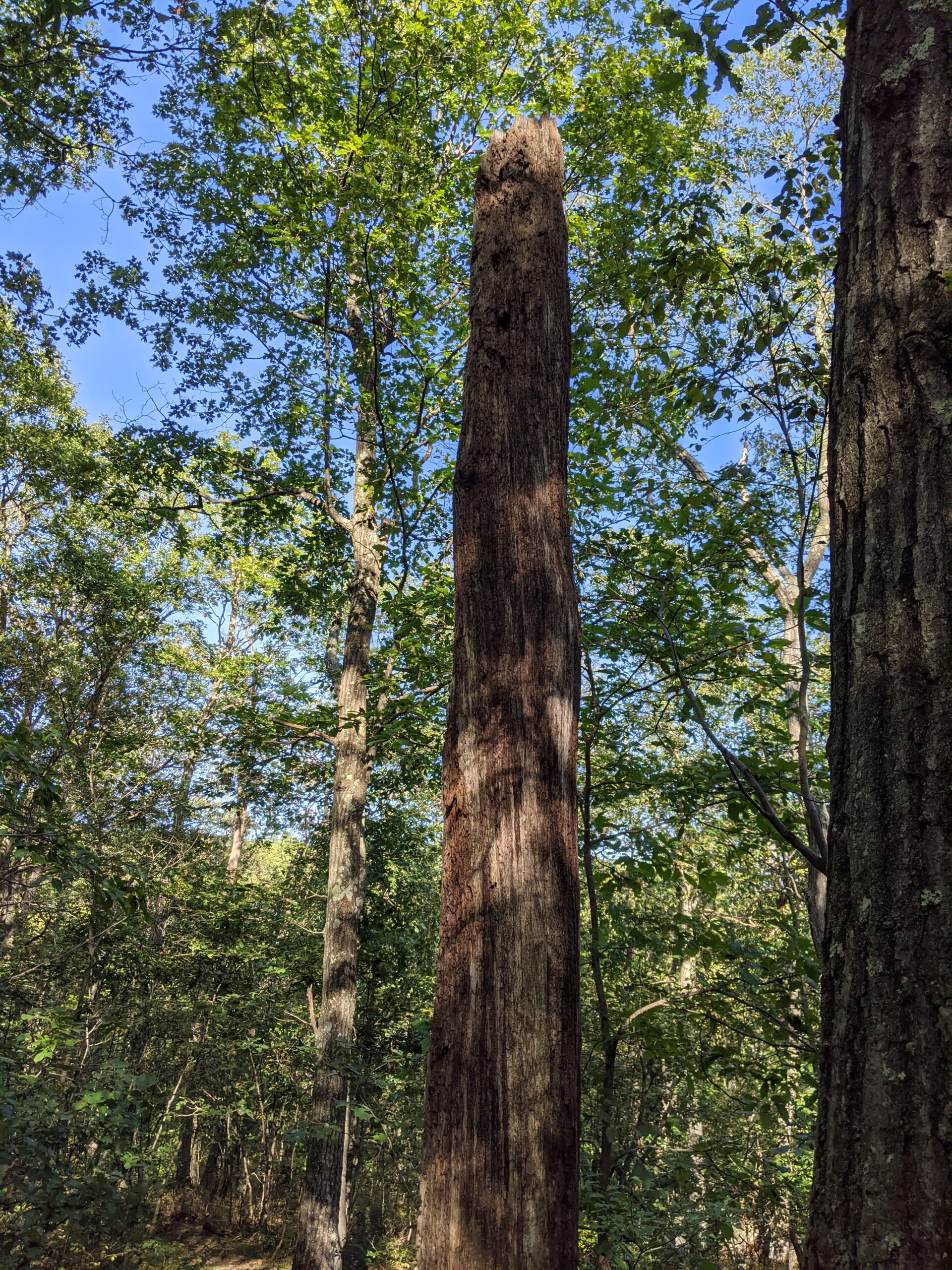
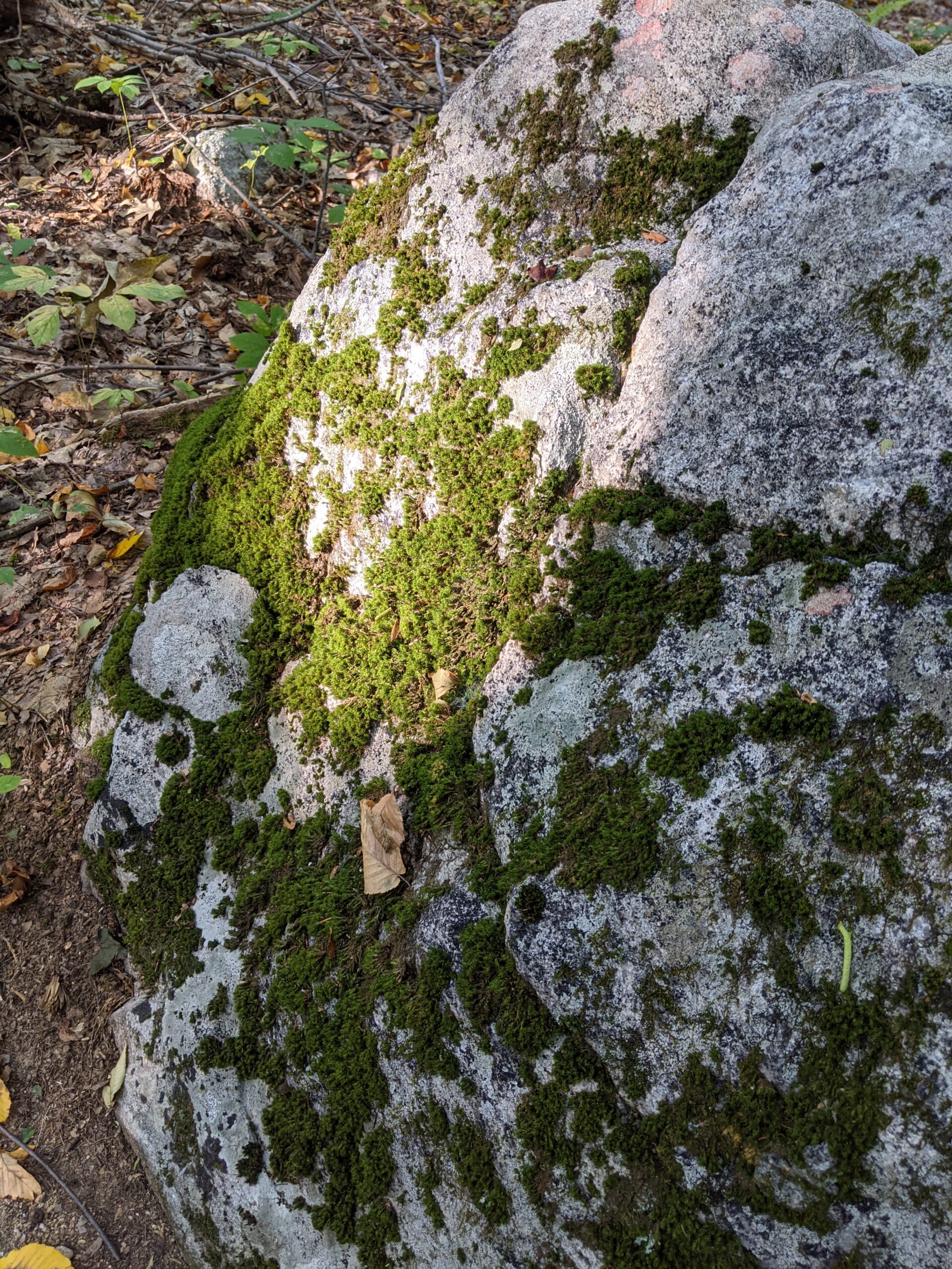
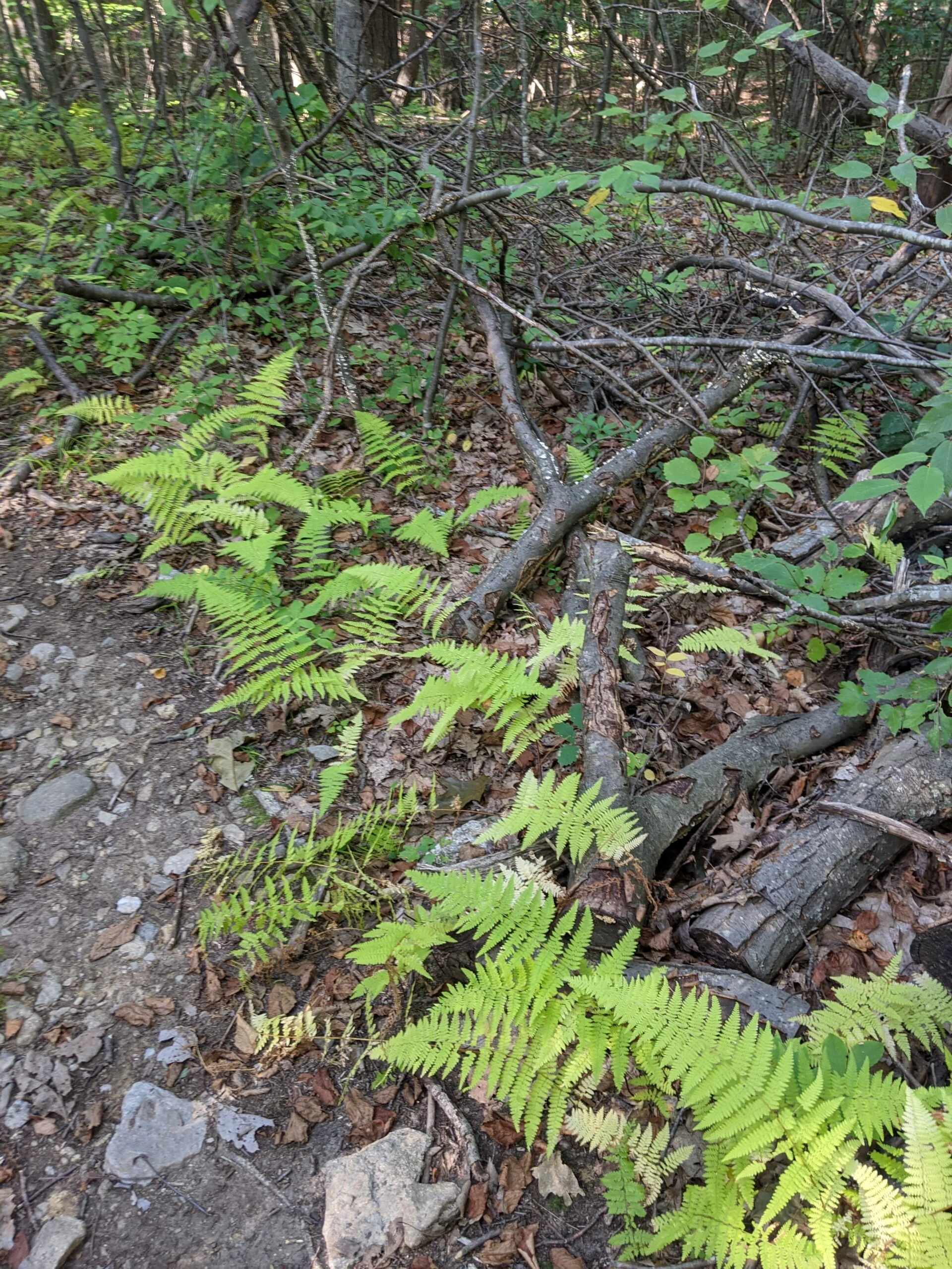
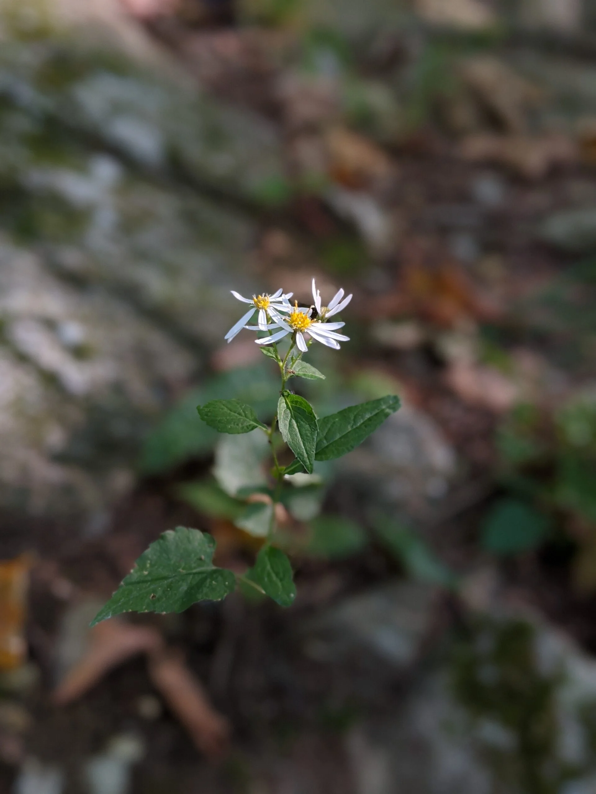
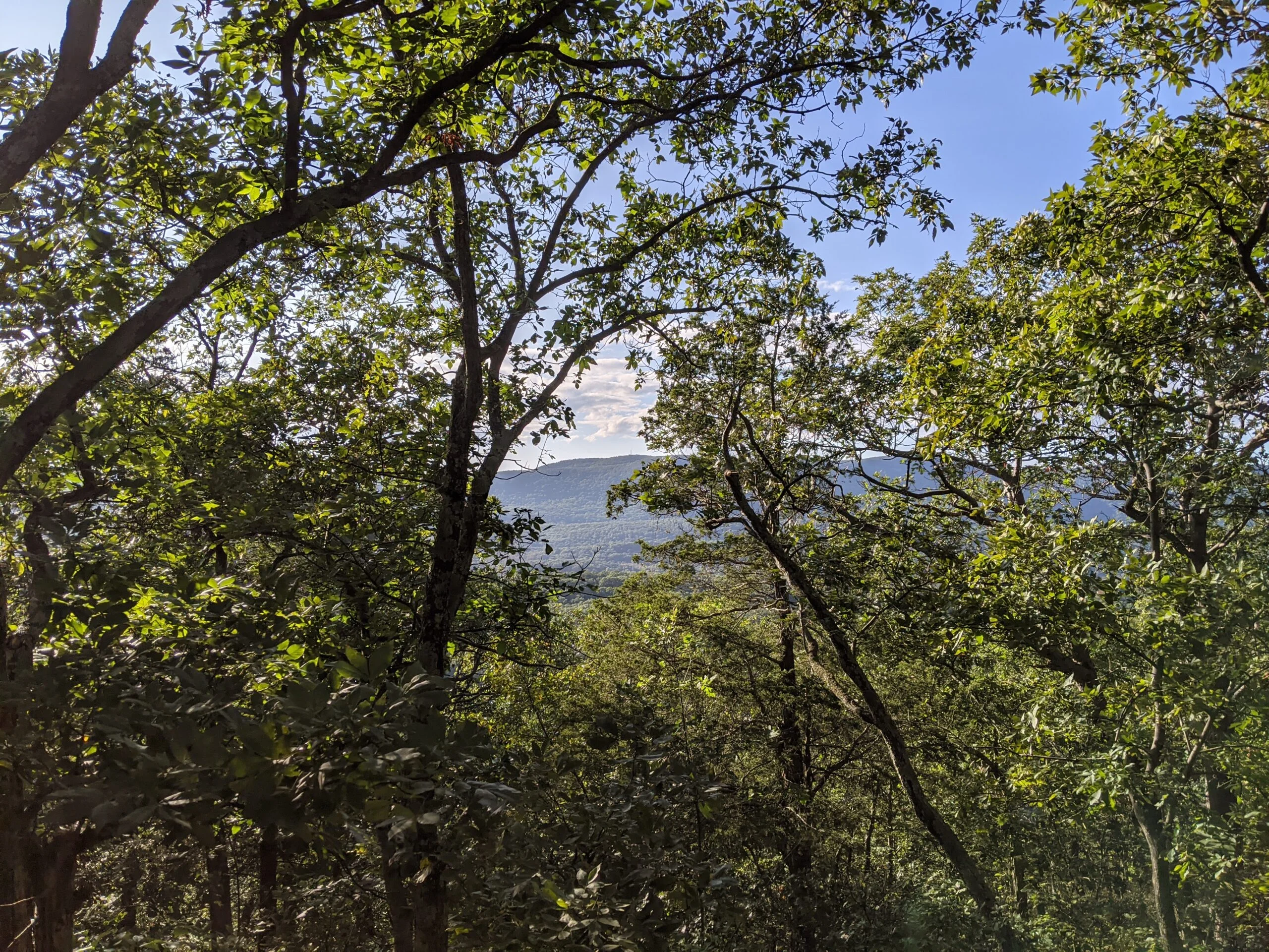
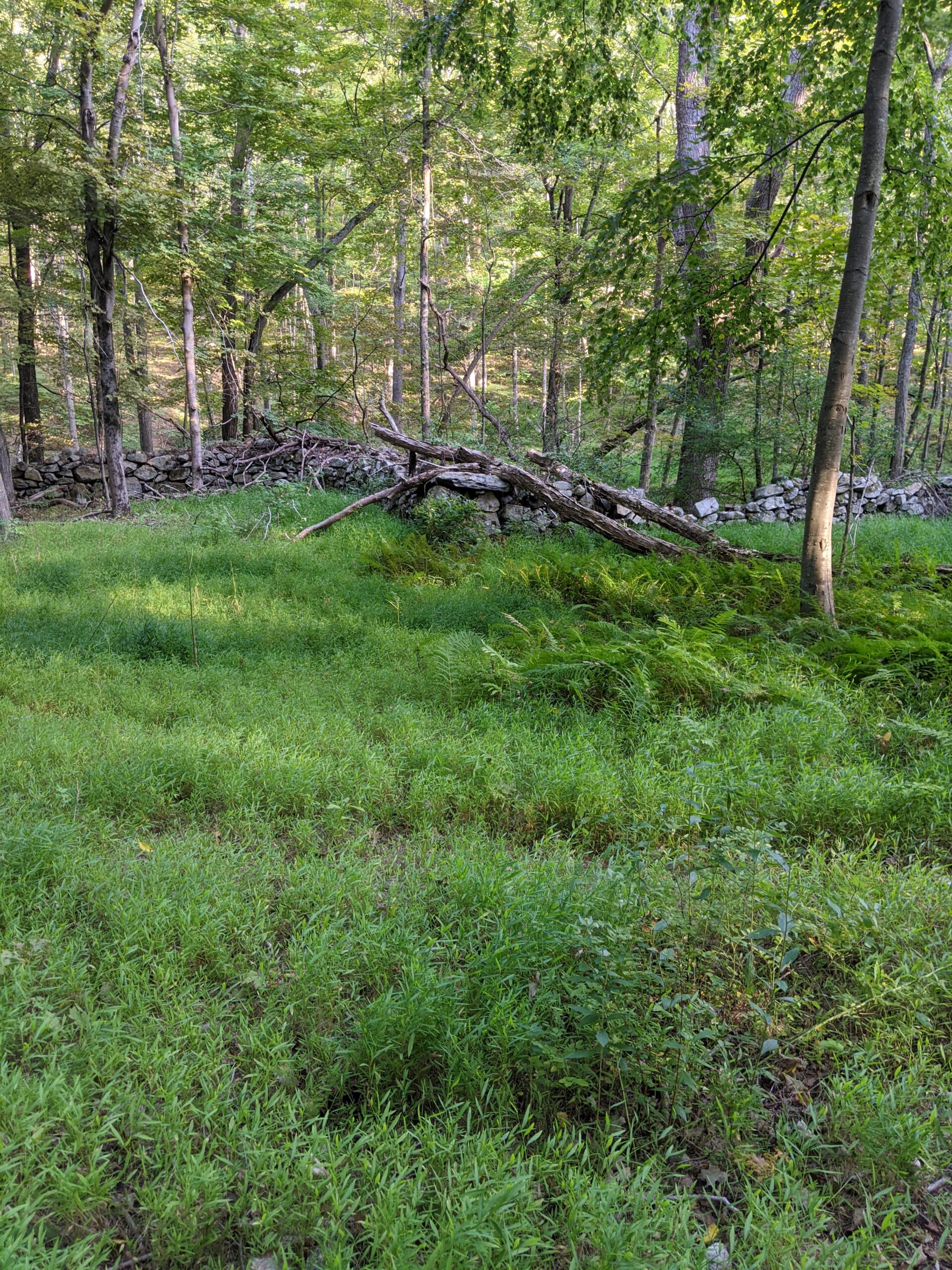
I don’t remember exactly how far into the ascent I was, but there are some really wide open lookout areas along the way up. I stopped and took a few photos of the valley and the mountains in the distance. Eventually I reached summit of Round Hill, demarcated by a campfire ring with recent ashes. It’s a left hand turn off the main trail onto a short offshoot. From here, I could see a glimpse of some good views between the trees, but there were too many leaves to get a wide view or good photos. In my opinion, the earlier lookouts offered more than here at the top. I’m curious how the view looks after the leaves have fallen.
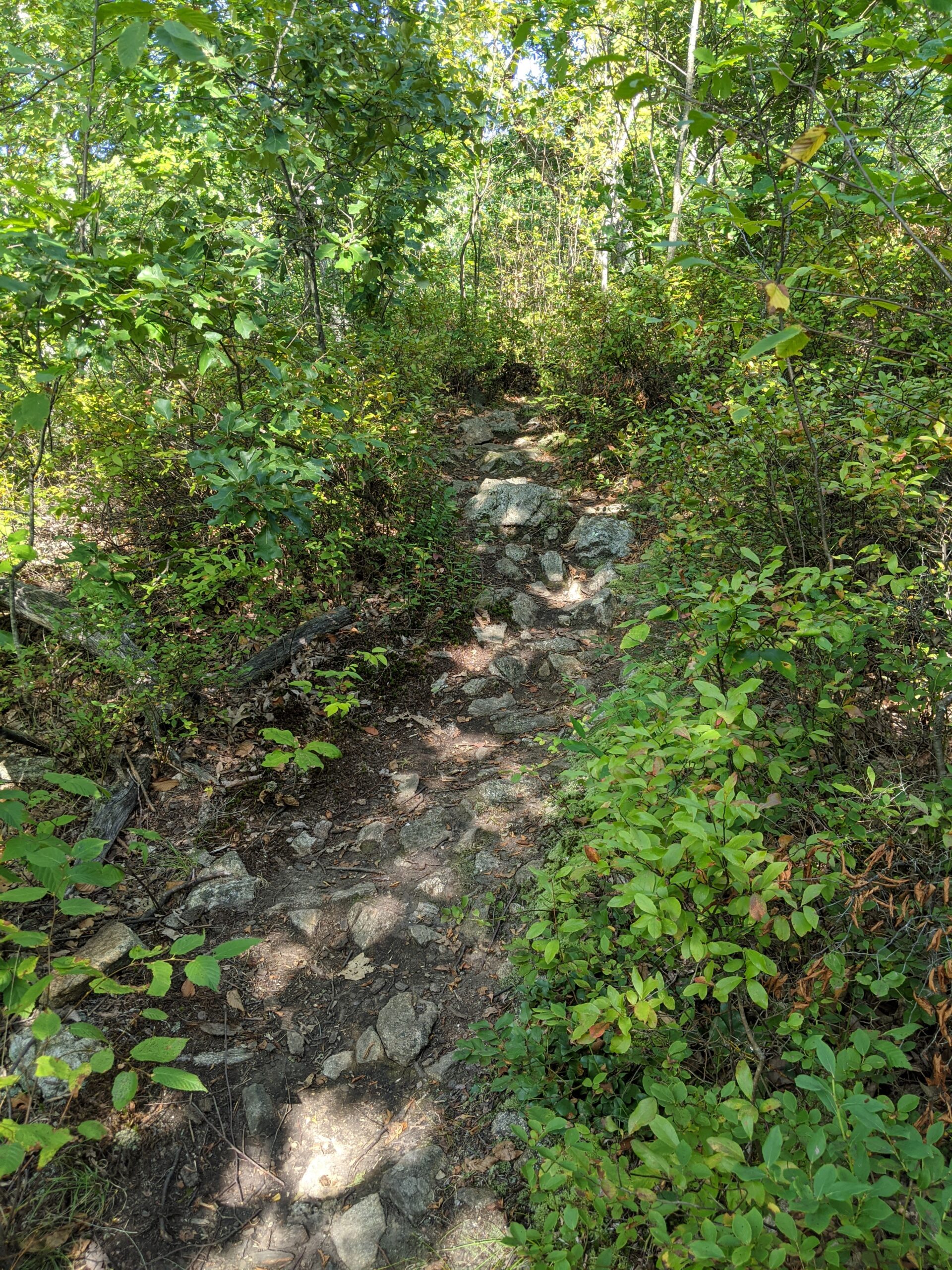
Shortly after passing the summit, I came to the intersection of the Round Hill Bypass Trail (RH, green blazes), but continued on FS, descending about 200 ft before reaching Perkins Trail (PT, yellow blazes). This was right around the 4 mile mile mark of my hike, just over halfway through. I made the left (west) turn onto PT.
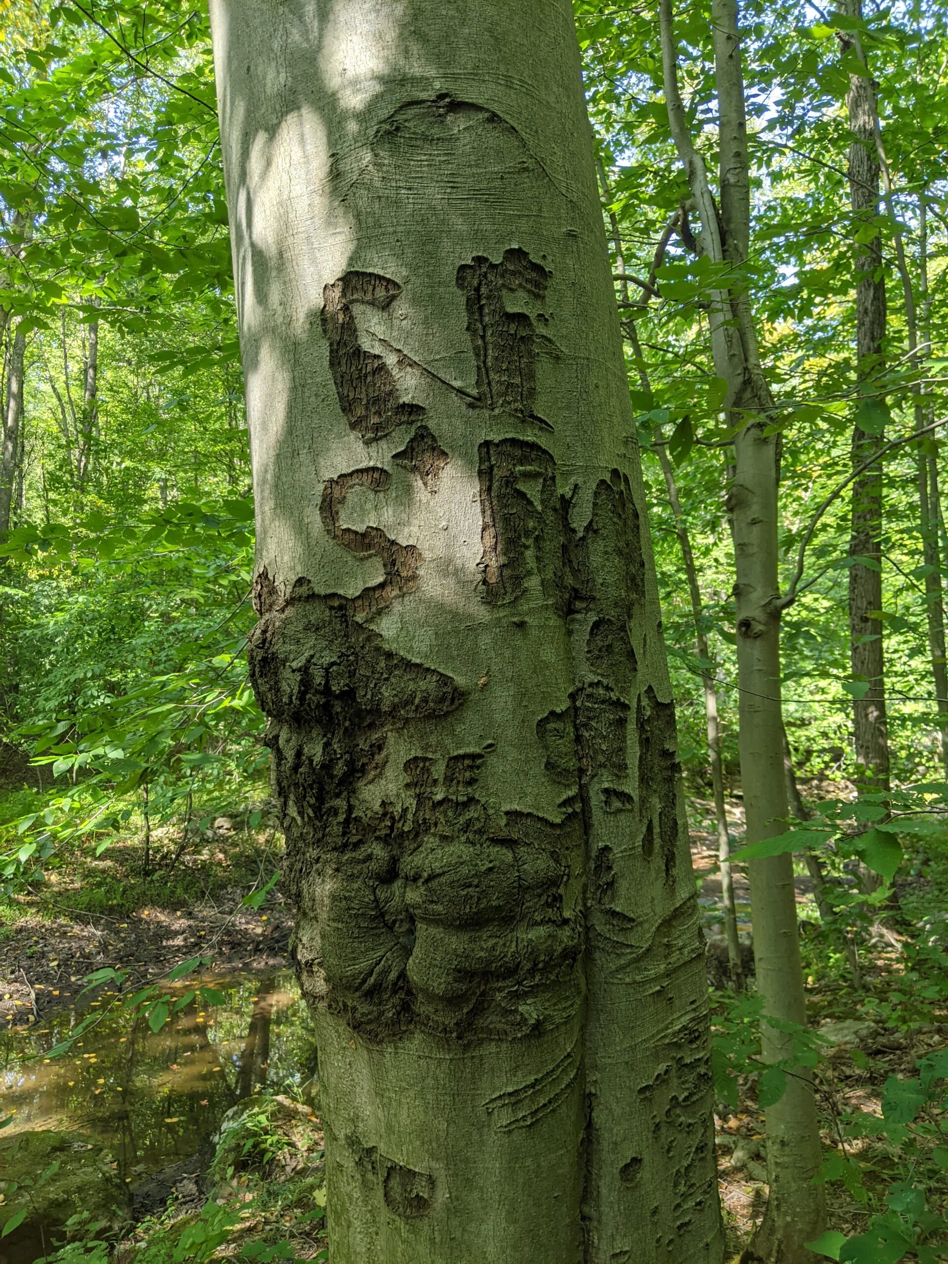
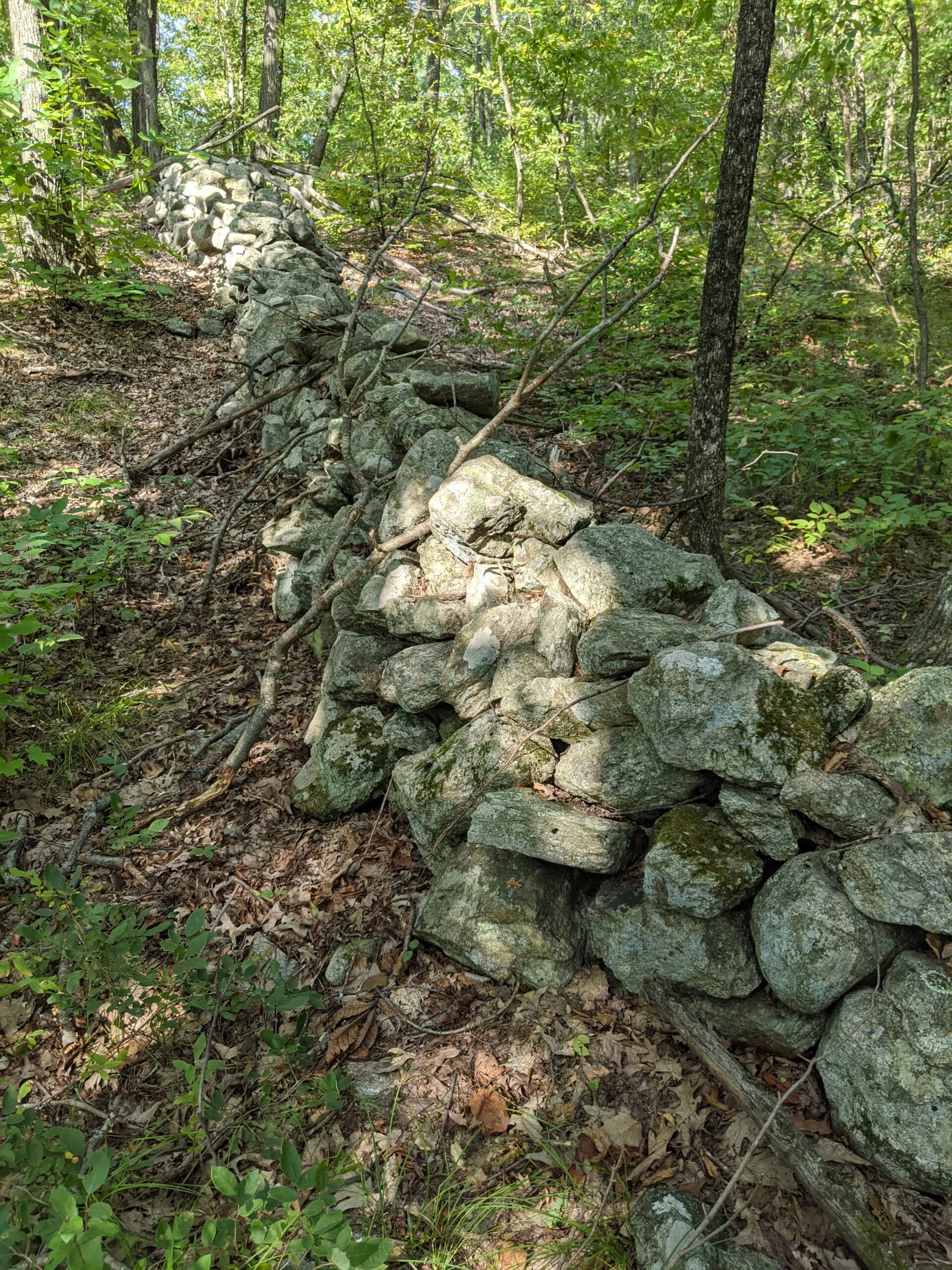
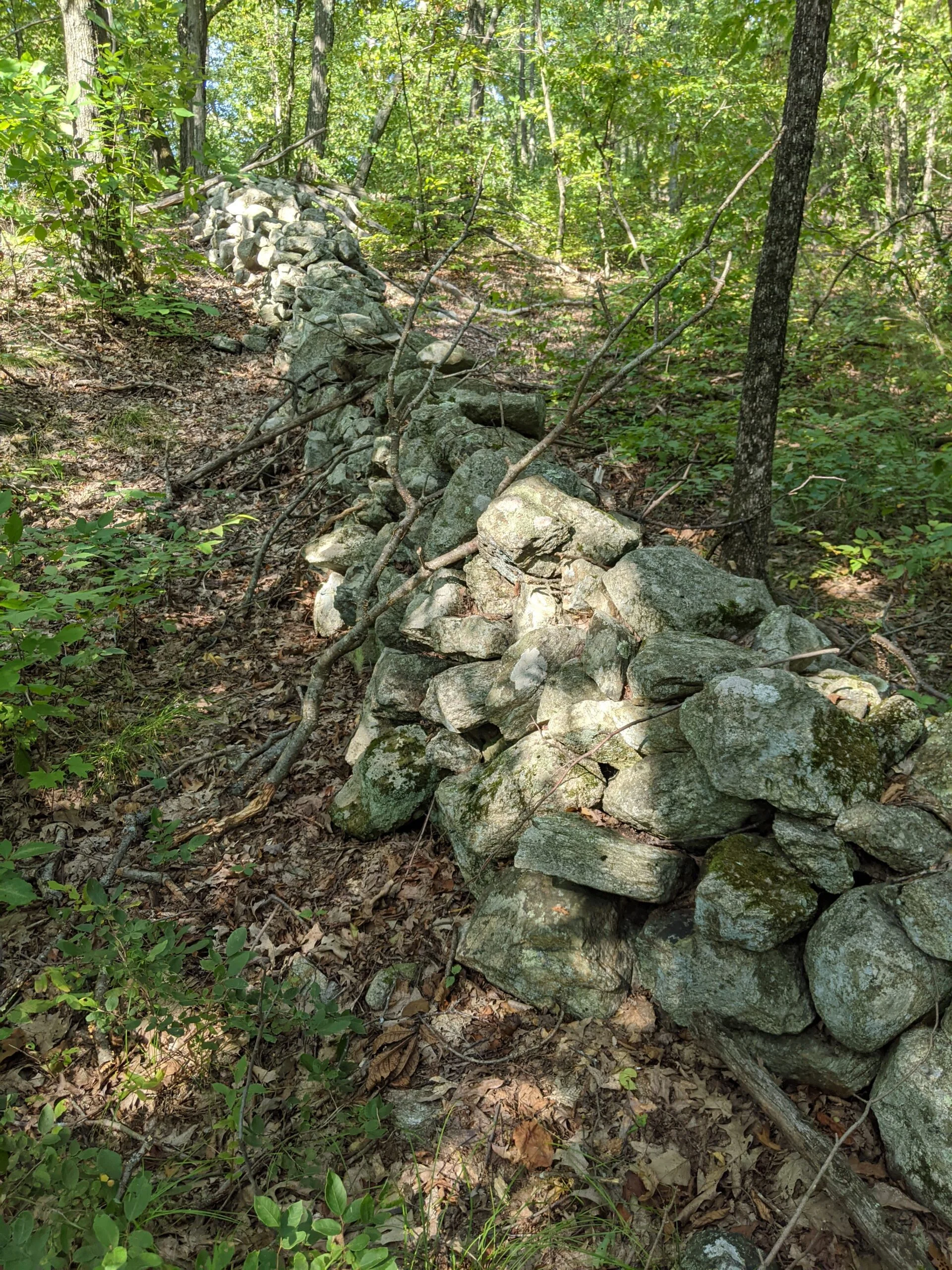
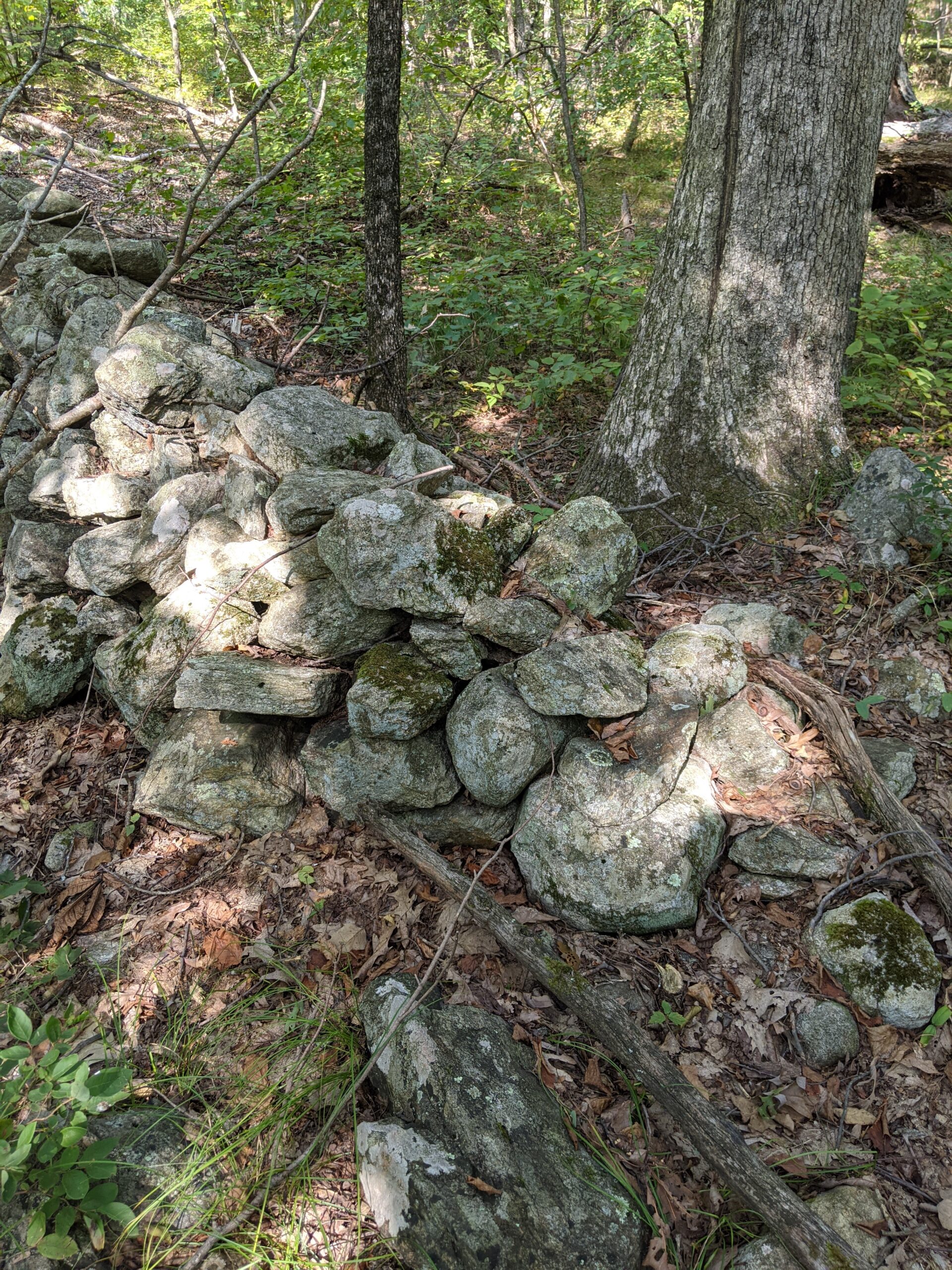
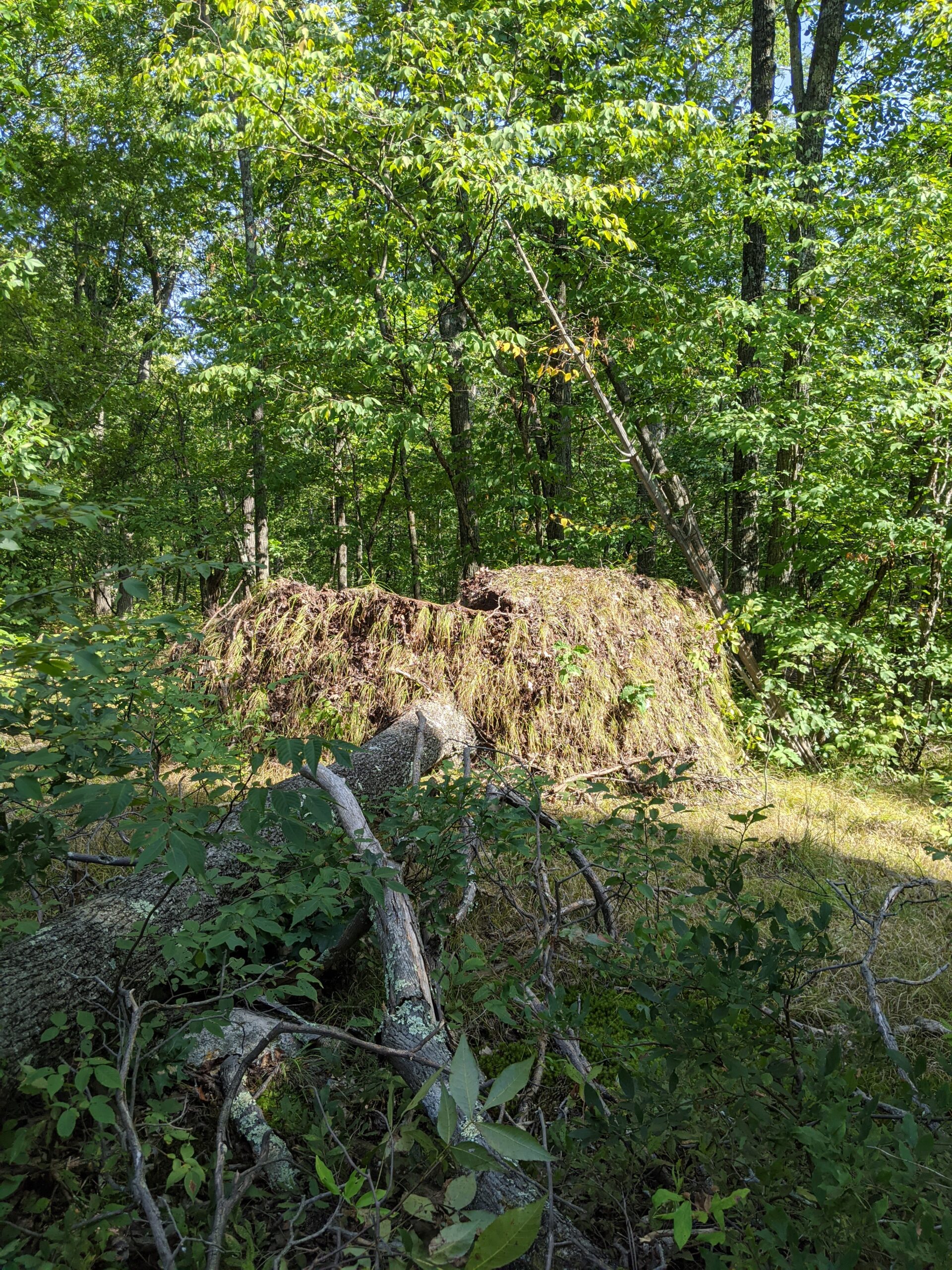
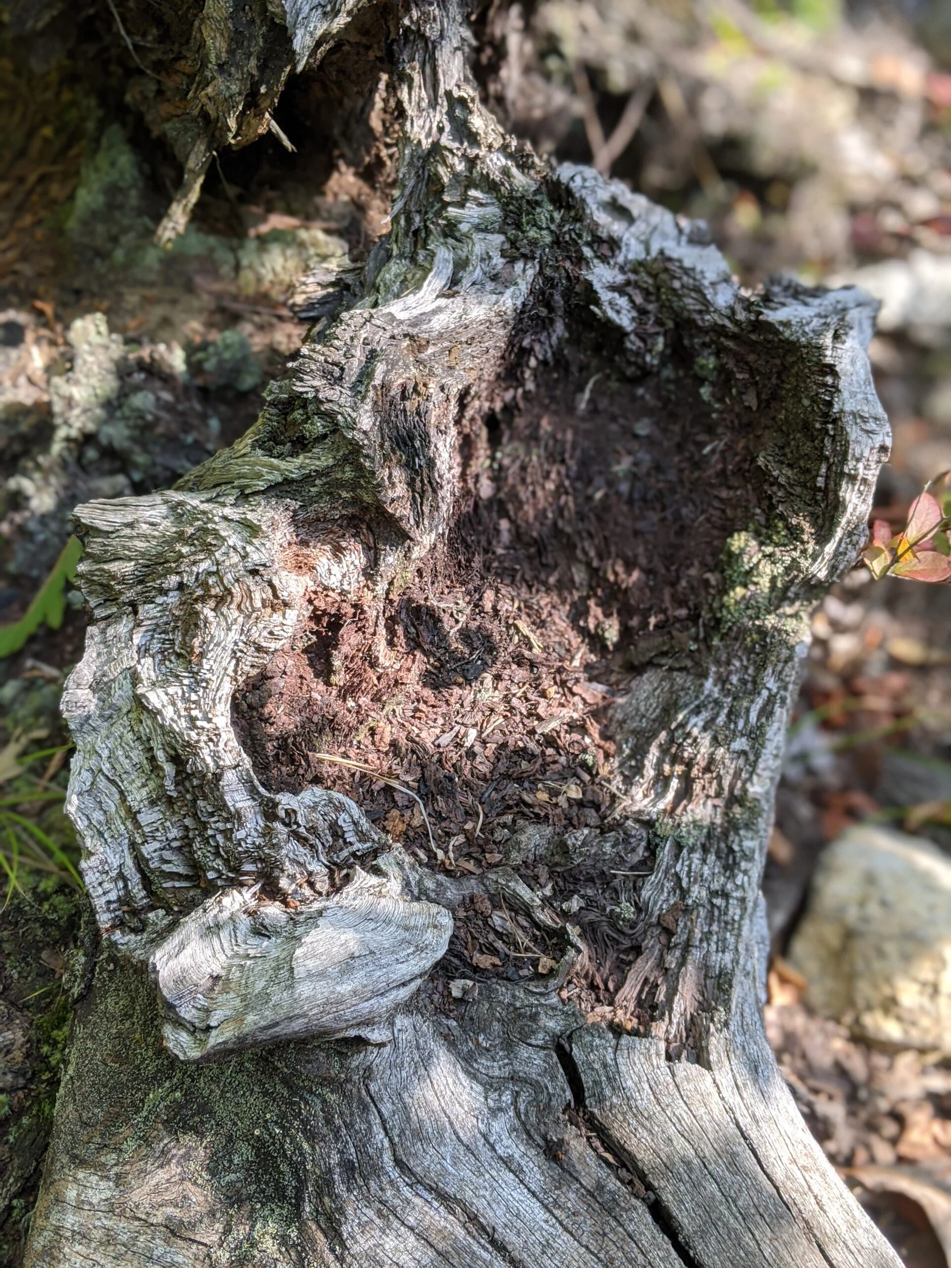
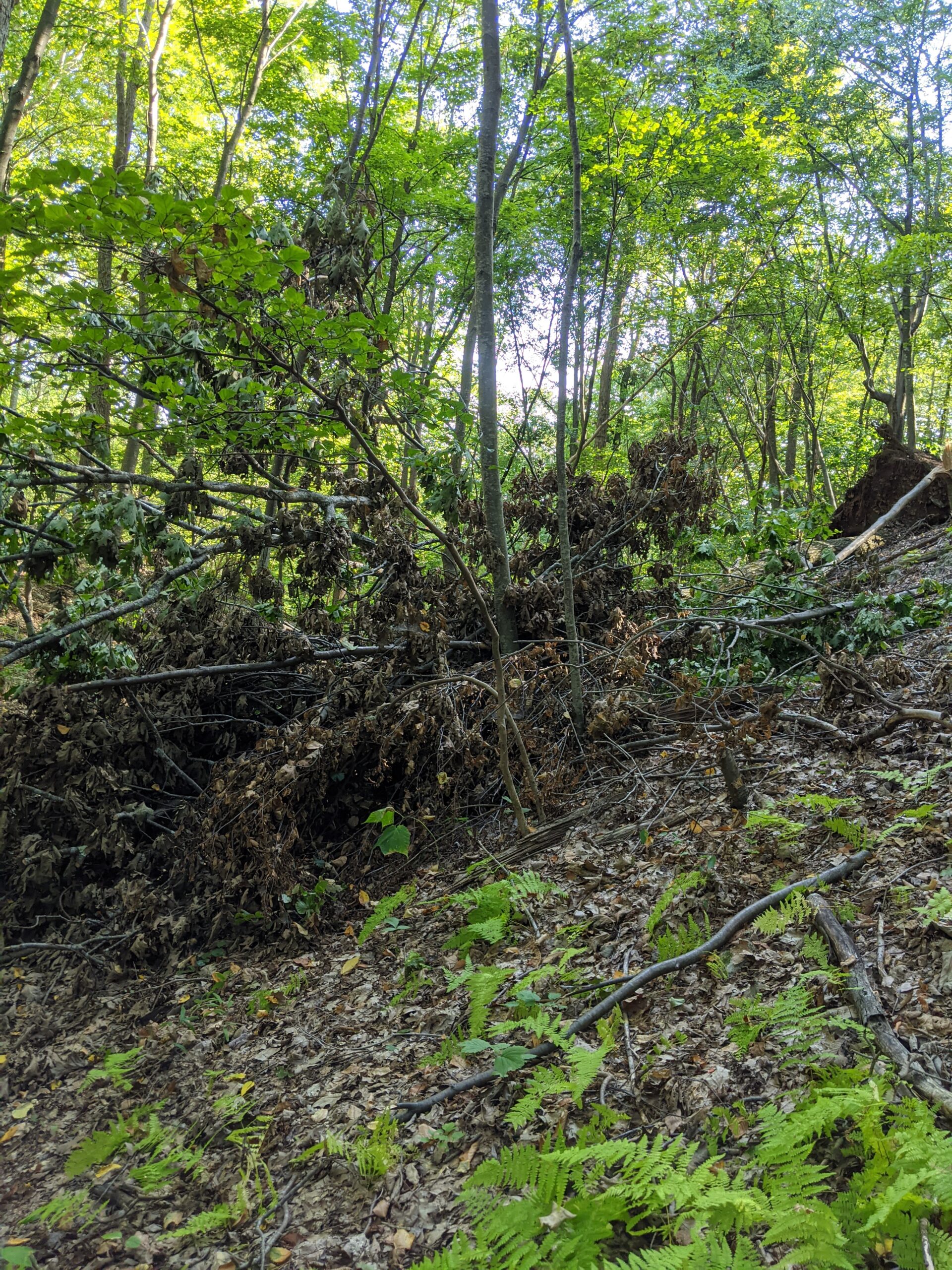
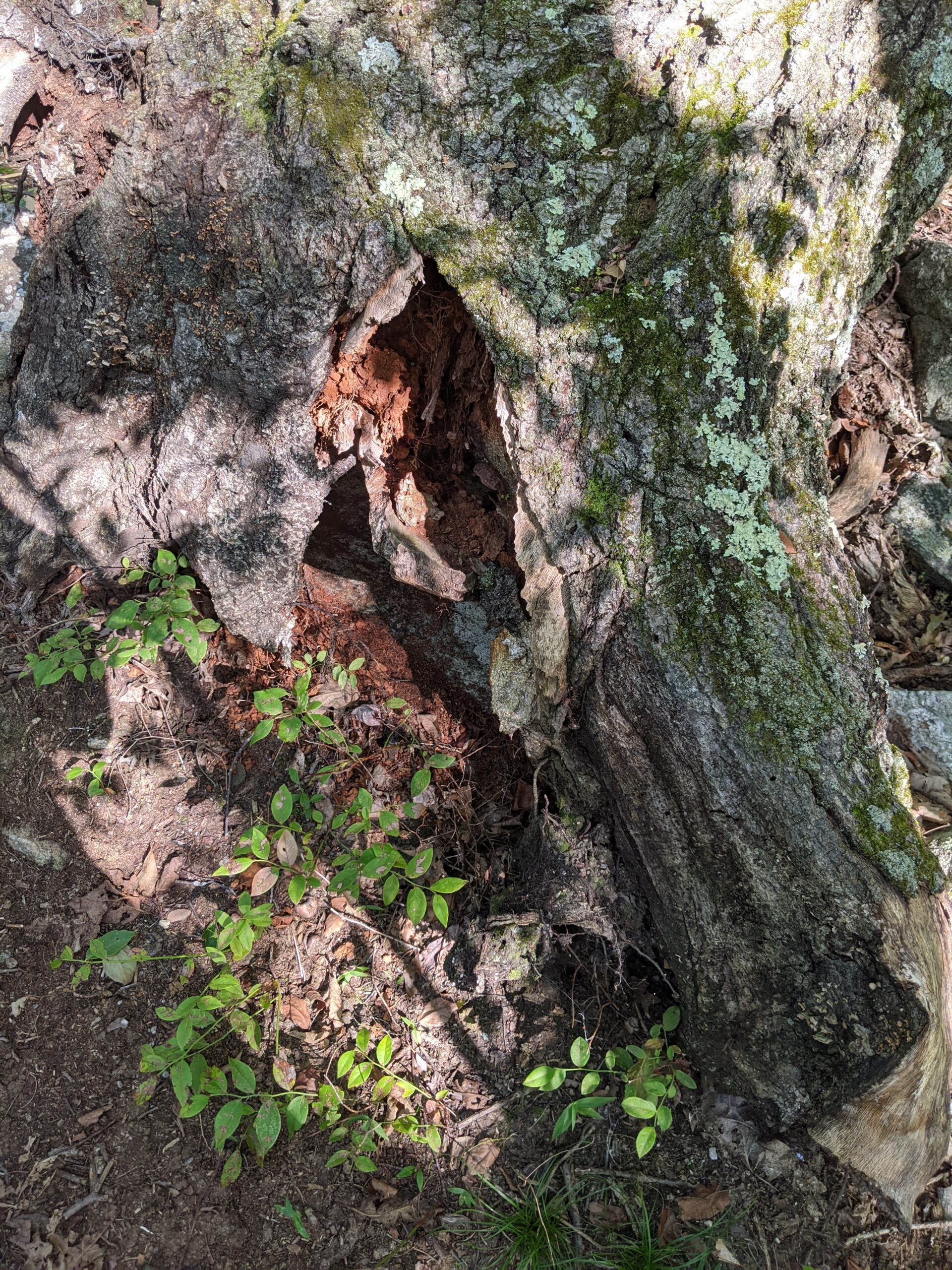
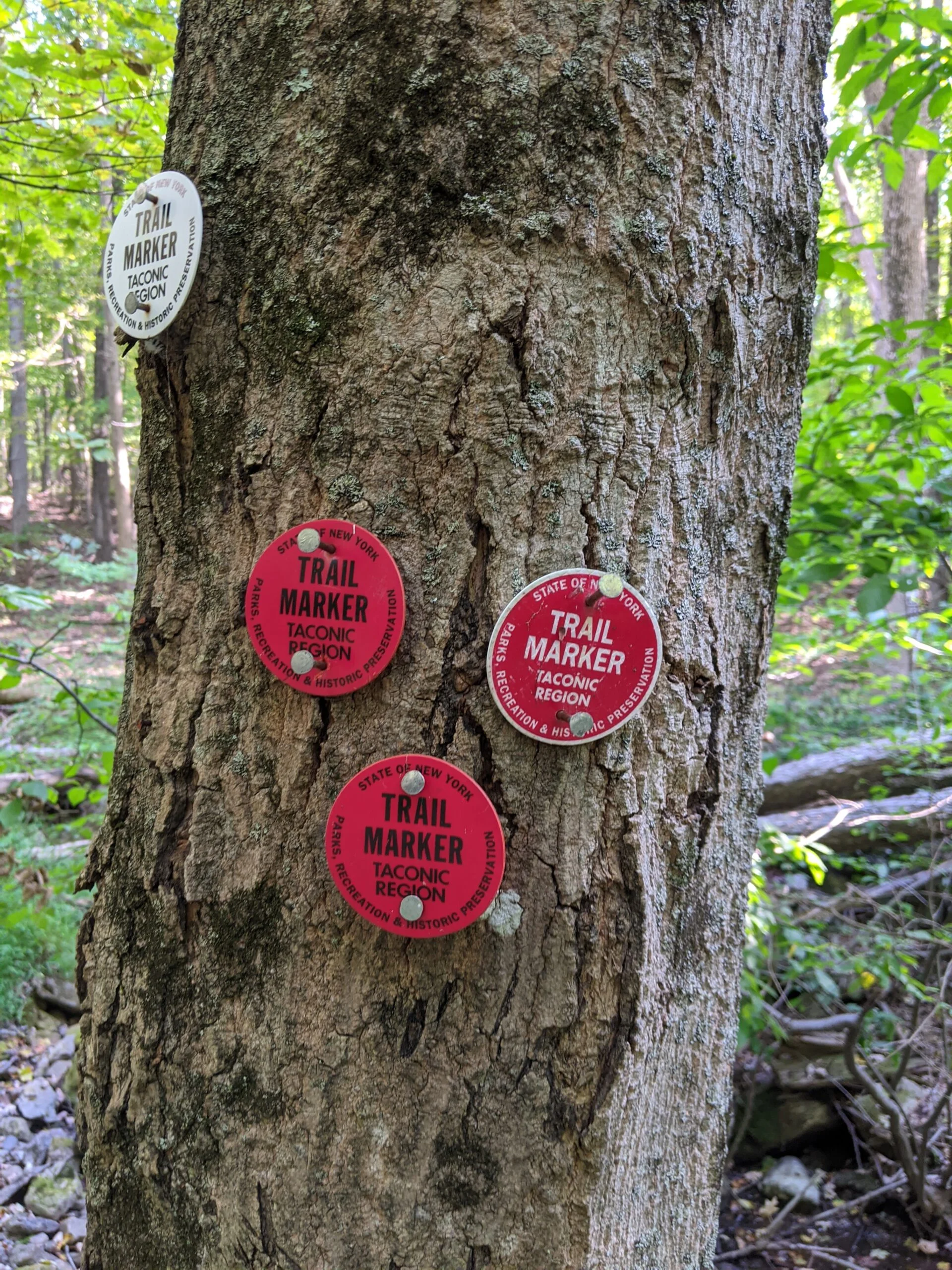
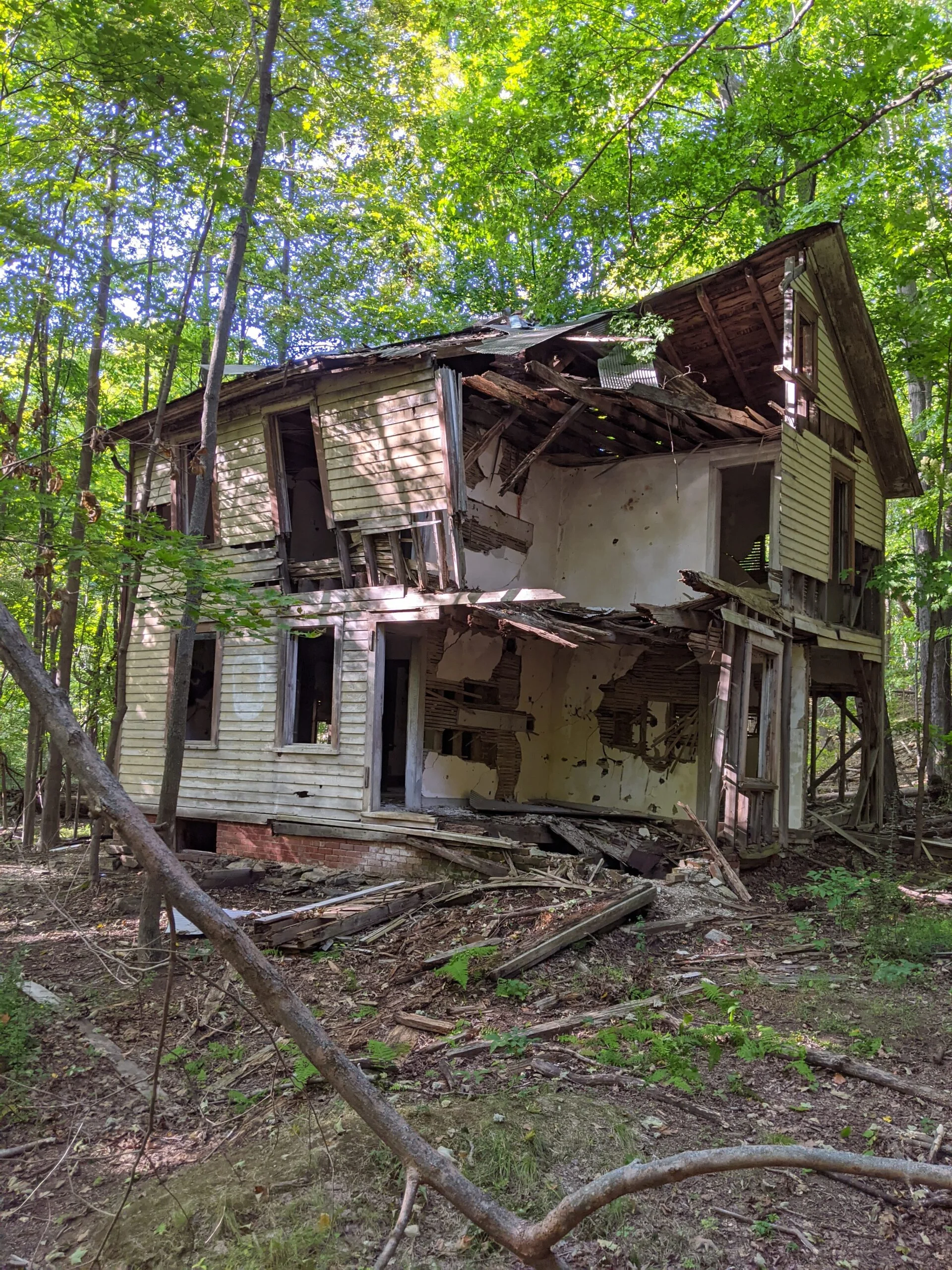
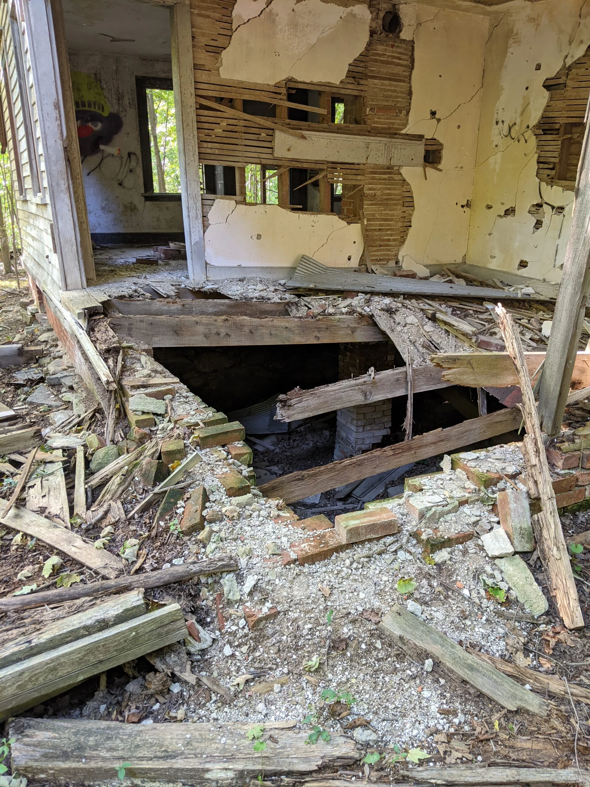
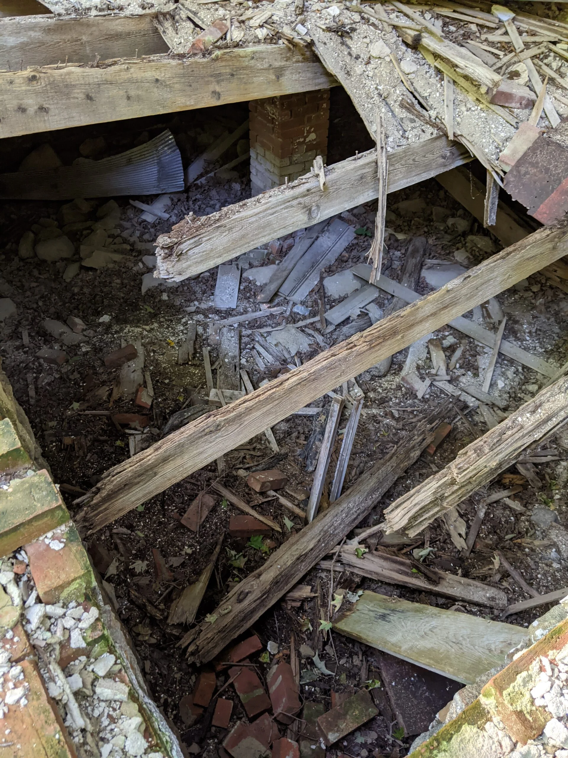
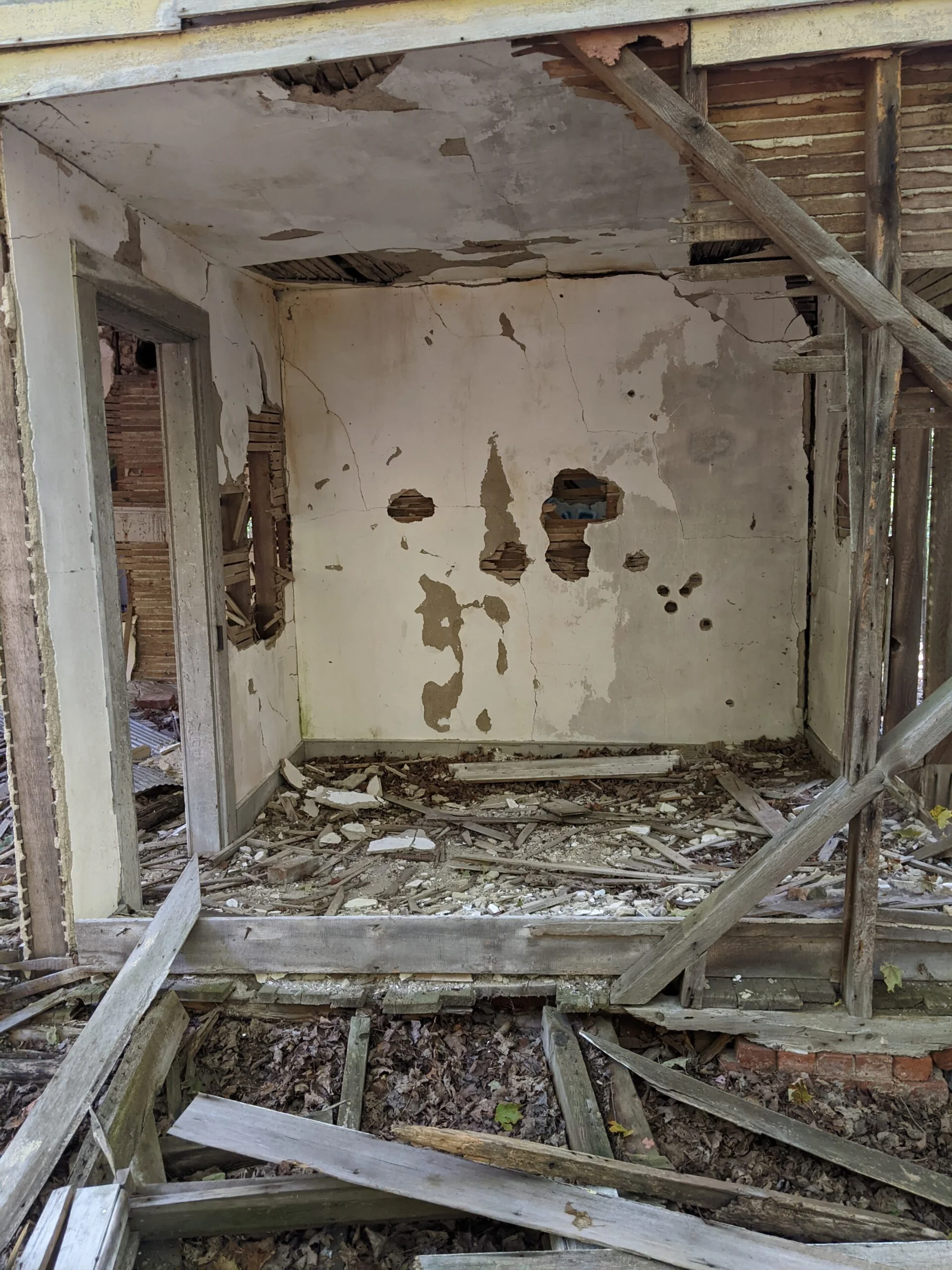
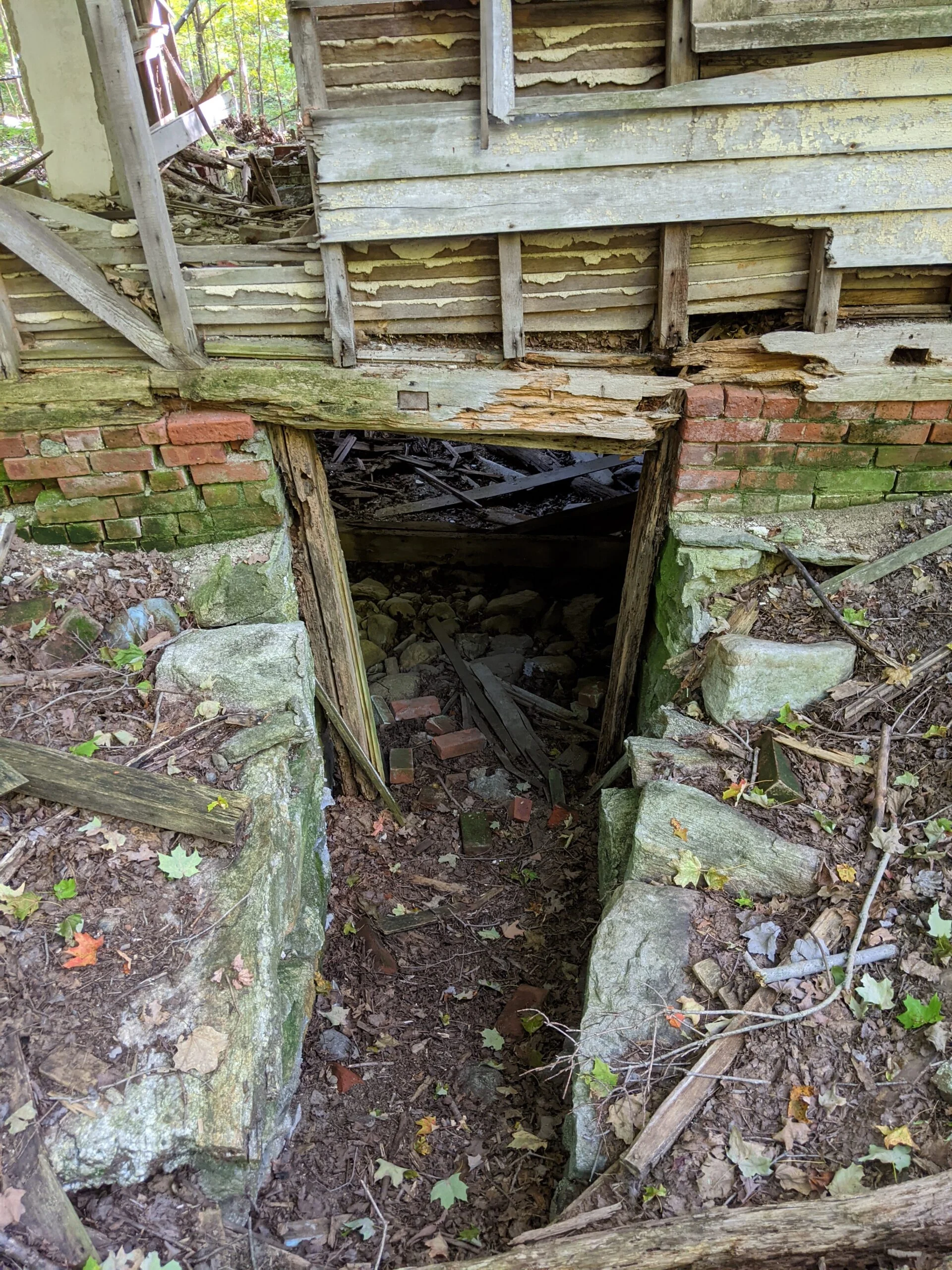
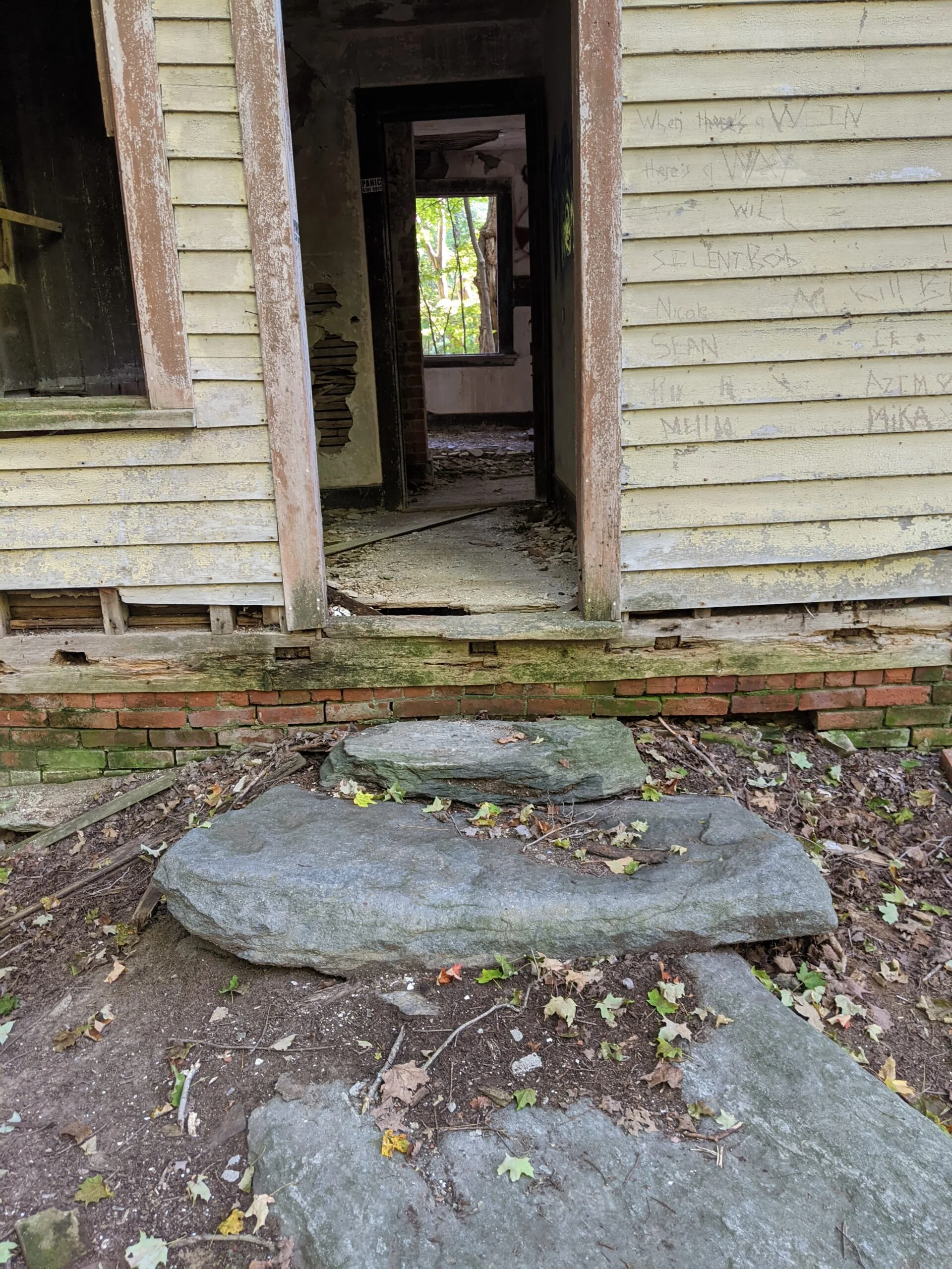
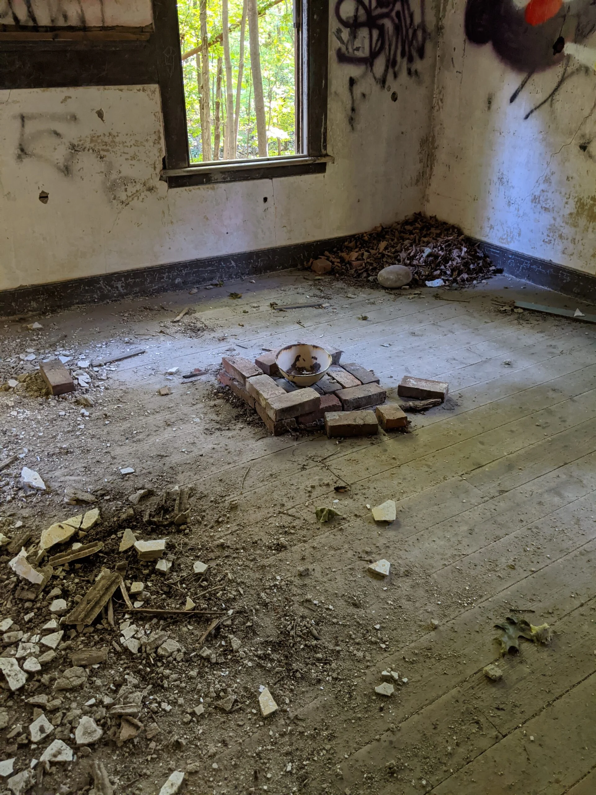
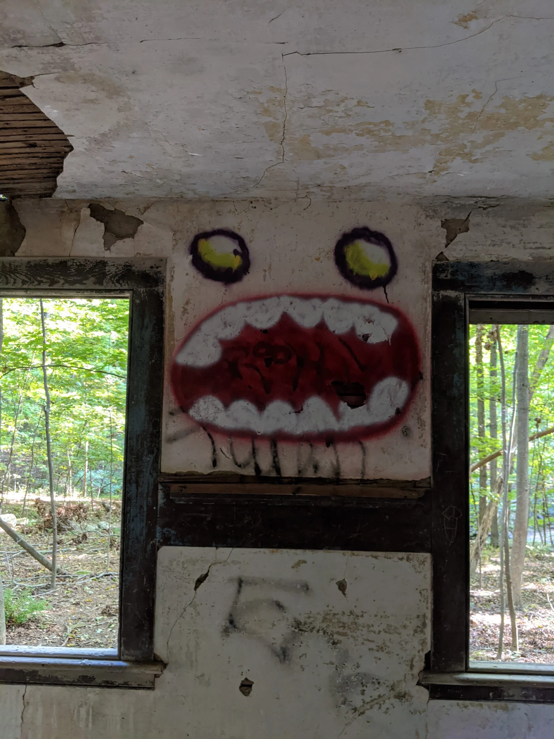
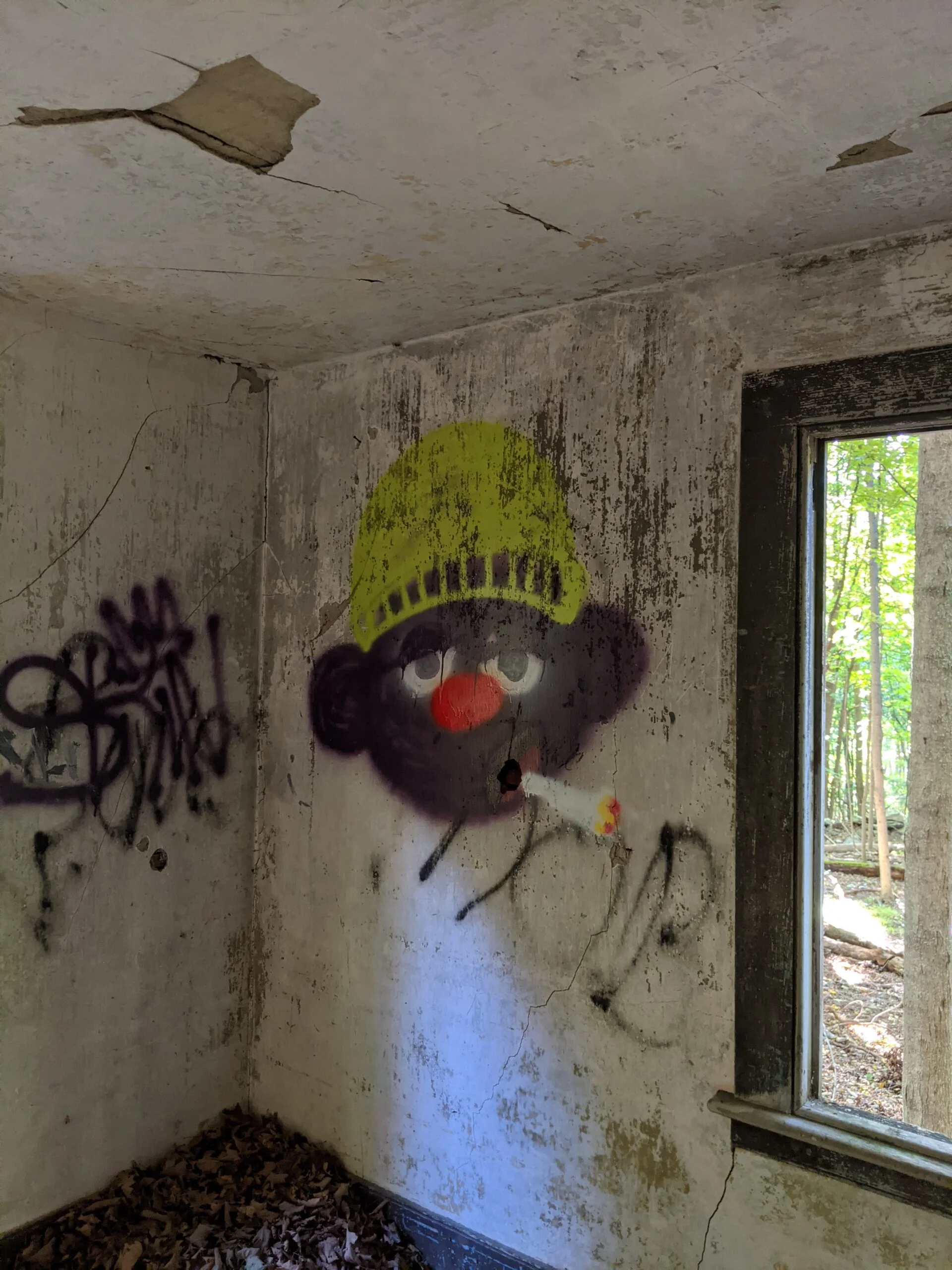
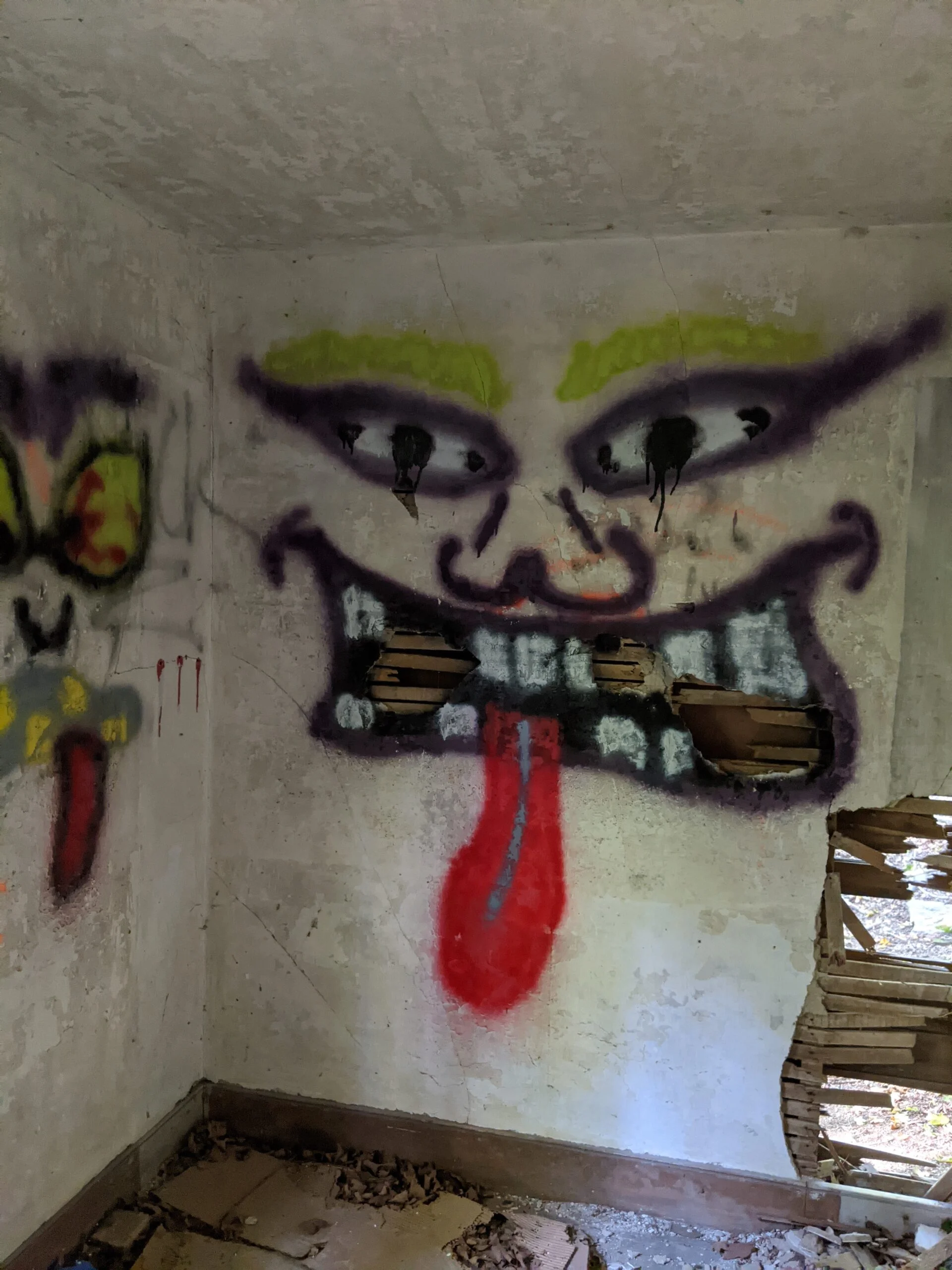
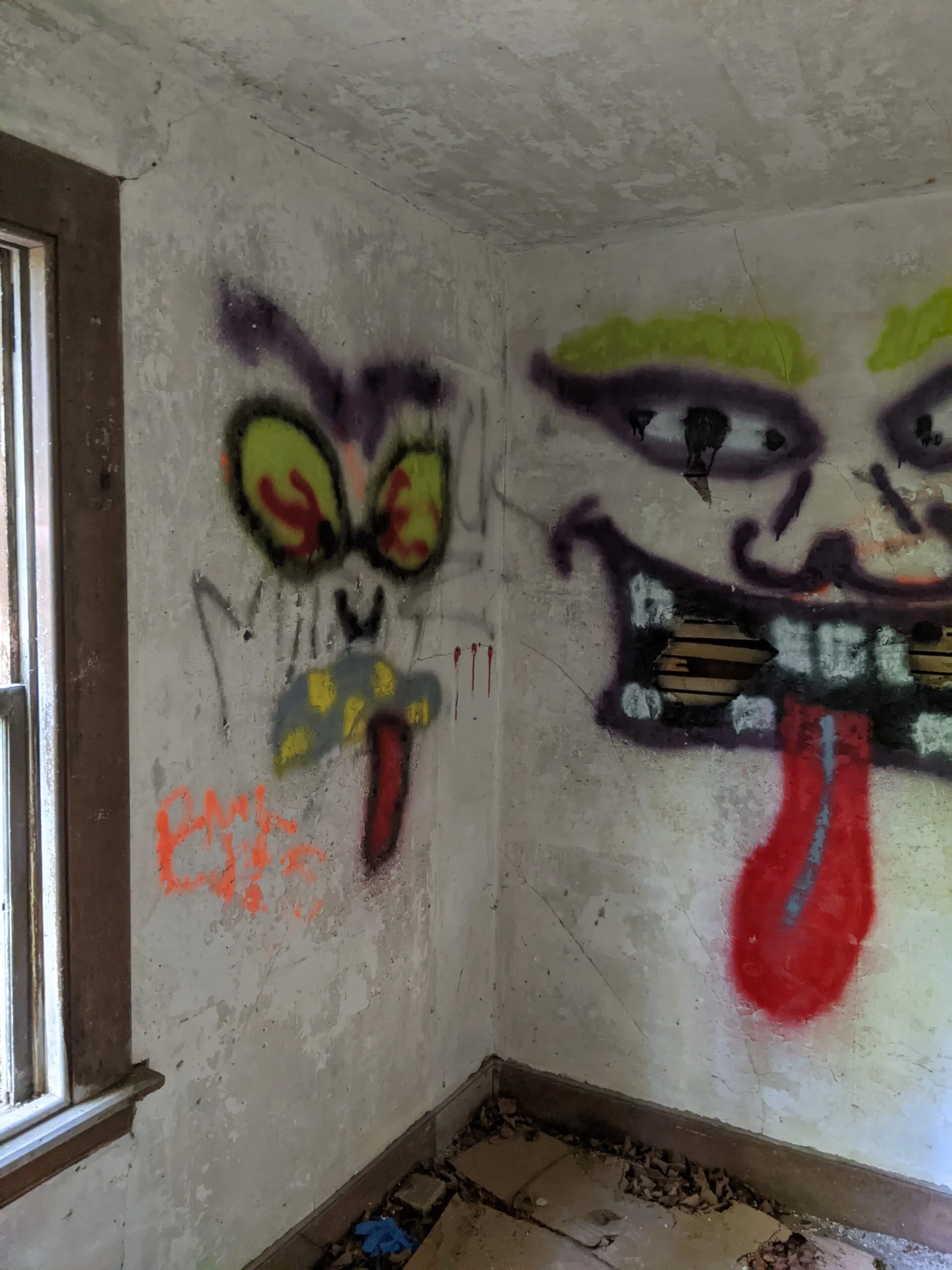
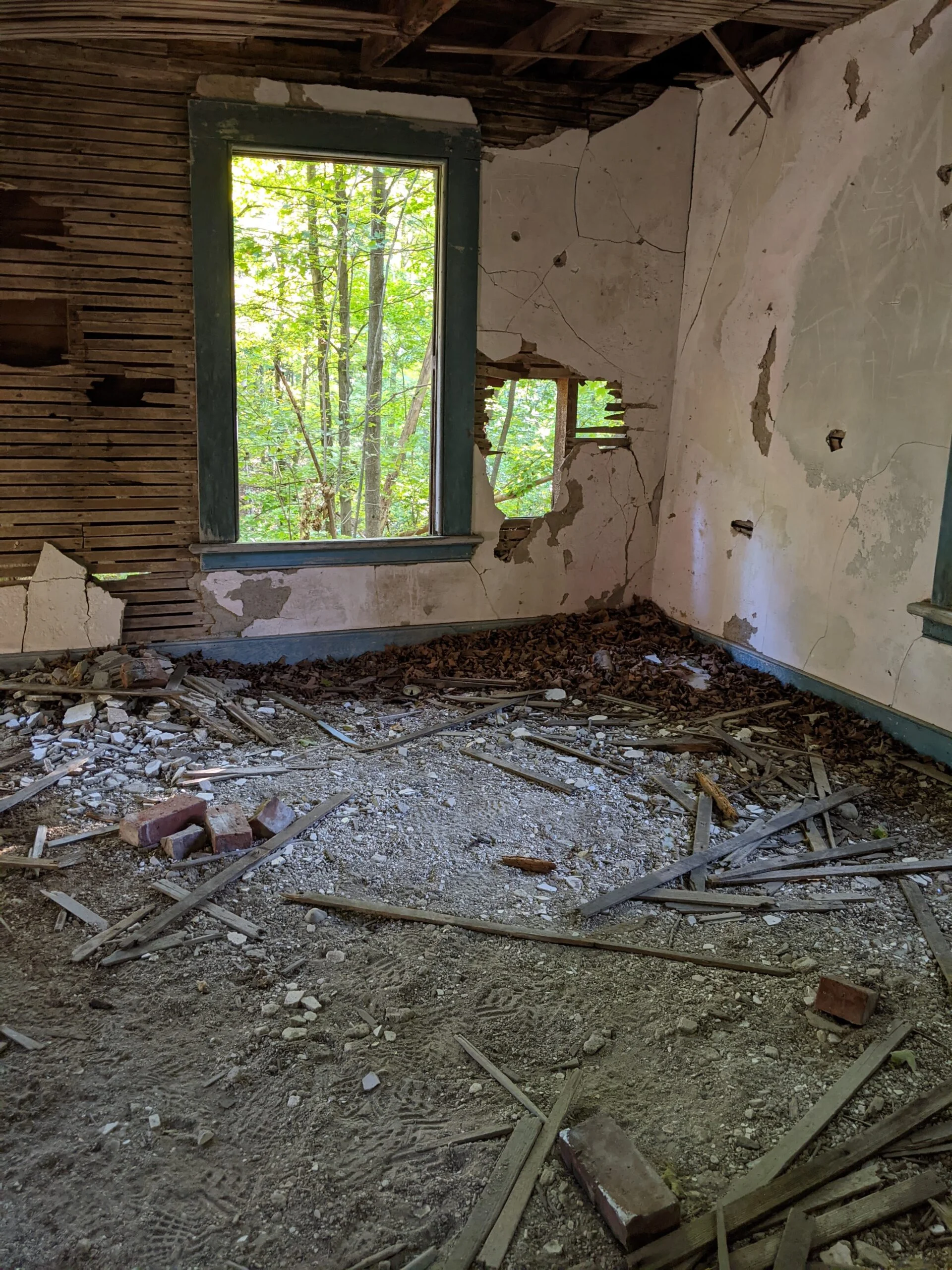
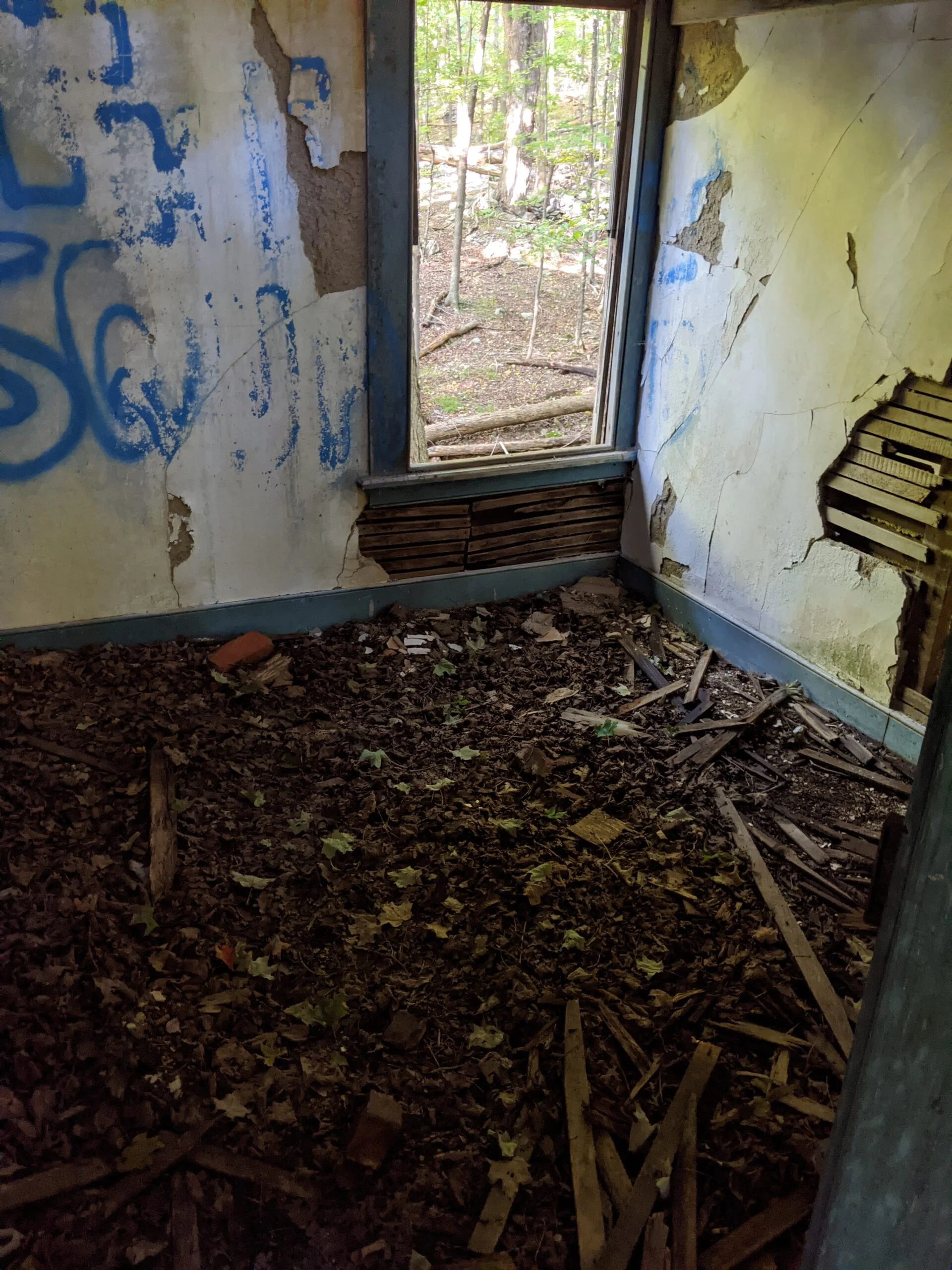
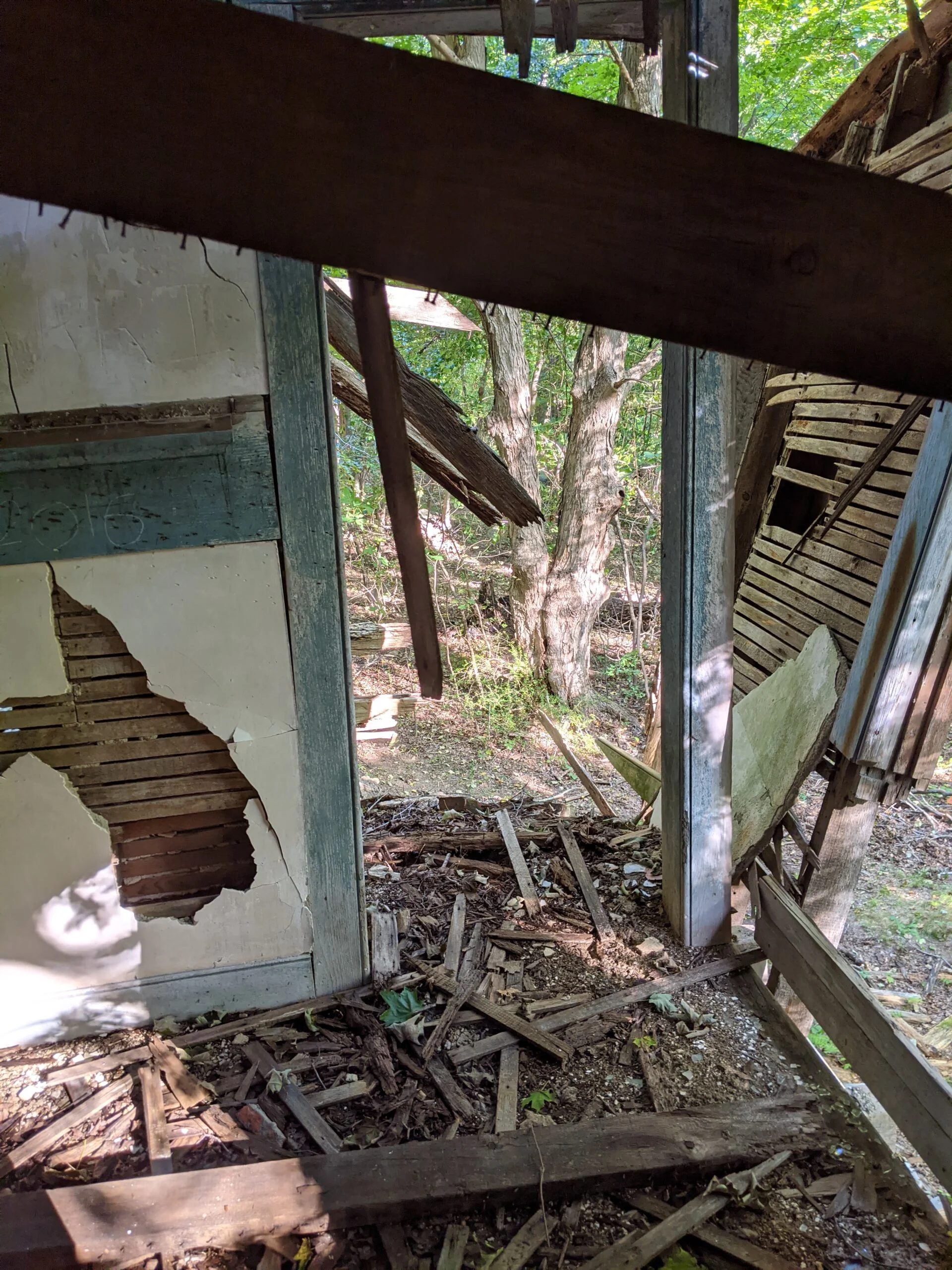
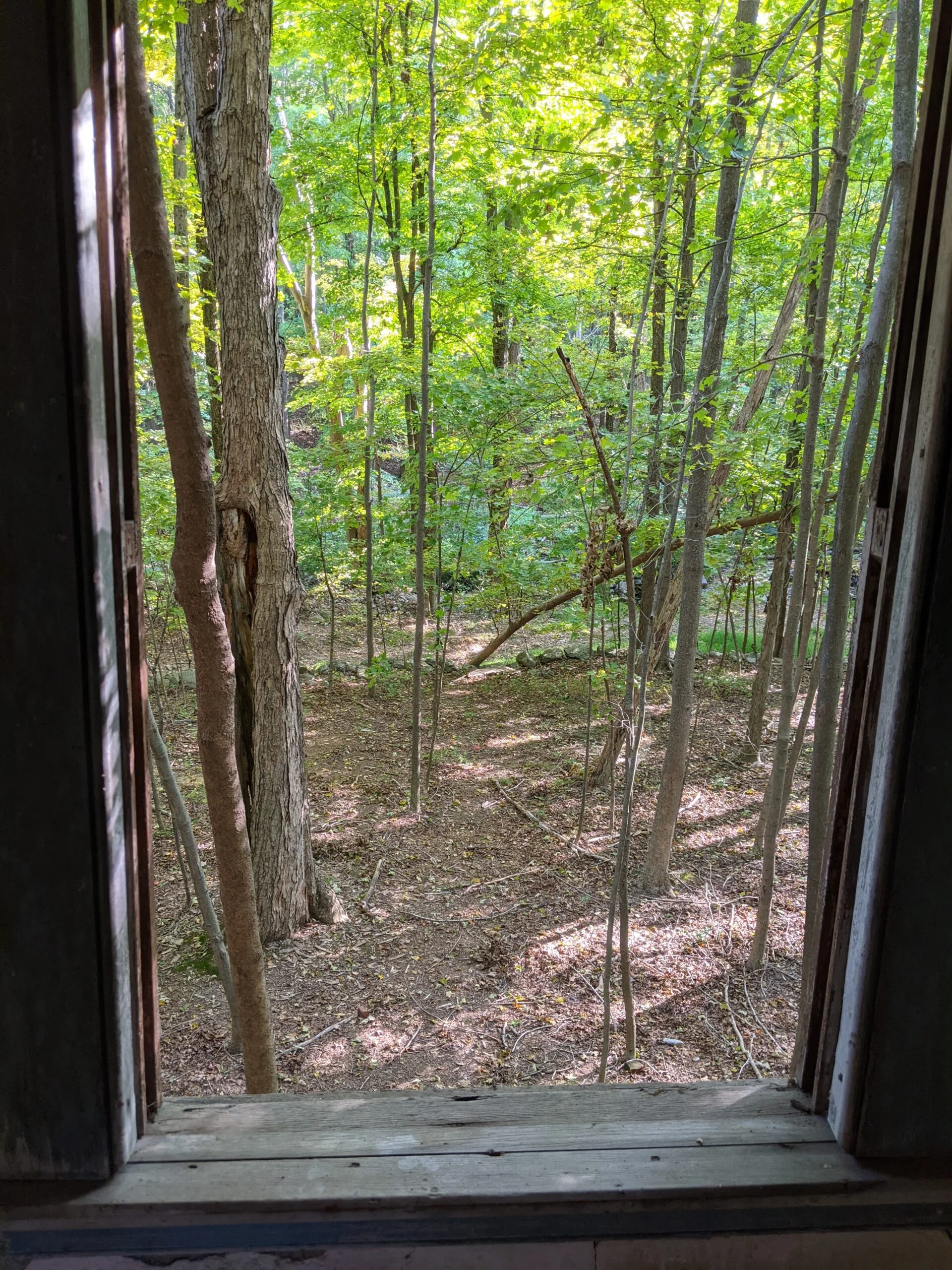
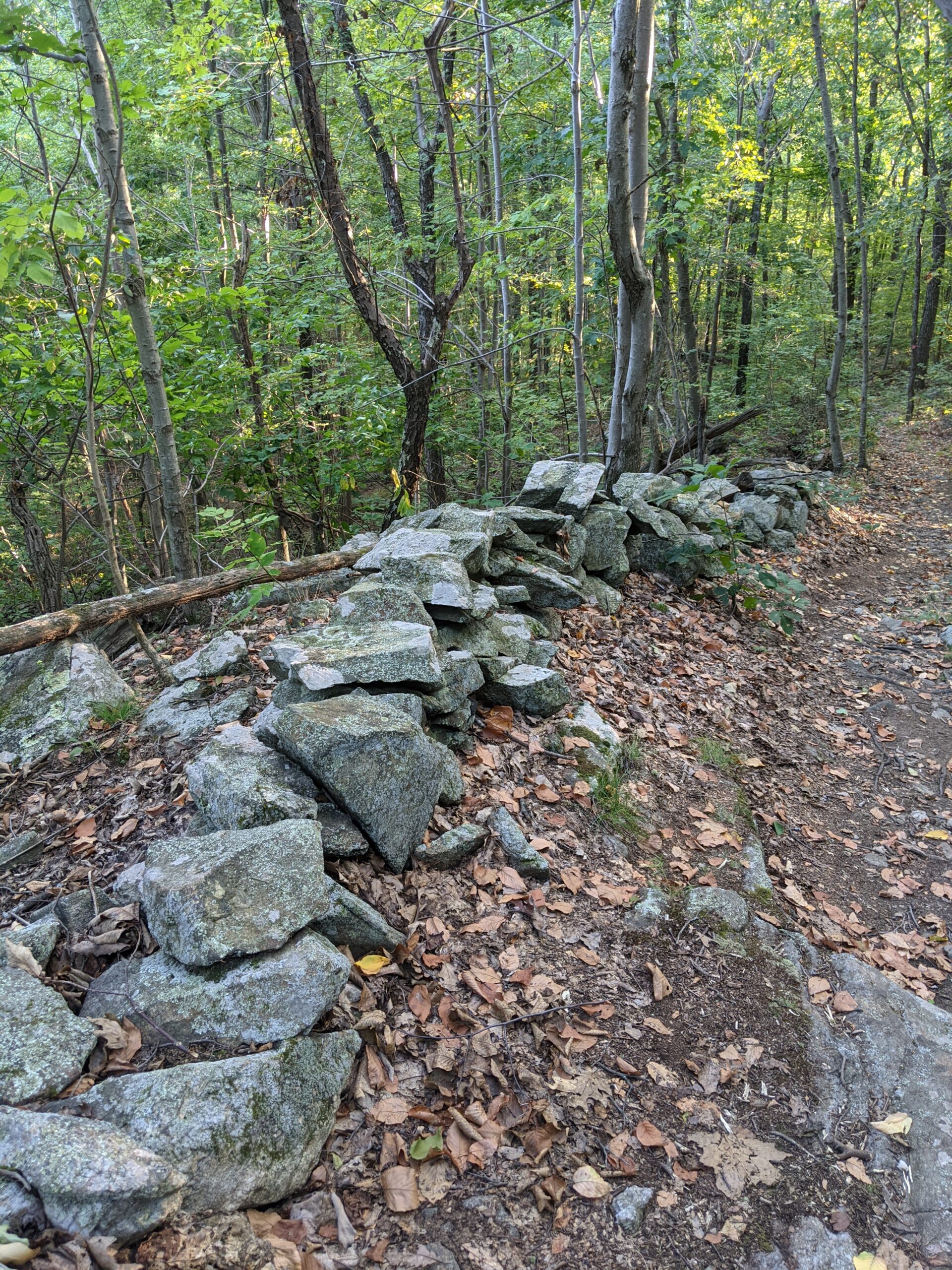
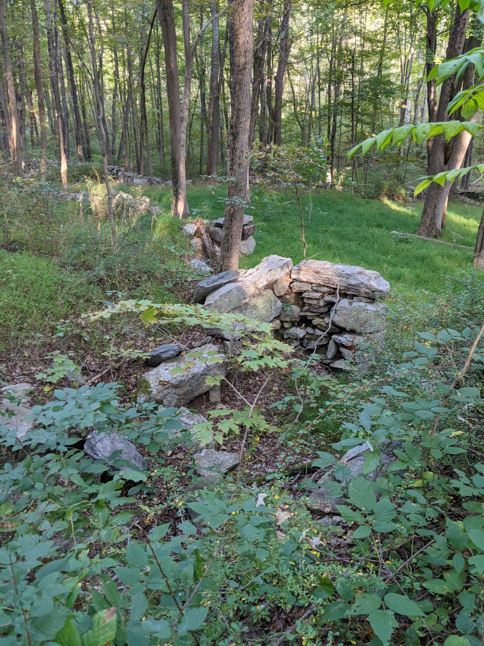
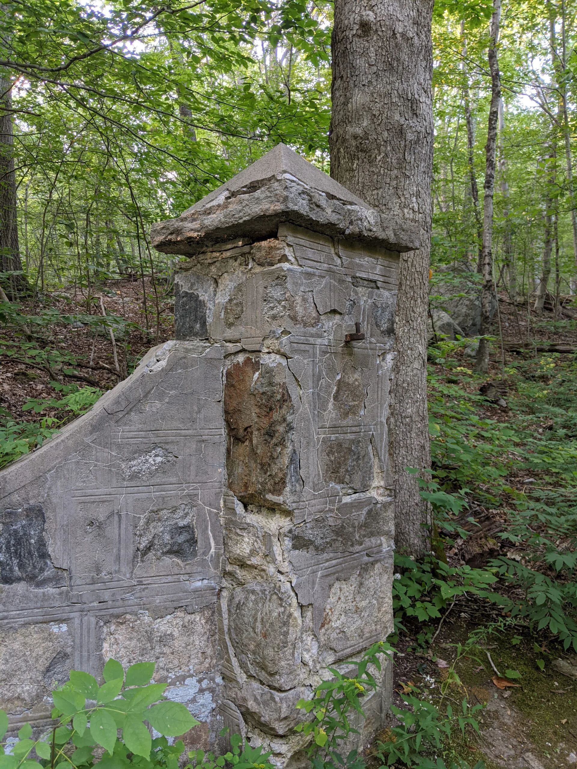
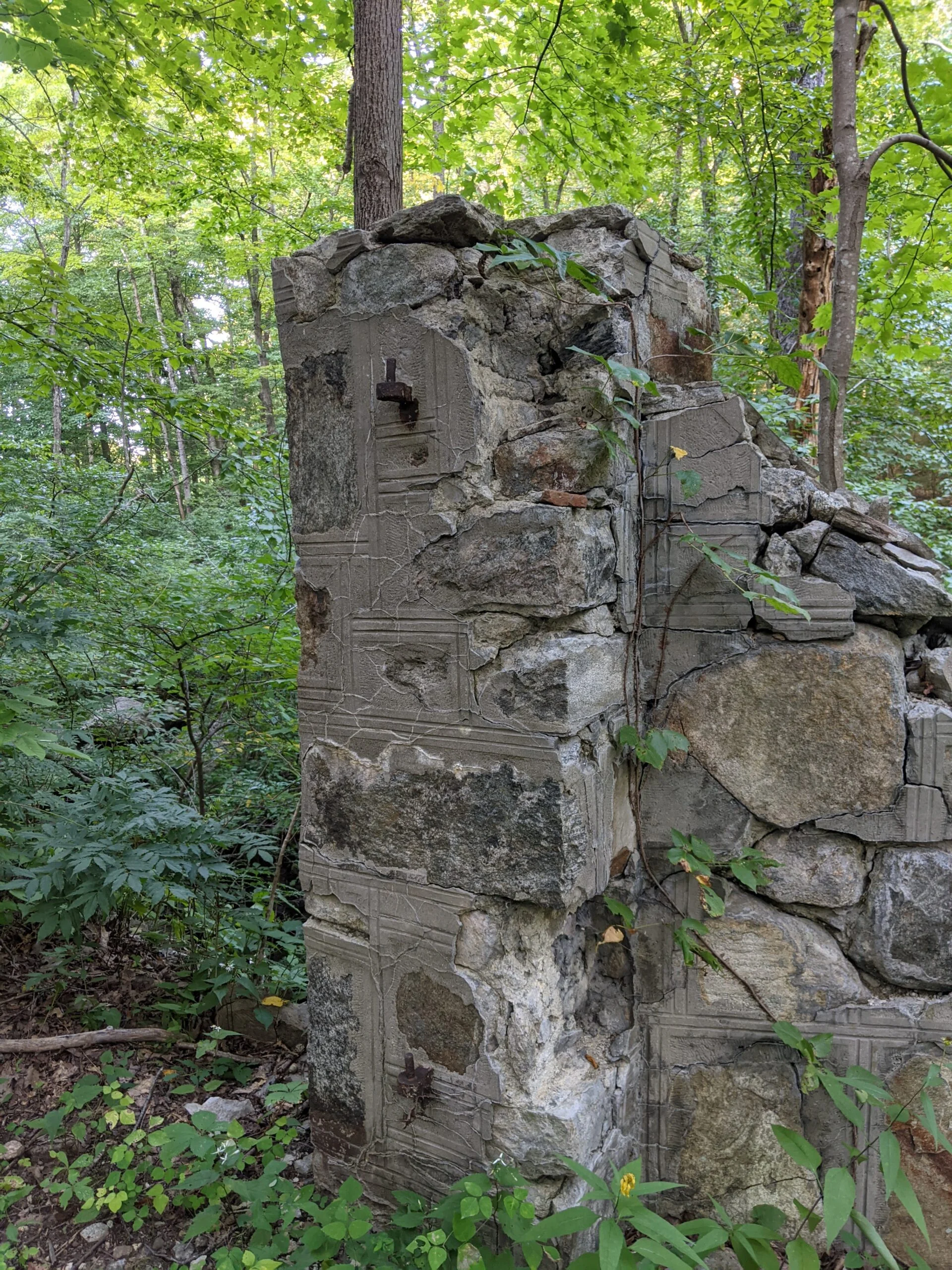
After about 4/10 of a mile, PT intersects with SM (white blazes) and East Mountain Loop (EM, red blazes). There’s an abandoned house near the intersection of these three trails, sometimes called the “Spooky House”. It’s in a state of disrepair and is rotting and falling down. My curiosity got the best of me and I decided to explore inside. I was very careful to check the floors and stairs for stability before placing my full weight down. It was clear from the graffiti that I was not the only one to explore this house. Use extreme caution and proceed slowly if you’re going to venture inside. [Update: 12/16/20 – I received an email from a fellow hiker advising me that the house has deteriorated even further since I was there in September. It is now extremely unstable and it is not advisable that anyone ventures inside or even too close as it may collapse at any moment.]
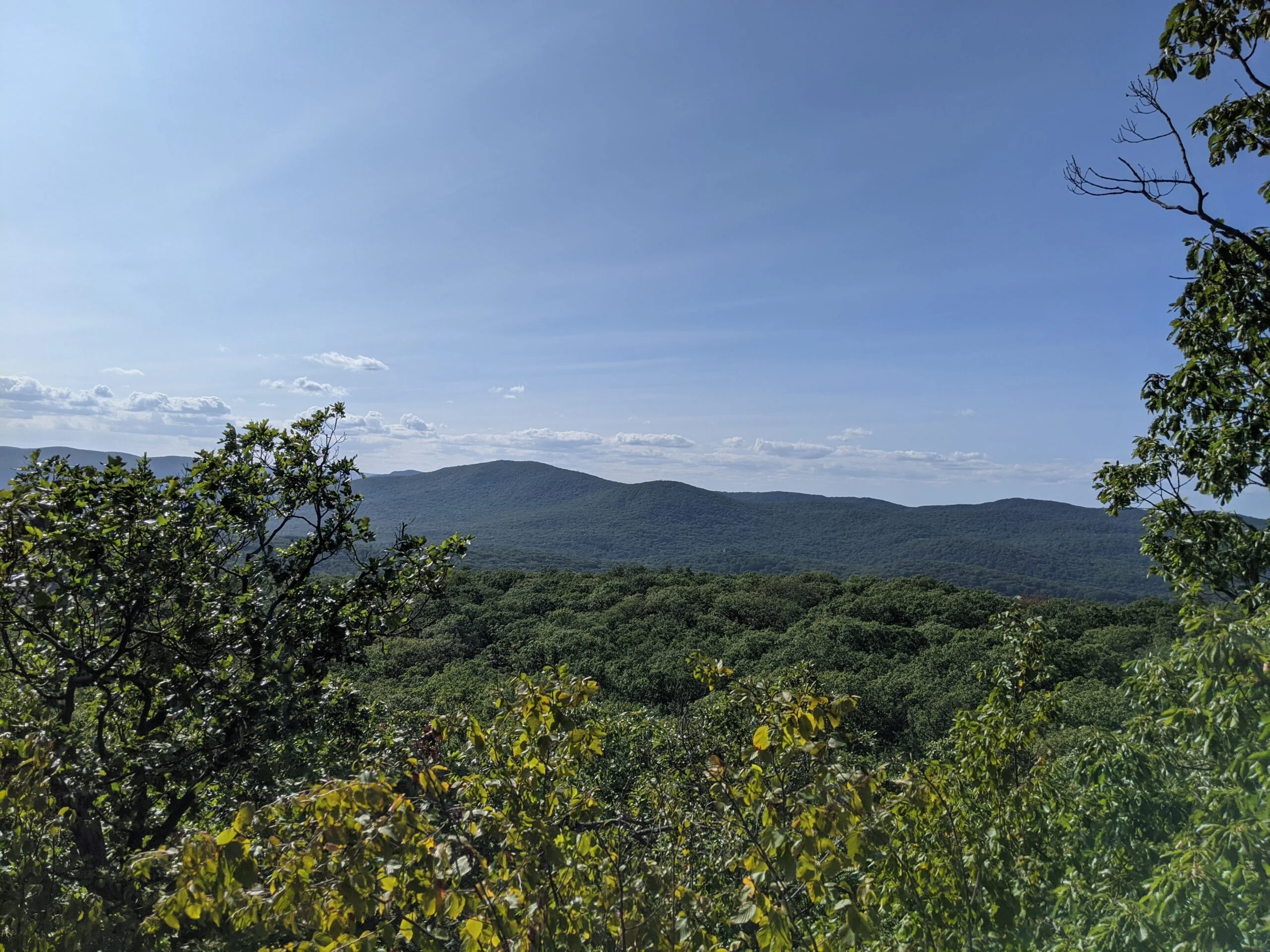
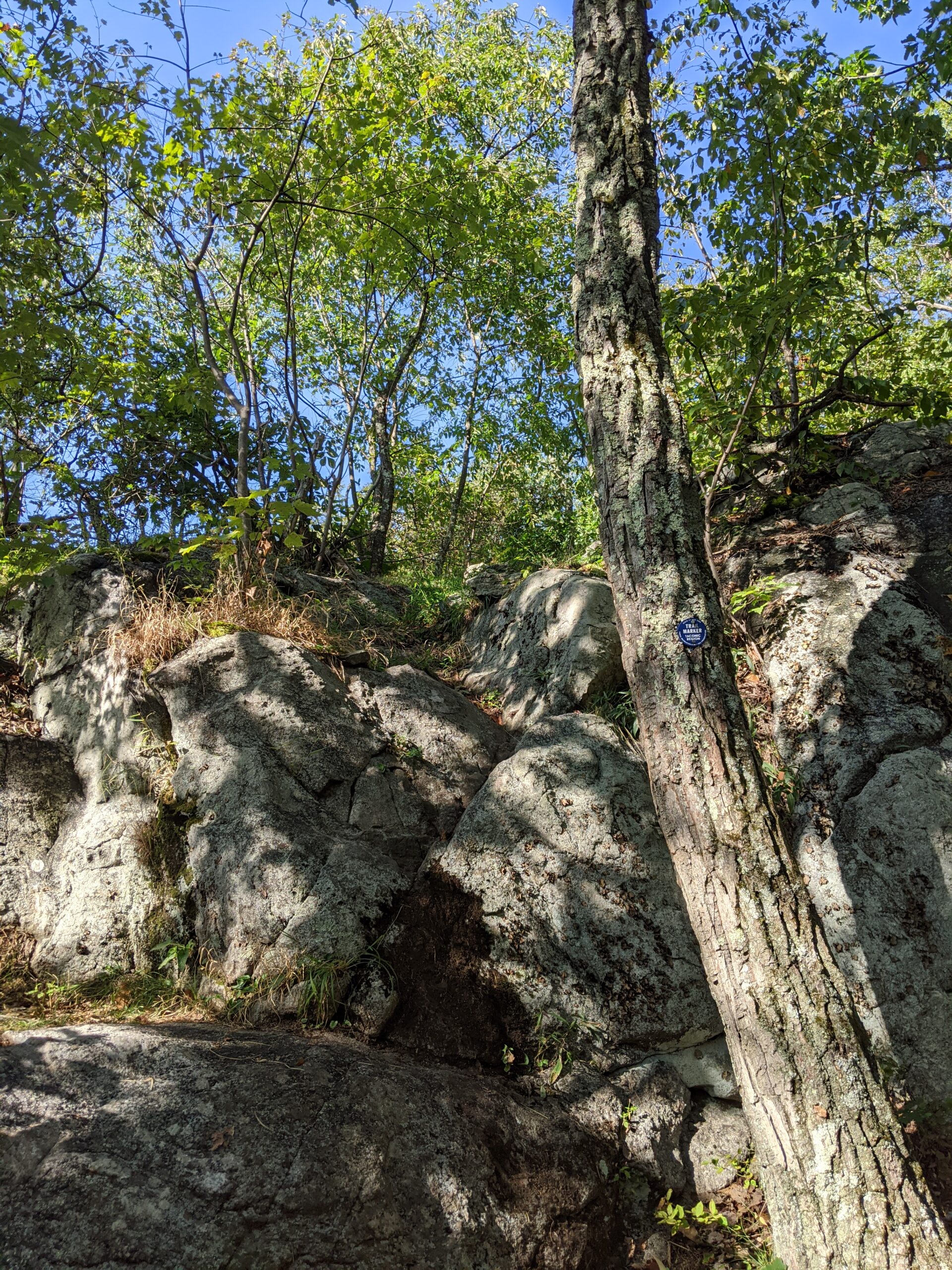
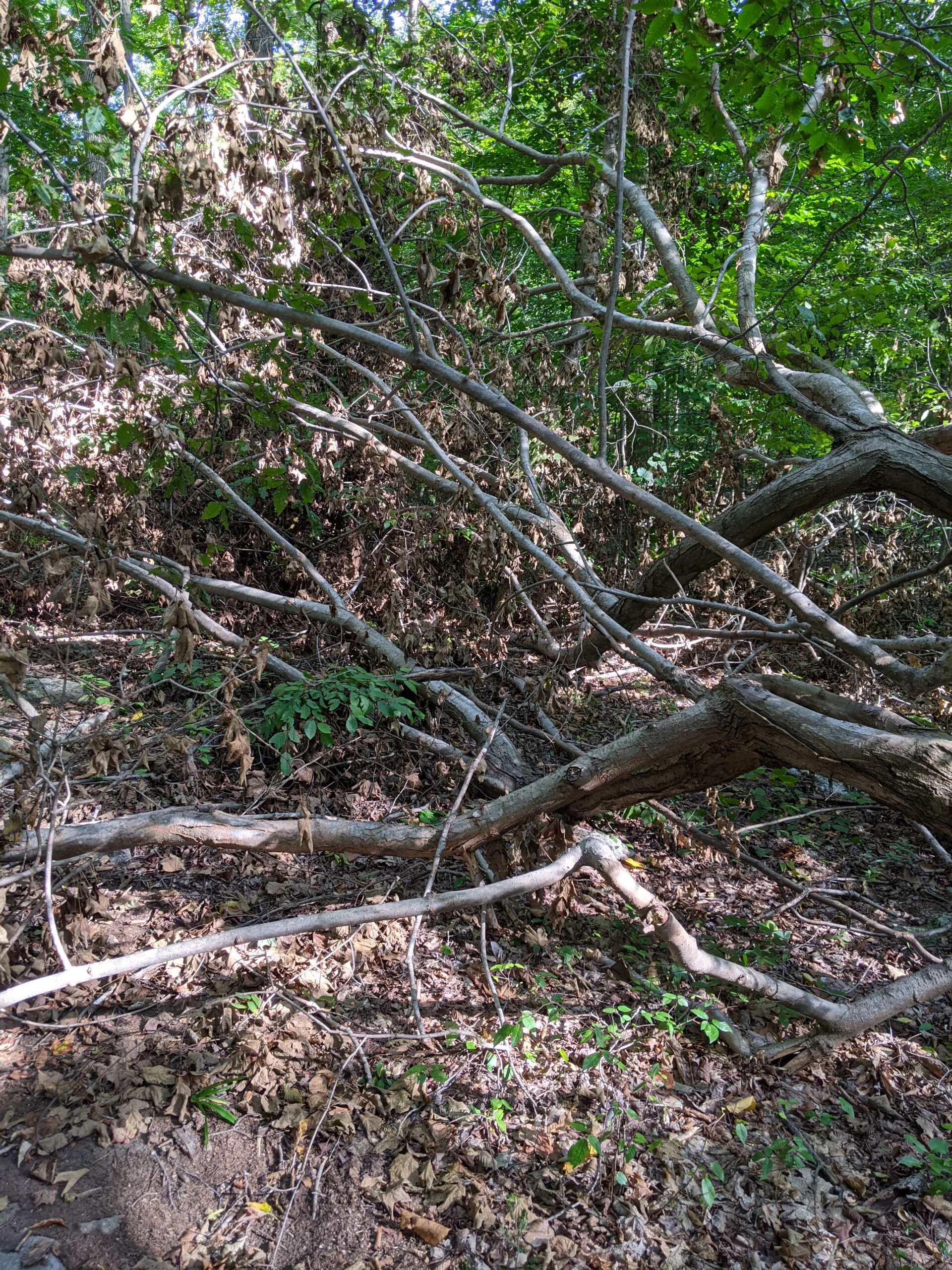
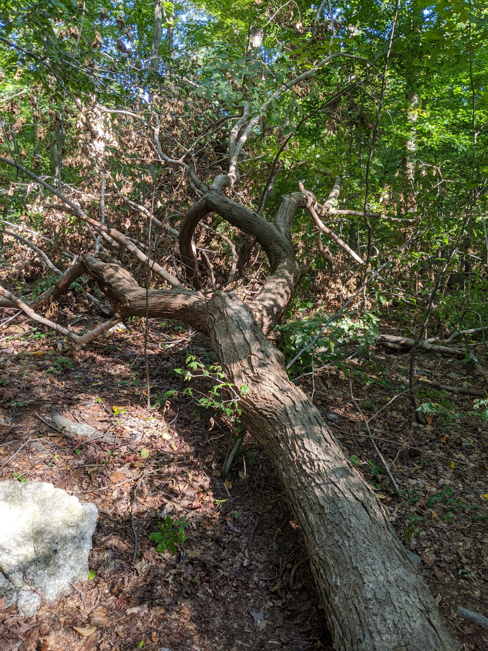
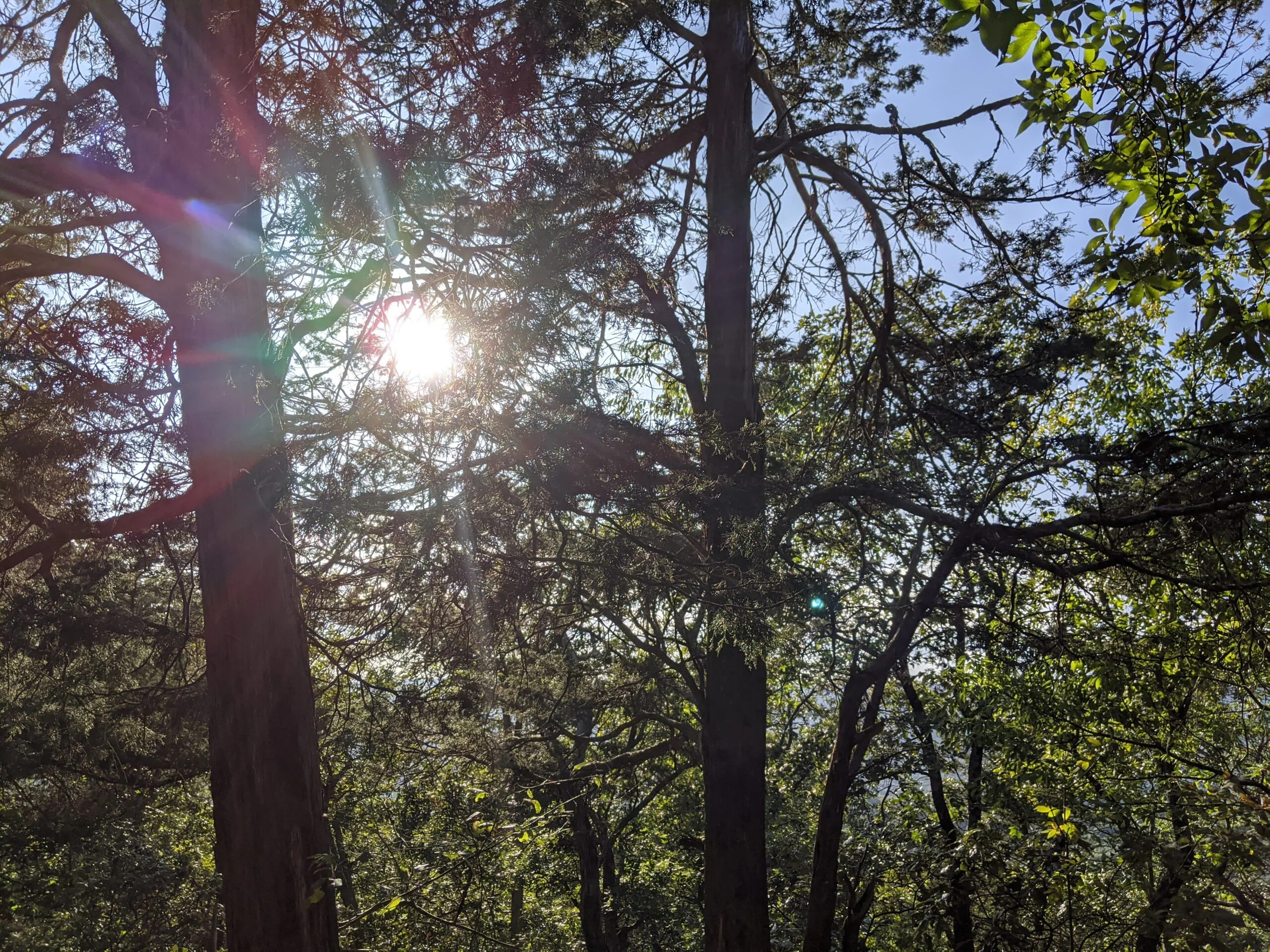
Wanting the full experience, I took EM up to the summit of East Mountain. The elevation gain up was about 200 ft because the trails had not descended much along the way. The summit was similar to Round Hill in that I could see the potential for some really great views, but the trees prevented me from seeing a wide open view. I still feel it’s worth the detour and exercise though.
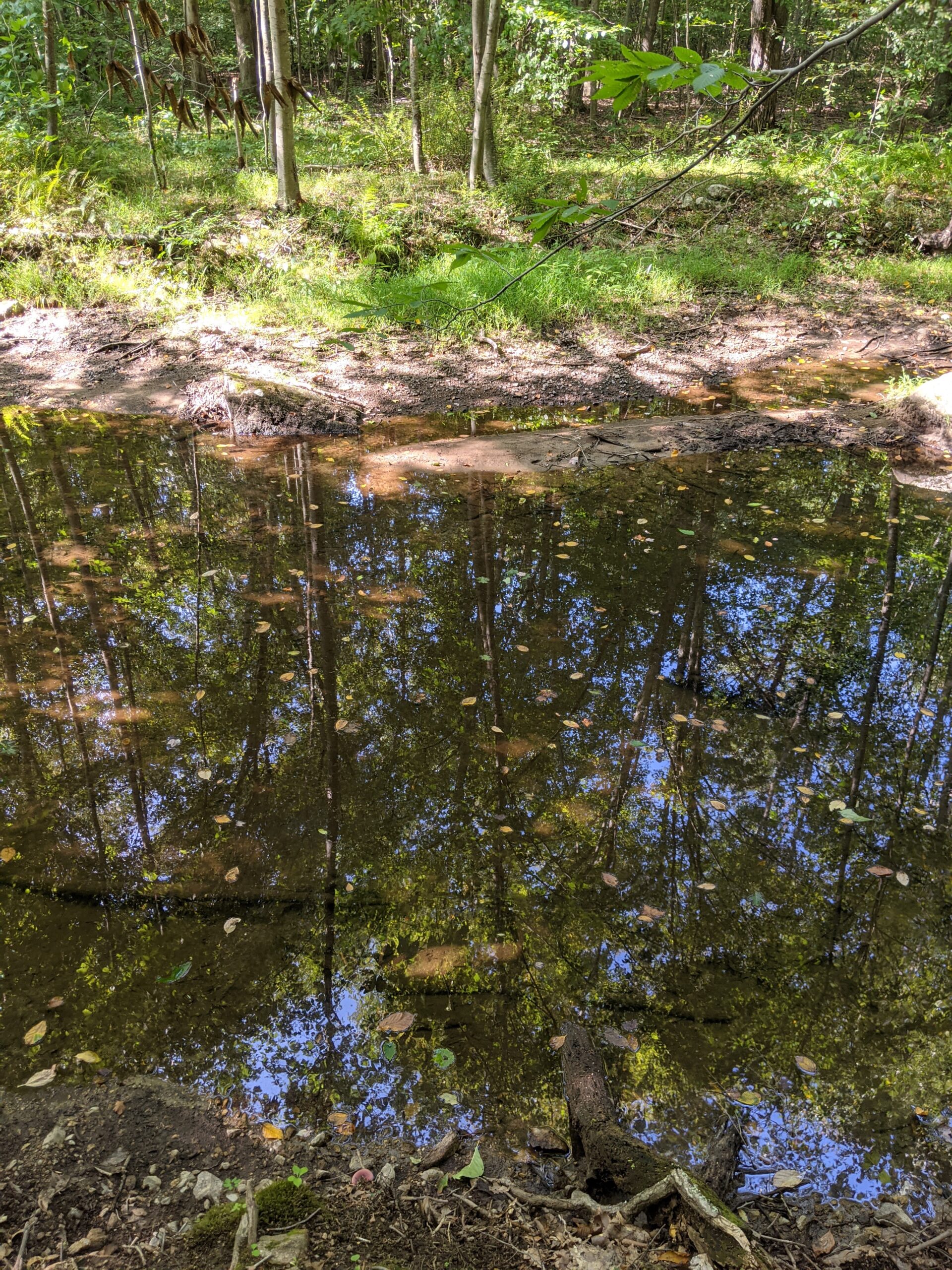
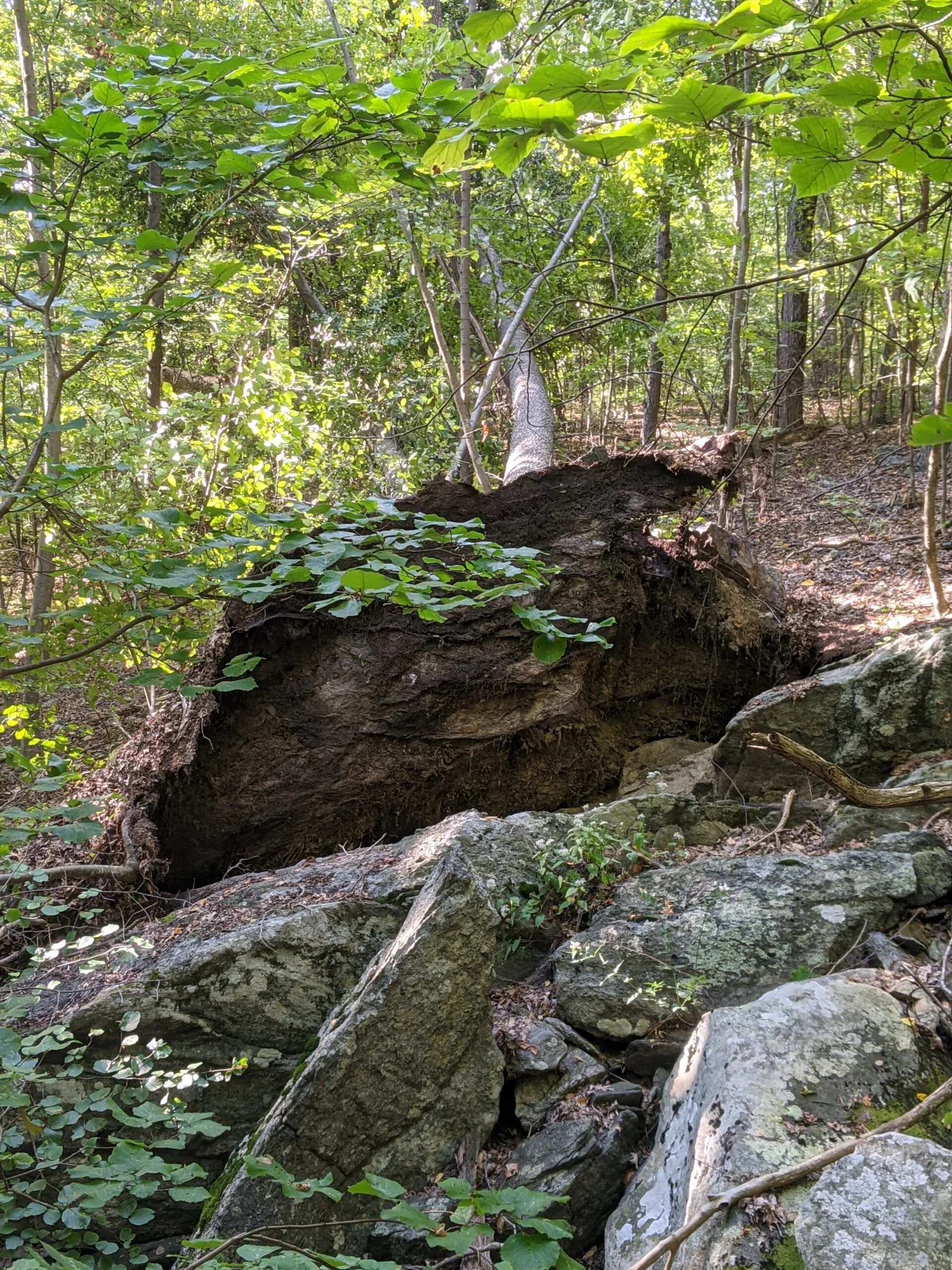
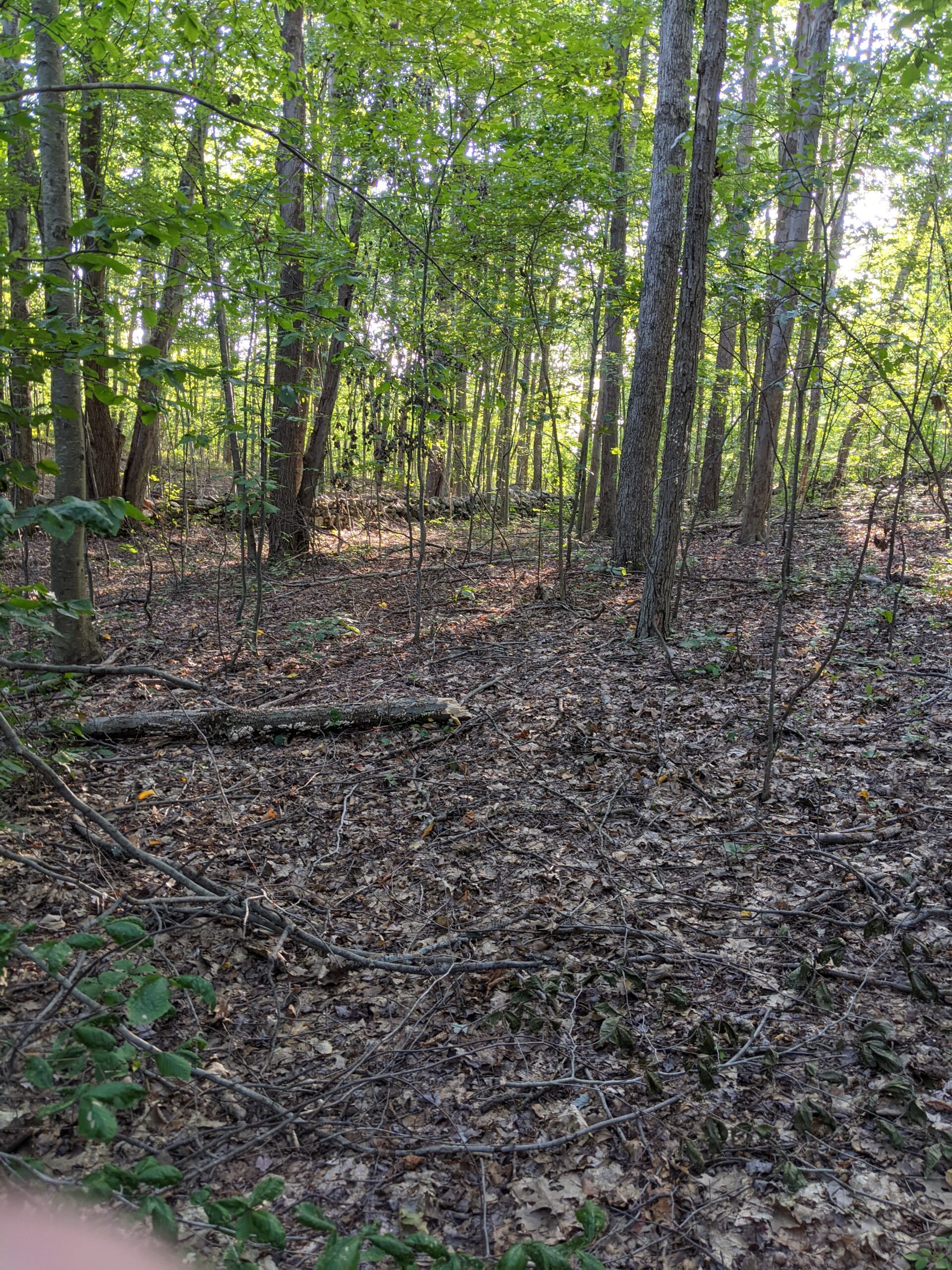
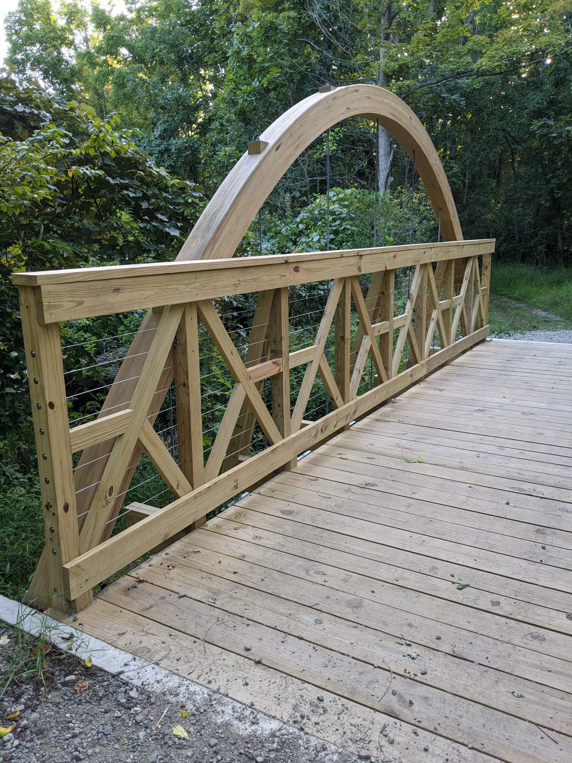
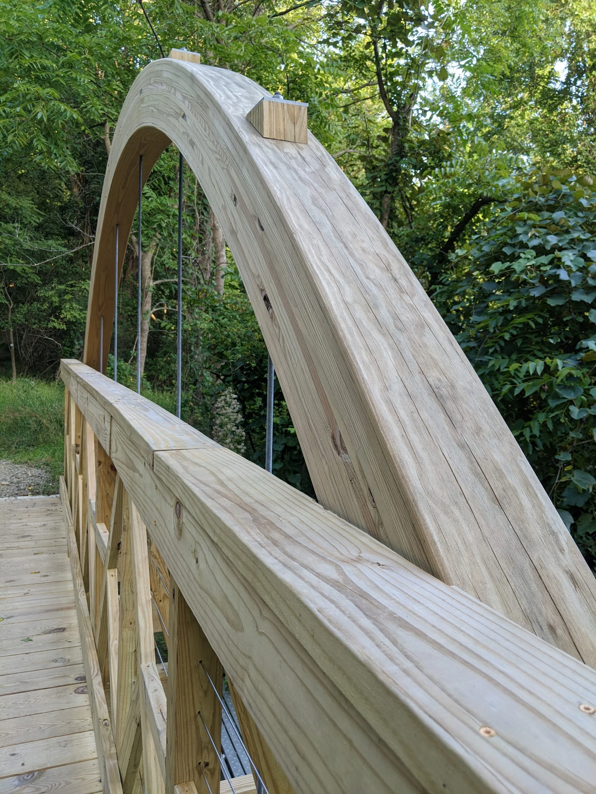
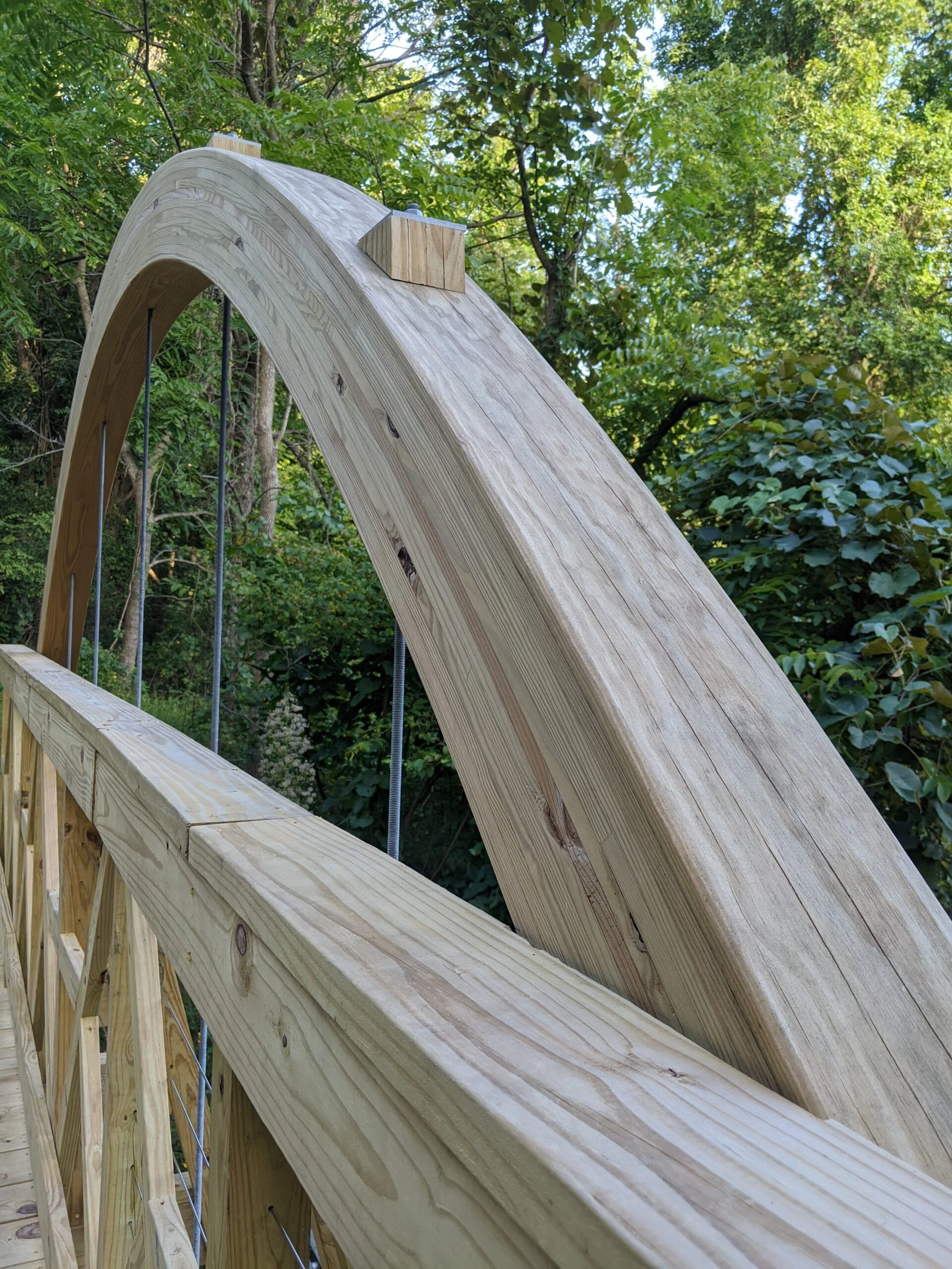
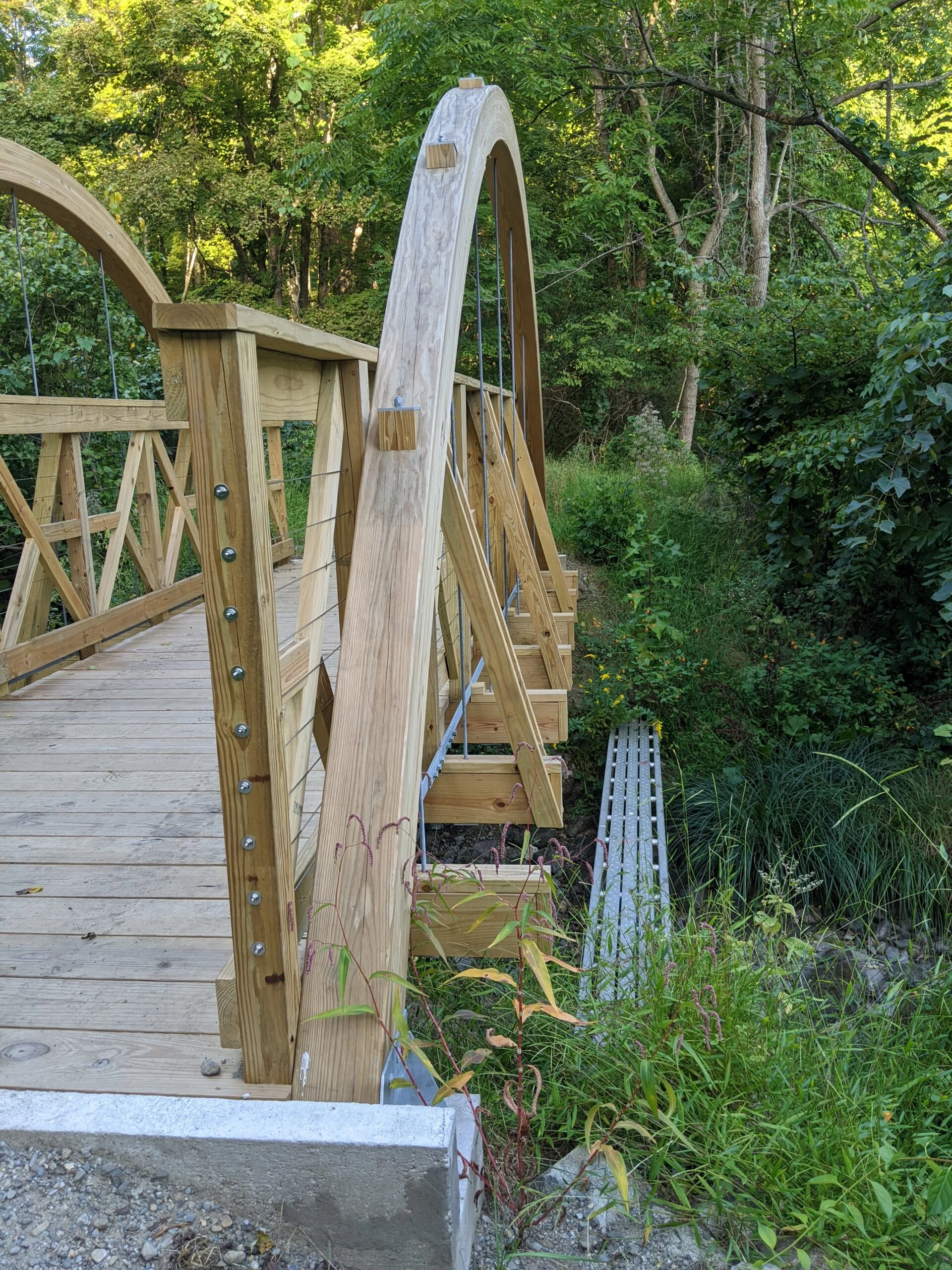
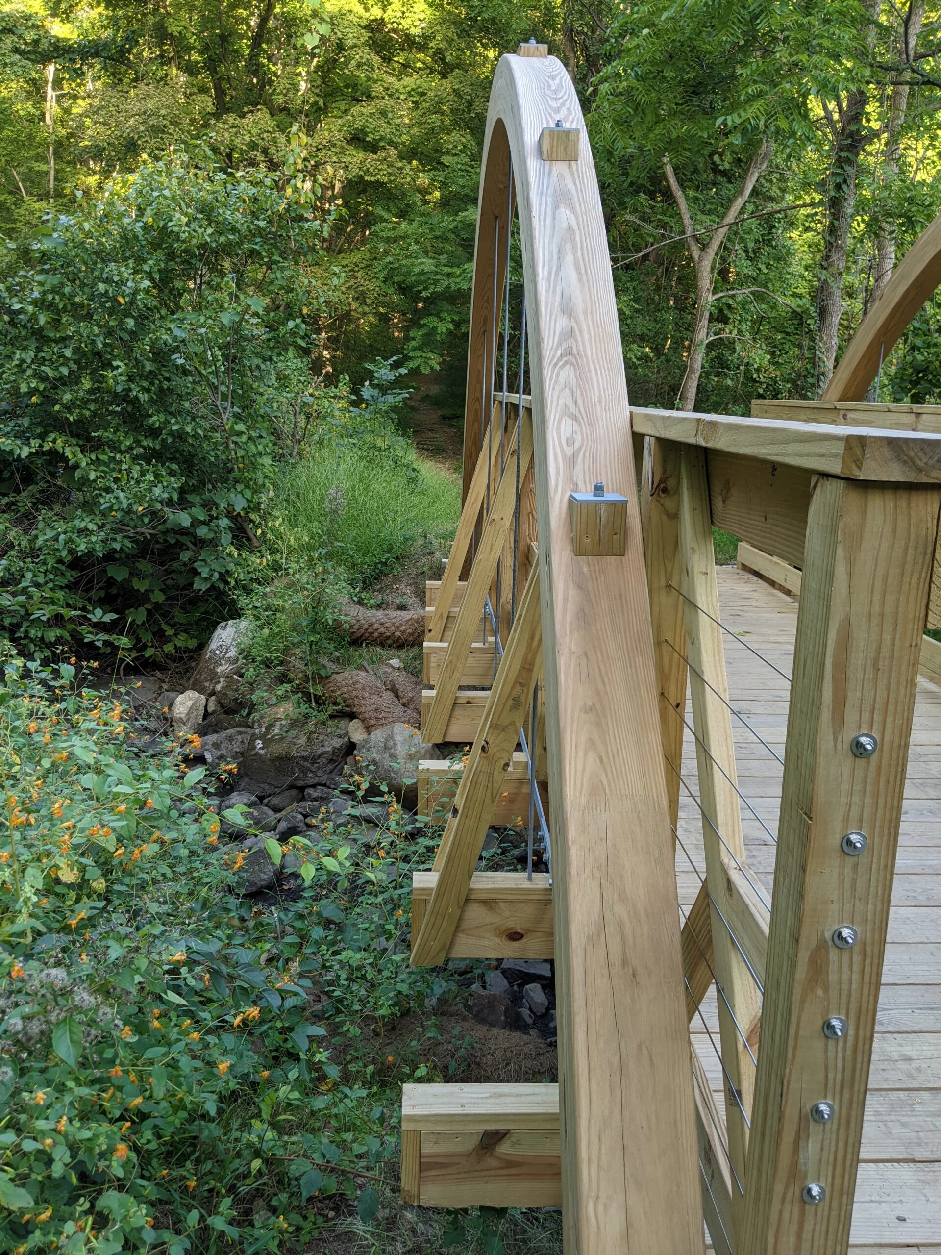
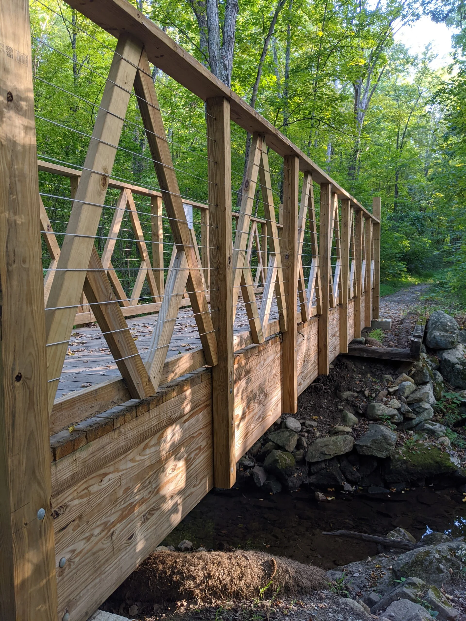
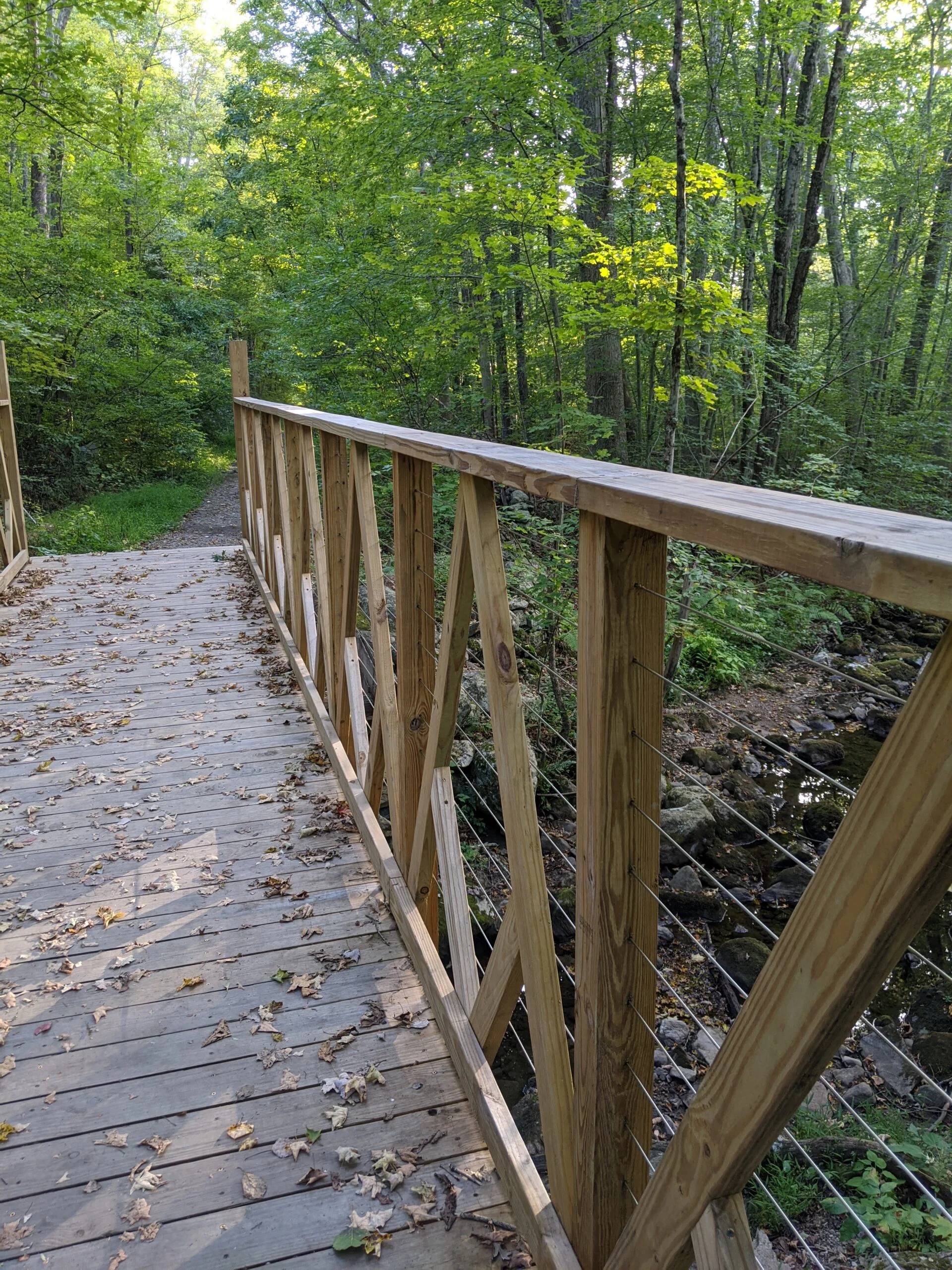
The descent down EM is about 400 ft over a 1/2 mile where it reconnects with SM, on a section that I had not hiked yet. Most of SM is a pretty flat, gradual descent. Along the way, I encountered two more bridges built by various Civil Engineering Classes of West Point Cadets. The first one had beautiful arches made out of bent wood. I can only imagine the time and energy that went into designing and assembling this bridge.
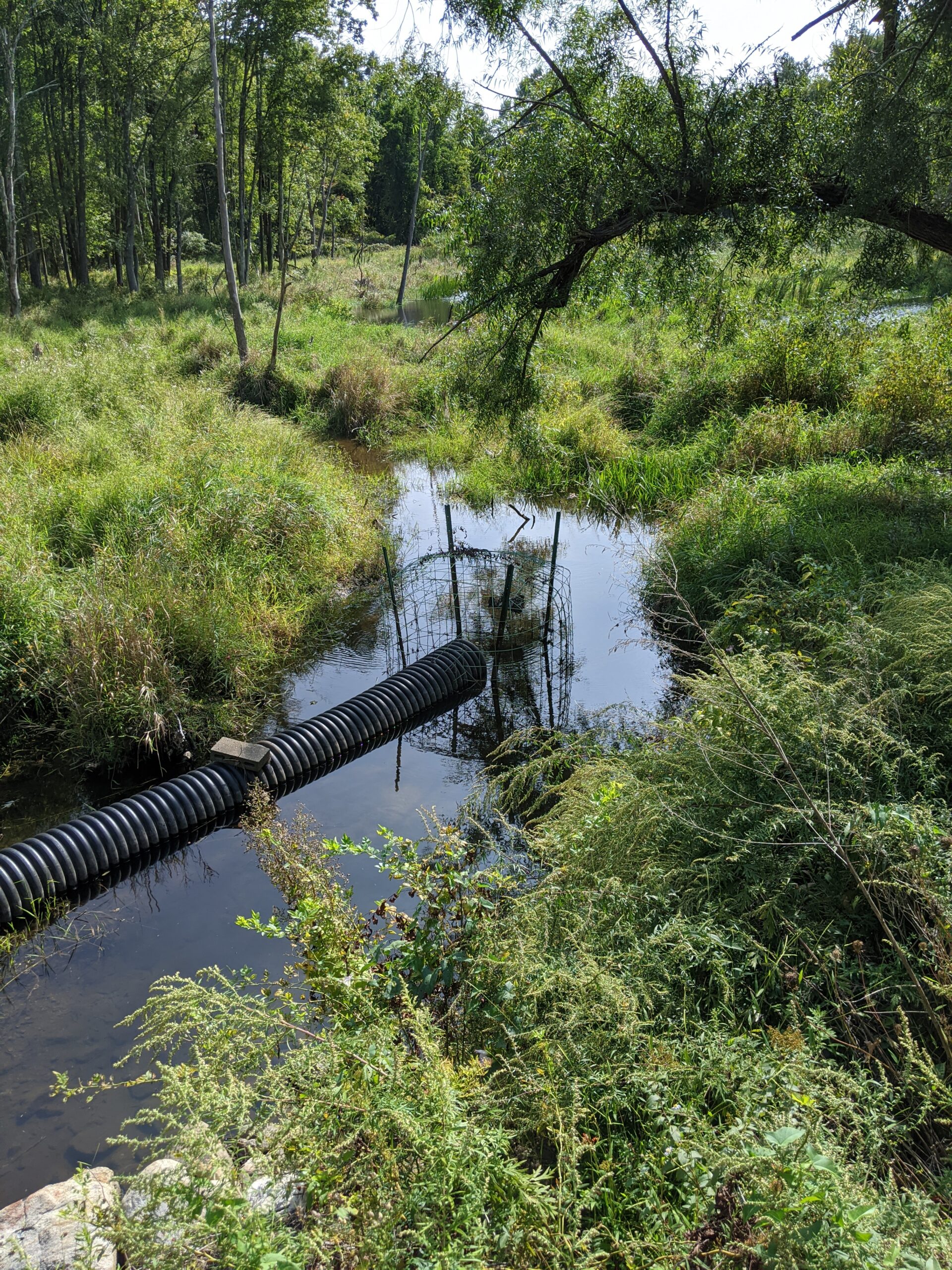
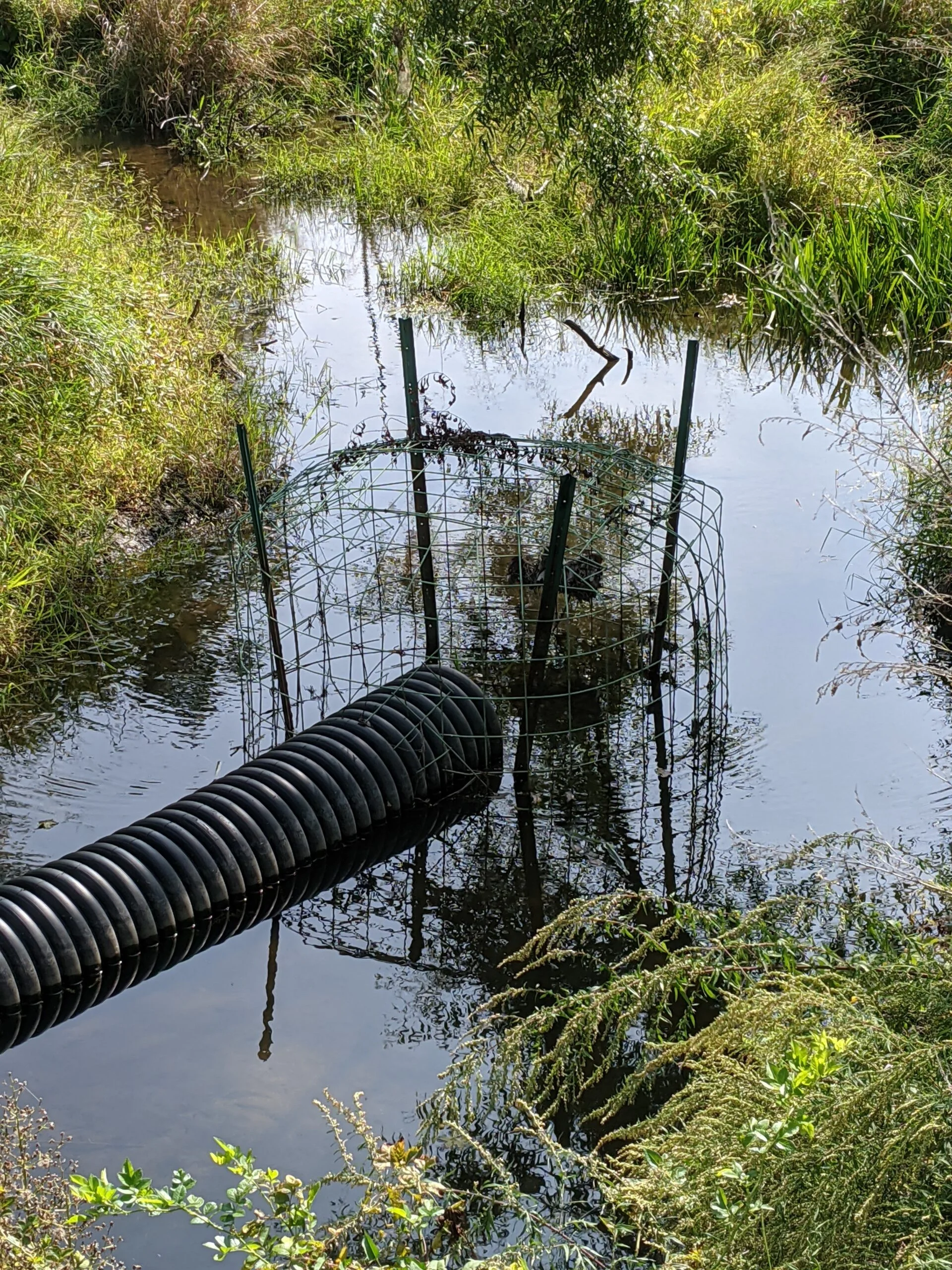
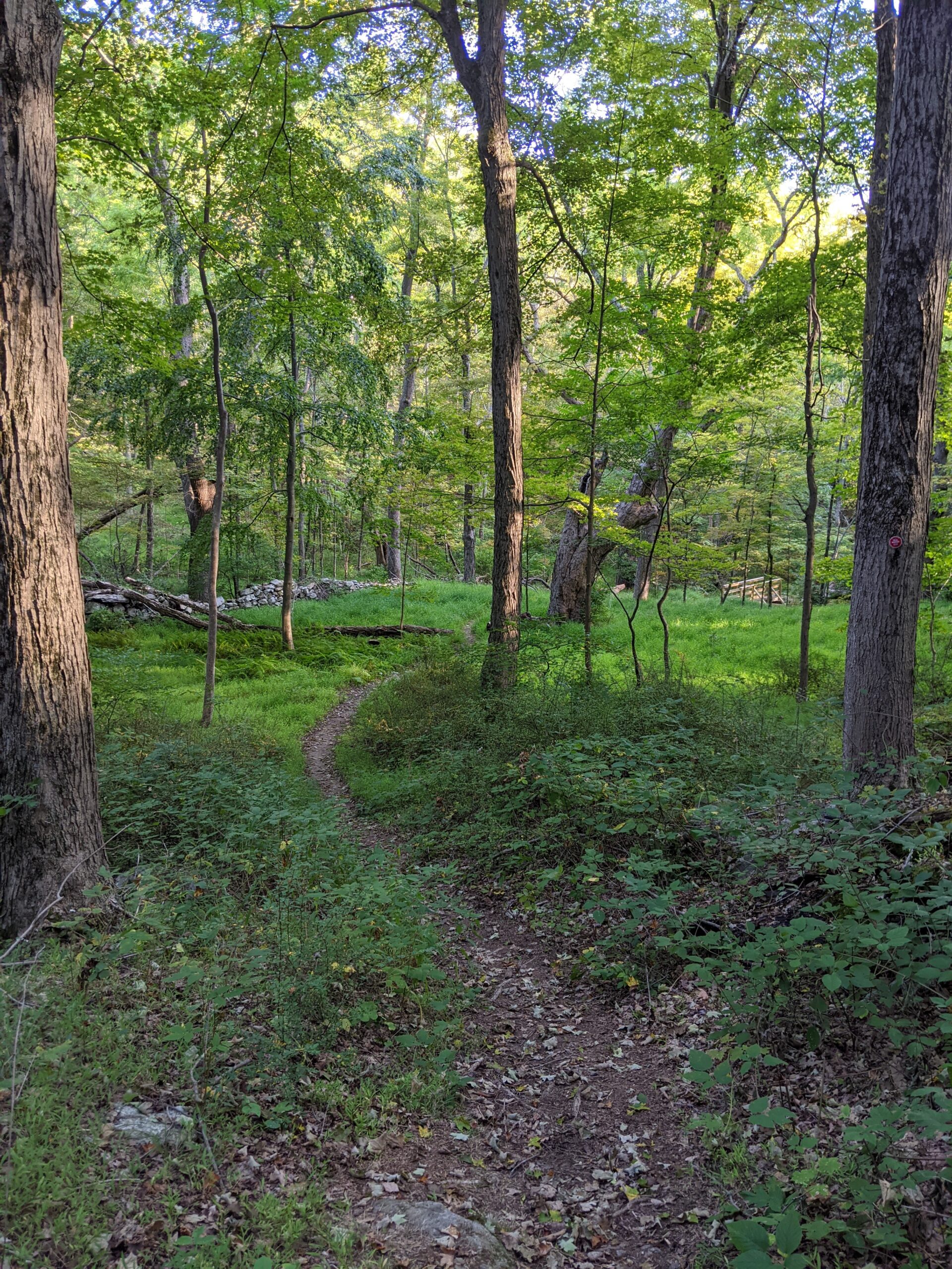
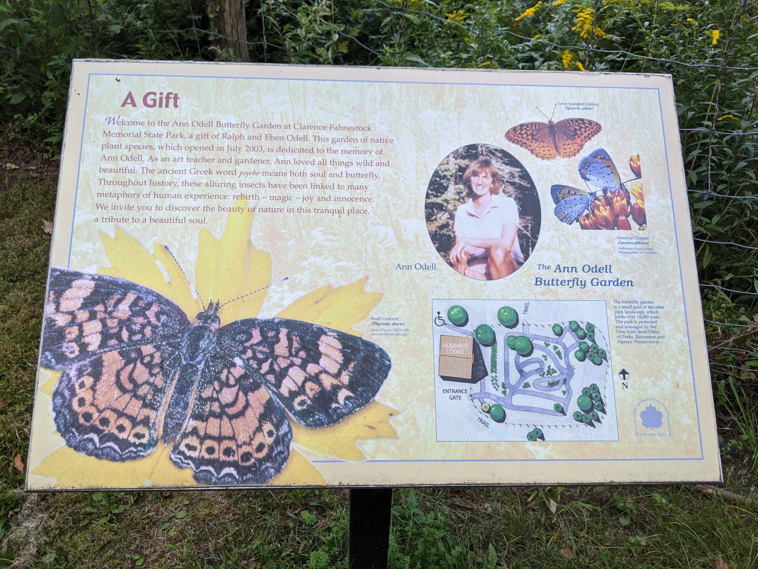
I continued down SM until I reached the intersection with HL (yellow blazes) and FS (blue blazes) that I came across at the beginning of my hike. I crossed over the steel beams and continued back on SM/FS. I got to the offshoot that leads up to Hubbard Lodge and decided to look around. There’s a butterfly garden here that I did not have time to explore on this visit. After walking around the lodge, I made it back to my car to finish the hike.
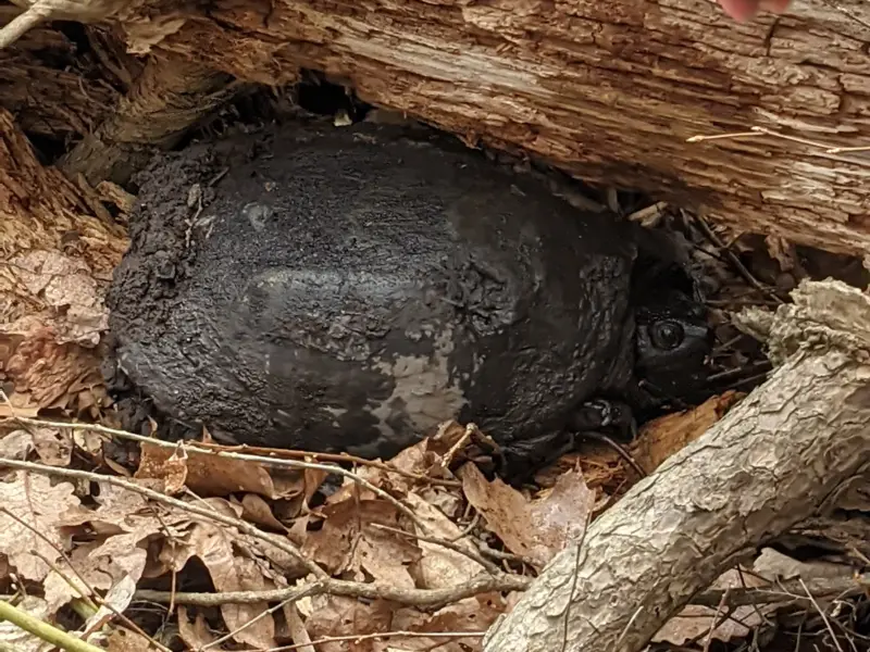
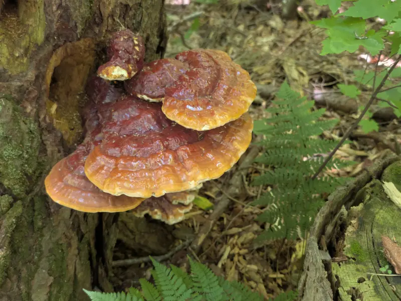
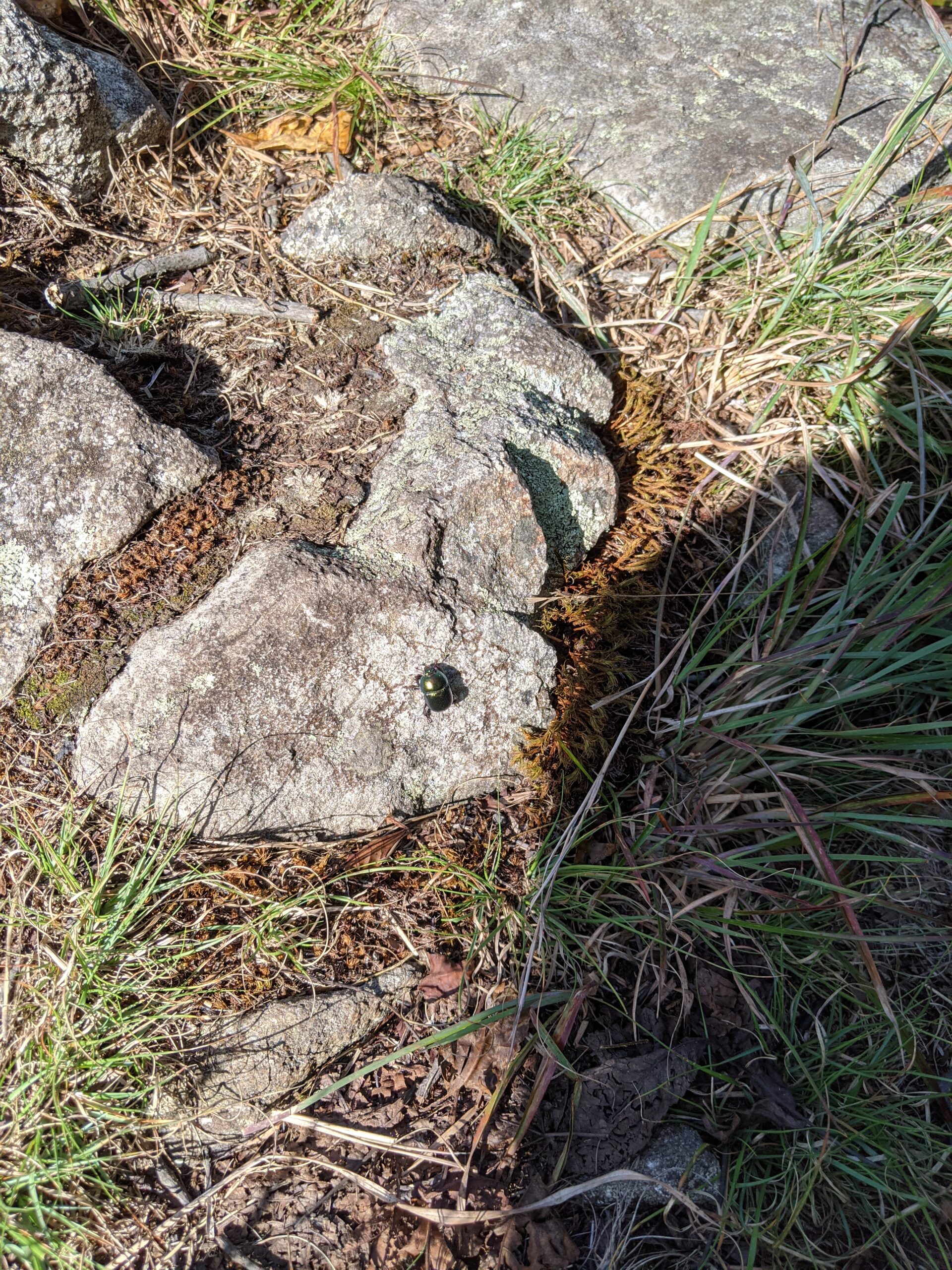
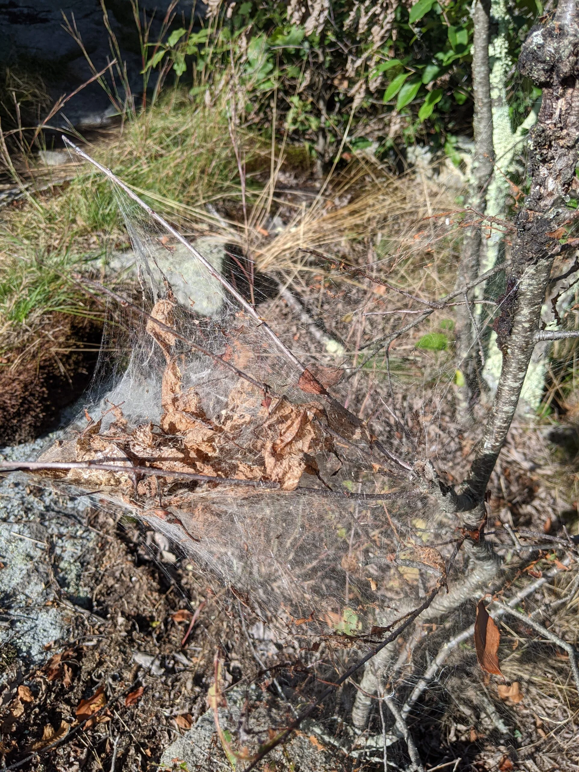
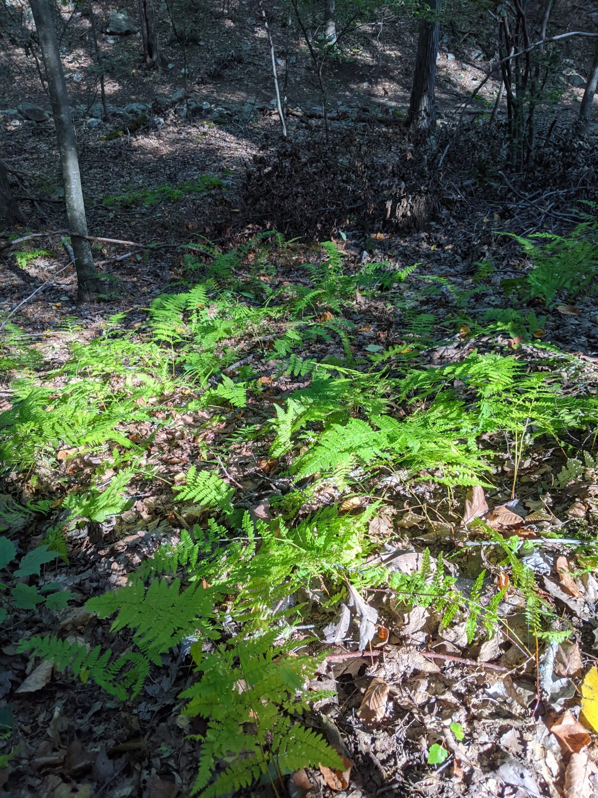
This was a really enjoyable hike! I encountered two people at the very beginning at the intersection where I turned into FS, and then I was by myself the entire length of the trip until I was back on SM, where I passed 5 more people coming into the park as I was leaving. It was nice to be out alone and in the quiet of the forest. Along the way, I spotted one deer, several squirrels, and a frog.
I would like to come back to explore more of this trail and some of its offshoots. Going in, I read about a hidden waterfall, but didn’t manage to look hard enough for it along the way.
Given the lower temperatures and lower difficulty of these trails, I only ended up using about 3L of water, so I think I will start carrying less for similar type trips. My pack weighs about 22 lbs full, so it’ll be great to eliminate some of that weight. Water is heavy!
My phone battery started getting low on this trip, so about halfway through I put it in data saver and battery saver mode, thus my GPX tracks are very spotty after that.
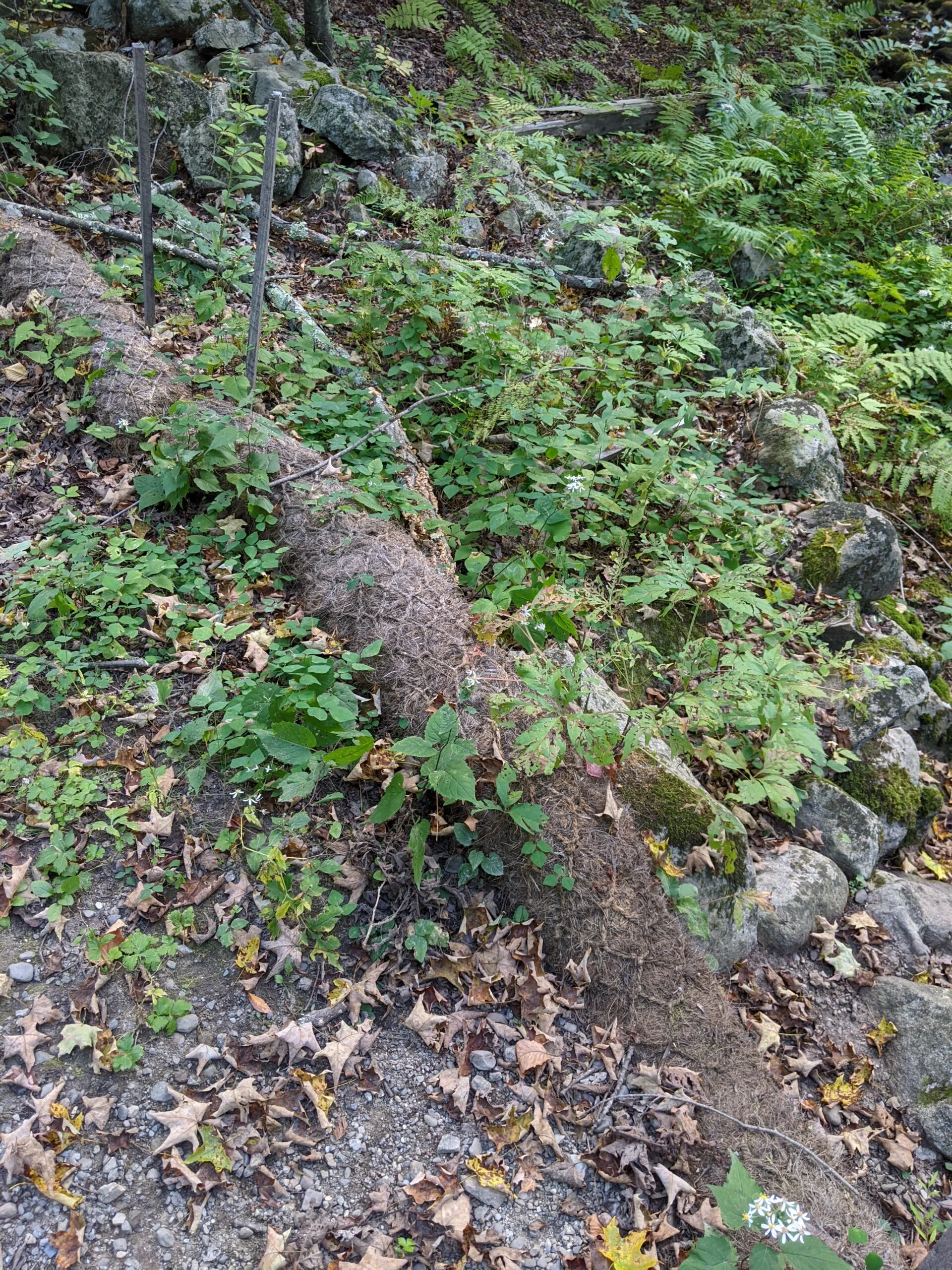
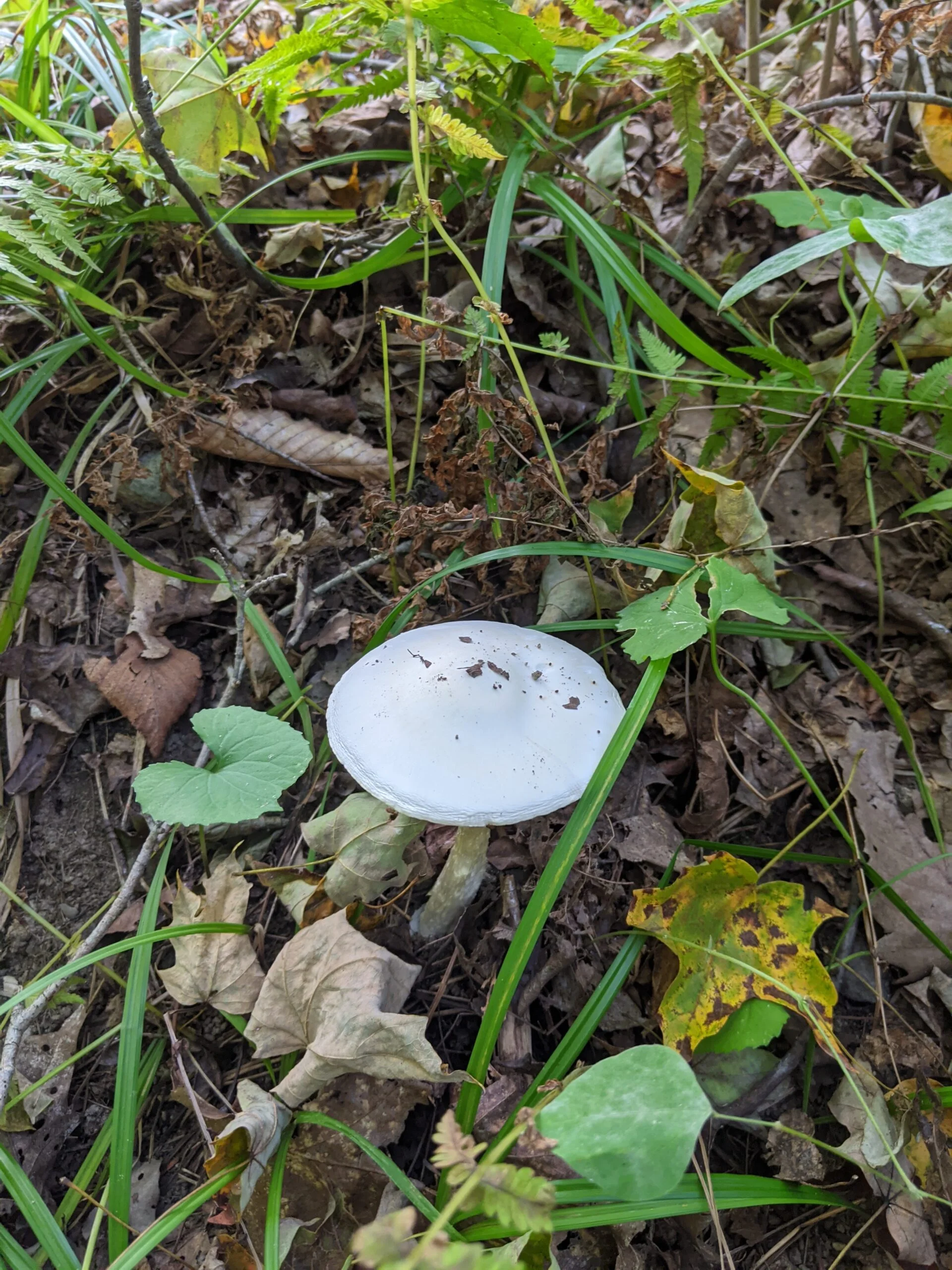
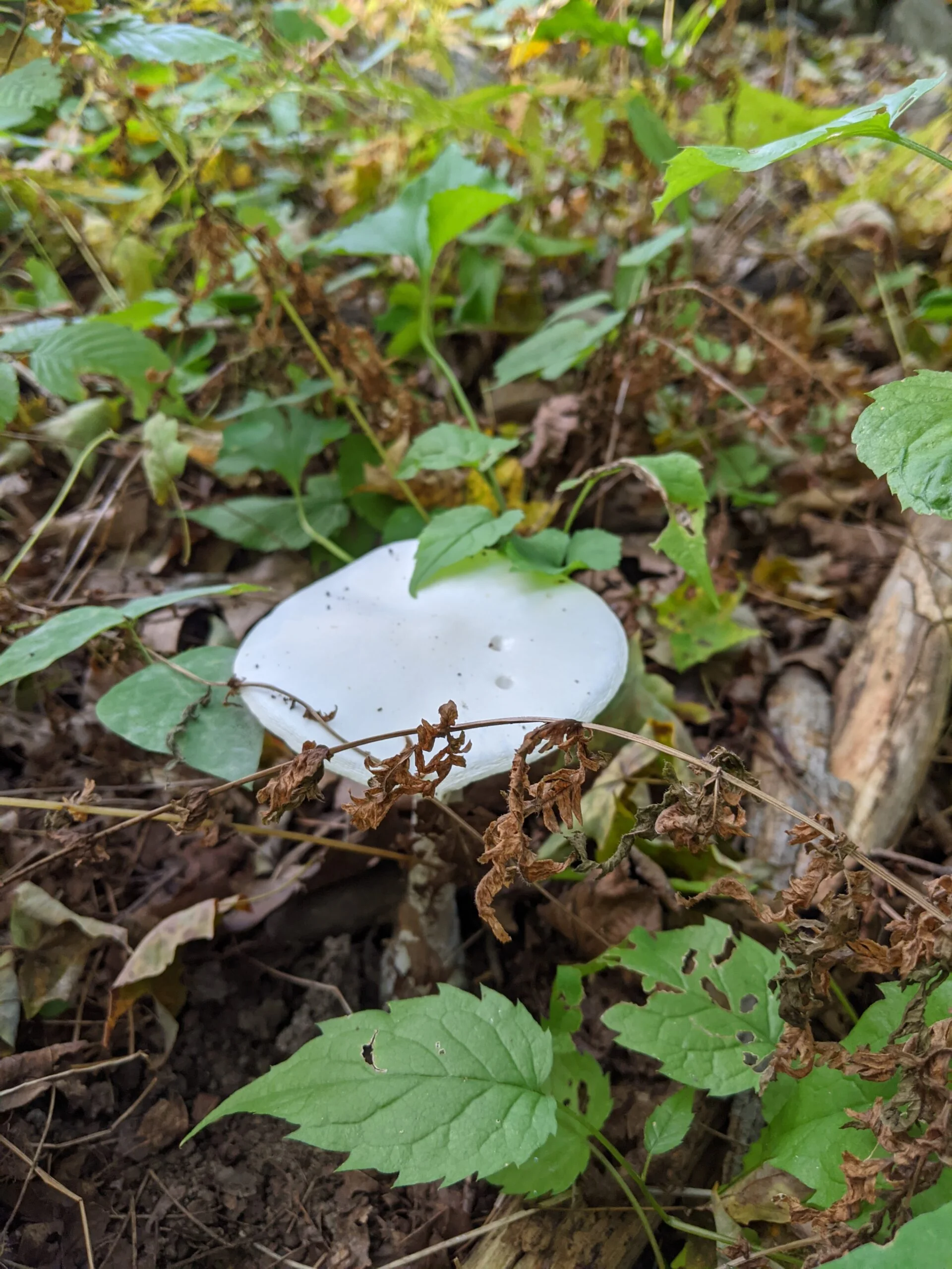
Photos


GPS Route & Elevation
Loads an interactive map; map tiles are served by the U.S. Geological Survey, which receives your IP address. Learn more about maps and your privacy