The Irvington Woods – Sunset Rock, Split Rock, Irvington Reservoir, Ice Pond, Marshall Pond
- 5.1 mi
- 515 ft gain
- 02:57:25
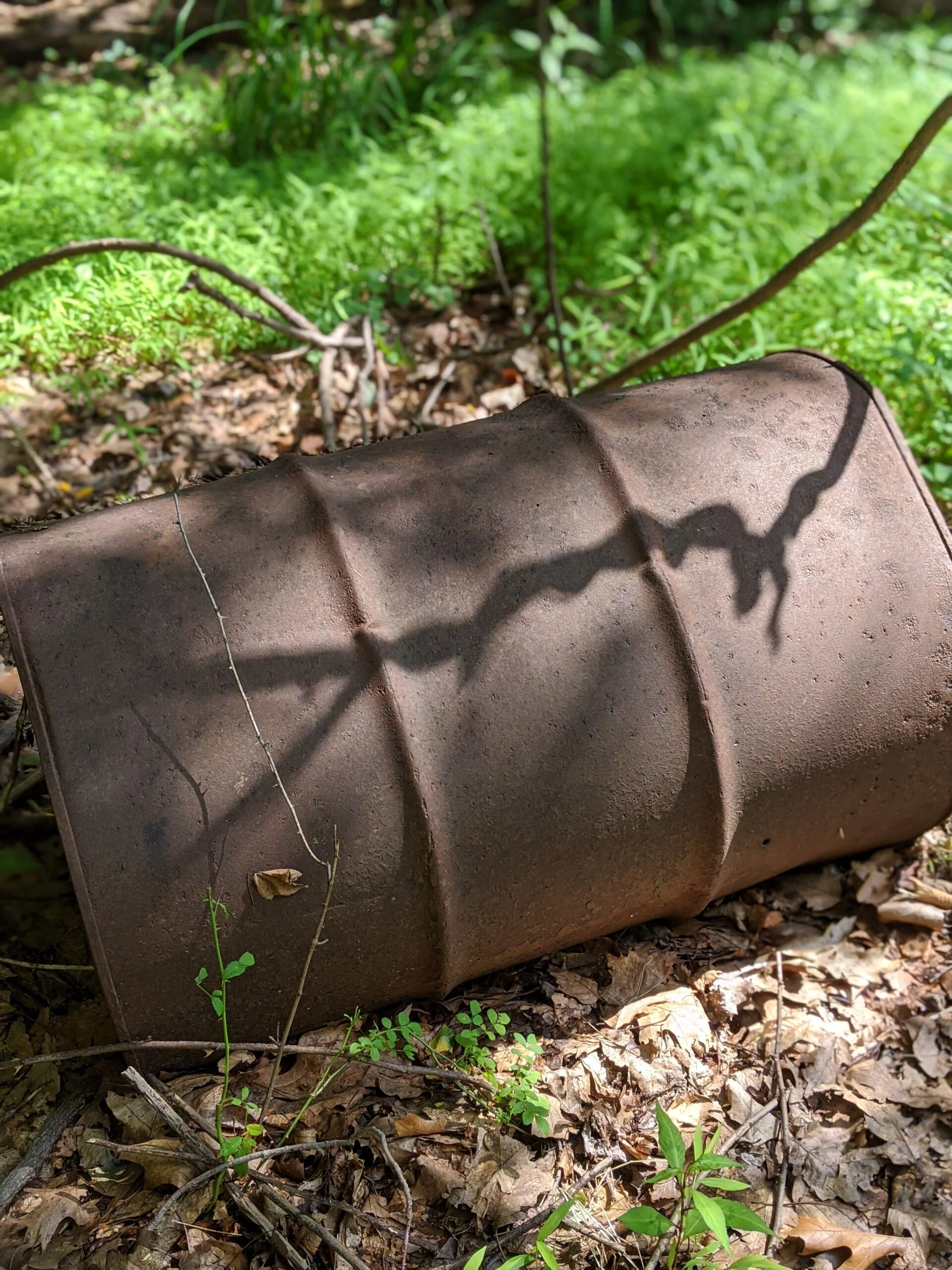
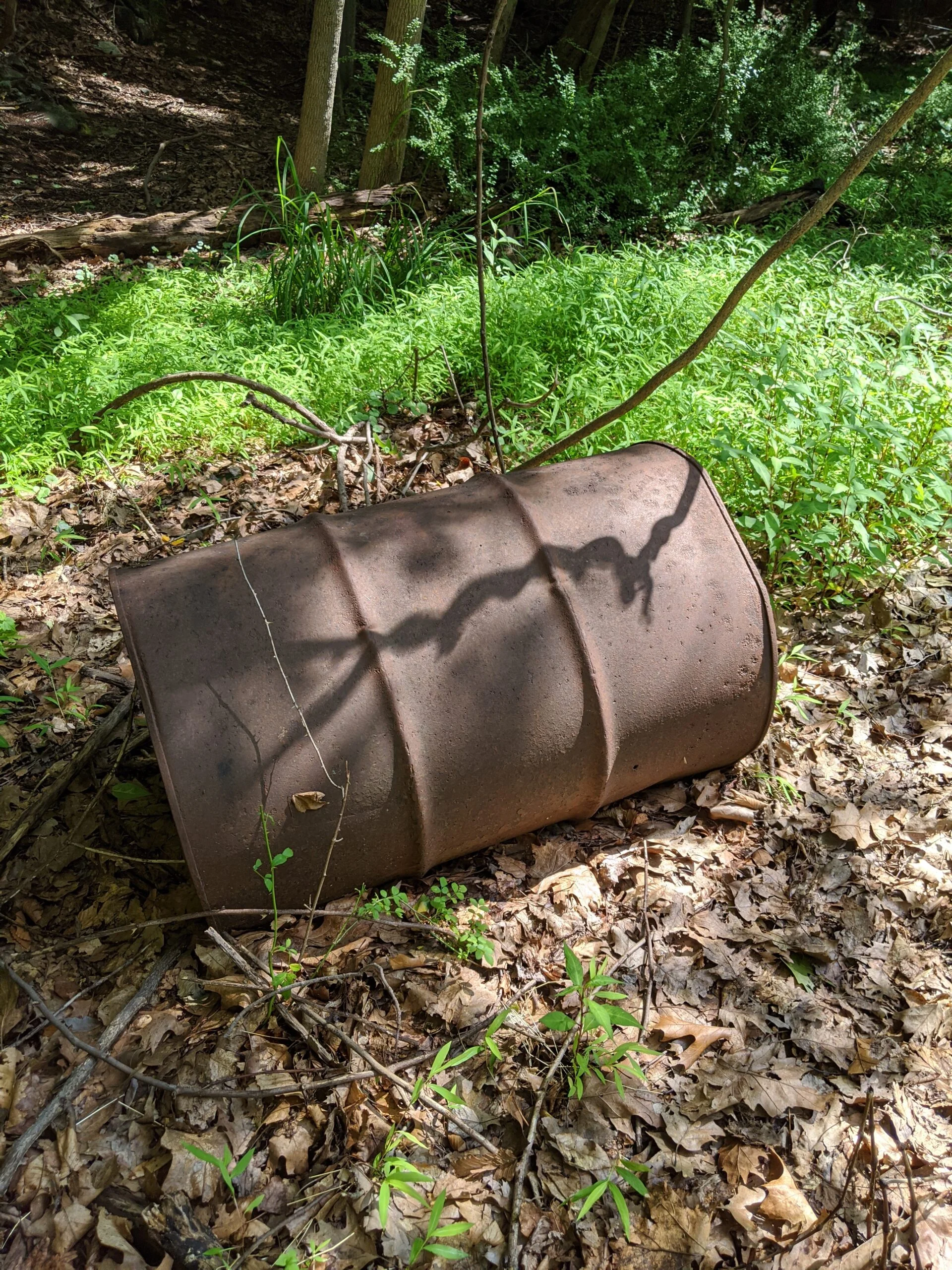
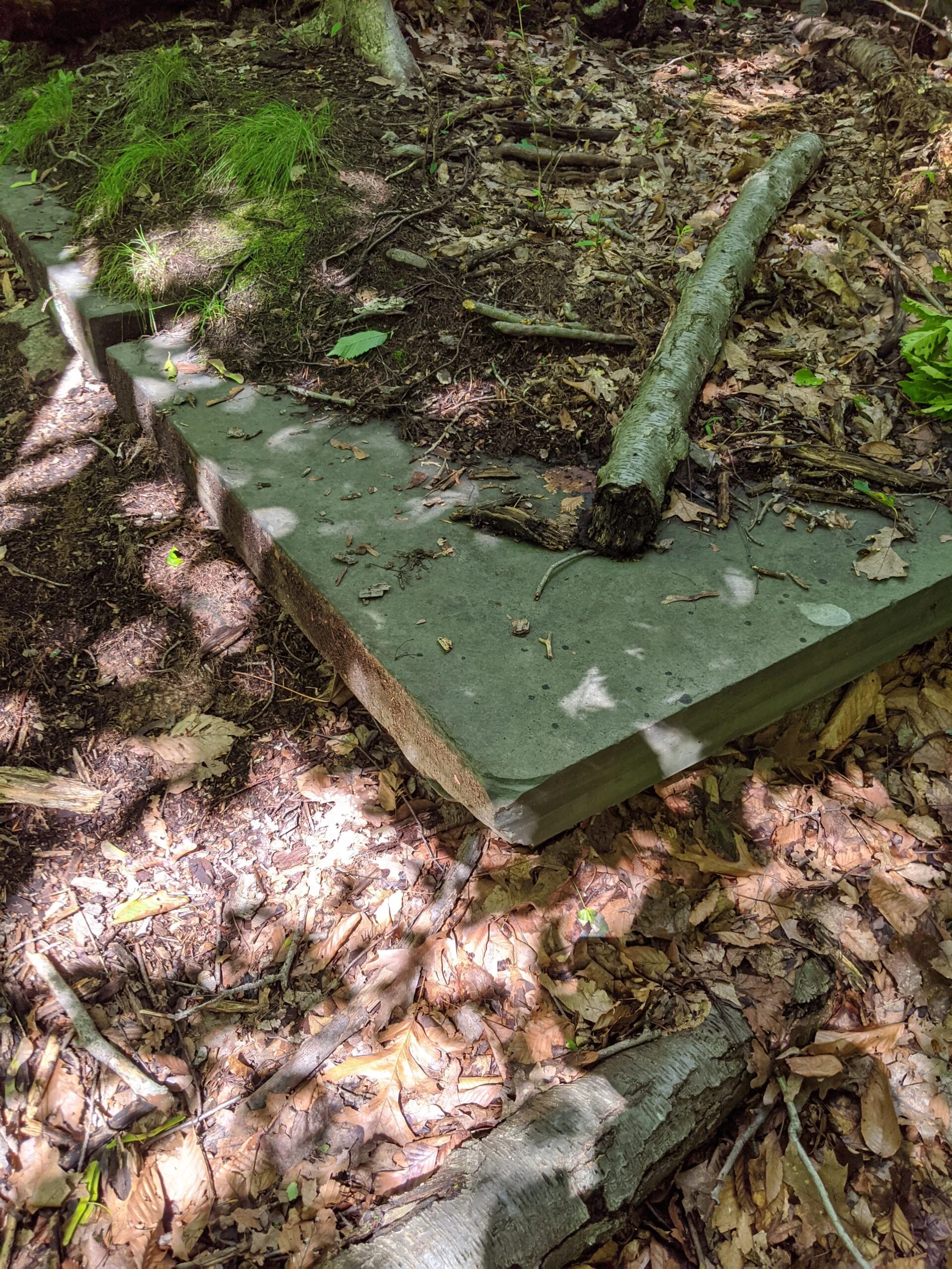
- 136 photos
- 6 videos
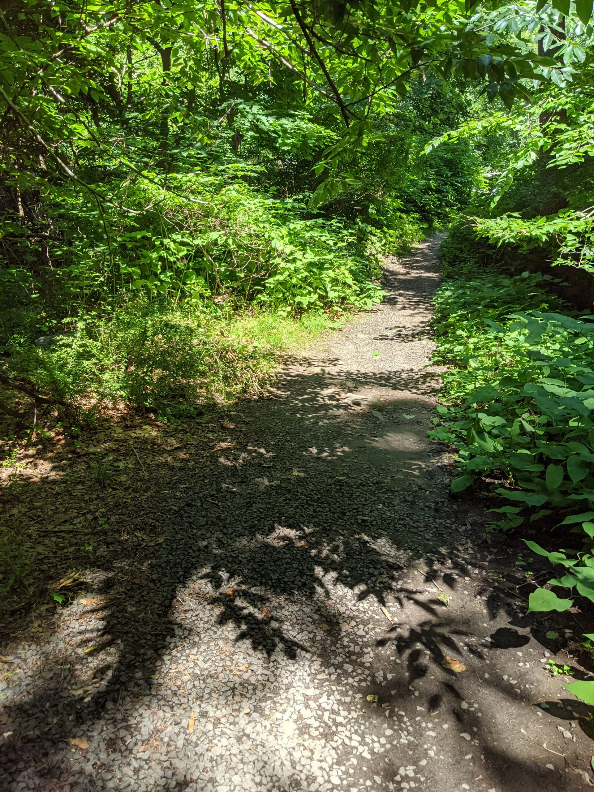
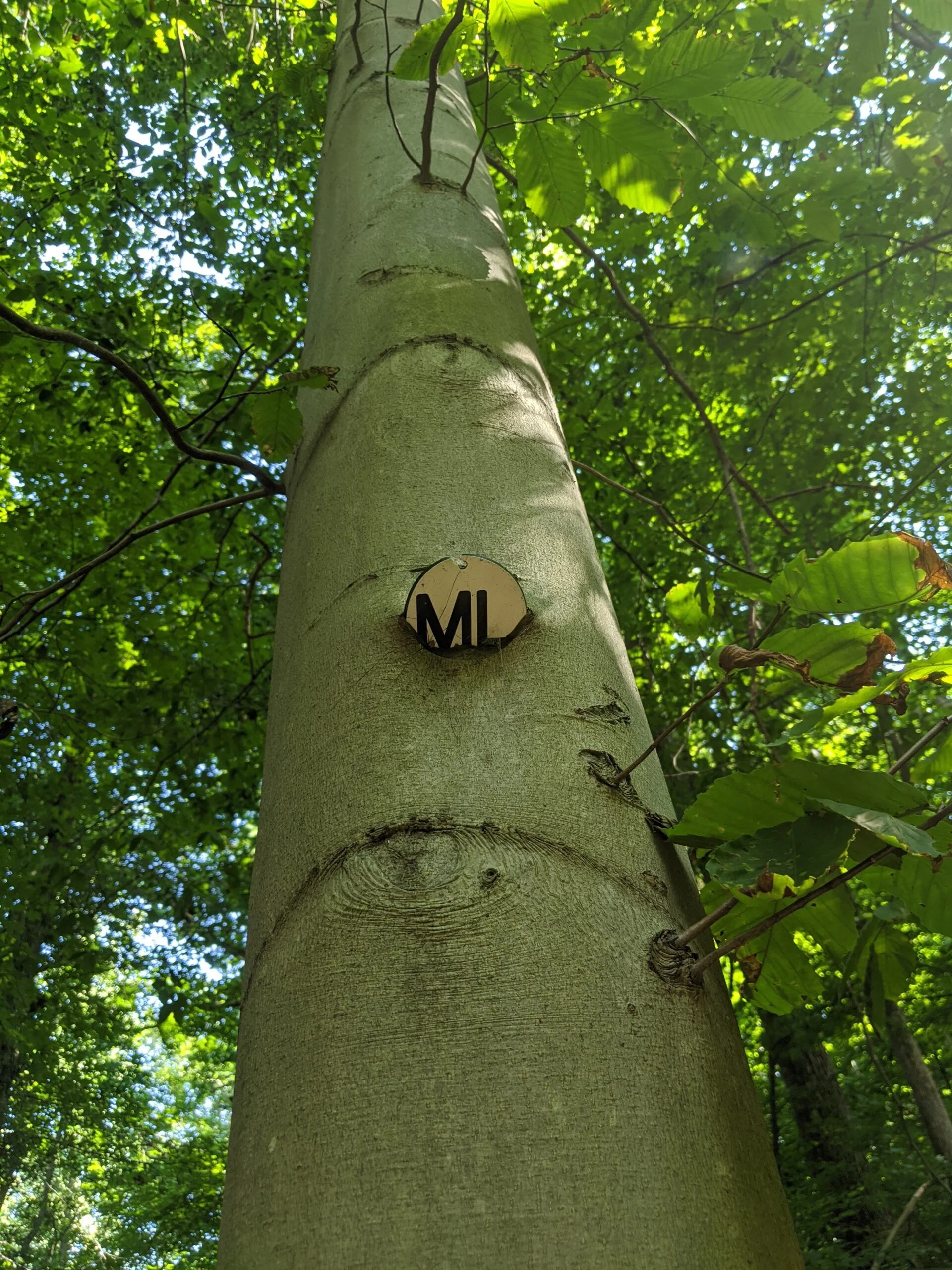
Having learned from my first hike in The Peter Oley Trailways System at The Irvington Woods, I came prepared this time with 1.5L of water and the full trail map with the numbered posts.
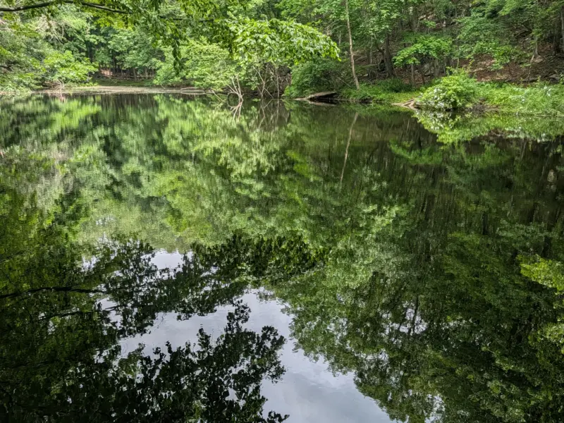
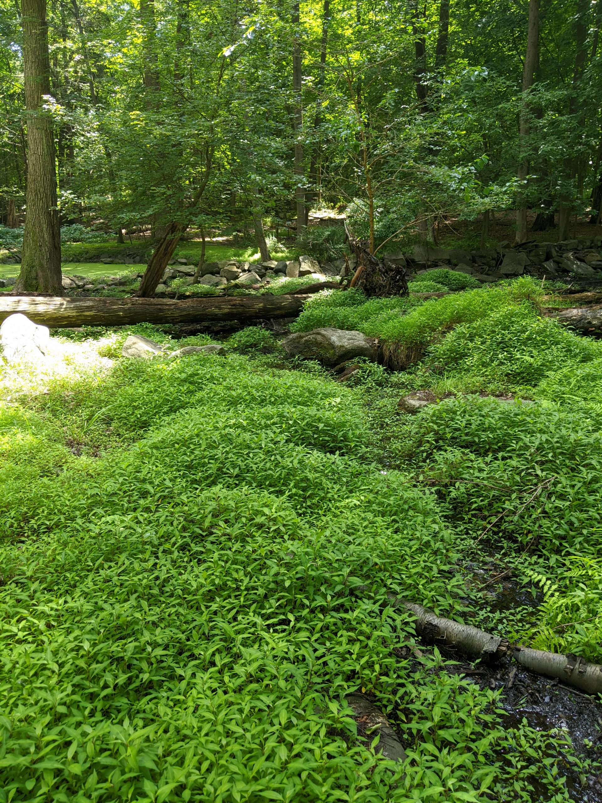
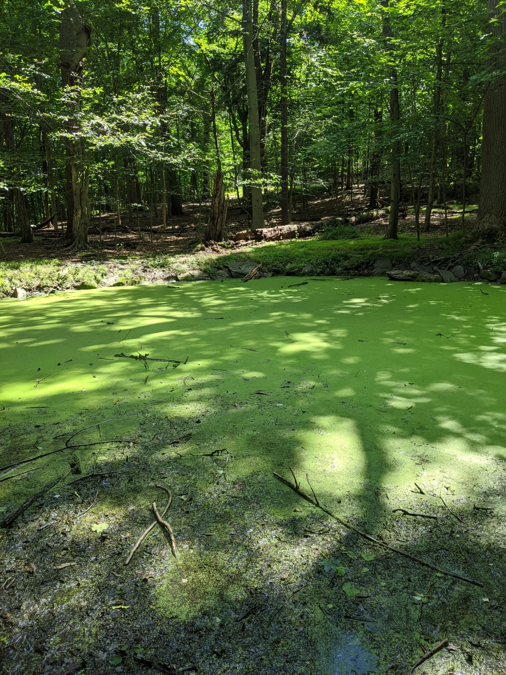
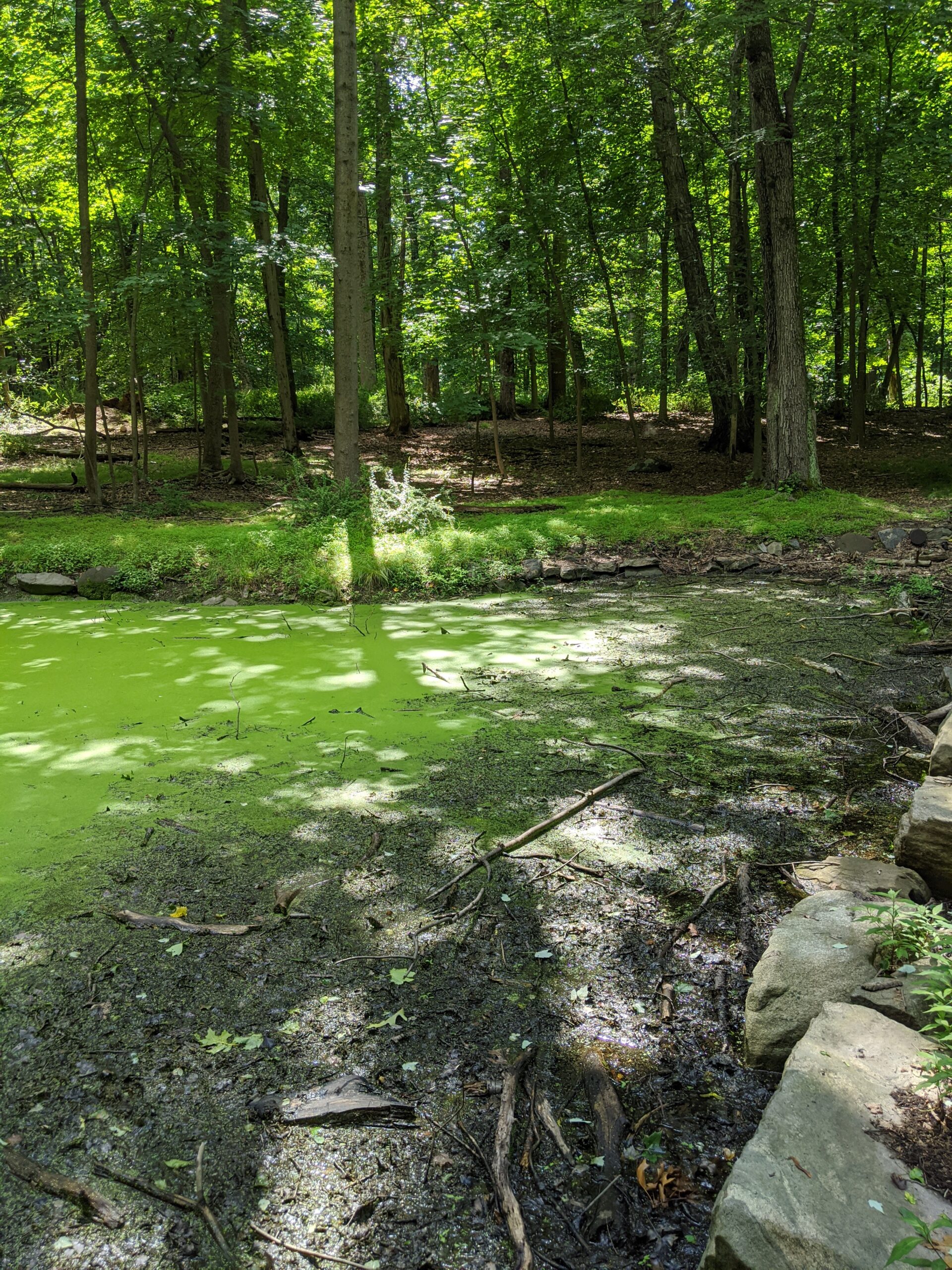
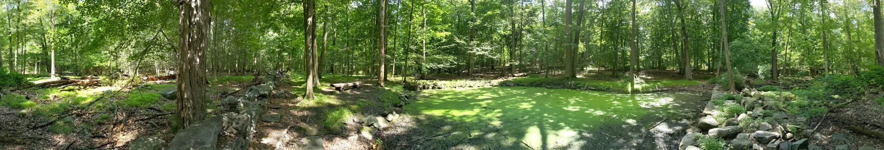
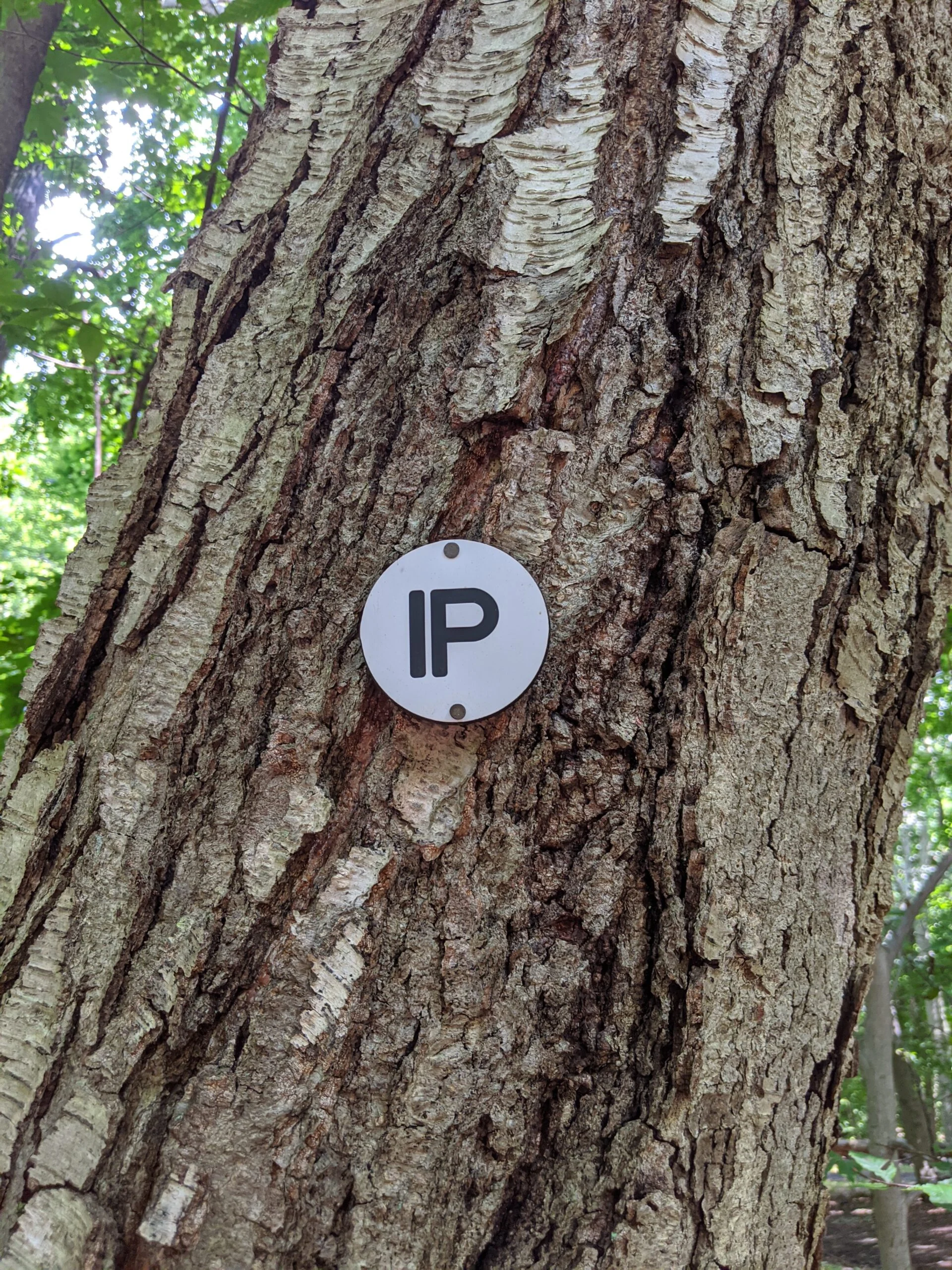
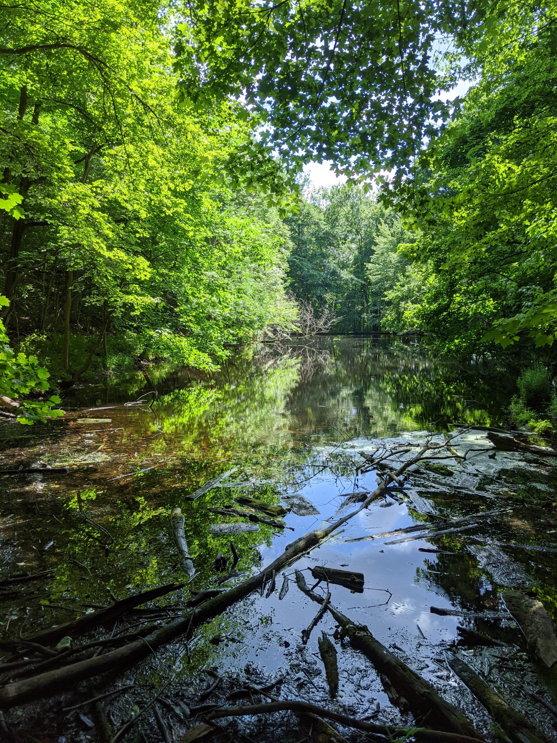
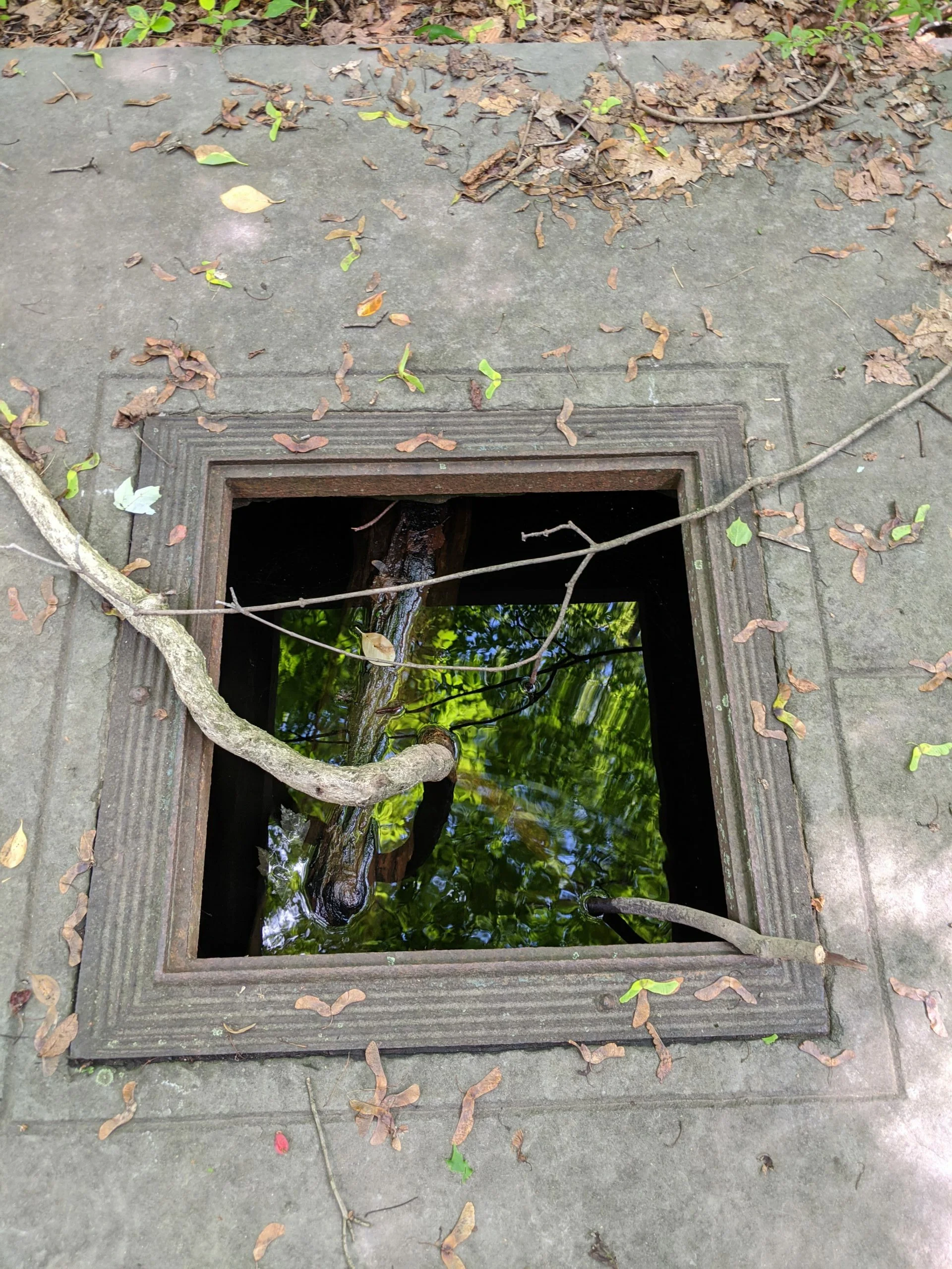
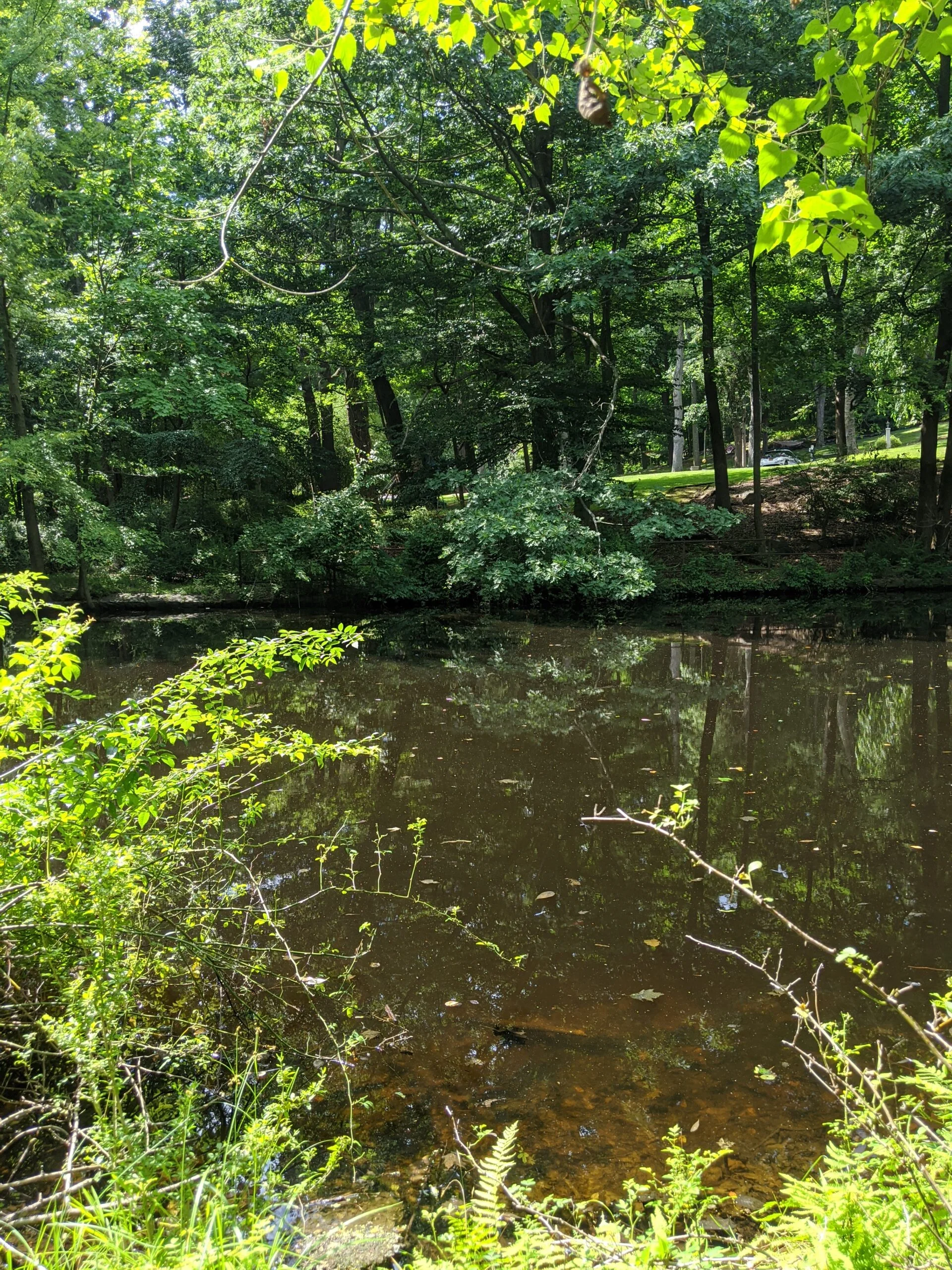
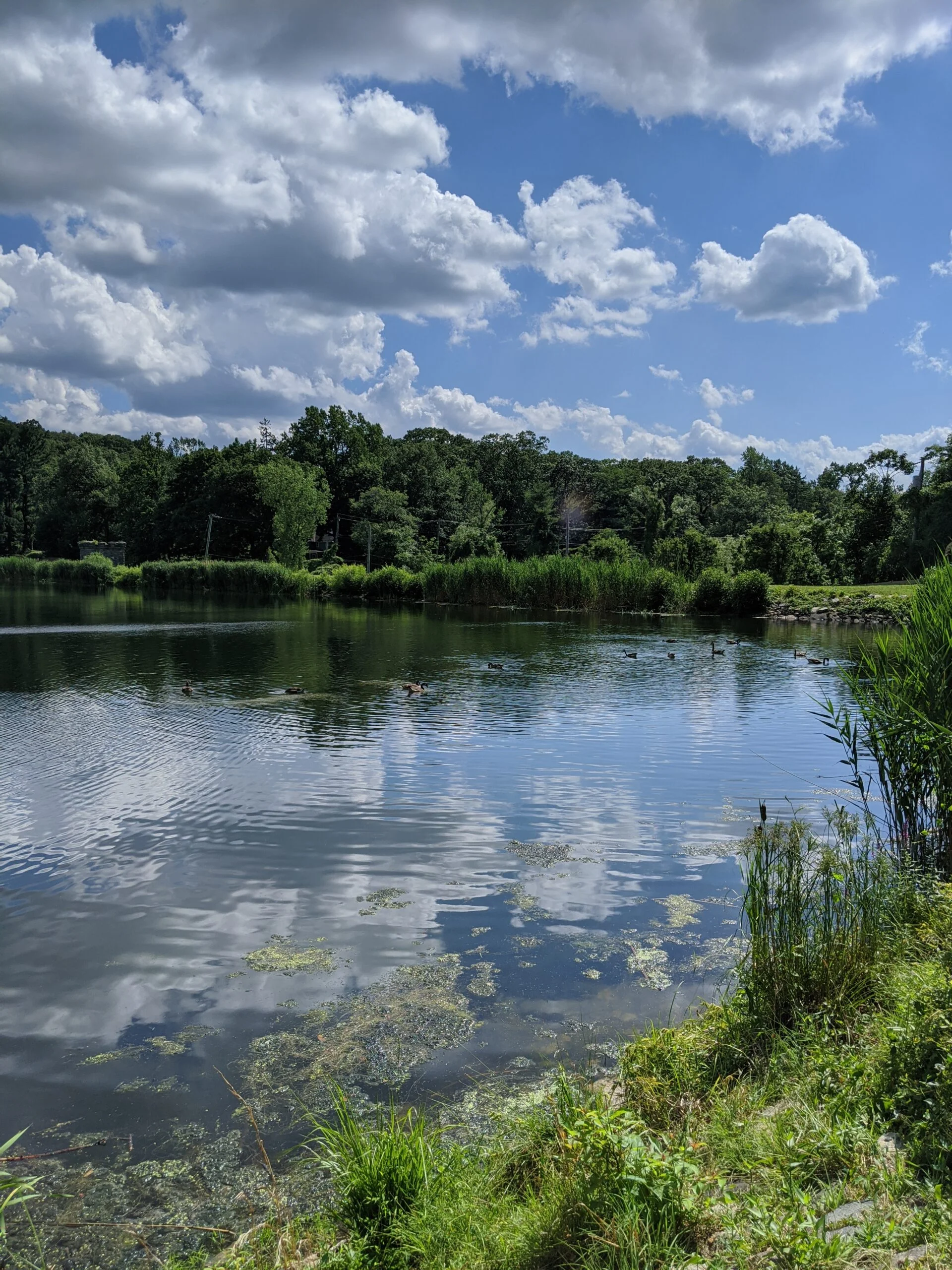
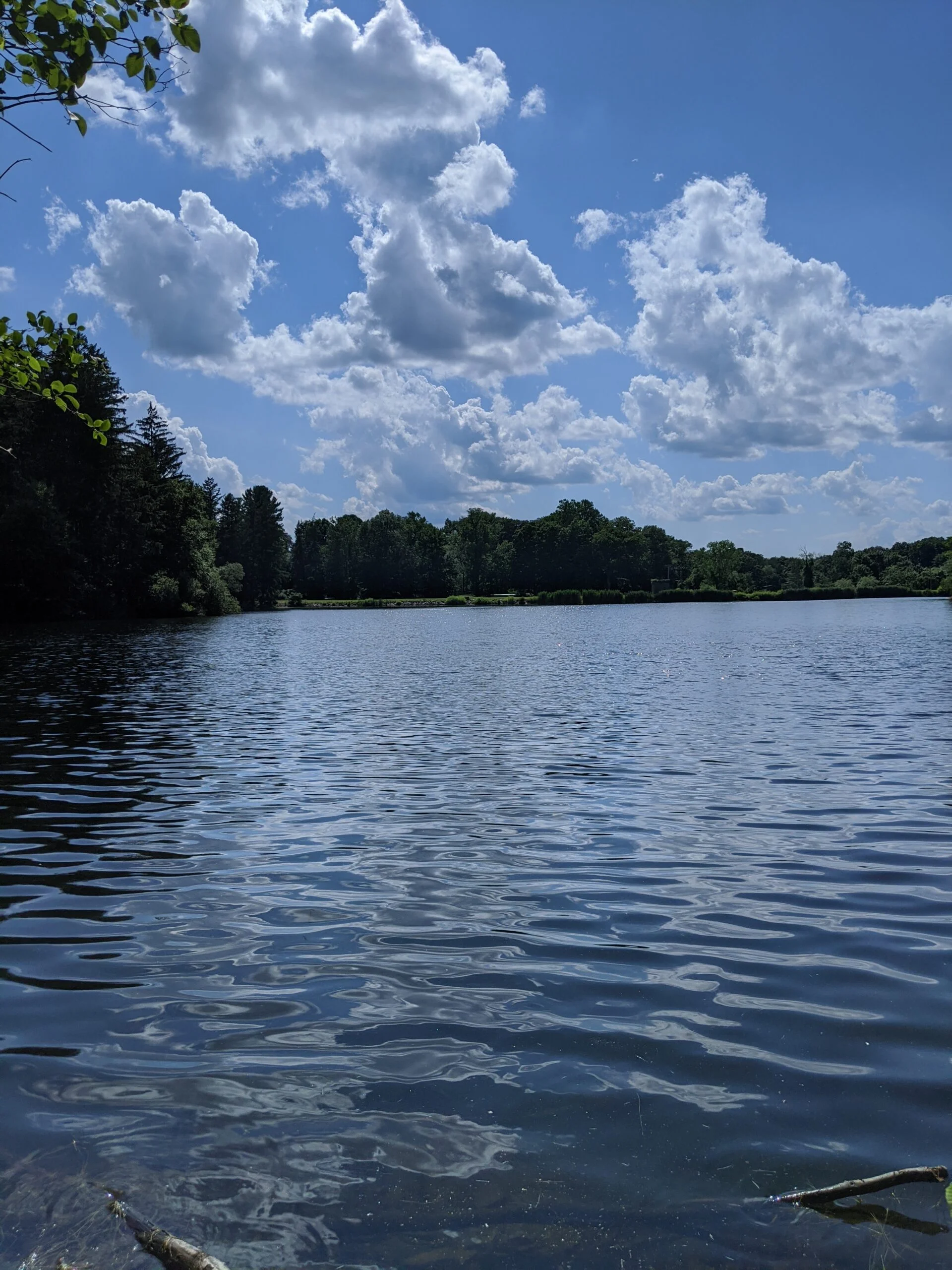
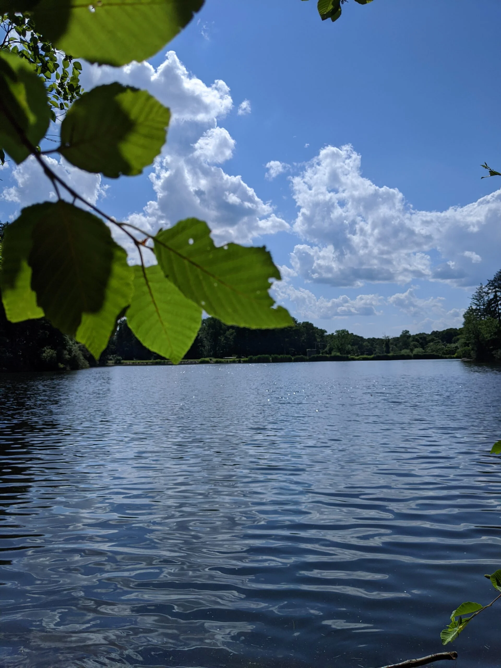
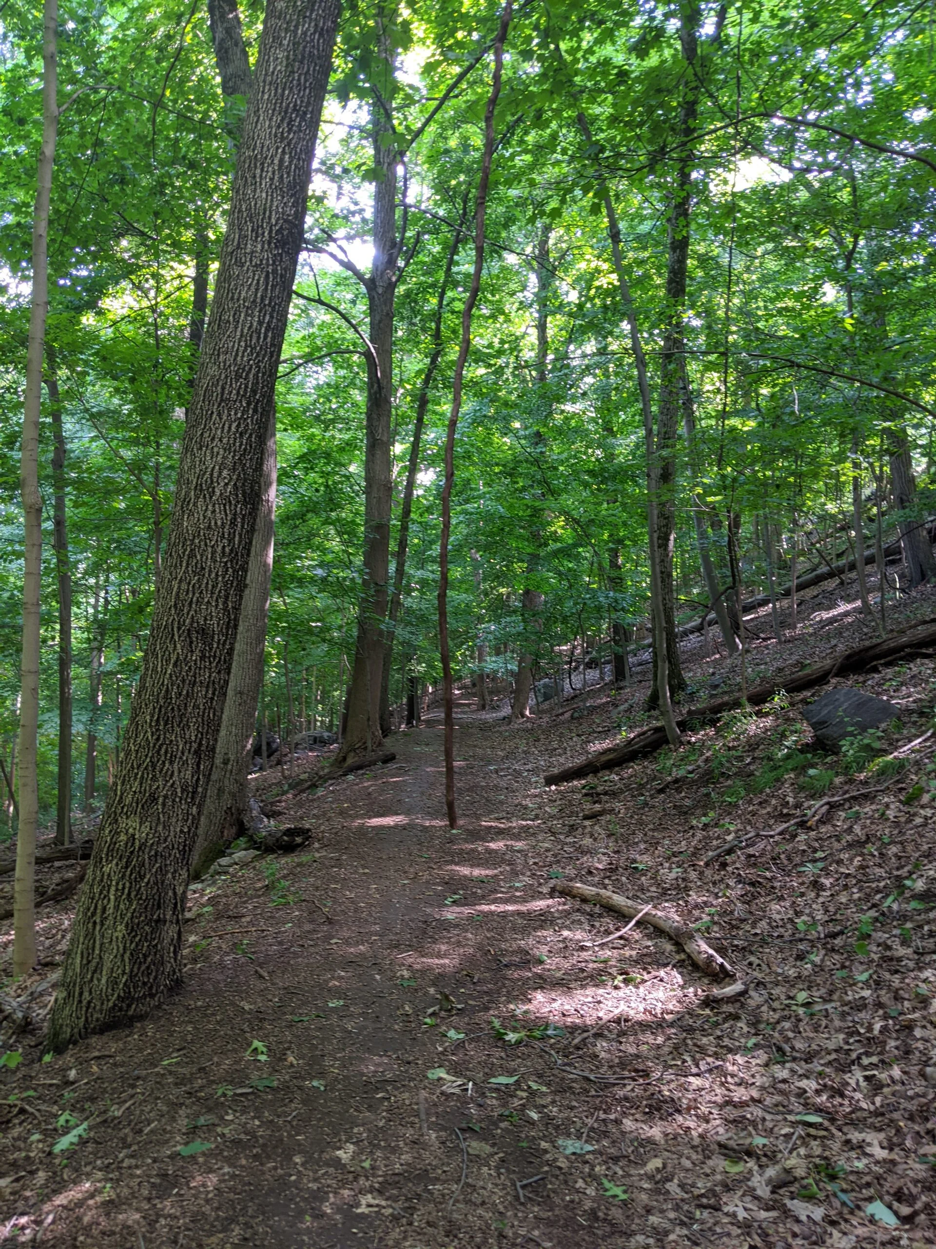
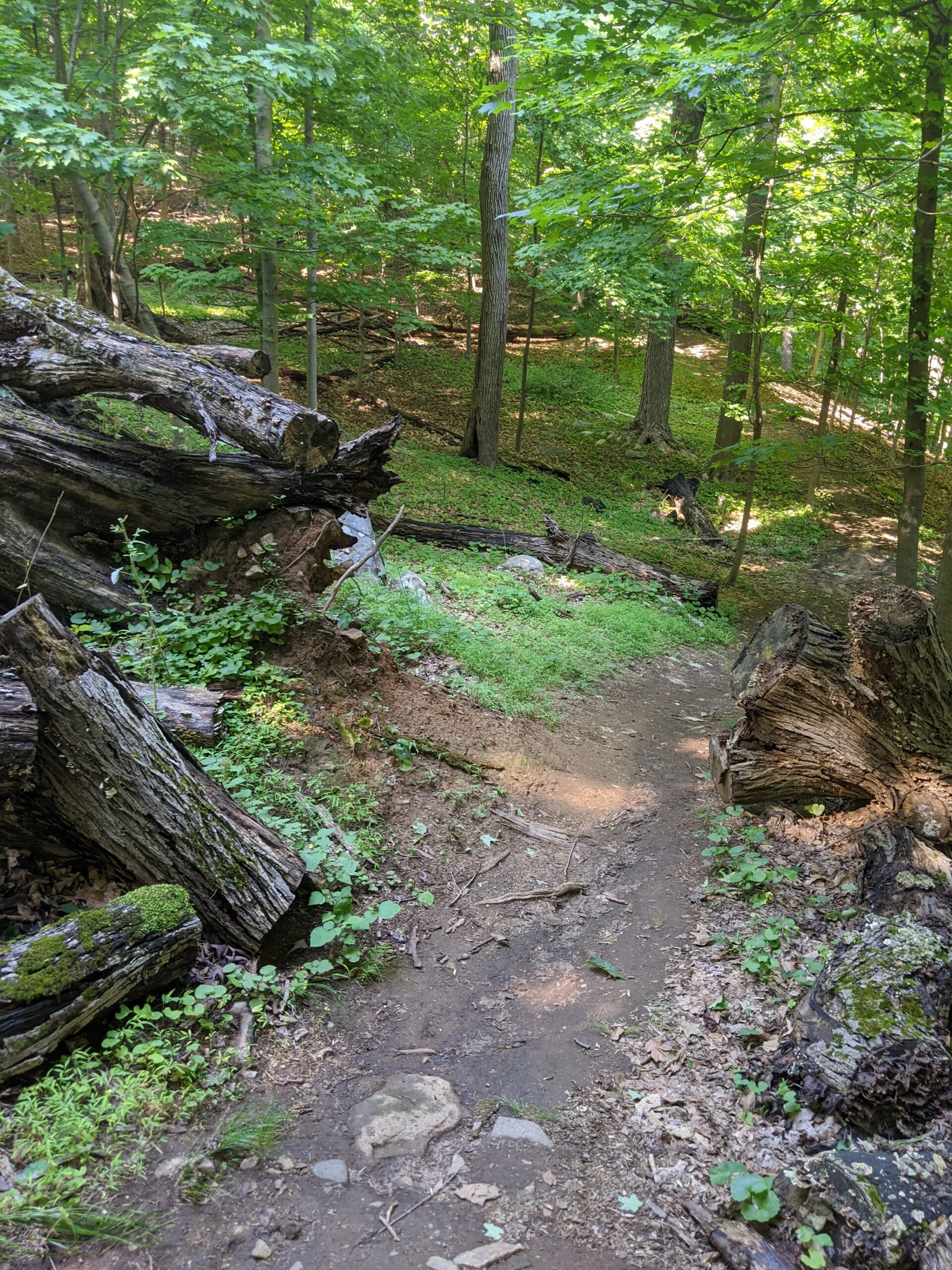
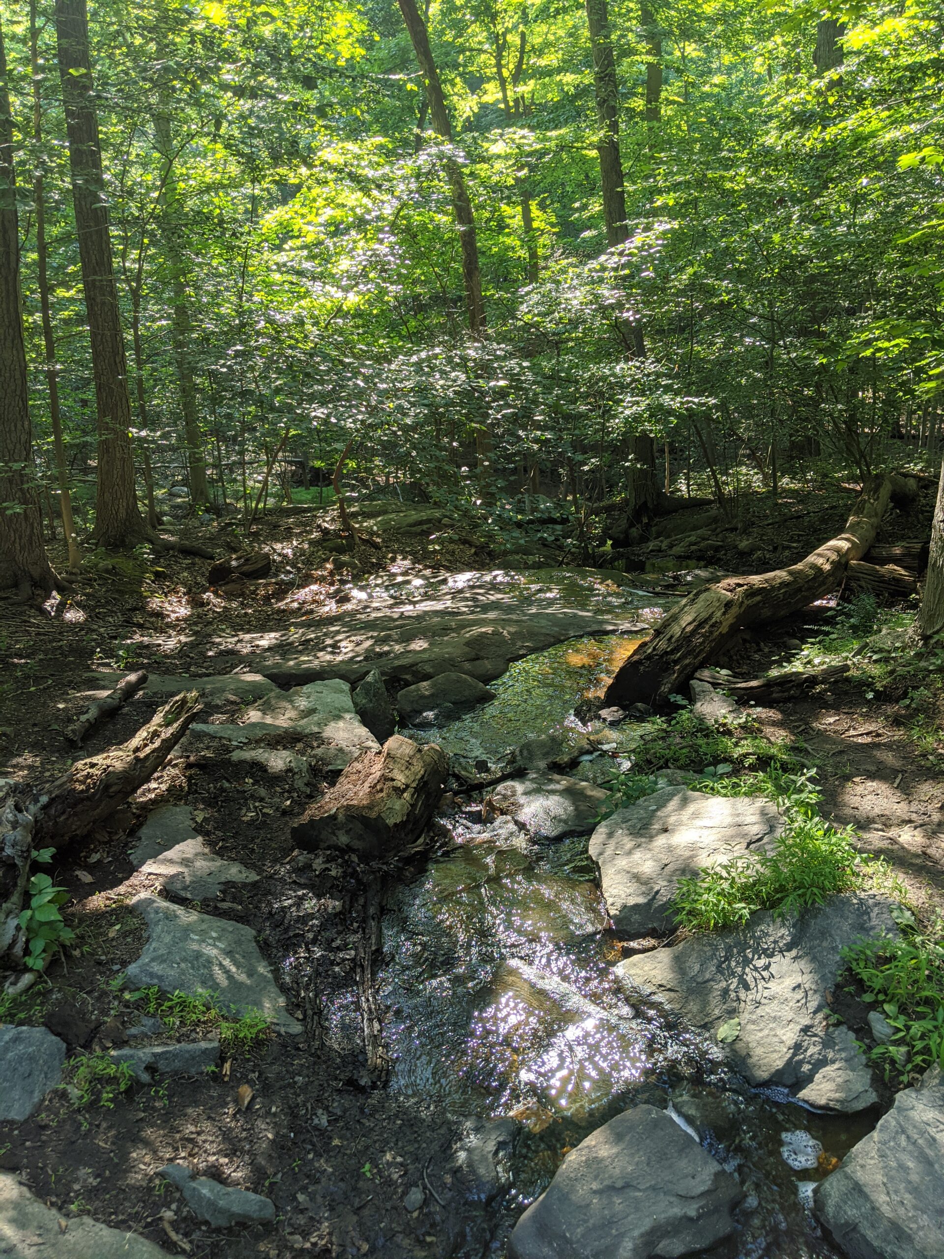
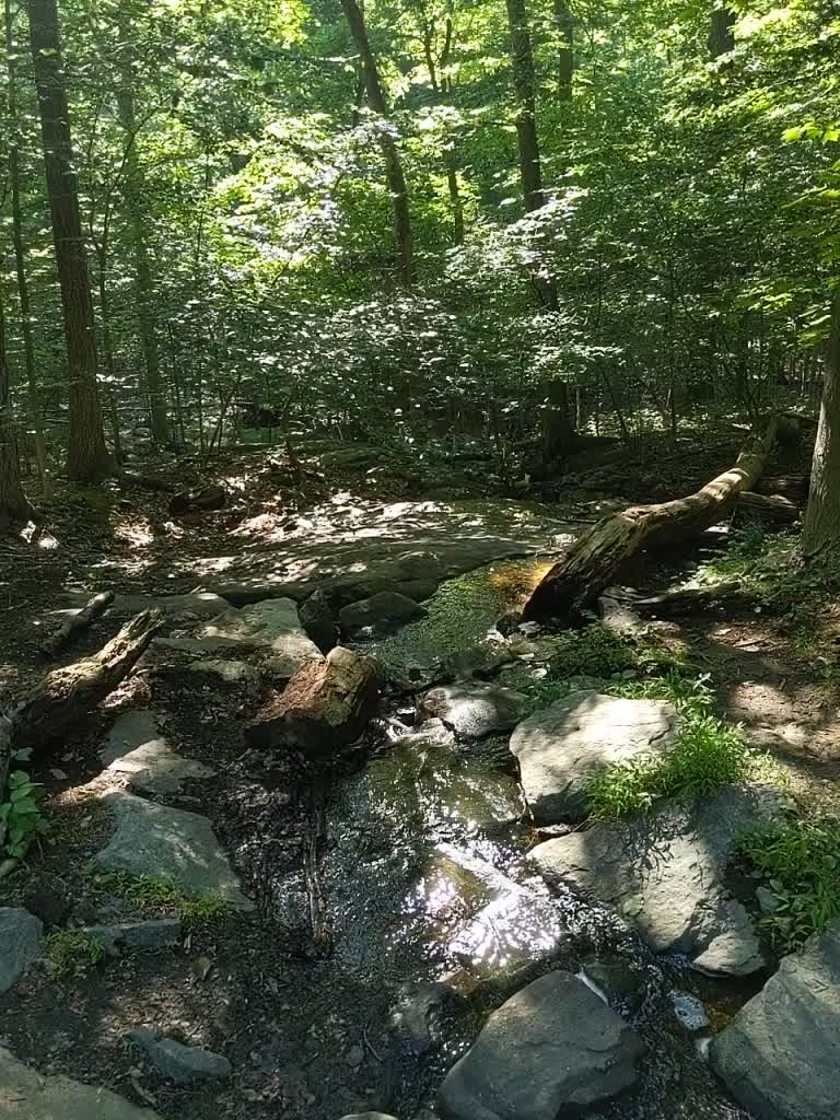
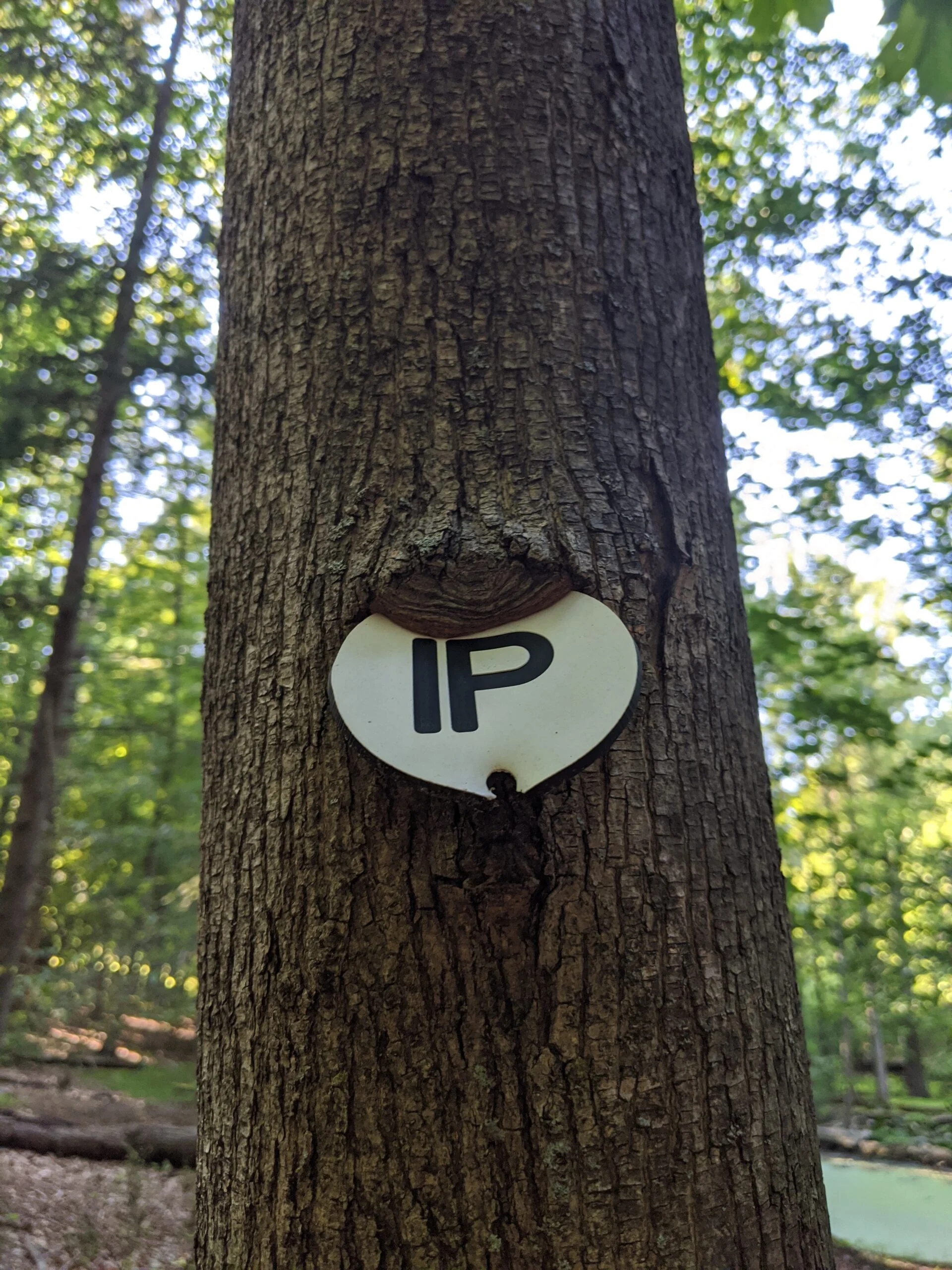
I started off on the paved path from the O’Hare Nature Center parking lot, connecting up with IP and over to Ice Pond. A very lush, bright green area with a stream near the pond. The beautiful panorama at the top of the site was taken here at Ice Pond.
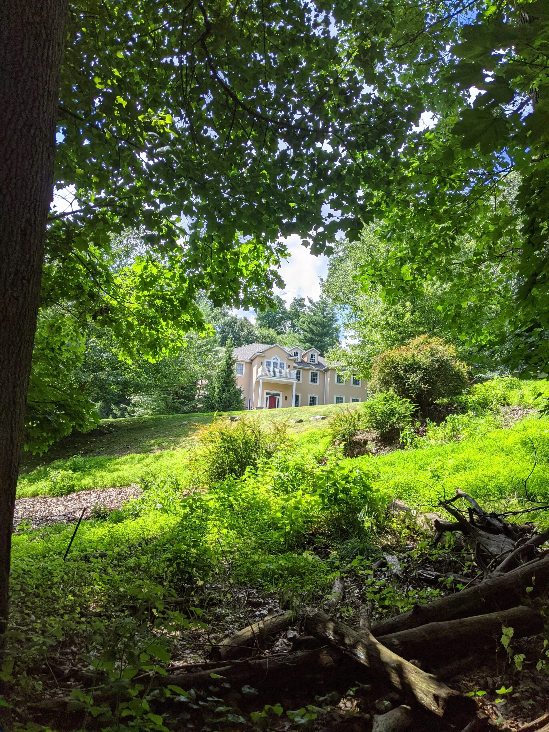
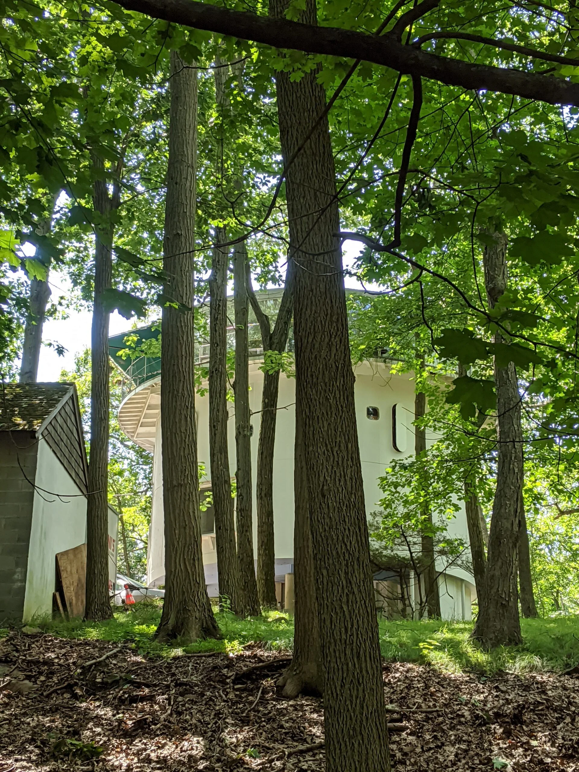
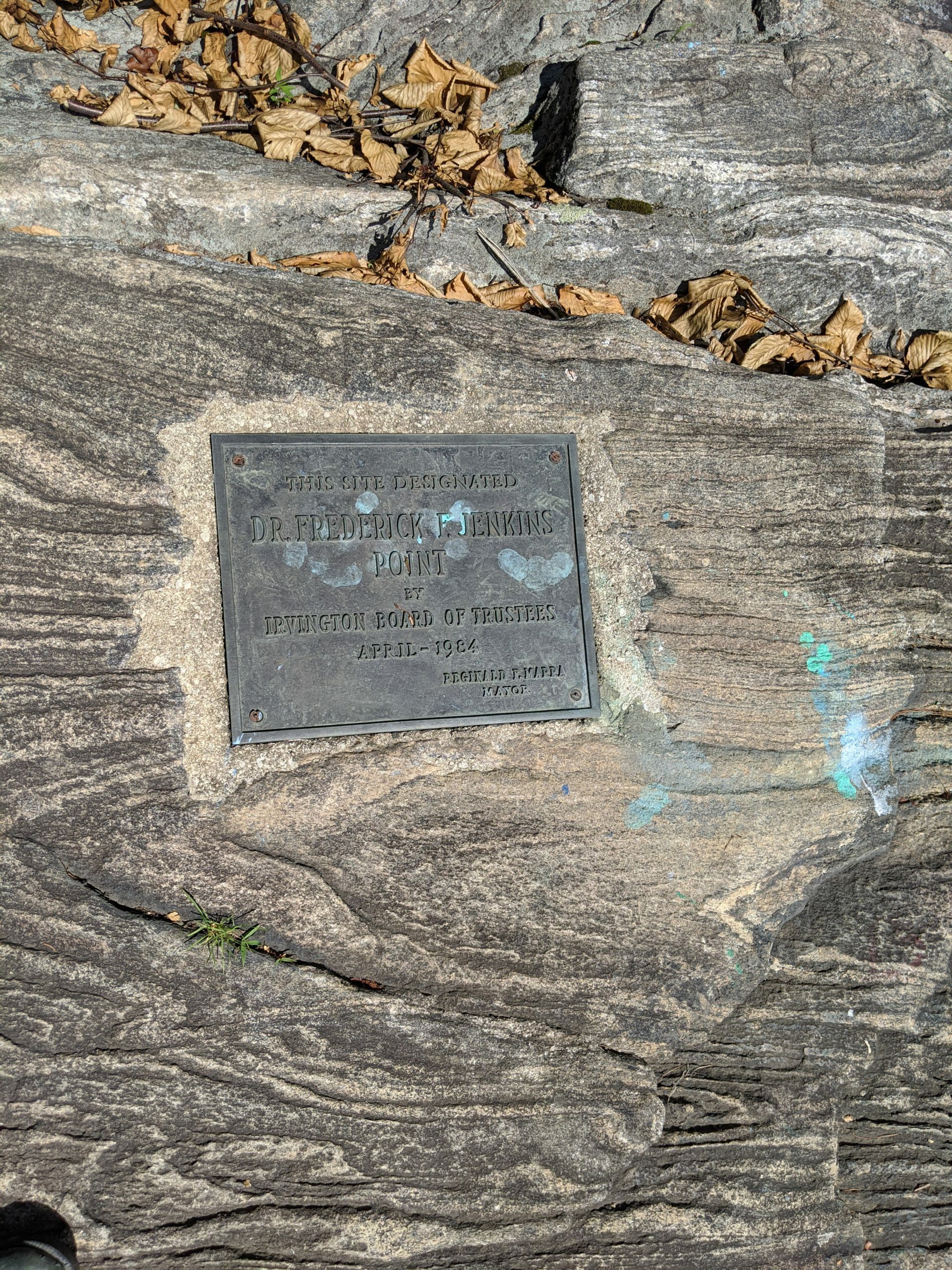
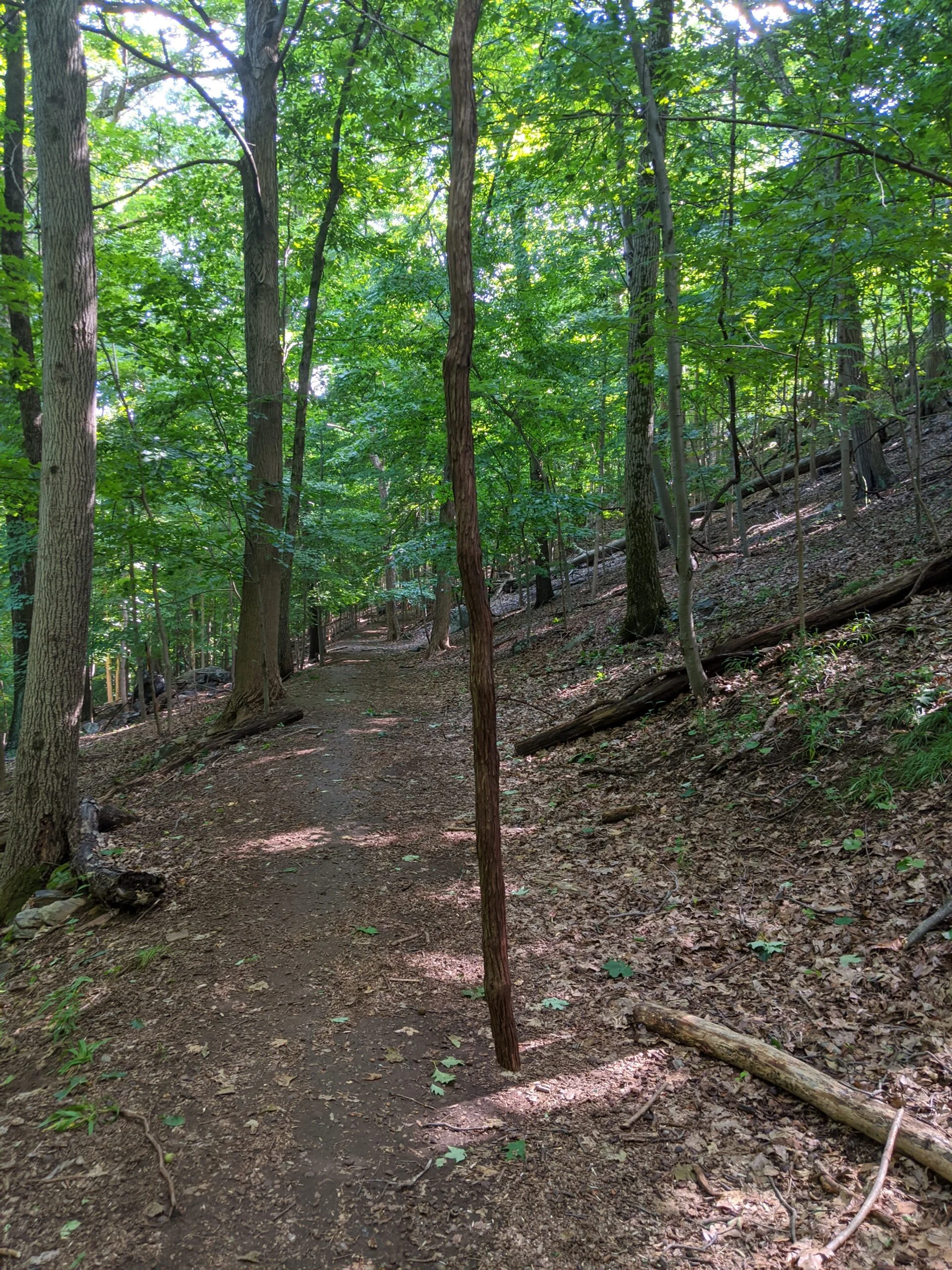
From there I looped over to and around Marshall Pond, which abuts the Irvington High School property and a private house. I connected with XC, then followed the unlabeled path from XC down to Jenkin’s Rock.
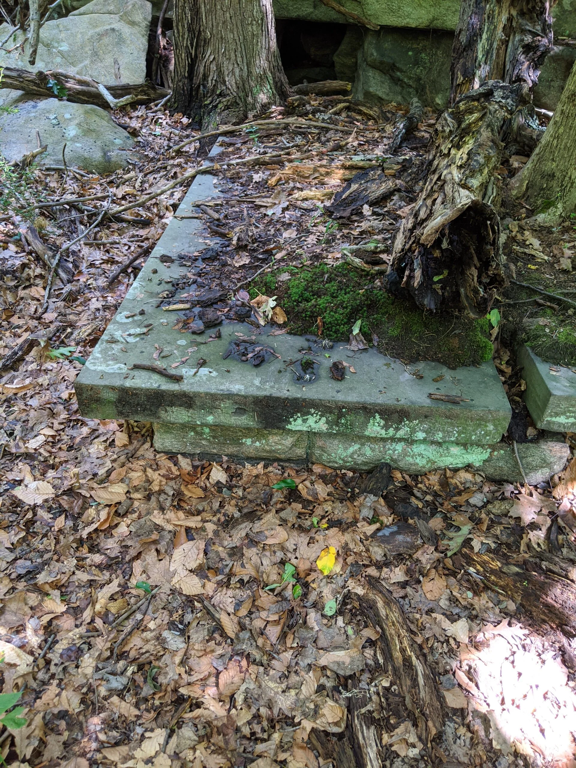
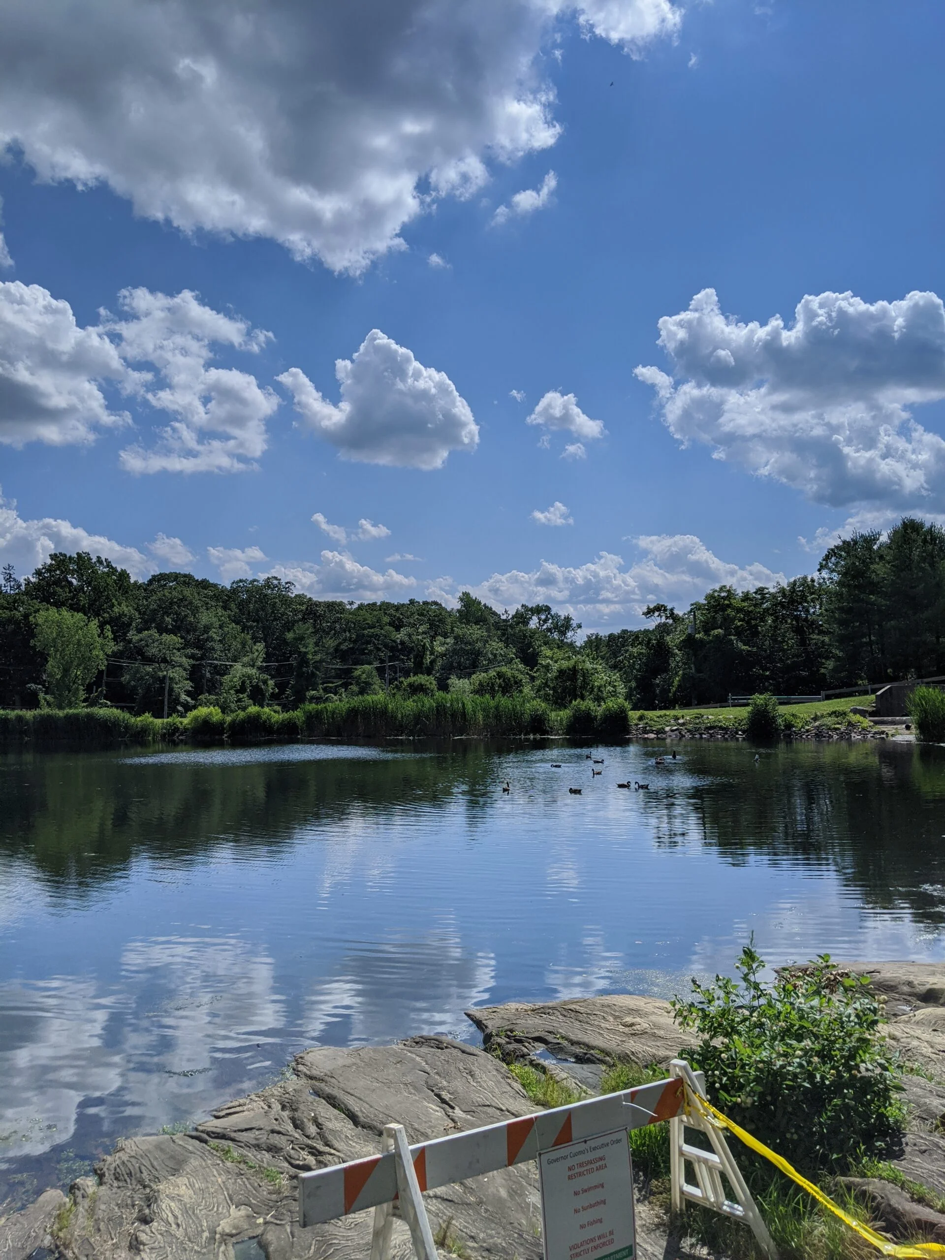
A man was sitting in a chair reading a newspaper in the clearing by the Irvington Reservoir. There are prominent signs posted by the Irvington Police prohibiting swimming, sunbathing, and fishing, so I wonder if he was keeping watch.
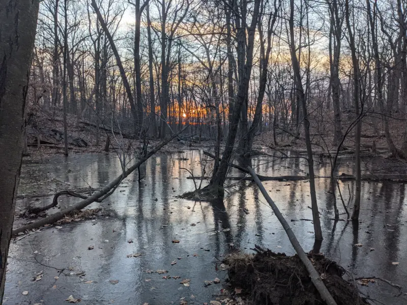
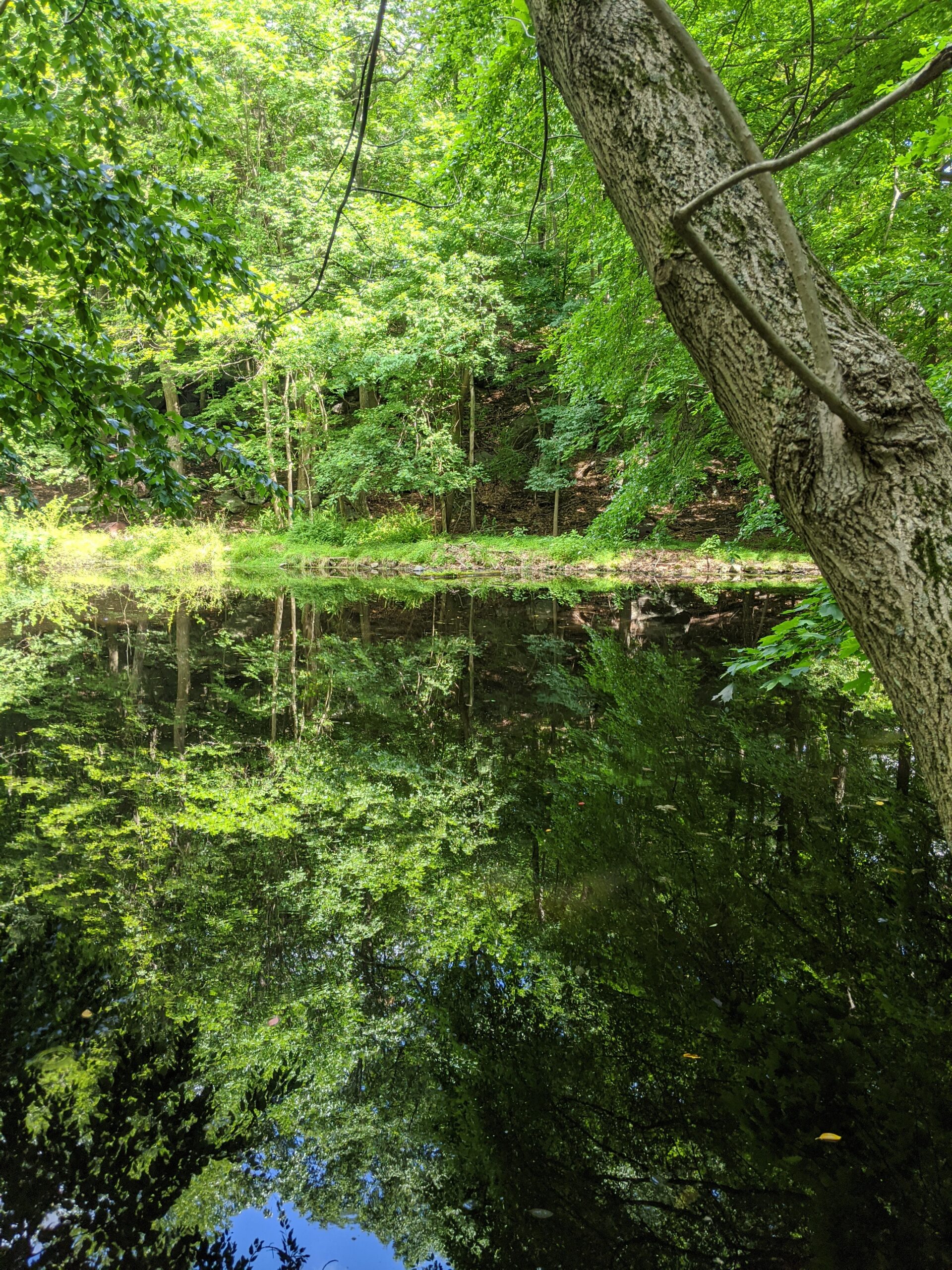
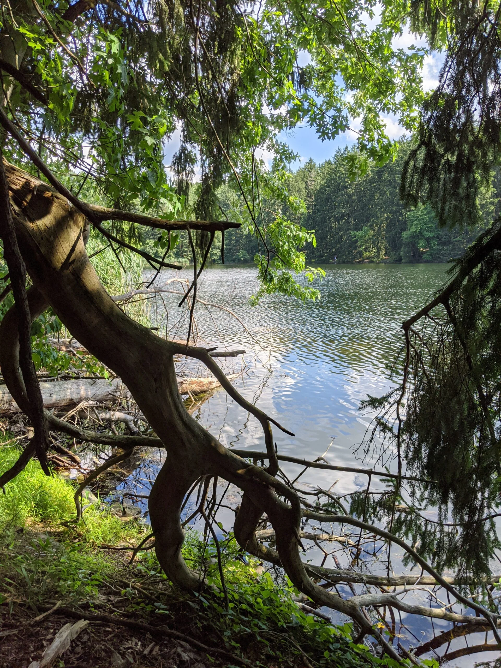
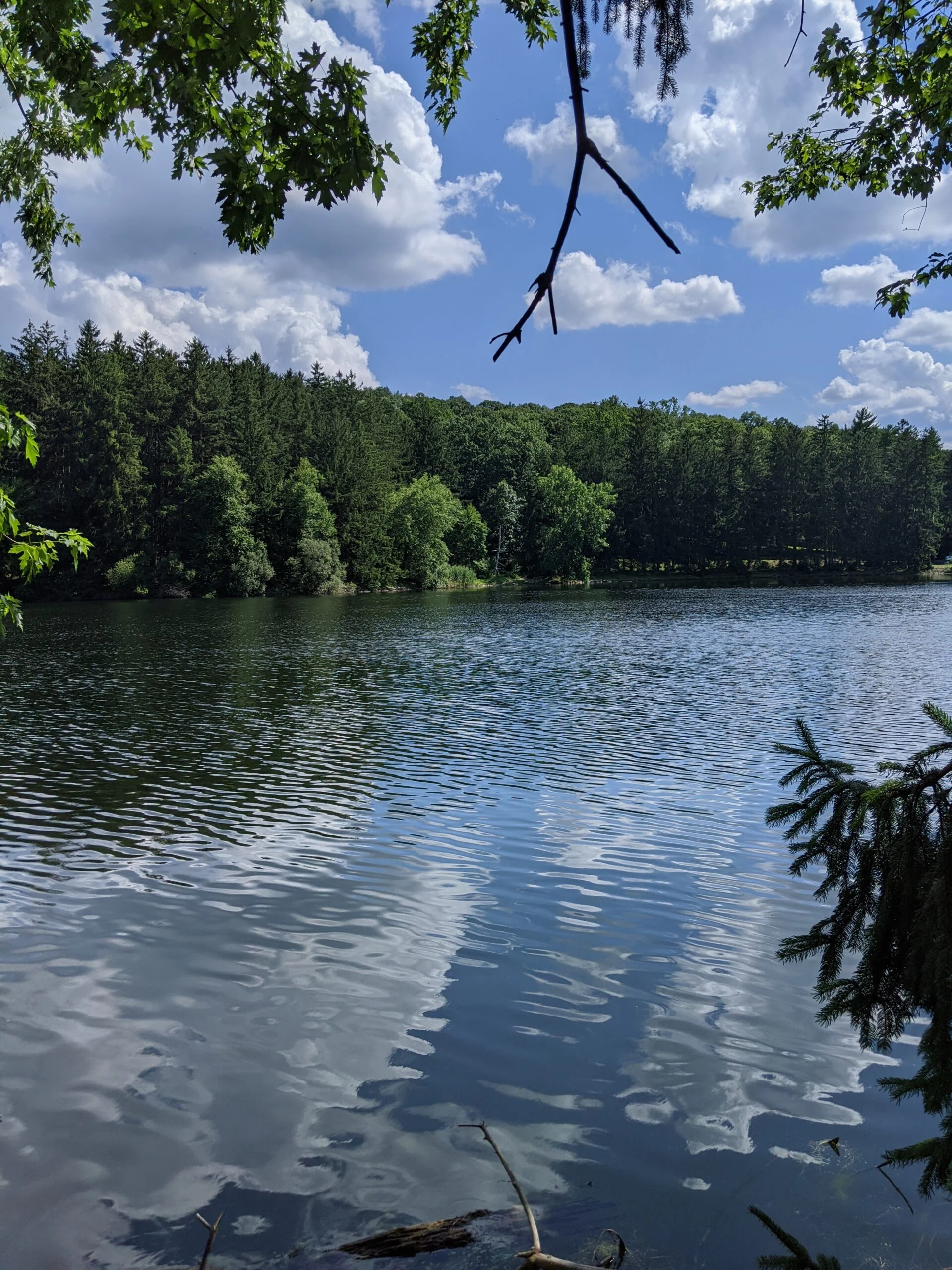
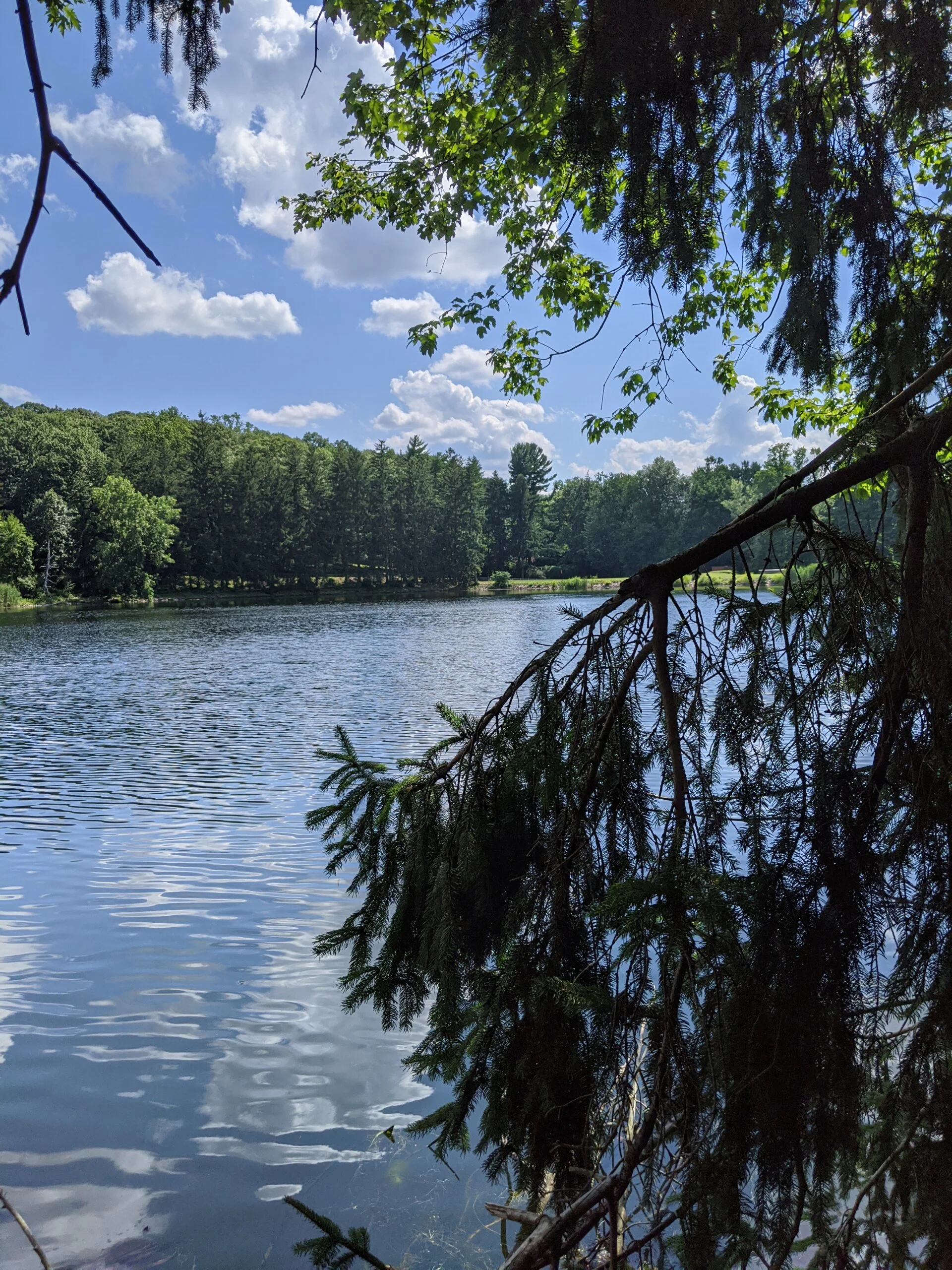
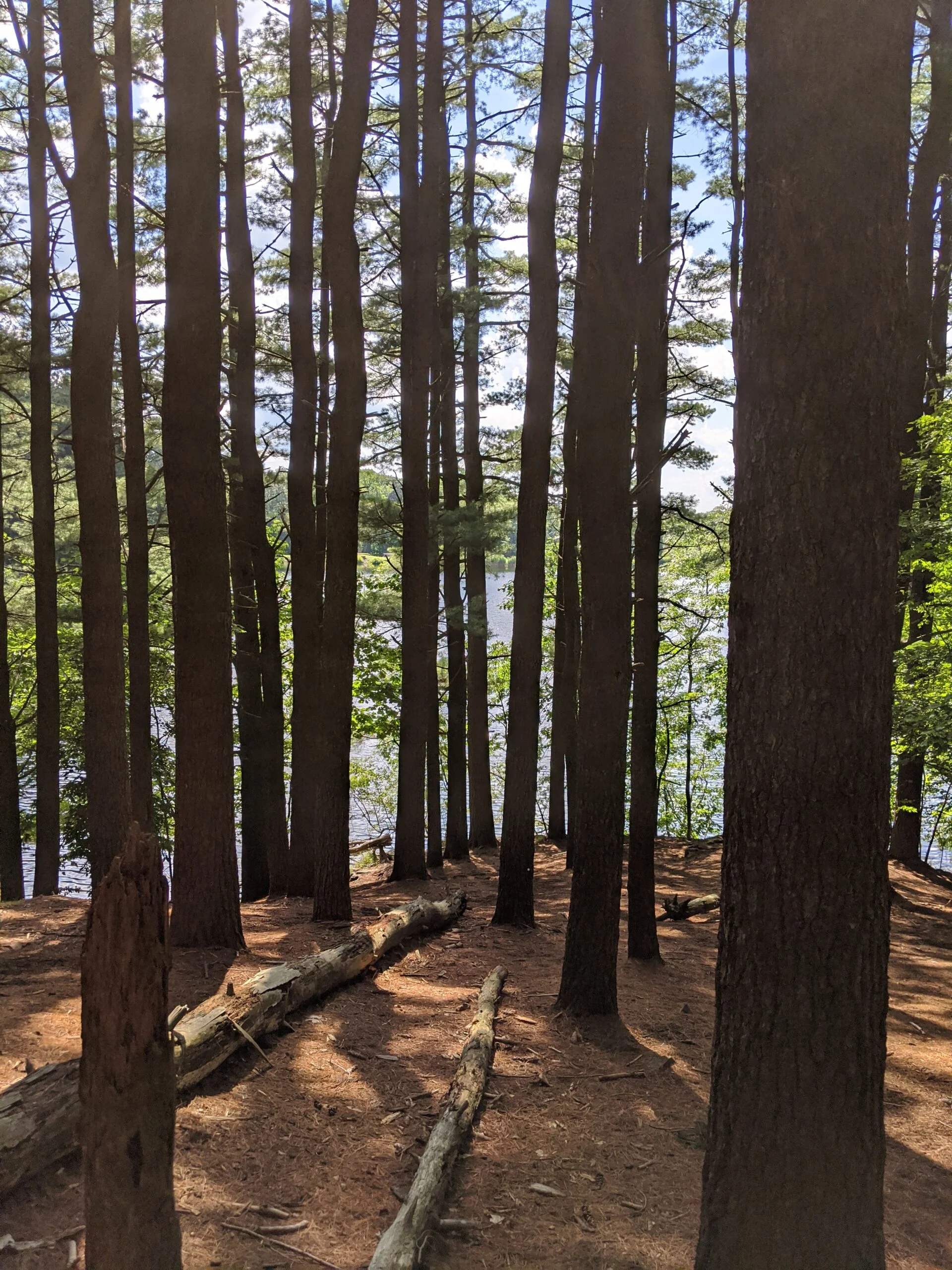
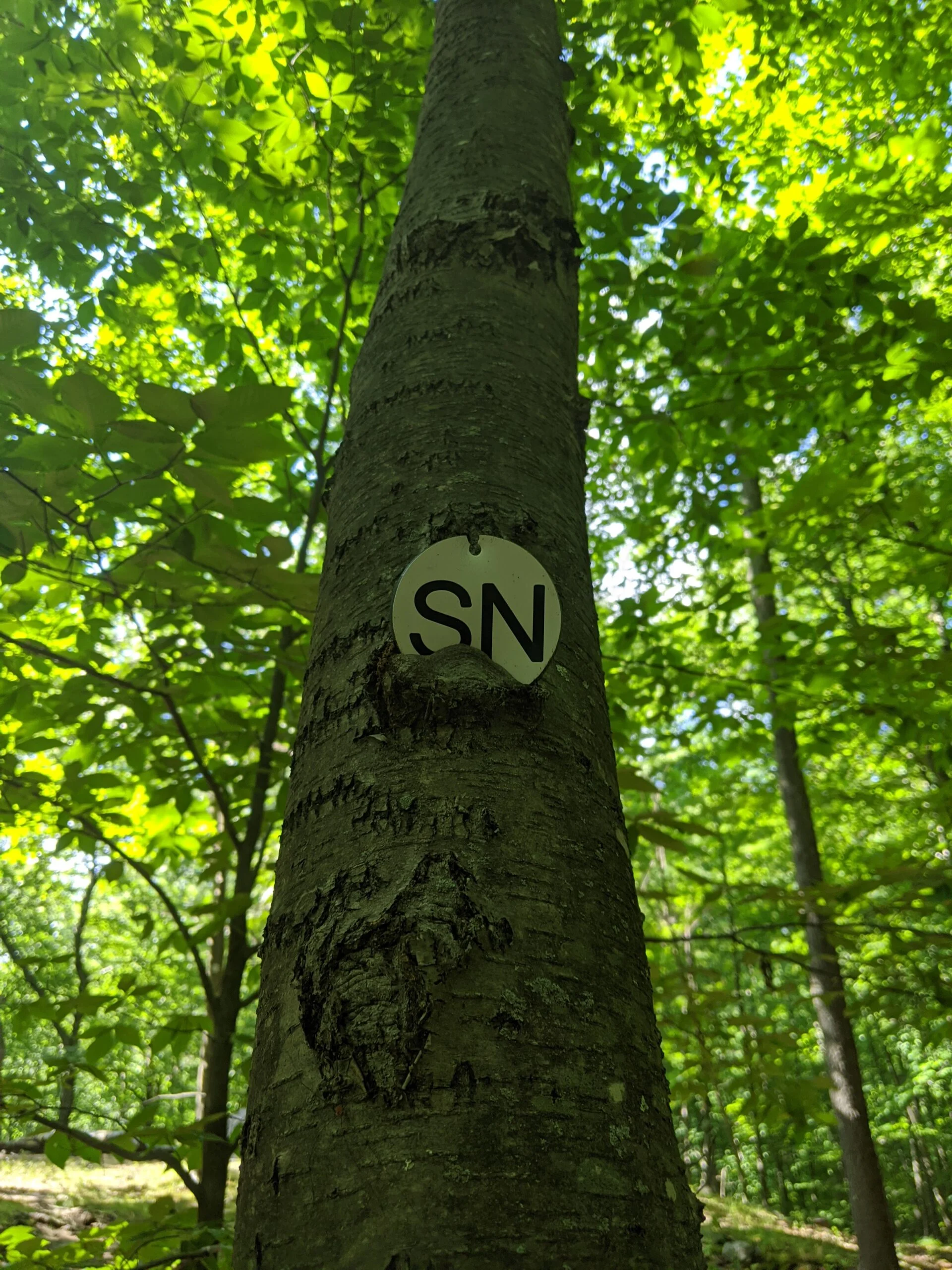
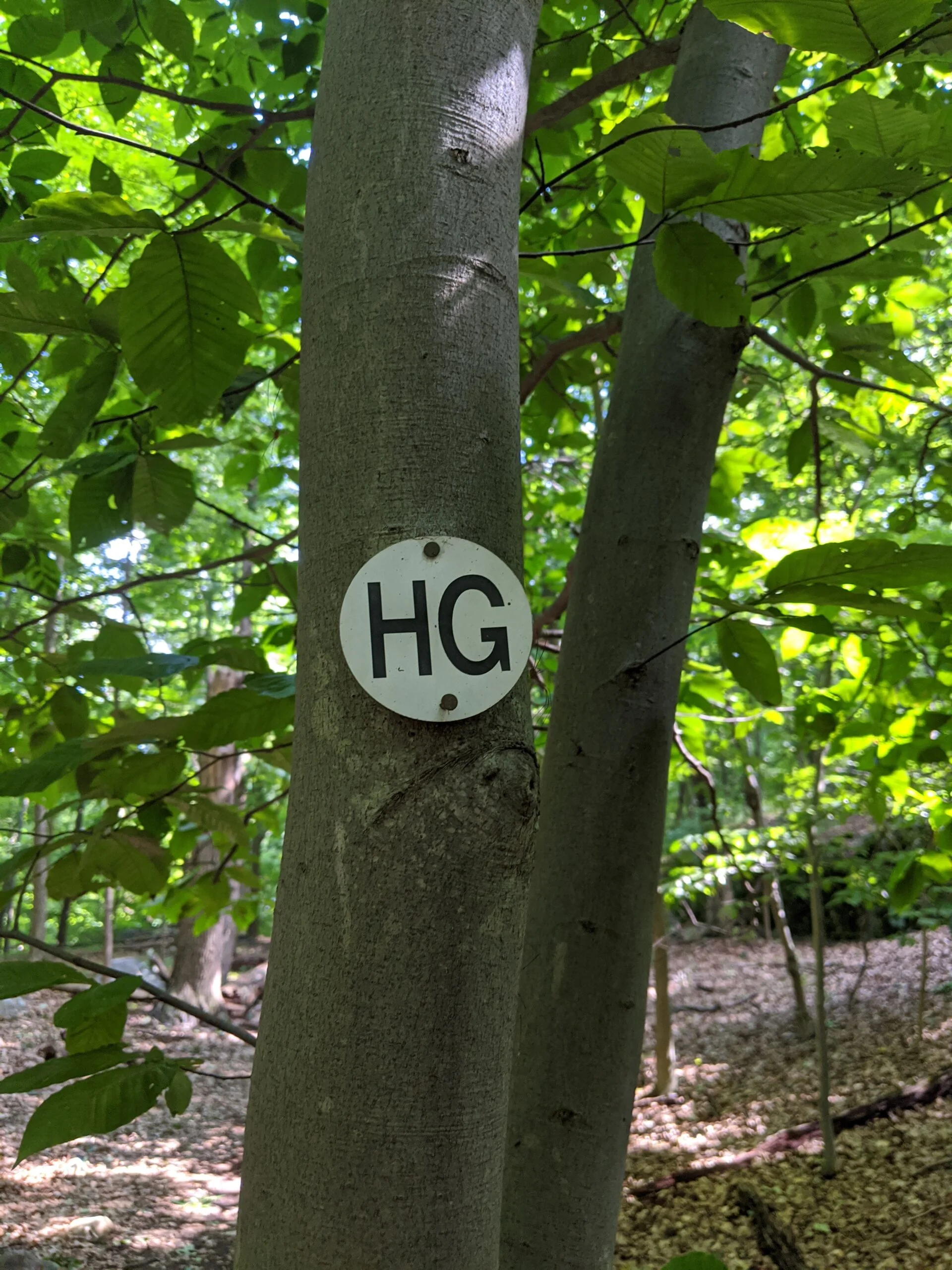
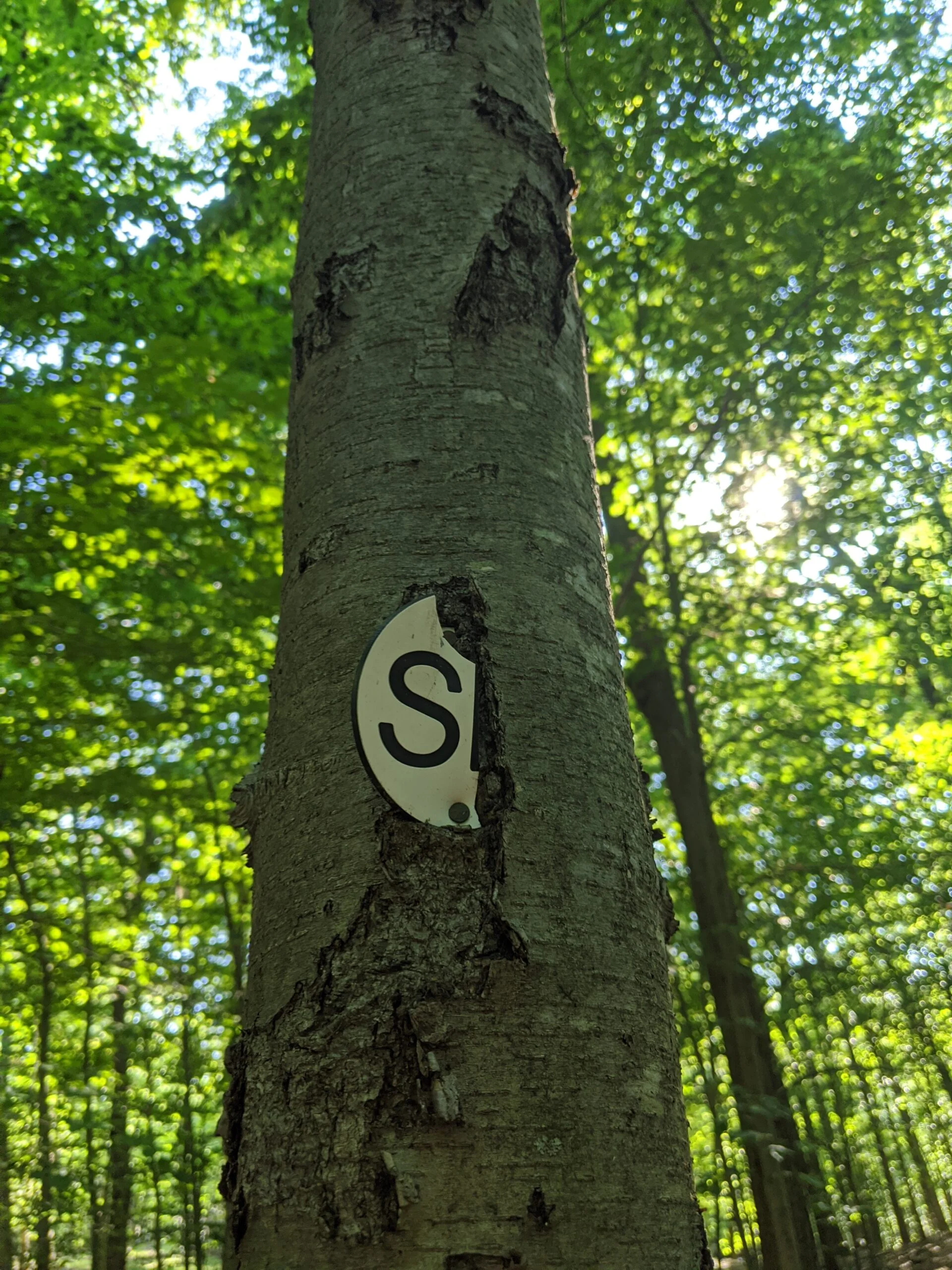
I followed HG and SN around the reservoir and snuck down to the banks a few times to snap a few photos and take in the view. It’s a really magnificent body of water. There were people sitting on the banks about every 100 feet or so. I had no idea this was such a popular spot!
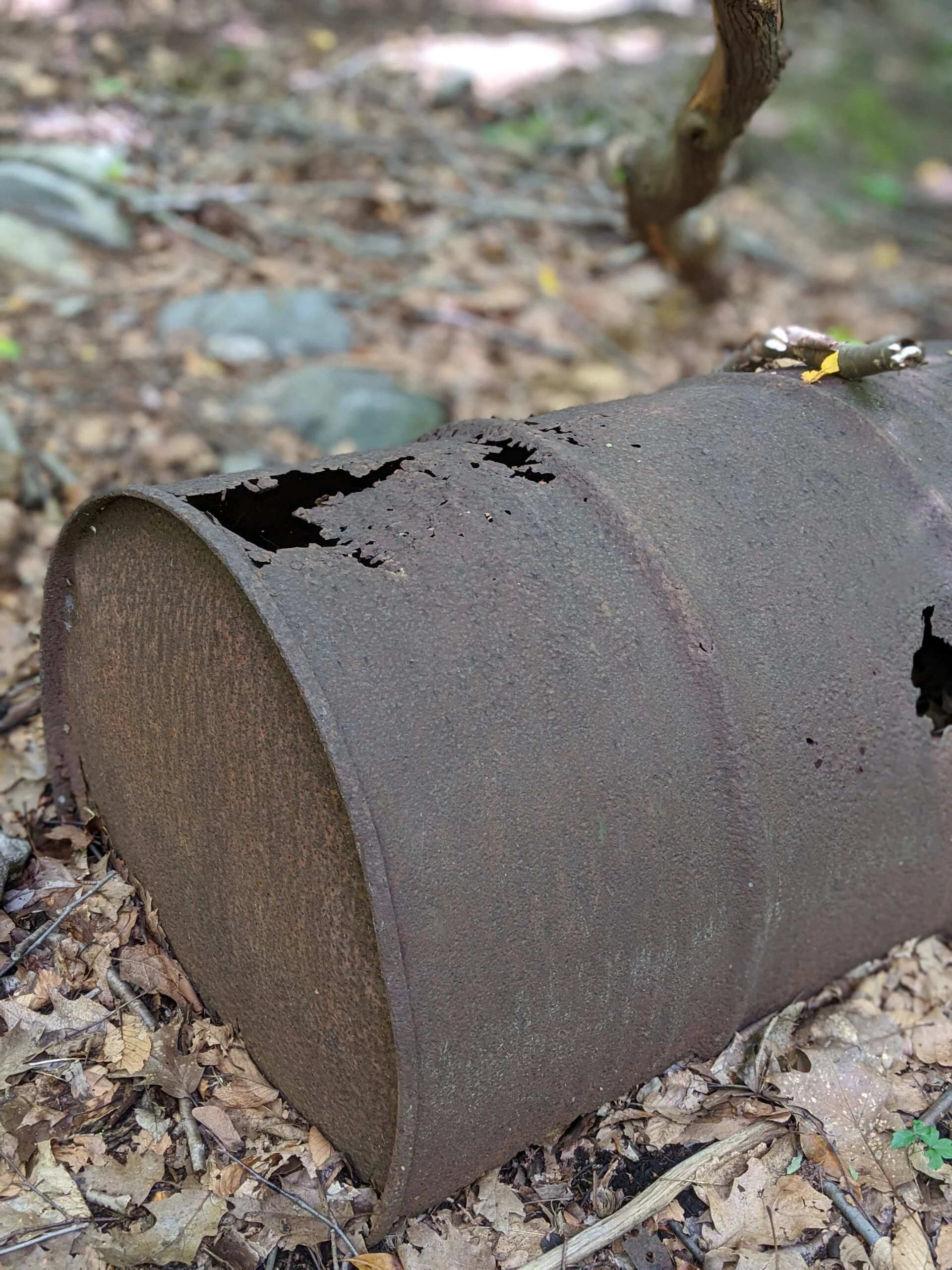
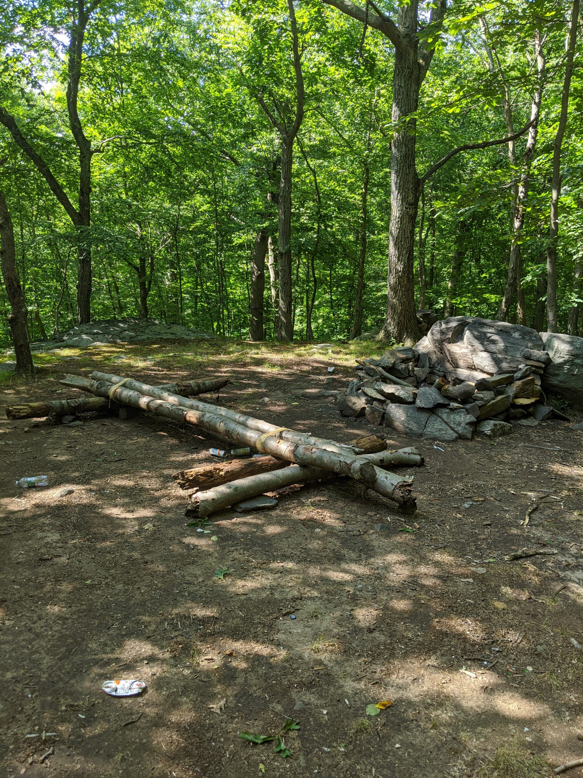
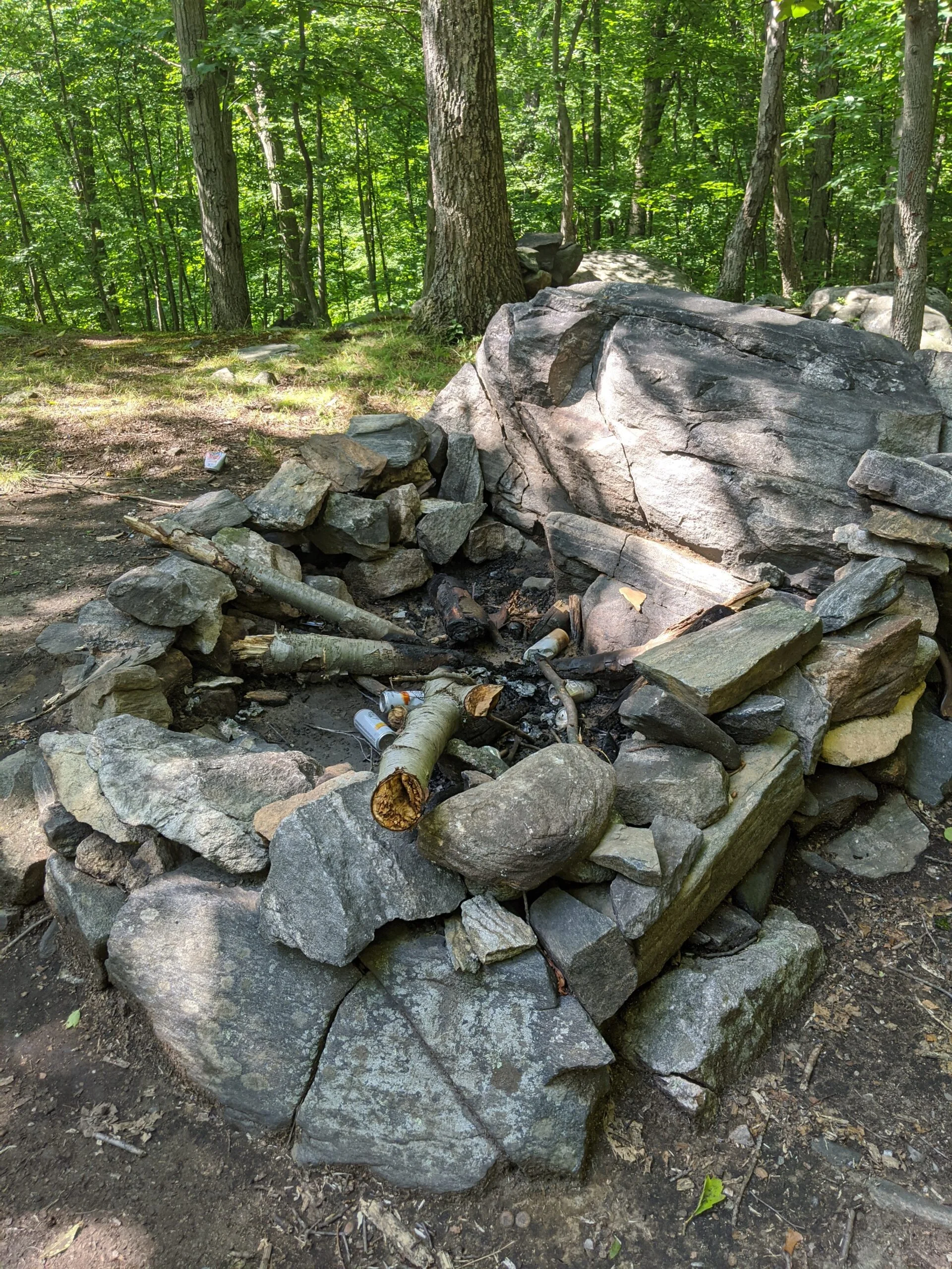
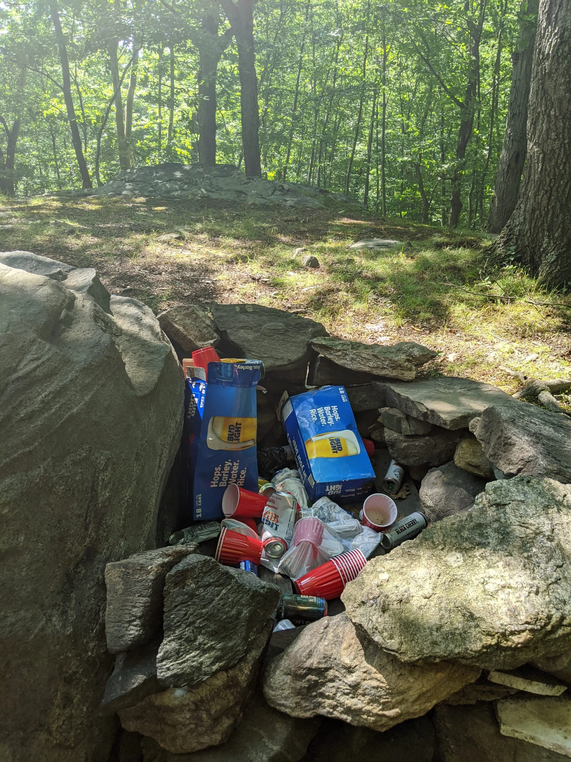
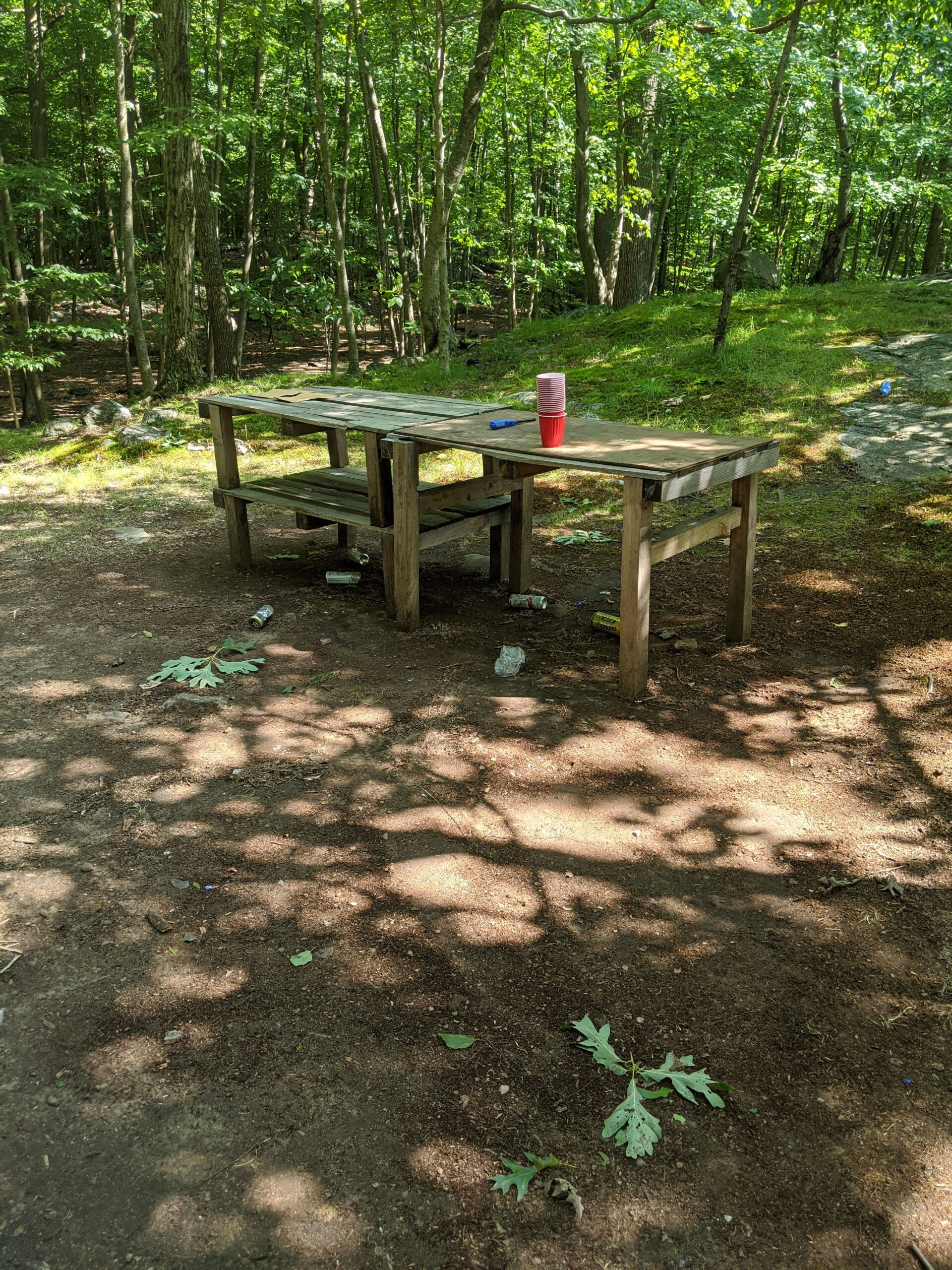
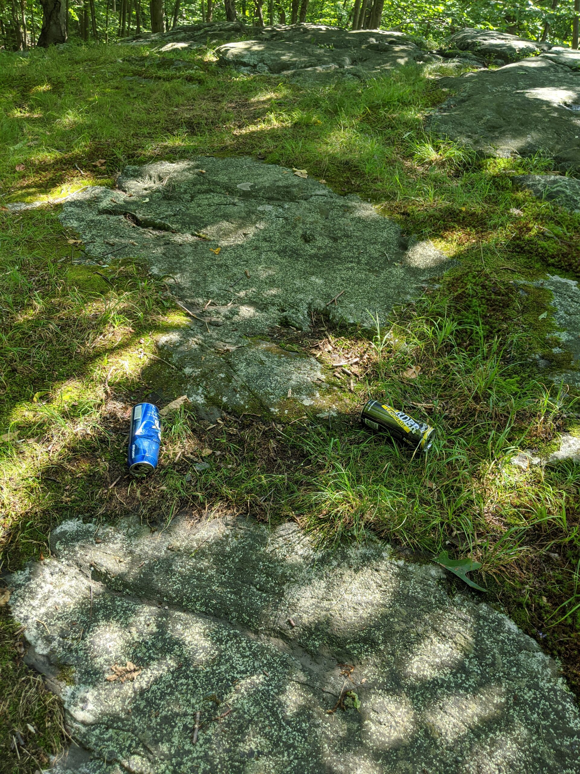
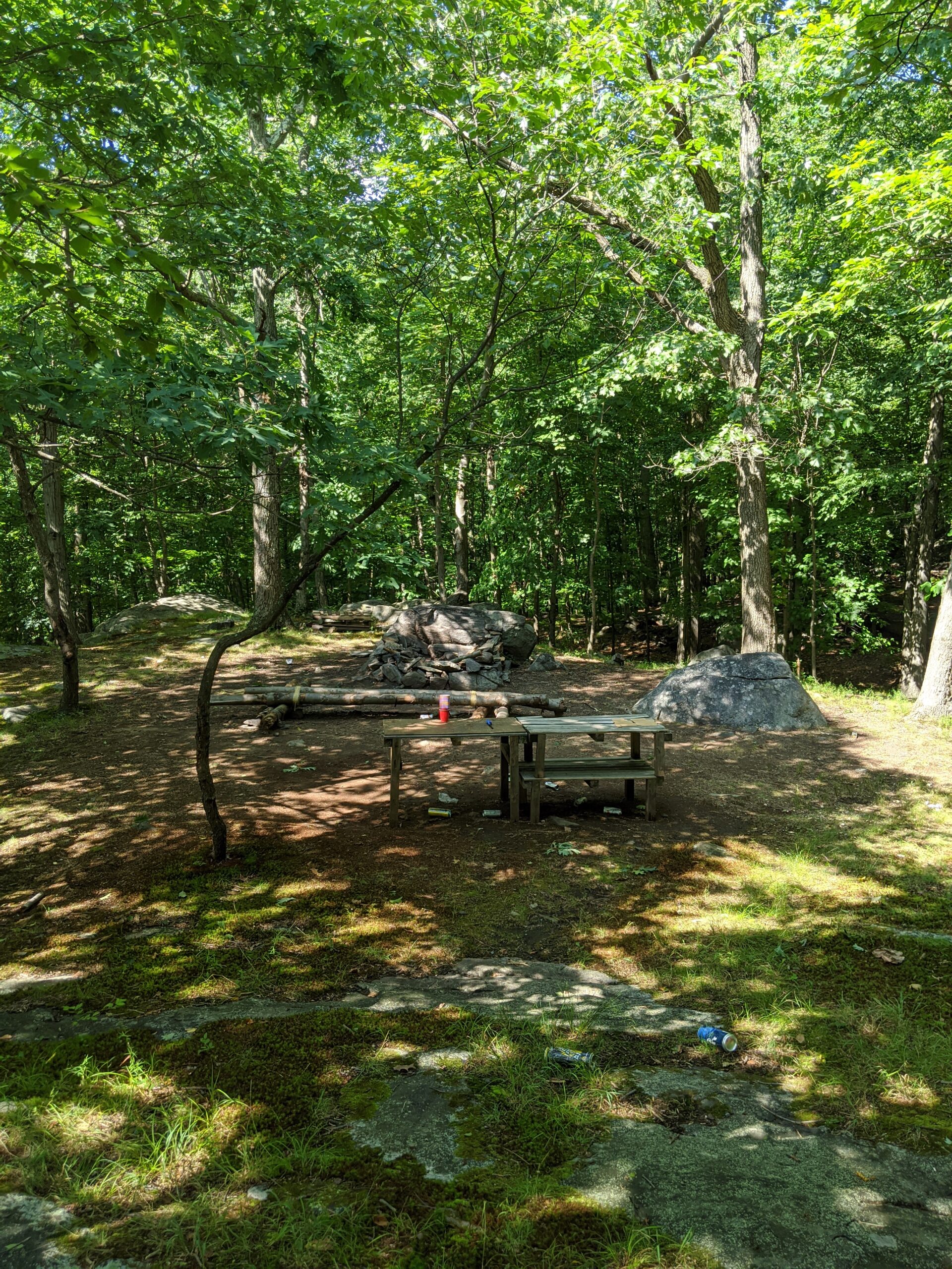
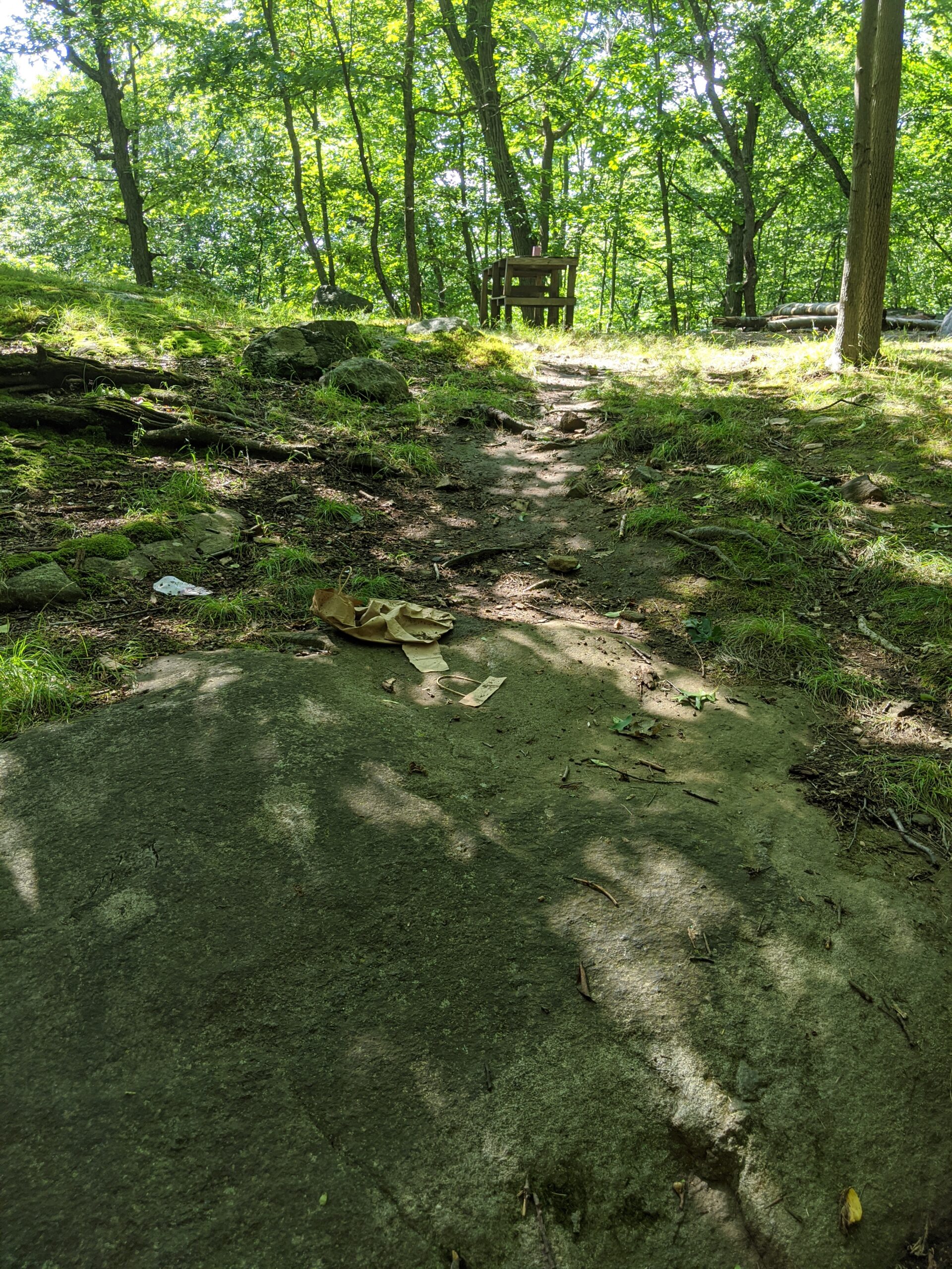
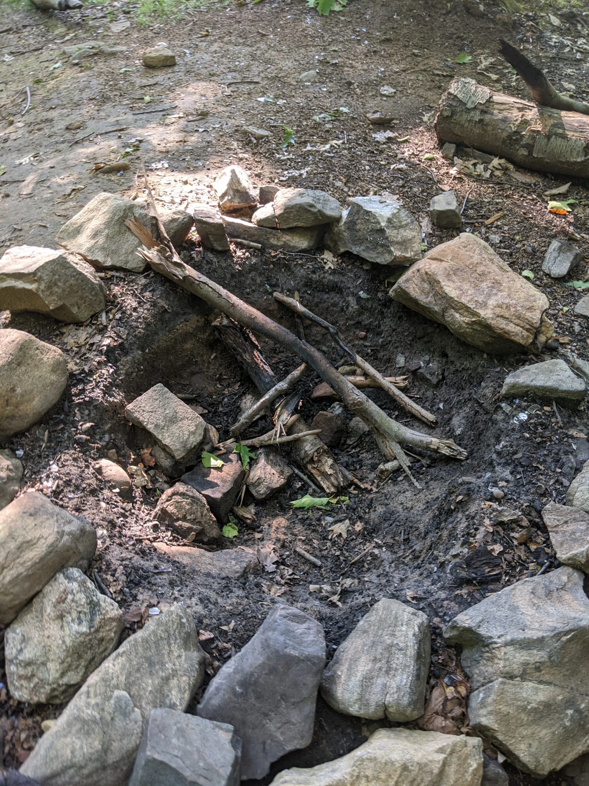
From there, I crossed through the interior SN path to stop at Sunset Rock. I wasn’t sure what to expect, but what I found was remnants of a party, a campfire, beer cans and garbage. I snapped some photos of the mess. It would be cool to come back at sunset one day to check out the view.
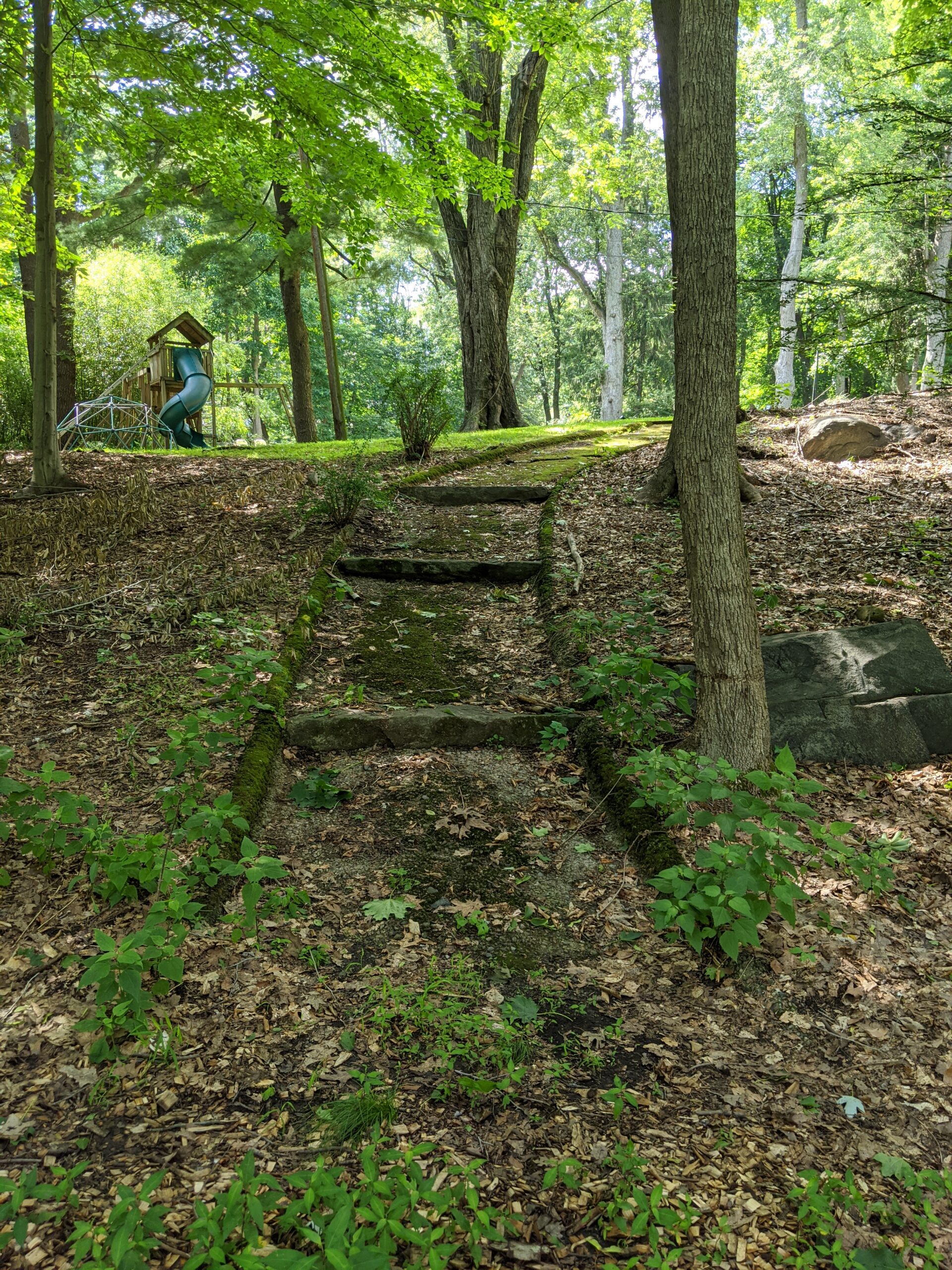
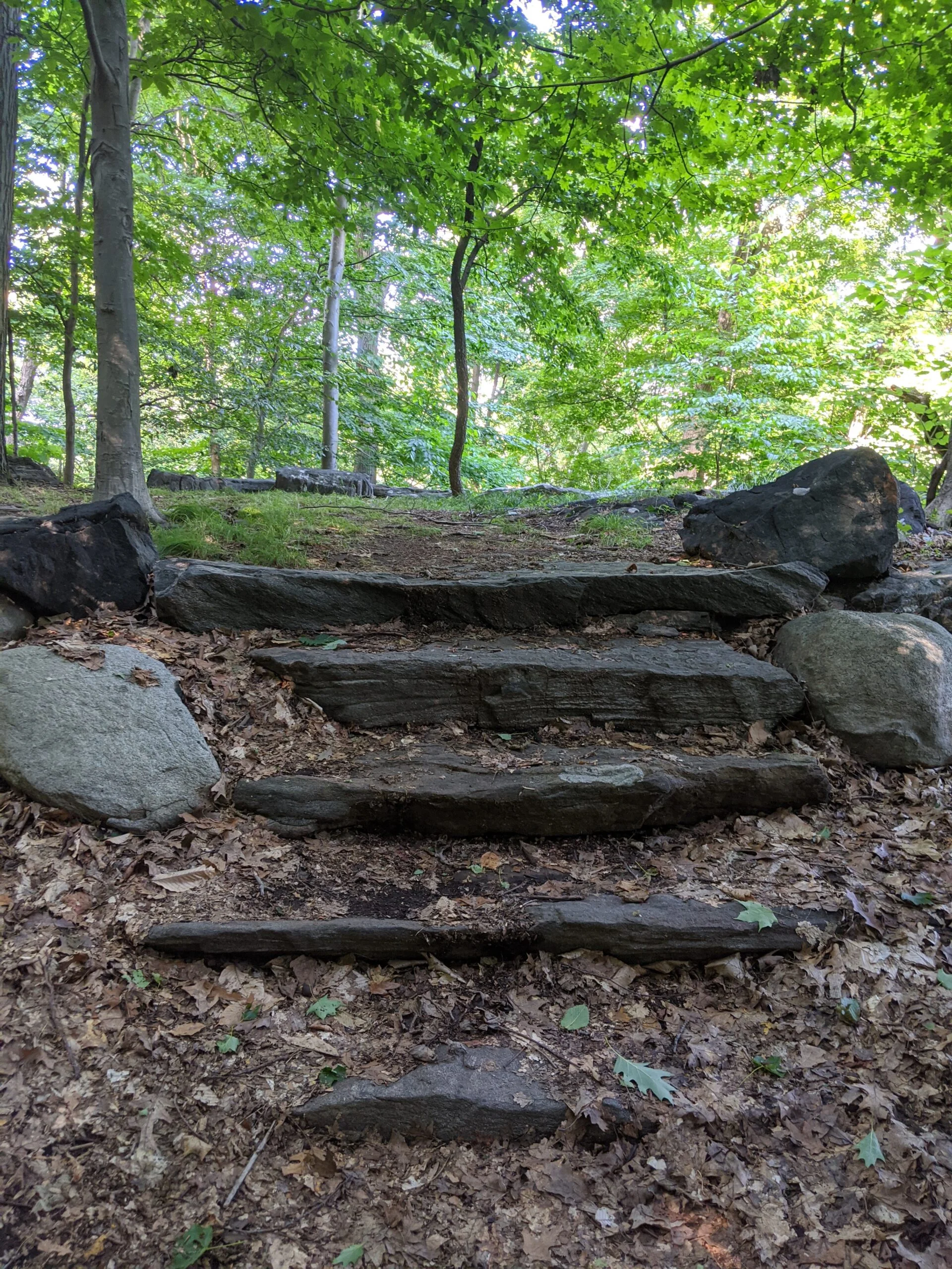
I continued east to 17 and 17A, where I took HG south through 20 and onto ML. This was the opposite path I took last time and I wanted to get some mileage in doing the full circuit down the Steps and out to Macy Monument again.
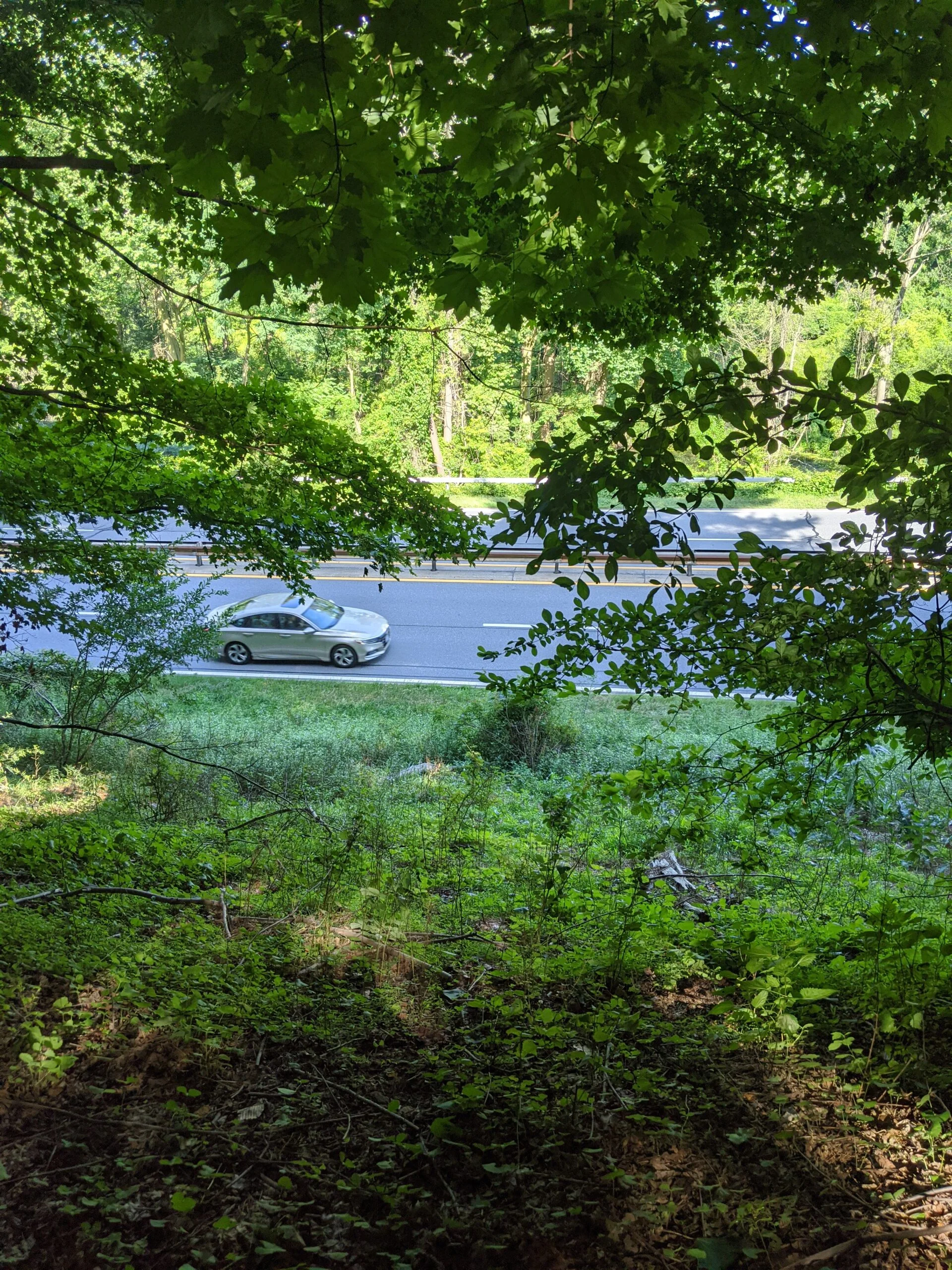
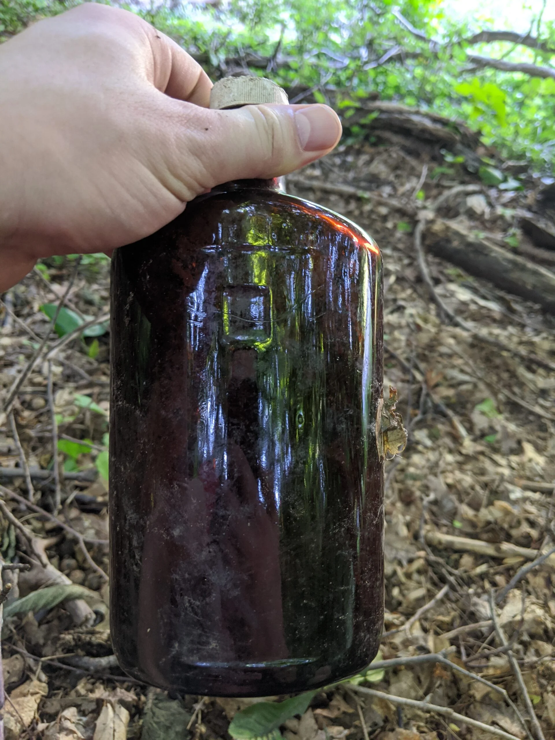
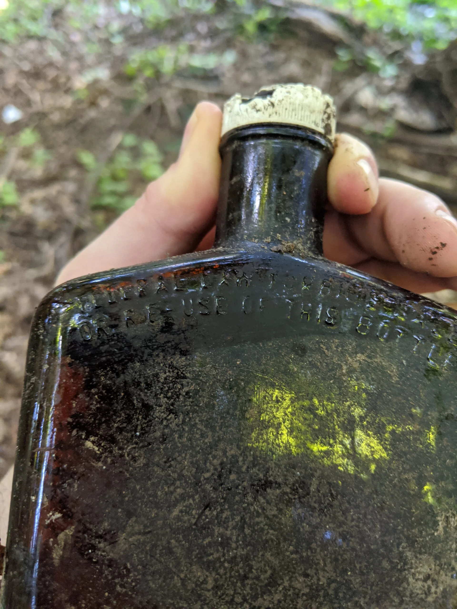
From the monument, I went north off trail for a bit, hugging the Saw Mill River Parkway. I came across an old brown glass bottle with the words “Federal Law Forbids Sale or Reuse of this Bottle” stamped into the glass. I later found out this phrase was required on all liquor bottles sold within the United States that were made between 1935 and 1964.
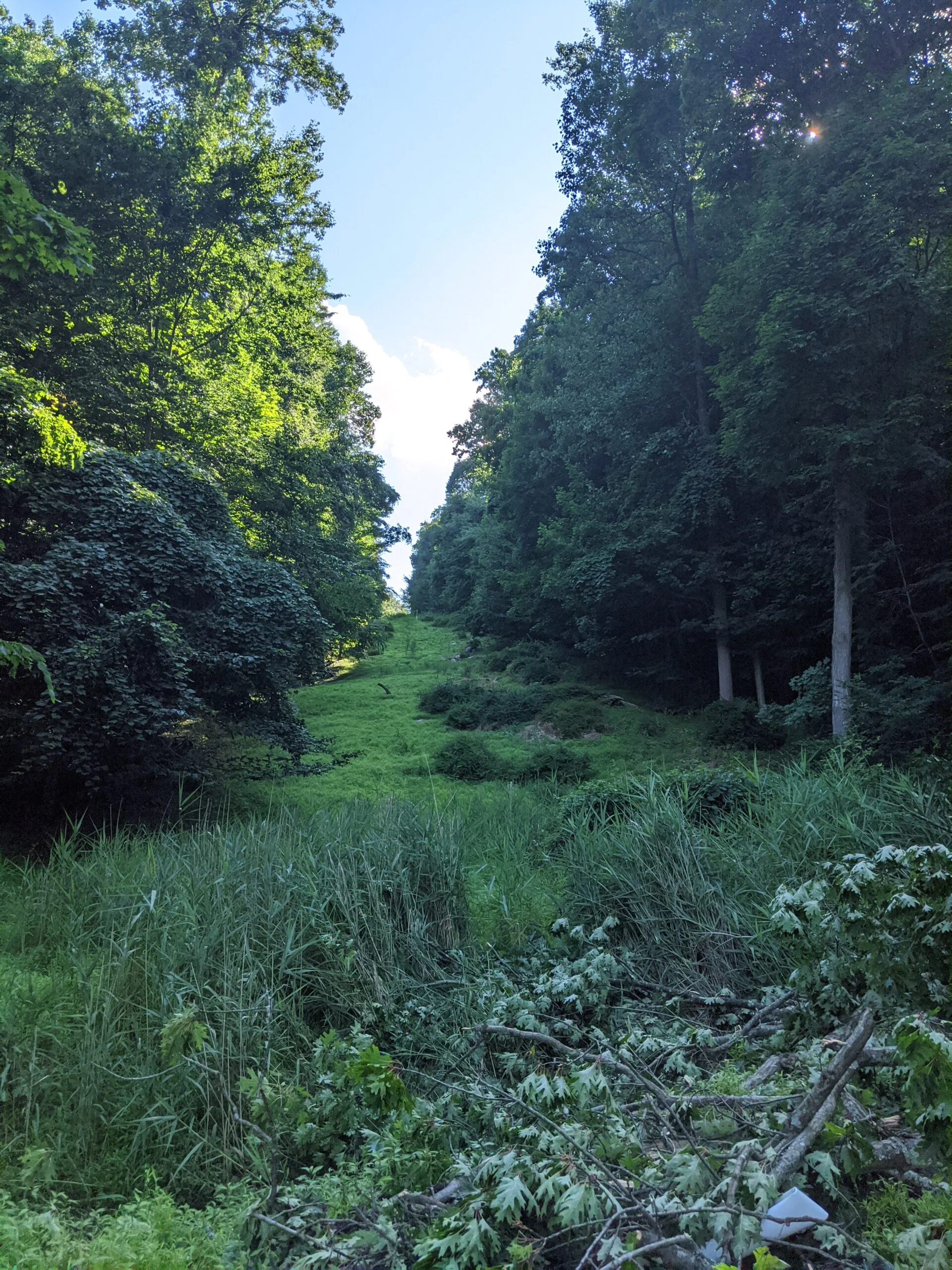
I continued north, passing over the gas pipeline clearing and eventually veered to the west to connect back with ML north and then with ML/HG at 25.
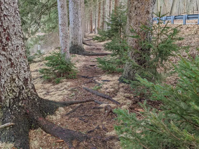
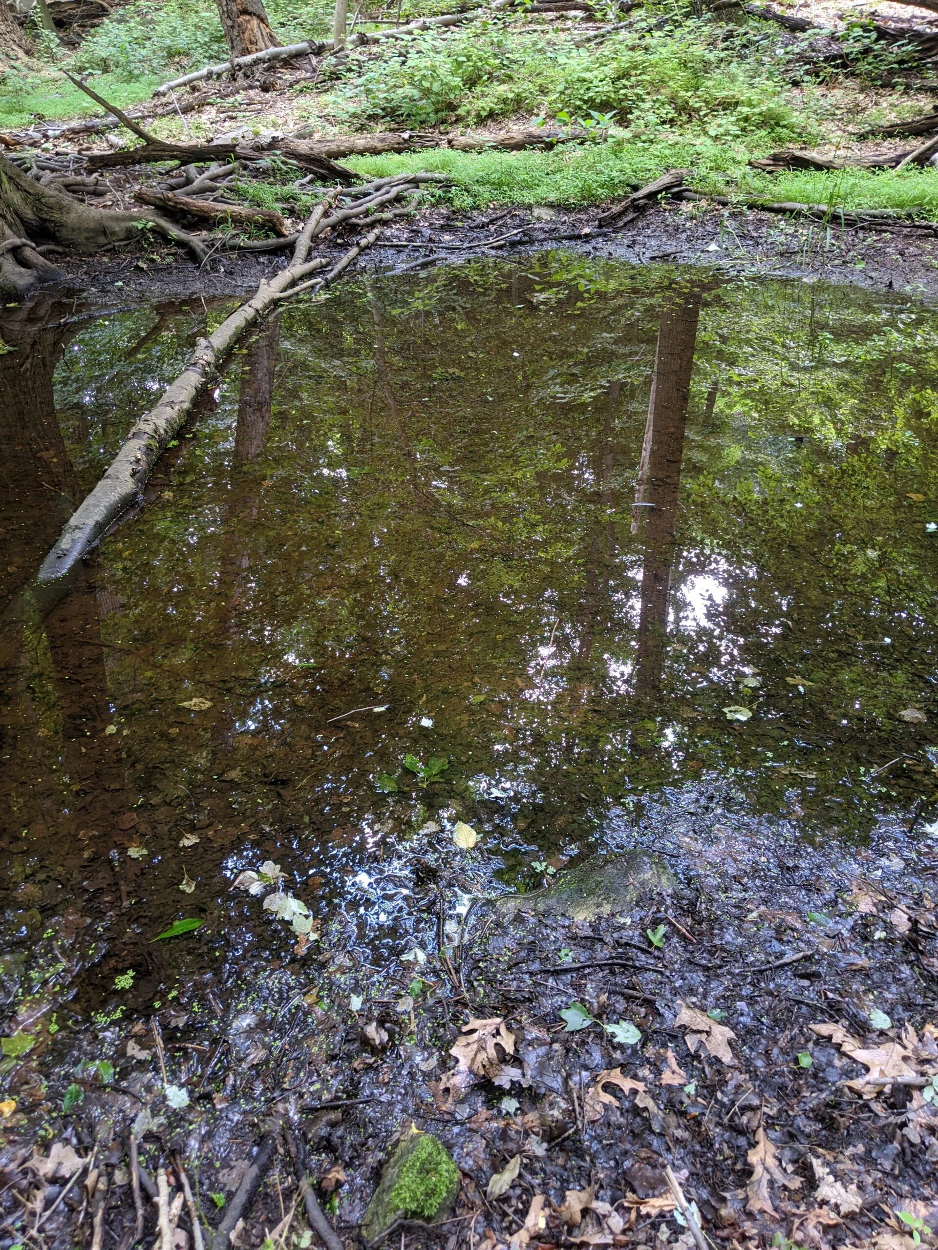
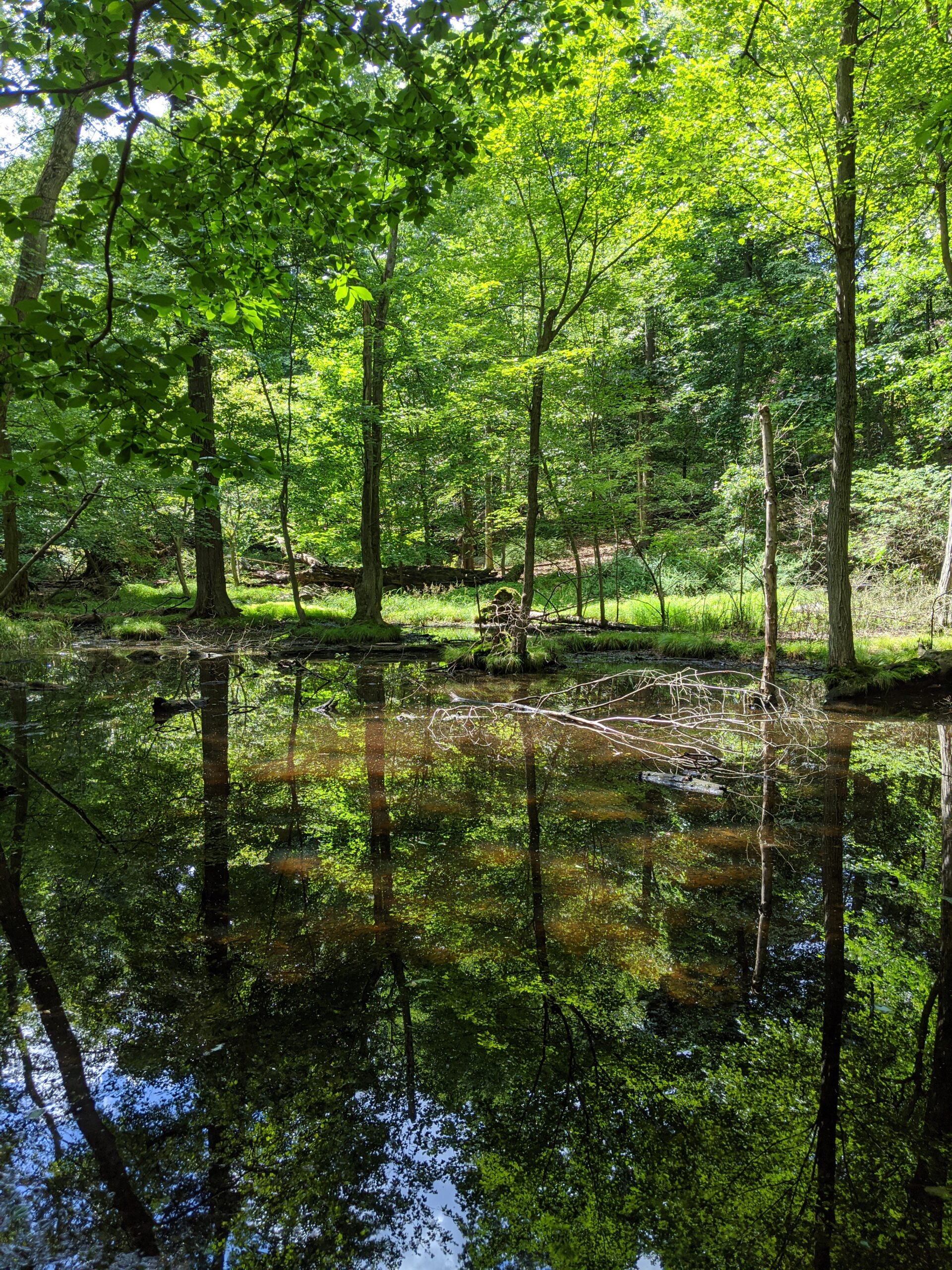
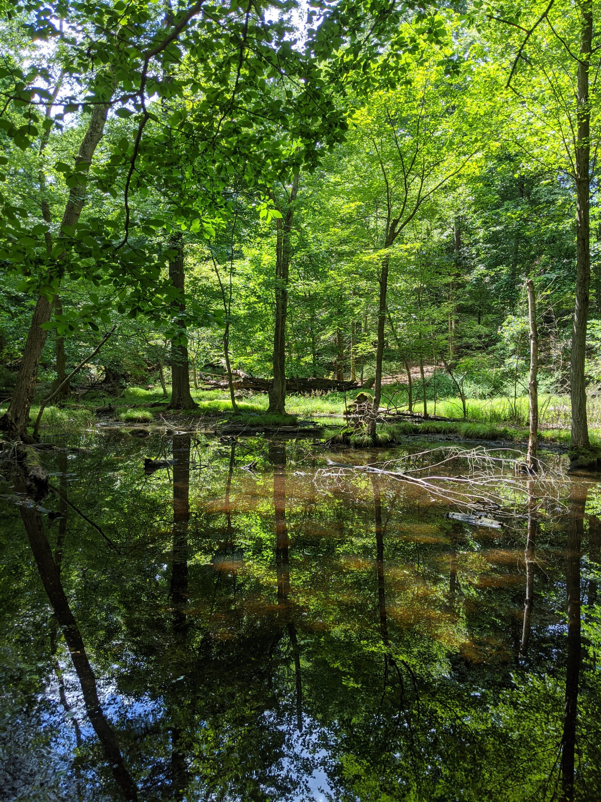
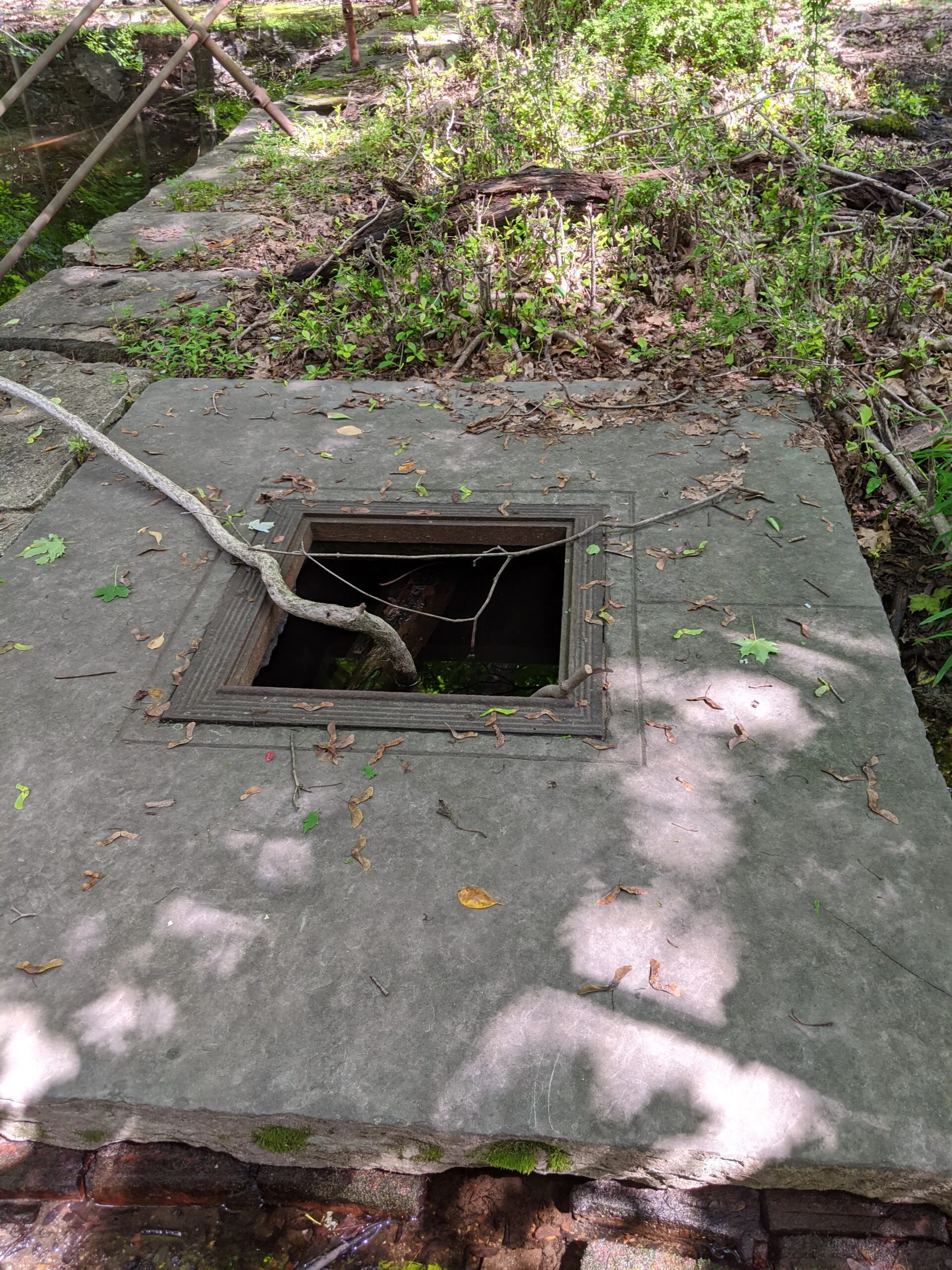
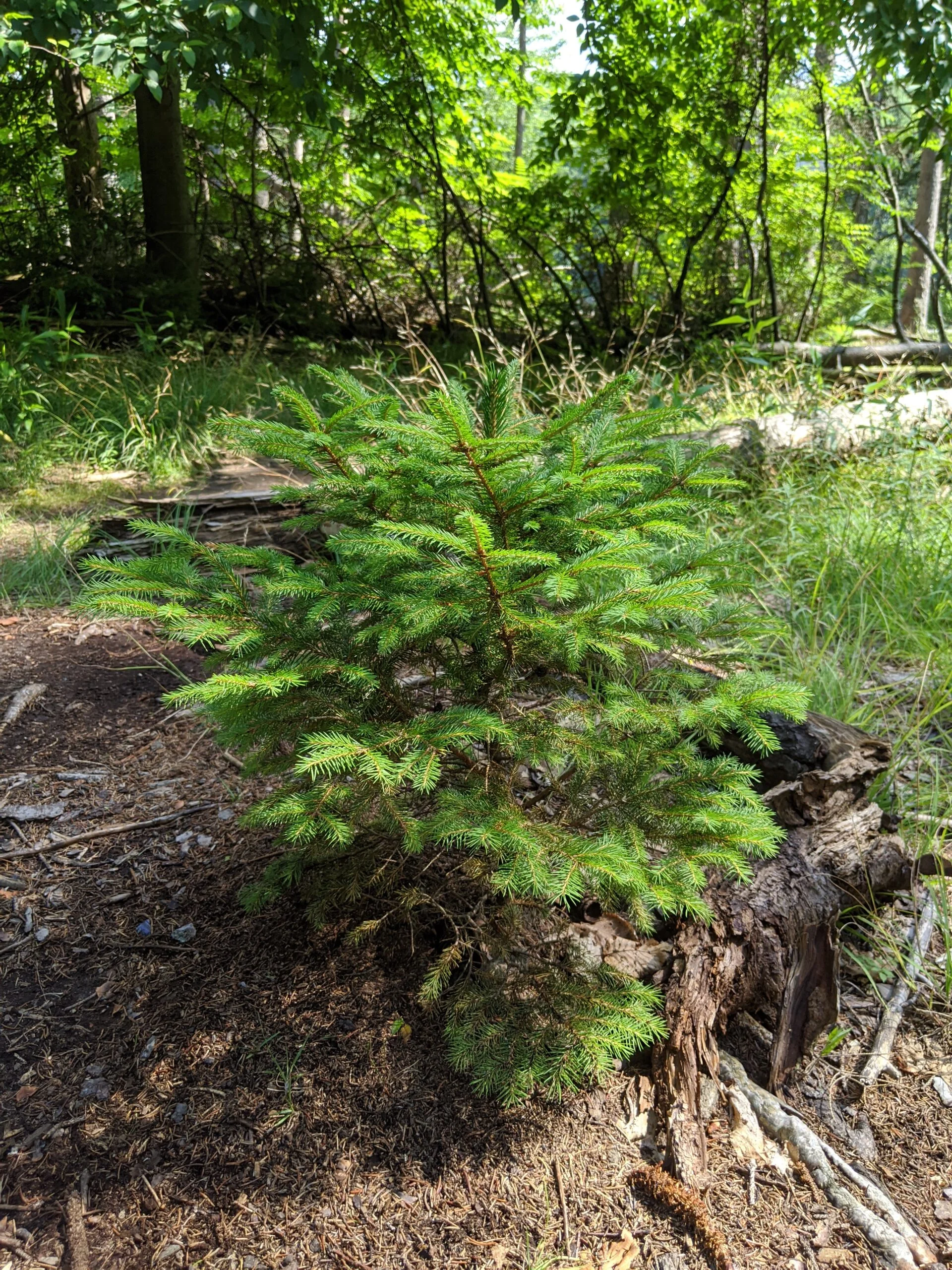
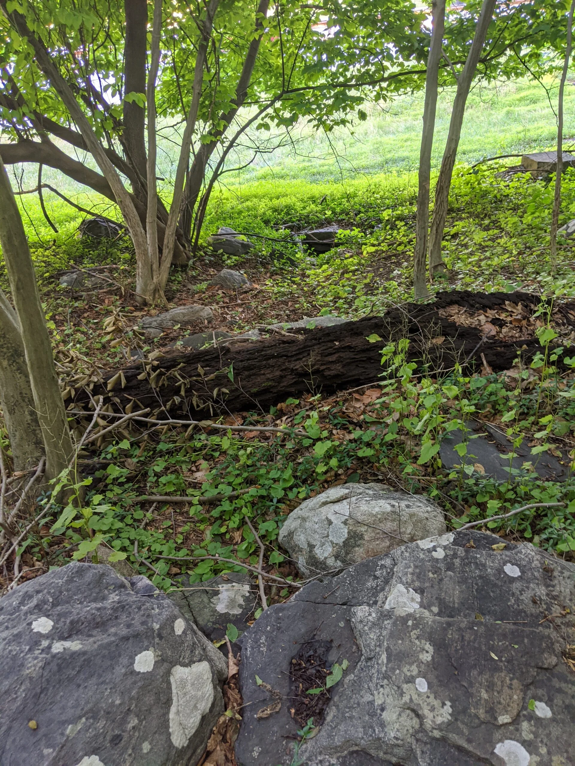
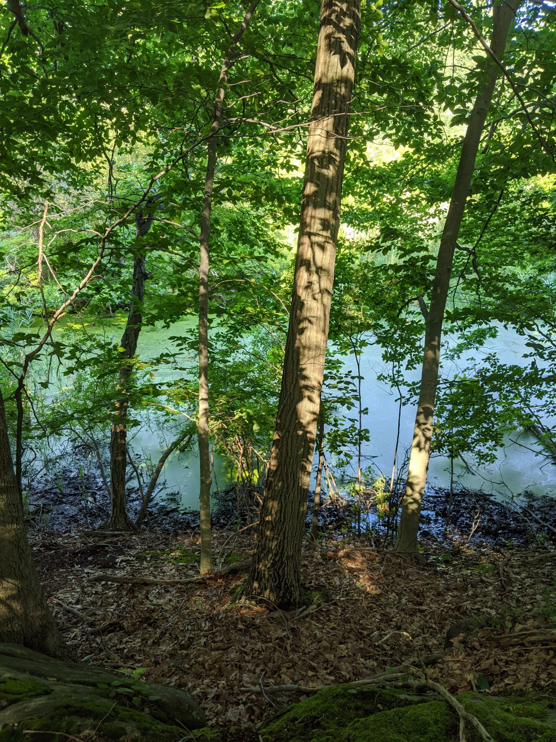
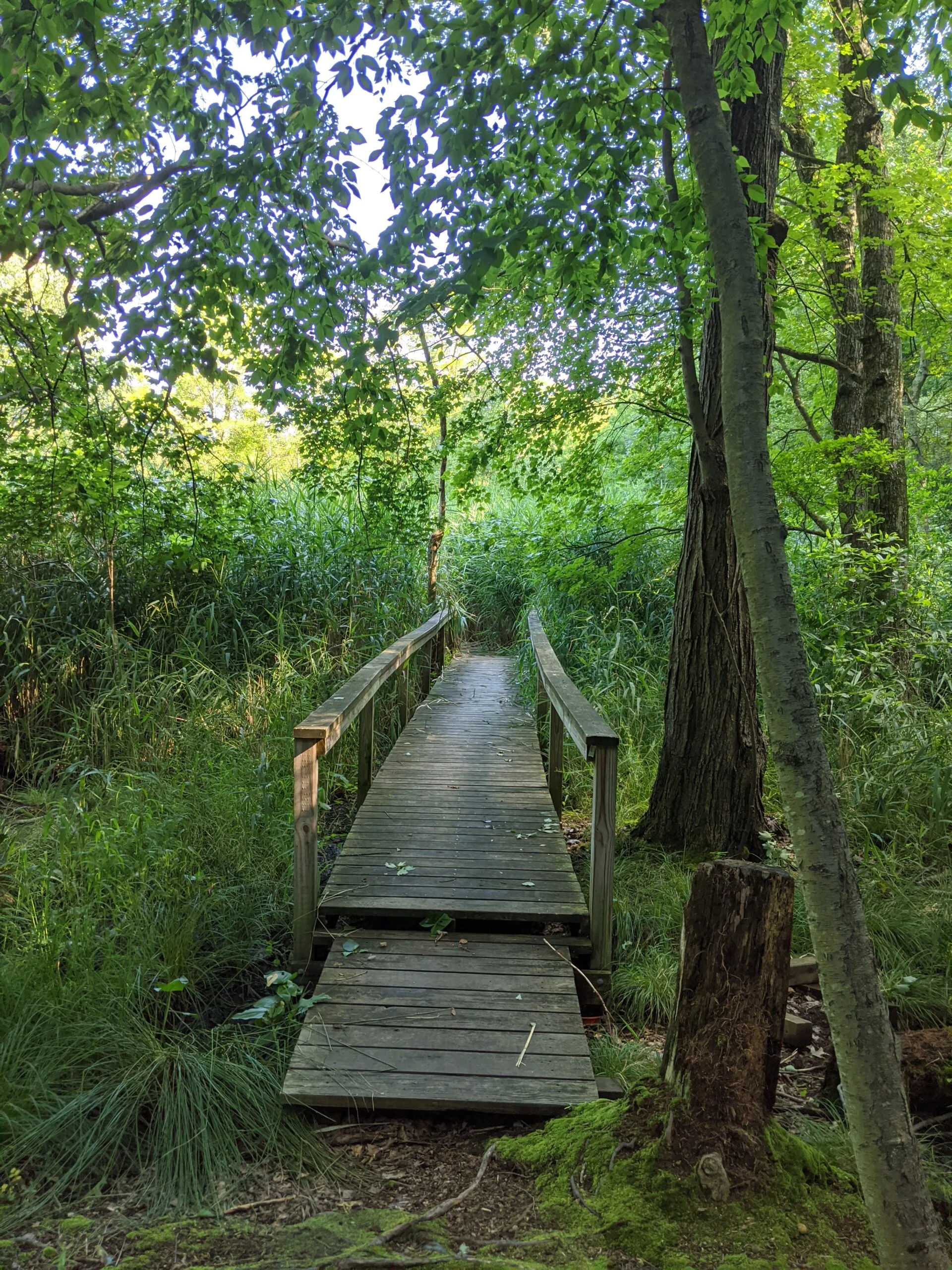
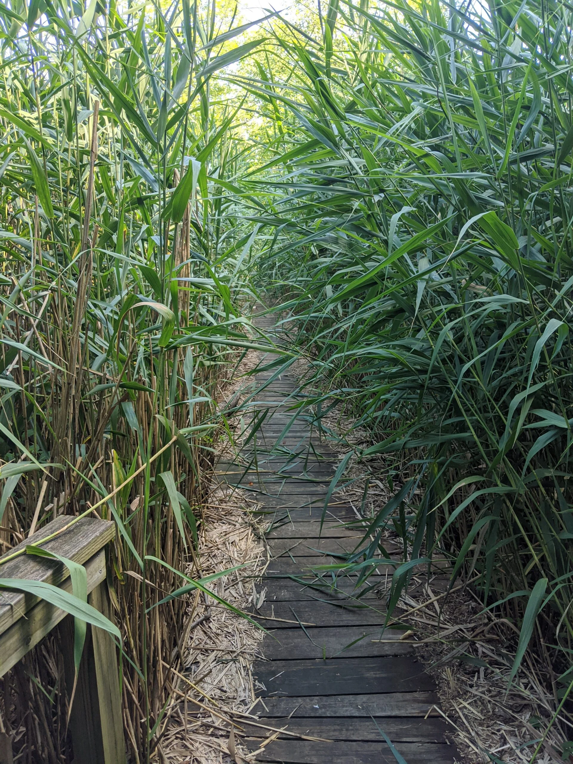
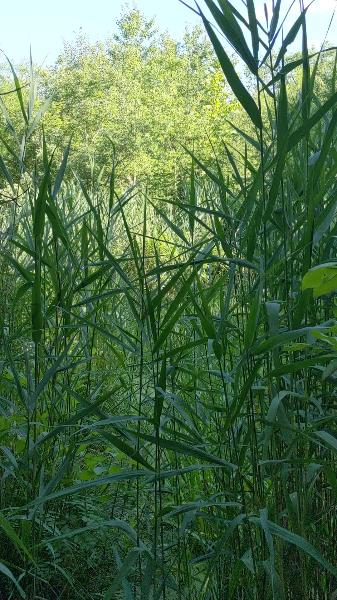
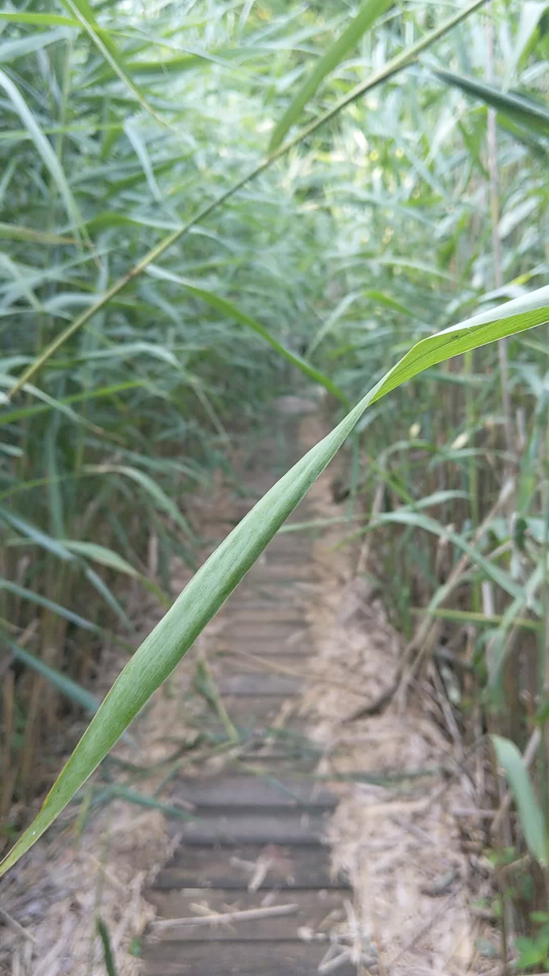
I followed HG north at 20 up to HW at 17 and through 16 to find the wooden pathway into Hermit Wetlands. There’s not much visible from the inside, but you can hear the ducks and other wildlife swimming around in the swampy area.
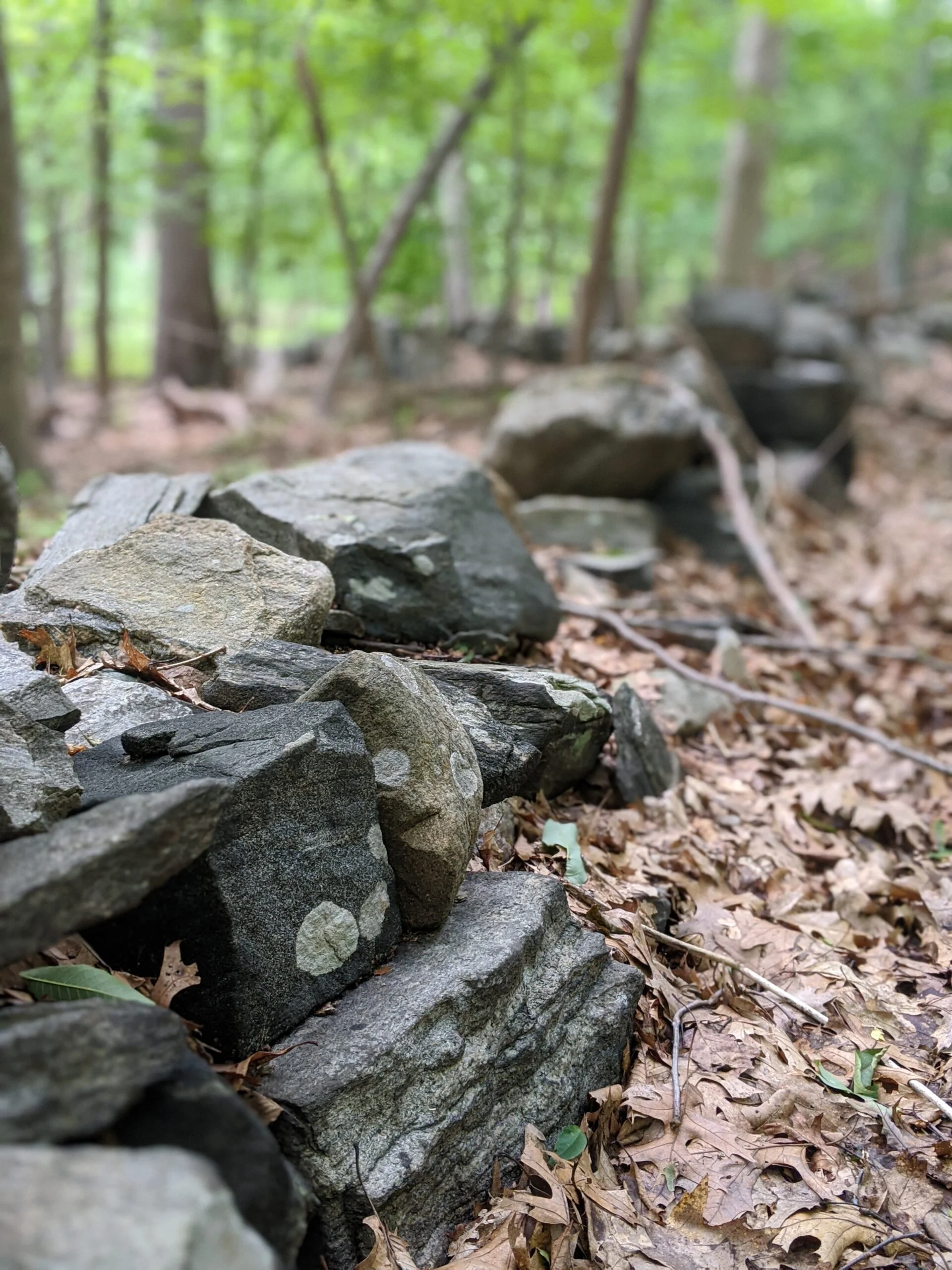
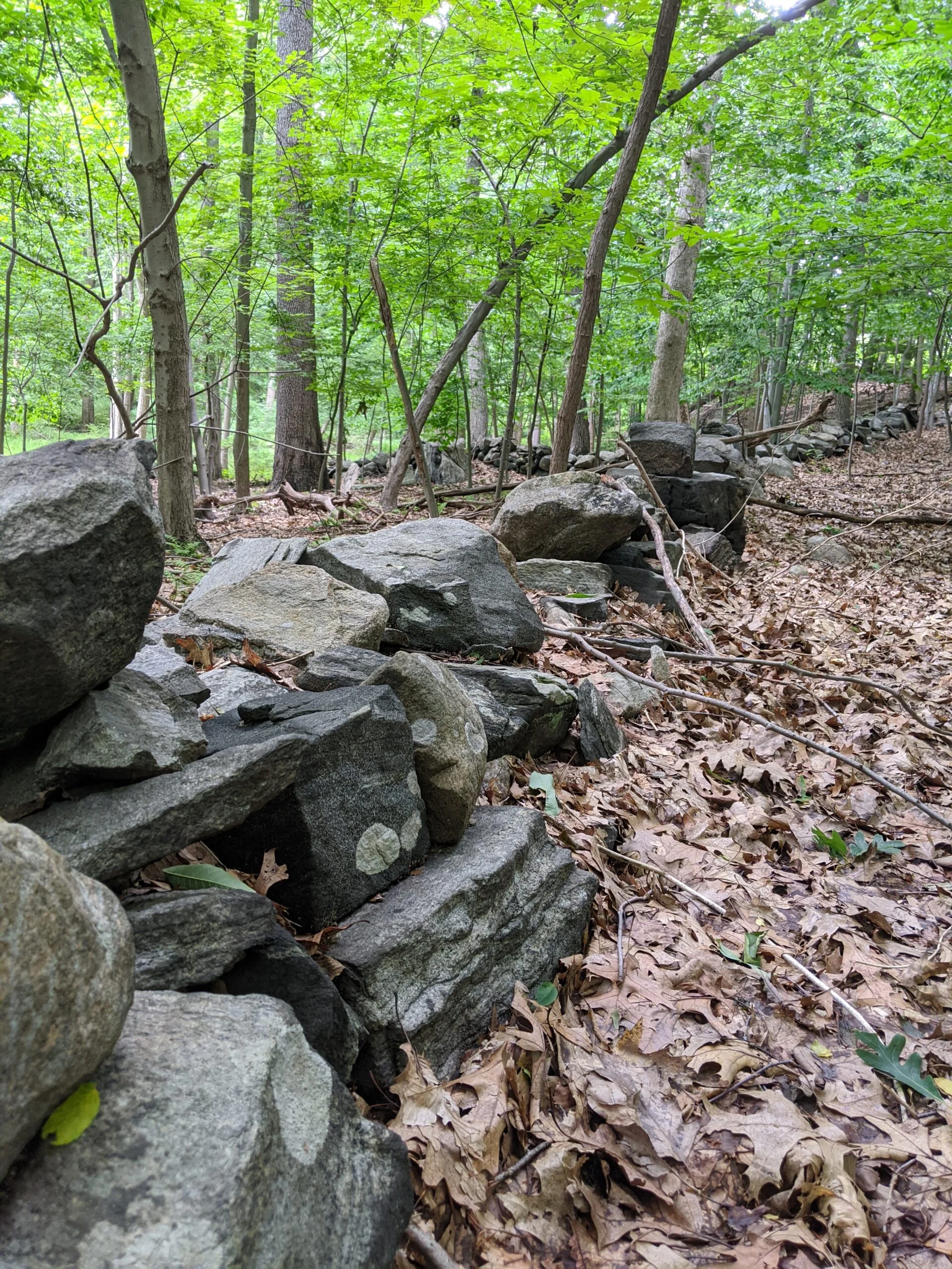
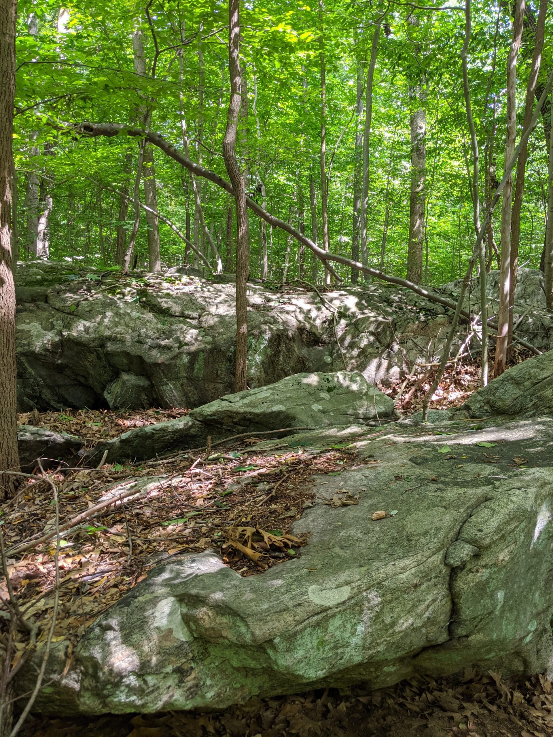
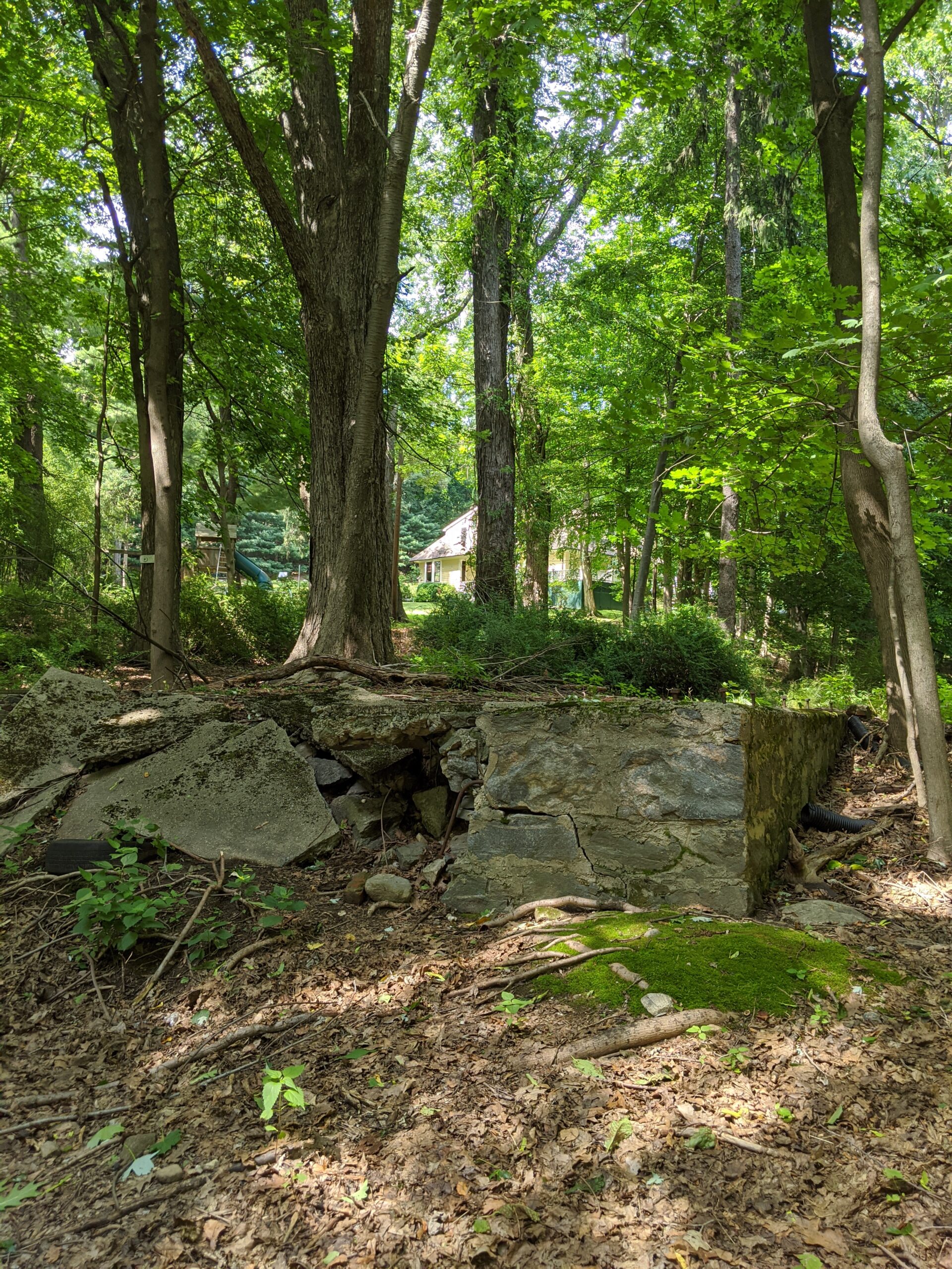
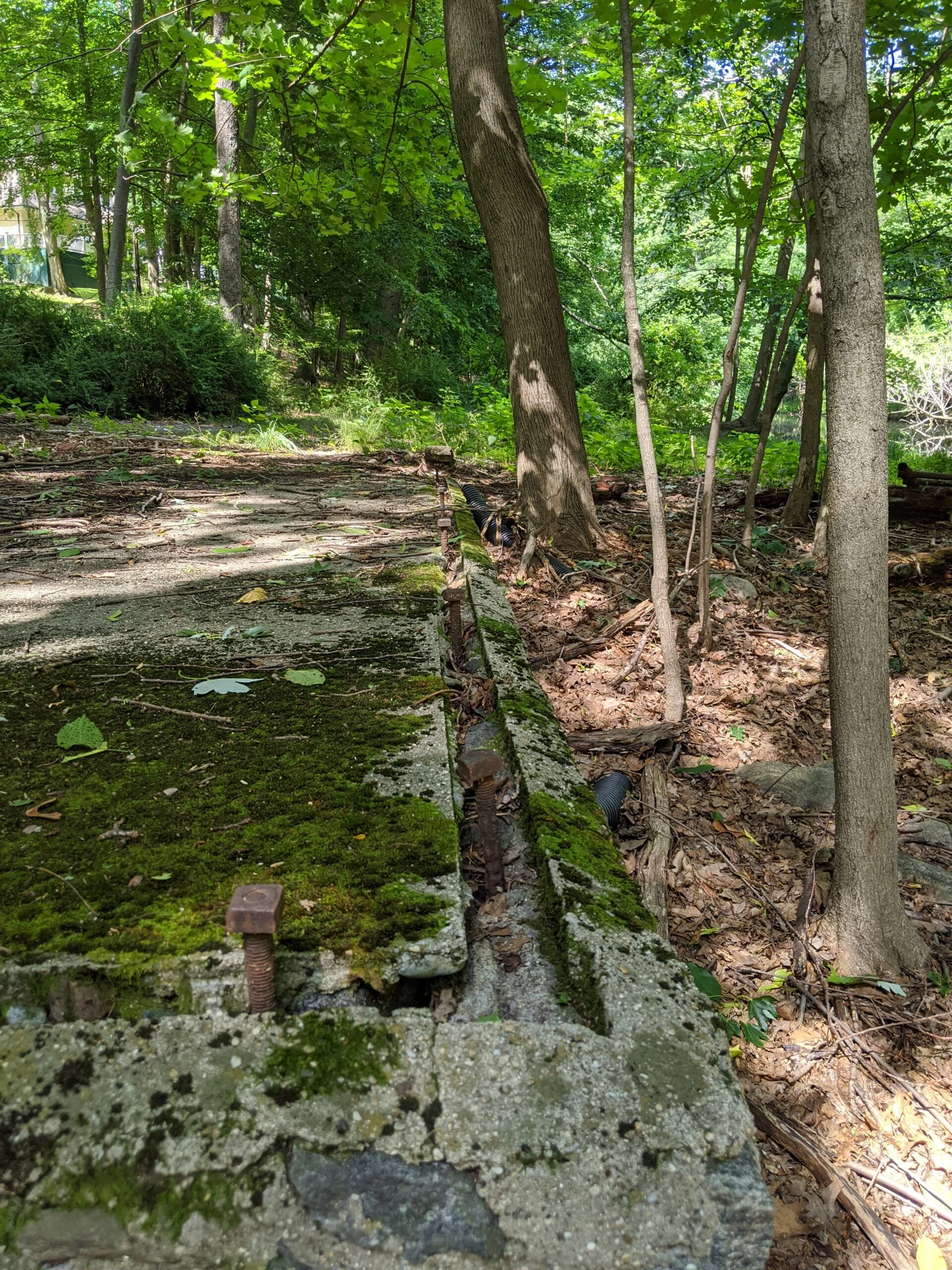
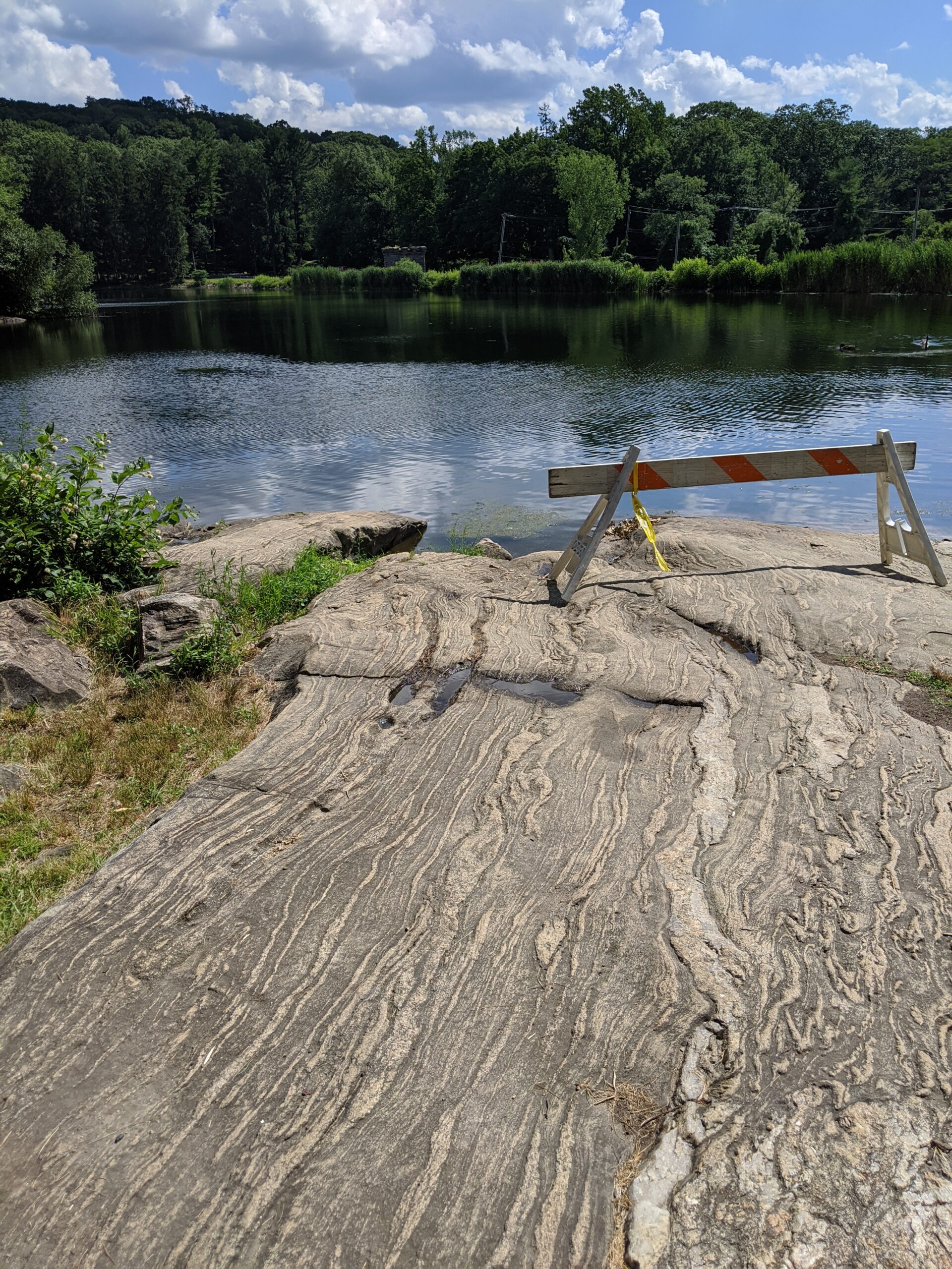
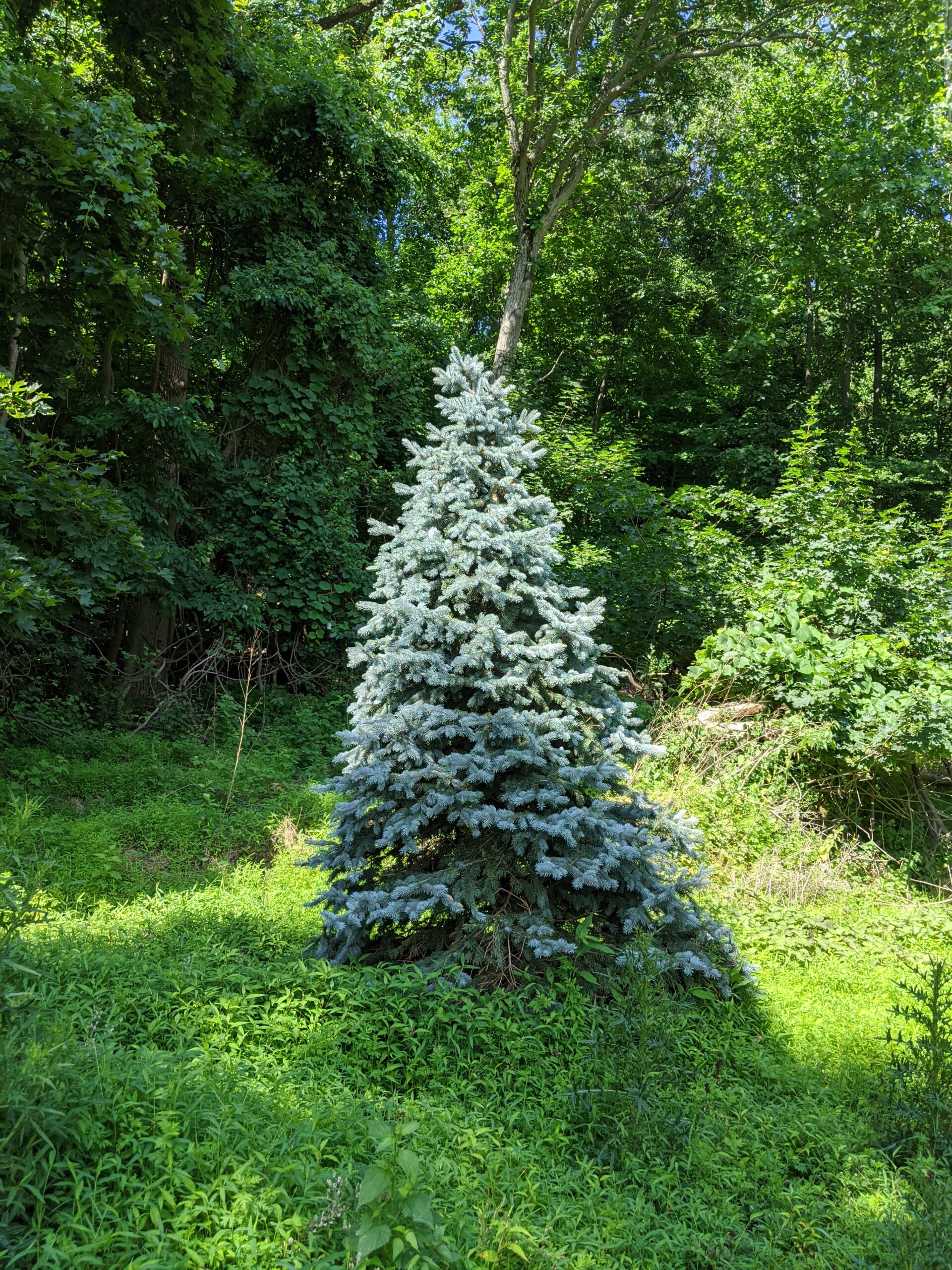
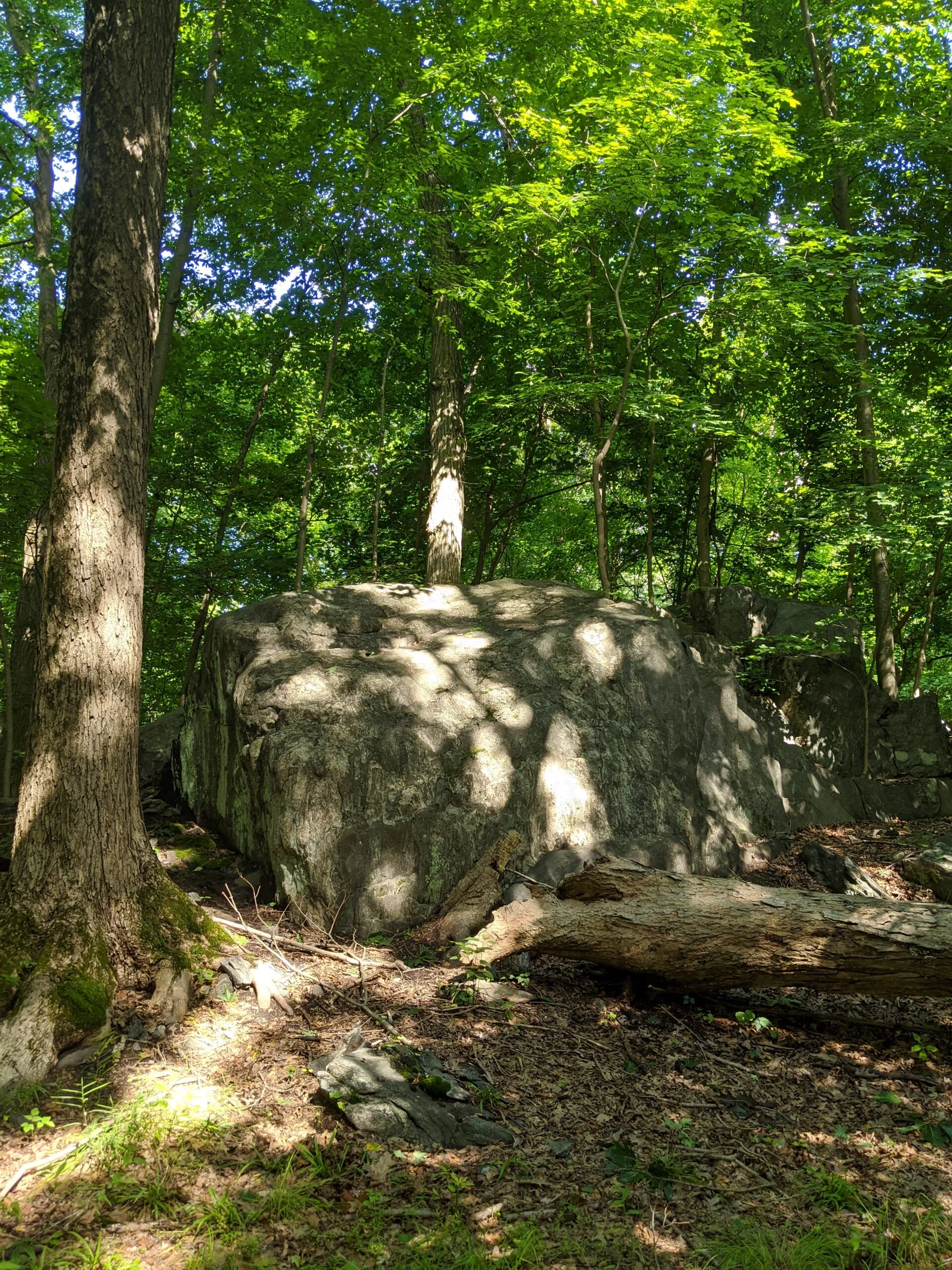
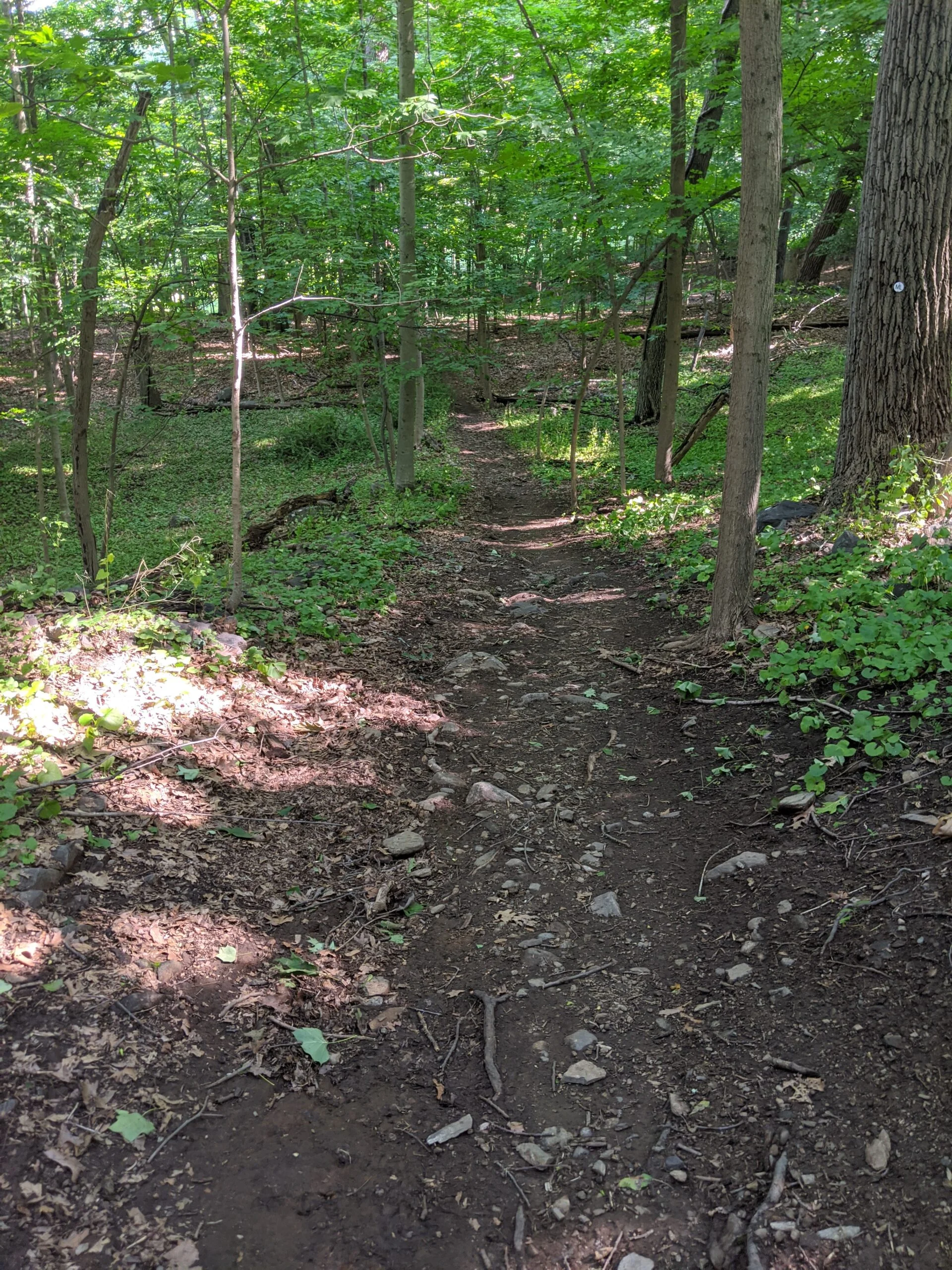
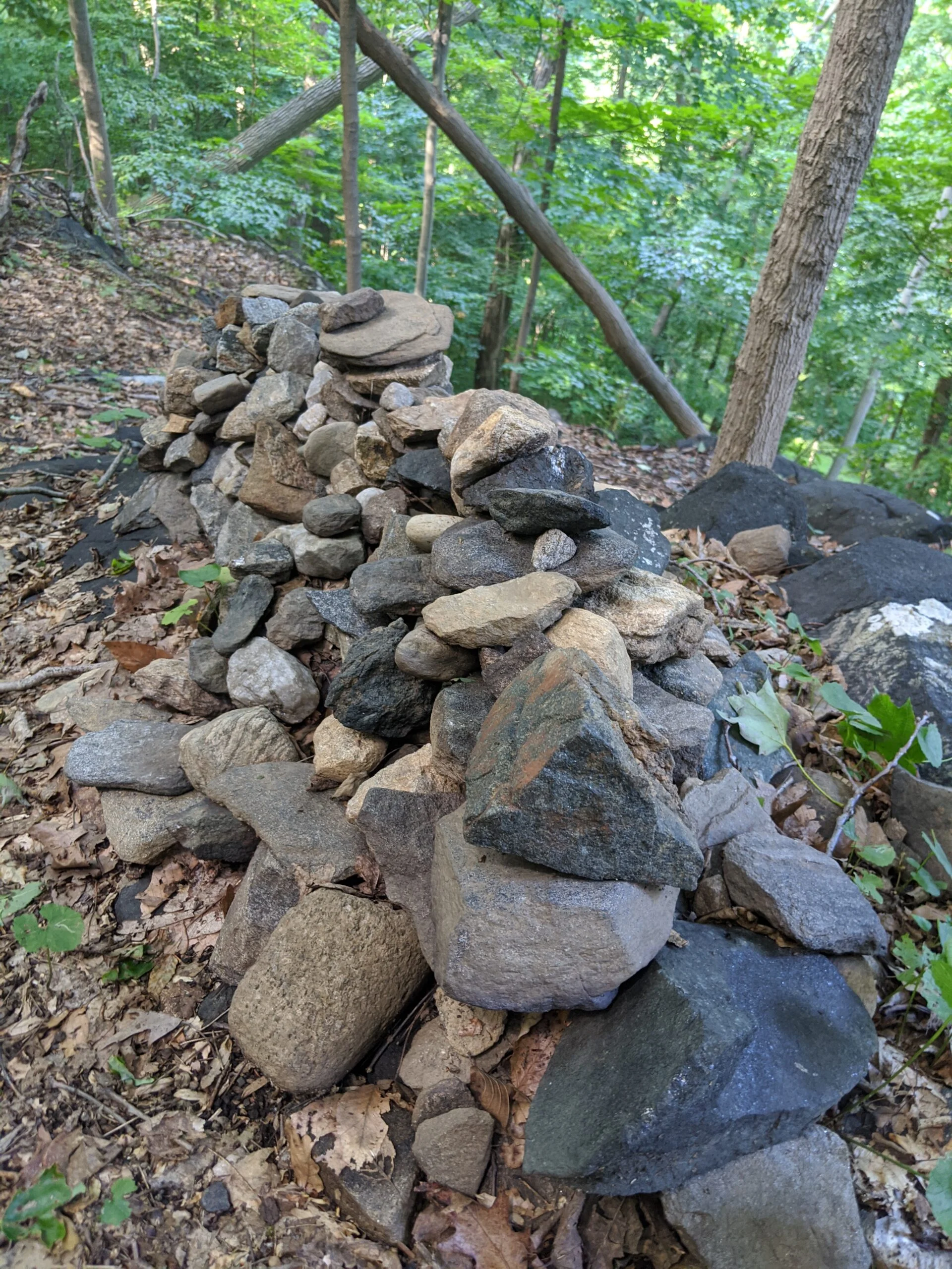
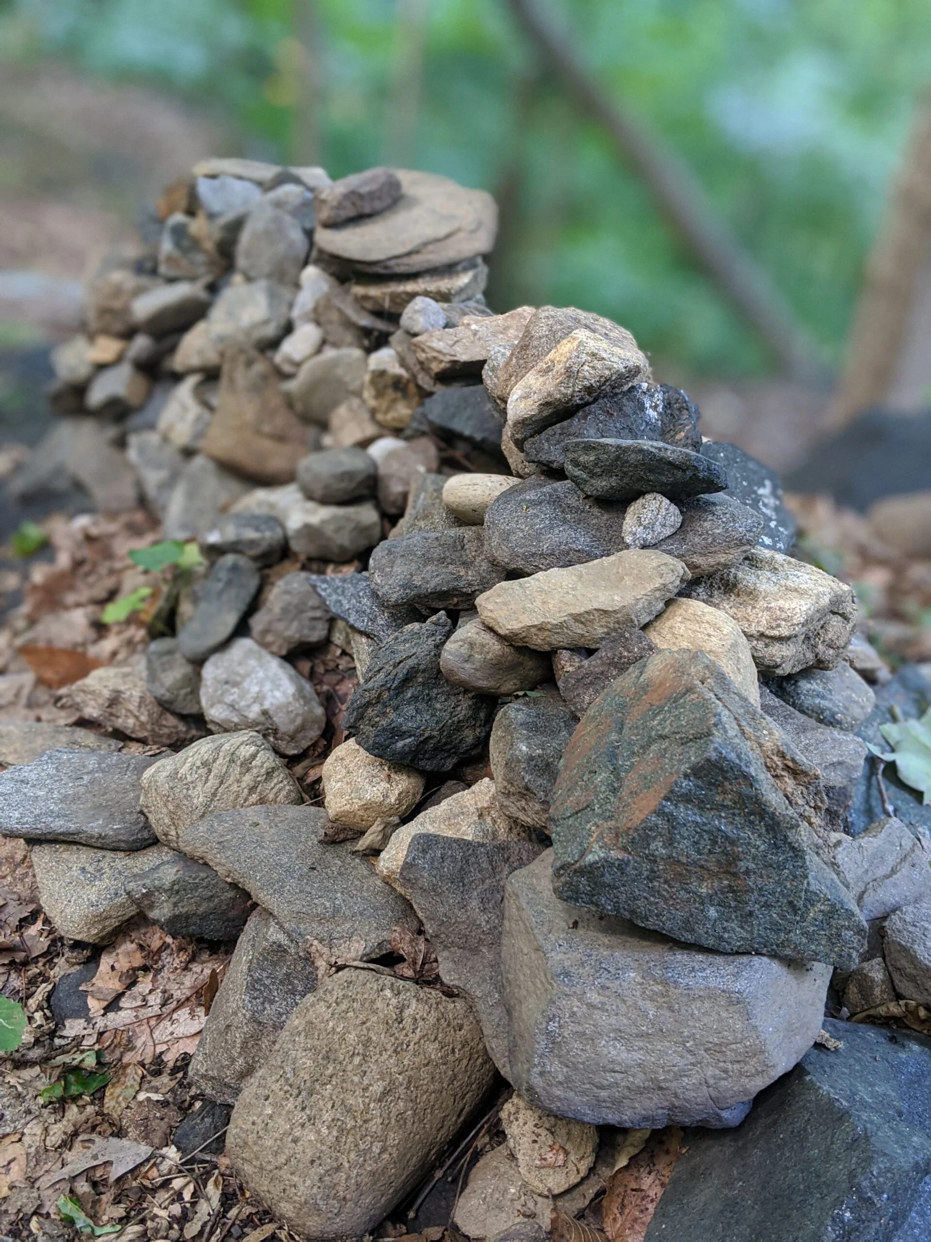
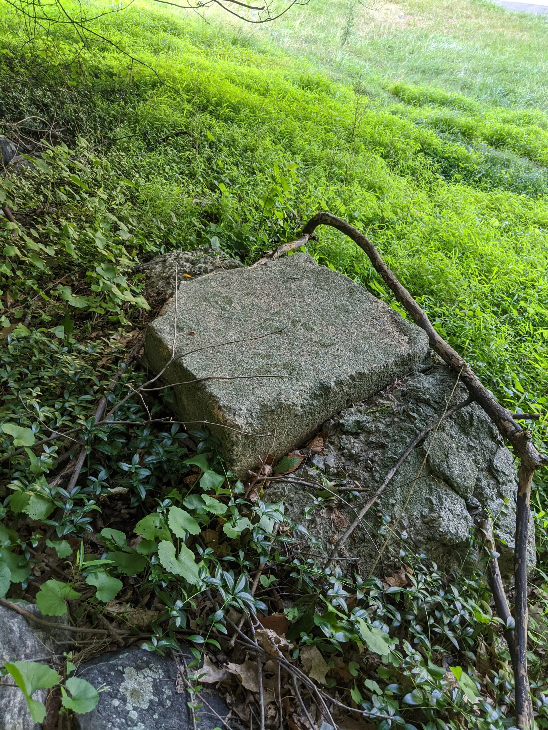
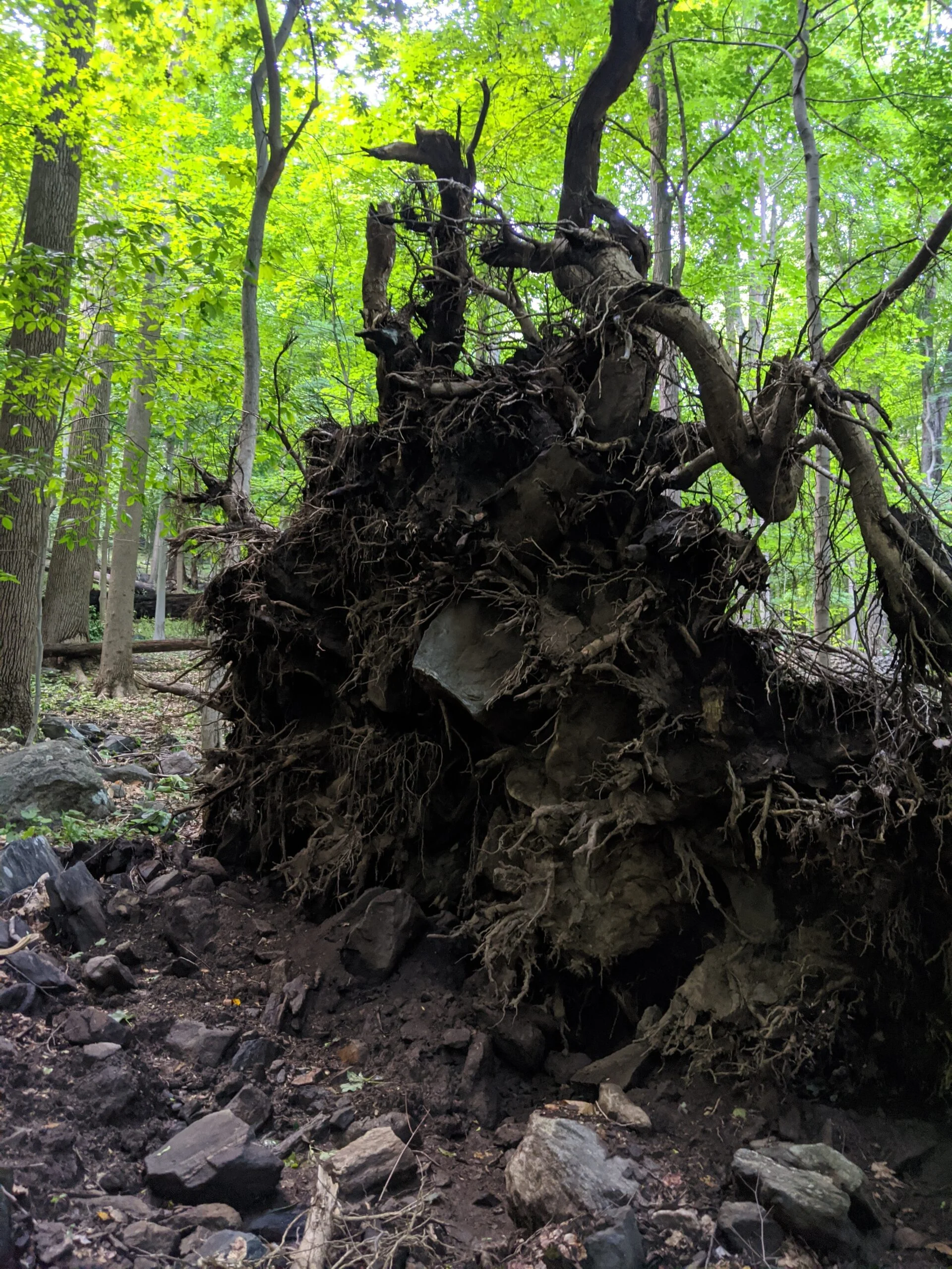
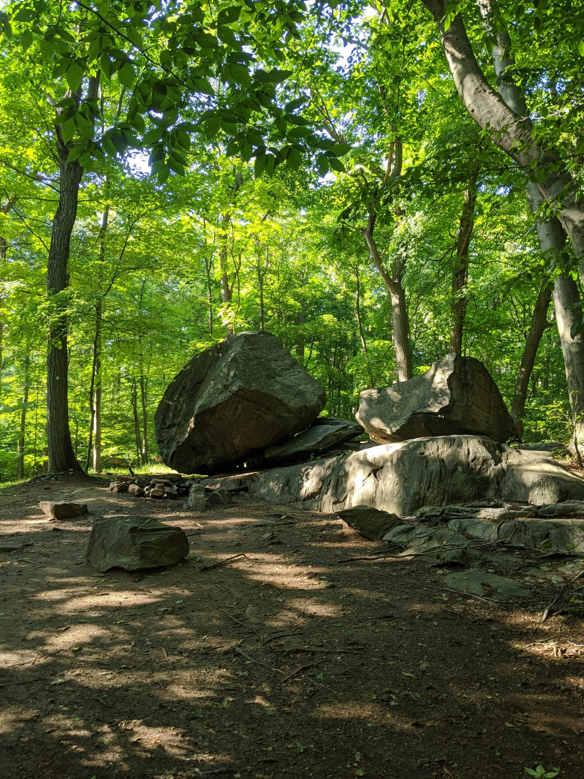
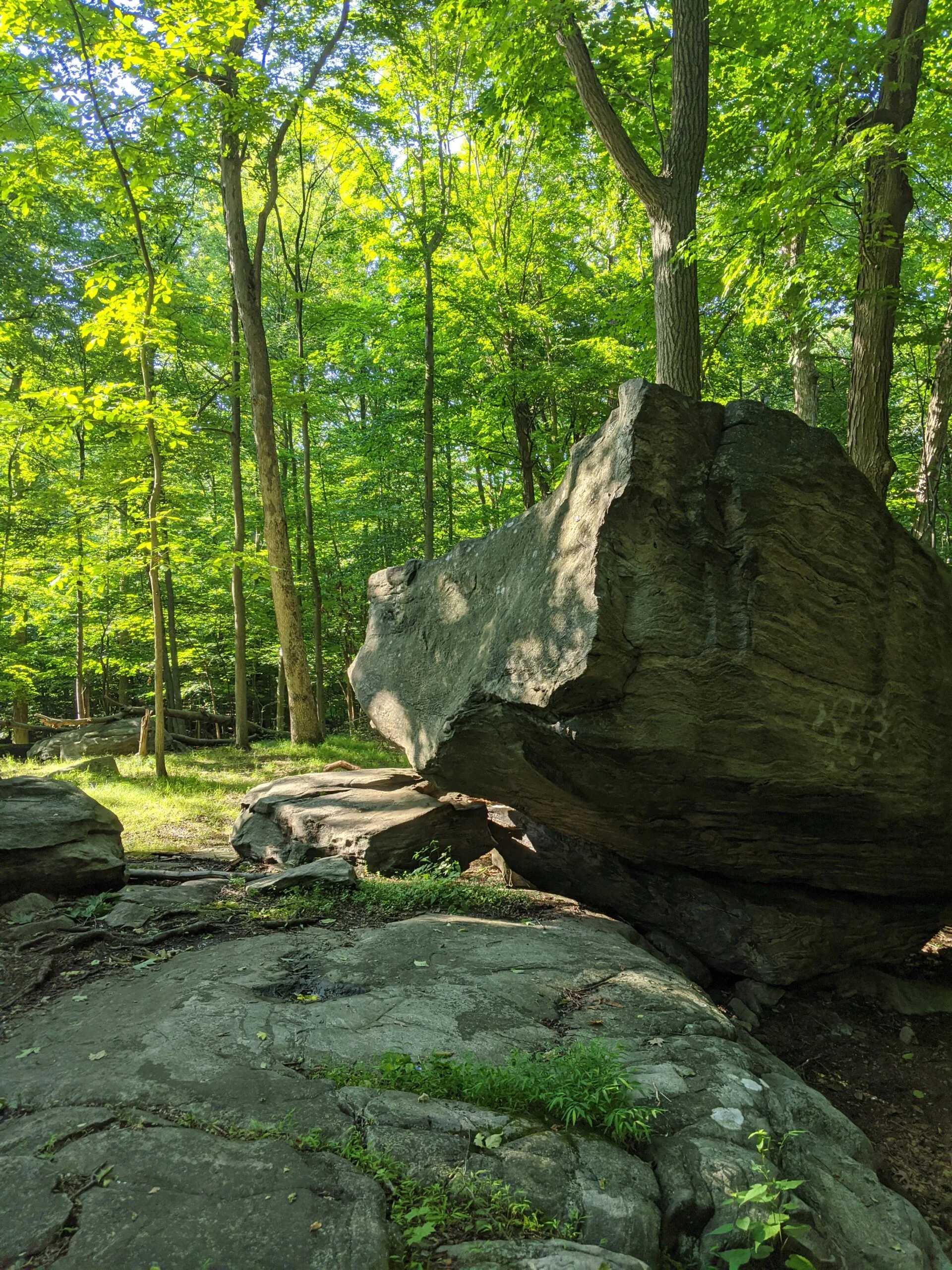
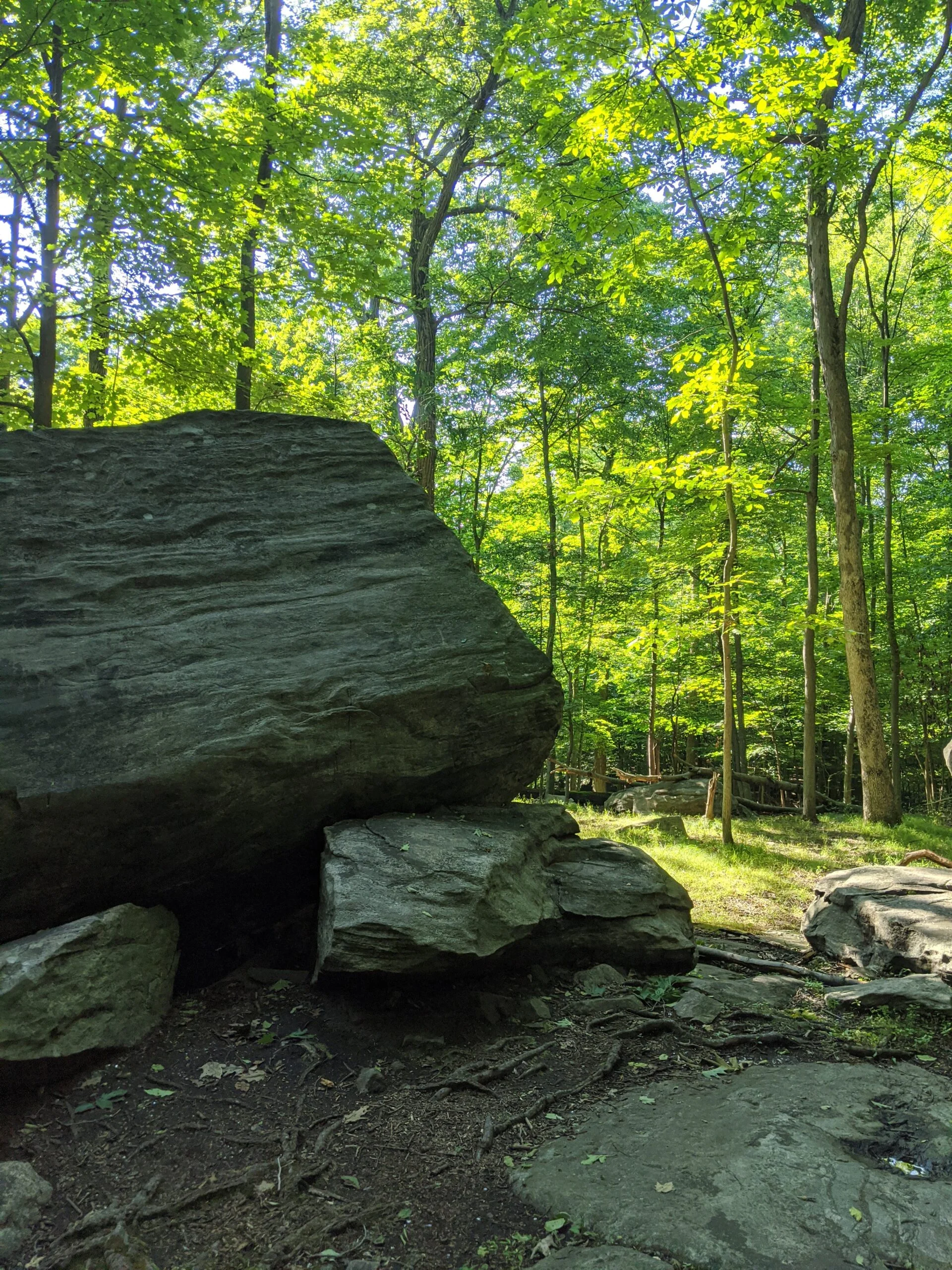
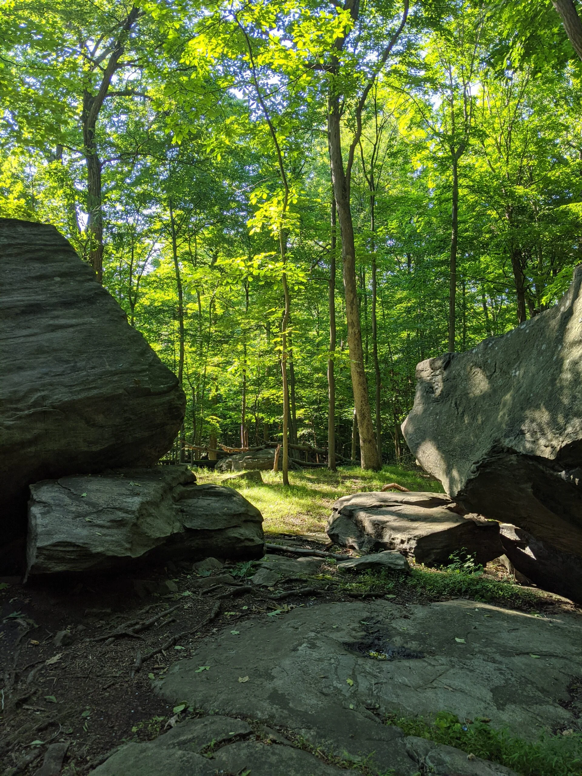
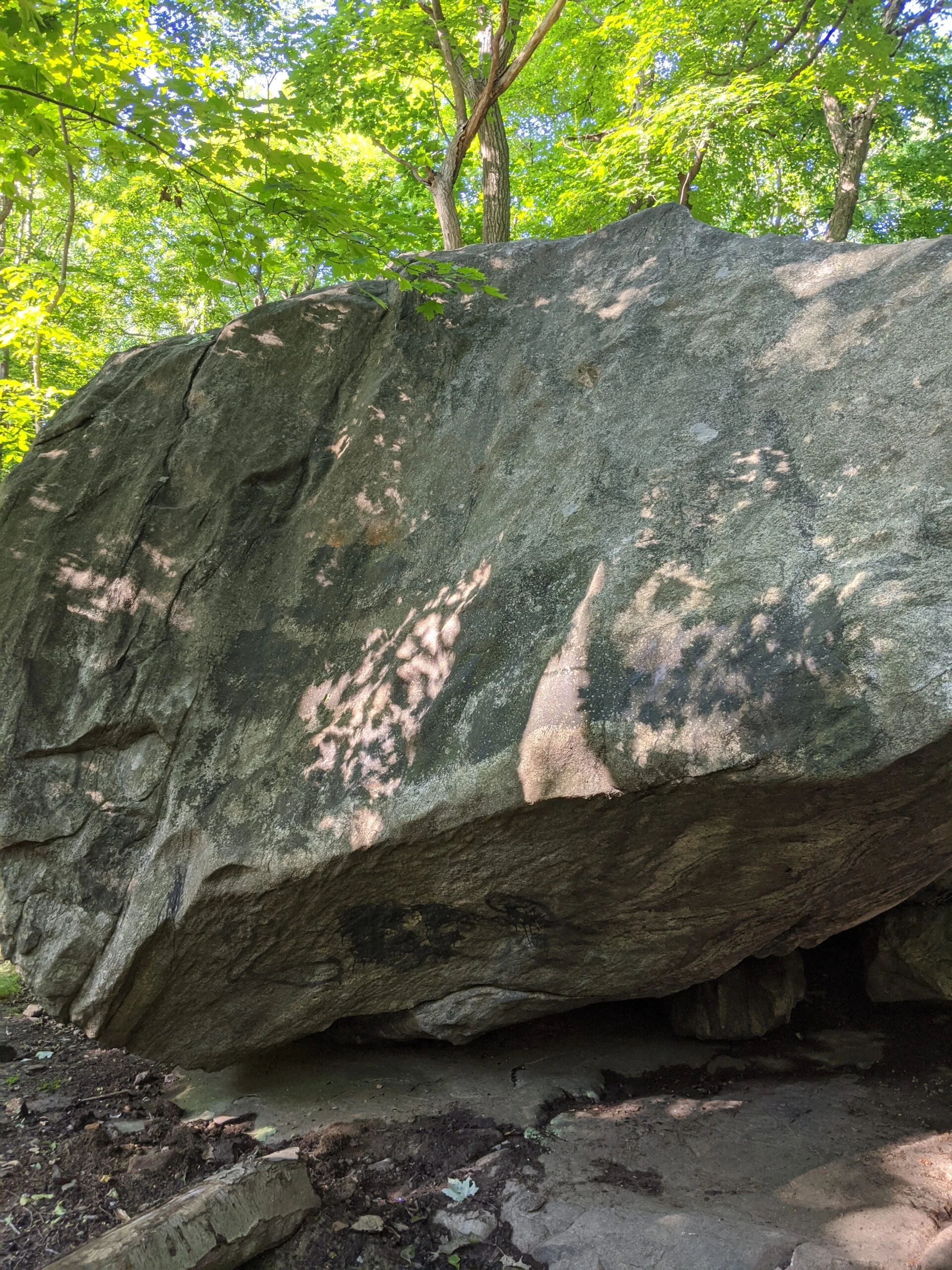
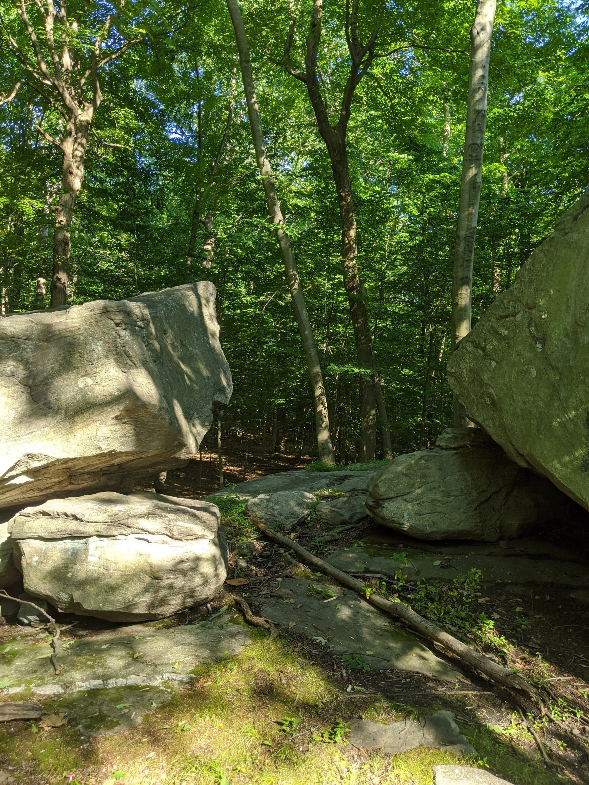
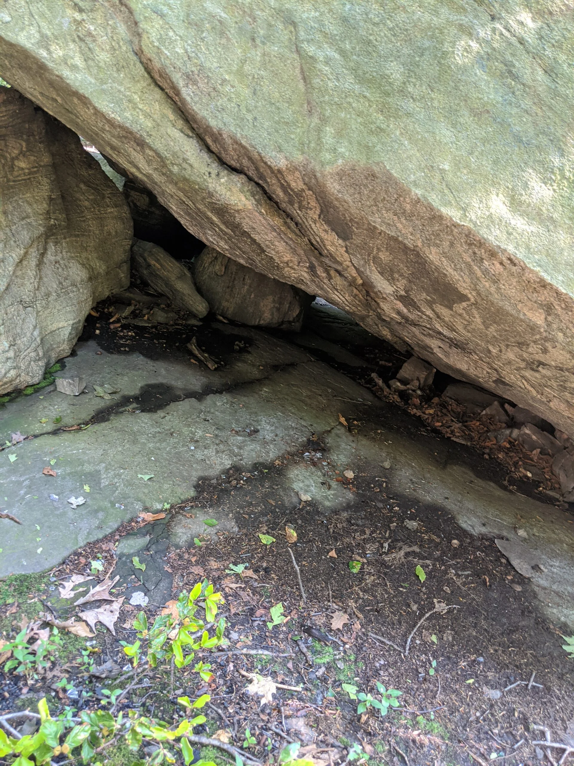
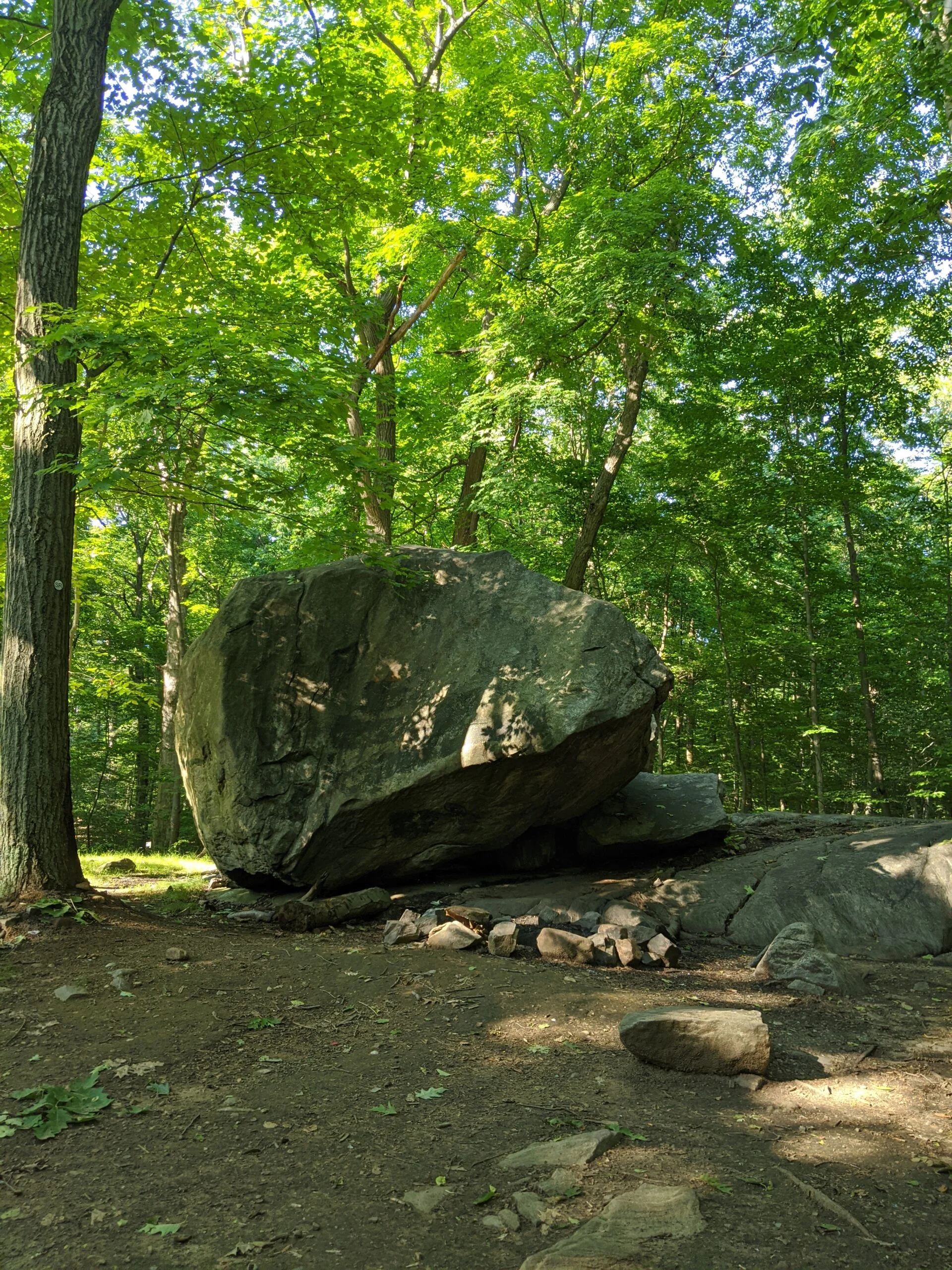
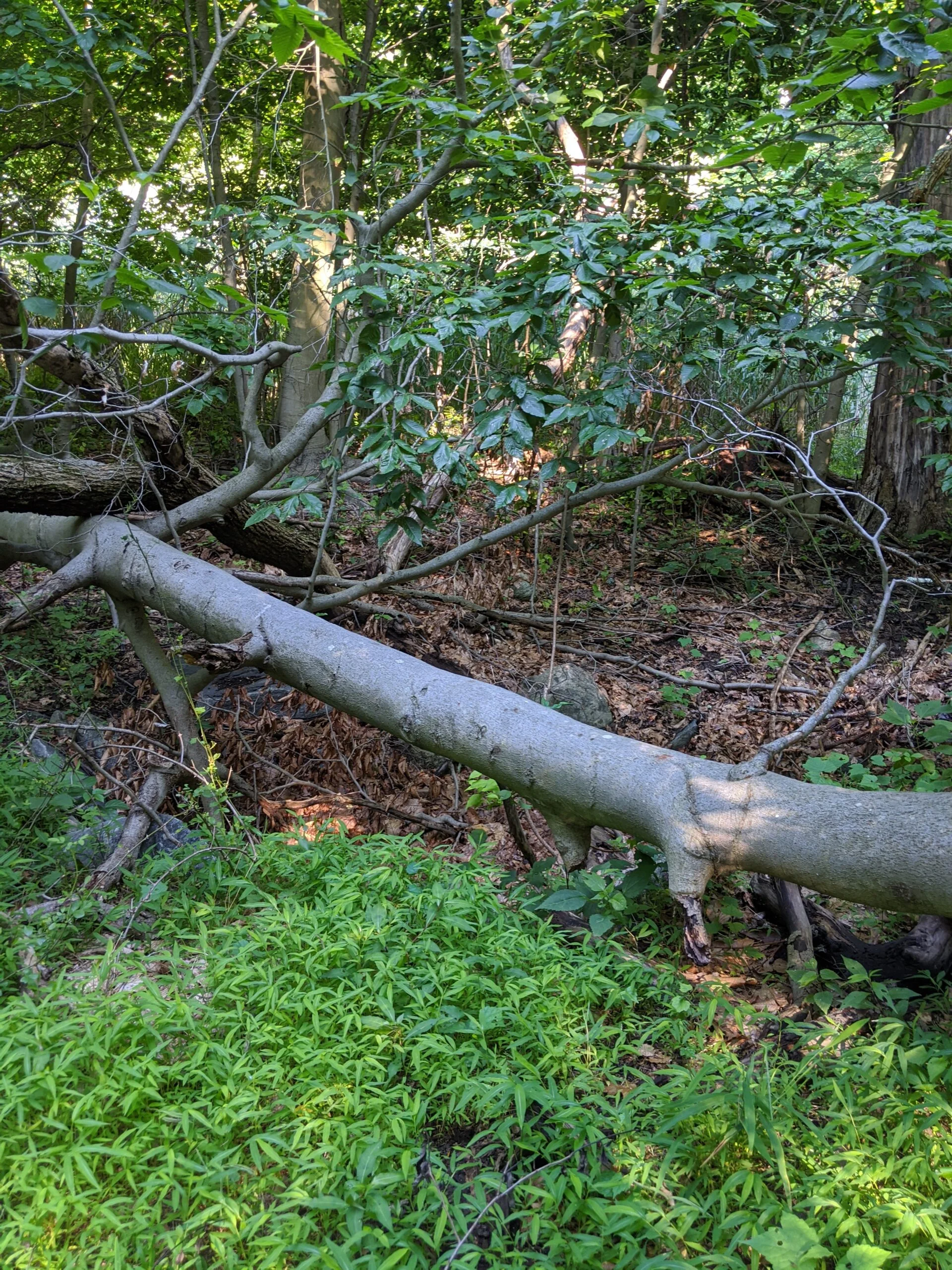
Wanting to explore more, I headed south west to make my way through SR at 10 and over to Split Rock, which is considered a glacial erratic. I can only imagine this journey these rocks took before landing in Irvington!
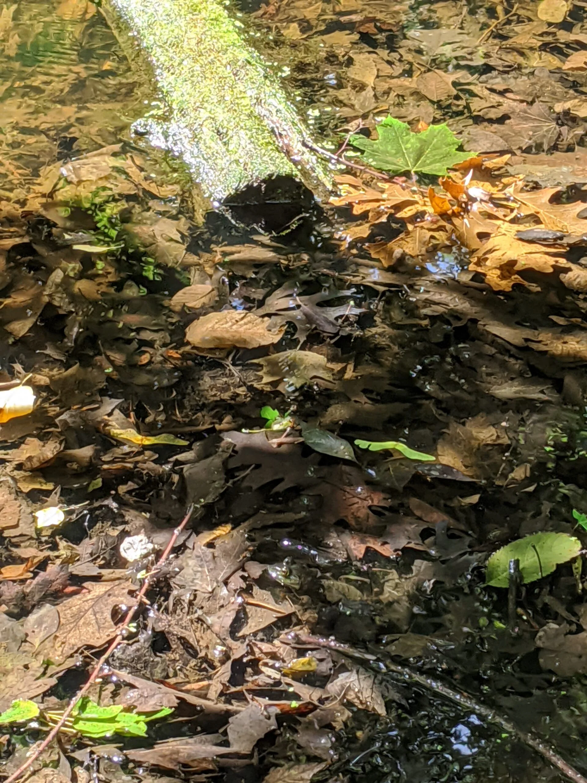
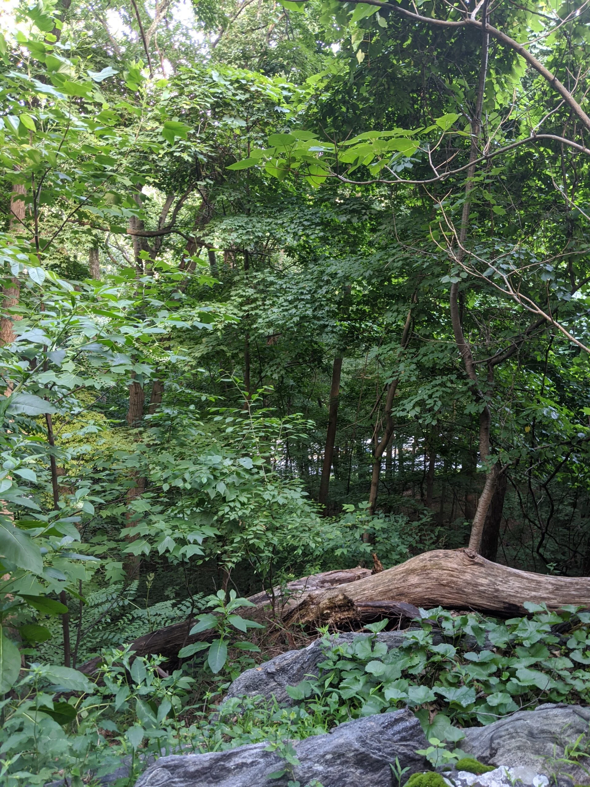
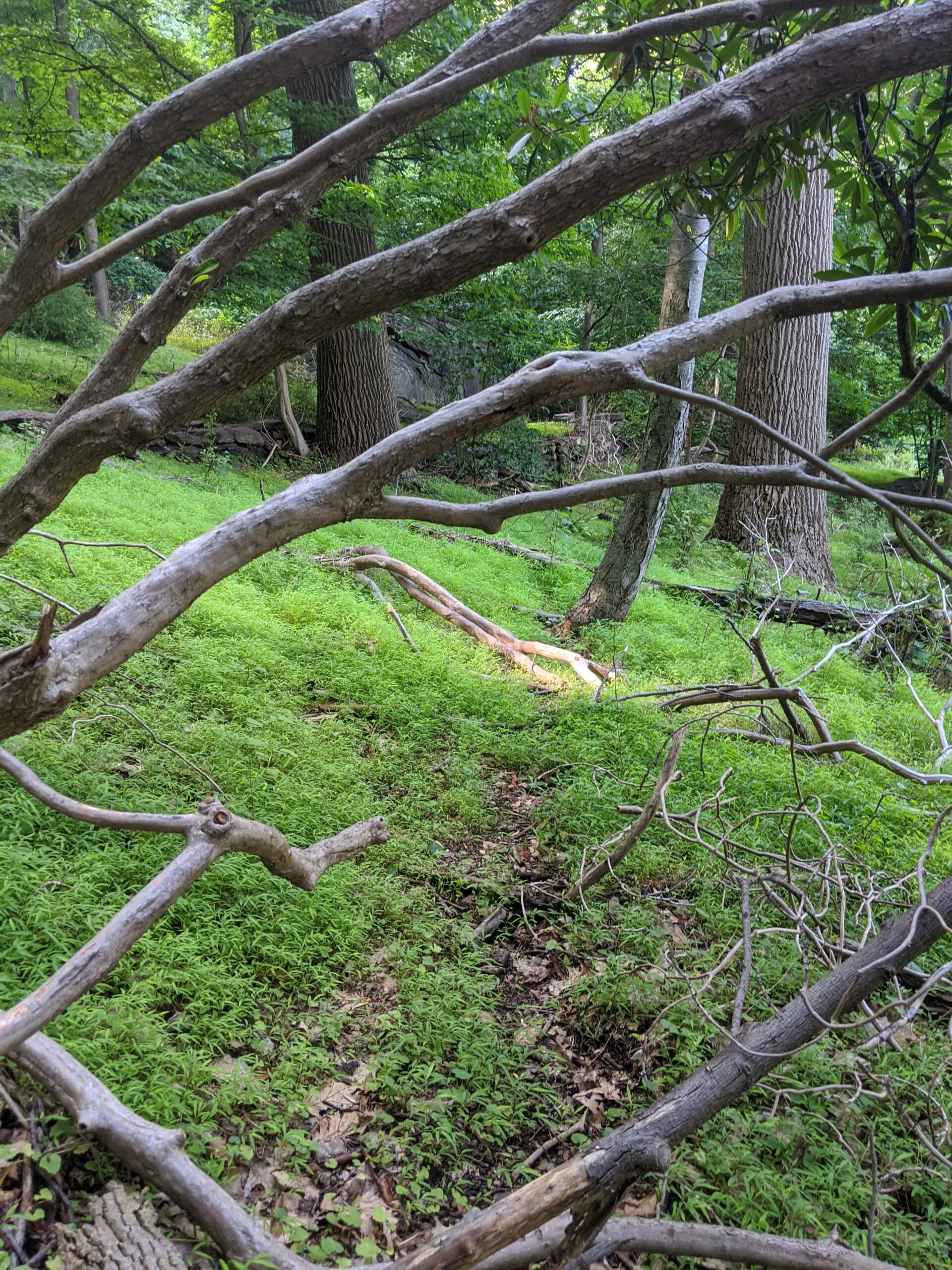
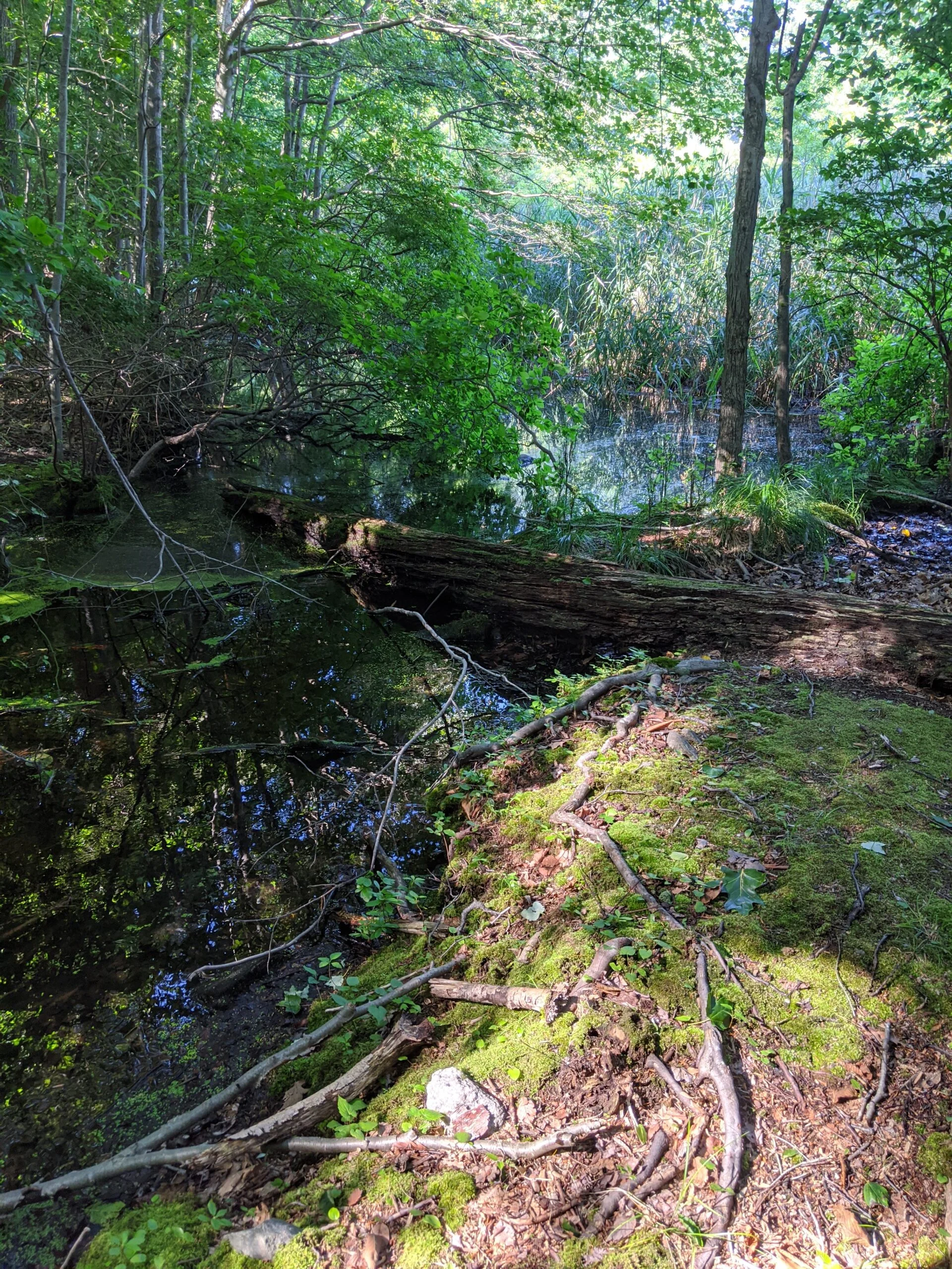
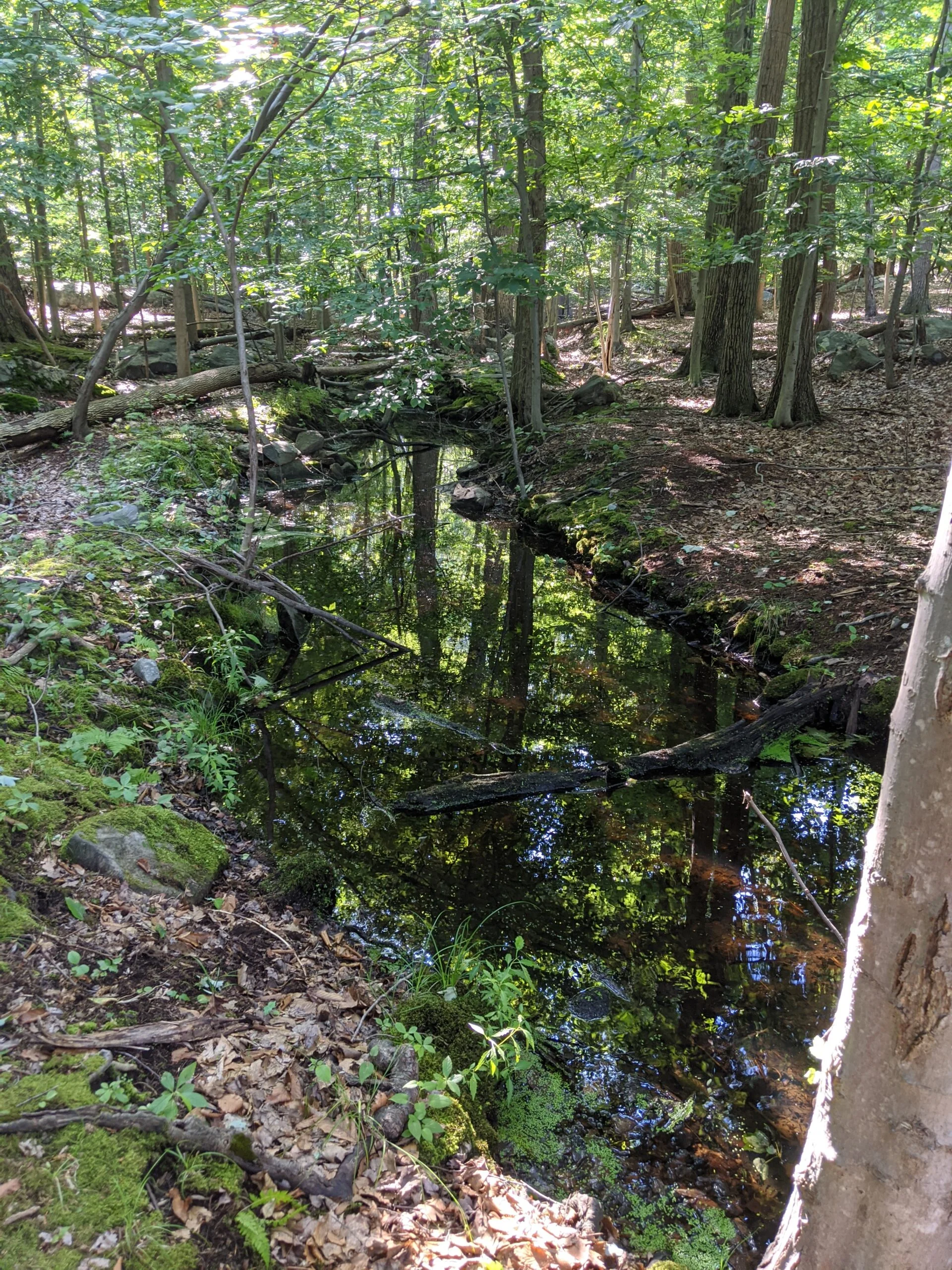
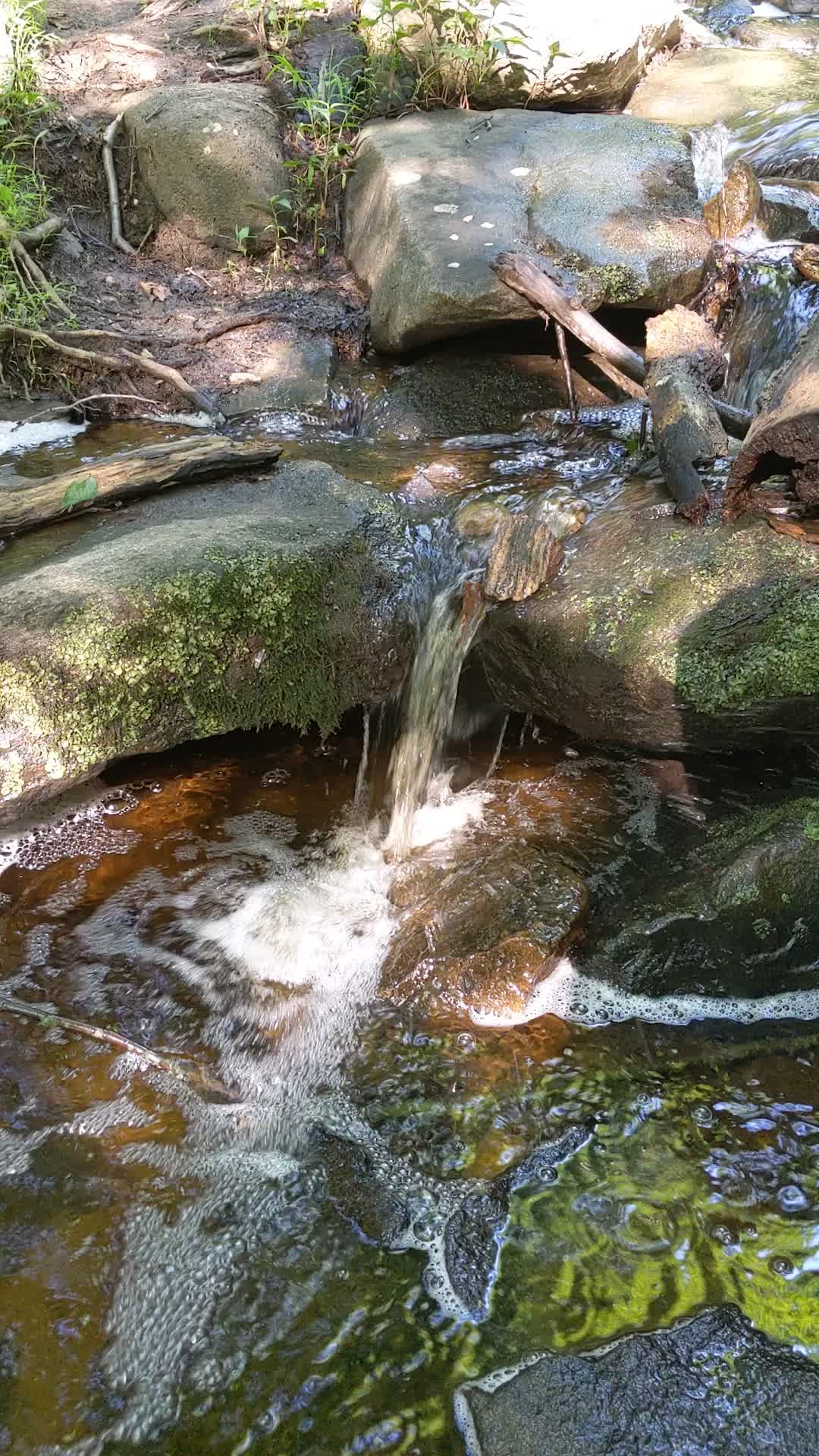
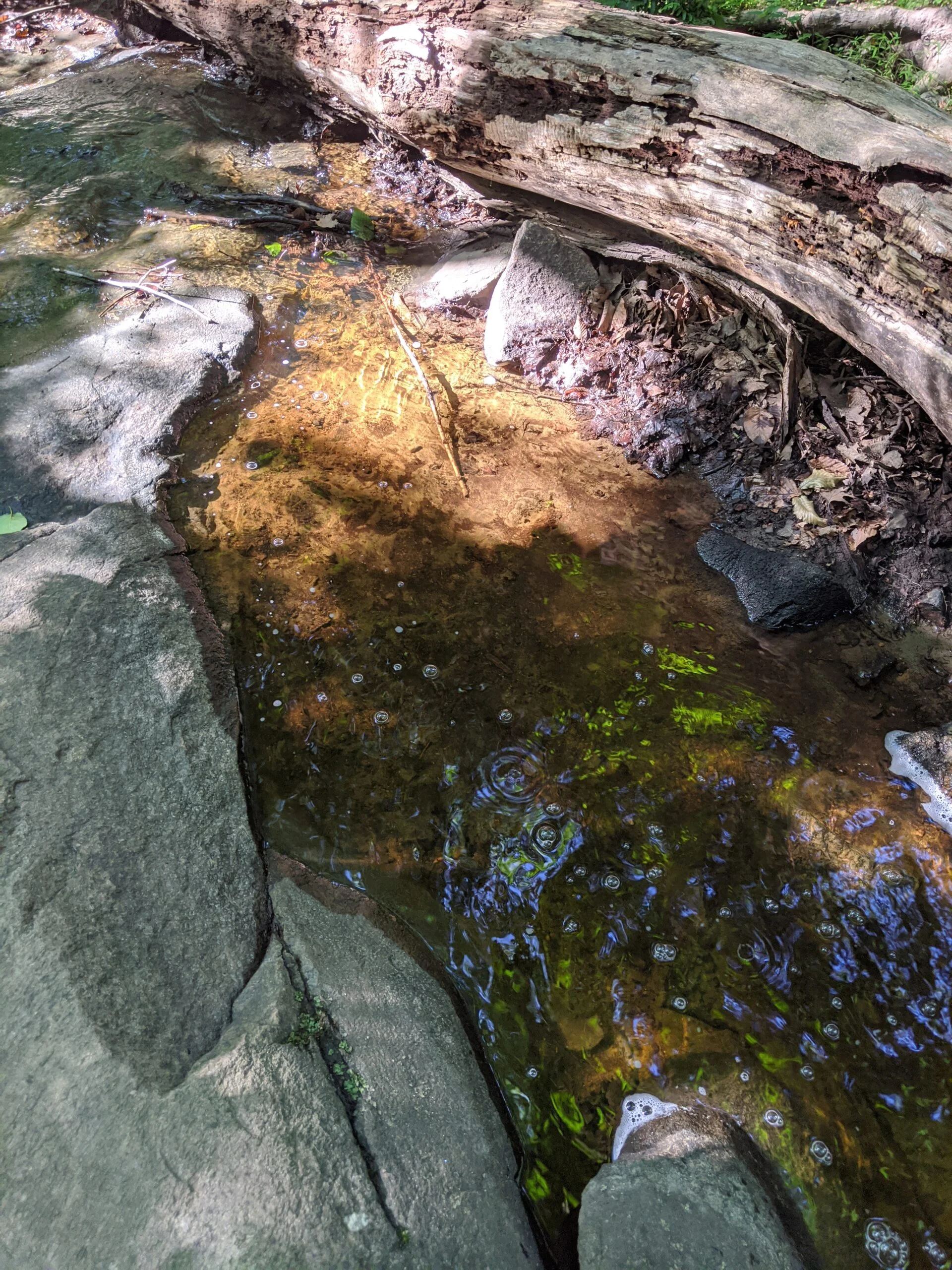
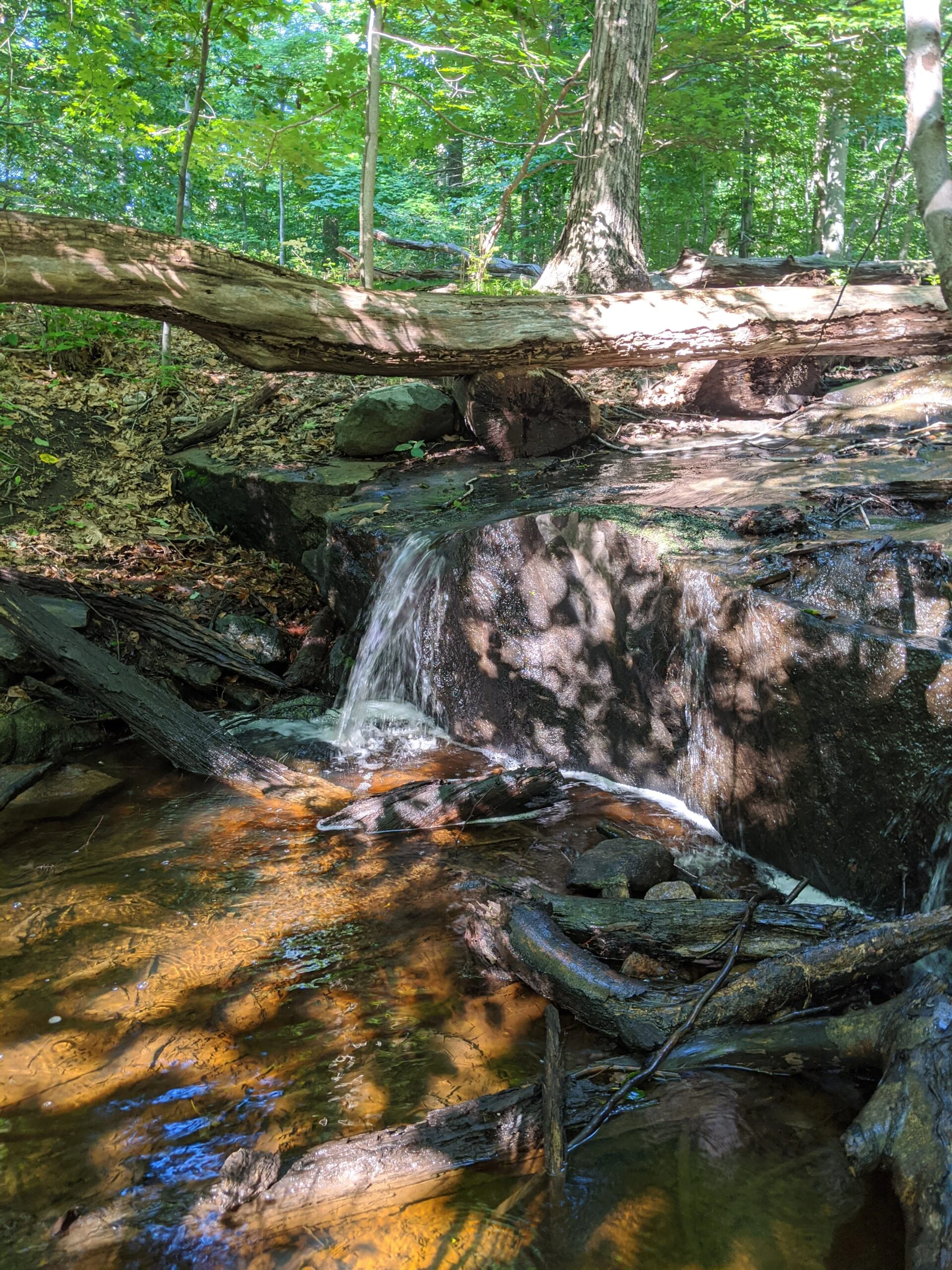
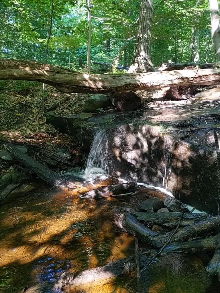
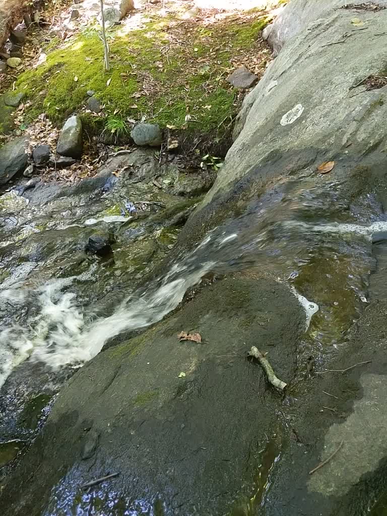
From SR, I turned north onto WL at 8, eventually crossing over Barney Brook. This is a free flowing stream that’s fun to photograph. Maybe I’ll try falling asleep to the calming sound of the water I captured on video.
From there I took WL to 4, then switched to IP at 3, and followed it back to the paved path to the parking lot. At this point, my feet were sore and my ankles were blistered. Even though I took more water with me this time, I still could have used more, so I noted it for next time.
I’m glad I got to see some new spots of the park, including Sunset Rock, Split Rock, Barney Brook, the Irvington Reservoir, Ice Pond, and Marshall Pond. I am gaining confidence in the layout and my navigation of the park. At this point I’ve hit every POI on the map, but I can’t wait to explore even more as I still haven’t hit all the different paths.
Photos


GPS Route & Elevation
Loads an interactive map; map tiles are served by the U.S. Geological Survey, which receives your IP address. Learn more about maps and your privacy