The Irvington Woods – Hermit’s Grave, Harriman Road, Macy Monument, Terrace, Steps
- 4.1 mi
- 416 ft gain
- 01:57:32
- 41 photos
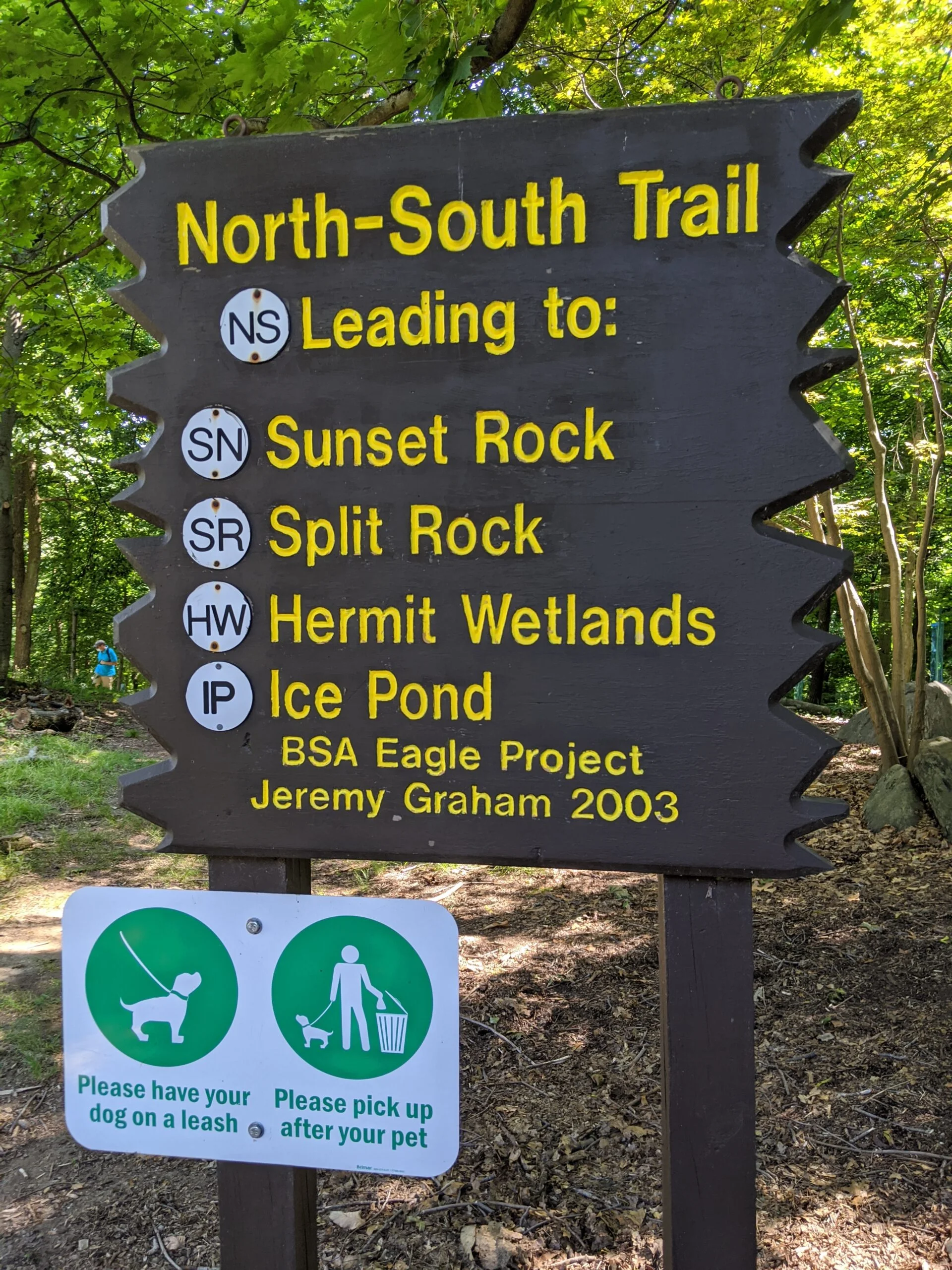
My first visit to The Peter Oley Trailways System at The Irvington Woods was a bit disorienting. I printed out the full perimeter route recommendation beforehand, but I didn’t realize this map doesn’t have the trail marker numbers on it like the full map does. I could have easily pulled up the full map on my phone, but I was trying to rely on paper and instinct, rather than technology.
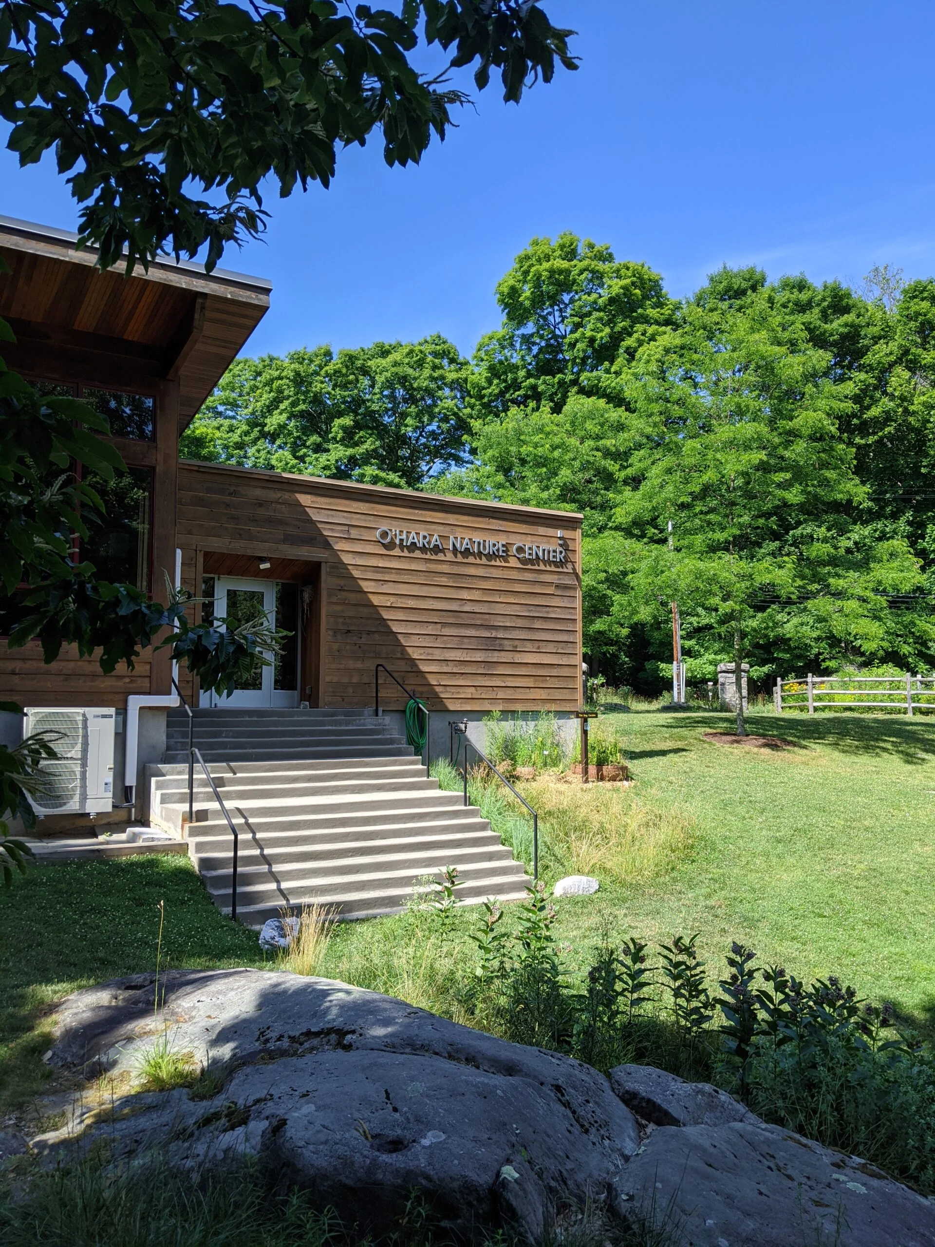
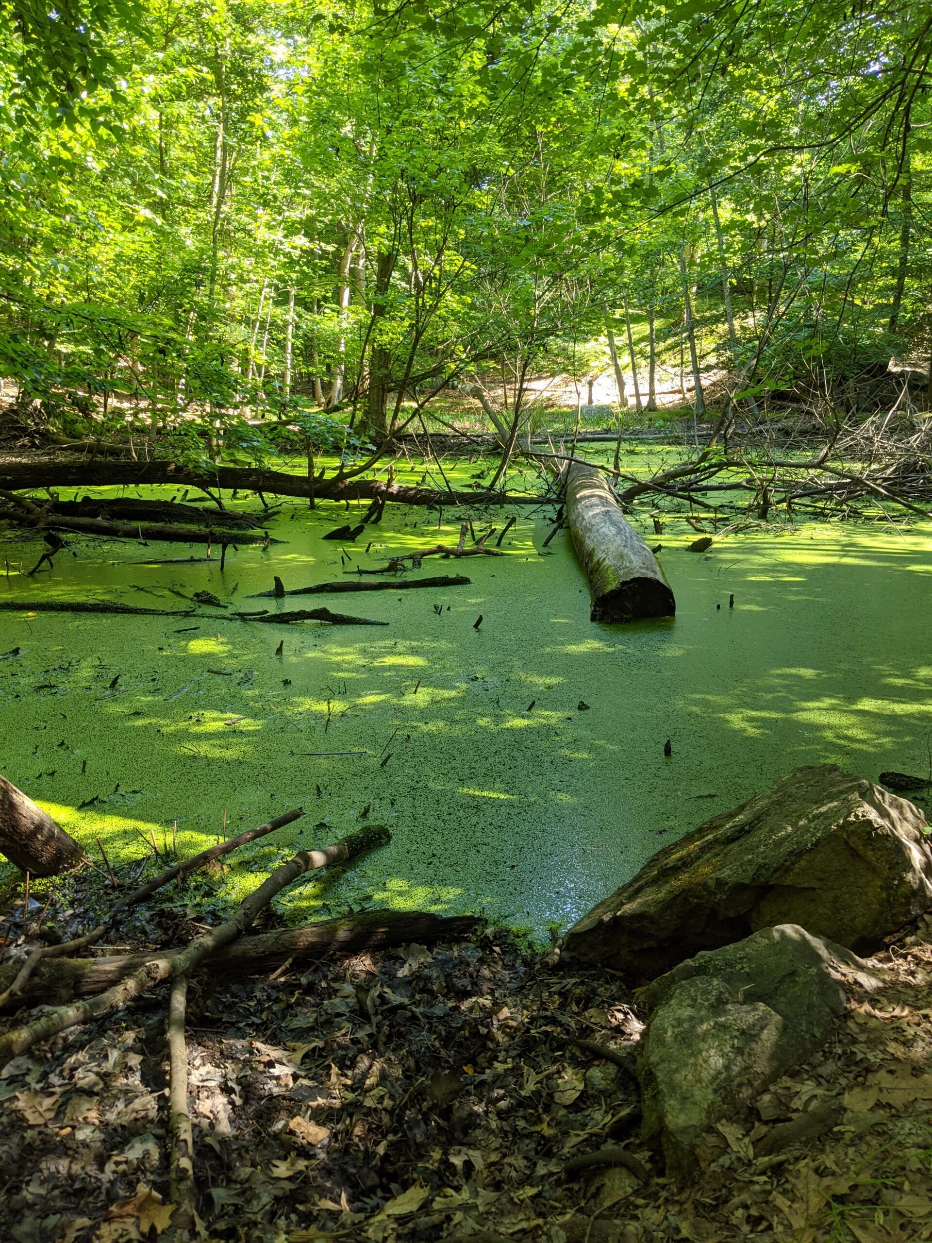
I started at the O’Hare Nature Center parking lot with the intention of looping north to west to south, via IP and WL. I ended up heading south on NS, which put me on a totally different trajectory, so I changed my destination to Hermit’s Grave. I took HW south, but accidentally turned on the westerly HG at 16 and made a detour all the way out to the reservoir at 14. It was at this point I got my bearings and retraced my path back through the interior over to HG south through 17 and 17A.
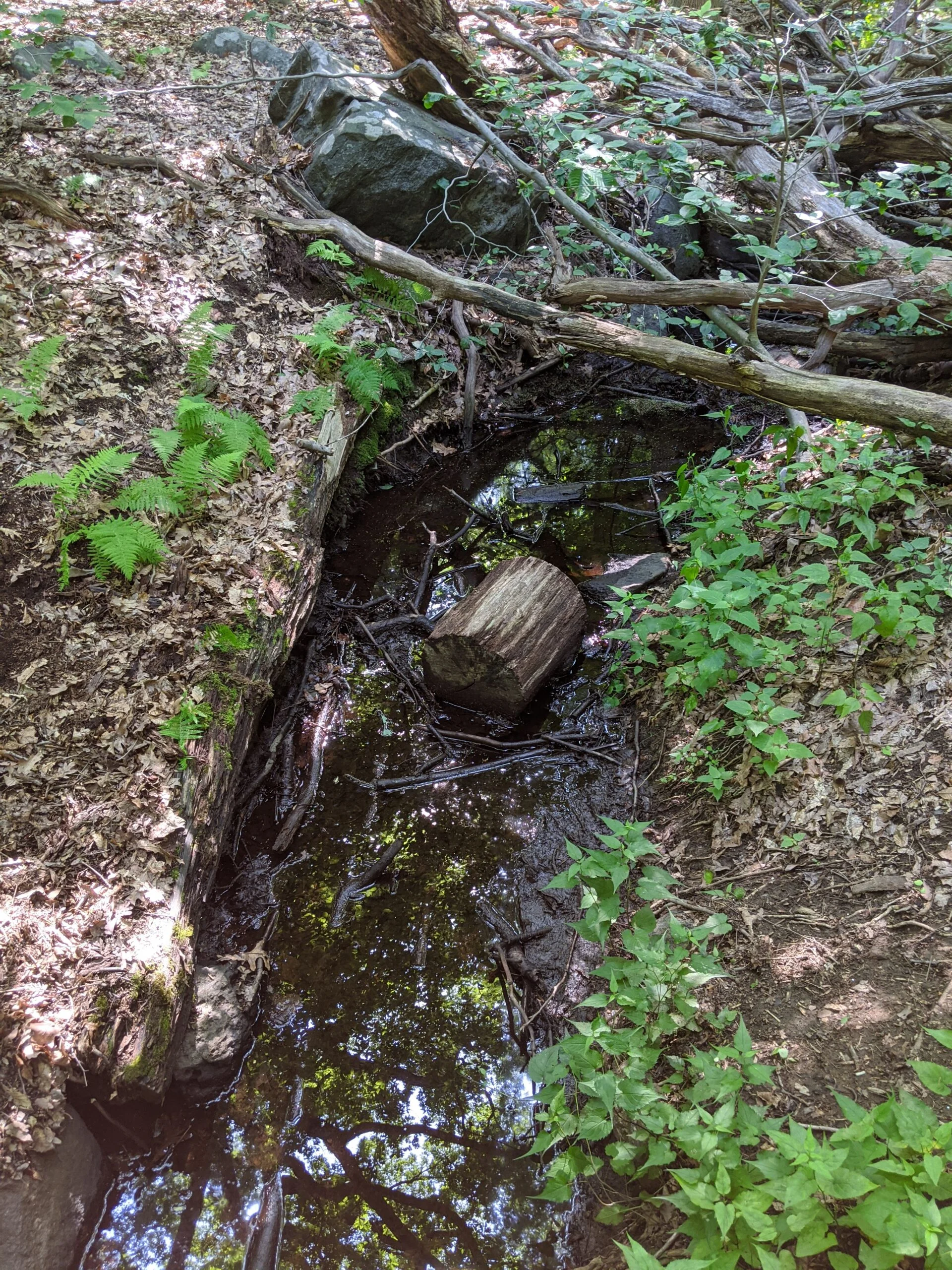
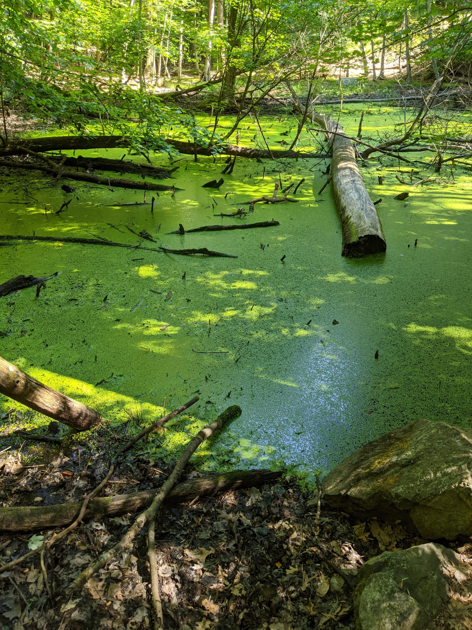
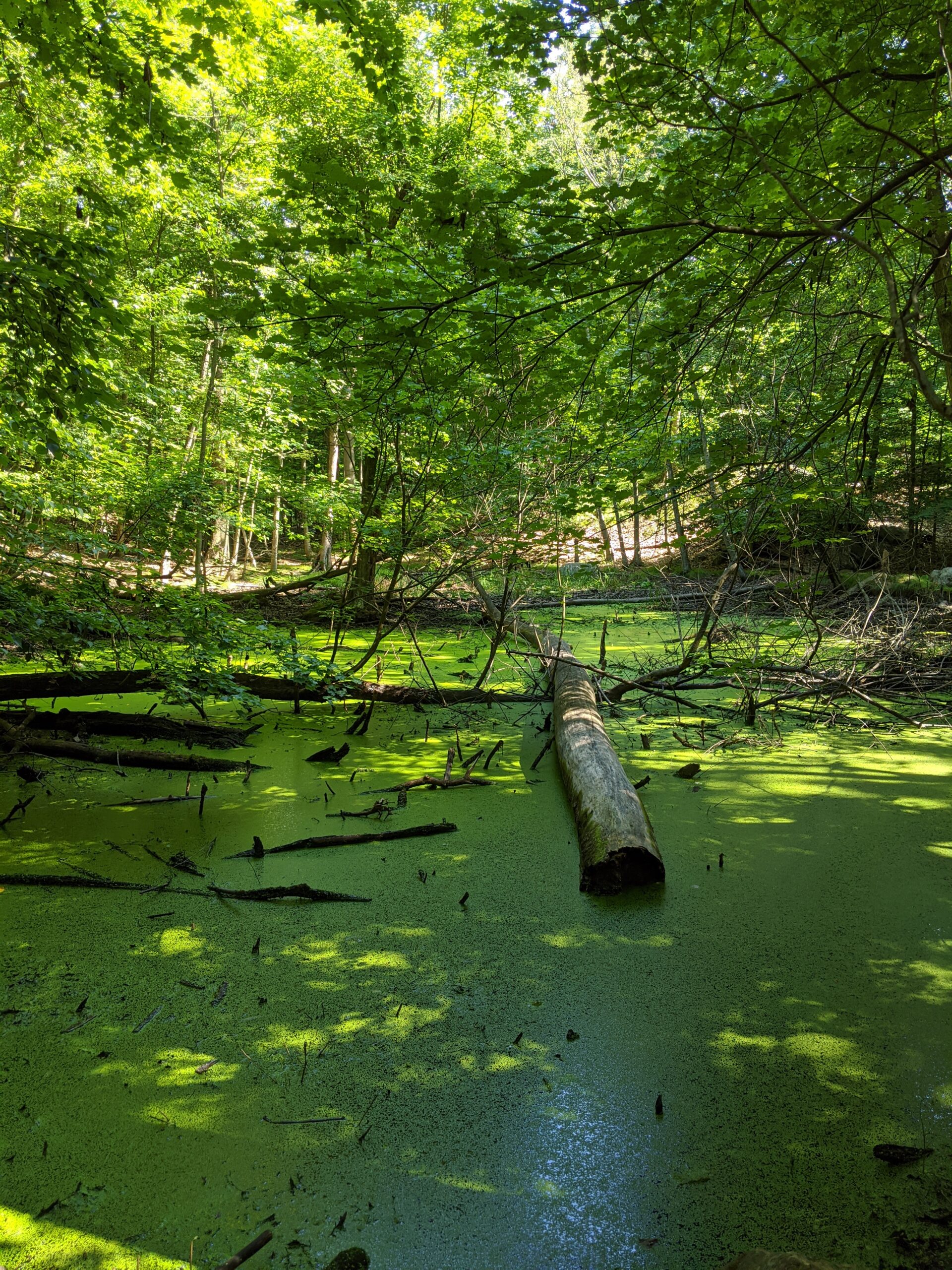
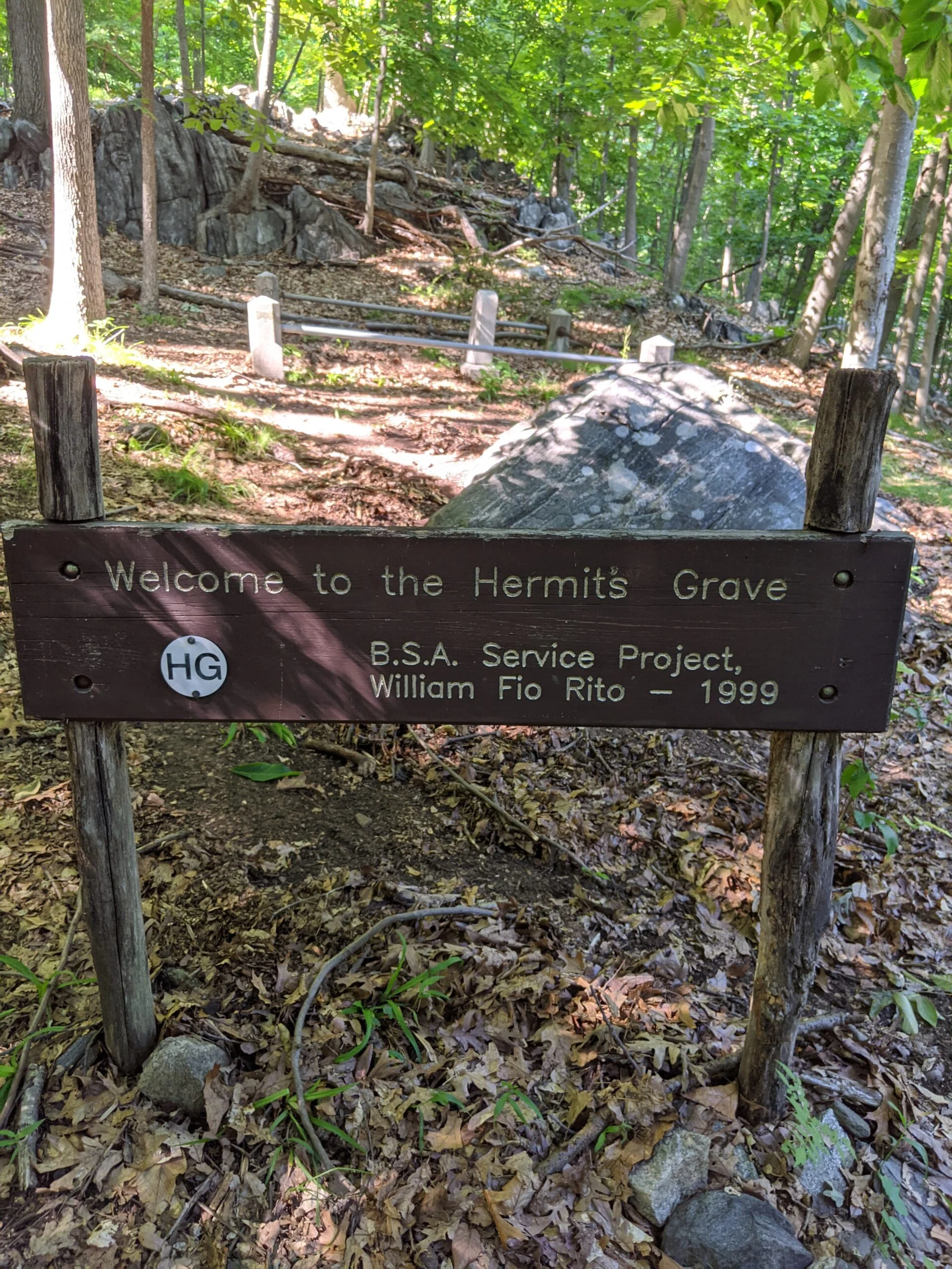
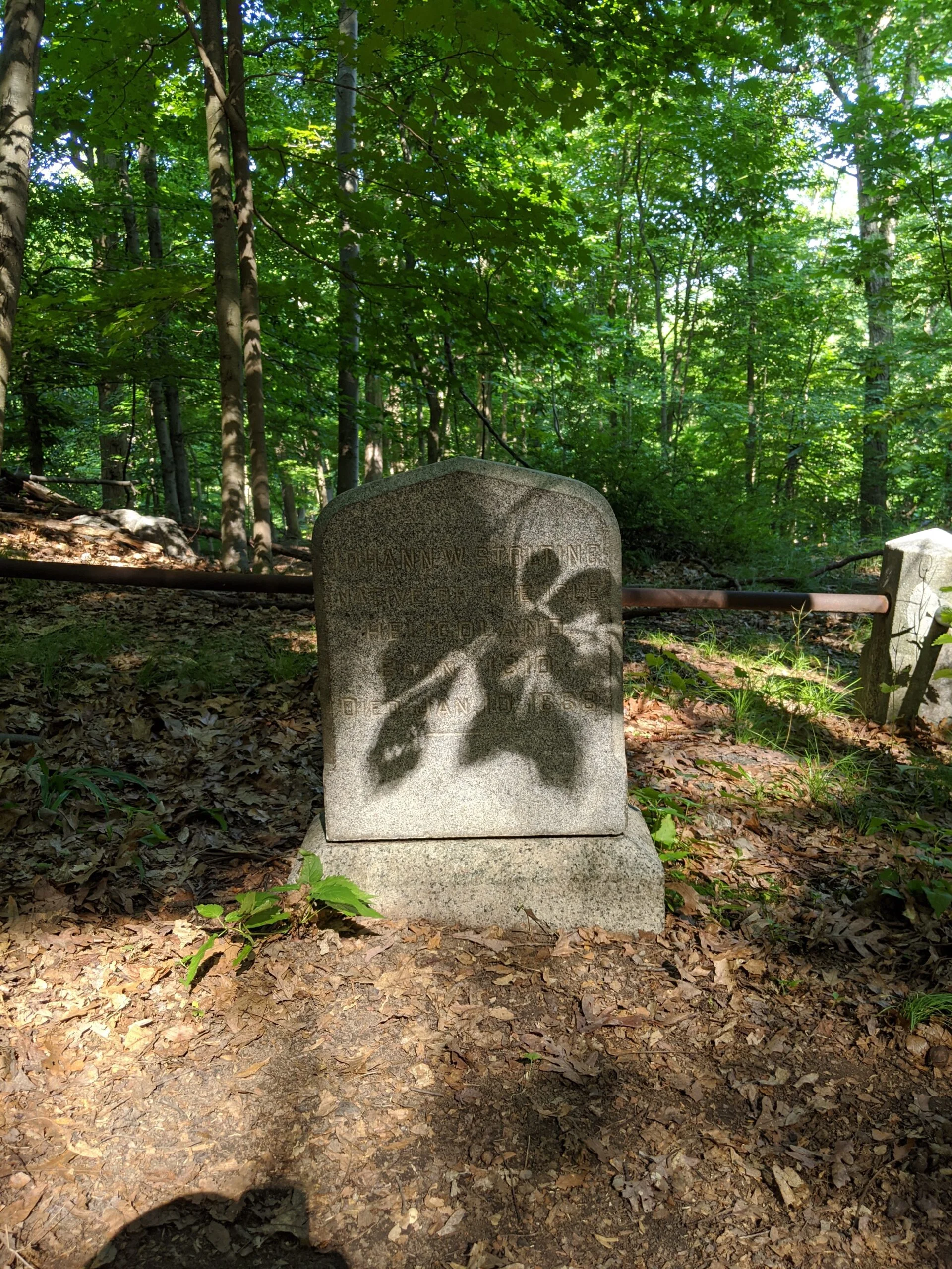
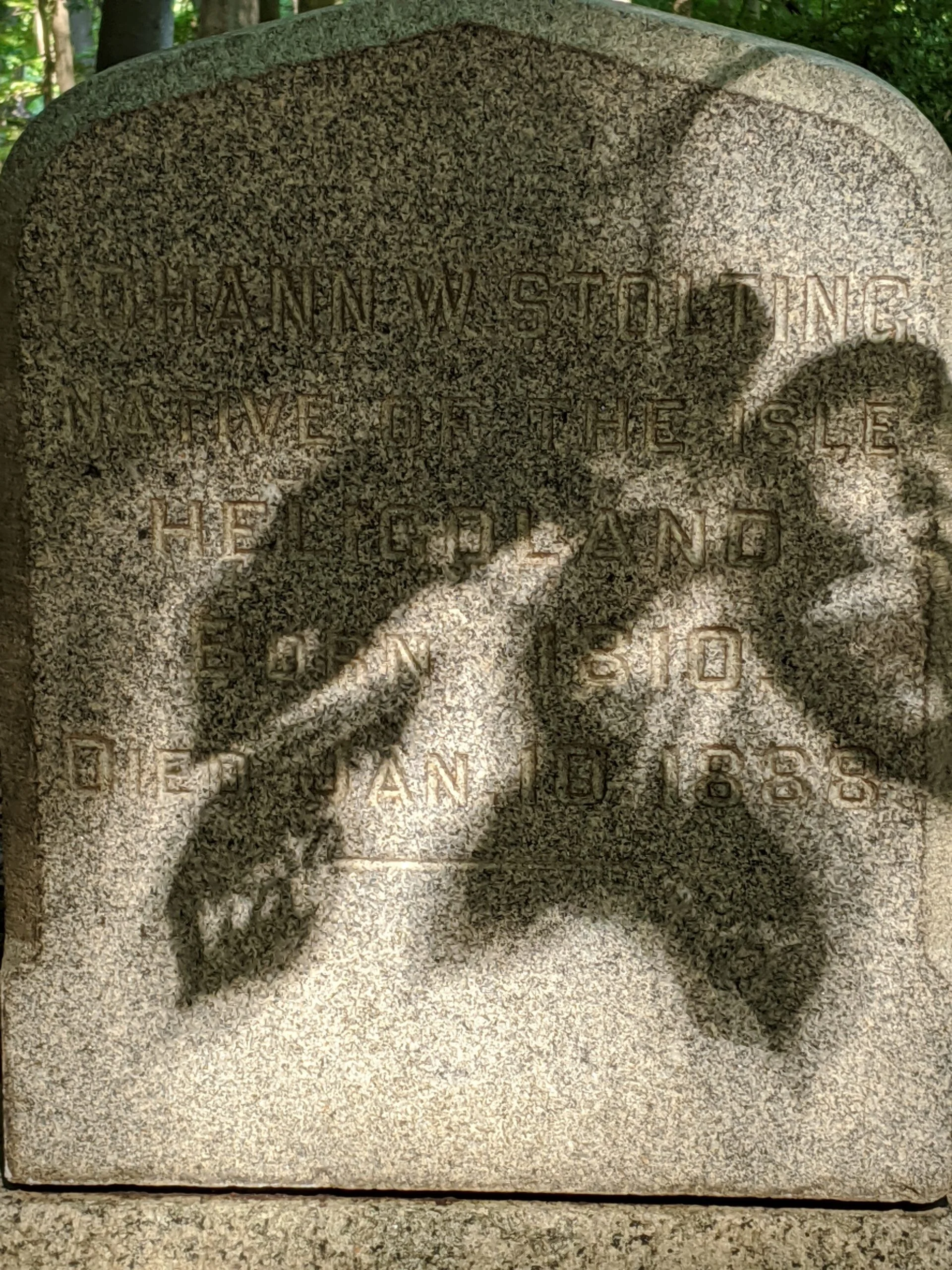
I made it to Hermit’s Grave, took a few photos, and explored the area. There’s a northern path from Hermit’s Grave that goes up north quite a ways. I started following it, but since this was my first time here, I turned back to save that for another day.
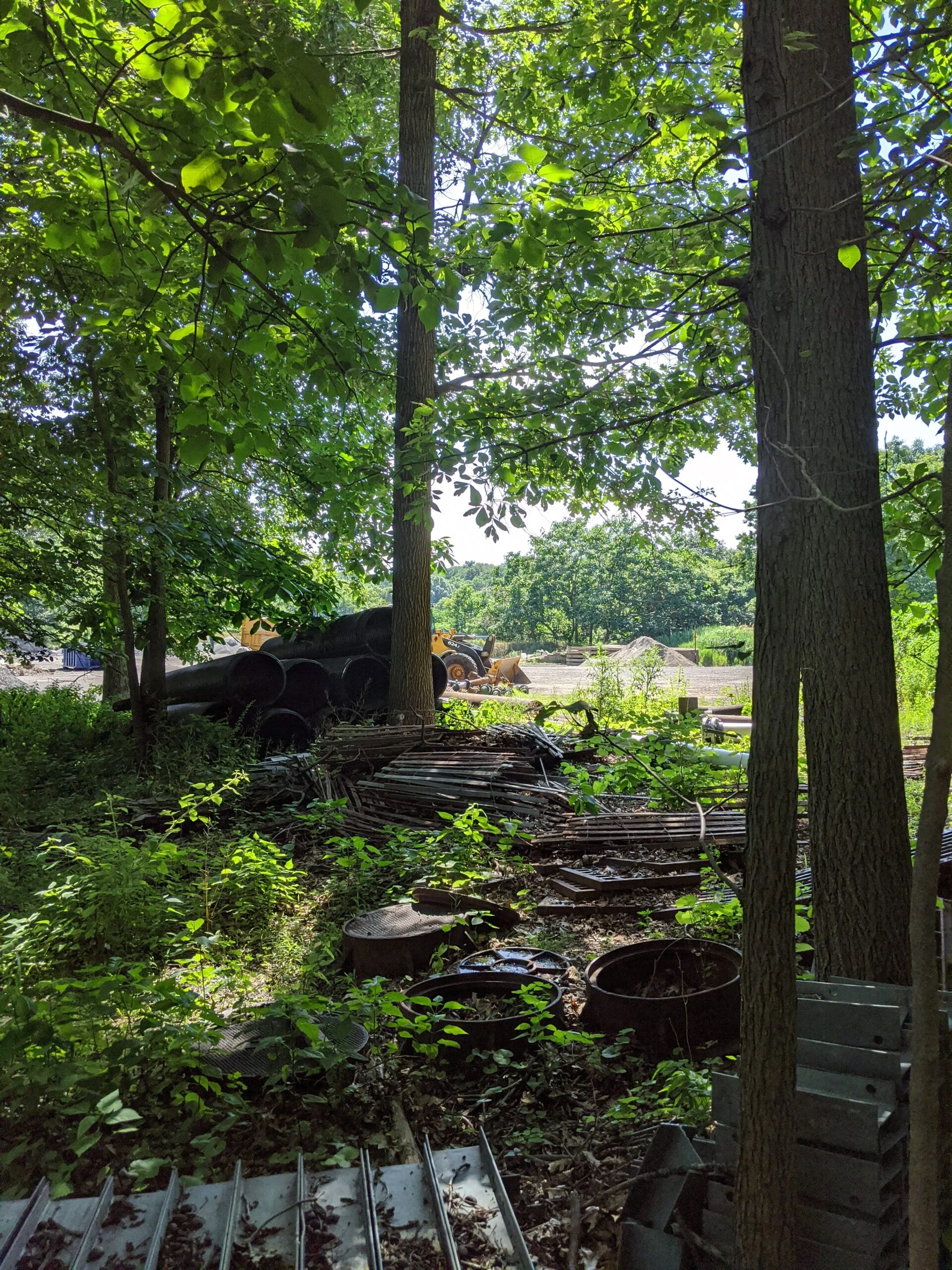
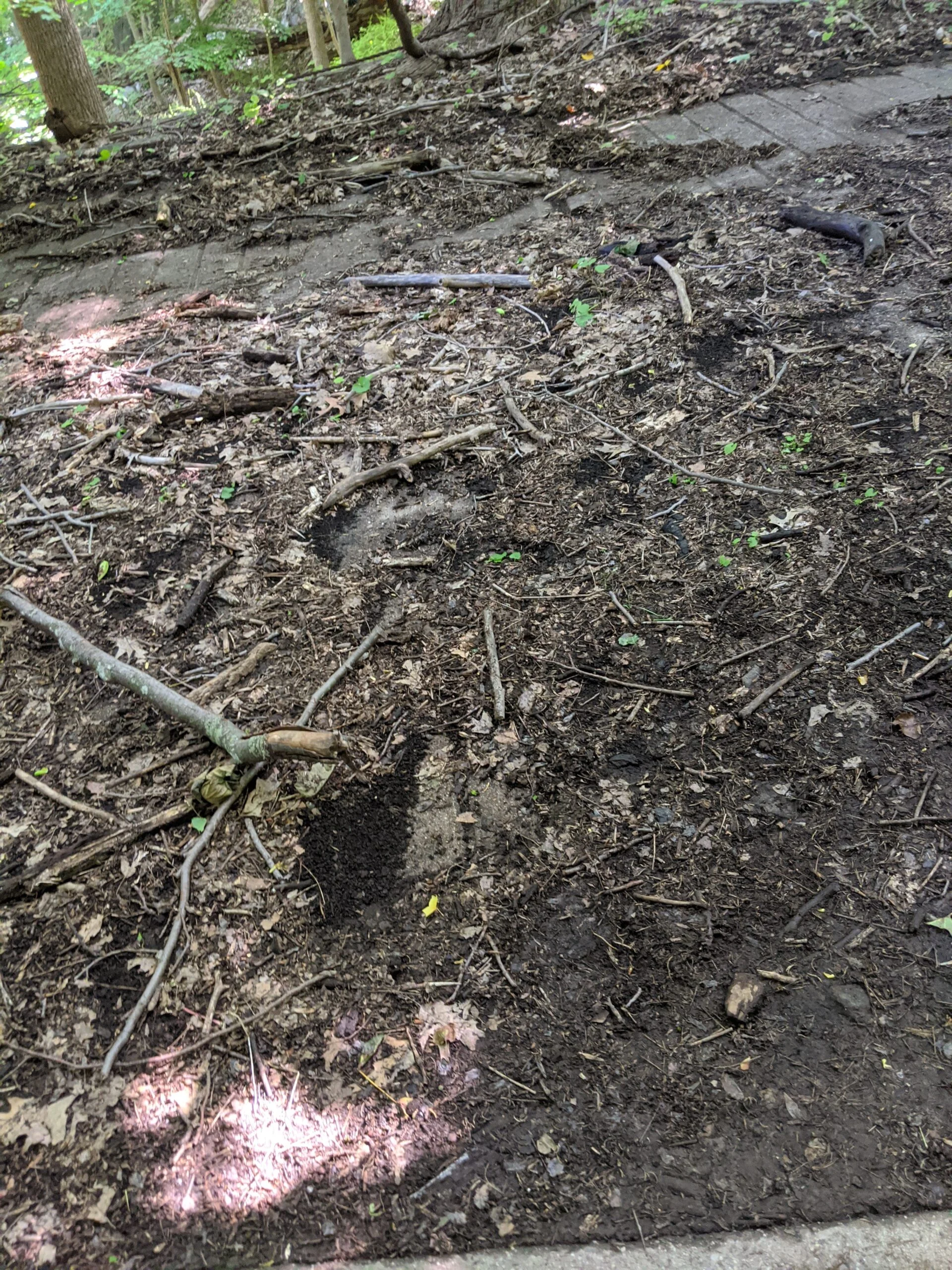
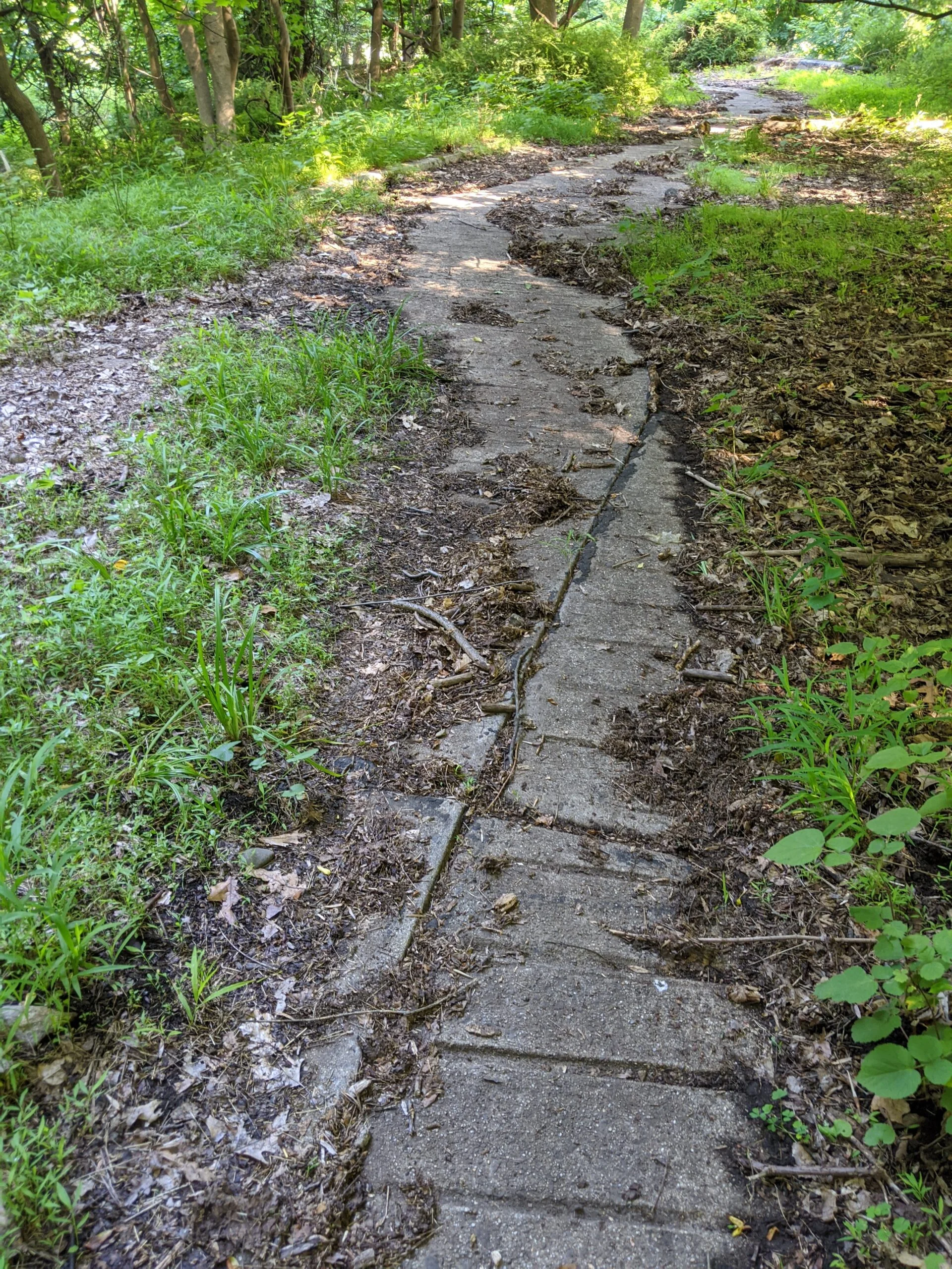
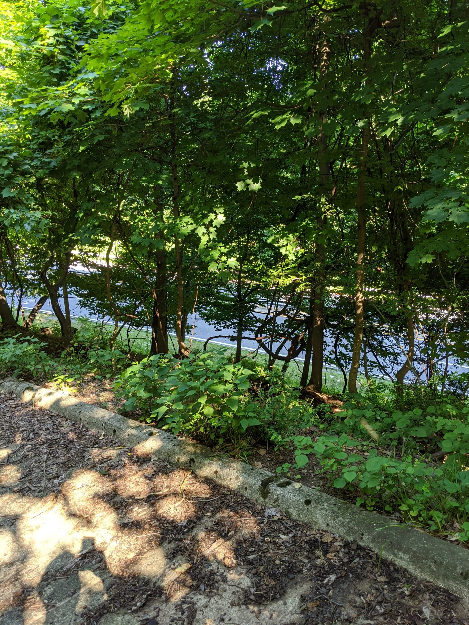
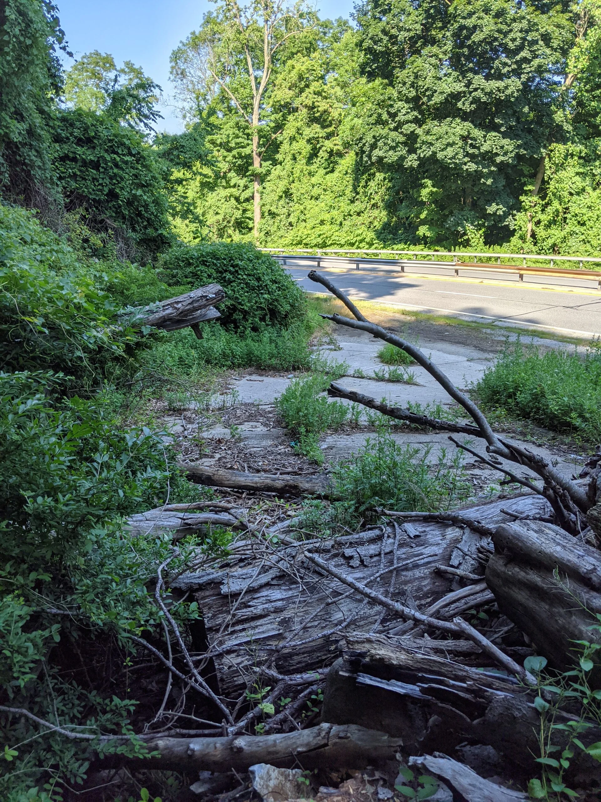
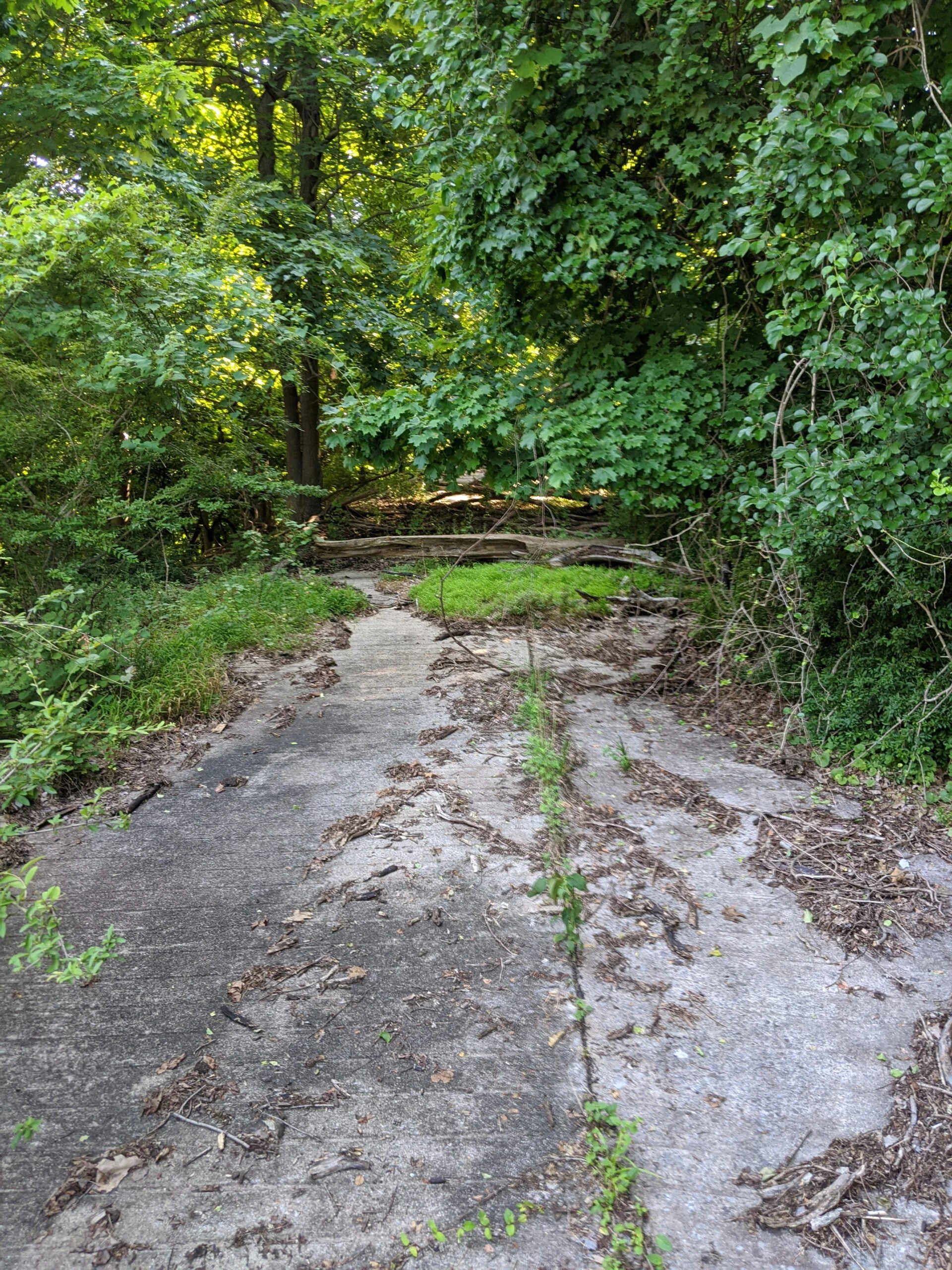
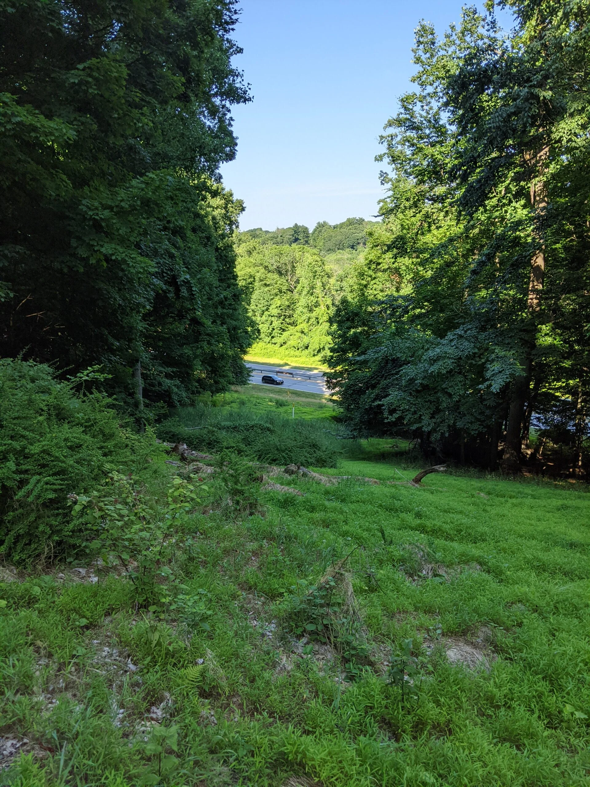
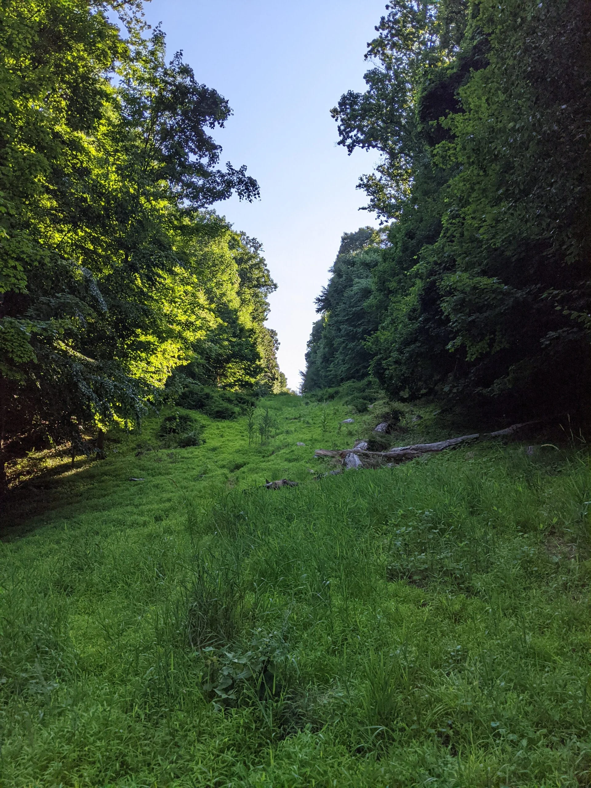
I walked down HG to 25, to head south on ML, but came across a treasure: an abandoned concrete windy road leading down to the Saw Mill River Parkway. I later learned this is the former Harriman Road, according to an article in Westchester Magazine. I followed the road all the way down to the SMRP and snapped a few photos along the way. I imagined cars driving up this steep, windy slope to a grand estate at one point in time.
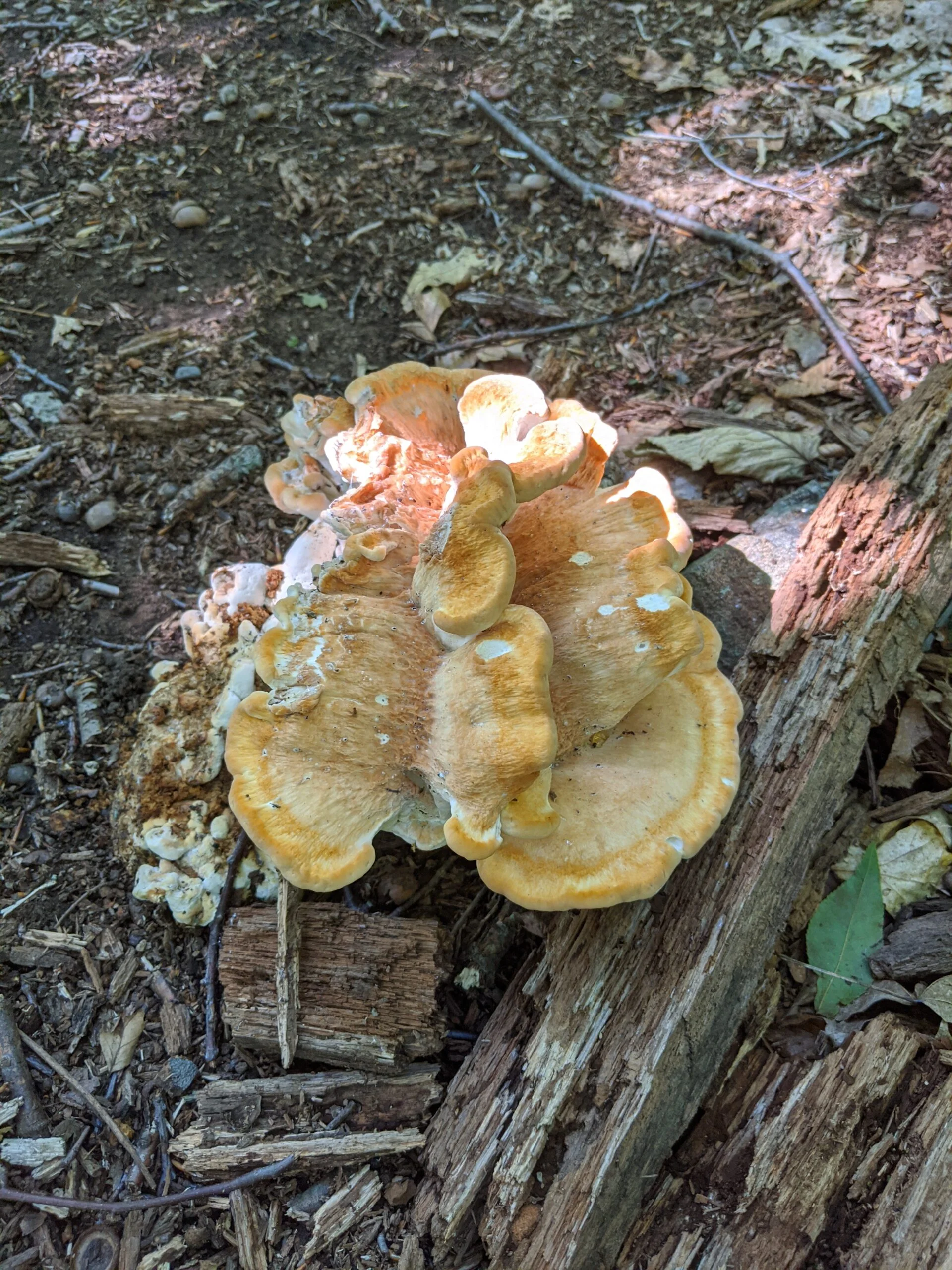
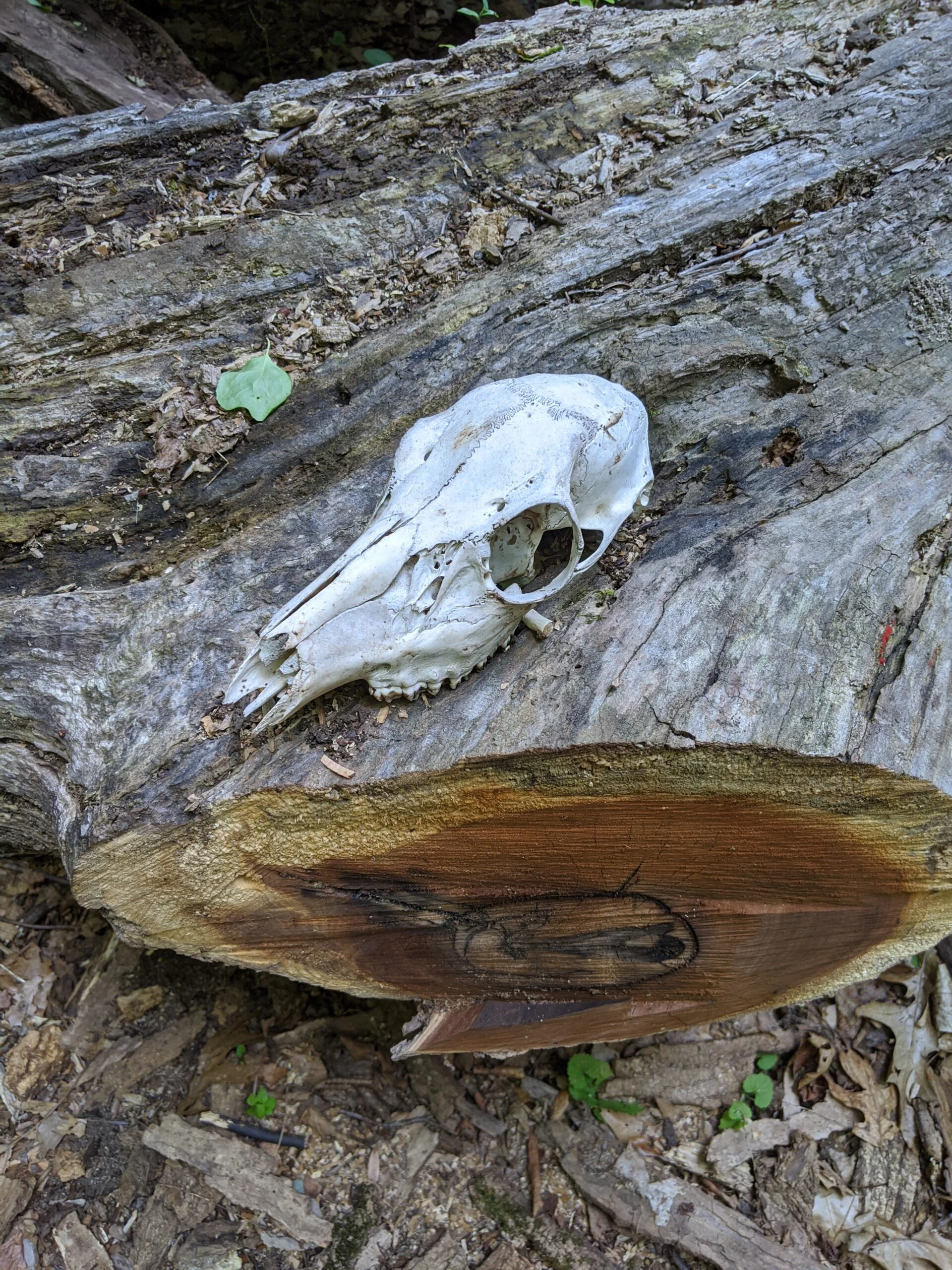
Connecting back onto ML south, I made it to 24 and intended to visit the Macy Monument, but I took a wrong turn and ended up on the white paint path. This was a pleasant detour into the southern part of the park. Someone placed an animal skull prominently on one of the logs along the path, which made for a cool photo!
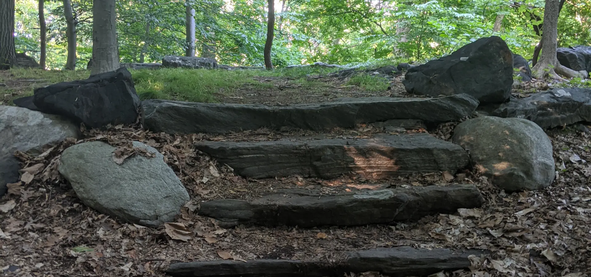
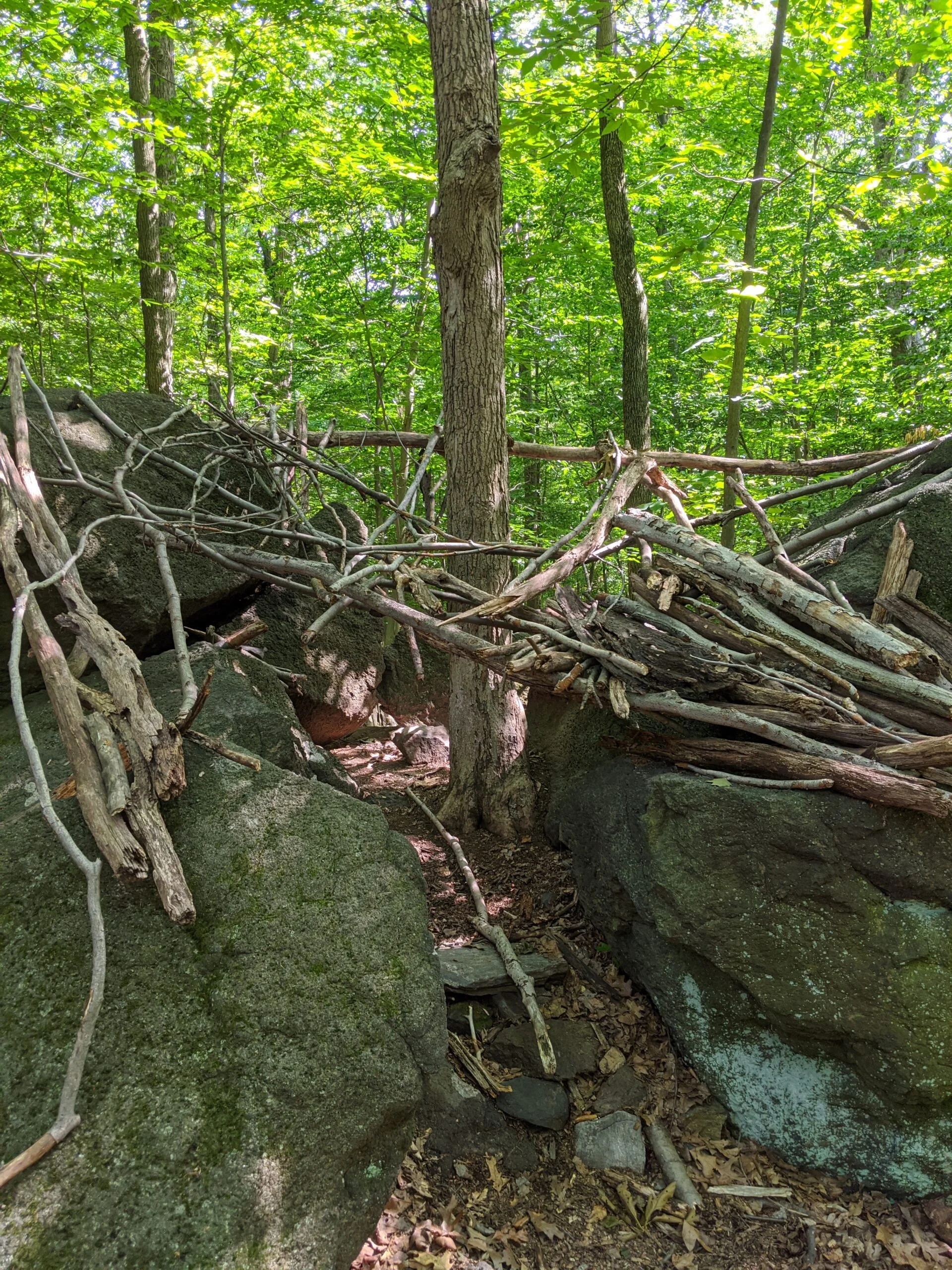
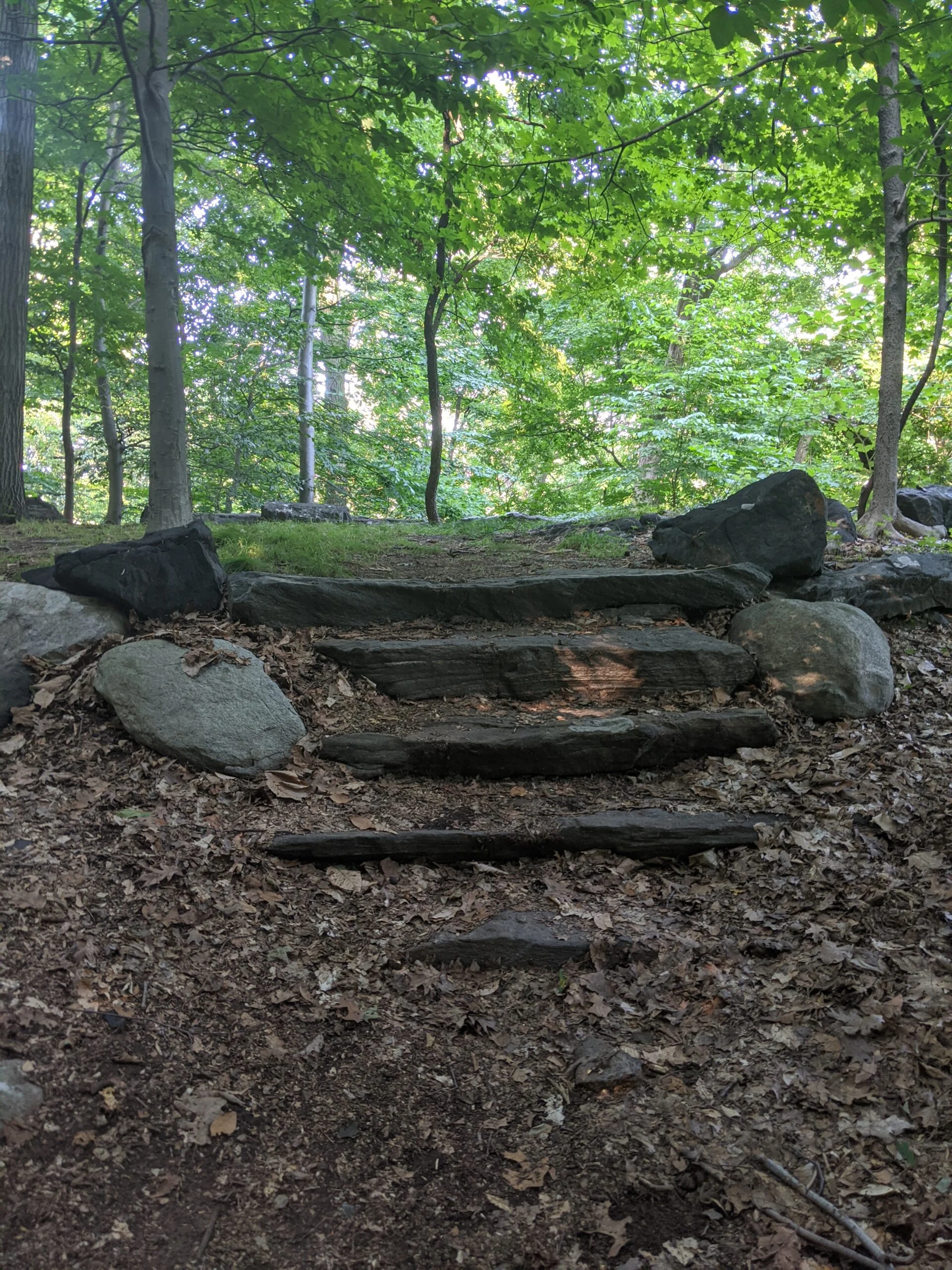
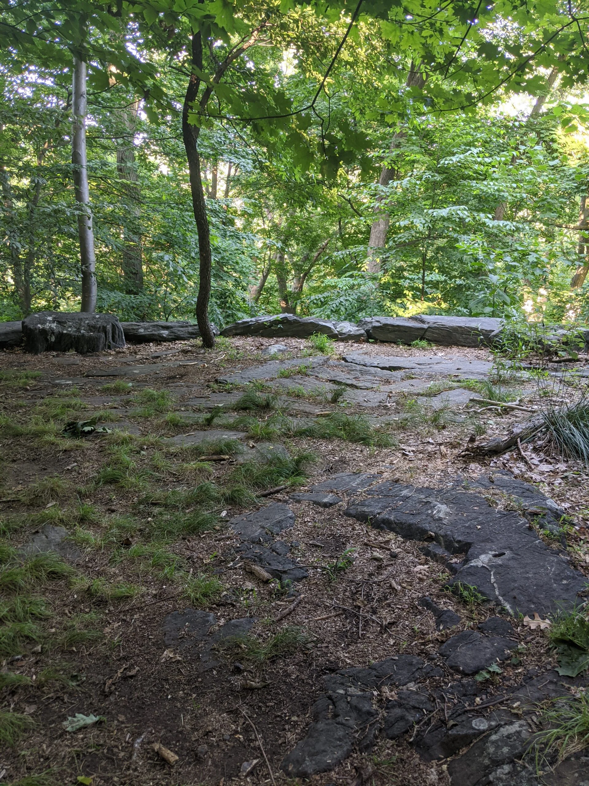
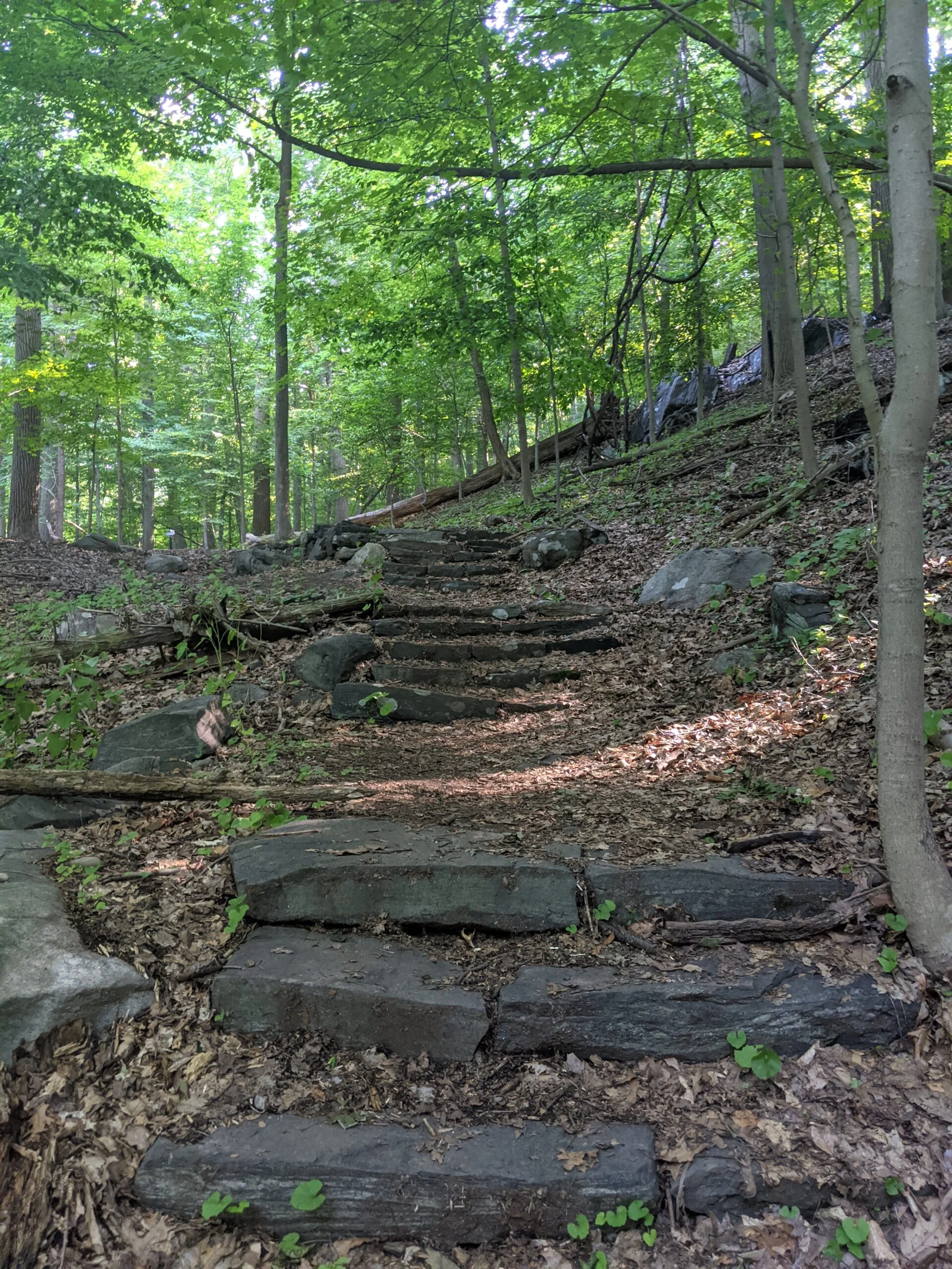
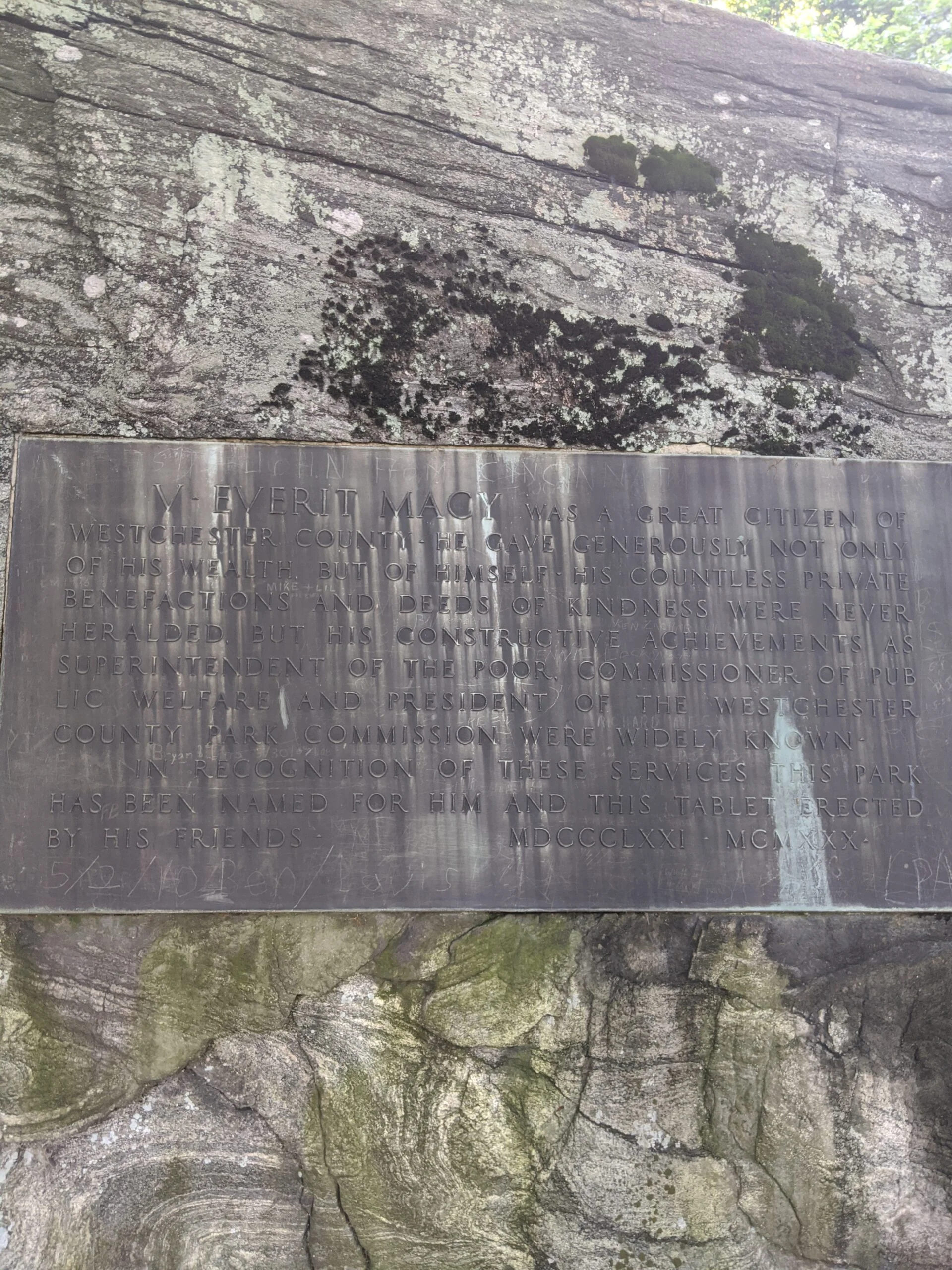
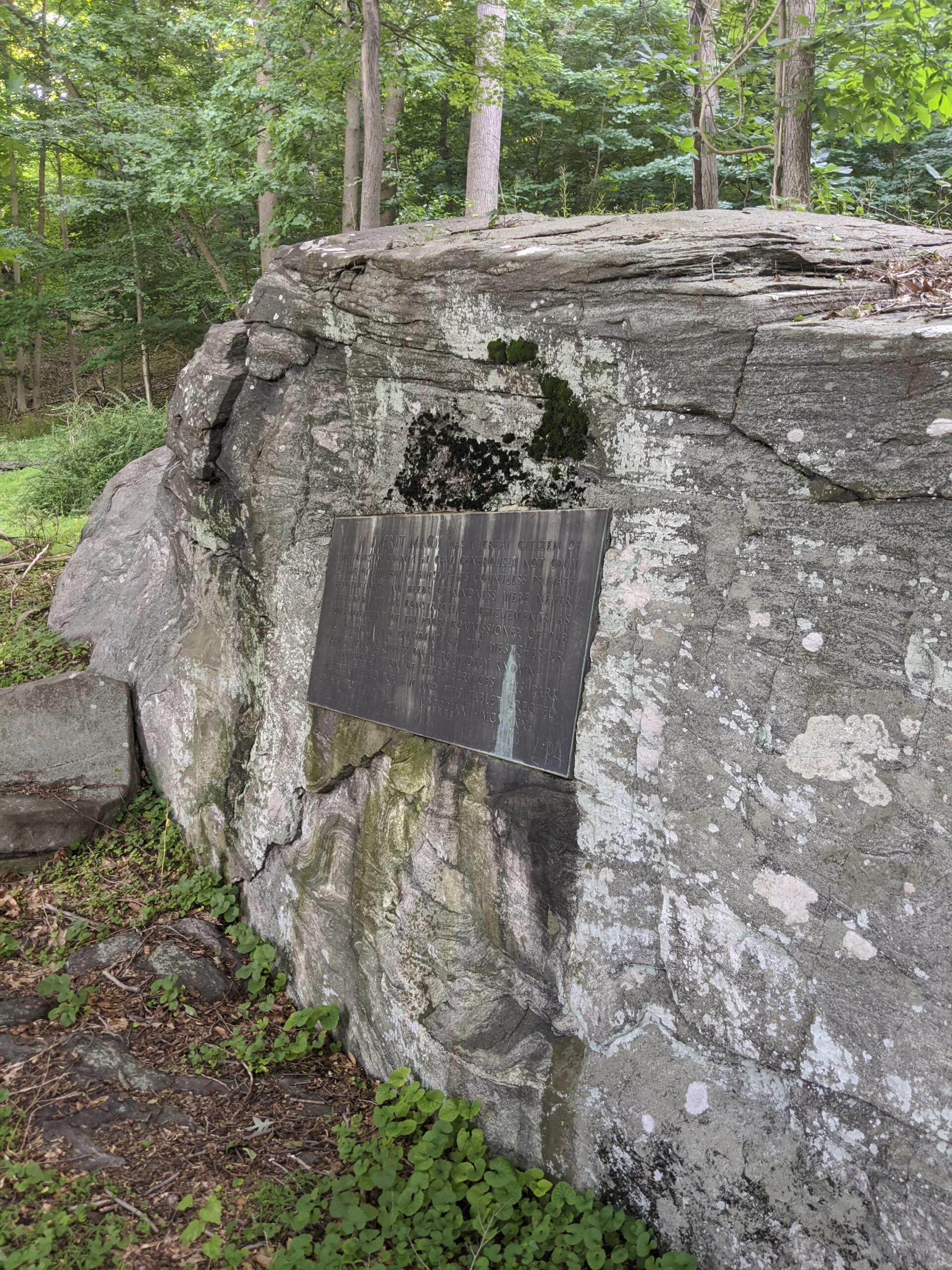
I finished the detour by connecting back at 23. From here, I went up to the Terrace. It’s a cool site with rock steps and a rock ledge, but not much to see in the summer with all the leaves. I can only imagine the winter views! Now that I had my bearings, I made it down the Steps and found the Macy Monument close to the parkway.
I came back up the steps to 23, headed north on ML, and met up with Cyrus Field Road at 22. At this point, I was getting a little tired and running out of the small amount of water I brought with me, so I started a trek back to the parking lot, up through the interior via ML at 21, NS at 18, and up through 8 back to 6.
Even though I didn’t end up taking the route I originally intended or seeing all I wanted to see, it was a fun first trip exploring on and off the marked trails. Next time I will bring the numbered map with me, now that I’m aware of the many poorly labeled intersections. And I definitely didn’t bring enough water either.
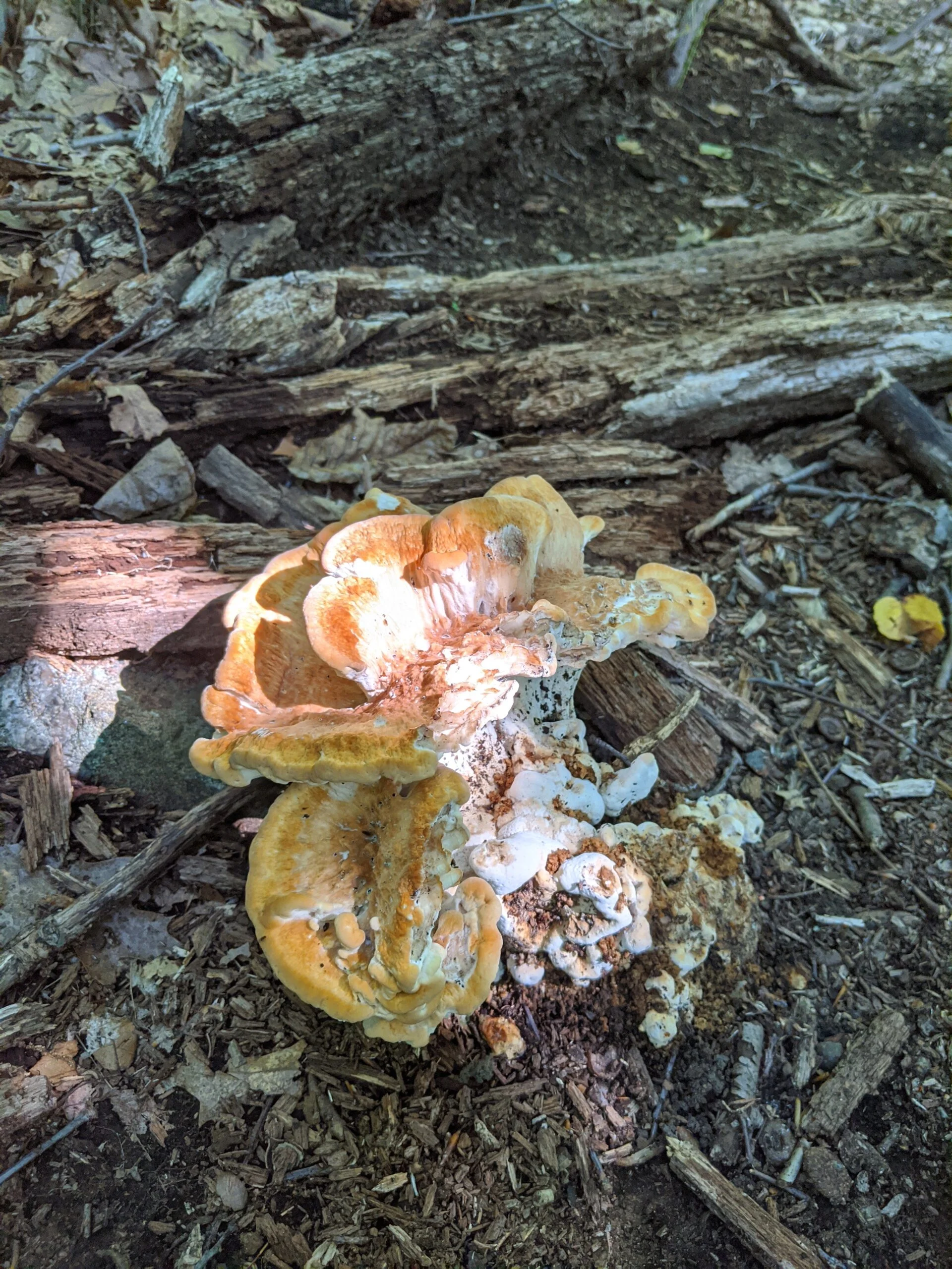
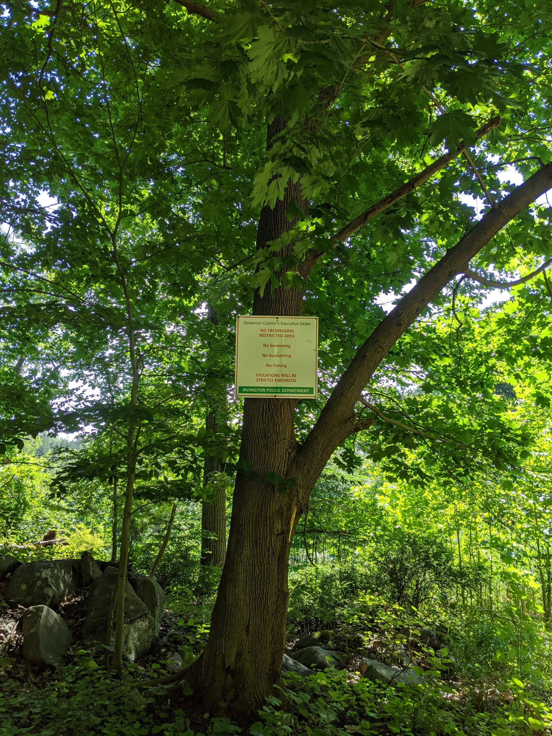
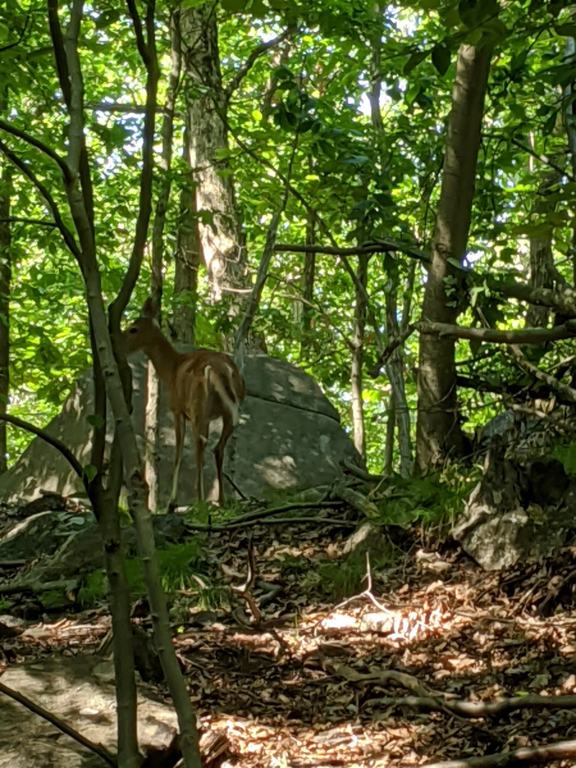
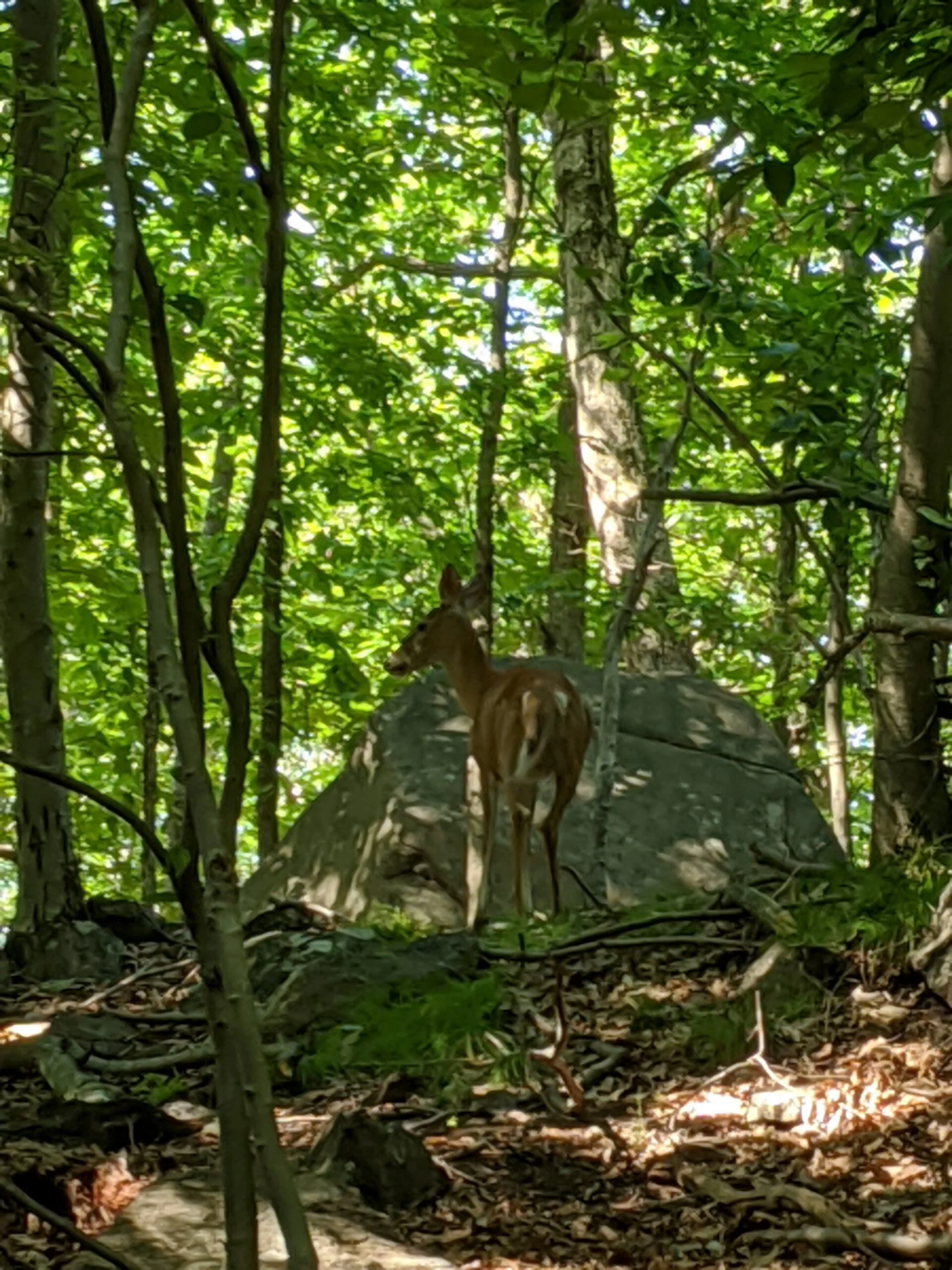
Photos


GPS Route & Elevation
Loads an interactive map; map tiles are served by the U.S. Geological Survey, which receives your IP address. Learn more about maps and your privacy