Harriman State Park Harriman-Bear Mountain State Parks
Harriman State Park – Pine Meadow Trail, Third Reservoir, Breakneck Pond, Lake Wanoksink
- 12.1 mi
- 2,044 ft gain
- 05:58:15
- 183 photos
- 1 video
Wow, what a gorgeous day for a hike! The weather was a little warmer than normal, peaking in the high 70’s in the afternoon.
I wasn’t sure where I wanted to go and left my planning for the morning. After exploring several options, I decided to return to Harriman State Park, which I had visited the week before. Harriman is huge and it would take weeks to explore it all, so I chose an eastern part of the park that looked promising on the maps and on the AllTrails.com reviews. I based my hike on another user’s recording, but customized it for the route I wanted to take.
I pulled off Route 202 / Haverstraw Road at the sign for Ramapo Equestrian Center around 11:20a. I read on AllTrails.com that some people had trouble parking at the equestrian center. What I think they were trying to do was drive all the way down the private road to park at the stables and barns. The parking at the facility itself is reserved for customers only. Parking for hikers is in the small lot right as you turn off the highway. It’s the row of about ten parking spaces right at the Ramapo Equestrian Center sign. This will require you walk about 3/10 of a mile down the road and onto the equestrian center property, but if you’re out for a hike, what’s an extra half mile or so for free parking? :).
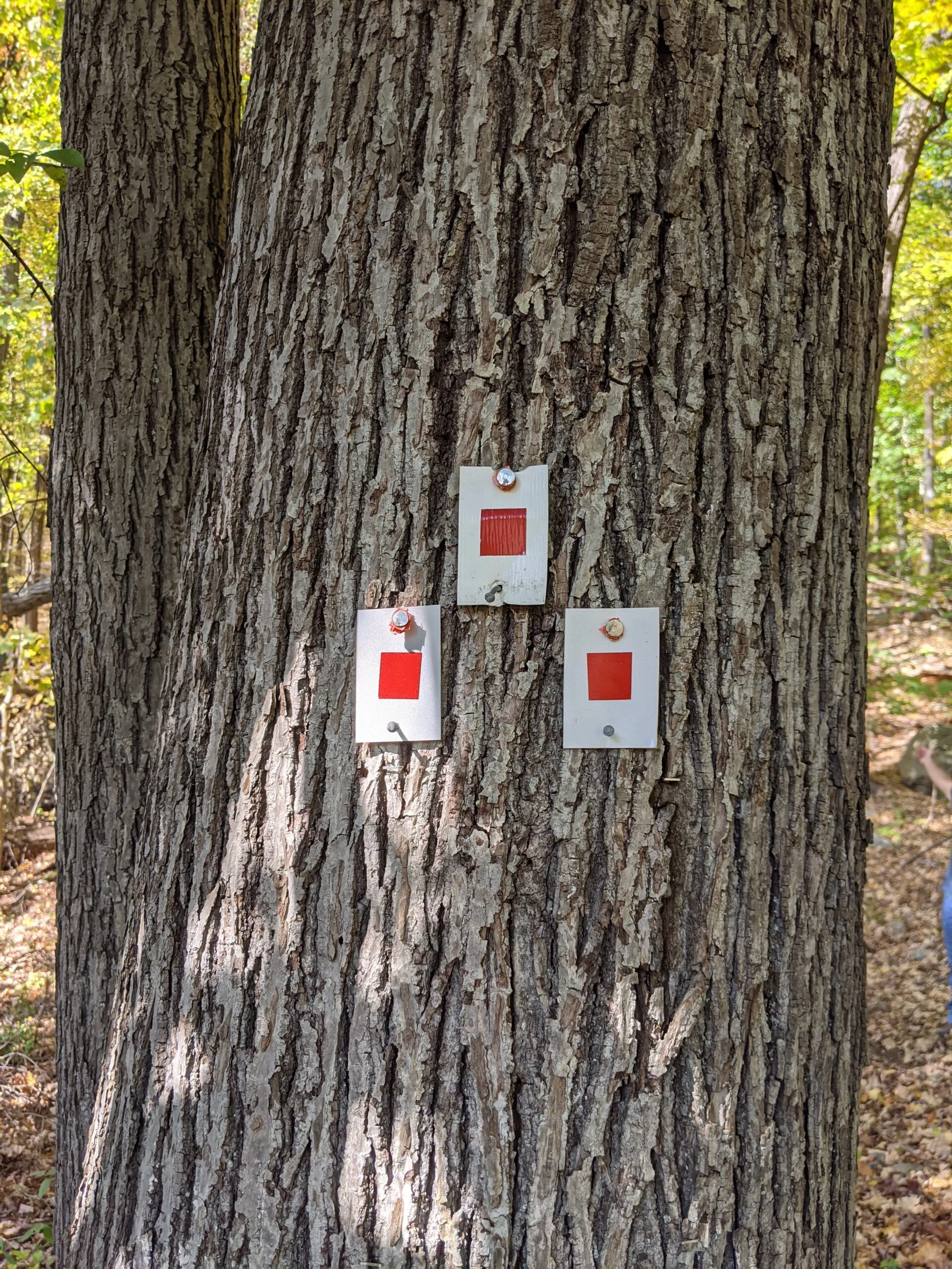
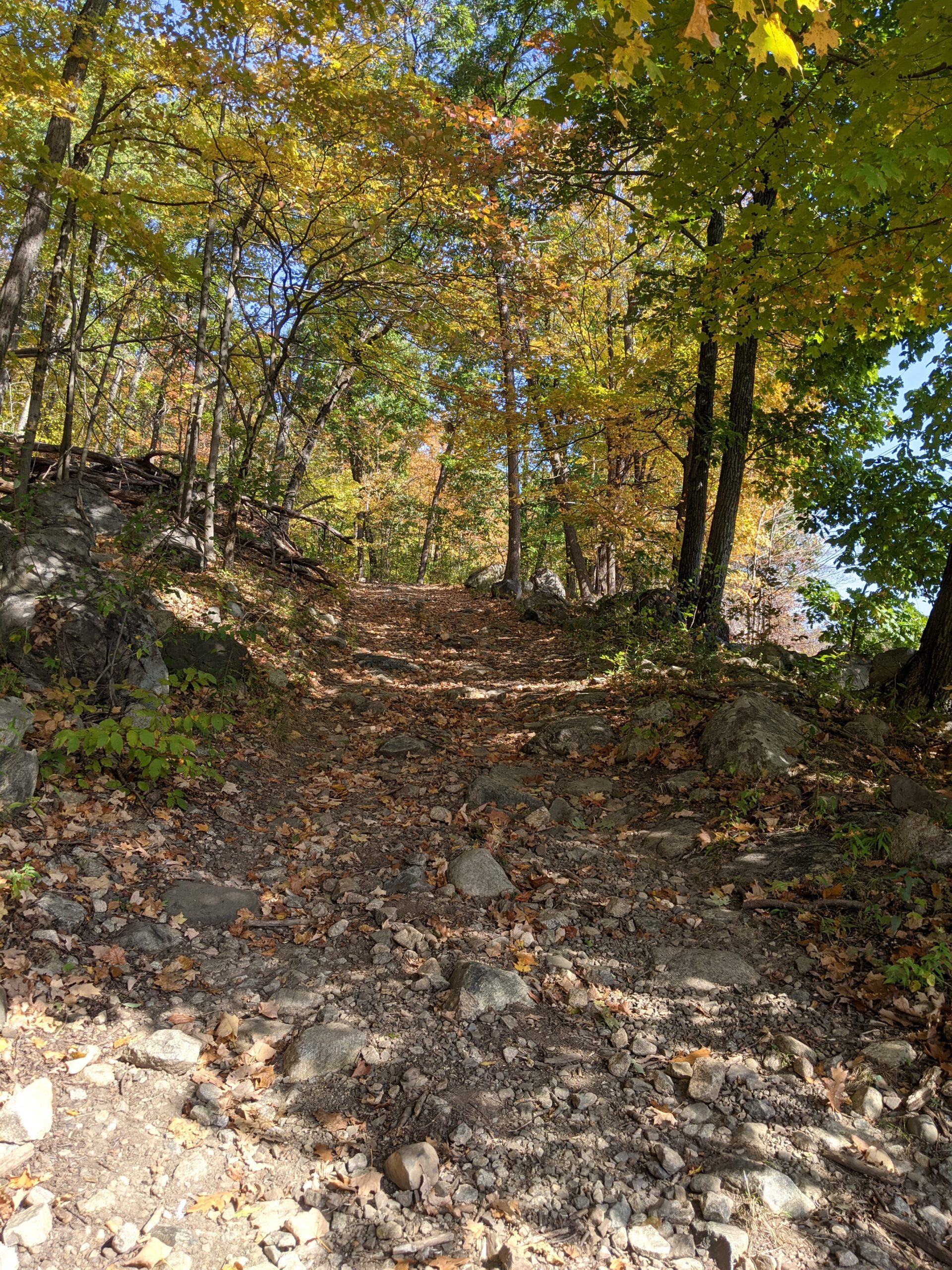
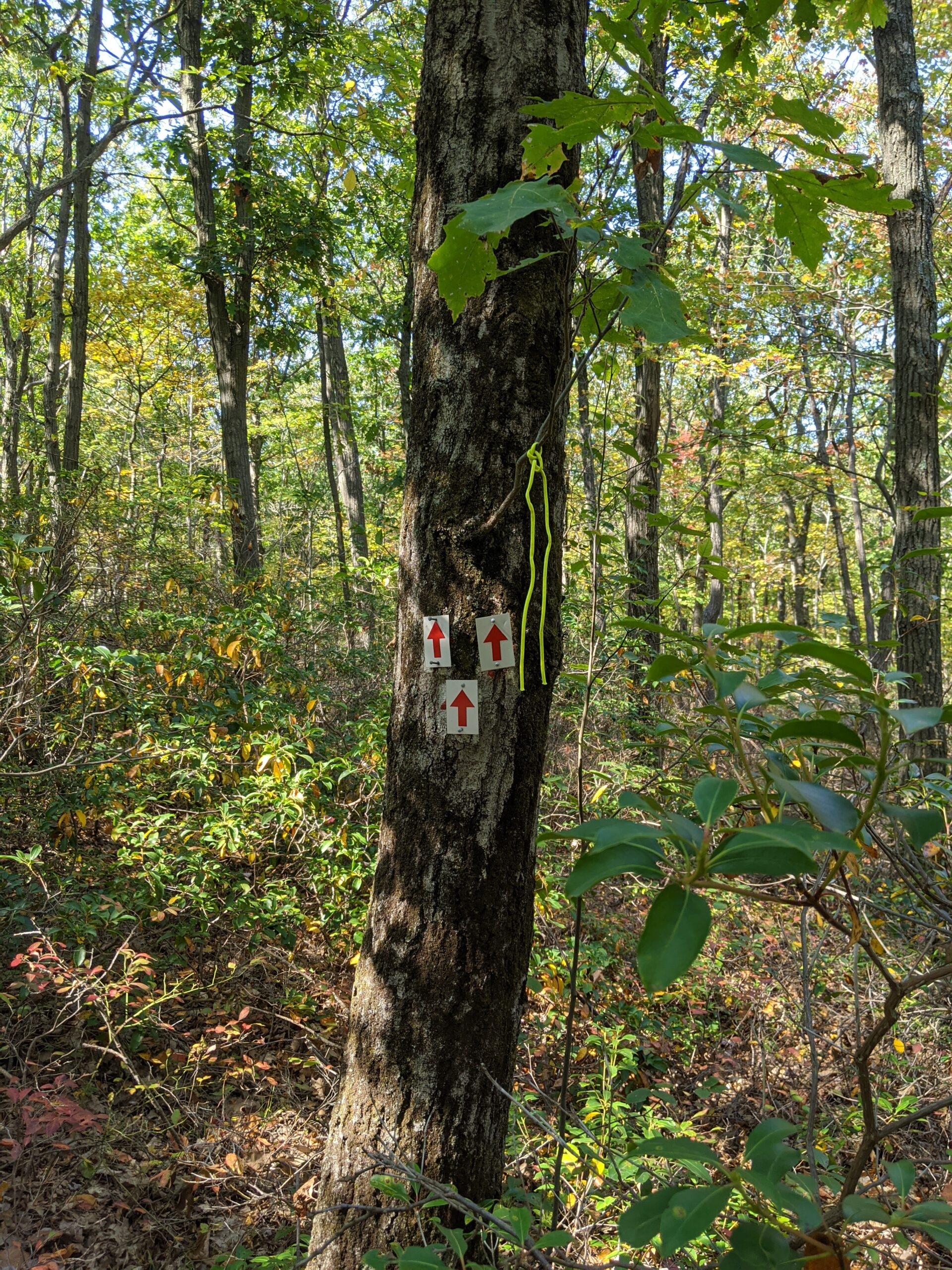
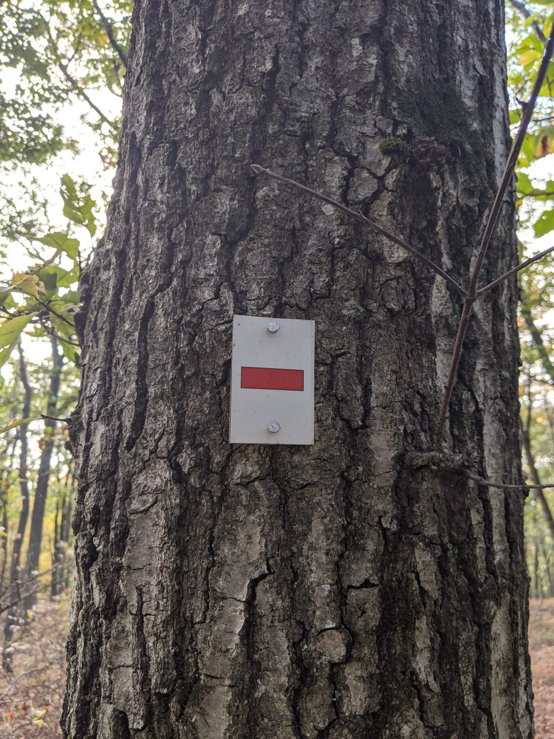
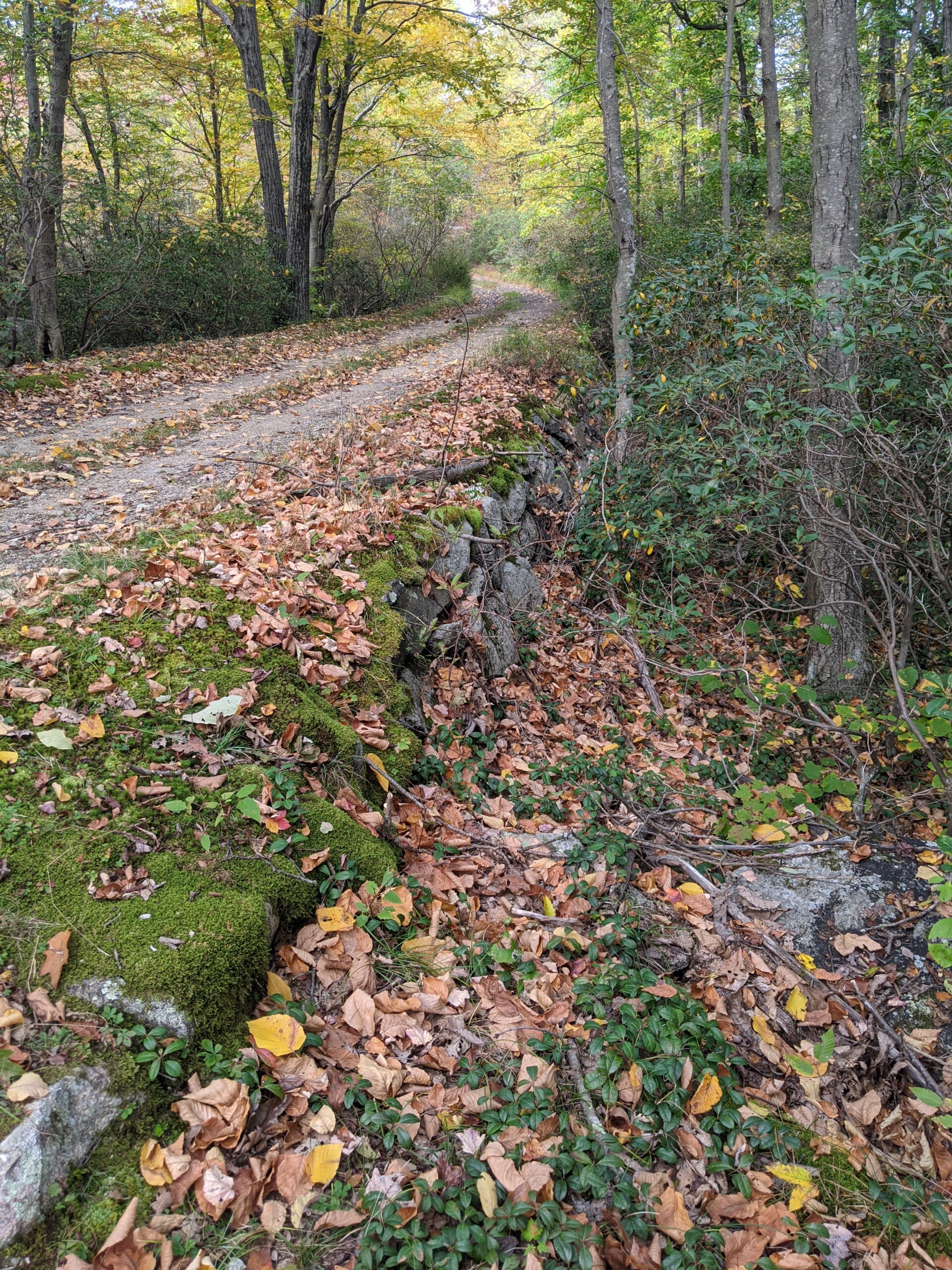
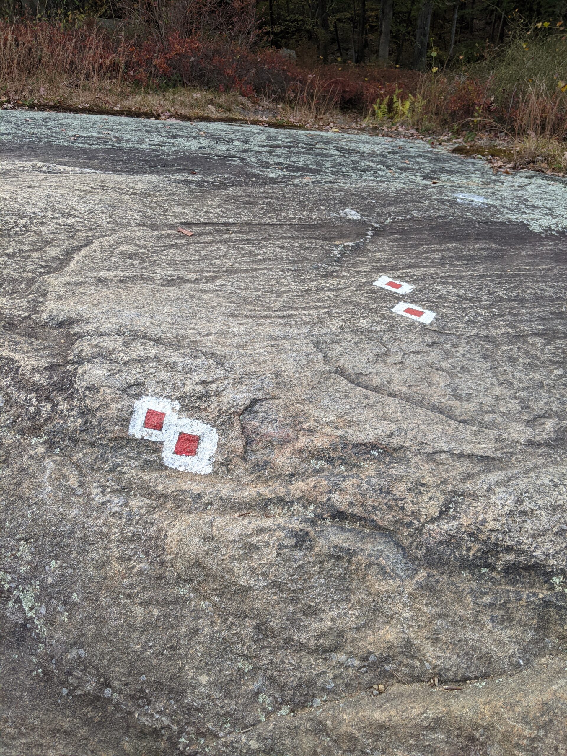
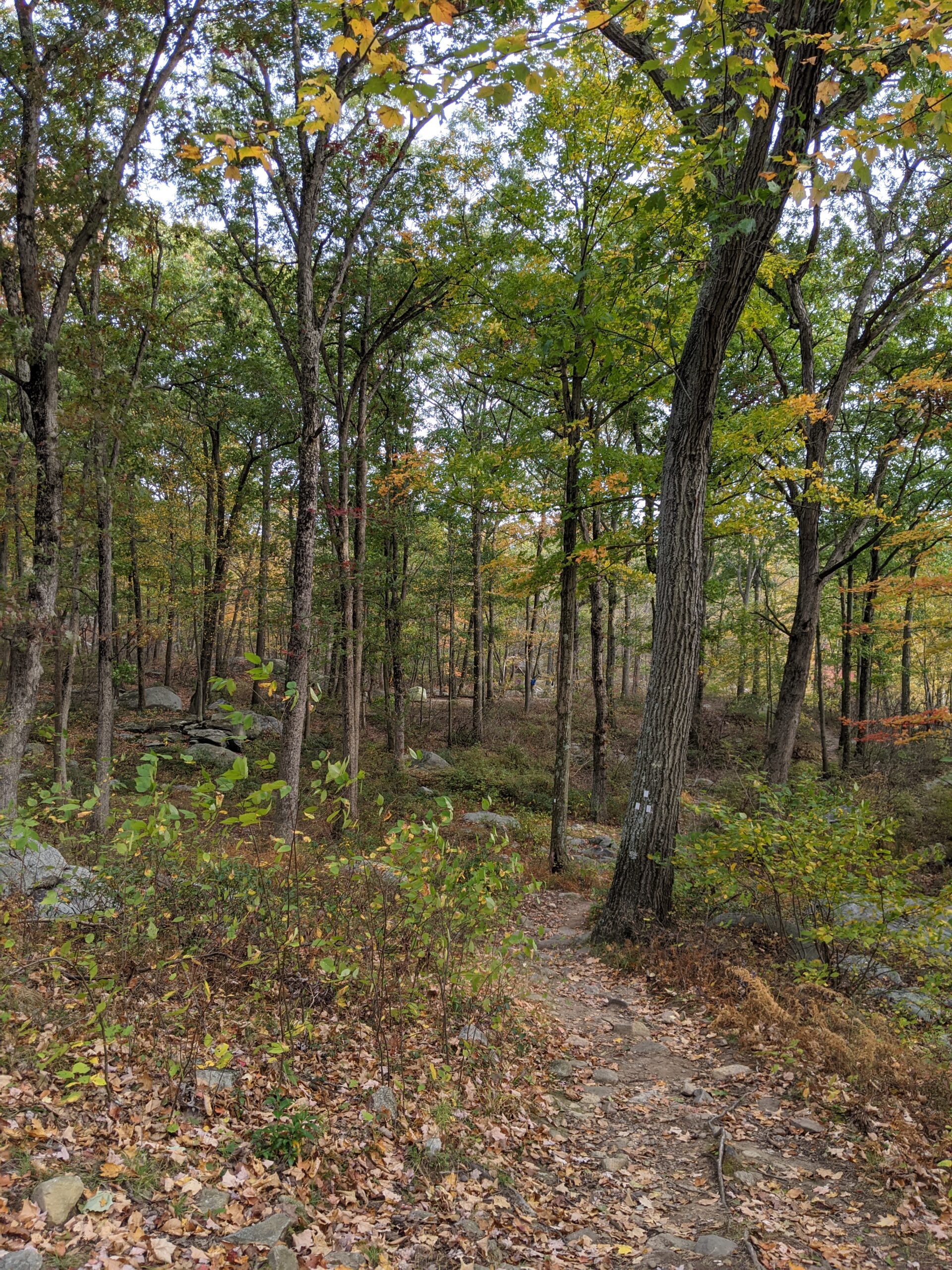
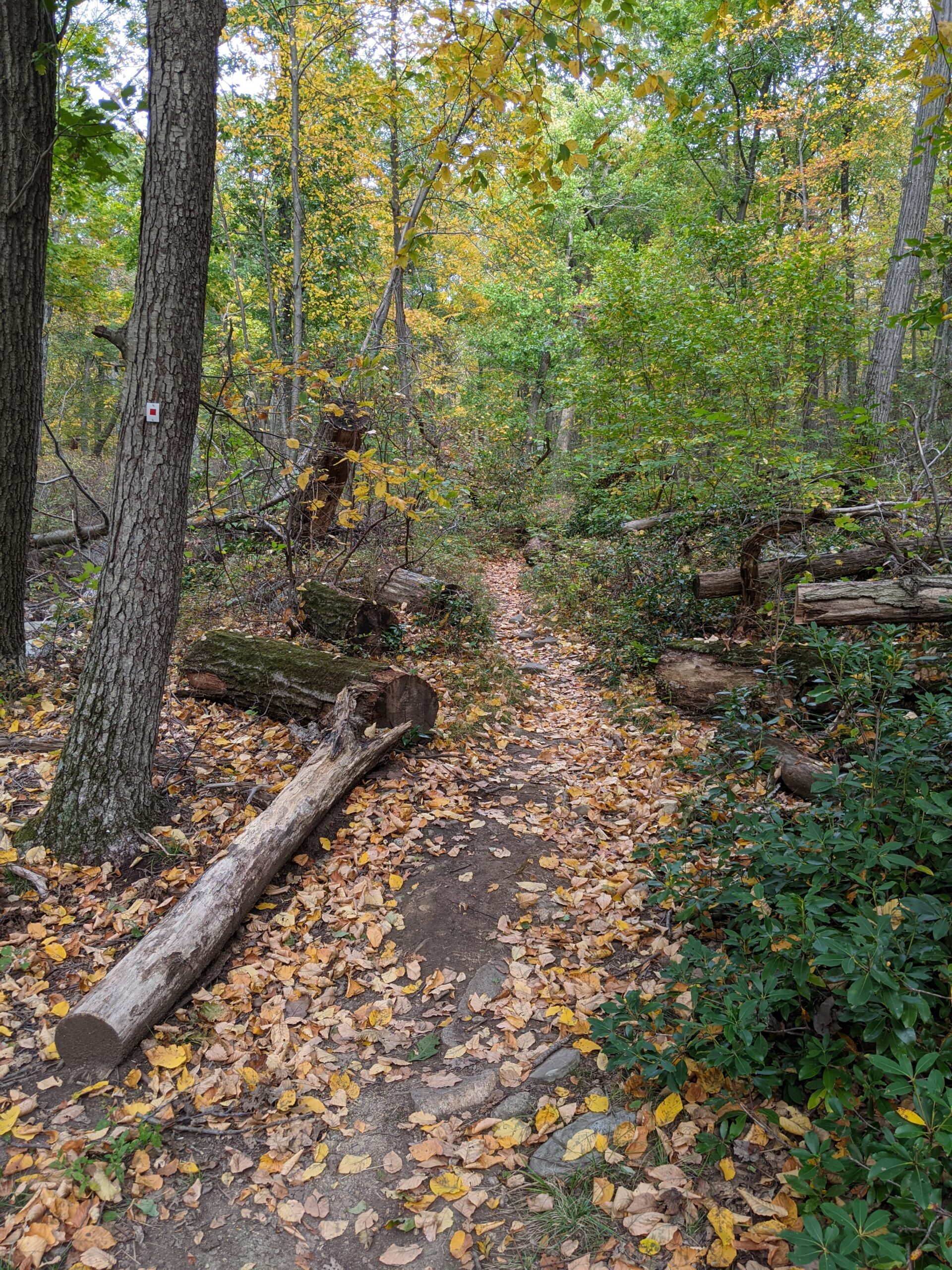
There are two ways to get onto the Pine Meadow (white with red square blazes) trail. As I walked onto the property, my plan was to take the more northern trail head, but a lovely woman there directed a few of us to the southern trail head and since I already felt awkward about being on someone else’s property, I followed the group. The southern trail head can be found by taking a right at the end of the road and following the back side of the stables.
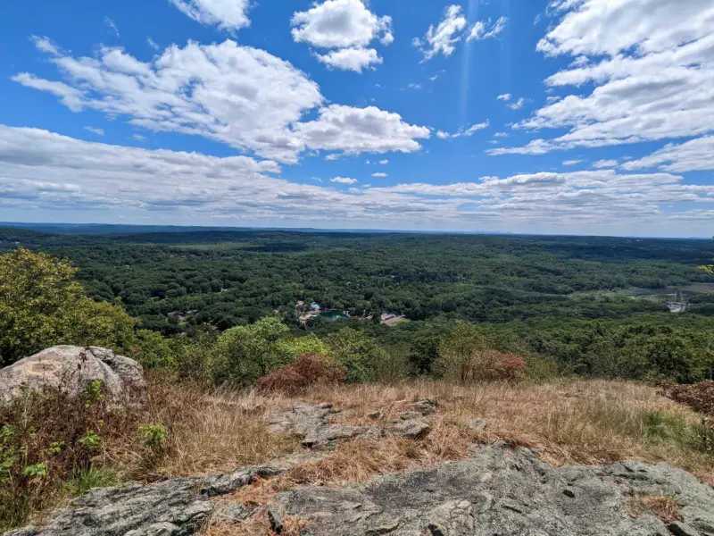
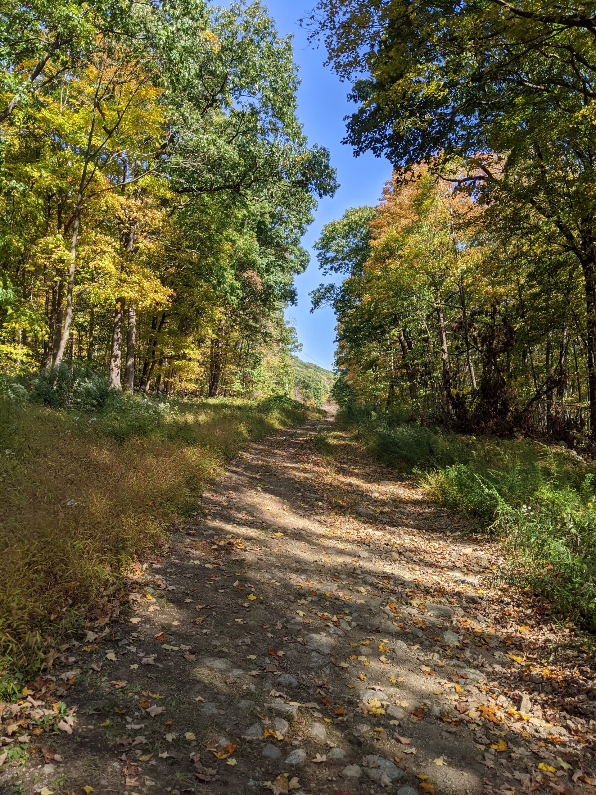
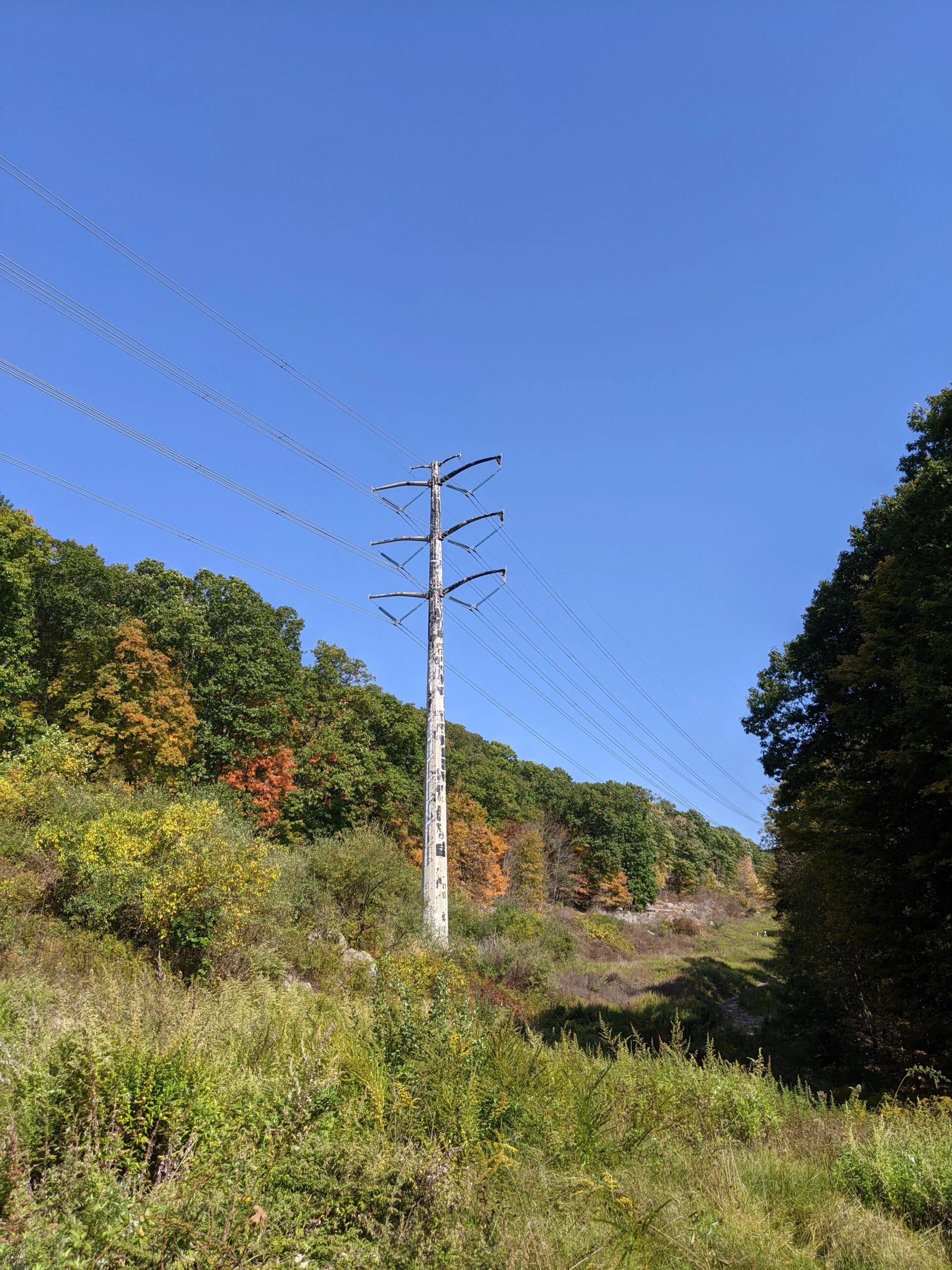
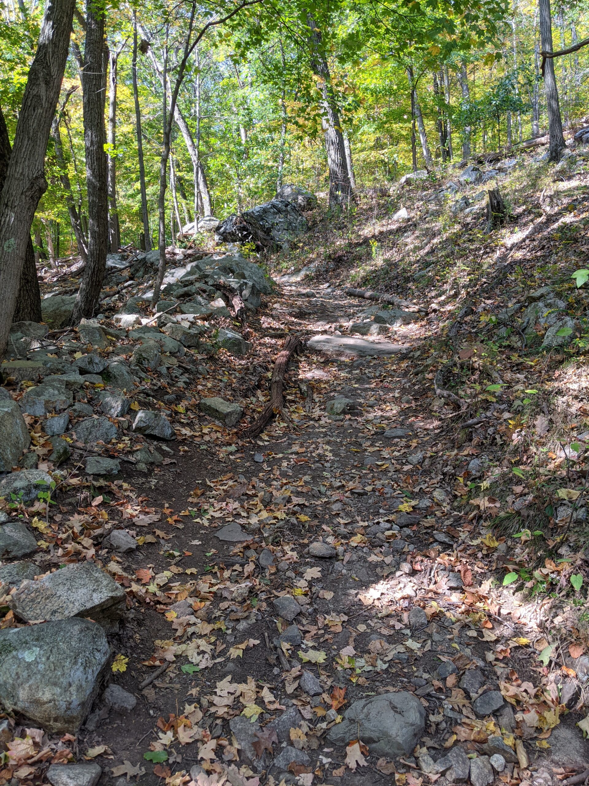
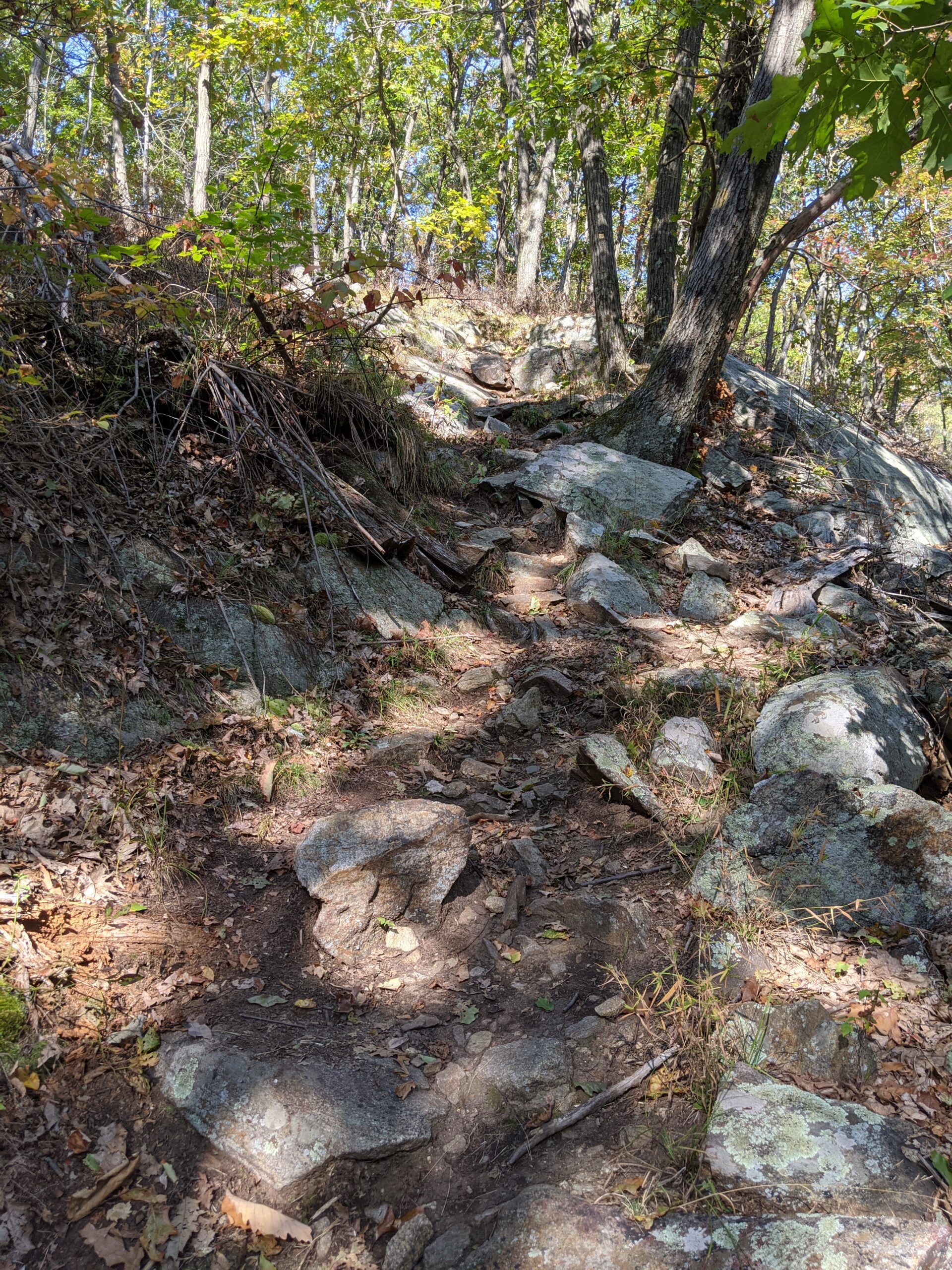
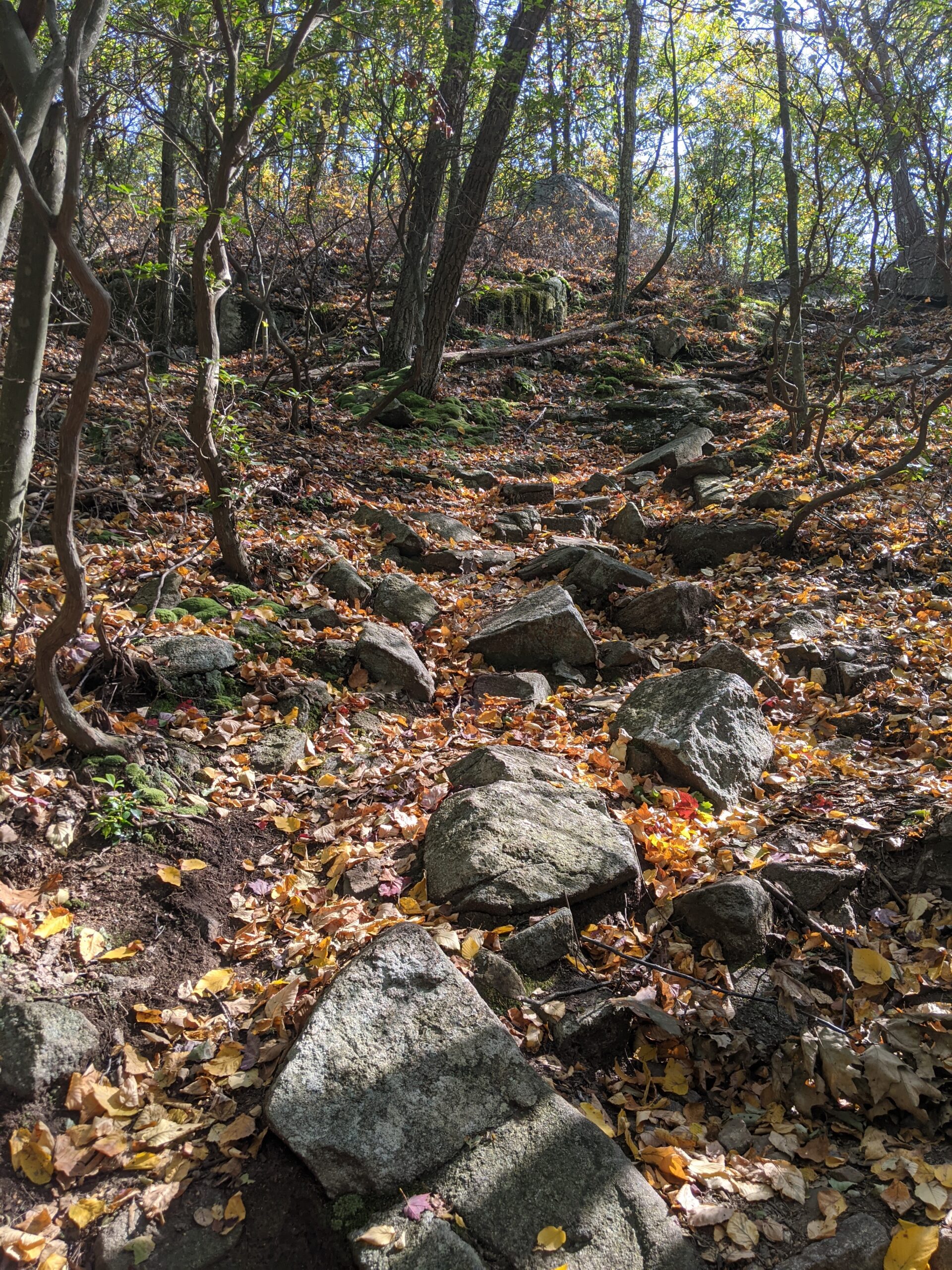
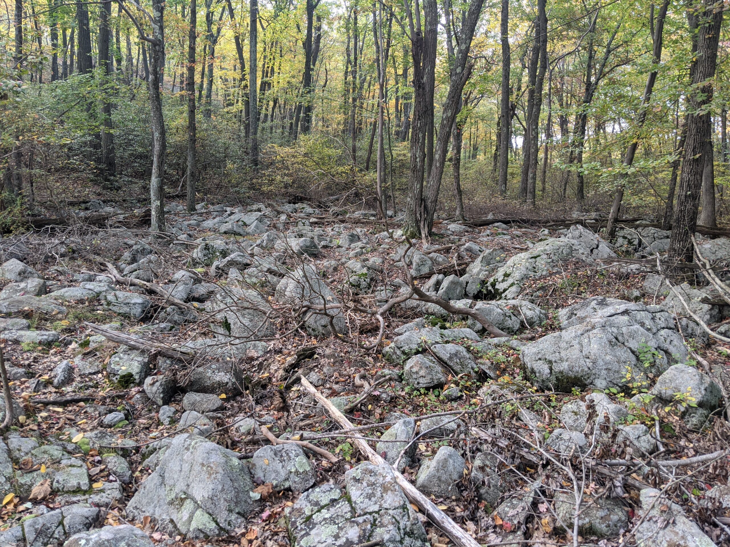
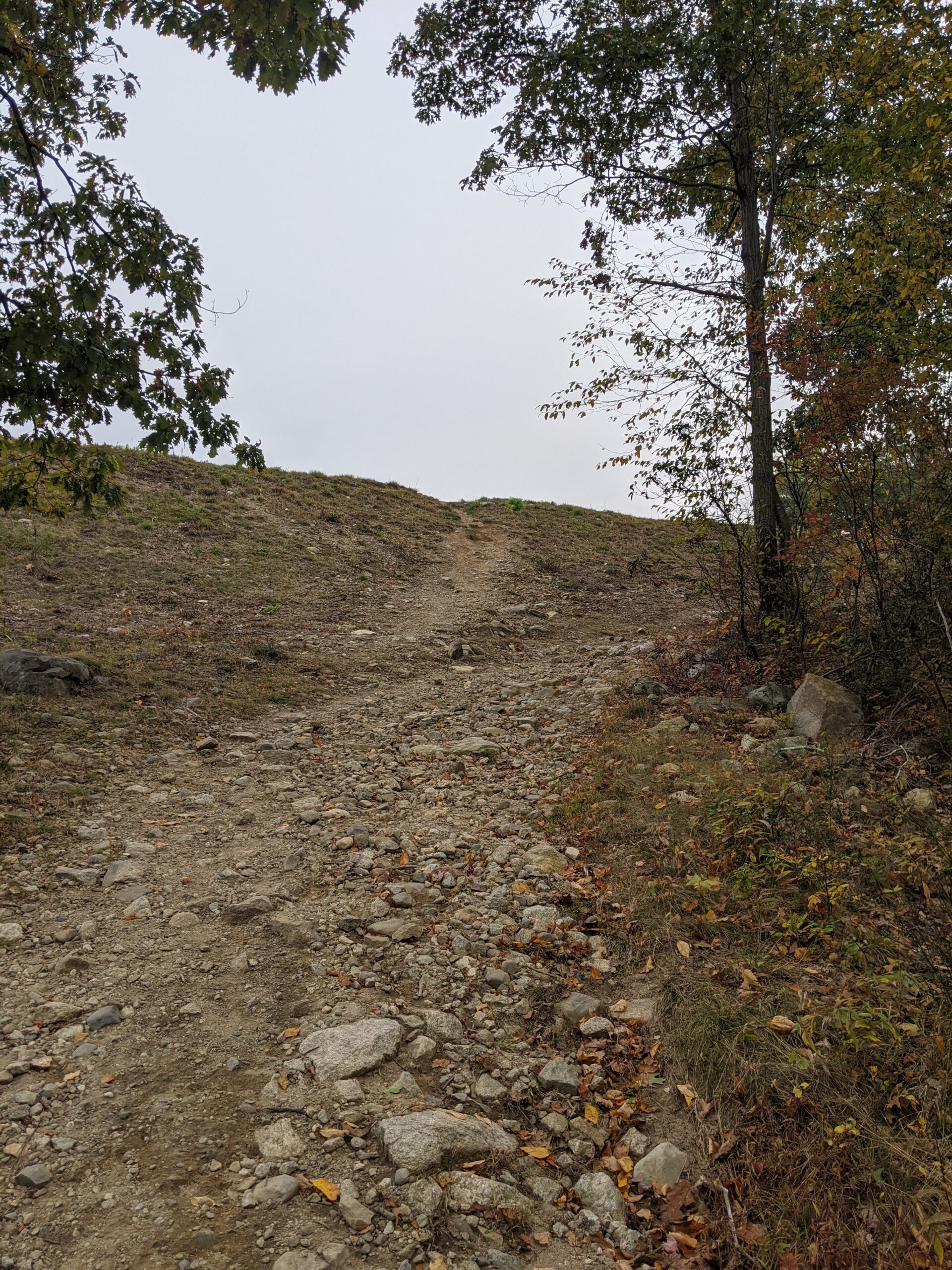
The trail ascended about 50 feet over a tenth of a mile before dropping me into a clearing. Up ahead of me I could see large power transmission lines running overhead. I followed the trail for another tenth of a mile before the blazes told me to head to the left. I crossed under the power lines onto a rocky path that ascended up Catamount Mountain. The trail took an upside down V shape as I climbed up. When I reached the intersection to the Yellow Trail about 1 mile into the hike, I had climbed about 450 ft at that point.
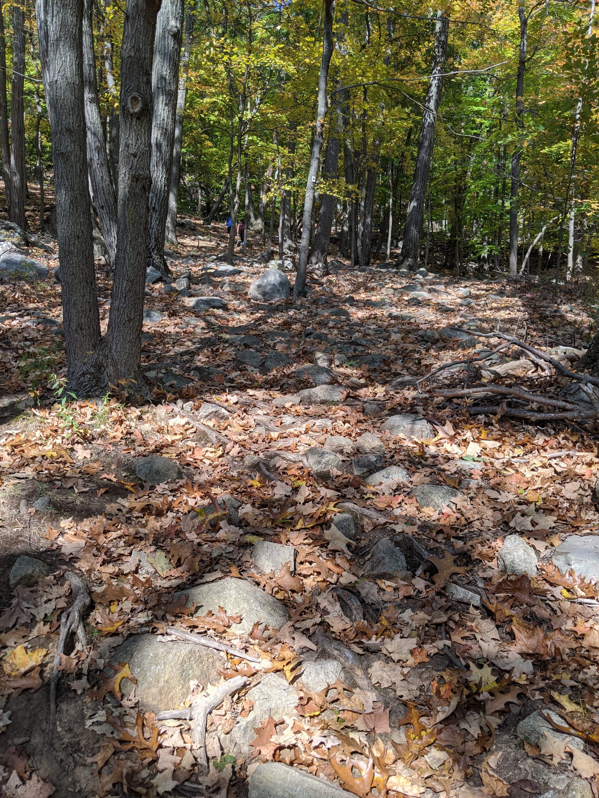
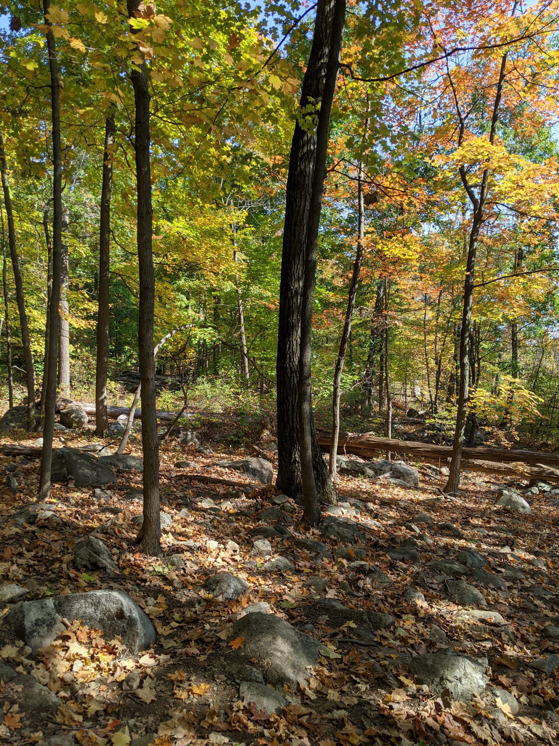
There were several people ahead of me on the trail, including a screaming child, so I decided to abandon my original route and hiked up an unblazed trail at that intersection. The red and yellow trail continued to the left, the yellow trail went off to the right, and I took a path straight ahead, climbing further up Catamount Mountain until I reached an elevation of about 1,150 ft. My first unblazed trail met up with a different unblazed trail labeled “Park Service ATV Track” on the All Trails map. I was very happy with my decision as both of these trails were completely deserted and quiet.
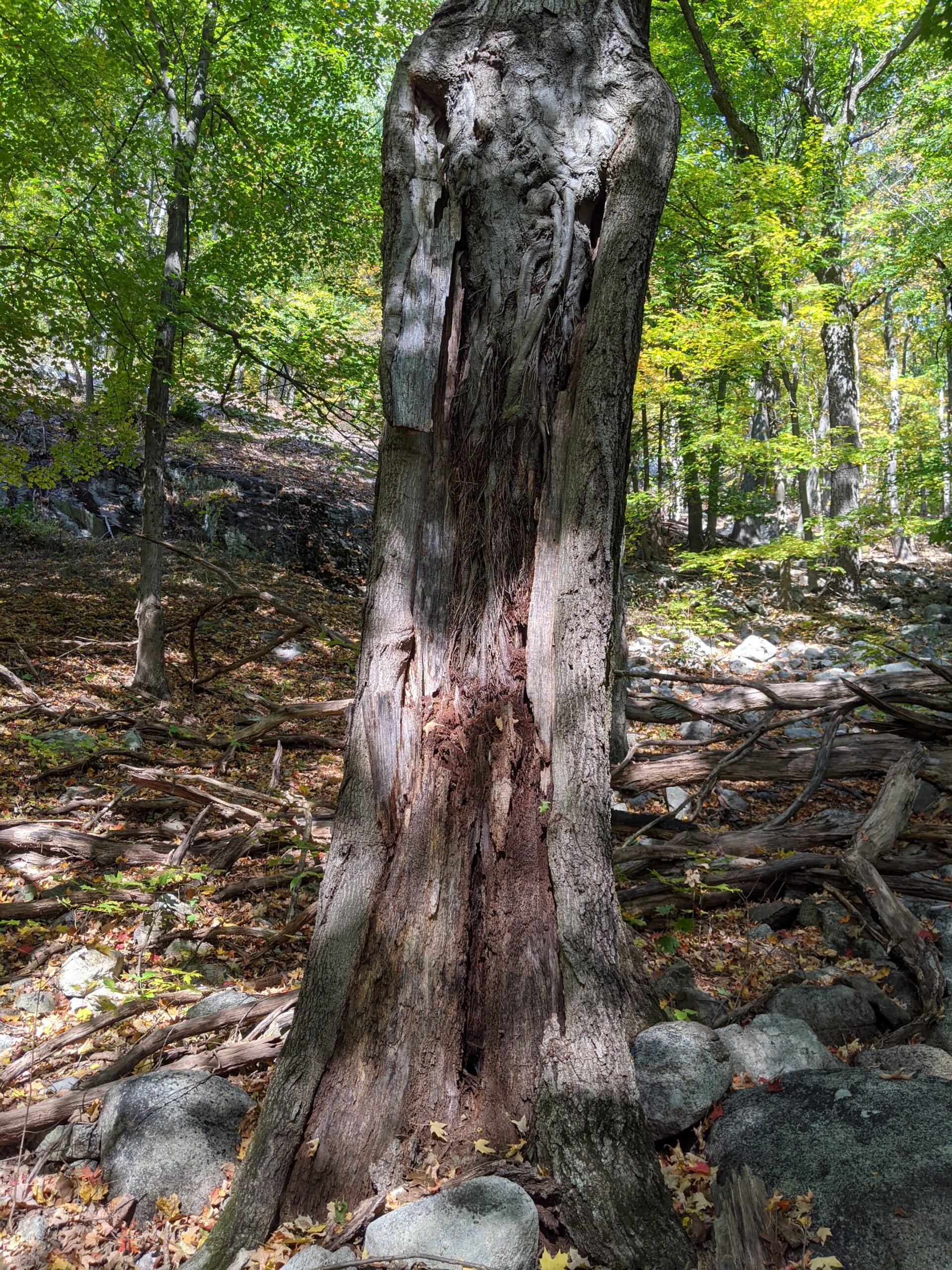
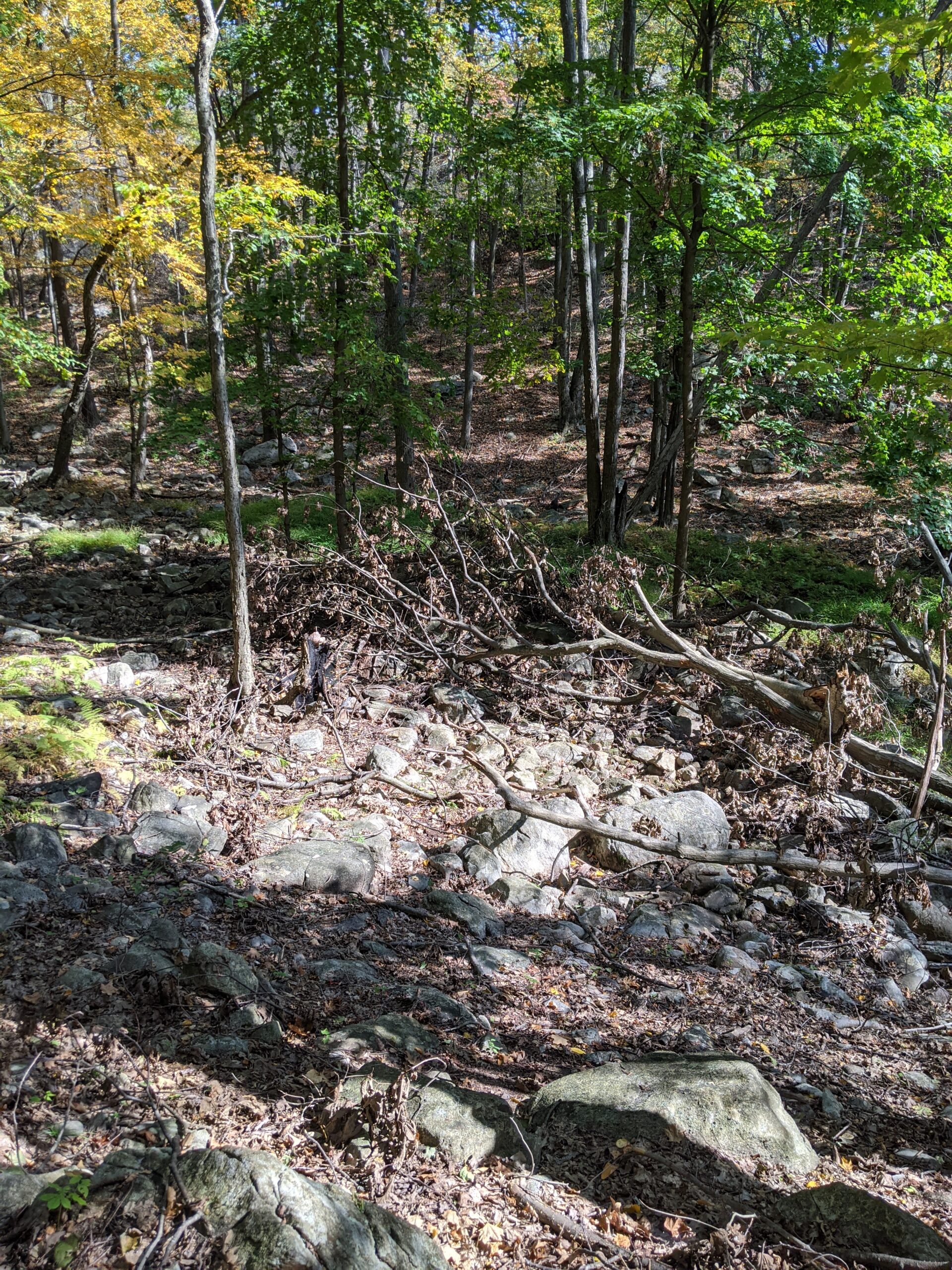
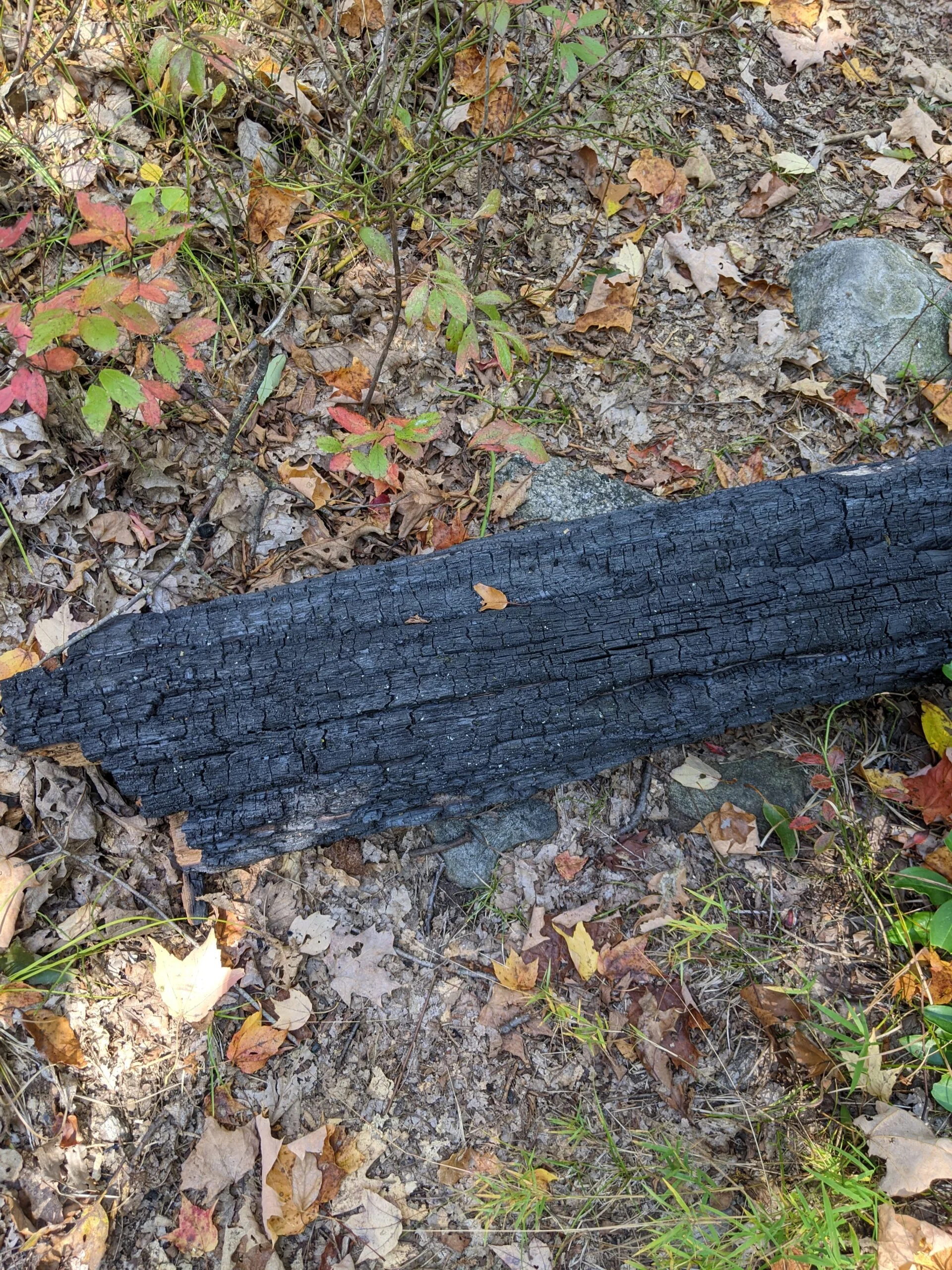
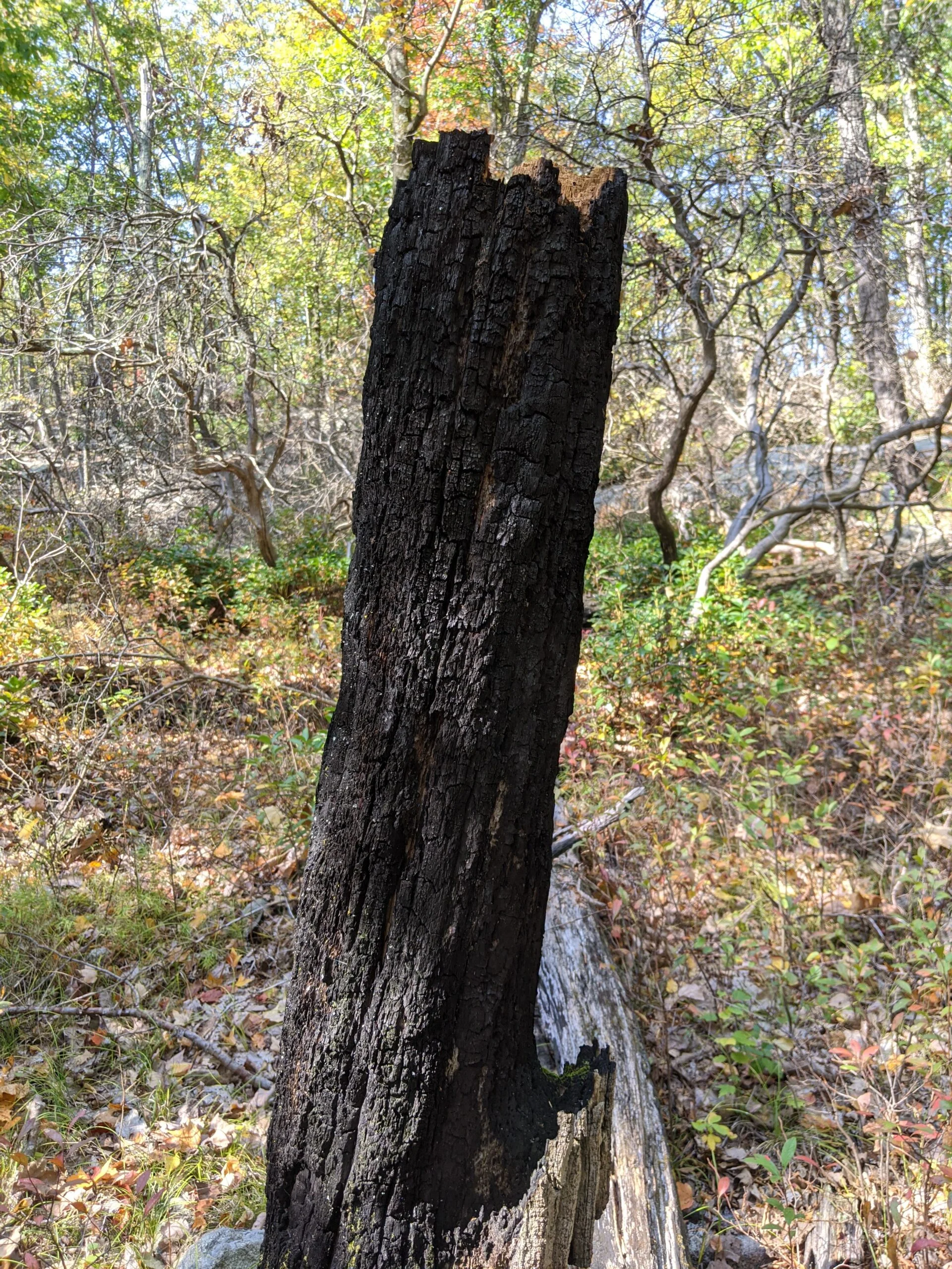
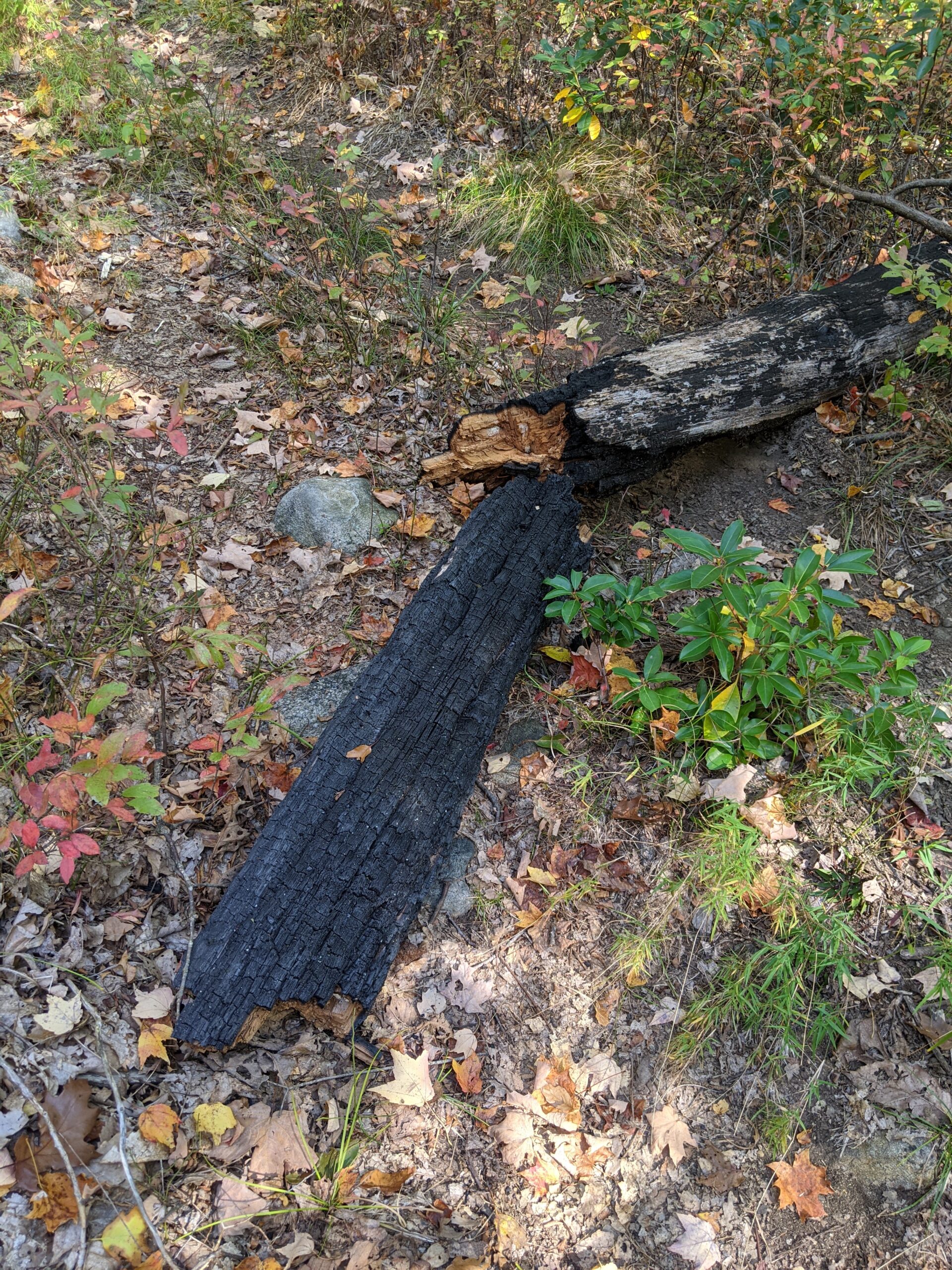
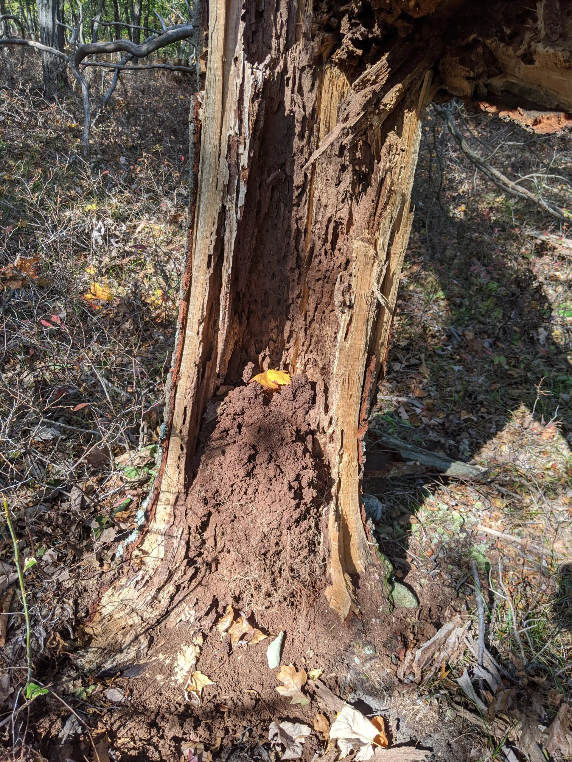
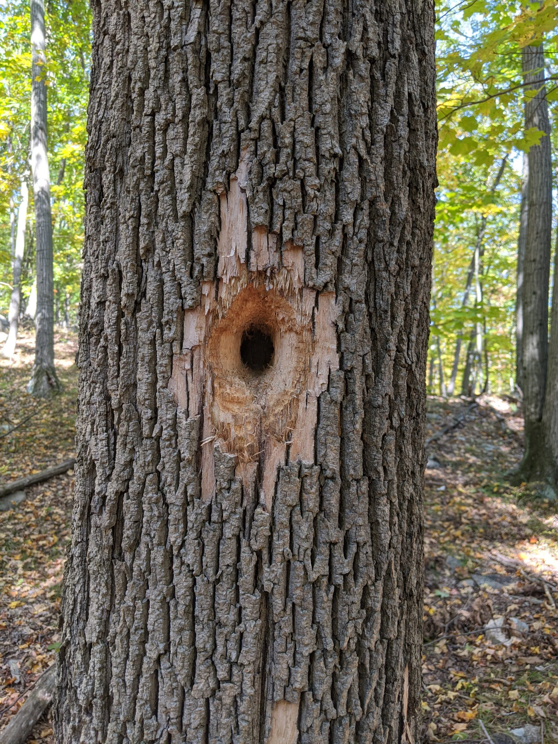
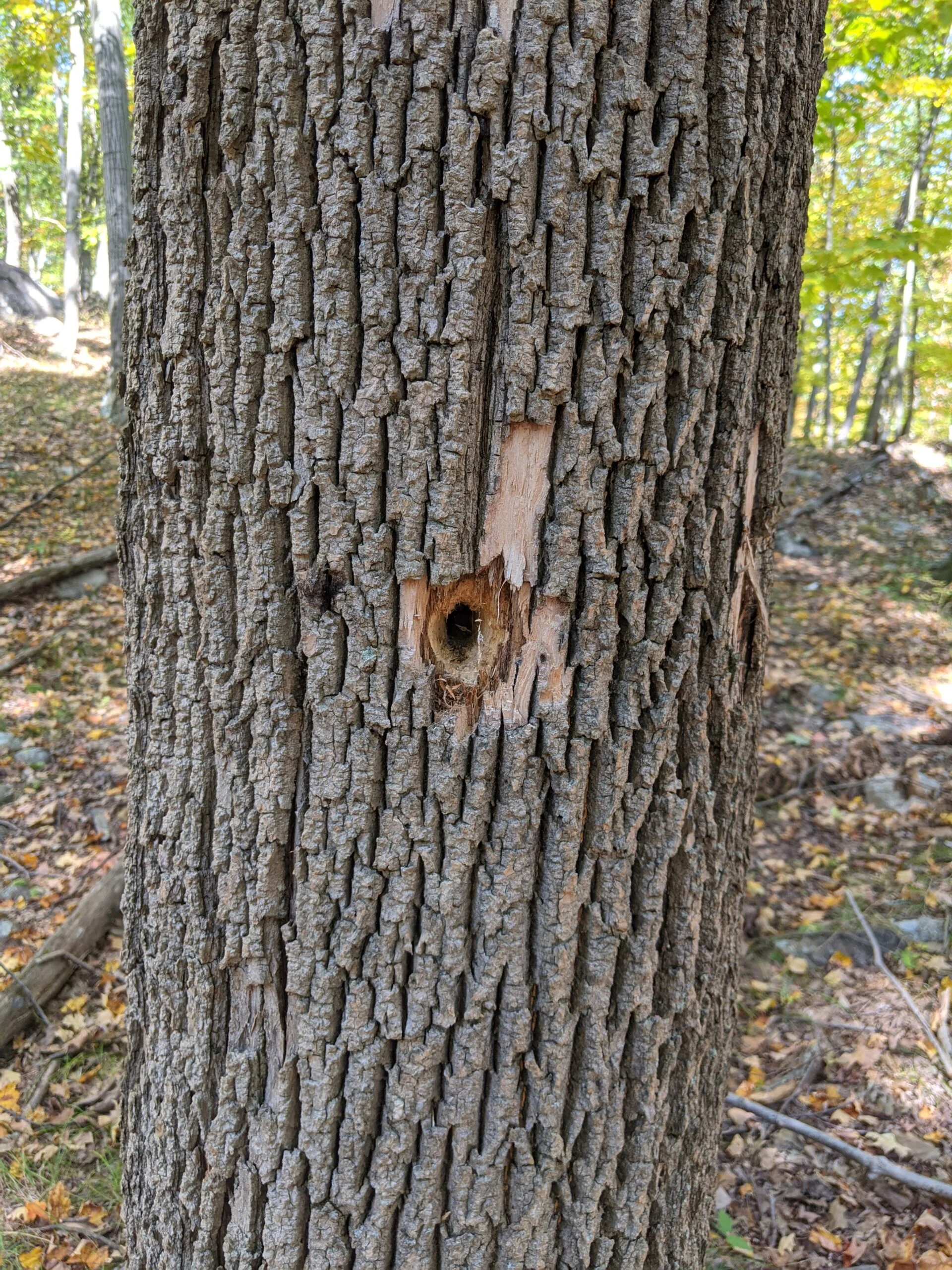
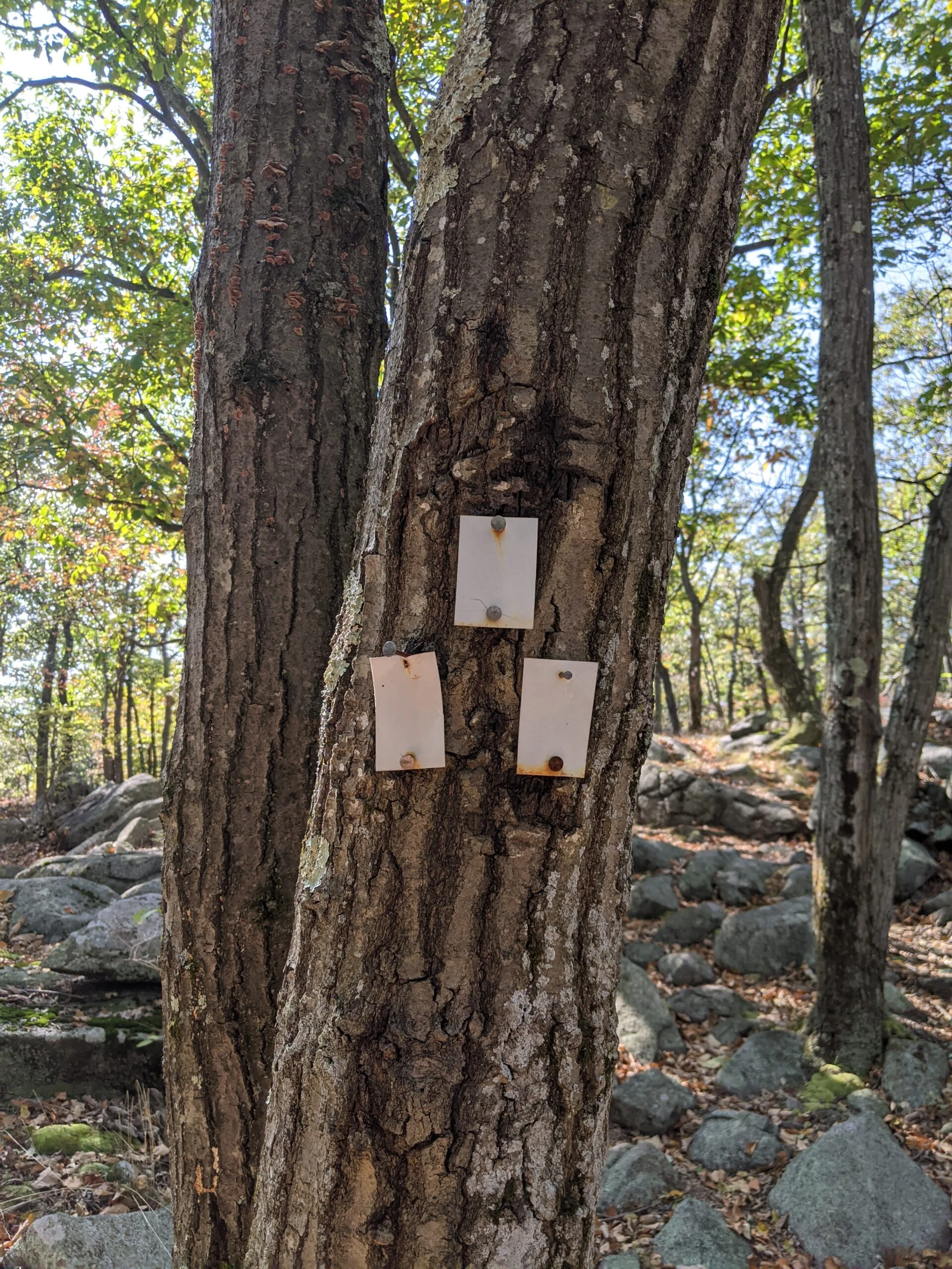
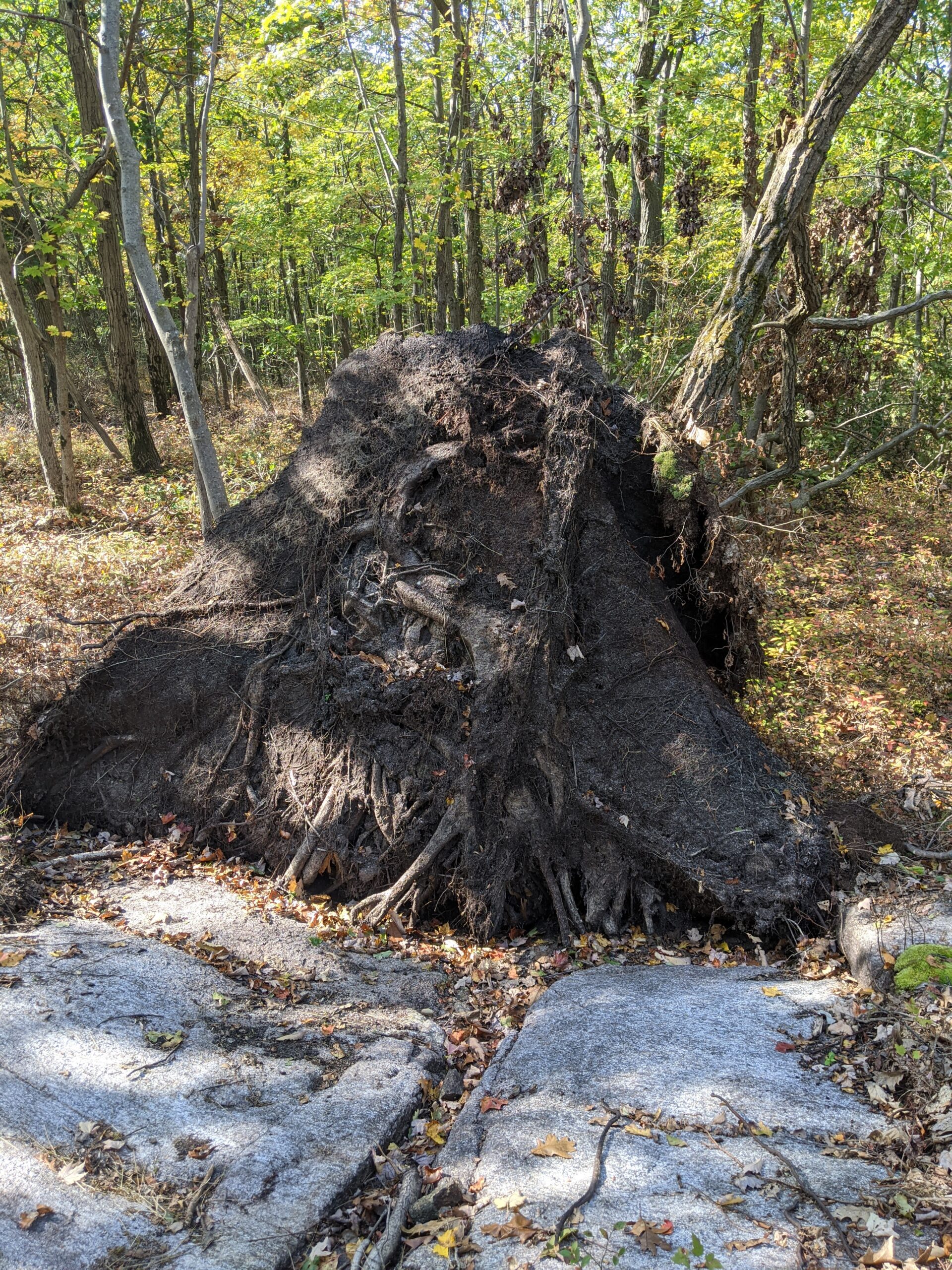
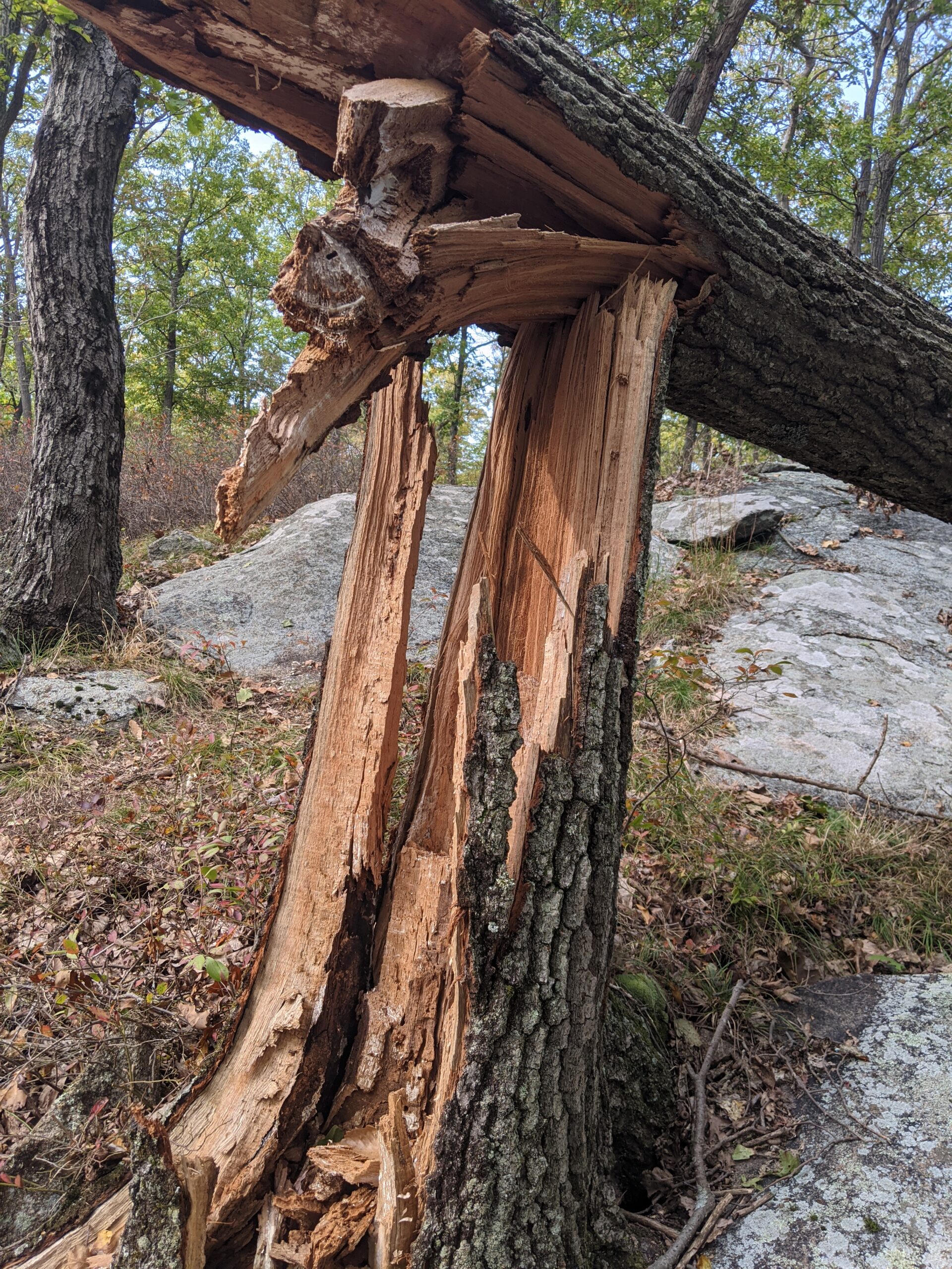
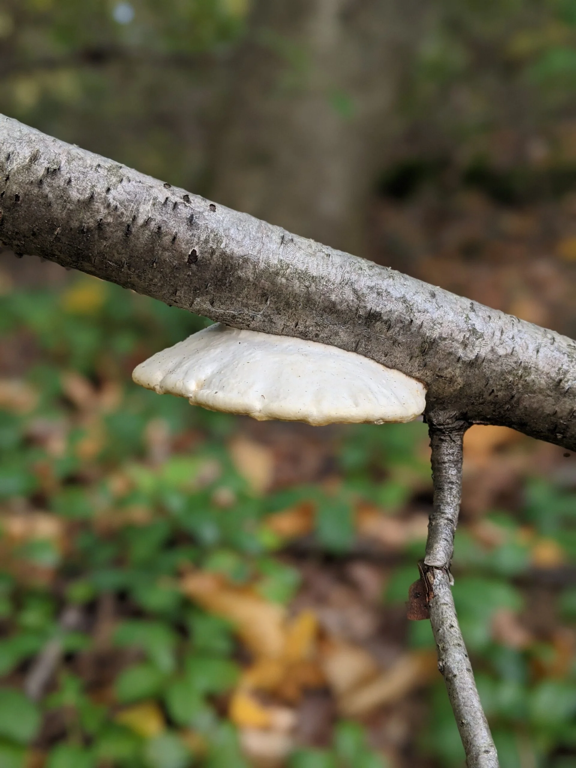
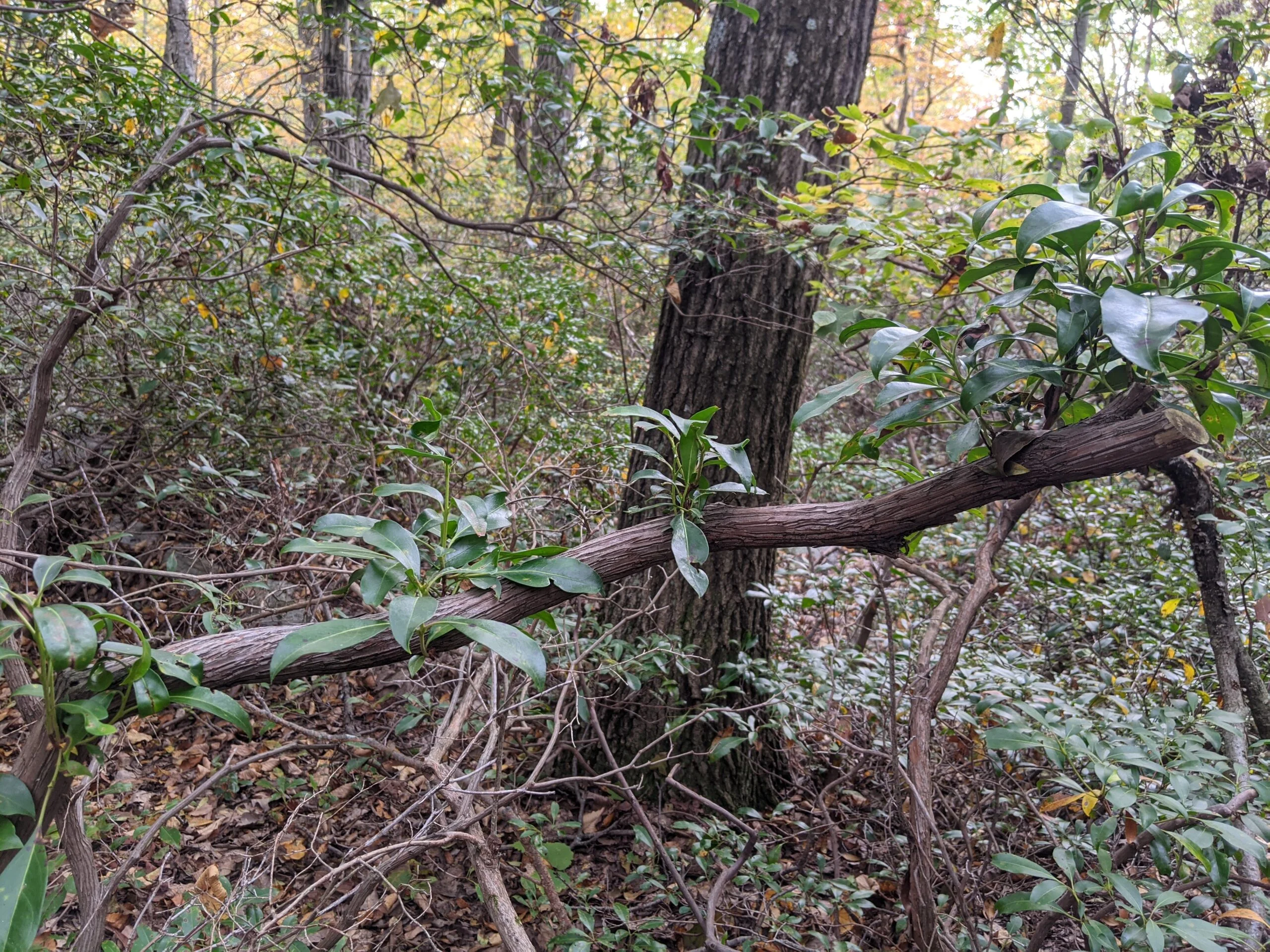
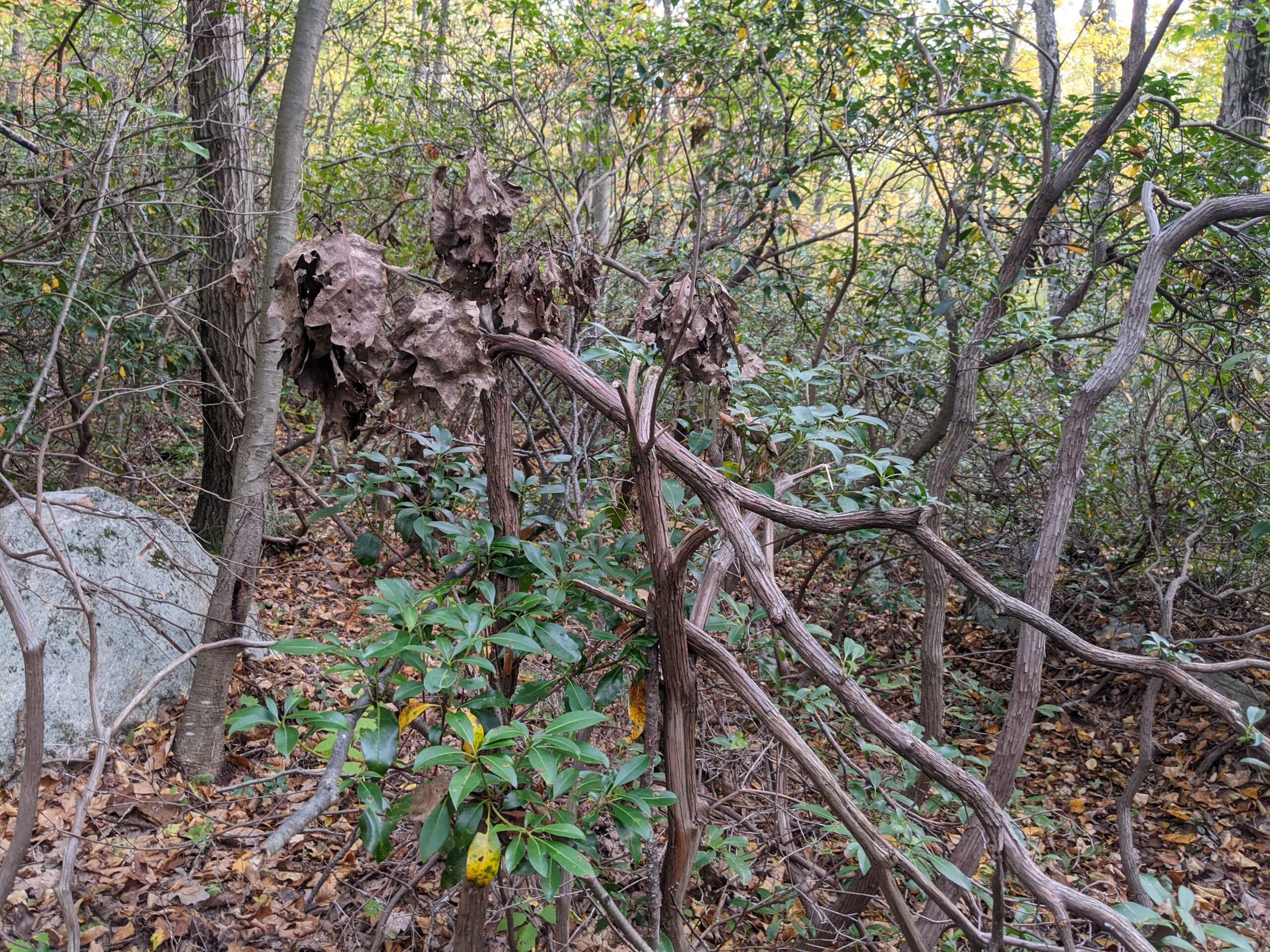
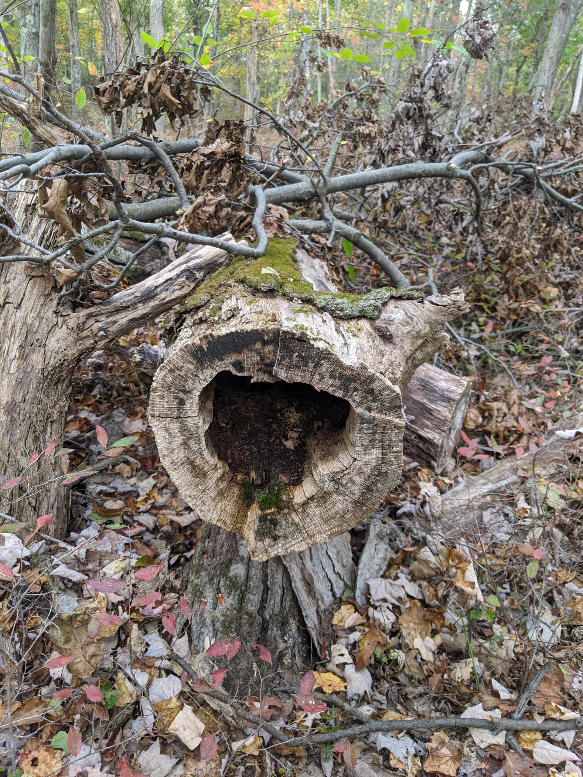
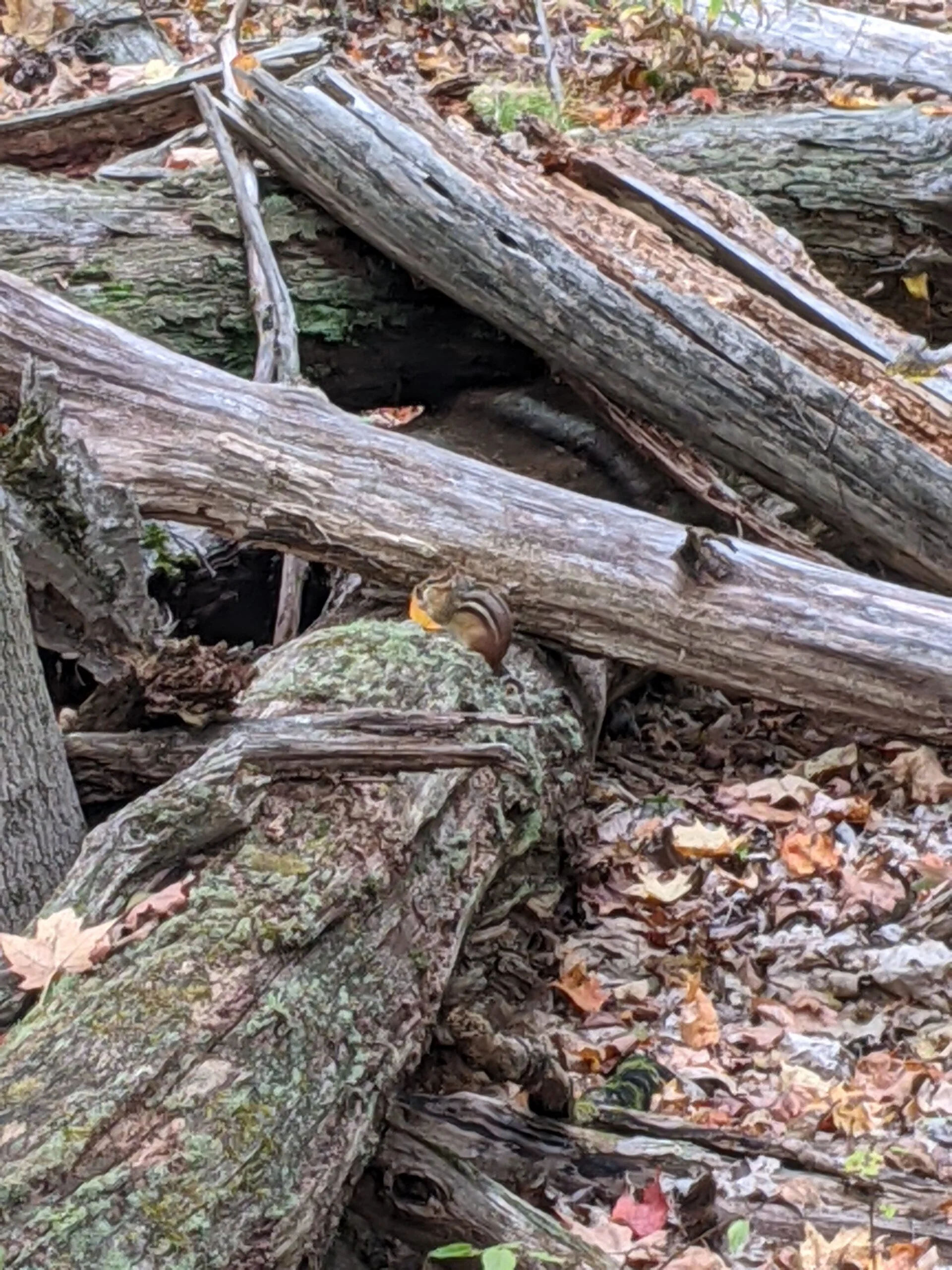
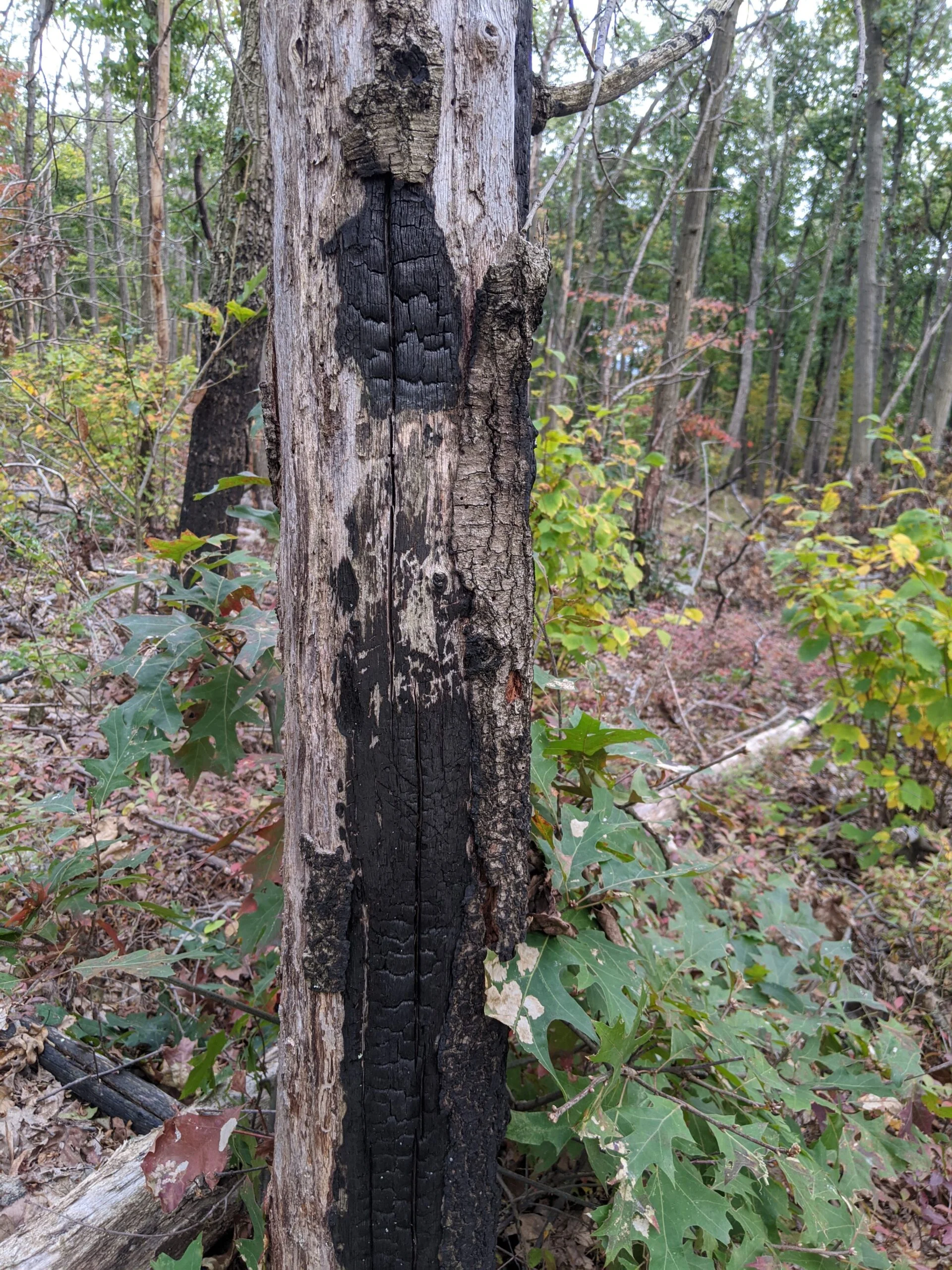
Along the way, I found several burnt trees and logs along the trail and I would end up seeing more in other parts of the park later on too. I’m confused how just a few specific trees would burn like that without setting the rest of the forest on fire. I can’t imagine lightening would strike so many different places in the same park. I’ve since read that there was a large brush fire in this area of the park in 2016, so perhaps these are the remnants of that fire.
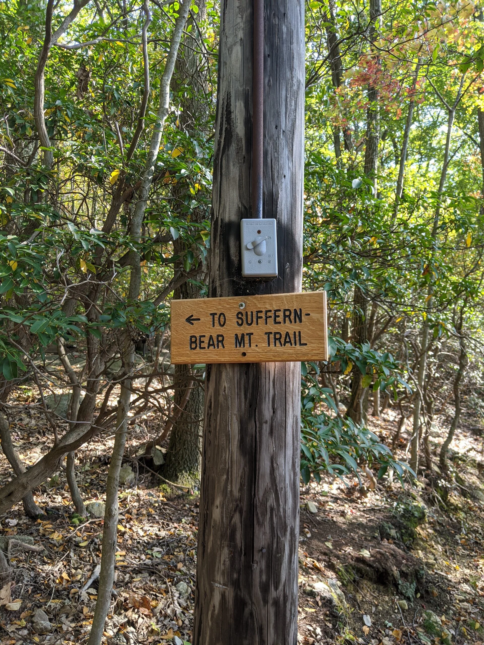
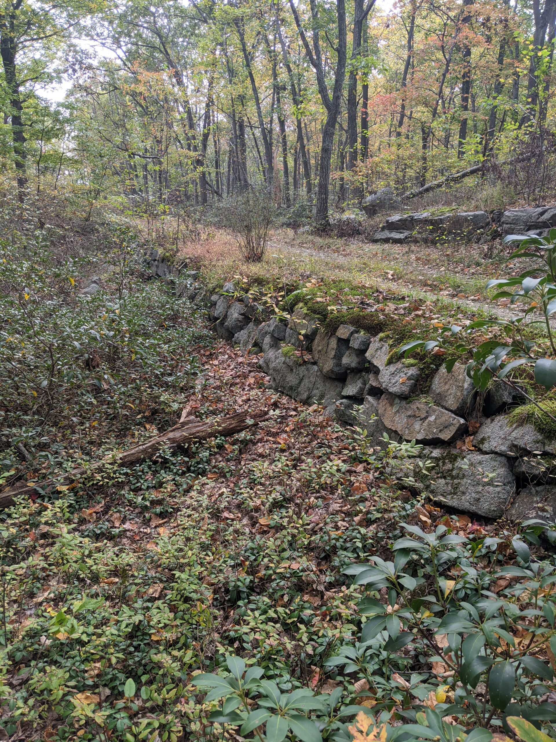
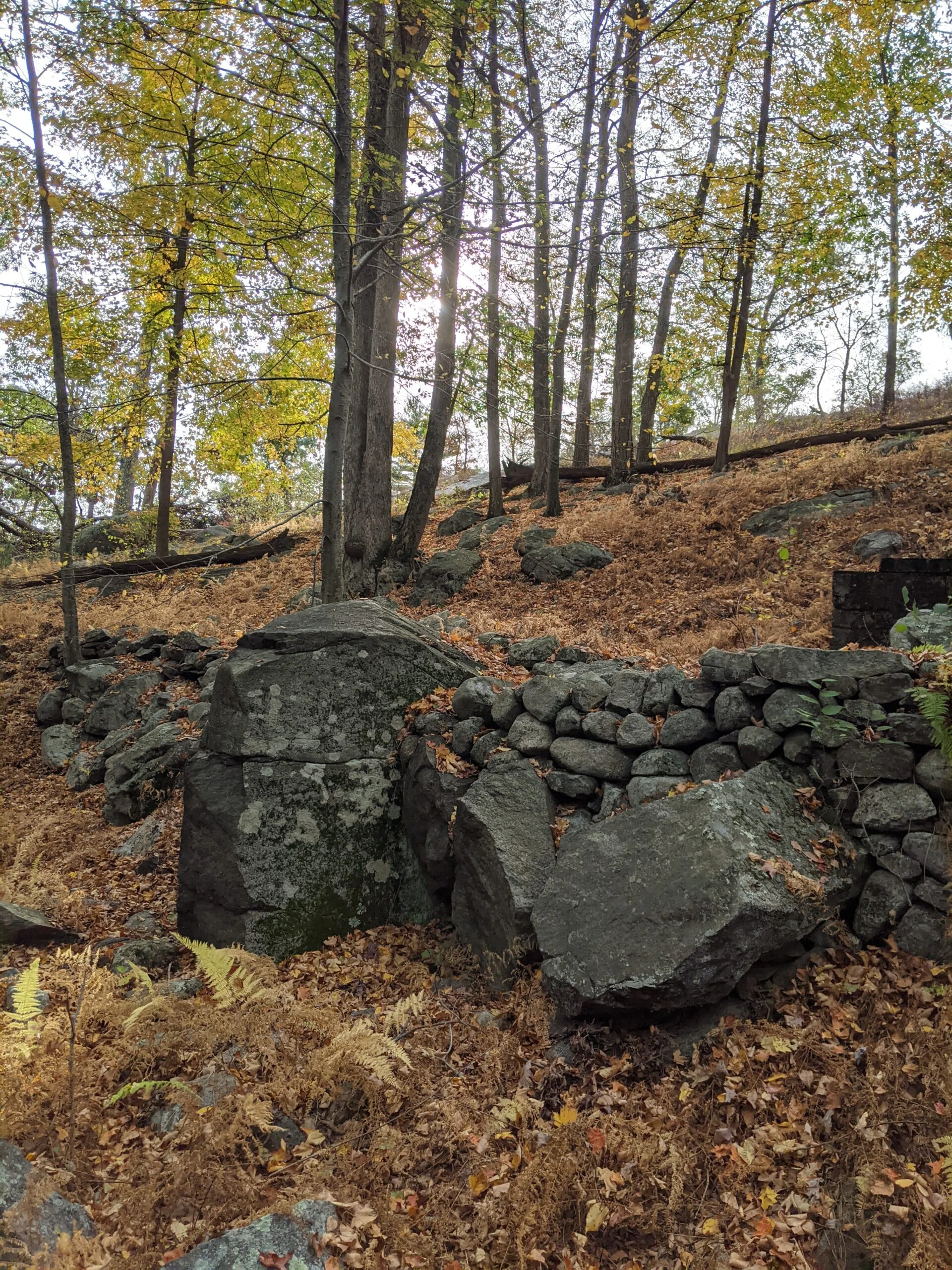
Soon I met up with the Suffern – Bear Mountain trail (S-BM, yellow blazes) and made a left to take that north east. I then crossed over the Tuxedo Mount Ivy trail (white with red dash blazes). At this intersection, I took a few photos of what appeared to be the base of an old fireplace or chimney. Roughly a half a mile or so past this intersection, I stopped to snack and top off my water reservoir. Up until this point, after splitting off onto my own route, I had only seen one other person, but now I started to see a few more coming through this area.
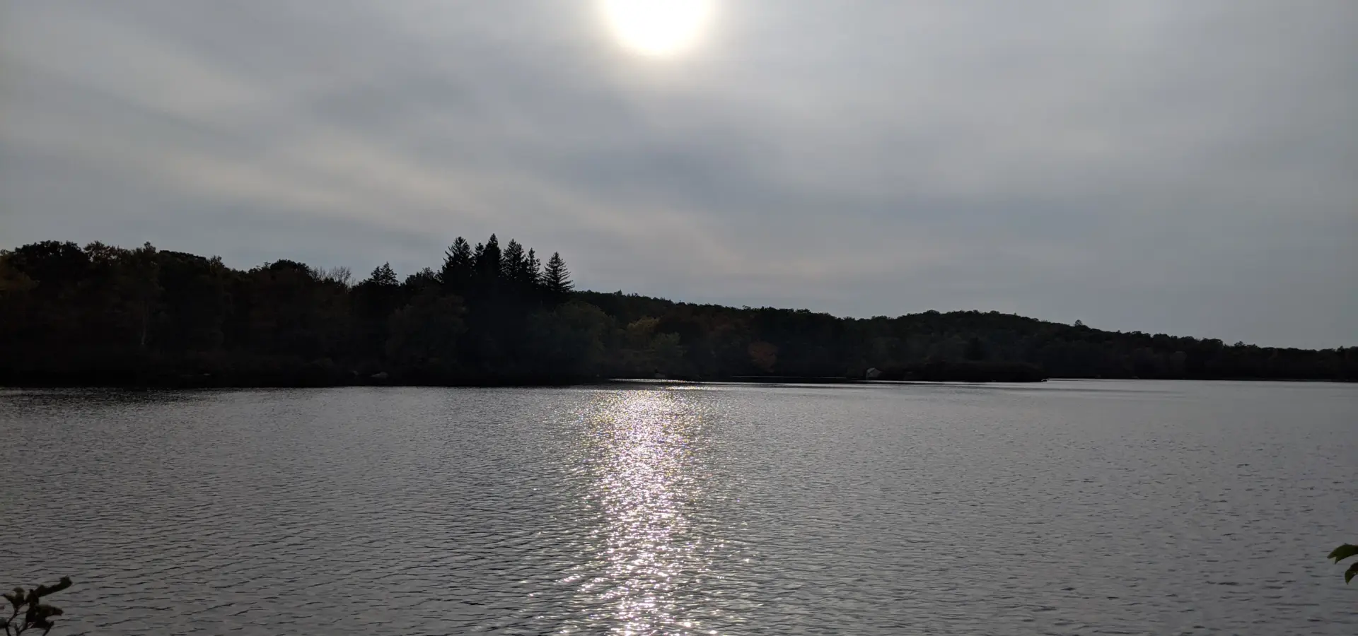
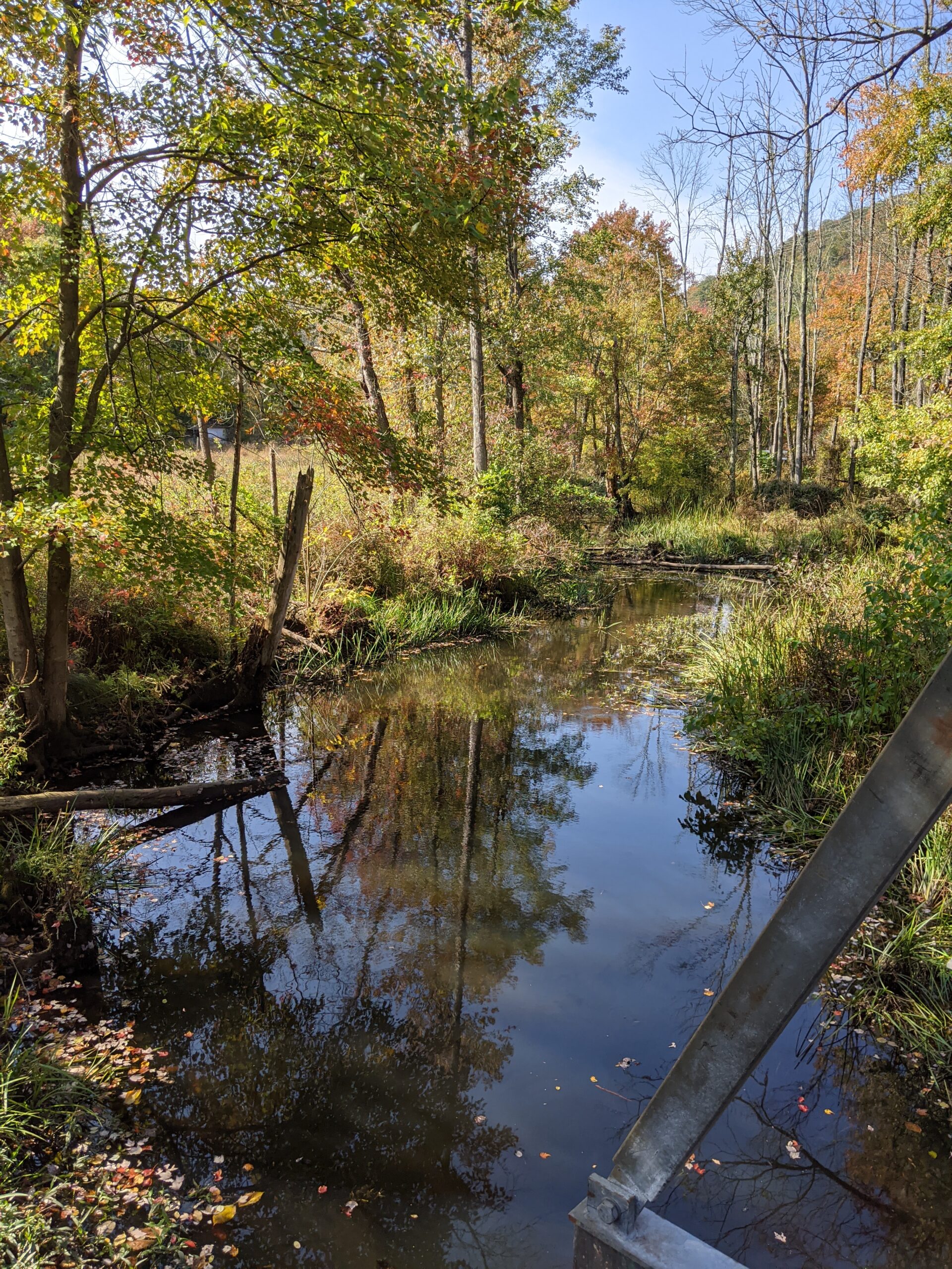
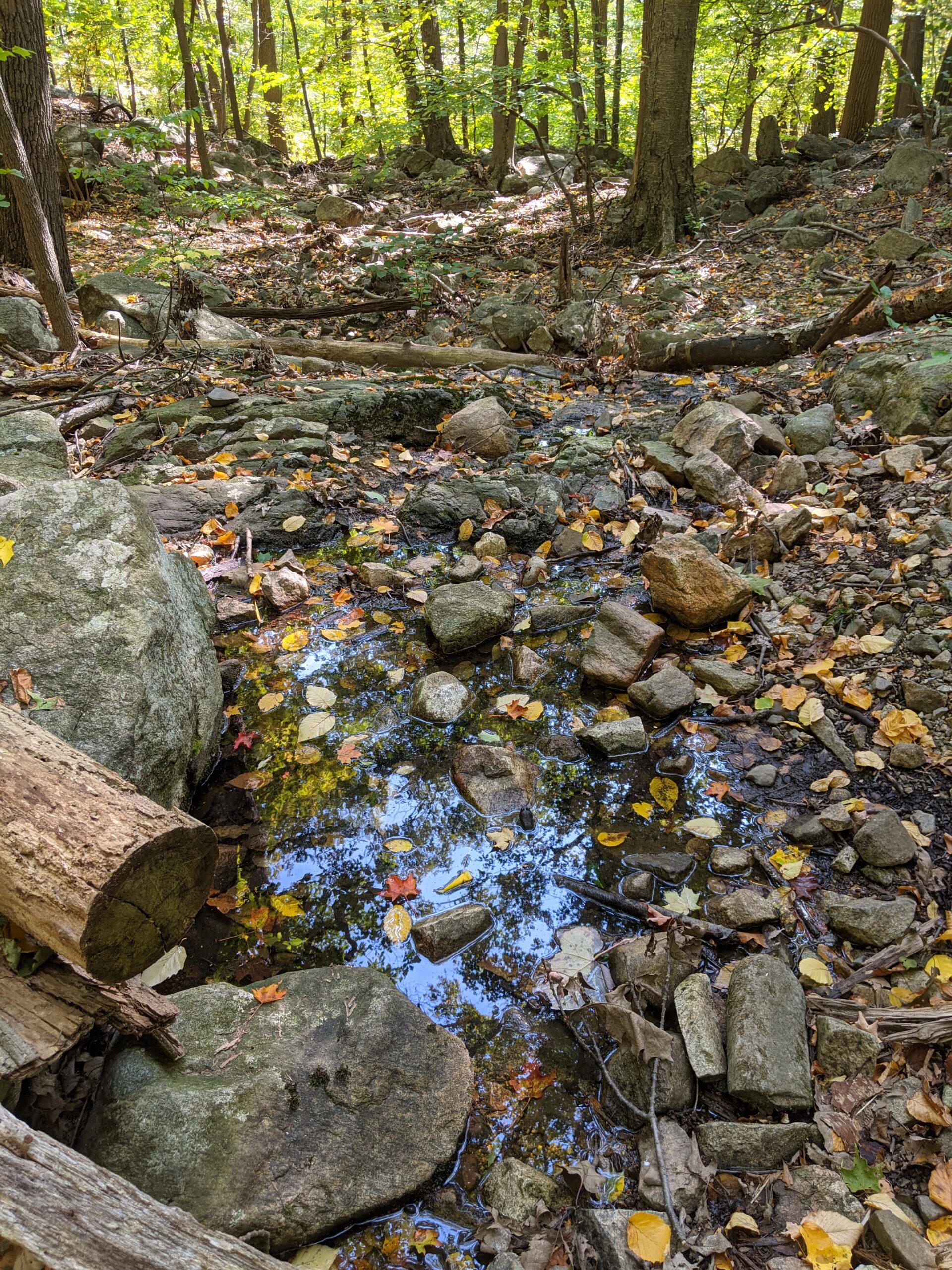
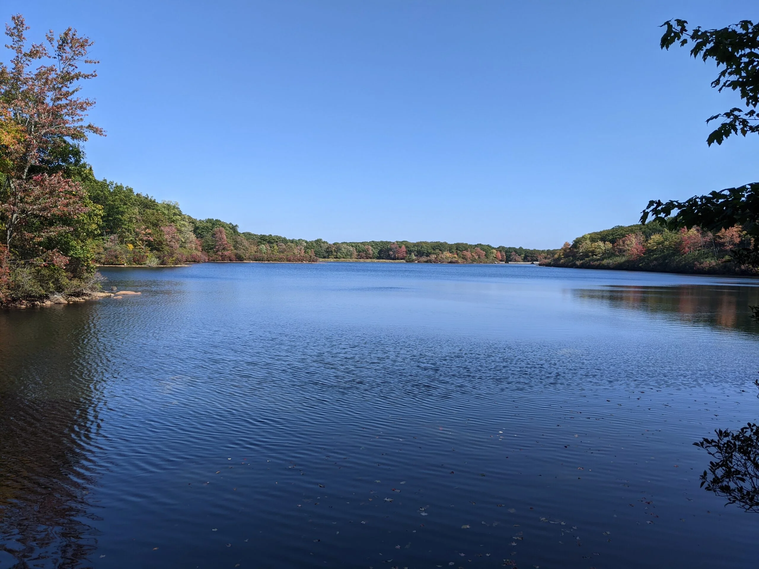
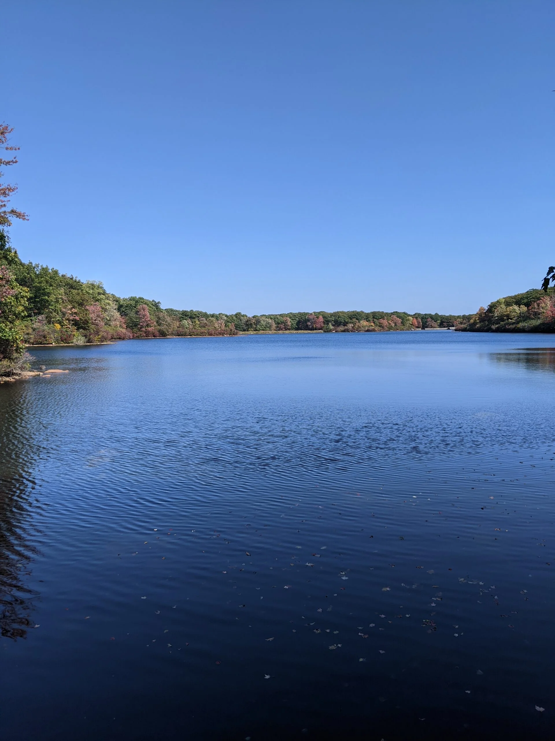
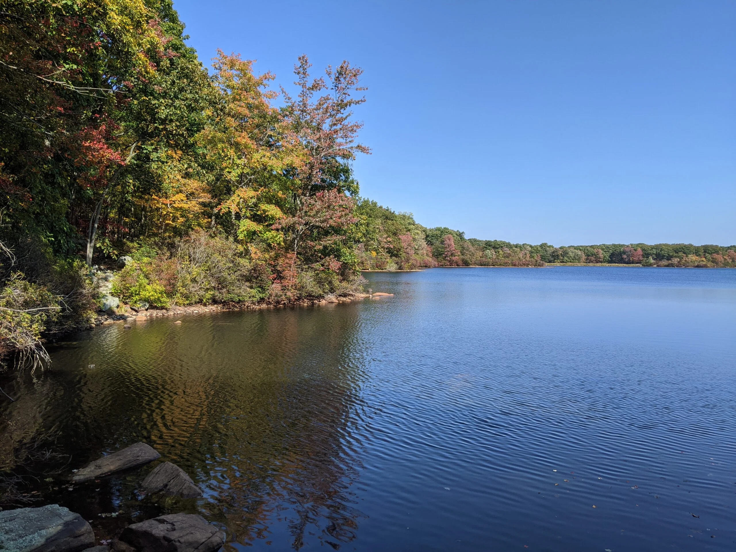
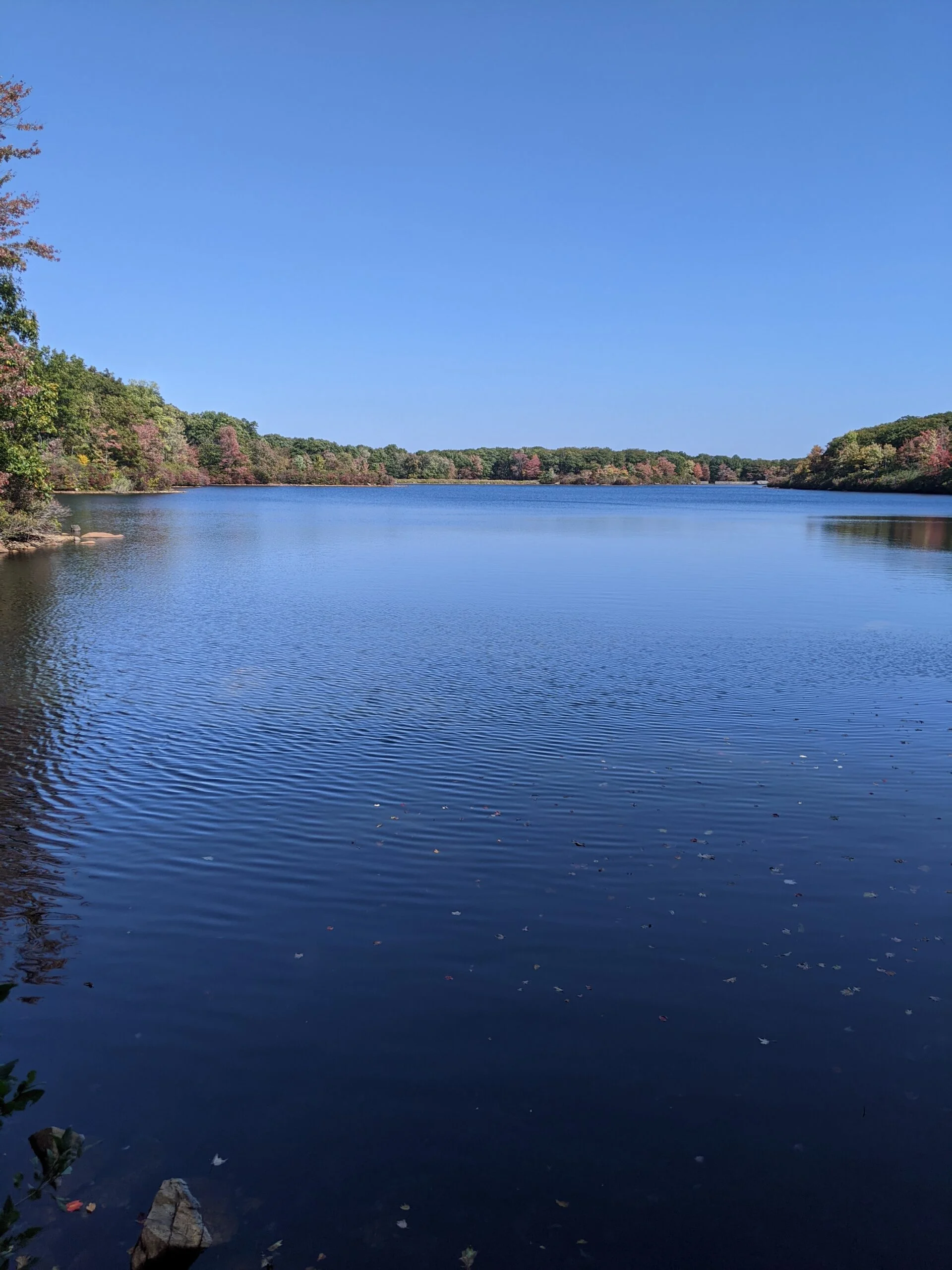
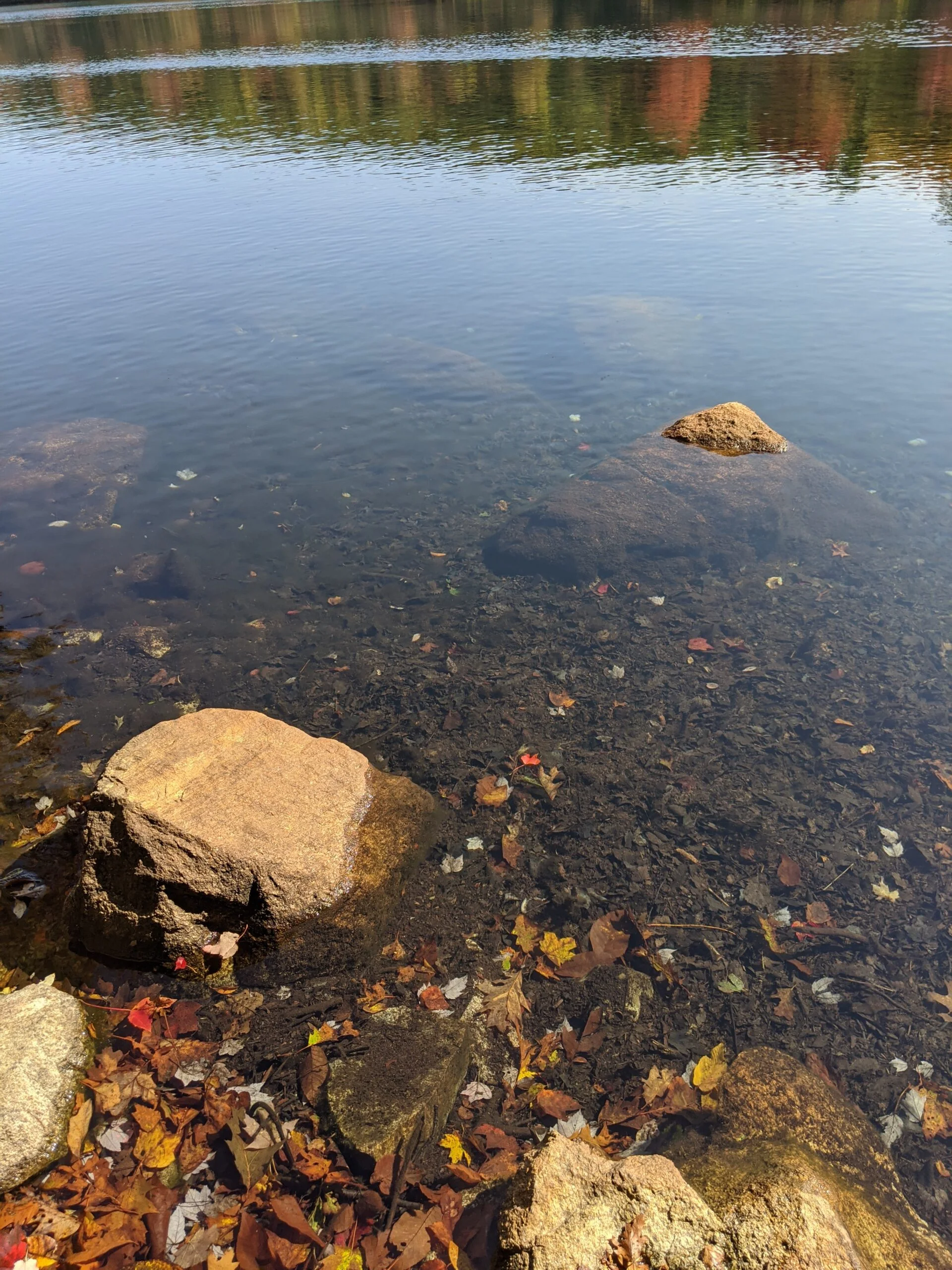
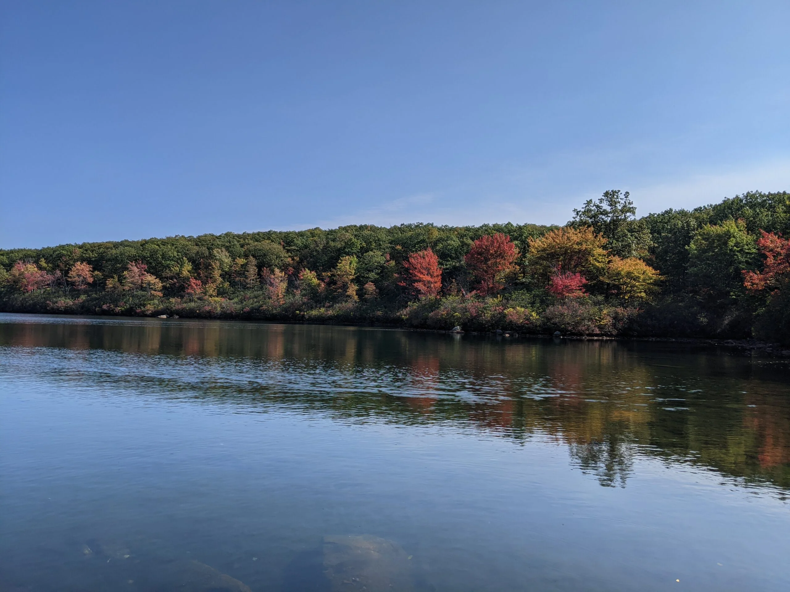
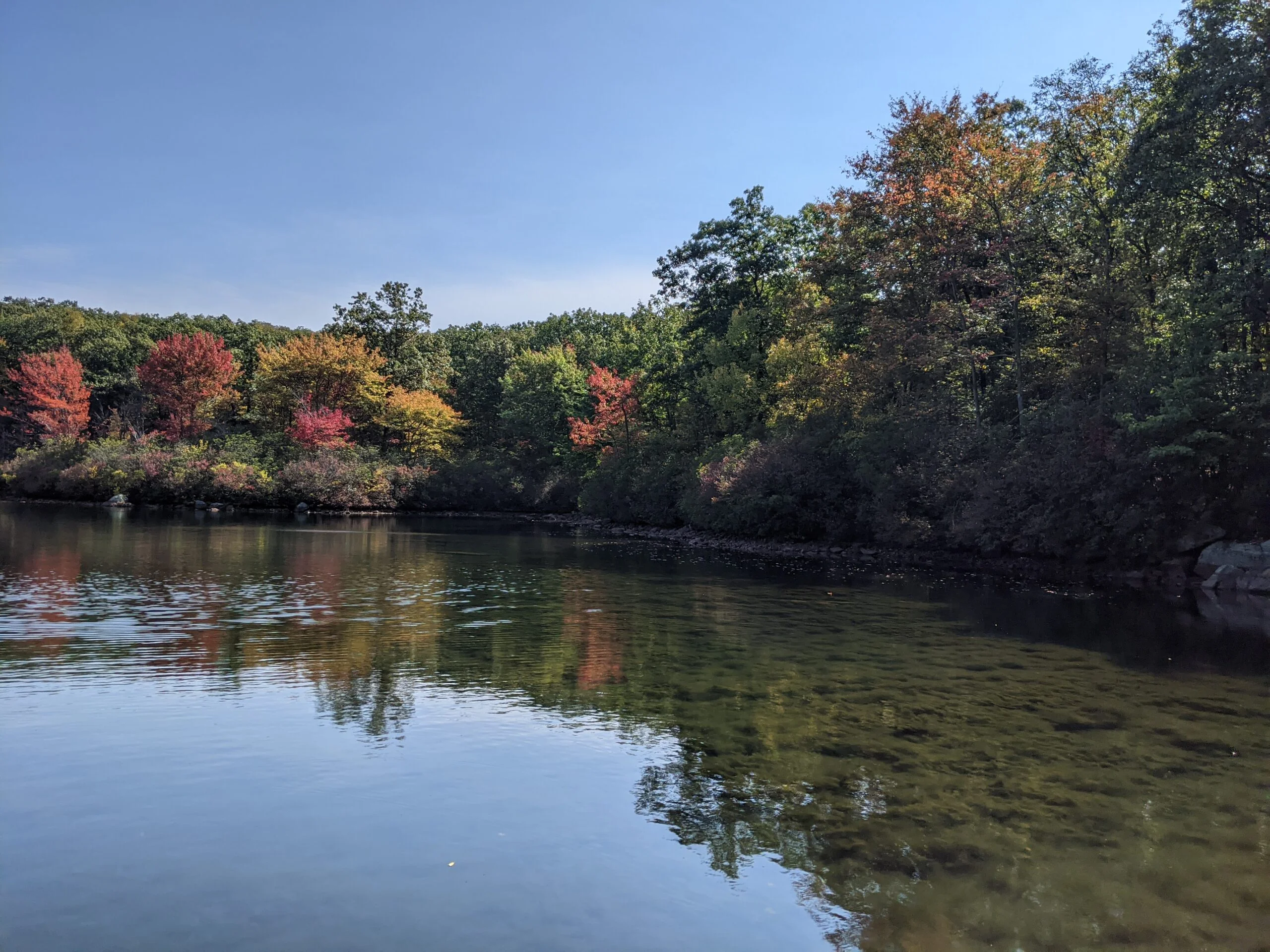
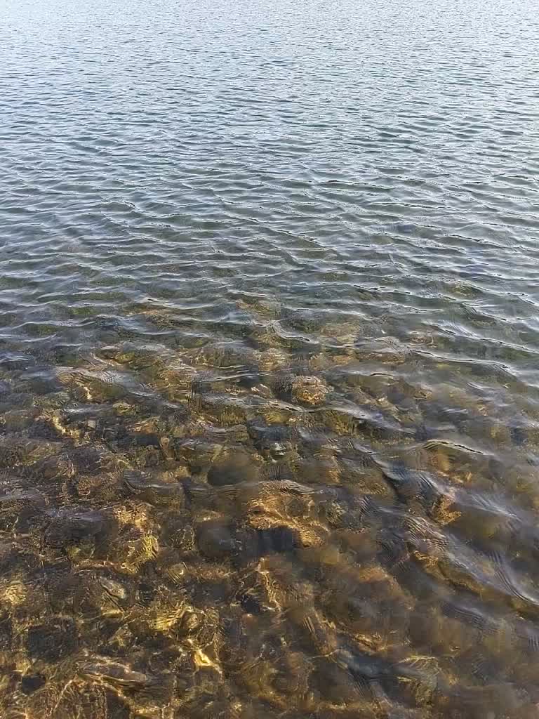
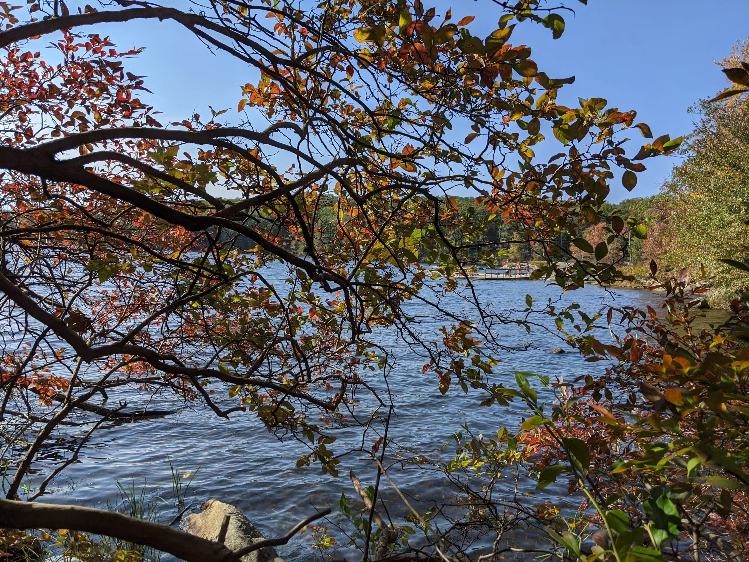
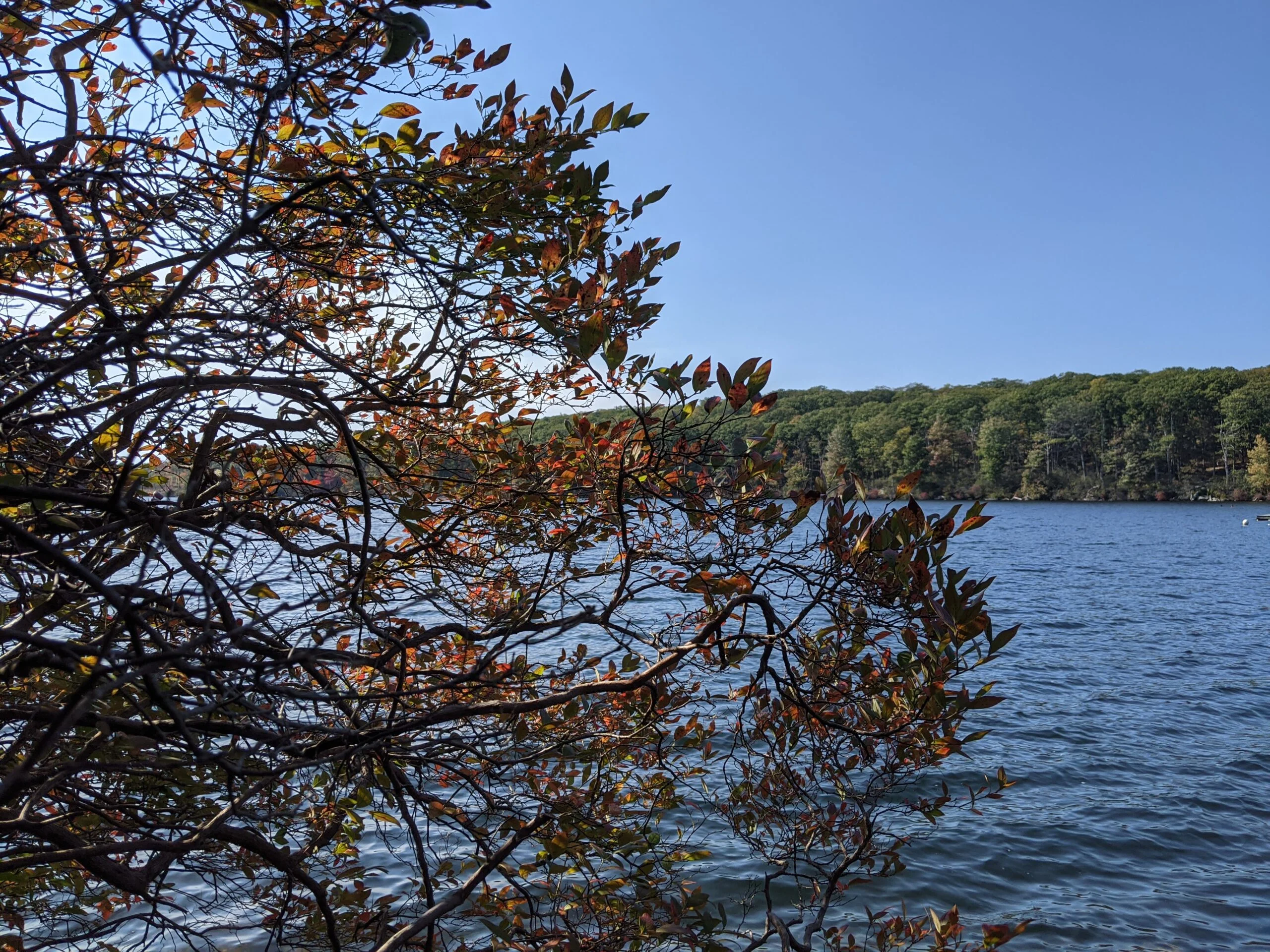
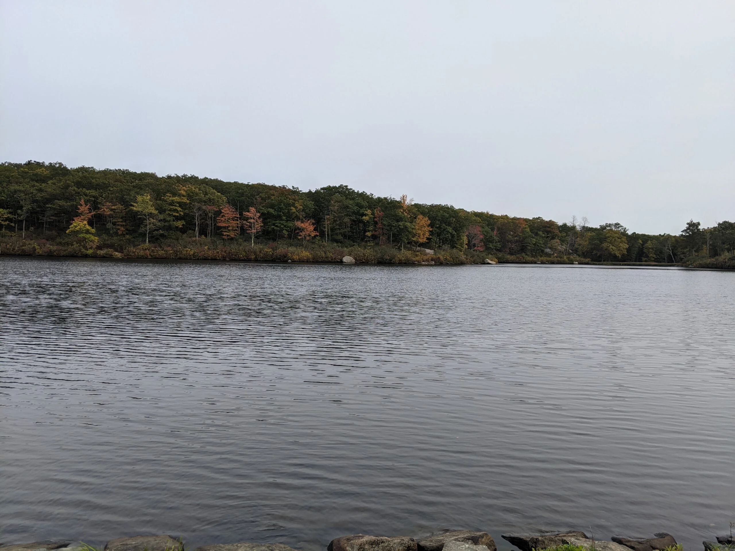
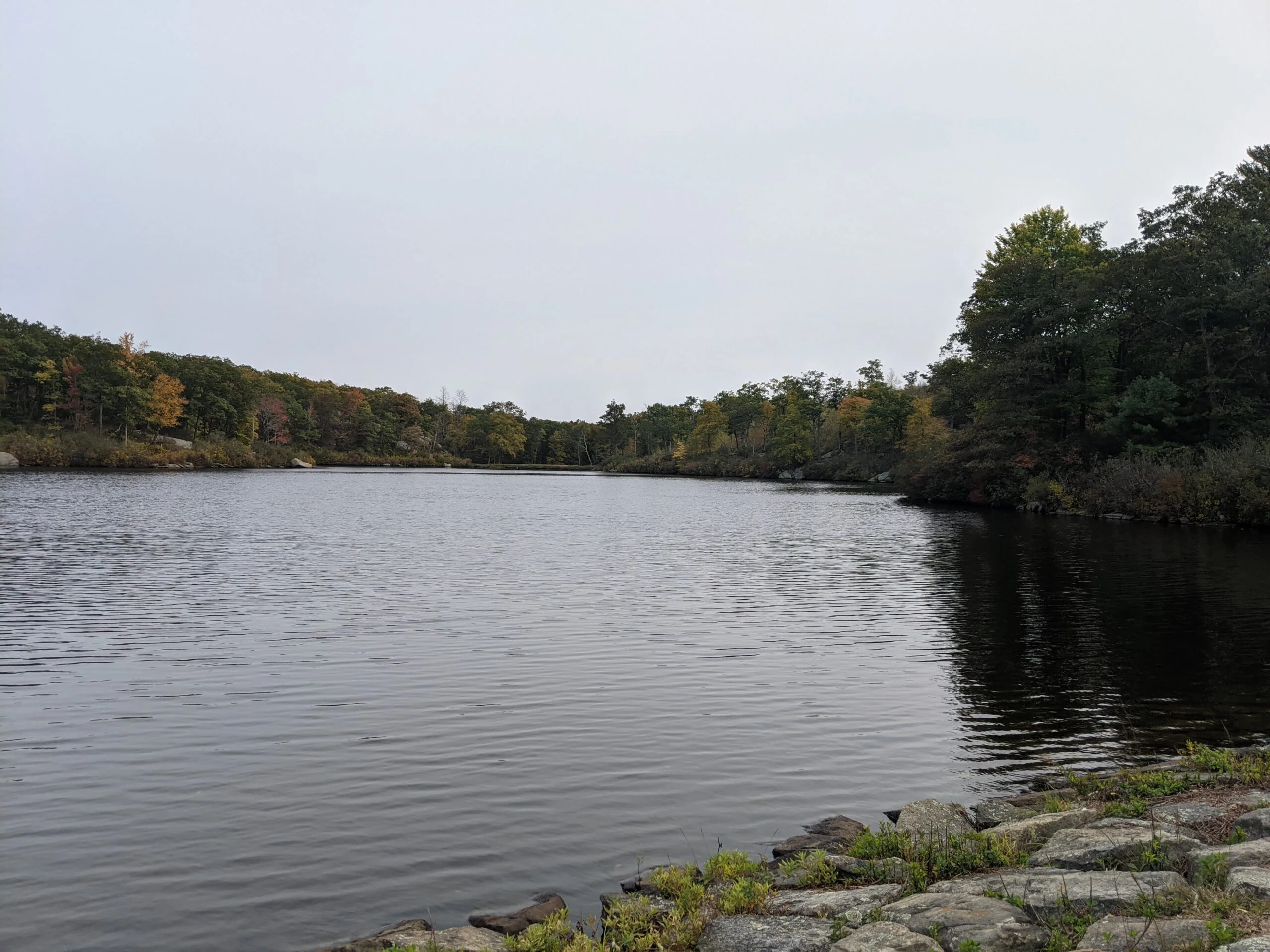
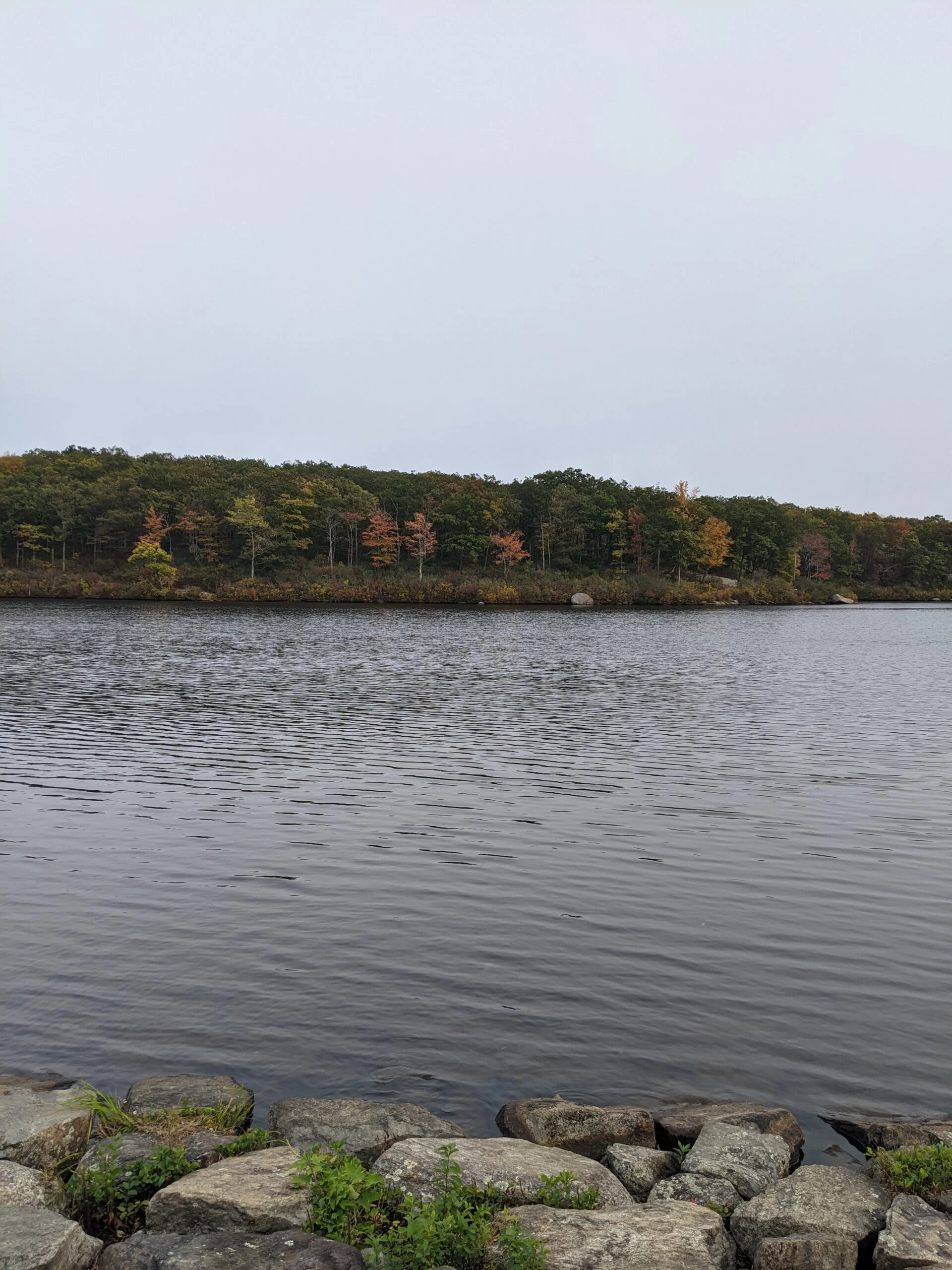
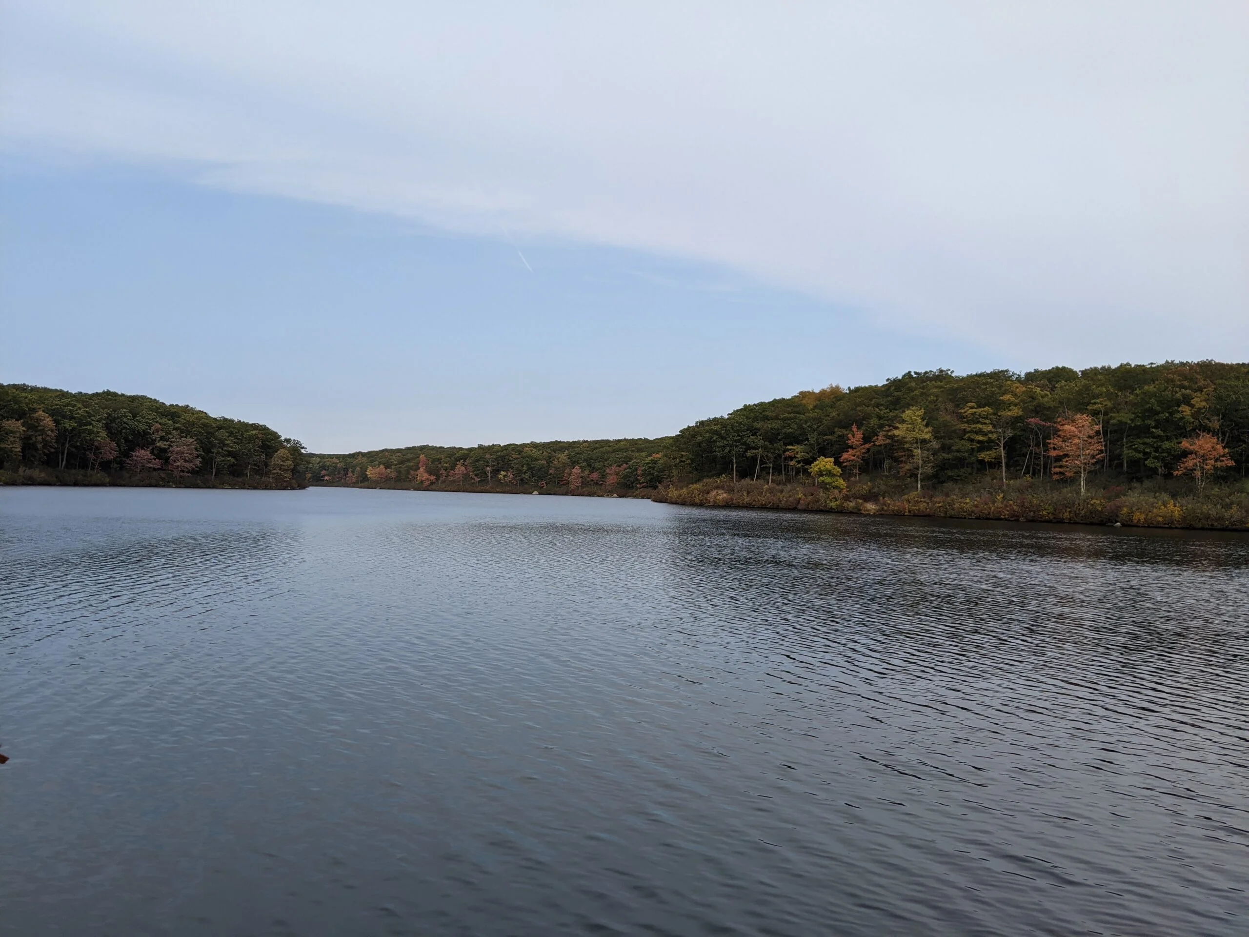
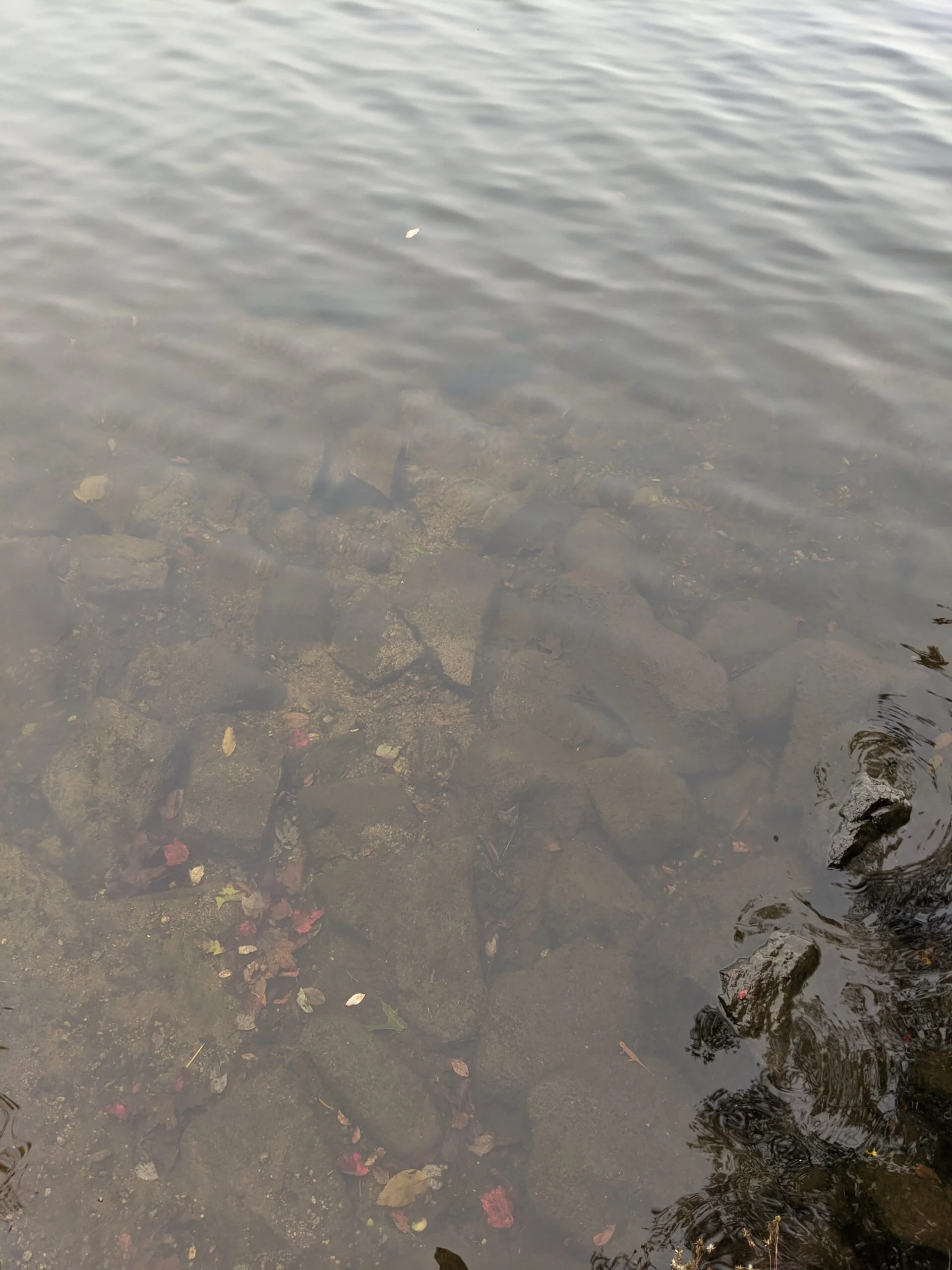
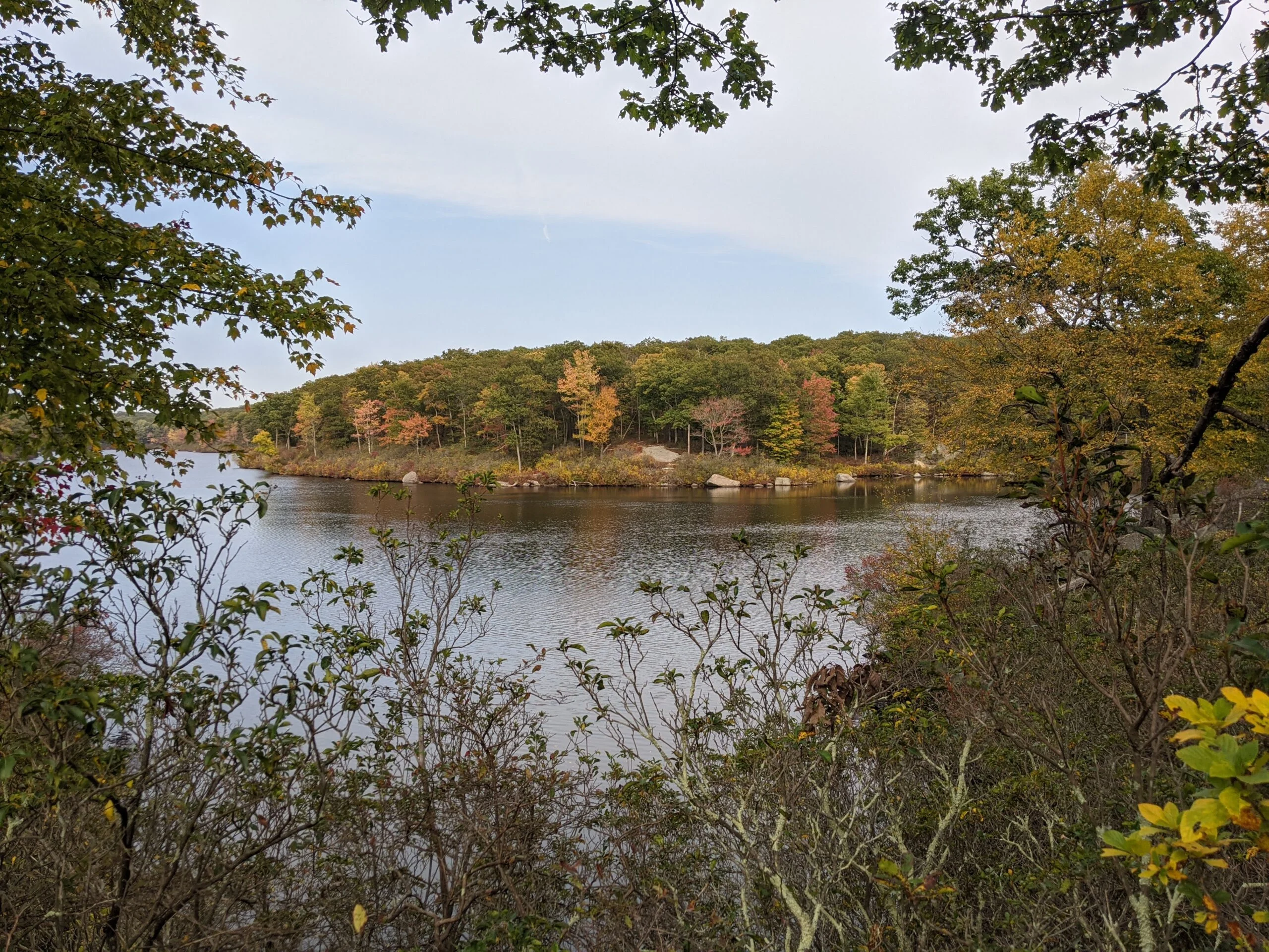
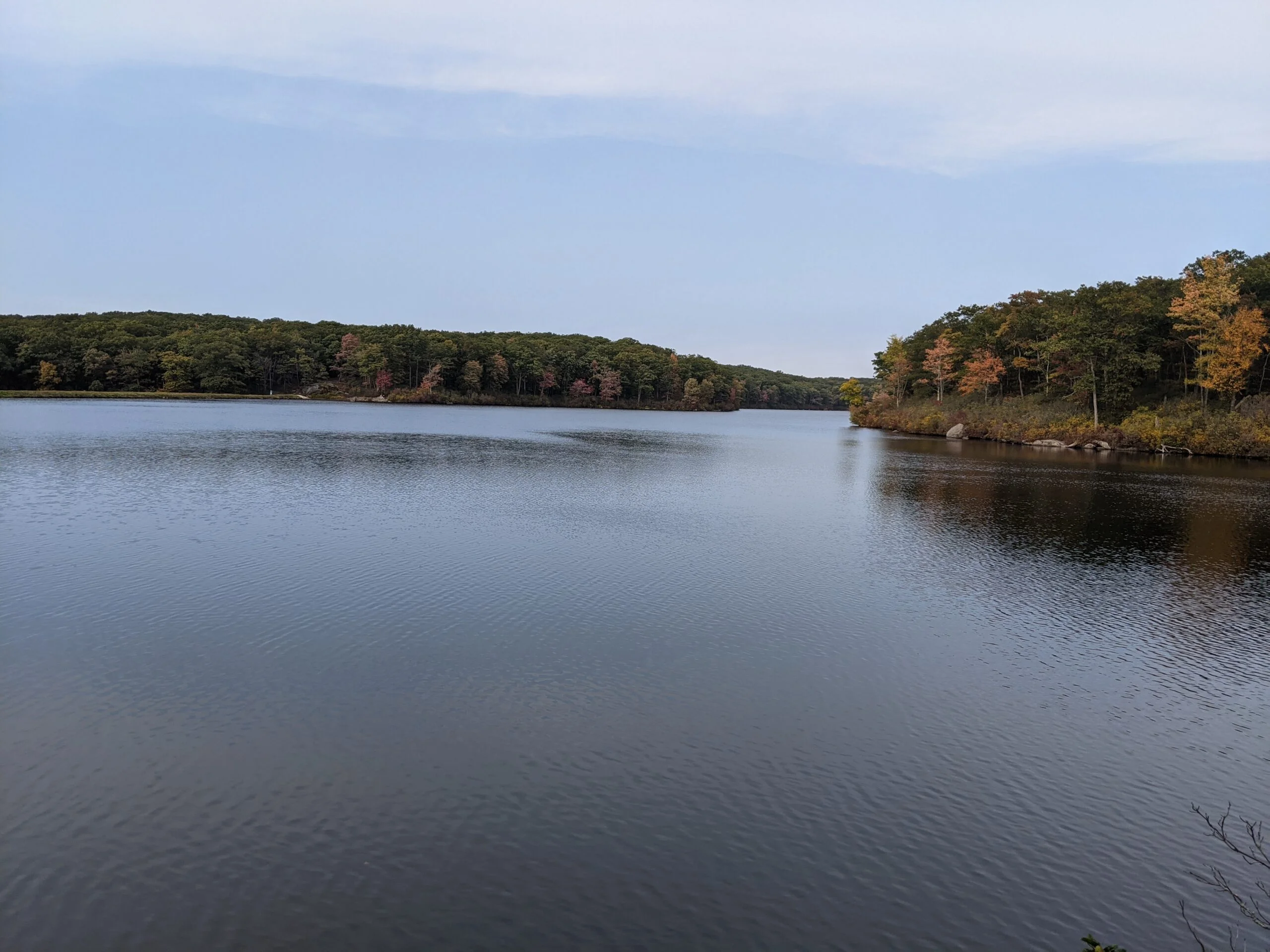
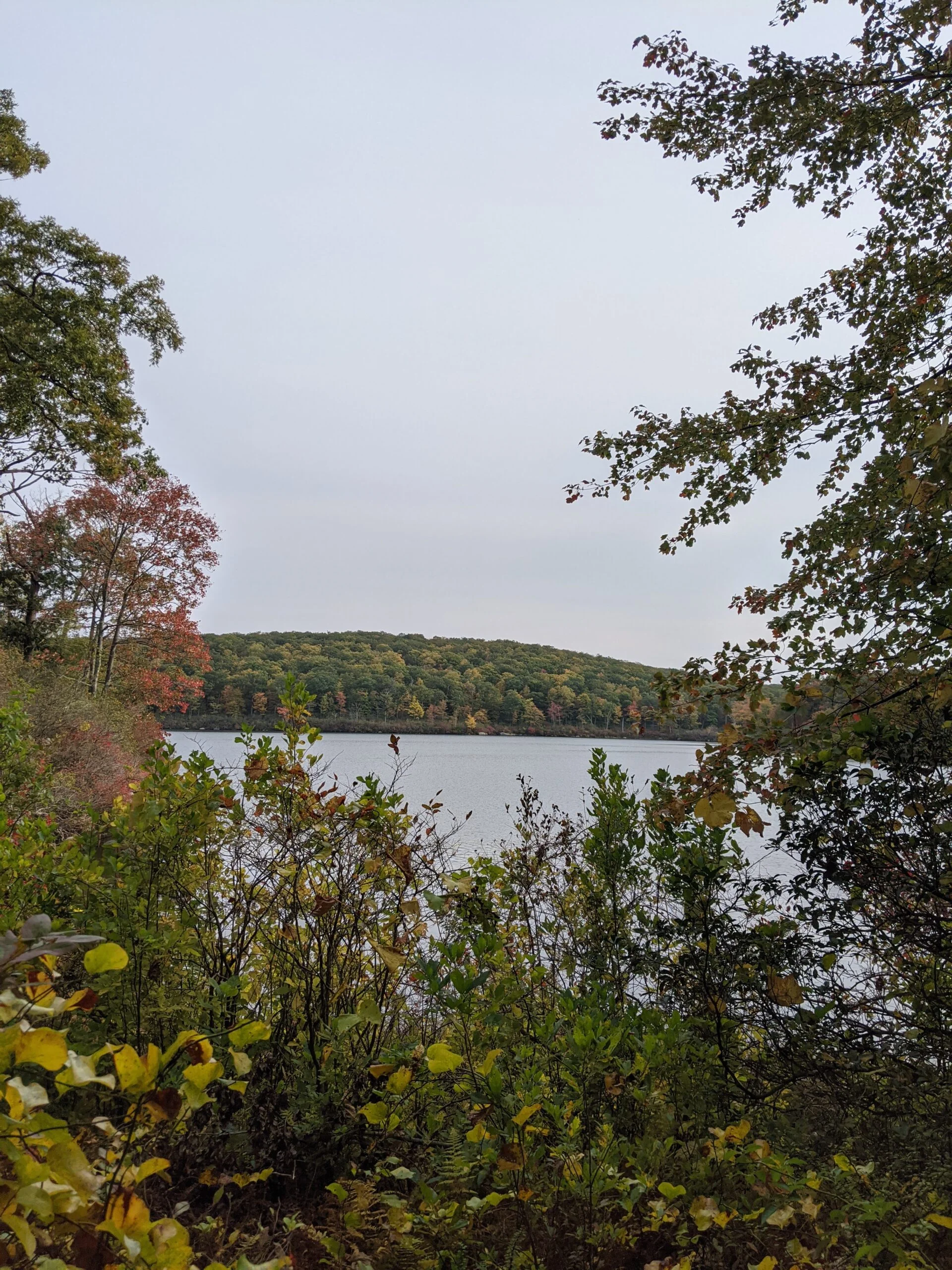
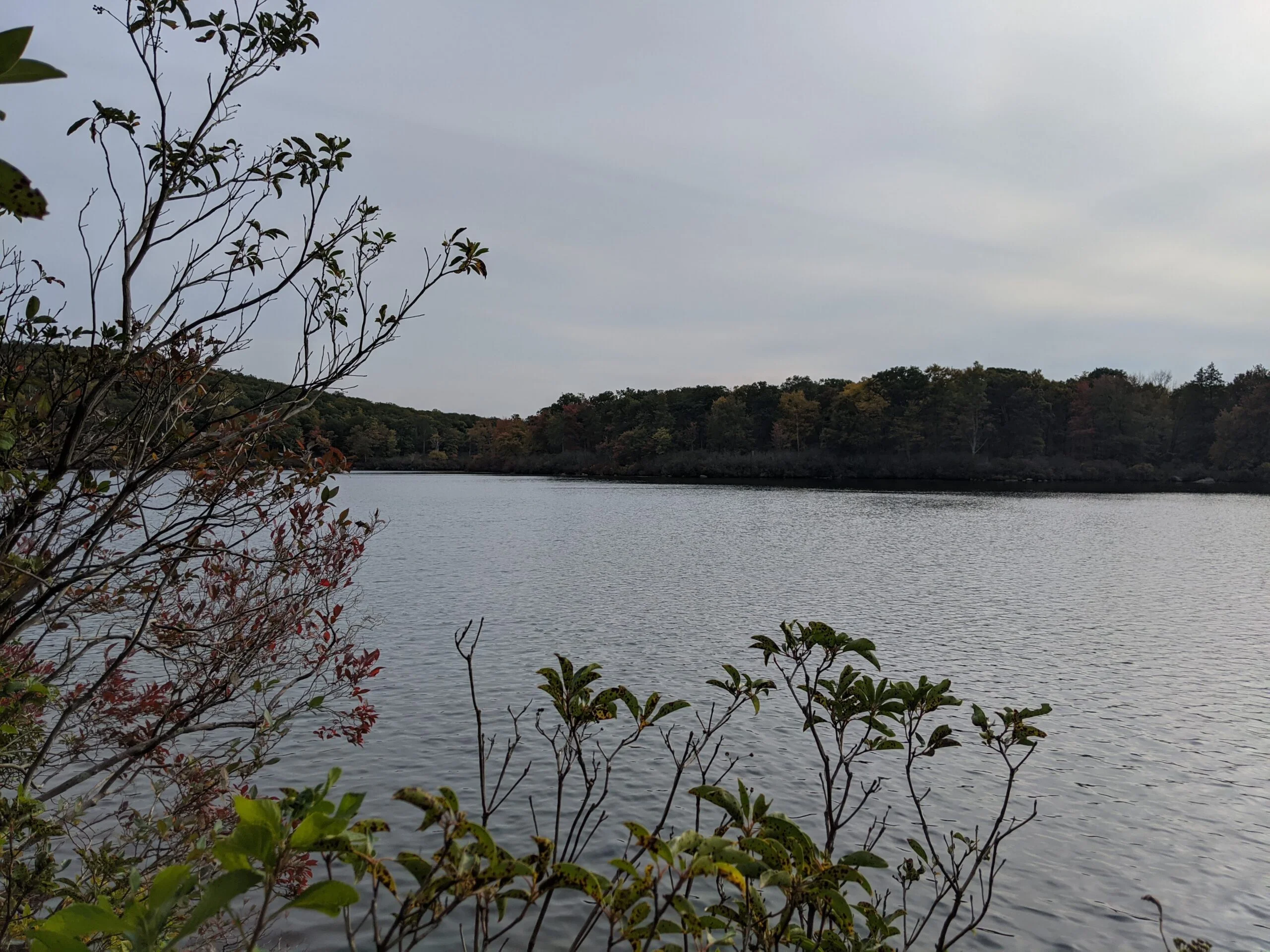
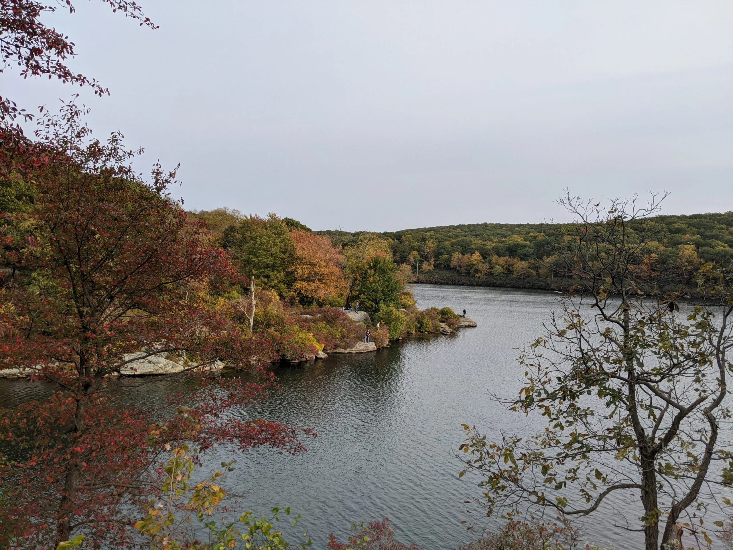
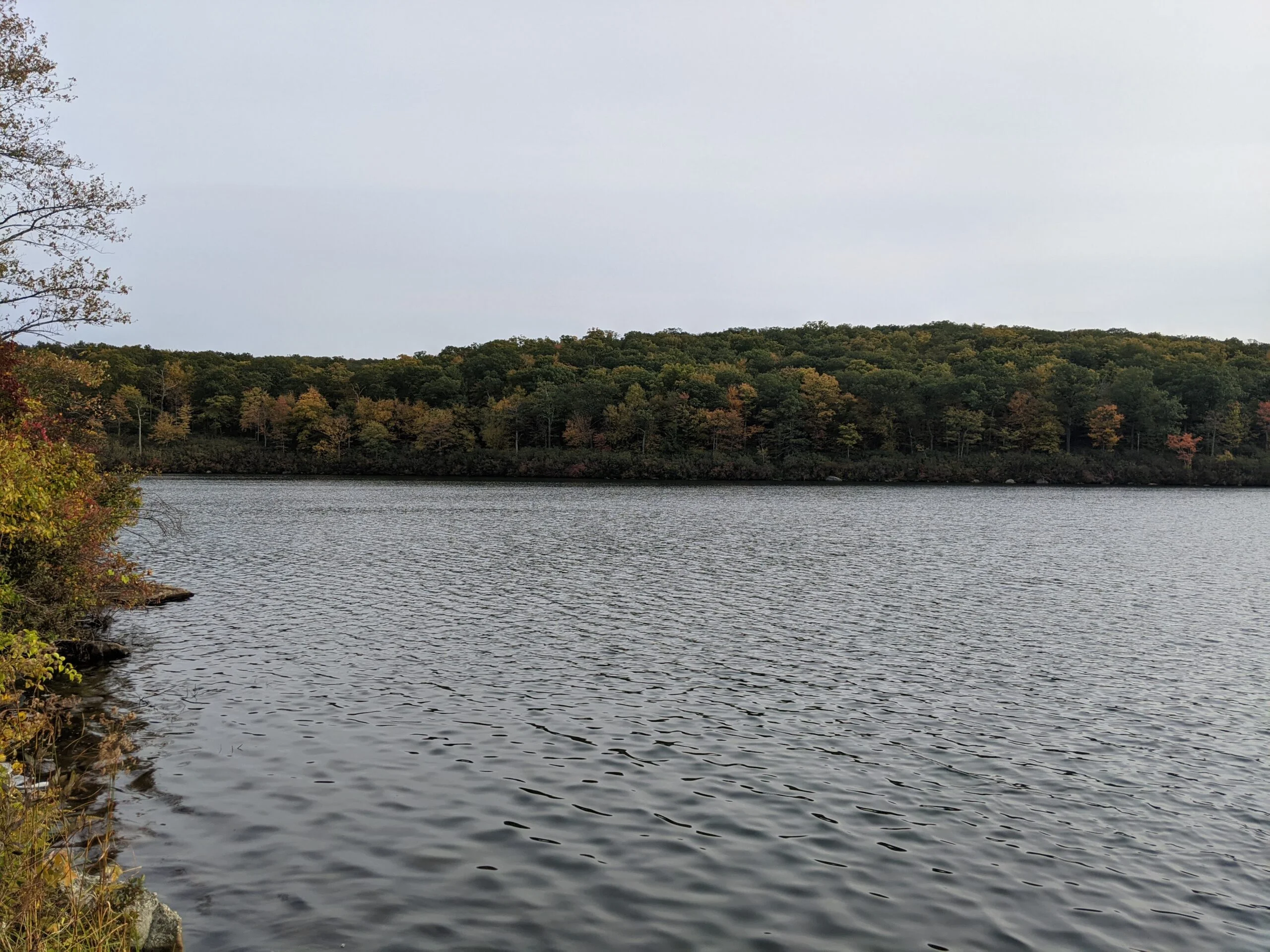
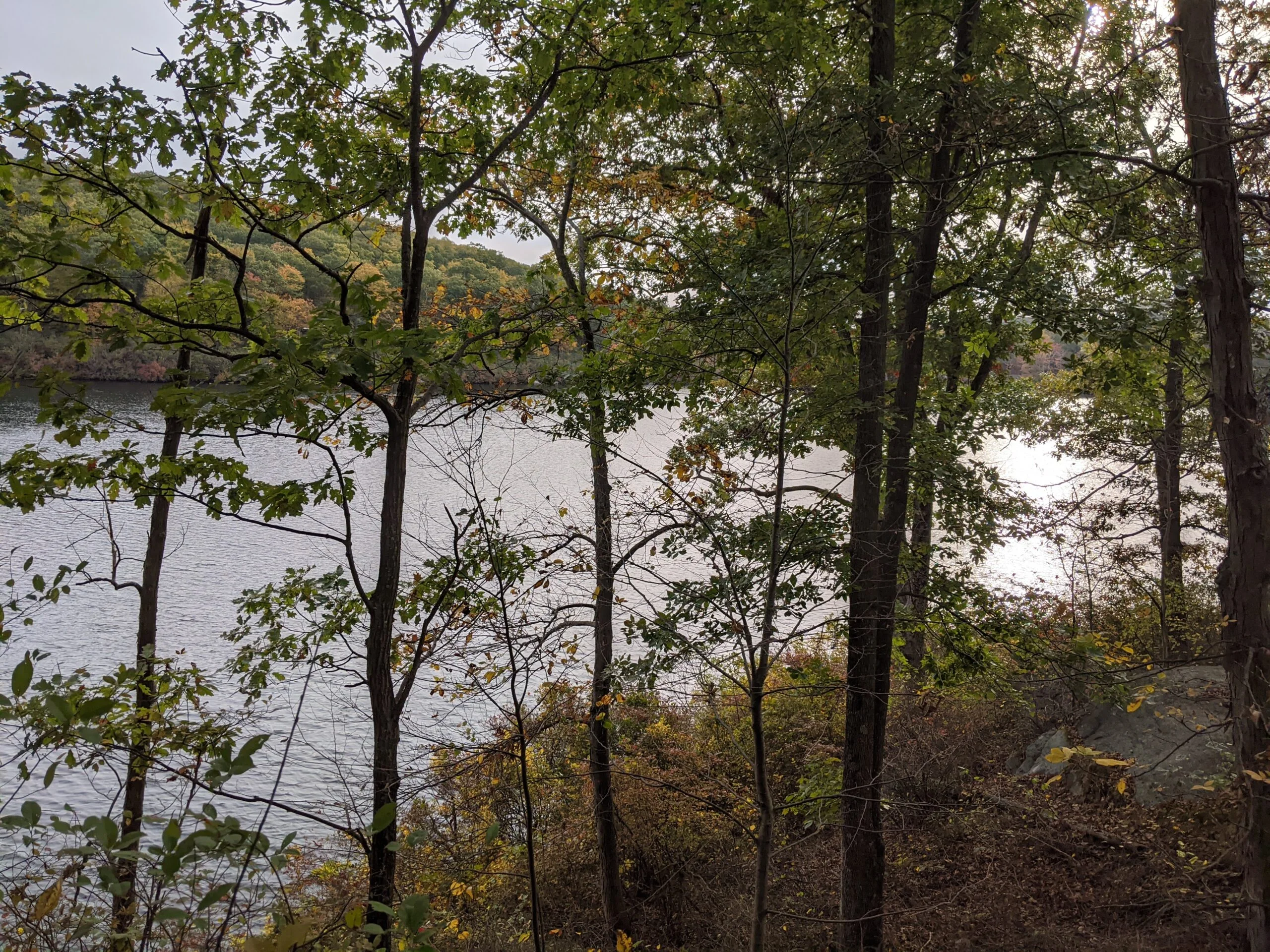
I continued north on S-BM until I reached Third Reservoir, about 3.8 miles into my hike. This reservoir is beautiful! The water at the short line is crystal clear and I could easily see to the shallow bottom. I circled around to take photos at several of the different vantage points. I’m not sure if swimming is allowed here since it’s a reservoir, but I wished that I had my swimsuit with me.
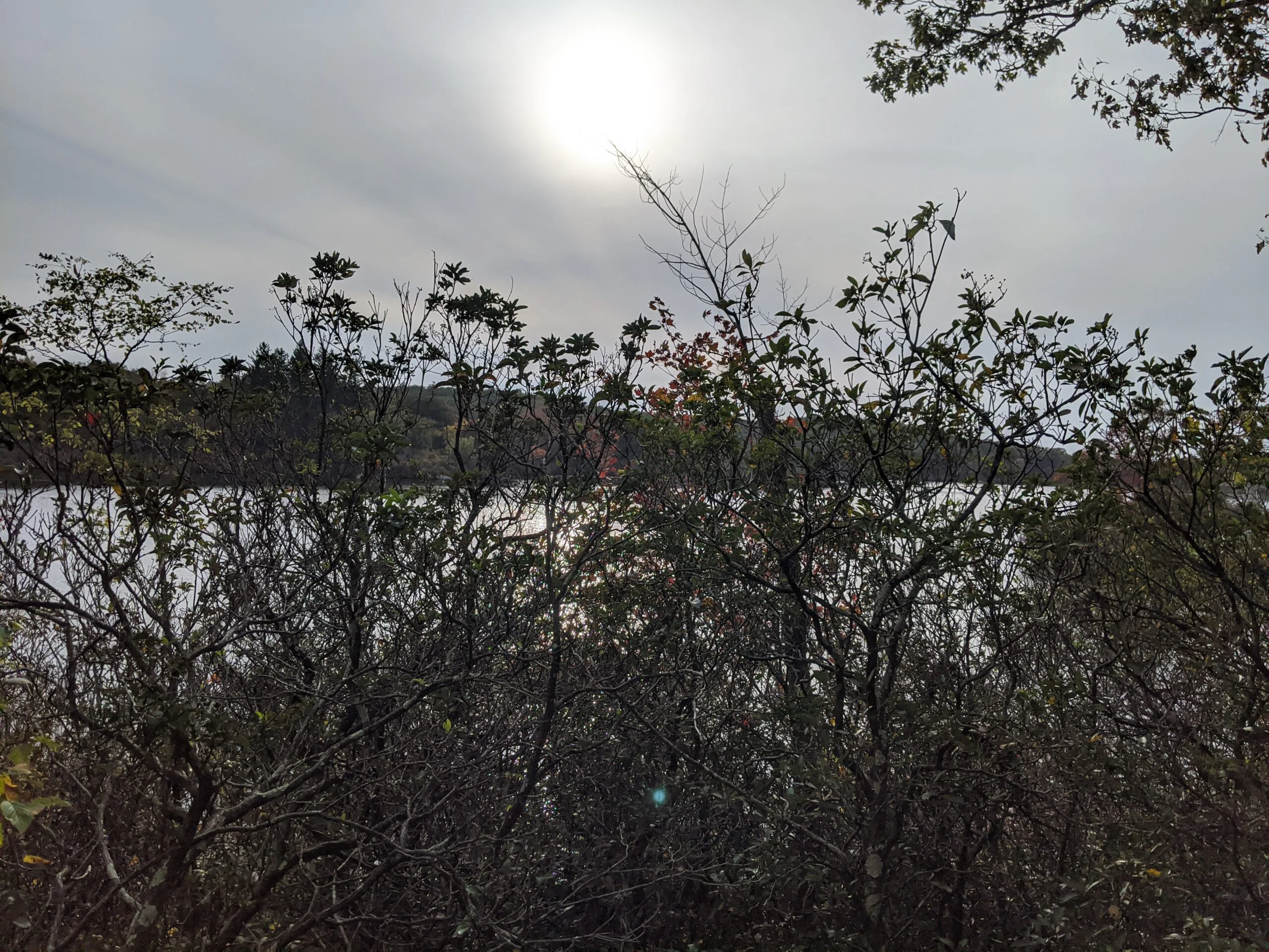
After leaving the reservoir, I followed S-BM north a short while until it met up with the Breakneck Mountain trail (white blazes). I took the left onto trail, which I knew would take me in close proximity to Breakneck Pond, but I didn’t see a clear route on the map to get there. I didn’t need to search too long, as I soon came to a fork and it was clear that heading right would take me to the pond. There’s a short 1/10th mile trail that descends about 100 feet to not only the pond, but to what I would later learn is the Harriman Outdoor Center.
I saw private cabins, charcoal grills, picnic tables, and a large dock on the water filled with people. I learned that there are also tent platforms, three-sided shelters, a kitchen serving breakfast and dinner, and more. I’m going to have to check this out for next season, as it looks like it closes tomorrow. I couldn’t get any great views of the pond from the side I entered on and I didn’t want to disturb the guests by exploring too much, so I headed back up the trail to continue my journey.
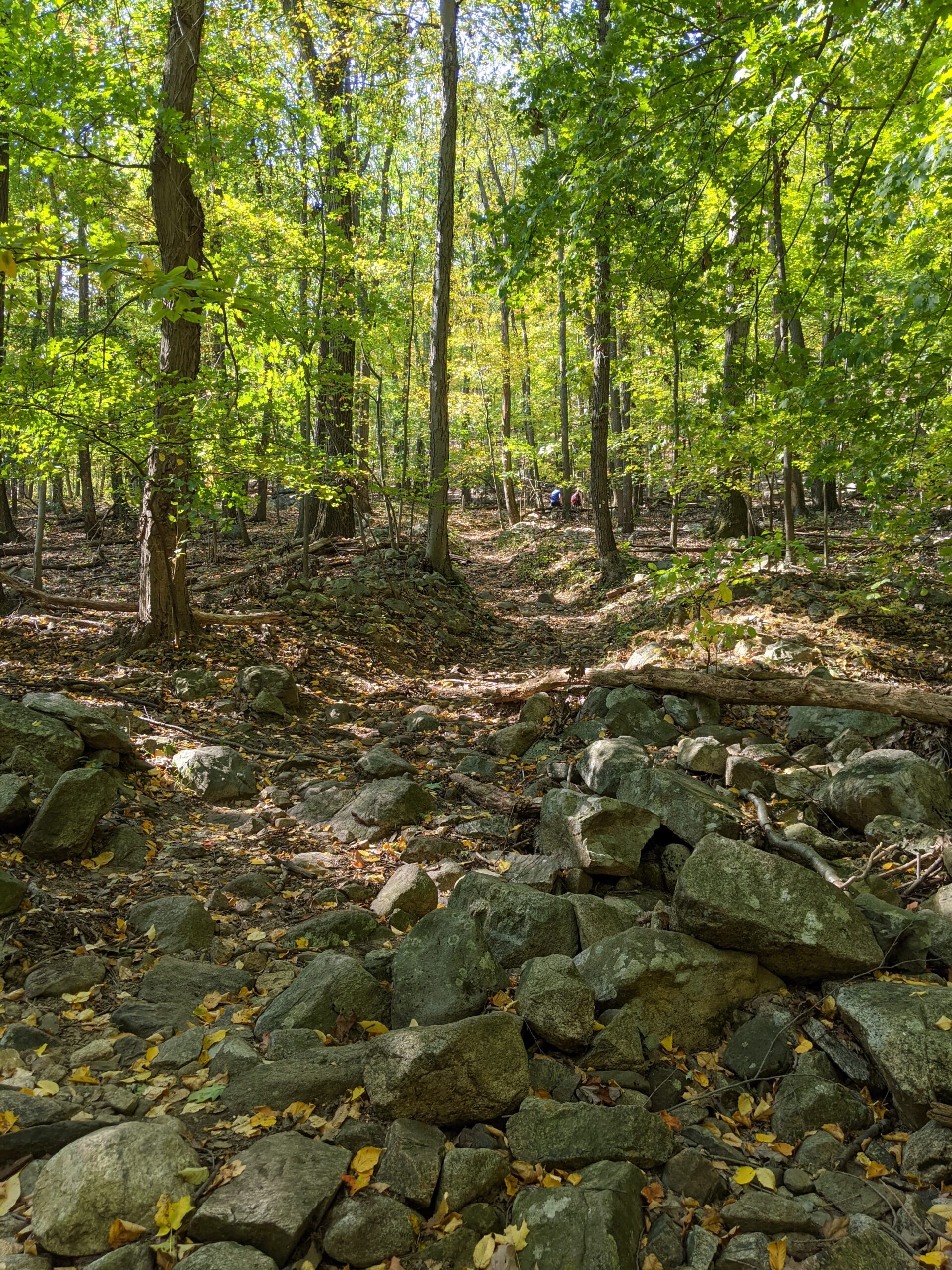
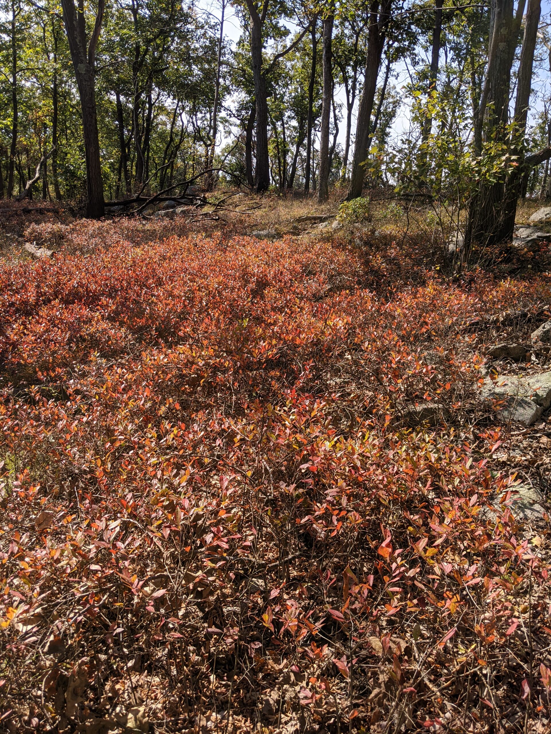
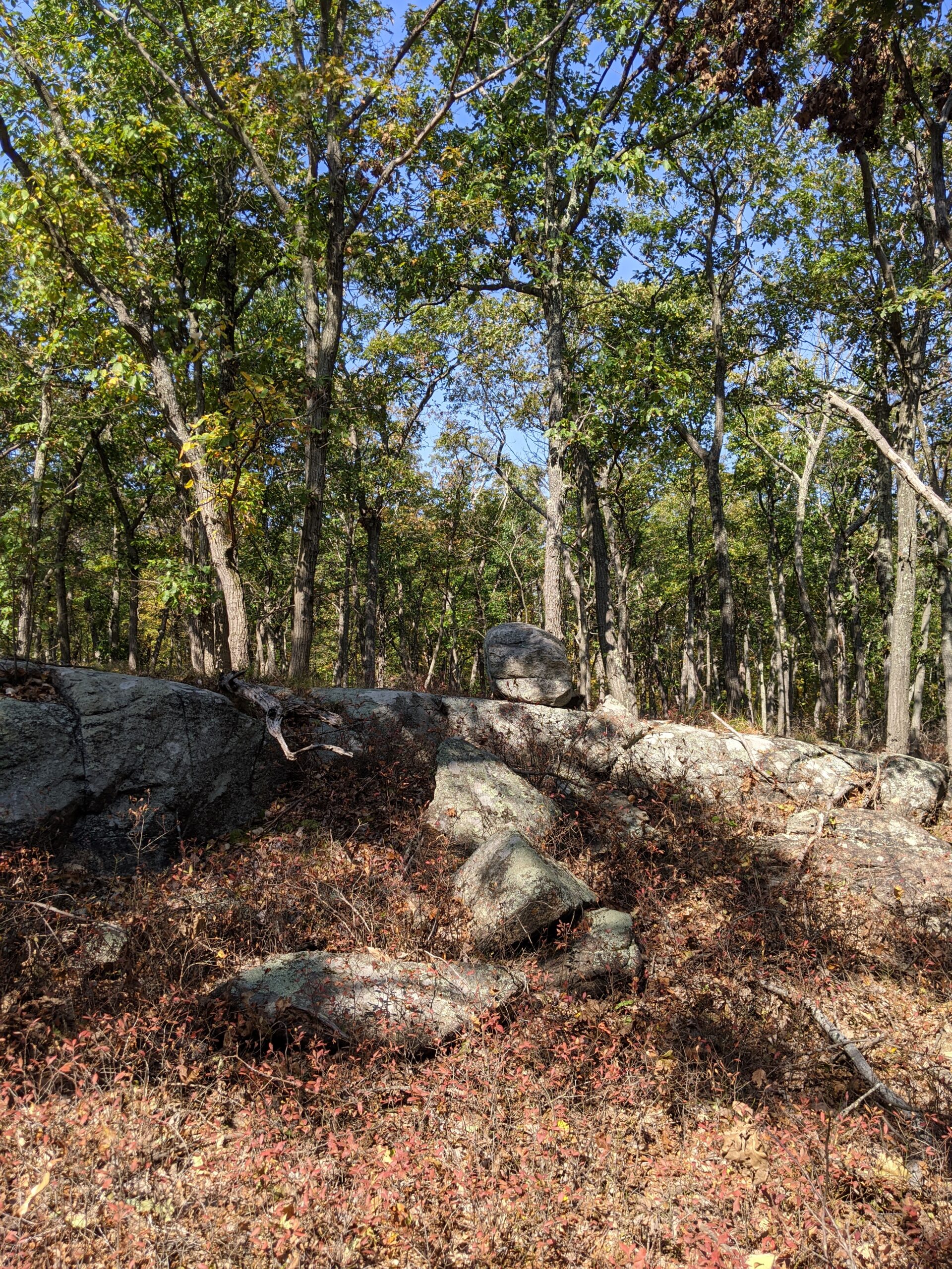
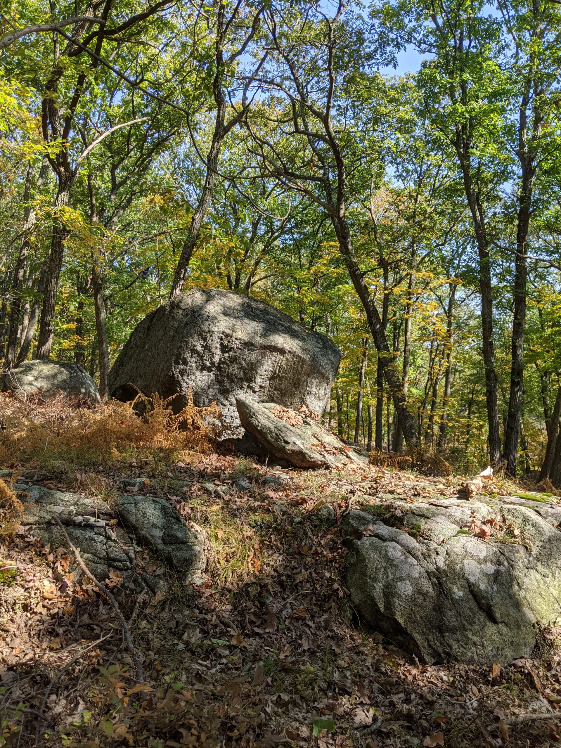
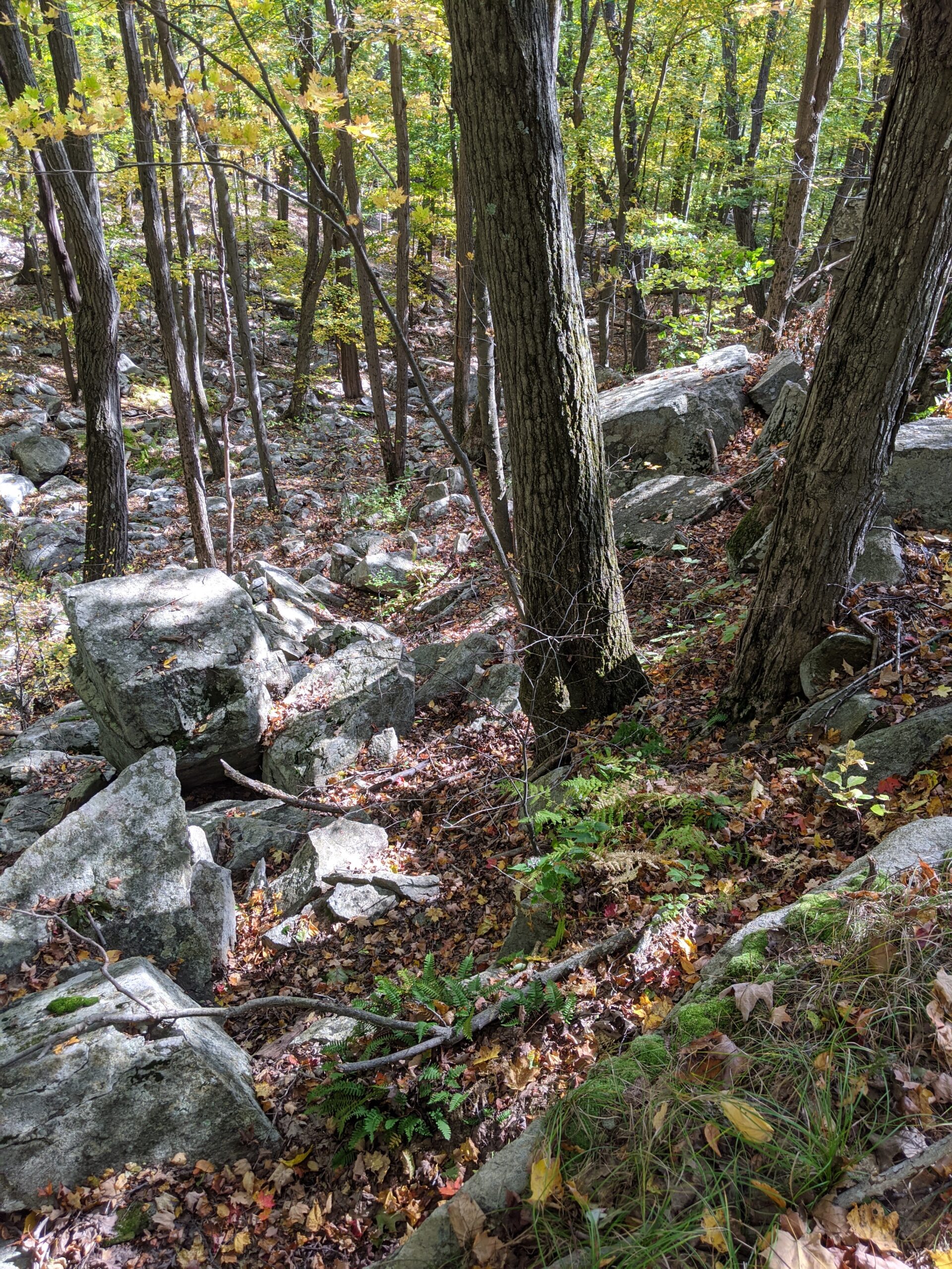
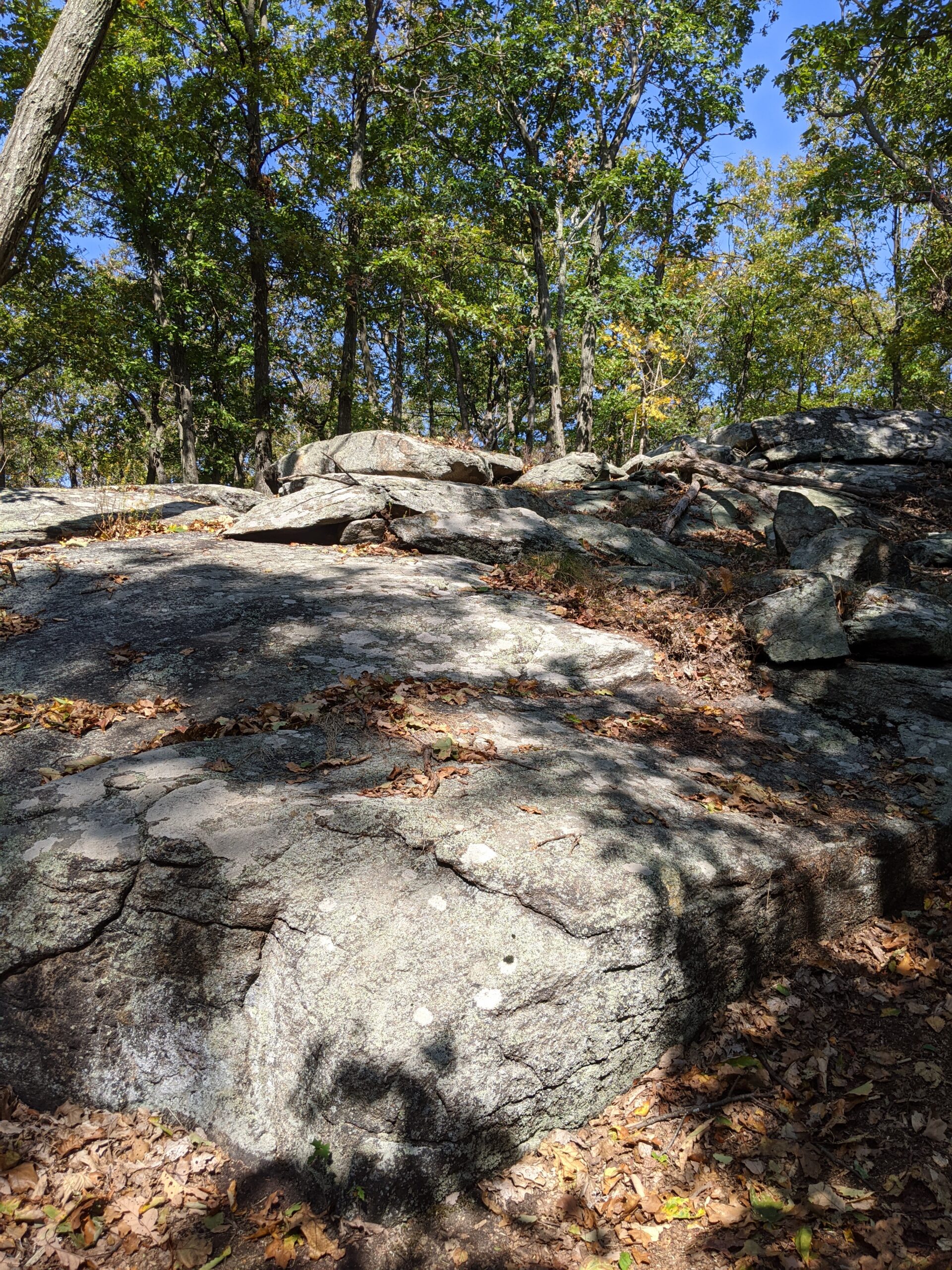
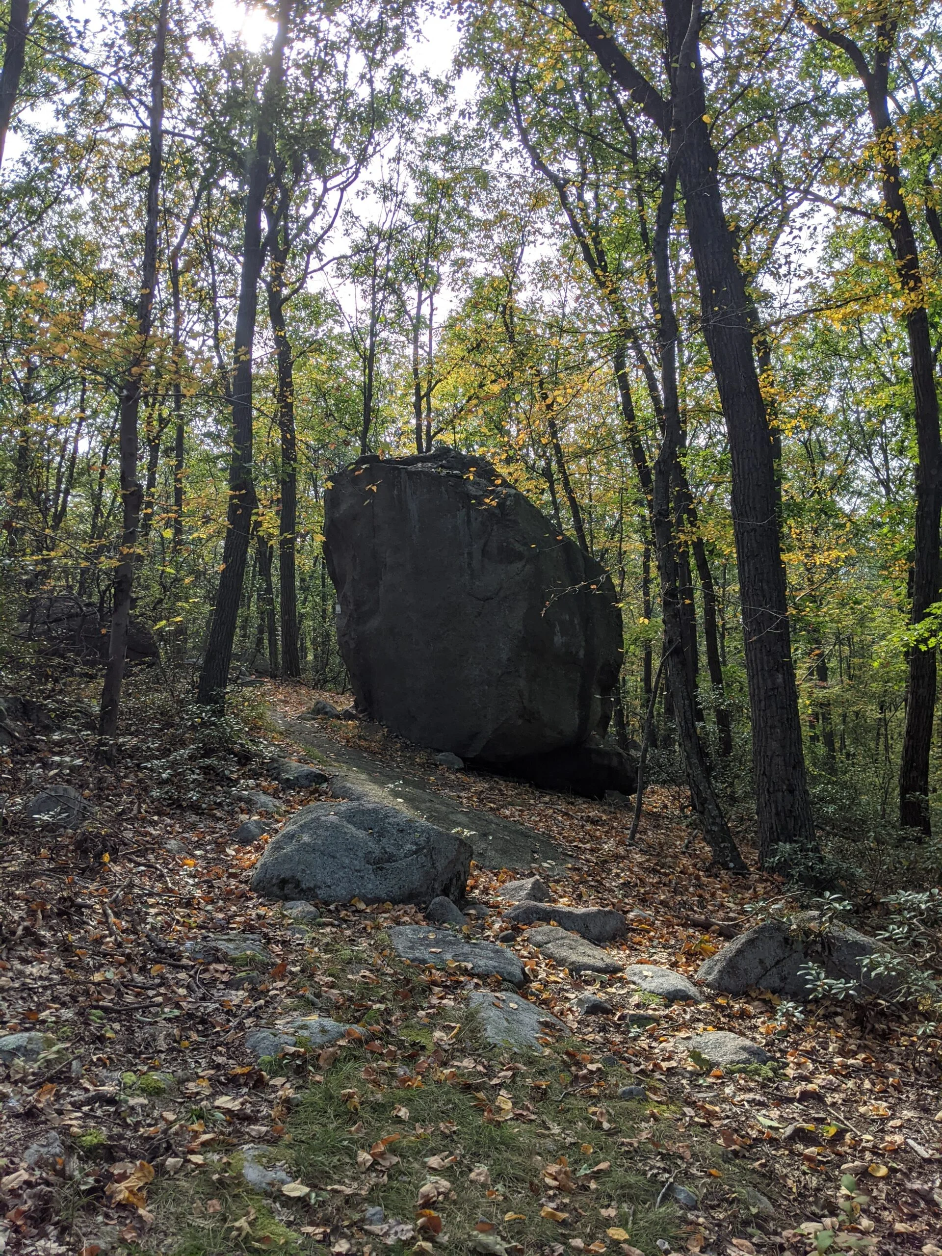
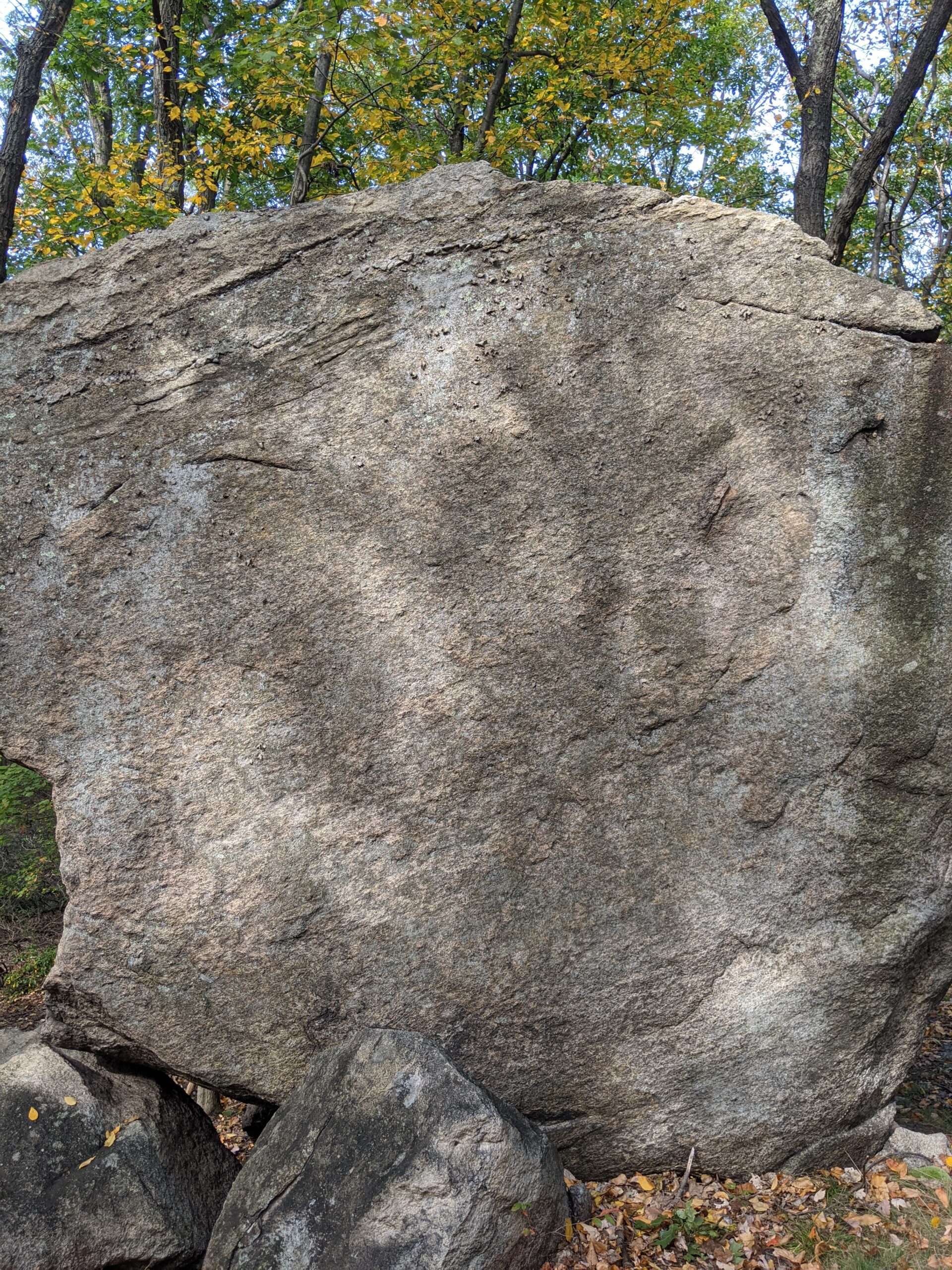
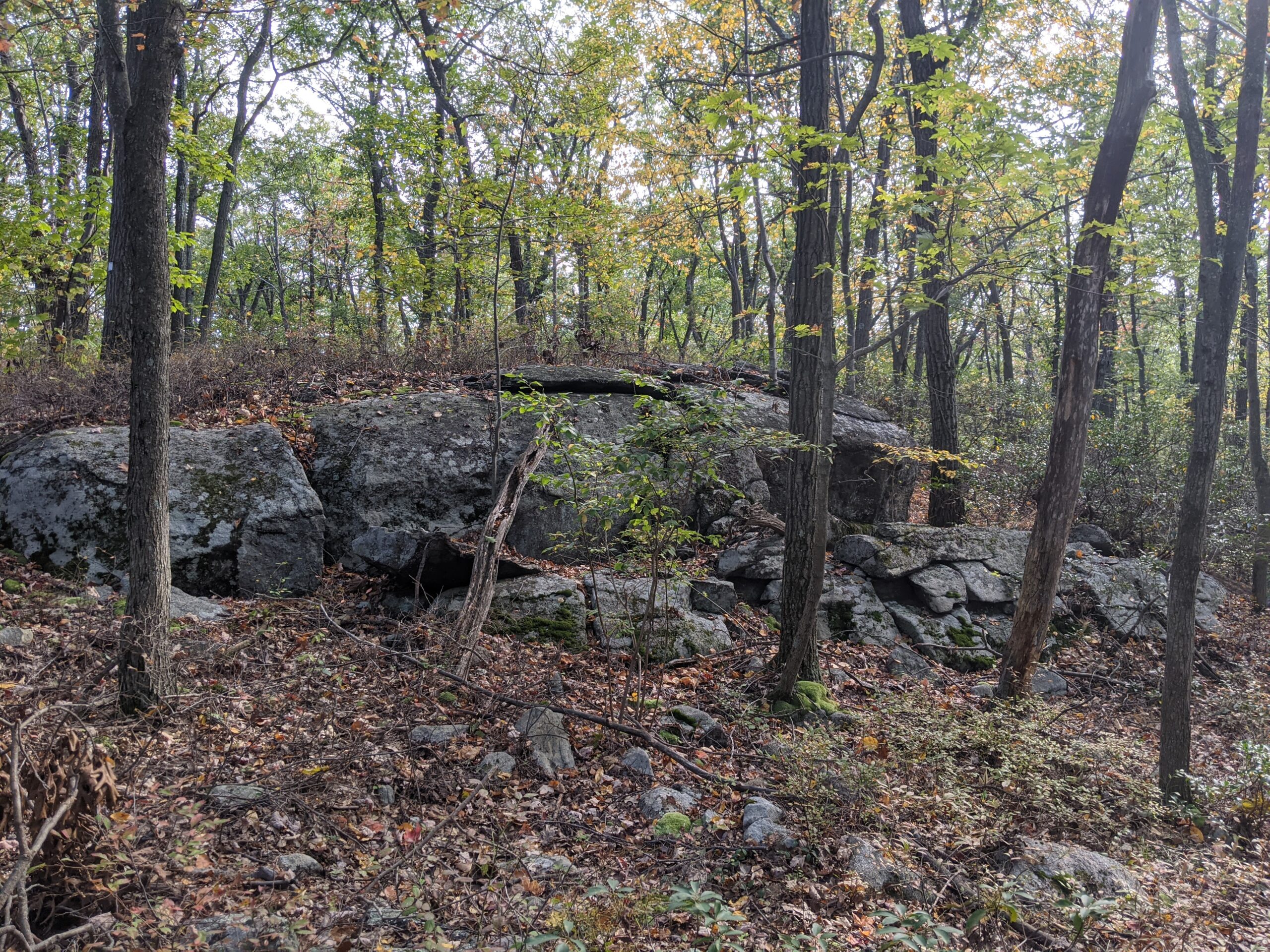
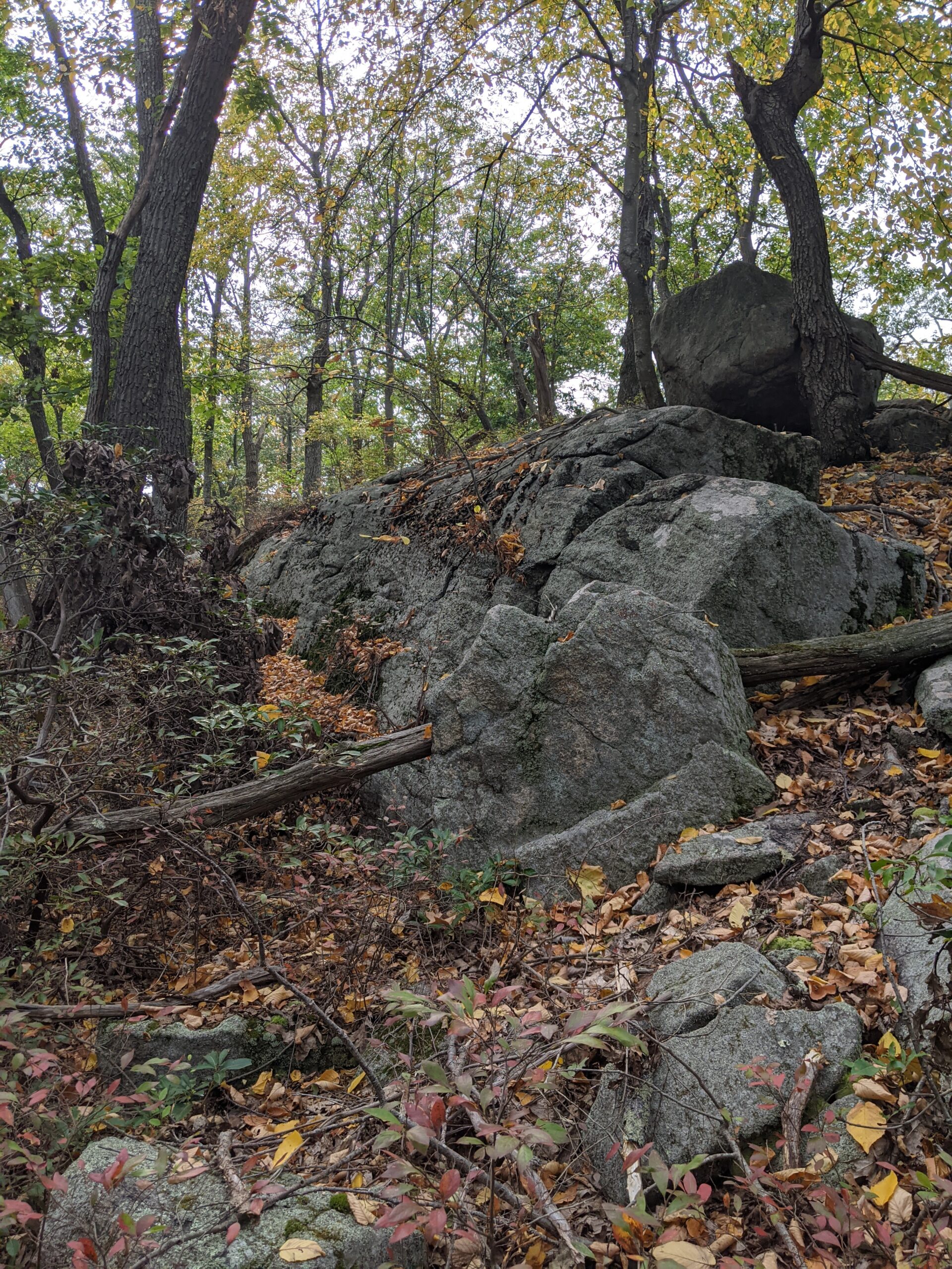
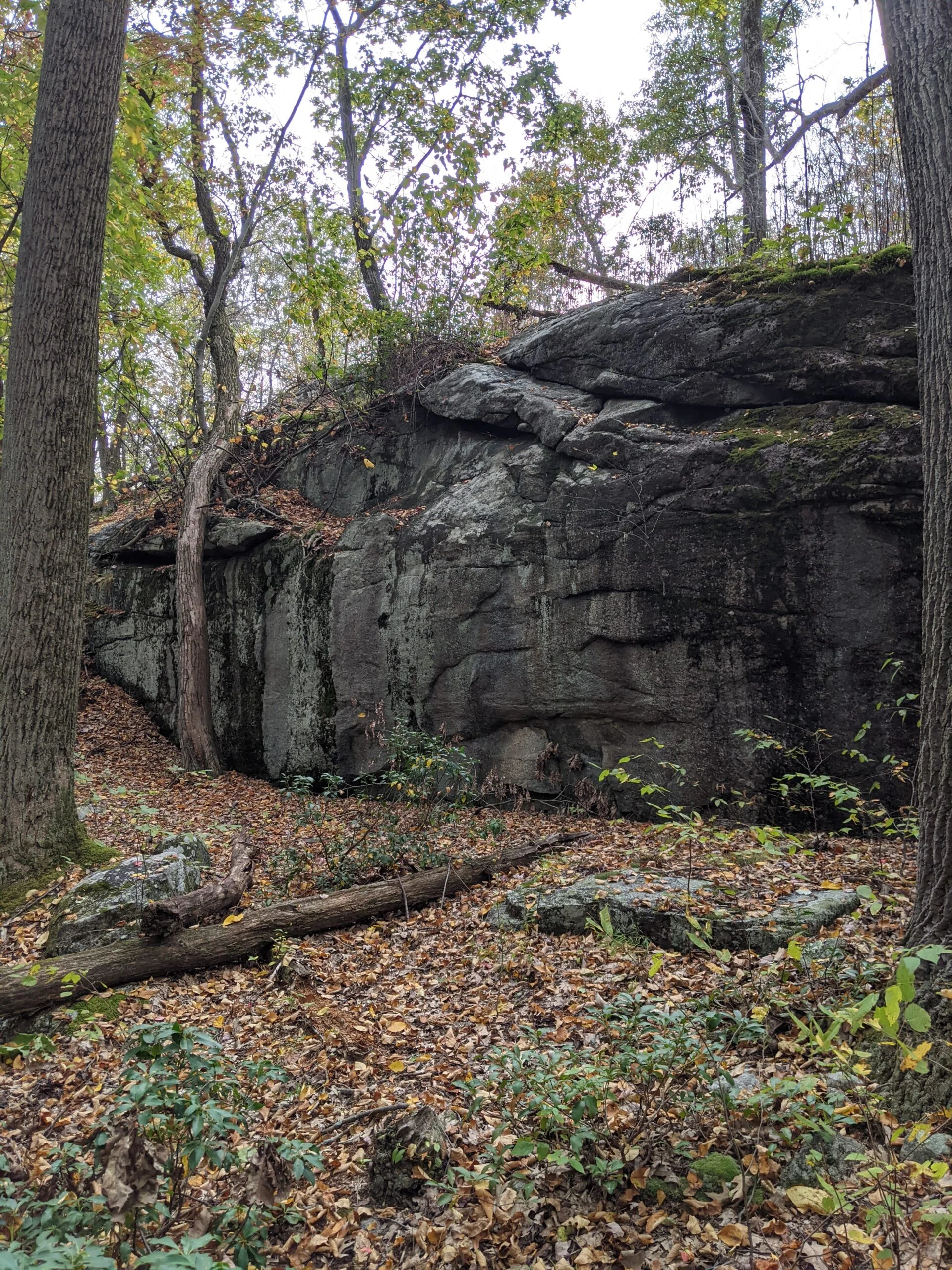
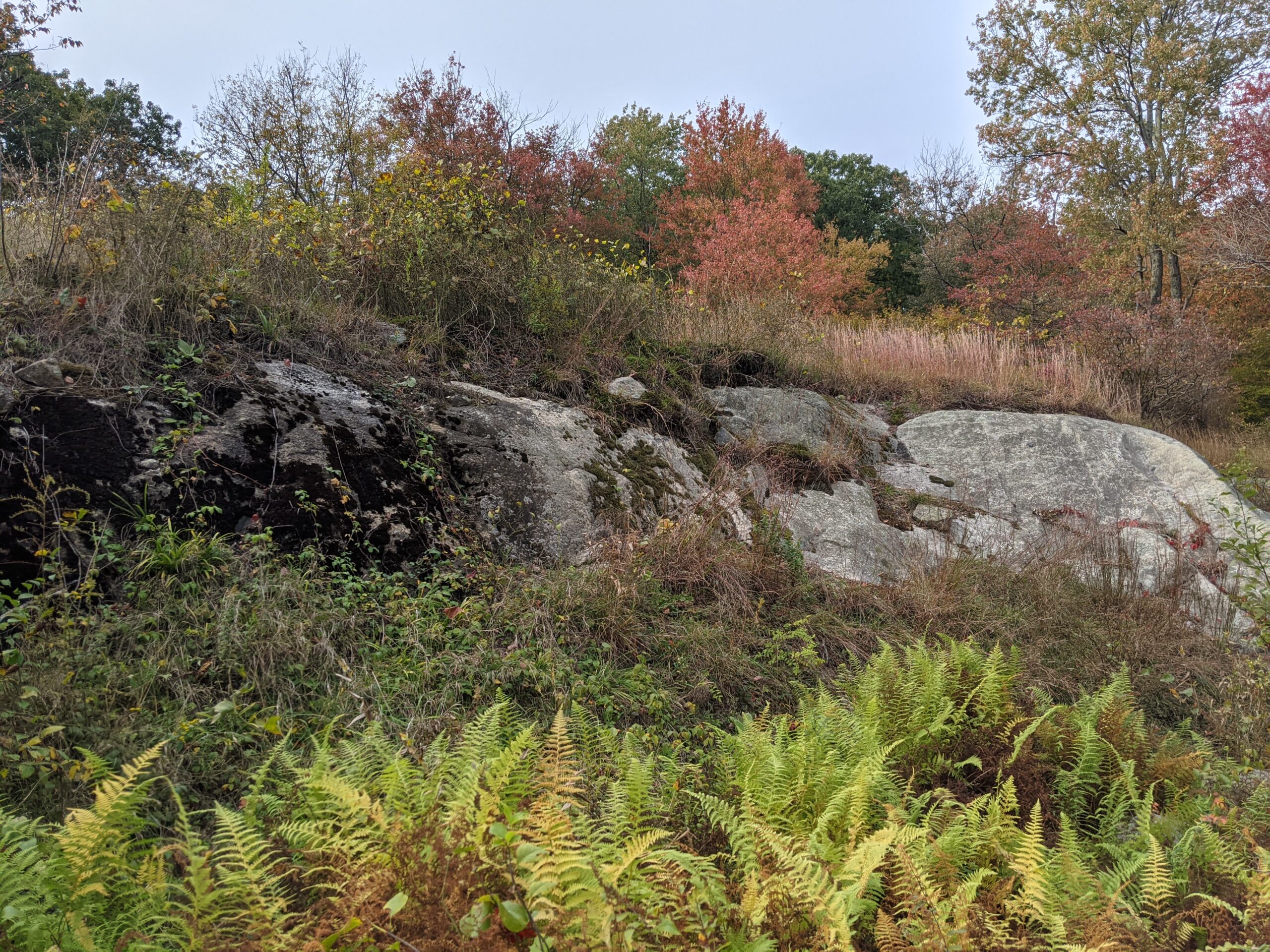
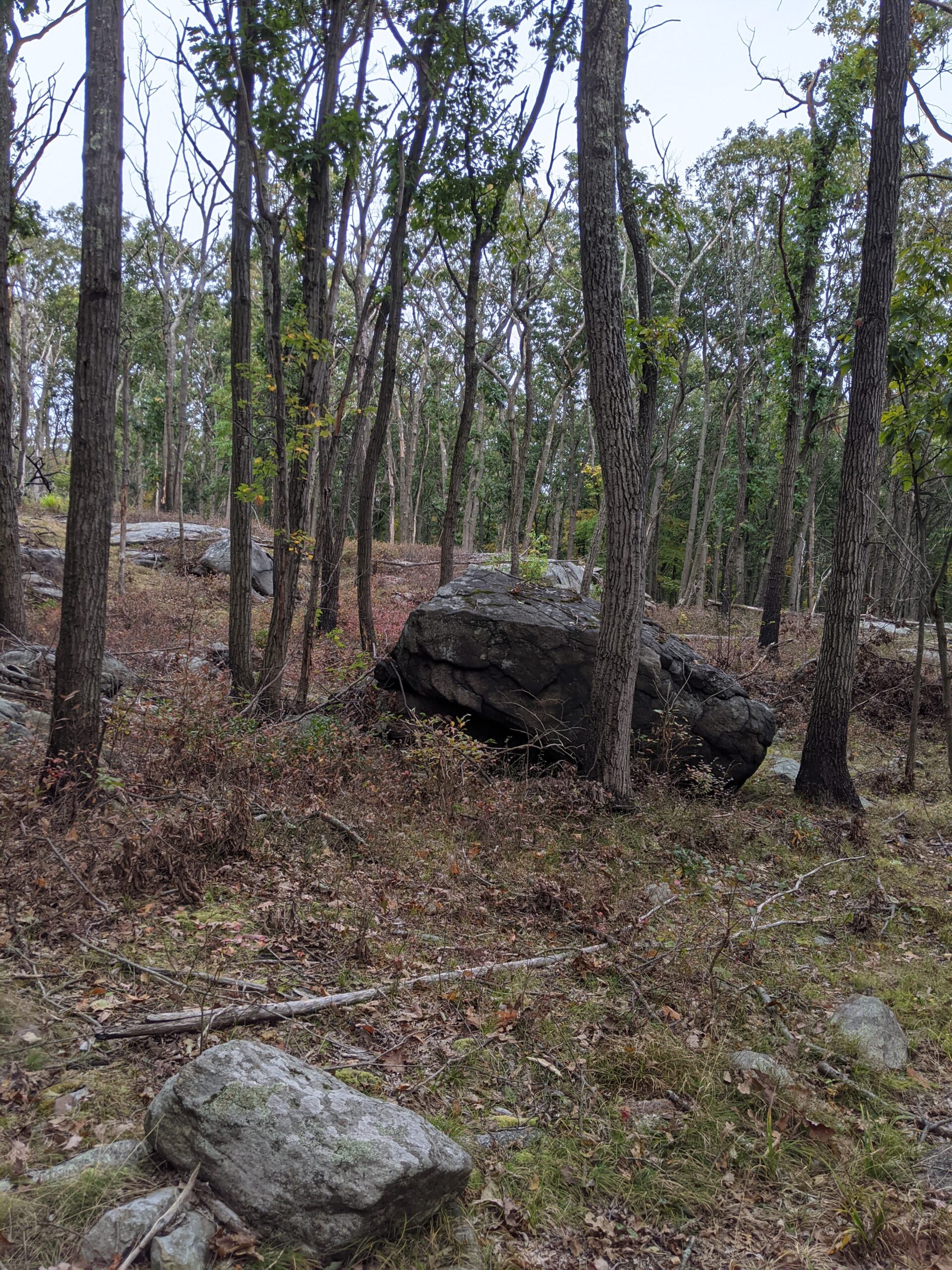
I continued along the Breakneck Mountain trail, reaching Breakneck Mountain about halfway through. This entire 1.4 mile trail is very rocky, including a few glacial erractics I snapped photos of. One was about 14 feet tall. I took a photo in front of it and it’s more than twice as tall as me.
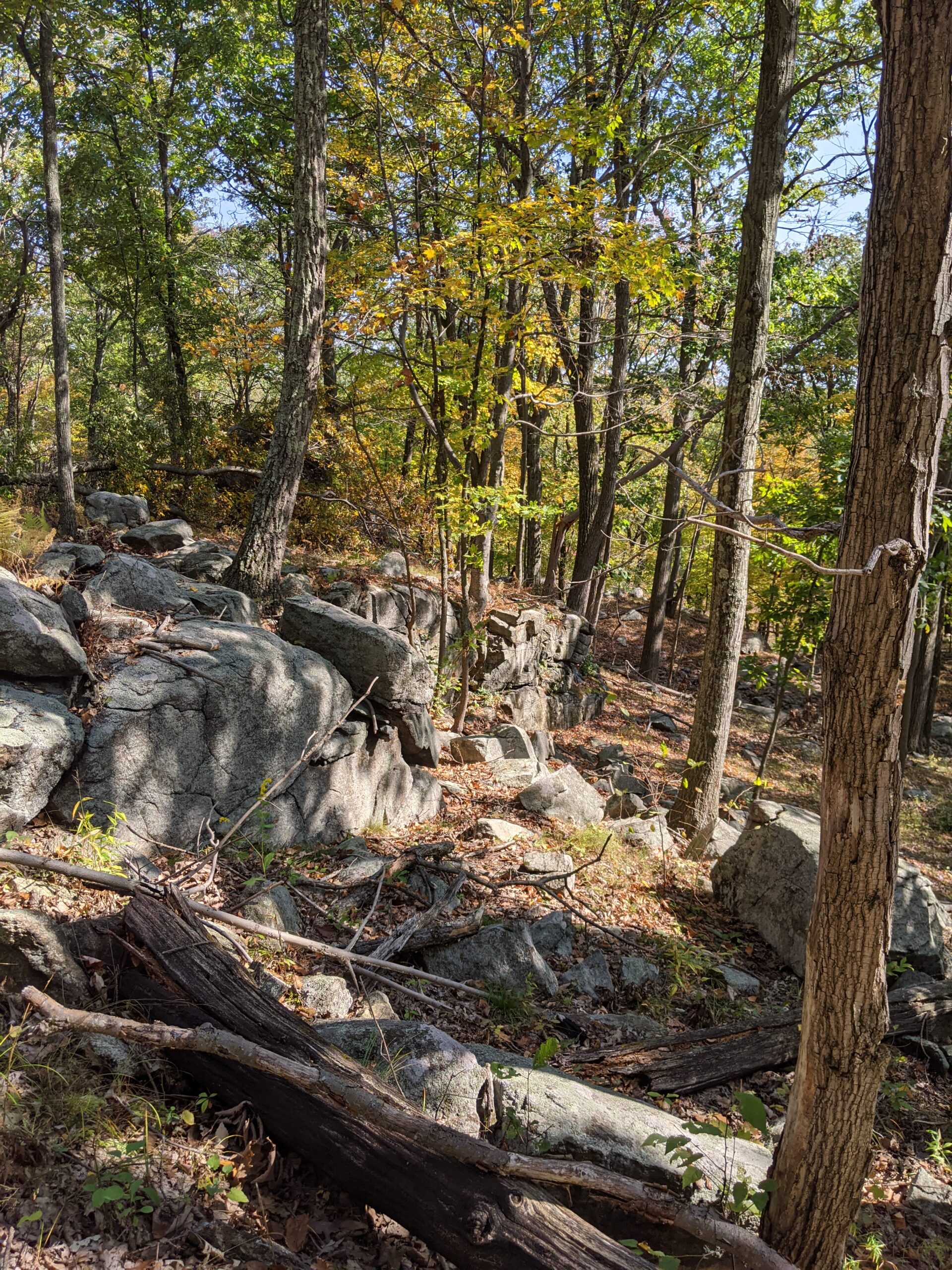
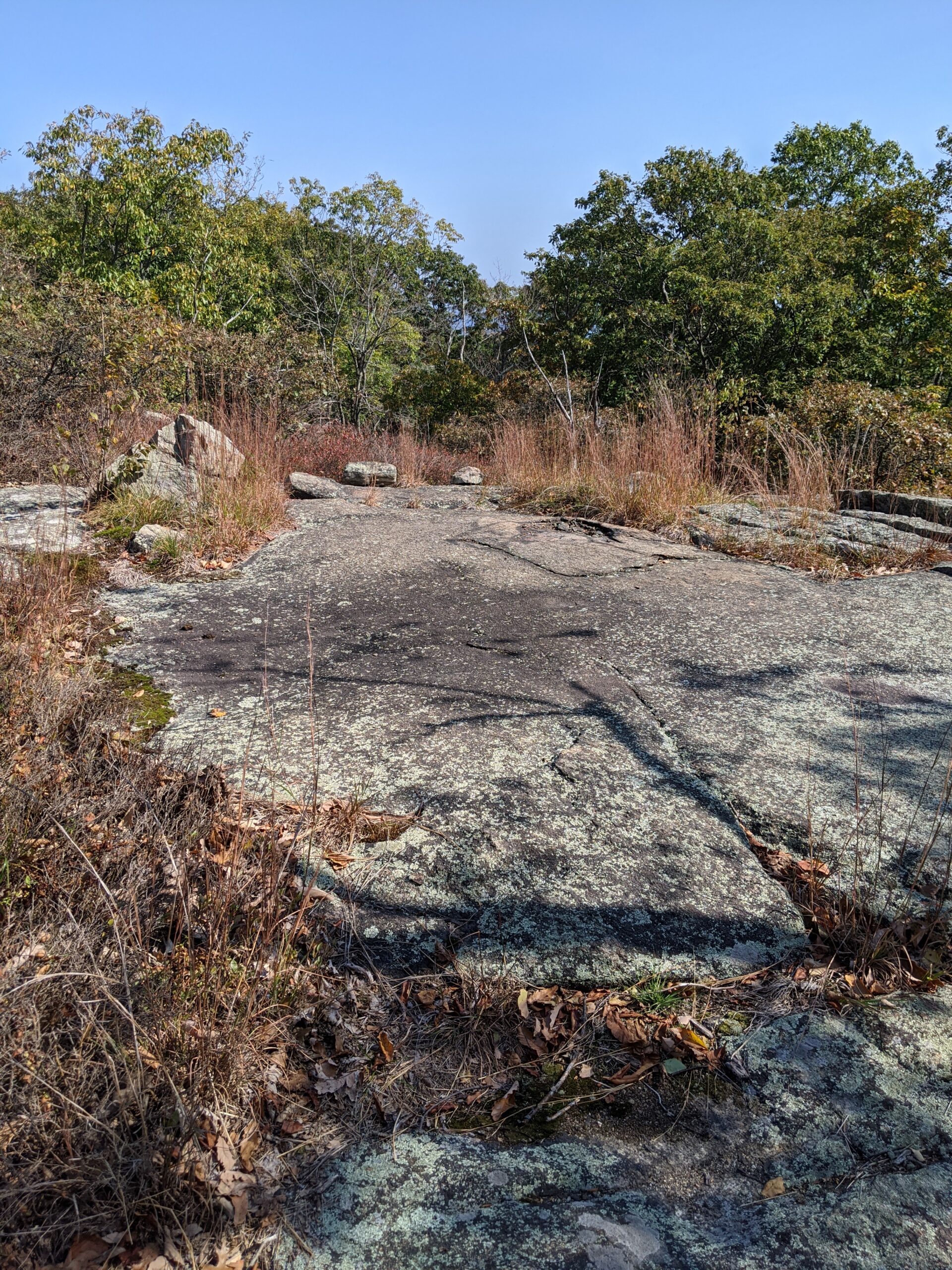
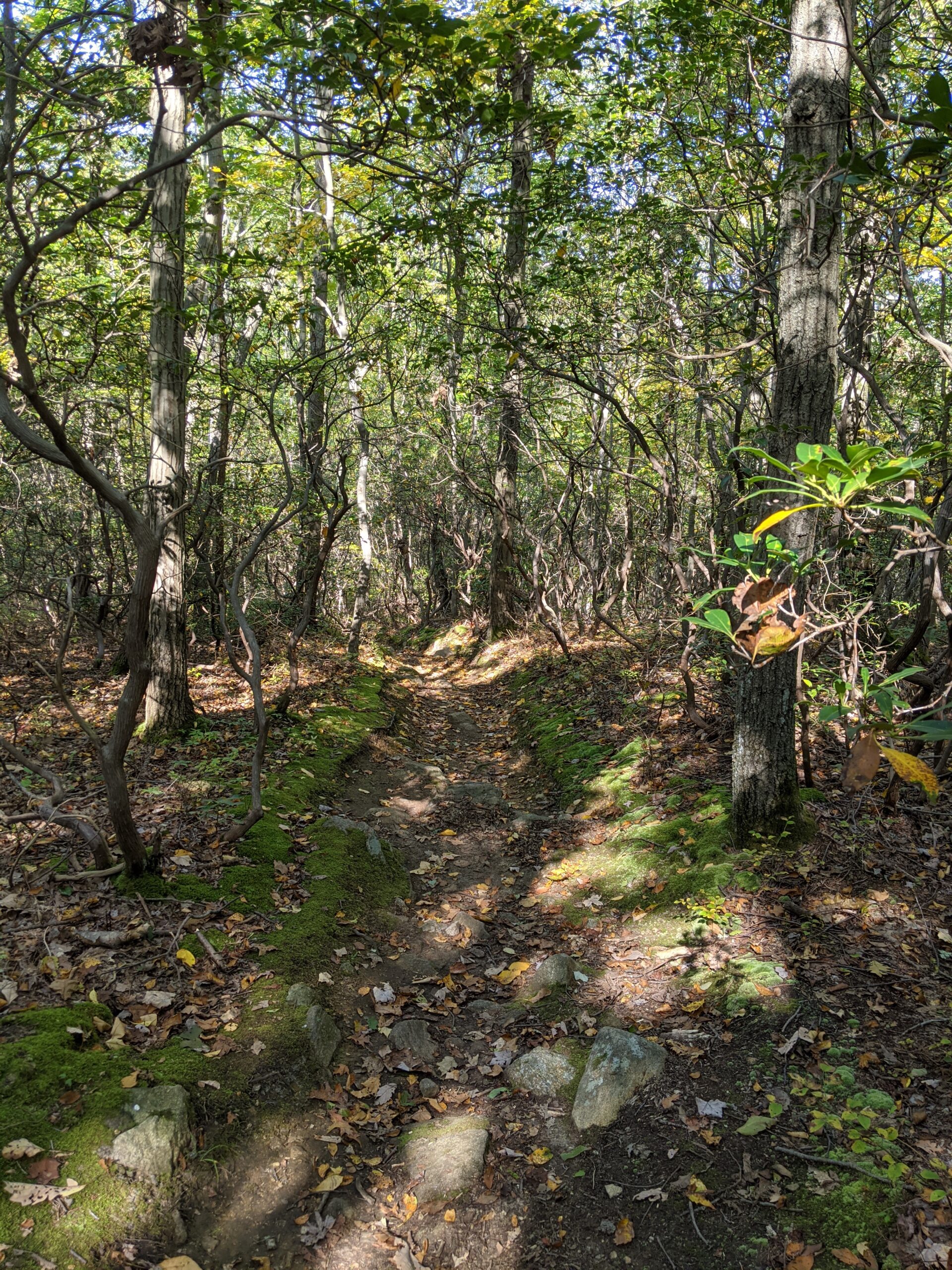
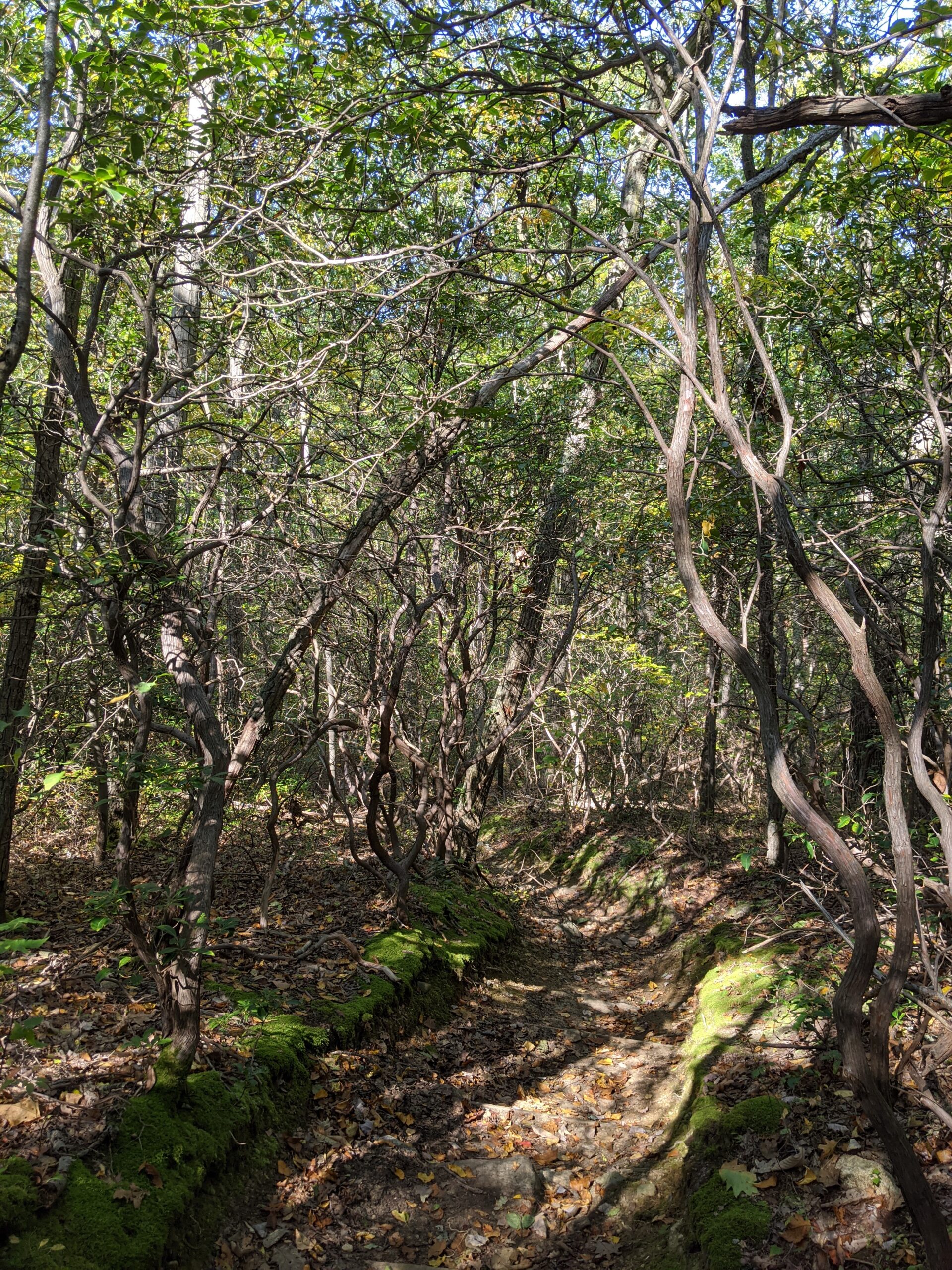
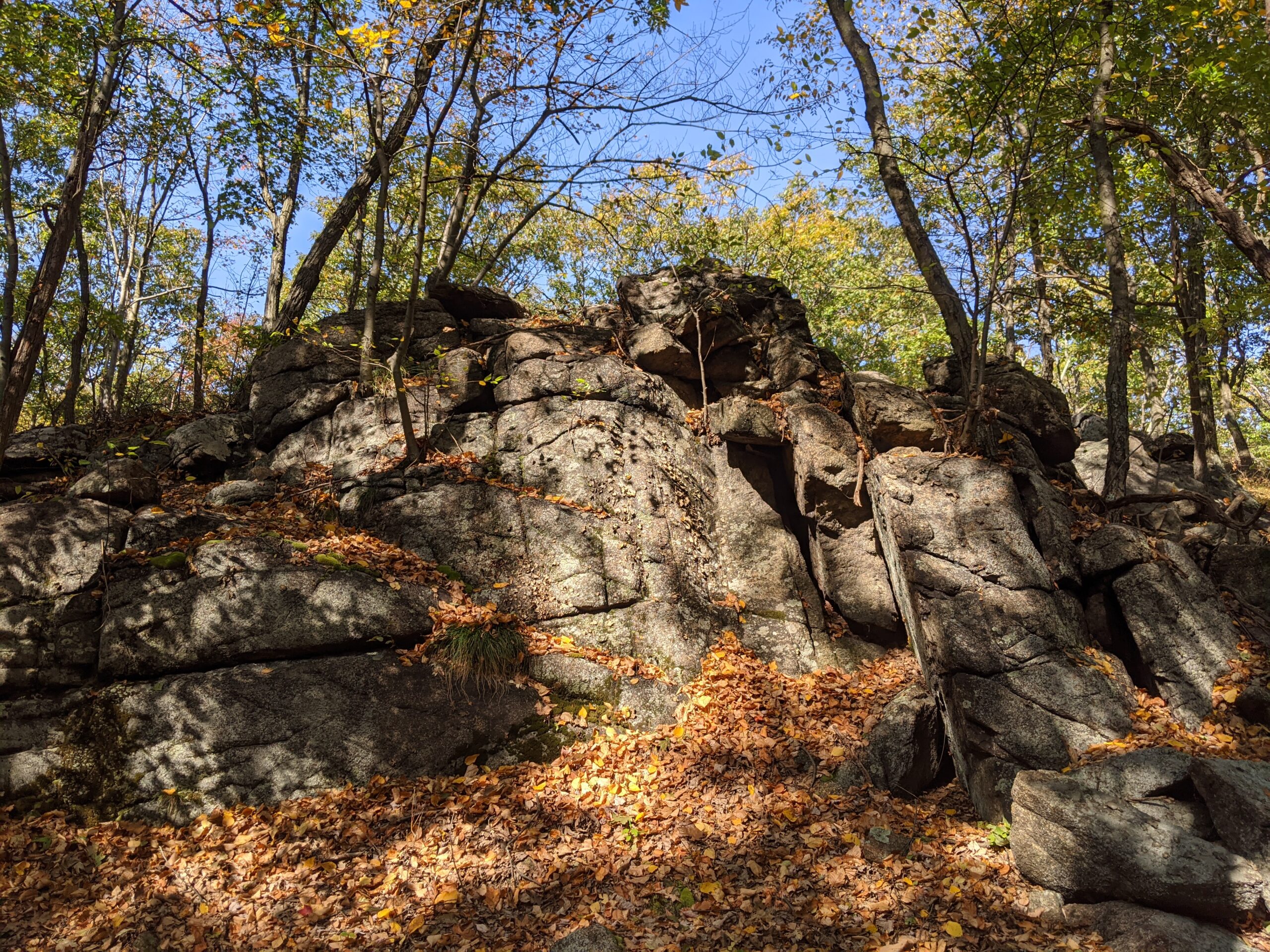
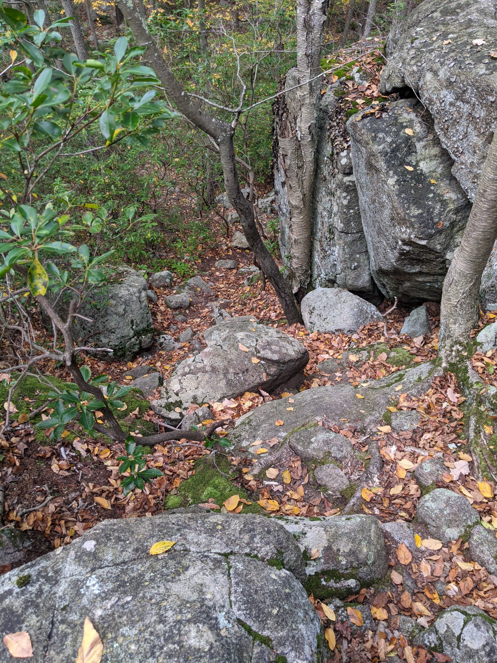
When the Breakneck Mountain trail ended, it turned into the Tuxedo Mount Ivy trail (white with red dash blazes) that I had crossed over earlier. I took this trail about a mile and a half, passing through Tuxedo Rock. This was another section of trail that was pretty quiet. I think I only saw two people on this stretch.
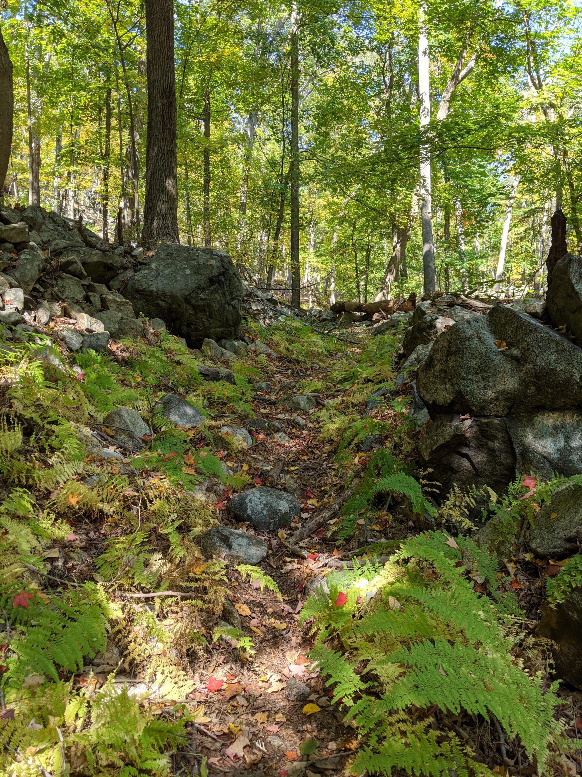
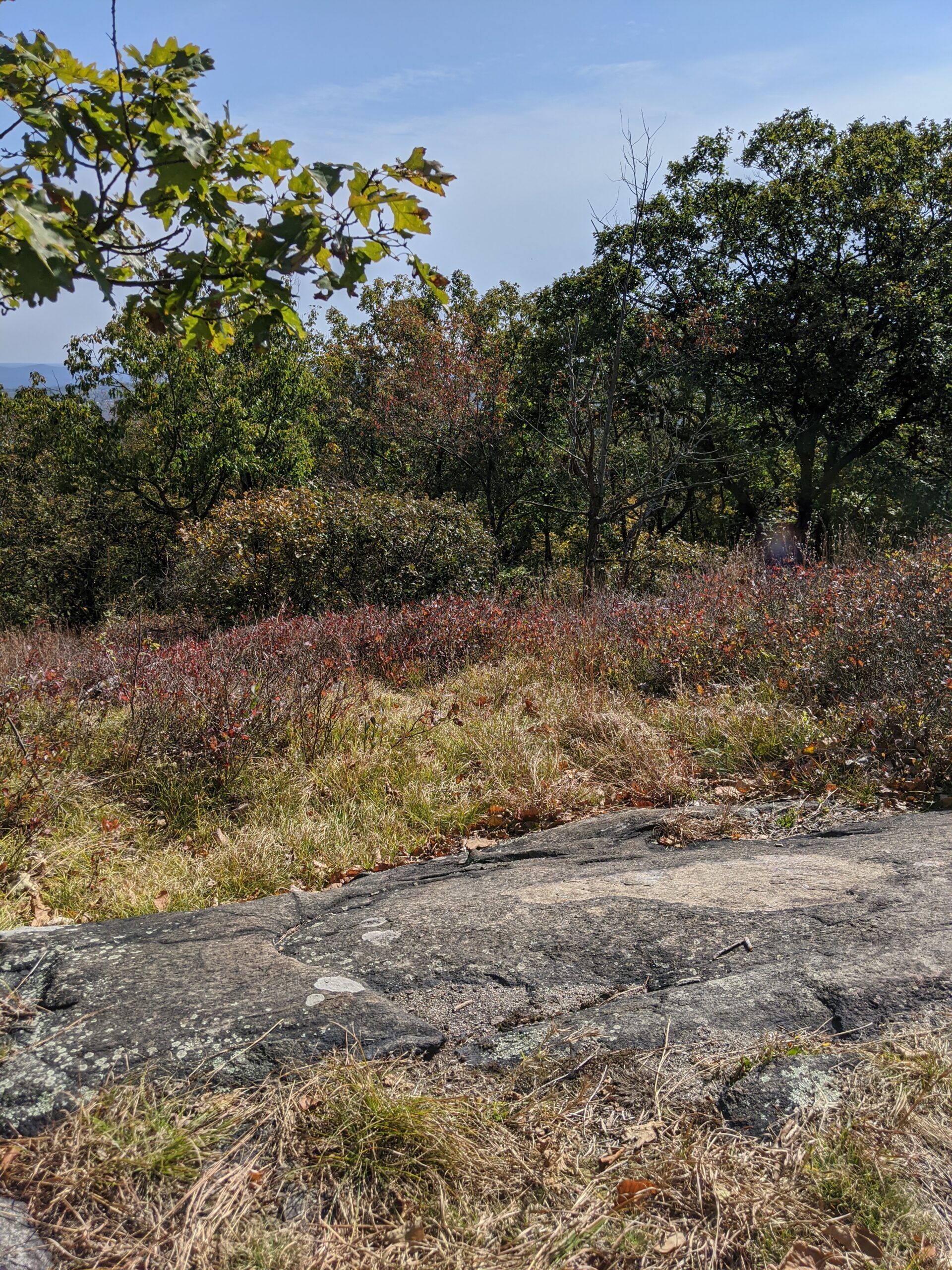
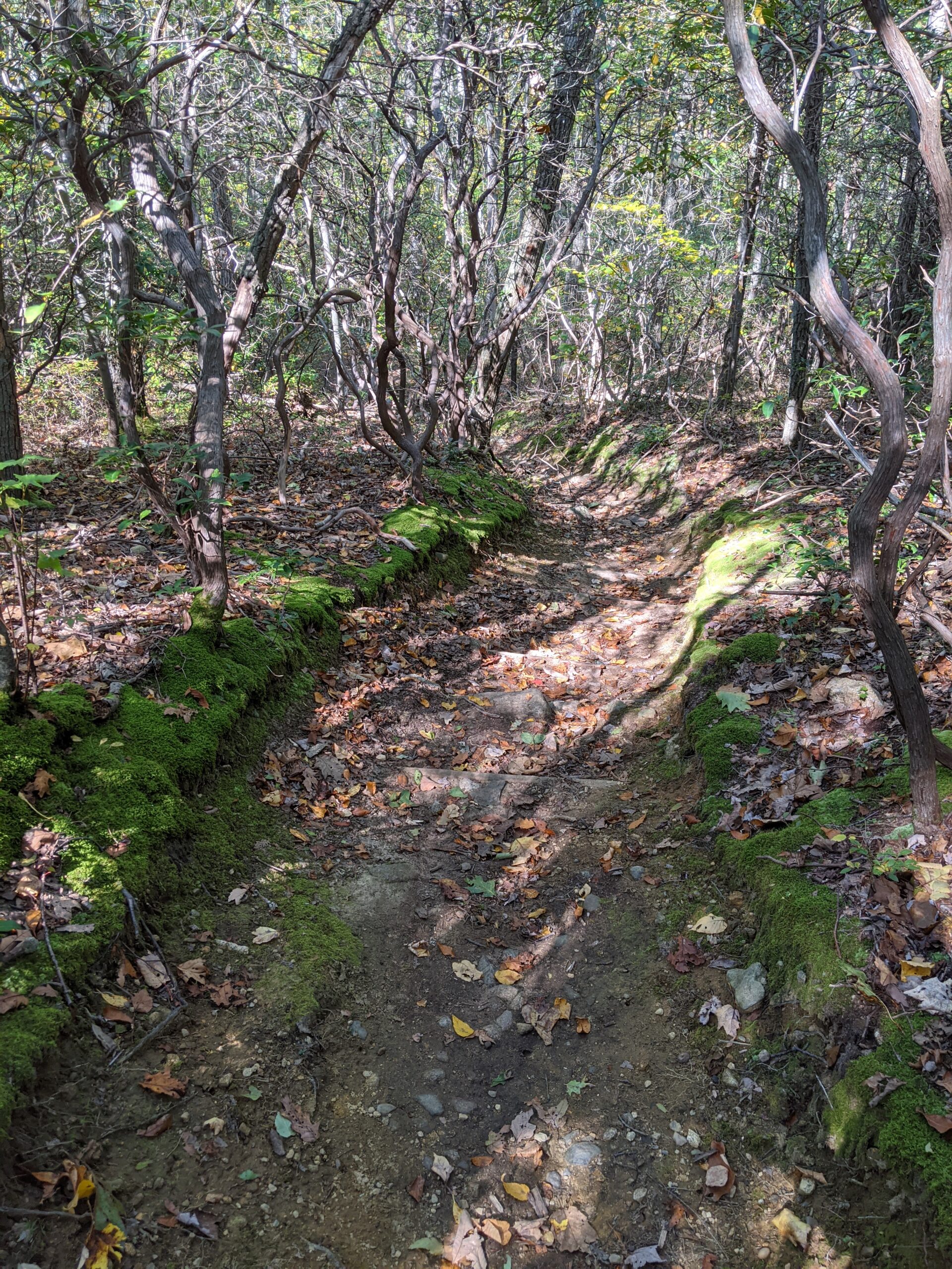
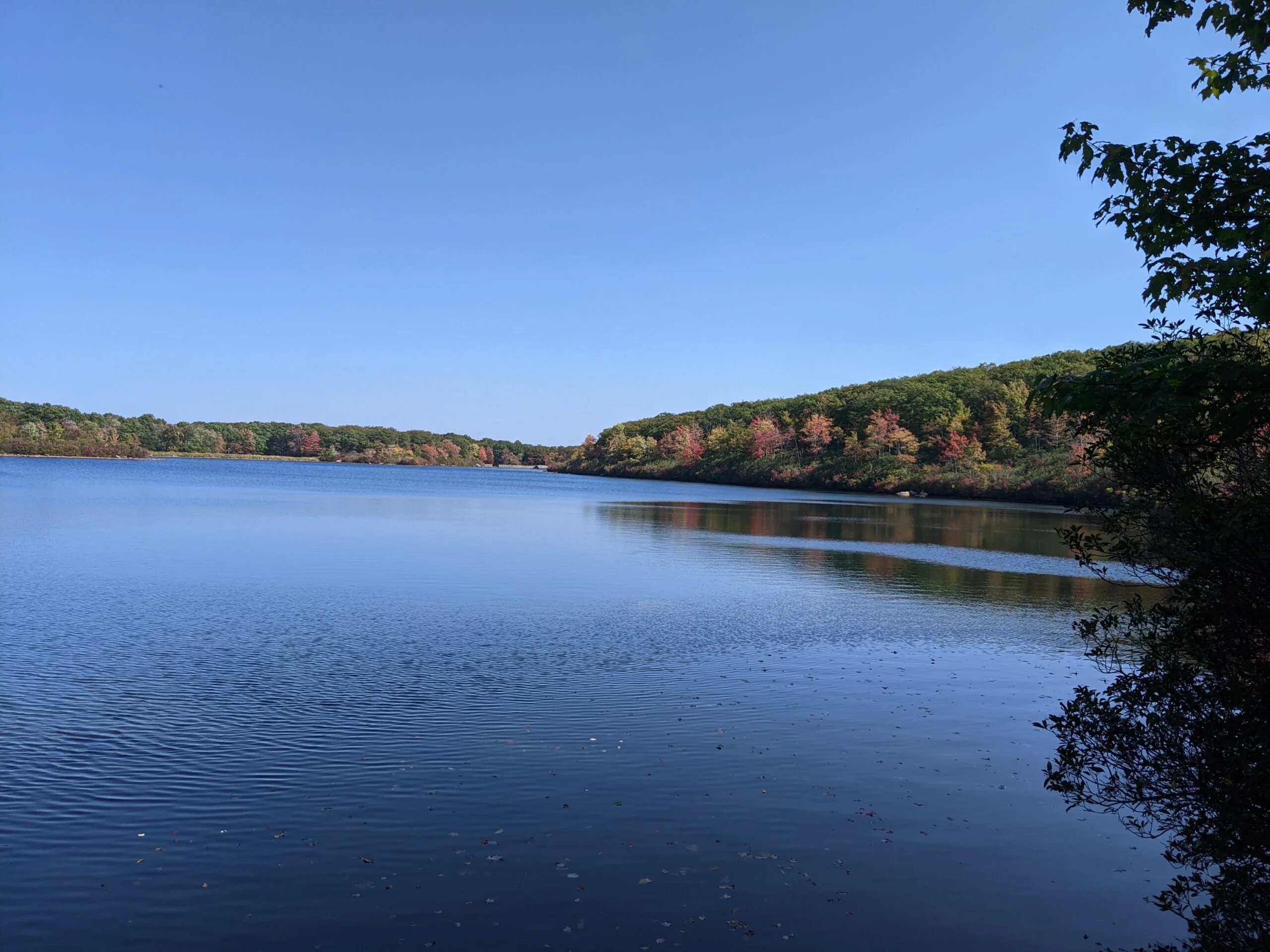
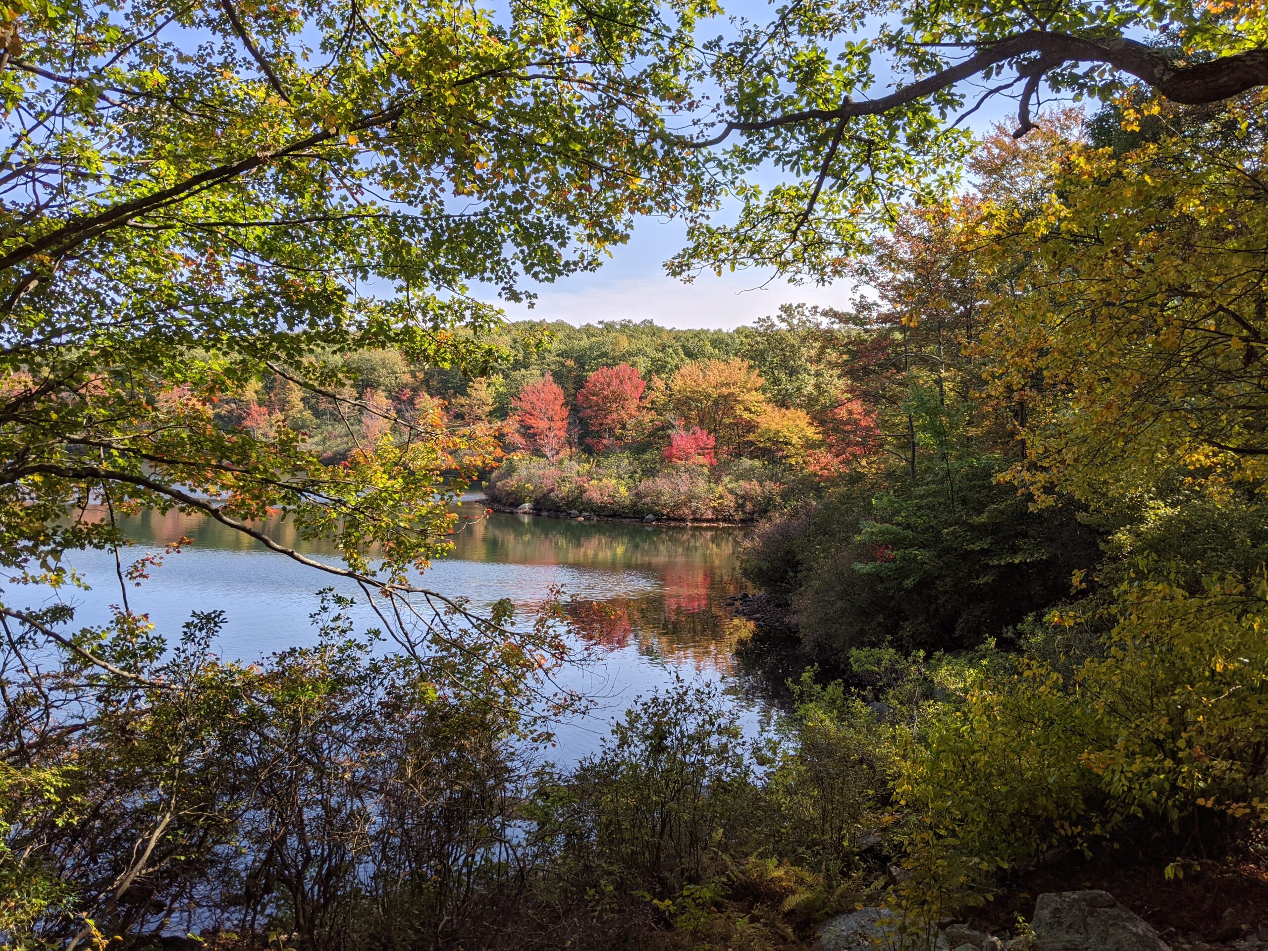
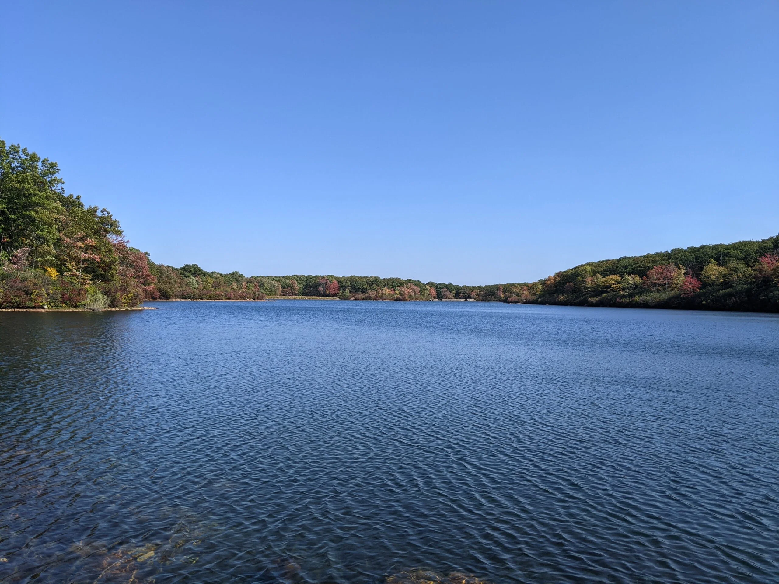
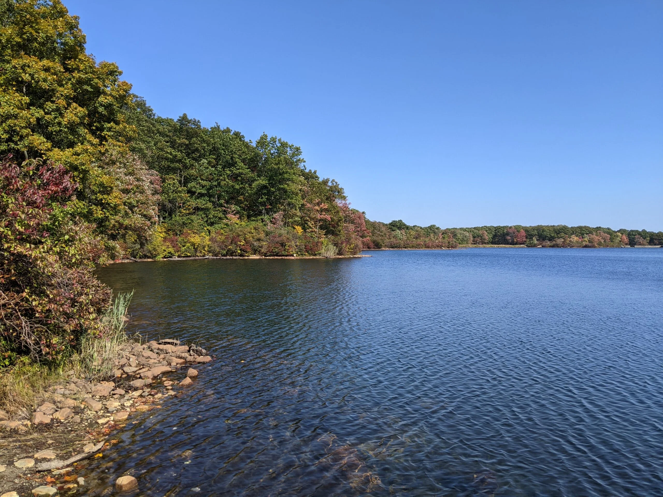
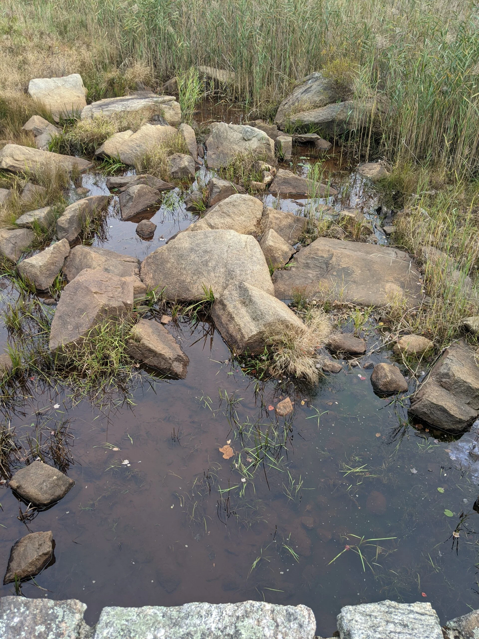
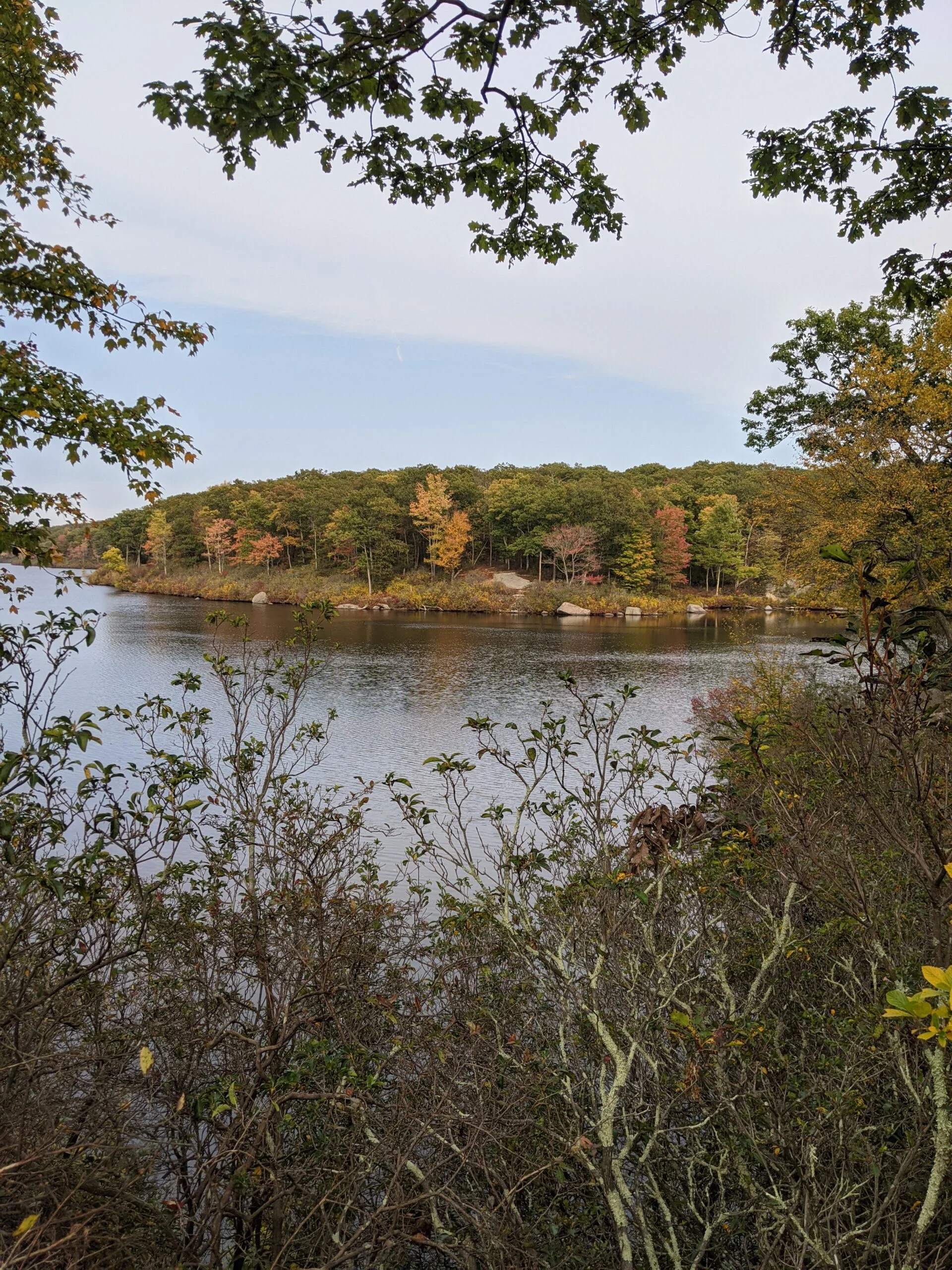
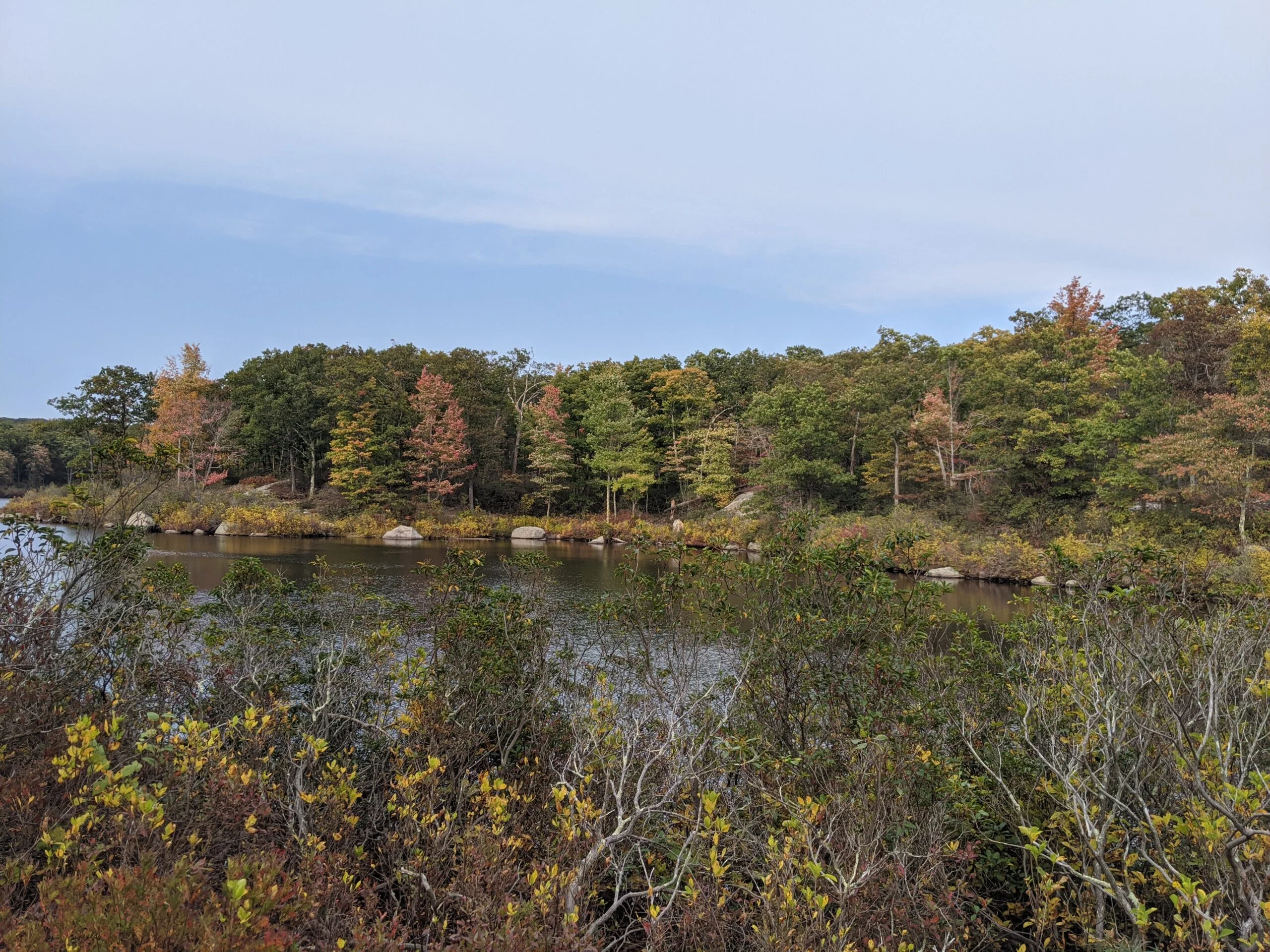
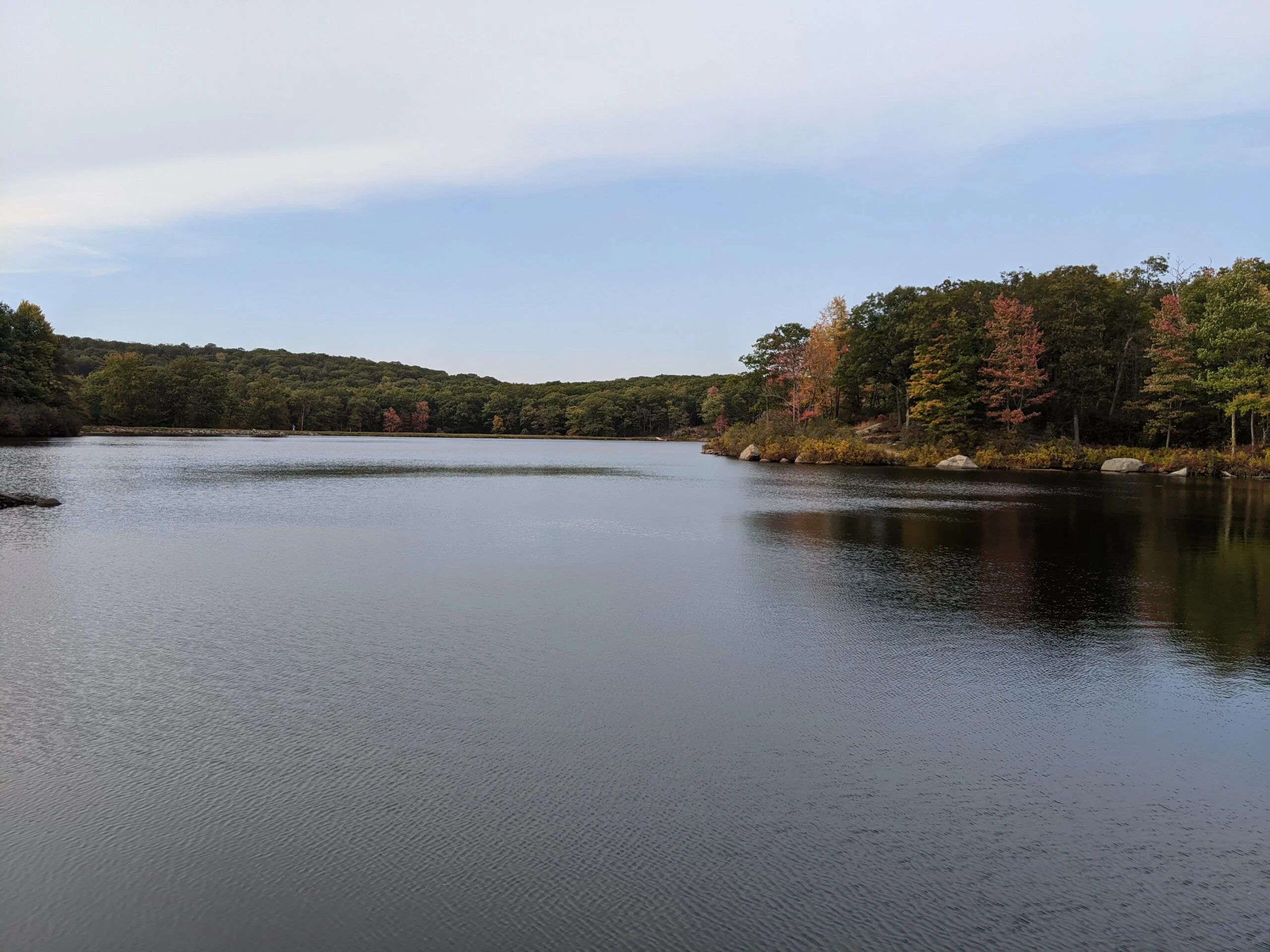
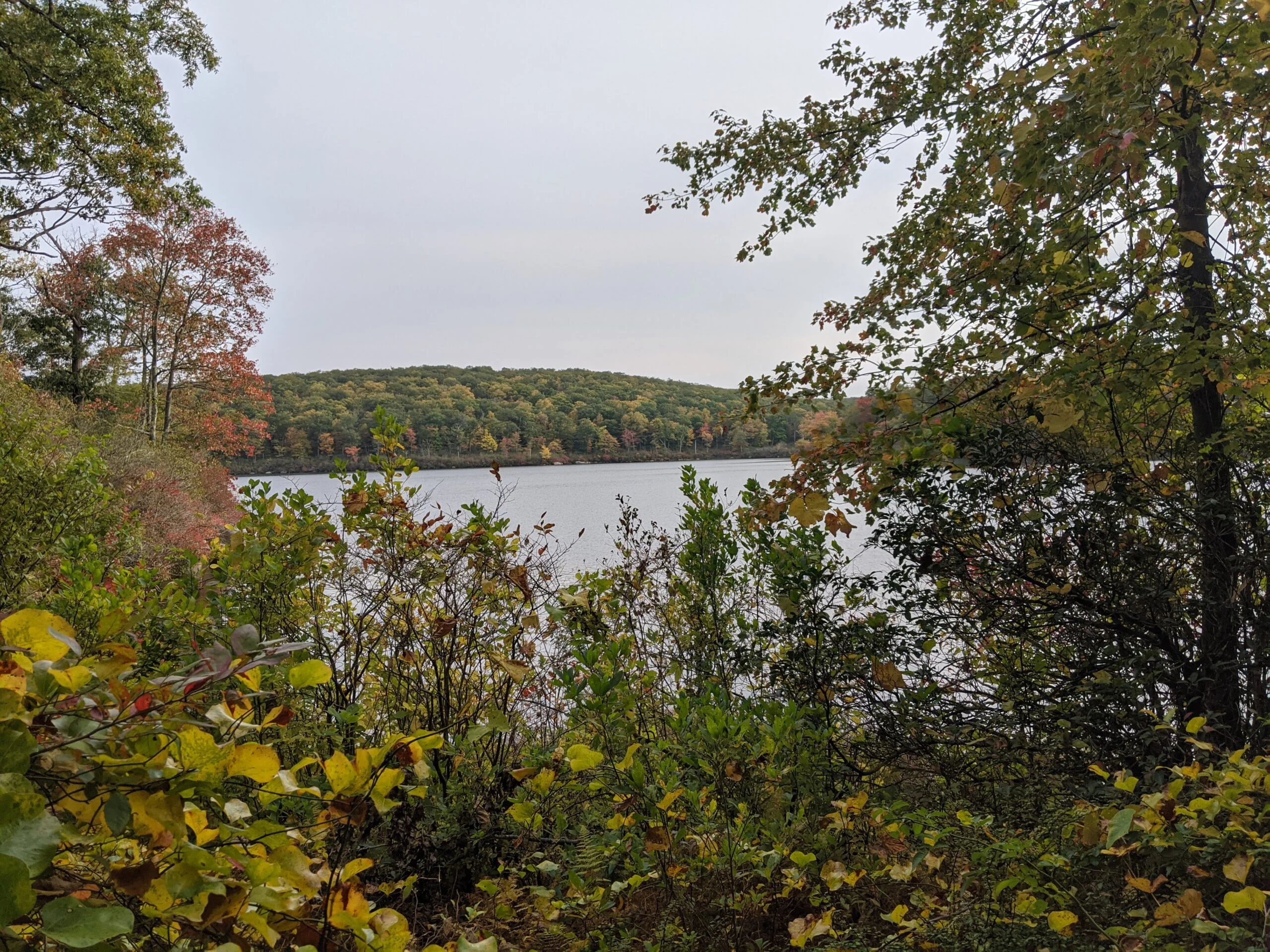
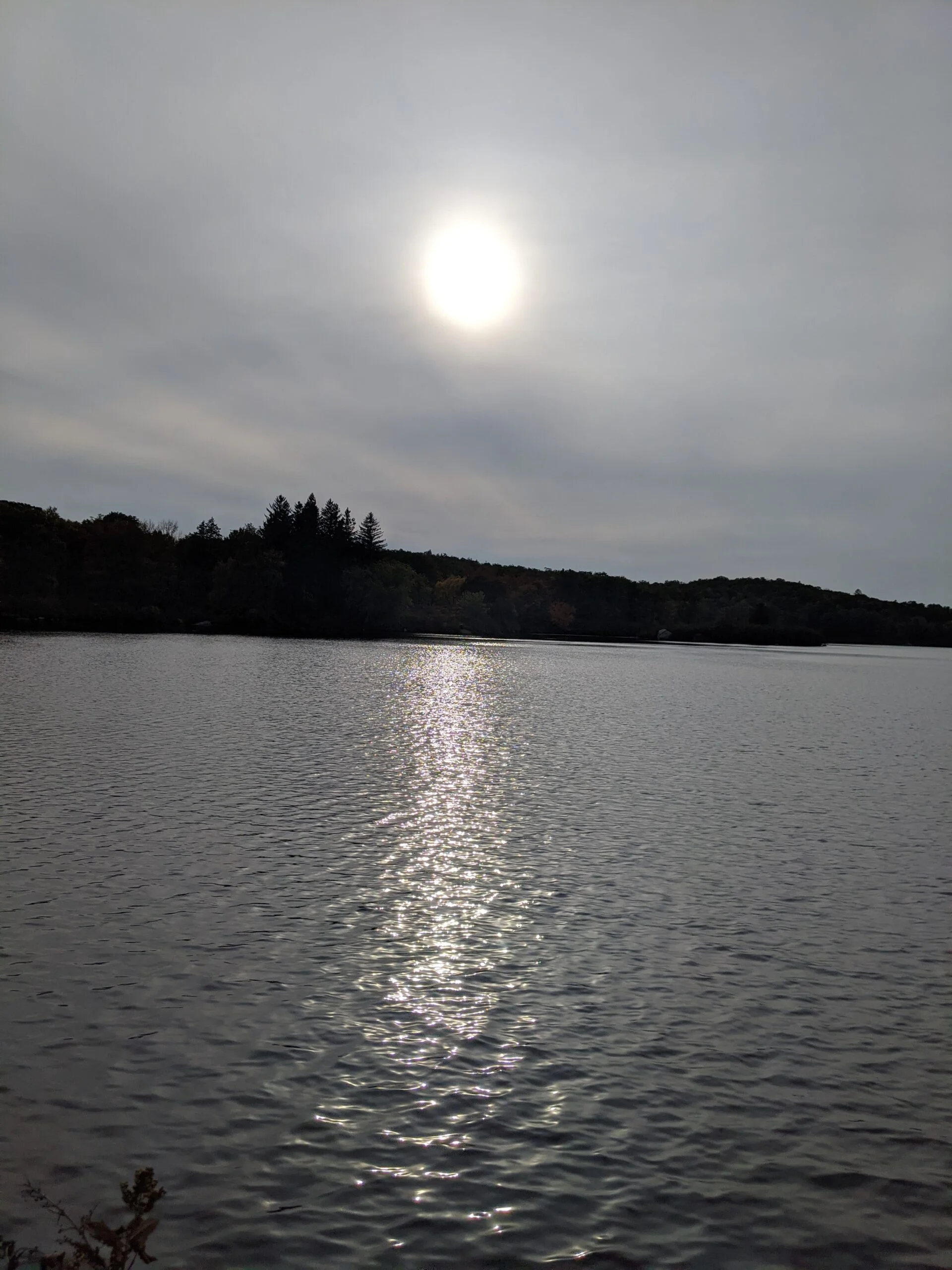
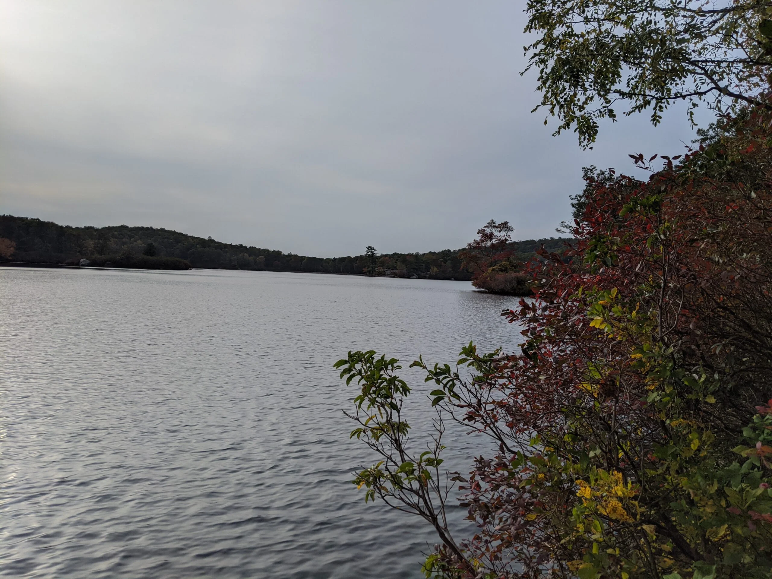
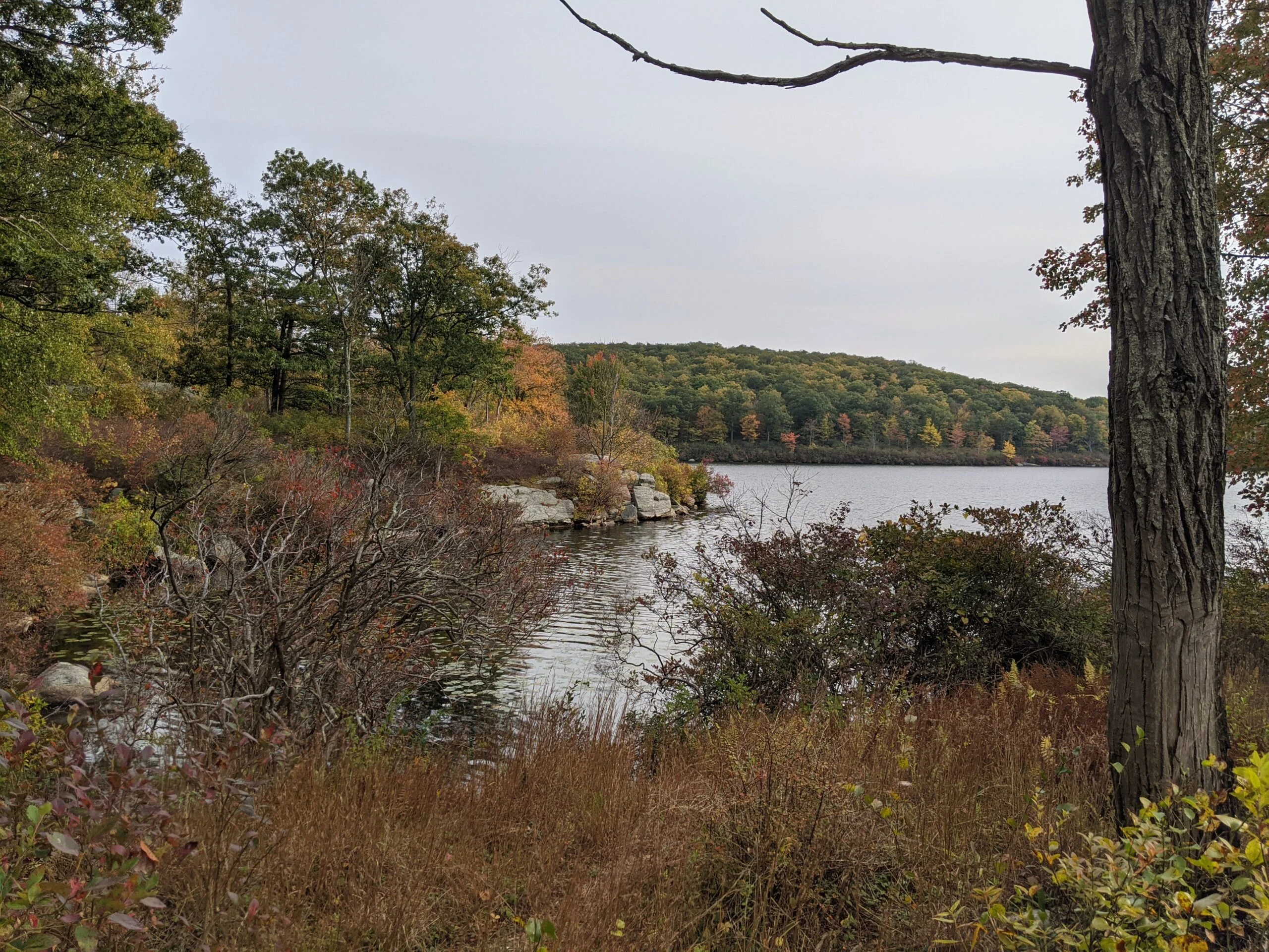
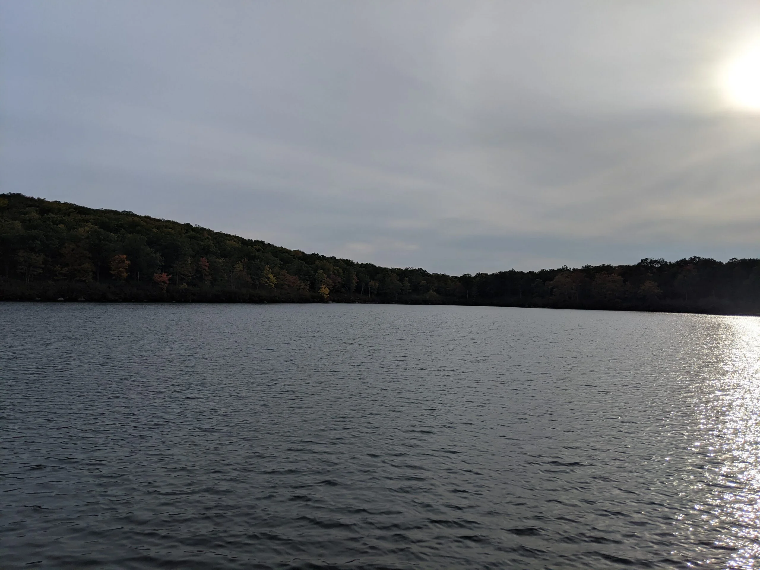
As I got closer to Lake Wanoksink, I took a left off the Breakneck Mountain trail onto an unmarked trail that led down to the lake. When approaching from this side, the only thing that was visible from the trail was a large berm. I knew the lake was right there, but I couldn’t see it until I got to the top of the berm. Once up there, the view is magnificent! It’s a long, skinny lake and I could not see the far end from the end I was standing at. Again the water here was crystal clear. This trail hugs the south western edge of the lake, so there were several more opportunities for photos along the way.
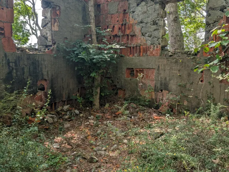
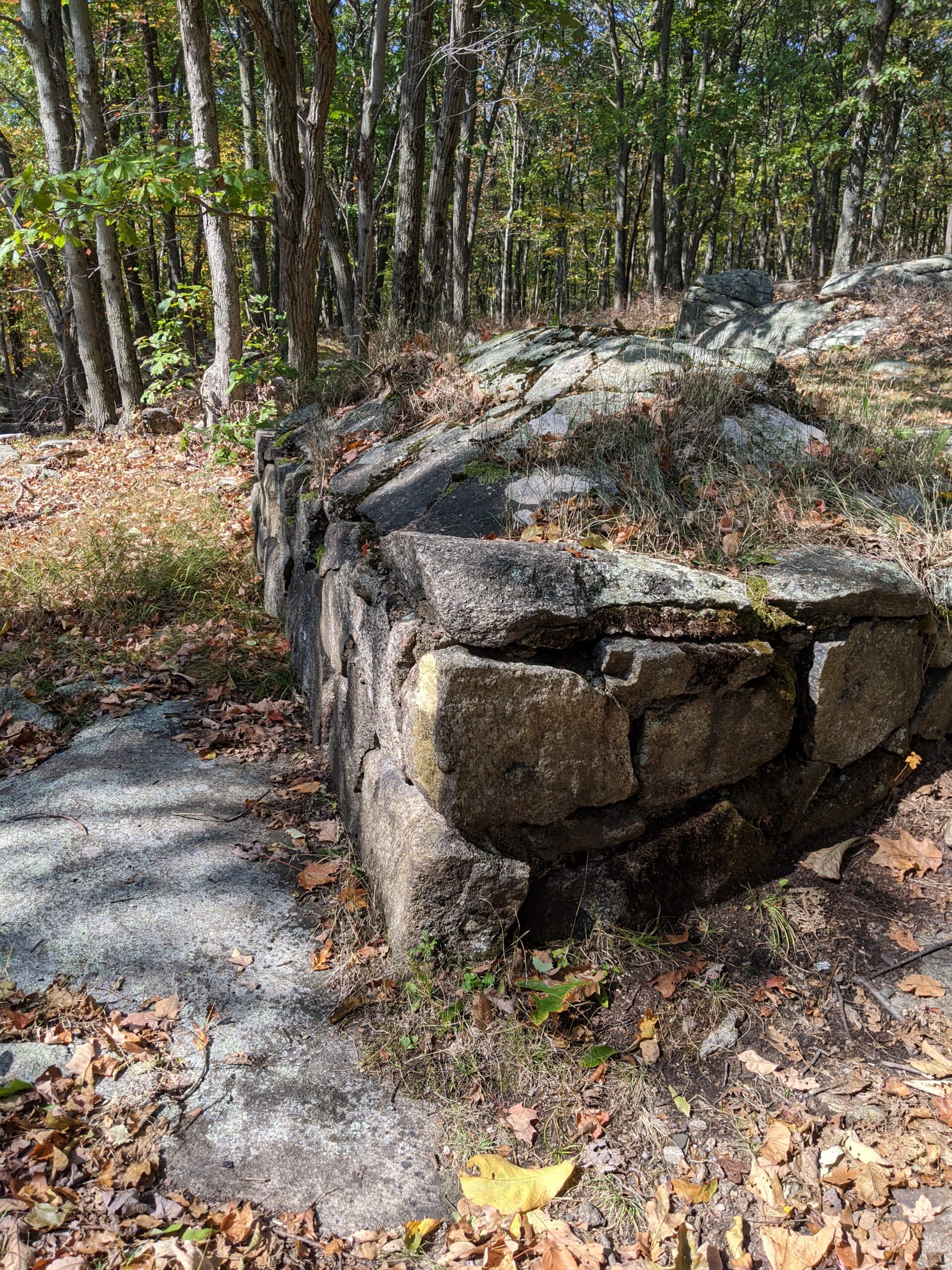
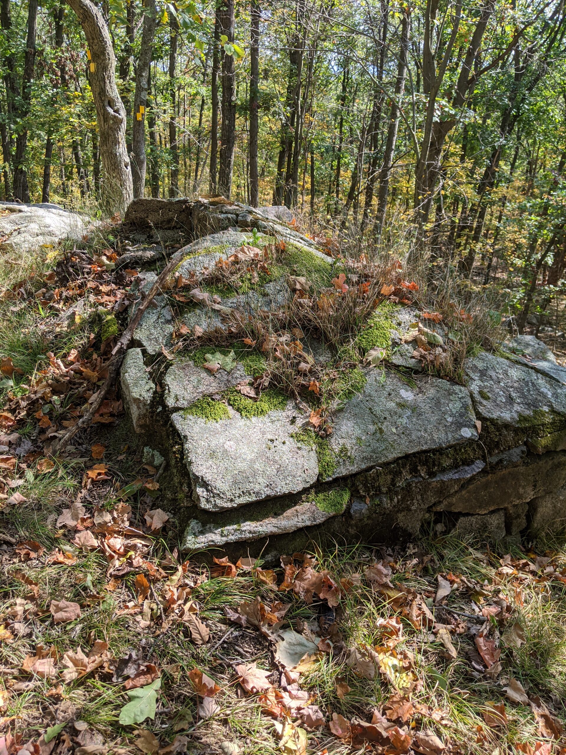
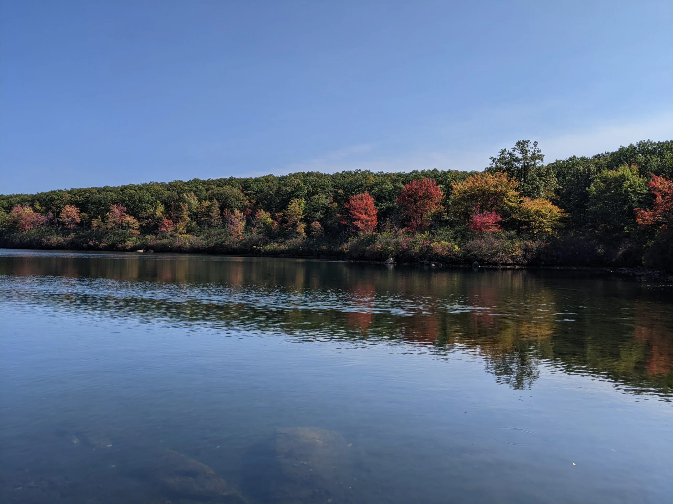
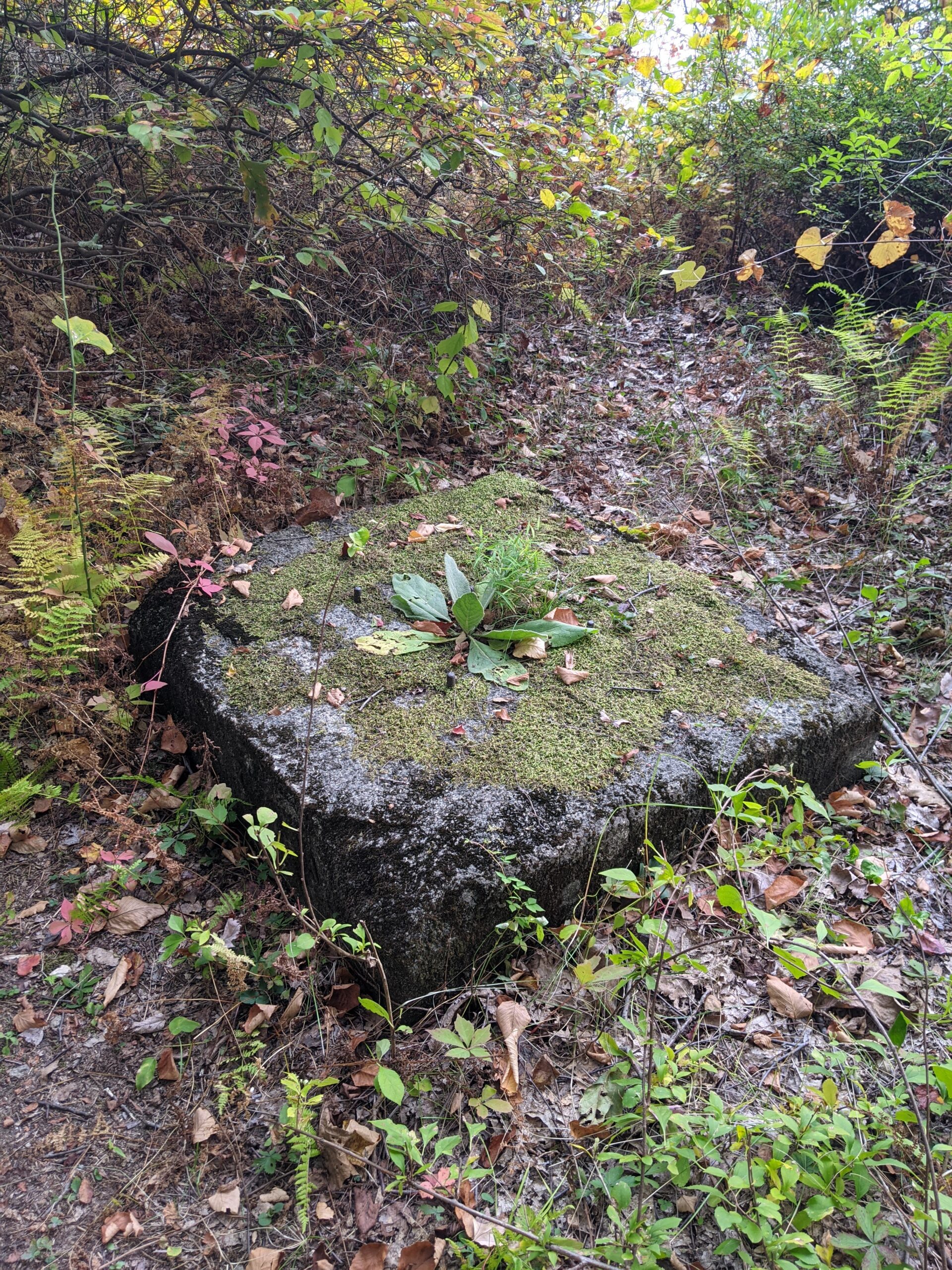
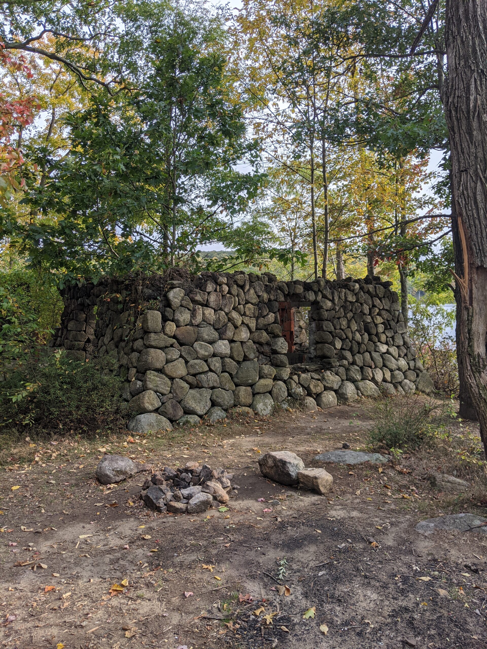
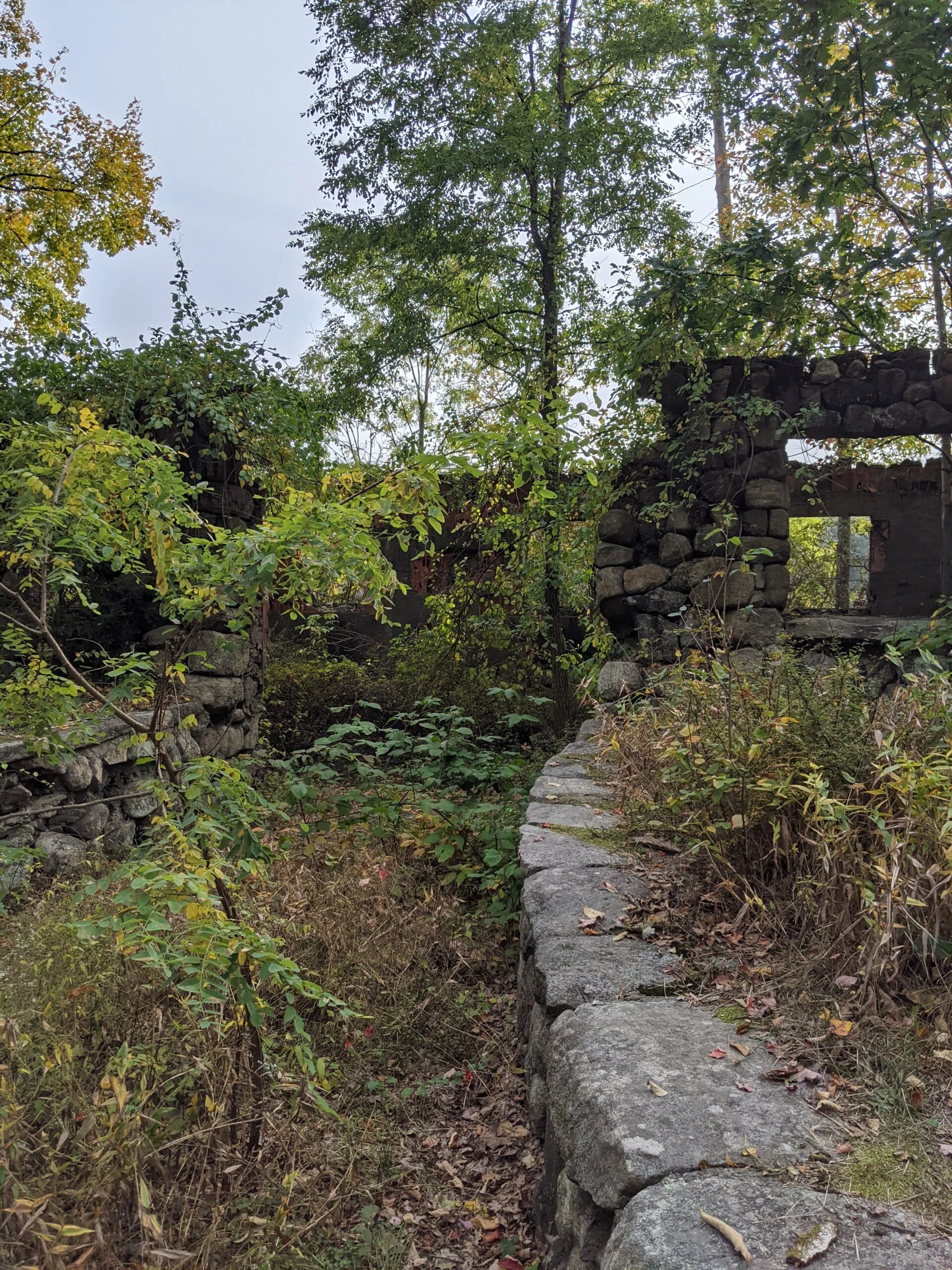
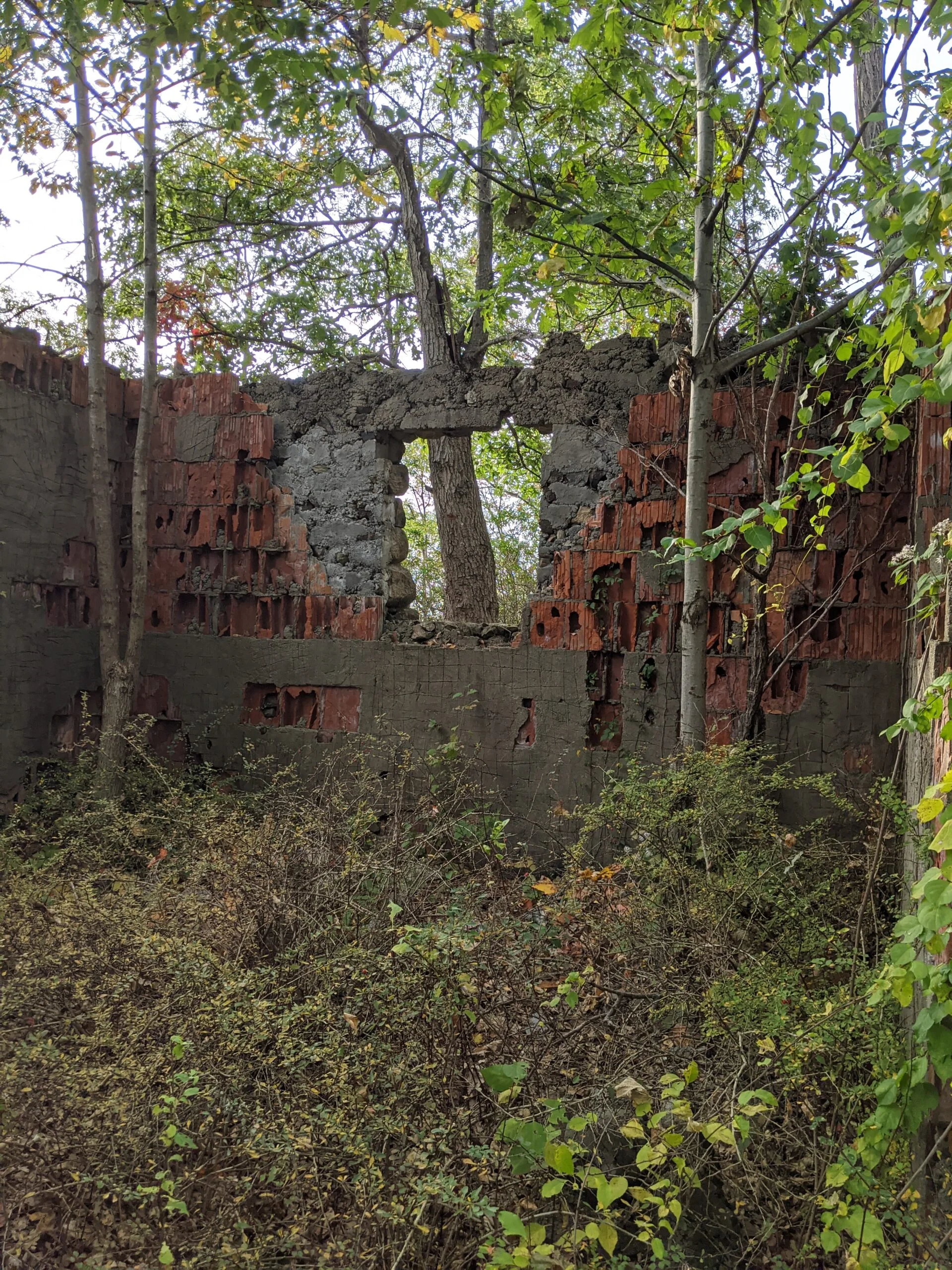
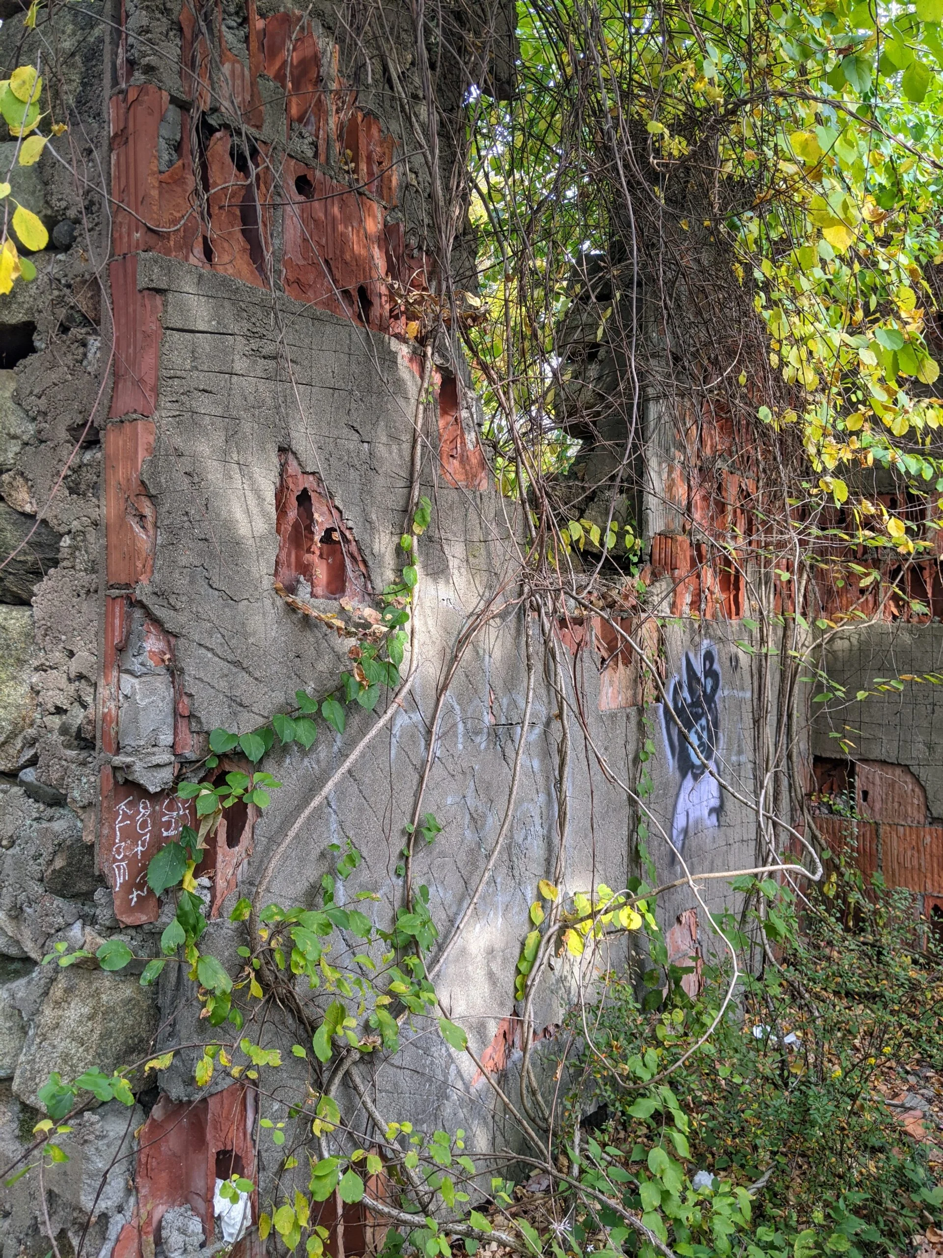
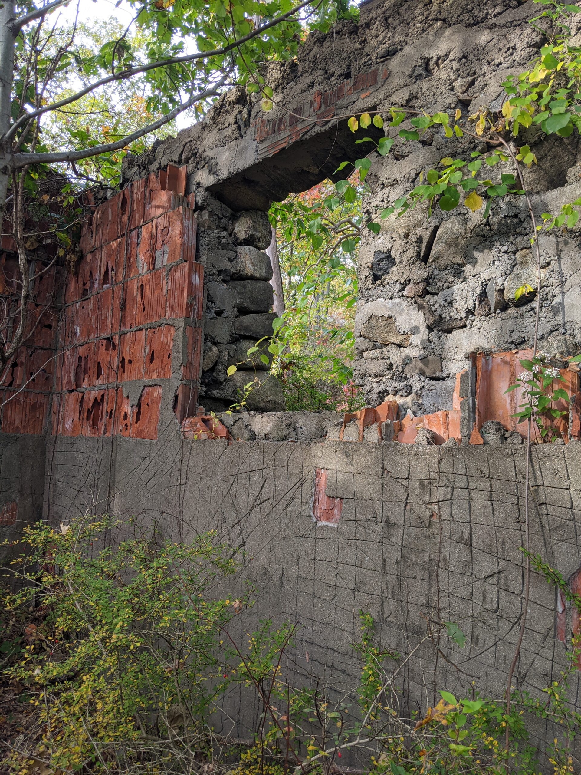
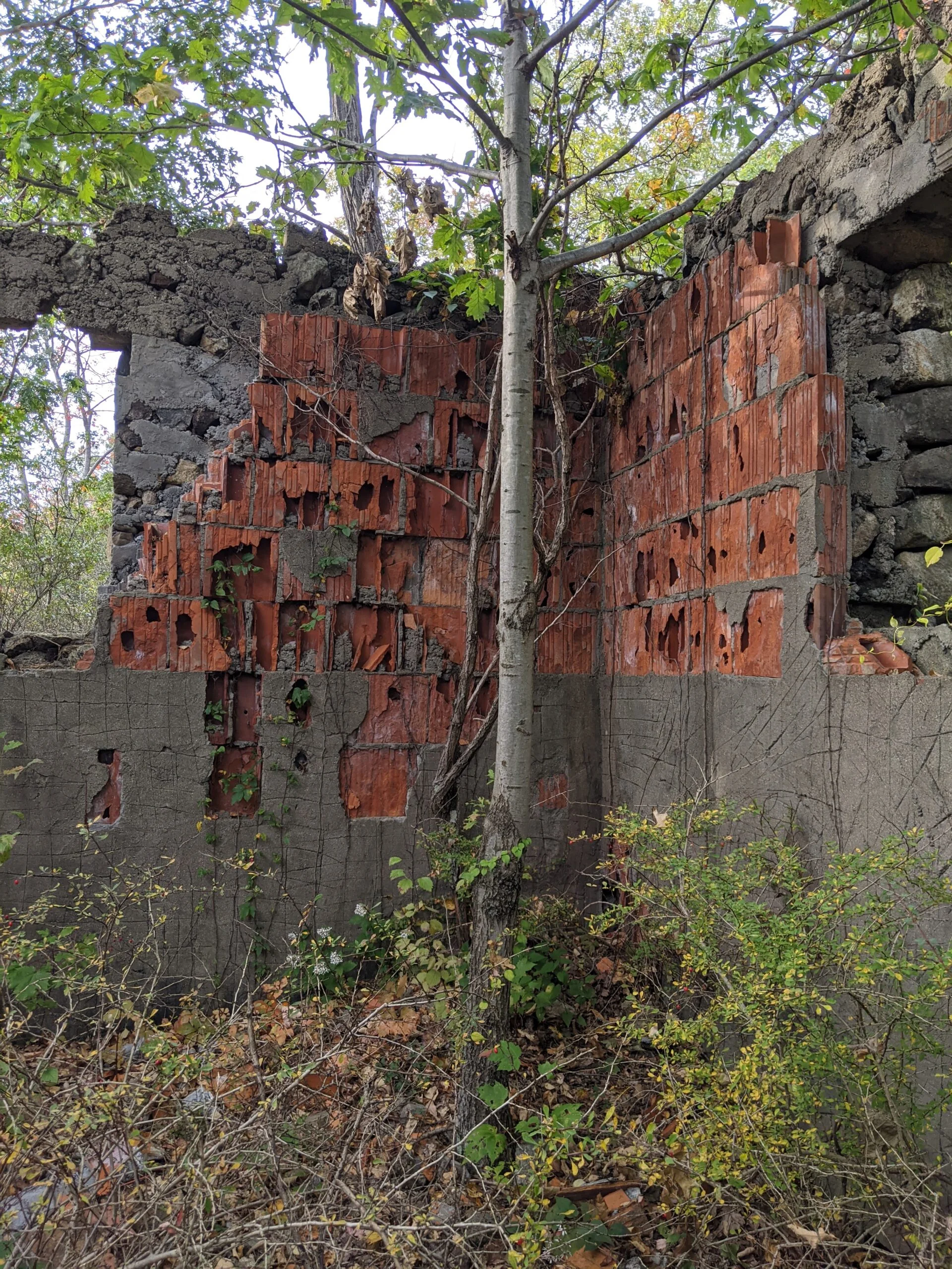
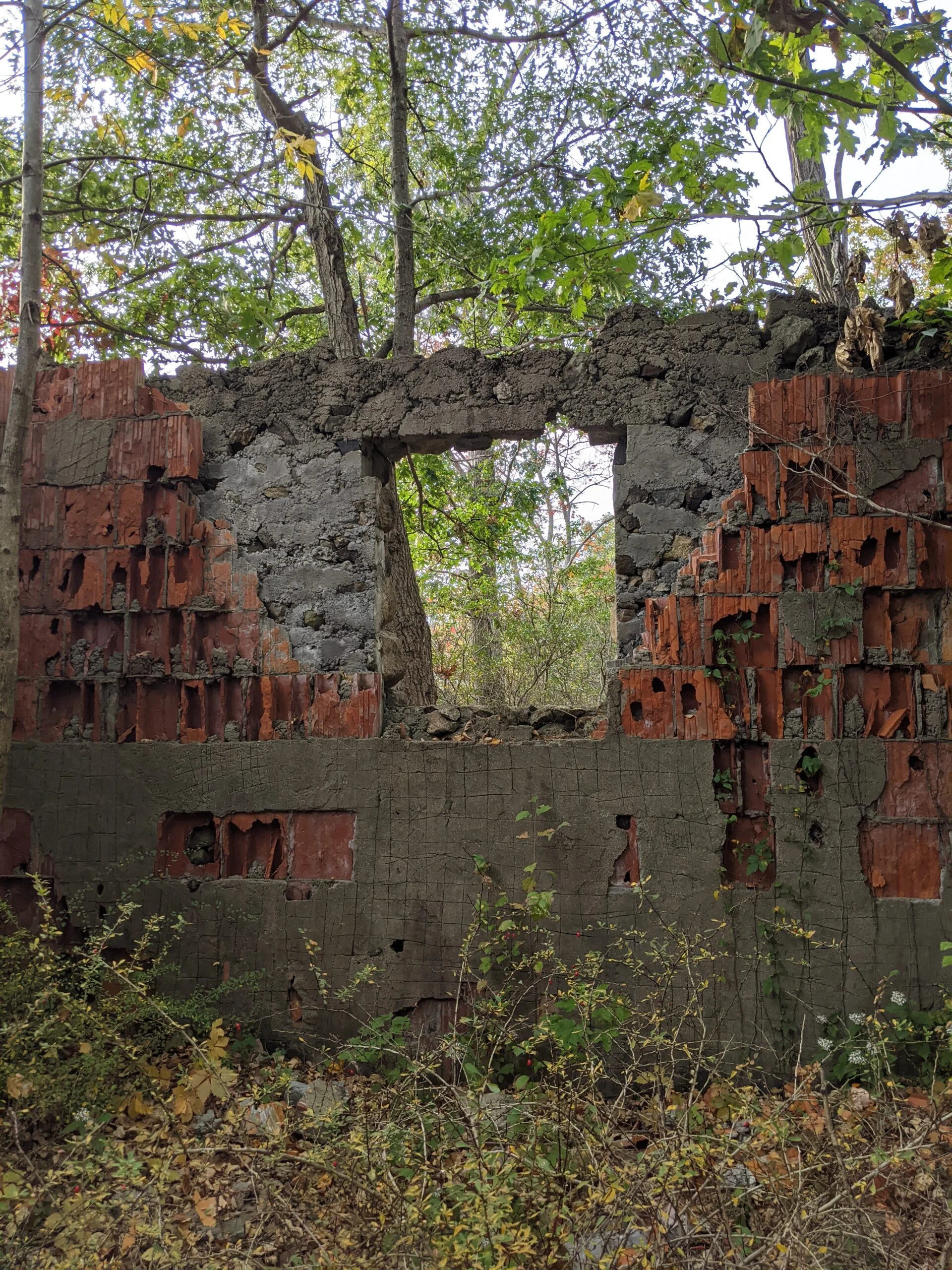
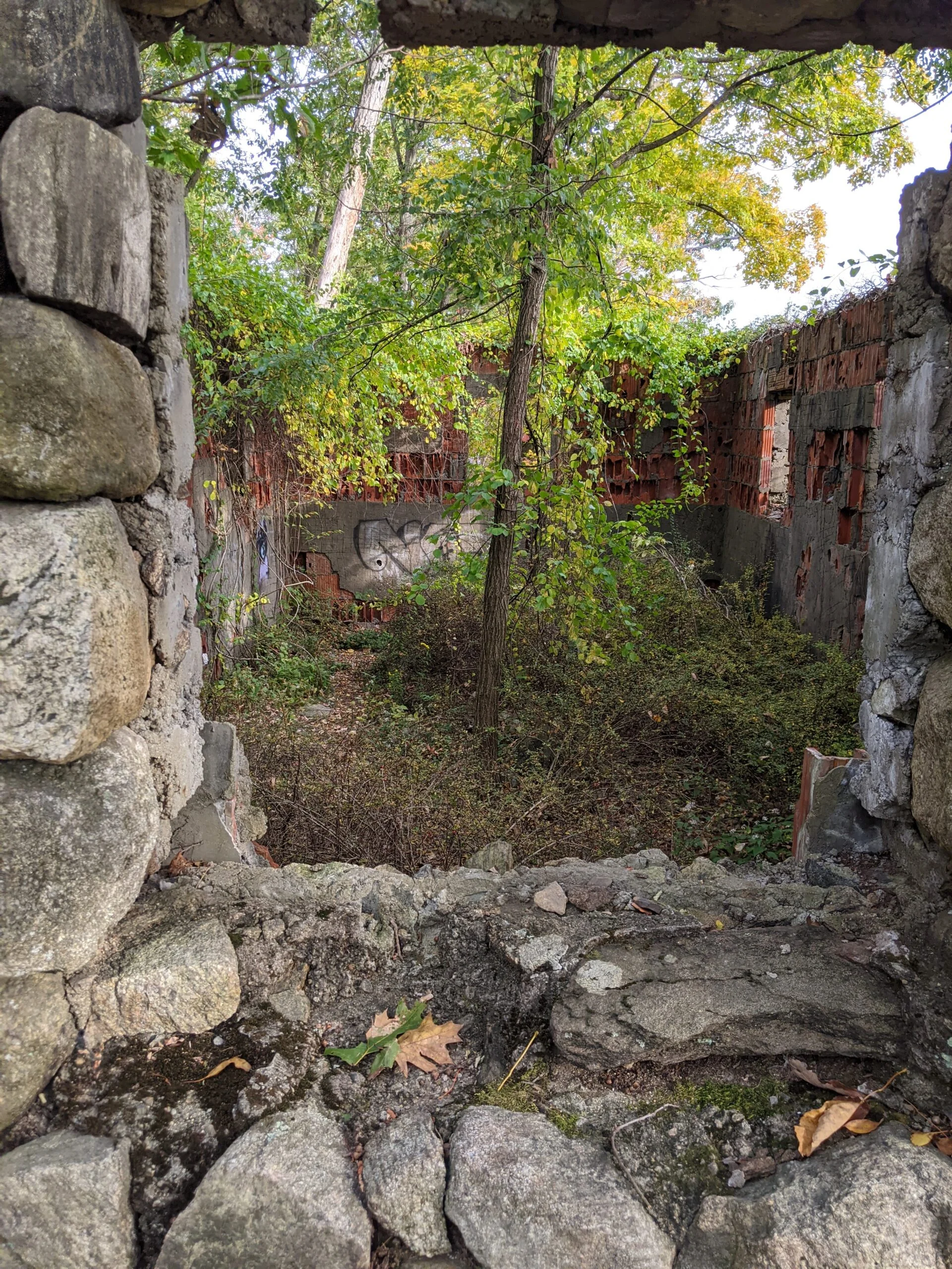
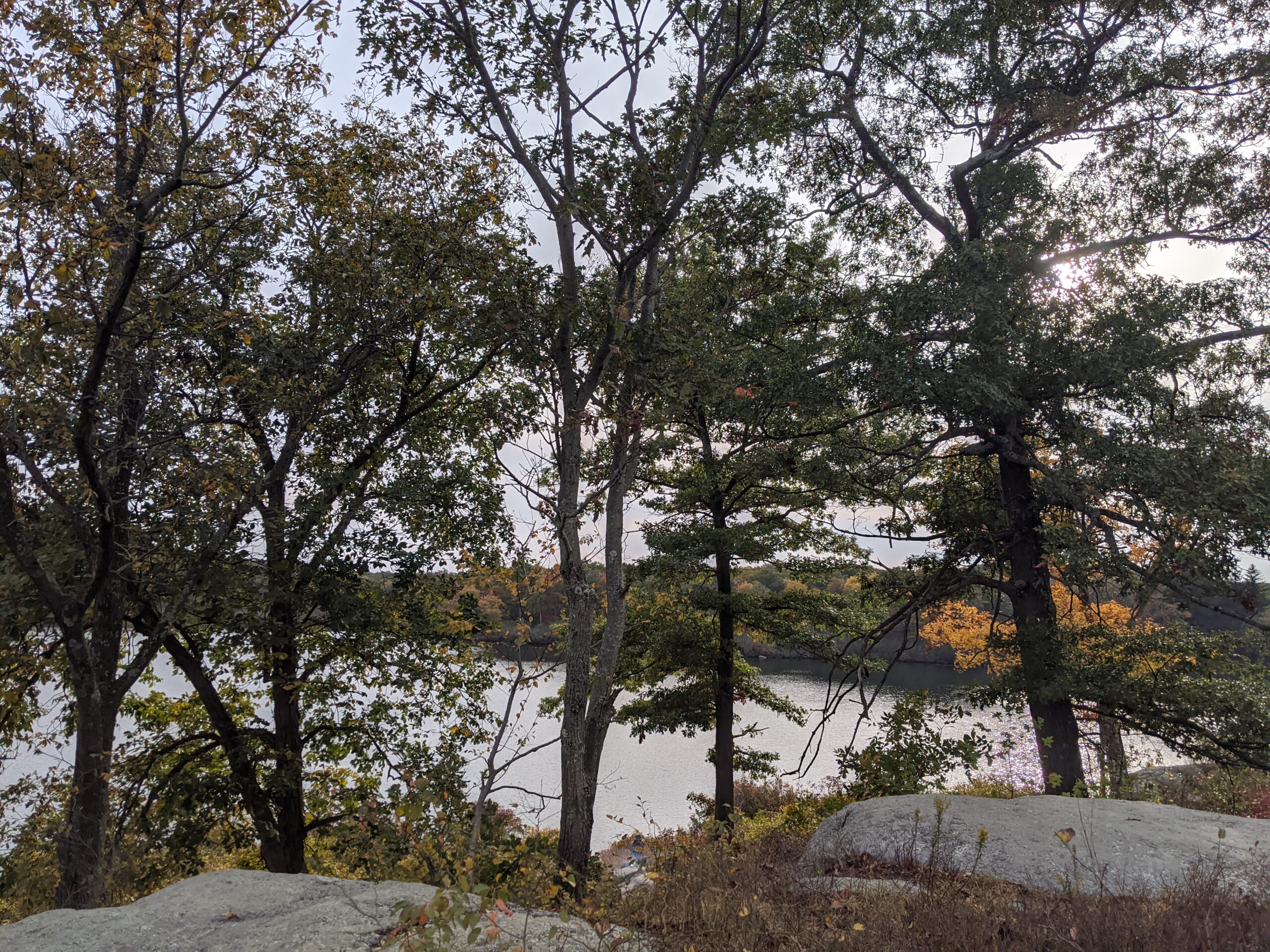
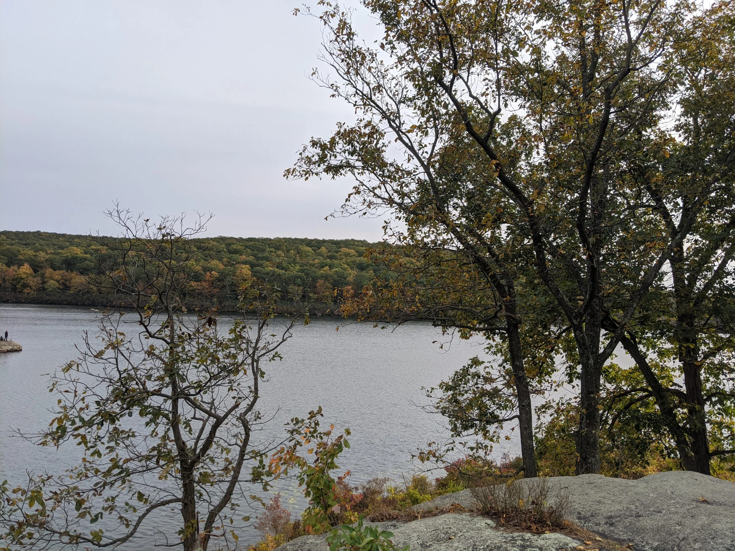
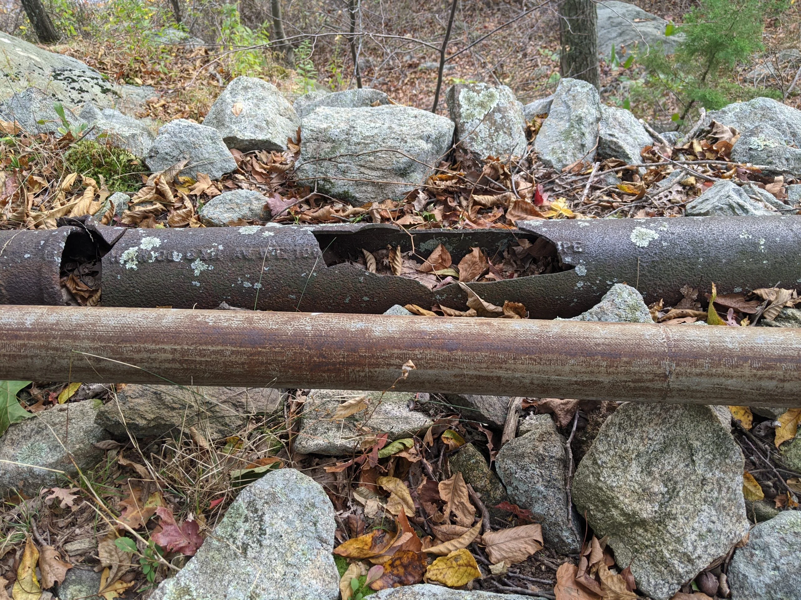
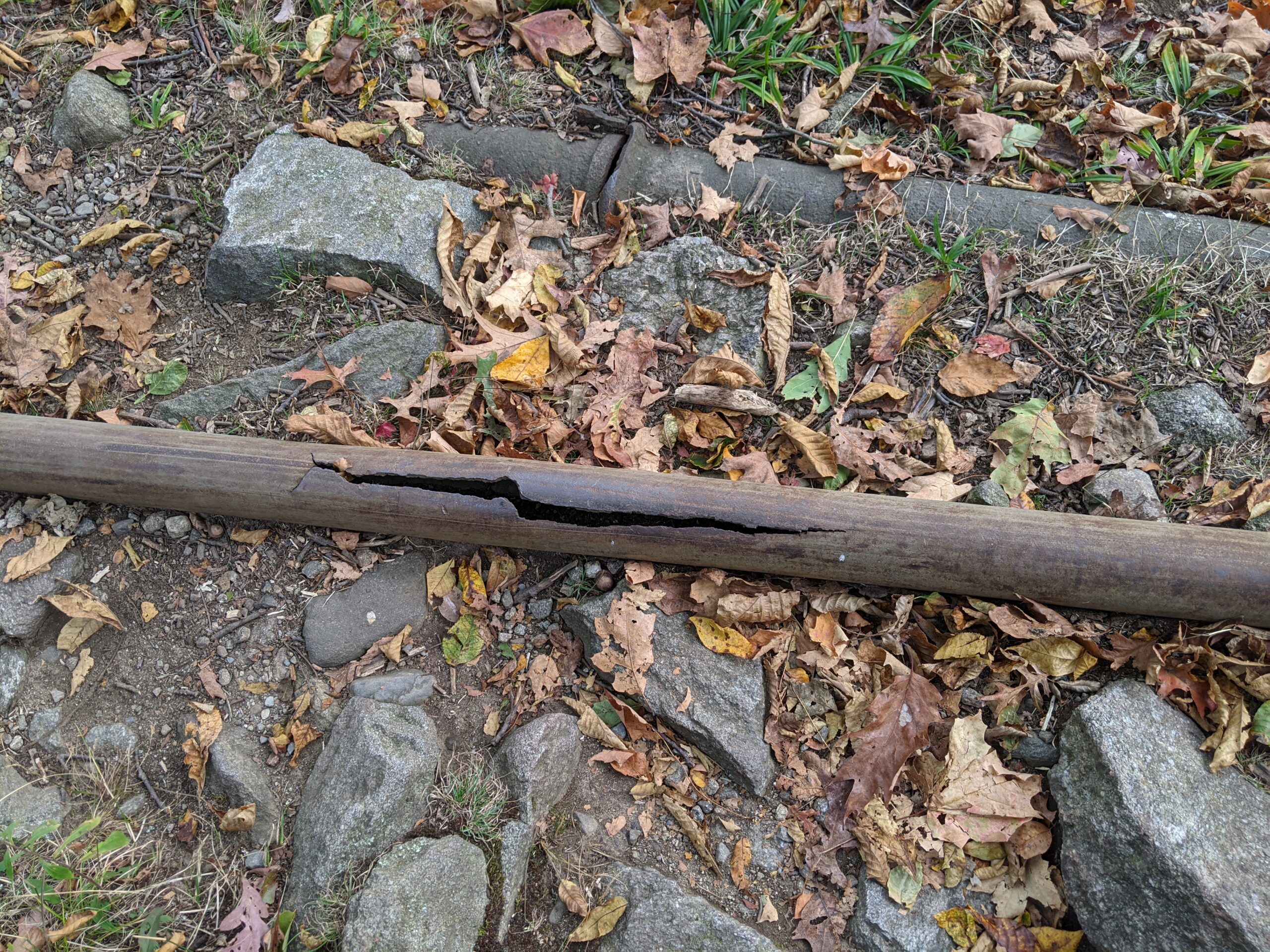
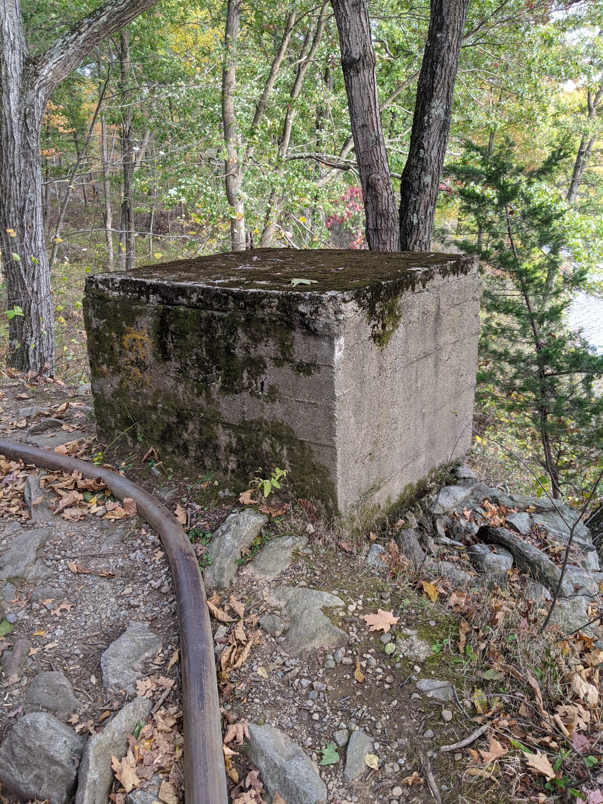
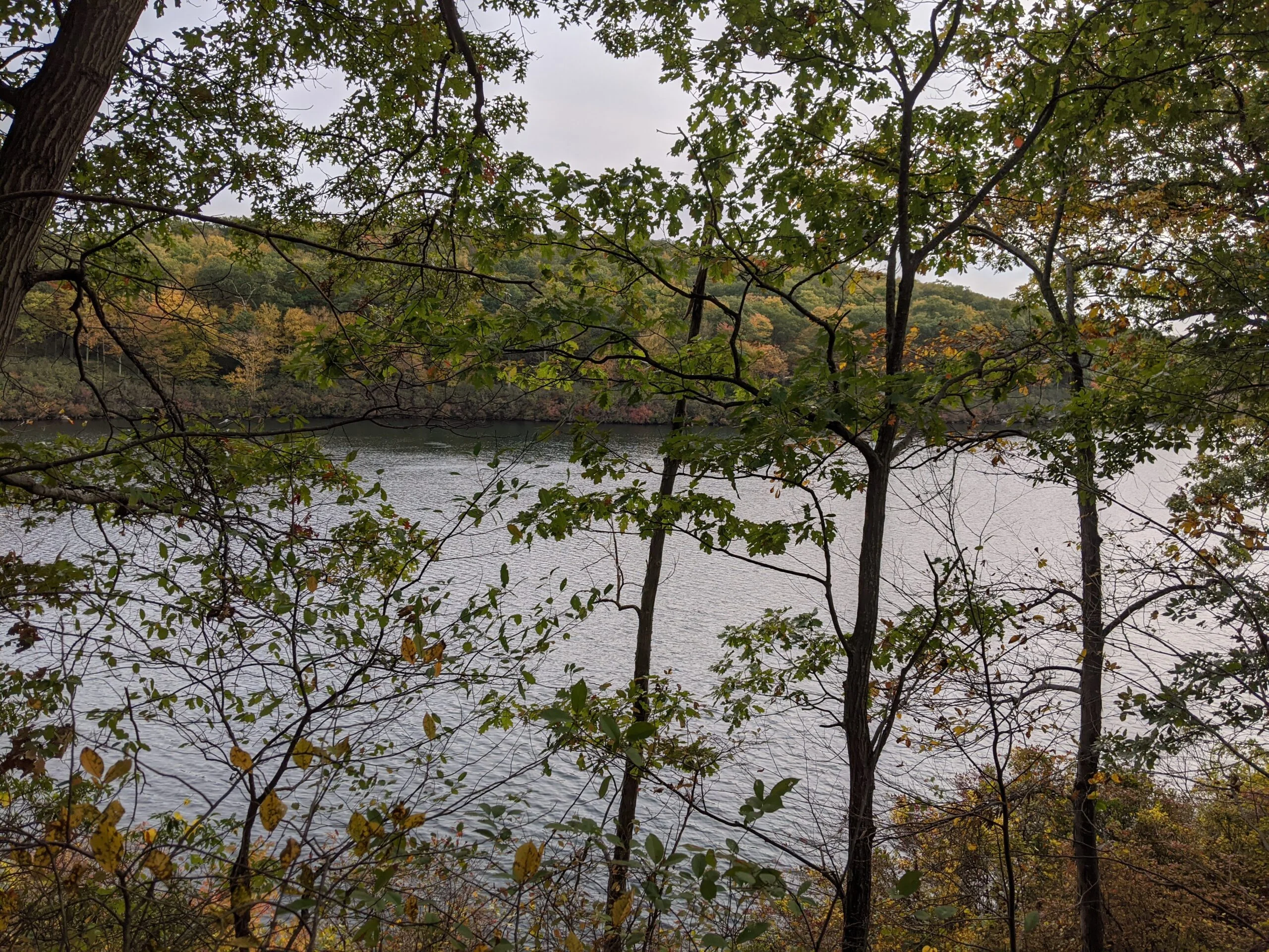
Following the unmarked trail, my next stop was Pine Meadow Lake. Unlike Lake Wanoksink which had a few people sitting on the shoreline taking in the views, Pine Meadow Lake had a lot more activity. I saw people fishing in the lake and there were several campsites setup on the rocks along the shoreline, a few with active campfires. I soon came upon the old pump house, which is now just a shell of a building missing a roof. There is brush and overgrowth inside, but I was able to walk inside and take photos. There was a combination of concrete, stone, and masonry in the remaining walls.
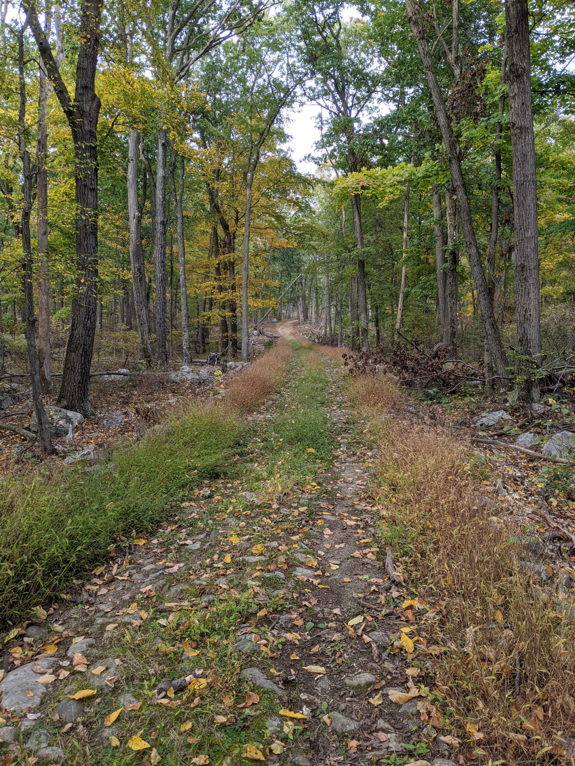
After reaching Pine Meadow Lake, I connected with the other end of the Pine Meadow trail (white with red square blazes) that I had started my journey on. From the lake back to my car was about 3 miles, with the last 1.5 miles being a descent from about 1,200 ft to about 400 ft. I was using a walking stick I picked up early on in the hike and it definitely helped with the steep downhill areas.
Every time I hike in Harriman State Park, I appreciate it more! There’s so much to see and do here that I can’t wait until the season opens next year so I can take advantage of some of the camping and swimming options.
Photos


GPS Route & Elevation
Loads an interactive map; map tiles are served by the U.S. Geological Survey, which receives your IP address. Learn more about maps and your privacy