Harriman State Park Harriman-Bear Mountain State Parks
Harriman State Park – Elk Pen, Island Pond, Lemon Squeezer, Bald Rocks, Appalachian Trail
- 11.1 mi
- 1,909 ft gain
- 05:45:41
- 178 photos
- 2 videos
This post may contain affiliate links. If you buy through them, I may earn a commission at no extra cost to you. As an Amazon Associate I earn from qualifying purchases.
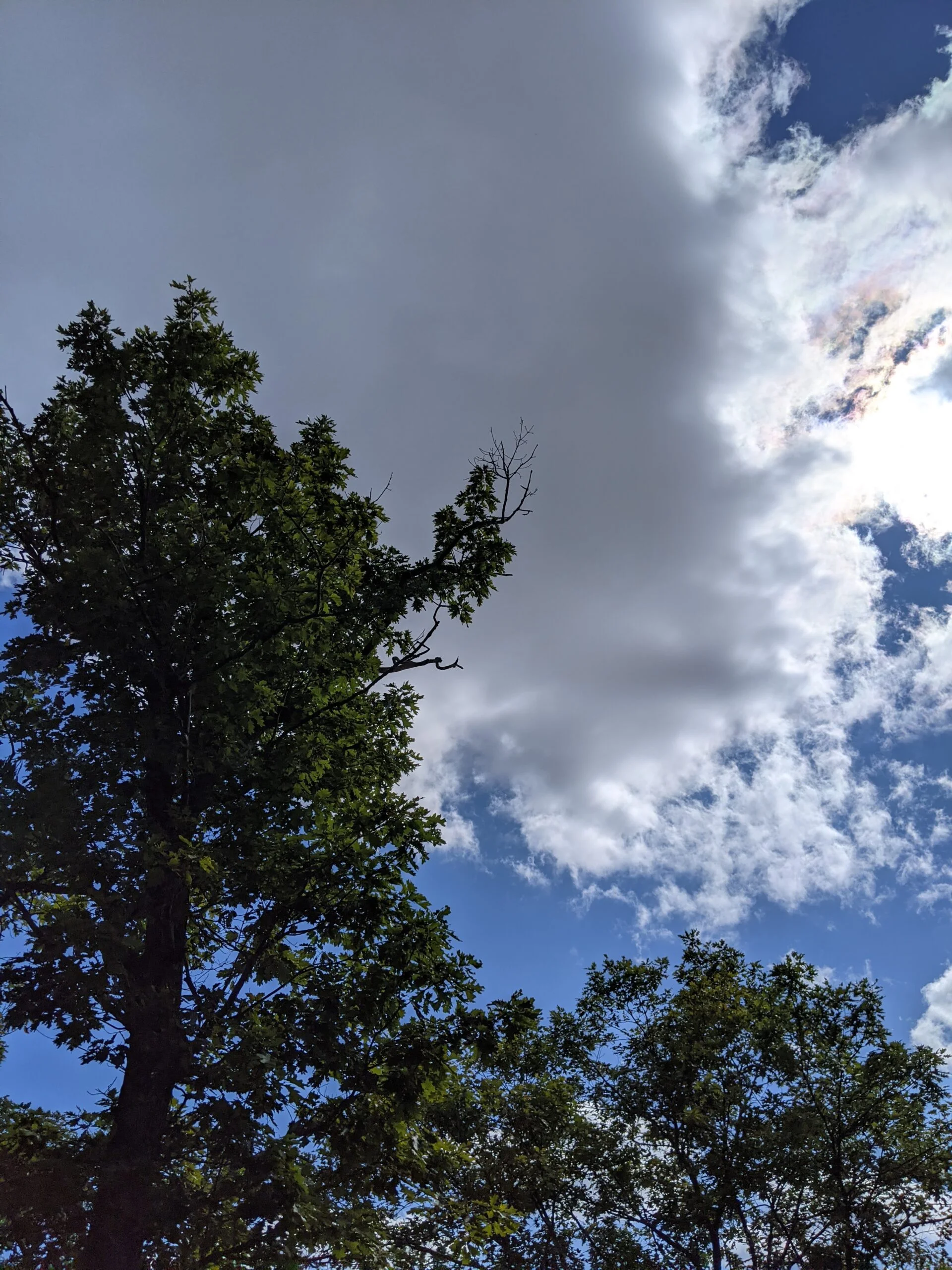
I’m falling in love with fall hikes! The changing of the leaves and the cooler weather make for a great hiking environment.
Although I had previously visited its neighbor, Bear Mountain State Park, this was my first visit to Harriman State Park.
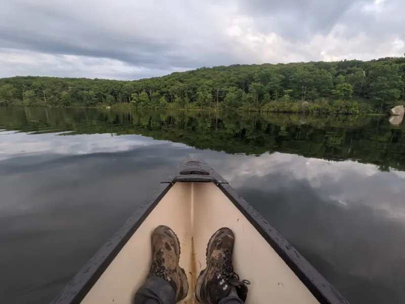
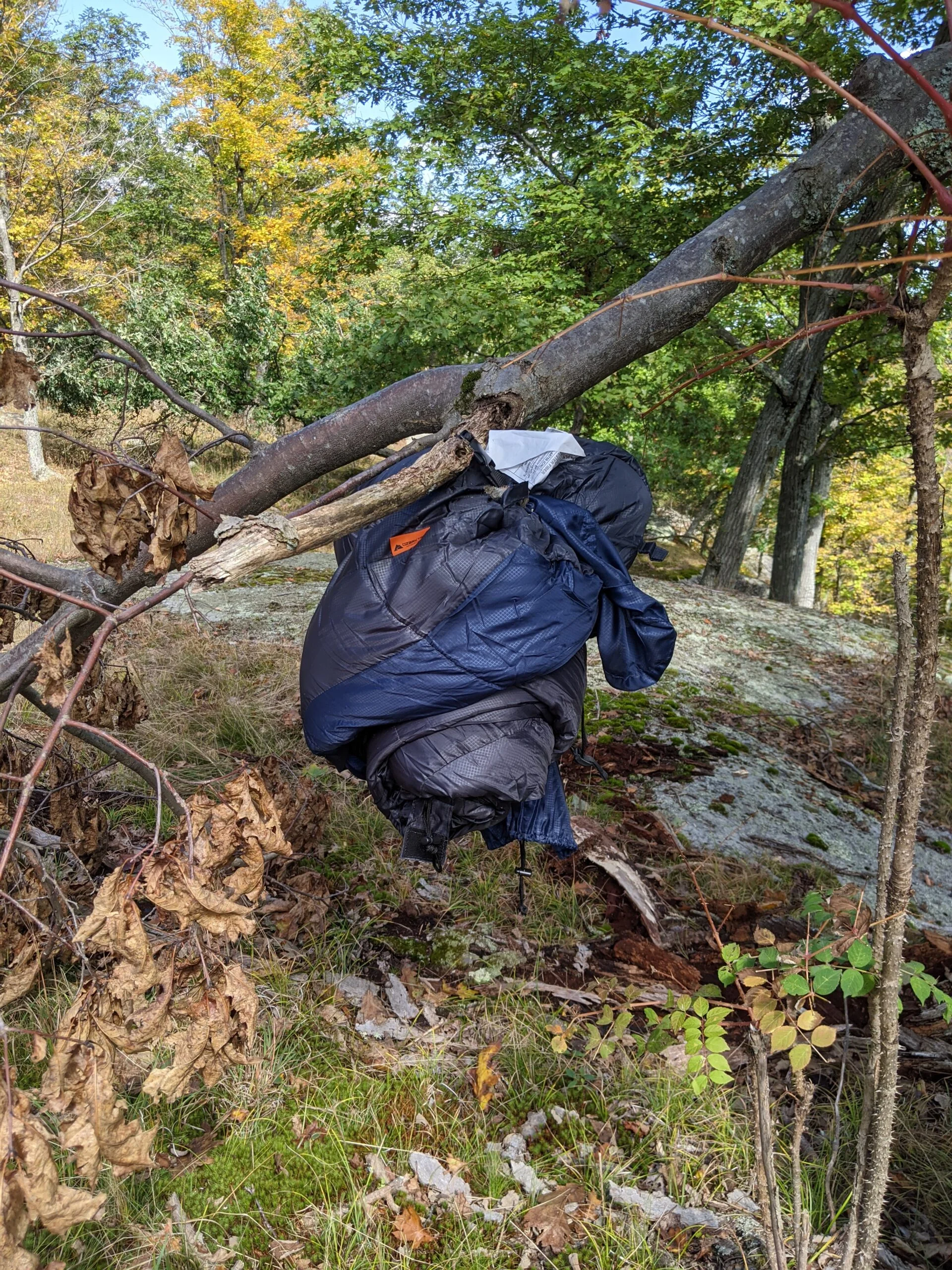
With my standard set of gear packed, I hit the road around 11a. This included Vasque Breeze AT Mid GTX Hiking Boots, REI Co-op Sahara Roll-Up Cargo Pants, an Osprey 2.5L Hydration Backpack ($) and two separate 1.5L bottle reserves, an apple, a banana, two PROBAR meal bars ($), and two Chicken of the Sea Pink Salmon ($) packets. All of the water was prepared with citrus fruit flavor Nuun Sport Electrolyte Drink Tablets ($) and chilled the night before.
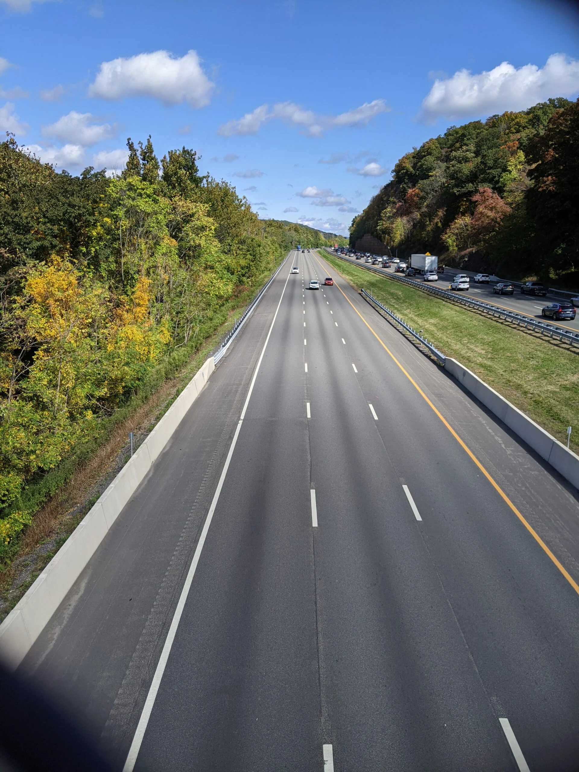
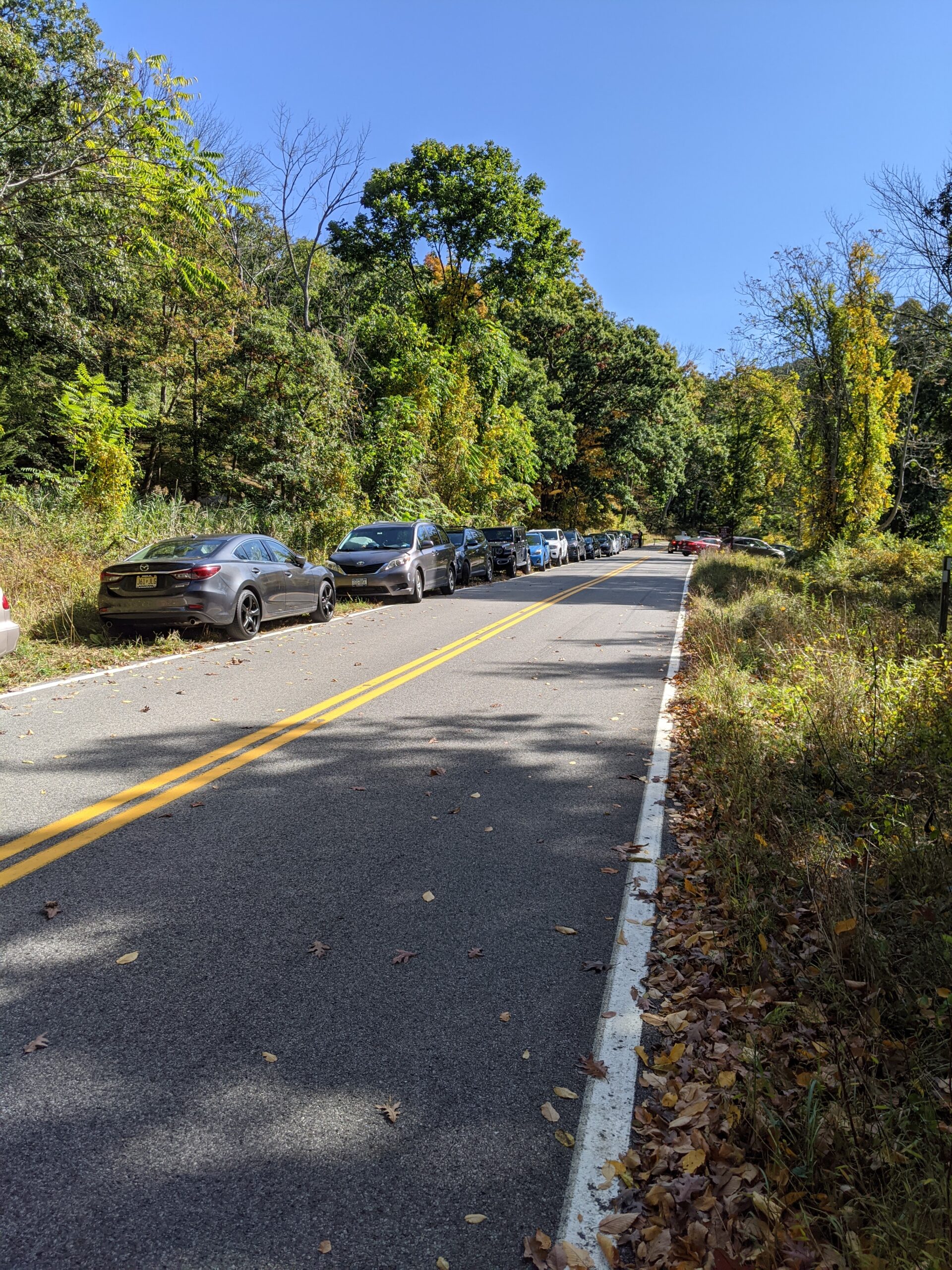
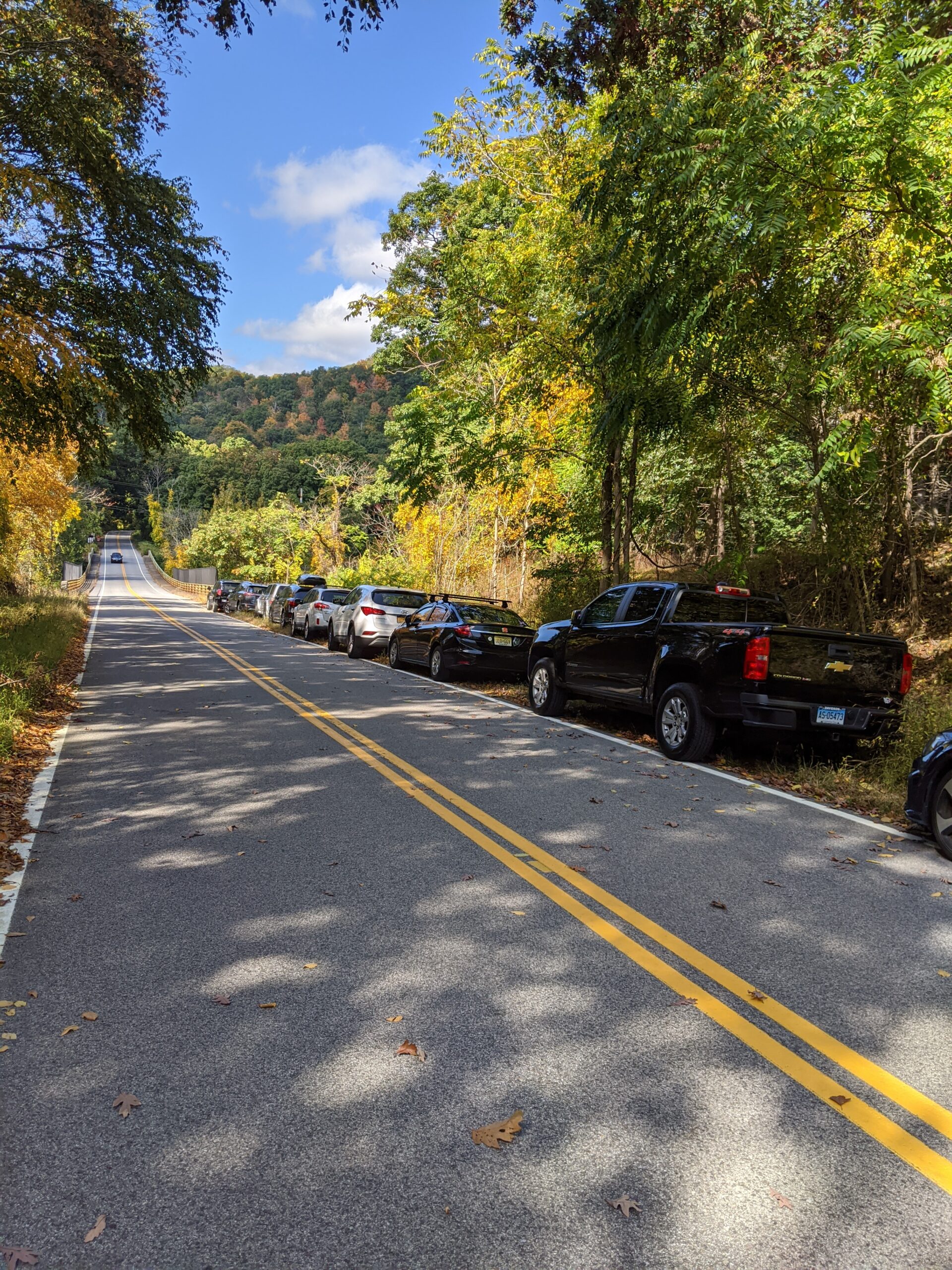
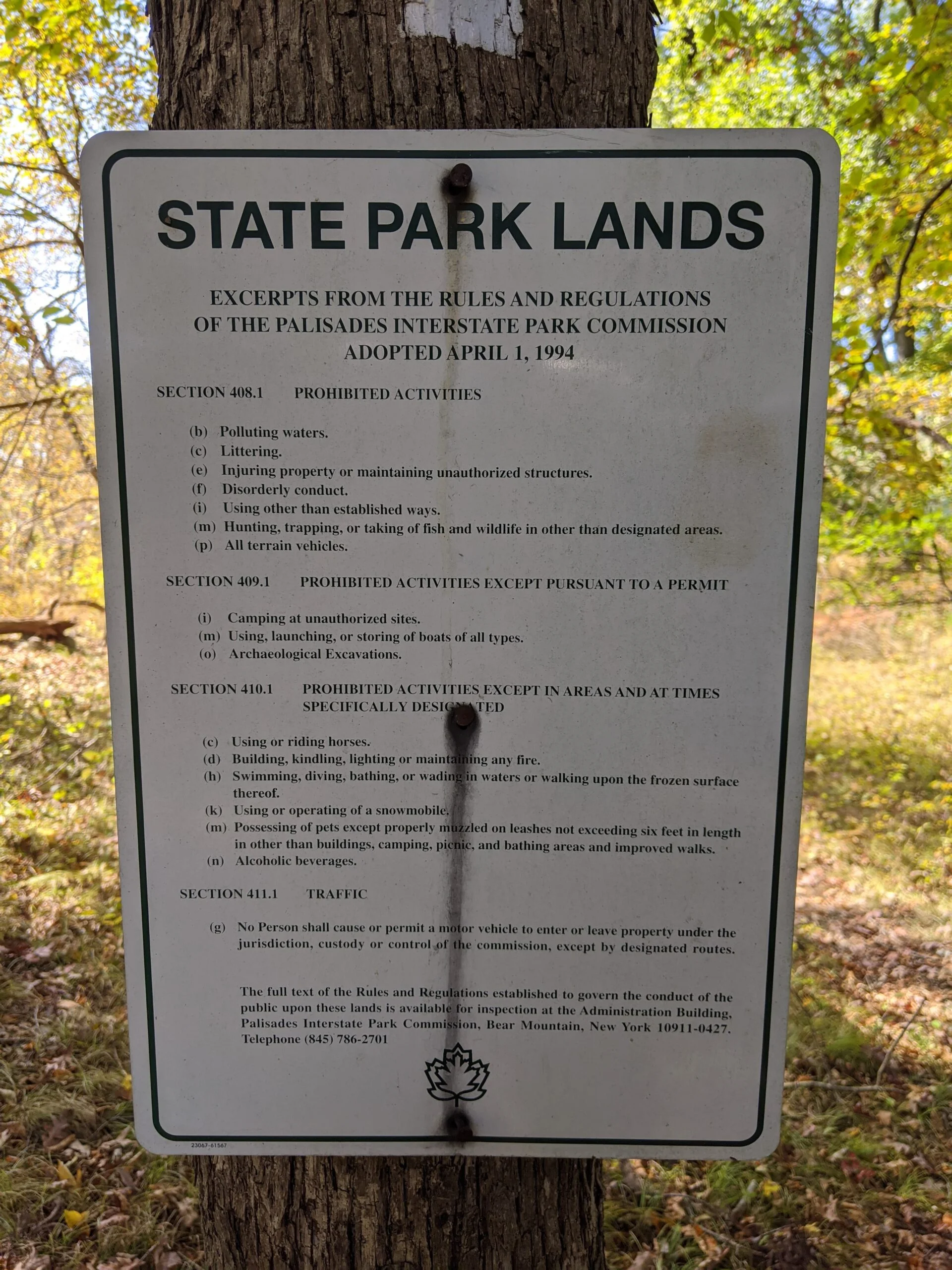
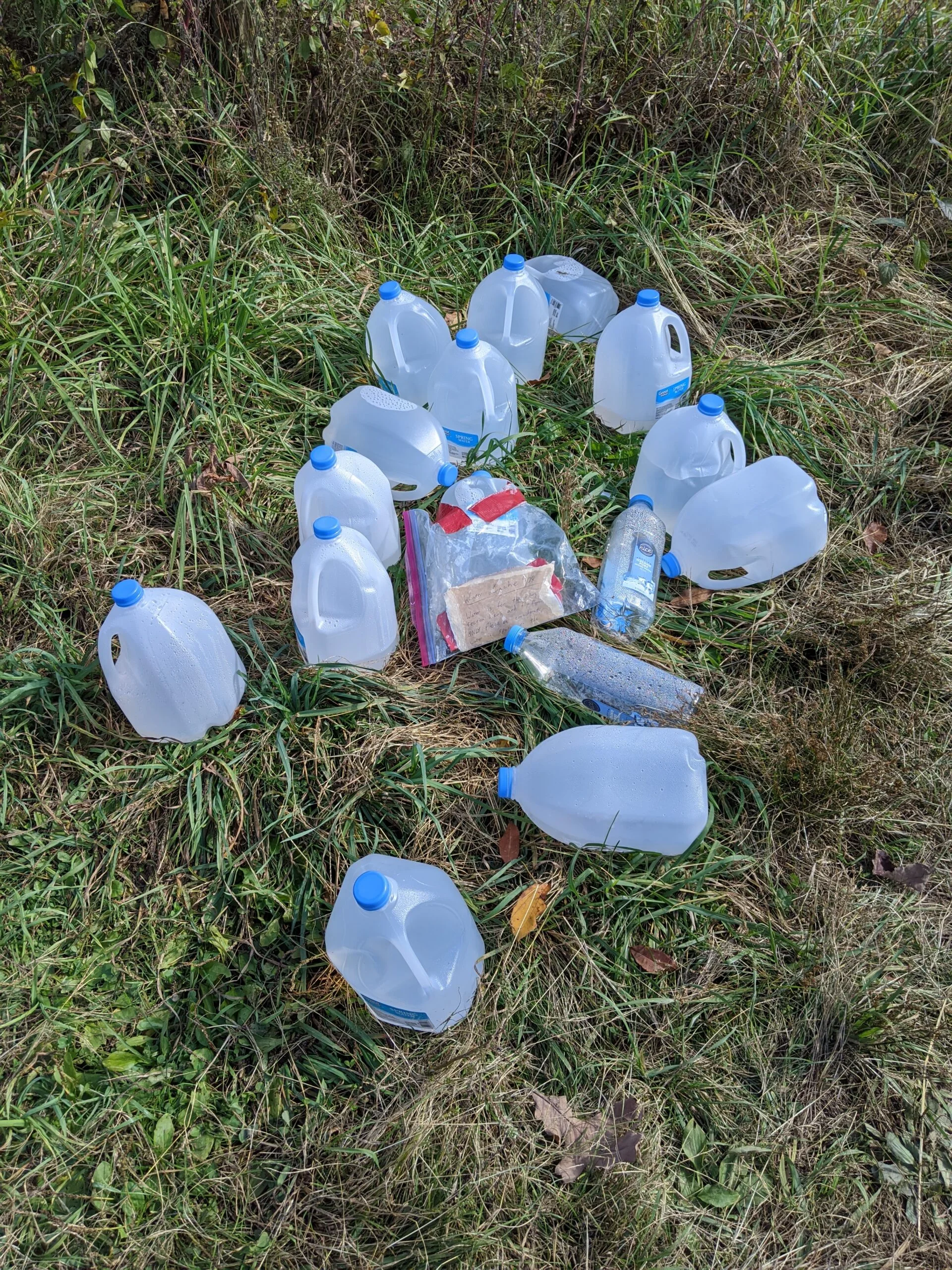
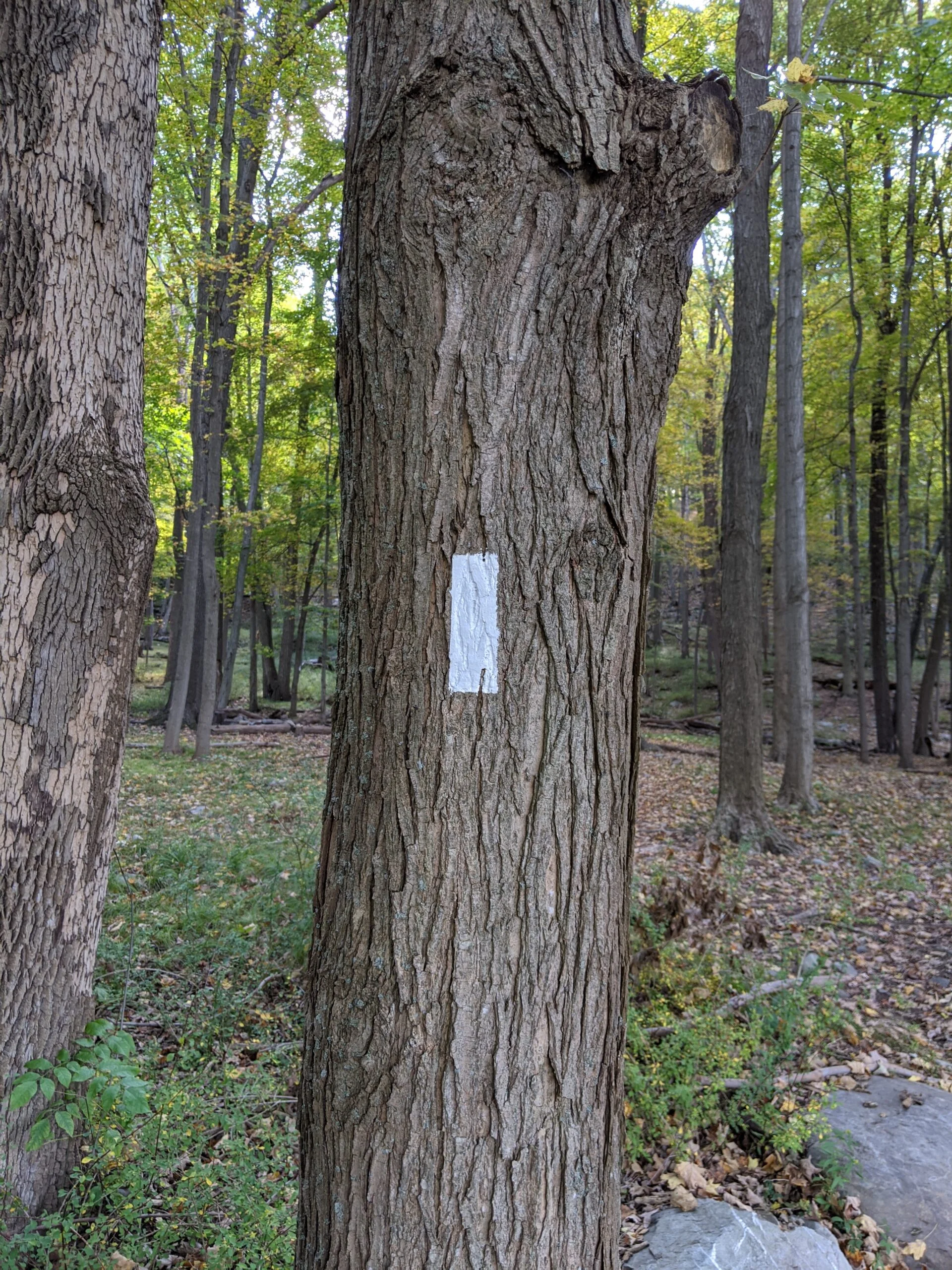
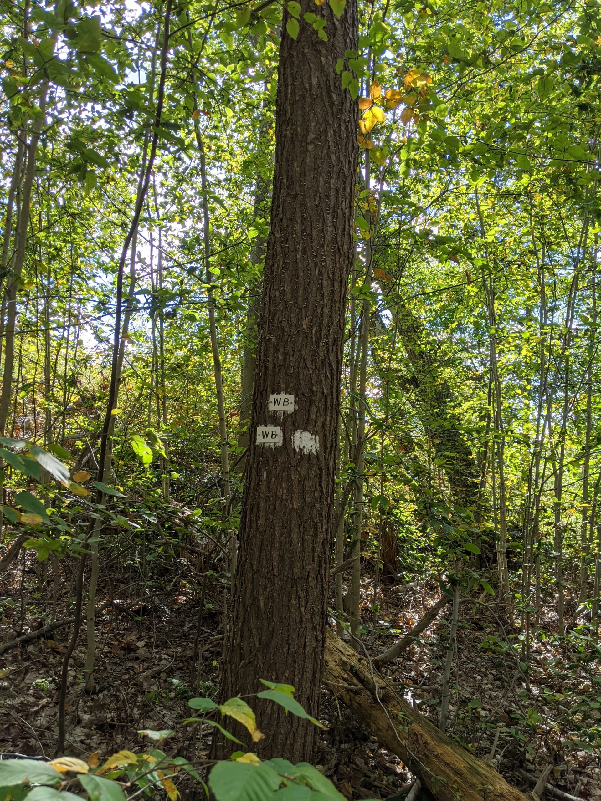
I pulled onto Arden Valley Road just past 11:30a. As I approached the Elk Pen Parking Lot, I could already tell it was full as cars were turning around and parking along the road. Admittedly, this was my mistake for arriving so late. I pulled onto the shoulder and parked along the southbound side of the road. After putting on all my gear, I made the 1/4 mile walk up the road to pick up the Appalachian Trail (AT, white blazes) on the north side of the parking lot. At the trail head, someone left a water cache of 14 gallon jugs and two smaller bottles. It amazing we have people like this in the world!
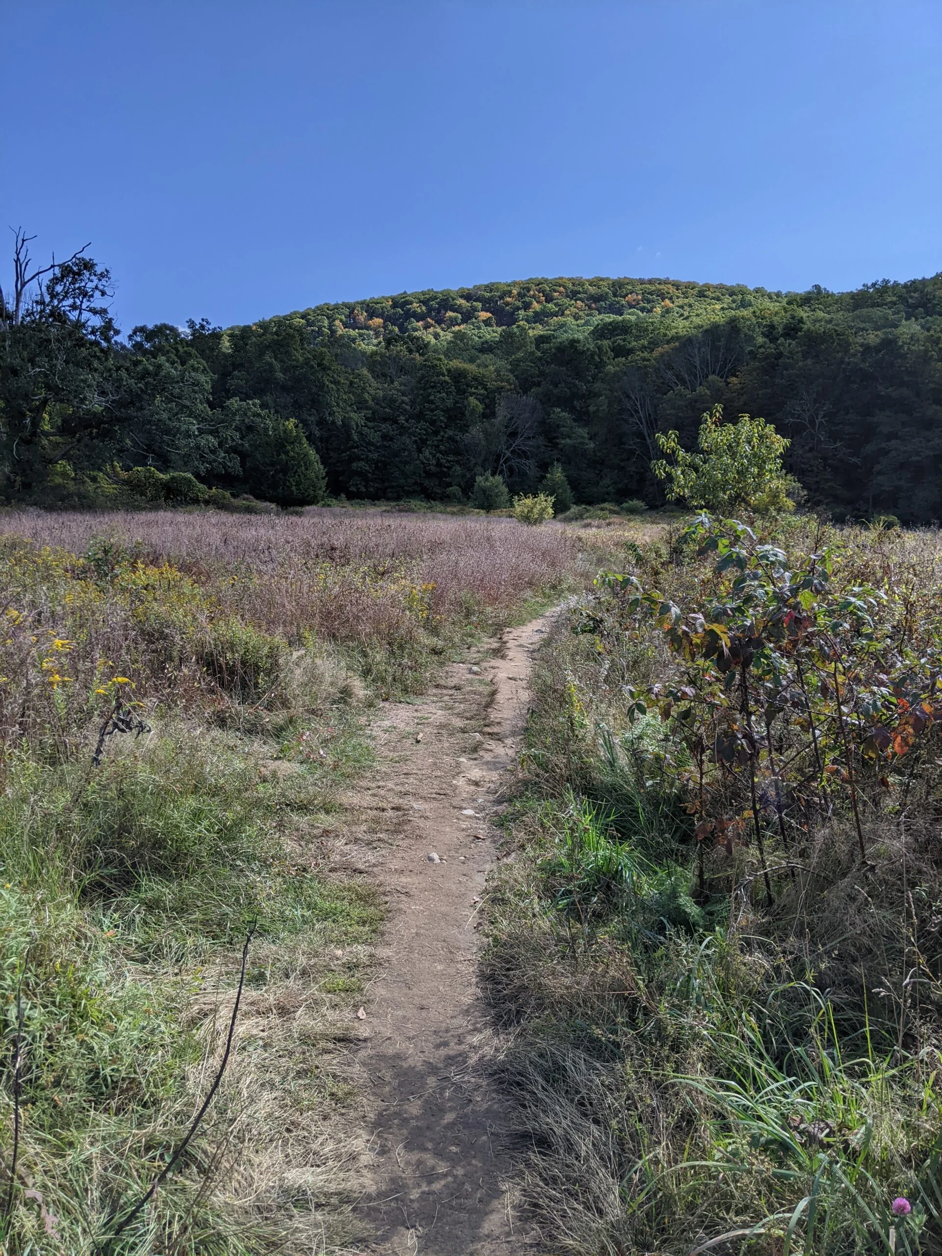
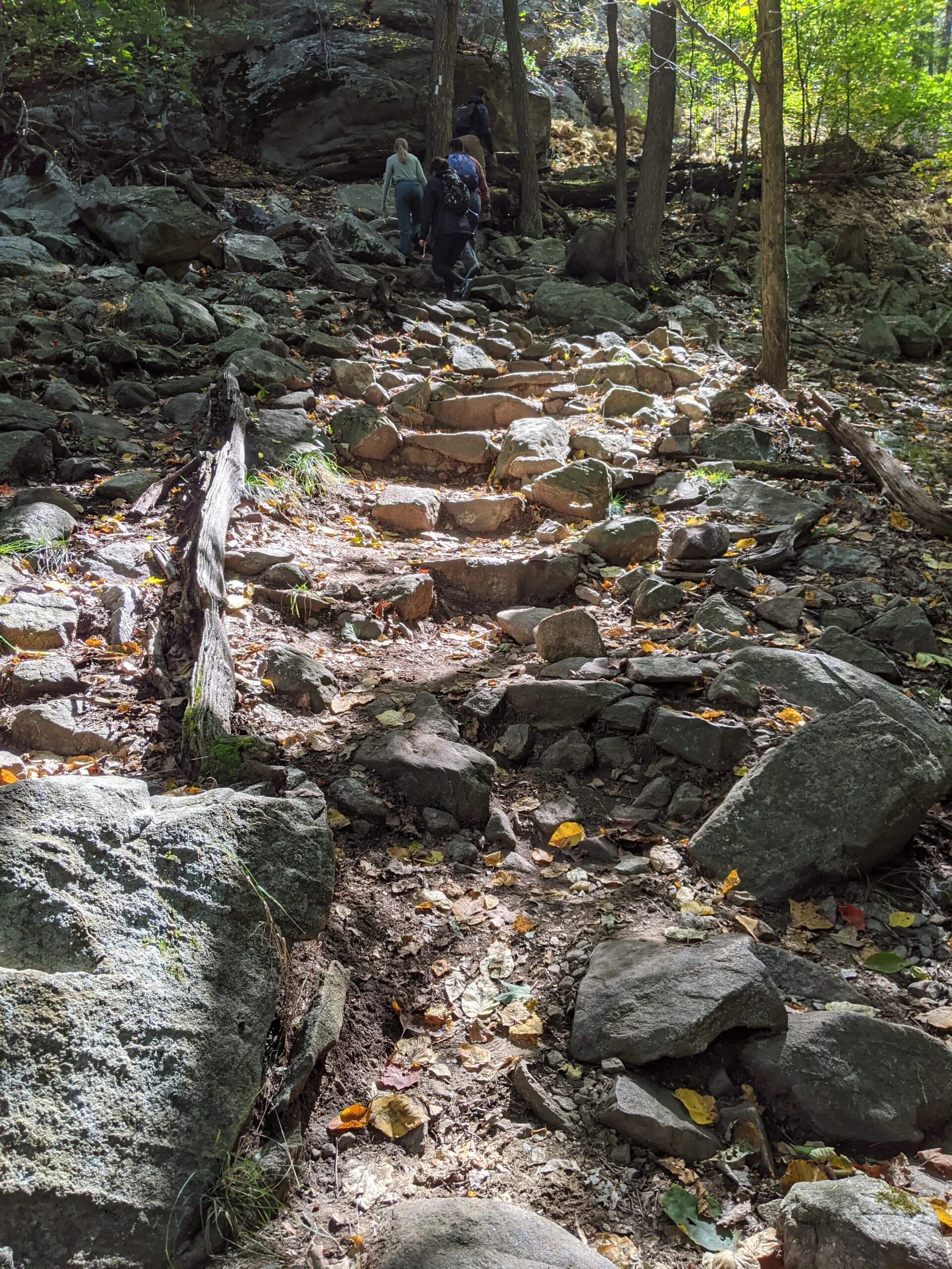
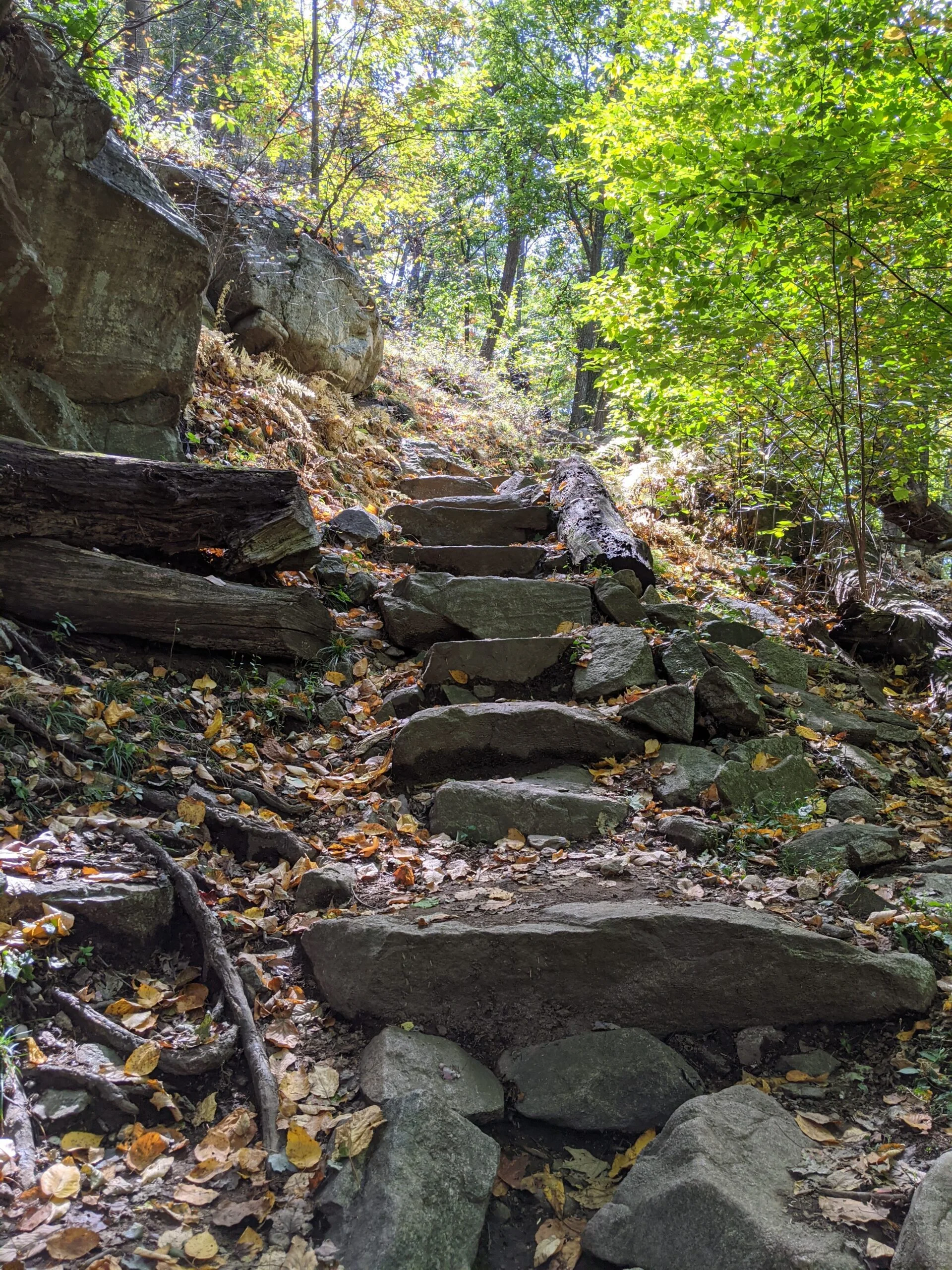
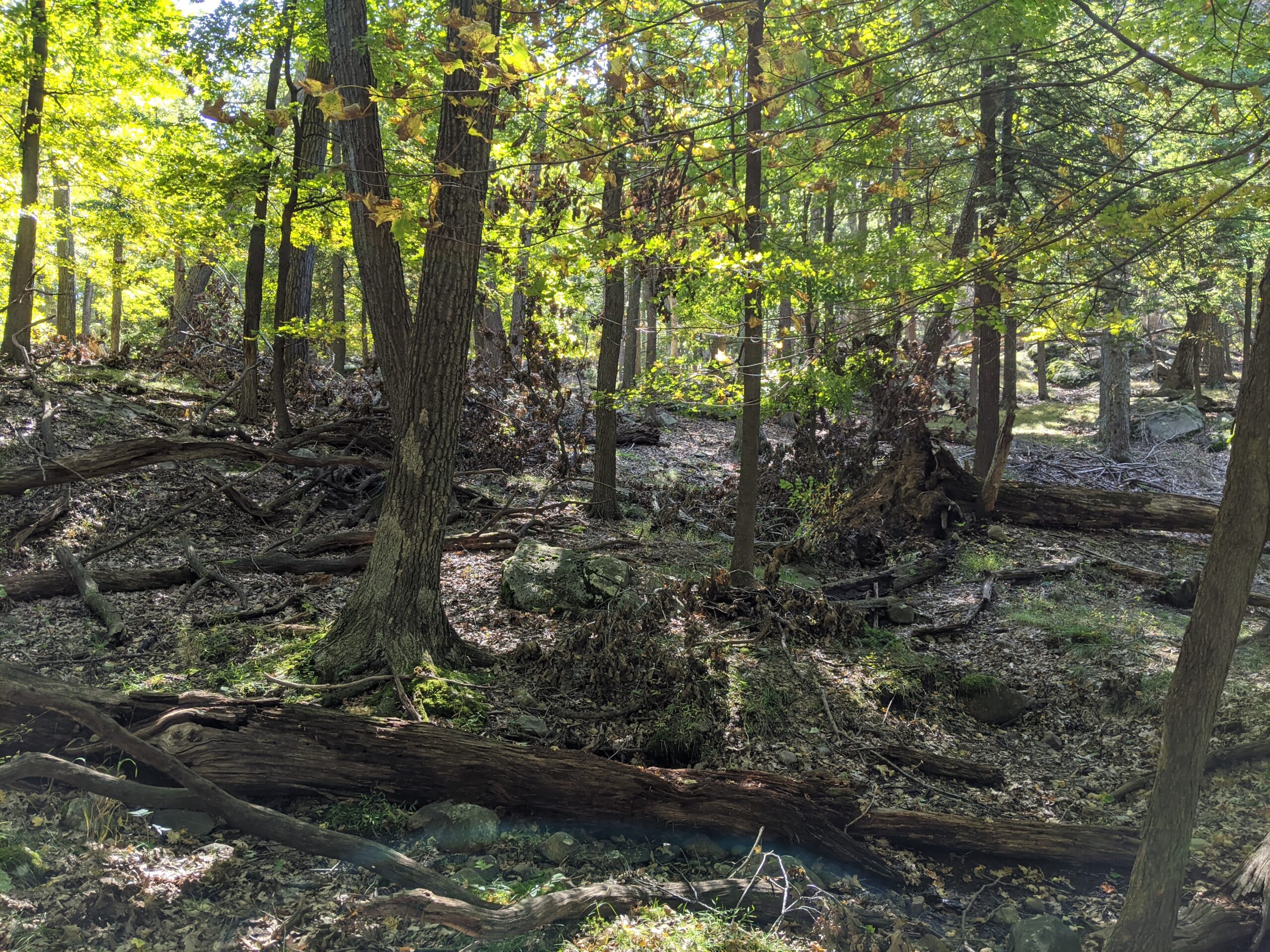
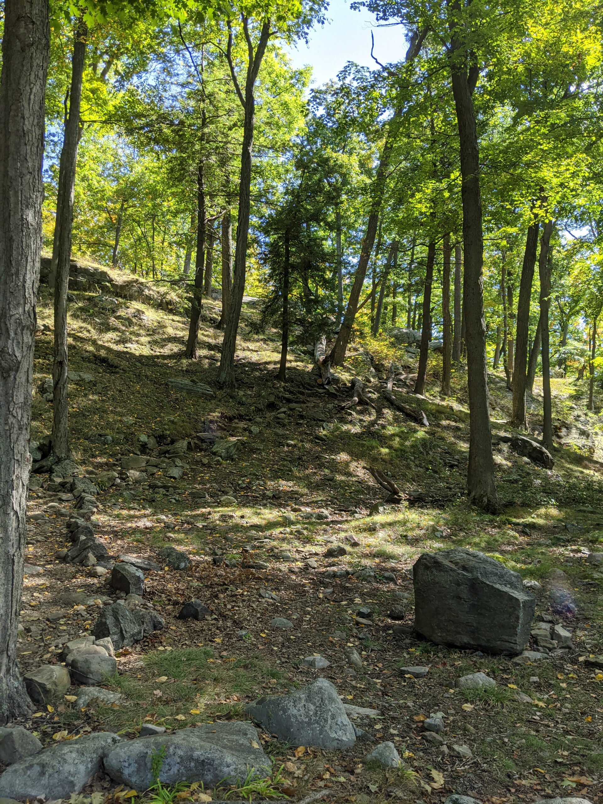
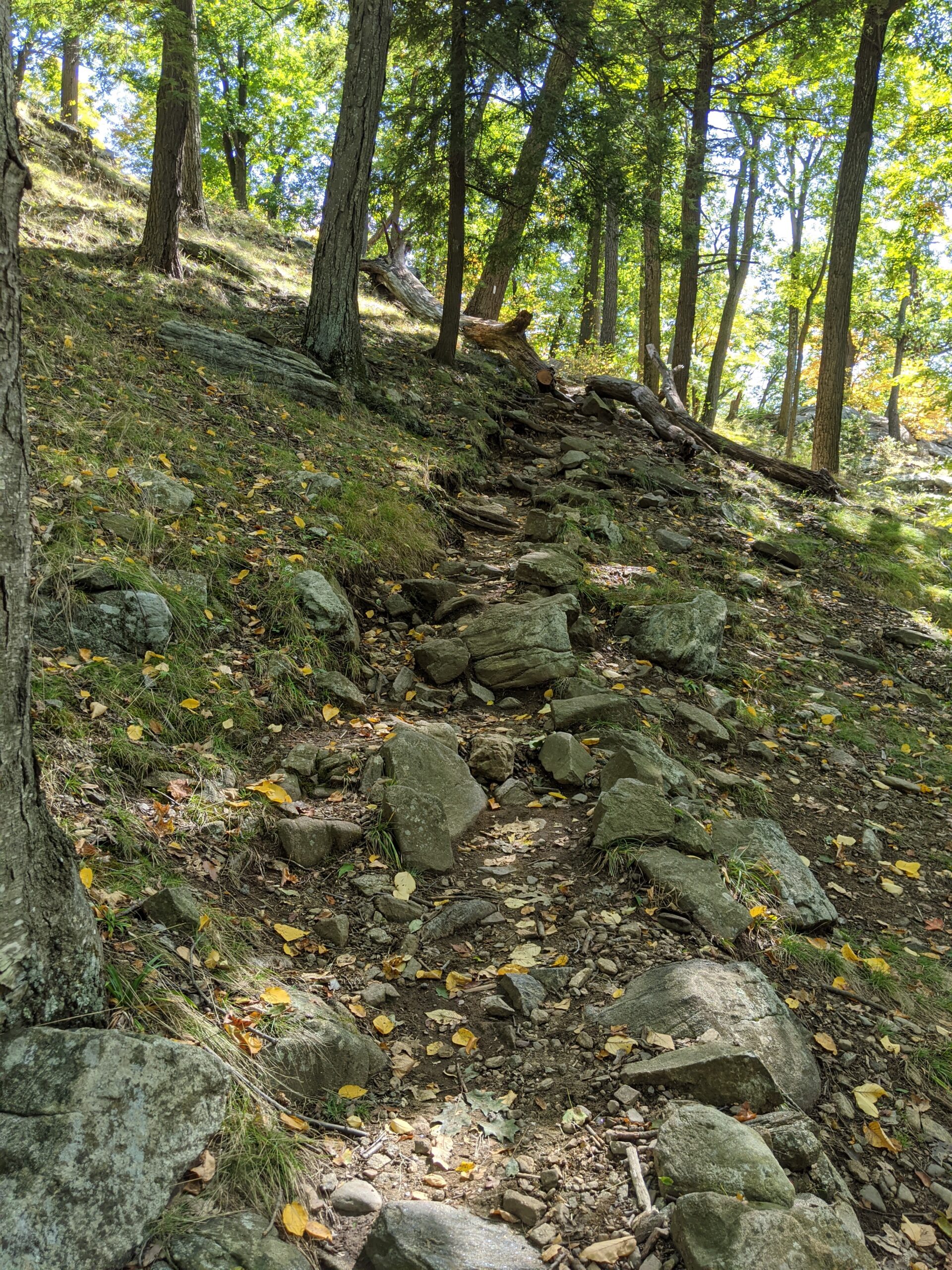
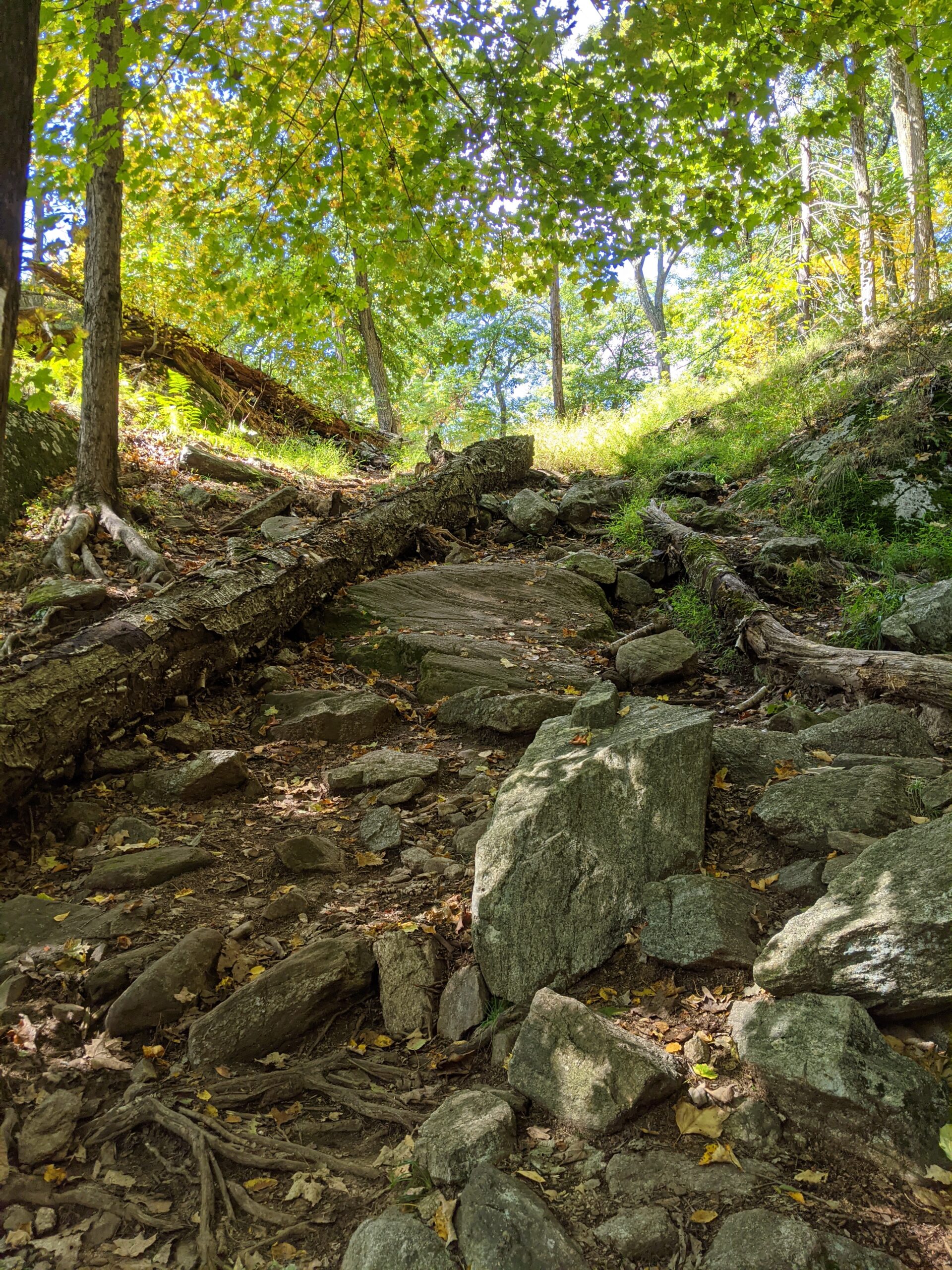
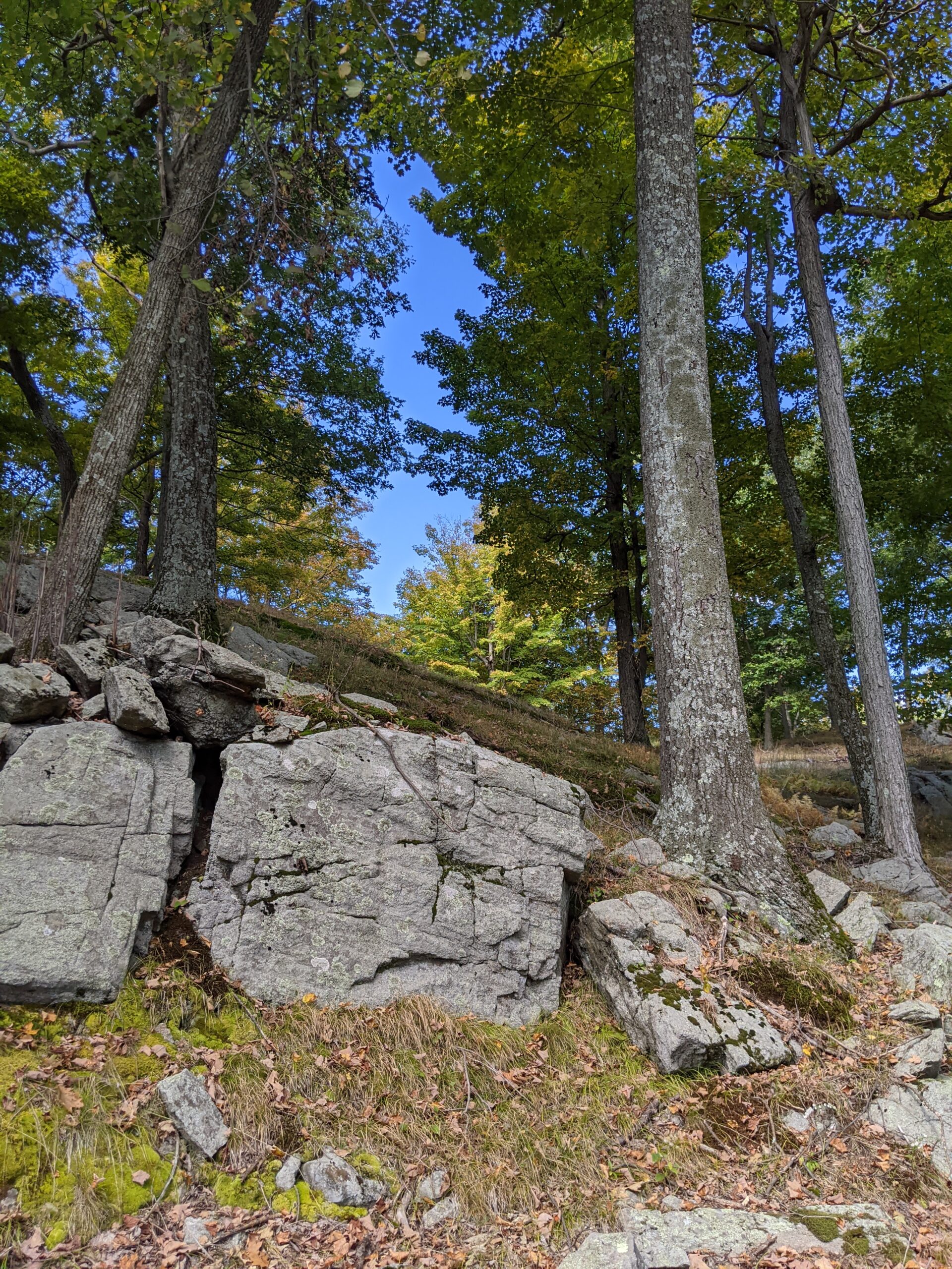
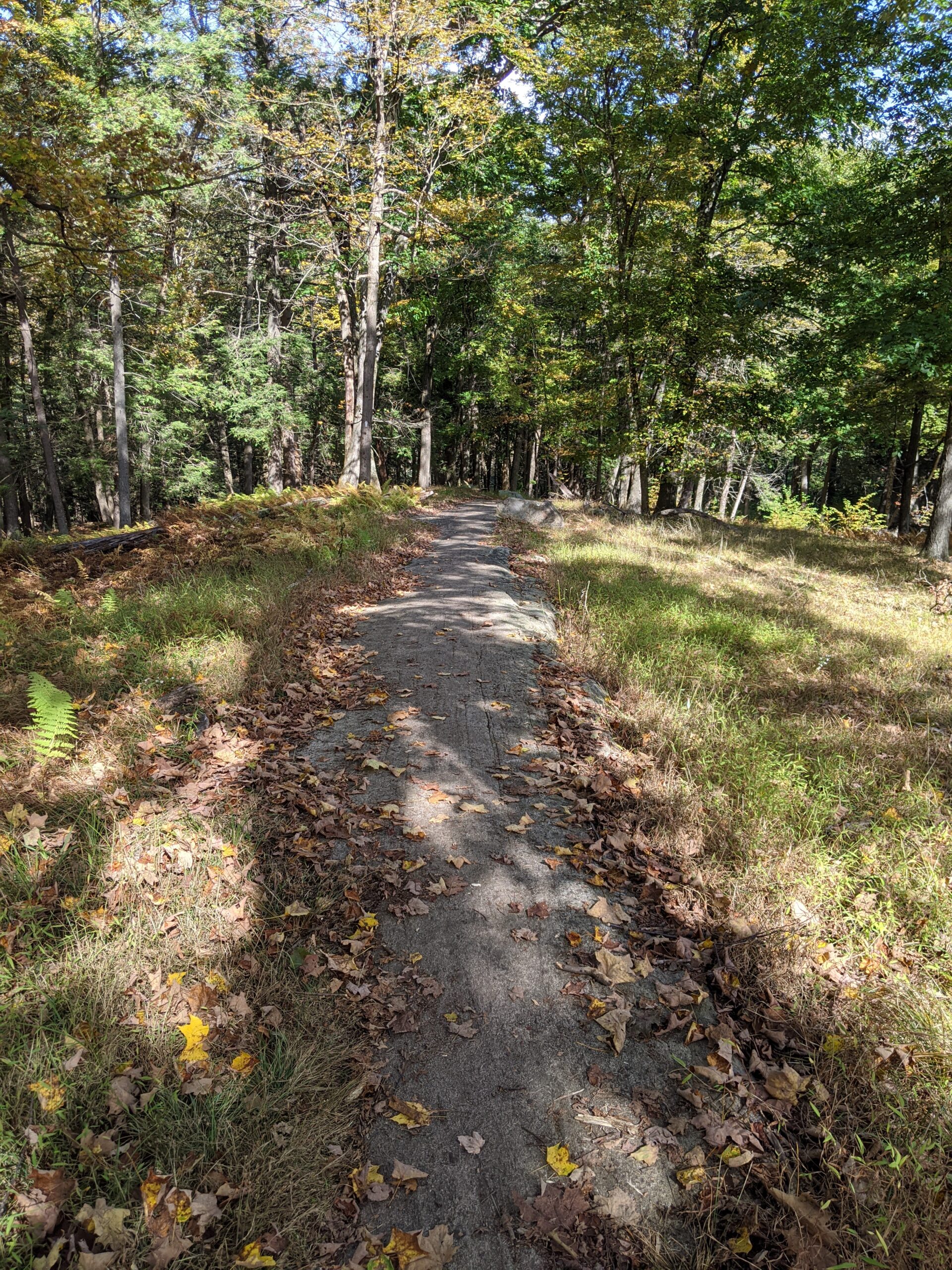
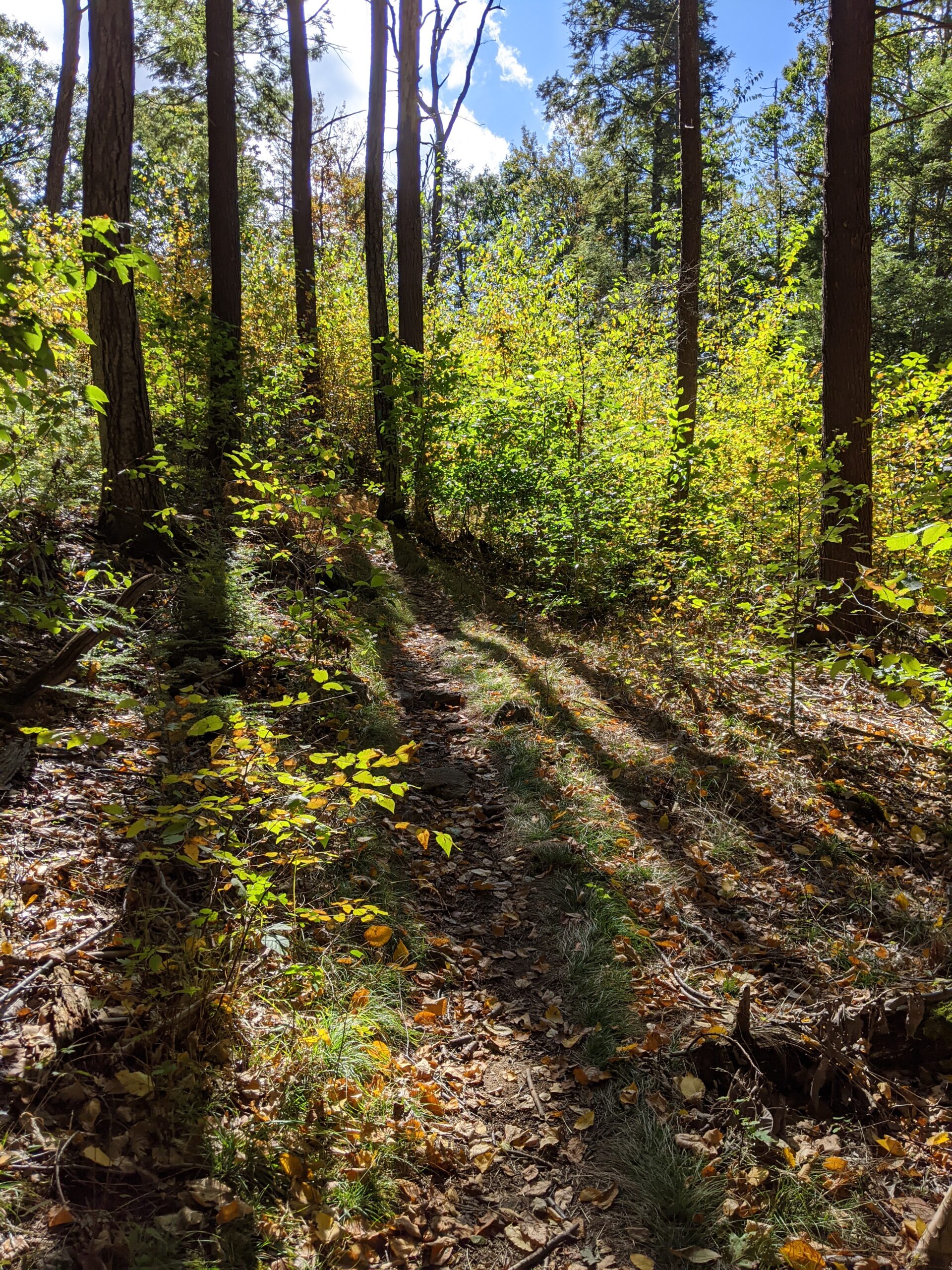
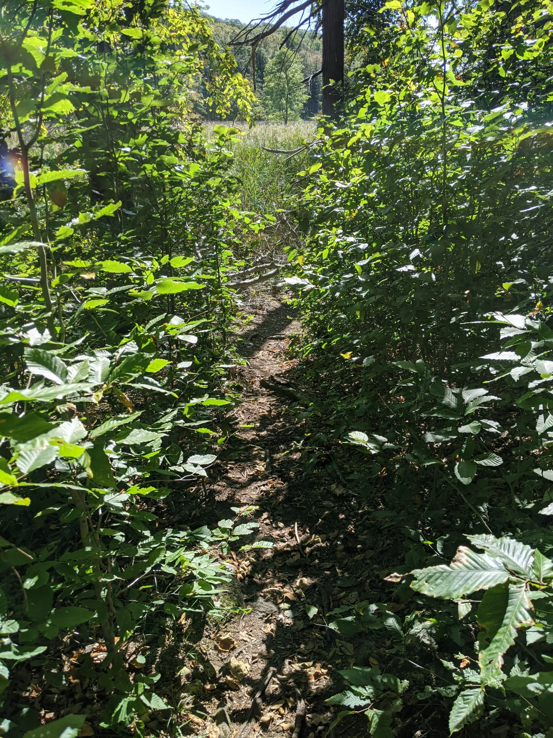
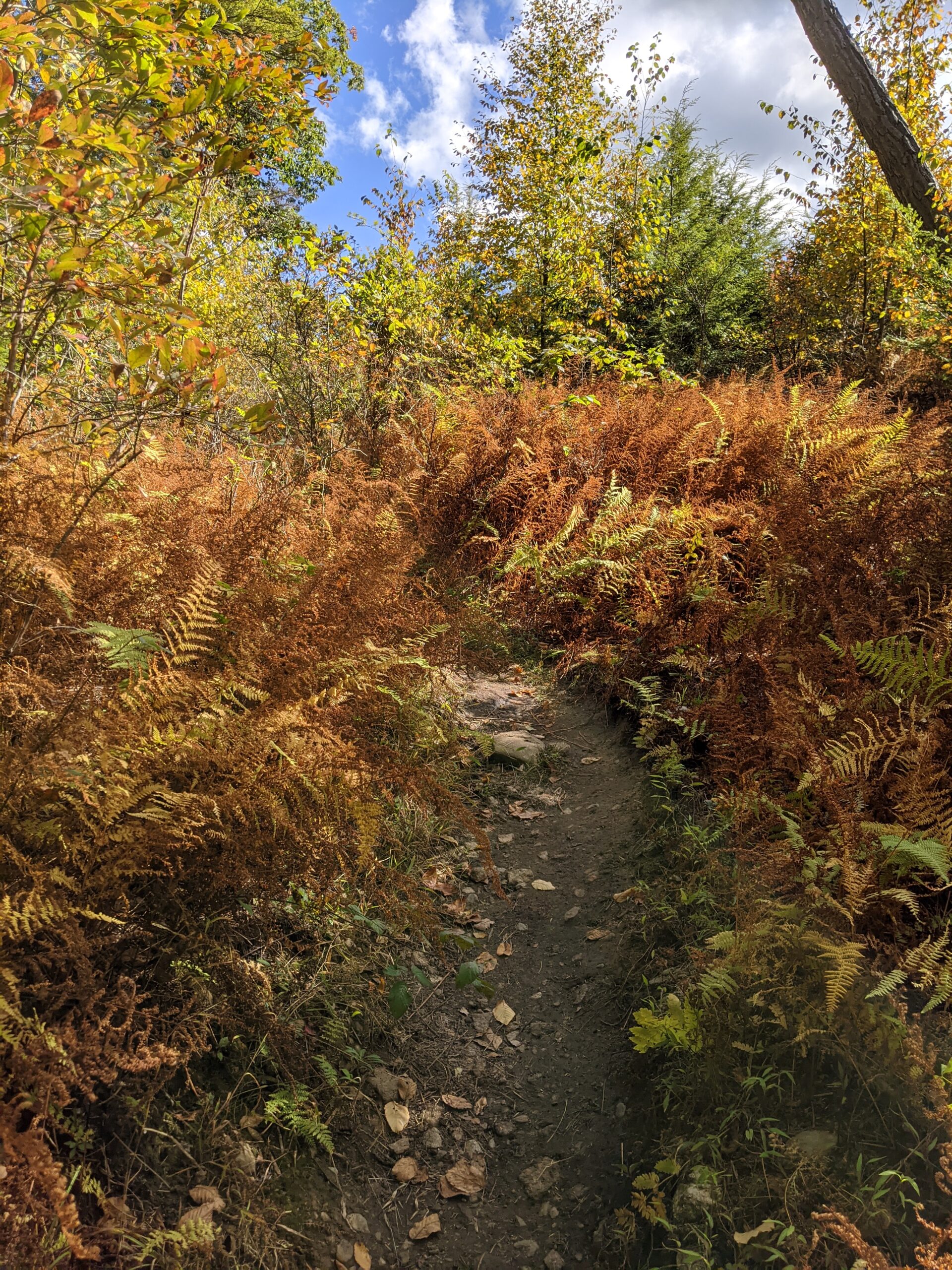
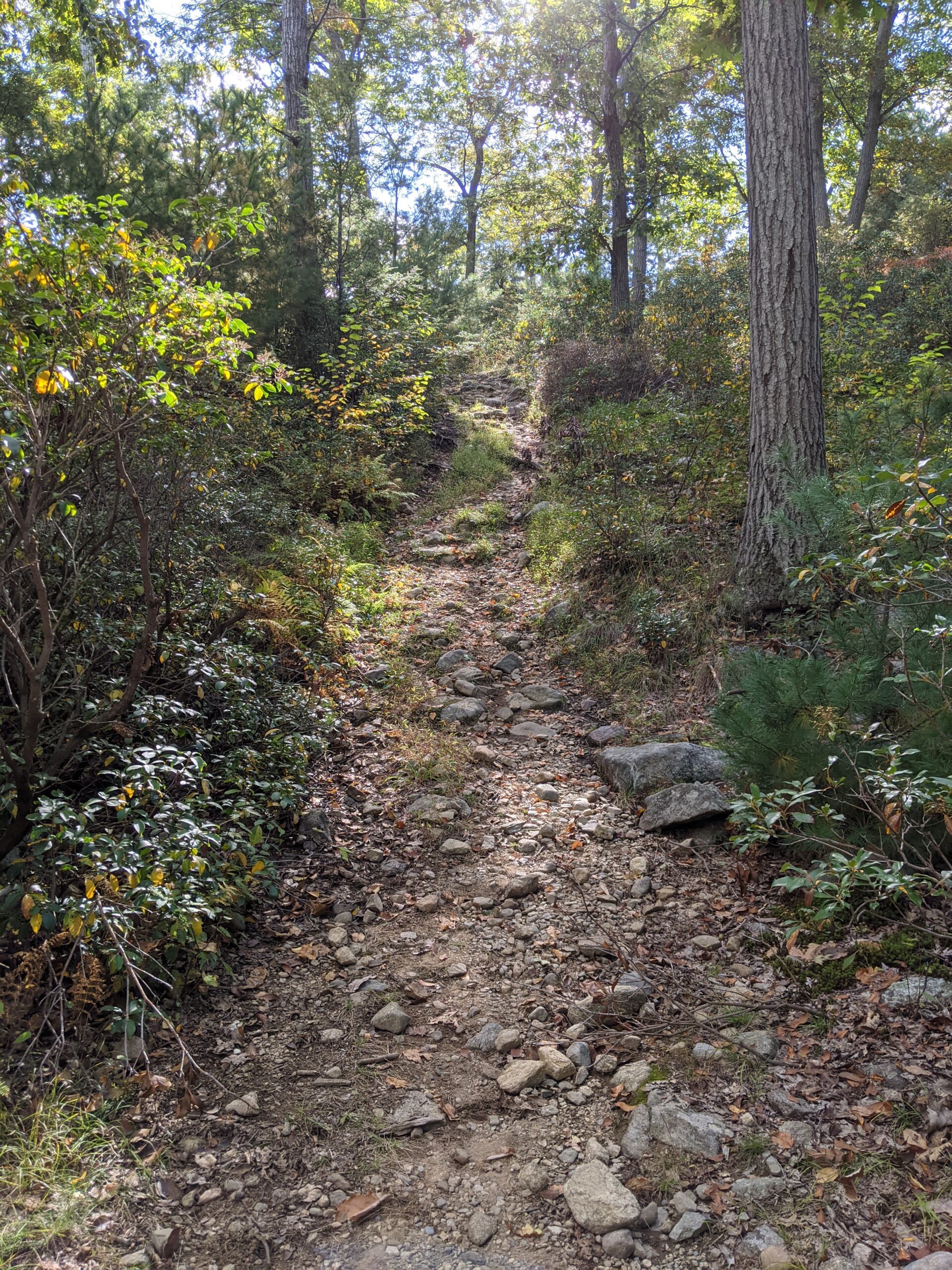
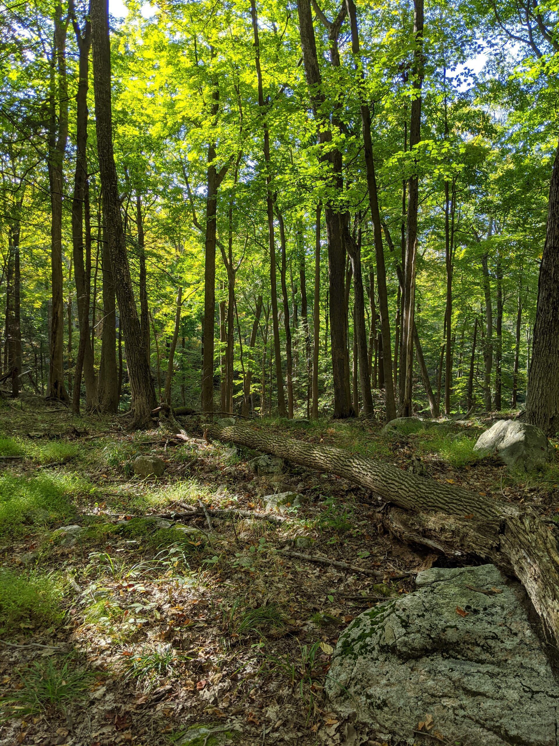
After walking through a clearing from the parking lot, I entered the forest and was almost immediately faced with a moderate incline up an unnamed mountain. The rise is about 600 ft over about 8/10ths of a mile. Once I got past that part, the hike was relatively smooth for a while.
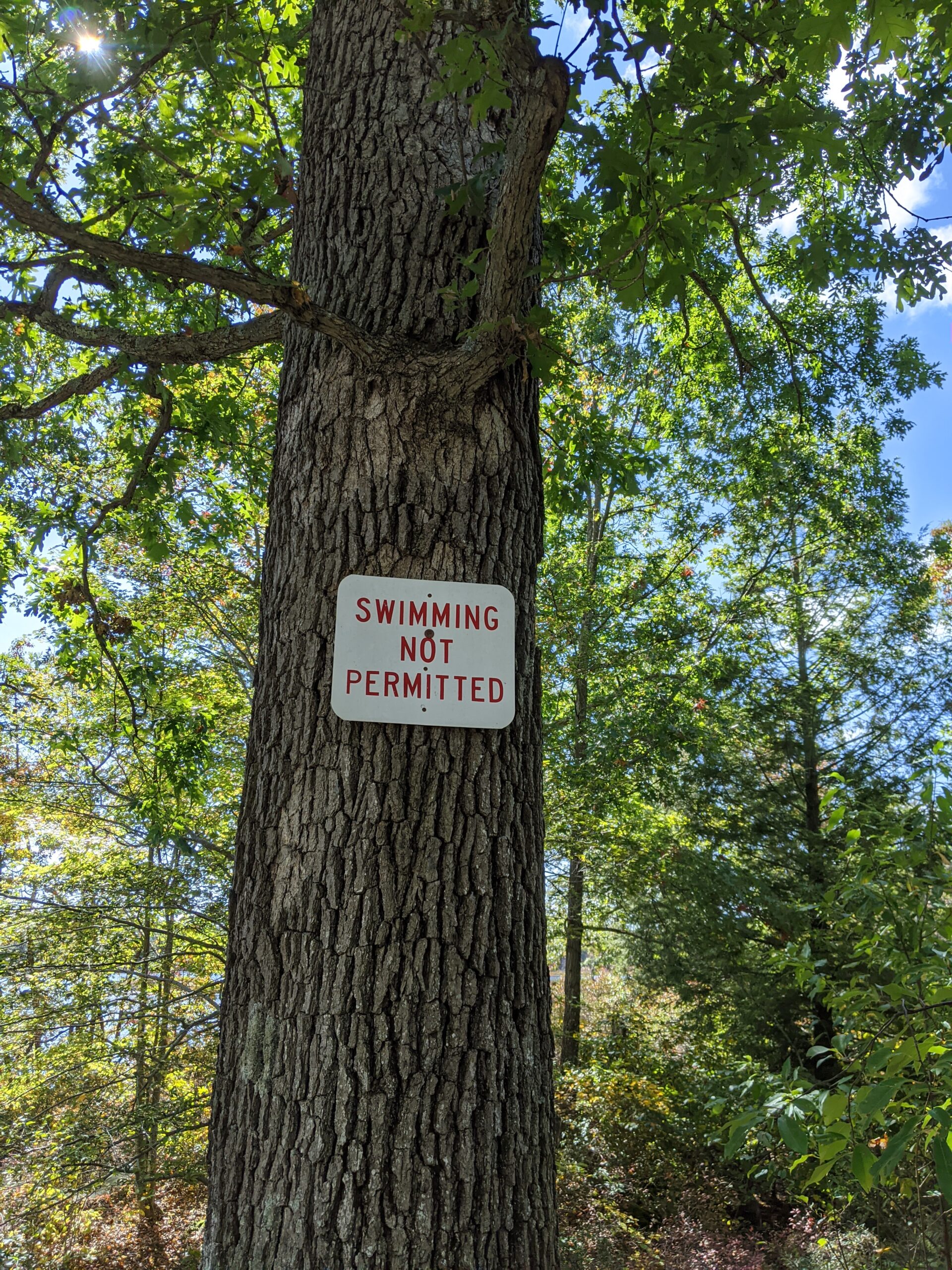
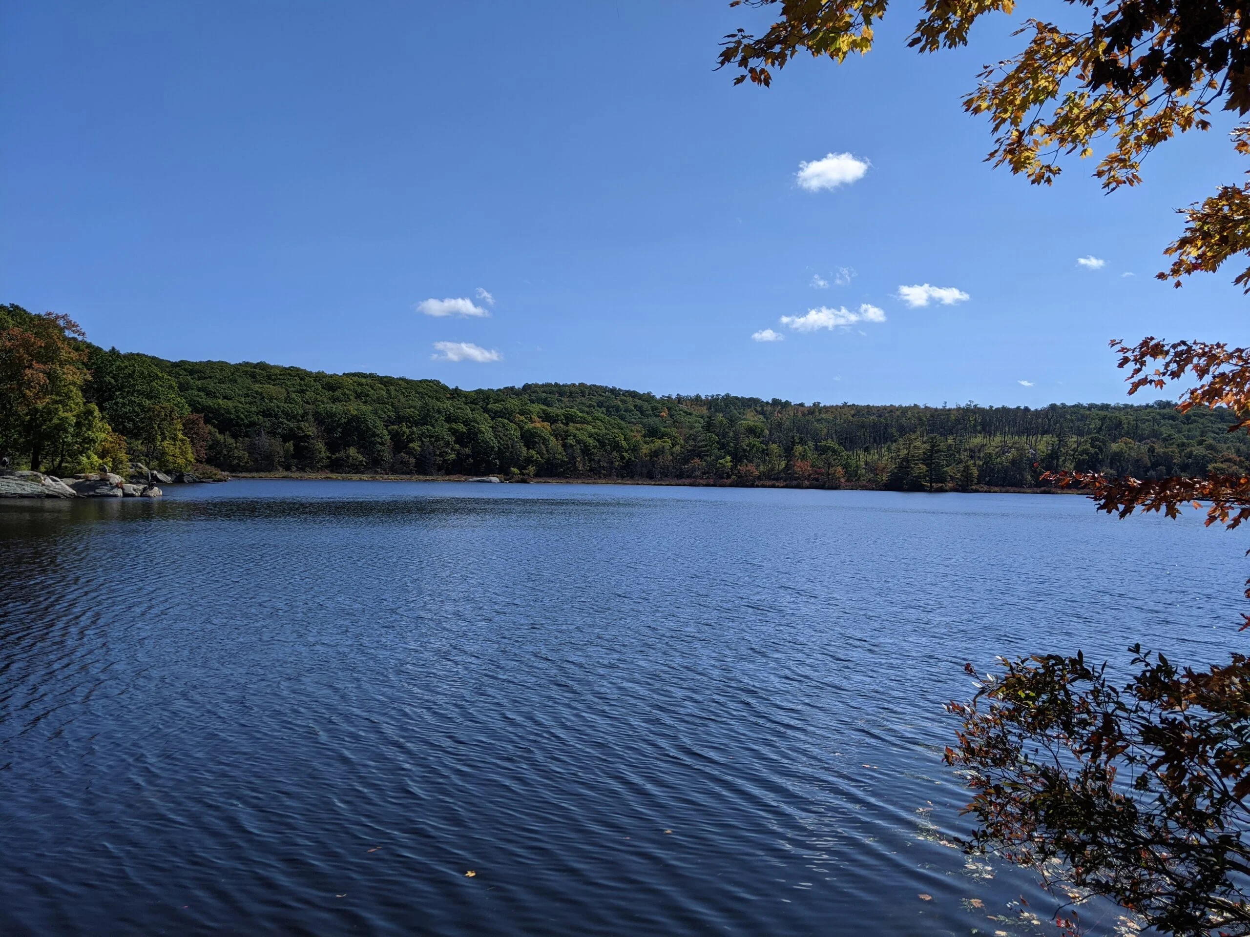
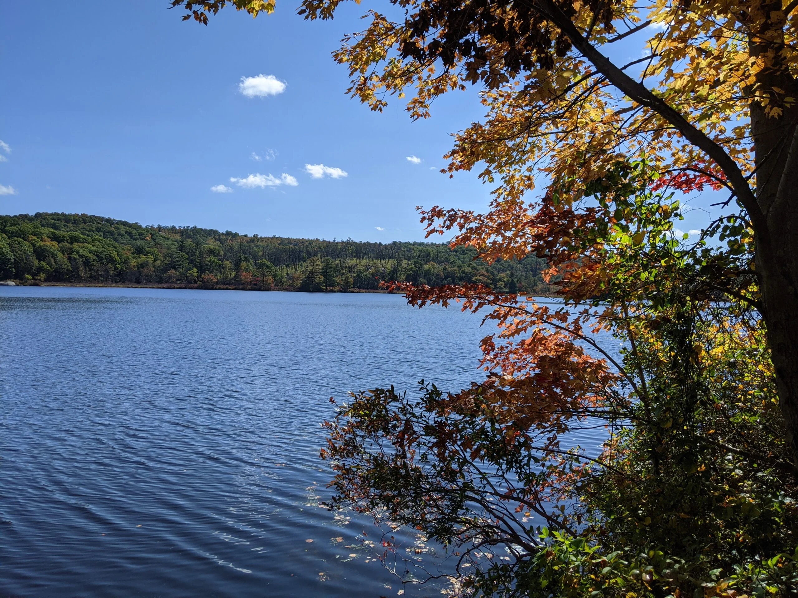
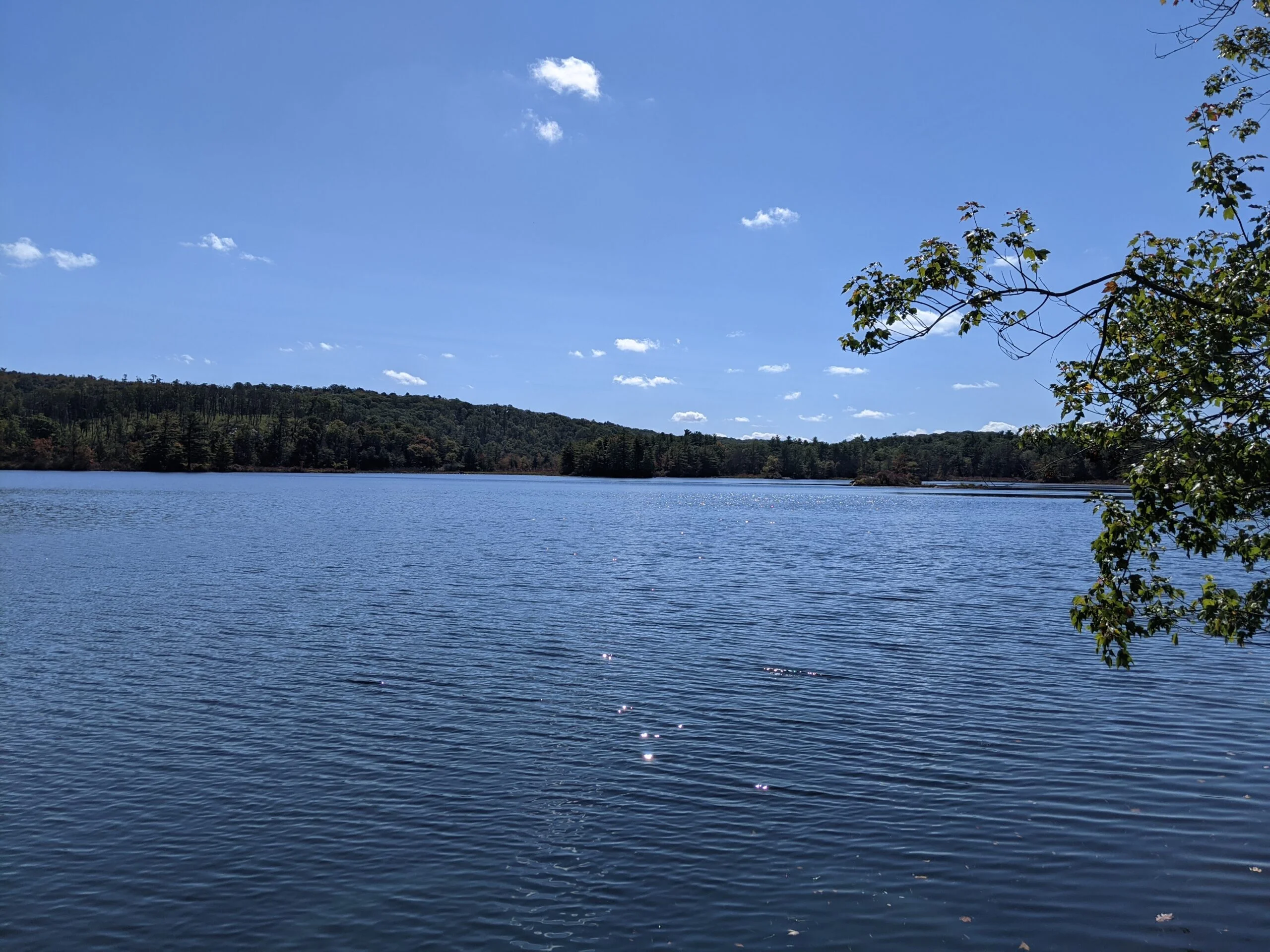
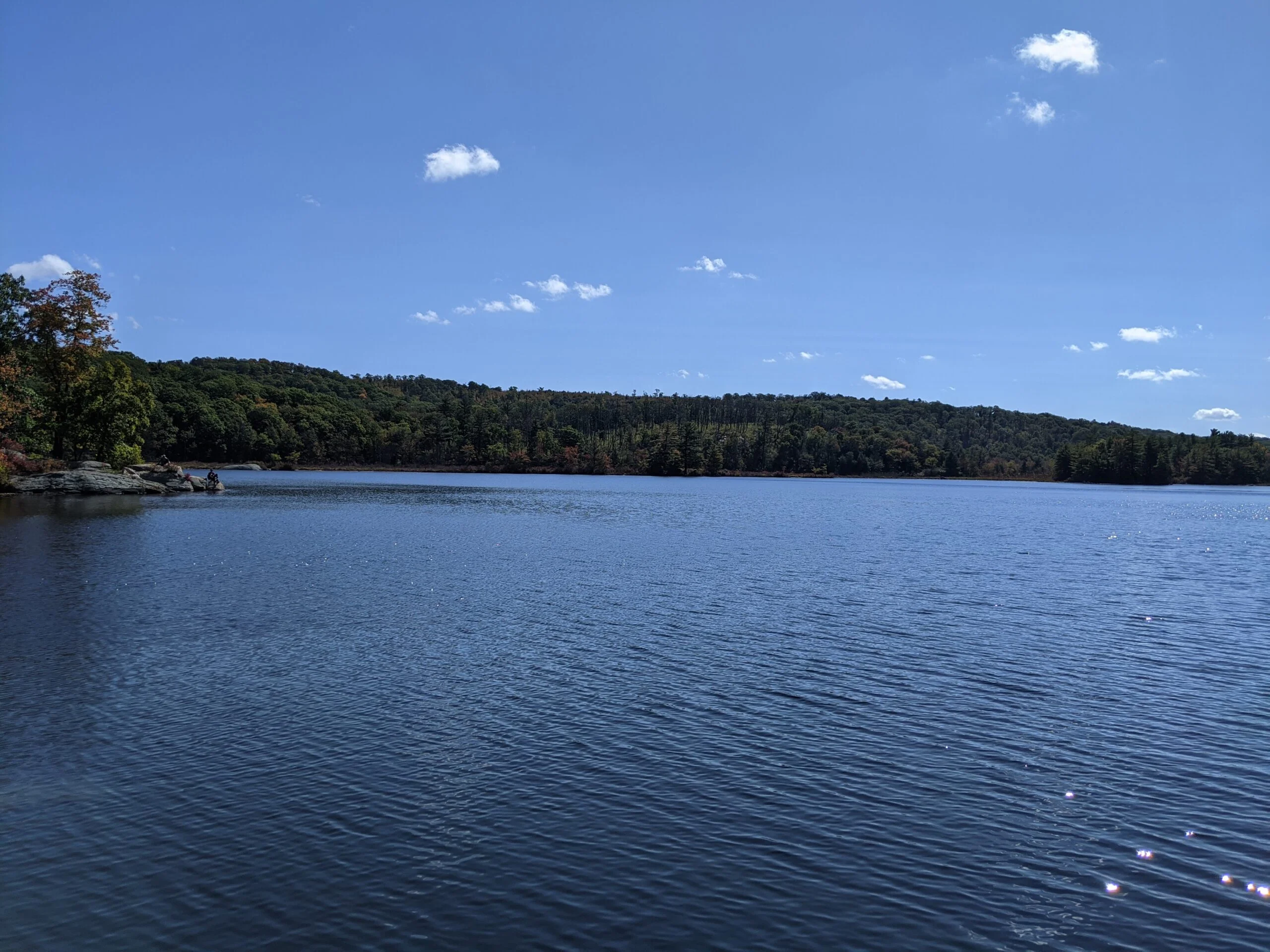
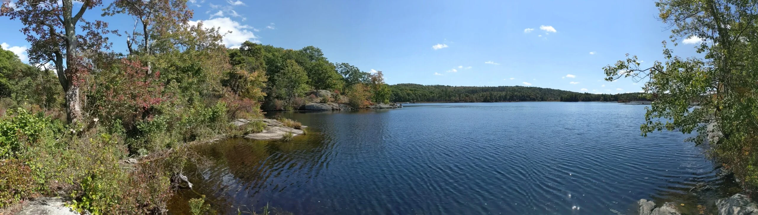
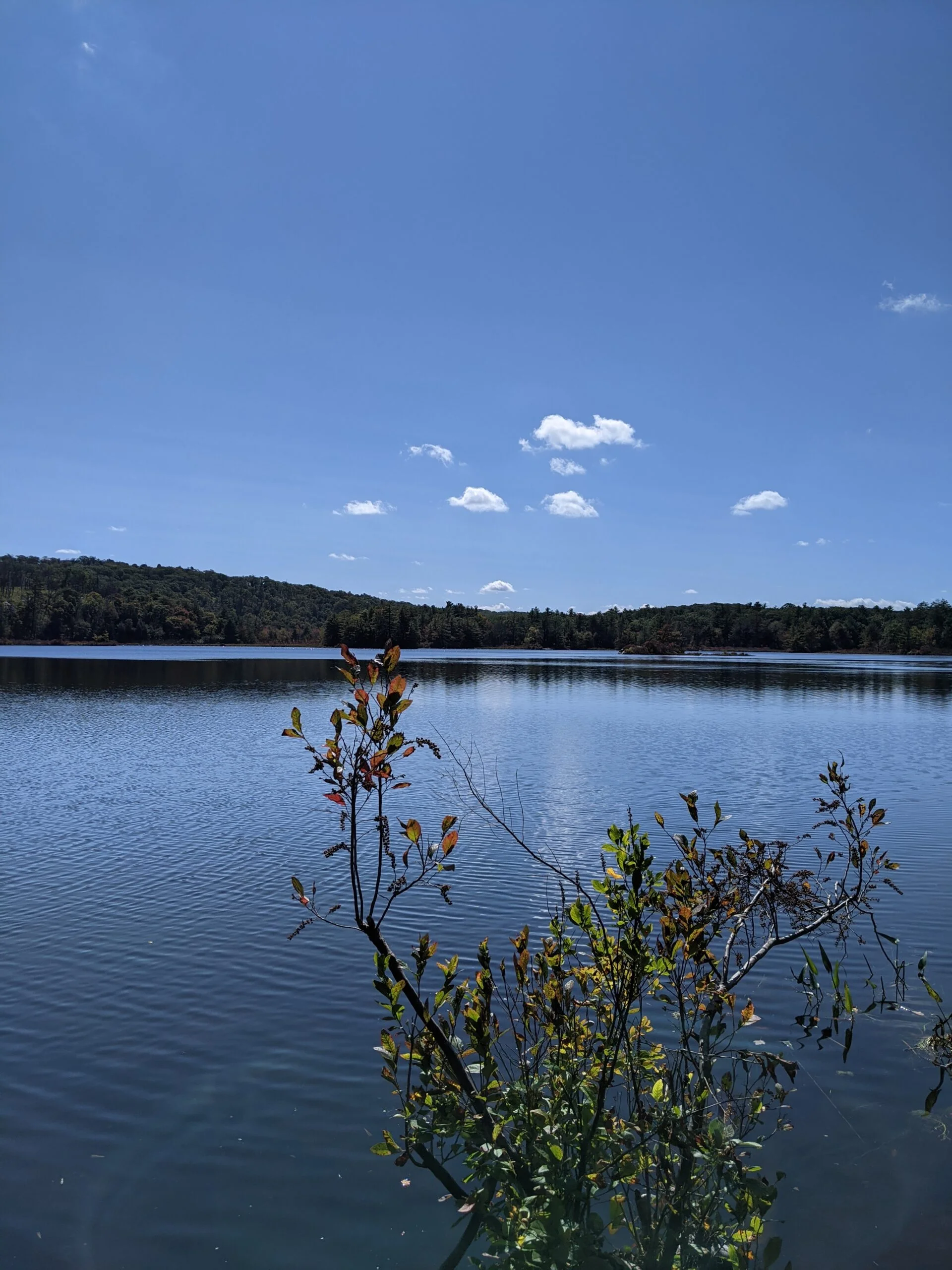
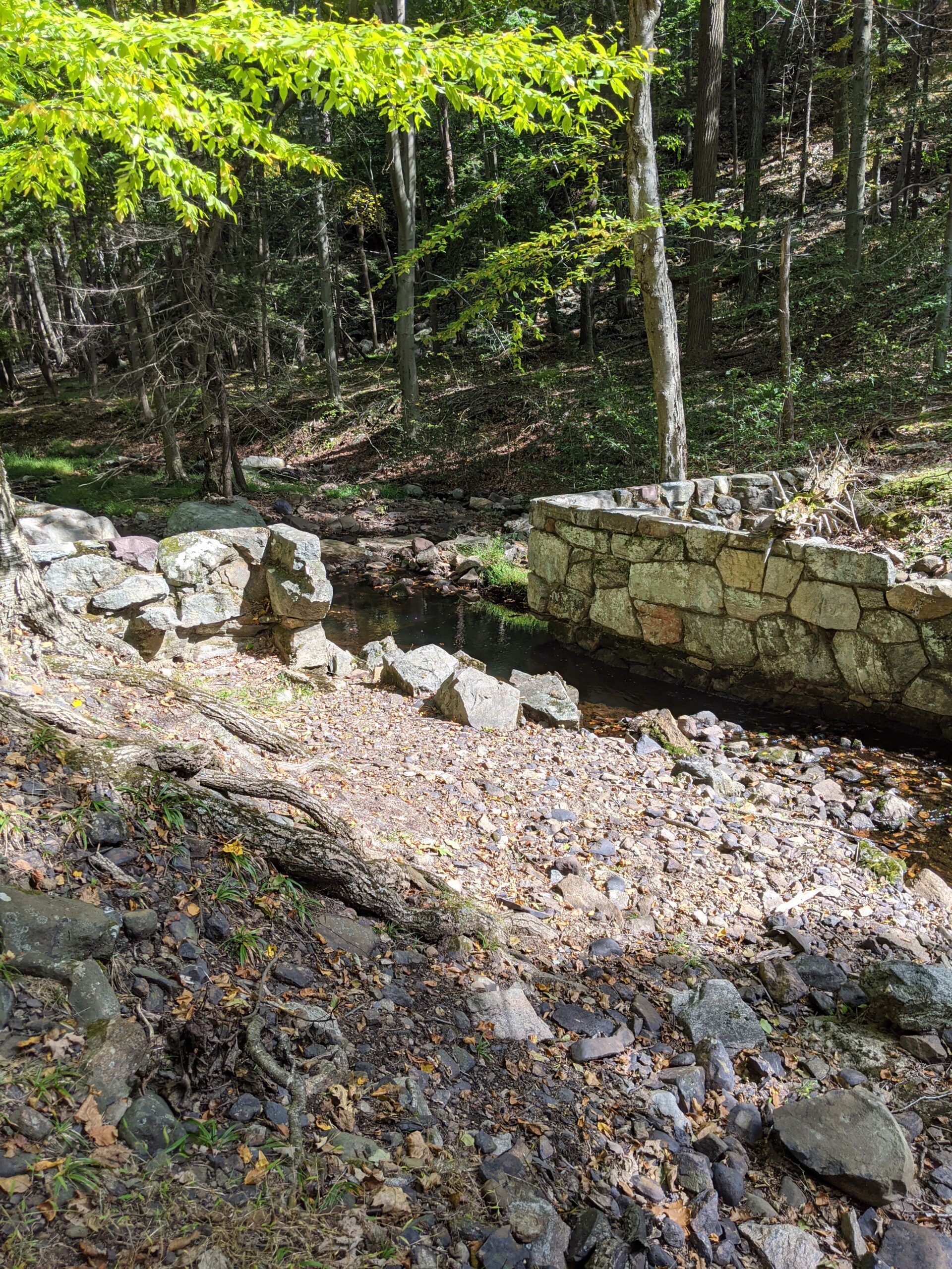
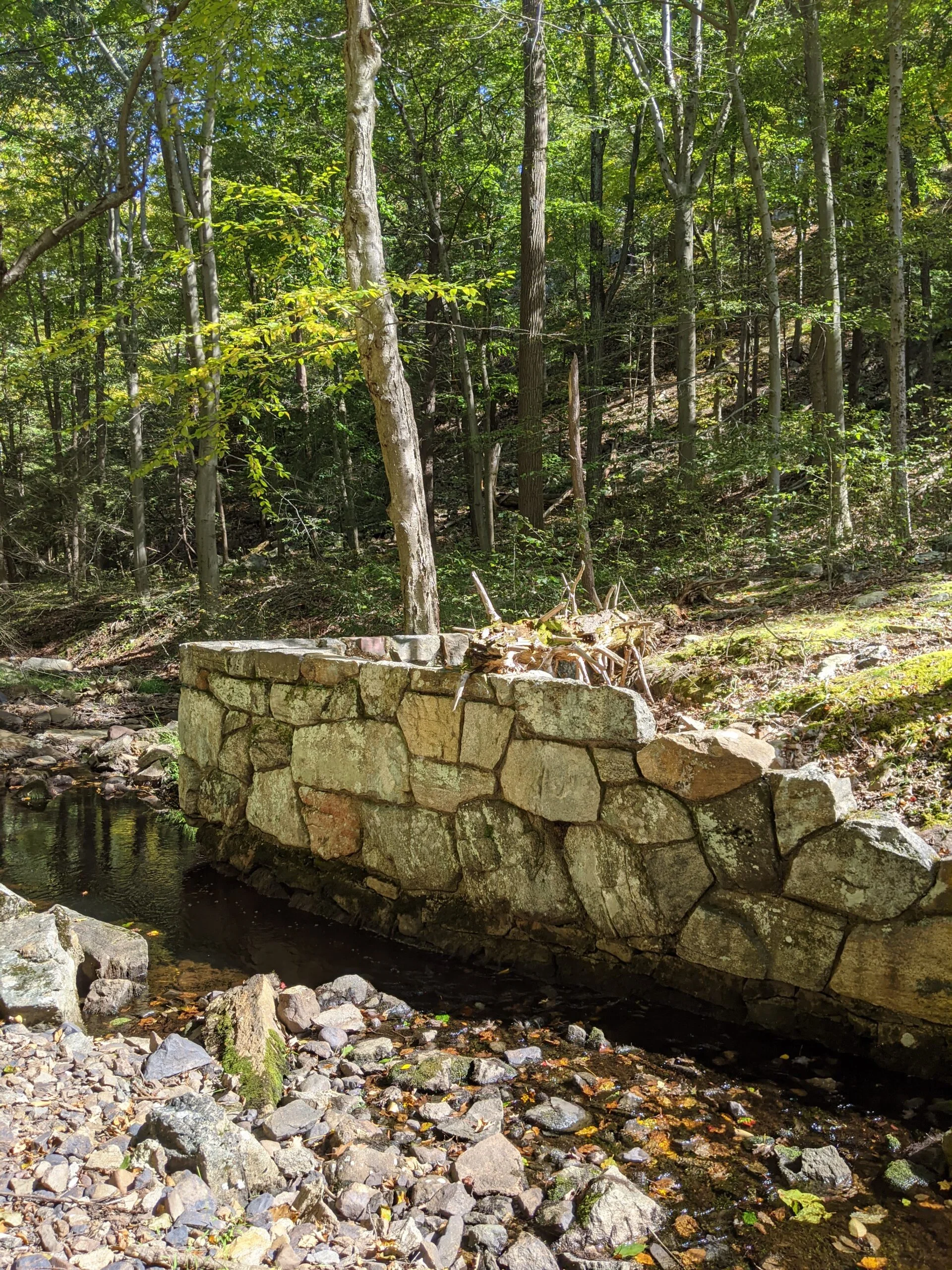
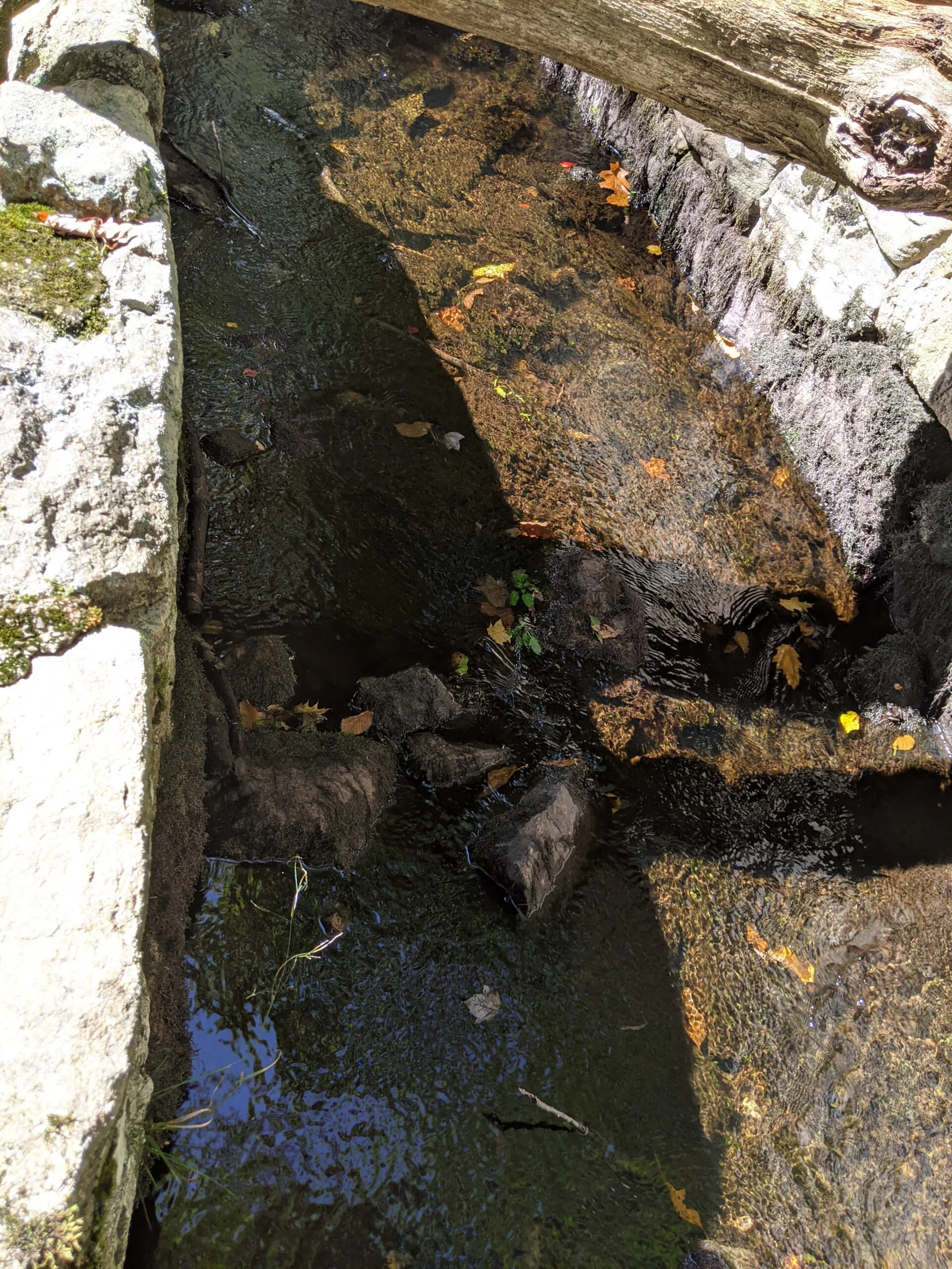
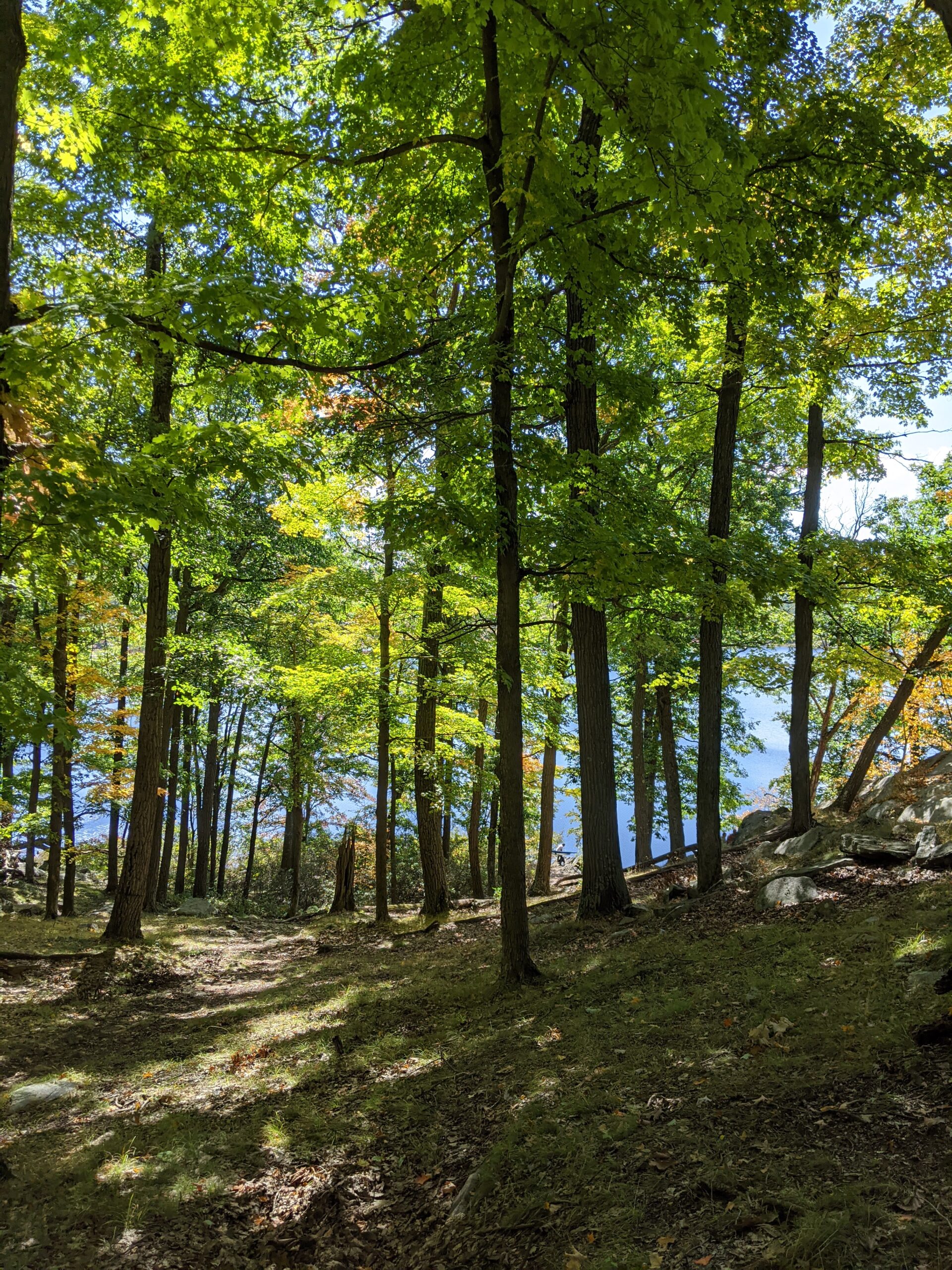
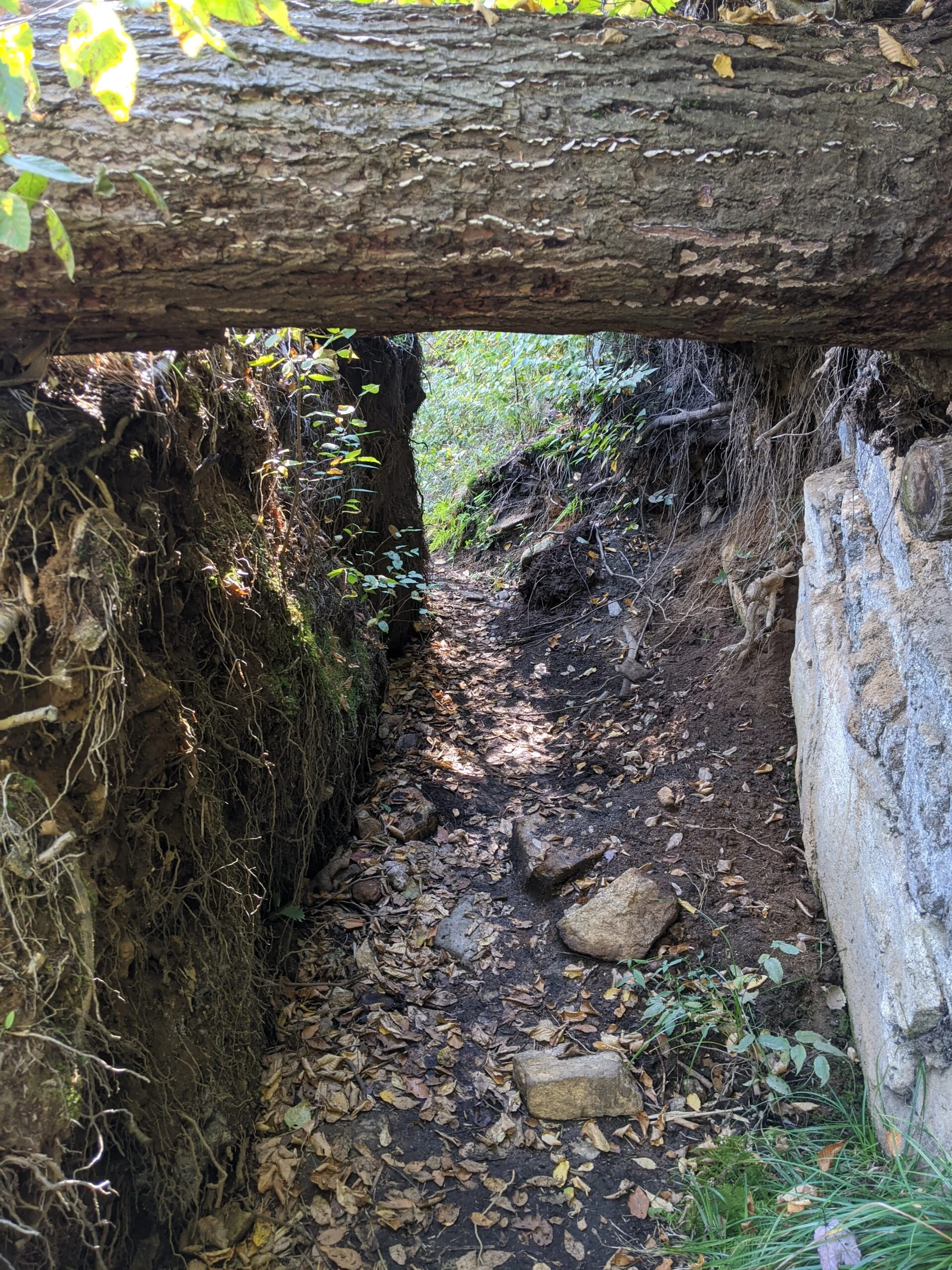
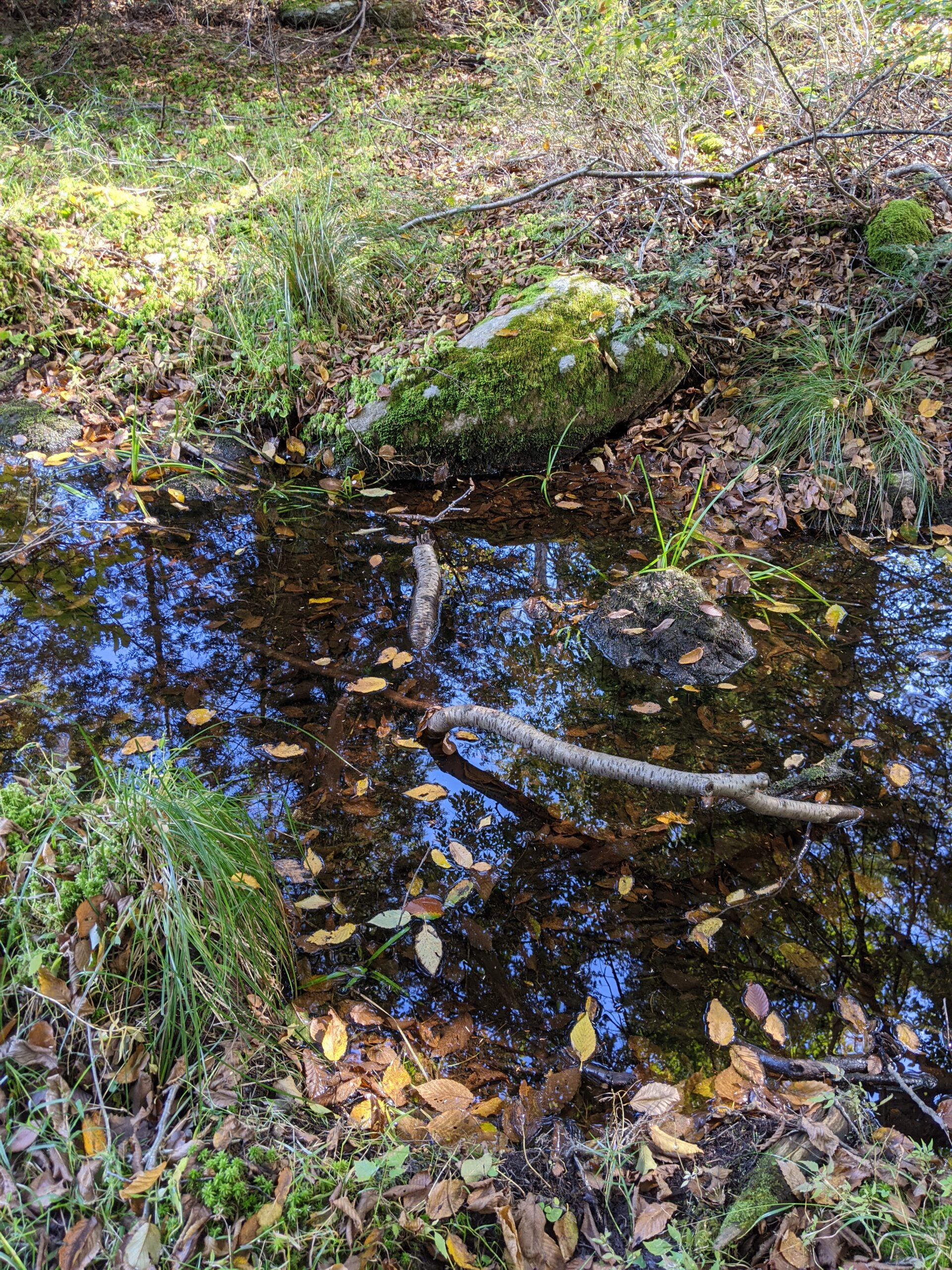
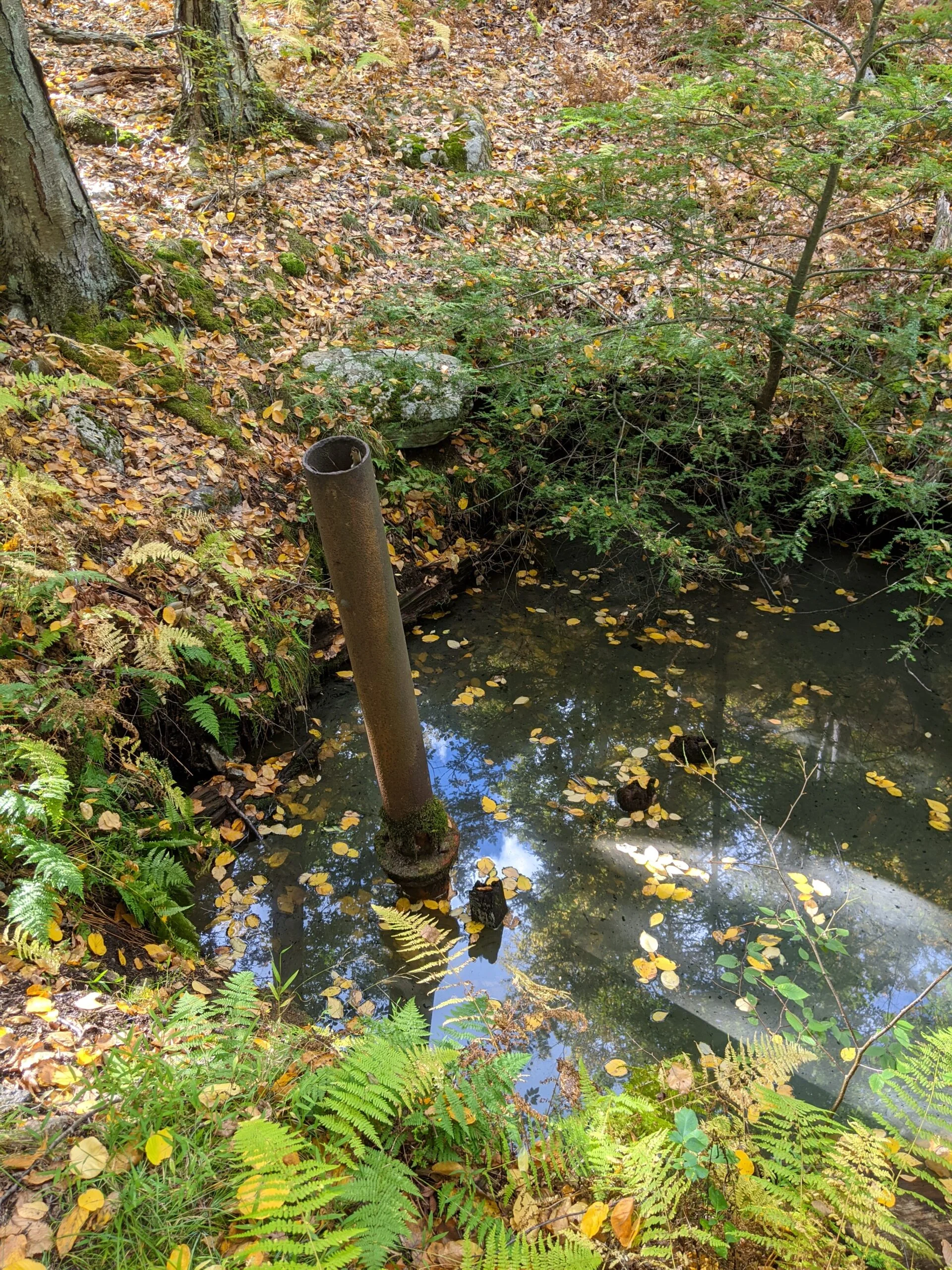
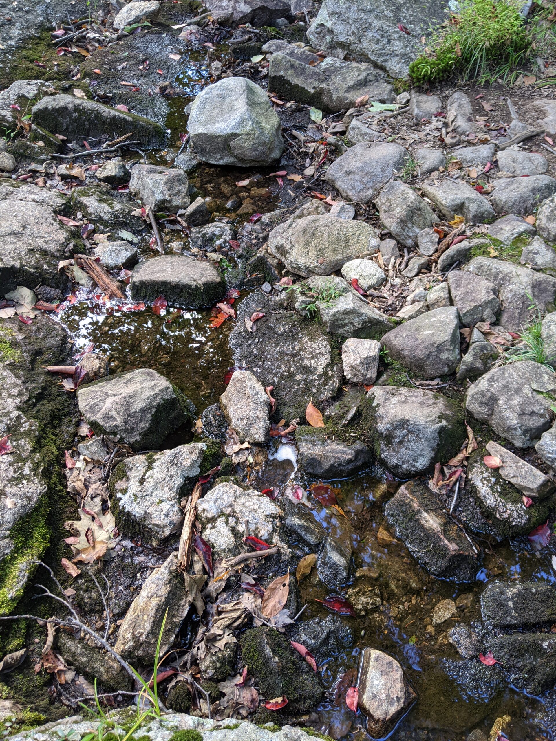
Approximately 1.5 miles into the trail, I came across Island Pond. Swimming used to be allowed here up until 2017 or 2018, but unfortunately it is no longer permitted. There are several vantage points to view the lake. Not knowing what was ahead, I diverted off the trail to walk down the gravel road that fishermen use to access the pond. This put me on the northwest corner of the pond and I stopped here to take some photos. Several other people were lining the shore at various places taking in the views. After picking the trail back up, I realized I could have also easily accessed the shore from here and it looks like there are some better angles to the full length of the pond from this side. After passing the pond, I came across what appeared to be a man-made stone channel that serves as an inlet or outlet to the lake.
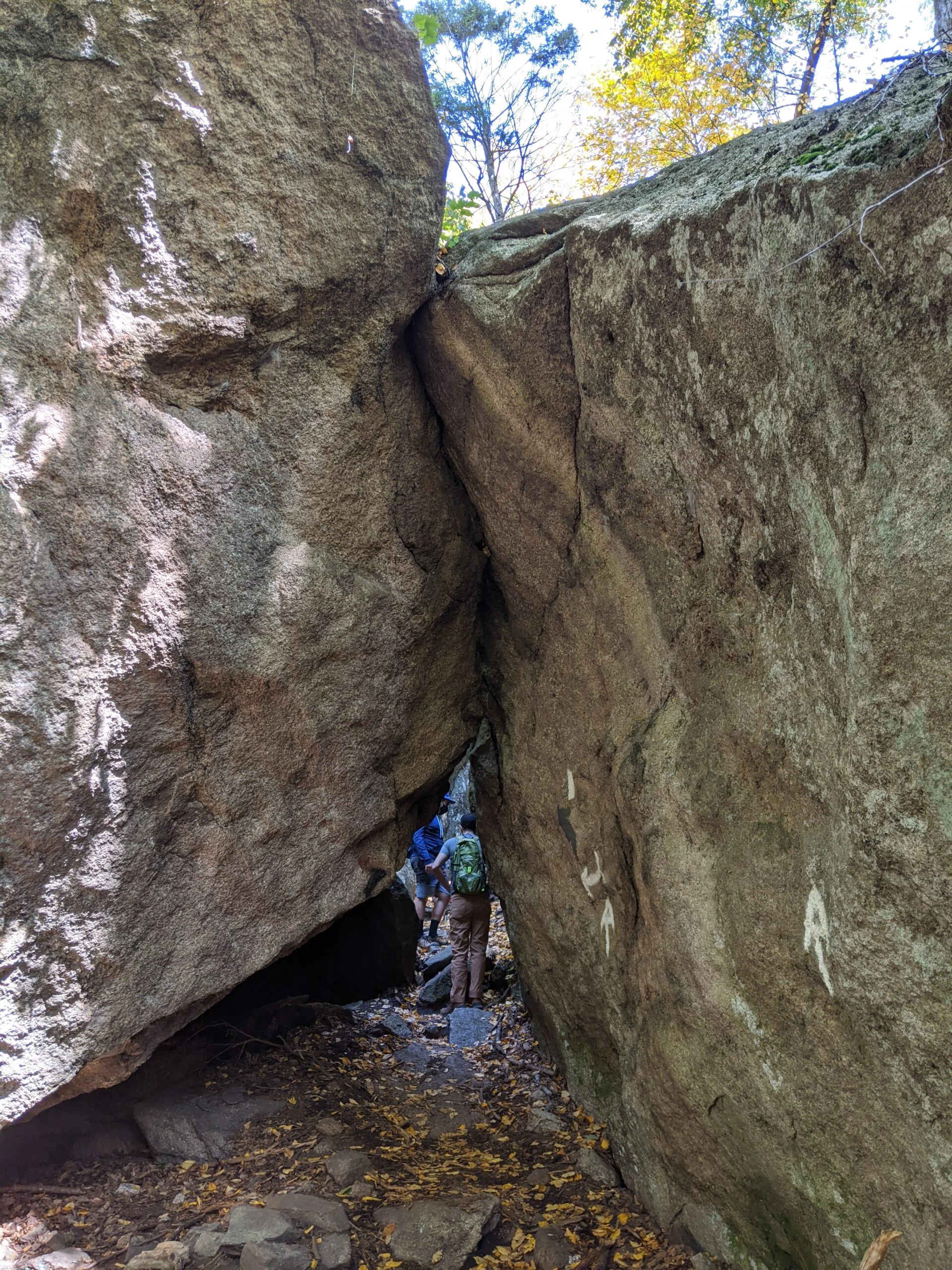
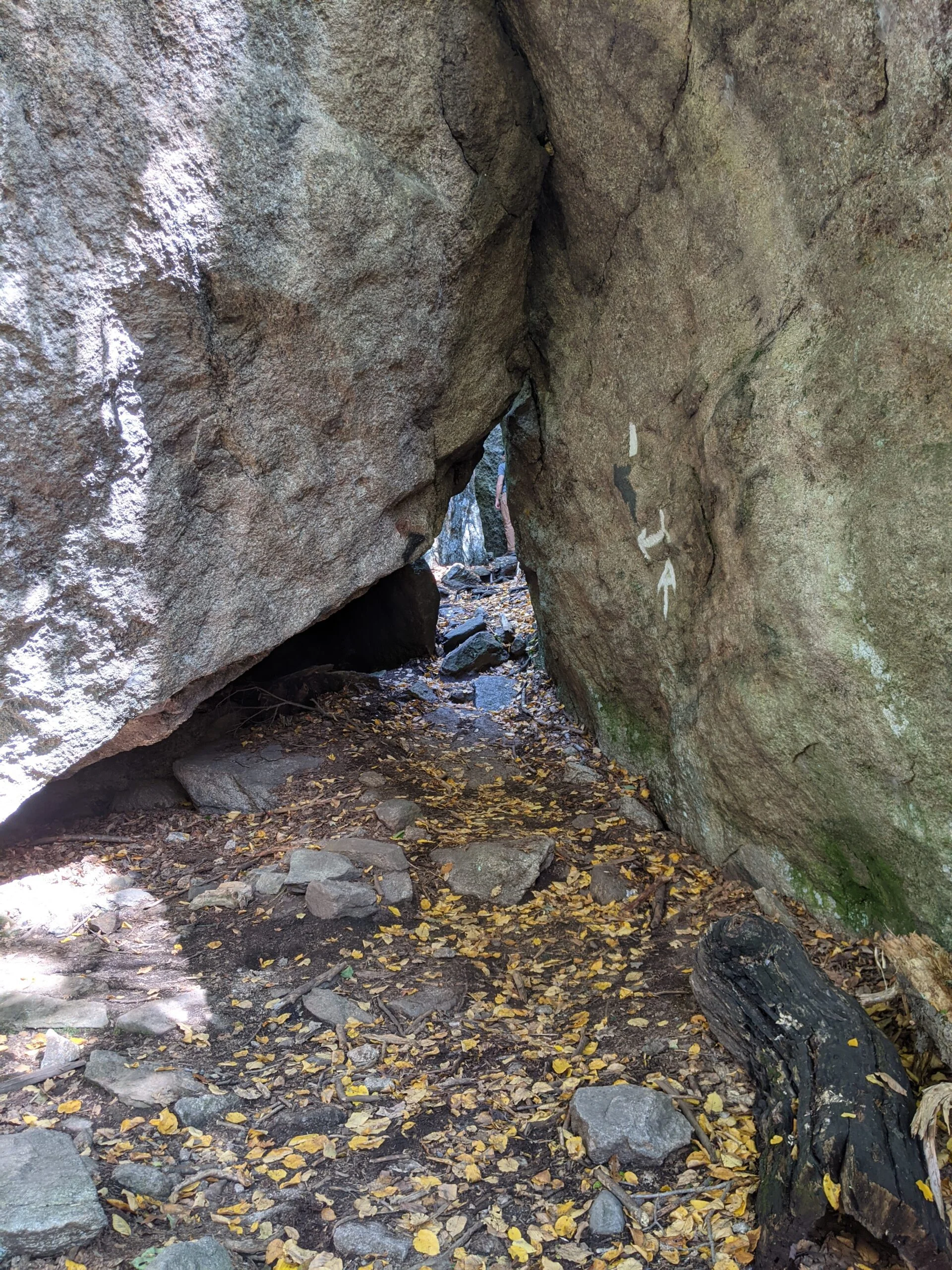
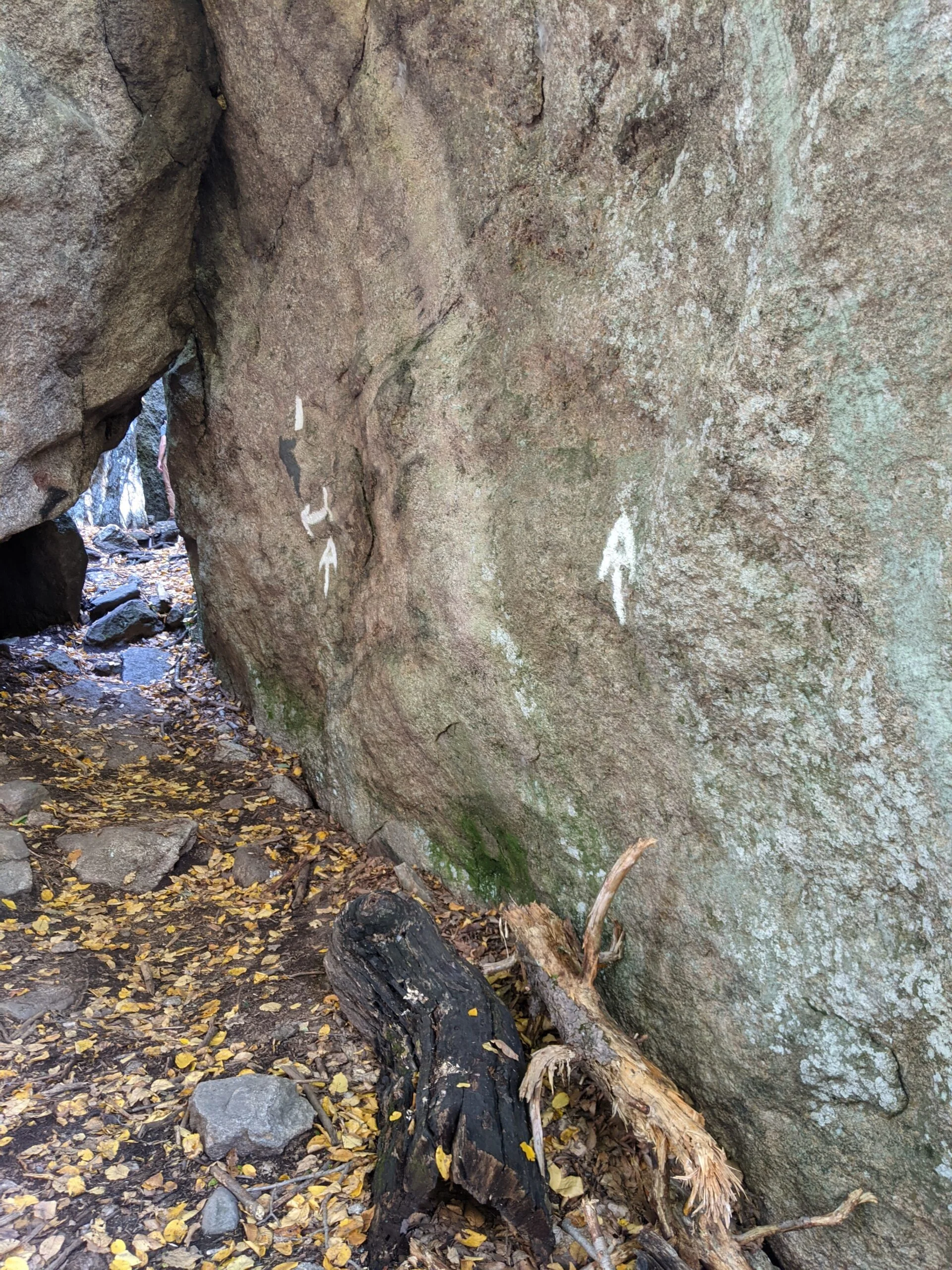
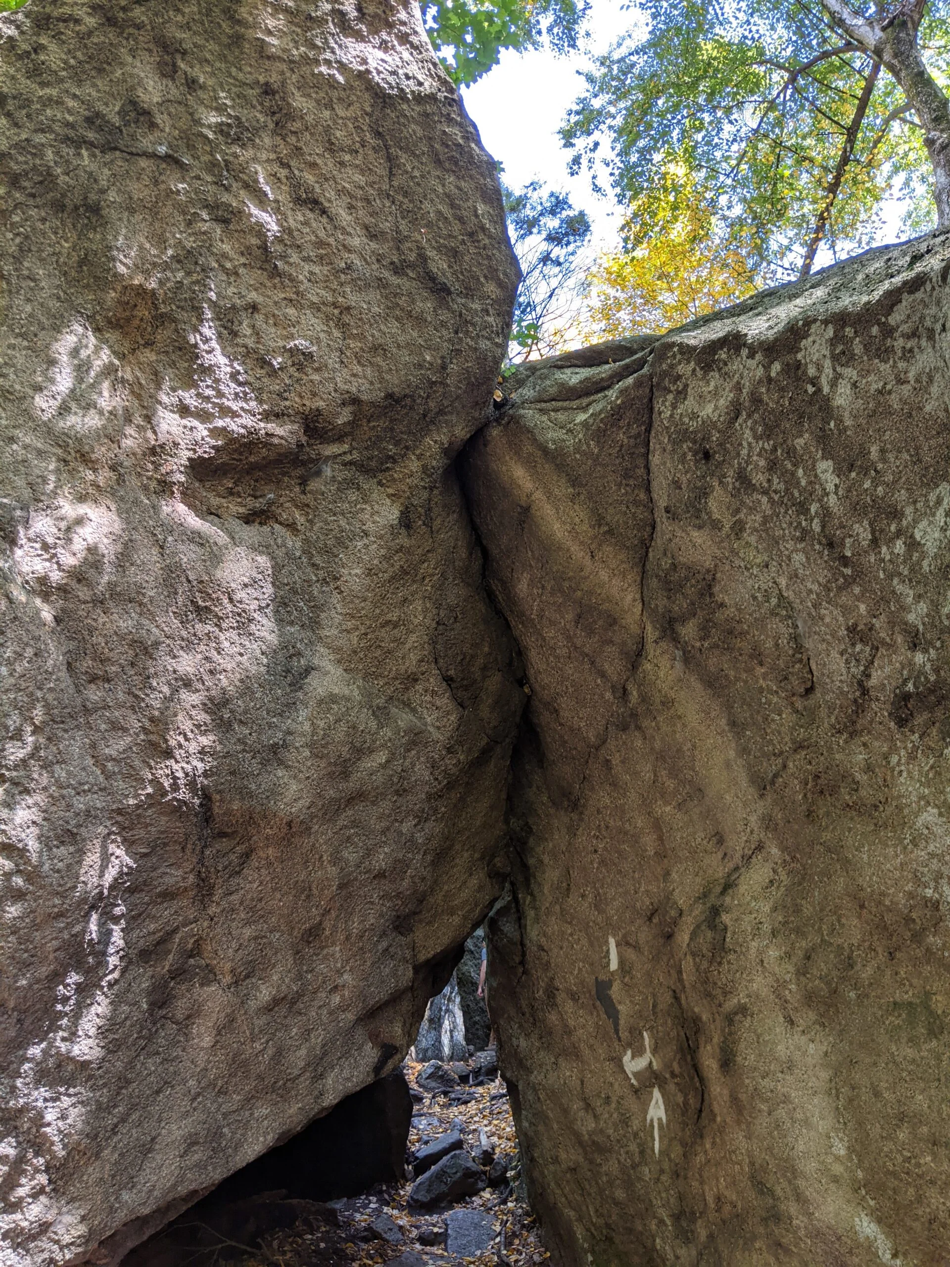
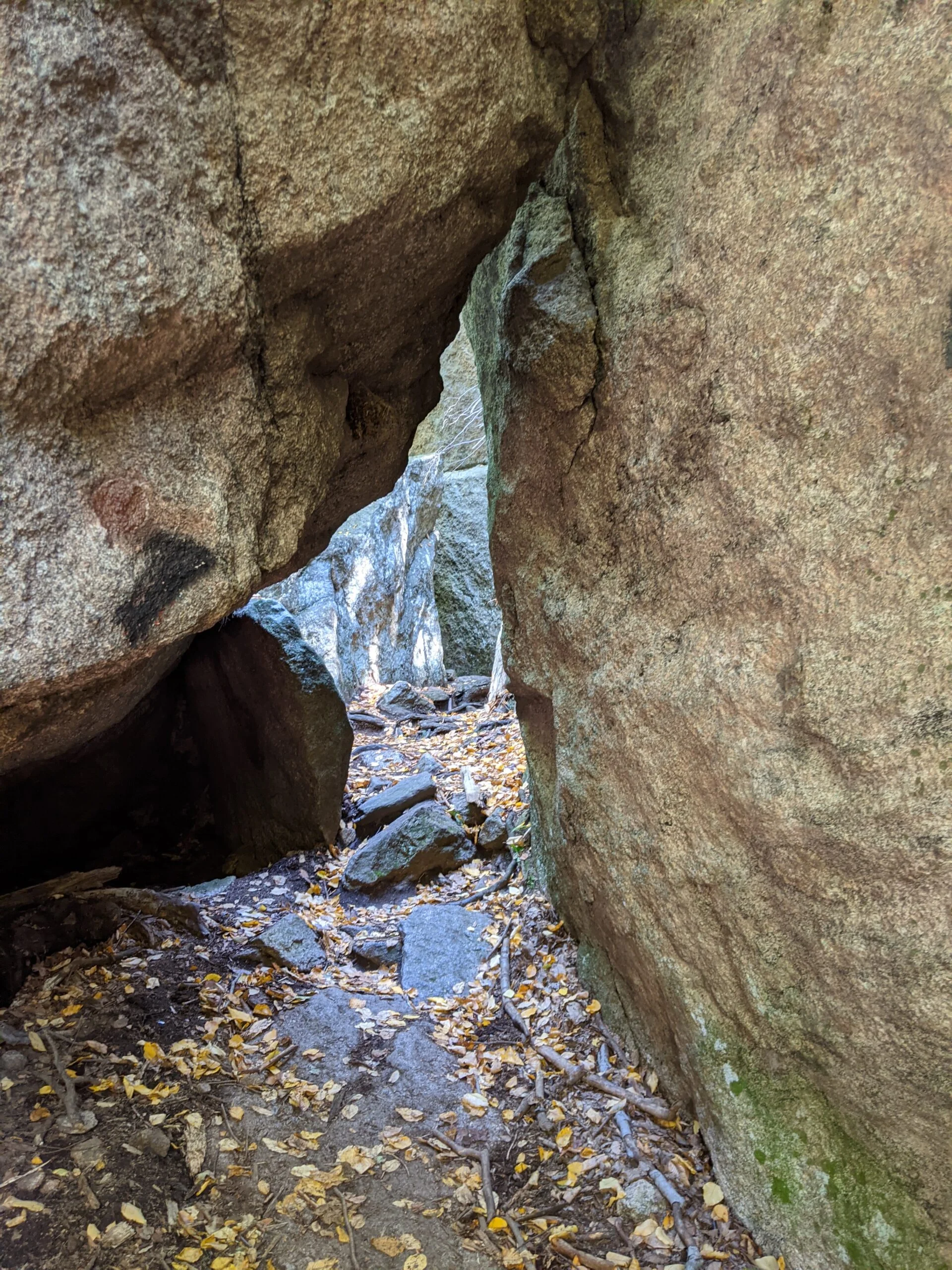
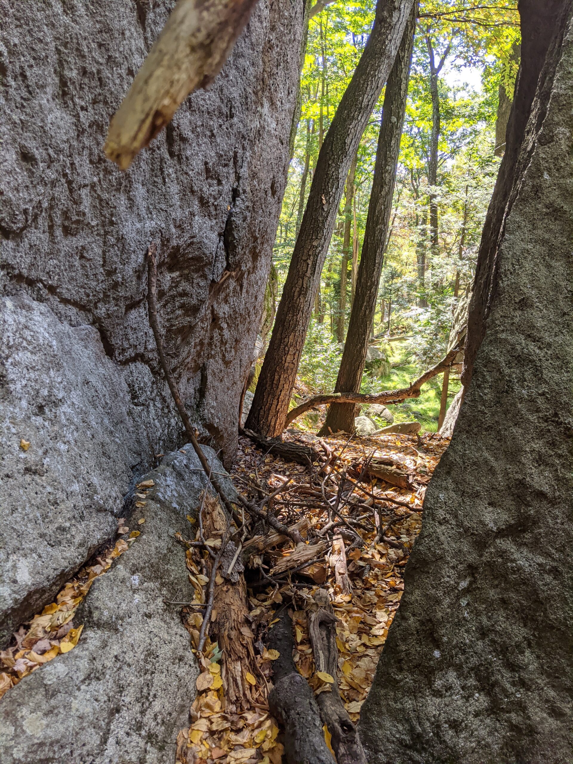
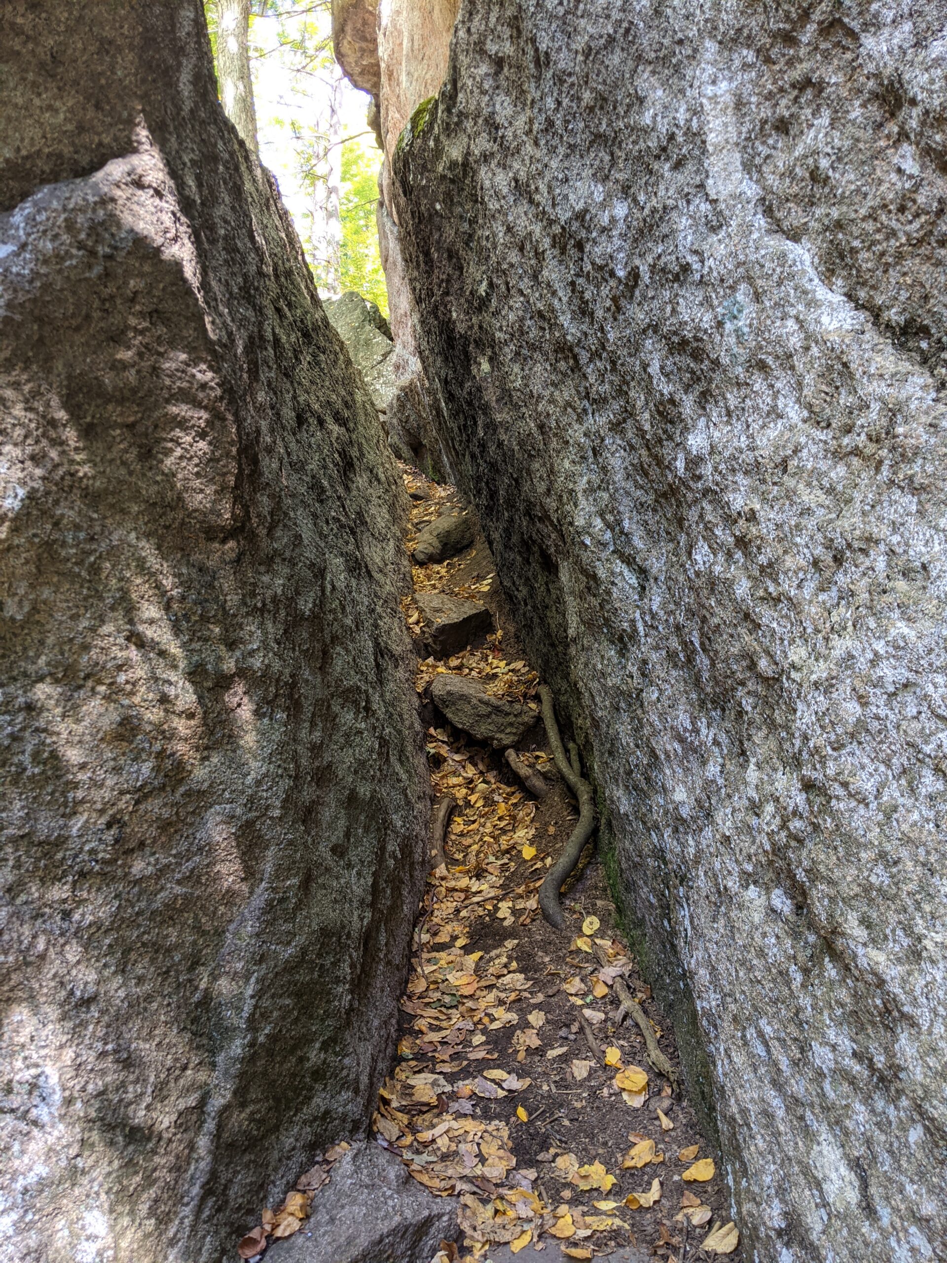
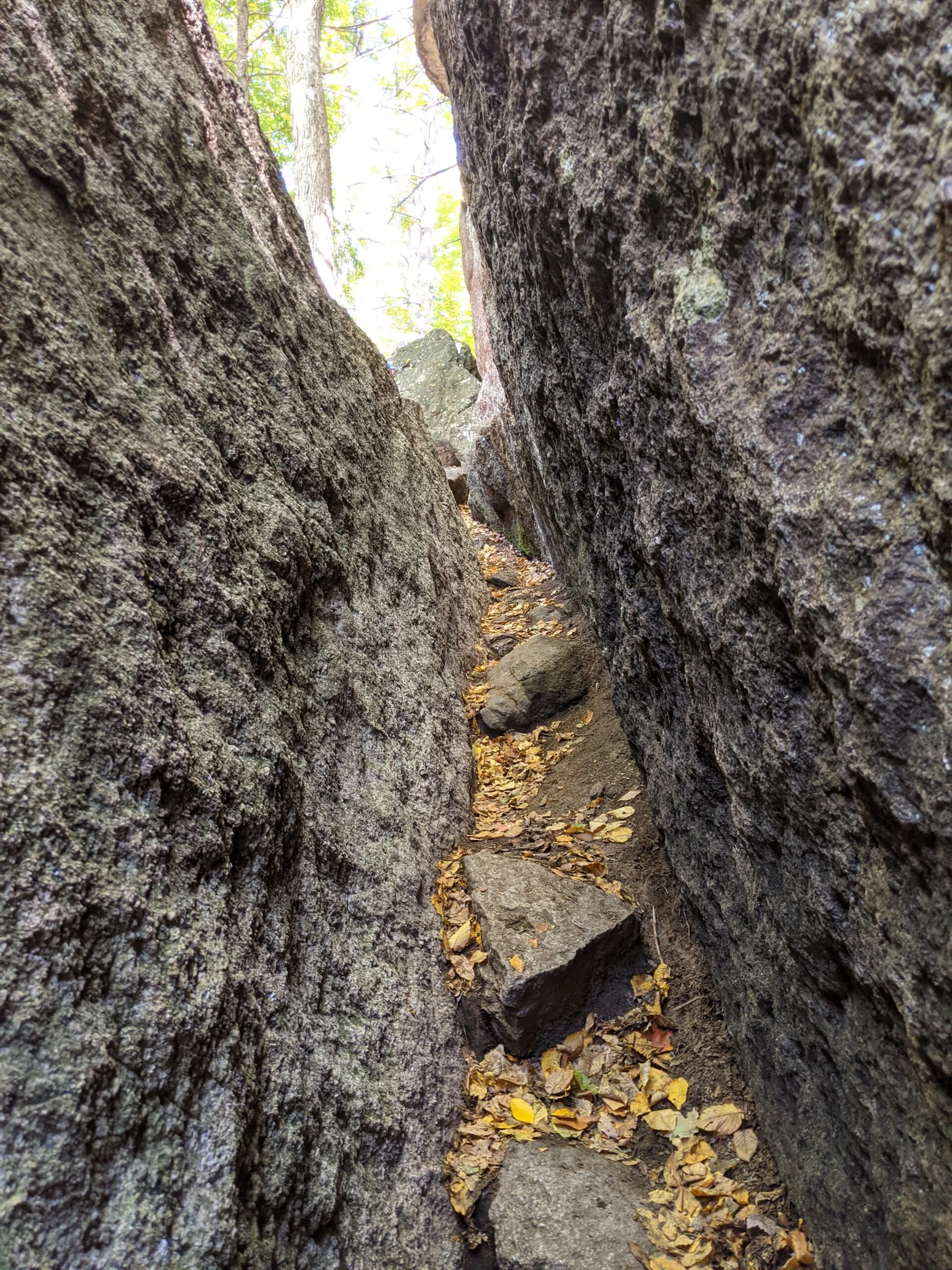
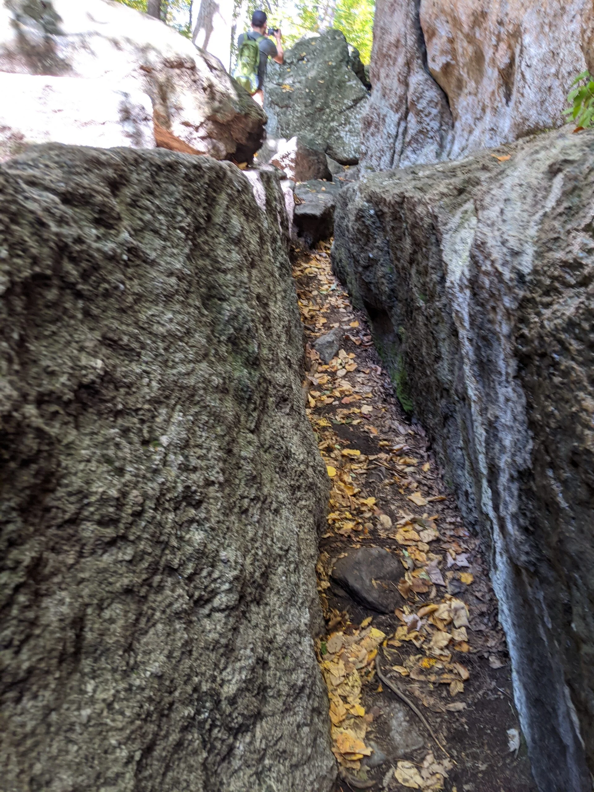
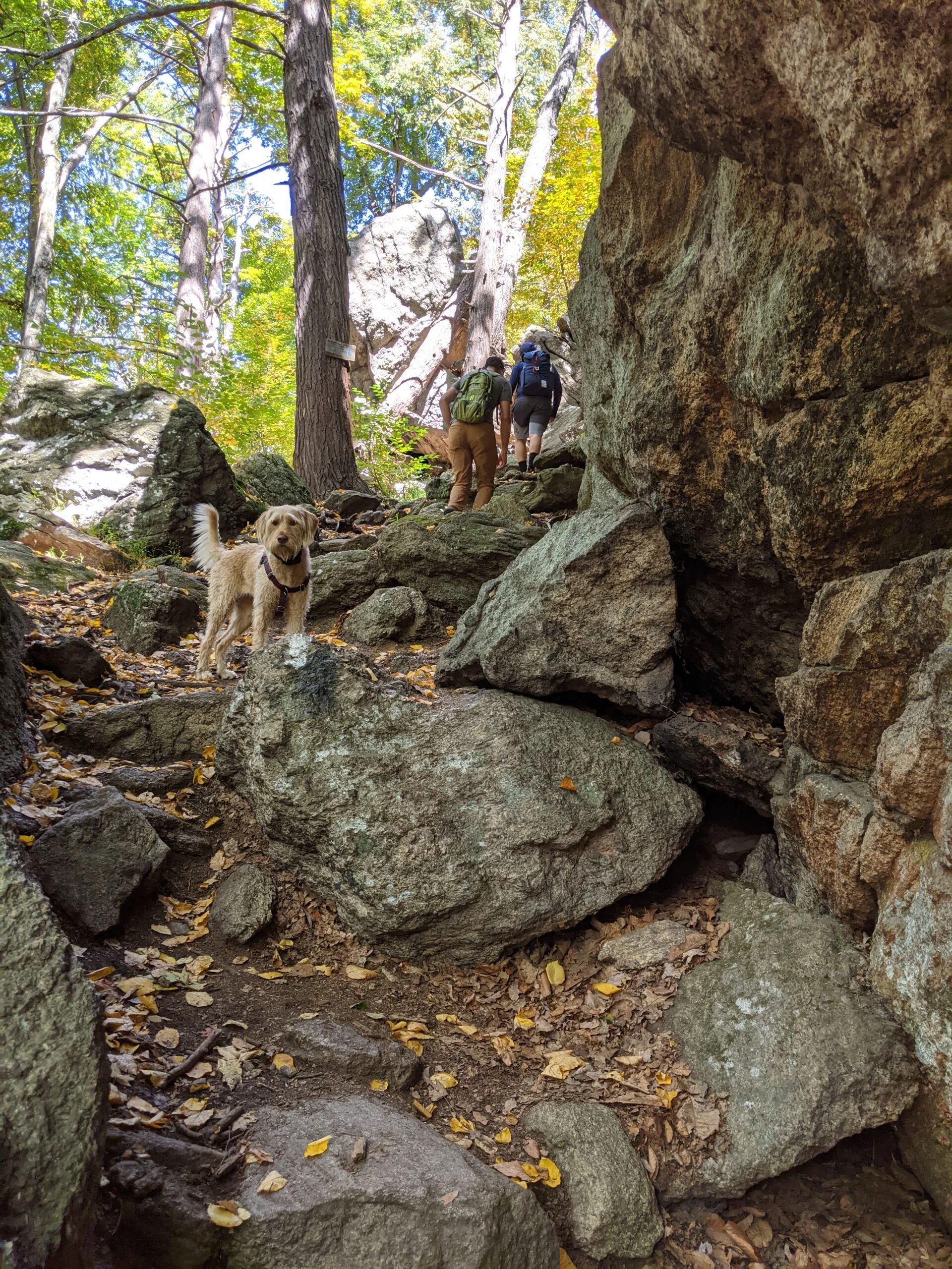
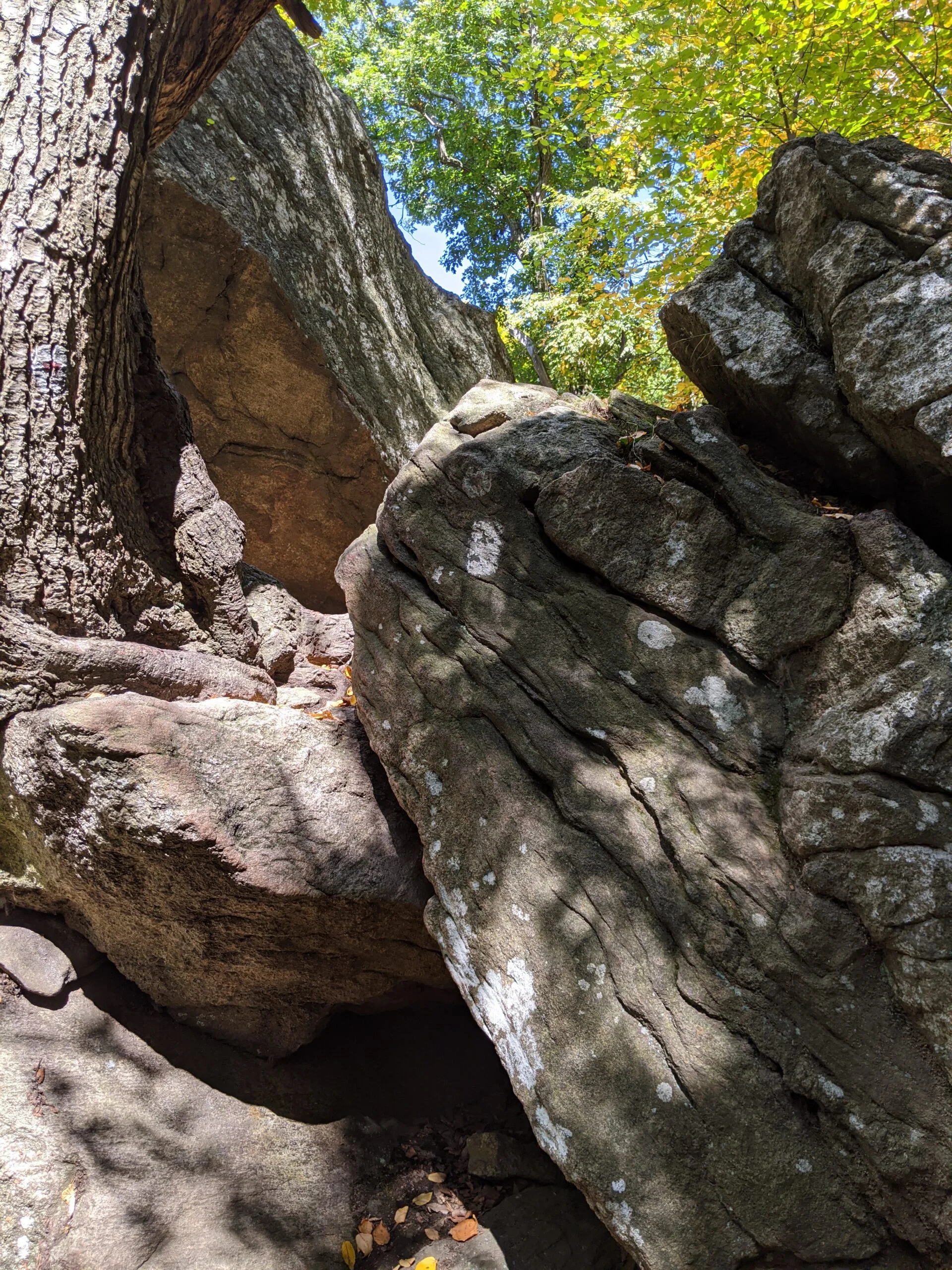
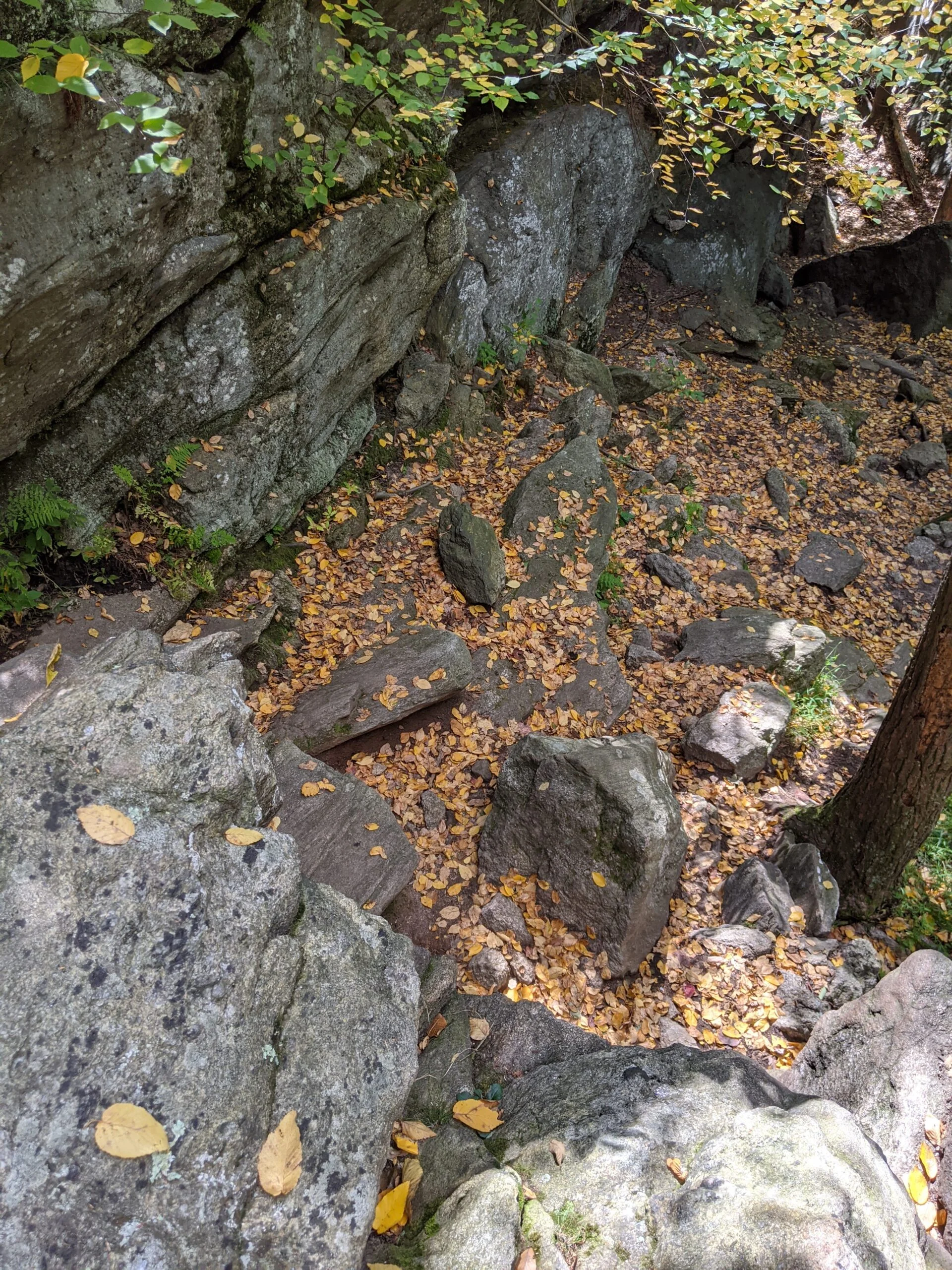
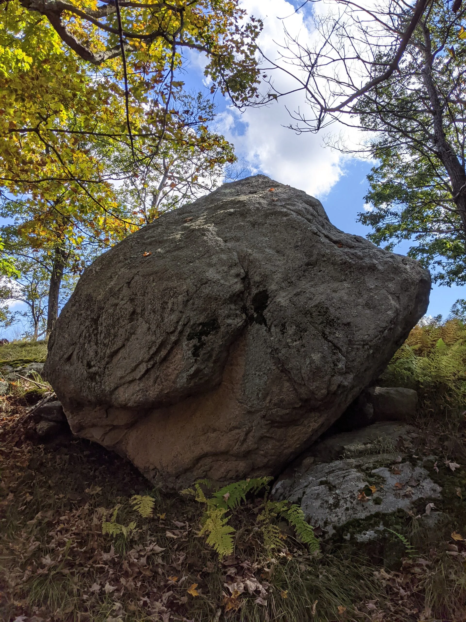
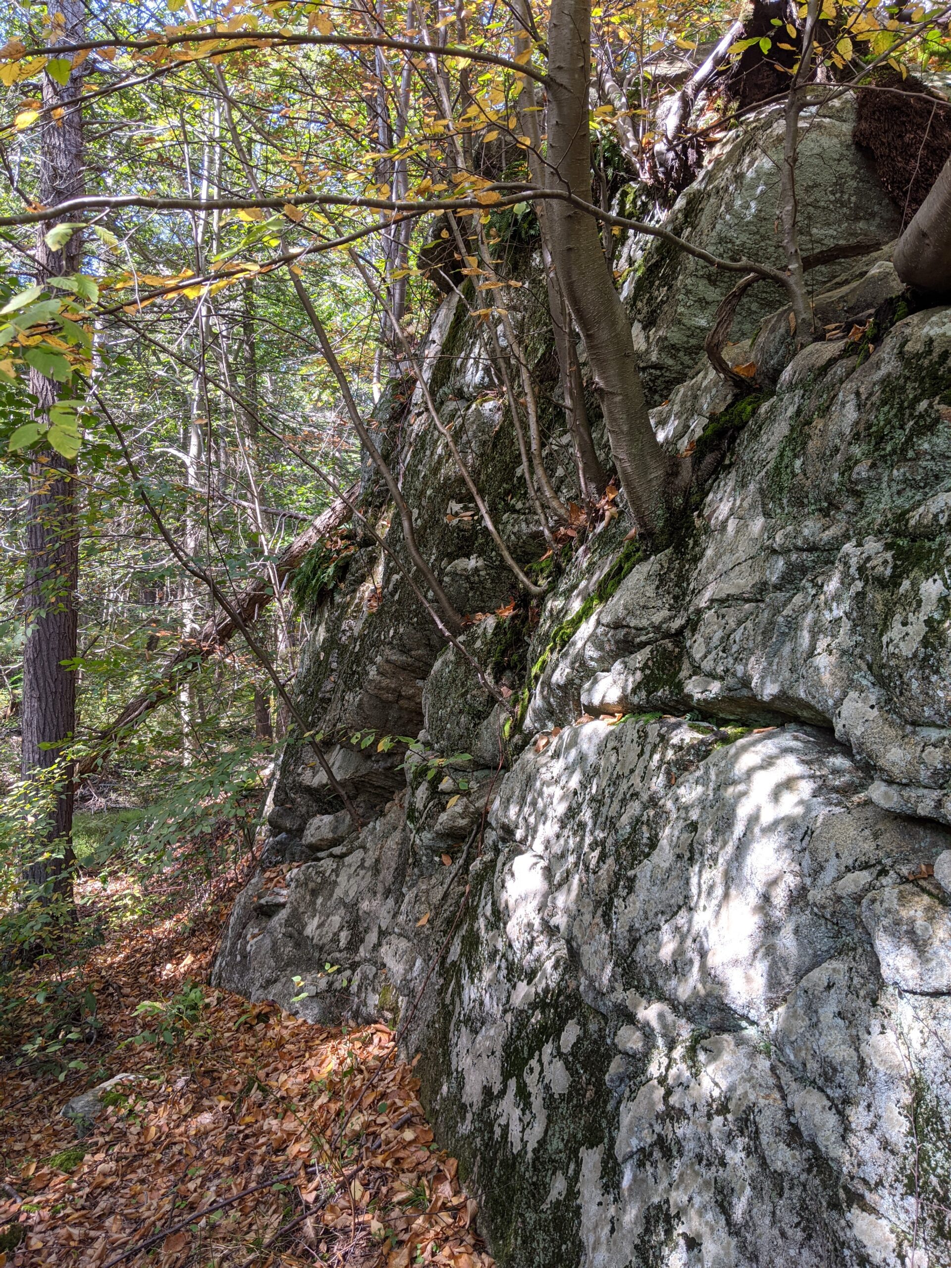
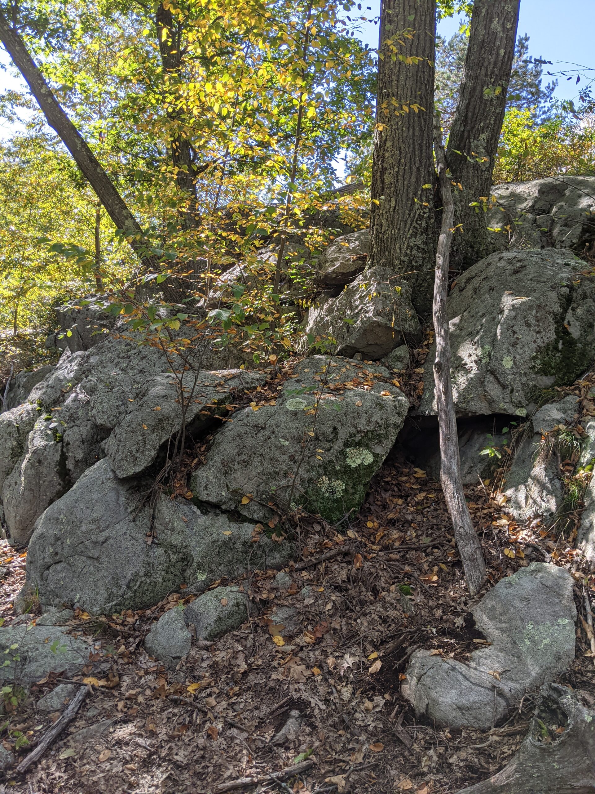
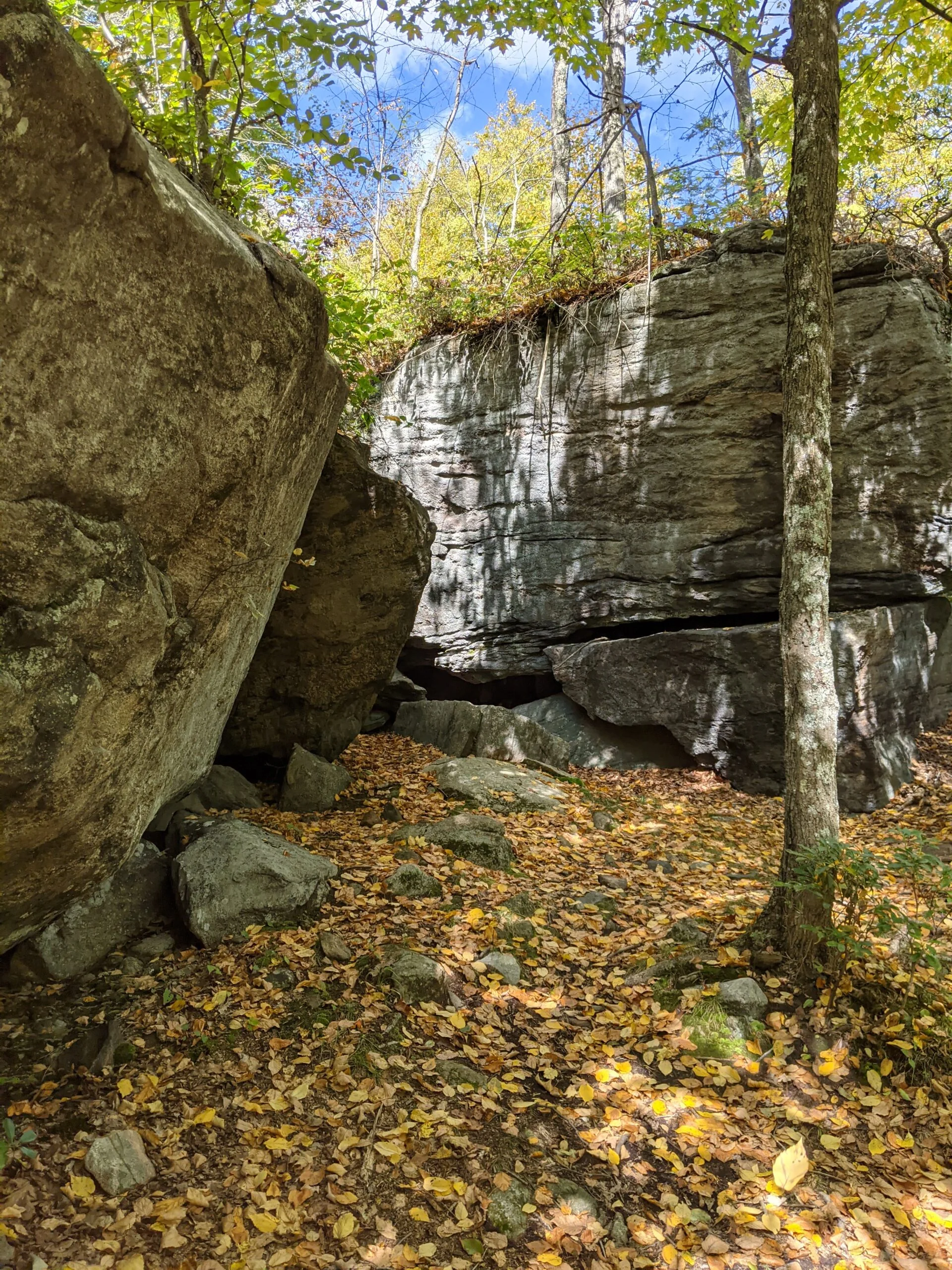
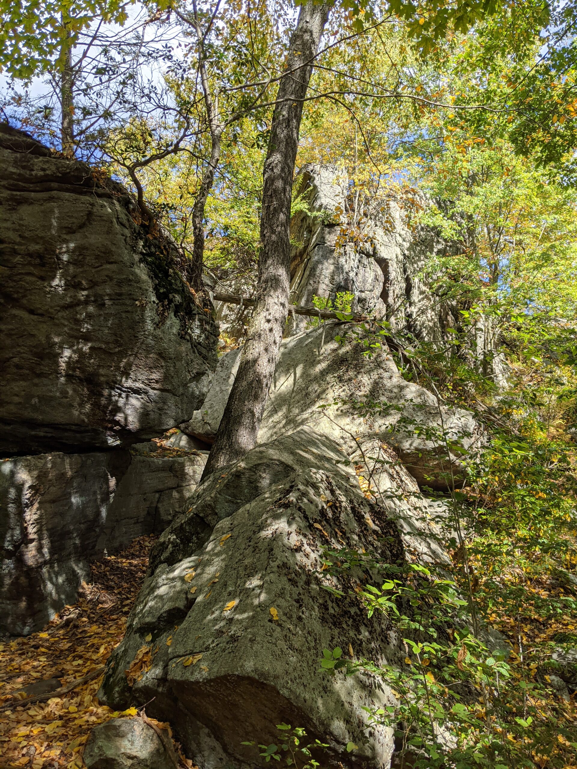
I continued along AT for about another 1/2 mile to reach the Lemon Squeezer. This is a series of rock formations along the trail that one has to “squeeze” through. It starts with a small tunnel between two rocks which was easy to fit through. Then comes the fun part! There’s a trail set between two very tightly-spaced rocks. I would estimate they’re about 2 feet apart from each other and they get tighter as you head north. I had to turn sideways to fit through at the top, and even then my backpack was scraping against the rock wall. The best way to tackle this is to hoist yourself up out of the crevice as soon as you can’t fit anymore. It’s not terribly difficult, but it’s something different.
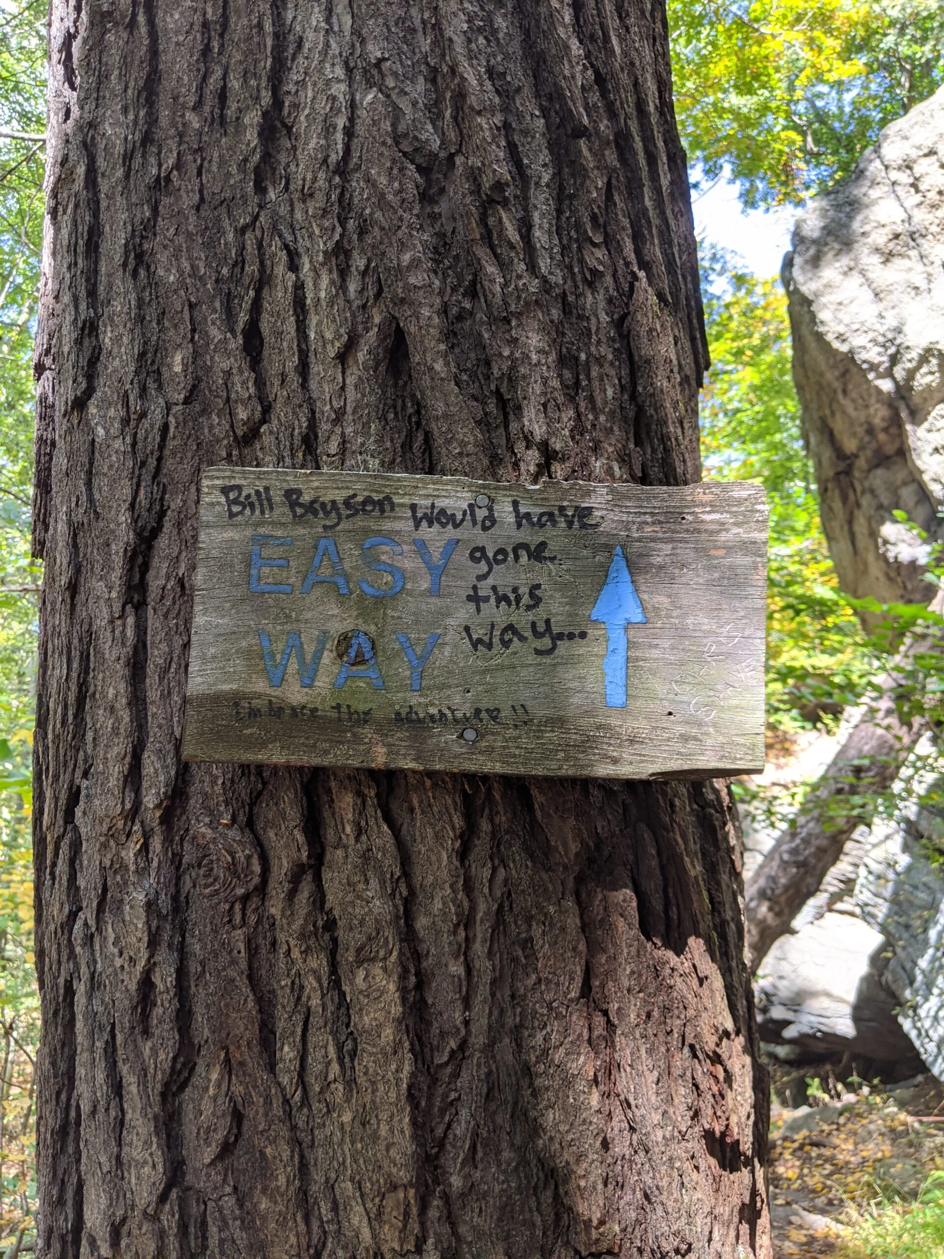
After the Lemon Squeezer, I was presented with two choices: a small rock face to climb or a sign pointing to the “easy way”. Well of course I had to climb the rock face. It’s probably 20 feet up. Again, not terribly difficult, but it does require some upper body strength to pull yourself up as there are not a lot of footholds to use. I made it past this obstacle quickly and continued on AT north.
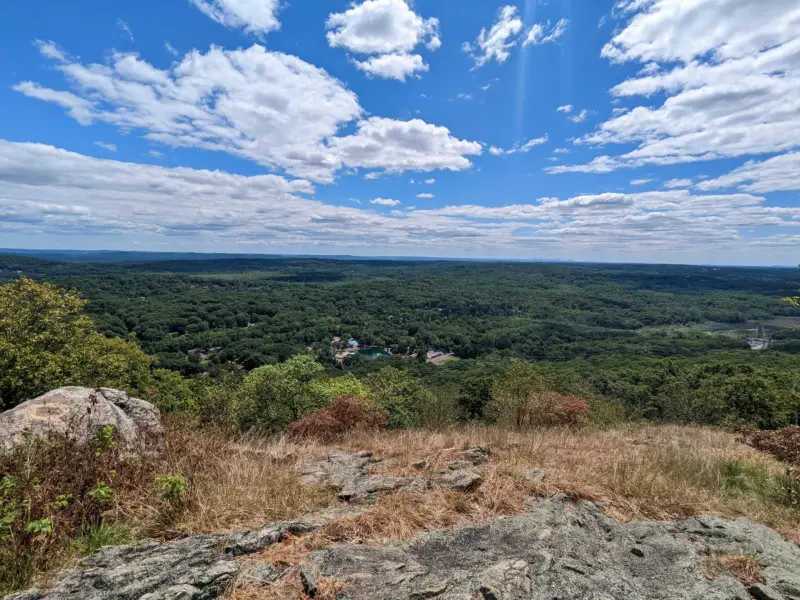
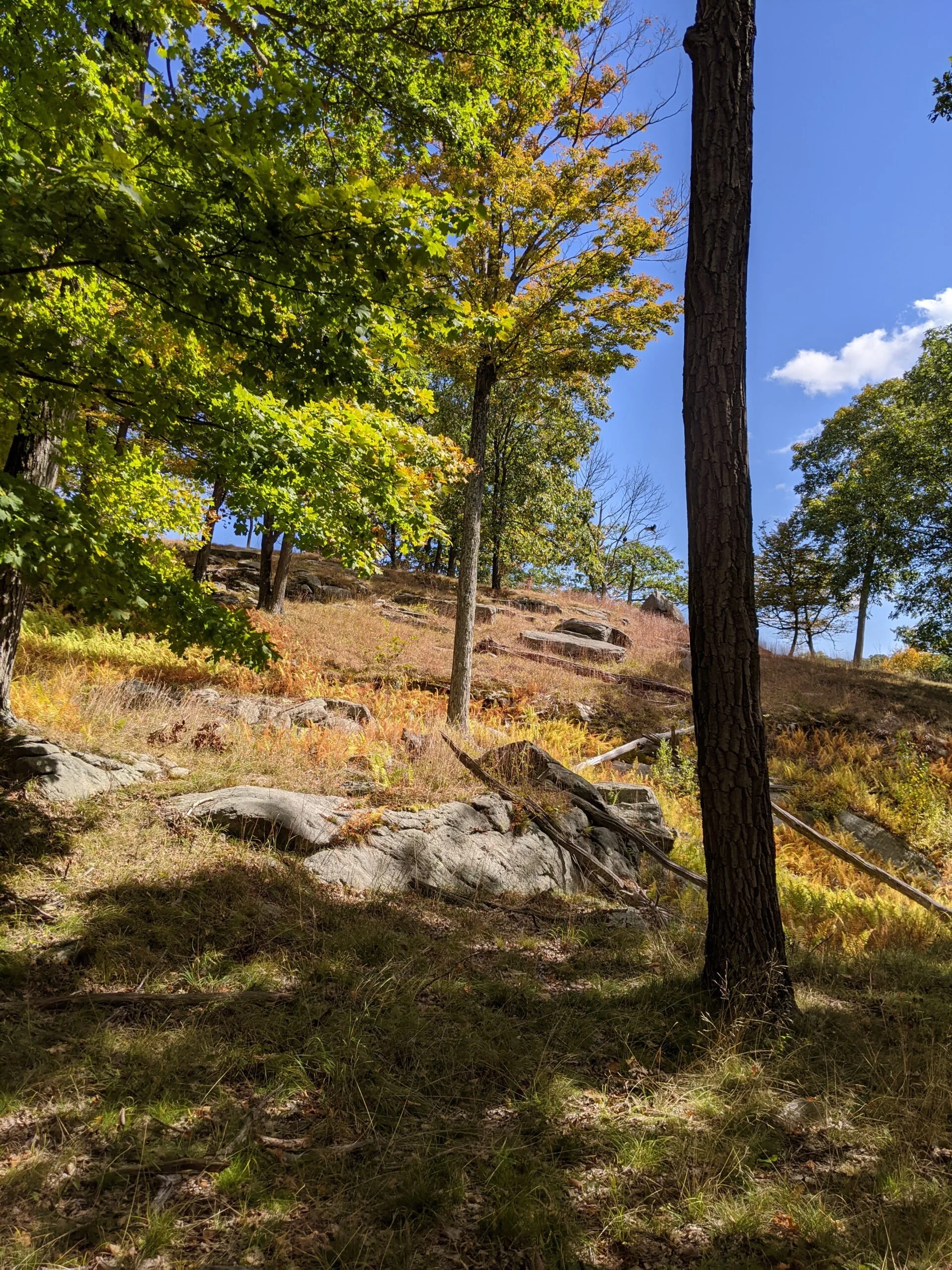
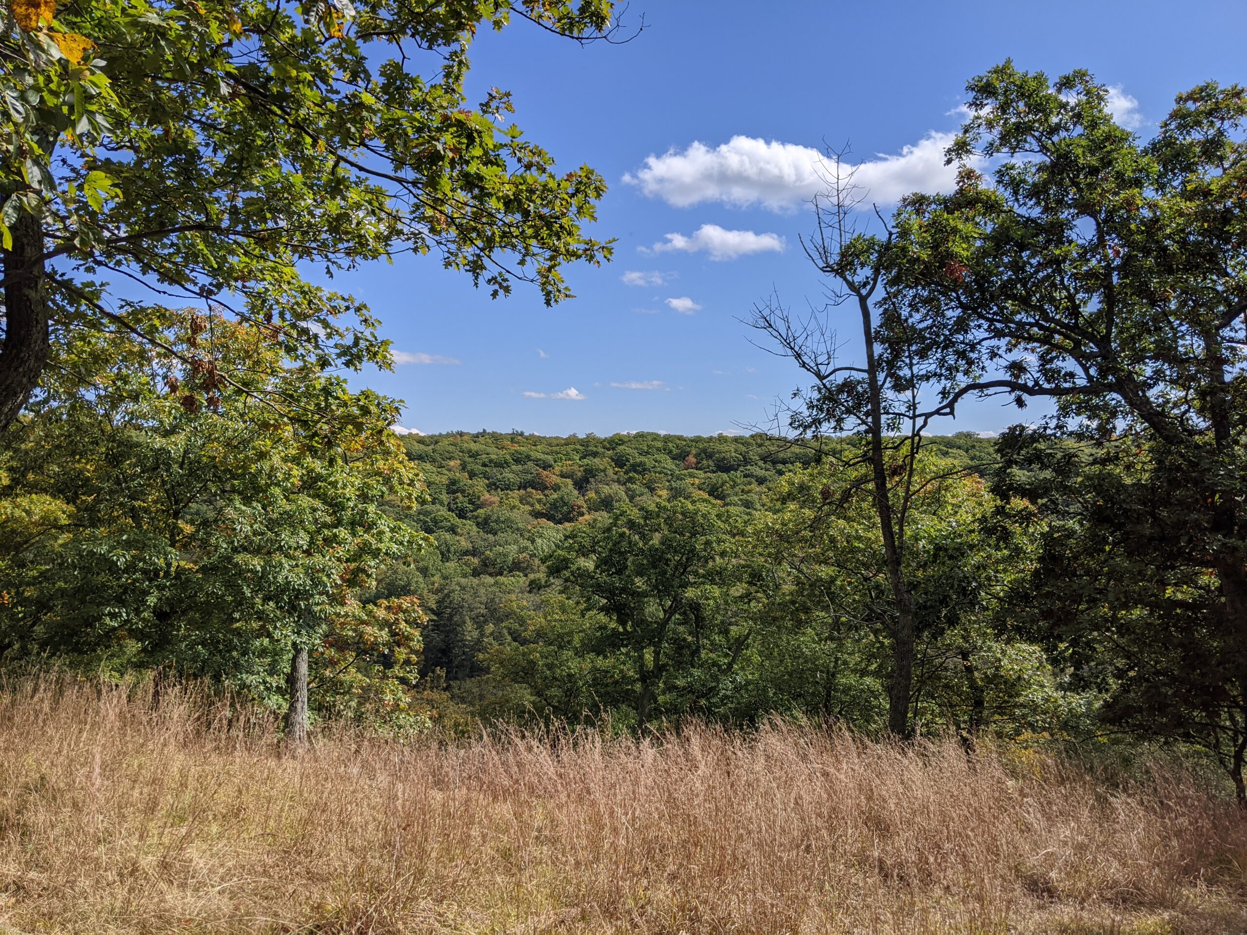
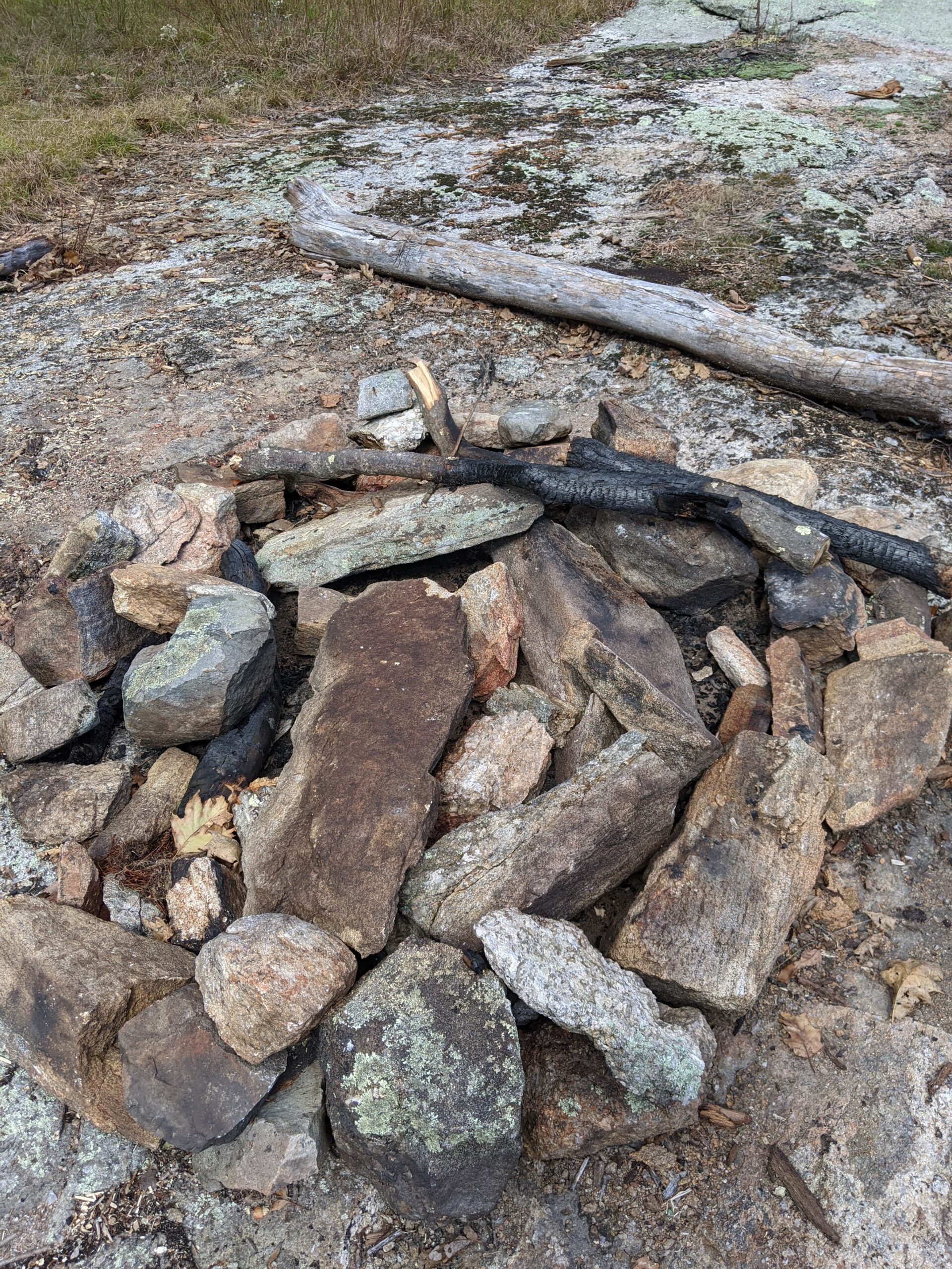
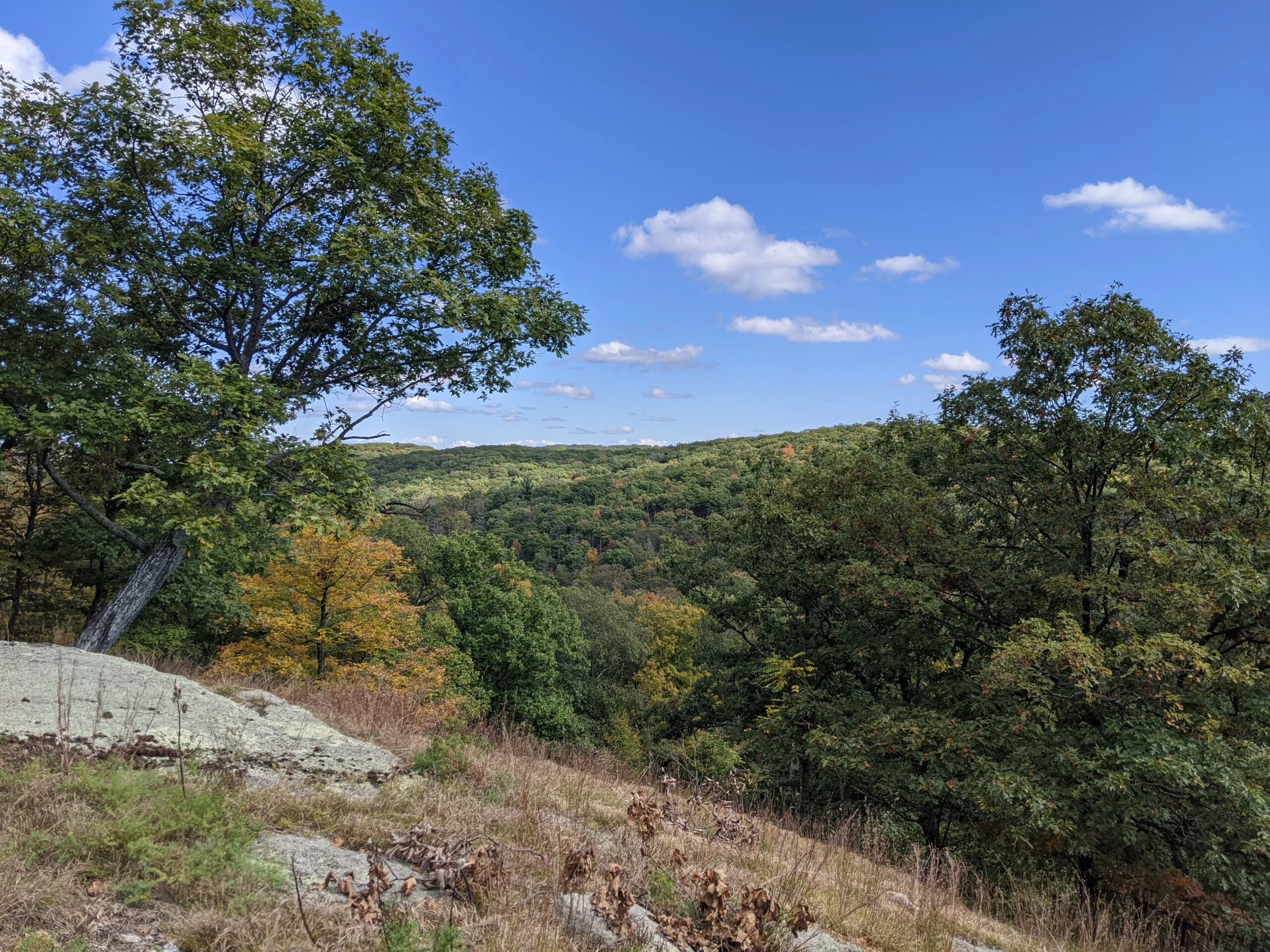
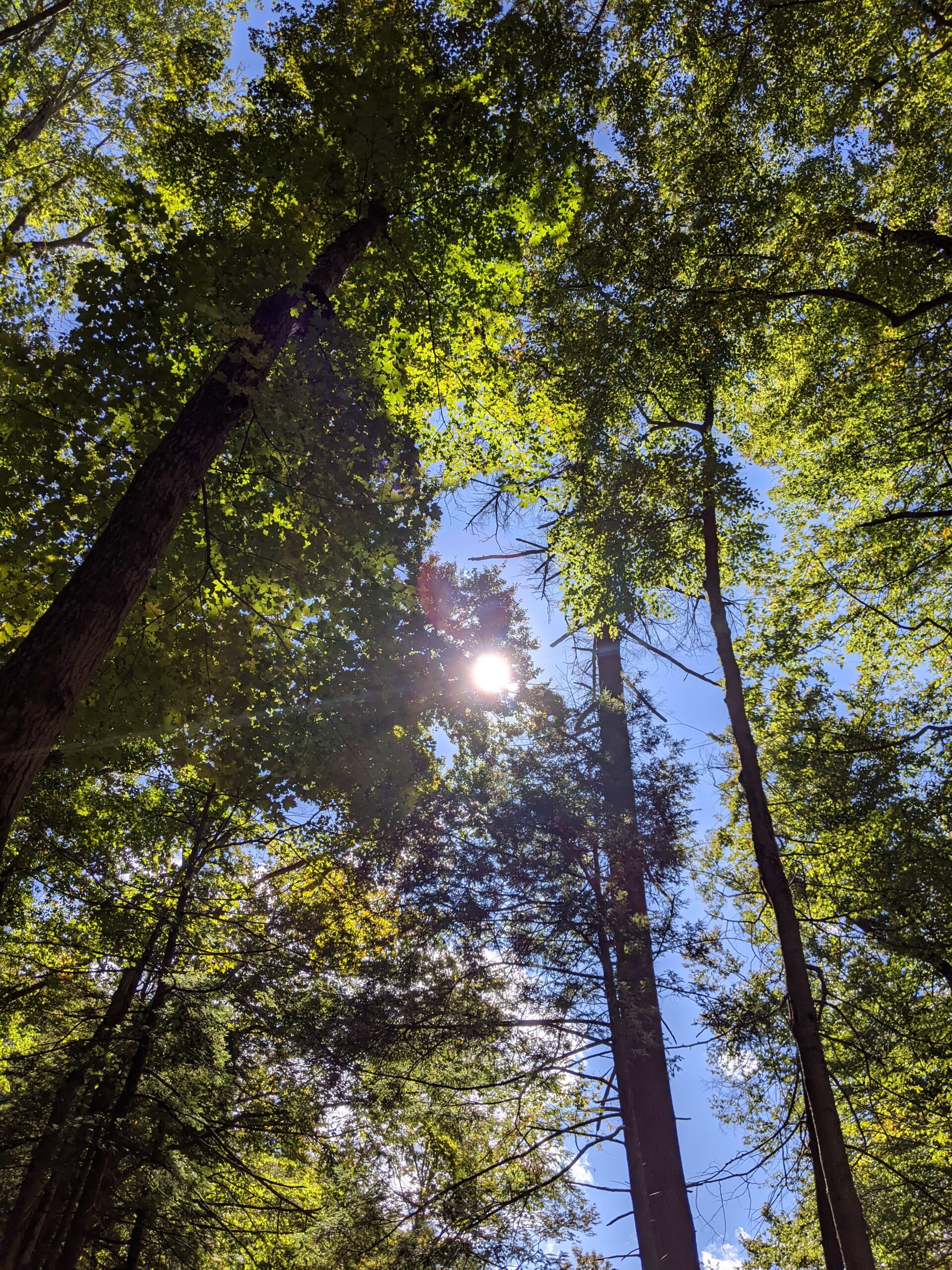
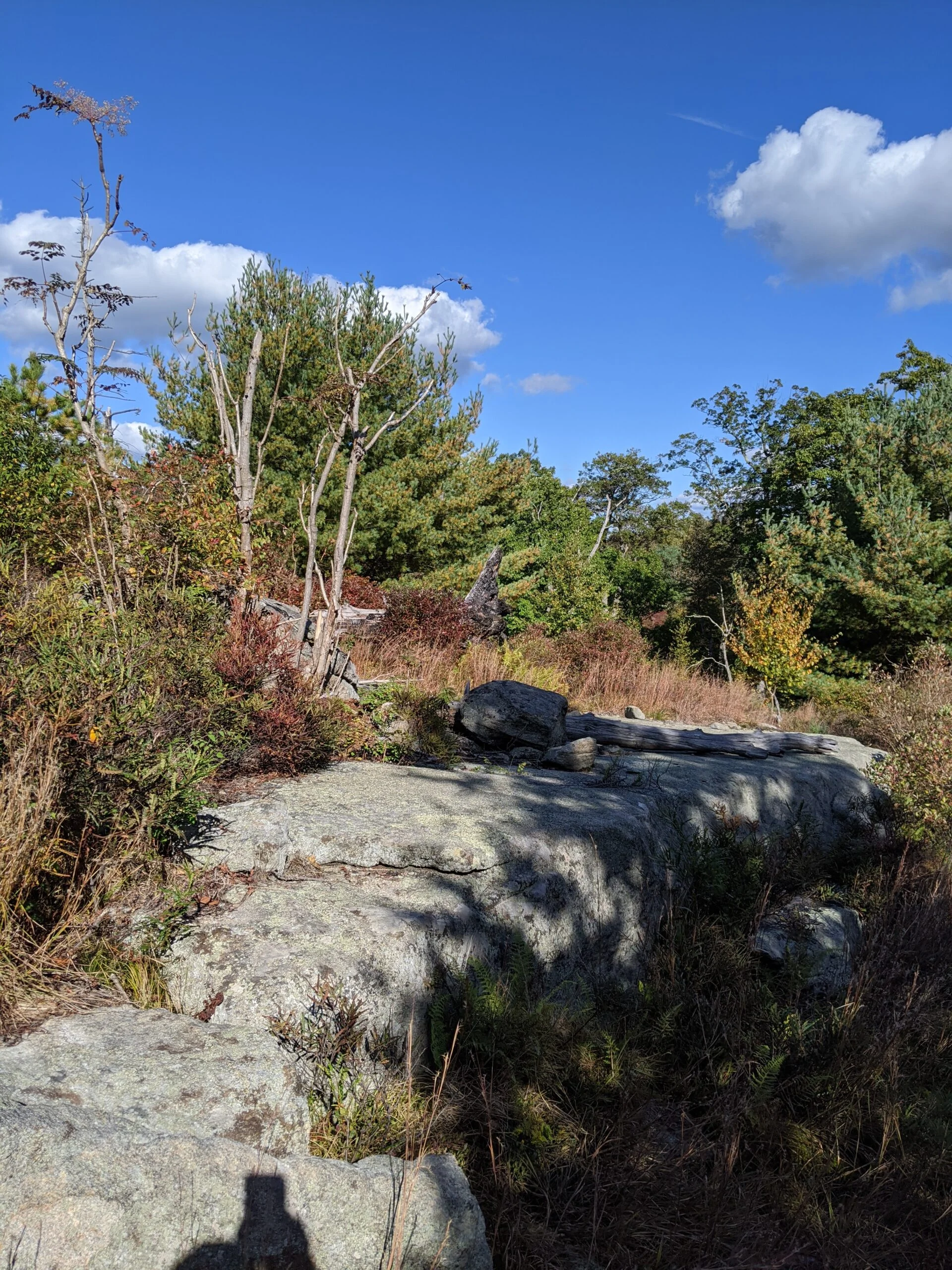
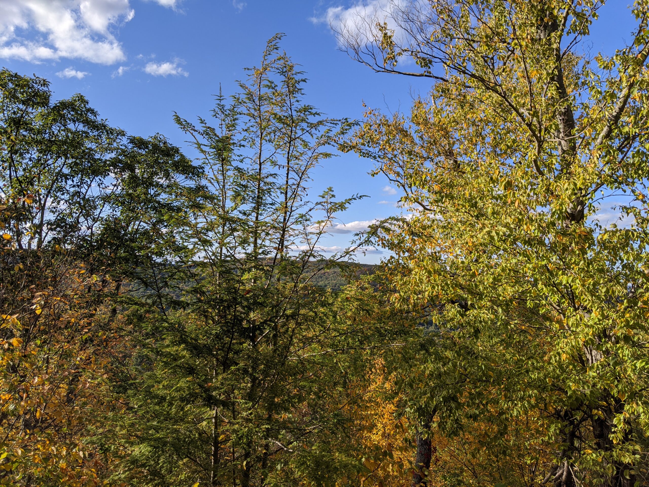
After an easy ascent of about 200 ft, I reached the top of Island Pond Mountain, elevation 1306 ft. I walked off the trail to find a spot to take a break and eat lunch. I ended up finding an old campfire which had 3 logs set around it and a nice view of the mountain ranges to the east. I took a few photos, refueled, and refilled my hydration pack. At this point, I had used about a liter of water.
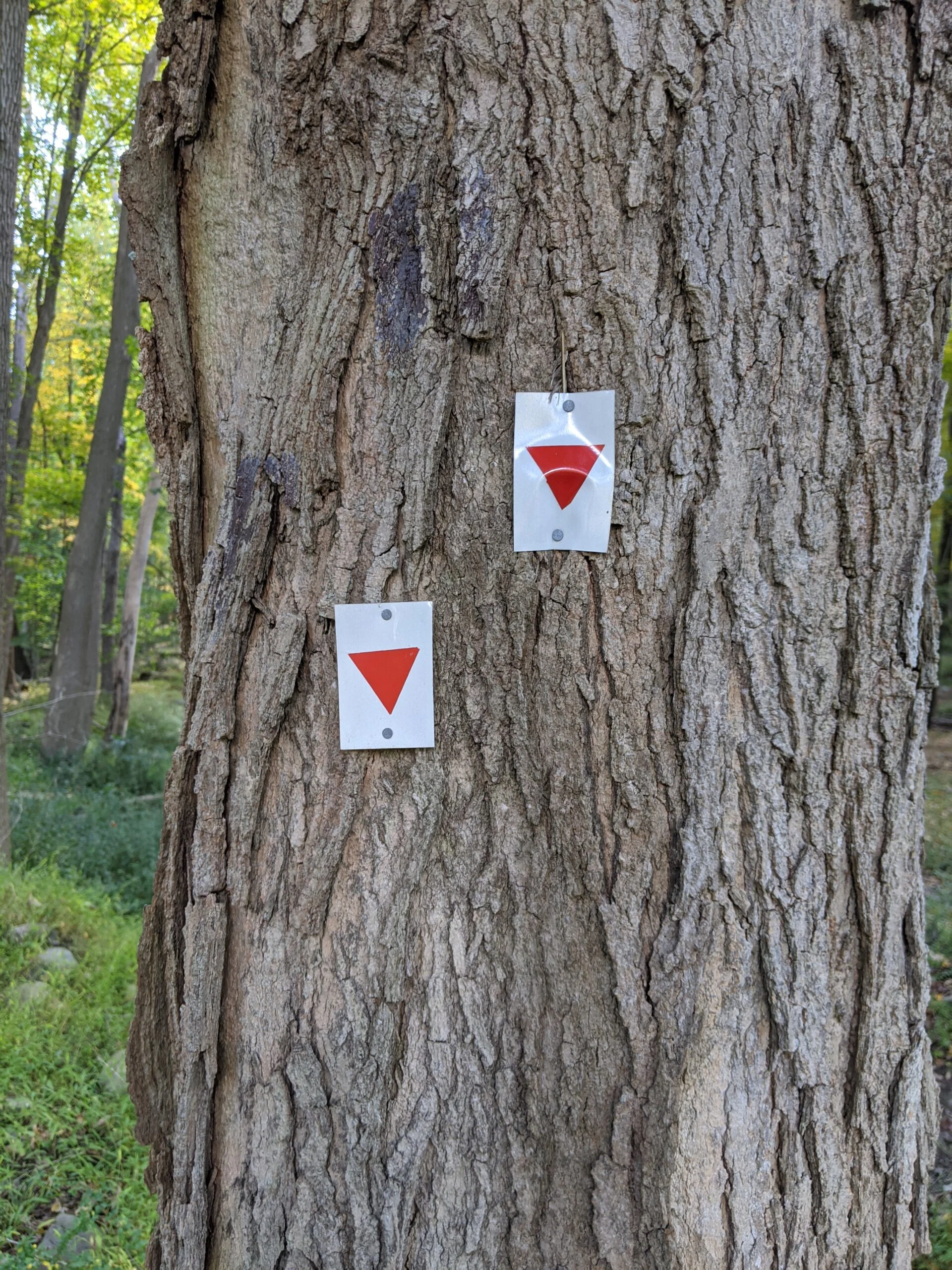
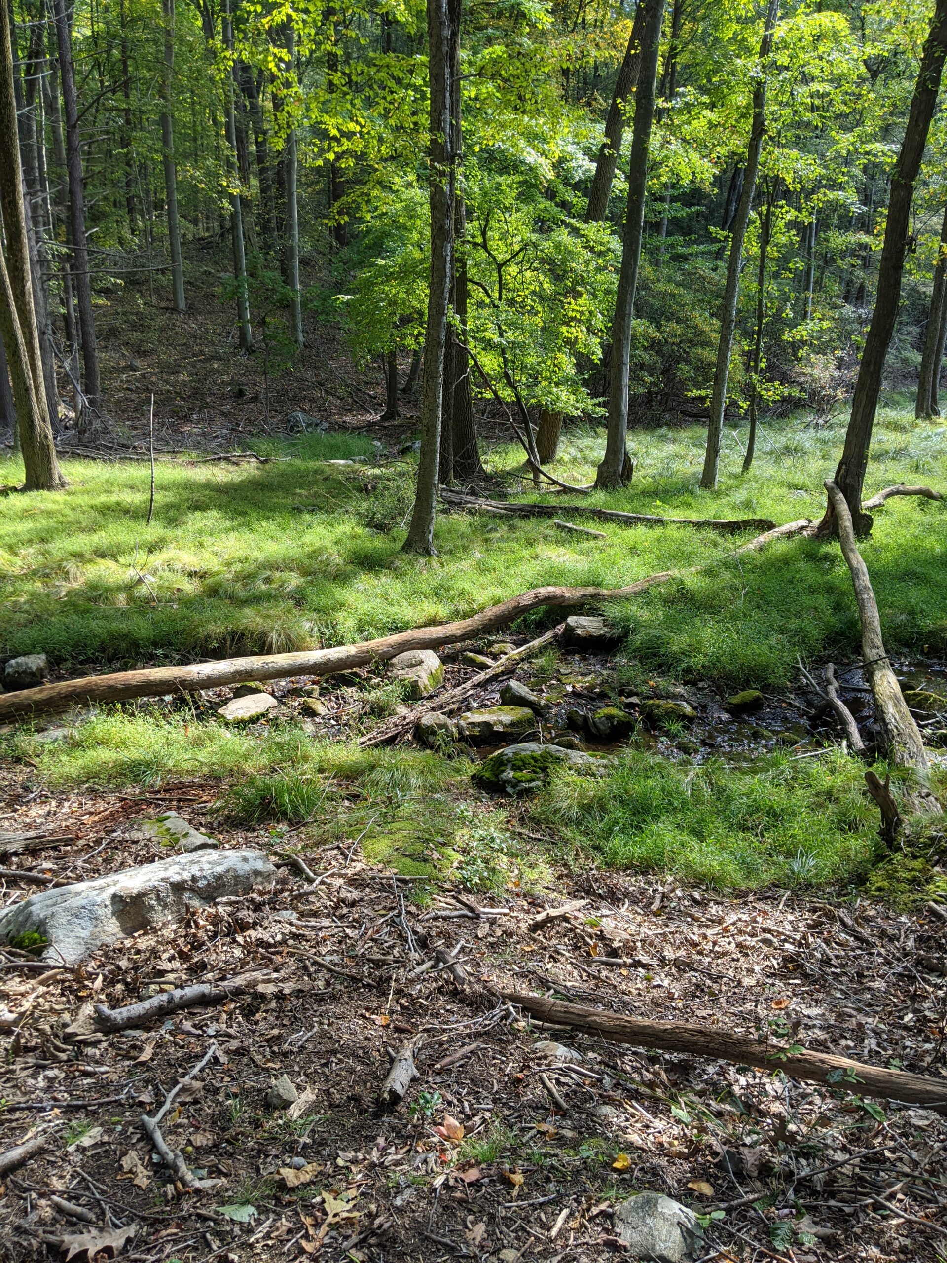
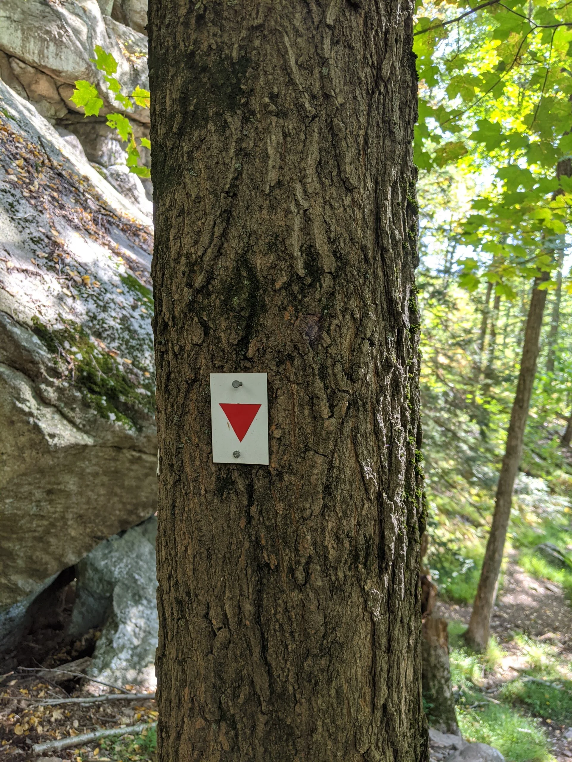
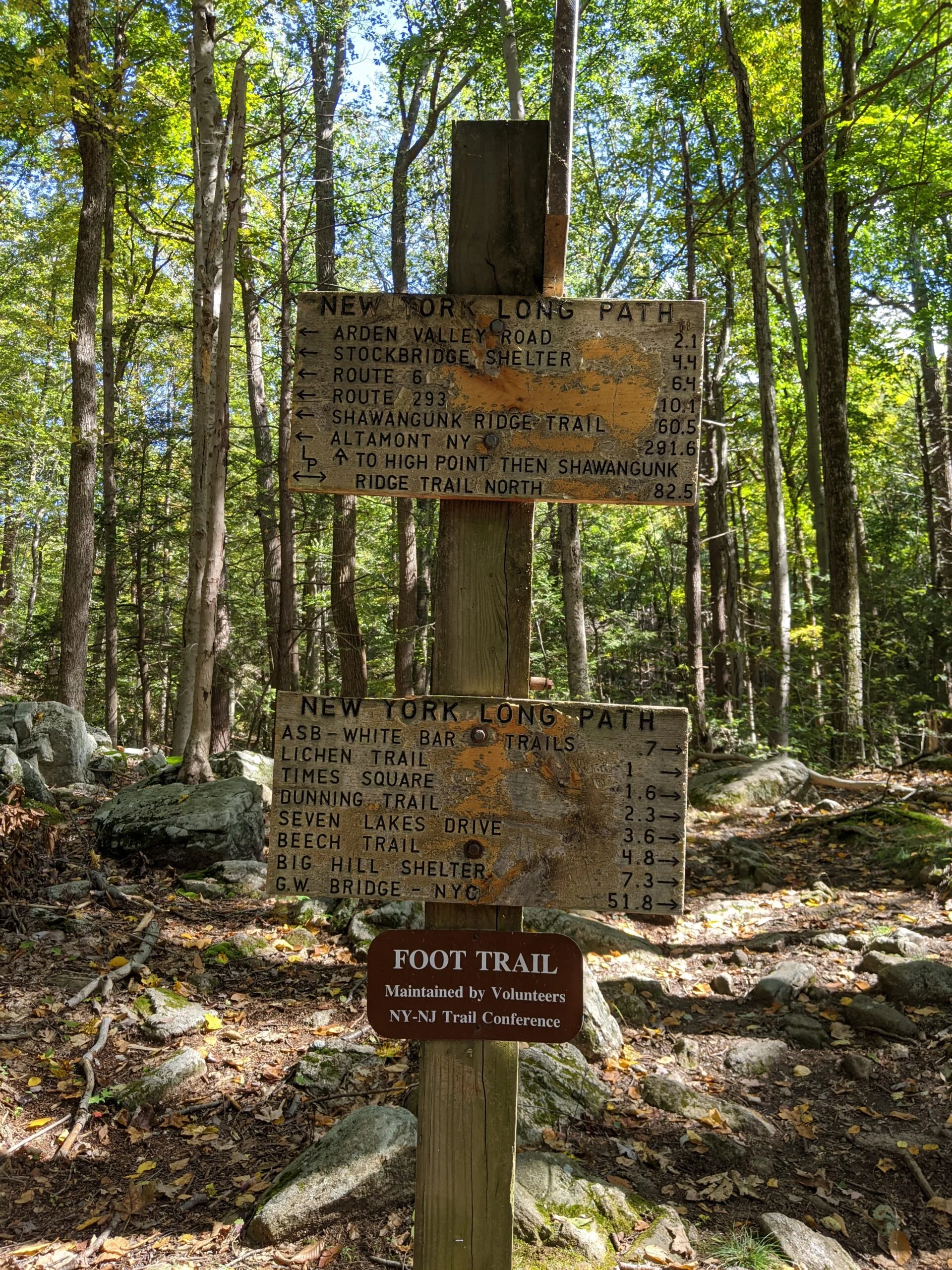
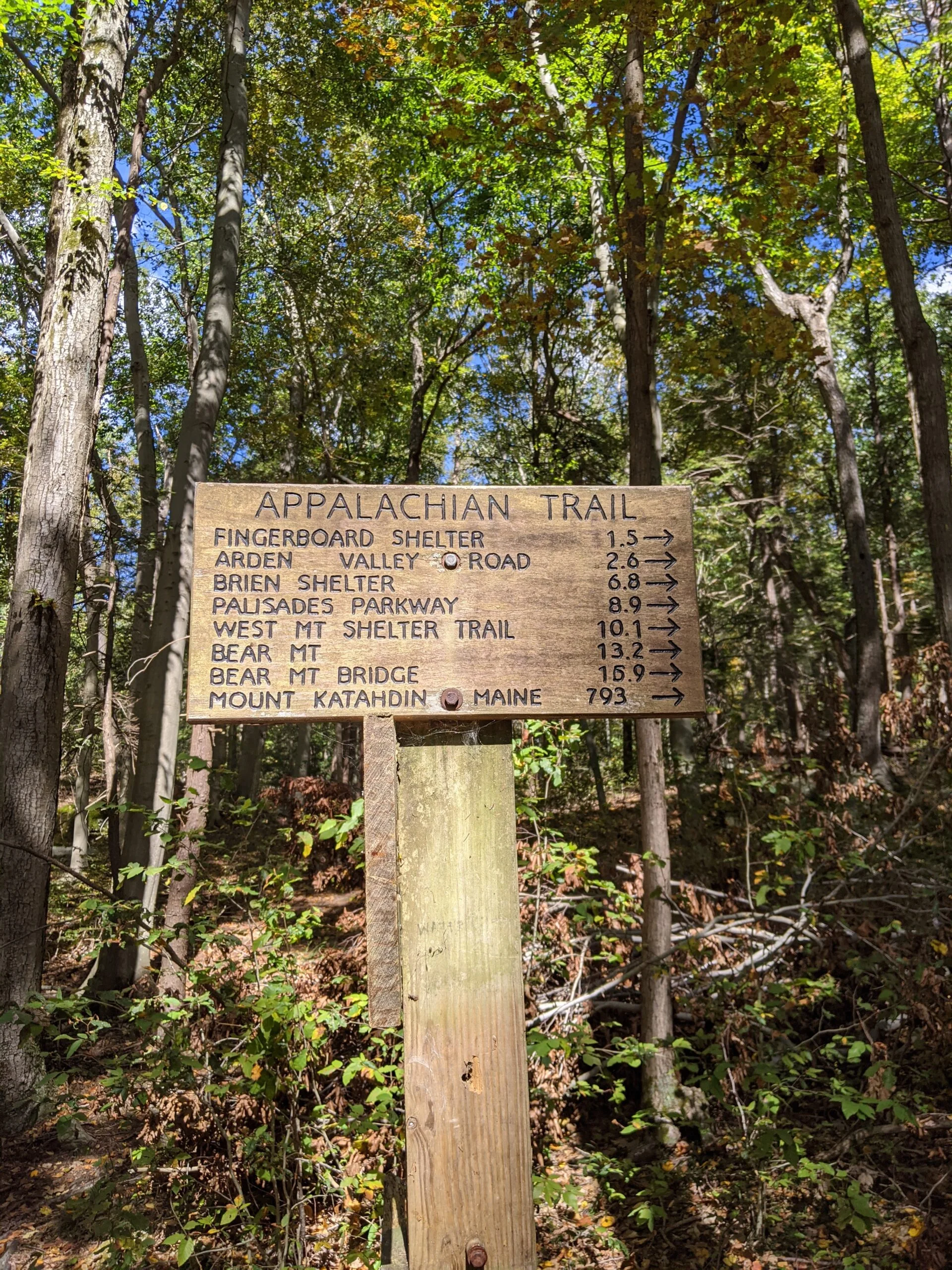
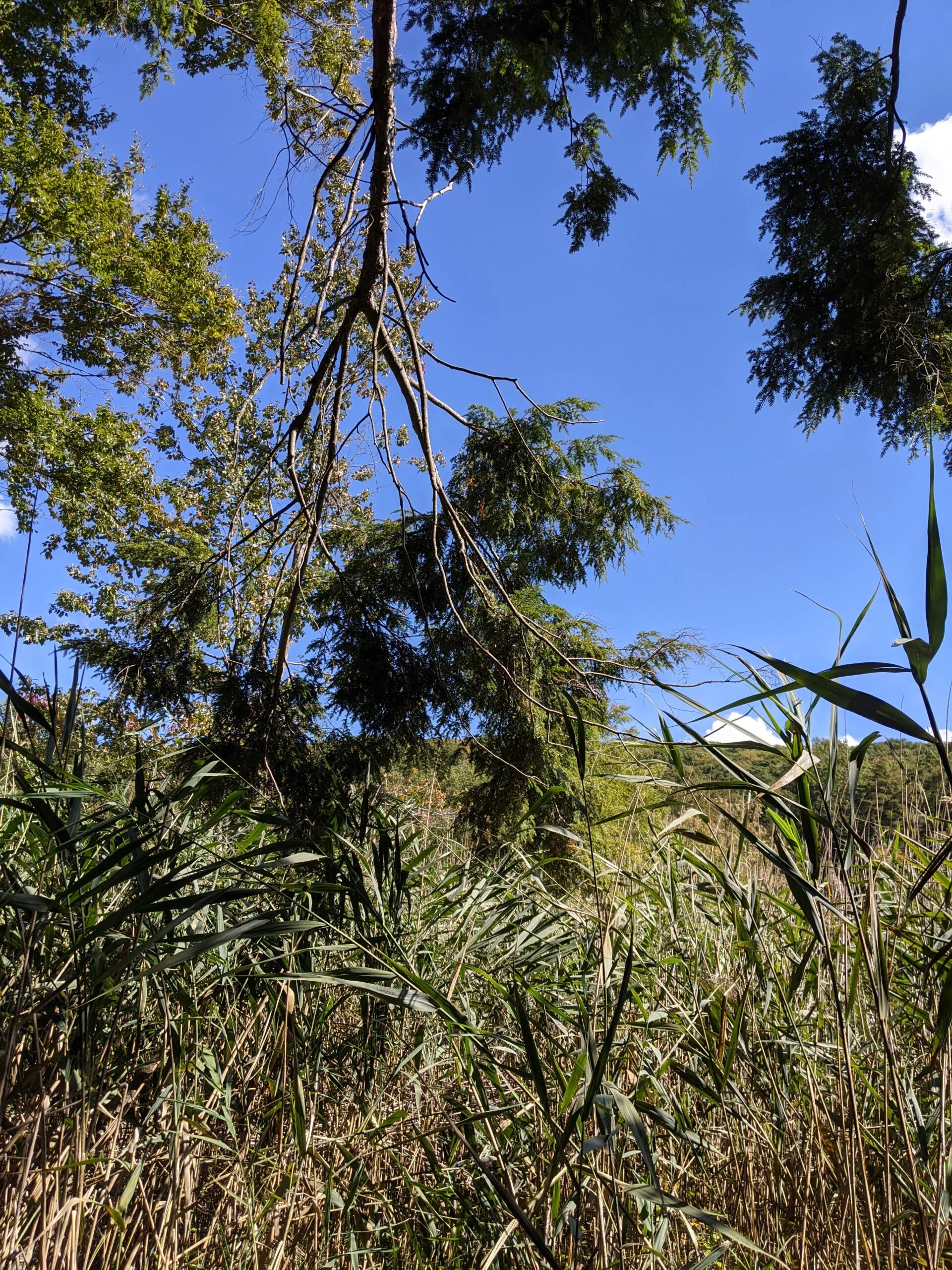
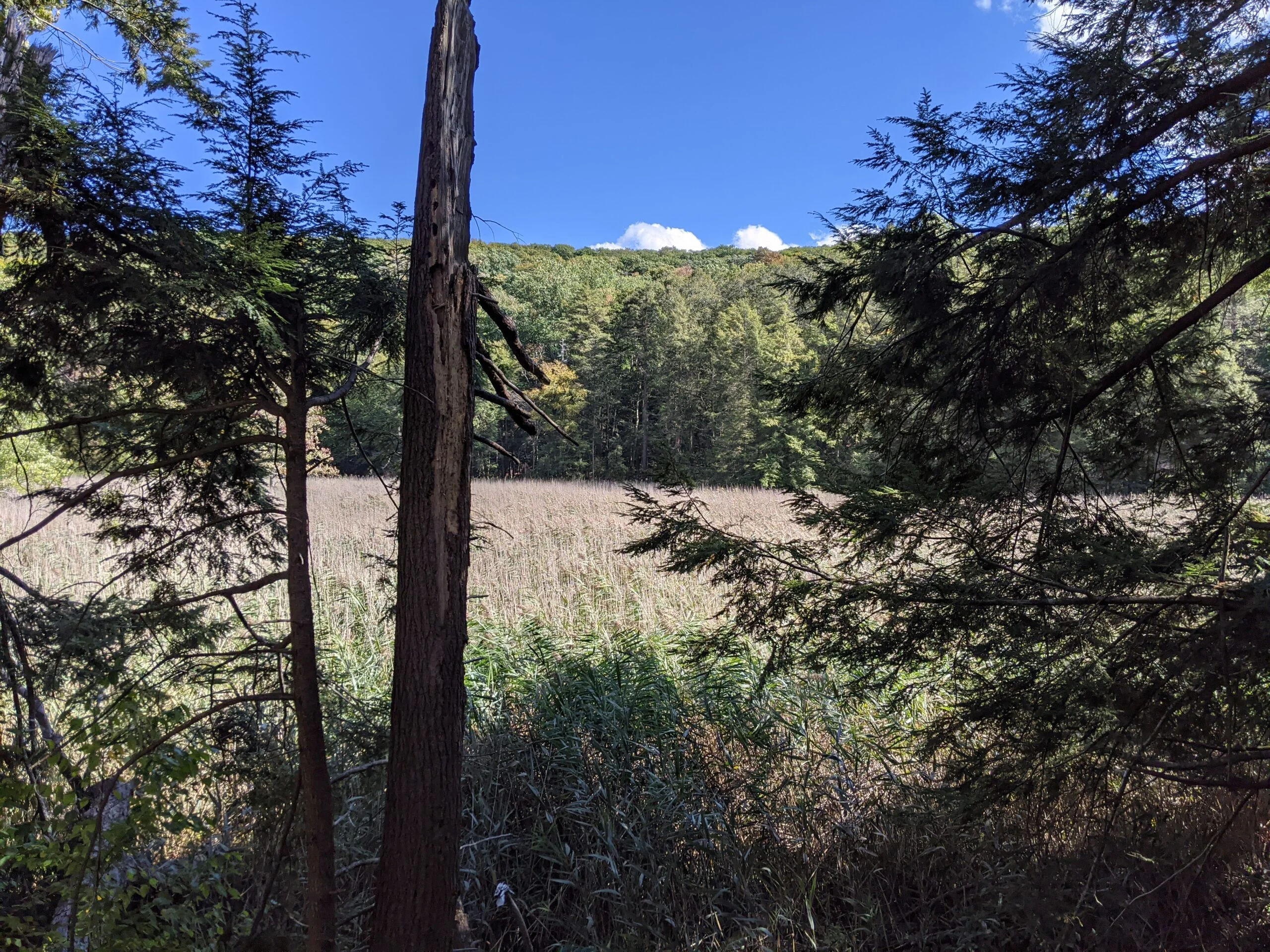
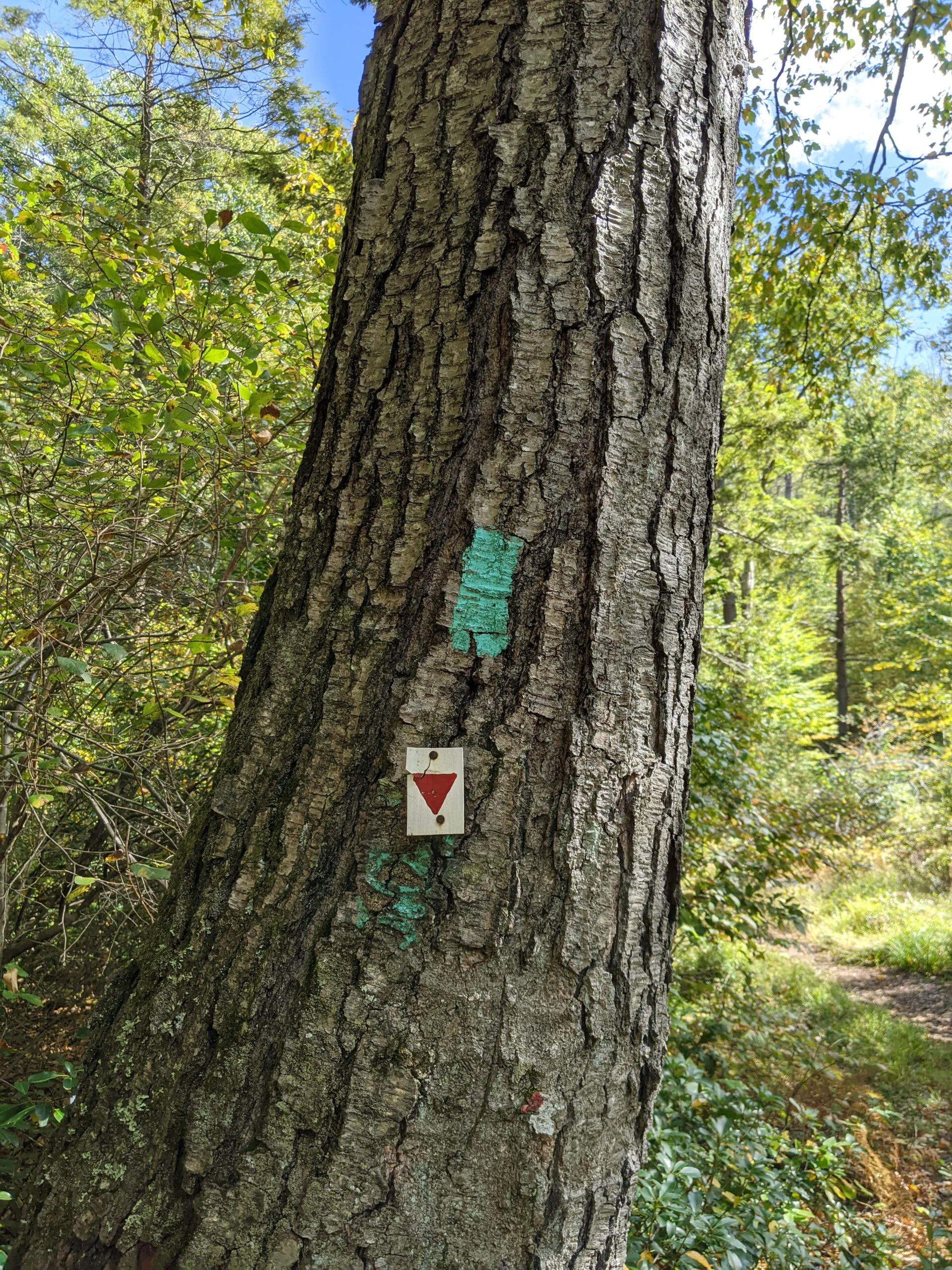
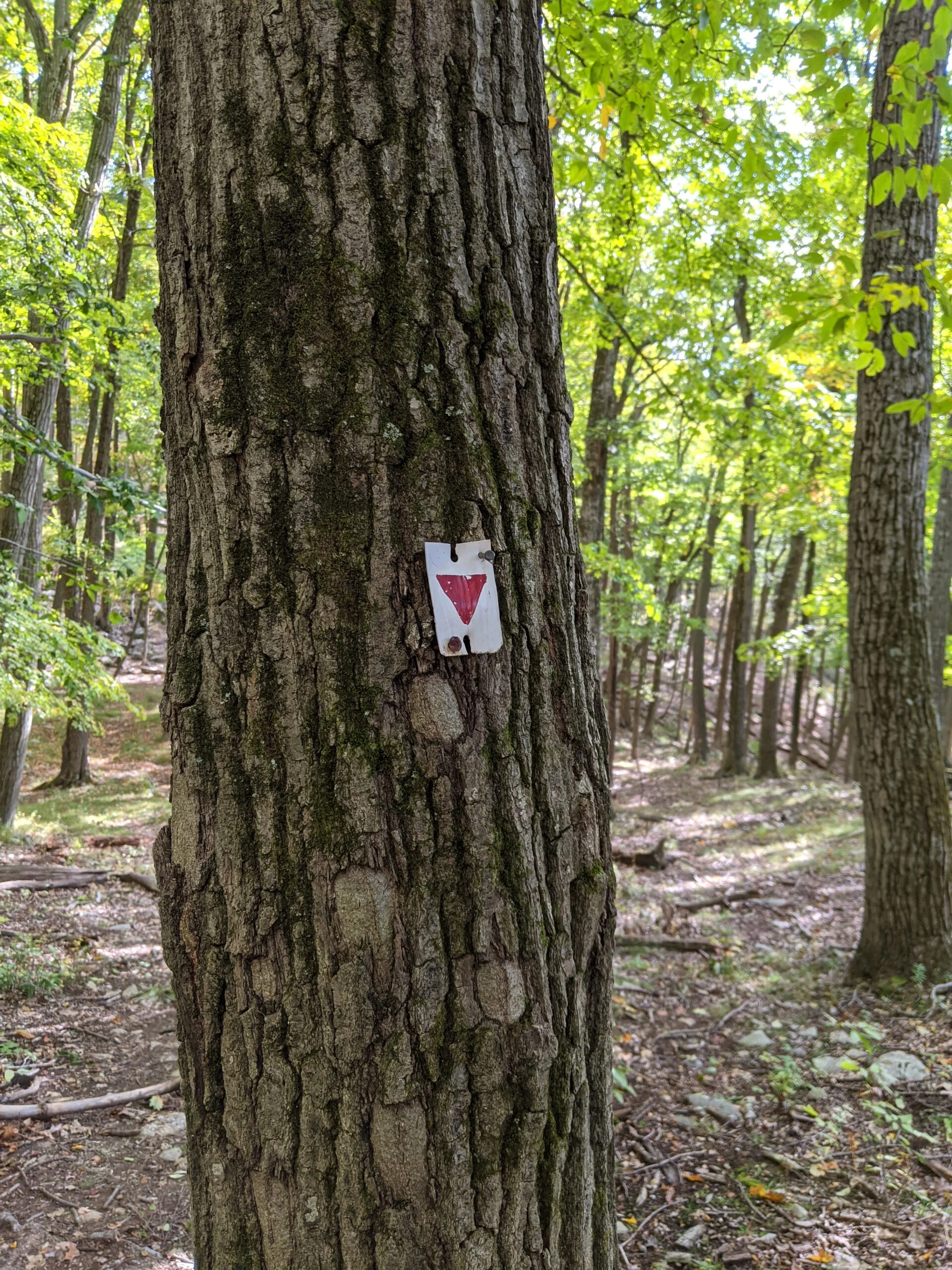
I rejoined AT and continued following it north until I reached Long Path (LP, blue blazes) and took LP to the south. I sign indicated there were 793 miles to Mount Katahdin, Maine, which is the northern terminus of the AT. Maybe some day, but not today! LP follows the edge of a marshy/swampy area. It’s a narrow, fun little trail which I followed for about 1/2 a mile before LP merged with Arden Surebridge (AS, white blazes with red downward facing triangles).
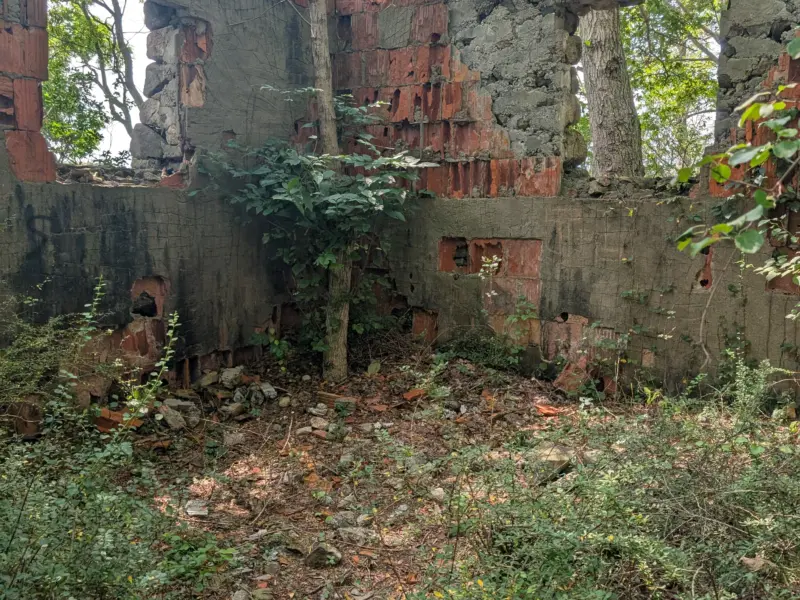
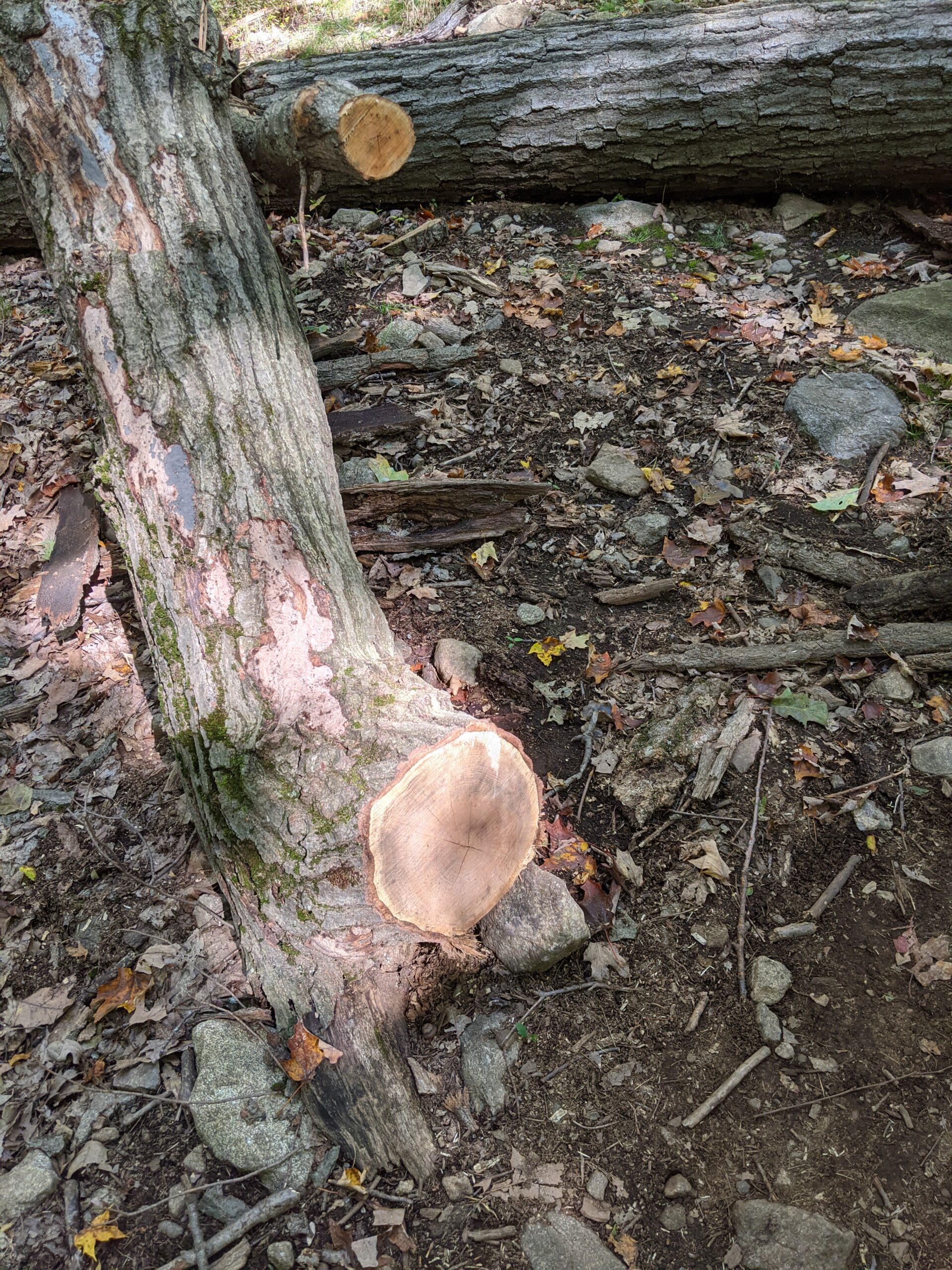
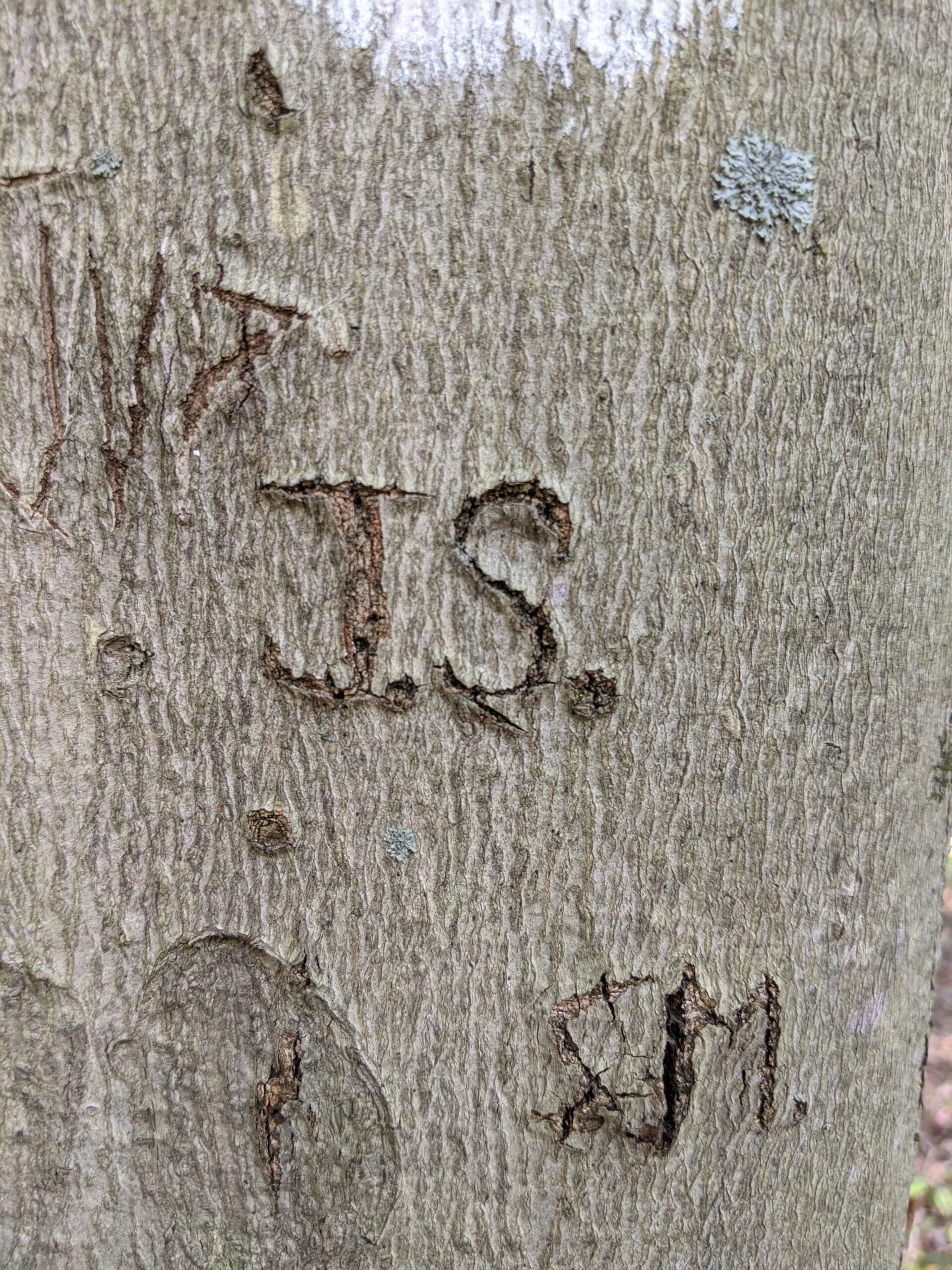
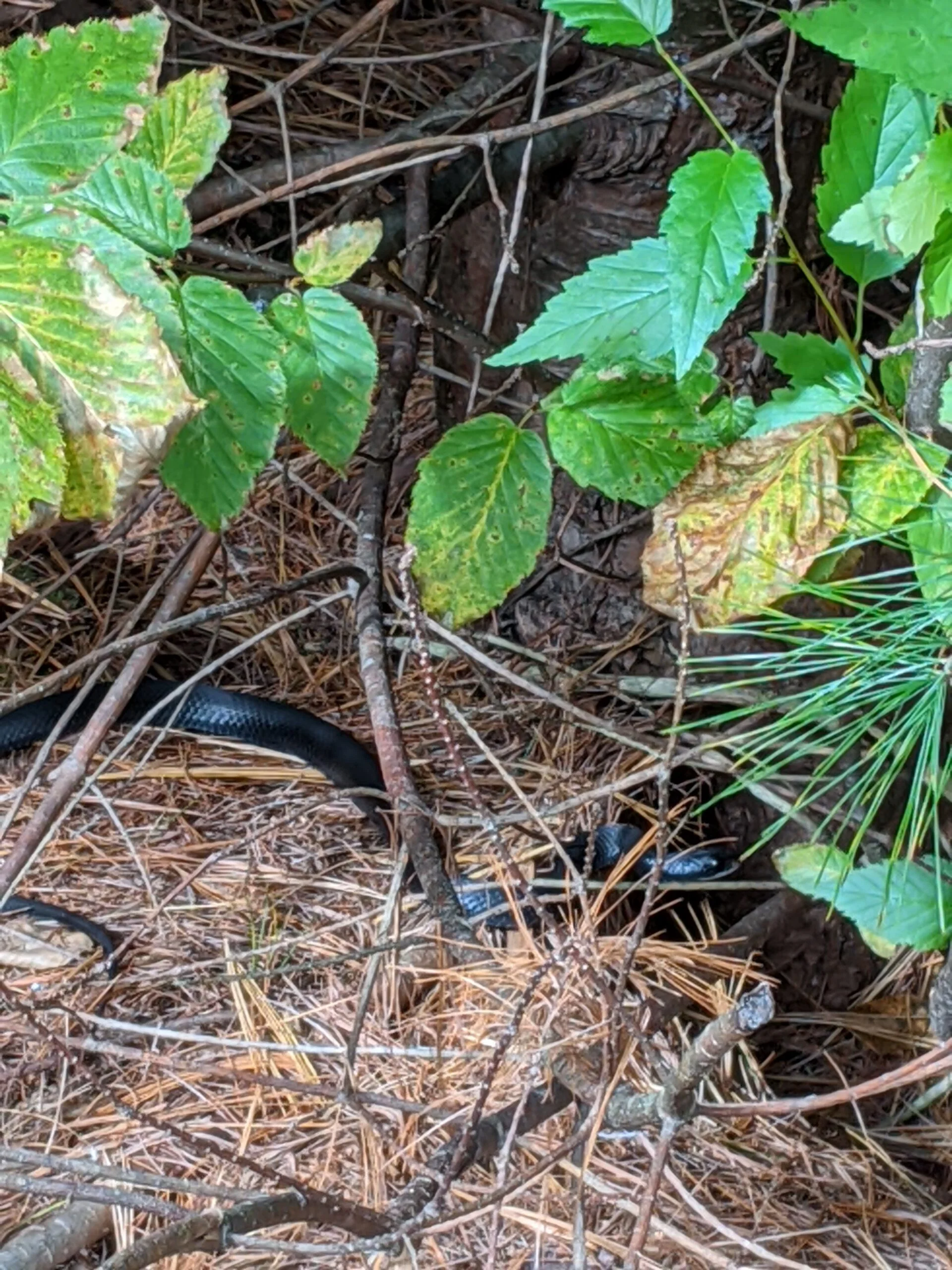
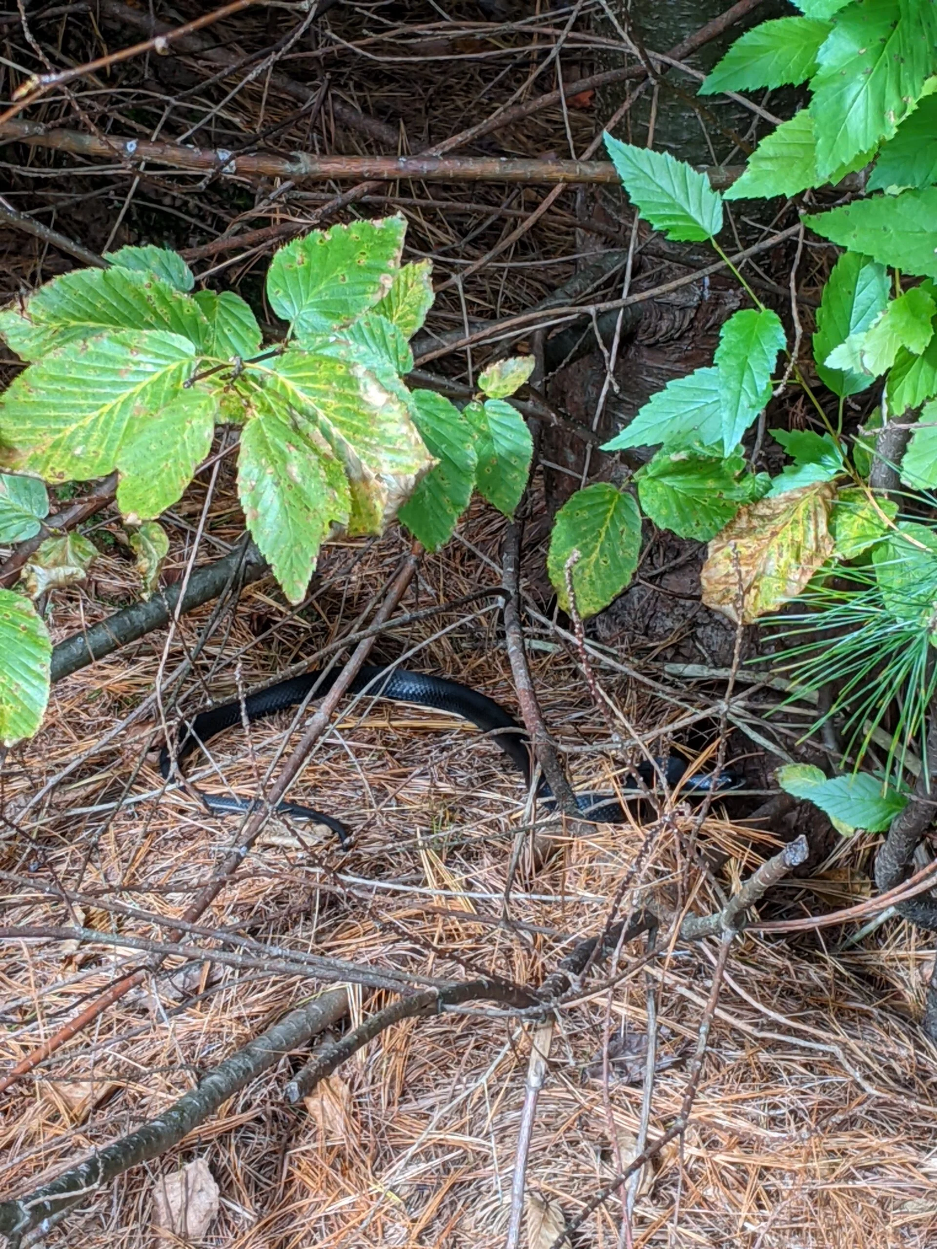
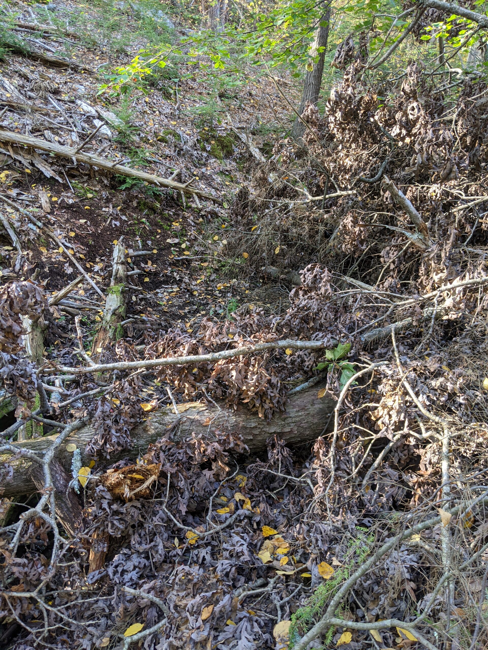
For about a mile, this section of the trail has both LP and AS blazes until it hits the 5-way intersection with the Ramapo – Dunderberg (R-D), running north and south. From here, LP and AS split. I decided to take LP to the southeast through Hogencamp Mountain. At one point along the way, I heard movement to my left, stopped, and spotted a snake laying just off the left side of the trail. After looking it up when I got home, it appears that it was a black rat snake, a nonvenomous snake commonly found in New York state. After the snake, I came across a rectangular rock formation. I’m not sure if it was the foundation to a building or laid out for another purpose.
After about 8/10 of a mile, I reached the intersection to the Dunning trail (yellow blazes). I turned right, taking this to the southwest. The first section is a pretty flat bike trail in a section of the former Hogencamp Mine. I was hoping to see remnants of the mine, but I only saw a shaft filled with water. Nothing else was easily visible from the trail. This might require more exploration at a later time, as I’ve since seen photos of other people exploring this area and finding more than I did.
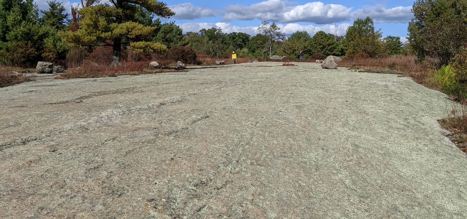
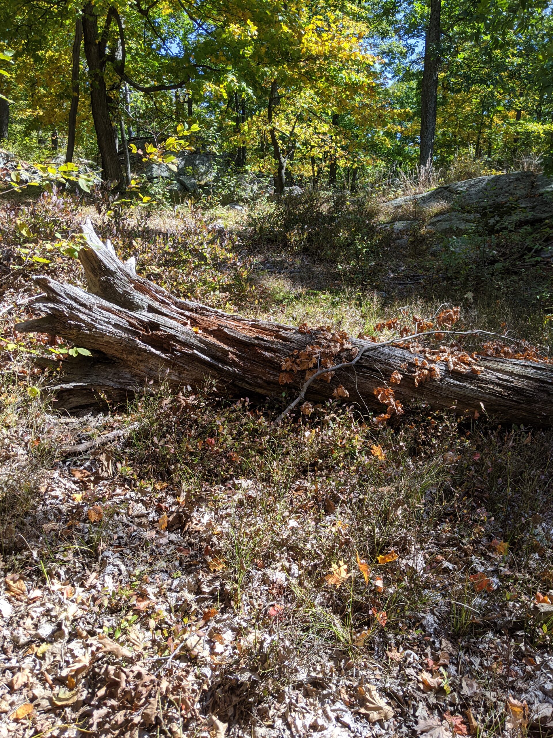
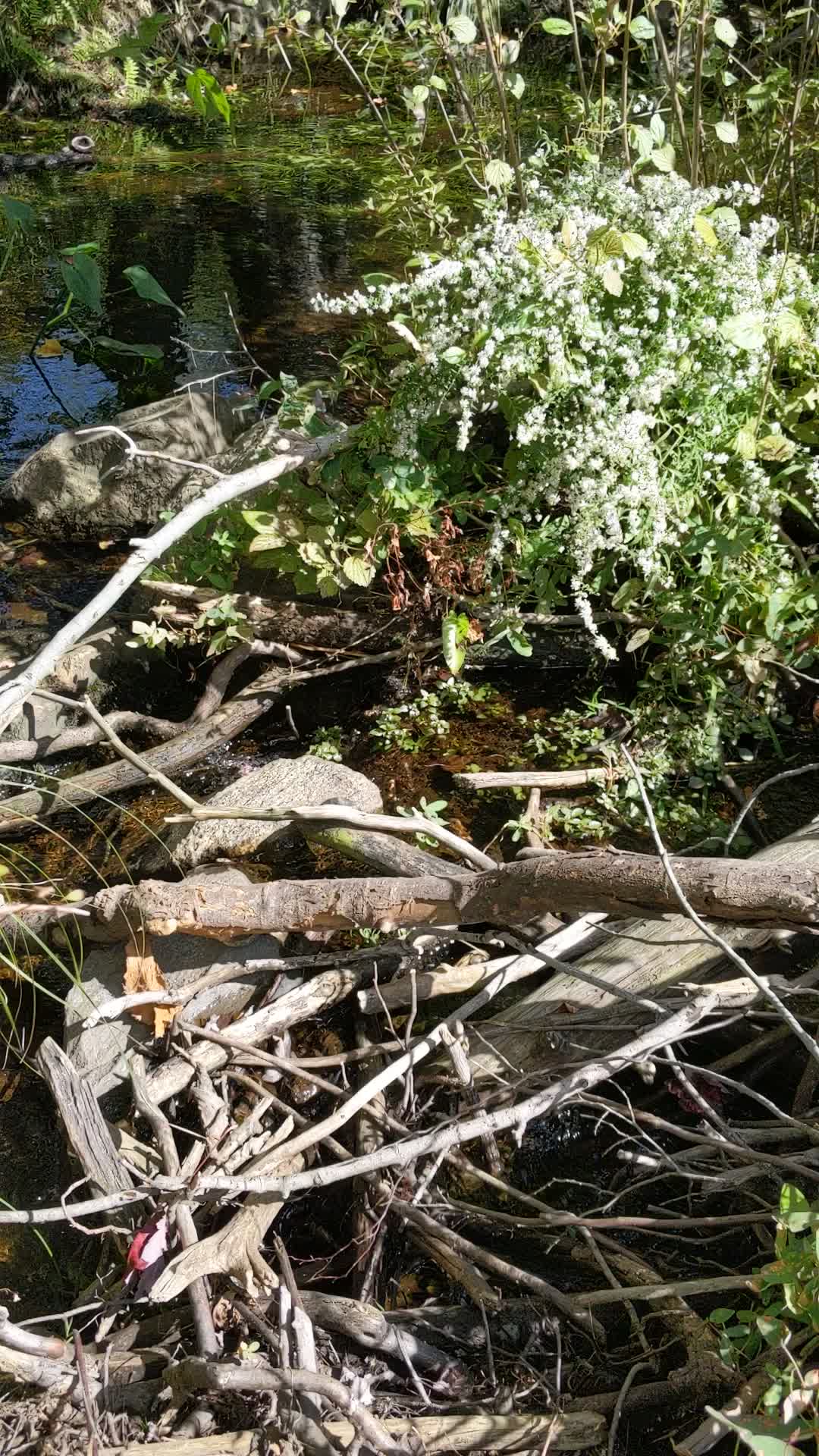
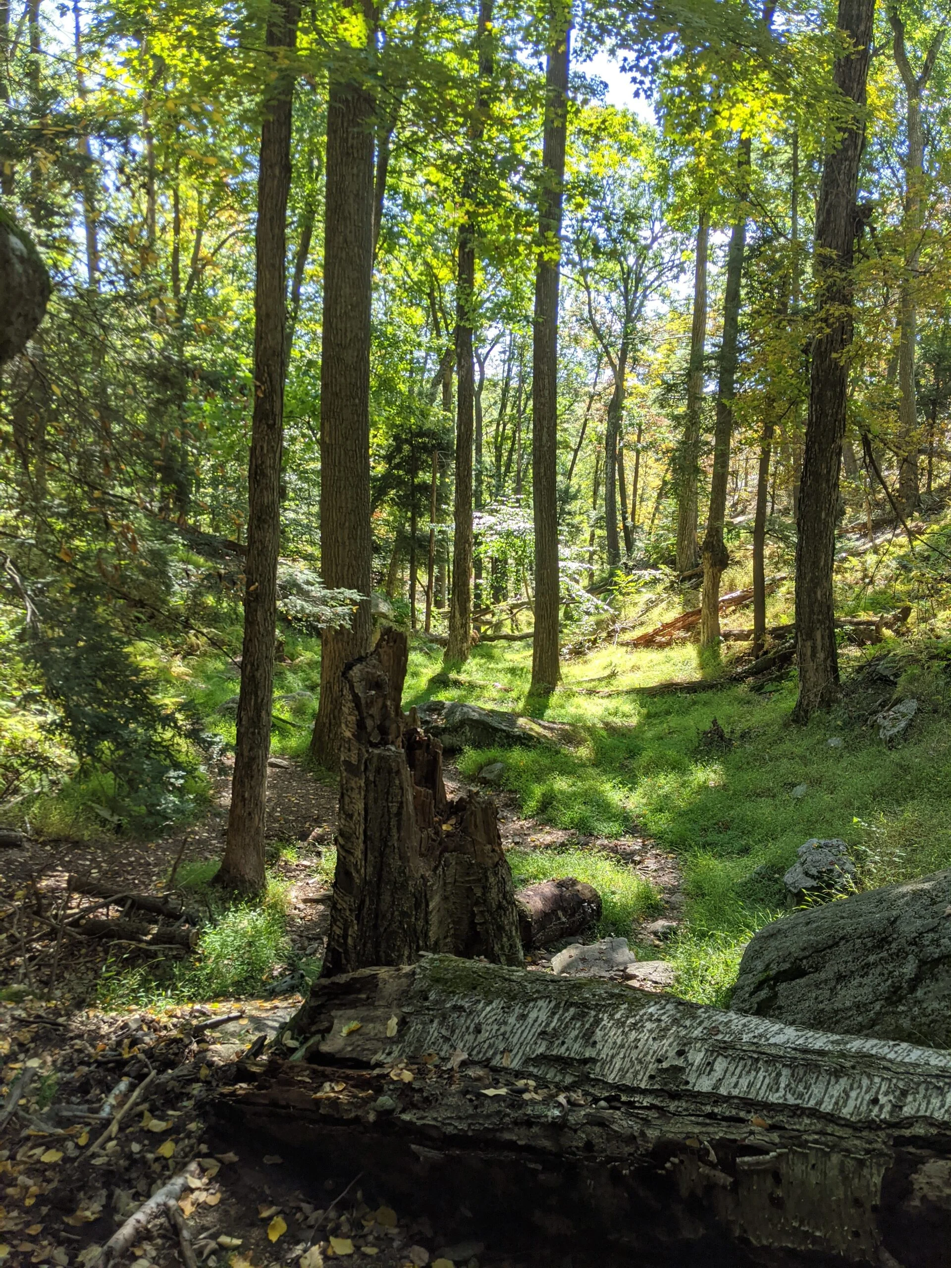
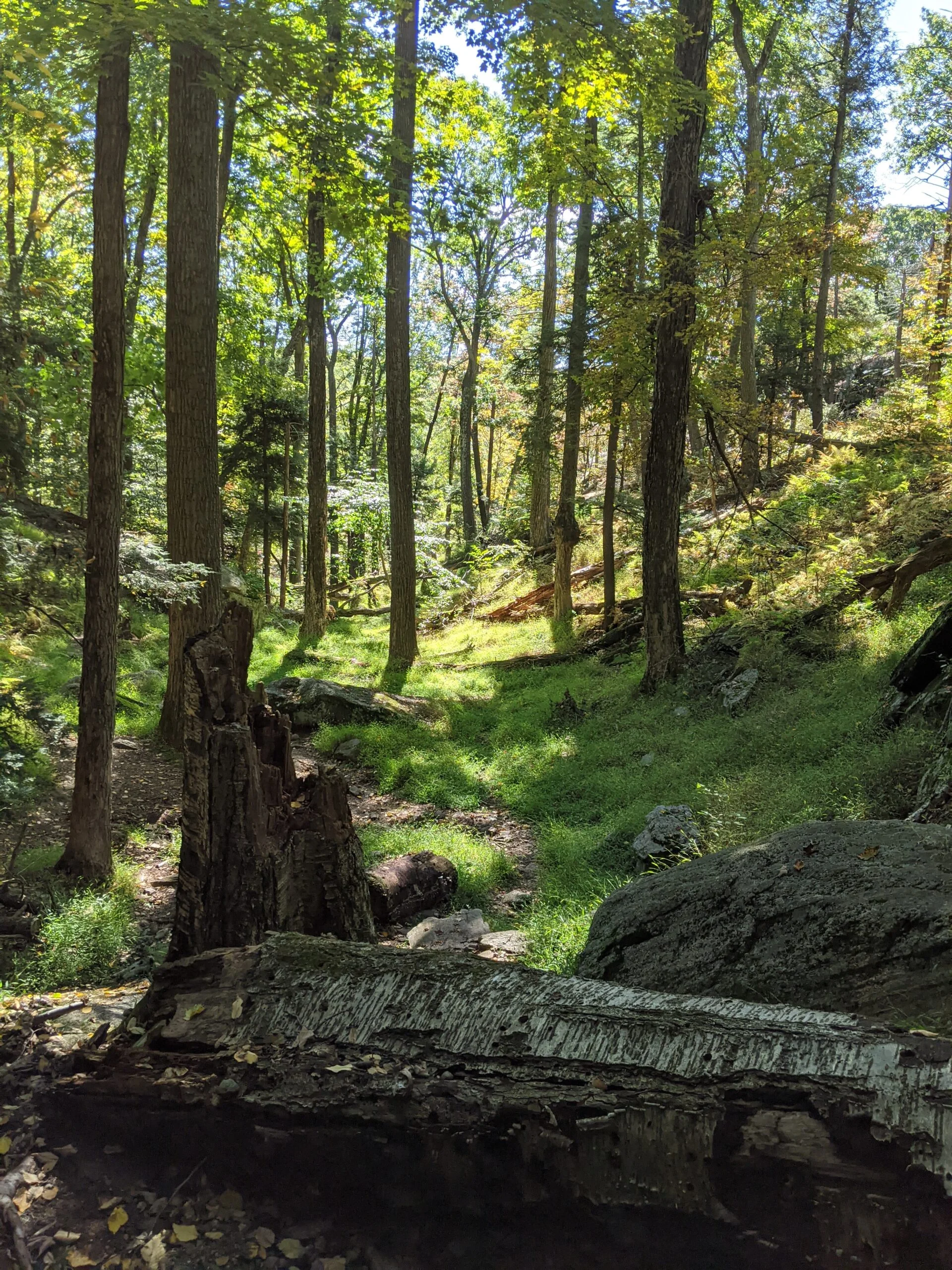
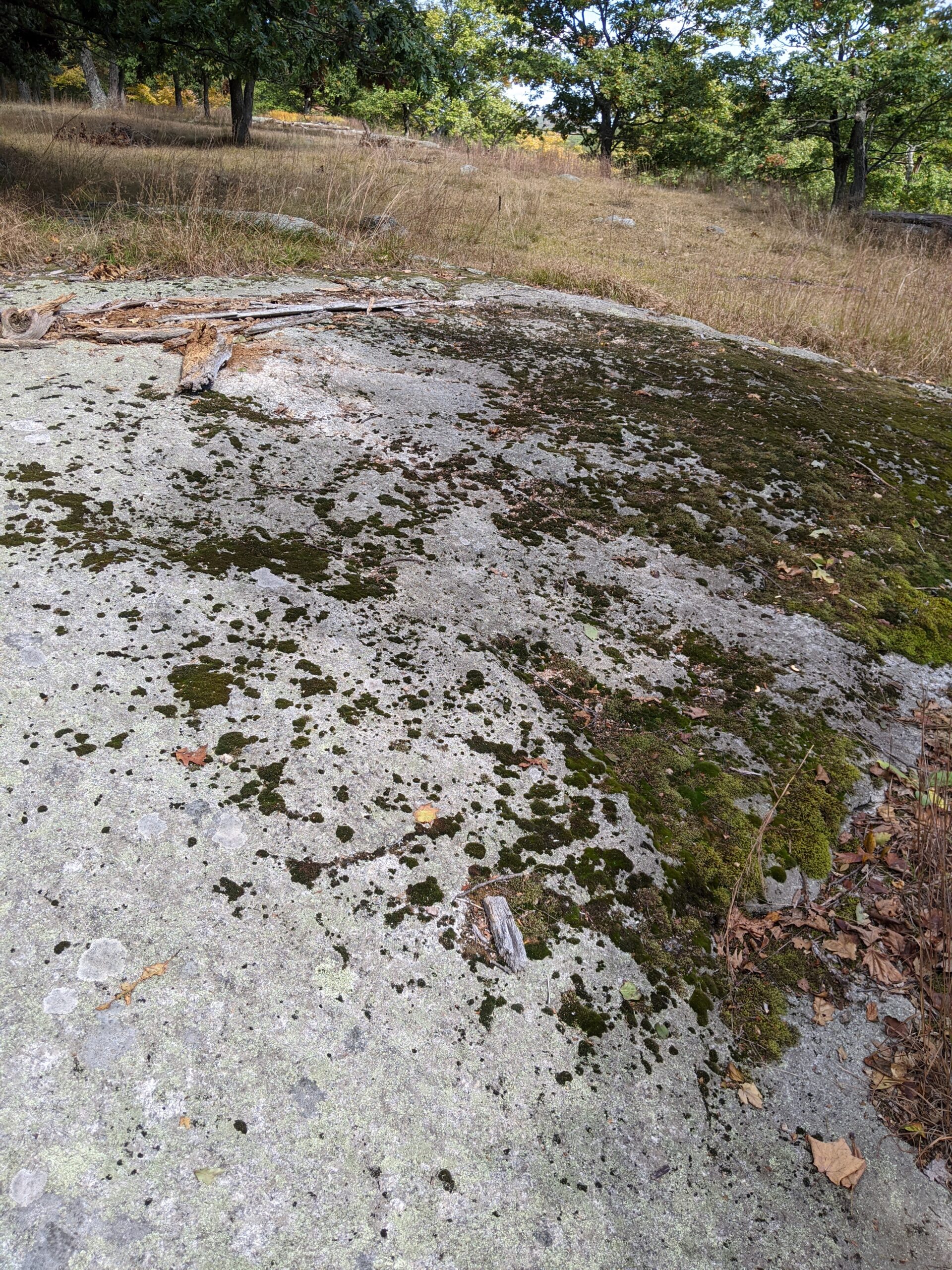
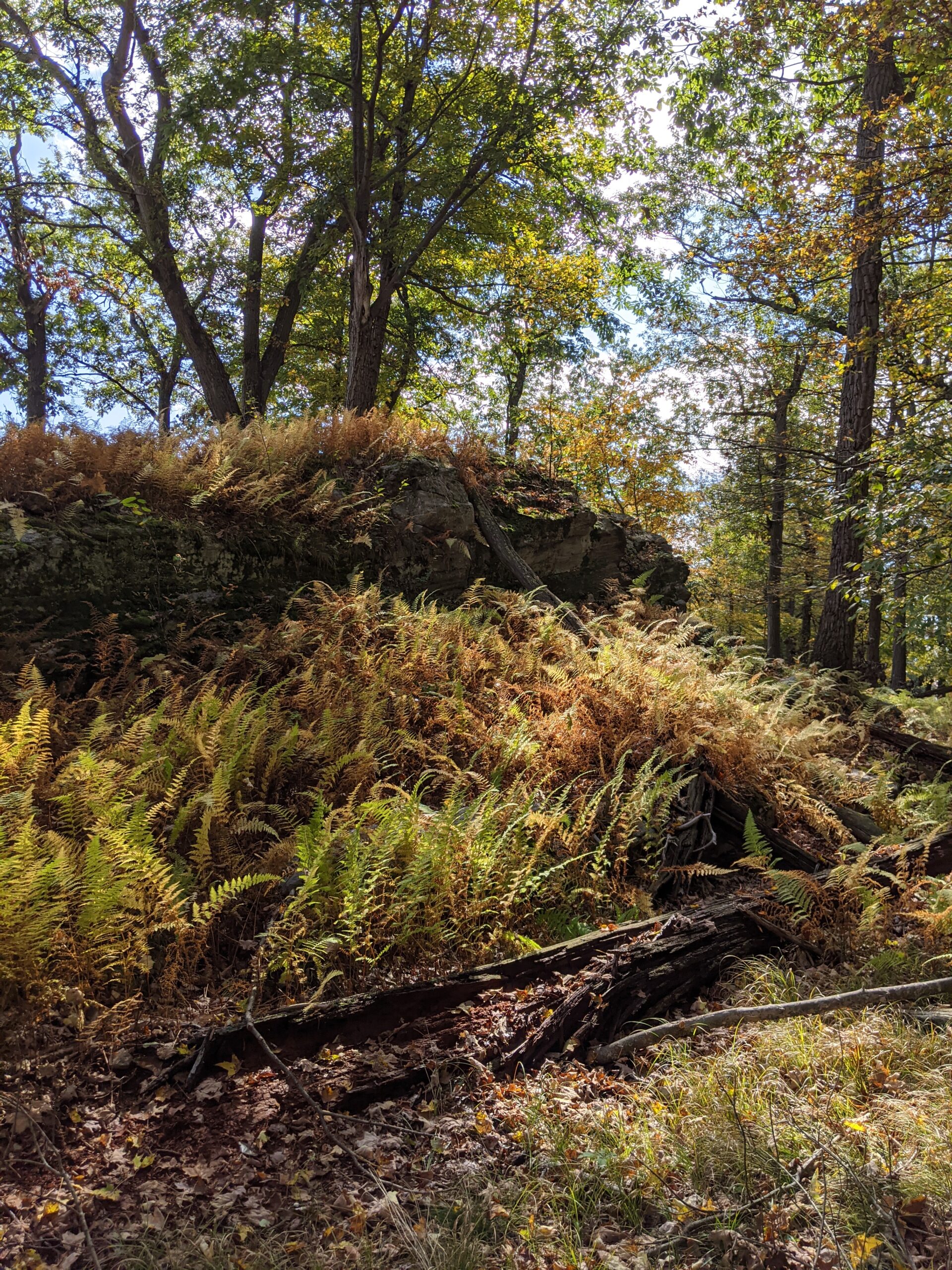
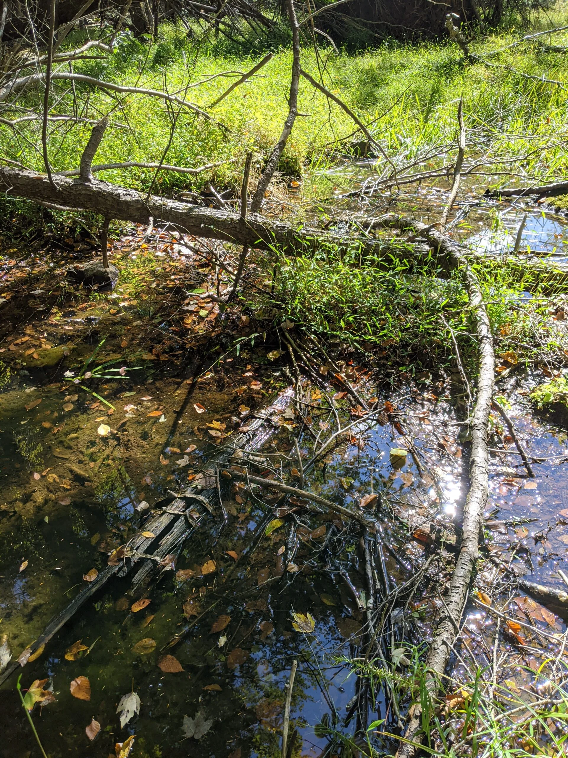
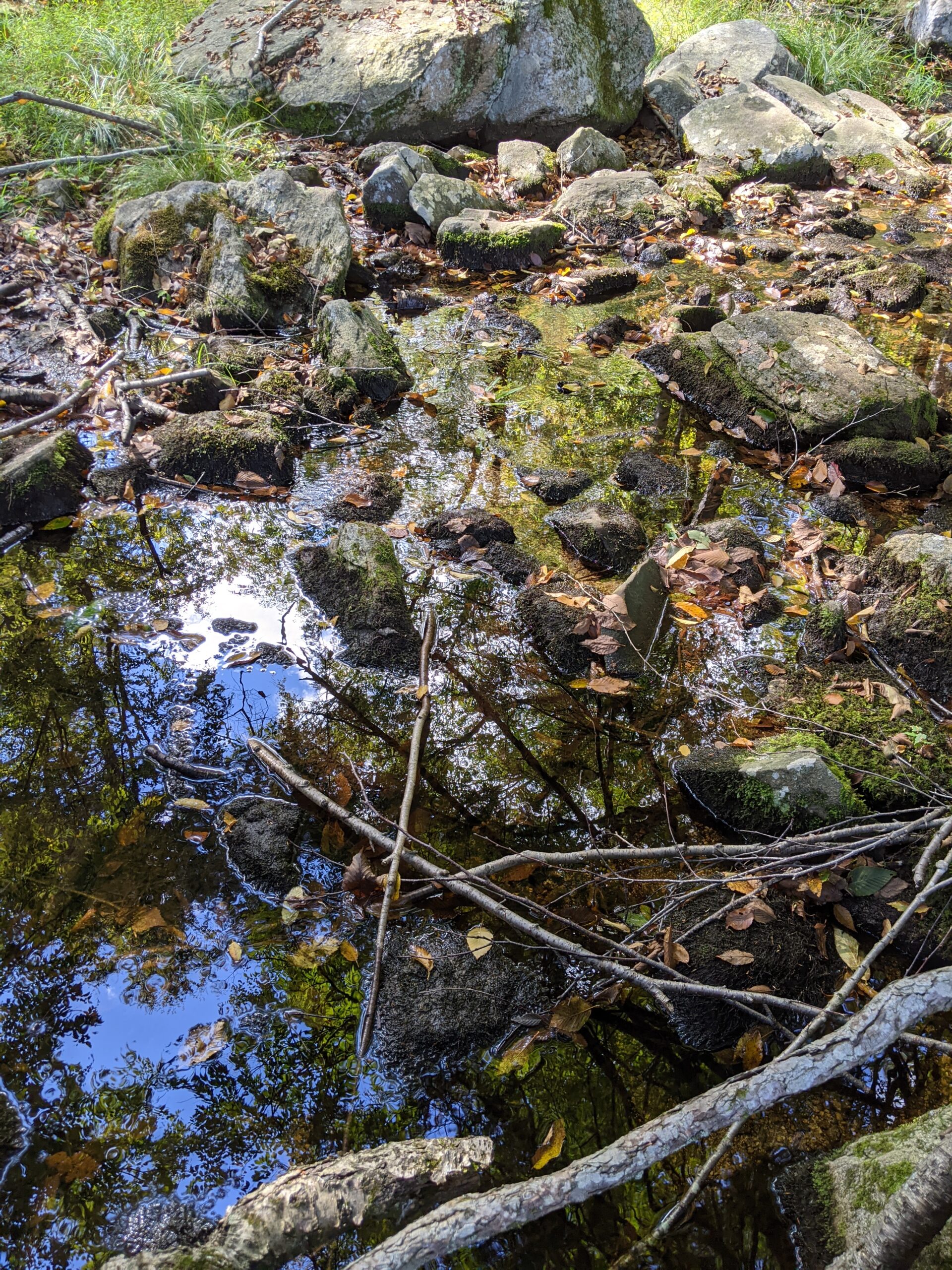
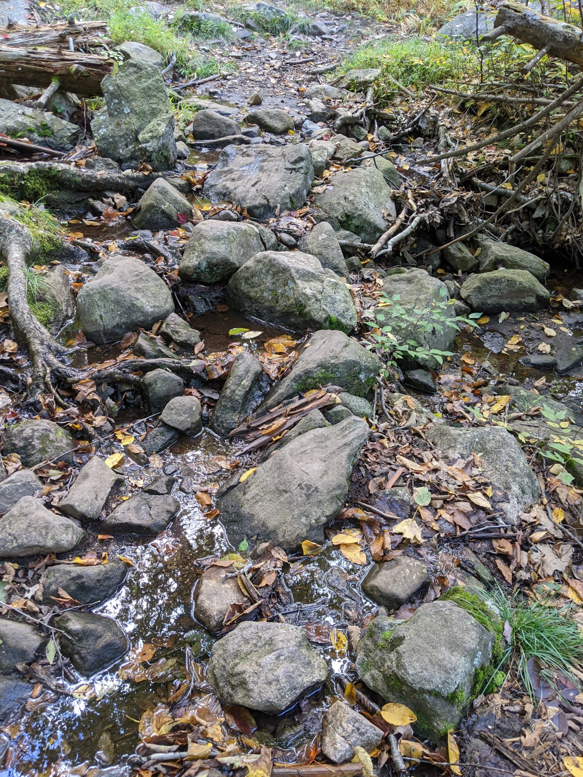
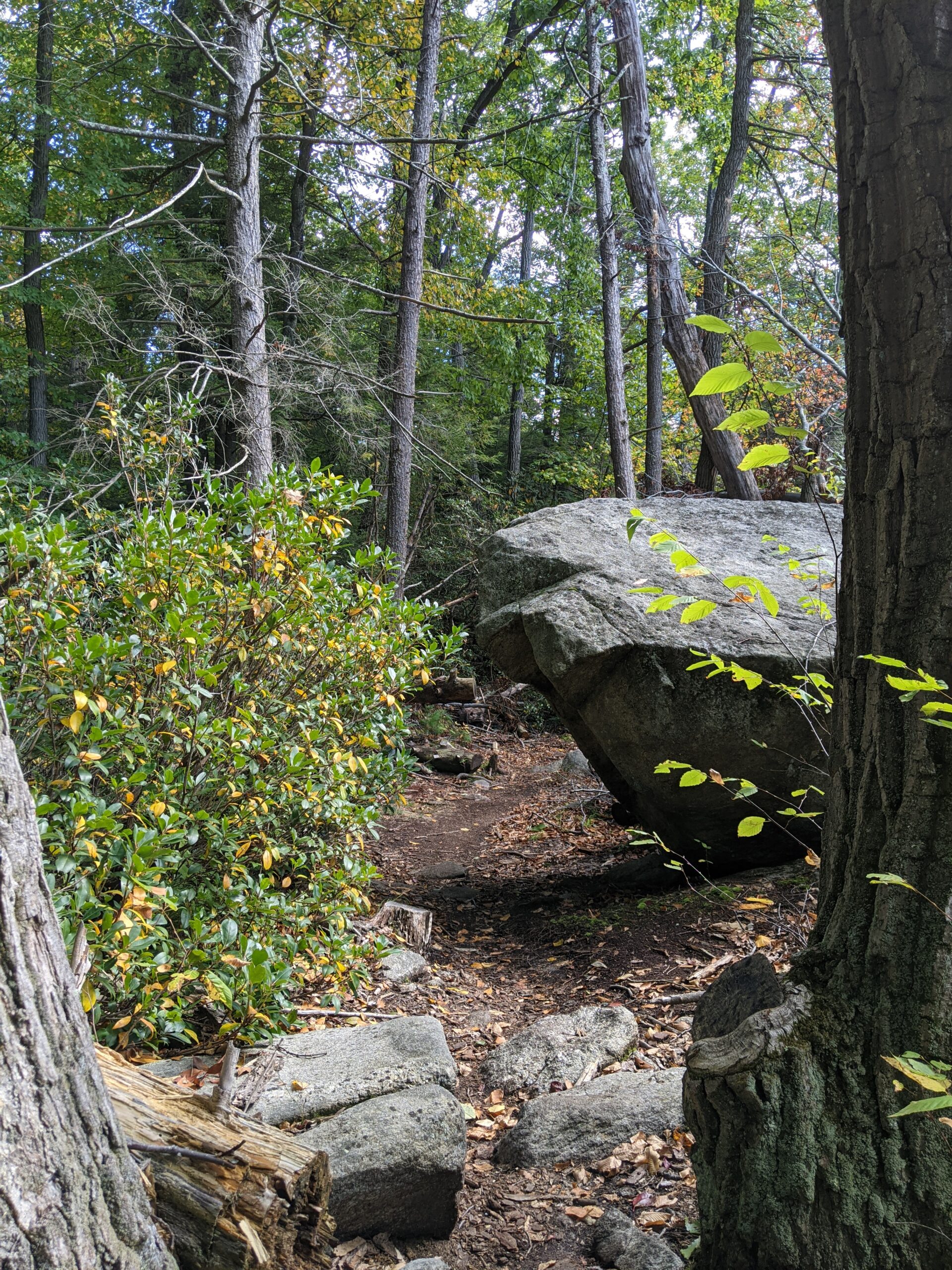
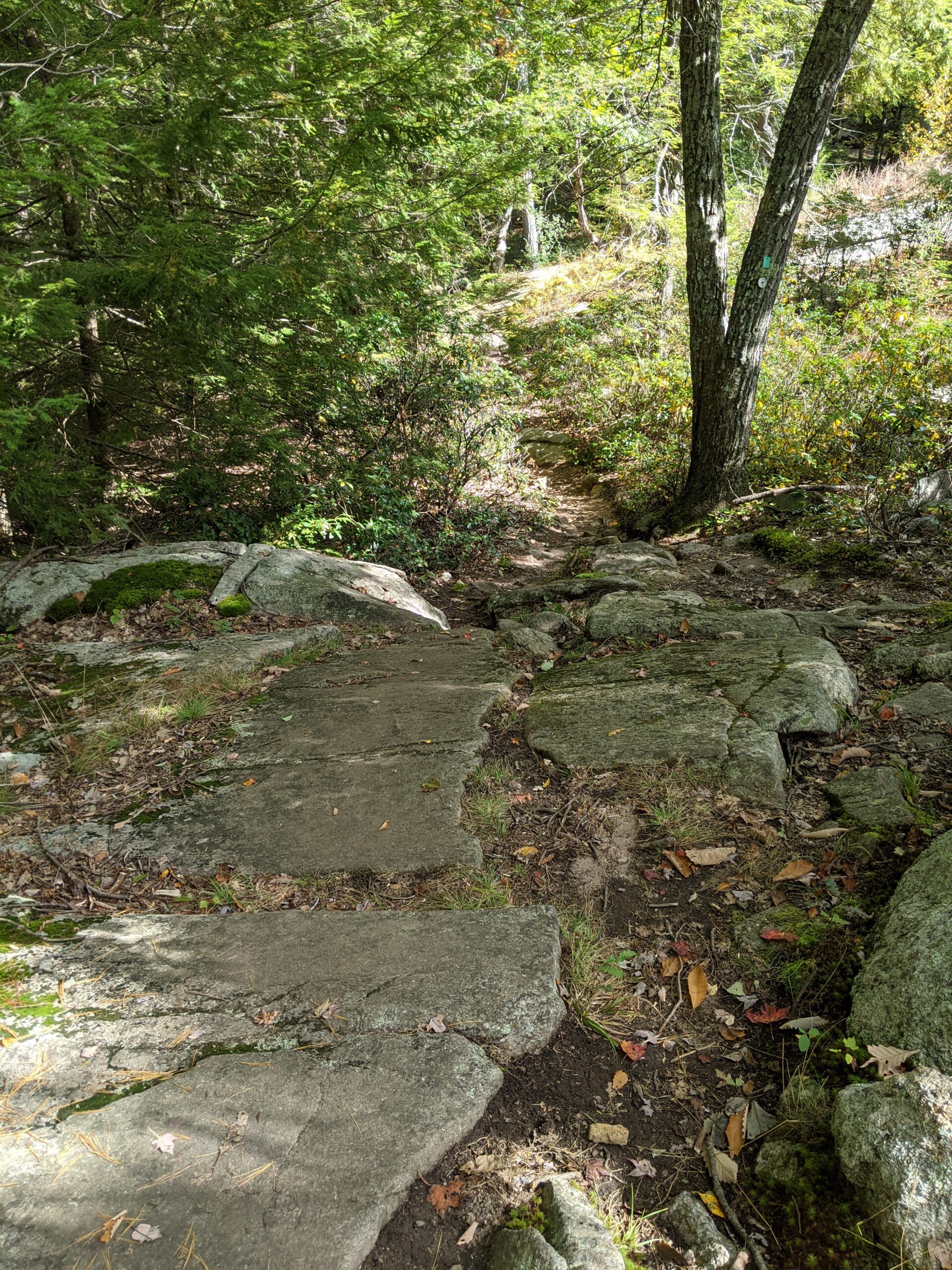
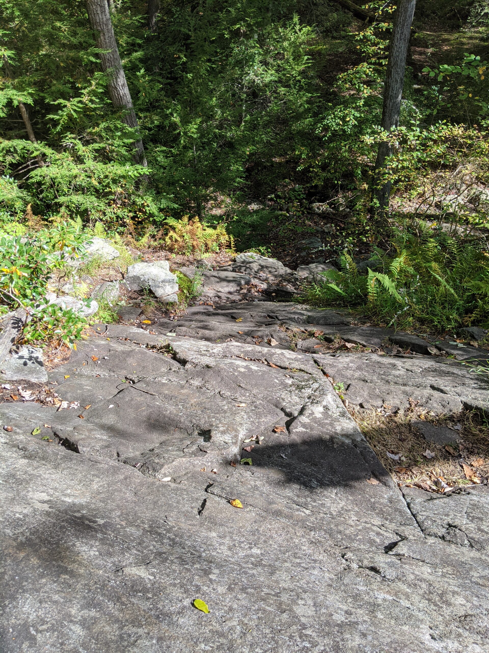
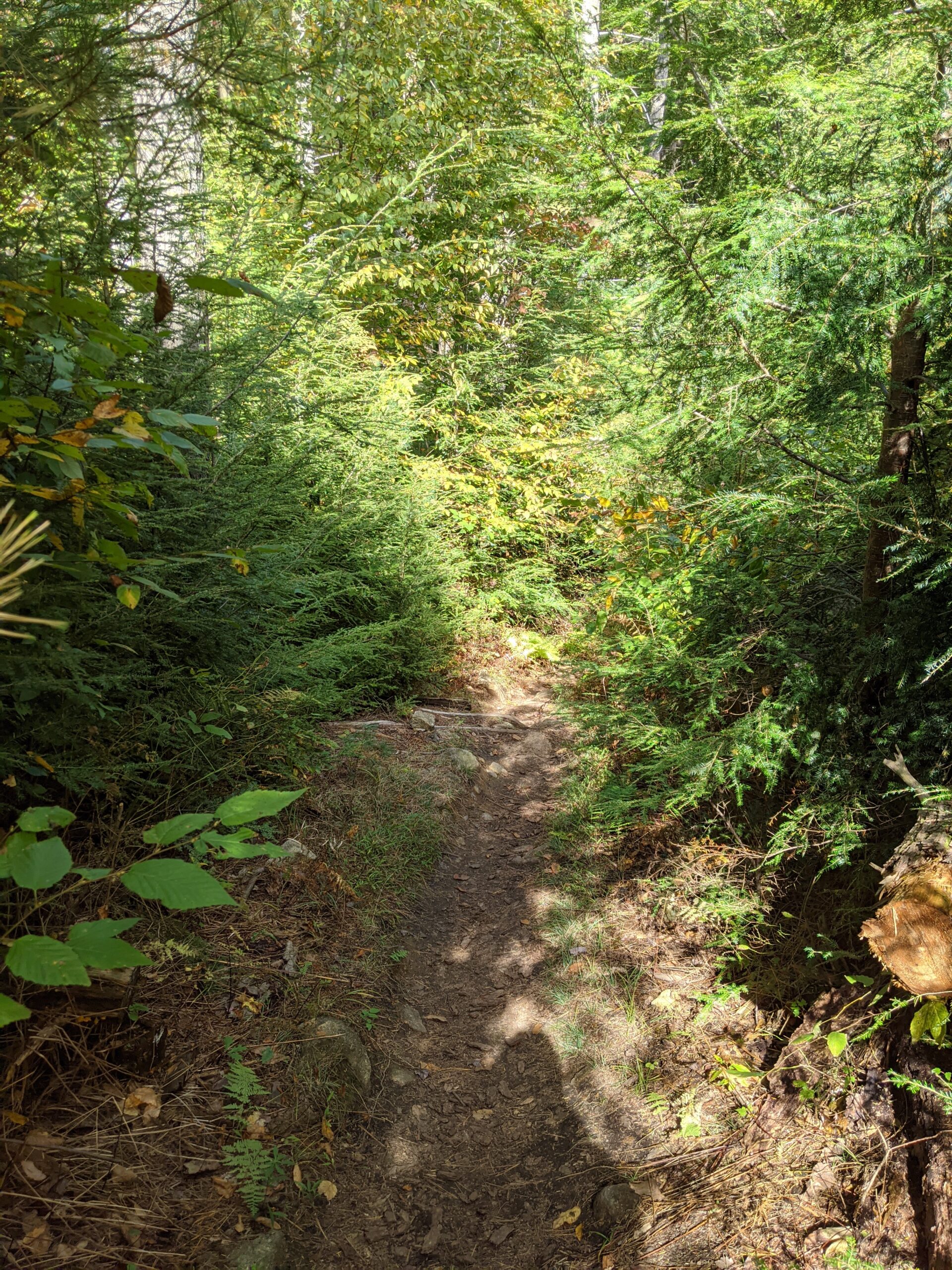
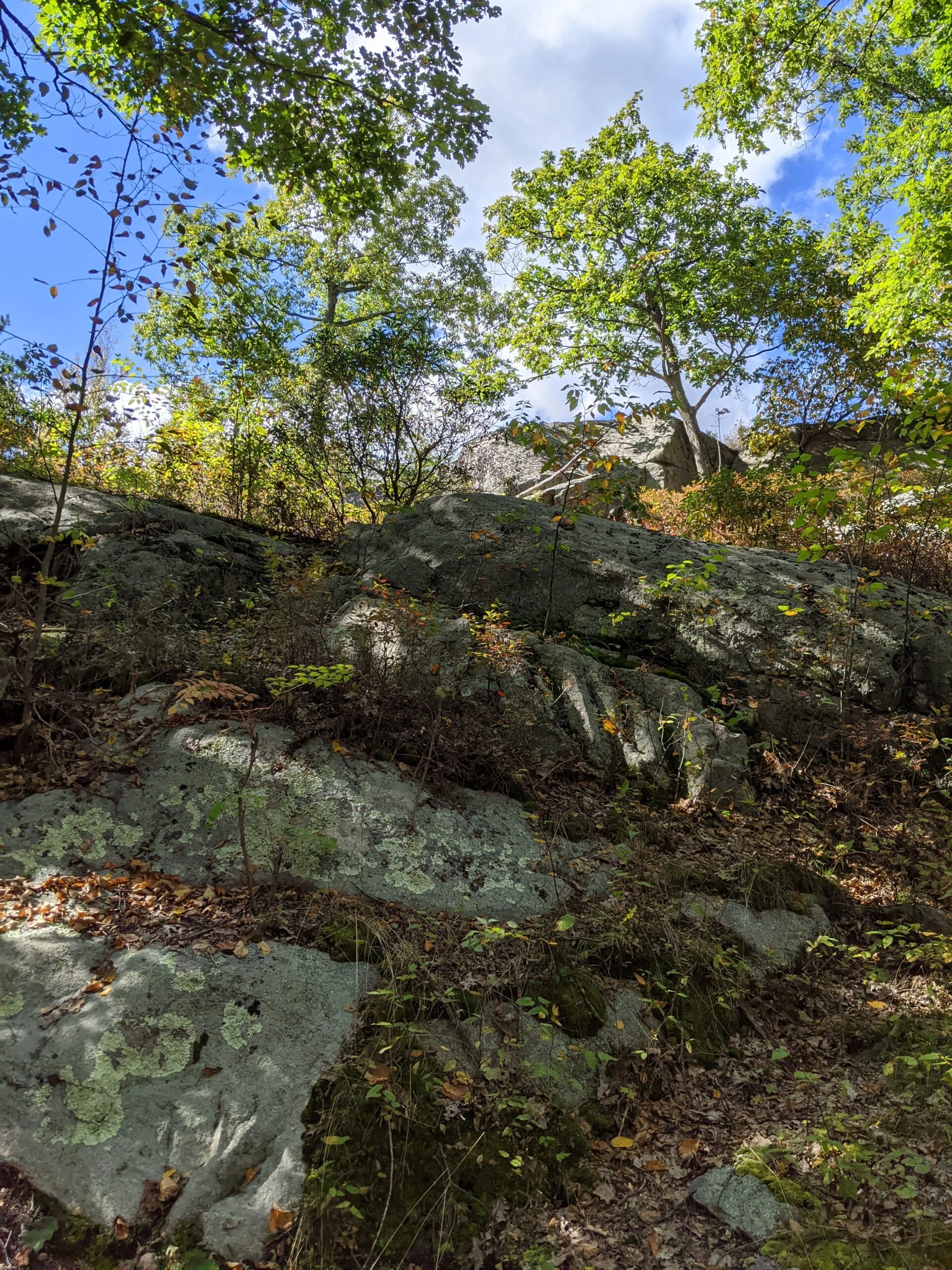
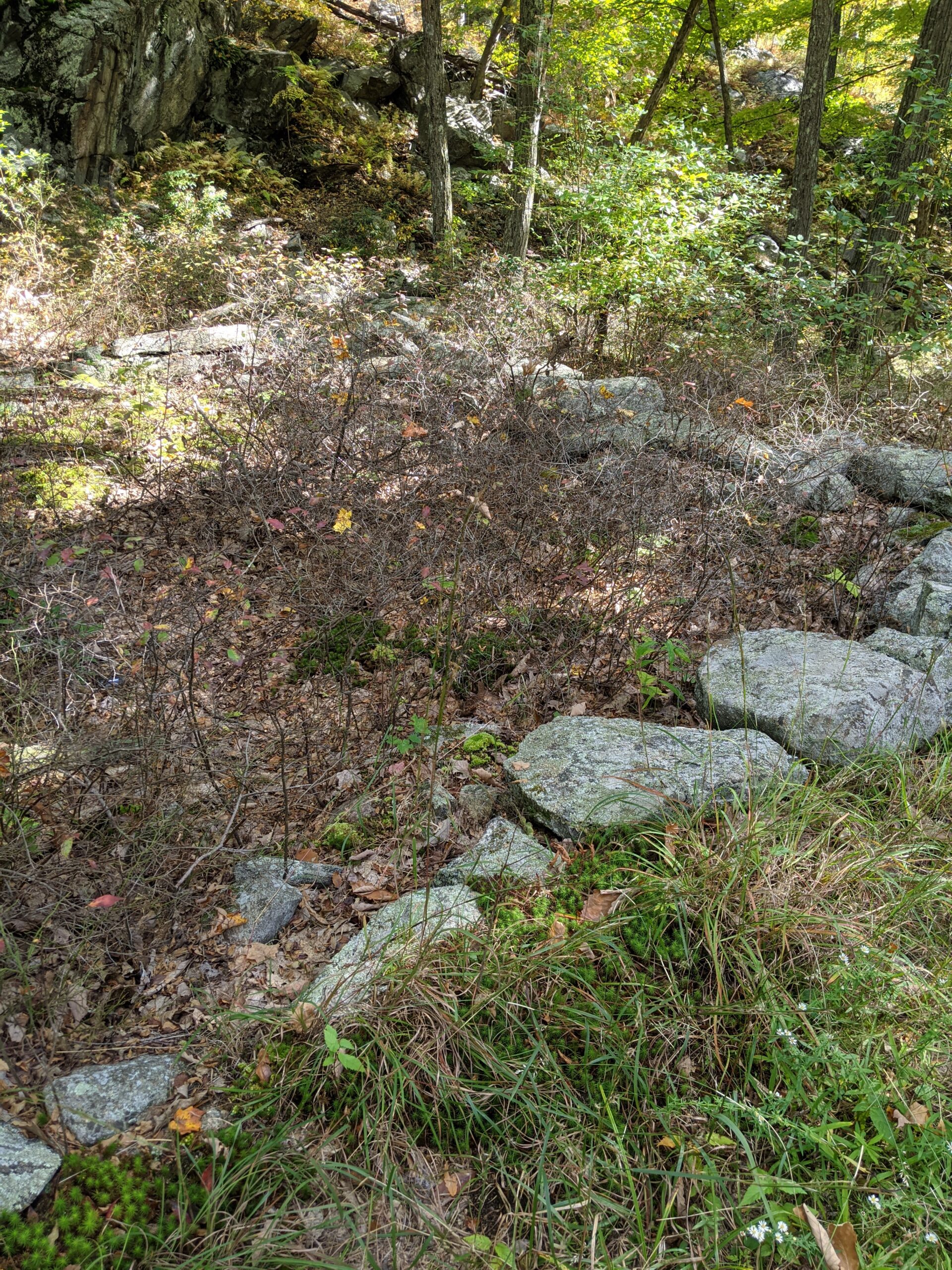
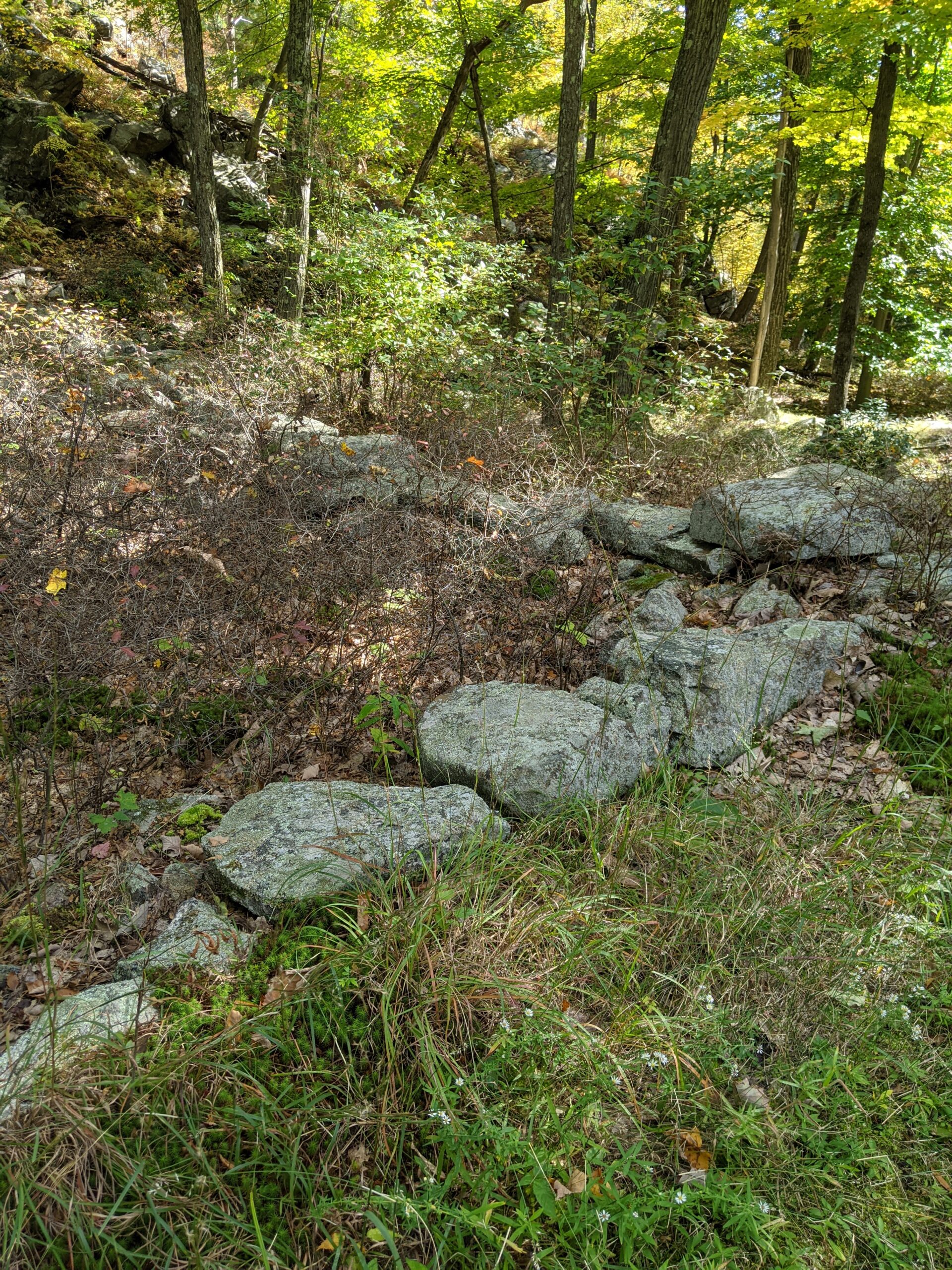
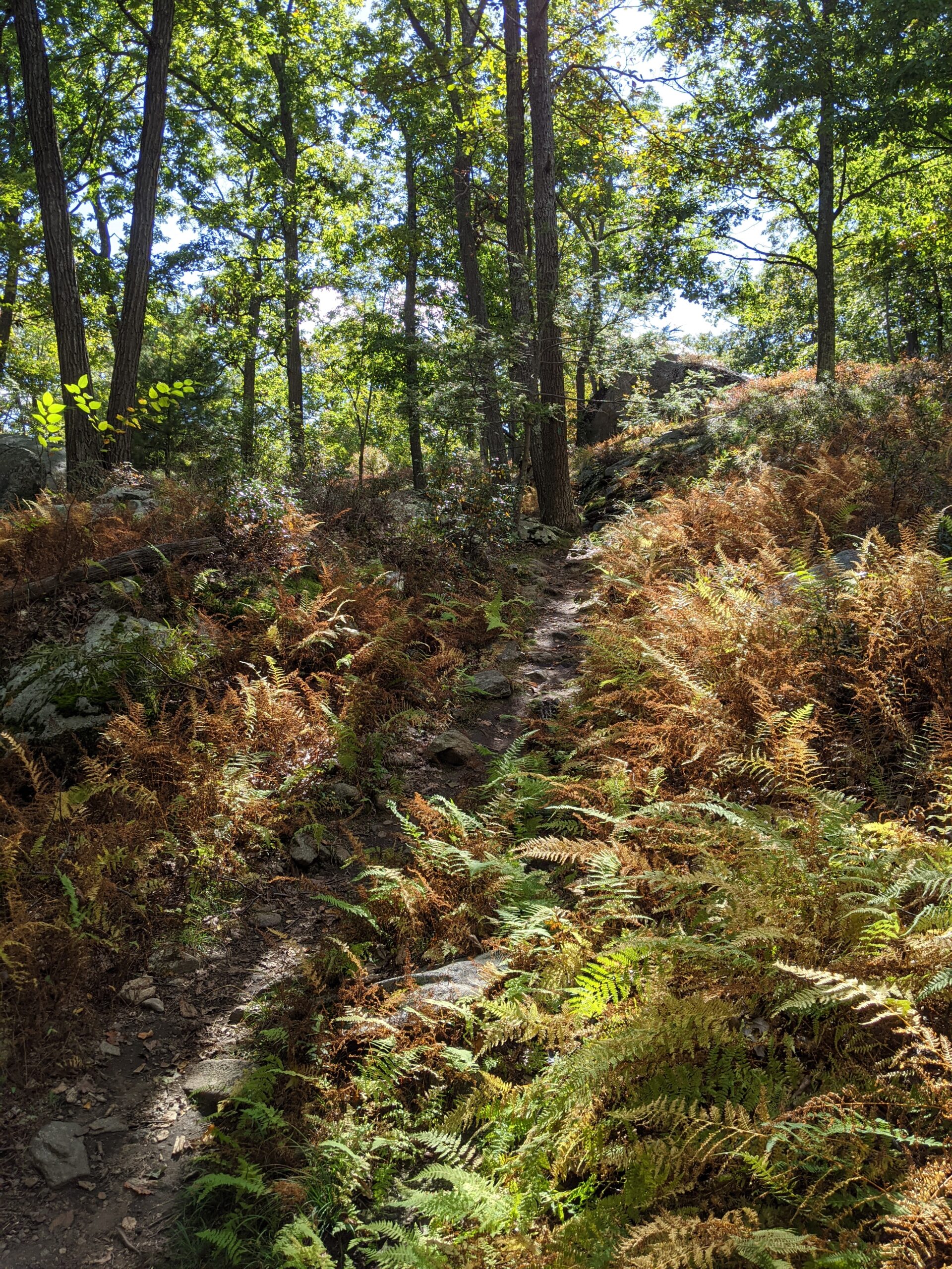
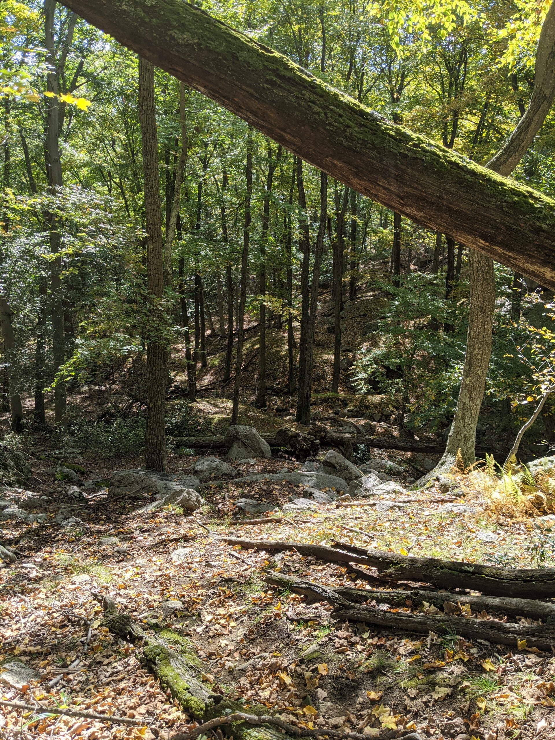
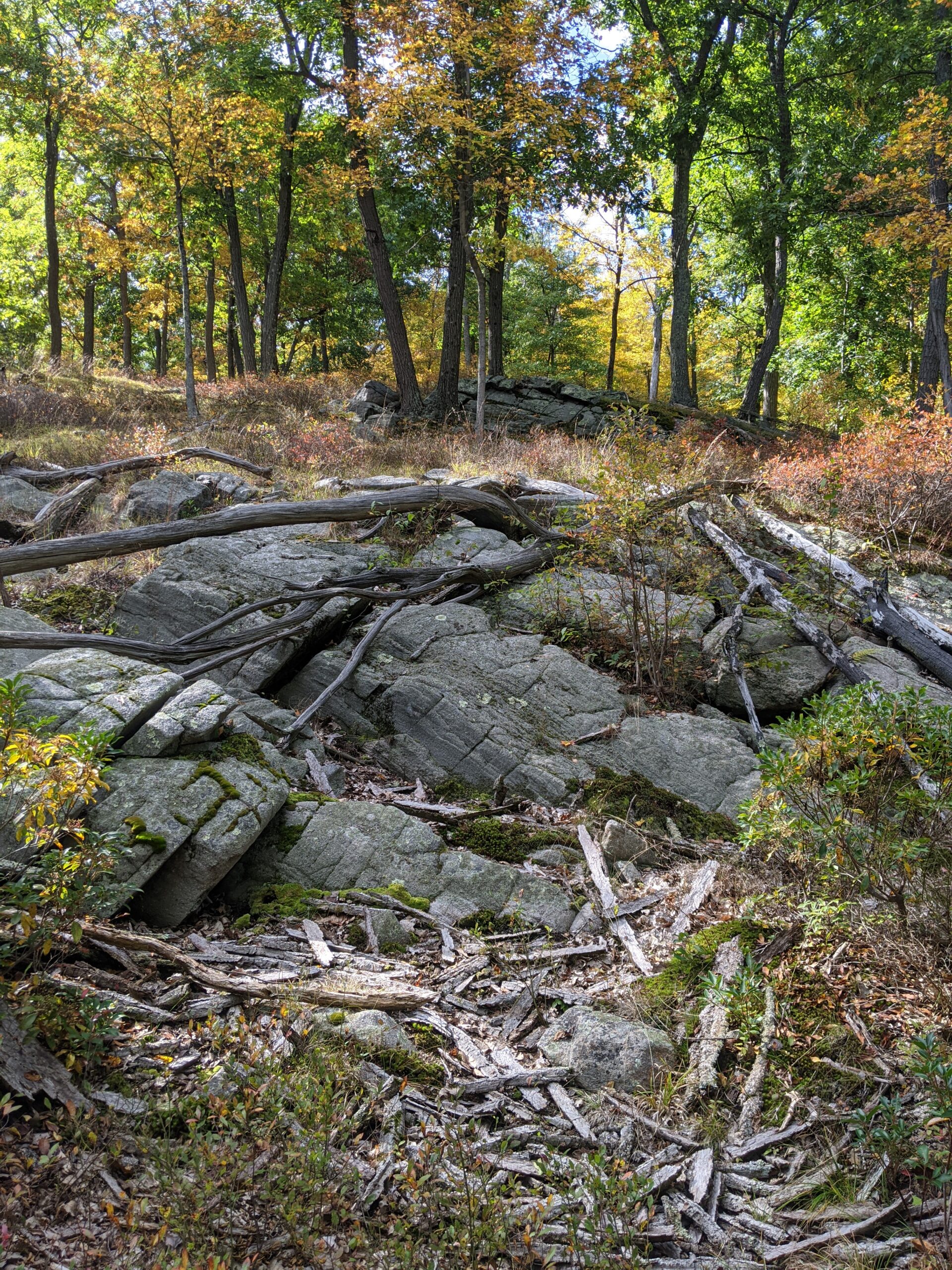
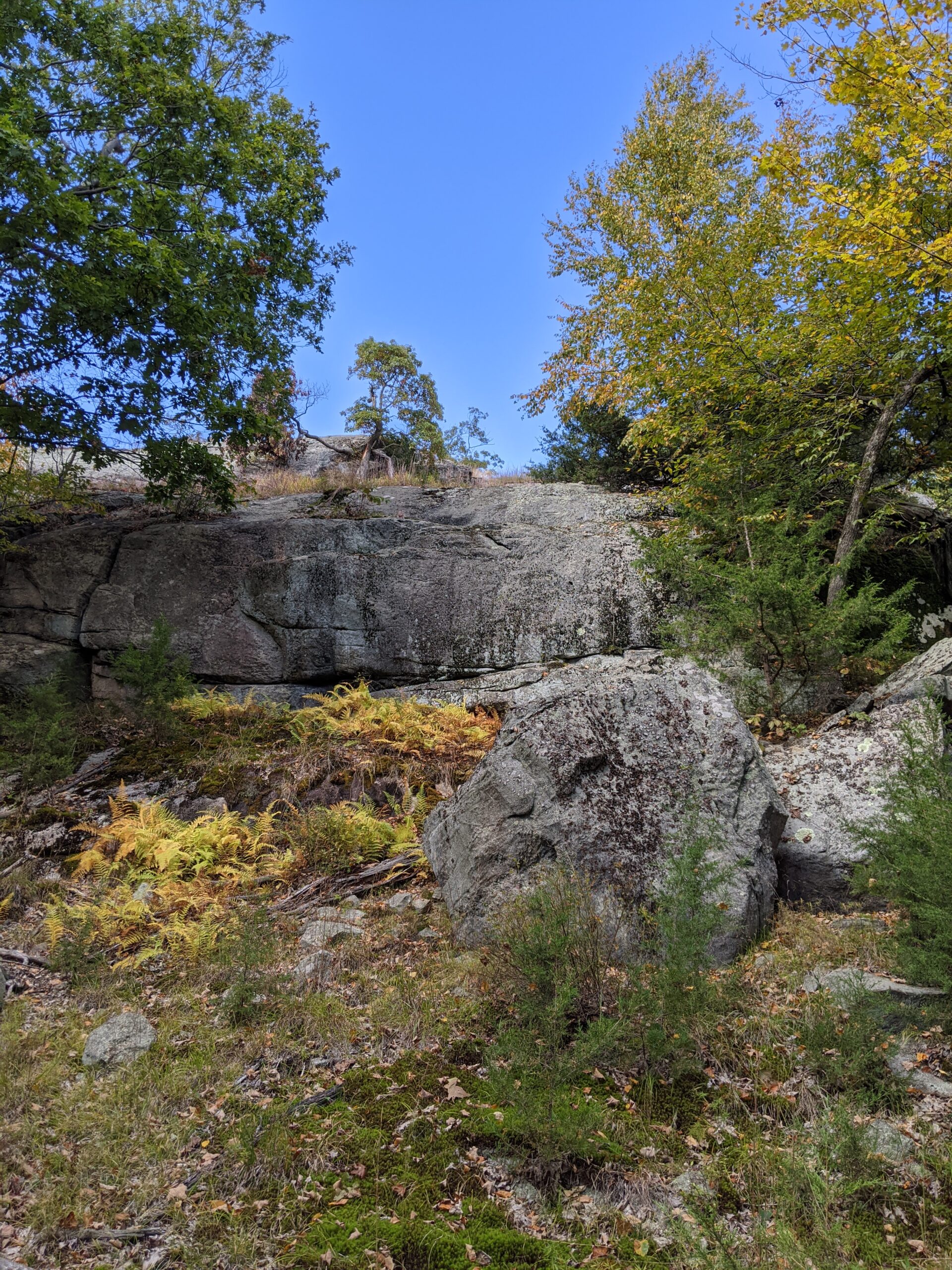
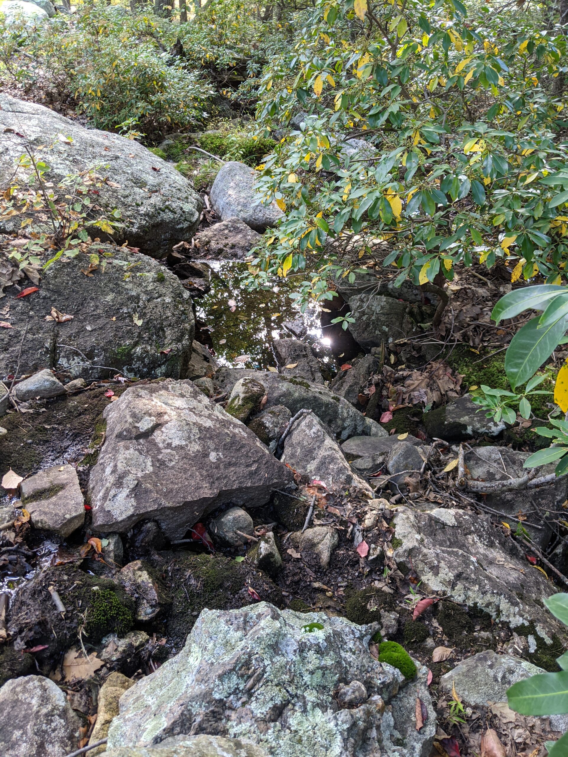
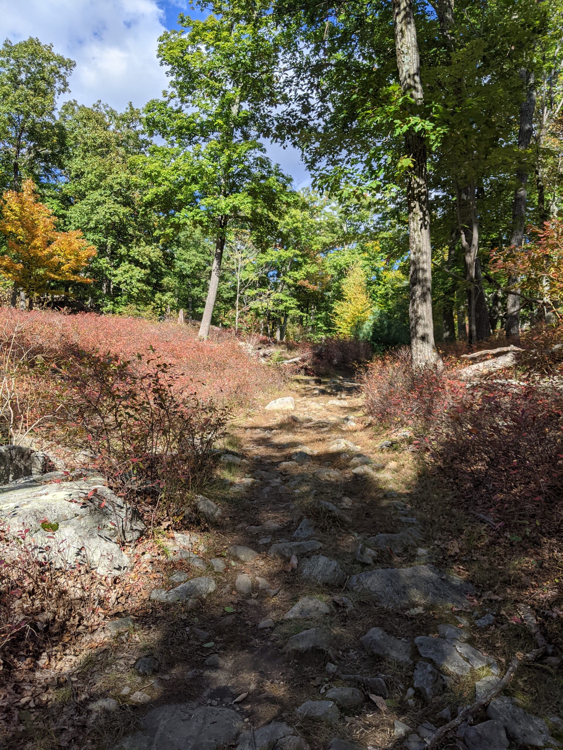
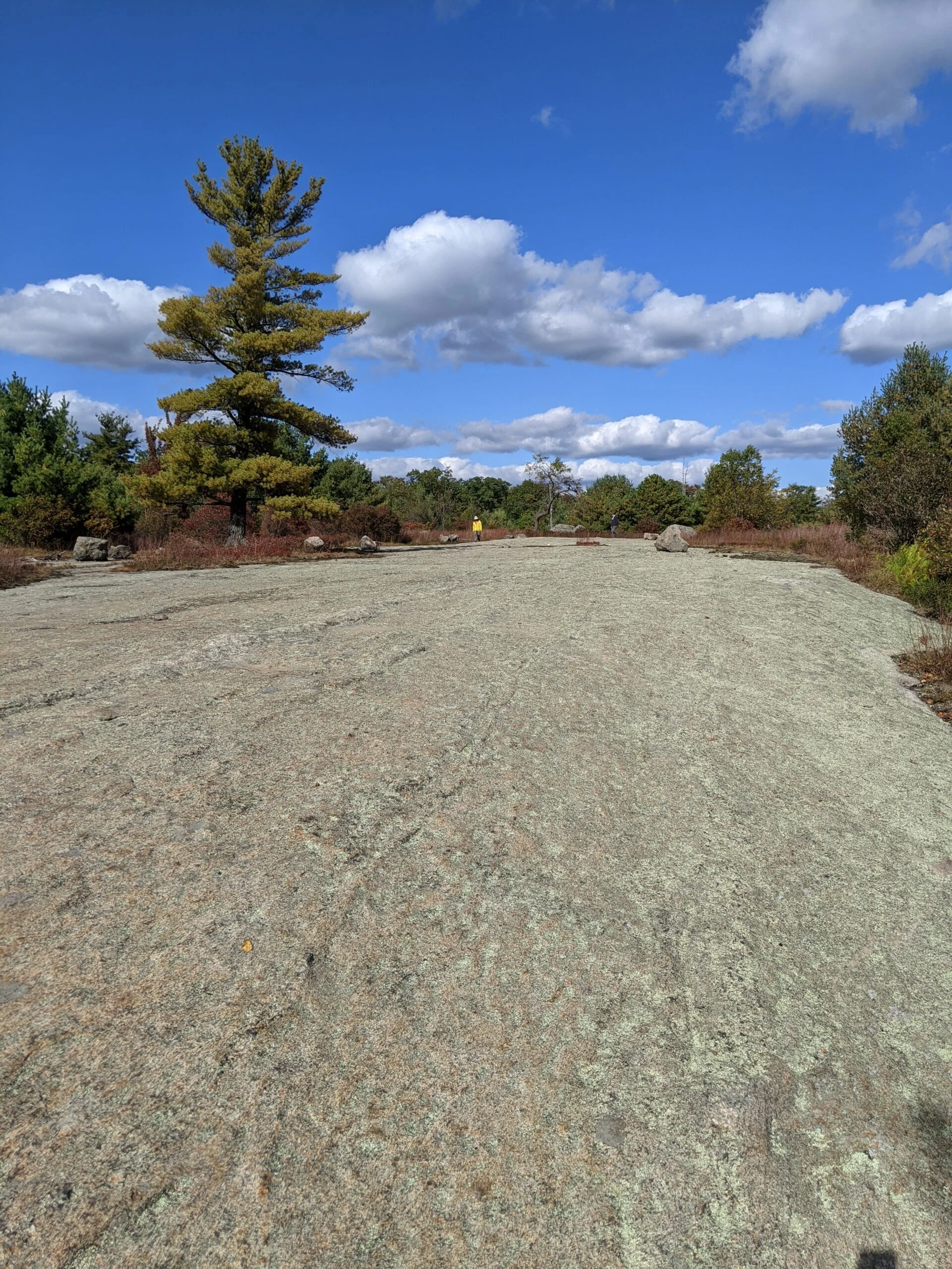
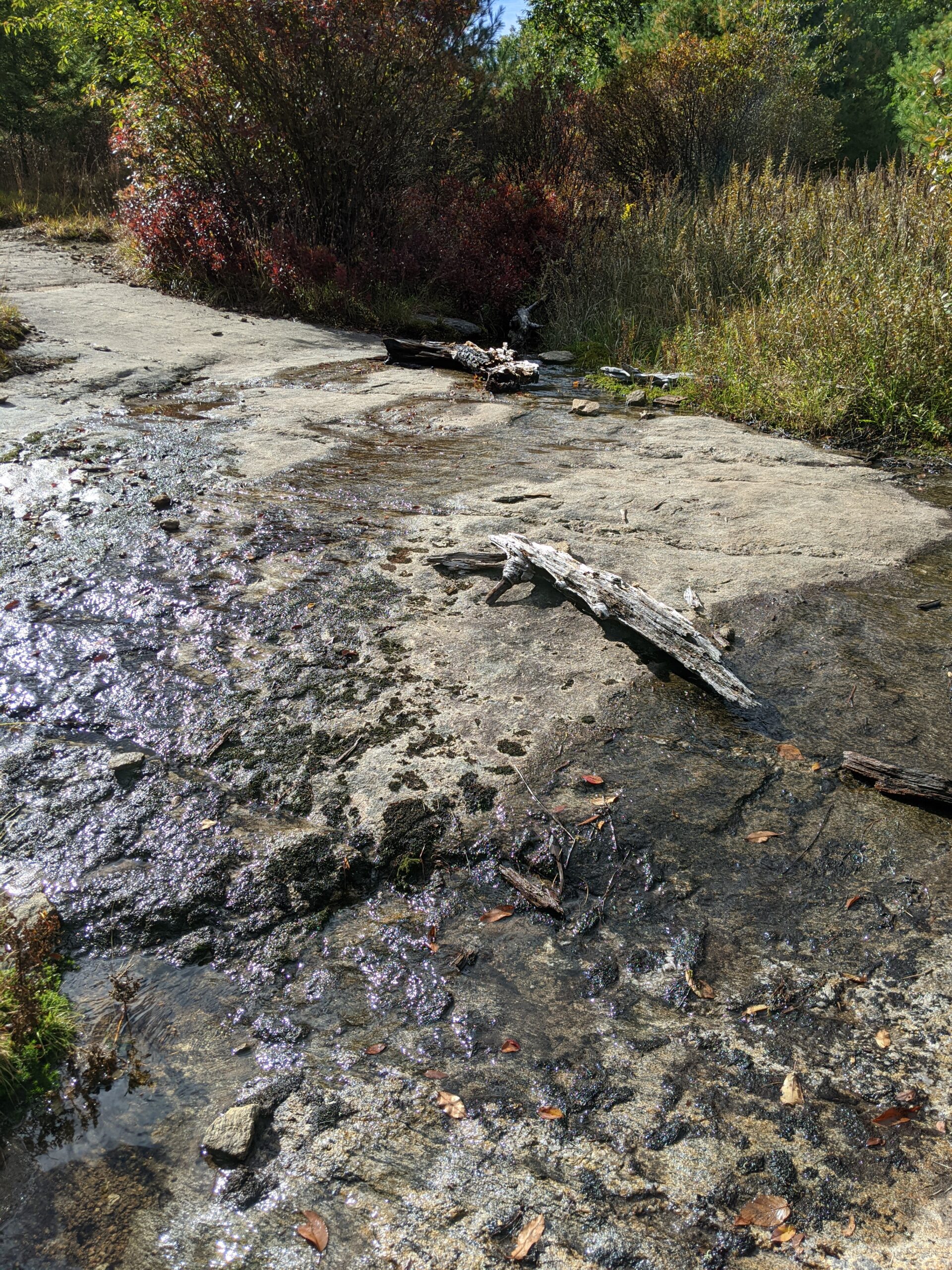
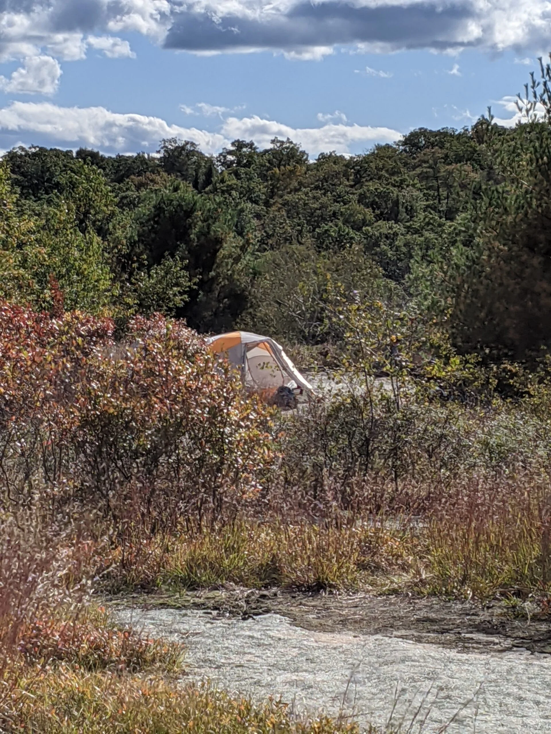
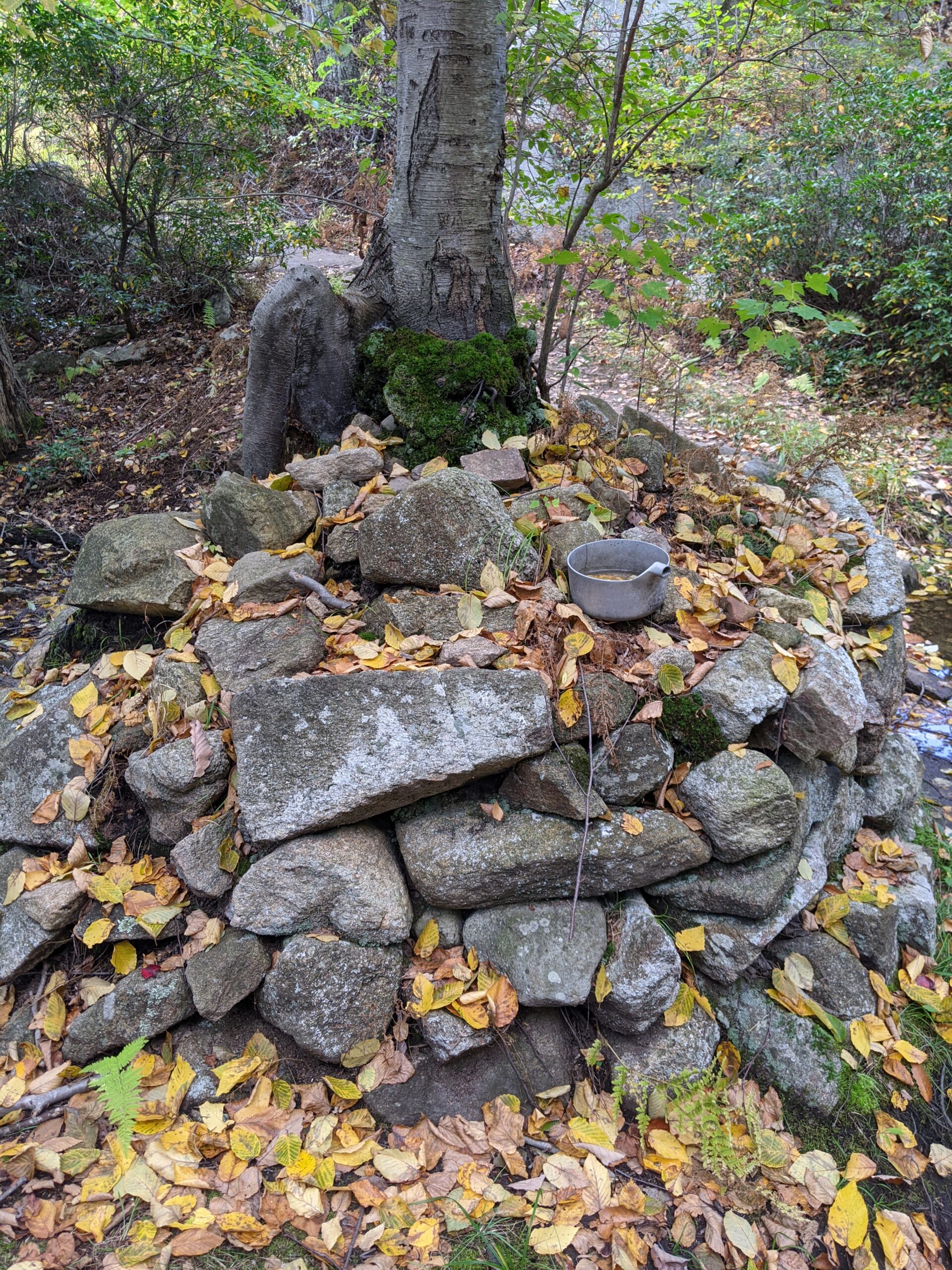
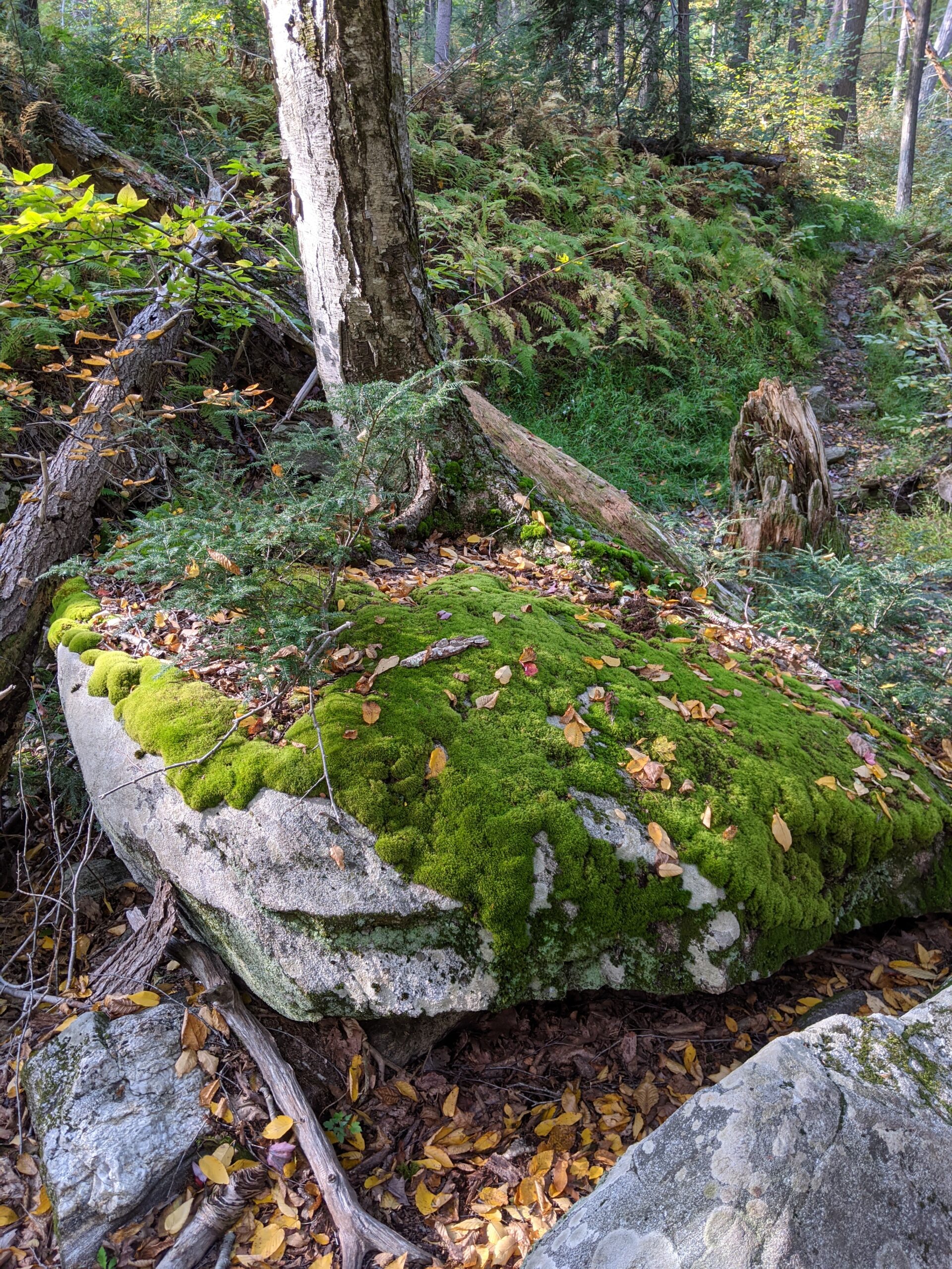
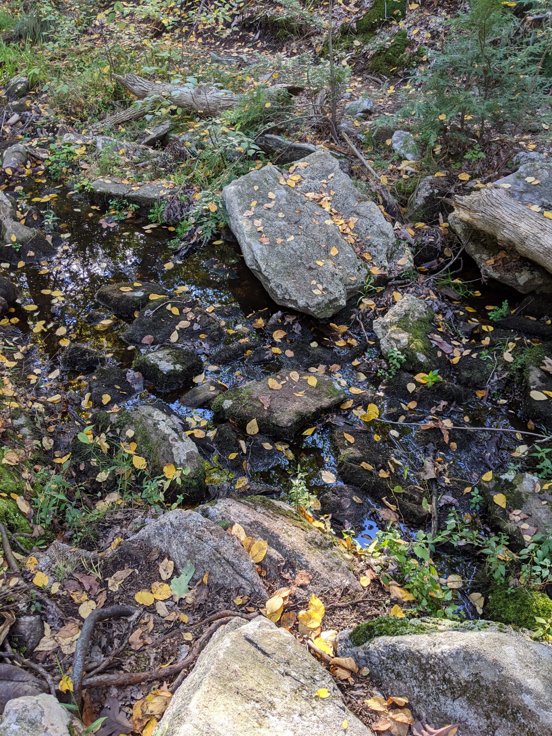
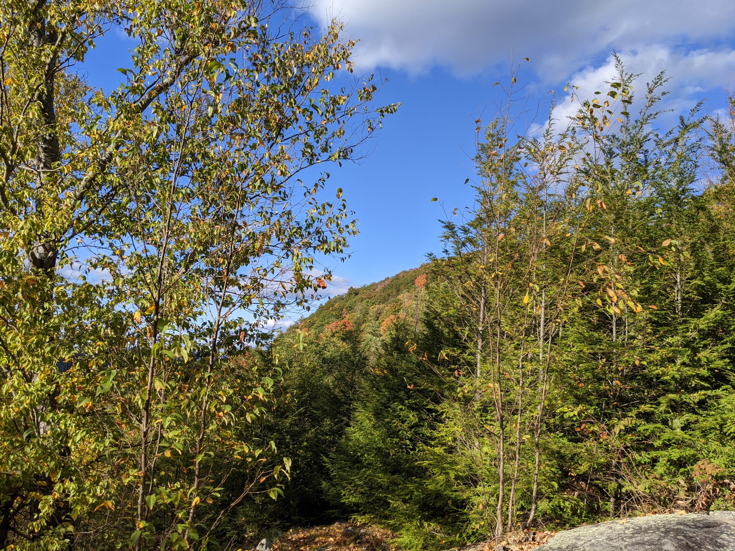
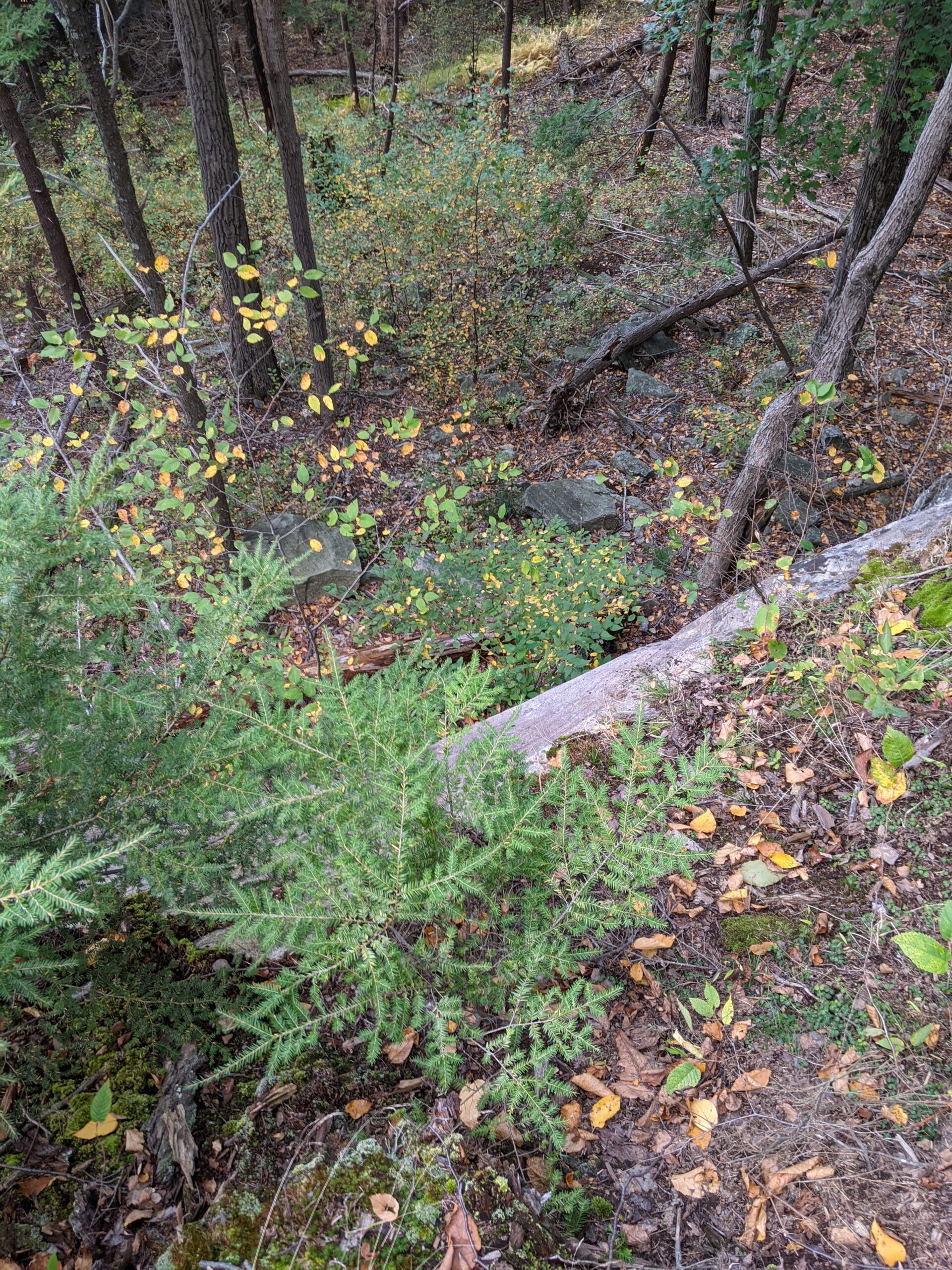
After a short ascent, Dunning opens into a rocky area called Bald Rocks. These are huge slabs of flat rocks that span wide areas of the mountain. For about a mile, most of the trail is over various sections of these rocks. Along the way, I saw two tents setup on the rocks. Then I came across a stream with a nice flow of running water and a leftover pot for cooking or scooping water. This is probably a water source for the campers.
Be careful when Dunning crosses over R-D. There’s a turn to the right for Dunning that is not clearly marked and the trail is so skinny, it’s not obviously apparent. I accidentally continued walking straight from Dunning and ended up on R-D, so I had to back track and find the entrance to Dunning that I mentioned above. When Dunning met up with White Bar, I cut my way through the valley to make my way over to AS again. I could have followed Dunning further and around, but I was already past the 7 mile mark and wanted to start making my way back to the parking lot.
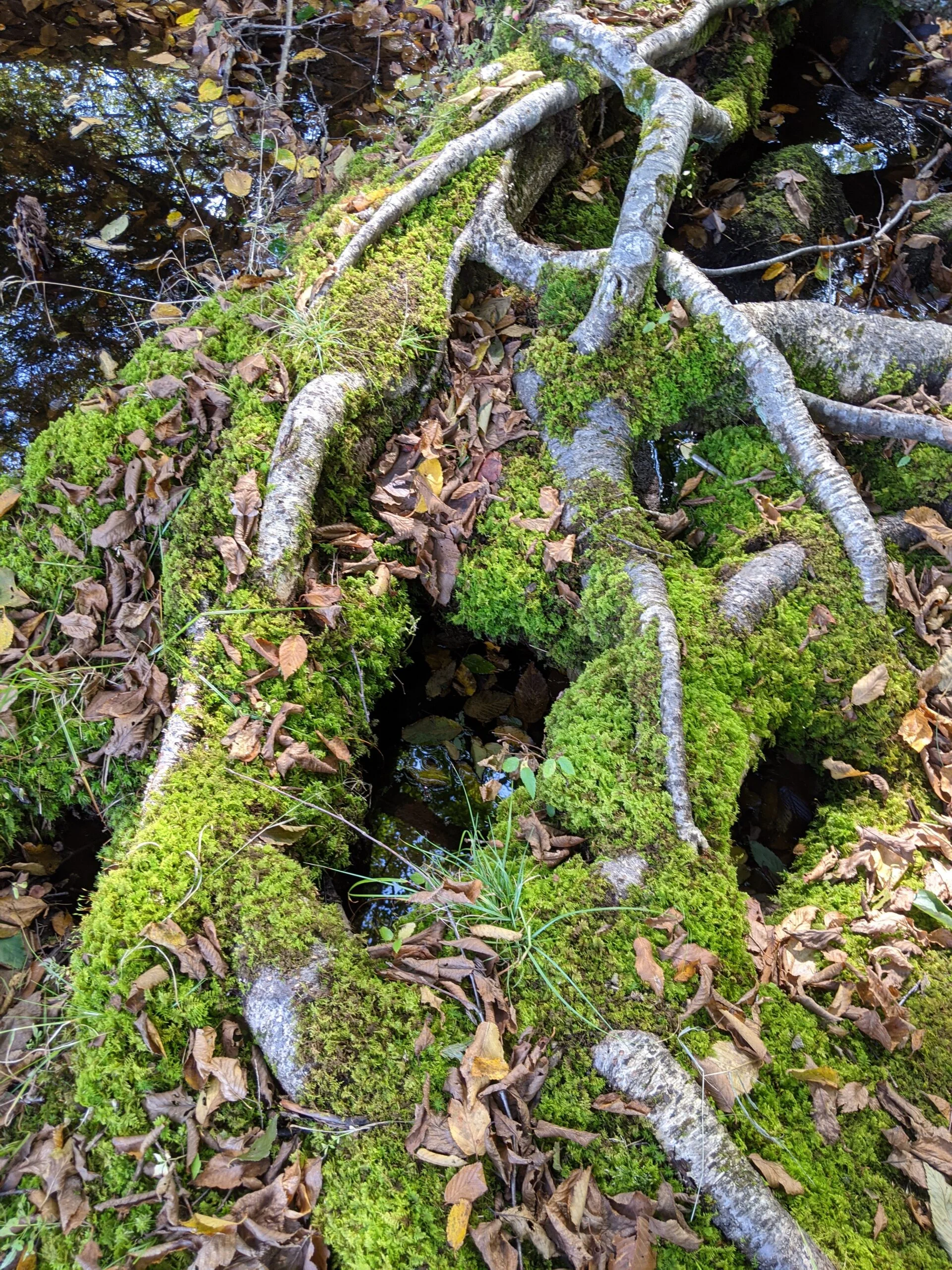
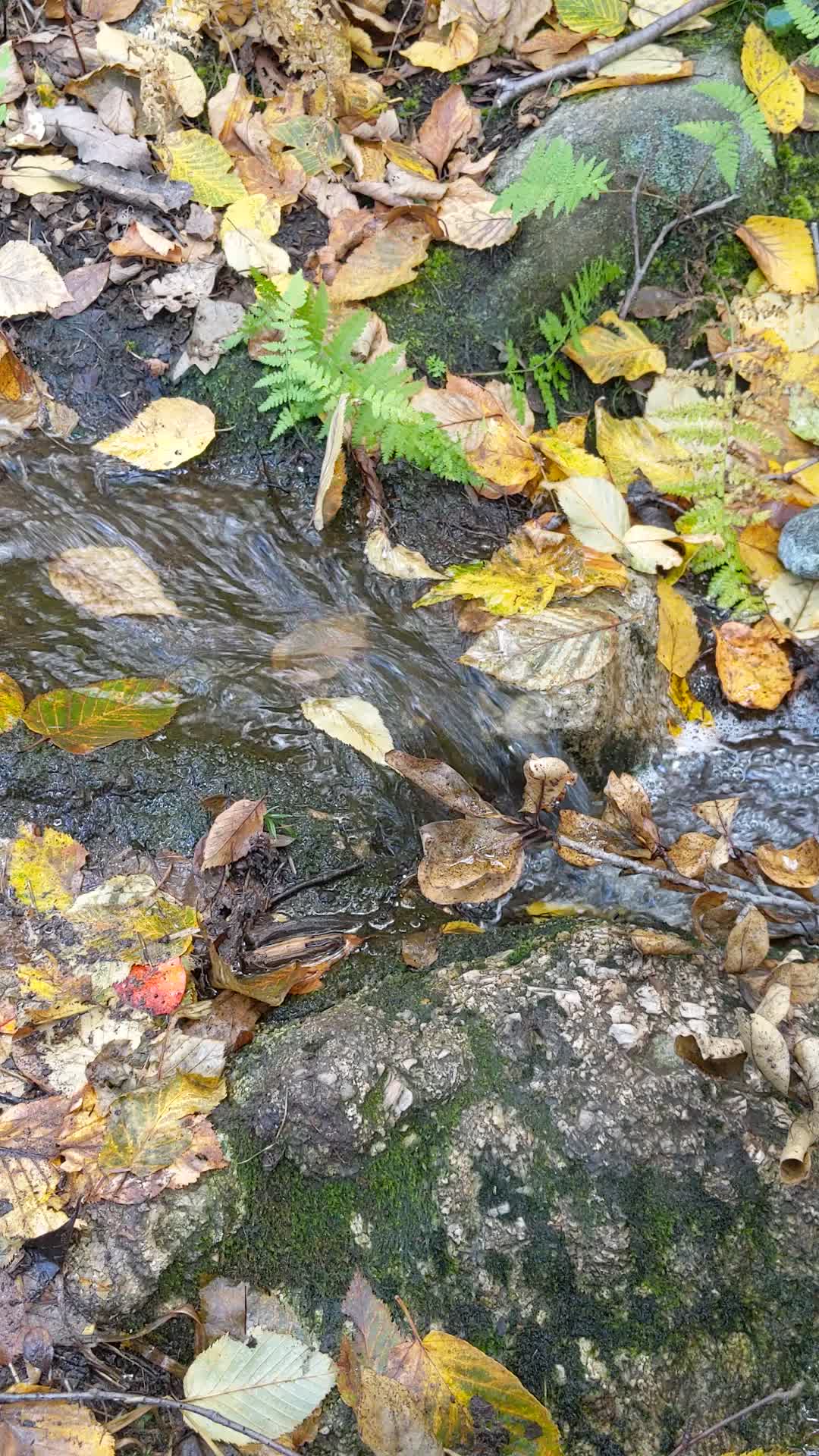
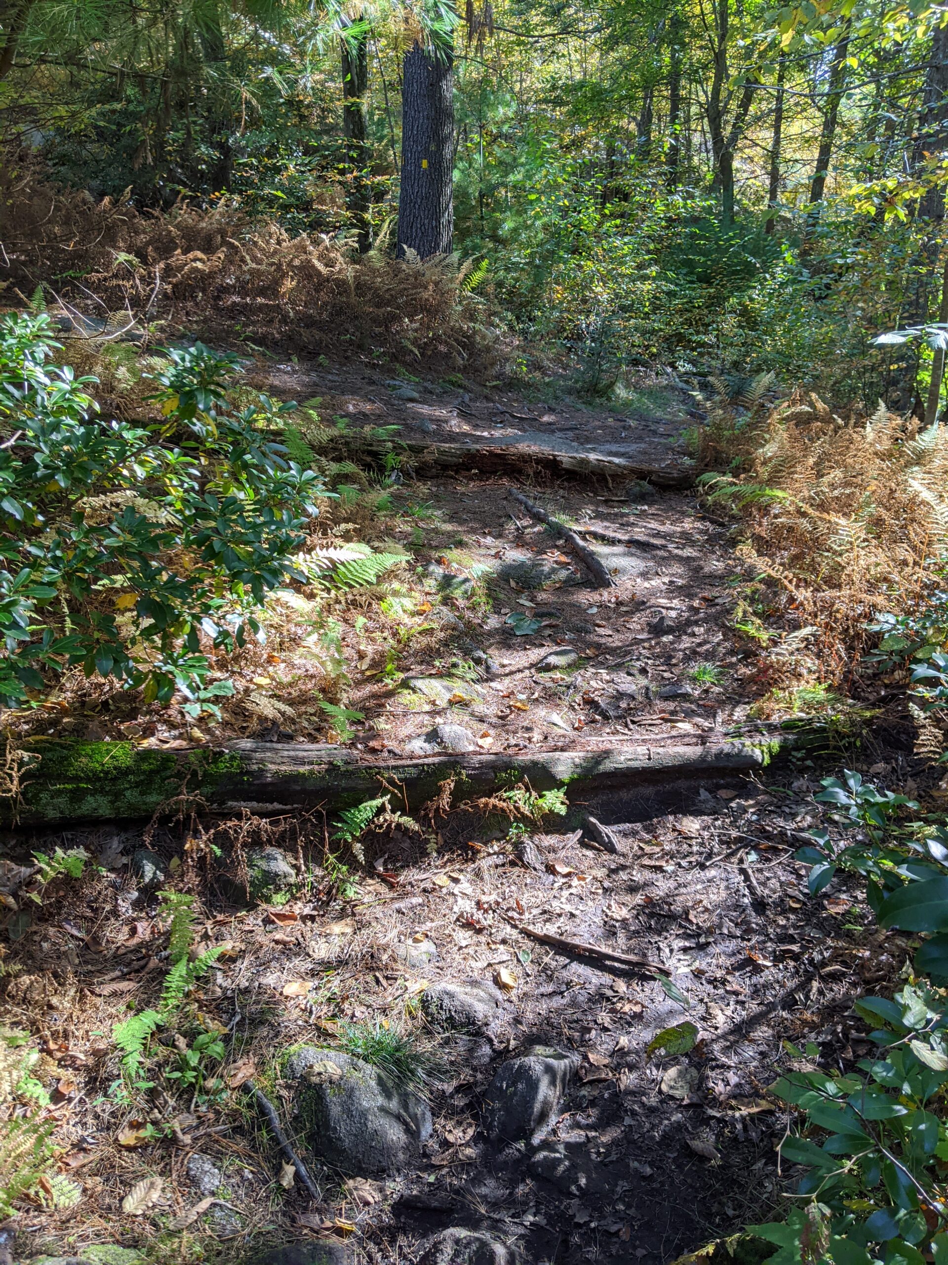
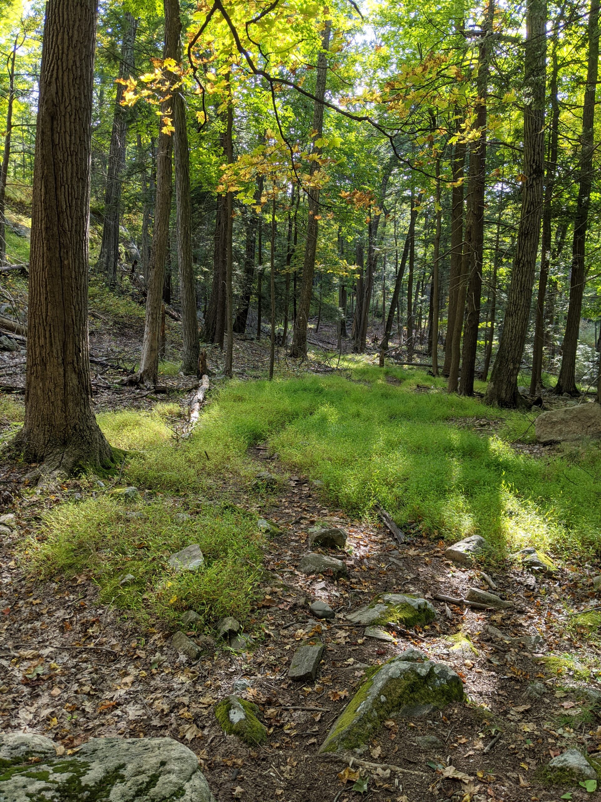
After finding the AS trail, I stopped for another snack break and to refill my water. I was starting the lose some steam and this break definitely helped! Over the span of the next 3 miles, AS makes a descent of about 500 feet. Some of it gets pretty steep and is slow going down. It’s a fun trail though, with some rocky areas, some green areas, and a couple streams.
I followed AS back to the Elk Pen Parking lot and made my way back to my car to finish my journey. I ended around 10.5 miles, but I really wanted to hit 11 miles, so did a couple laps up and down the road to end the clock at 11.1 miles. This is now my longest hike to date and I am feeling it!
I really enjoyed Harriman State Park, and with over 200 miles of trails to explore, I can see myself coming back.
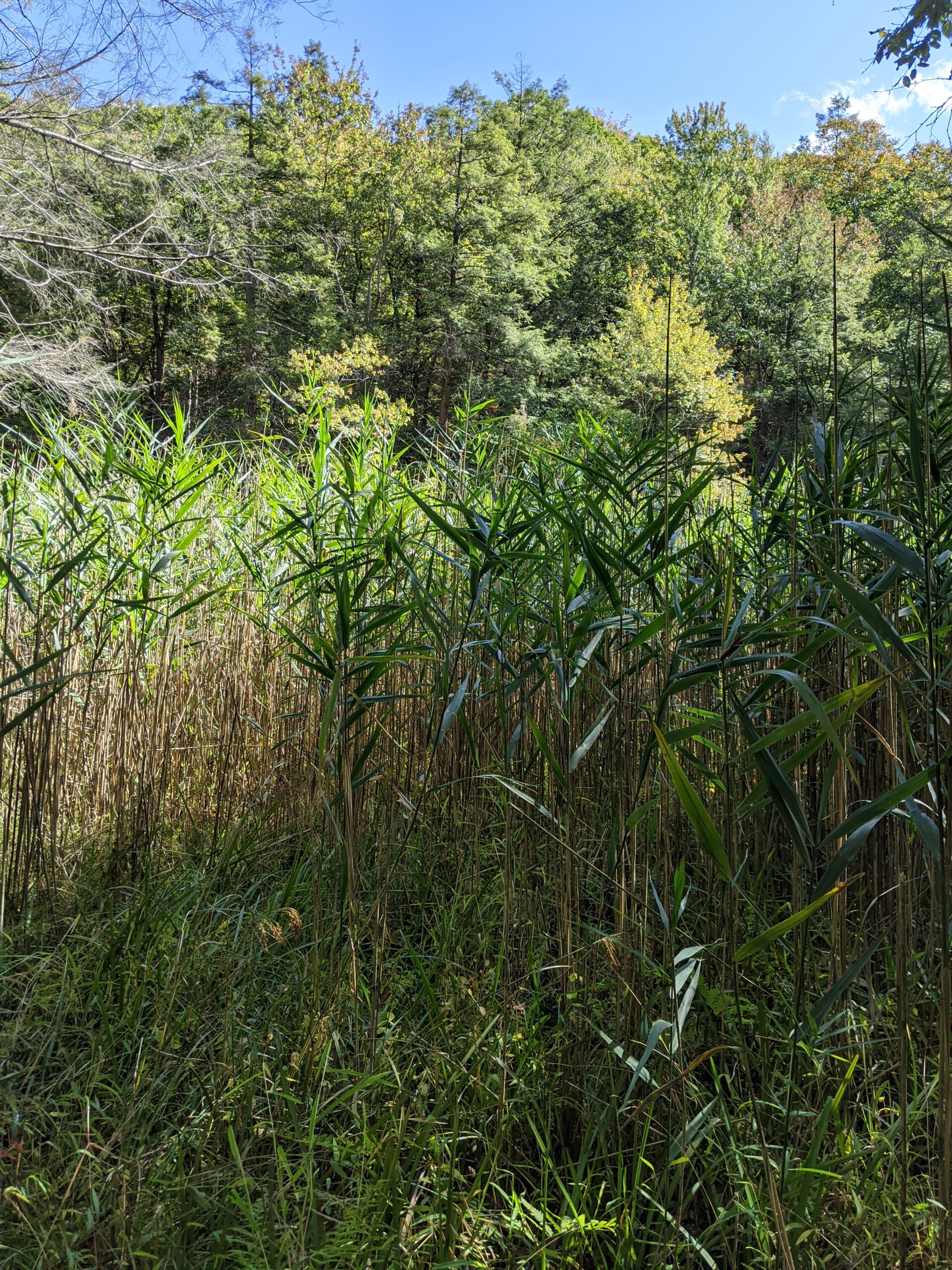
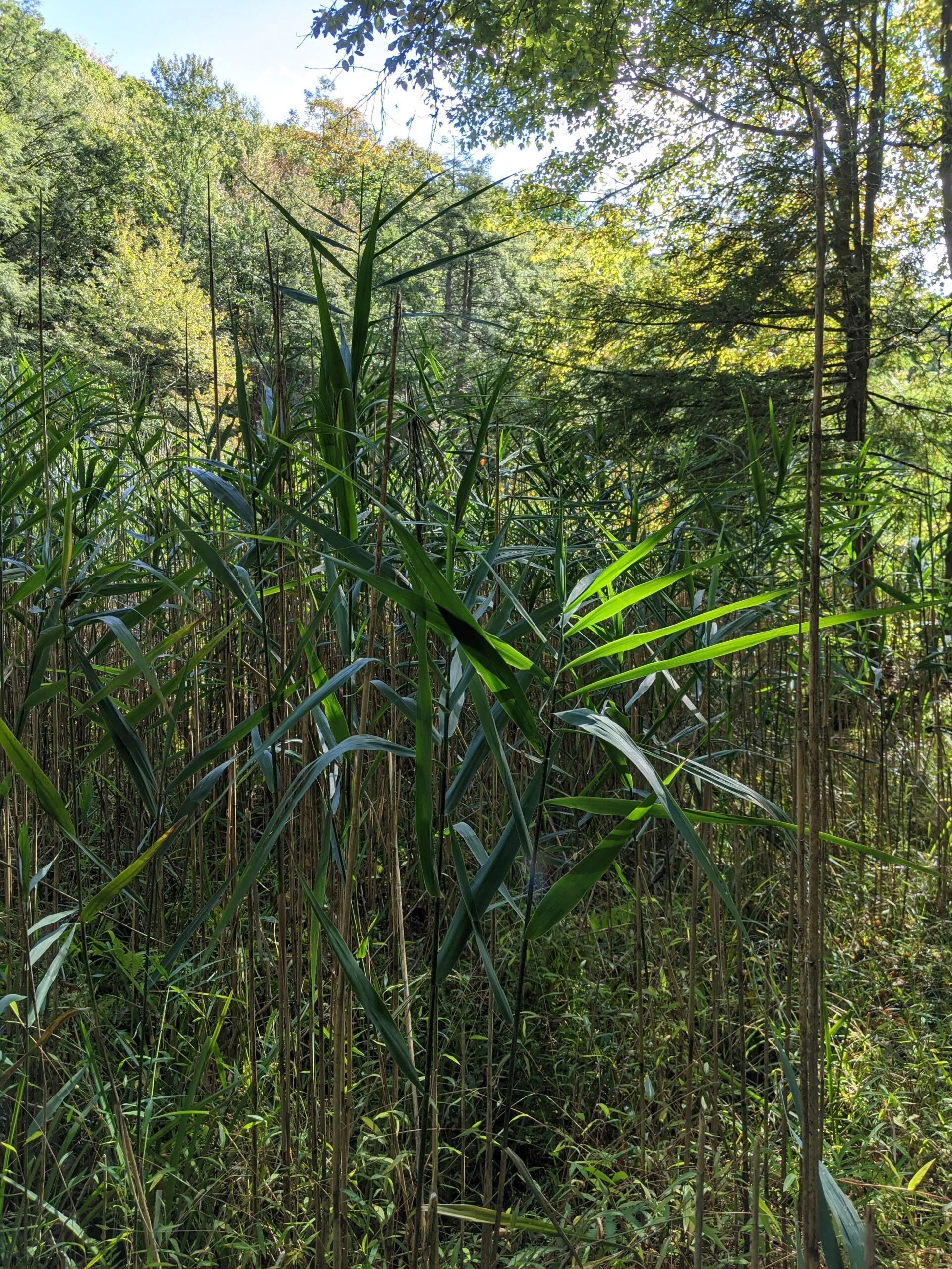
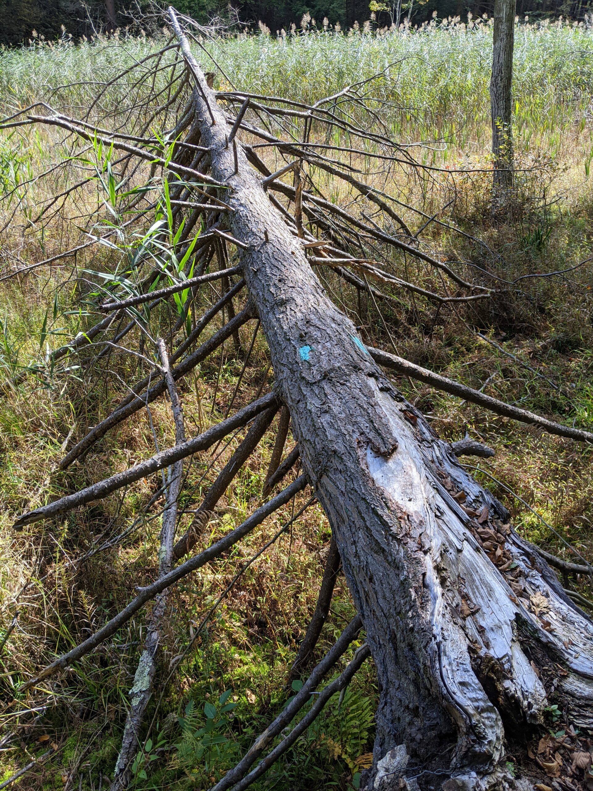
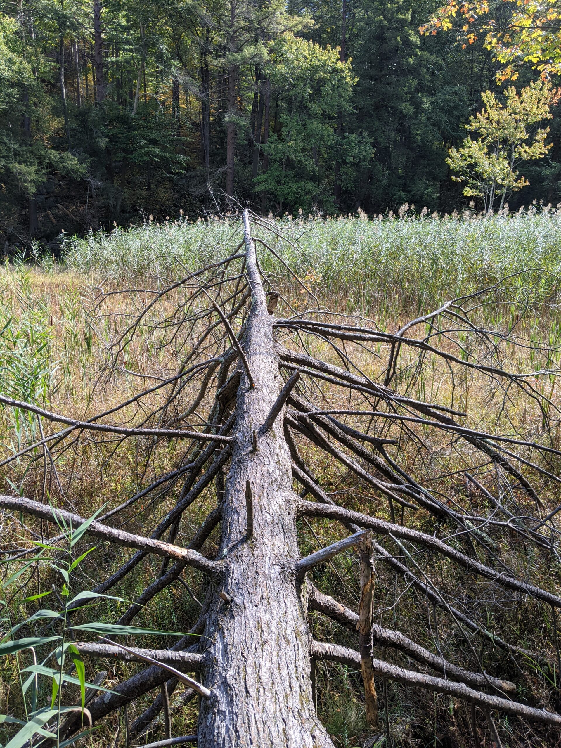
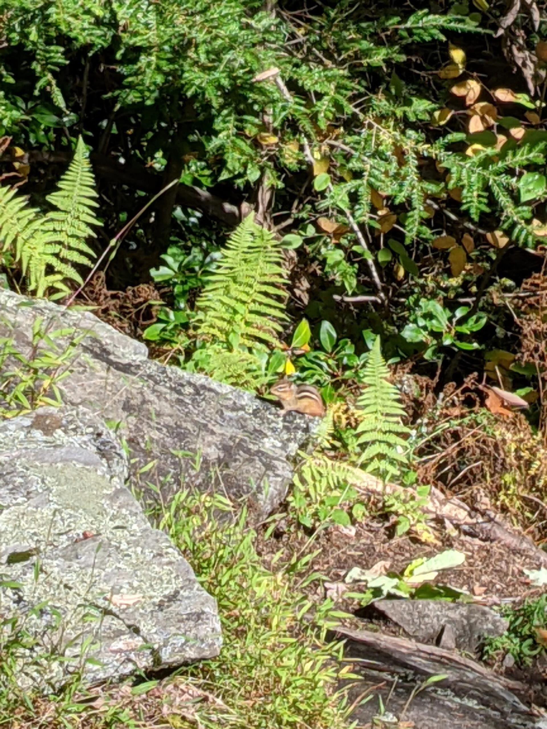
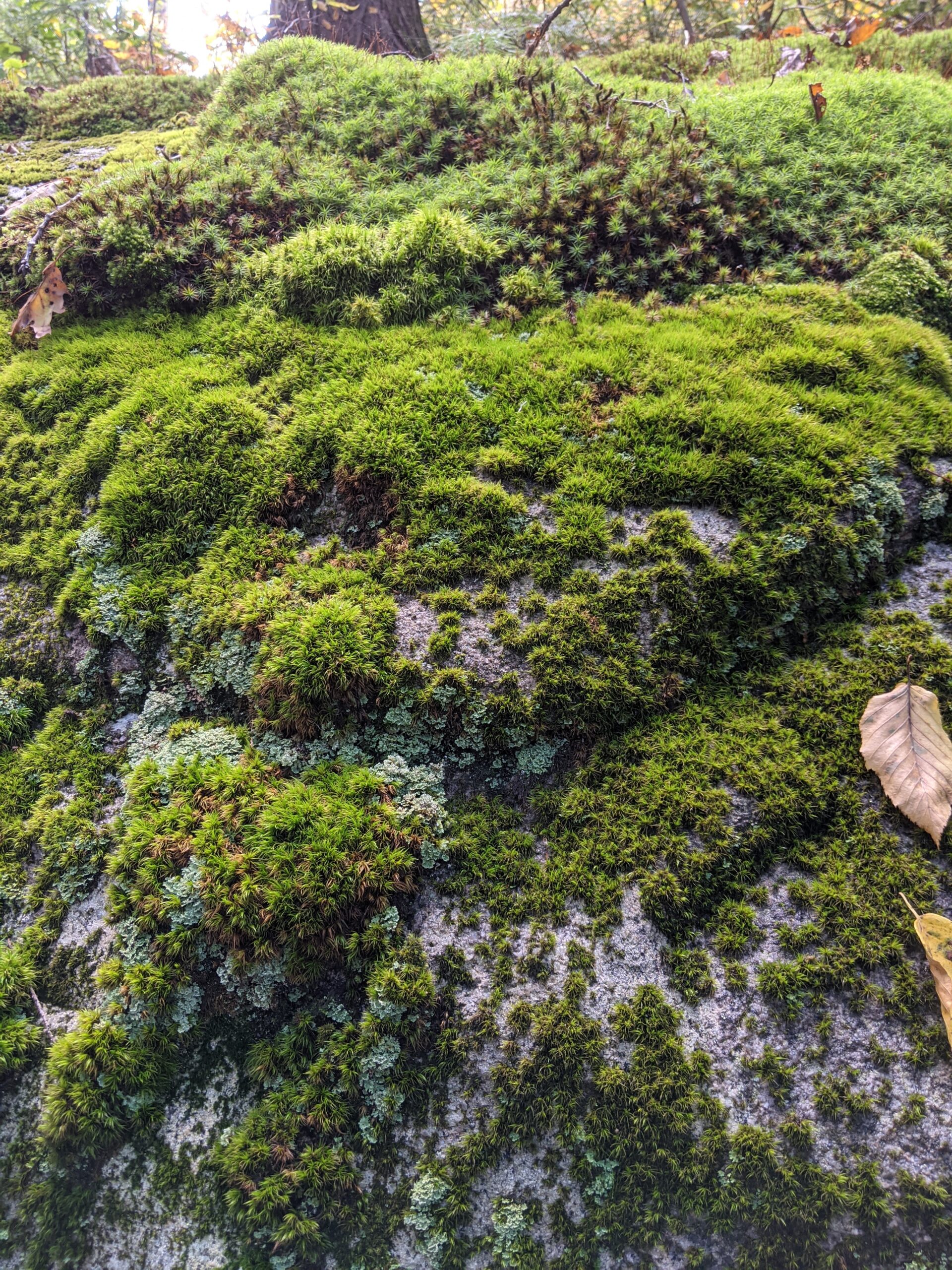
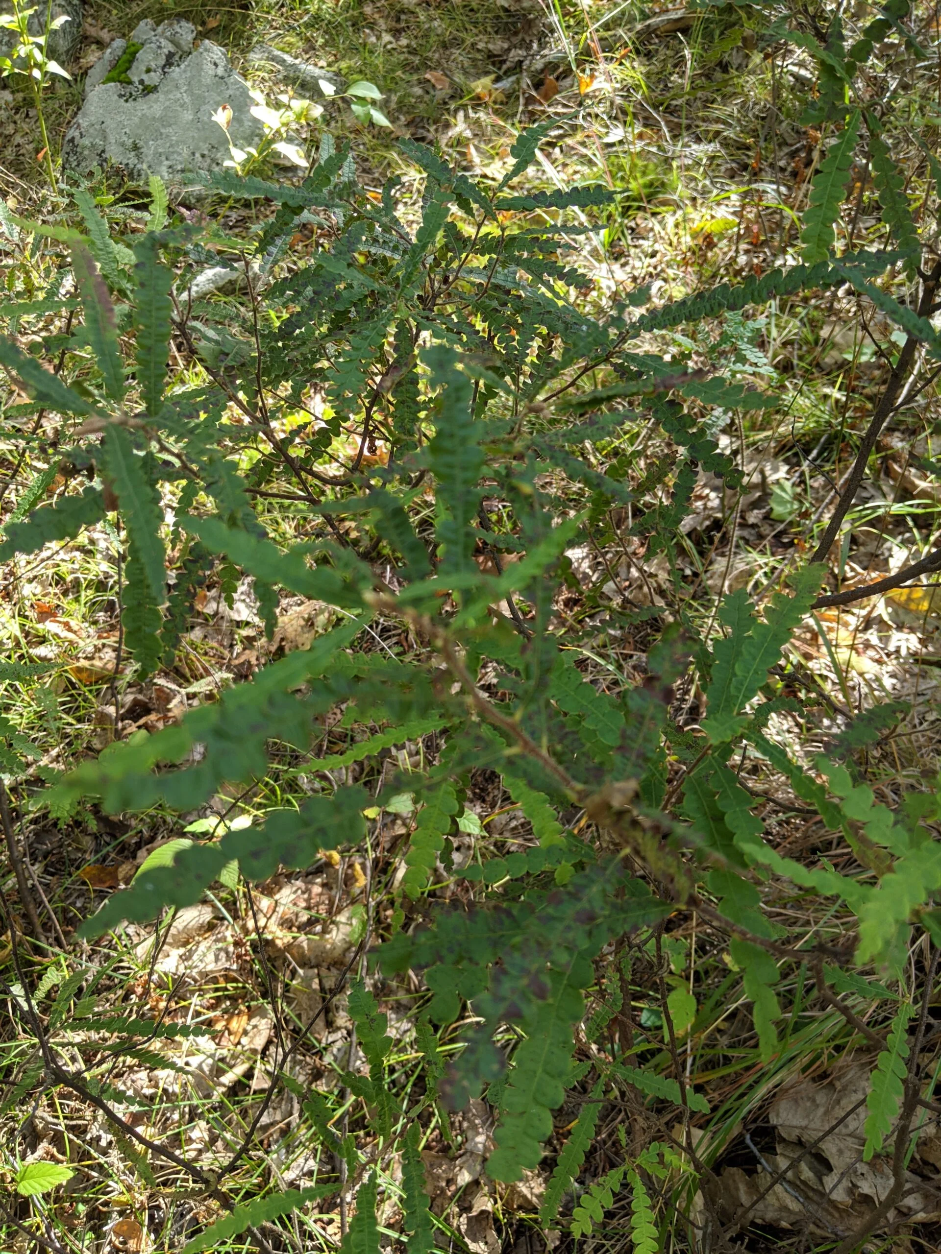
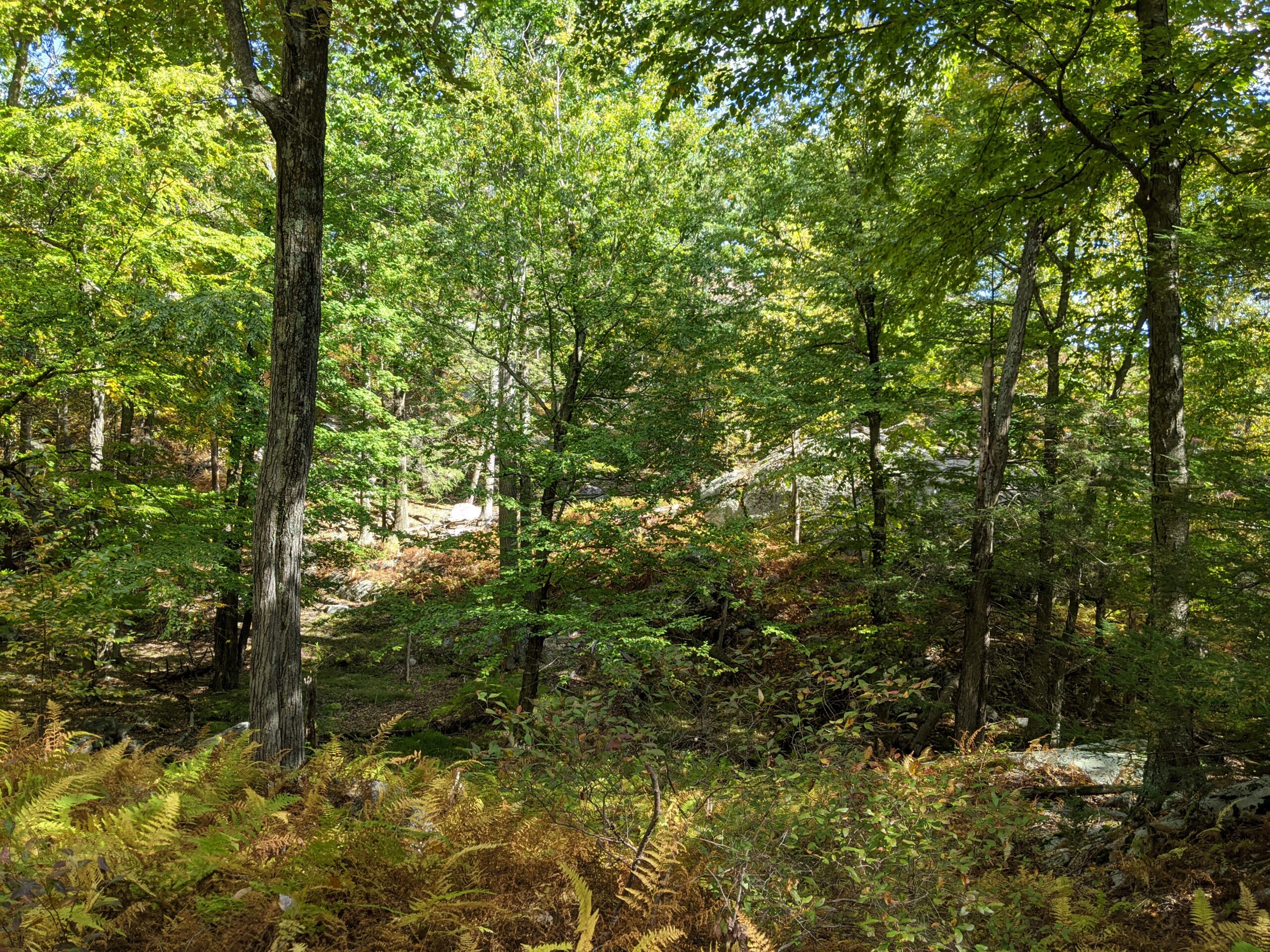
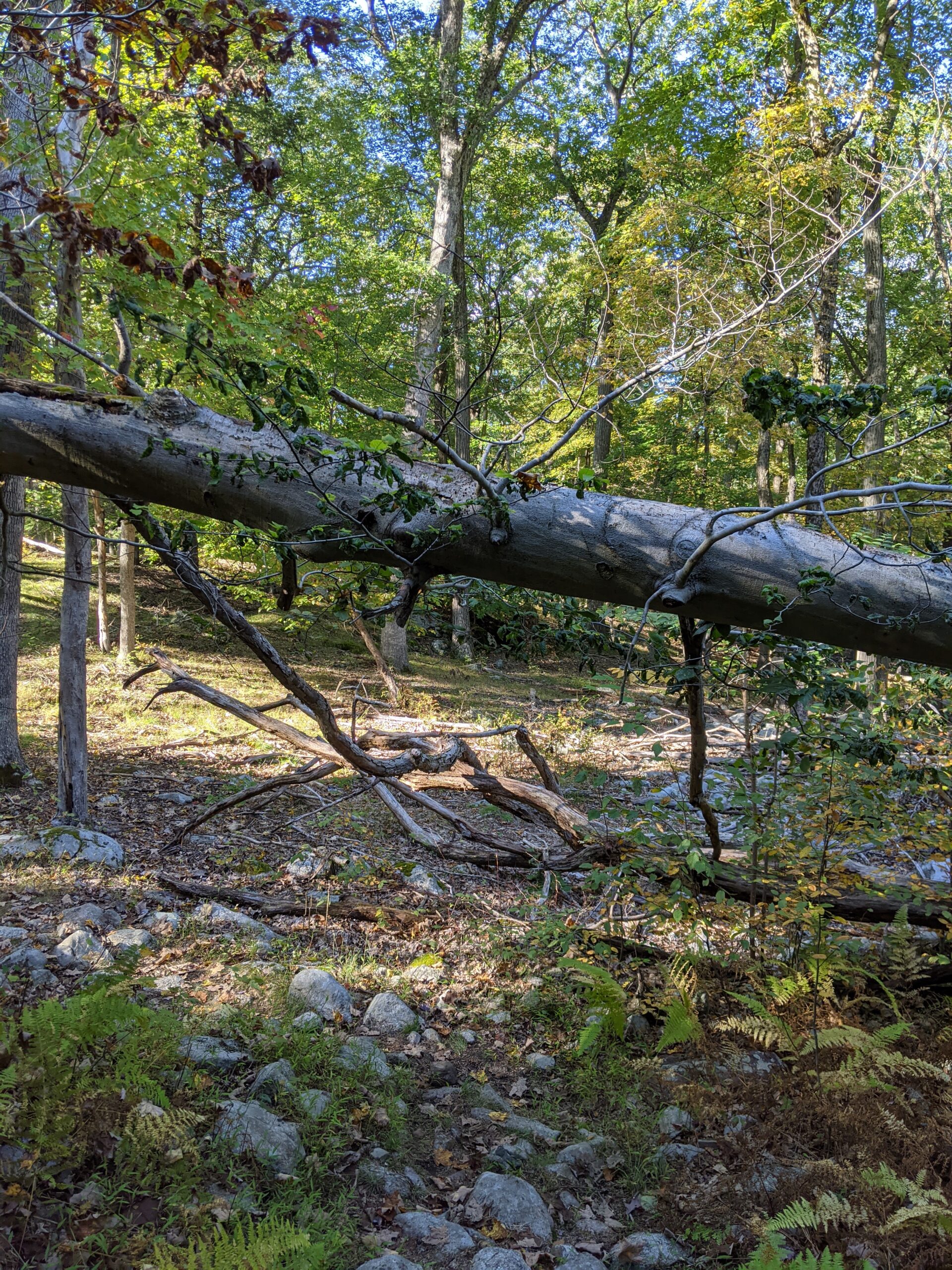
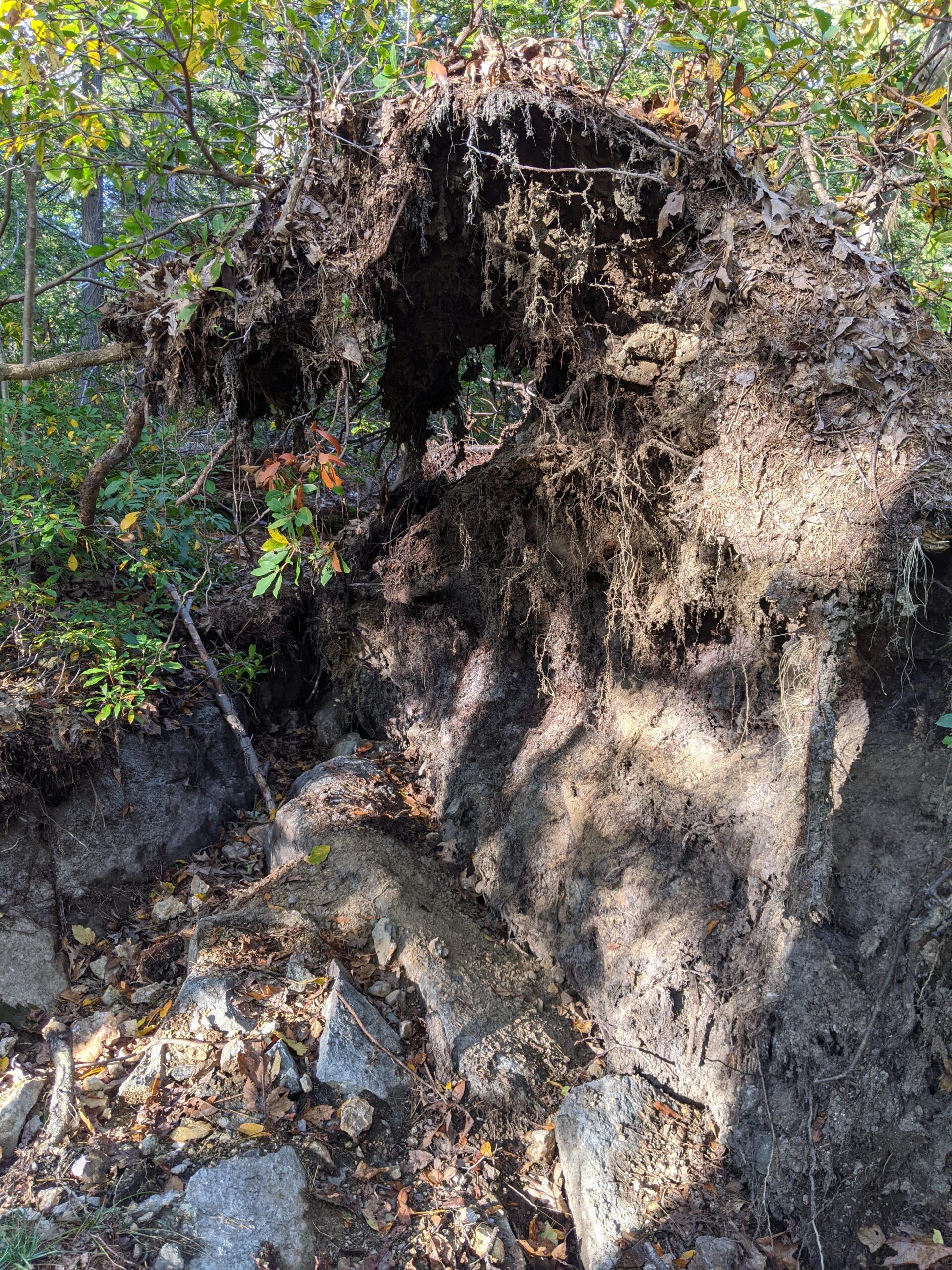
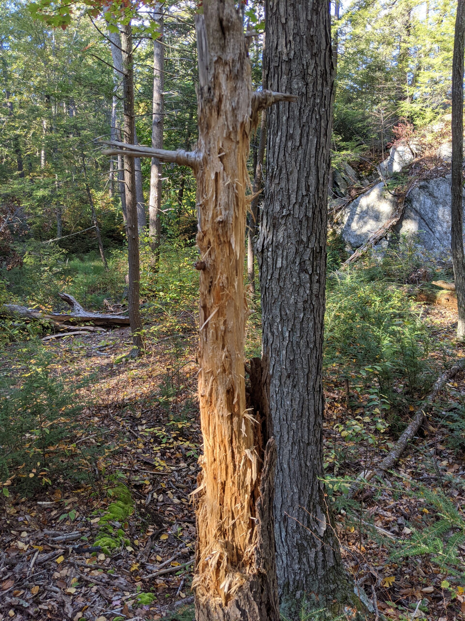
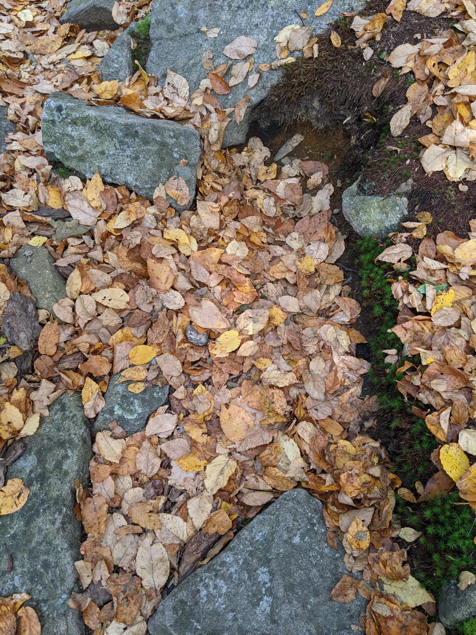
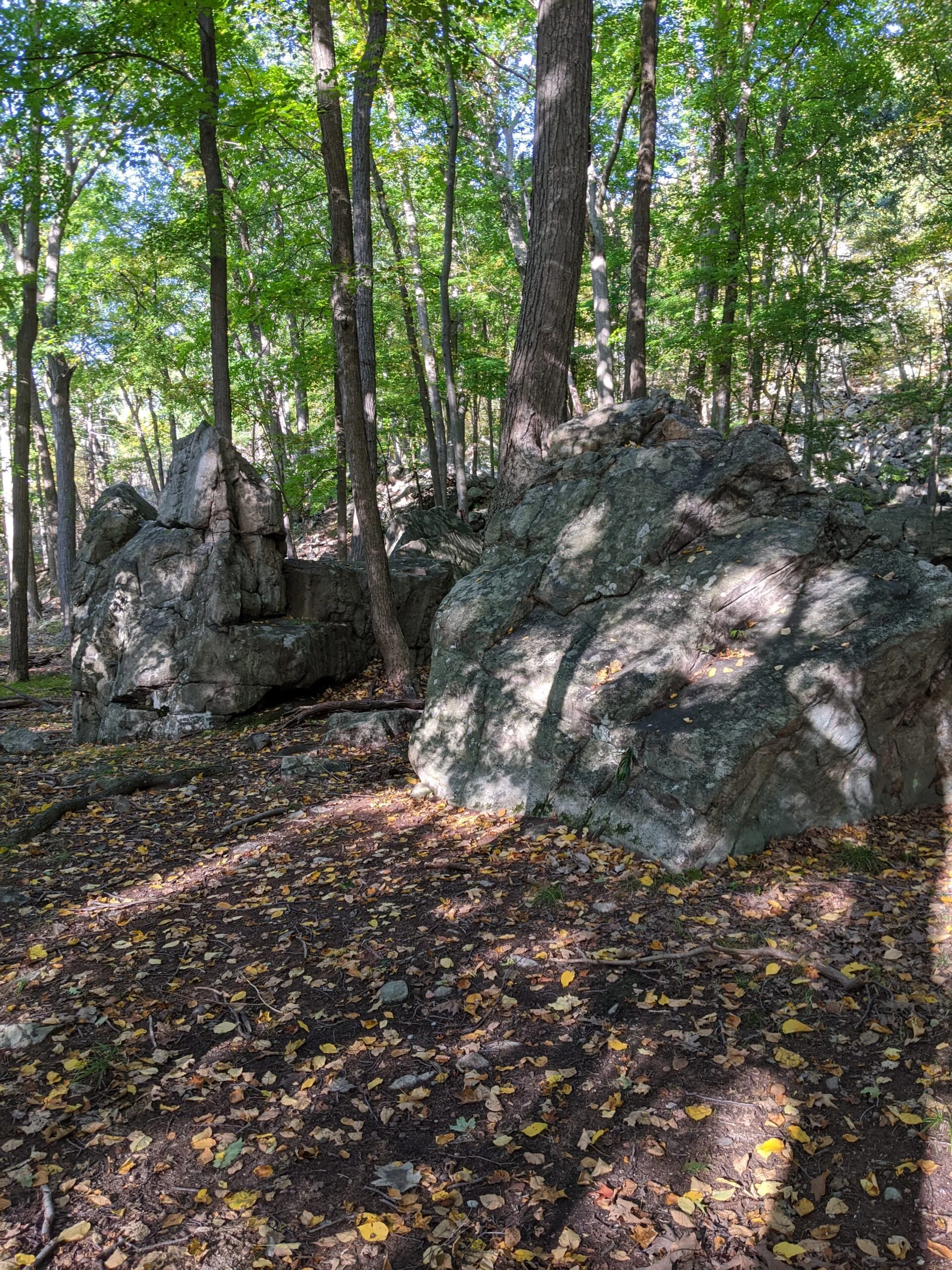
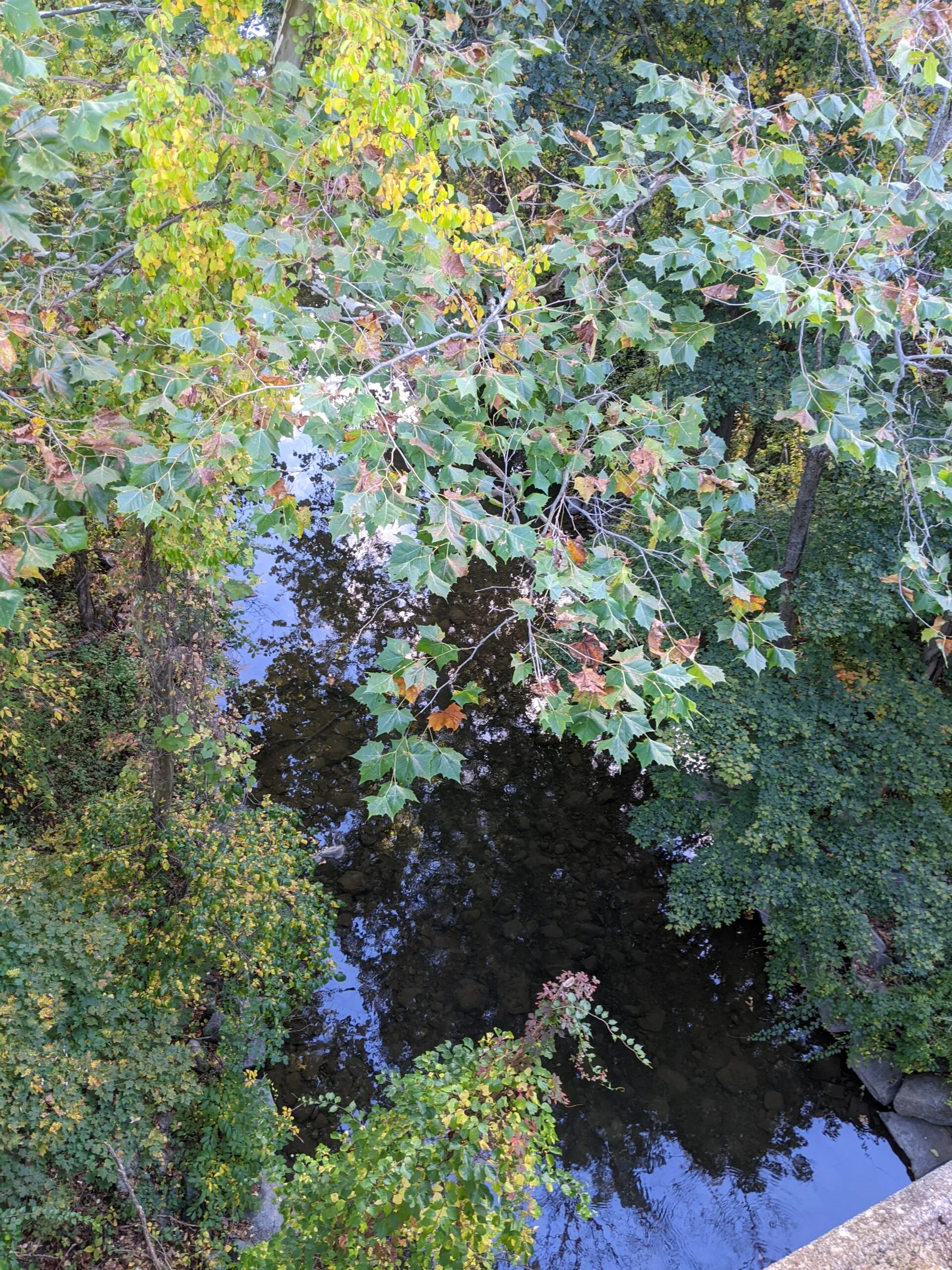
Photos


GPS Route & Elevation
Loads an interactive map; map tiles are served by the U.S. Geological Survey, which receives your IP address. Learn more about maps and your privacy