Skip to content
Hiking Photos

Taxter Ridge Park Preserve

Taxter Ridge Park Preserve – Woody Crest, Danny Gold Blue Trail, Orange Trail

  • 2.8 mi
  • 369 ft gain
  • 01:28:27
  • 39 photos
Trail Map (PDF)
Taxter Ridge Park Preserve – Woody Crest, Danny Gold Blue Trail, Orange Trail

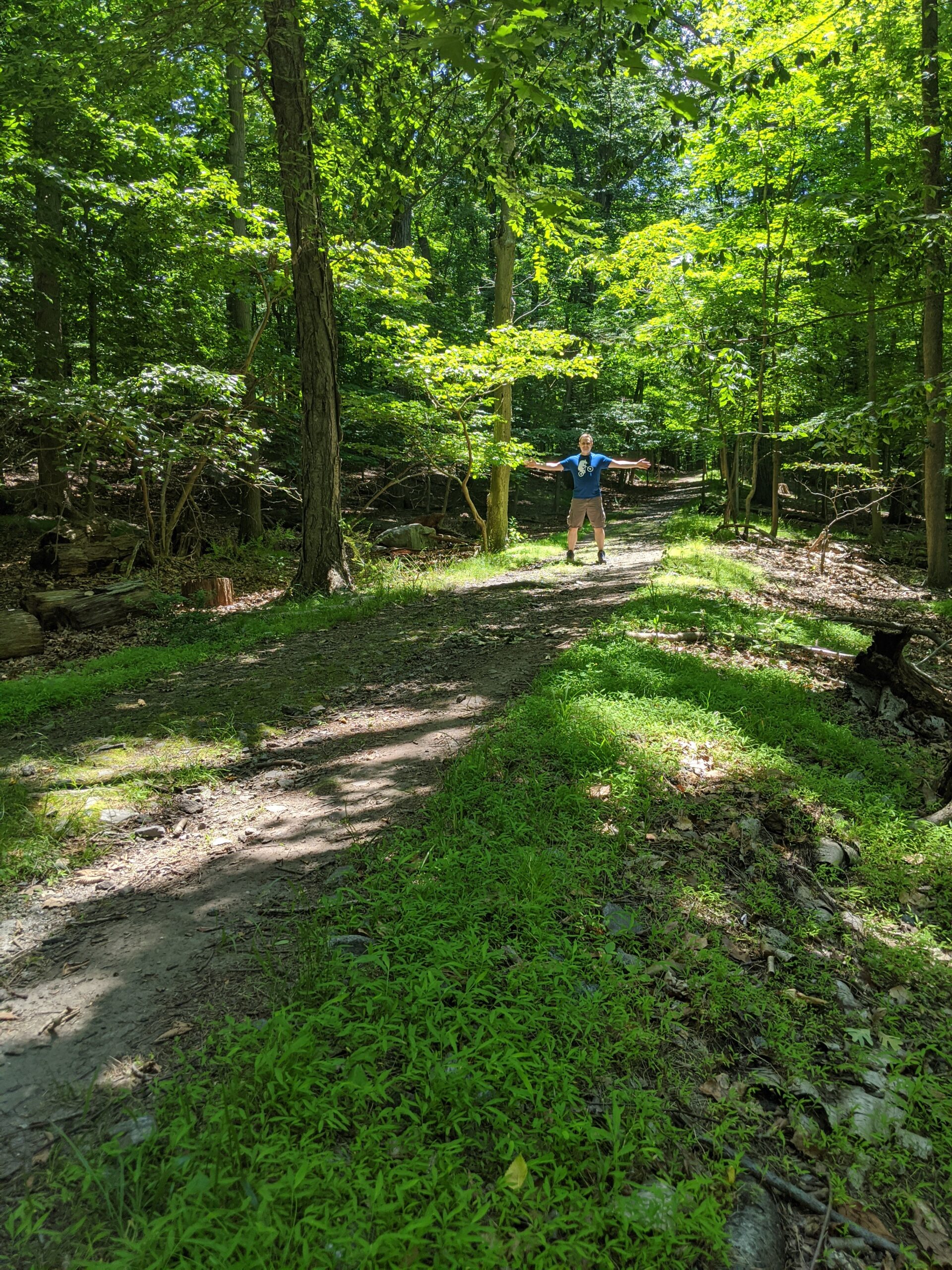
My third trip to Taxter Ridge Park Preserve started off very predictably from the Taxter Road entrance and up the Danny Gold blue trail to the northeast (right).

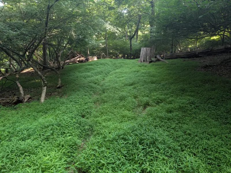
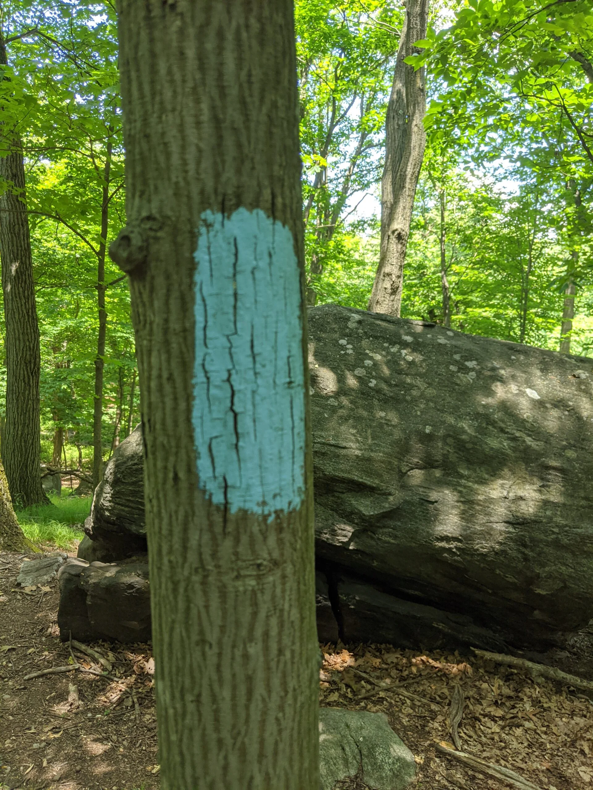
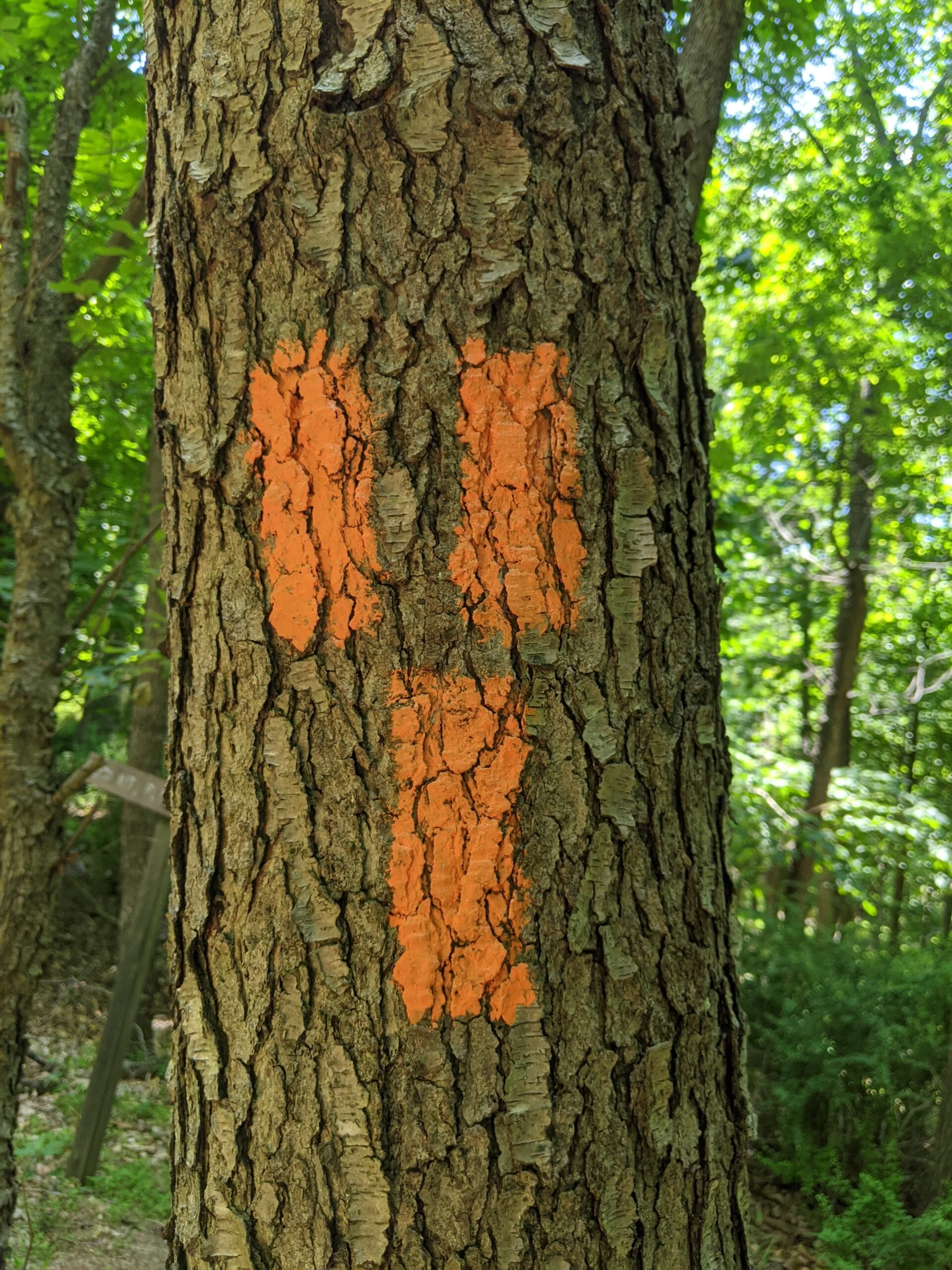
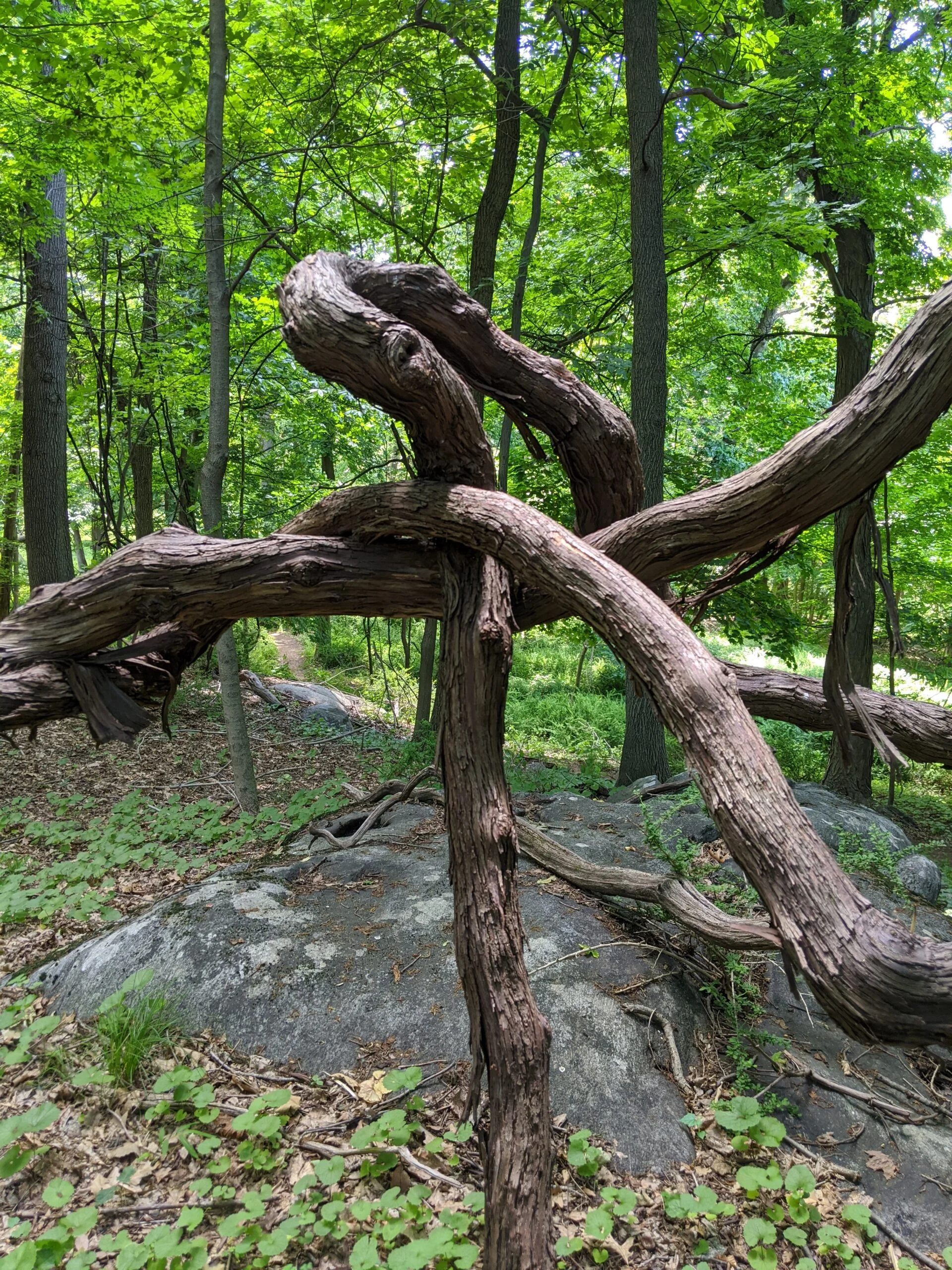
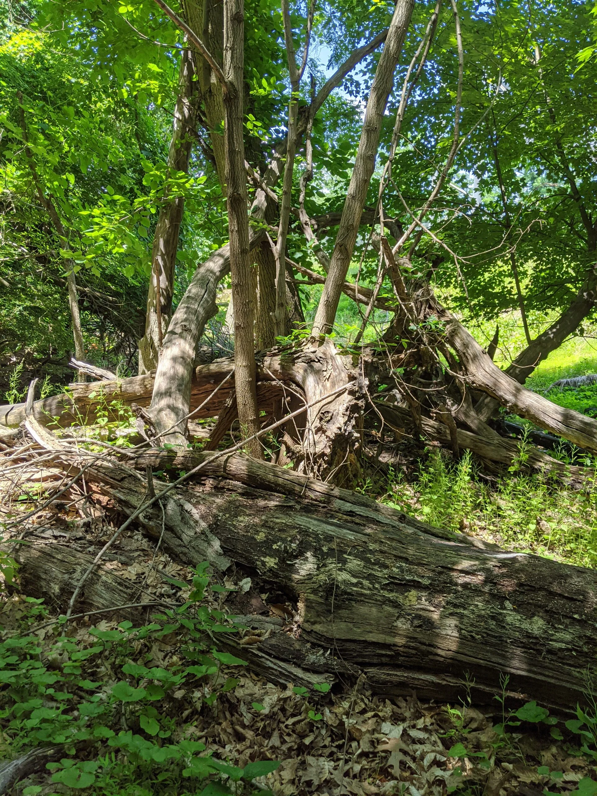
I followed Danny Gold (blue) until it meets the orange trail, and took the orange trail off to the north (right). Once I hit the “Woody Crest” chimney, I decided it was time to go off trail.

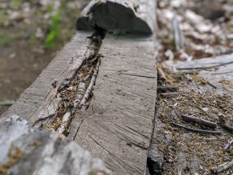
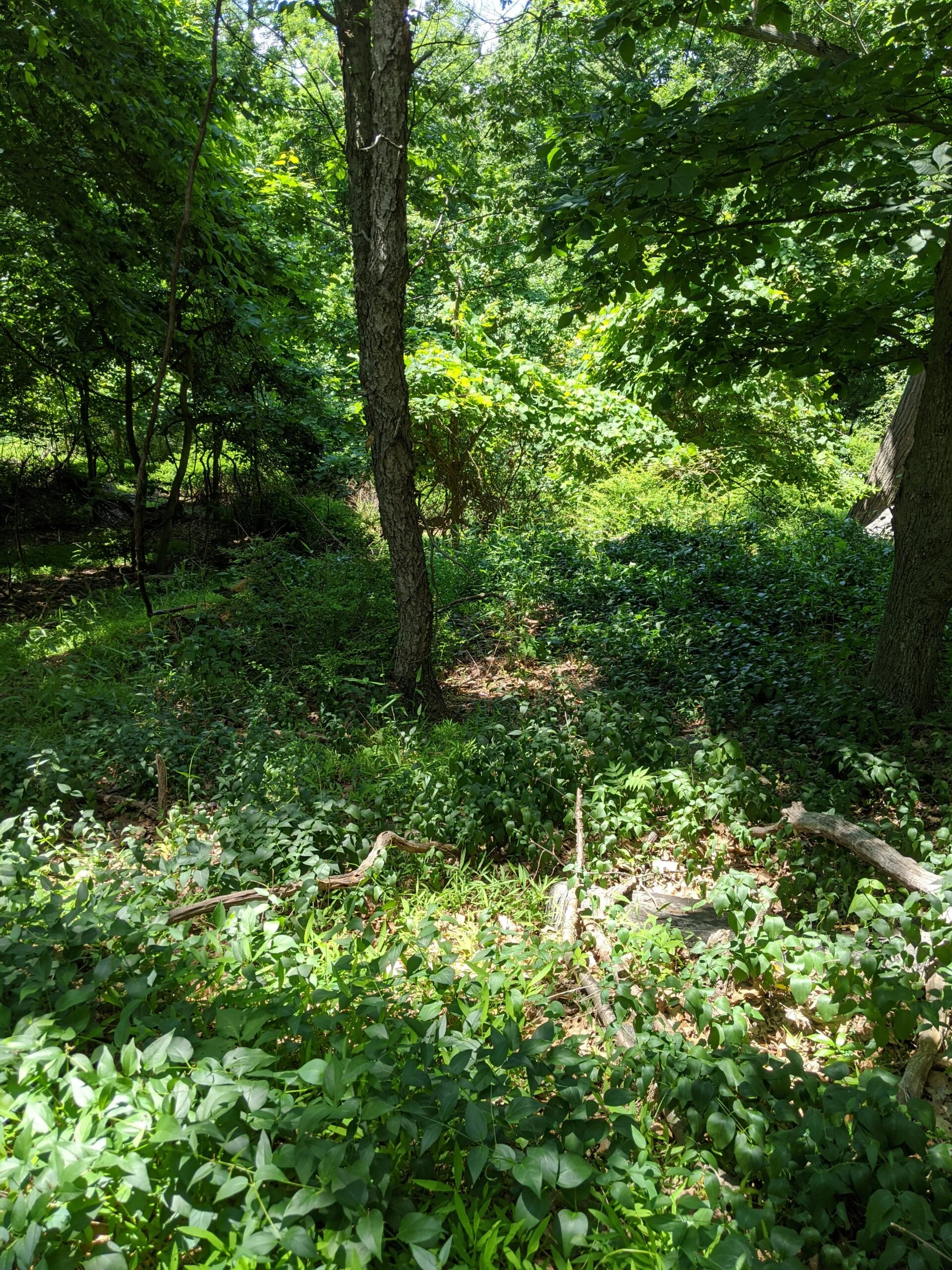
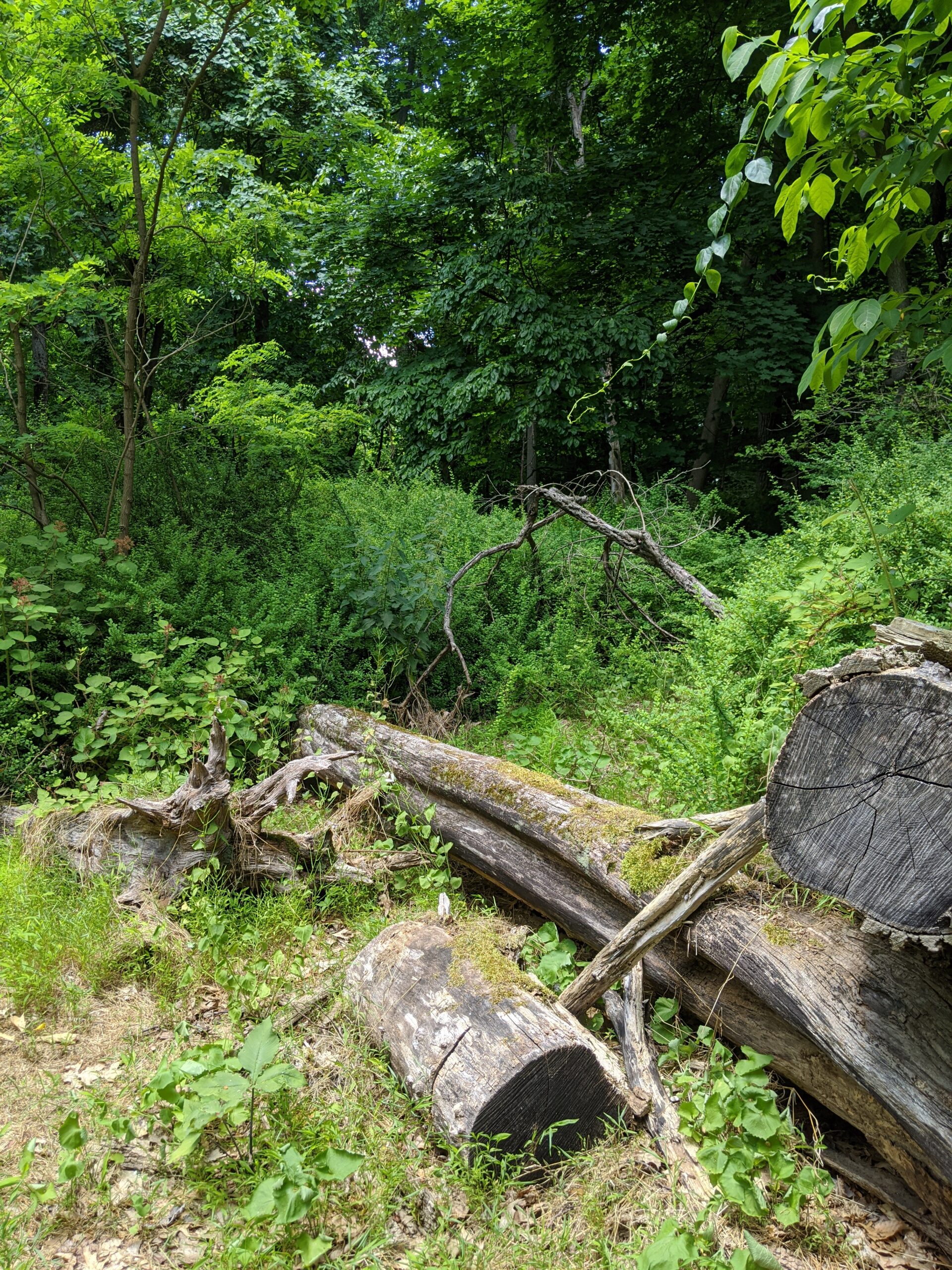
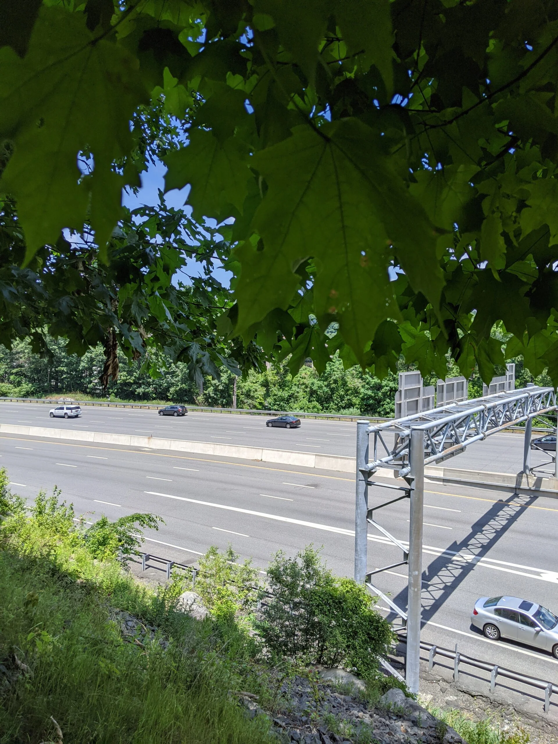
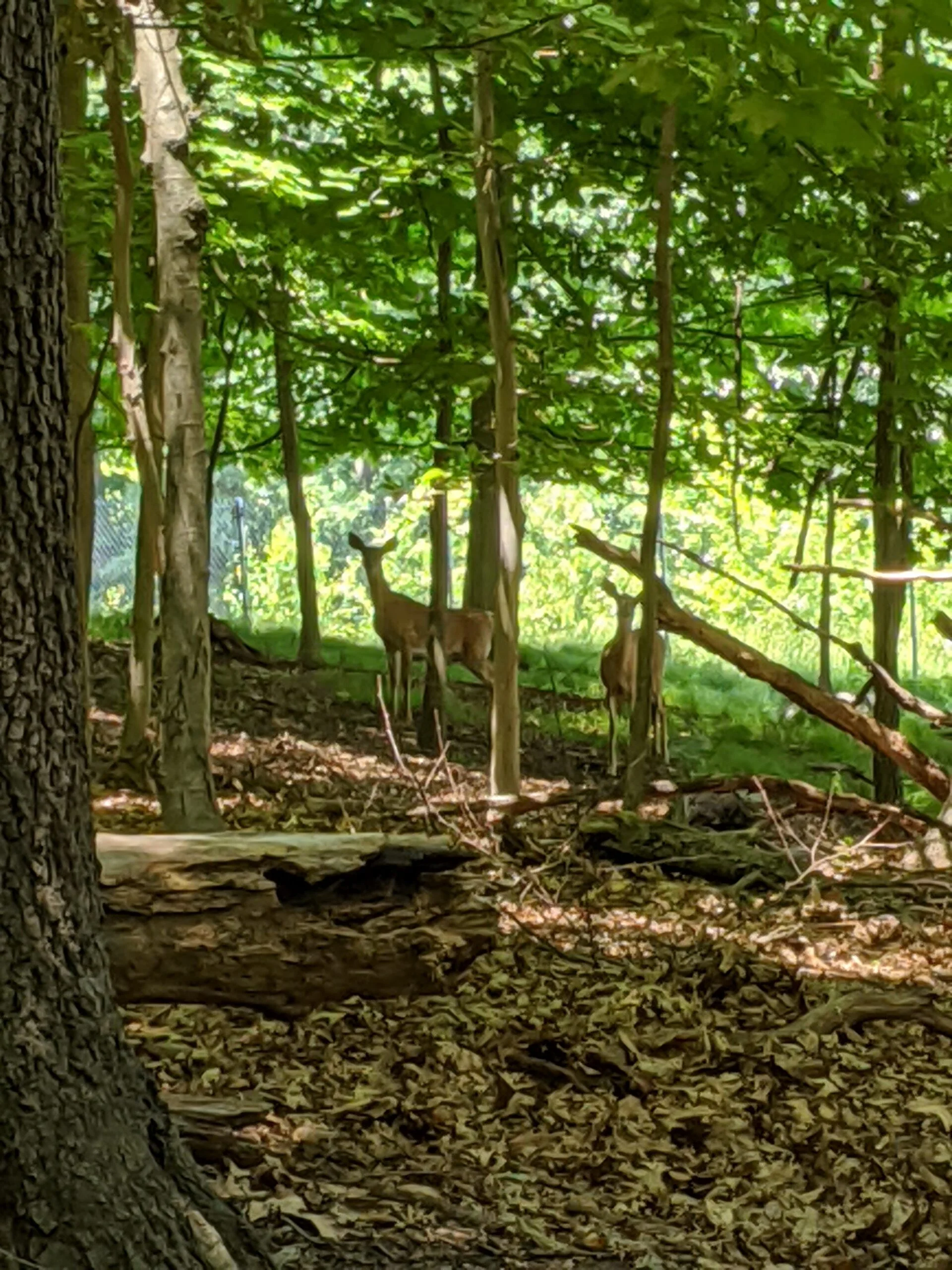
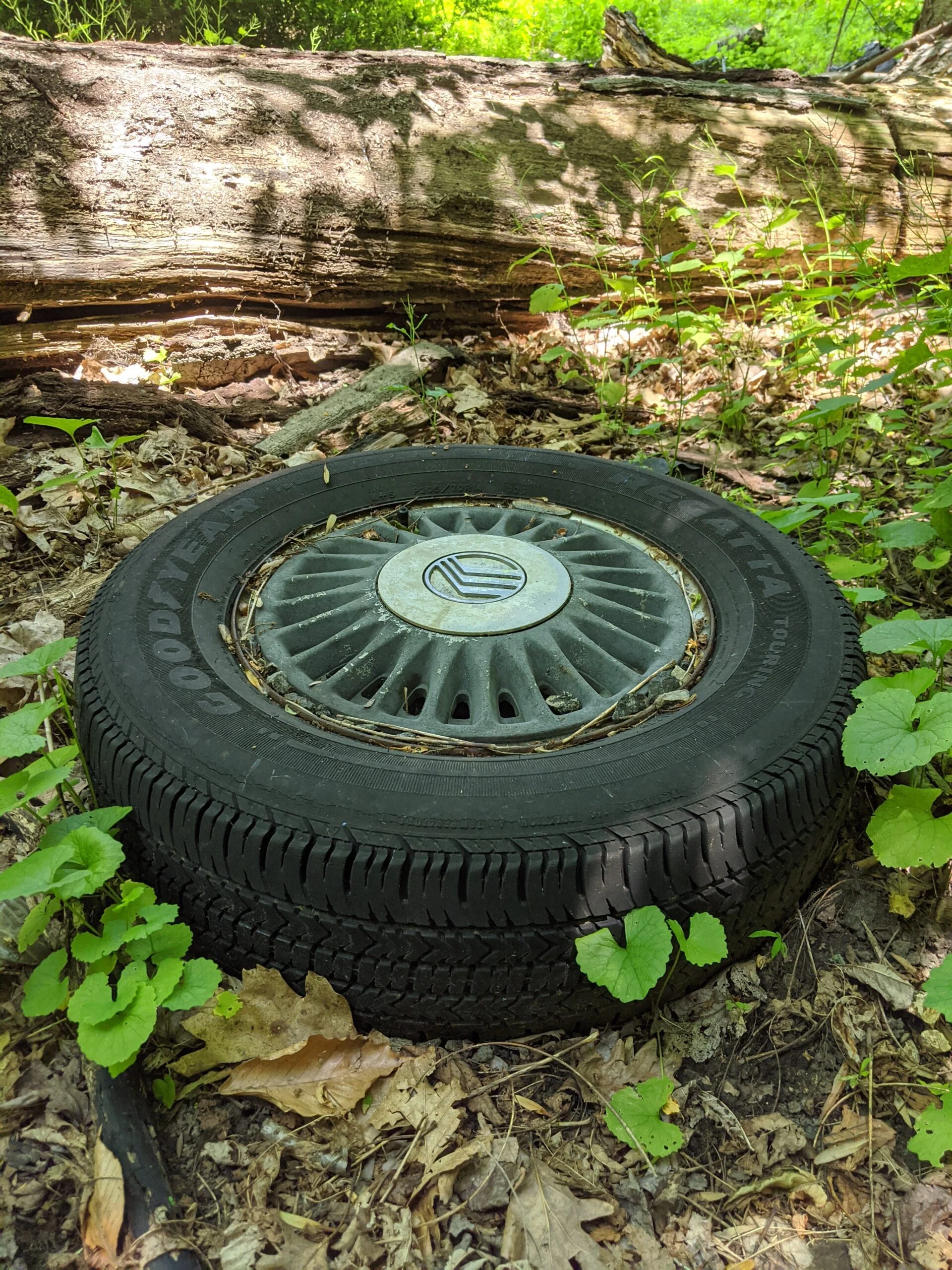
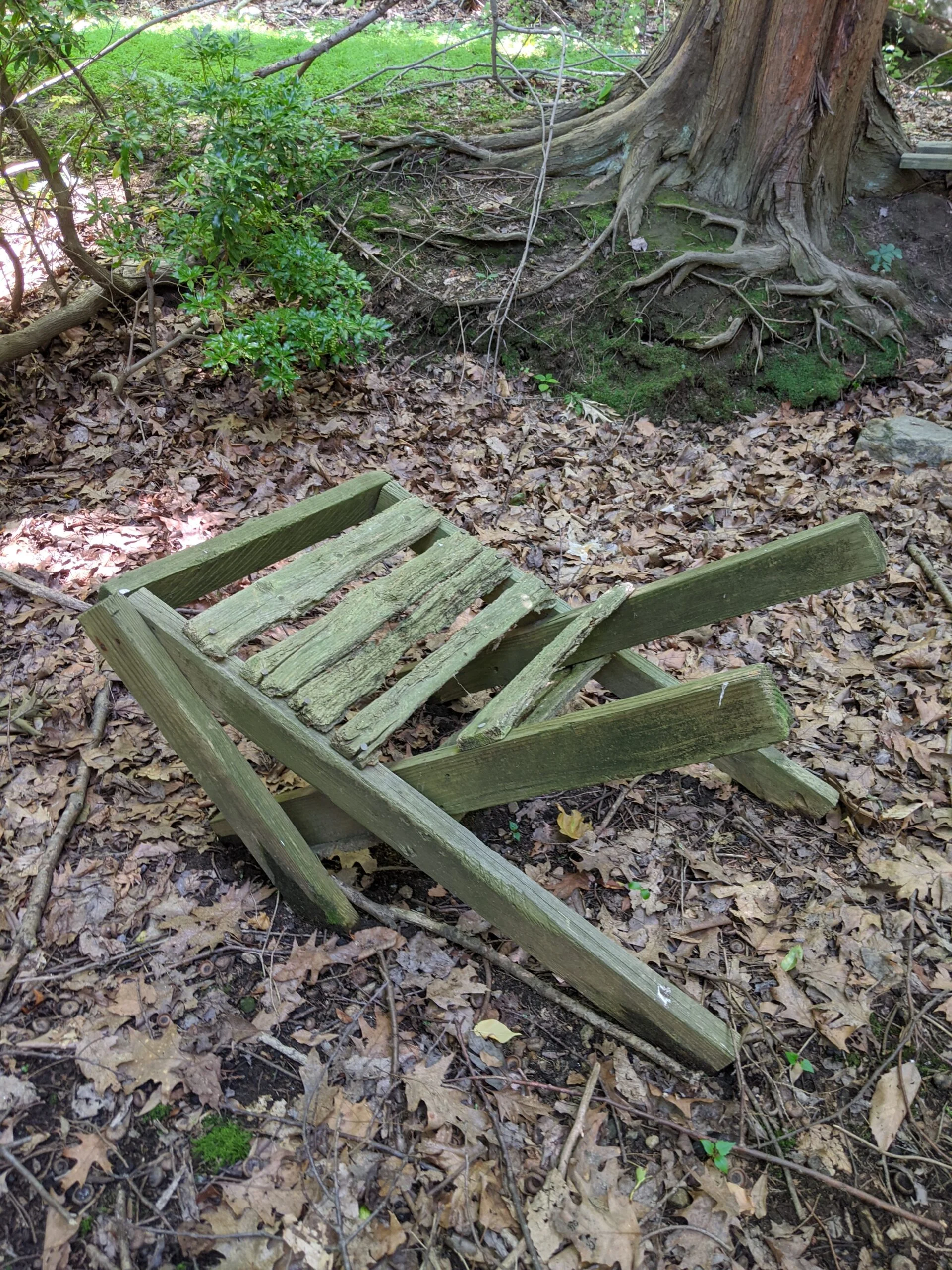
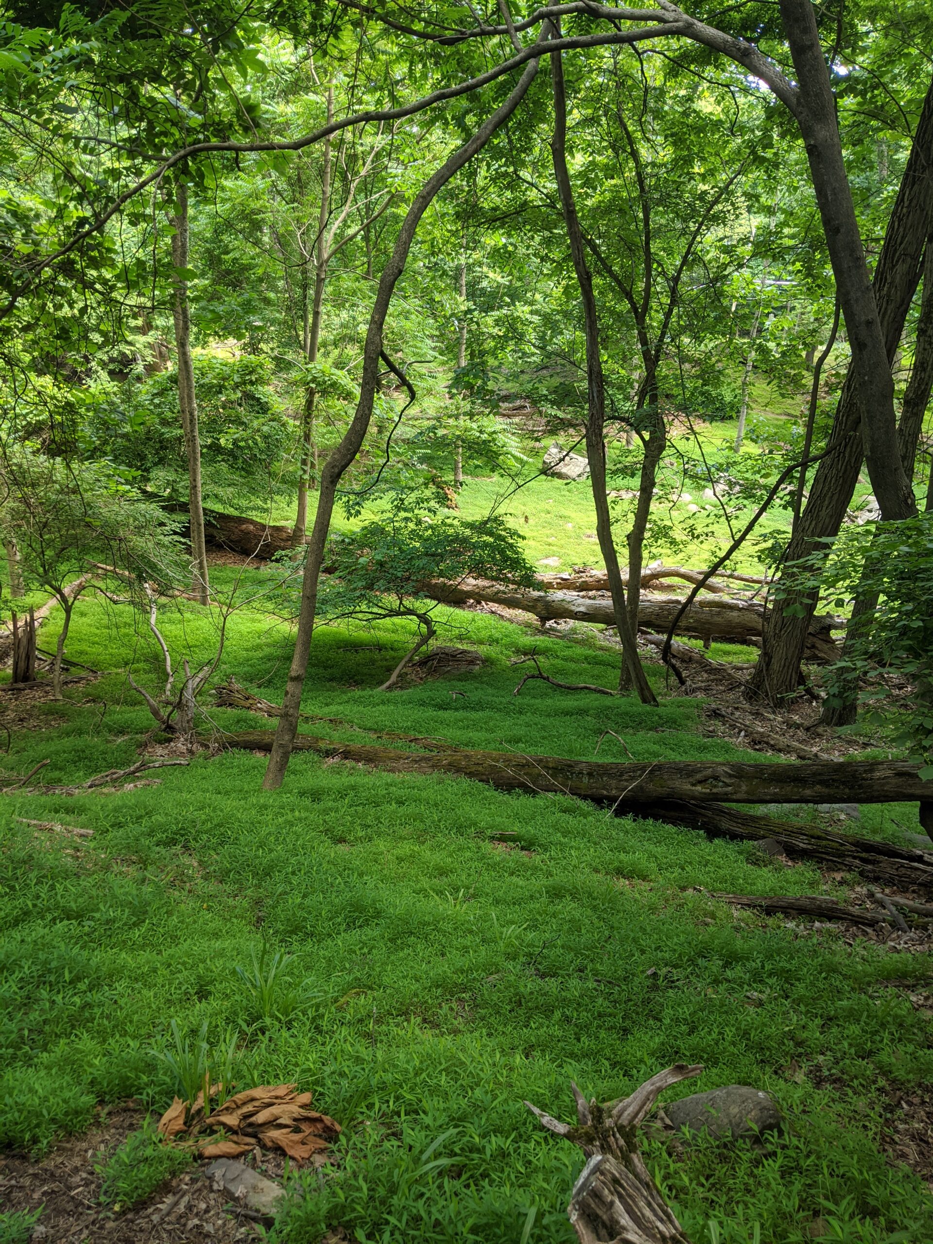
I headed east until I met I-287. I started by blazing my own trail, but eventually found some unmarked paths to follow. There were some deer in this area, and predictably some trash near the highway, including tires.

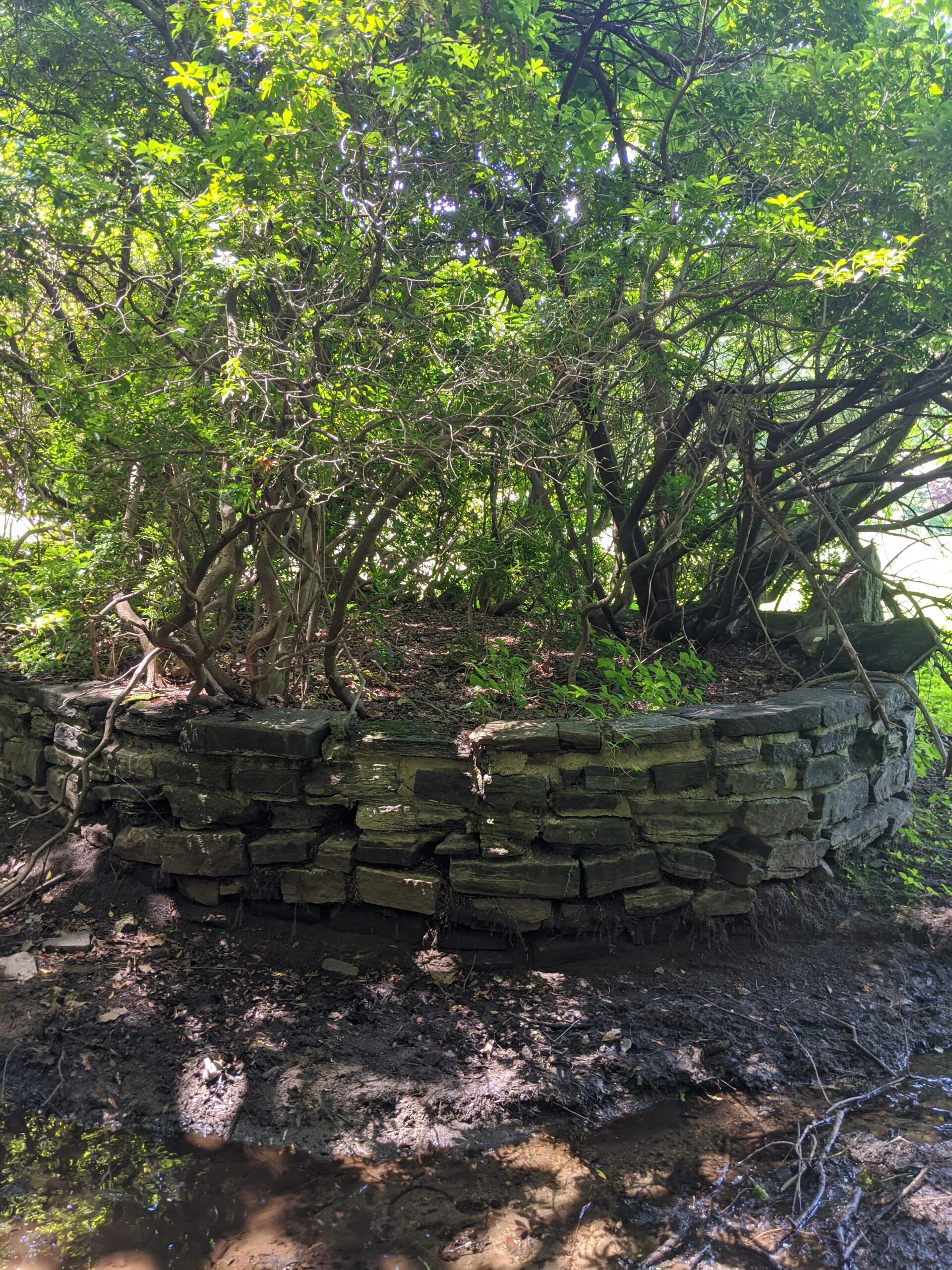
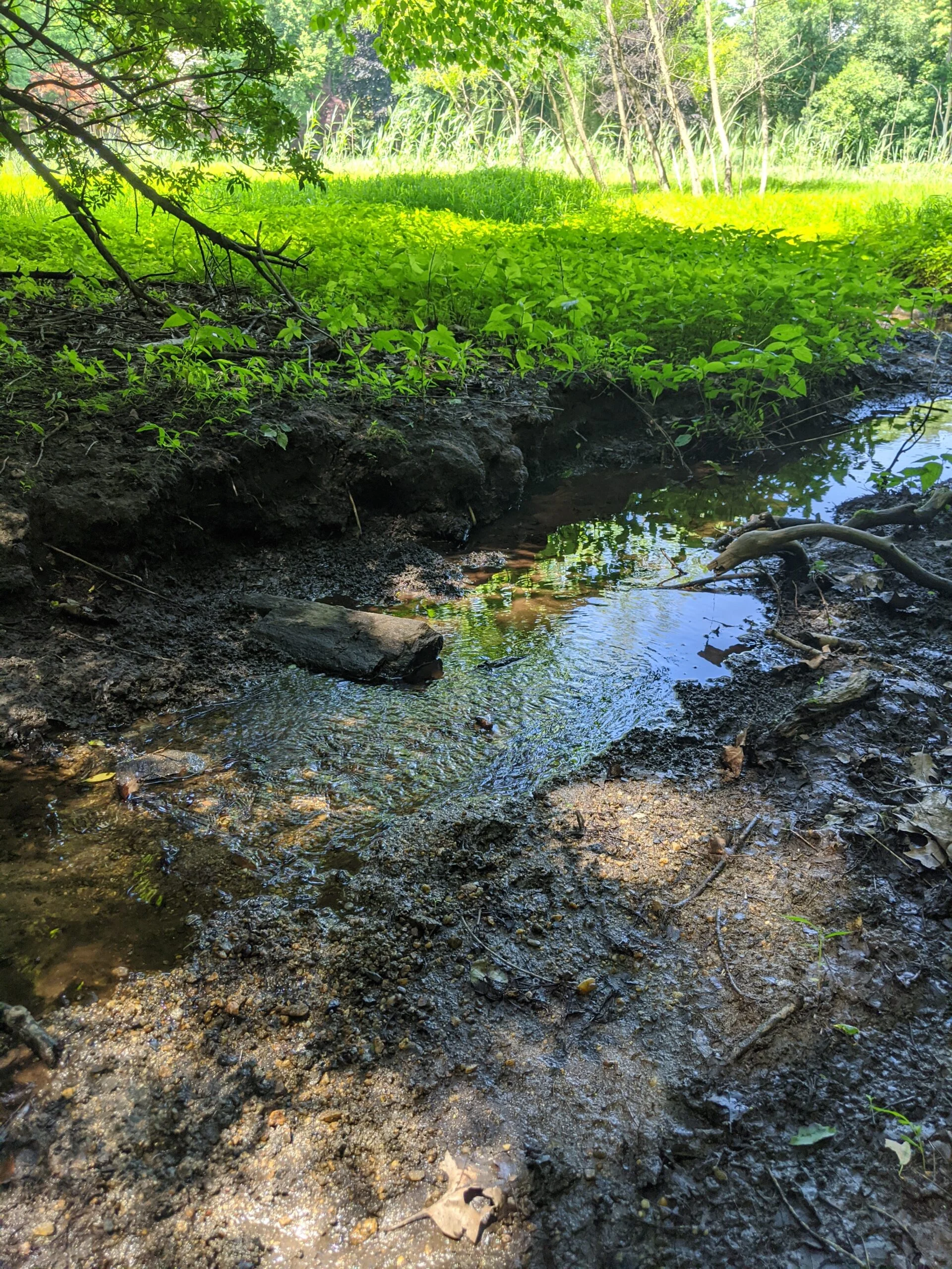
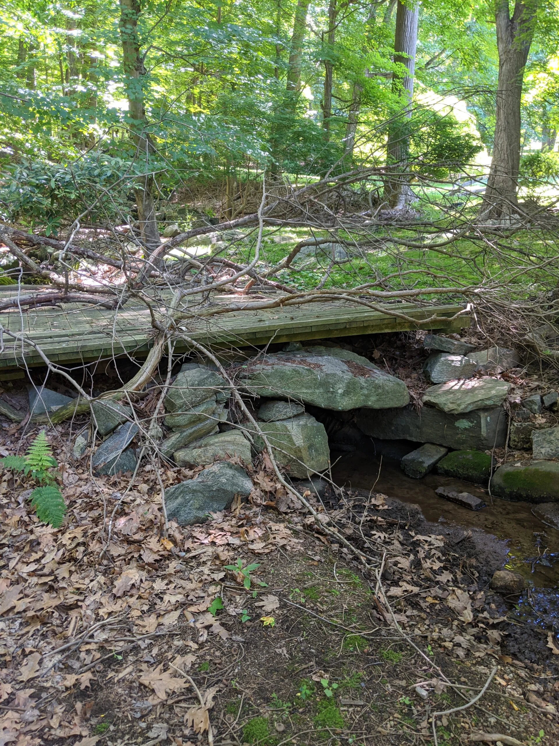
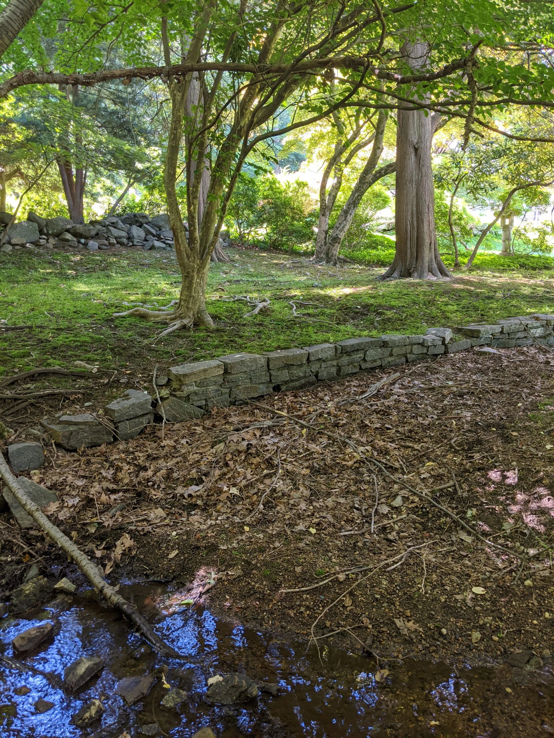
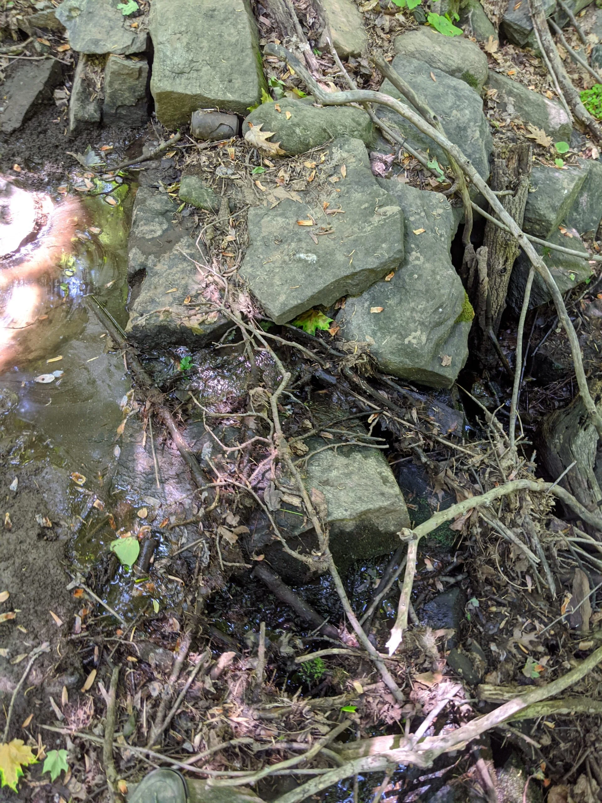
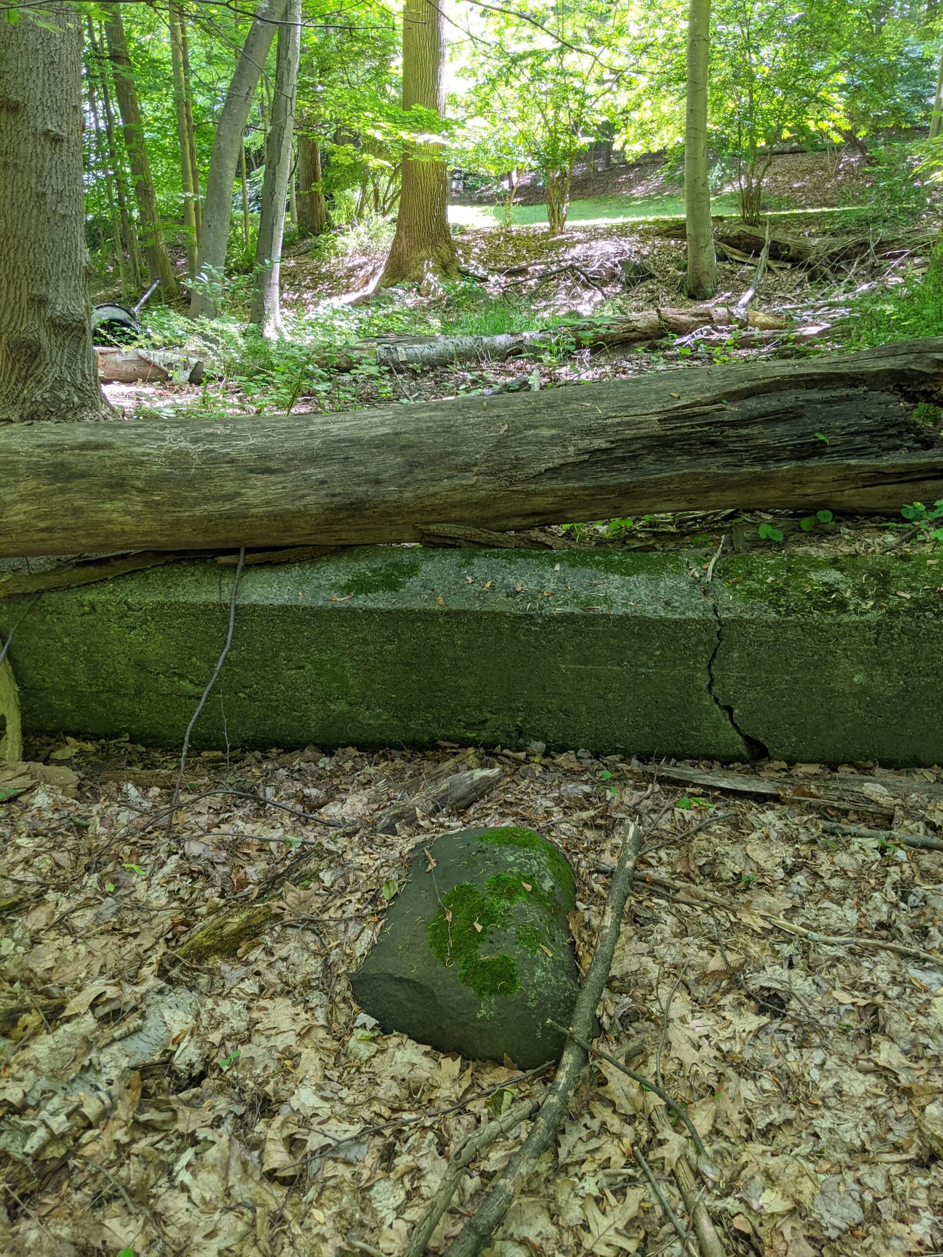
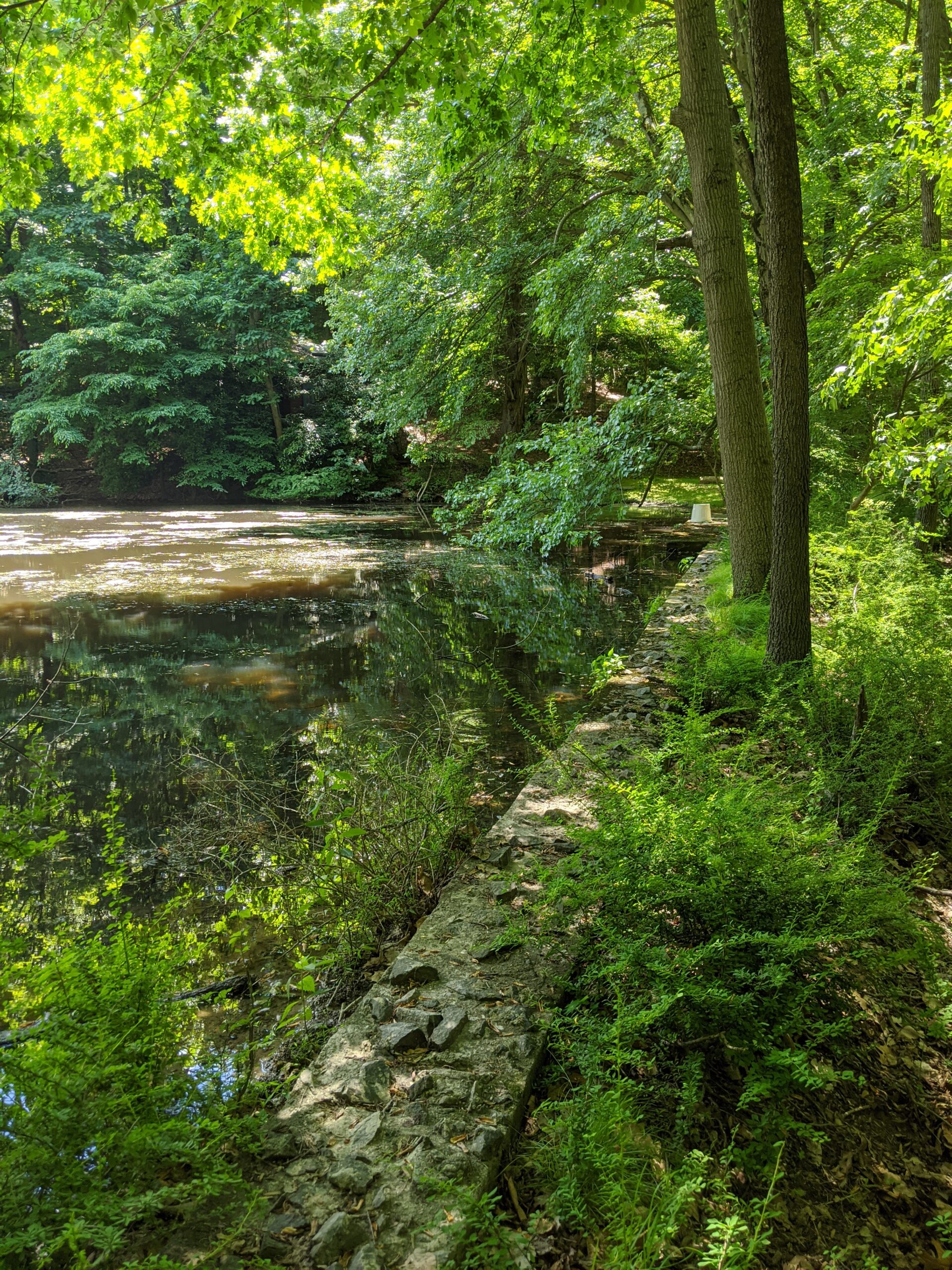
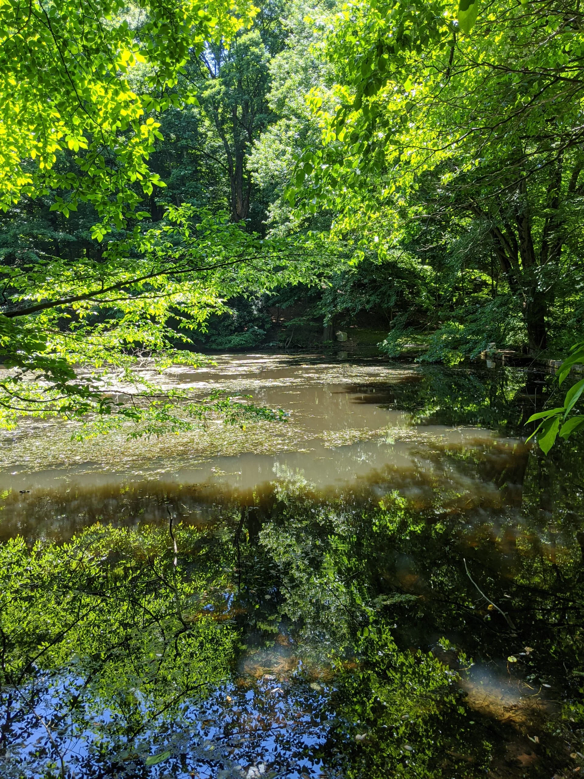
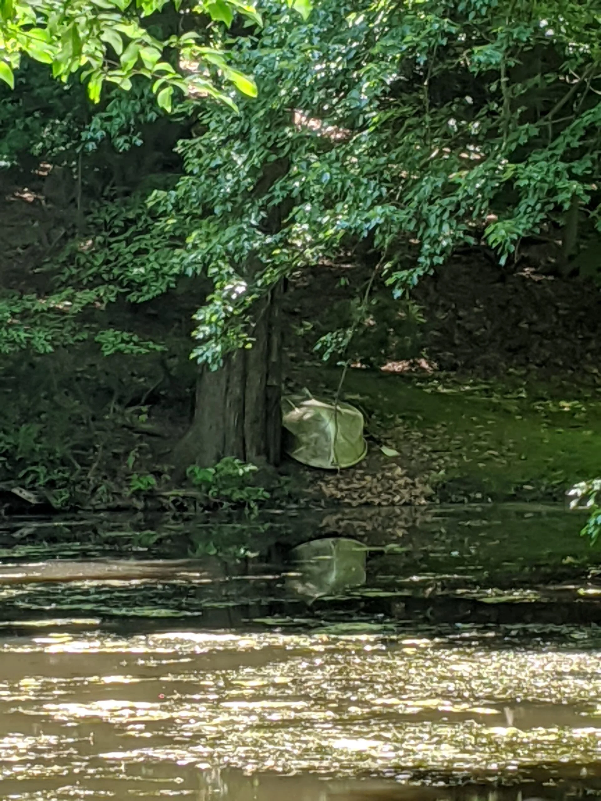
I hugged the northeast border to make my way to the Sheldon Avenue parking lot, then stayed tucked against the northwest boundary of the park. I came across a cool stream and stonework that abuts a private property. I continued to follow the park’s exterior to the northwest as I passed a murky iron-shaped pond on more private land, complete with a rowboat sitting idly on the shore.

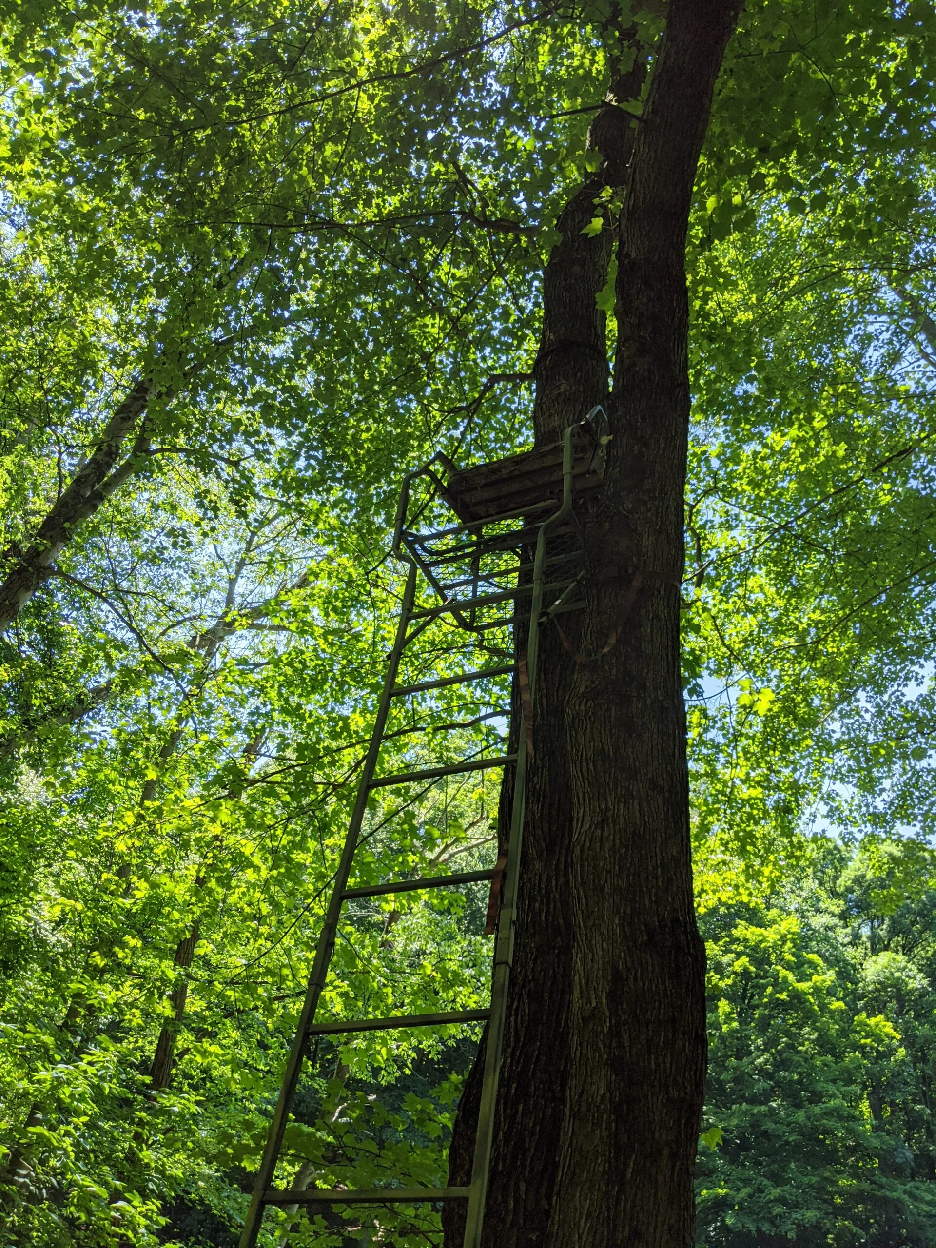
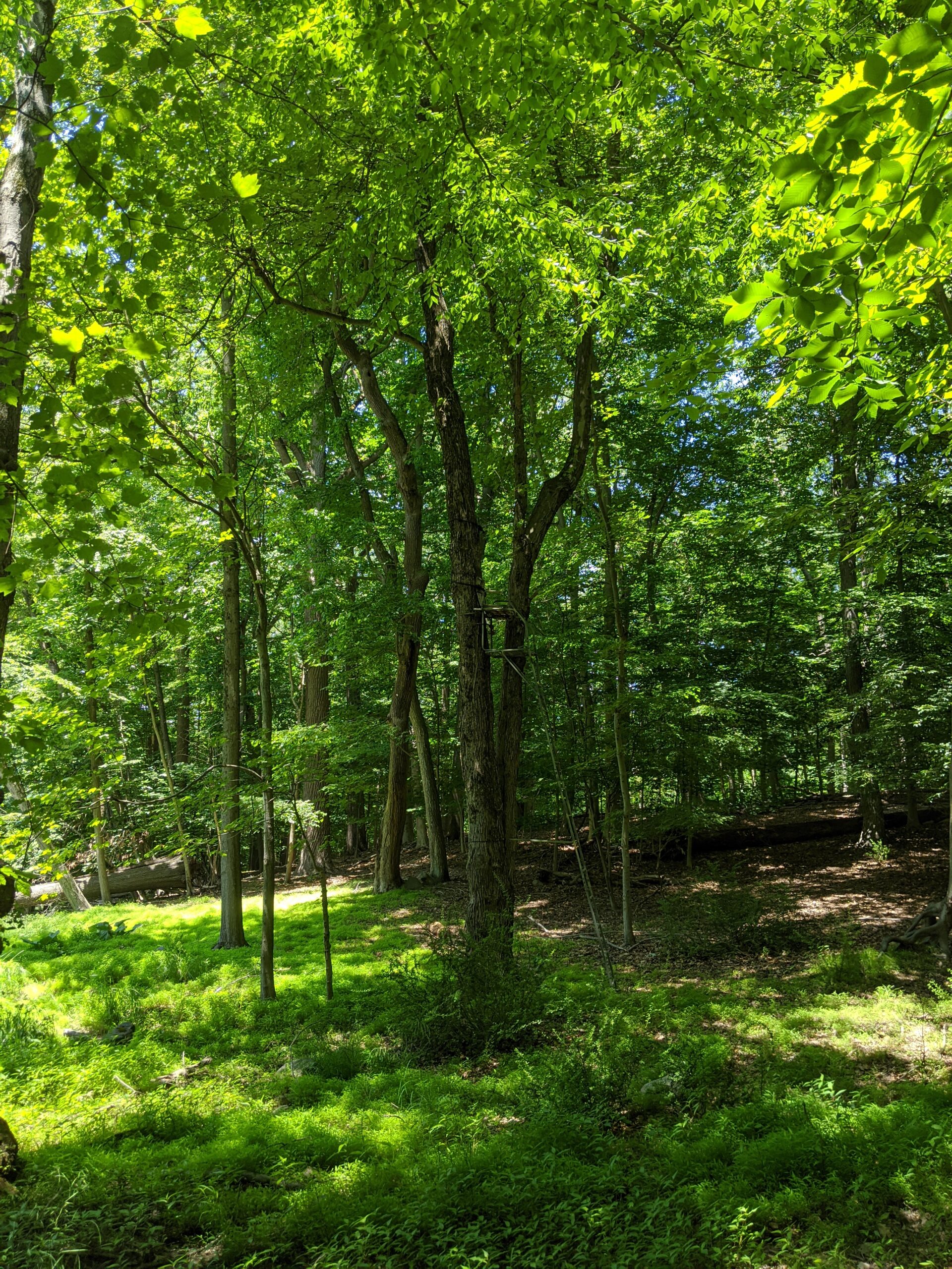
I came across a couple tree stands as I turned to the southeast. I wonder if hunting is allowed so close to the park in the fall. I made it as far south as I could before coming to another property line, so I headed east to try to pick up a trail again.

Much to my surprise, I happened to land within a few feet of the “Woody Crest” chimney where I had started my detour. I had made a big wide and sweeping circle without even planning it or using a map. That was pretty exciting!

From there I traced the orange trail, back to the blue trail, back to the yellow trail, and back to the parking lot. Overall it was a fun hike and I enjoyed going off script to see parts of the park that aren’t normally seen. I will come back at some point and spend more time in that northwest corner that has a lot of goodies!

Photos

GPS Route & Elevation

Loads an interactive map; map tiles are served by the U.S. Geological Survey, which receives your IP address. Learn more about maps and your privacy

528 ft363 ft197 ft

More hikes

Taxter Ridge Park Preserve – Carriage Trail, Water Tower, Danny Gold Blue Trail, Yellow Trail

  • 2.9 mi
  • 191 ft gain
  • 01:11:44

On my second visit, I decided to take the Danny Gold trail to the west (left) this time. A nice, well marked trail took me out to the Mount Pleasant Lane parking lot in no time. It was fun exploring the western and southern parts of the park, including the Tarrytown water tower, that I had not seen on my first visit. The boundary between the park and the residential areas is very thin, but I can understand someone wanting to buy property near an area that most likely will not see any development for hundreds of years (we hope!).

Taxter Ridge Park Preserve – Yellow Trail, Woody Crest, Danny Gold Blue Trail, Orange Trail

  • 2.5 mi
  • 325 ft gain
  • 01:05:25

This was my first hike at Taxter Ridge Park Preserve and my first hike overall in several years. From Taxter Road, the yellow trail starts in a lush green area, heading up a moderate slope. There are shaded areas and sunlit openings. There are several downed trees, shrubs, and other greenery. It's an easy trail and is clearly marked. Be sure to checkout the brick remnants of "Woody Crest", a former home for handicapped children, along the way. I see a lot of beauty in this park and will be back to explore the other trails and areas.

The Irvington Woods – Hermit’s Grave, Macy’s Monument, Irvington Reservoir

  • 5.75 mi
  • 846 ft gain
  • 02:29:41

After a long break, I returned to one of my favorite hikes: The Irvington Woods. The park packs in reservoirs, ponds, wetlands, Hermit’s Grave, rock outcrops, overlooks, monuments, carriage trails, and plenty of elevation change. My route linked the blue, red, yellow, and purple loops, passing Hermit’s Wetland, Macy’s Monument and Terrace, Sunset Rock, Irvington Reservoir, Marshall’s Pond, and Ice Pond. It was a beautiful, varied 5.8-mile hike through grasses, pines, open trails, water views, steady climbs, and sunny mid-70s spring weather overall.