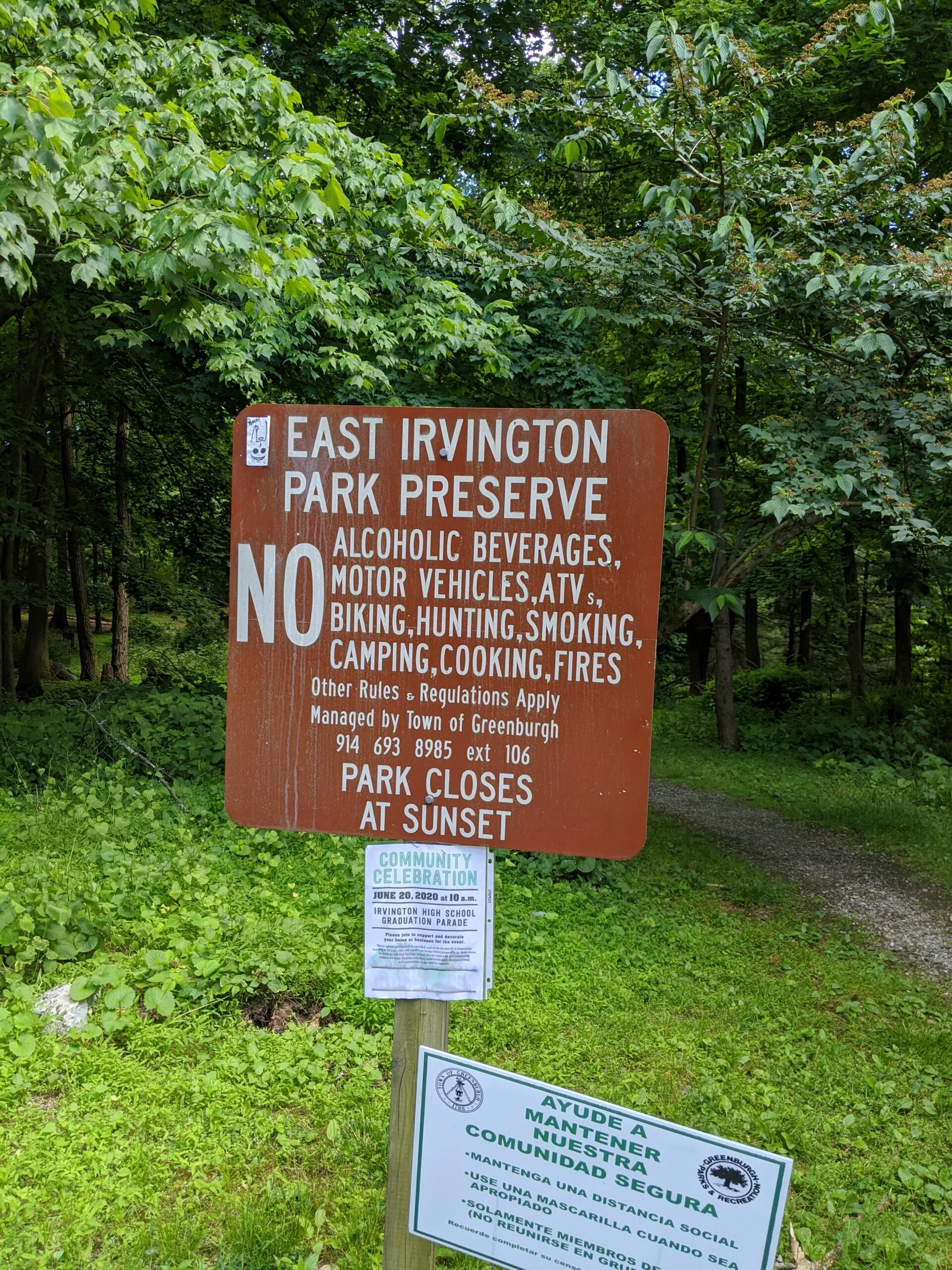
East Irvington Nature Preserve
East Irvington Nature Preserve – Weckquaesgeek Trail
- 2.0 mi
- 239 ft gain
- 01:08:27
- 38 photos
- 1 video
This was technically my second visit to East Irvington Nature Preserve, but the first one was so many years ago, I don’t even remember it.
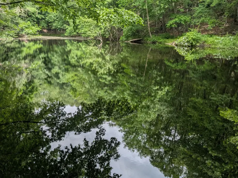
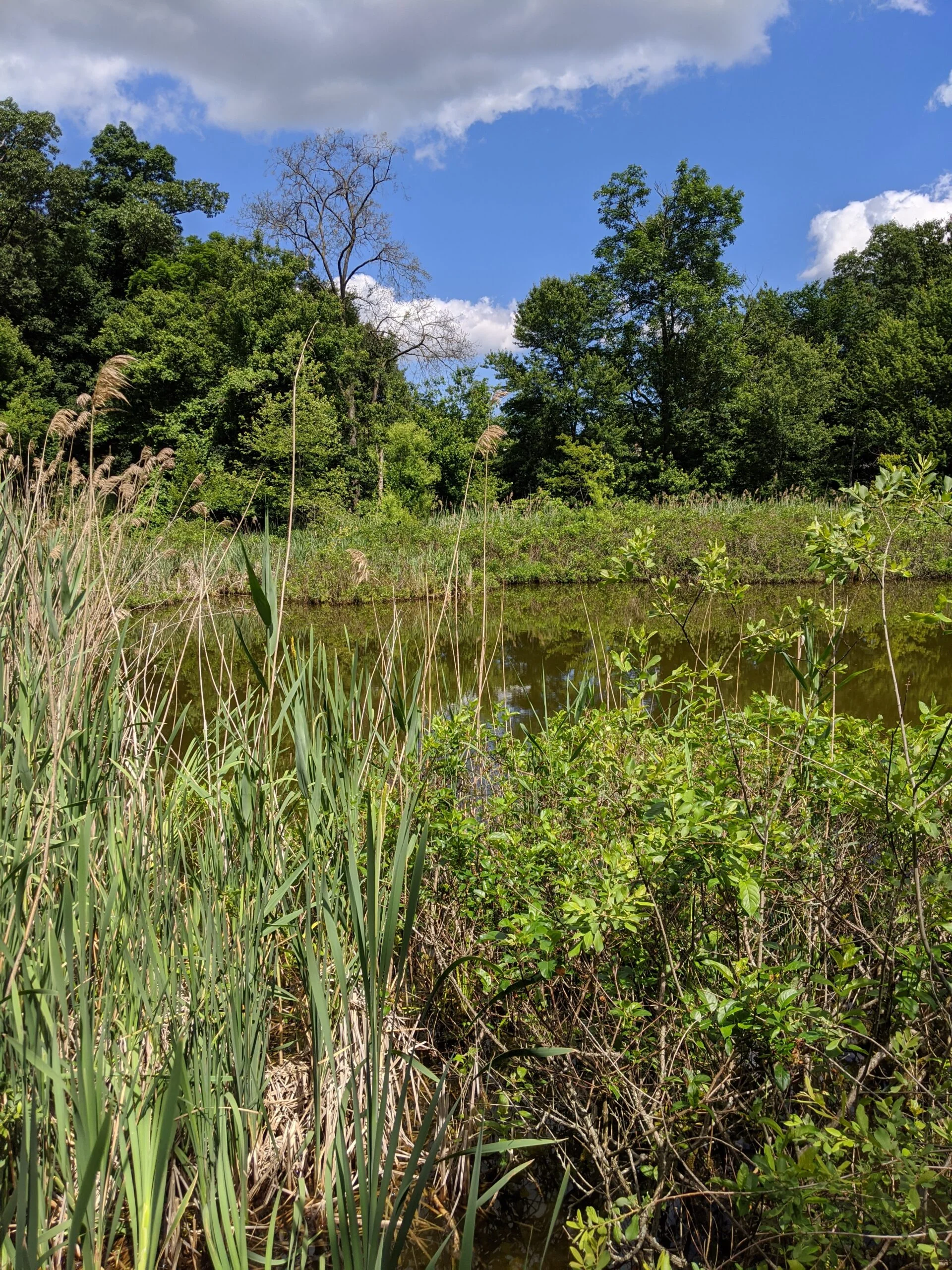
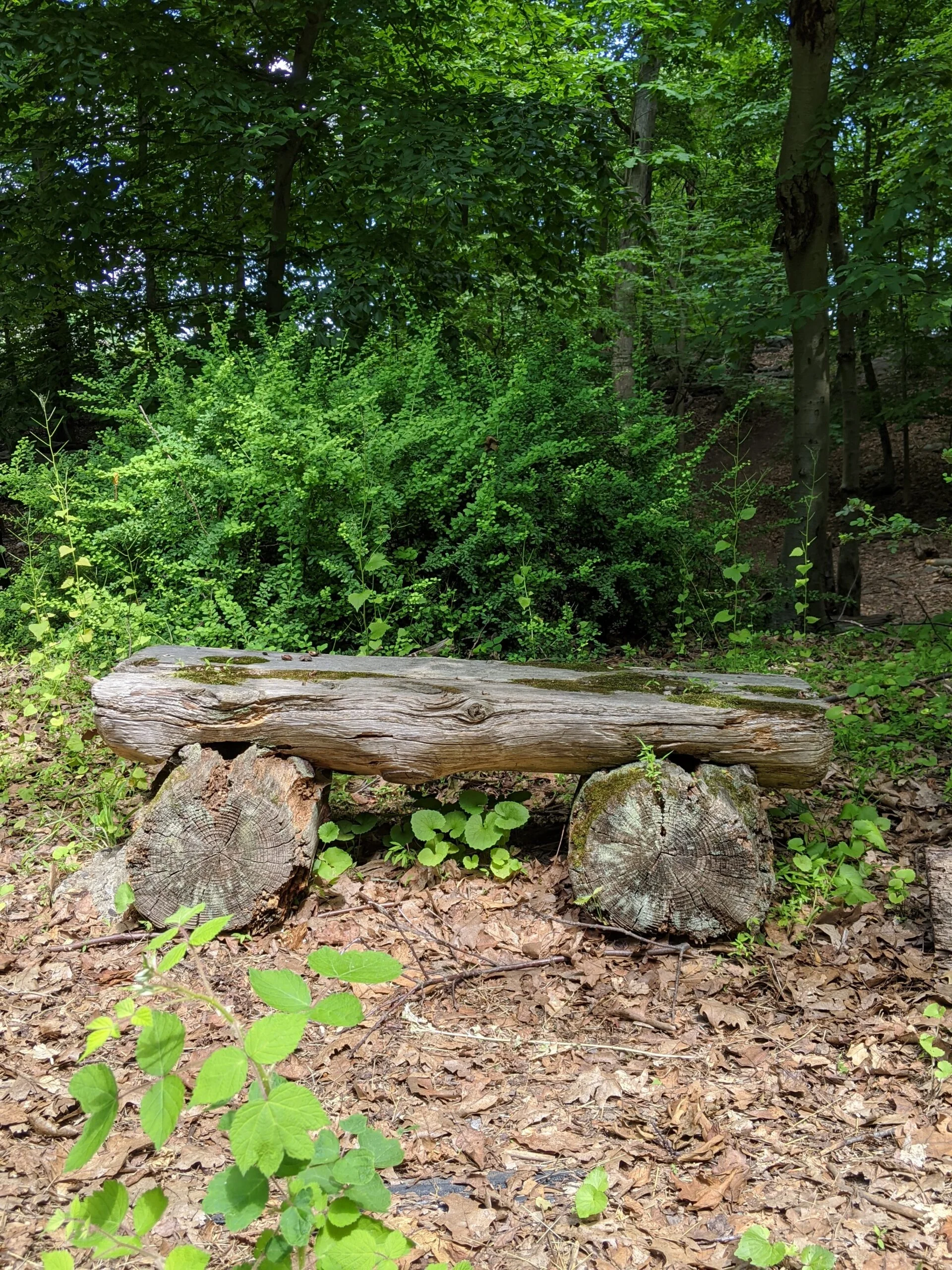
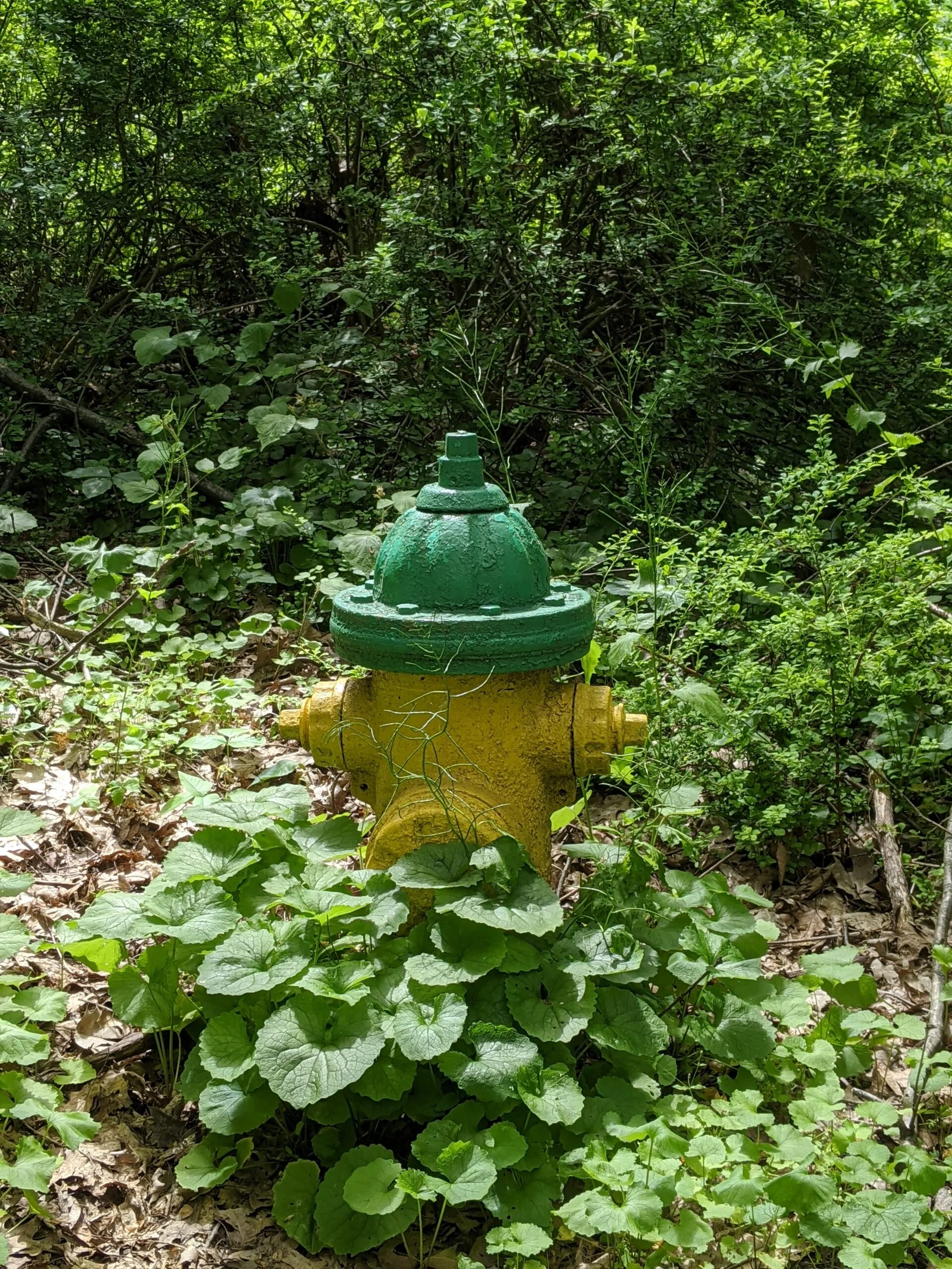
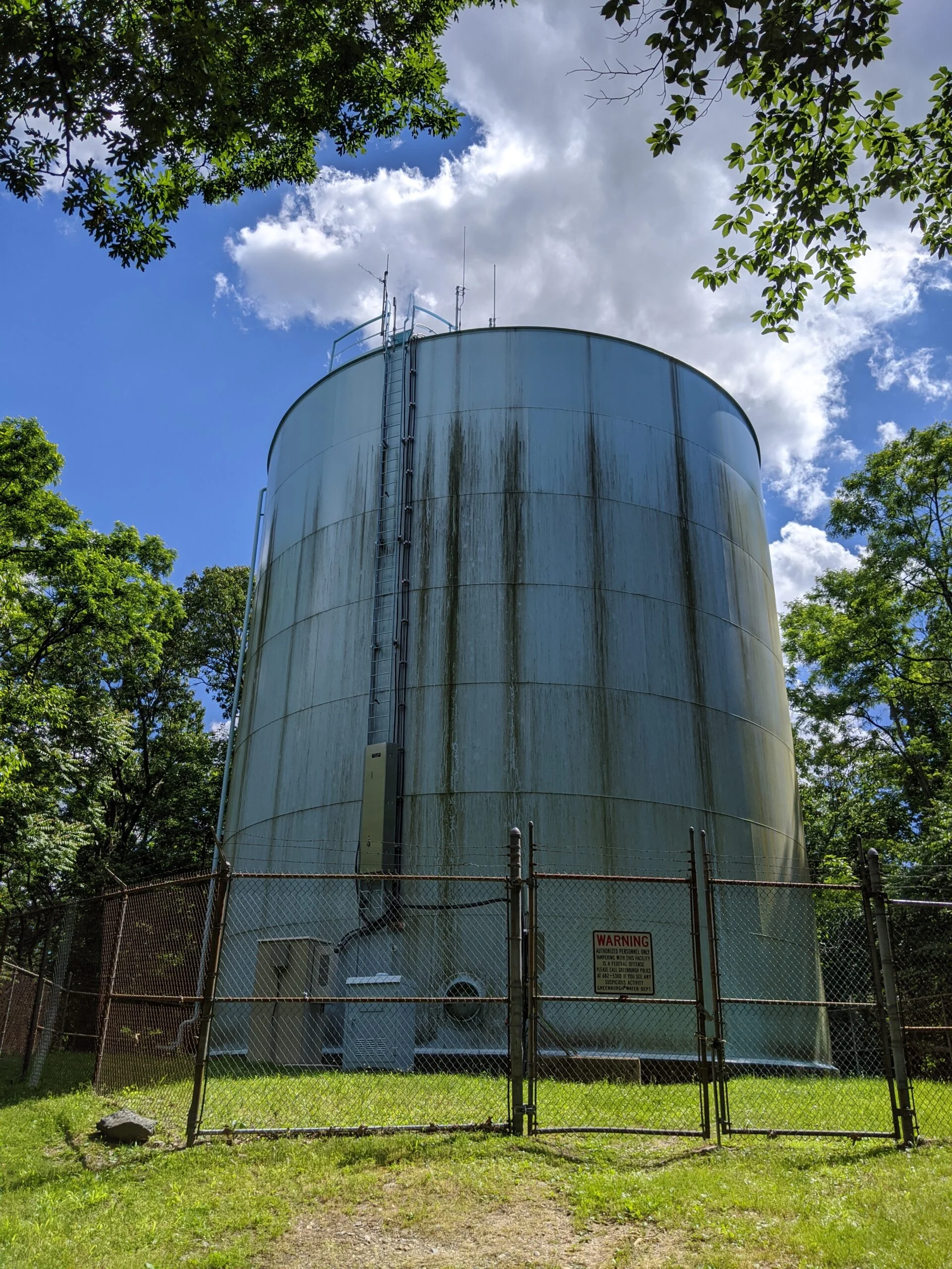
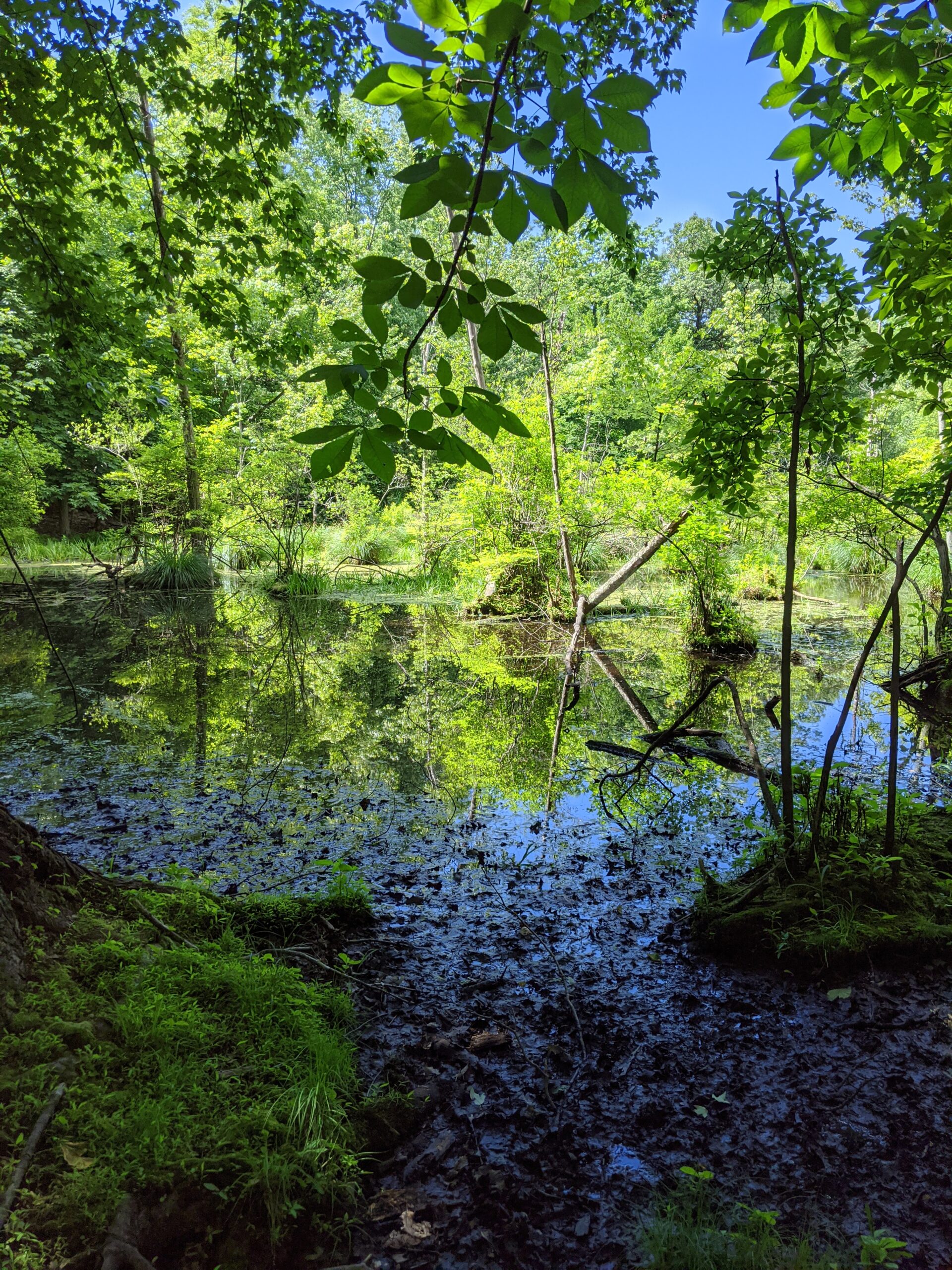
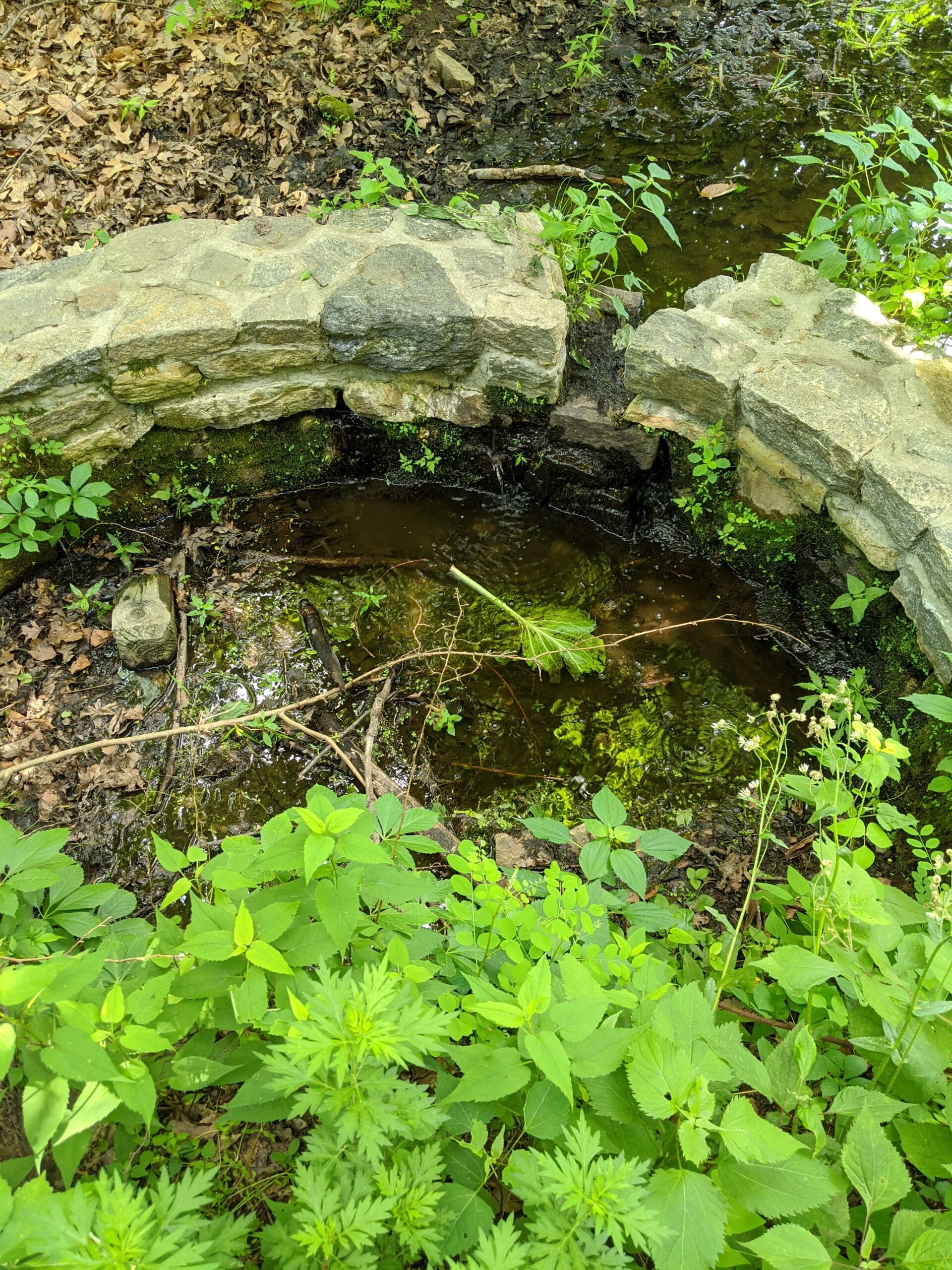
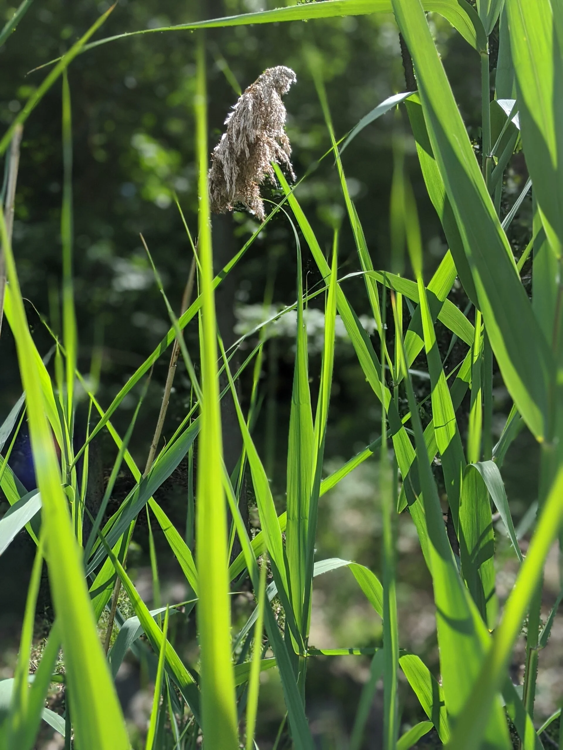
From the parking lot, I took the dirt path up to the gravel road. I was greeted with a greenish brown pond that has a wood deck overlook. After snapping a couple photos, I followed the gravel road to the south toward the water tower. The path is lined with fire hydrants, man-made wooden benches, and plenty of trees and greenery.
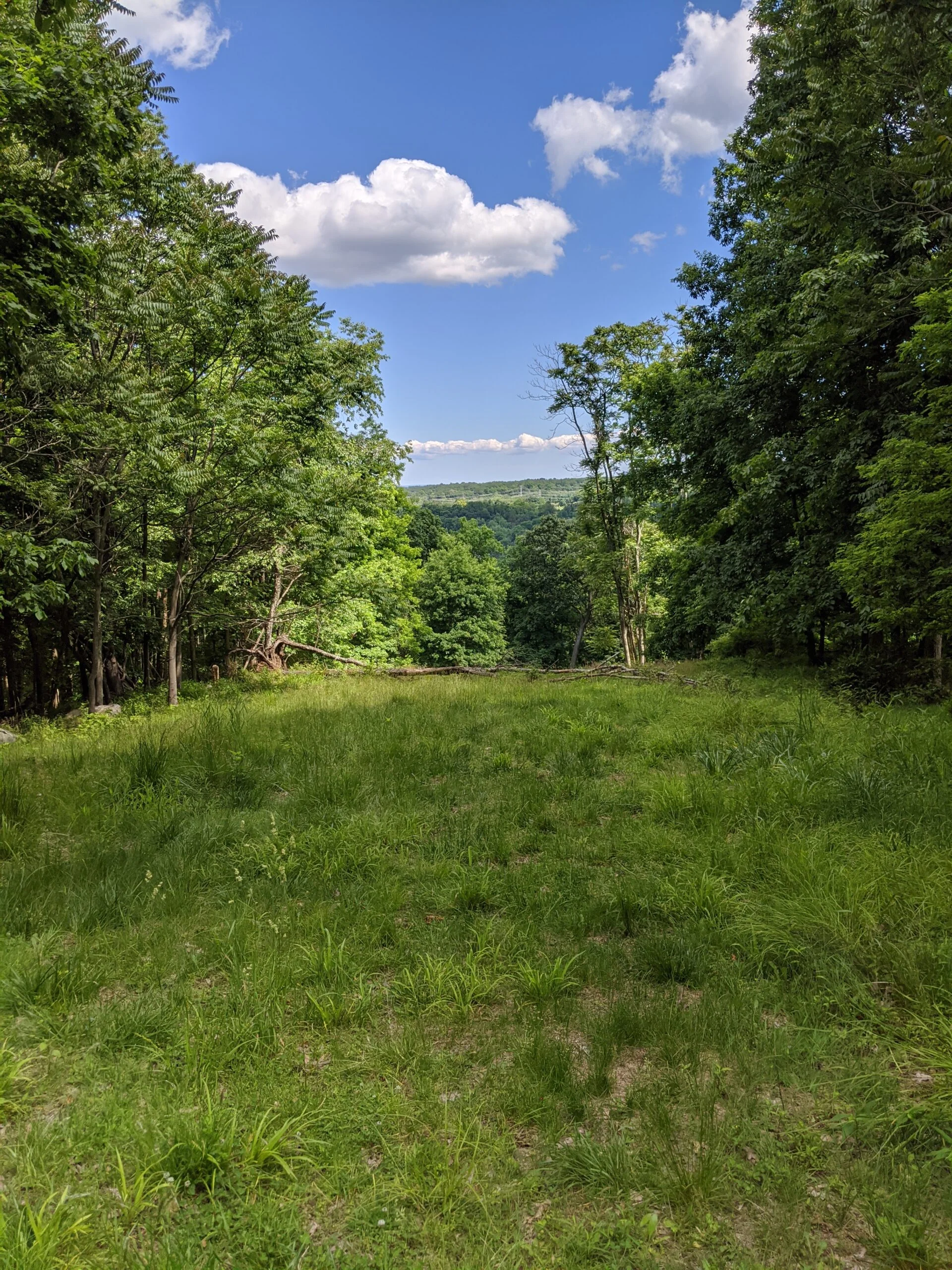
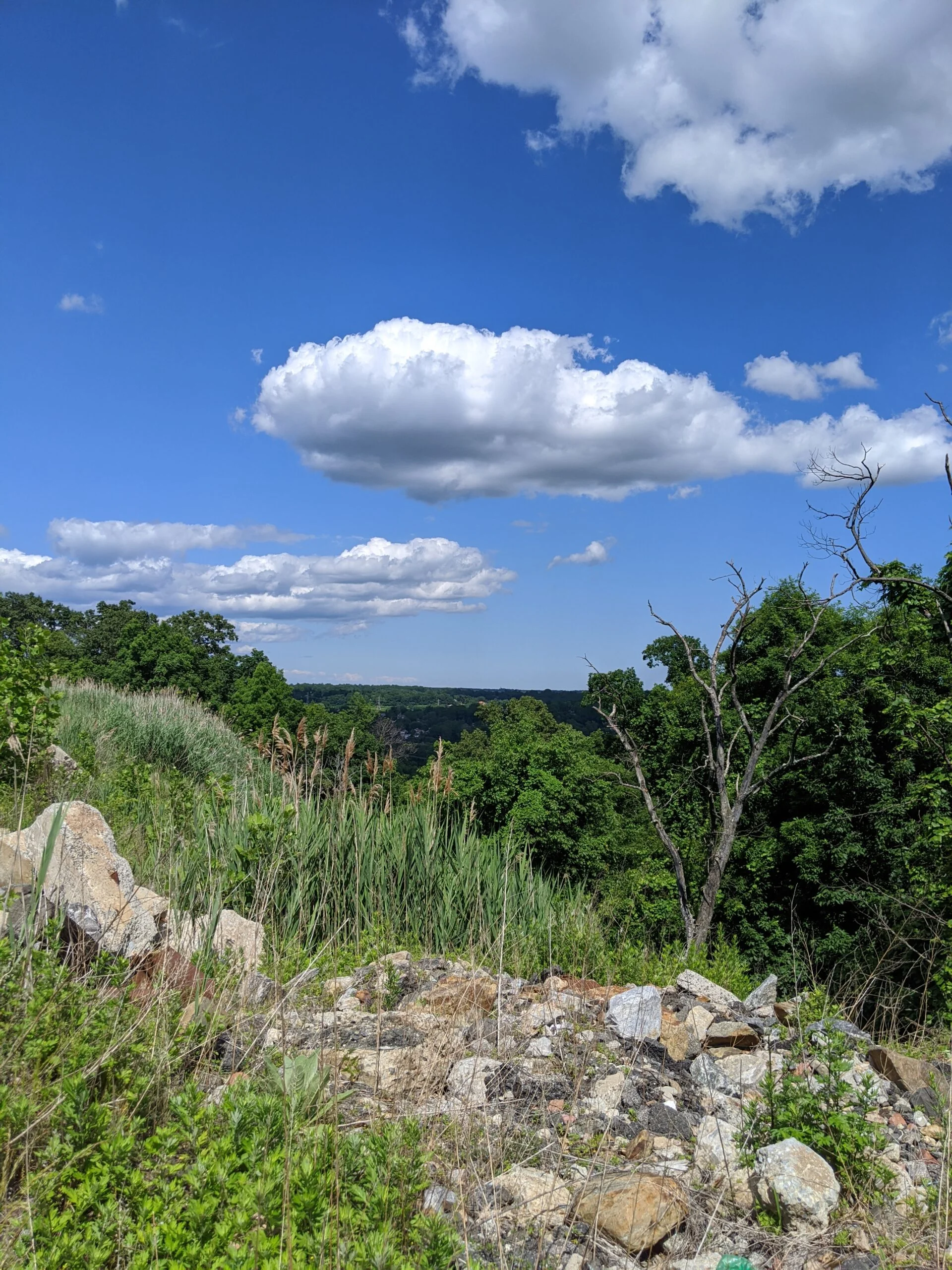
Once getting to the water tower, I noticed a wide clearing that spans down the hill. I originally suspected it’s a Con Edison gas or electric right of way, but after looking at the satellite view, now I am not sure. I like exploring “off trail” and wanted to see where this would take me, since the hike so far was very short.
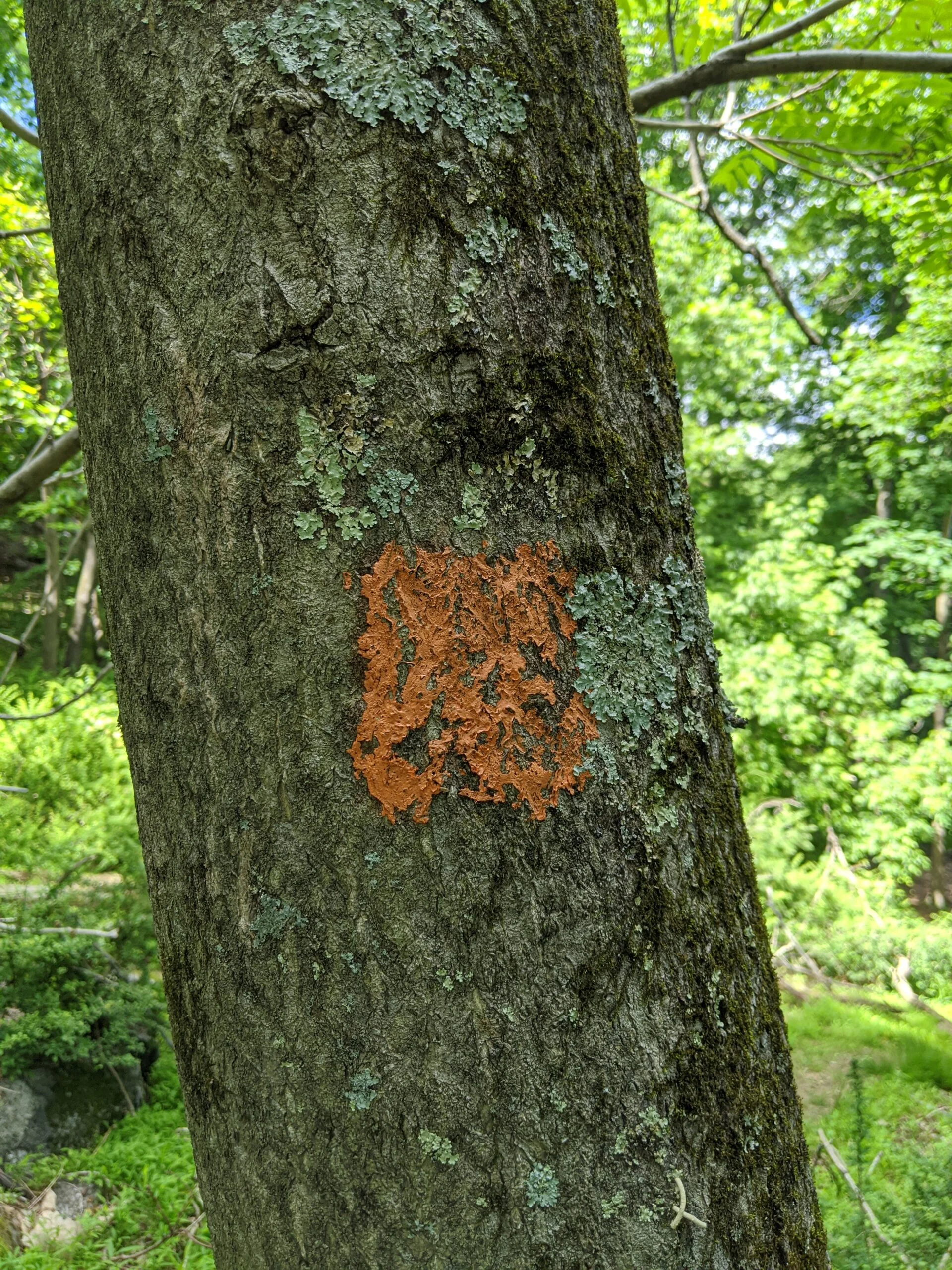
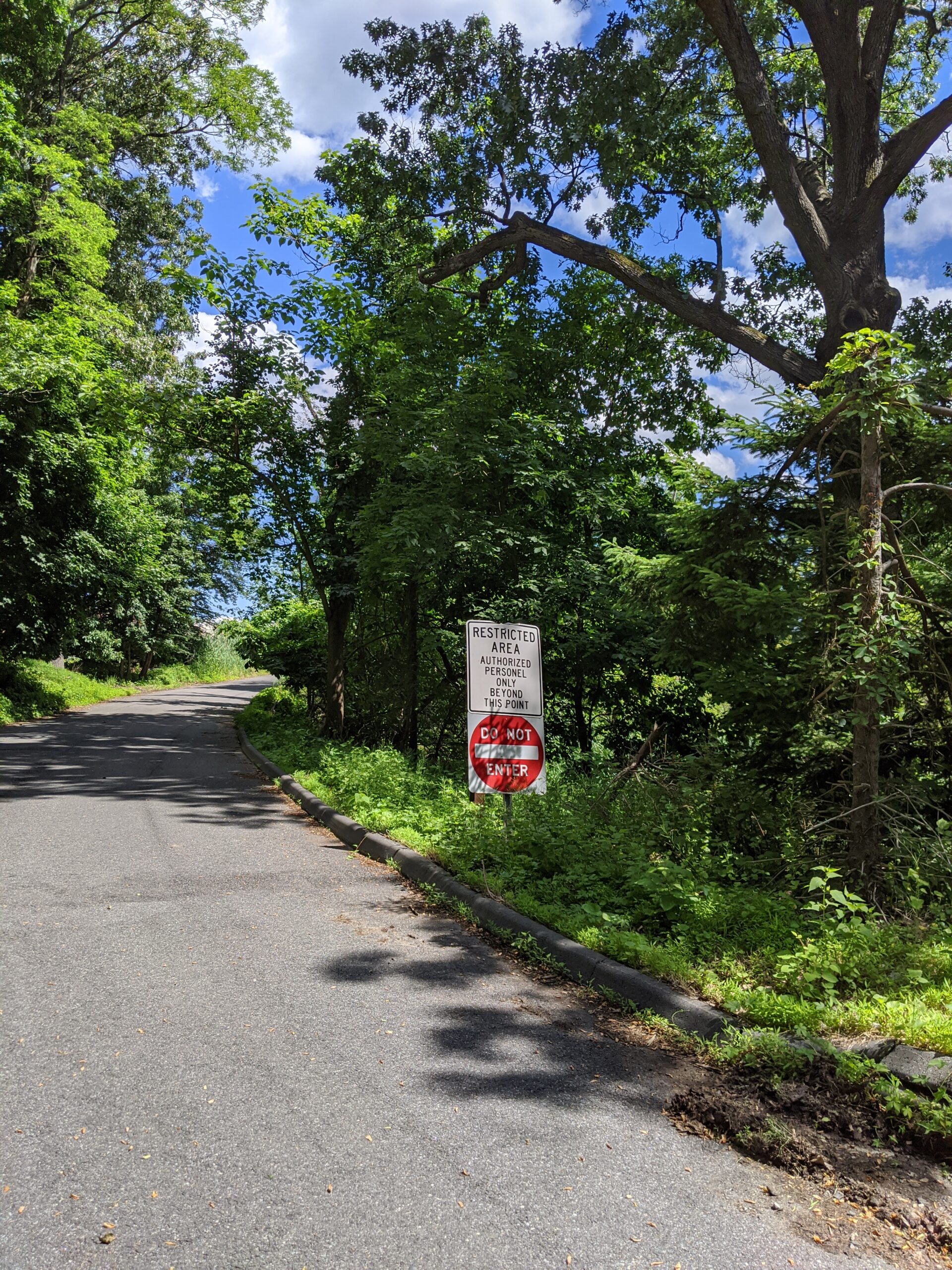
The clearing slopes down and after I went about 300 feet, I began seeing “No Trespassing” signs on the right, so I figured I was nearing the edge of that part of the park. I turned left and happened upon an orange marked trail.
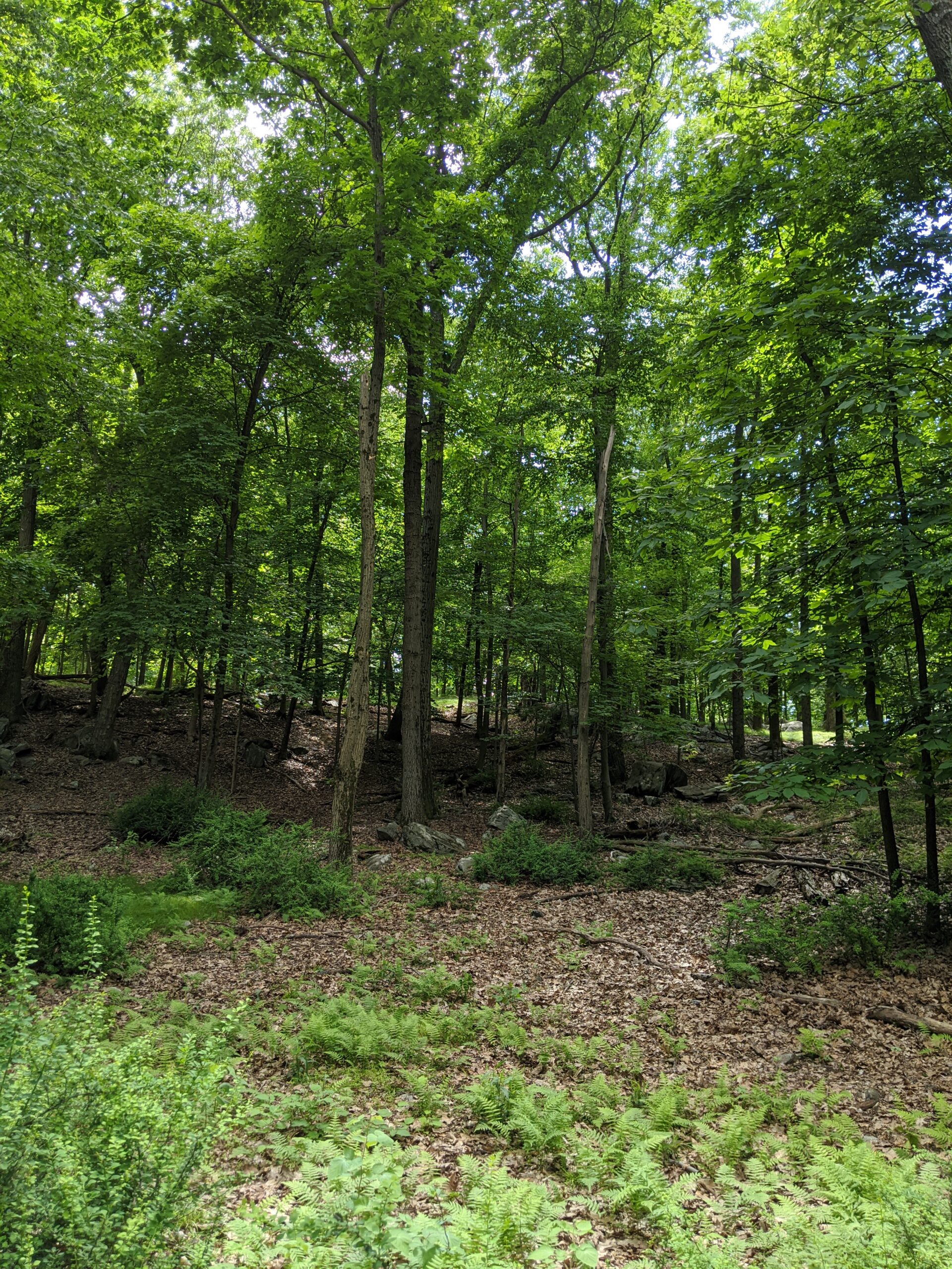
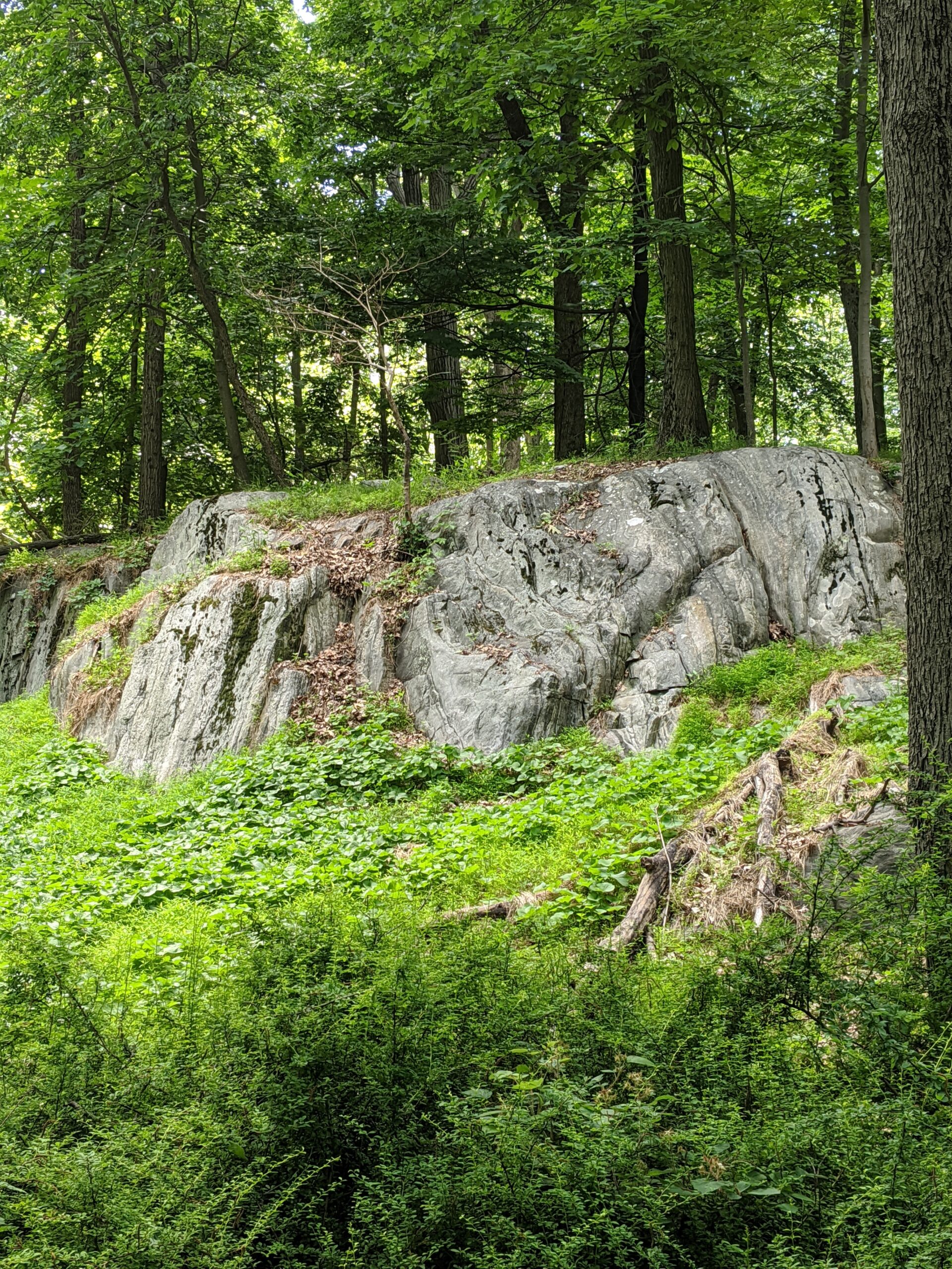
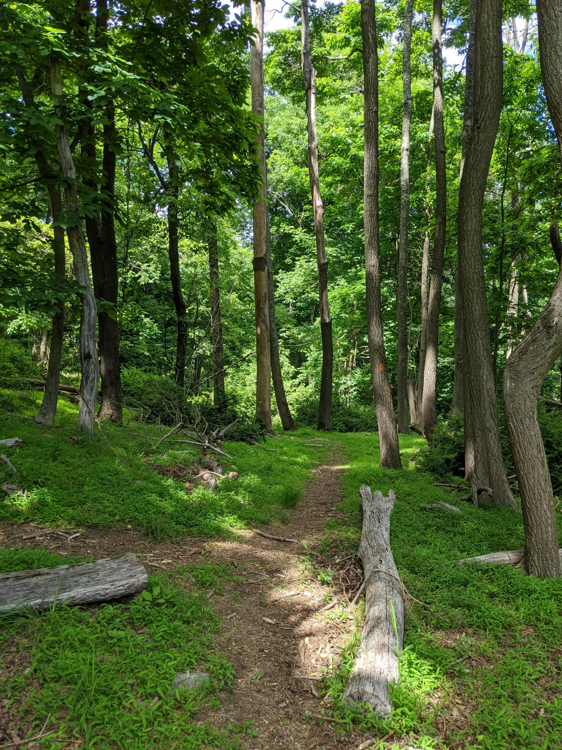
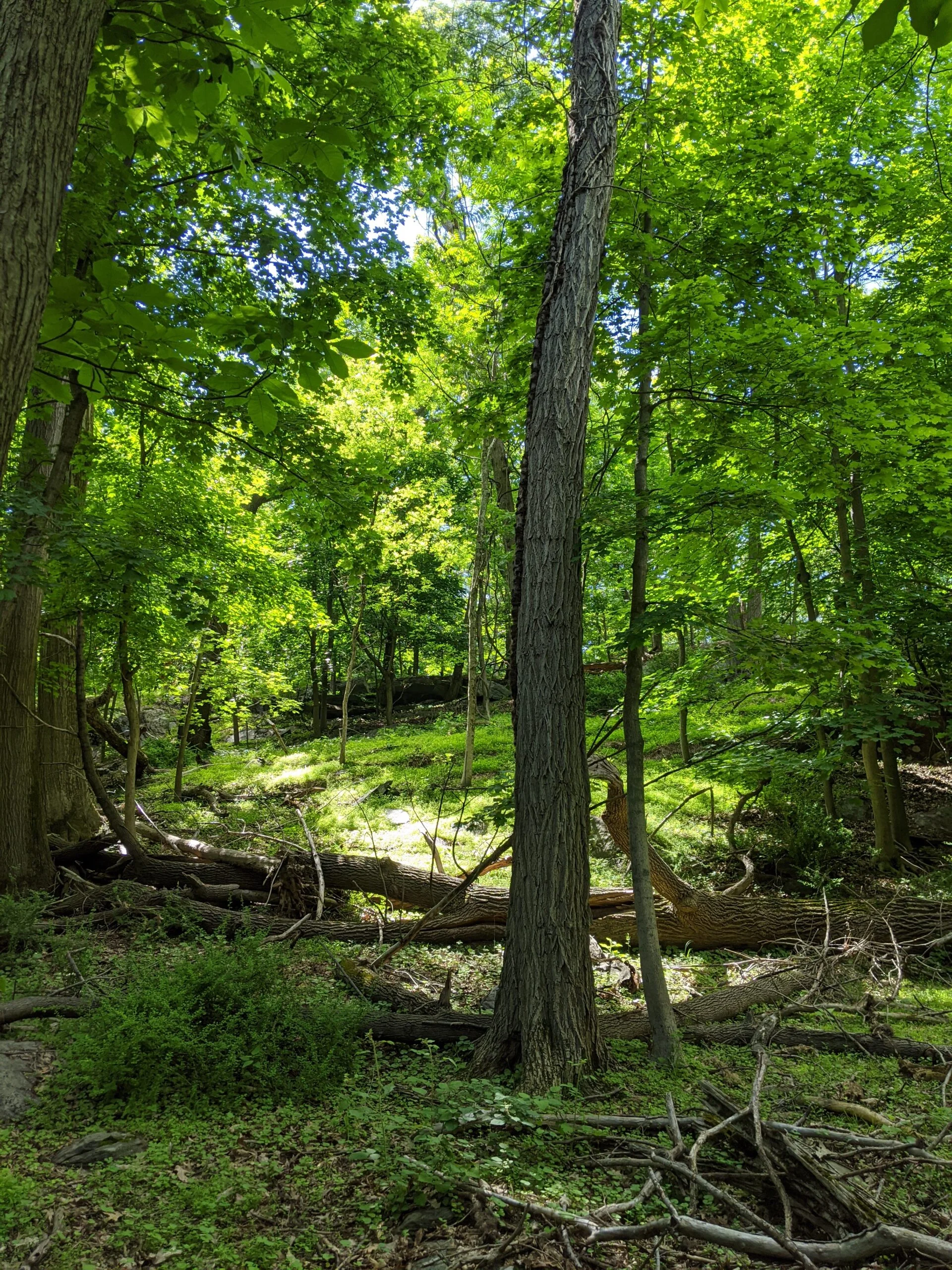
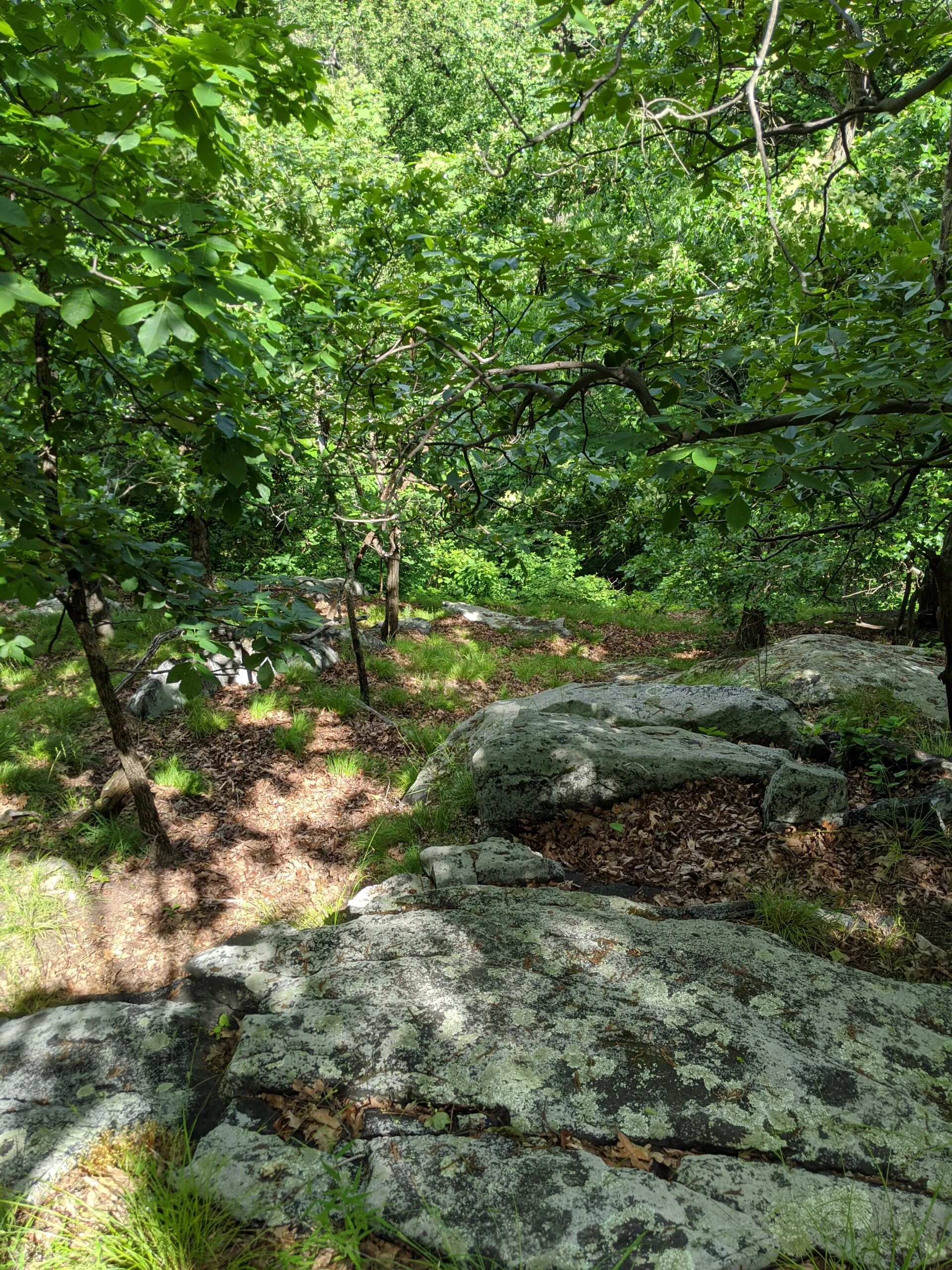
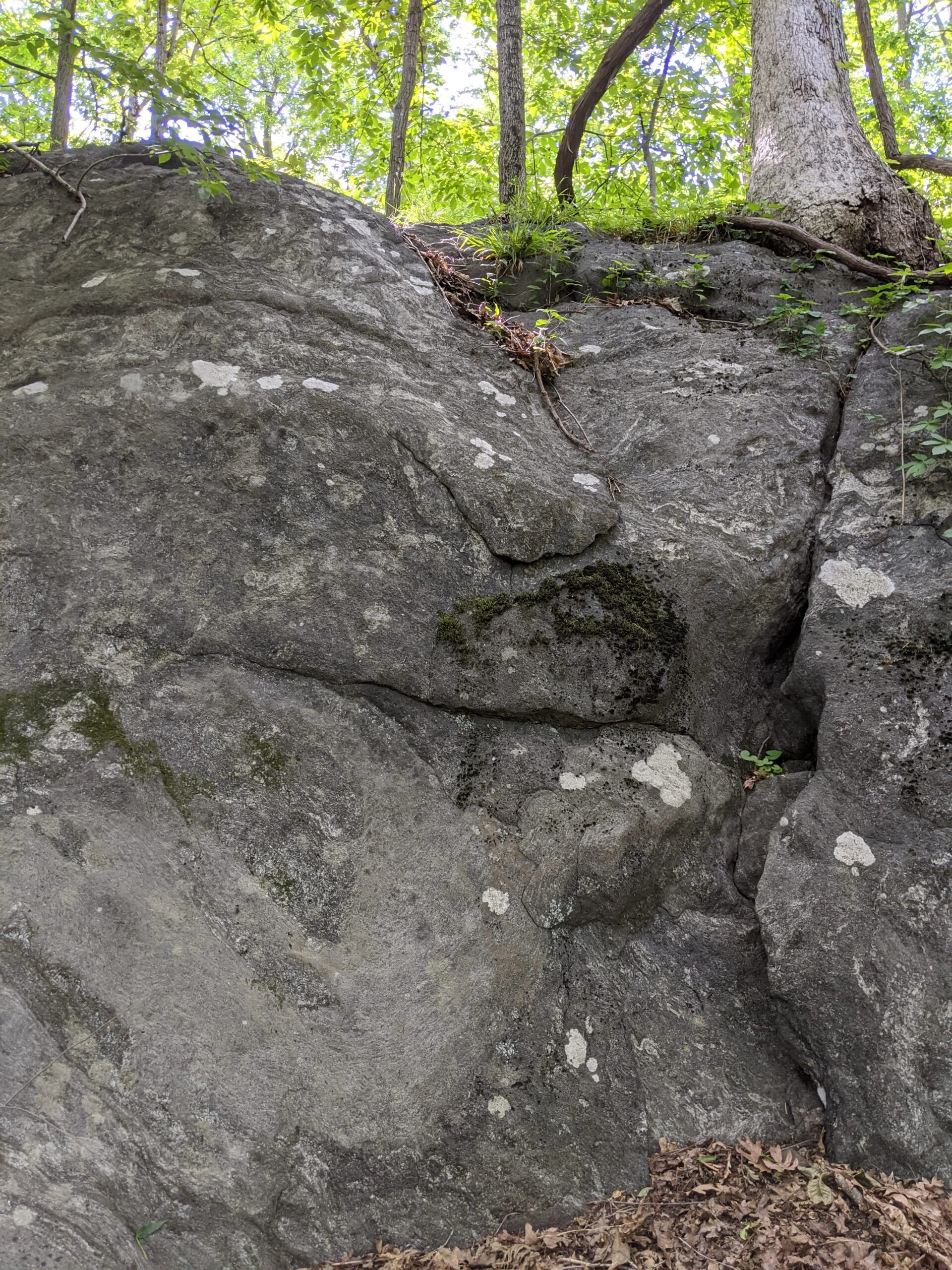
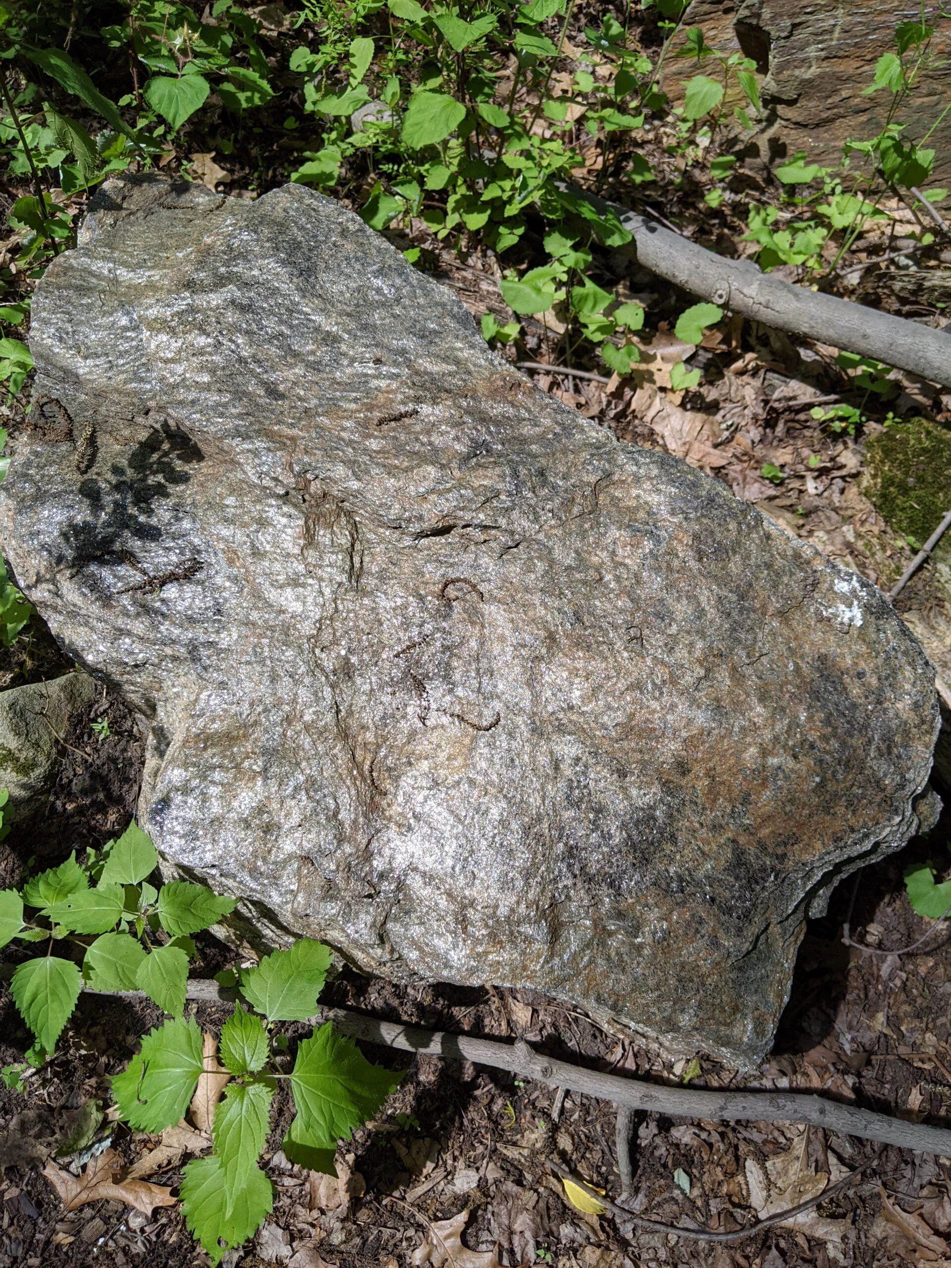
I took that through a nicely forested area with far off views, nice rock formations, and lush greenery. Toward the end, I met up with southern edge of the pond I originally encountered, so I walked over for a closer look.
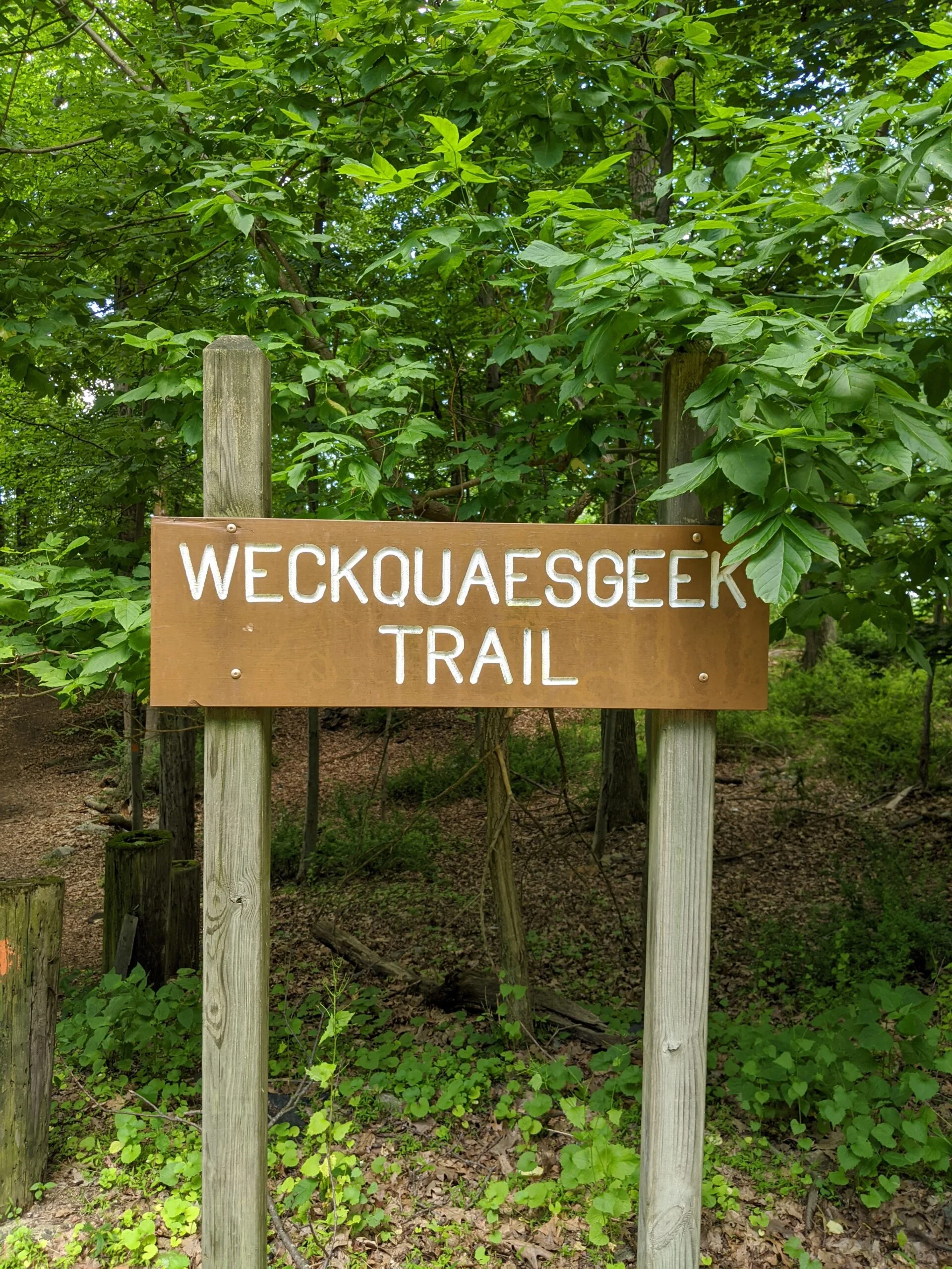
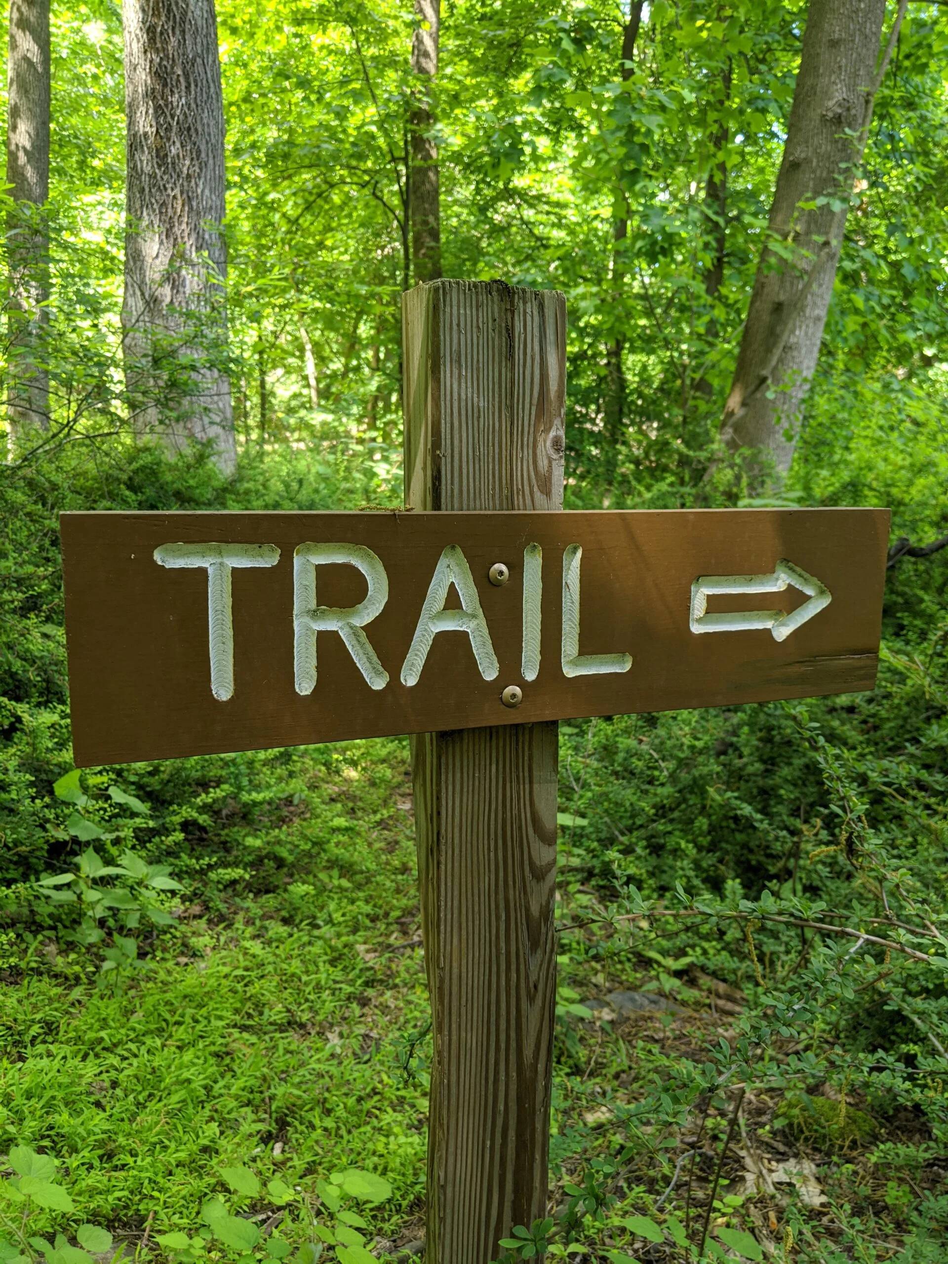
Finishing this route placed me back on the gravel path, next to the “Weckquaesgeek Trail” sign, which I had noticed and photographed on the way to the water tower, but did not realize it was referring to a separate trail off the gravel path. I totally missed the entrance there the first time. Duh! 🙂
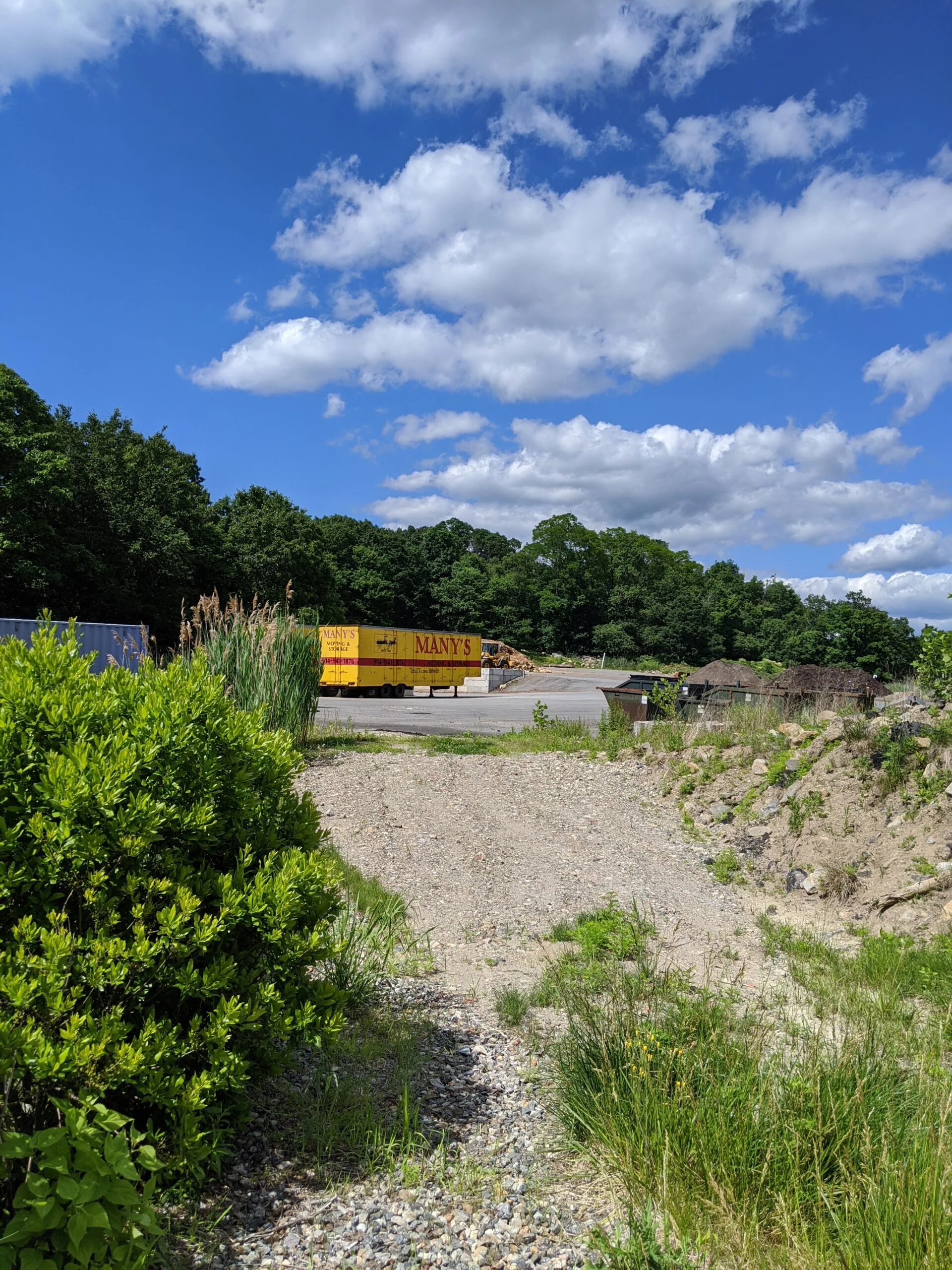
I walked past the pond again, following the gravel path to Town Green Drive and looping back to the parking lot. At this point, I had not gone very far, so I decided to revisit Weckquaesgeek from the other direction now. As I reentered the trail, I noticed some construction equipment off to the left, so I went in for a closer look. It appears to be a storage area for the village DPW and possibly a small covered garbage pit.
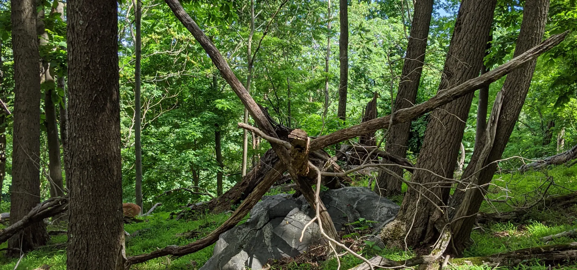
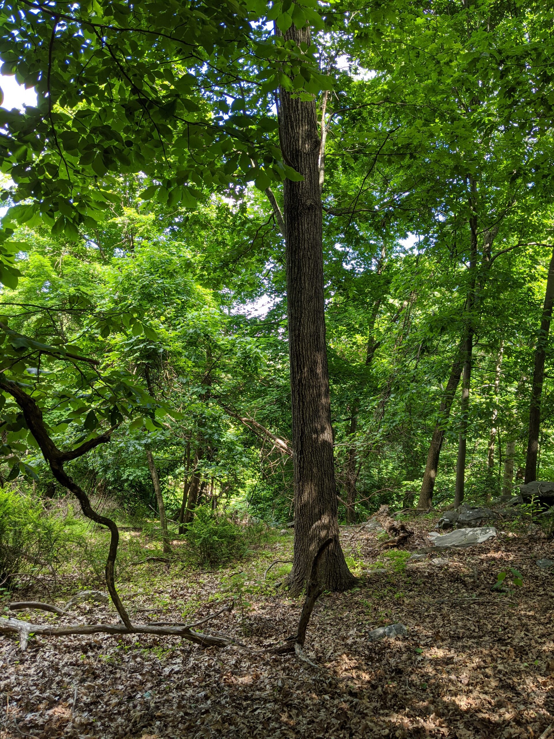
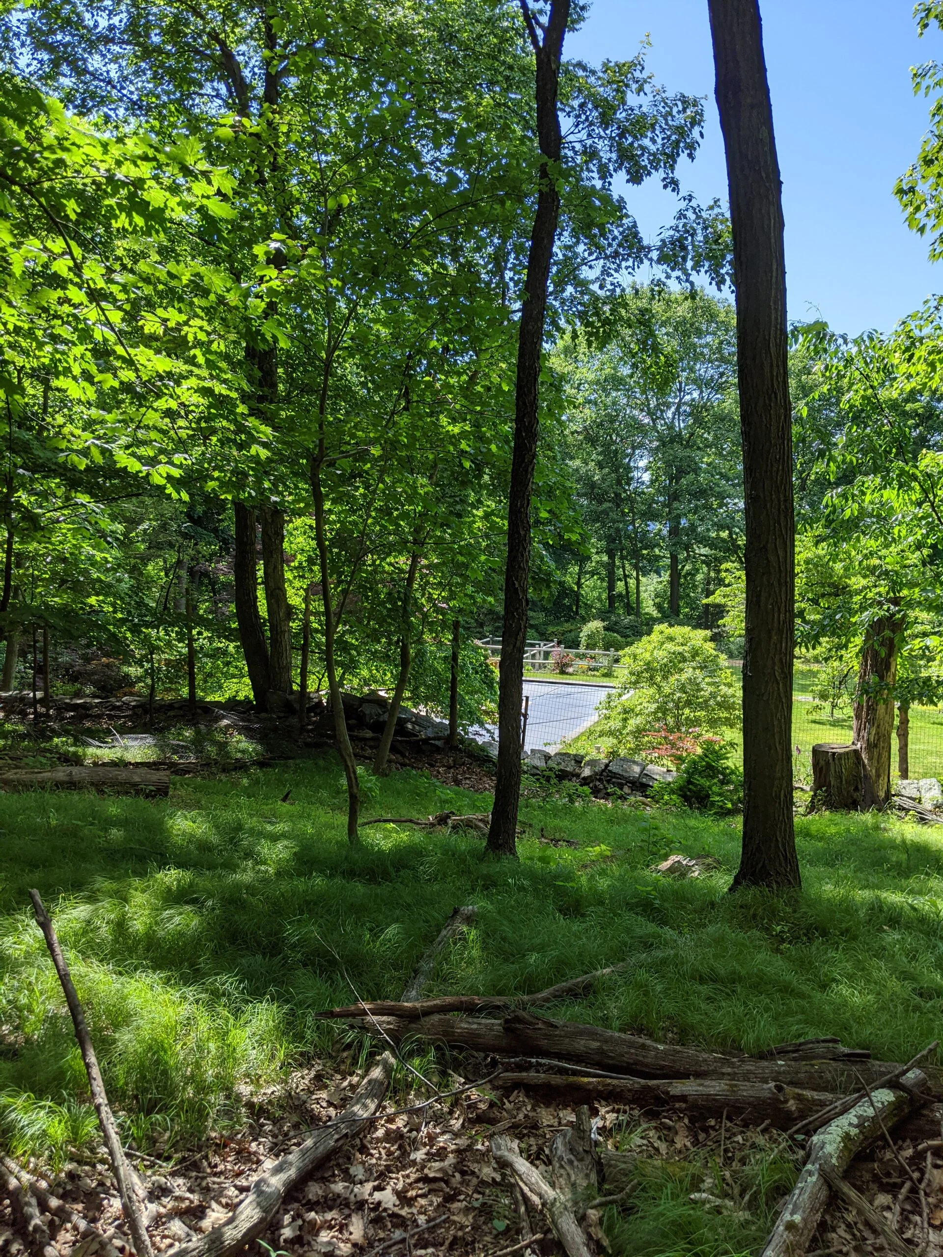
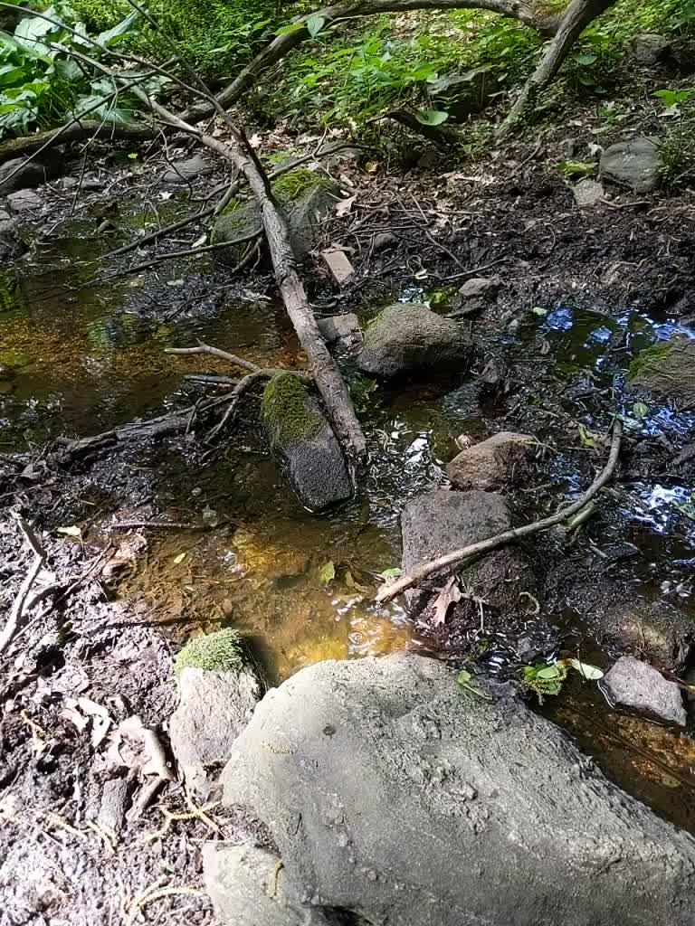
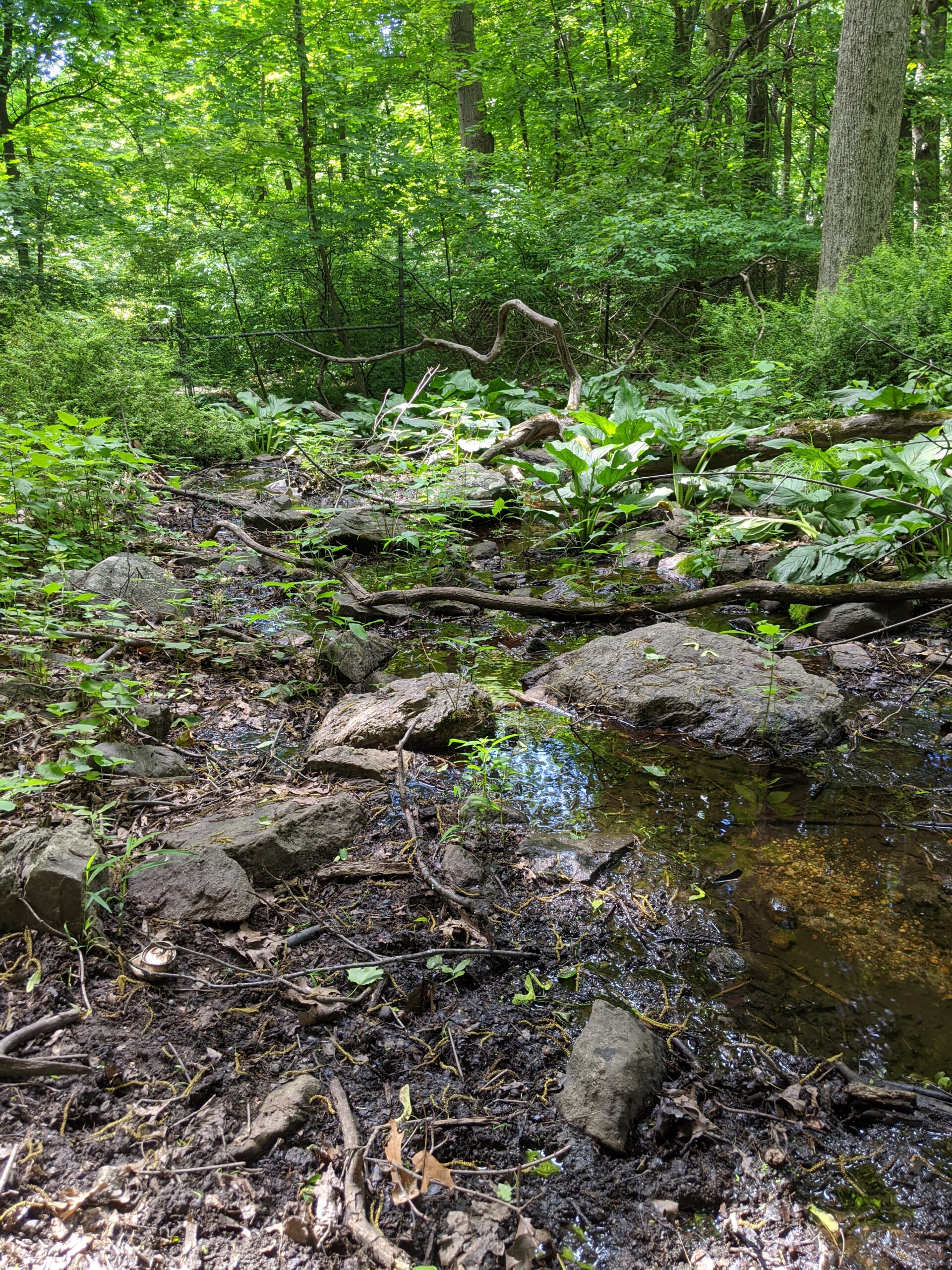
I followed Weckquaesgeek through to the end where it comes out up near the water tower. Then I decided to explore the eastern side of gravel road, across from where I exited the trail. There are no trails on this side, so I hugged the boundary of the park which abuts several private homes demarcated with a fence line. There is a stream in here, pretty rocks, and plenty of dead trees to navigate around and over.
This is a small, but quaint and quiet area. I imagine there are some good valley views in the fall and winter with less leaves. This is a really nice one-mile trail for beginners or for those who don’t have a lot of time. I was able to squeeze an hour of activity and 2 miles in by looping through a few times and exploring off the paths.
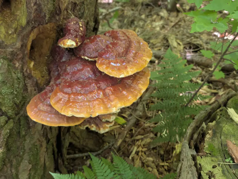
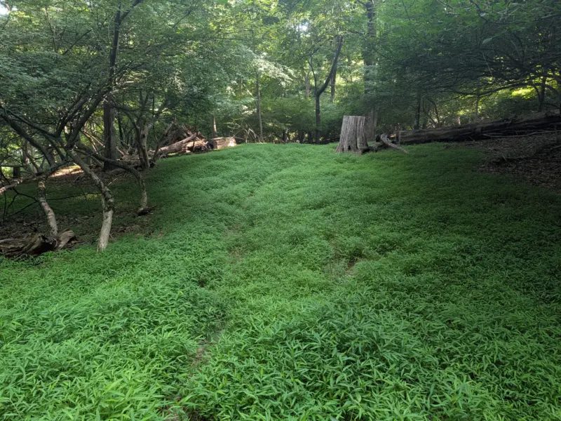
Photos


GPS Route & Elevation
Loads an interactive map; map tiles are served by the U.S. Geological Survey, which receives your IP address. Learn more about maps and your privacy