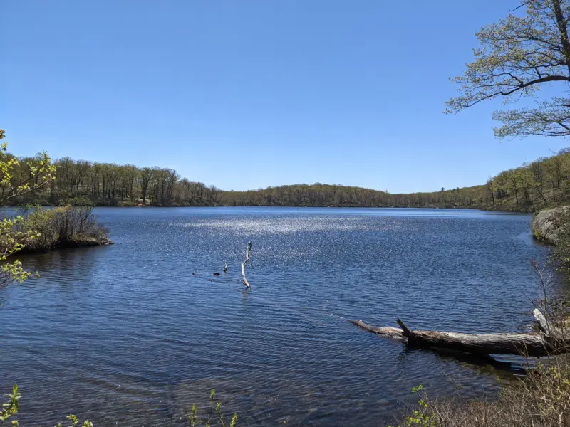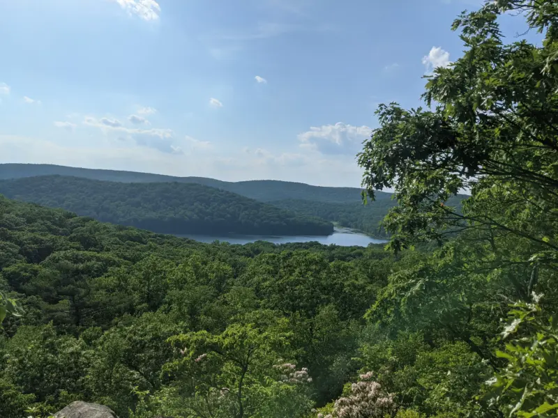
Harriman State Park – Turkey Hill, Stockbridge Mountain, Black Mountain, AT, Long Path
- 13.5 mi
- 2,339 ft gain
- 08:10:19
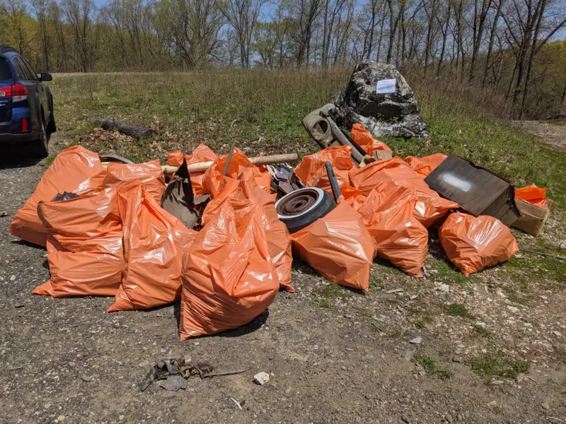
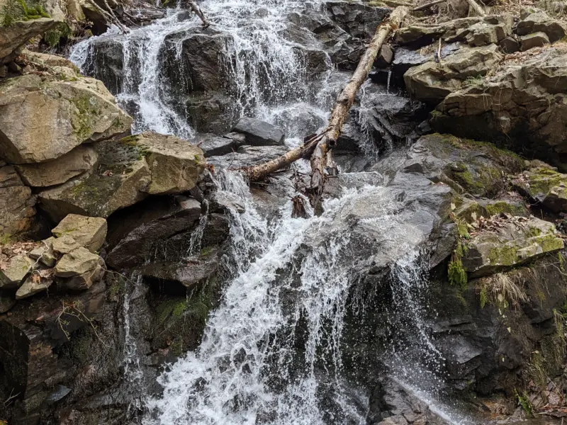
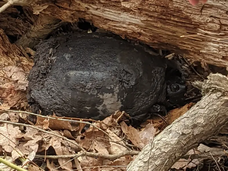
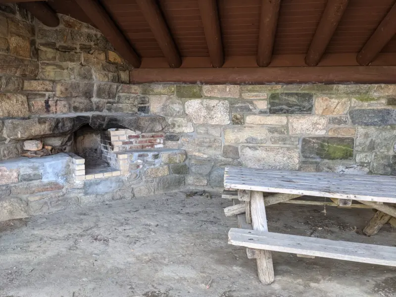
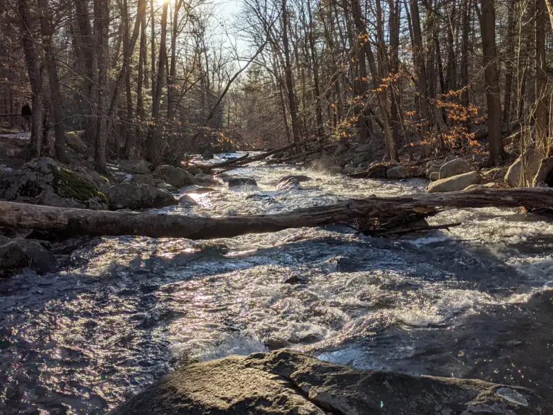
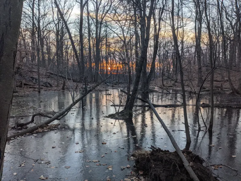
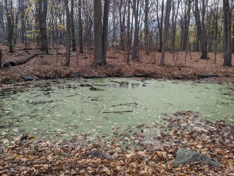
I came out of this hike completely soaked in sweat. This is the first time I really pushed through the heat for such a long distance. I was initially worried if I brought enough water, but I monitored my intake and sipped at a consistent pace throughout the day. I knew going in this would be more of a forest hike than a view hike and I was okay with that. Due to the intense sun, I didn't want to spend too much time on mountain tops and I was happy to stay in the shade as much as possible. Even without the views, it was an awesome hike! I enjoyed exploring a new section of Harriman.