Fahnestock State Park – Candlewood Hill, Clear Lake, Hidden Lake
- 9.6 mi
- 1,509 ft gain
- 06:03:40
- 65 photos
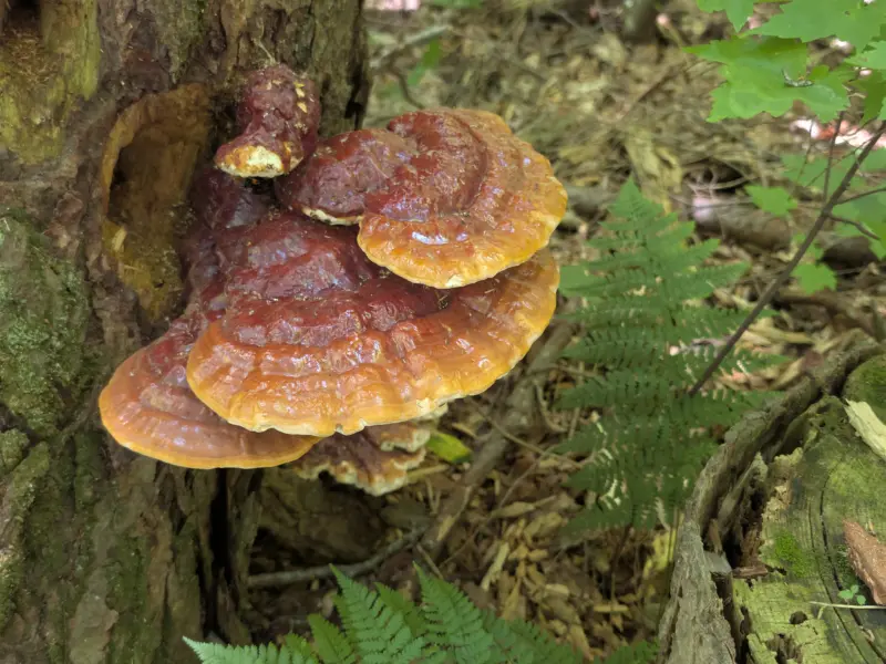
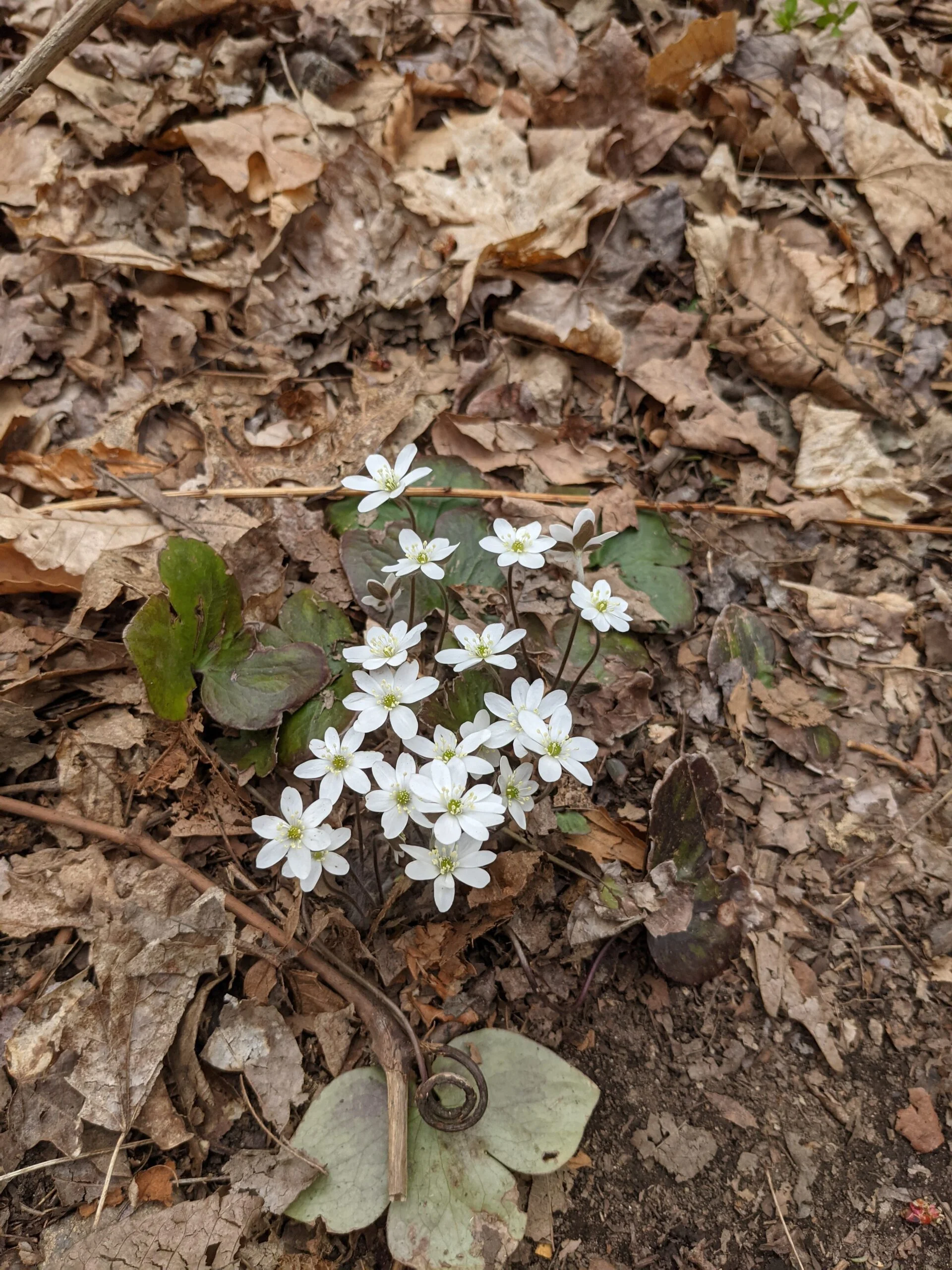
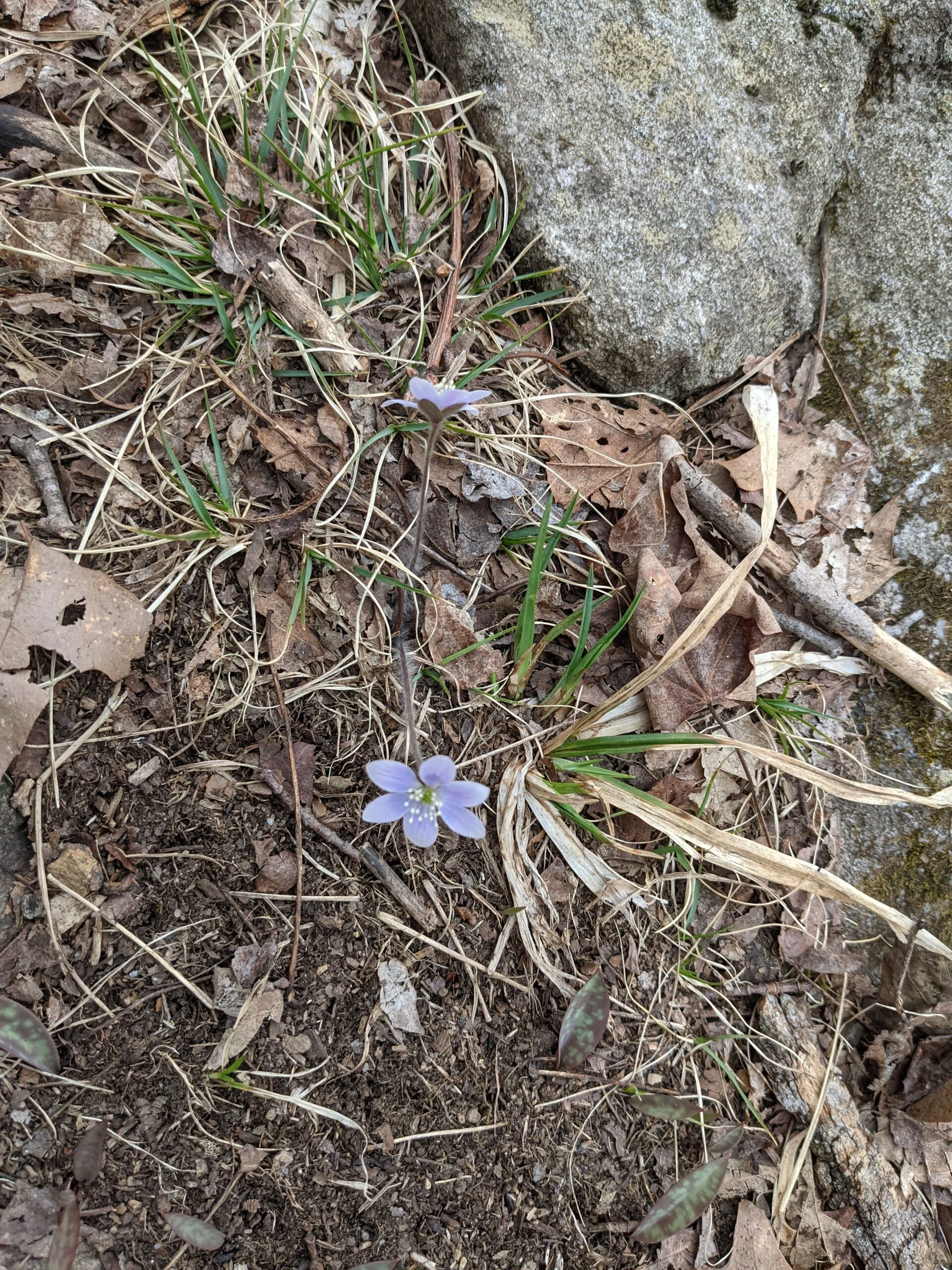
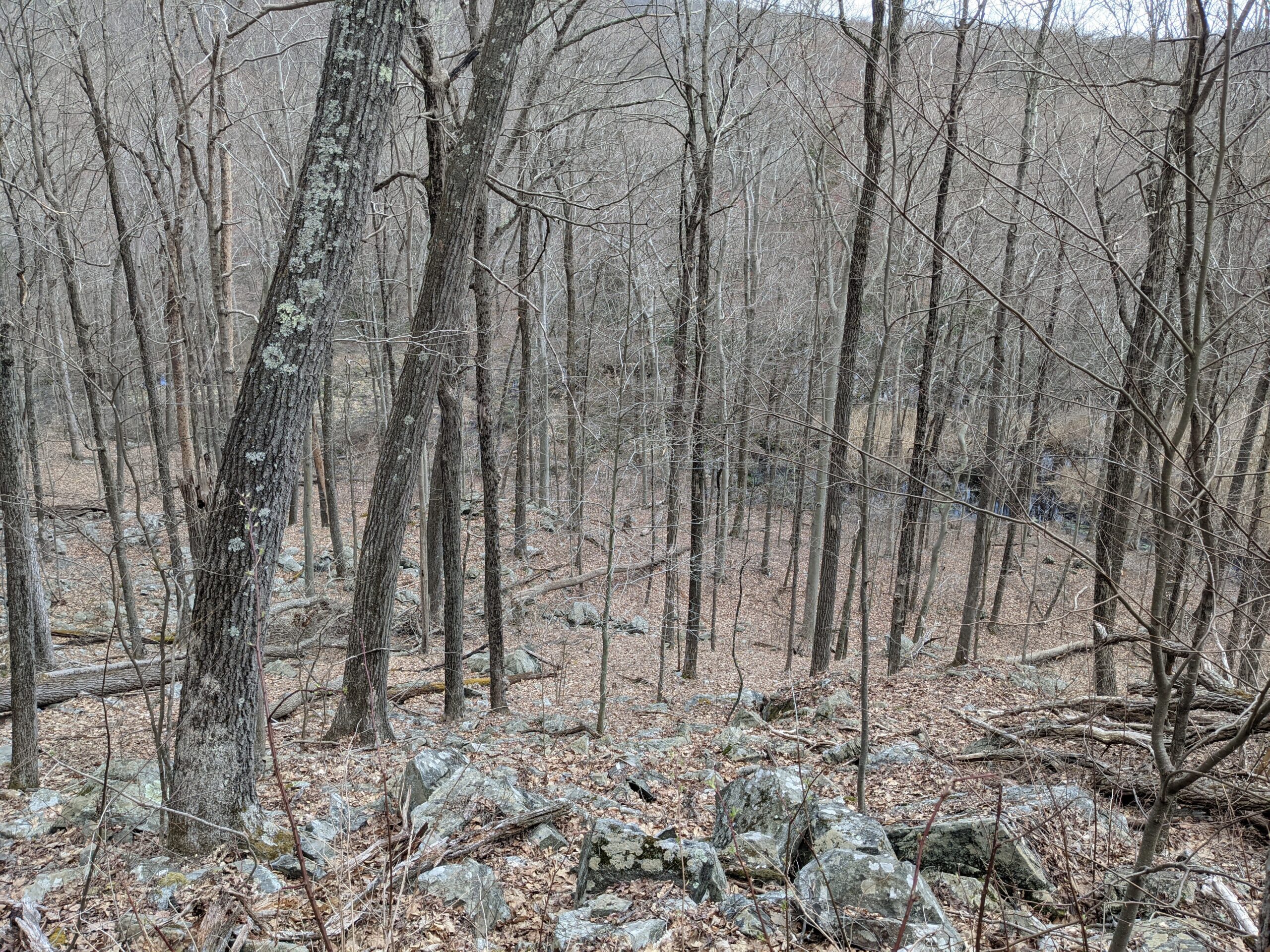
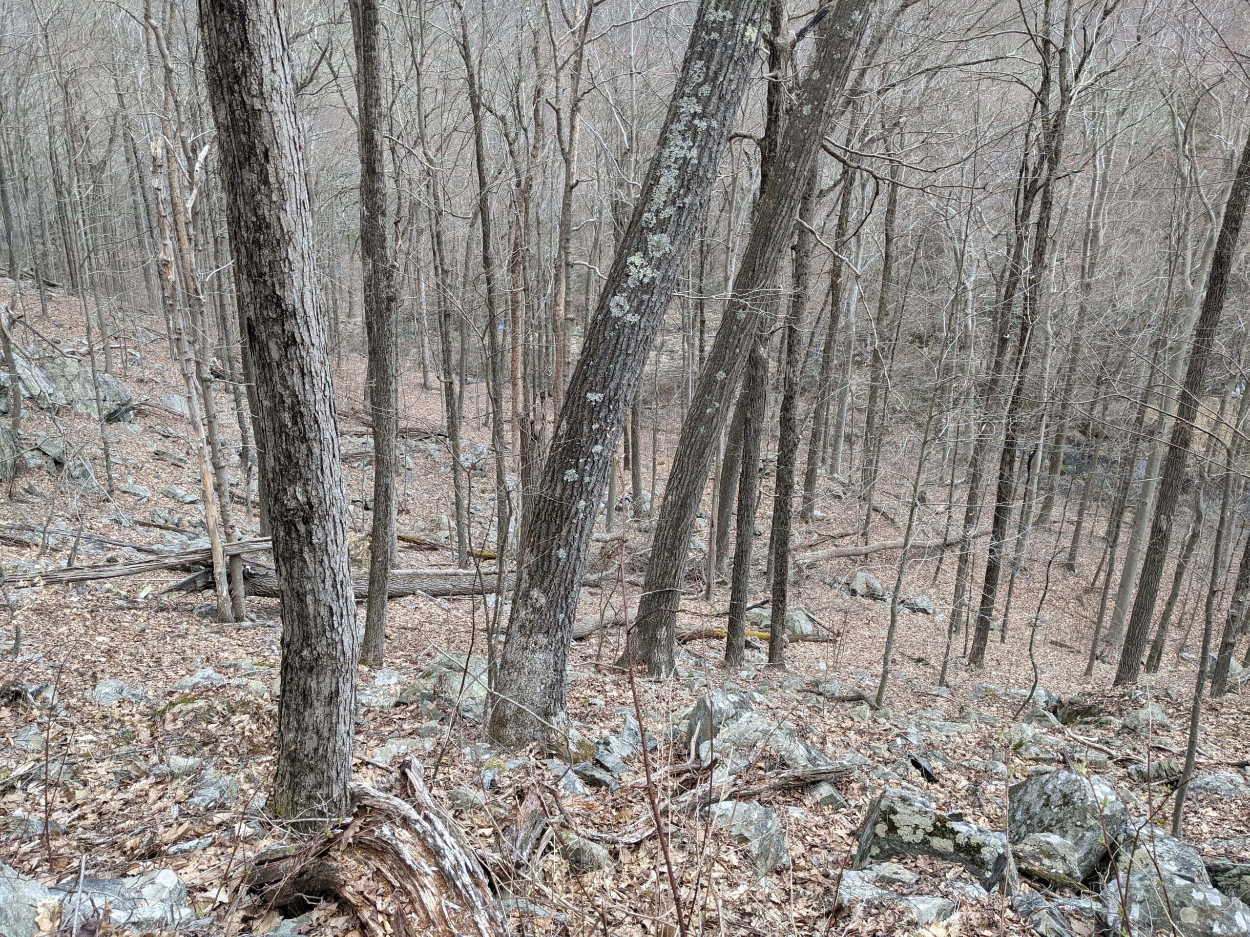
Today’s hike was at Fahnestock State Park on a gorgeous, mid-60 degree spring afternoon. It was great to see some flowers and foliage start blooming again and the forest getting back a little bit of its green hue. The animals were out in force today too, as we saw a snake, a snapping turtle, salamanders, geese, and frogs on our journey.
I met a friend, an experienced camper and hiker, at the Appalachian Trail Entrance off Route 301. We parked on the eastern shoulder of the road, facing north. We chose the Candlewood Hill Loop from AllTrails and planned to hike it as-is and clockwise.
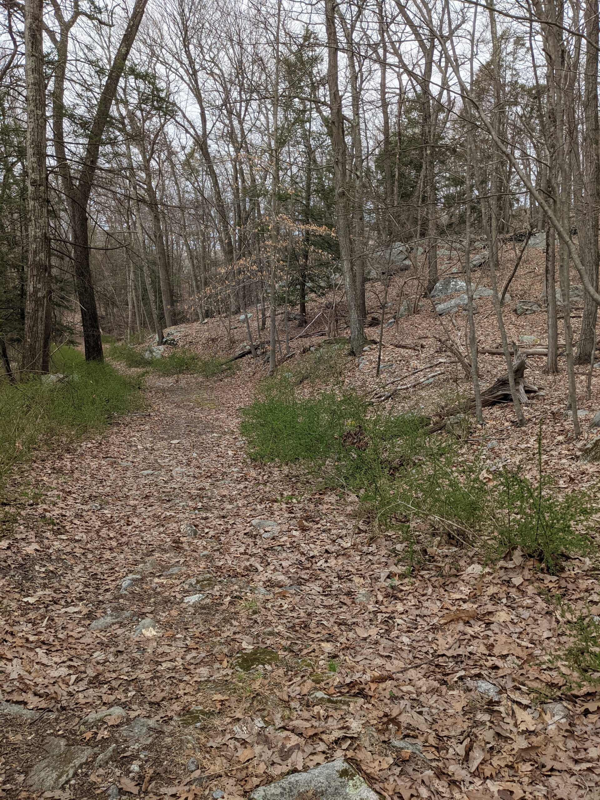
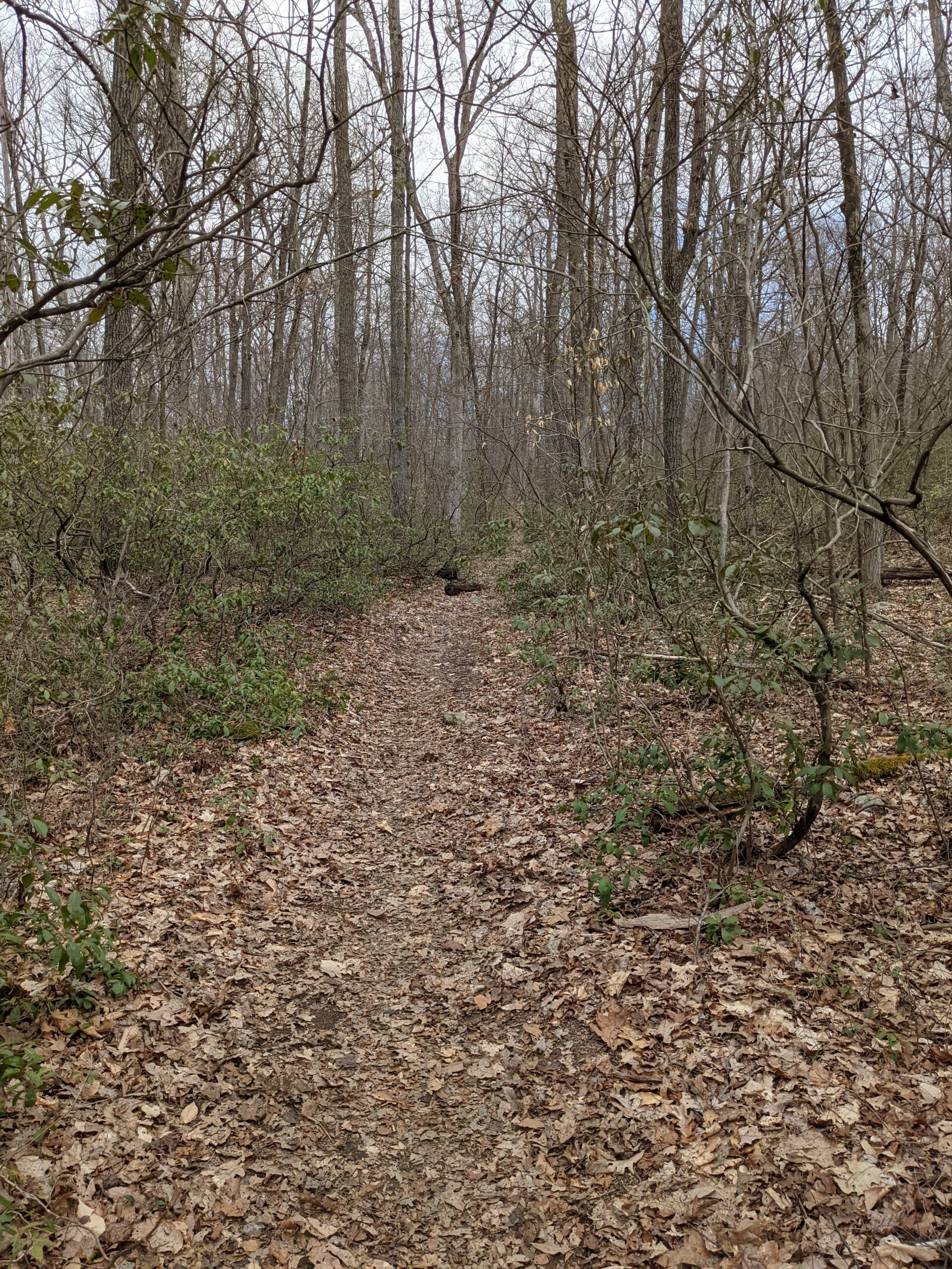
We started at the Appalachian Trail (AT, white blazes) entrance on the east side of the road. We were on the AT for just a few hundred feet north before meeting up with the Three Lakes Trail (TL, blue blazes) and making a right to take that south. After about a mile, we took a left onto the green trail toward the Durland Boy Scout Reservation (formerly Clear Lake Scout Reservation).
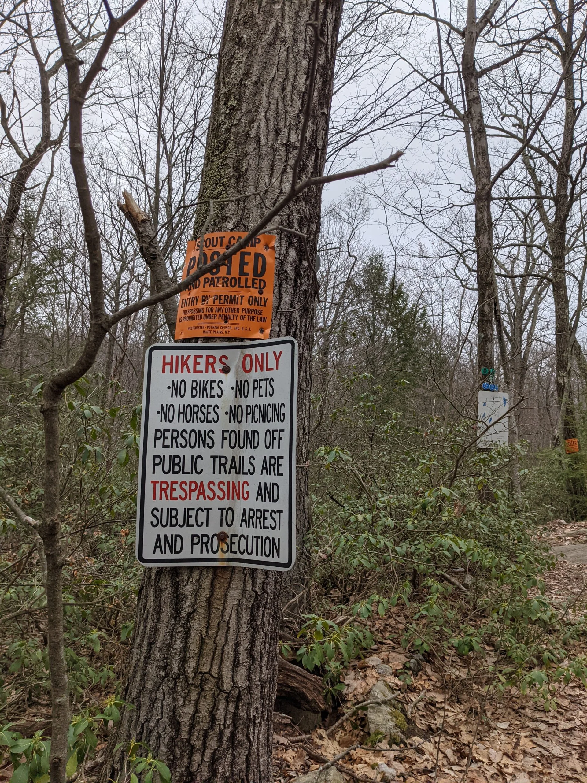
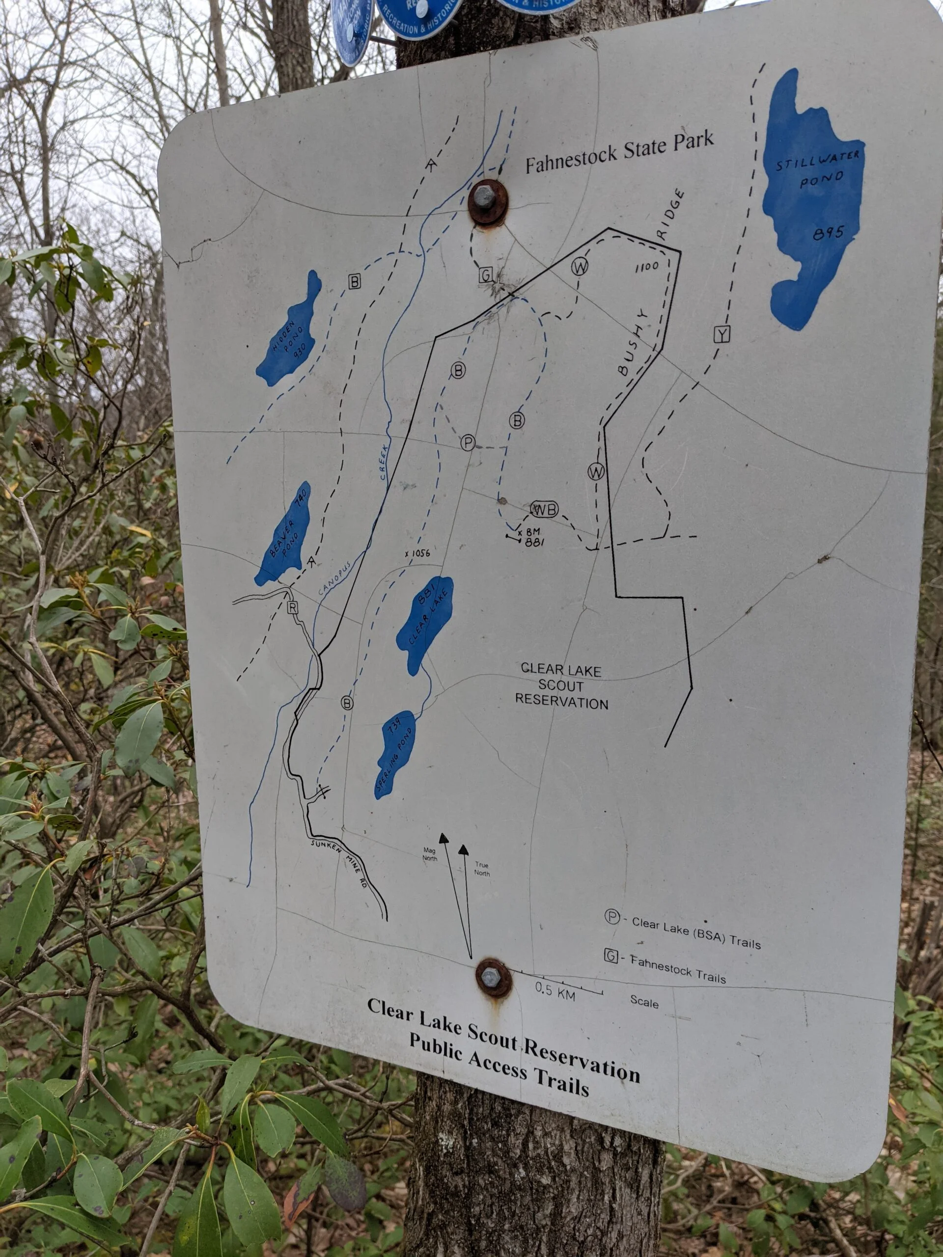
A short walk on the green trail brought us to the northern boundary of the reservation. This is where things got confusing. There were bright orange signs saying, “Scout Camp, Posted and Patrolled, Entry By Permit Only”. Then 20 feet from that sign was a trail map showing public access trails through the camp. Based on my research, it appears that there are a few trails (white, purple, and some of the blue blazes) in the northern and western parts of the reservation that are open to the public (as seen on the posted map). There is also a separate network of trails in the southern and eastern parts of the reservation that are private and closed to park hikers. The orange signs imply that the whole reservation is off limits, but it seems like you’re okay if you stay on the public trails. I believe there is a year round onsite ranger monitoring the private areas of the reservation.
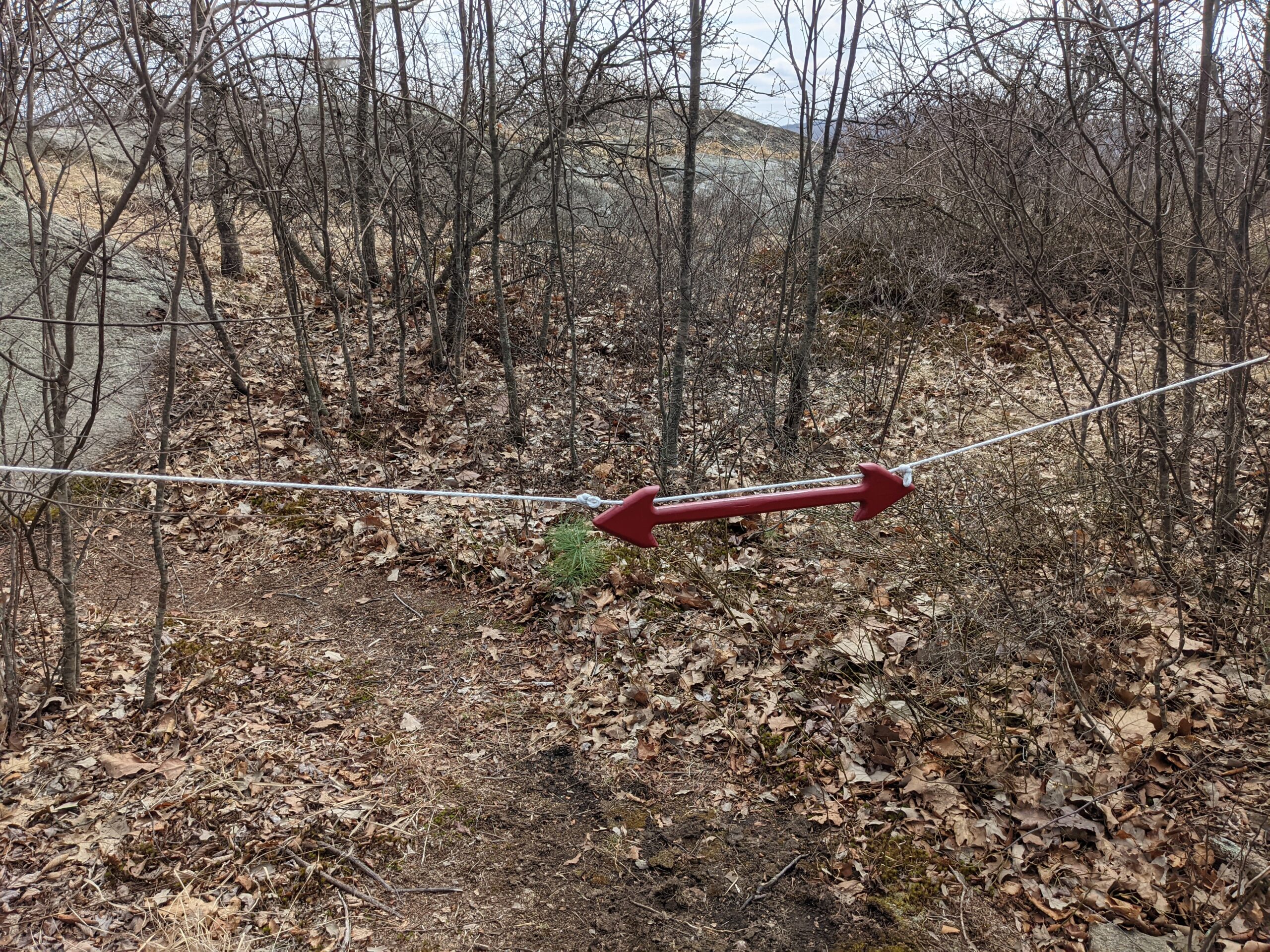
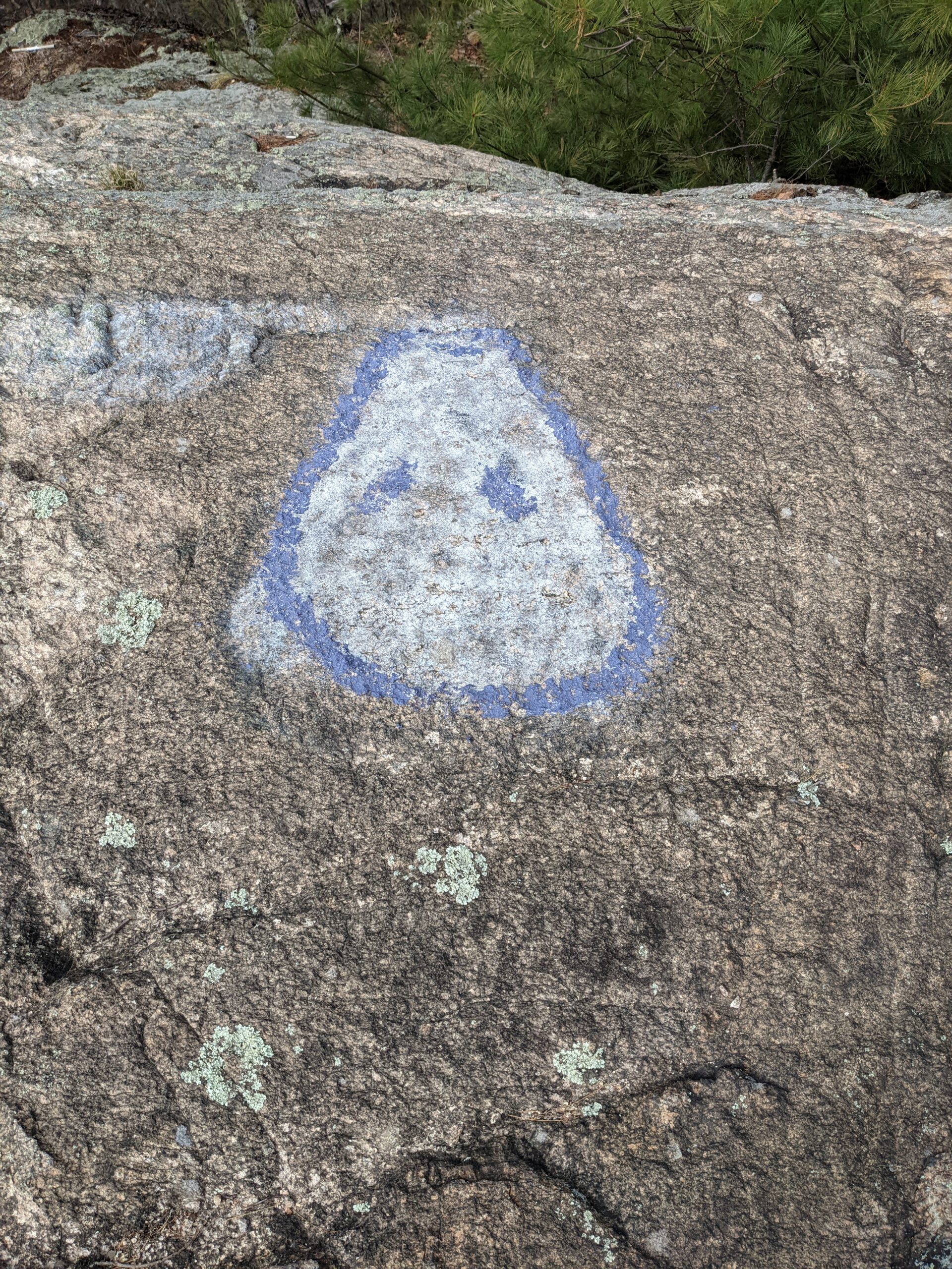
Having reviewed the map, we started down the the Clear Lake Scout Reservation Trail (CL, blue blazes) until it split in two directions. I accidentally led us on the fork to the left instead of the right. After noticing my mistake, we corrected ourselves by taking the purple blazed trail, ascending shy of 200 ft, back to where we meant to be.
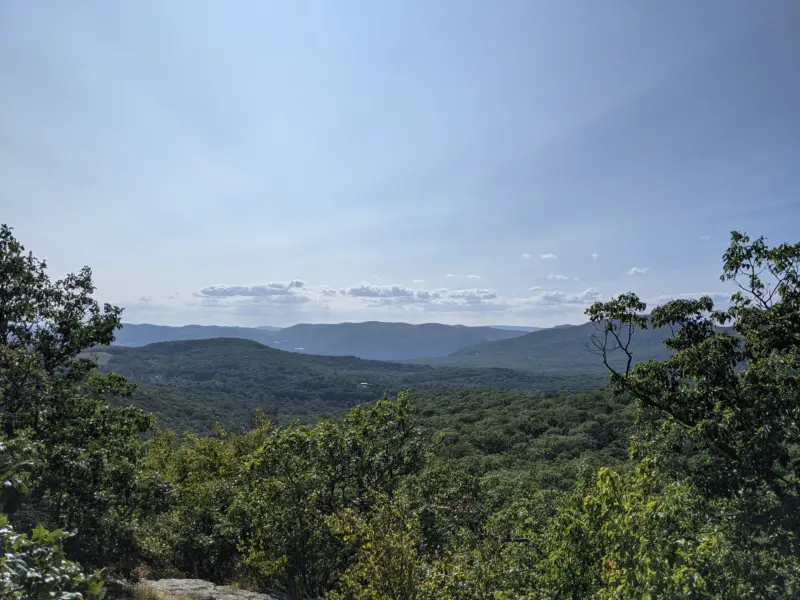
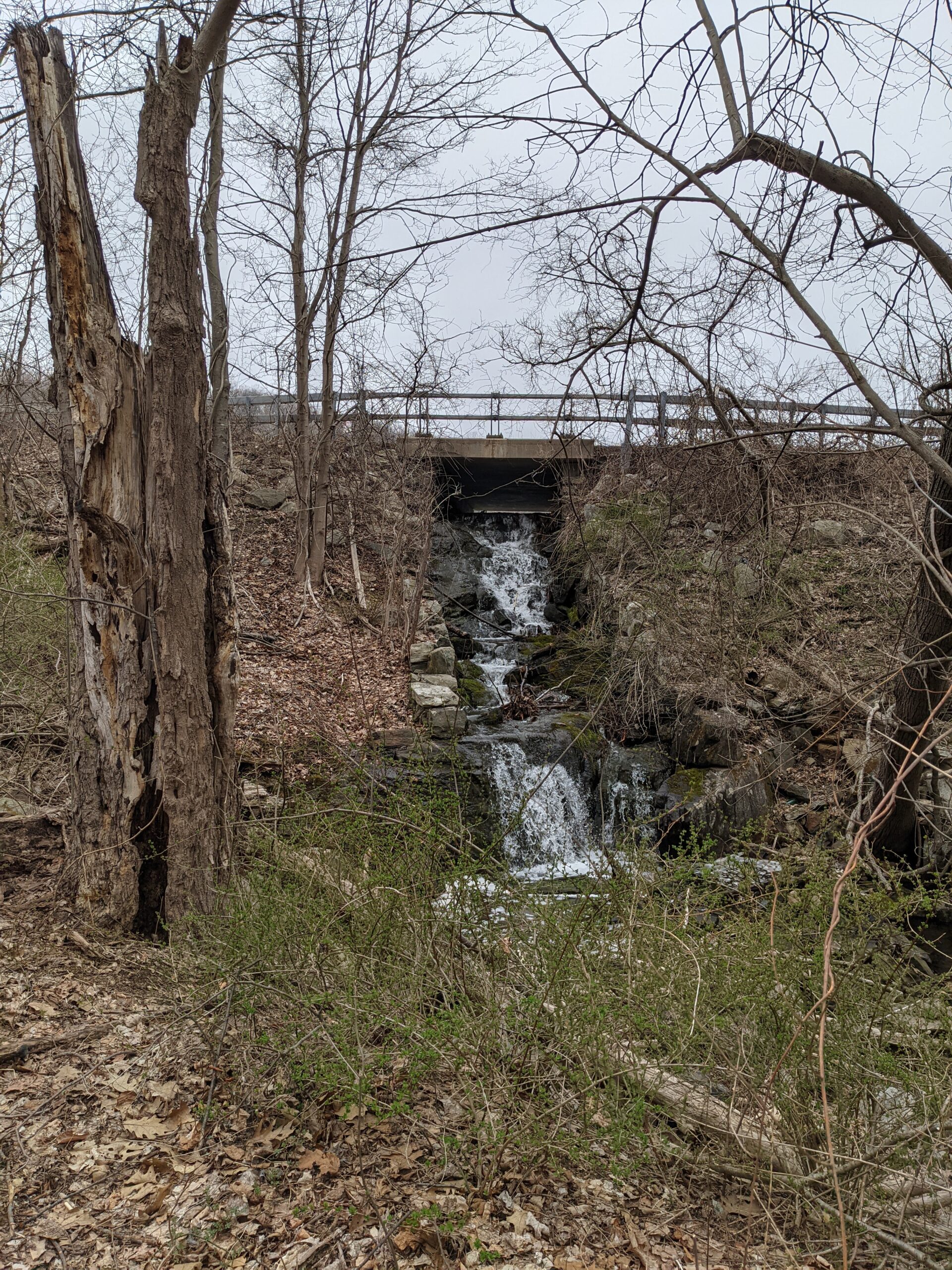
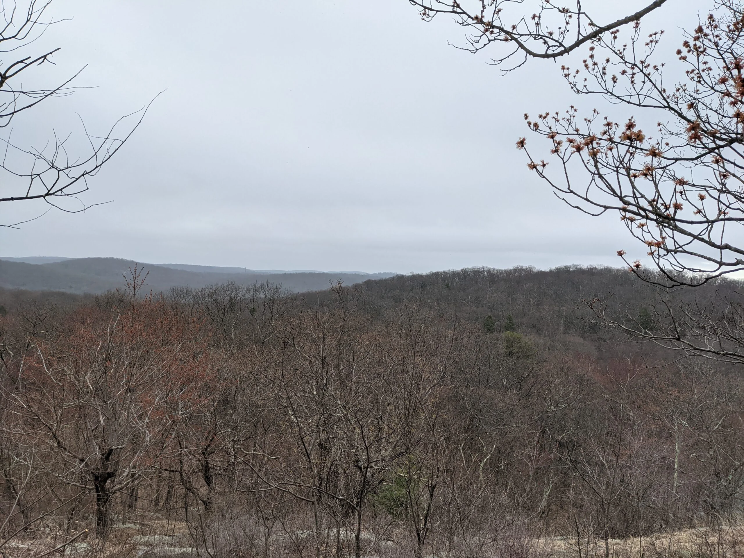
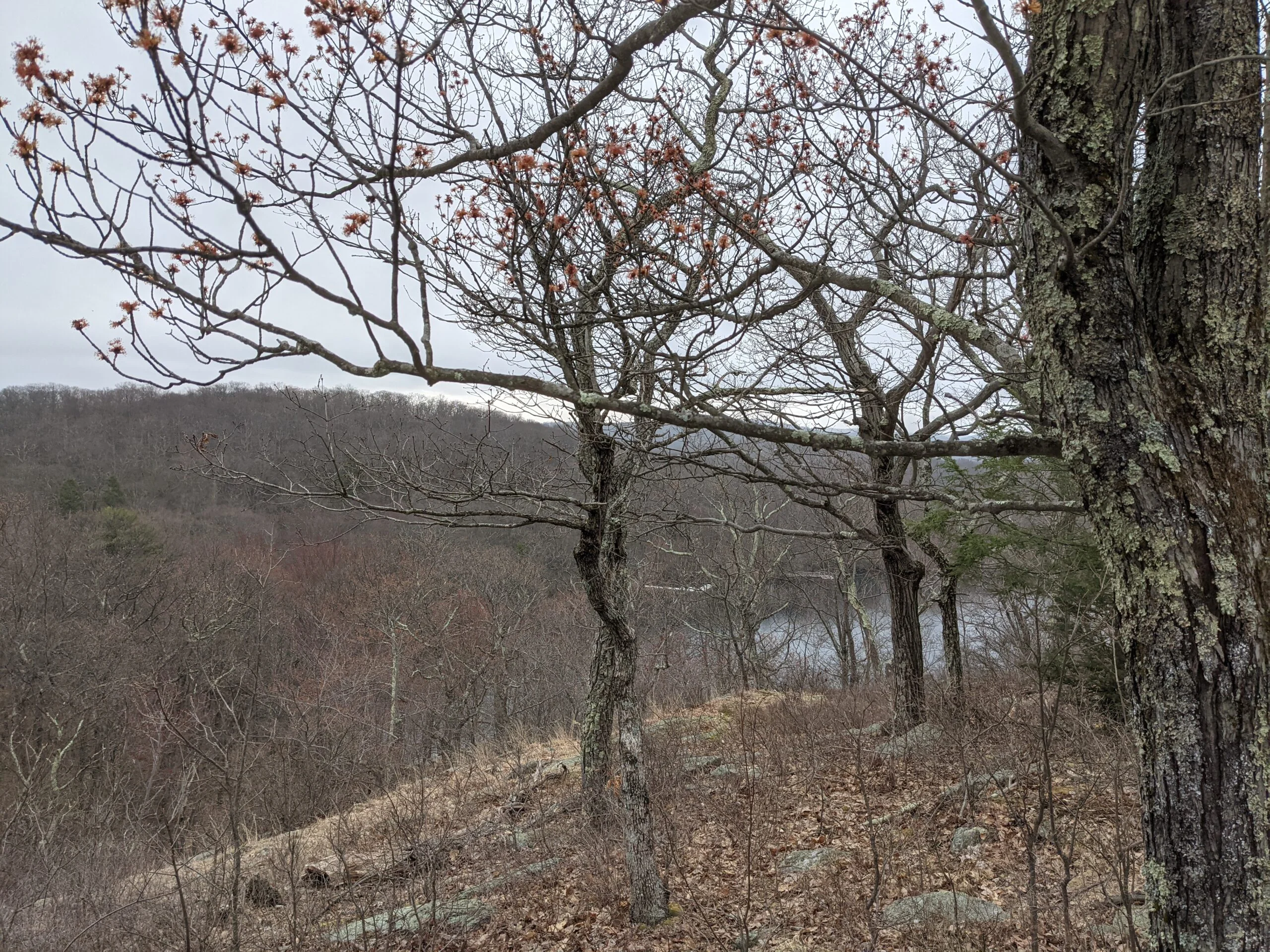
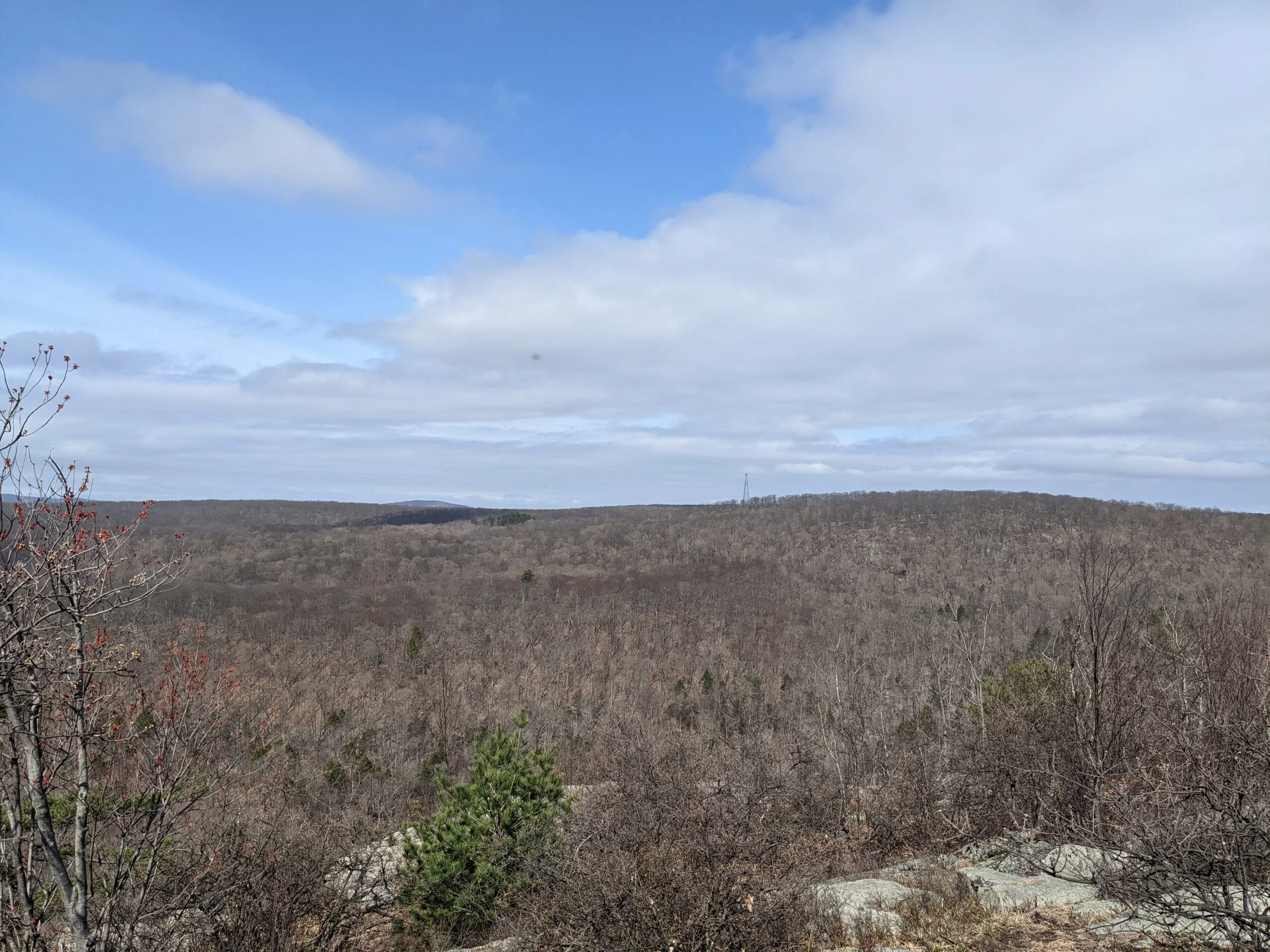
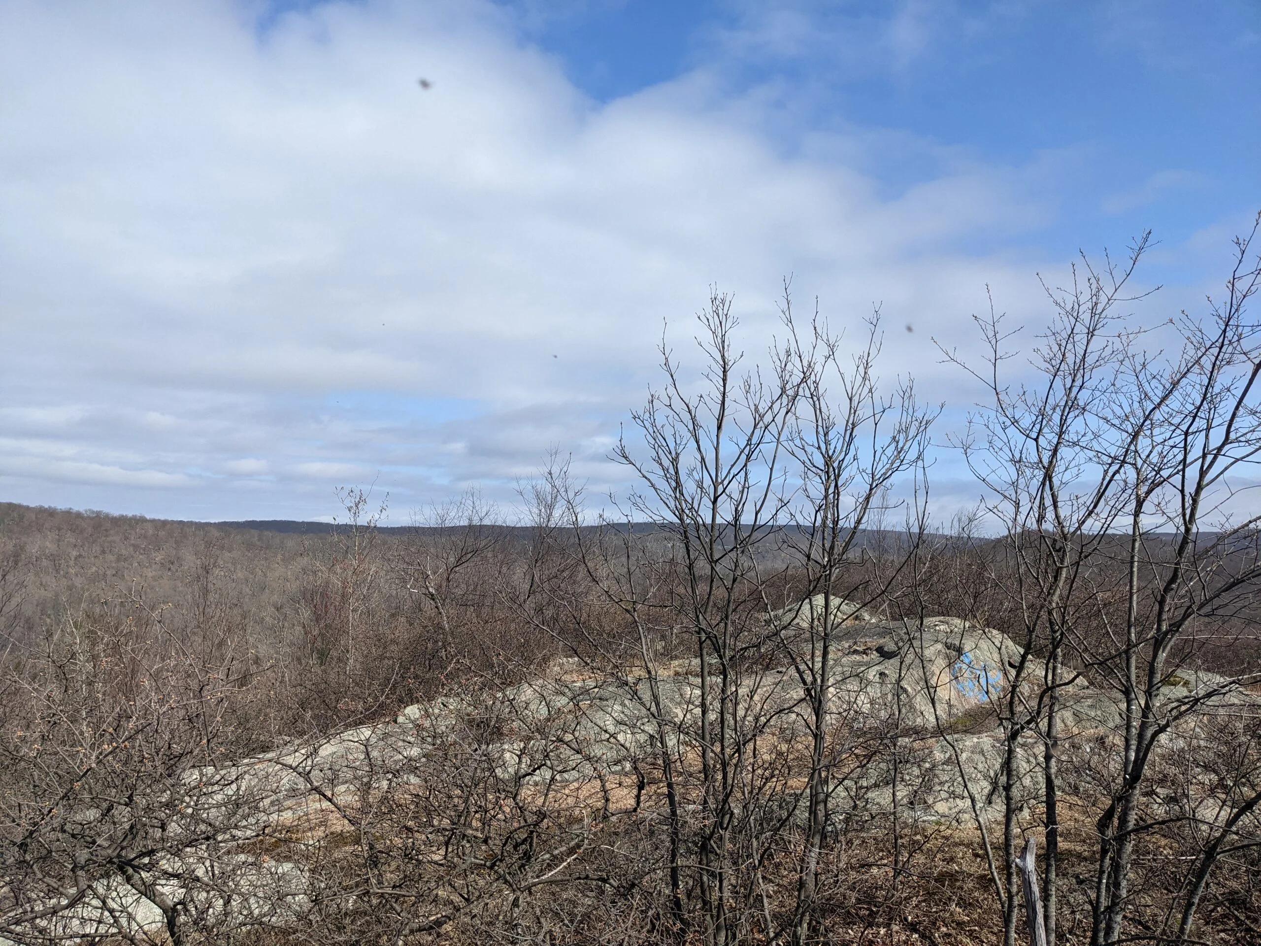
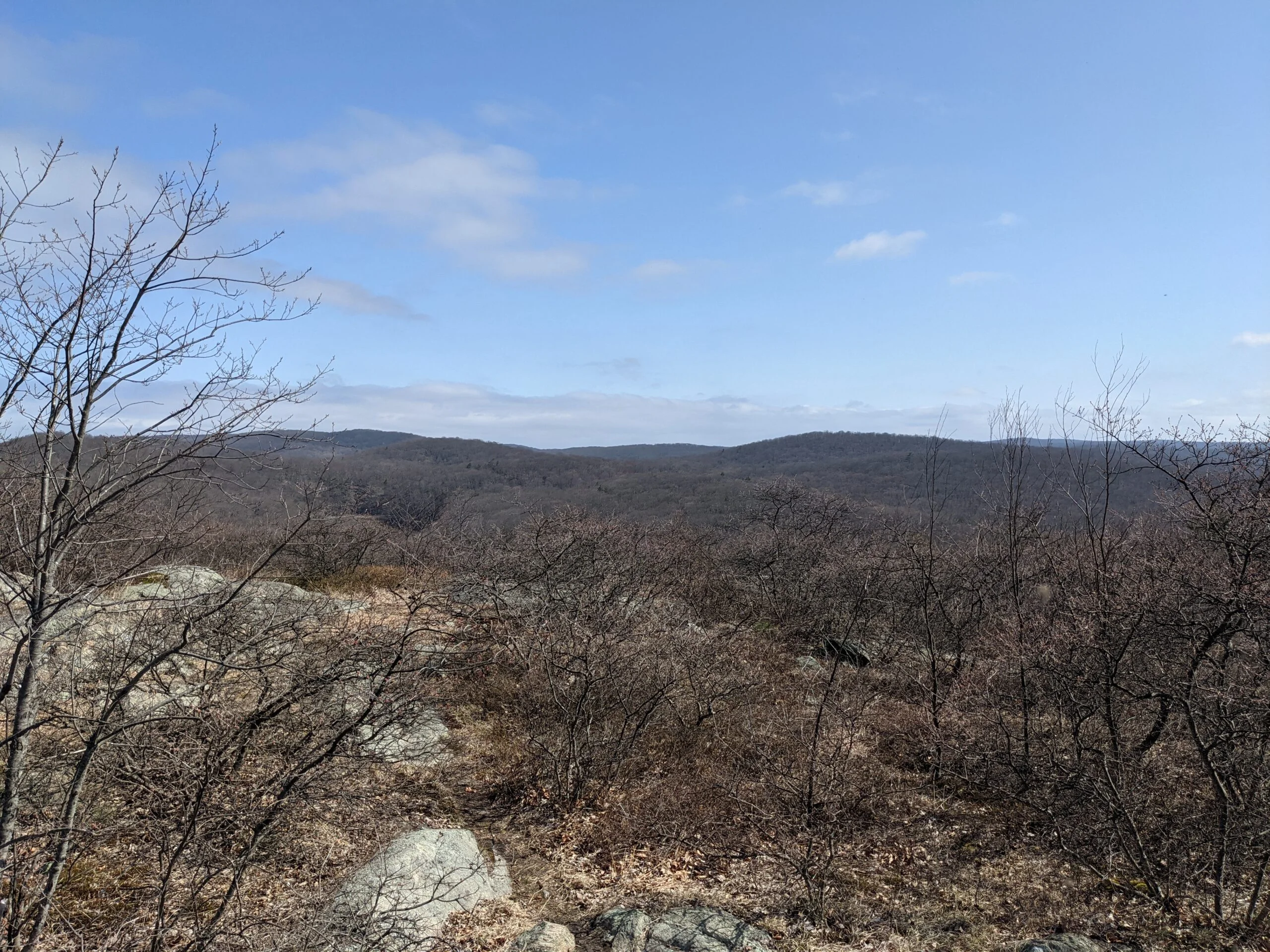
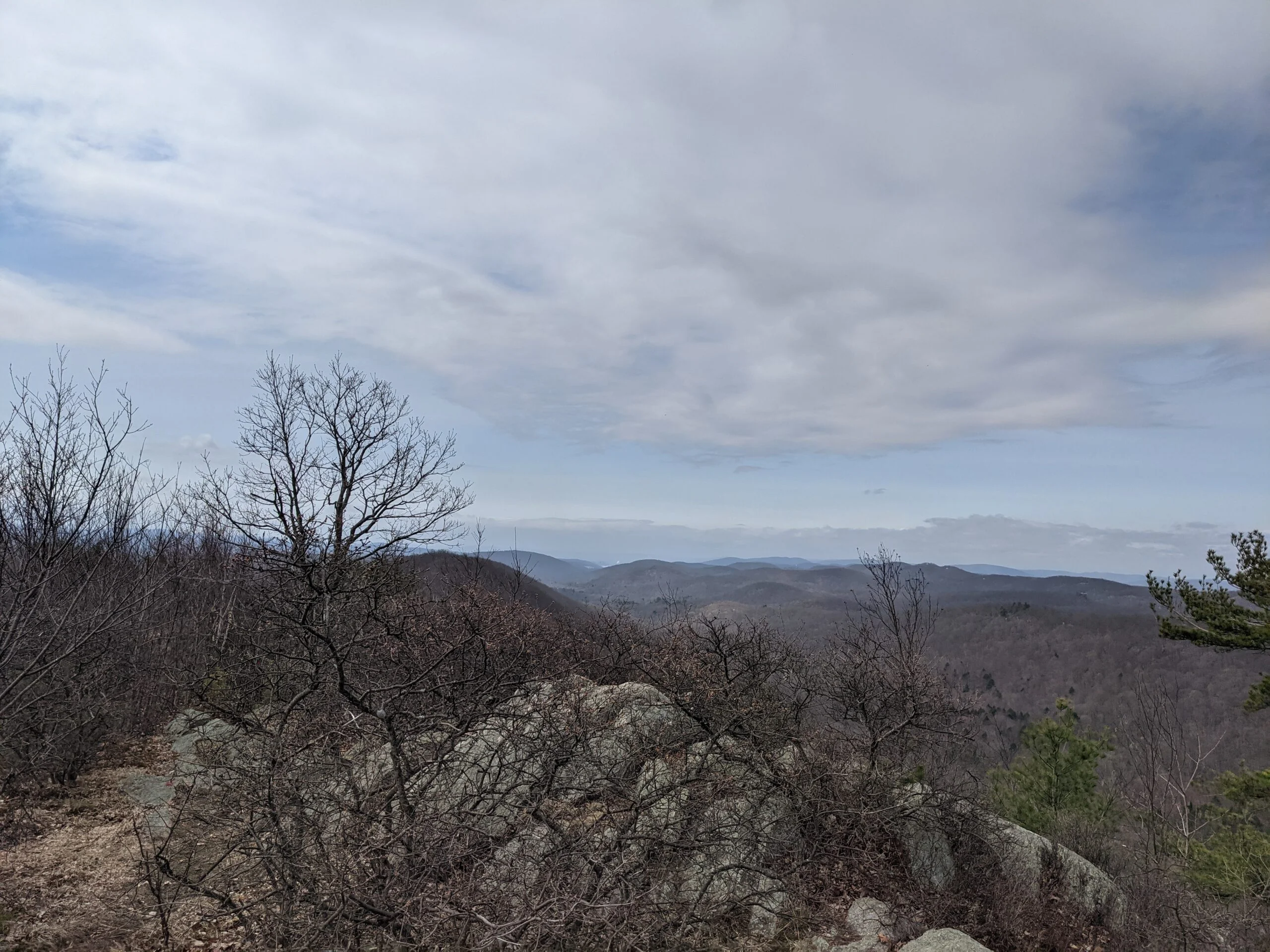
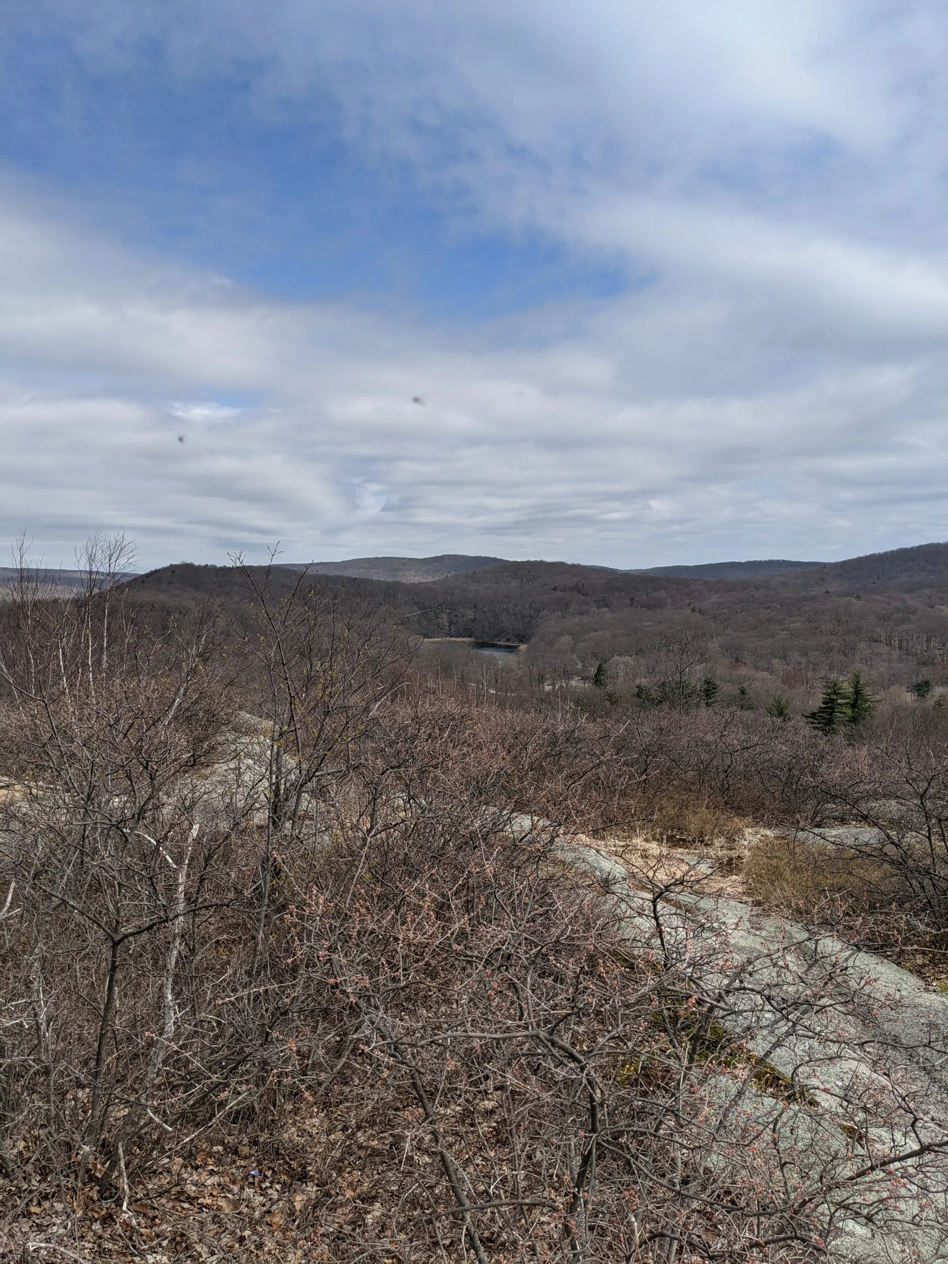
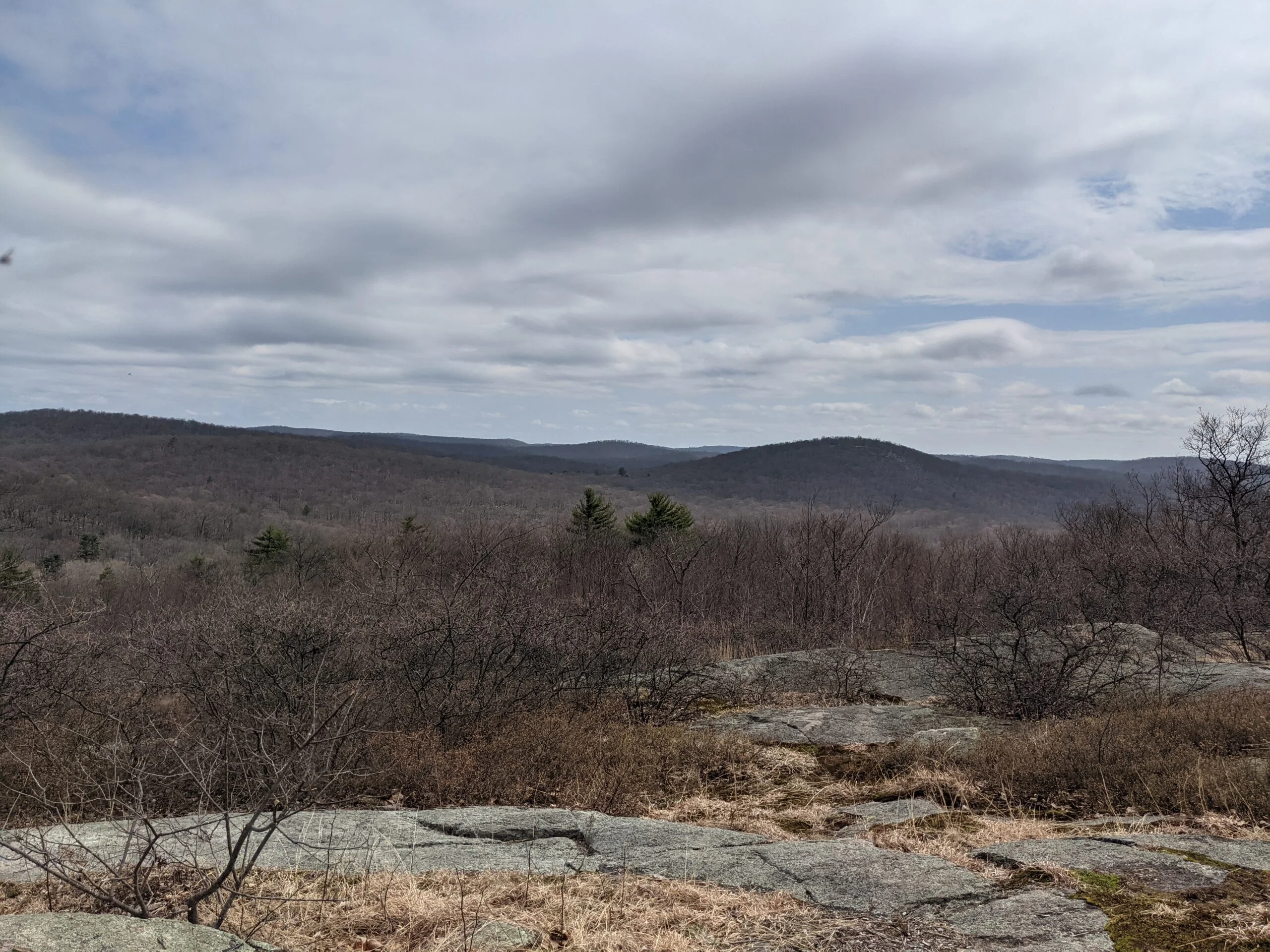
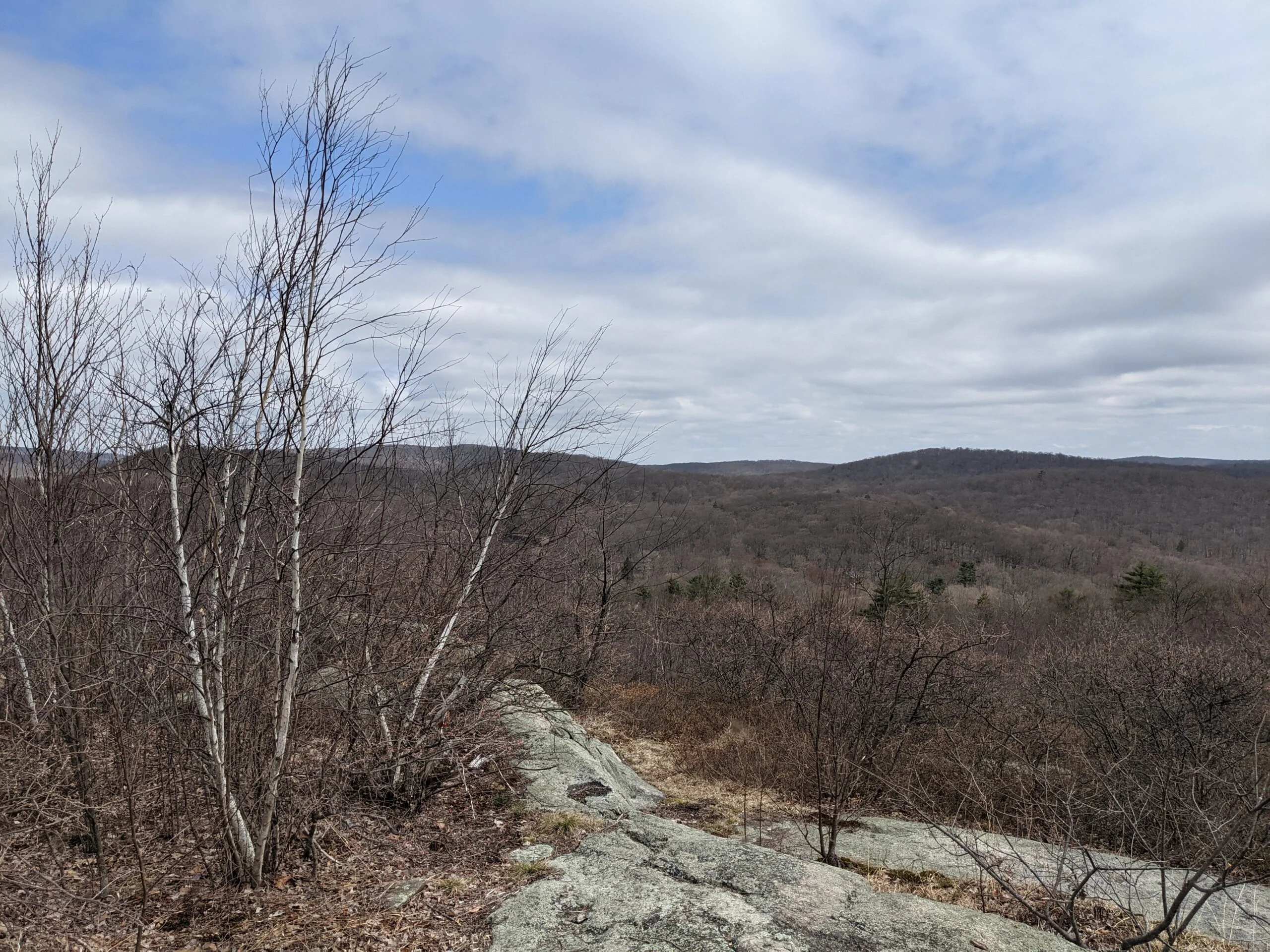
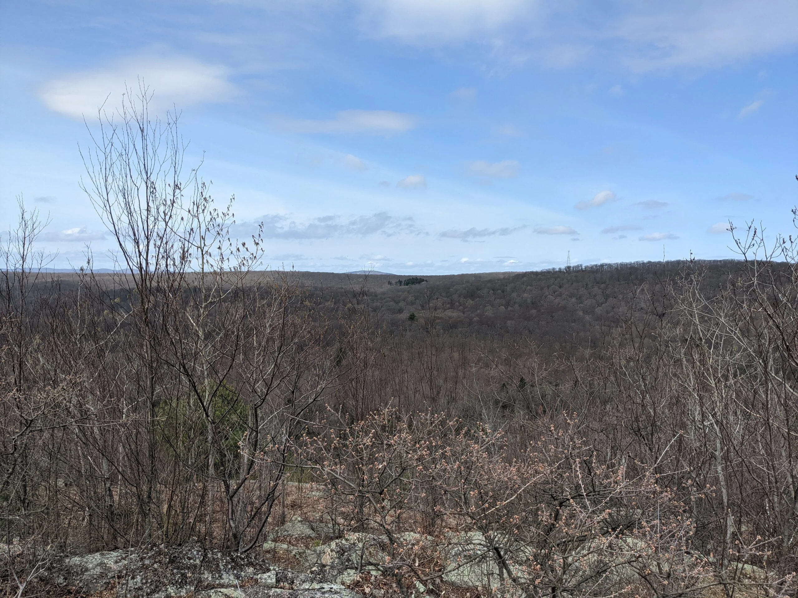
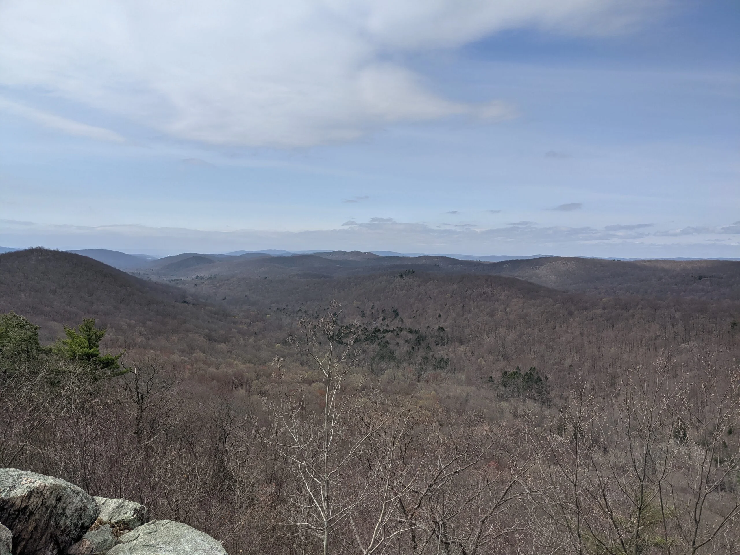
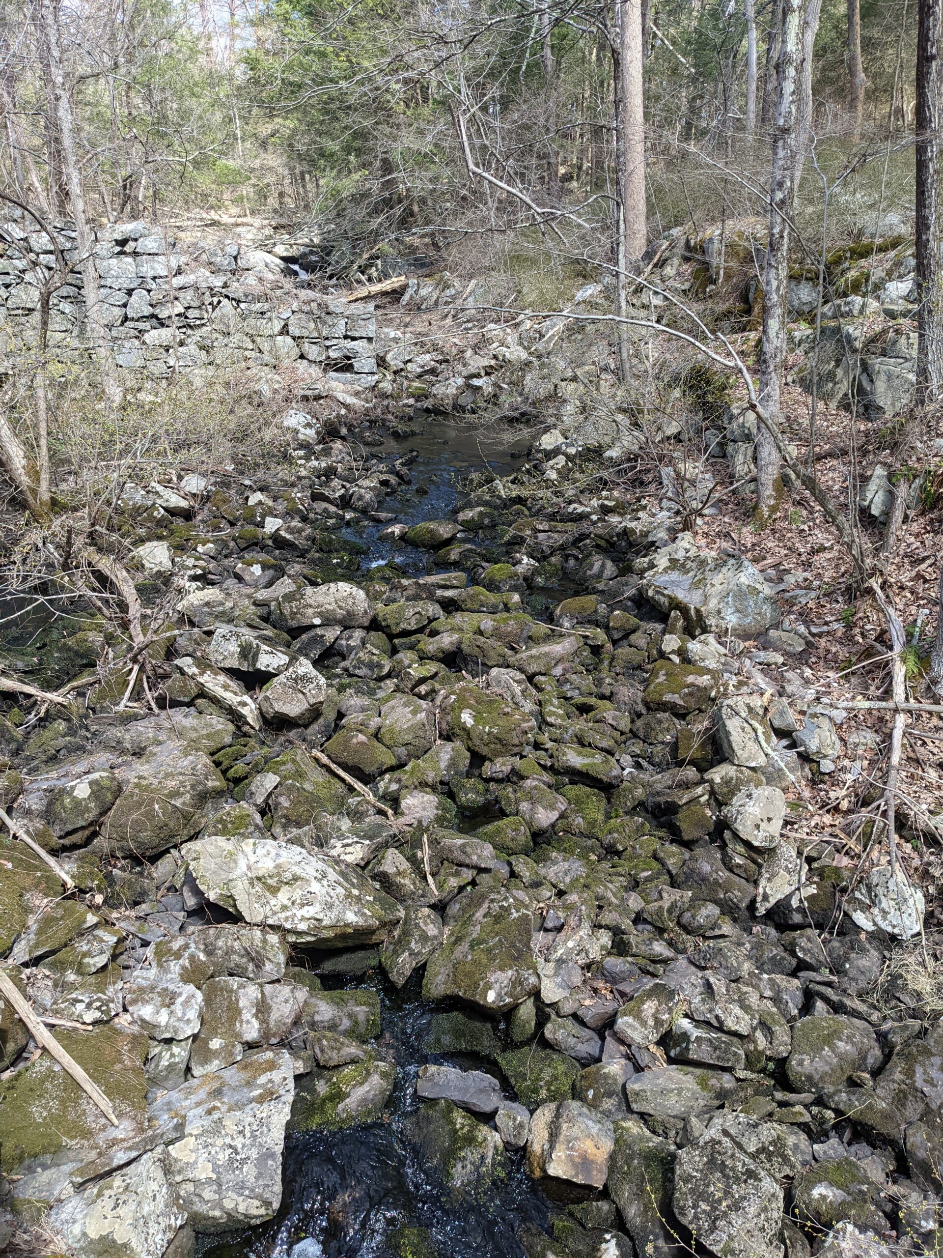
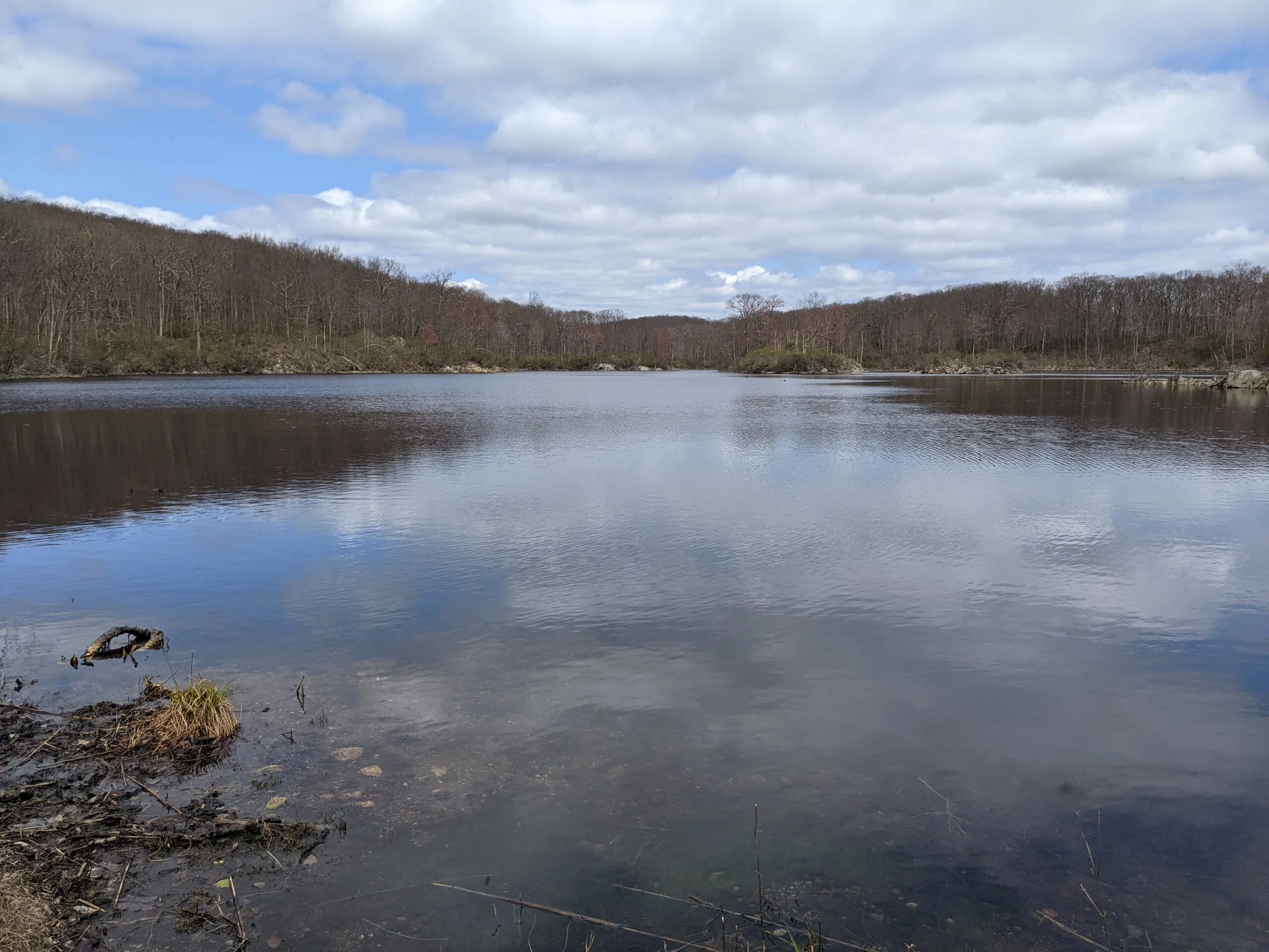
We passed Clear Lake and followed CL to the end, which led to an unblazed road trail (Clear Lake Road), which then led to Sunk Mine Road. We made a left and followed the road south about 0.2 miles to find the entrance to the Candlewood Hill Trail (CH, red blazes) on the right. We made our way up to the viewpoints at the top, about a 200 ft climb over 0.2 miles. There were really great views of the hills and valleys of the park, plus a few of the lakes and the Hudson River off in the distance. We were at the 4 mile mark at this point and decided to break for lunch and snacks. We encountered a bunch of gnats at the top of the hill and applied insect repellent, which kept them away.
After leaving the summit, we continued on Candlewood Hill Trail to its end at Bell Hollow Road, which then met up with Sunk Mine Road, not too far from where we exited the camp. We were on the two road trails for about 1.8 miles, encountering two ladies on horseback along the way, but found this portion of the hike less exciting as we wanted more of an immersive woods experience.
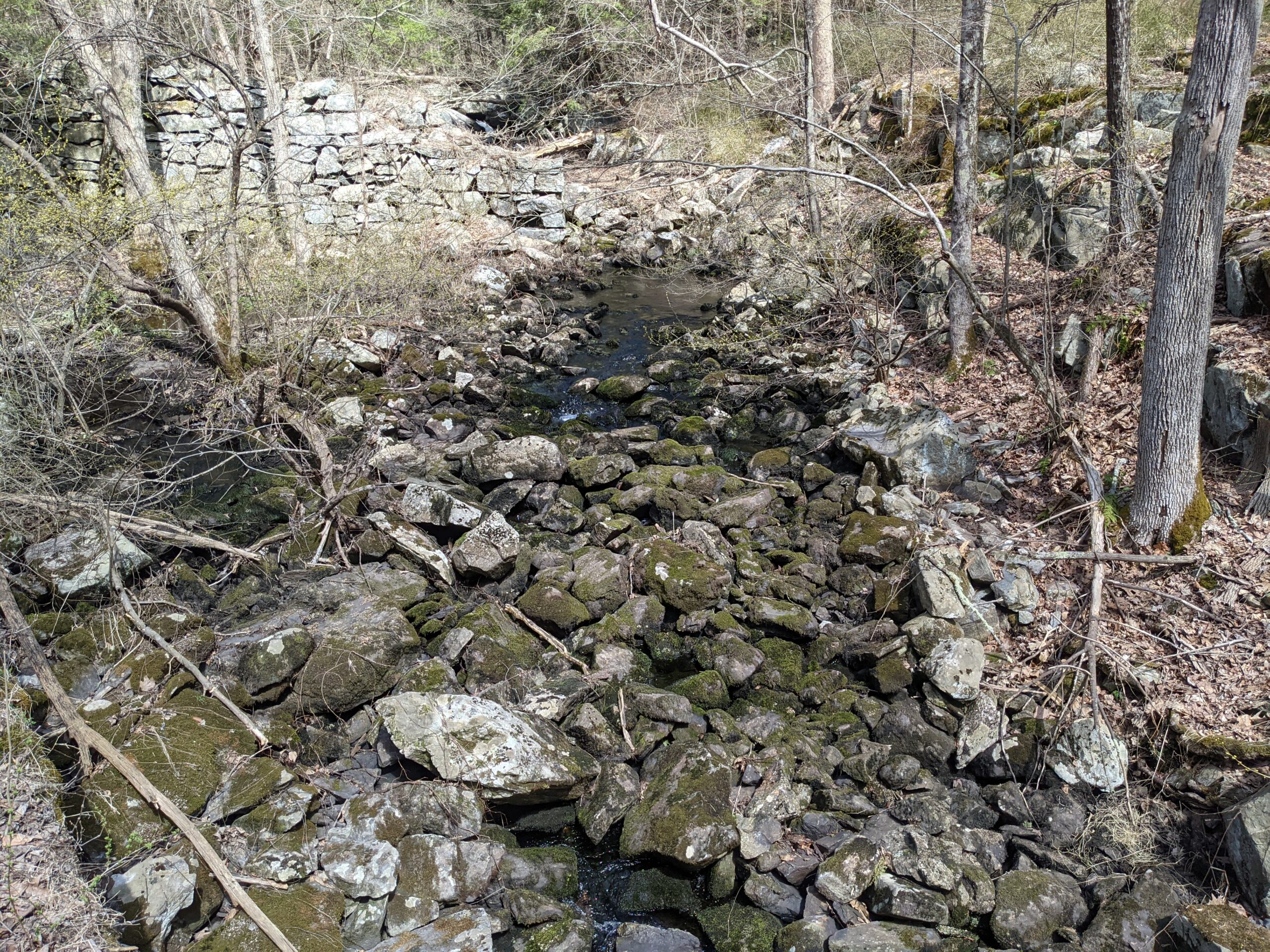
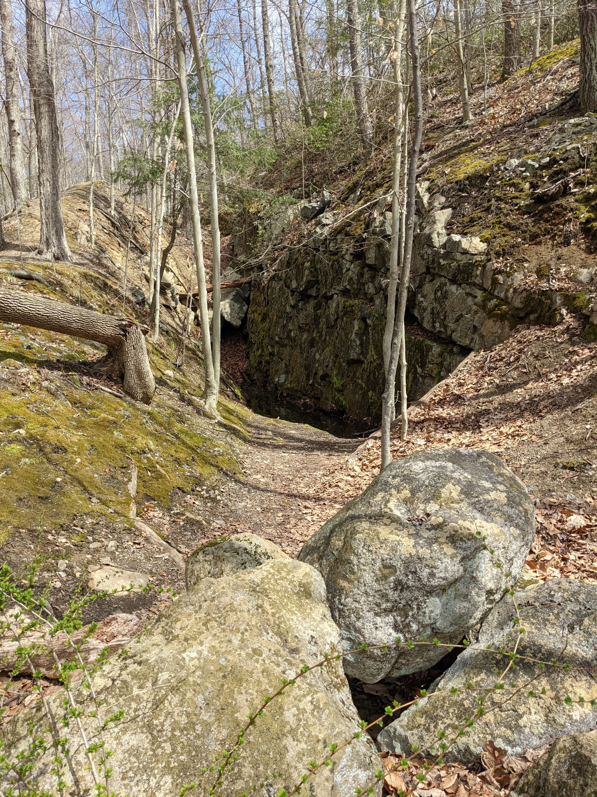
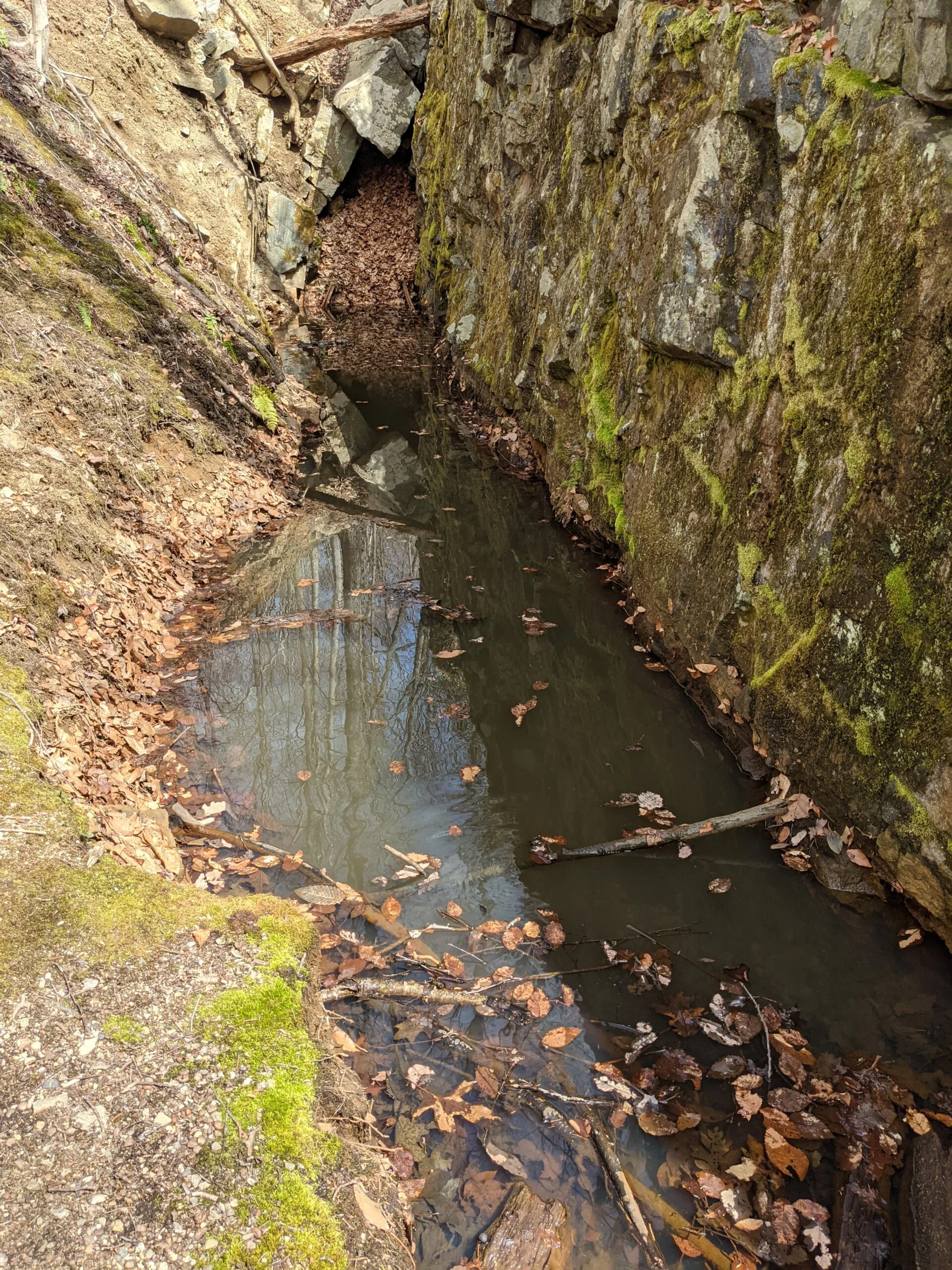
Finally, we made it to the unblazed mine road entrance on the right. We saw hole filled with rainwater between some rocks and suspected it might be an old mine shaft, but were not completely sure even after exploring the area. We then found the Three Lakes Trail (TL, blue blazes) after taking a left.
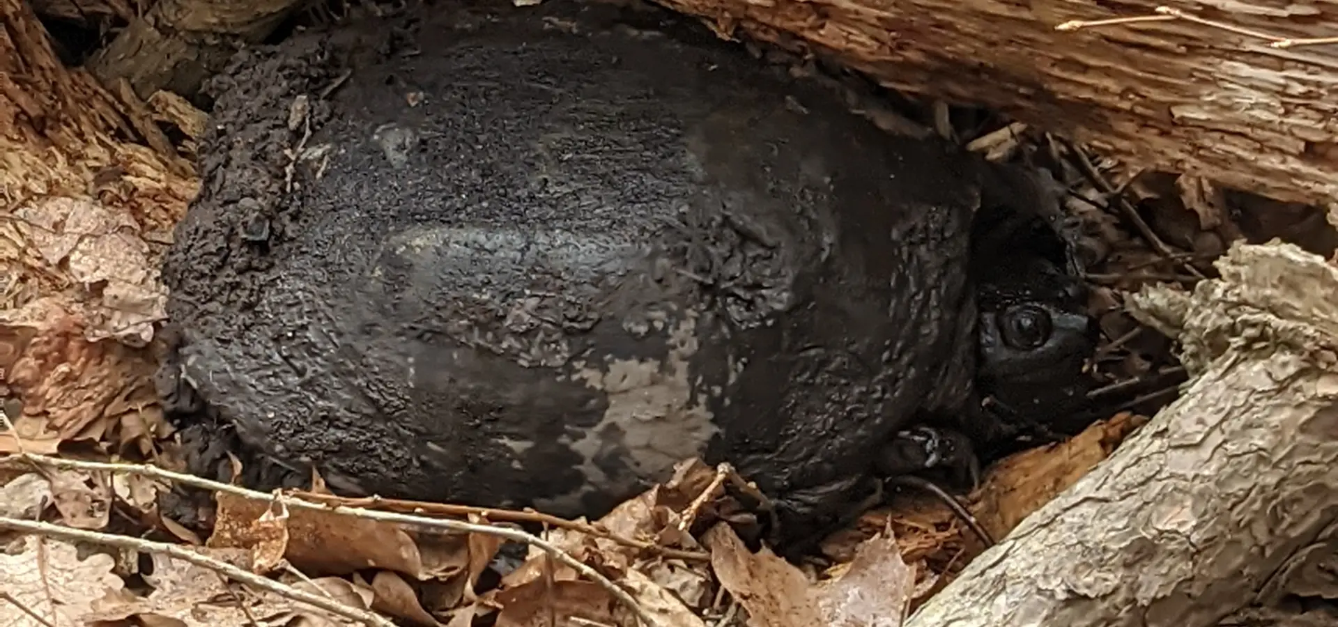
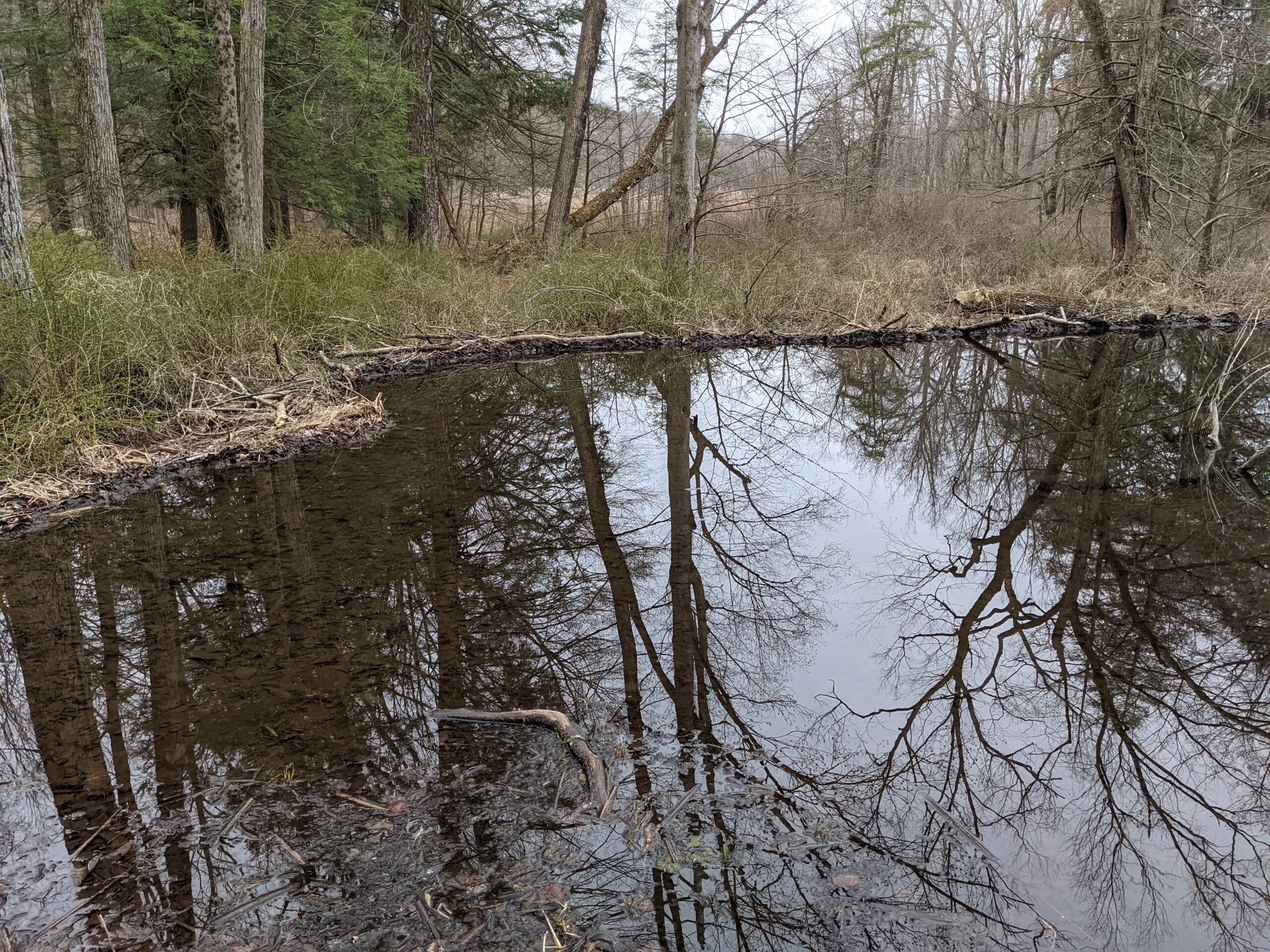
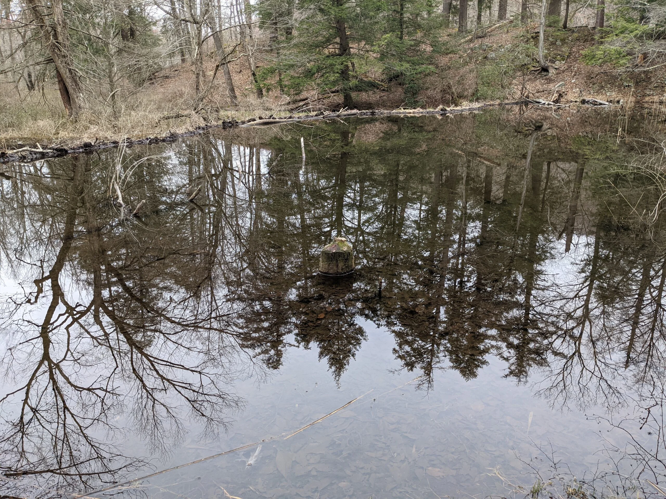
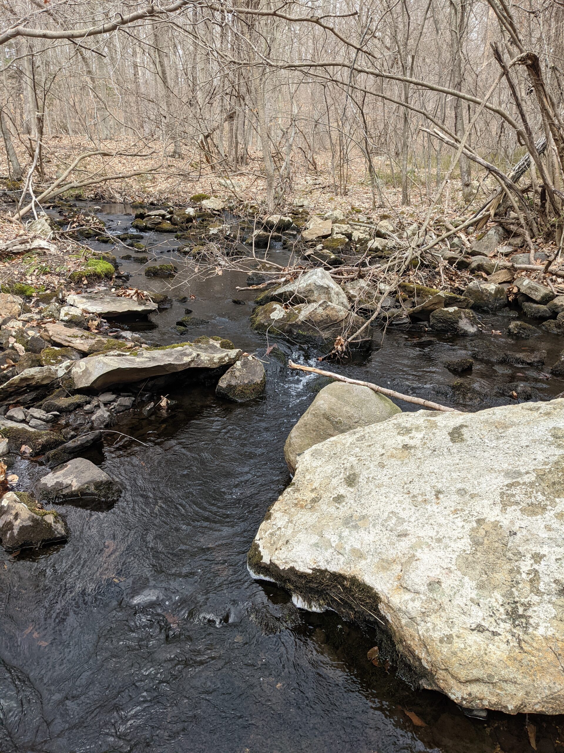
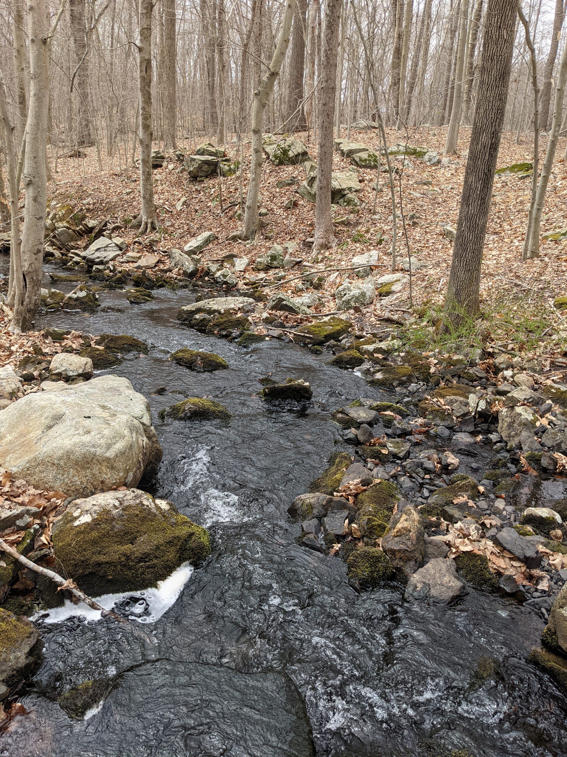
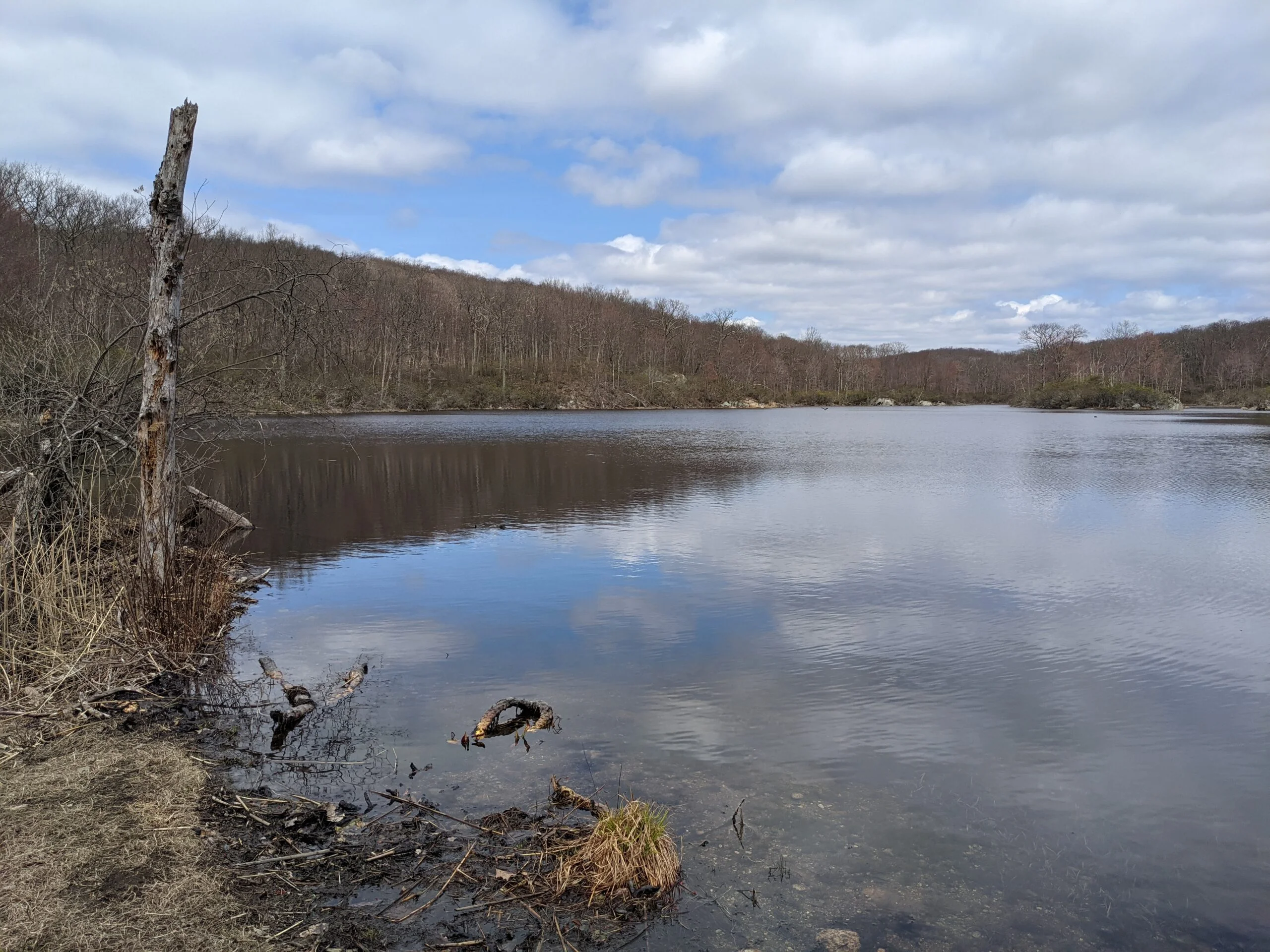
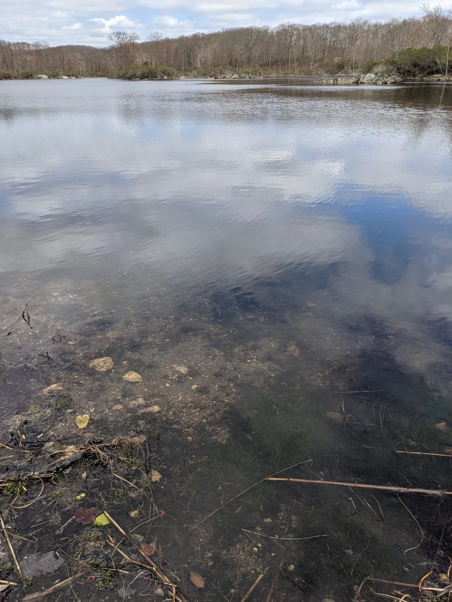
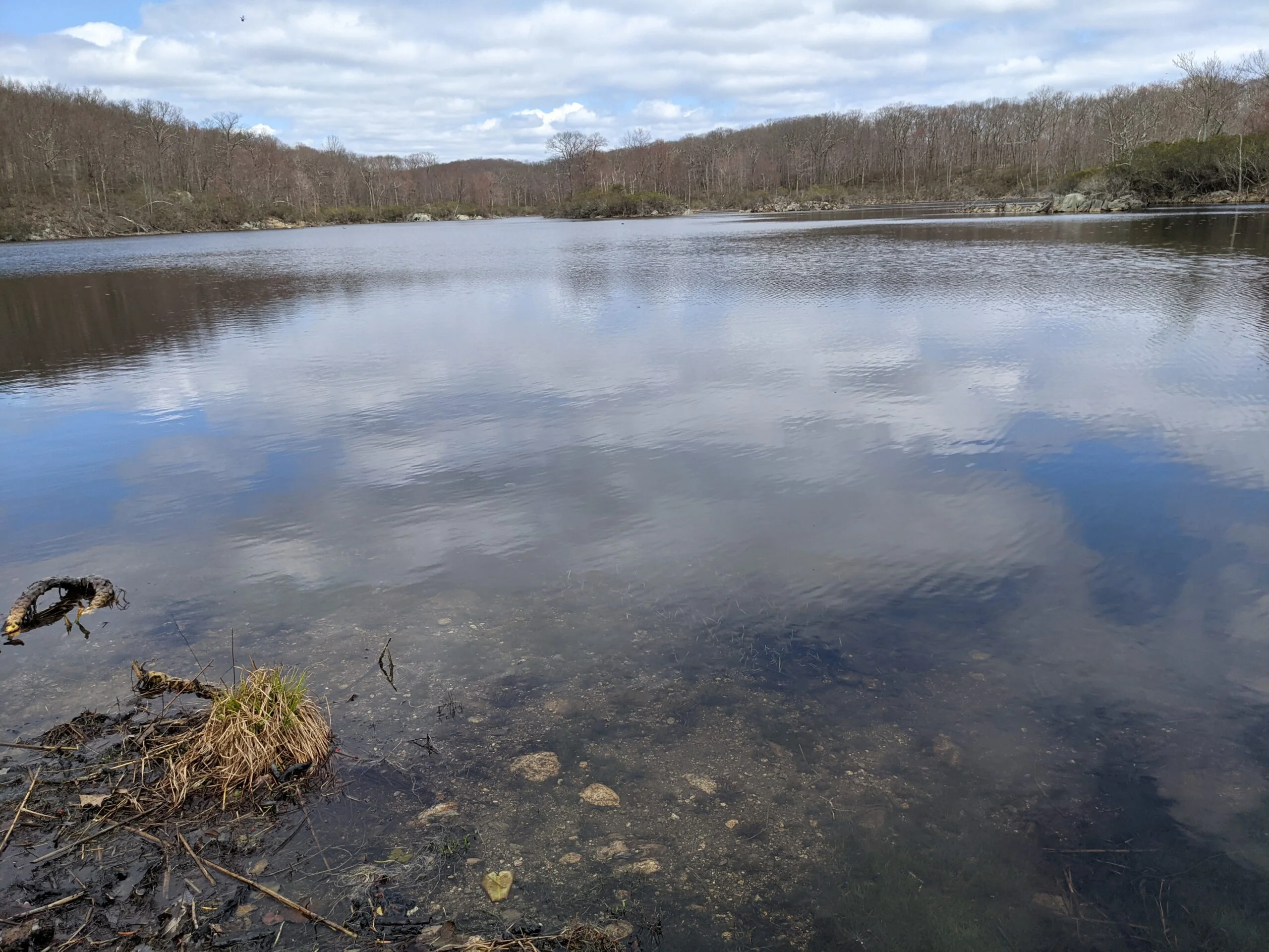
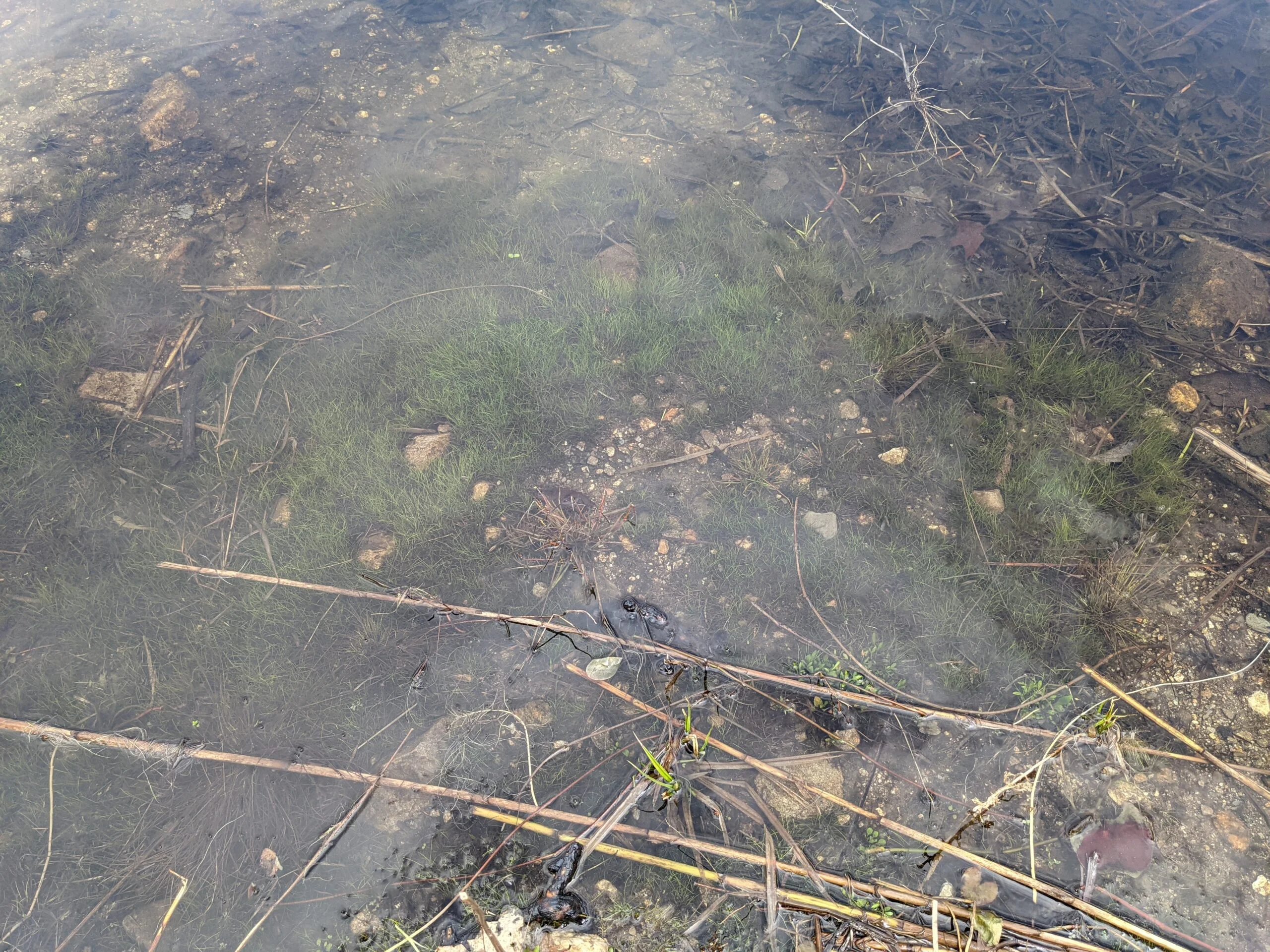
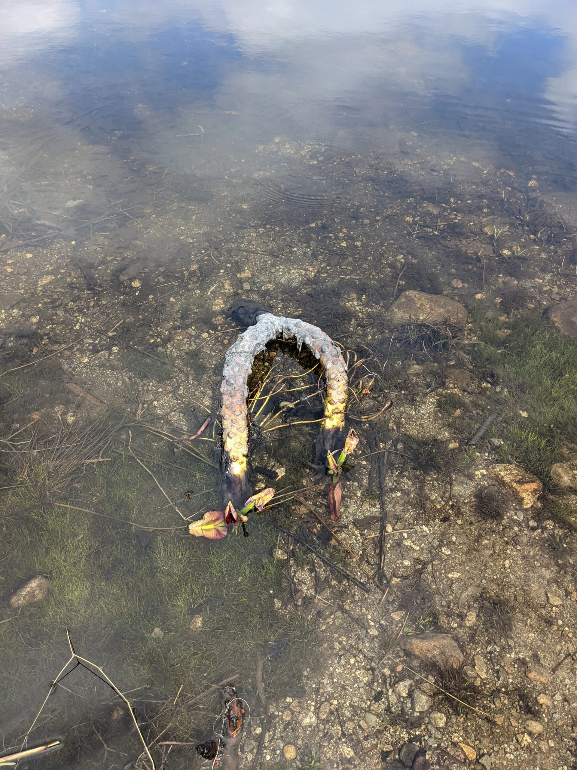
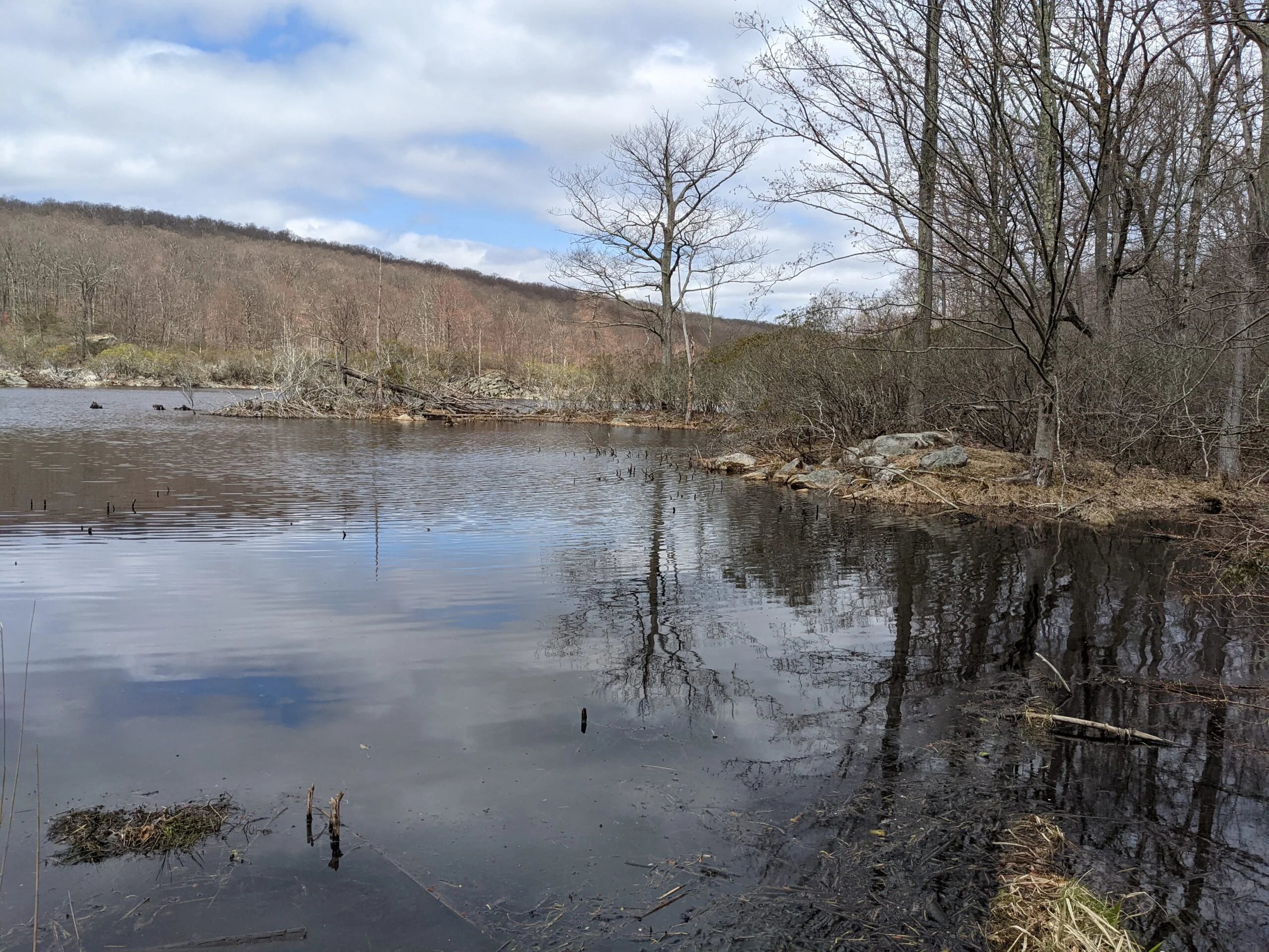
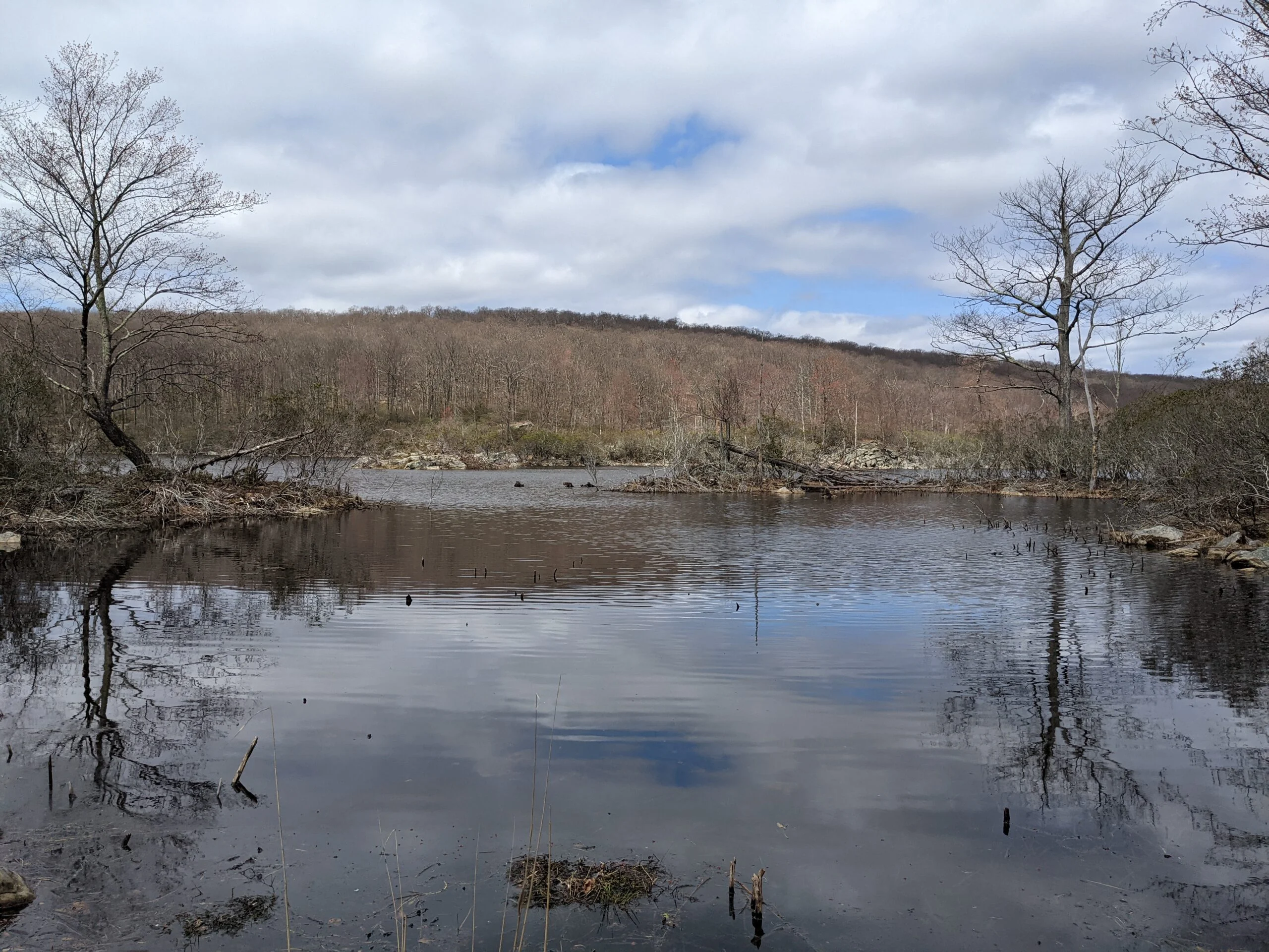
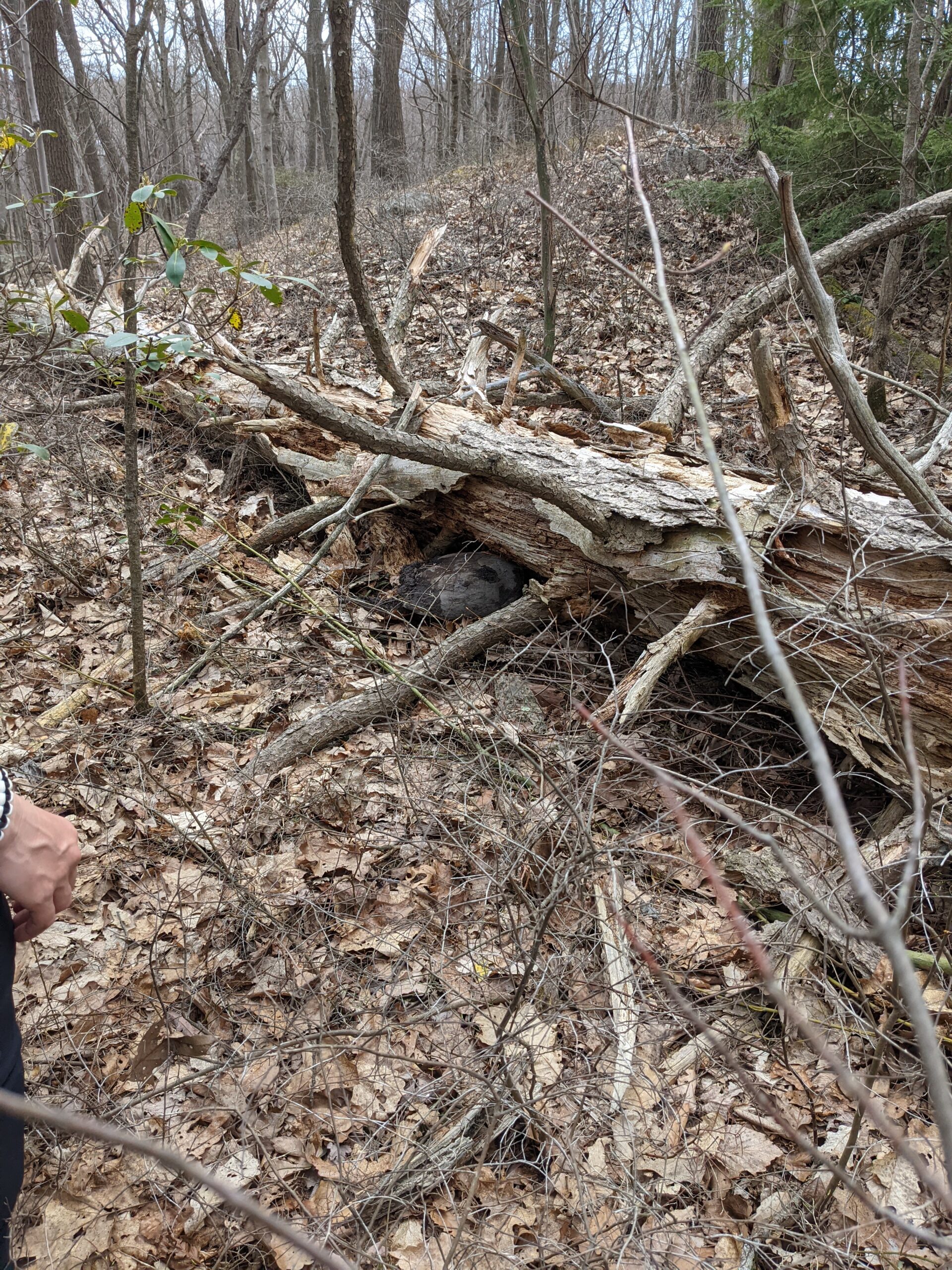
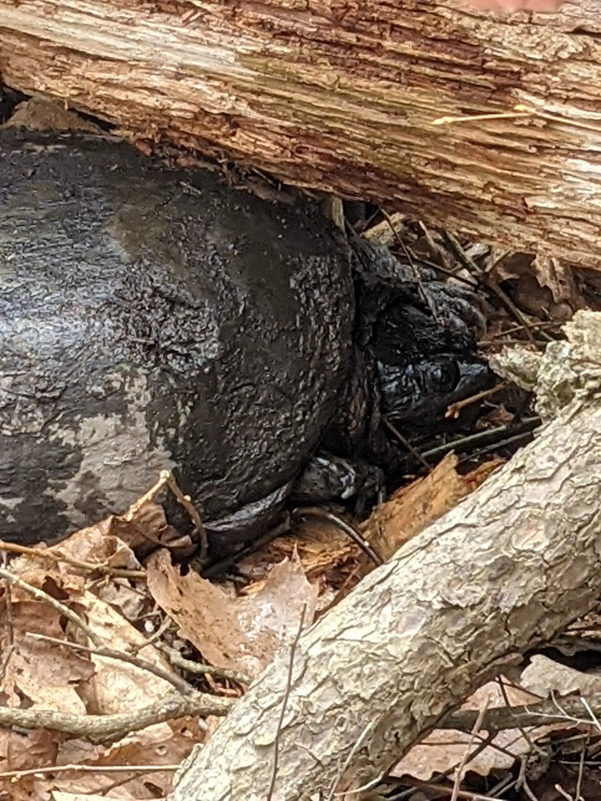
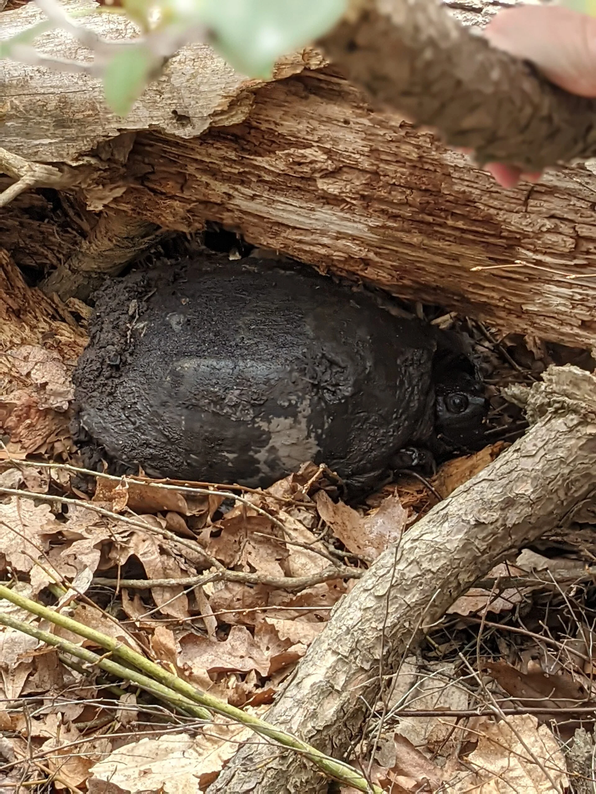
We followed TL north until reaching Hidden Lake, where we took a detour to the left to stop along the shoreline and observe a bunch of salamanders in the water. As we continued walking past Hidden Lake, we heard noises in the brush to the right of us. We stopped to investigate and found a snapping turtle trying to find a hiding place under a log. It had some mud caked on it, but we’re not where where it came from because there were no muddy areas in sight and the lake was several hundred feet away. My friend fed it some water and it opened its mouth to drink a couple times.
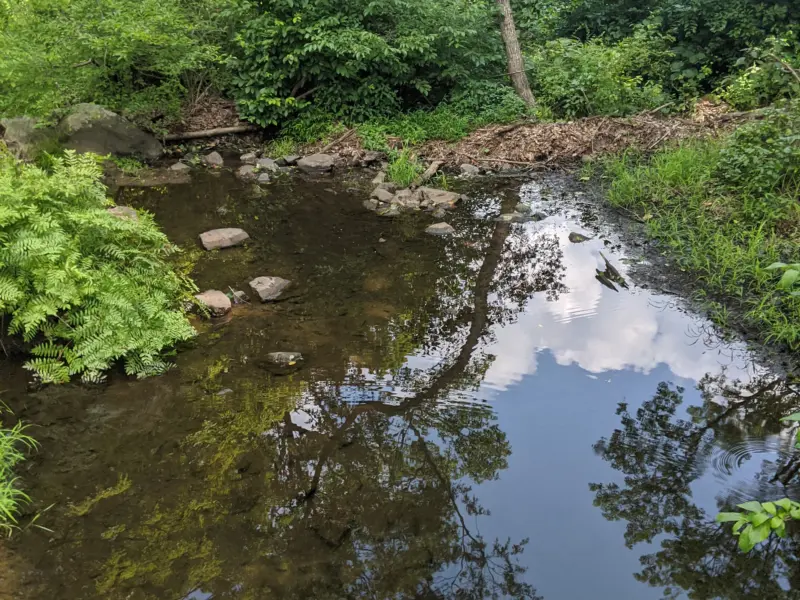
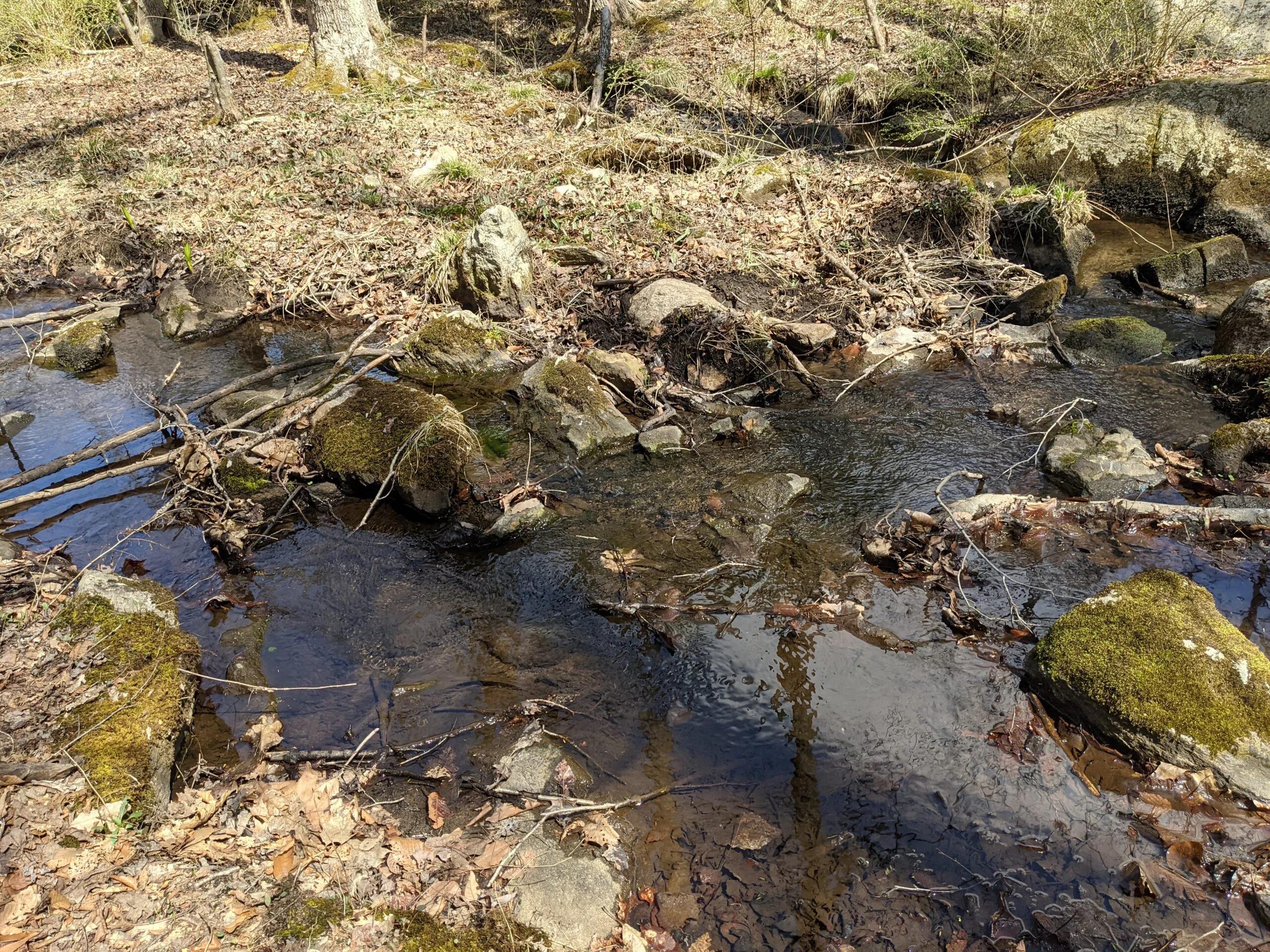
When we made it to the four-way intersection of TL and AT, I accidentally took us down TL for a short stint down to the stream before realizing we were off course. We could have continued and met up with the other side of TL which we originally came down, but we didn’t want to retrace that route, so decided to backtrack to the AT. We then followed AT north for about a mile to end the hike back at our cars.
Despite it being spring, the sun was hot and I went through almost all of the 4L of water I brought due to how much I was sweating. I’m going to have to start bringing more now that the weather is warming up. I hadn’t been drinking as much in the cooler temperatures.
Overall, it was a nice hike that wasn’t overly intense. The climbs we did were not very steep or very long, so I think this loop could be hiked by almost any skill level who can handle the distance.
Photos


GPS Route & Elevation
Loads an interactive map; map tiles are served by the U.S. Geological Survey, which receives your IP address. Learn more about maps and your privacy