Hudson Highlands State Park Preserve
Beacon Mountain – Casino, Fire Tower, Scofield Ridge, Lambs Hill, Rainbow Falls
- 7.9 mi
- 2,300 ft gain
- 05:39:25
- 219 photos
- 12 videos
This post may contain affiliate links. If you buy through them, I may earn a commission at no extra cost to you. As an Amazon Associate I earn from qualifying purchases.
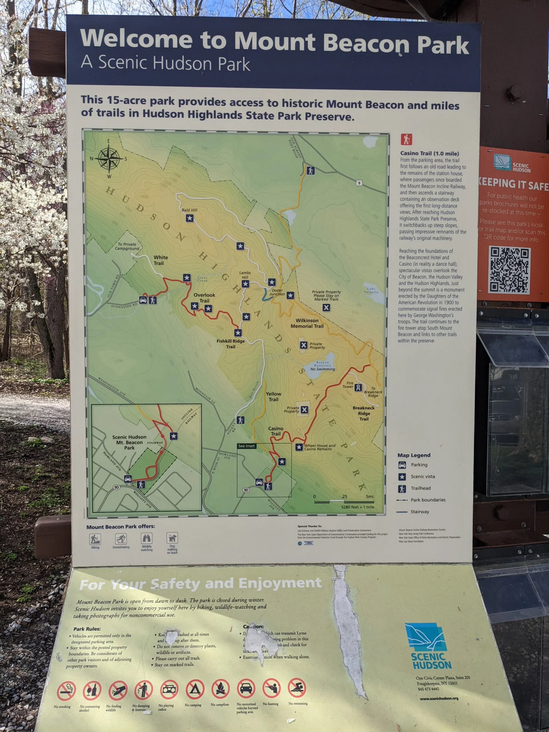
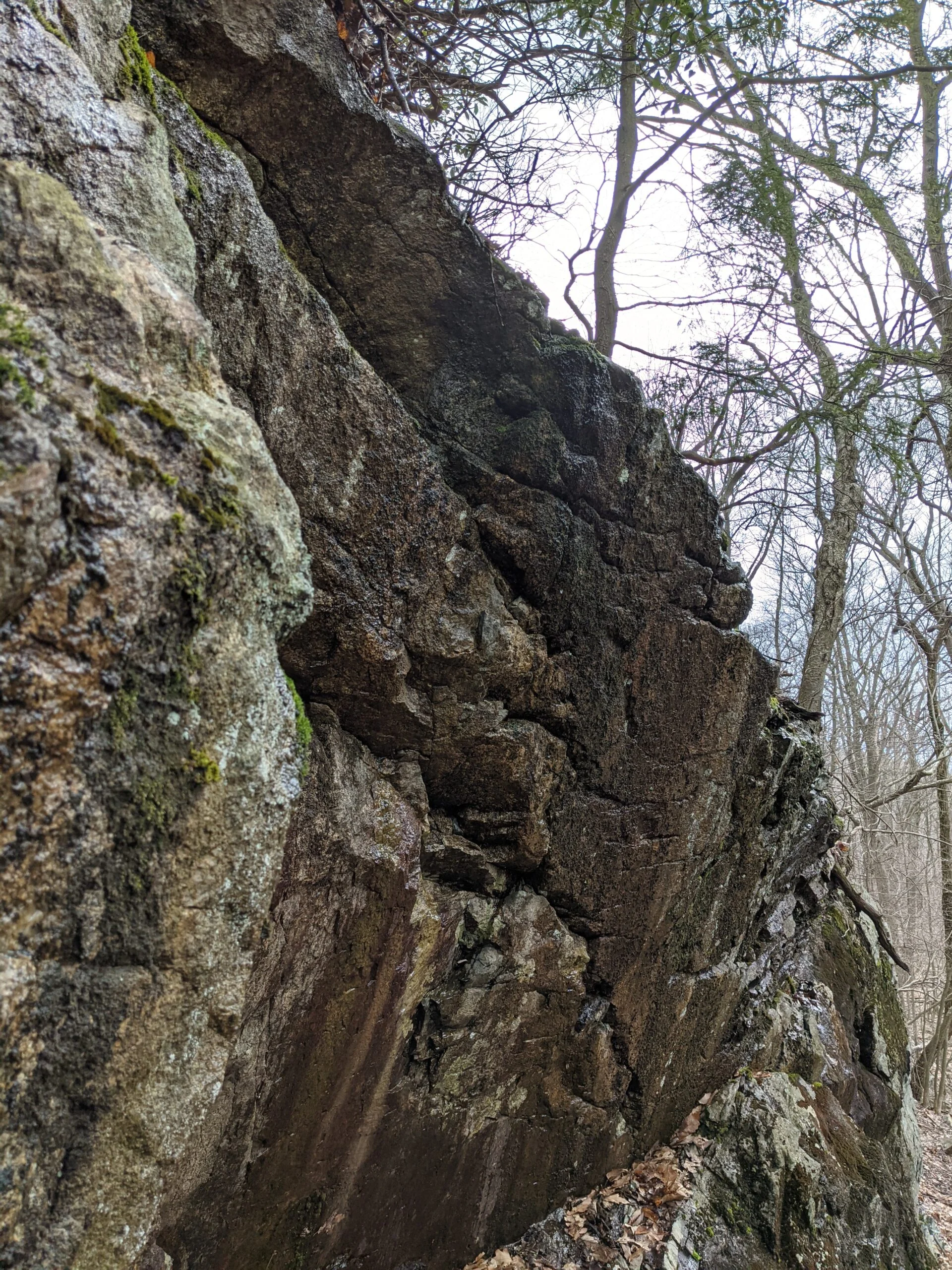
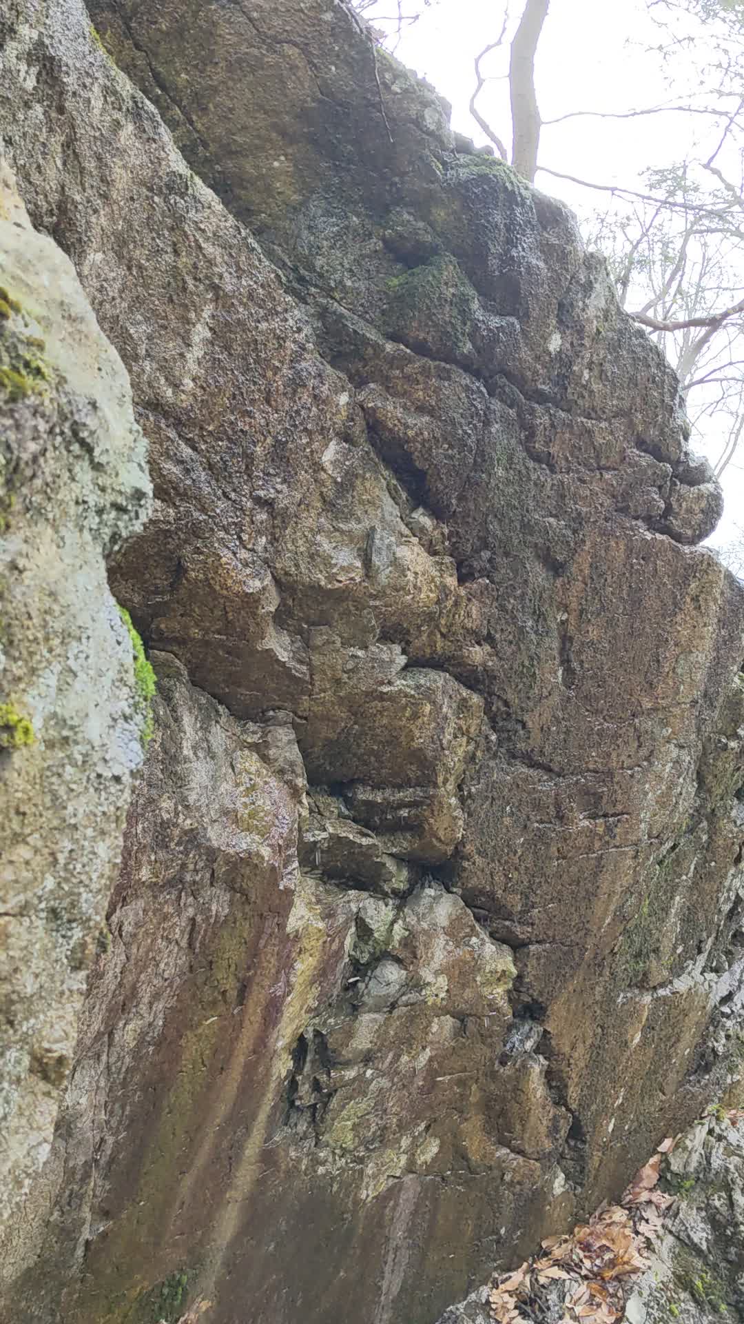
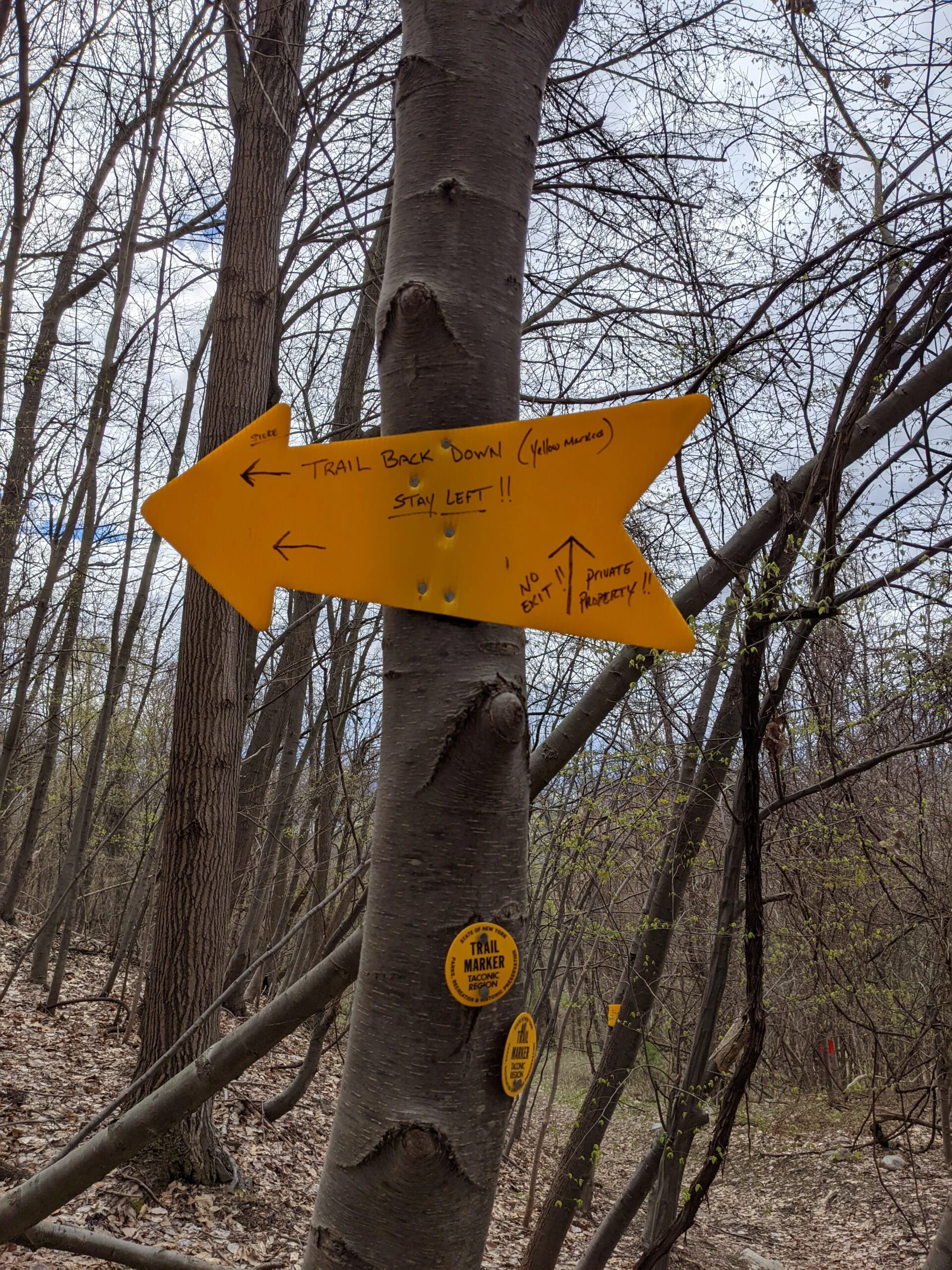
Today’s hike at Beacon Mountain (also referred to as Mount Beacon or Mt. Beacon) was absolutely amazing, with many cool ruins to explore along the way. I planned to follow the Casino, Fire Tower, Scofield Ridge, Lambs Hill, Rainbow Falls Loop from AllTrails in a counter clockwise direction.
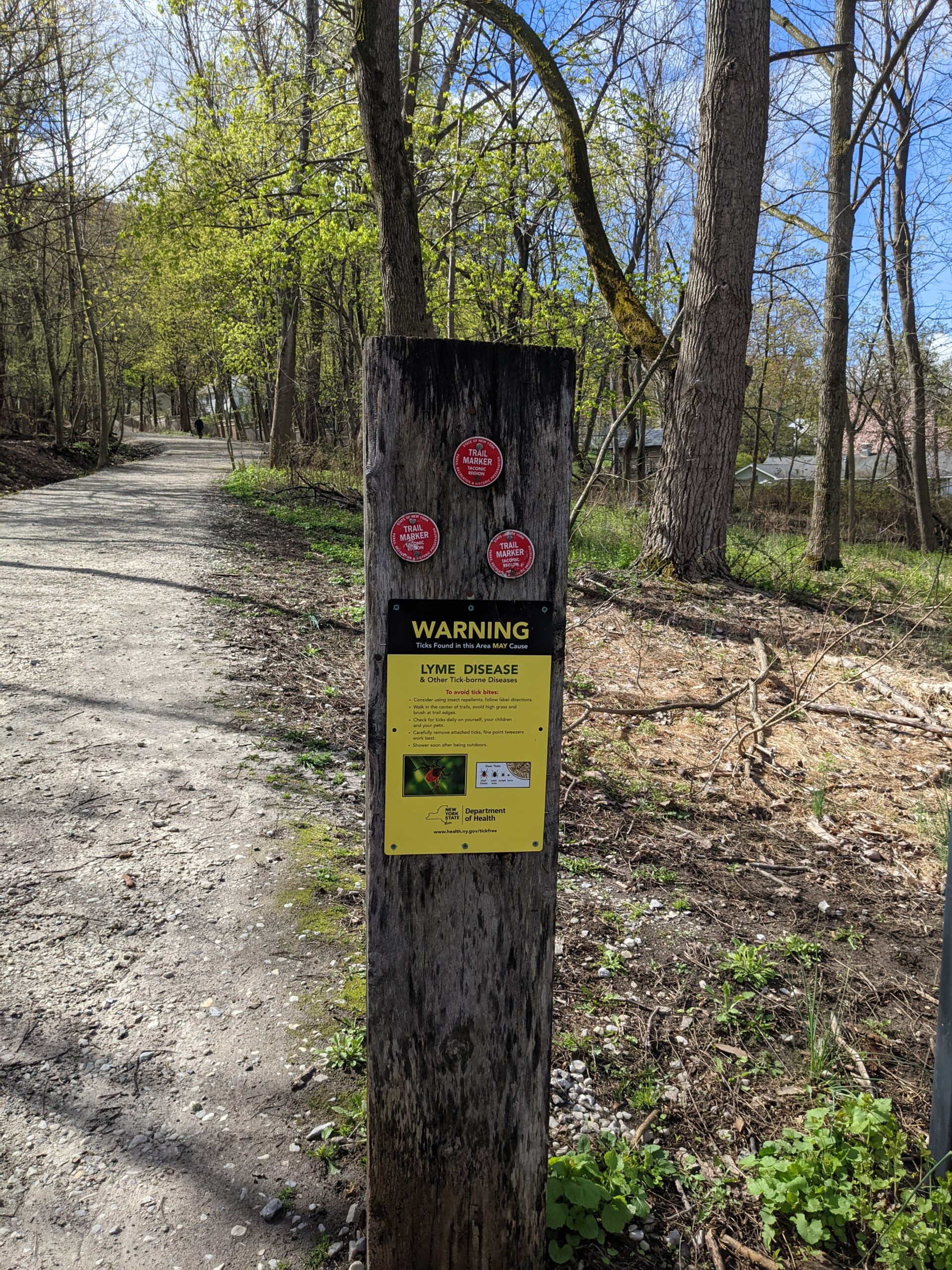
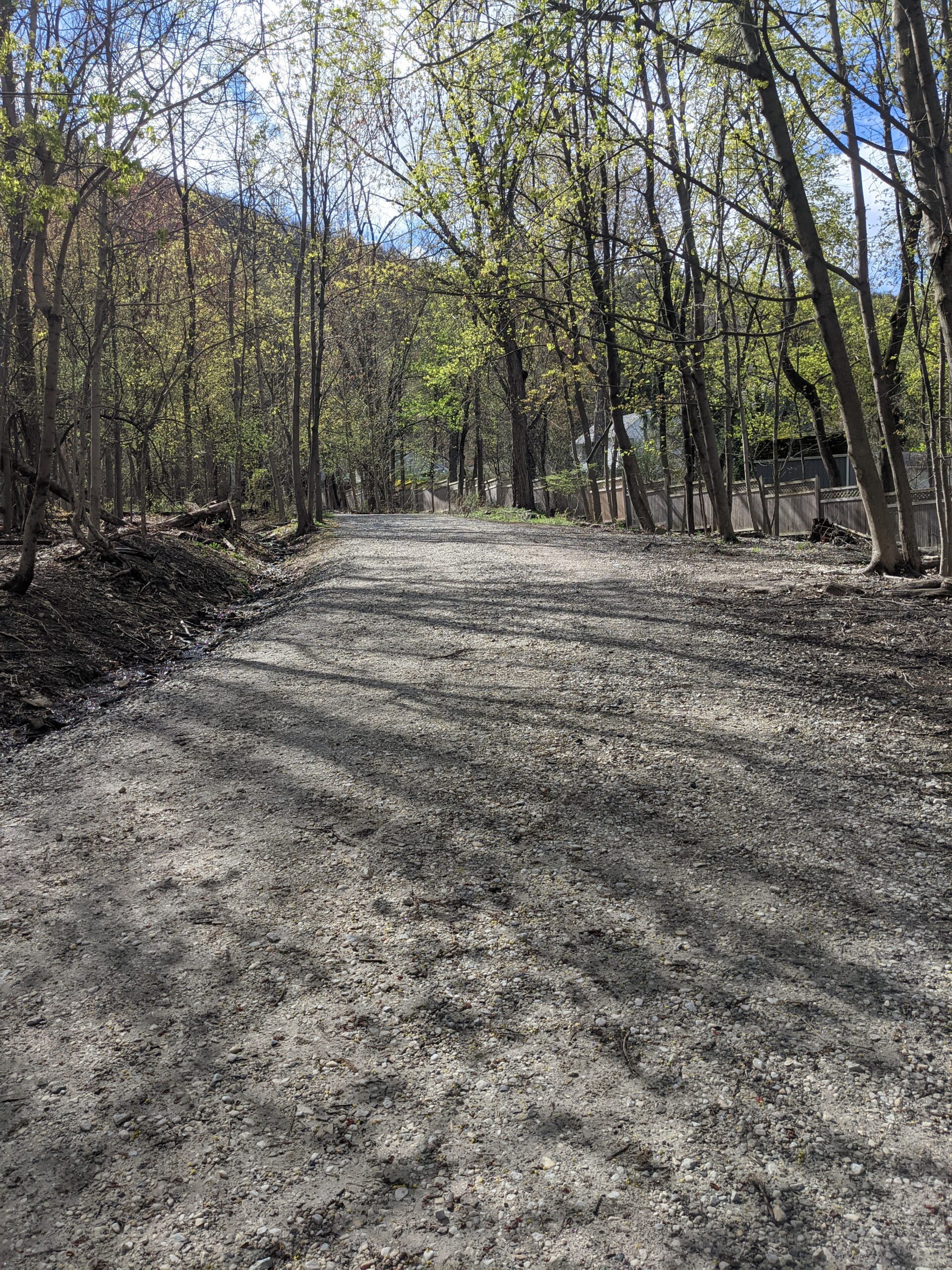
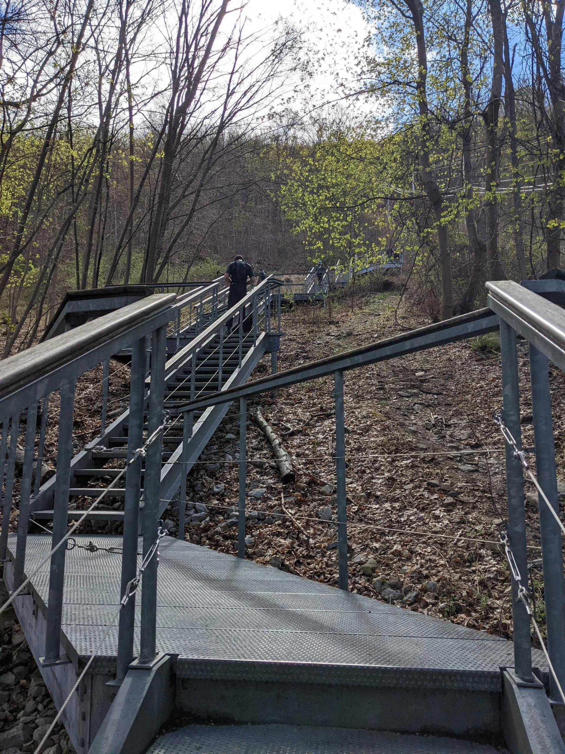
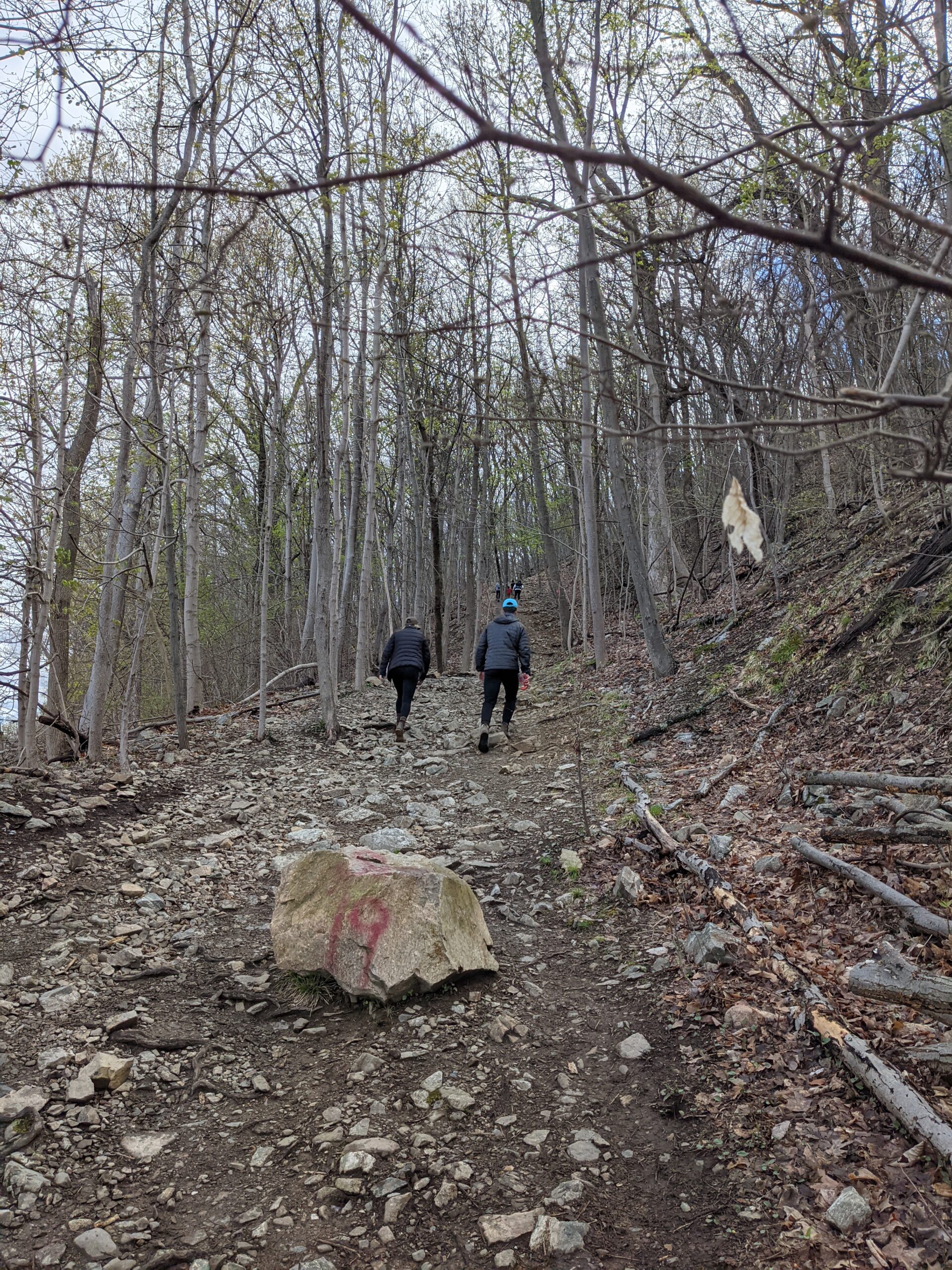
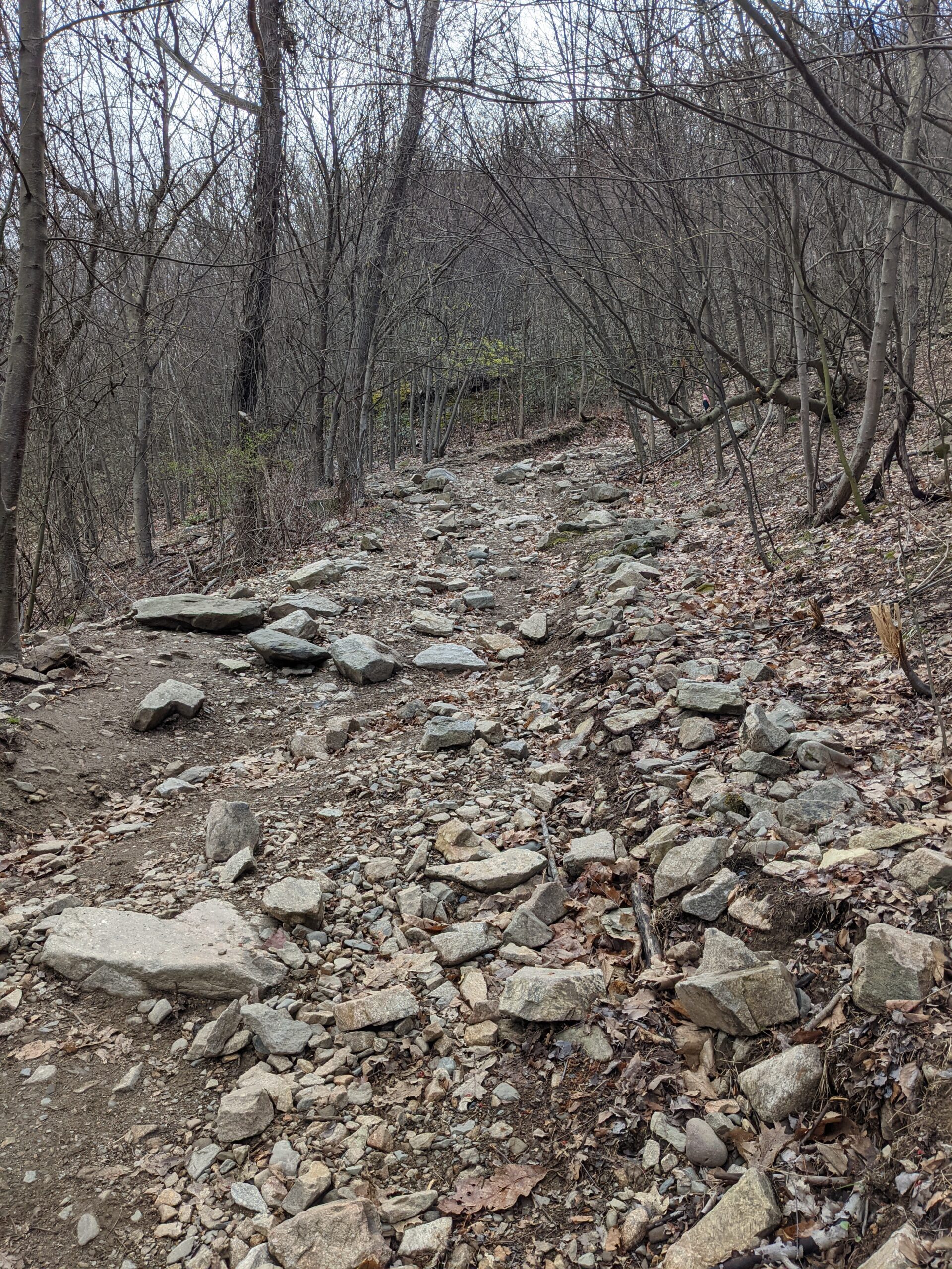
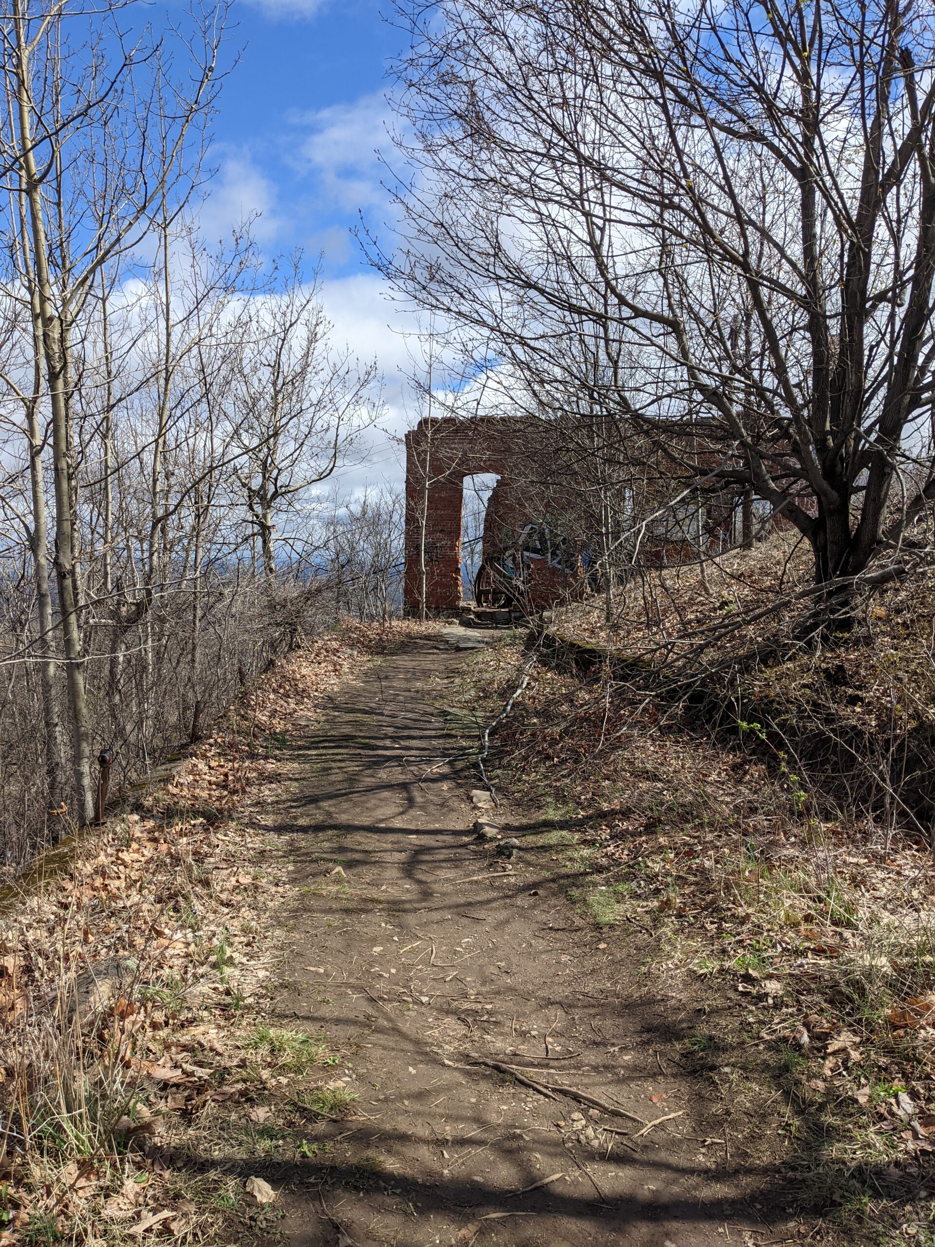
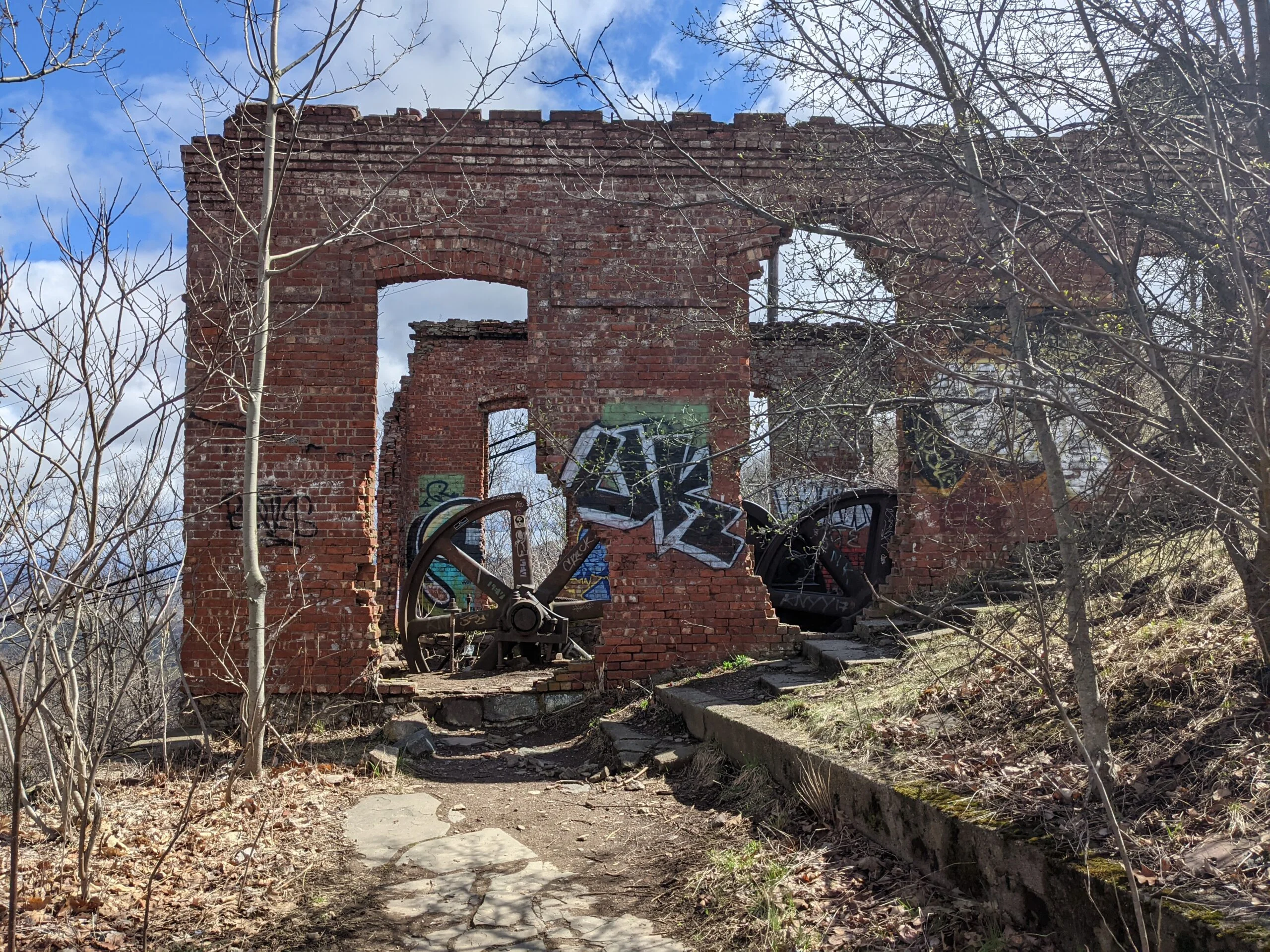
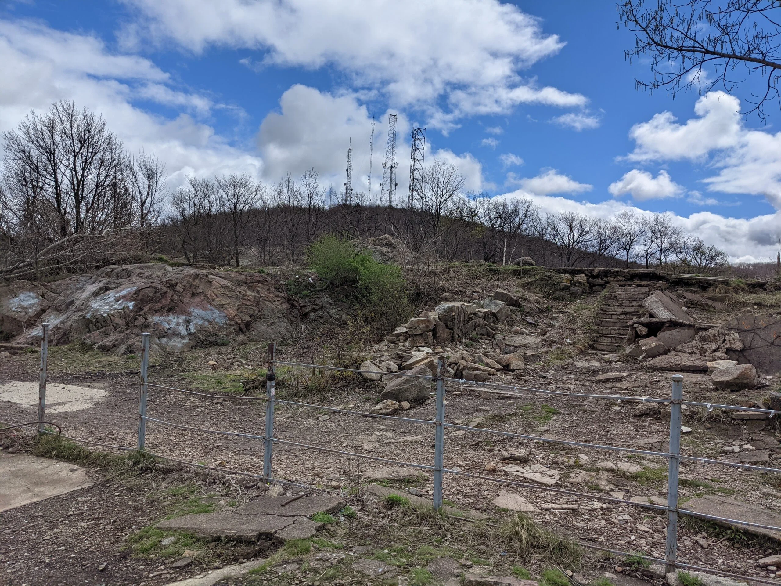
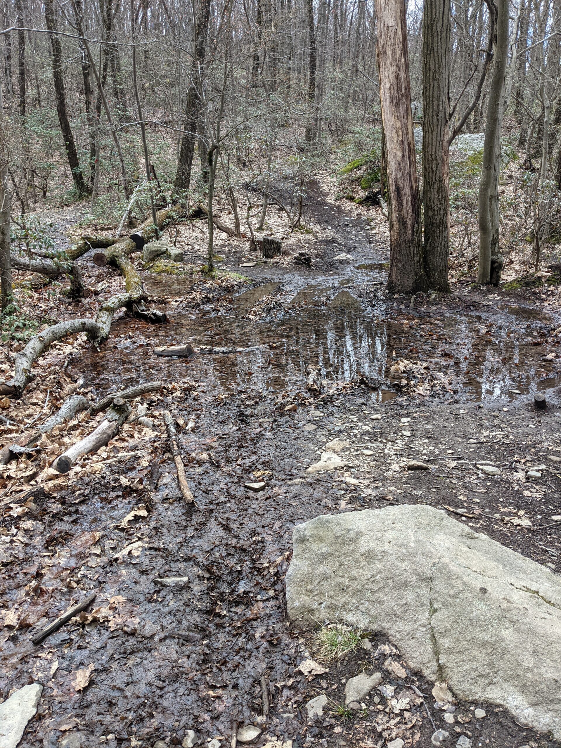
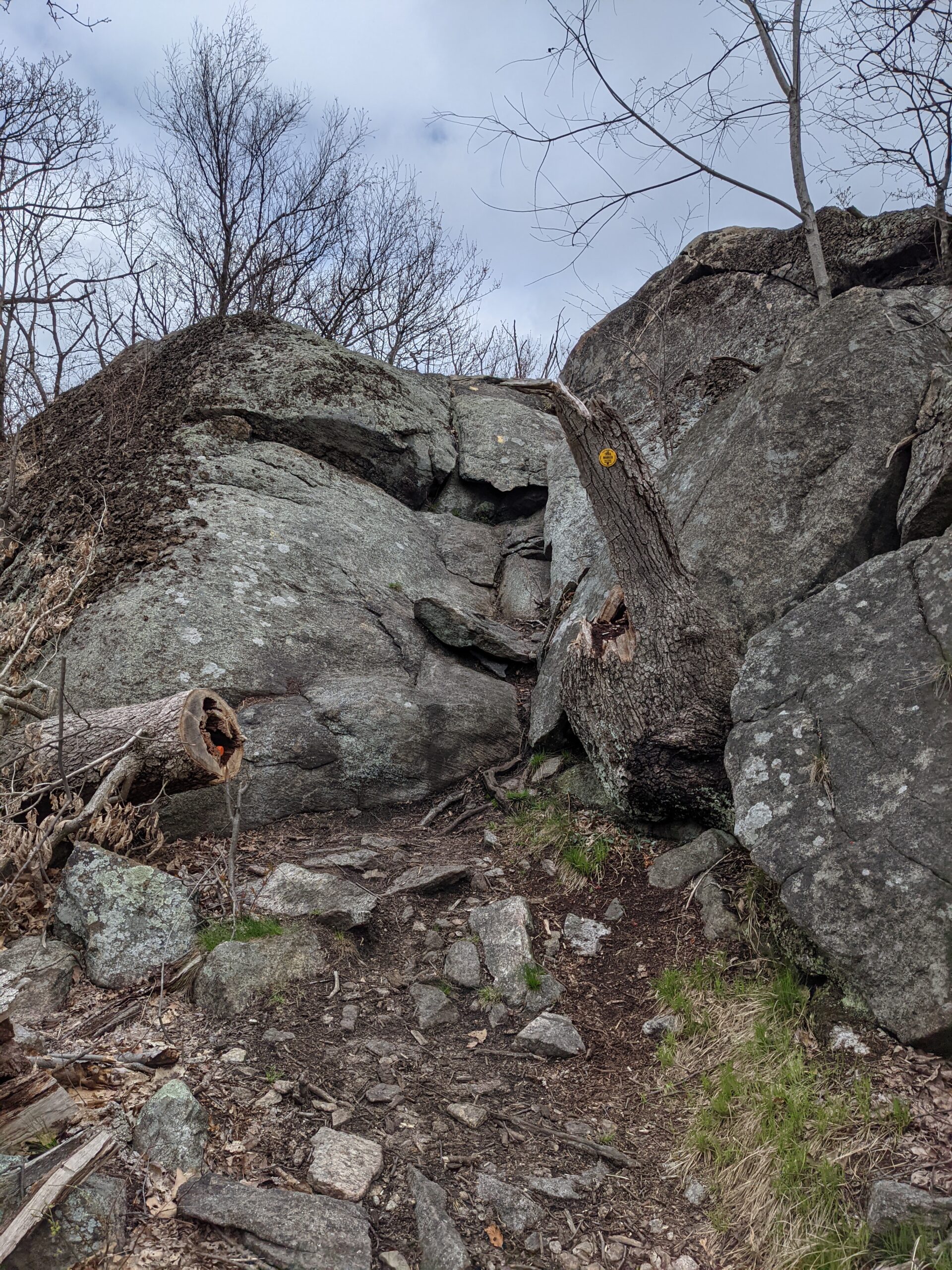
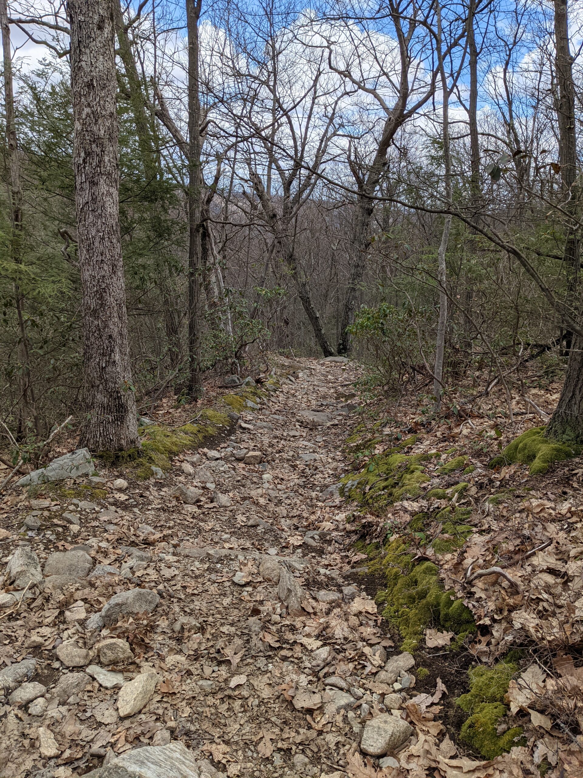
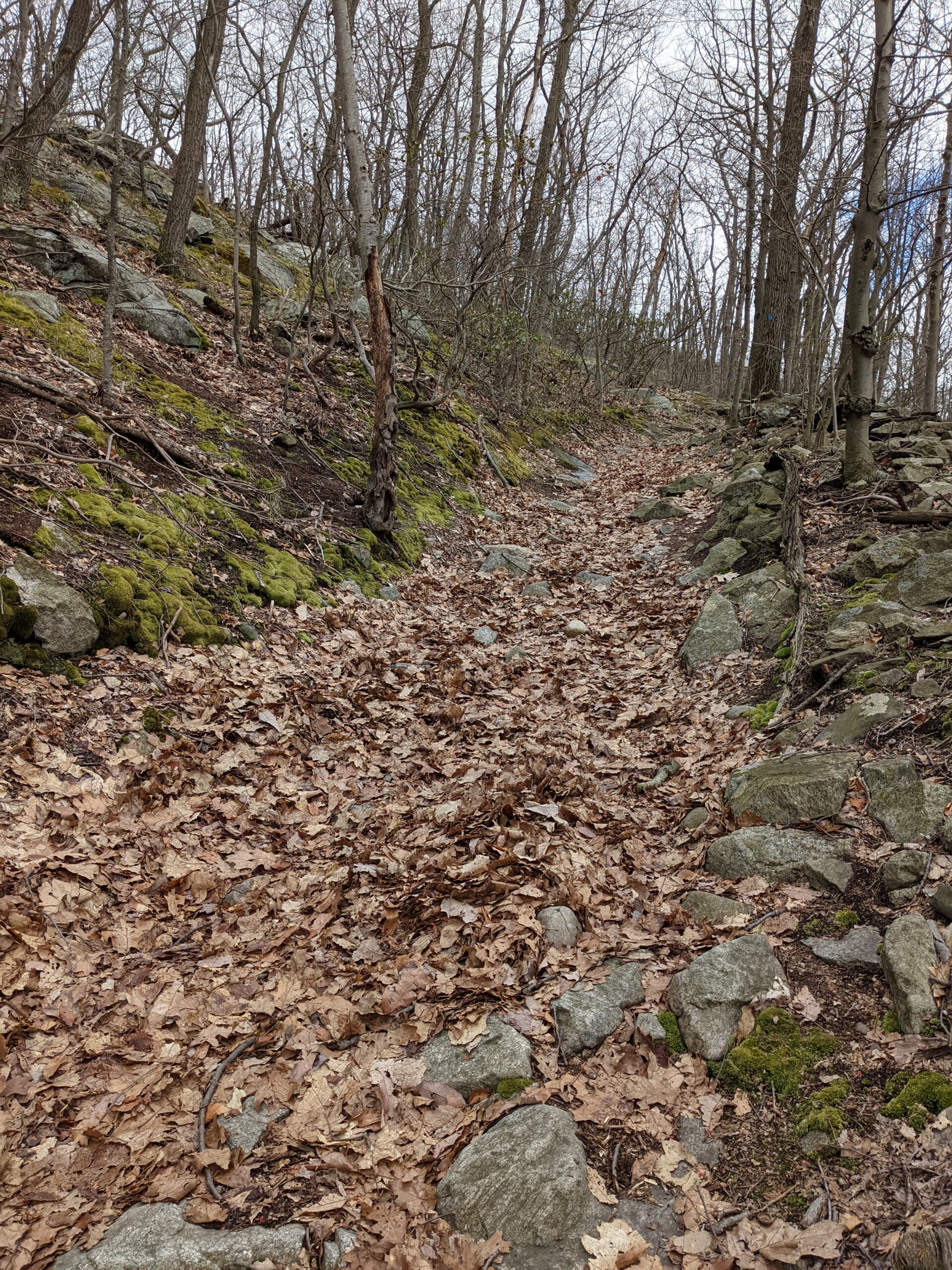
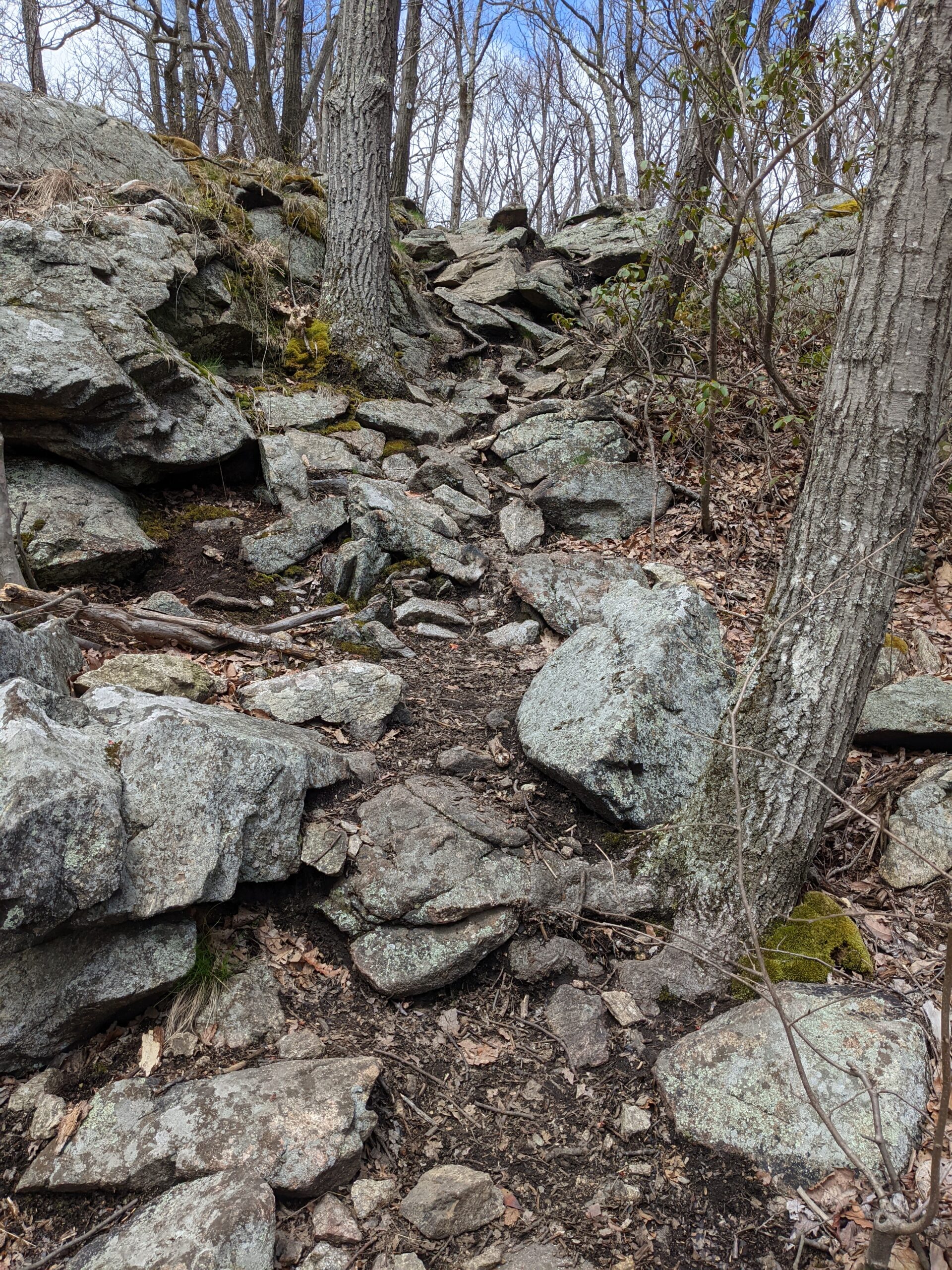
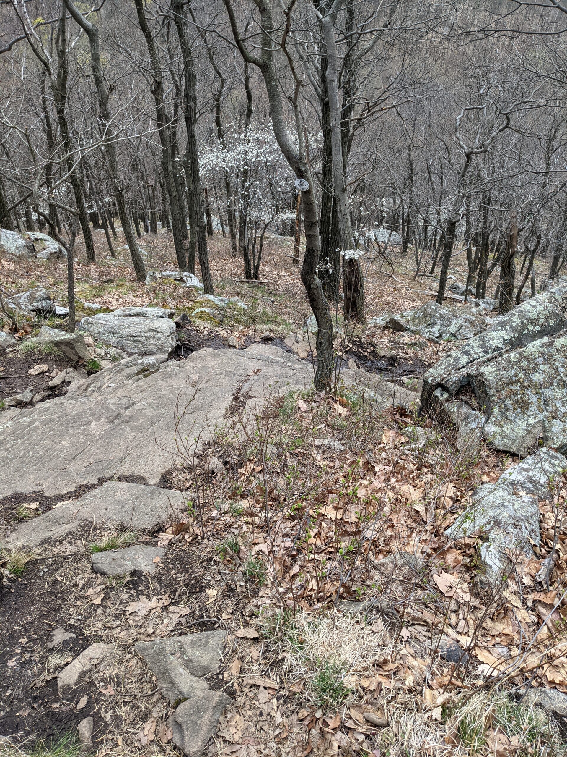
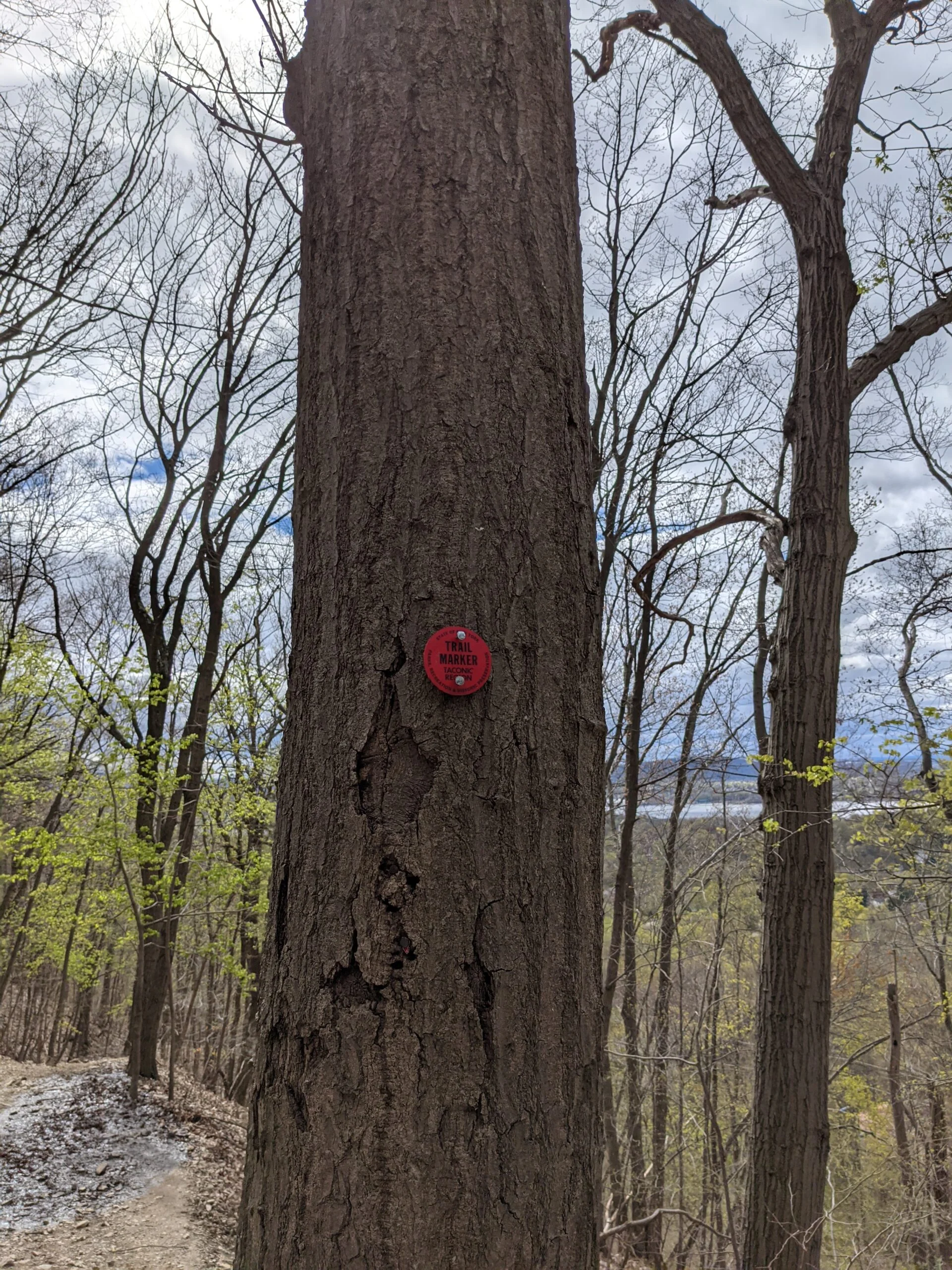
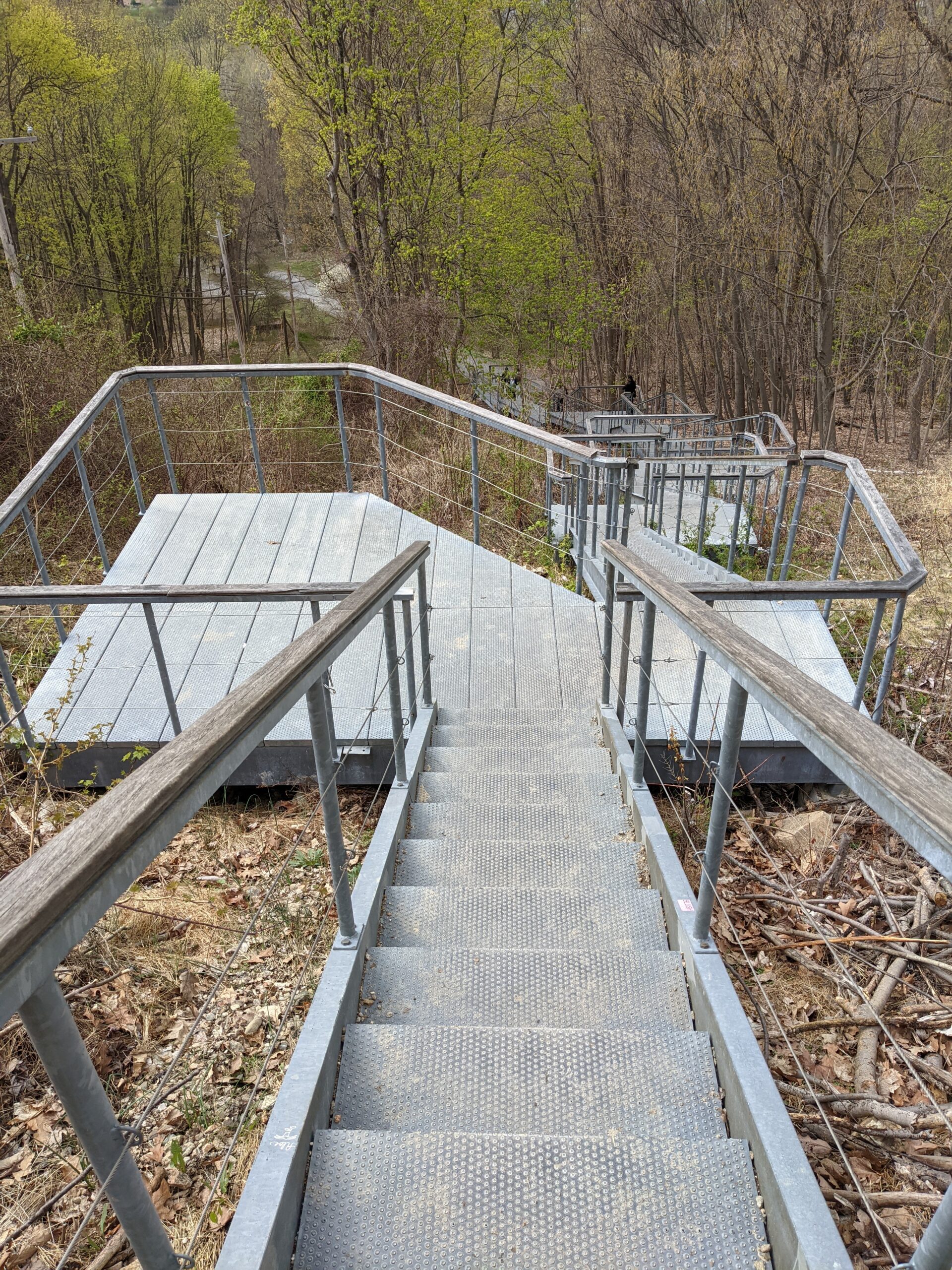
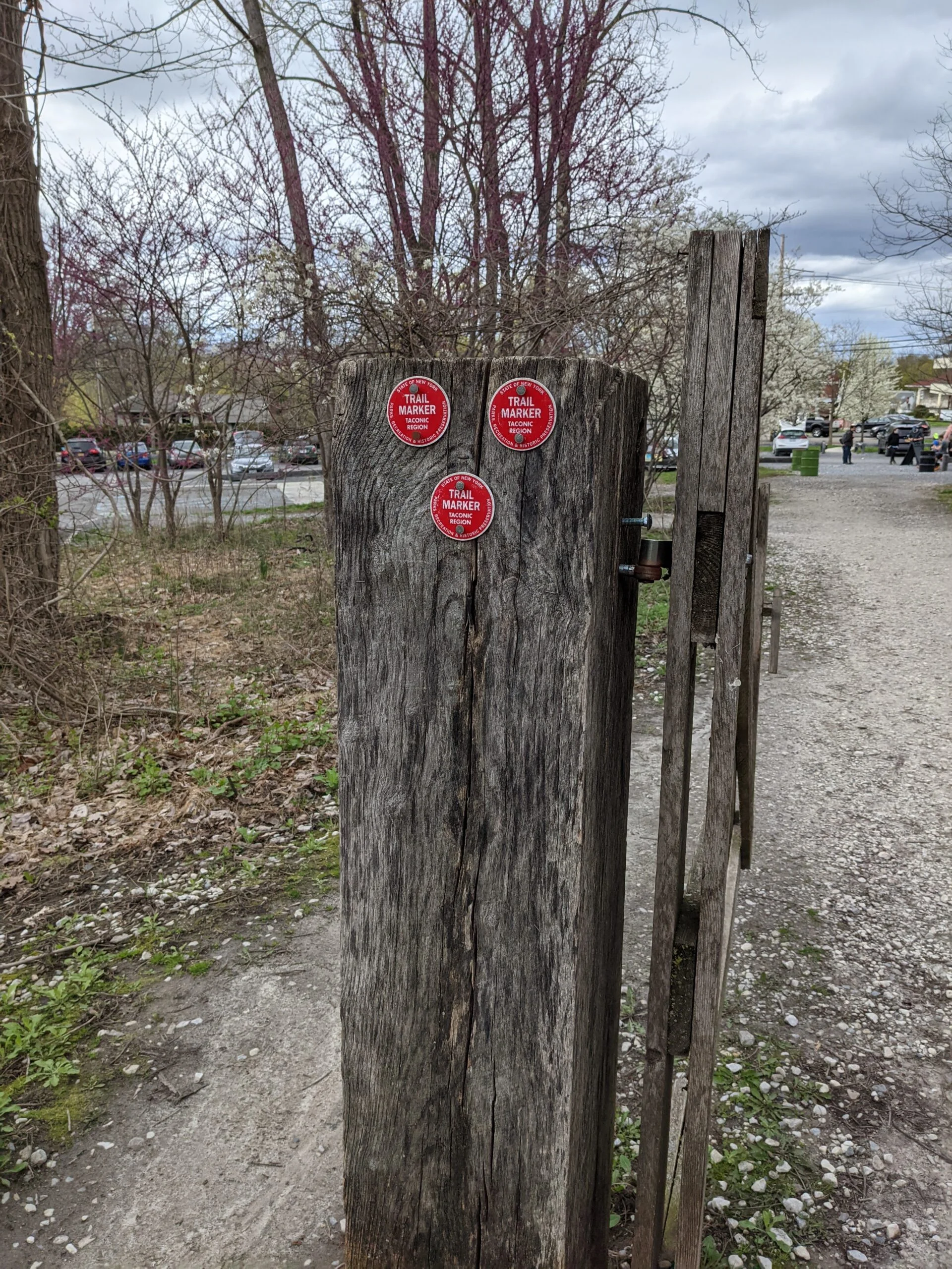
I started at the Mt. Beacon Park entrance to the Casino Trail (CT, red blazes). After a short loose stone walk from the parking lot, I was presented with a set of metal stairs that lead partway up the mountain. I made it up these with ease and then the “fun” part started. The trail up to the former Casino and Railway Powerhouse is a grueling 1,000 ft climb over approximately 1 mile. I stopped several times on the way up to catch my breath. It took me about 45 minutes to reach the top.
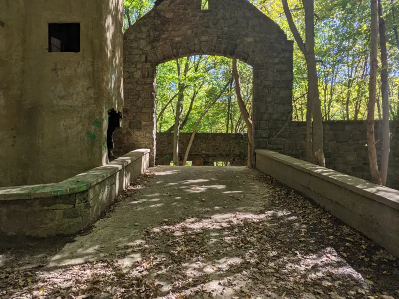
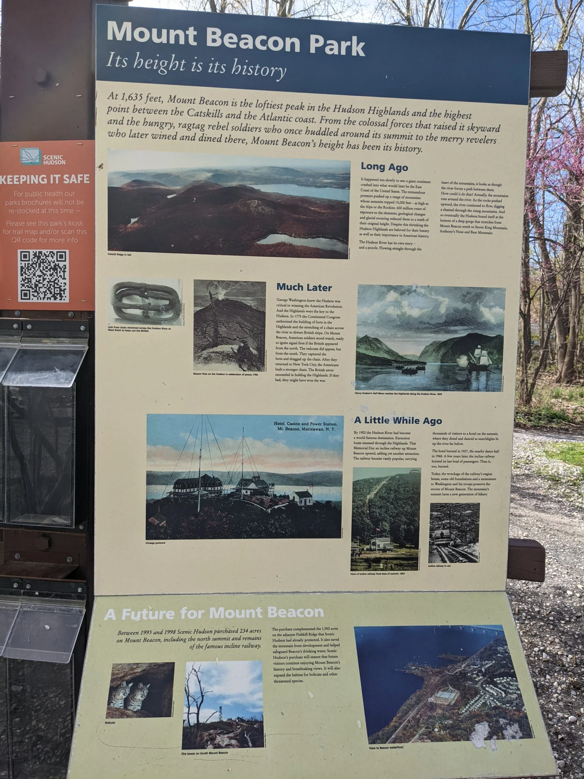
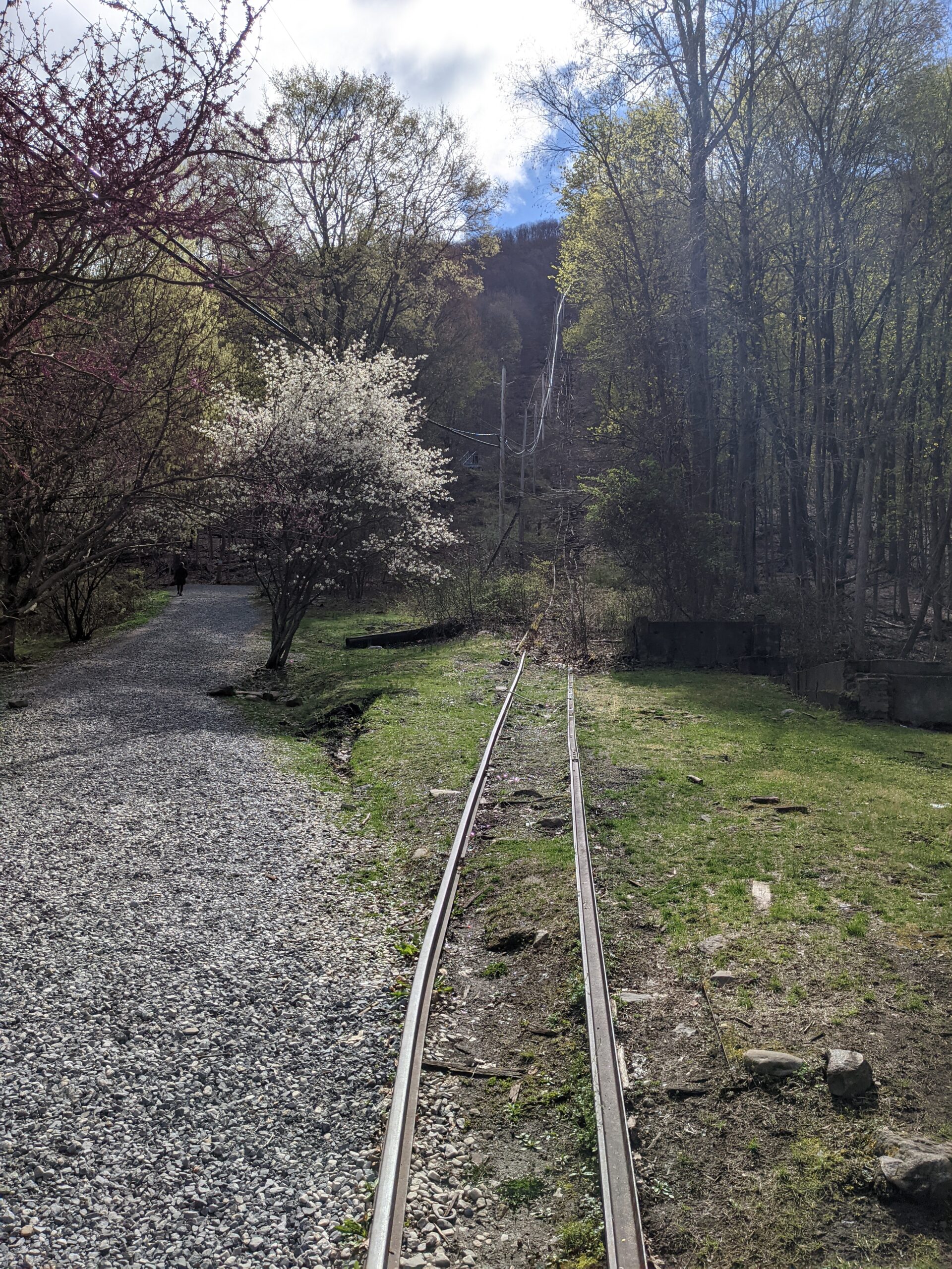
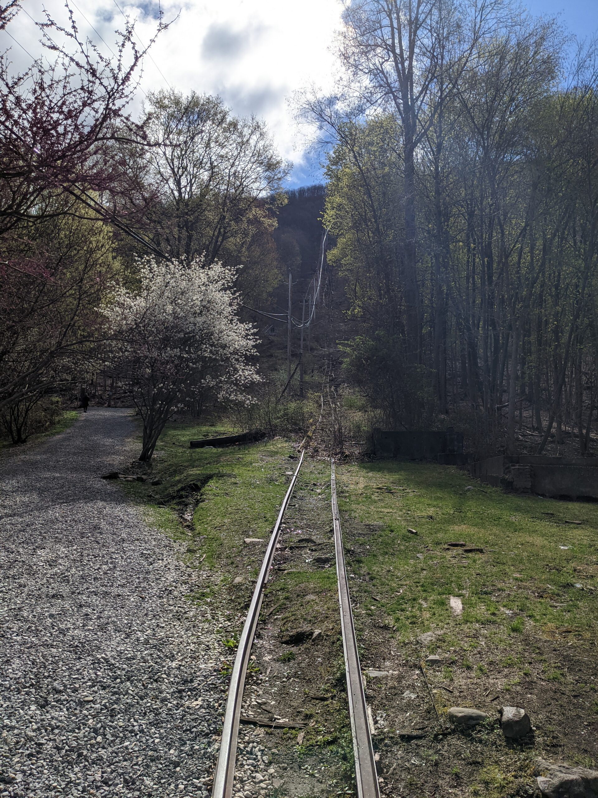
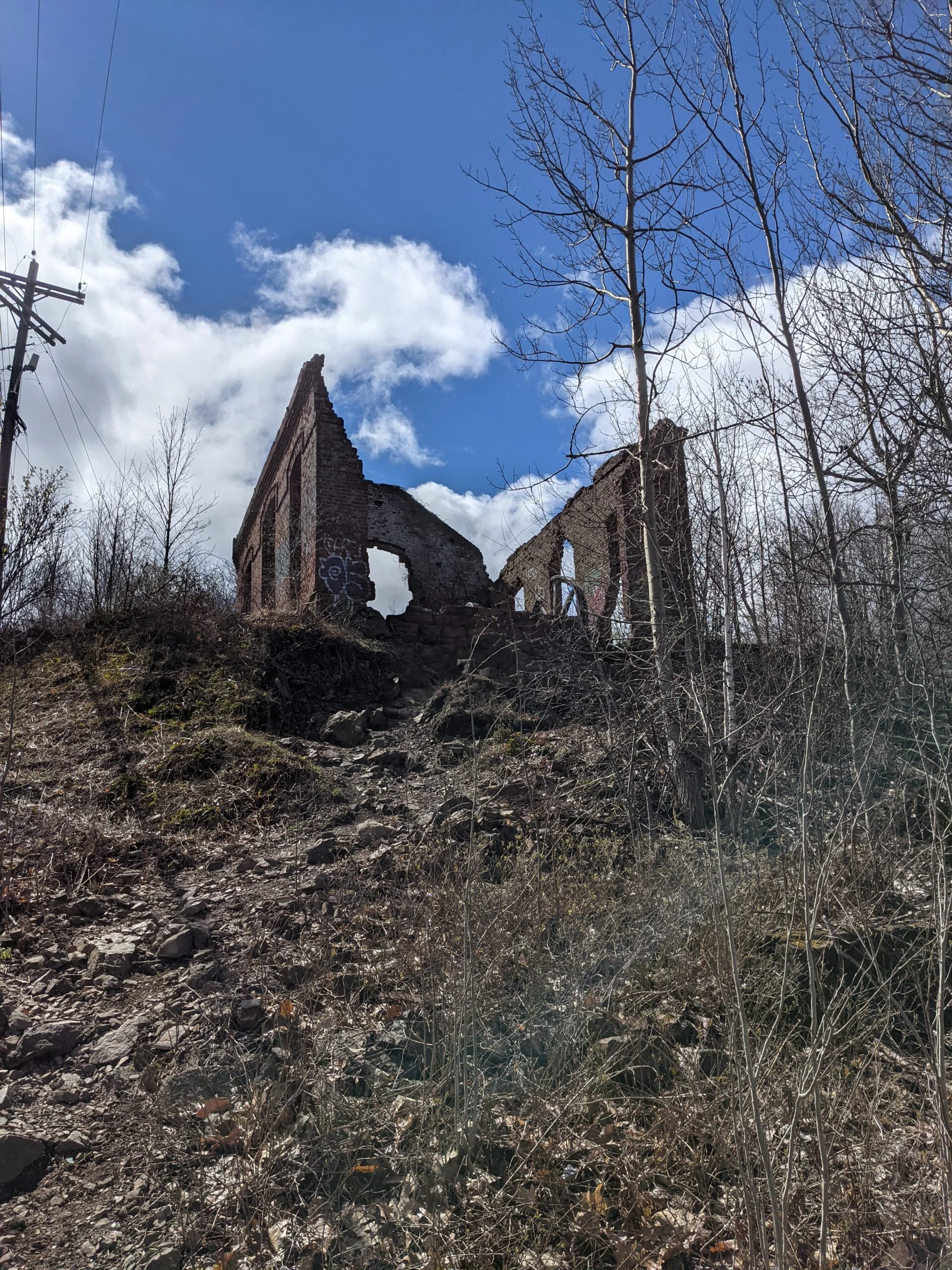
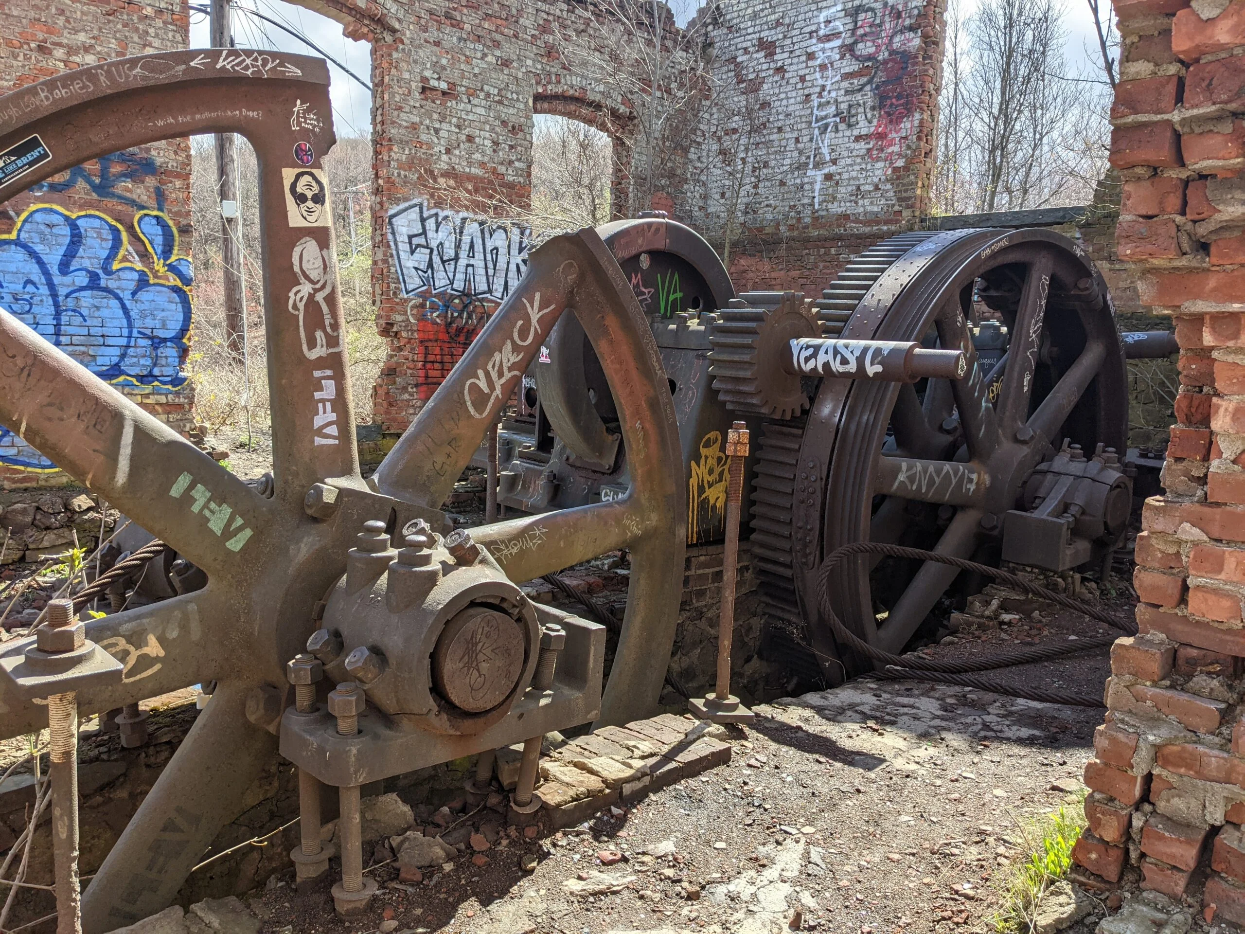
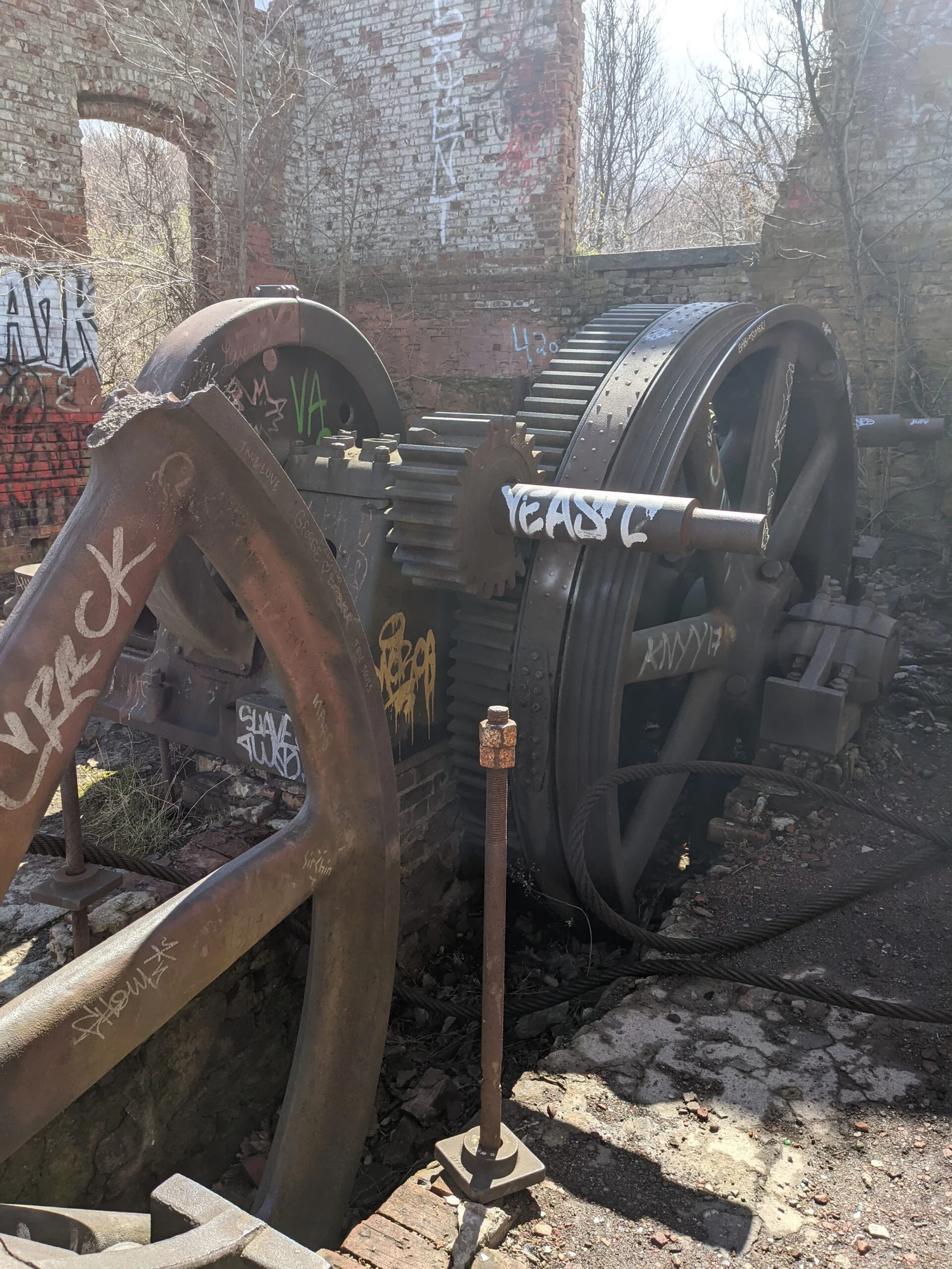
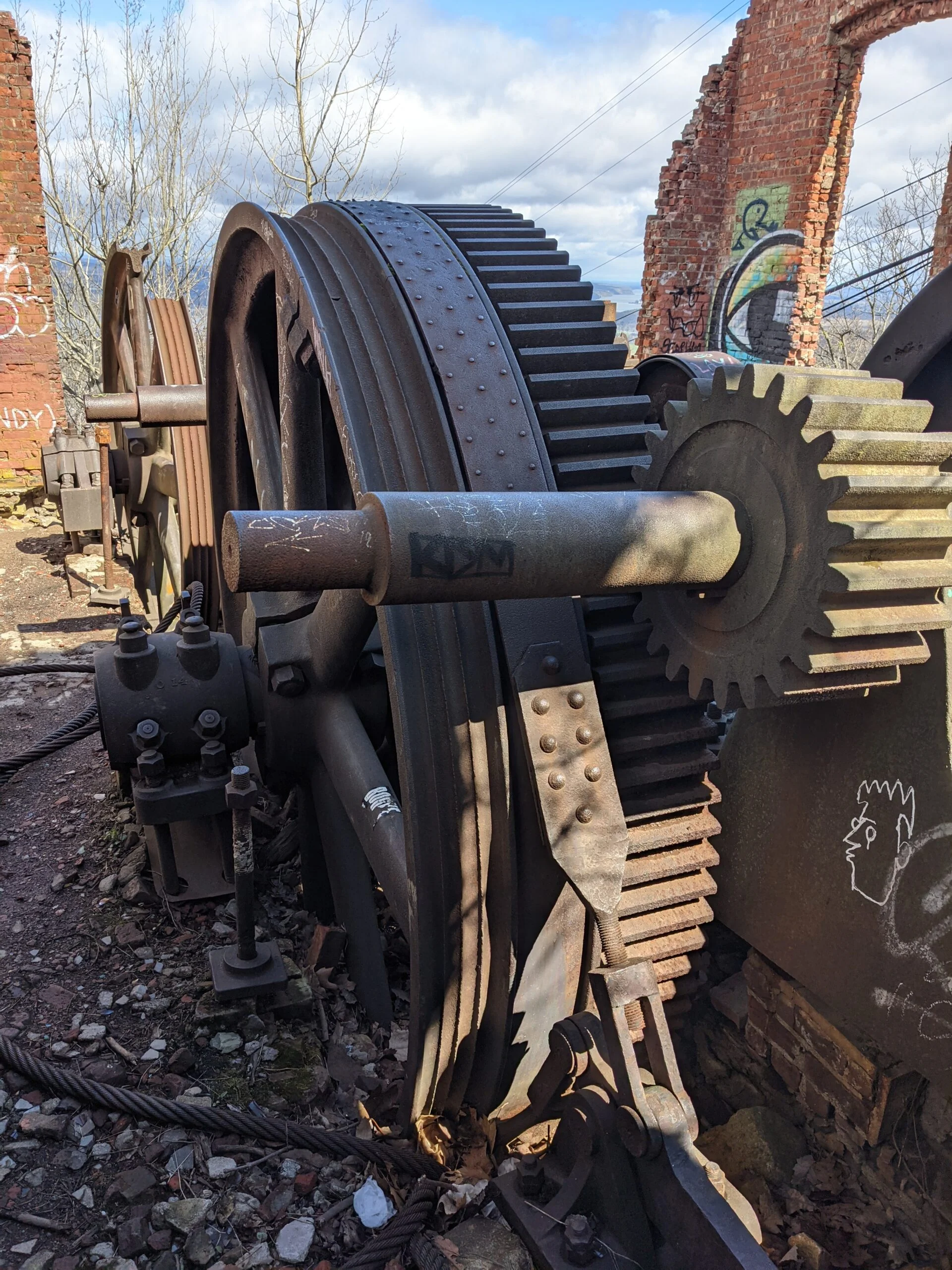
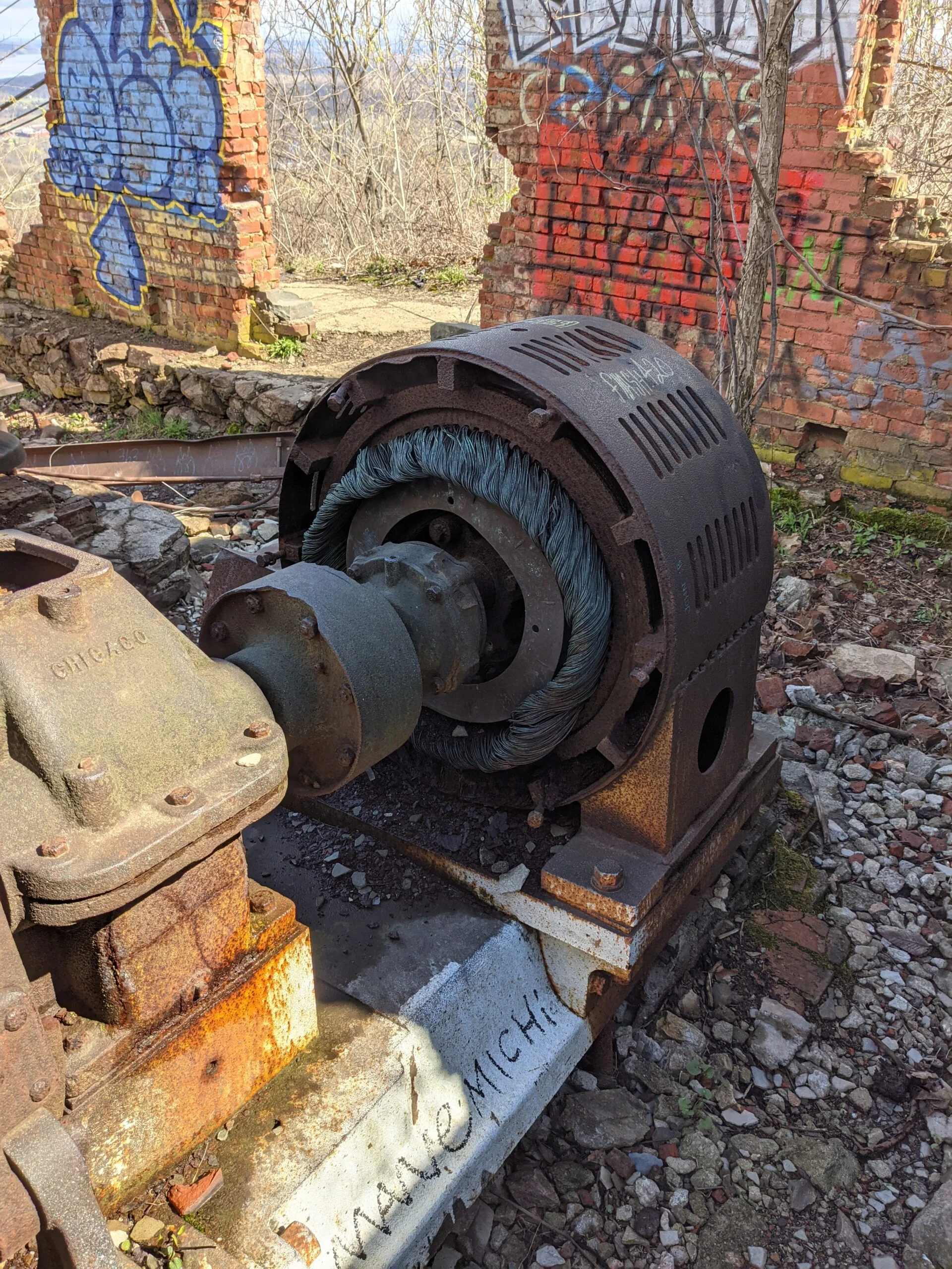
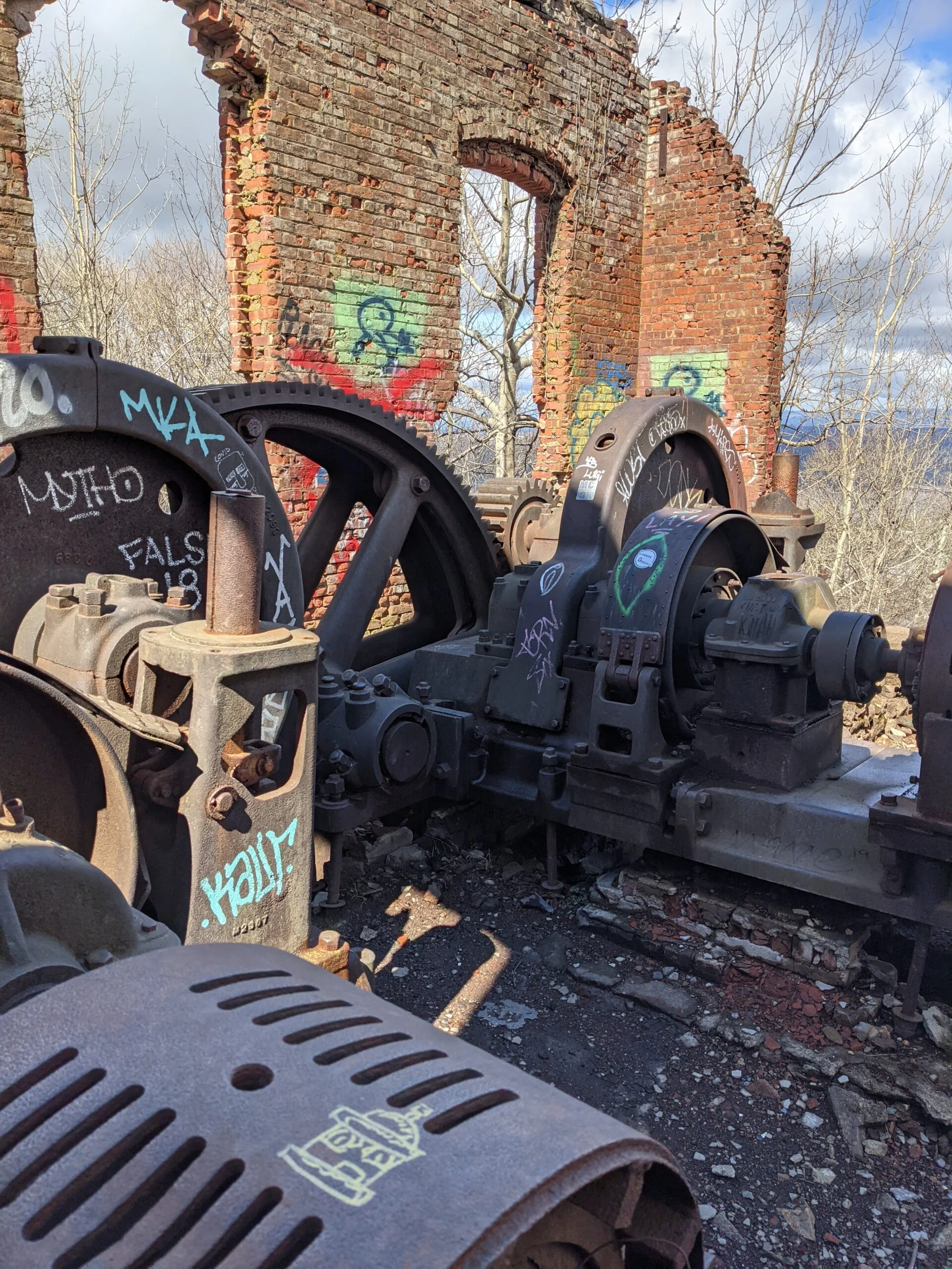
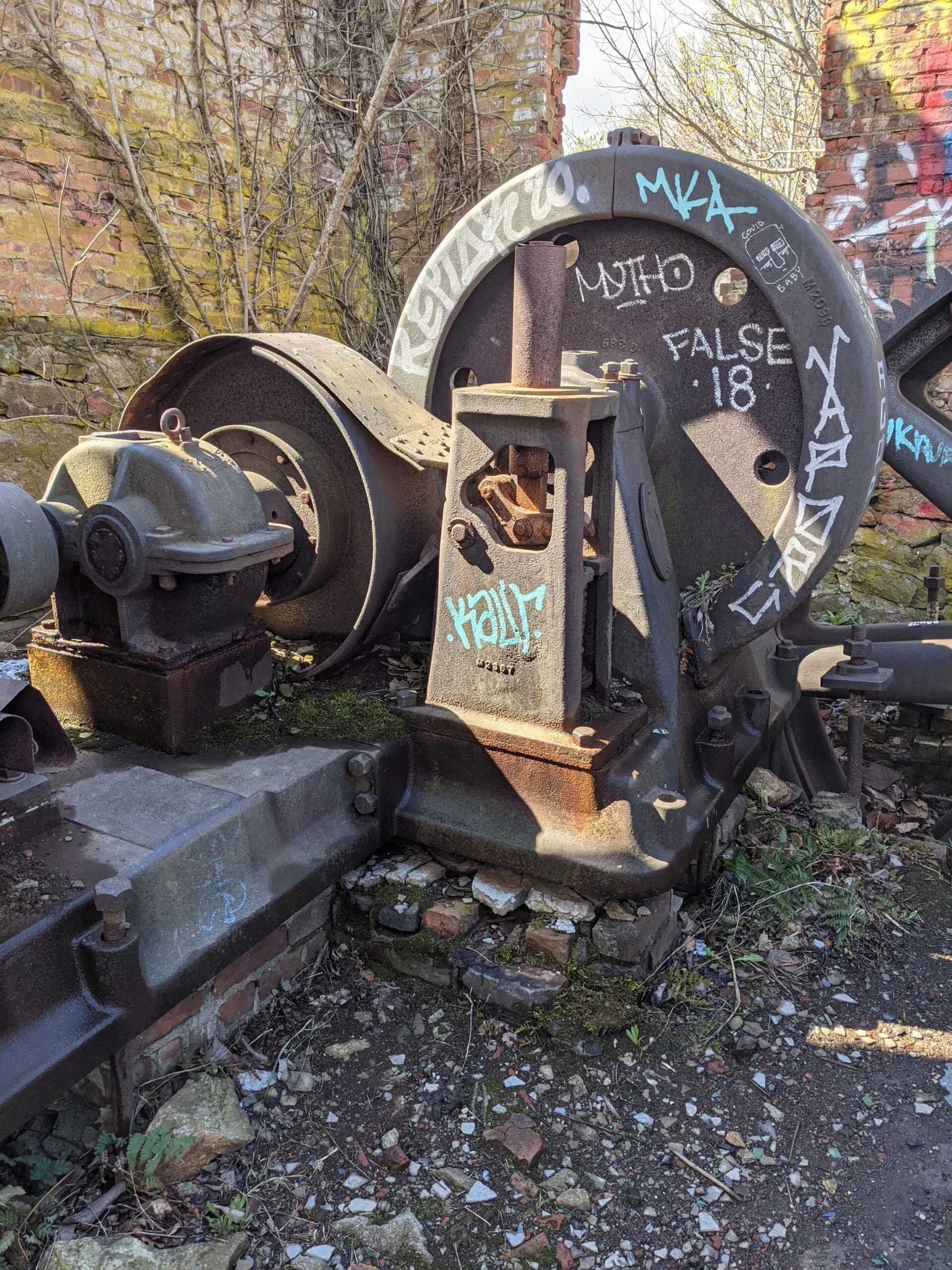
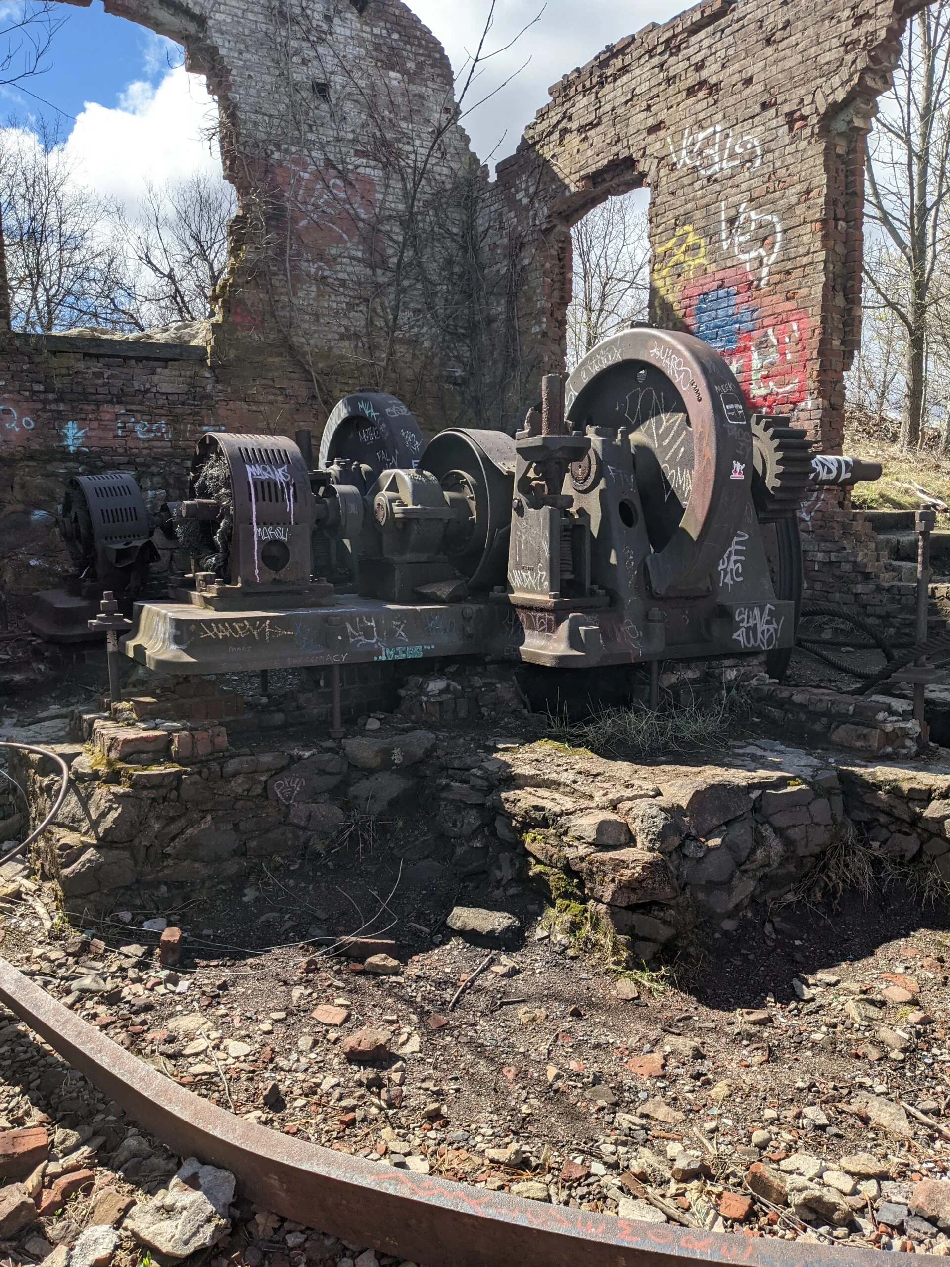
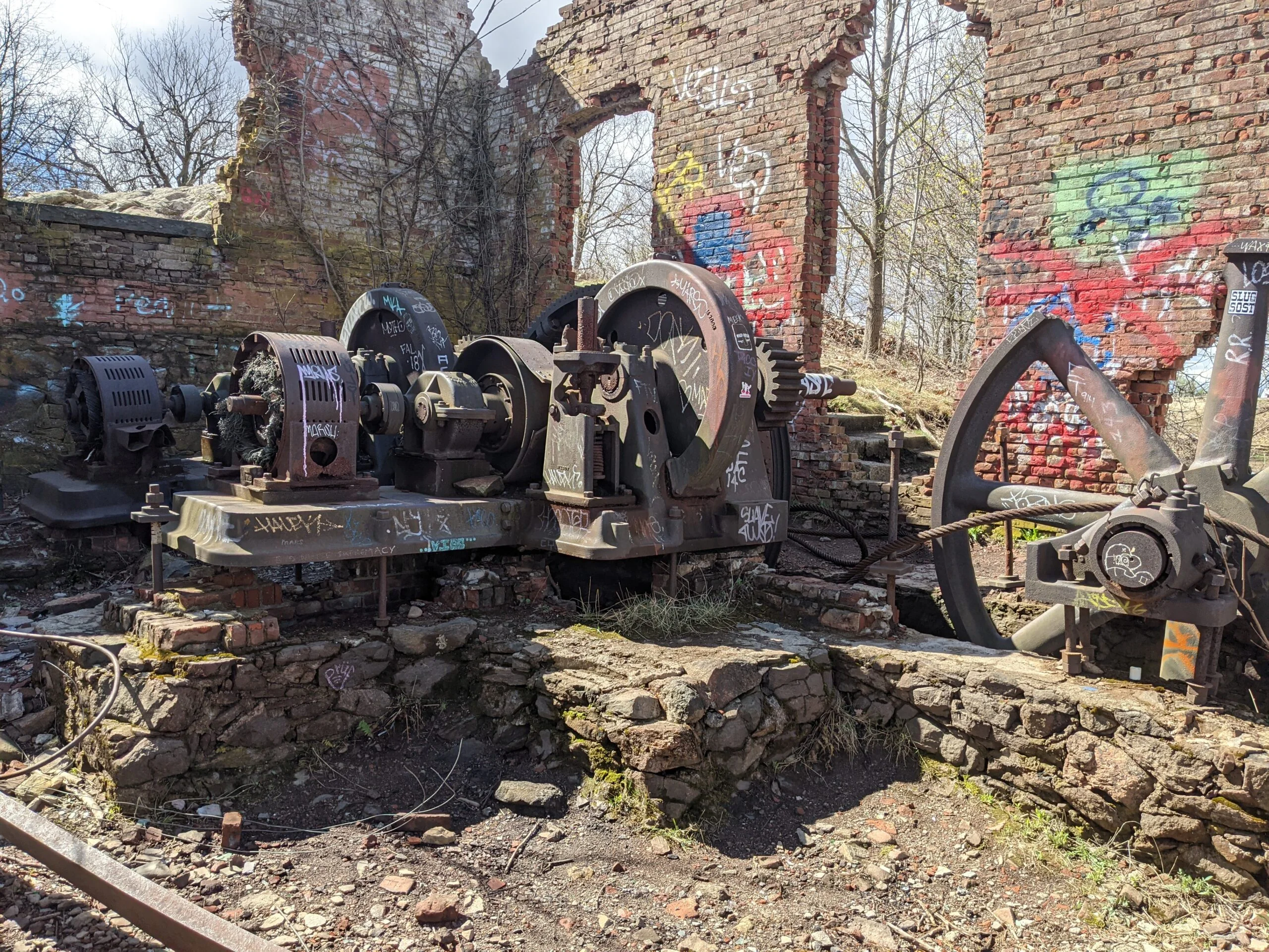
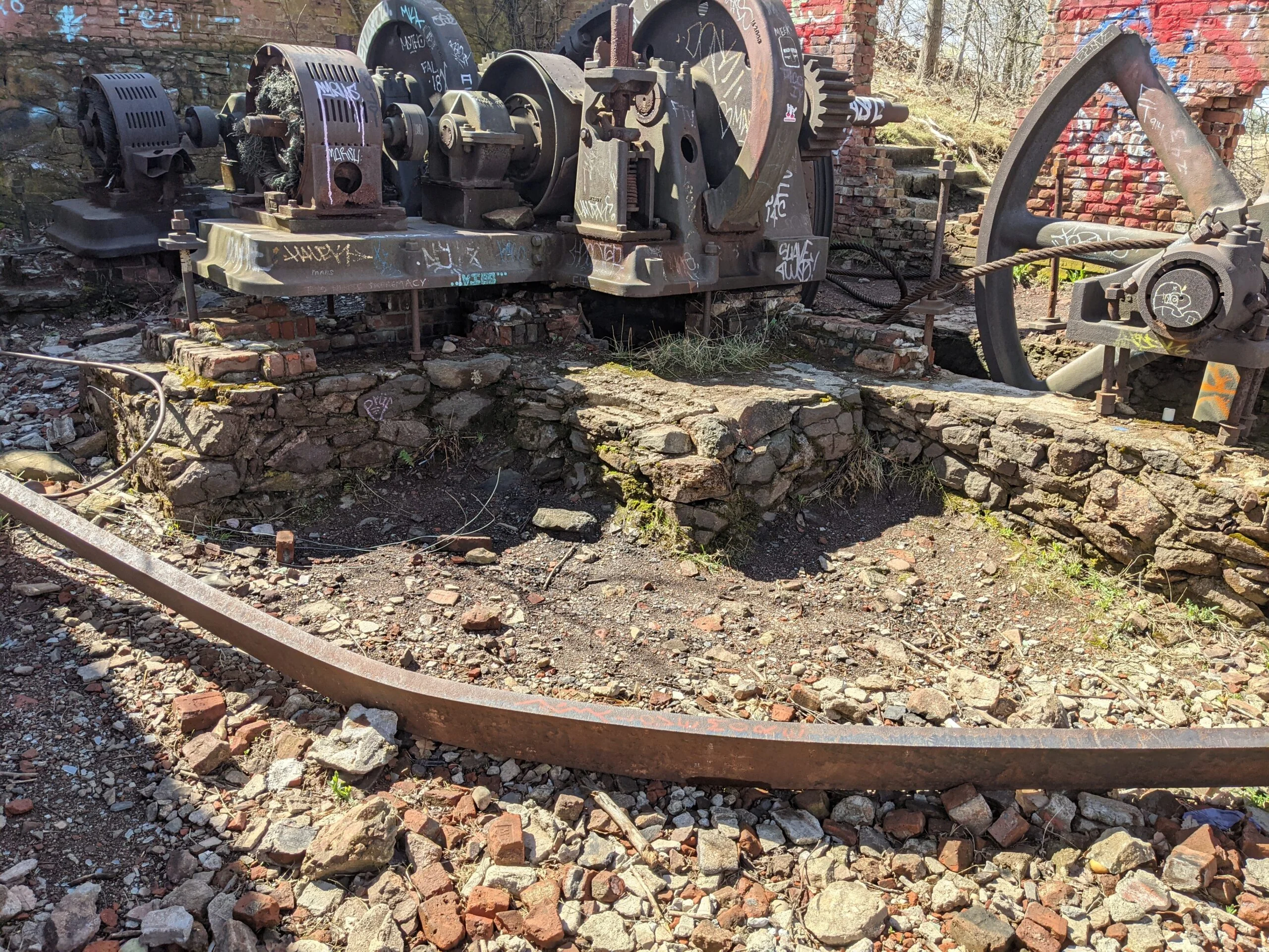
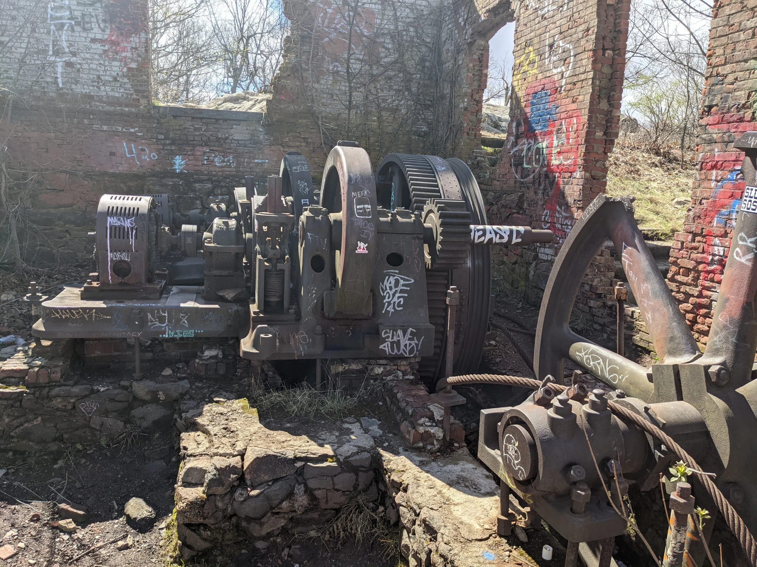
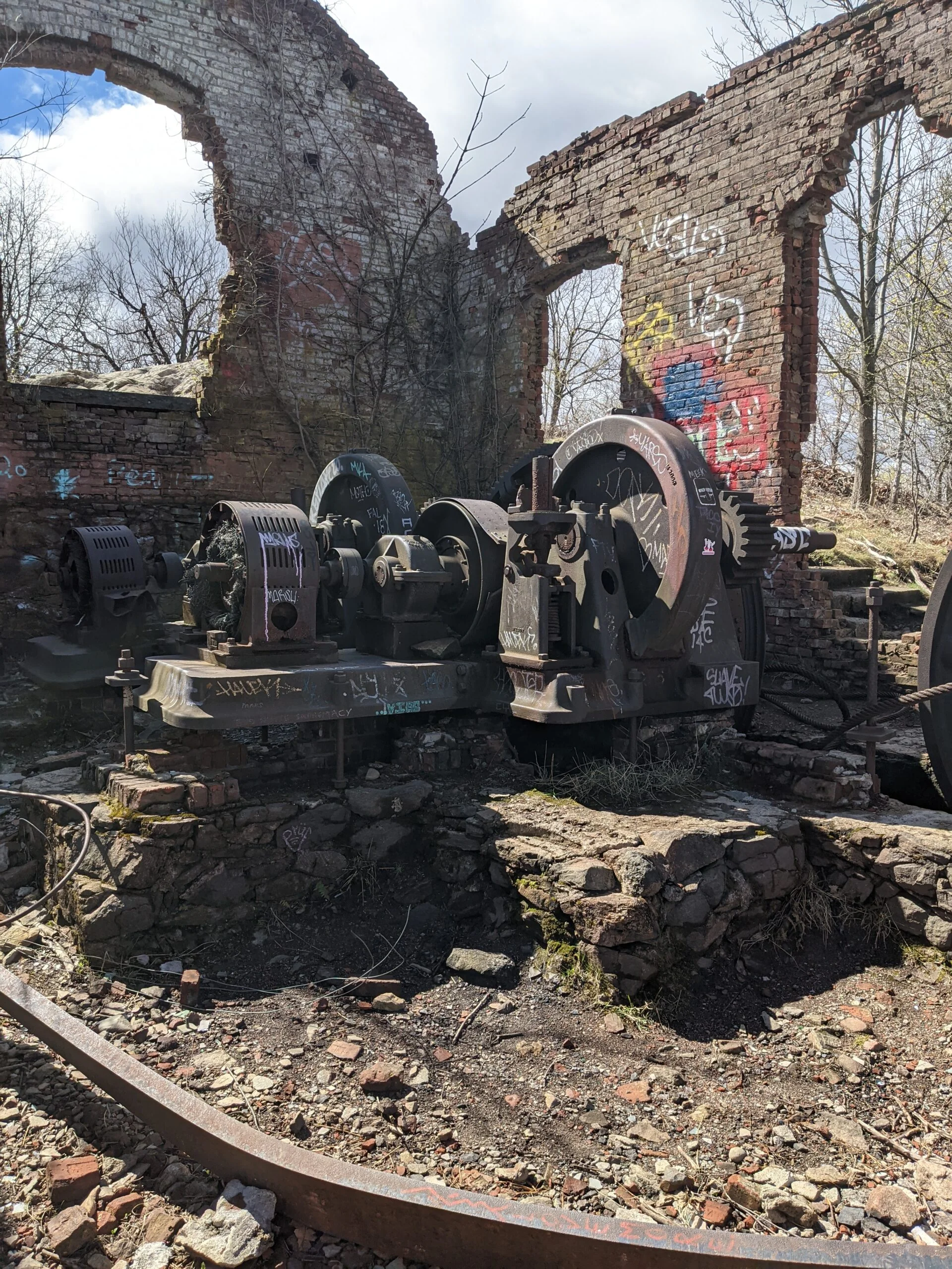
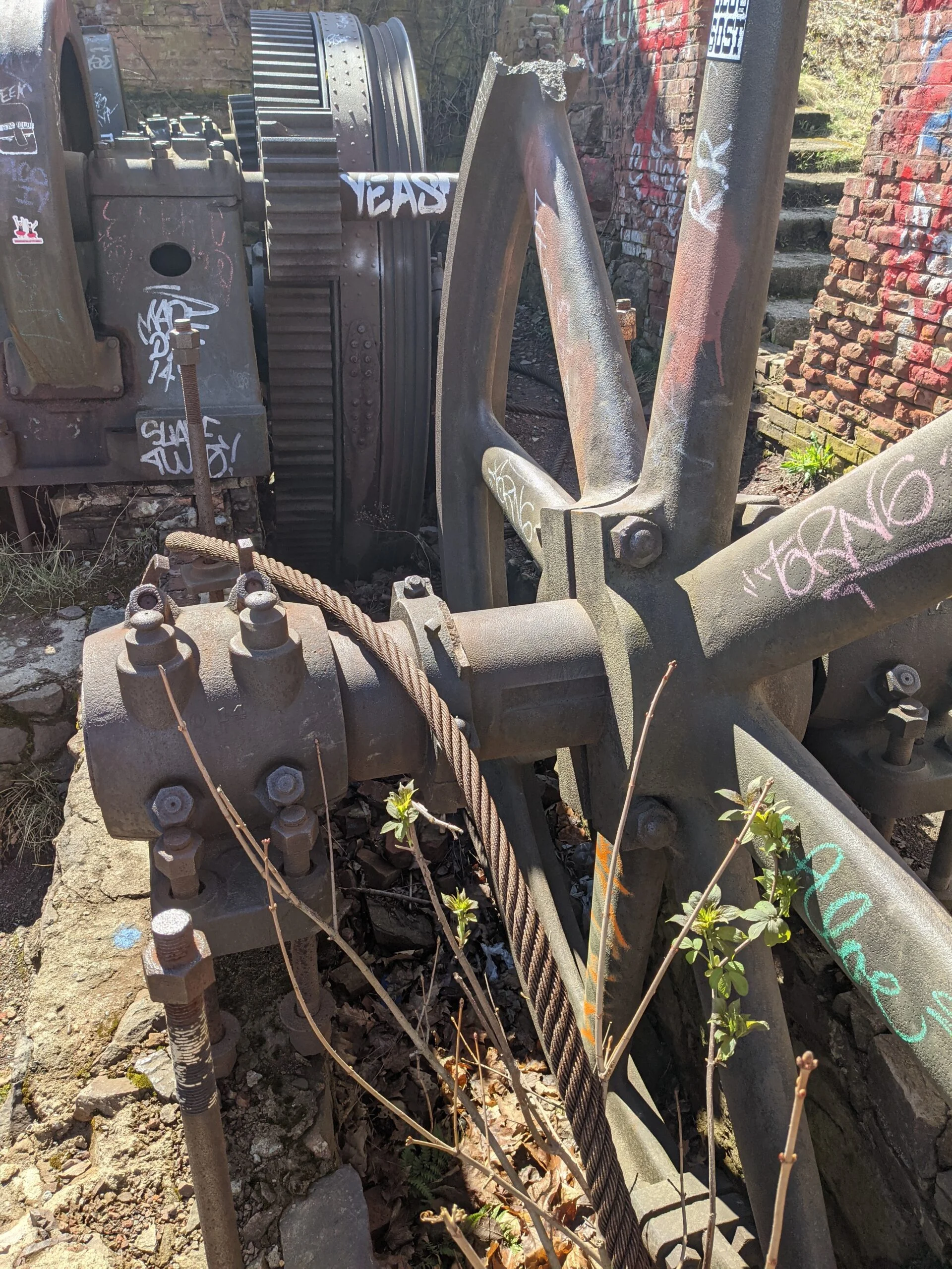
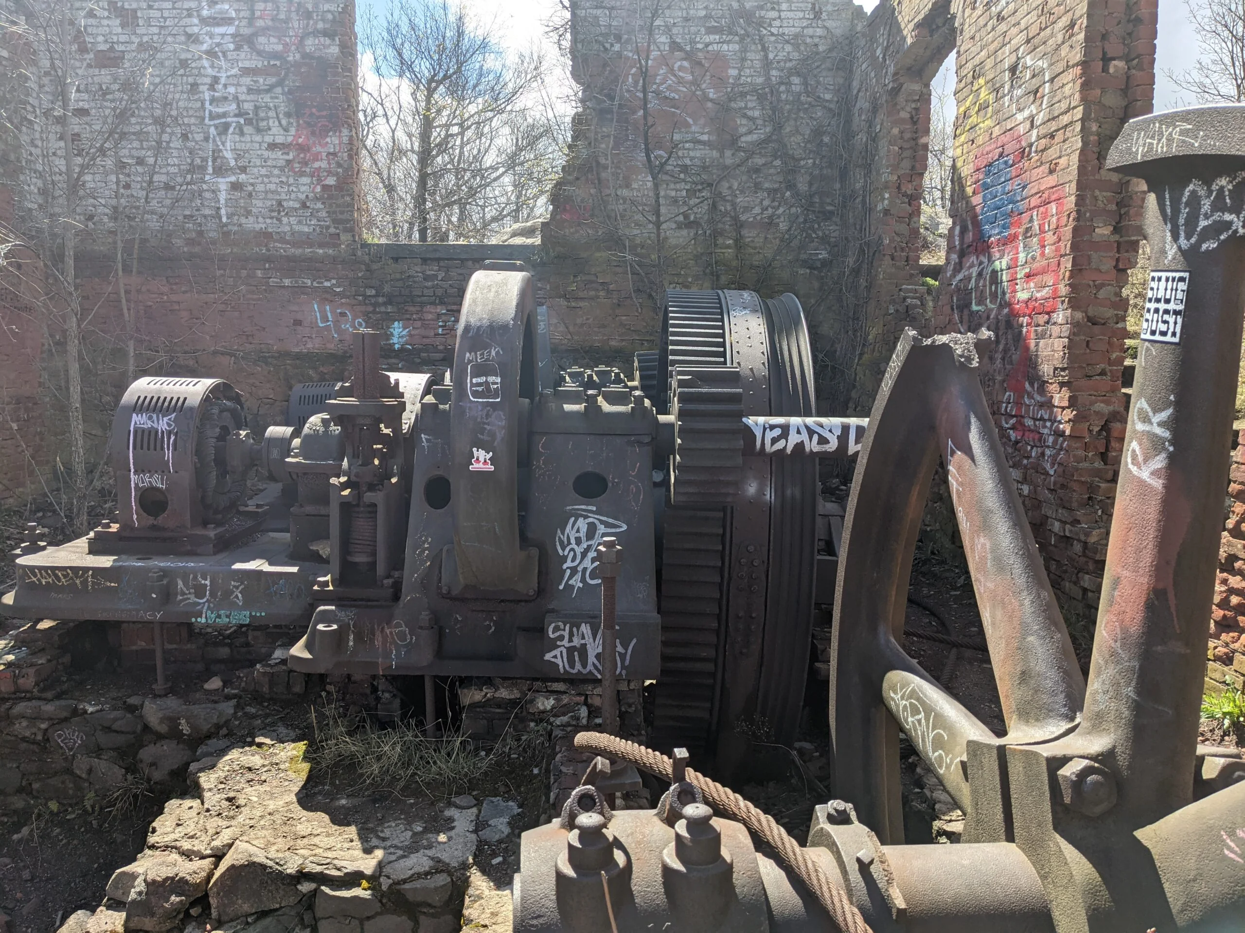
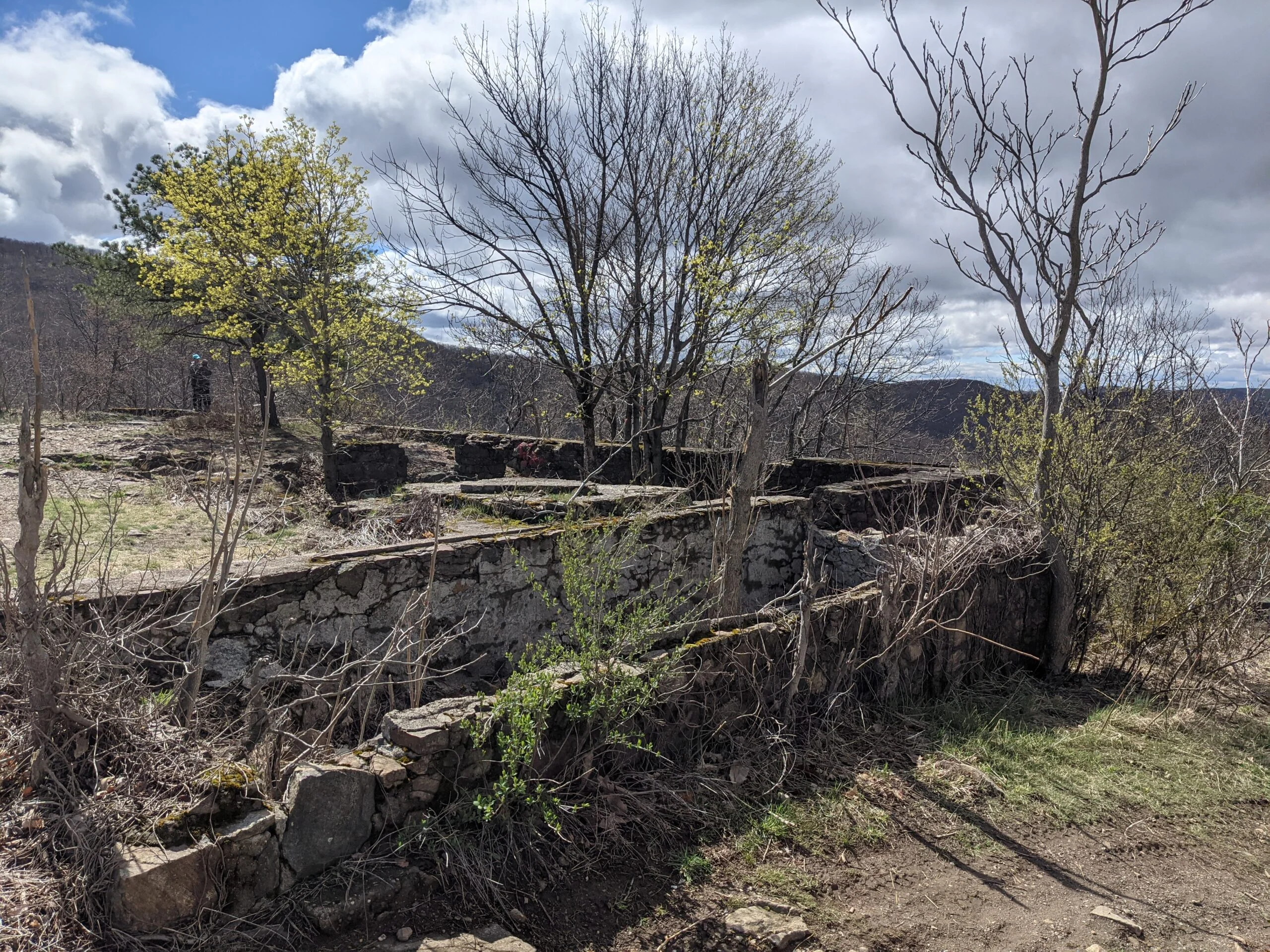
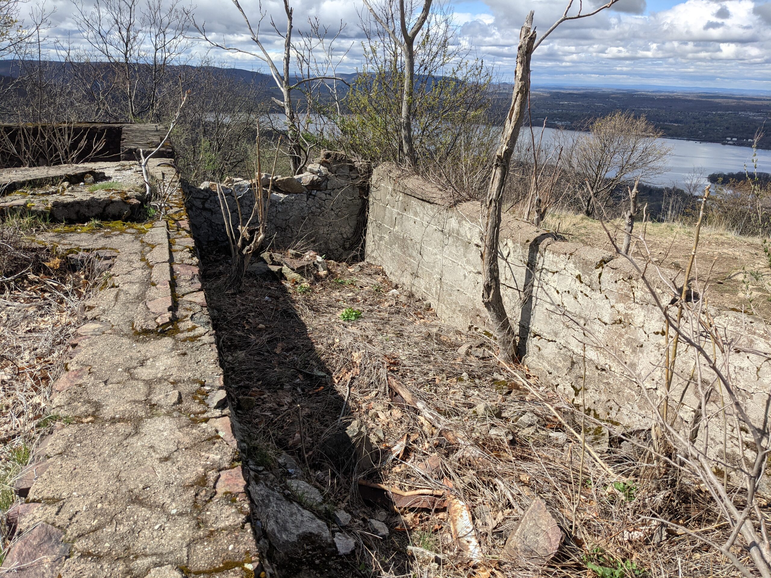
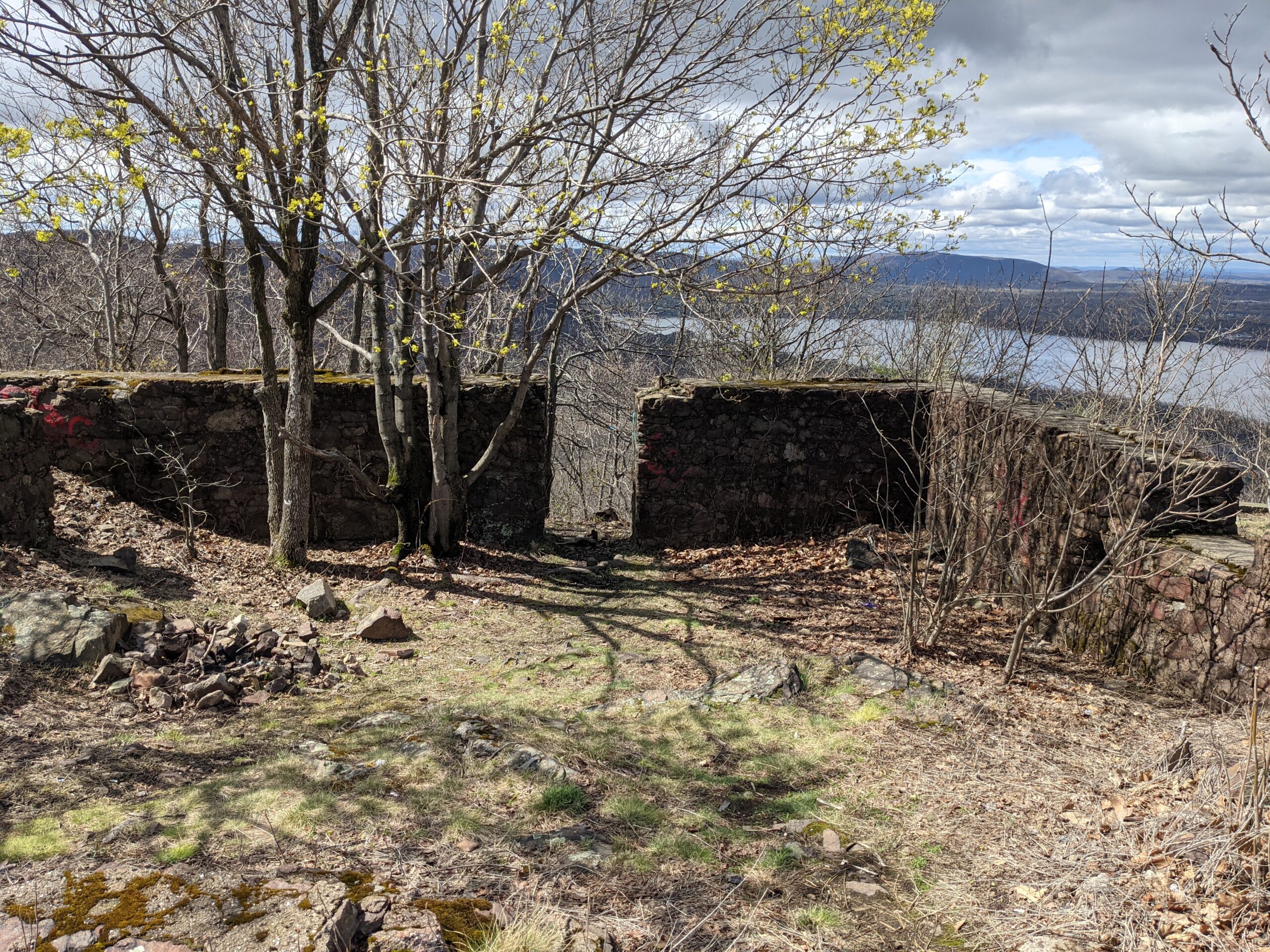
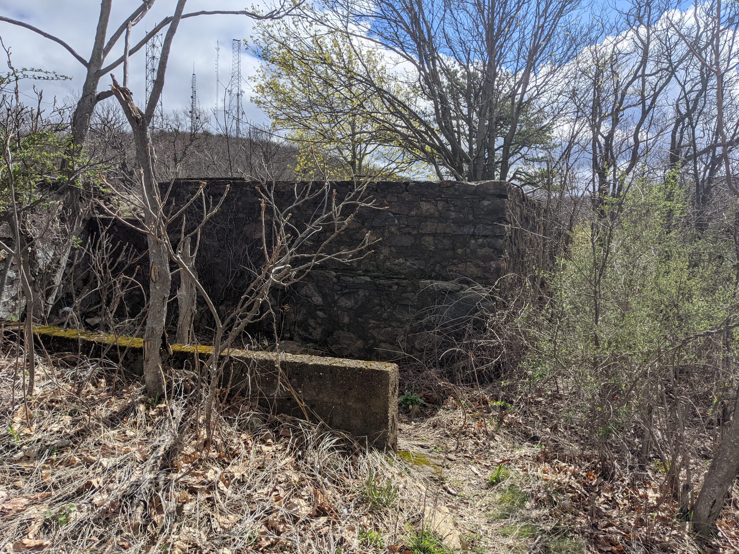
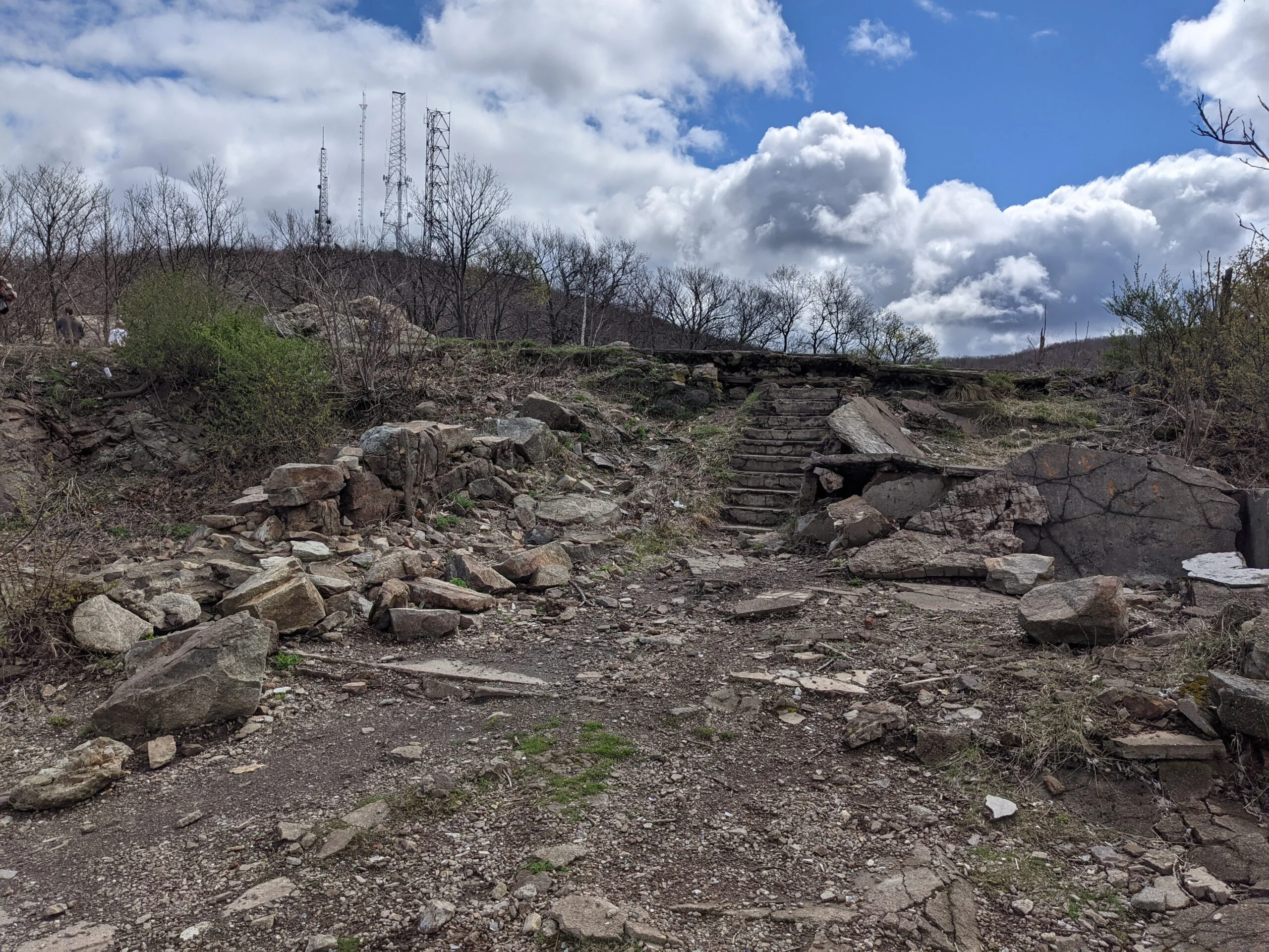
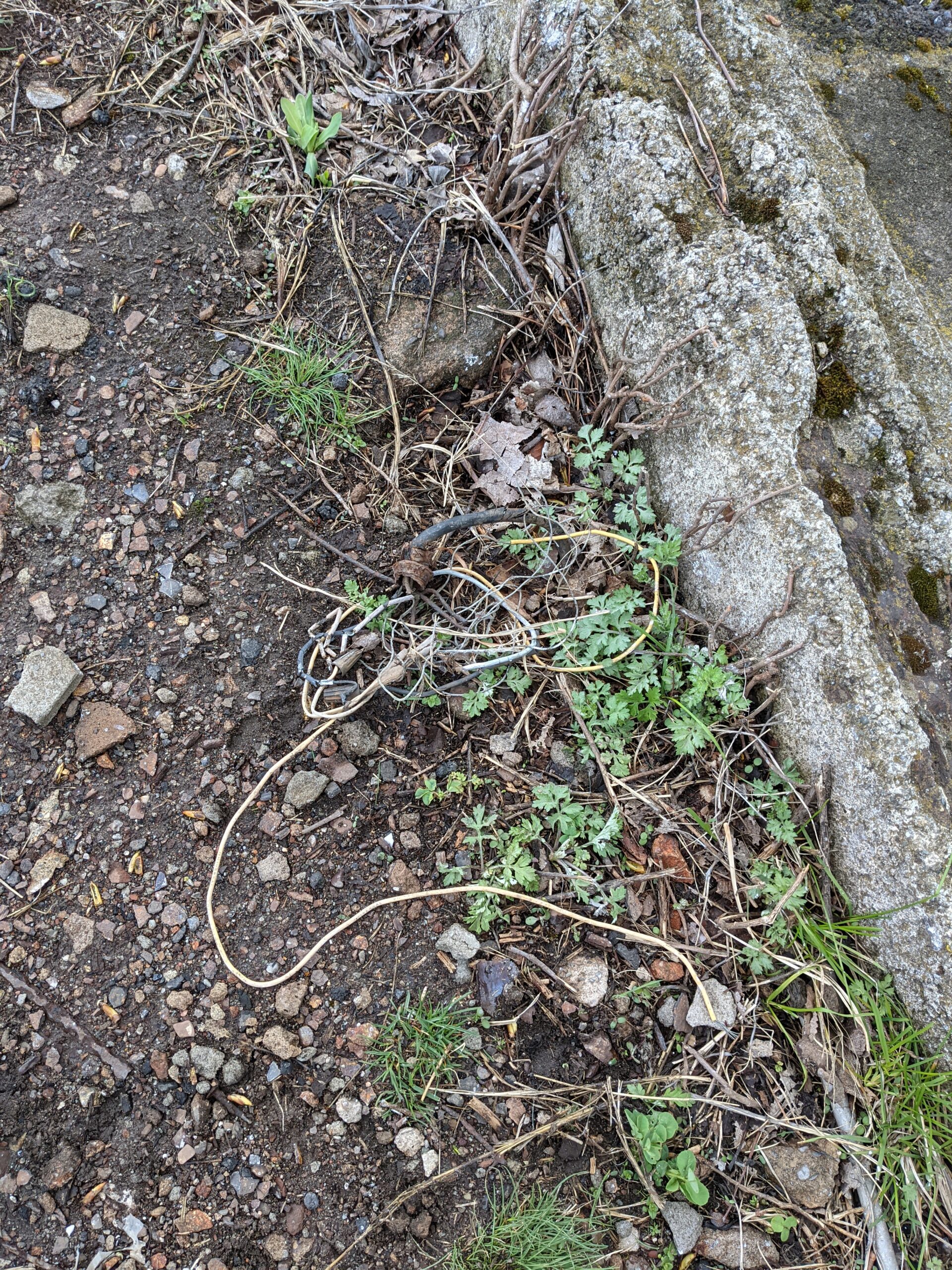
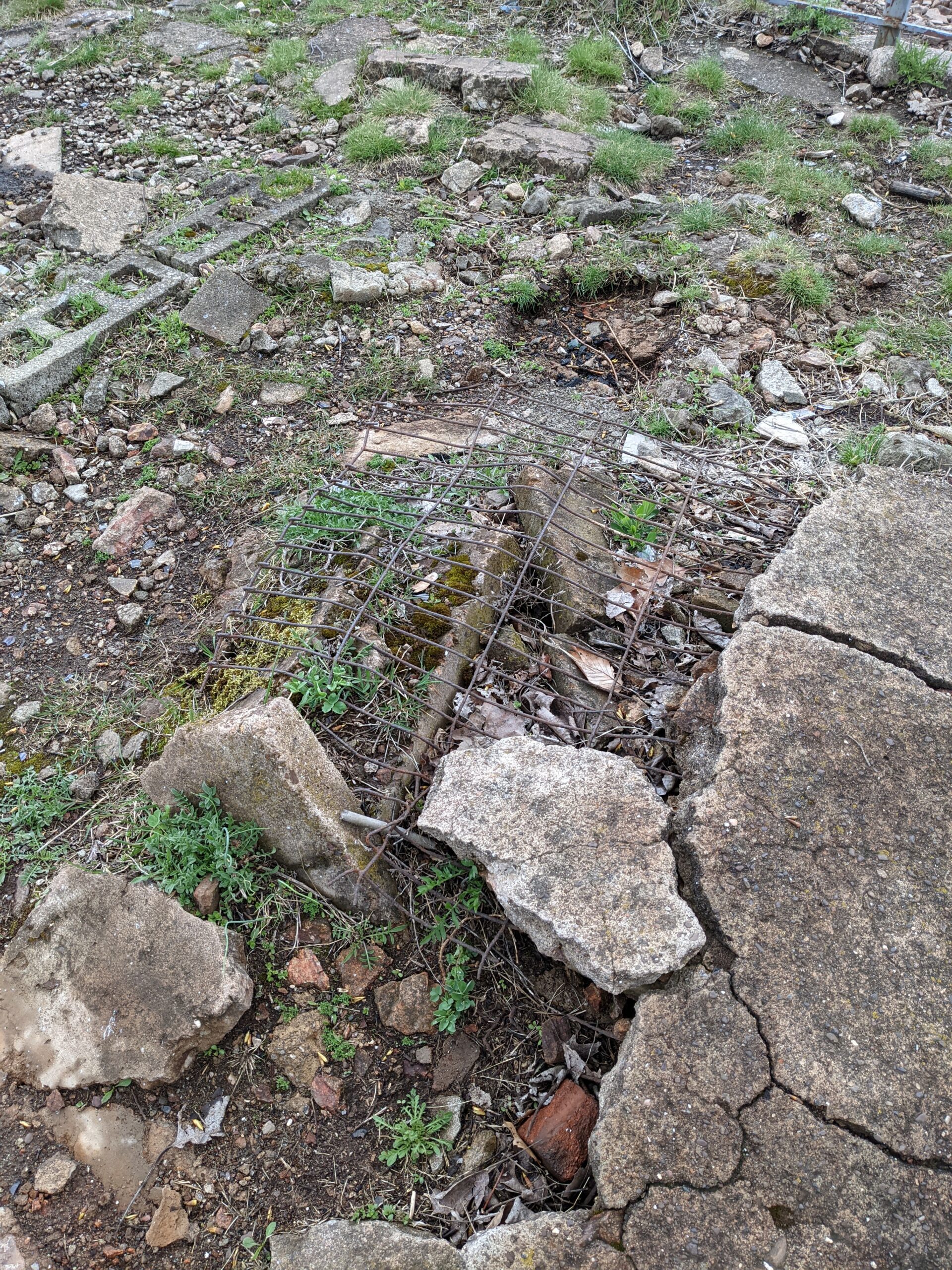
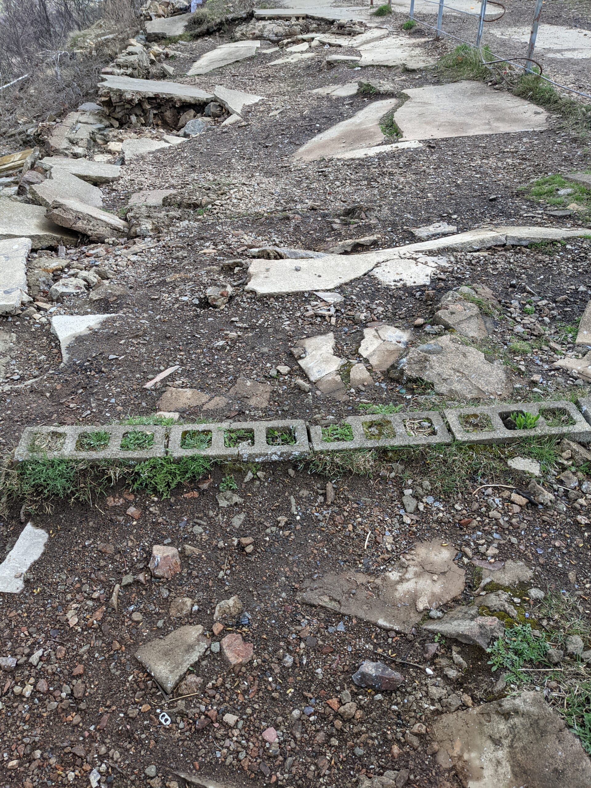
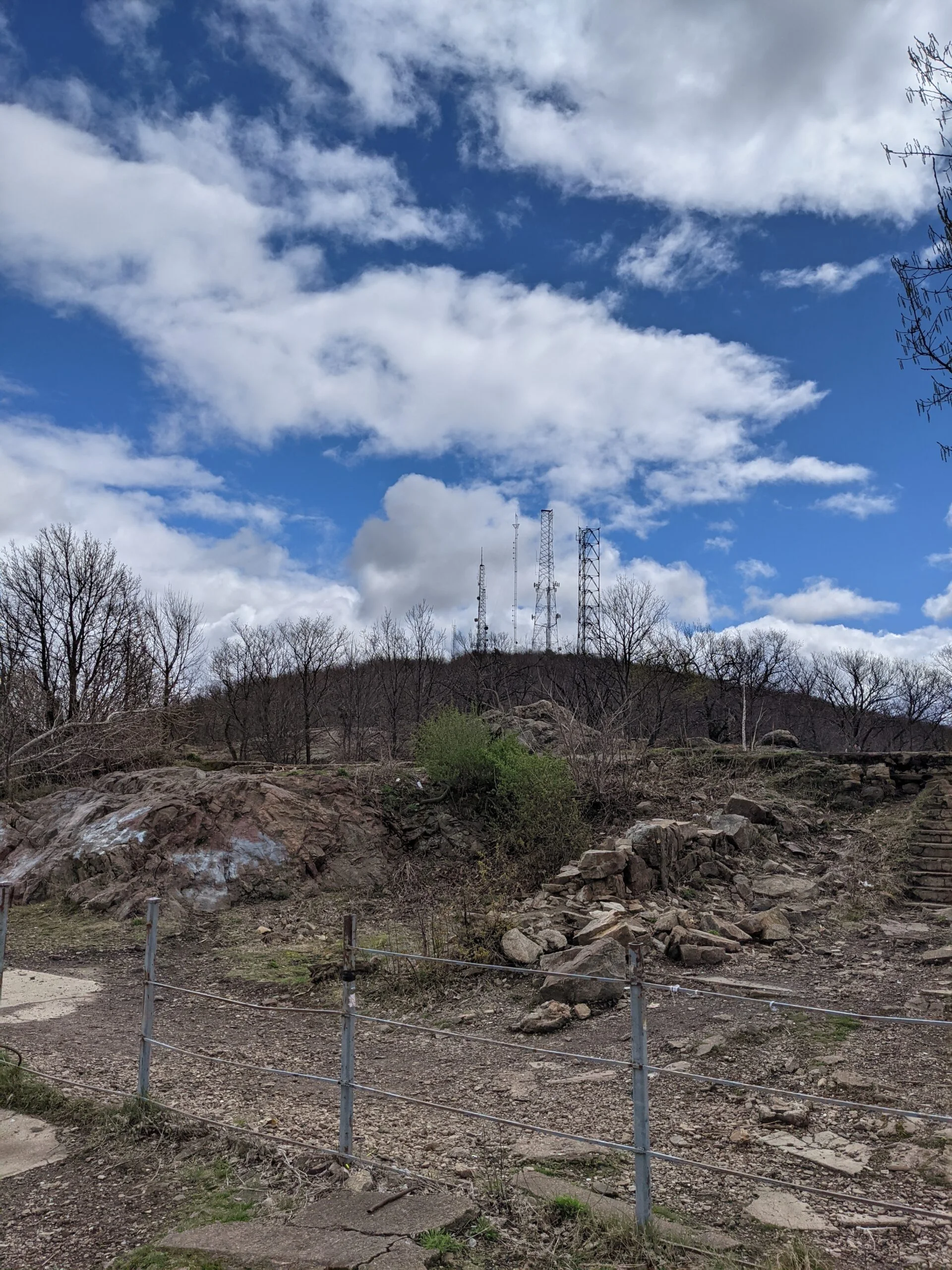
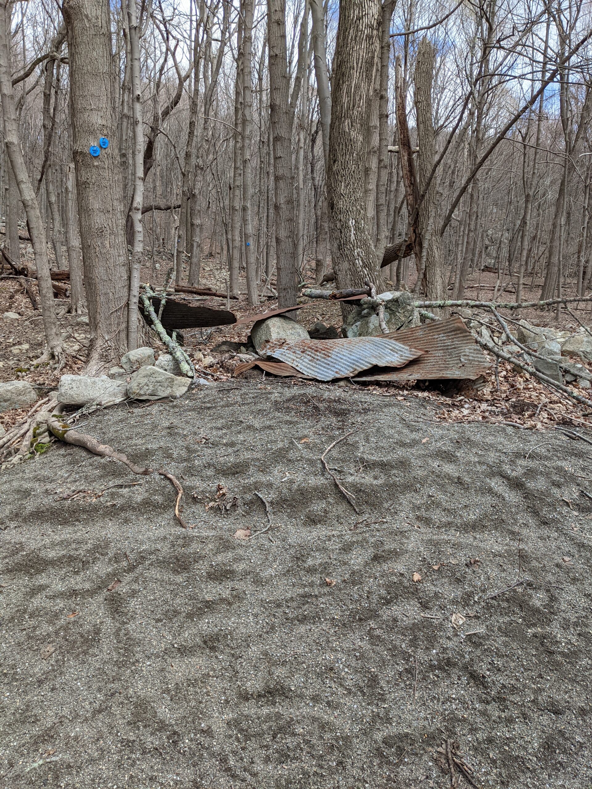
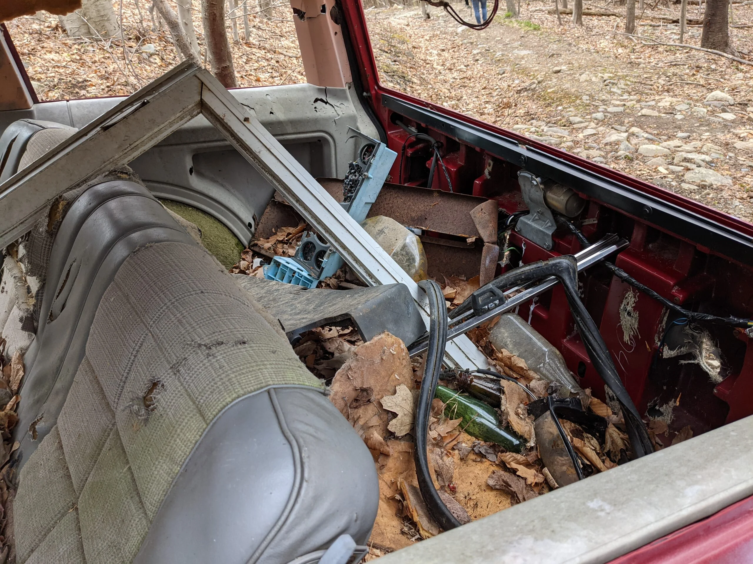
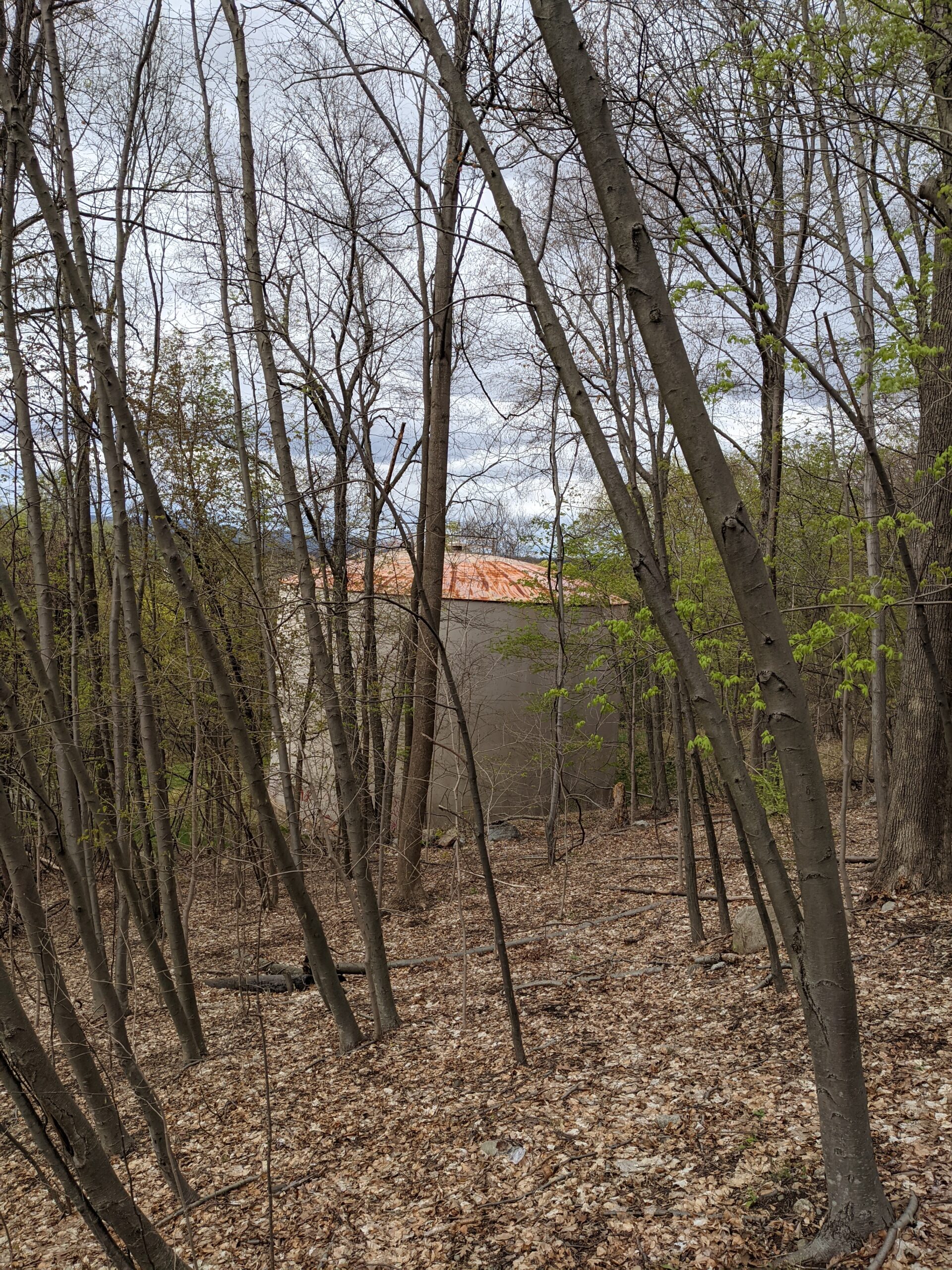
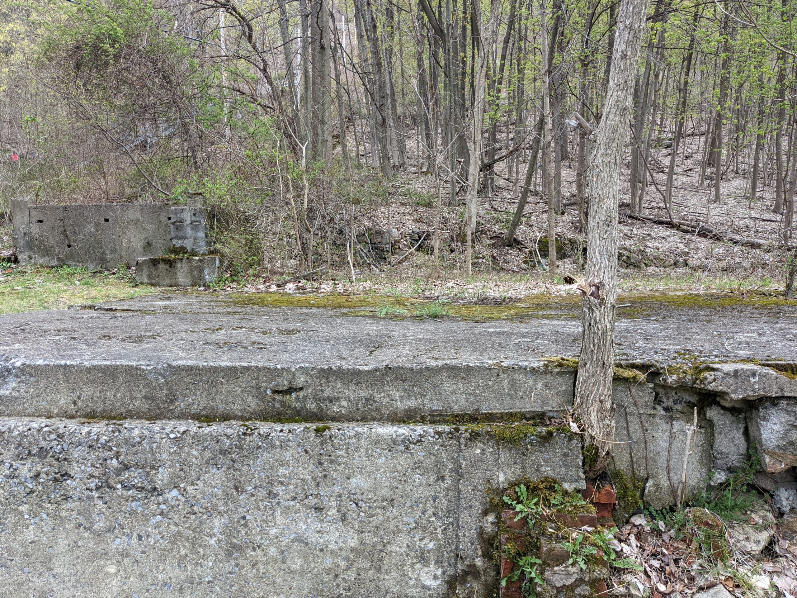
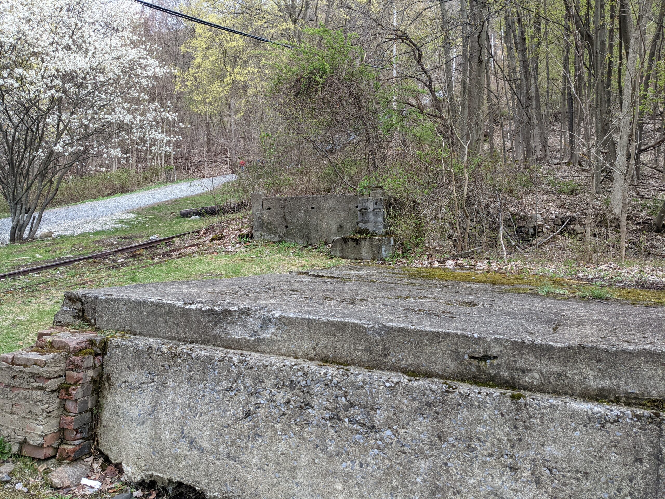
Once there, I explored inside the ruins of the machine house of the former Incline Railway. When it was in operation, it was one of the steepest funicular railways in operation, with a 74% incline. I won’t go into much detail because there are tons of write ups about this already here and here.
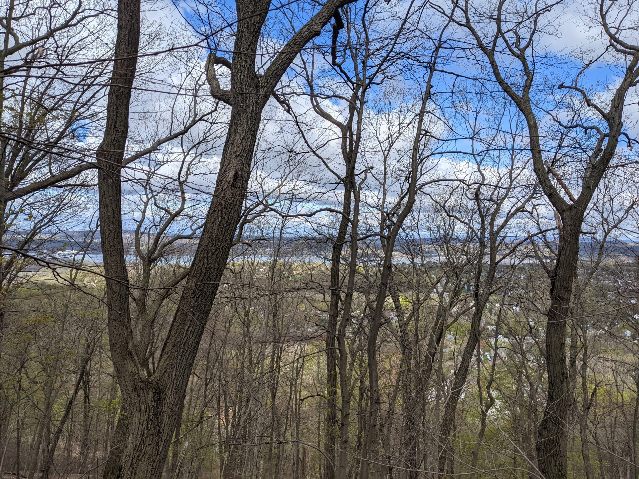
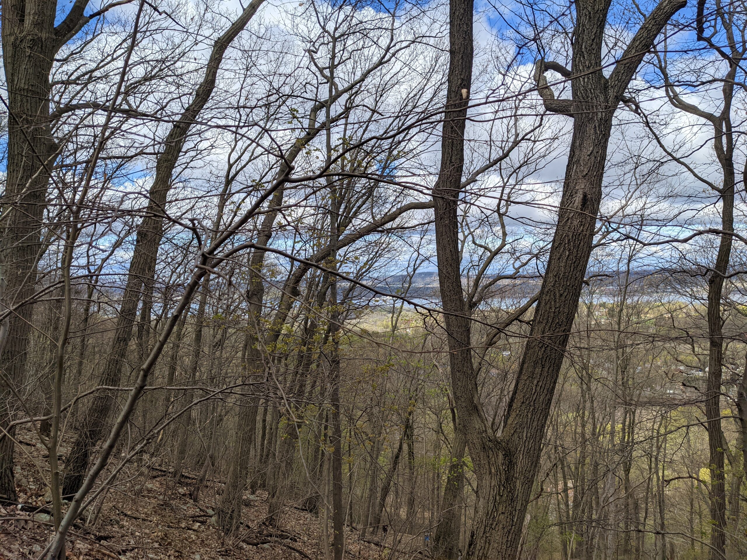
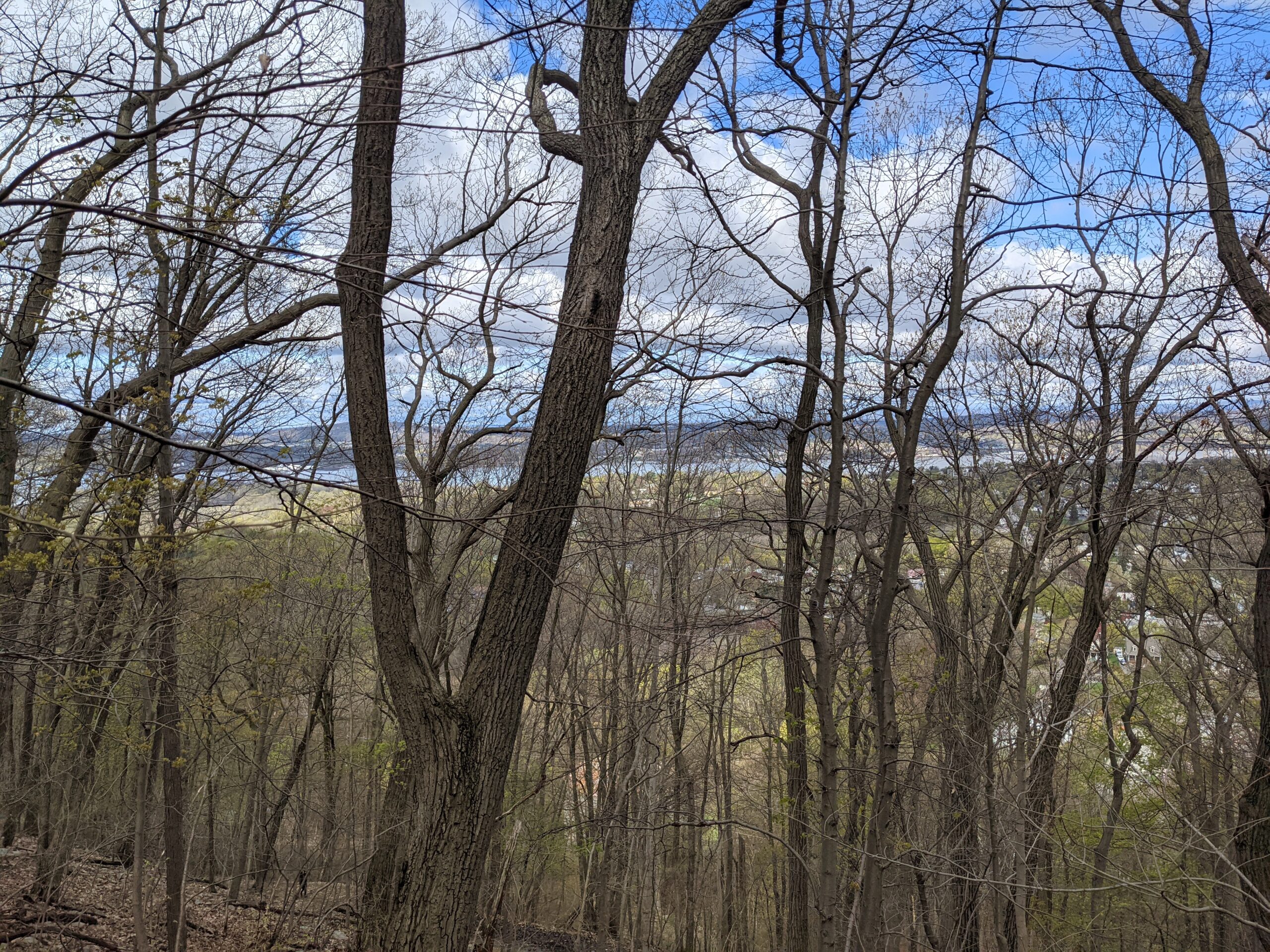
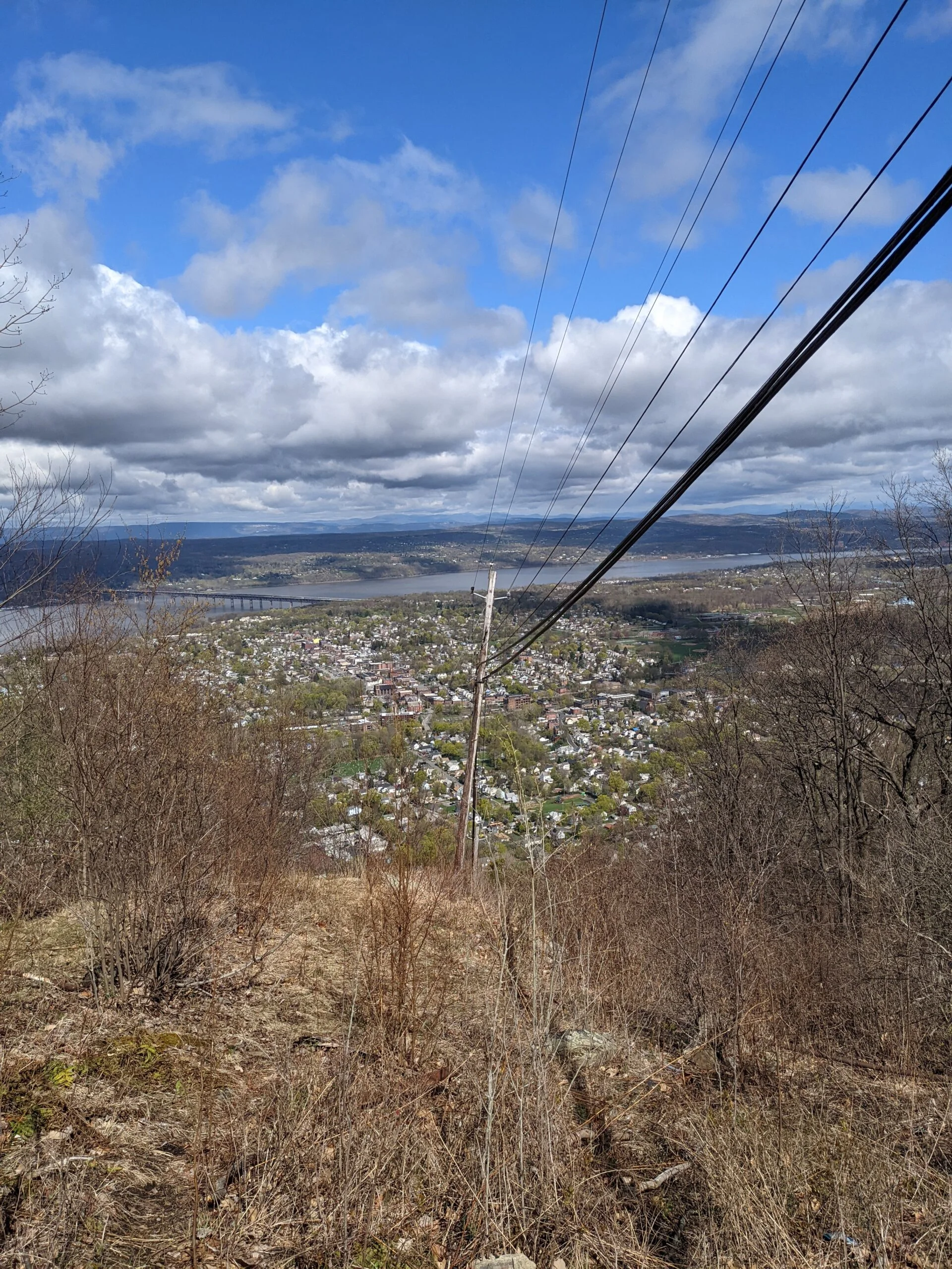
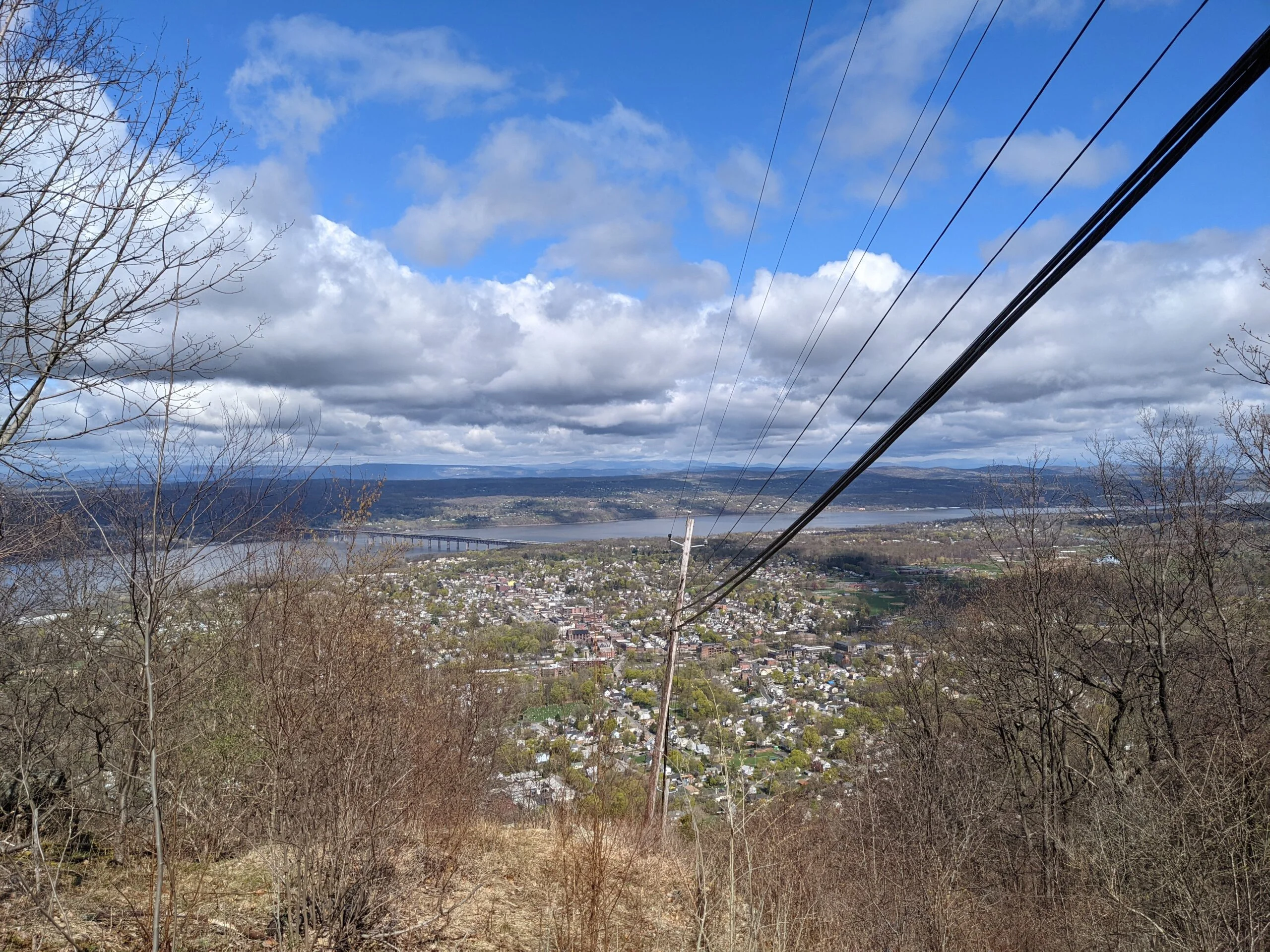
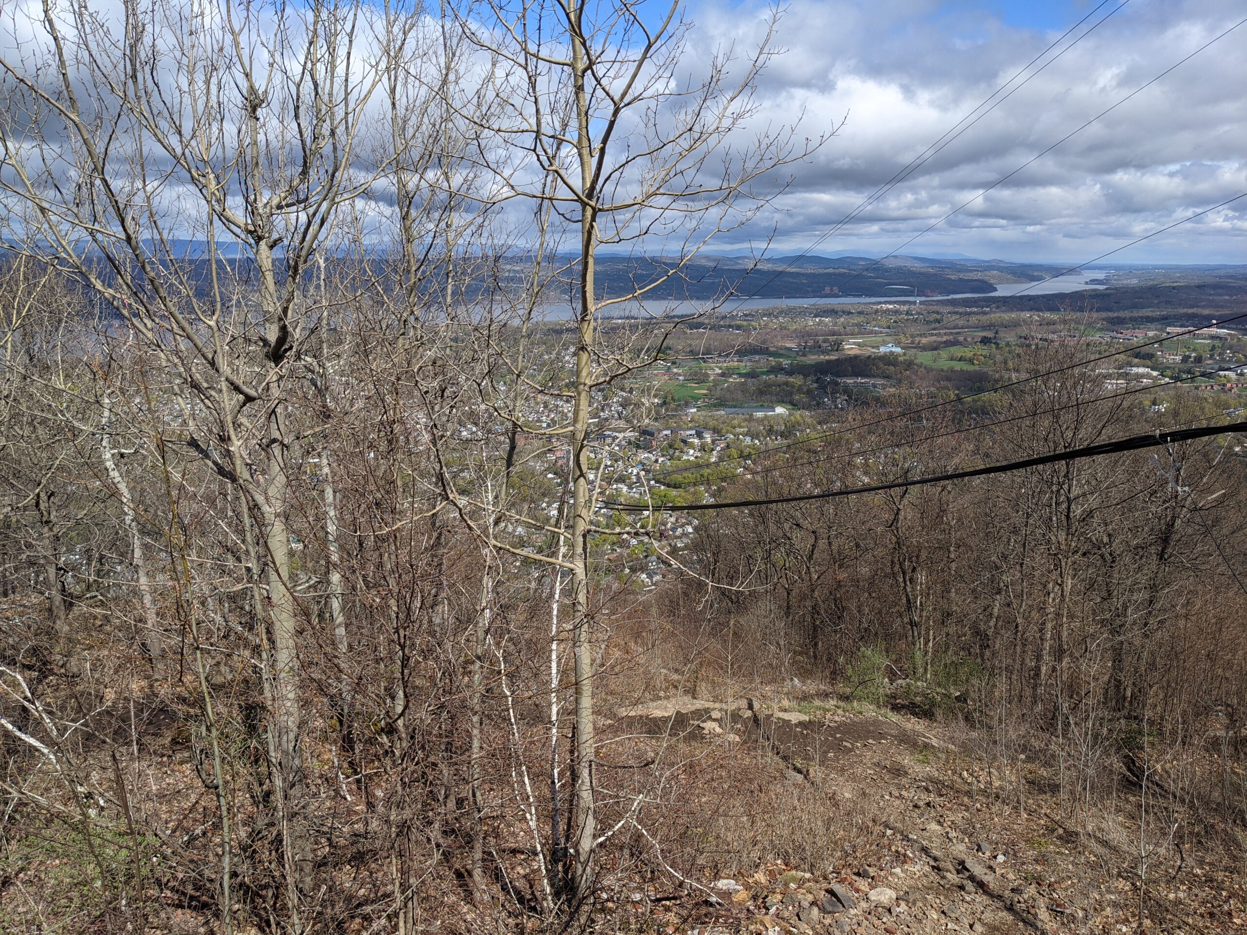
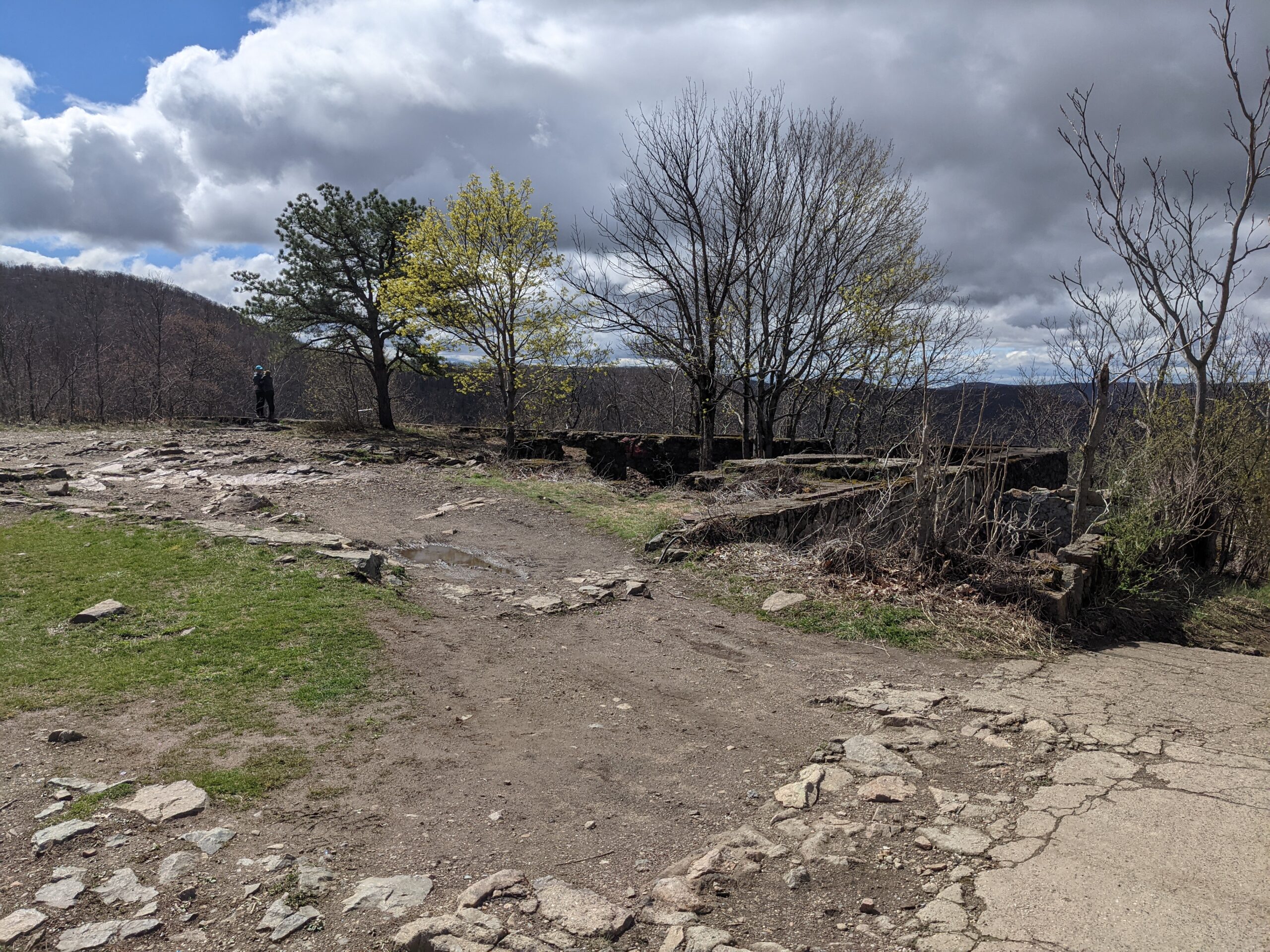
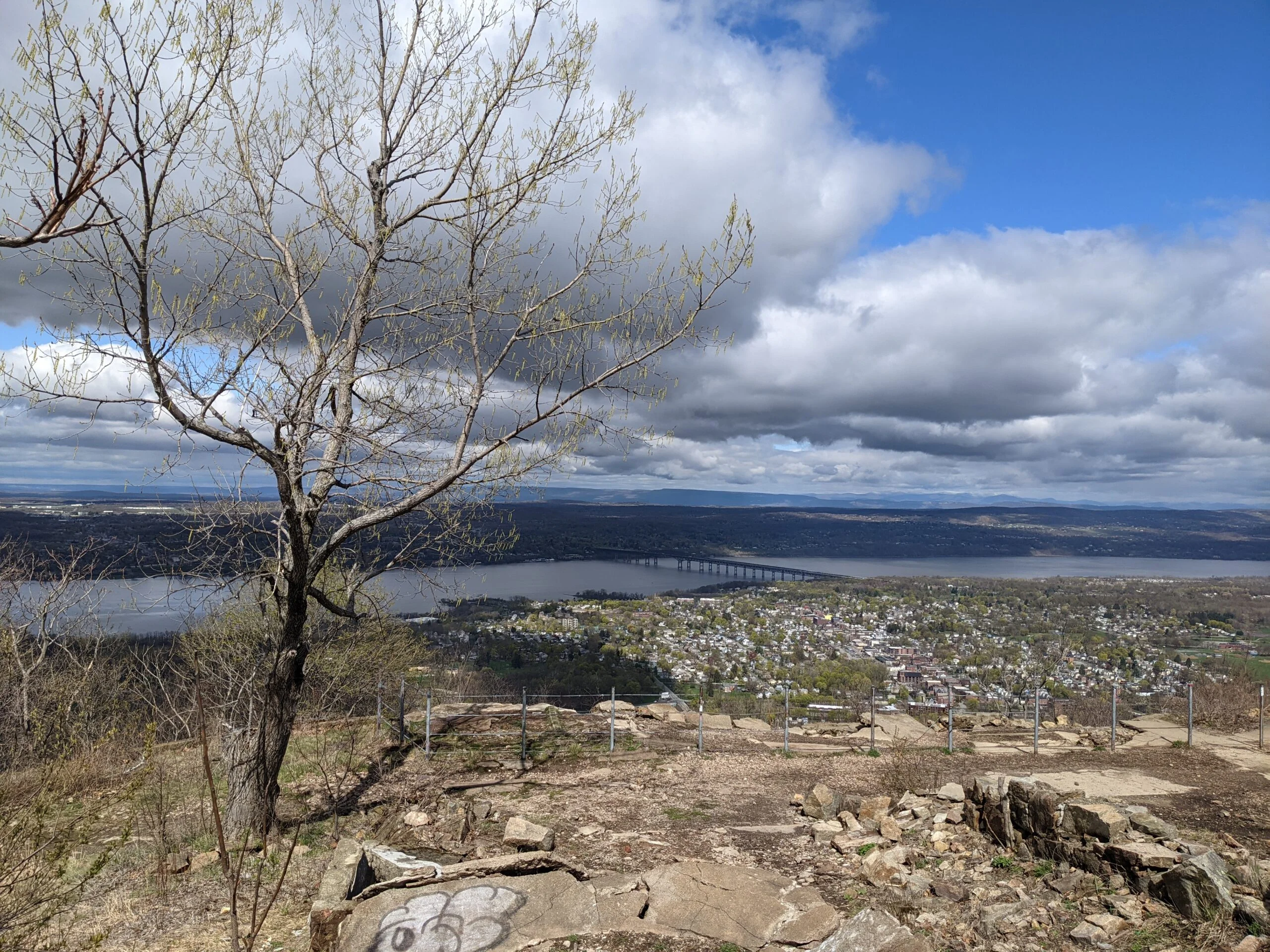
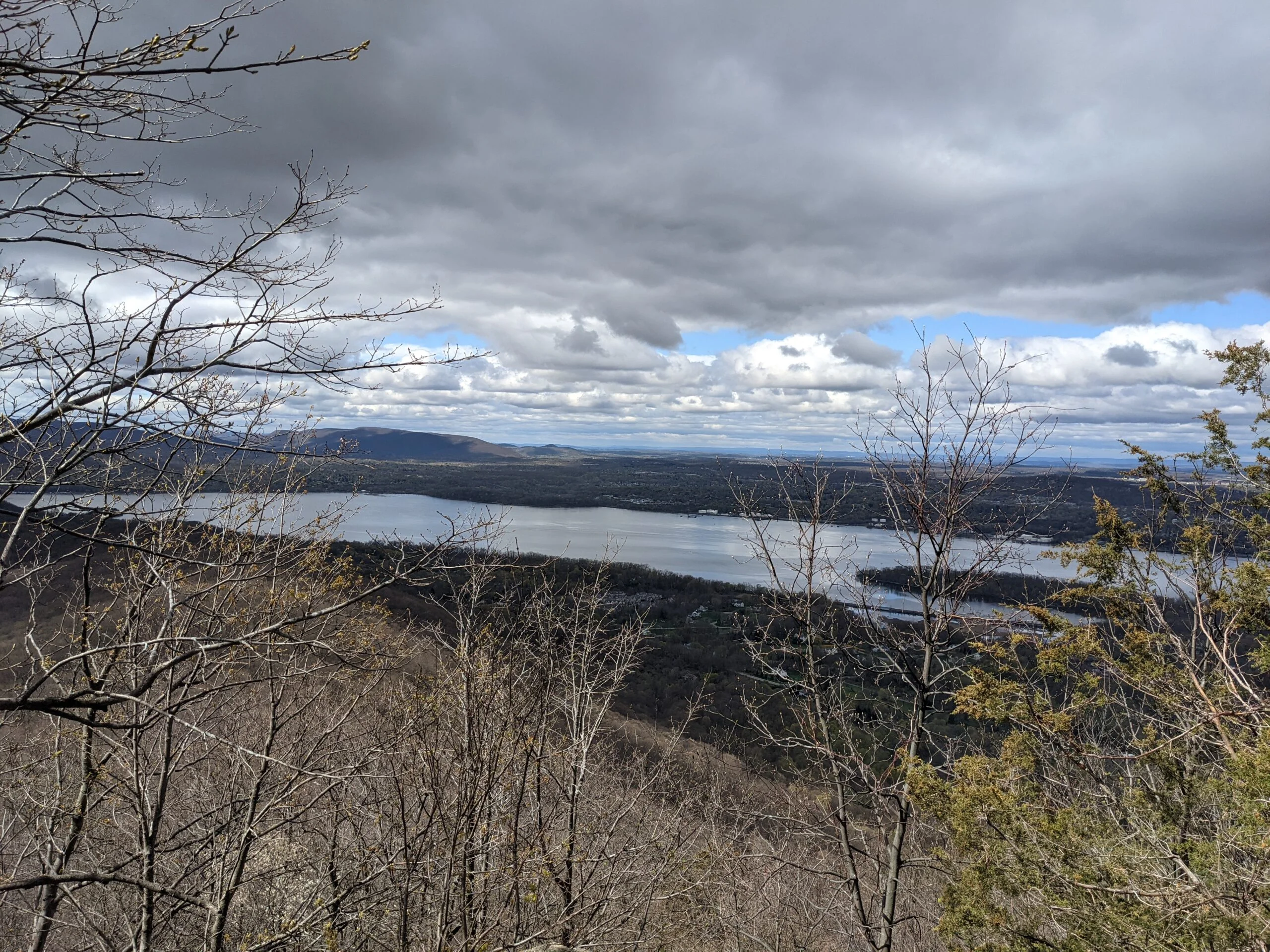
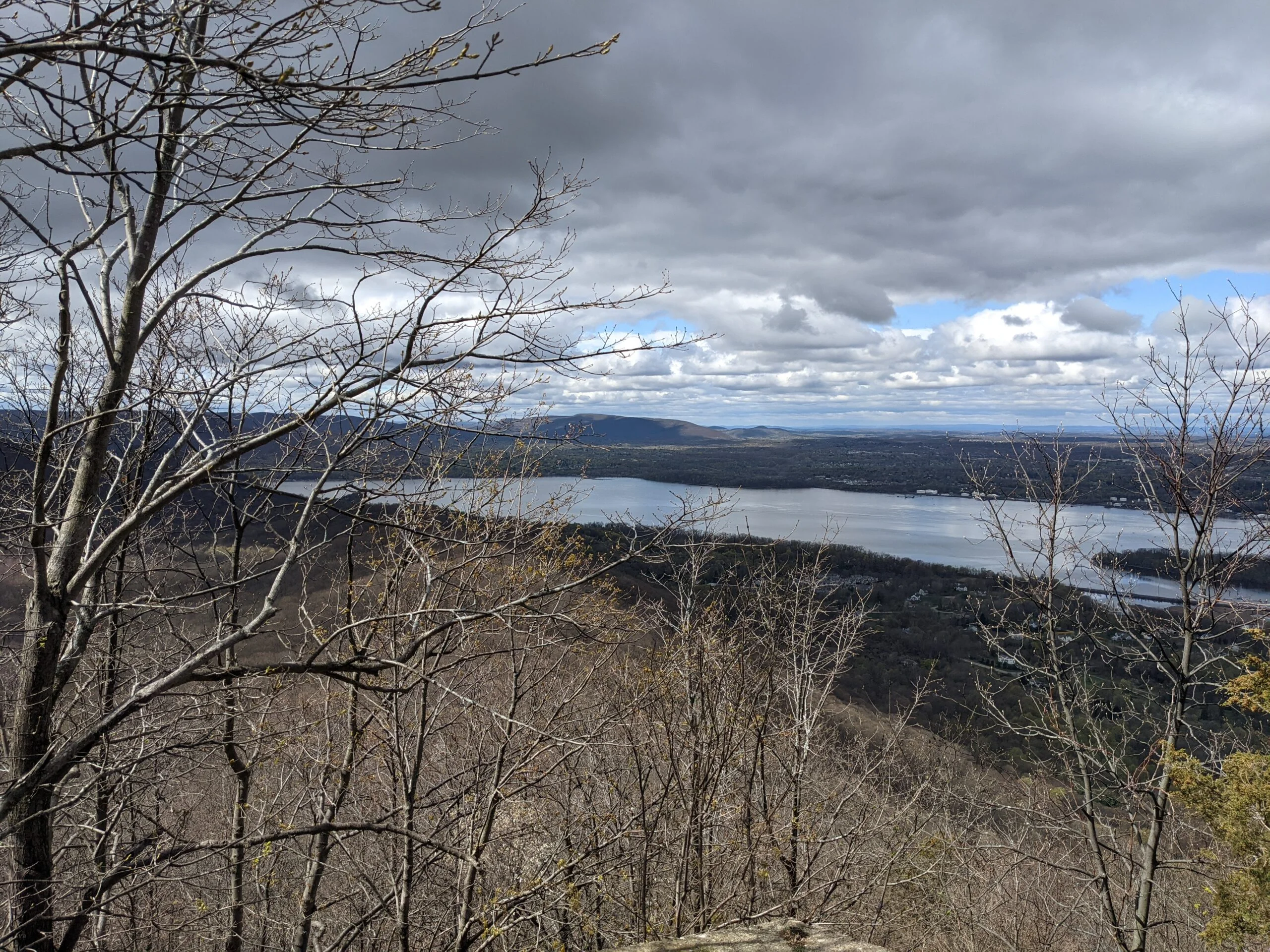
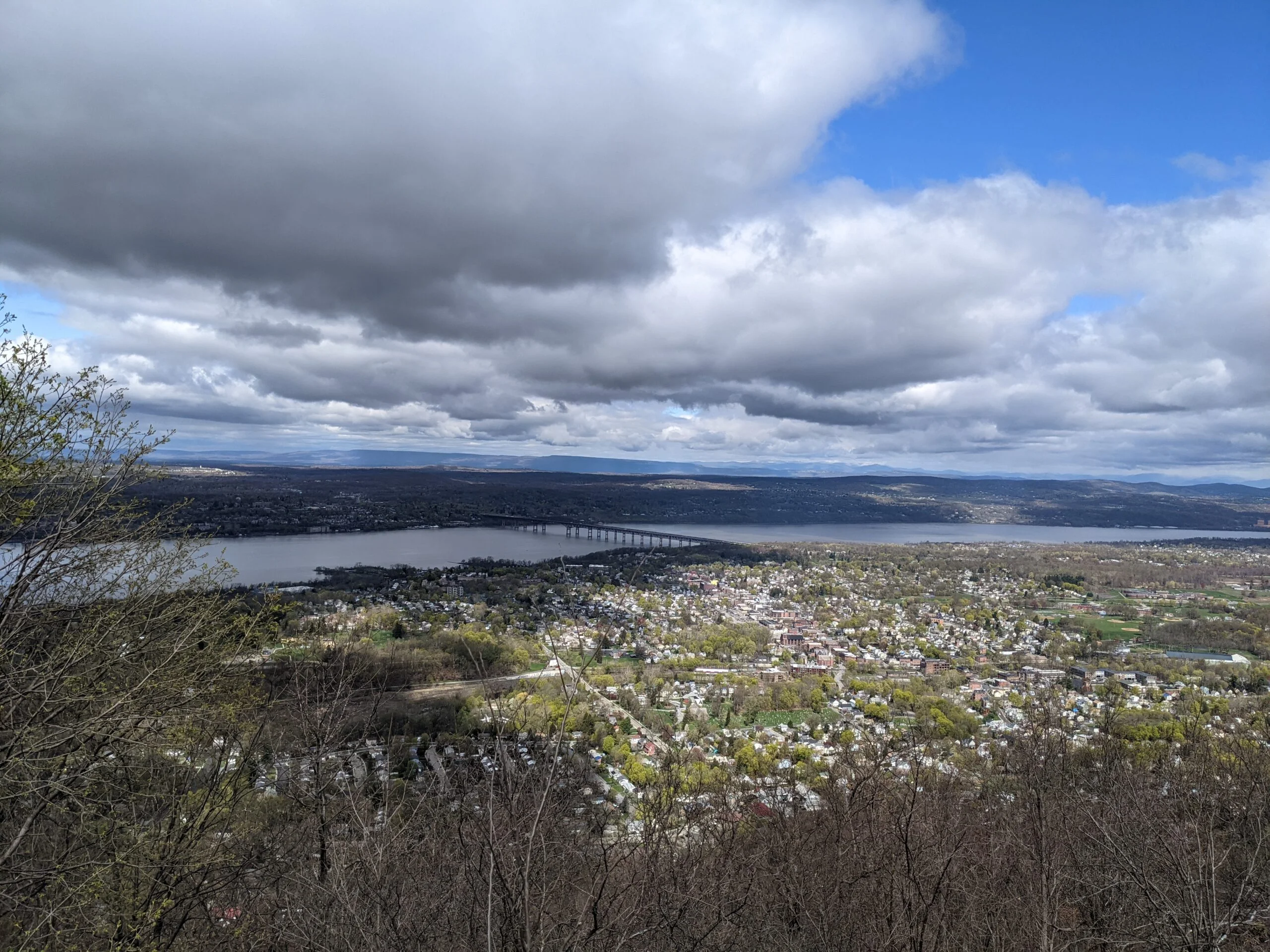
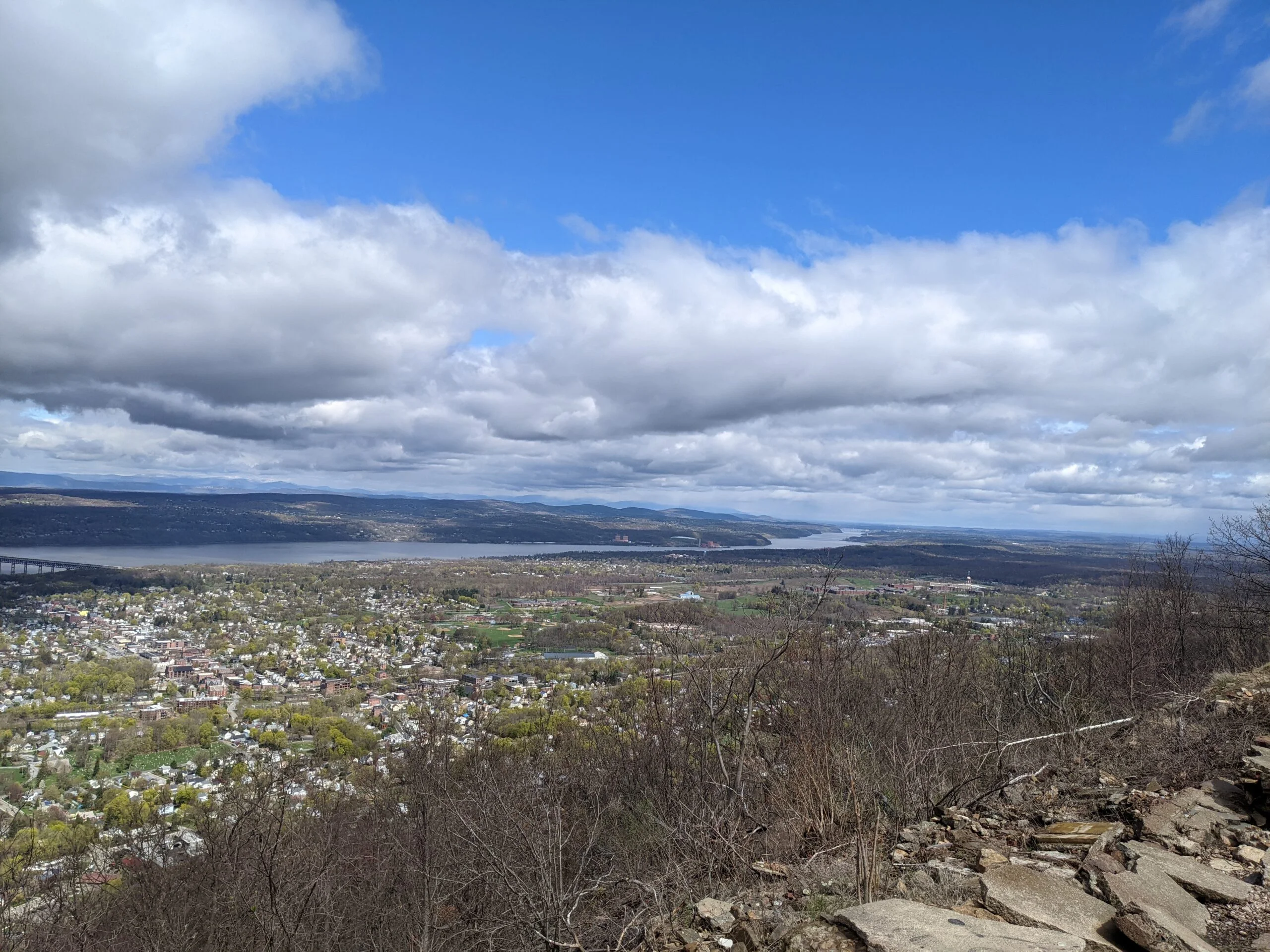
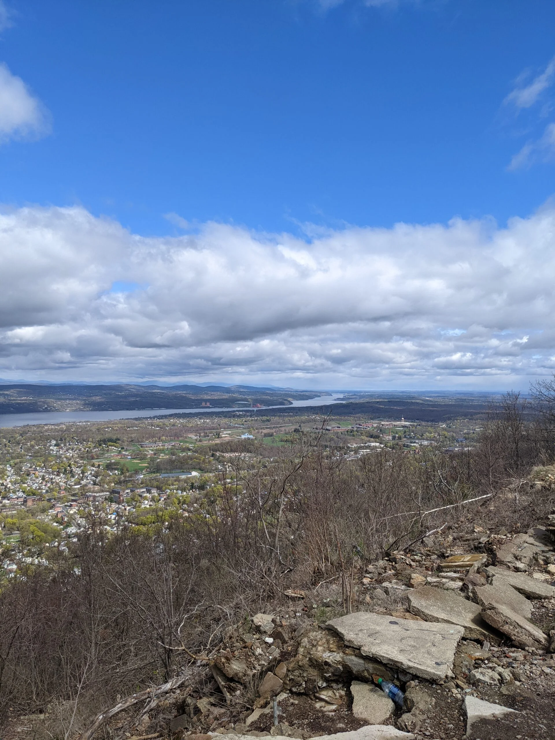
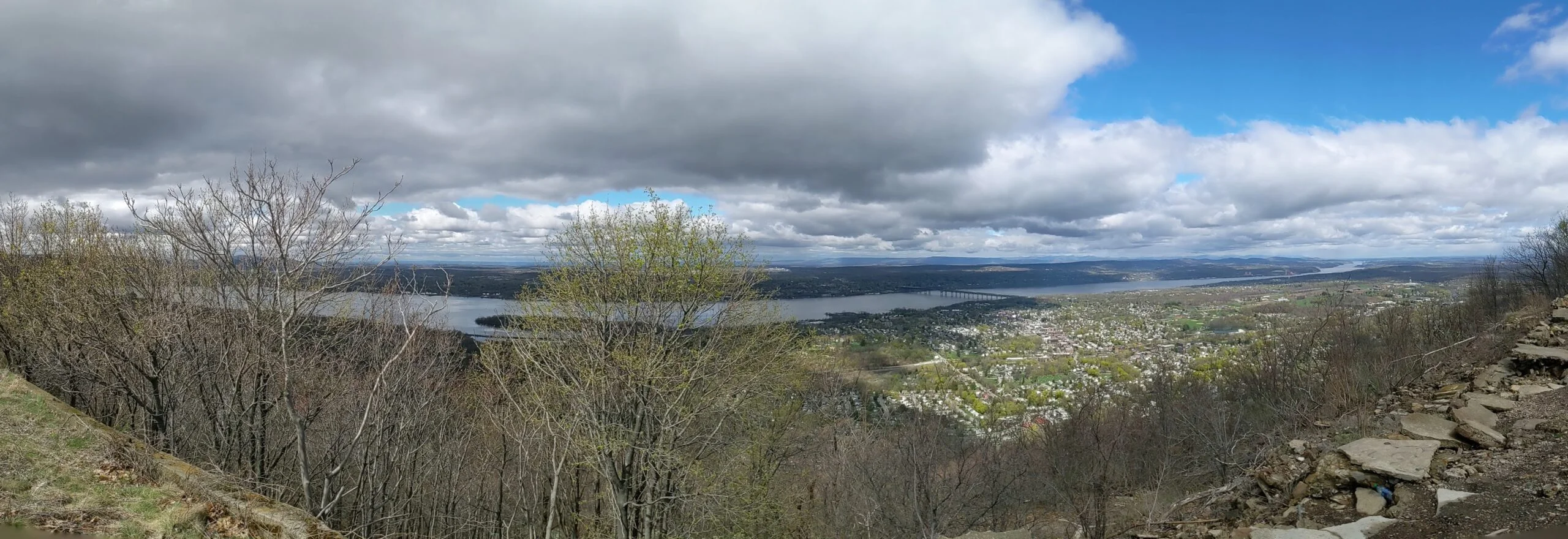
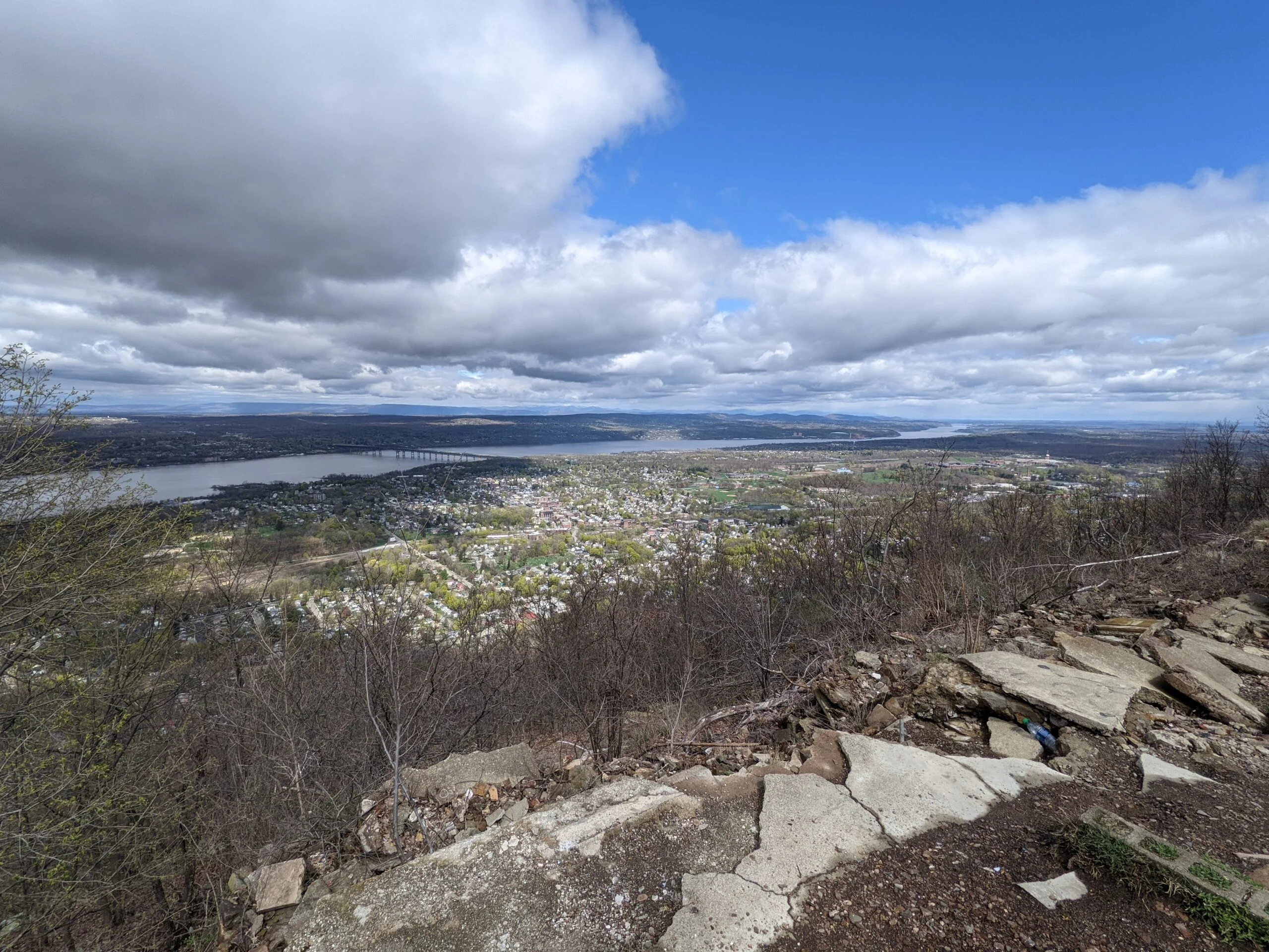
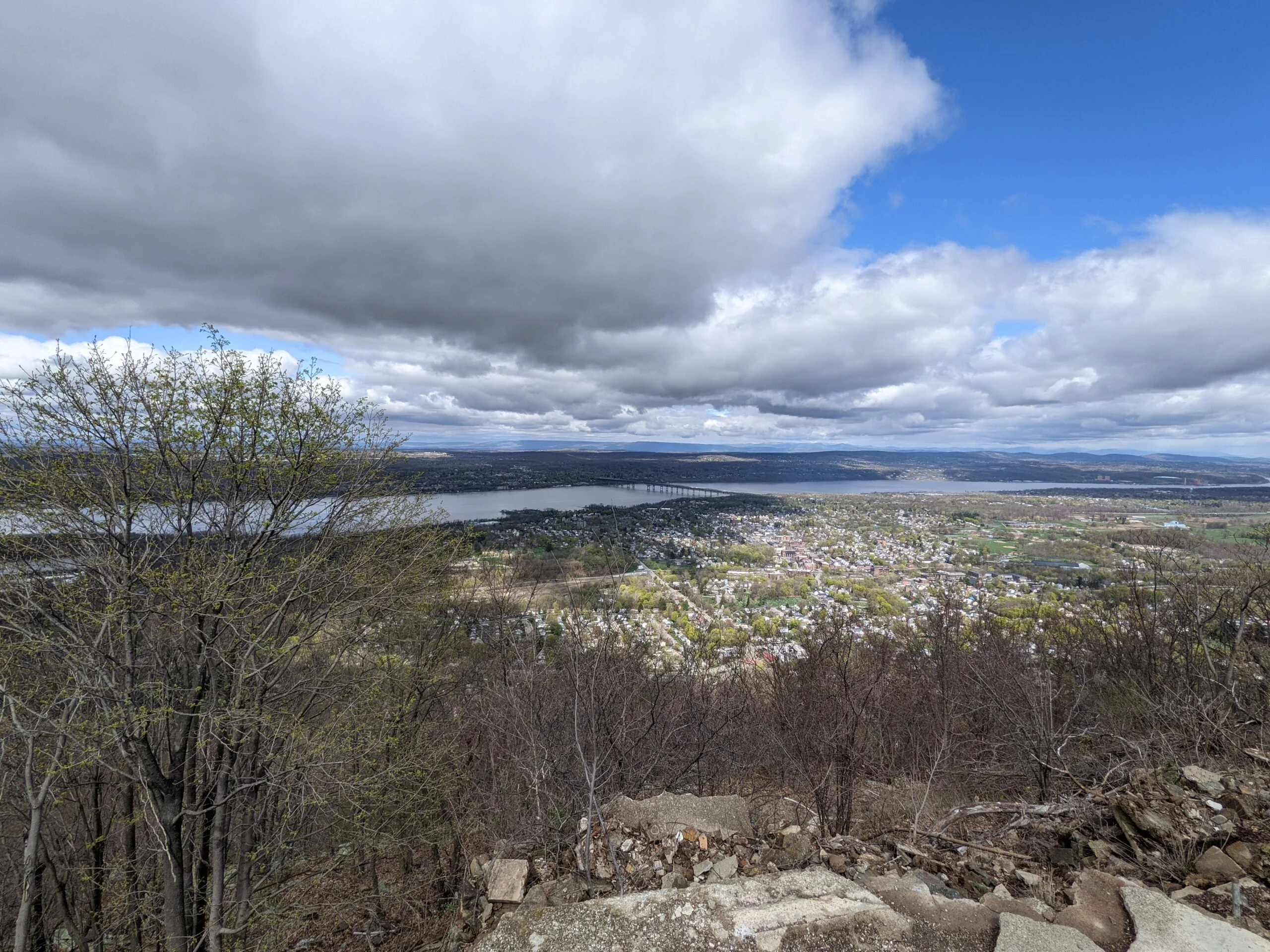
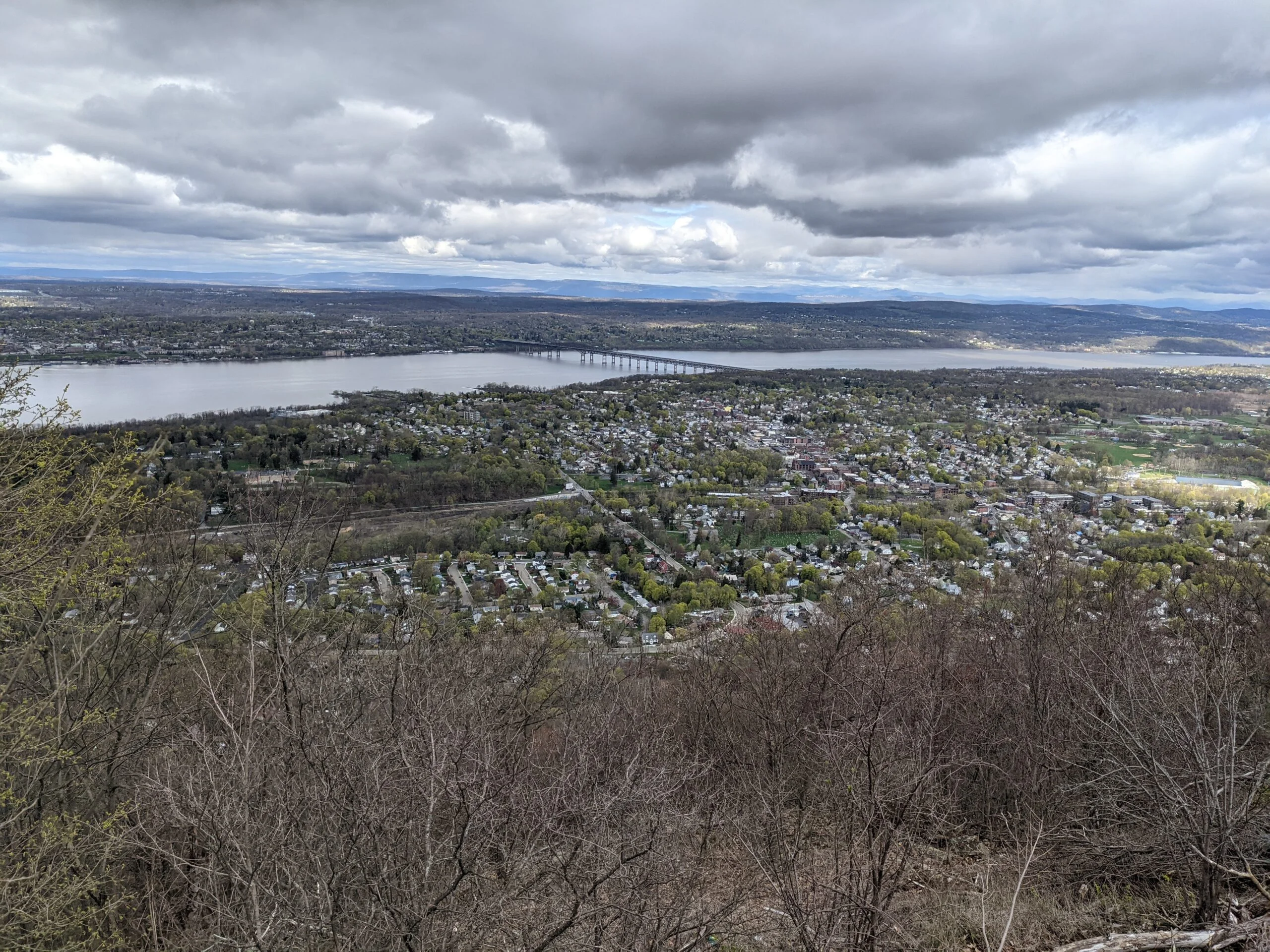
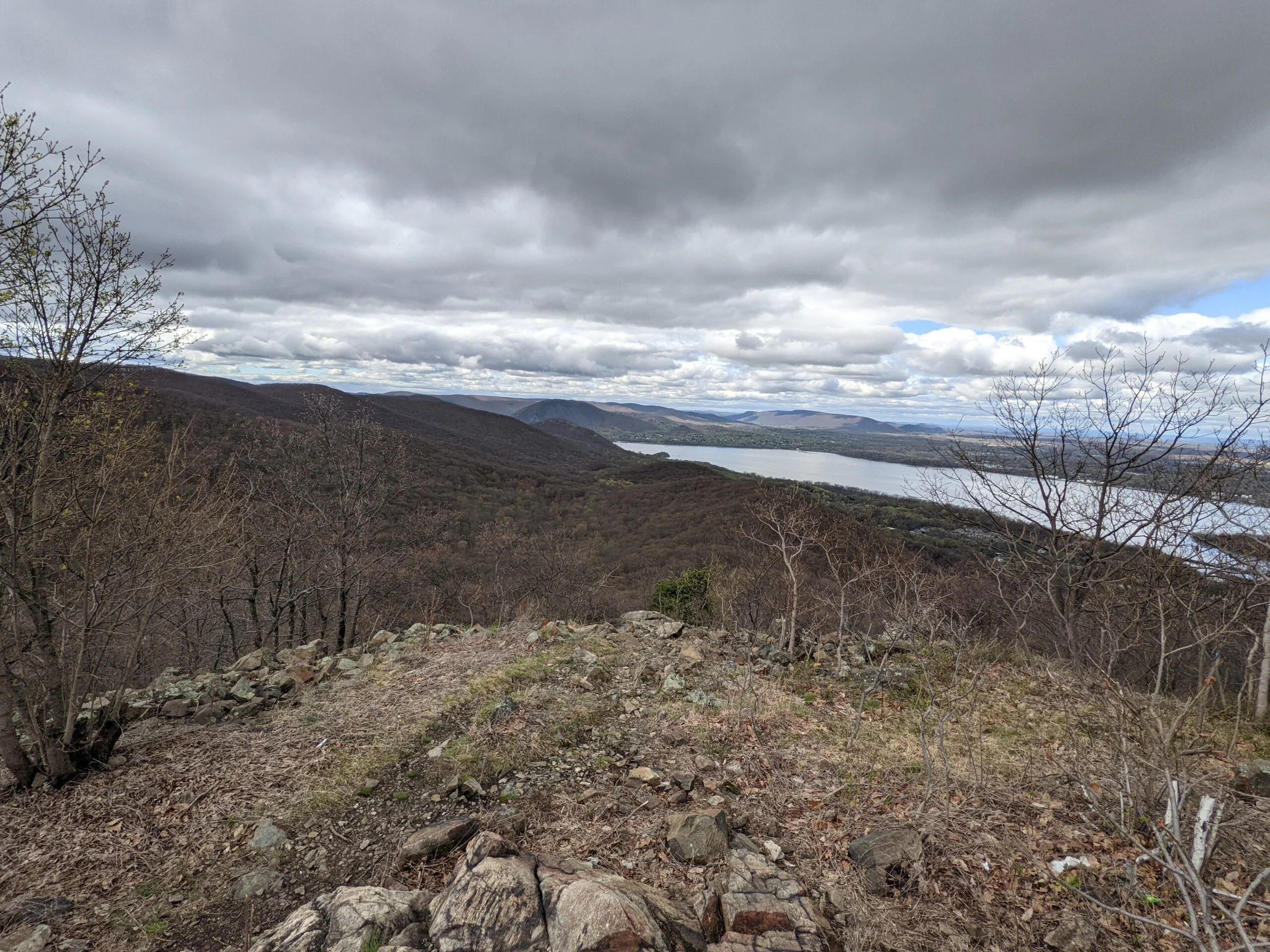
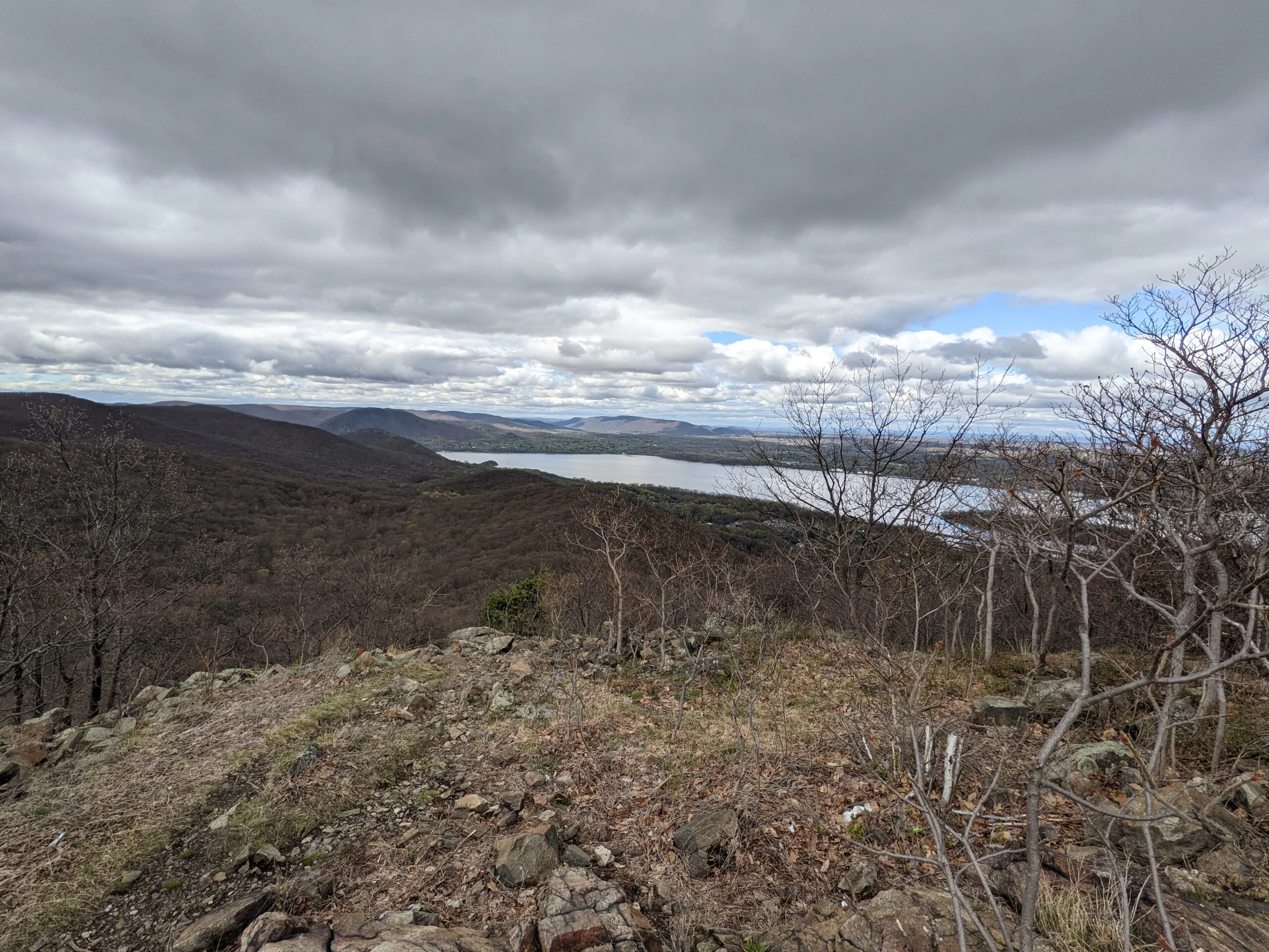
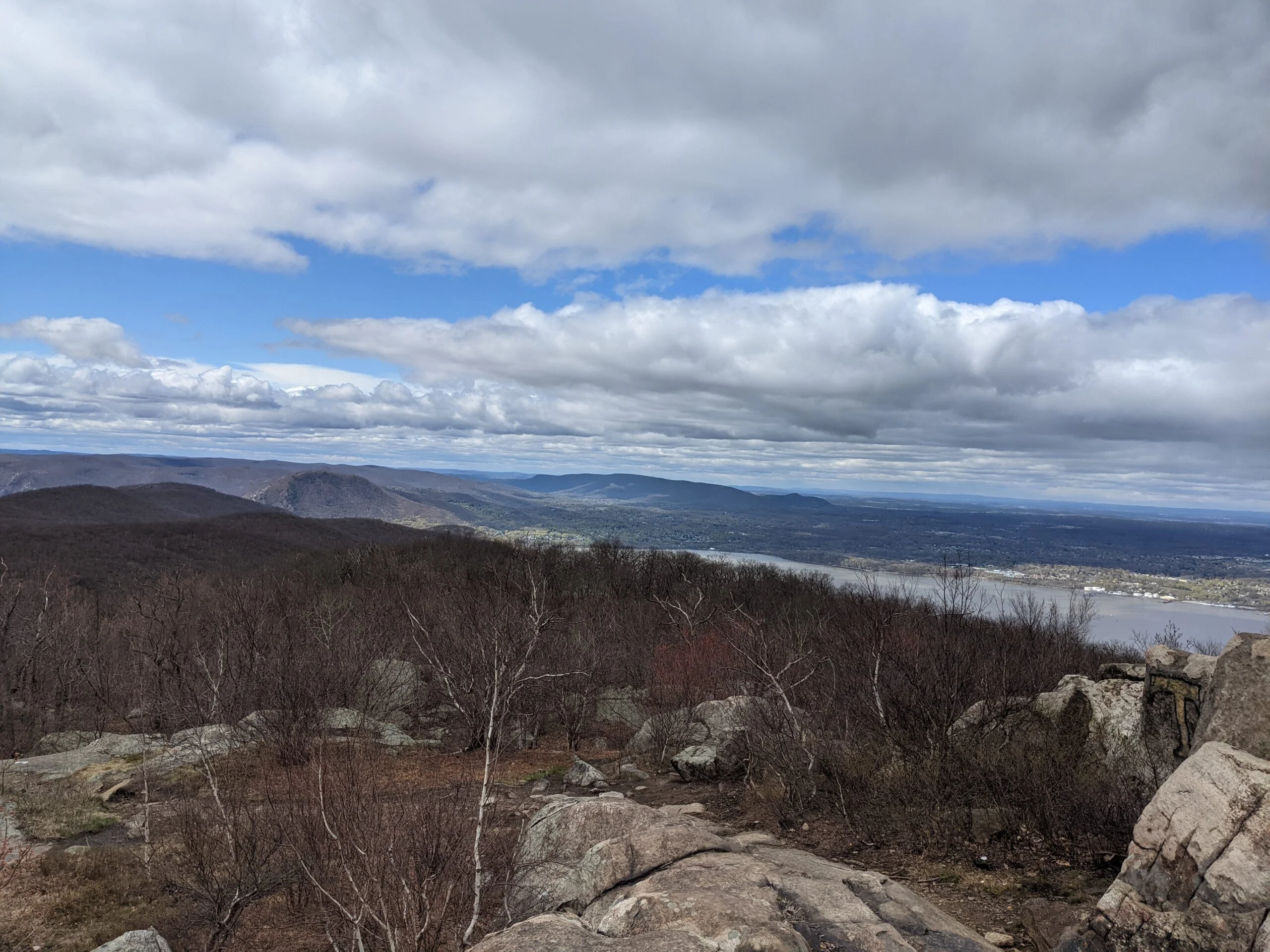
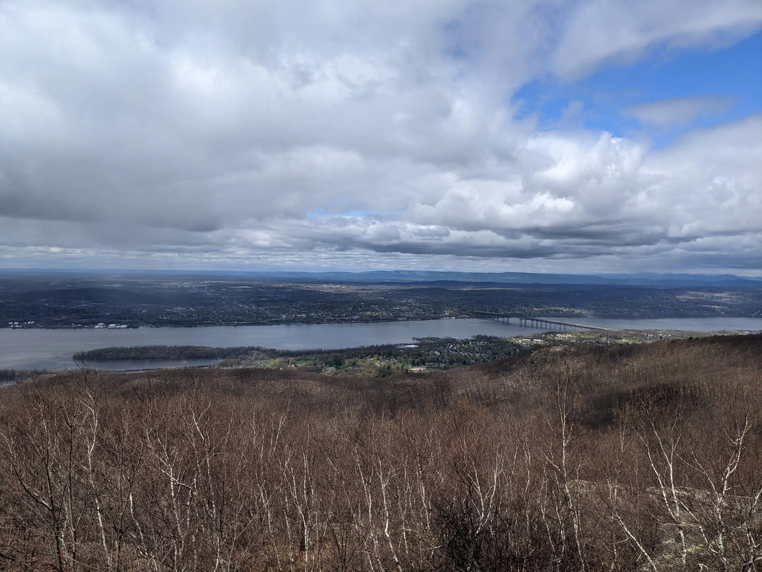
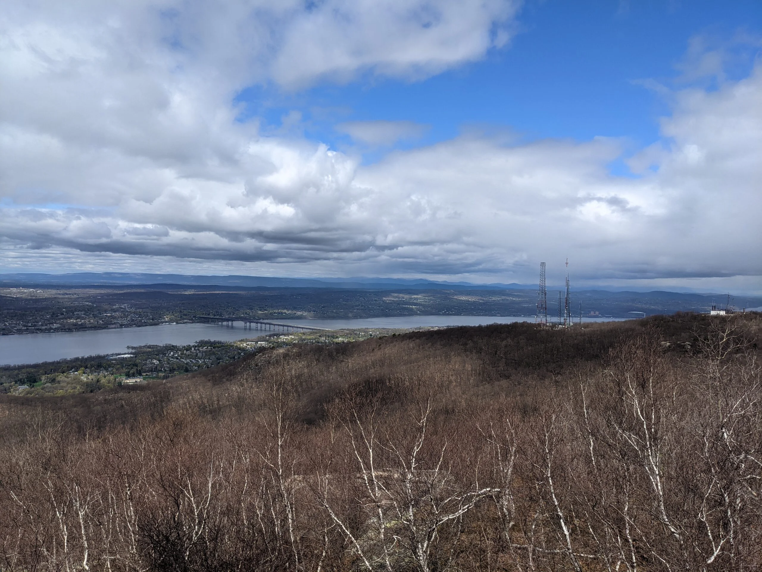
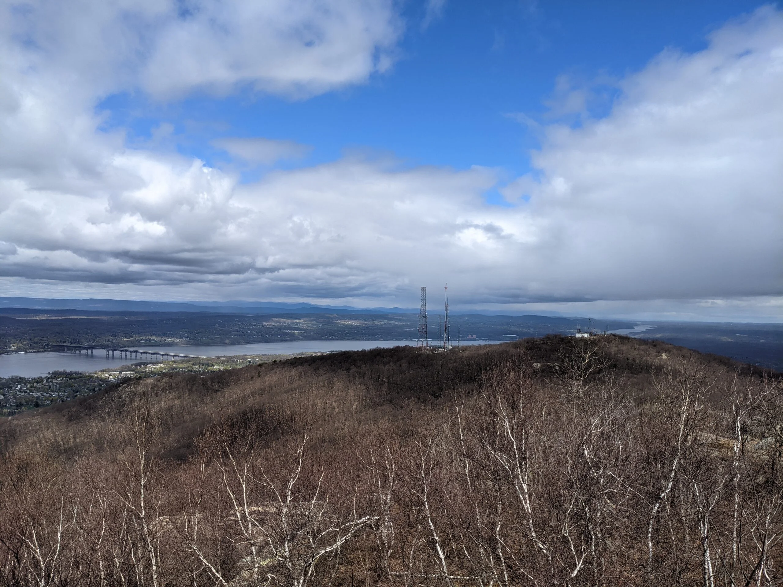
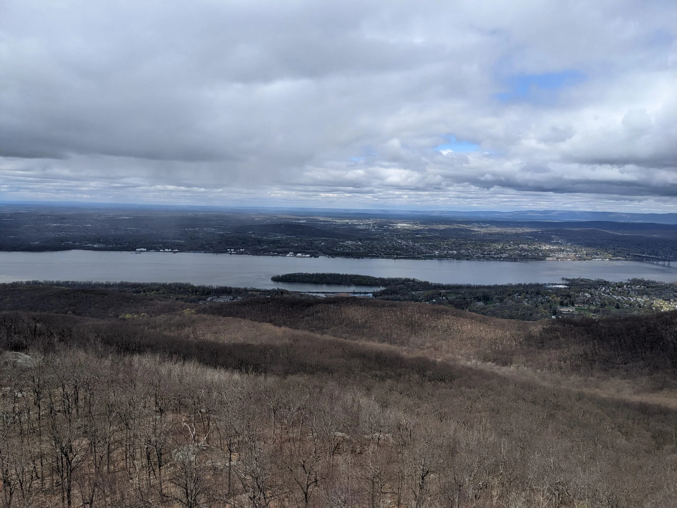
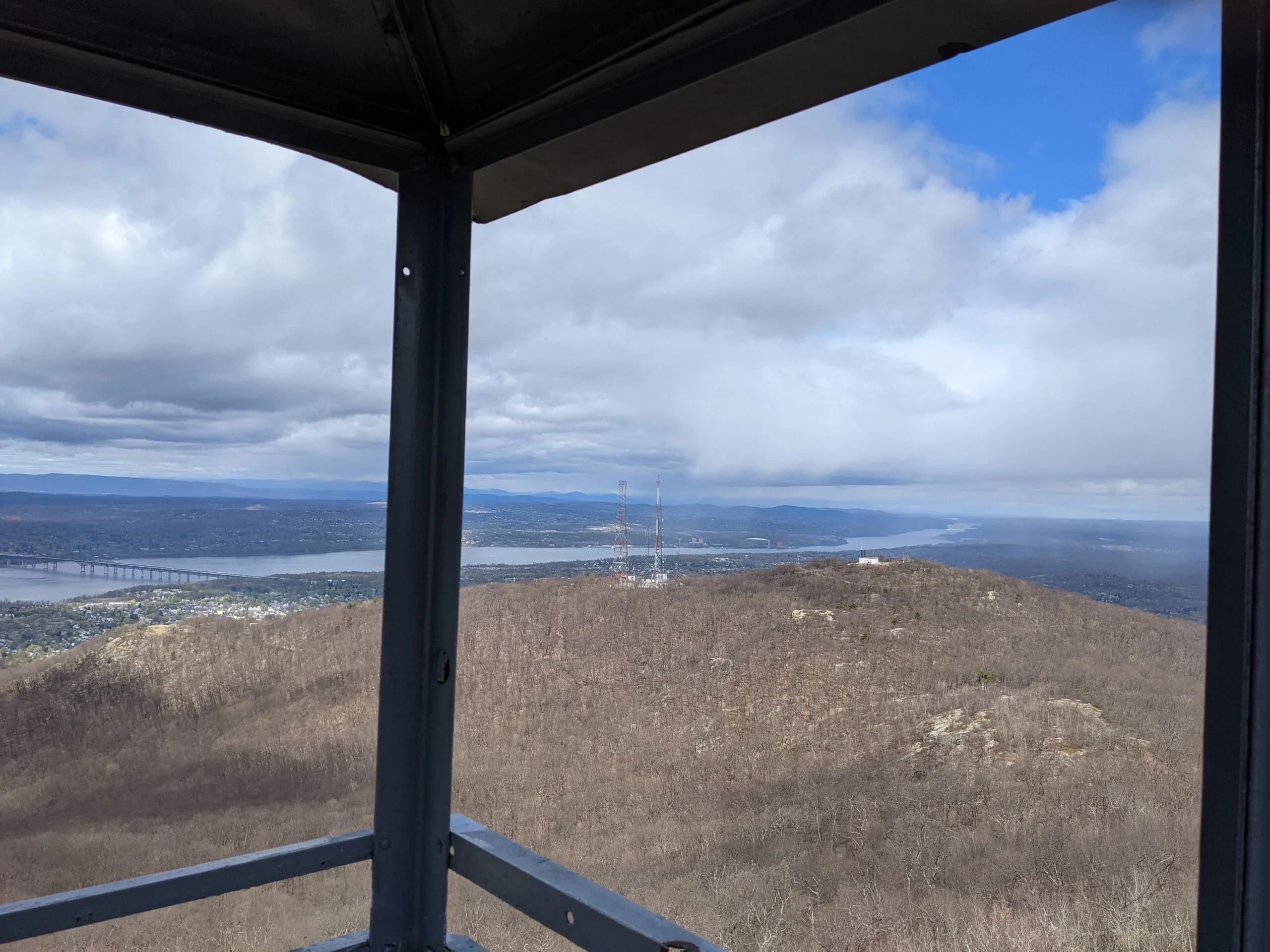
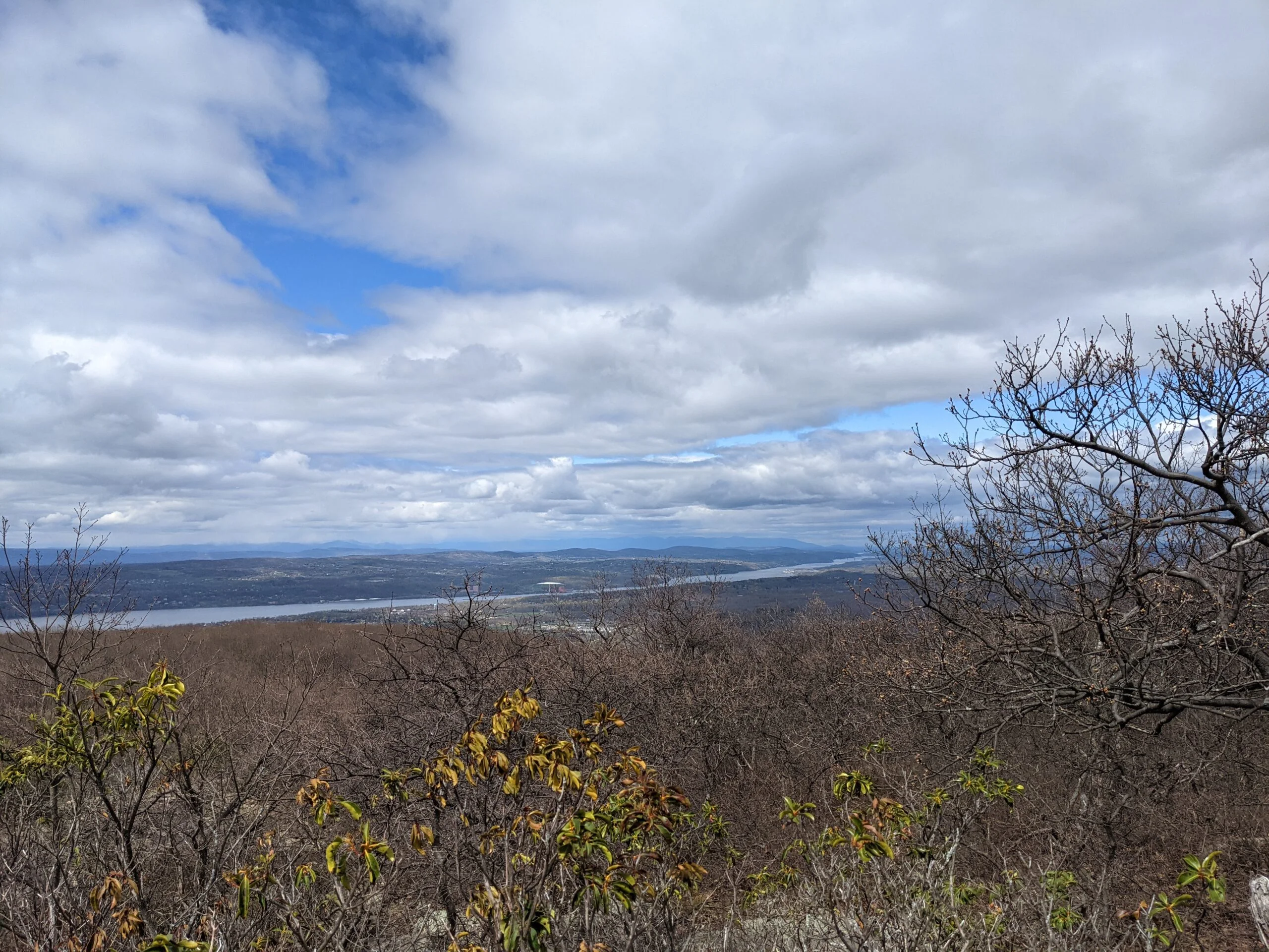
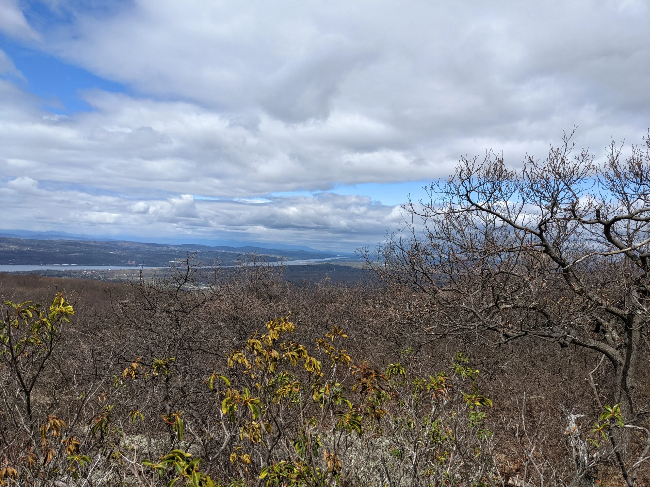
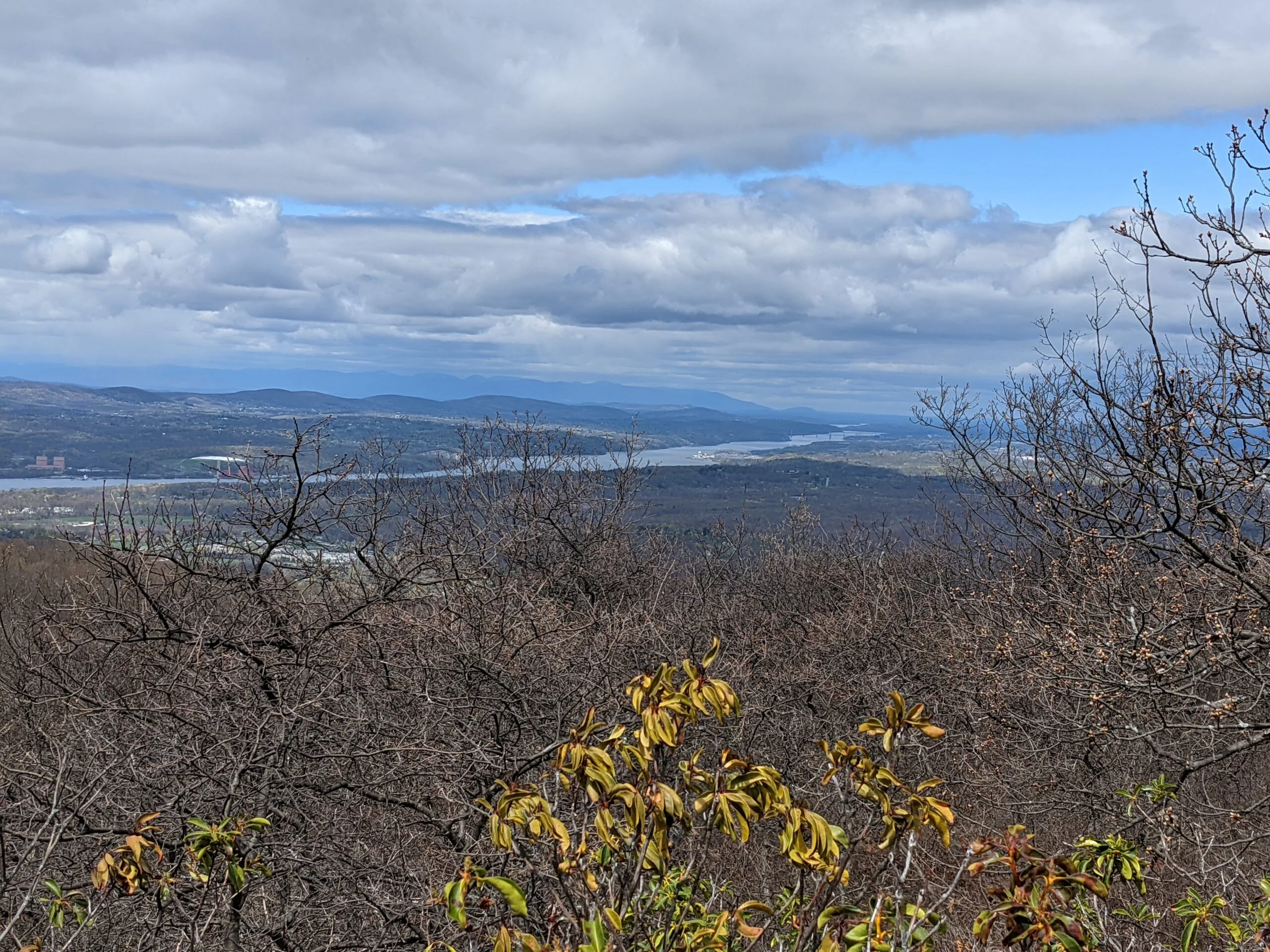
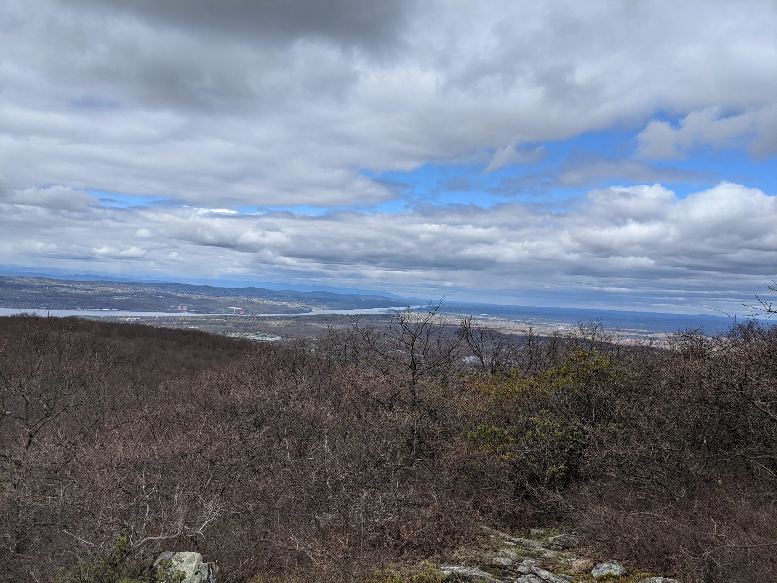
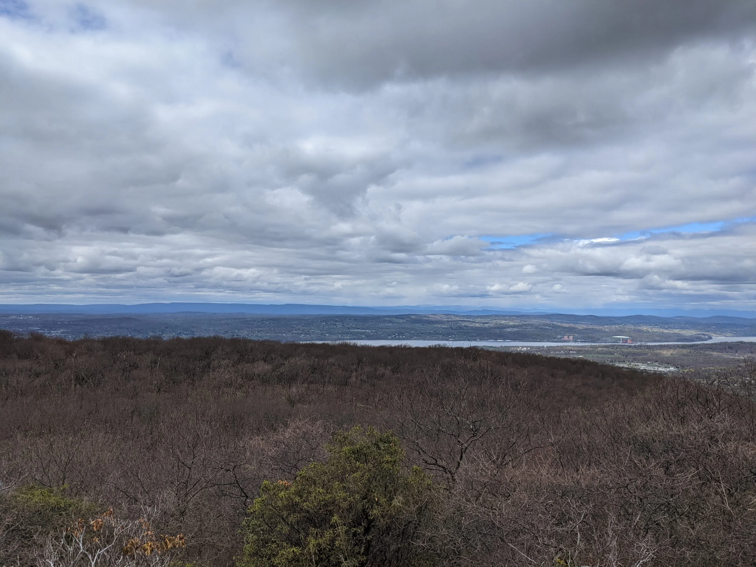
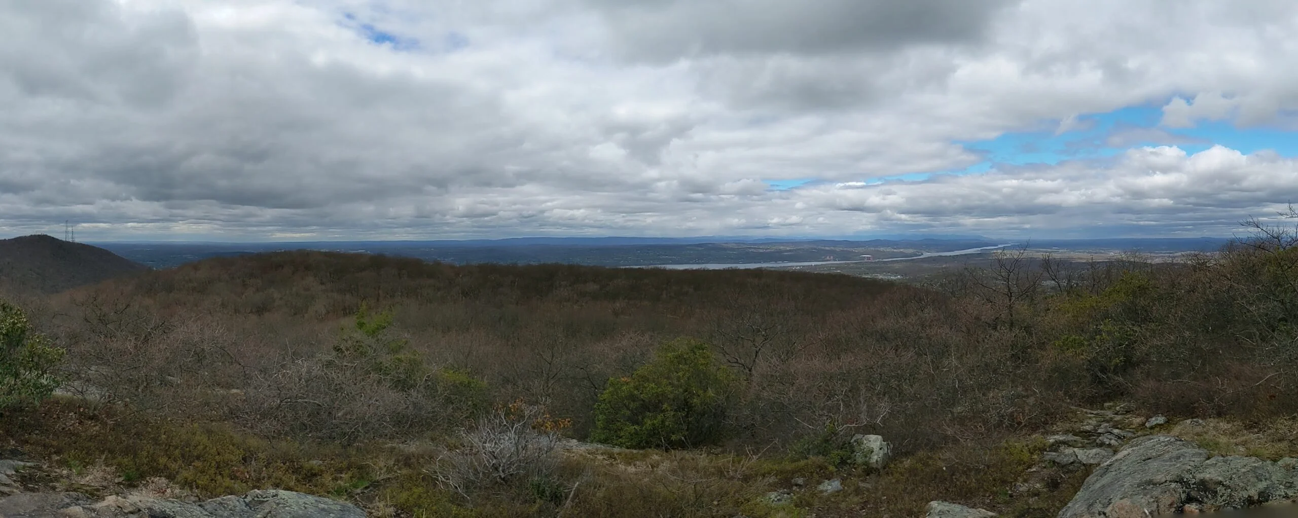
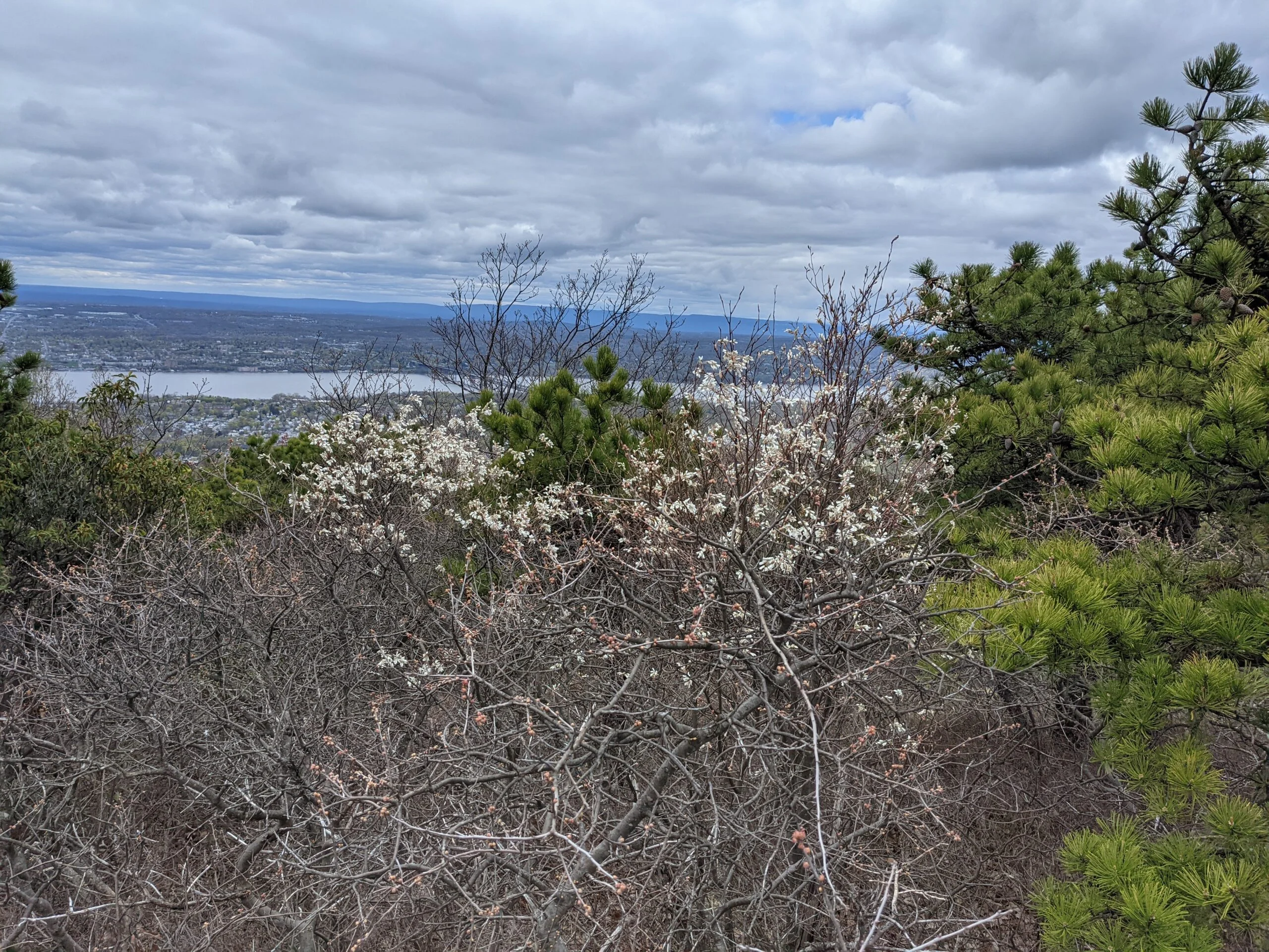
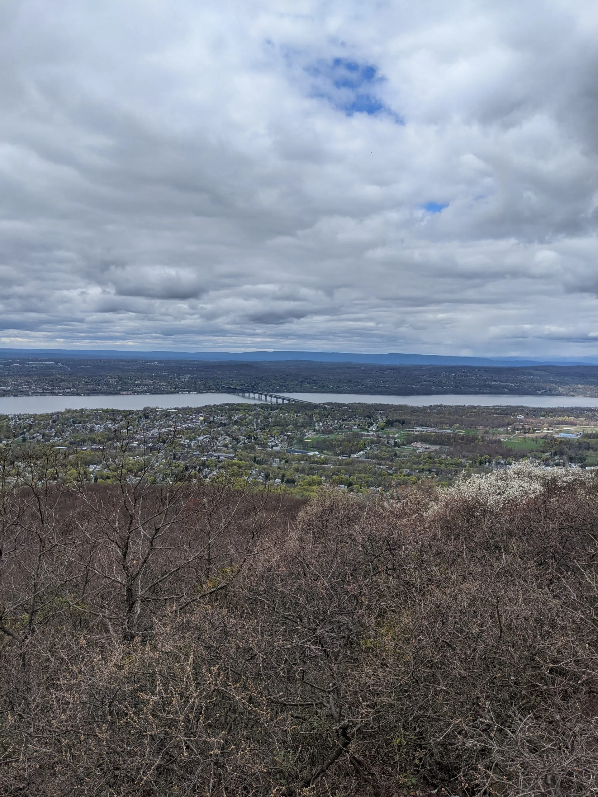
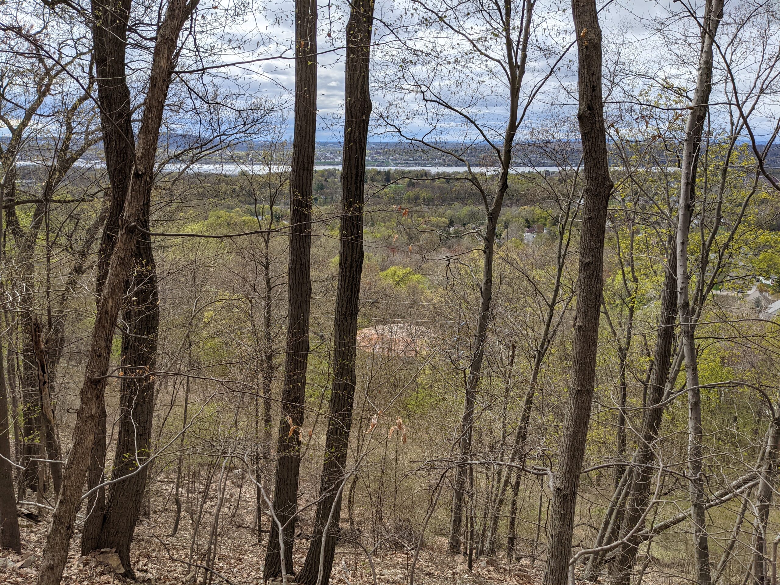
Next I explored the ruins of the hotel and casino properties, while taking a snack break overlooking the Hudson River to the west and to the north. It’s a really nice vantage point. After my break, I continued following CT until I reached the Breakneck Ridge (BR, white blazes) trail at around the 2.7 mile mark.
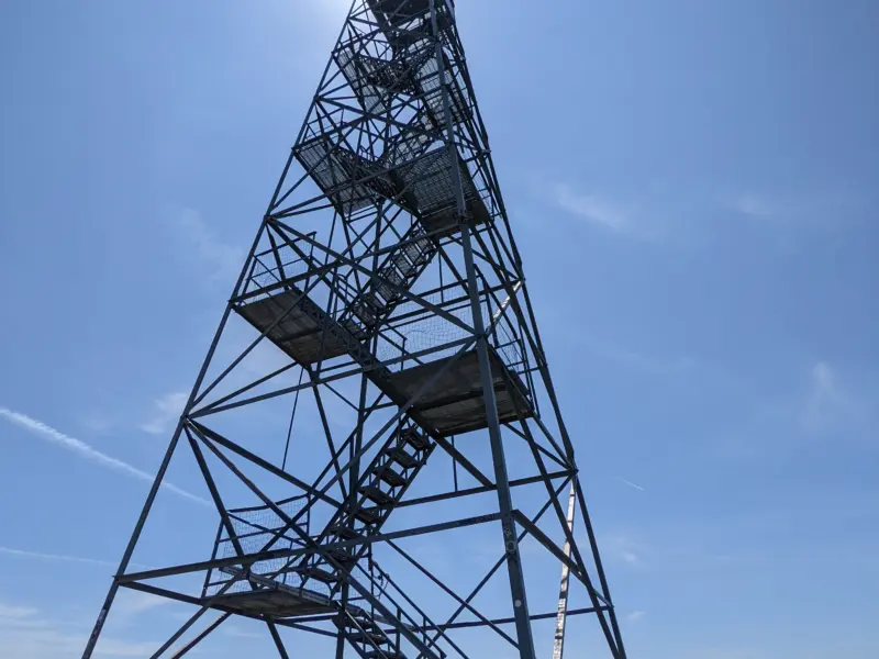
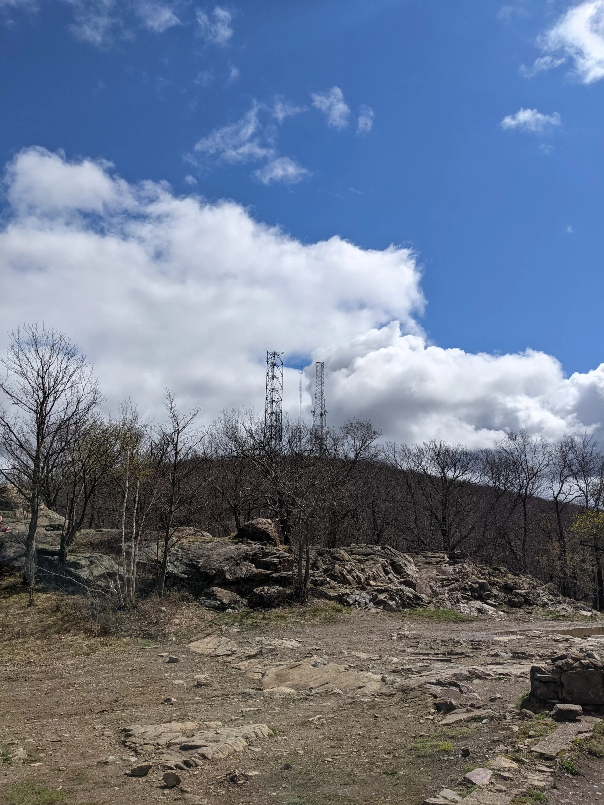
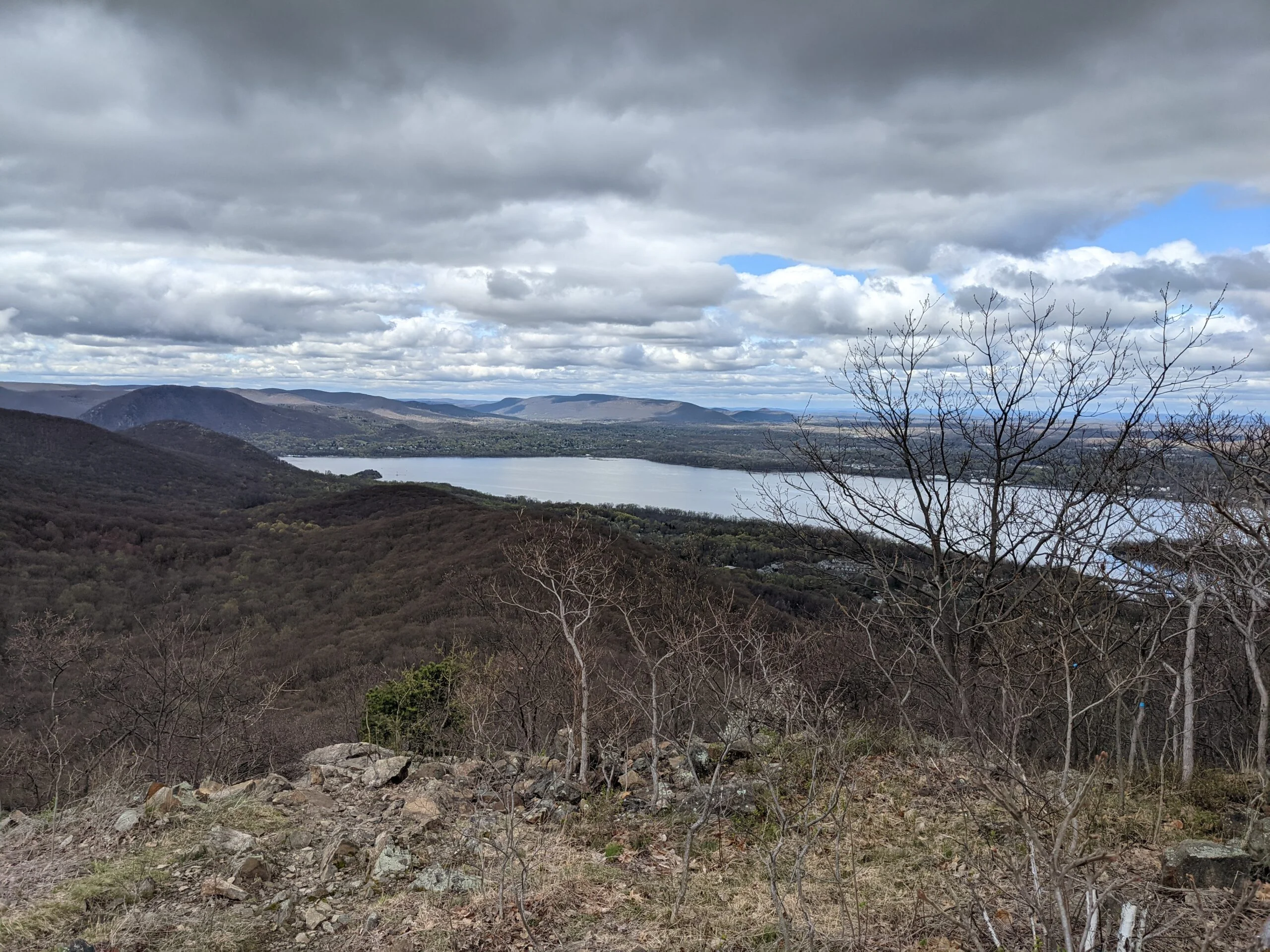
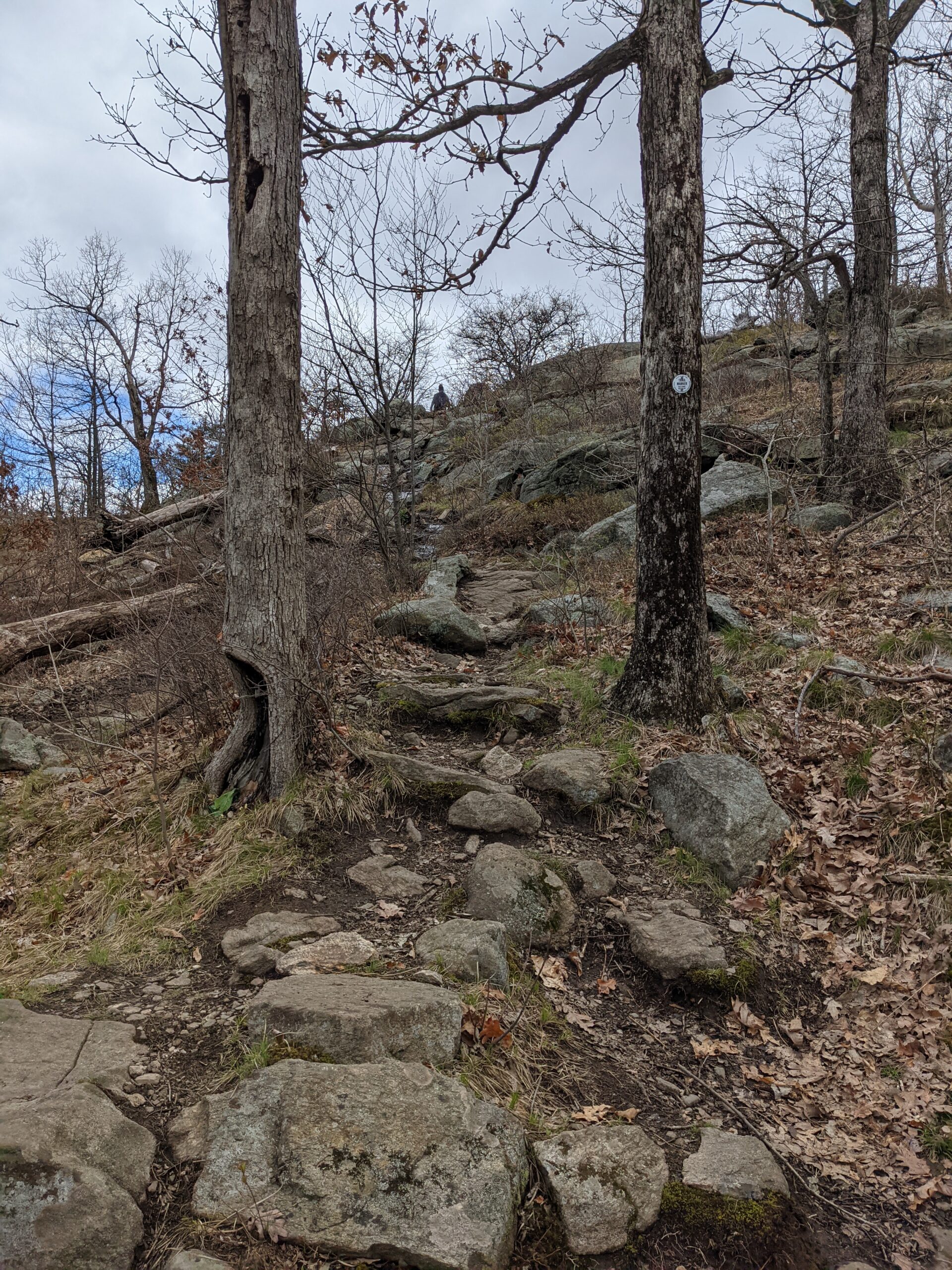
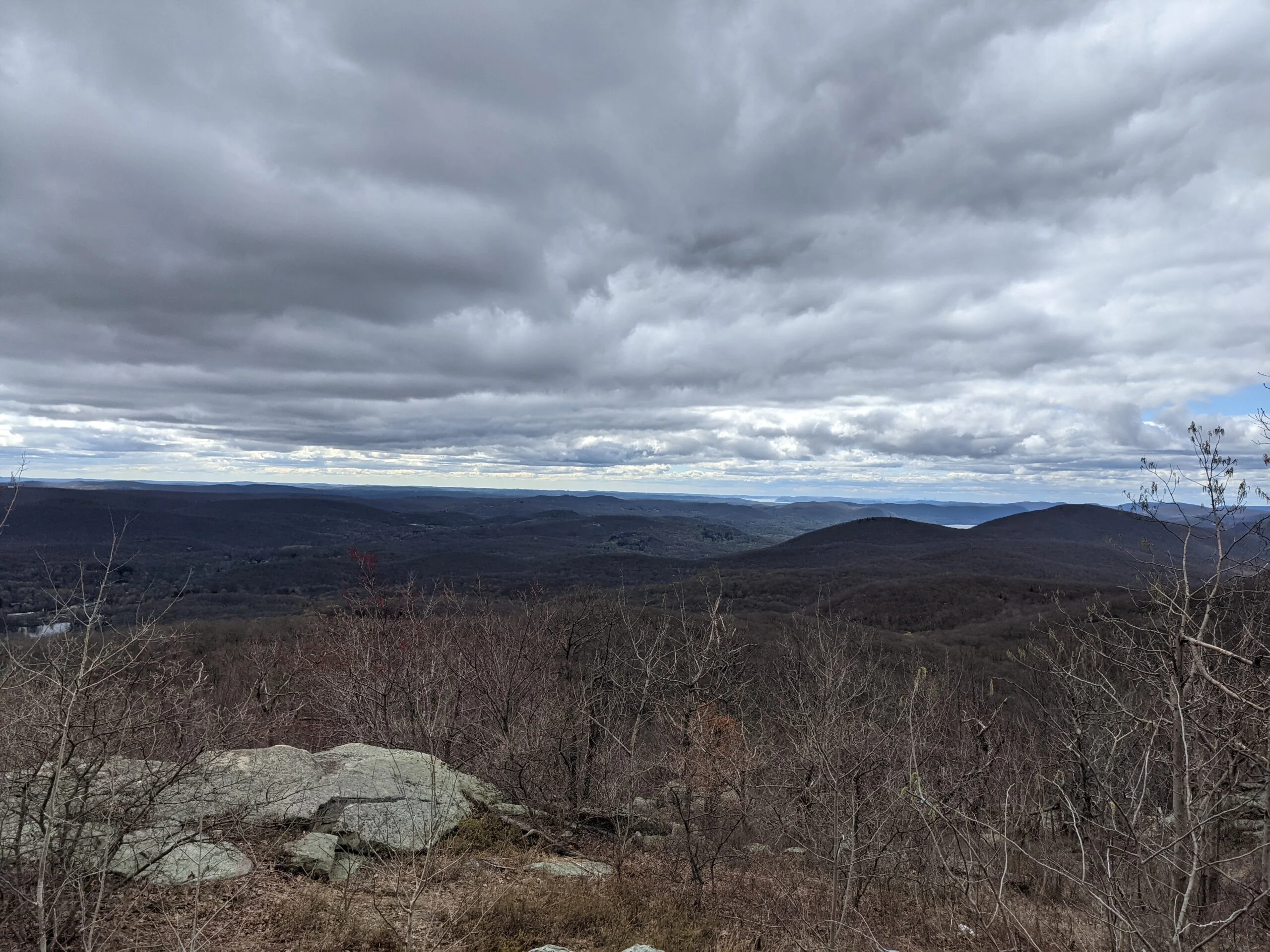
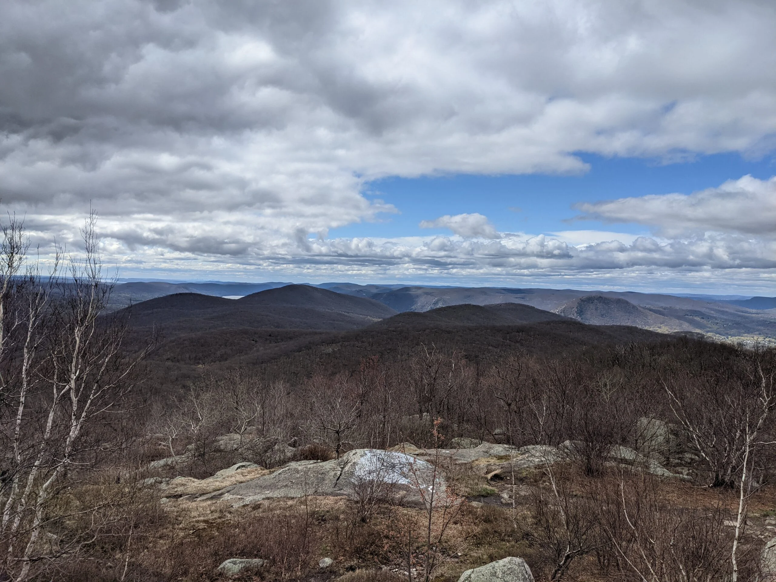
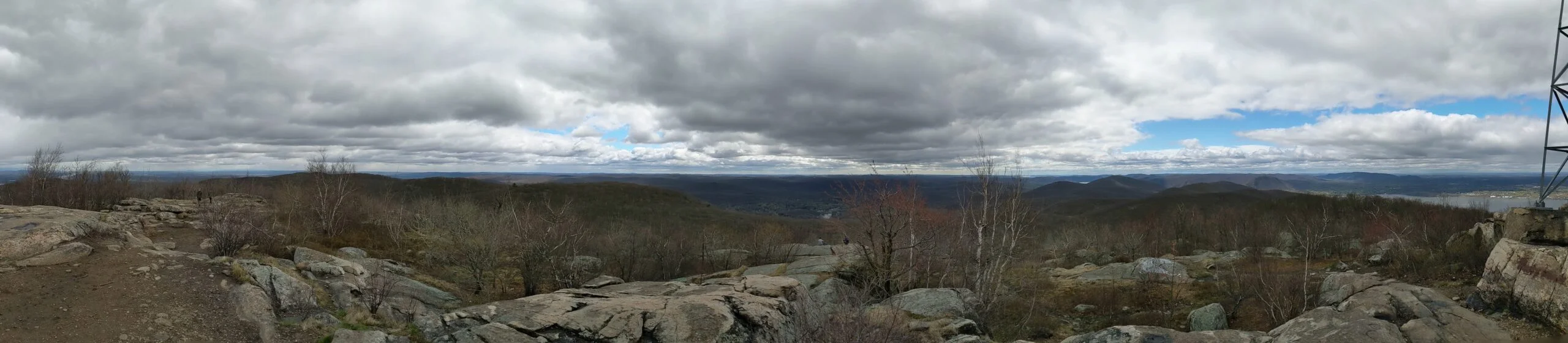
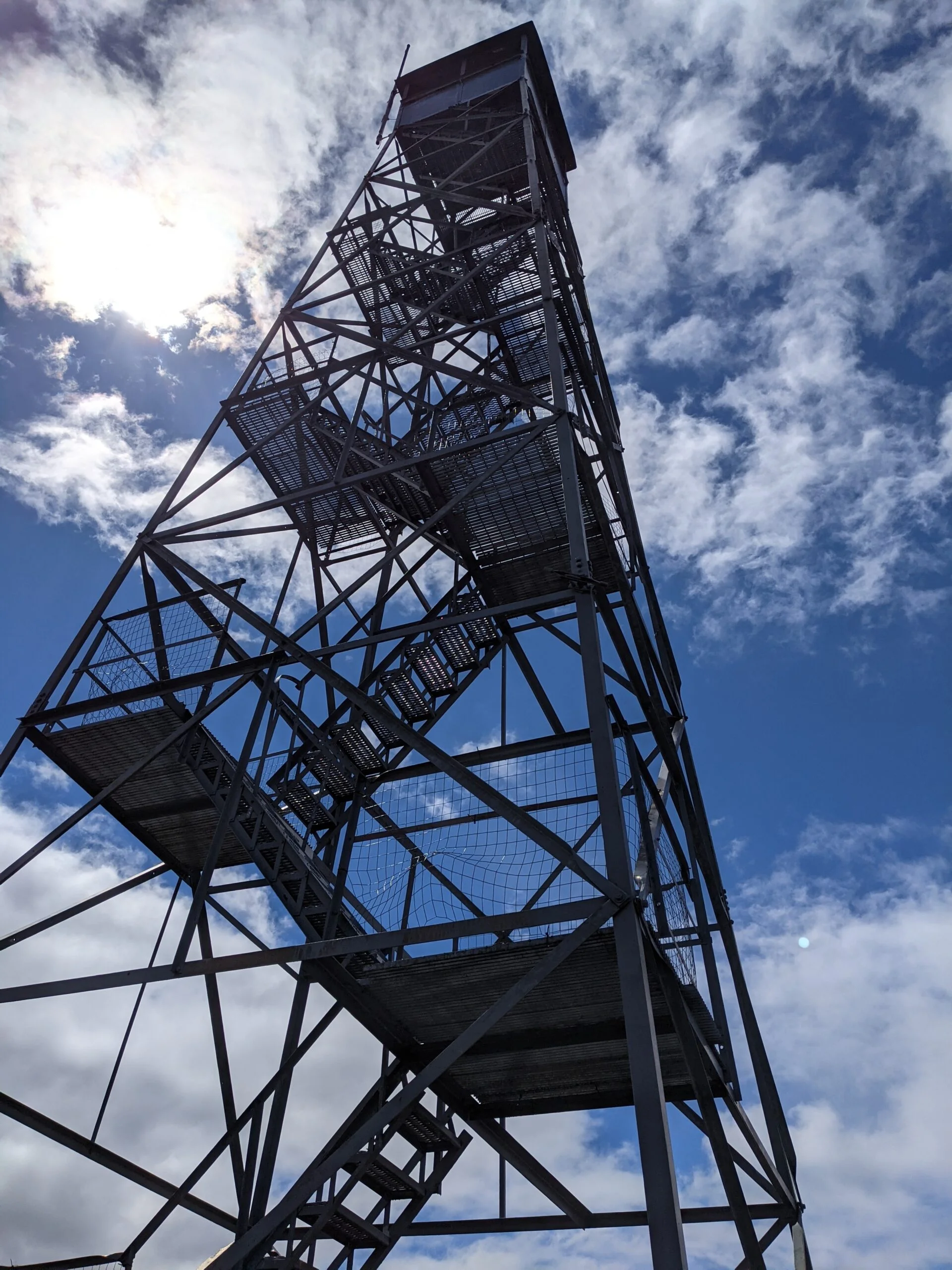
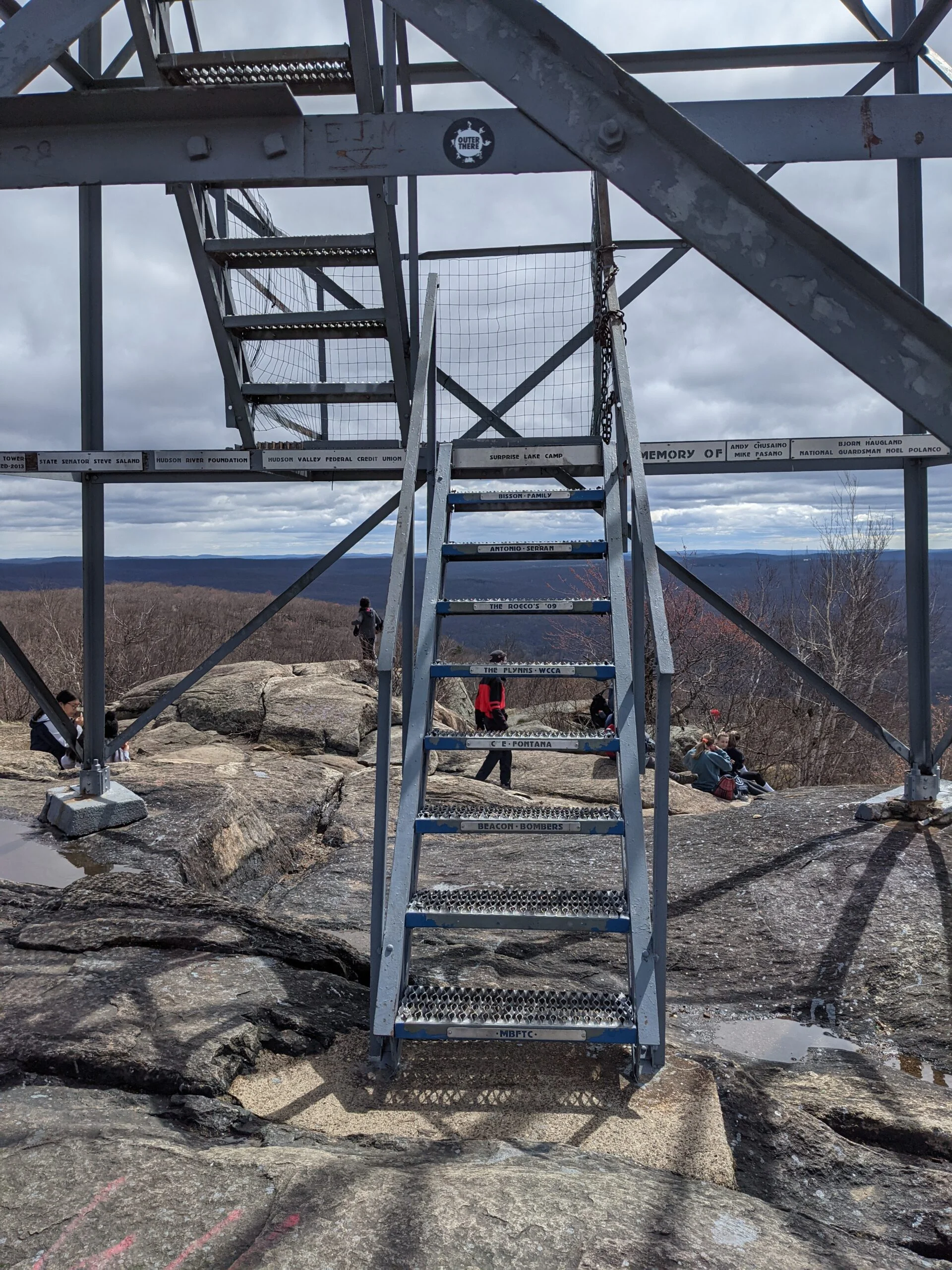
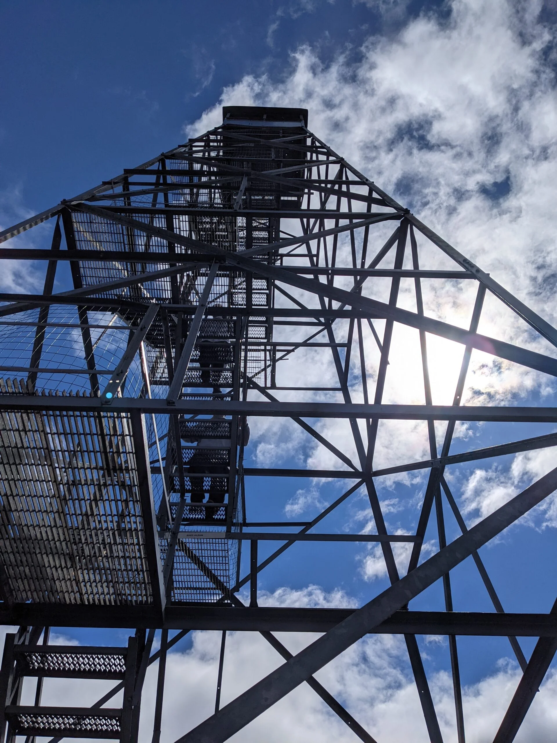
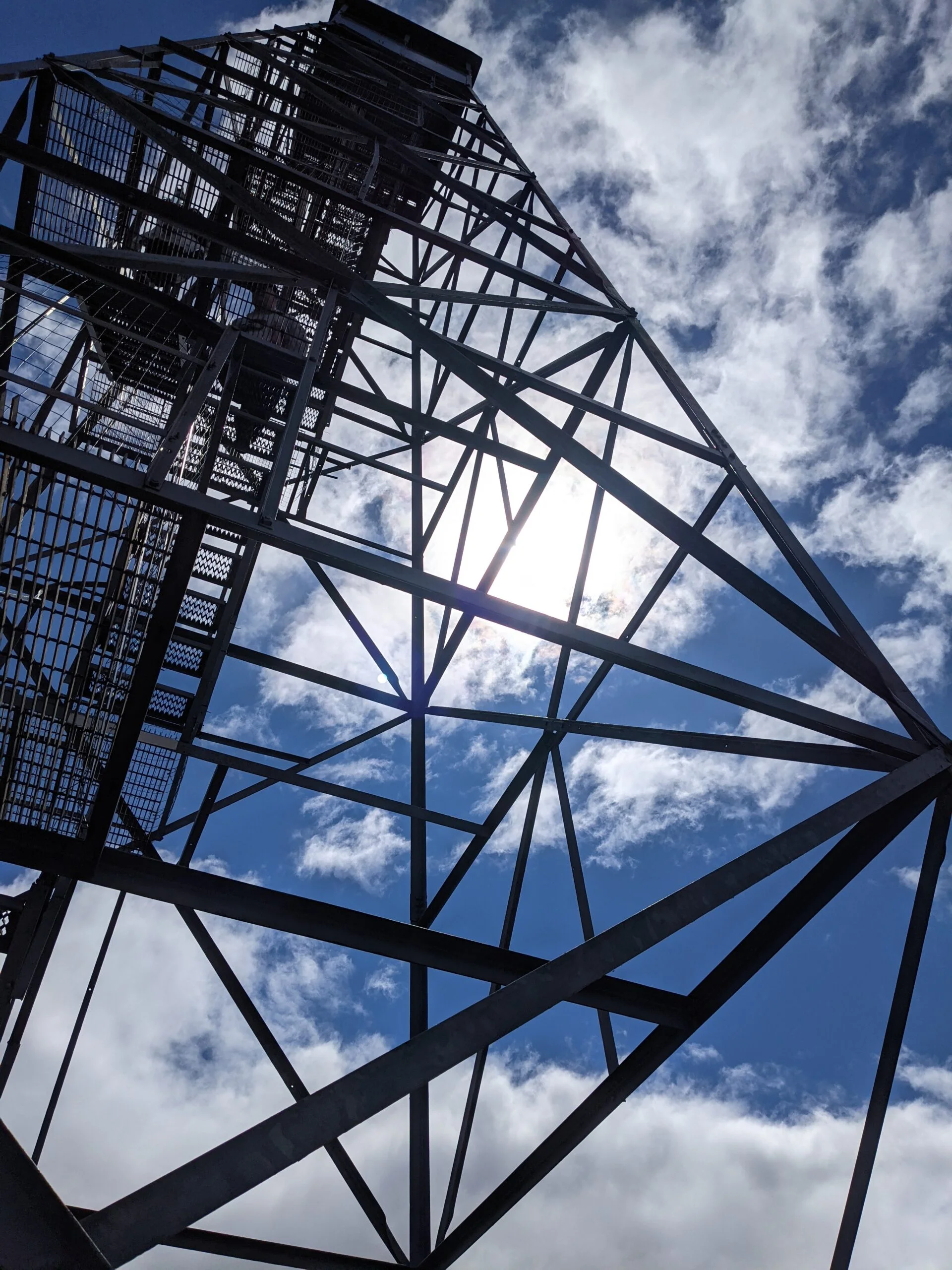
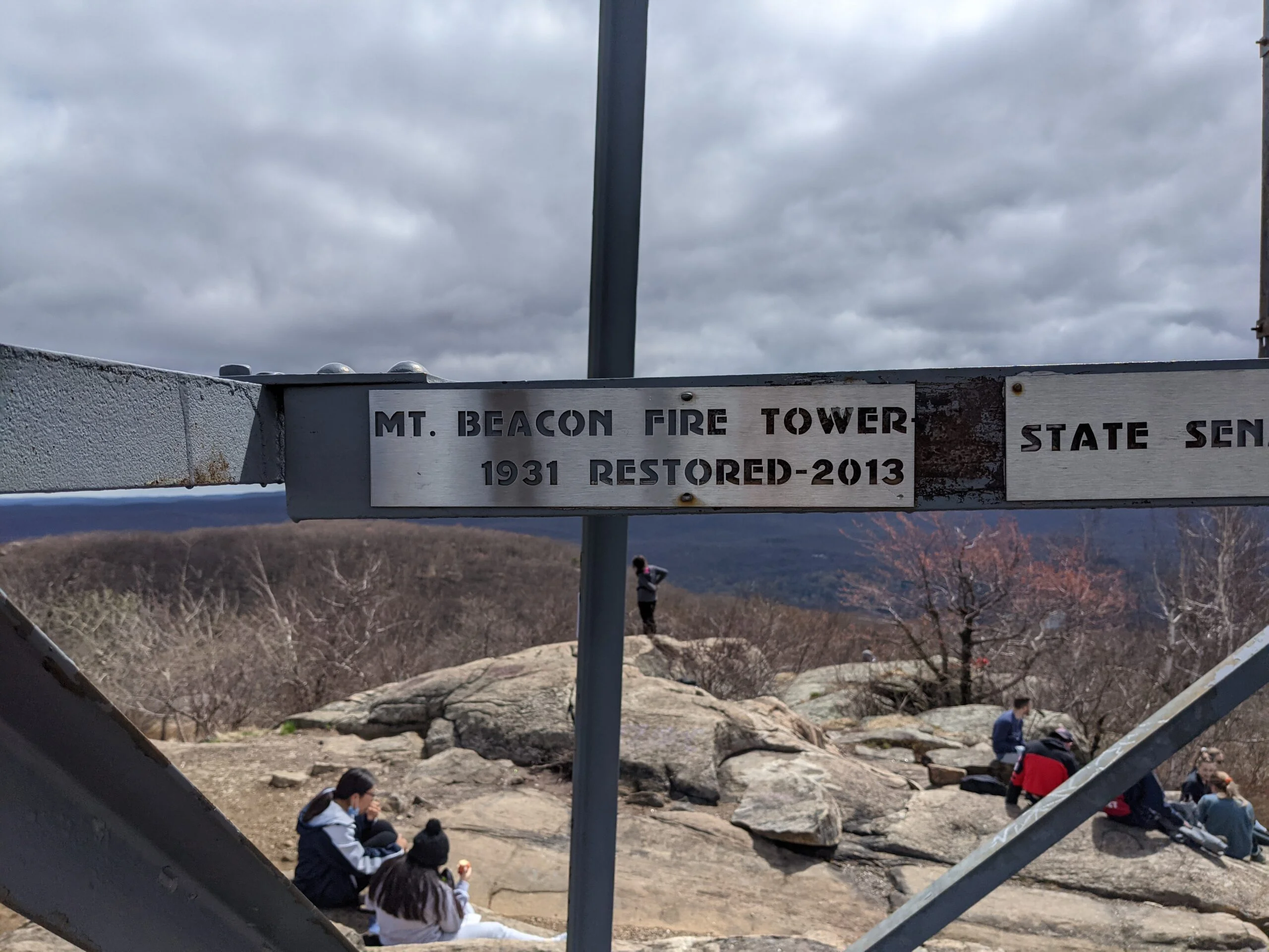
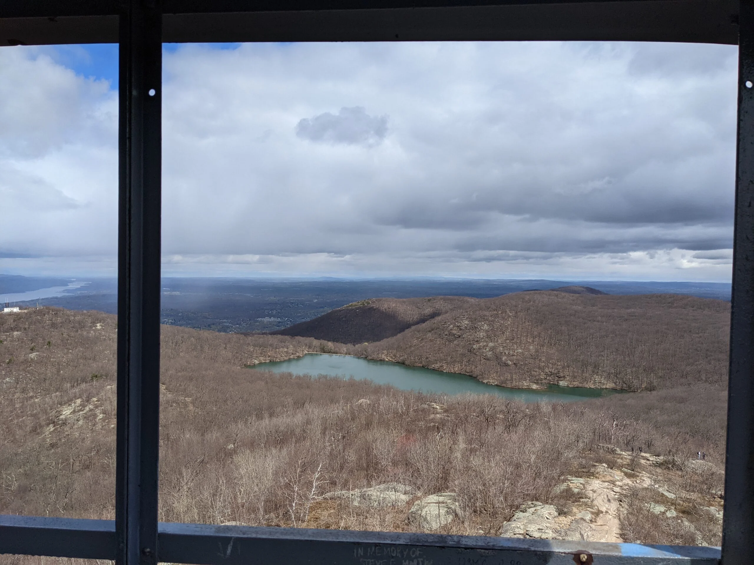
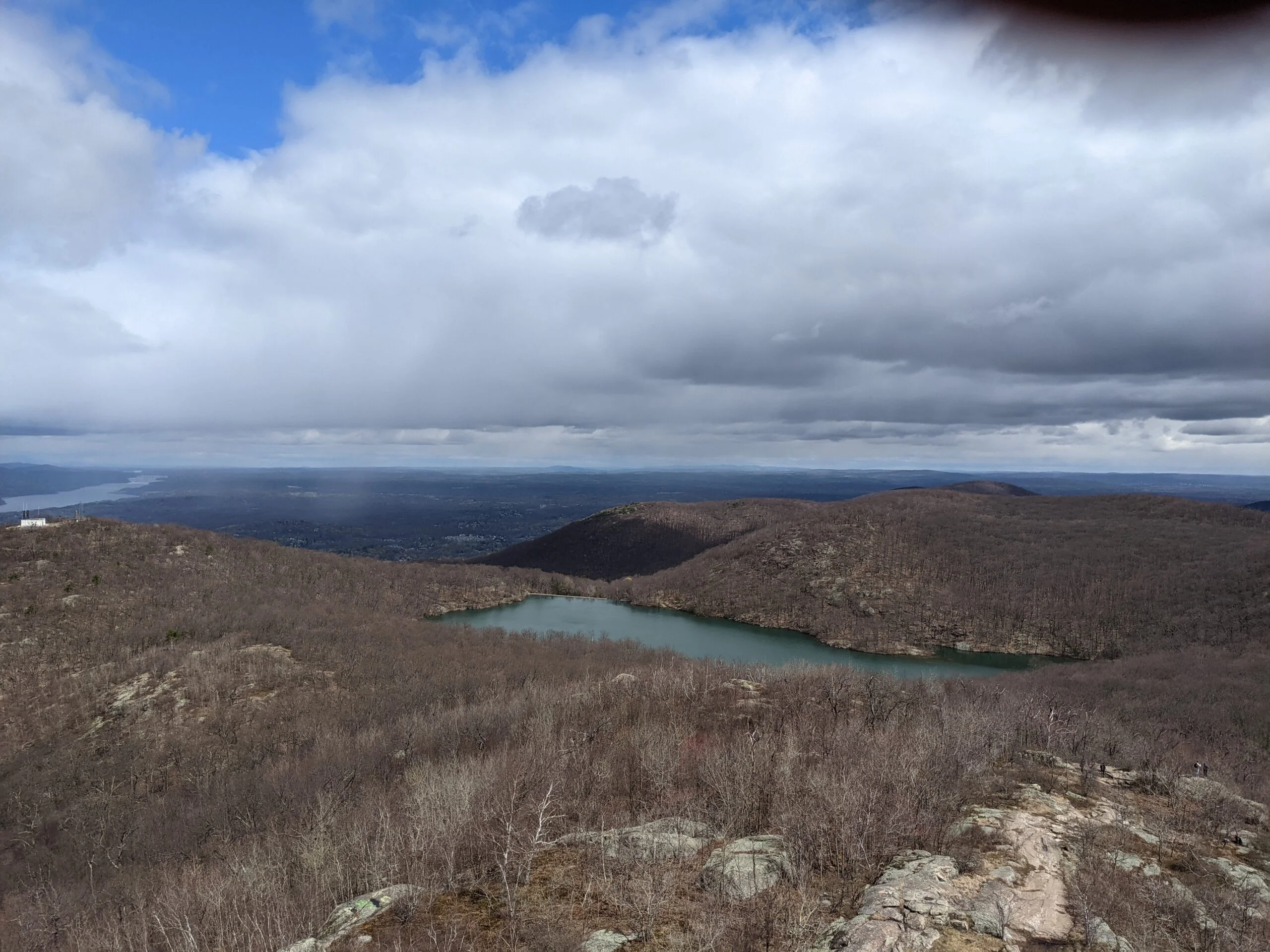
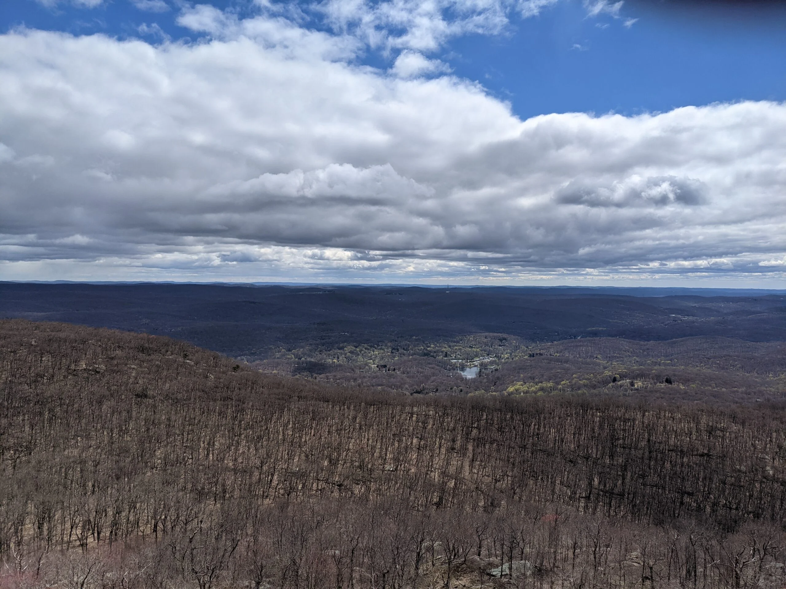
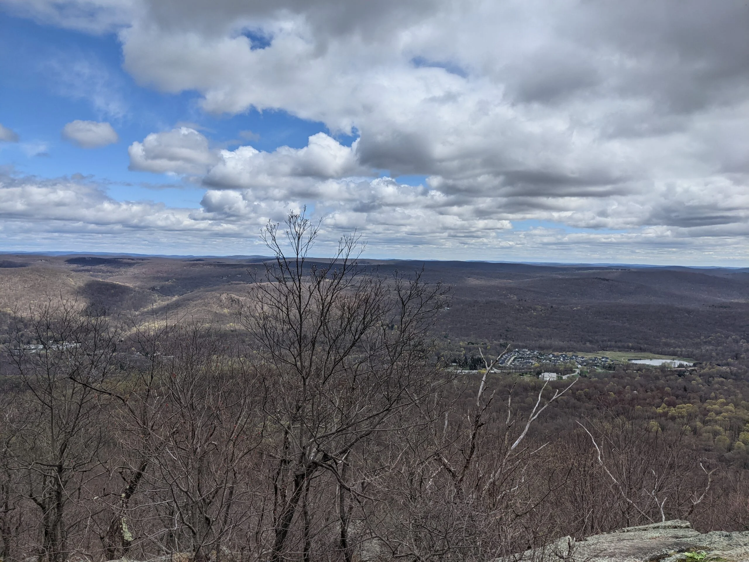
I continued following BR, with a gradual climb of about another 300 ft, until I reached the South Beacon Mountain Fire Tower. I stopped again to rest and snack, then stood on the line to climb the fire tower. The 360-degree views from the top of the tower were breathtaking. If there wasn’t a line waiting to come up, I would have taken more photos and videos because it’s truly a magnificent viewpoint.
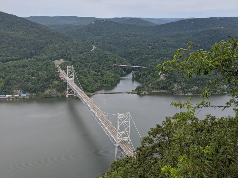
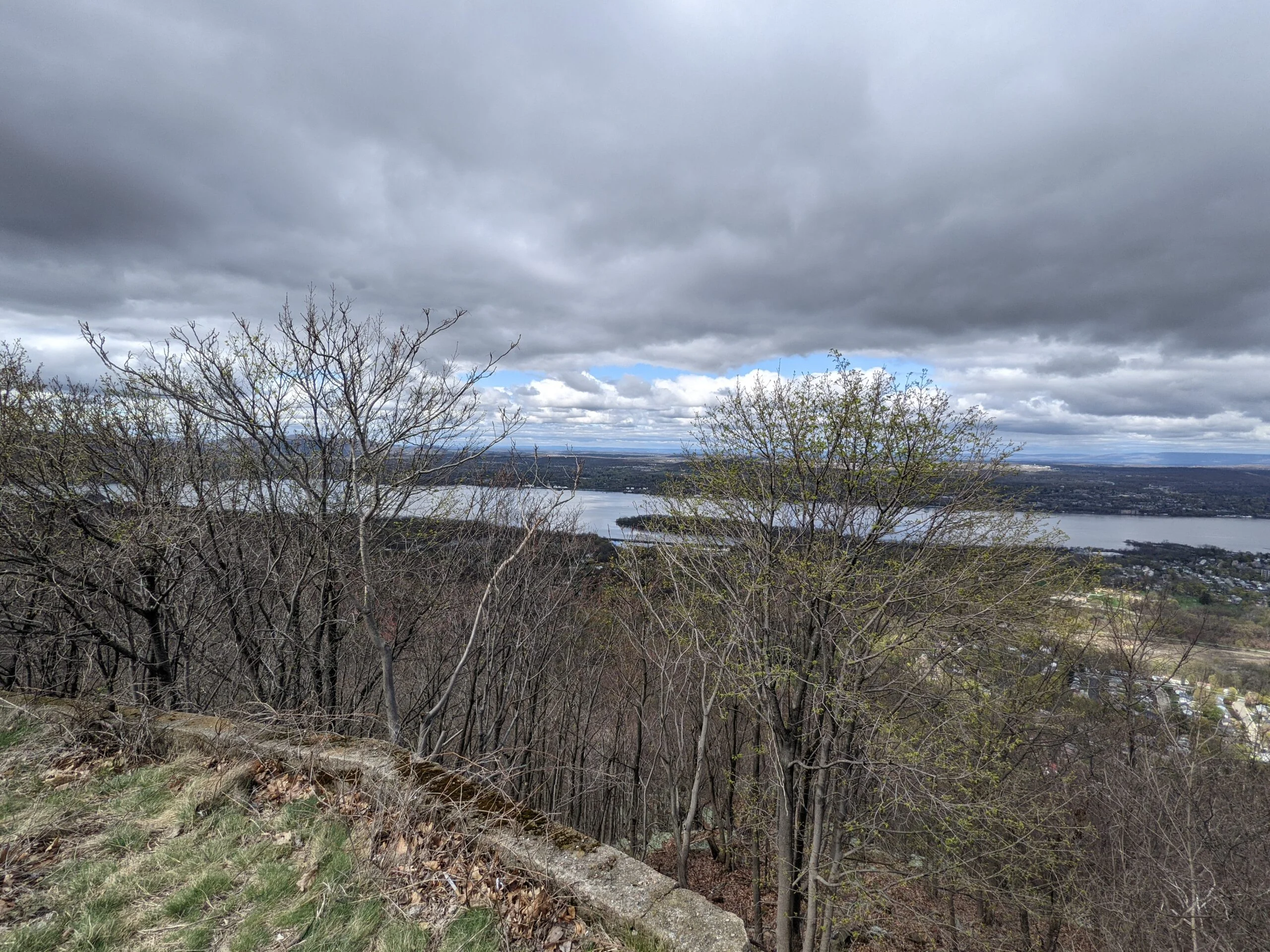
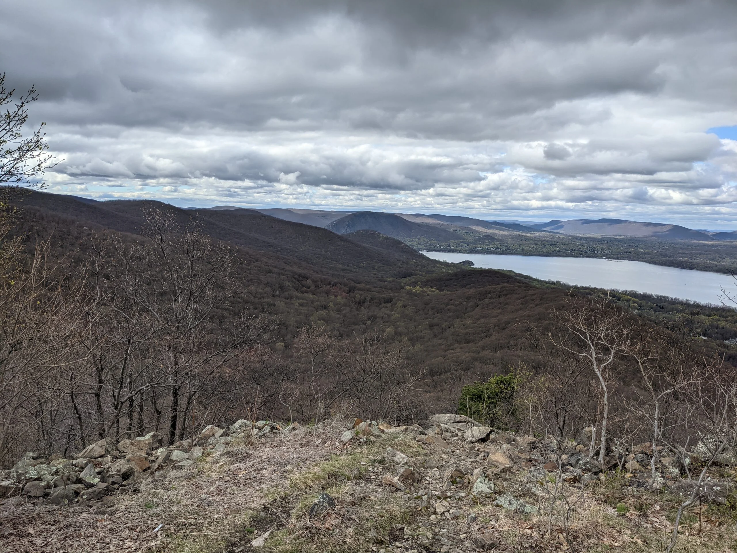
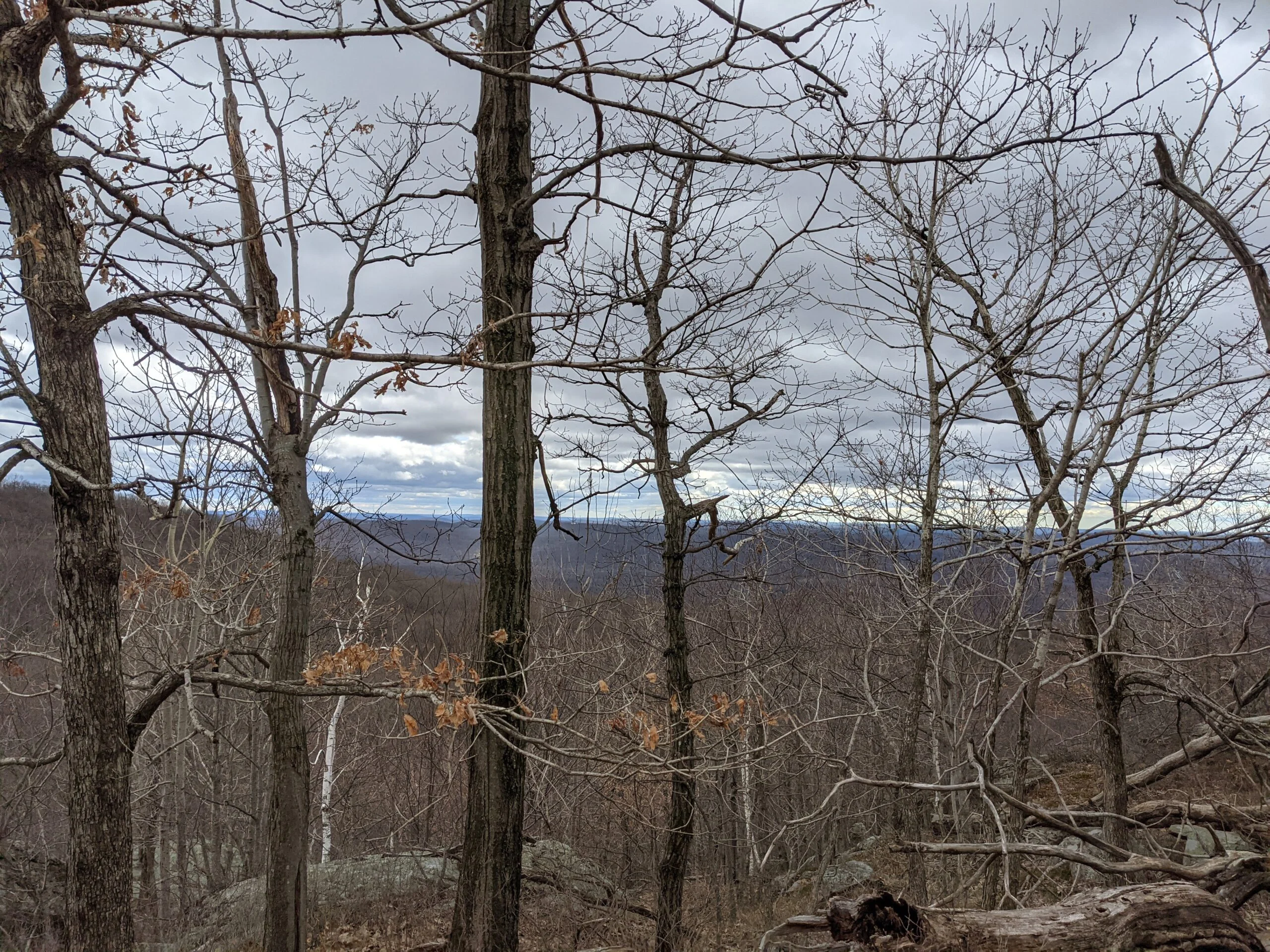
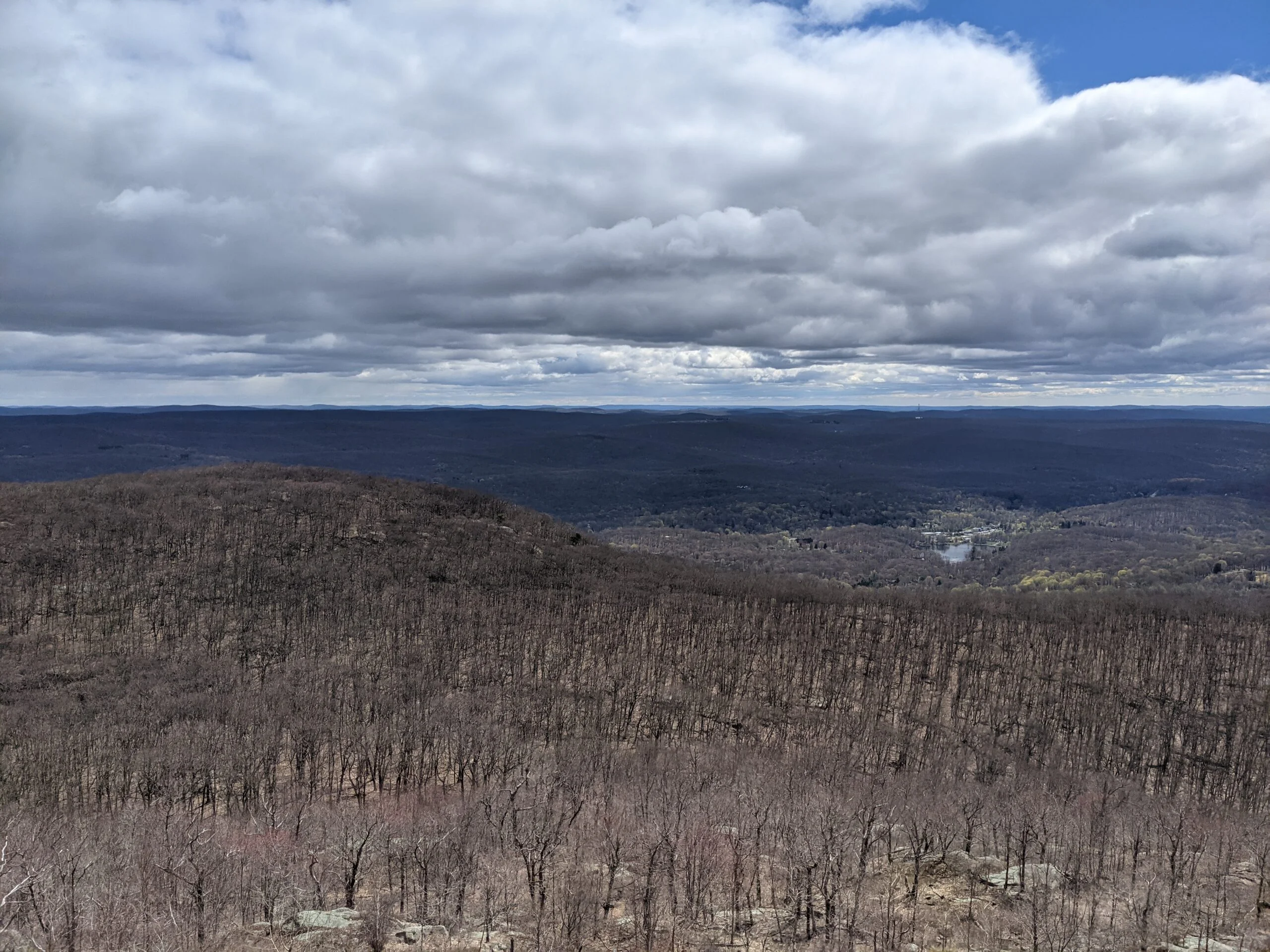
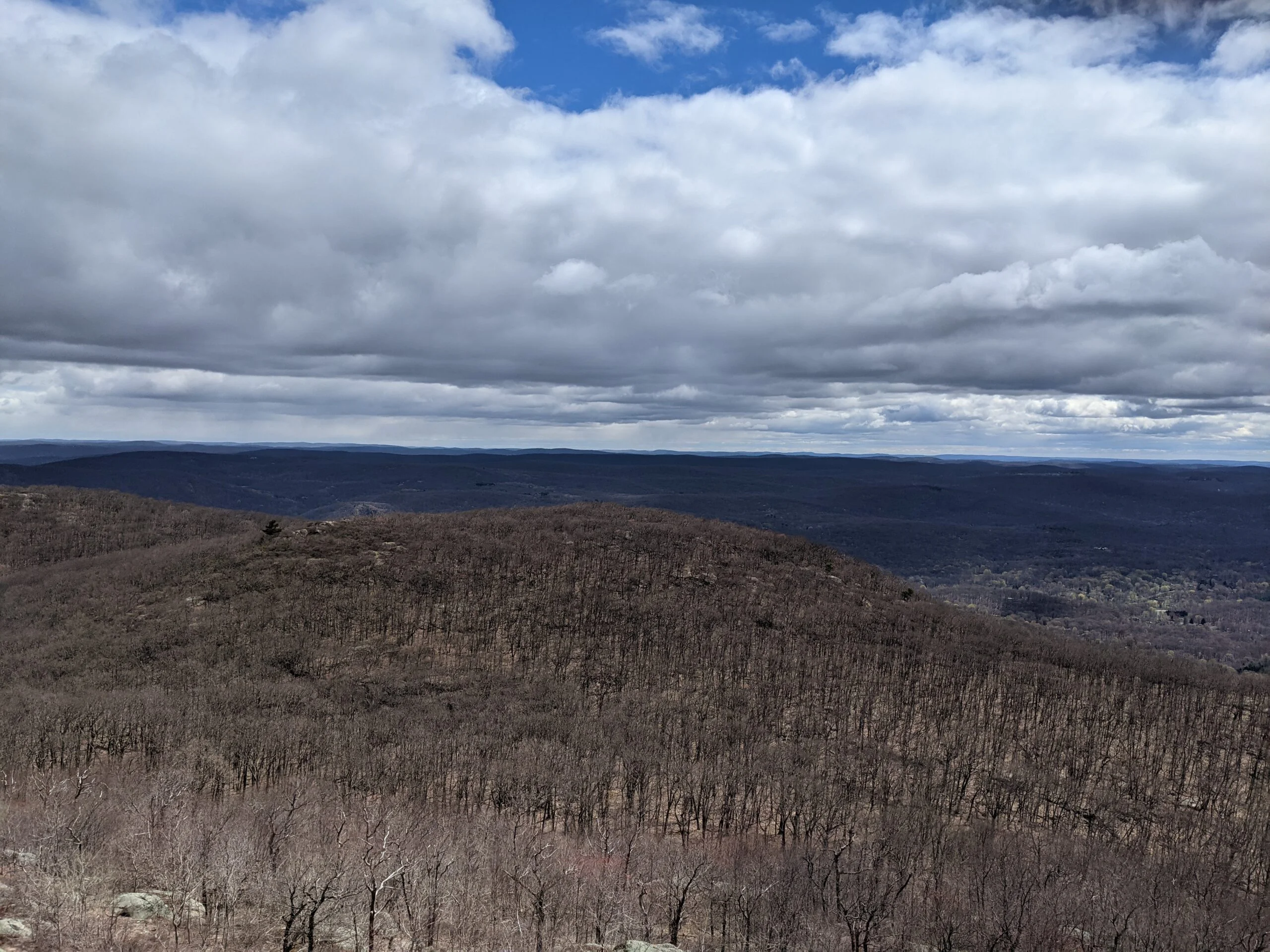
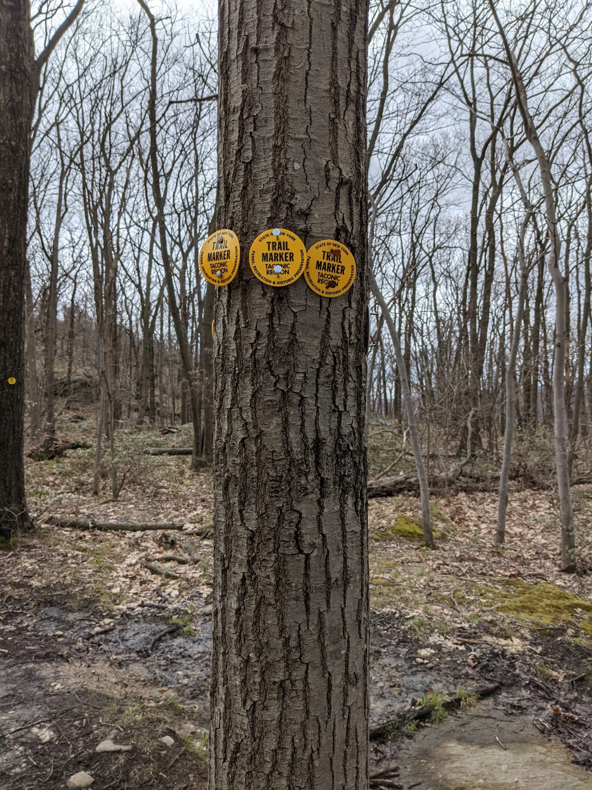
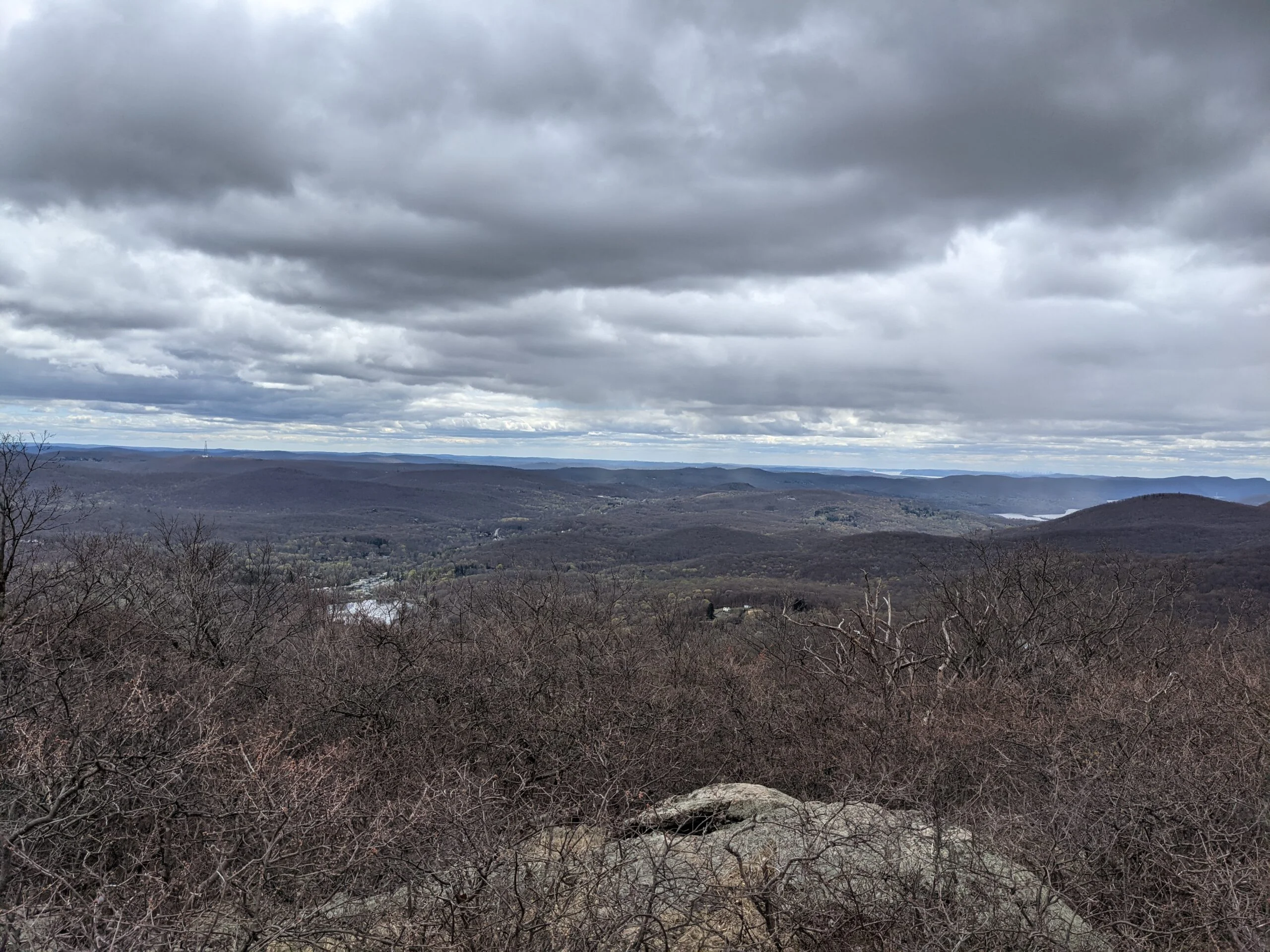
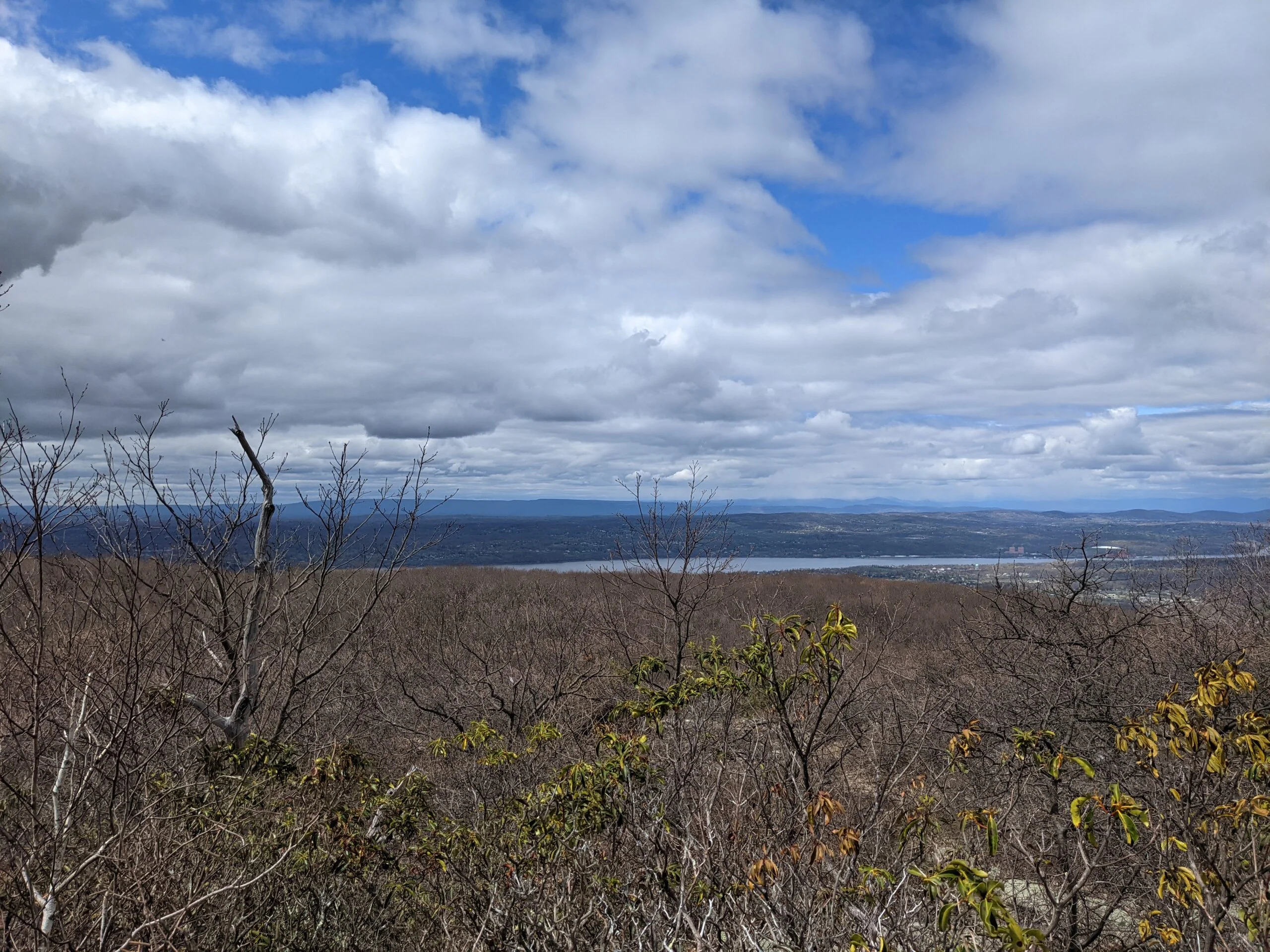
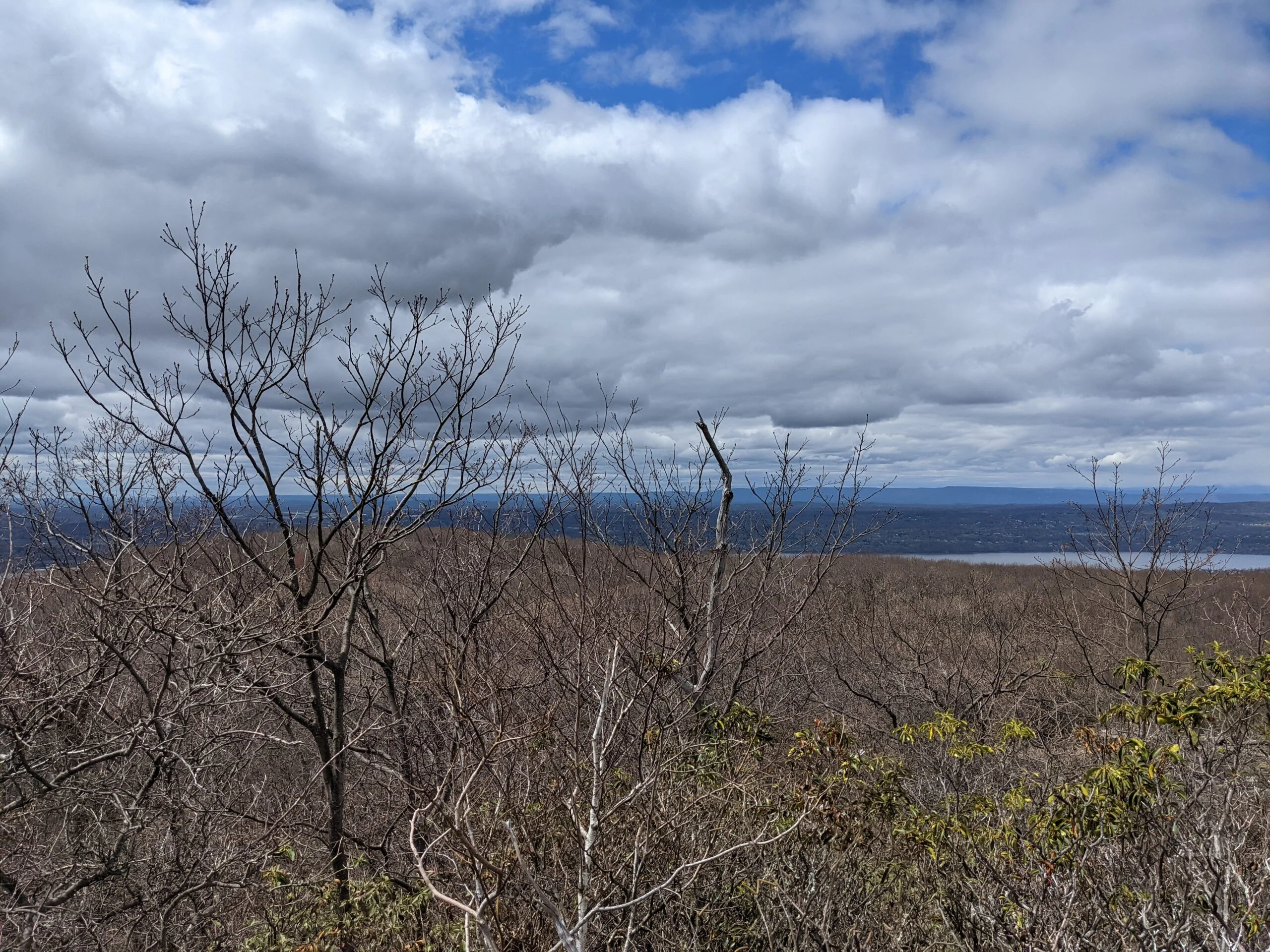
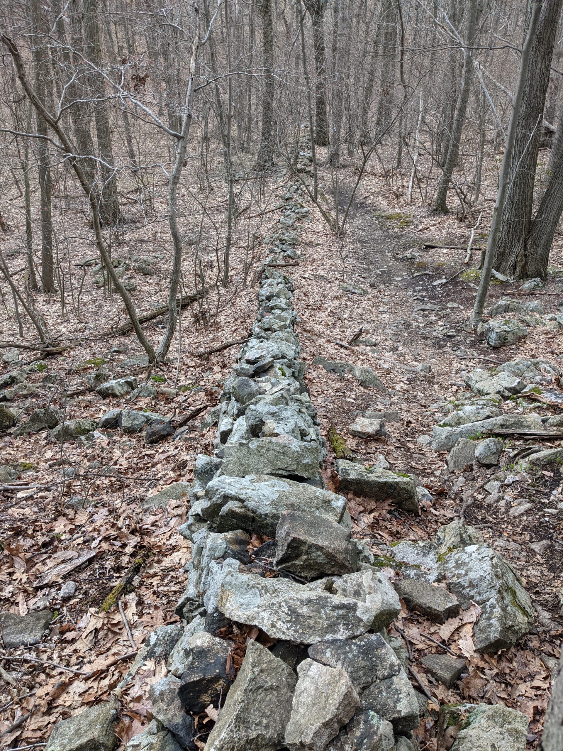
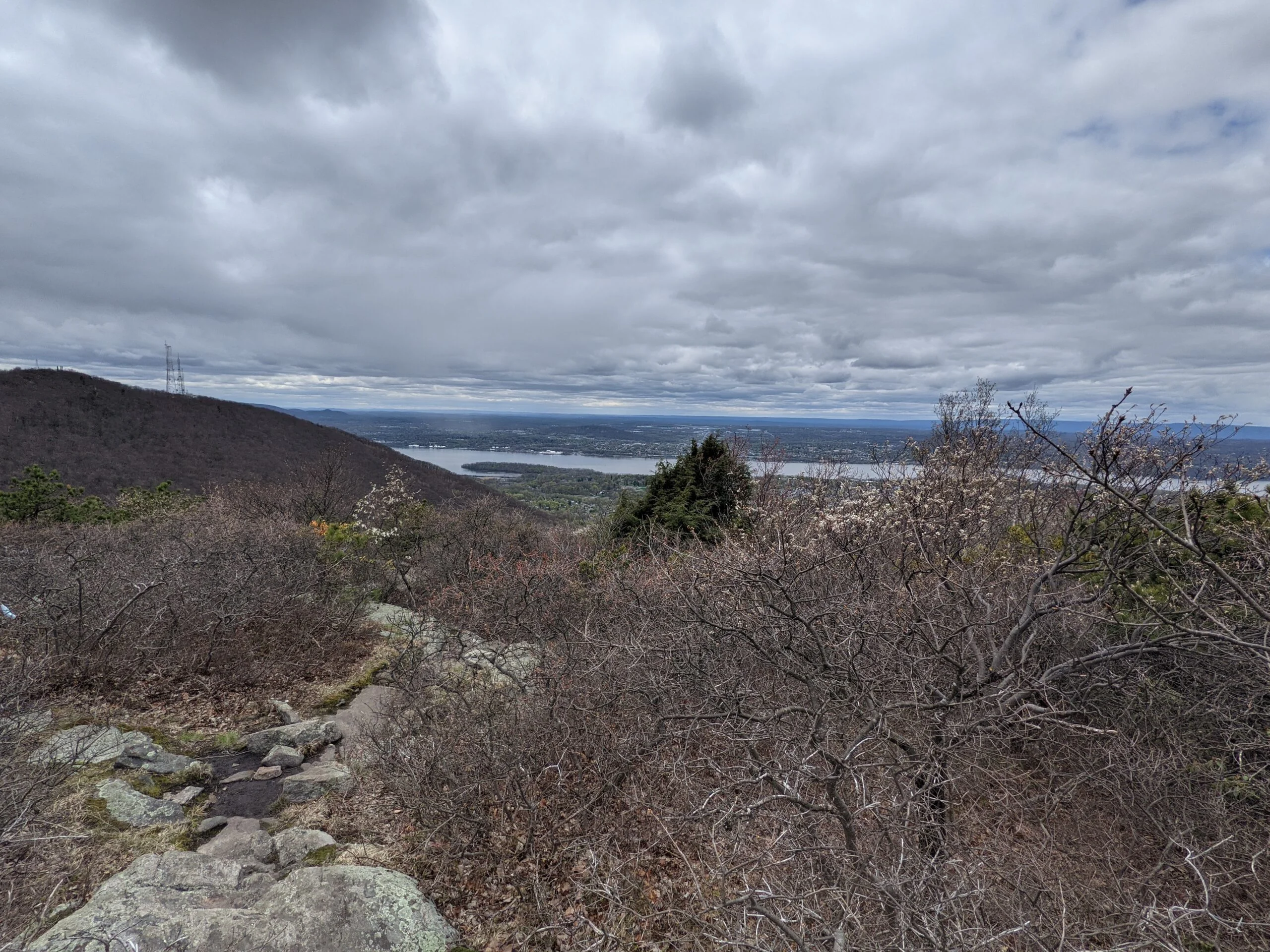
After leaving the fire tower, I retraced my steps on BR back to CT, where I made a right to continue taking CT to the east for about 2/10 of a mile where it met up with the Wilkinson Memorial (WM, yellow blazes) trail. WM follows the Scofield Ridge on the eastern park of the park, with a few lookout spots of the eastern valleys along the way.
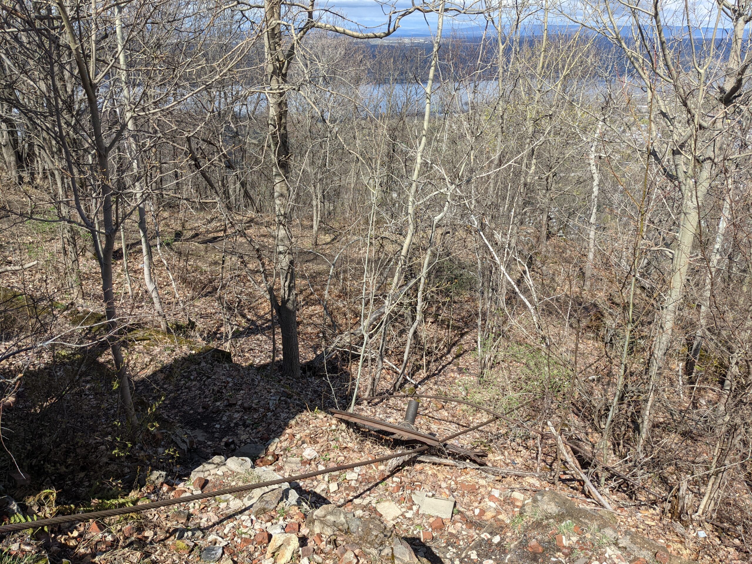
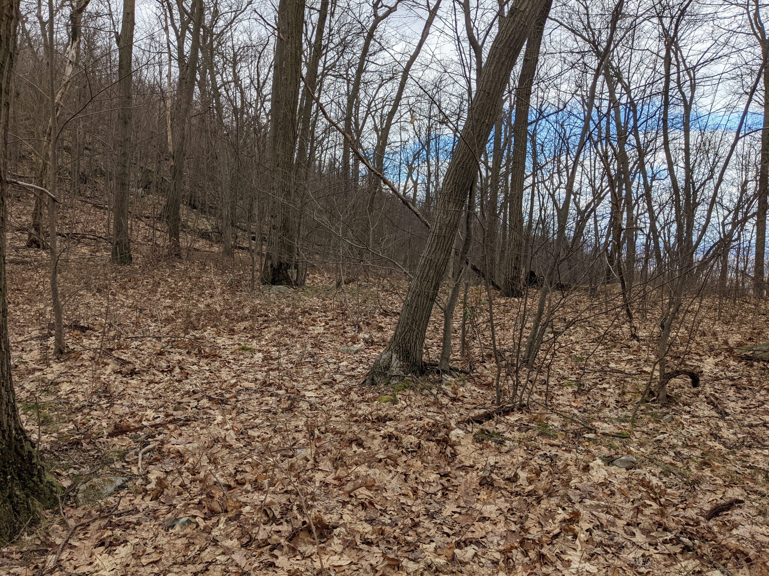
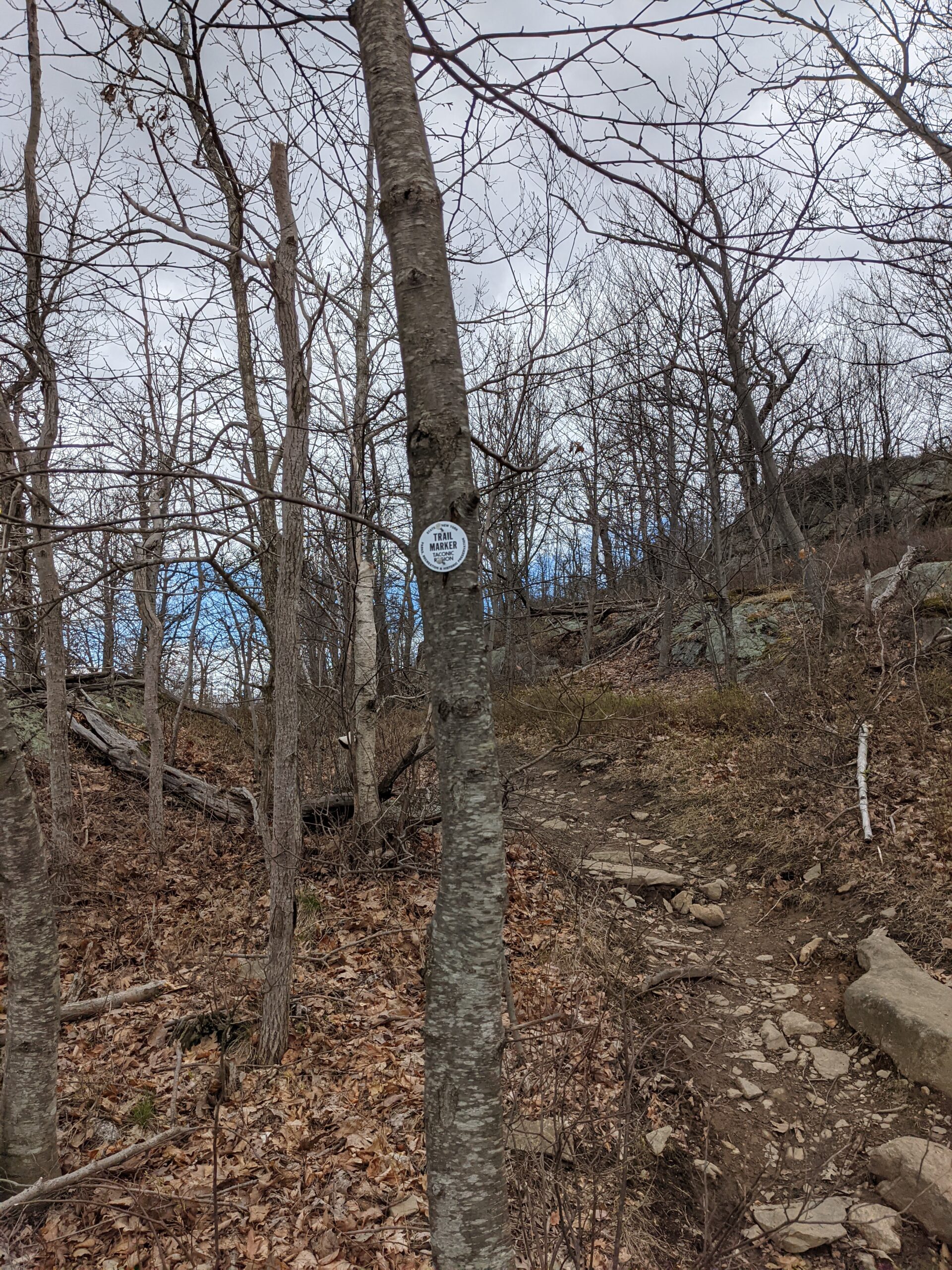
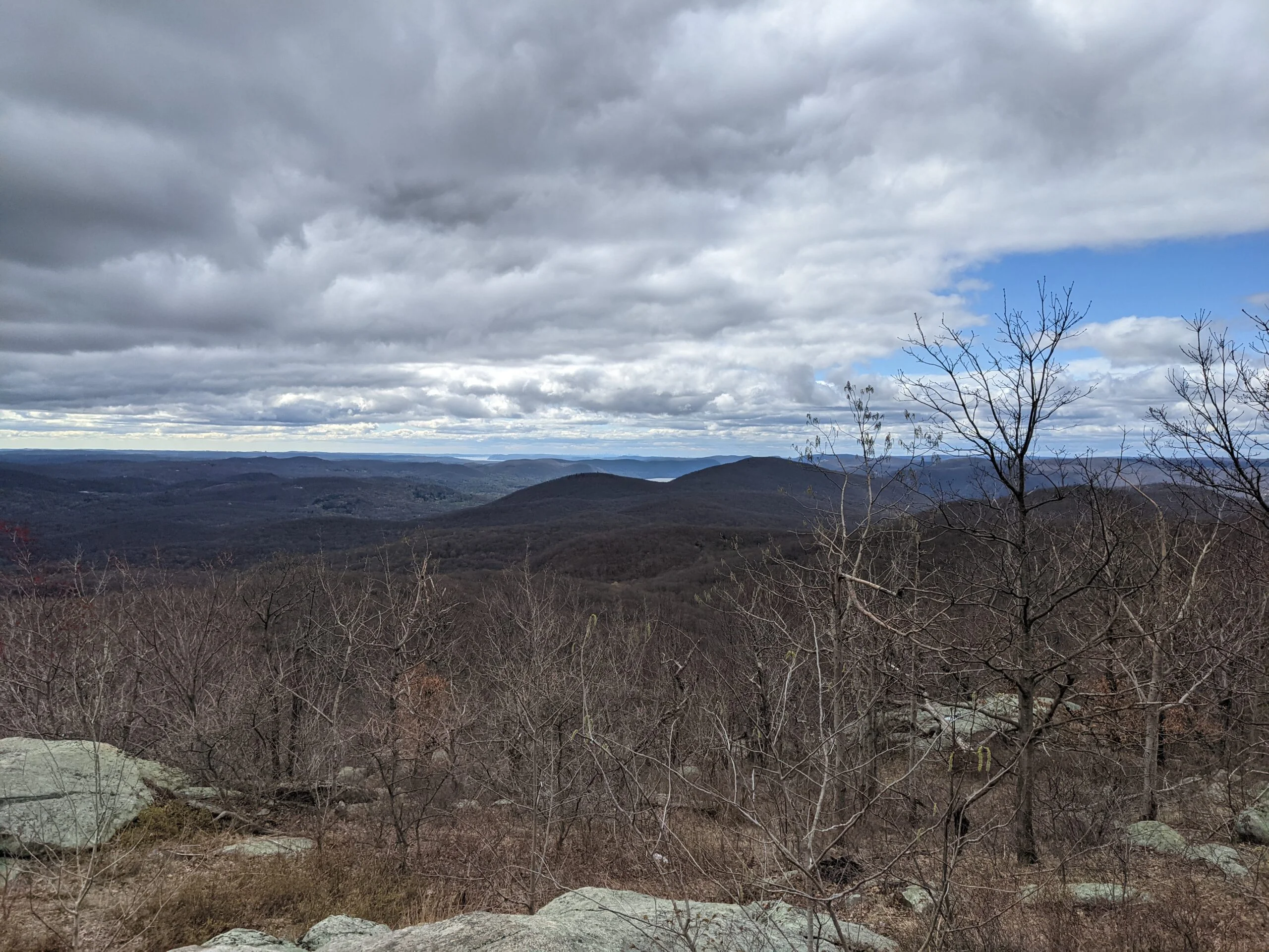
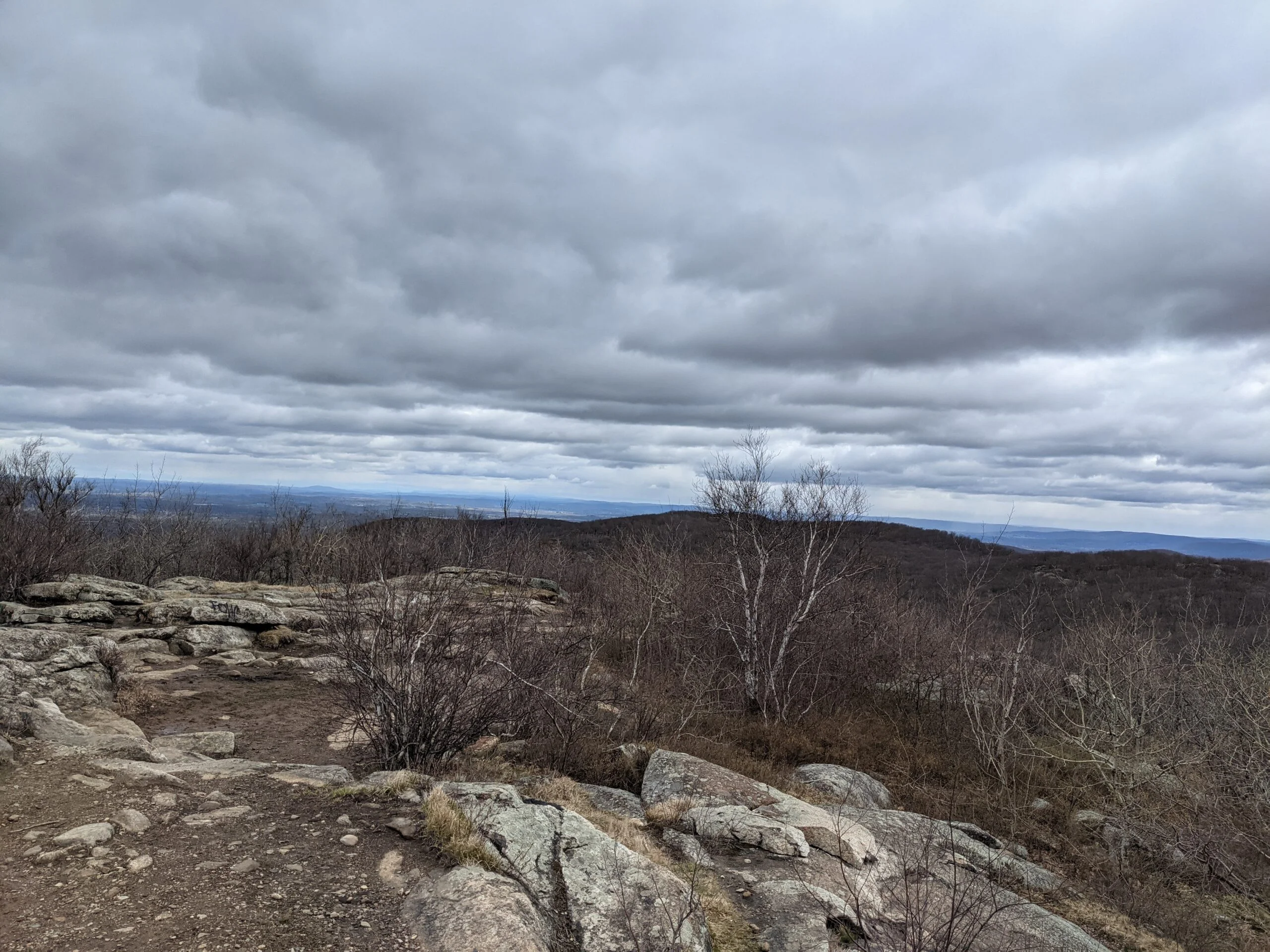
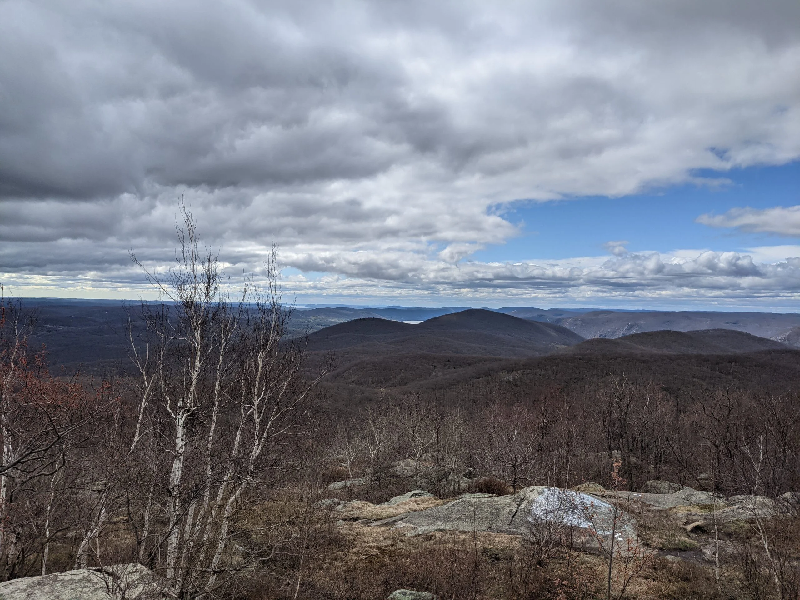
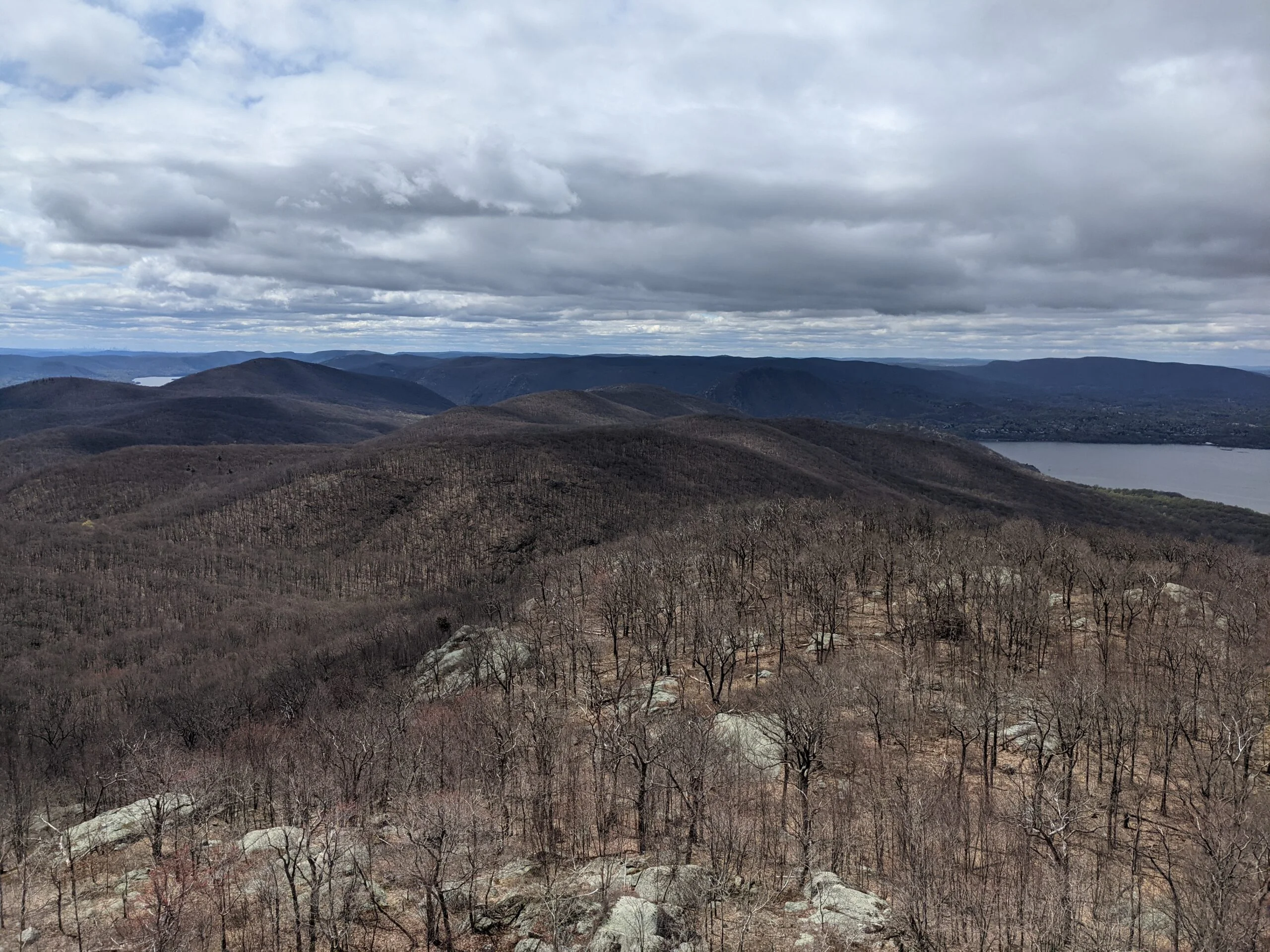
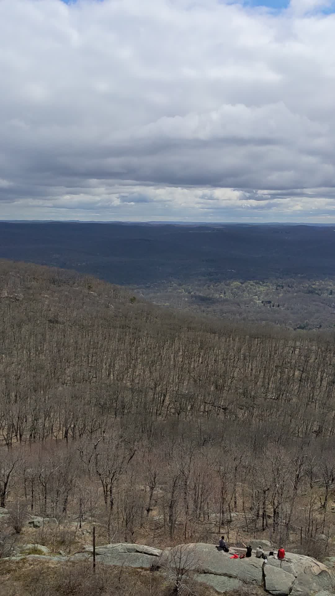
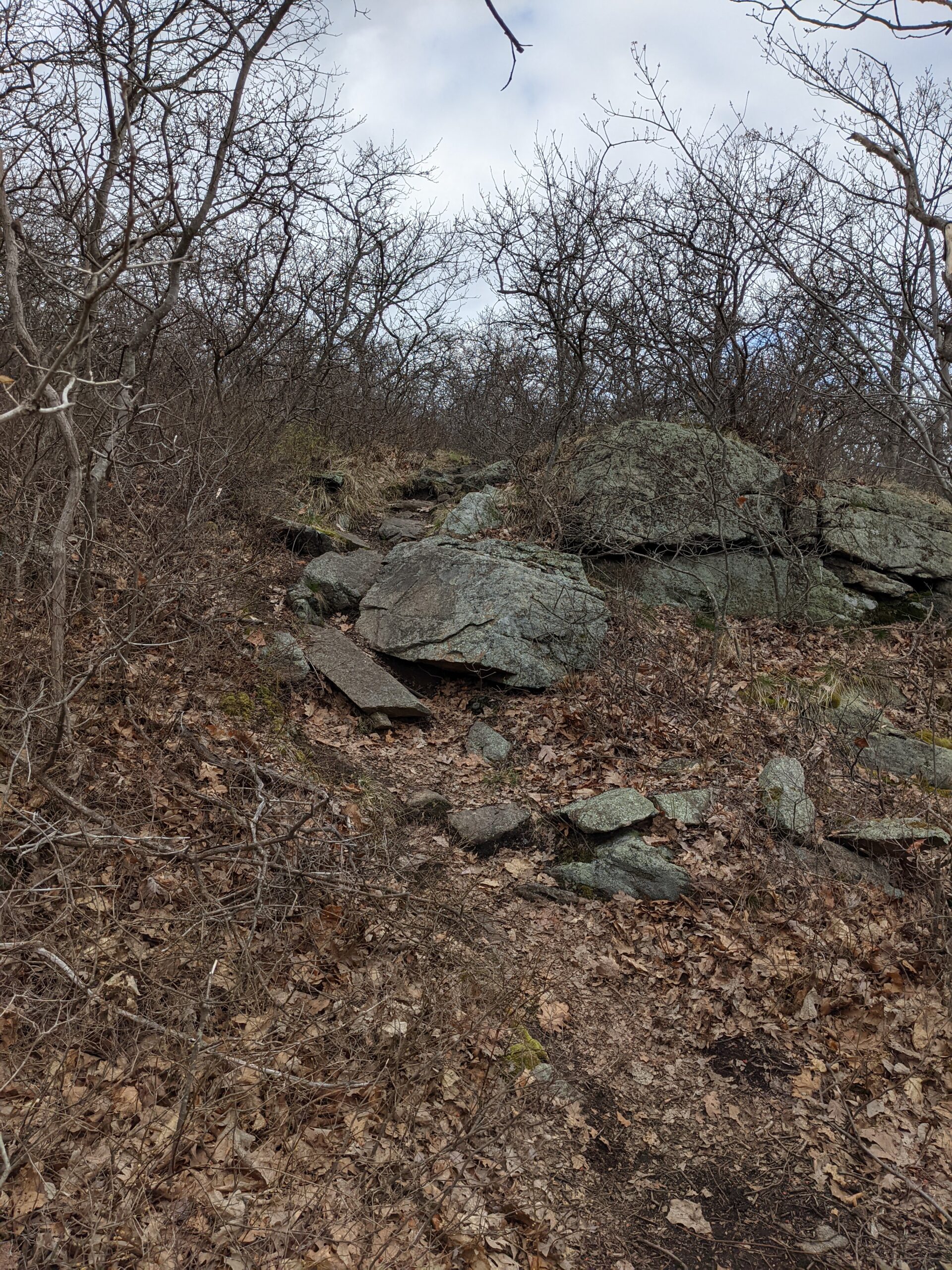
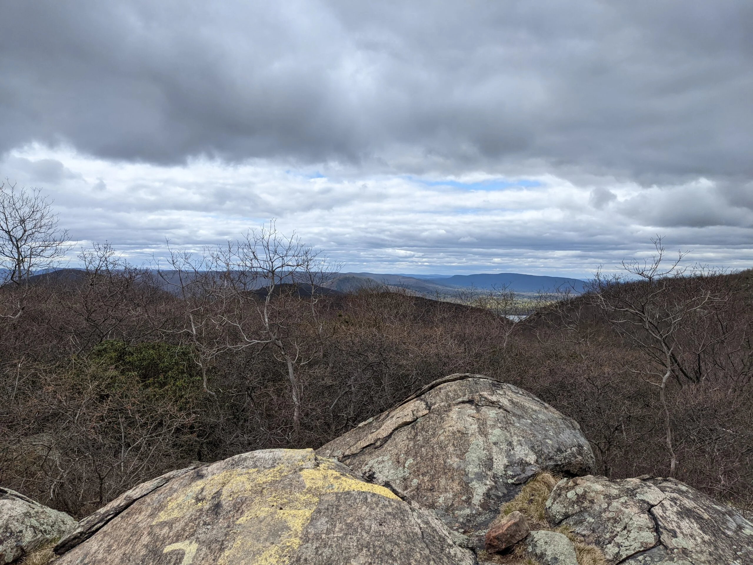
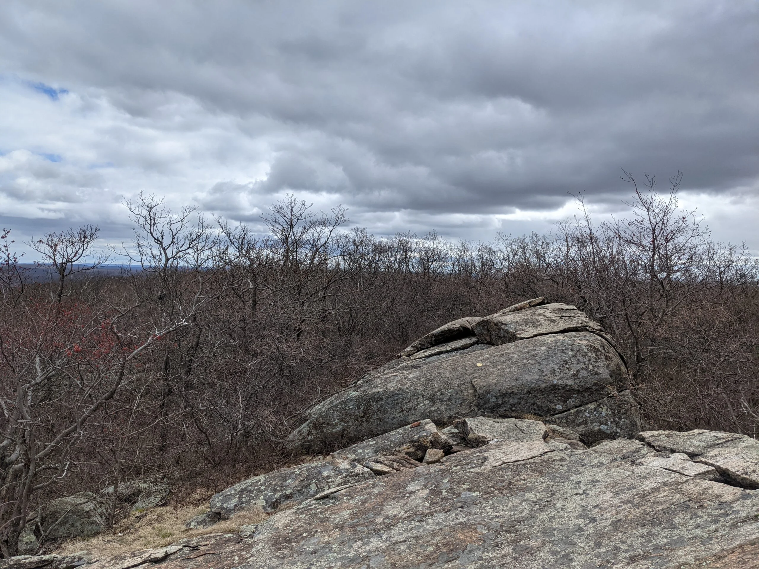
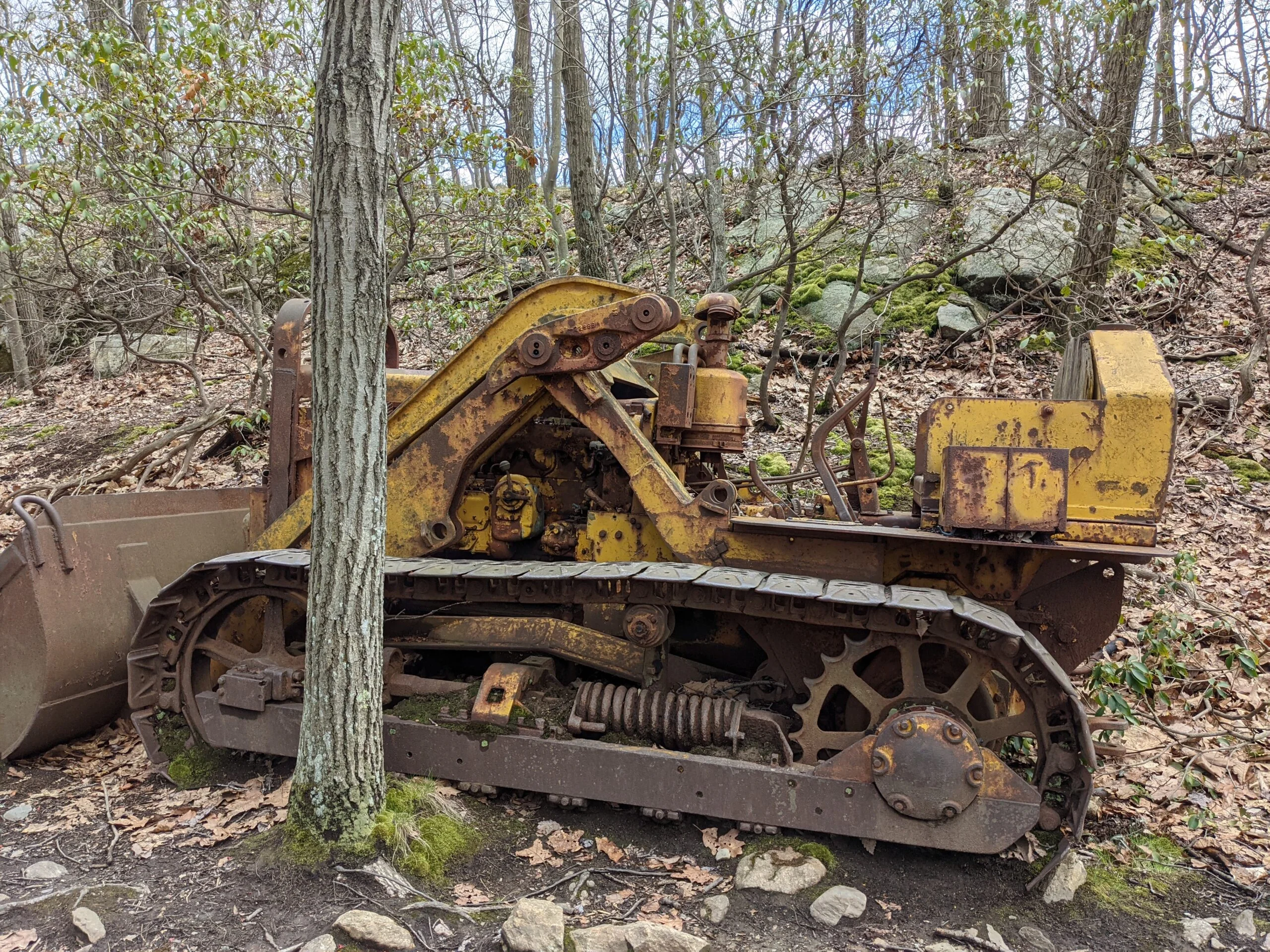
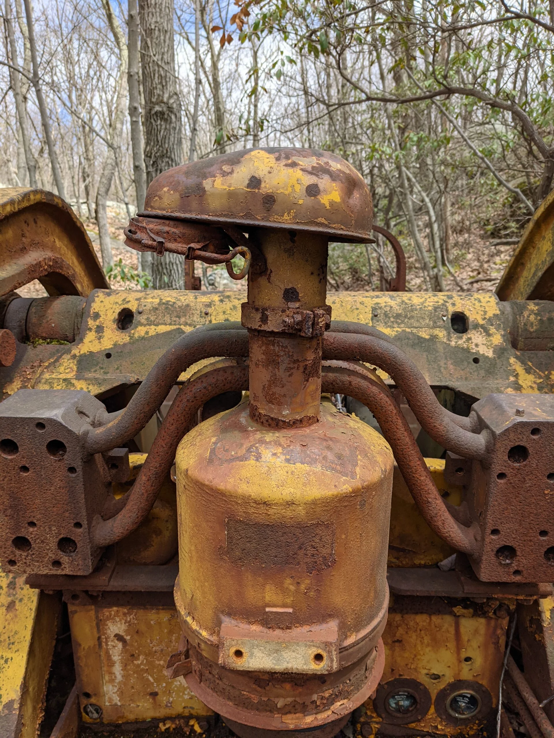
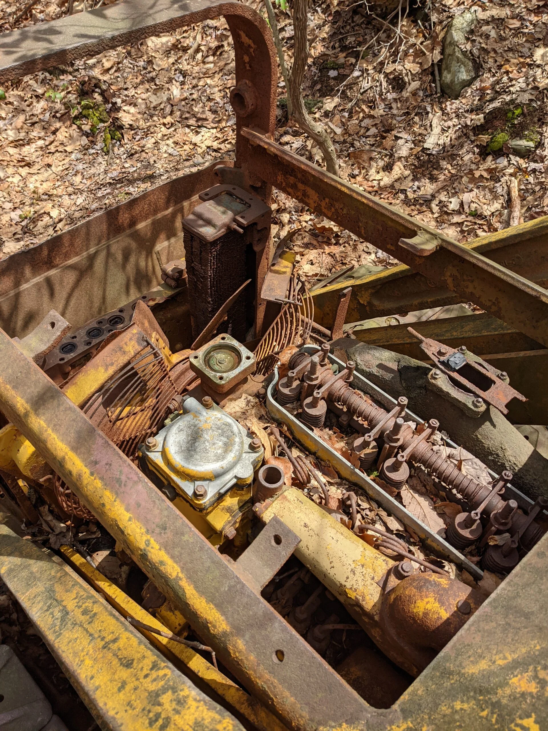
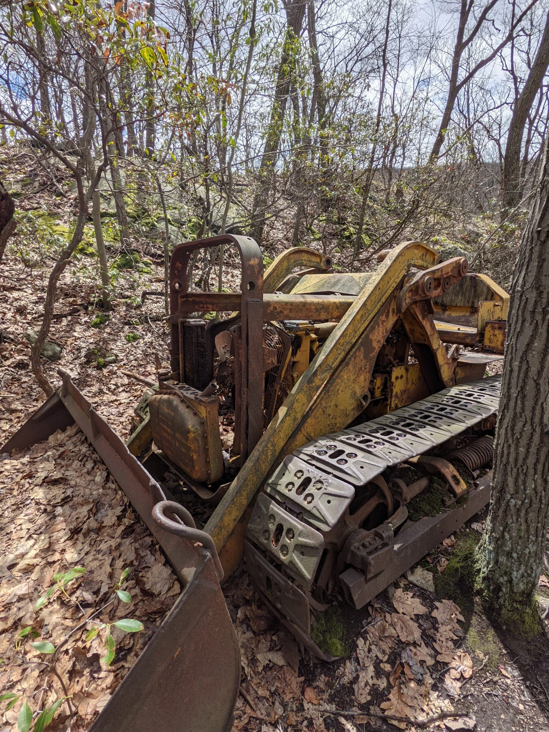
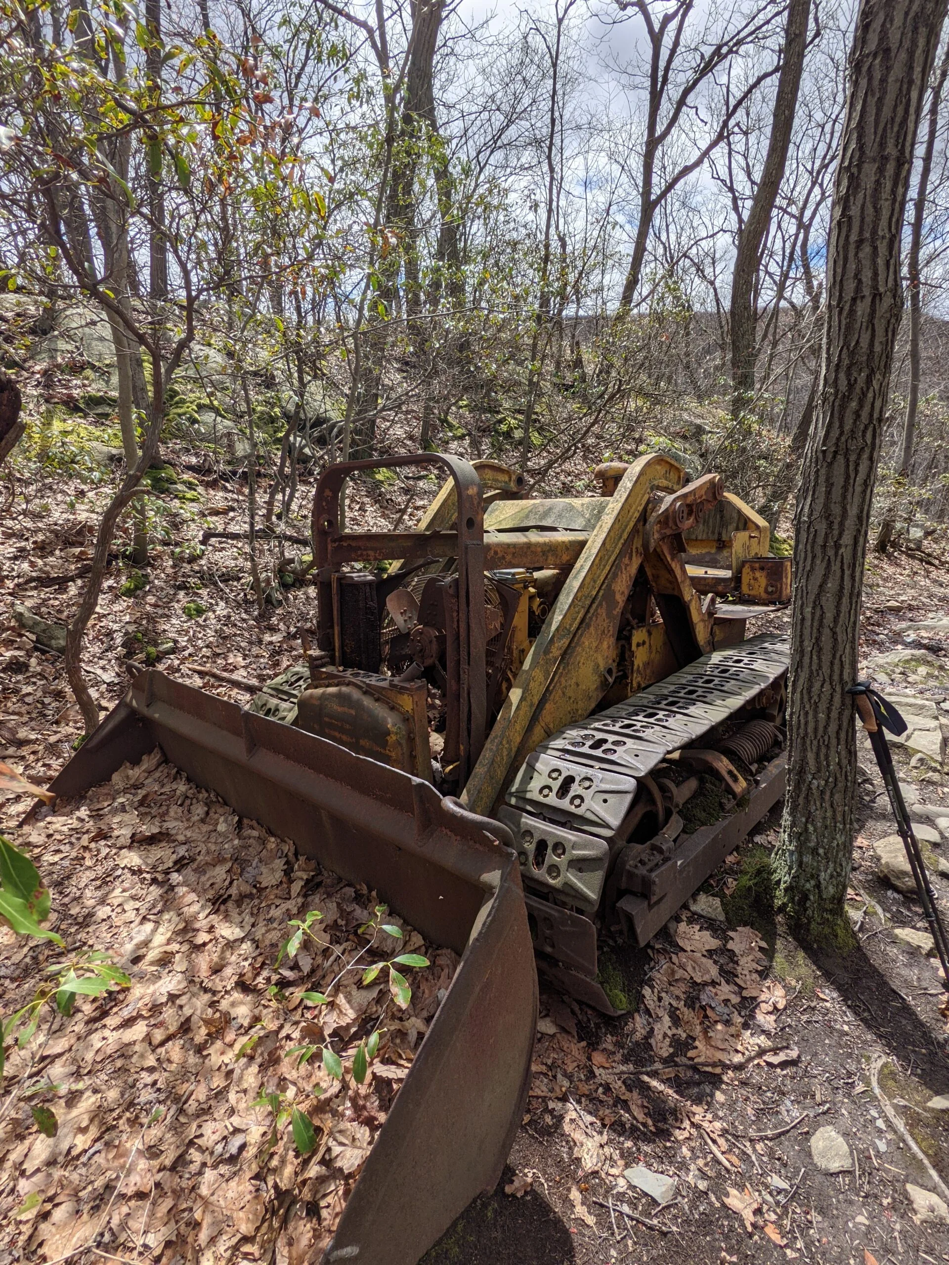
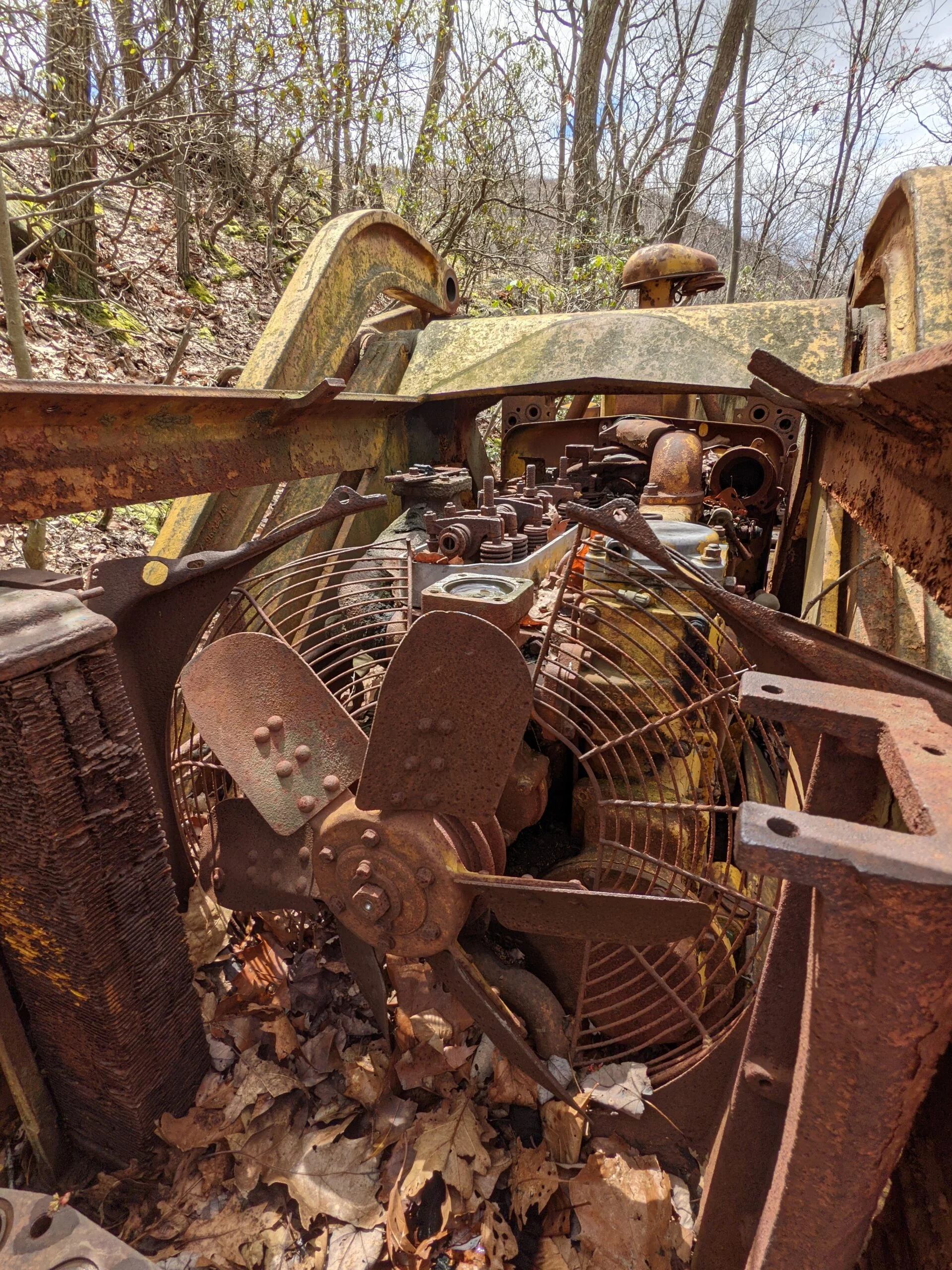
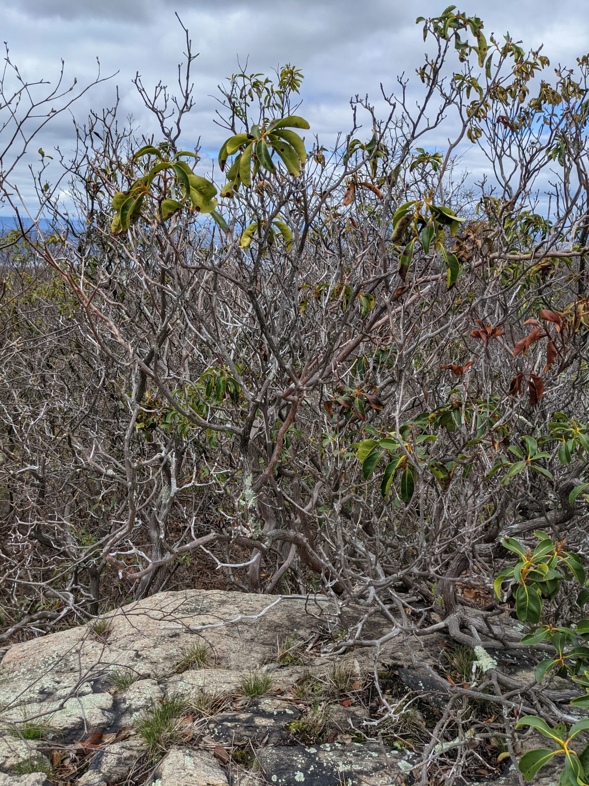
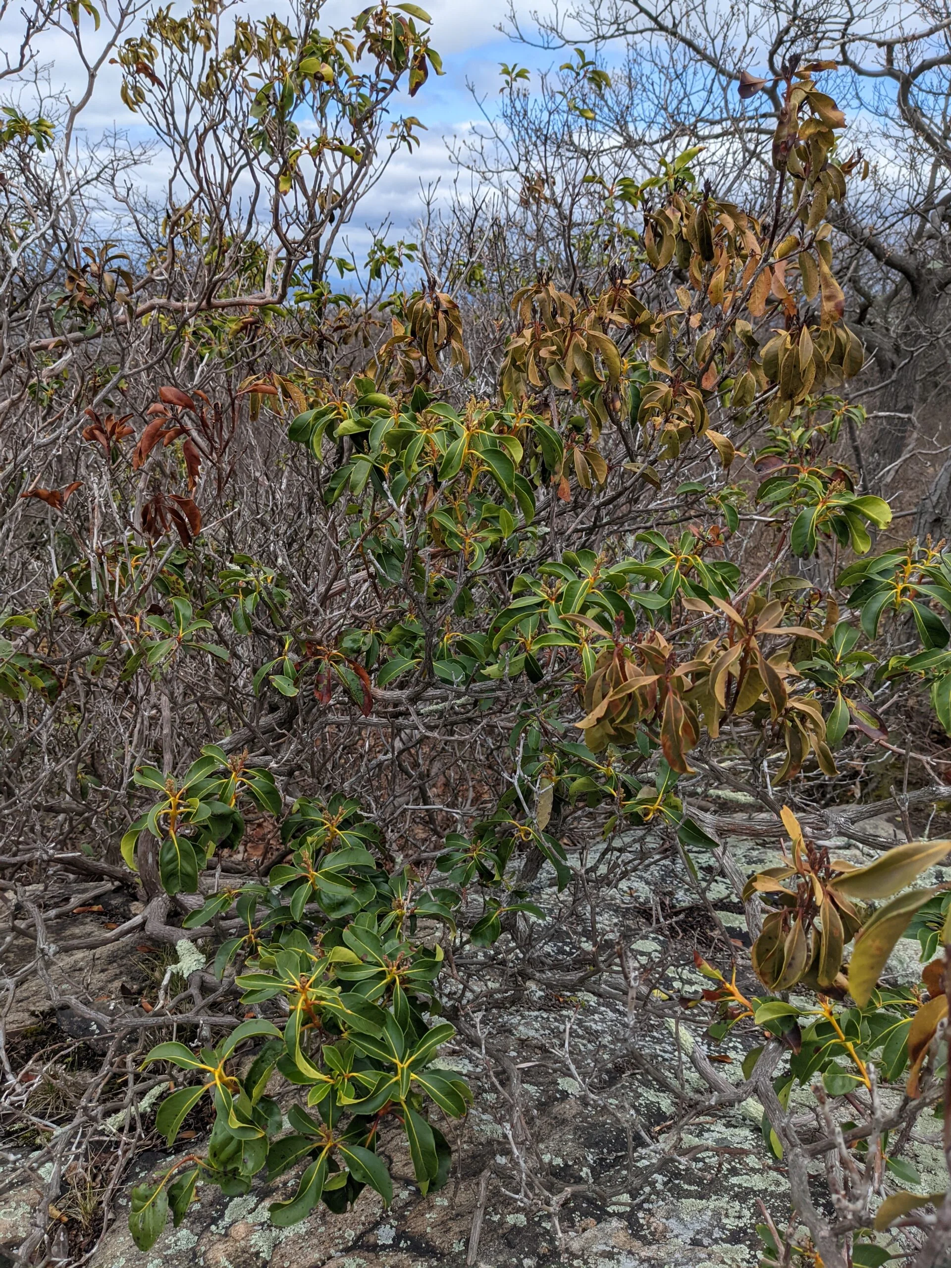
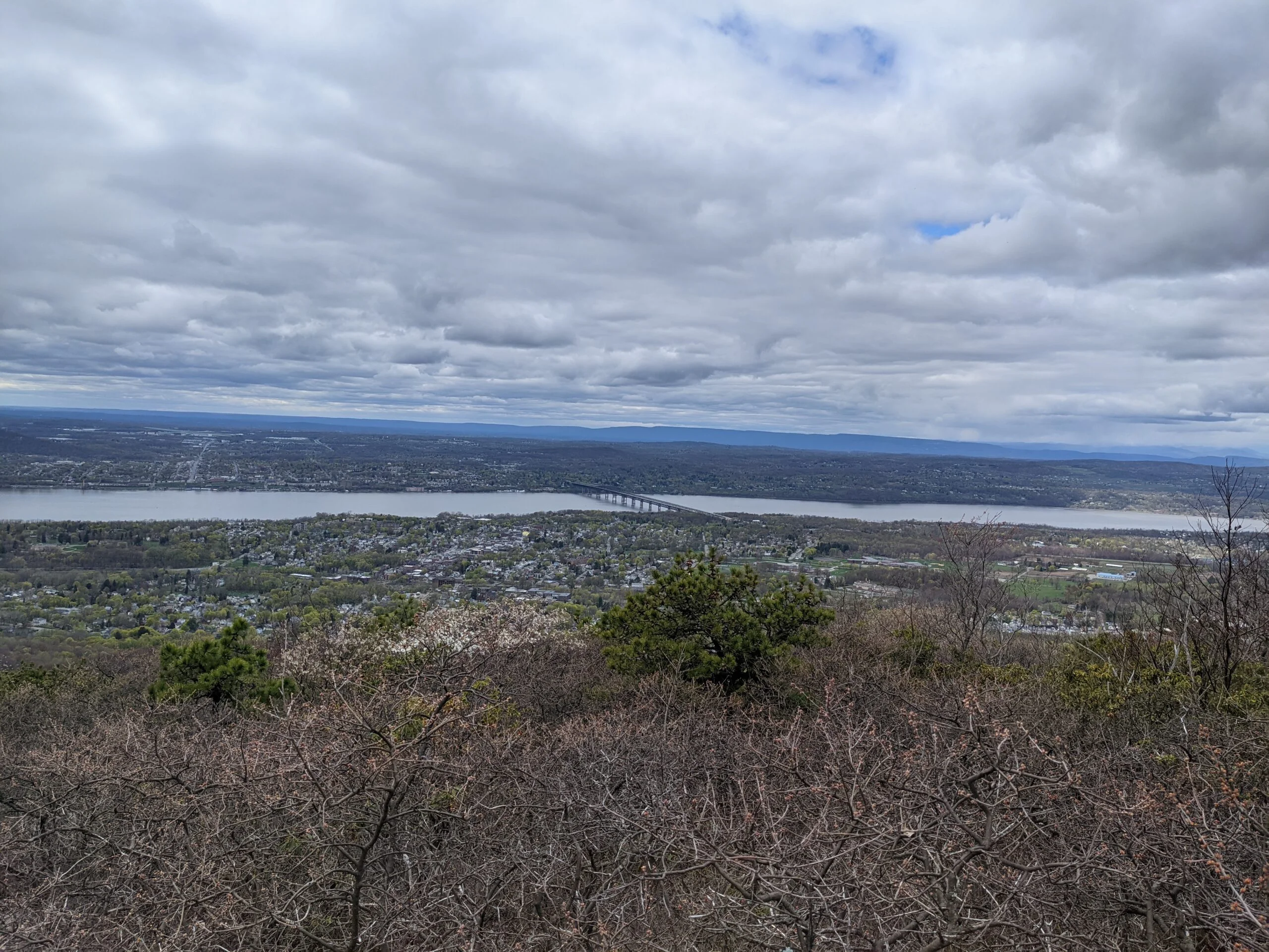
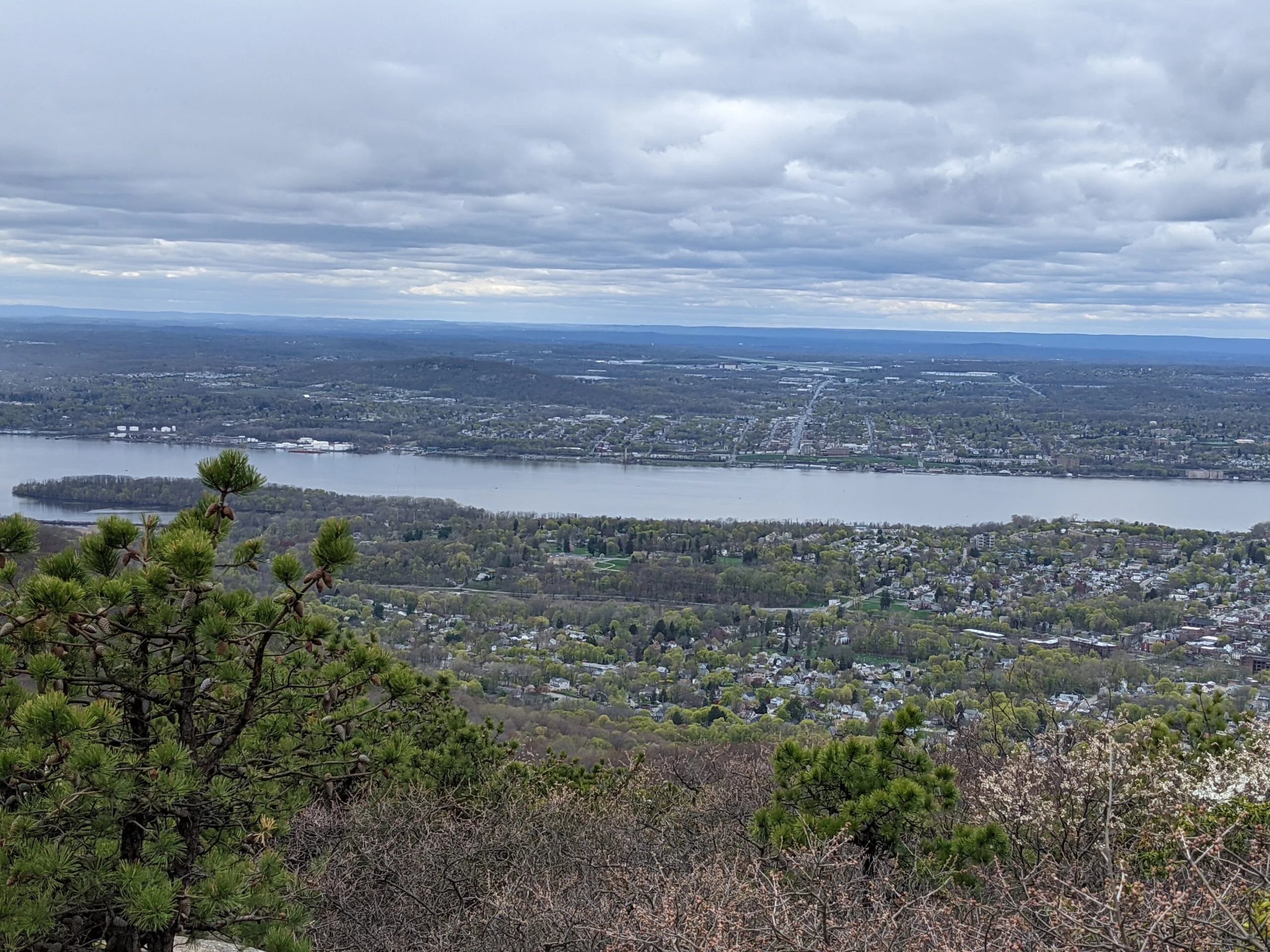
At around the 4.5 mile mark, I turned onto the Blue (BL, blue blazes) Trail. About halfway up, I encountered a rusting, yellow bulldozer sitting alongside the trail. After a few photos, I turned onto the Fishkill Ridge (FR, white blazes) Trail to climb to Lamb’s Hill. These viewpoints are set back a little bit, so the views aren’t as spectacular, but still sweeping panoramas.
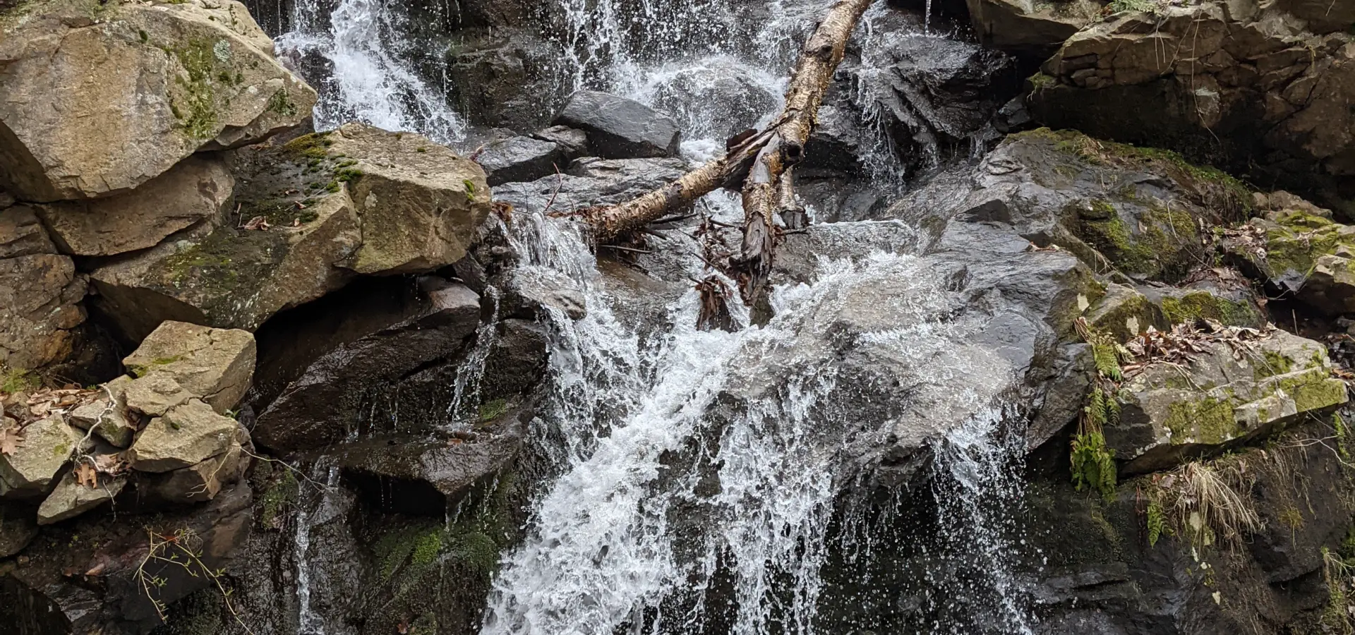
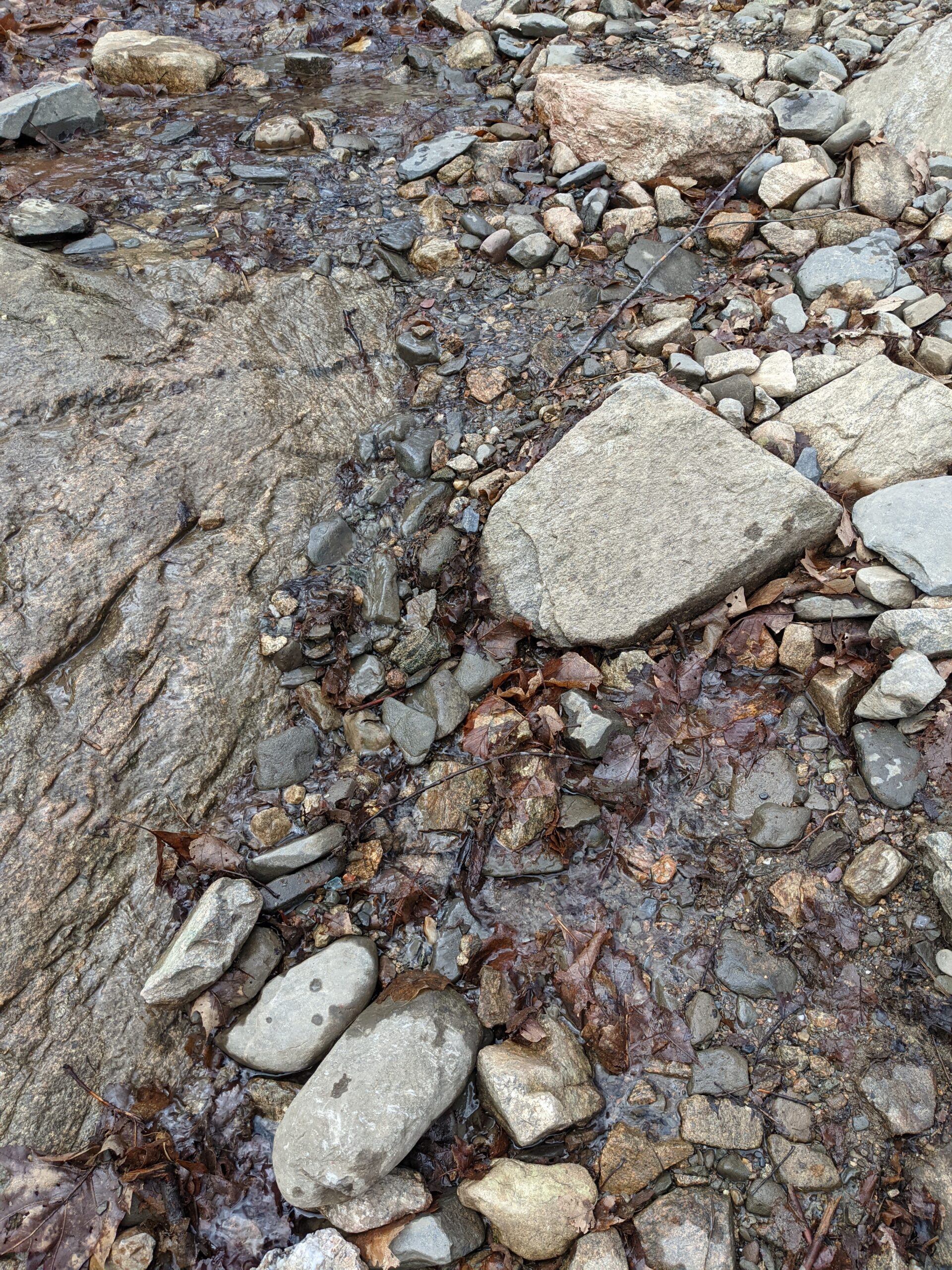
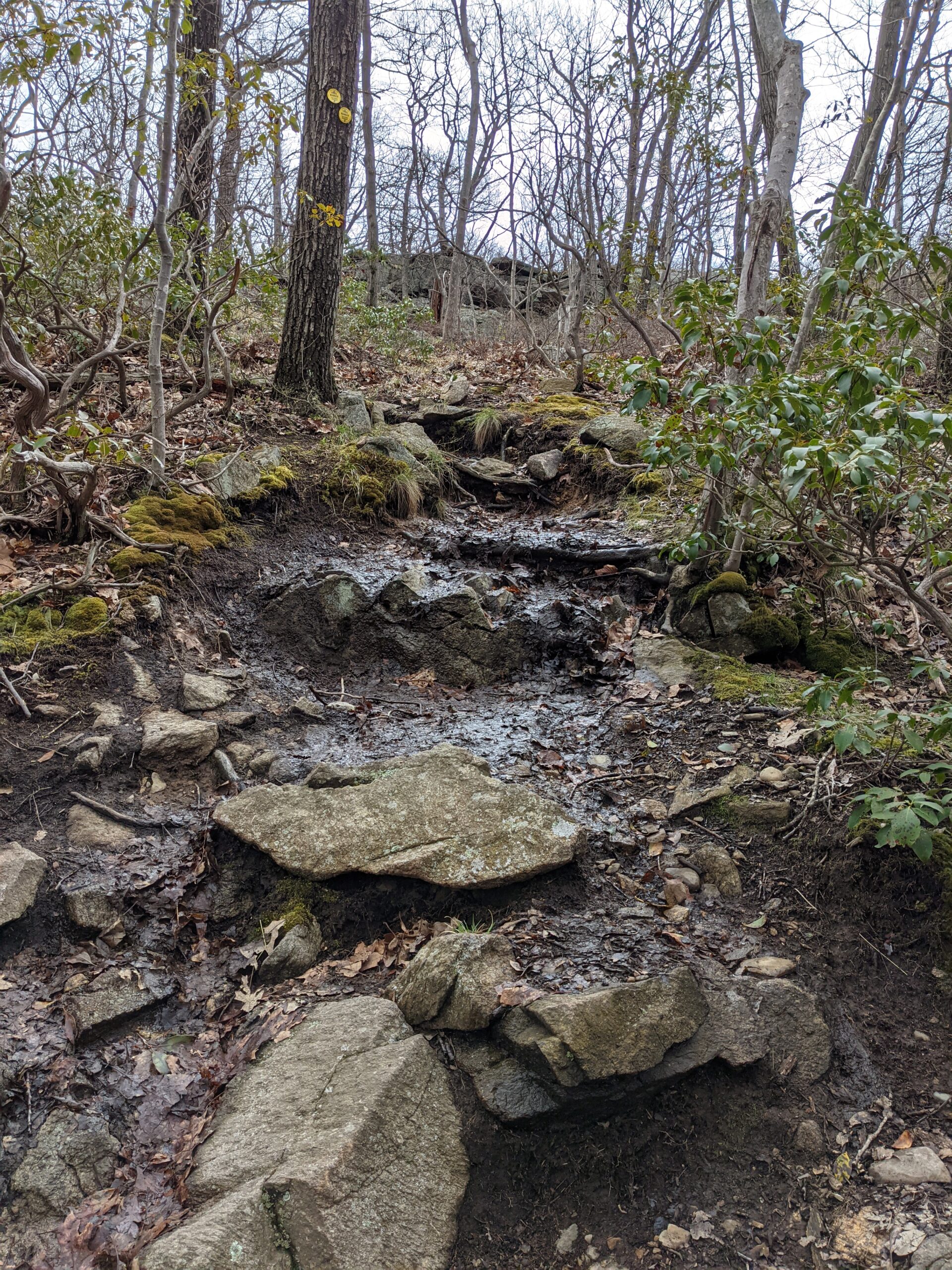
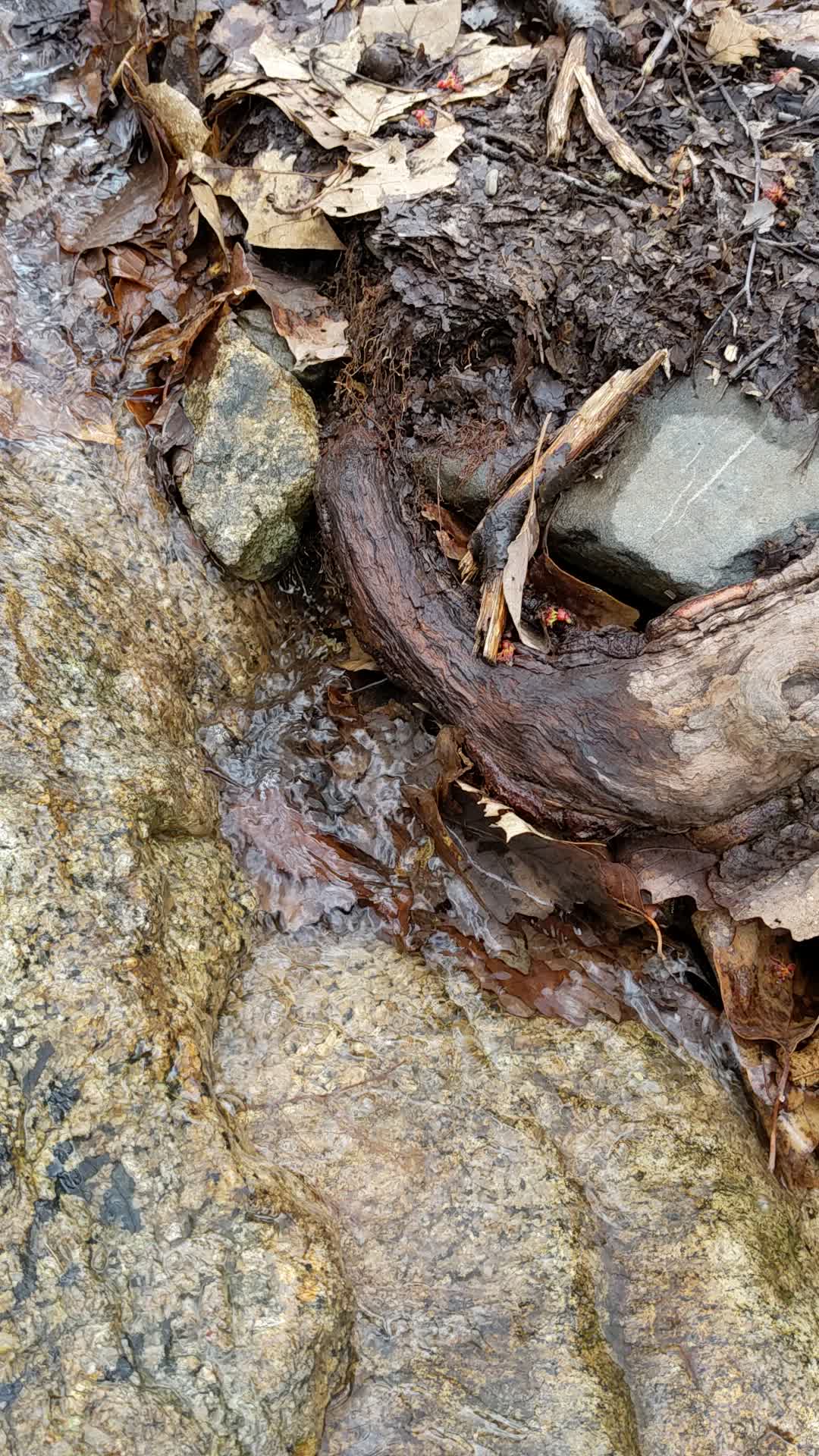
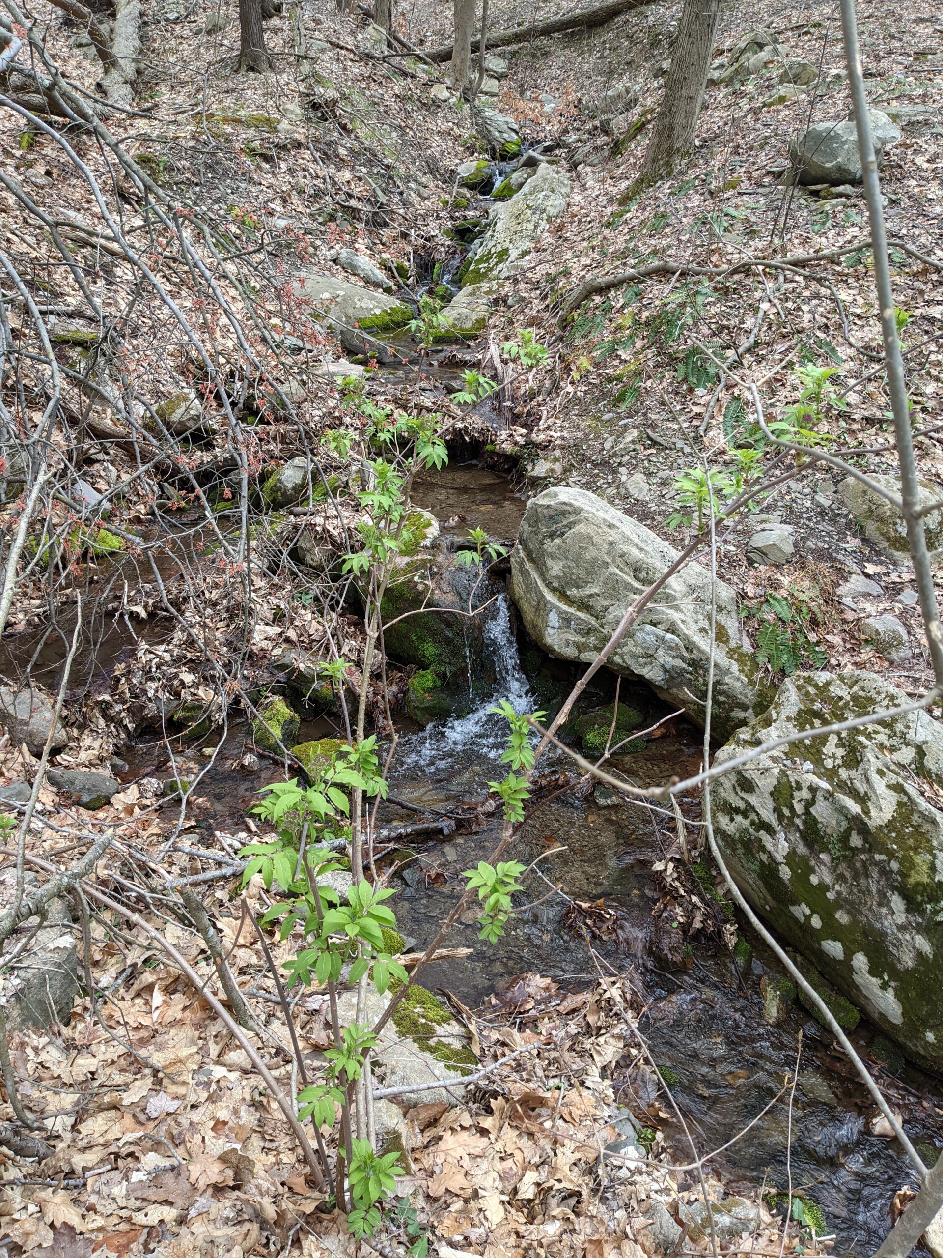
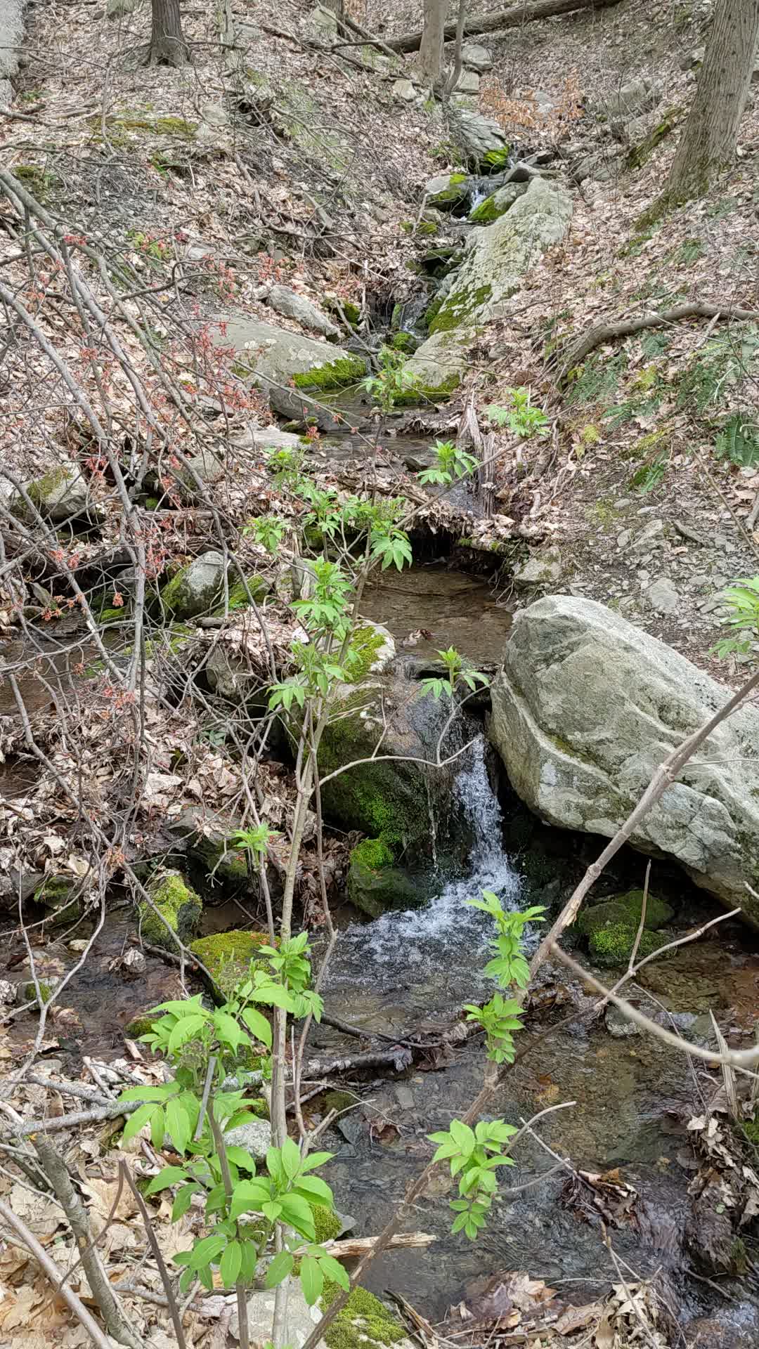
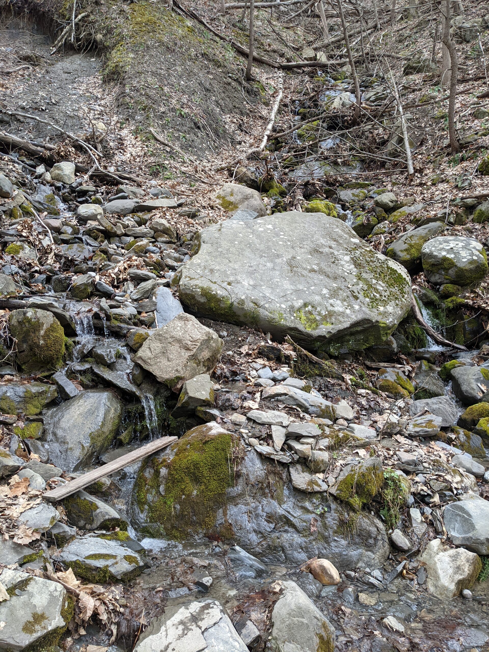
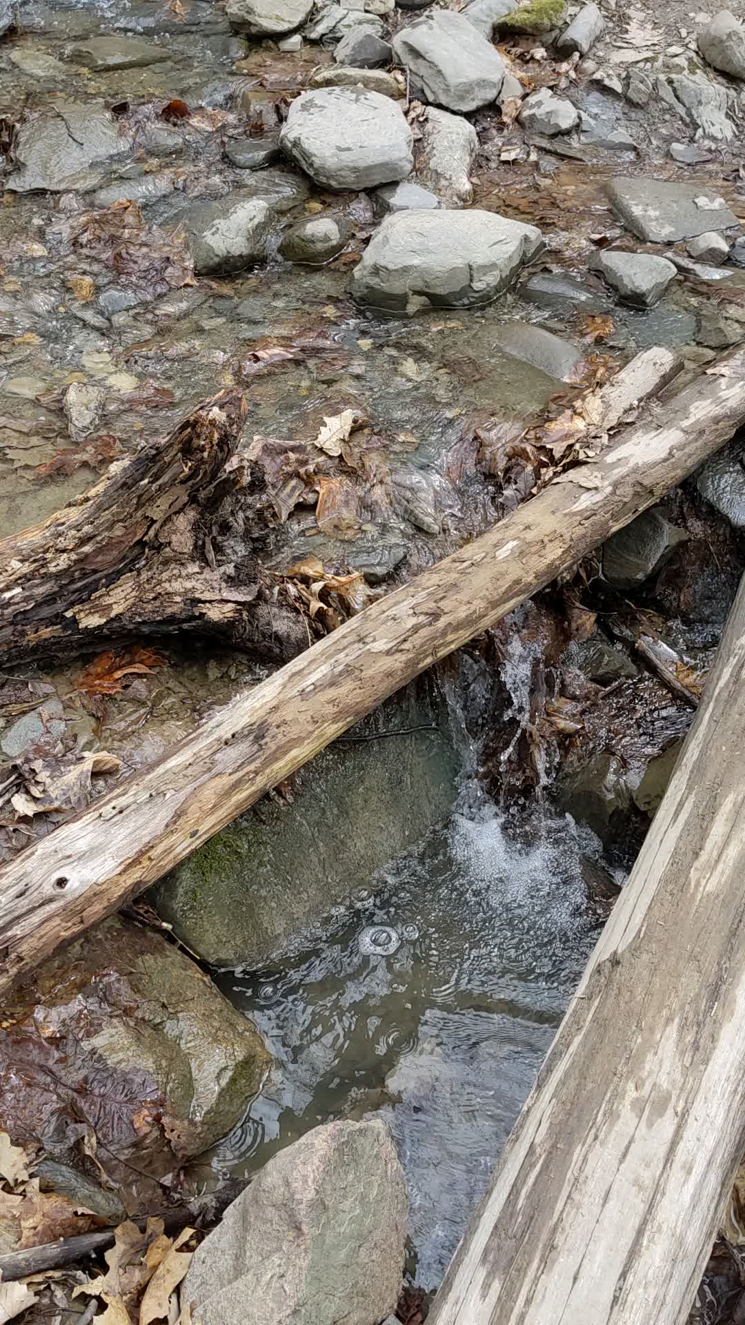
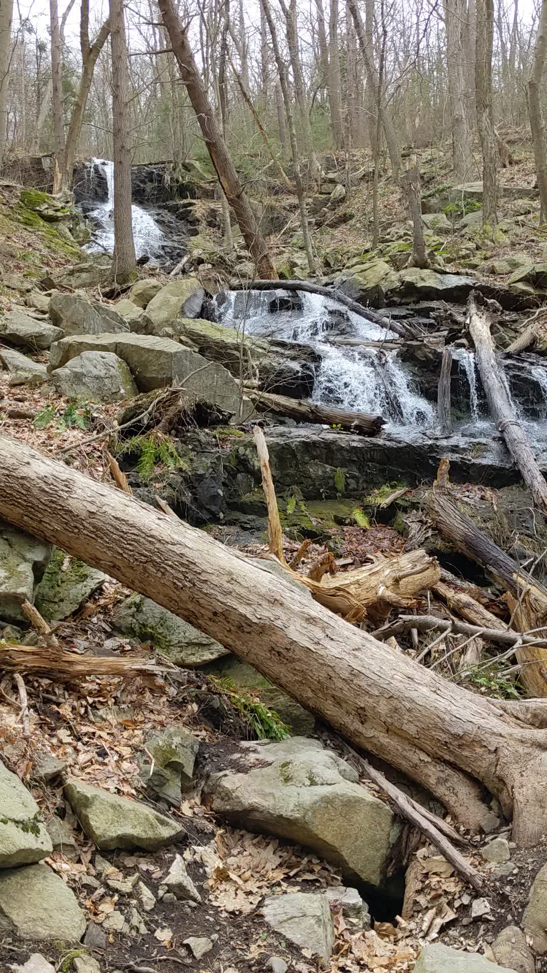
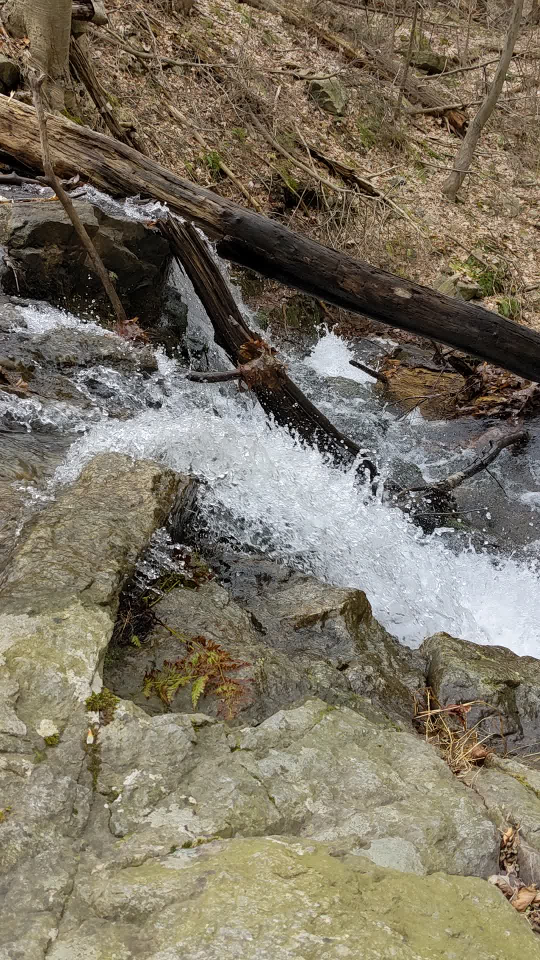
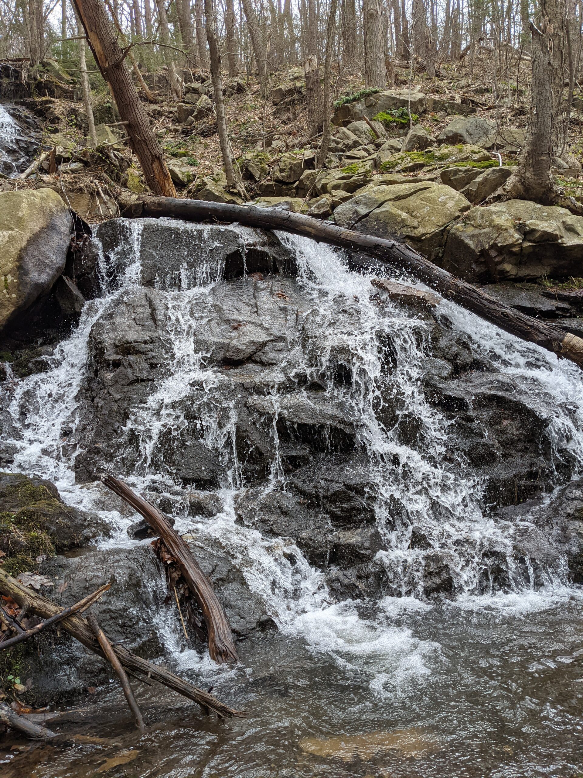
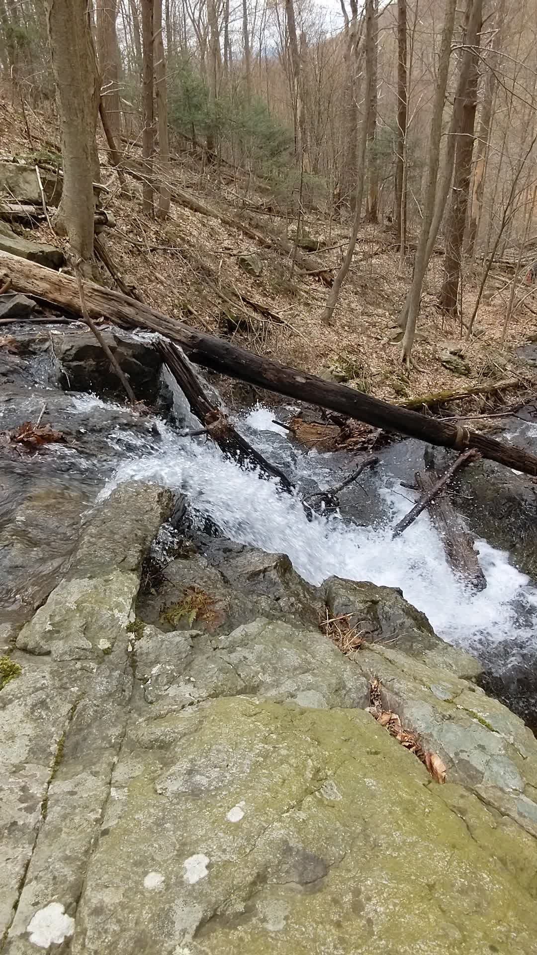
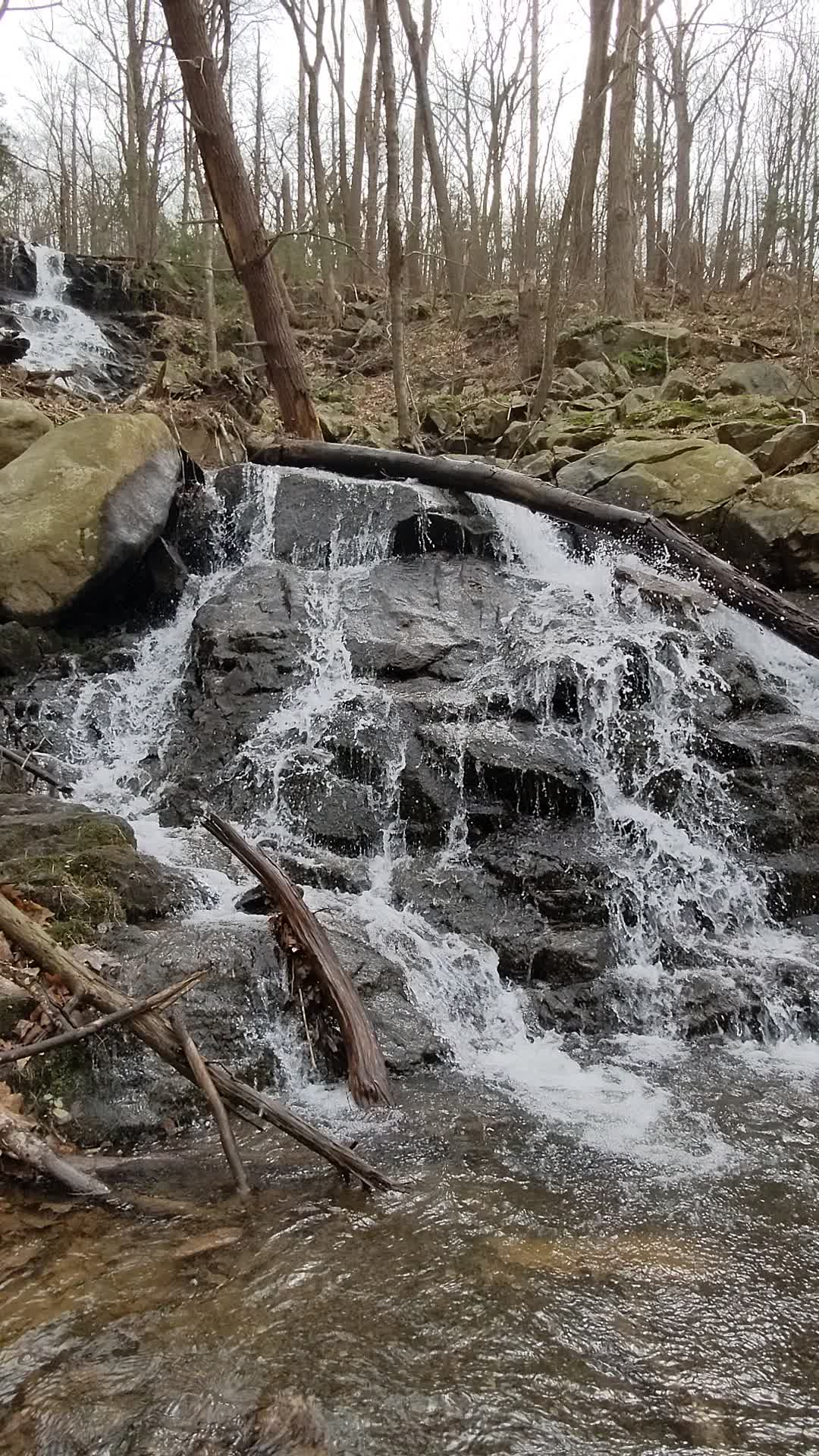
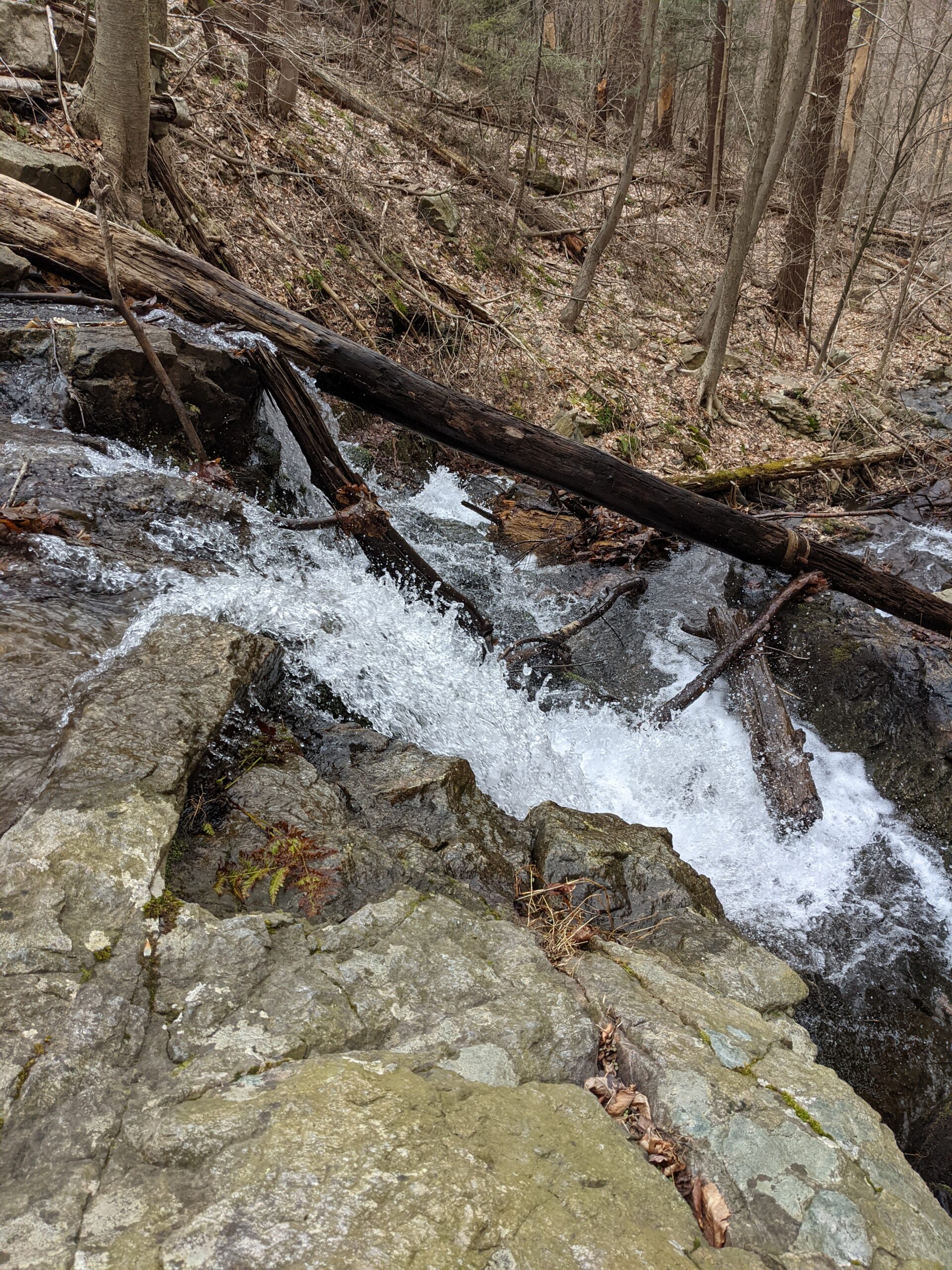
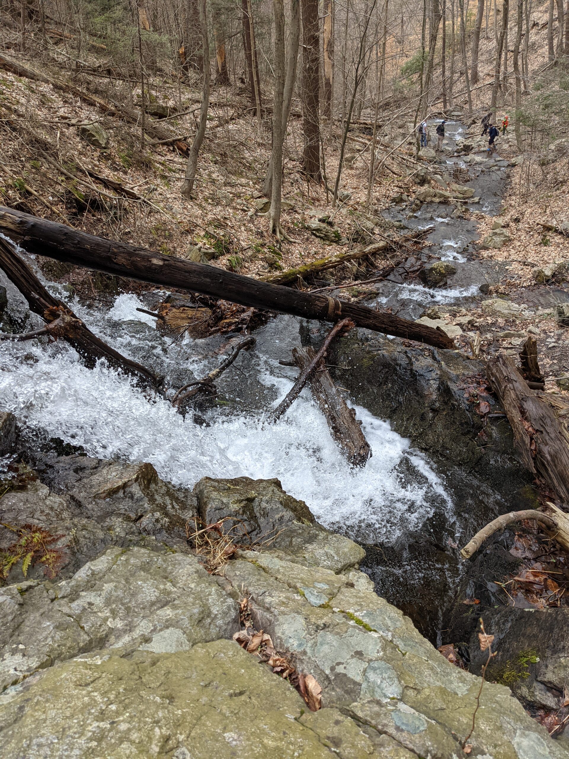
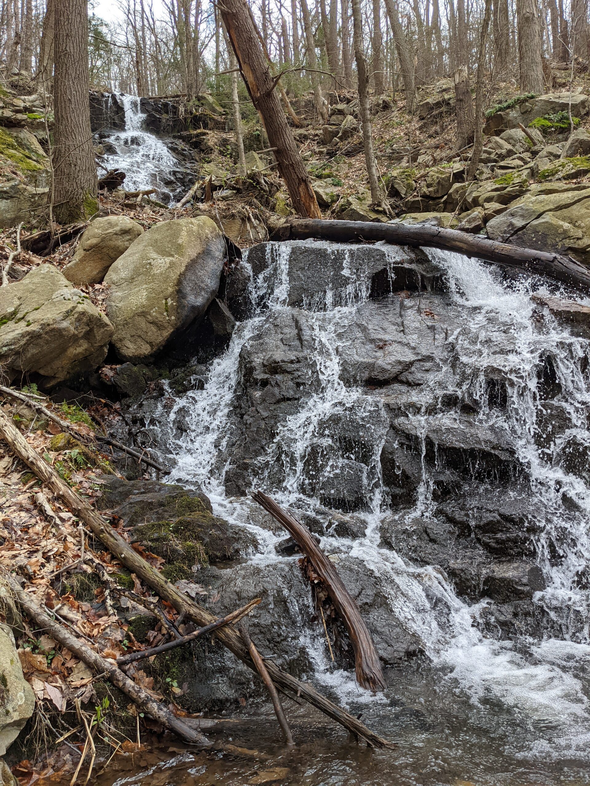
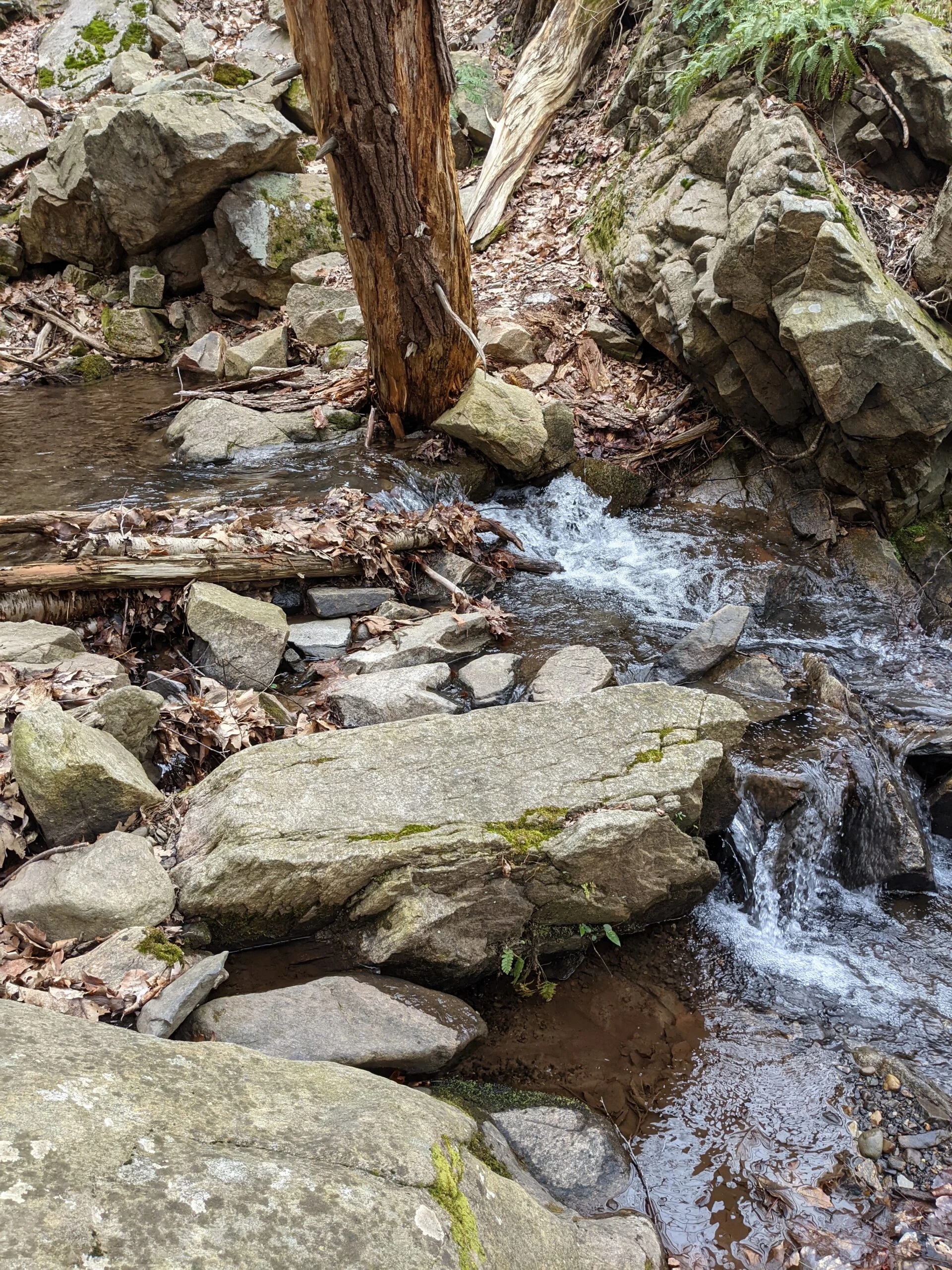
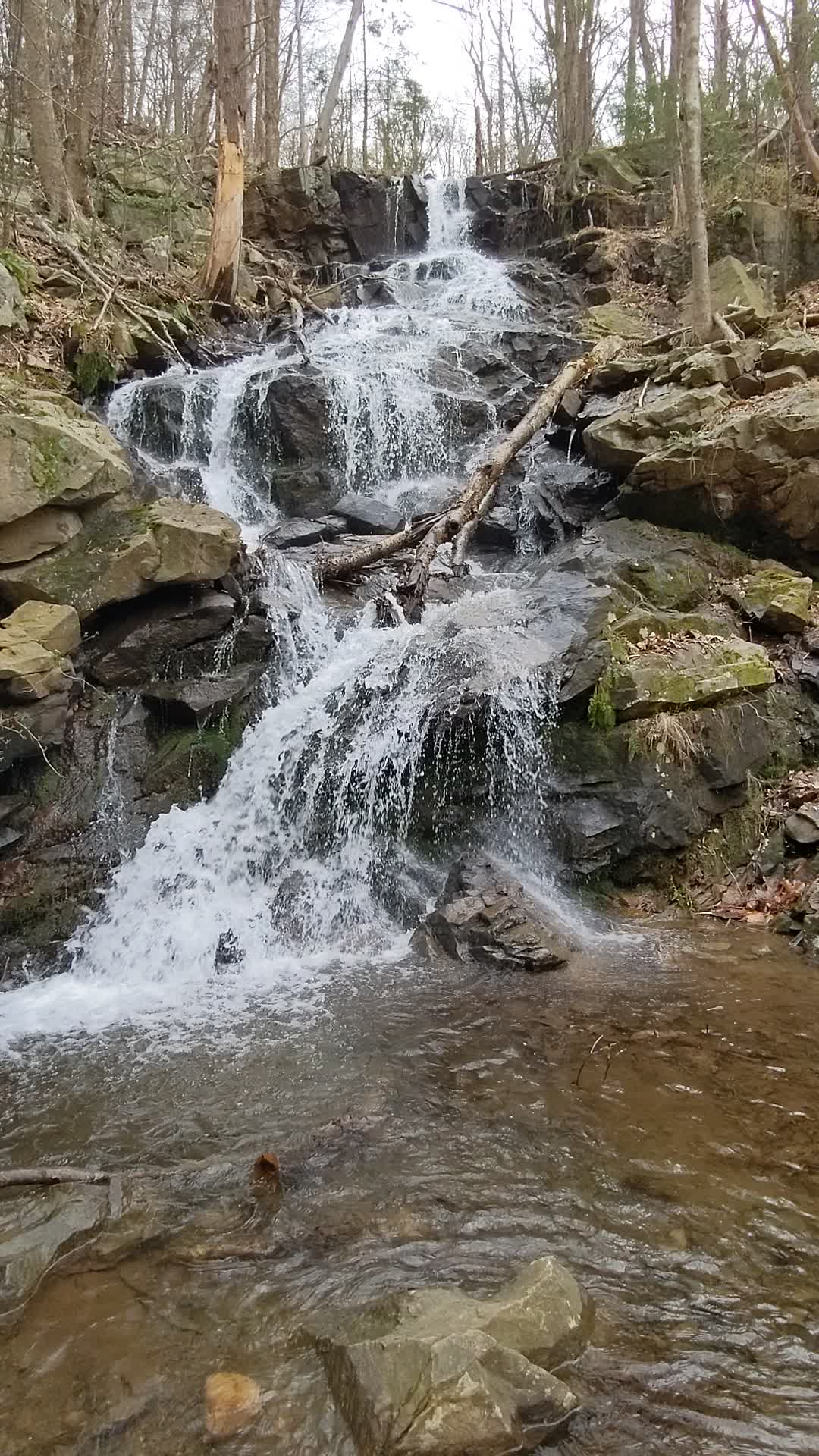
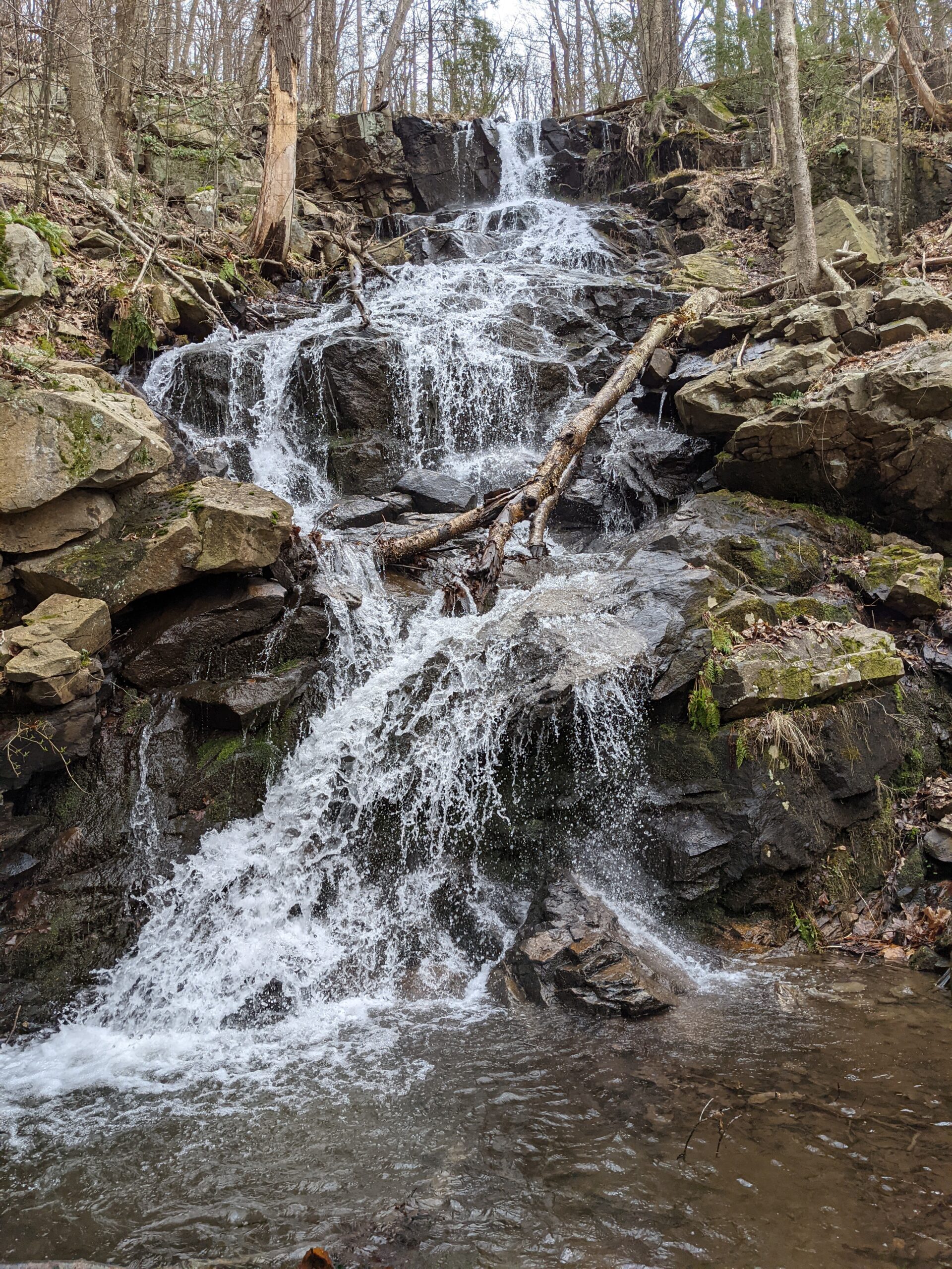
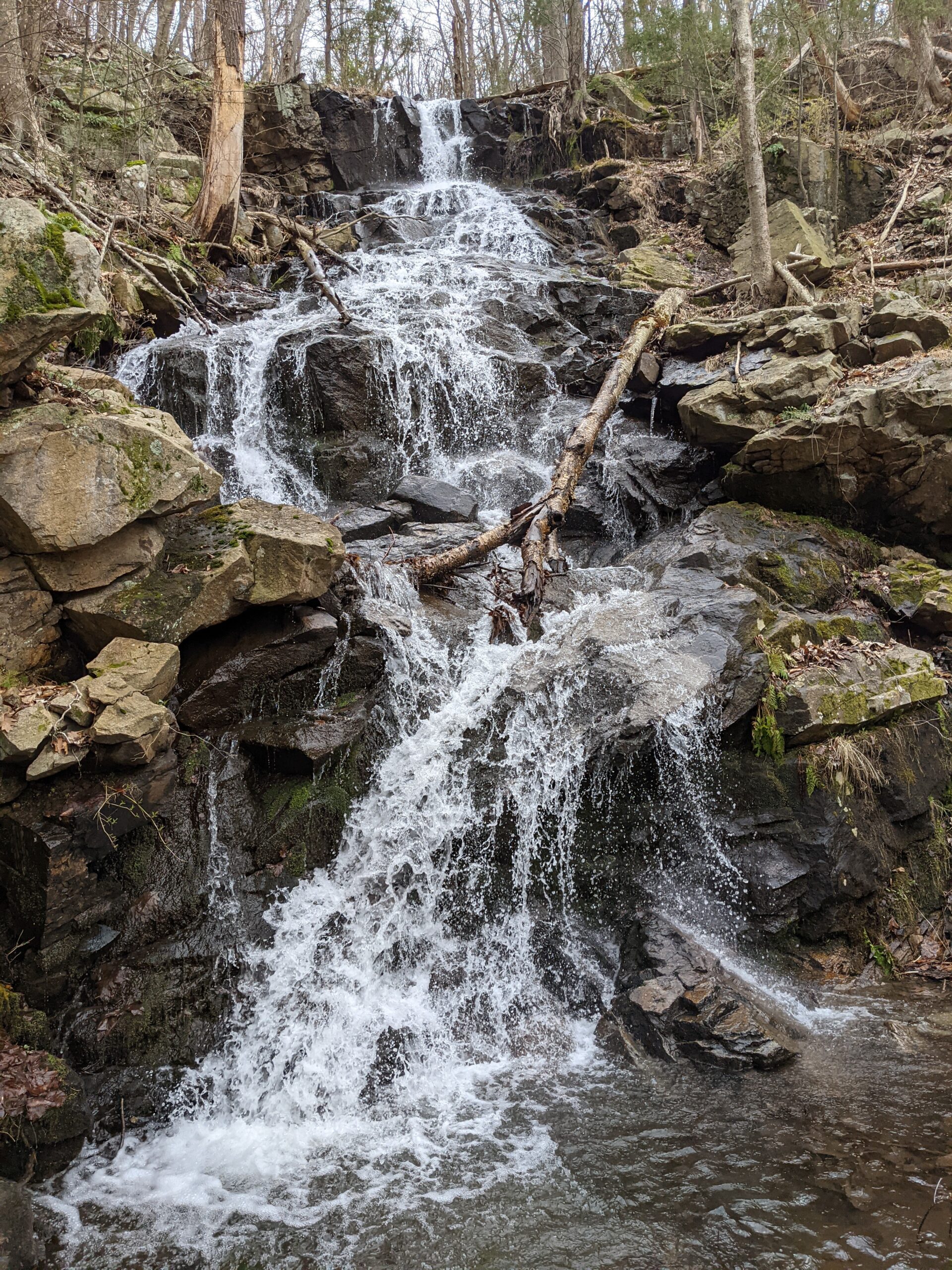
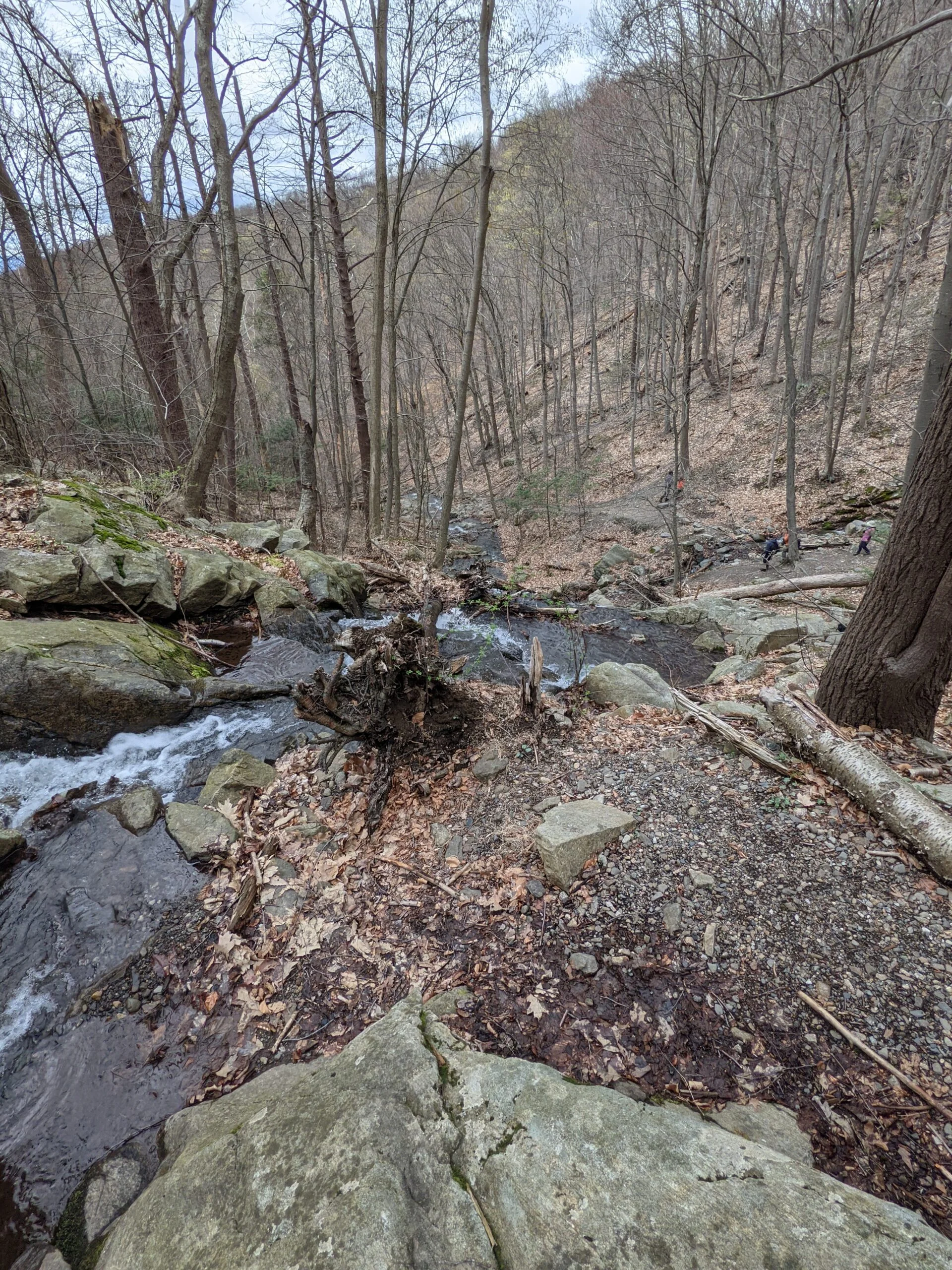
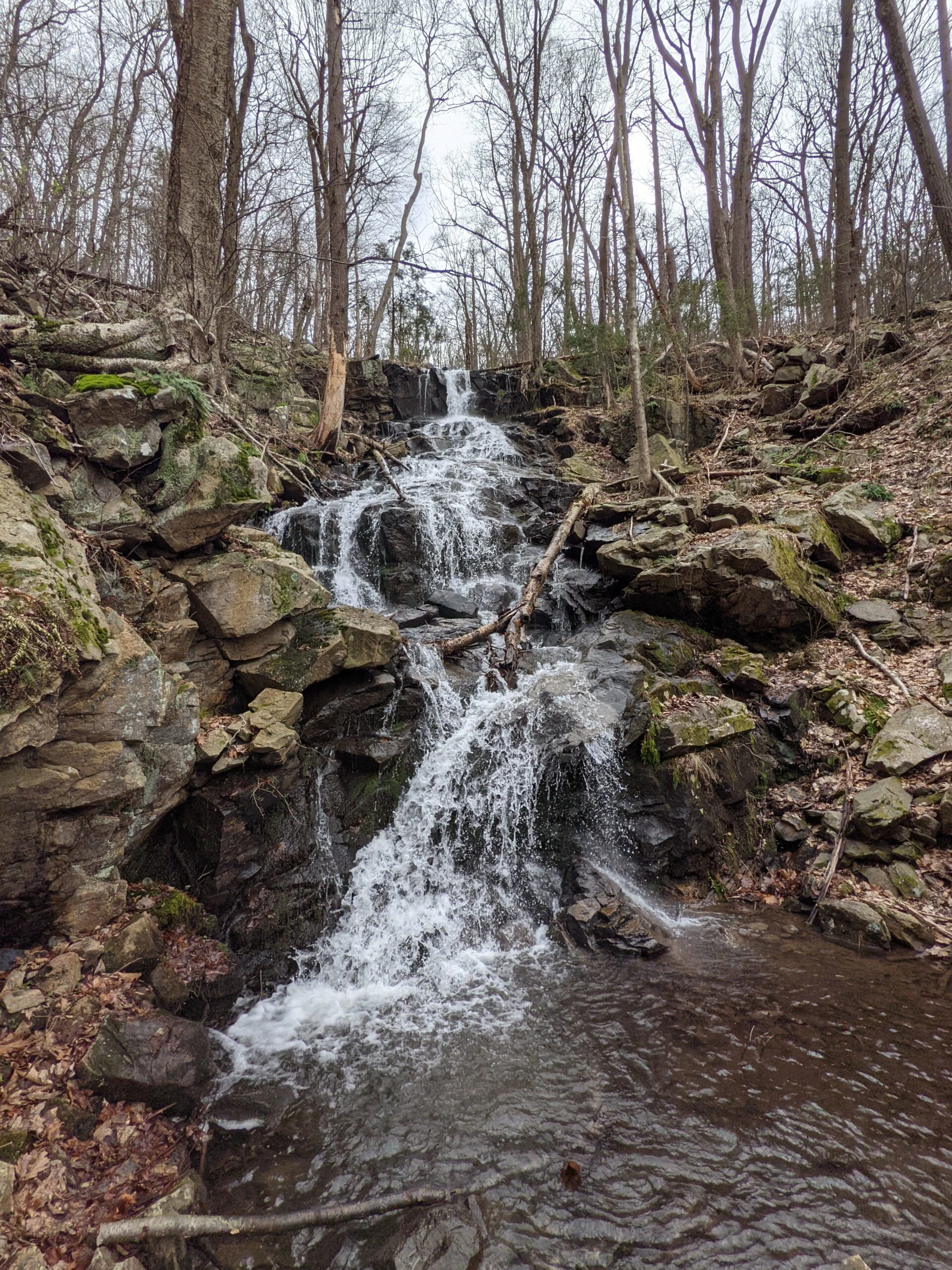
The descent from Lamb’s Hill, continuing on FR, was fairly steep and slow going for almost a mile. Once I made it to the bottom and crossed over the wide dirt road, I followed Dry Brook until I reached Rainbow Falls on the left. This cascade waterfall was breathtaking and was the highlight of the trip! I was mesmerized by the sound of the flowing water and spent about 10 minutes enjoying this blissful area.
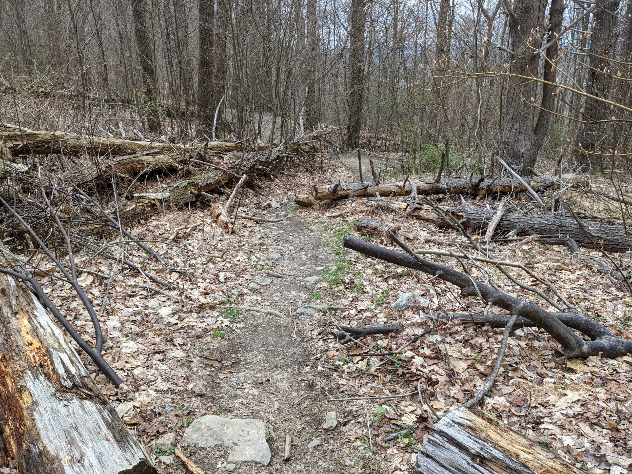
Leaving the waterfall, I continued on FR until it branched off to Dry Brook (DR, yellow blazes) Trail. I followed DR to the end, where it met up with CT for the descent back down the mountain. This part actually wasn’t too bad, as most of the descent was done earlier on FR and then gradually on DB. I made it back down the metal steps and to my starting point.
The temperature hovered in the high 40’s and low 50’s range and most of the day was overcast, so there was a chill in the air, but it kept me from sweating. The climb up the mountain is intense and I’m happy I used my Black Diamond Alpine Carbon Cork Trekking Poles ($) to help with the ascents and descents. I feel they made a huge difference in my ability to power through the day.
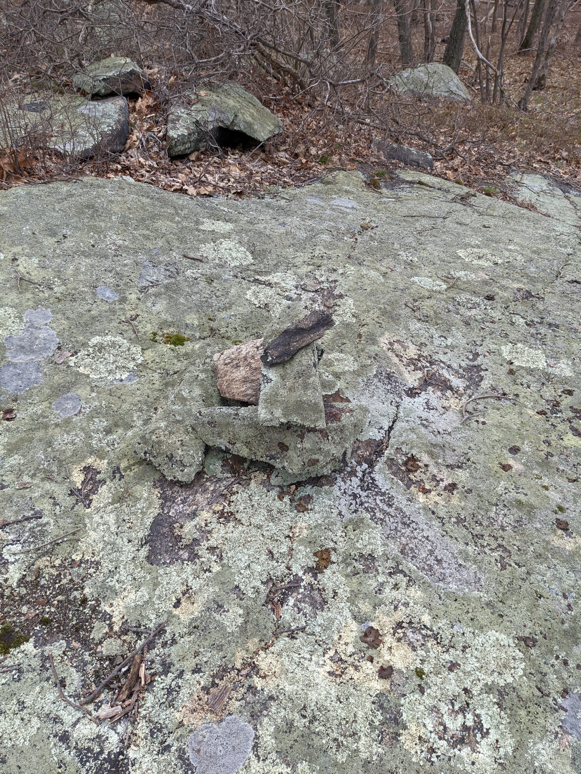
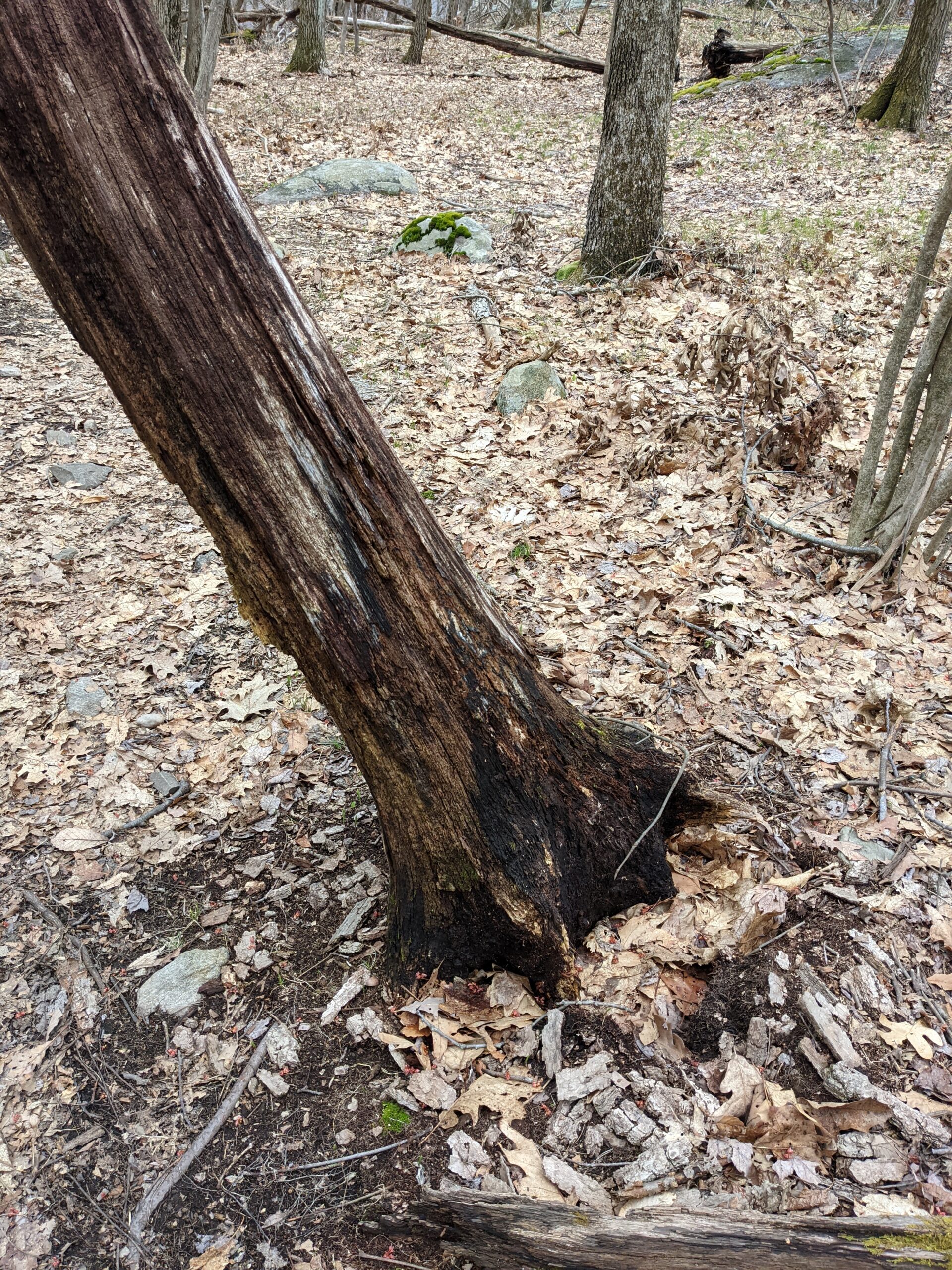
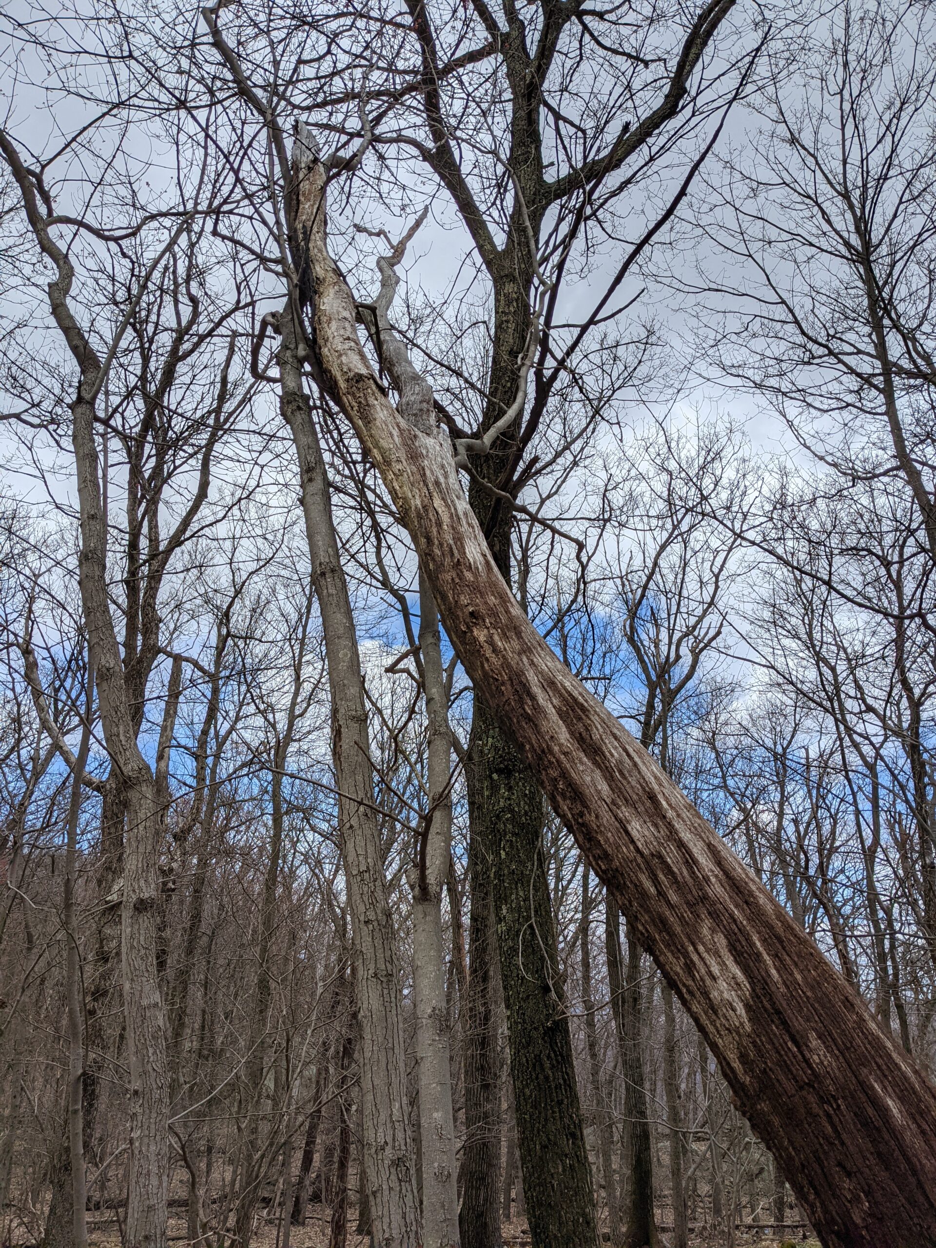
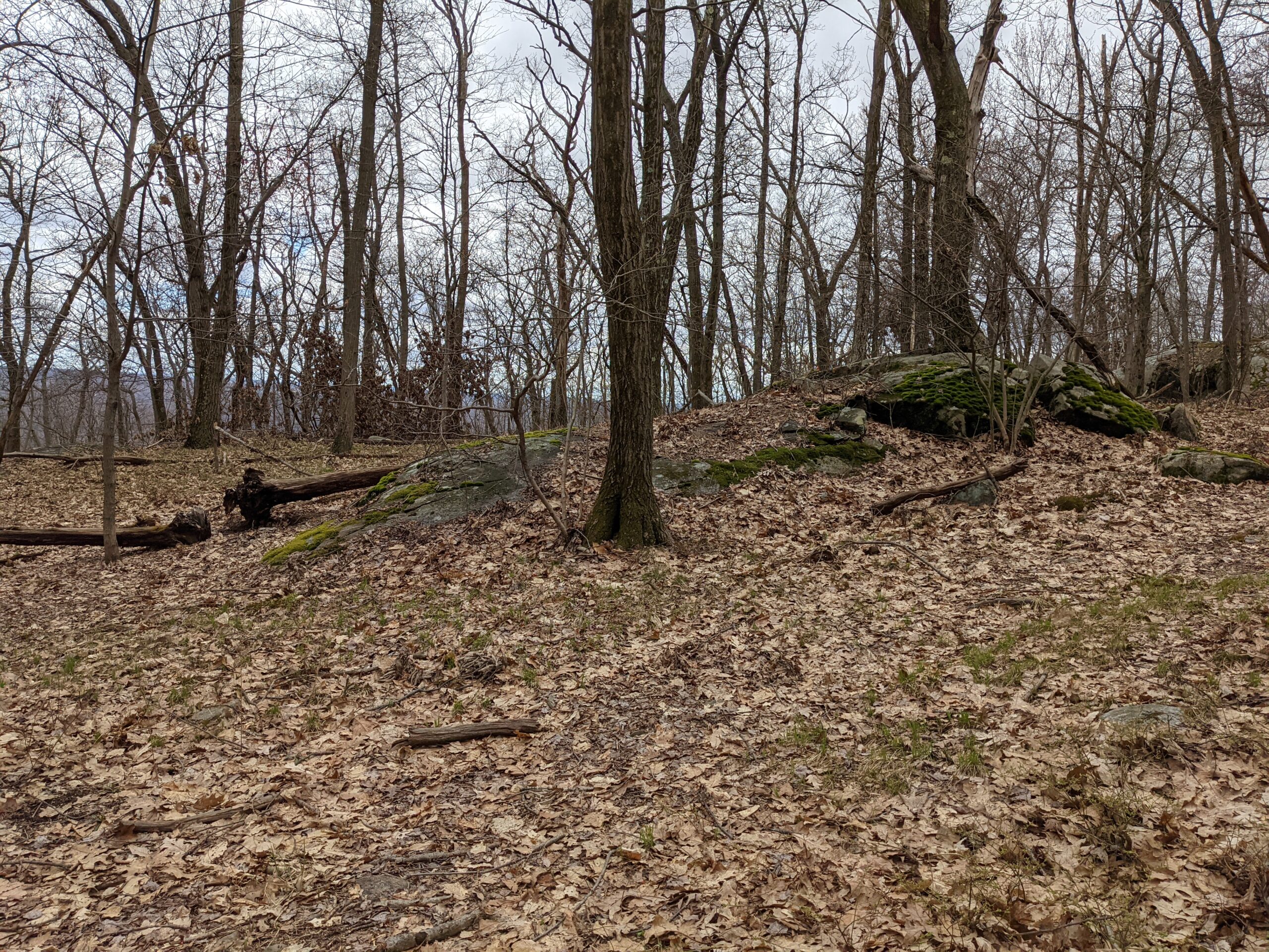
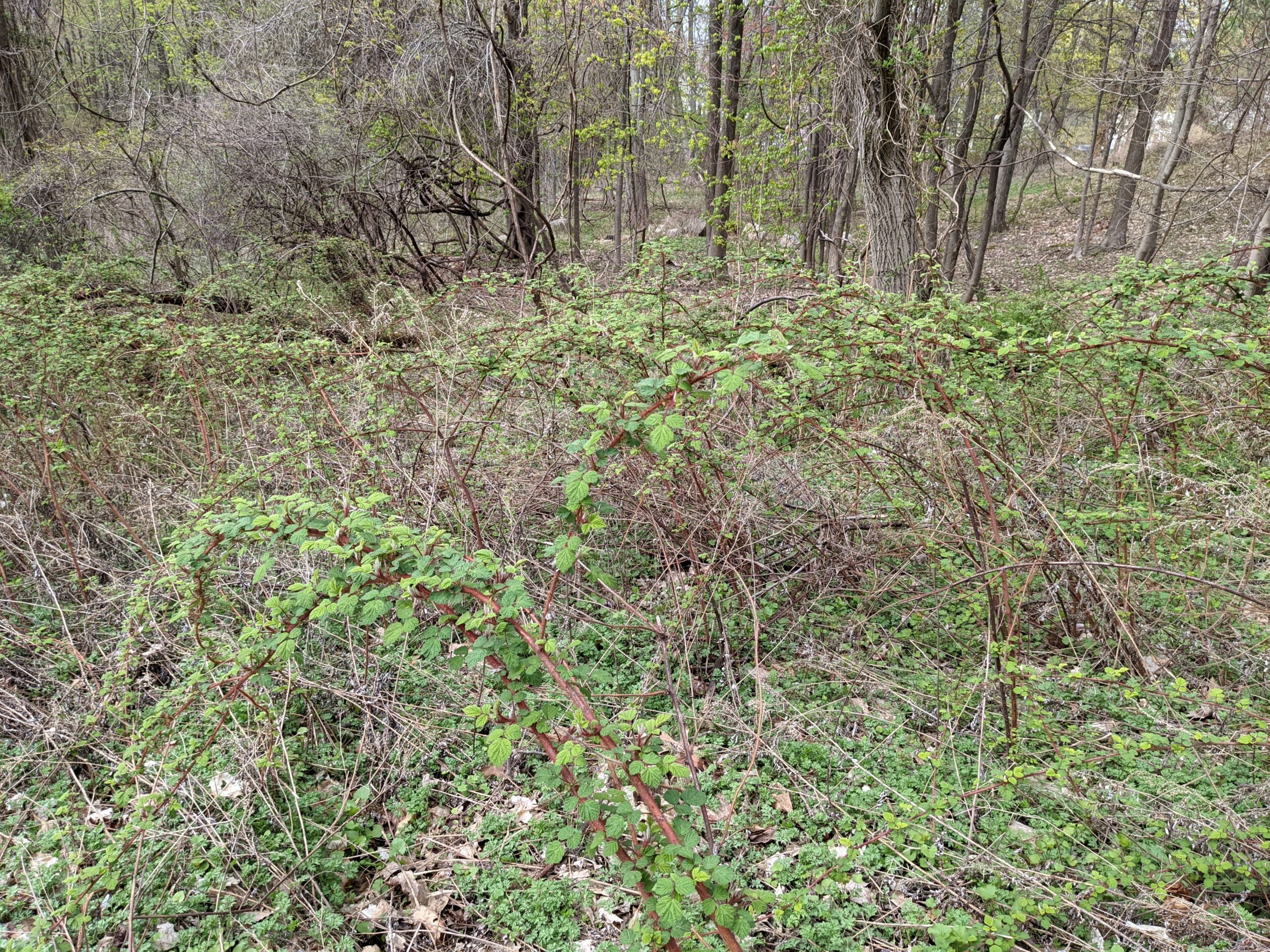
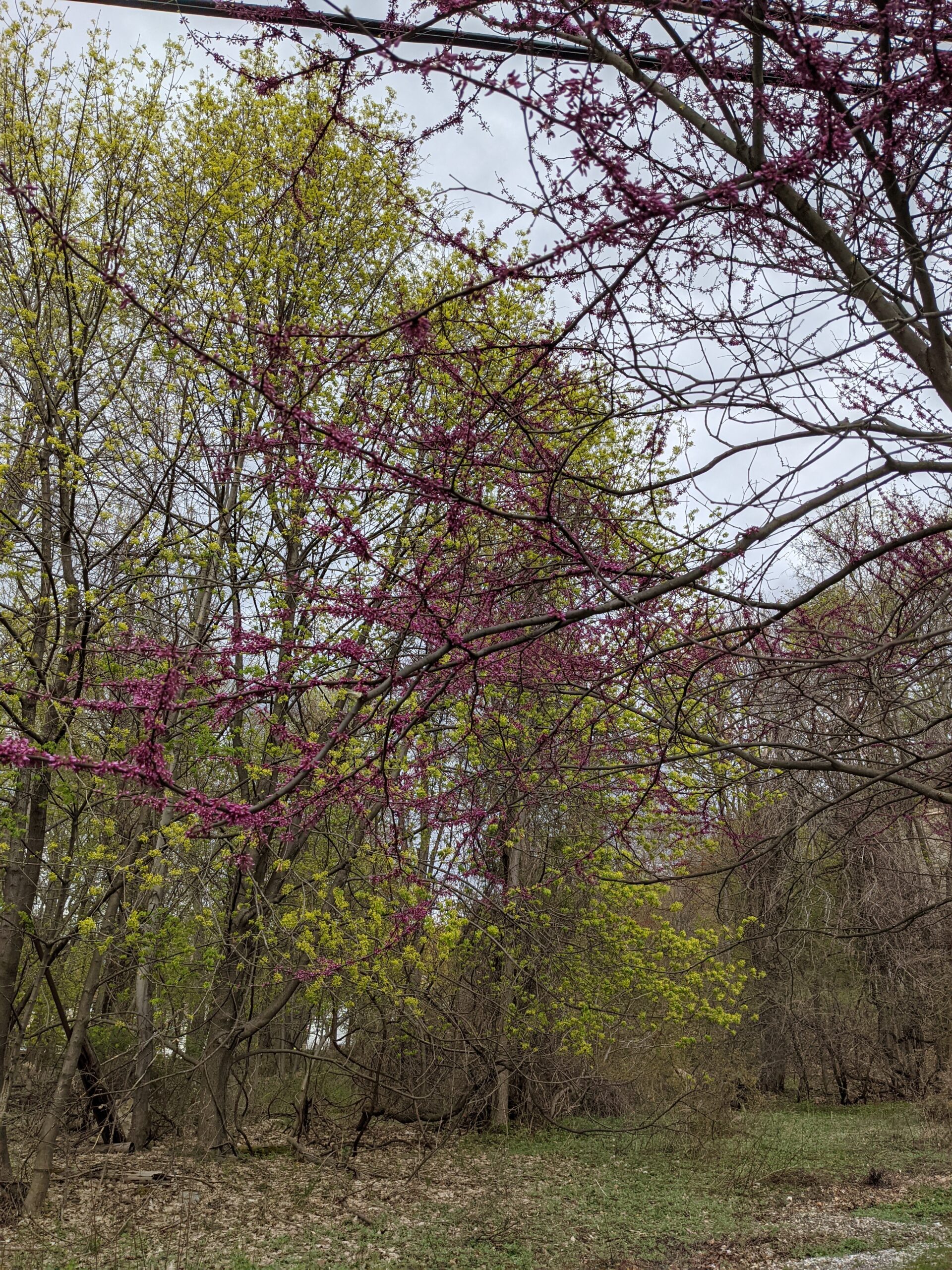
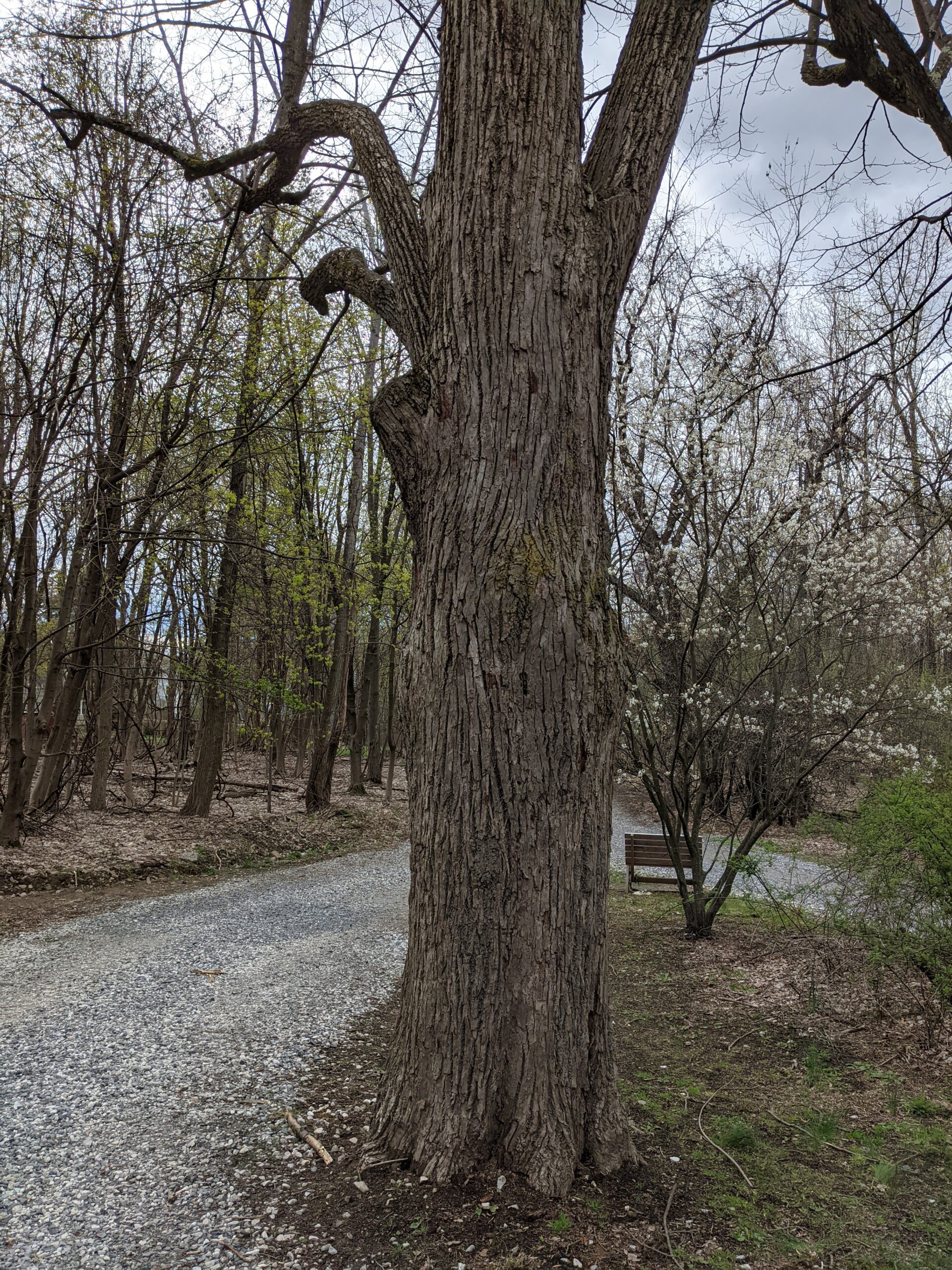
Photos


GPS Route & Elevation
Loads an interactive map; map tiles are served by the U.S. Geological Survey, which receives your IP address. Learn more about maps and your privacy