Westmoreland Sanctuary – Lost Pond, Cole Kettle Pond, Terrace Garden
- 6.1 mi
- 863 ft gain
- 04:06:56
- 80 photos
- 2 videos
This post may contain affiliate links. If you buy through them, I may earn a commission at no extra cost to you. As an Amazon Associate I earn from qualifying purchases.
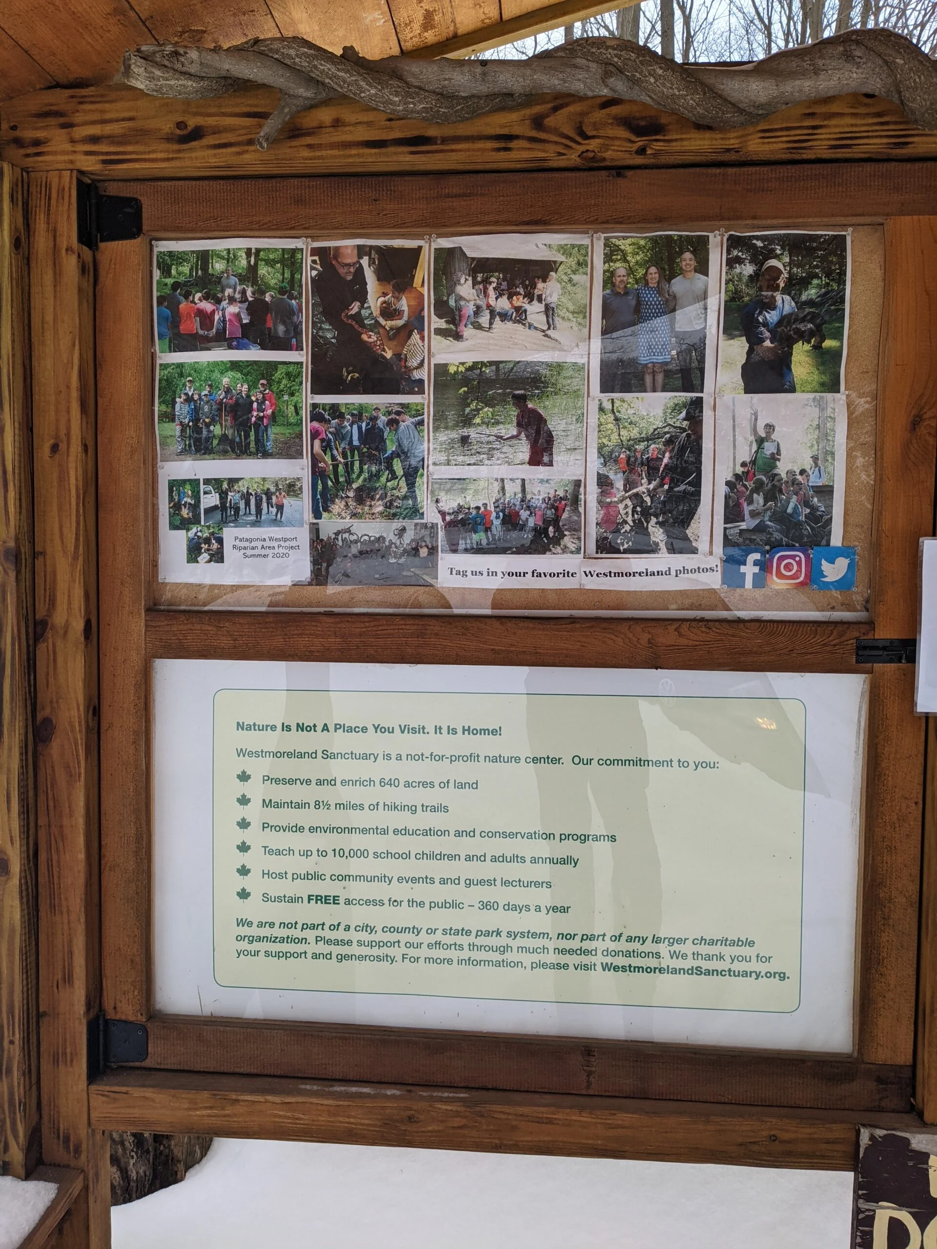
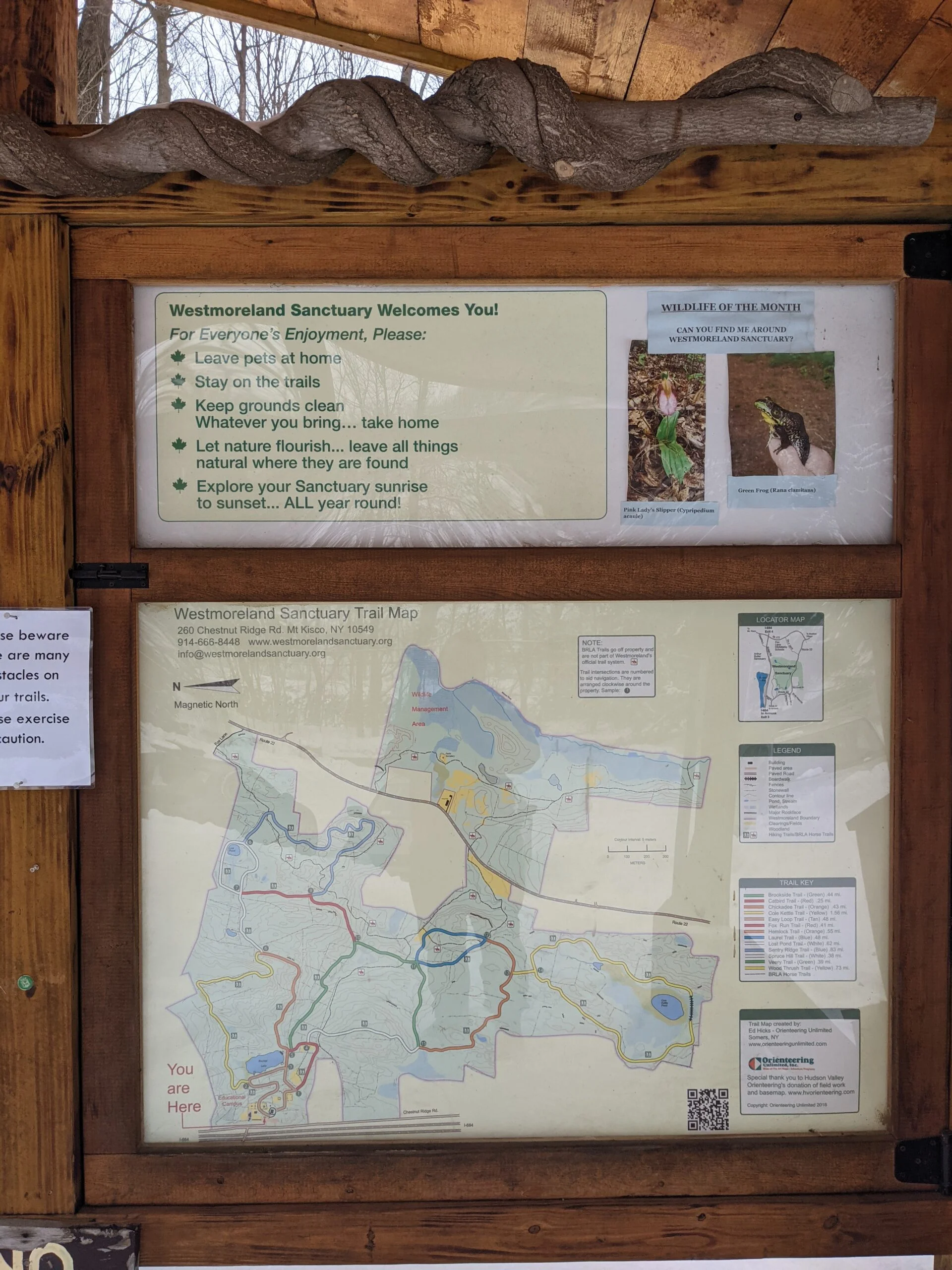
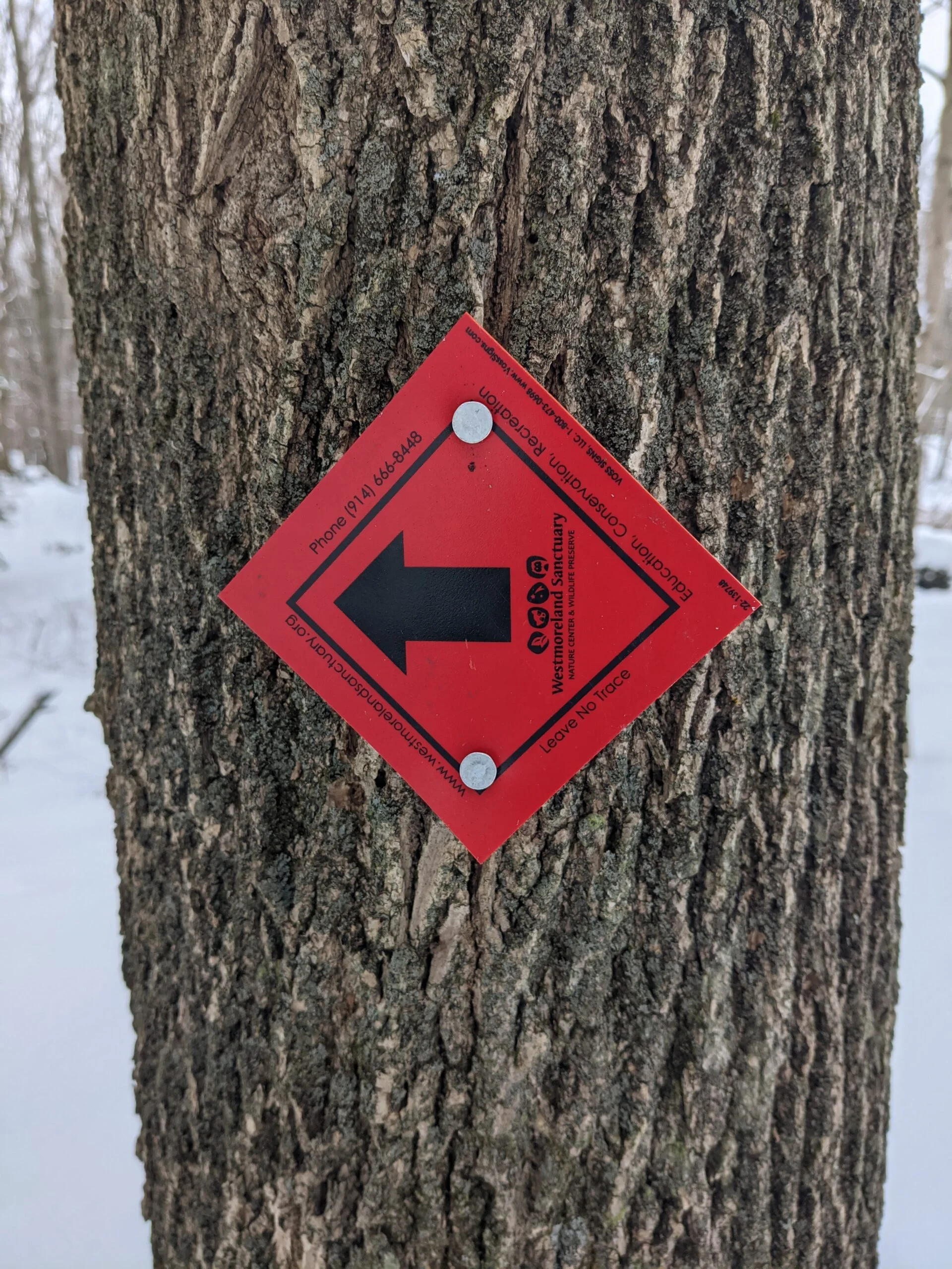
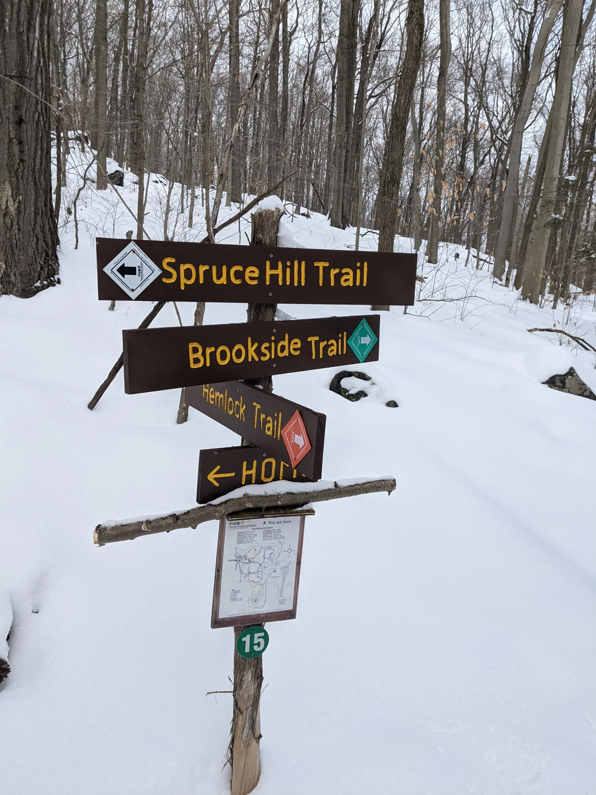
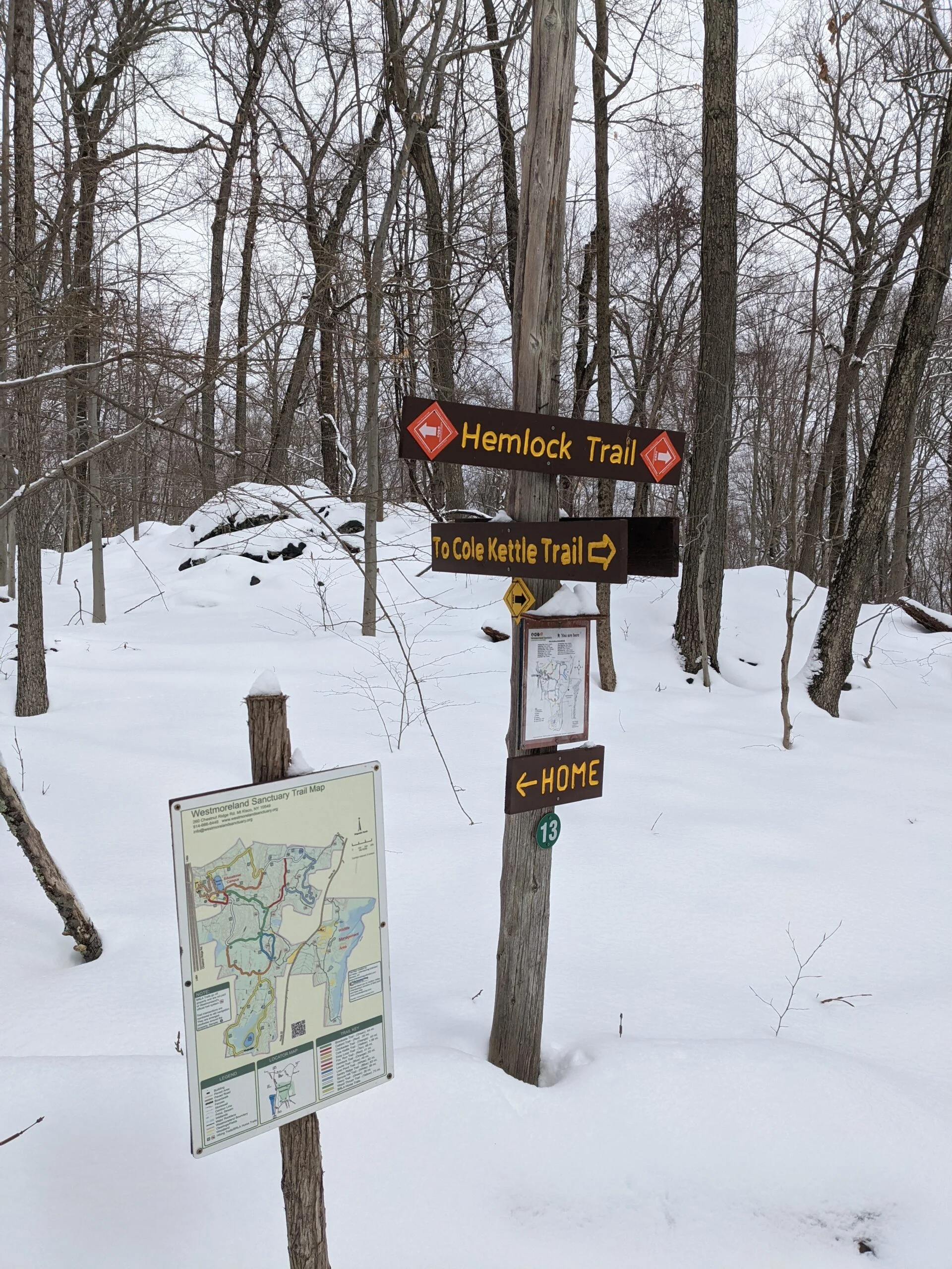
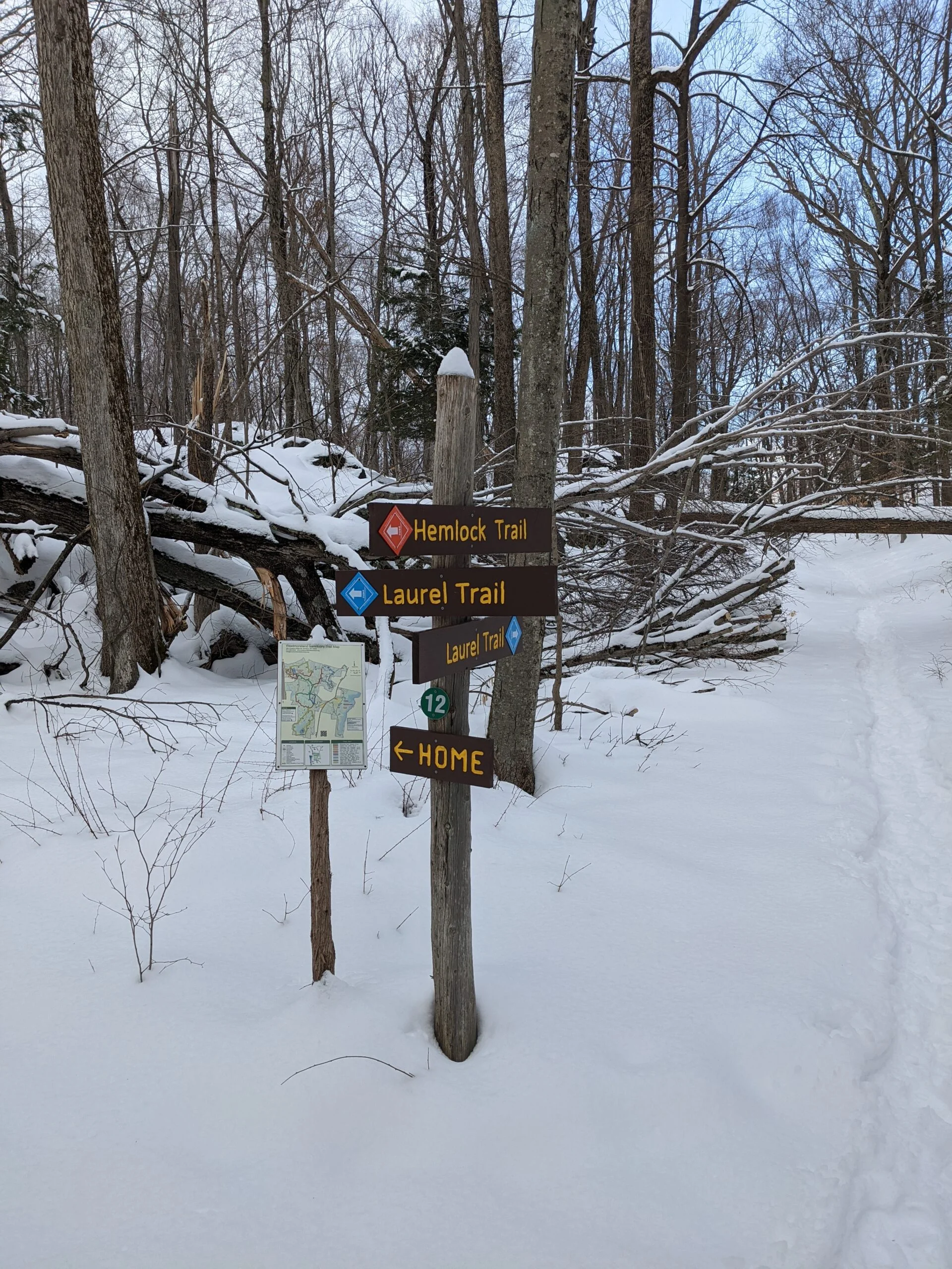
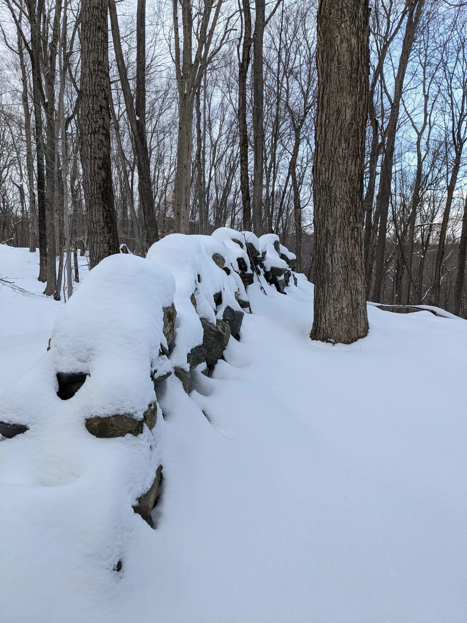
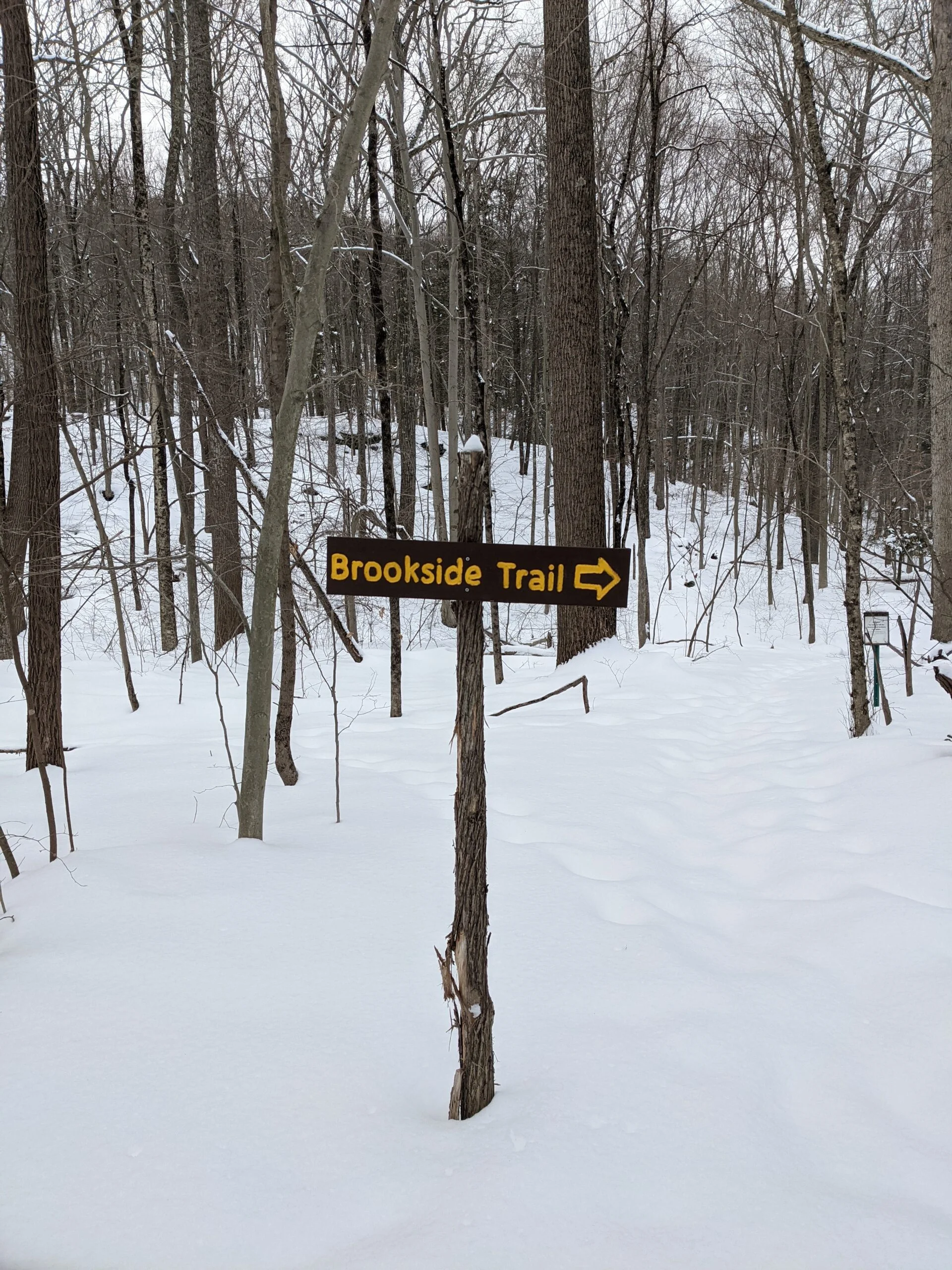
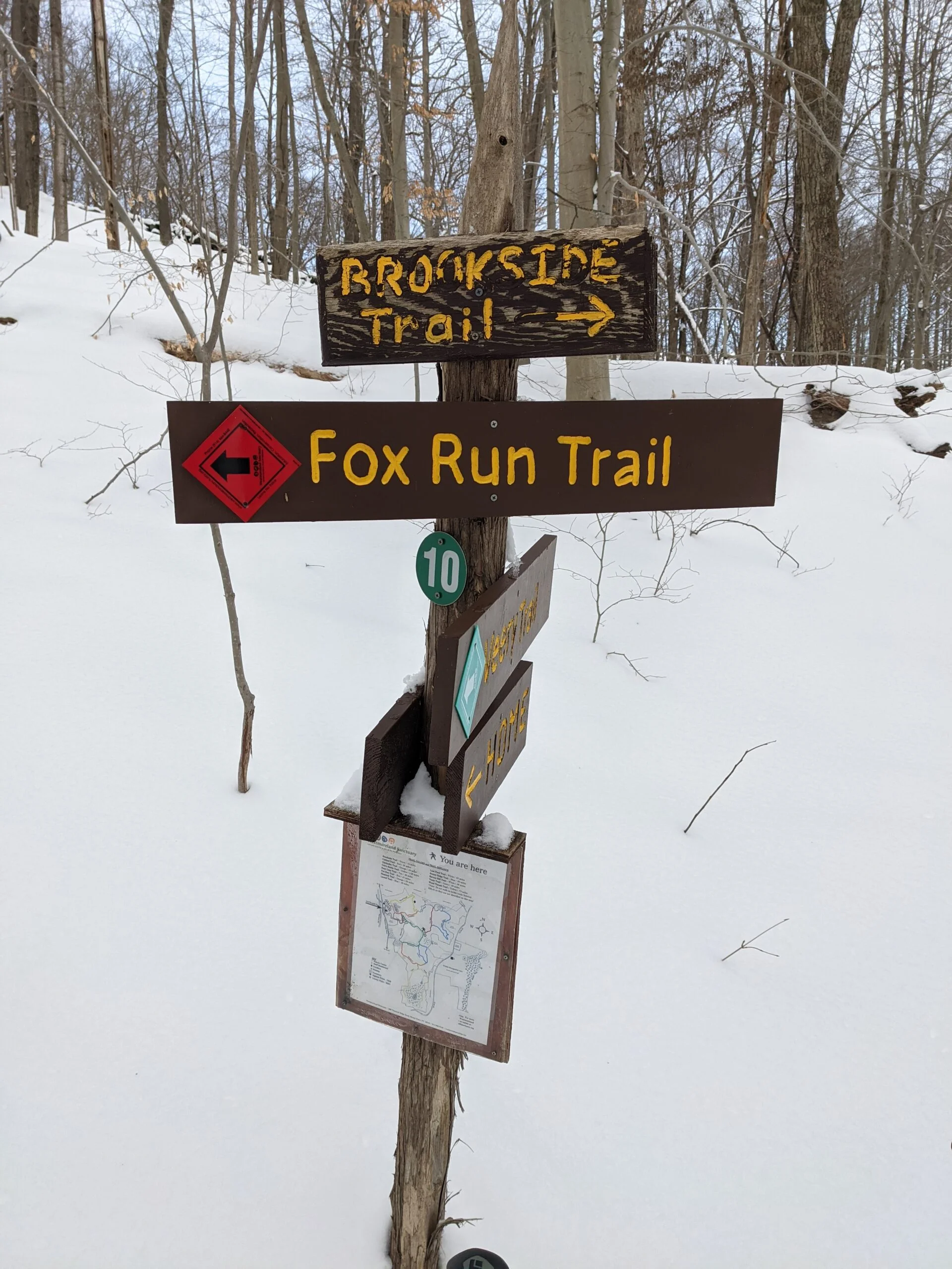
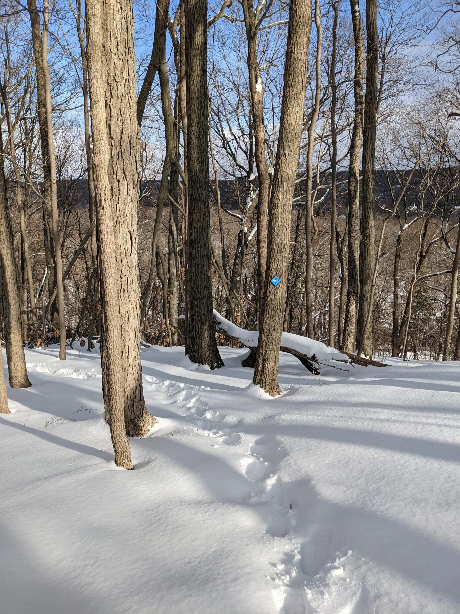
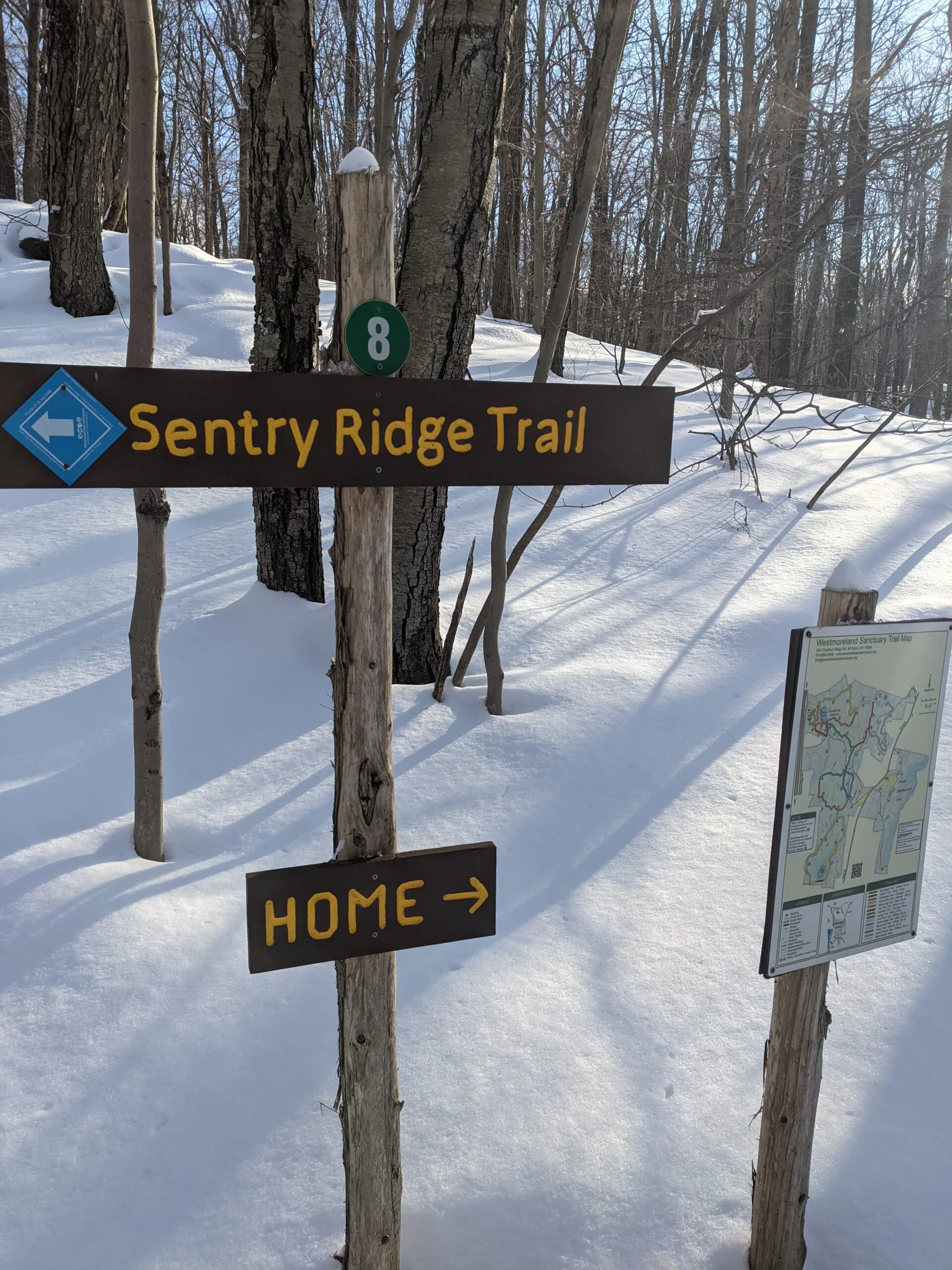
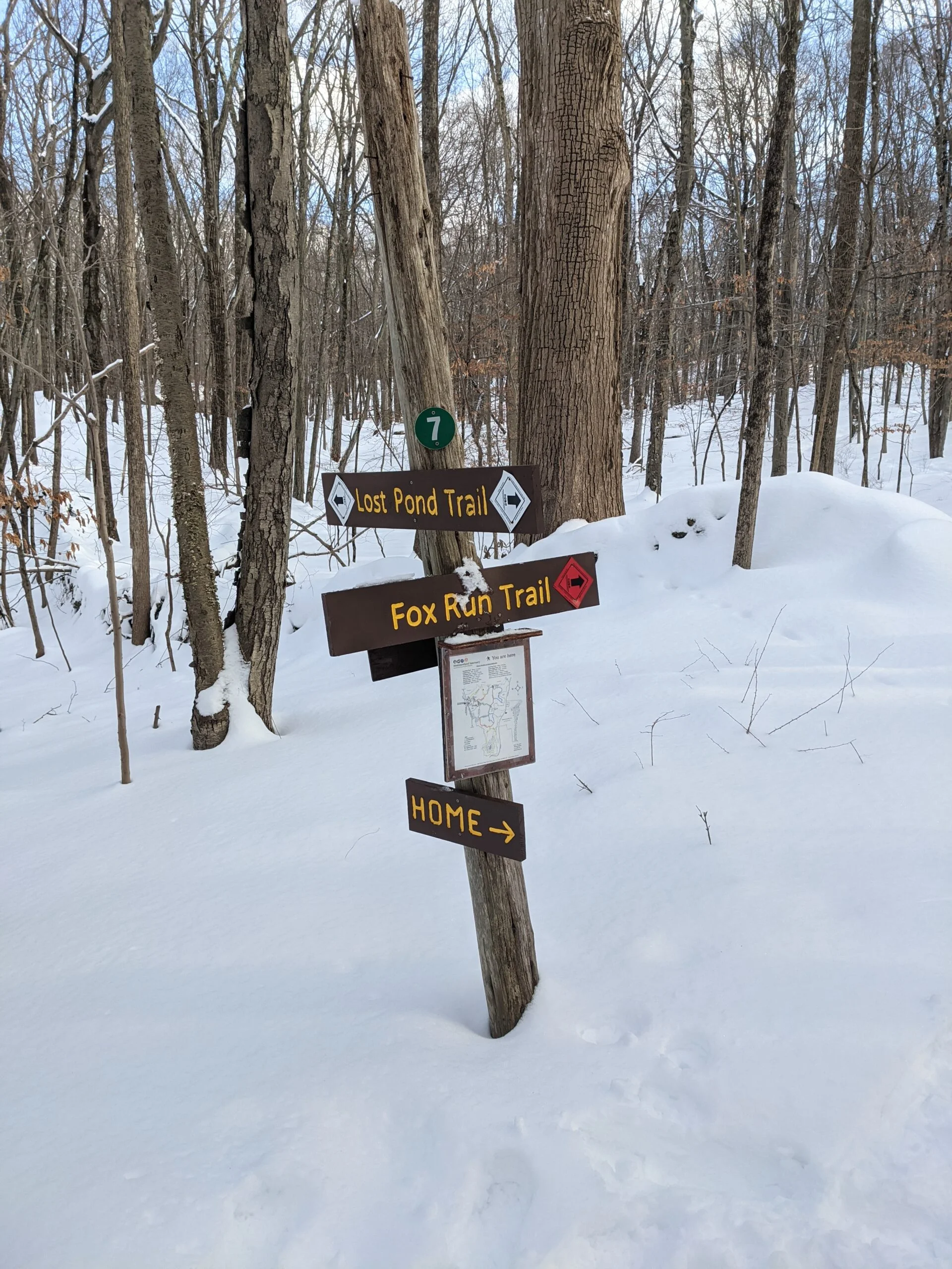
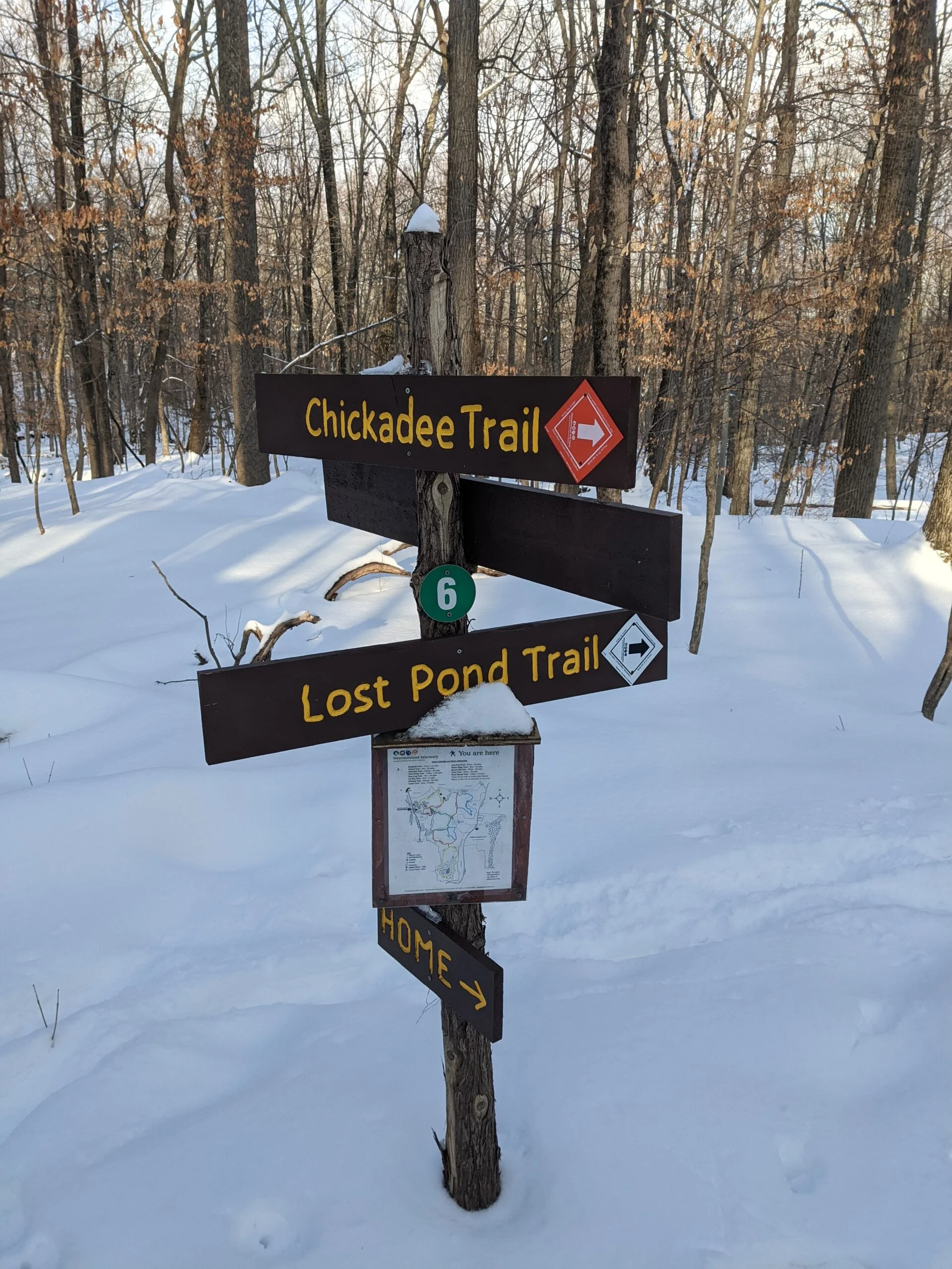
AllTrails provided me with yet another great find today in the Westmoreland Sanctuary. Of all the hikes I’ve been on so far, Westmoreland had the best blazed trails and marked intersections. Not only are there trail arrows at each intersection, there’s a full trail map of the entire park. Even though I had both printed and electronic versions of the map, it was super convenient not to have to dig in my pockets. I really like how this was implemented.
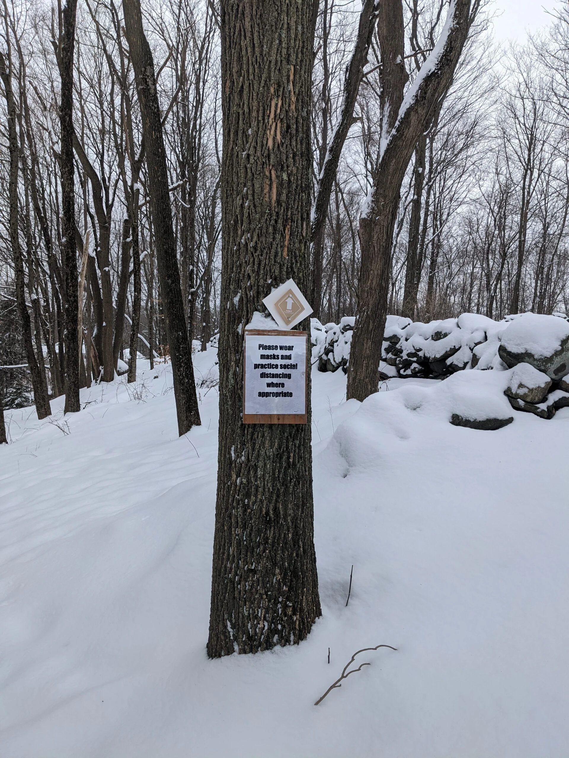
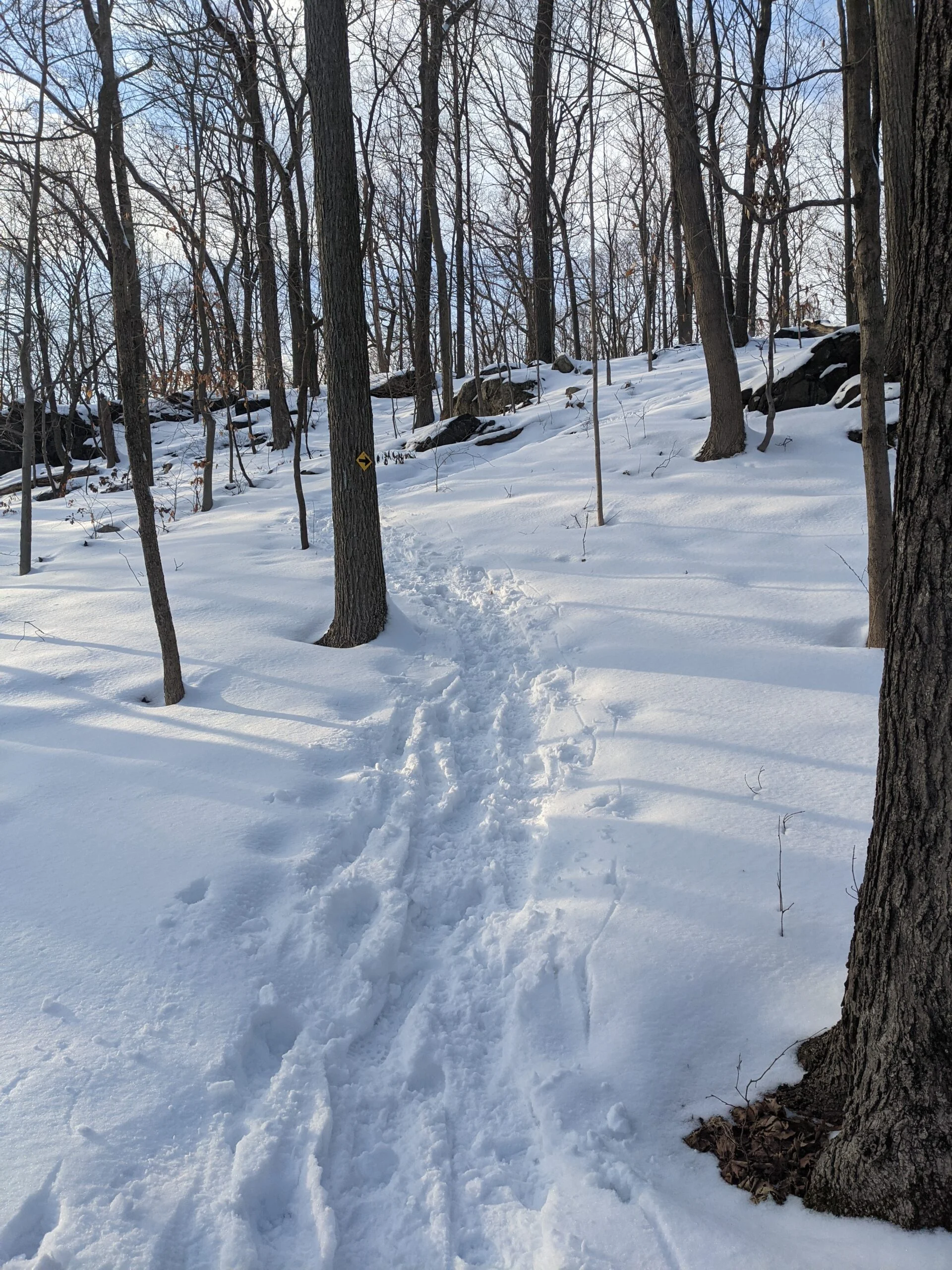
I pulled into the parking lot at 260 Chestnut Ridge Road in Mount Kisco, NY a bit after noon on a chilly Saturday afternoon. The temperature was hovering right around freezing and we had just received another 6+ inches of snow a couple days earlier, so things were still freshly dusted. Parking and admission are free, but do note that this park does not allow any dogs whatsoever.
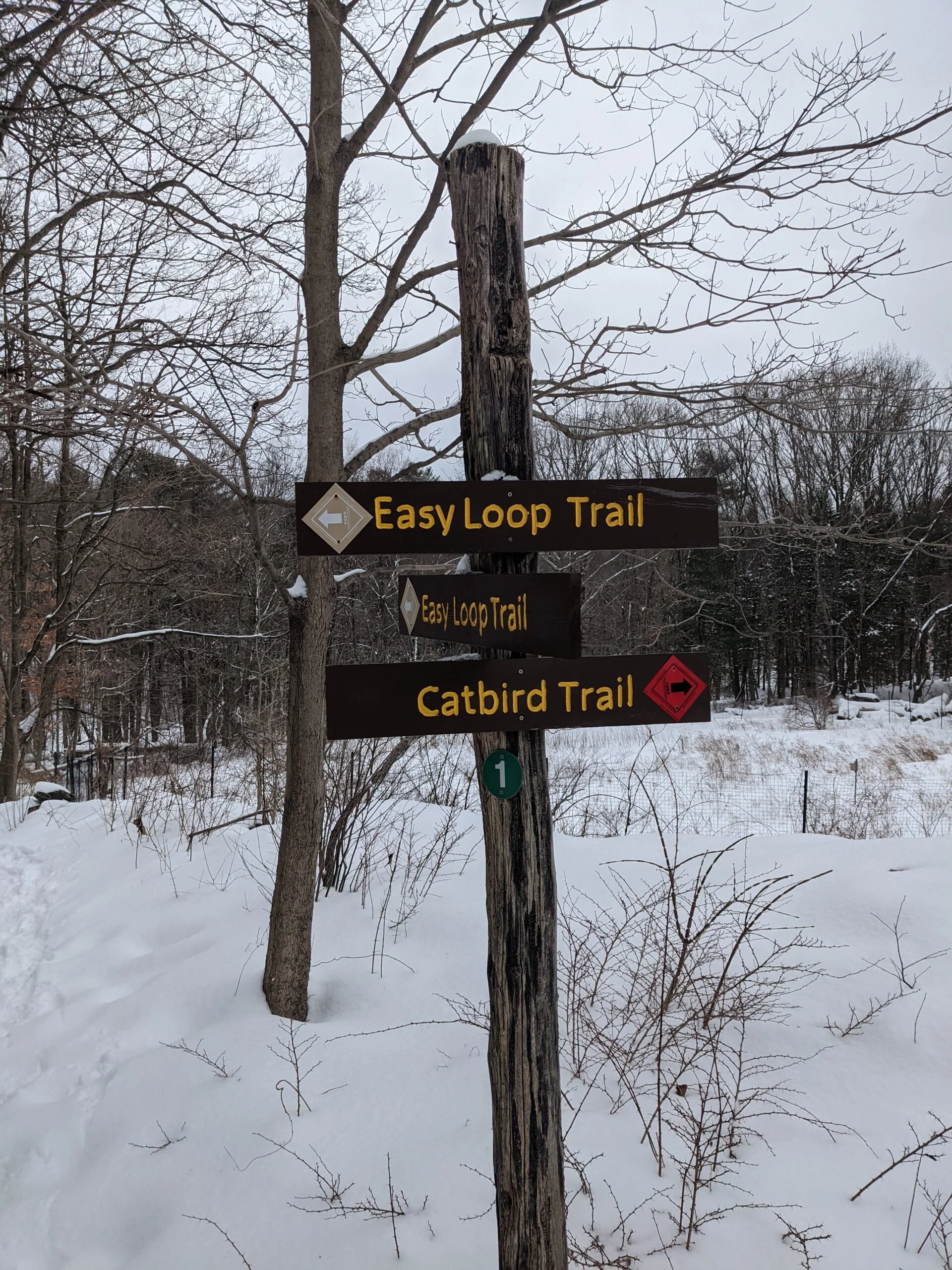
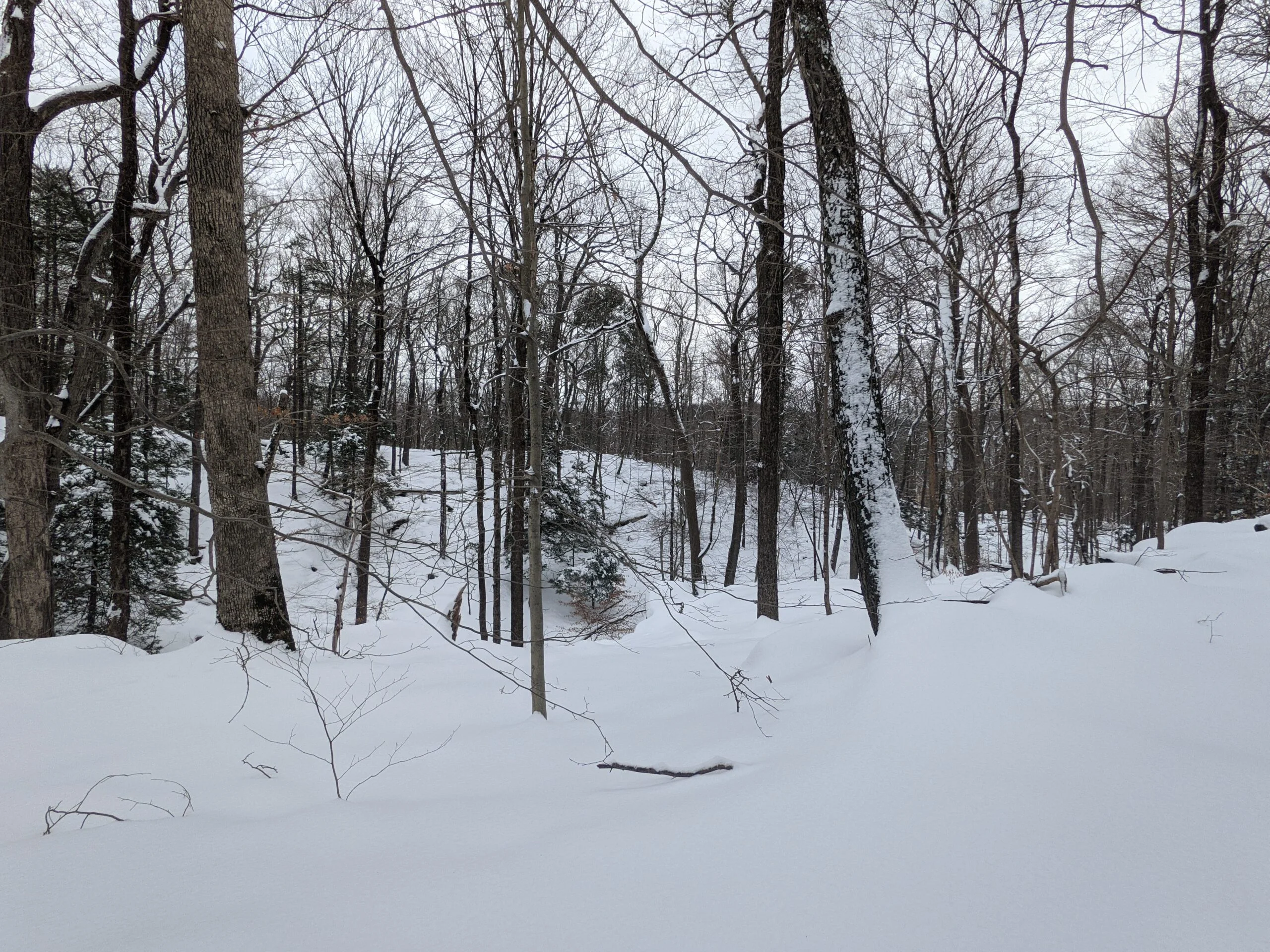
I planned to take the Westmoreland Grand Tour route from AllTrails, which follows all of the perimeter trails of the park, in a counterclockwise direction. From the parking lot, I found the entrance to the Catbird Trail (red blazes) at intersection #1. I quickly came to intersection #4 and followed Spruce Hill Trail (white blazes) to the south.
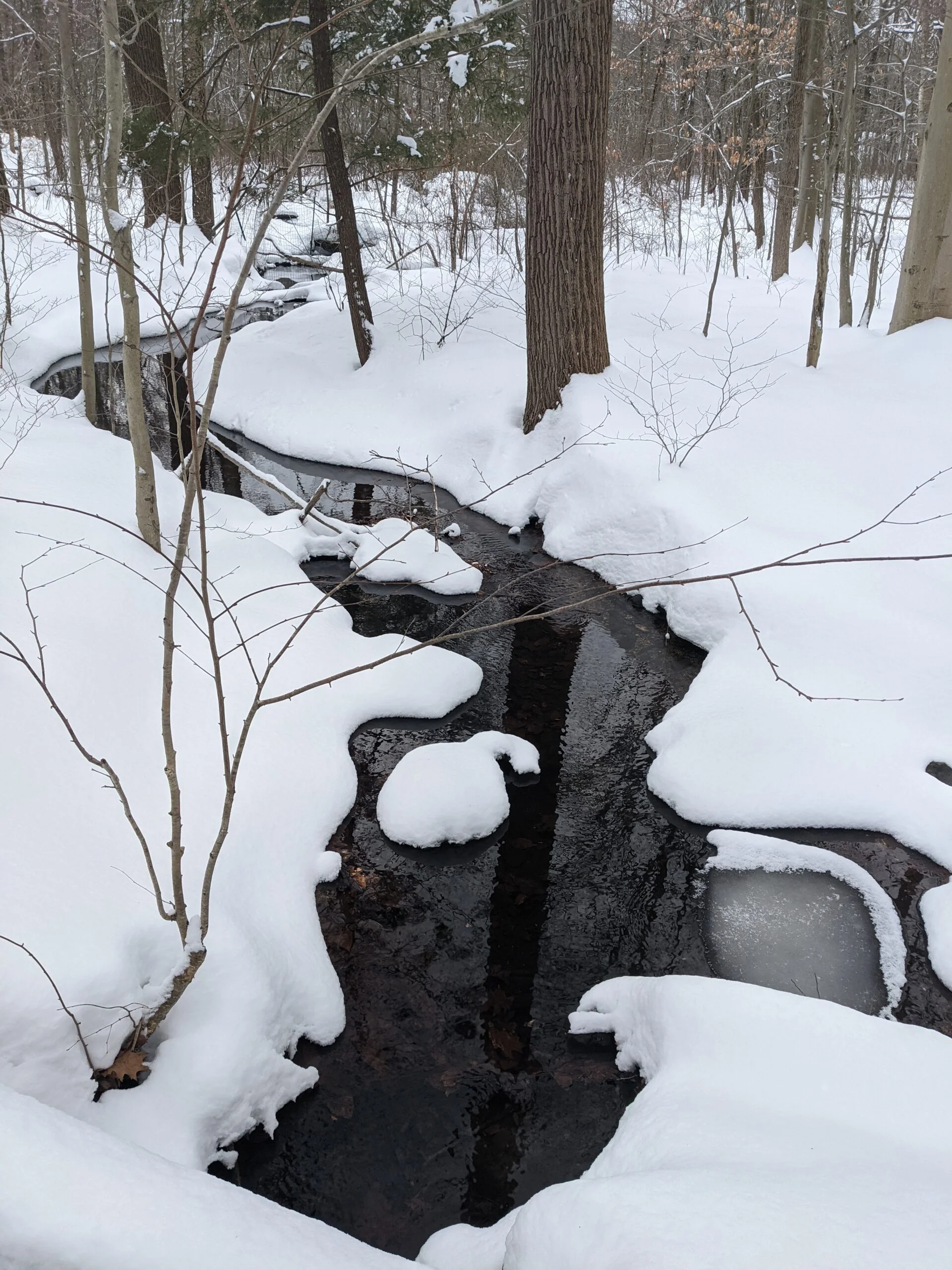
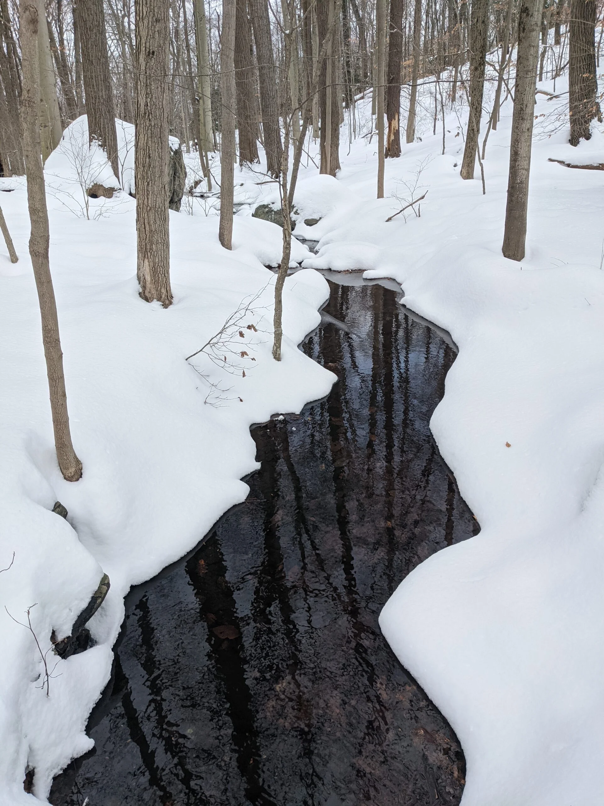
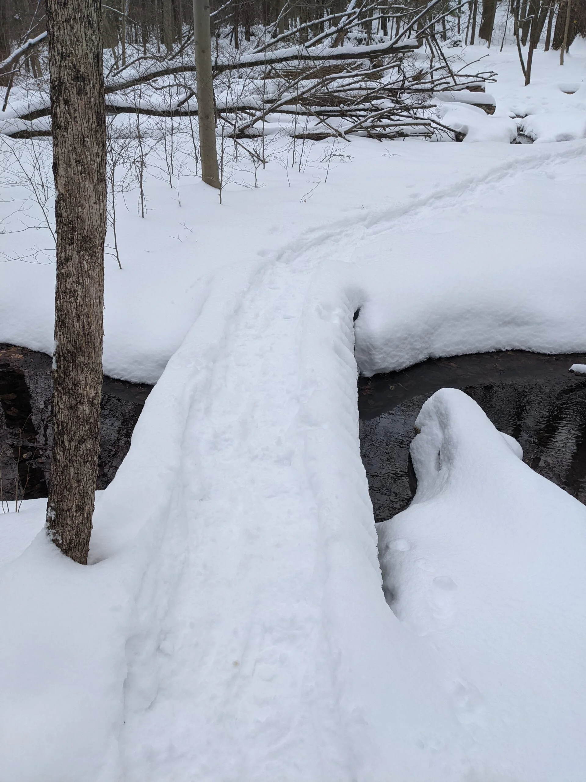
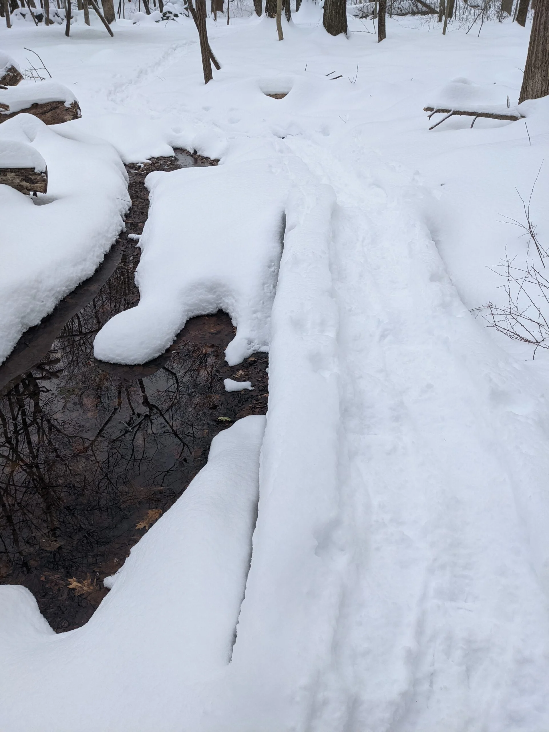
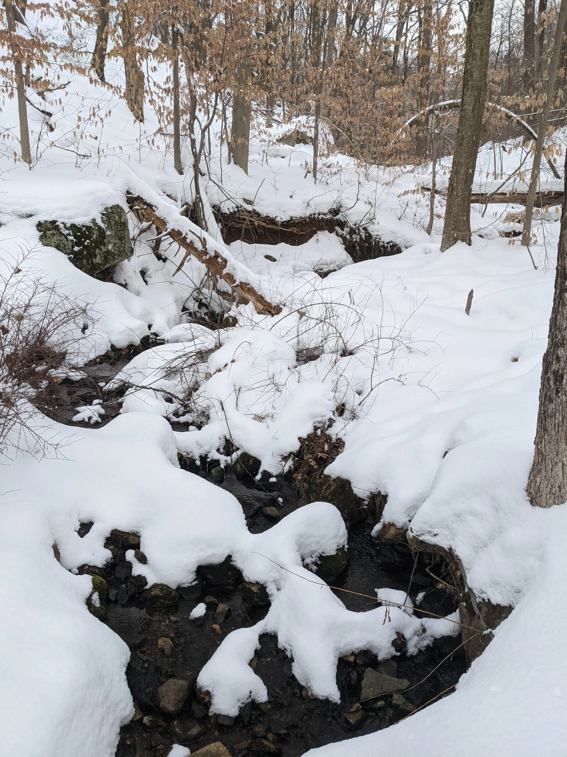
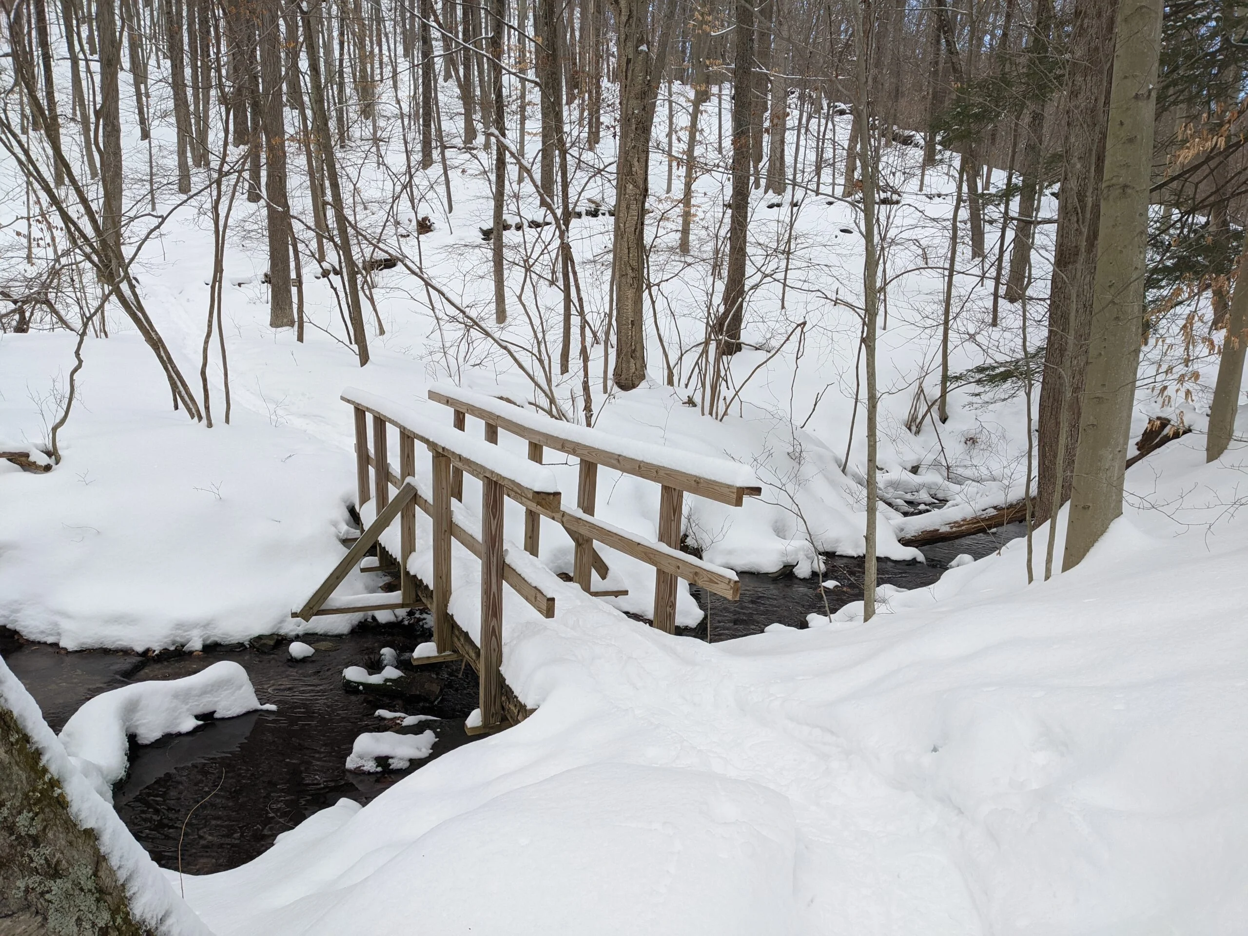
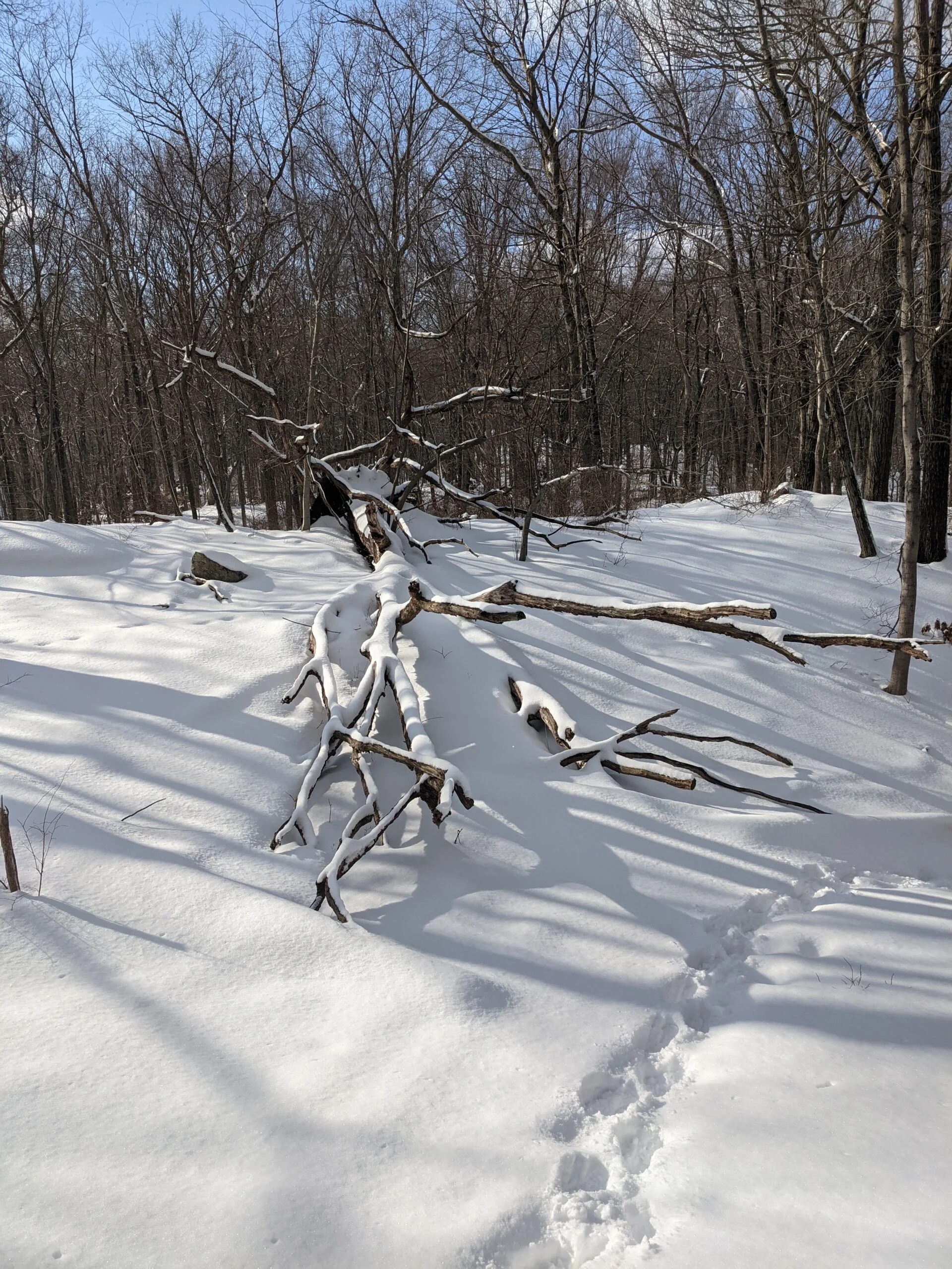
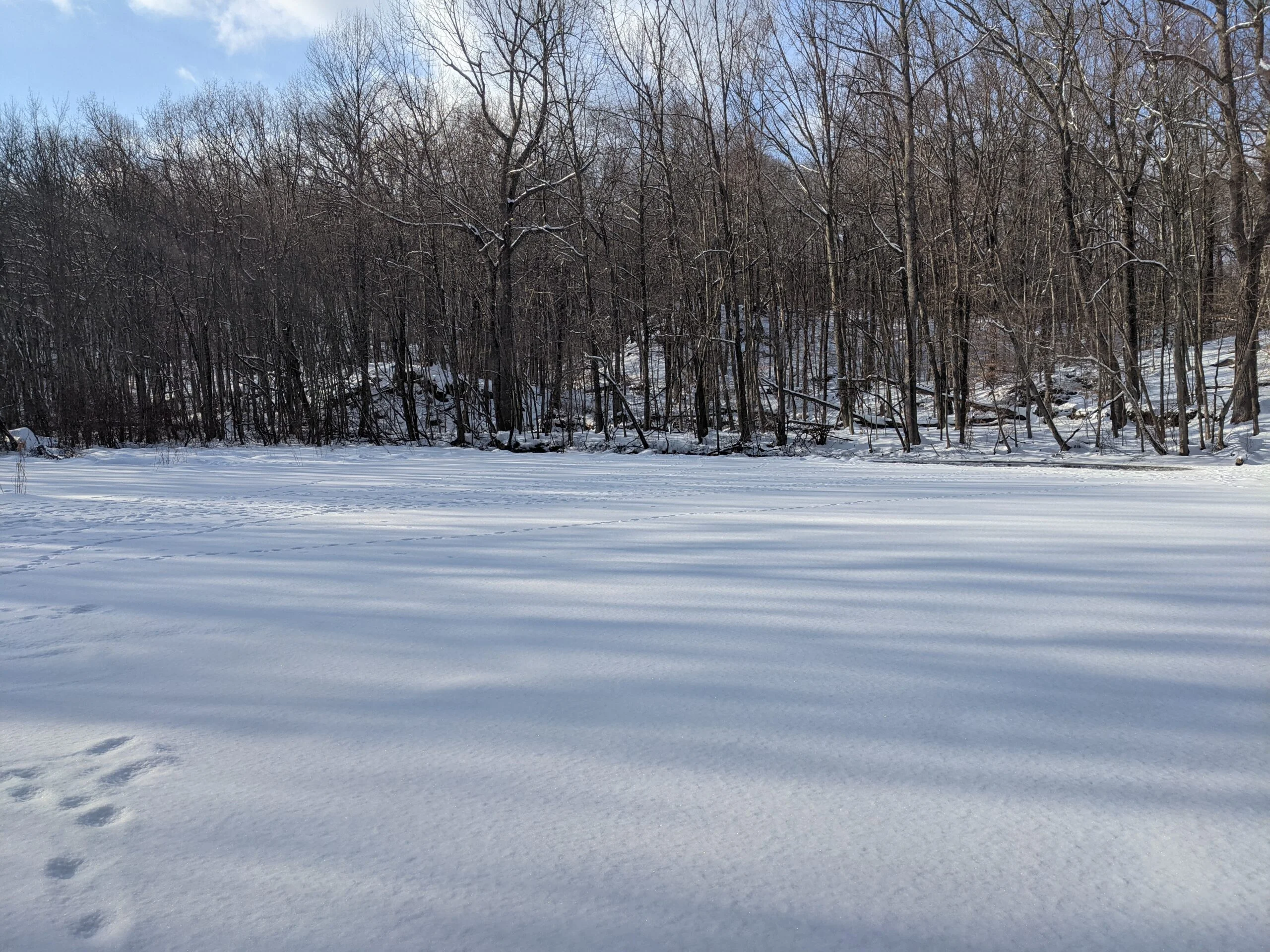
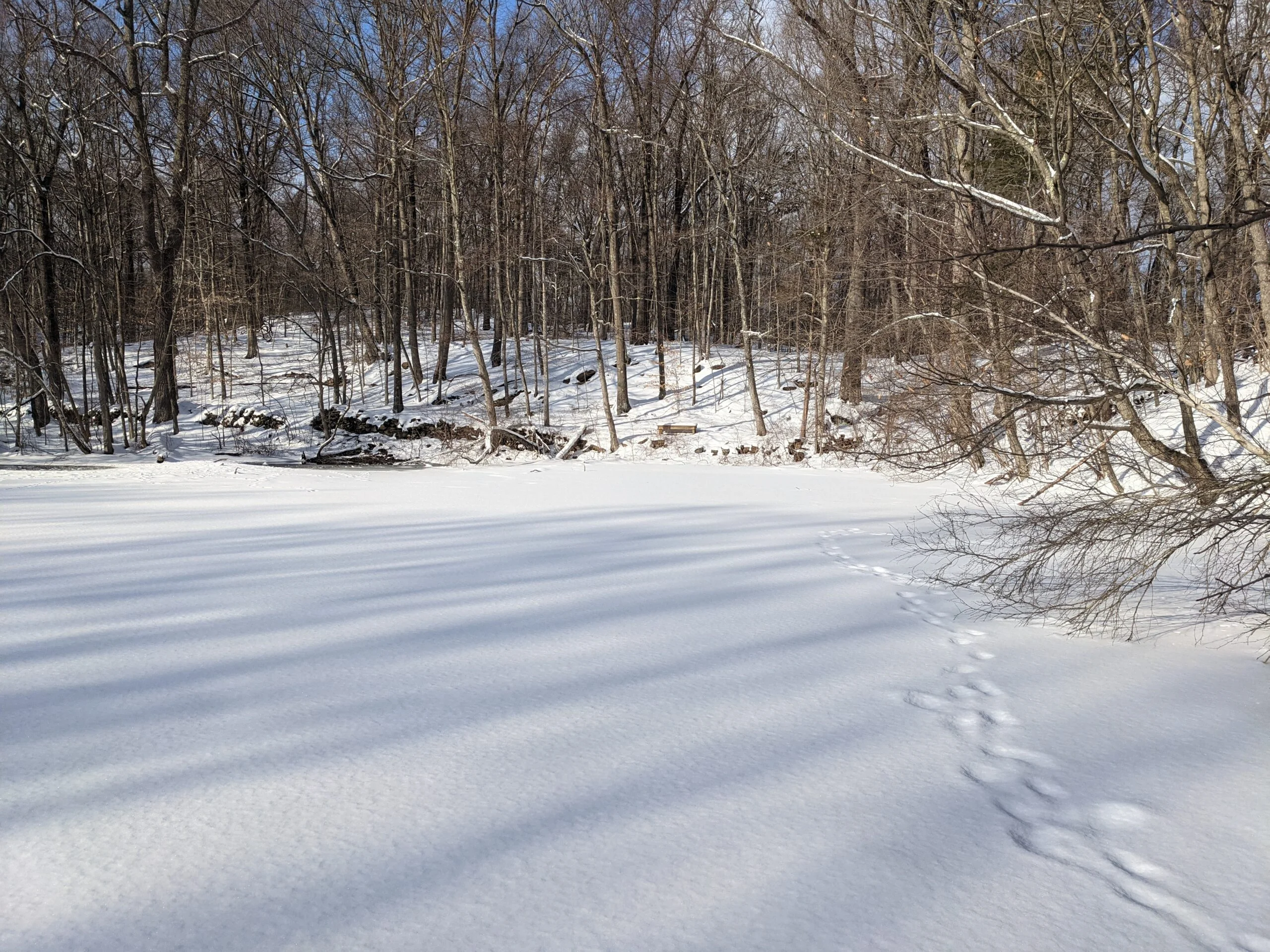
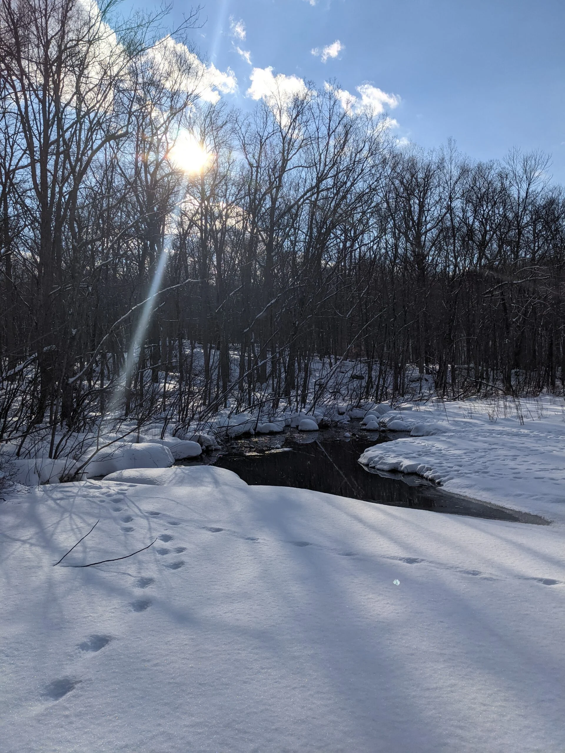
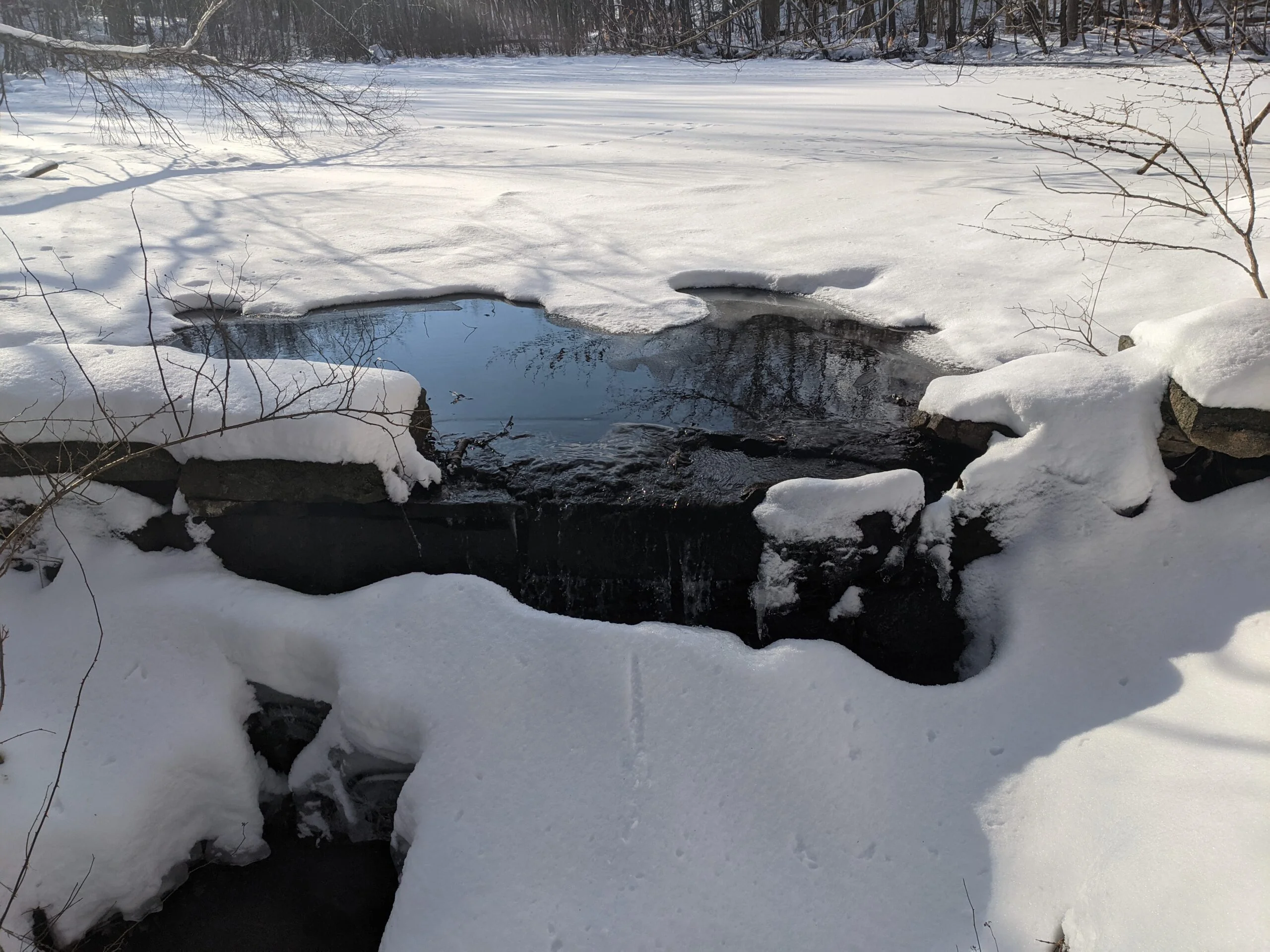
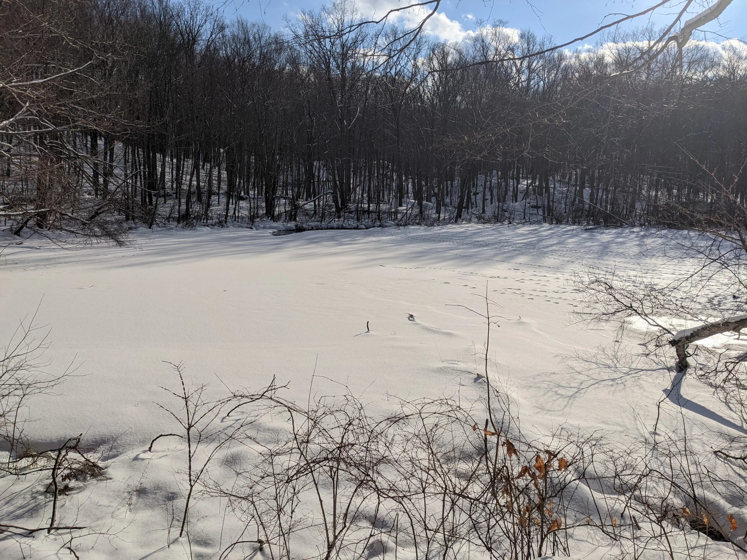
Then I met up with the Hemlock Trail (orange blazes) at intersection #15 and continued my journey south. It was along this section of trail that I started encountering small stream crossings, and I would continue to pass over a dozen of these throughout the day. They were all covered with a small wooden plank bridges, again showing how well this park is maintained. At intersections #13 and #14, I followed Cole Kettle Trail (yellow blazes) loop counterclockwise. When I reached the southern most part of the loop, I was able to see Cole Kettle Pond not too far in the distance, but decided not to explore closer because of the deep snow. If I revisit in the summer, I’ll go in for a closer look. Toward the end of the loop, I cleared off a rock and sat down to take a snack break. My feet were starting to feel cold, so I added a second layer of Wrightsock Men’s Escape Crew Socks ($) which I was carrying in my Osprey 2.5L Hydration Backpack ($) for this exact purpose. The second layer helped for a while and by the end of the trip, my feet were only a little cold but not terrible. I’ll have to see what winter socks are recommended.
After heading back to intersection #13, I finished the rest of the Helmlock Trail then met up with the Laurel Trail (blue blazes) at intersection #12. I had a choice of taking the trail to the west (left) or the east (right). I noticed that the west trail had not been used since the snowfall, so I decided to be the first to walk through the virgin snow. It was a short trek and the abundance of blazes made it a breeze.
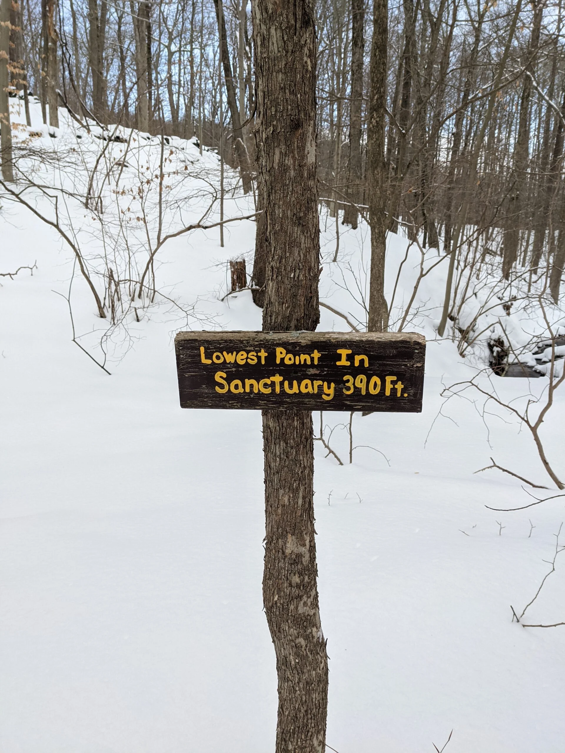
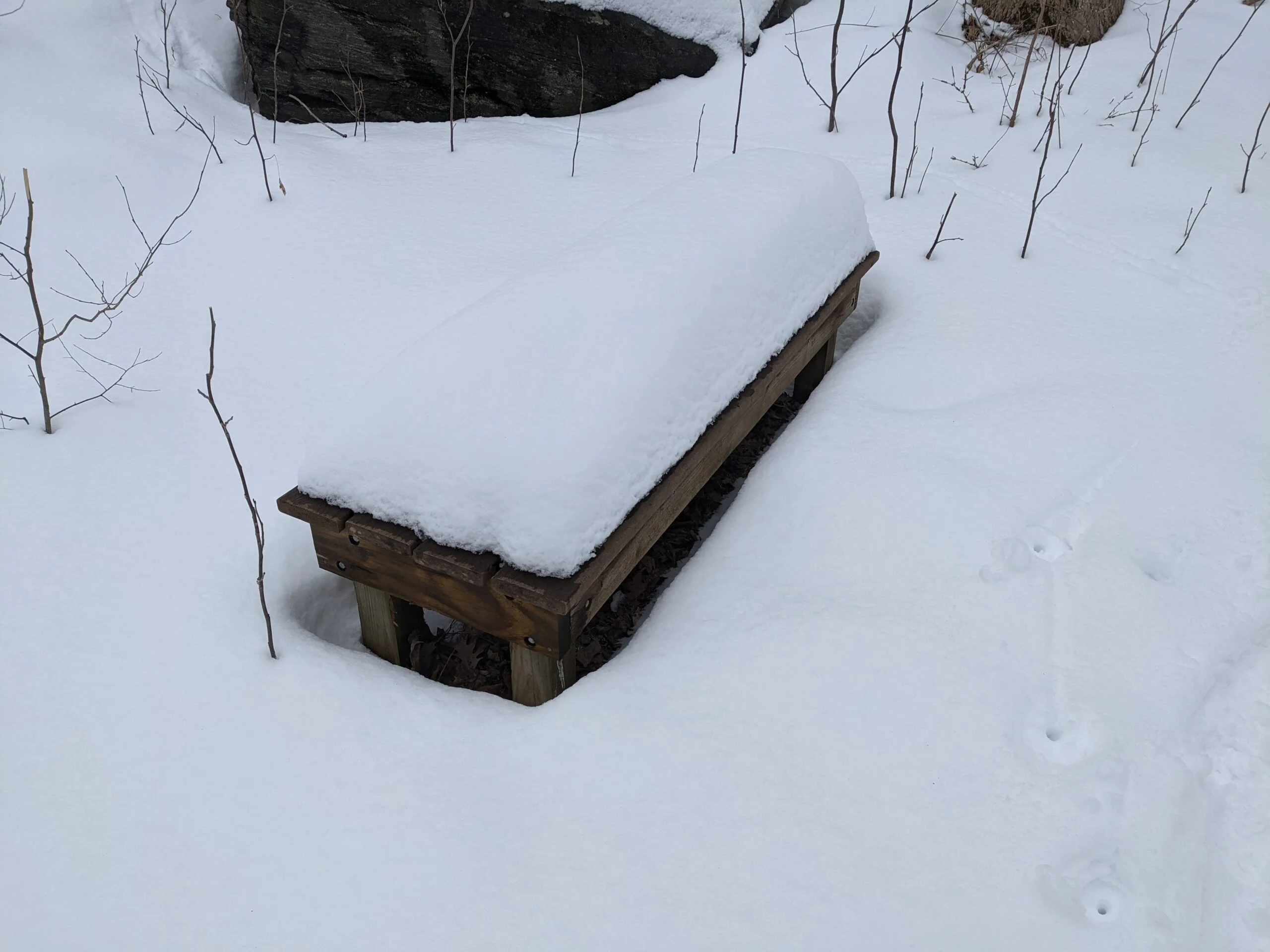
At intersection #11, there’s a set of covered benches, which would have really come in handy for my snack break had a known in advance. A couple with a young child was using the benches, so I didn’t get to snap a picture of the shelter. I headed north on the Veery Trail (green blazes) and passed a sign reading “Lowest Point in Sanctuary – 390 ft” before reaching intersection #10. I took the Fox Run Trail (red blazes) and this could only mean one thing — an ascent of about 175 ft.
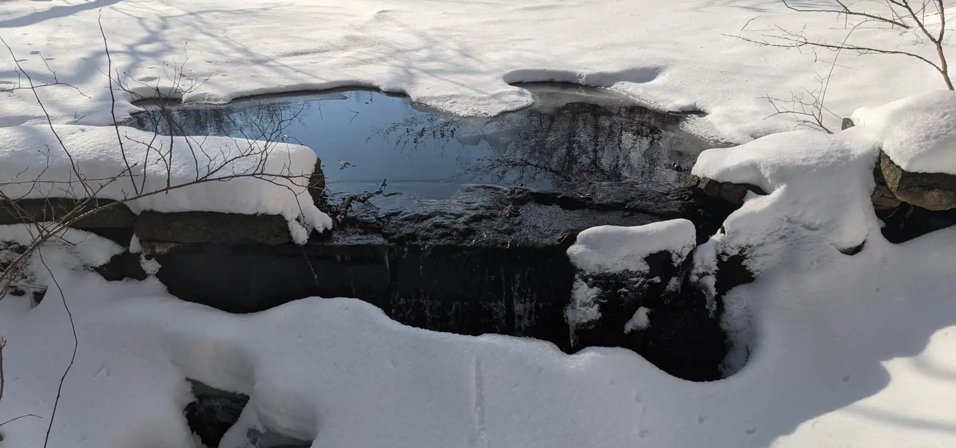
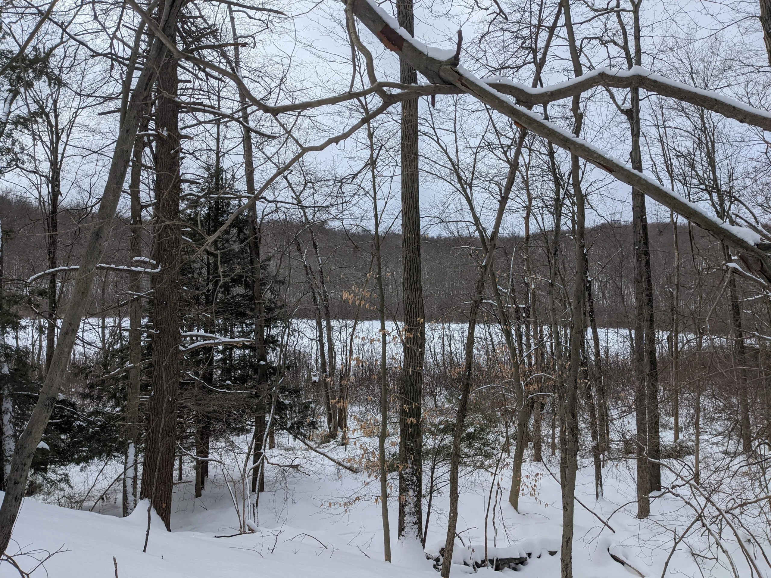
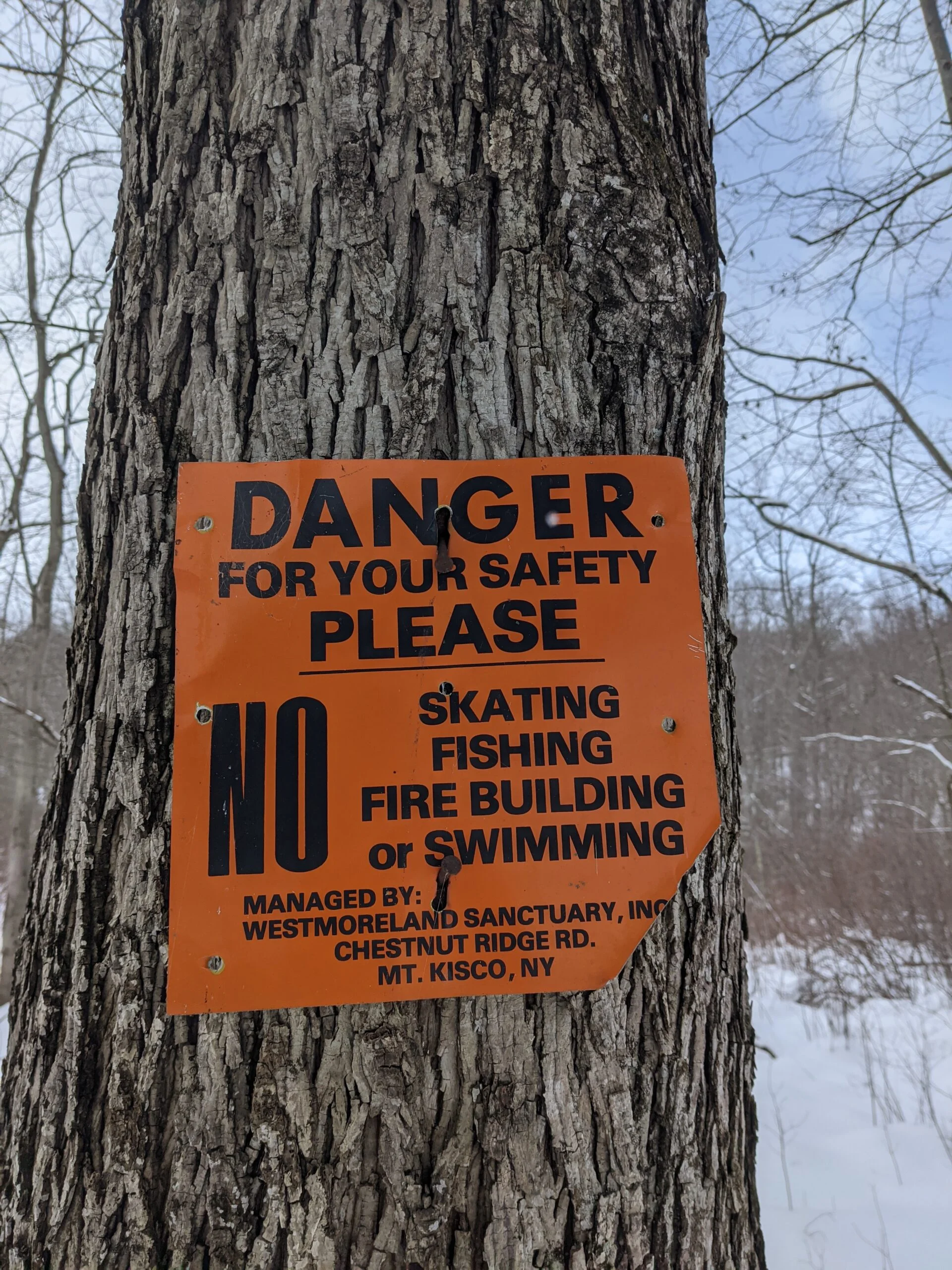
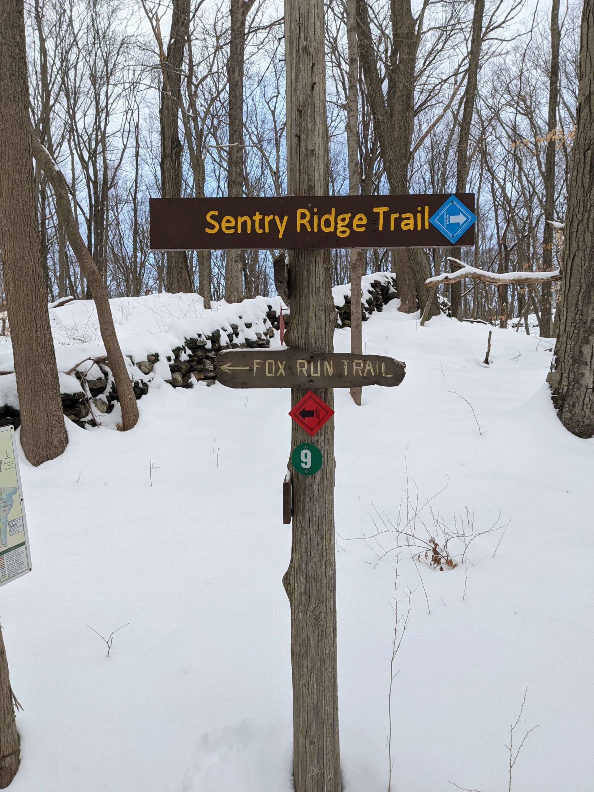
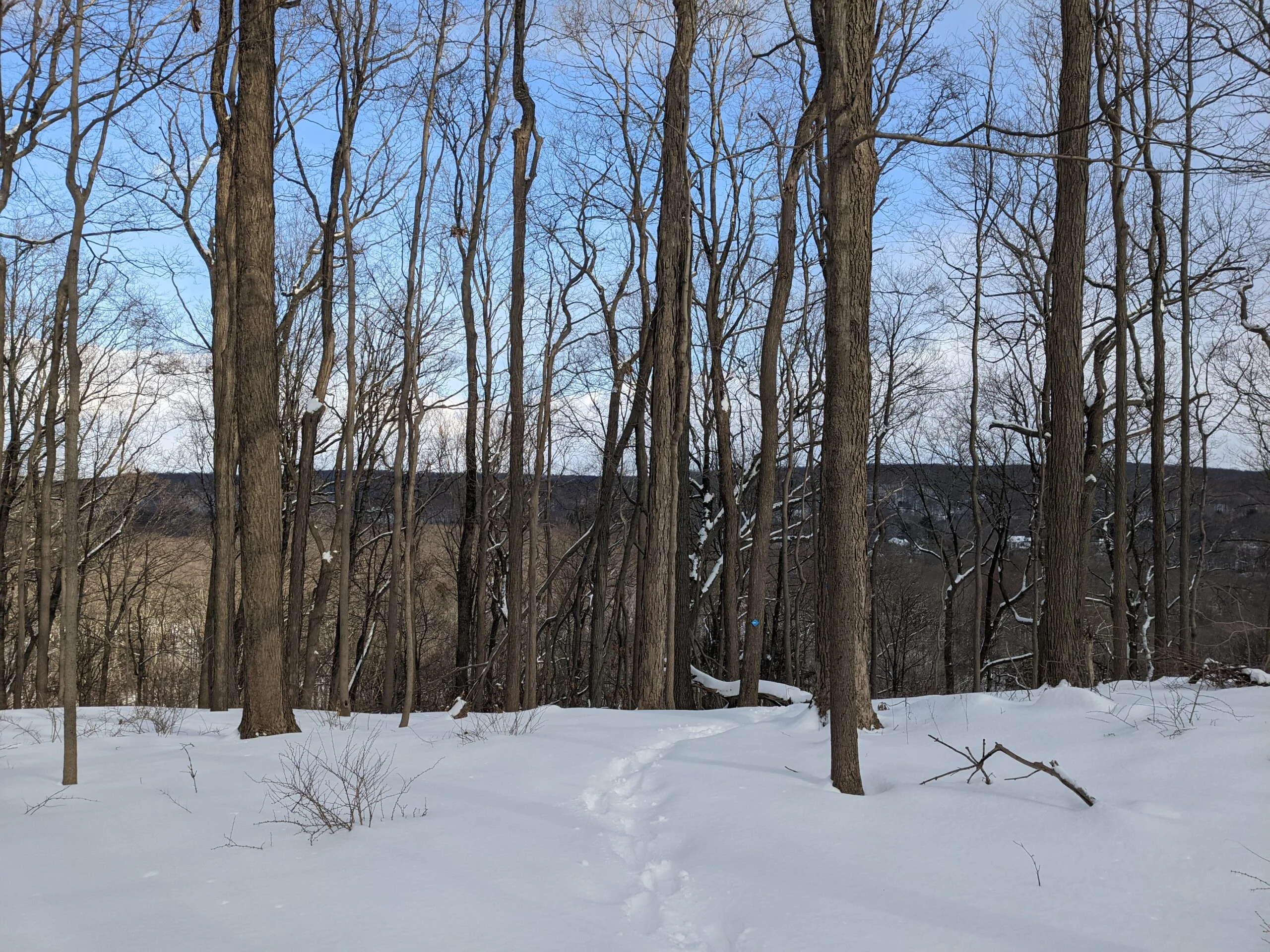
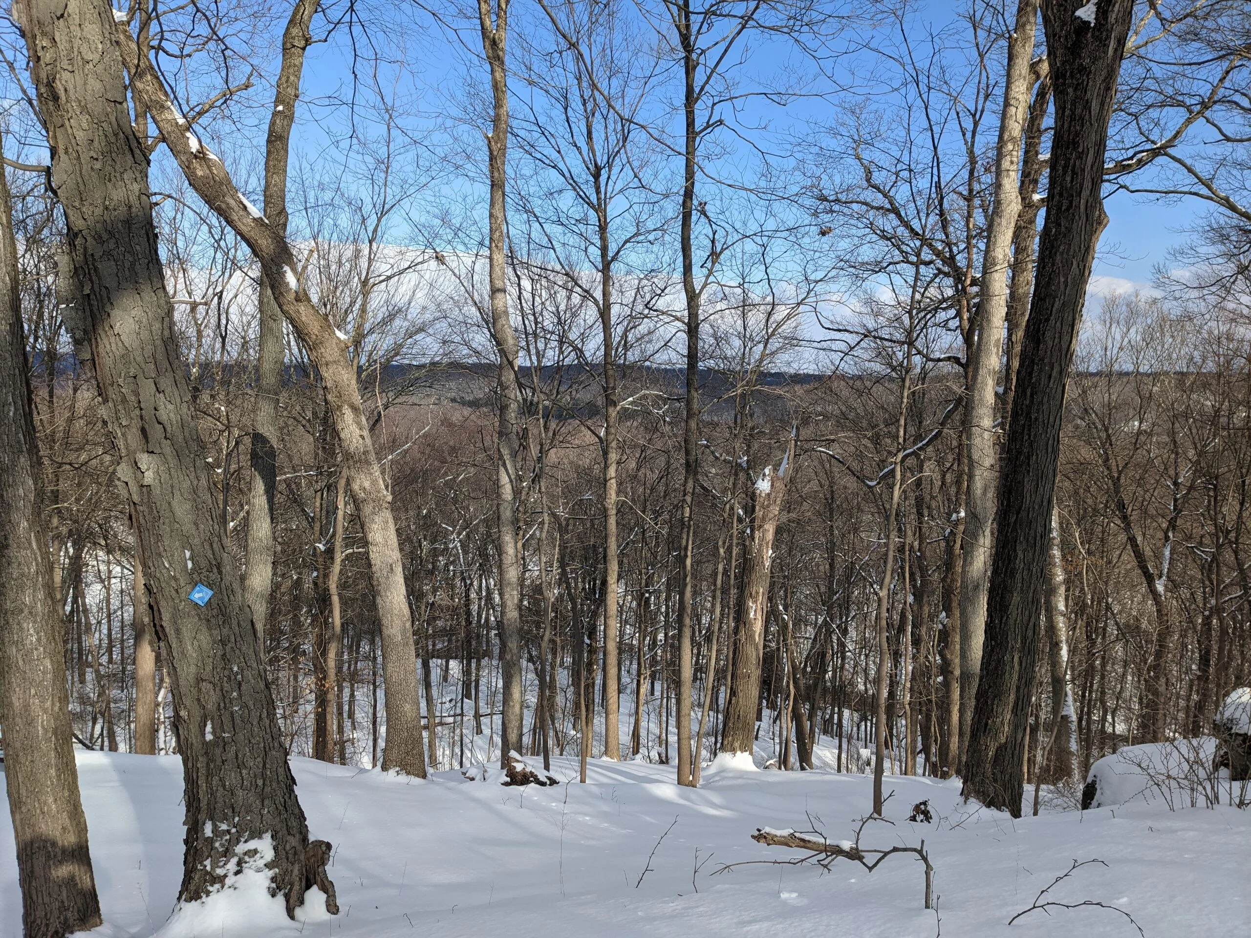
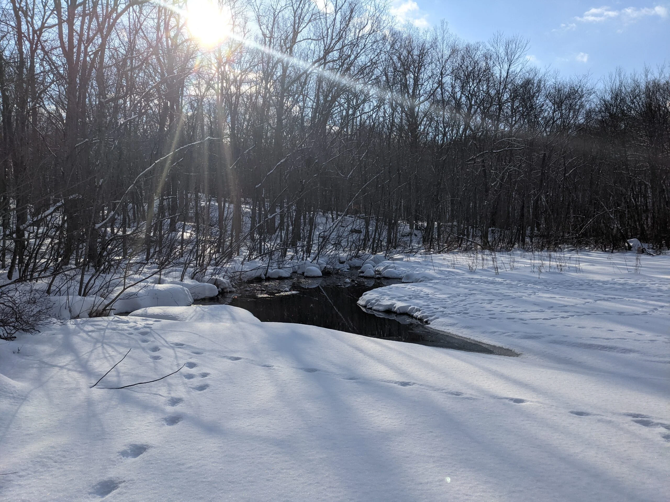
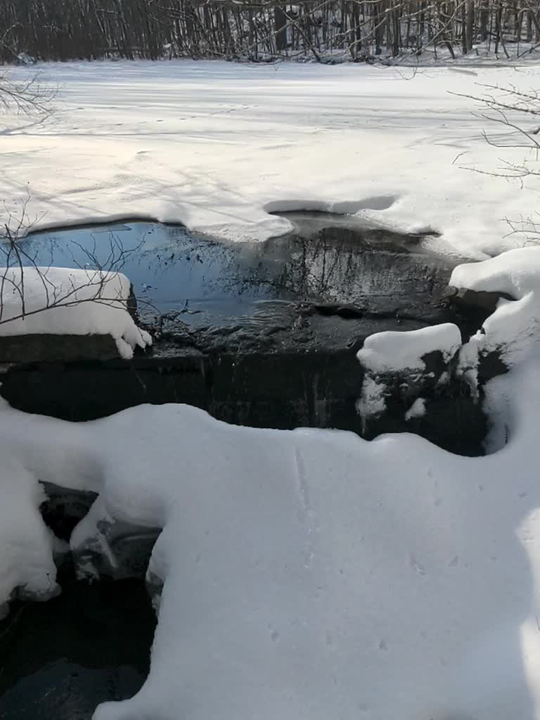
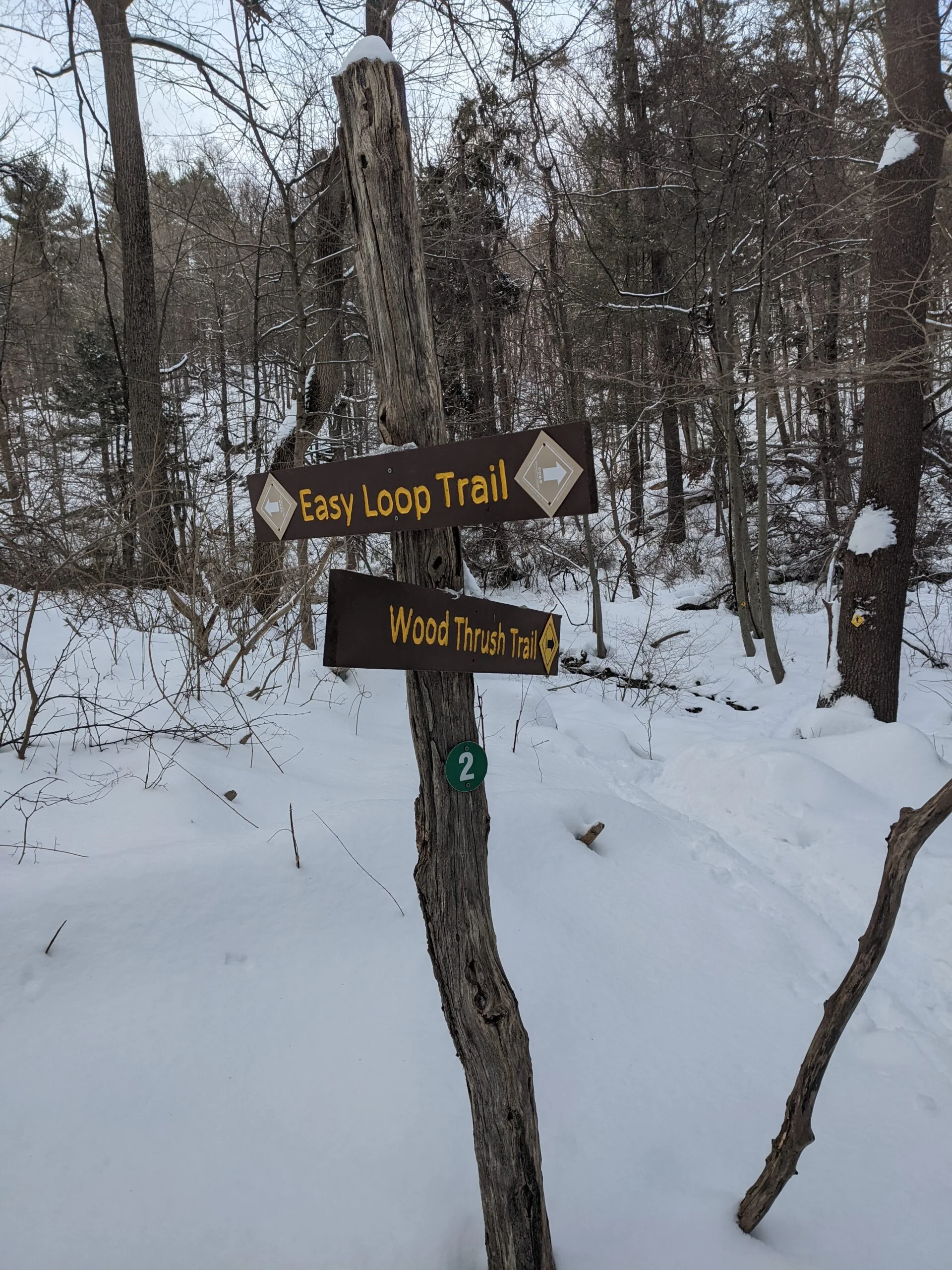
Intersection #9 led my to the Sentry Ridge Trail (blue blazes) in the north eastern part of the park. There was a nice view of some mountains off in the distance from the eastern part of the trail. At intersection #8, I took the Lost Pond Trail (white blazes) to the north, passing by and stopping to take pictures at Lost Pond. It appeared mostly frozen and I stepped out on the ice slightly, but didn’t want to venture too far without knowing how solid it was. I continued following this trail at intersection #7, making my way west to intersection #6, where I connected with the Wood Thrush Trail (yellow blazes).
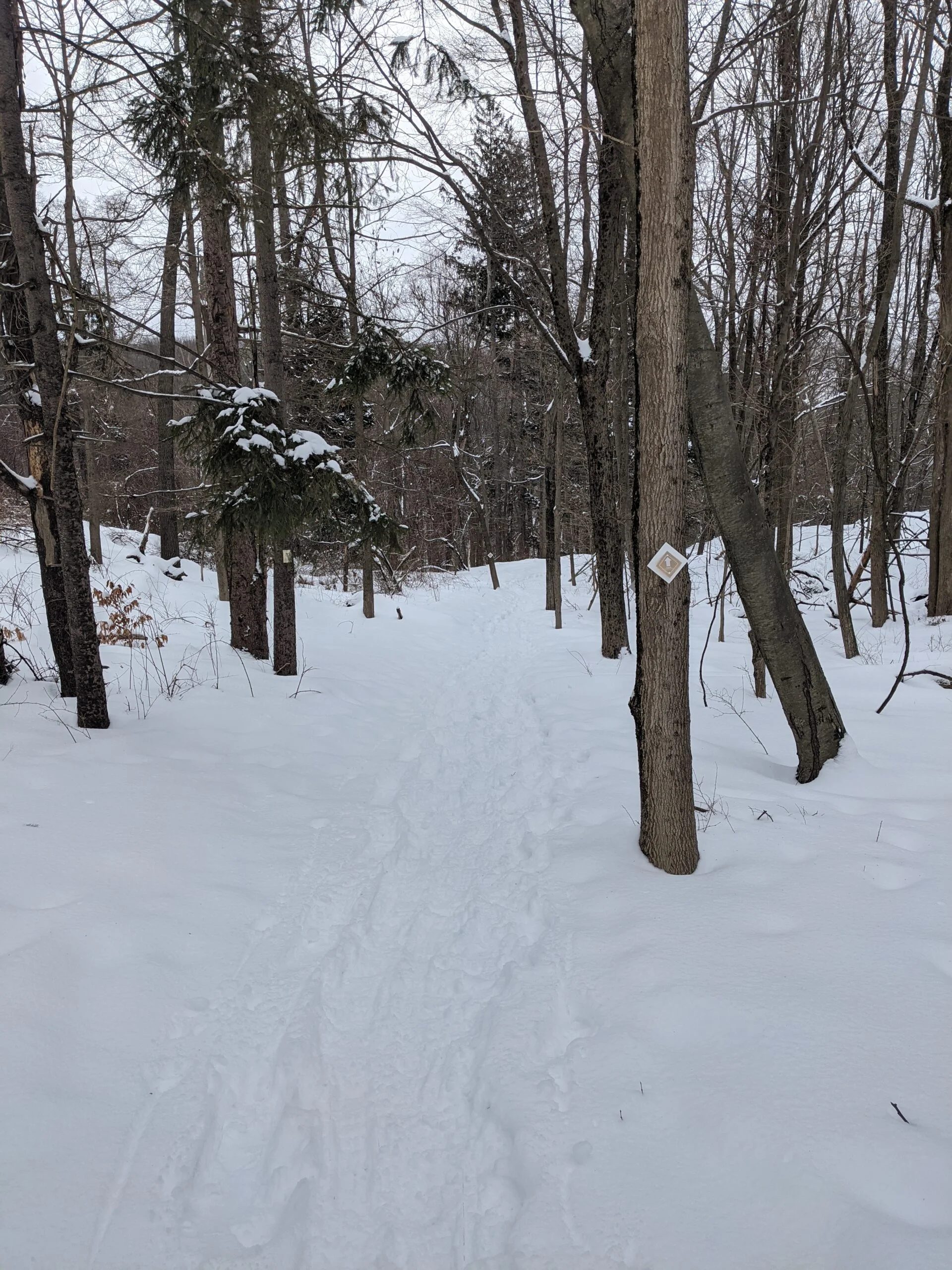
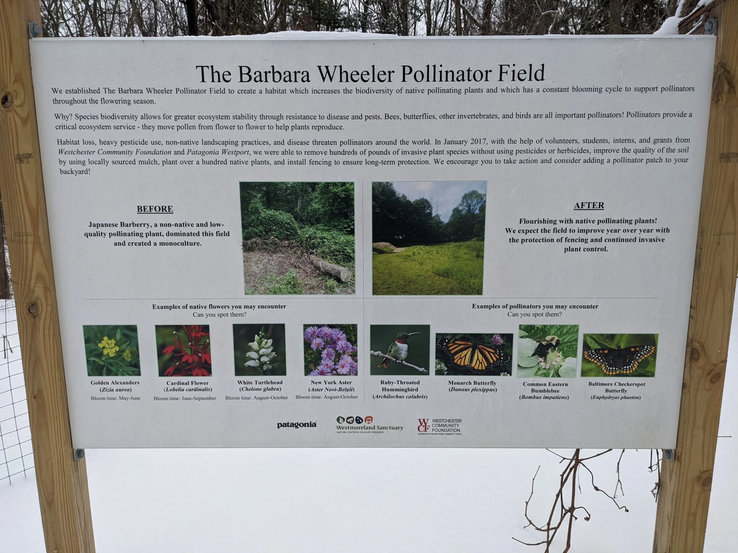
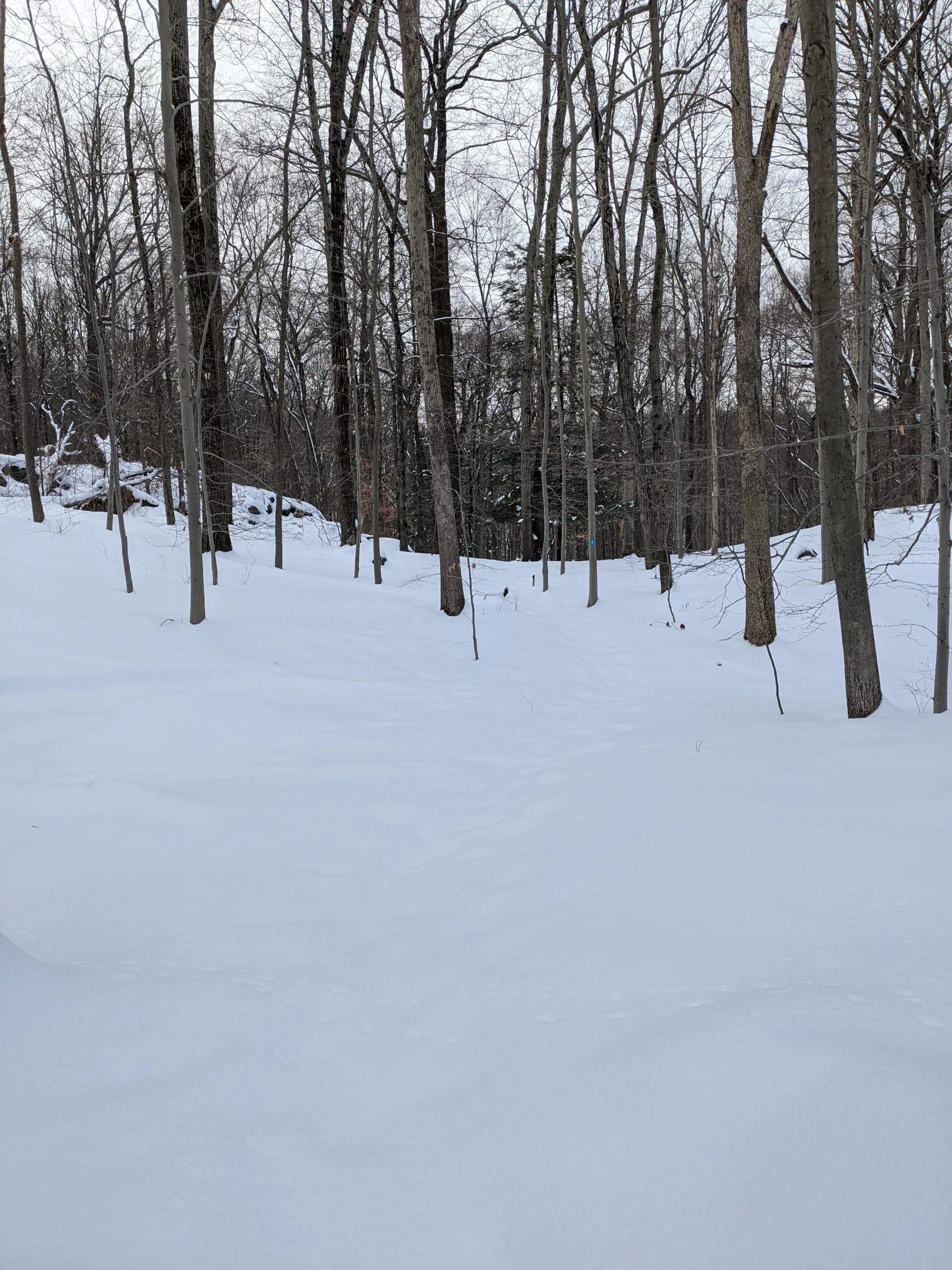
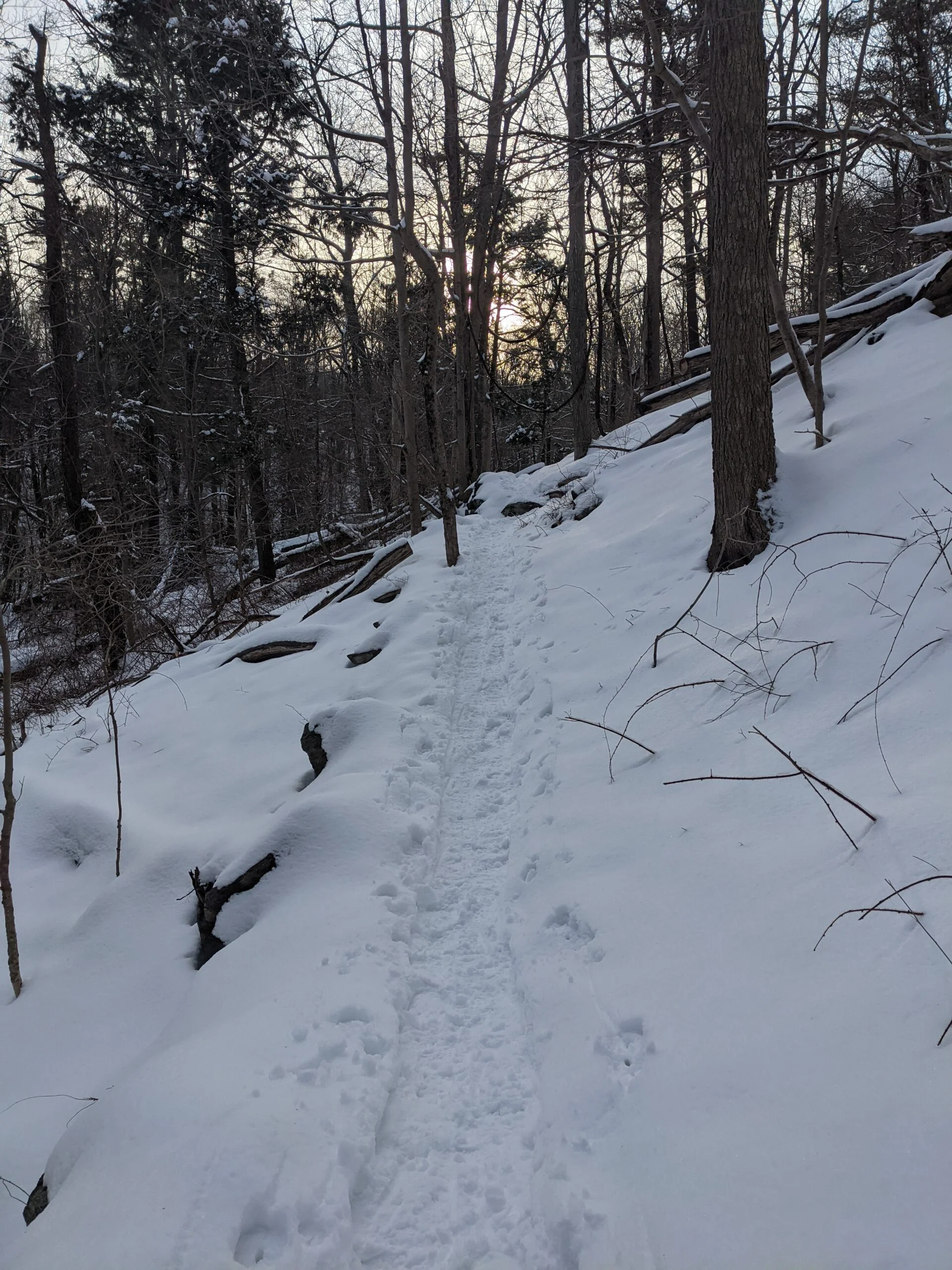
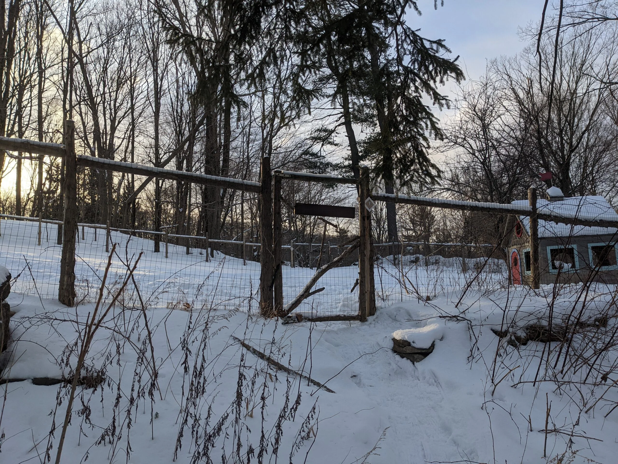
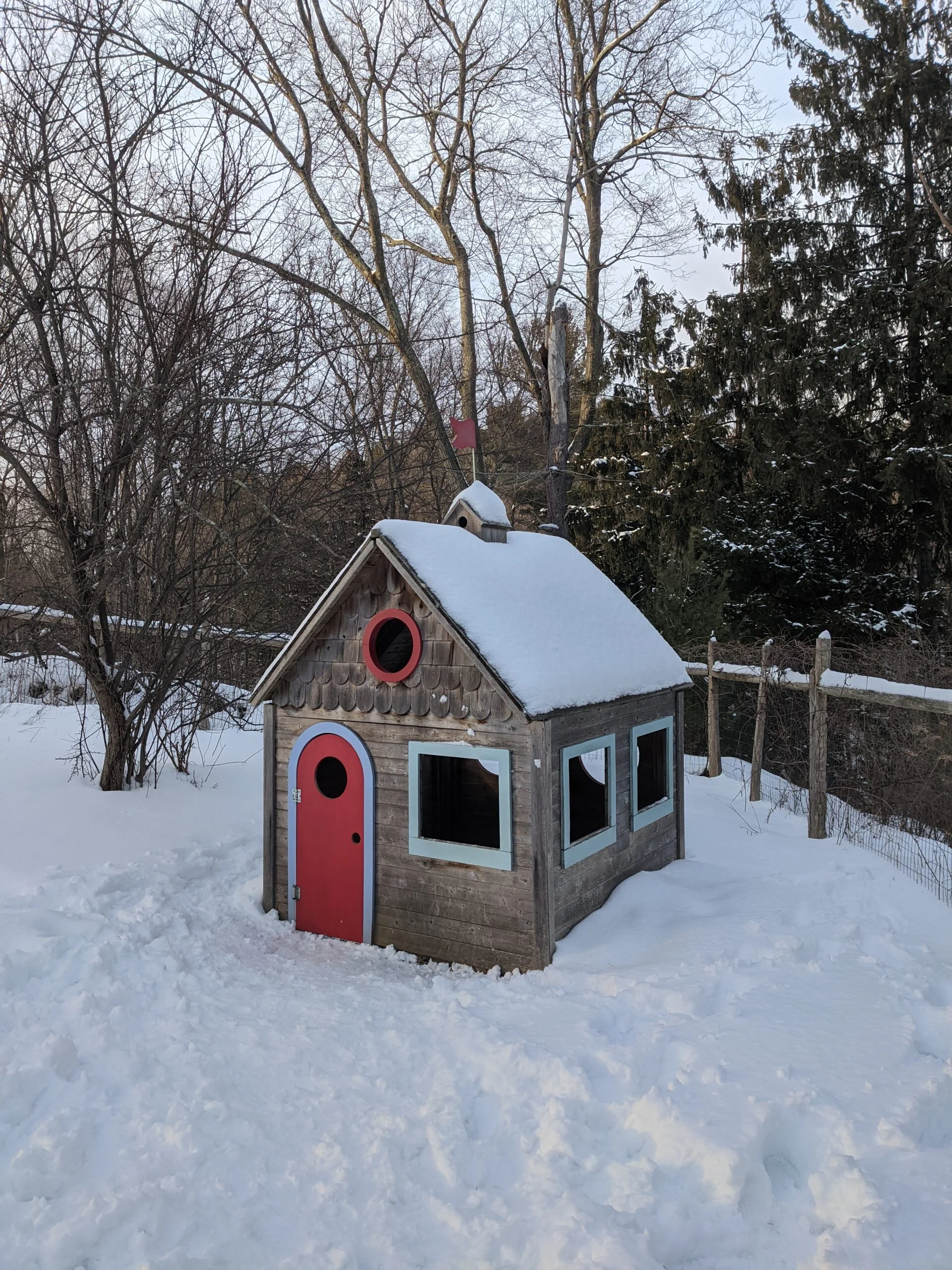
It was along the Wood Thrush trail that I ascended to the highest point on my hike at around 728 ft. The elevation changes in this park were mostly gradual with only a few moderate inclines and declines, so it’s definitely manageable for most. At intersection #2, I took the Easy Loop Trail (tan blazes) toward the Educational Campus part of the park. At the intersection, there was an enlarged section of the map with 18 points of interest marked. Since I was at the end of my hike, I didn’t take the time to explore this area, but would like to in the future. After passing through the gated Terrace Garden, I made my way back to the parking lot and my car.
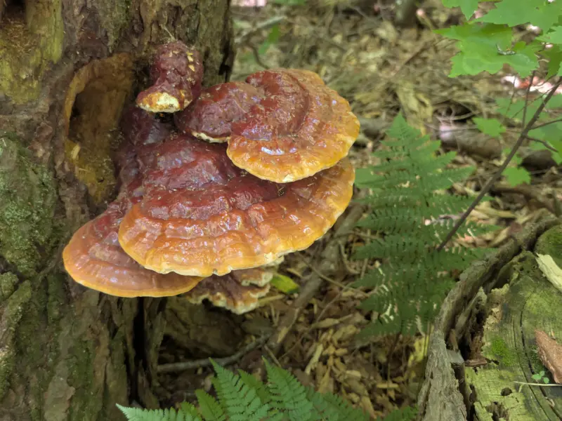
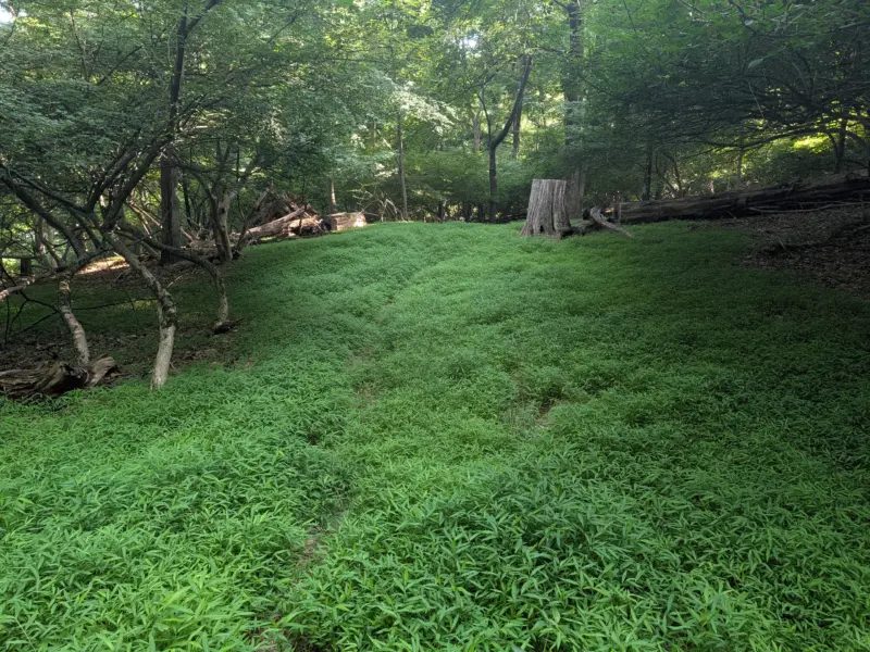
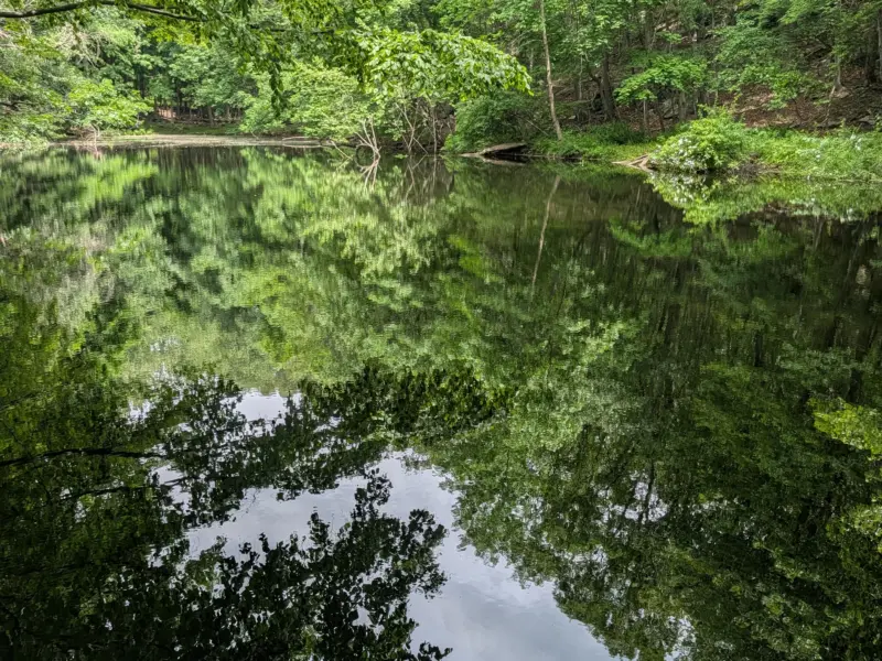
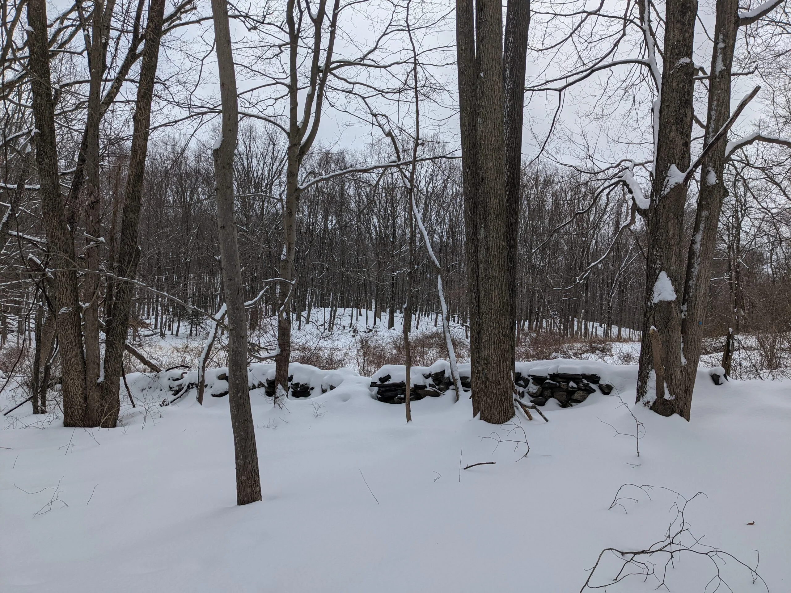
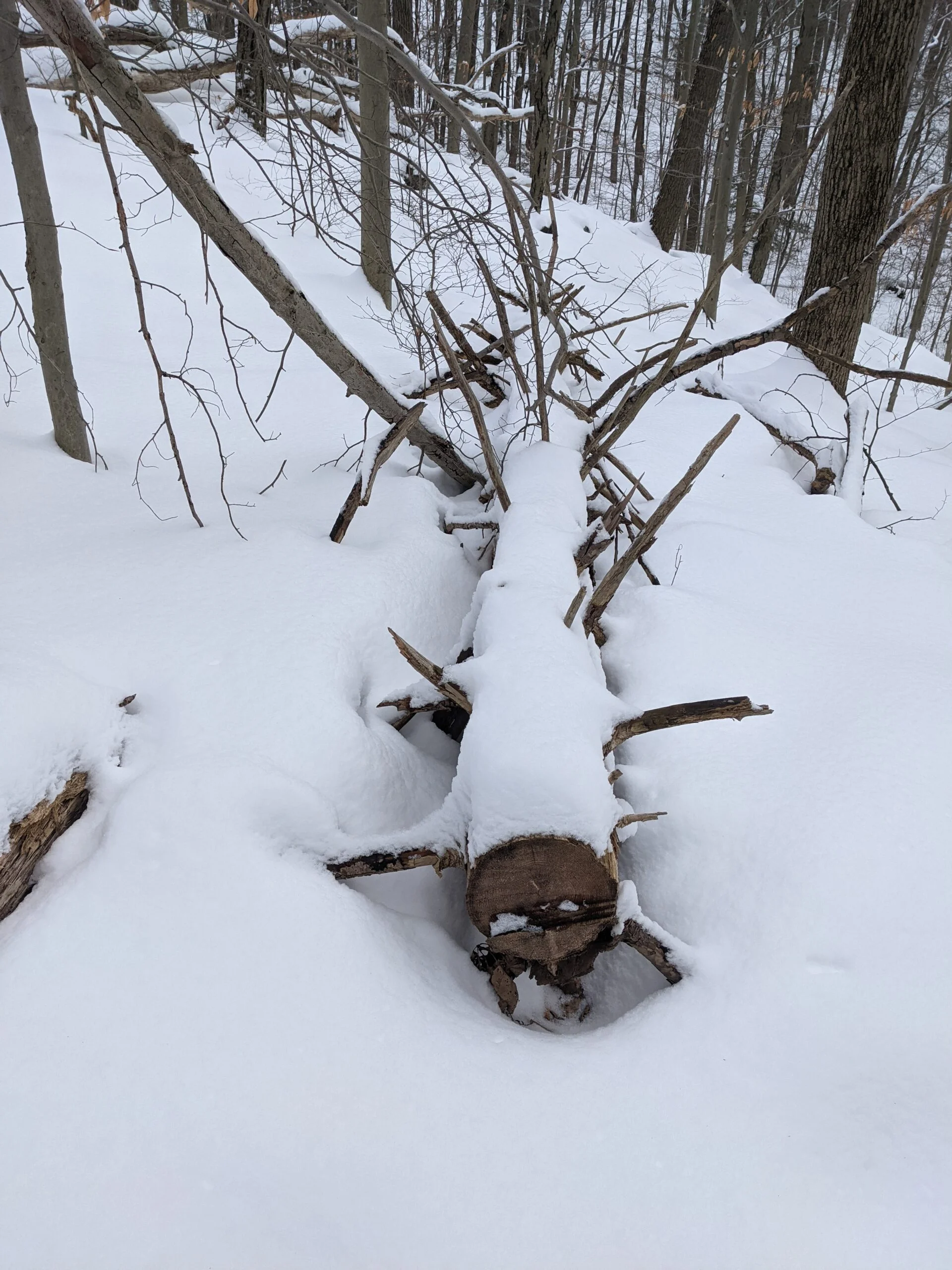
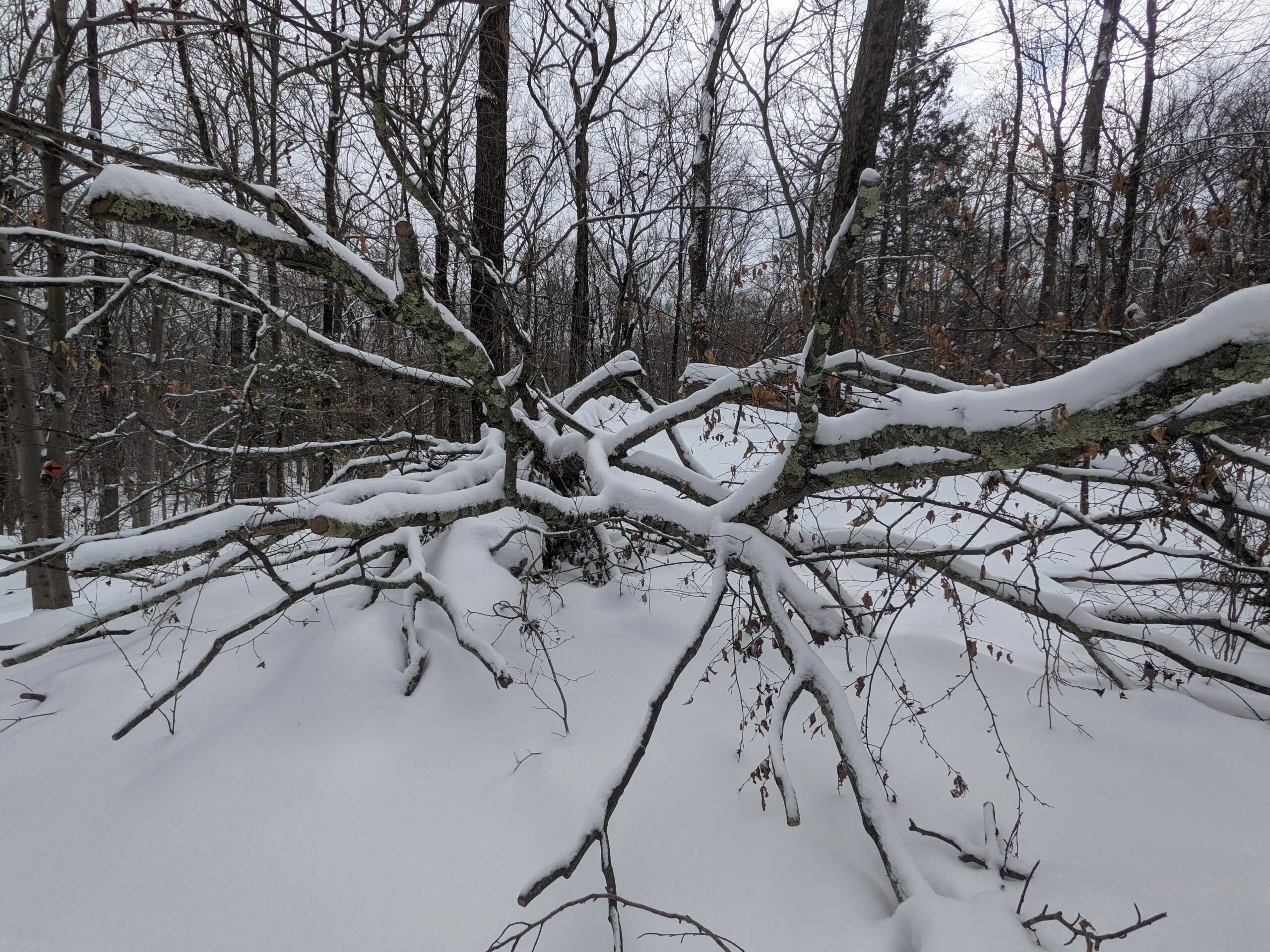
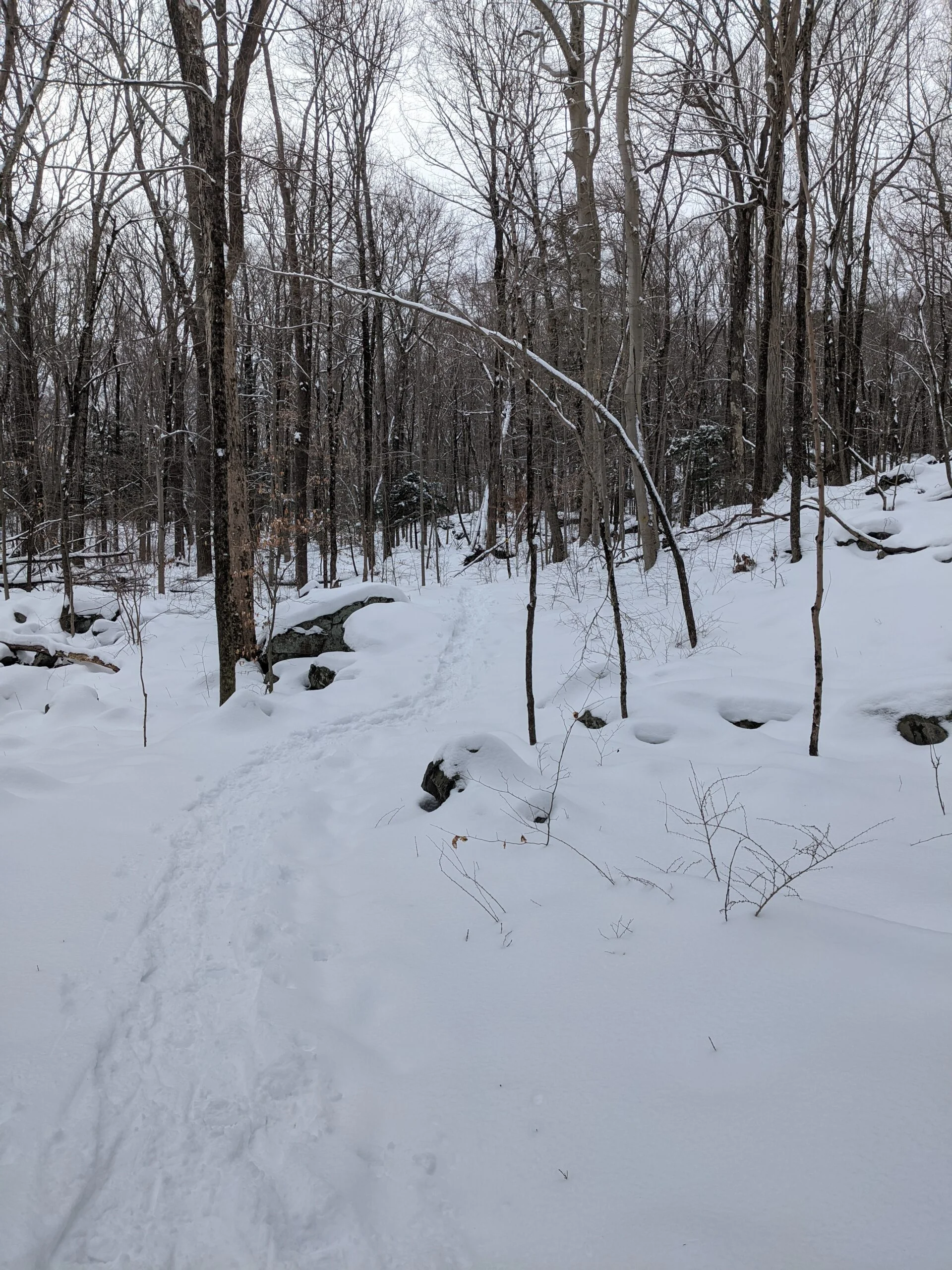
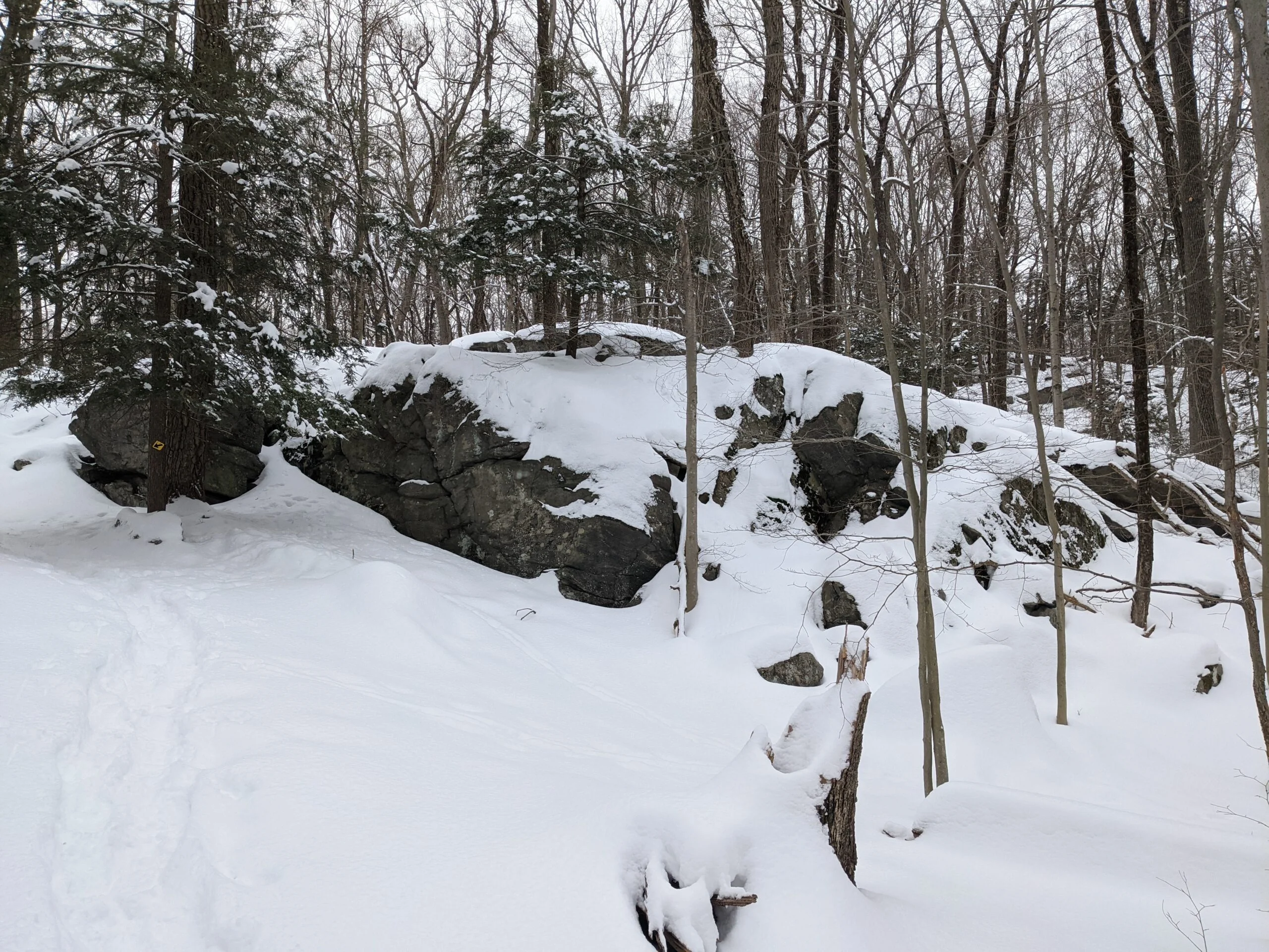
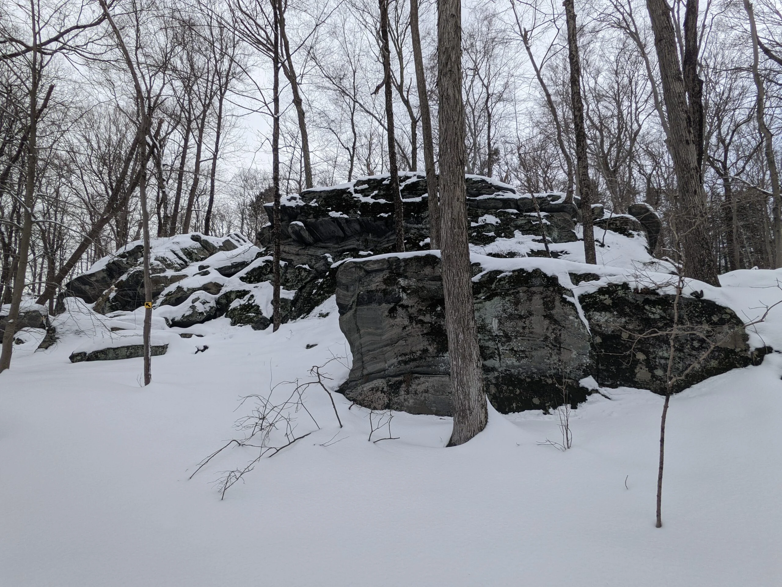
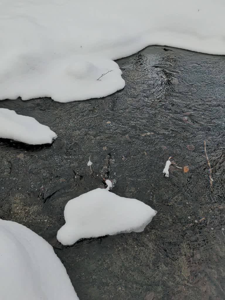
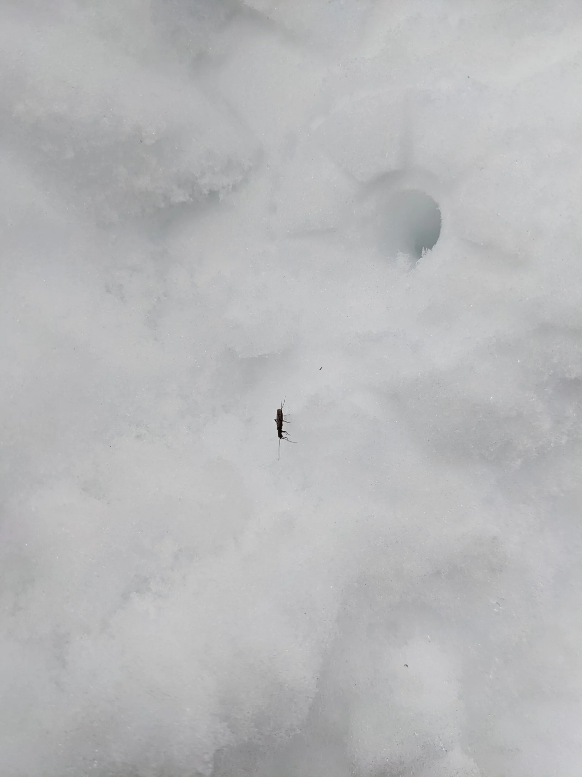
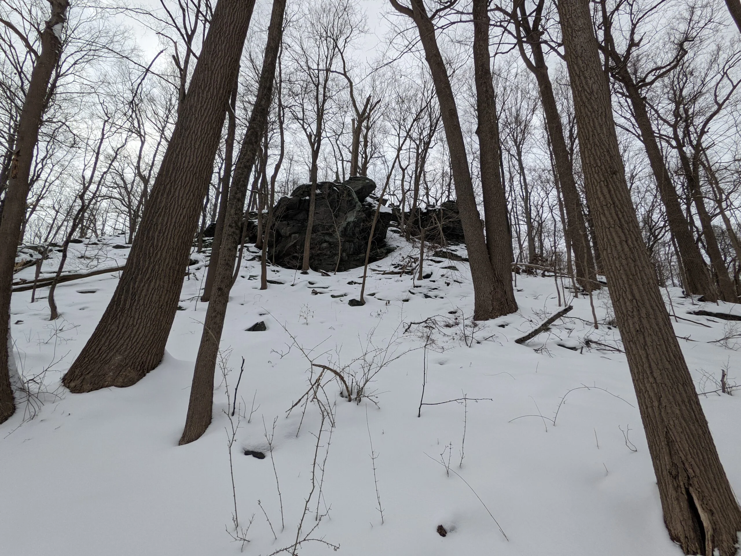
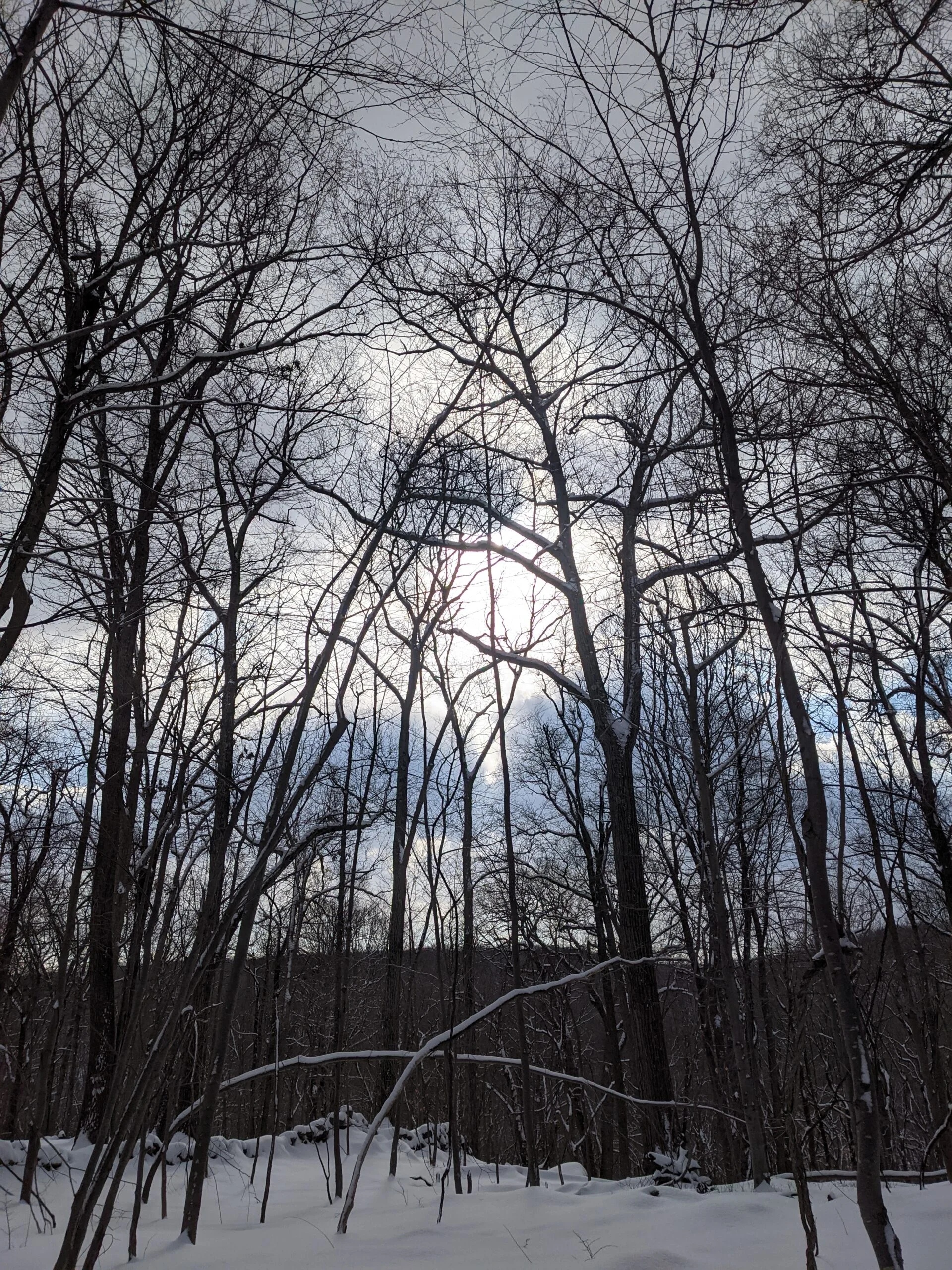
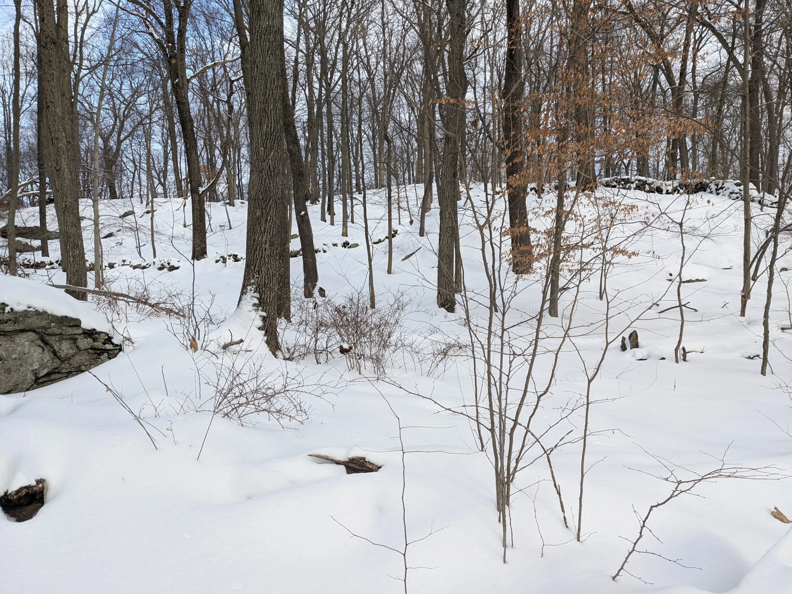
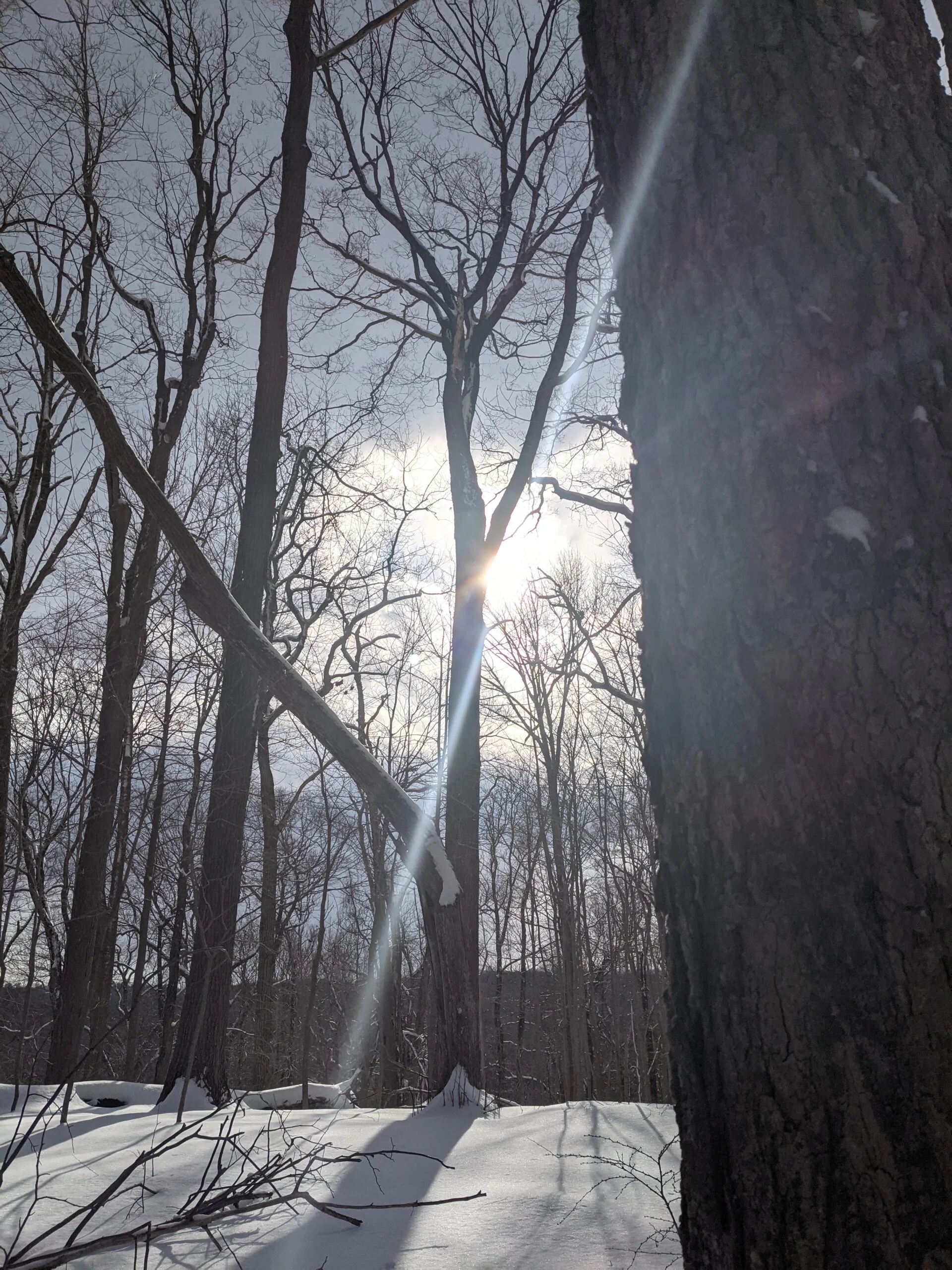
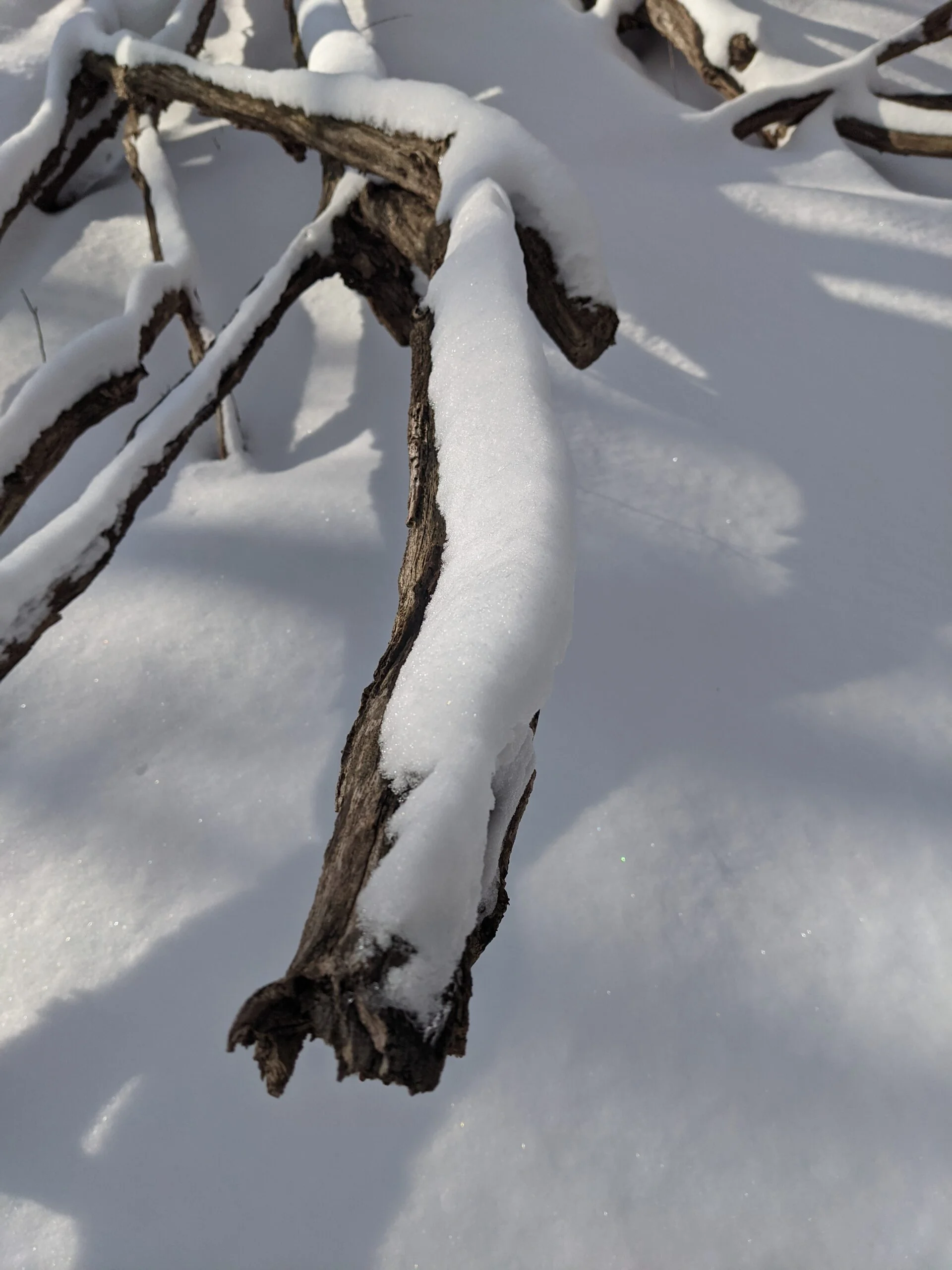
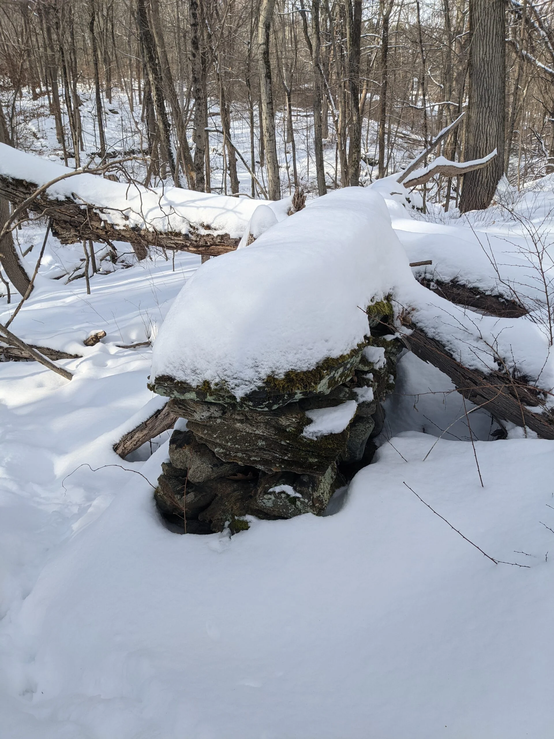
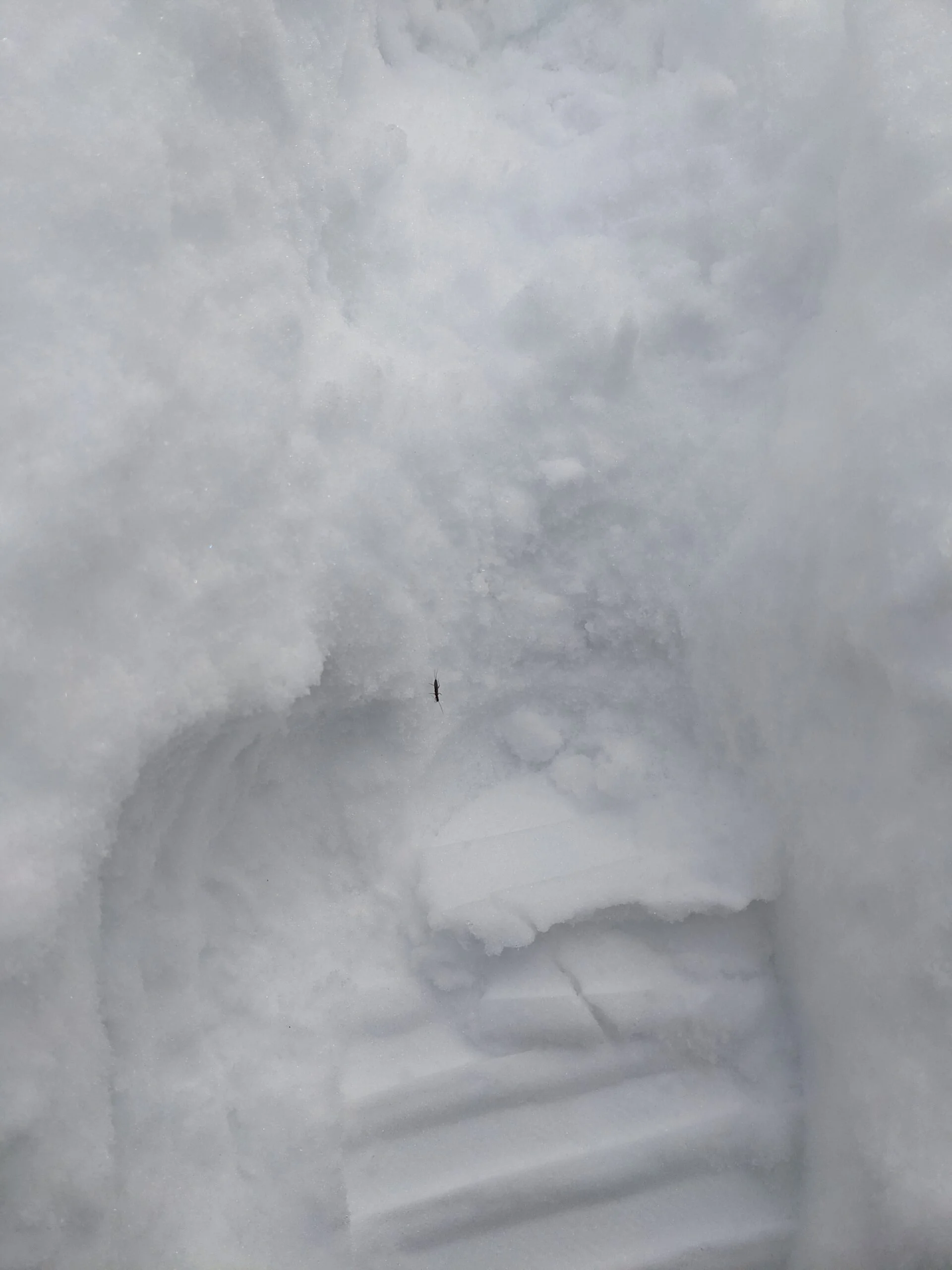
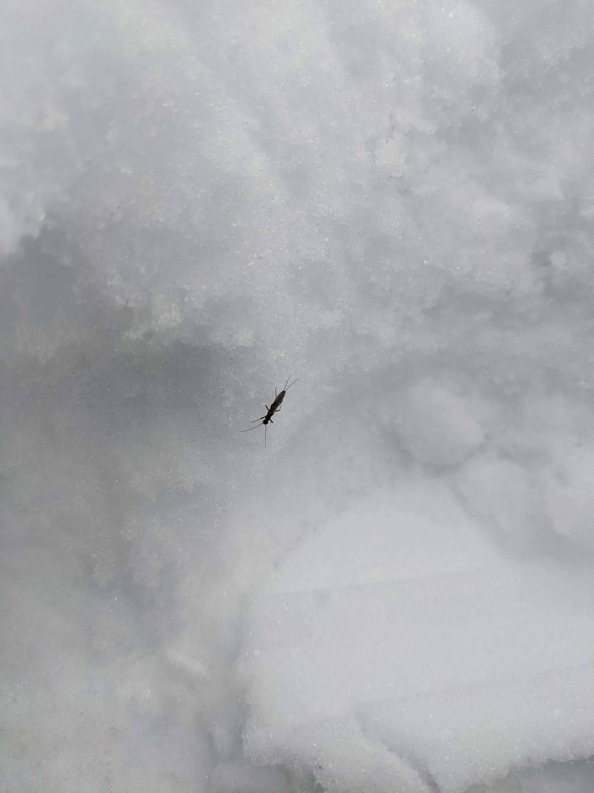
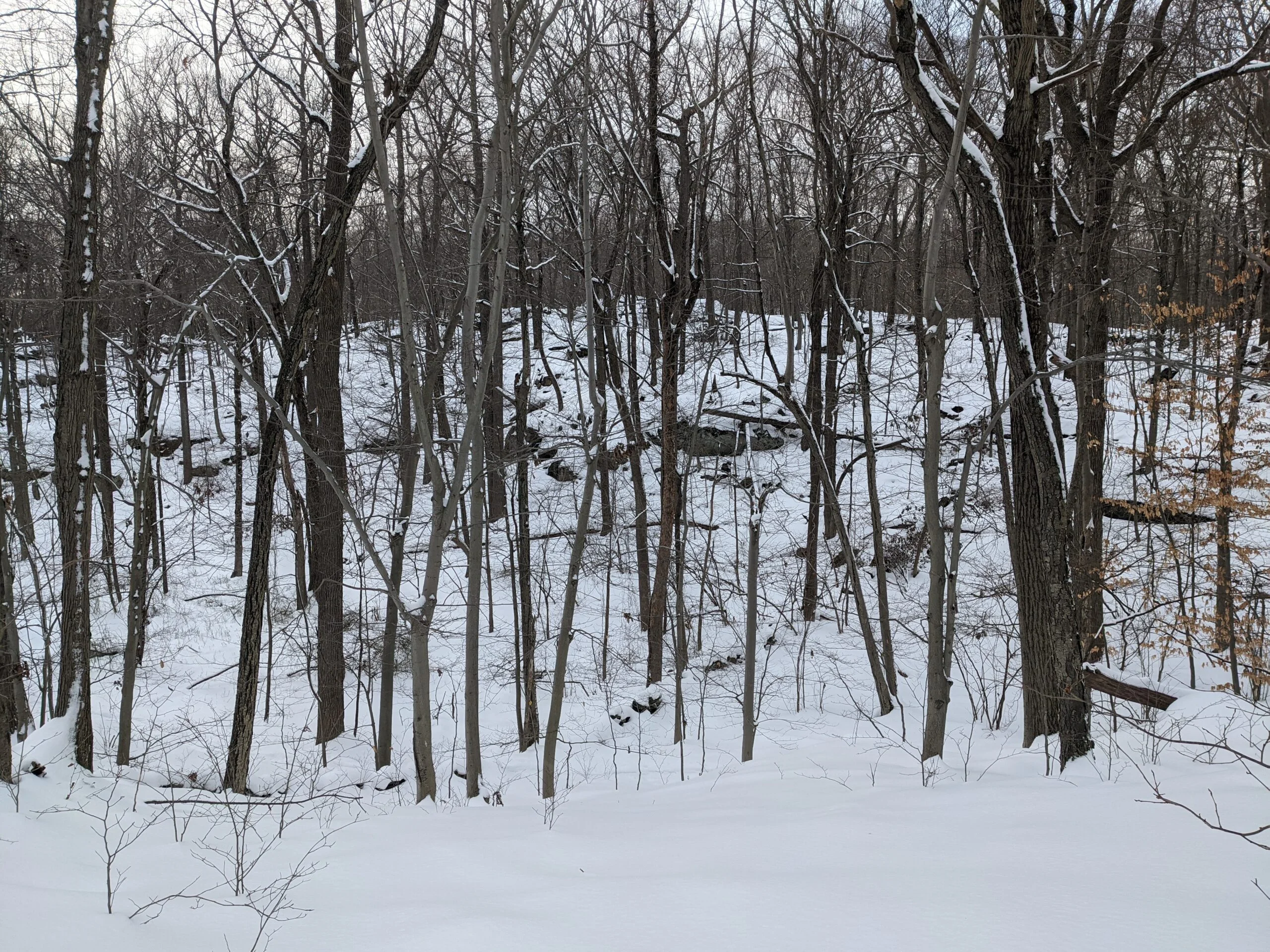
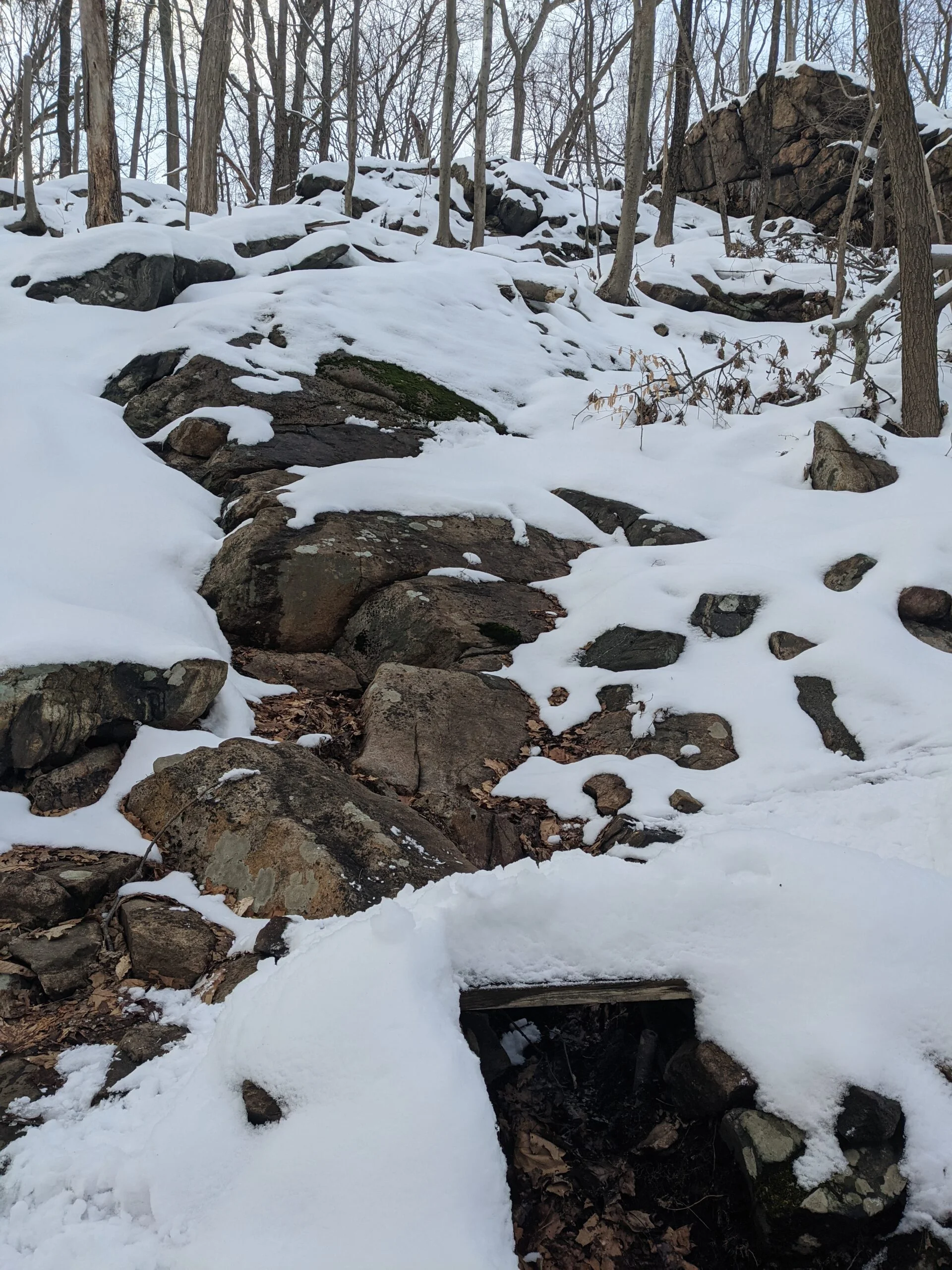
I really enjoyed this hike! In the winter, there’s not a lot to see, but there were plenty of rock formations, rock walls, and streams to keep me satisfied throughout the journey. I can’t wait to explore in the summer once things start turning green again. You’ll see a few photos of bugs in the gallery. I noticed them crawling across the snow and the path at several different places in the park, miles from each other. I’m curious to see if I can figure out what they were.
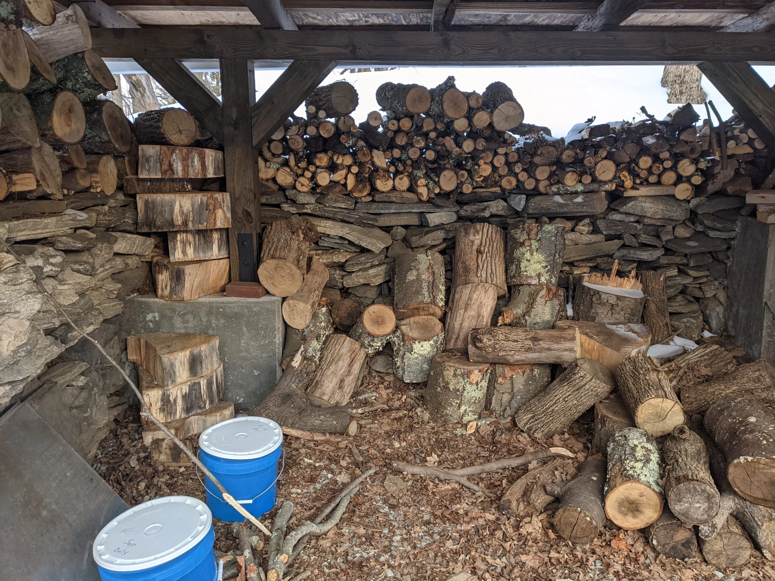
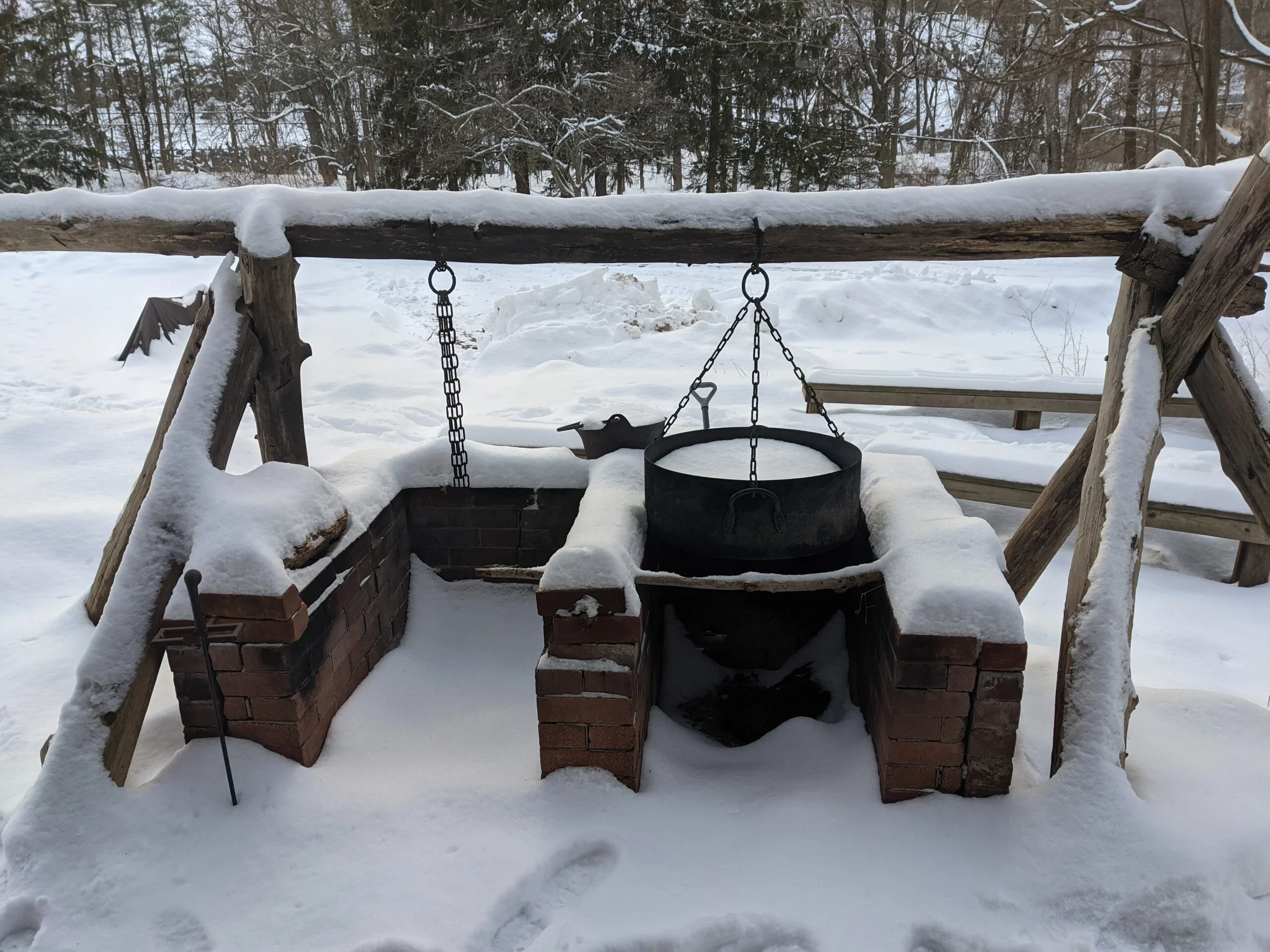
Photos


GPS Route & Elevation
Loads an interactive map; map tiles are served by the U.S. Geological Survey, which receives your IP address. Learn more about maps and your privacy