Westmoreland Sanctuary – Lost Pond, Cole Kettle Pond, Terrace Garden
- 6.1 mi
- 863 ft gain
- 04:06:56
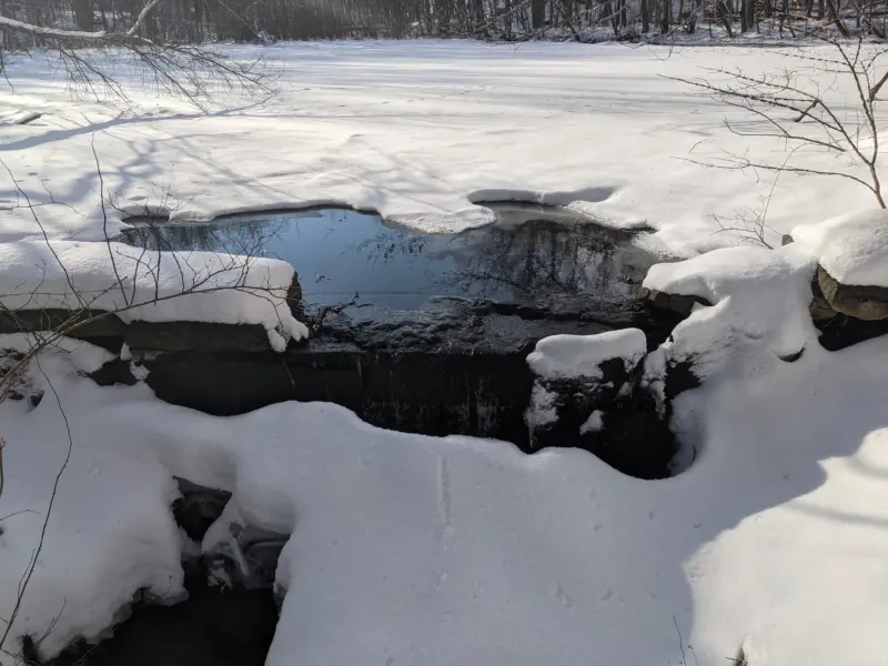
Of all the hikes I've been on so far, Westmoreland has the best blazed trails and marked intersections. Not only are there trail arrows at each intersection, there's a full trail map of the entire park. Even though I had both printed and electronic versions of the map, it was super convenient not to have to dig in my pockets. In the winter, there's not a lot to see, but there were plenty of rock formations, rock walls, and streams to keep me satisfied throughout the journey. I can't wait to explore in the summer once things start turning green again.