Harriman State Park Harriman-Bear Mountain State Parks
Harriman State Park – South Hill, Ramapo Torne, Russian Bear, Racoon Brook Hills
- 9.1 mi
- 1,673 ft gain
- 06:18:51
- 182 photos
- 10 videos
After a 2 week hiatus, I jumped back in with a killer hike that left me sore and also rejuvenated! I chose the Racoon Brook Hills Loop at Harriman State Park because I haven’t been to Harriman since the fall and there is so much more for me to explore there still.
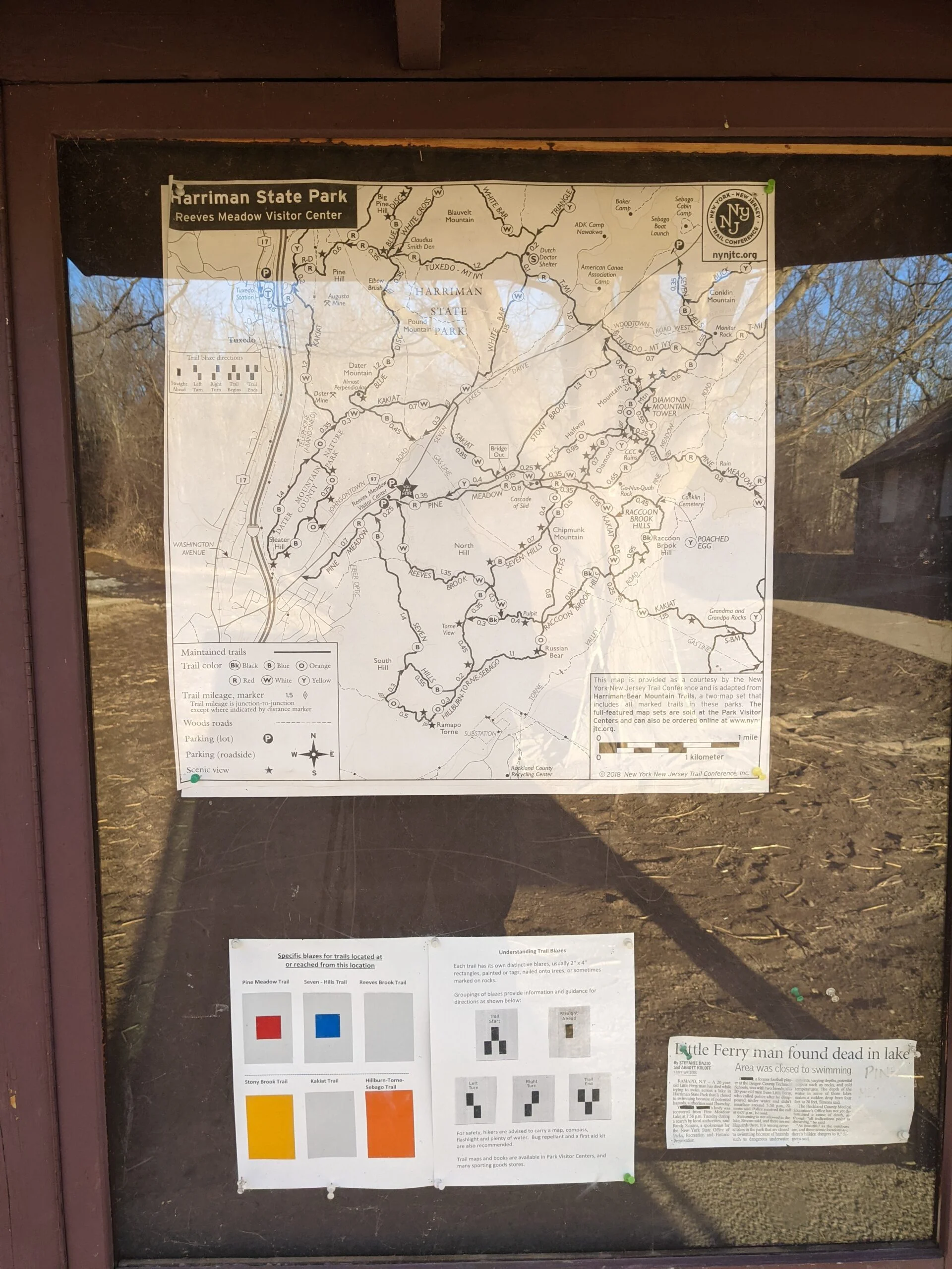
I pulled into the Reeves Meadow Information Center parking lot on Seven Lakes Drive just before 11am. I got started a little later than I had planned, but it all worked out in the end. I chose to approach the loop counterclockwise, as I wanted to get the heavy climbing done before I got too sore and tired.
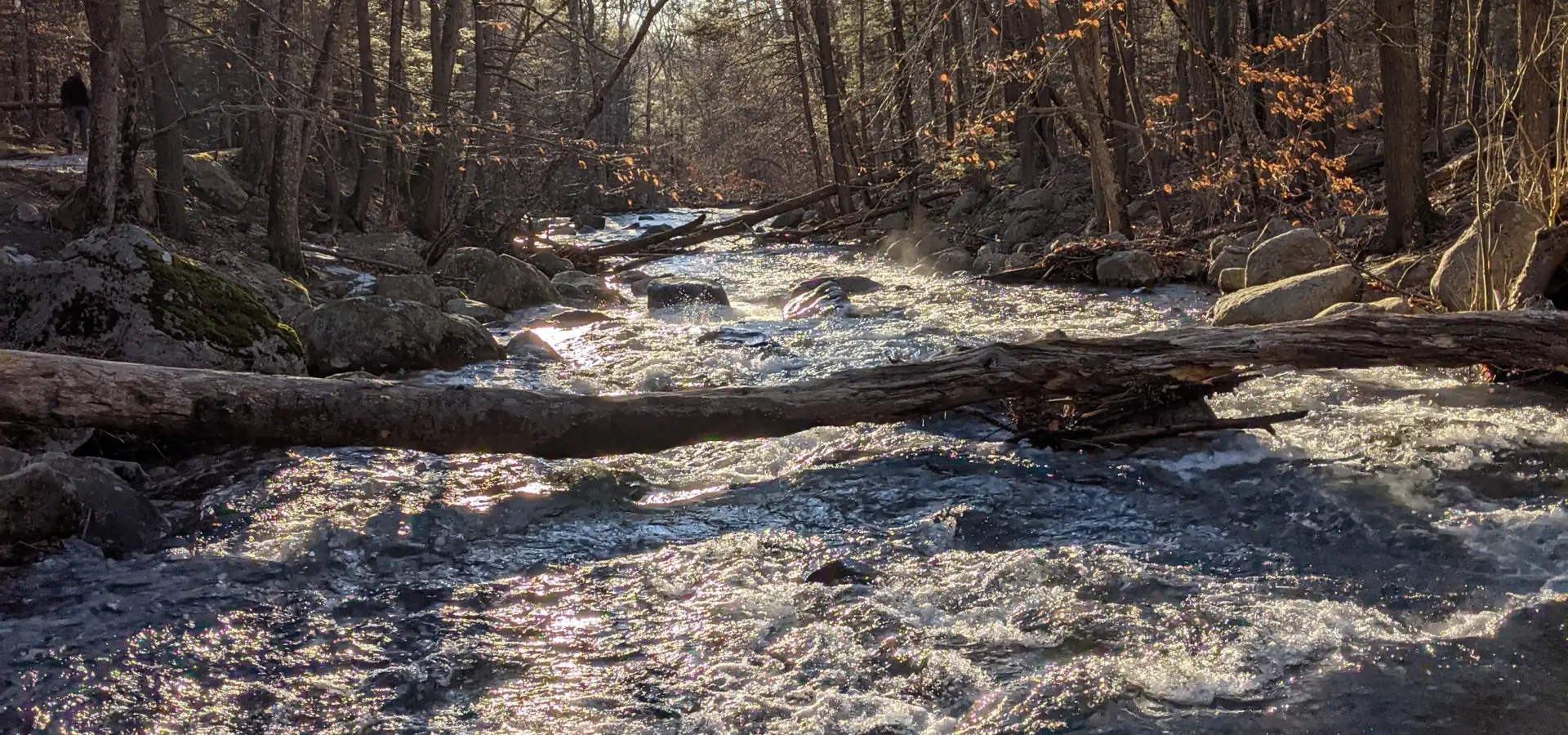
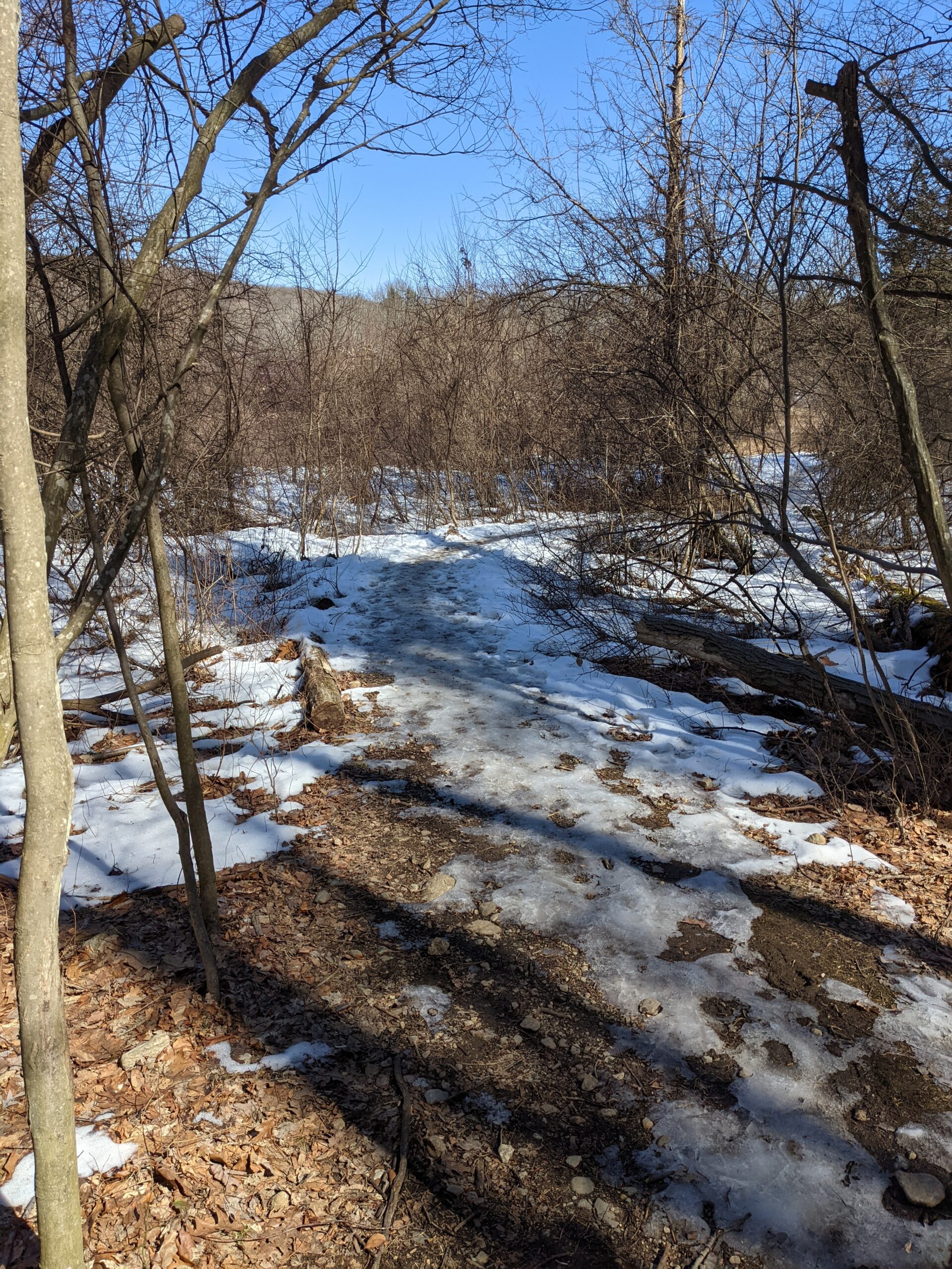
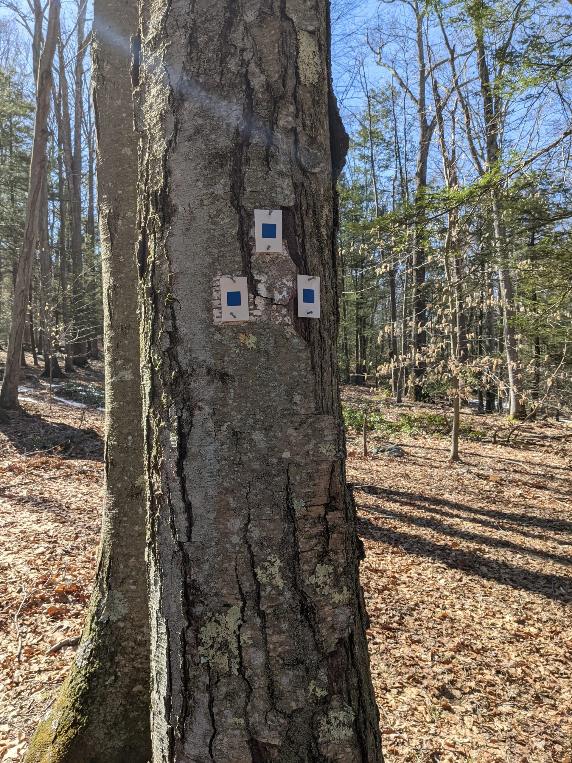
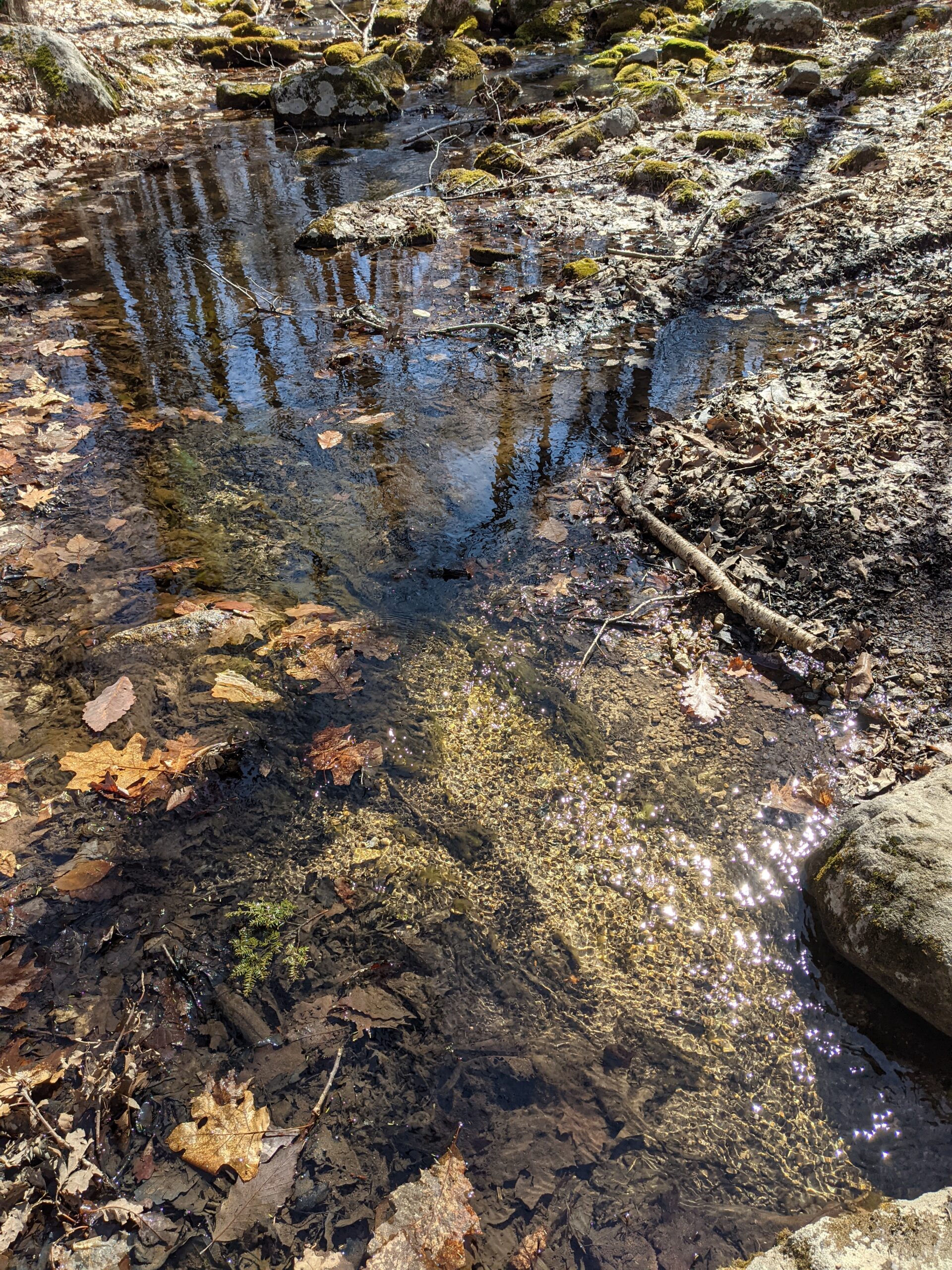
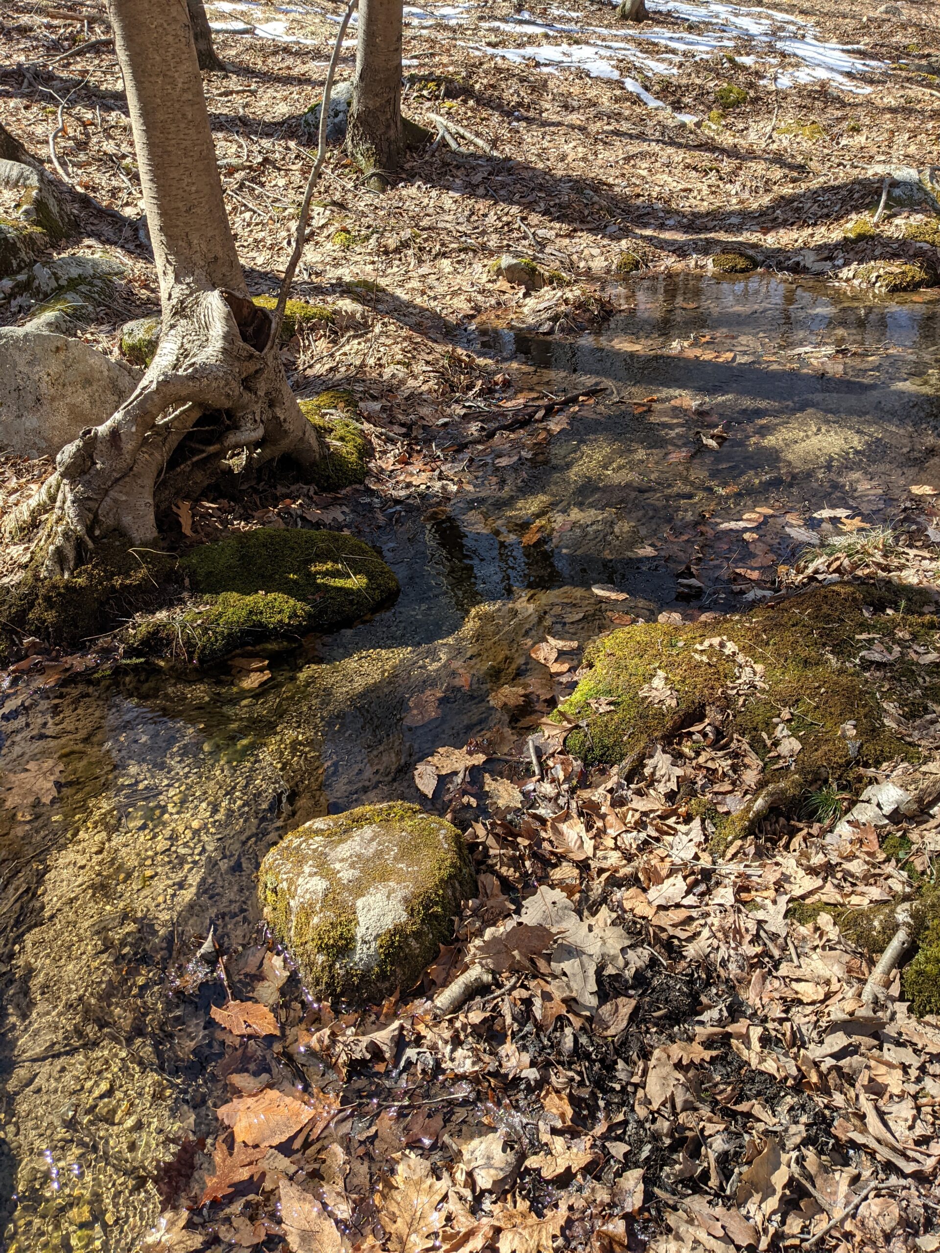
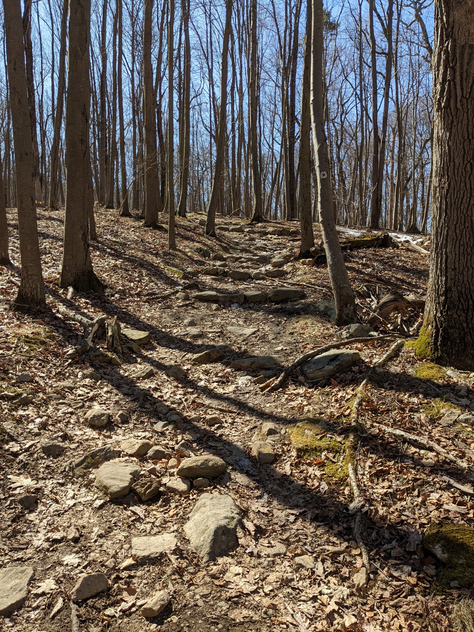
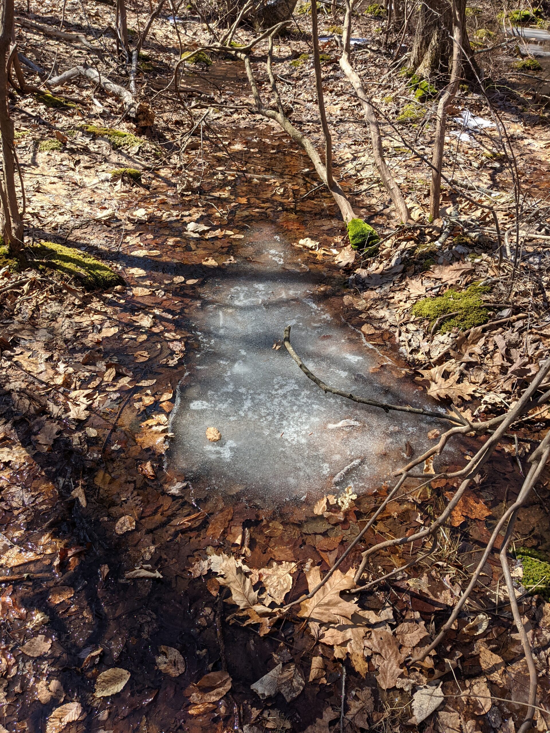
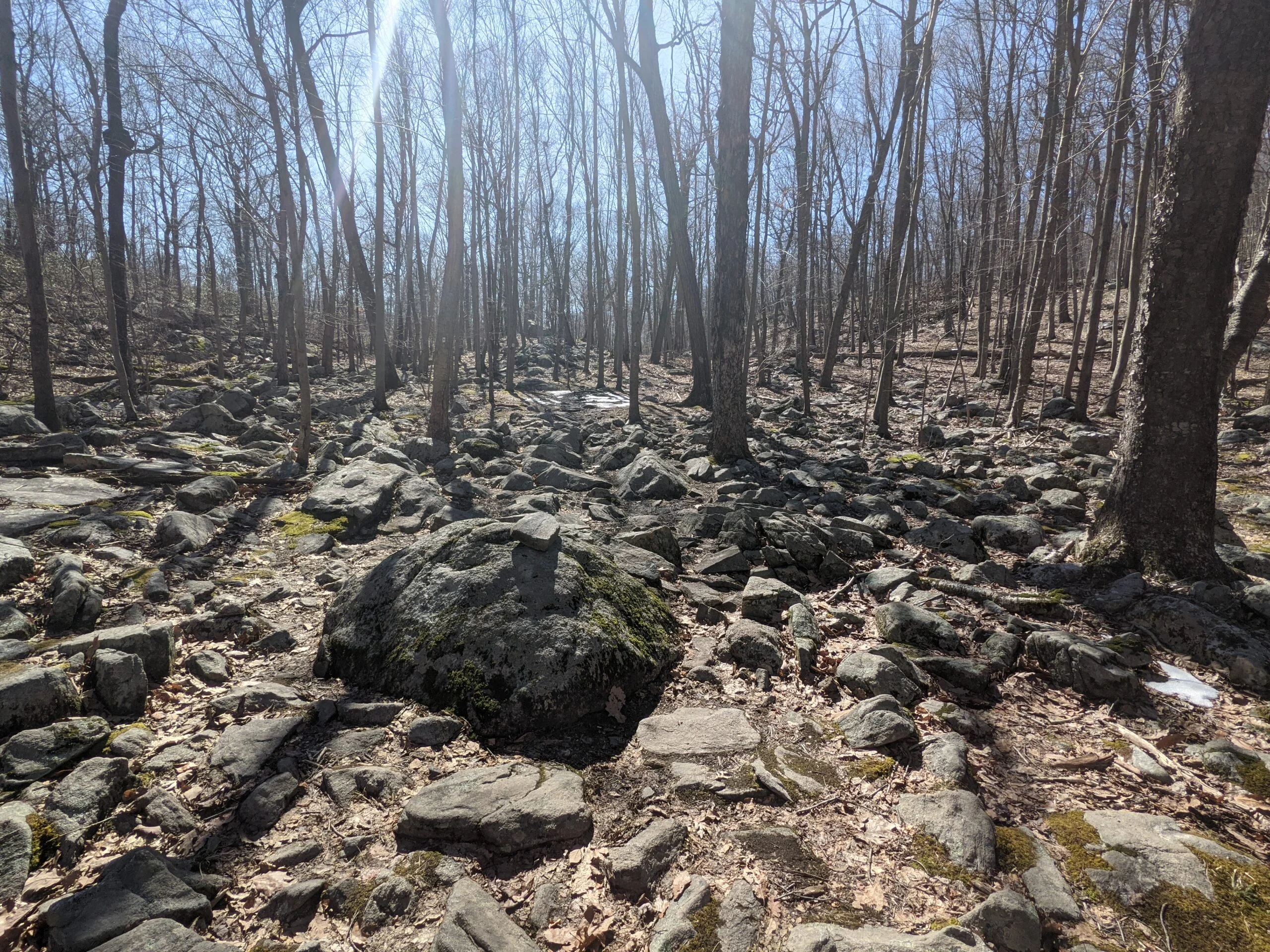
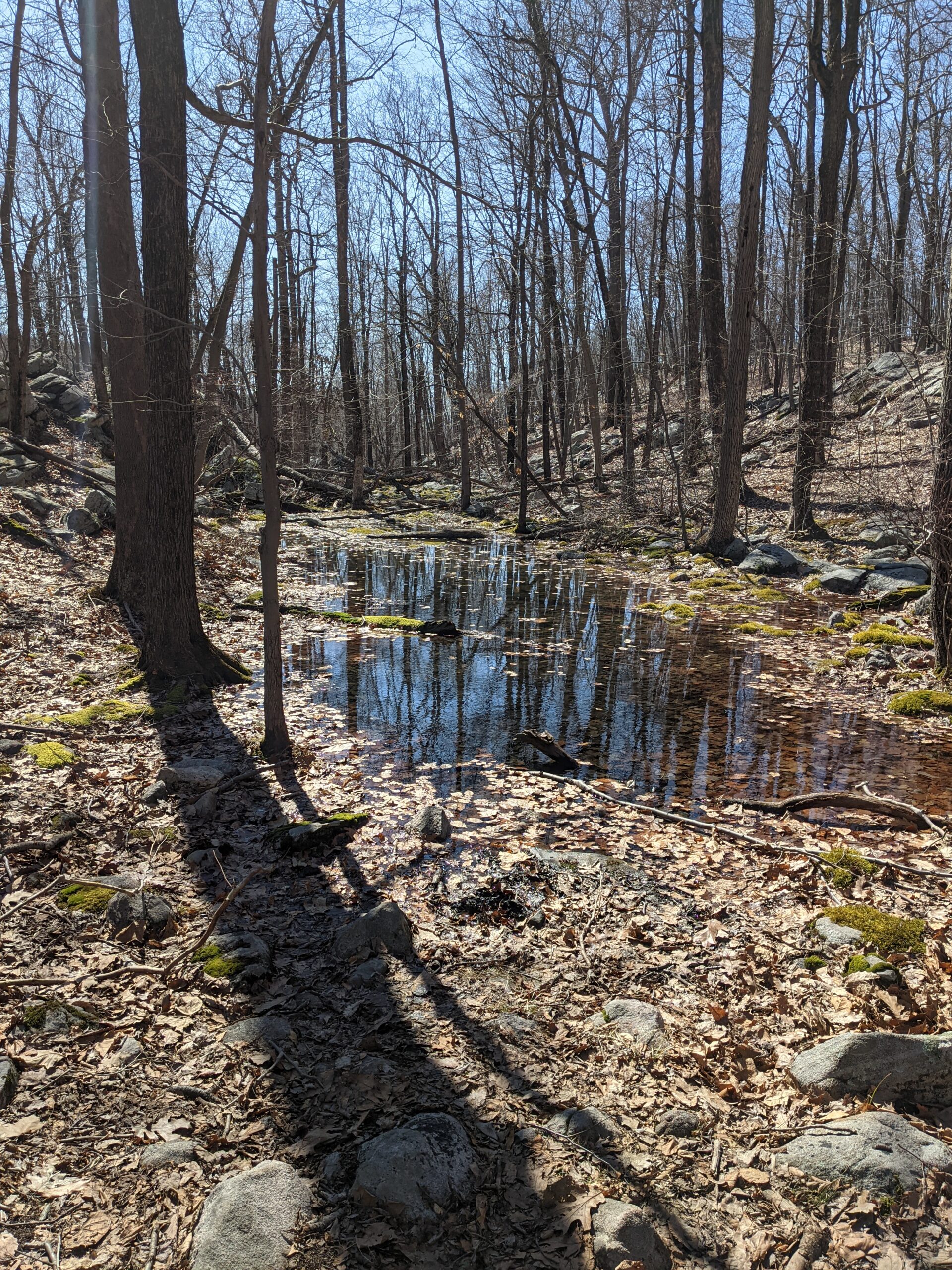
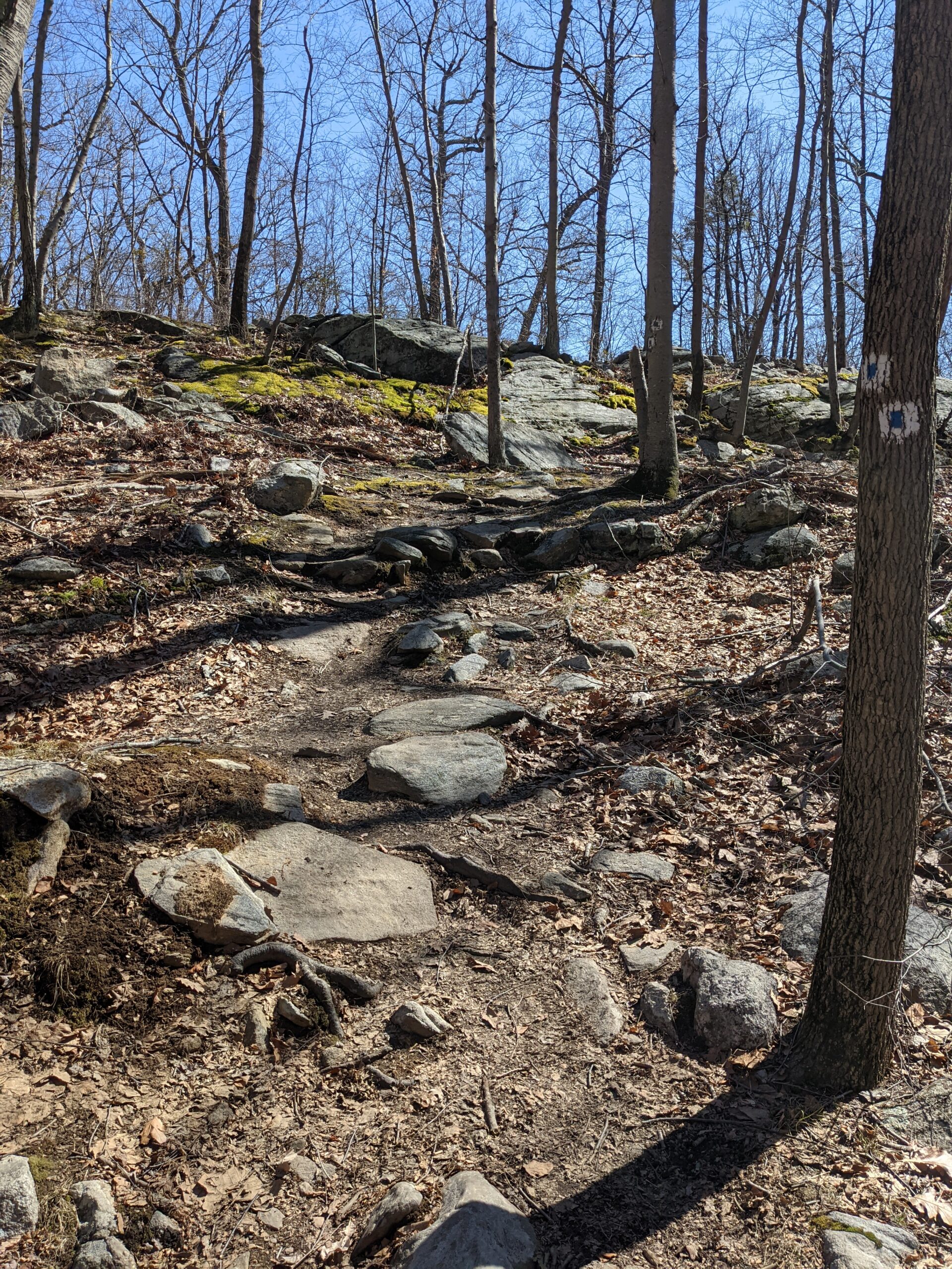
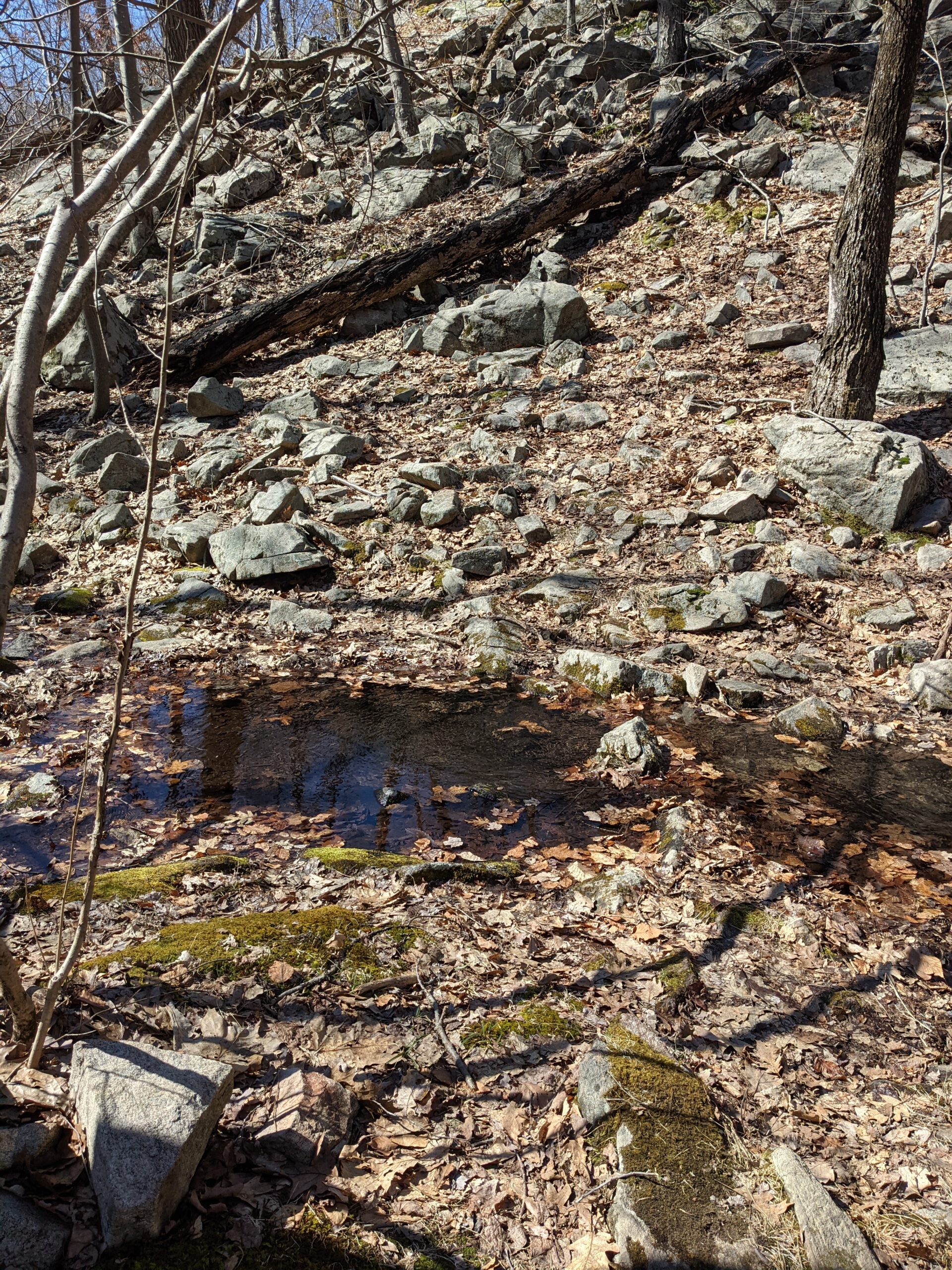
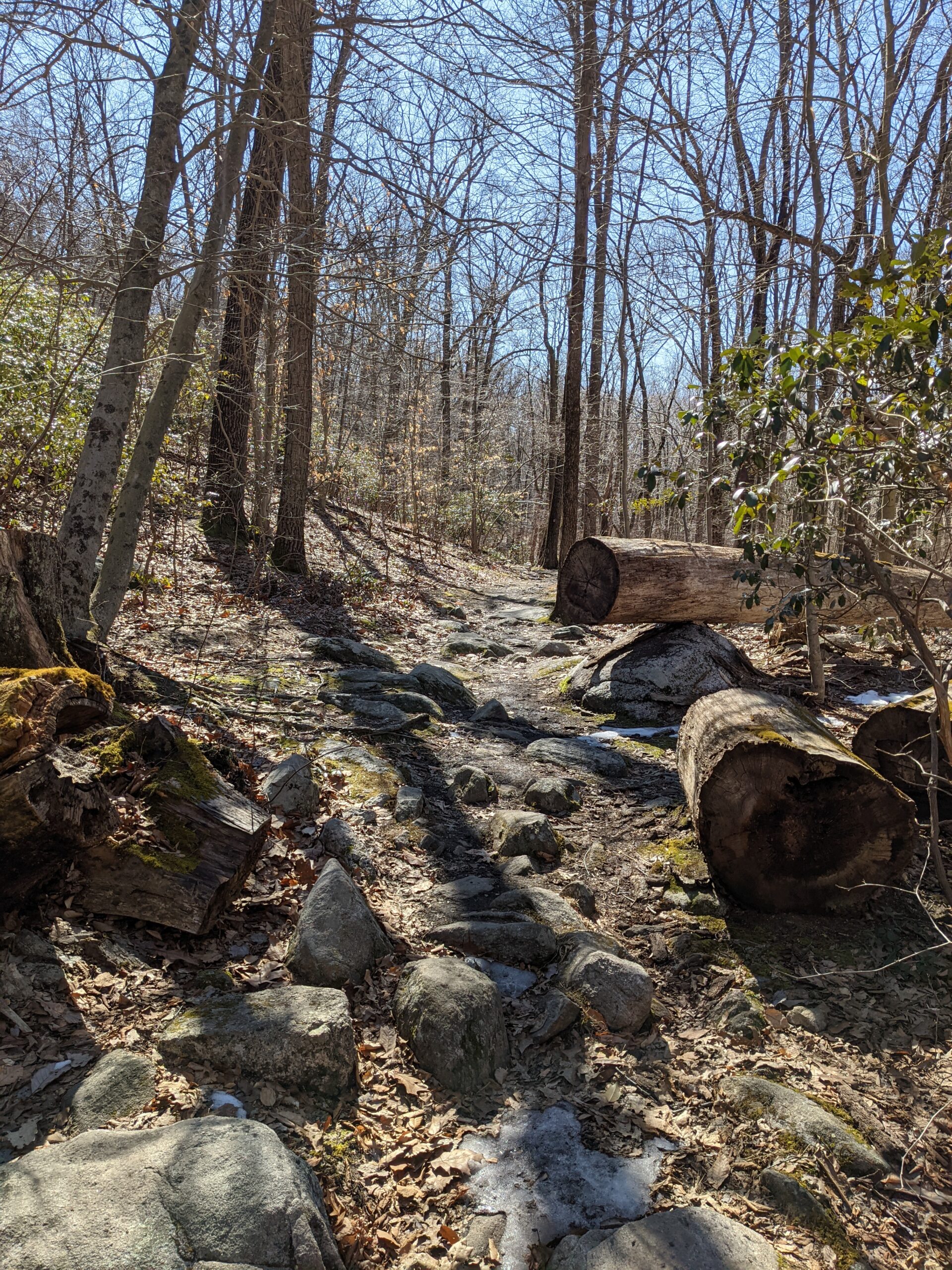
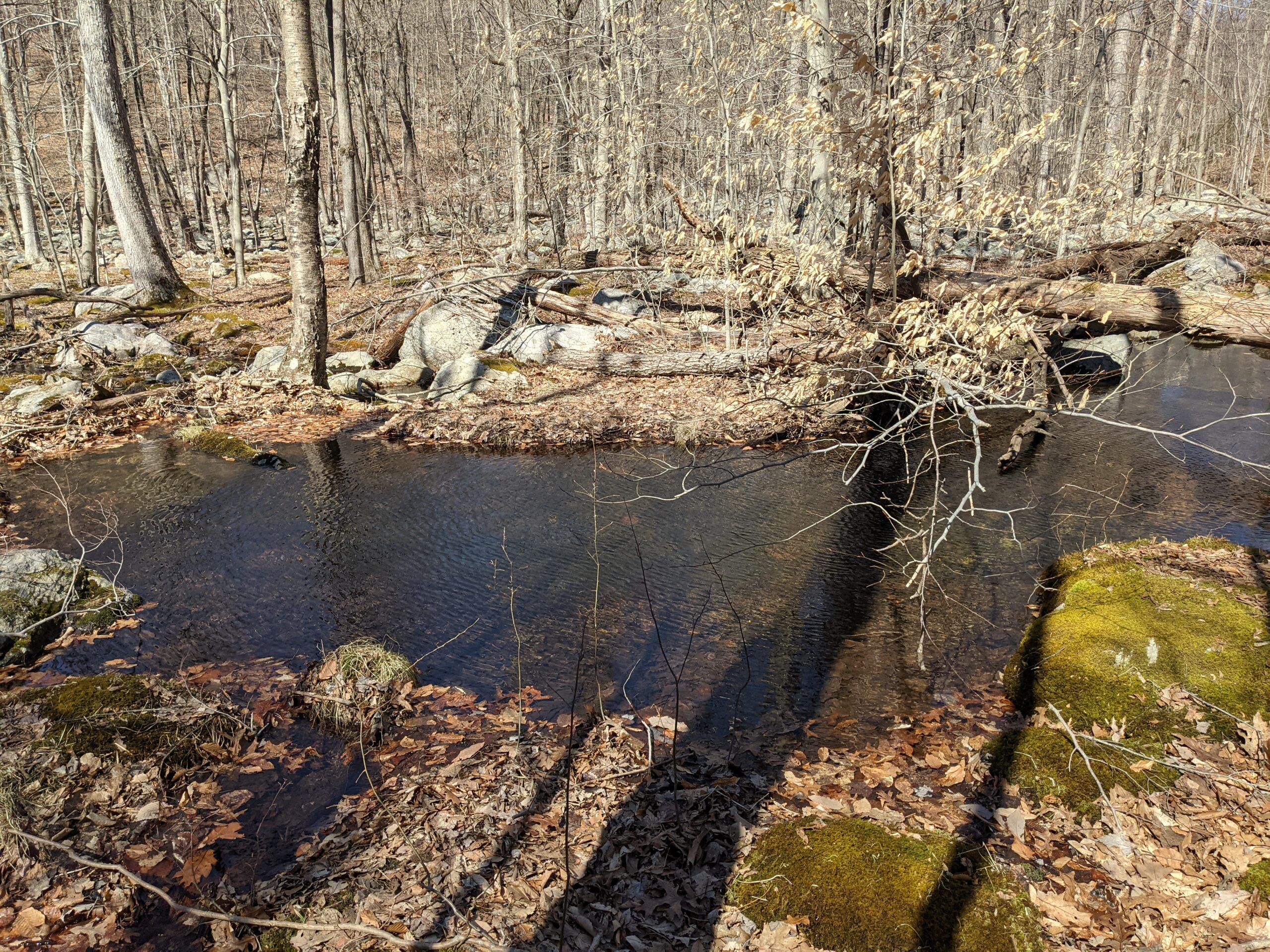
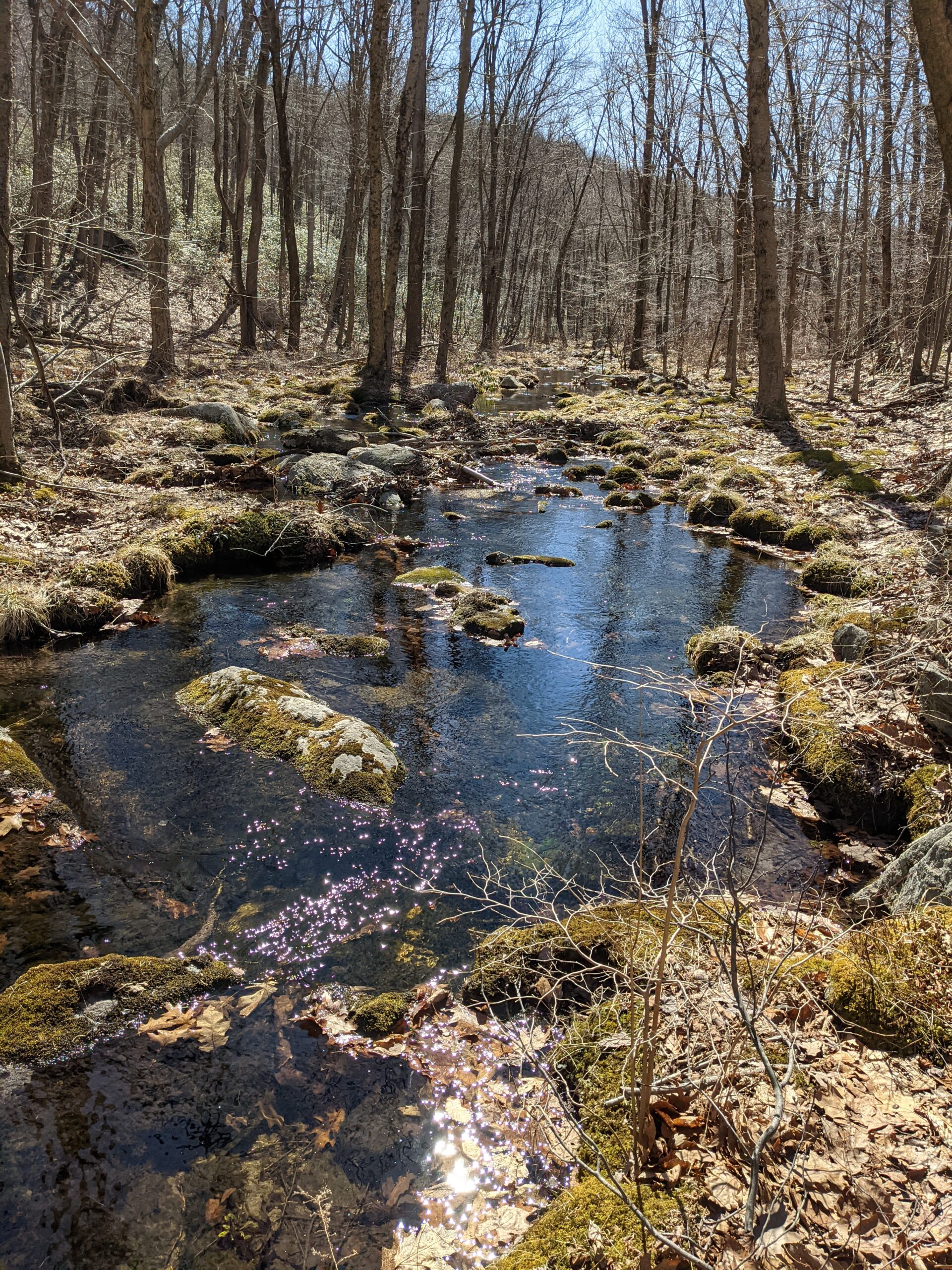
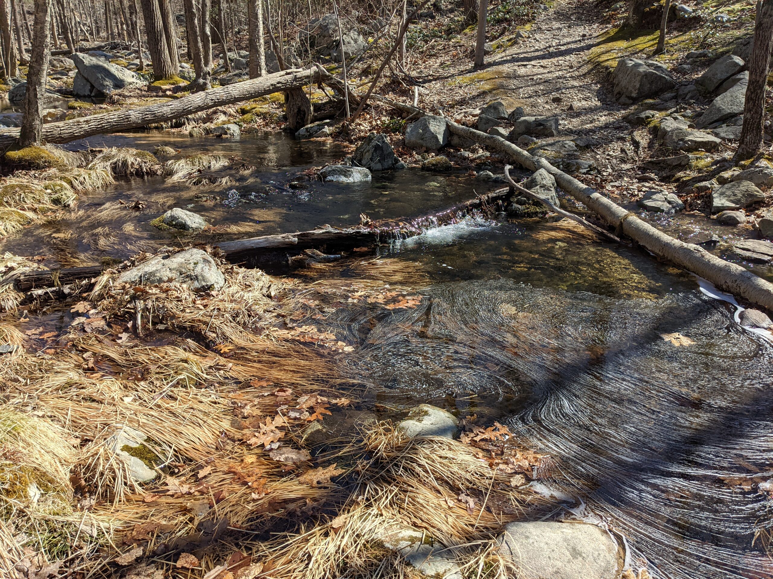
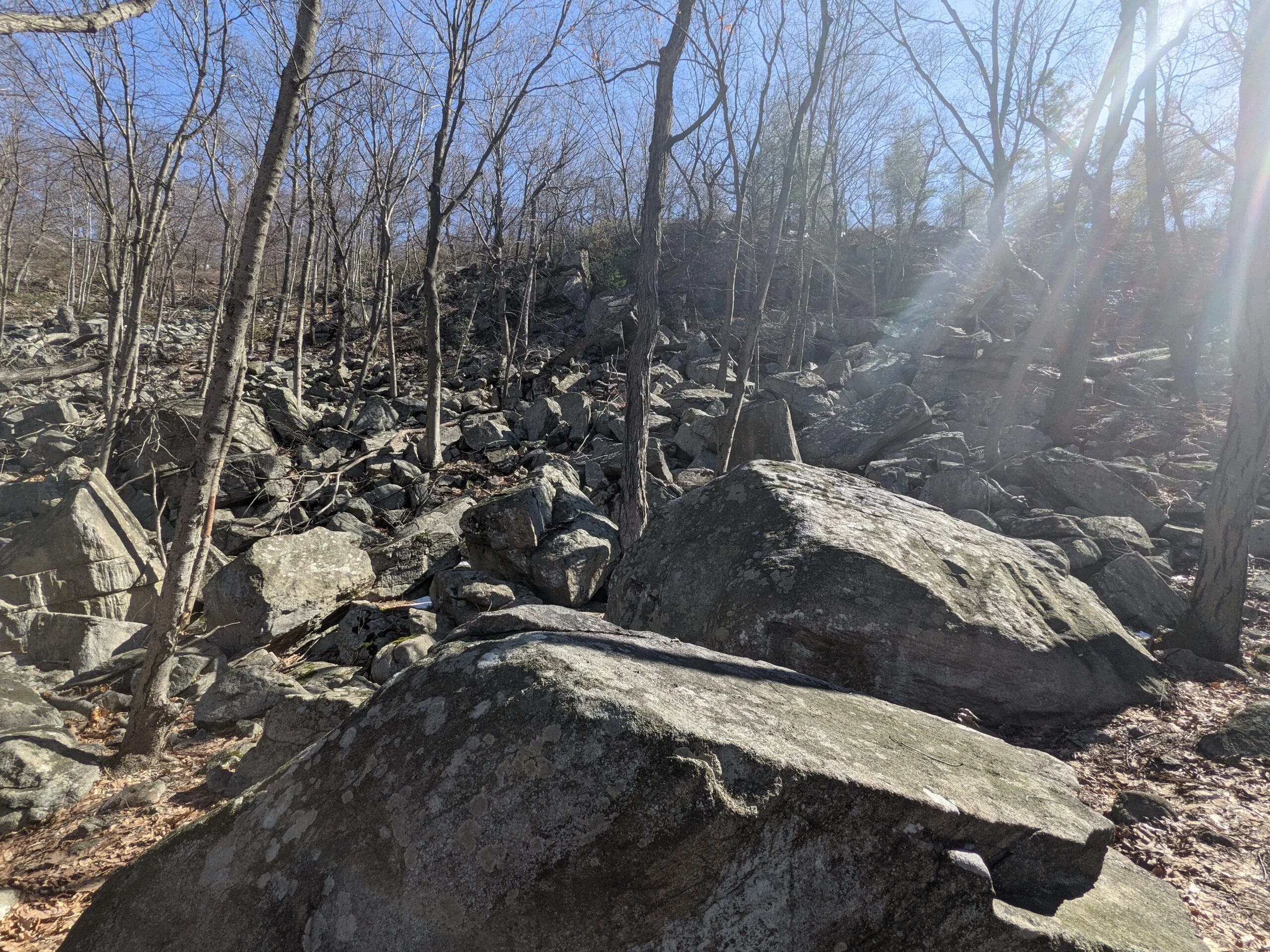
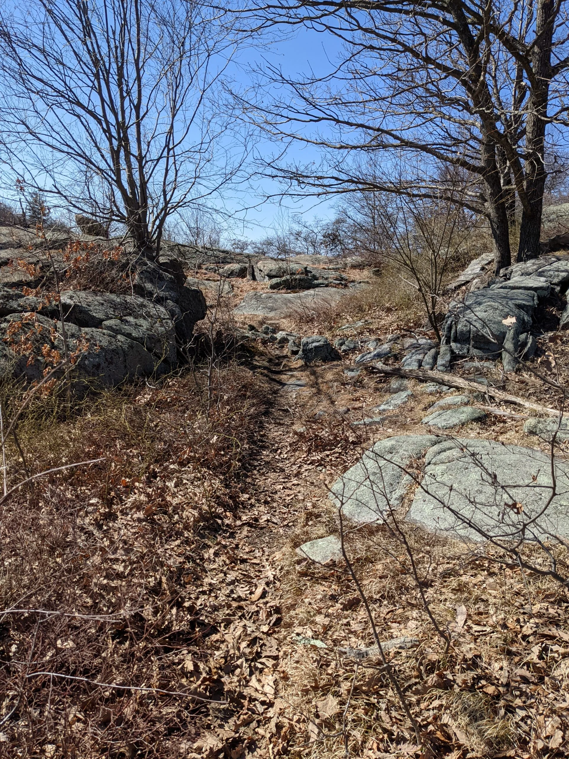
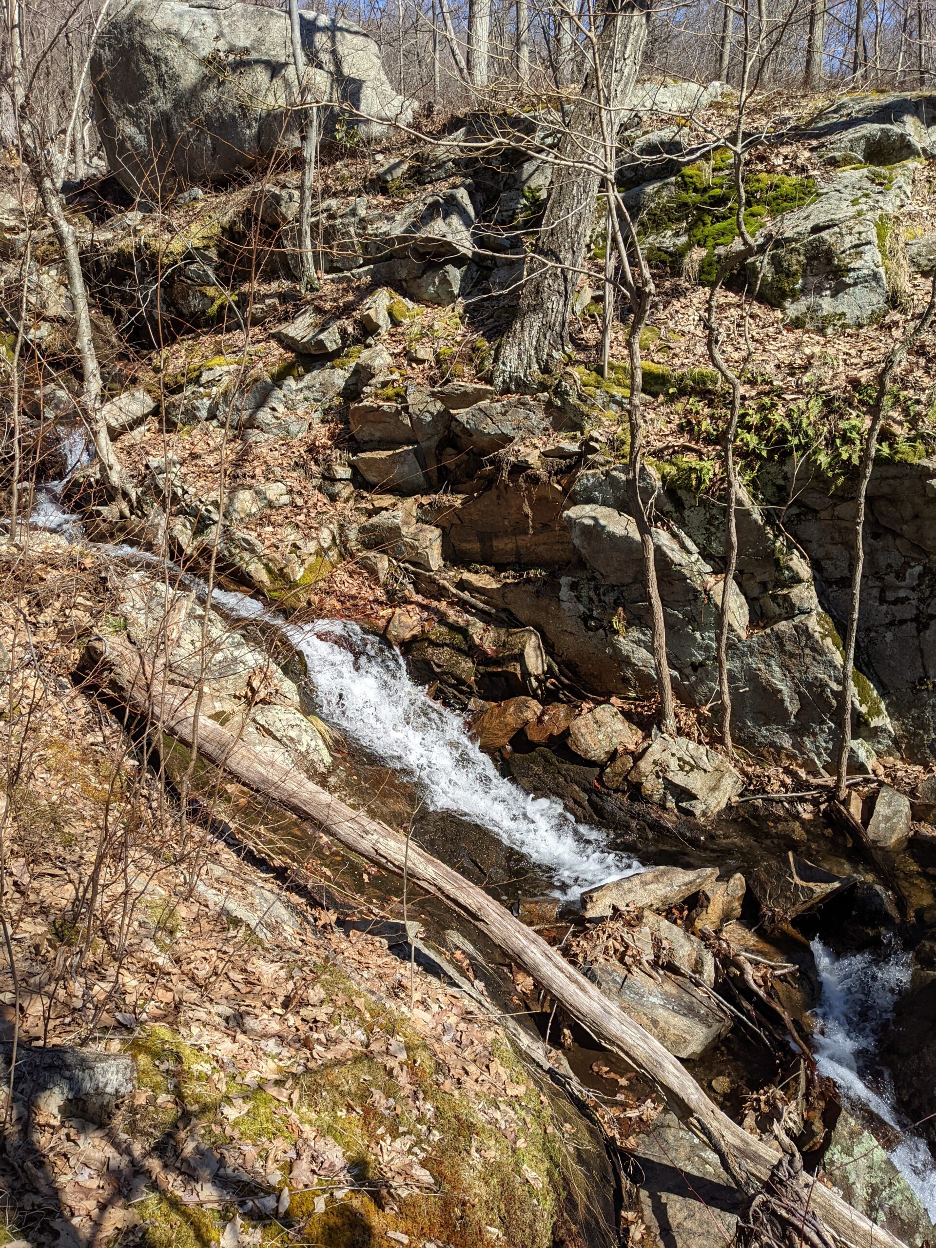
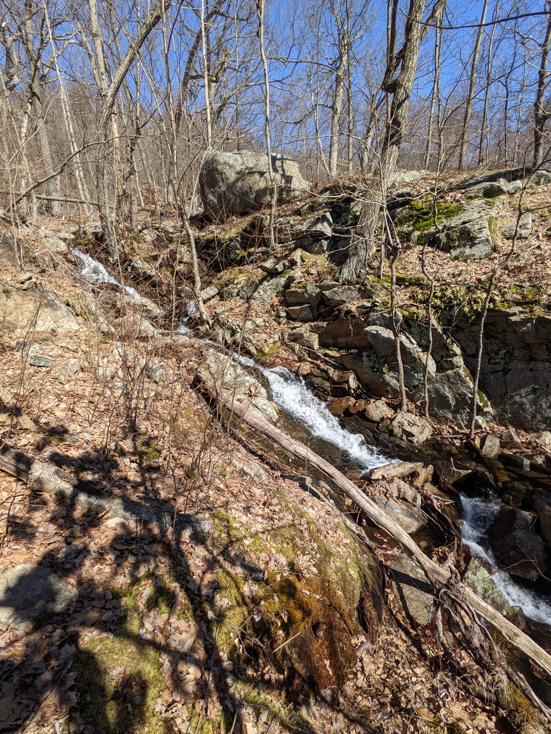
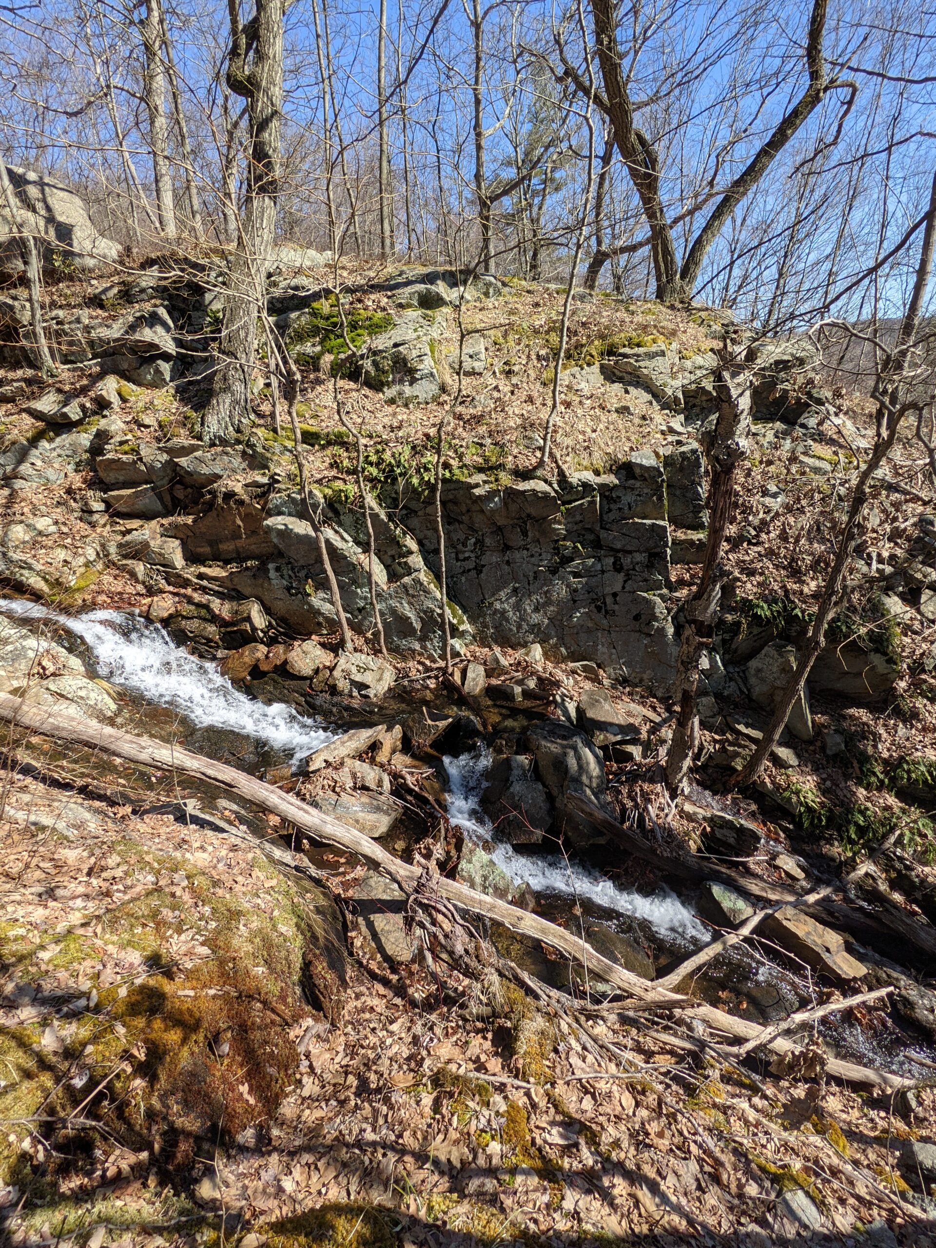
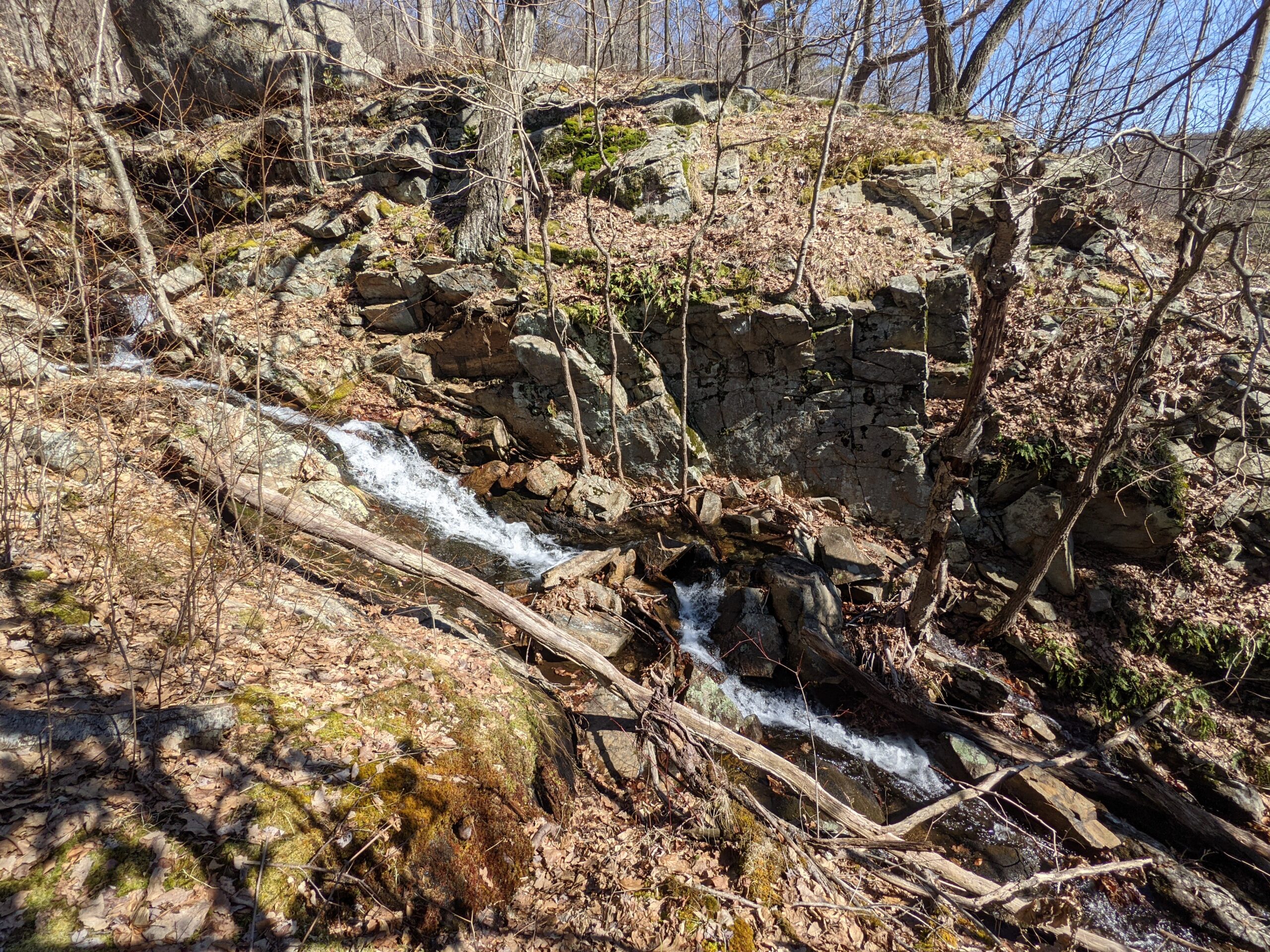
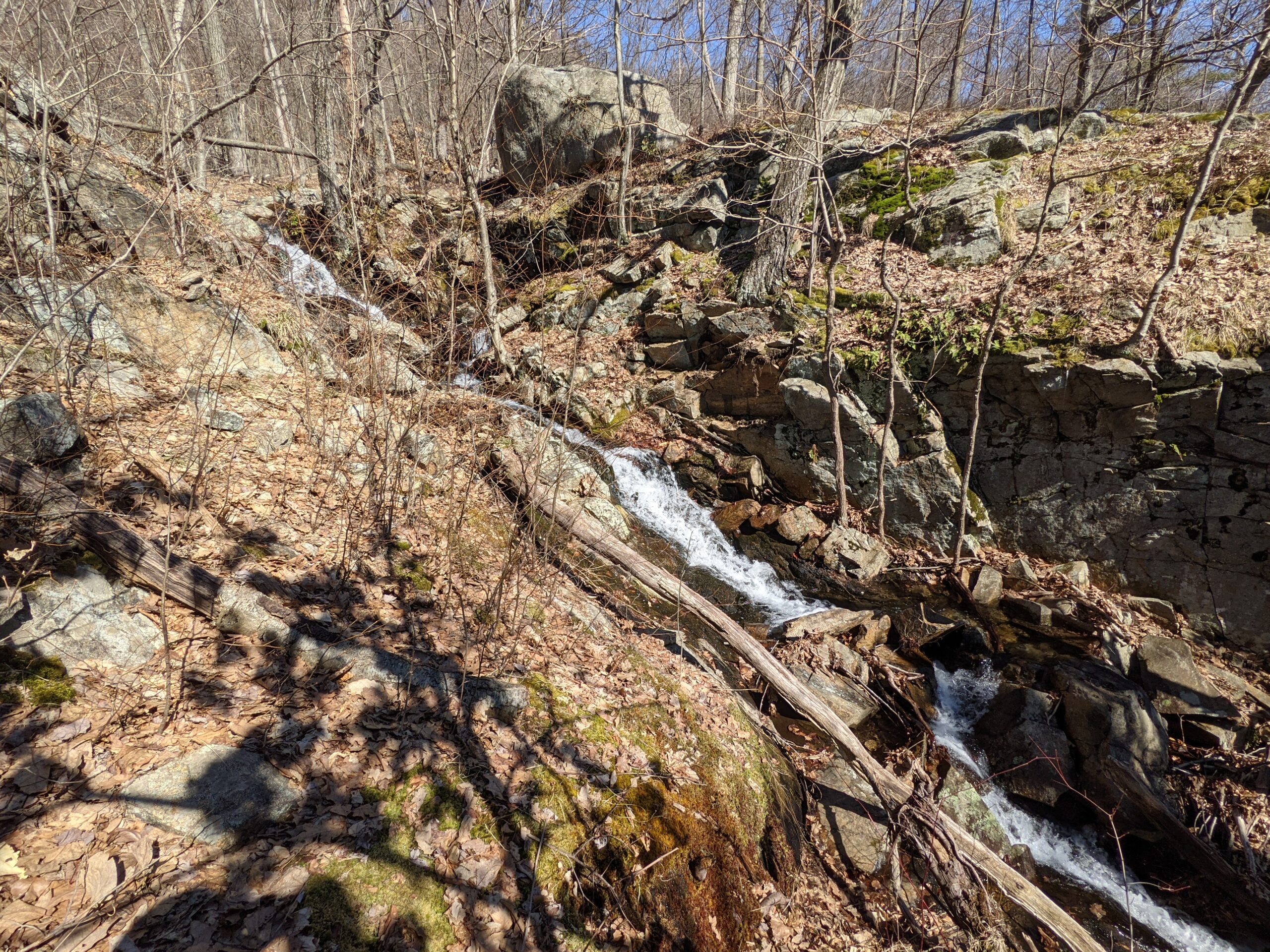
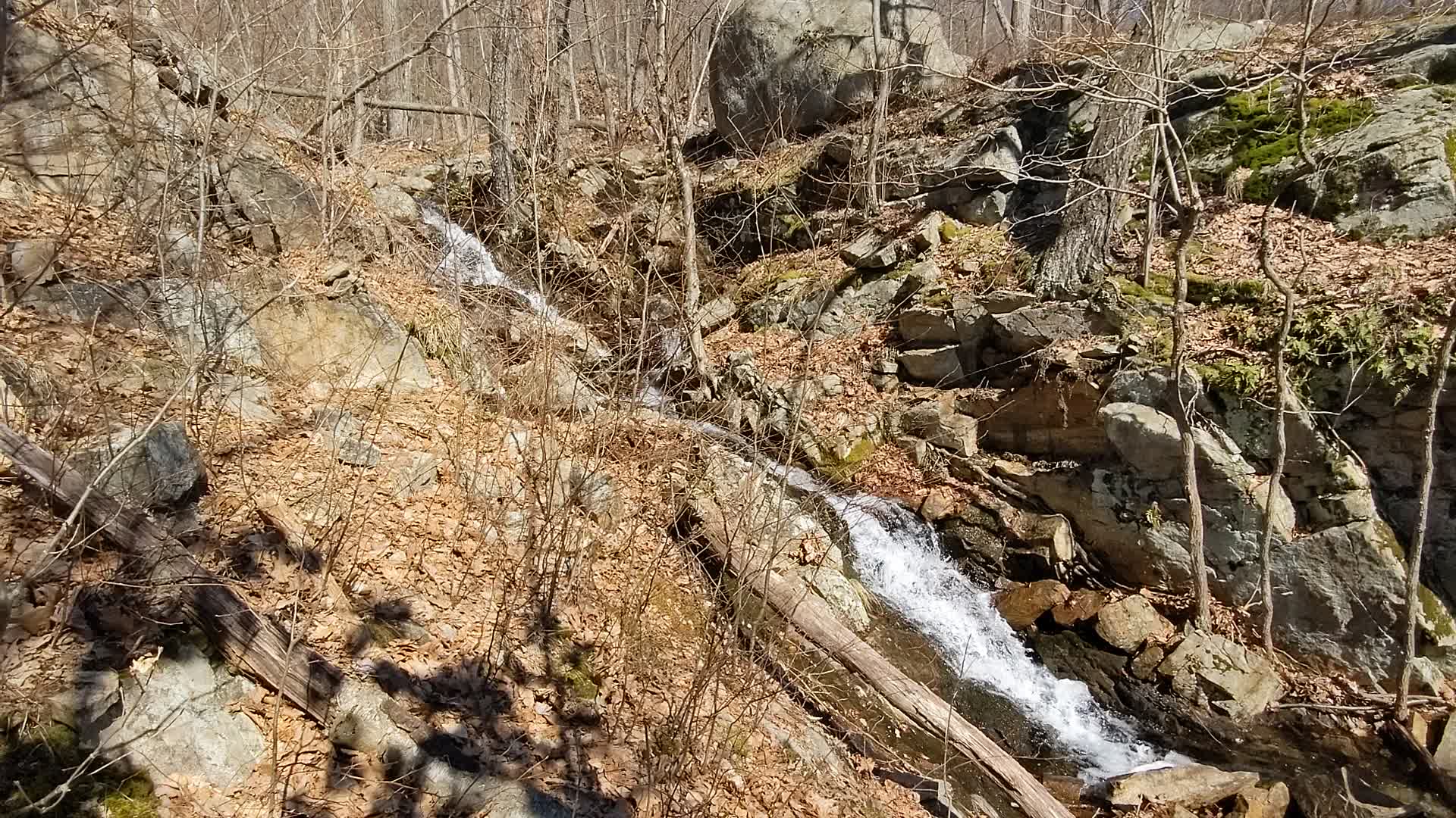
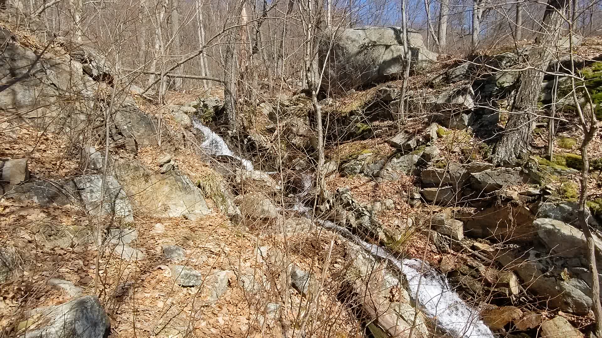
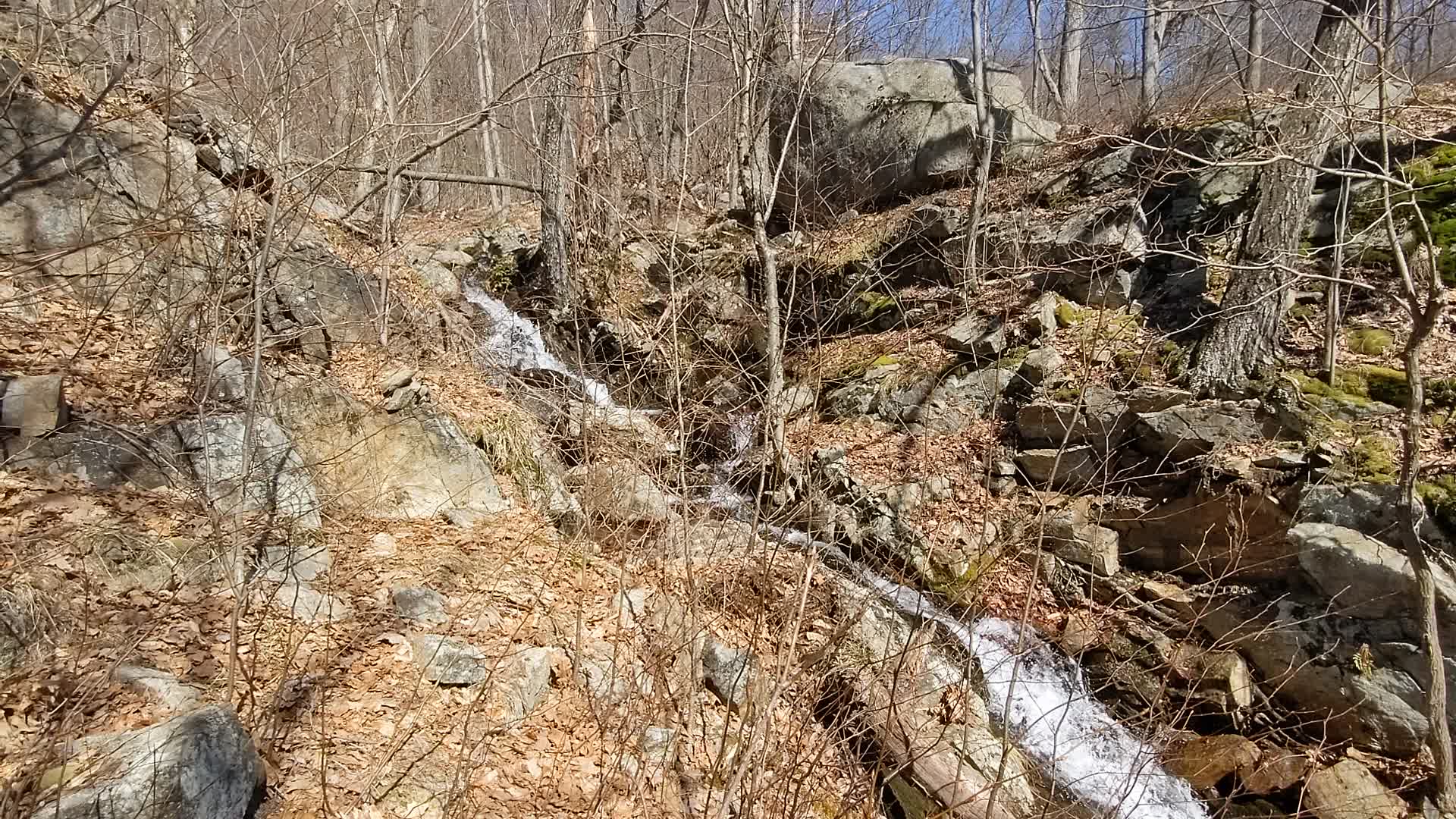
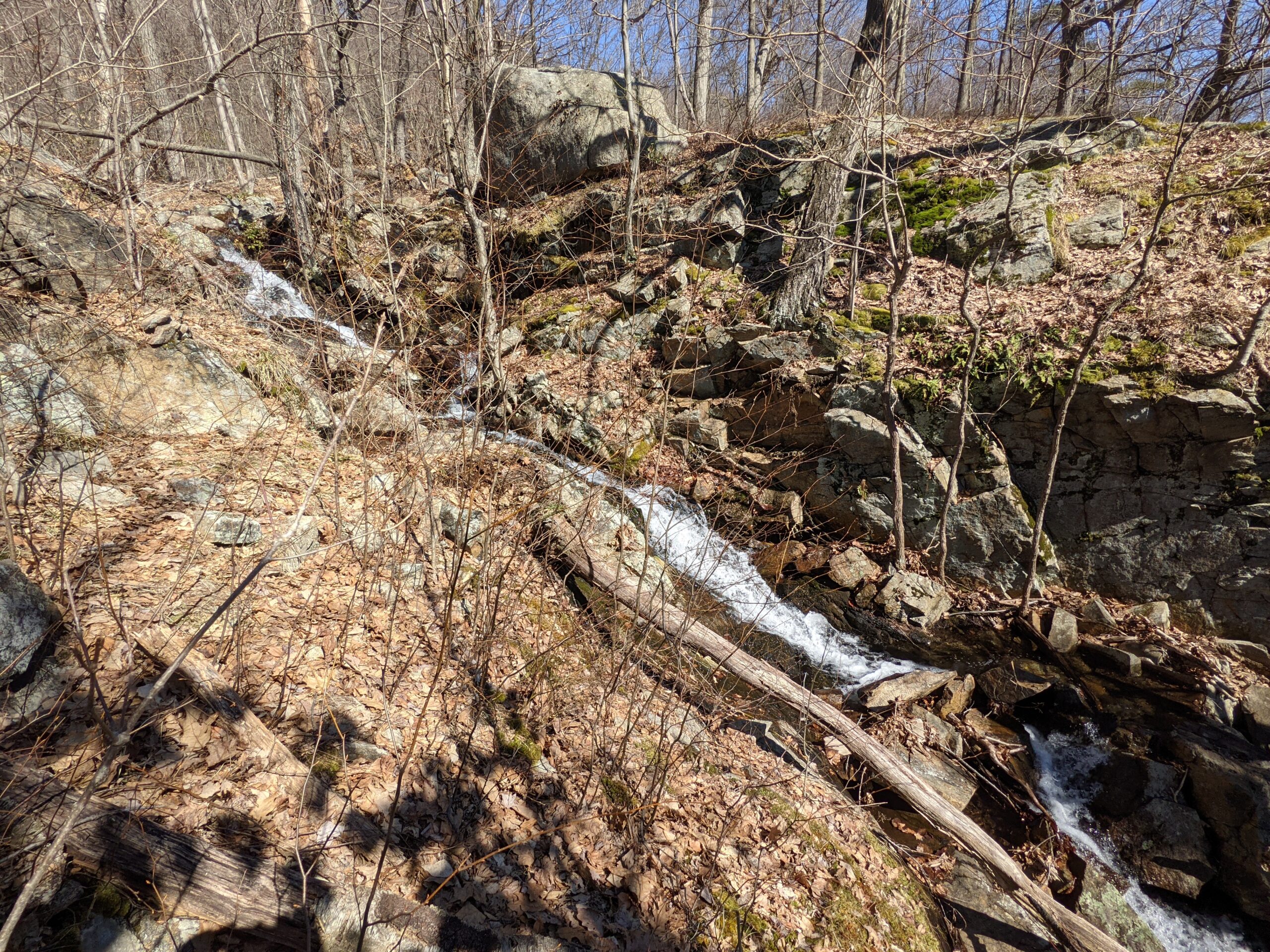
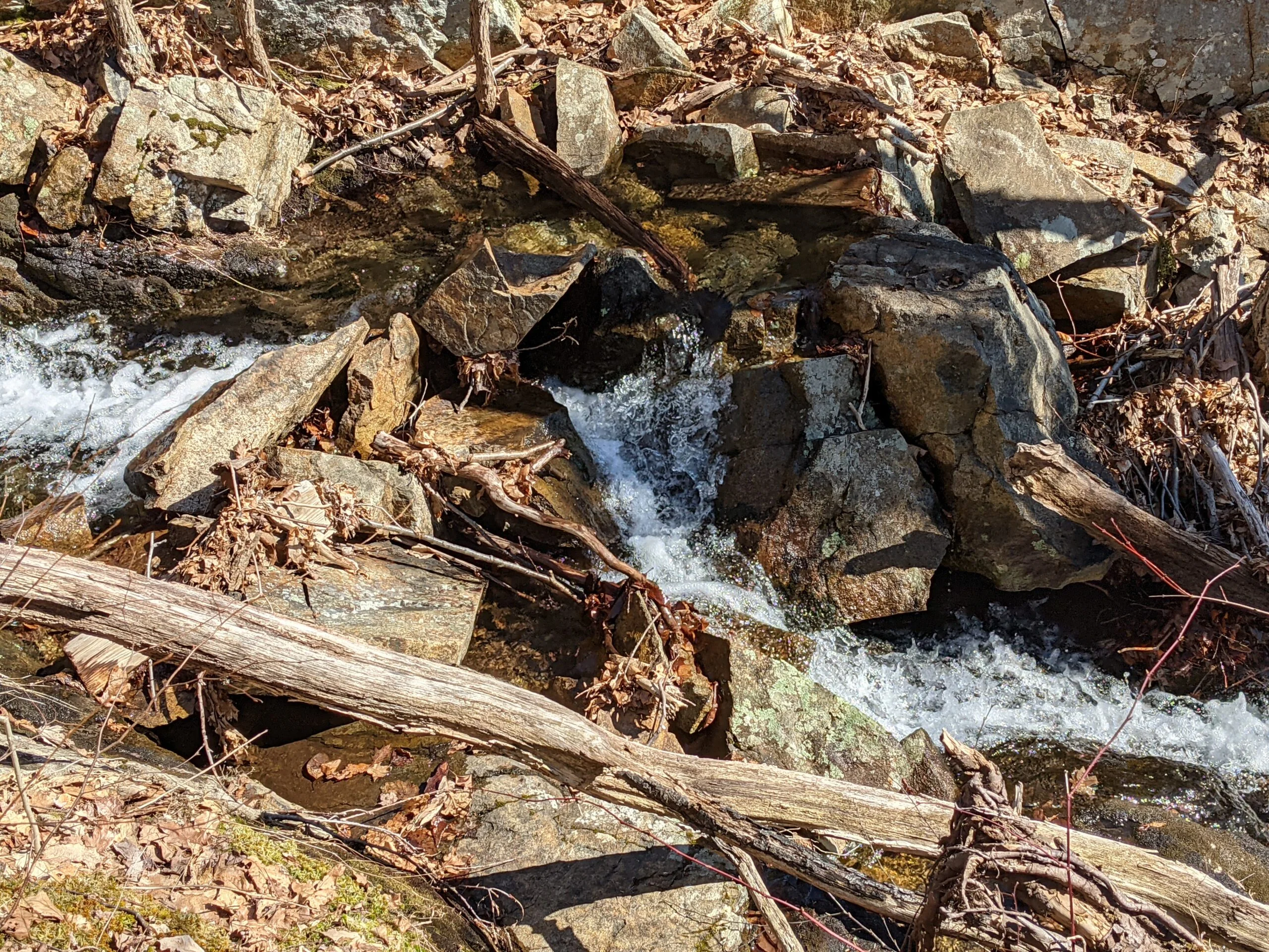
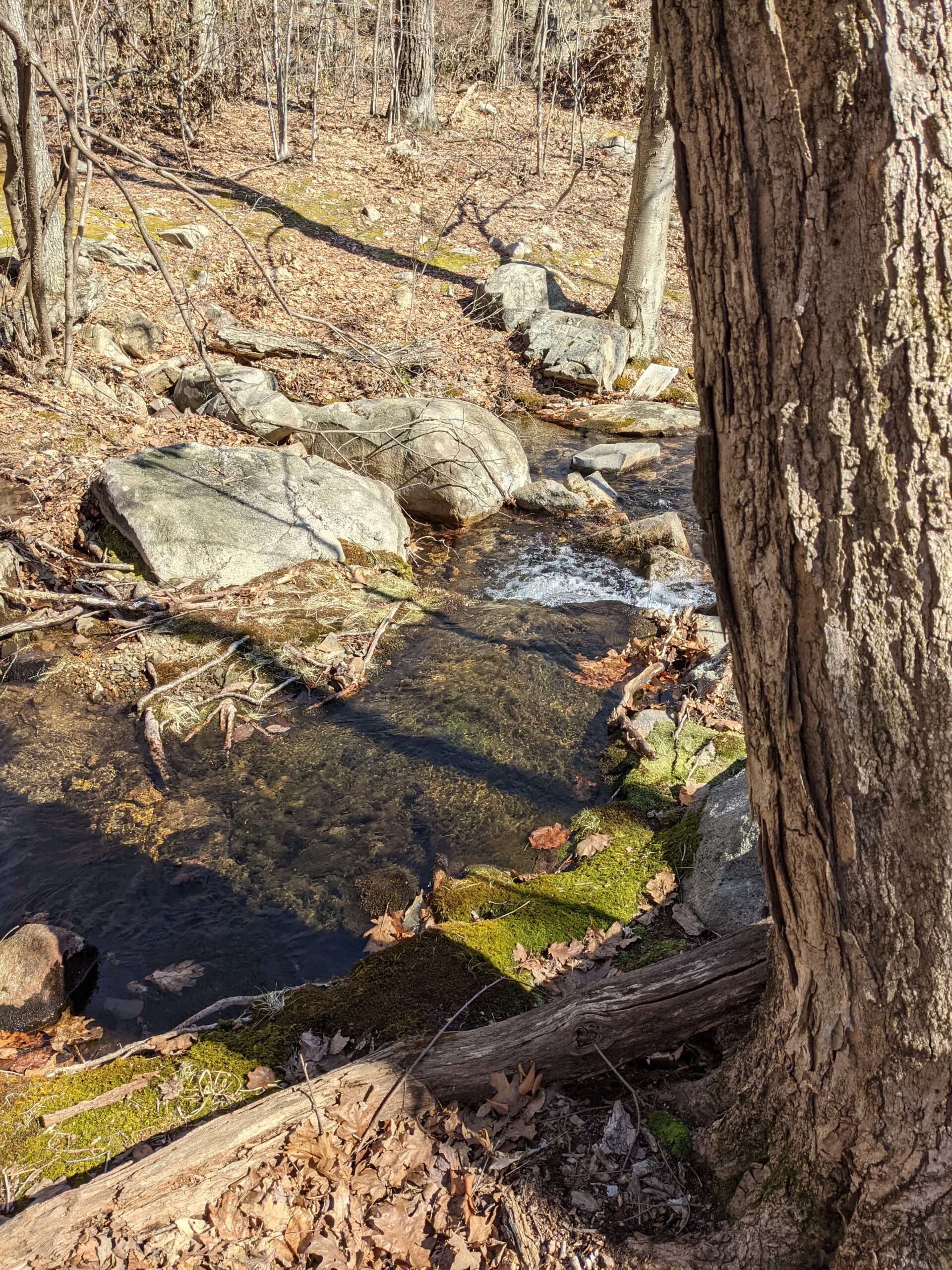
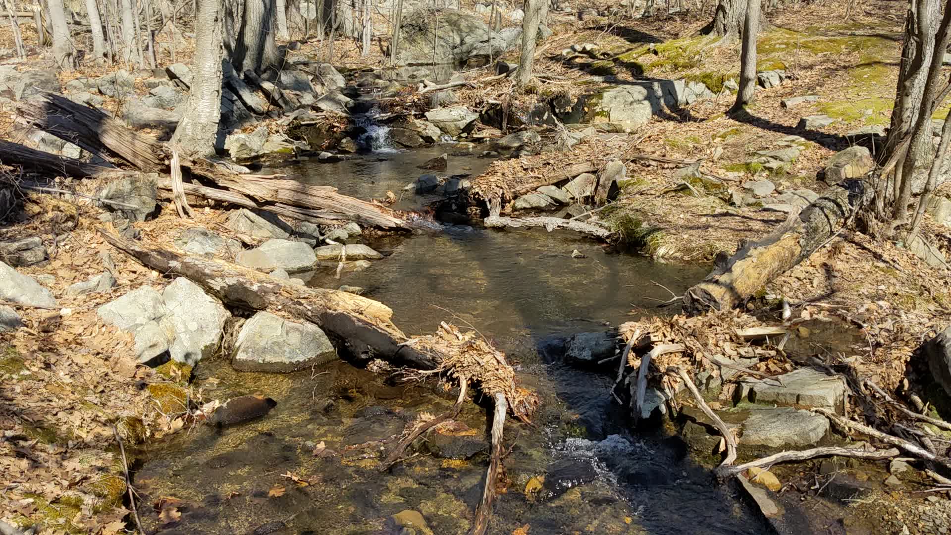
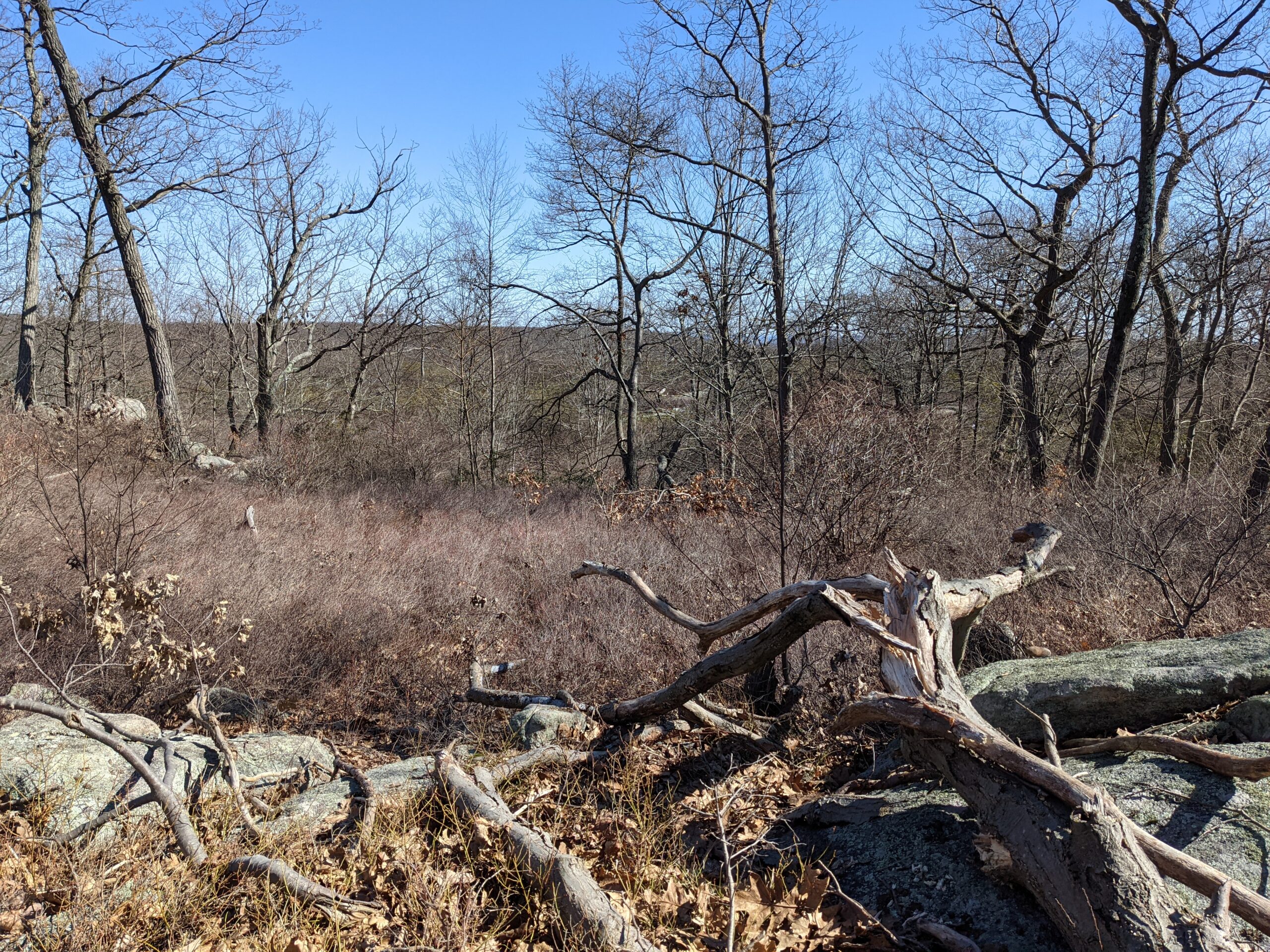
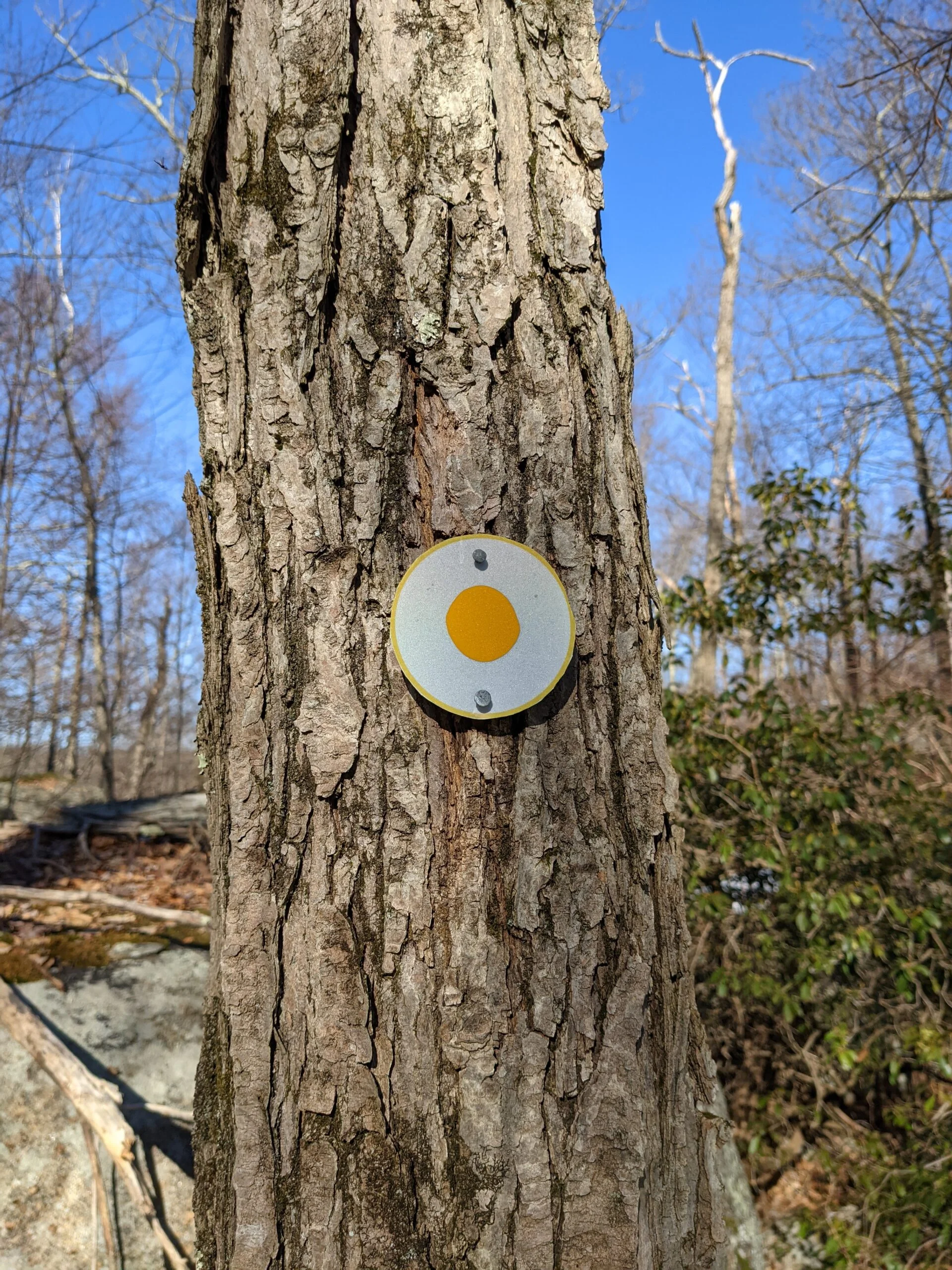
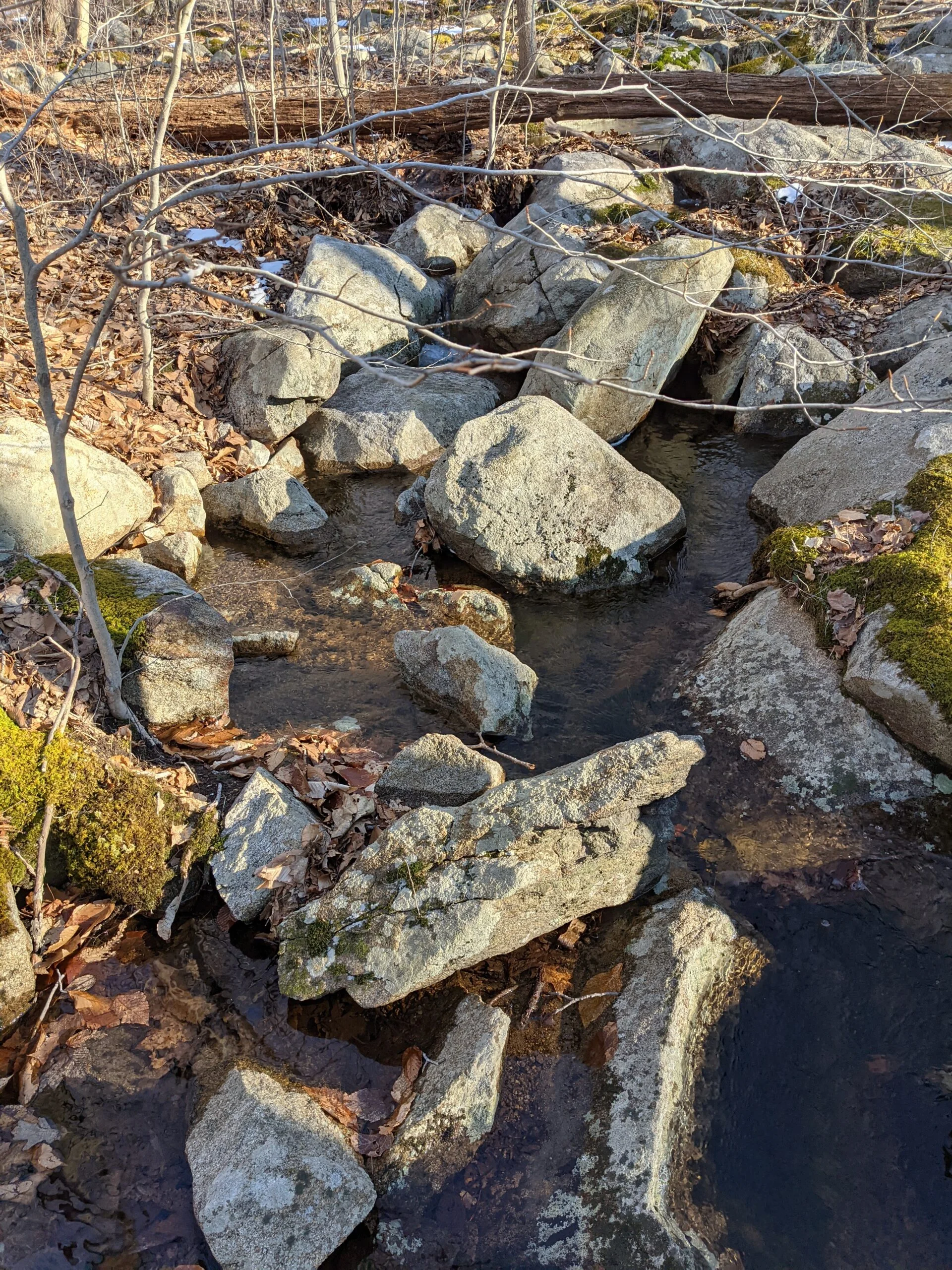
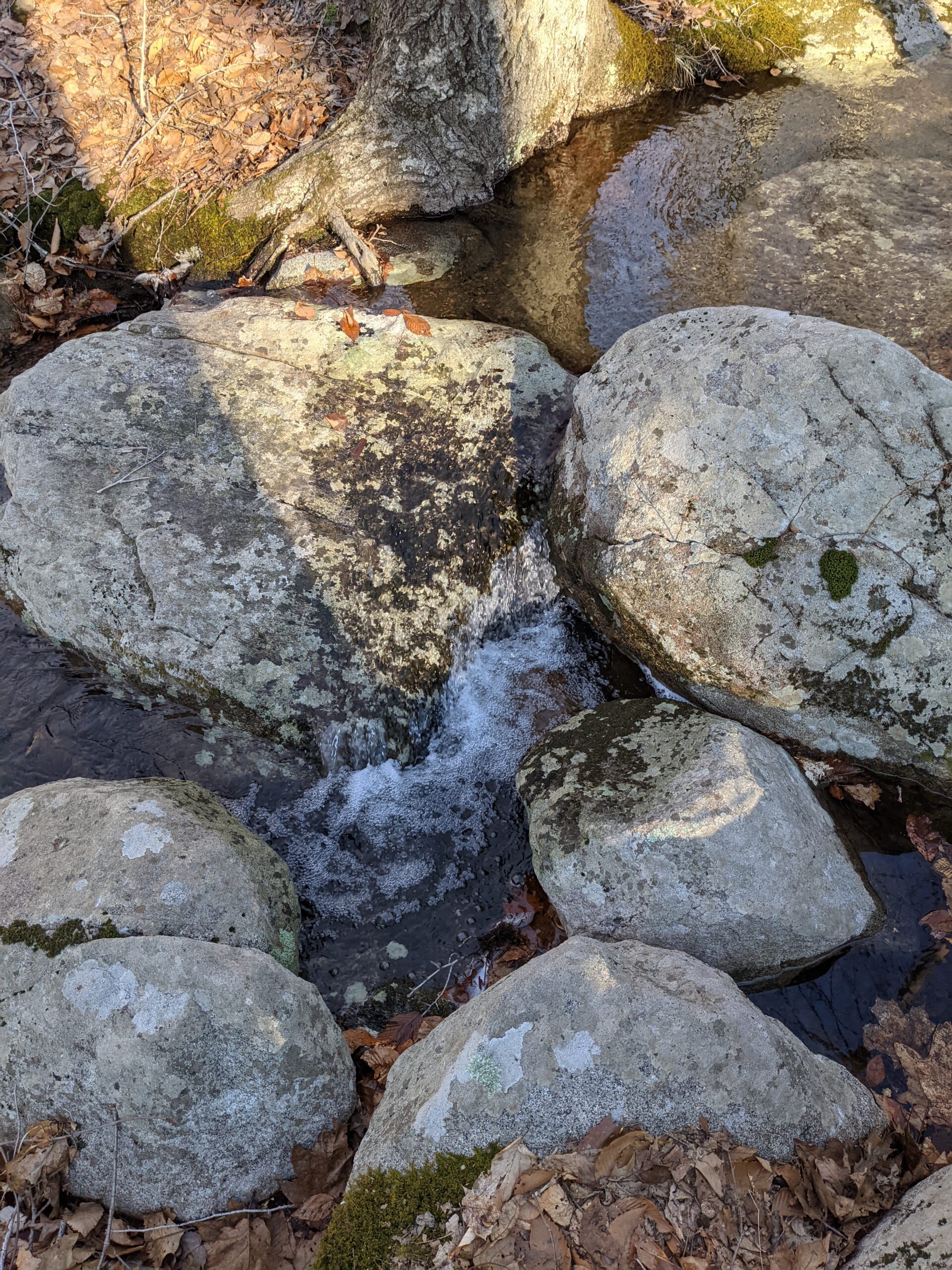
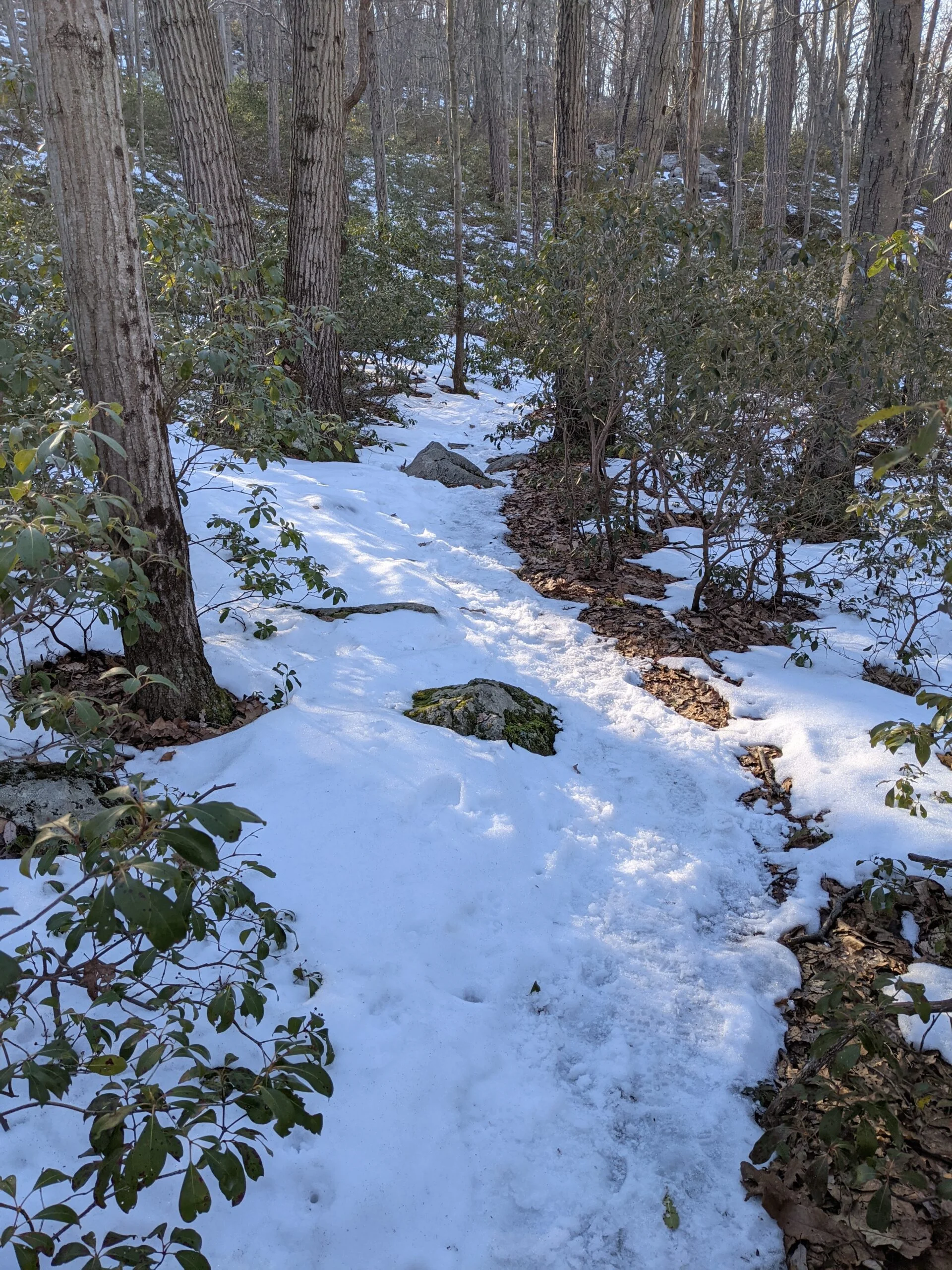
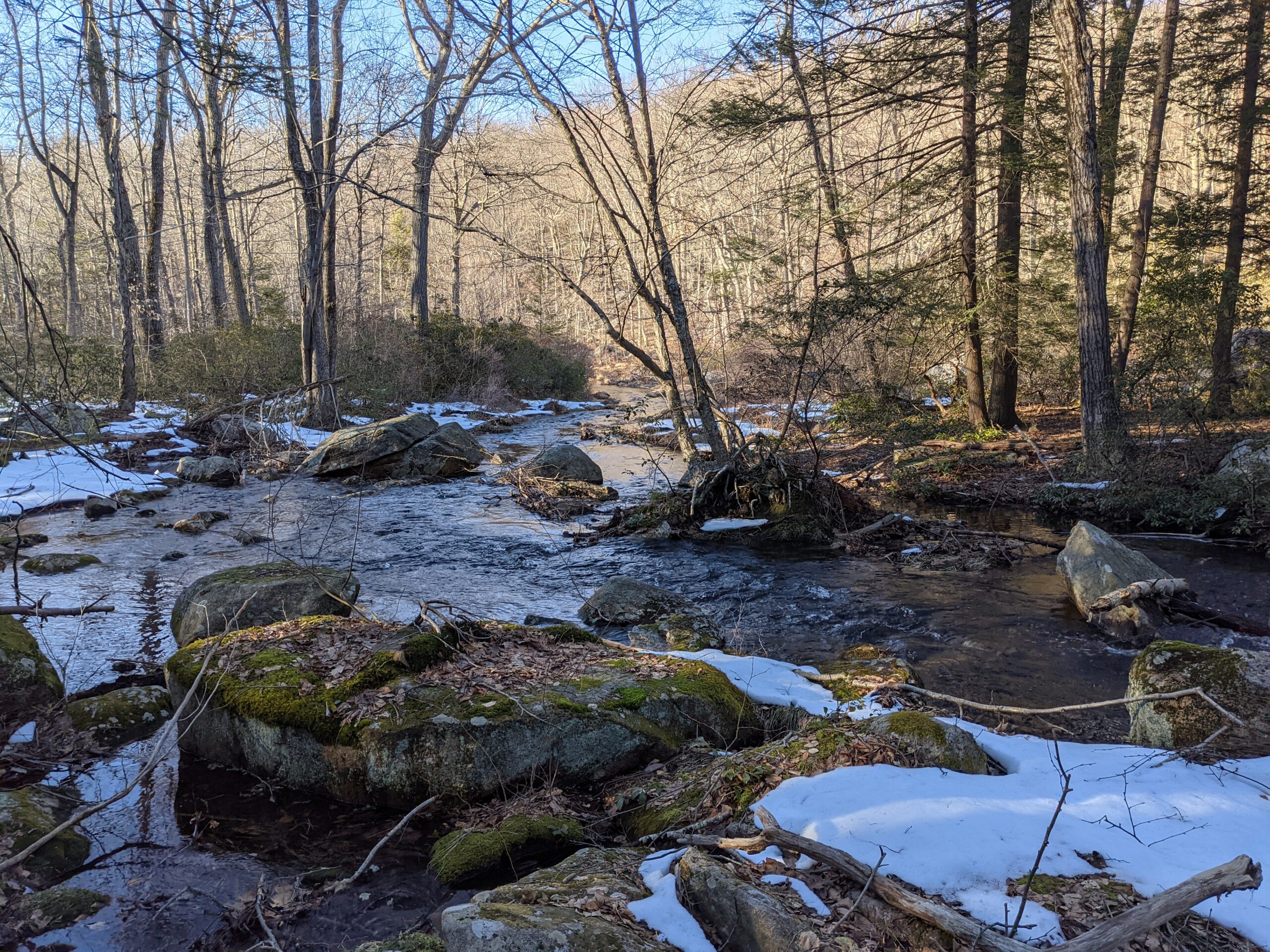
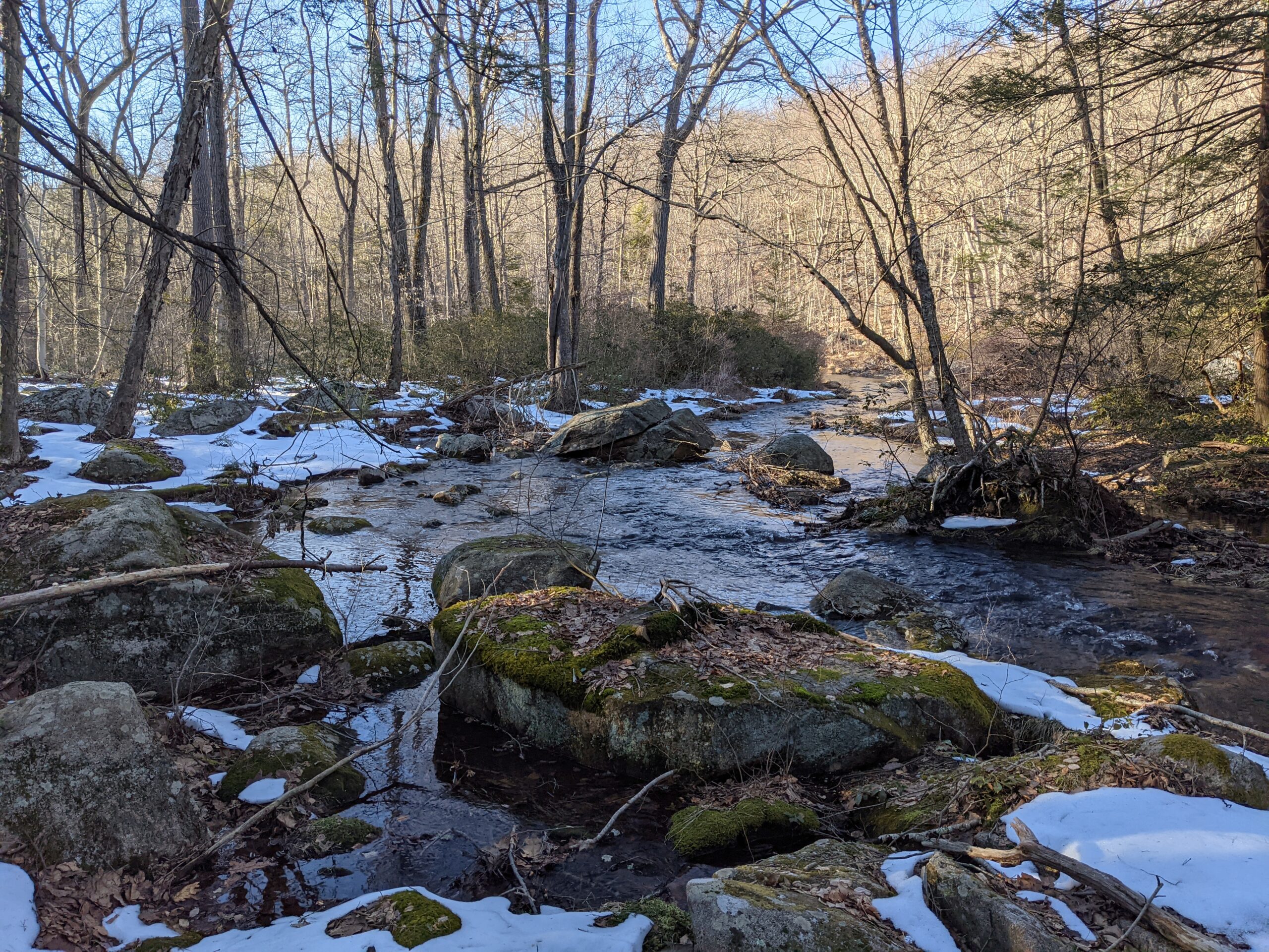
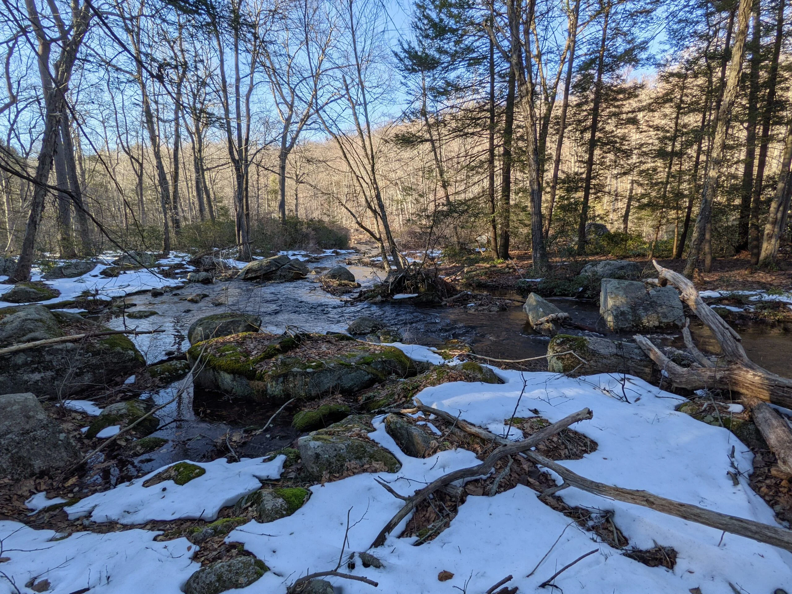
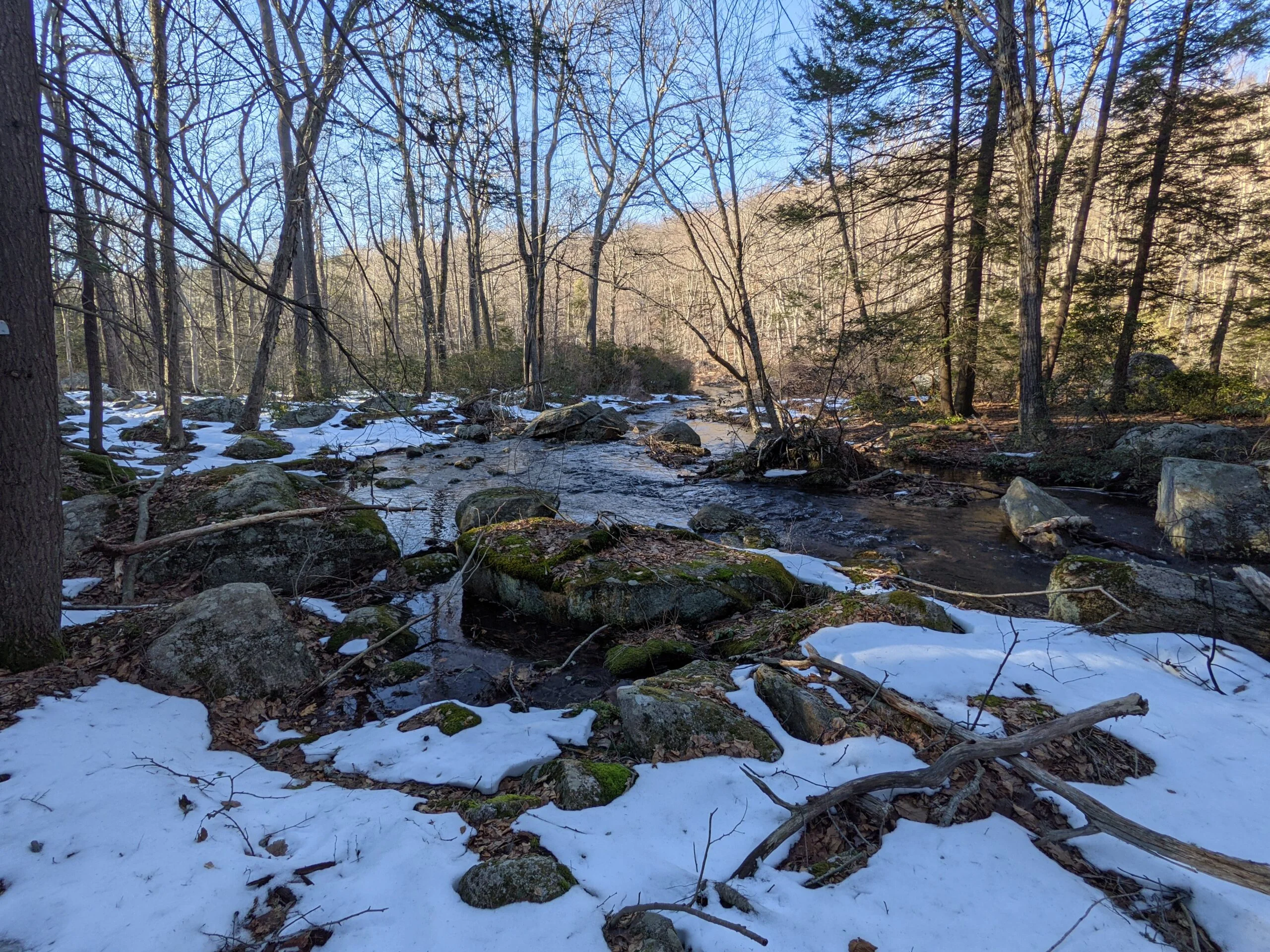
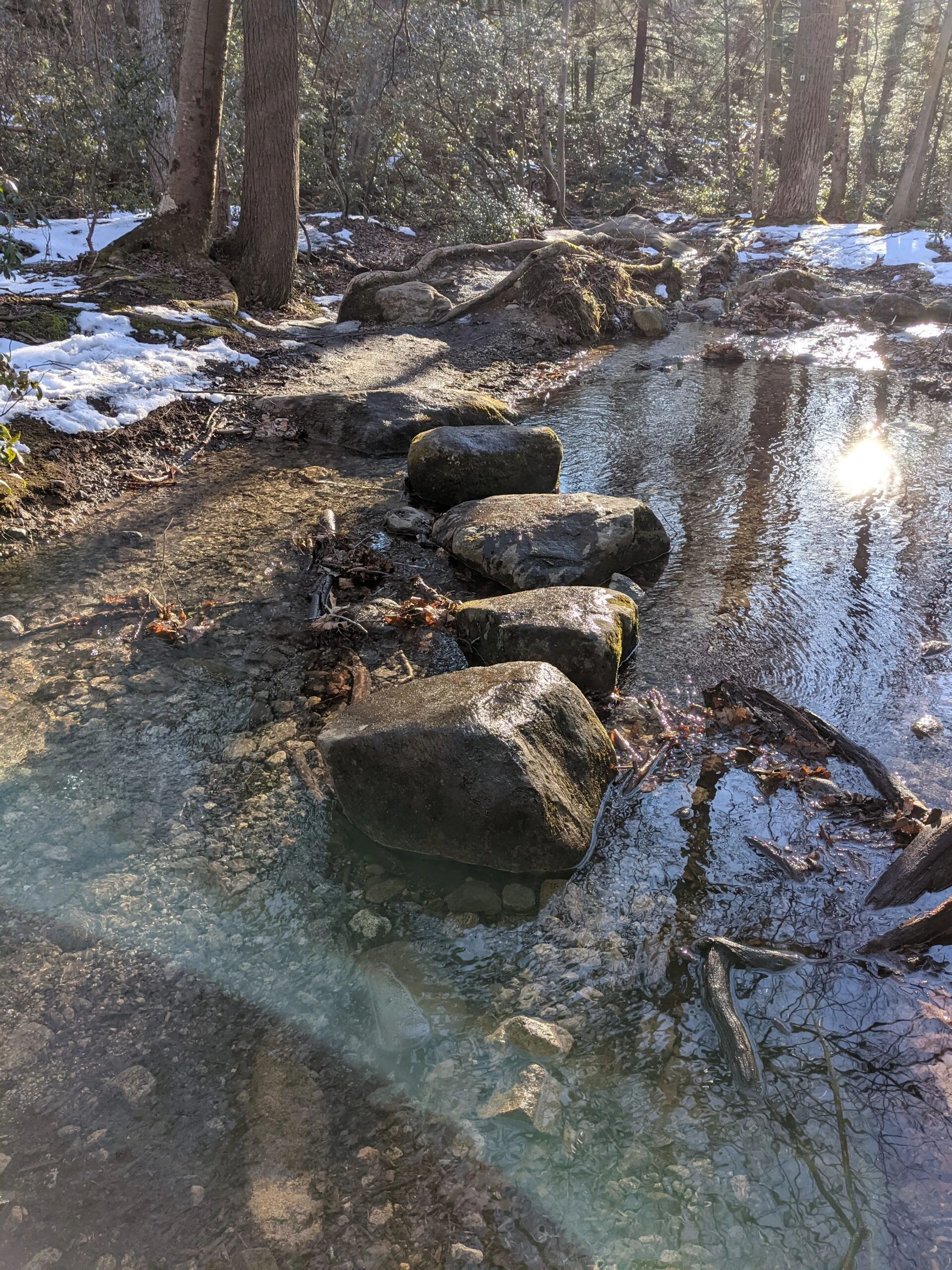
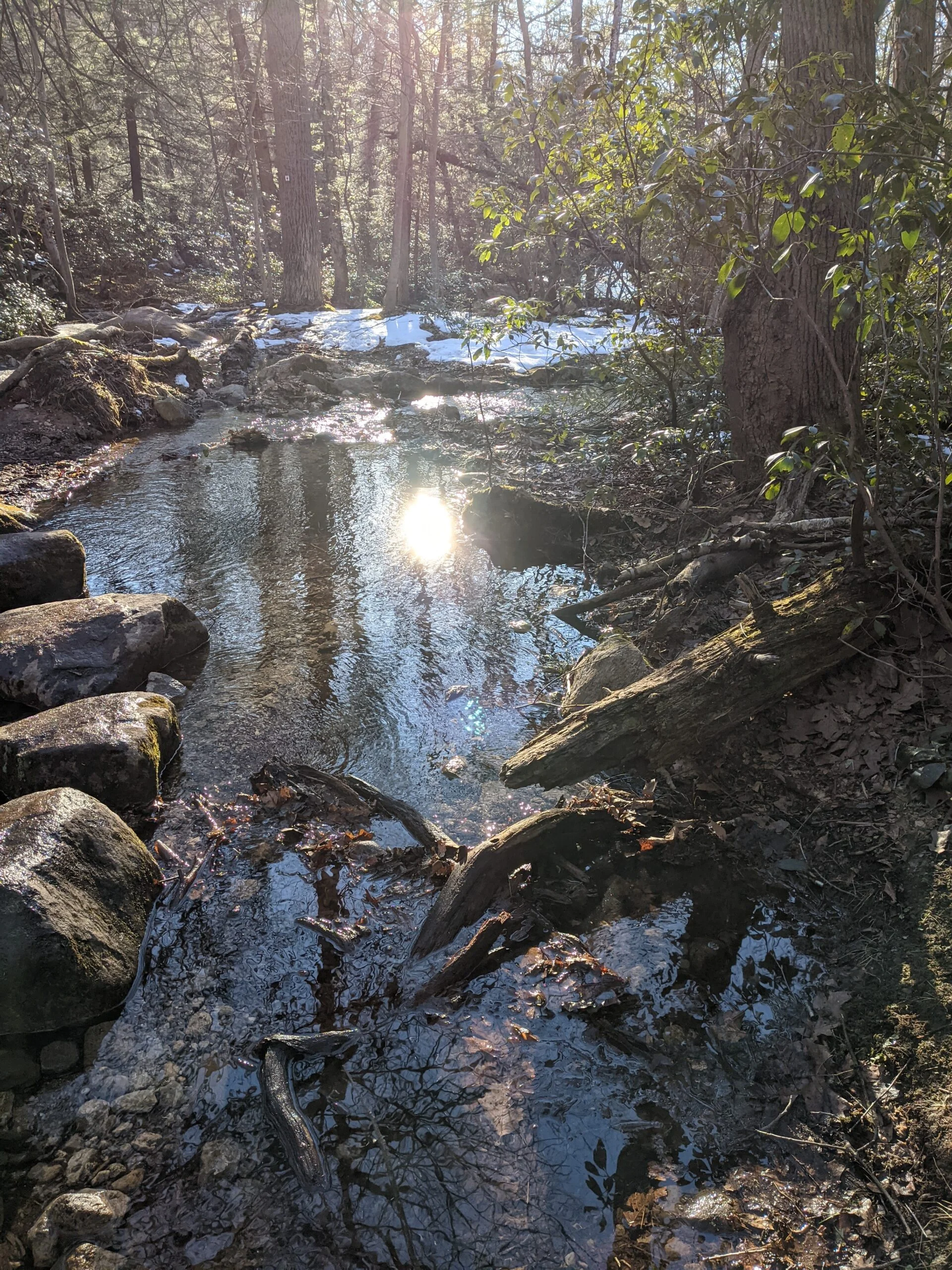
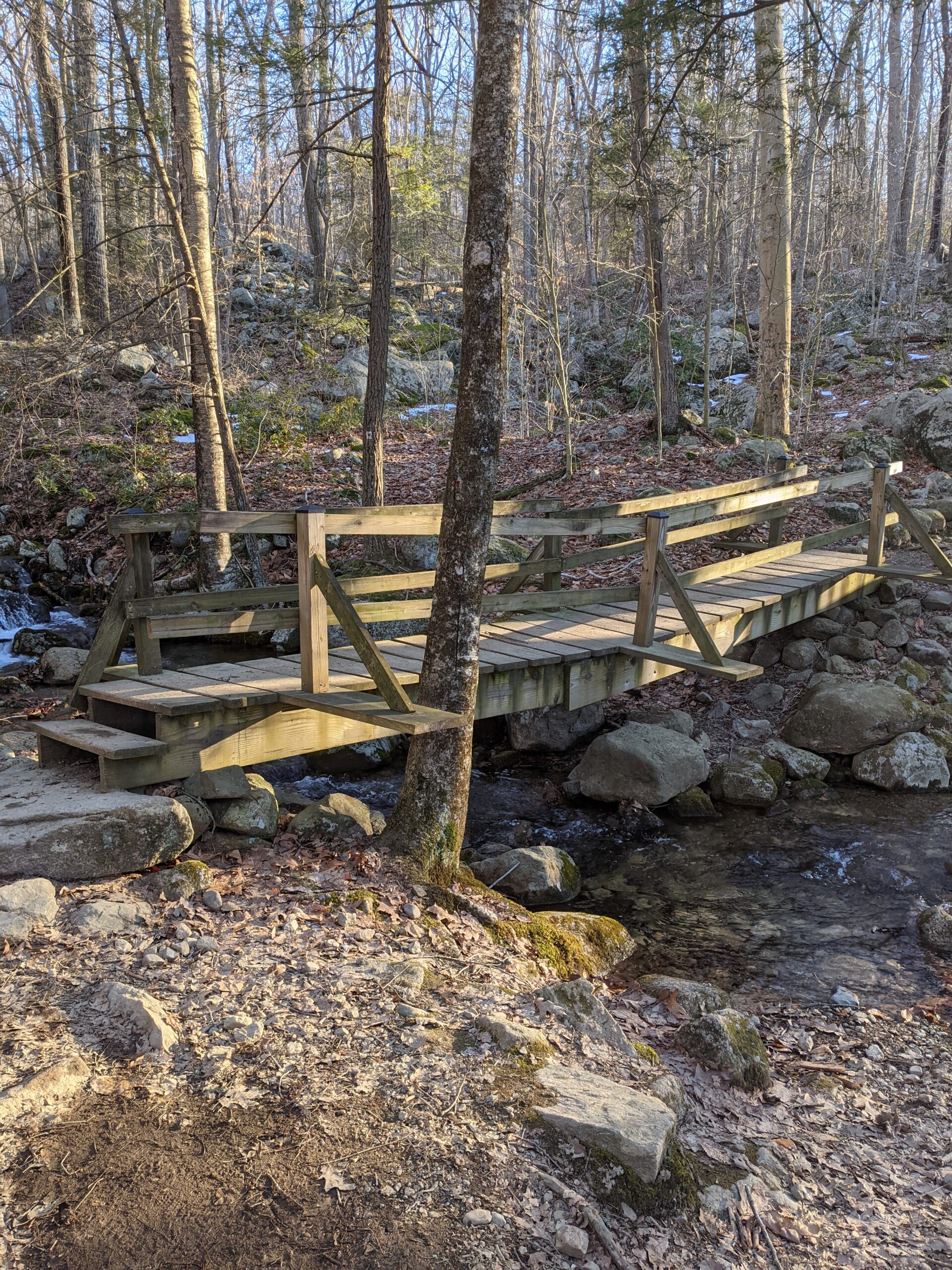
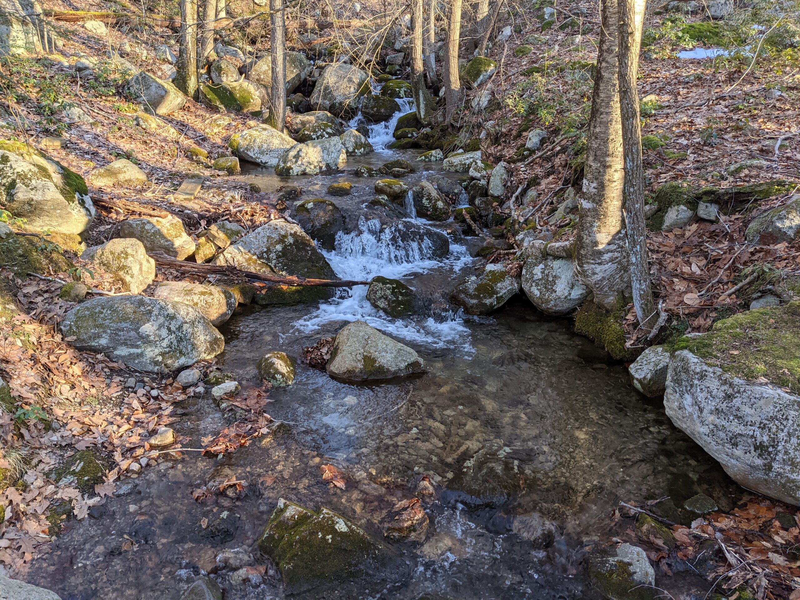
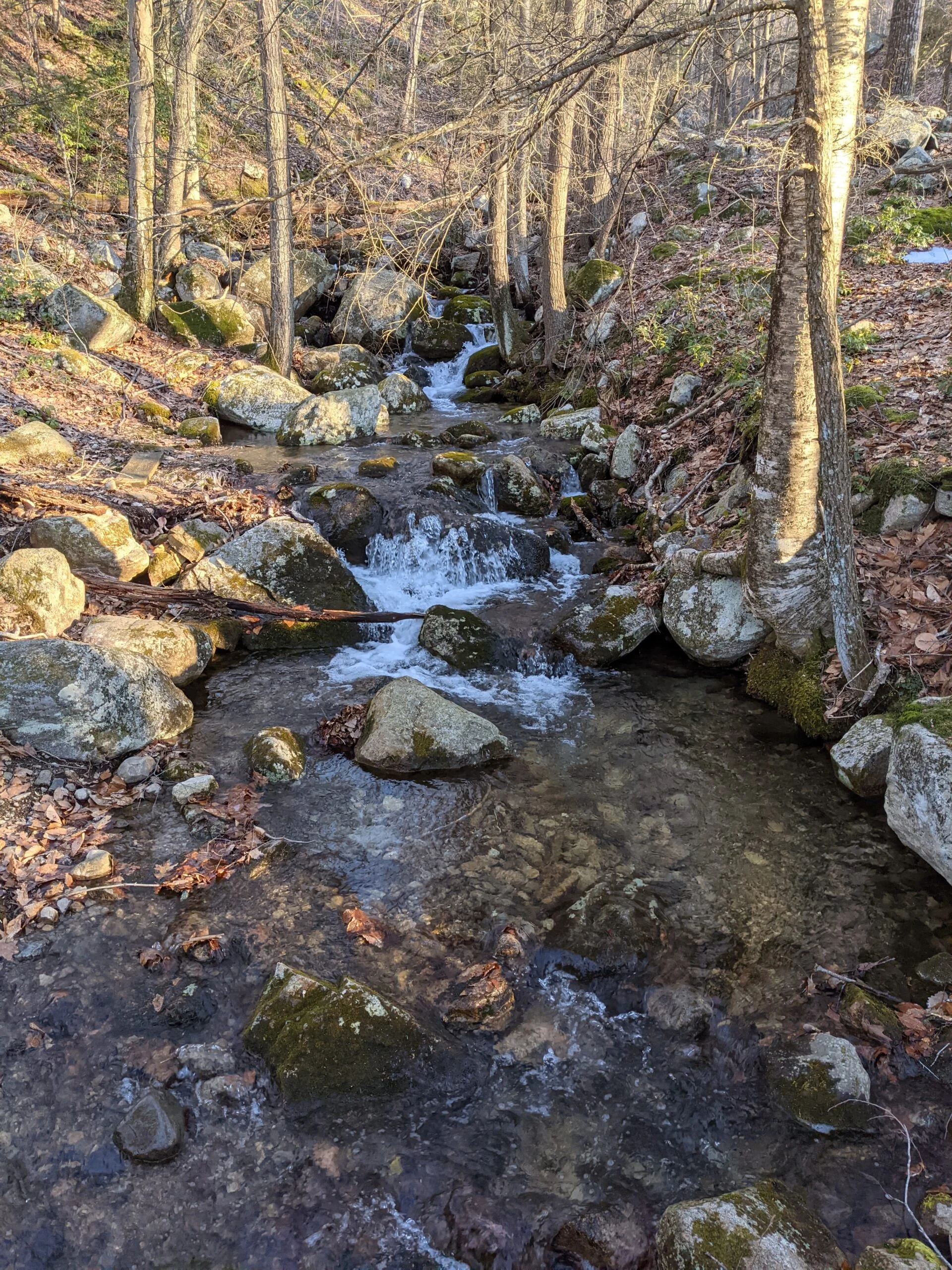
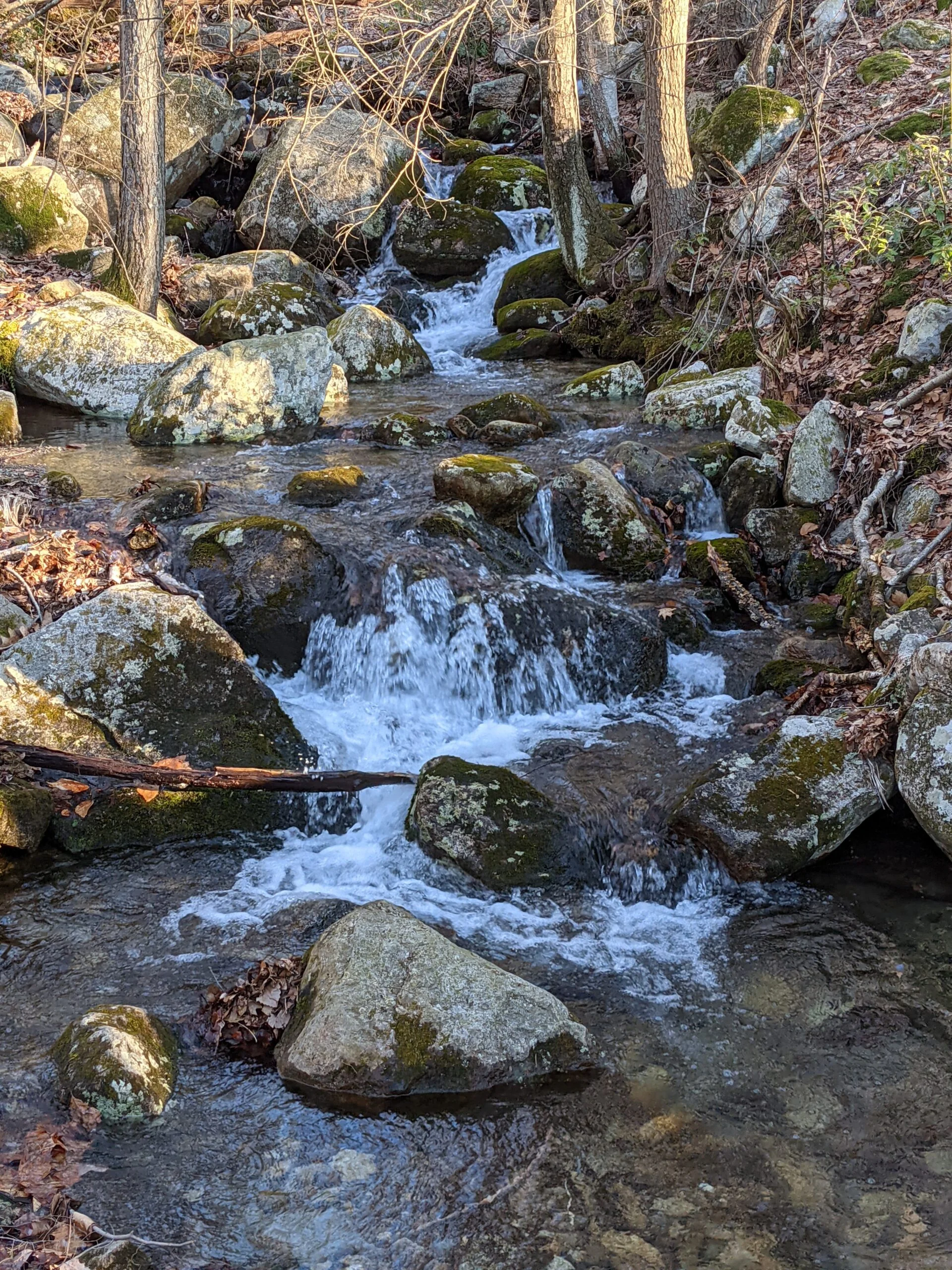
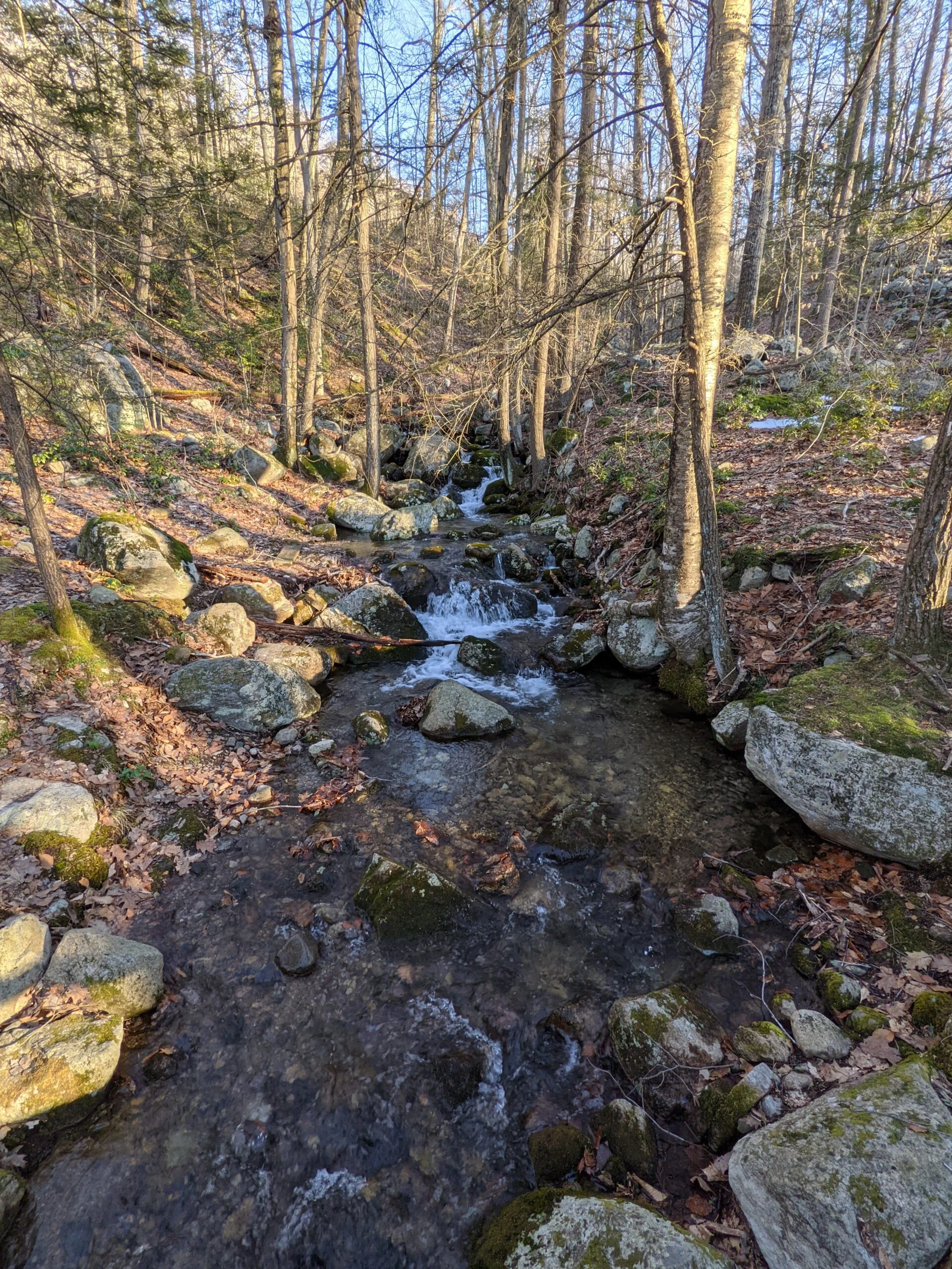
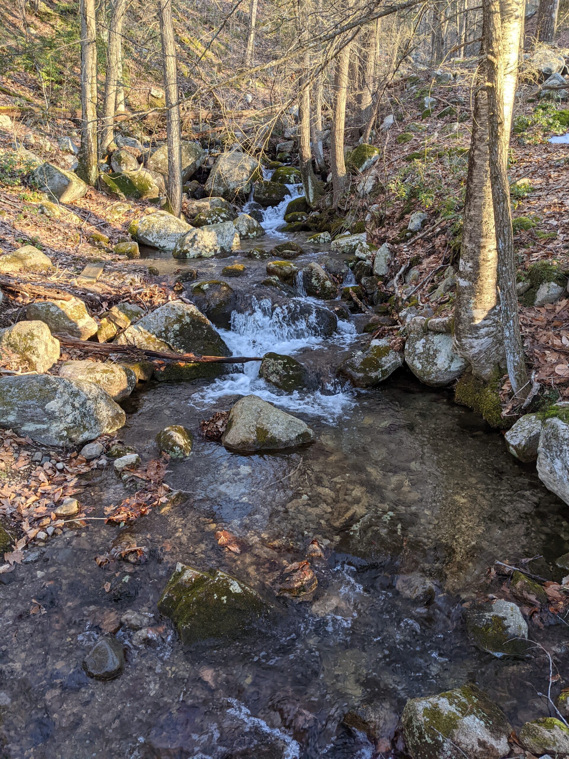
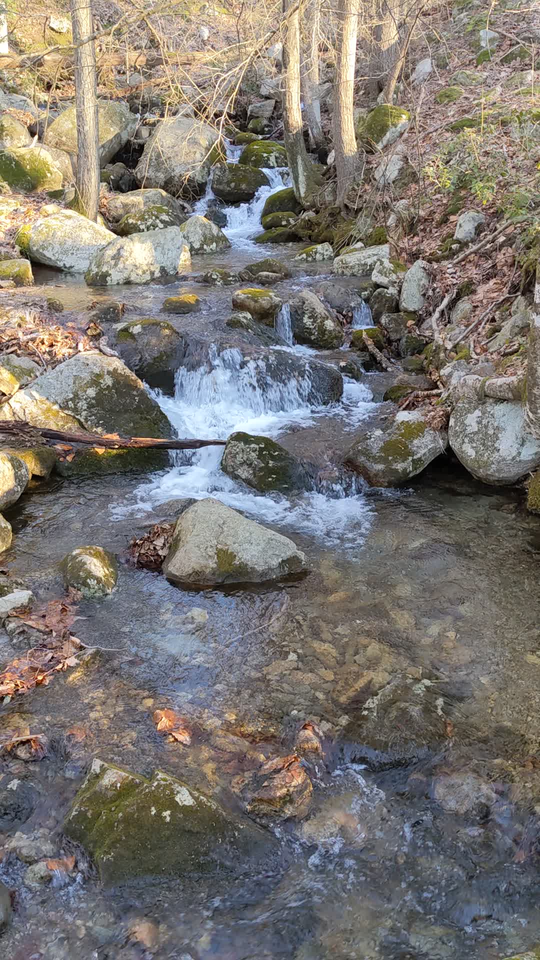
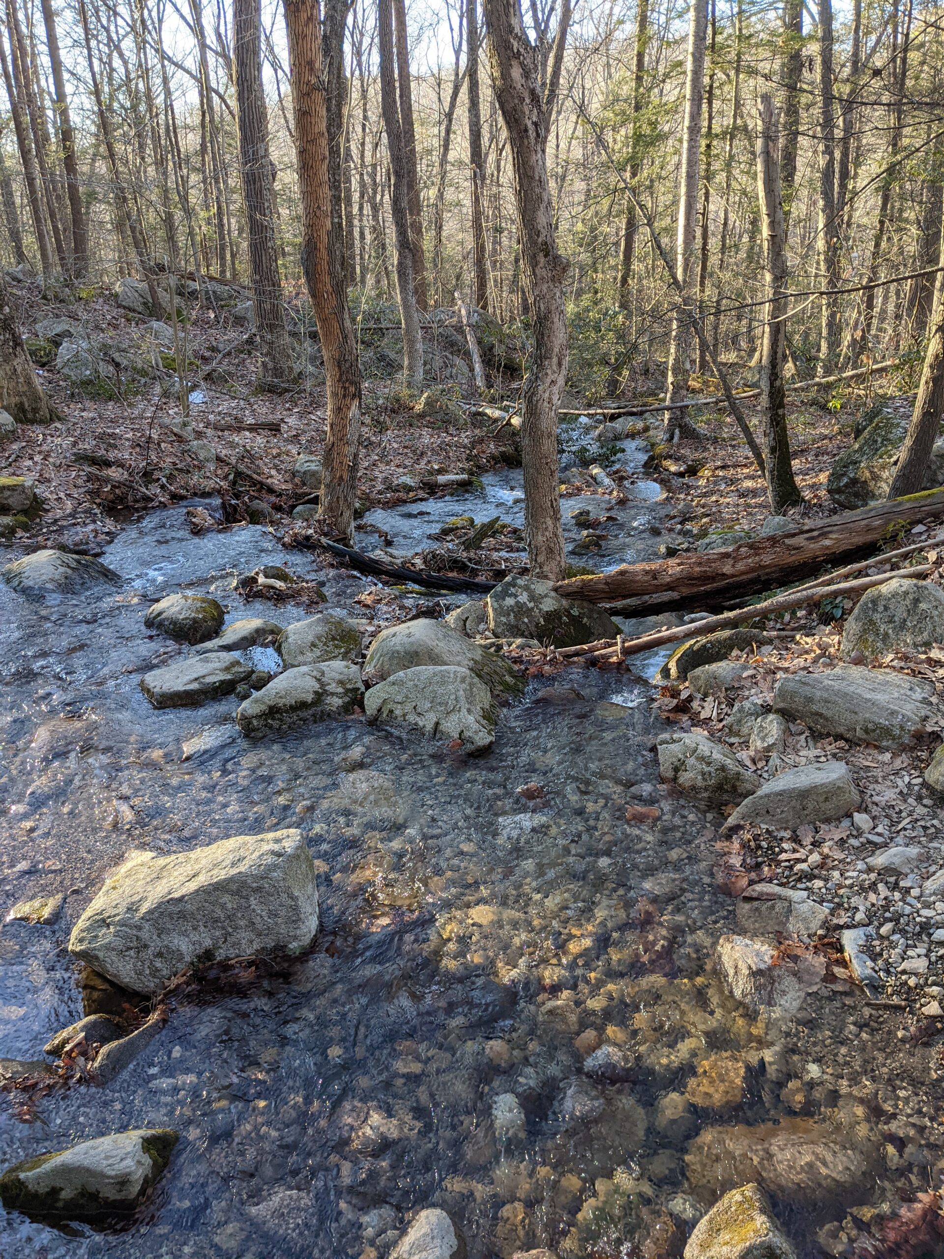
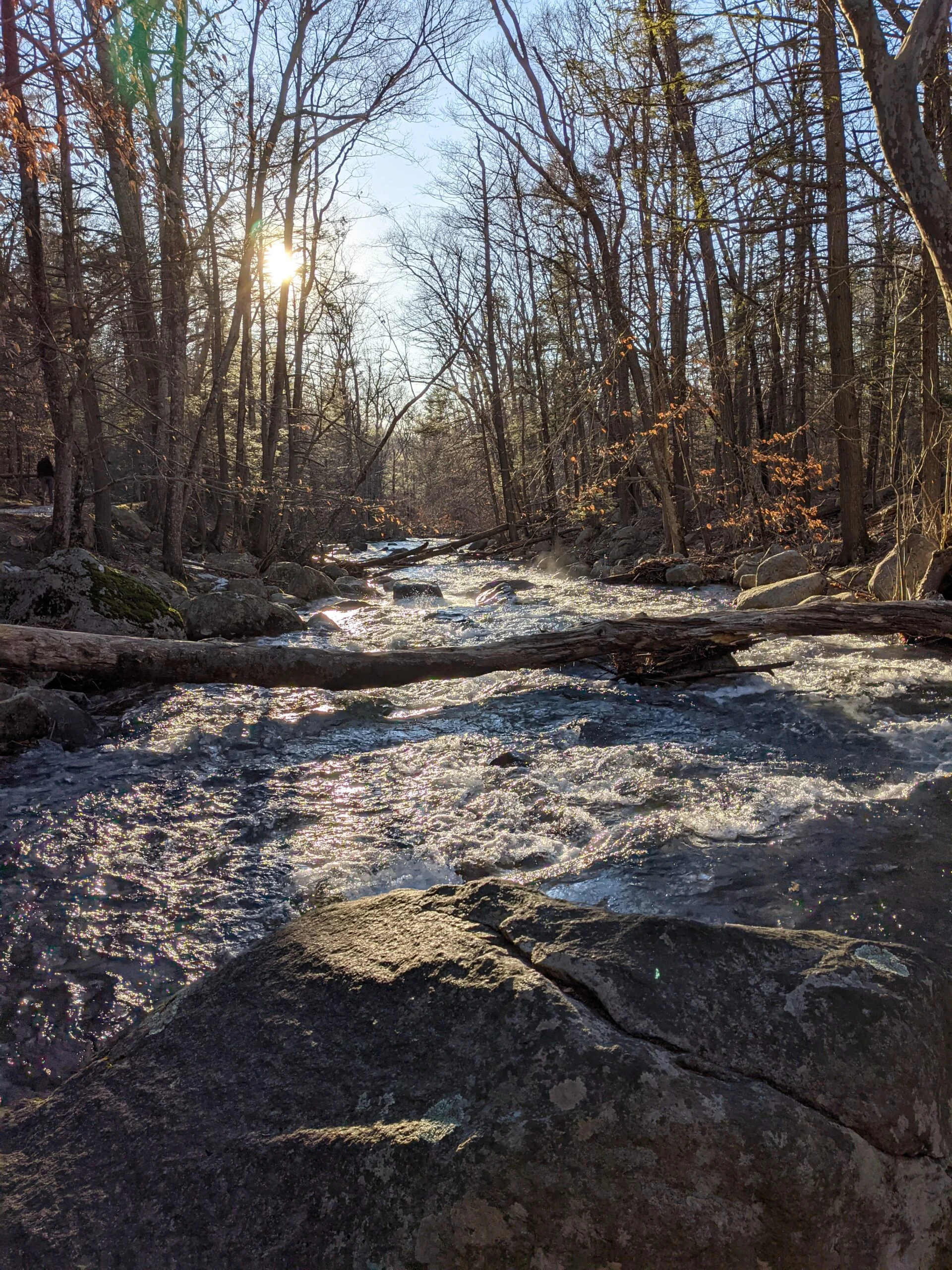
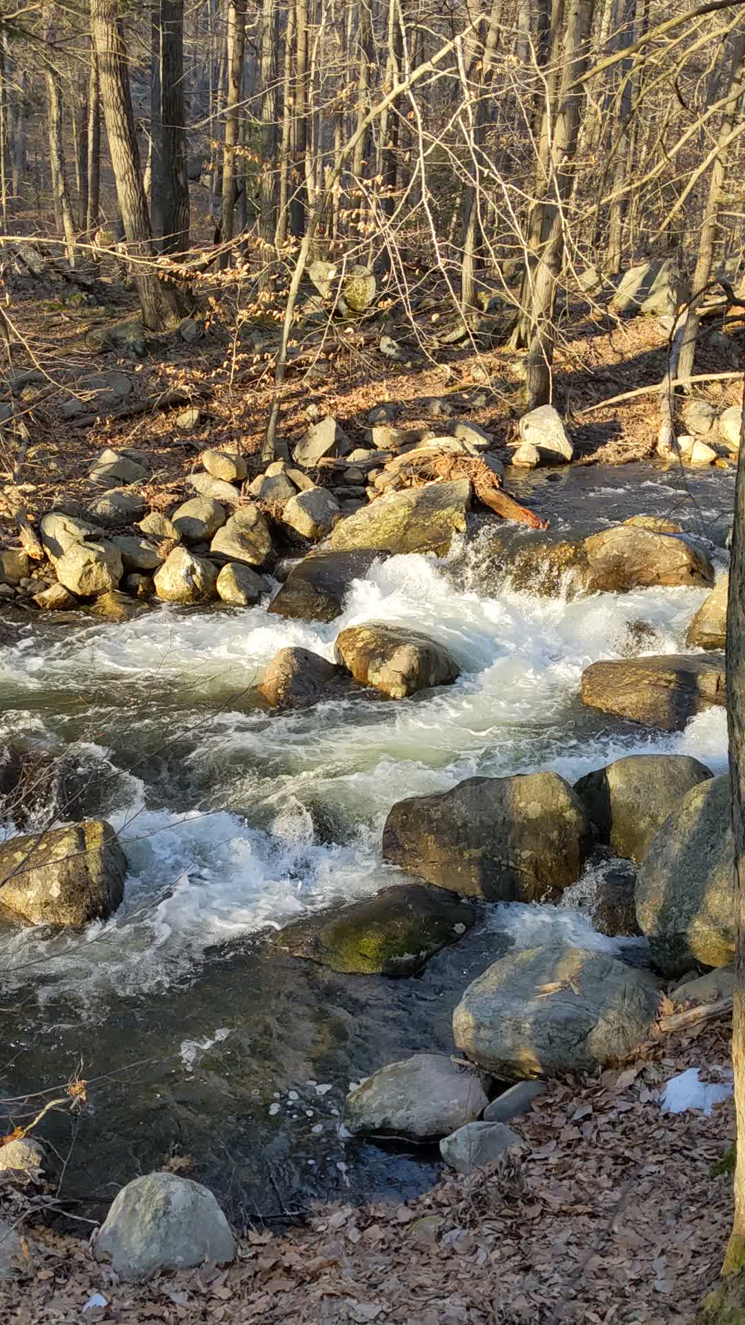
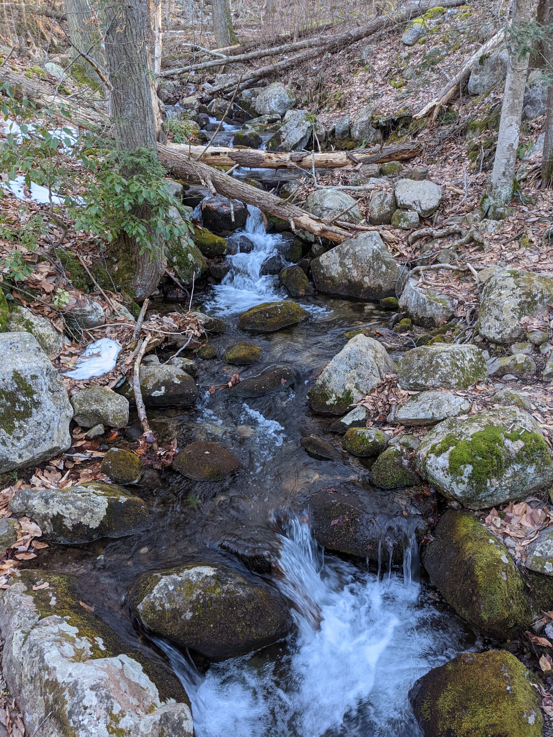
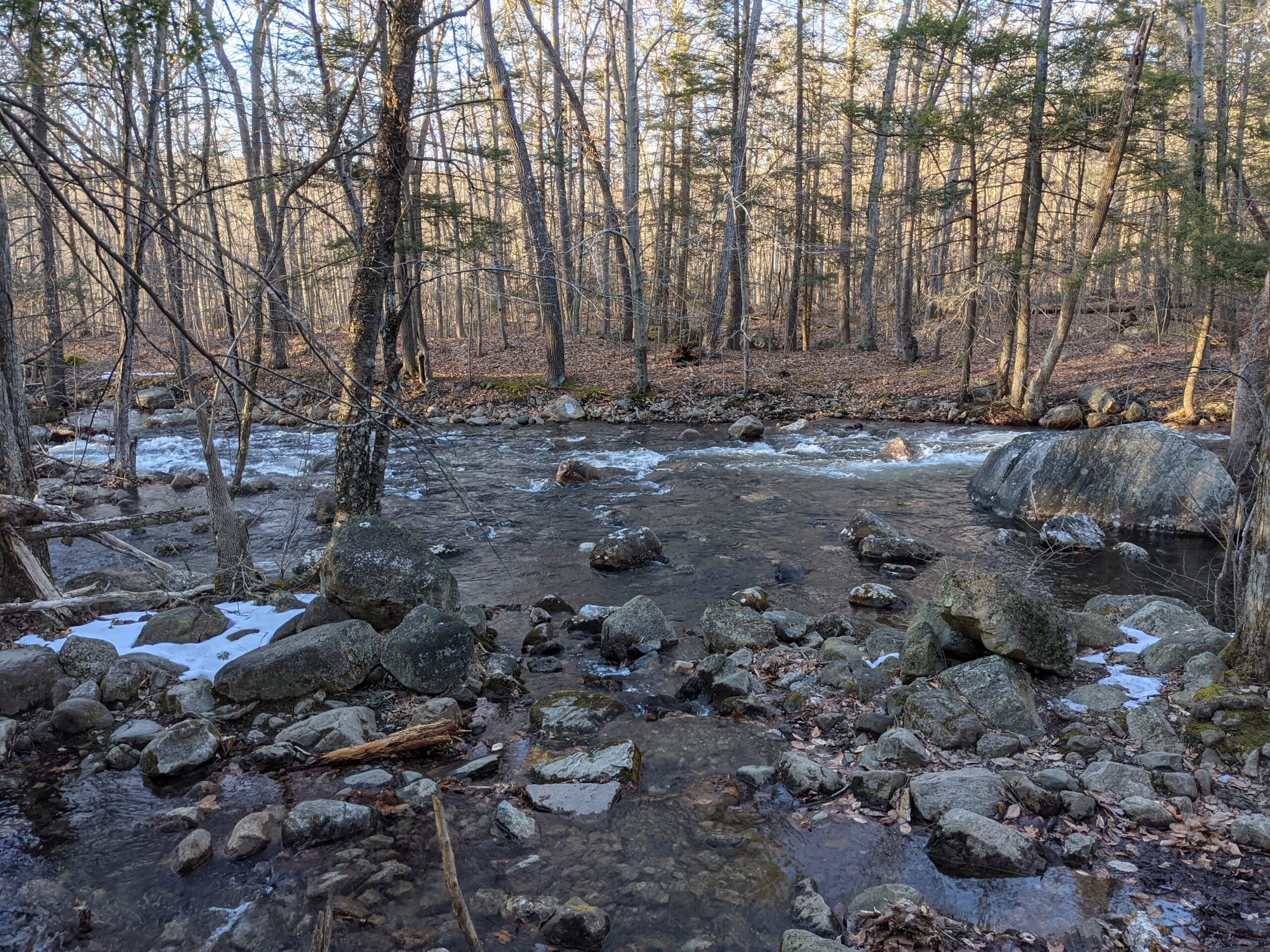
The temperature was around 40F when I began, so although I had my three layer setup, I was wearing a light windbreaker instead of my heavy winter coat. From the Information Center, I started off on the Seven Hills Trail (blue square blazes). A few minutes into the hike, I came across my first sighting of water. This trend would continue throughout the entire day. I encountered a ton of brooks and rivers along the way, some of them with really fast running water which had such a calming effect and truly made my day!
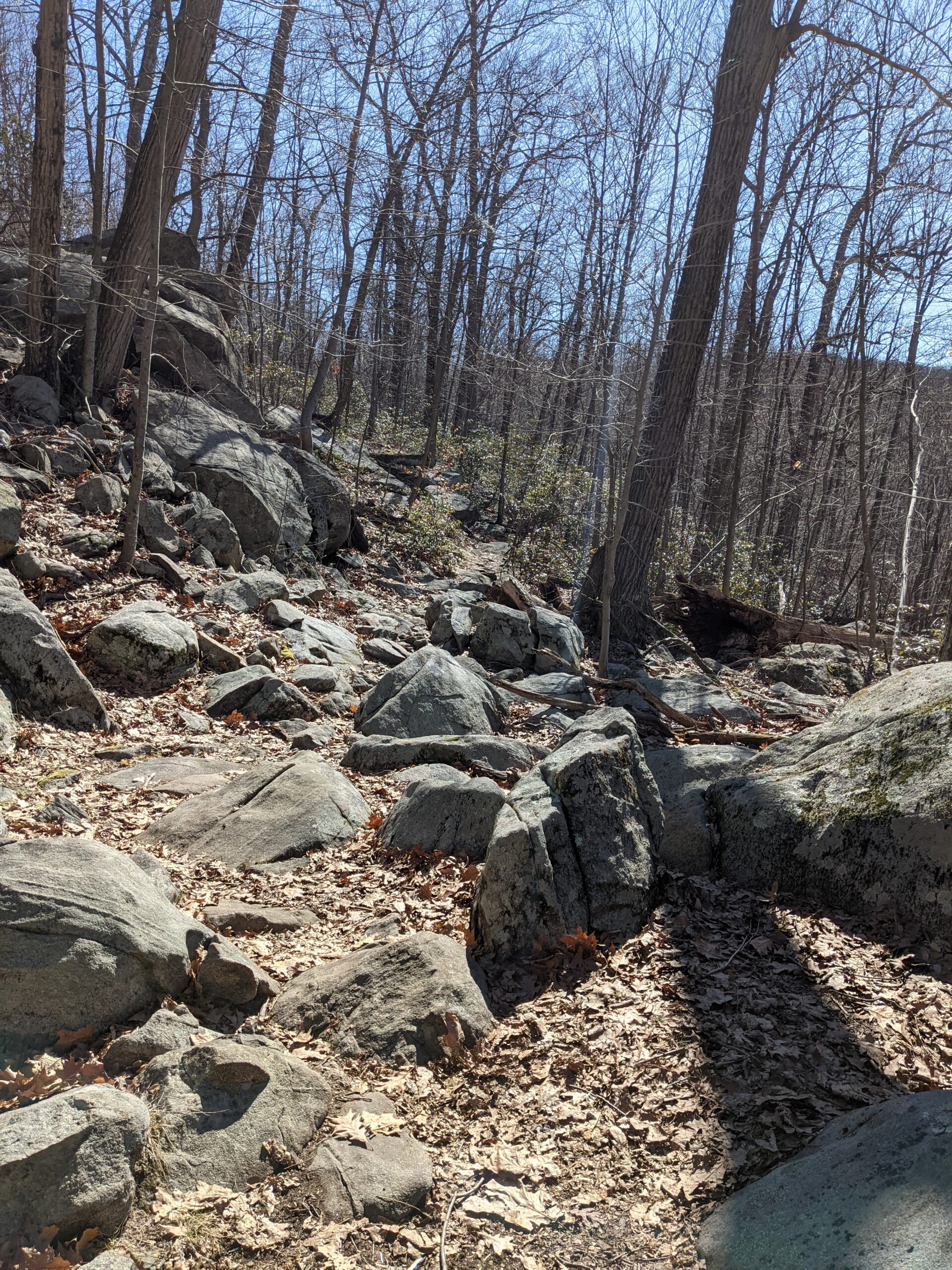
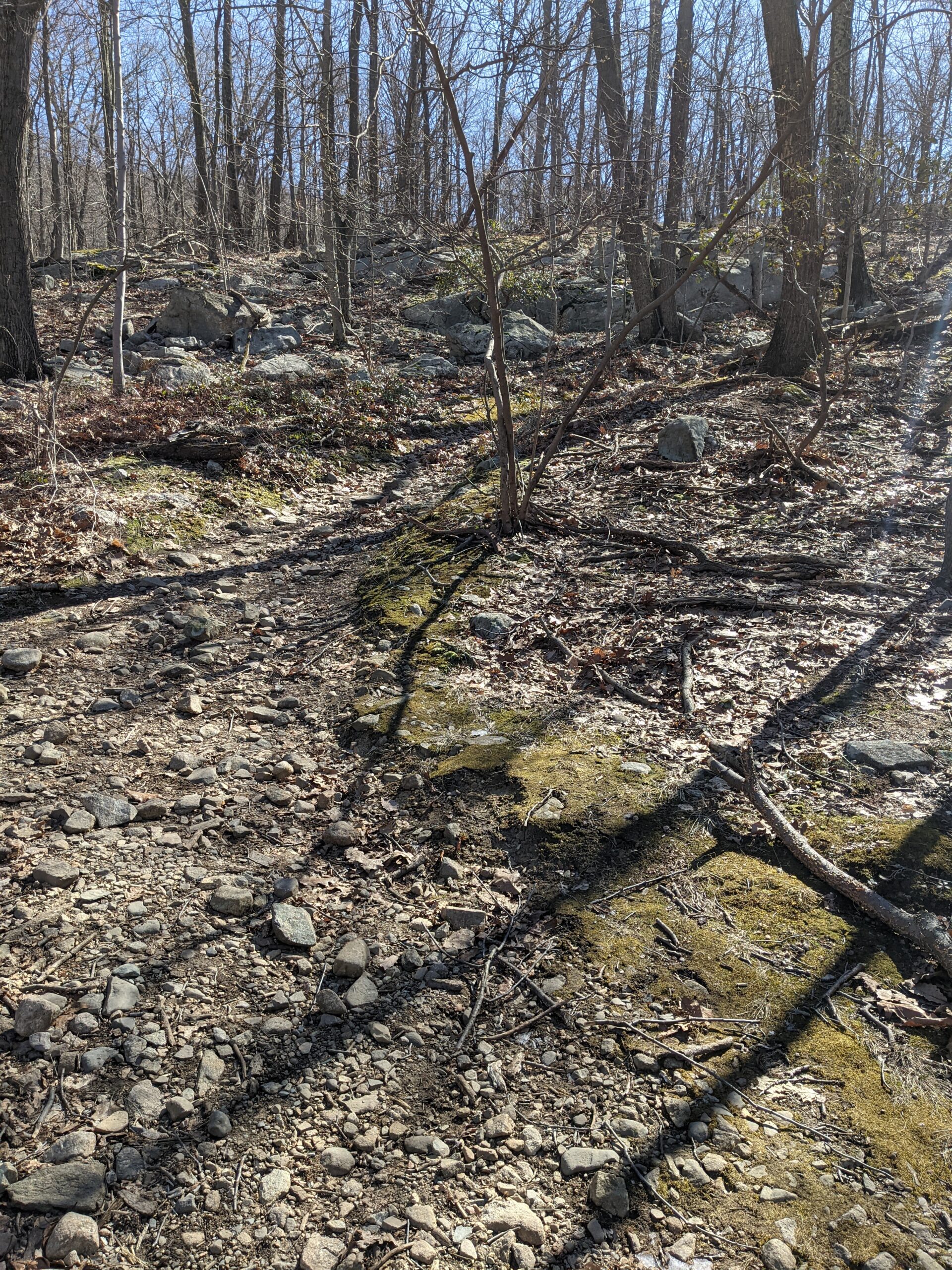
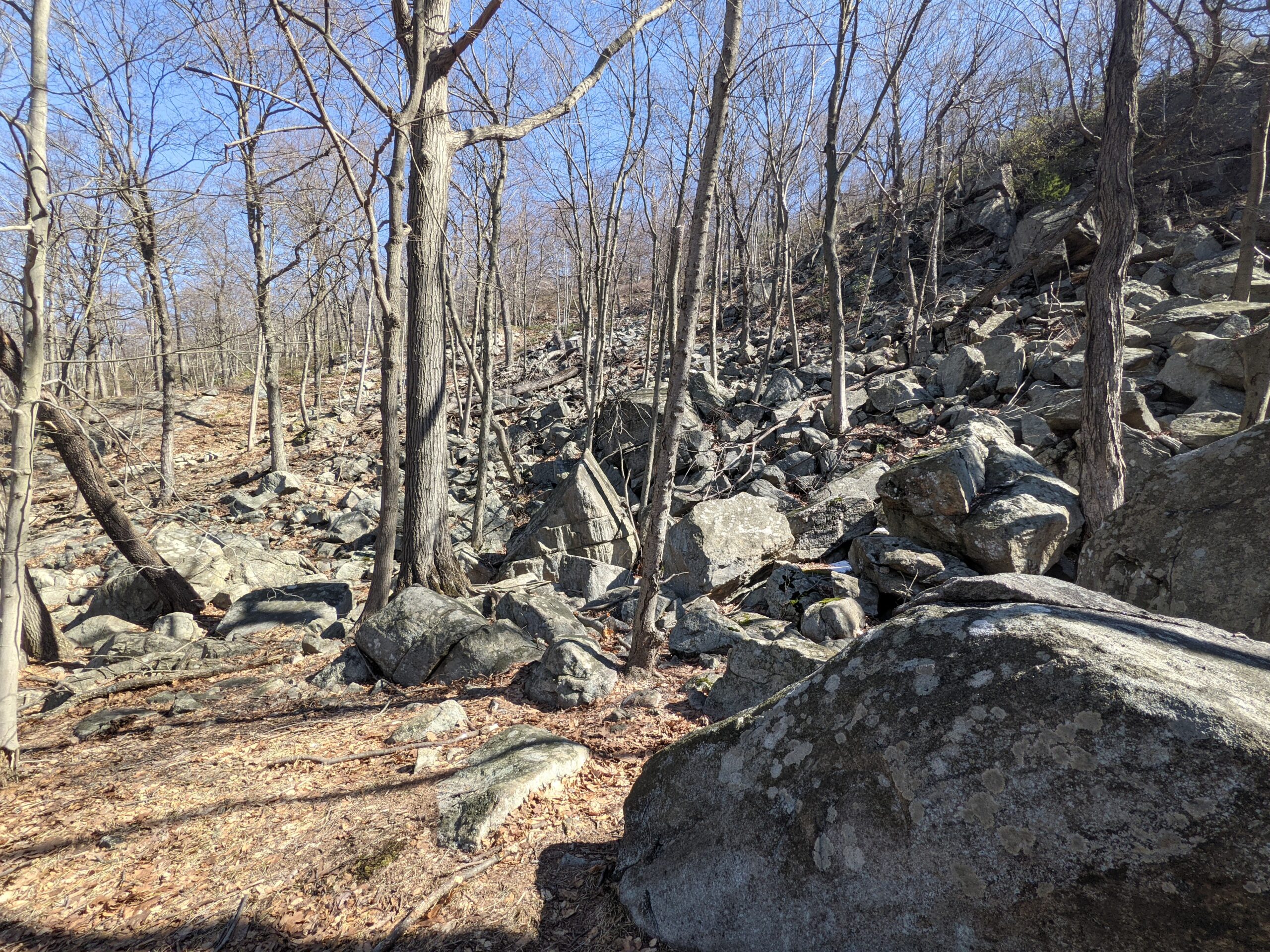
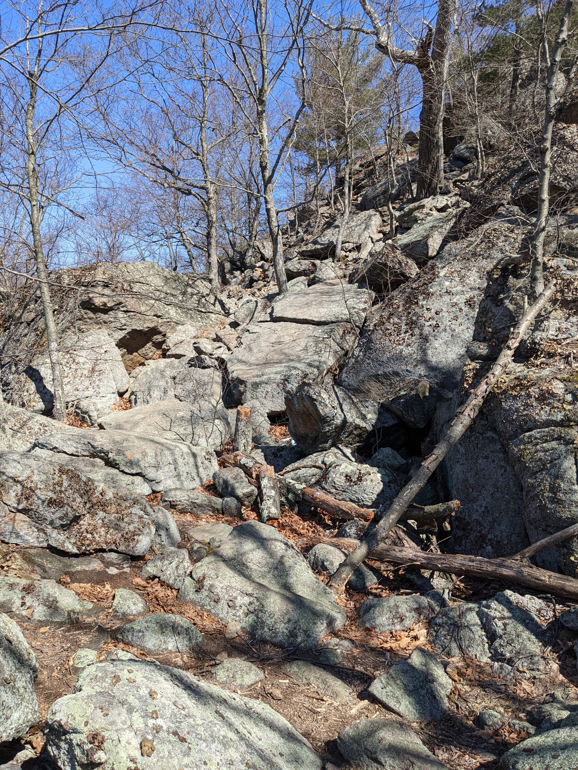
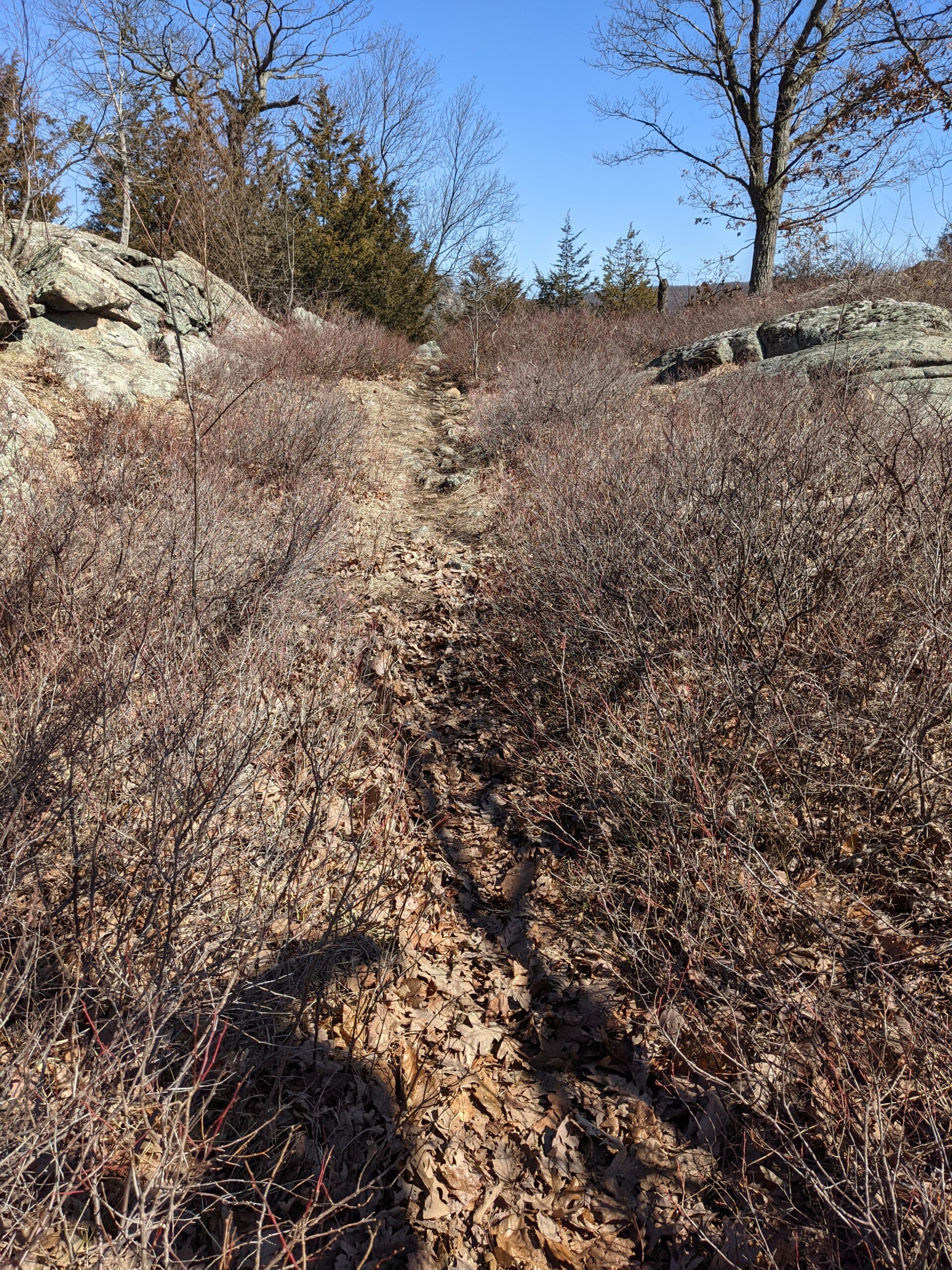
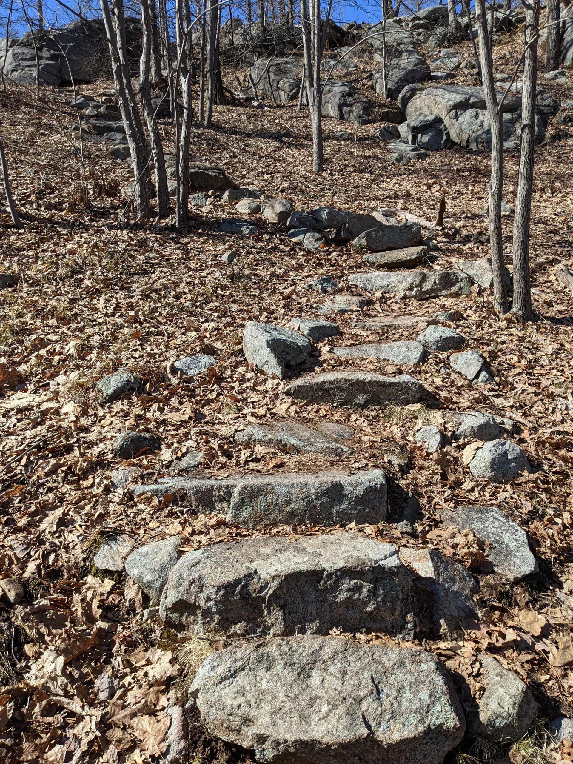
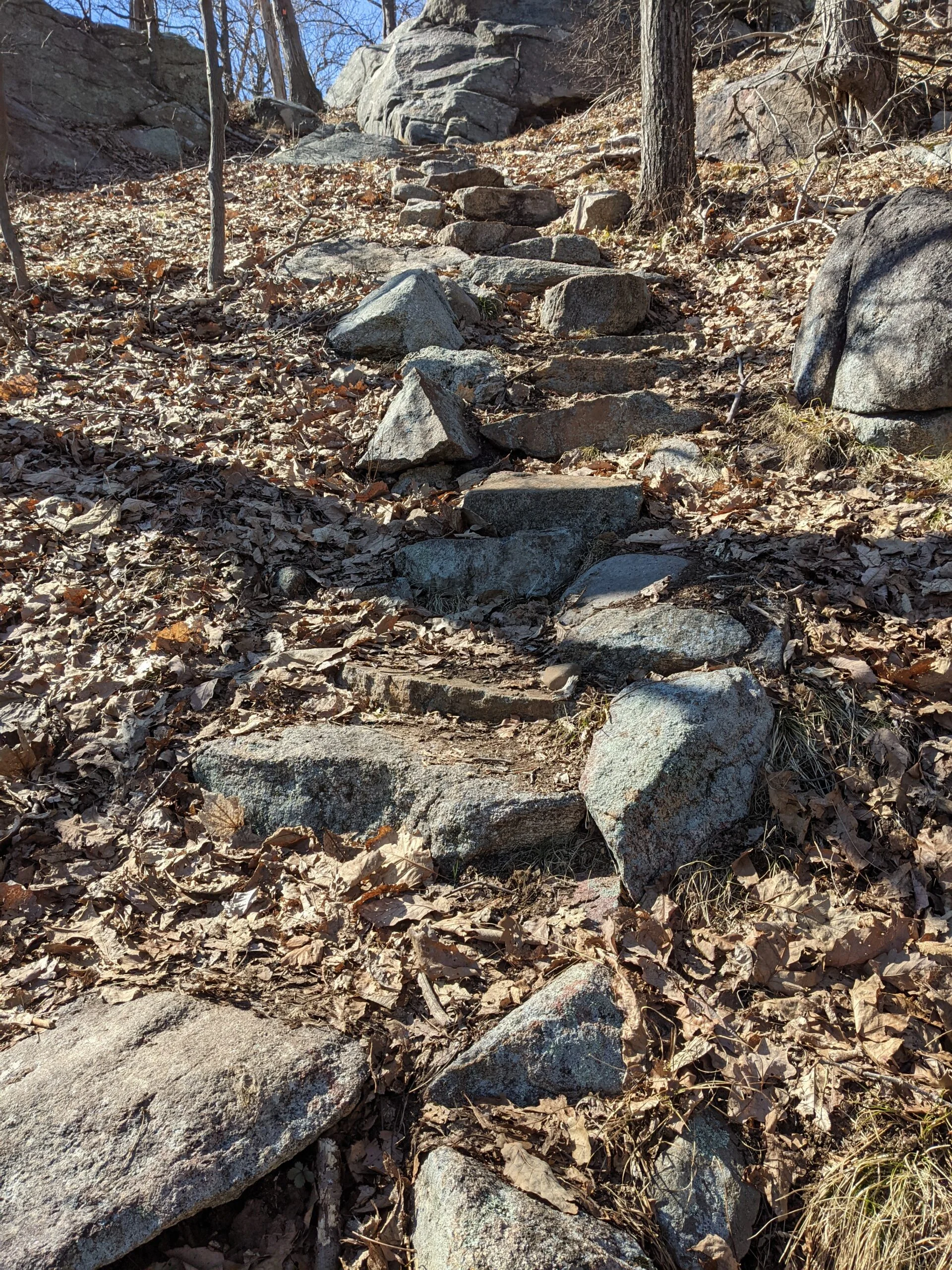
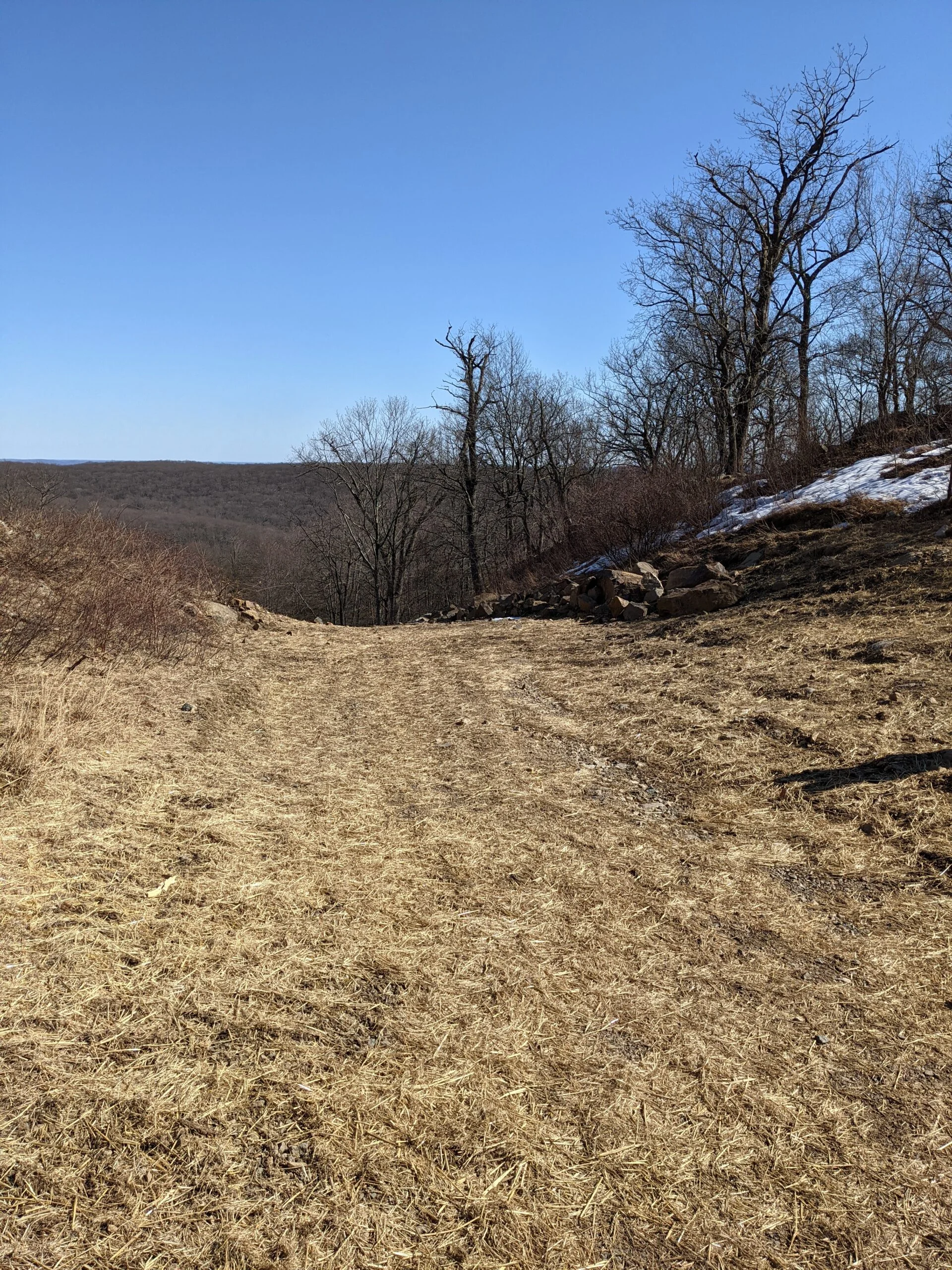
From this approach, there’s a gradual incline of about 200 ft for the first 2 miles, which is very reasonable. At about the 1.7 mile mark, the Seven Hills Trail heads to the east, but this would have avoided the some of the best views of the hike, so I took the Hillburn – Thorne Sebago Trail (orange square blazes) to the south.
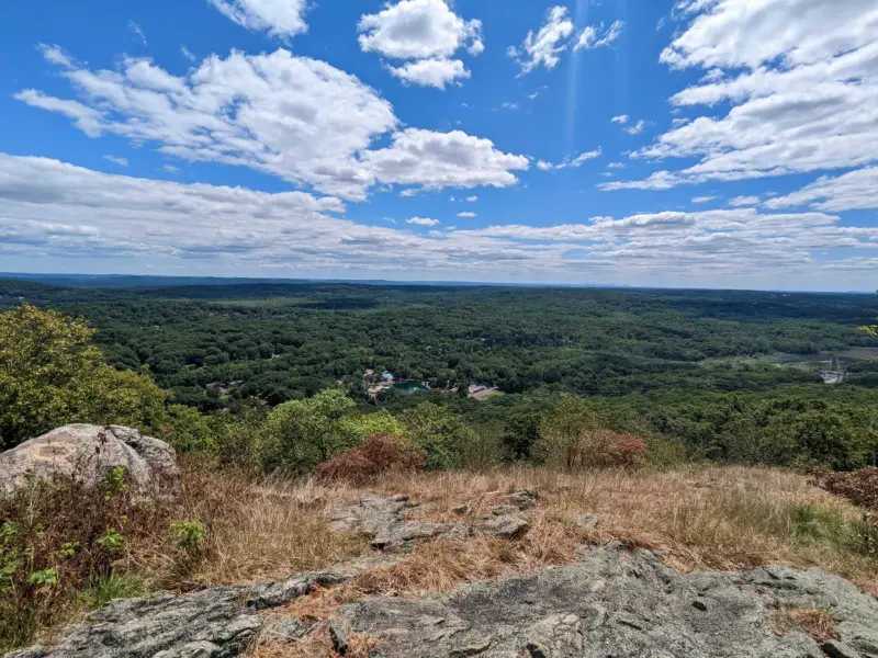
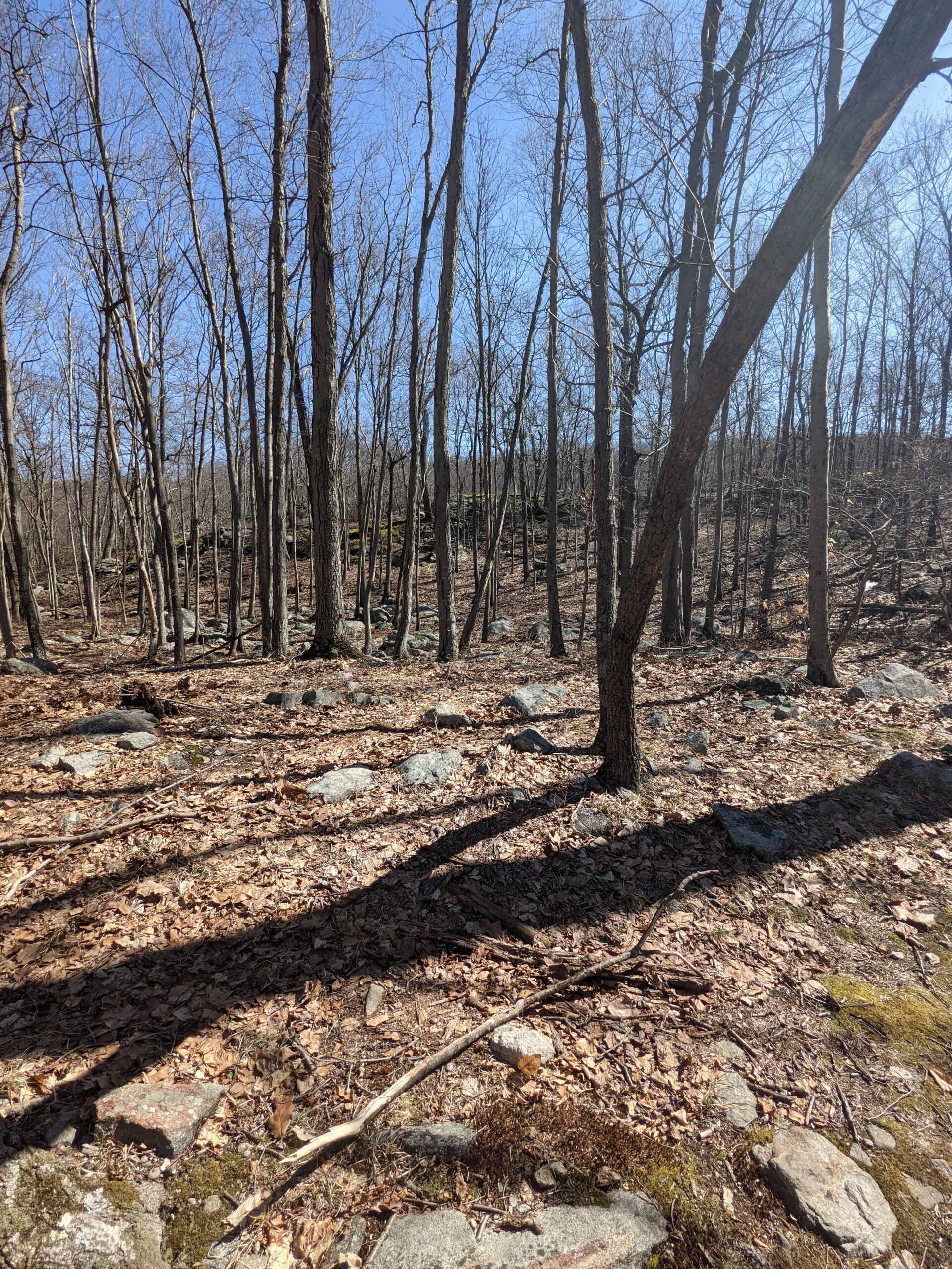
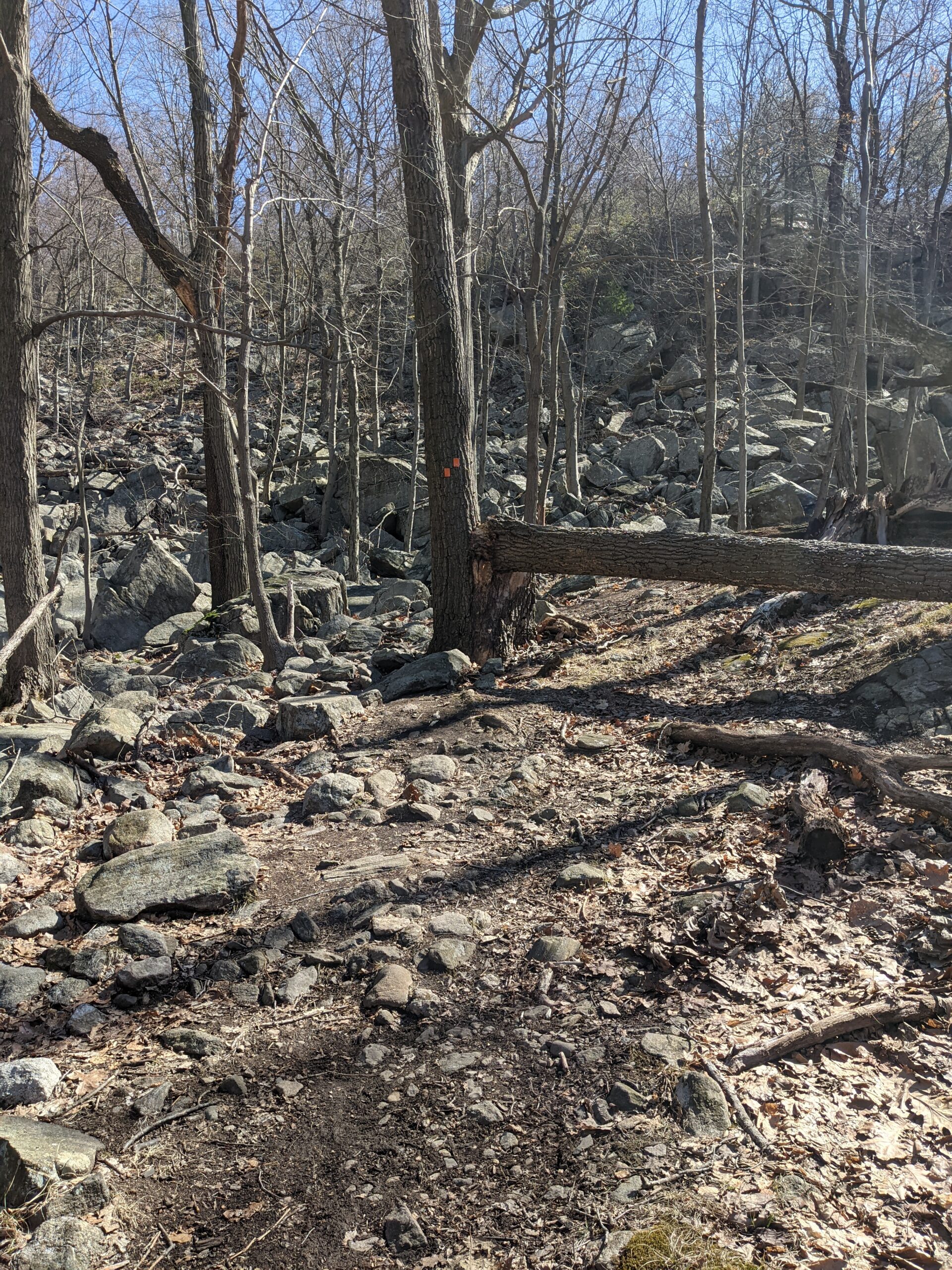
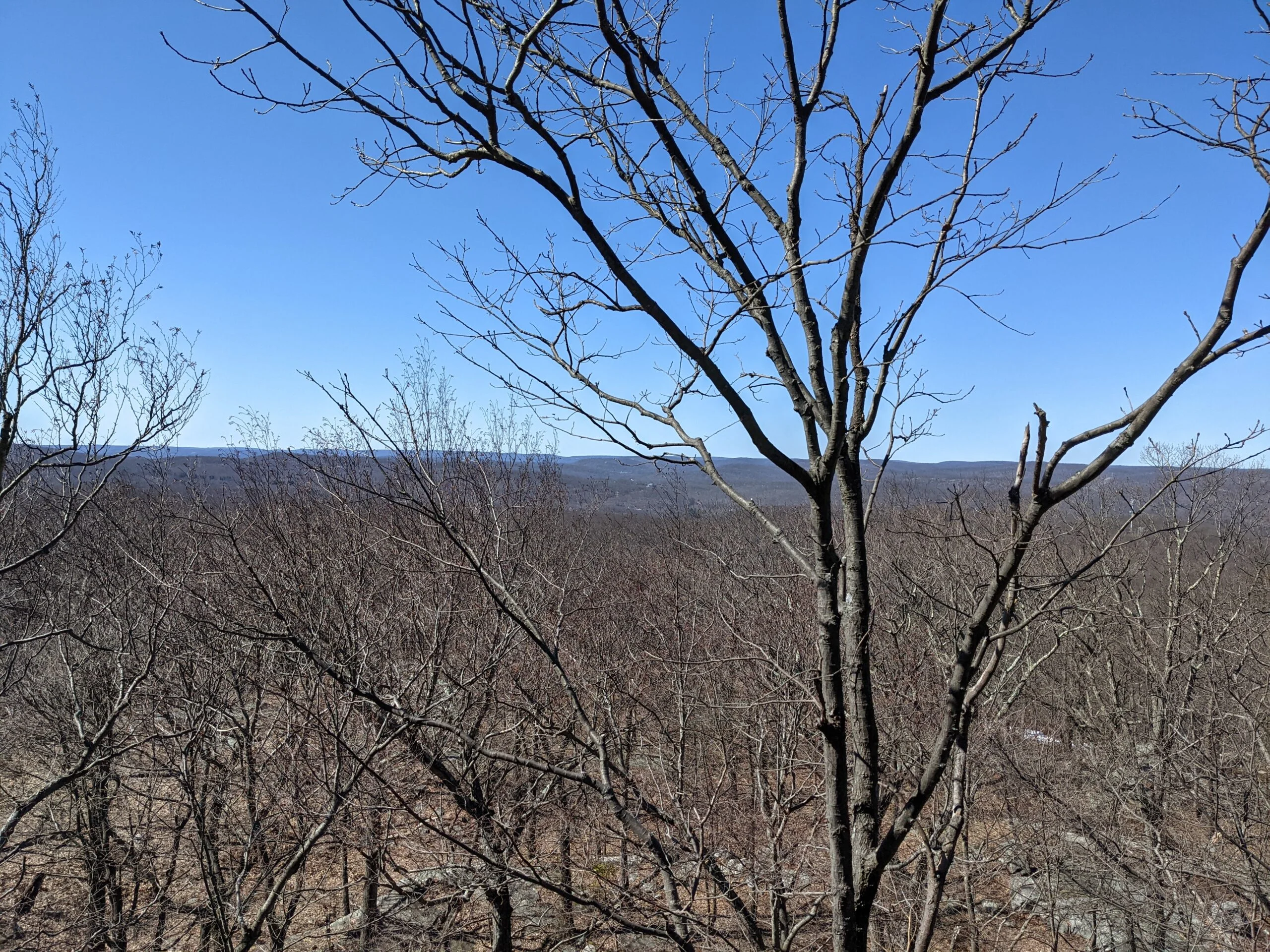
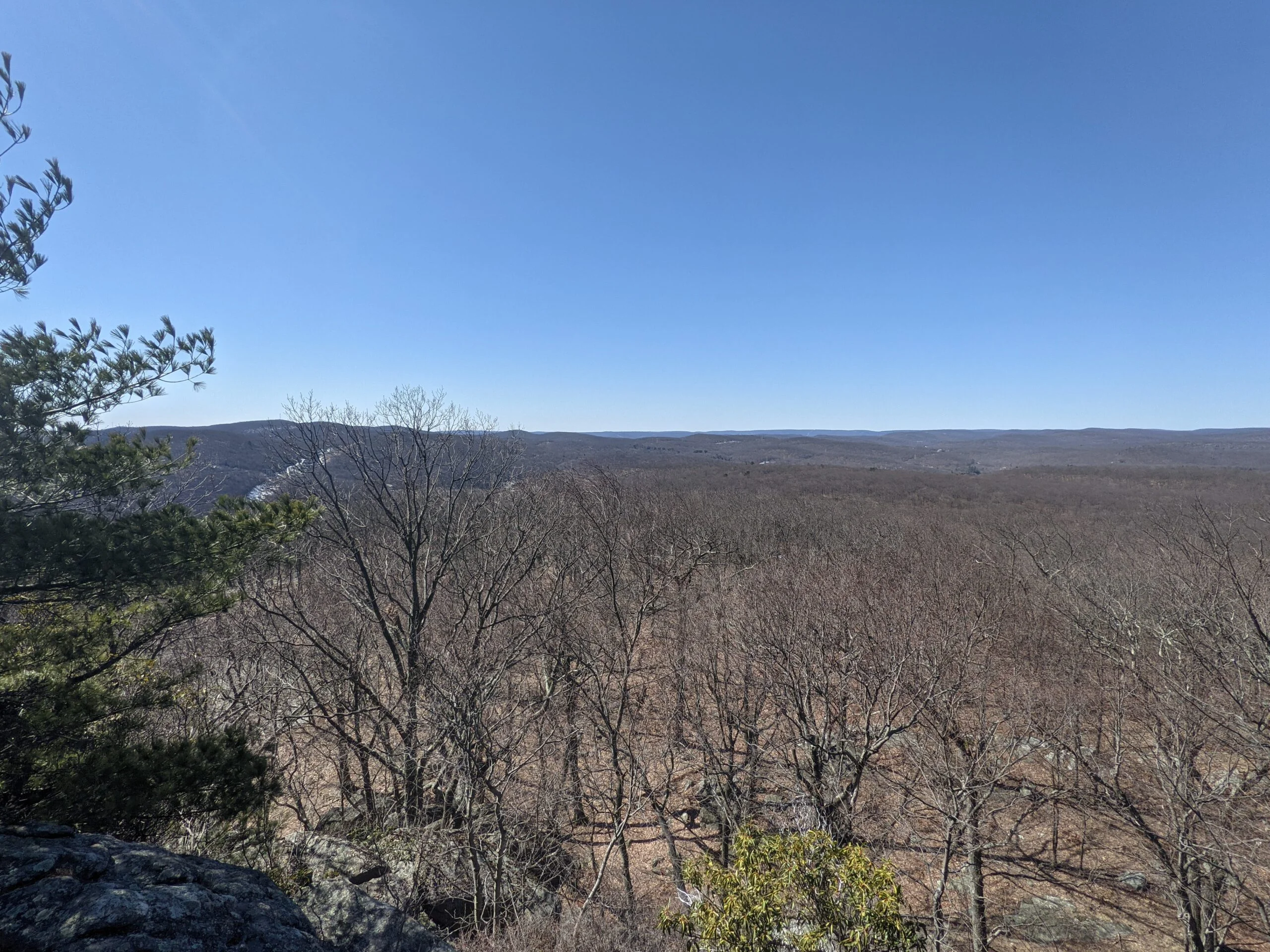
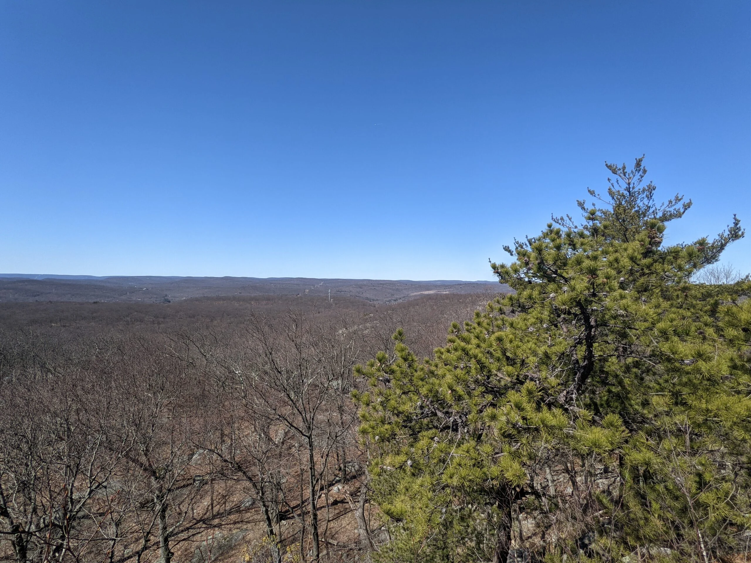
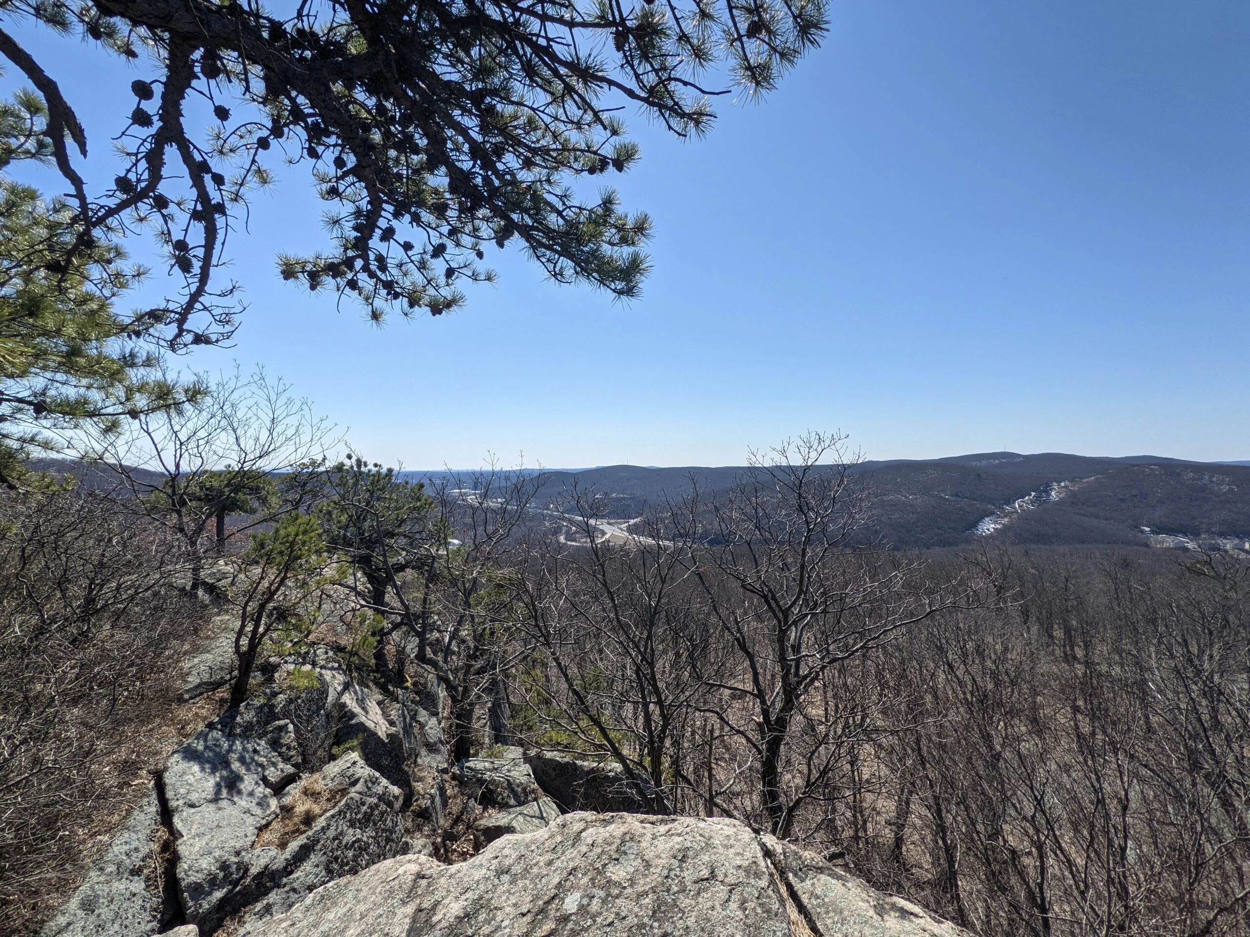
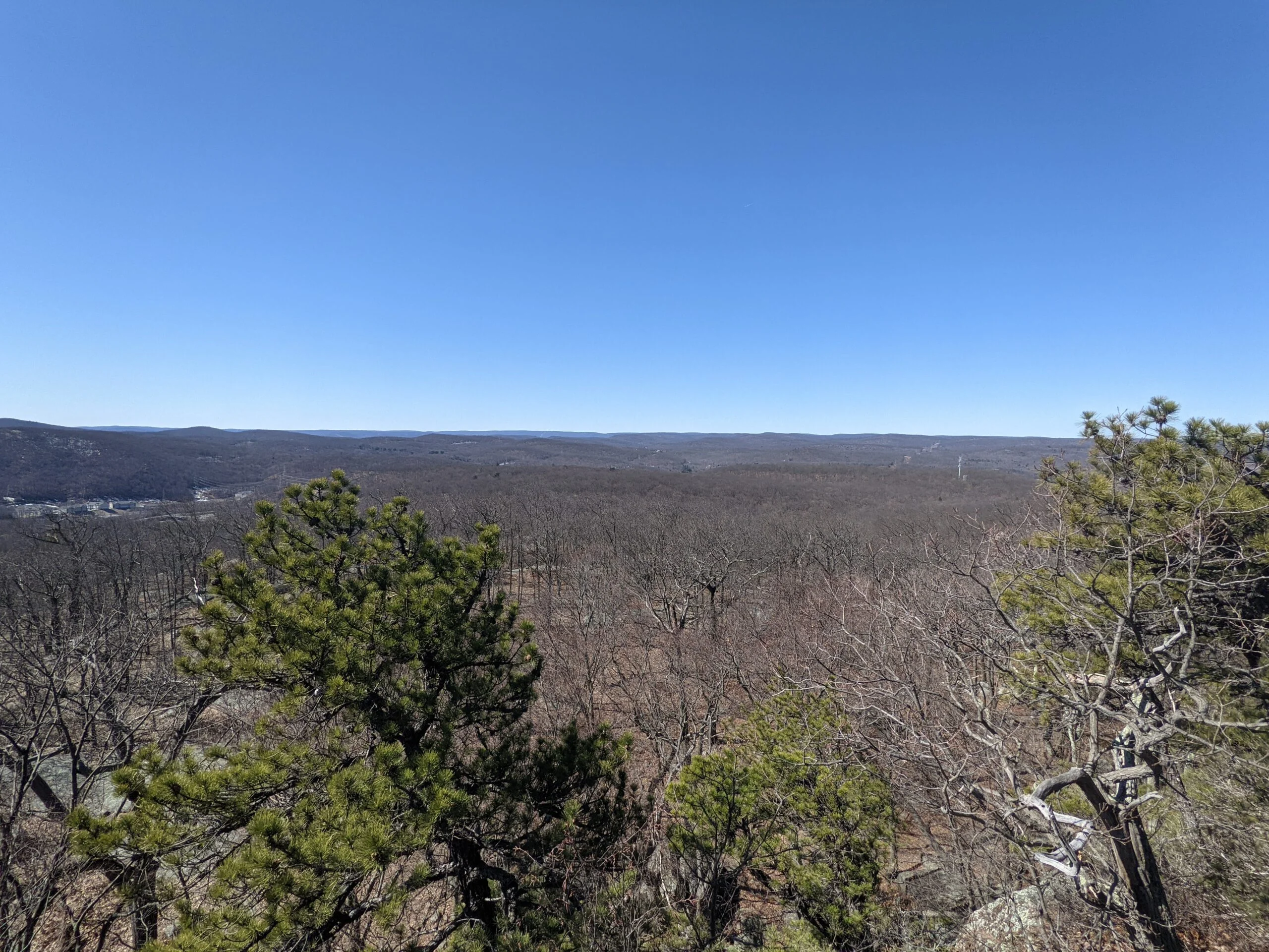
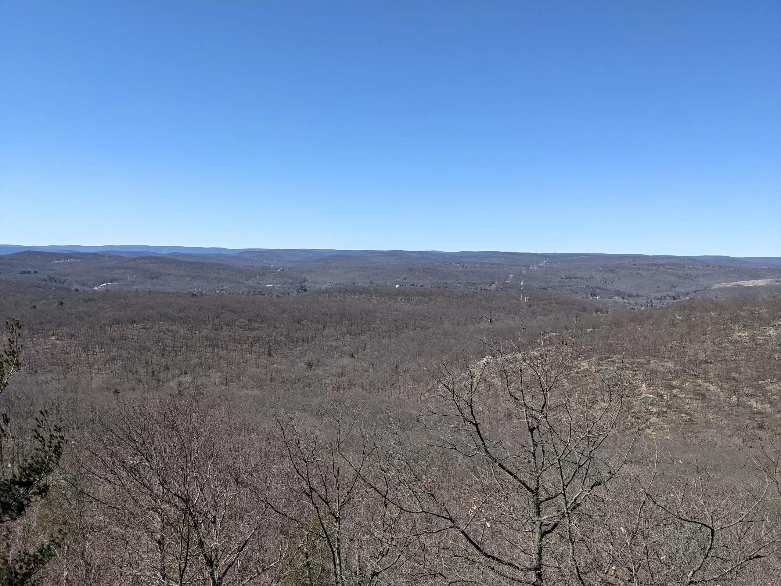
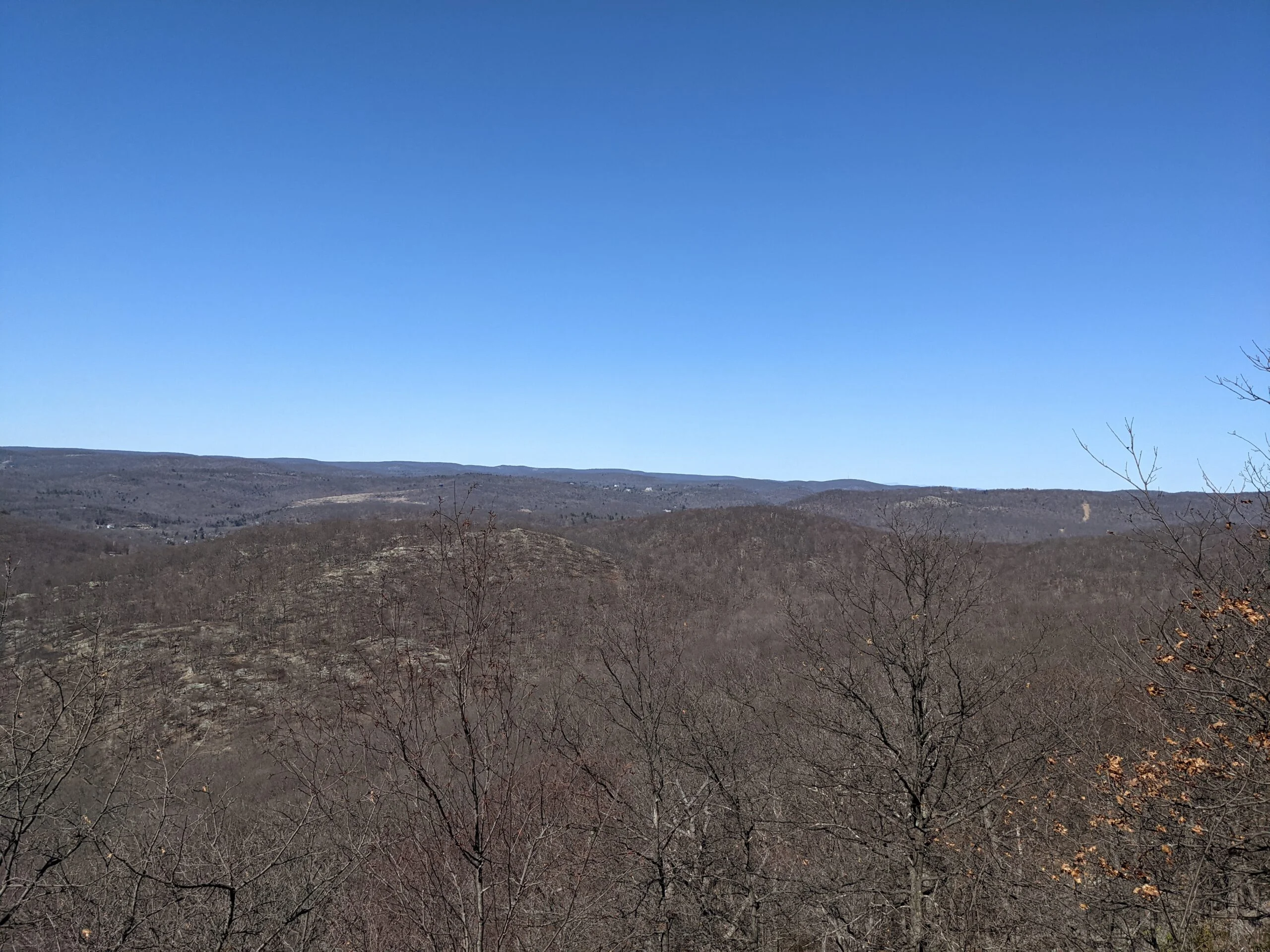
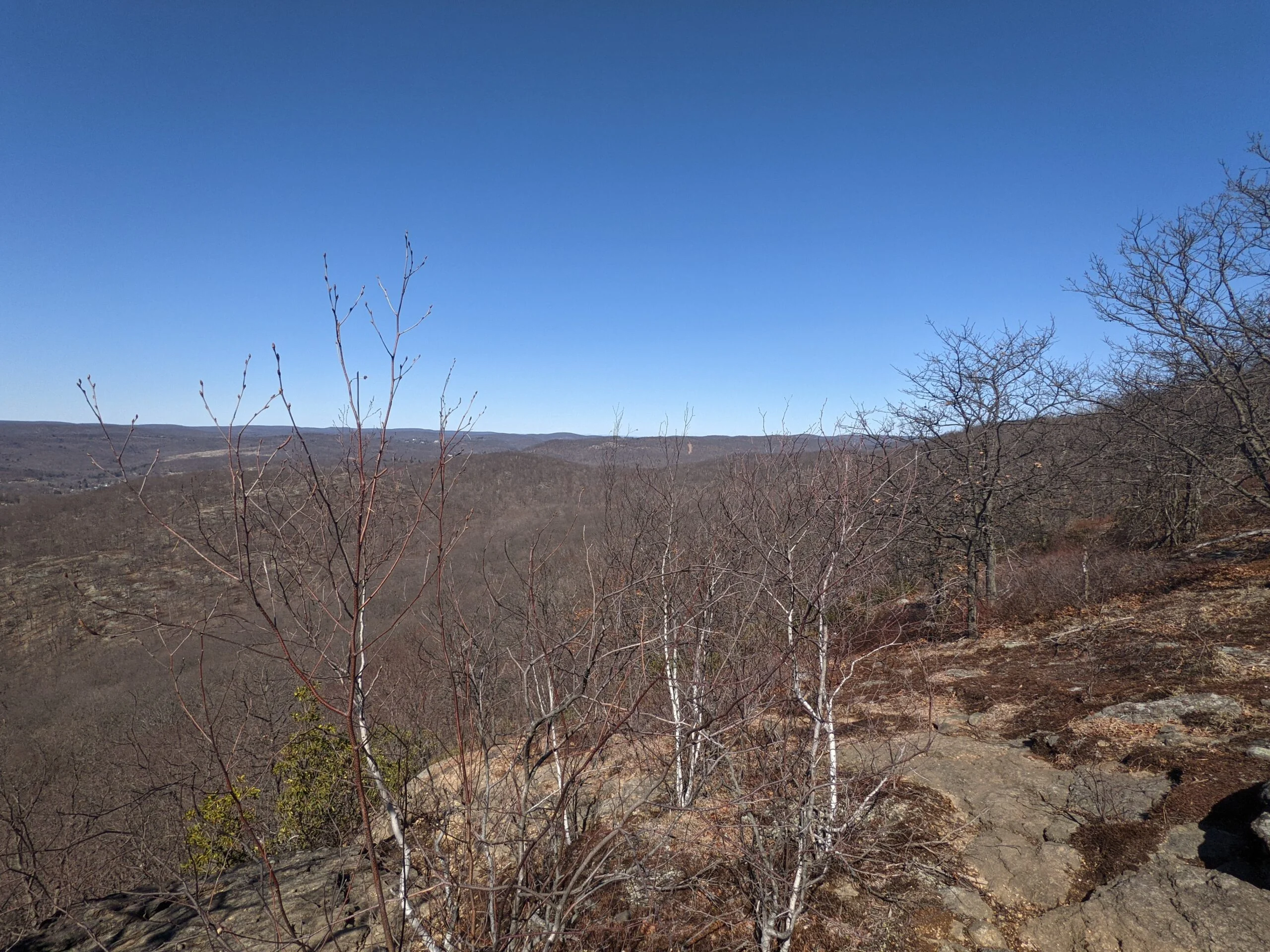
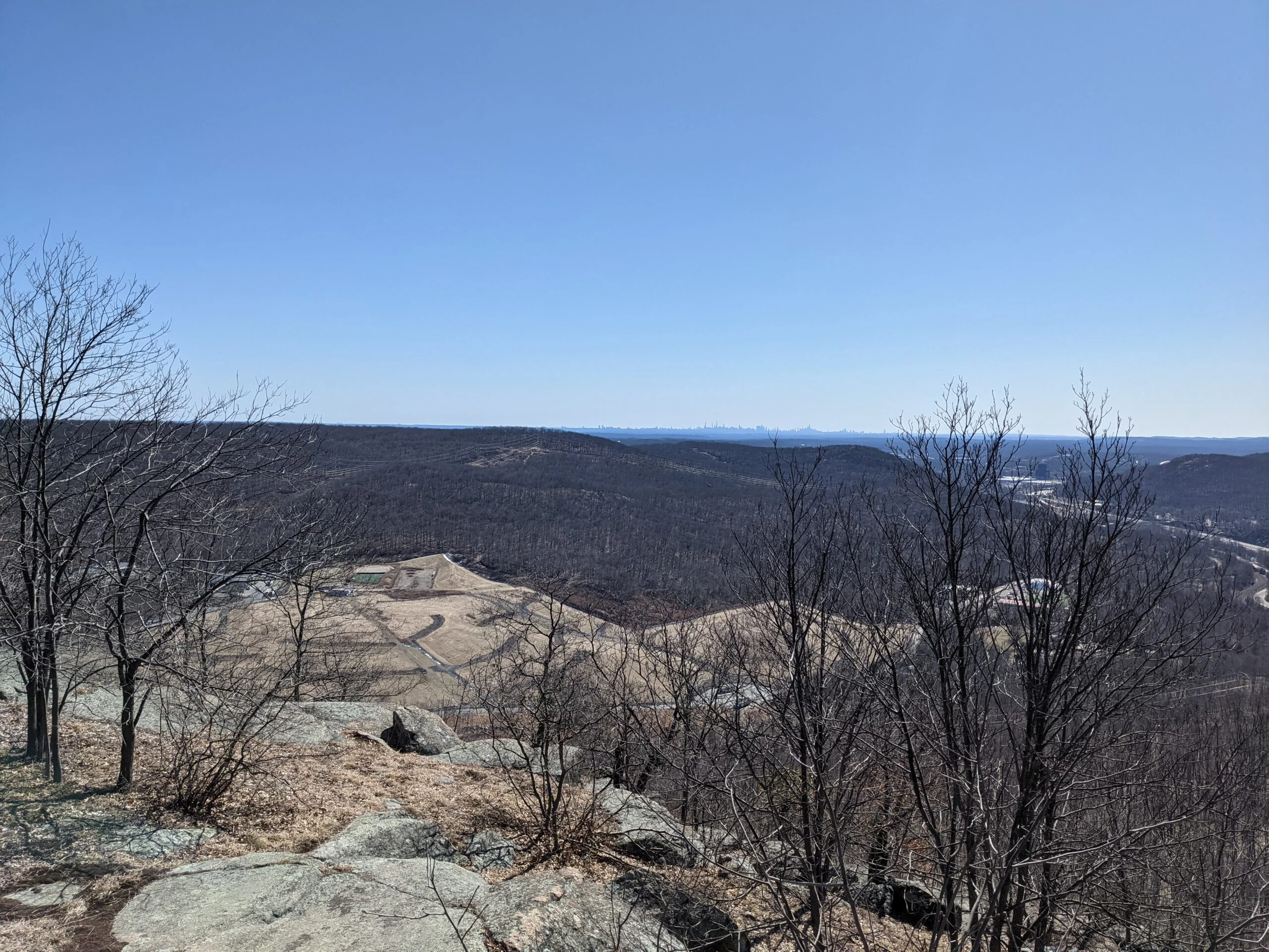
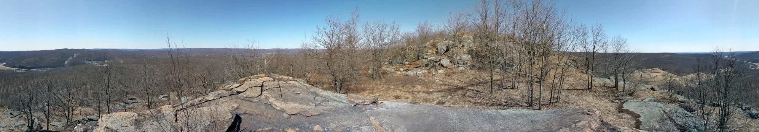
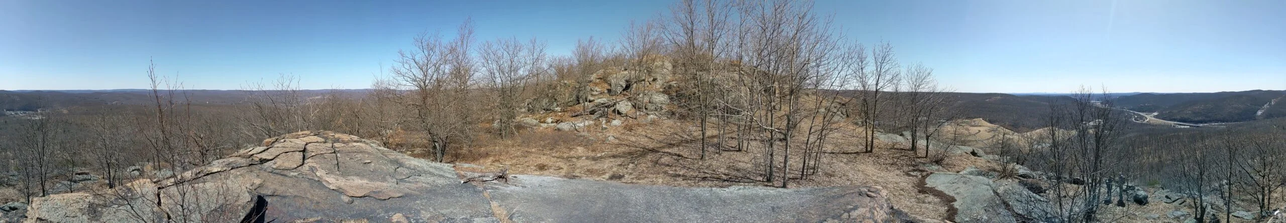
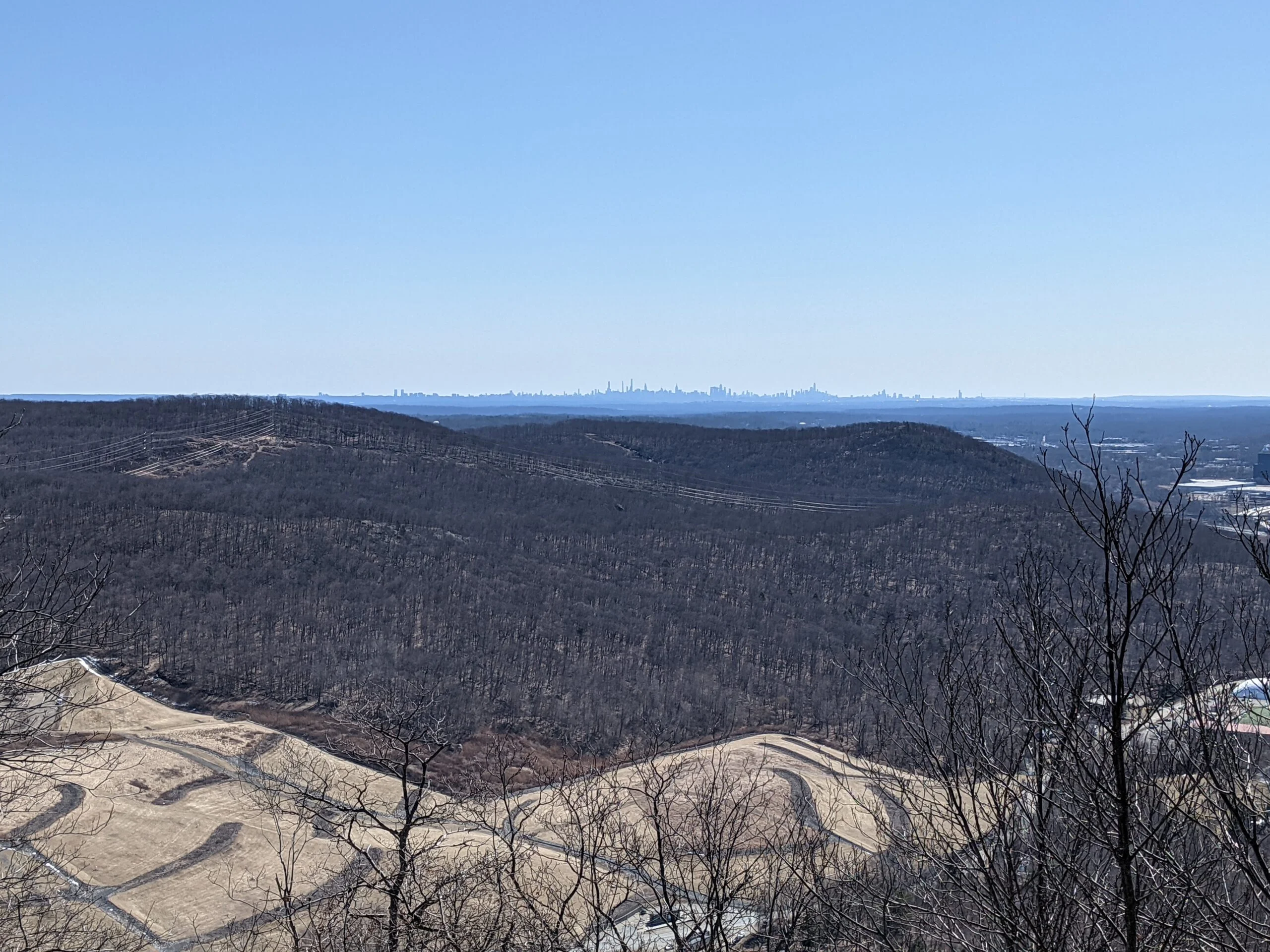
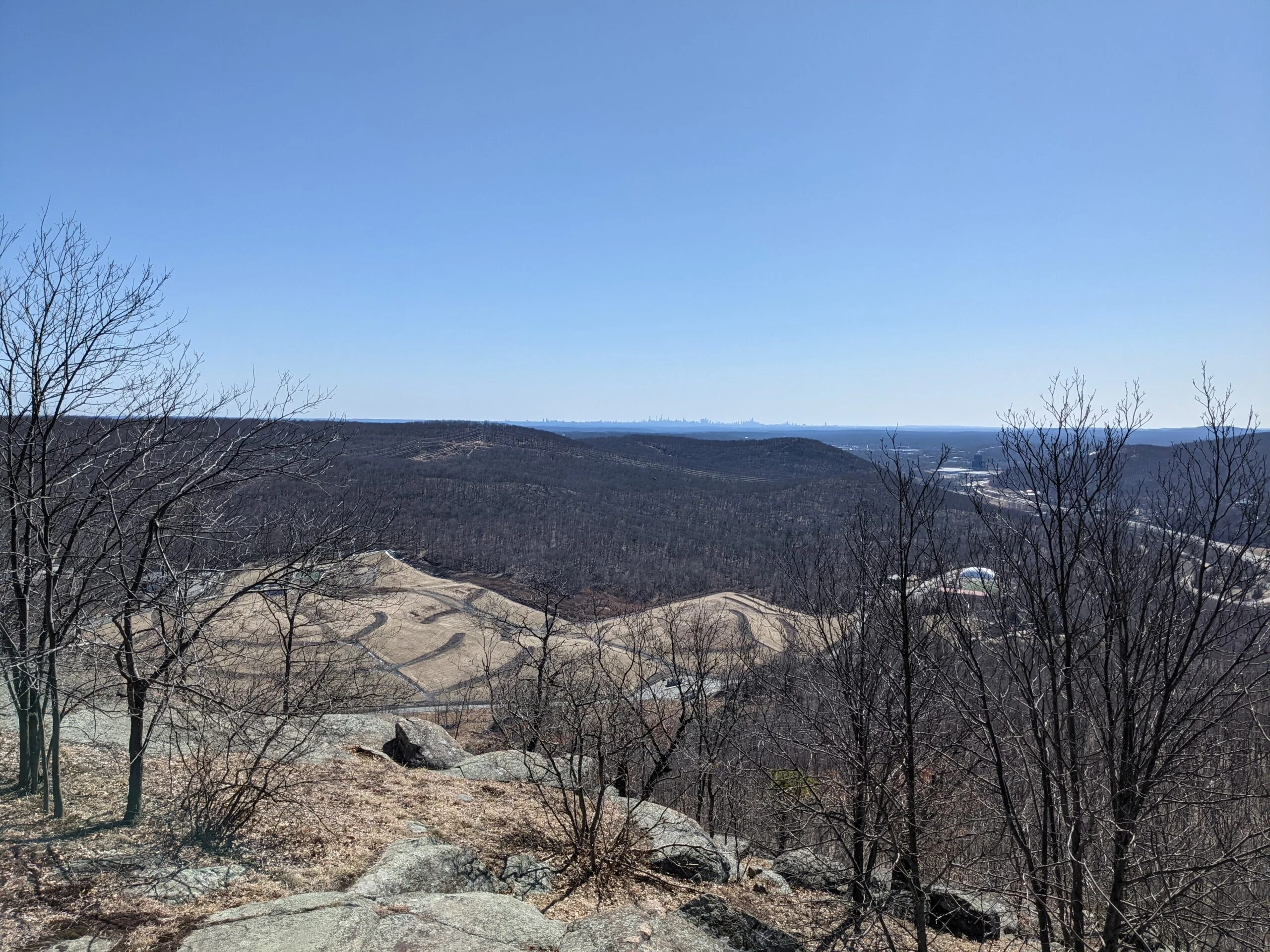
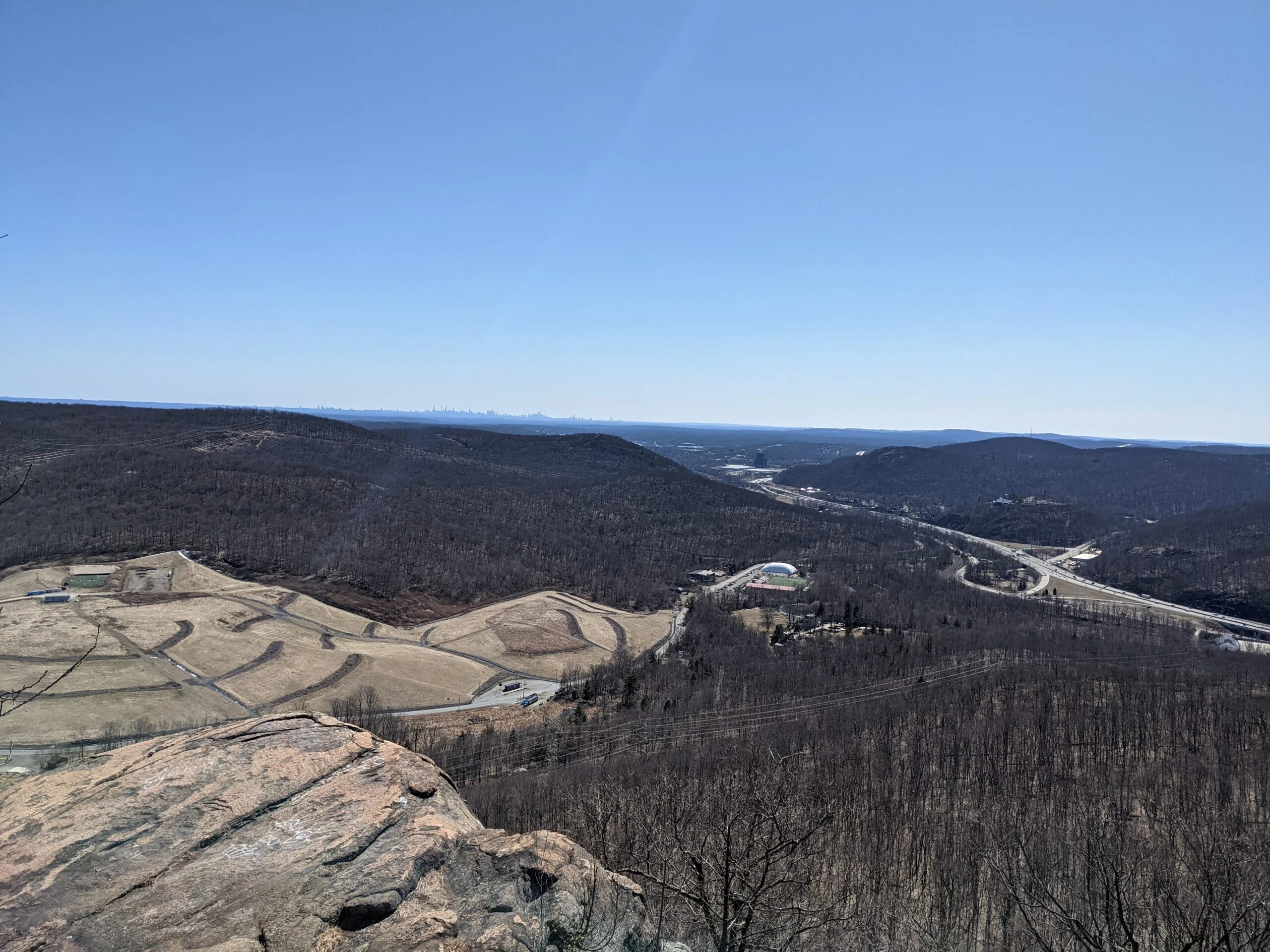
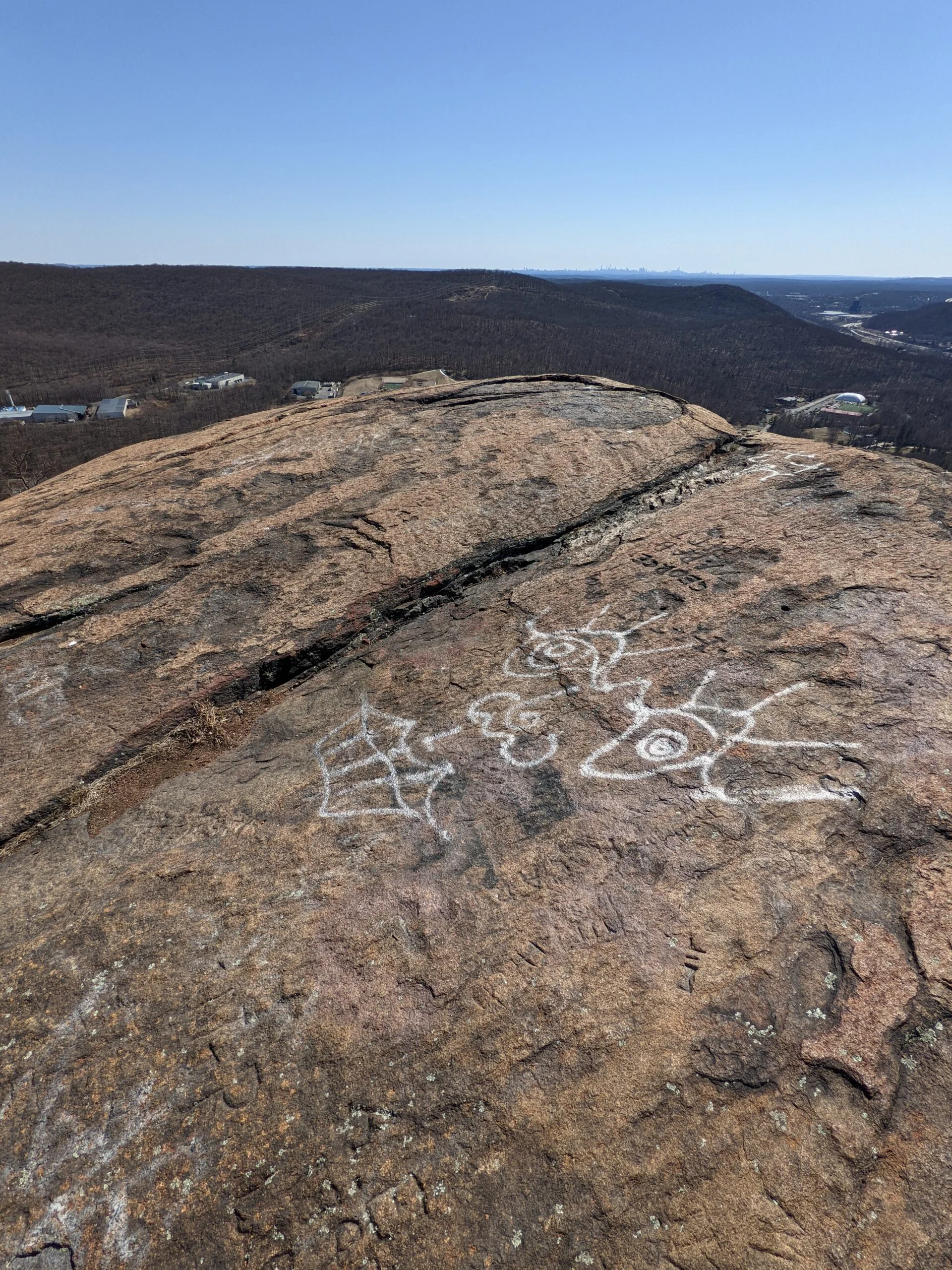
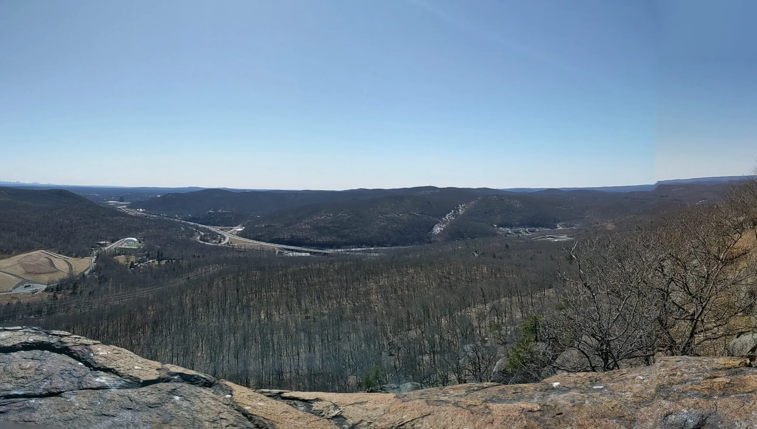
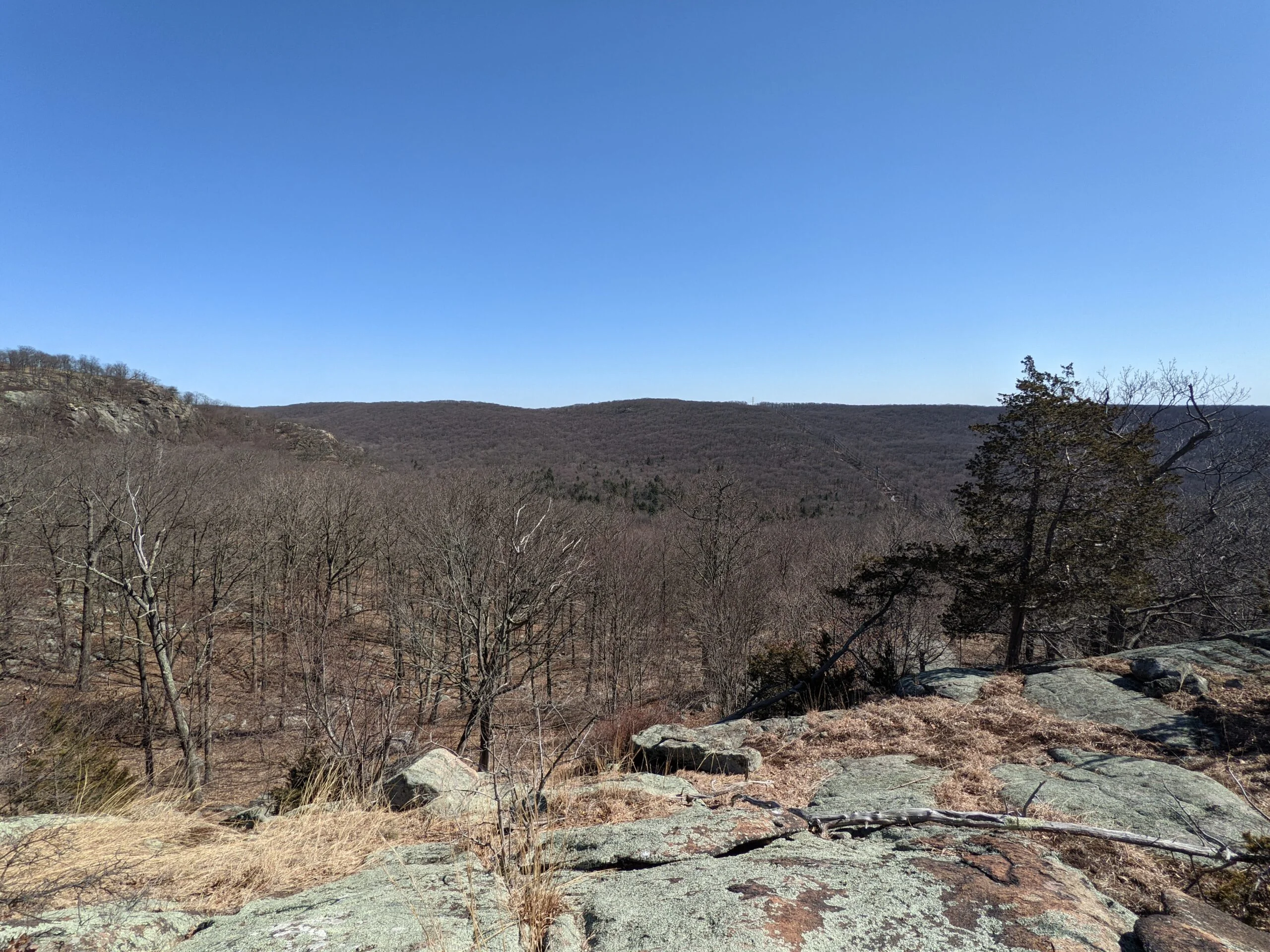
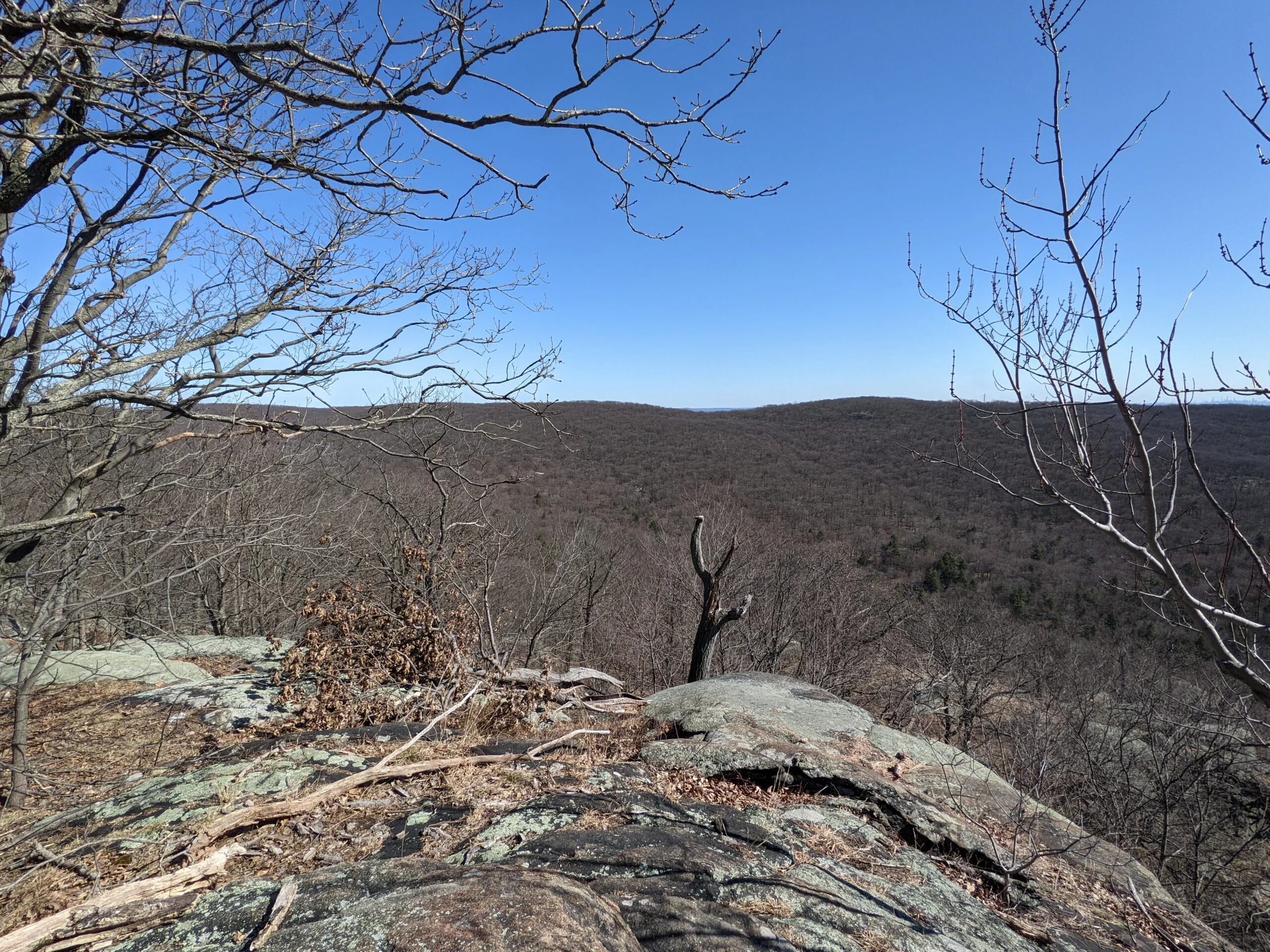
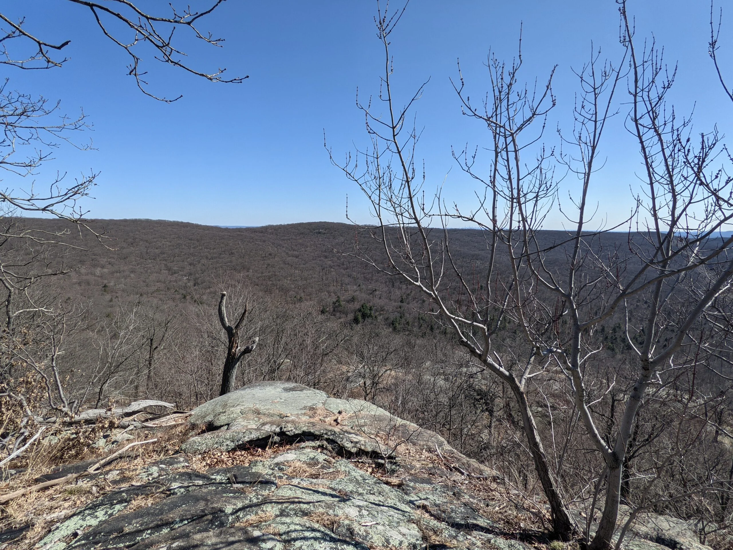
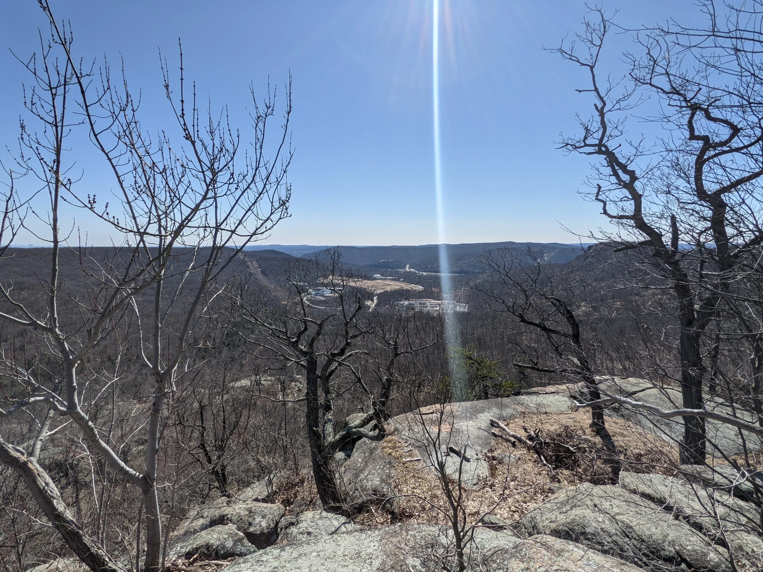
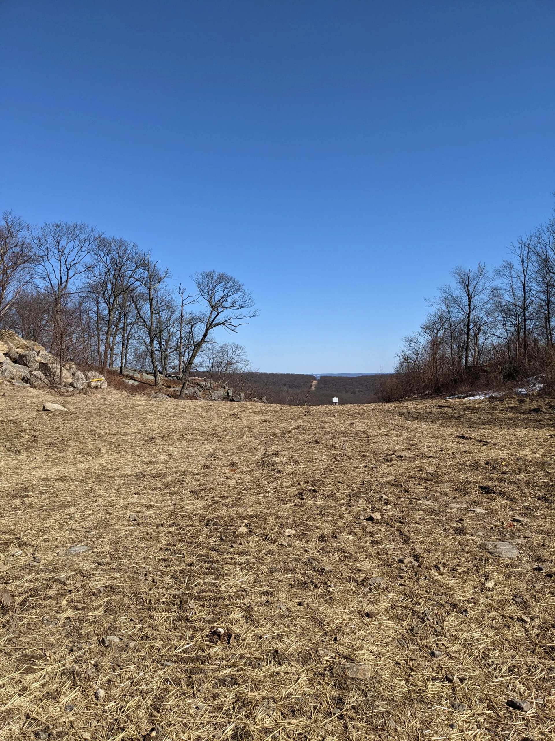
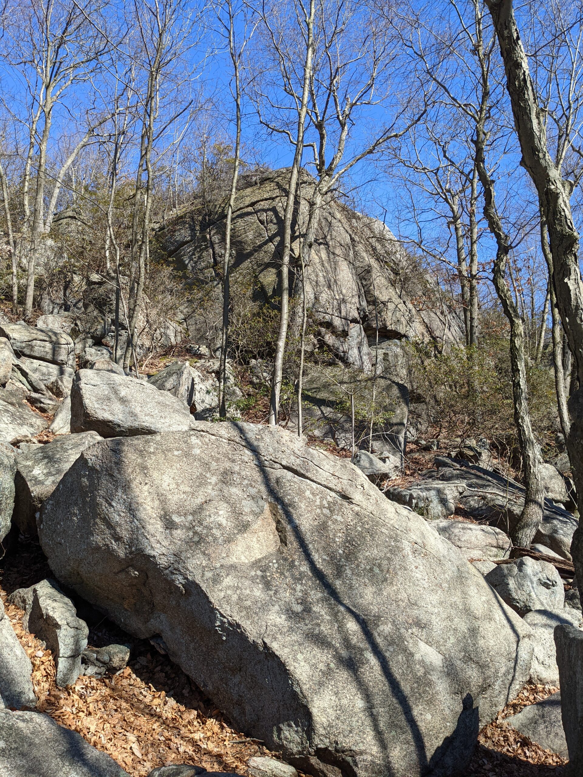
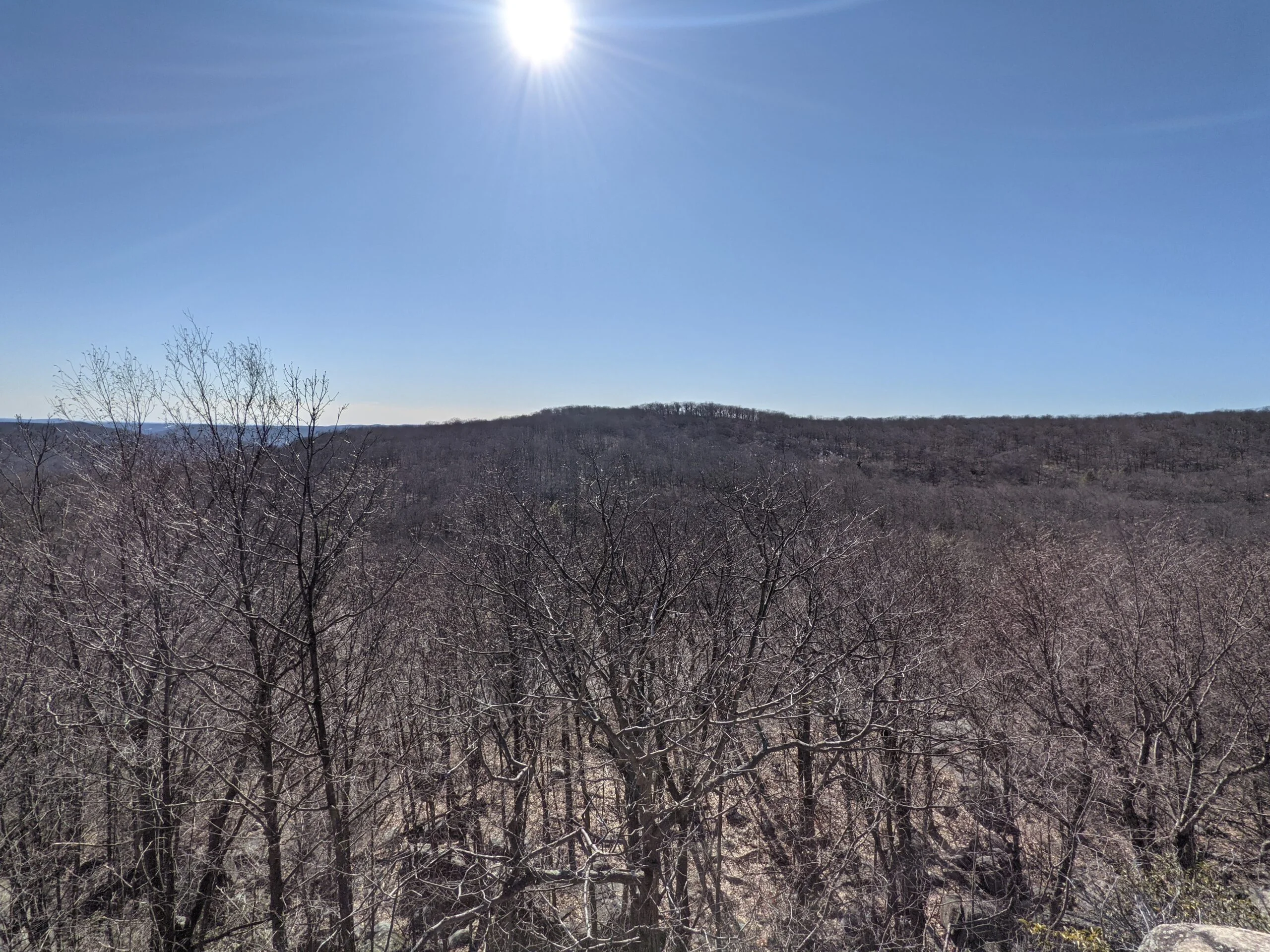
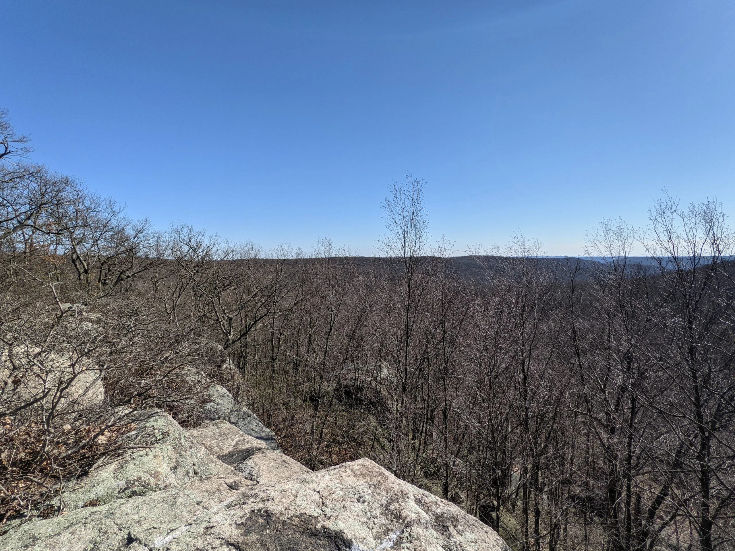
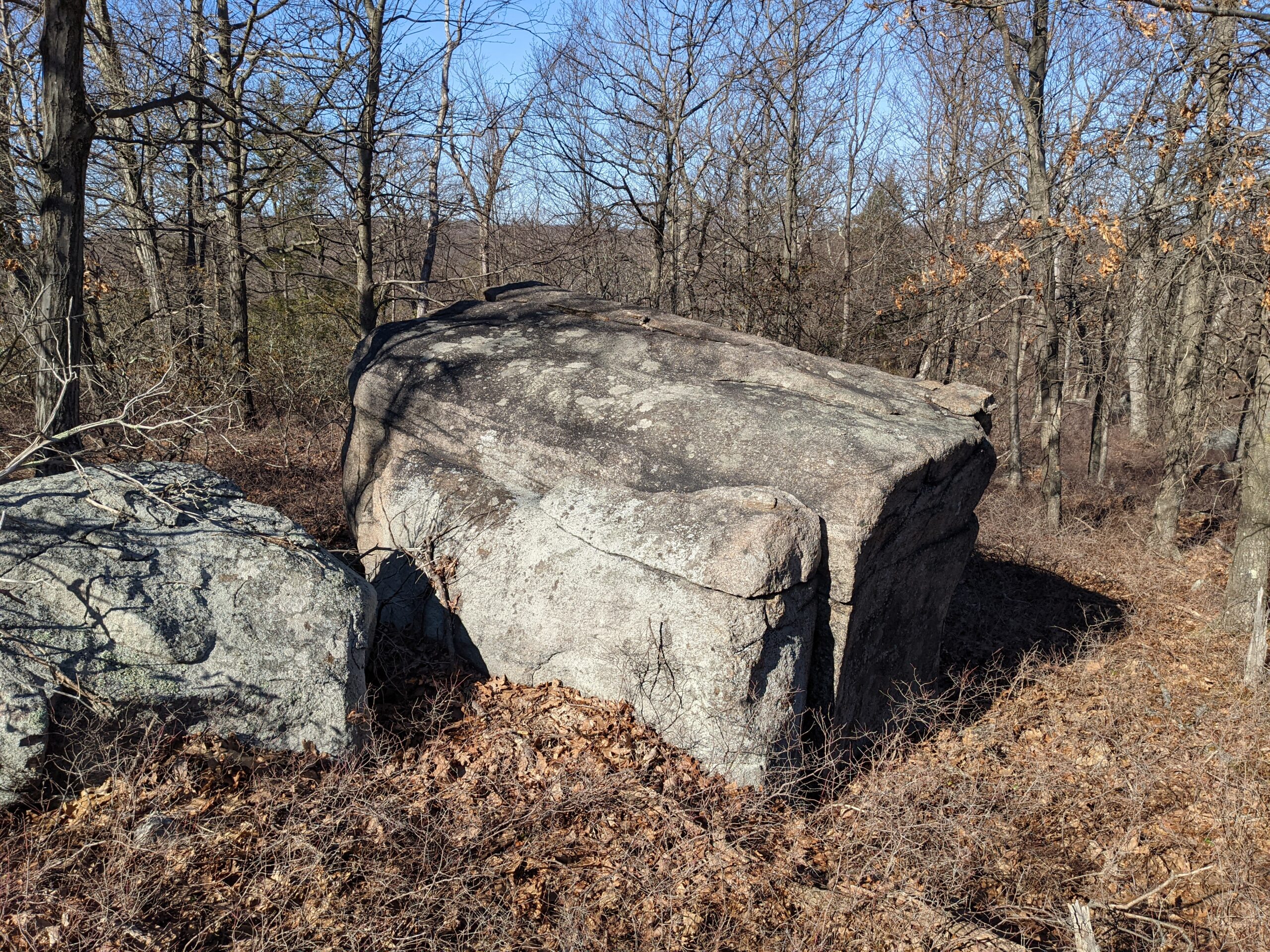
This is where the ascent up South Hill begins! It’s about 500 ft over a 1/2 mile, up a series of rocky hillsides. Once I popped my head up at the top, I was rewarded with views of Rockland County to the west and south, including a few of the Manhattan skyline far off in the distance. Just when I thought it couldn’t get any better, a further climb put me atop Ramapo Torne with even wider vistas to the west, east, and south. I spent over a half hour up here, stopping for a snack break, taking a bunch of photos, and soaking it all in.
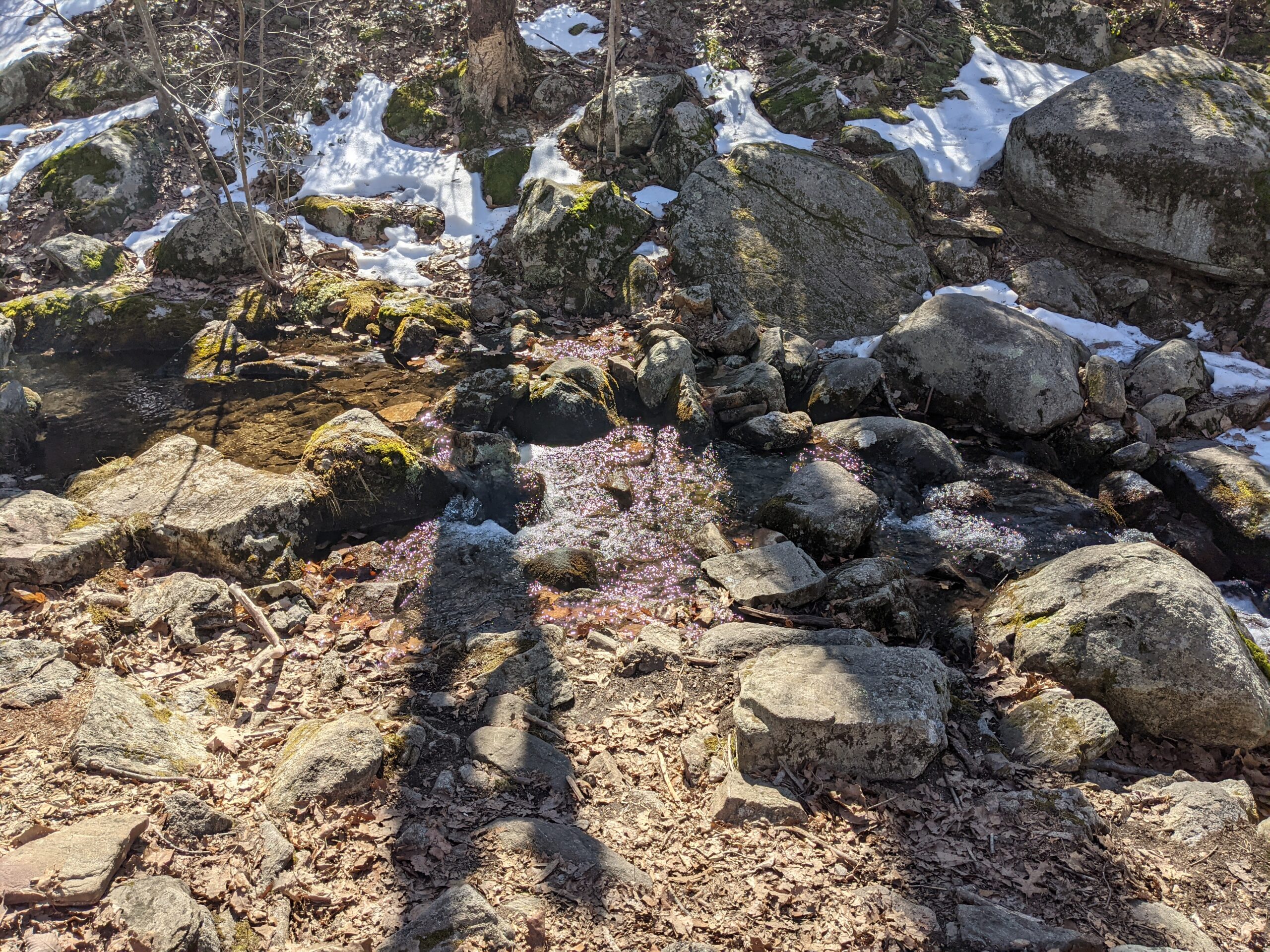
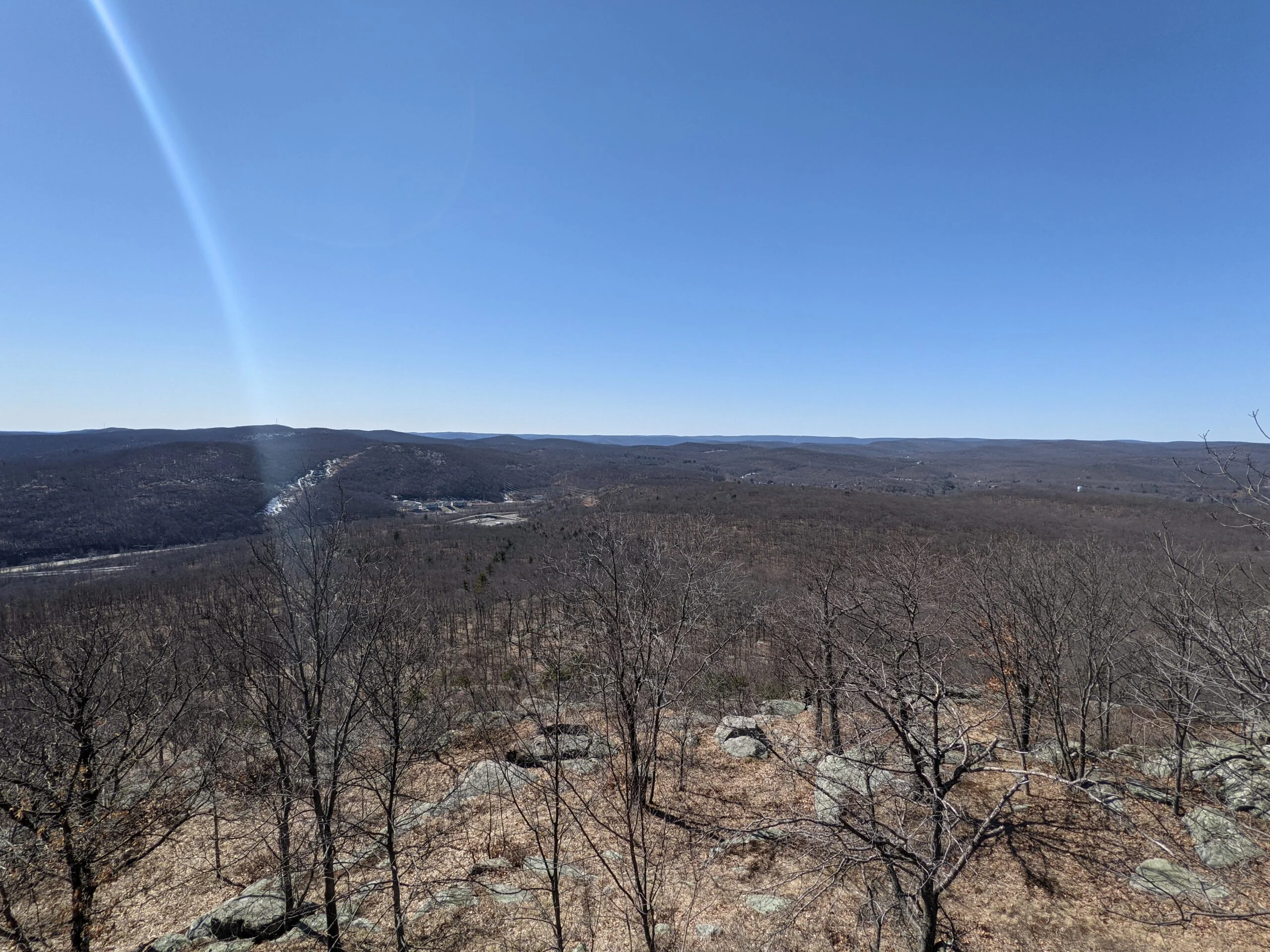
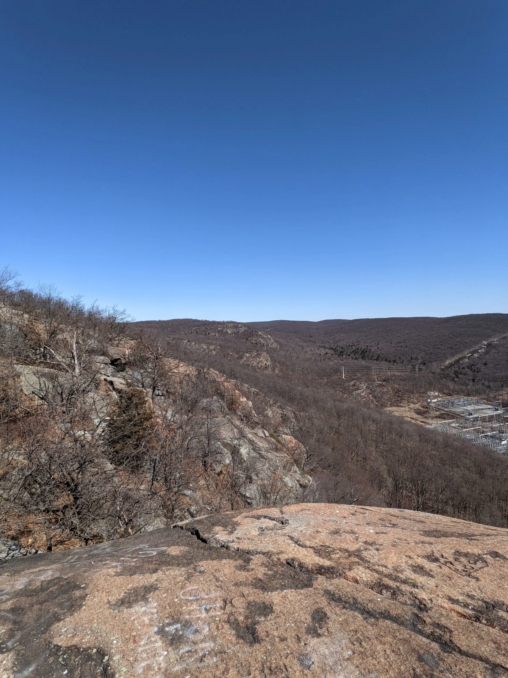
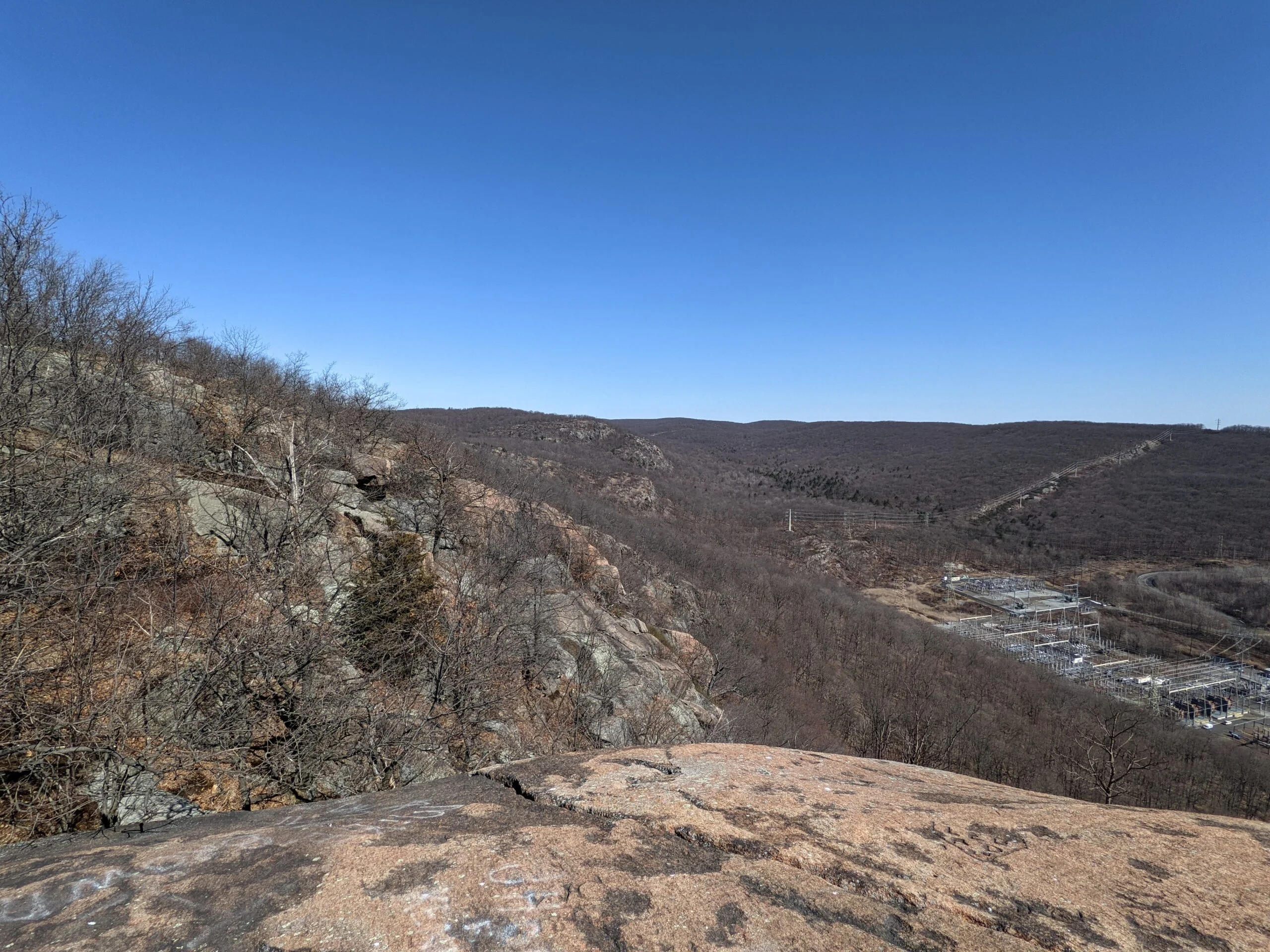
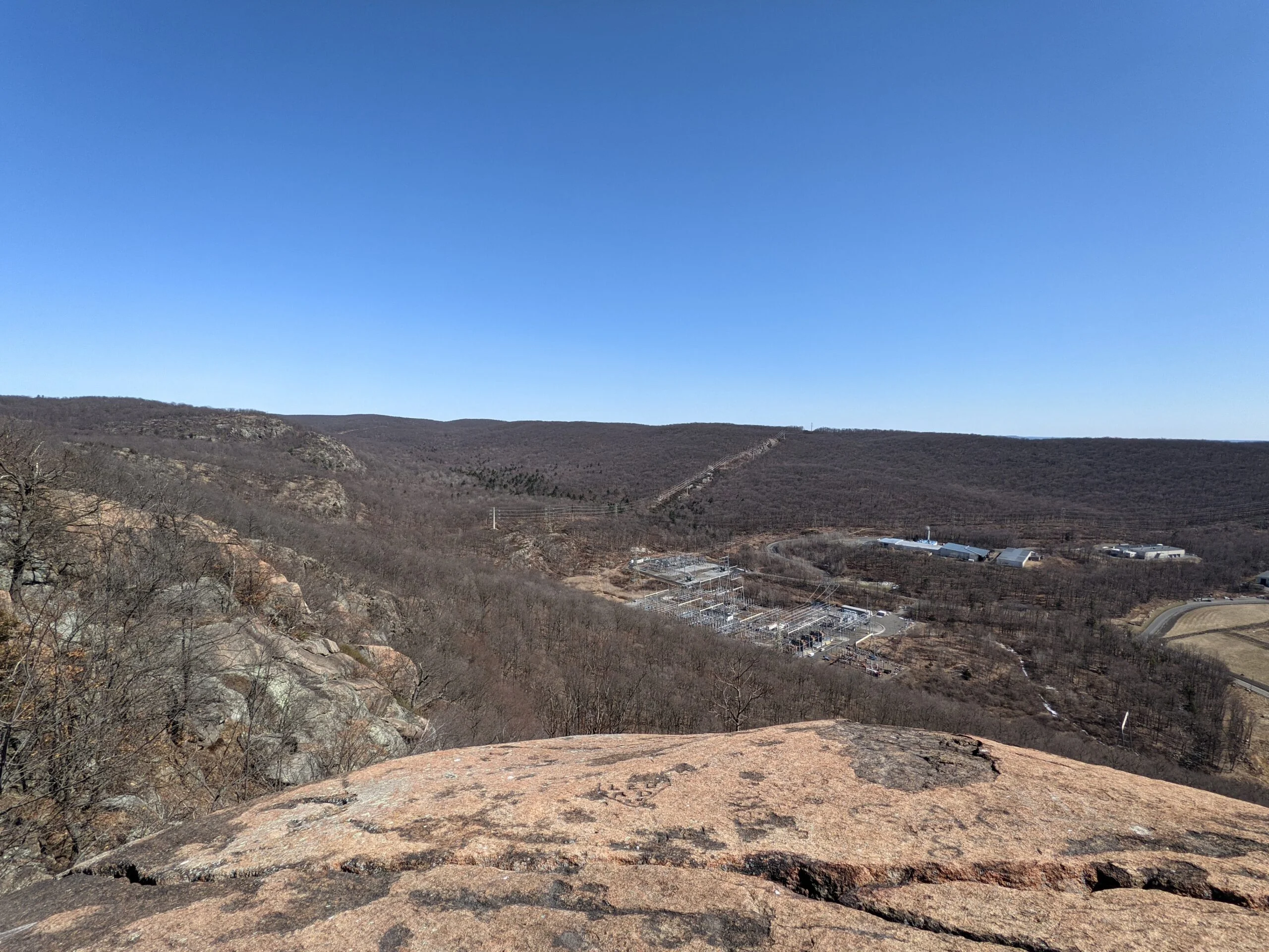
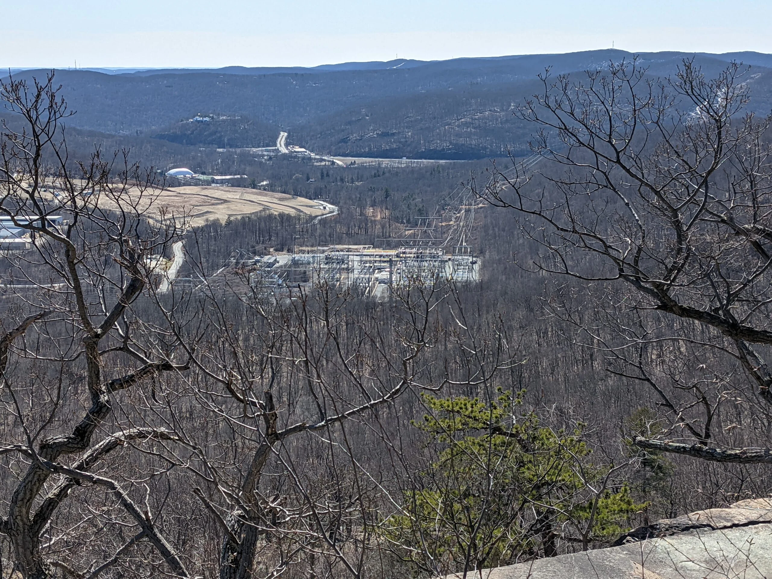
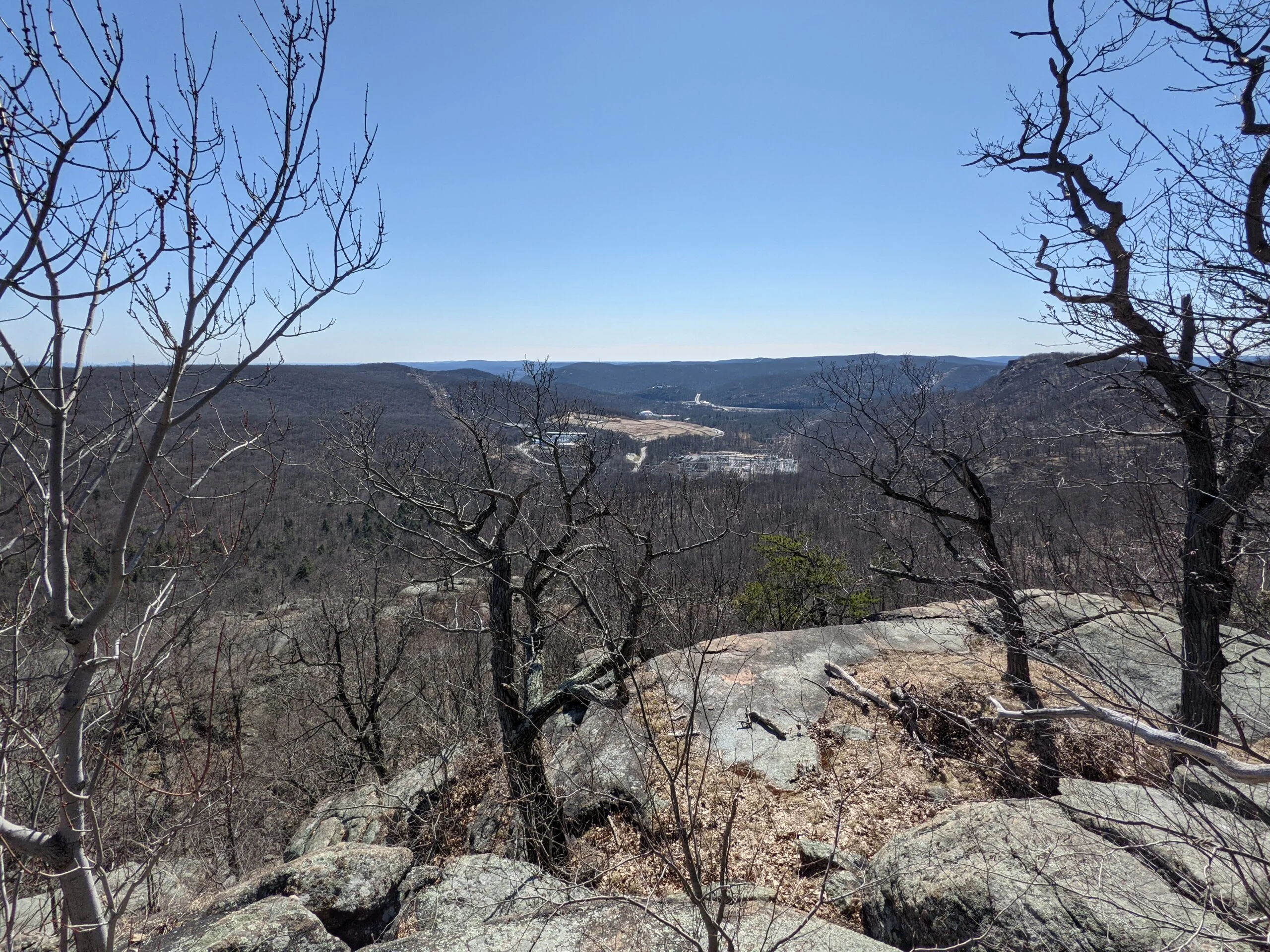
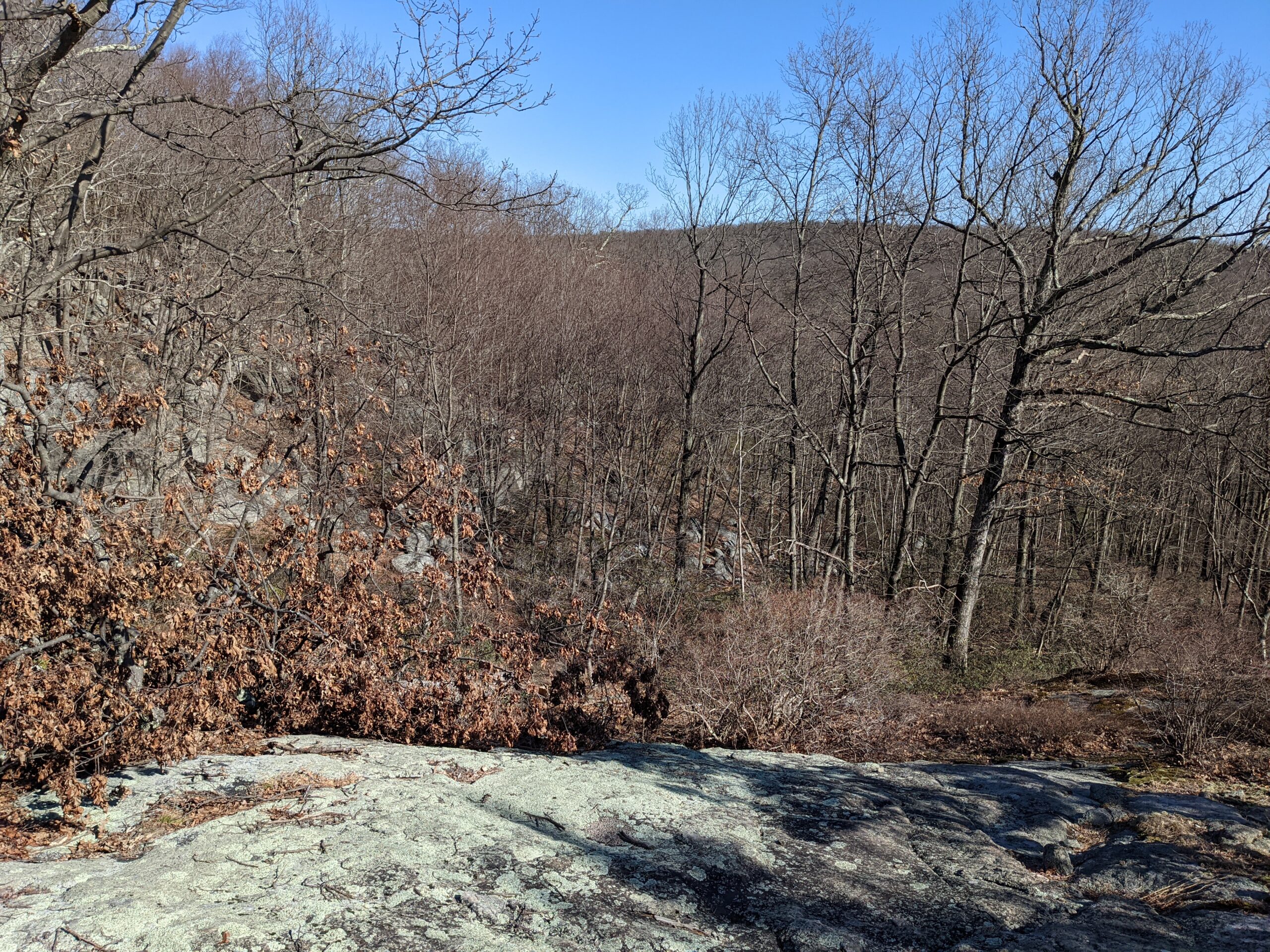
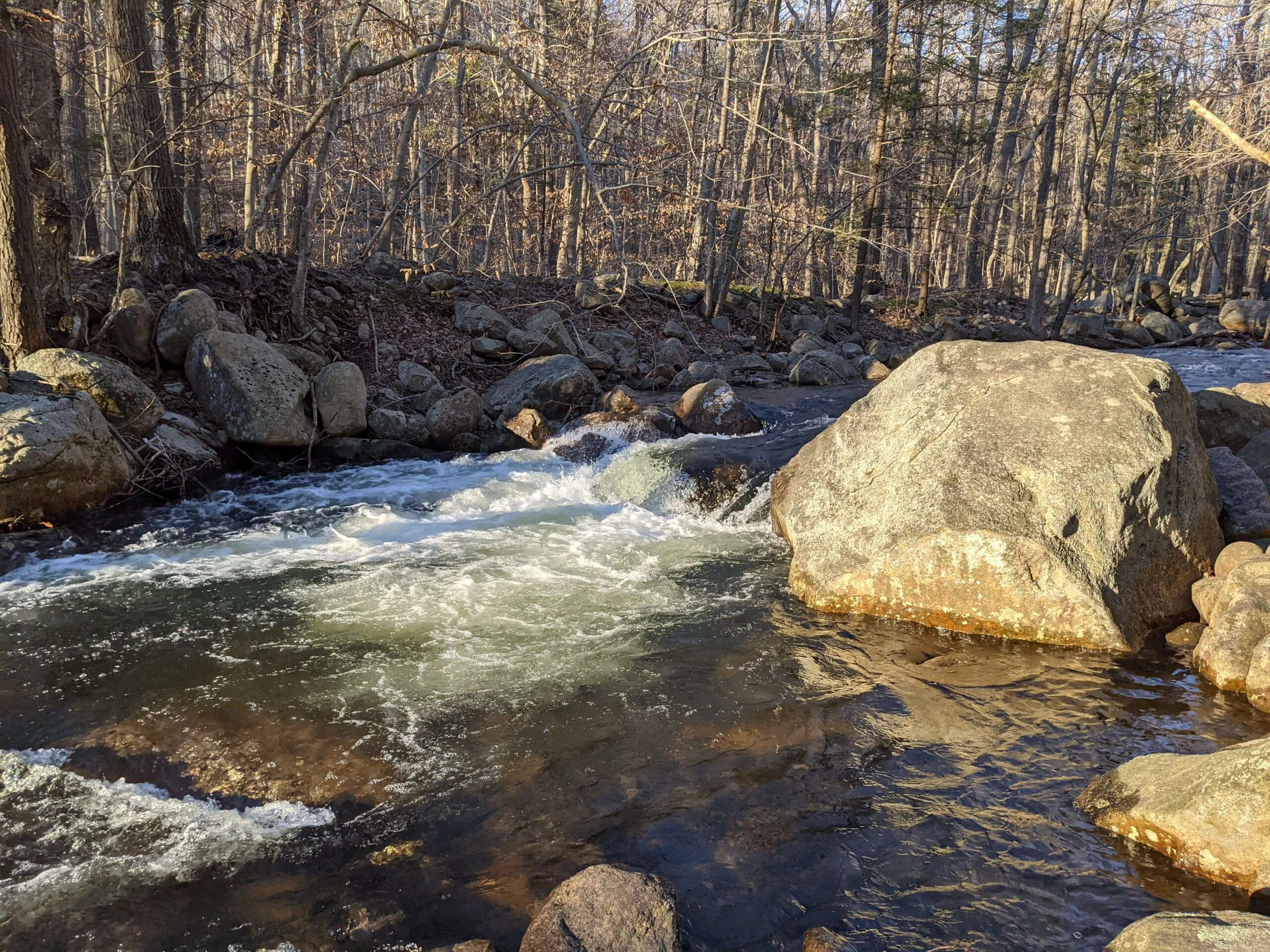
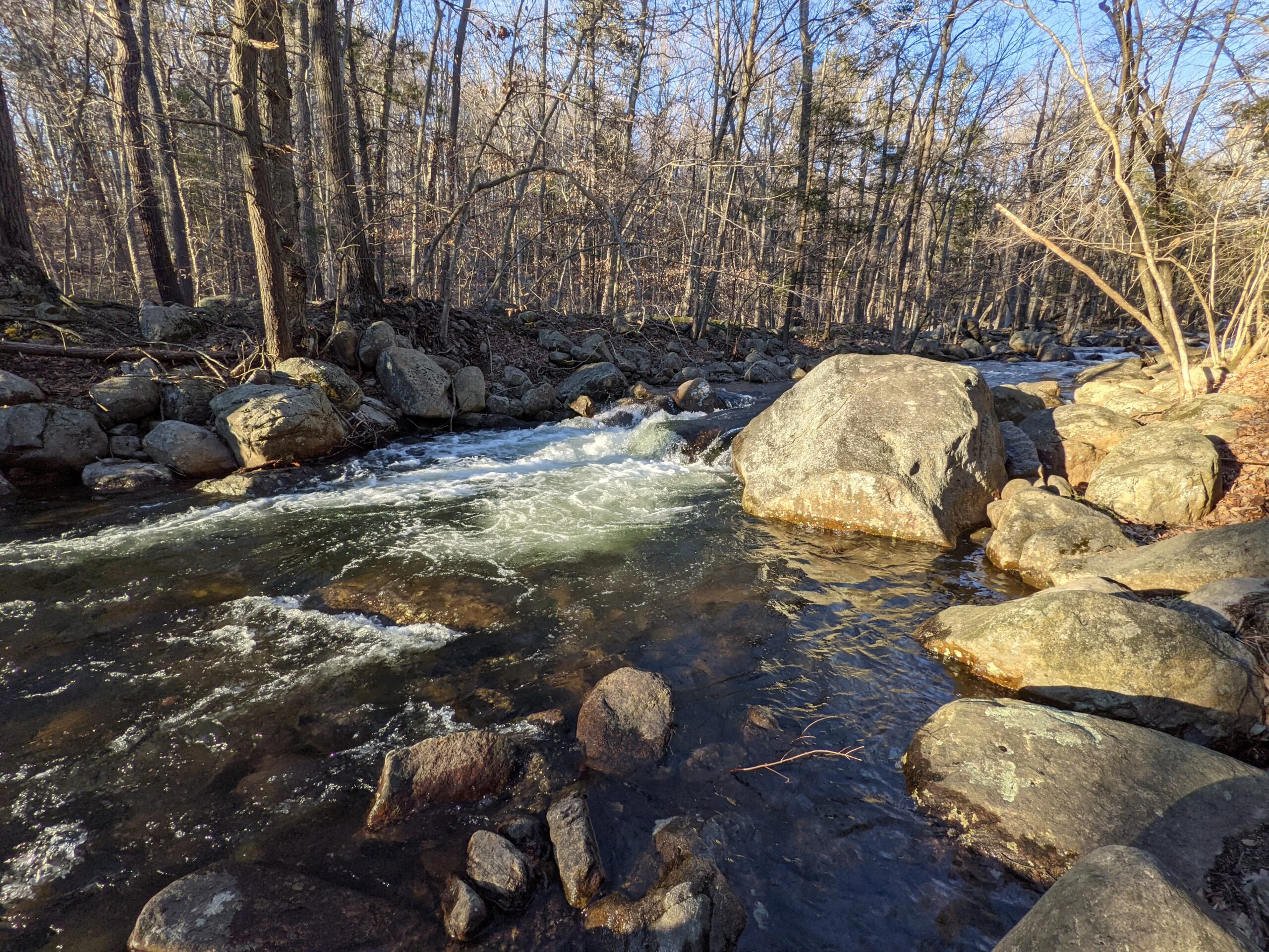
I continued on the Hillburn – Thorne Sebago Trail, stopping when I reached Torne Brook to take a series of photos and videos of the fast running water. Continuing even higher, I made it to the Russian Bear overlook. The views here gave some perspective to the north and east, but were not as wide and unobstructed as the earlier lookouts.
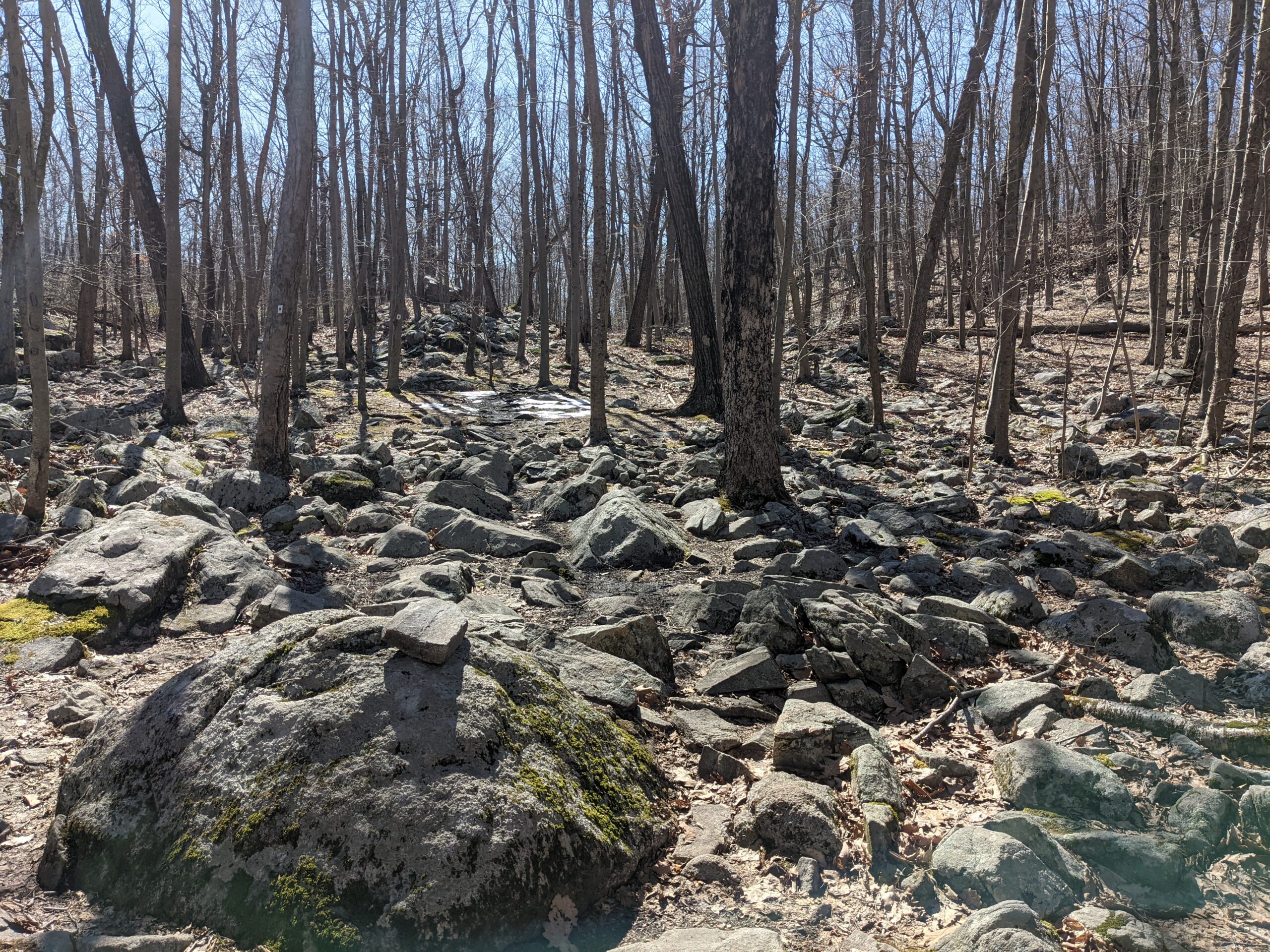
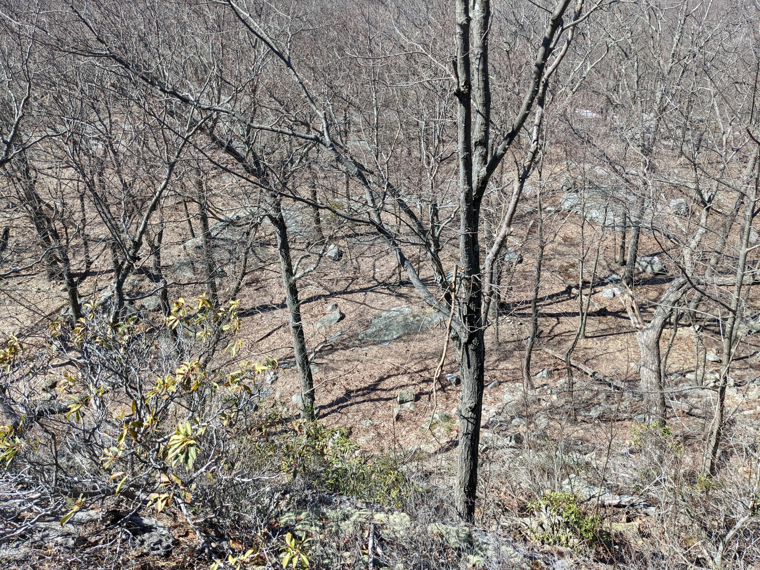
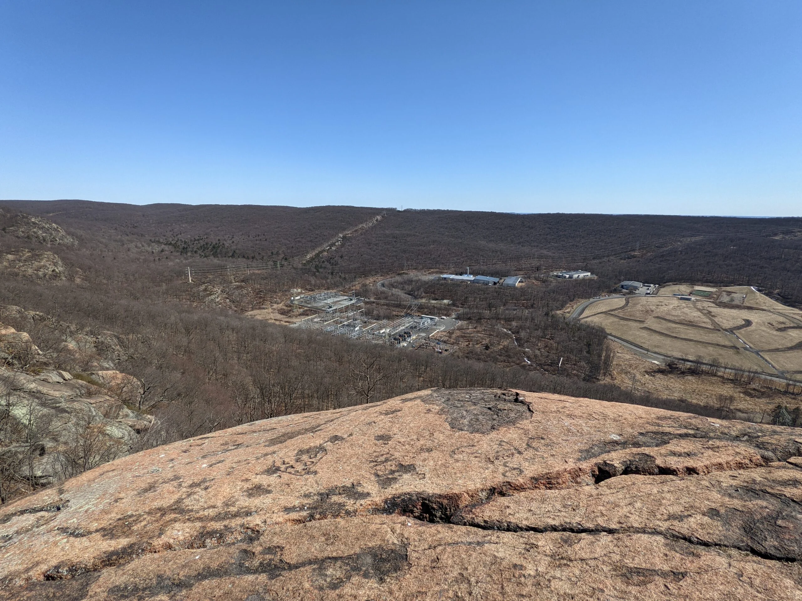
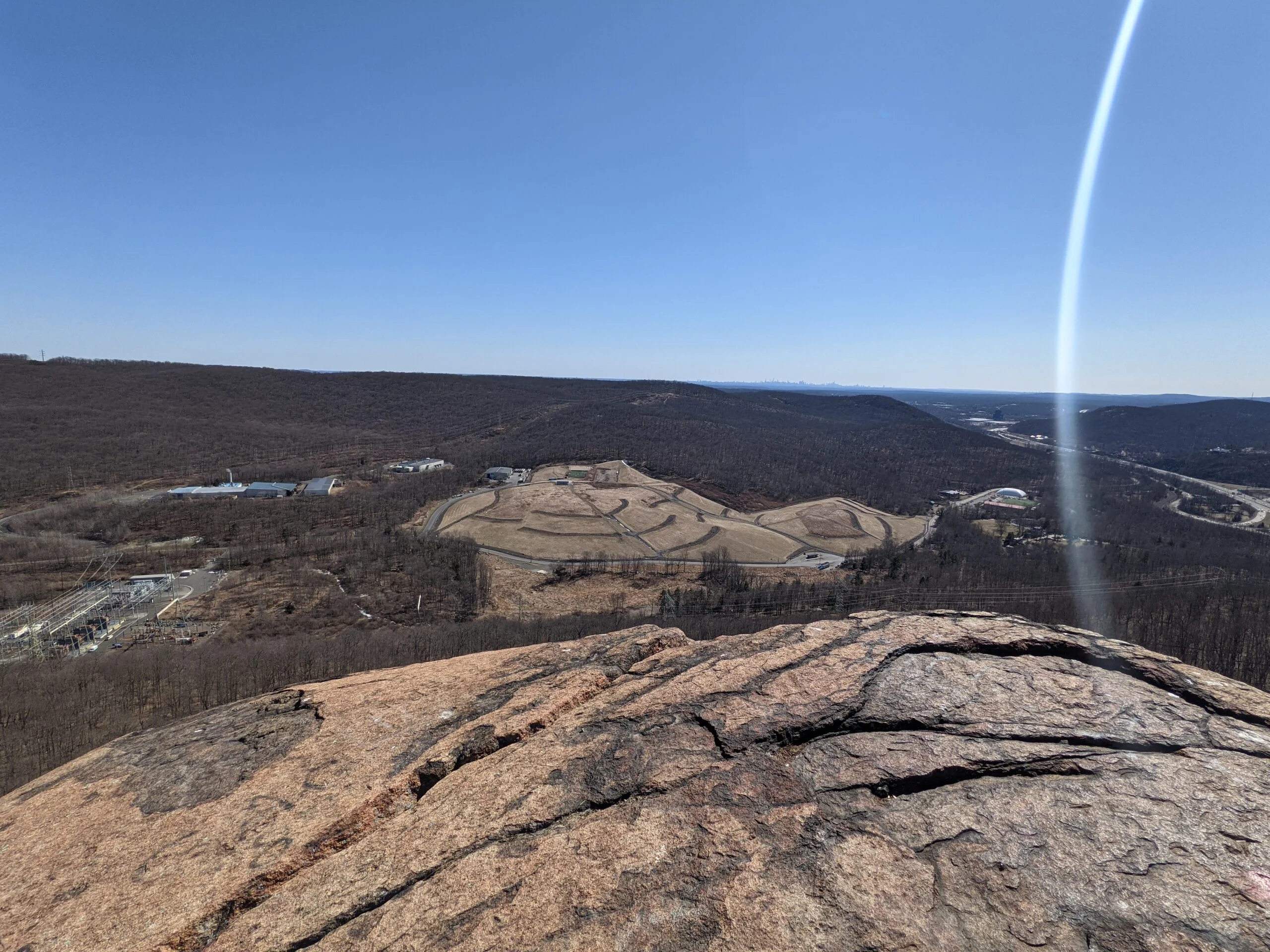
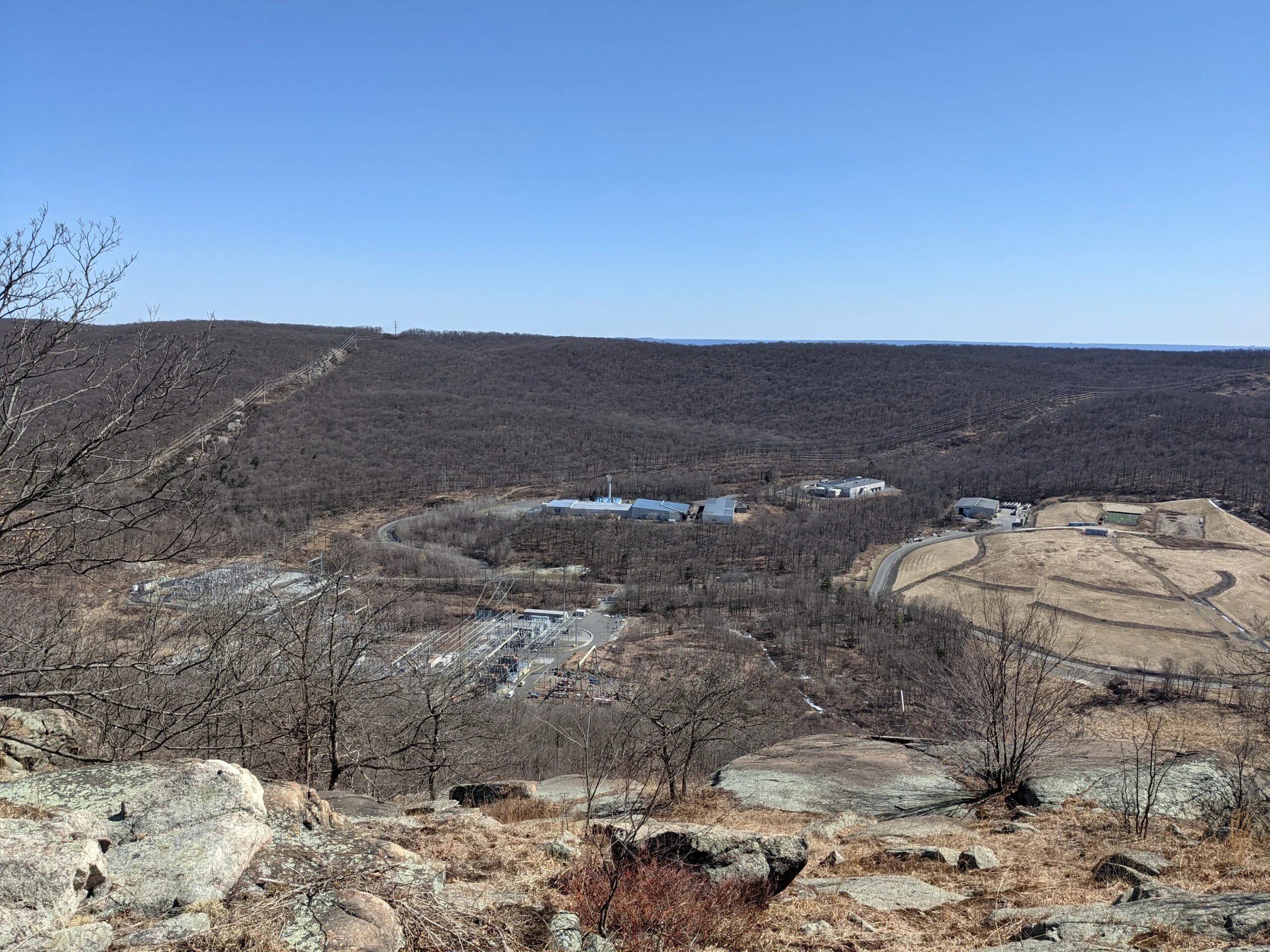
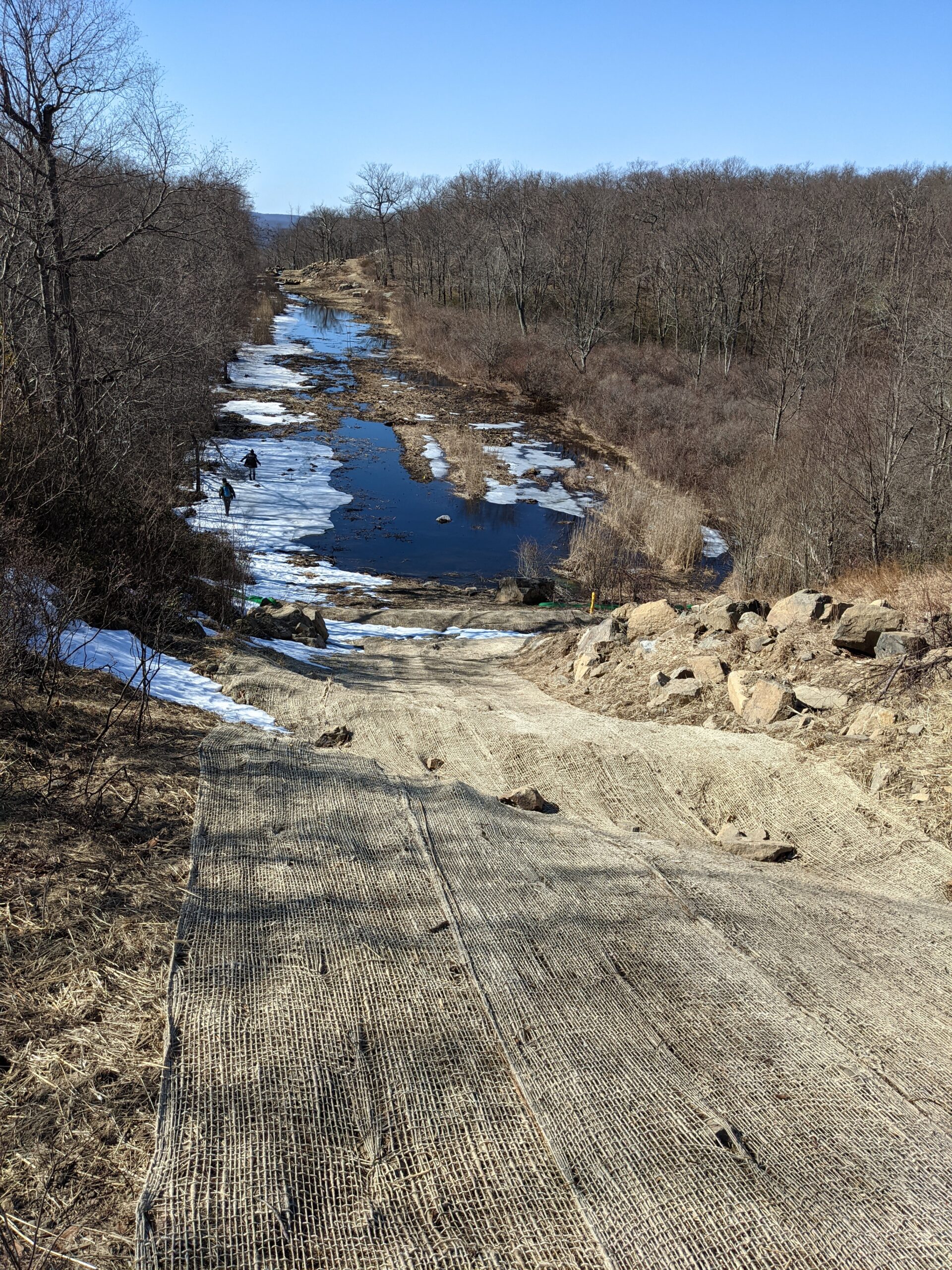
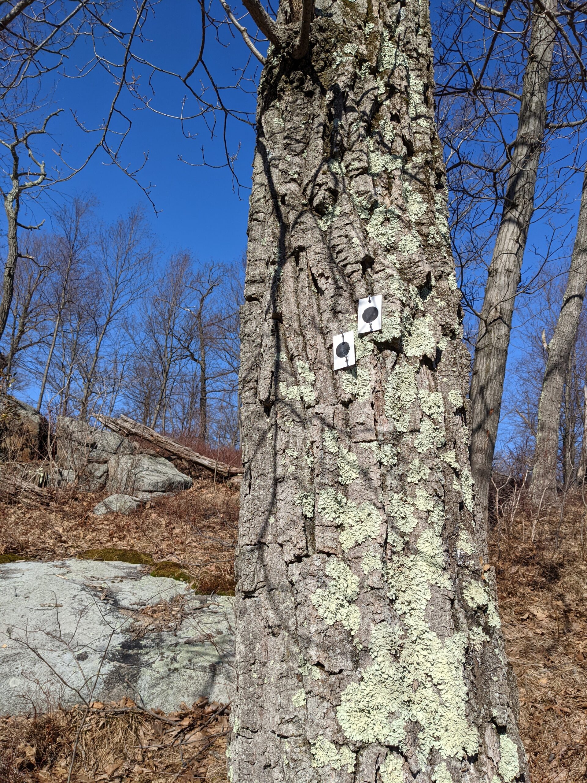
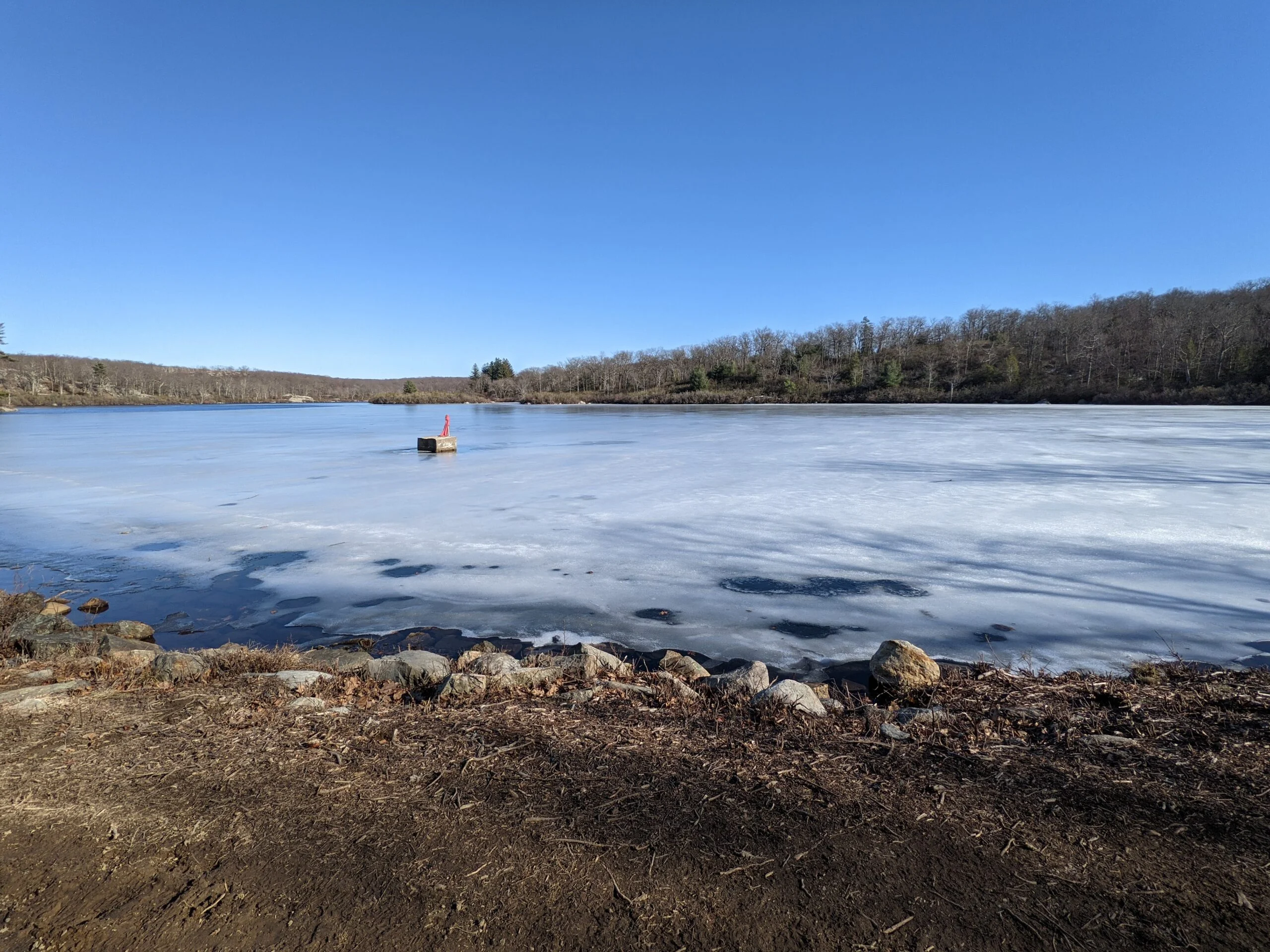
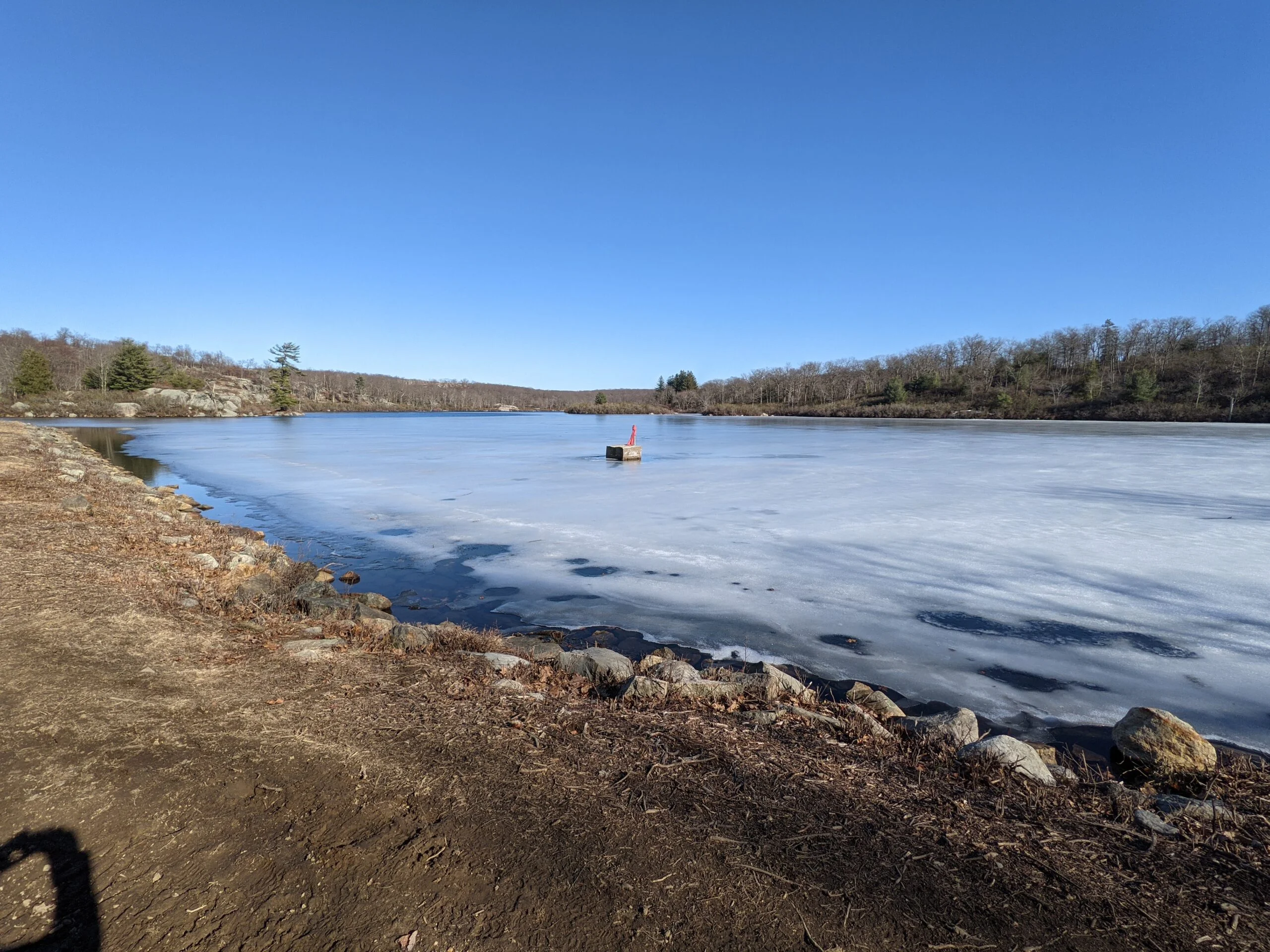
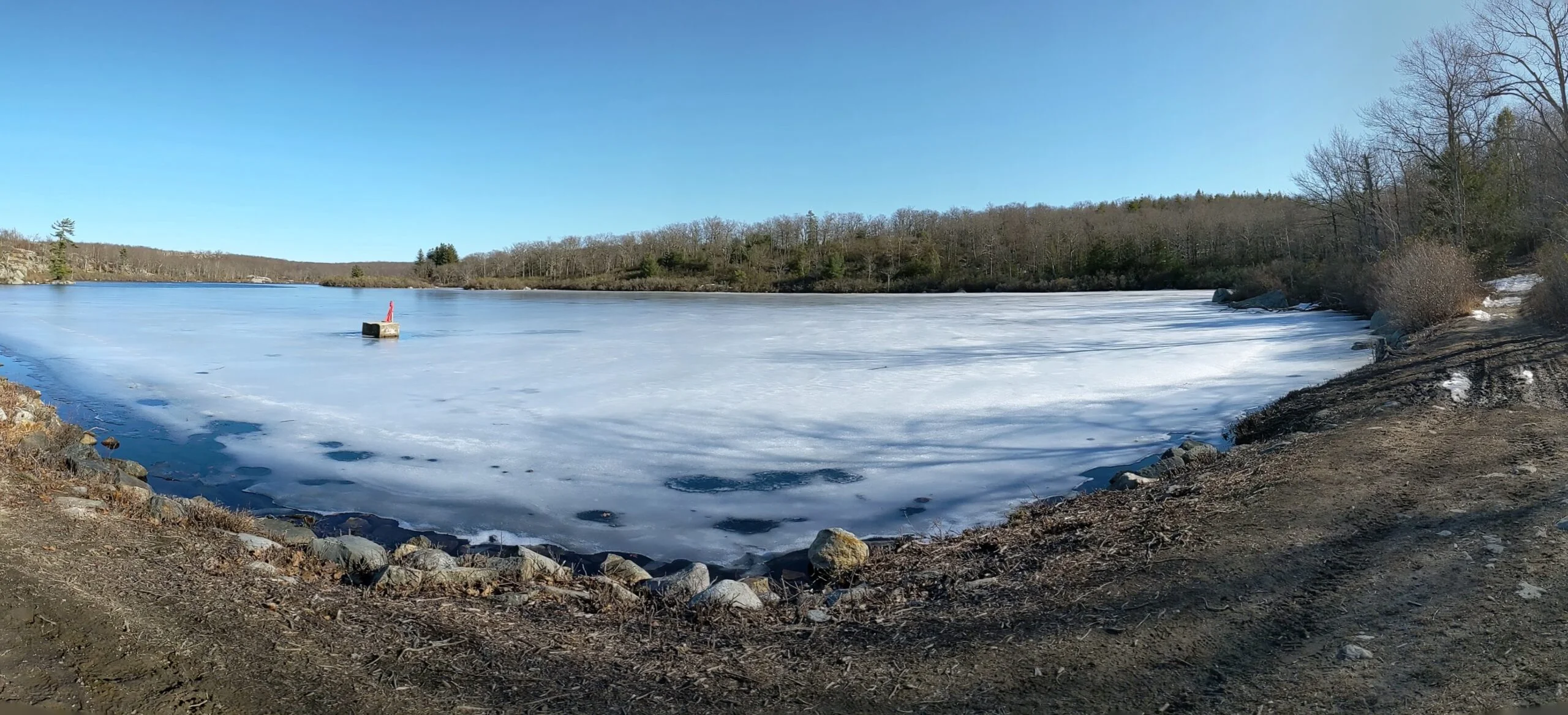
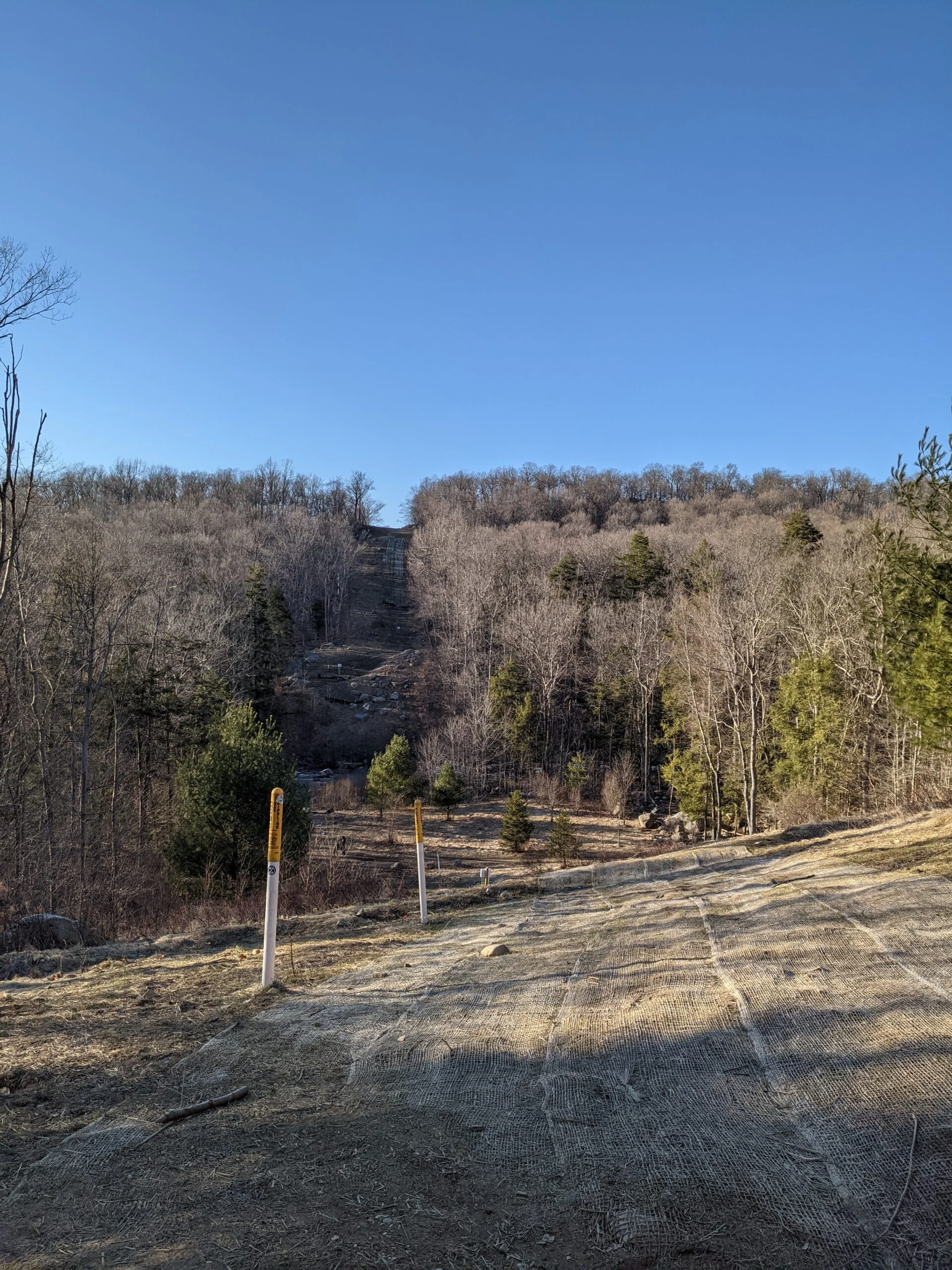
When I reached the intersection with Racoon Brook Hills Trail (black round blazes), I wasn’t paying attention and accidentally continued north on Hillburn – Thorne Sebago Trail. When I realized my mistake, I cut through the newly laid gas pipeline right of way and got myself back on track with Racoon Brook Hills. I eventually made it to Raccoon Brook Hill, which afforded a view of Pine Meadow Lake to the north.
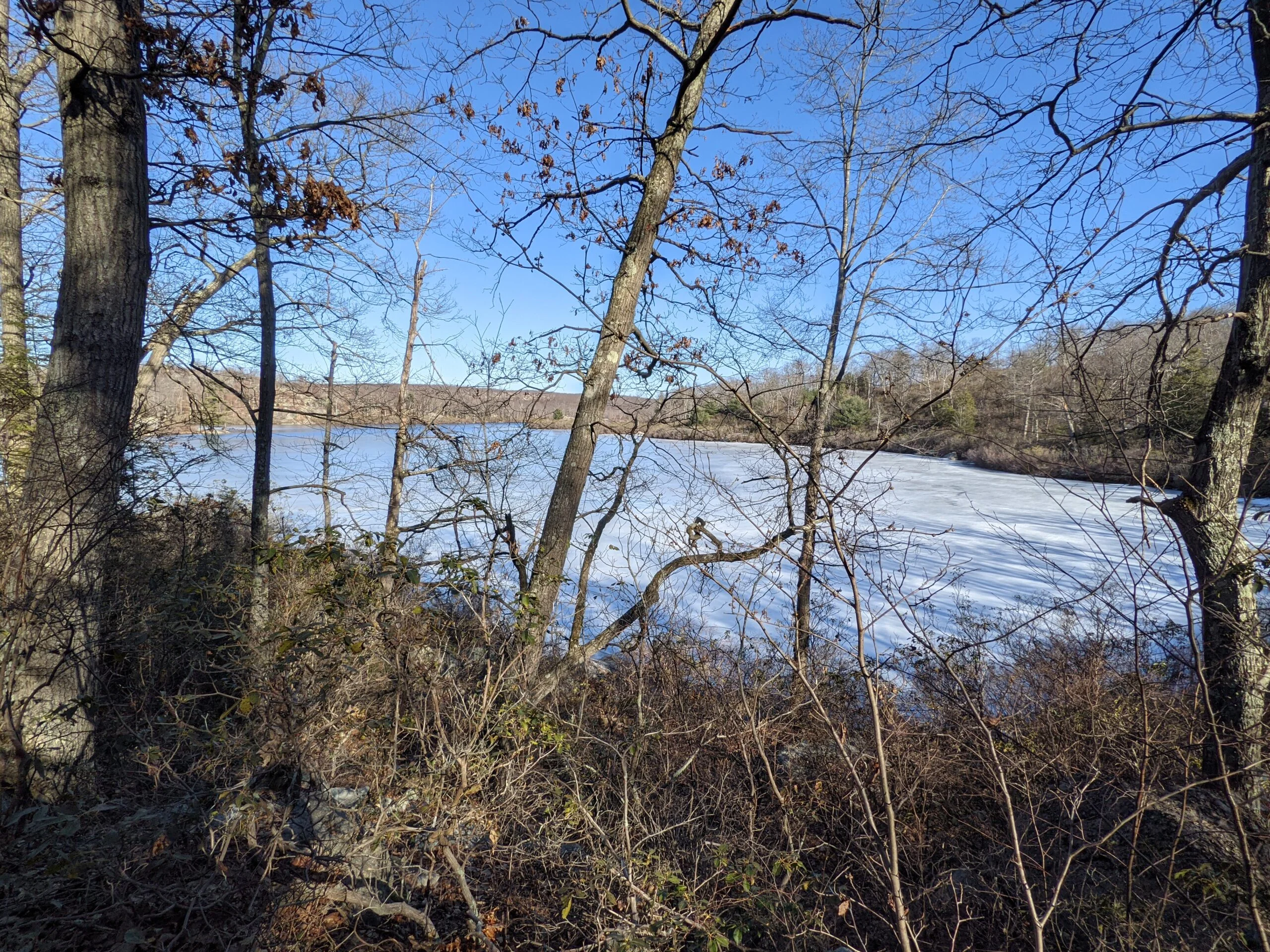
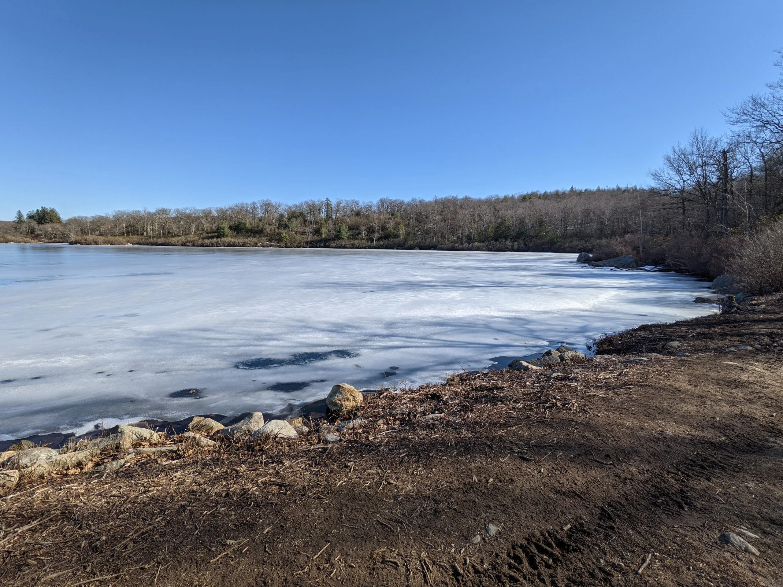
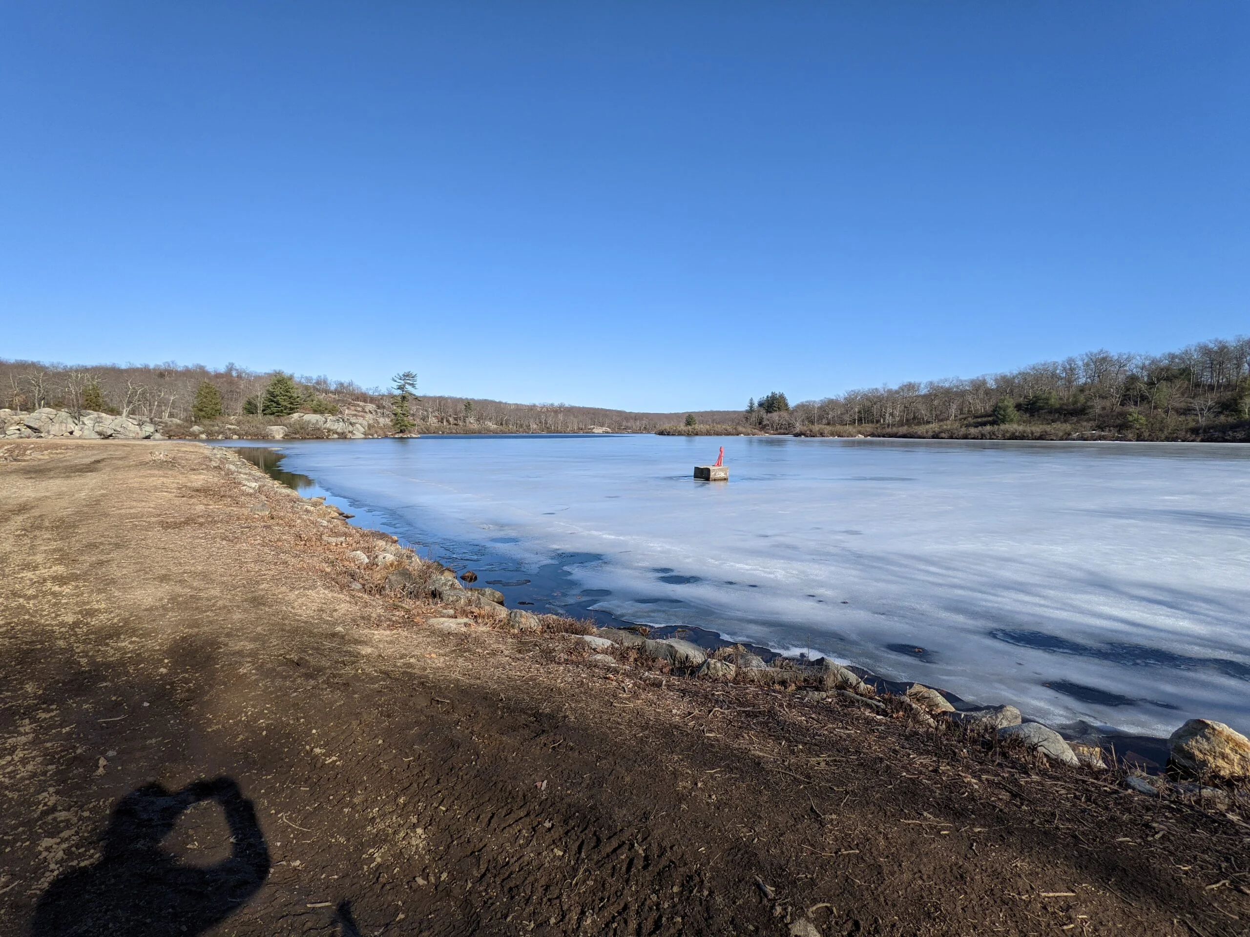
I took a detour onto the Poached Egg Trail (yellow round blazes), leading down to Pine Meadow Lake. After following the perimeter road for about 0.2 miles, I came upon a section of the road that’s on the shoreline of the lake. There was a partial ice coating on the lake, but not thick enough to walk on. I retraced my steps on the Poached Egg Trail to connect back with the Racoon Brook Hills Trail and continue on to the west.
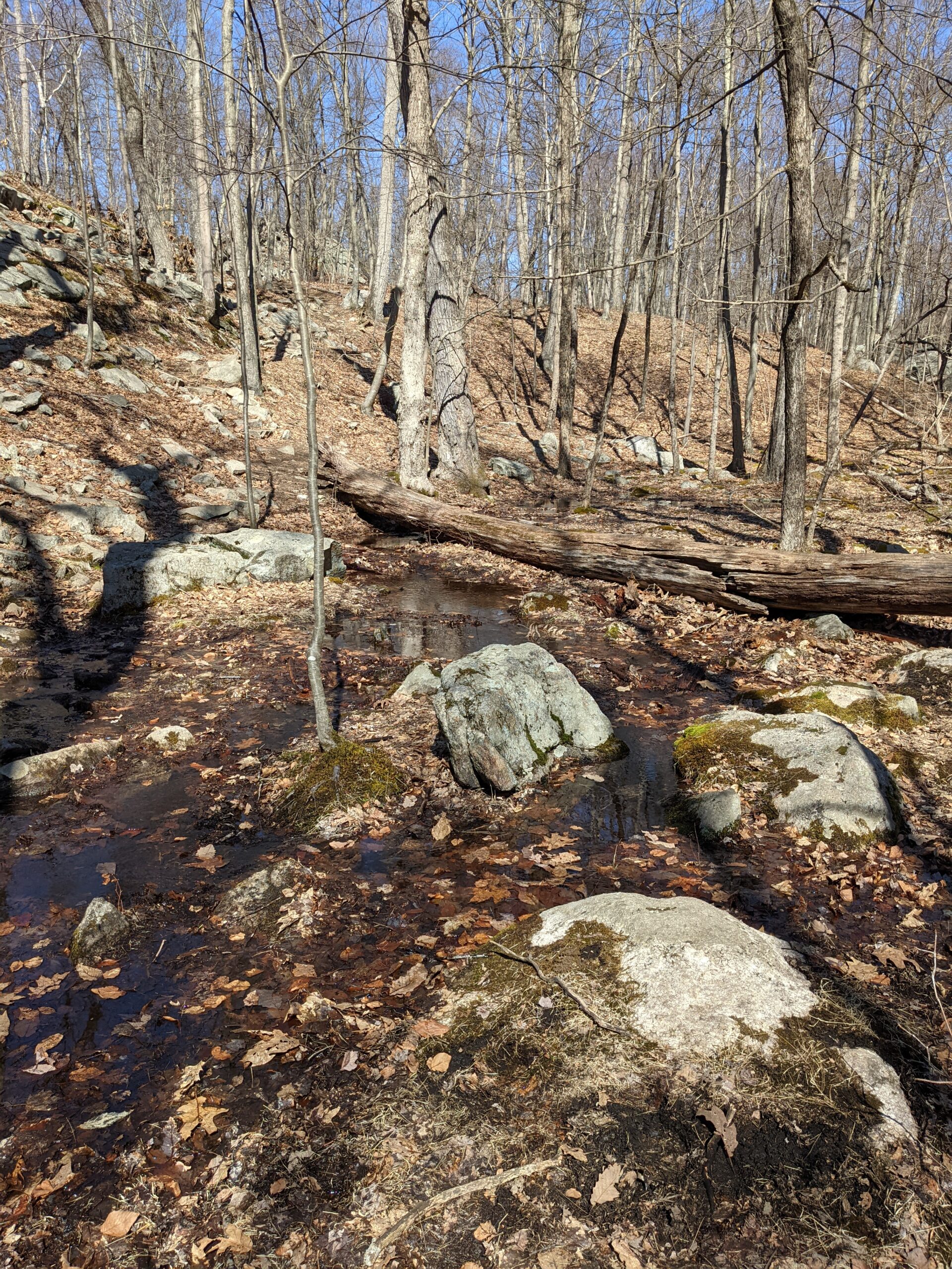
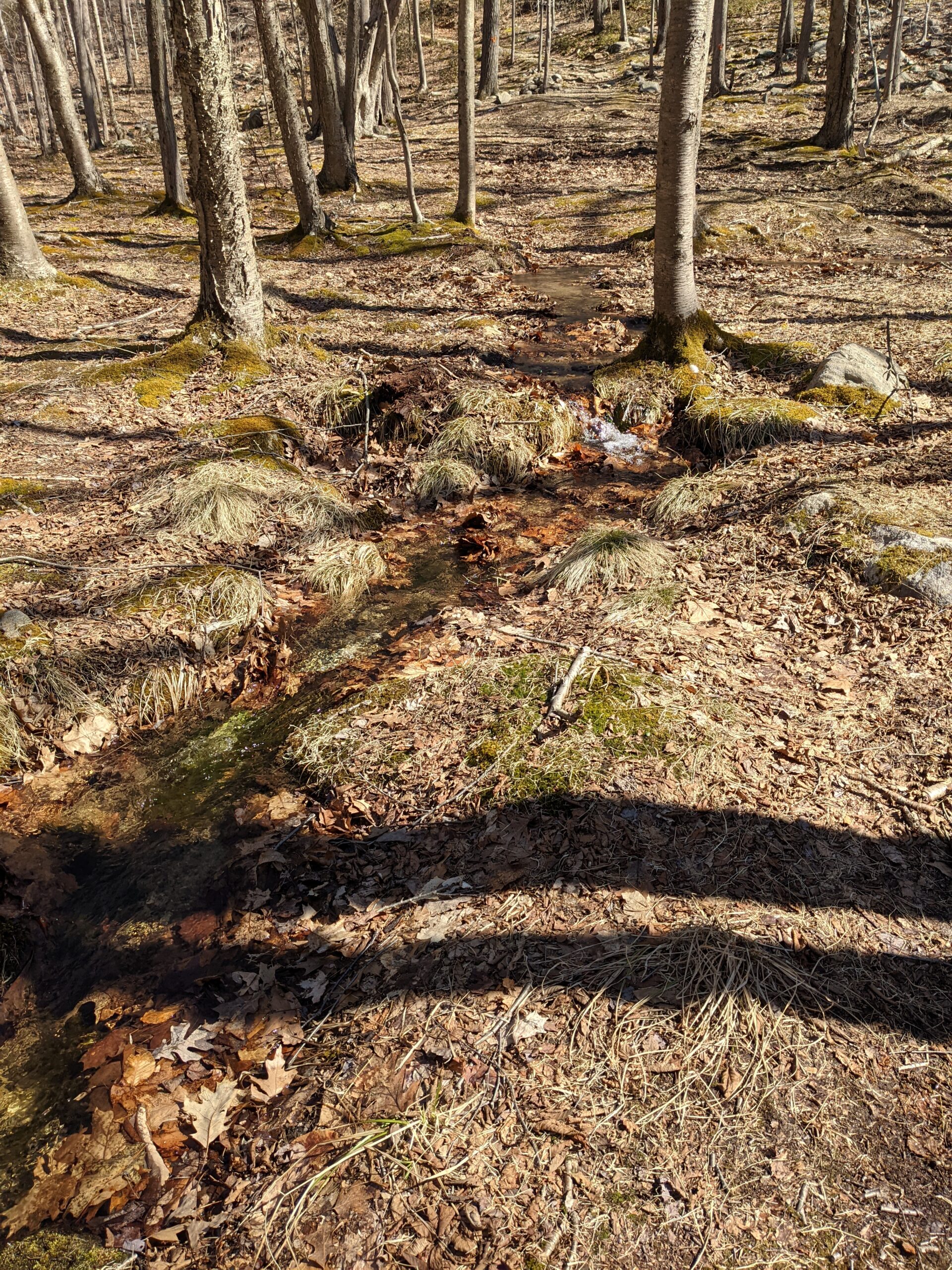
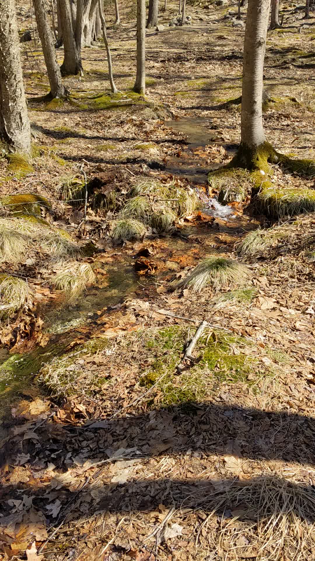
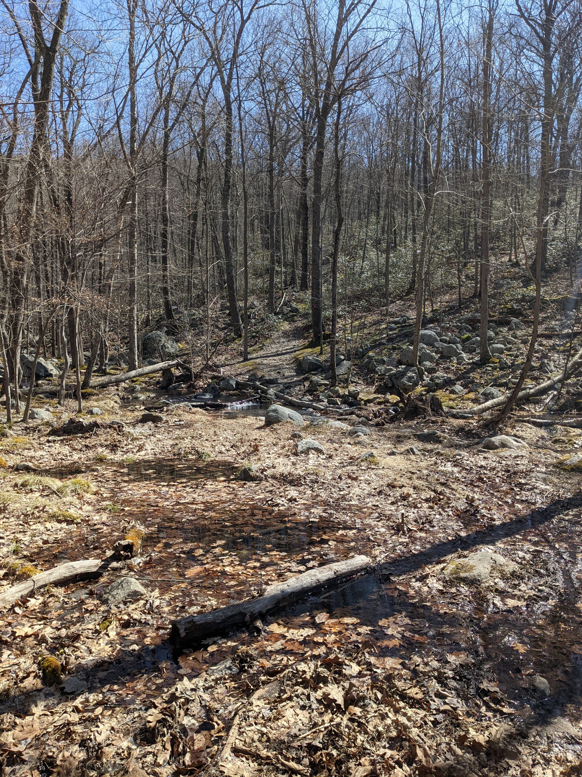
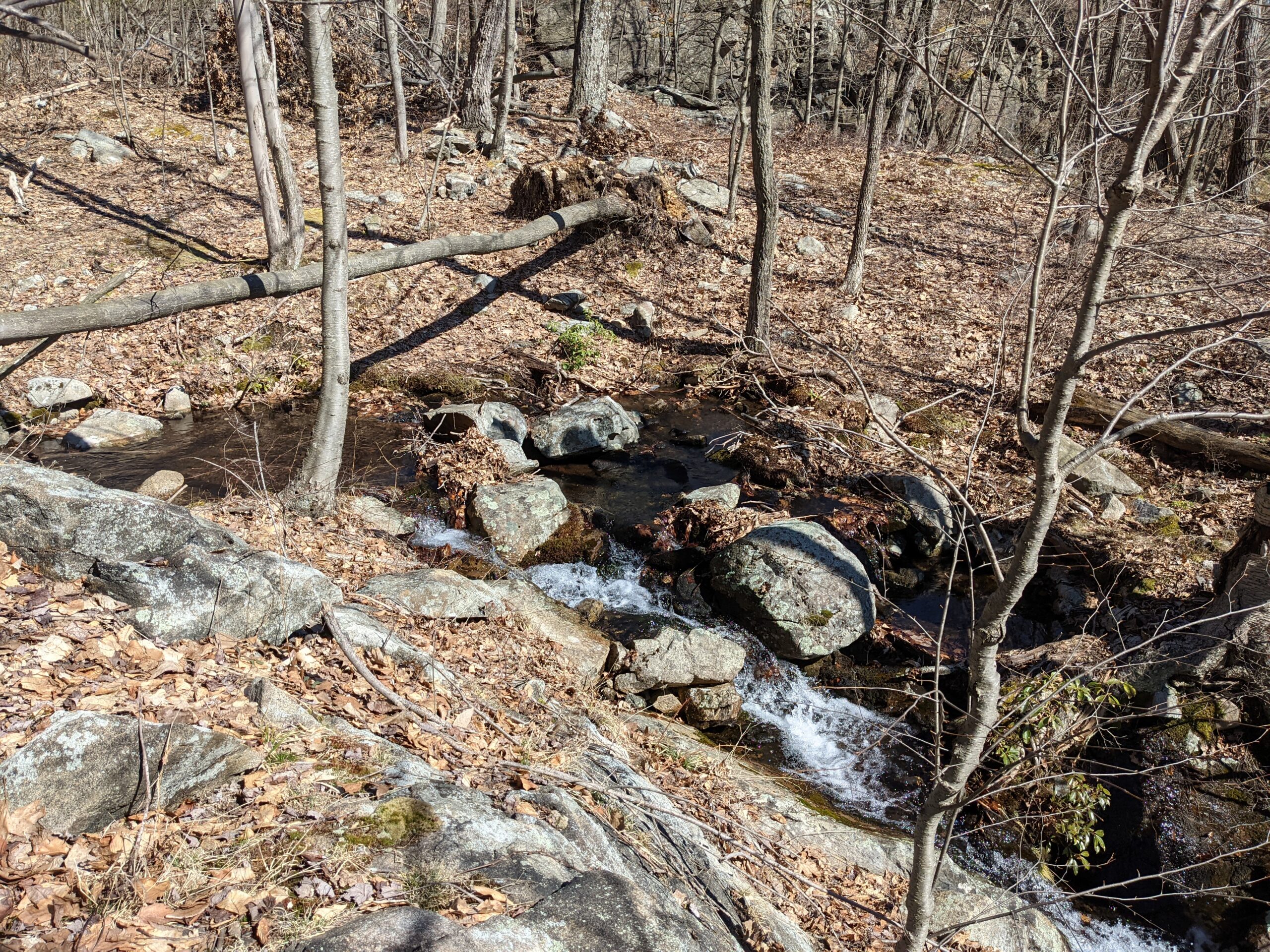
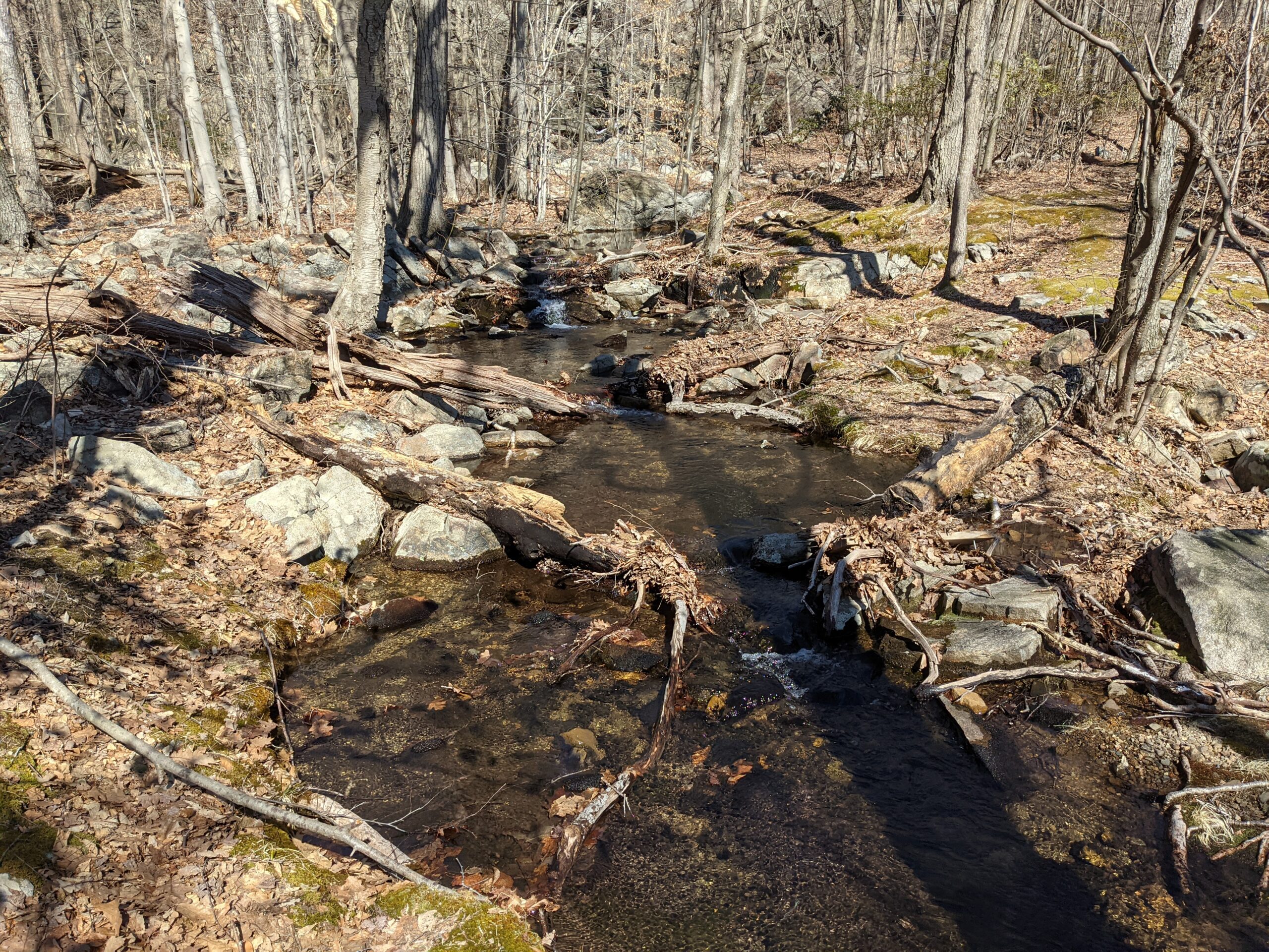
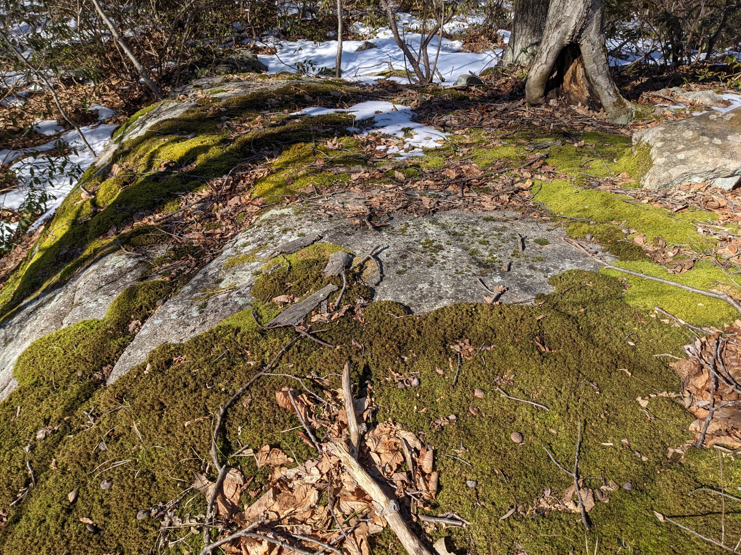
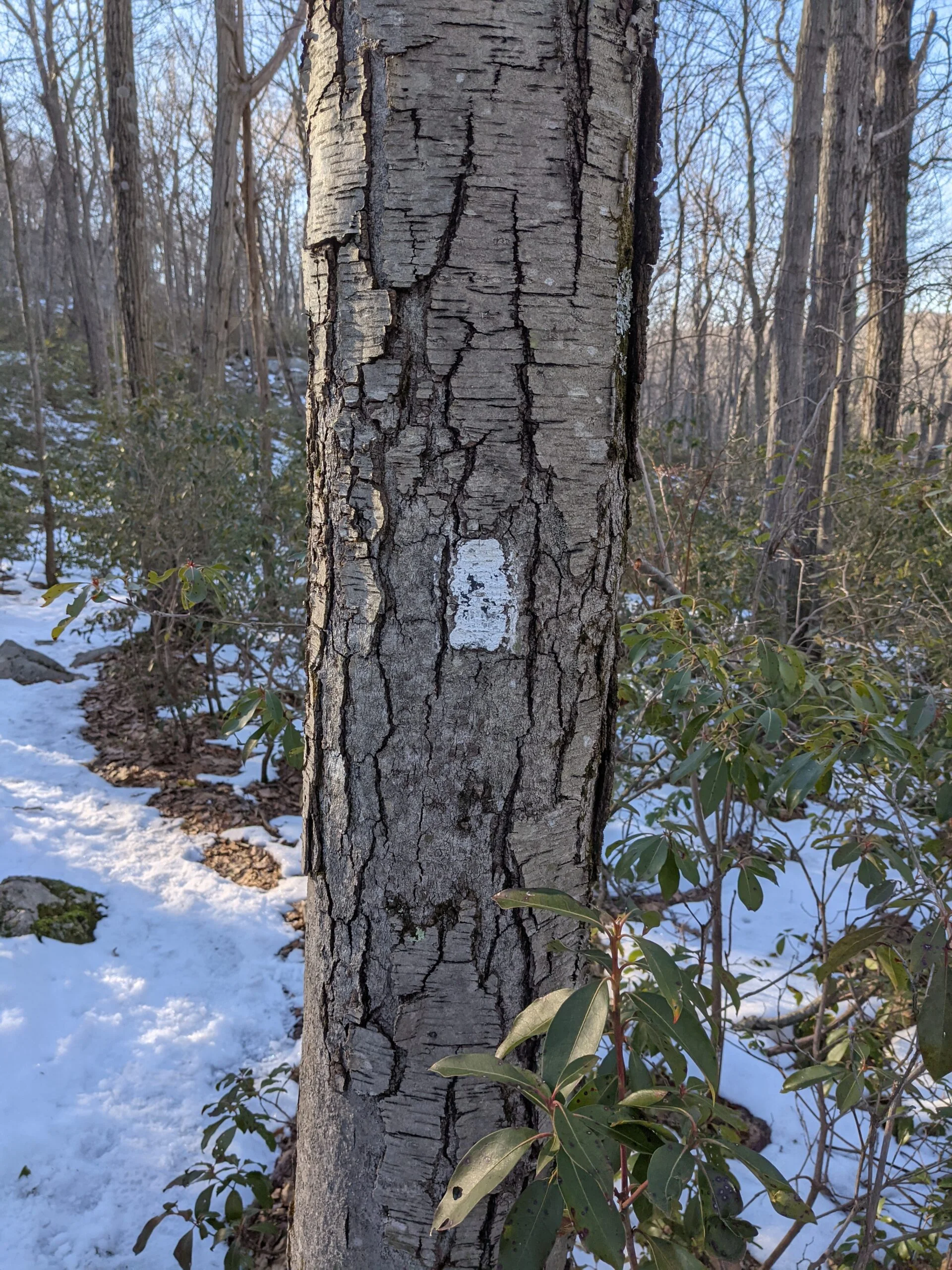
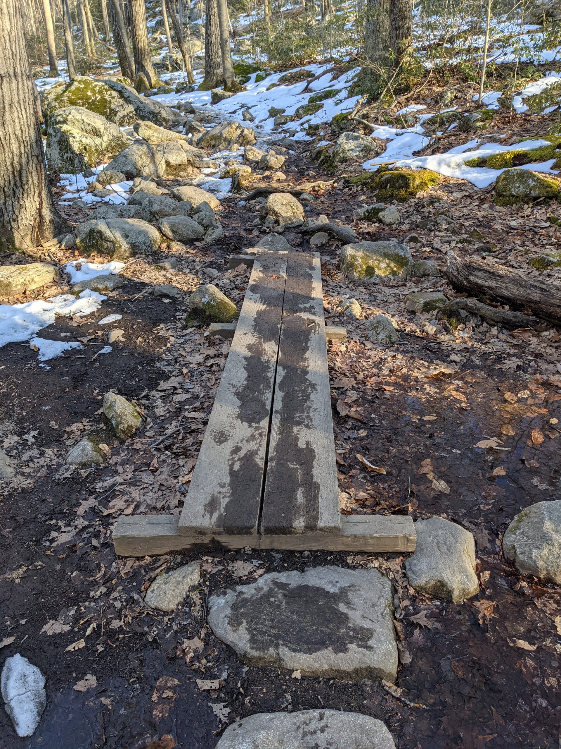
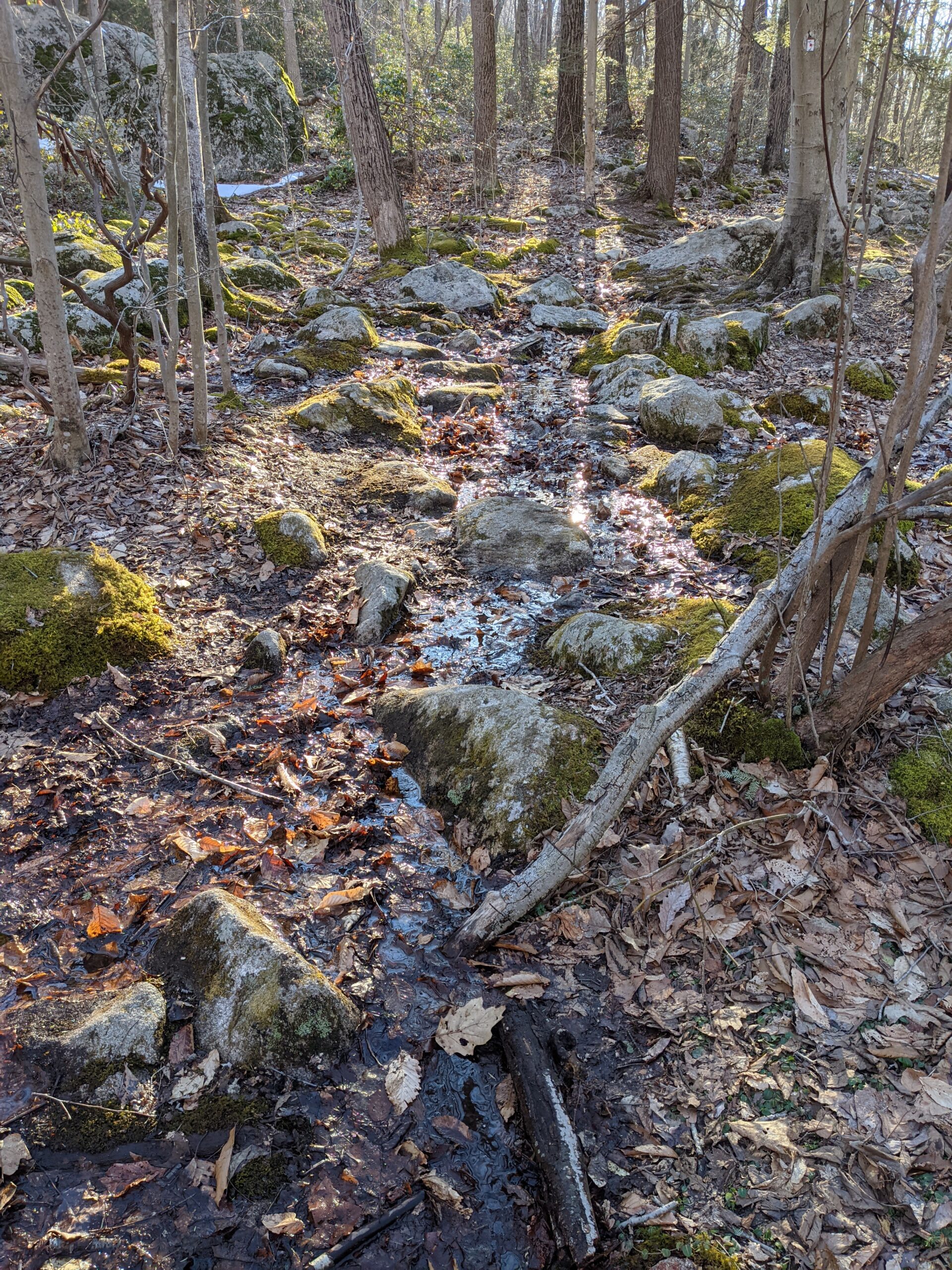
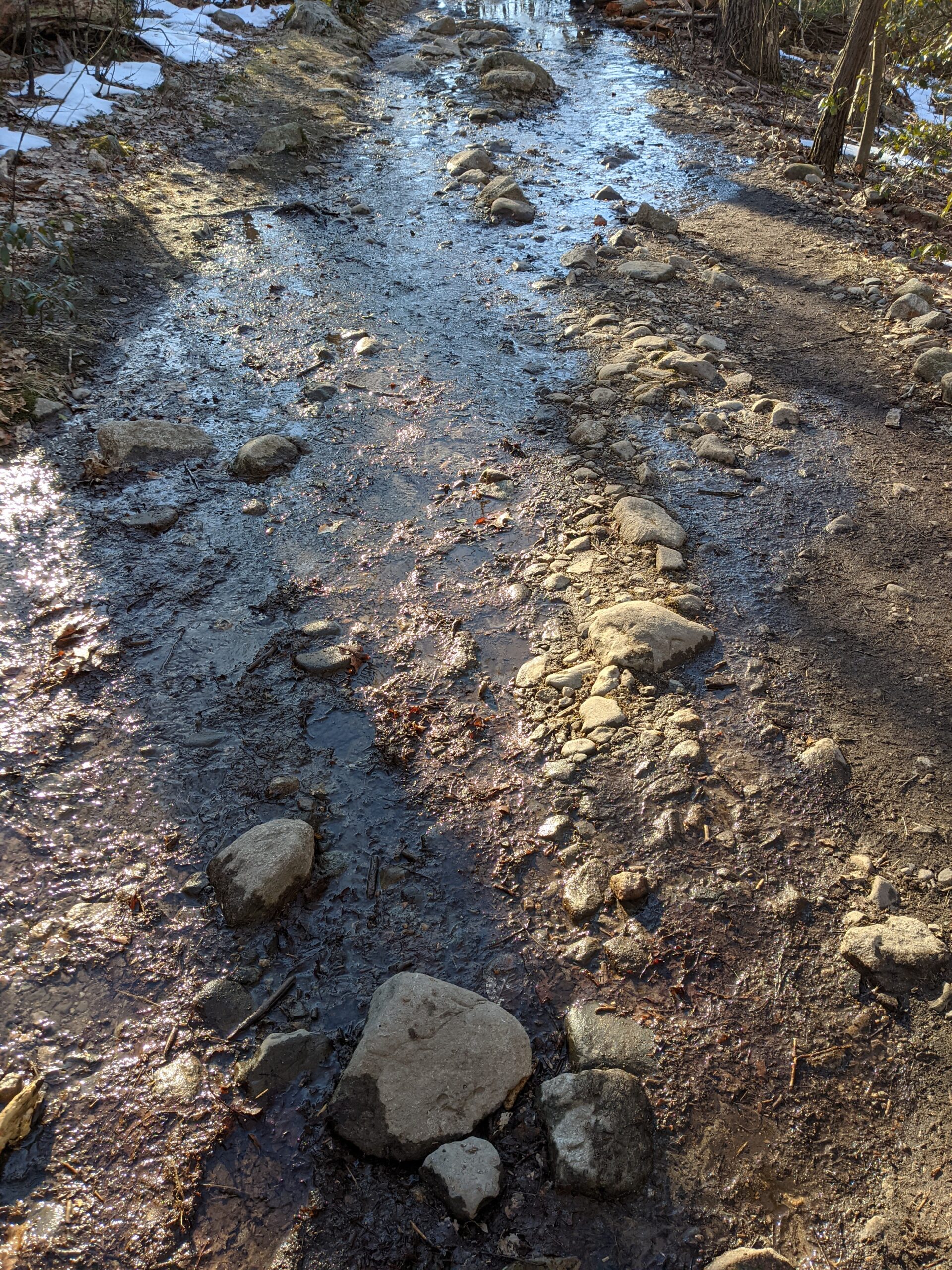
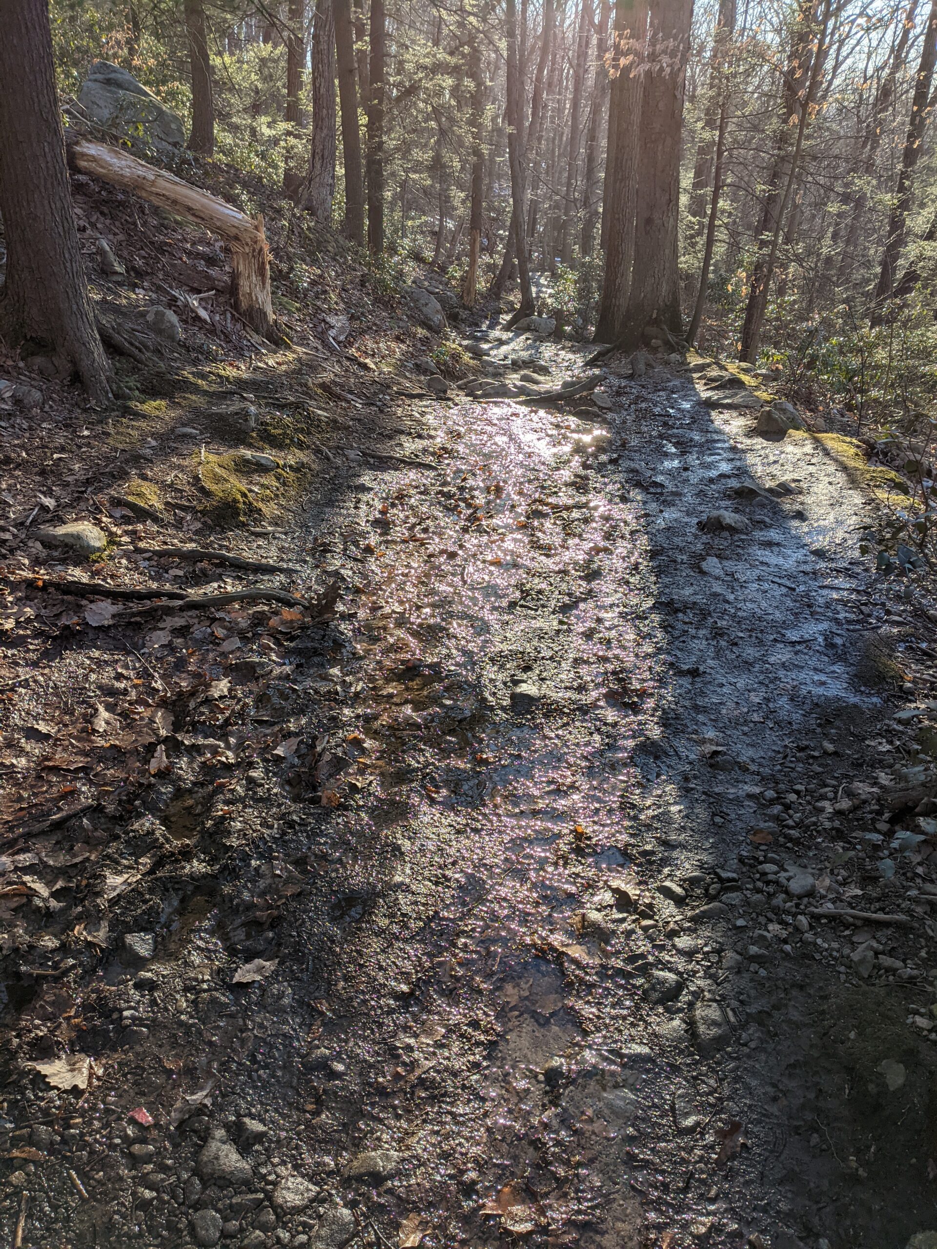
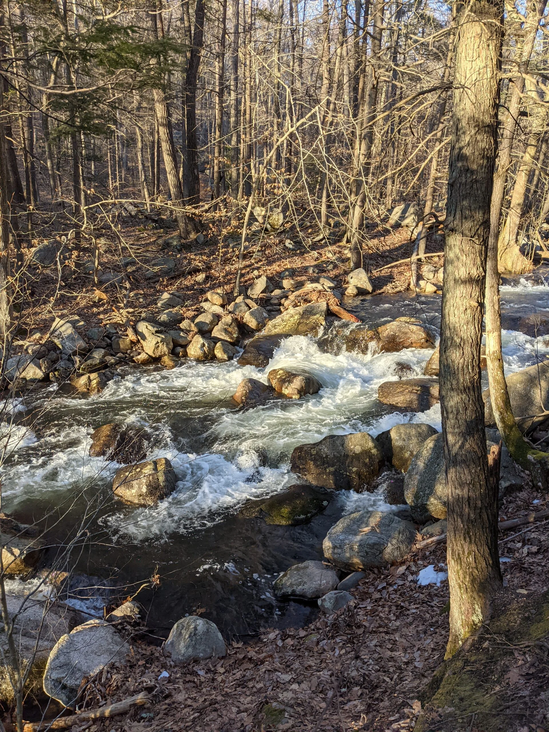
This led to the Kakiat (white blazes) trail, which hugs Pine Meadow Brook. The water theme keeps delivering! Most of this section of trail was covered with snow, until I connected with the Pine Meadow Trail (red square blazes). Starting around here, I encountered a ton of standing water and mud. I presume most of this is from melted snow. My Vasque Breeze AT Mid GTX Hiking Boots held up well throughout the day. I stepped in flowing water, hiked in snow, and walked through mud several times throughout the day and remained dry and warm throughout.
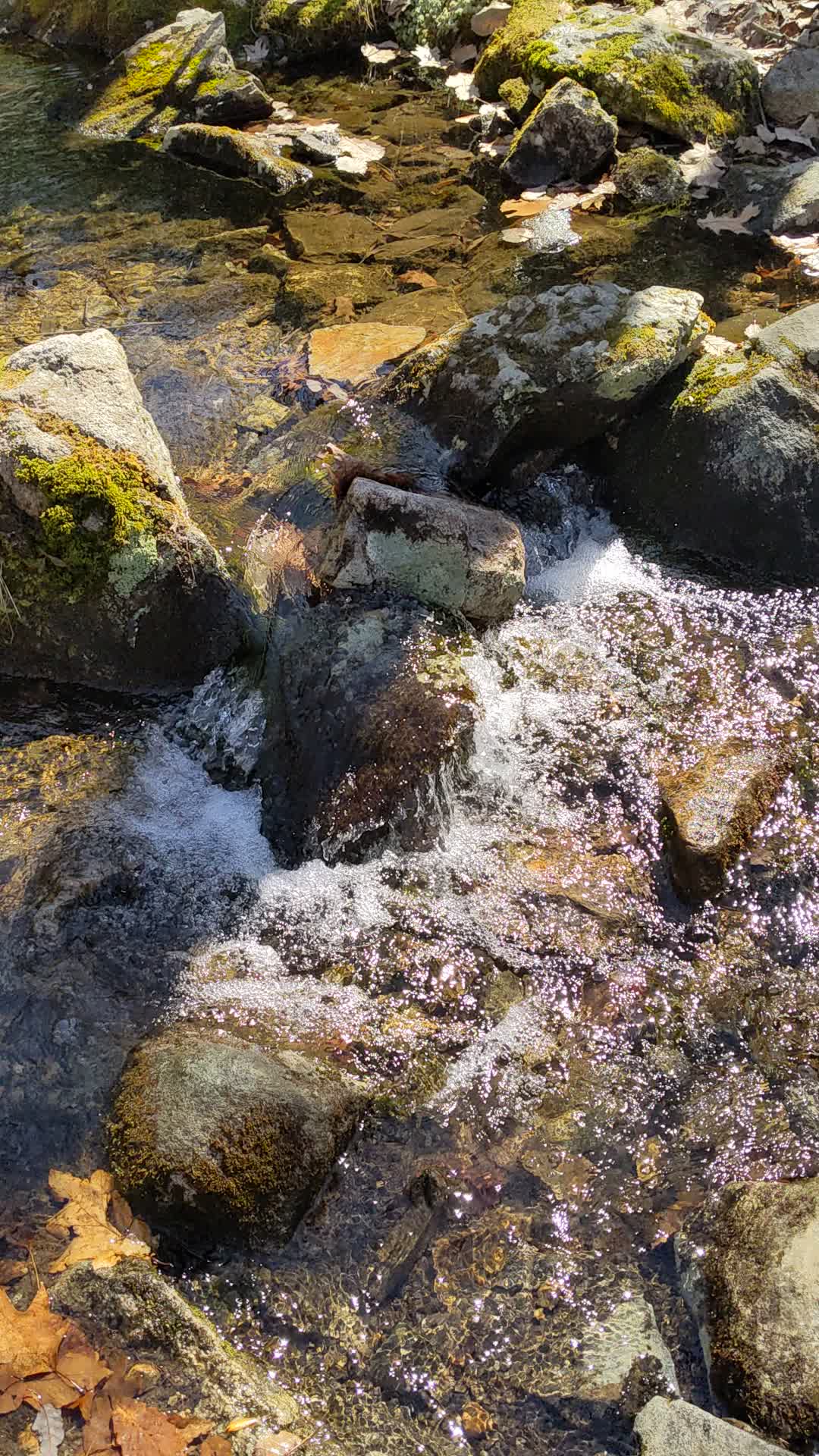
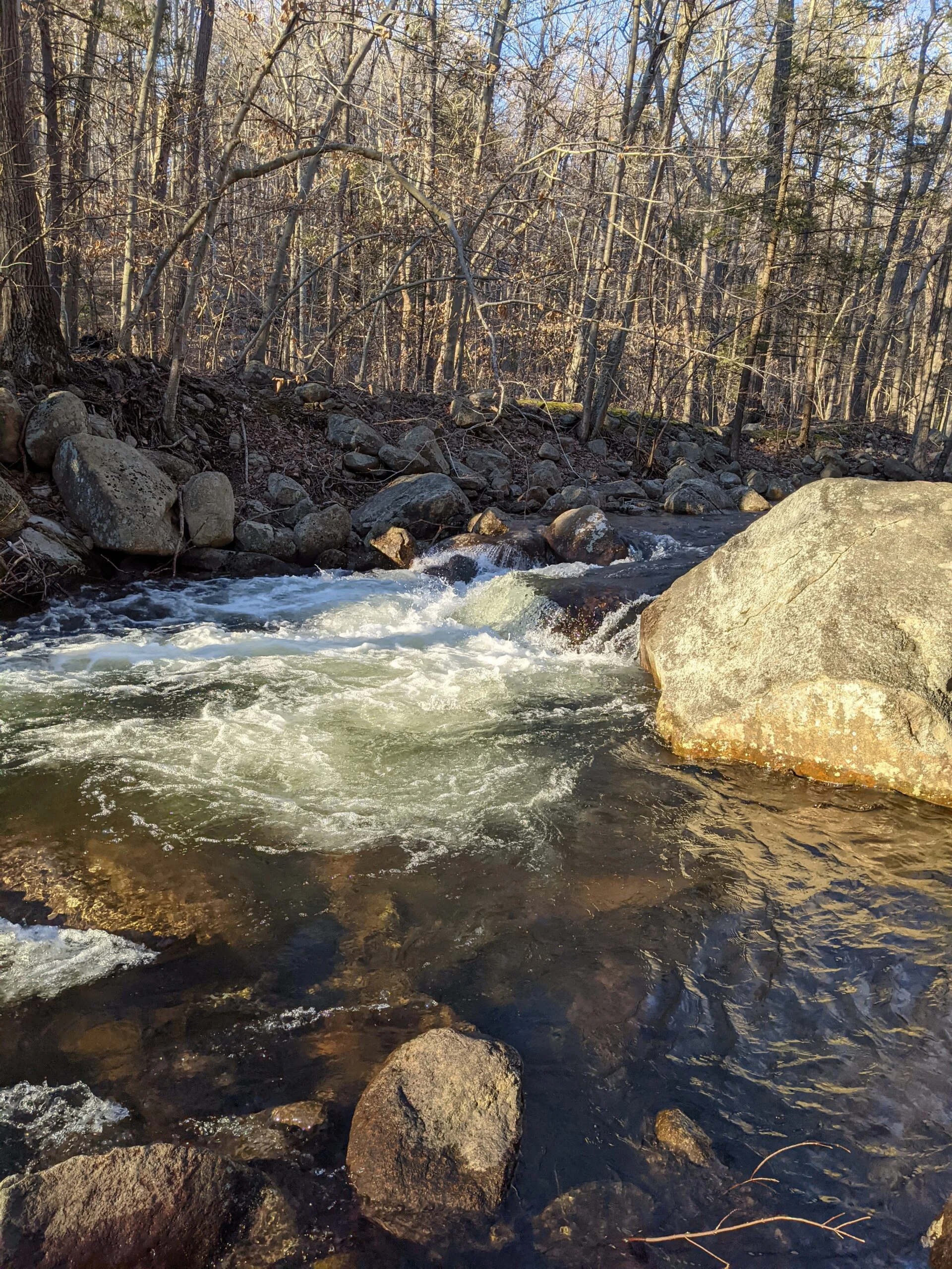
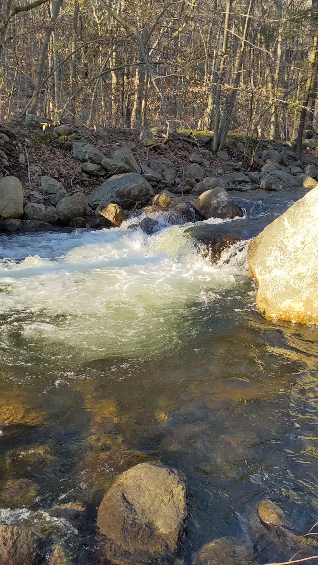
The Pine Meadow Trail eventually connects with Stony Brook with its wide, fast moving water. I was really impressed with this brook and enjoying listening to the sound of the water as I completed my hike and found my way back to the Information Center.
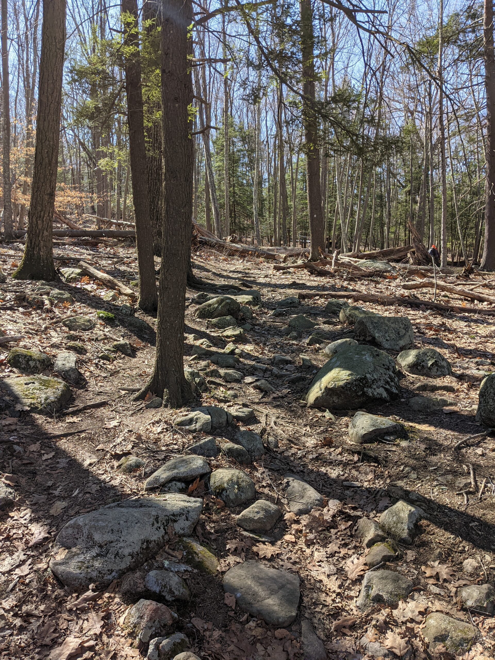
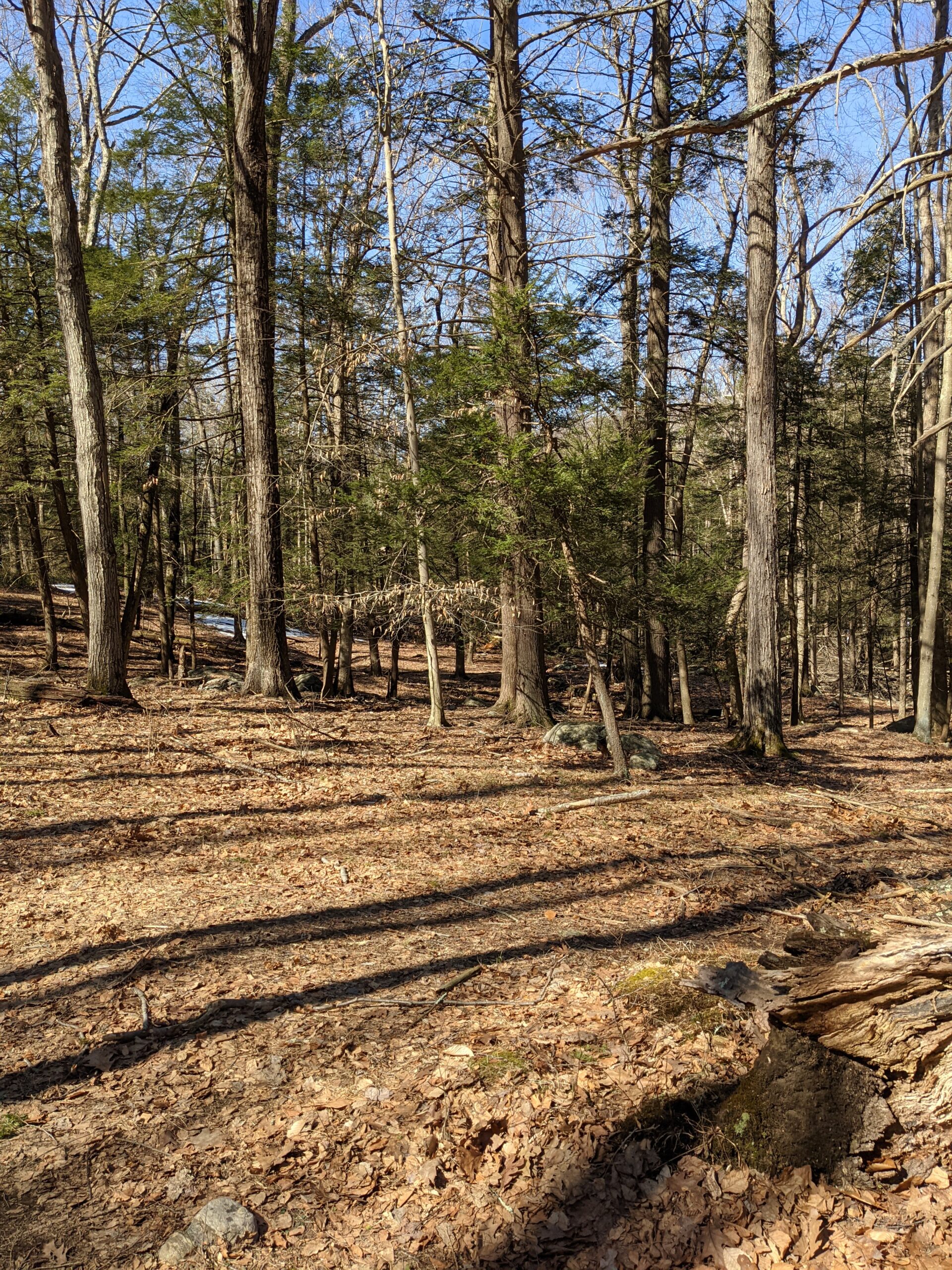
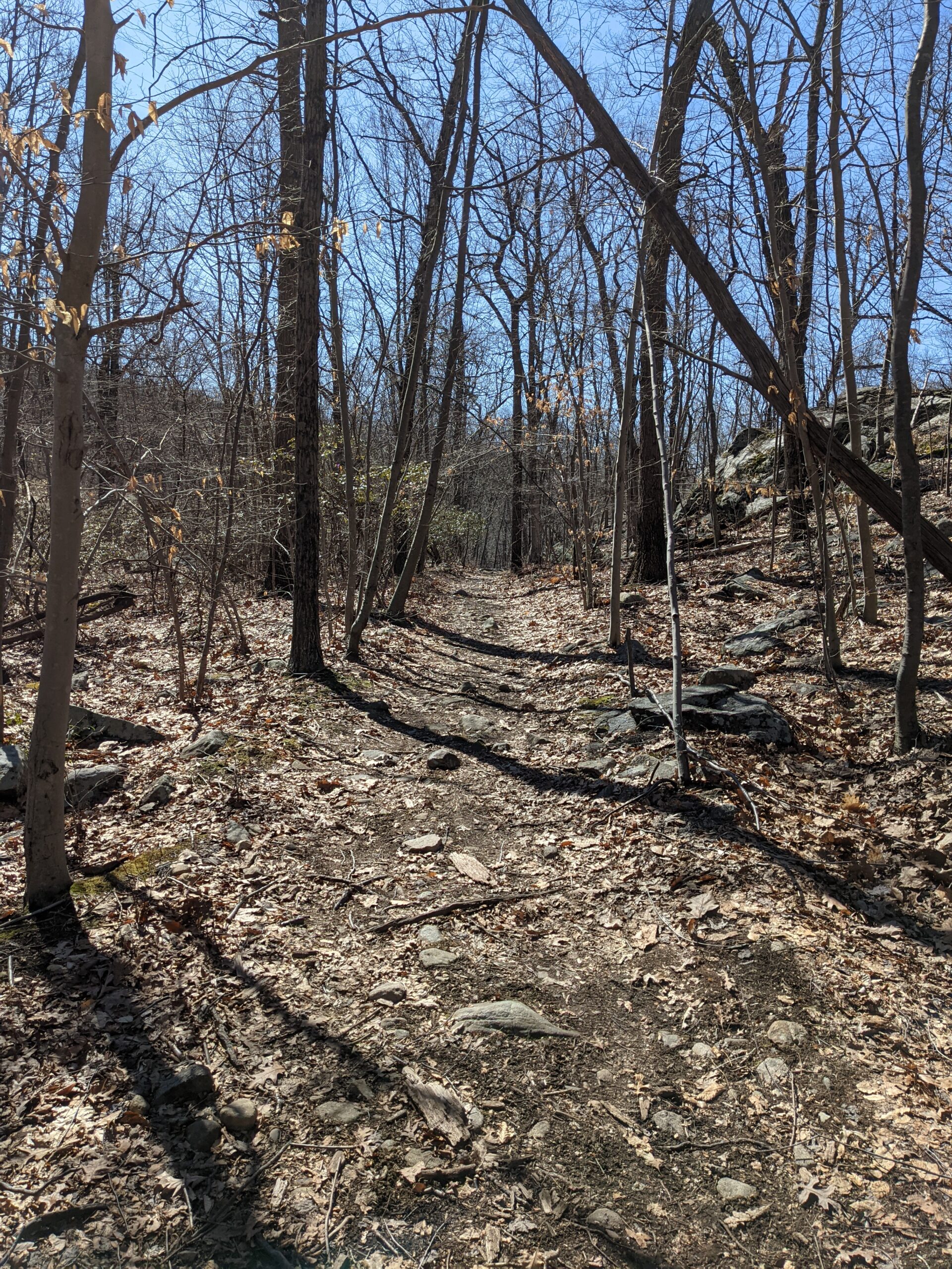
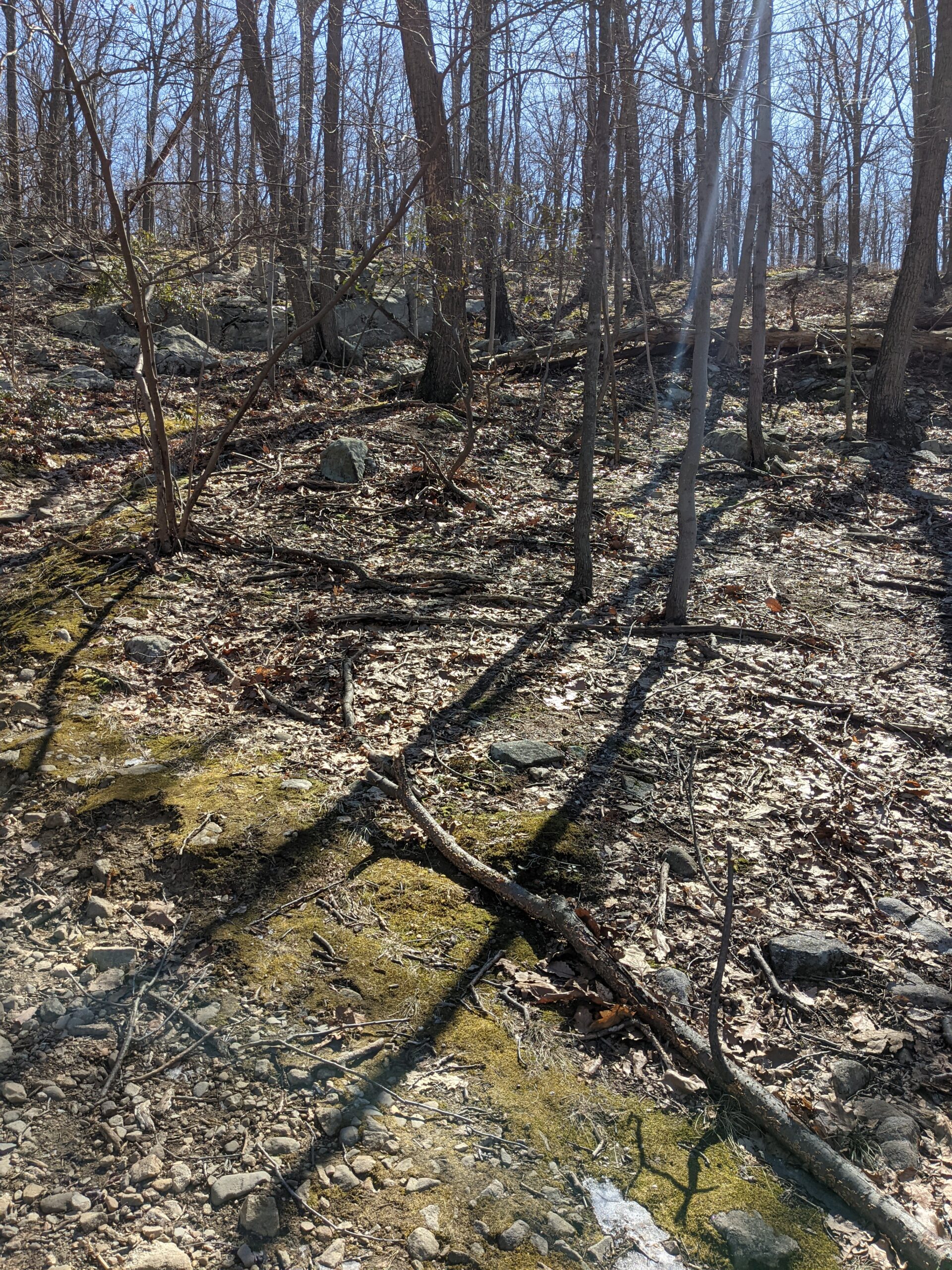
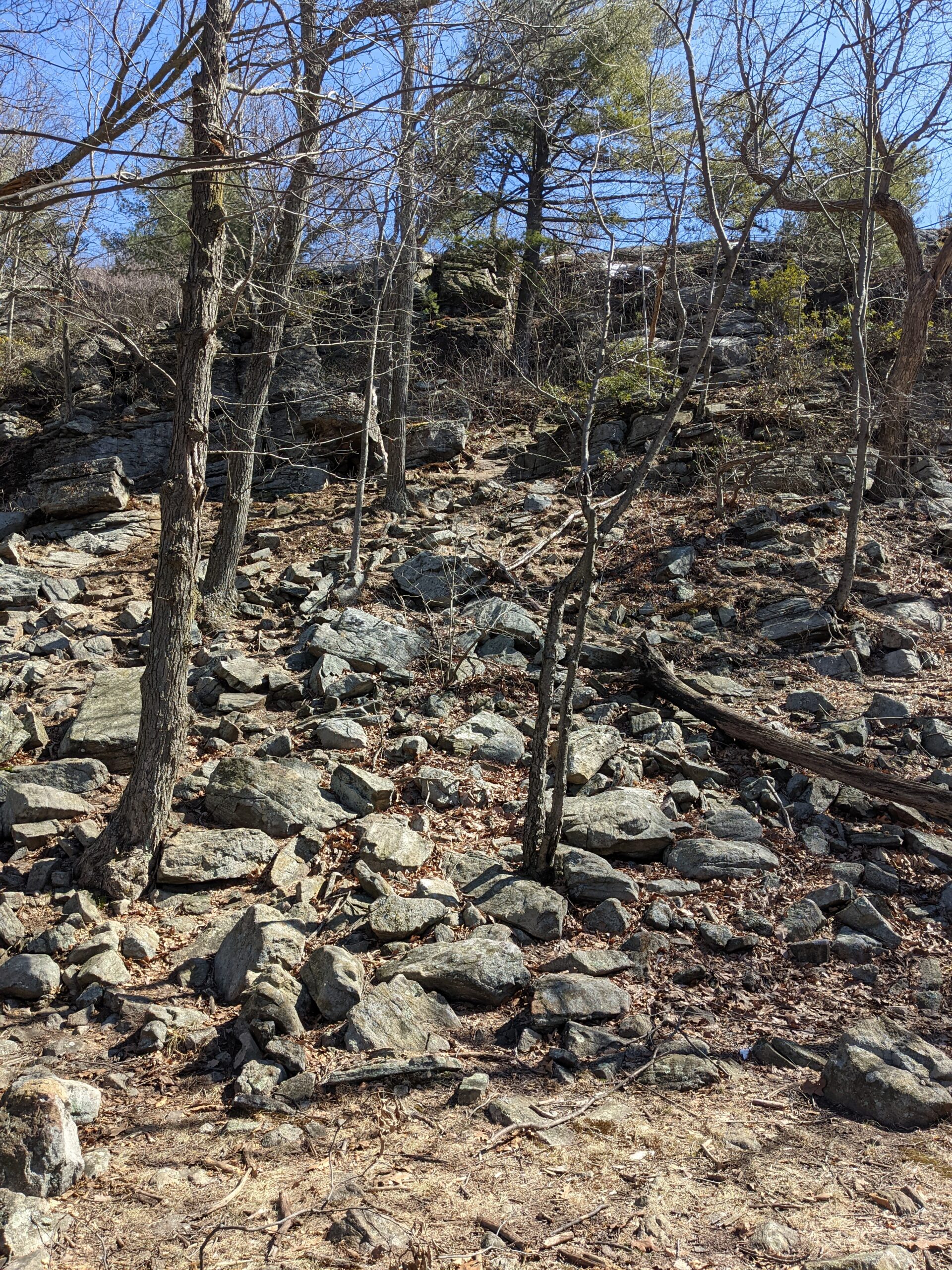
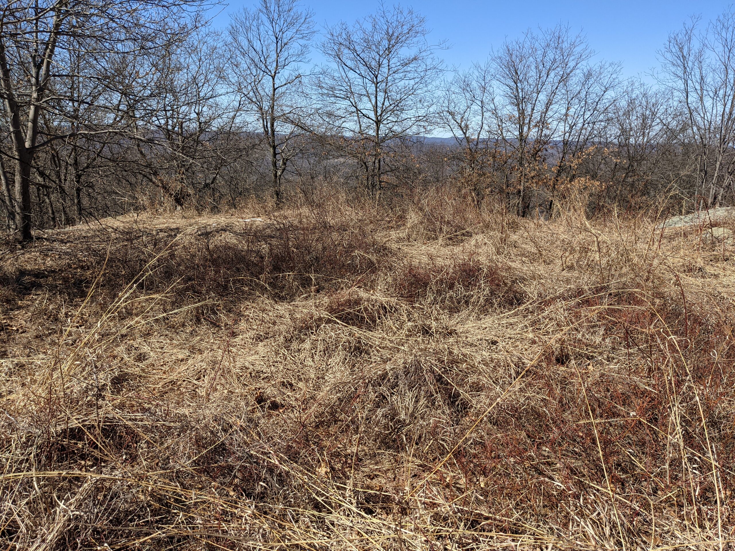
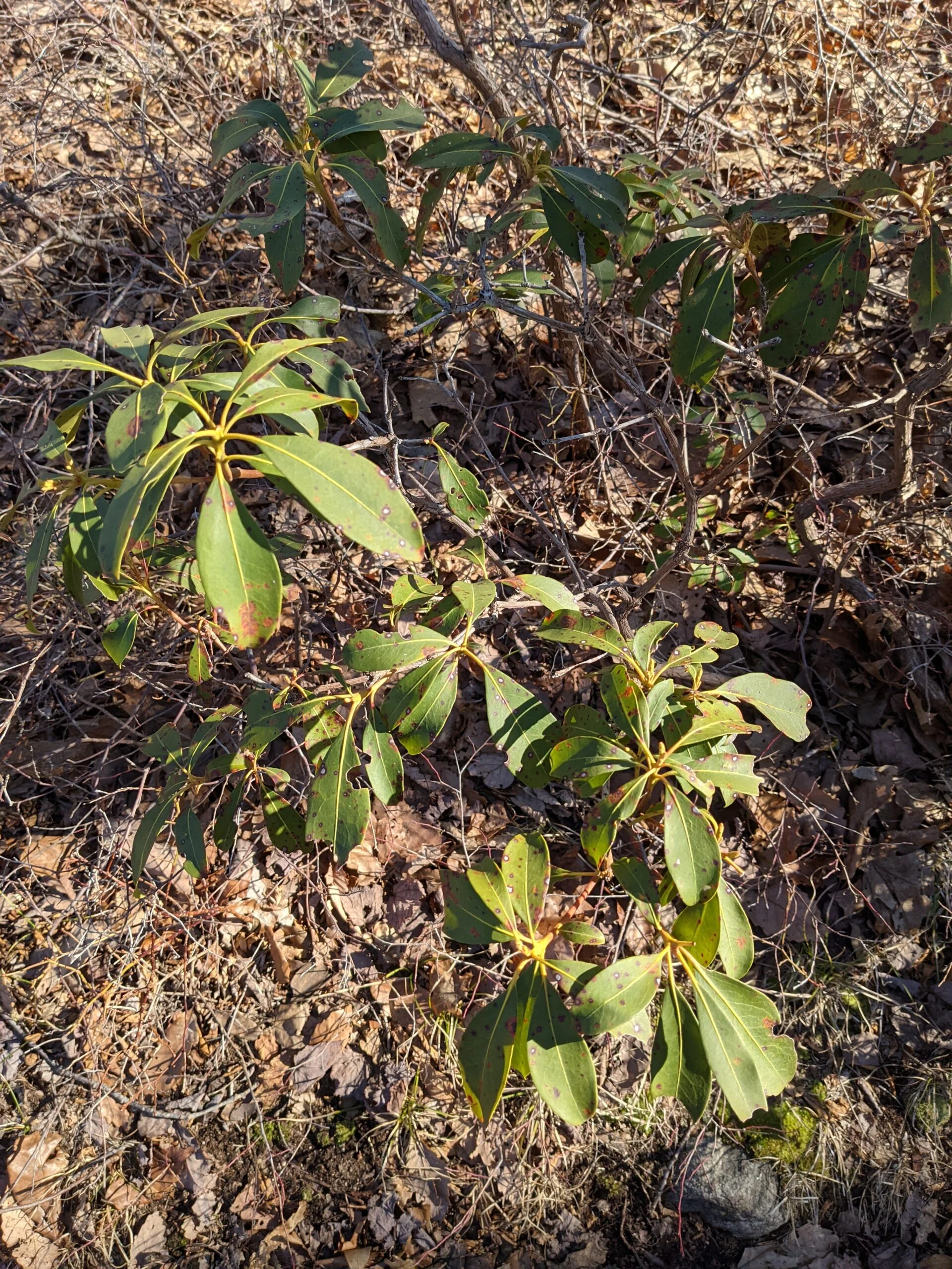
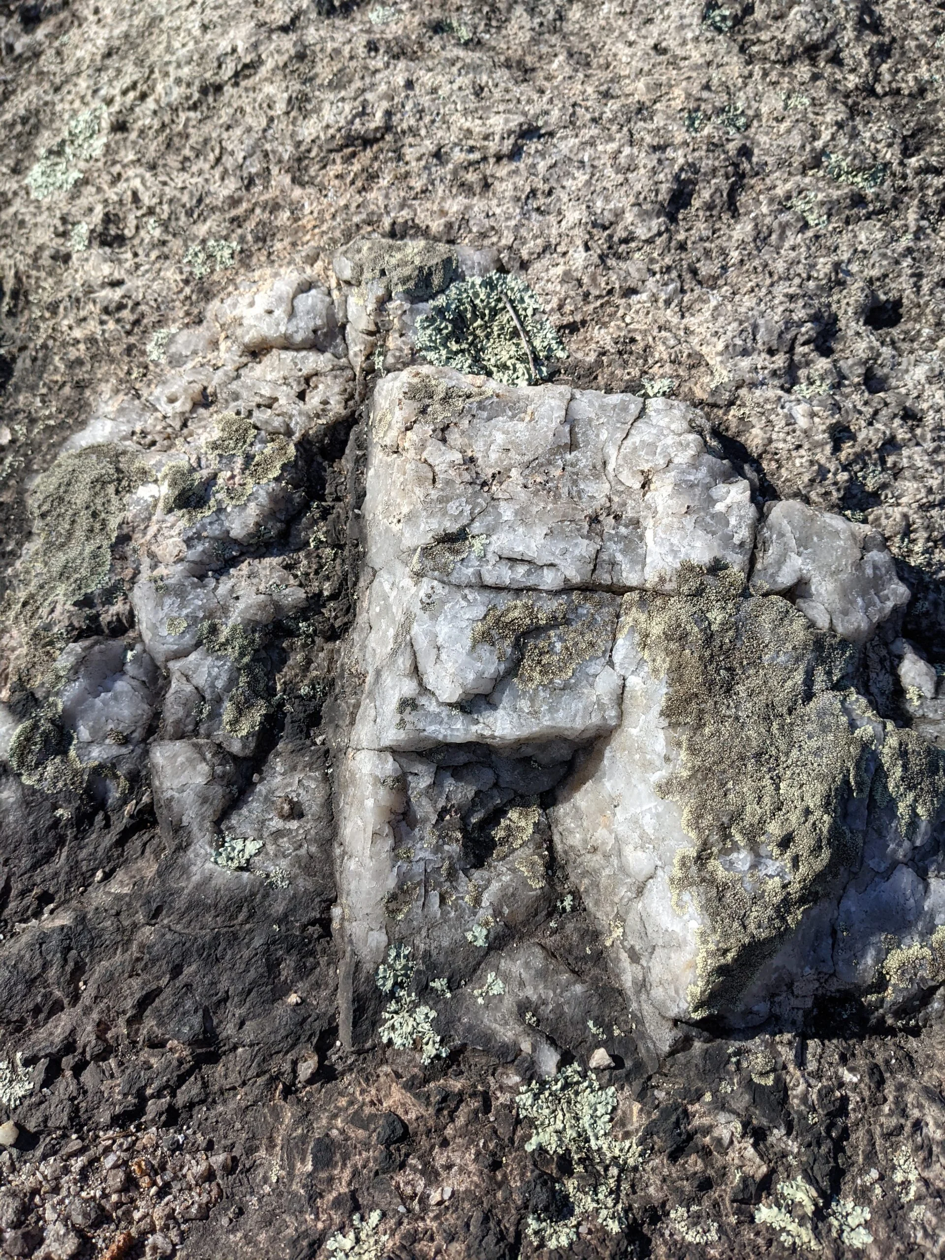
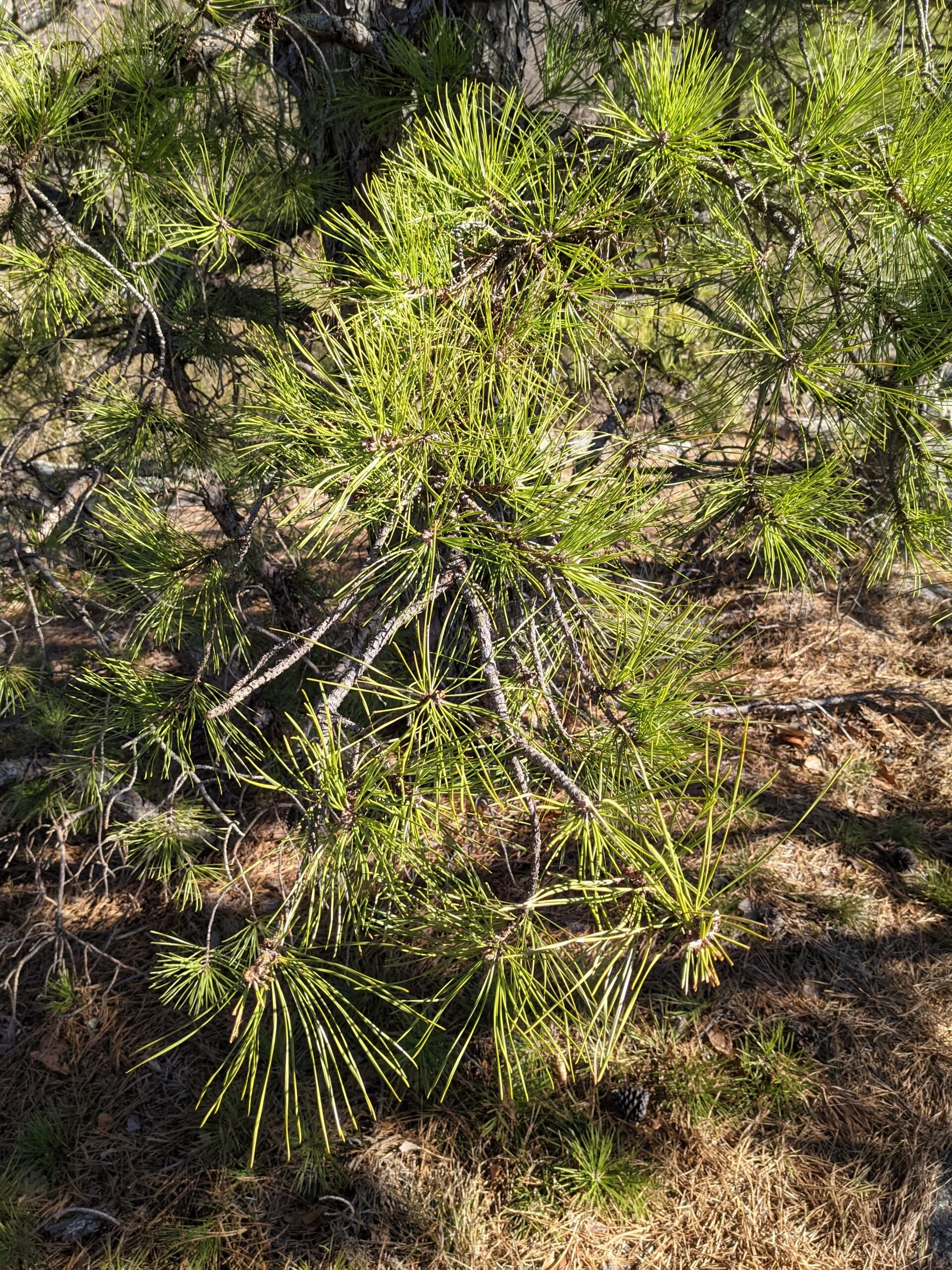
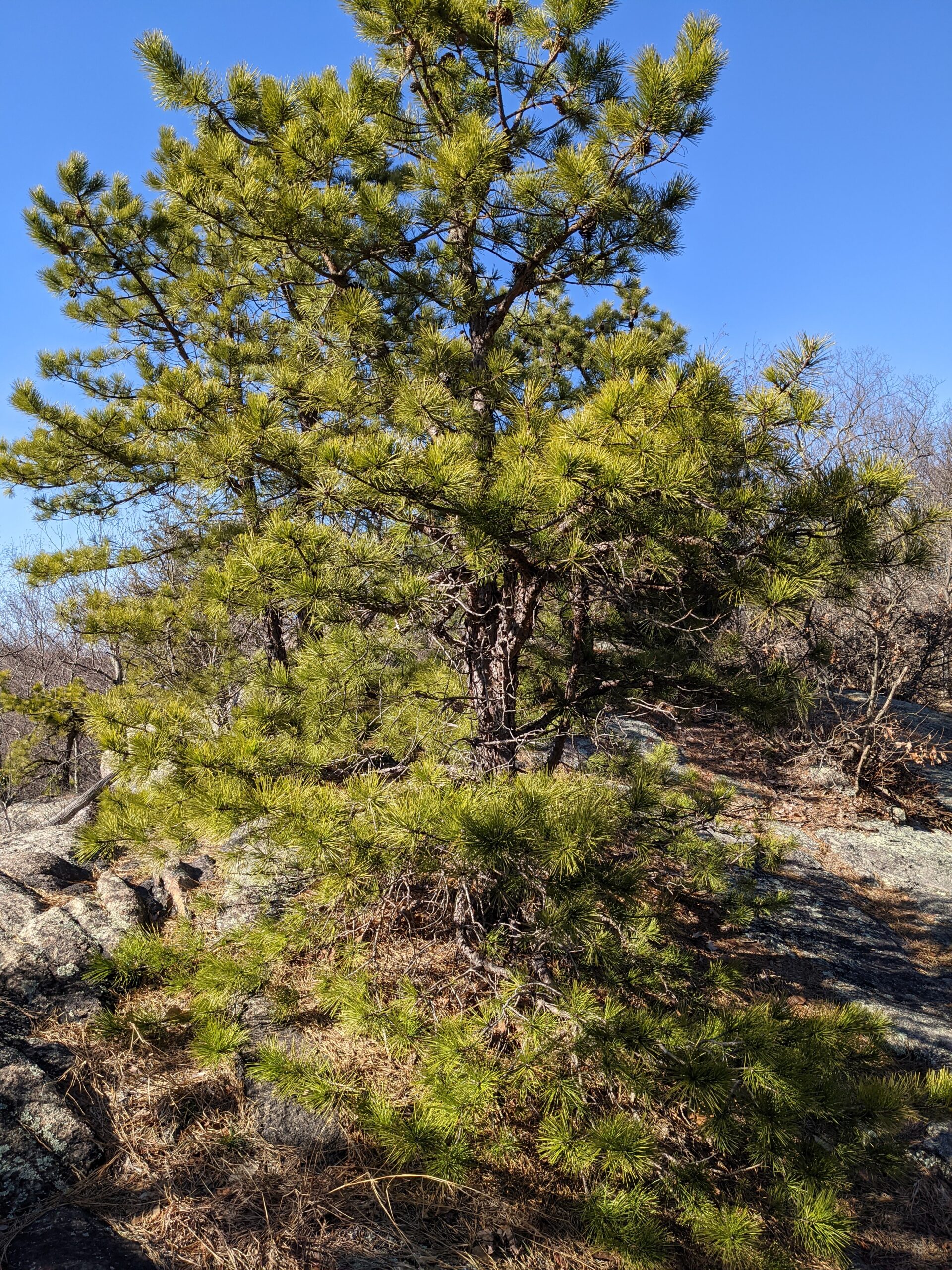
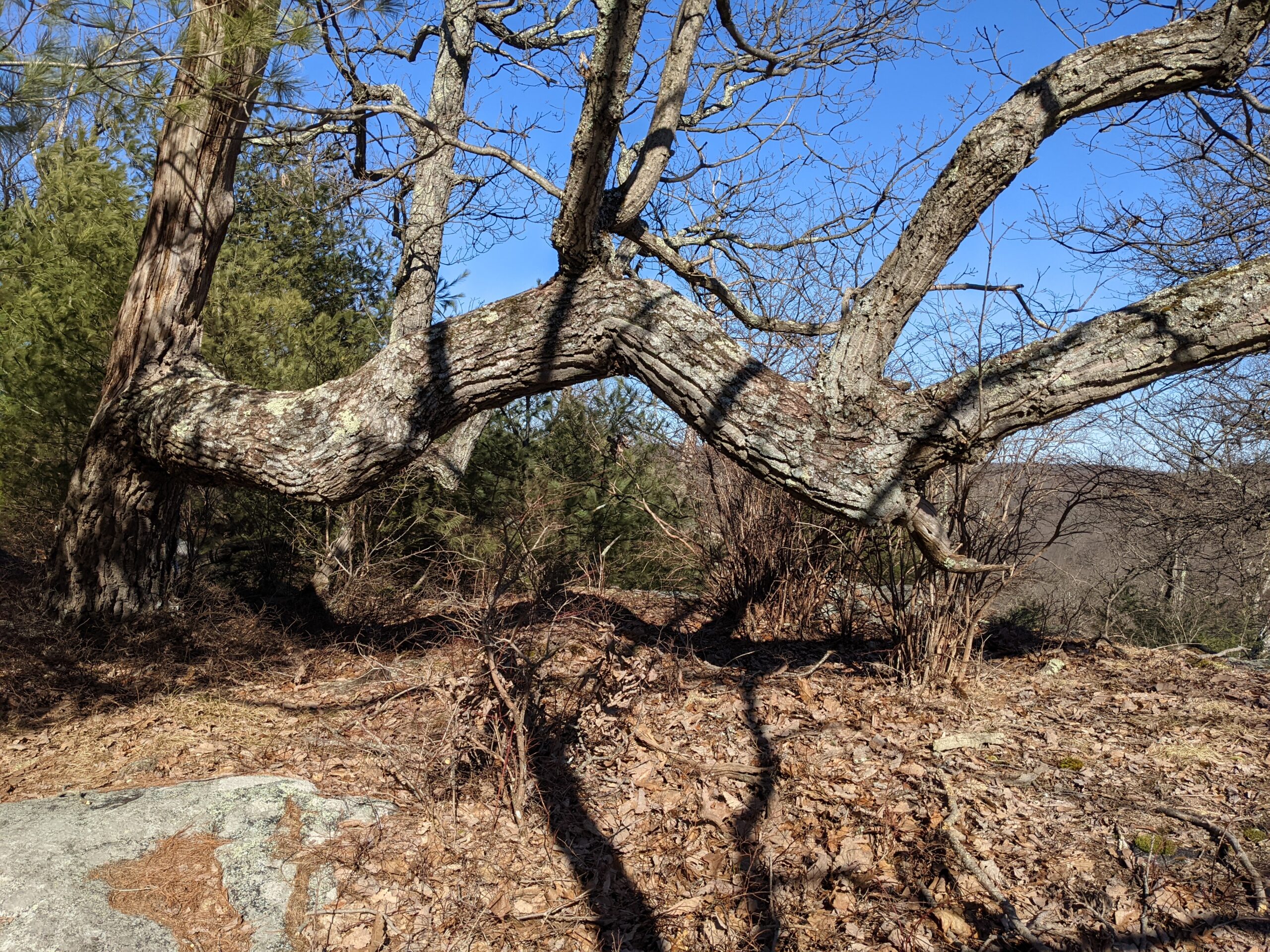
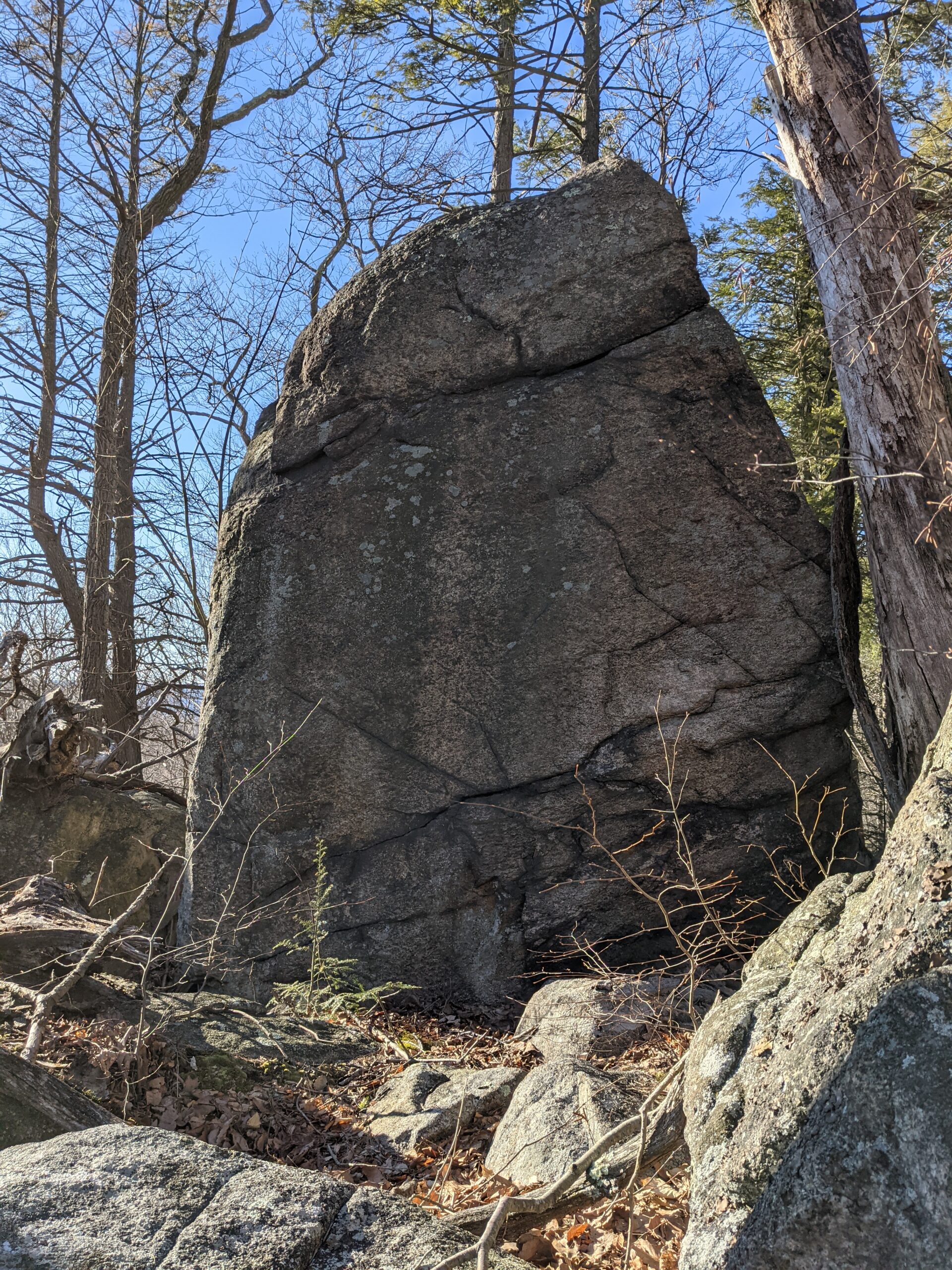
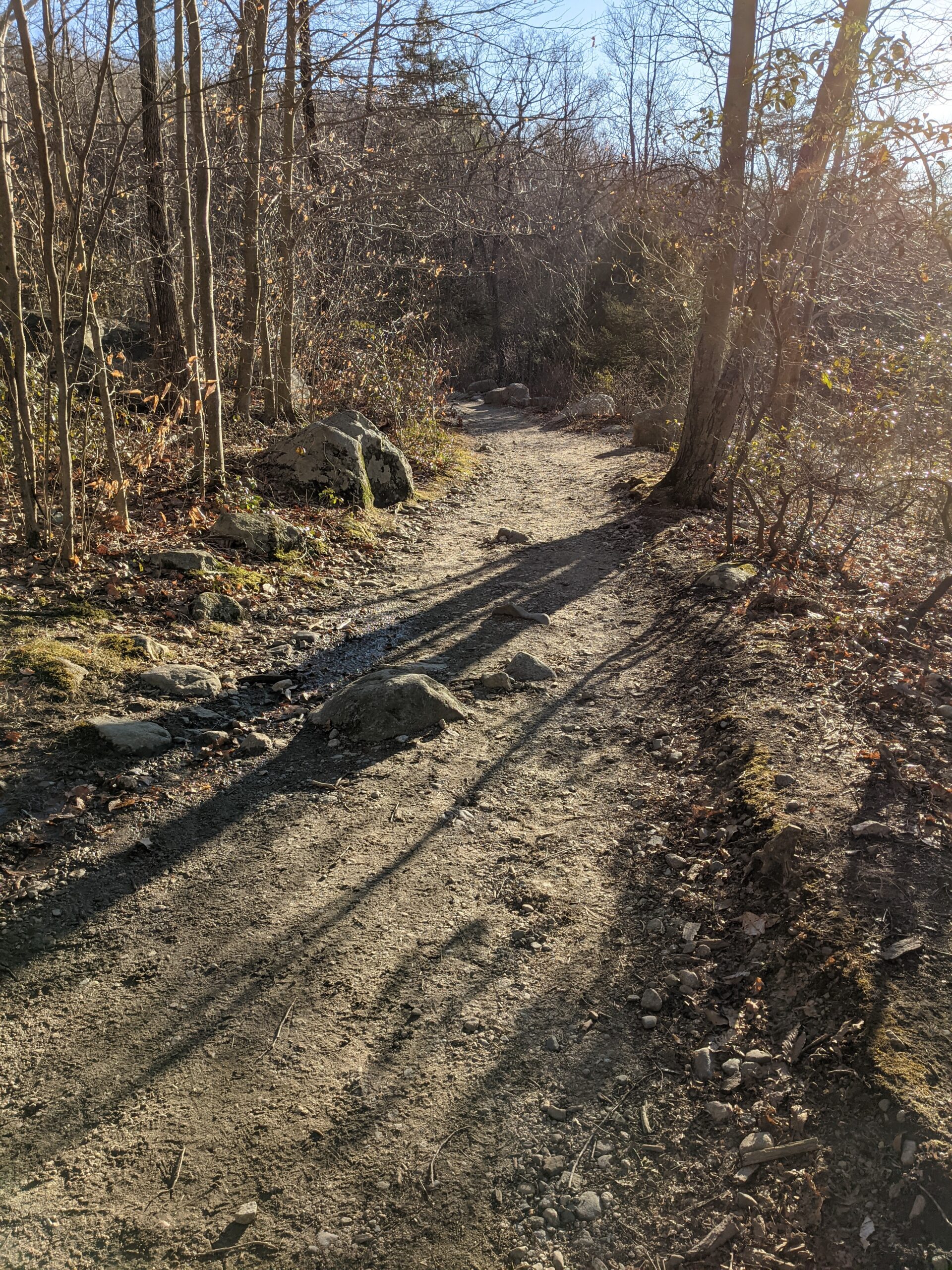
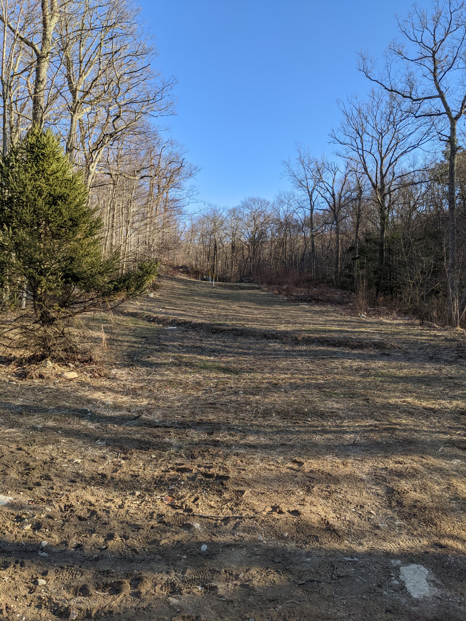
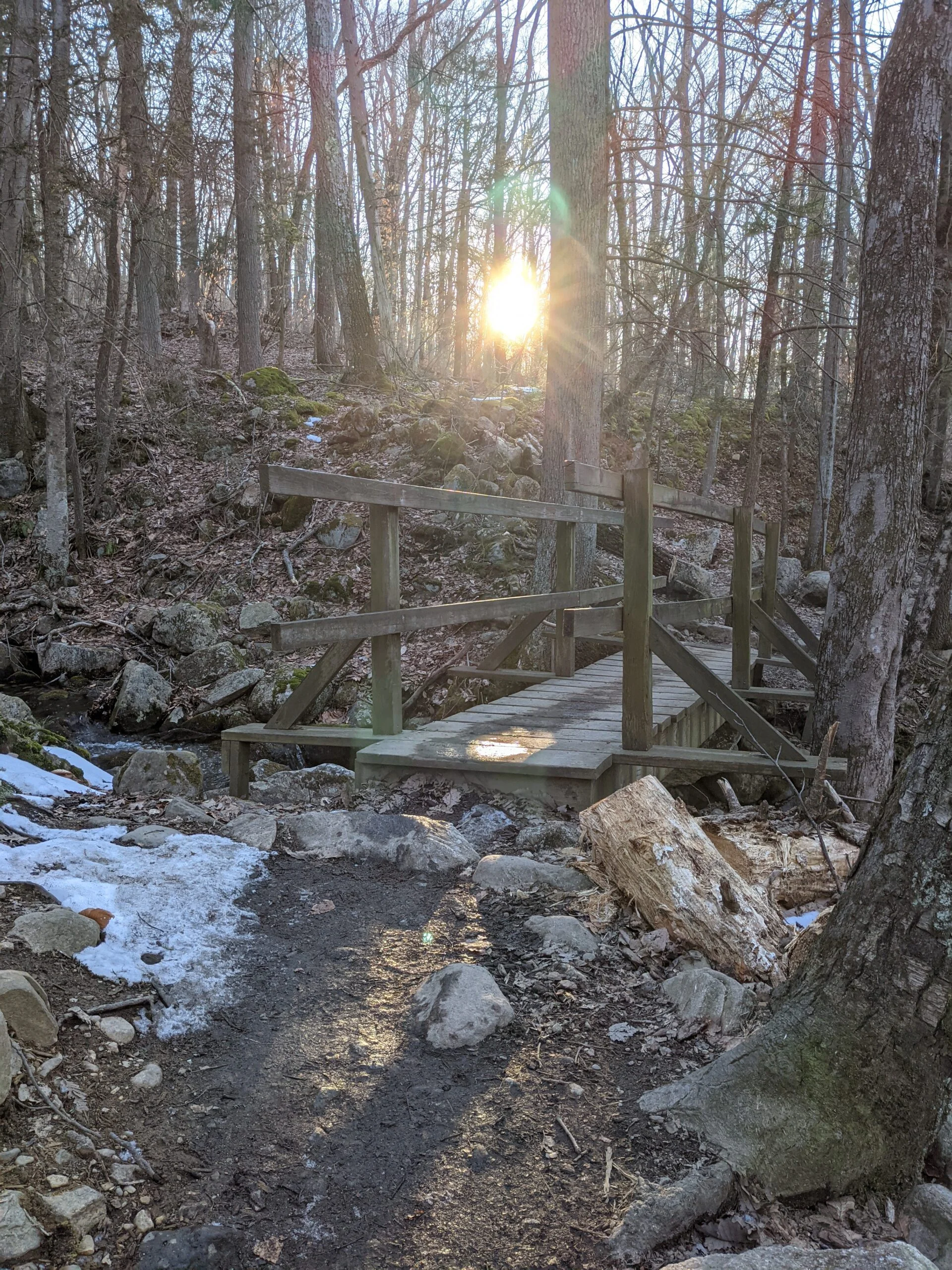
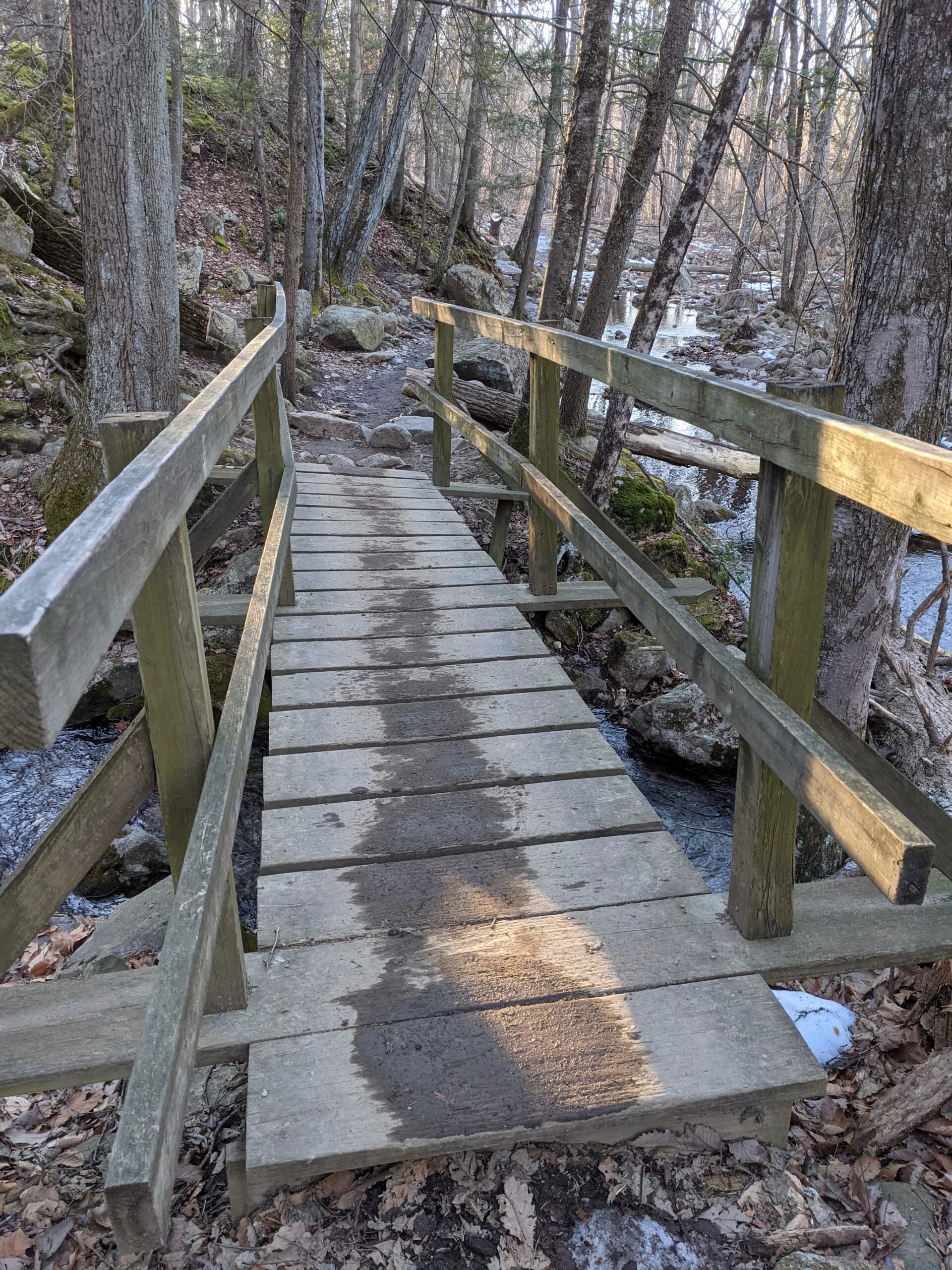
I was really impressed with the variety of terrain on this hike. A good amount of climbs and descents with plenty of flat areas in between, hilltop views, rock formations, varying flora, and an abundance of streams.
Photos


GPS Route & Elevation
Loads an interactive map; map tiles are served by the U.S. Geological Survey, which receives your IP address. Learn more about maps and your privacy