Nyack Beach – Hook Mountain, Rockland Lake, The Hudson River
- 6.4 mi
- 1,115 ft gain
- 03:46:30
- 126 photos
- 1 video
This post may contain affiliate links. If you buy through them, I may earn a commission at no extra cost to you. As an Amazon Associate I earn from qualifying purchases.
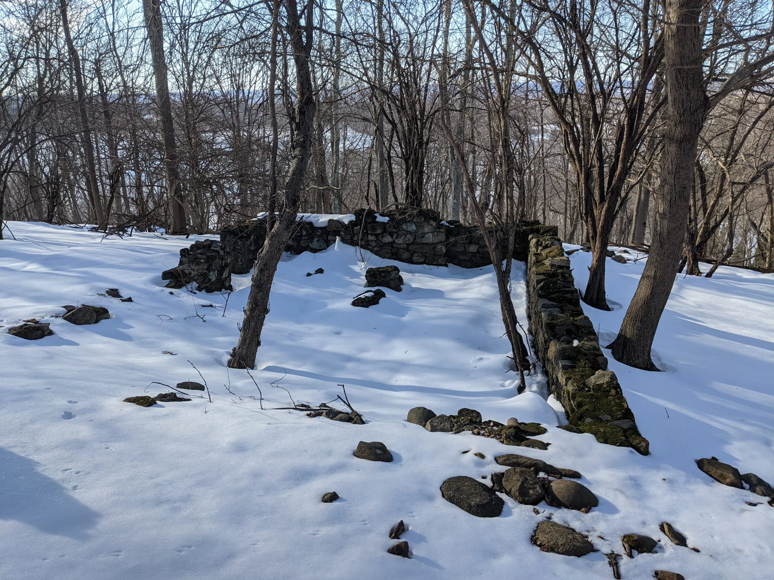
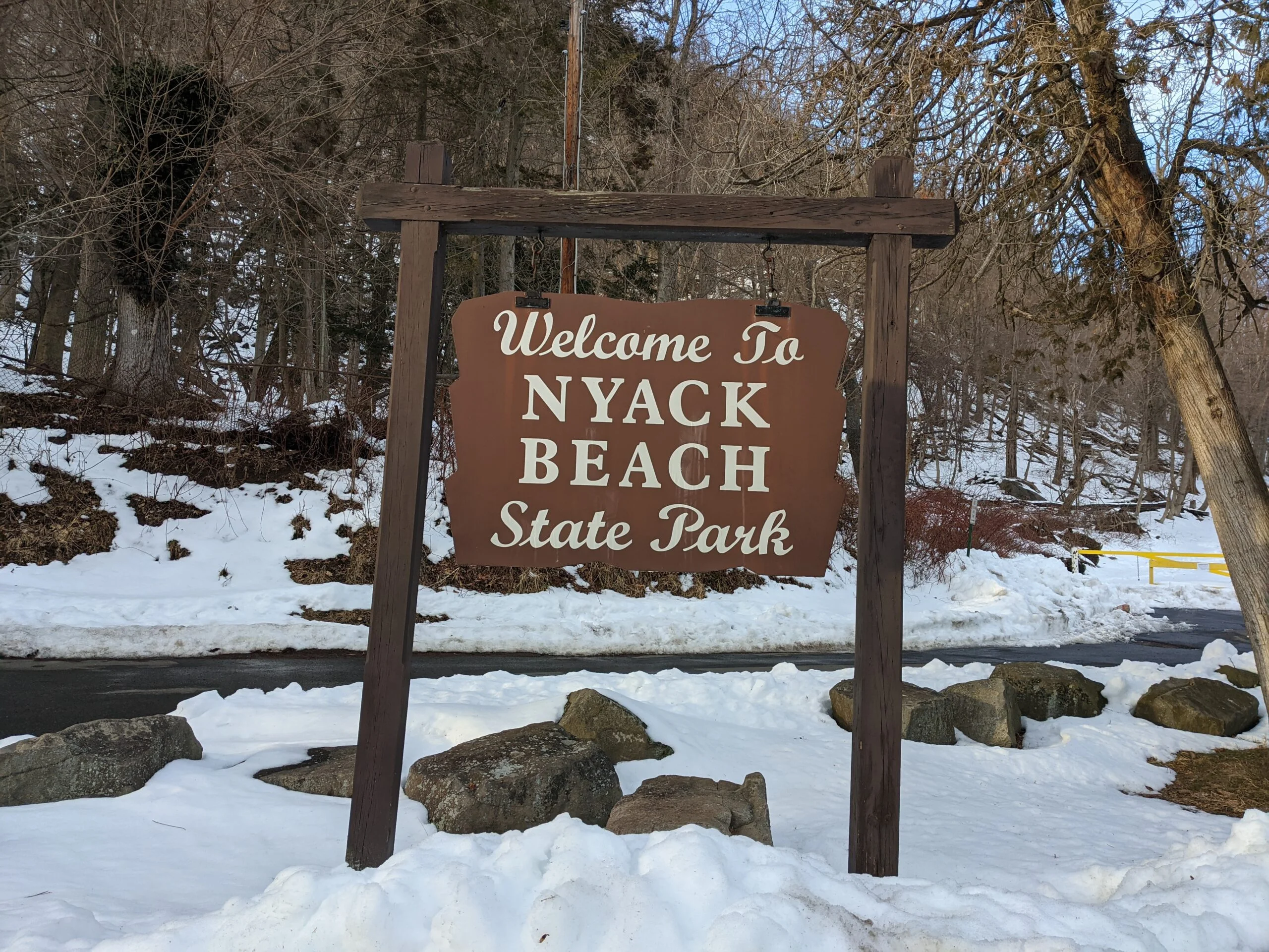
Searching AllTrails this morning led me to a gem of a park I wasn’t aware of: Nyack Beach State Park. I was looking for a hike in the 6-10 mile range with moderate elevation gain to build up my winter hiking stamina. Hook Mountain and Nyack Beach delivered even more than I was expecting!
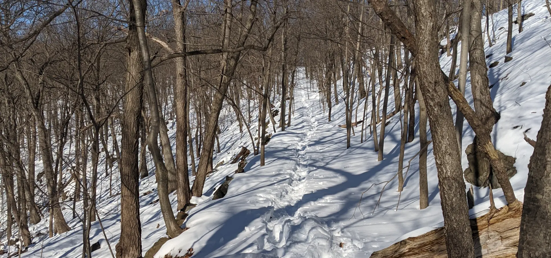
The temperature was hovering right around 40 degrees and a few days earlier, a storm dumped around 18″ inches of snow over the region. Having never hiked for any length in snow before, I debated whether to wear my standard Vasque Breeze AT Mid GTX Hiking Boots or to upgrade to the Sorel Men’s Alpha Trac Buckle Boots ($) collecting dust in my closet. I ended up sticking with the Vasque’s because I was worried I would not have enough movement in the Sorel’s with their super high cuff. I’m happy with the way the Vasque’s performed. Despite trenching through deep snow and some patches of mud for almost 4 hours, my feet stayed warm and dry.
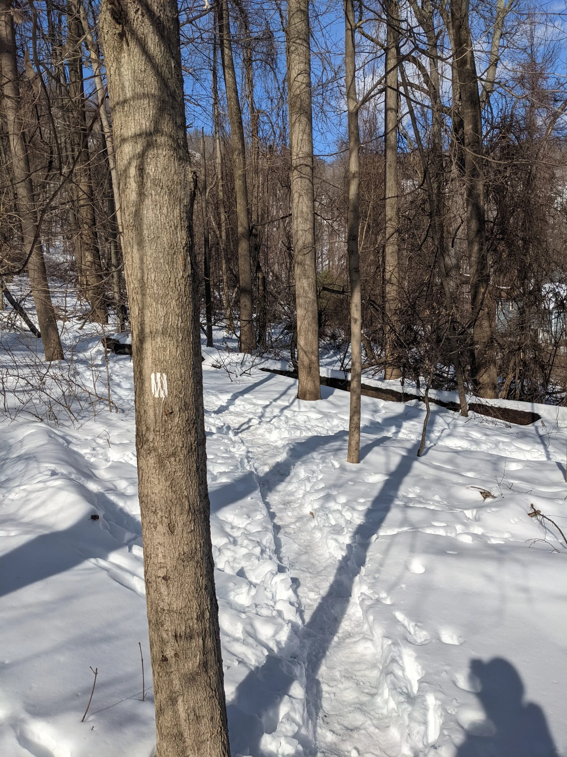
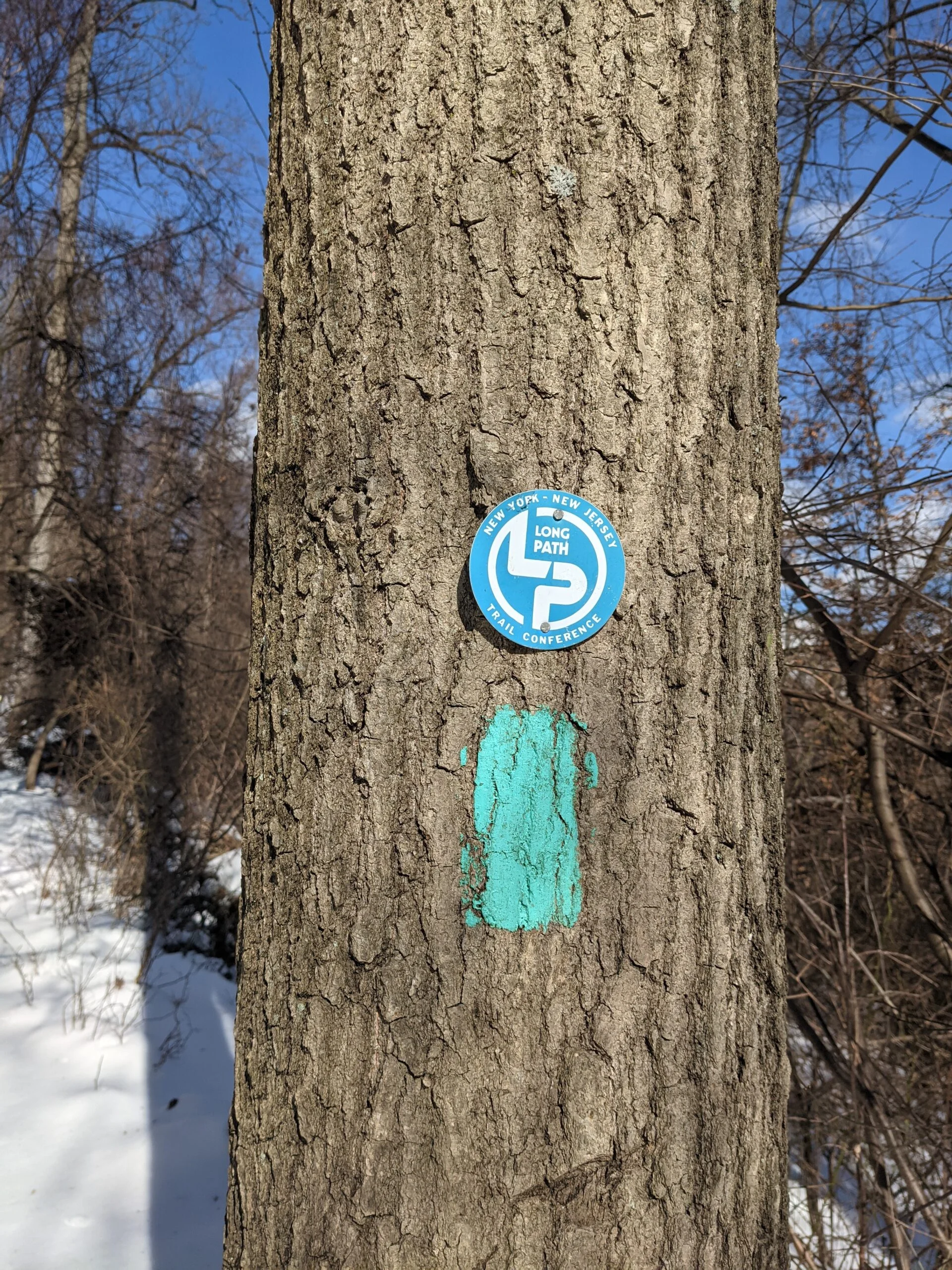
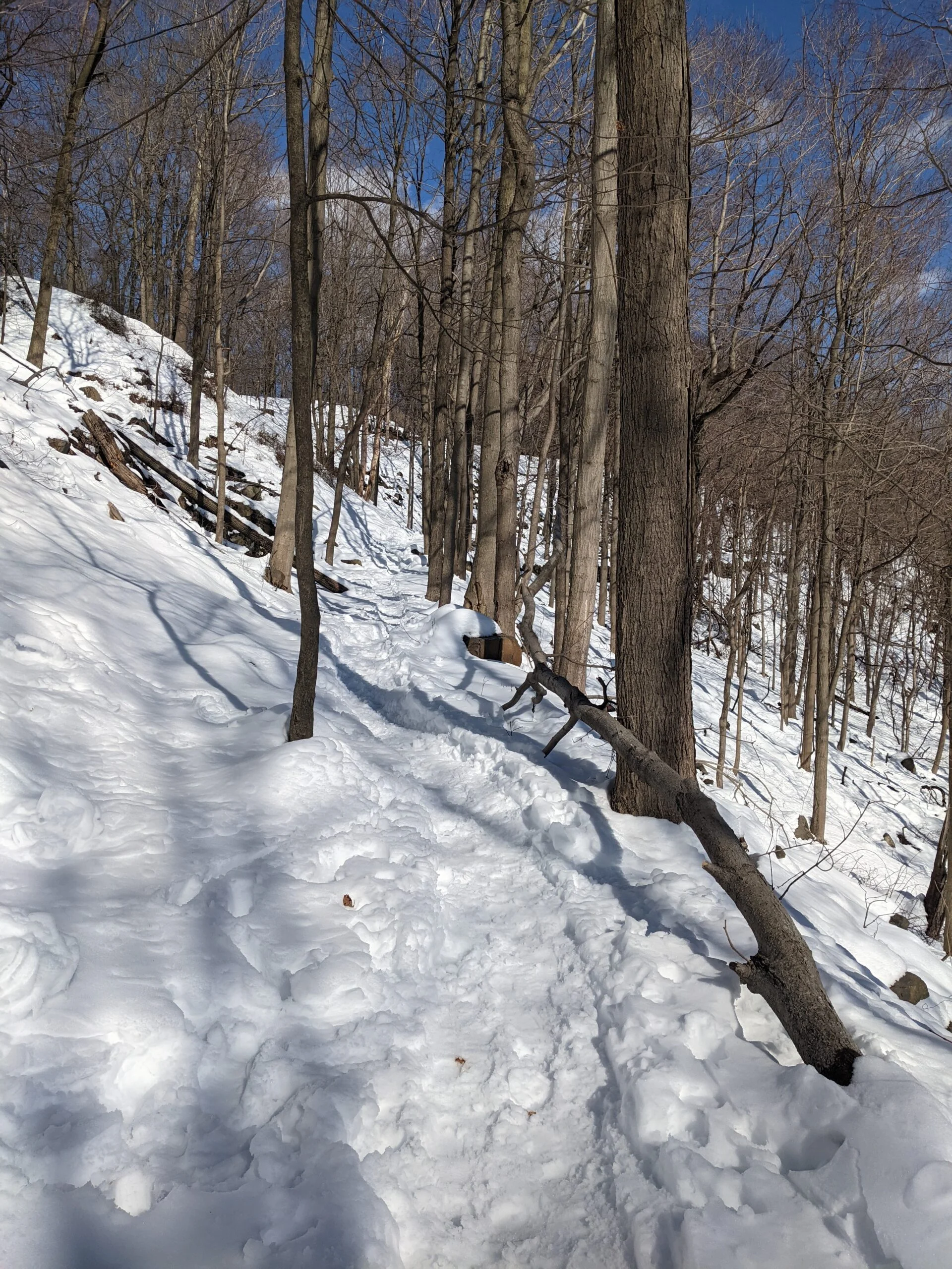
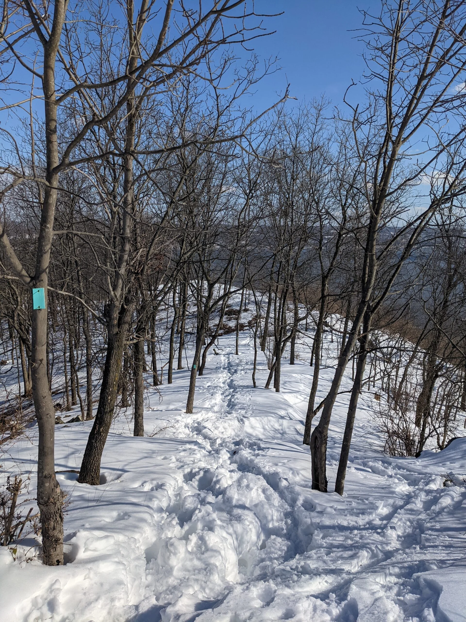
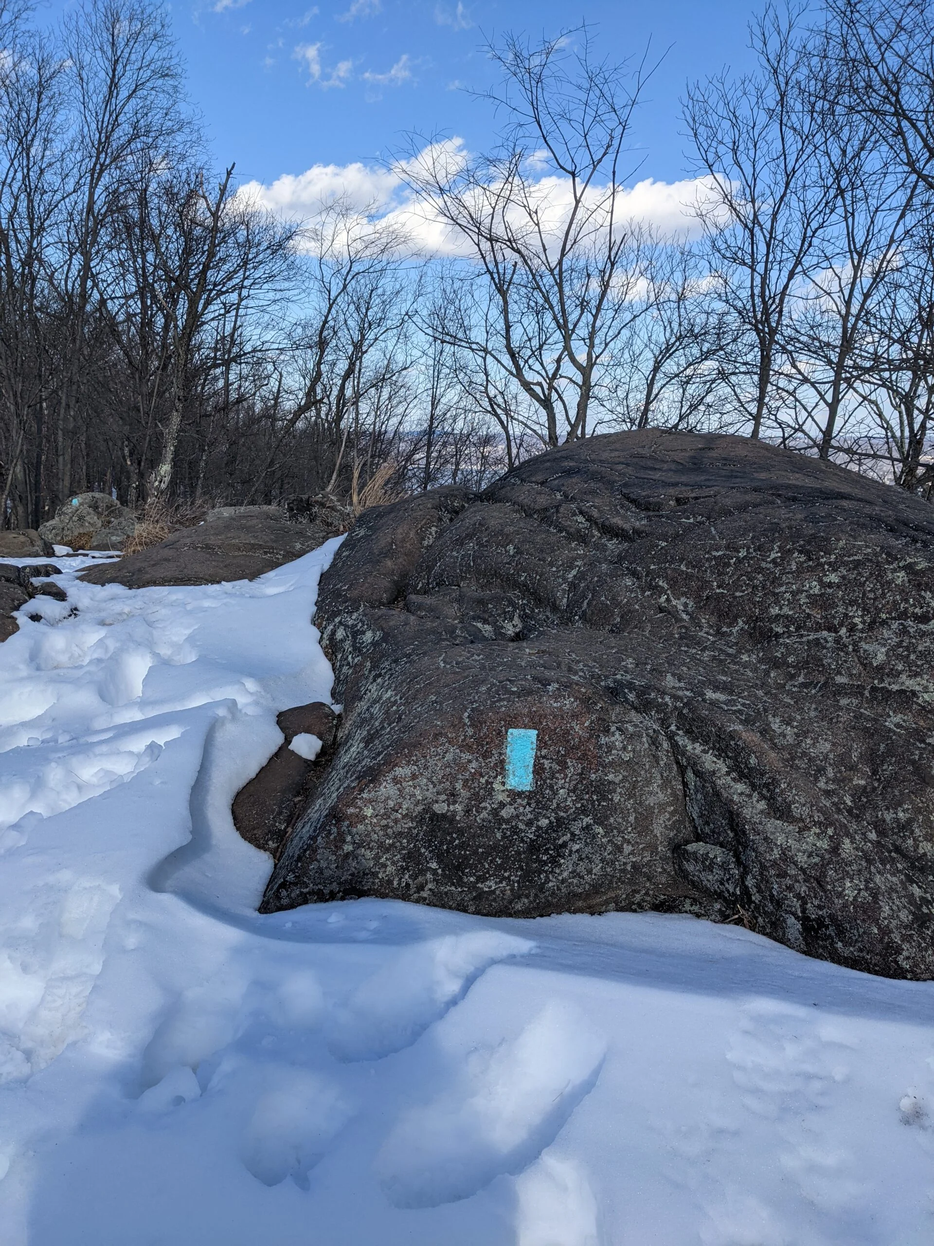
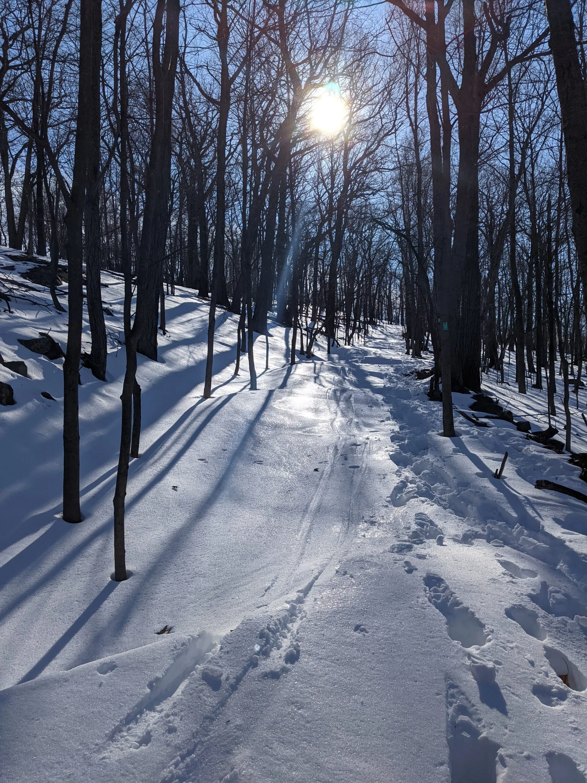
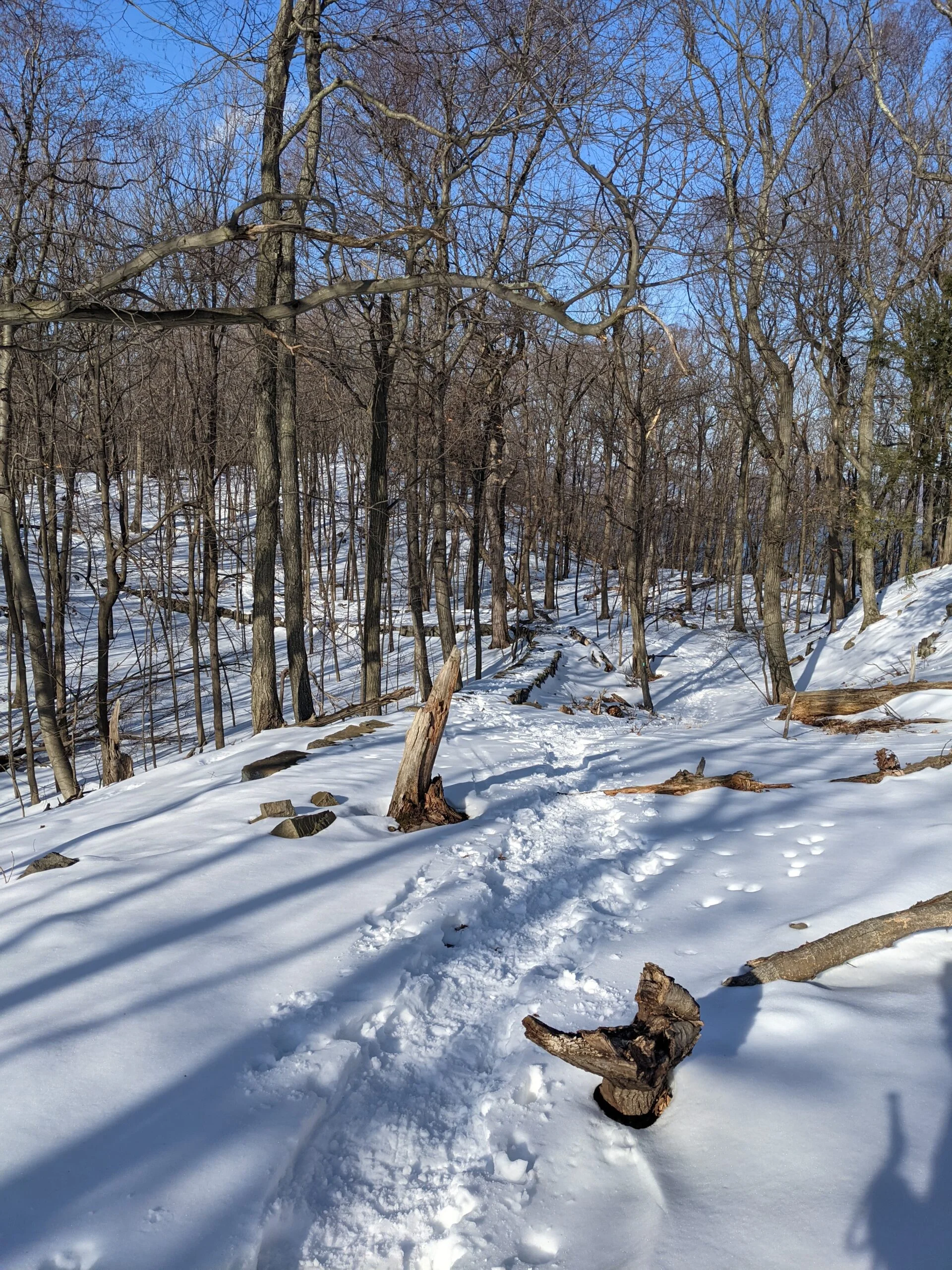
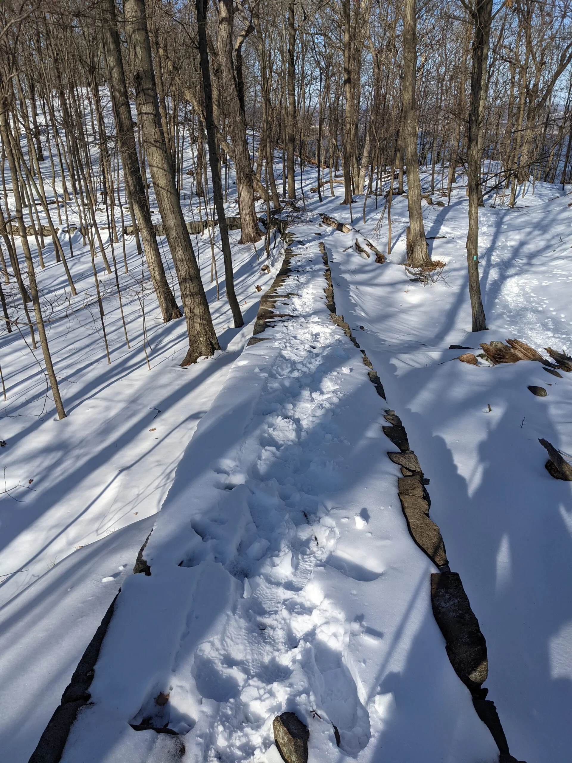
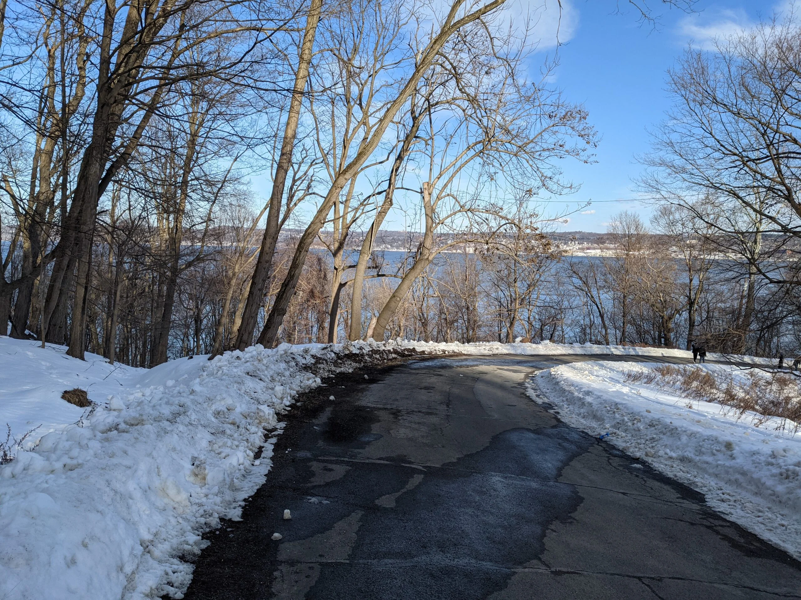
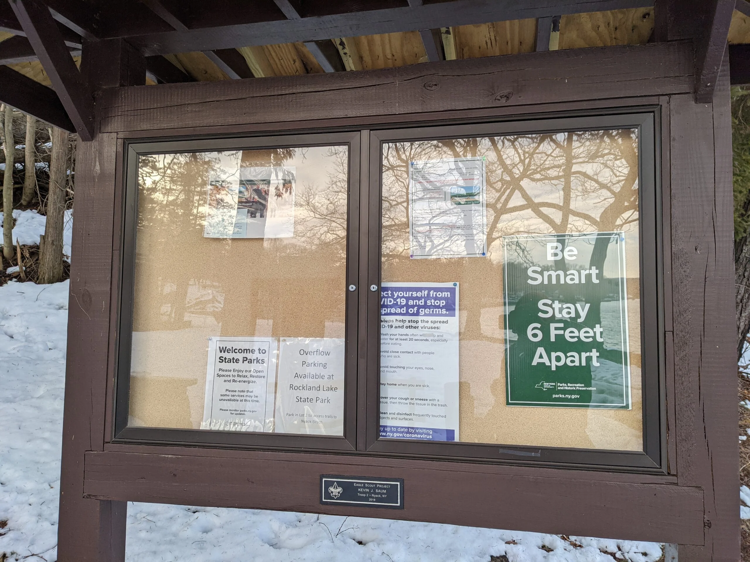
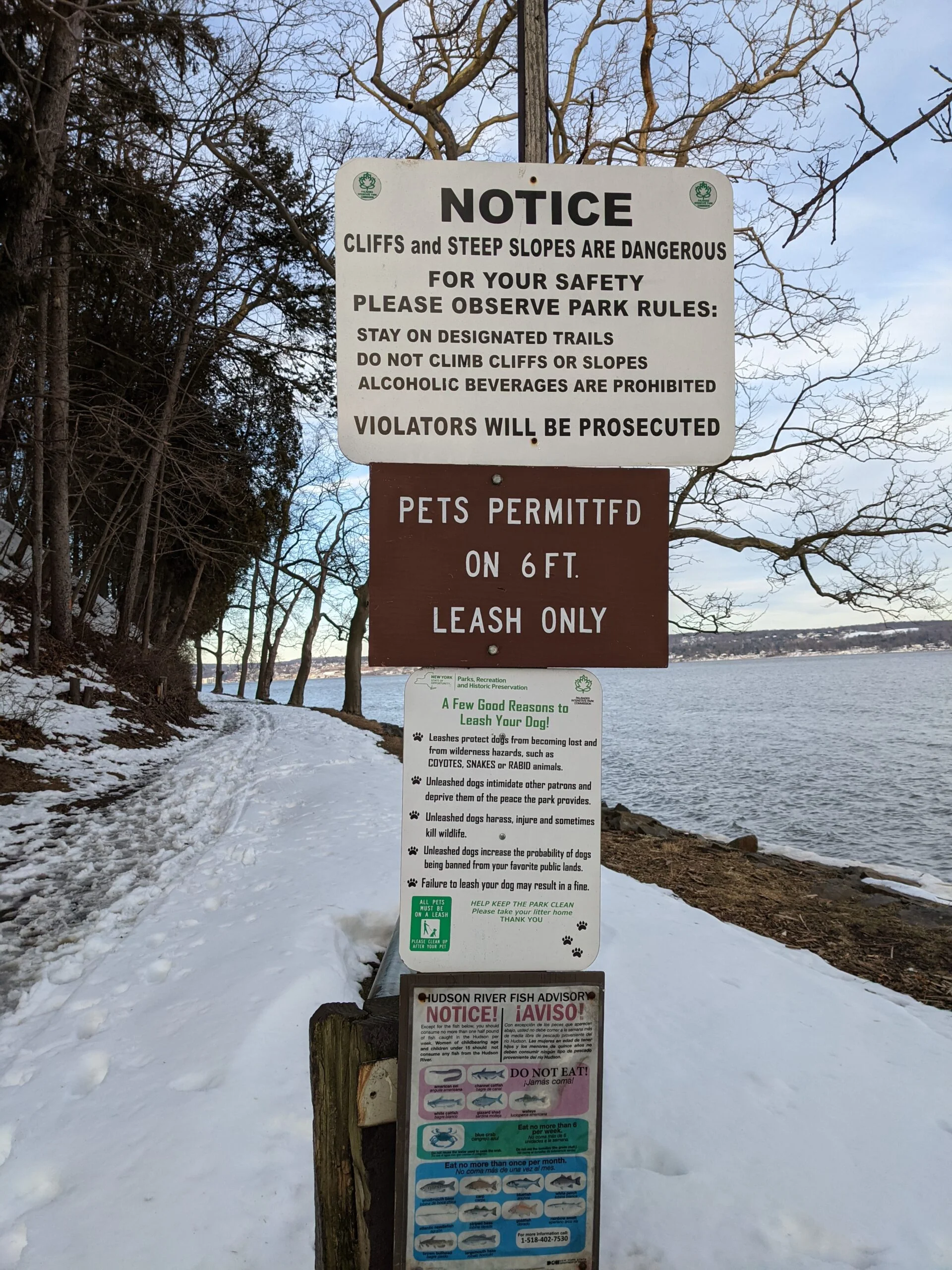
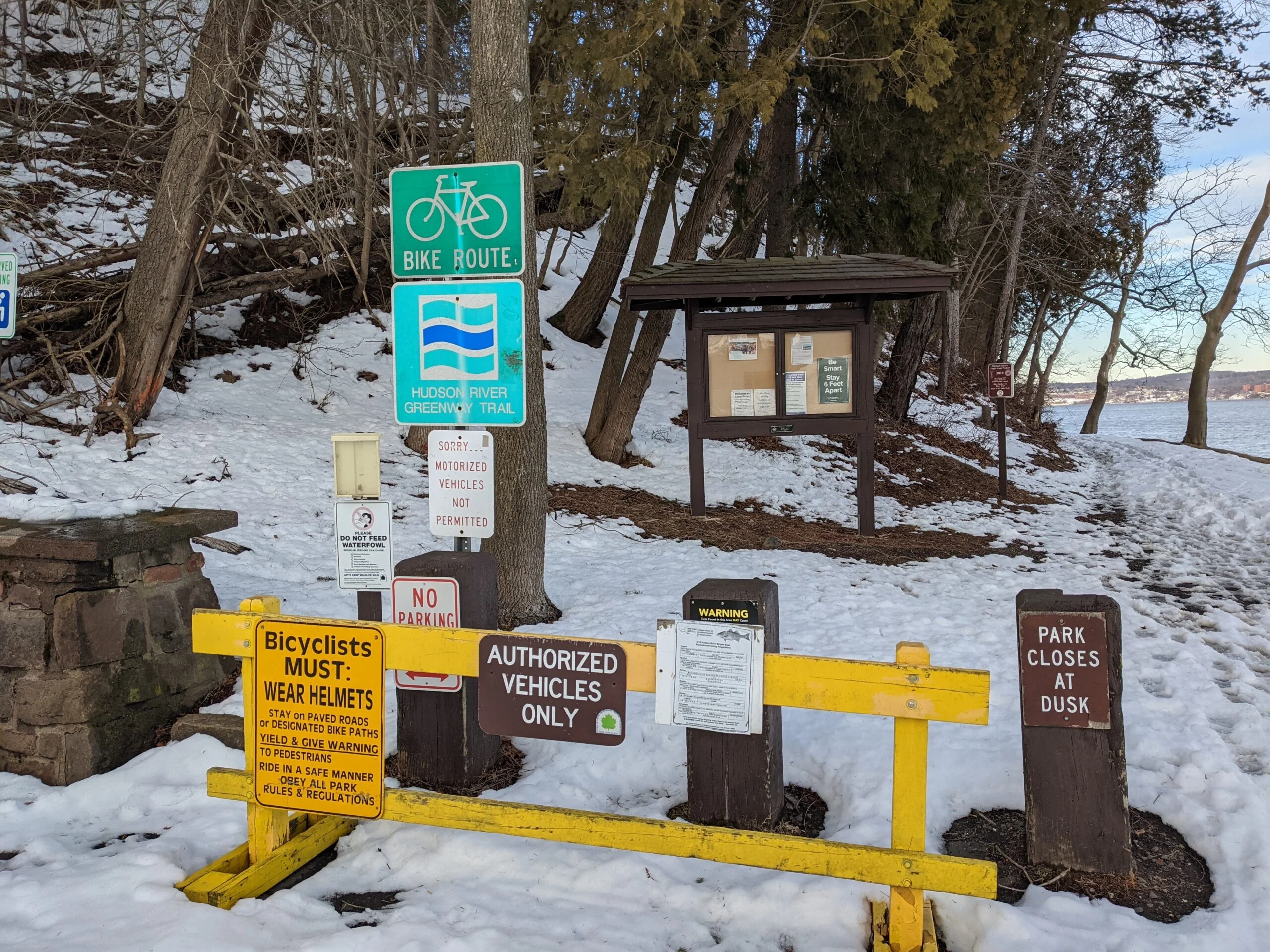
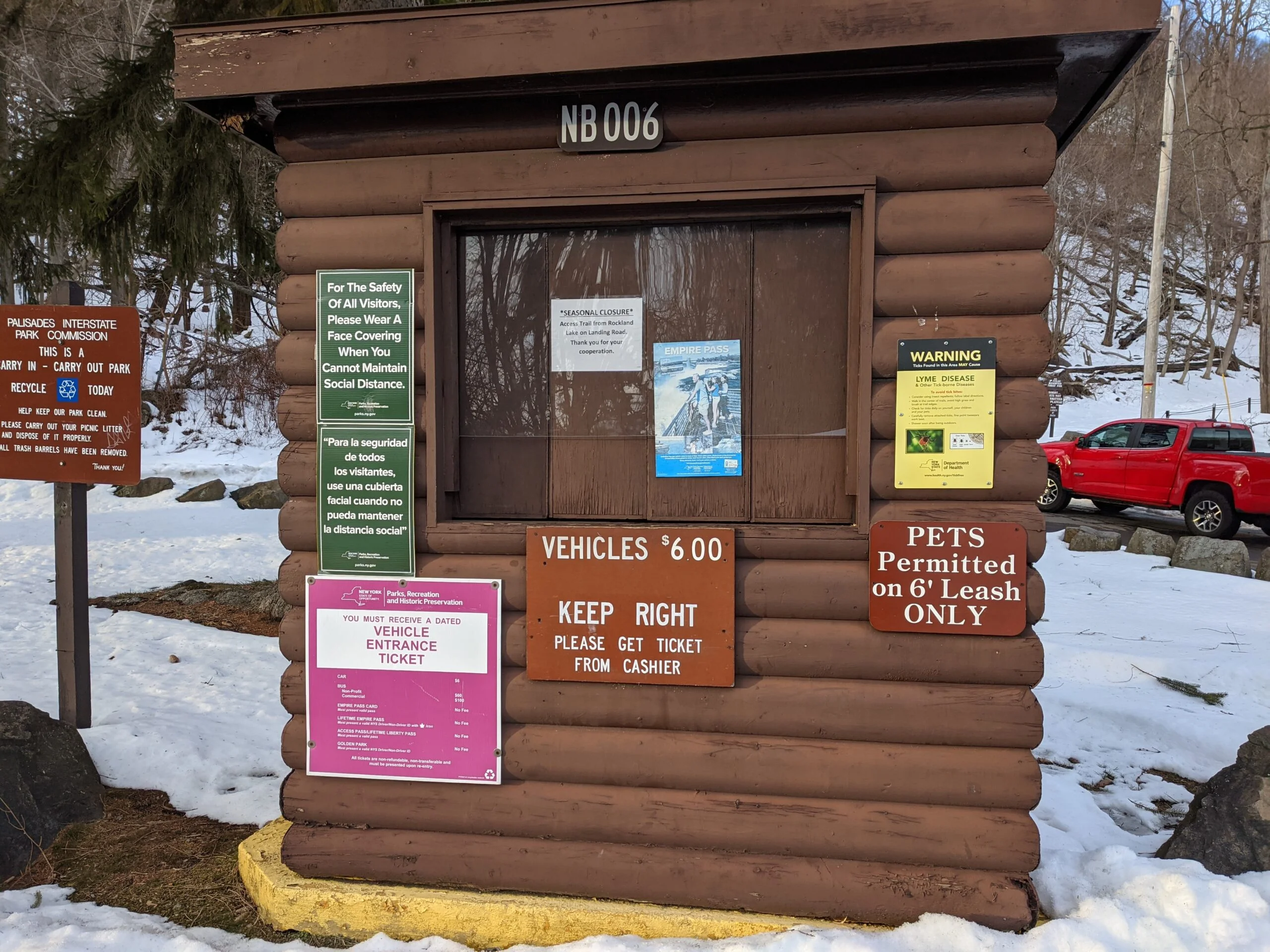
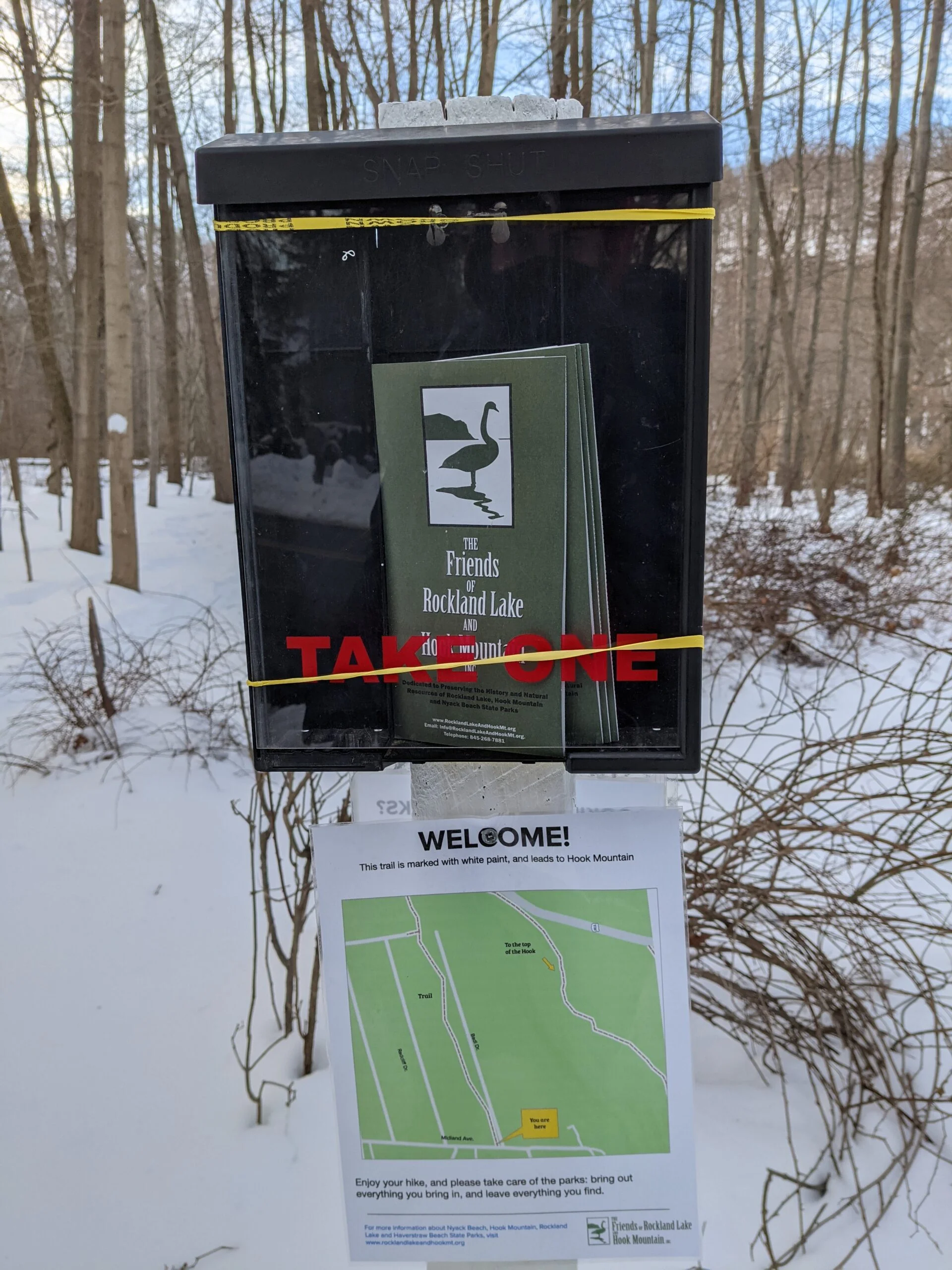
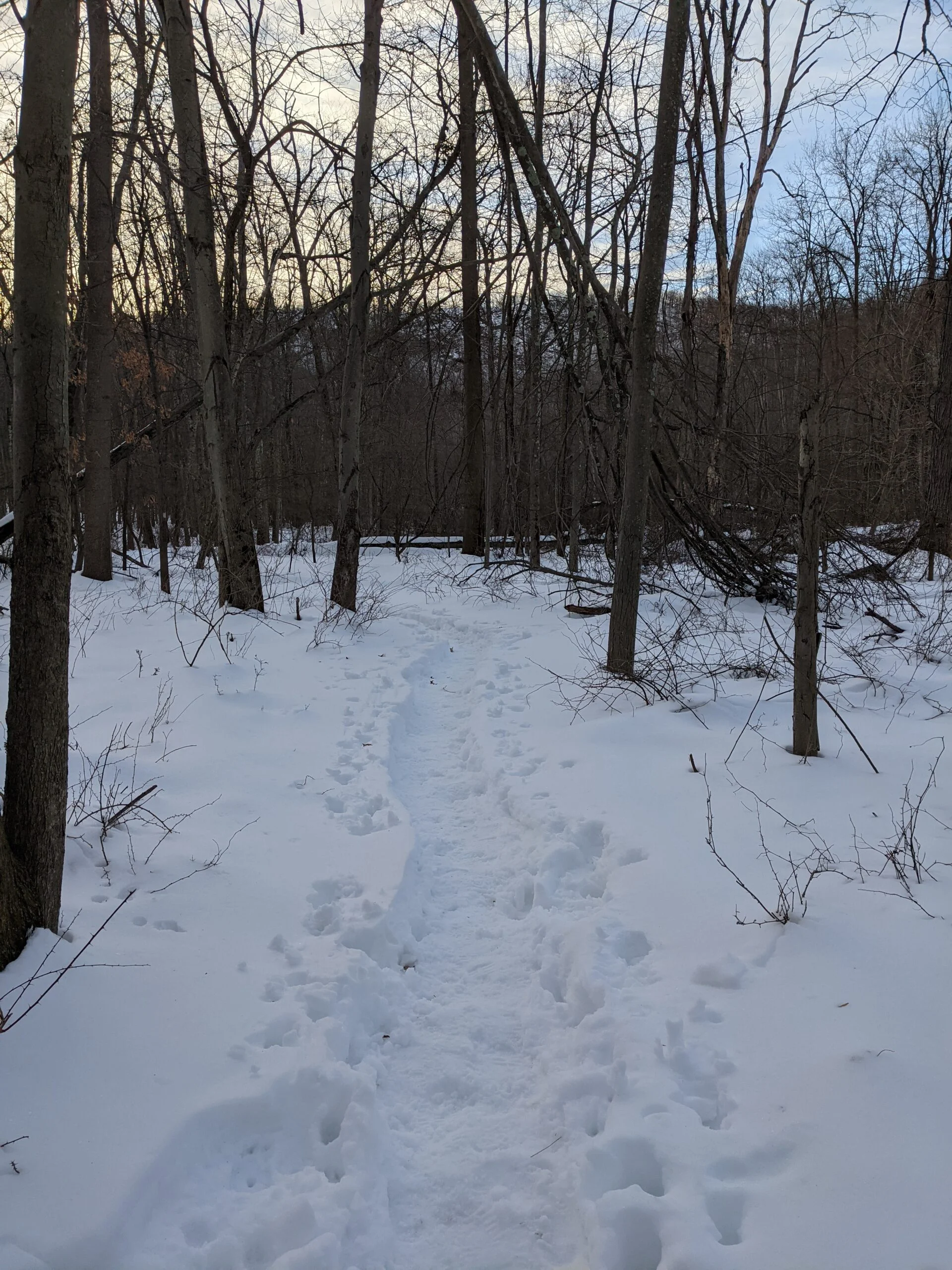
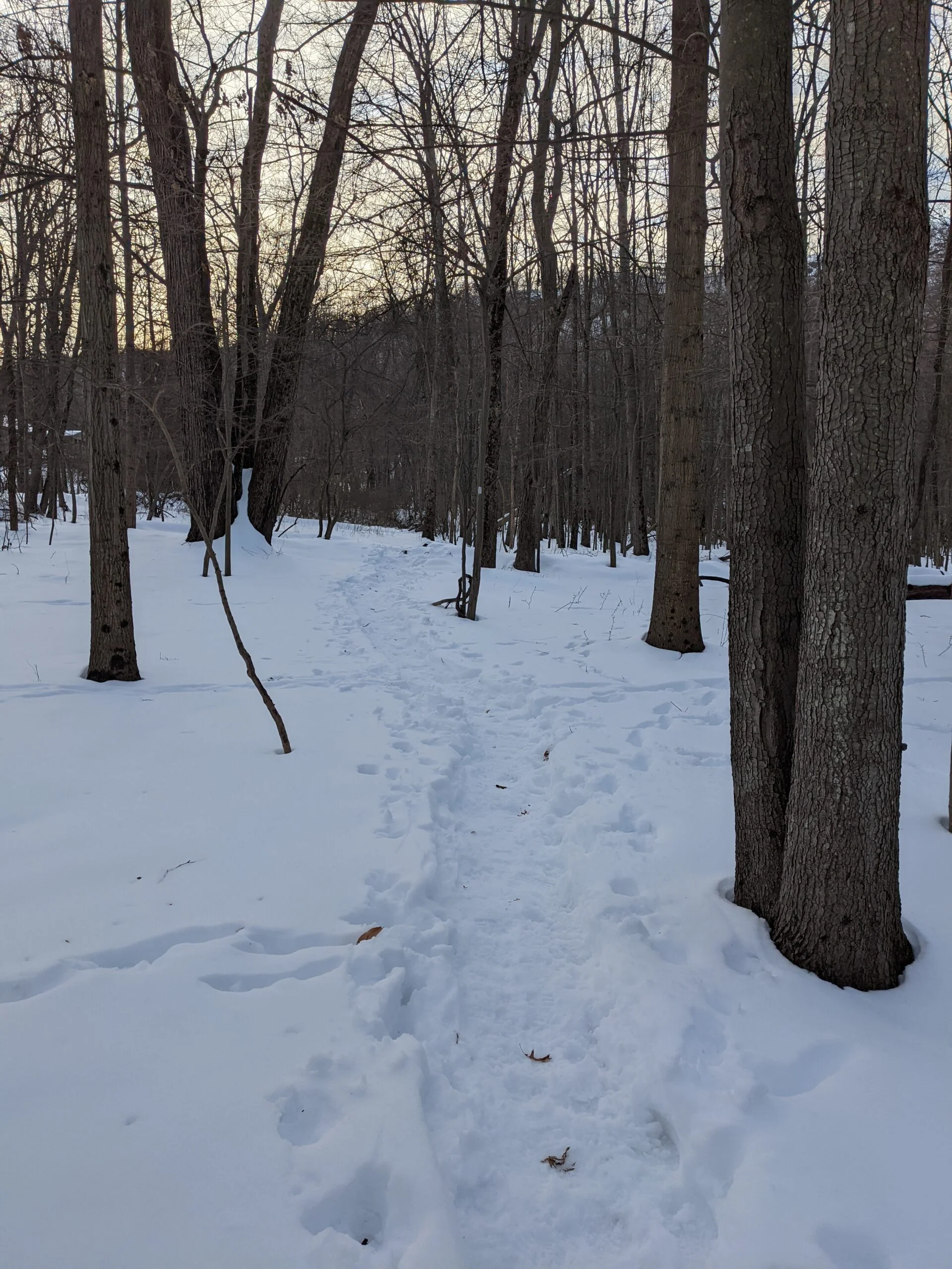
I set my GPS for Palmer Drive in Nyack, NY and pulled onto a quiet residential street. There were two other cars parked near the trailhead, which was easy to find given the tracks in the snow. Many of the reviews on AllTrails suggested doing the route counterclockwise, so I started out on the white blazed trail then took the left turn to pick up the teal blazed trail (sometimes referred to as the Long Trail). I wasn’t sure what to expect given the recent snowfall, but this part of the trail was surprisingly well traveled and the snow packed down, leaving a clear path of the trail.
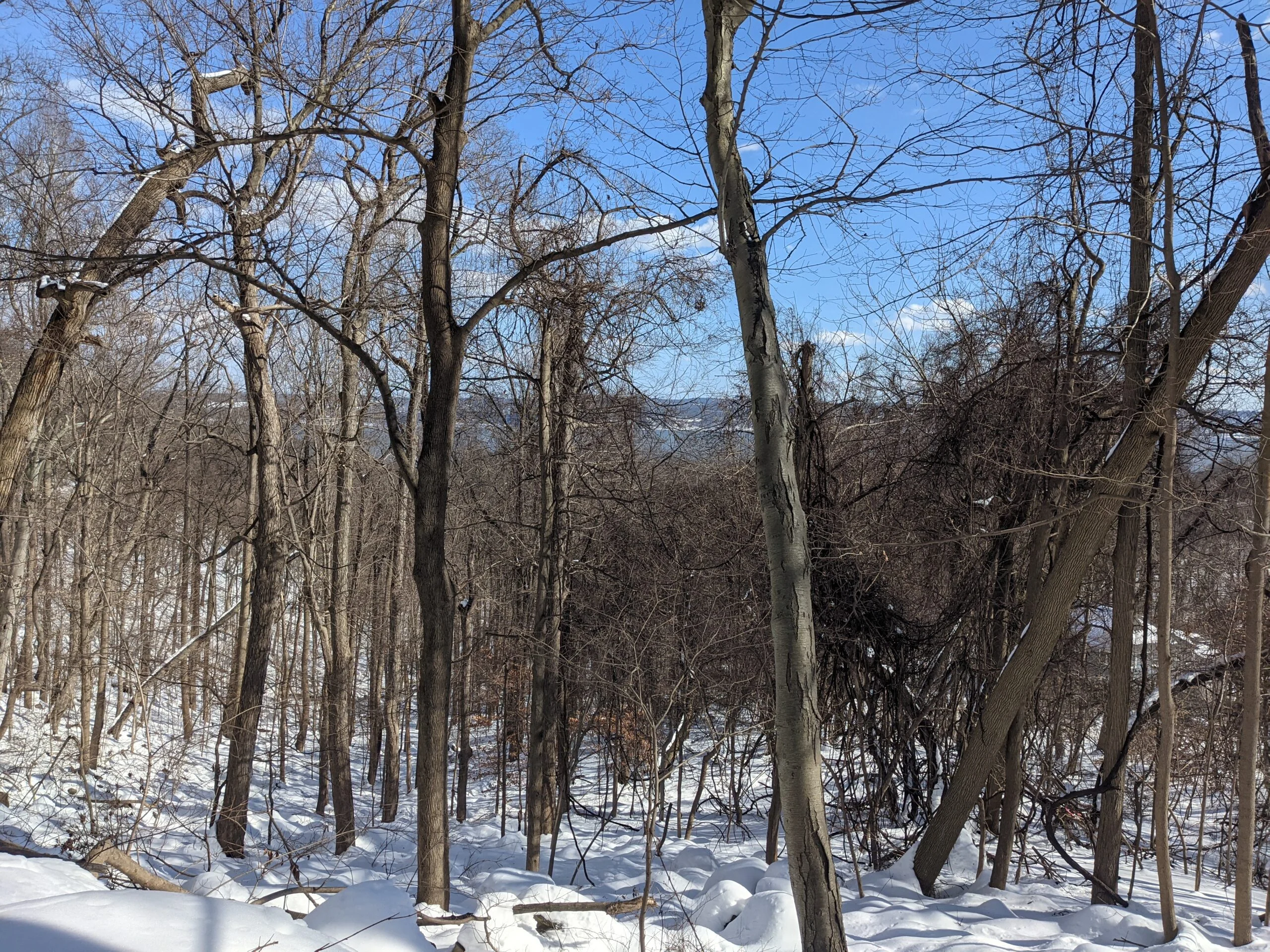
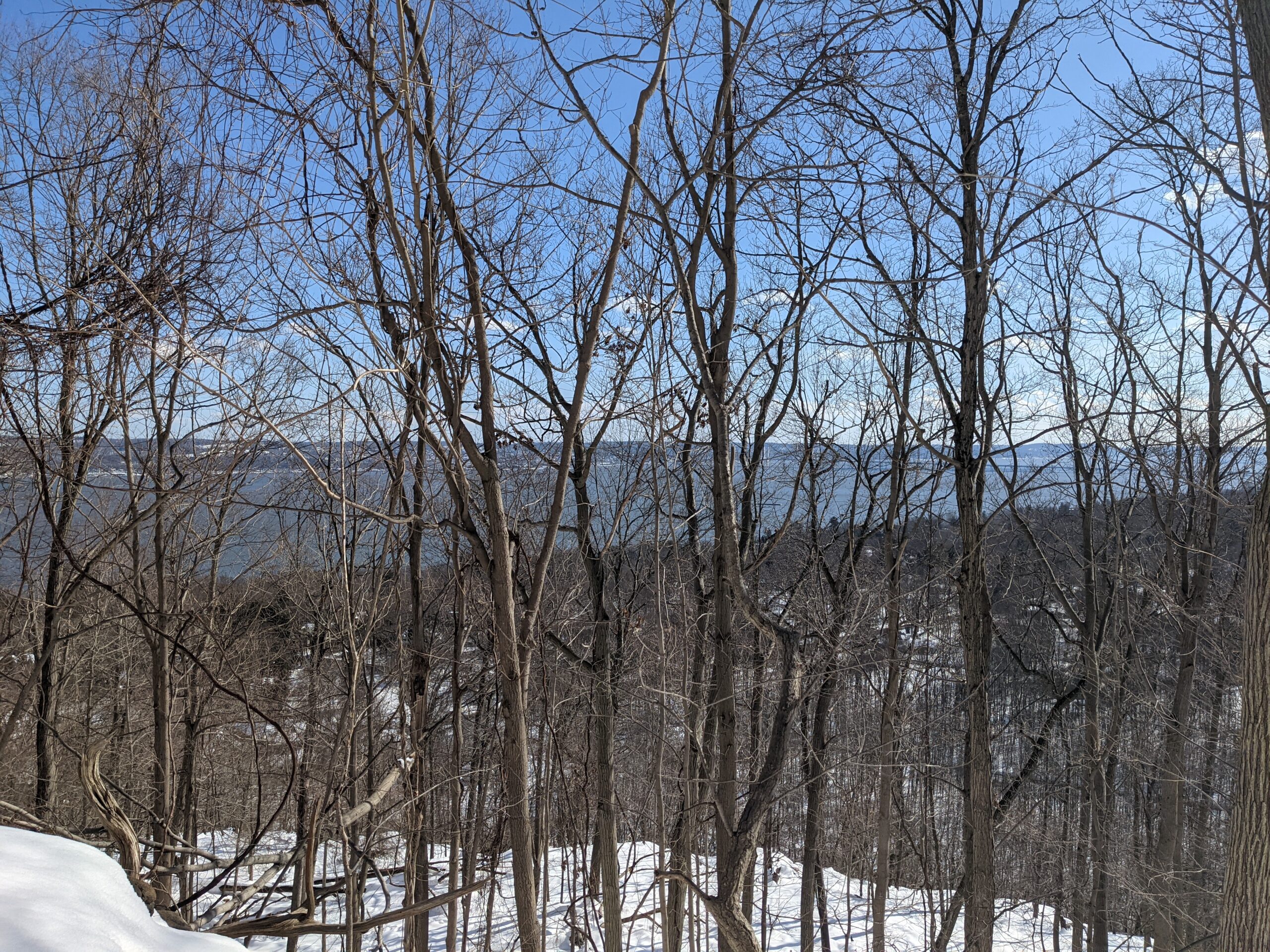
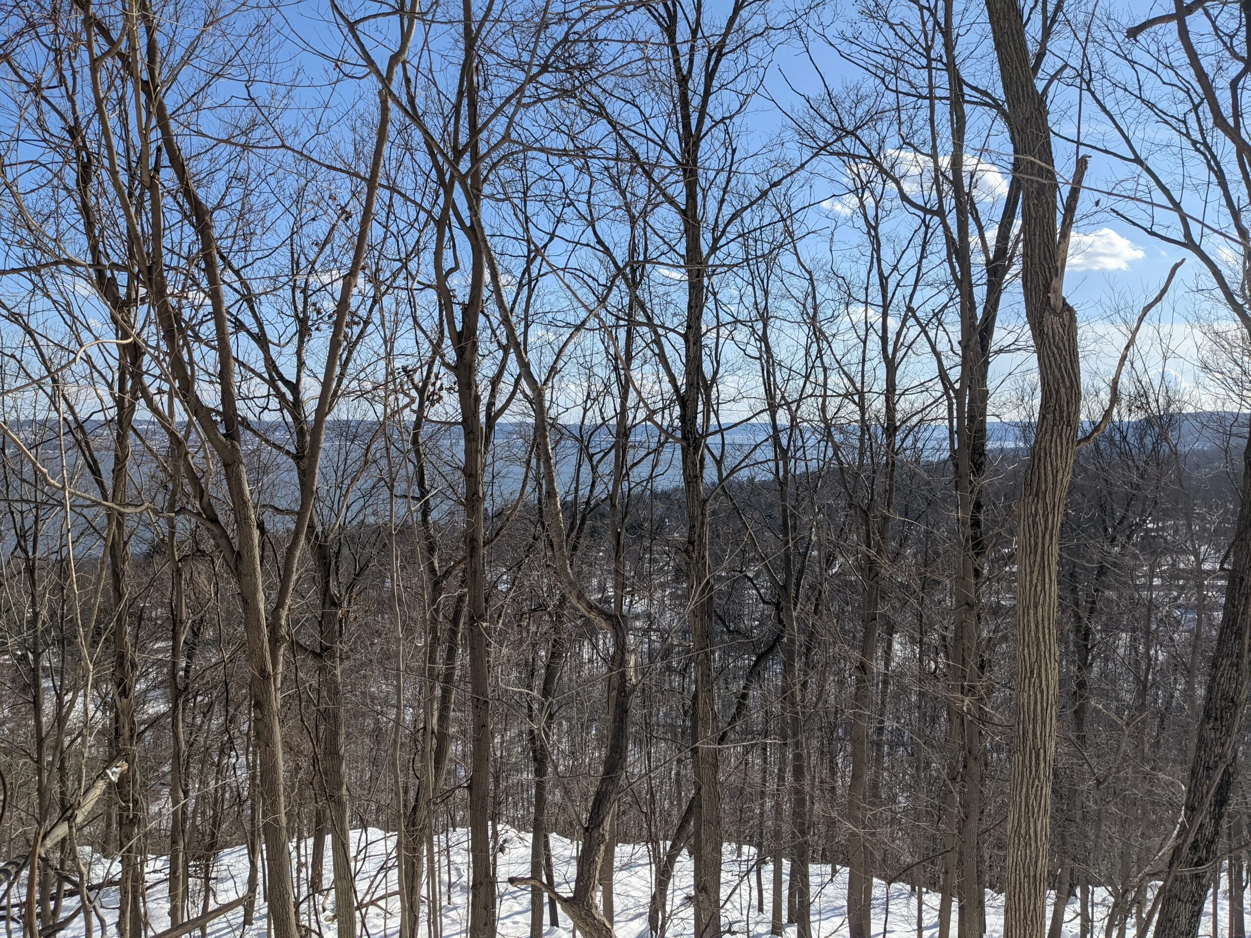
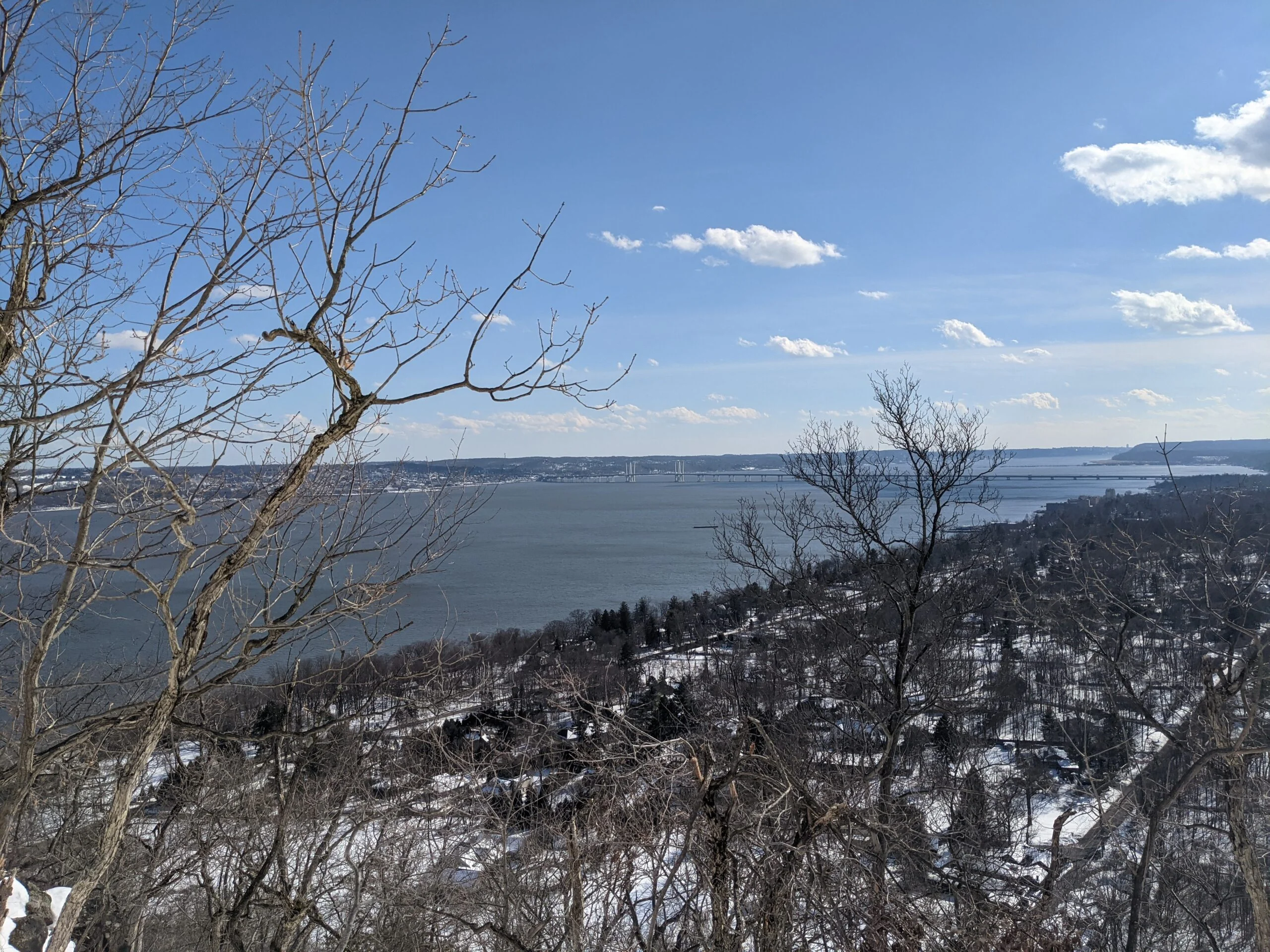
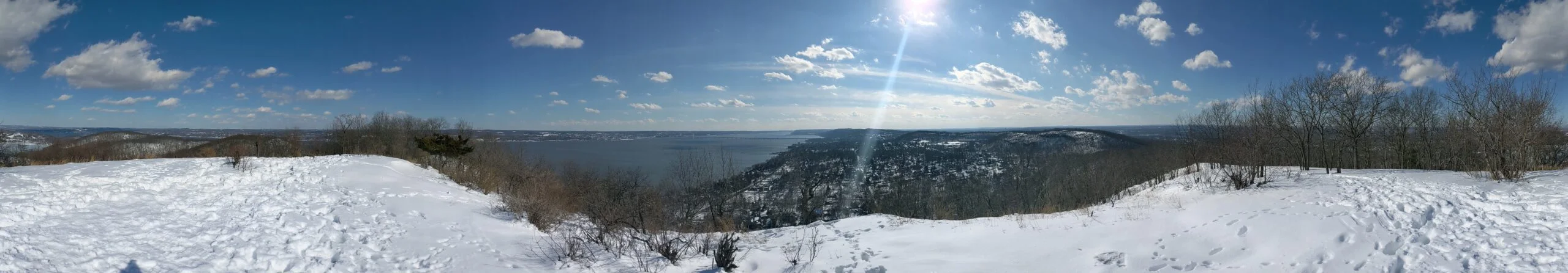
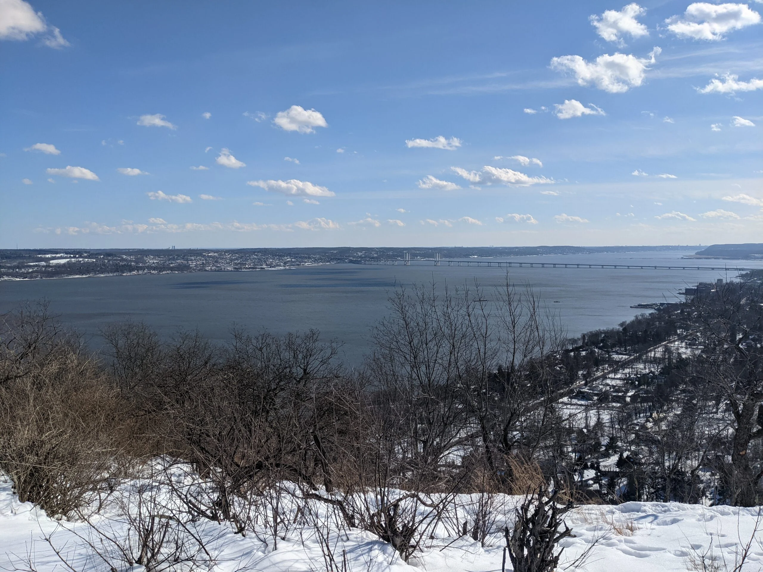
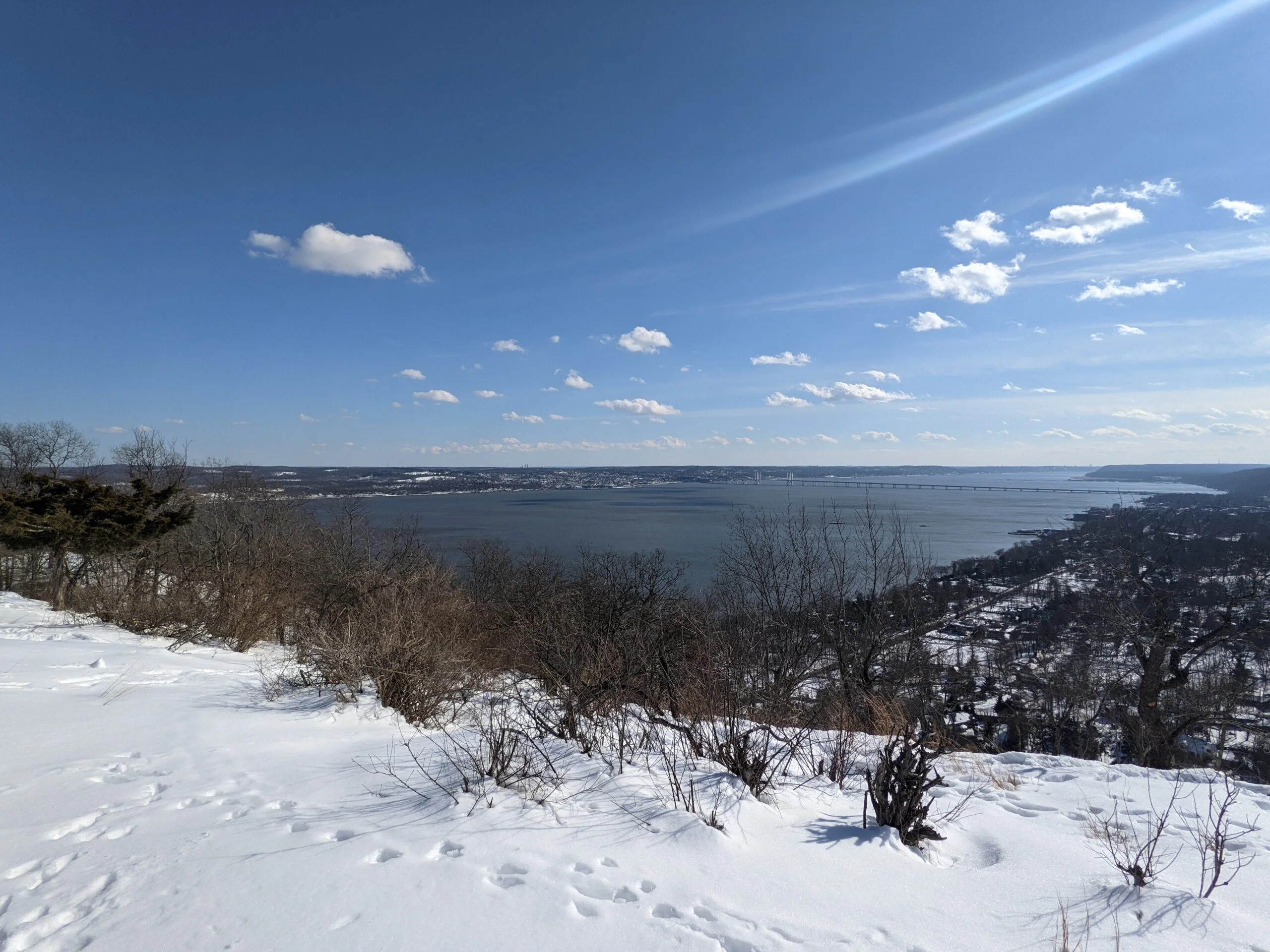
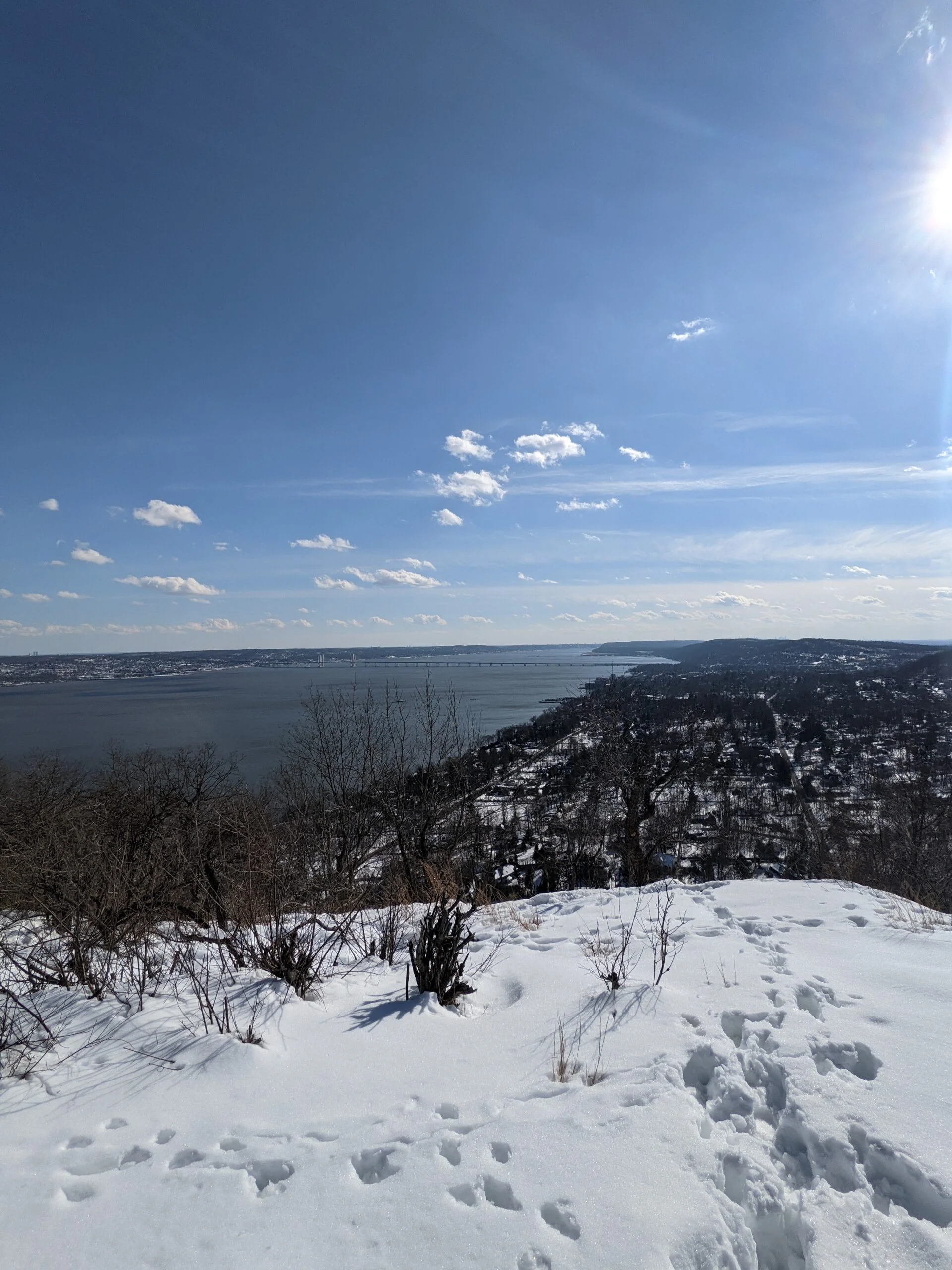
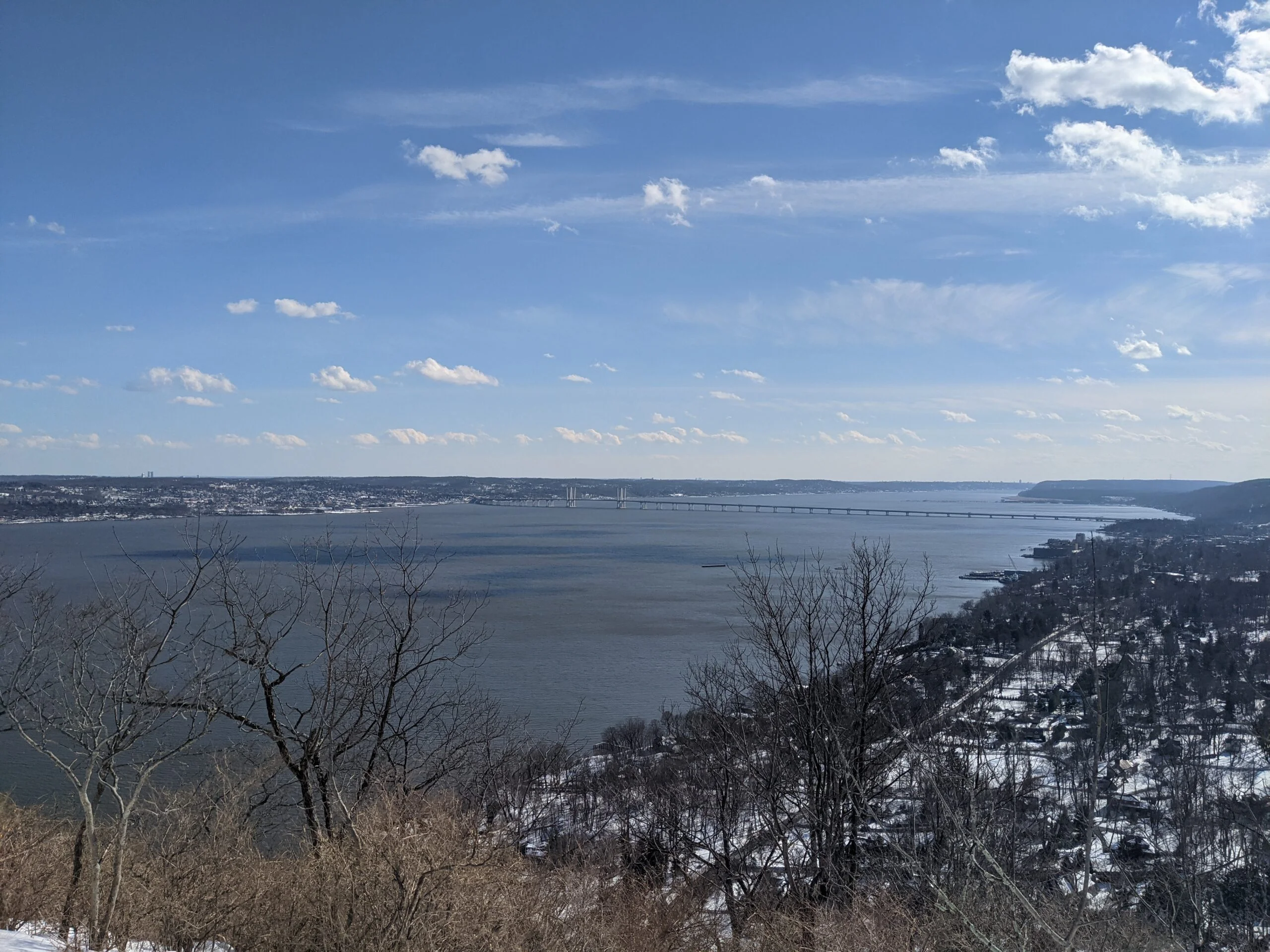
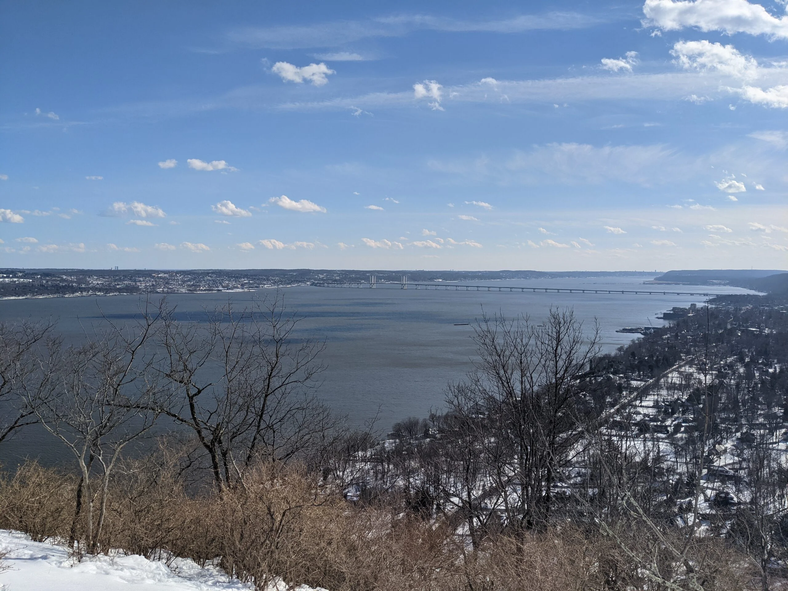
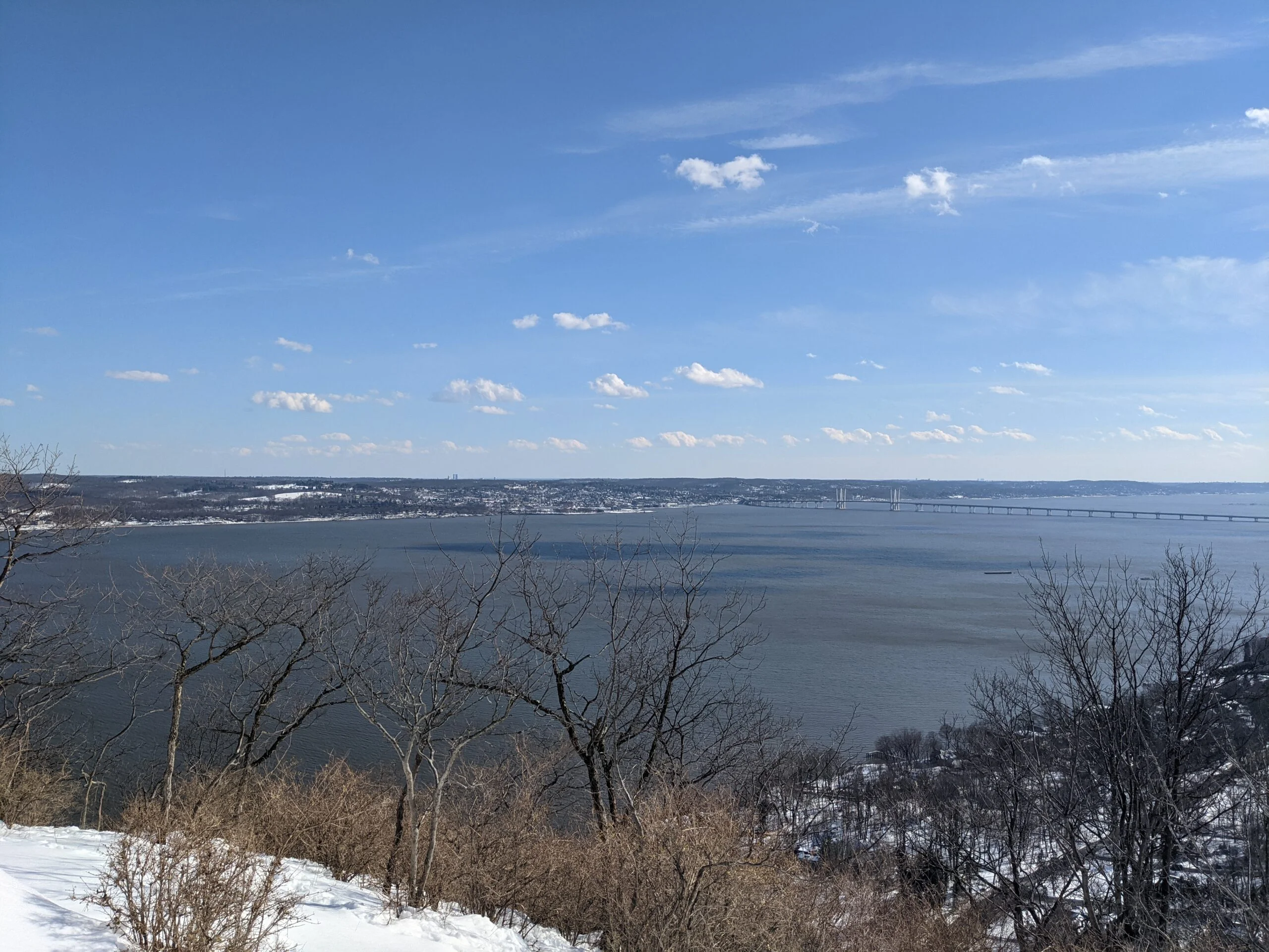
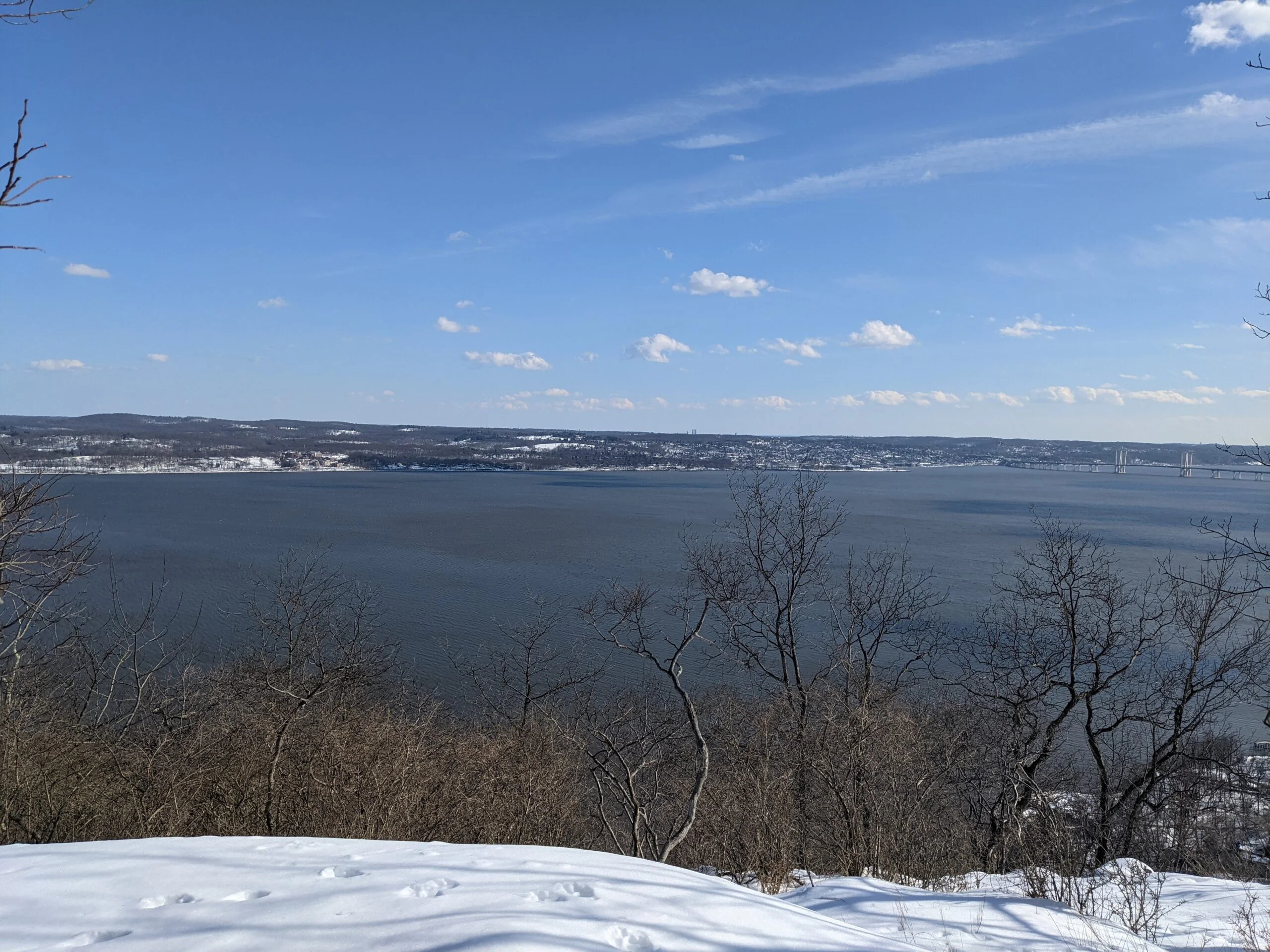
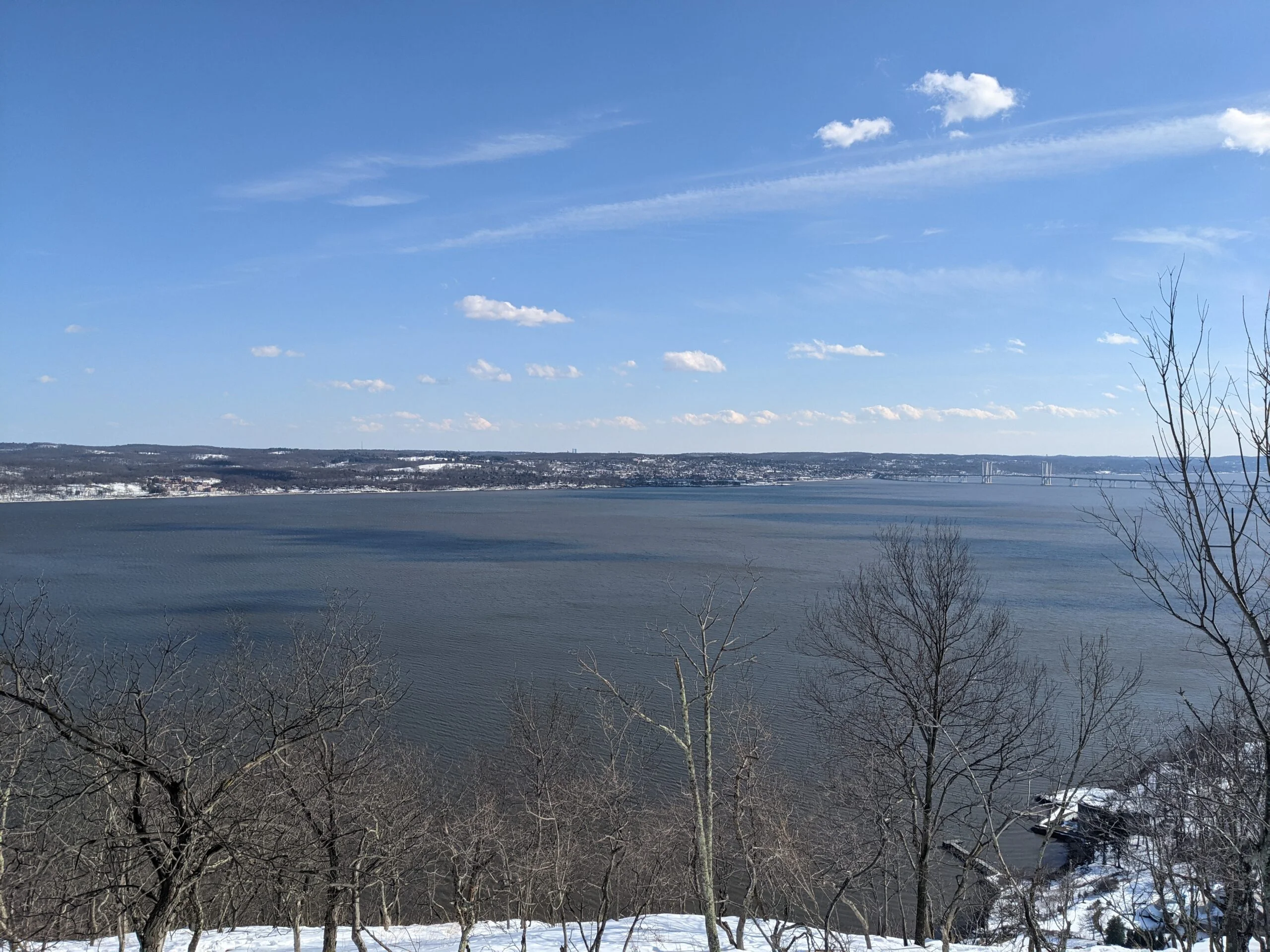
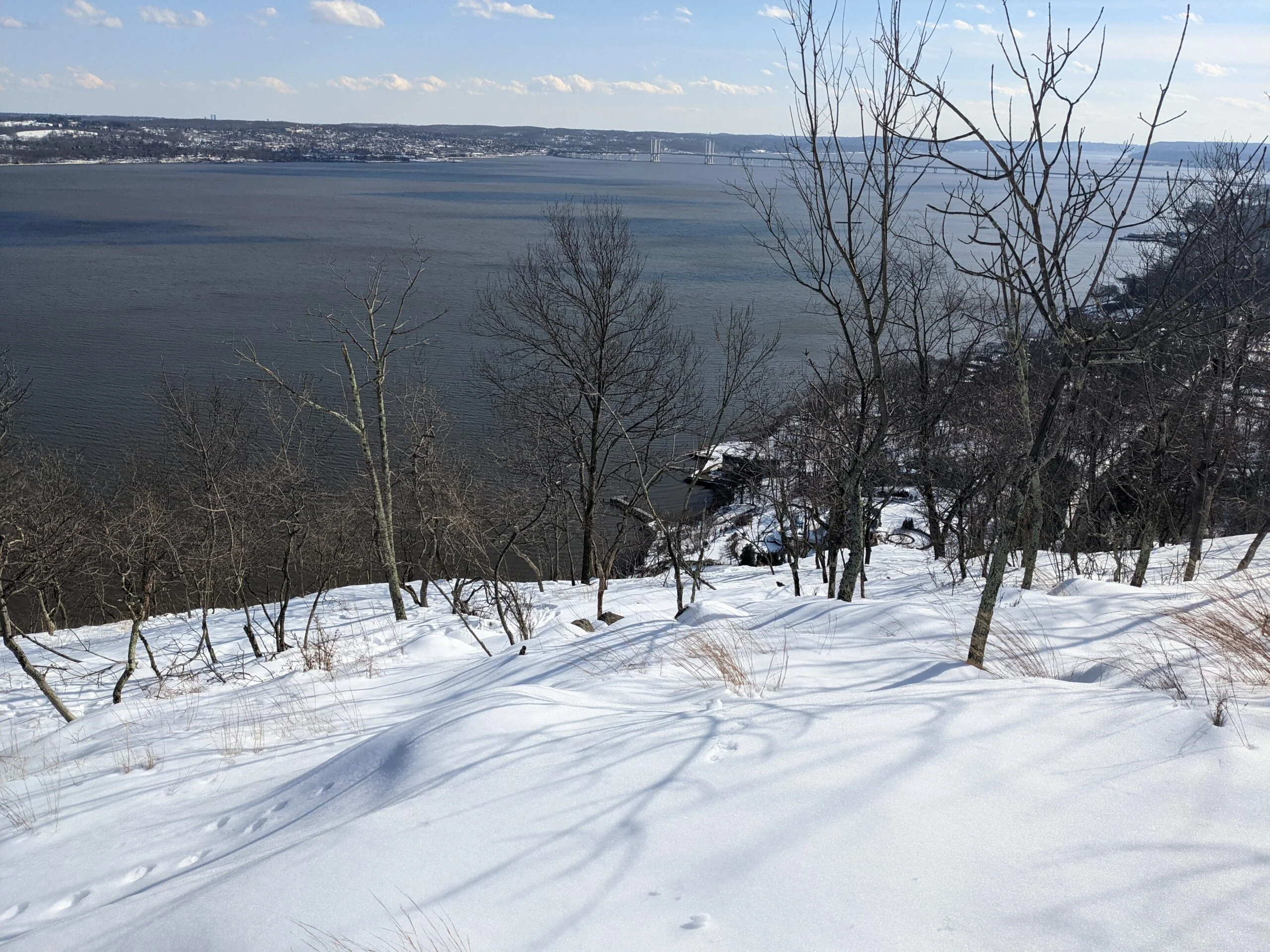
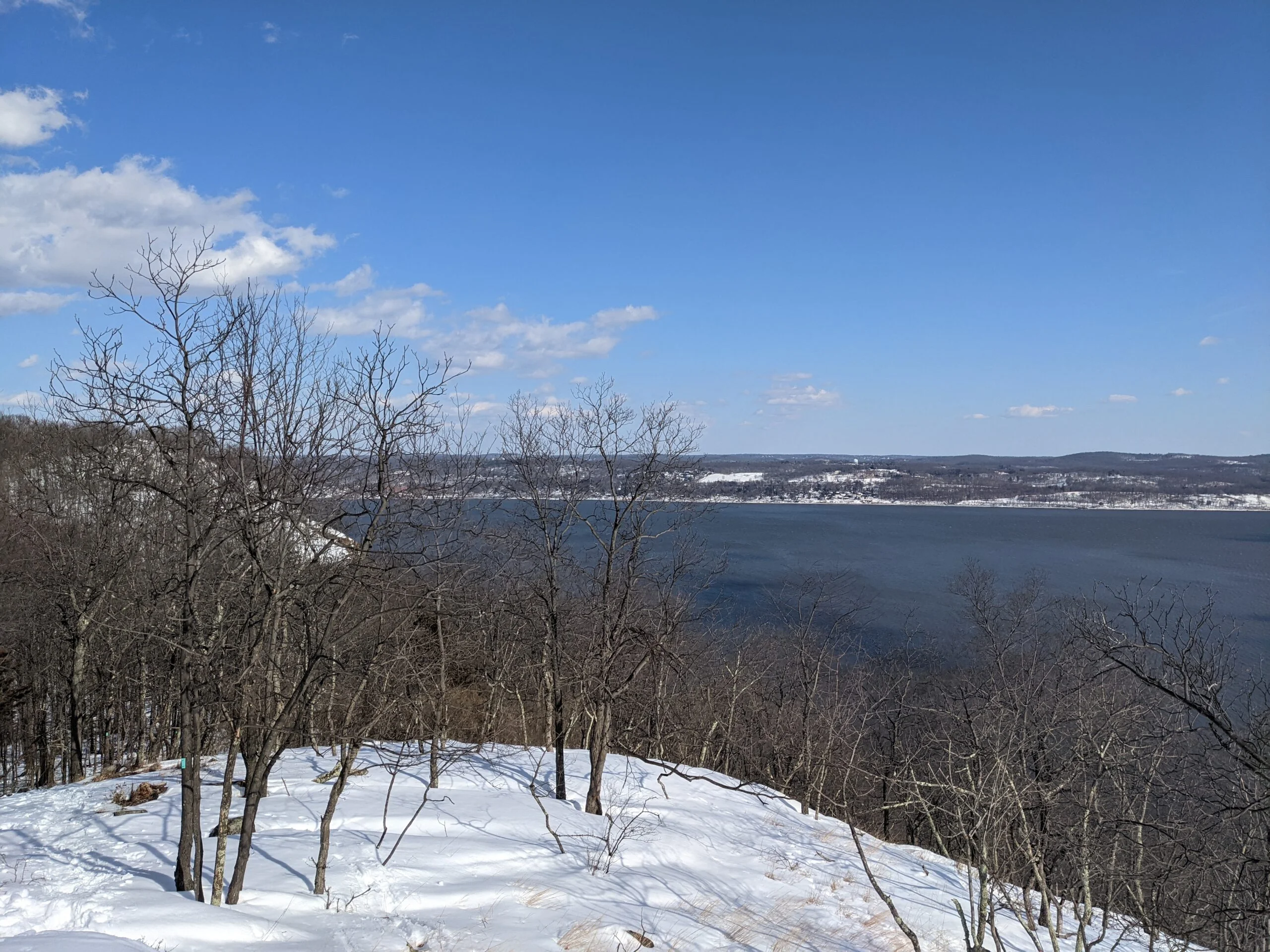
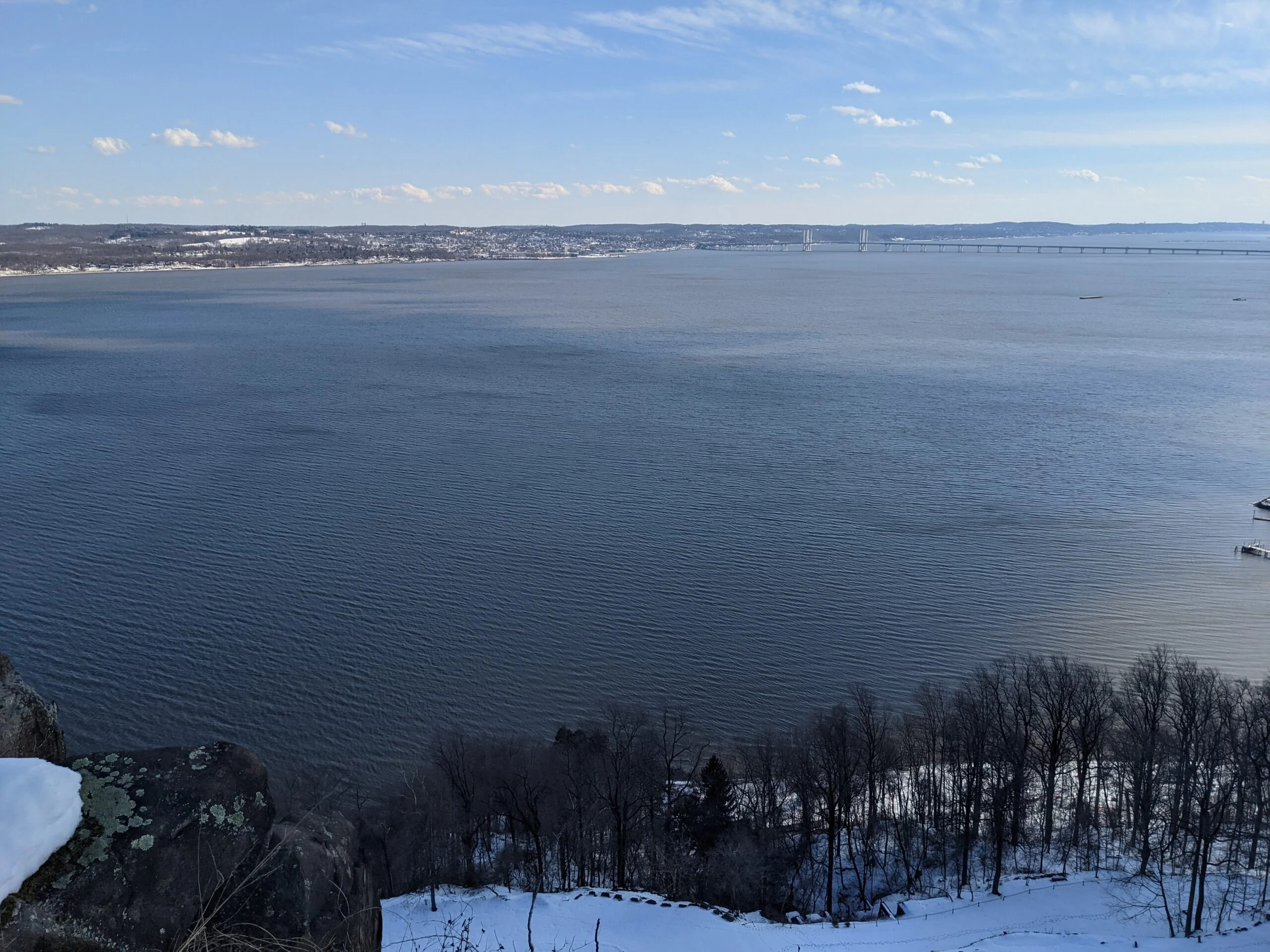
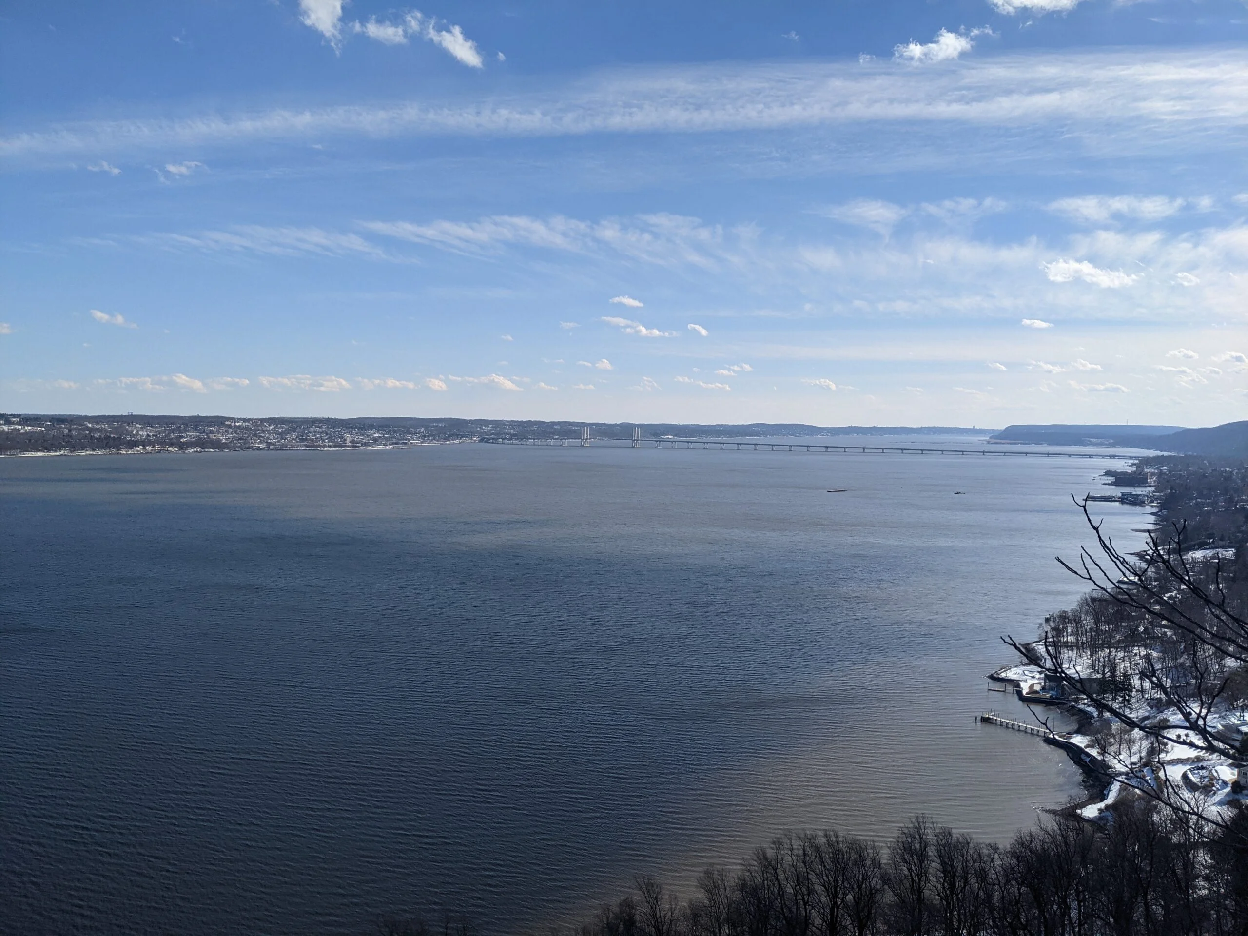
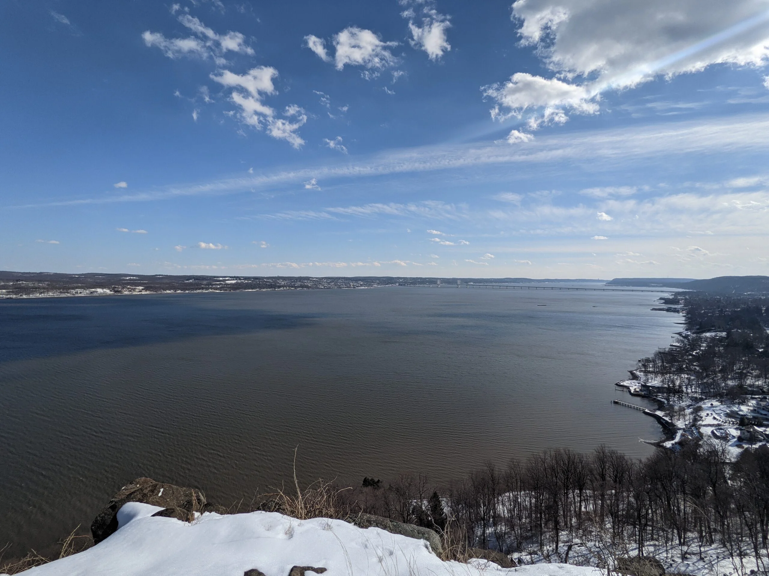
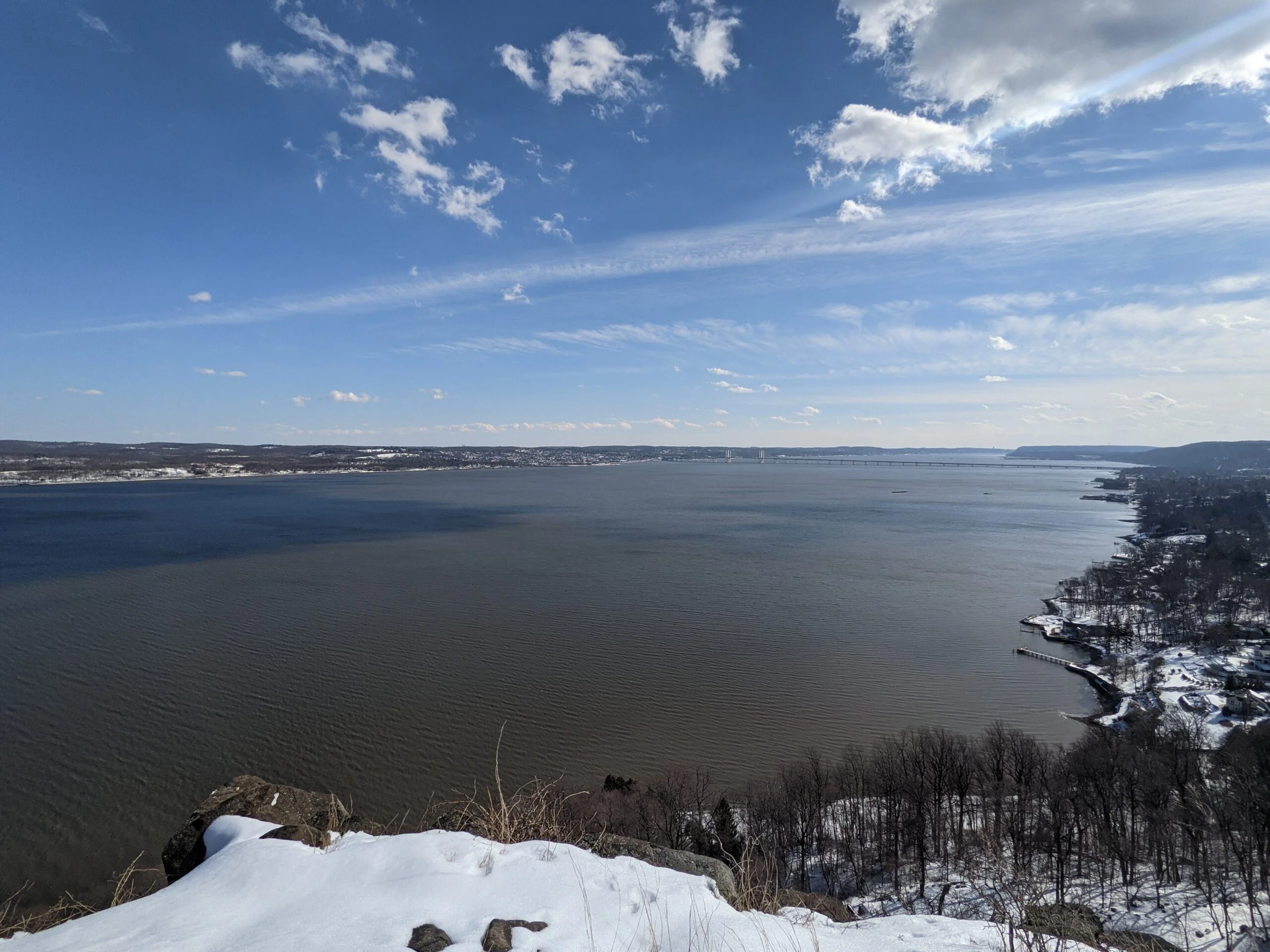
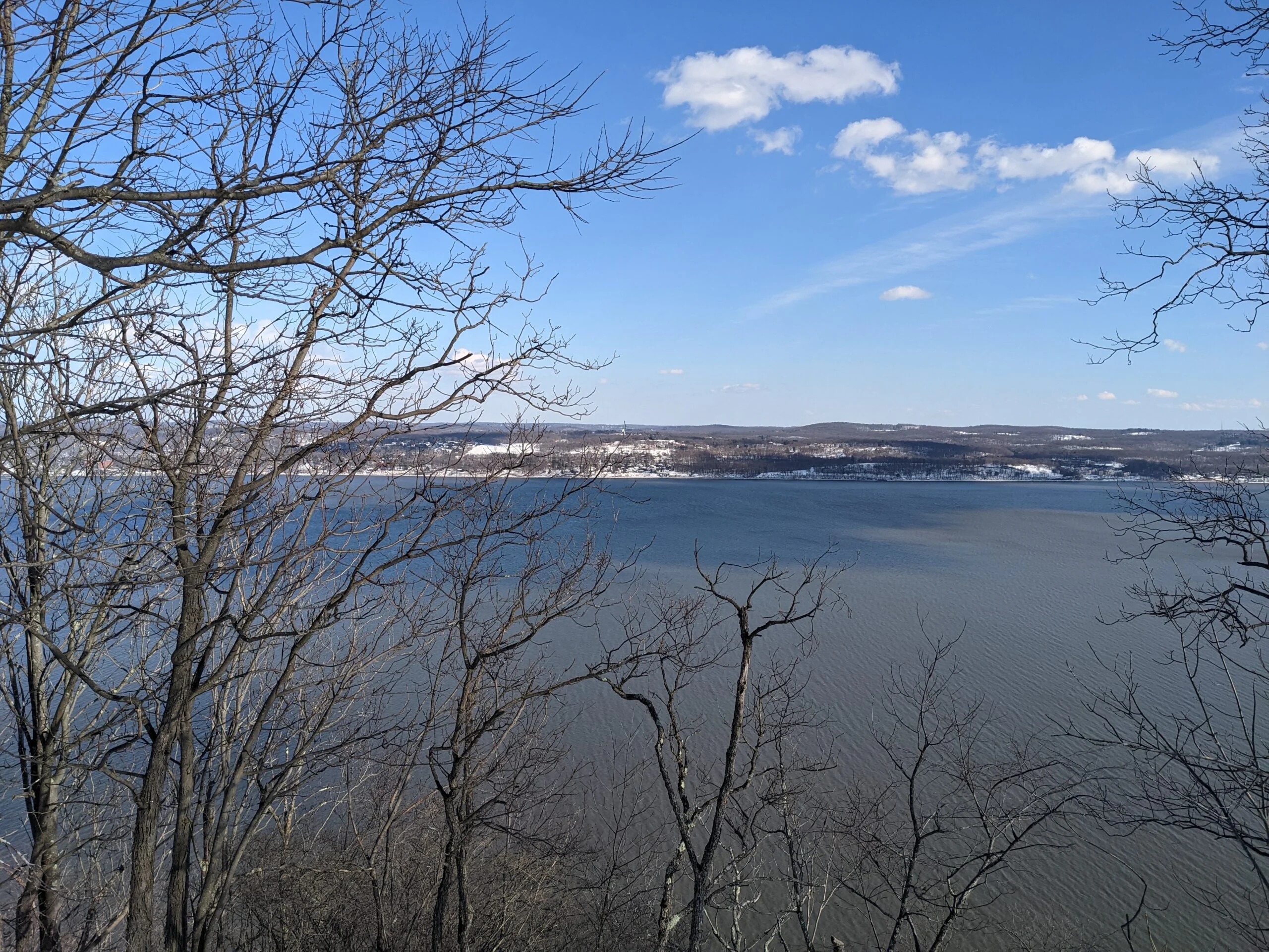
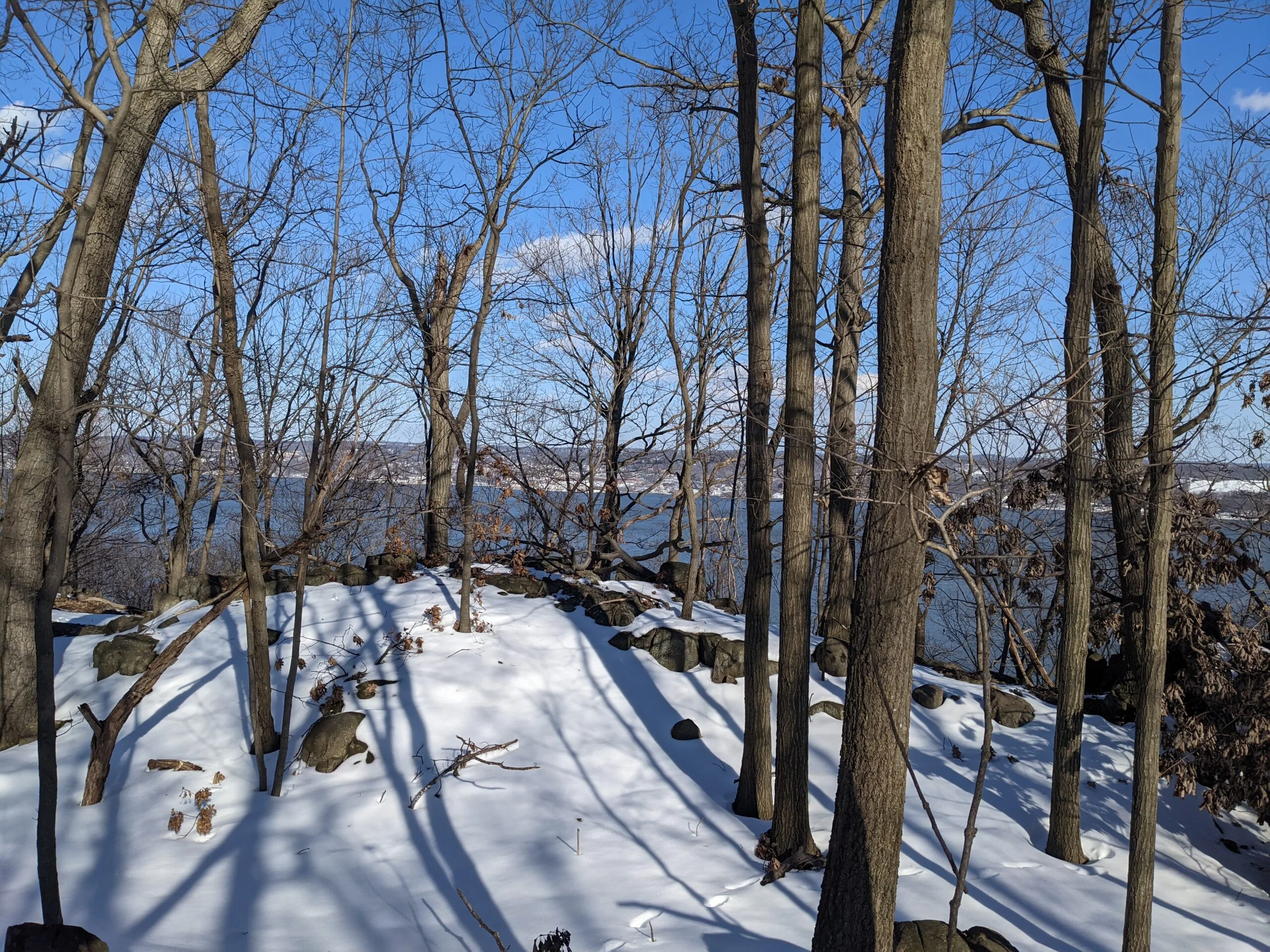
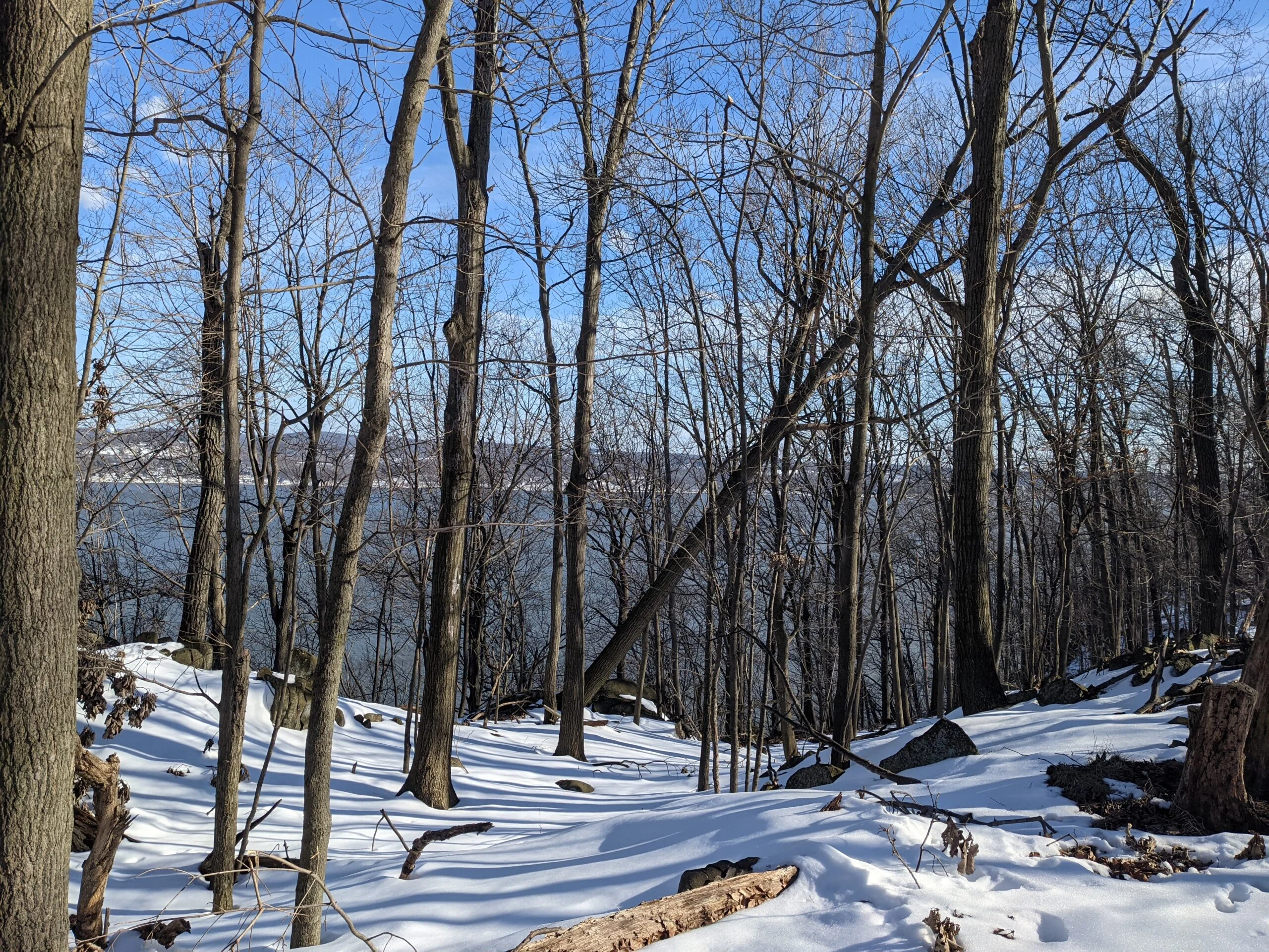
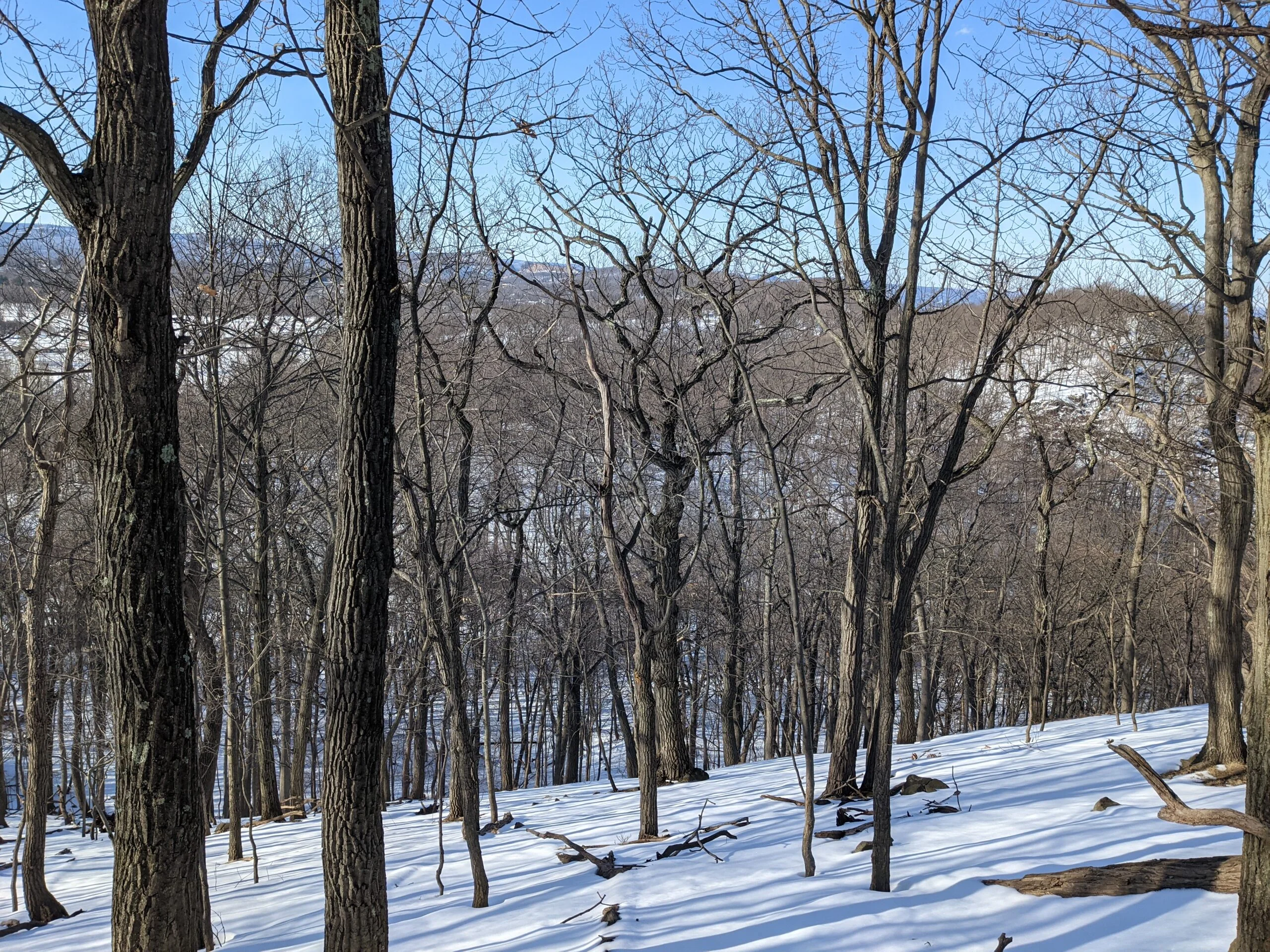
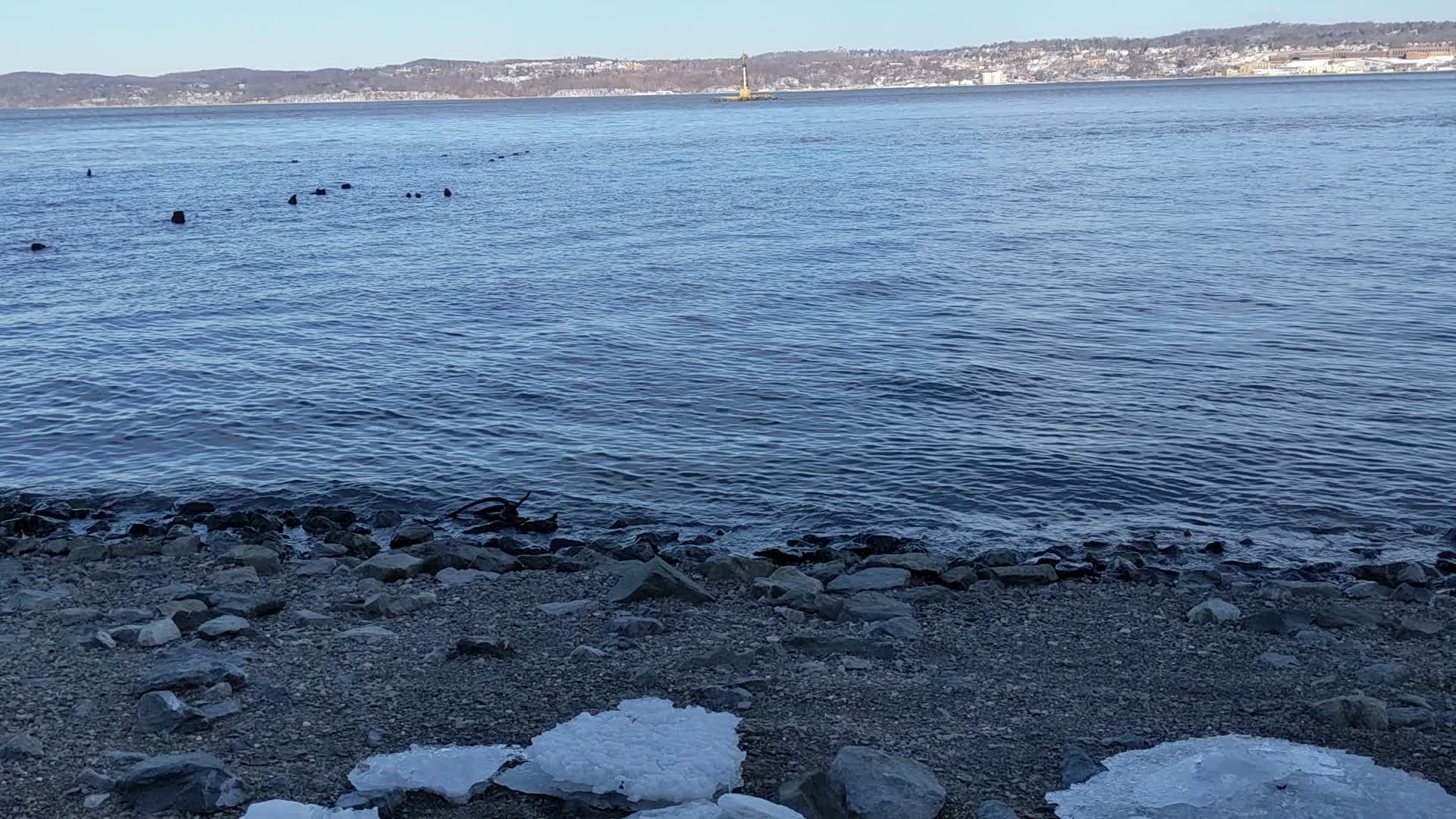
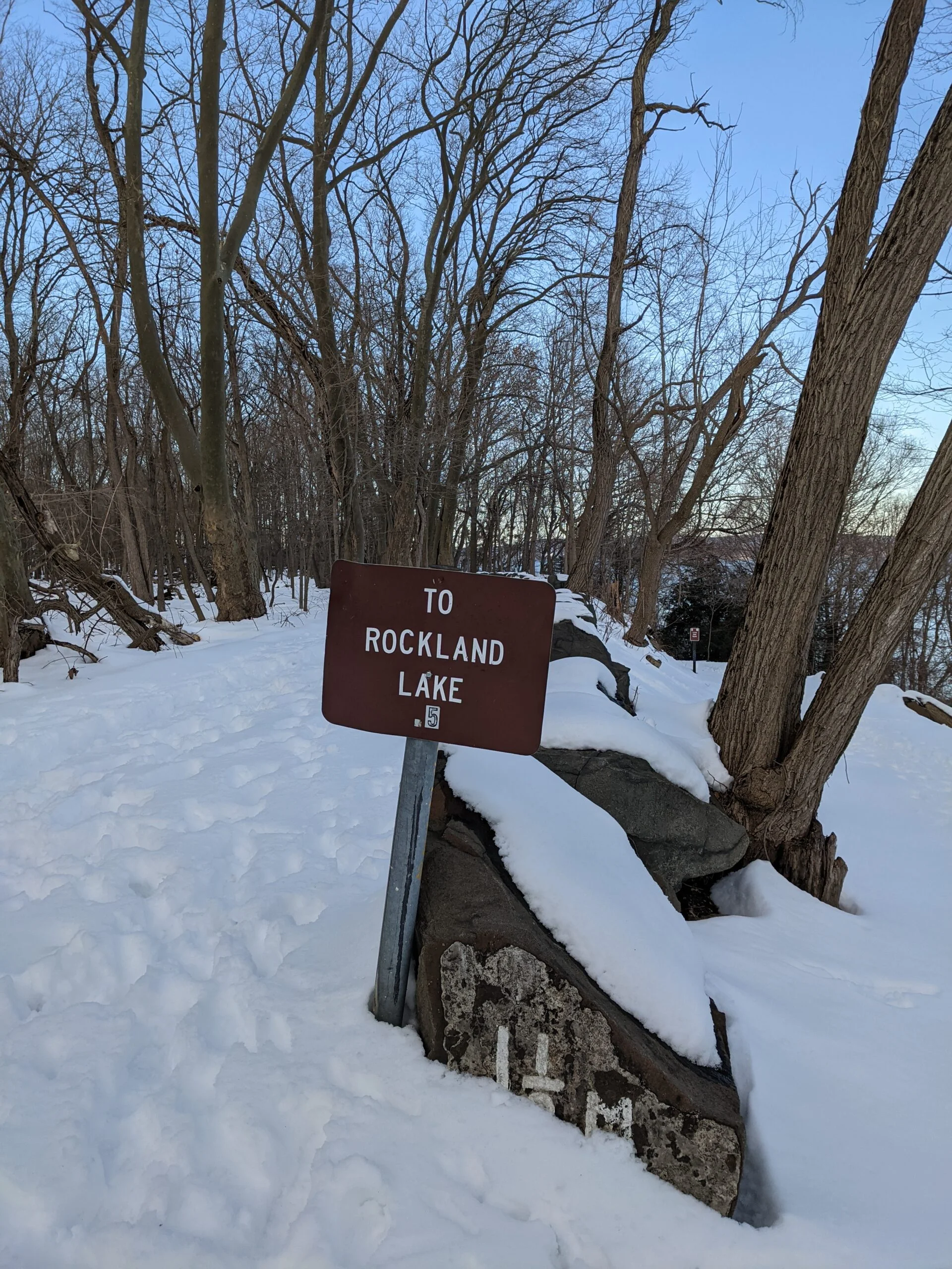
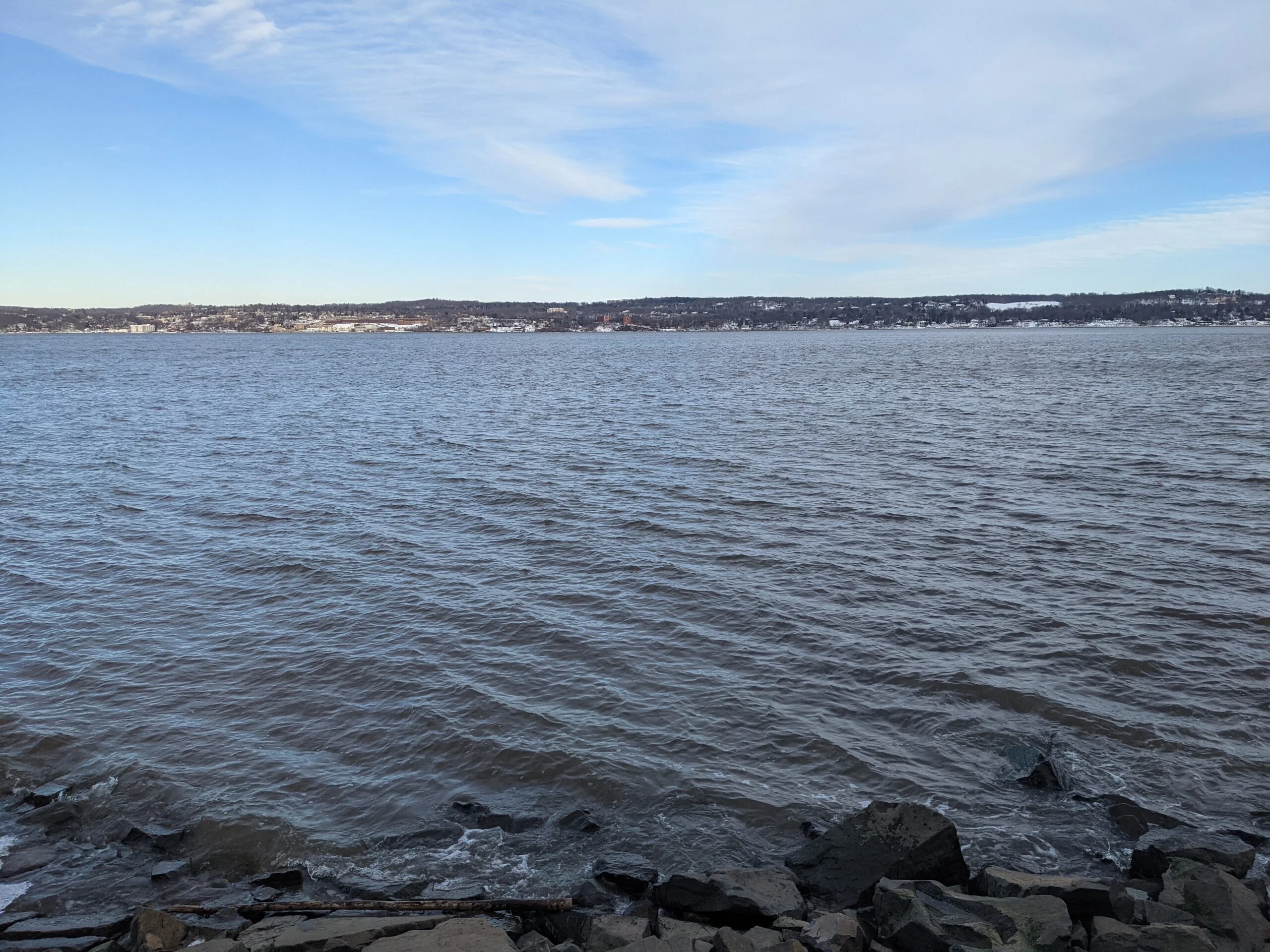
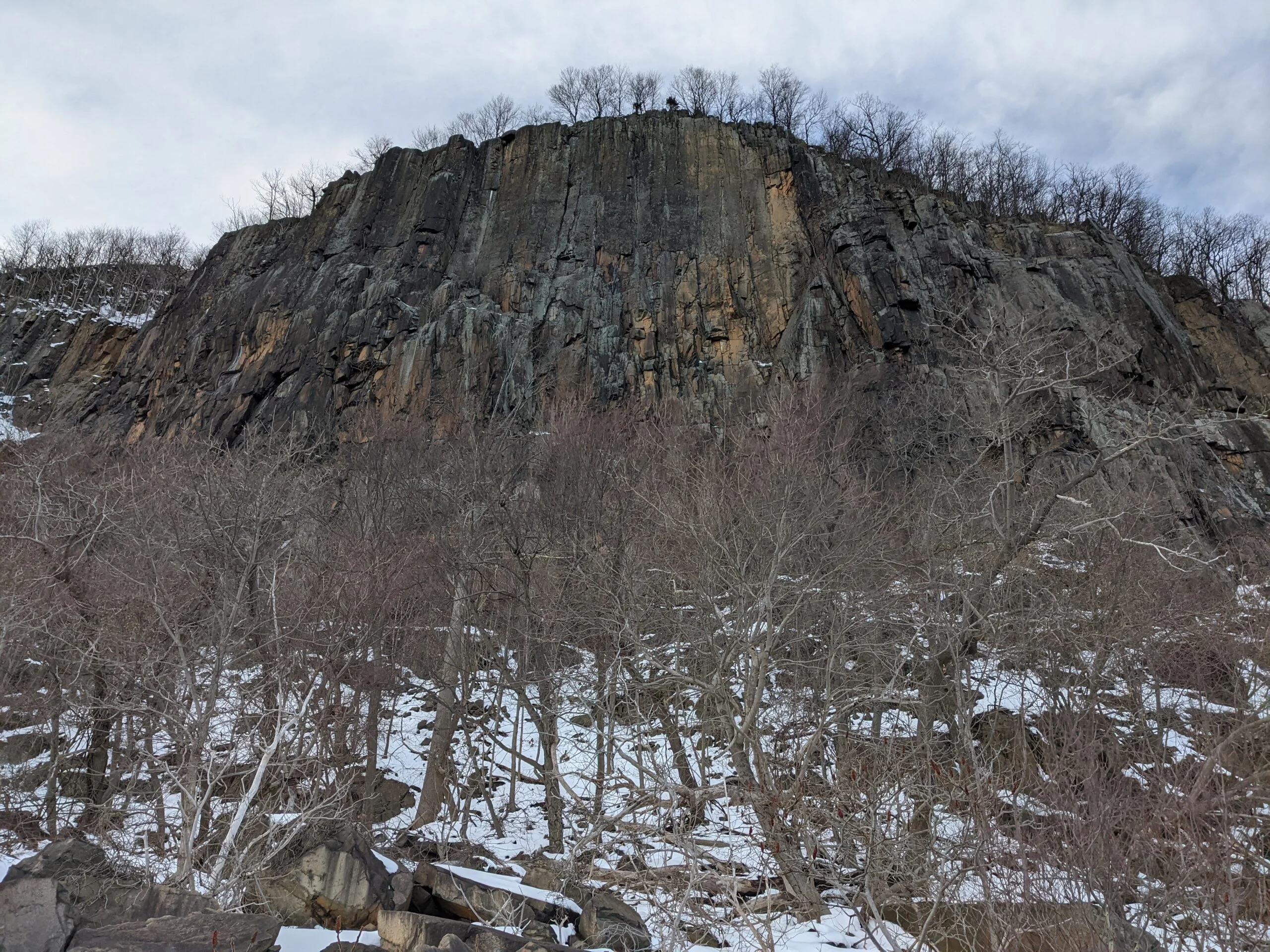
Almost immediately, I began seeing the Hudson River come into view off to my right (to the east) and the views just got better the farther I went. I gradually climbed about 400ft over the first mile to reach the top of Hook Mountain, with clear and unobstructed views in all directions: the Hudson River on one side and Rockland Lake on the other. It was a bit windy up there, but the vista made all of that fade away. I stopped for several minutes to take pictures and enjoy the quiet scenery around me.
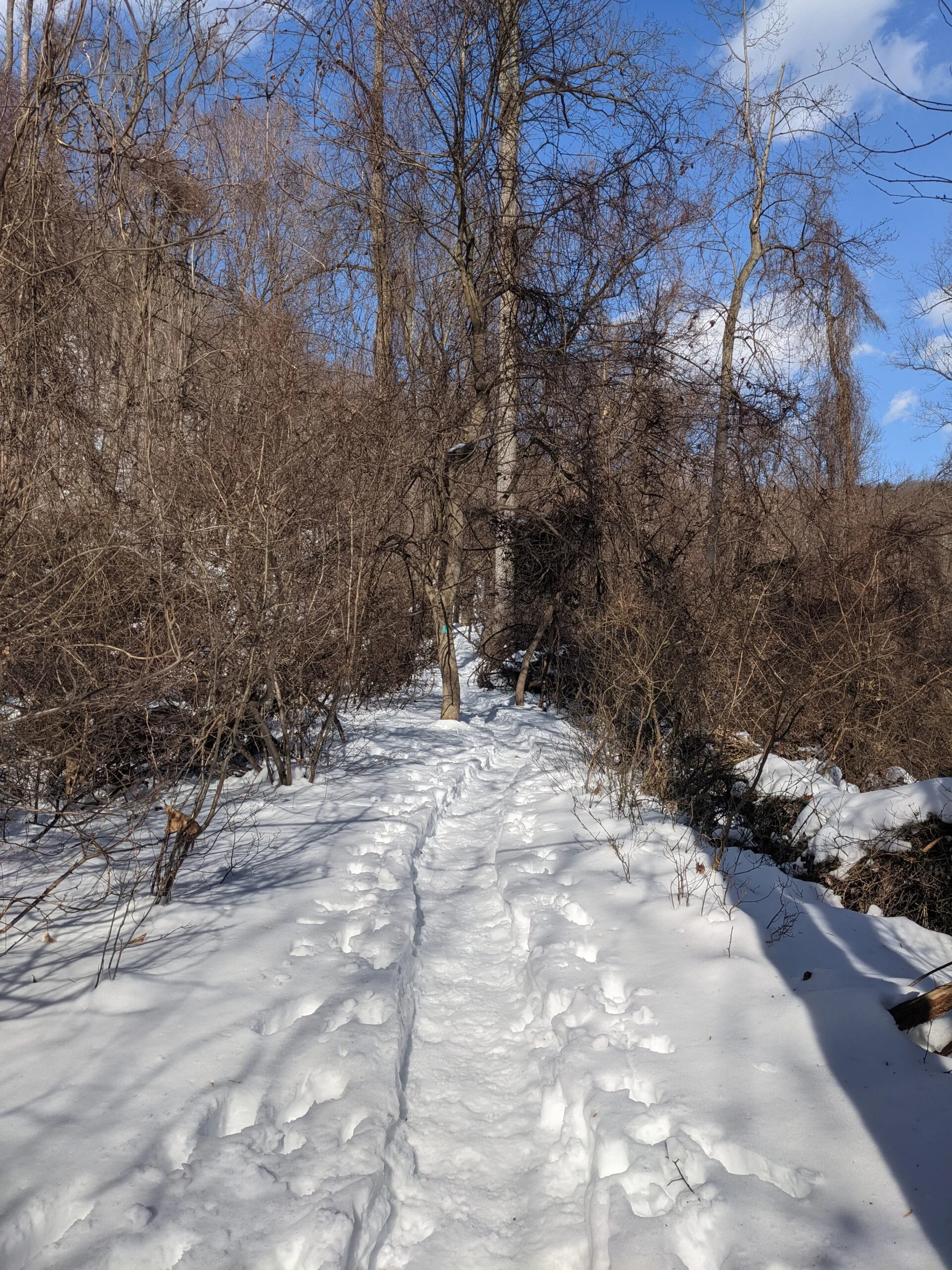
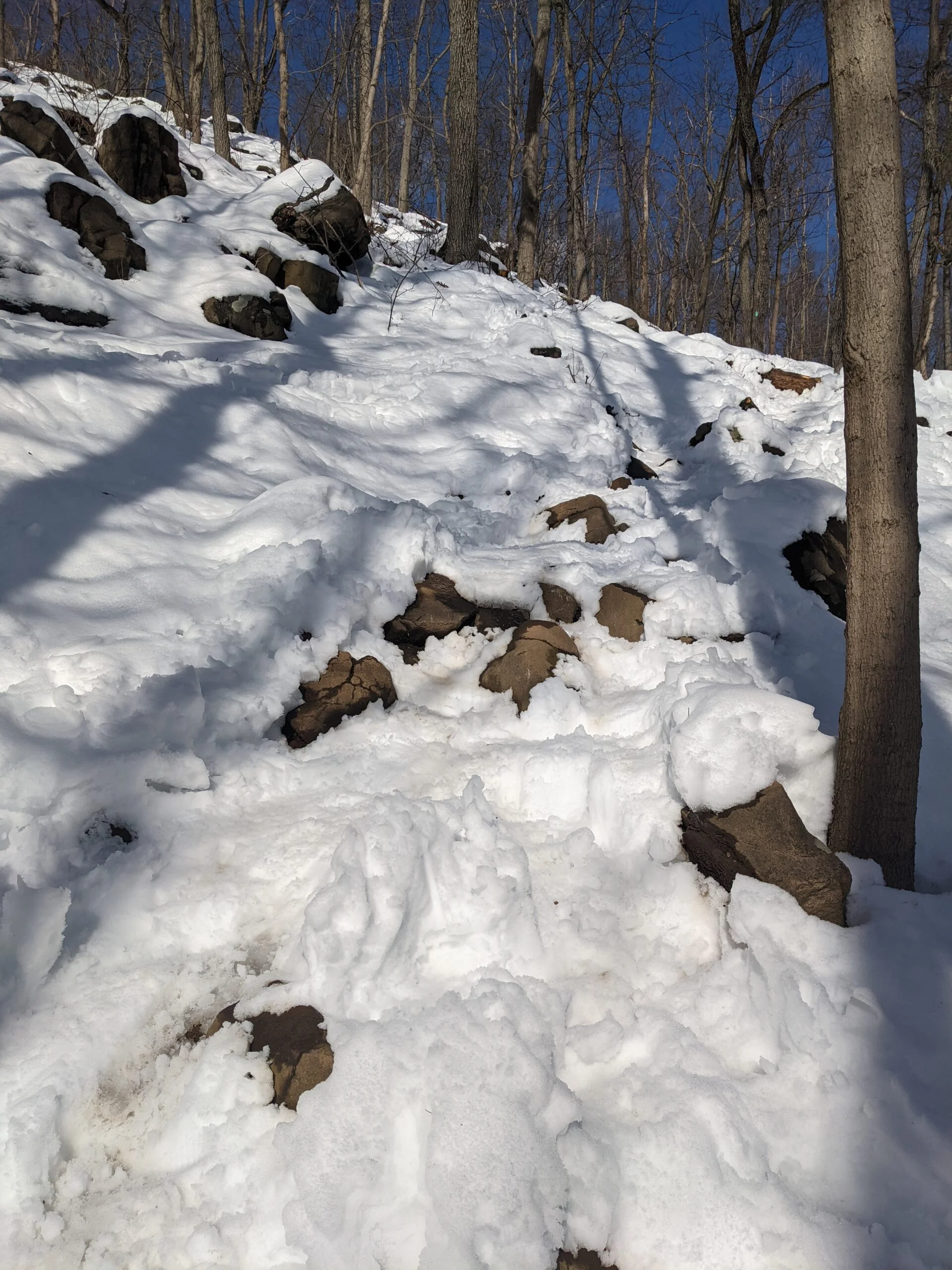
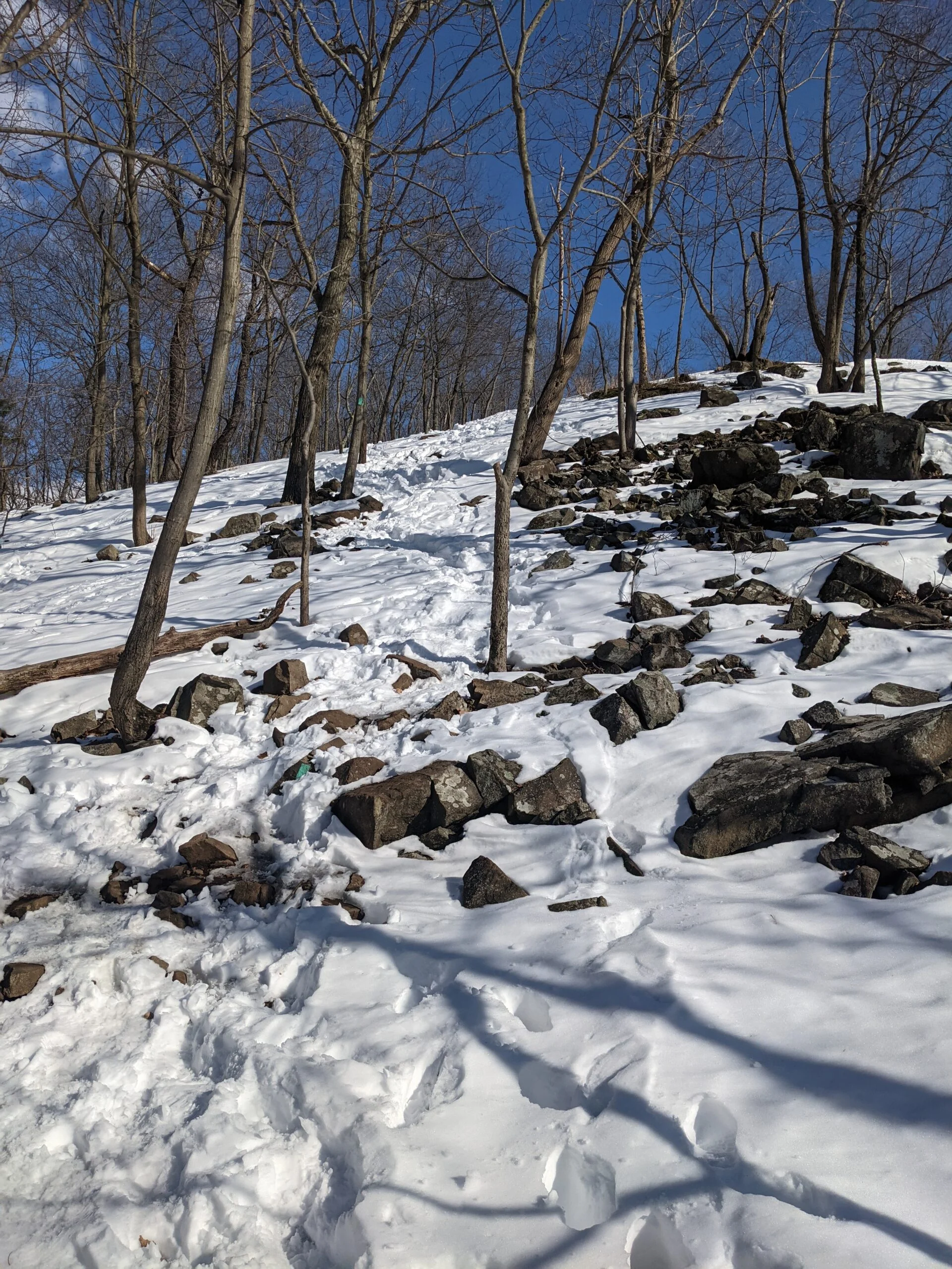
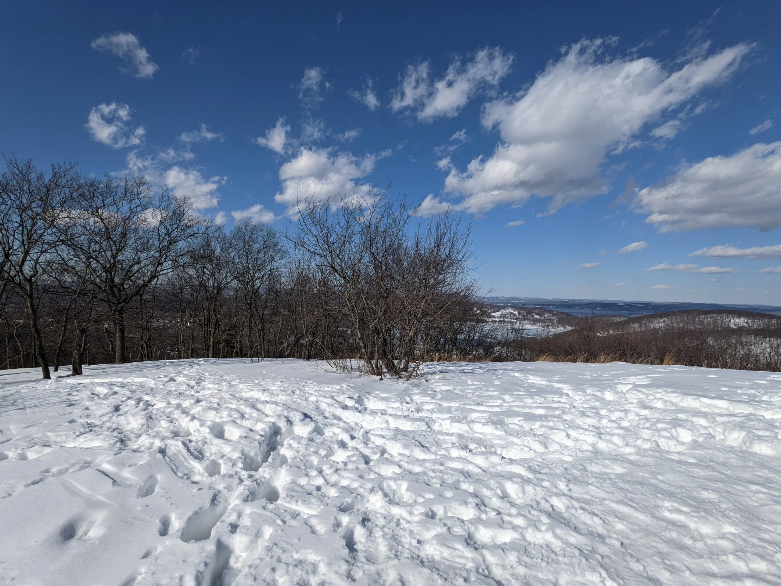
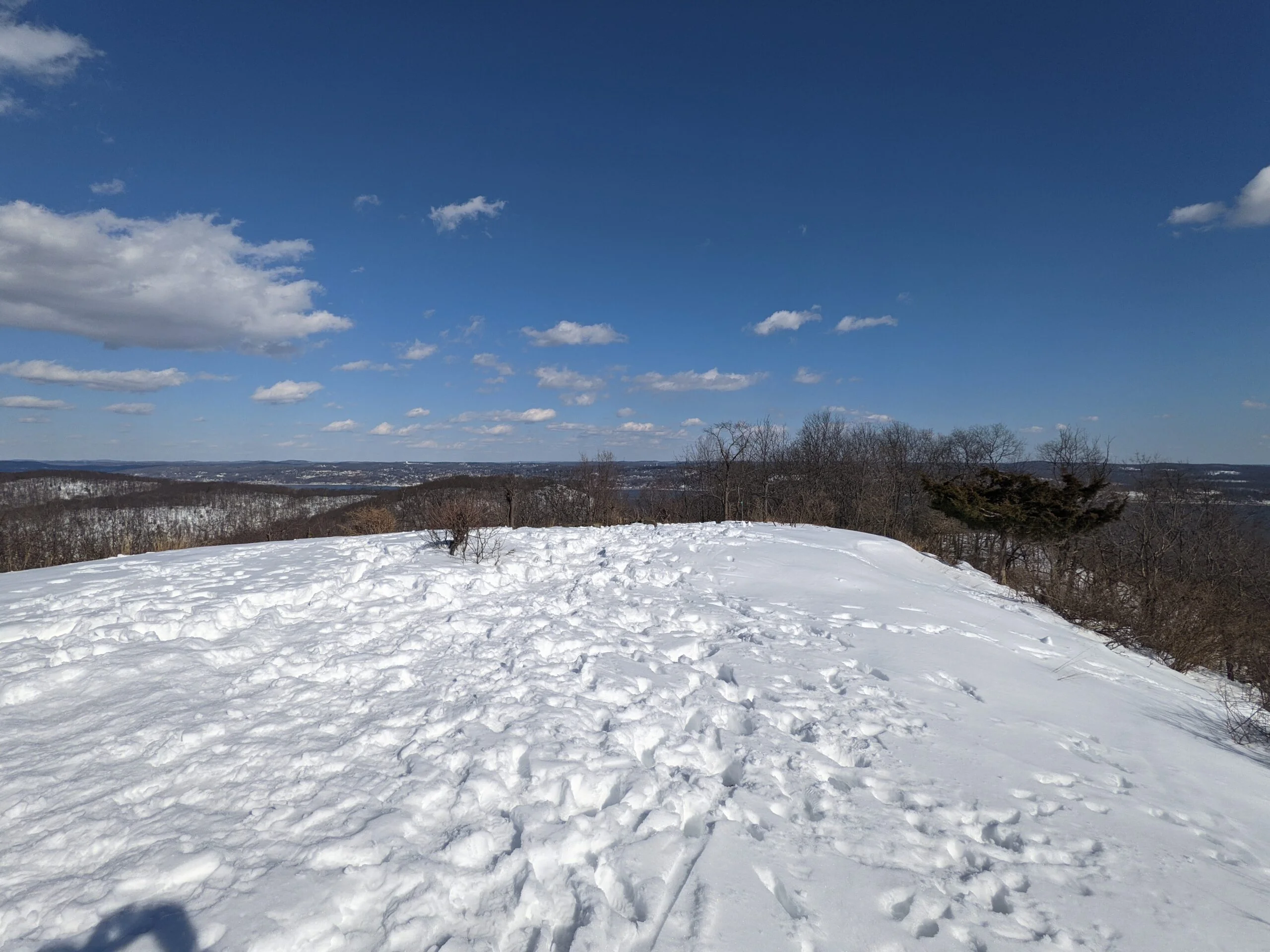
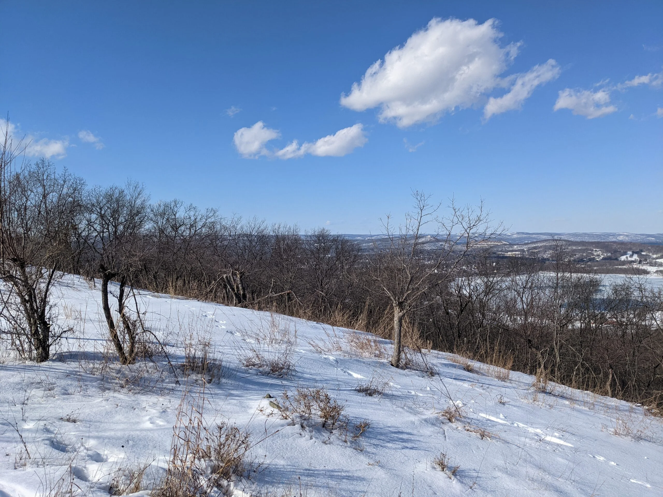
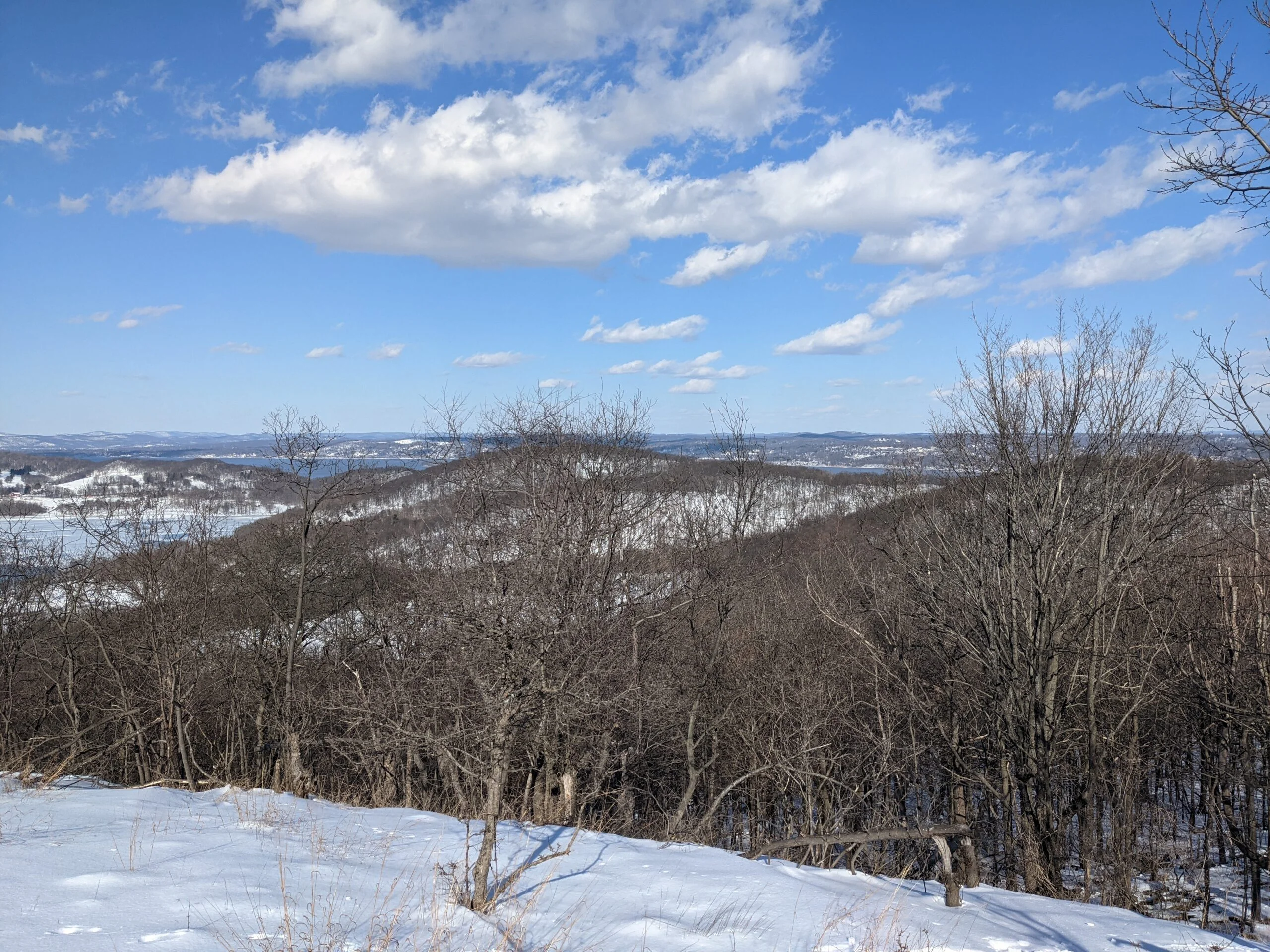
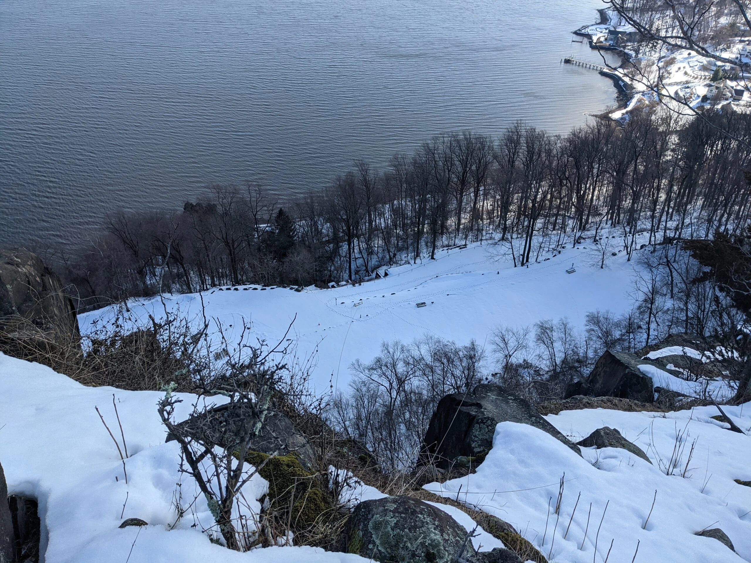
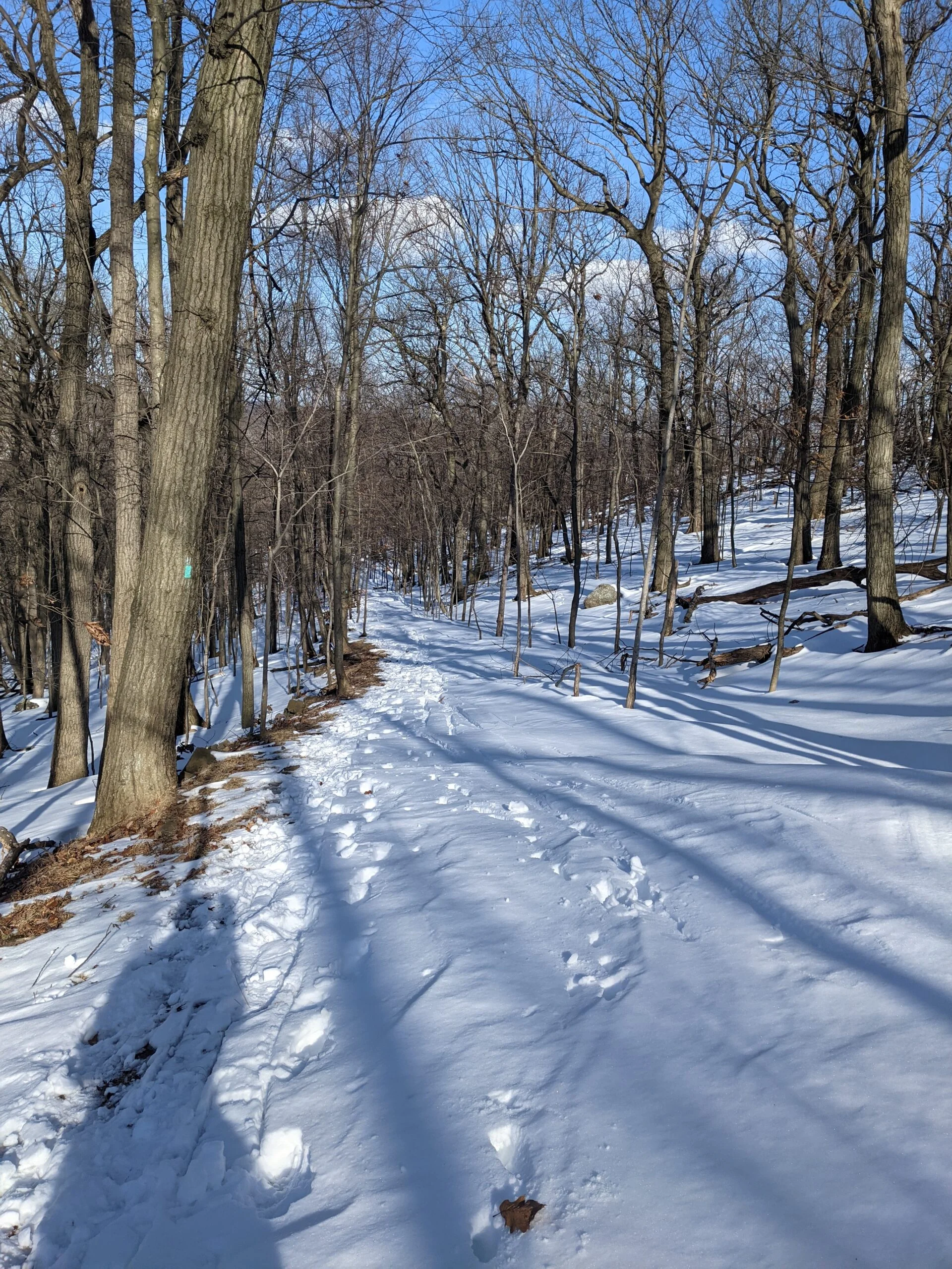
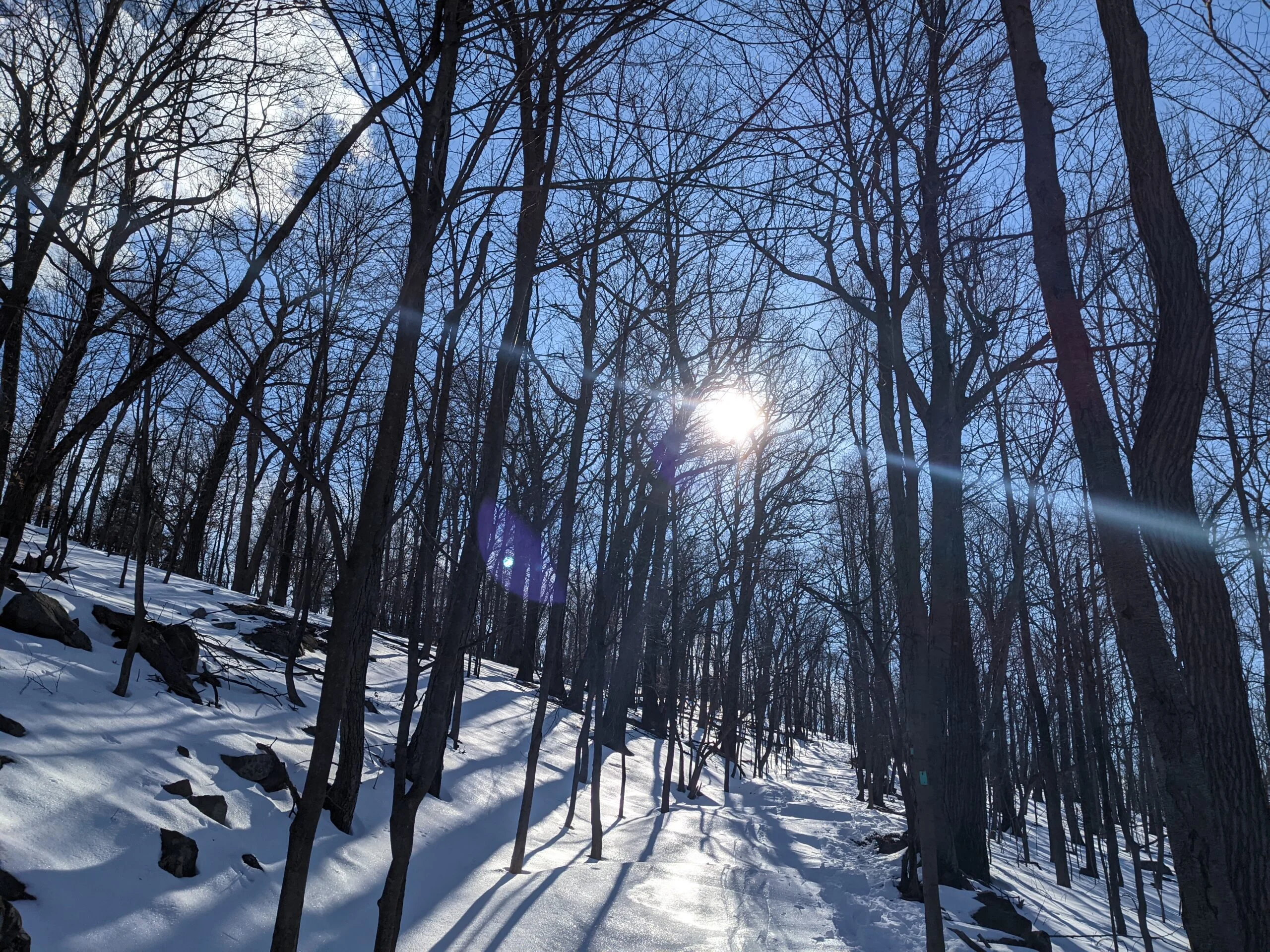
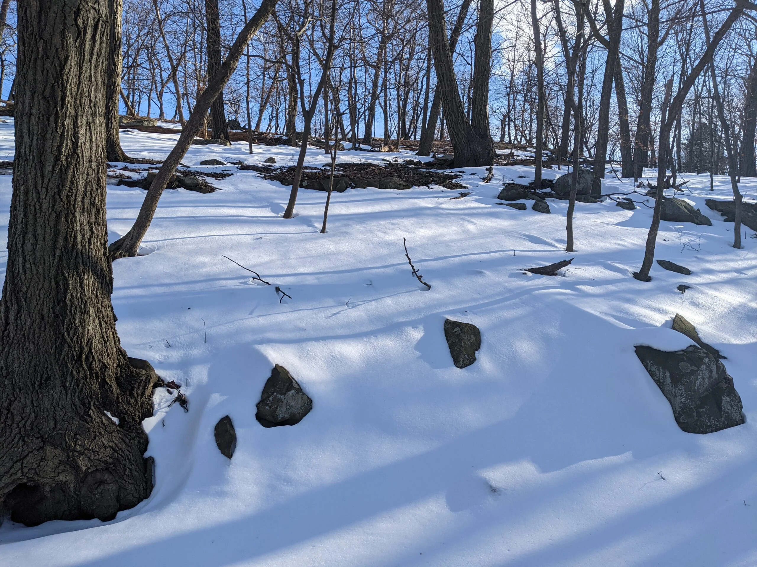
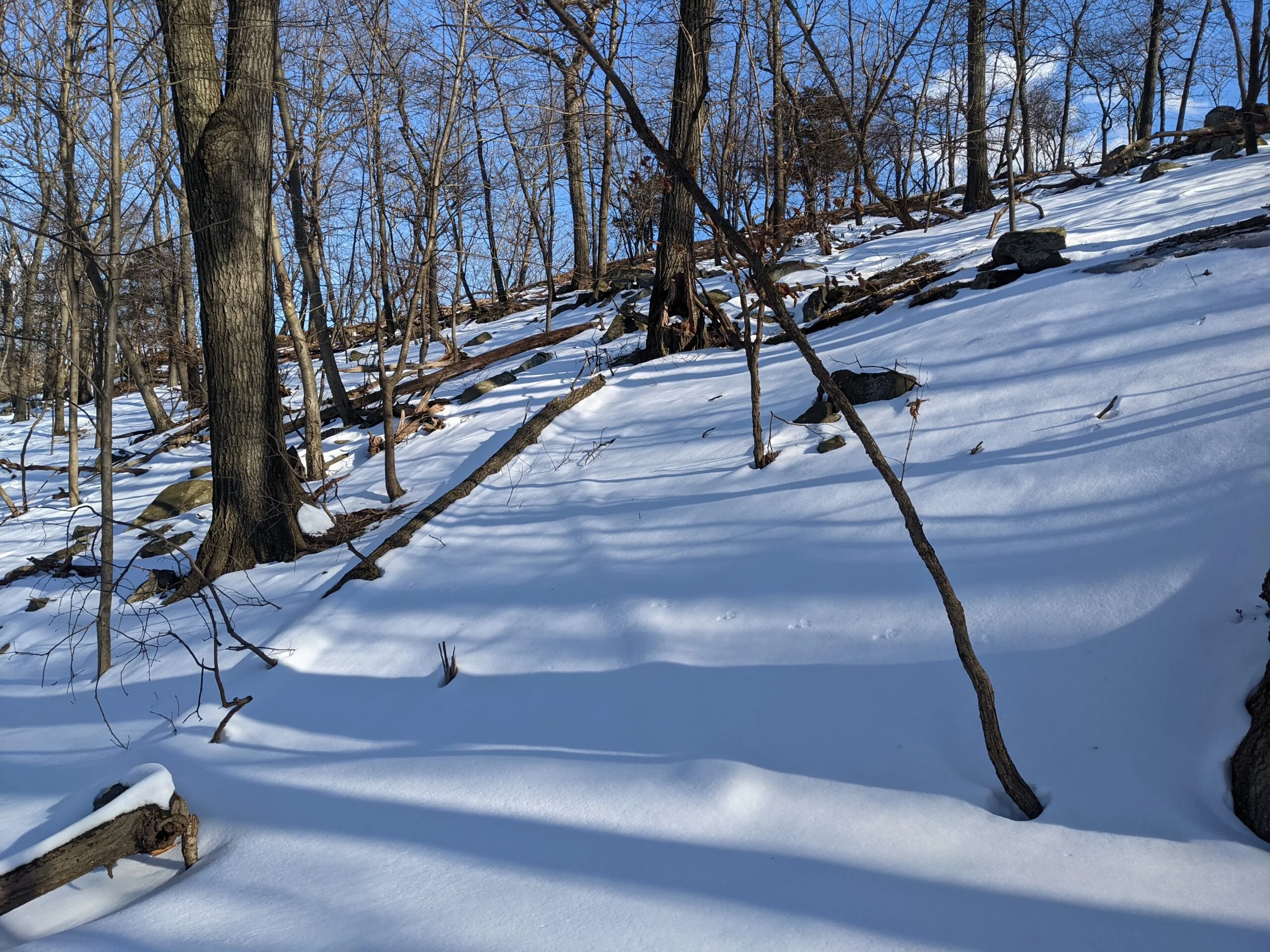
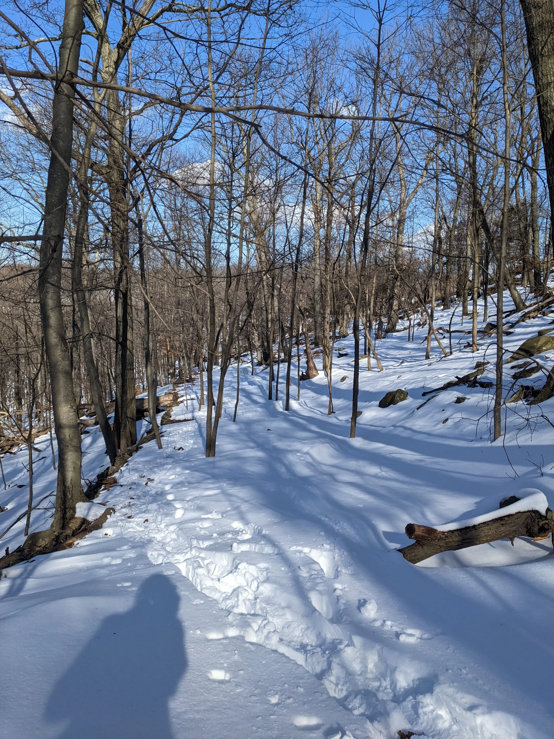
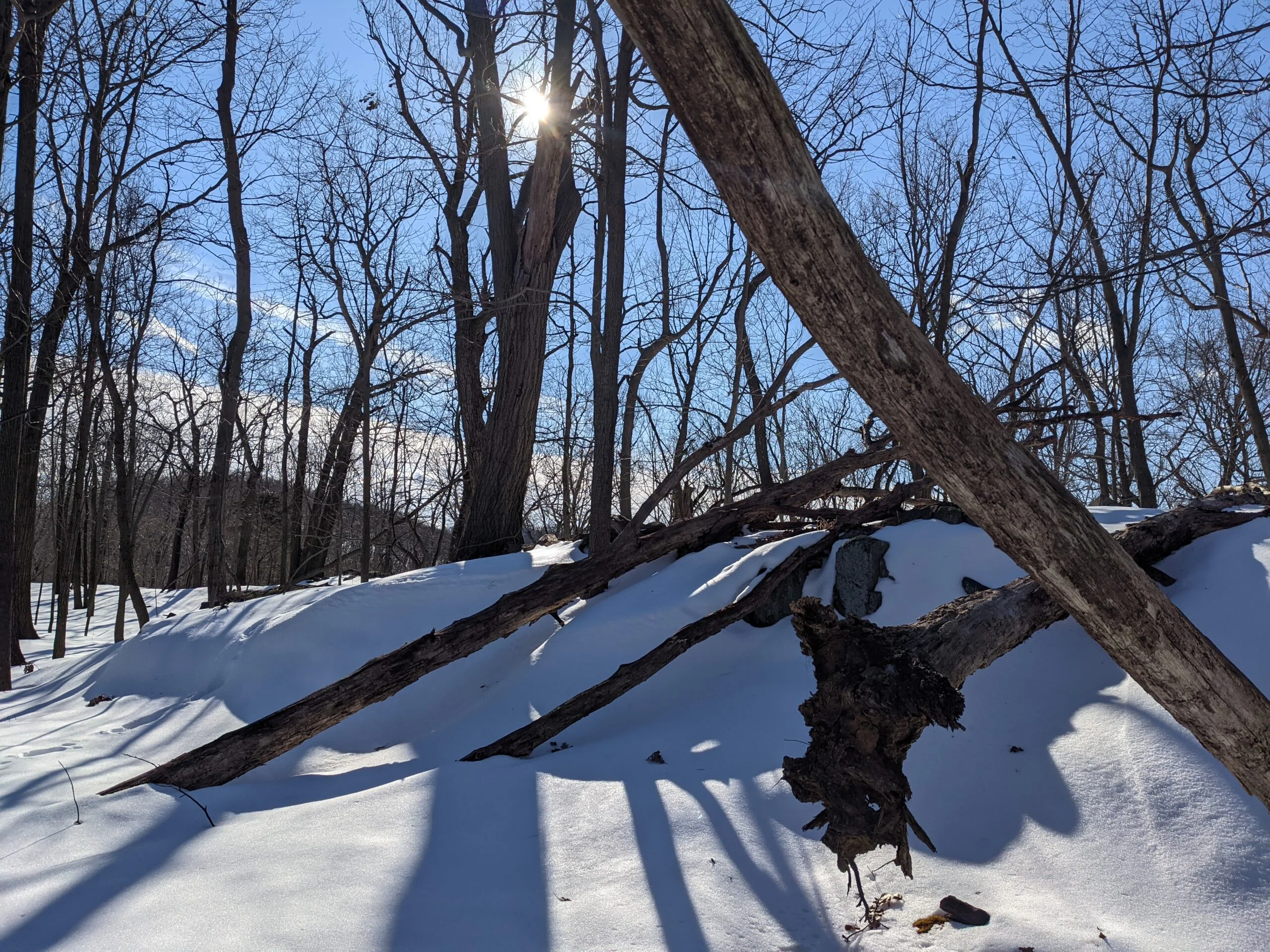
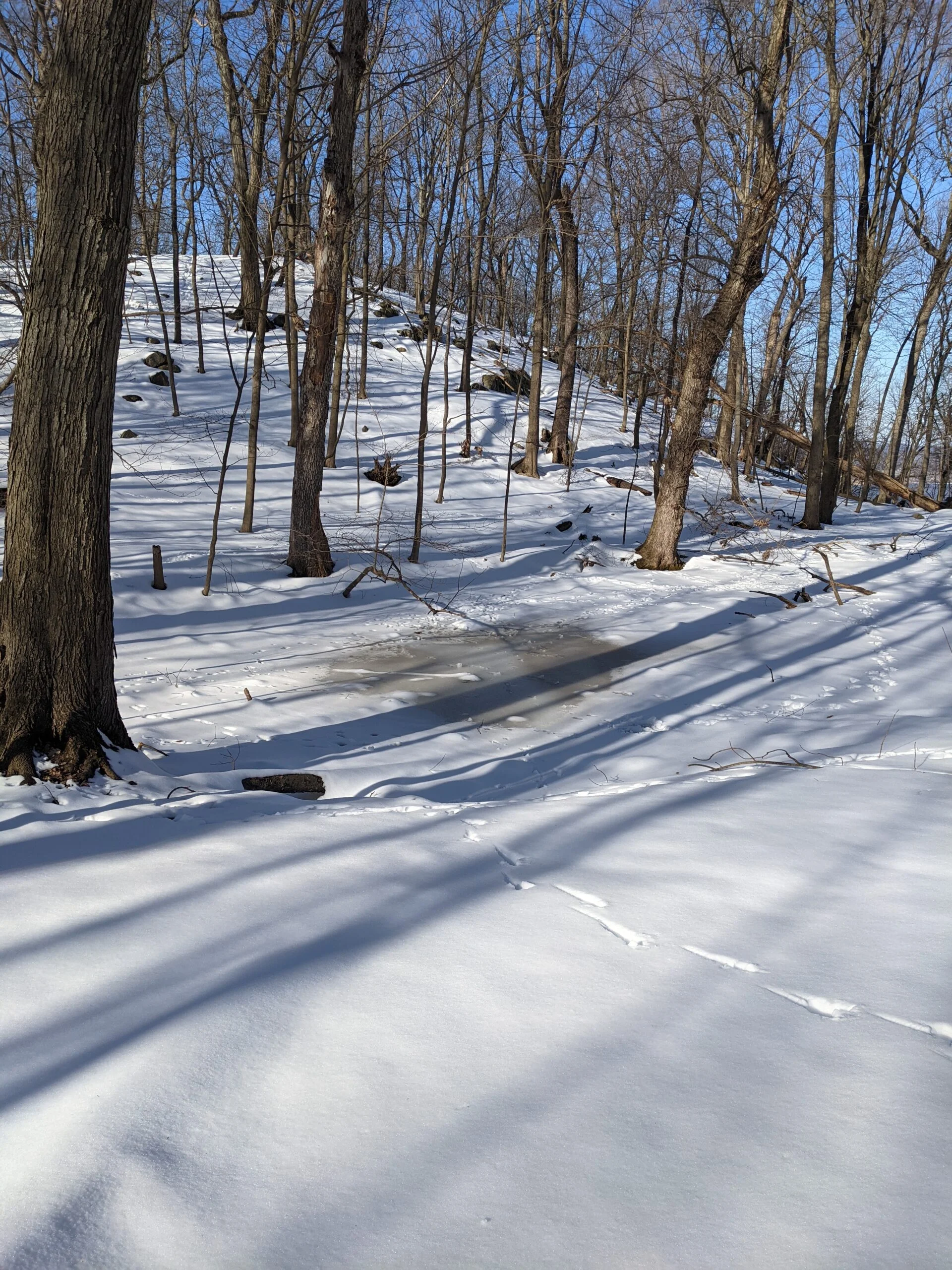
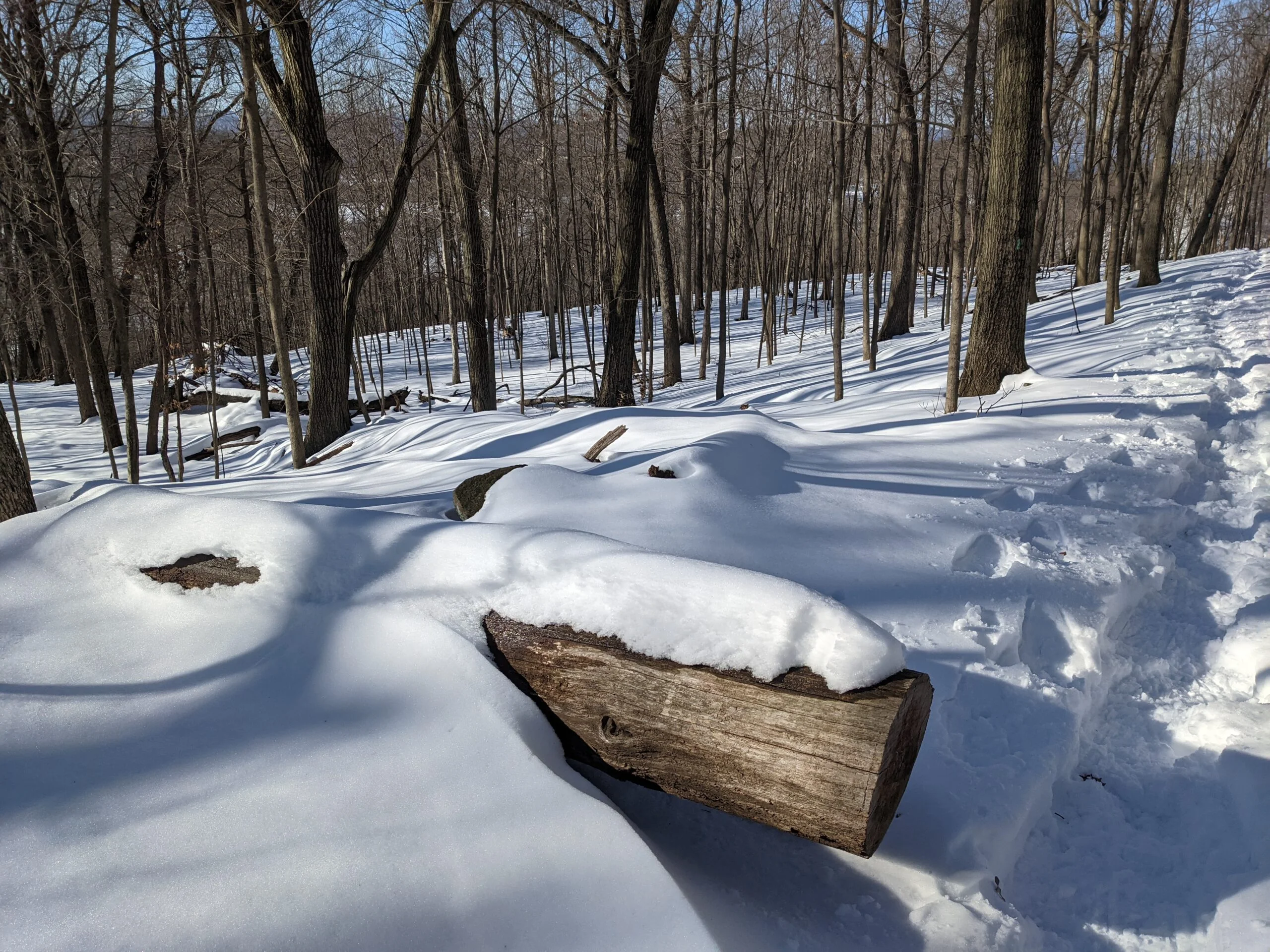
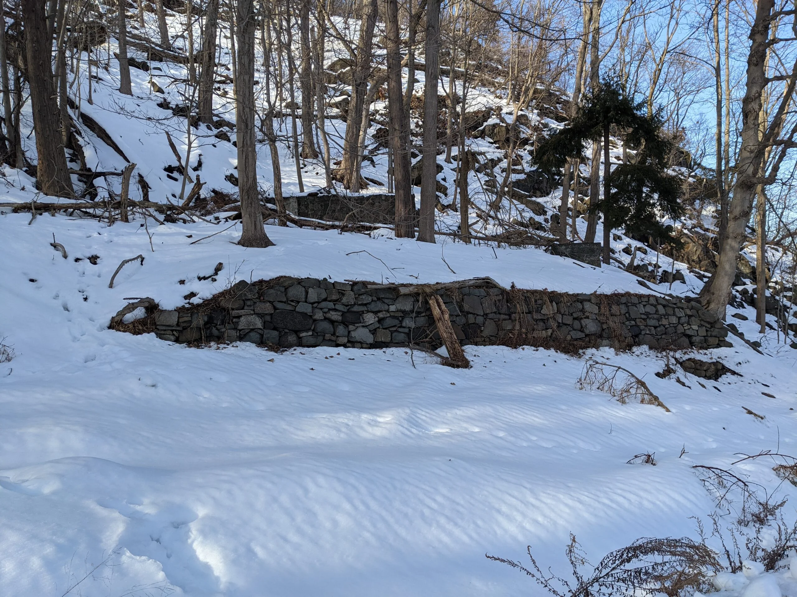
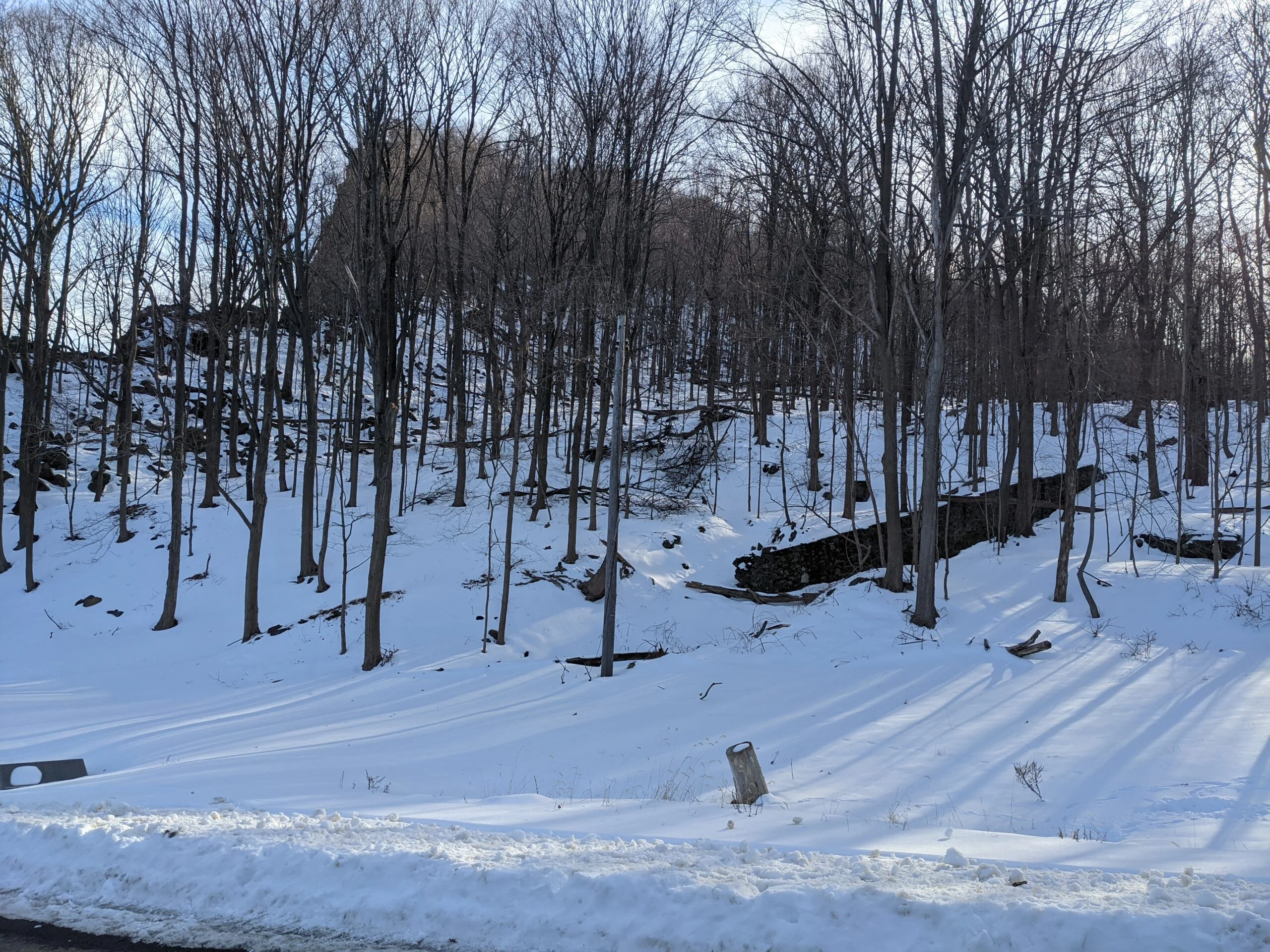
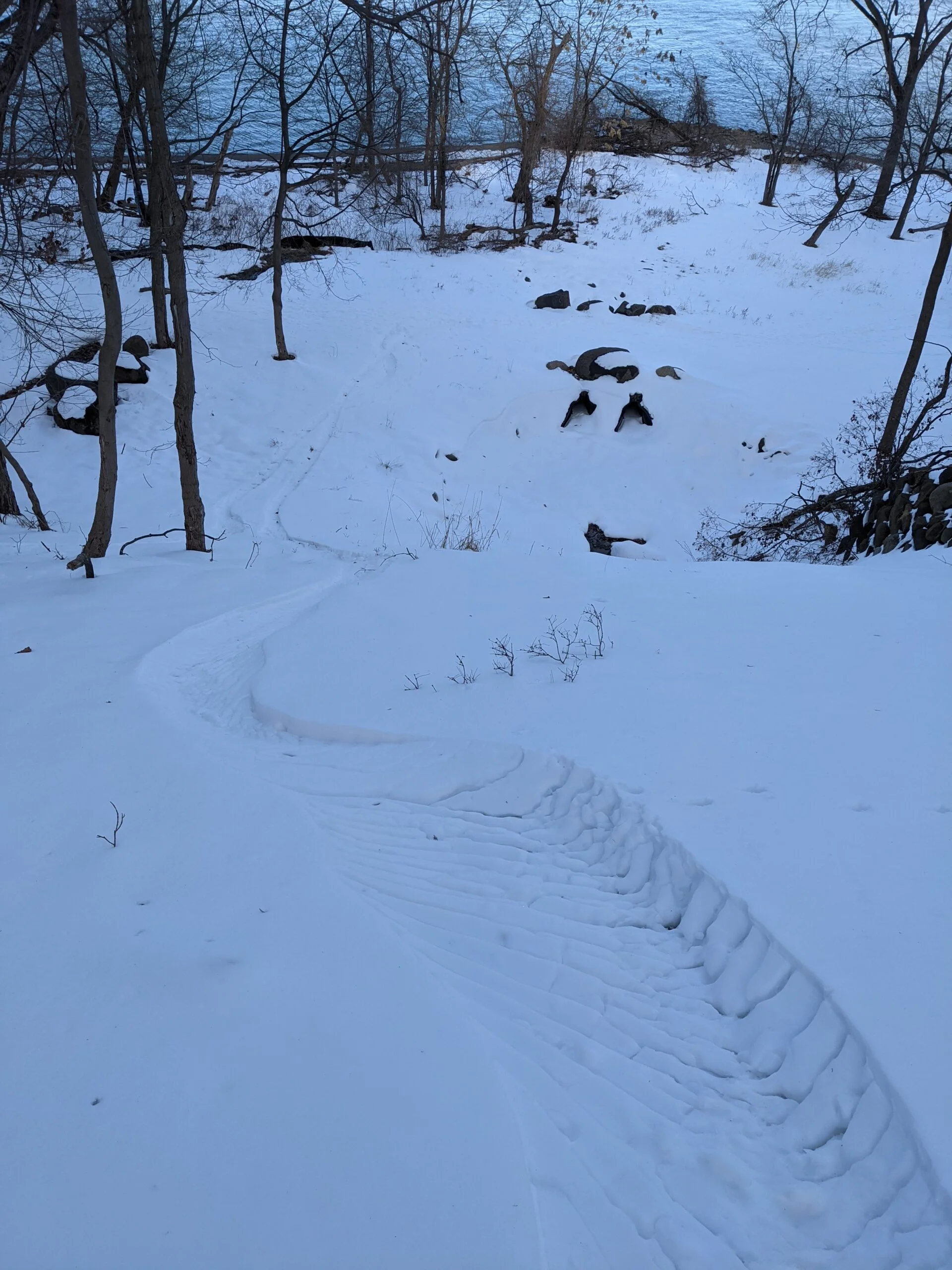
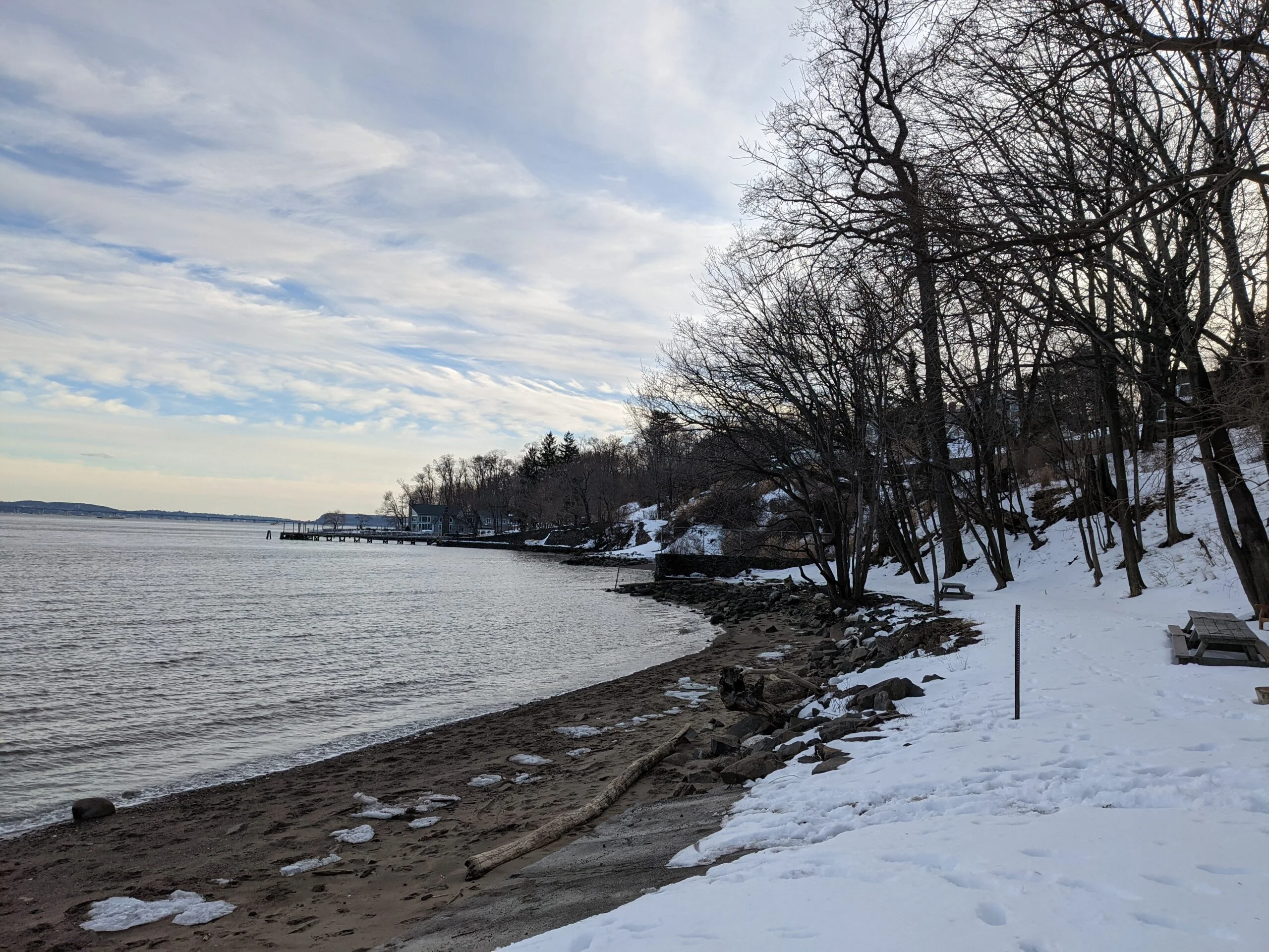
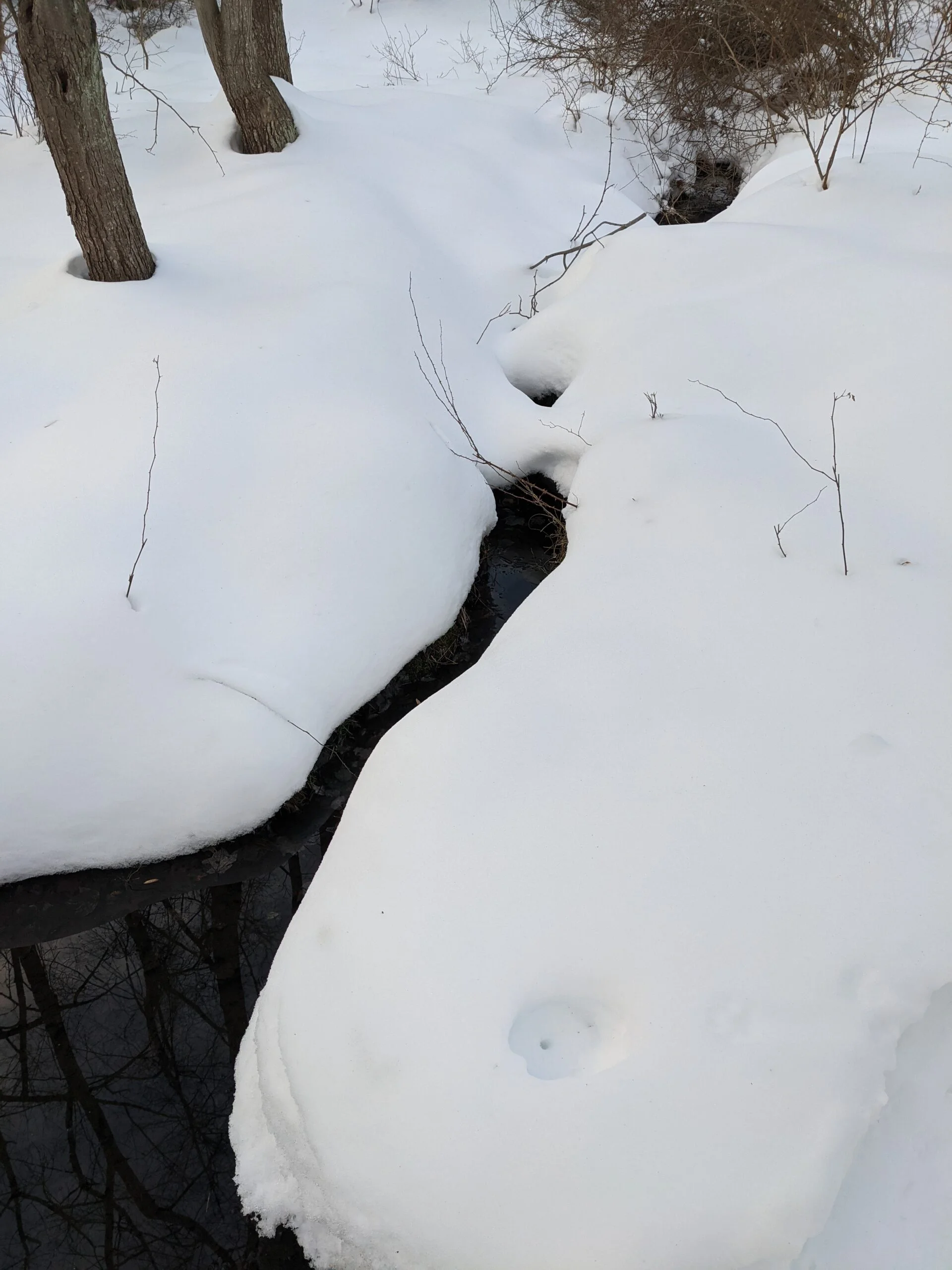
After leaving Hook Mountain, the trail follows a ridge line above the Hudson River for about the next mile and change. I couldn’t help but taking more photos along the way, each a slightly different angle of the river valley and shore line. Eventually, the trail descends into the interior area of the park, with views of Rockland Lake to the left (west) at times. There was clear foot traffic in this area, but the snow was a bit less packed so it was slow going, big steps with occasional sinking deep into the snow, which was approximately 6 inches deep. I saw one couple skiing through the area and another group with snow shoes. I may need to invest in snow shoes next, as they really would have helped on this section of the trail.
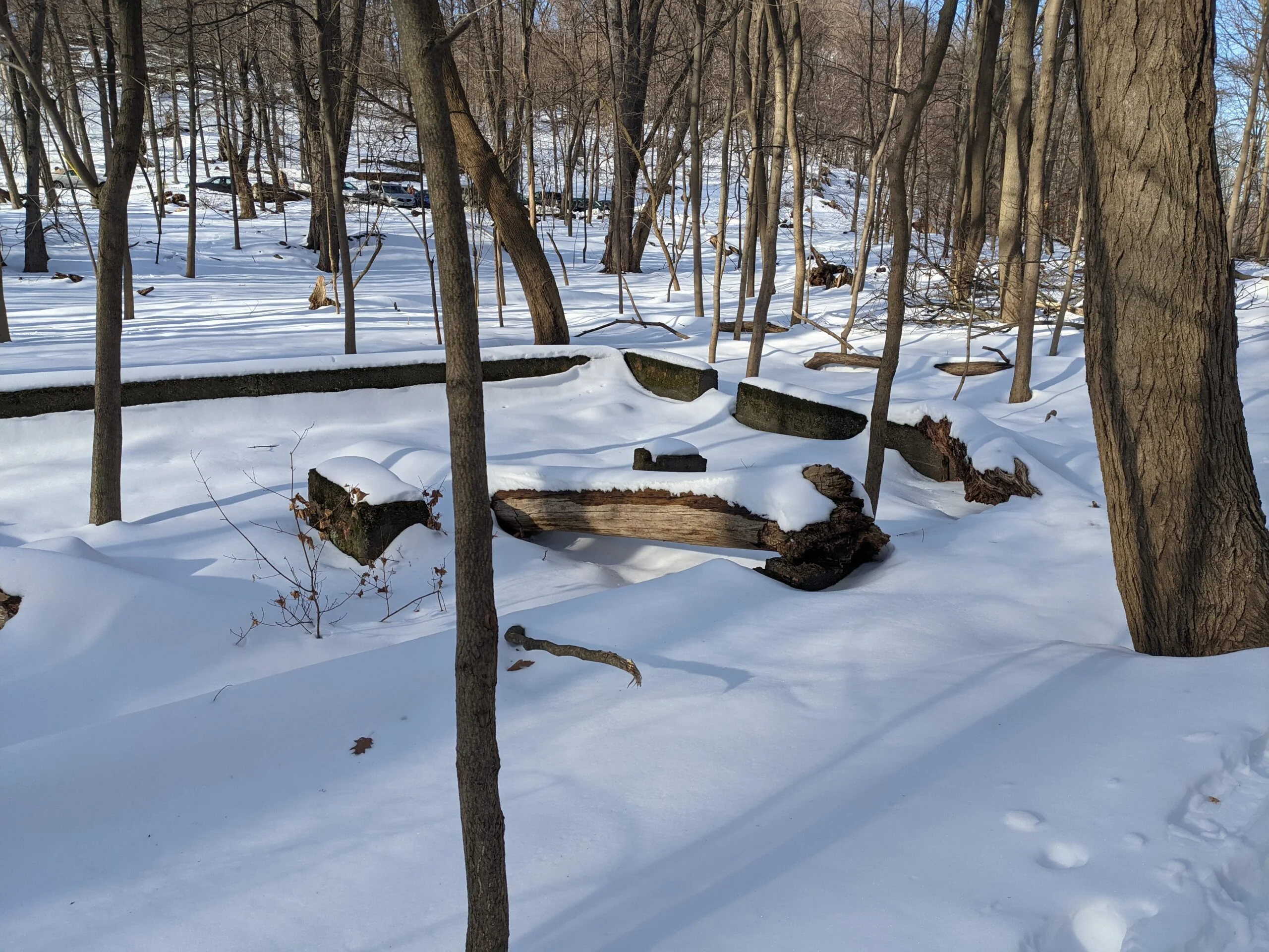
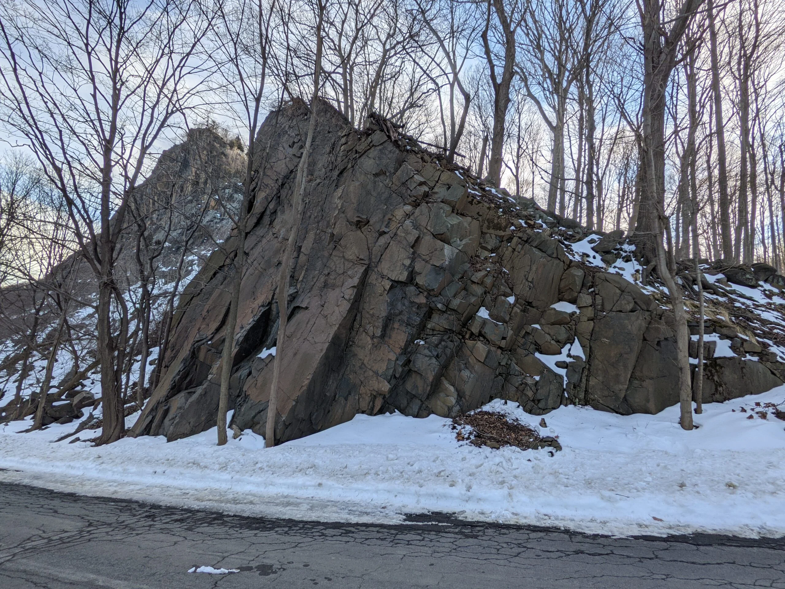
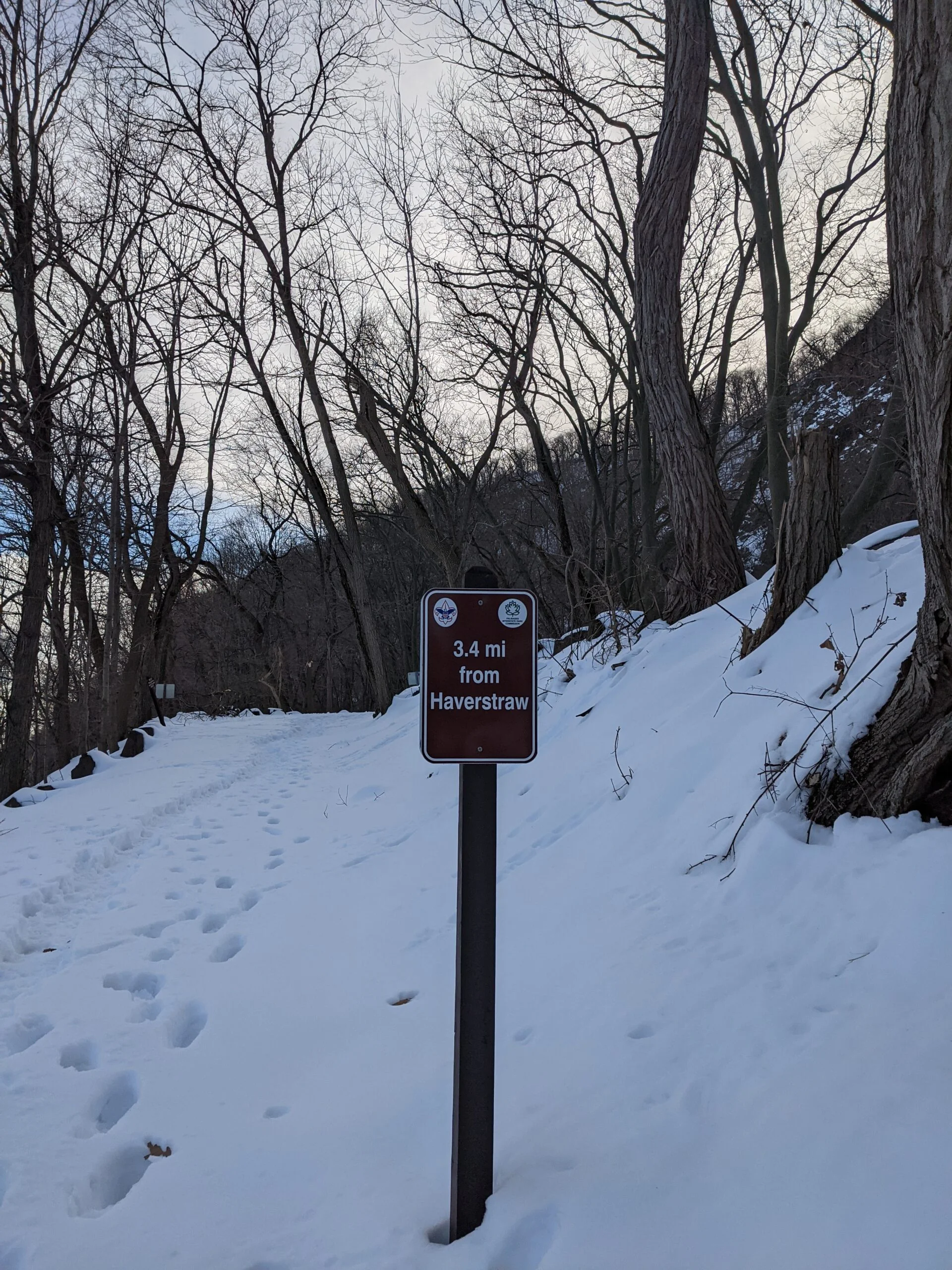
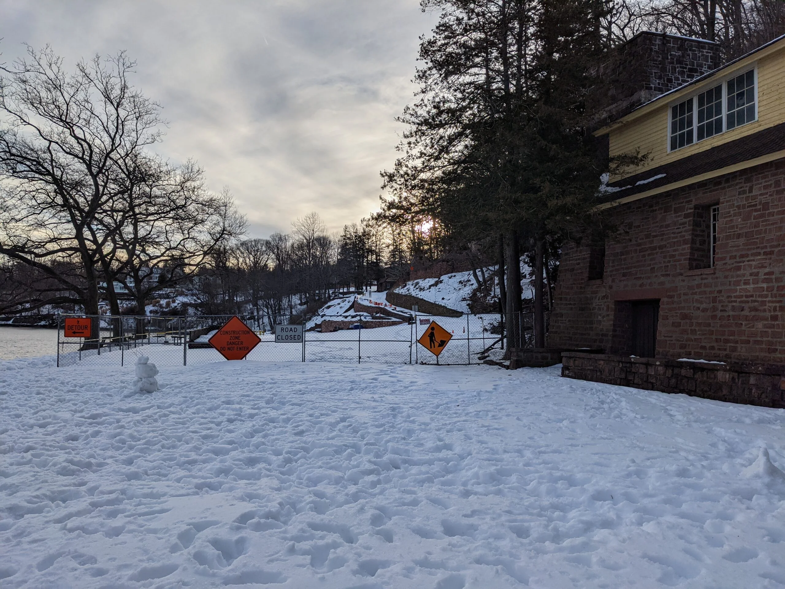
This mile of trail descends about from about 600 ft to sea level, where it connects with a parking lot on Landing Road. If had crossed Landing Road, the teal trail continues way far north along the Hudson River shore line, almost up to Haverstraw. I may come back to explore that trail on a future date, but I didn’t have enough energy or daylight to attempt it this time.
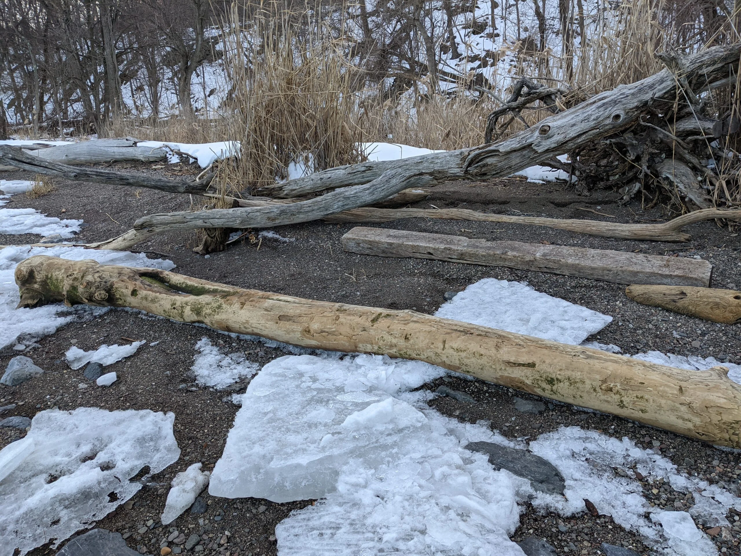
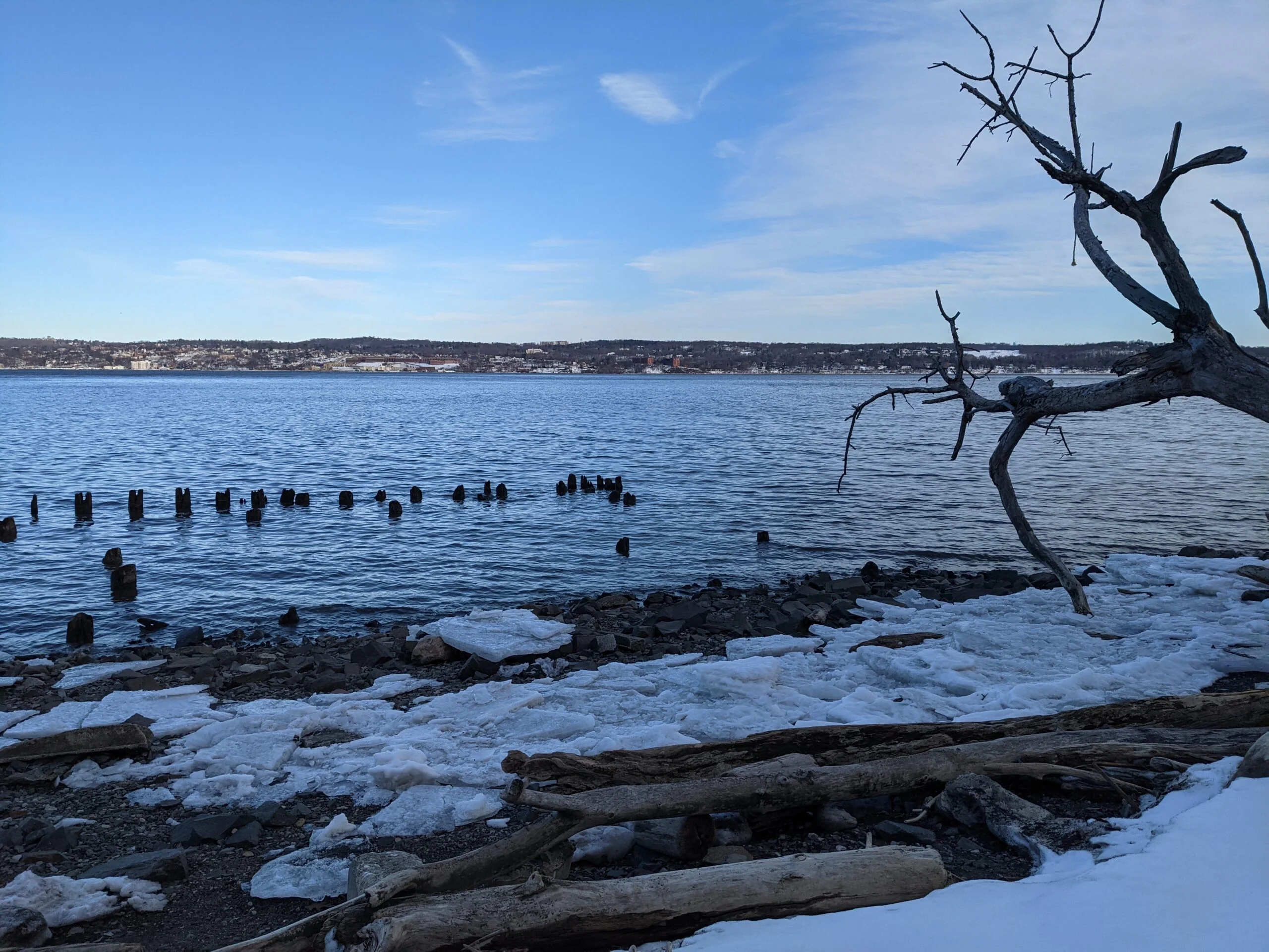
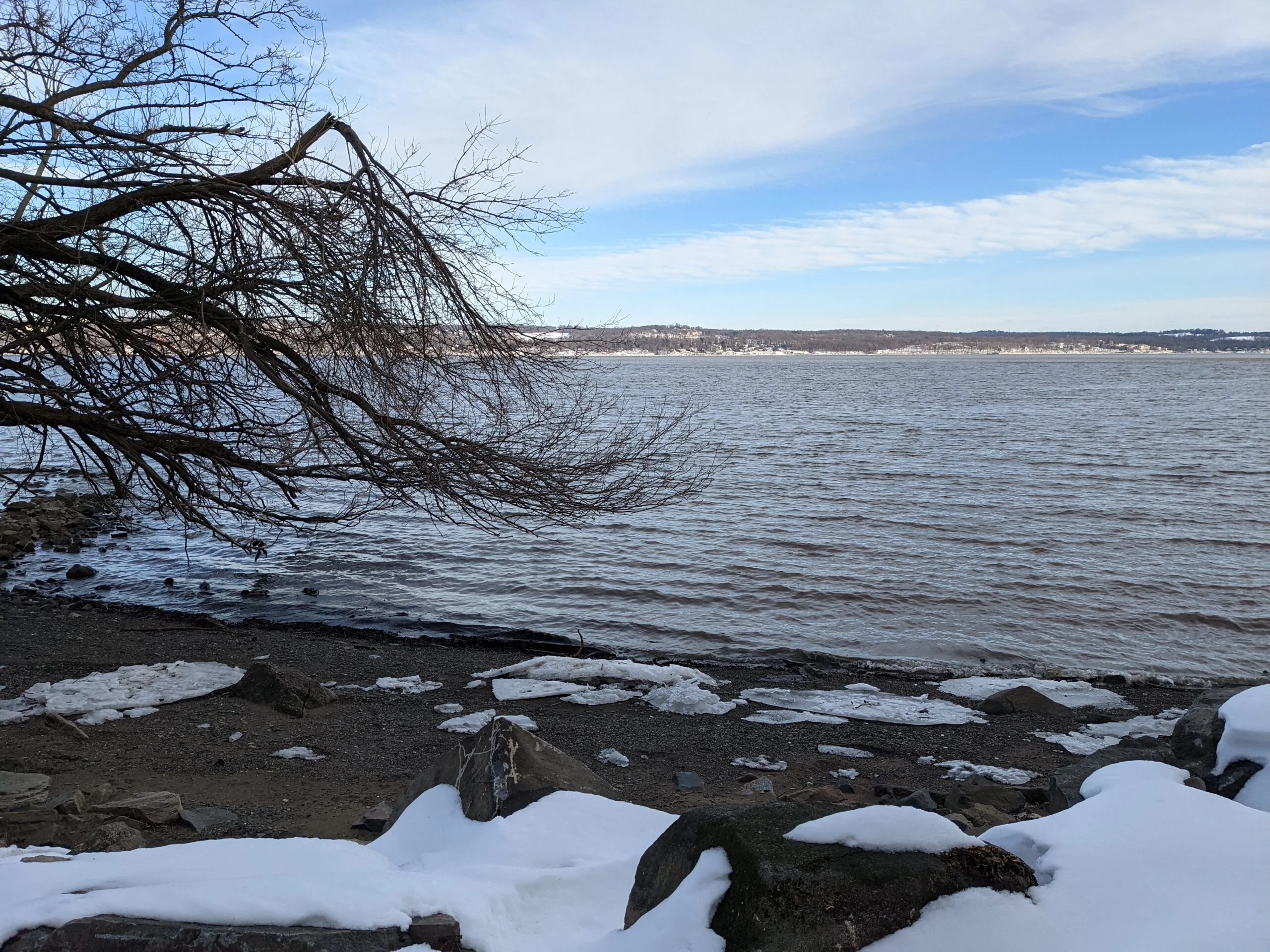
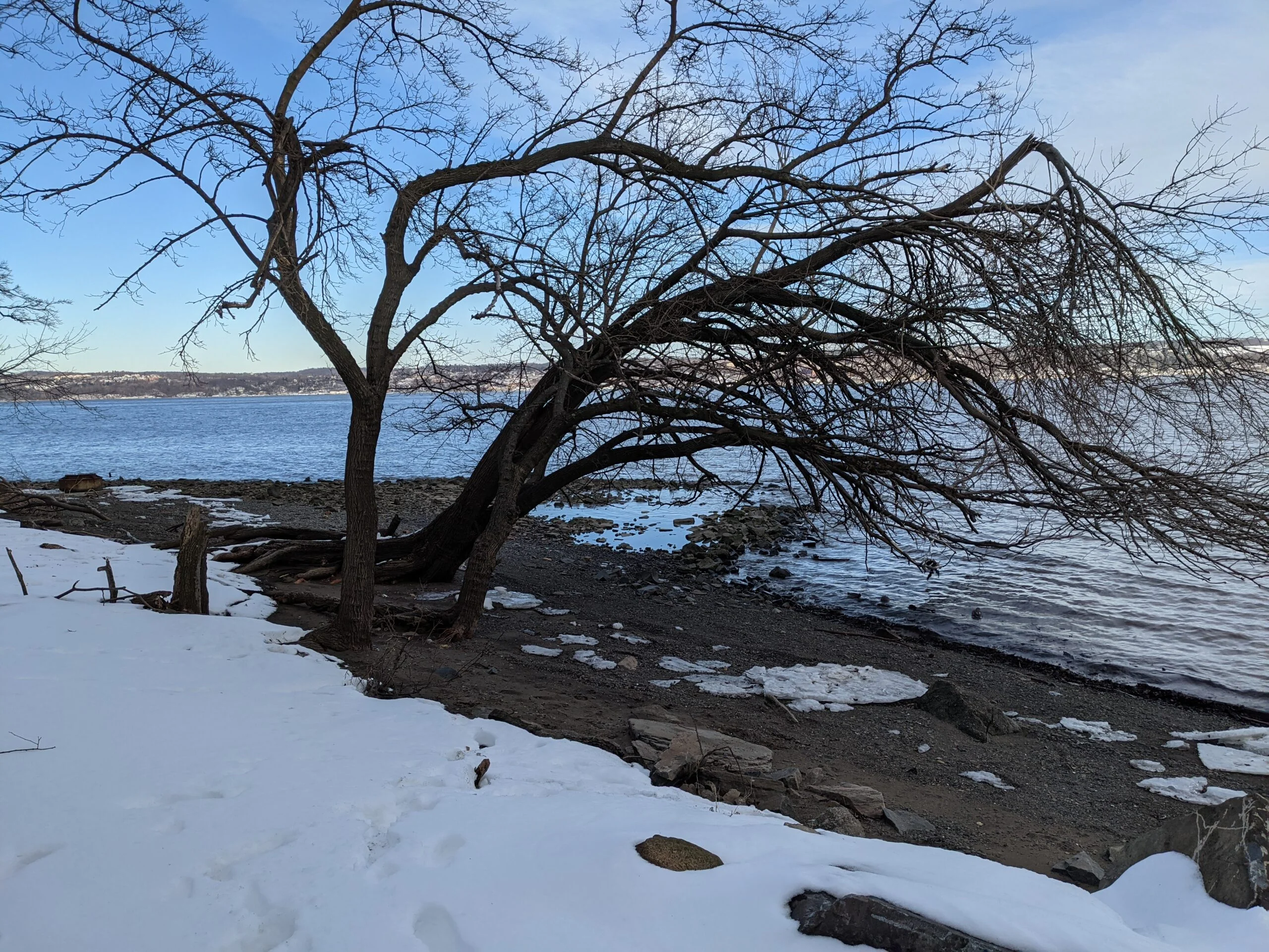
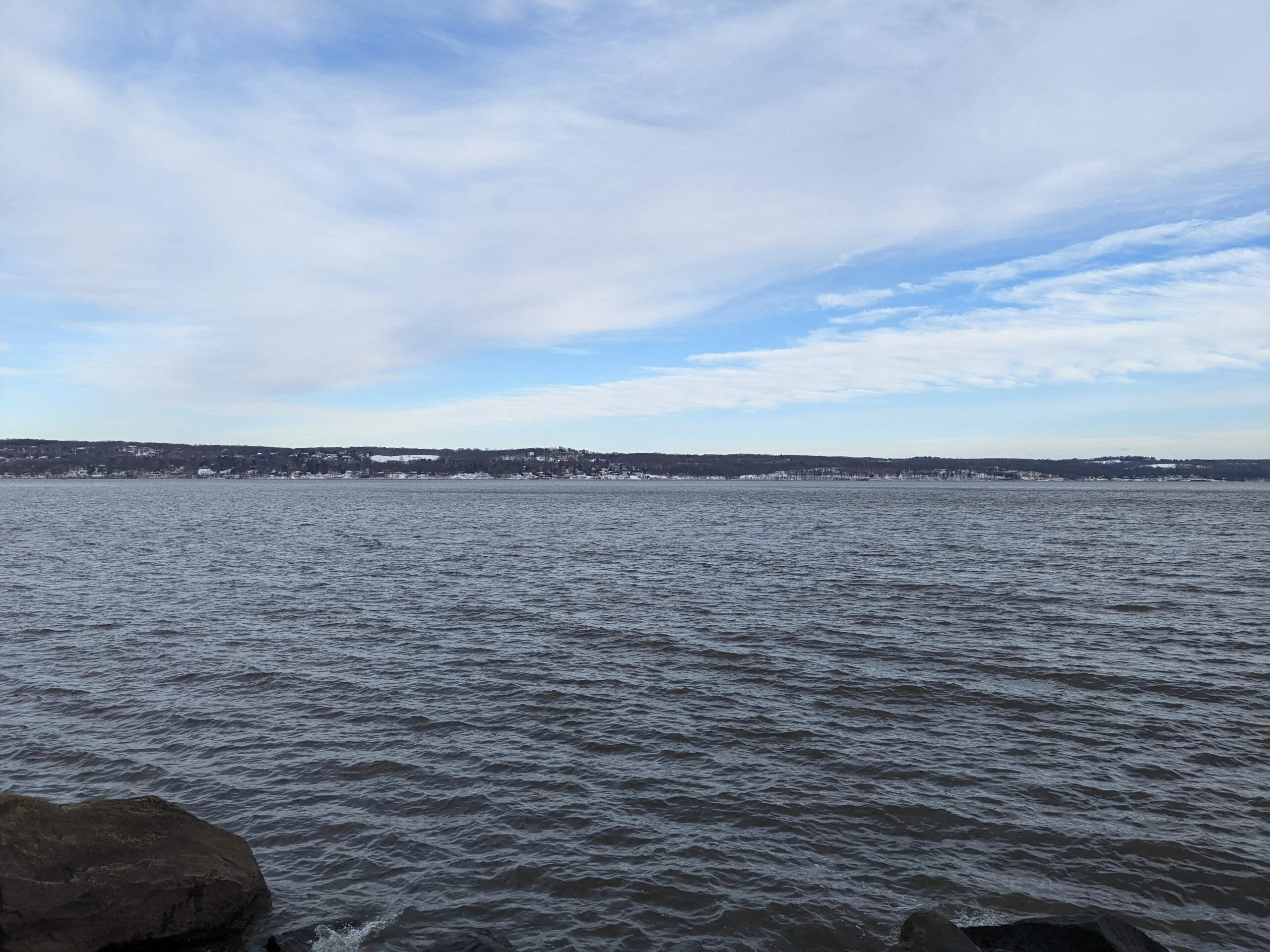
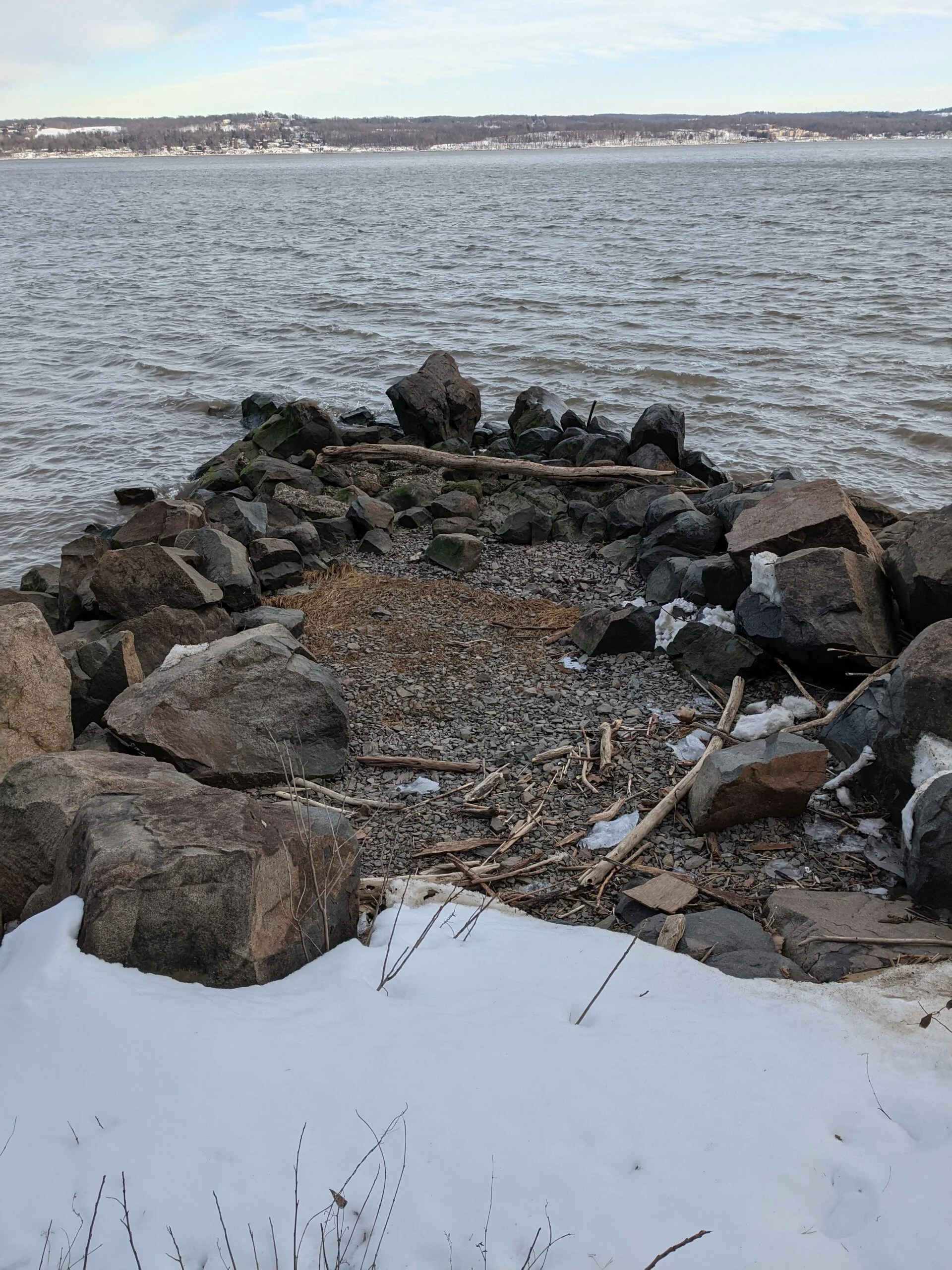
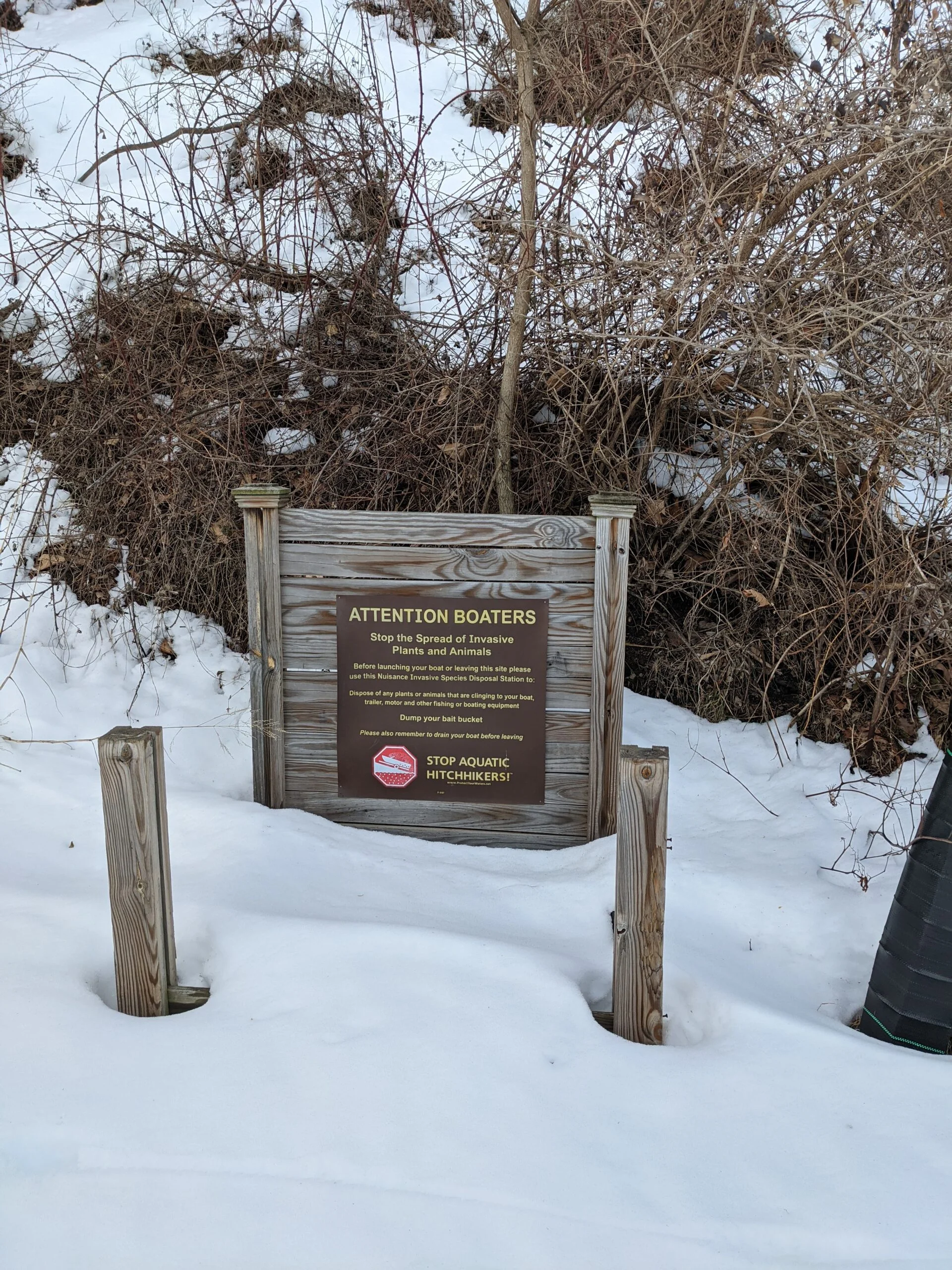
I headed the short distance down Landing Road to where I saw on the map there was an unmarked cut through trail to the Haverstraw River Trail along the shore line. This trail was not well traveled. In fact, it looked like maybe one or two people had used the cut through recently, probably because it’s a very steep decline of about 100 feet. I took my time, stepping gingerly with the heels of my boots and using my Black Diamond Alpine Carbon Cork Trekking Poles ($) to keep my balance. I made it down the hill without slipping and was immediately on the bank of the Hudson River.
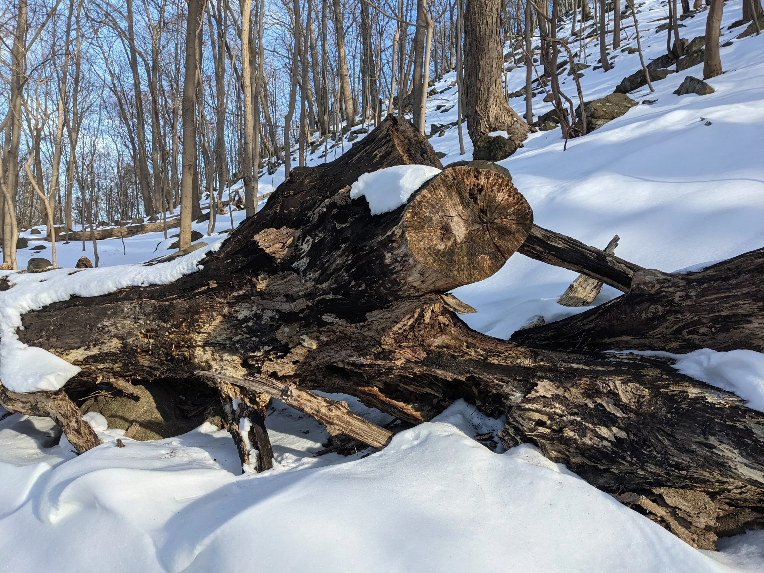
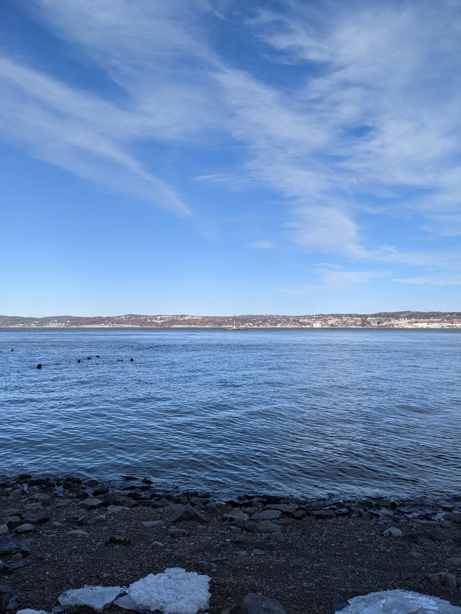
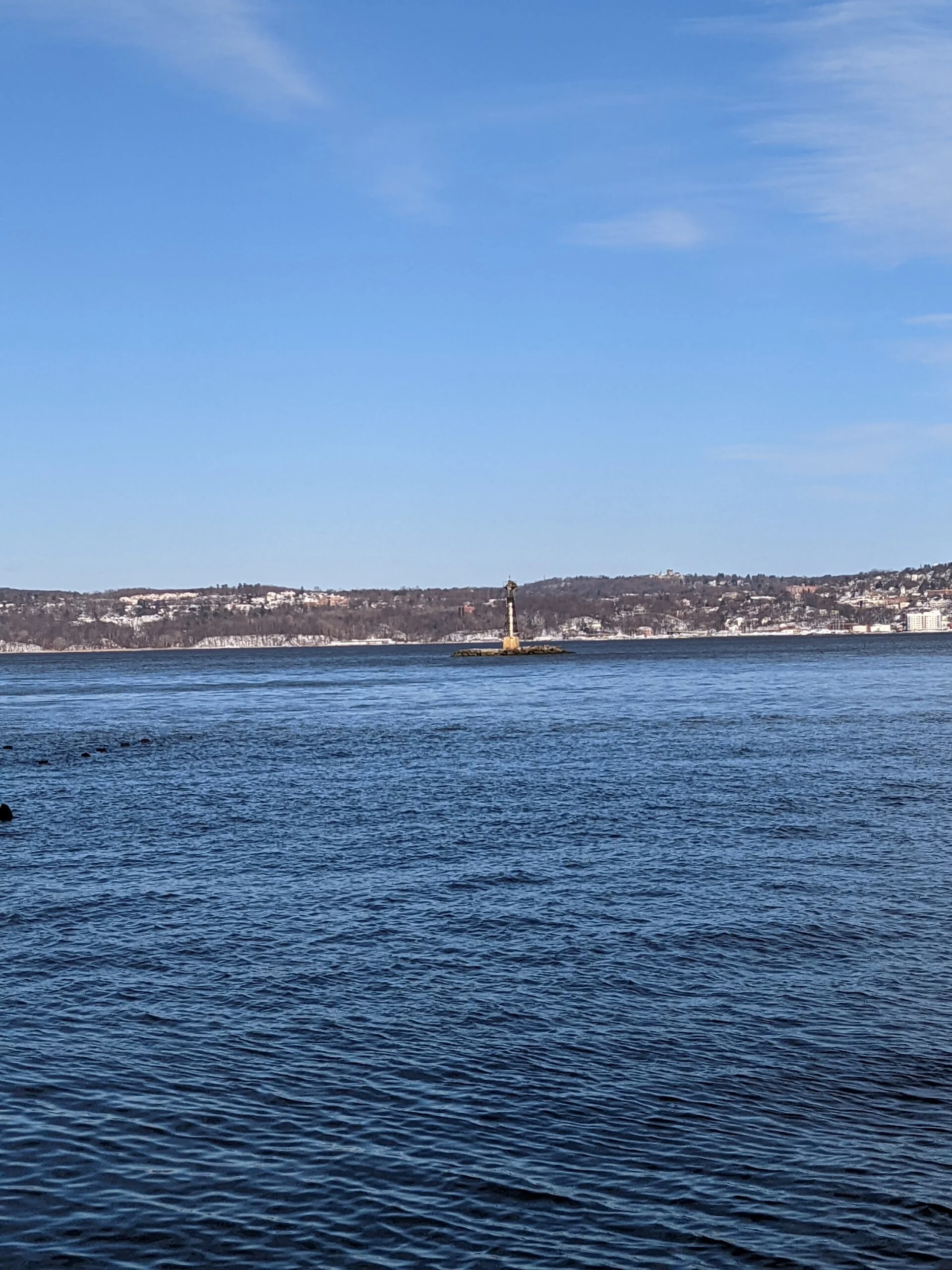
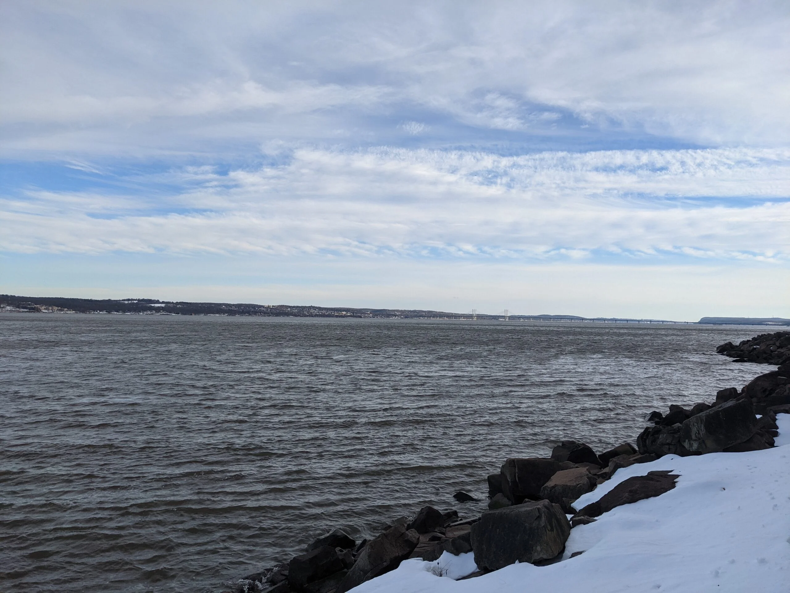
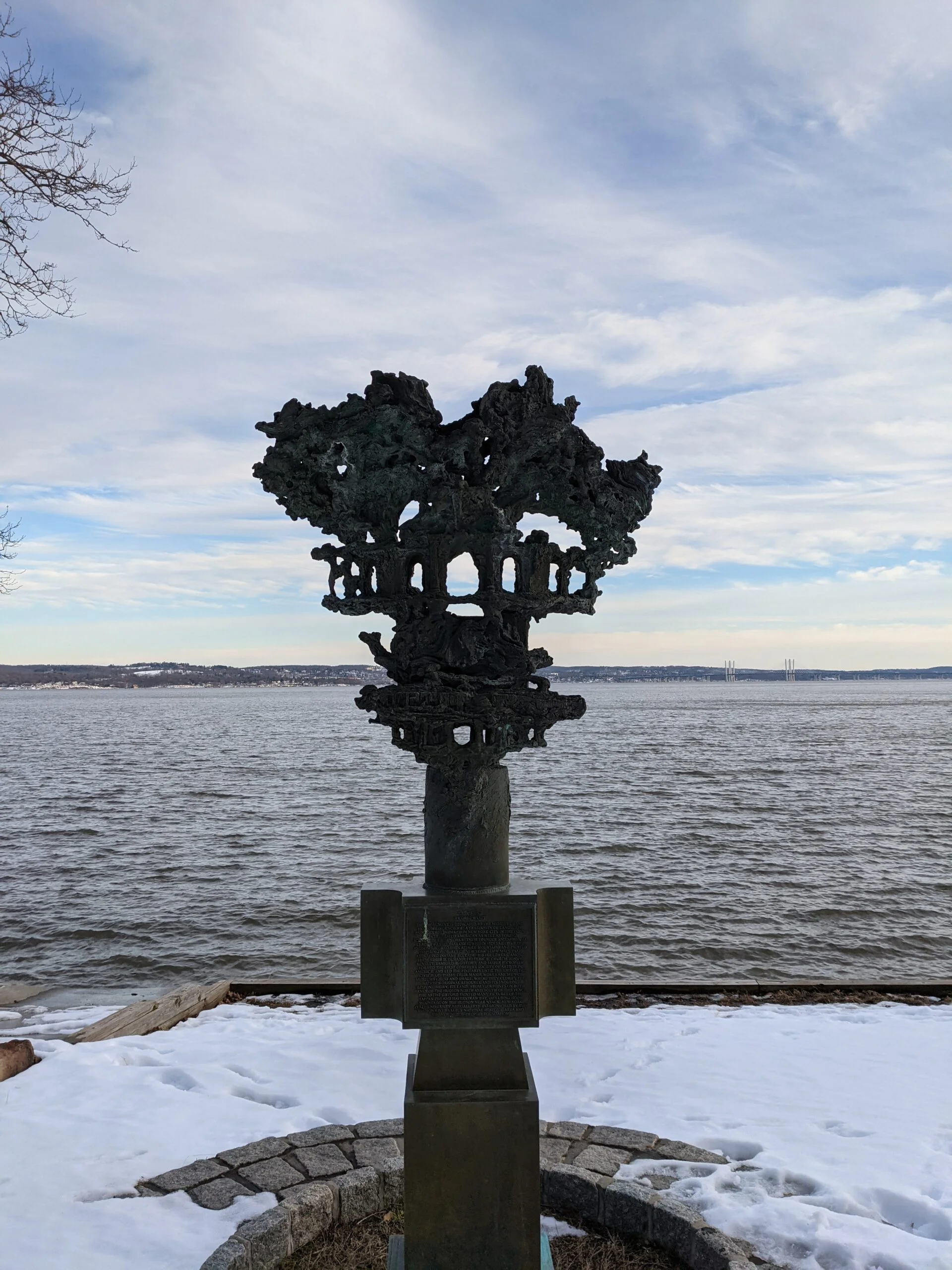
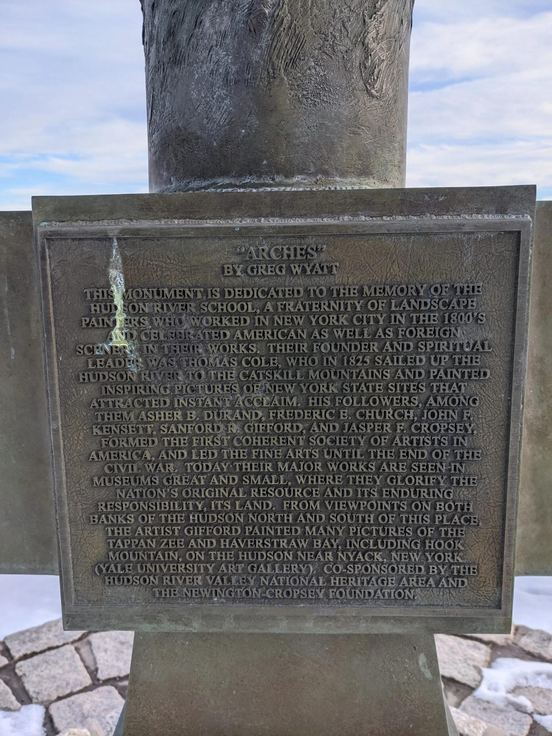
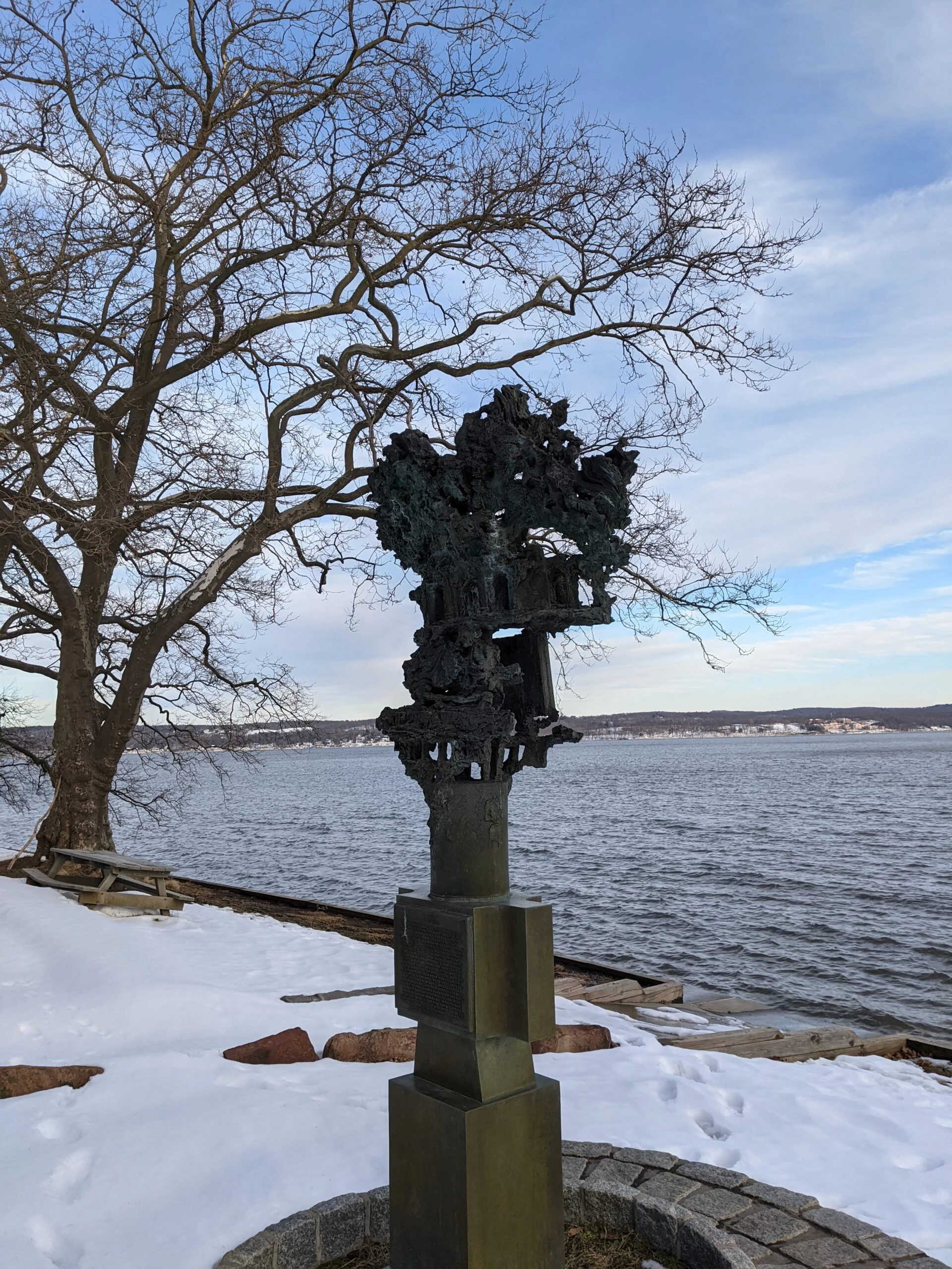
I was able to go out onto the rocks of the shore line and get a bunch of really nice photos of the river from this angle. I sat on some driftwood to take a break, snack on a PROBAR Meal Bar ($) and refill my water reservoir. The soothing sound of water crashing against the shore line made it almost feel like a warm summer day on the beach.
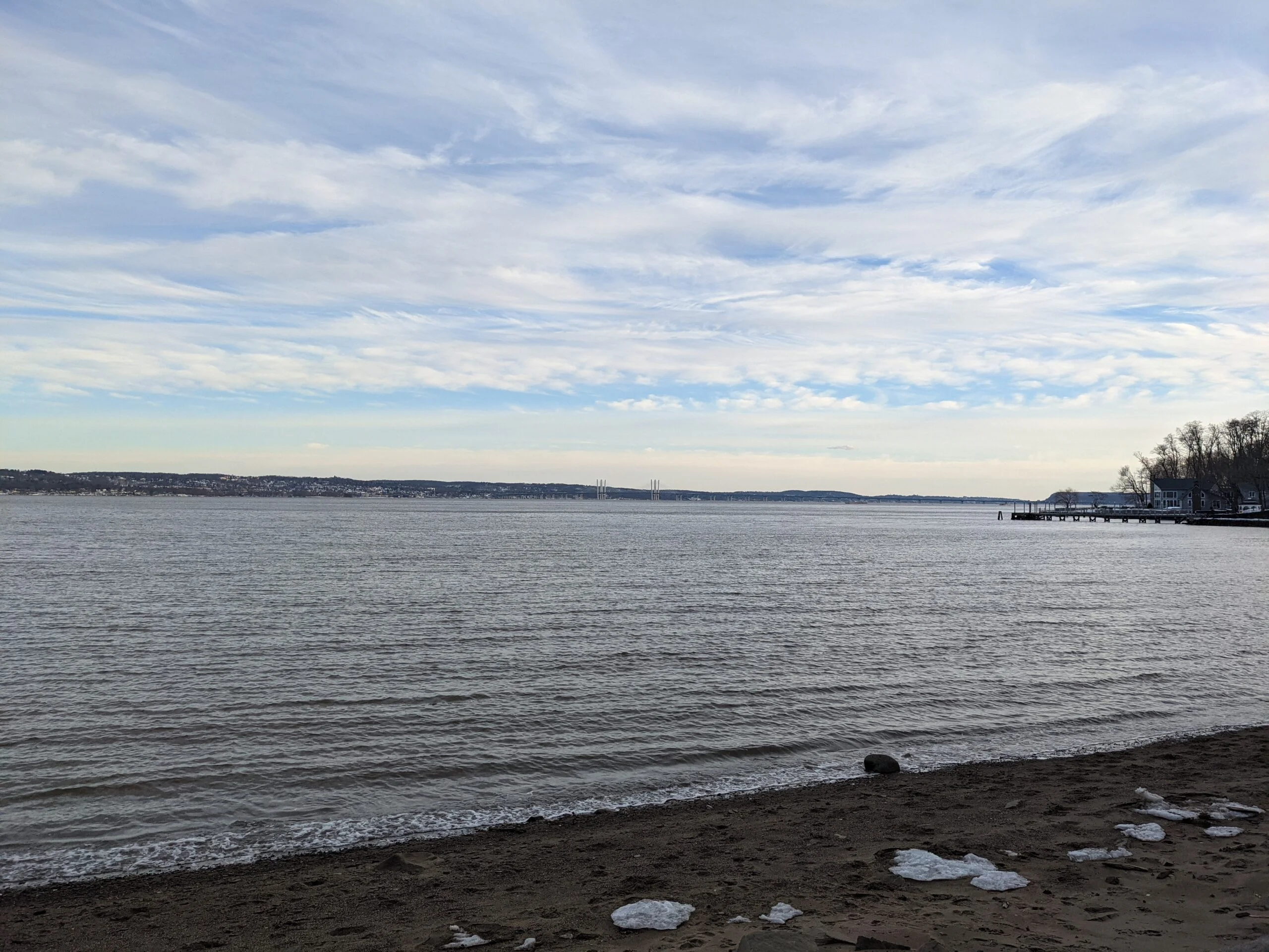
That sound would continue for the 2 mile walk south along the river path. The snow here wasn’t as deep and was packed down from recent activity, so I retracted my trekking poles and had a leisurely walk back to the entrance of the Hudson River Greenway Trail.
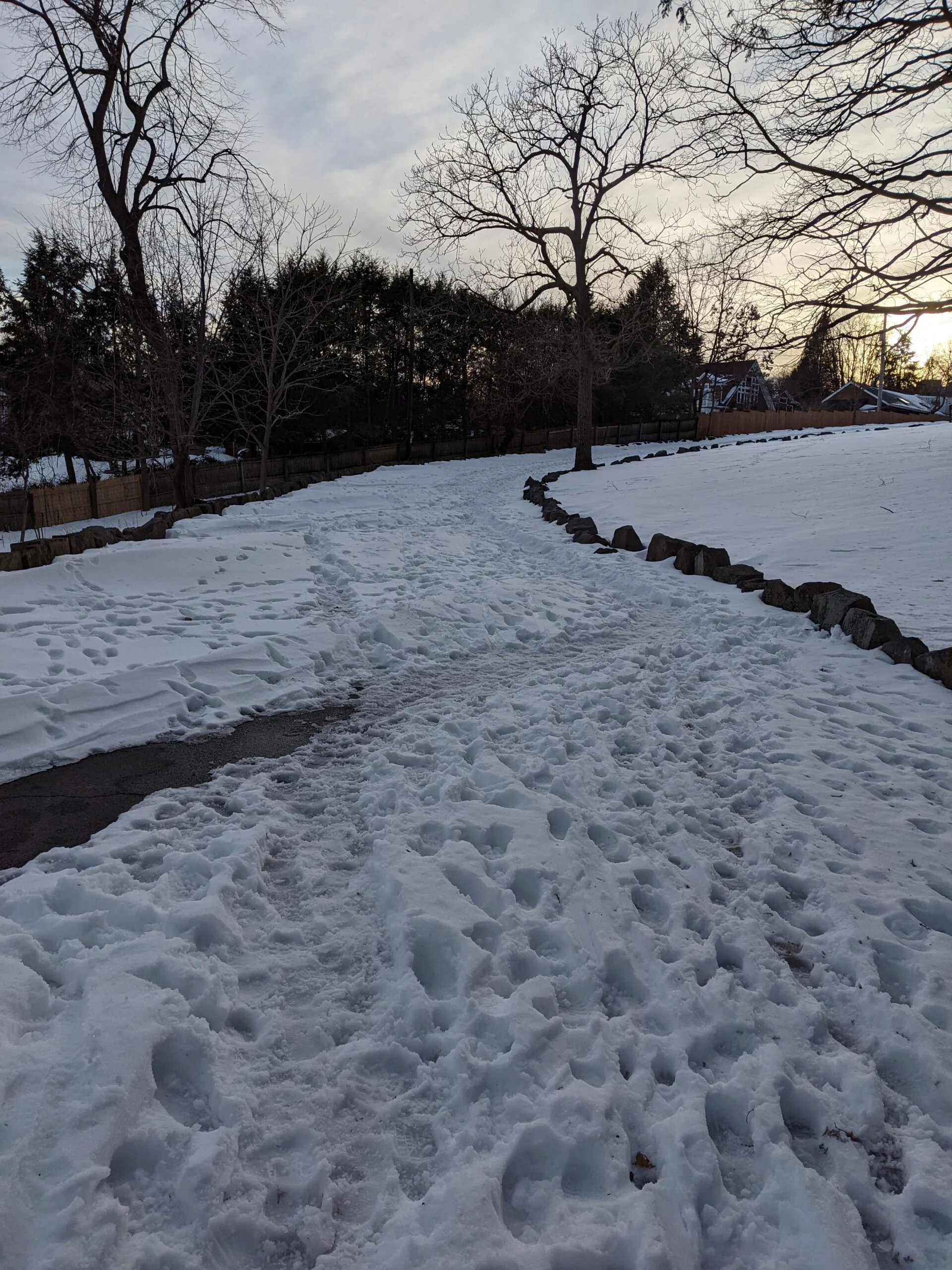
After leaving the park, the recommended route took me down a couple of residential streets. That was slightly disappointing, but after all I had experienced, it’s such a small part of the hike that it’s not too detracting from the experience. After turning onto N Midland Ave, I found the other end of the white blazed trail I started on and followed that back to my car. This is a unique trail wedged between several residential properties, complete with a couple small dogs announcing my presence on the trail.
This was an awesome hike with amazing views and I’m so happy I found it! I was a bit unprepared for how grueling snow hiking is. The extra effort involved in lifting my feet and legs higher in the deeper snow did a number on my thighs and glutes. I’ll just be that much more ready for the next one!
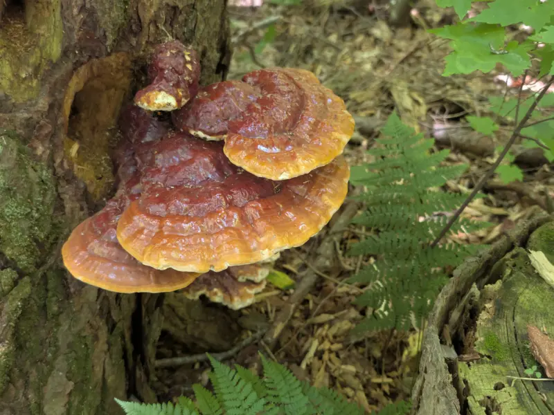
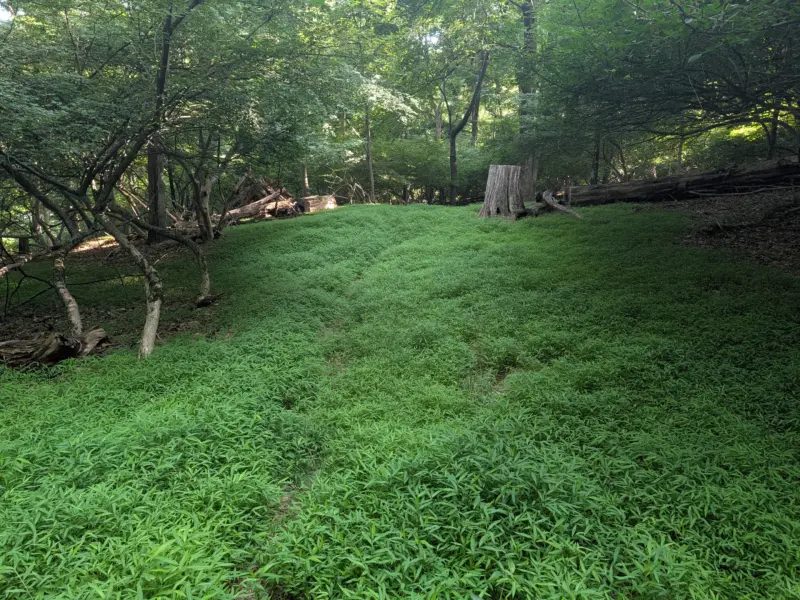
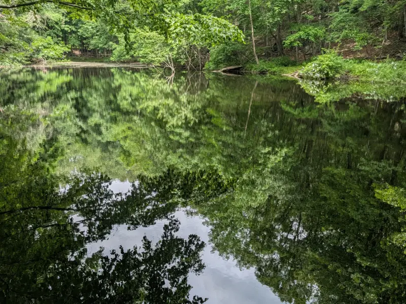
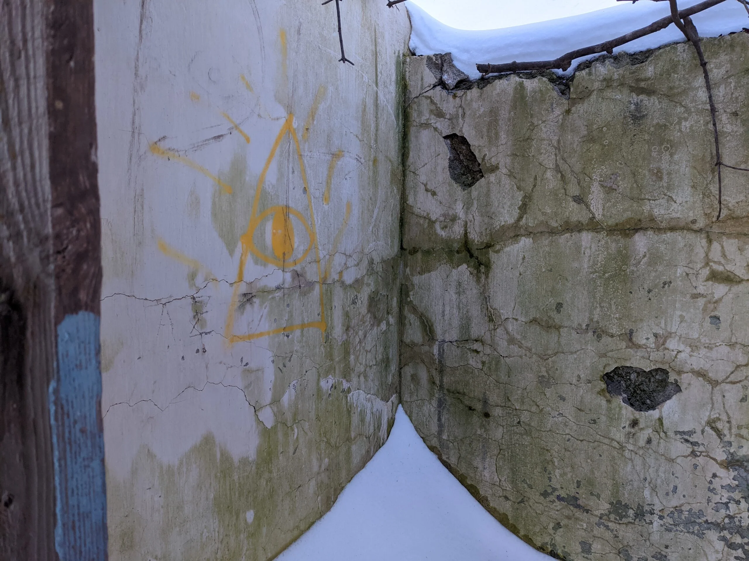
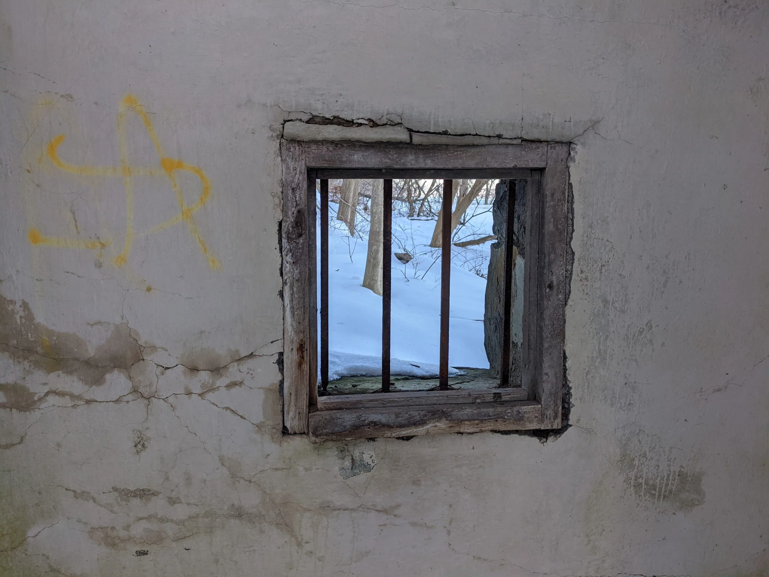
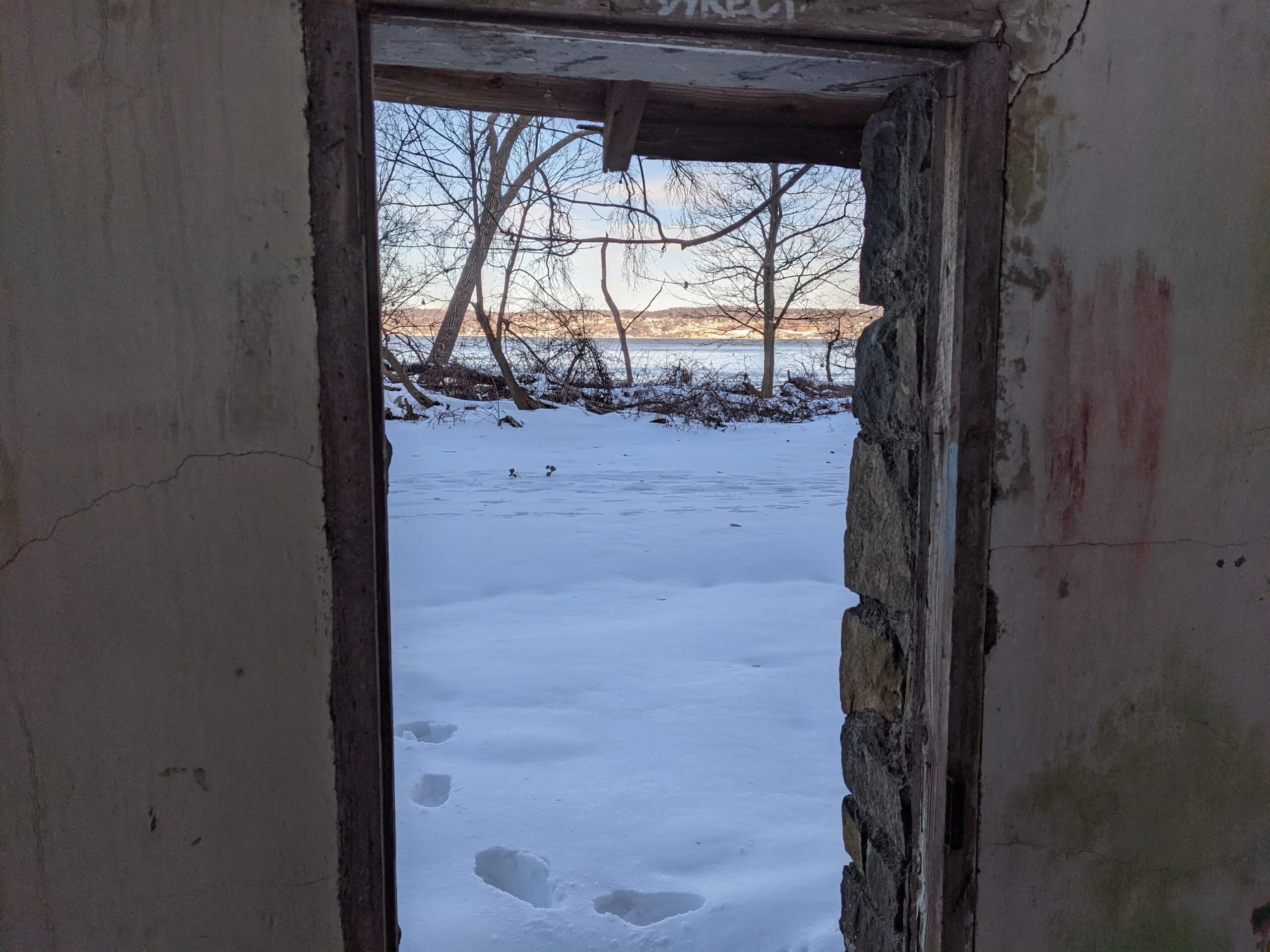
Photos


GPS Route & Elevation
Loads an interactive map; map tiles are served by the U.S. Geological Survey, which receives your IP address. Learn more about maps and your privacy