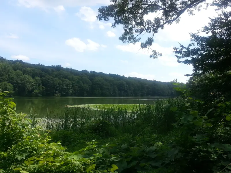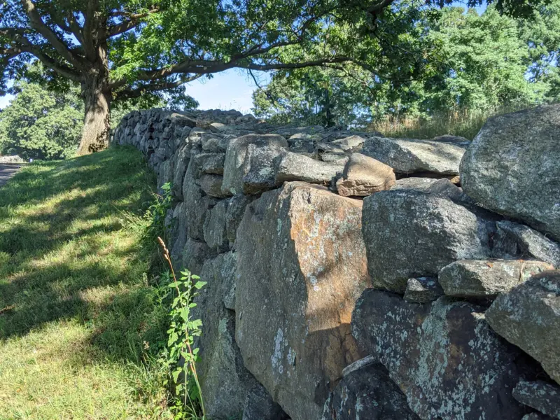
Rockefeller State Park Preserve – Swan Lake, Buttermilk Hill, Rock Wall Loop, Spring Trail
- 7.8 mi
- 626 ft gain
- 02:57:13
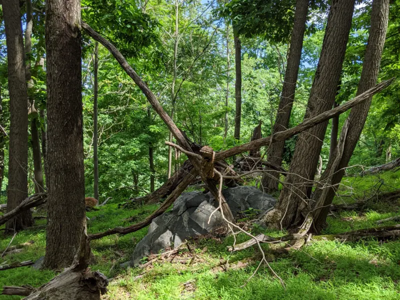
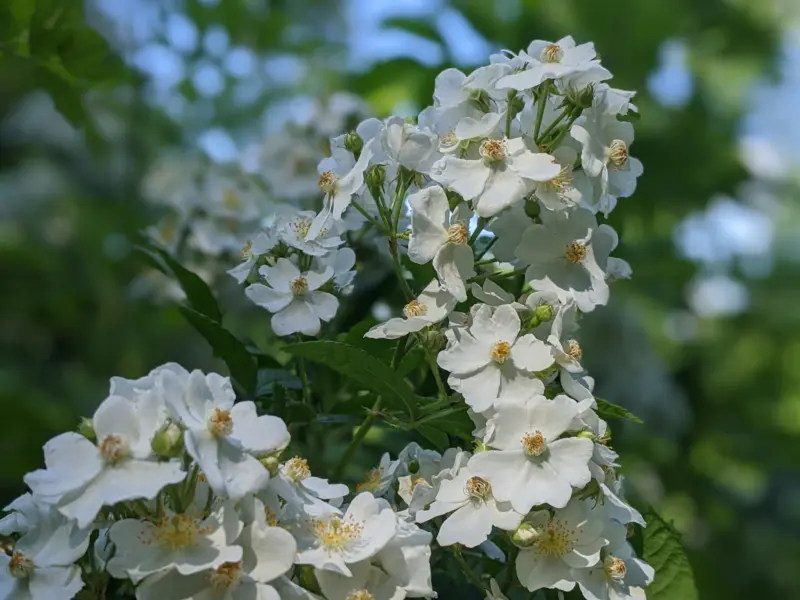
Overall, I considered this more of a walk through and near wooded areas than a hike. All of the paths I ended up on were dirt or gravel carriage paths with little canopy and it sometimes felt like walking down a quiet street. It was still great exercise and it was outdoors, but I'd much prefer being more enclosed by woods than this. Now that I have a better lay of the land, I'm going to do more research about Rockefeller State Park Preserve to see if there are more traditional hiking trails. There are over 45 miles of paths here, so there is plenty to explore on future visits!