Taxter Ridge Park Preserve – Yellow Trail, Woody Crest, Danny Gold Blue Trail, Orange Trail
- 2.5 mi
- 325 ft gain
- 01:05:25
- 31 photos
This was my first hike at Taxter Ridge Park Preserve and my first hike overall in several years. Due to COVID, I was still keeping to myself and had no plans for the Memorial Day weekend. Around 3 pm on Monday afternoon, I decided I needed to get out of the house for fresh air.
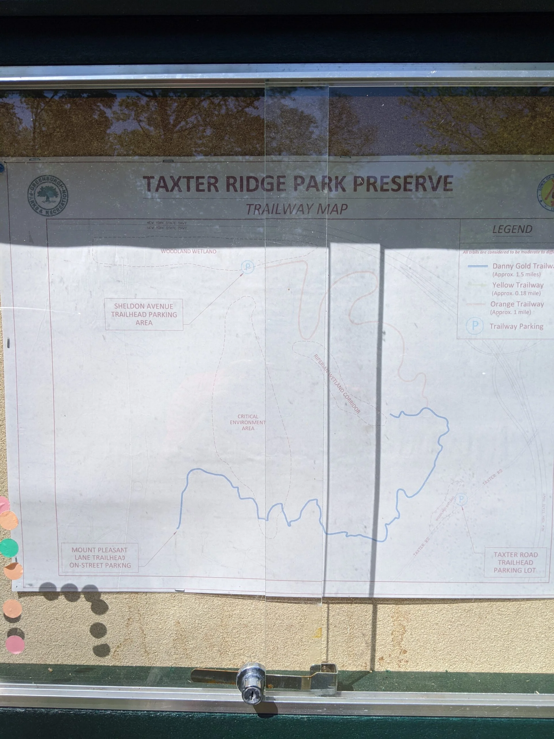
Having driven past this park many times over the years, I decided to give it a try. There are three ways to access the park: Taxter Road, Mount Pleasant Lane, and Sheldon Avenue. I started at the Taxter Road parking lot.
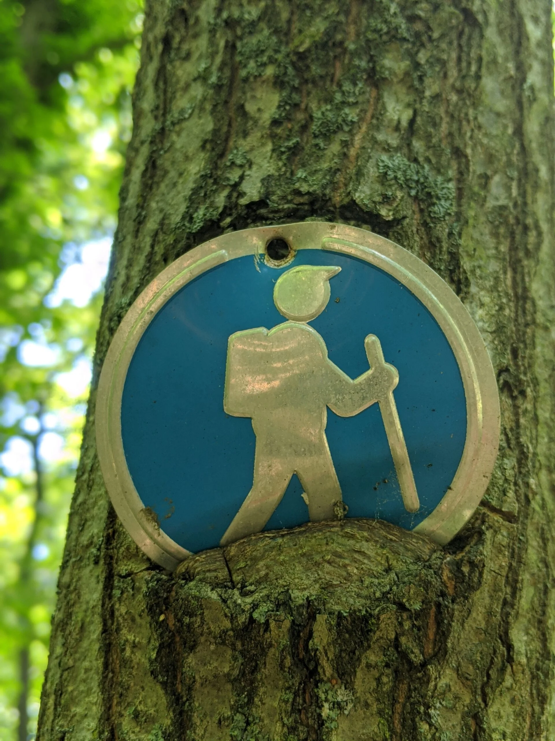
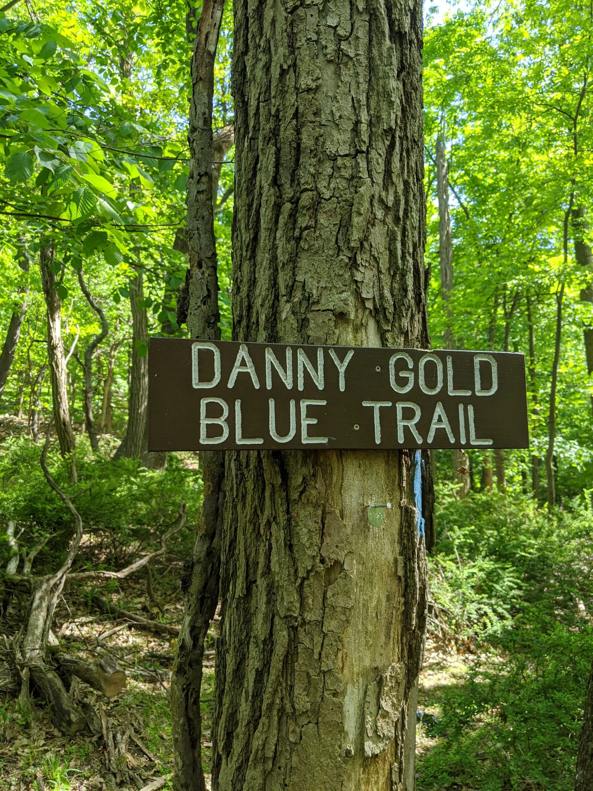
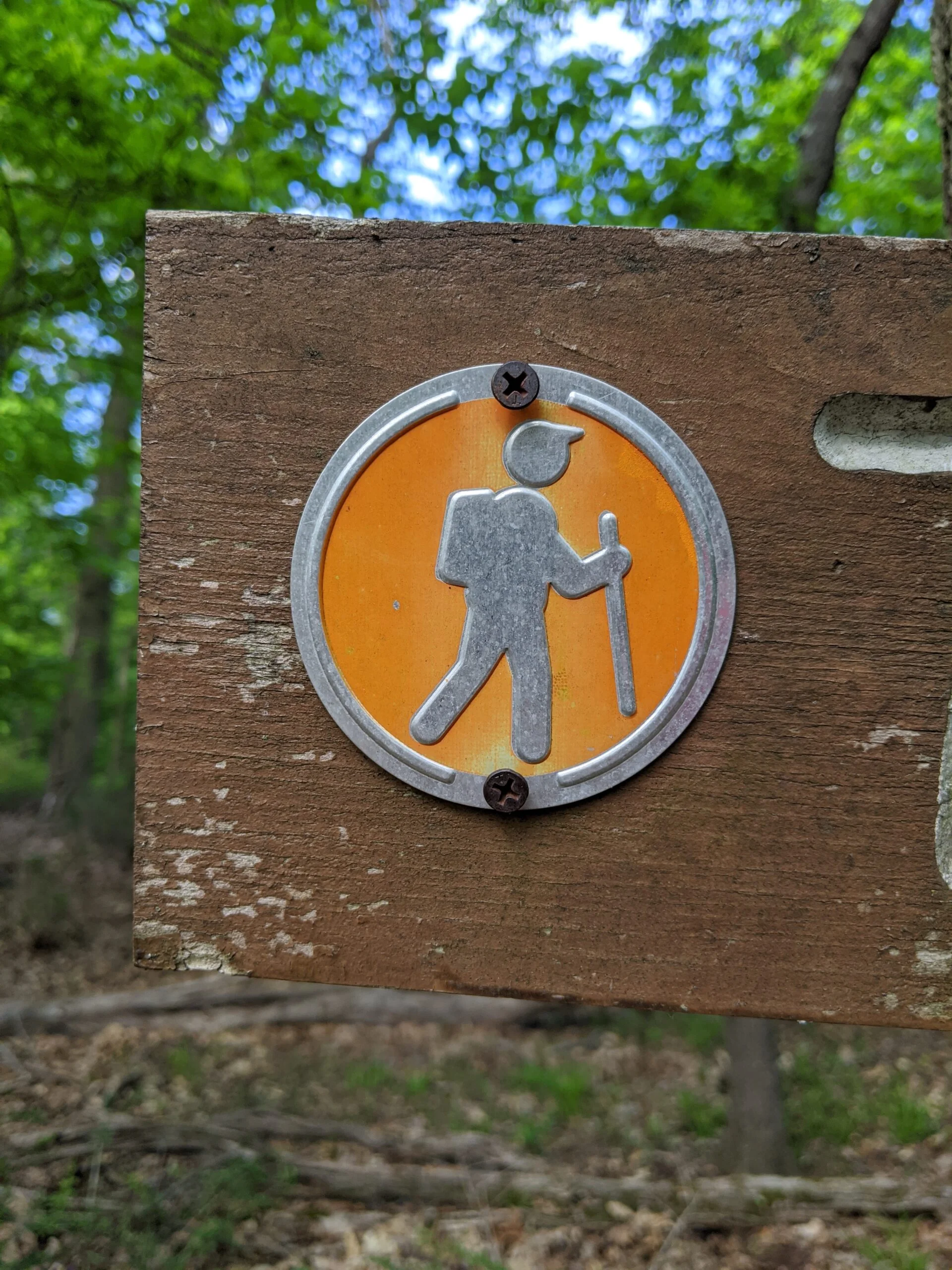
I stopped to look at the map at the trail entrance, which is very faded from the sun and difficult to read. There is a yellow trail that leads from the Taxter Road parking lot to the Danny Gold Trailway (blue), which can be taken either to the southwest or to the northeast.
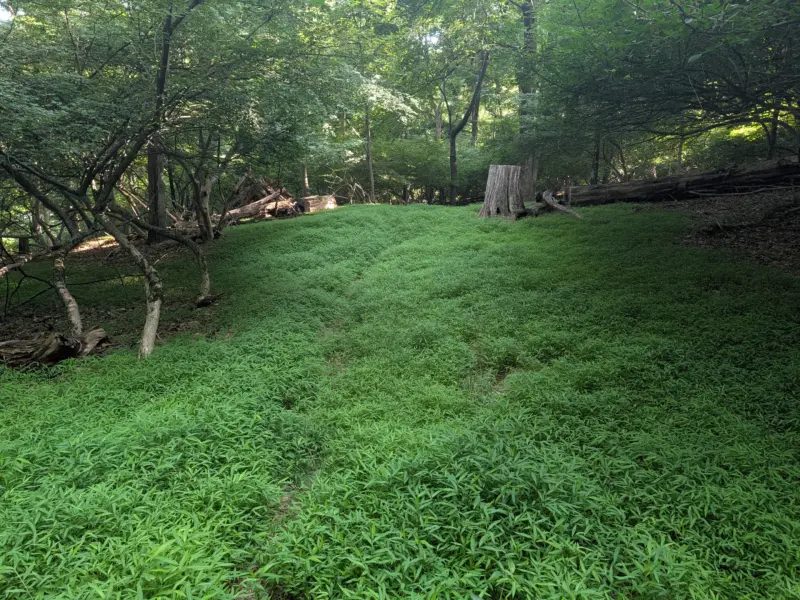
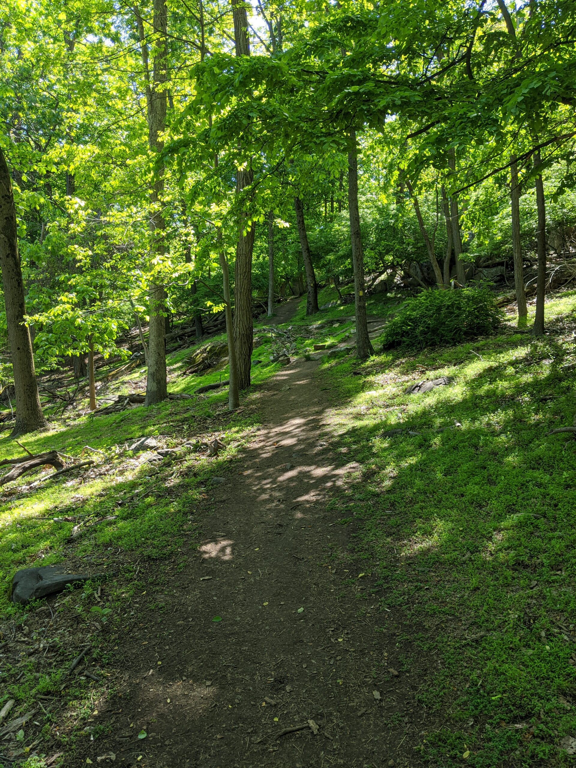
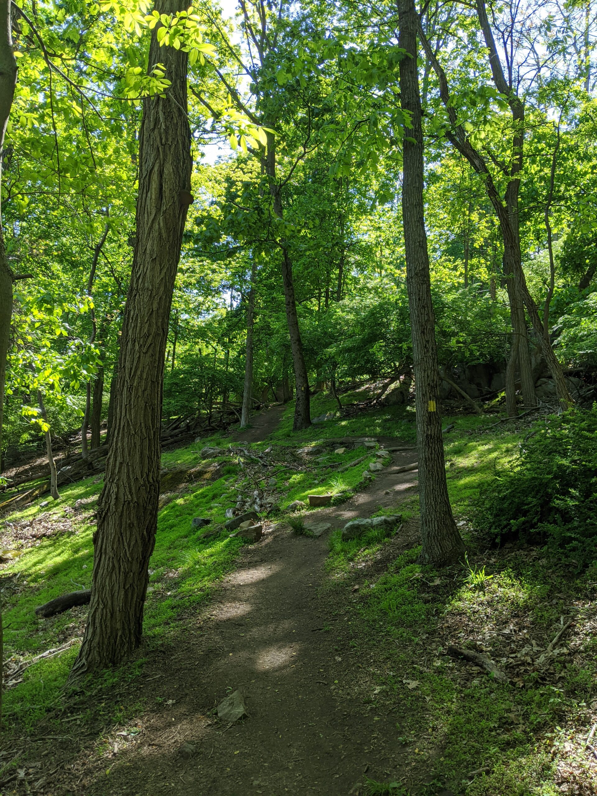
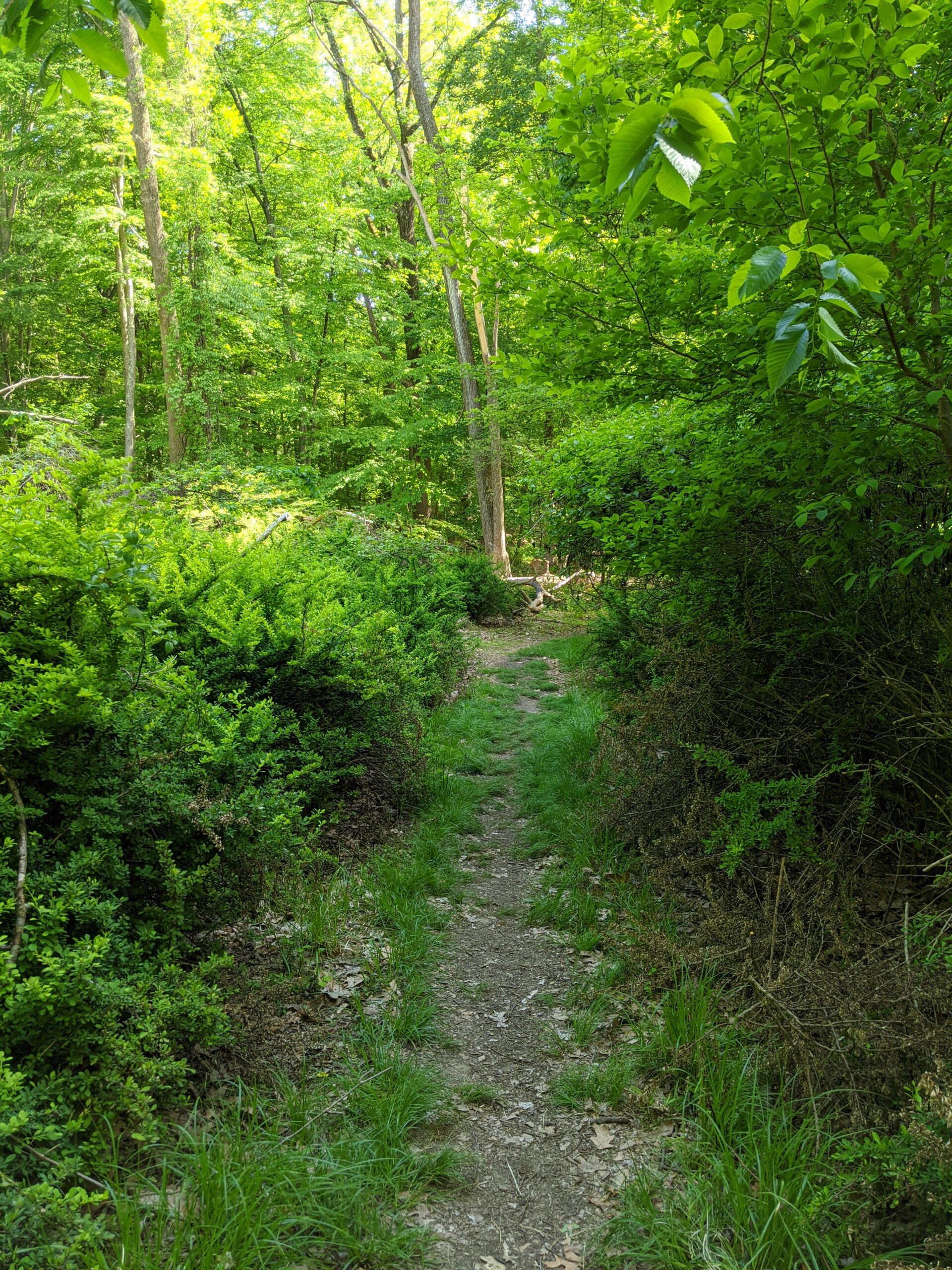
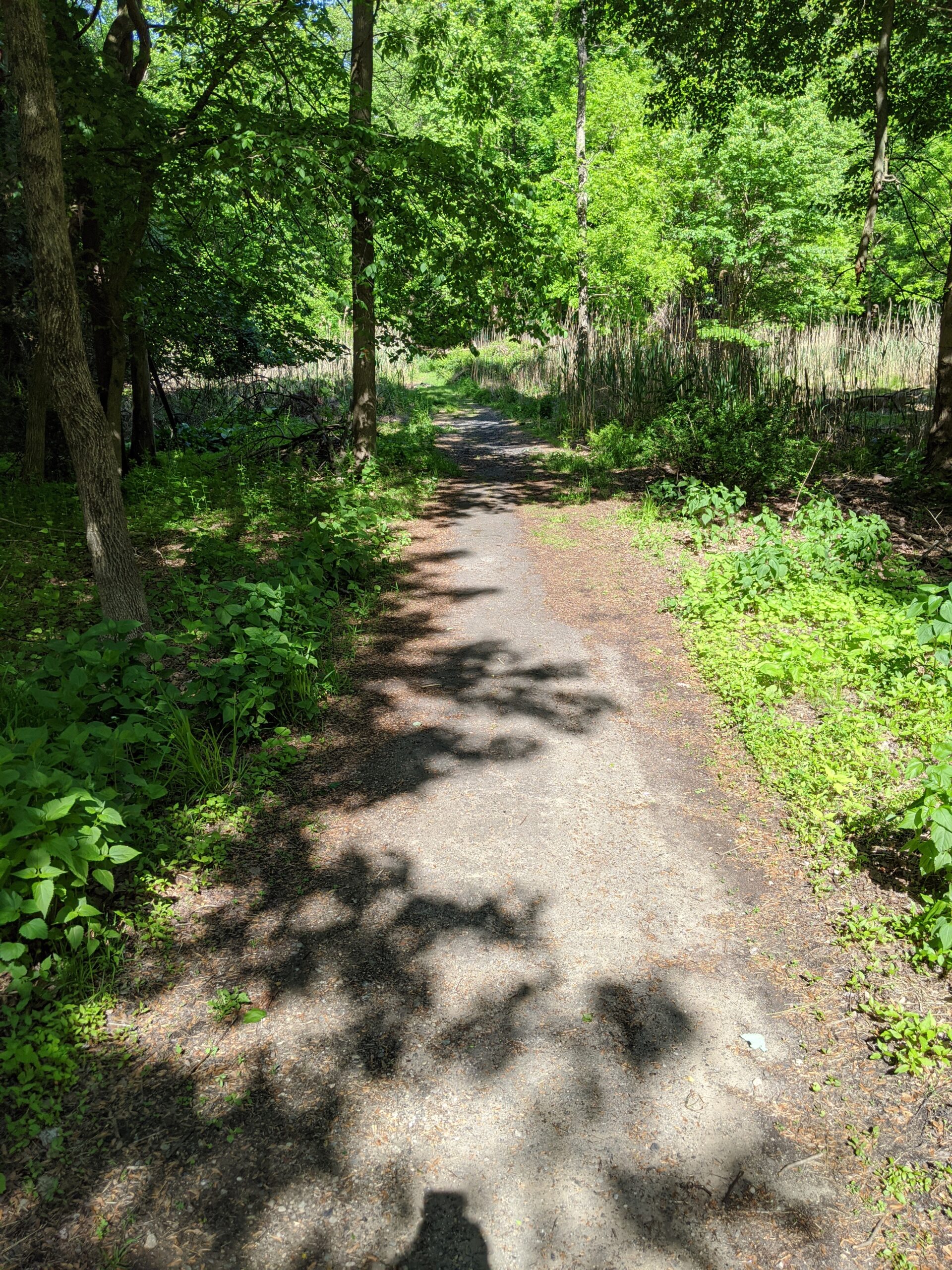
The yellow trail starts in a lush green area, then curves up a moderate slope. Once at the fork, I decided to go northeast (to the right) on the Danny Gold blue trail, which eventually lead me to the a fork the orange trail, which I then took.
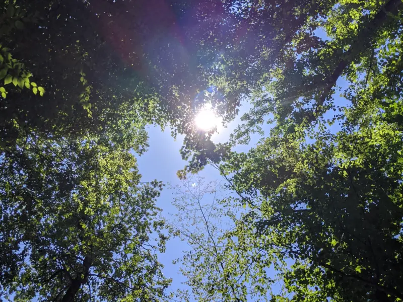
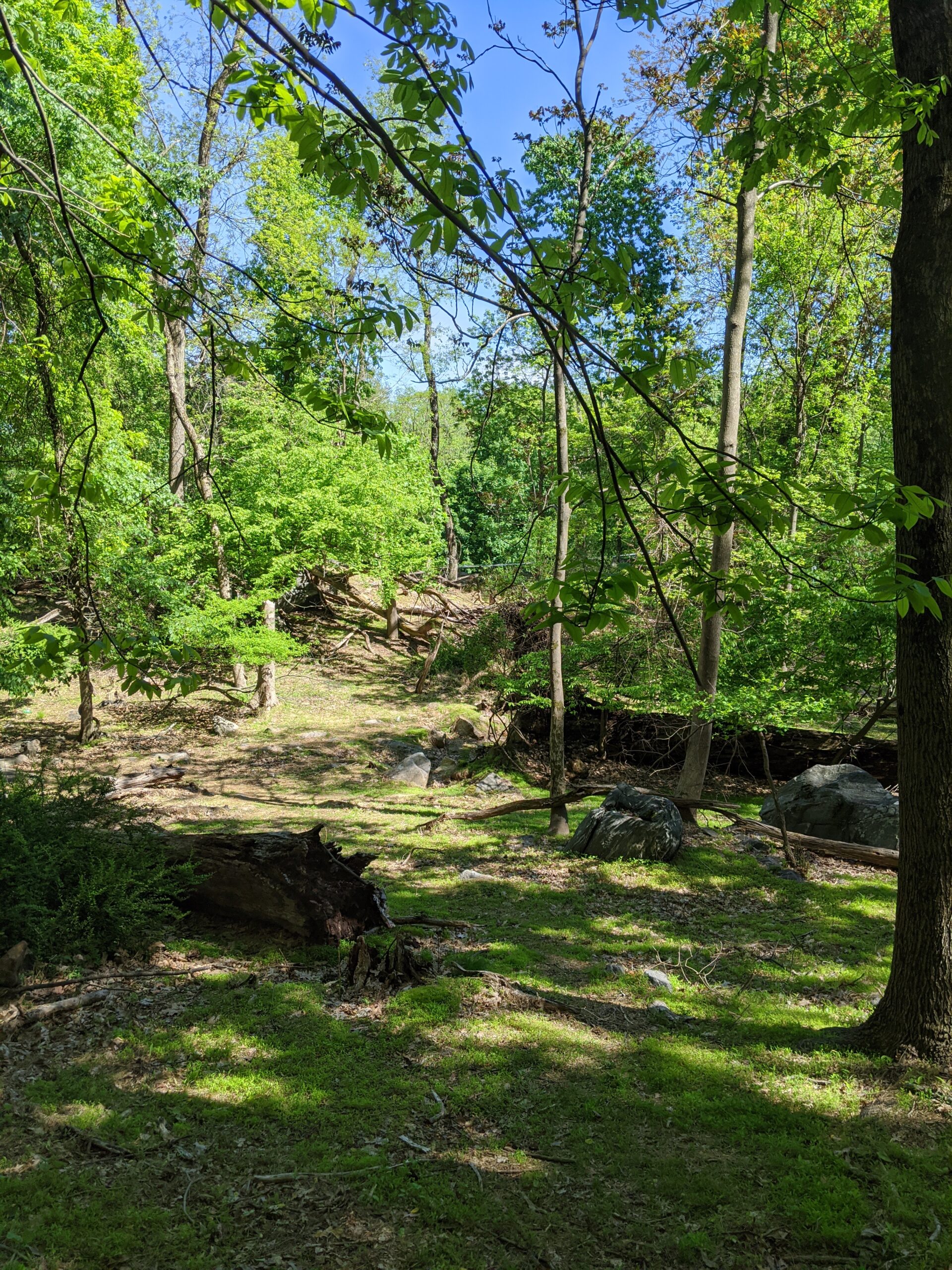
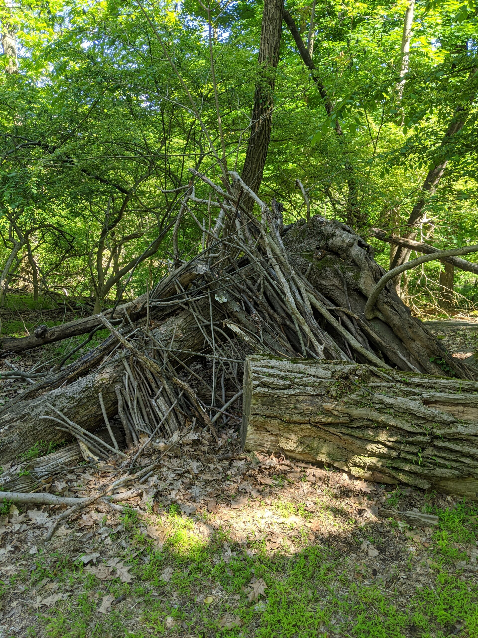
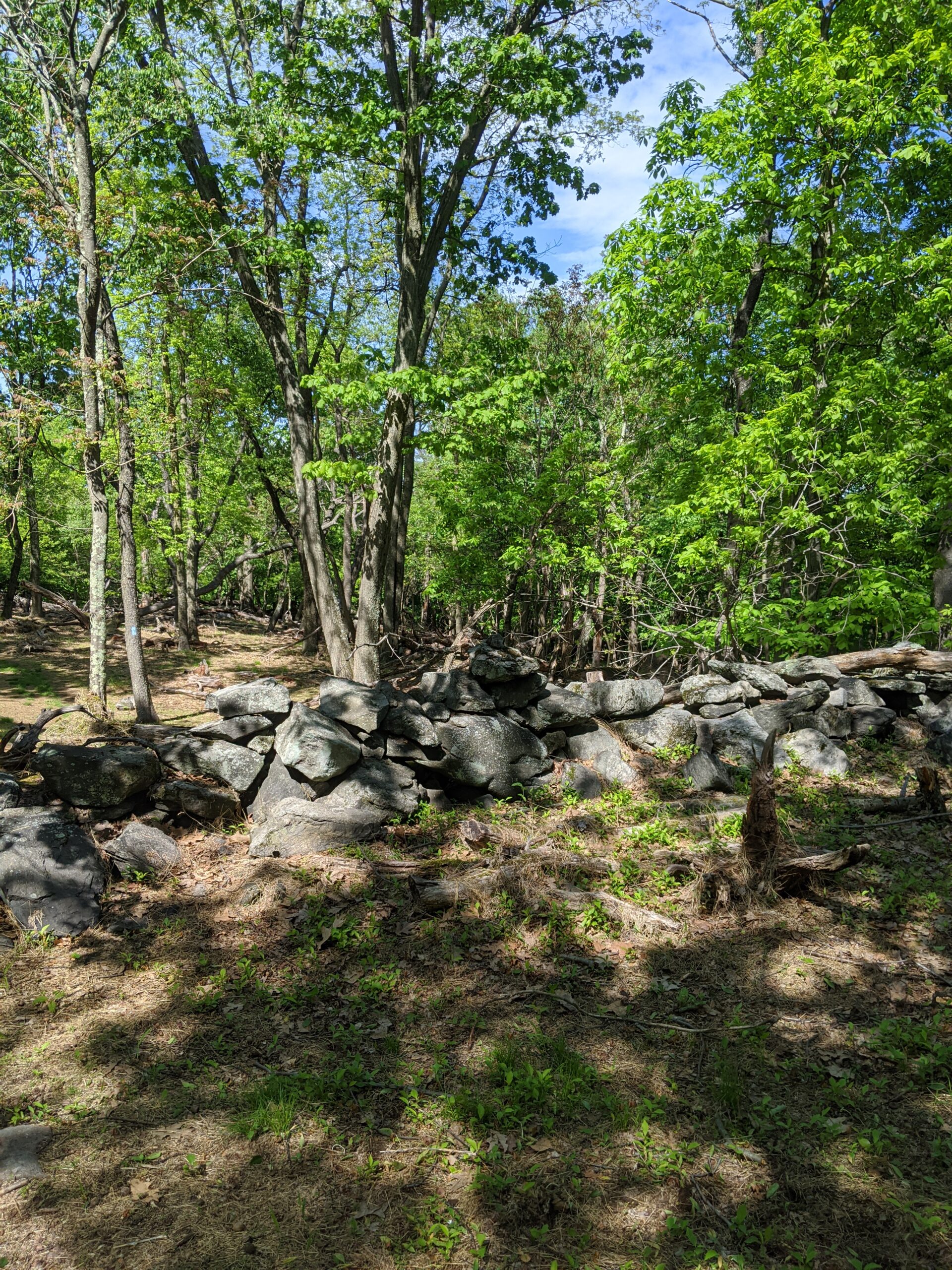
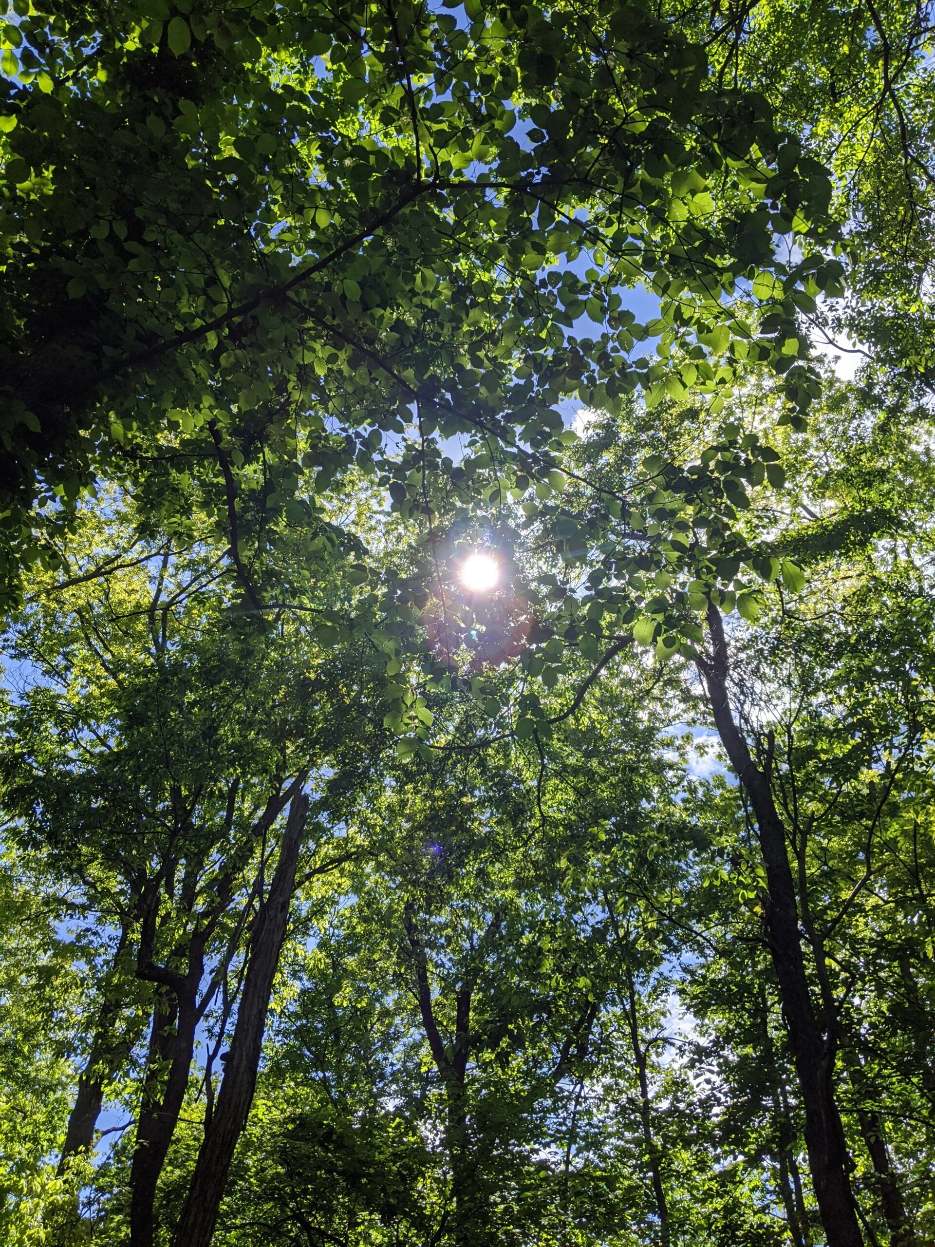
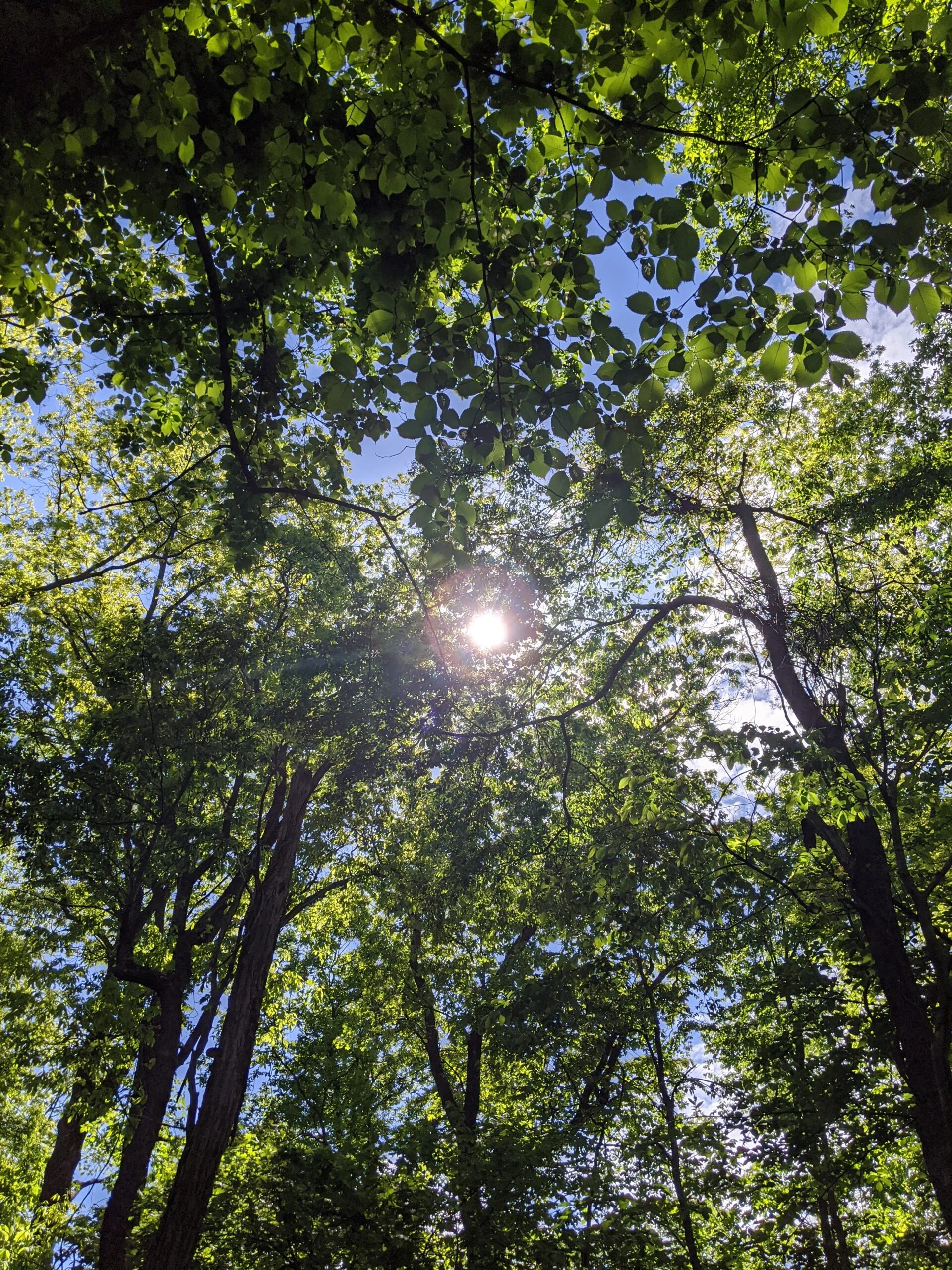
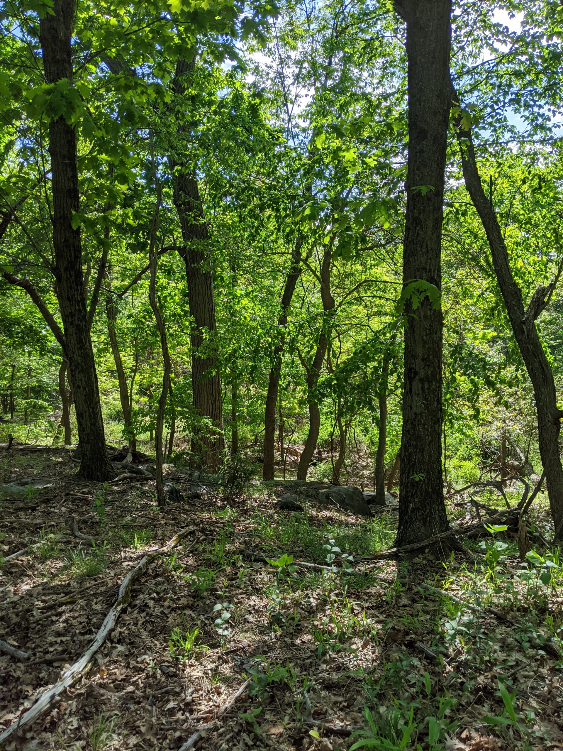
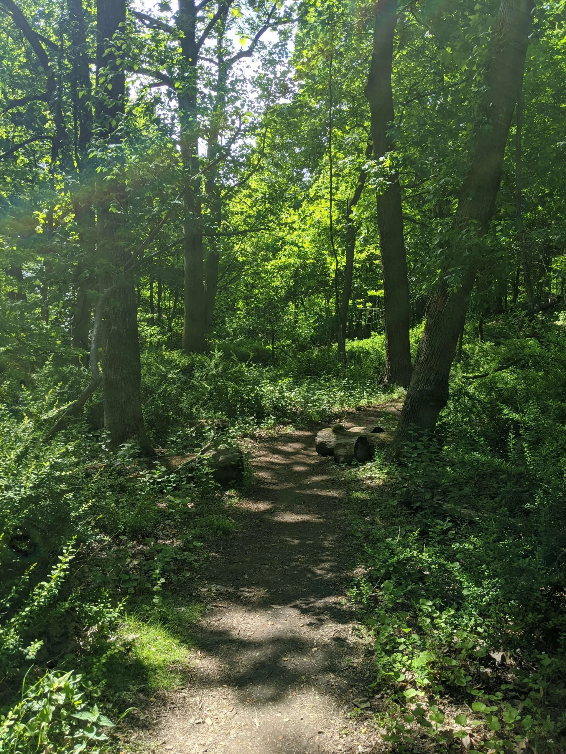
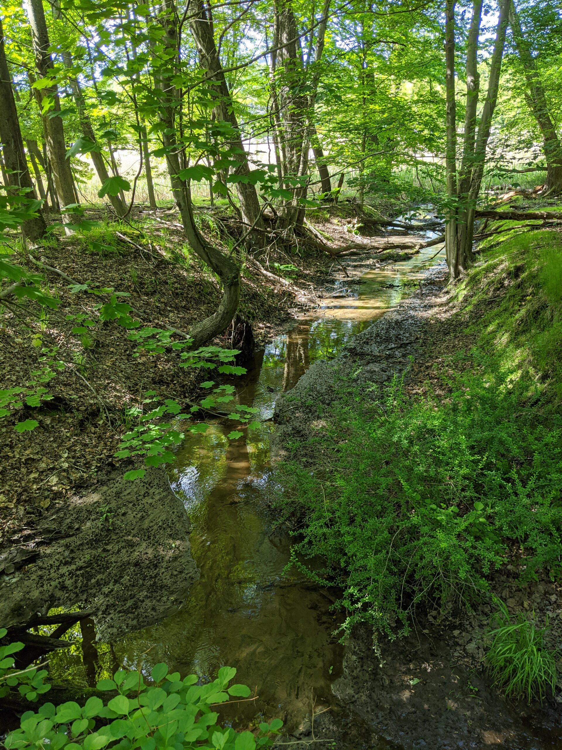
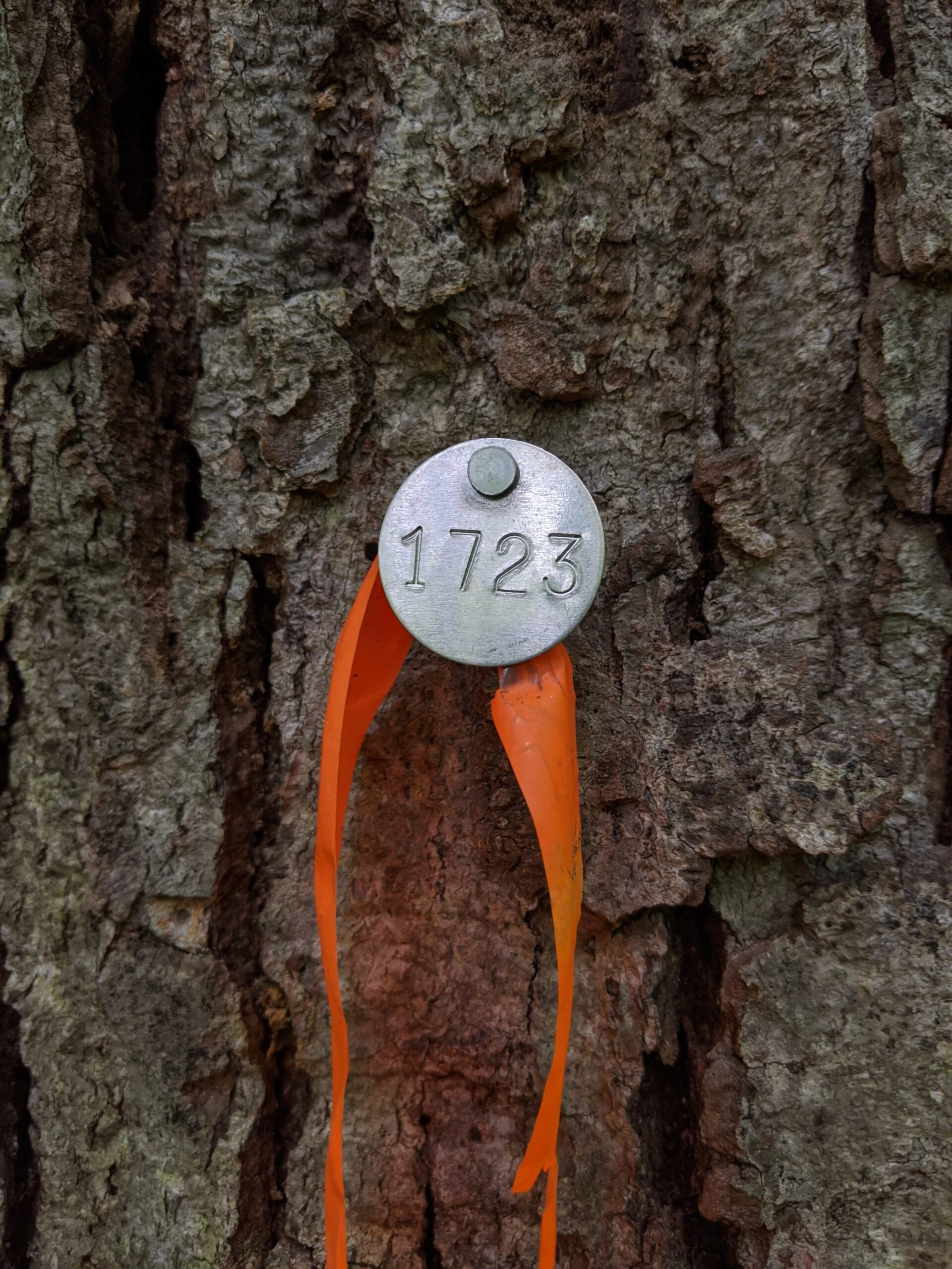
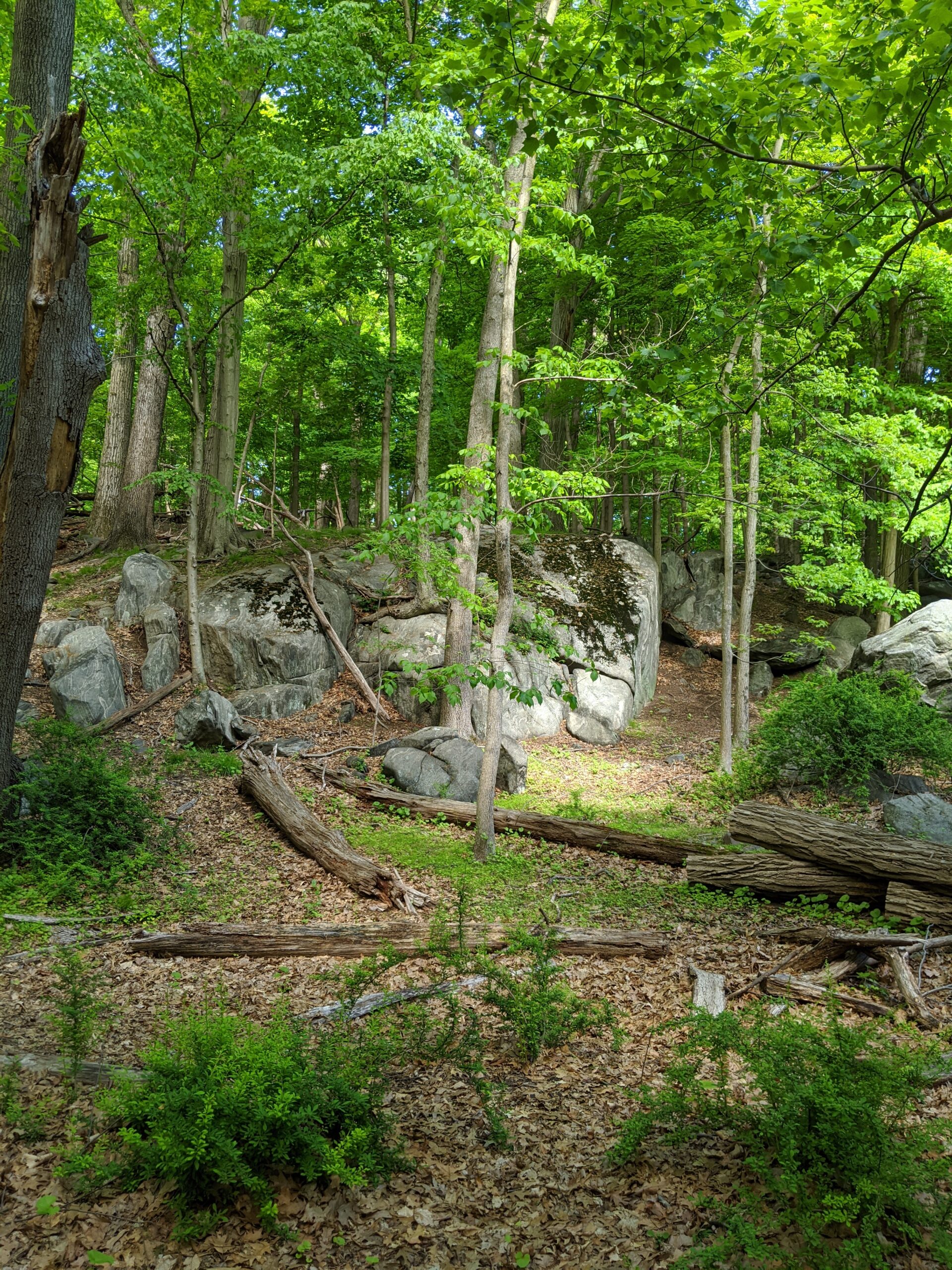
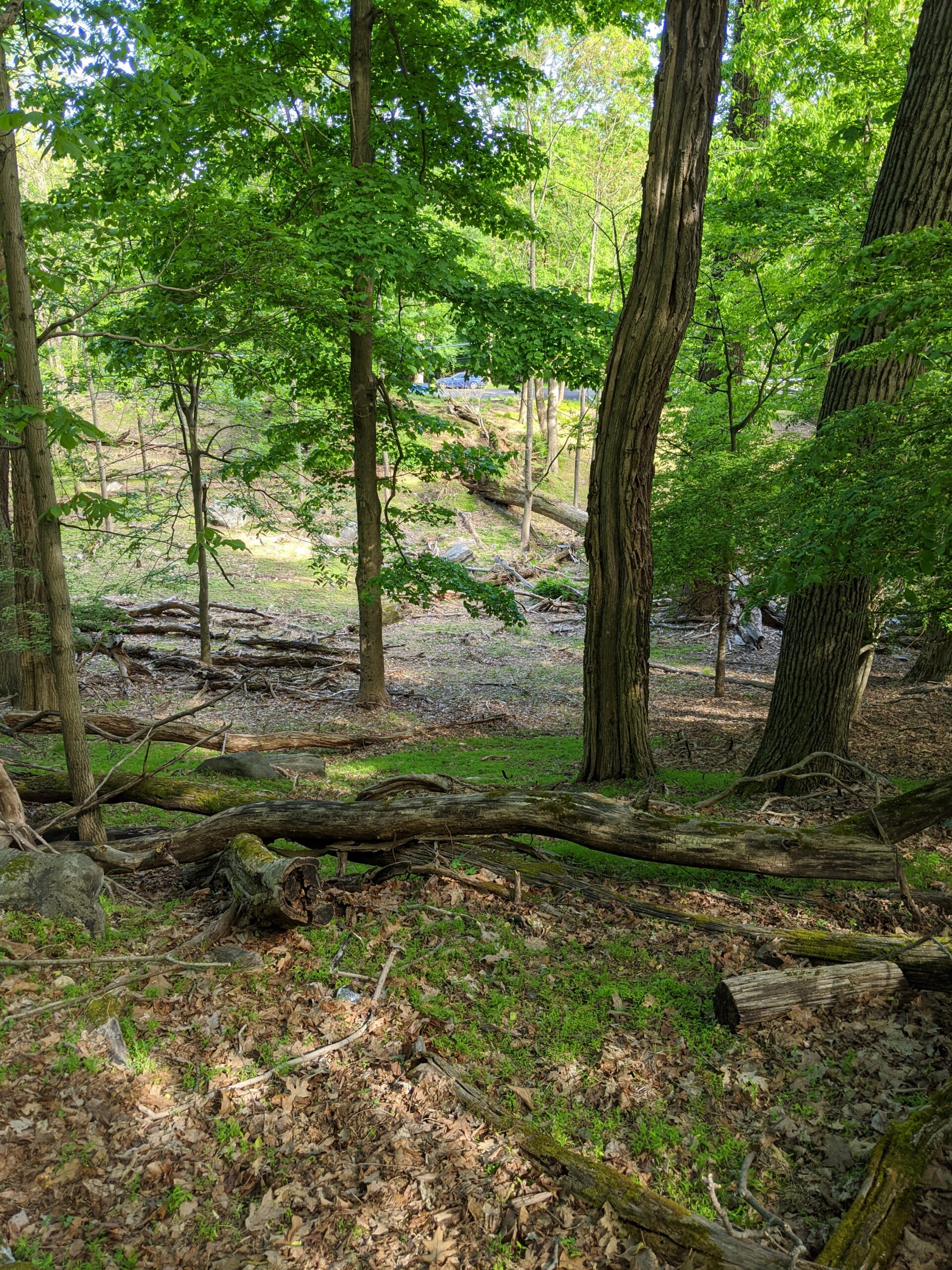
The scenery changed several times along these routes. There are shaded areas and sunlit openings. There are several downed trees, shrubs, and other greenery. It’s an easy trail and is clearly marked.
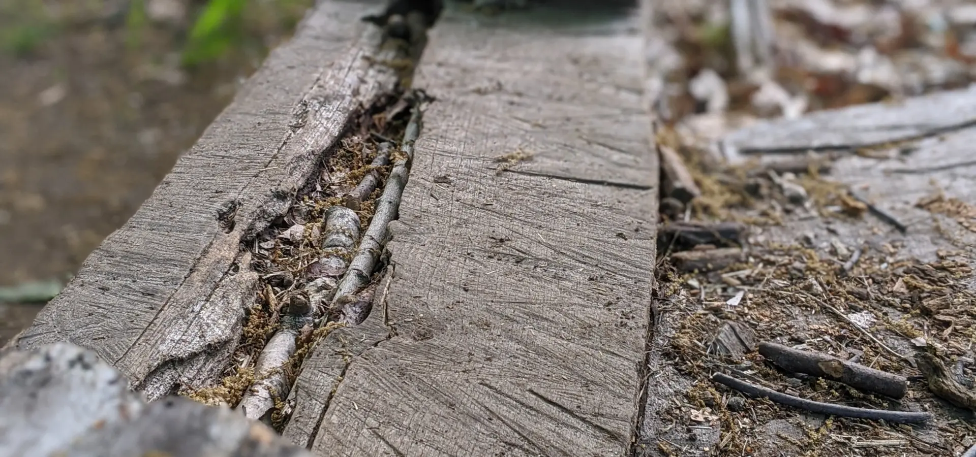
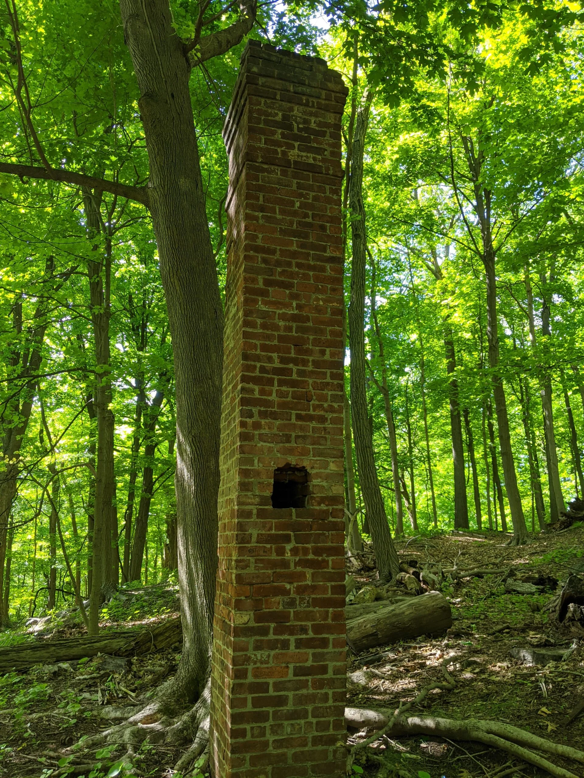
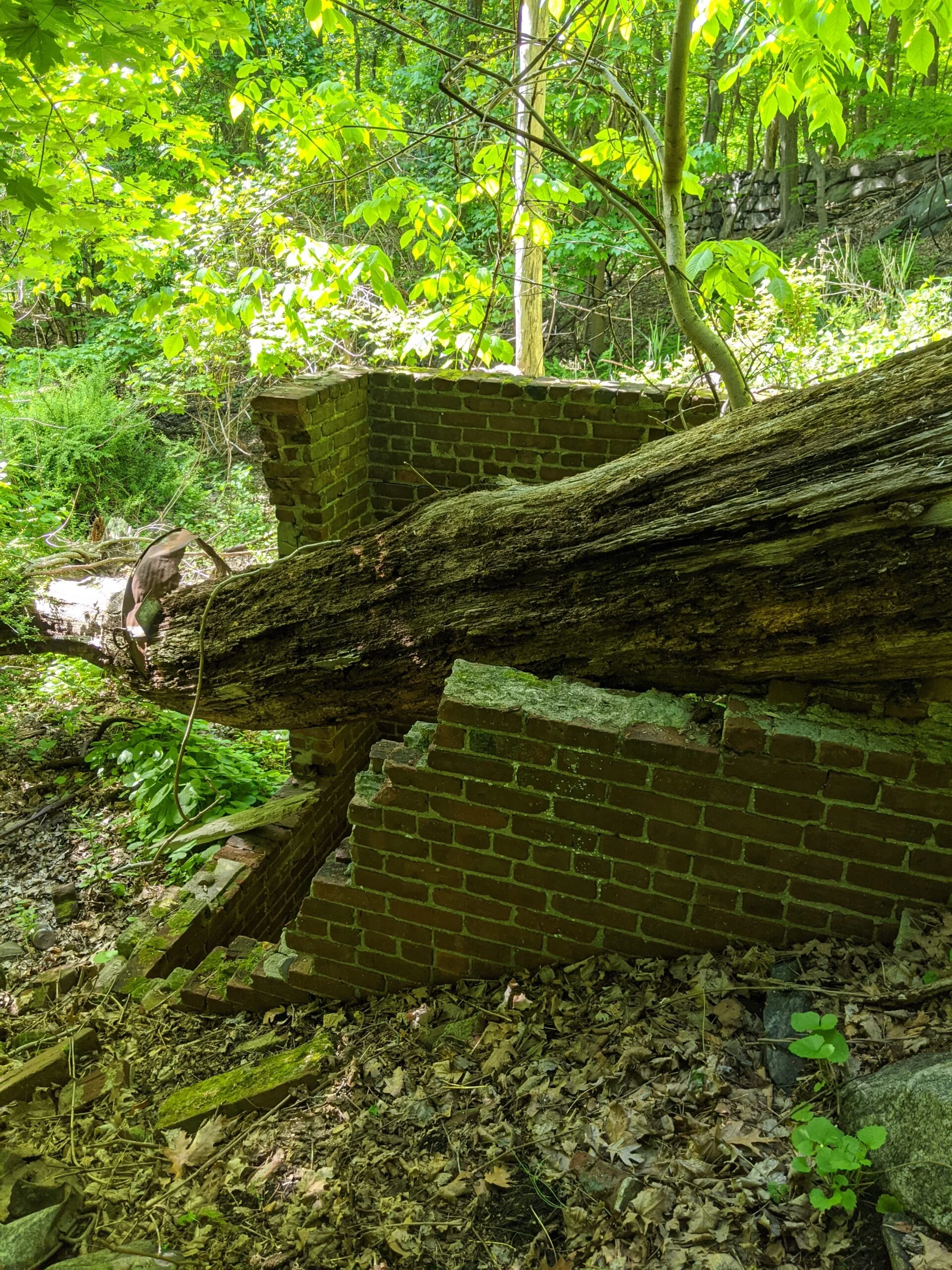
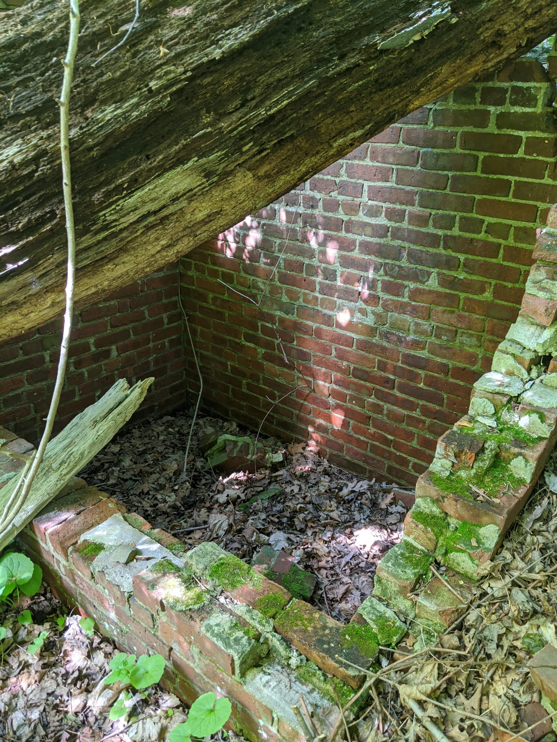
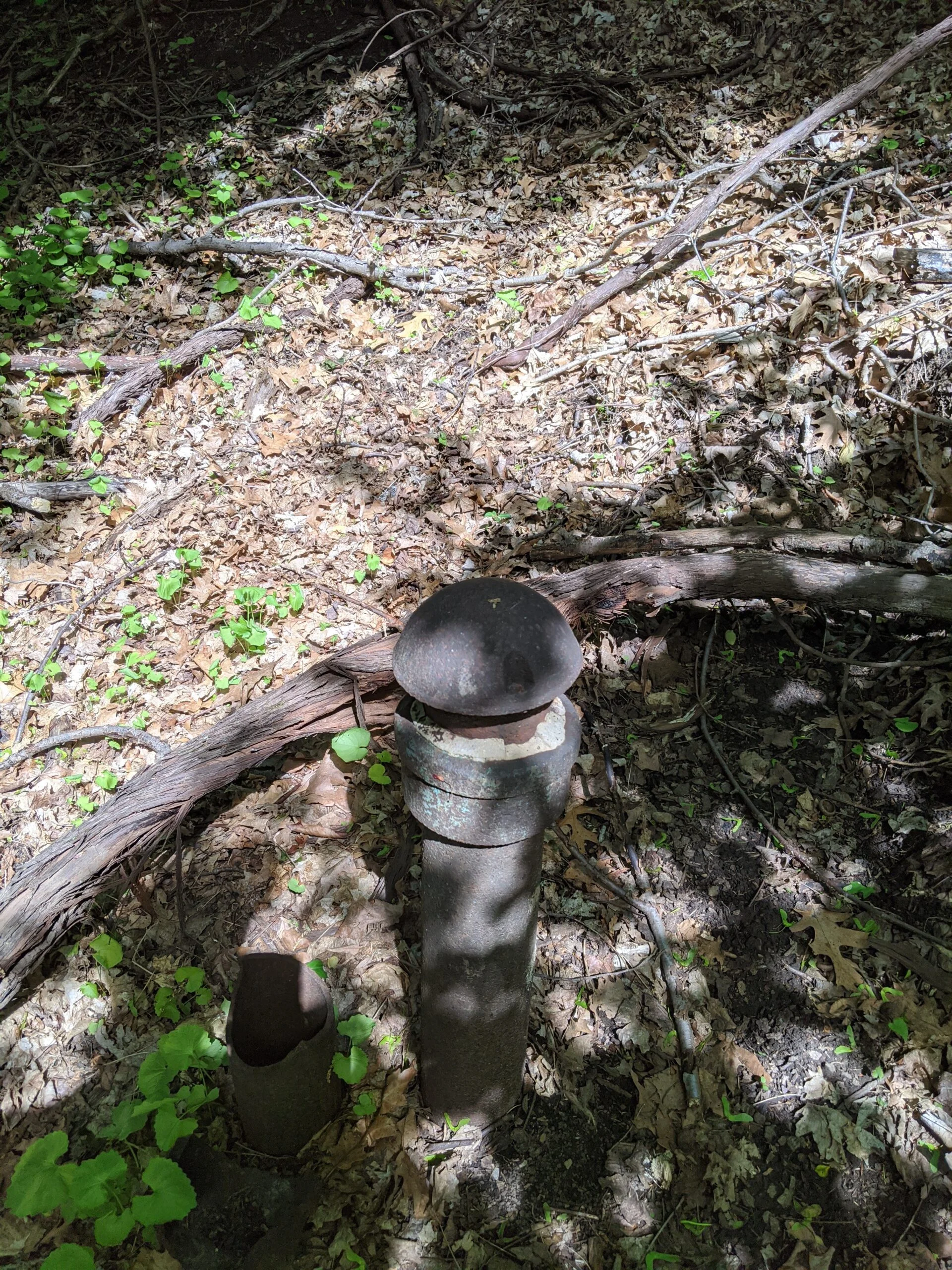
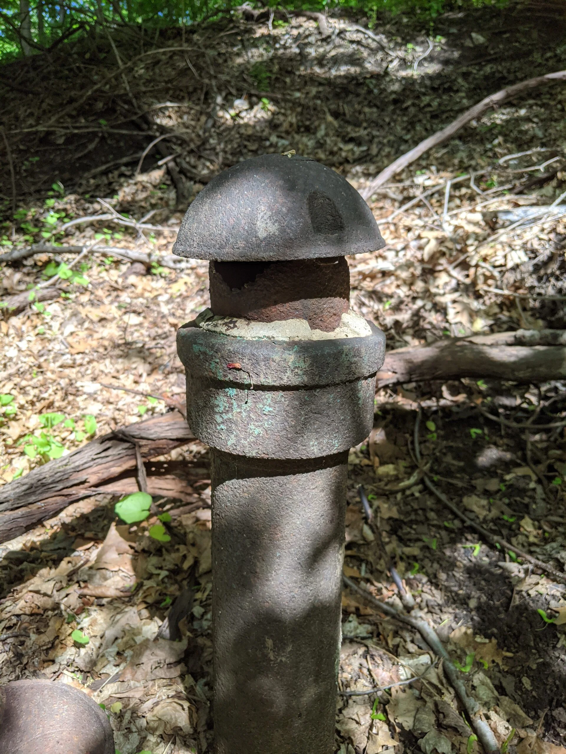
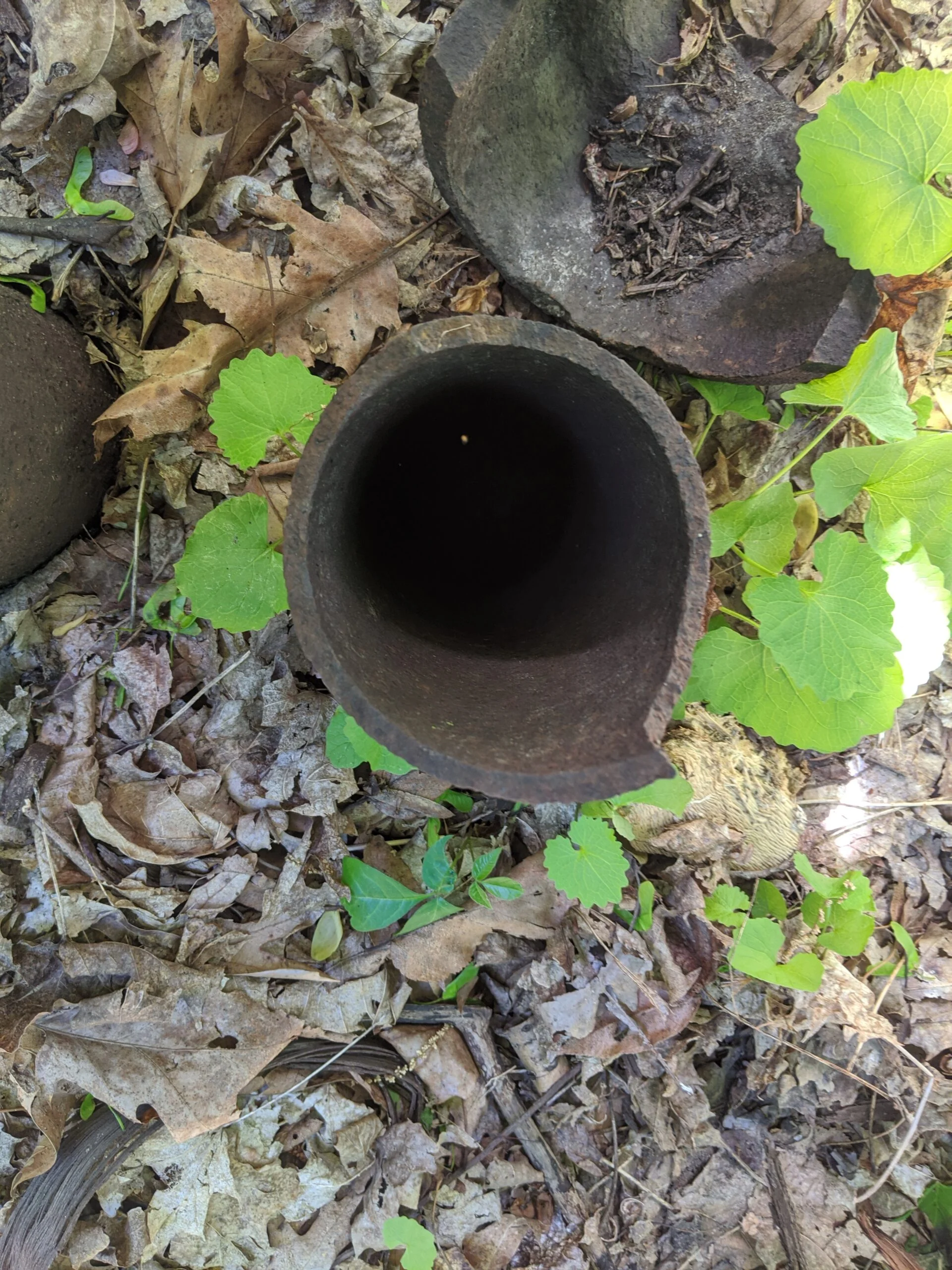
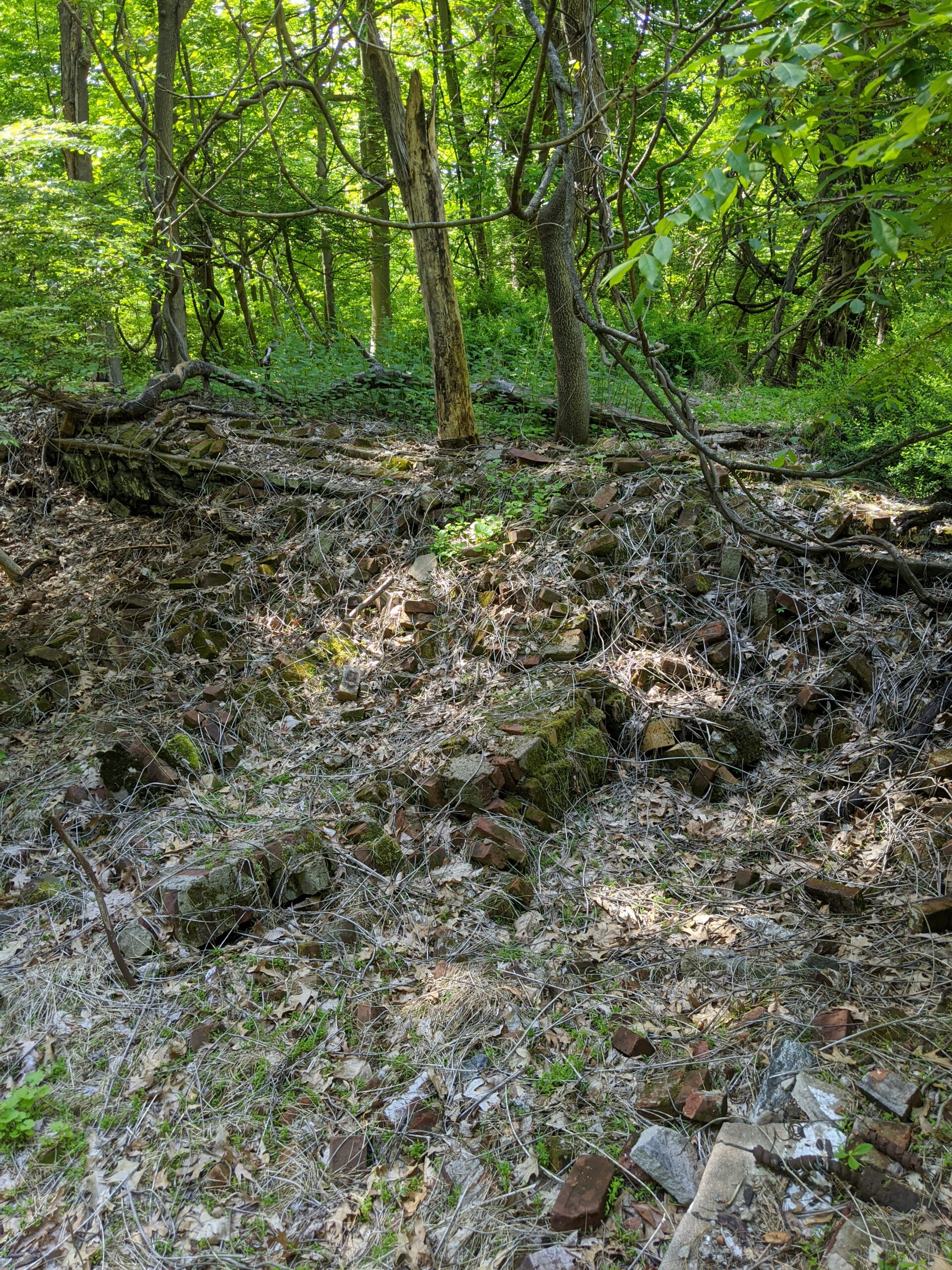
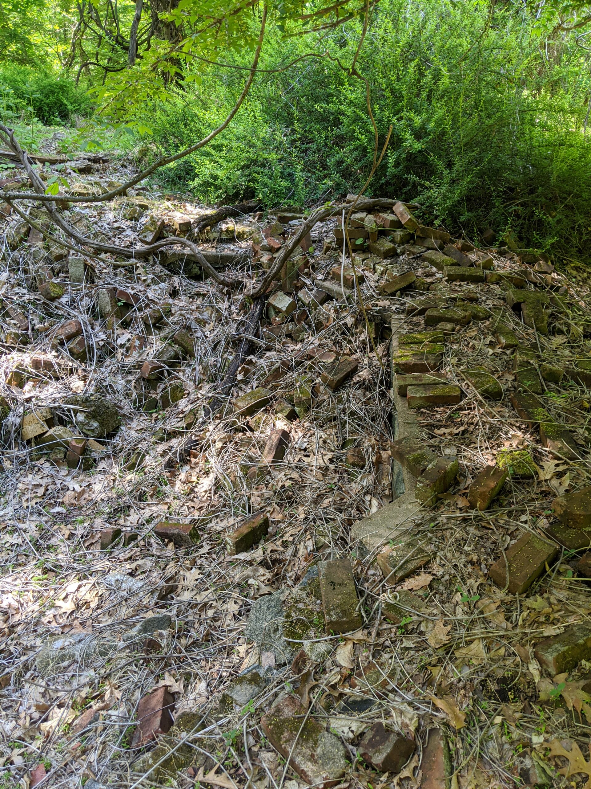
Eventually I came across a brick chimney in the middle of the forest. I later learned this was part of Woody Crest, a fresh air charity and home for physically handicapped children. There are remnants of brick structures and old piping in this area that I photographed.
Continuing down the trail, I made my way past the swampy wetlands area to the west (left) and then to the end of the orange trail at the Sheldon Avenue parking lot.
From there, I simply retraced my steps back the same way I came until I reached the Taxter Road parking lot again. My first time out, I mostly stayed on the trail, but noticed several offshoots that I want to return to in the future.
I walked 2.5 miles on my first time out and it was a fun, relaxing escape from work and the house, which is what I really needed. I see a lot of beauty in this park and will be back to explore the other trails and areas.
Photos


GPS Route & Elevation
Loads an interactive map; map tiles are served by the U.S. Geological Survey, which receives your IP address. Learn more about maps and your privacy