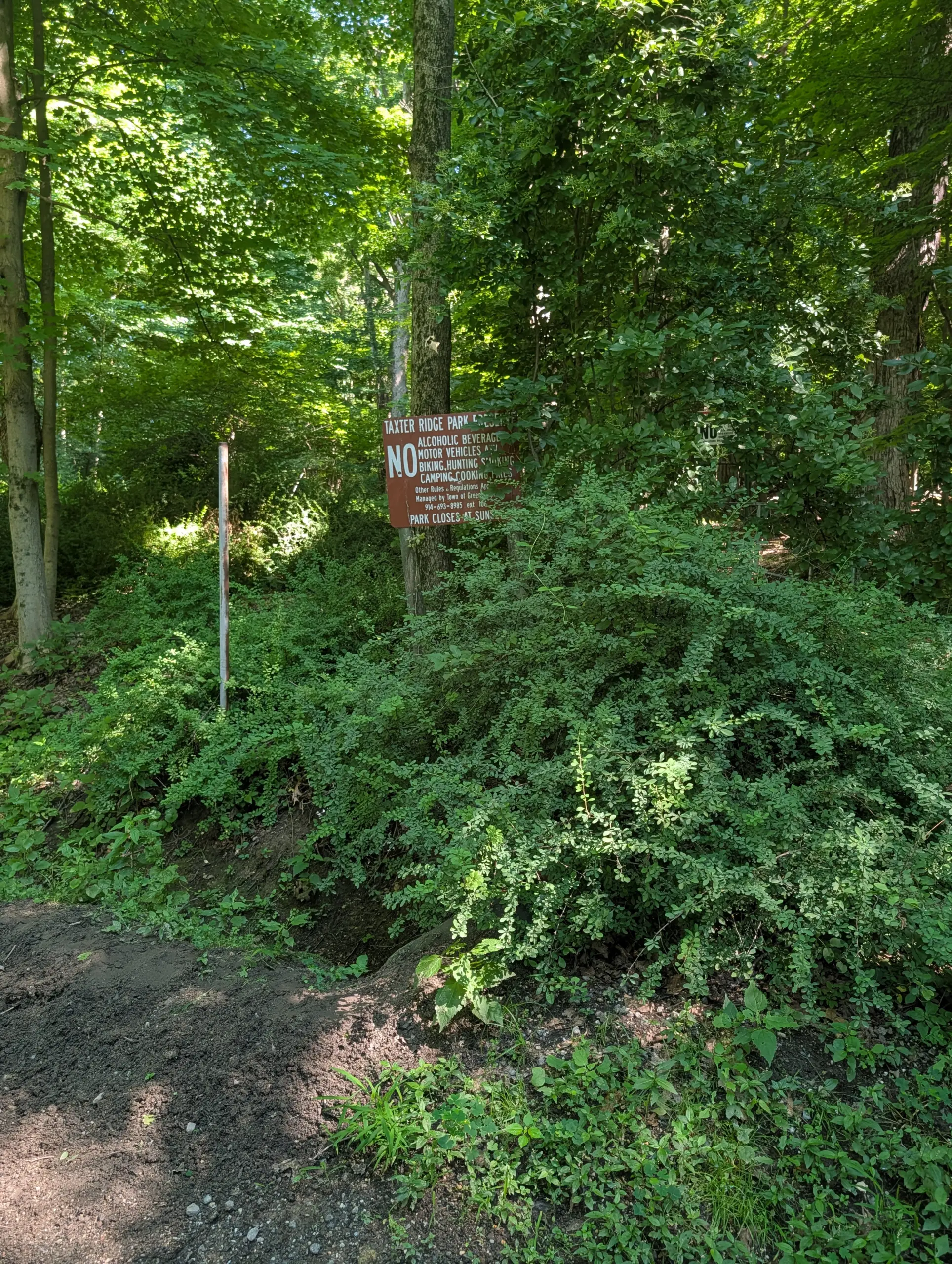
Taxter Ridge Park Preserve – Yellow Trail, Danny Gold Blue Trail, Woody Crest, Orange Trail
- 5.6 mi
- 840 ft gain
- 02:01:13
- 137 photos
This post may contain affiliate links. If you buy through them, I may earn a commission at no extra cost to you. As an Amazon Associate I earn from qualifying purchases.
I decided to return to Taxter Ridge Park Preserve, the location of my first hike during COVID that renewed my interest in hiking. Temperatures were in the low 80s with high humidity, so I knew I wanted a trail that wouldn’t be too challenging and gave me the flexibility to exit easily if I got too hot. I wore my Osprey Skarab 18 Men’s Hiking Hydration Backpack ($) and ended up drinking about 2L of the 2.5L bladder that I brought.
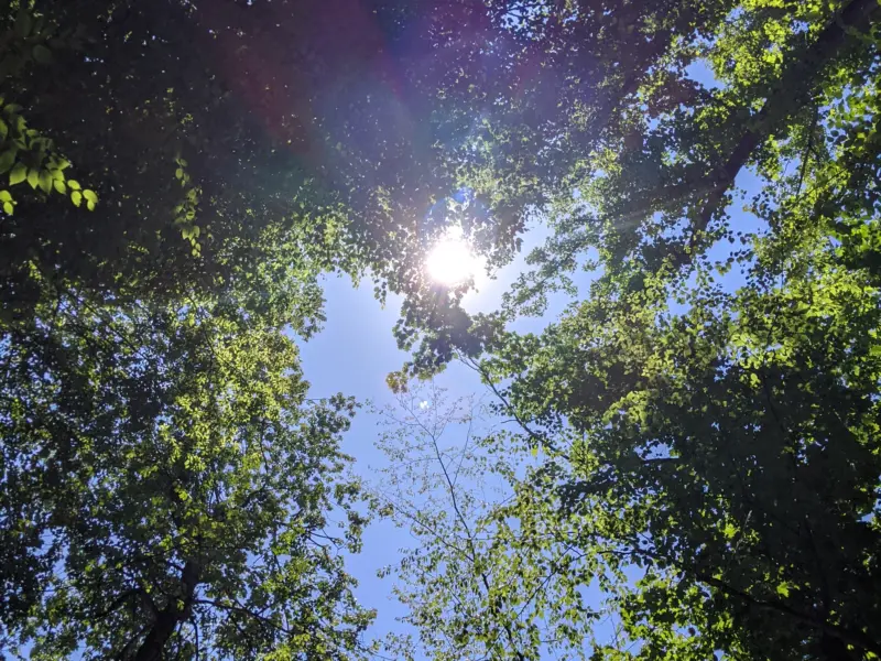
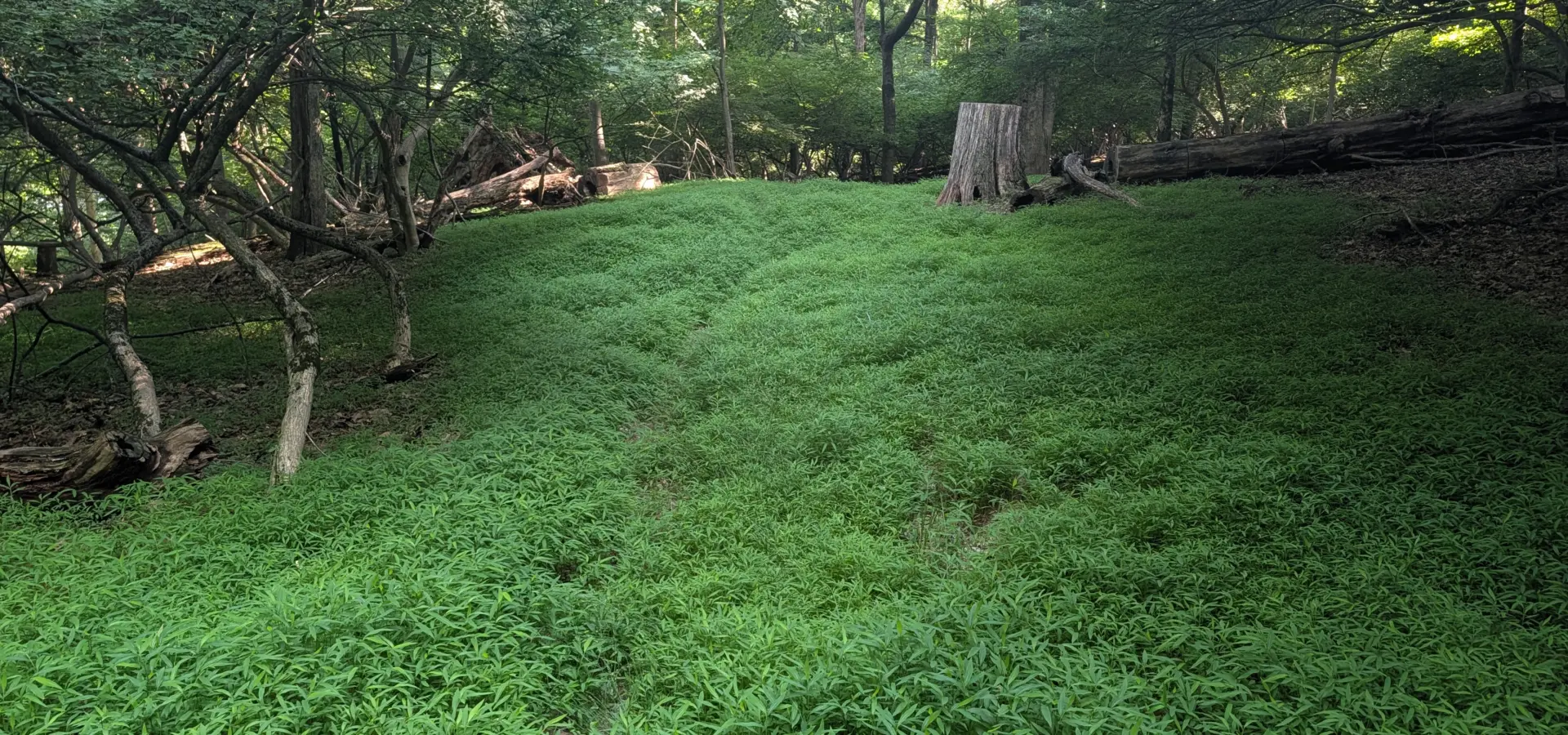
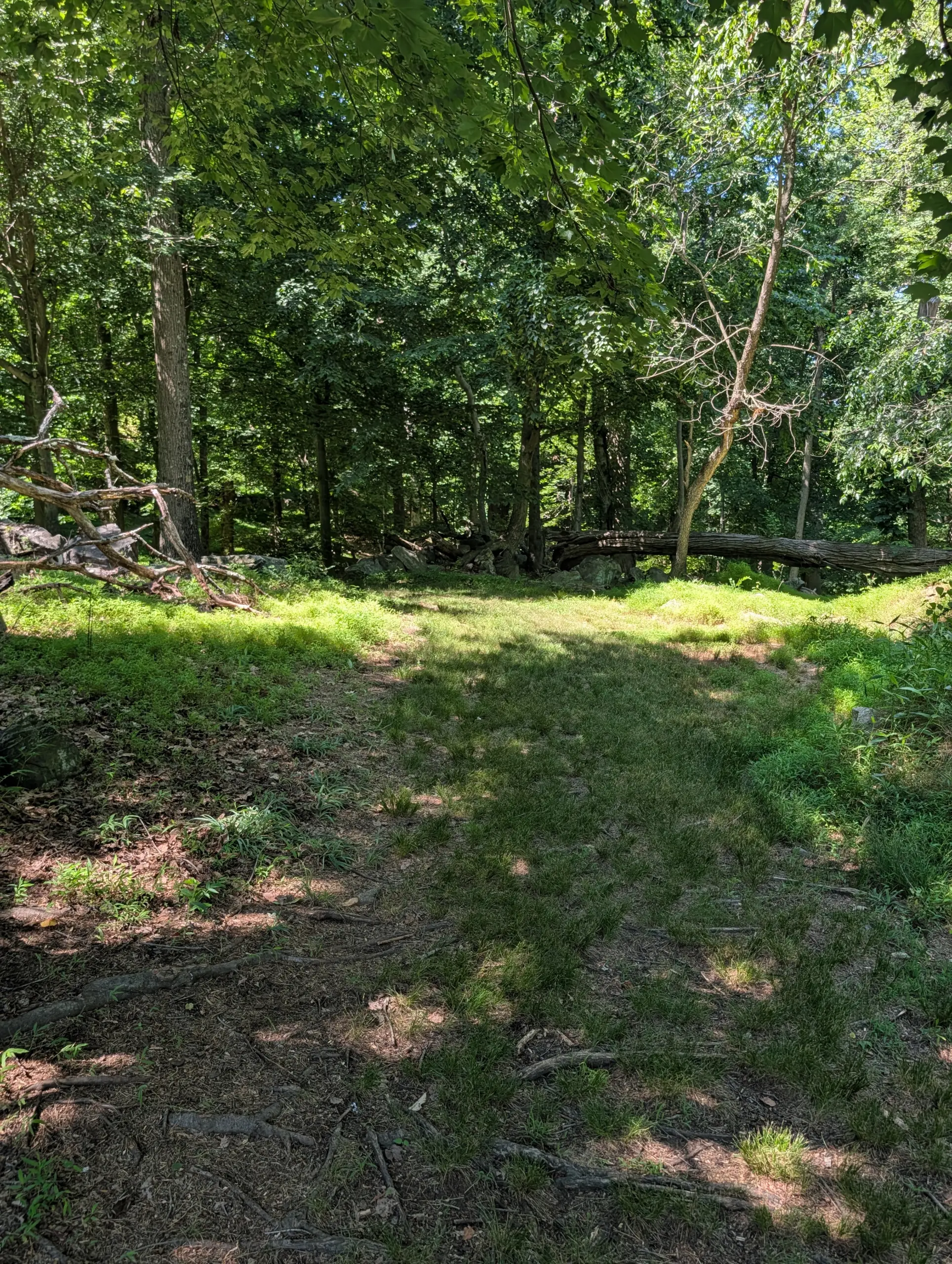
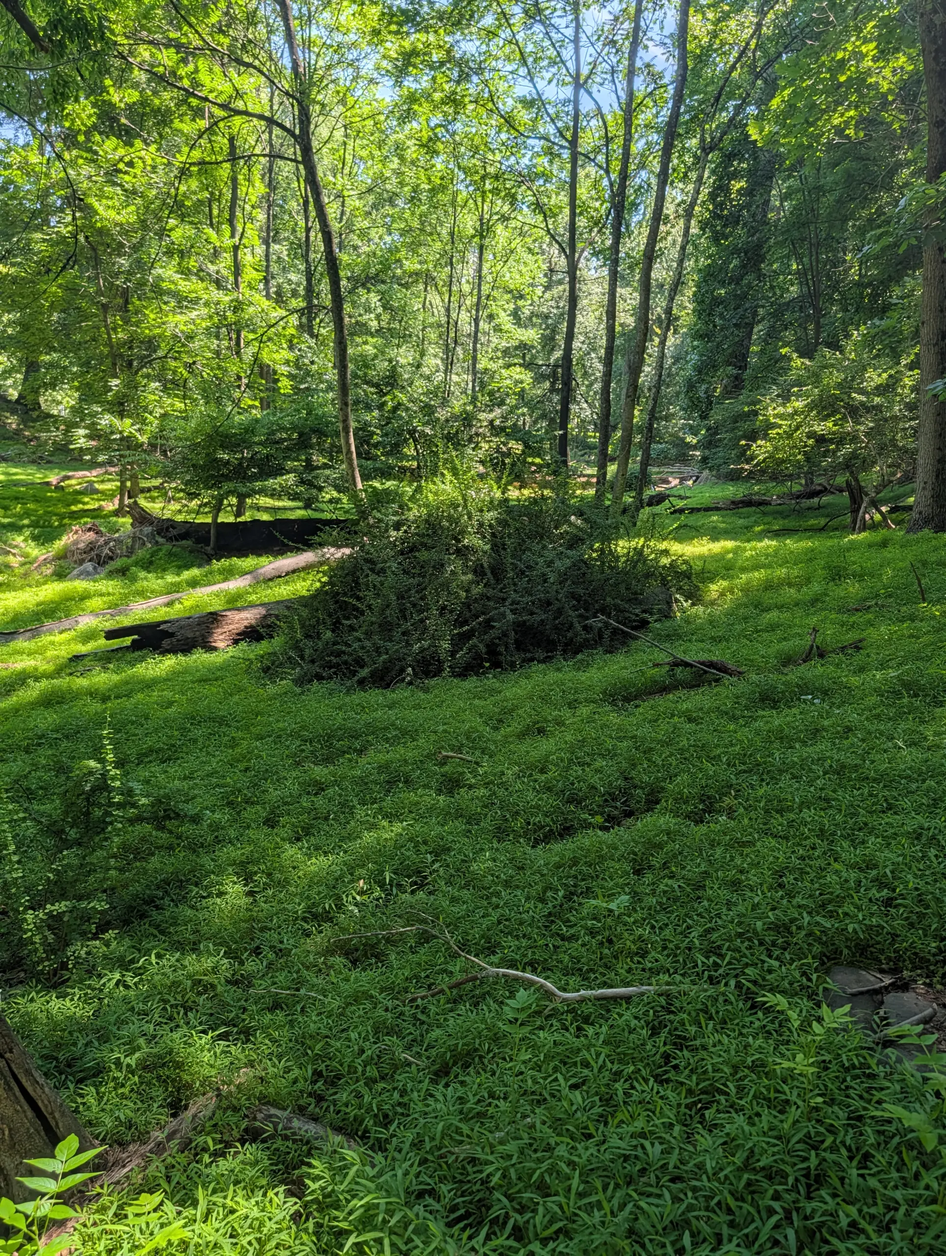
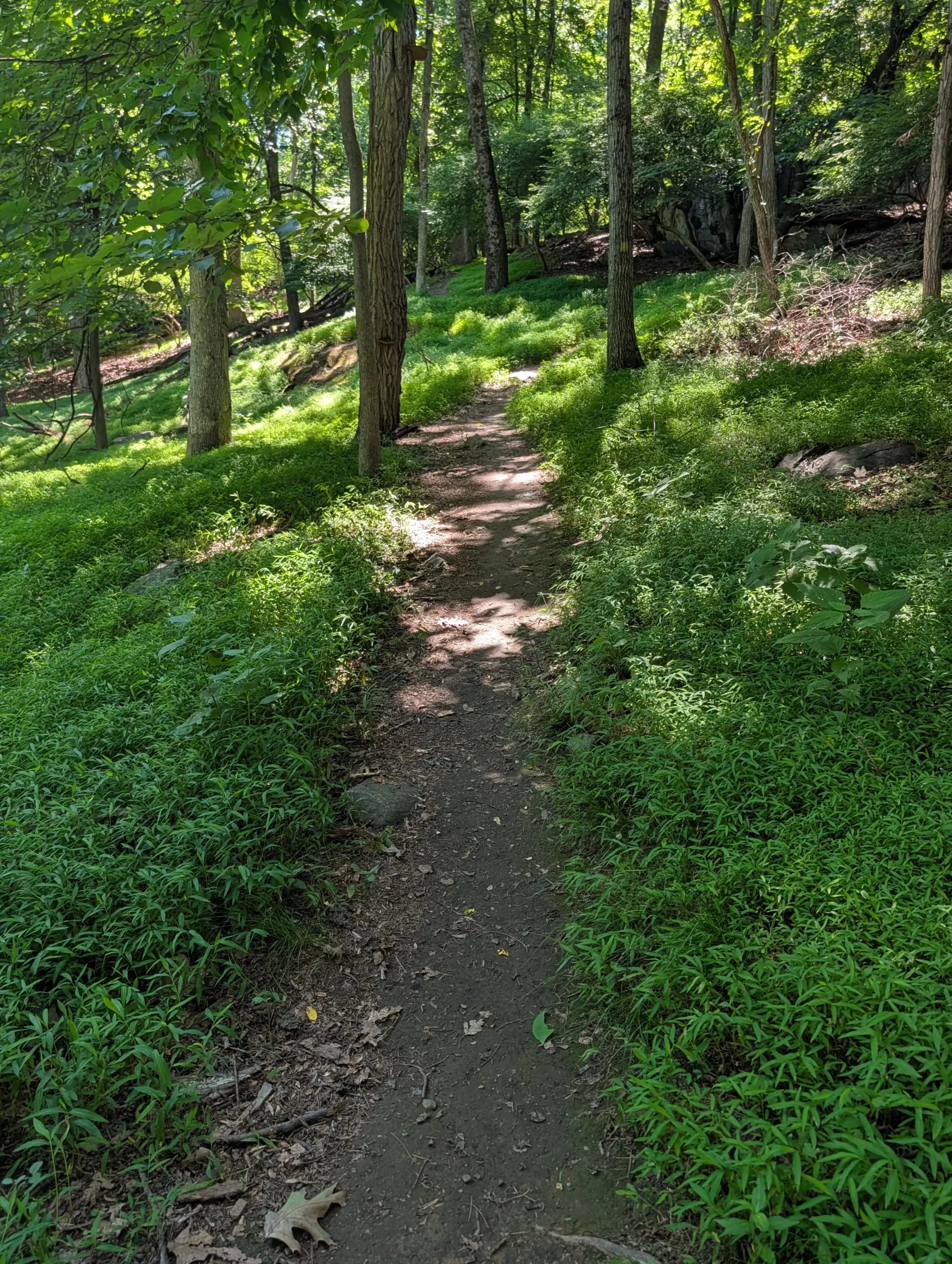
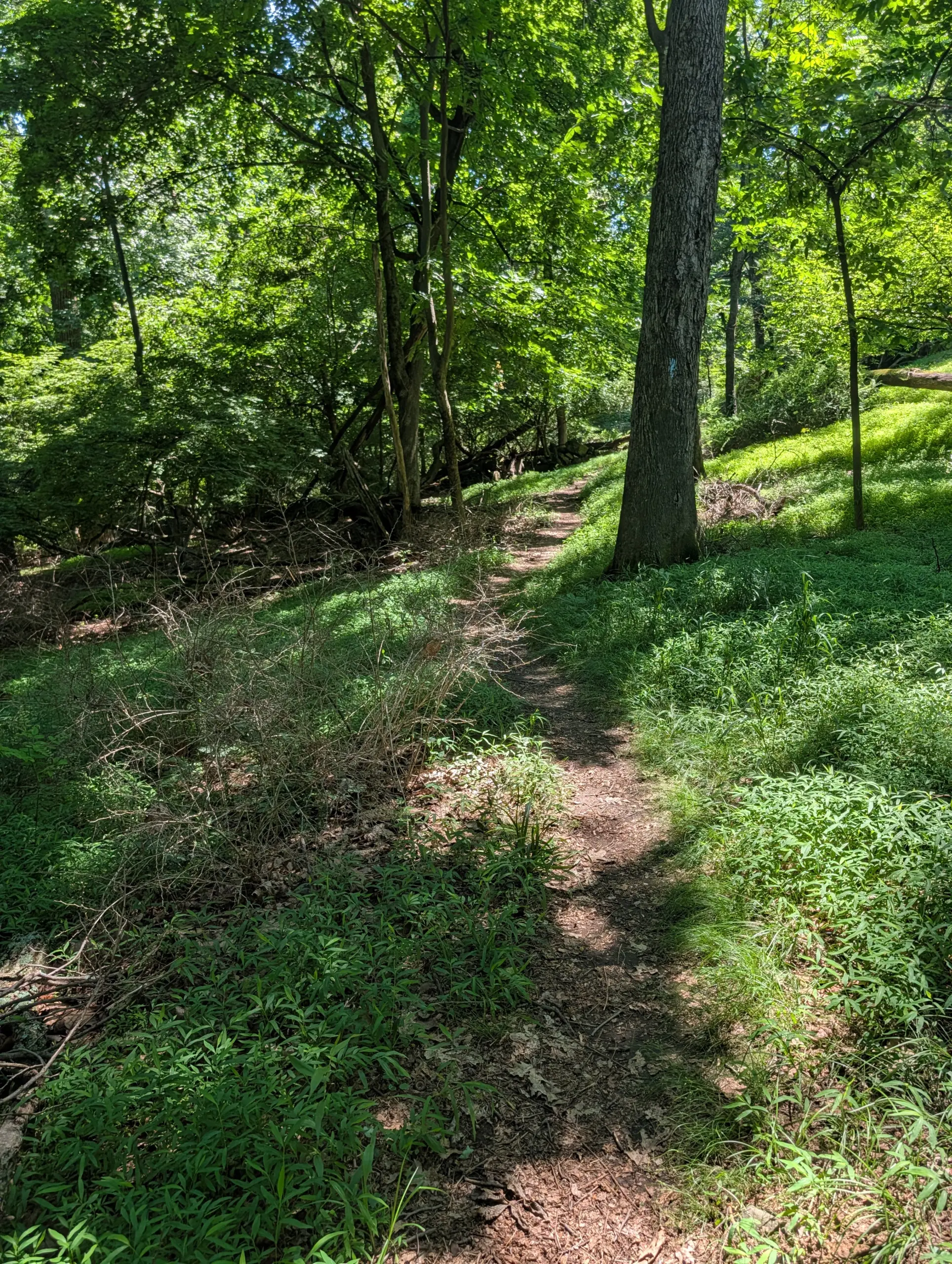
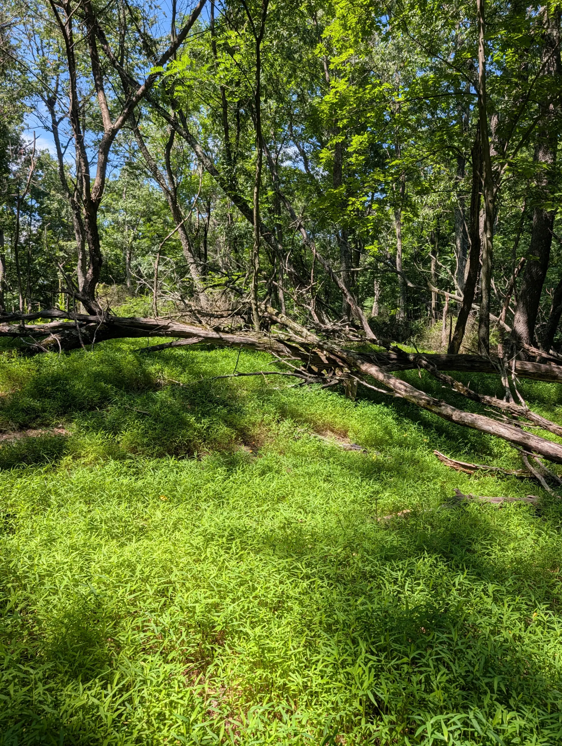
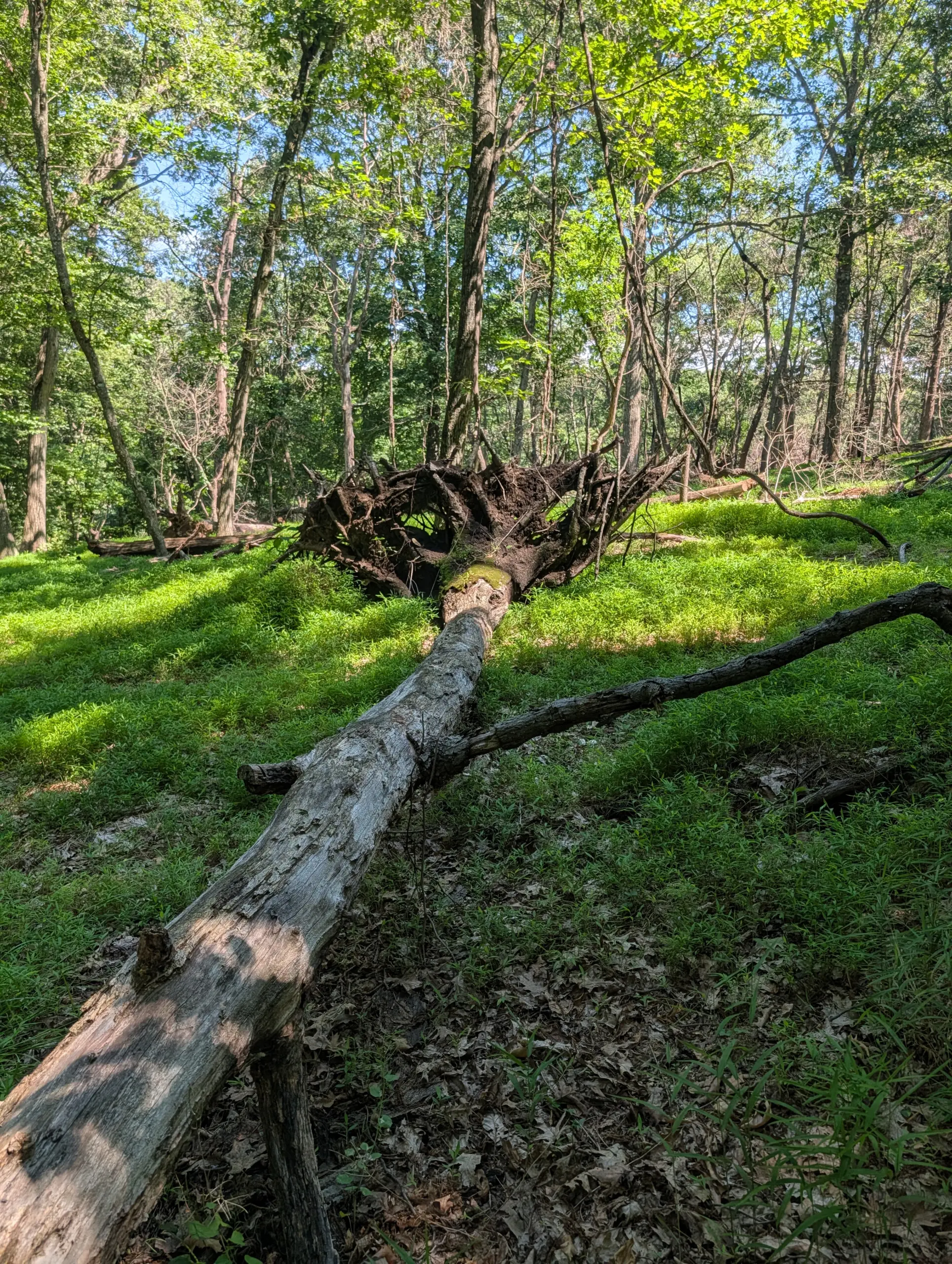
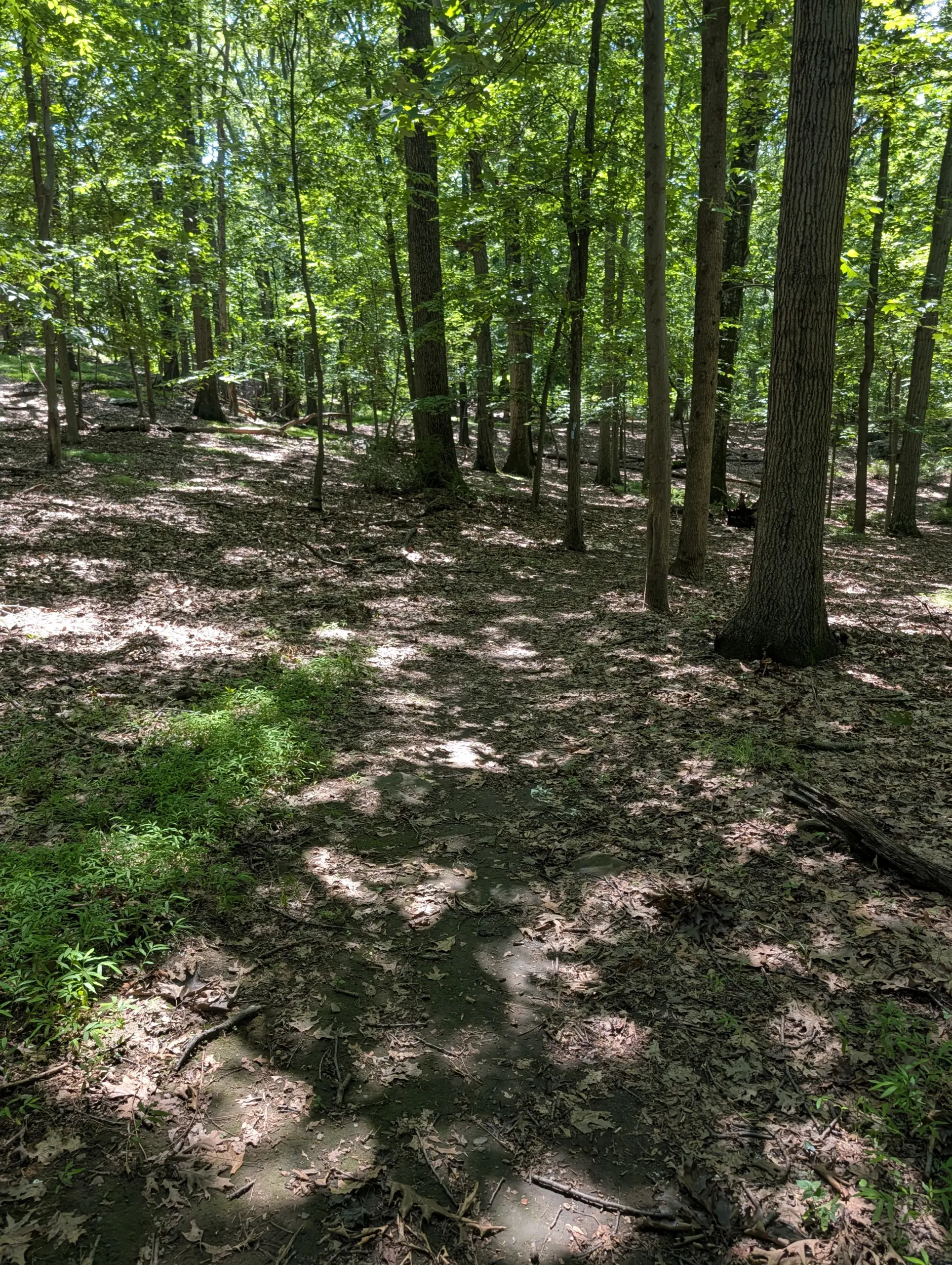
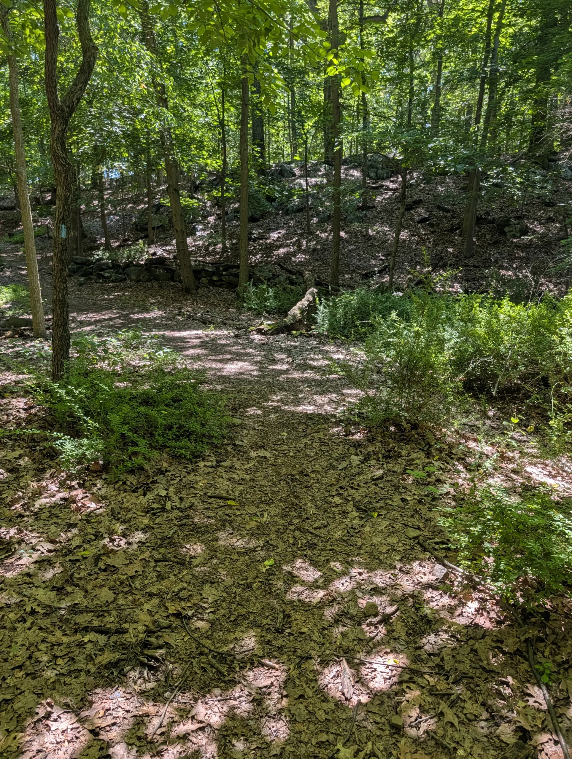
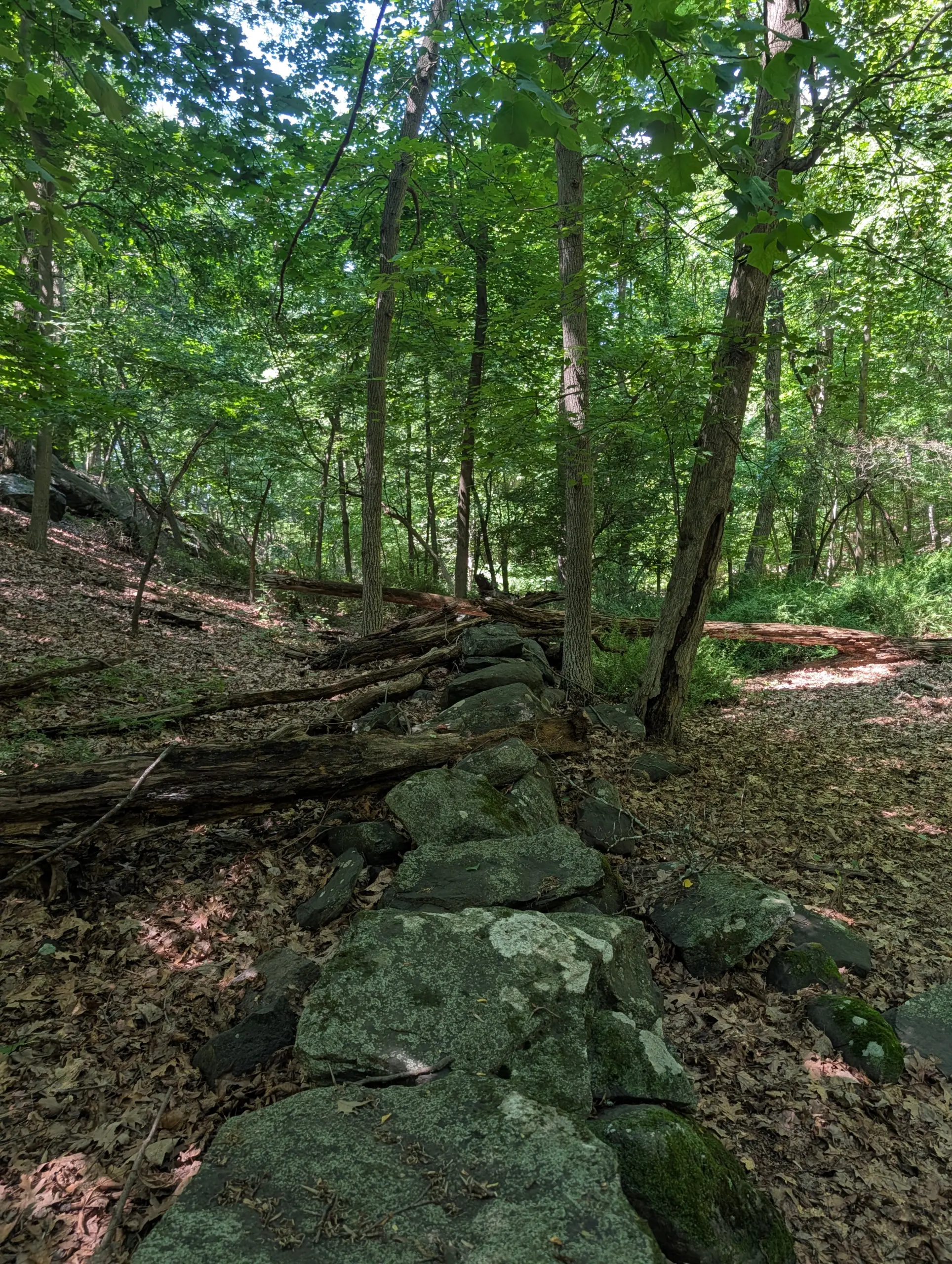
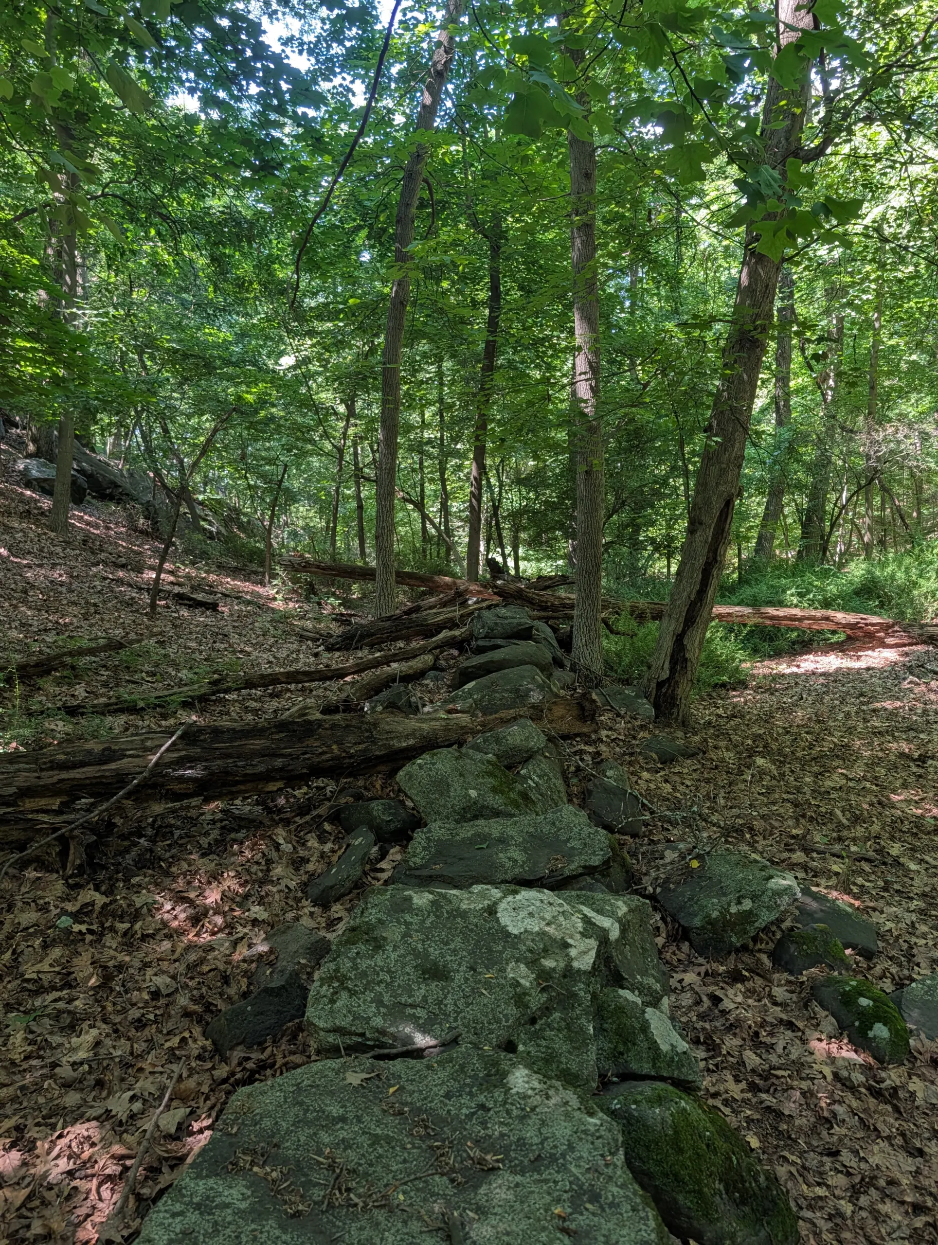
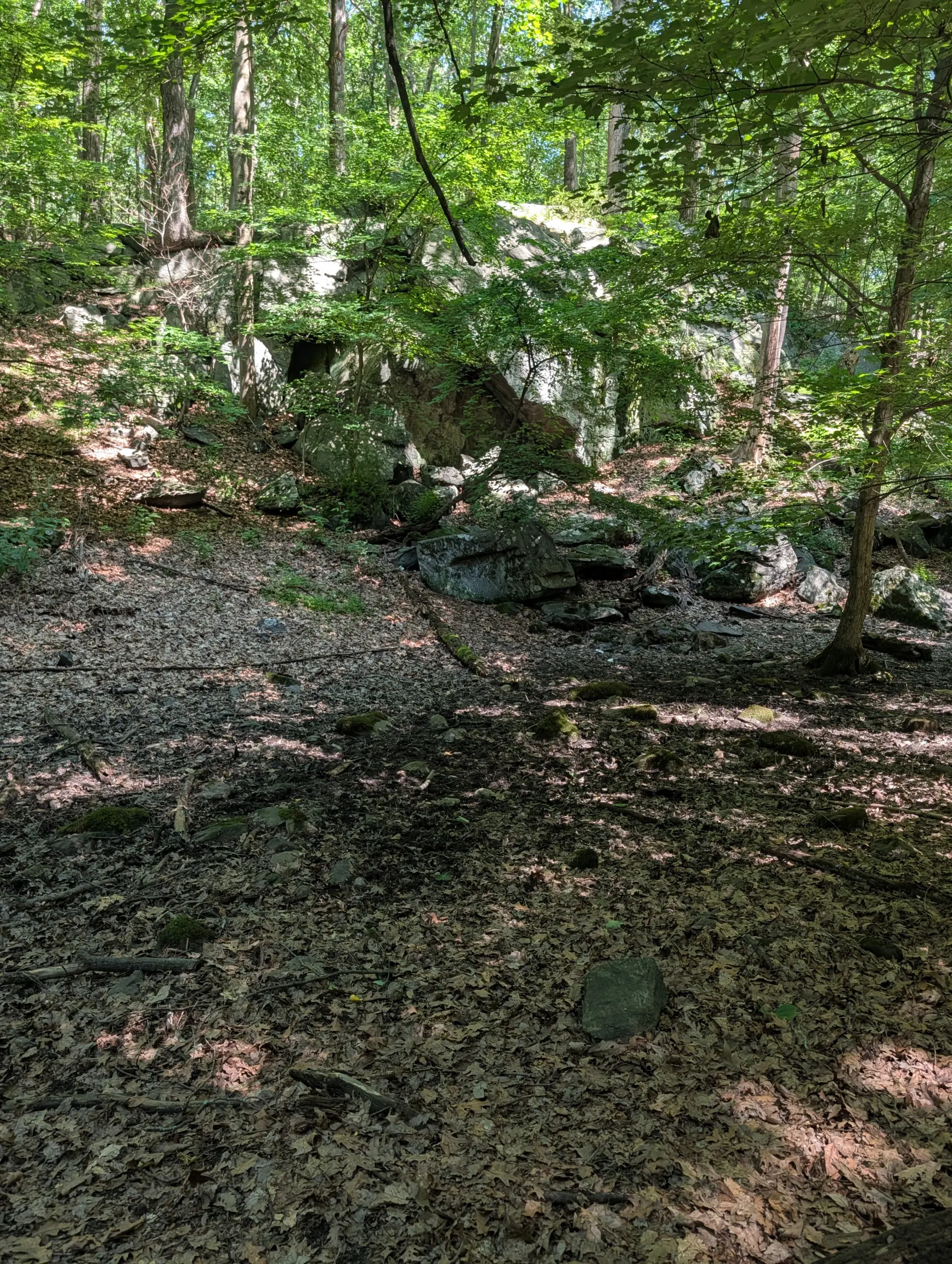
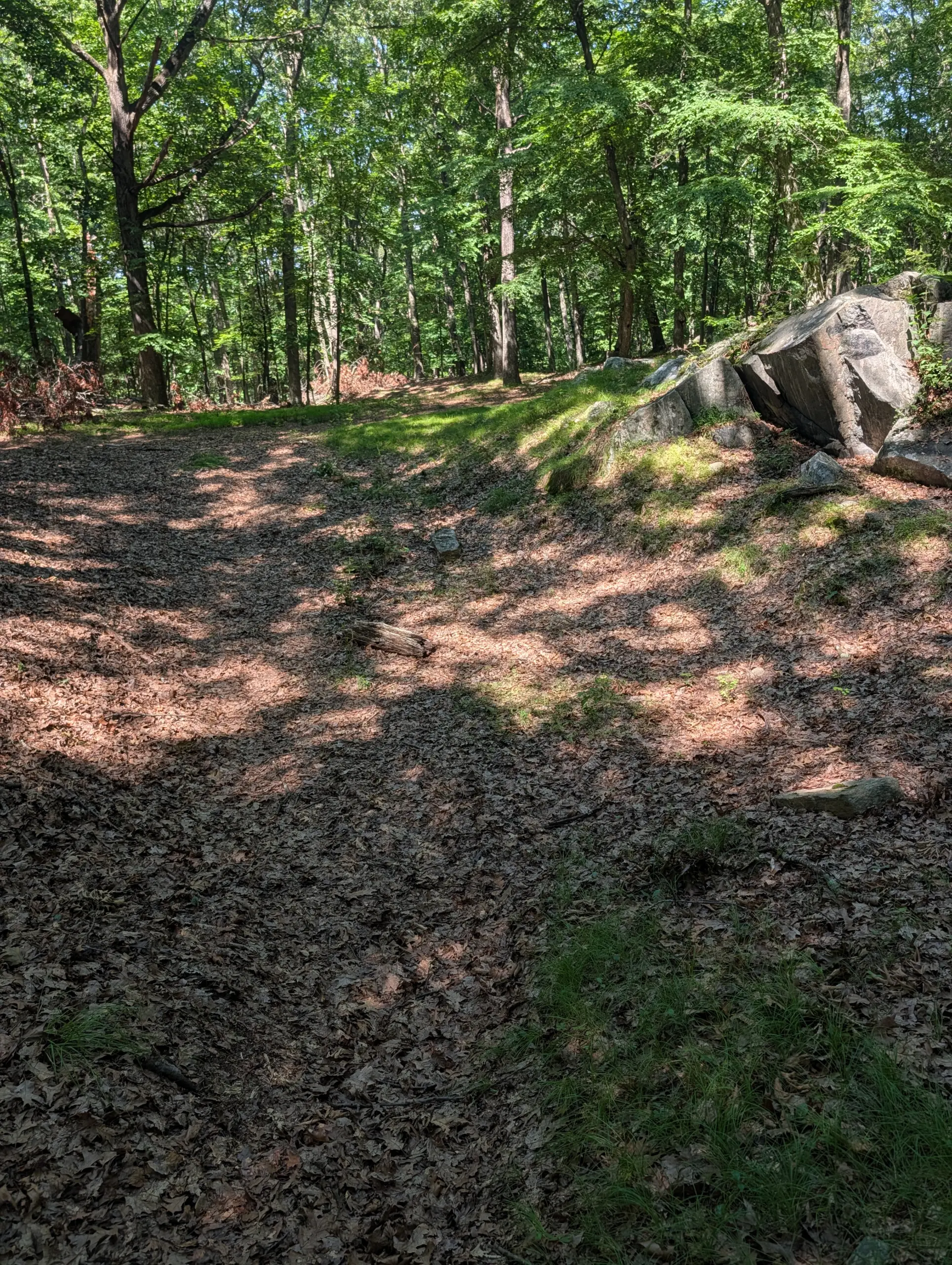
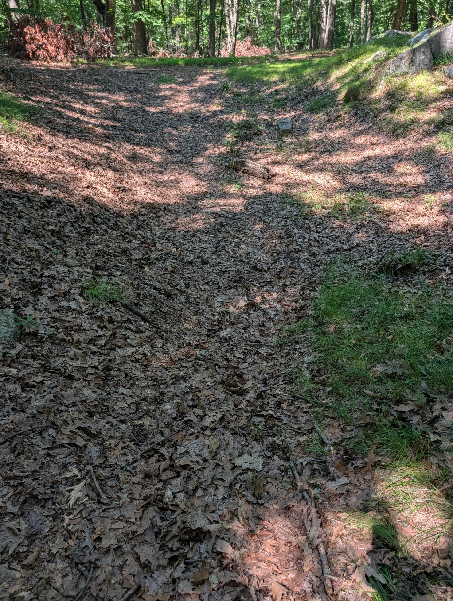
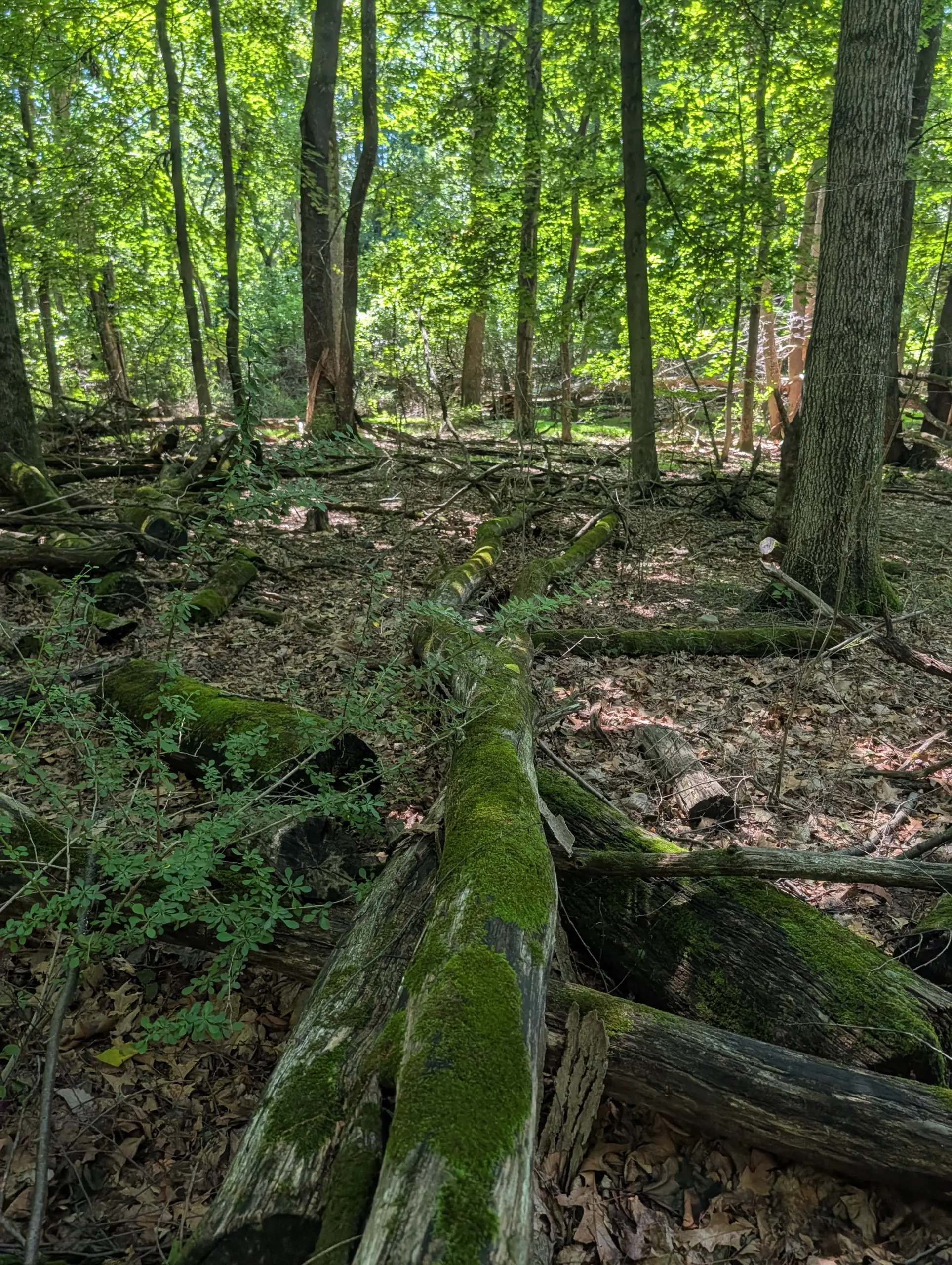
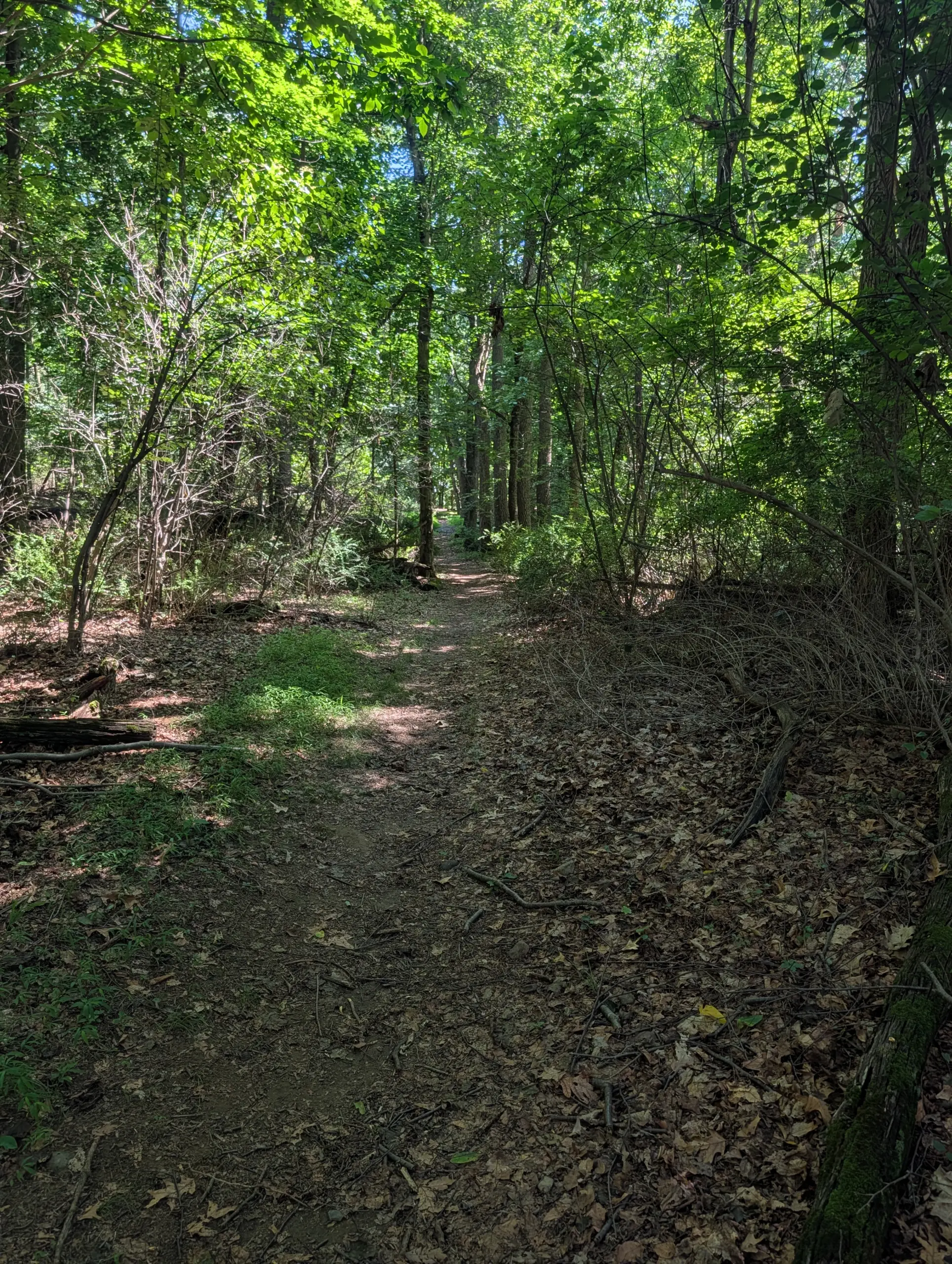
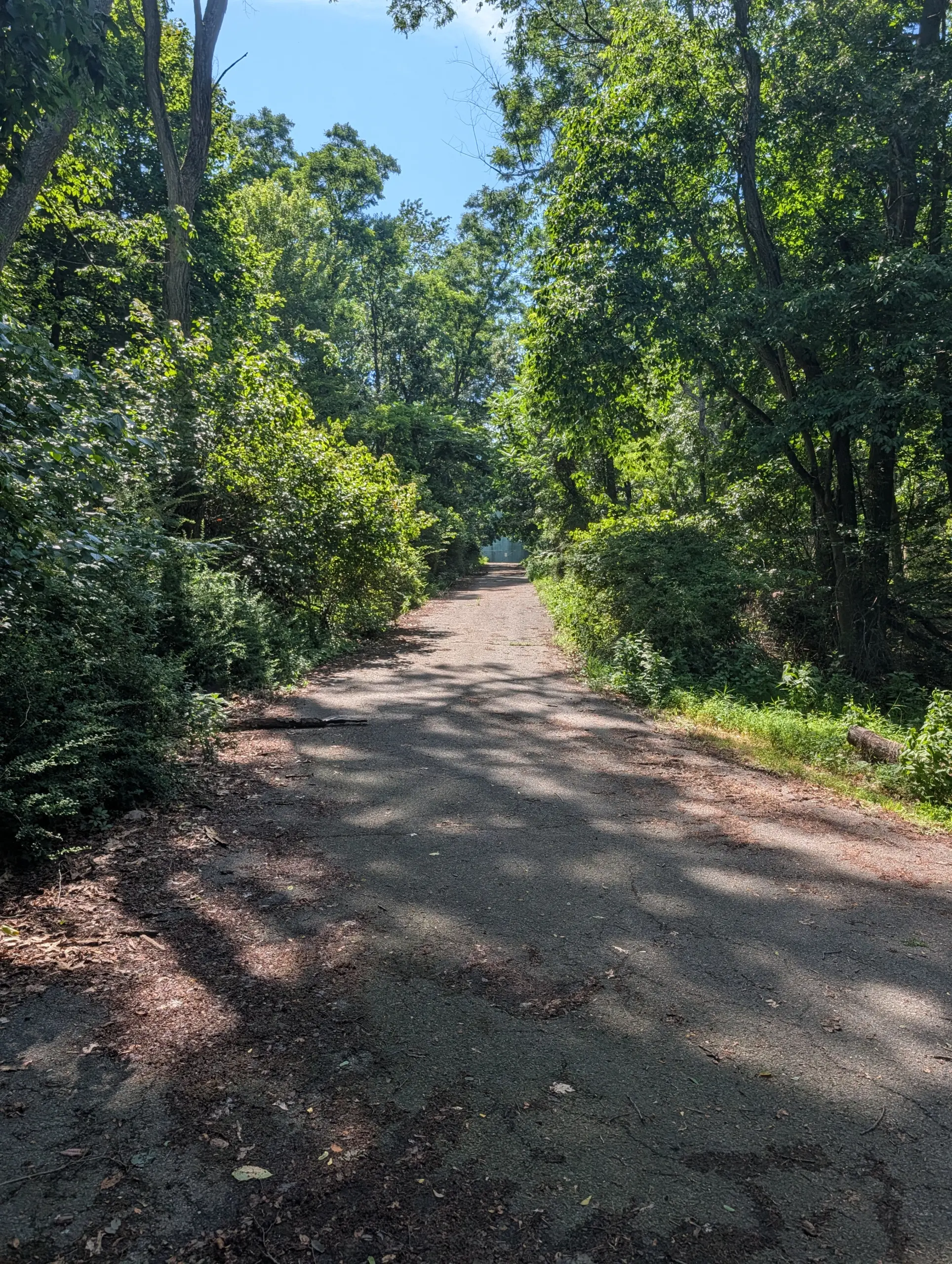
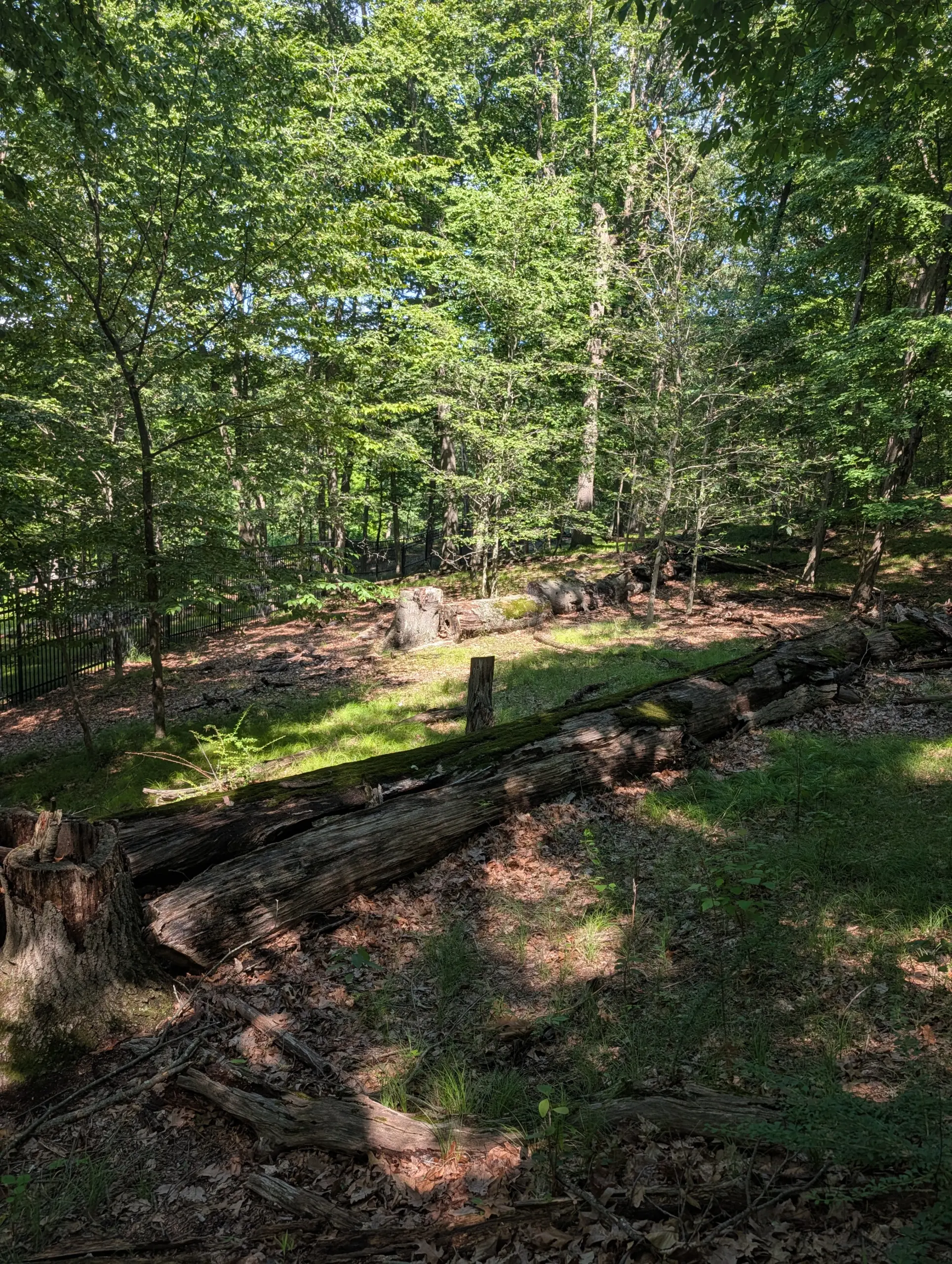
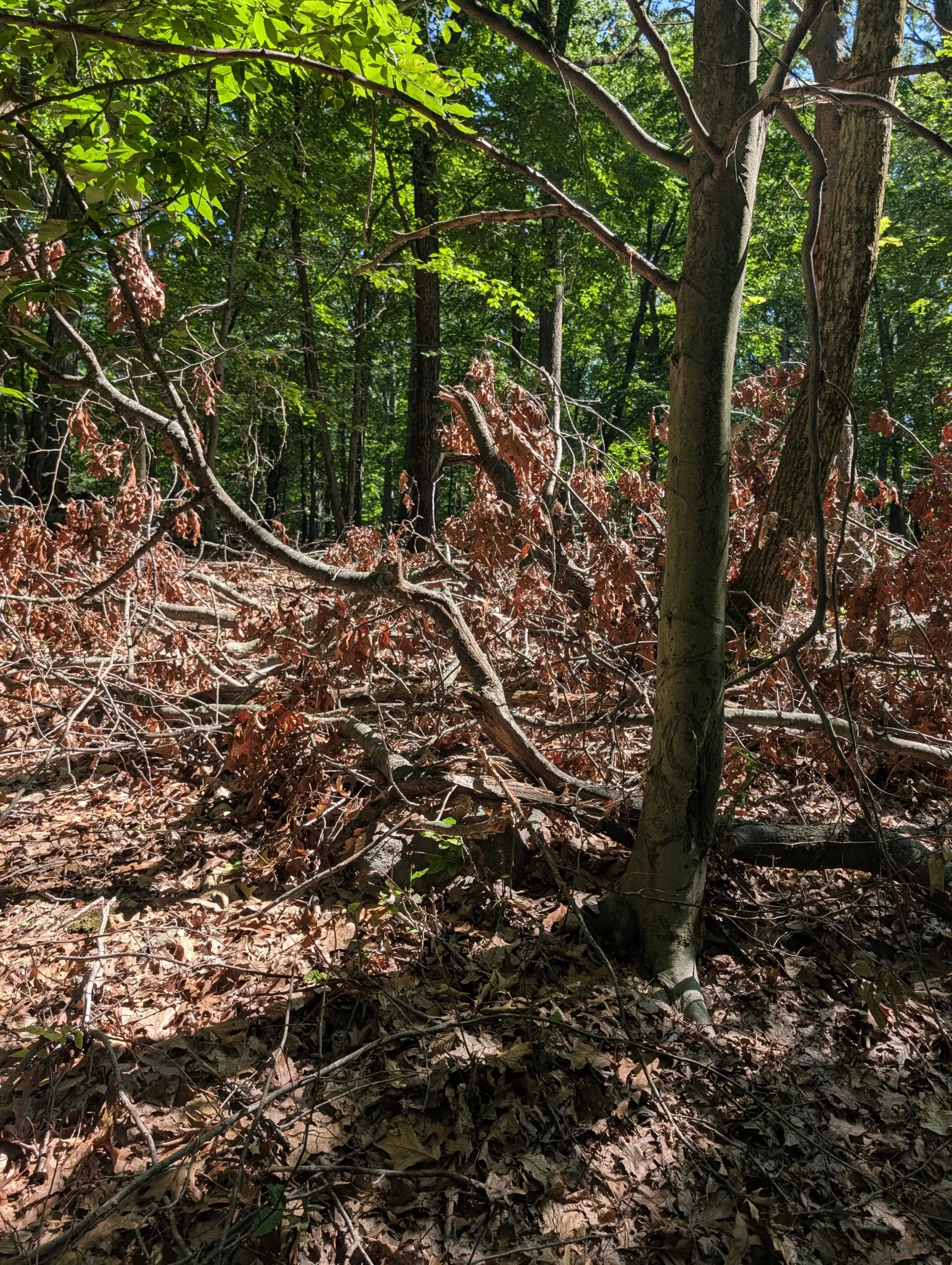
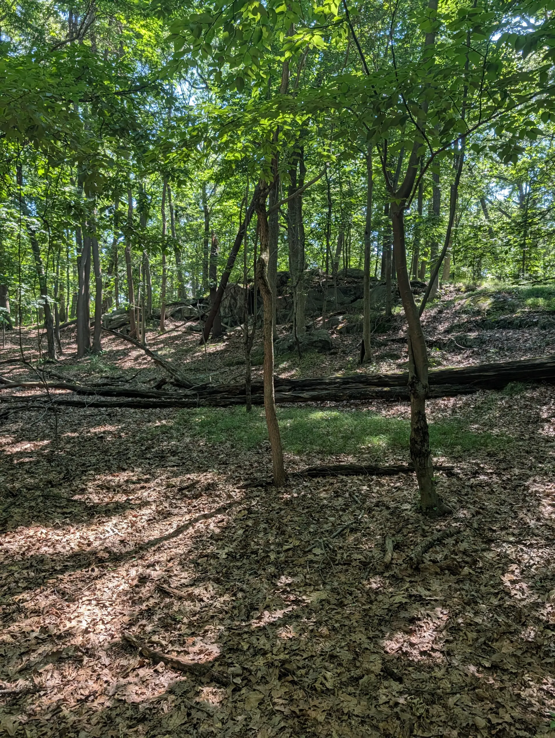
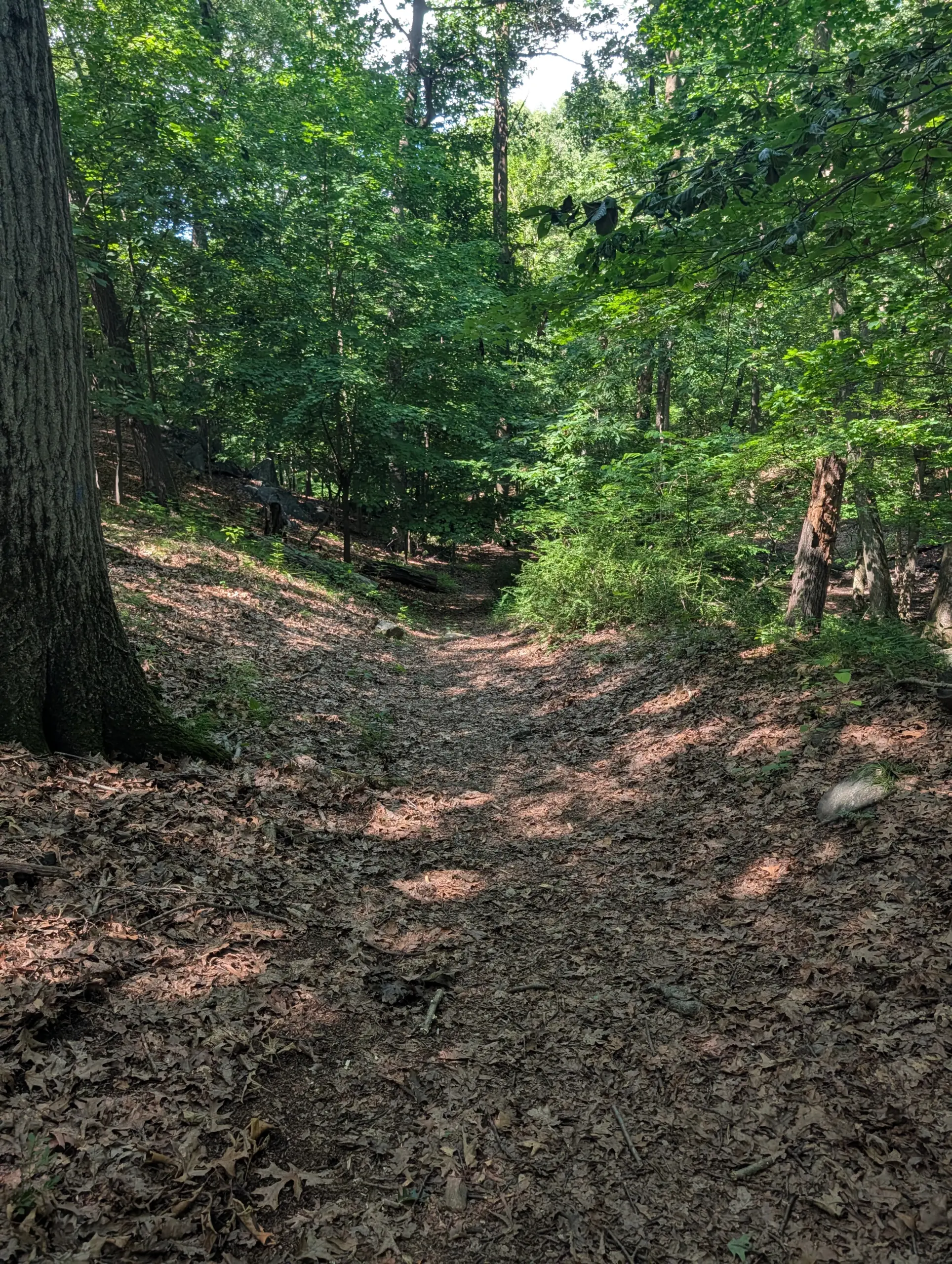
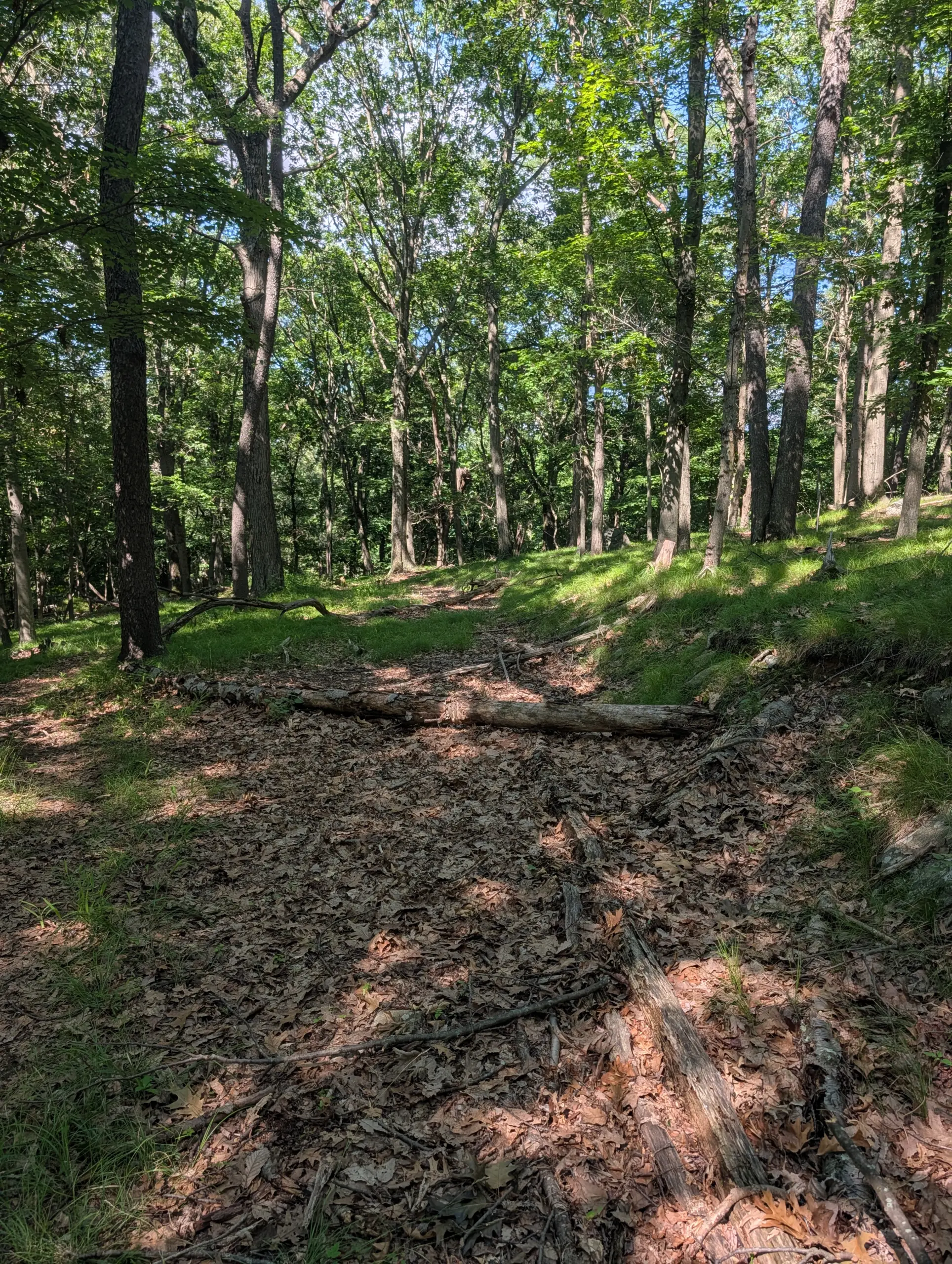
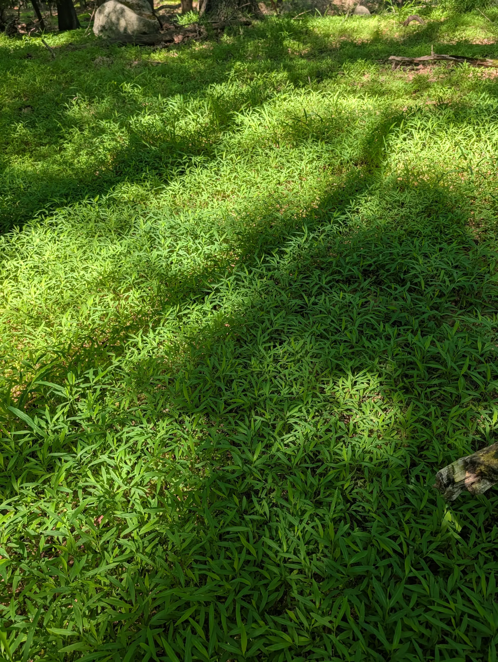
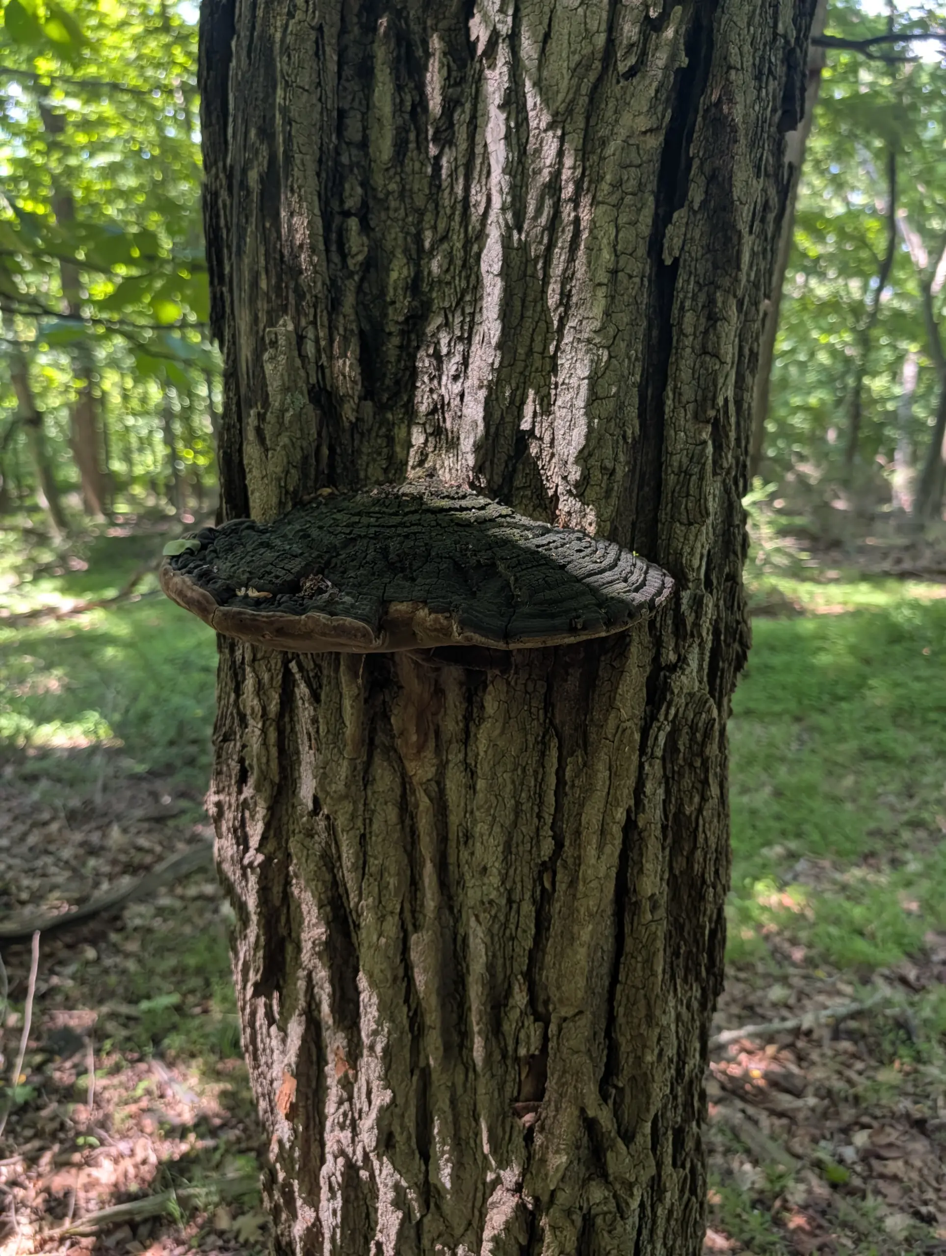
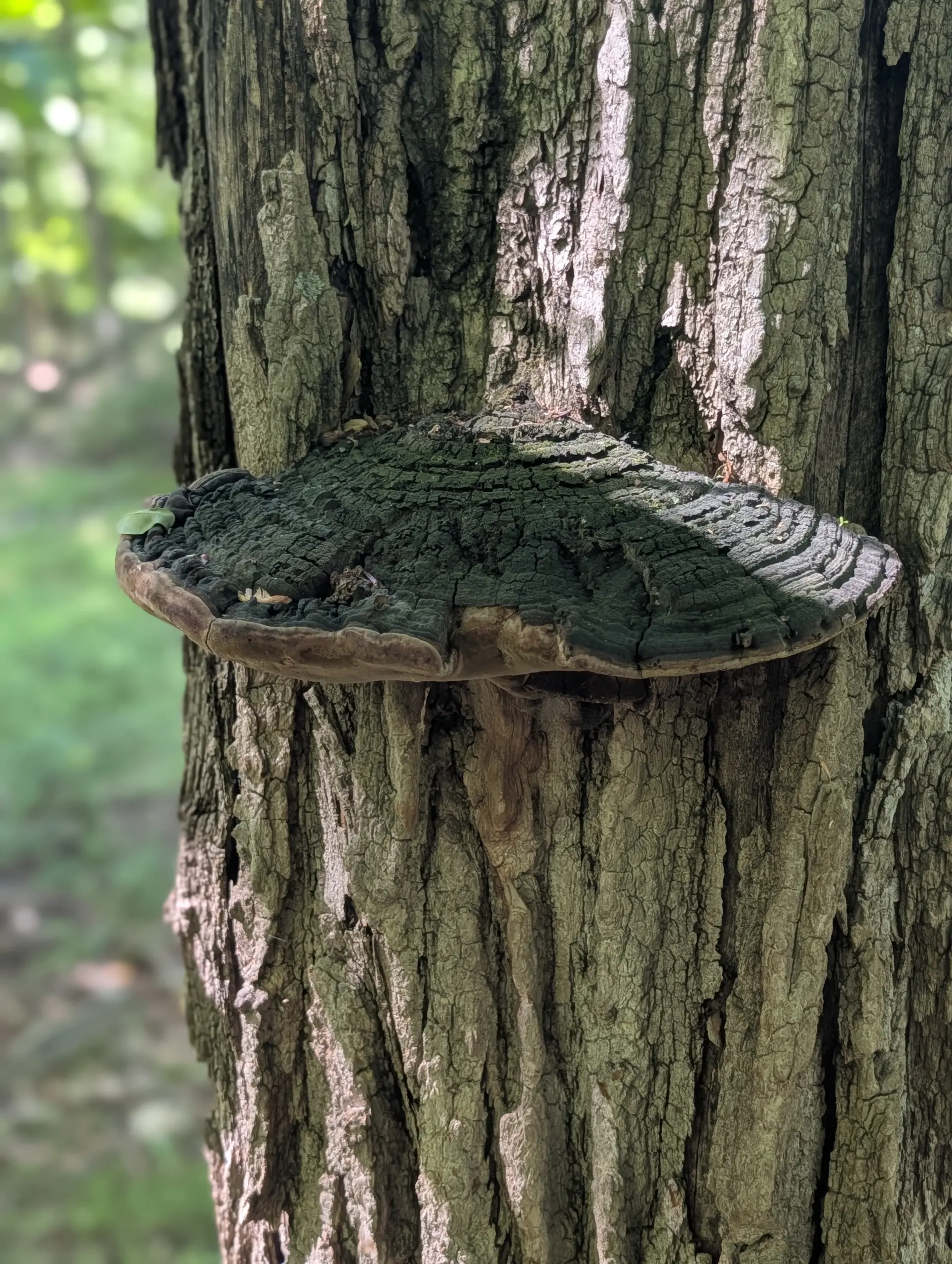
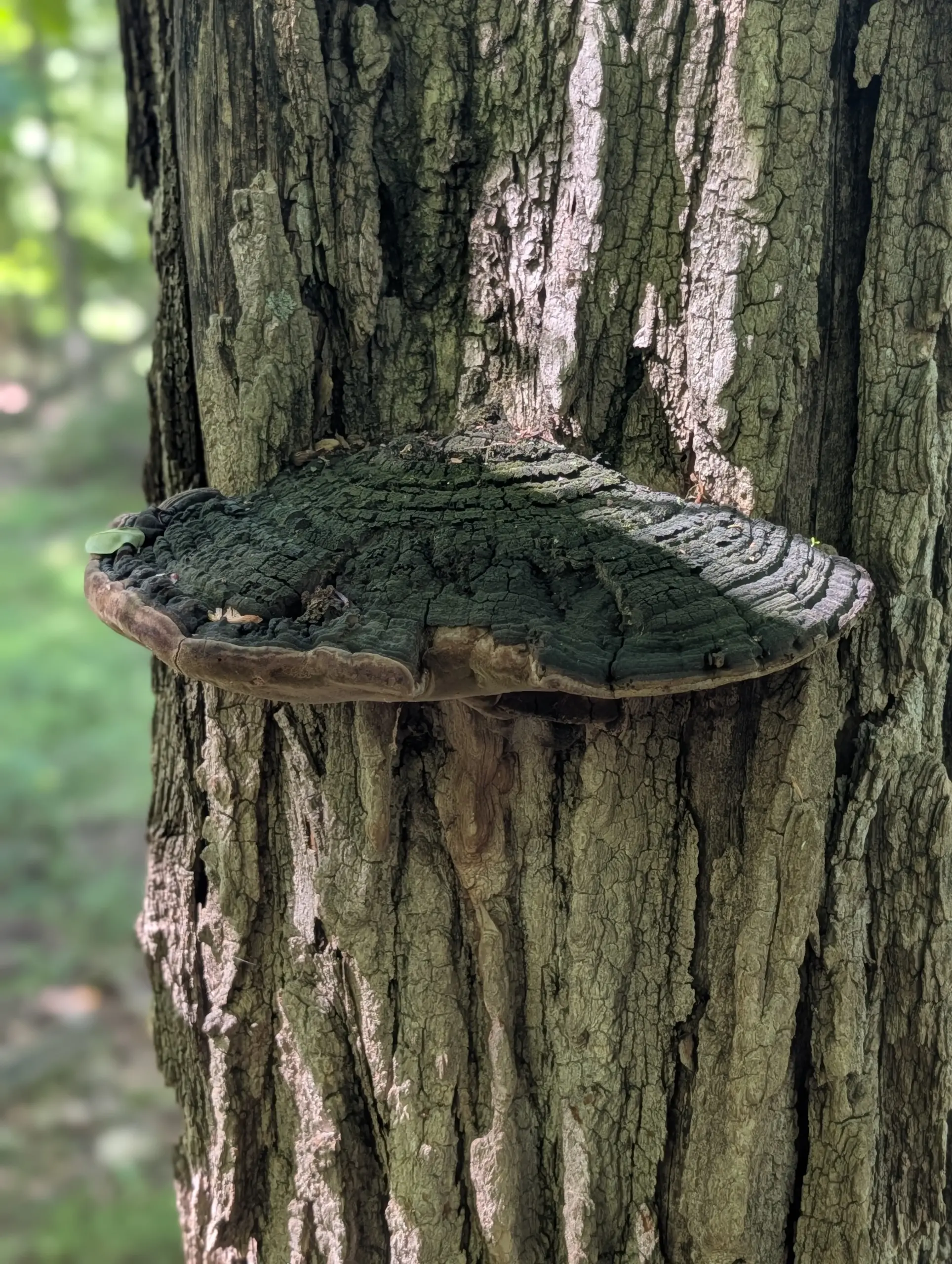
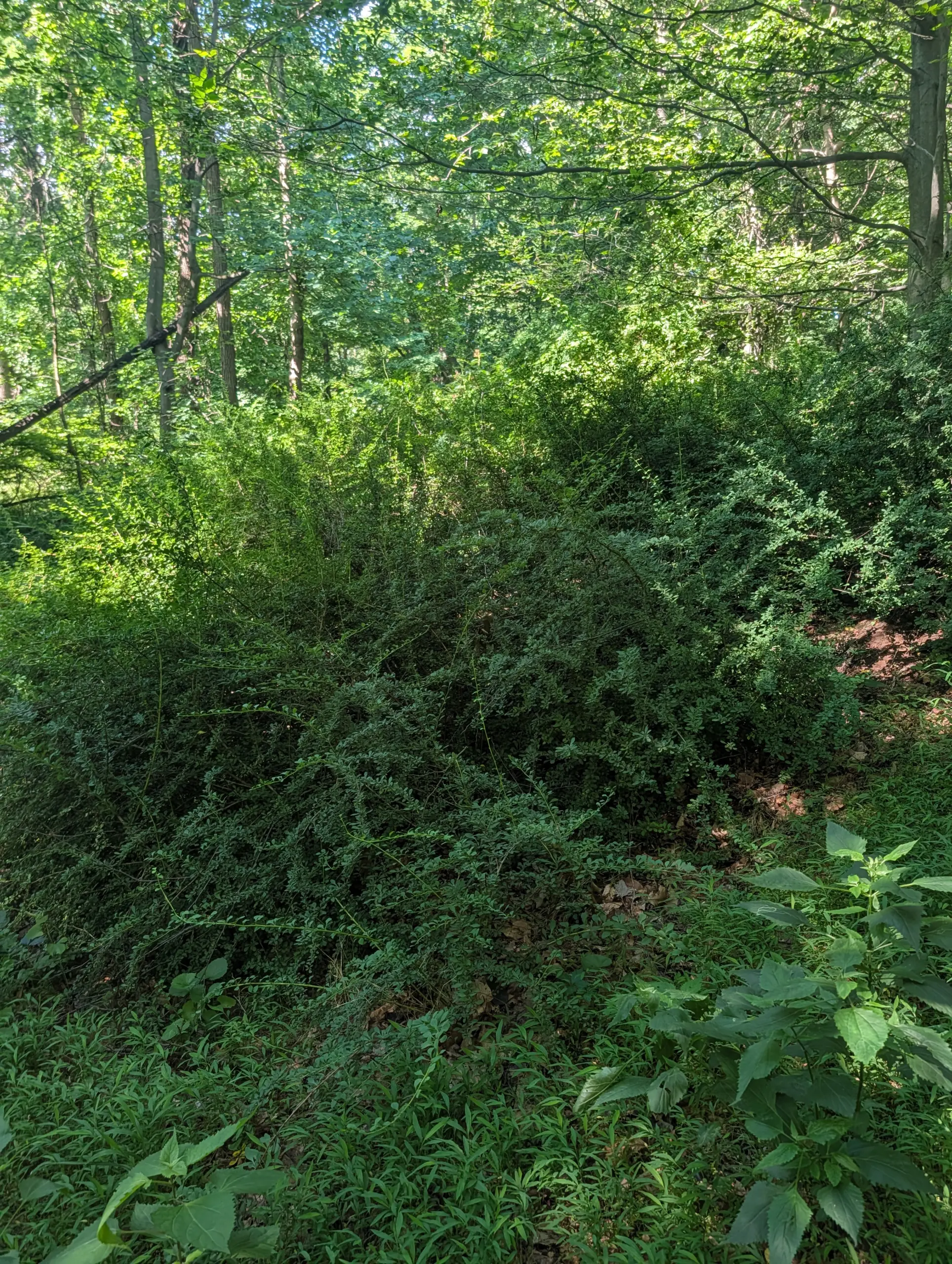
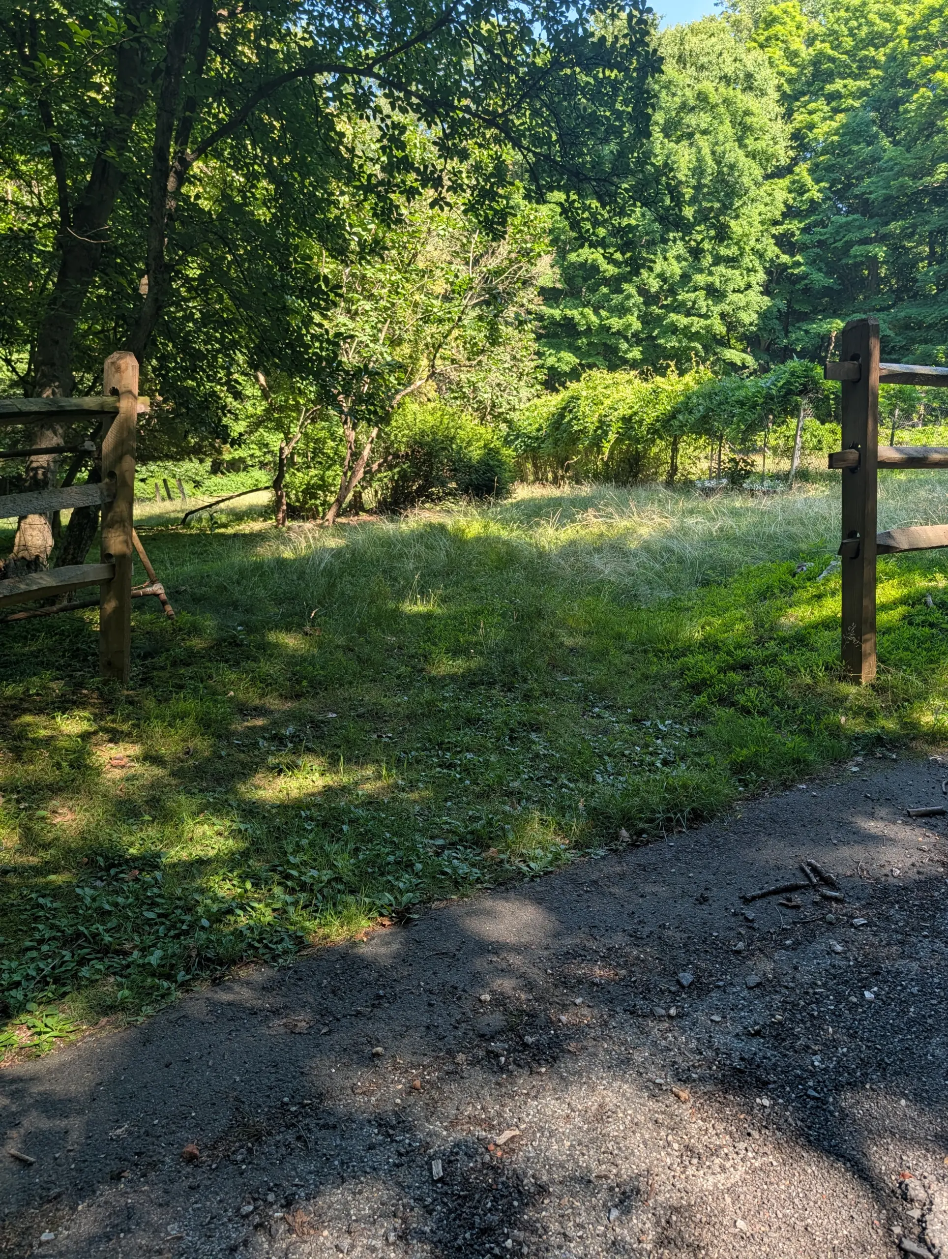
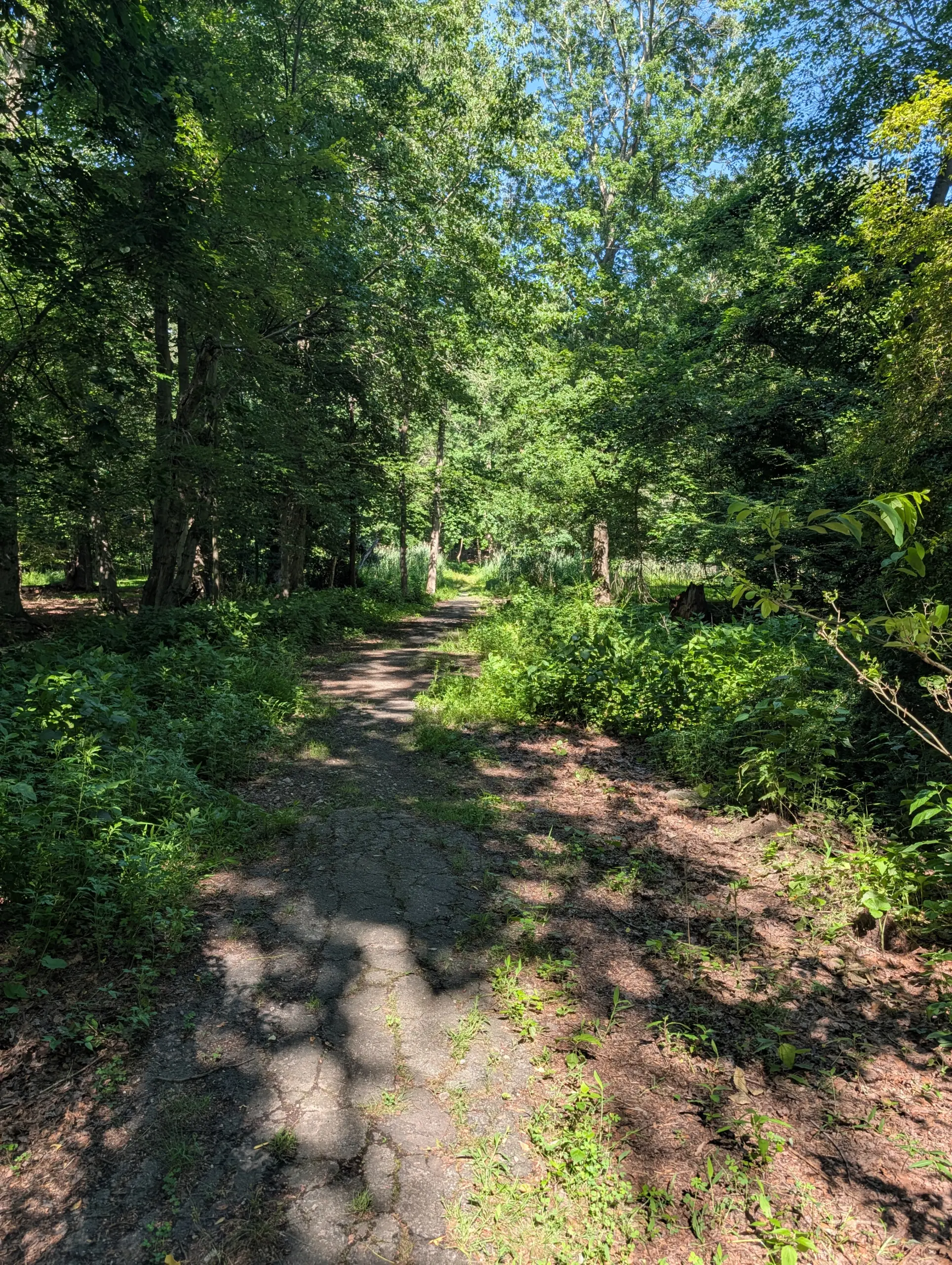
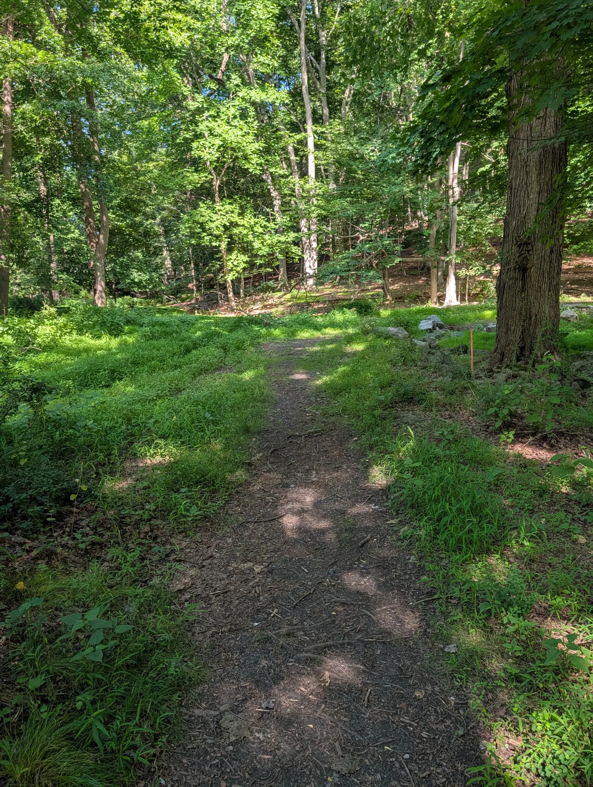
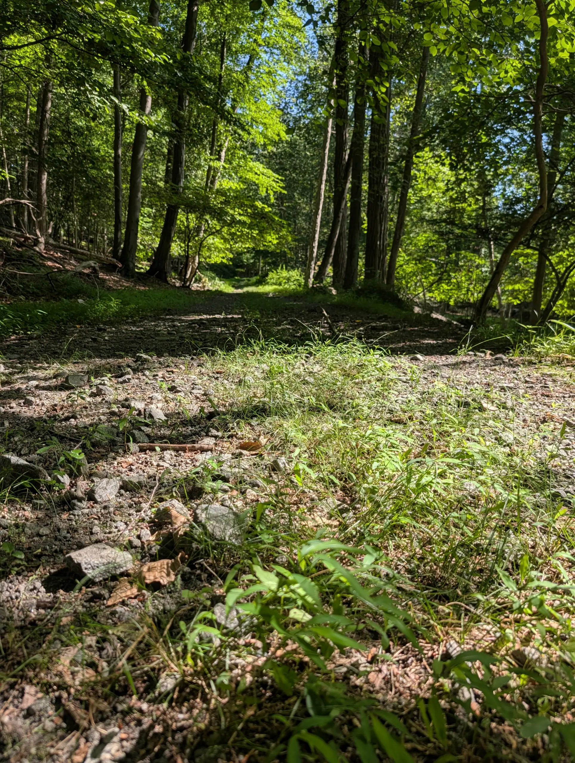
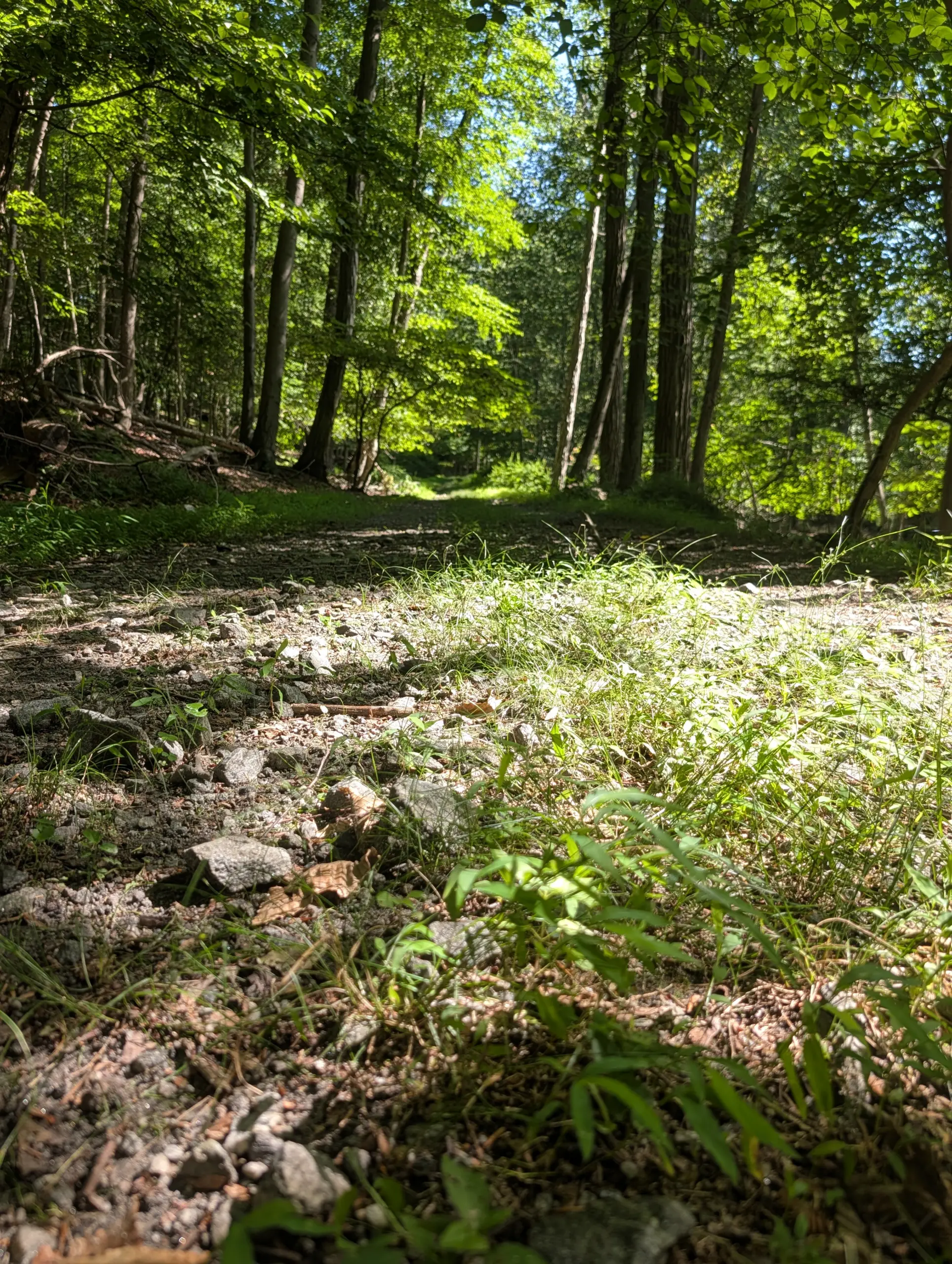
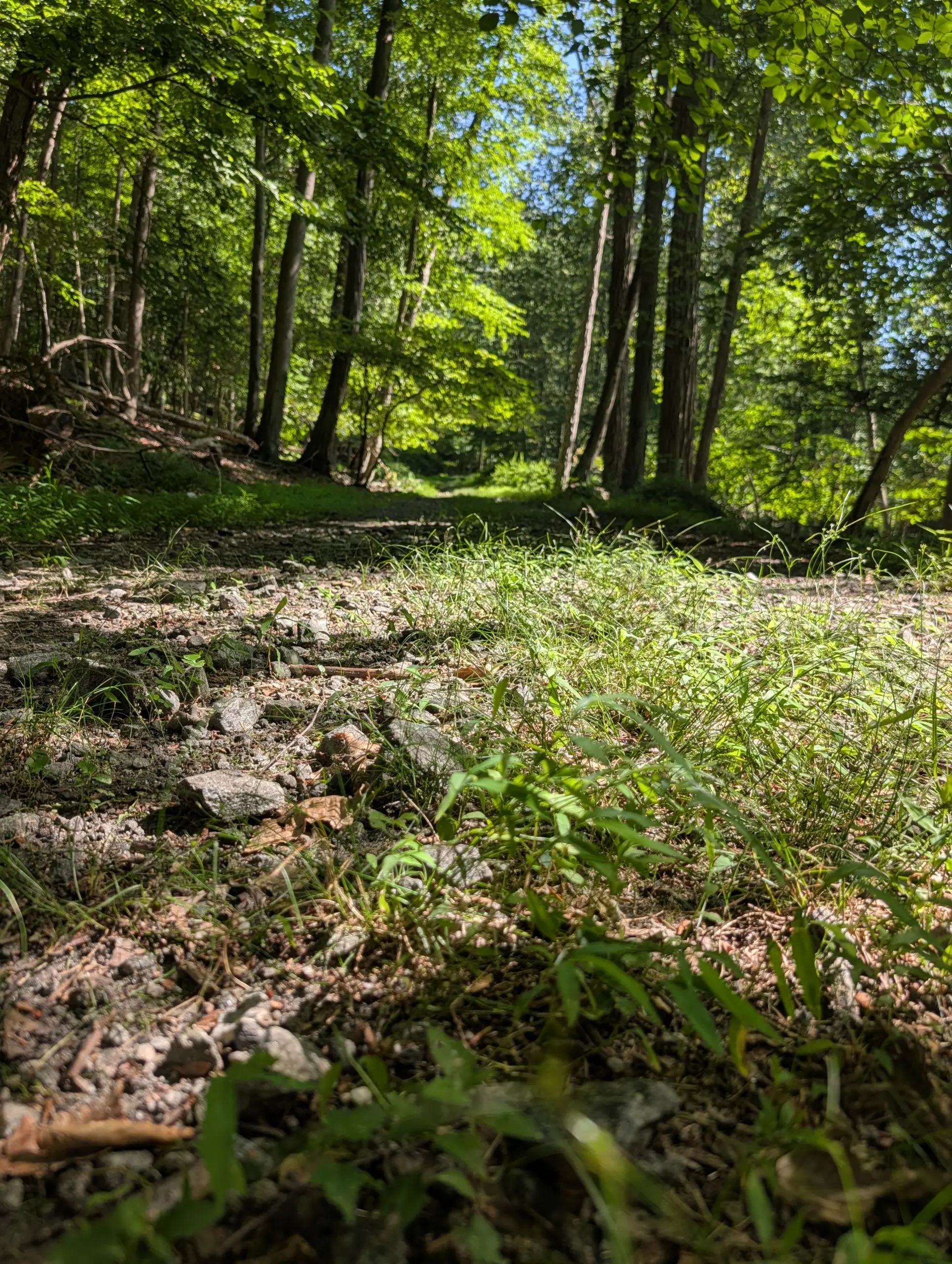
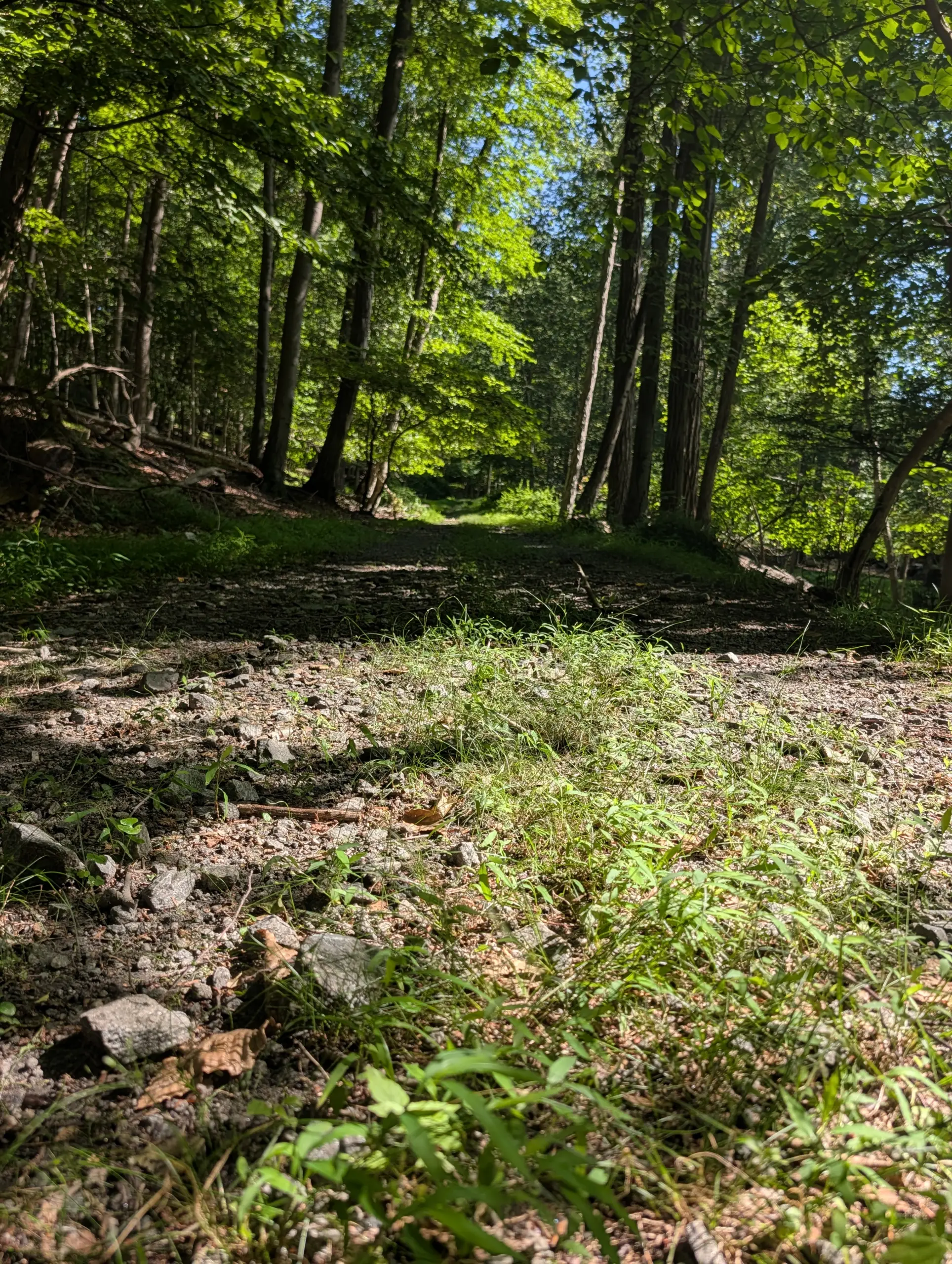
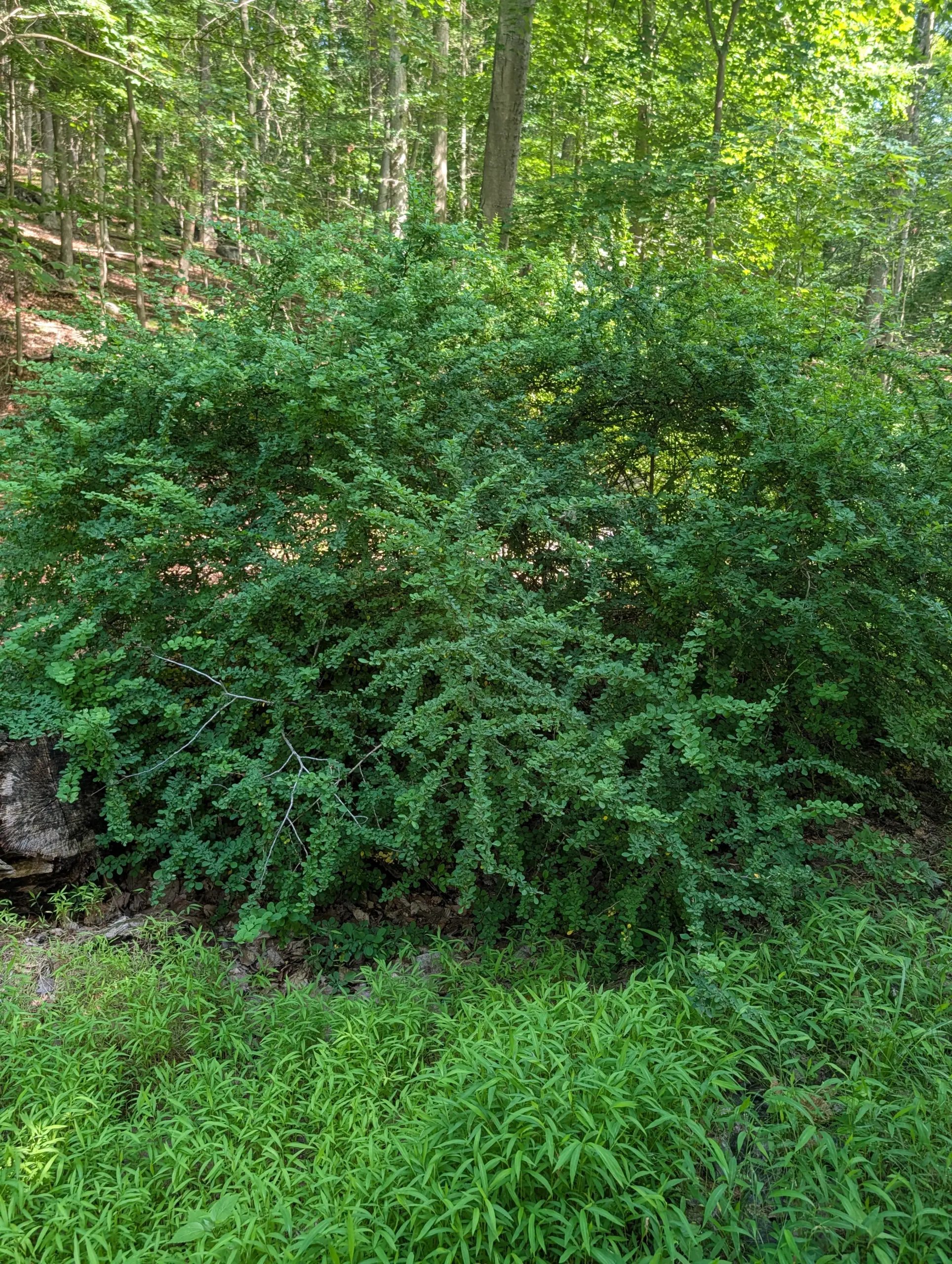
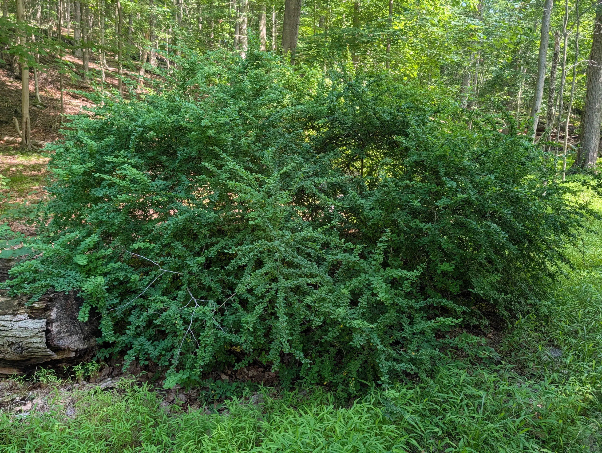
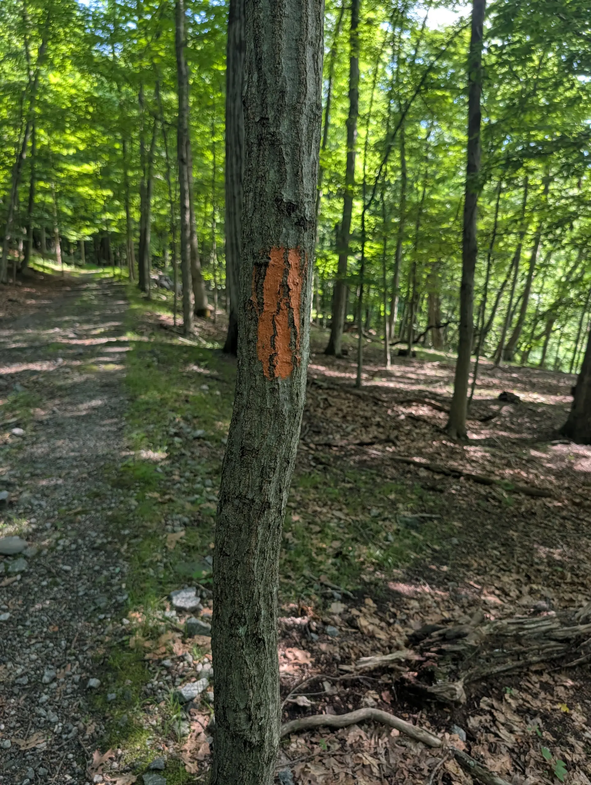
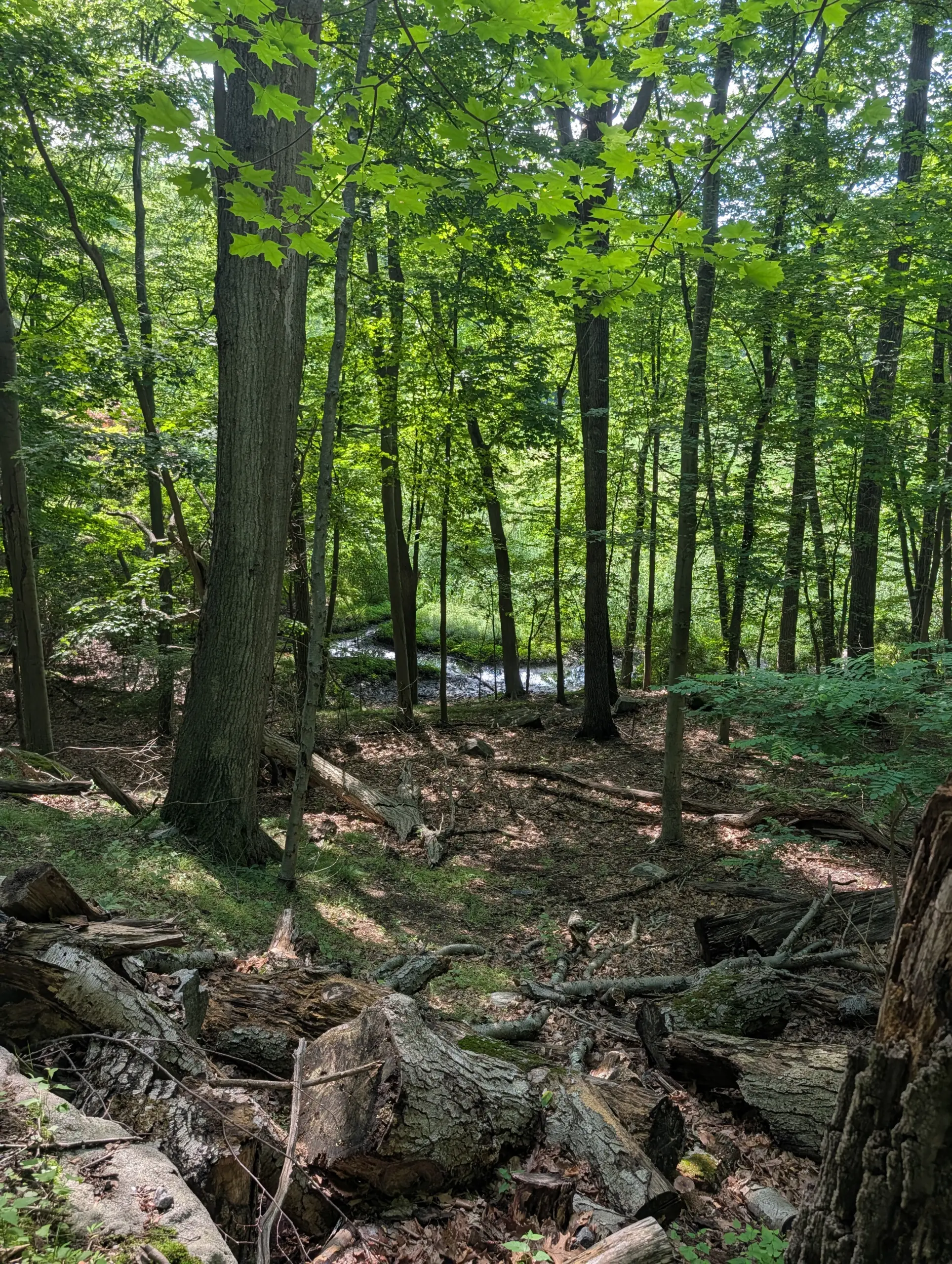
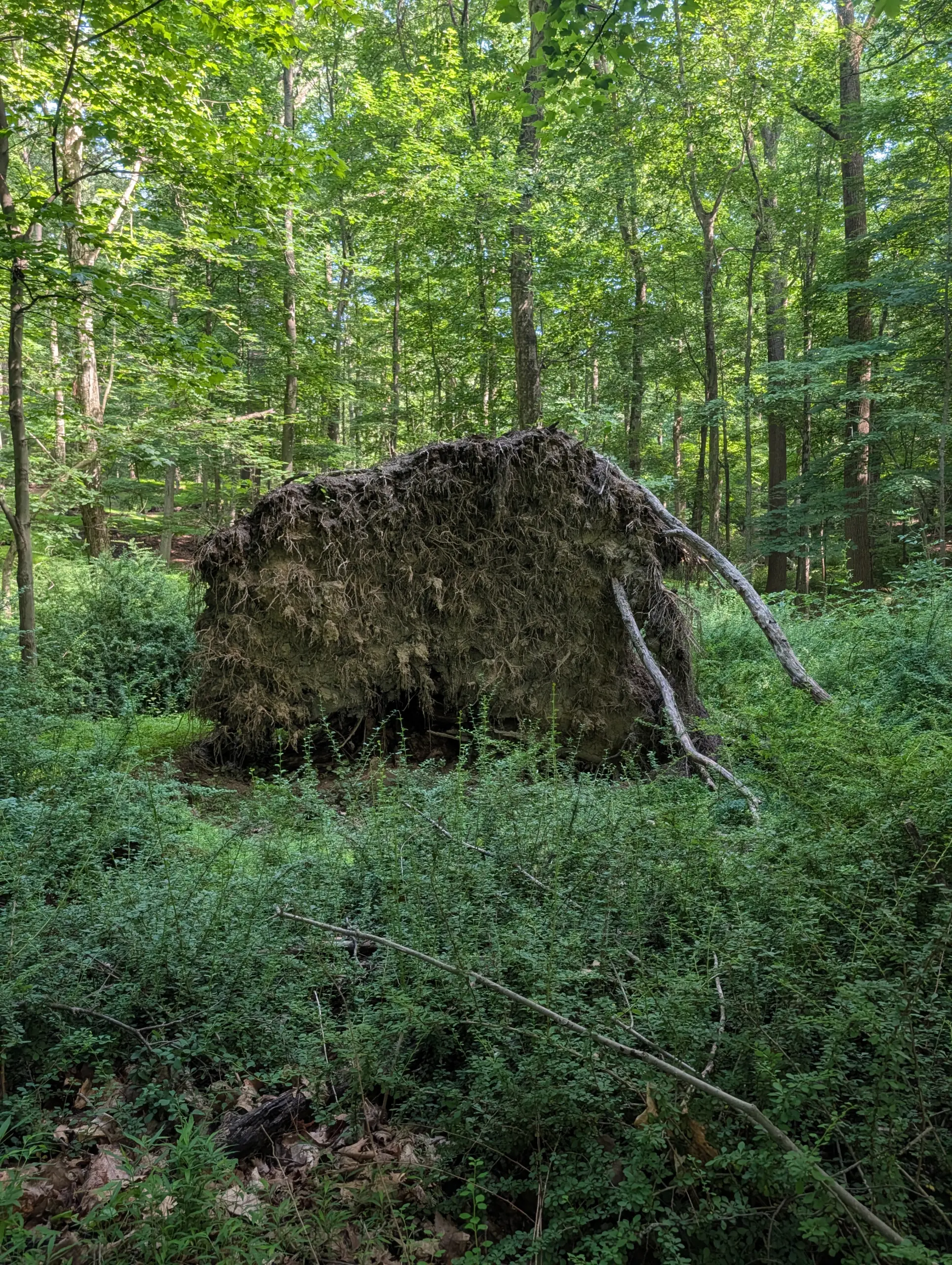
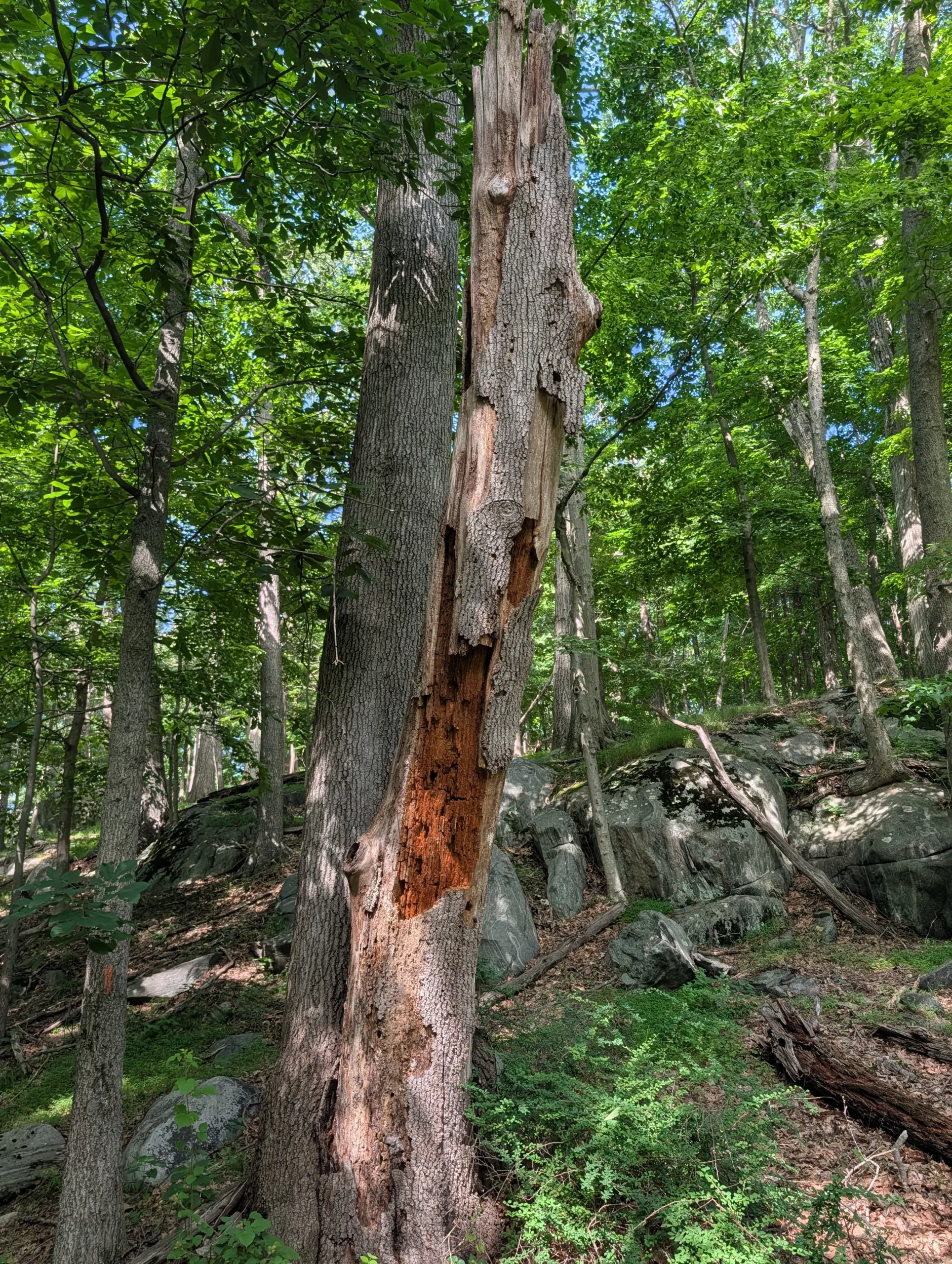
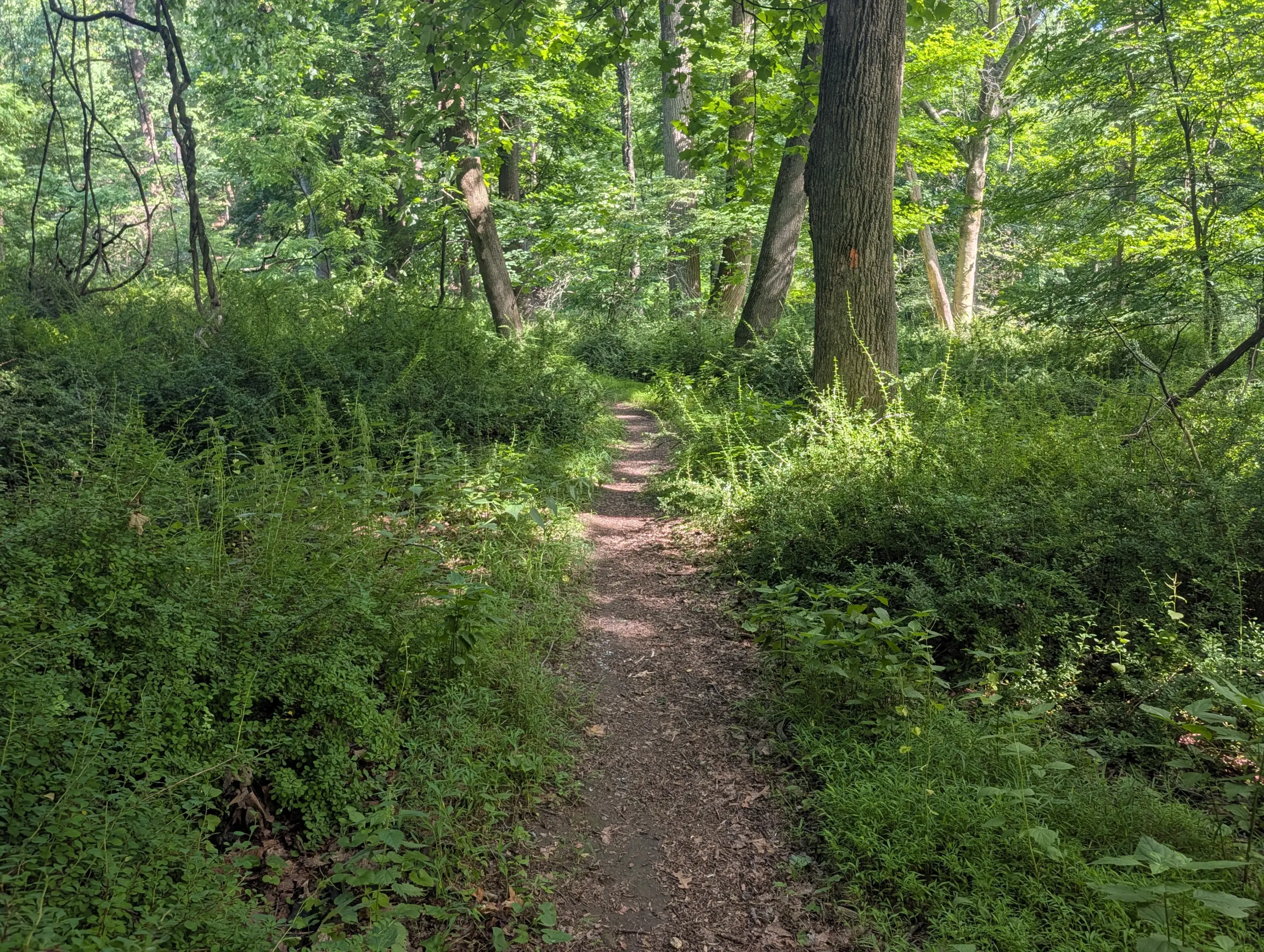
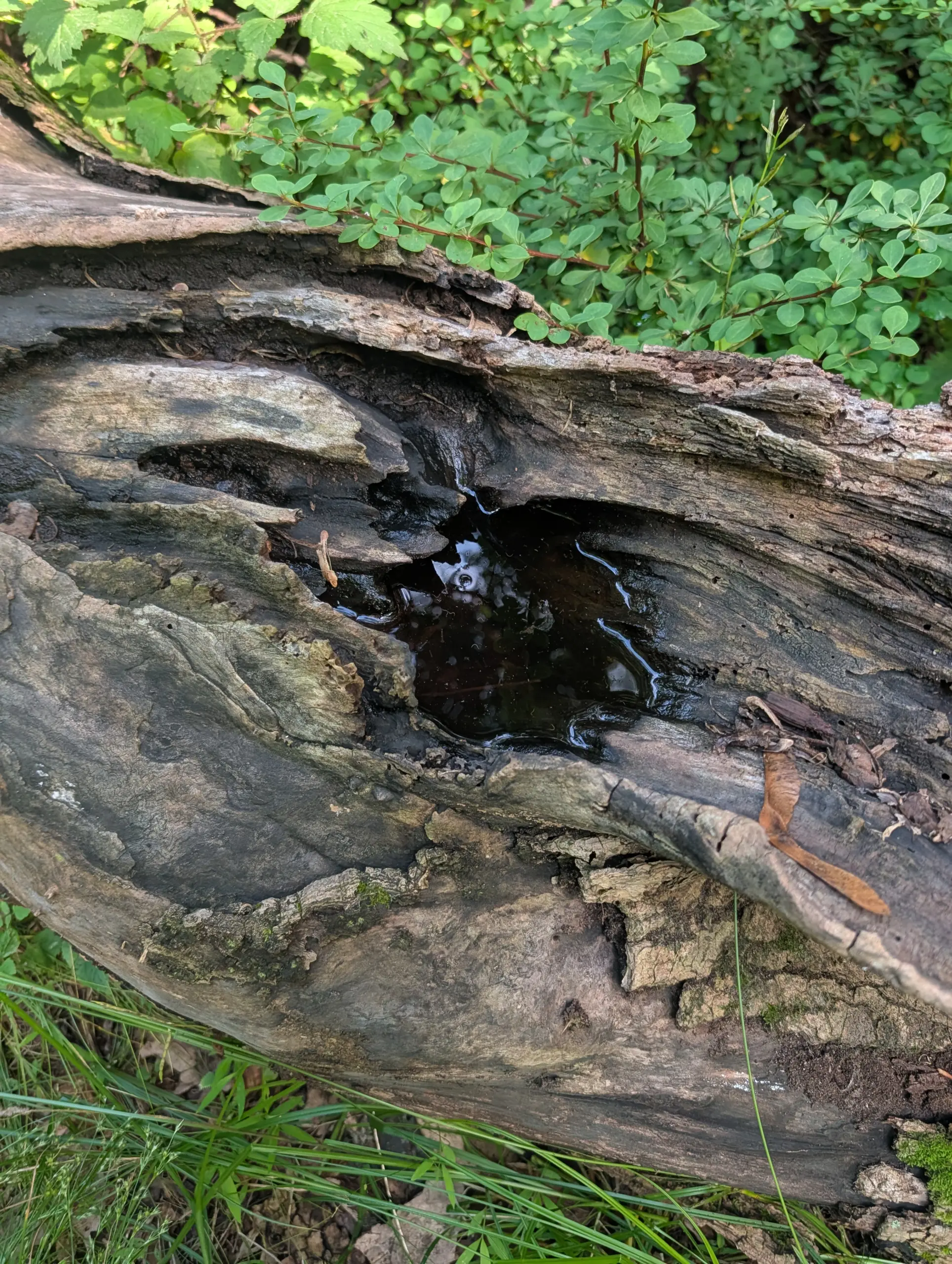
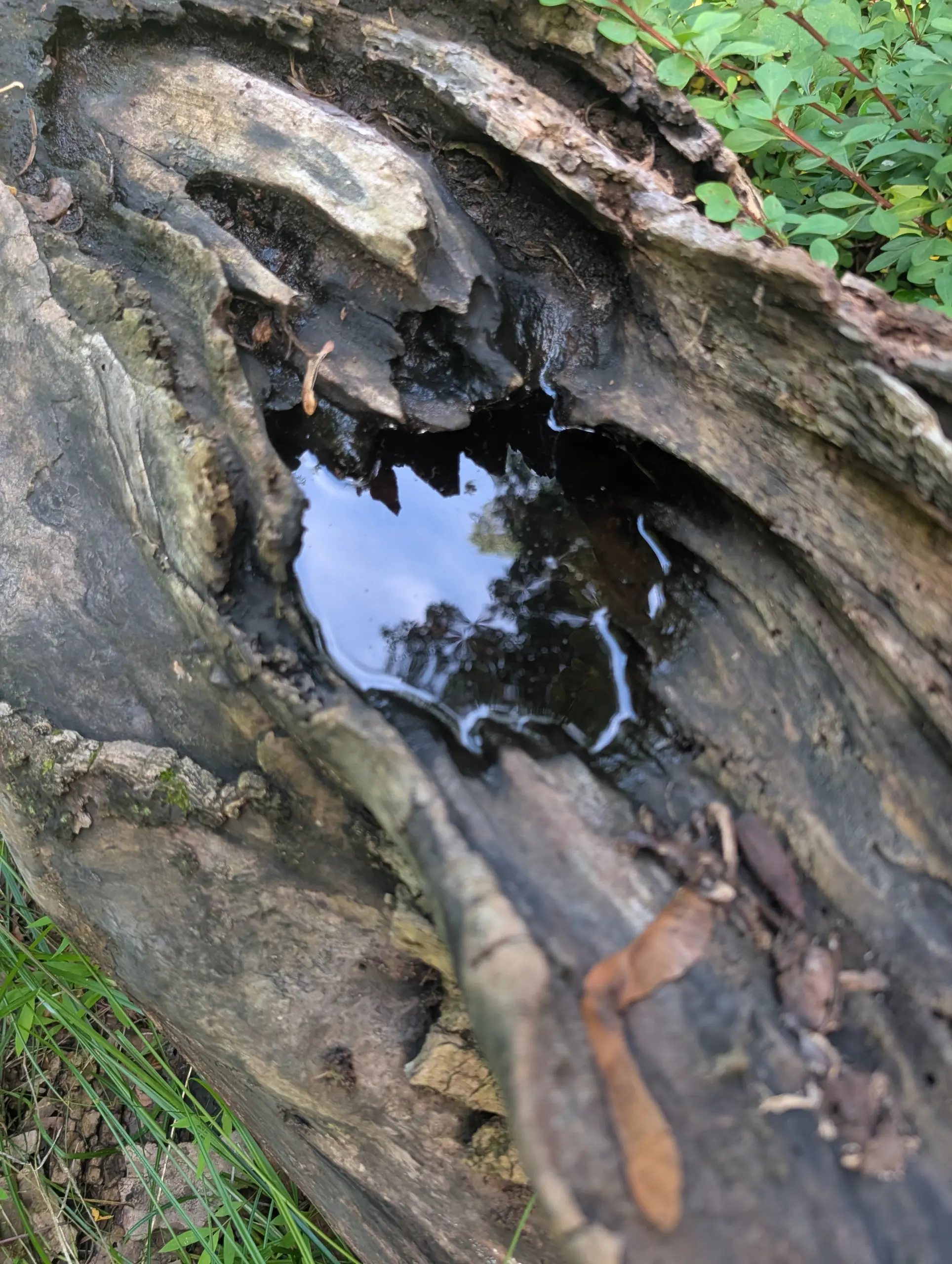
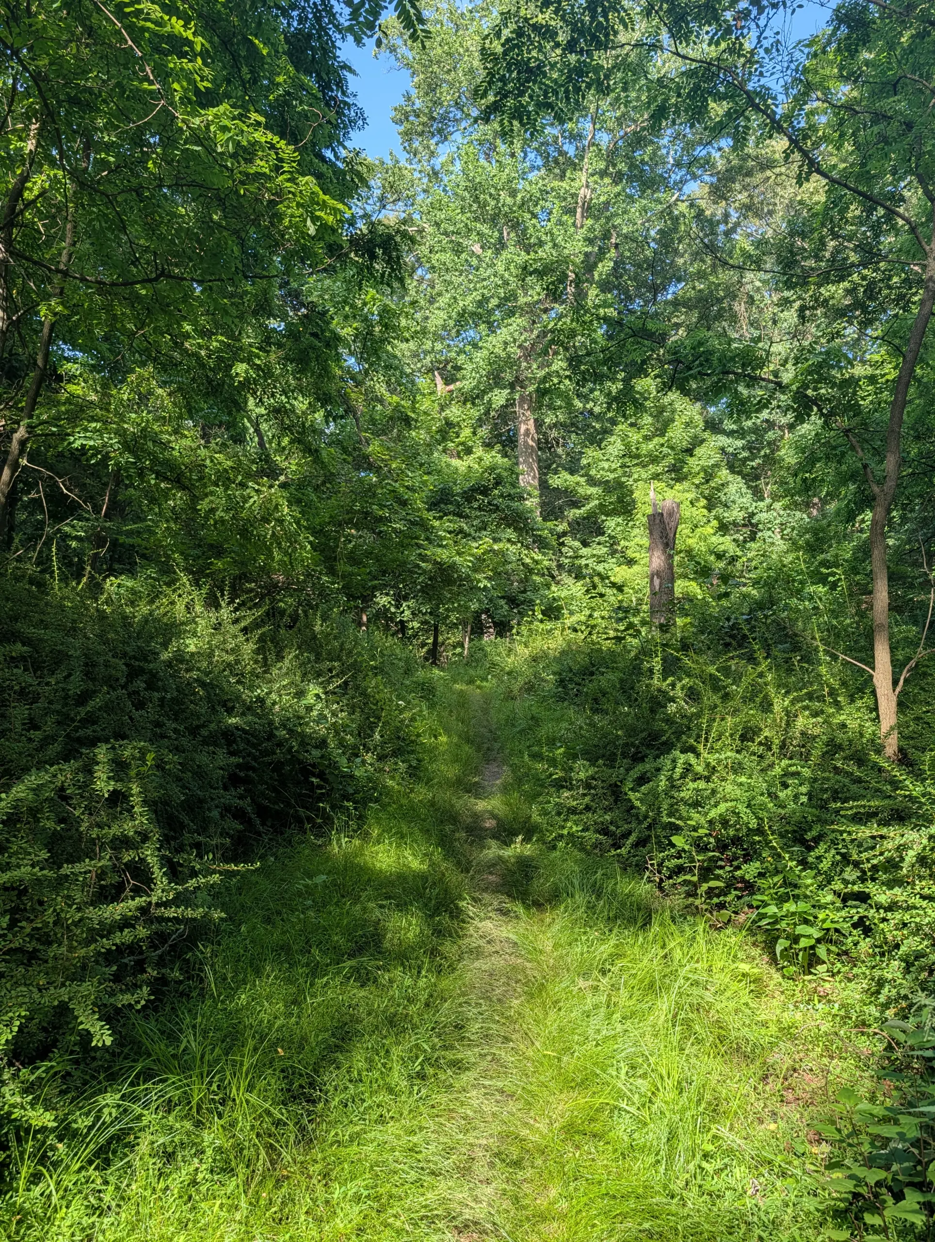
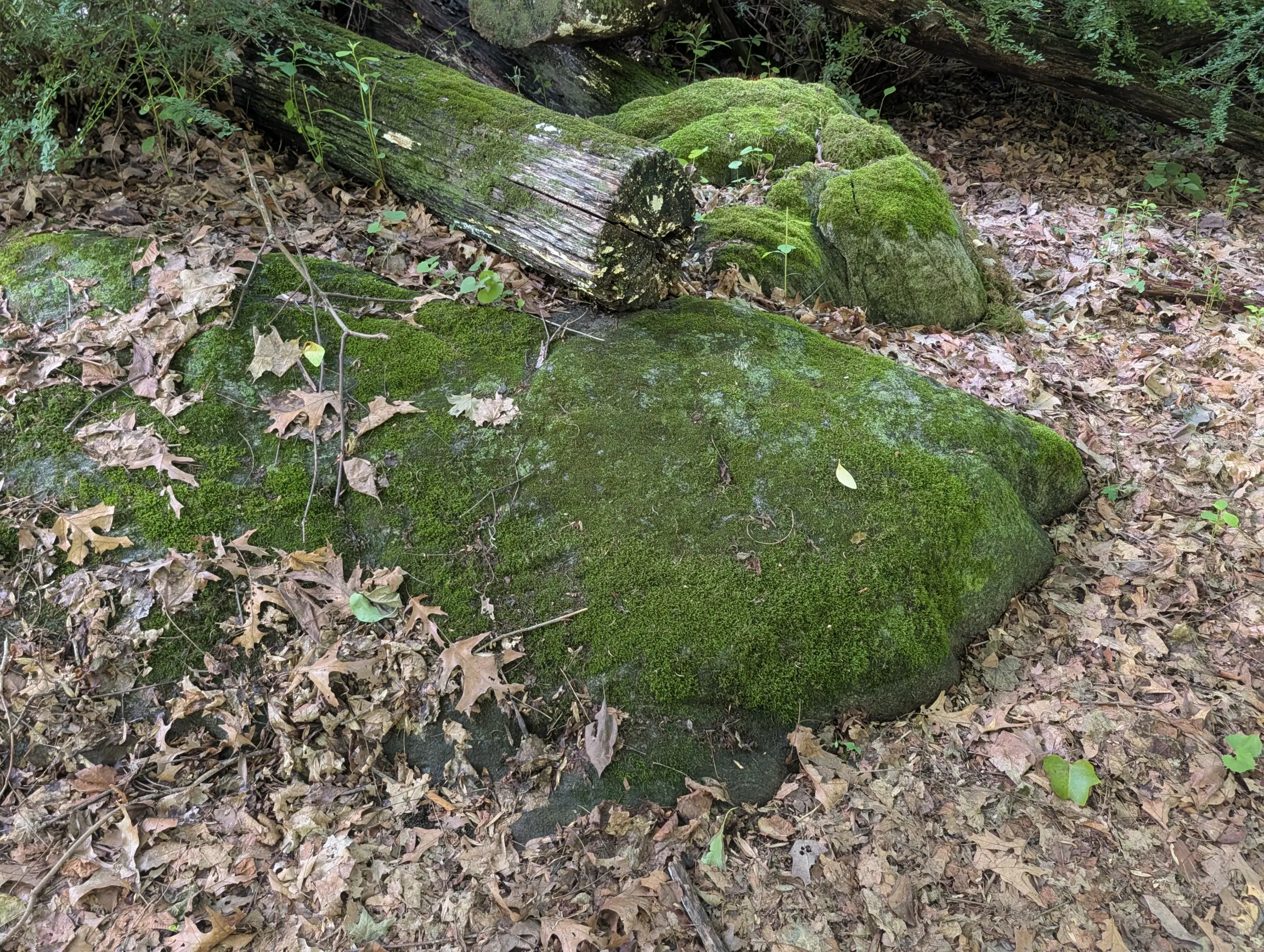
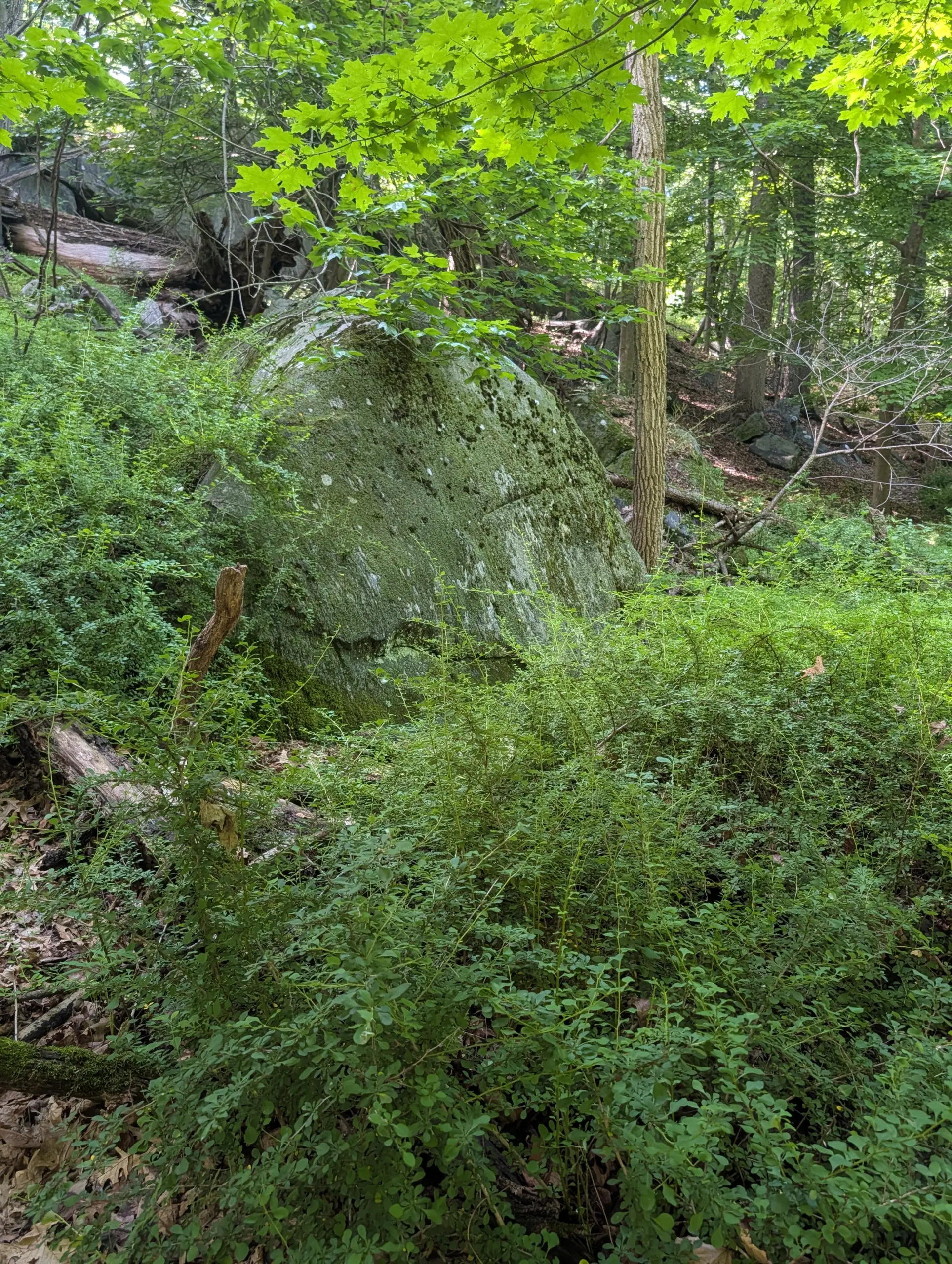
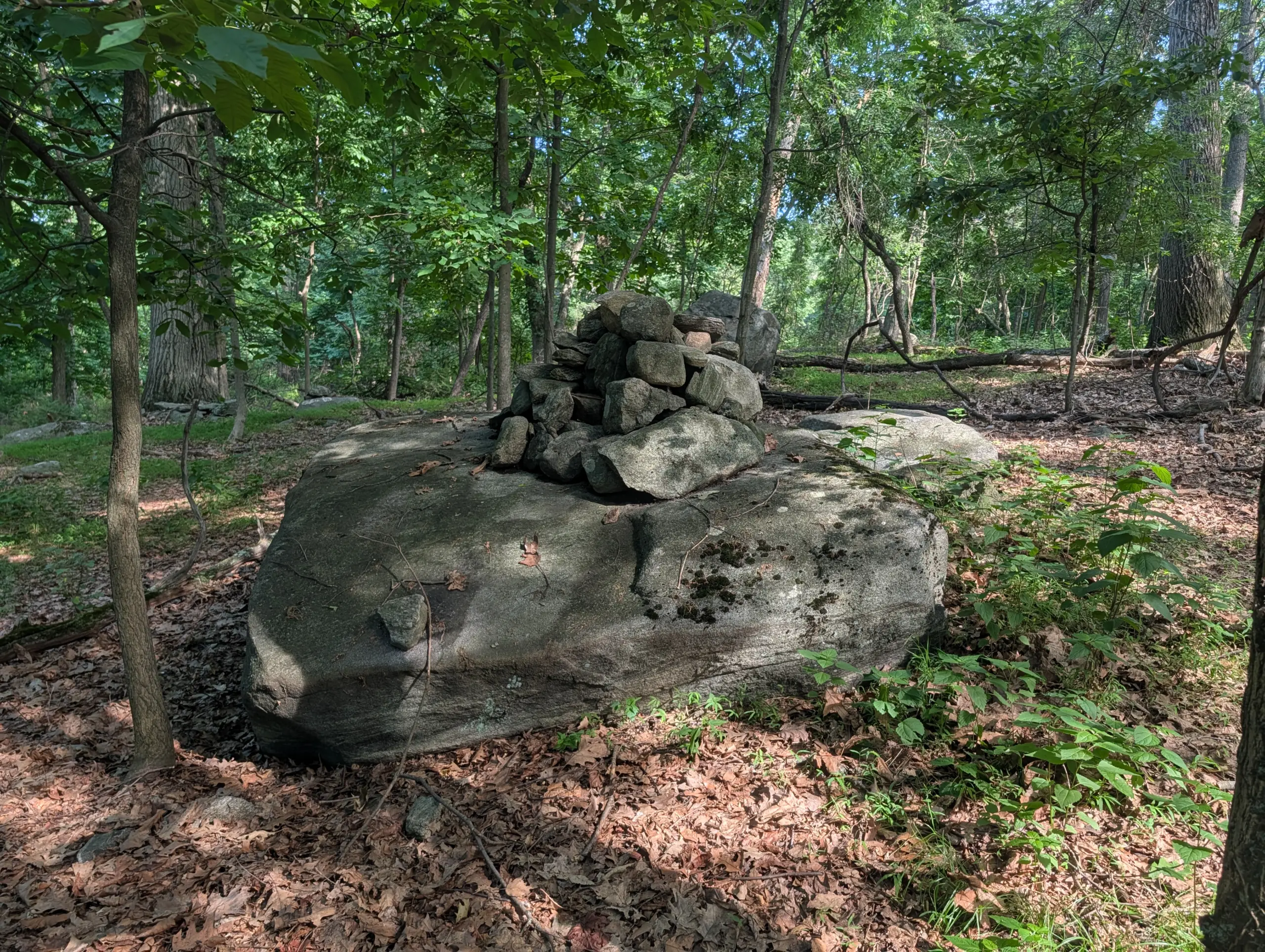
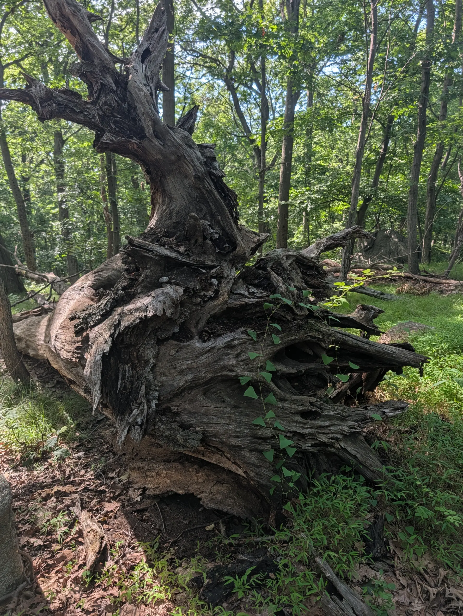
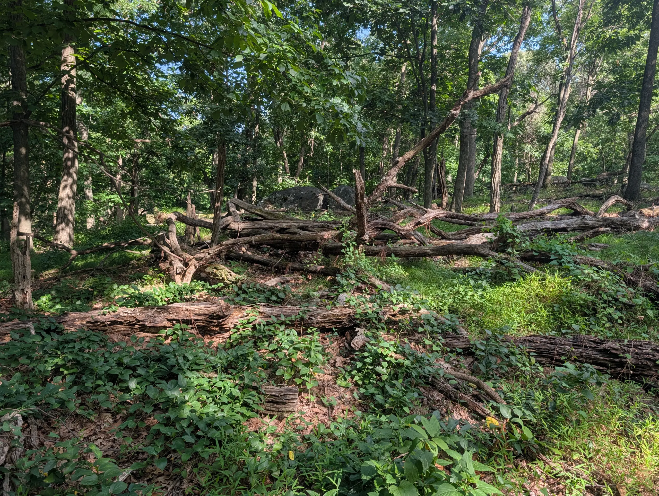
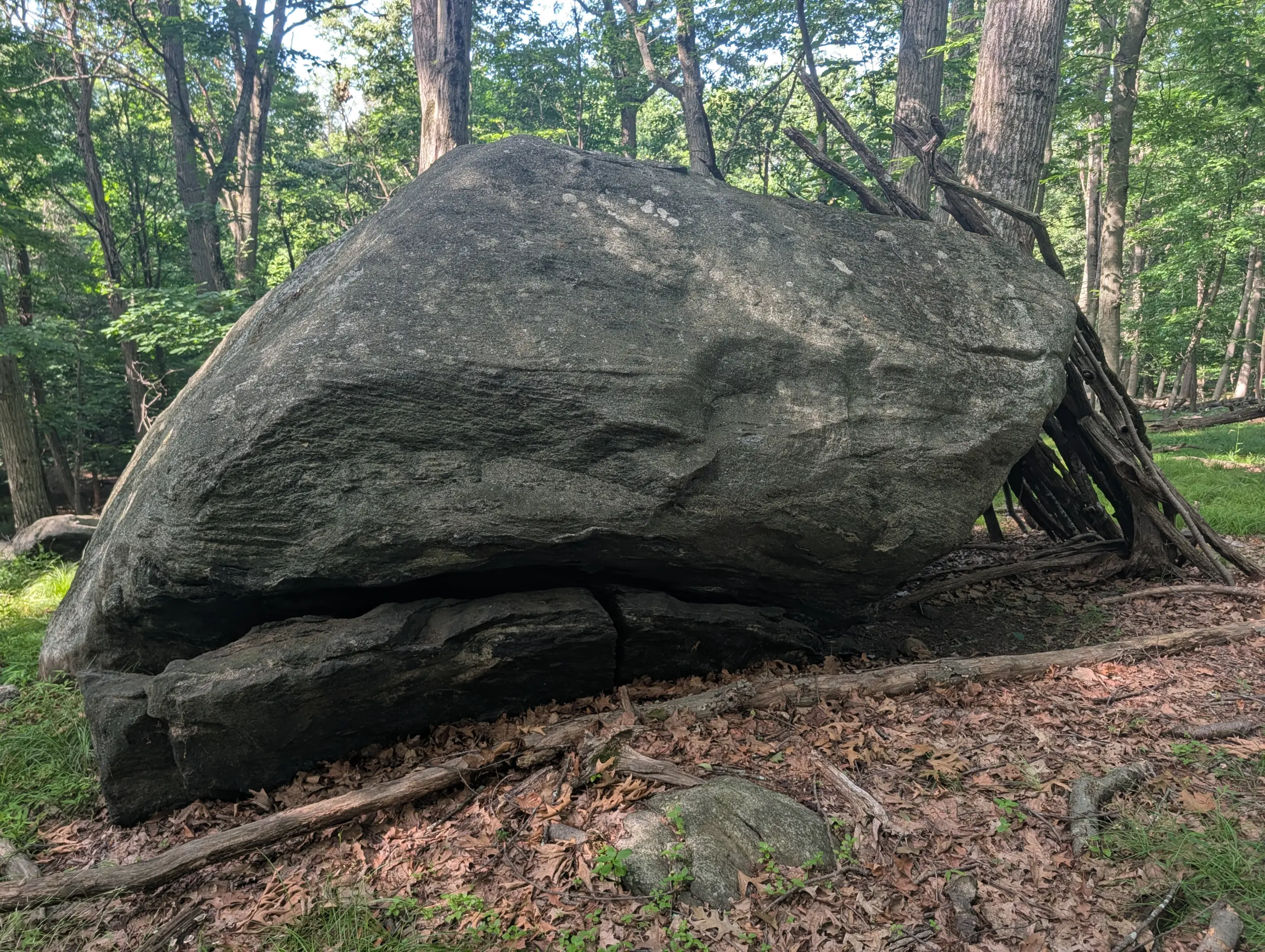
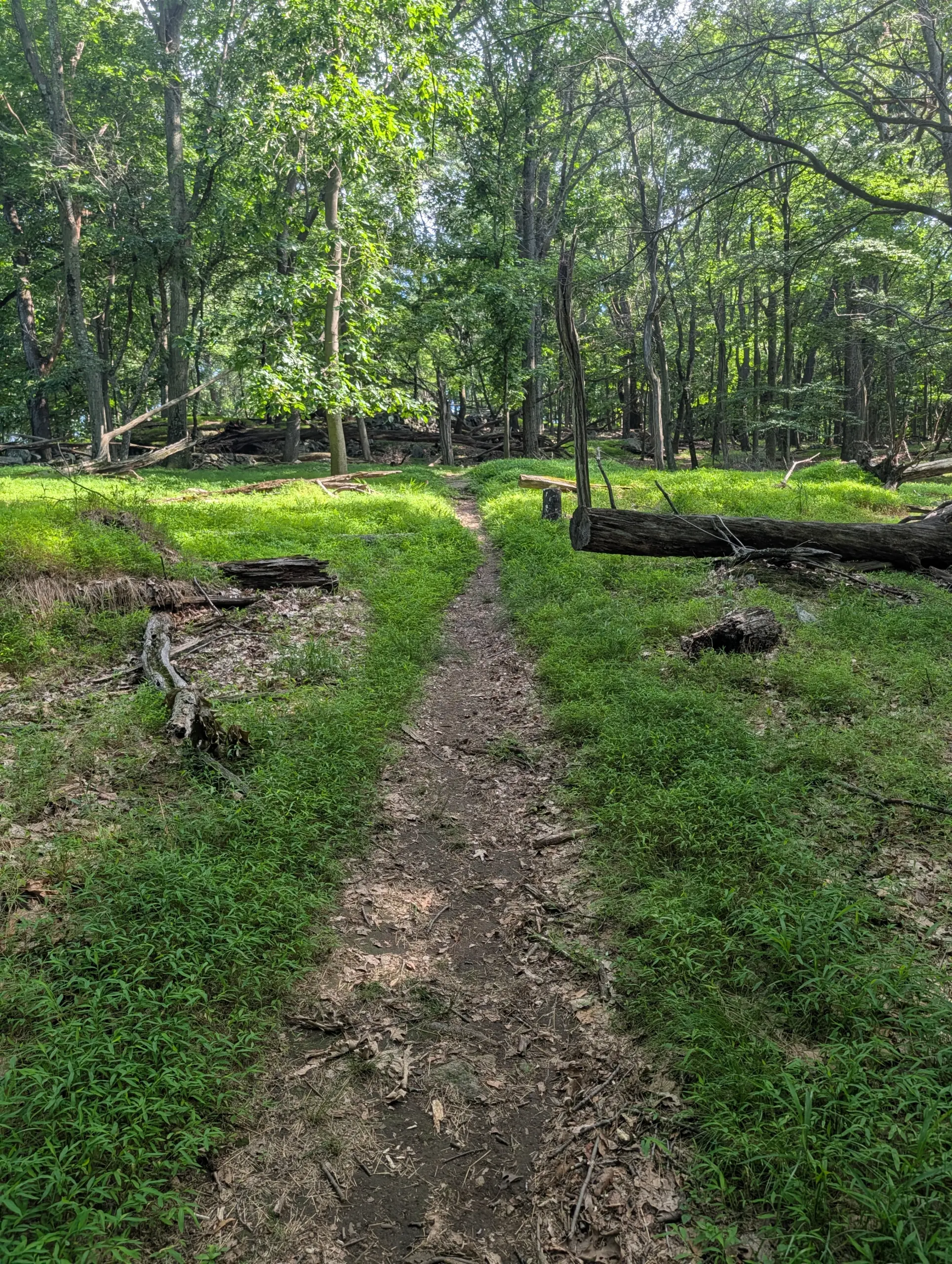
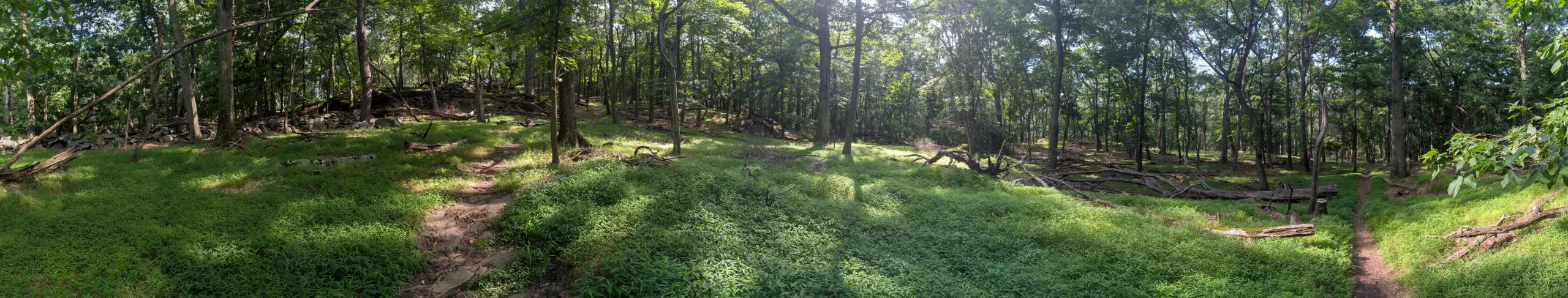
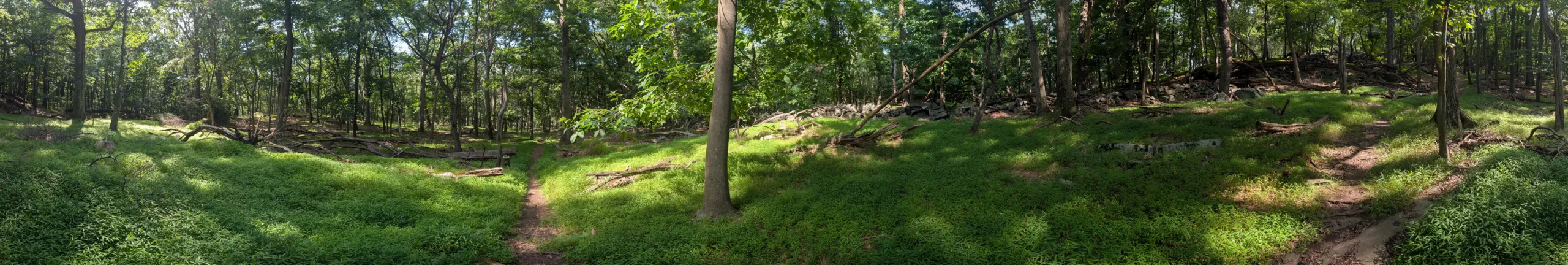
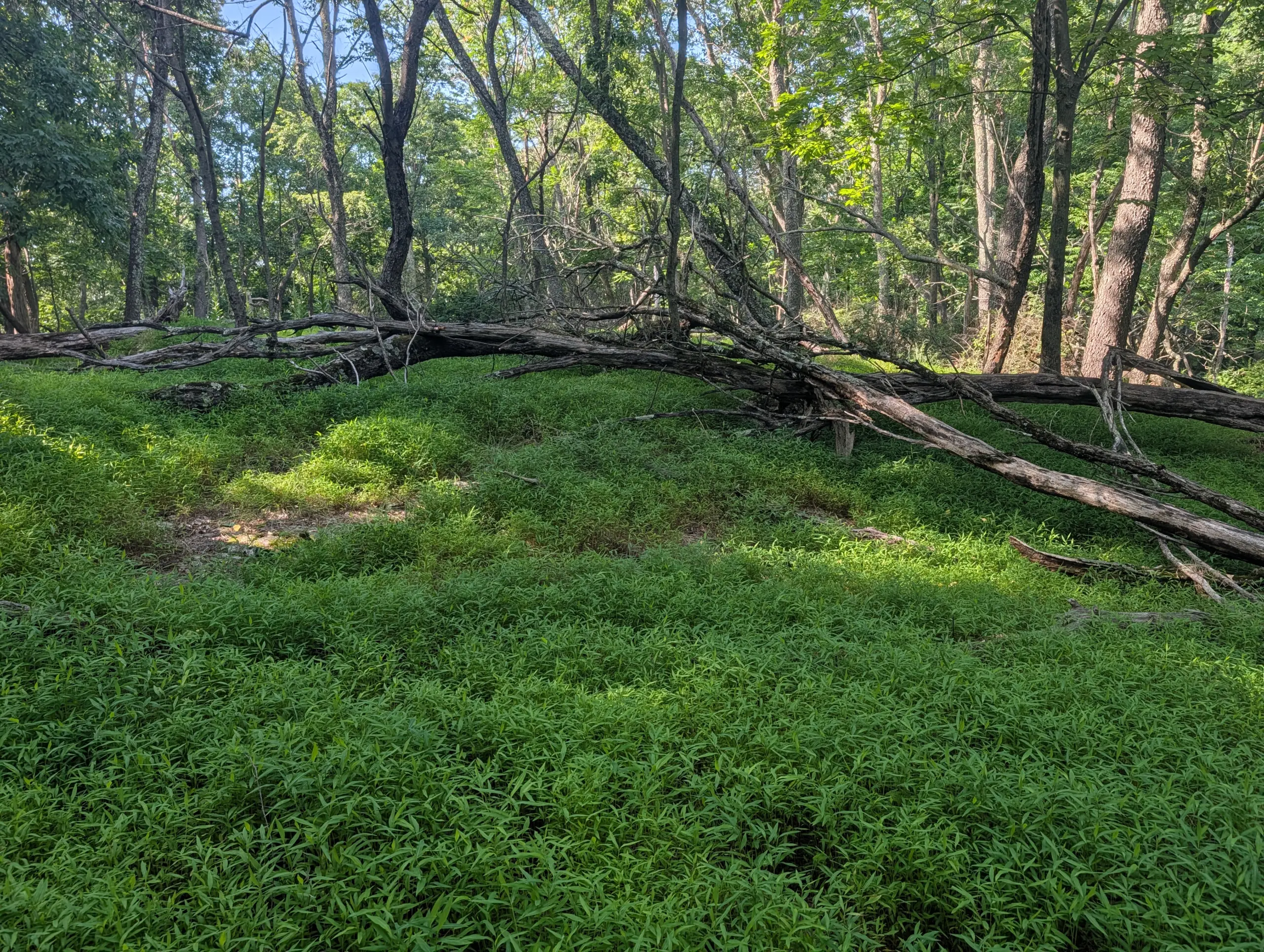
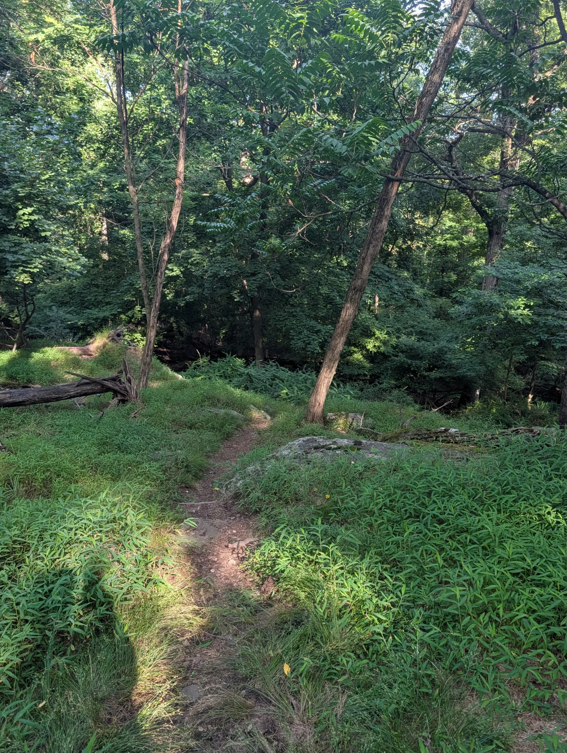
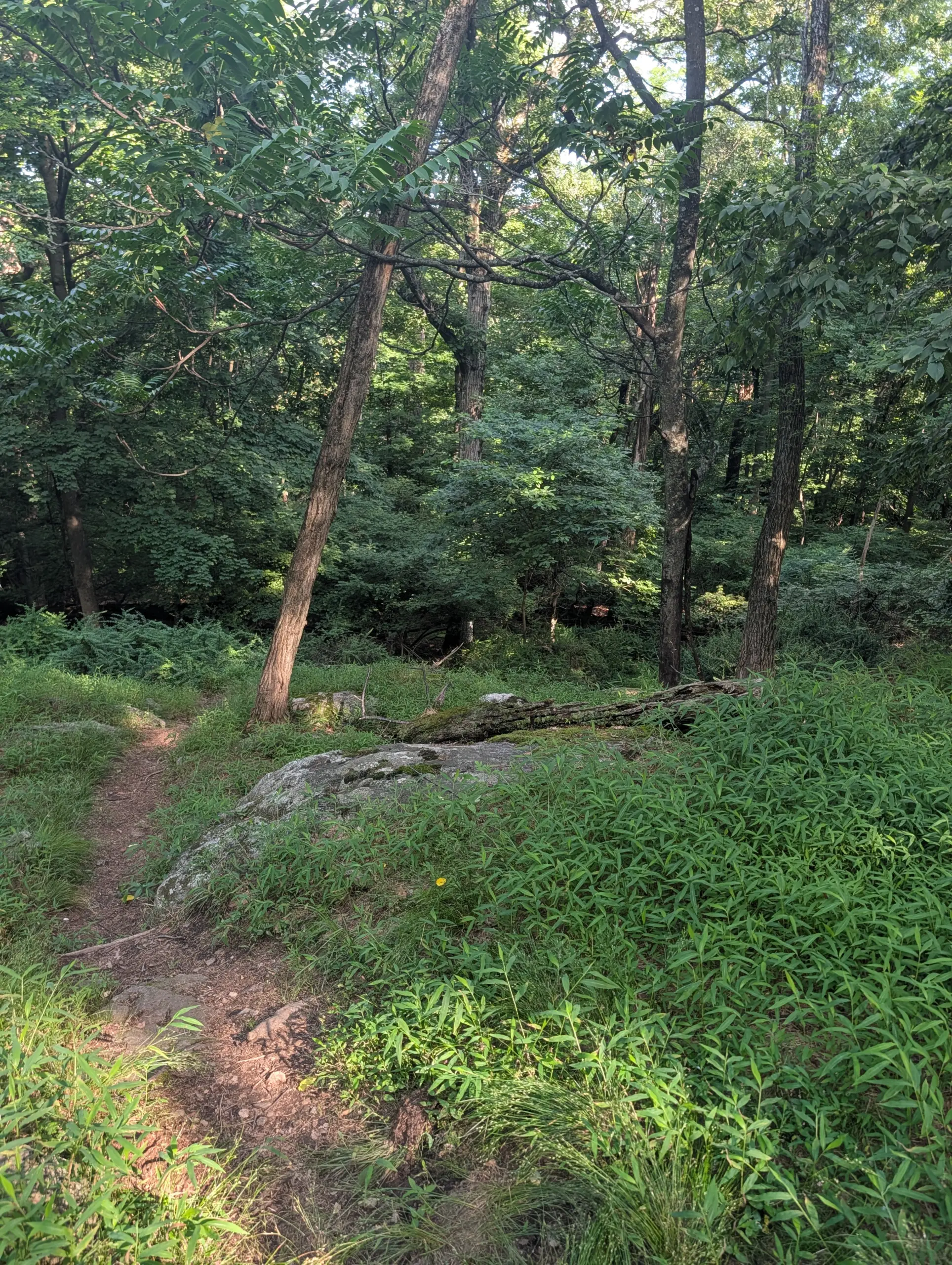
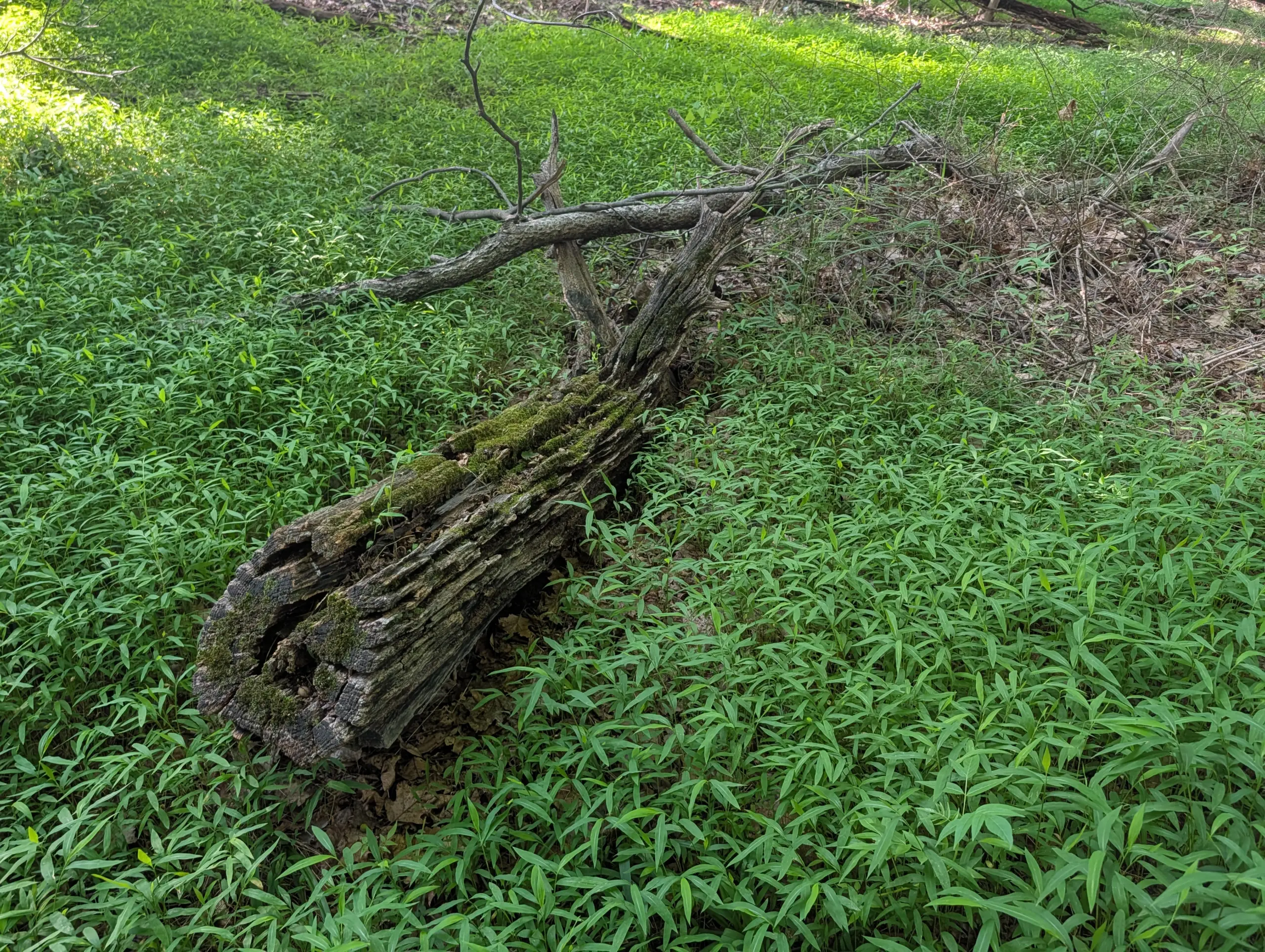
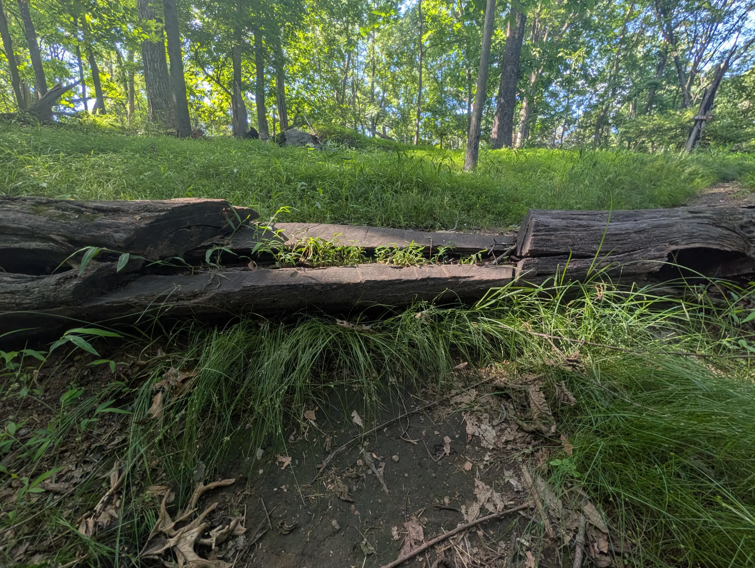
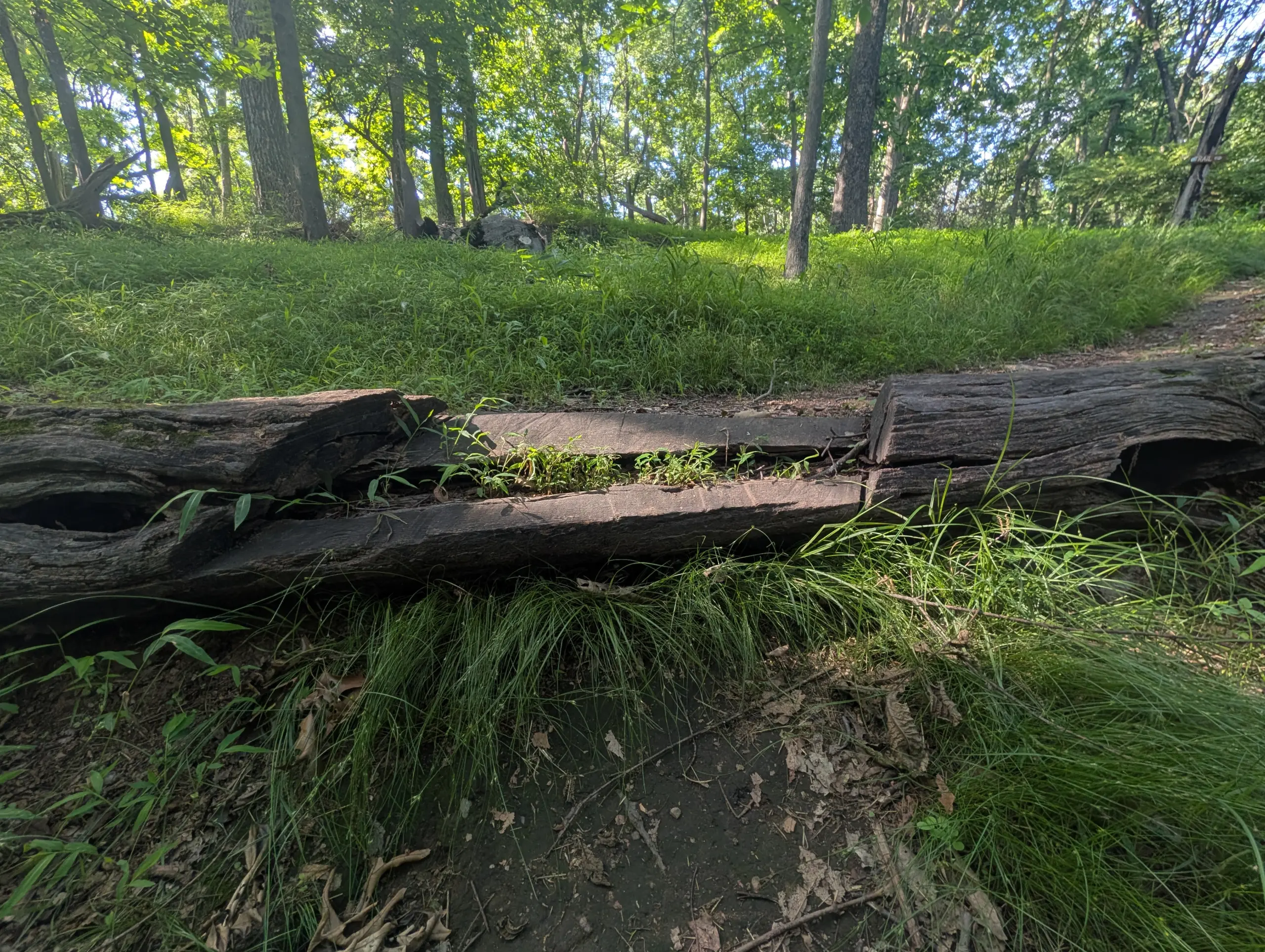
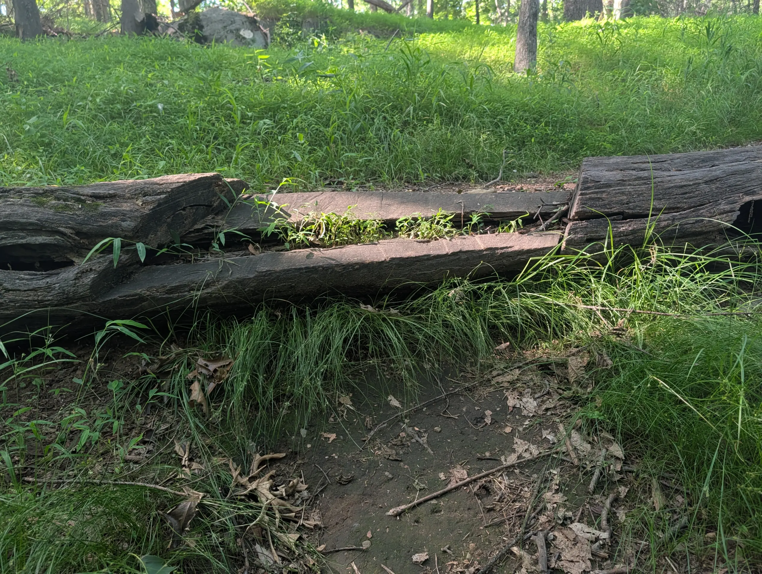
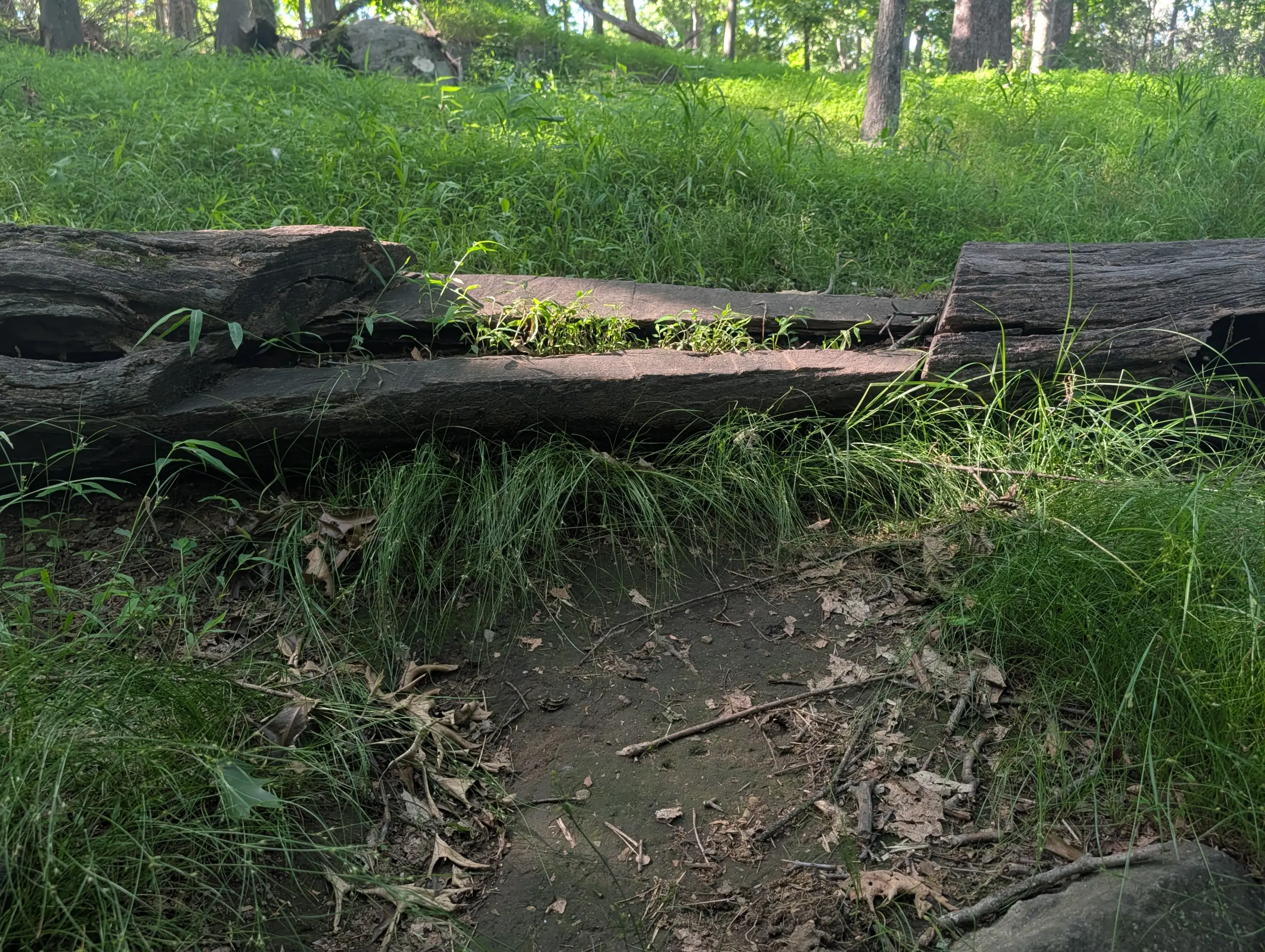
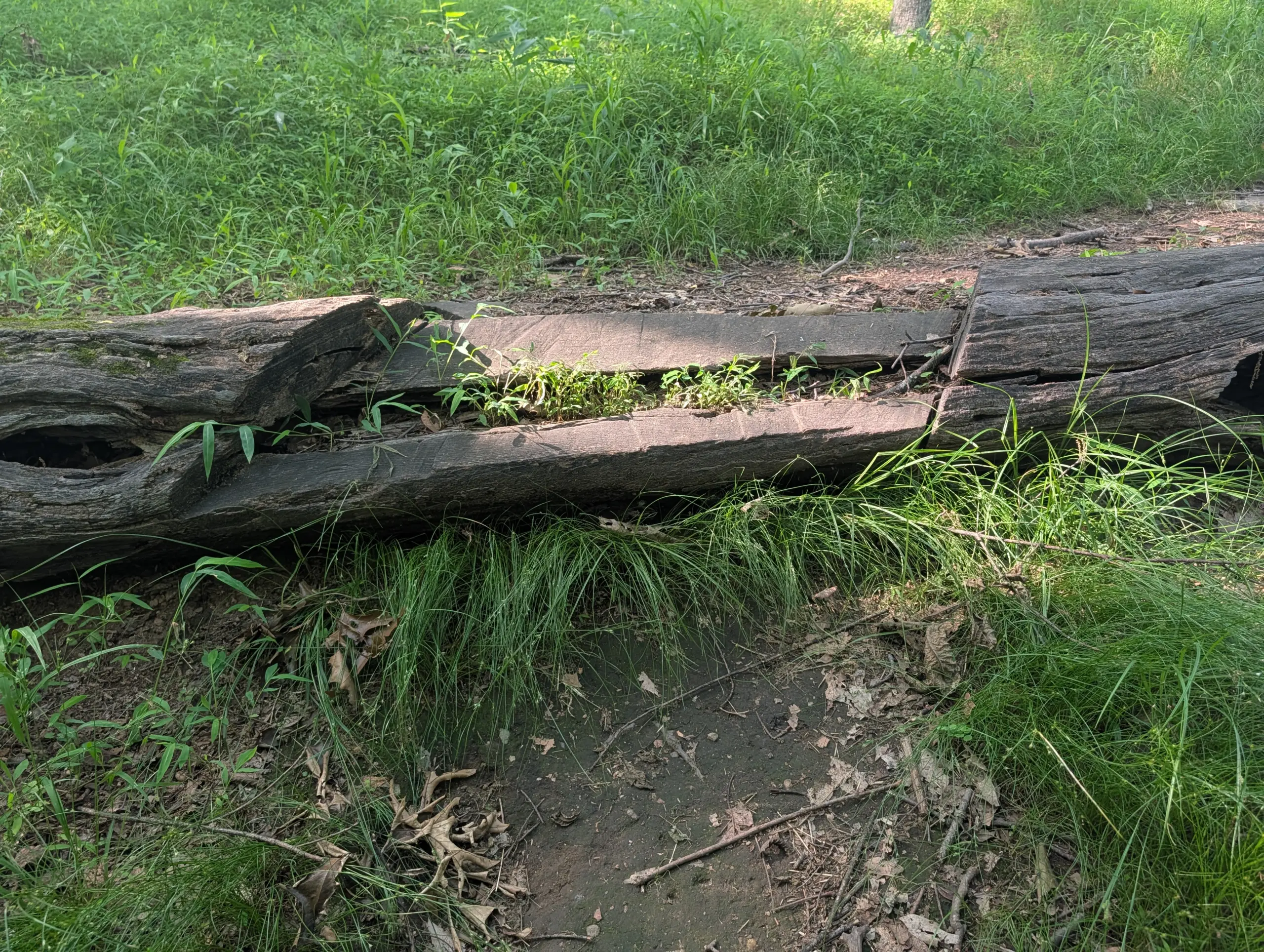
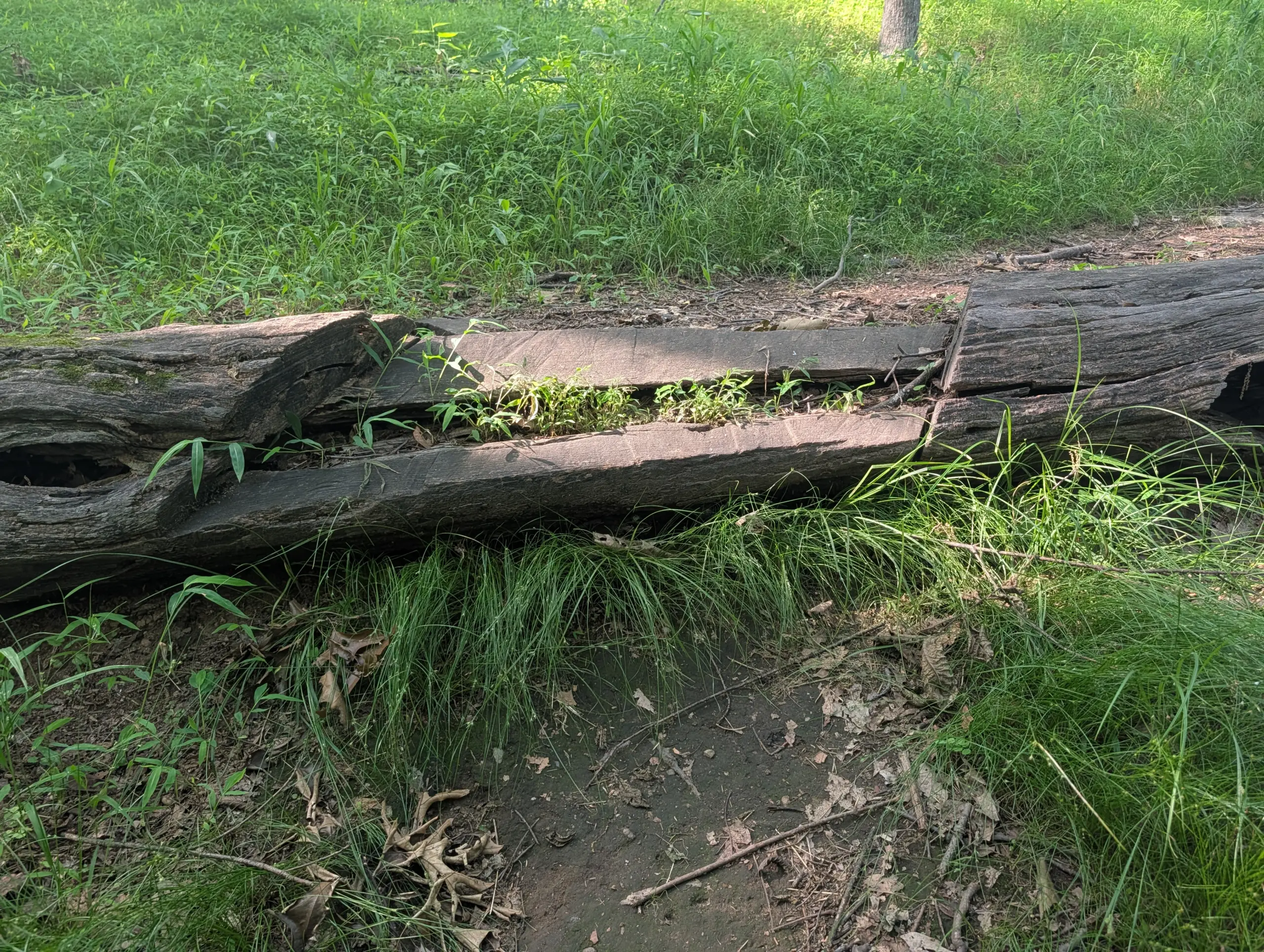
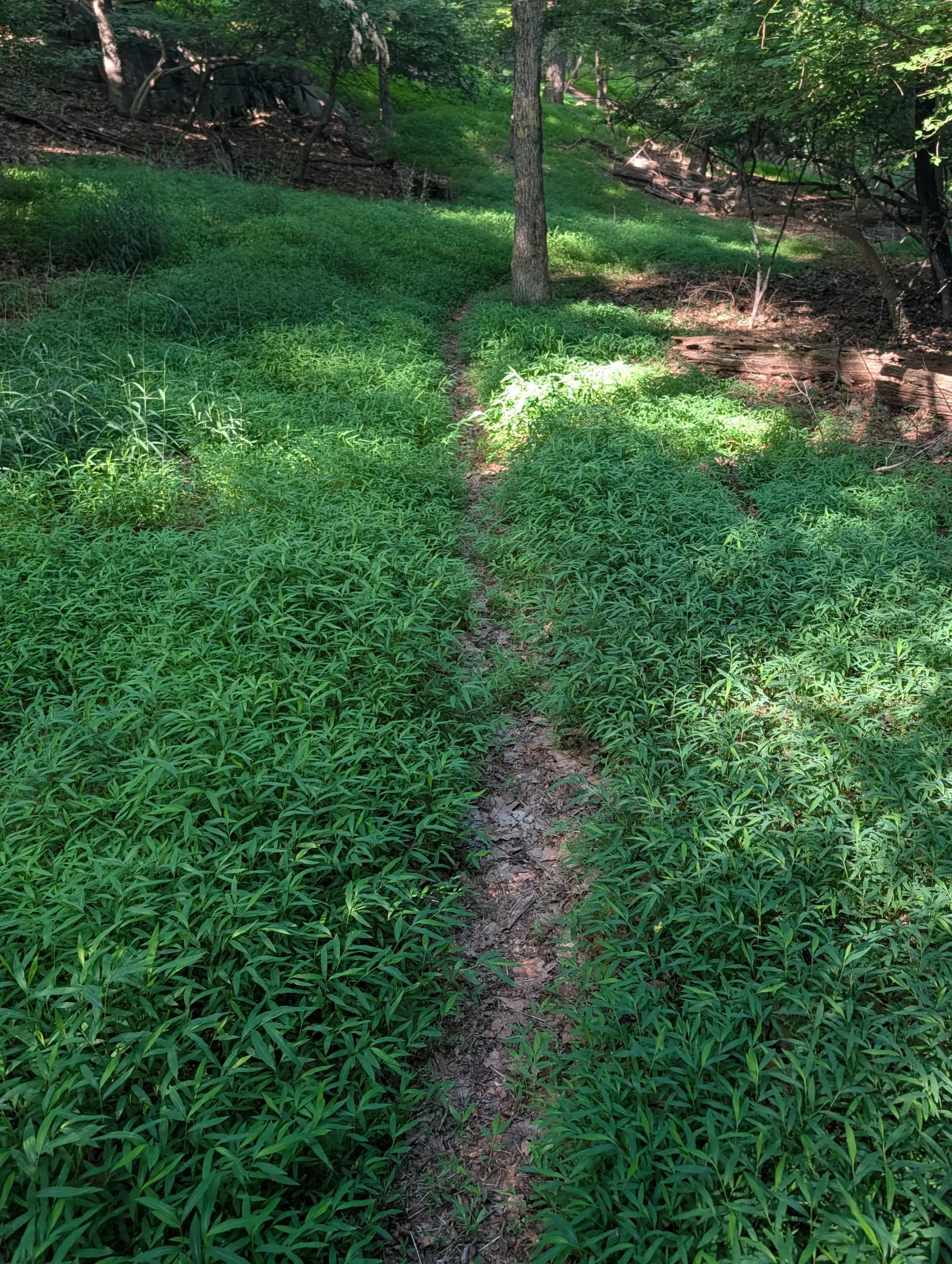
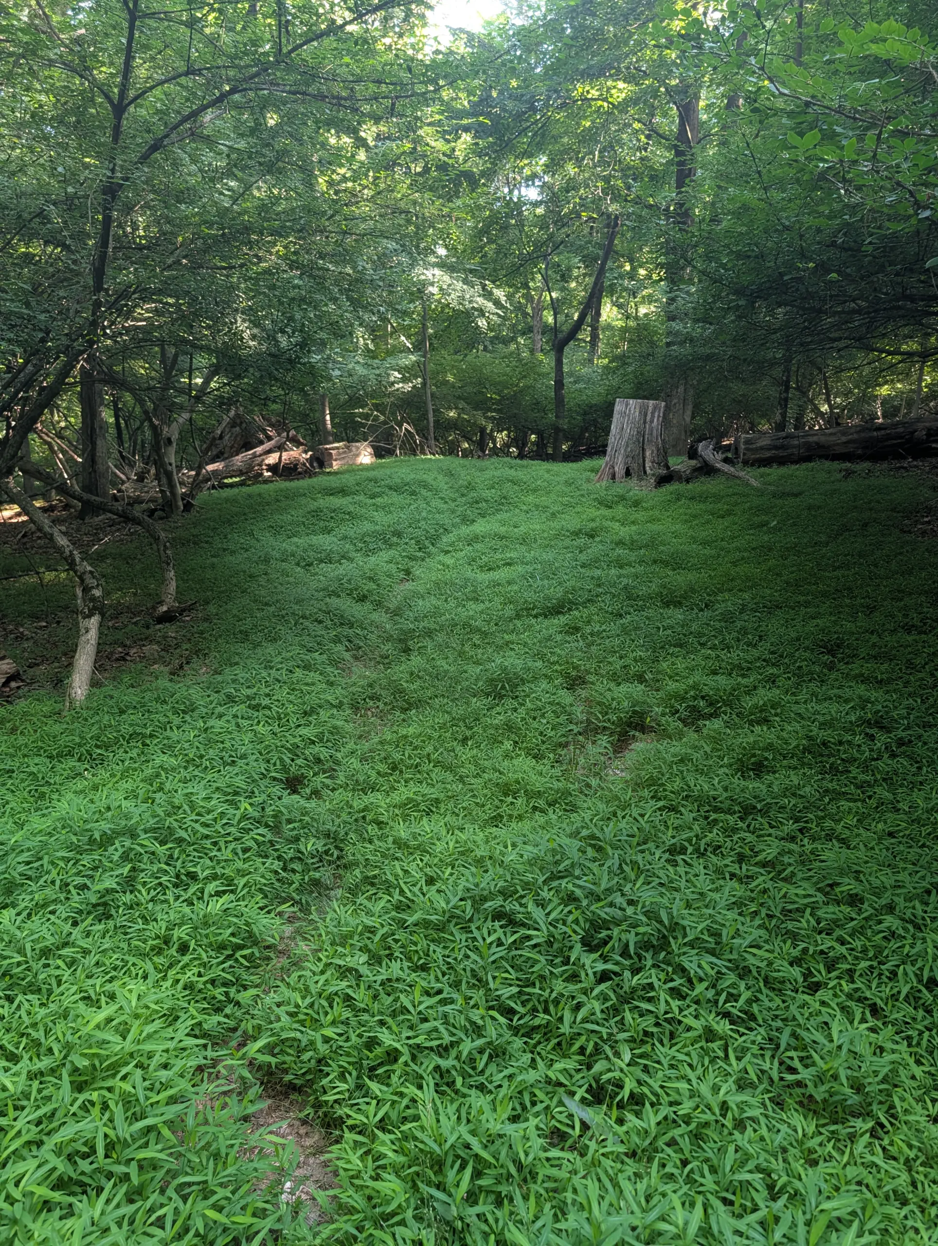
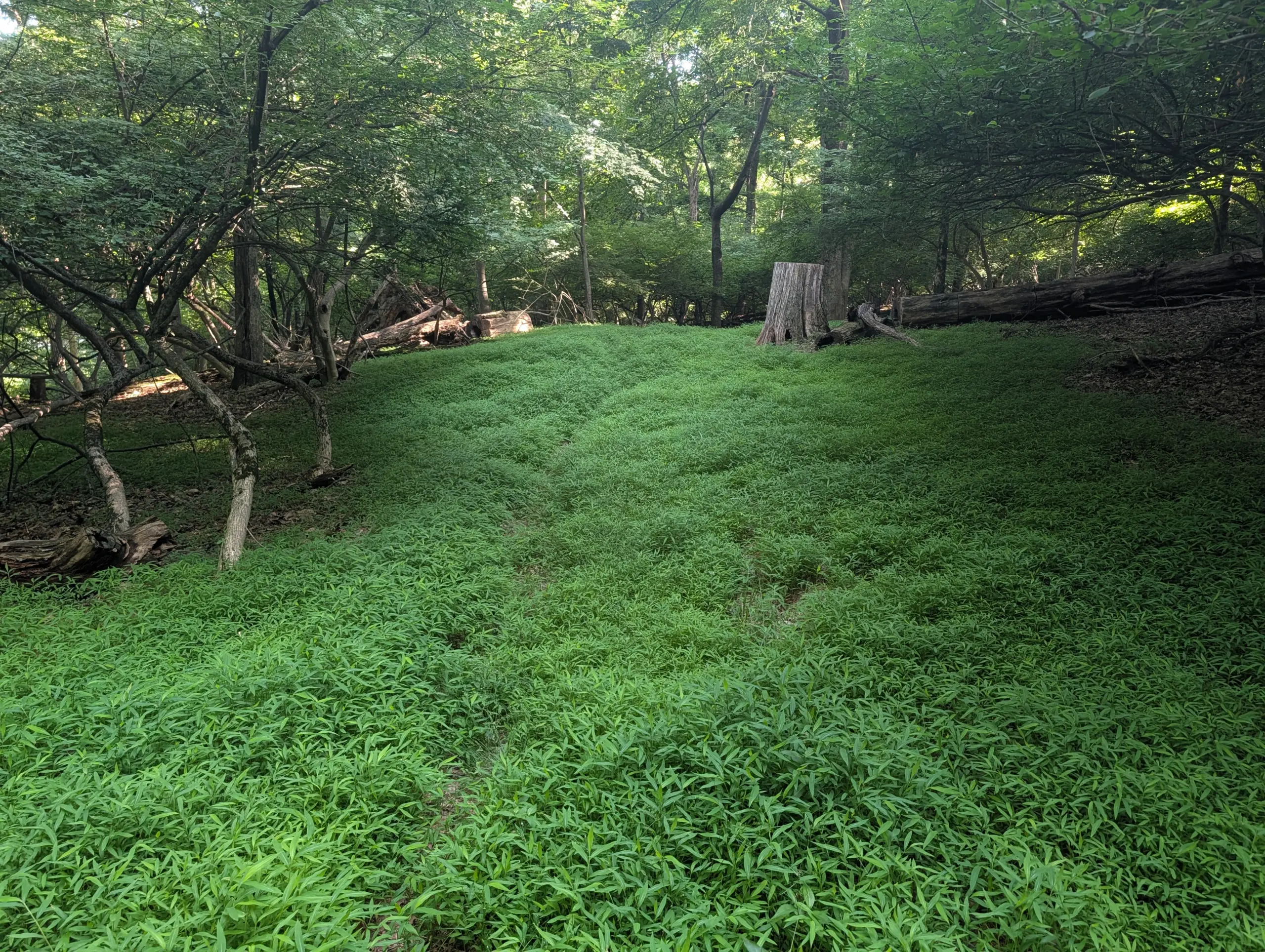
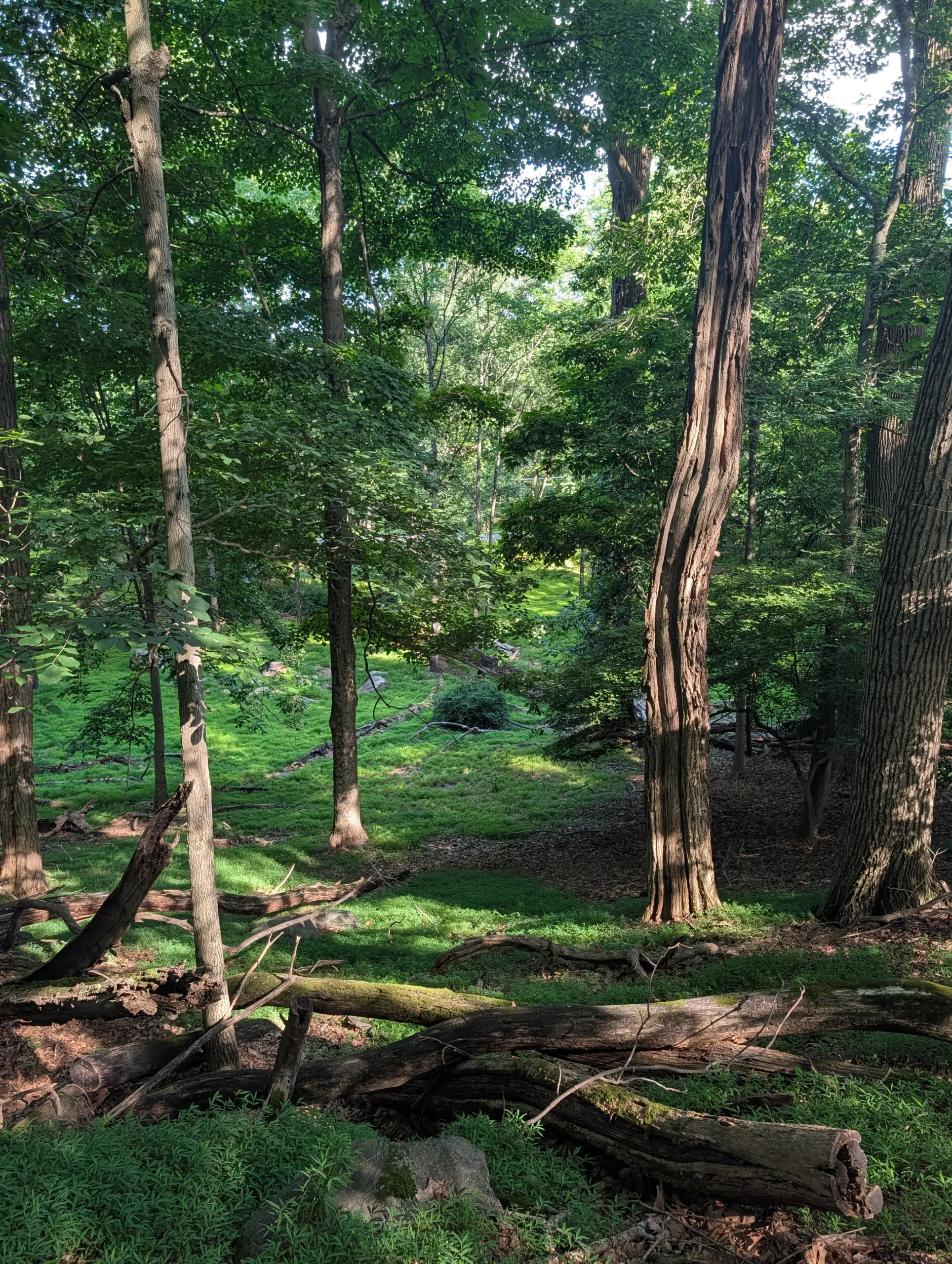
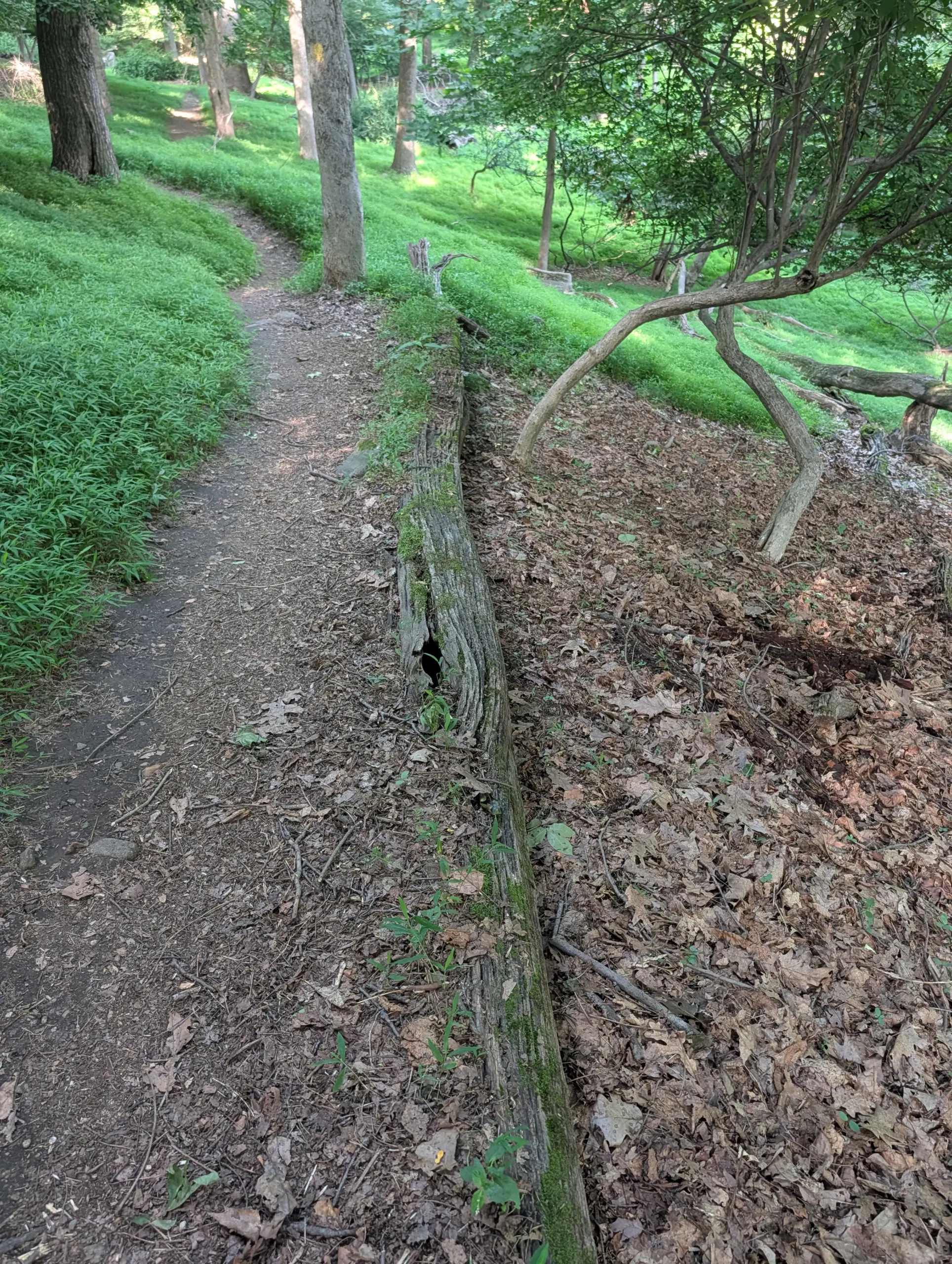
It had been just over six years since I hiked this trail, so while many of the highlights were familiar, I had forgotten all the beauty that lies in this park. The trail moves through an unexpected variety of terrain — open meadows, dense woods, old carriage trails, stone walls, a marsh, a municipal water tower, the ruins of a 19th-century sanctuary, and glimpses of stunning homes along the way.
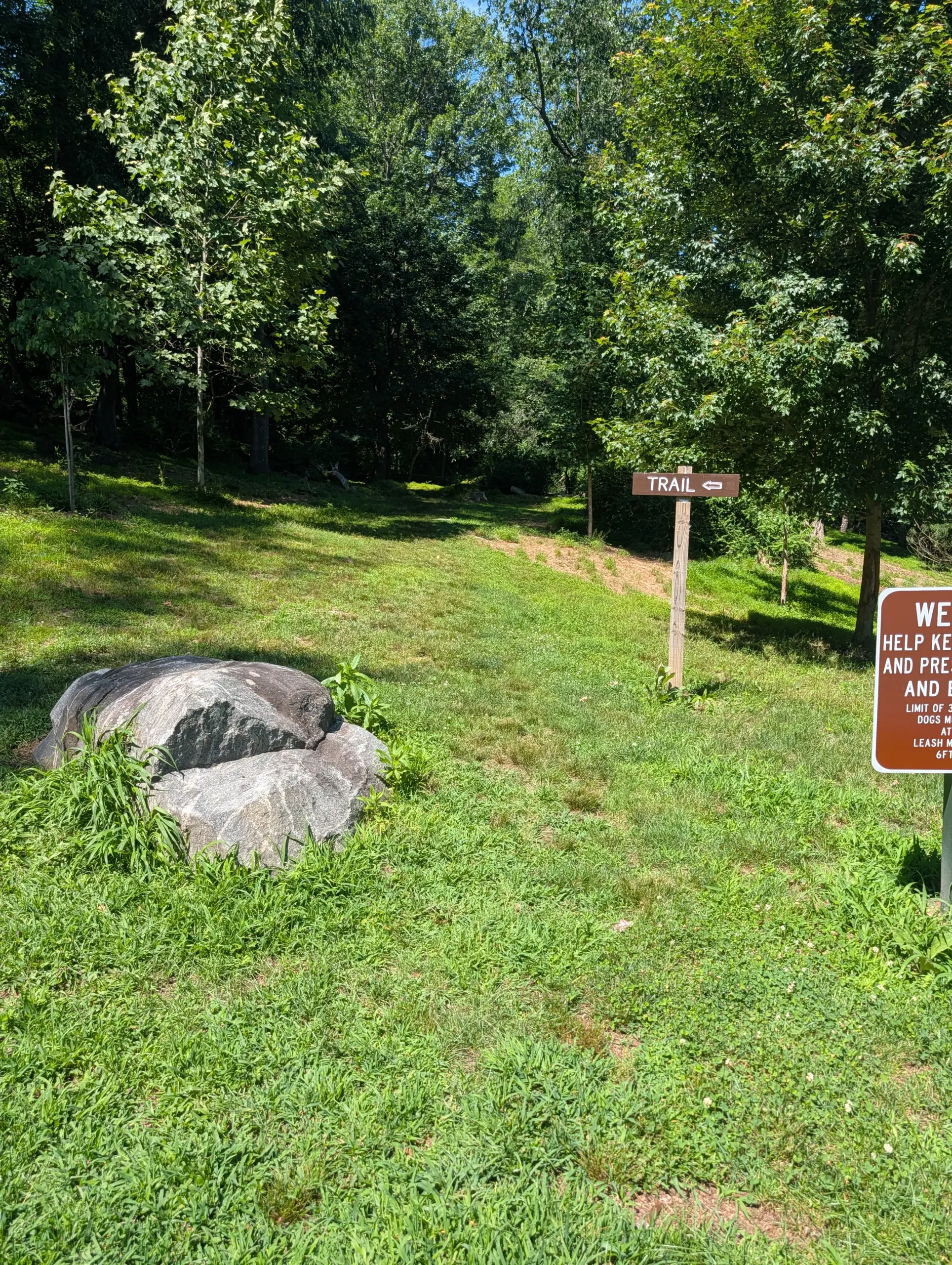
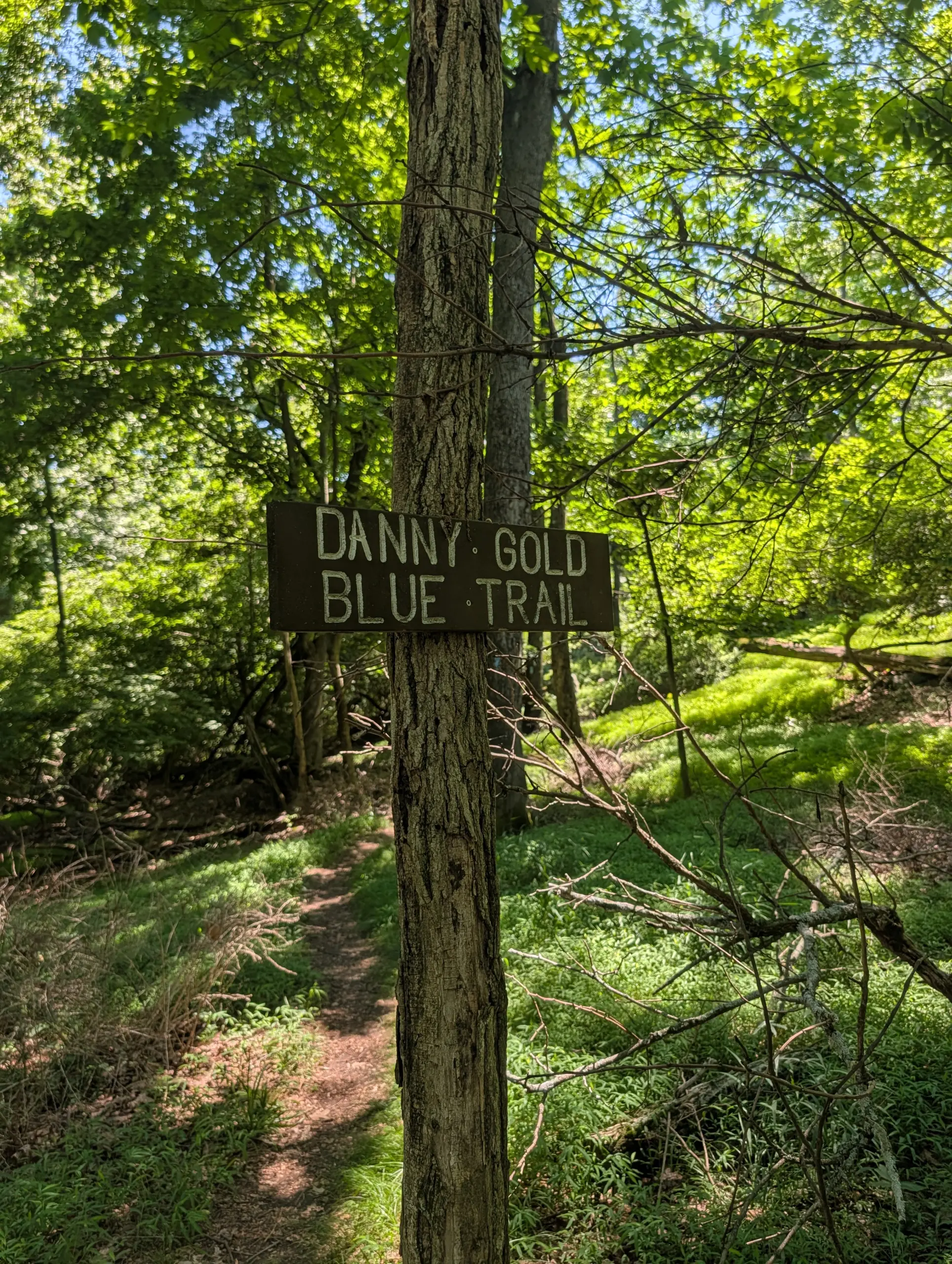
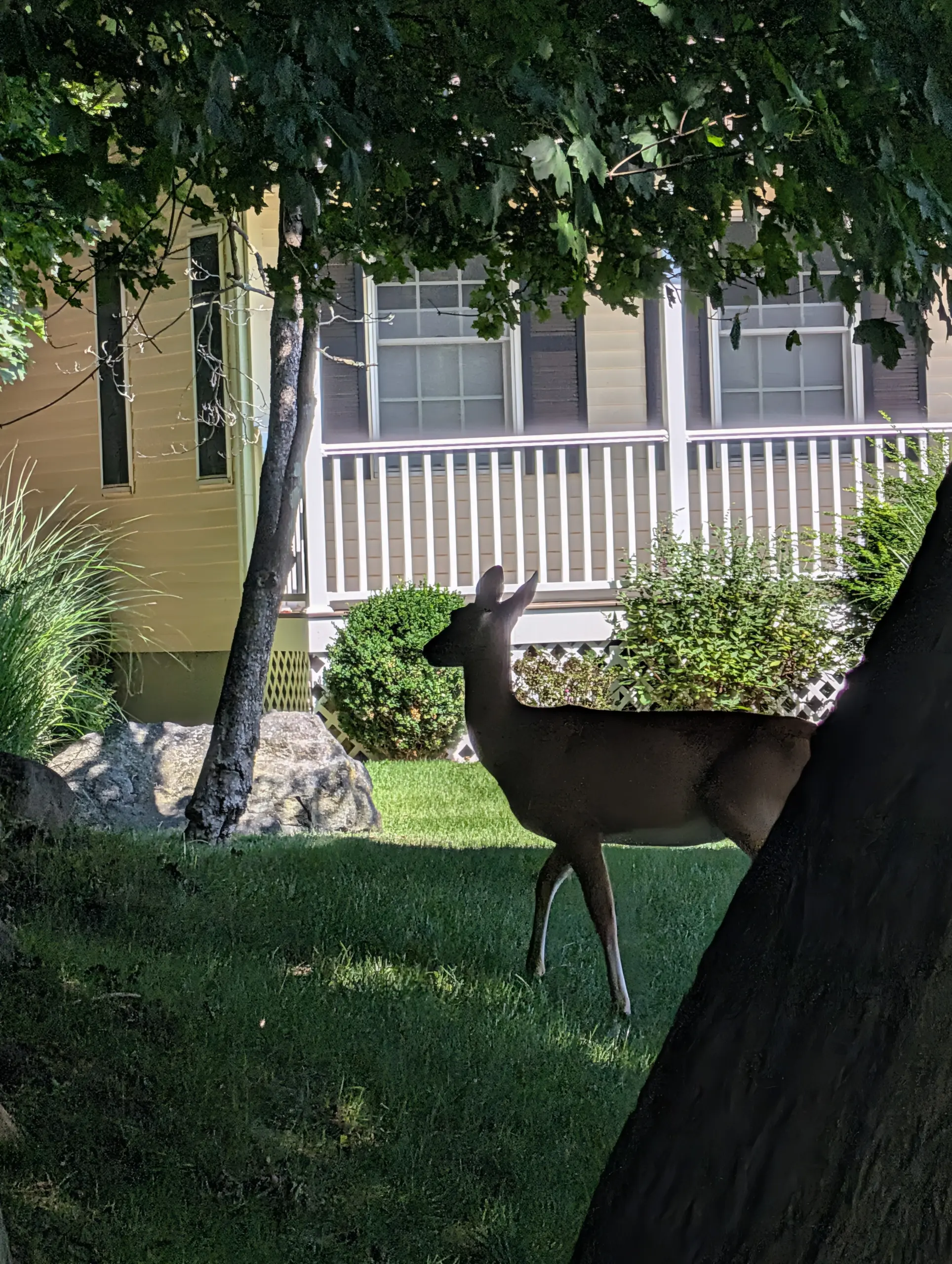
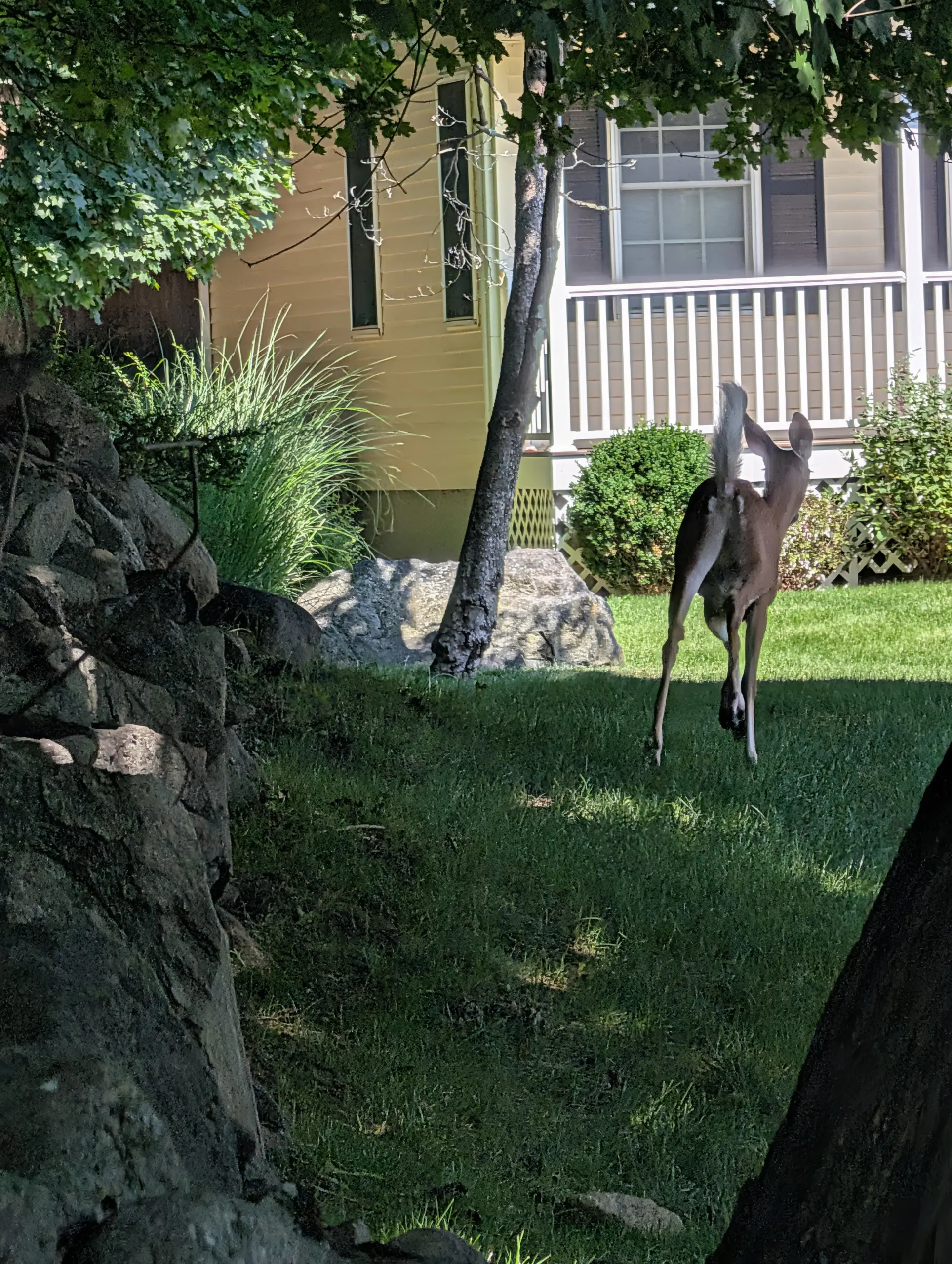
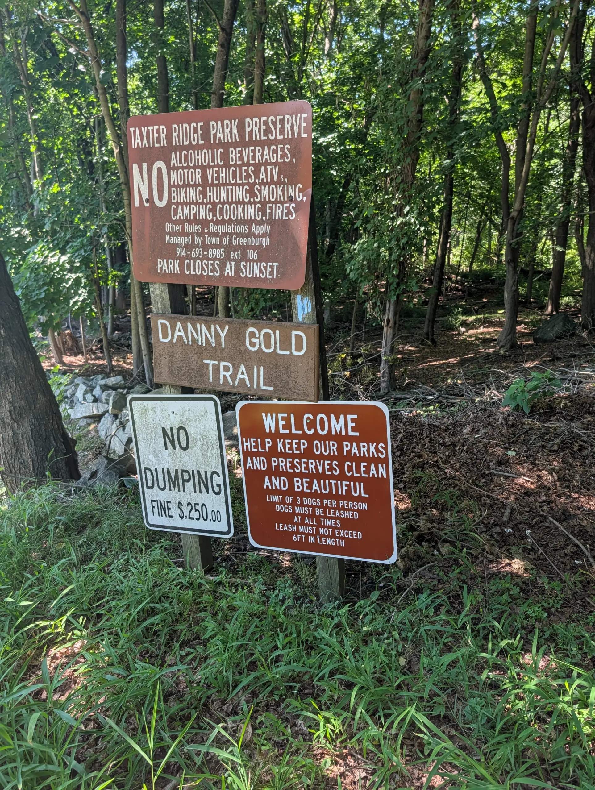
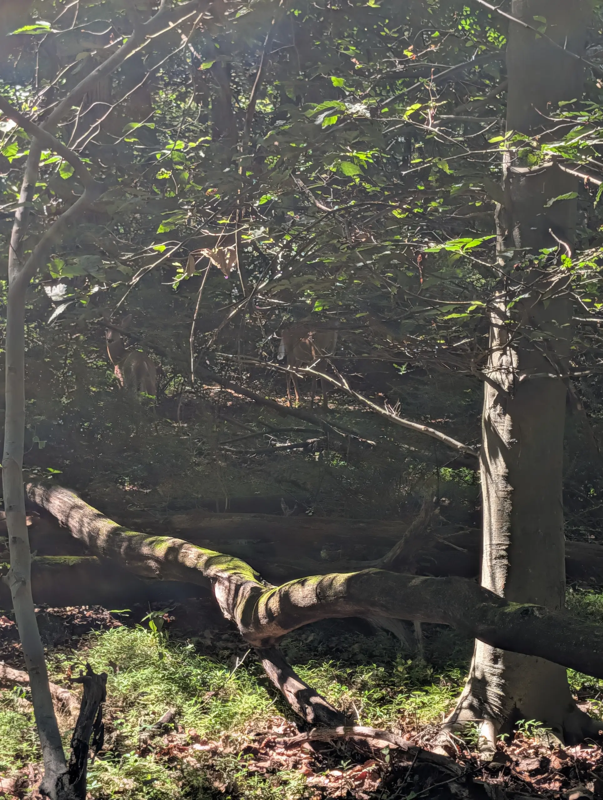
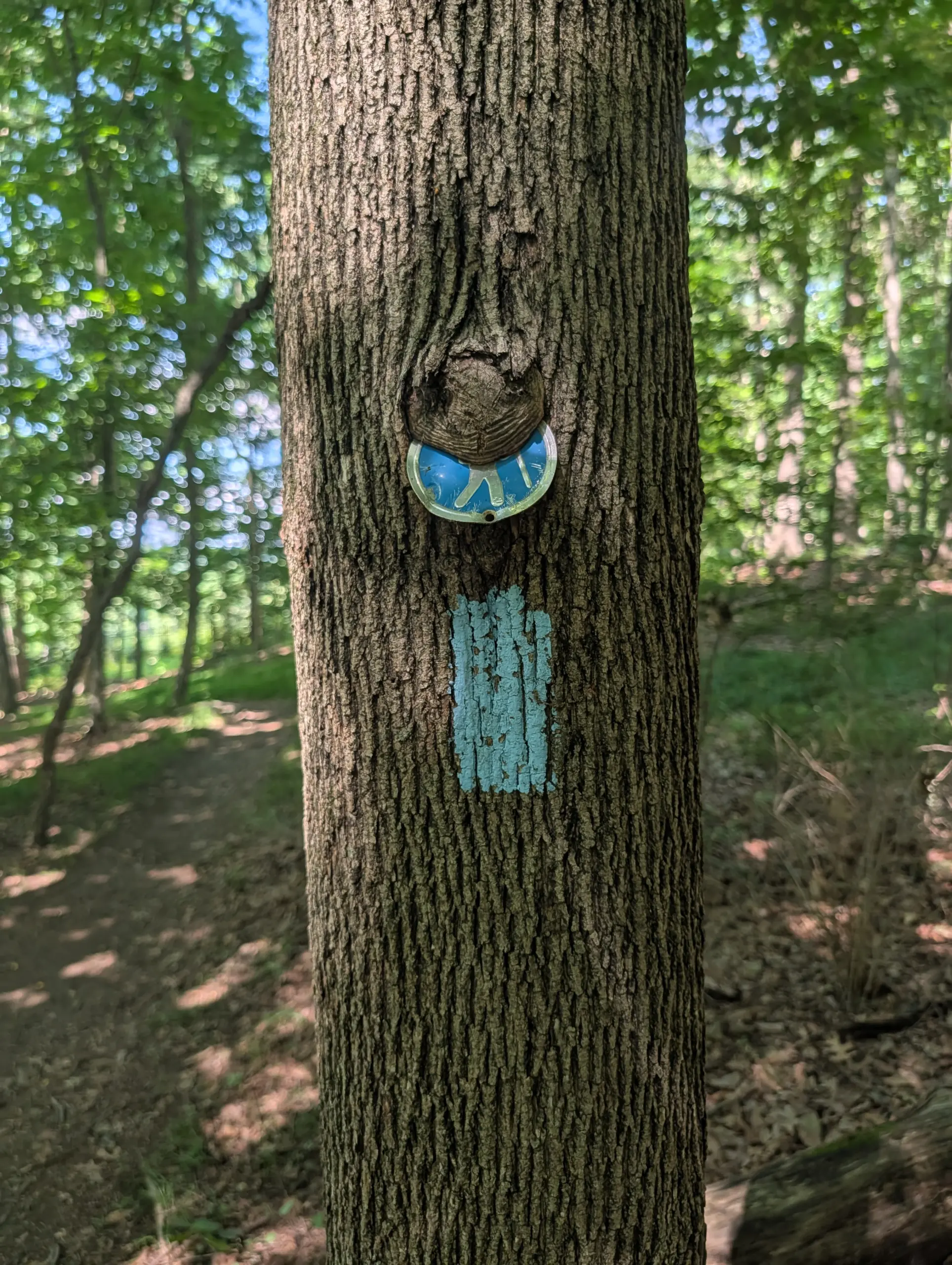
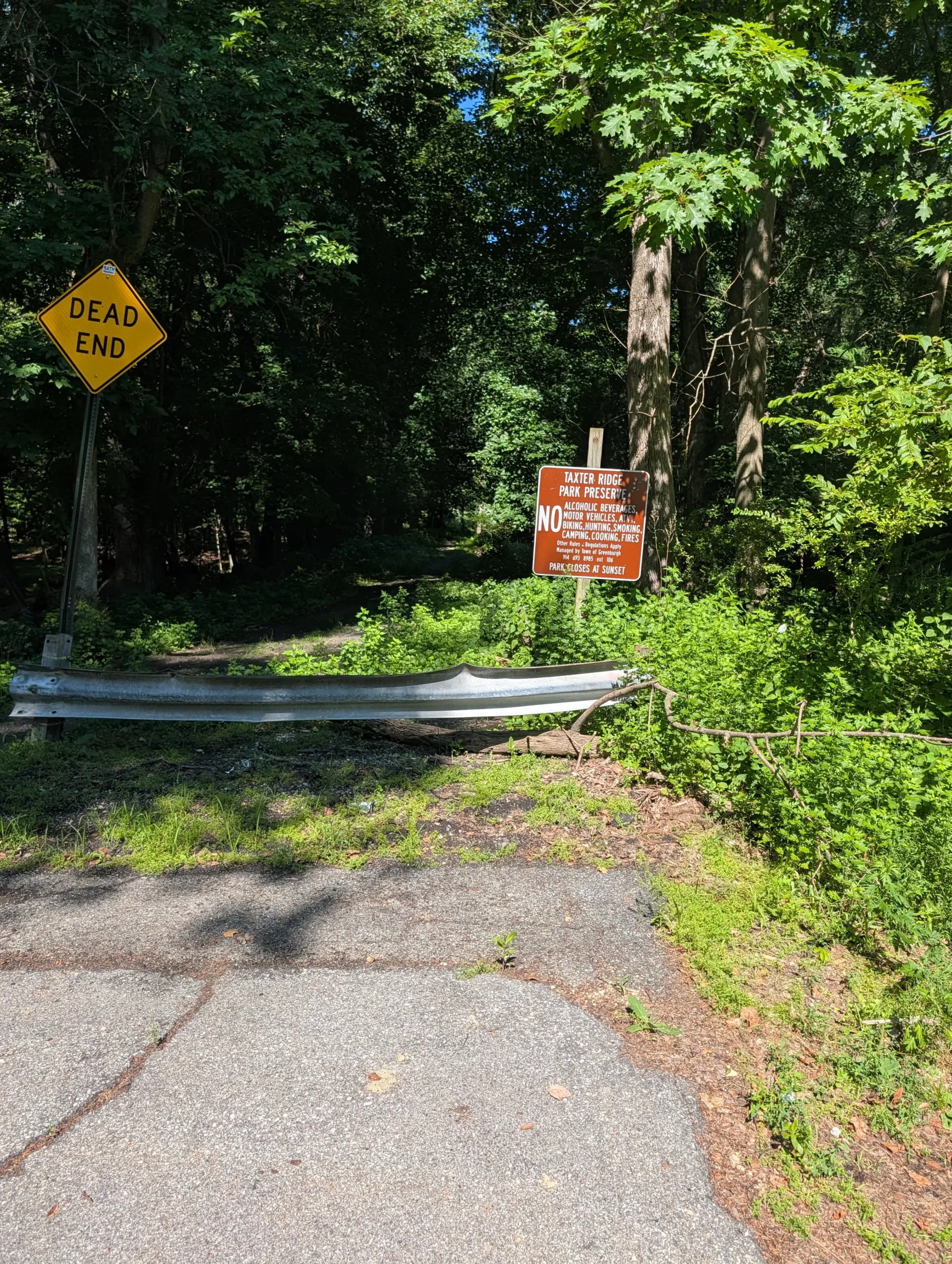
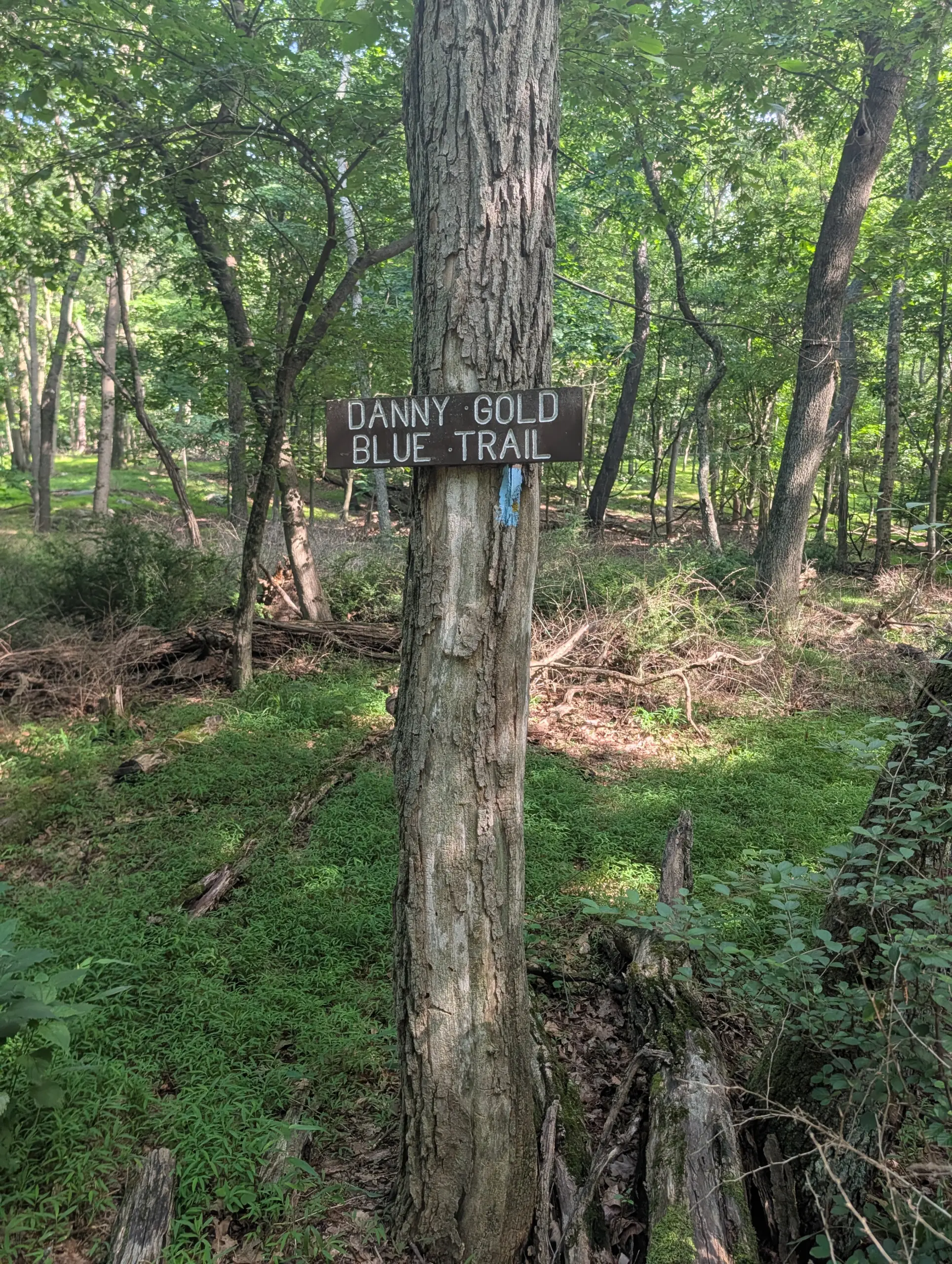
I started at the Taxter Road parking lot trailhead, taking the yellow trail to meet the Danny Gold trail (blue blazes). I followed the Danny Gold trail to the left (west) all the way to the end at the Mount Pleasant Lane trailhead where I stumbled upon a deer lingering just outside of the park.
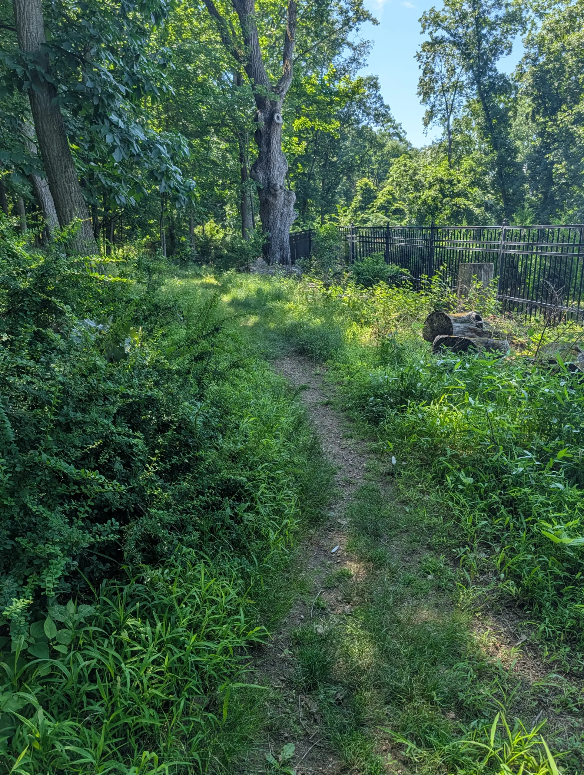
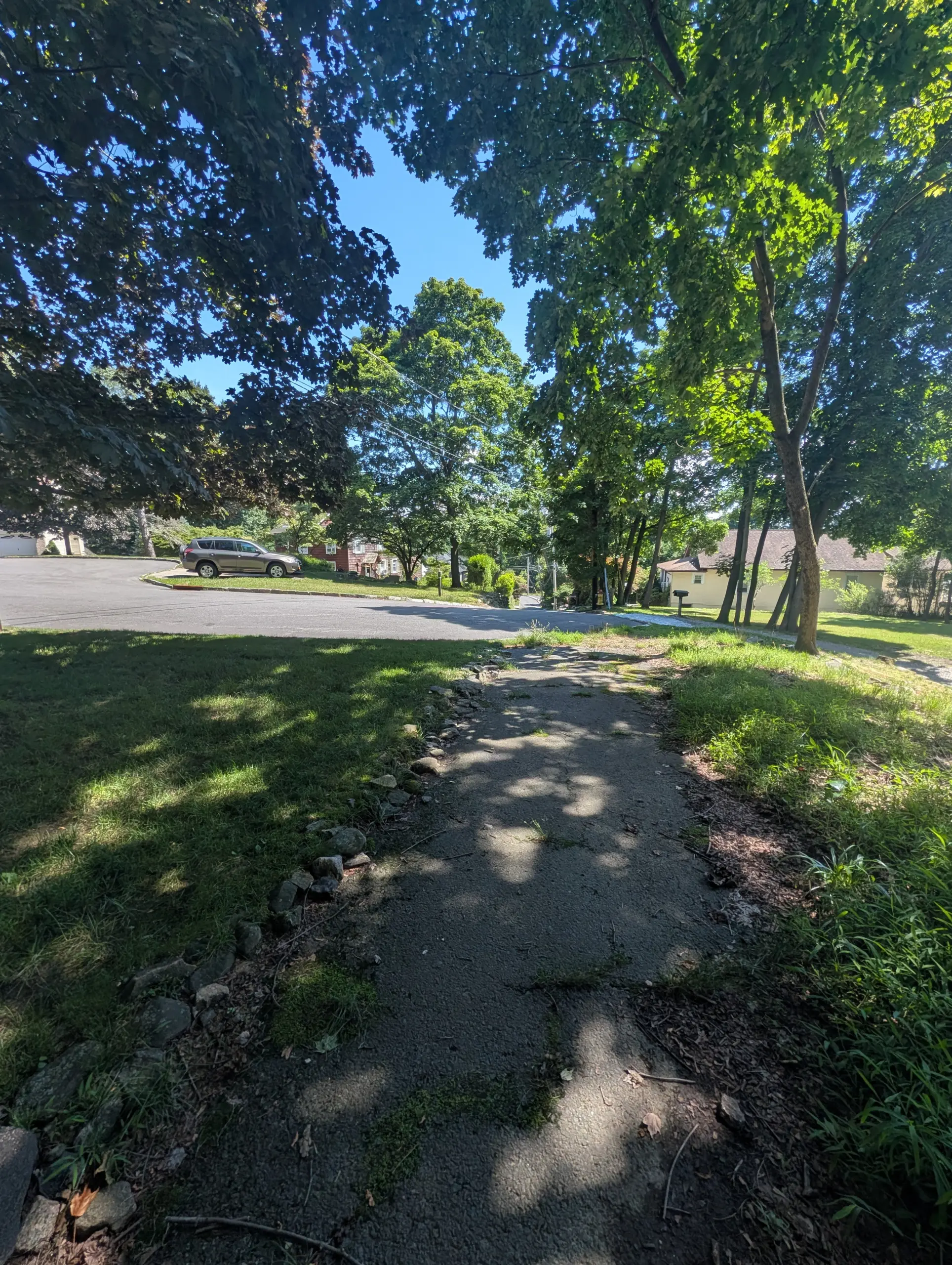
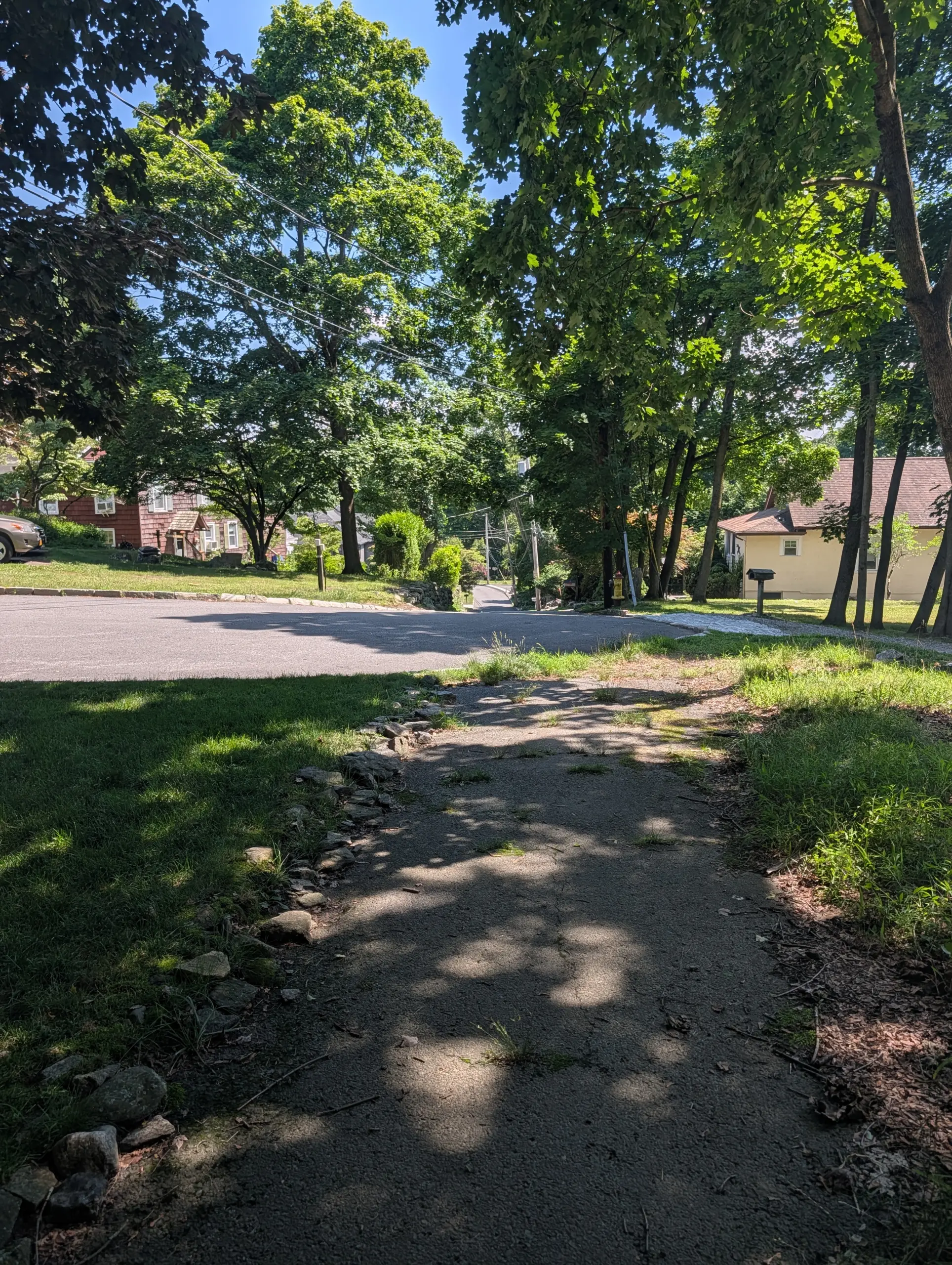
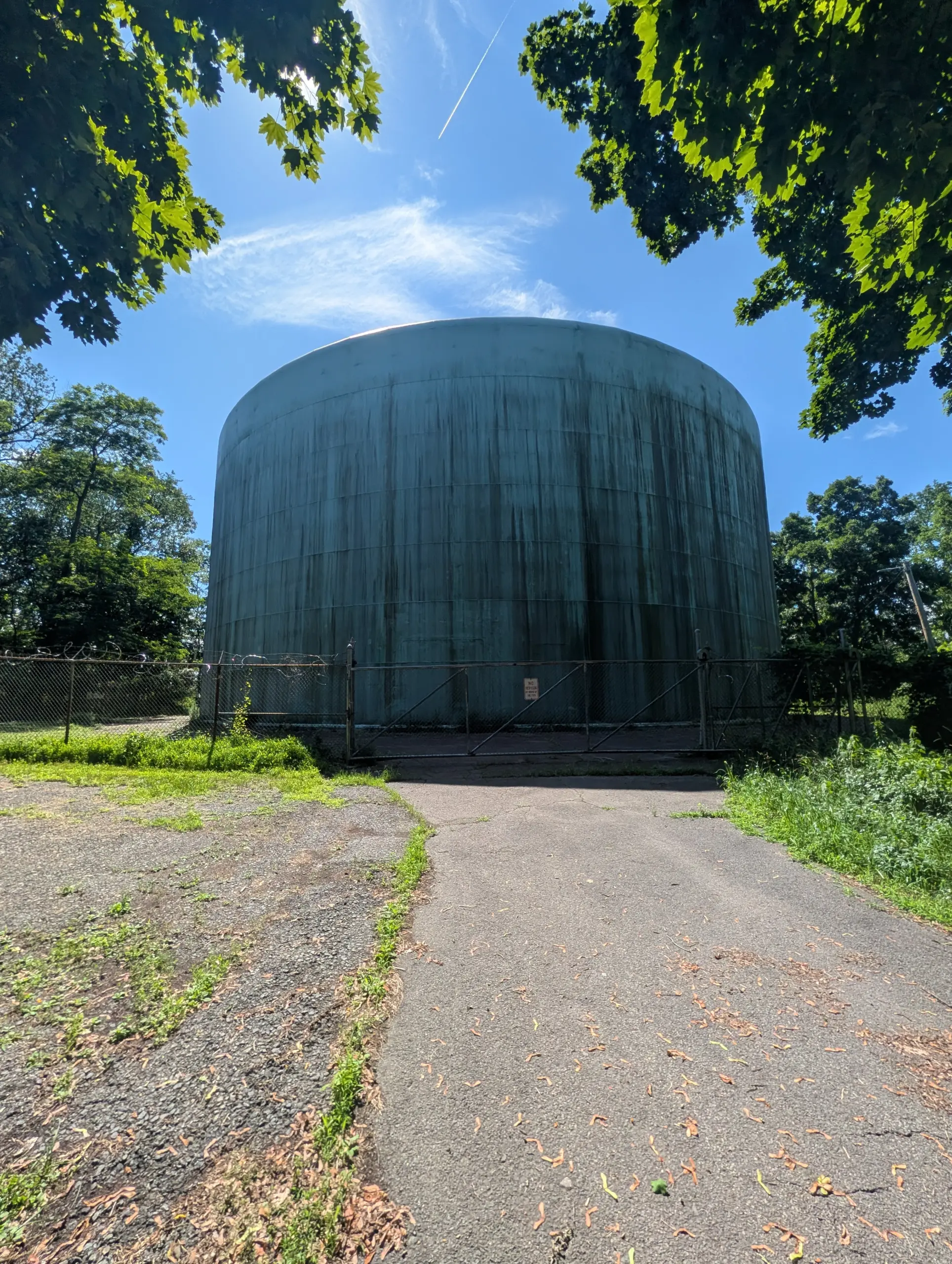
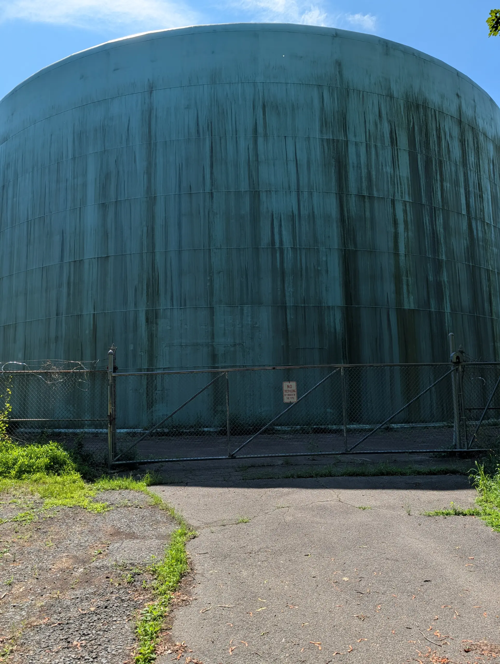
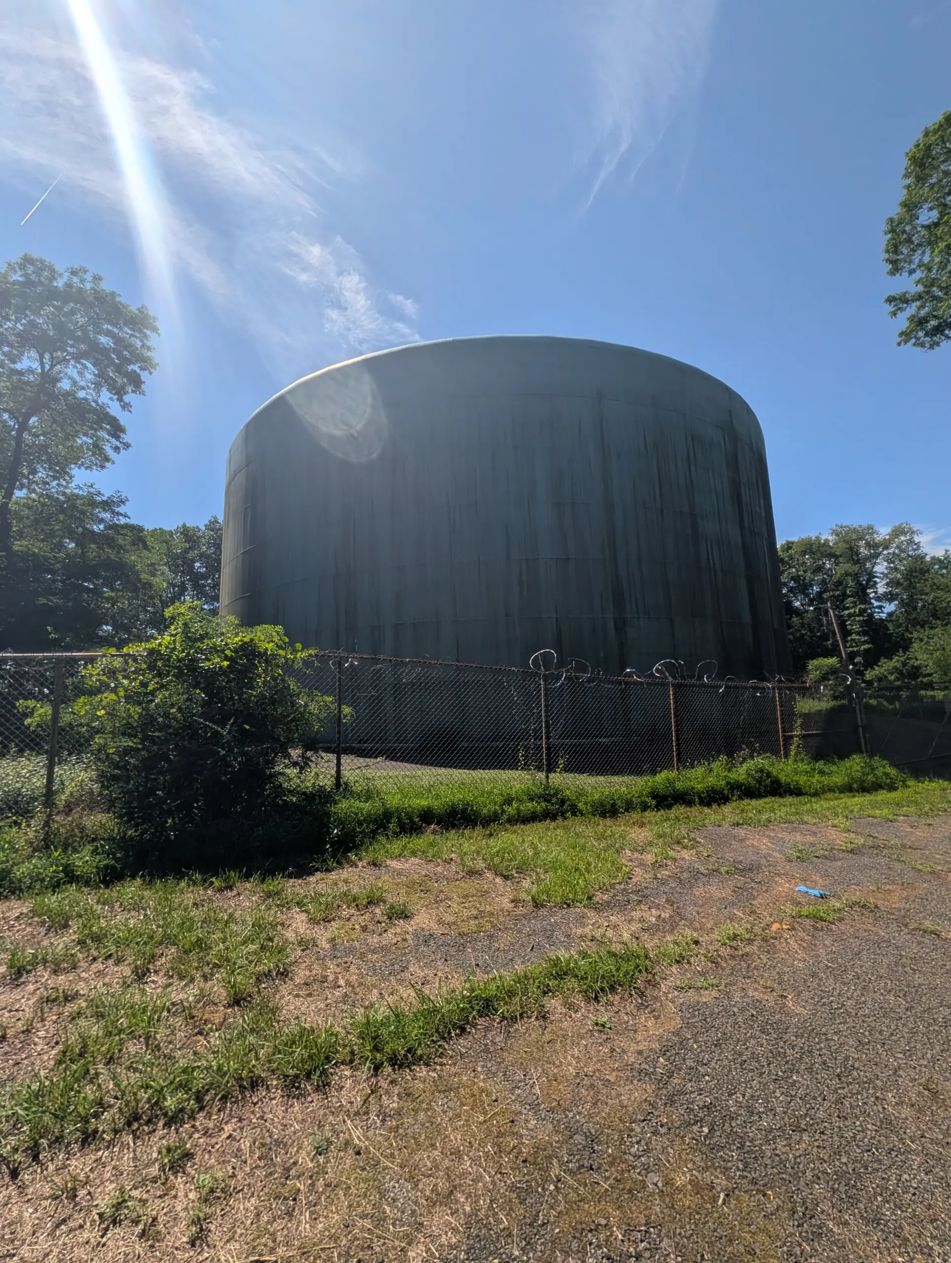
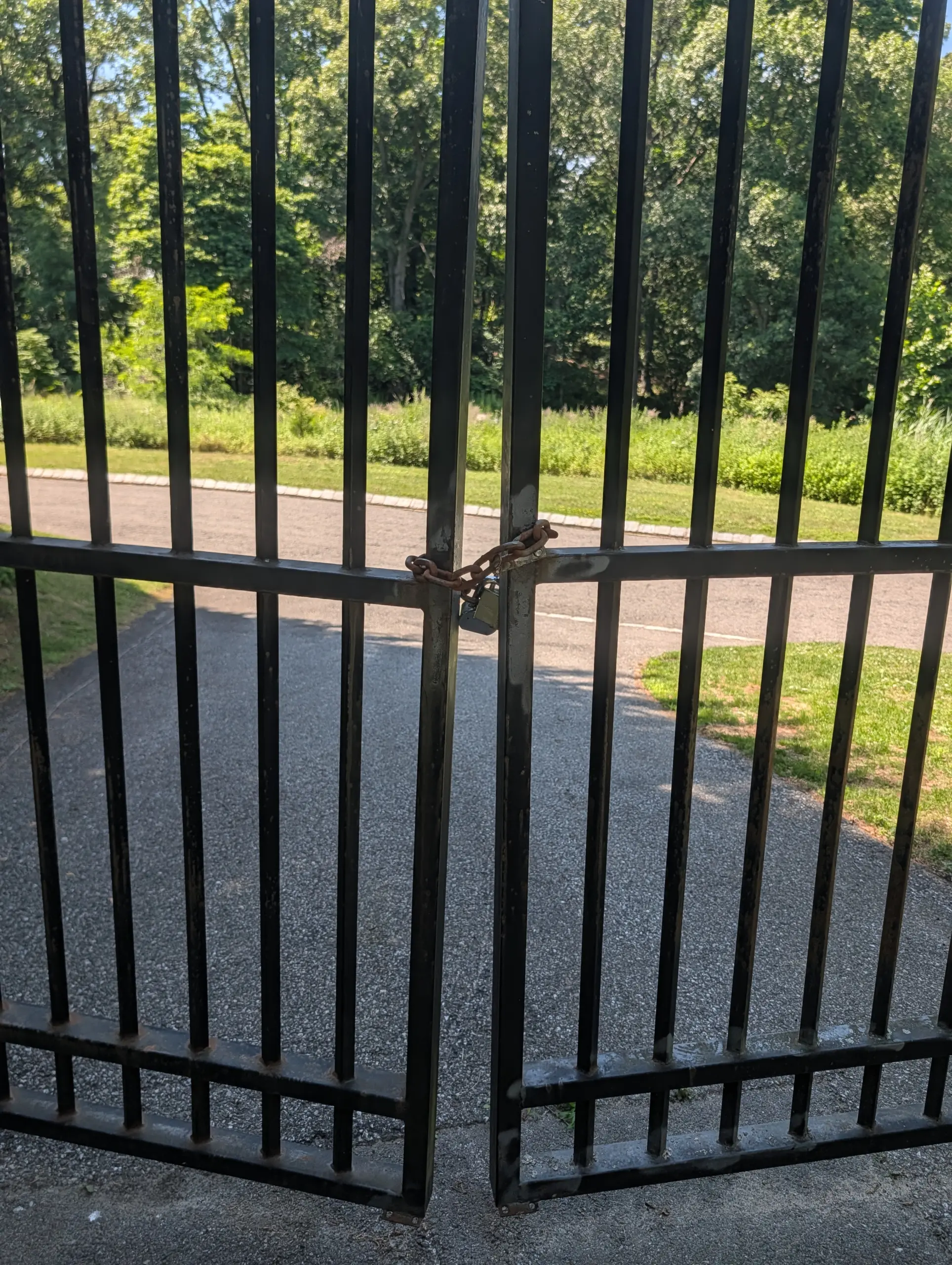
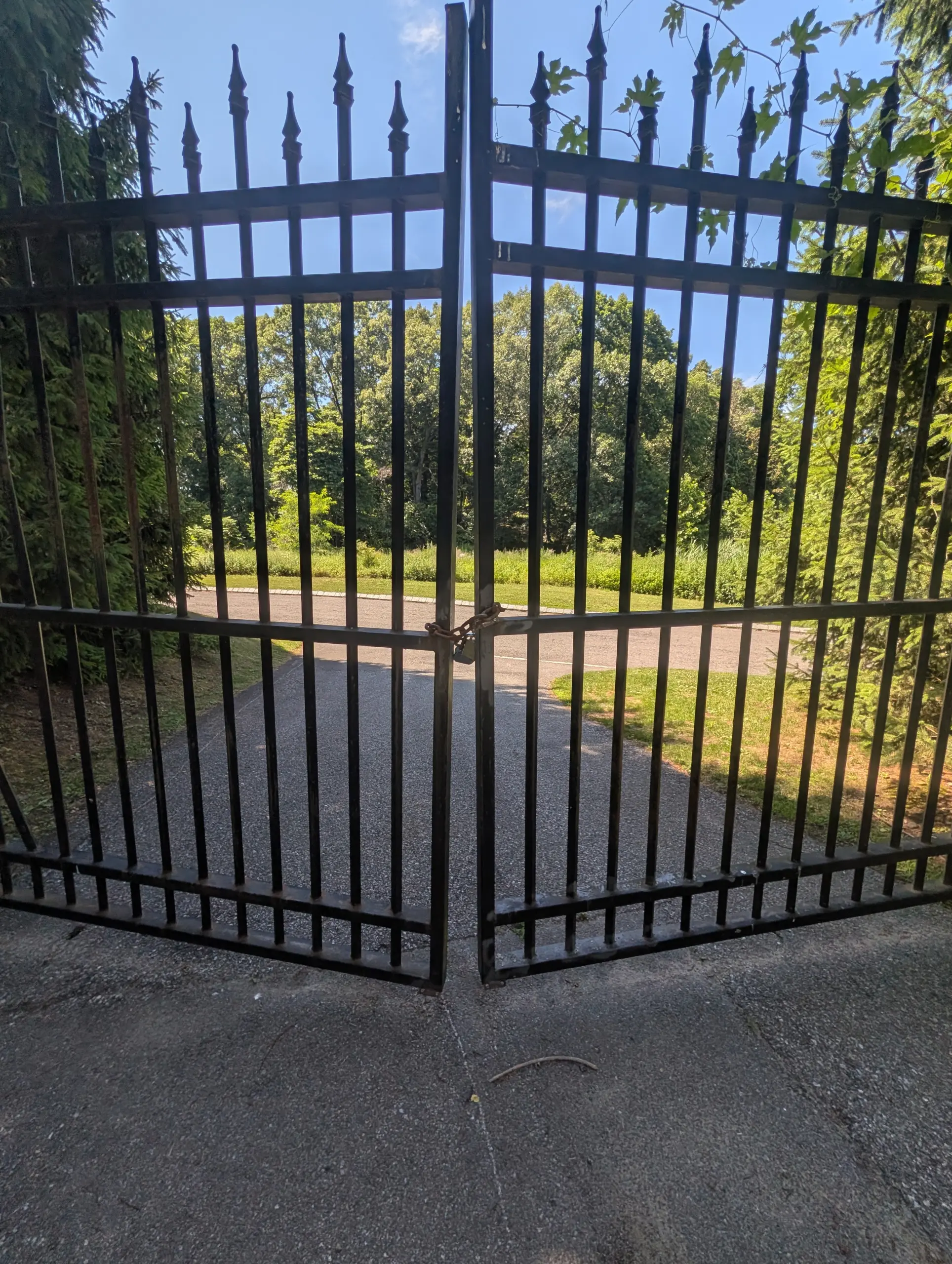
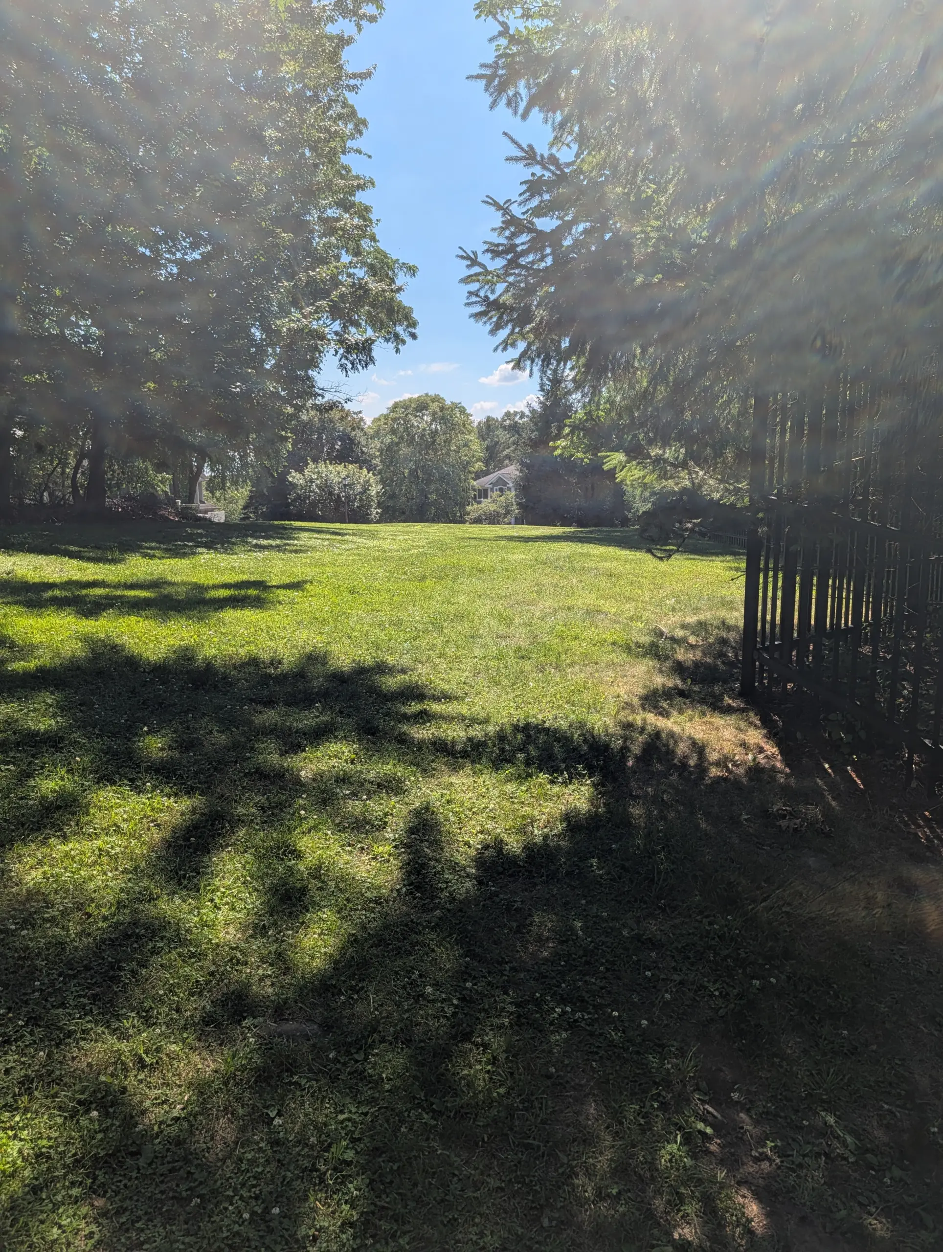
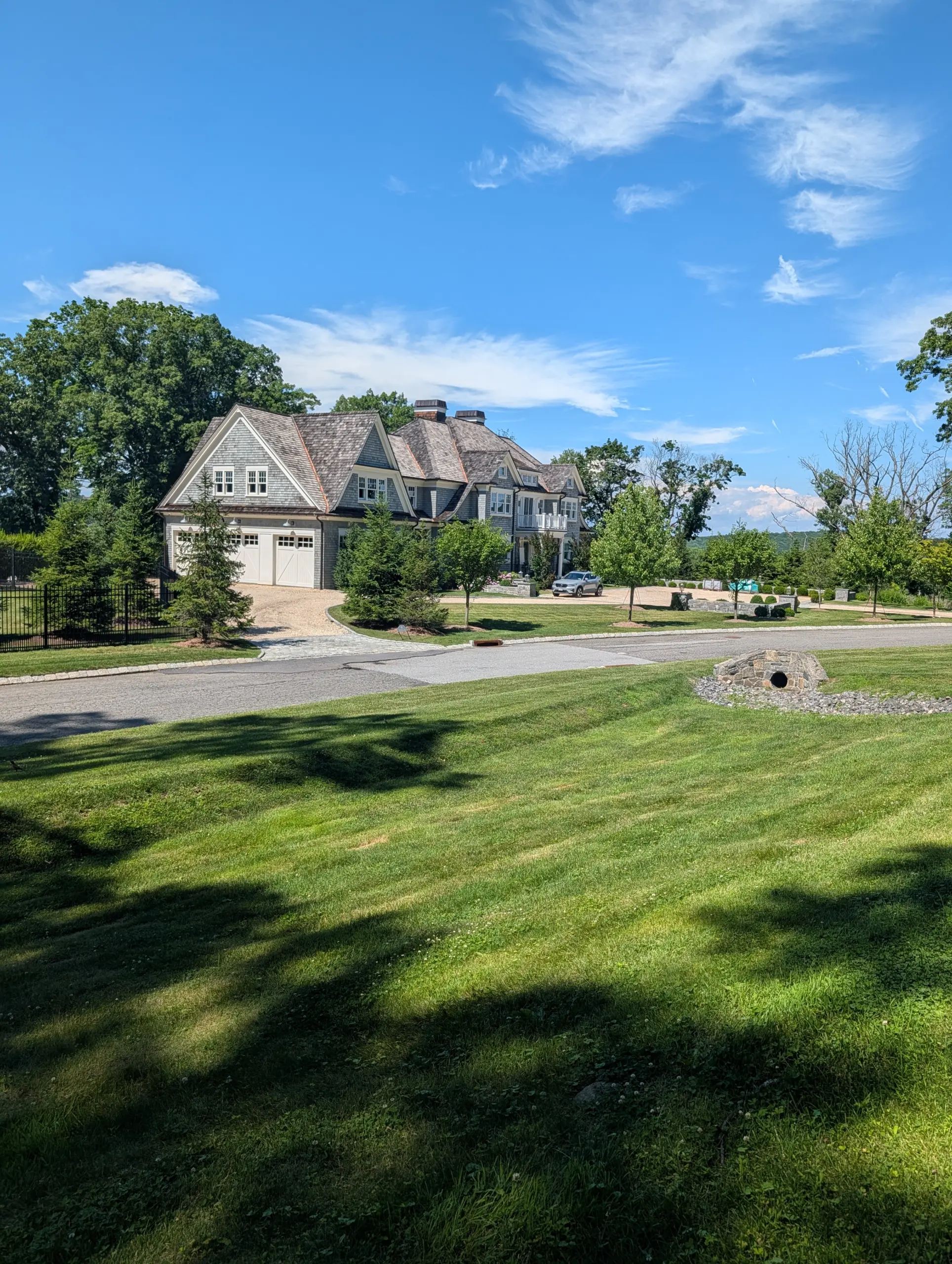
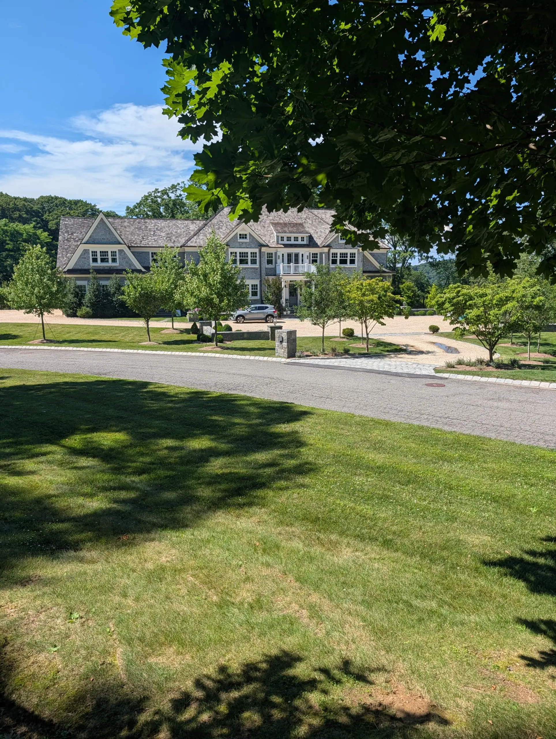
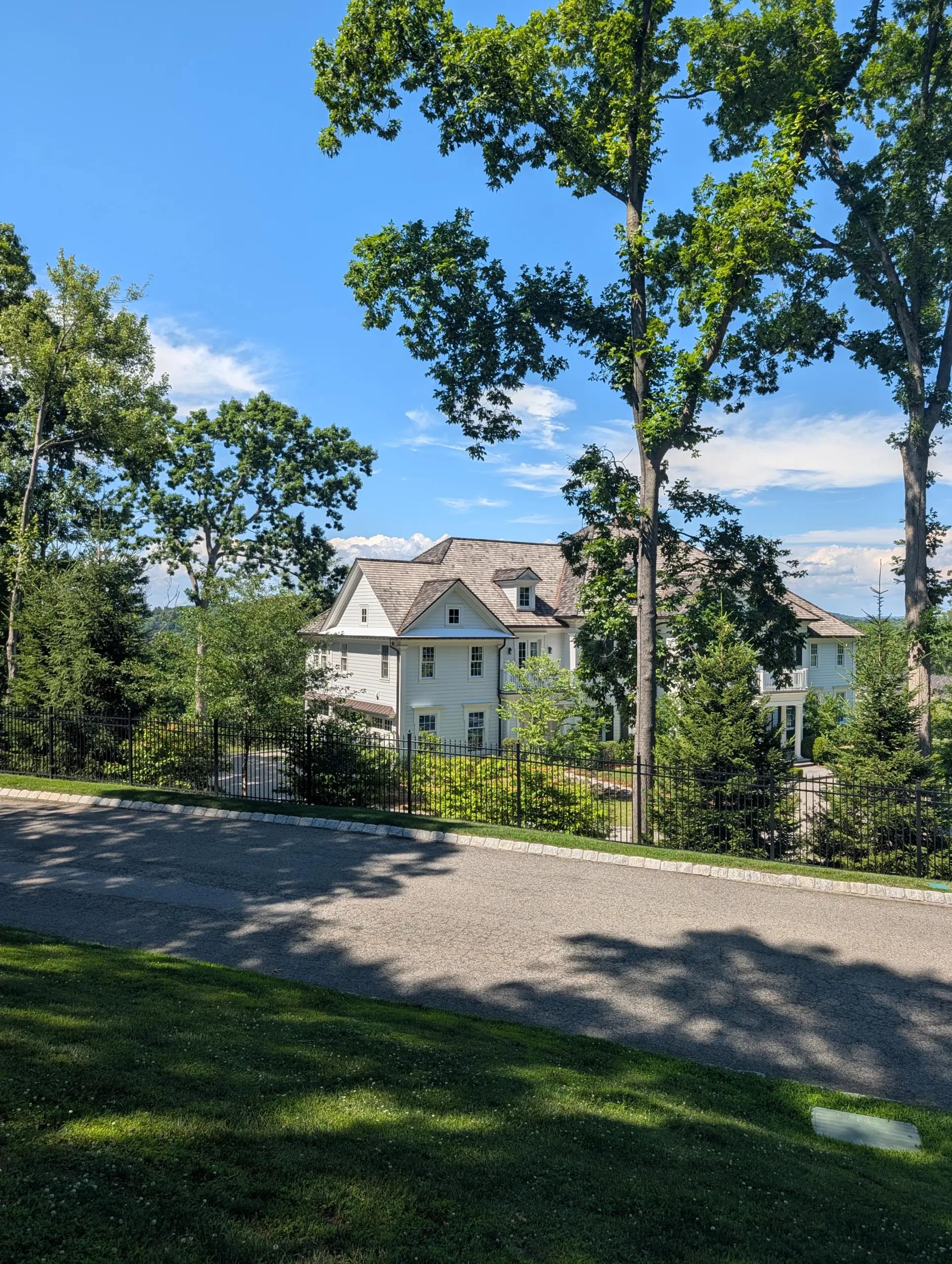
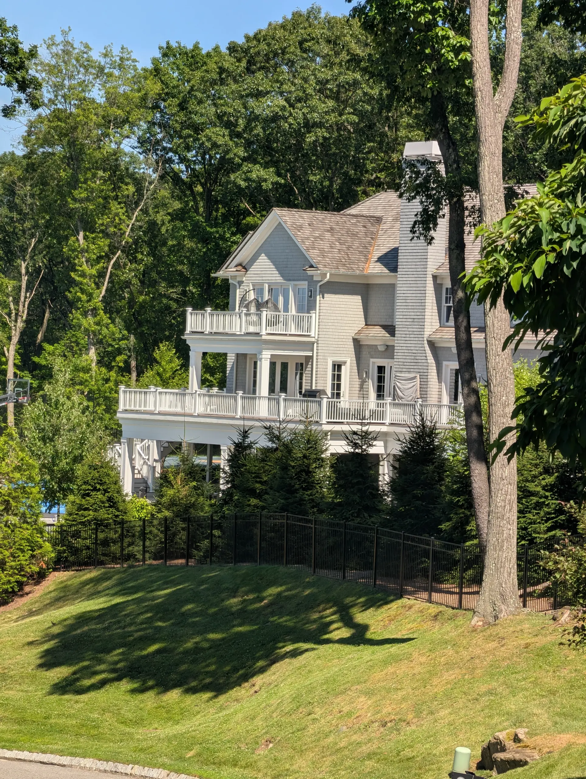
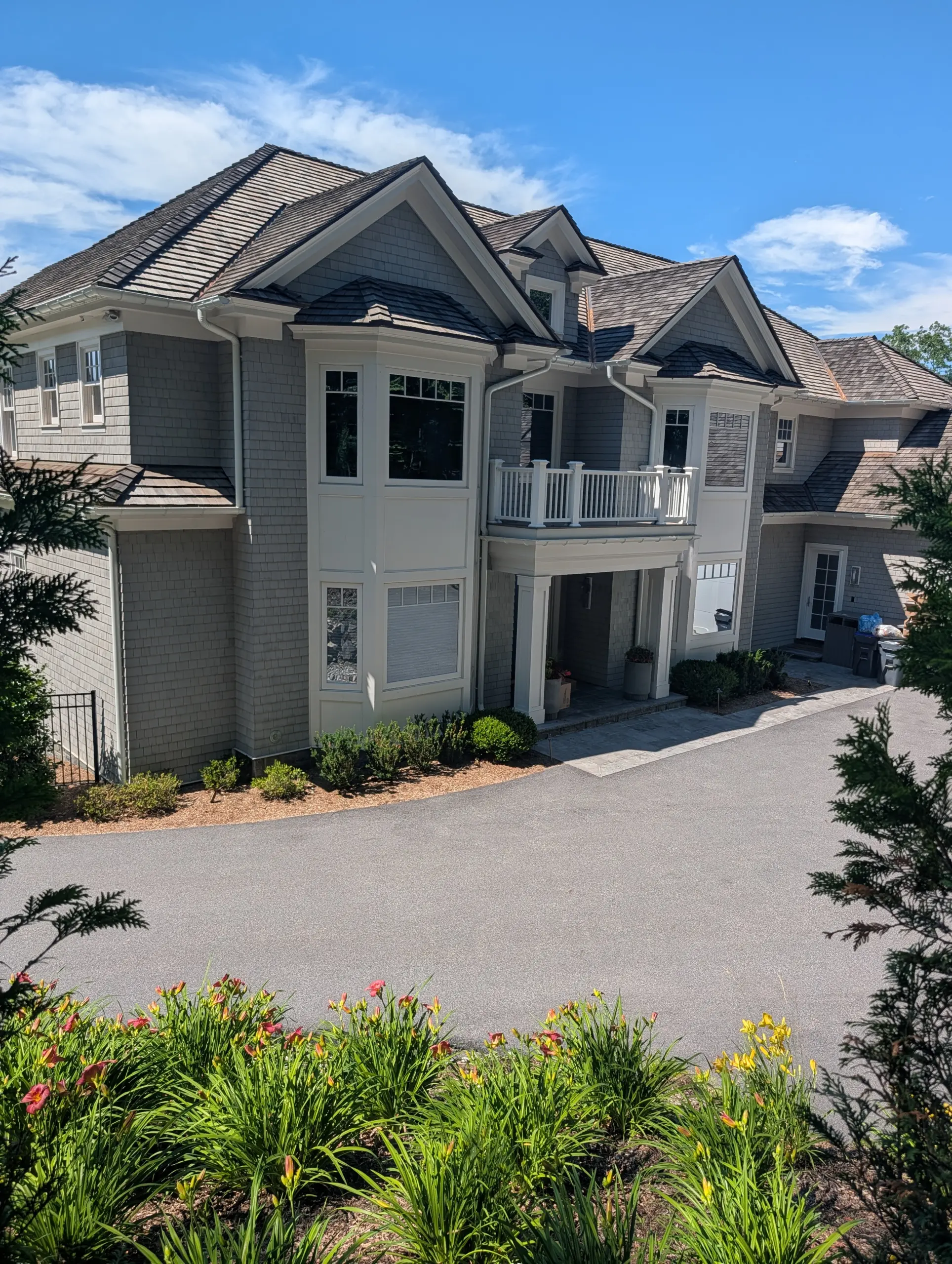
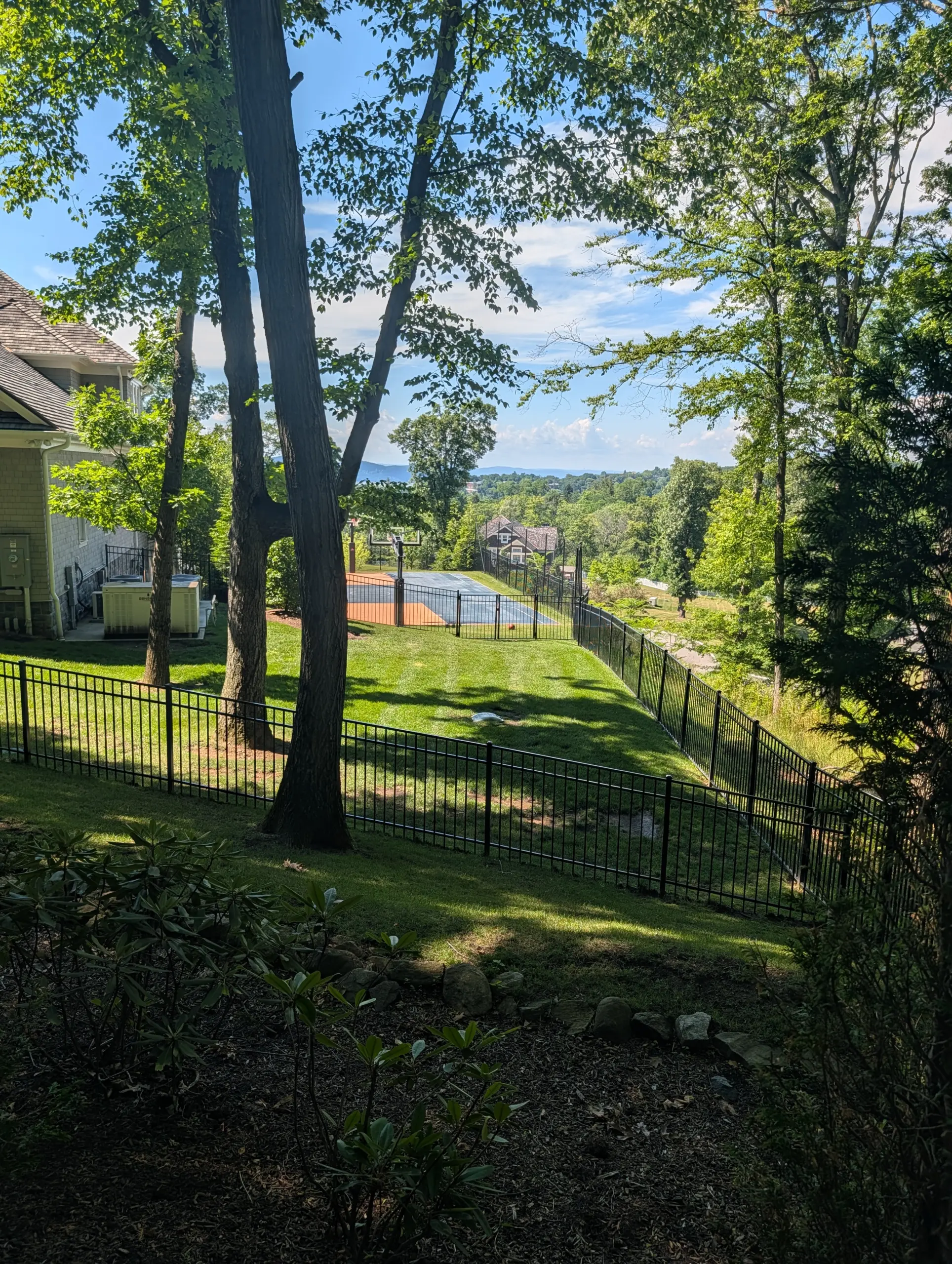
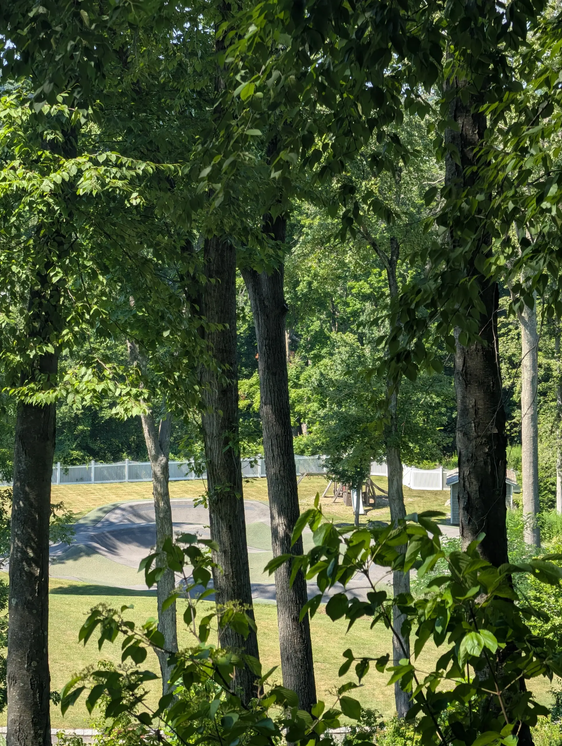
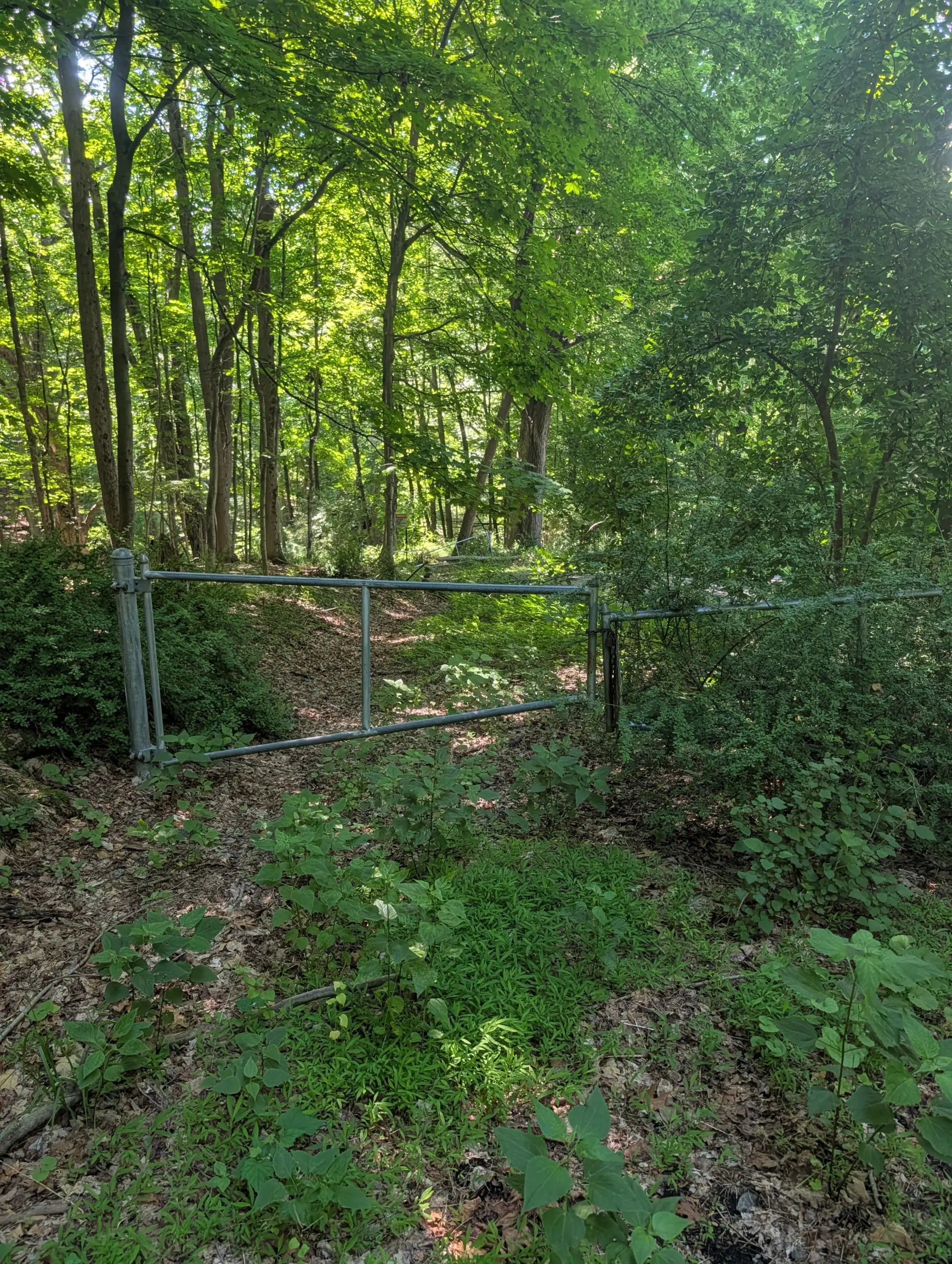
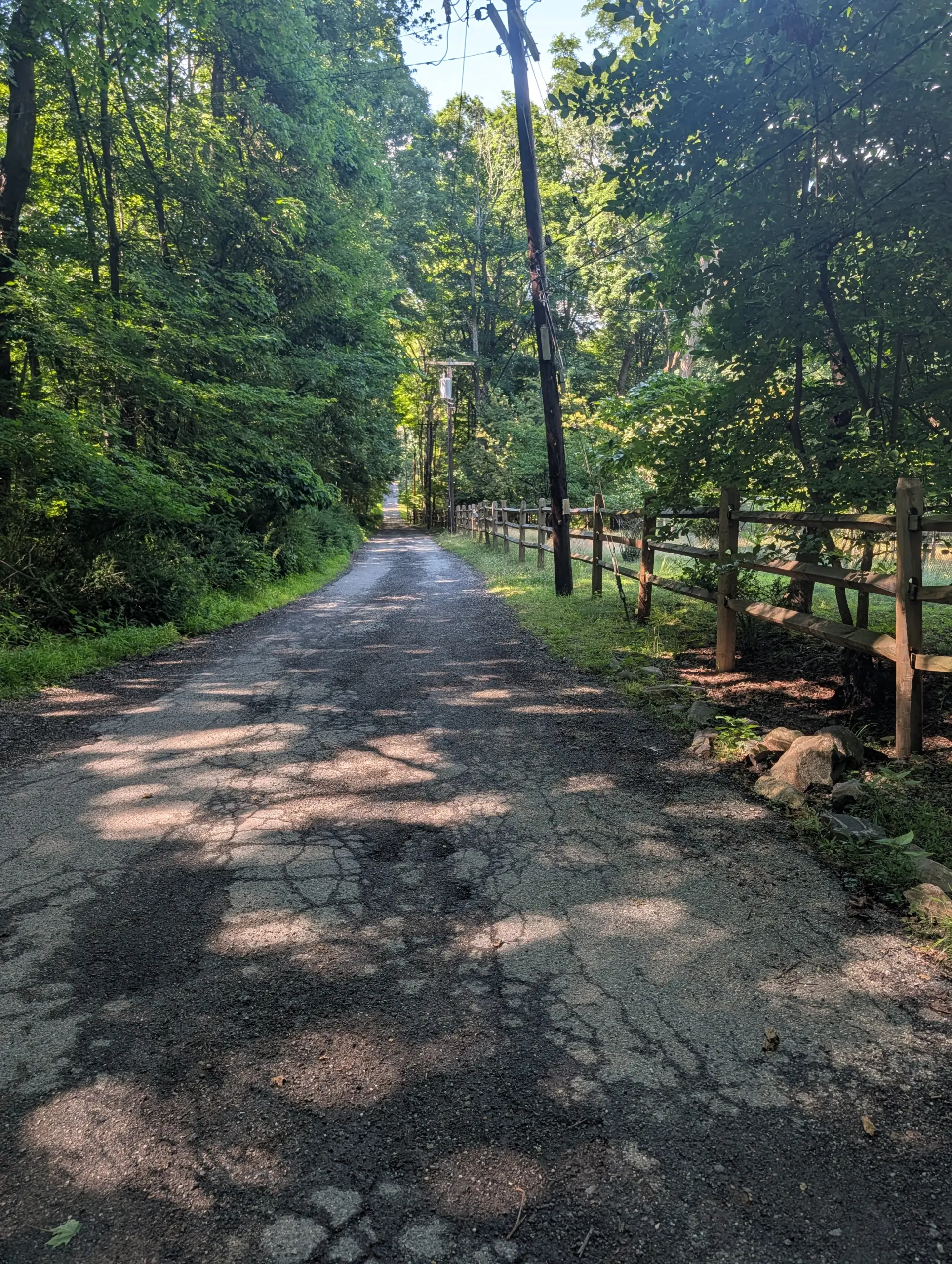
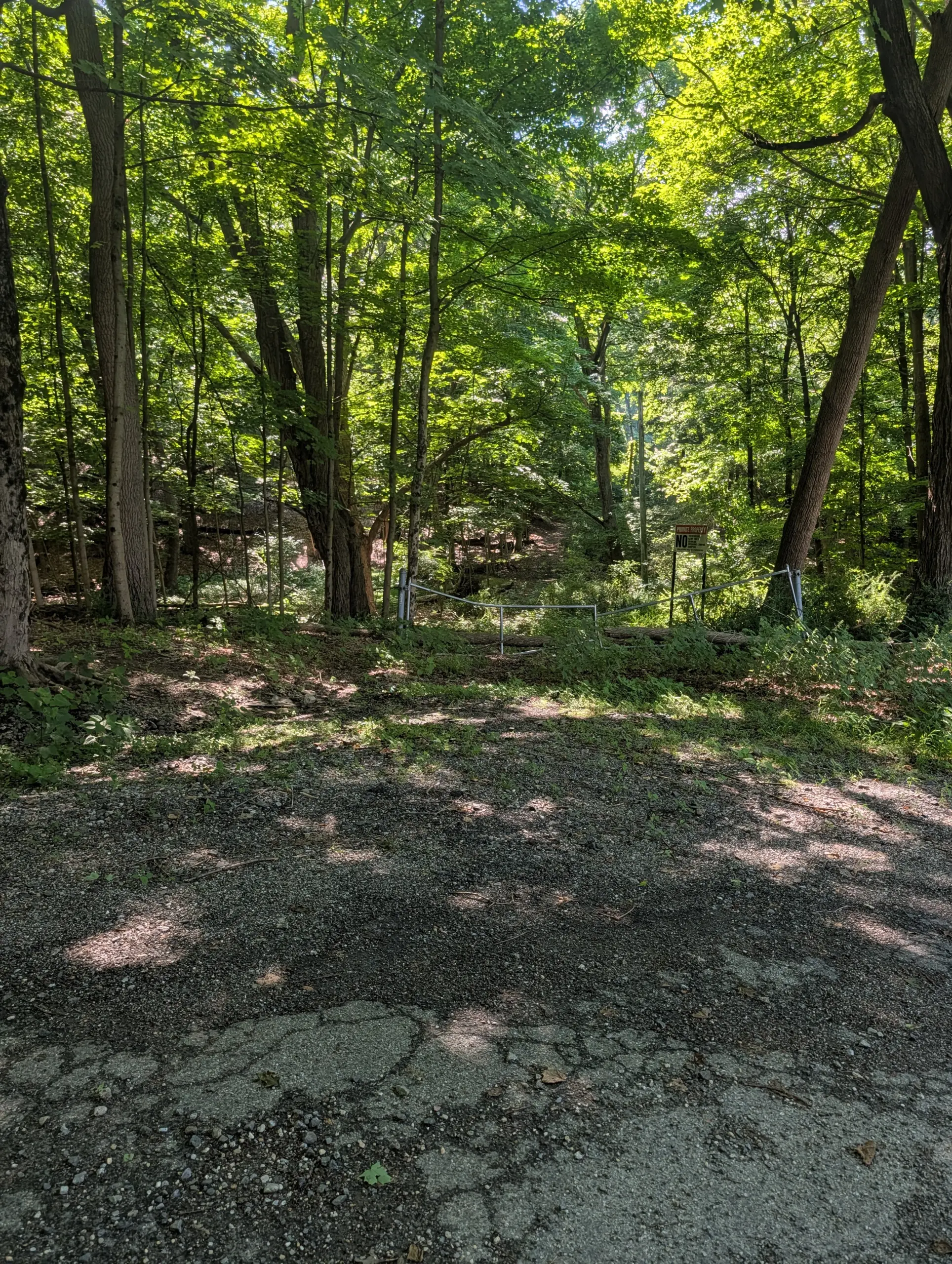
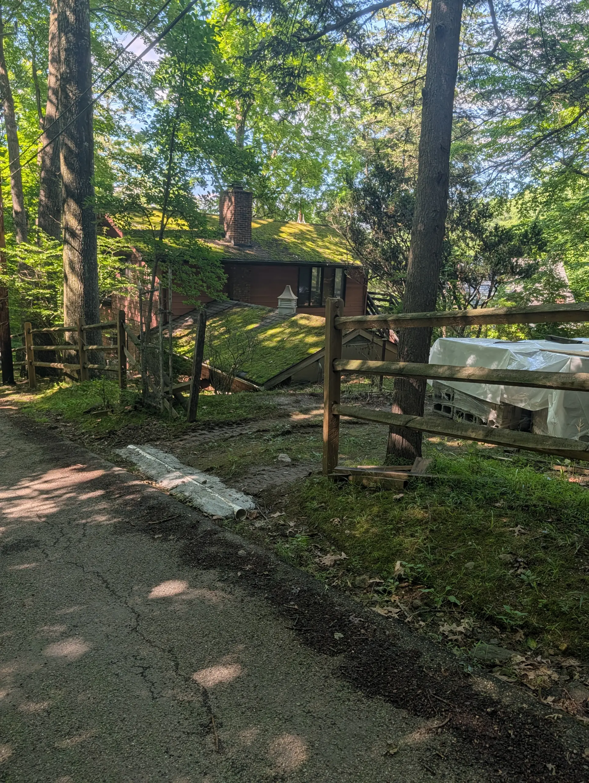
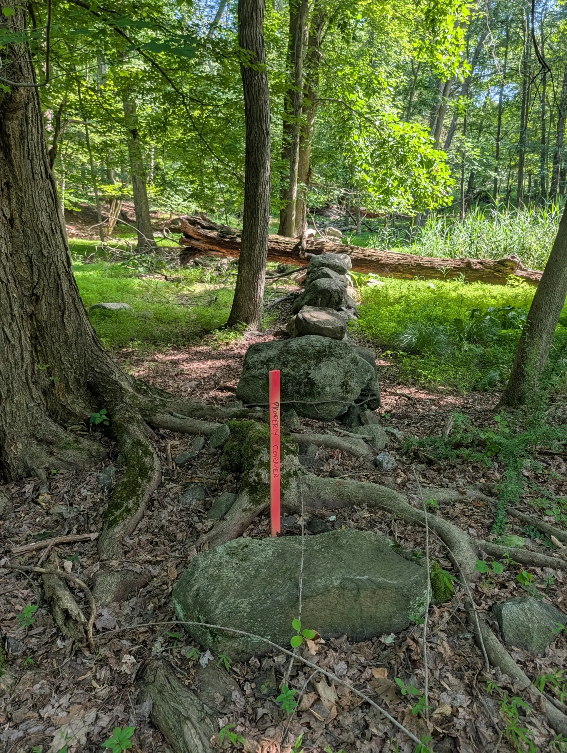
I retraced my steps back along the Danny Gold trail until reaching the left fork leading to a water tower, which I believe belongs to the Village of Tarrytown. I headed down the paved path, all the way to the end, where a locked gate restricts access to Carriage Trail. This is a private residential neighborhood called Greystone on Hudson, consisting of gorgeous multi-million dollar homes. I took a few photos of those visible from the fence line.
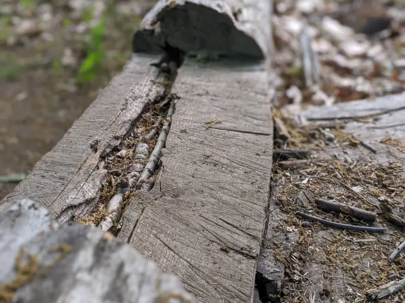
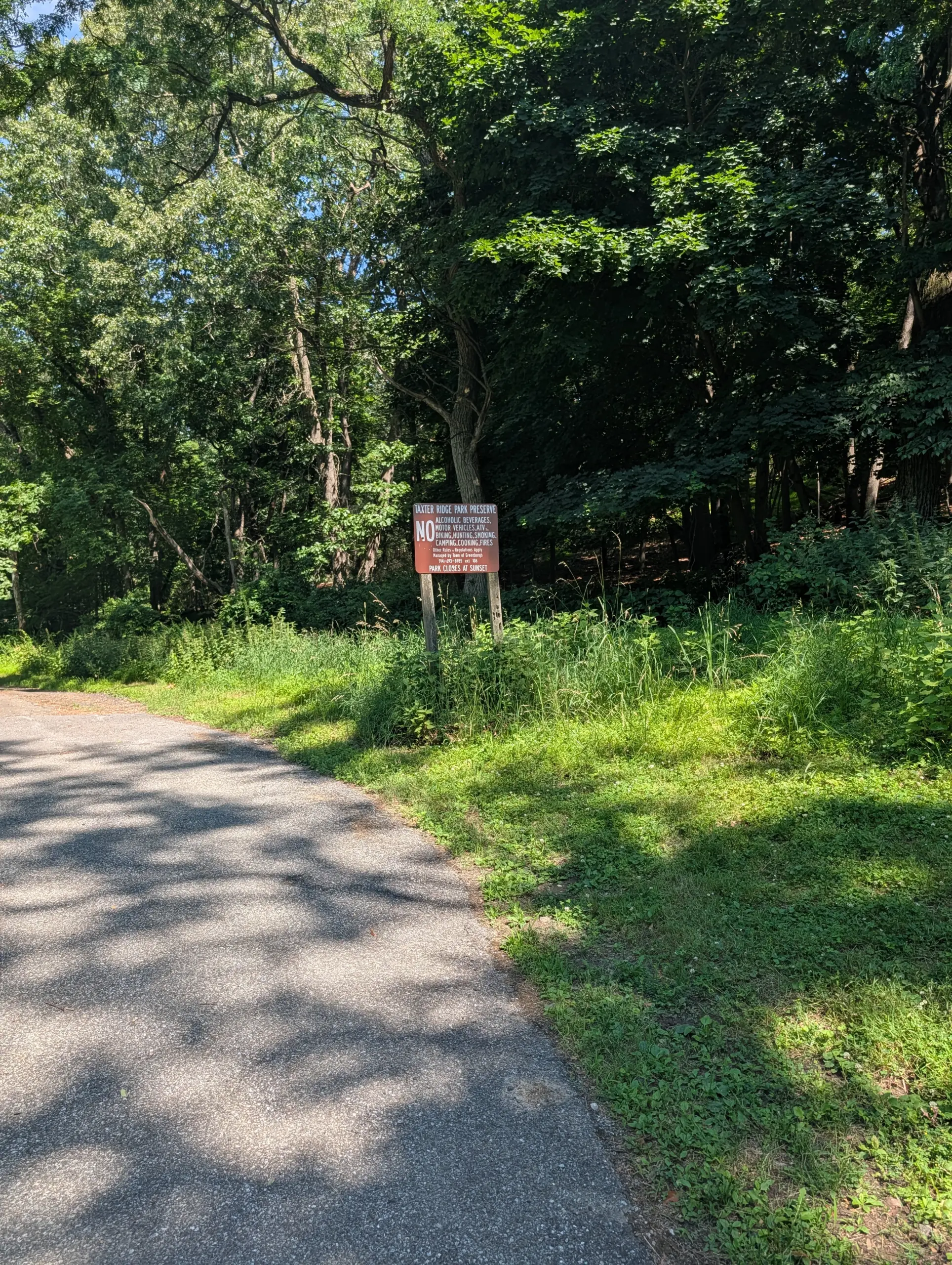
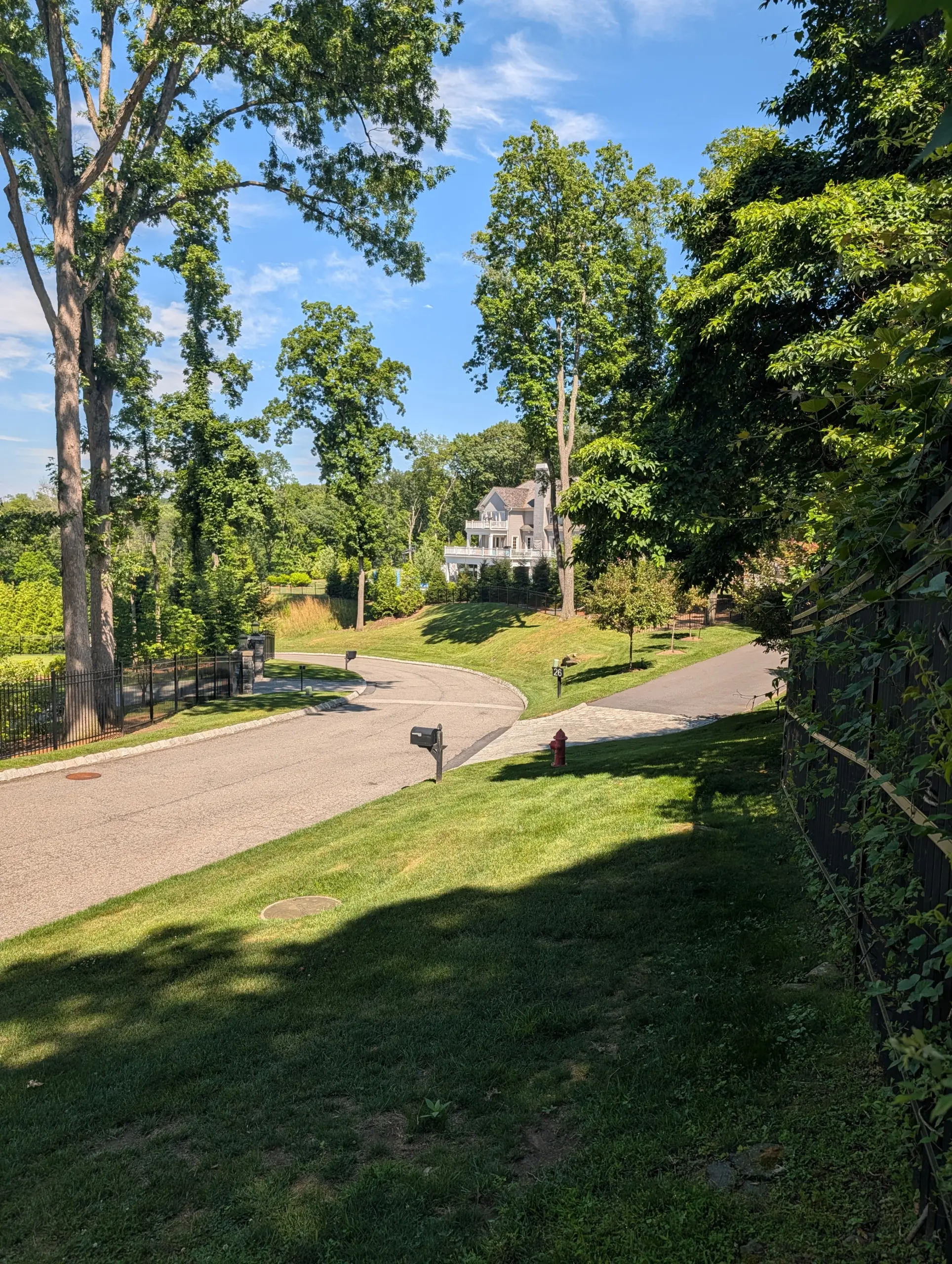
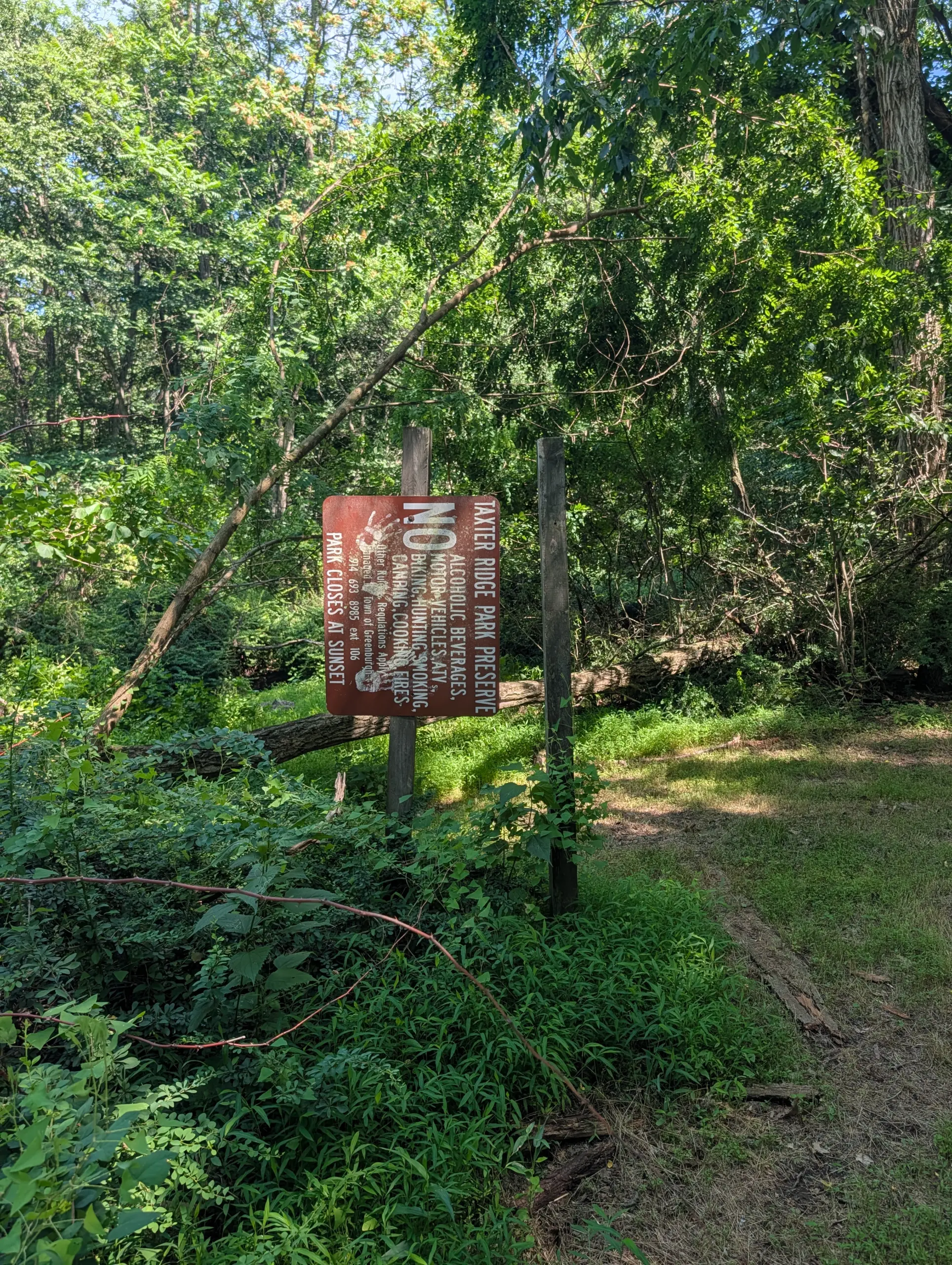
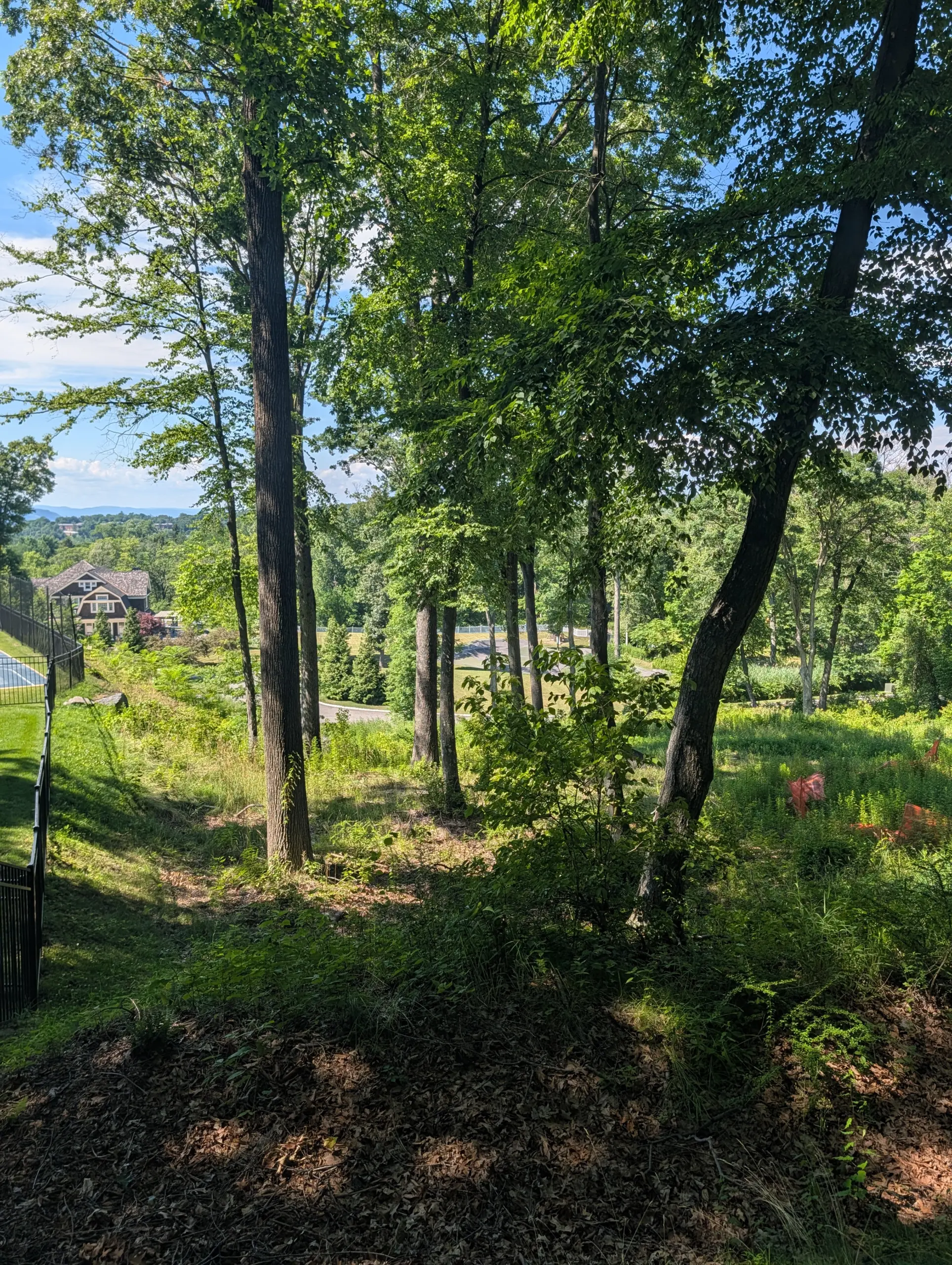
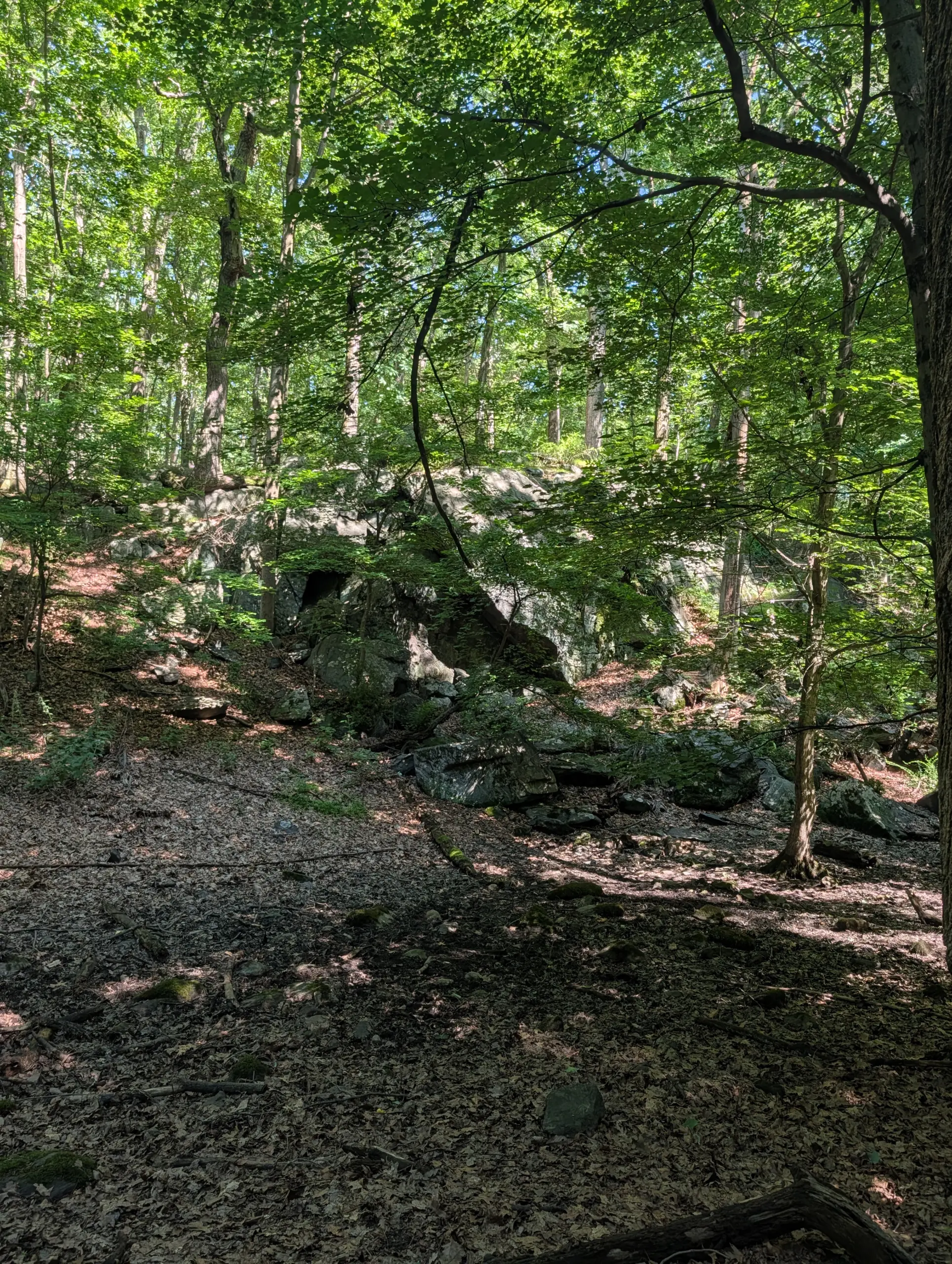
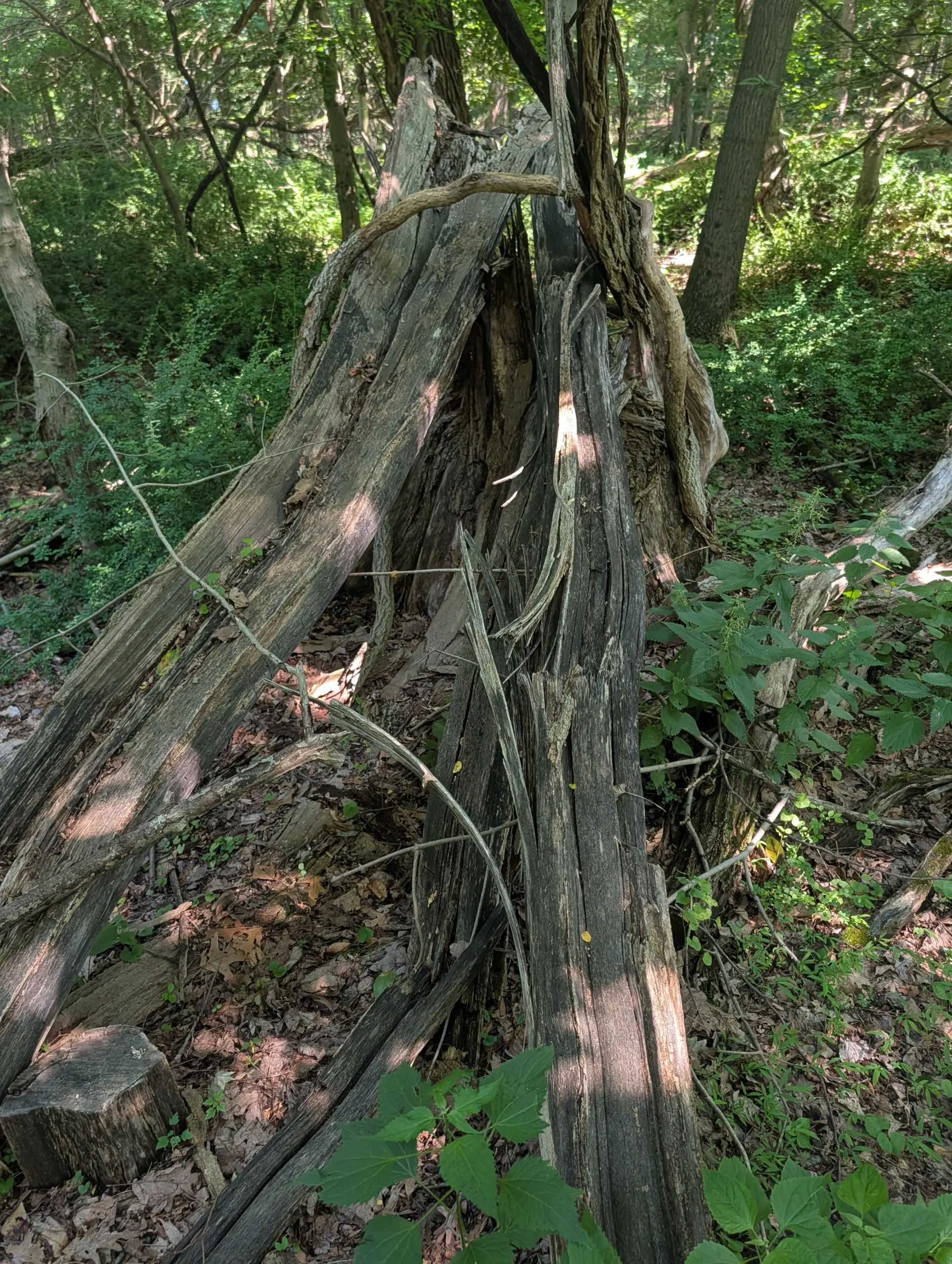
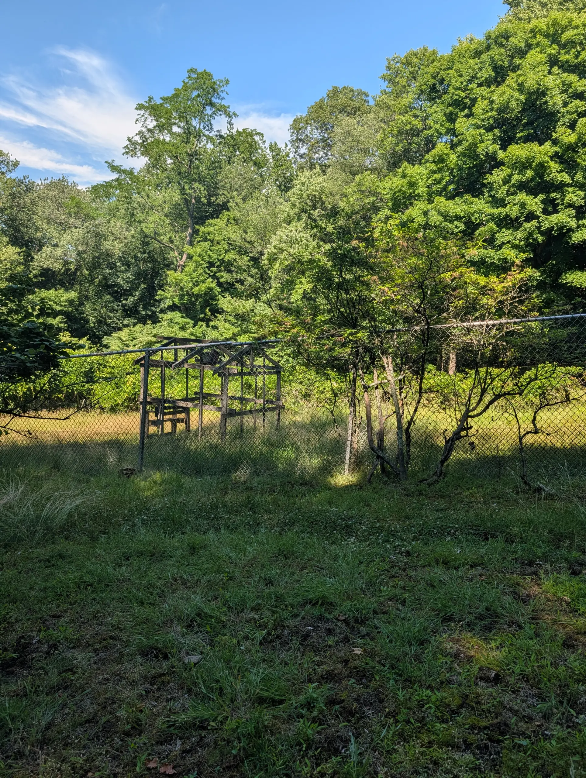
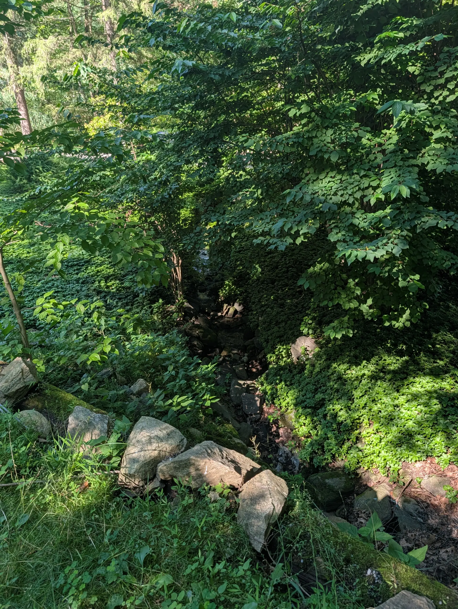
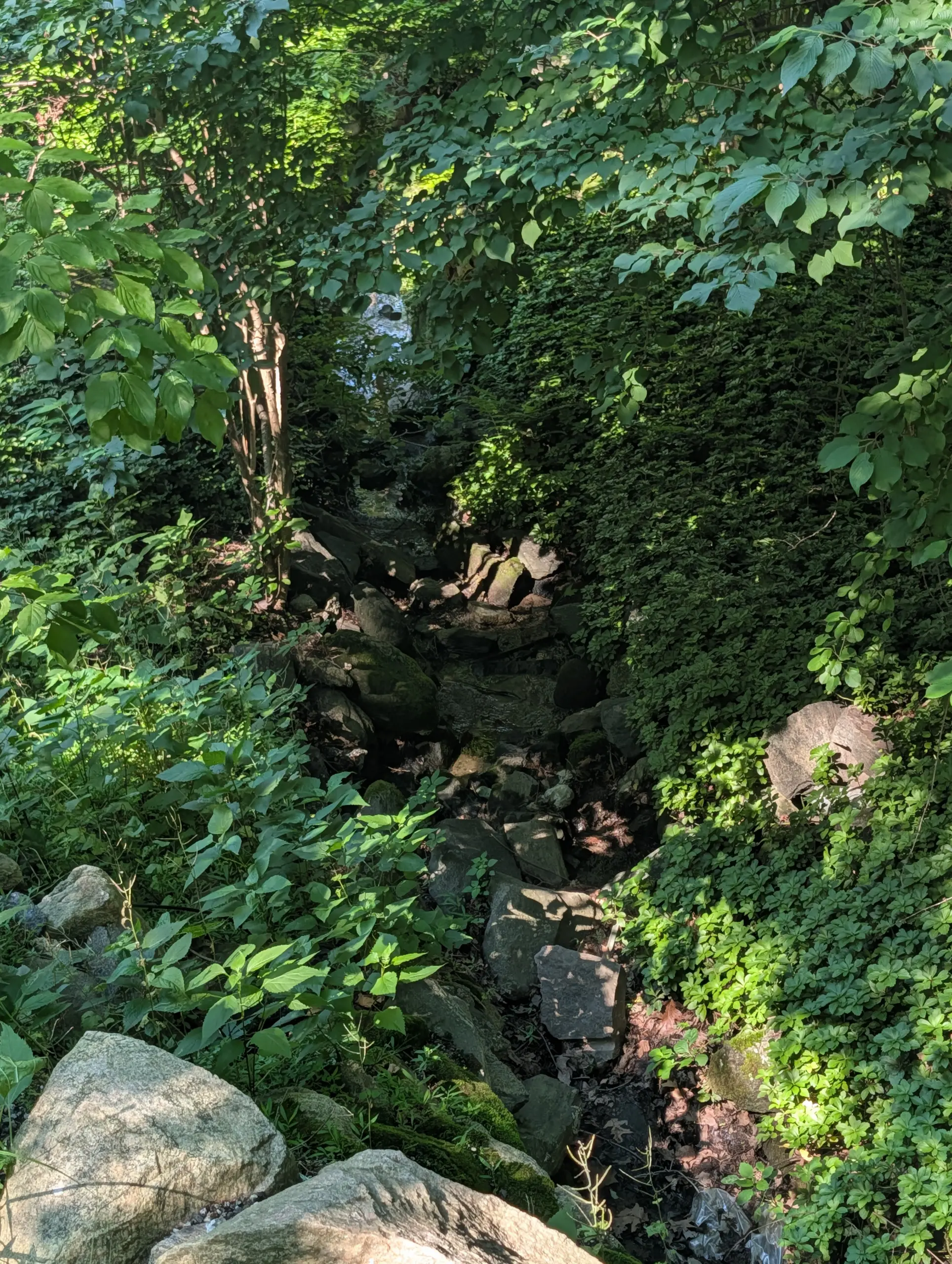
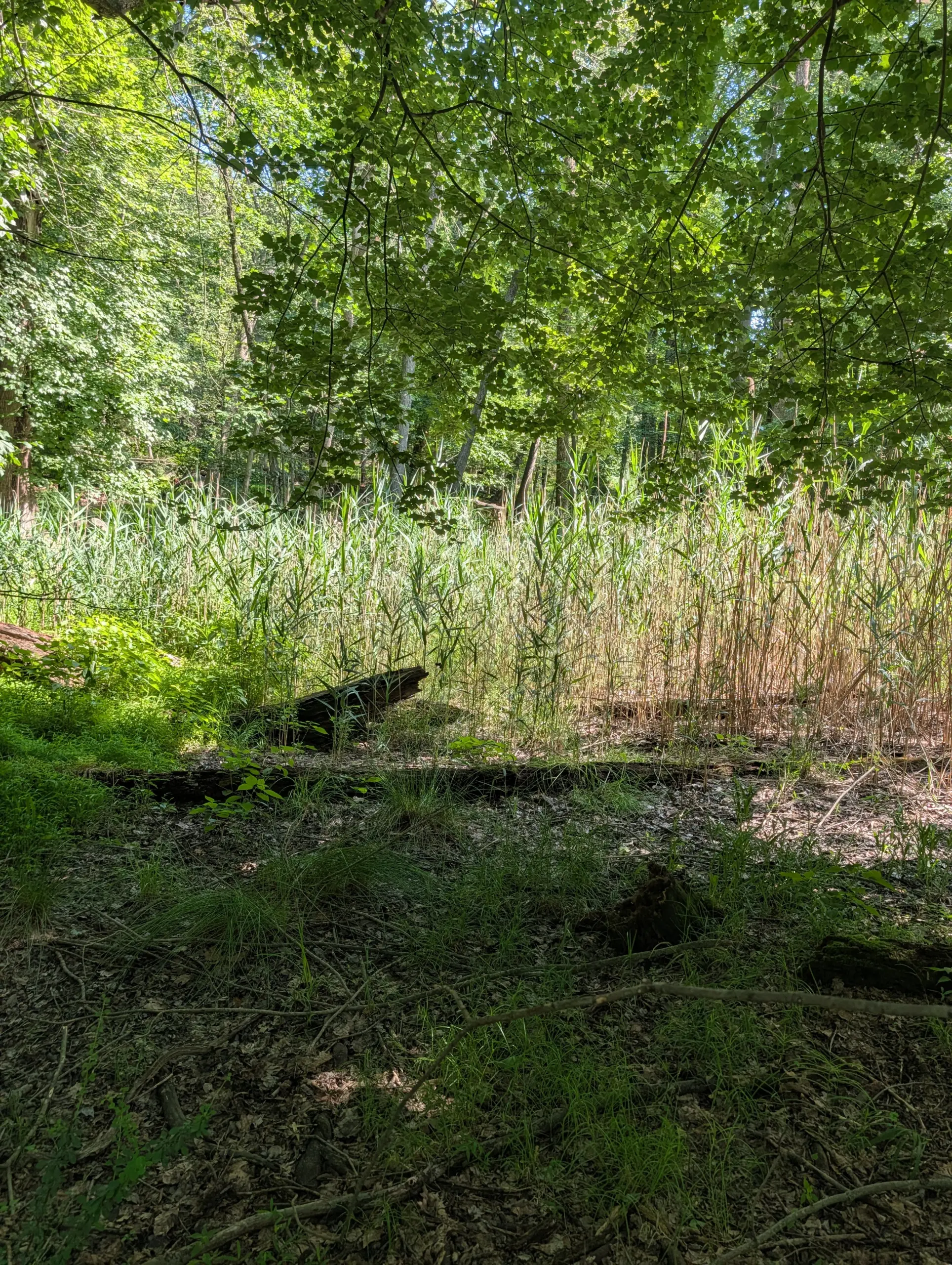
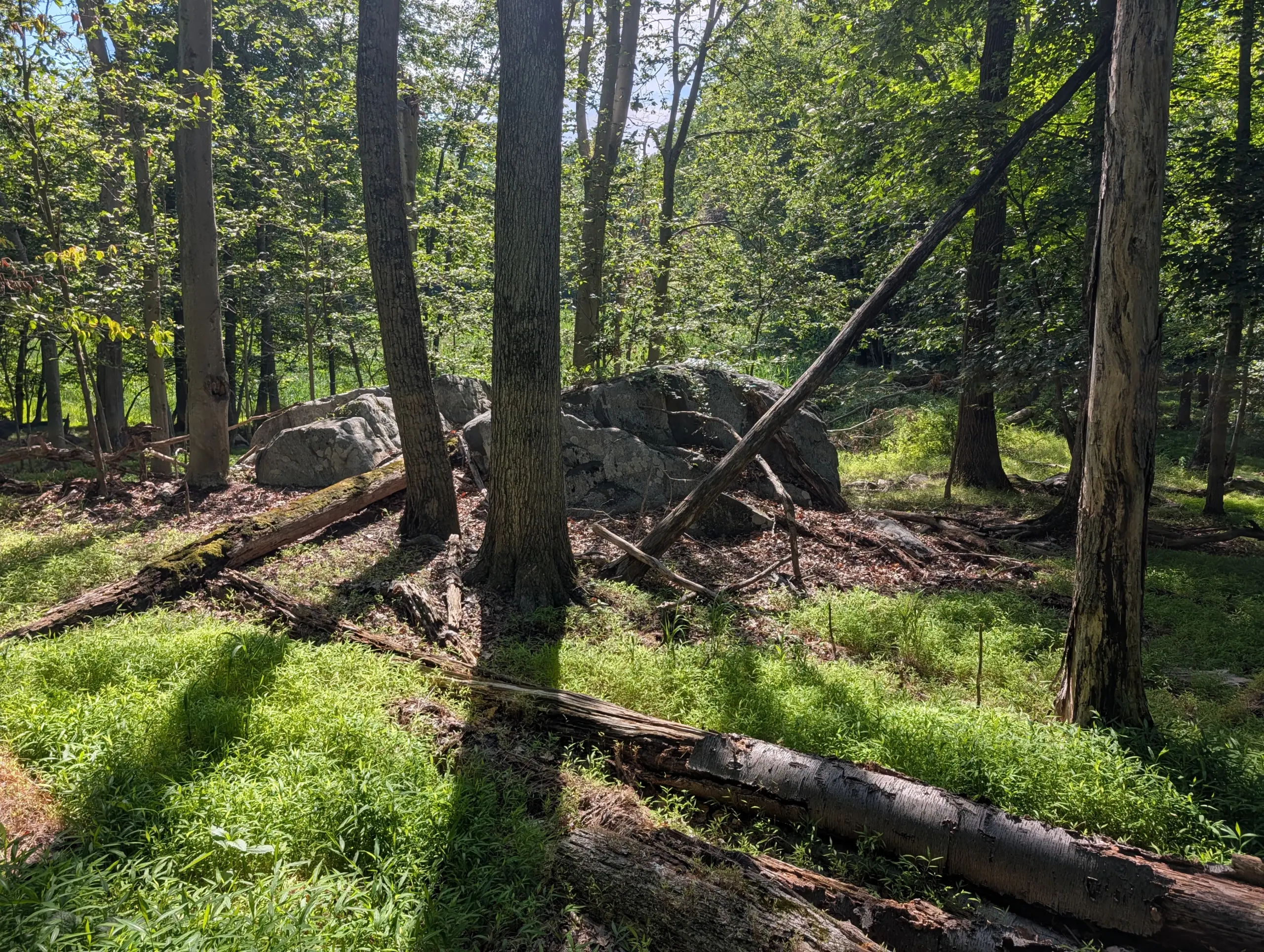
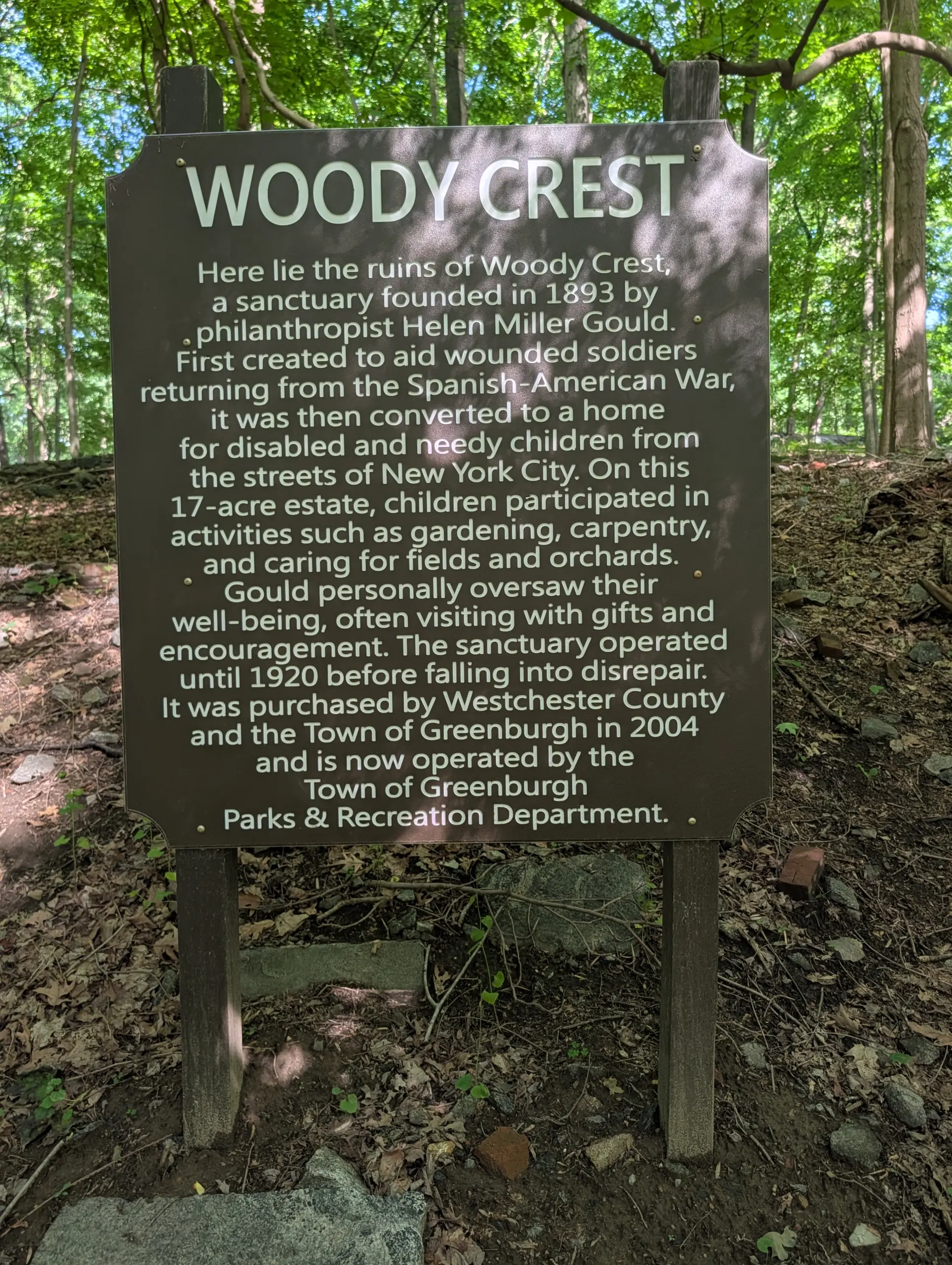
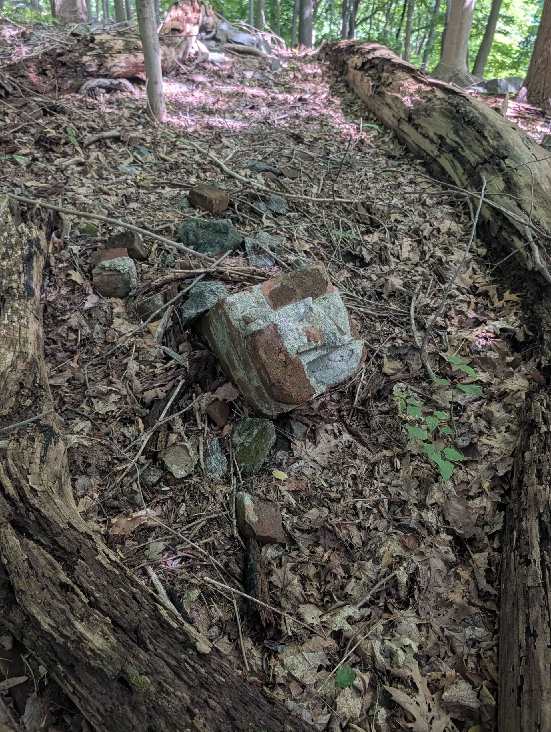
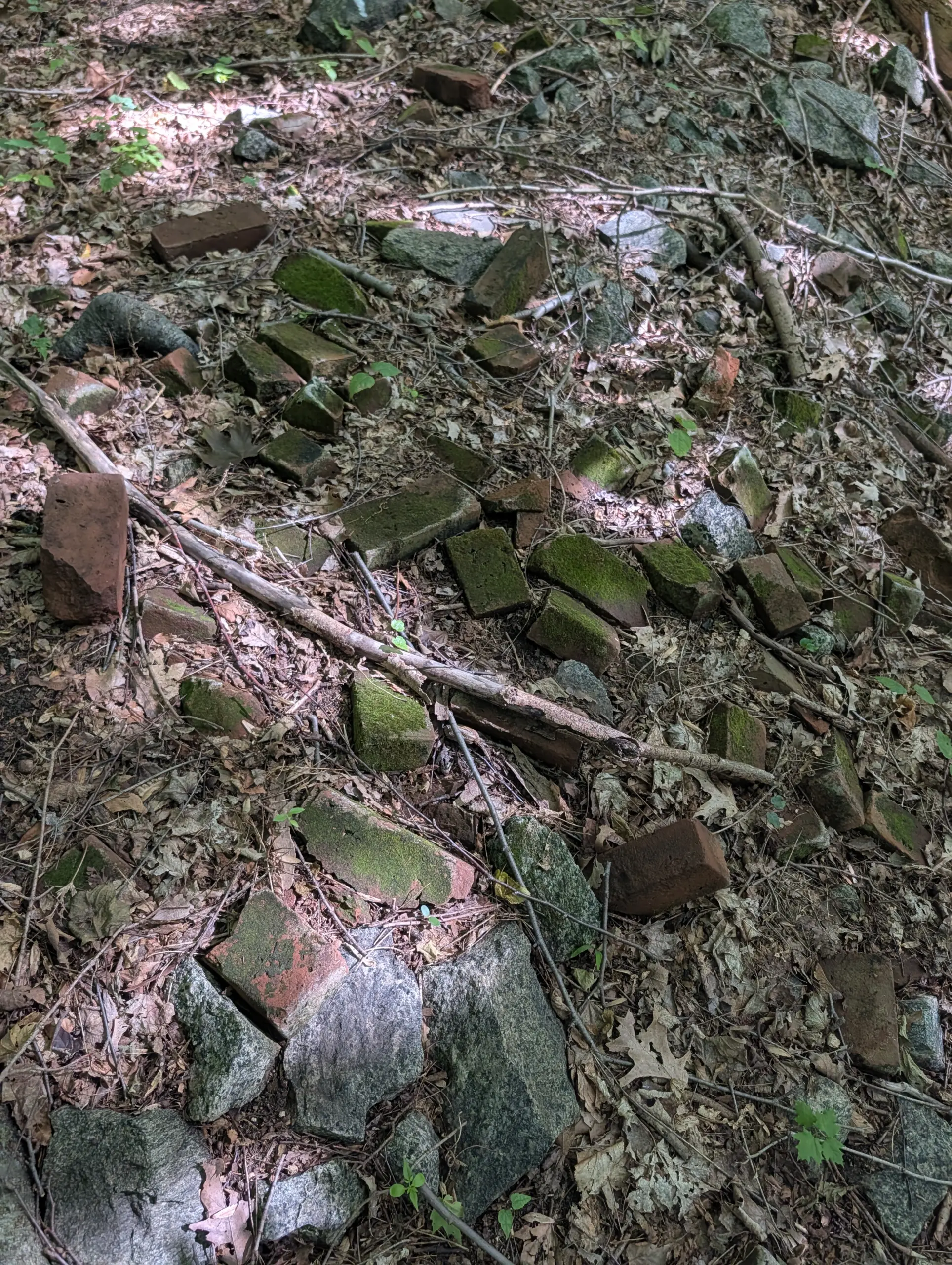
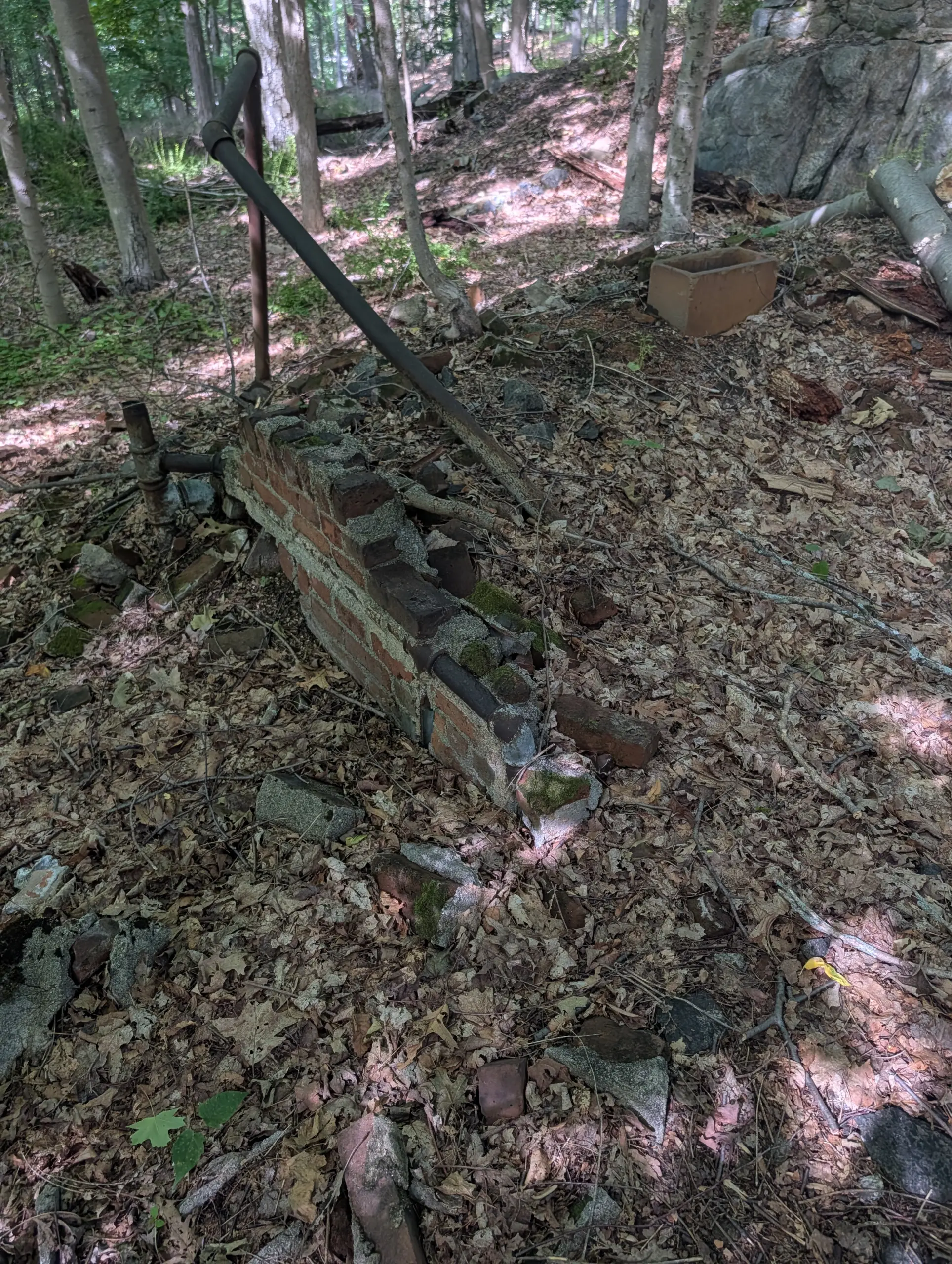
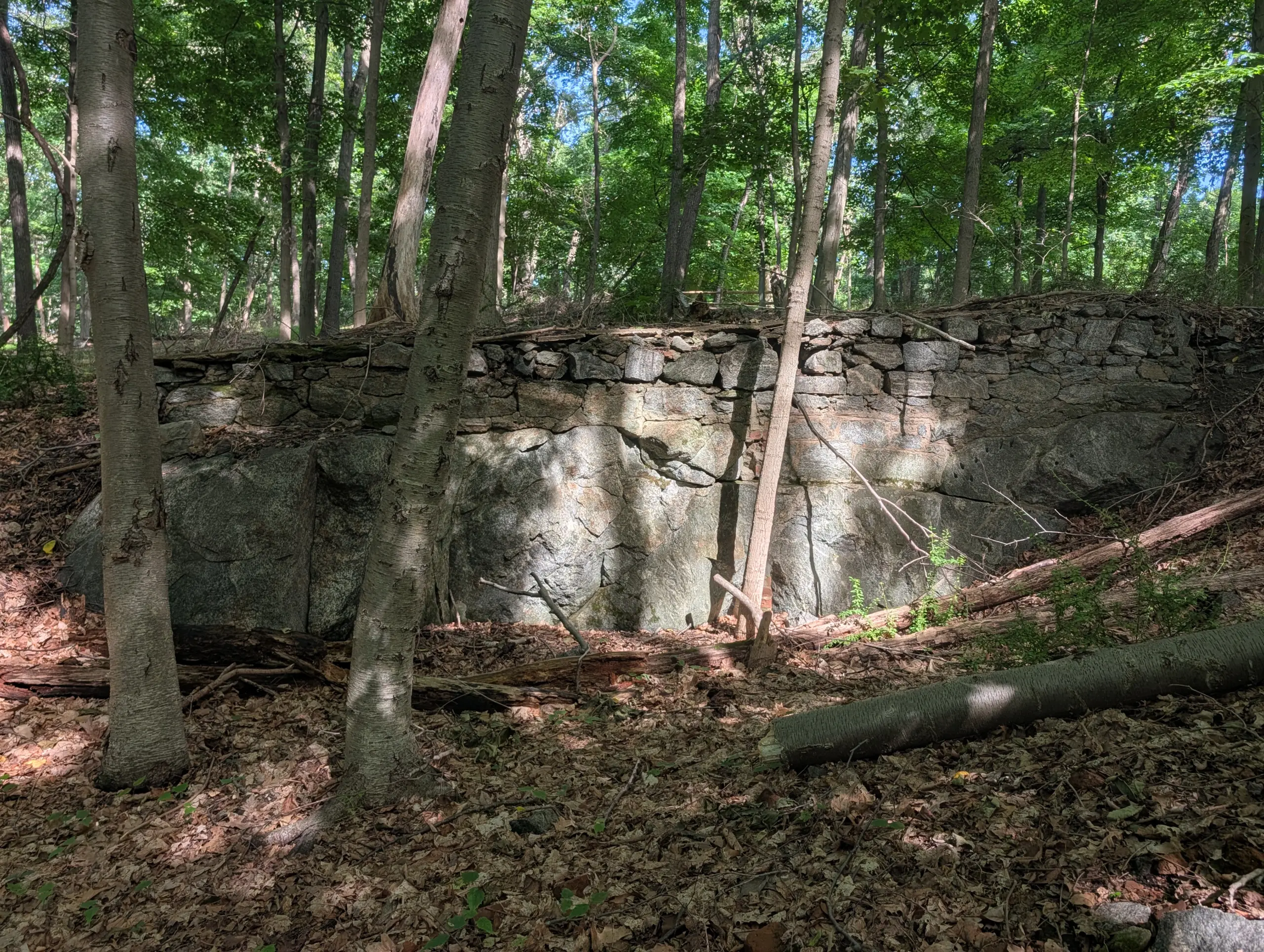
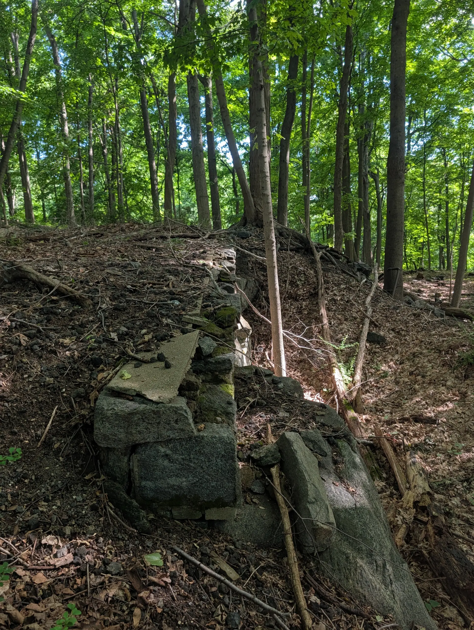
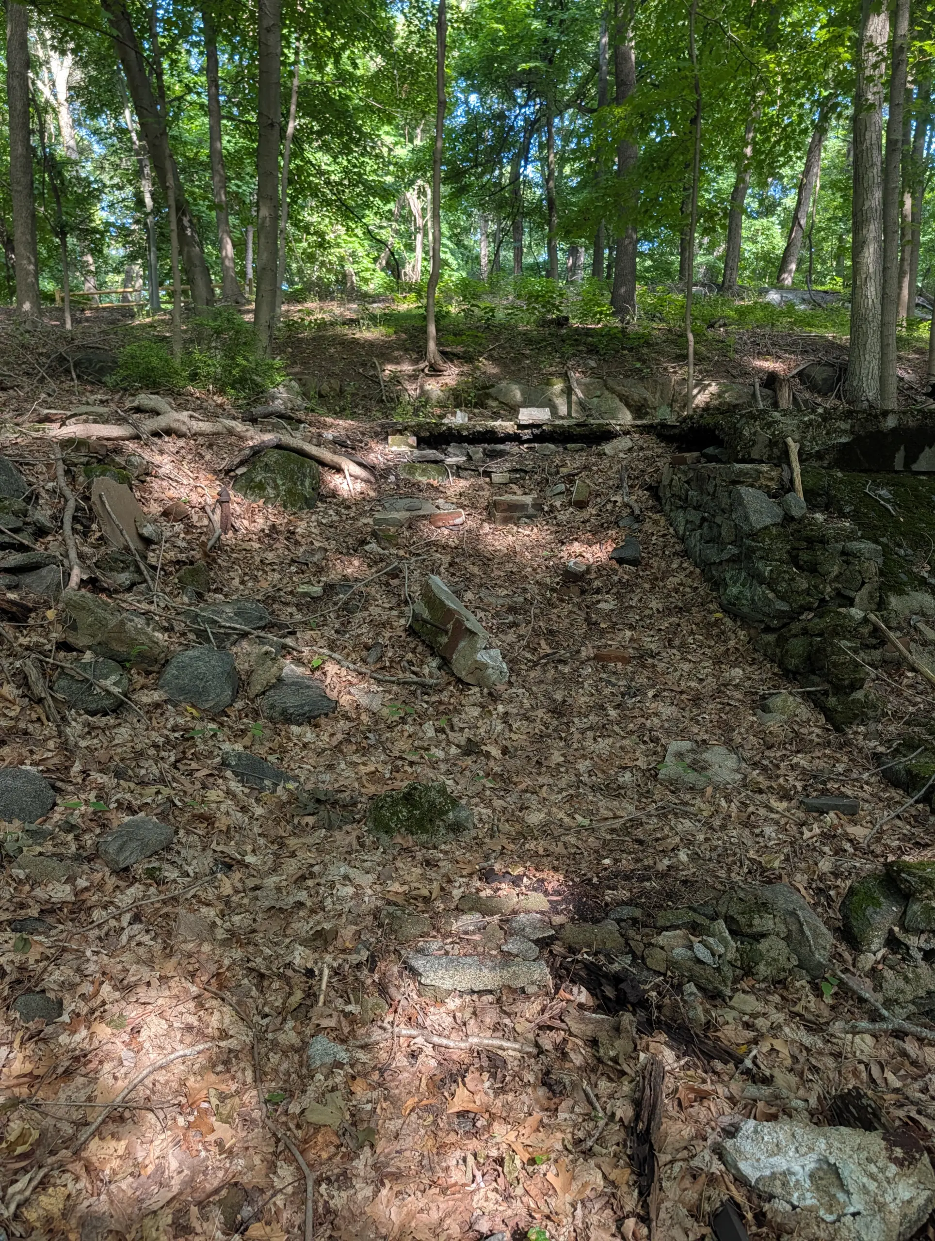
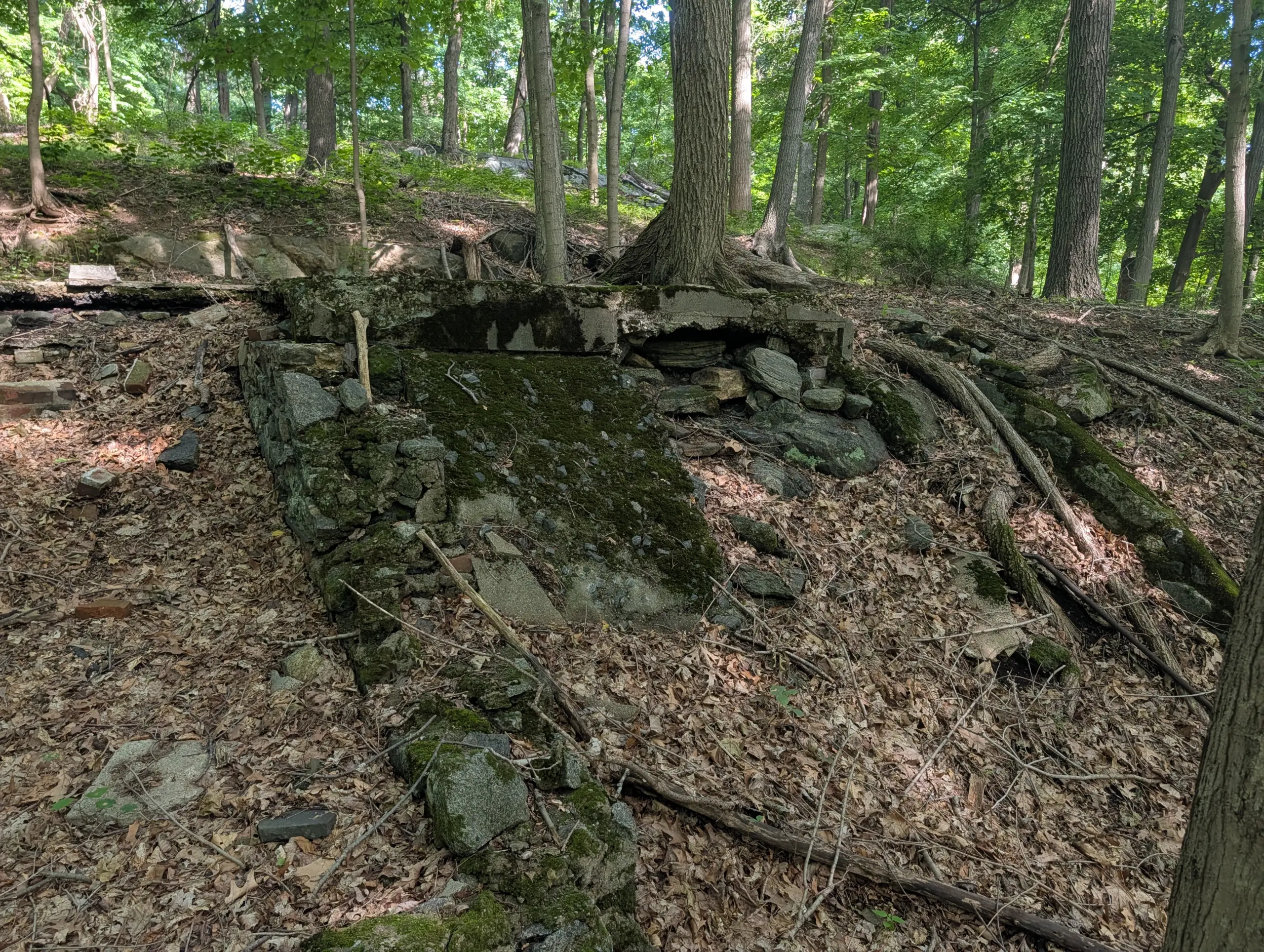
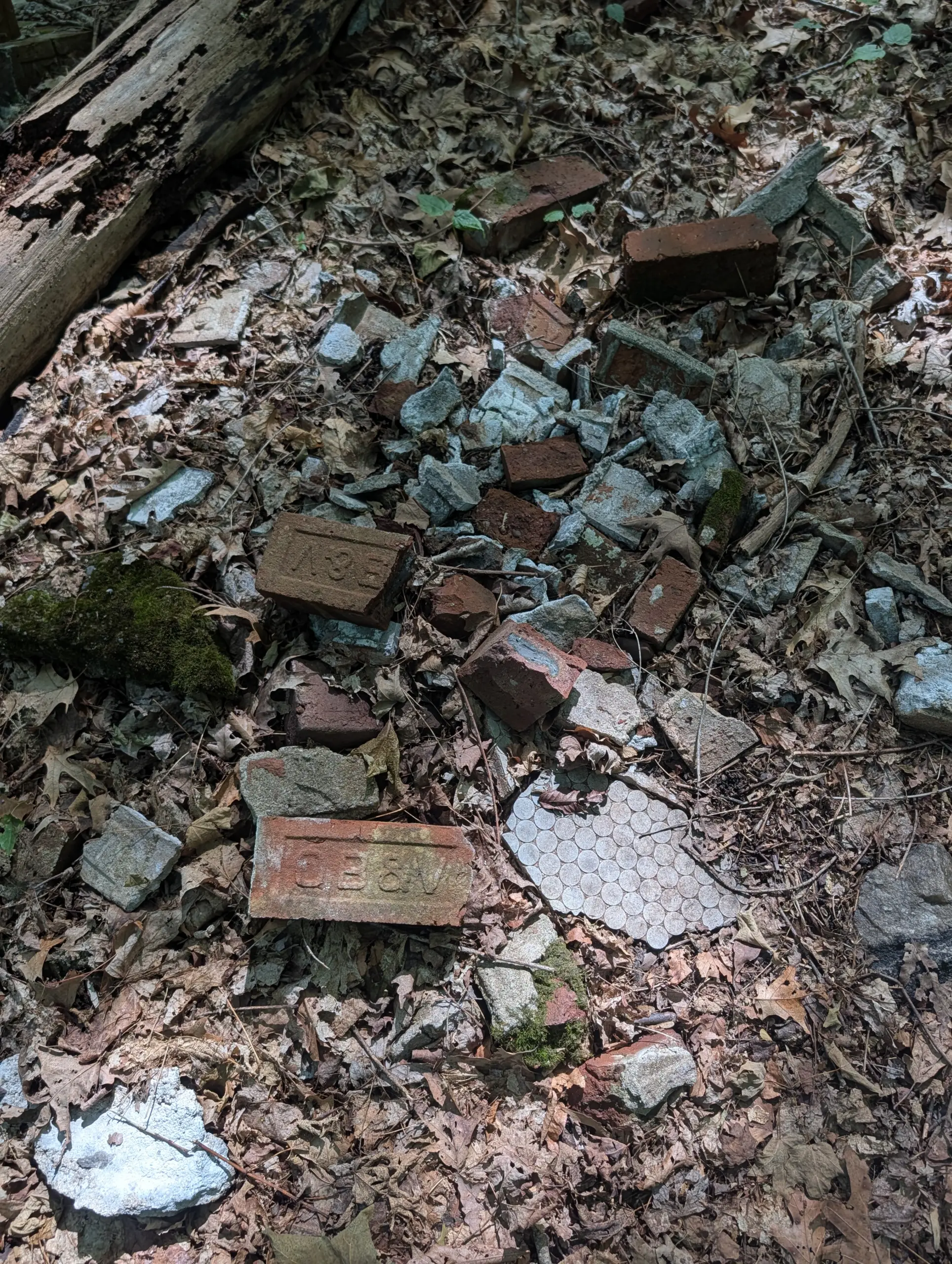
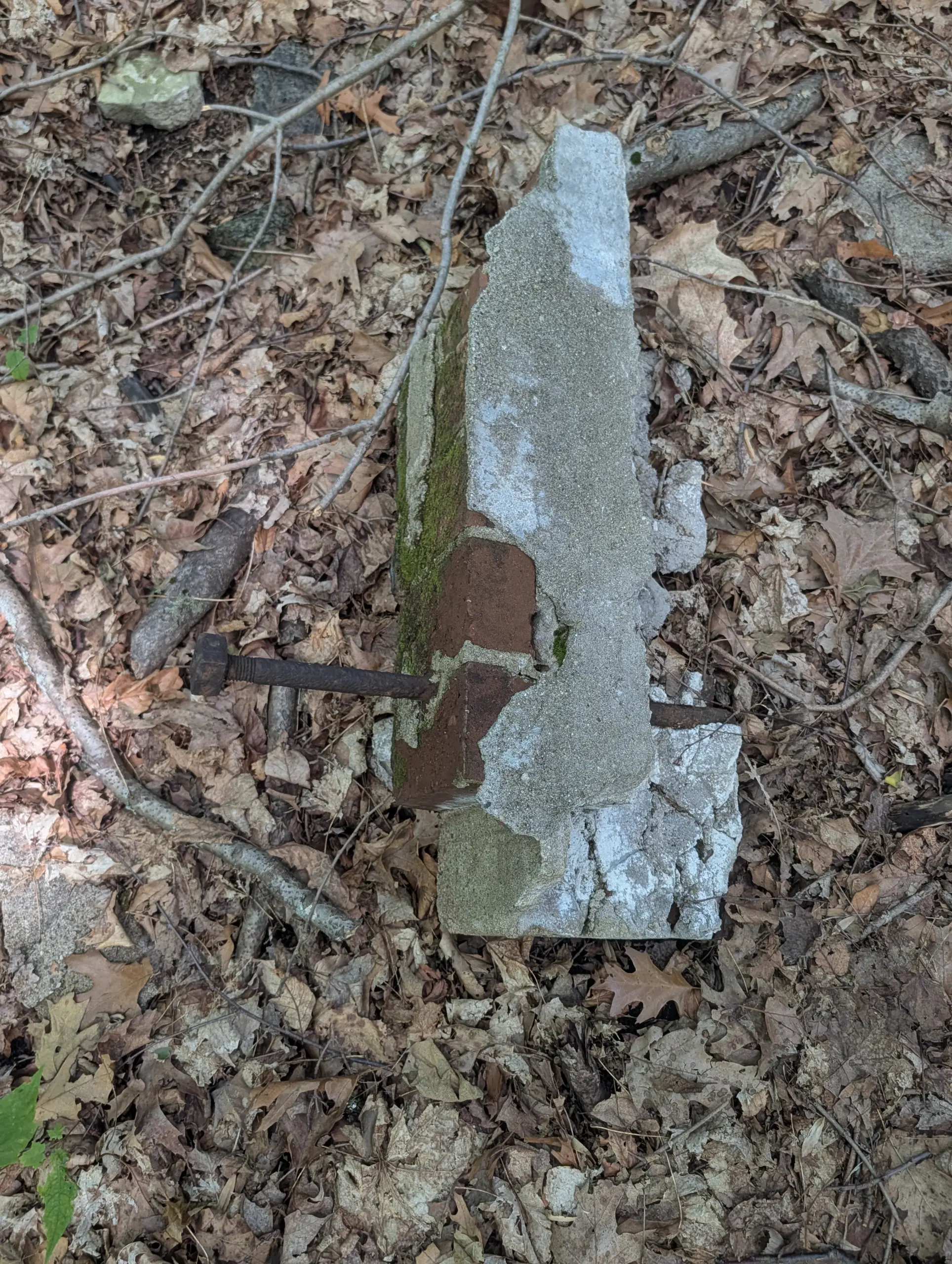
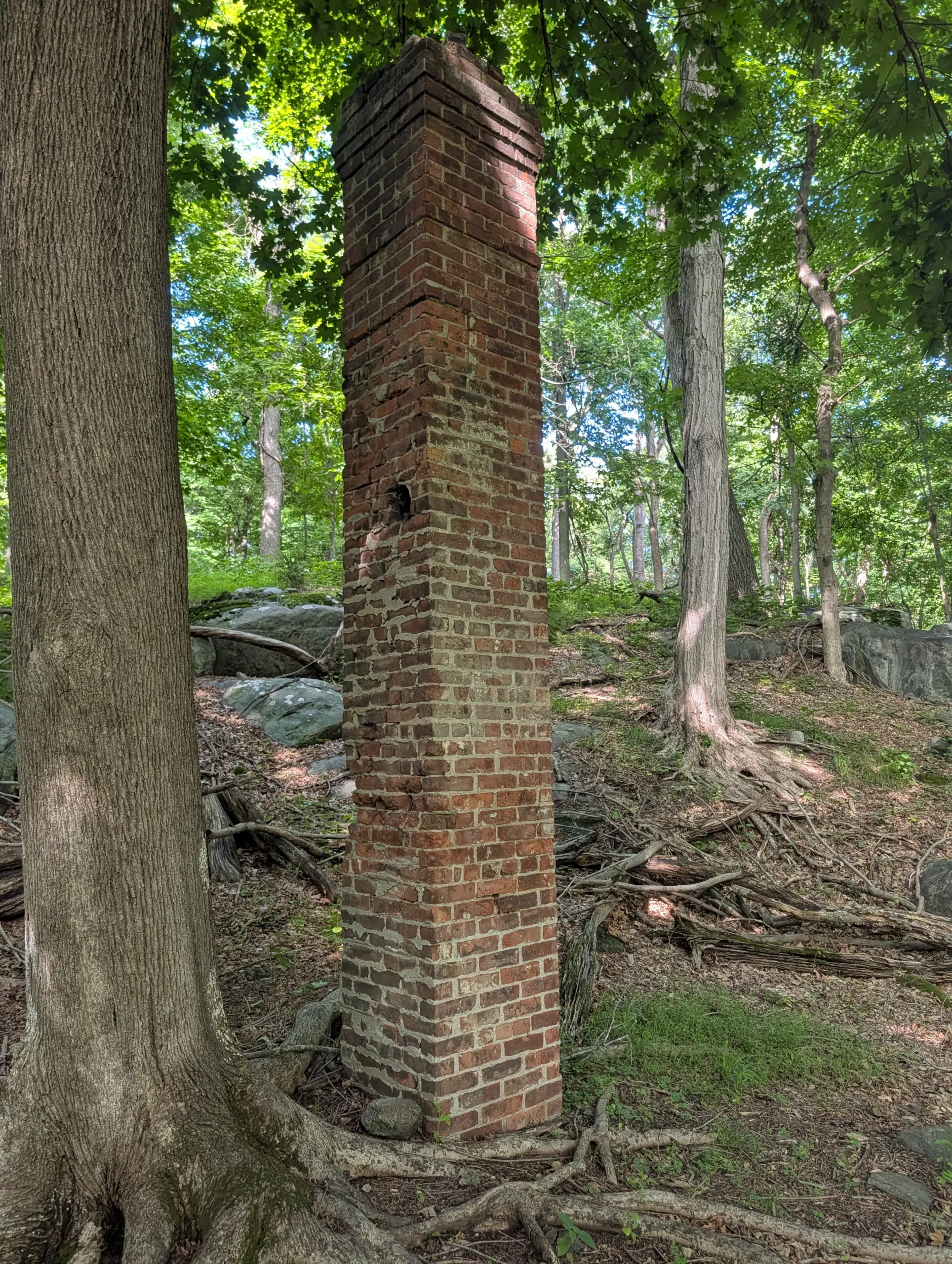
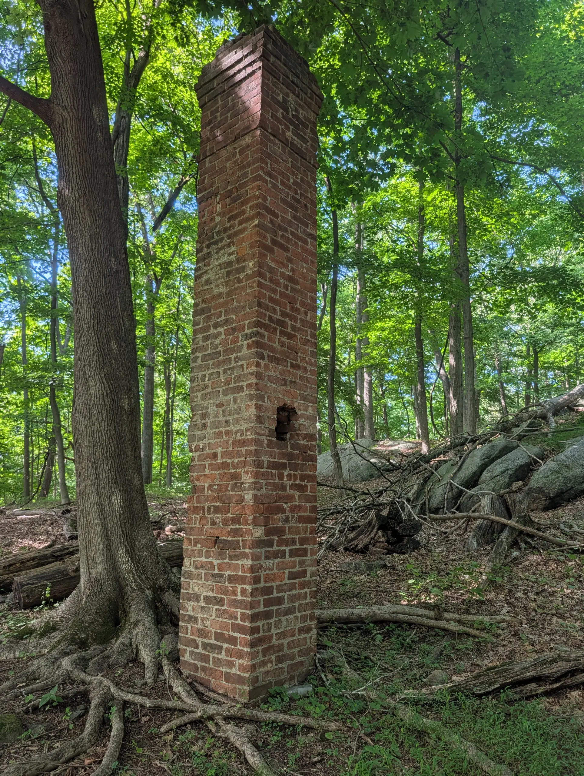
I reconnected with Danny Gold trail briefly, then branched off to an unmarked trail that continued following the fence line along the northwest section of the park. This eventually brought me to W Lake Drive, then to the Sheldon Avenue trailhead to re-enter the park on the Orange trail. I followed that past the wetland corridor to reach the ruins of Woody Crest, a 19th-century sanctuary that catered to wounded soldiers, then disabled and needy children. Pieces of concrete structure and bricks remain, along with what appears to be a completely free-standing chimney.
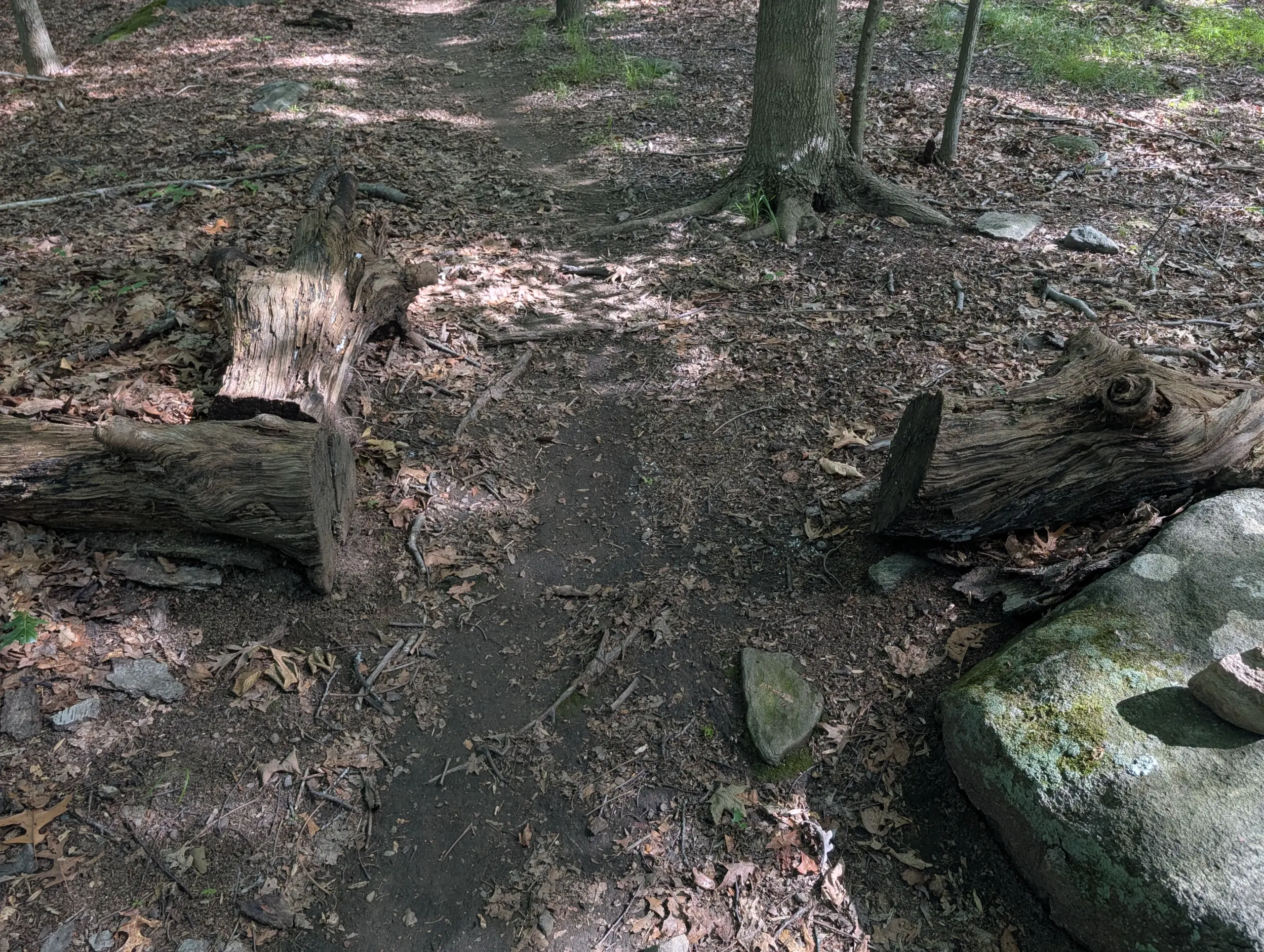
I finished the Orange trail, meeting back up with the Danny Gold trail again, and back down the yellow trail to the parking lot.
I didn’t see a single person during my hike or any cars in any of the three parking lots I encountered. I suspect the heat and humidity dissuaded people from hiking. I didn’t mind having a nearly 200-acre park all to myself!
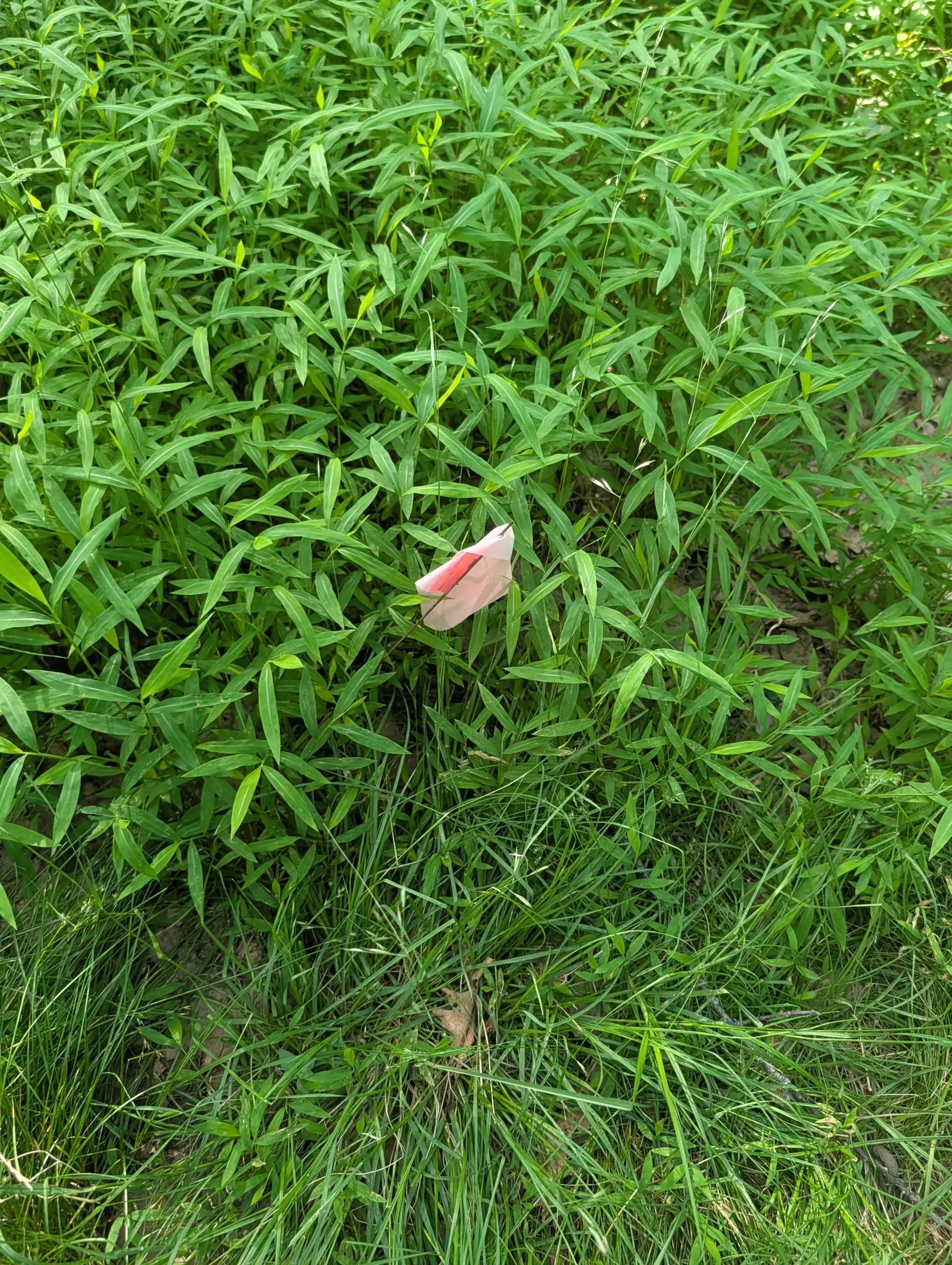
My phone initially had AllTrails in battery optimization mode, so the GPS tracks through about mile 3 were jittery and inaccurate. I tried to smooth these out with a Gaussian-weighted moving average, but they are still inconsistent with some of the paths I actually hiked.
Photos


GPS Route & Elevation
Loads an interactive map; map tiles are served by the U.S. Geological Survey, which receives your IP address. Learn more about maps and your privacy