Skip to content
Hiking Photos

Emery Park

Emery Park – Collier’s Climb Trail, Leonard Mountain, Club Gateway

  • 2.29 mi
  • 722 ft gain
  • 01:36:44
Emery Park – Collier’s Climb Trail, Leonard Mountain, Club Gateway

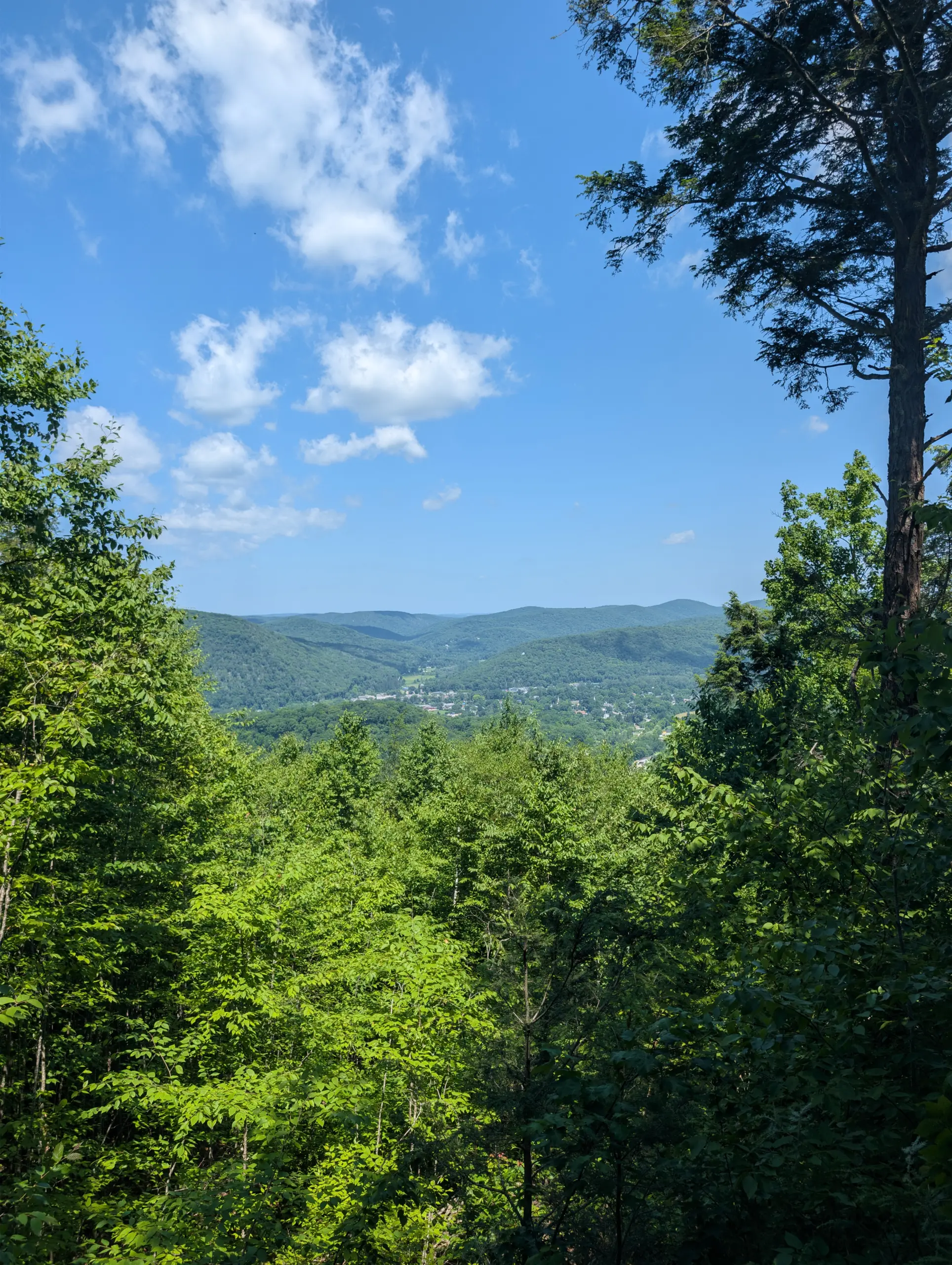
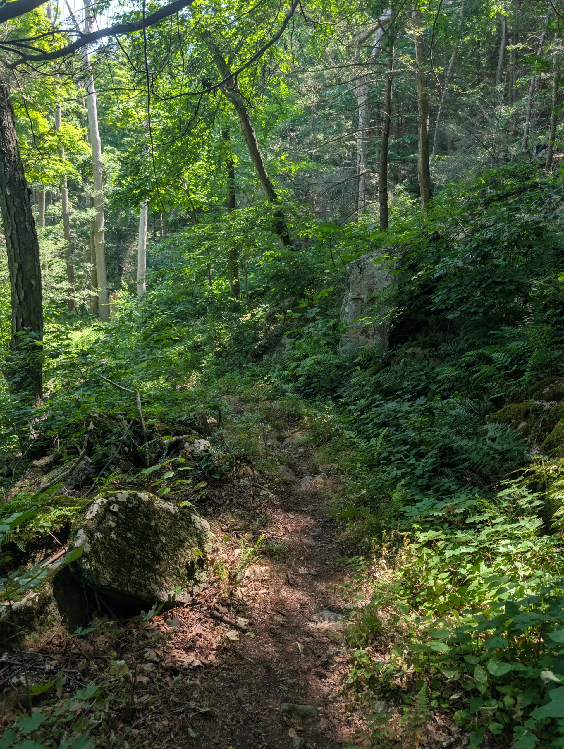
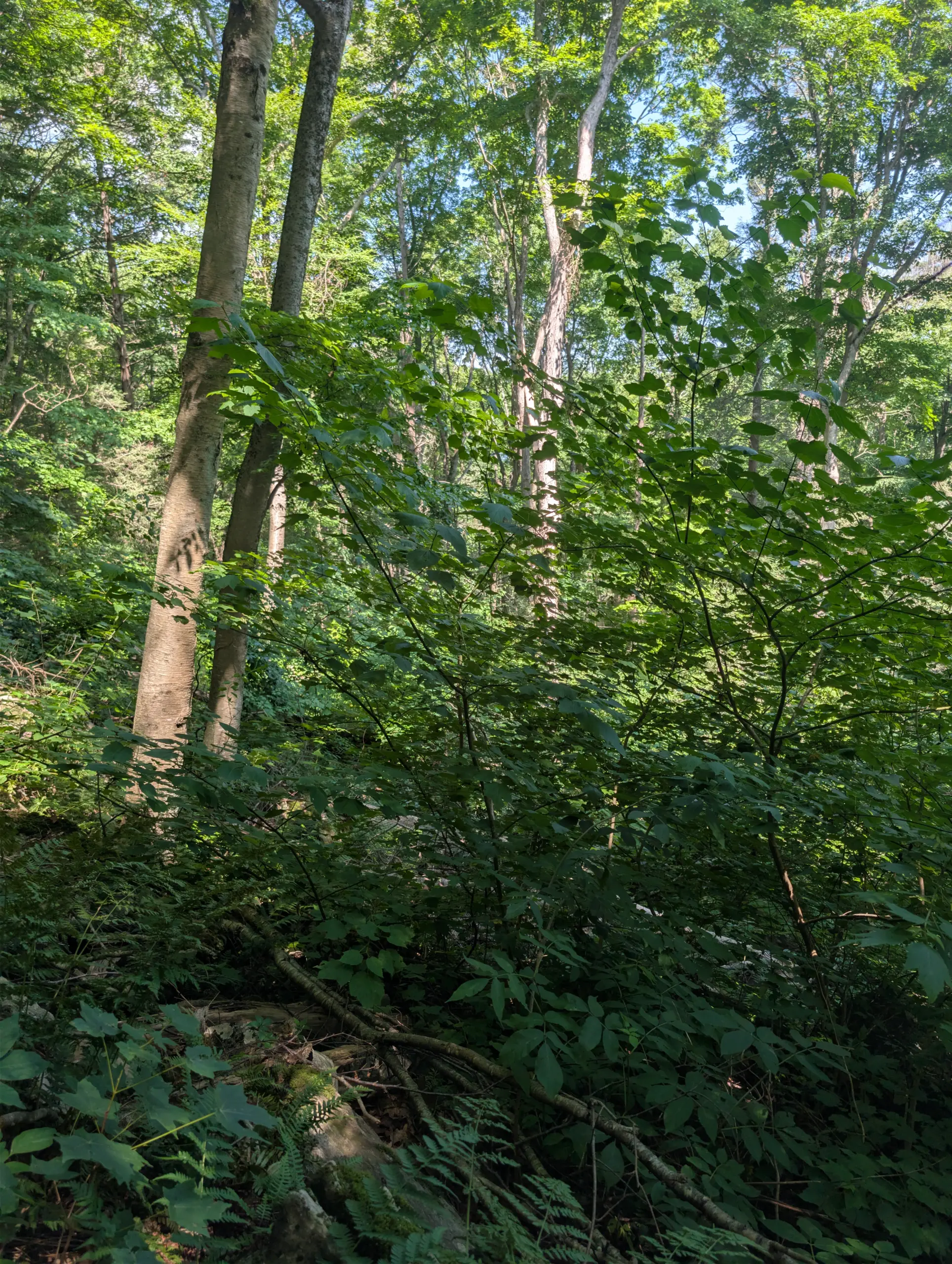
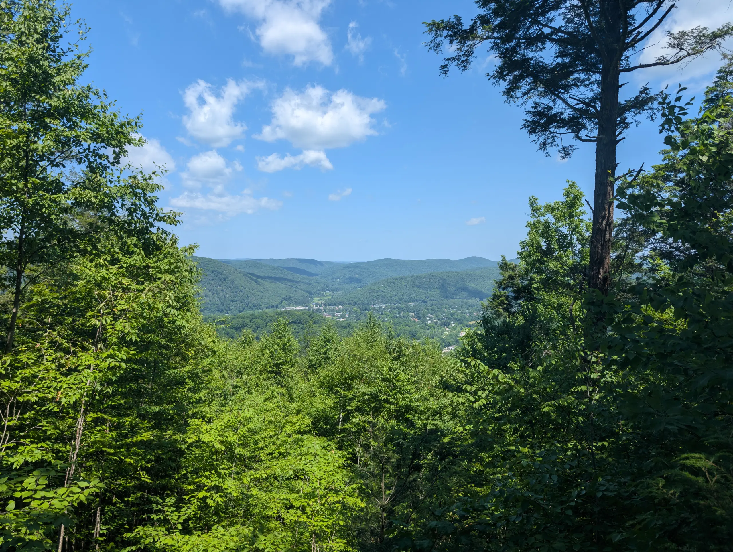
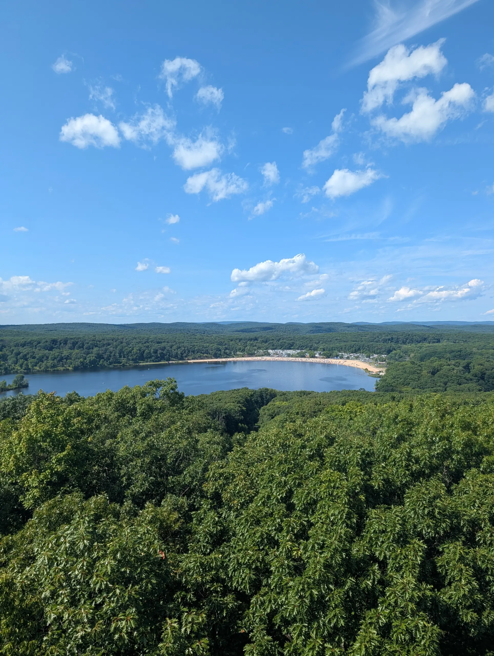
I helped lead a group of guests from Club Getaway along the Collier’s Climb Trail in Emery Park. At the top of Leonard Mountain, there’s a view — slightly obstructed in the summer by trees — of the mountains and valleys surrounding Kent, CT. The route to the summit is mostly a steady incline: not incredibly steep, but consistently at an angle. There were very few spots where the trail leveled off.

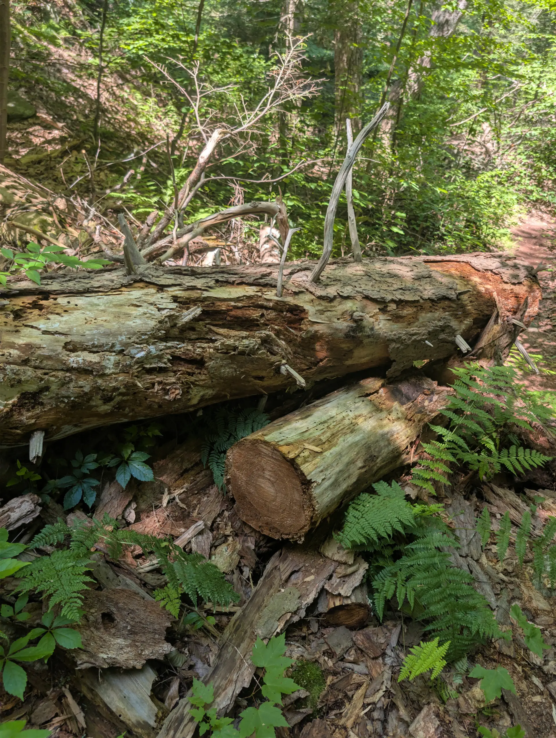
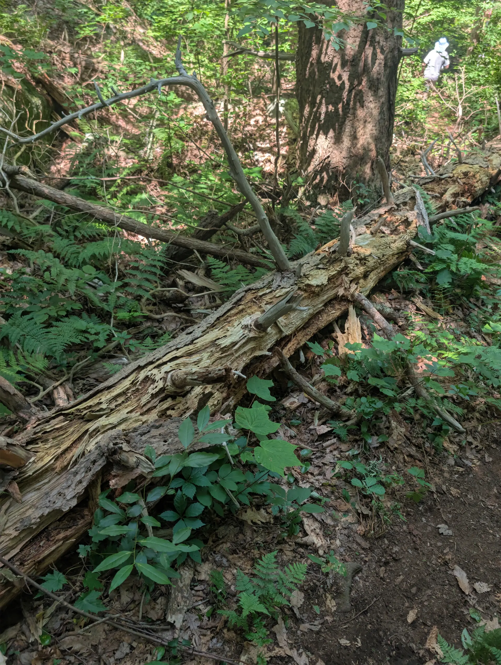
We went on an exceptionally hot and humid day, so we stopped a few times for water breaks. We attempted to split off onto a different trail for the trek back down the mountain, but that trail had several downed trees due to a recent storm, so we retraced our steps on Collier’s Climb Trail to make it an out and back.

The first 11 minutes or so of my GPX tracks were inconsistent. I may have lost service or perhaps my phone was overheating. I back filled them by reversing the route we took to finish the hike.

Photos
GPS Route & Elevation

Loads an interactive map; map tiles are served by the U.S. Geological Survey, which receives your IP address. Learn more about maps and your privacy
1,156 ft796 ft437 ft

More hikes

Harriman State Park – Breakneck Pond, Suffern-Bear Mountain Trail, Big Hill

  • 6.43 mi
  • 1,089 ft gain
  • 03:09:00

Our annual friends trip to the AMC Harriman Outdoor Center landed us in Stone Lodge this year — private bathrooms, a kitchen, and a level of comfort the shared-facility cabins can't match. Between the boats on Breakneck Pond and the buffet dinners, the real draw was the trail: a long push up the Suffern-Bear Mountain Trail past a Big Hill lean-to, the Jackie Jones Mountain fire tower, and the crumbling ORAK ruins. Sunday brought something quieter — a memorial on the Long Path for the victims of Northwest Orient Flight 6231.

Taxter Ridge Park Preserve – Yellow Trail, Danny Gold Blue Trail, Woody Crest, Orange Trail

  • 5.6 mi
  • 840 ft gain
  • 02:01:13

Taxter Ridge Park Preserve was the site of my first COVID-era hike, and returning six years later reminded me why I fell in love with it. Despite heat and humidity in the low 80s, the trail delivered — open meadows, dense woods, old carriage trails, a marsh, a water tower, the ruins of a 19th-century sanctuary, and glimpses of stunning multi-million dollar homes along the way. I had the entire 200-acre park almost entirely to myself. Not a single person, not a single car in any of the three parking lots. Just the trail, a lingering deer, and a 2.5L hydration pack I was glad I brought.

The Irvington Woods – Hermit’s Grave, Macy’s Monument, Irvington Reservoir

  • 5.75 mi
  • 846 ft gain
  • 02:29:41

After a long break, I returned to one of my favorite hikes: The Irvington Woods. The park packs in reservoirs, ponds, wetlands, Hermit’s Grave, rock outcrops, overlooks, monuments, carriage trails, and plenty of elevation change. My route linked the blue, red, yellow, and purple loops, passing Hermit’s Wetland, Macy’s Monument and Terrace, Sunset Rock, Irvington Reservoir, Marshall’s Pond, and Ice Pond. It was a beautiful, varied 5.8-mile hike through grasses, pines, open trails, water views, steady climbs, and sunny mid-70s spring weather overall.