Harriman State Park Harriman-Bear Mountain State Parks
Harriman State Park – Breakneck Pond, Suffern-Bear Mountain Trail, Big Hill
- 6.43 mi
- 1,089 ft gain
- 03:09:00
- 105 photos
- 5 videos
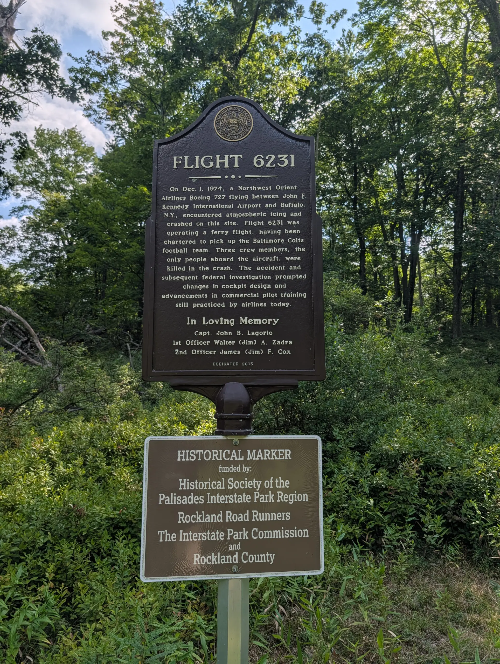
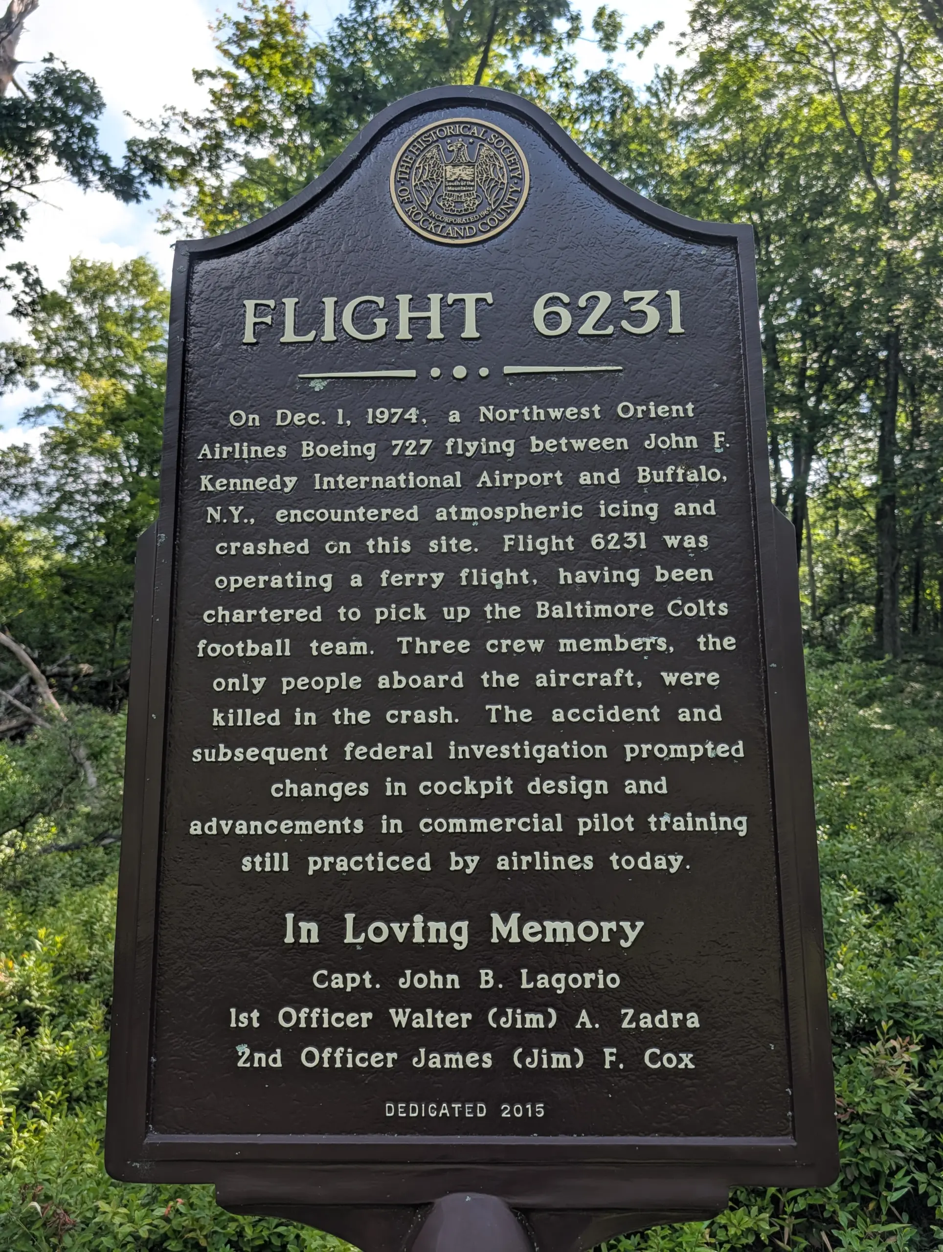
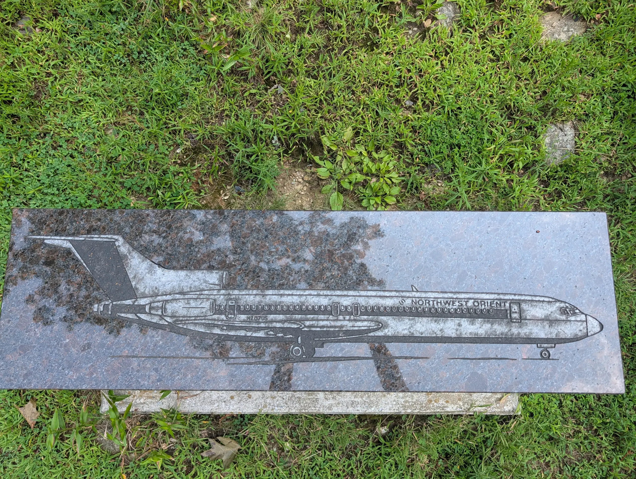
This post covers the accommodations at the Stephen & Betsy Corman AMC Harriman Outdoor Center, a hike along the Suffern-Bear Mountain Trail, and a small hike to the memorial for the Northwest Orient Airlines Flight 6231 plane crash in 1974.
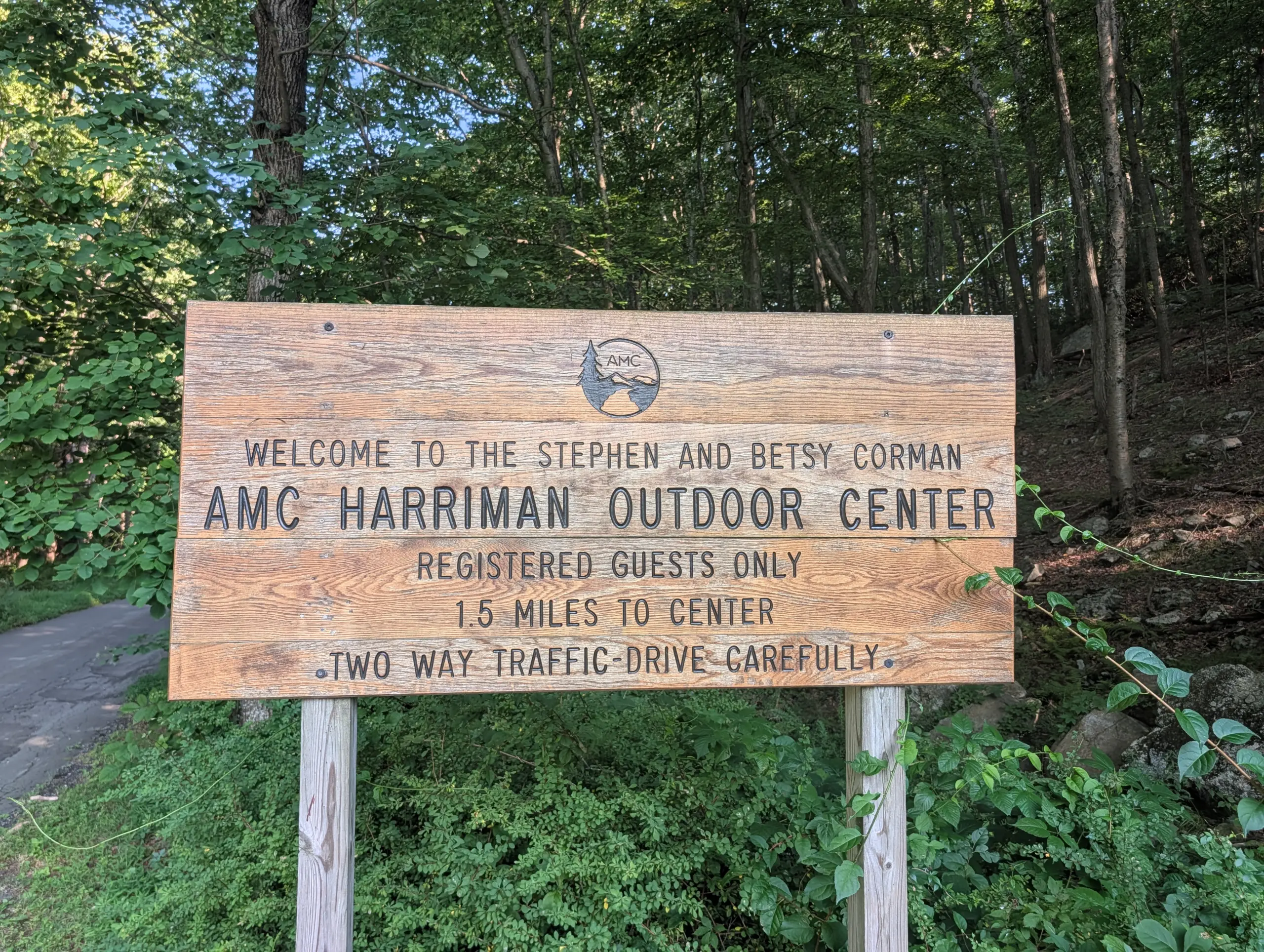
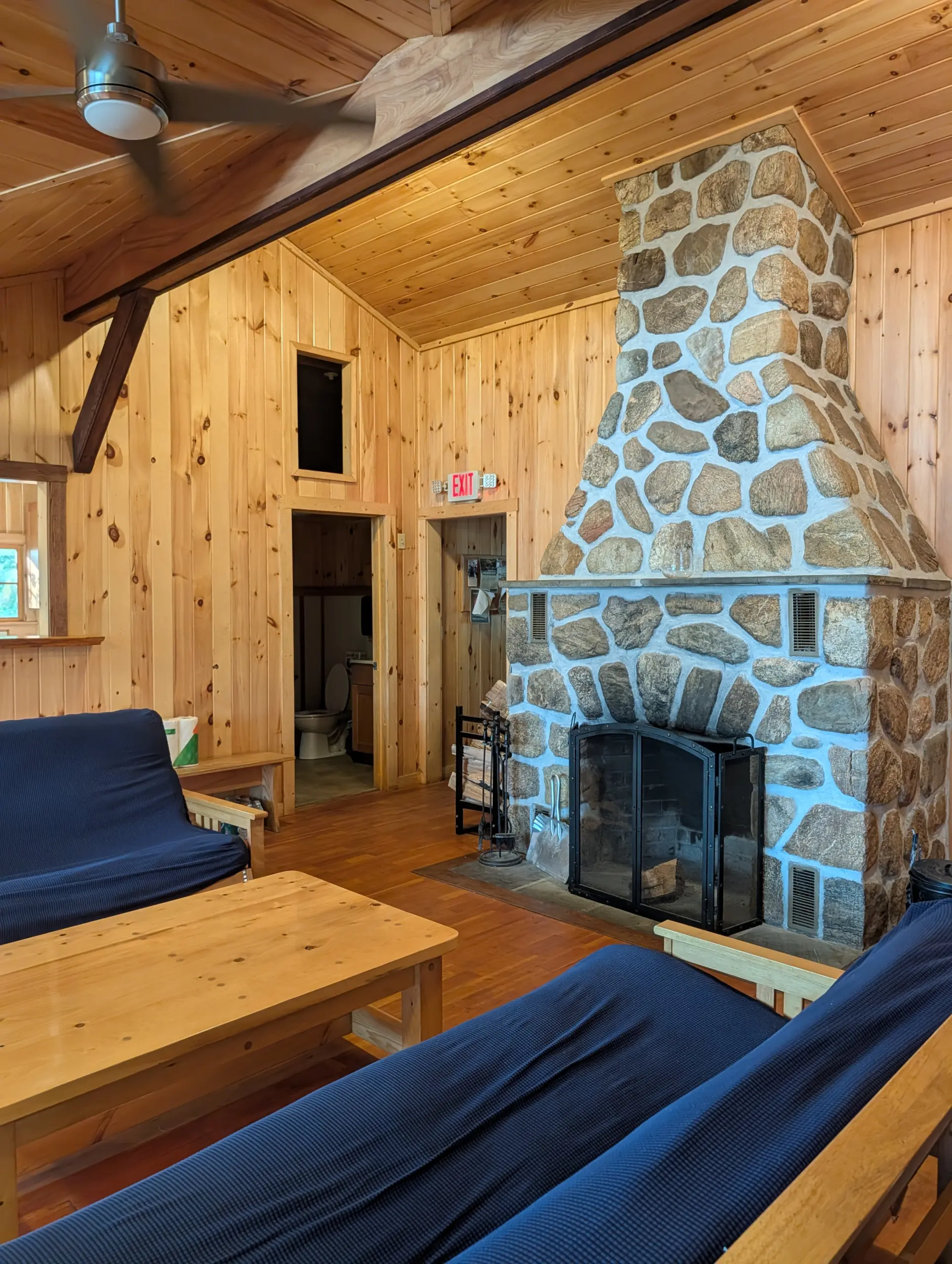
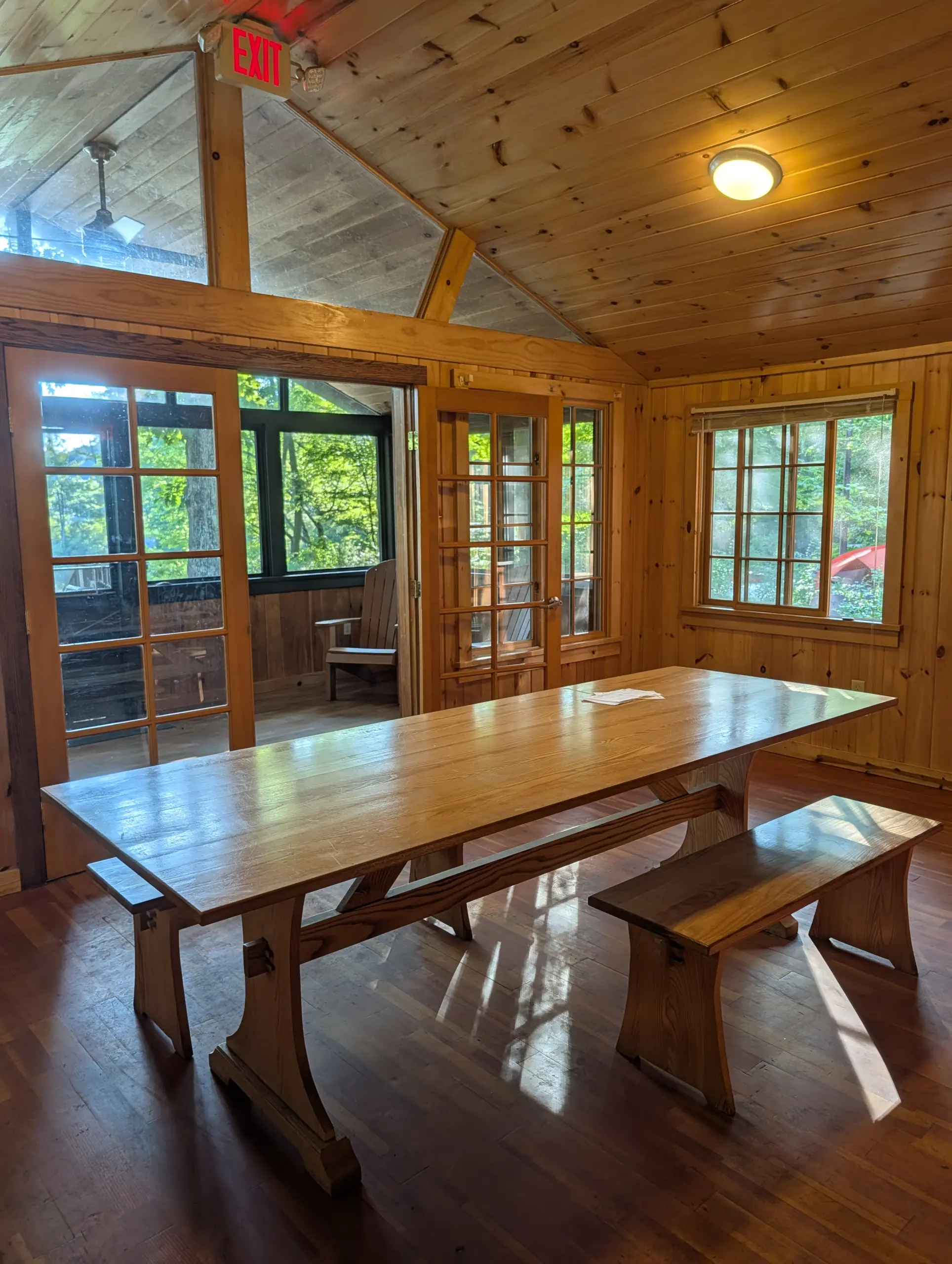
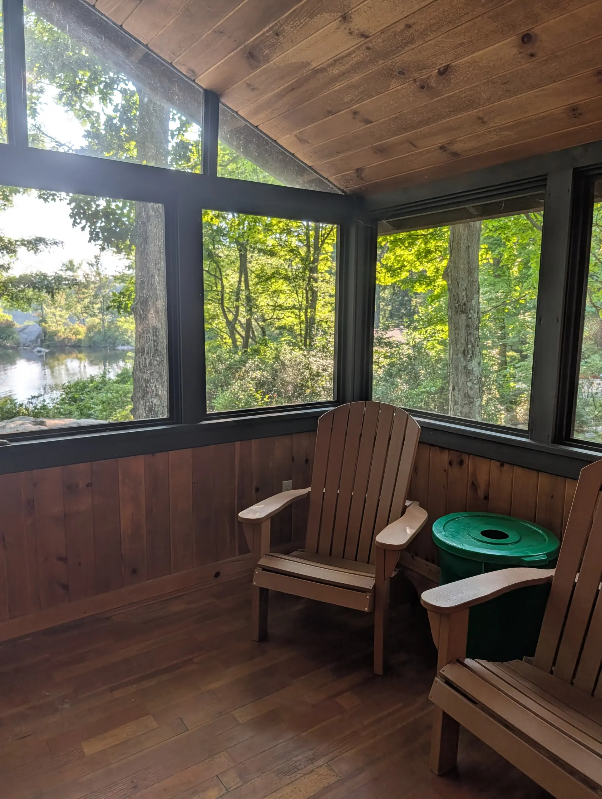
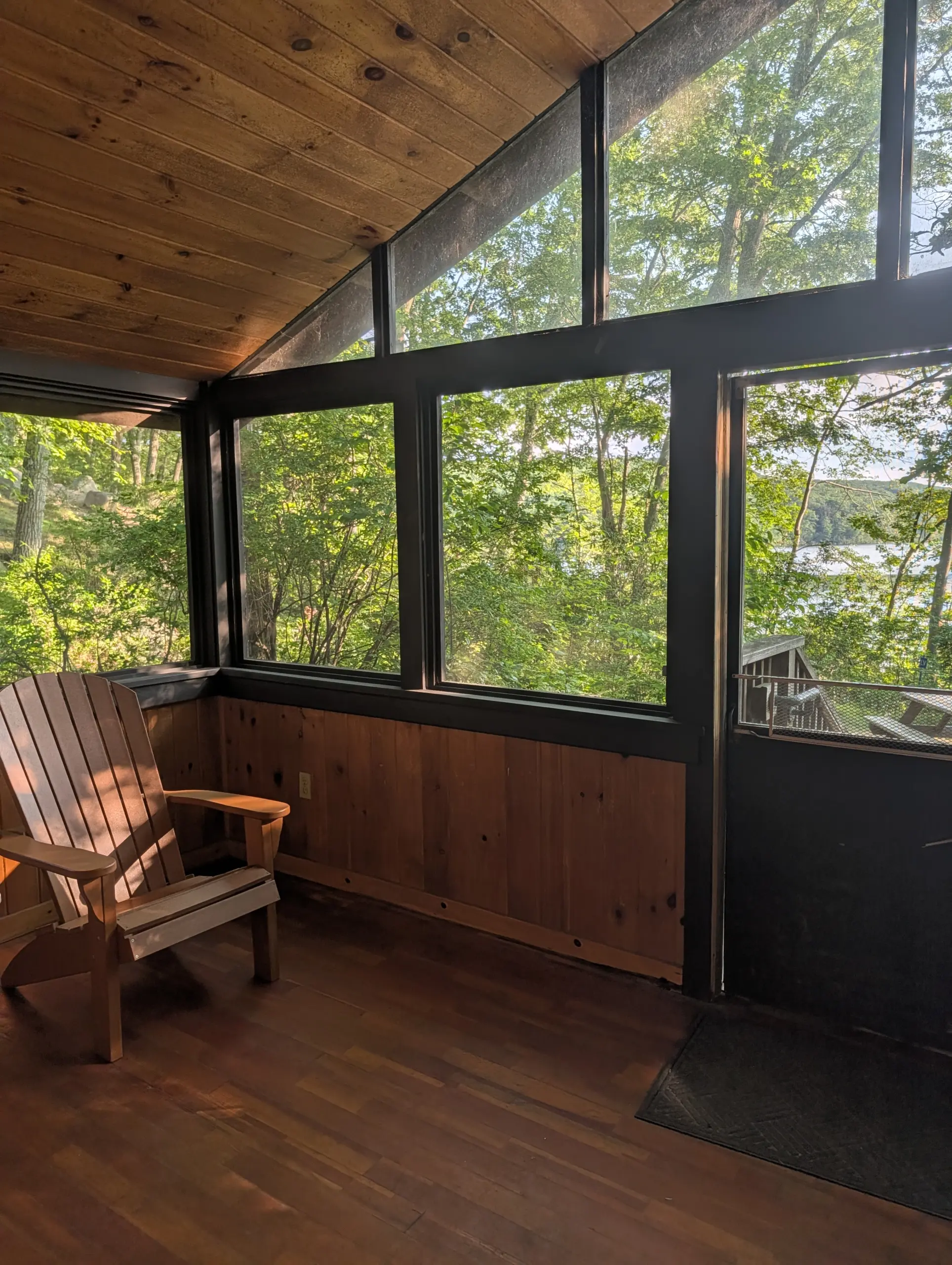
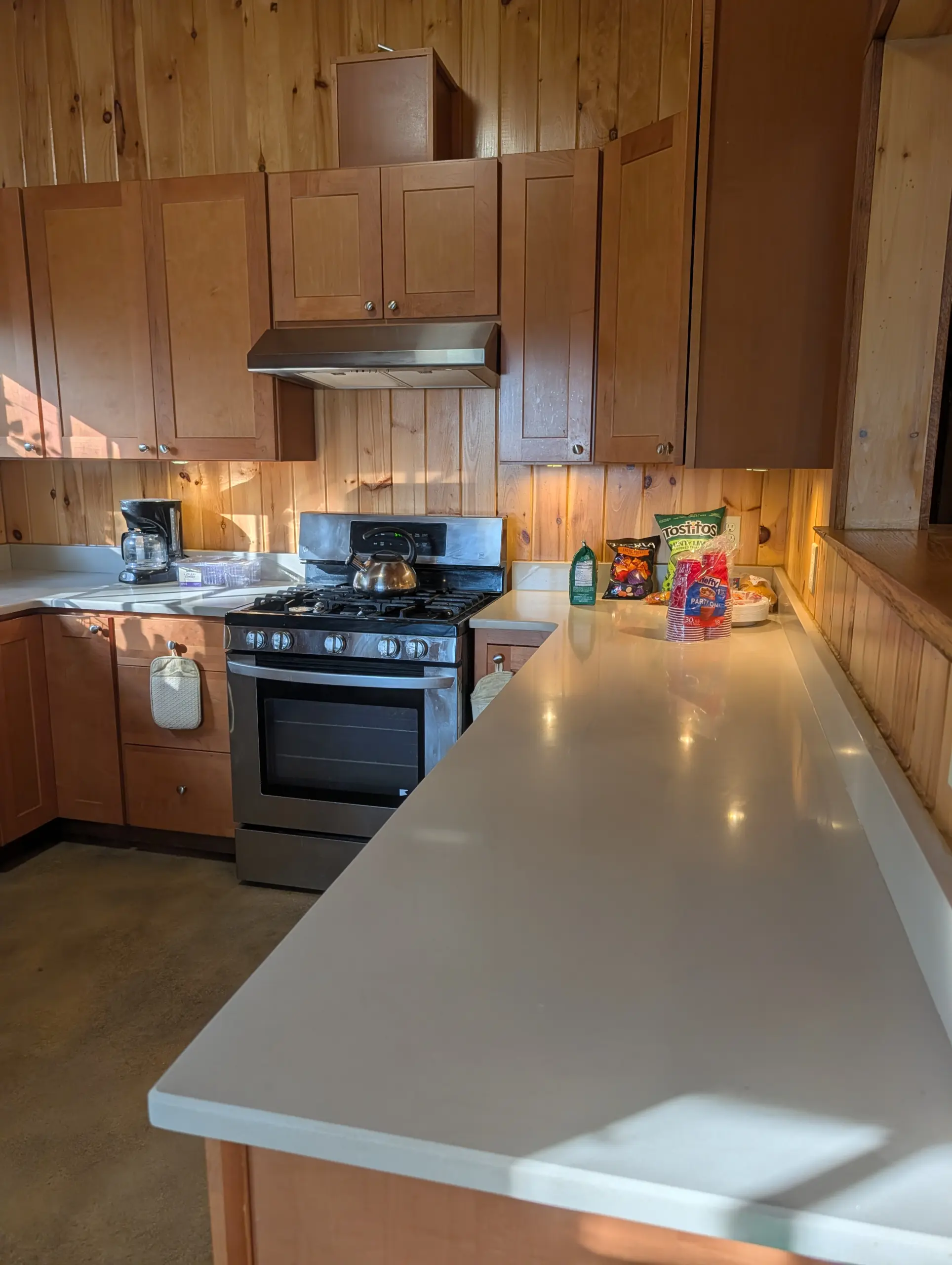
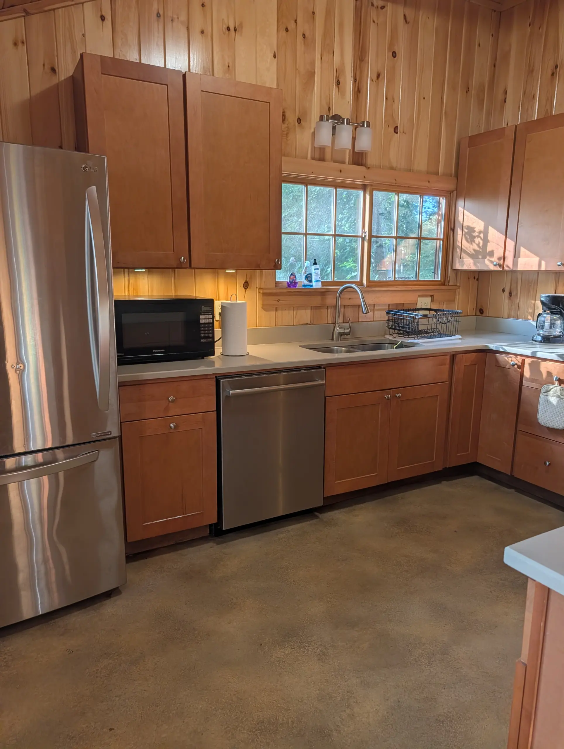
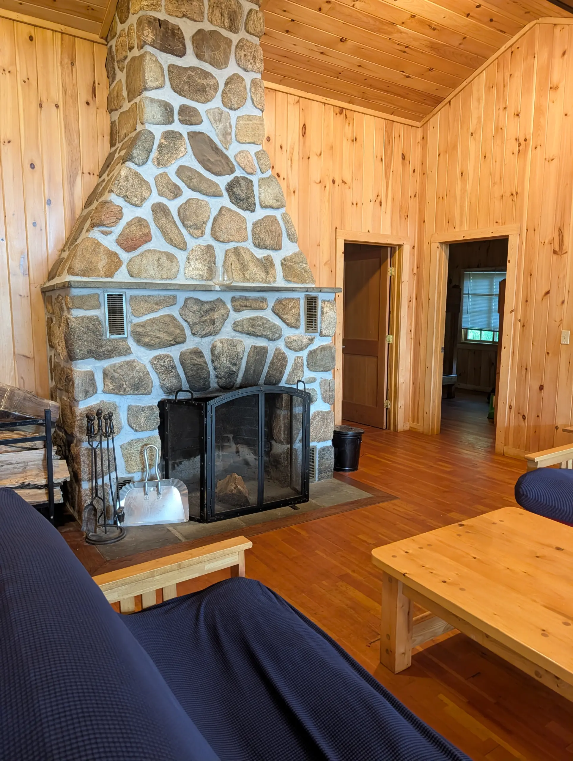
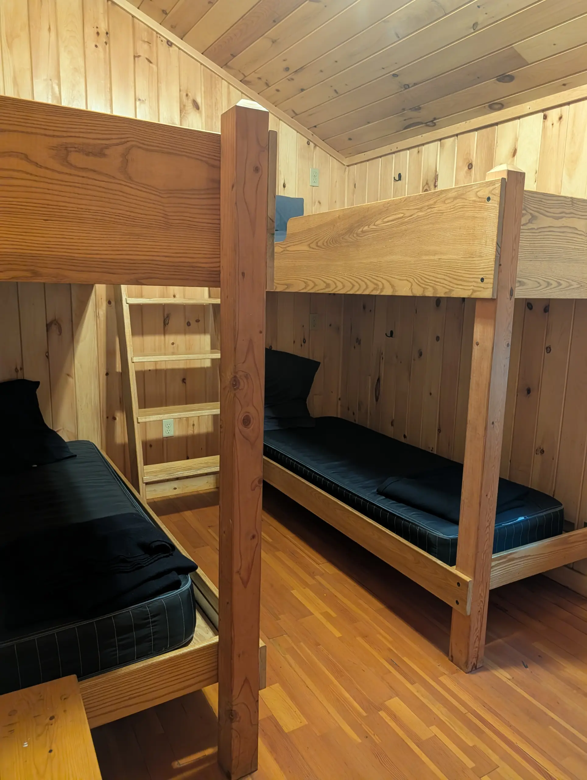
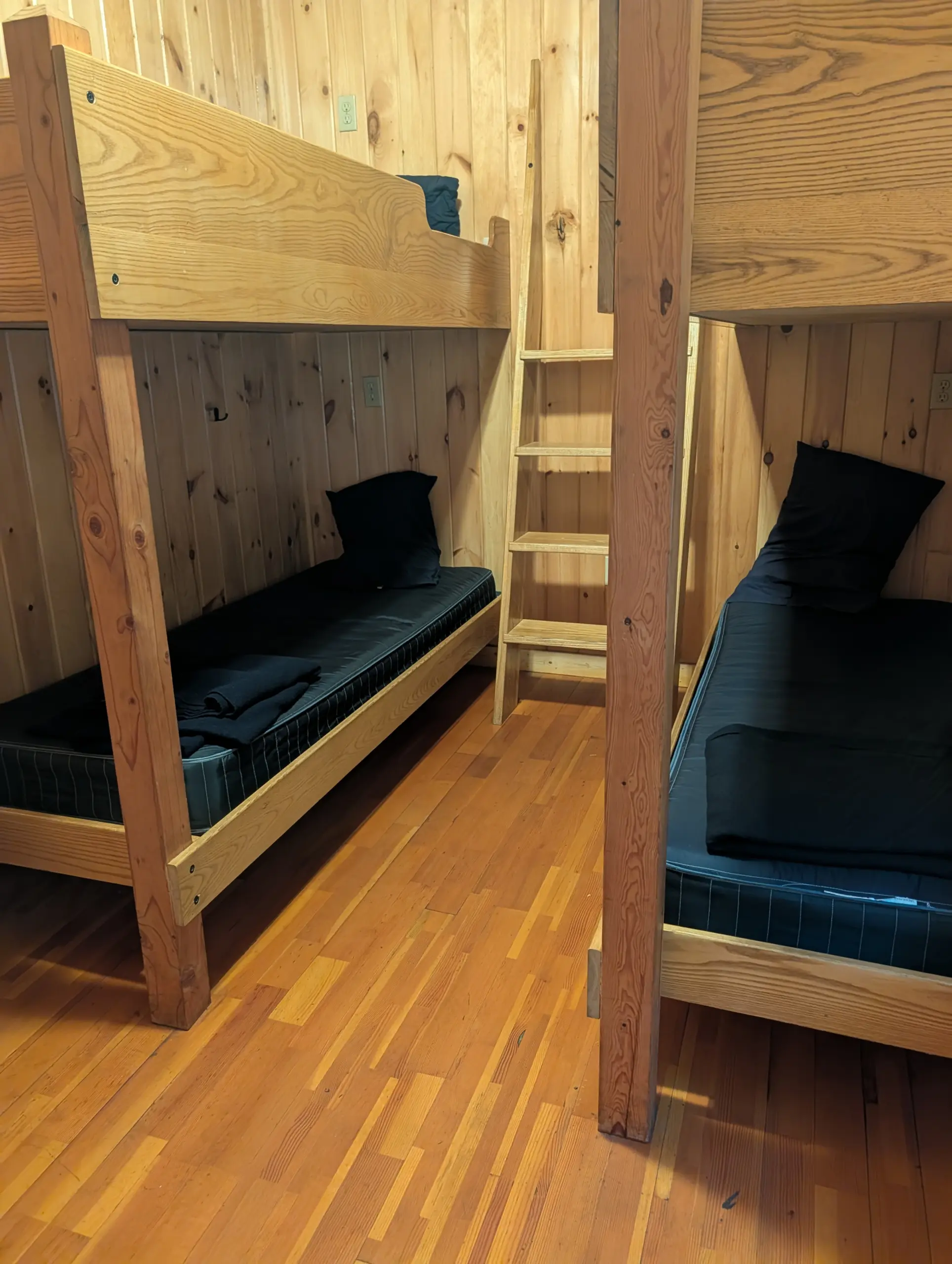
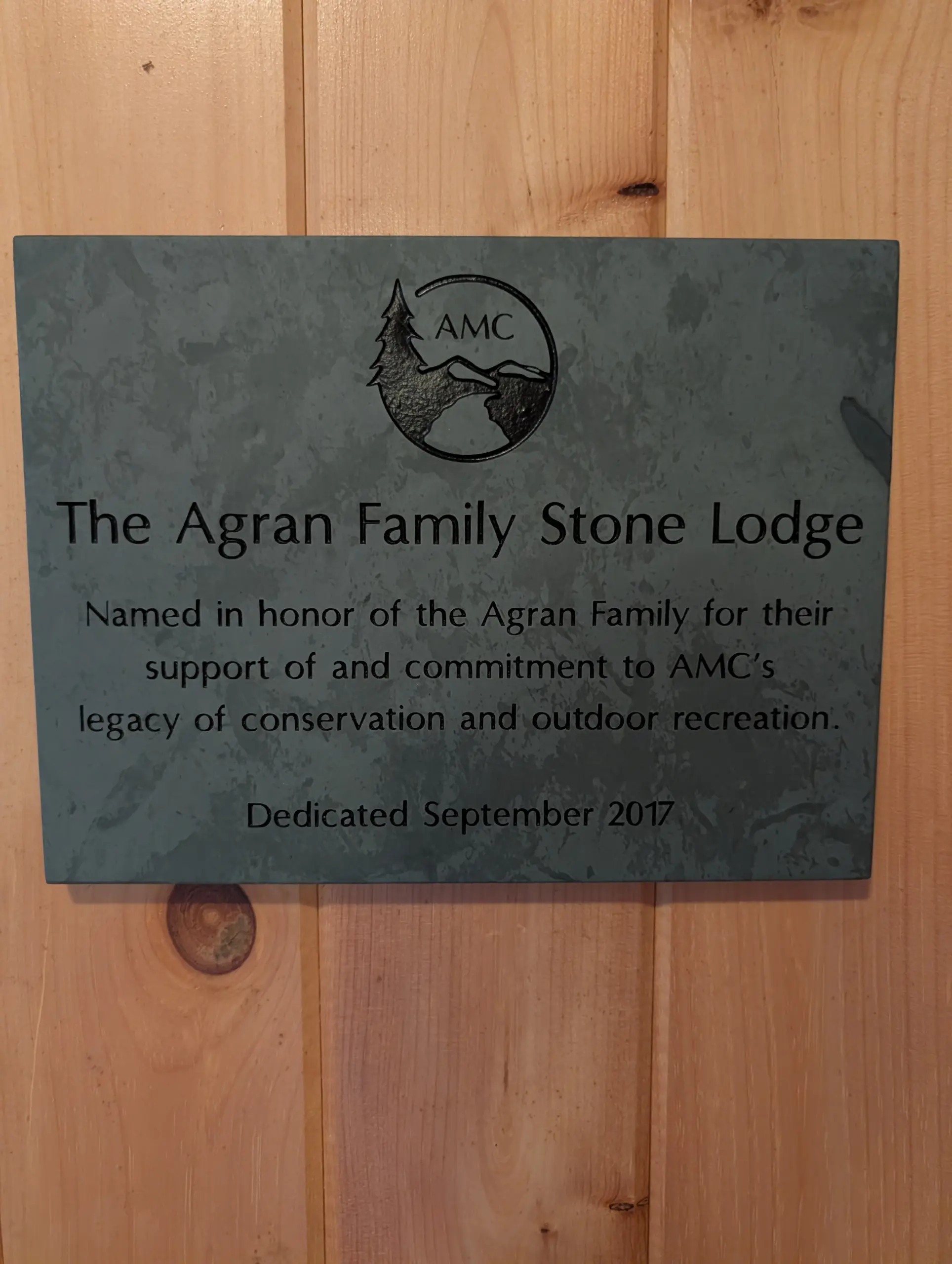
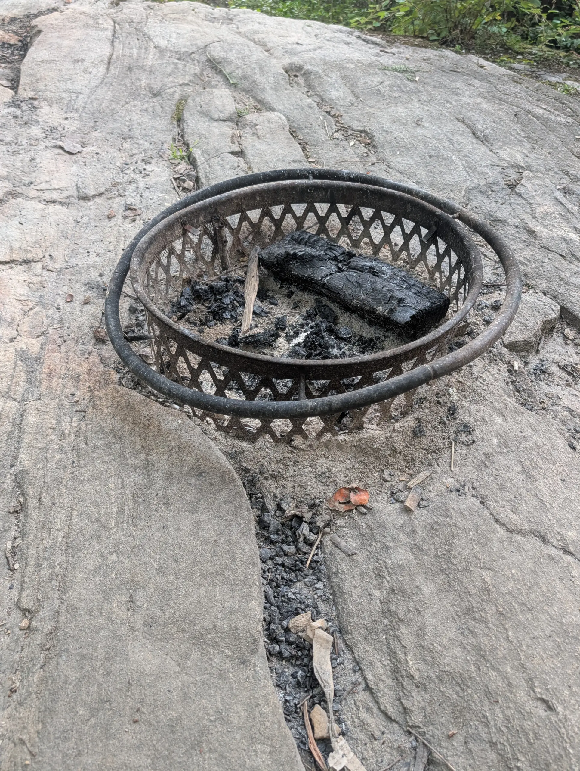
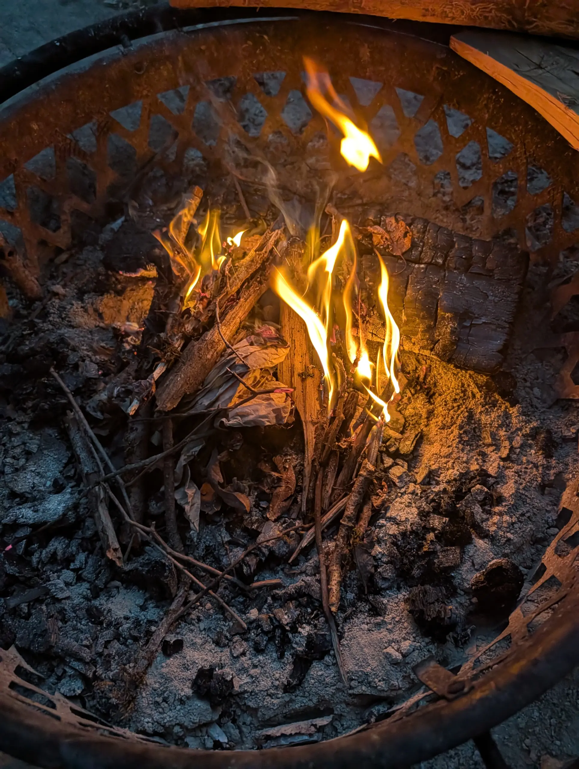
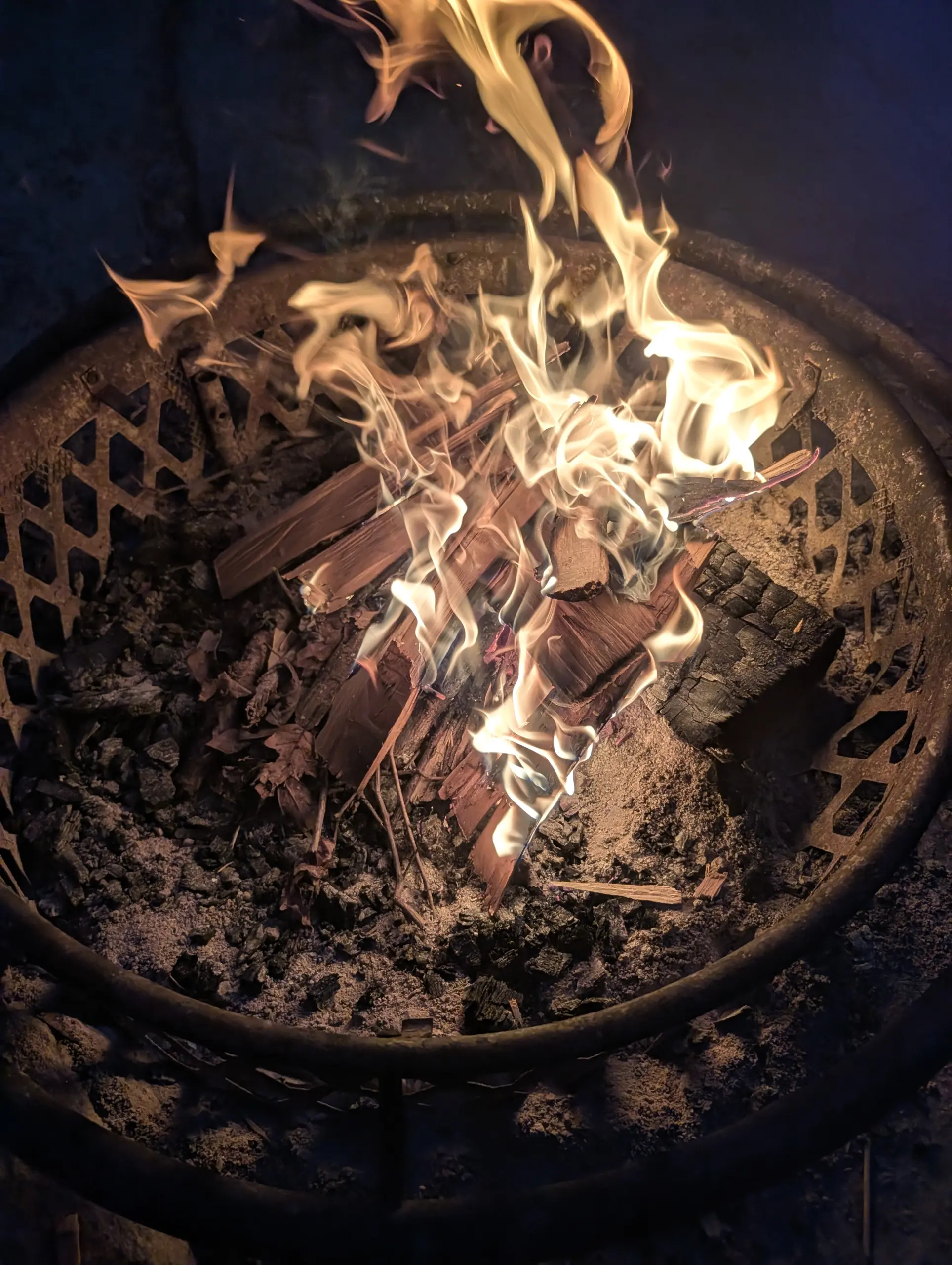
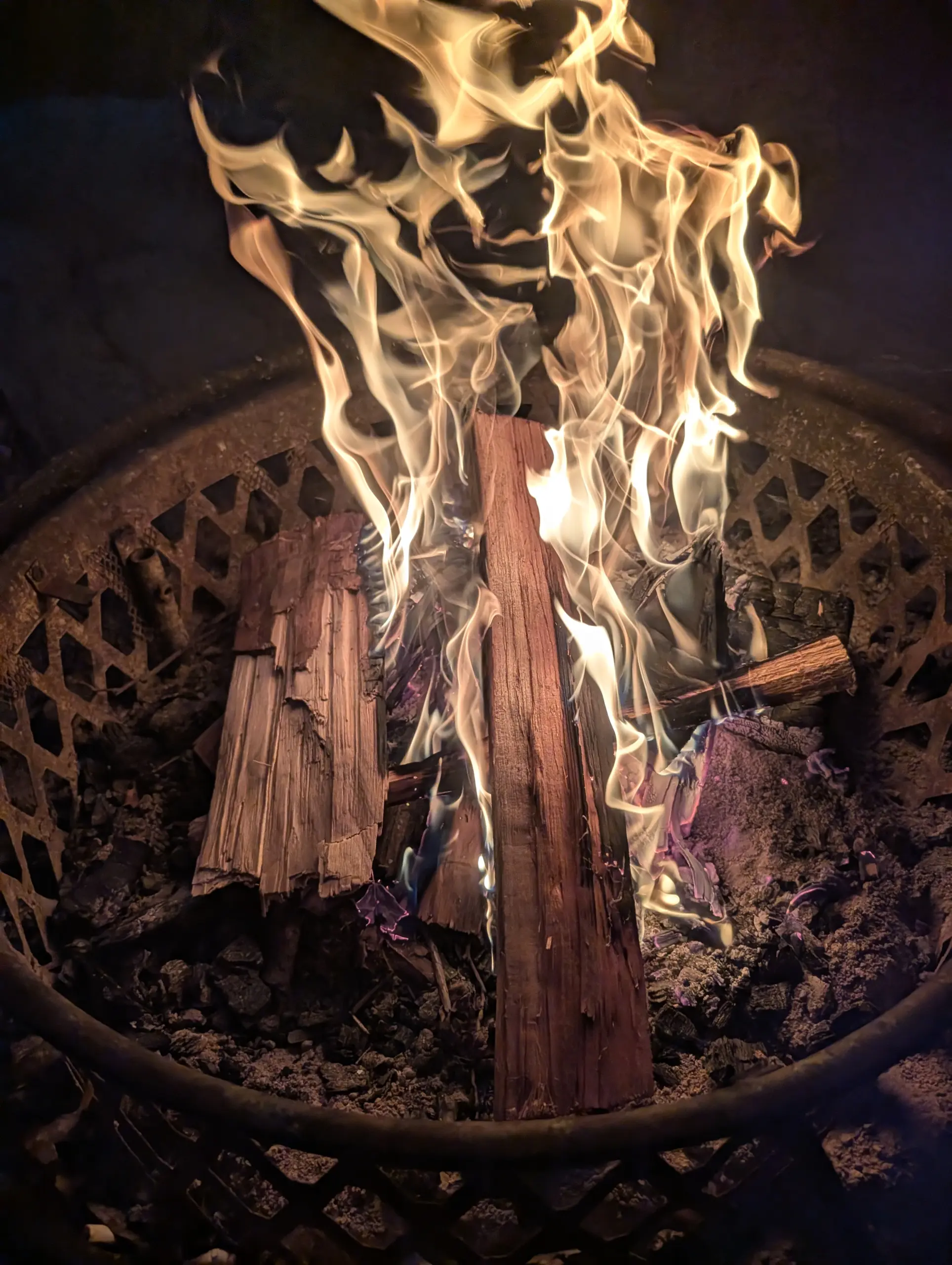
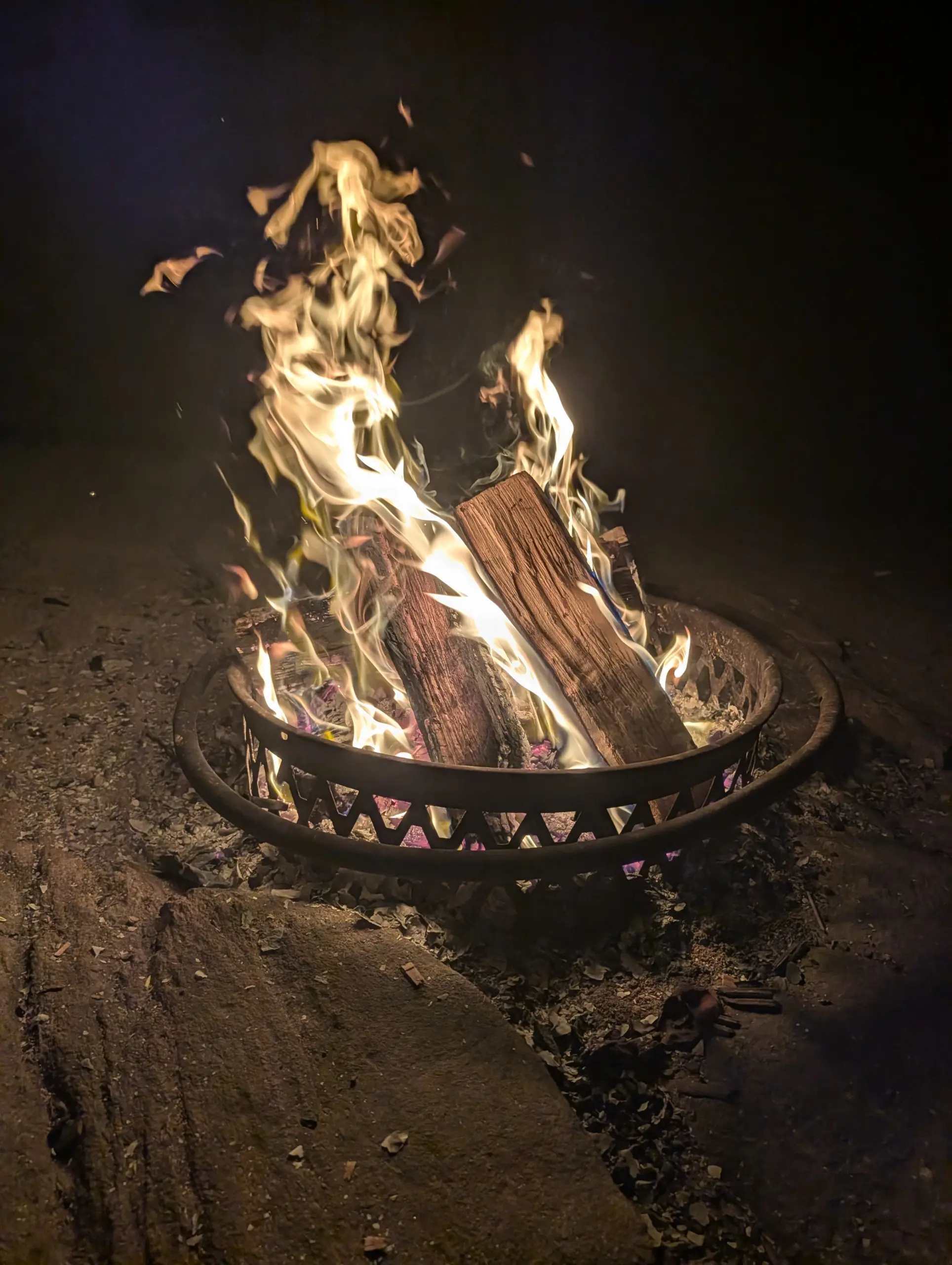
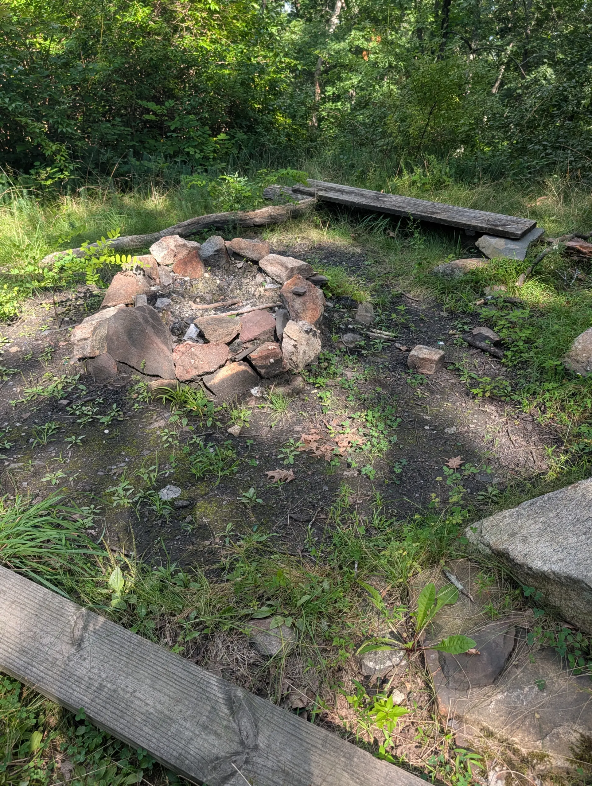
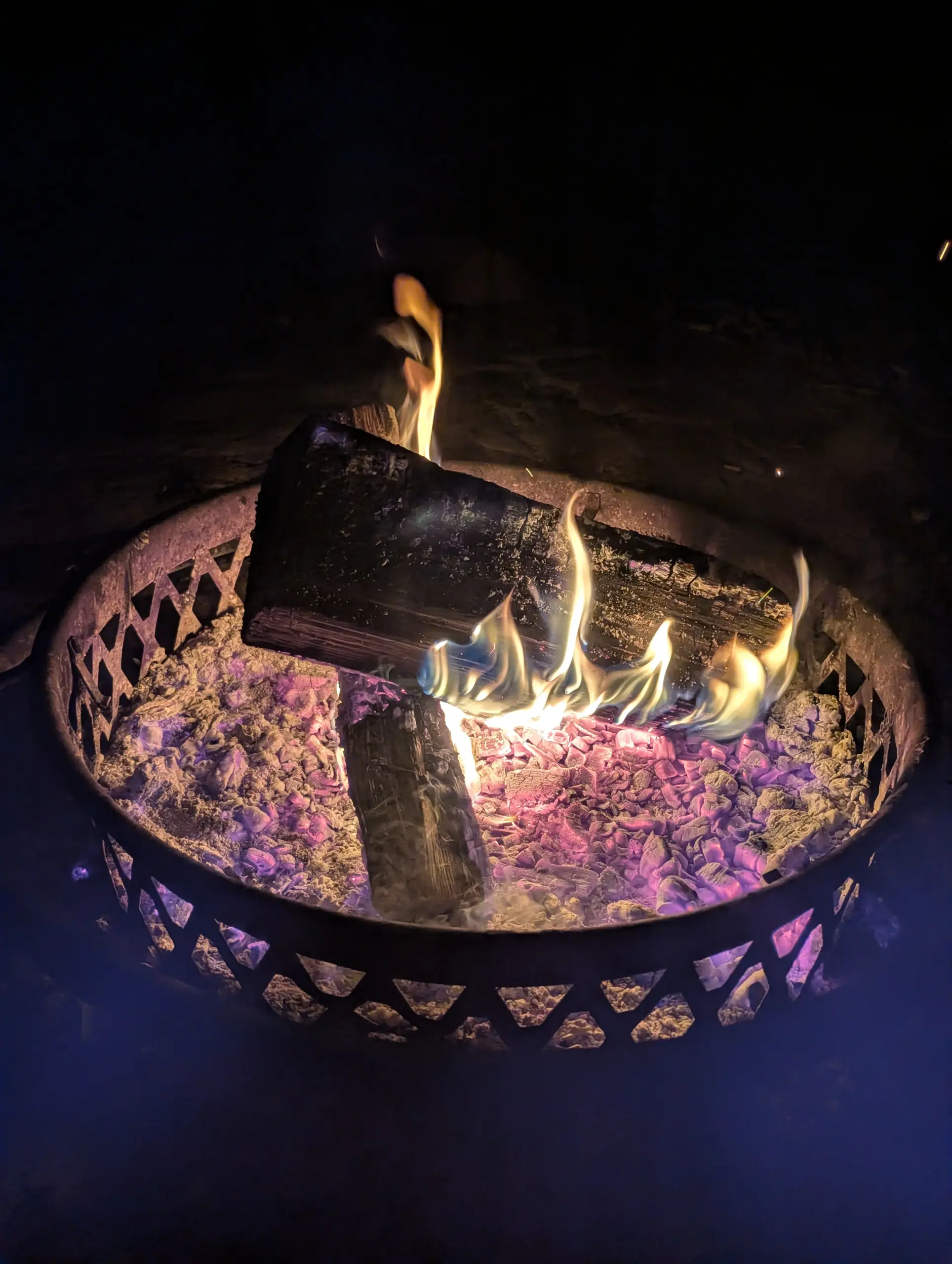
This was my fourth visit to this AMC site as part of a friends group that makes an annual trip. The property offers camp sites for tents, huts for tents, and cabins/lodges that sleep from 4 to 16 people. Bathroom and shower facilities are shared for all accommodations except for the Stone Lodge, which has two private bathrooms and a kitchen. This was our first time staying in Stone Lodge and we all felt pampered. Fire pits and grills are available for cooking. There’s also a dining hall that serves a buffet breakfast, bag lunch, and buffet dinner daily for an additional per-meal cost.
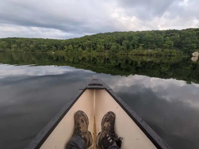
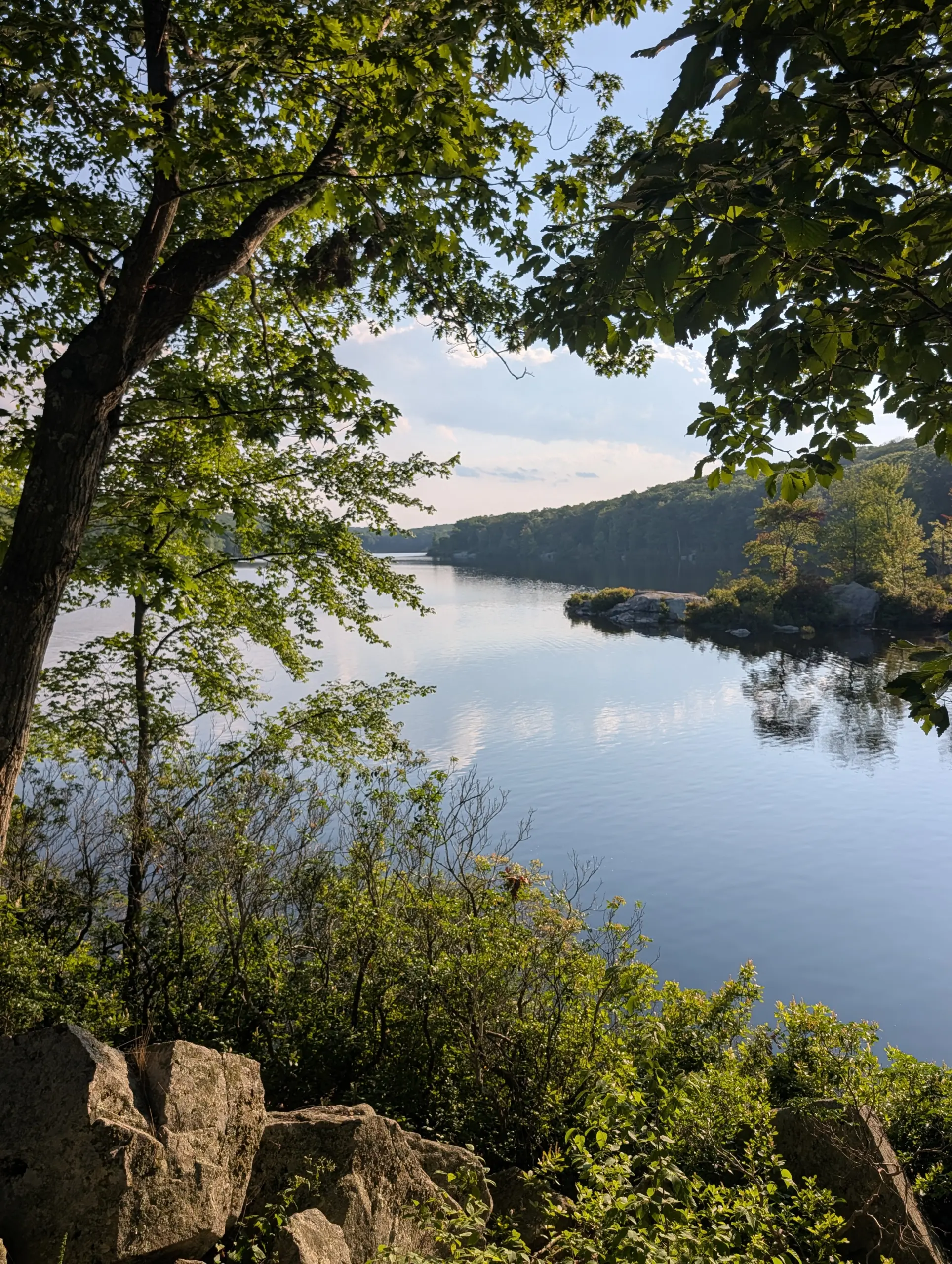
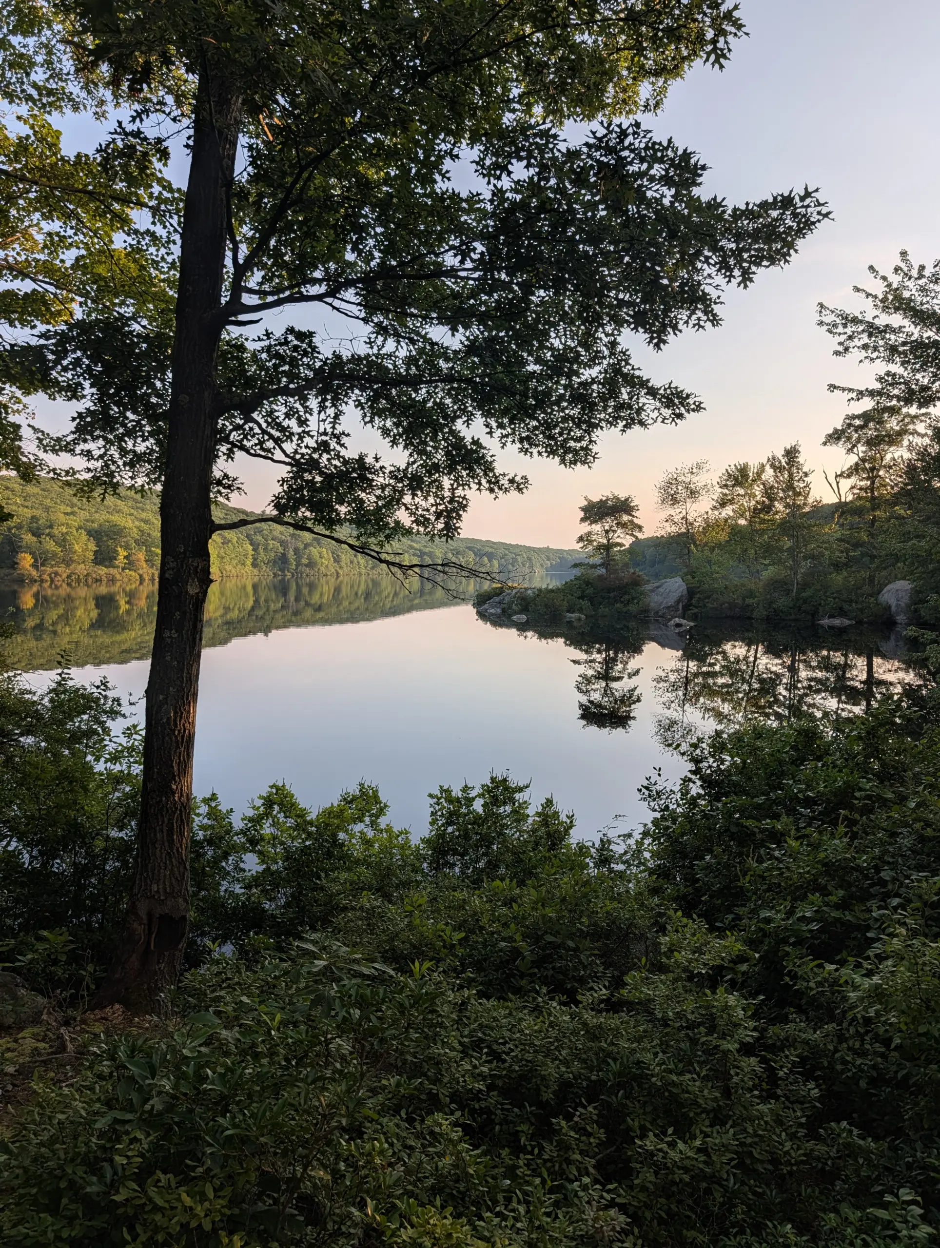
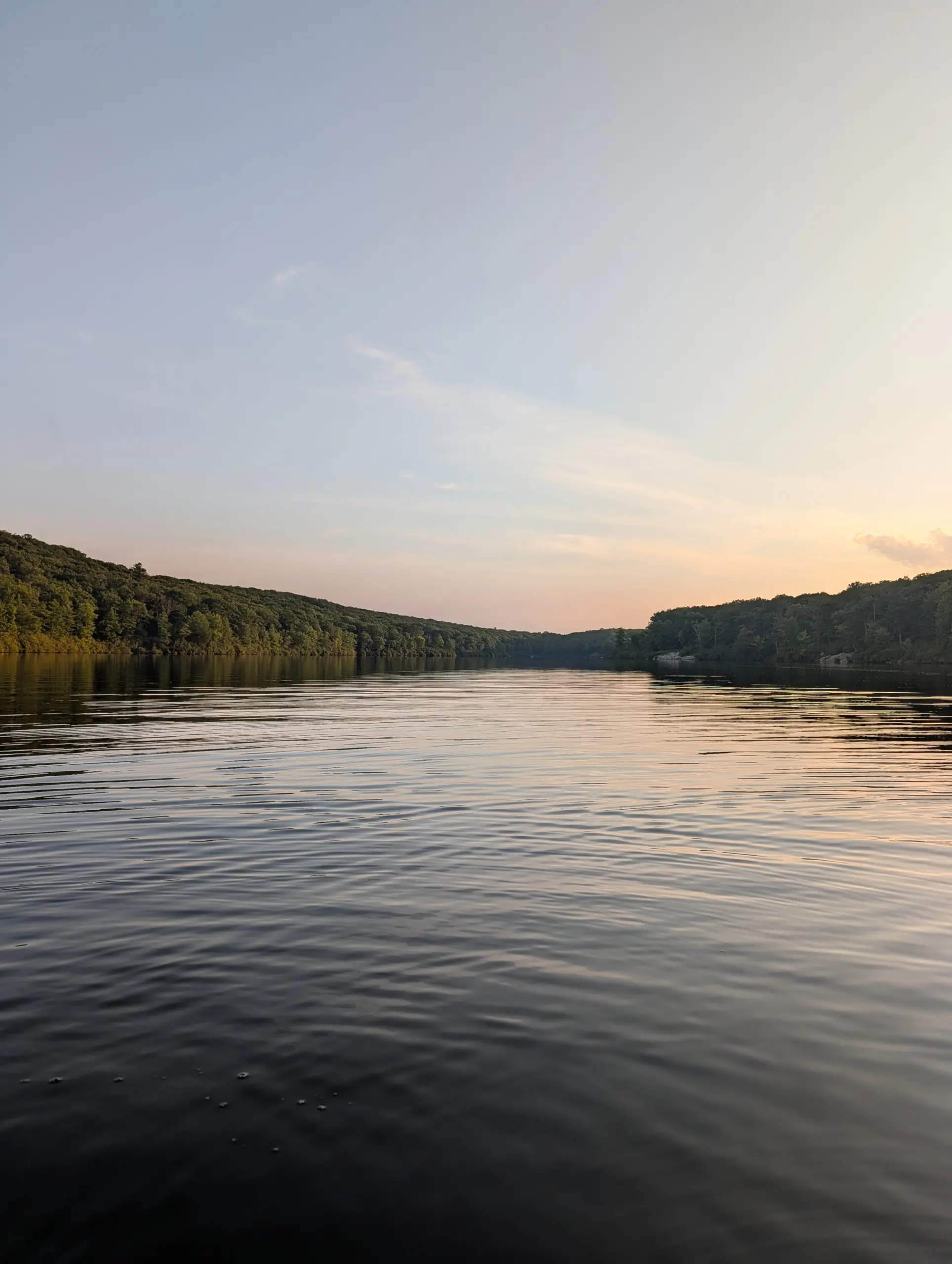
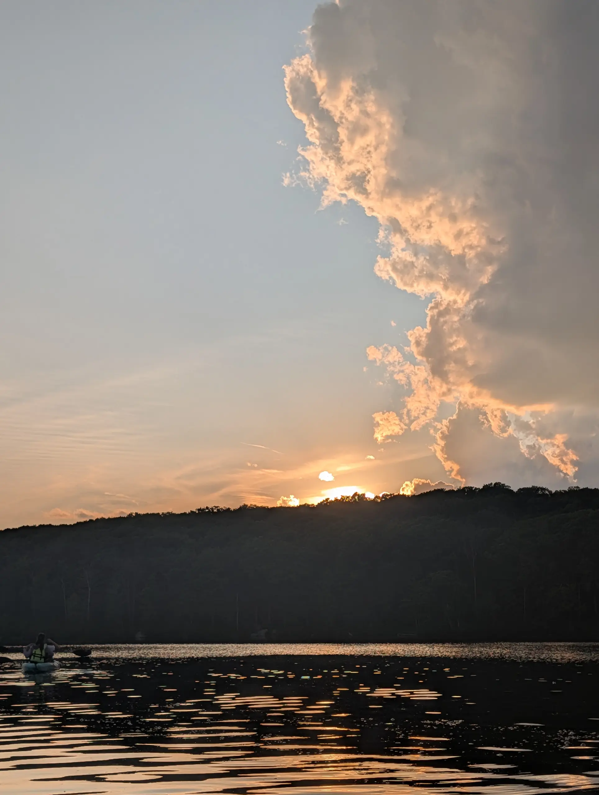
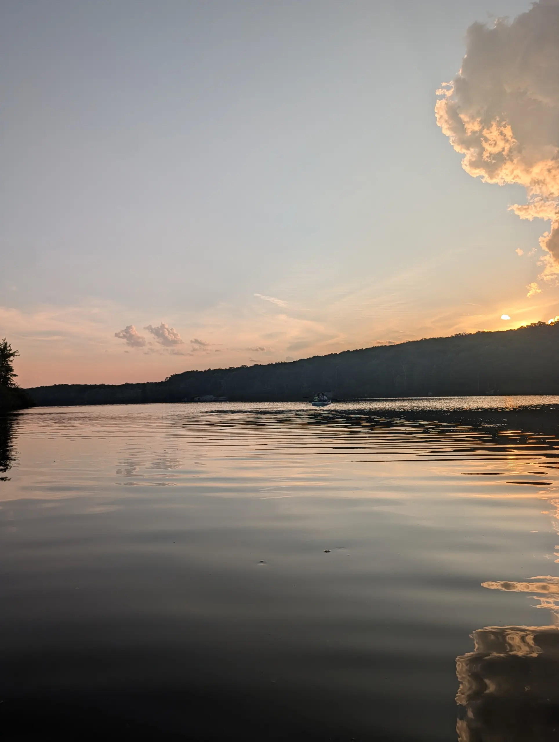
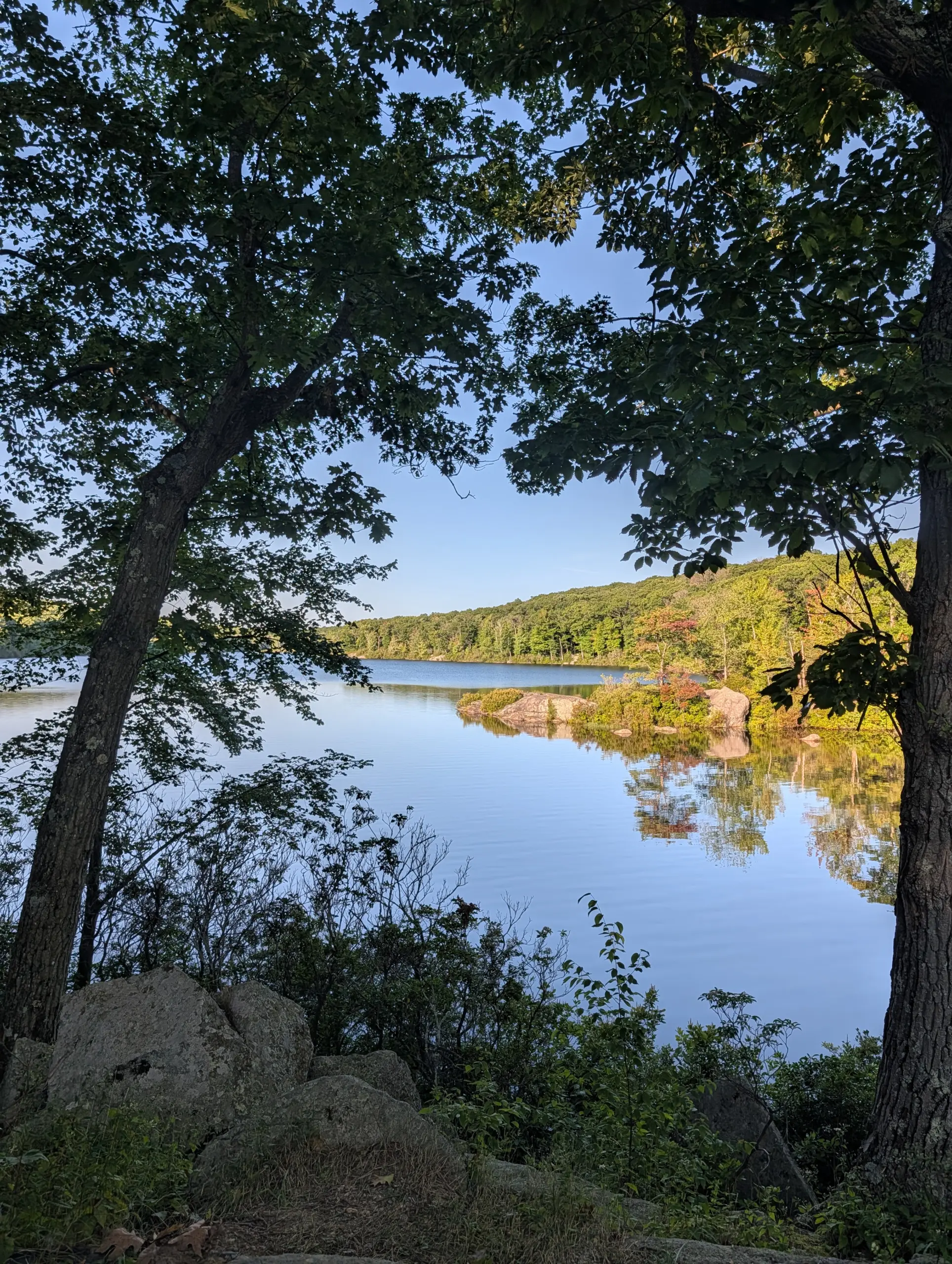
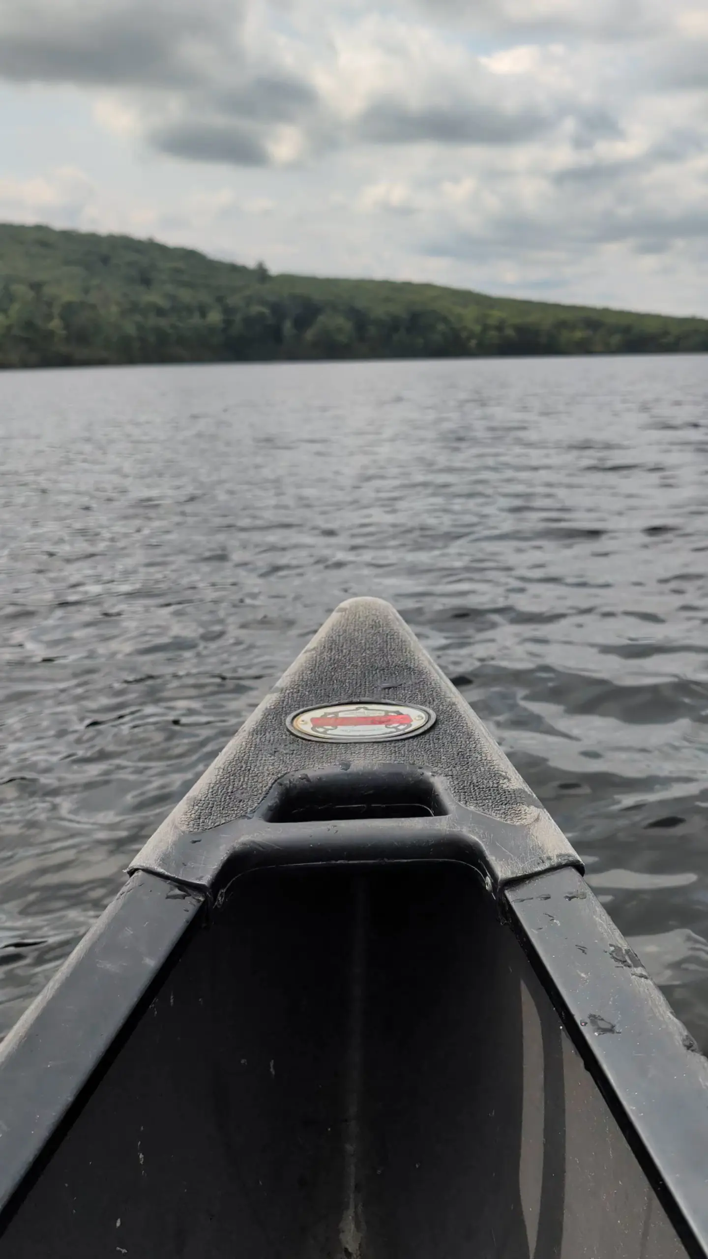
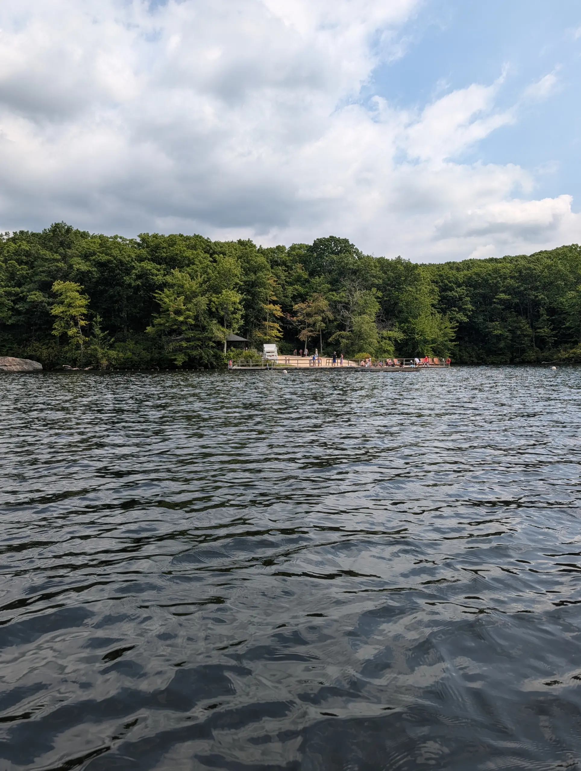
Kayaks, canoes, and stand-up paddle boards are available on a first-come, first-served basis for use in Breakneck Pond. There’s also a dock and small area roped off for swimming. In addition, there are dozens of nearby hiking trails of varying lengths and difficulties.
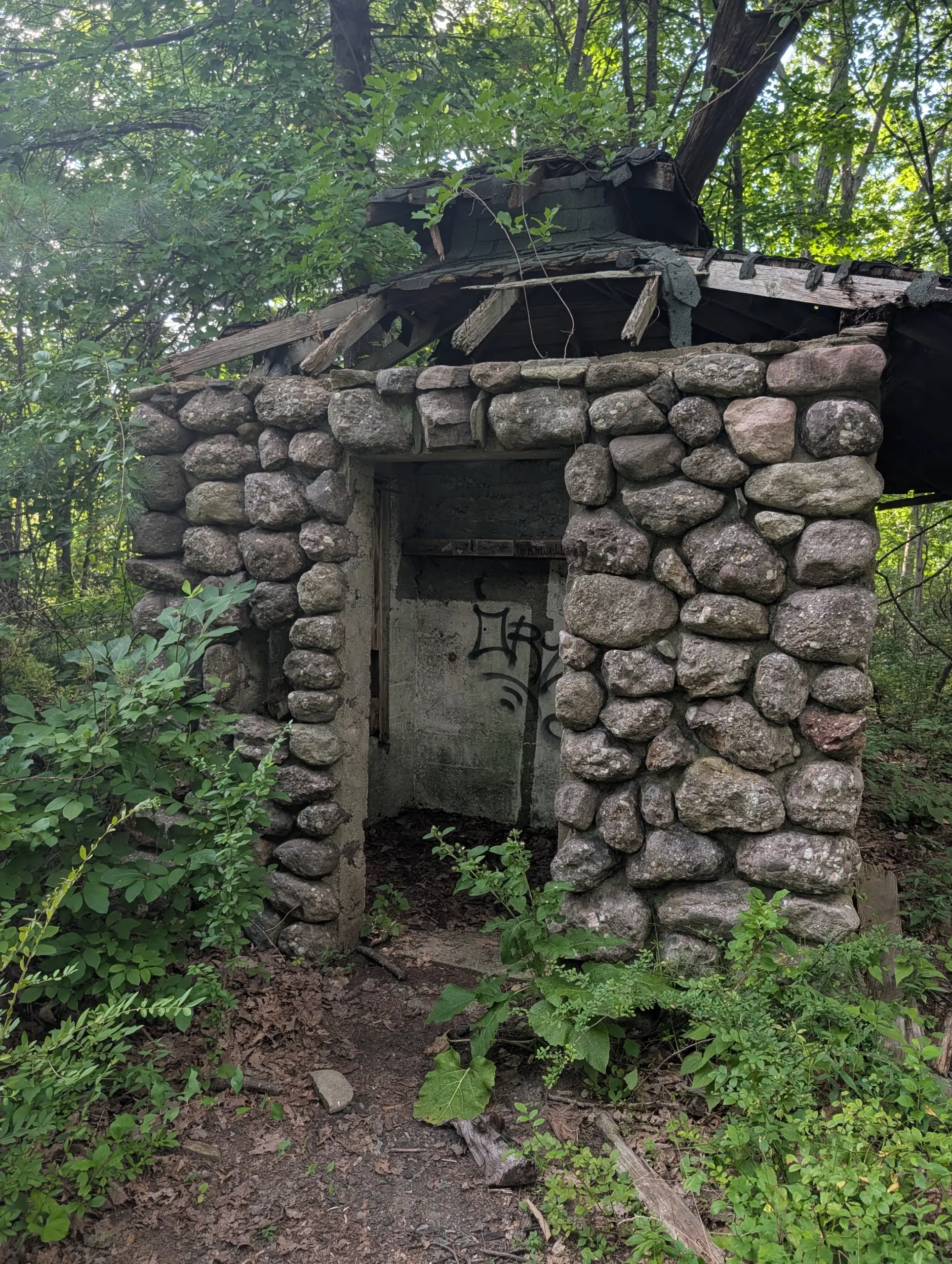
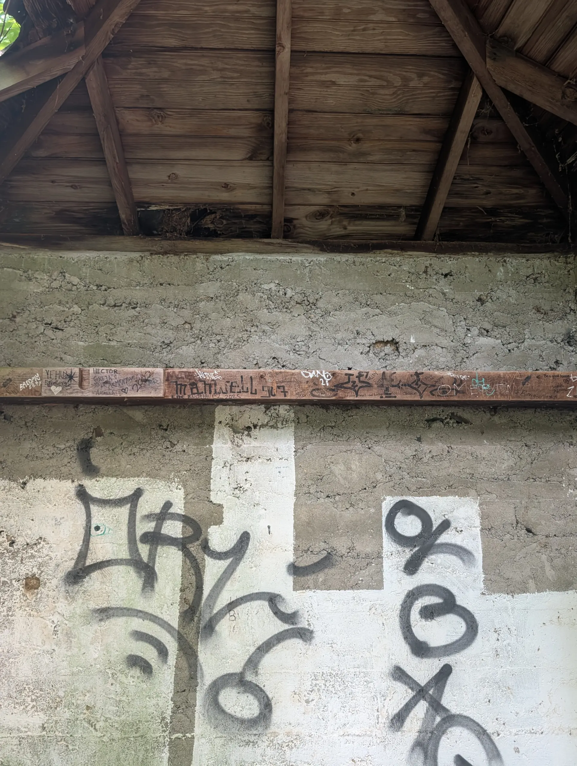
At the suggestion of one of the volunteer guides, I decided to try a new hiking route for this trip. He suggested visiting one of the forest shelters, the Big Hill viewpoint, the fire tower, and the ORAK ruins. I much prefer a loop hike than an out-and-back hike, but logistics and time constrains limited my options.
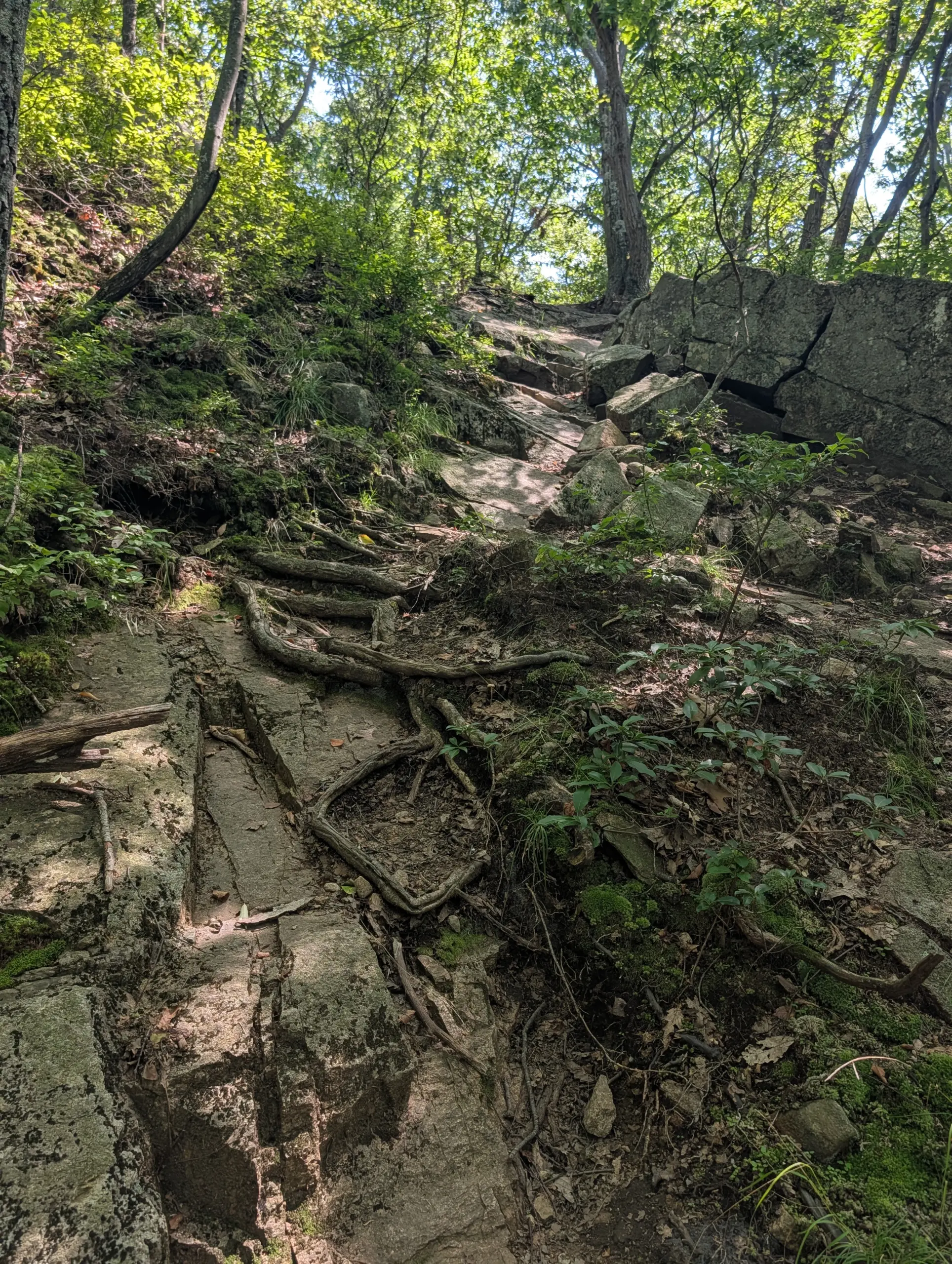
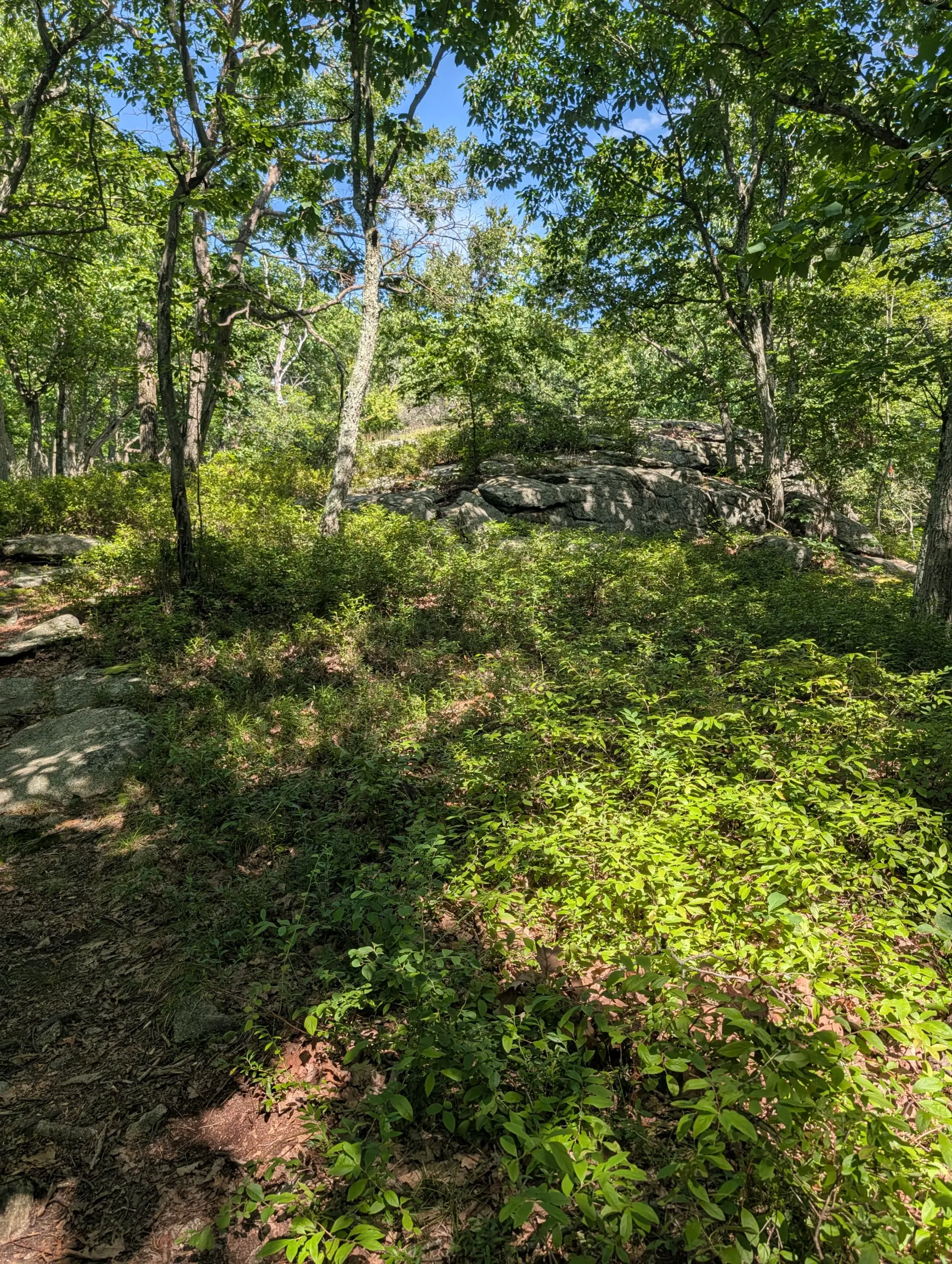
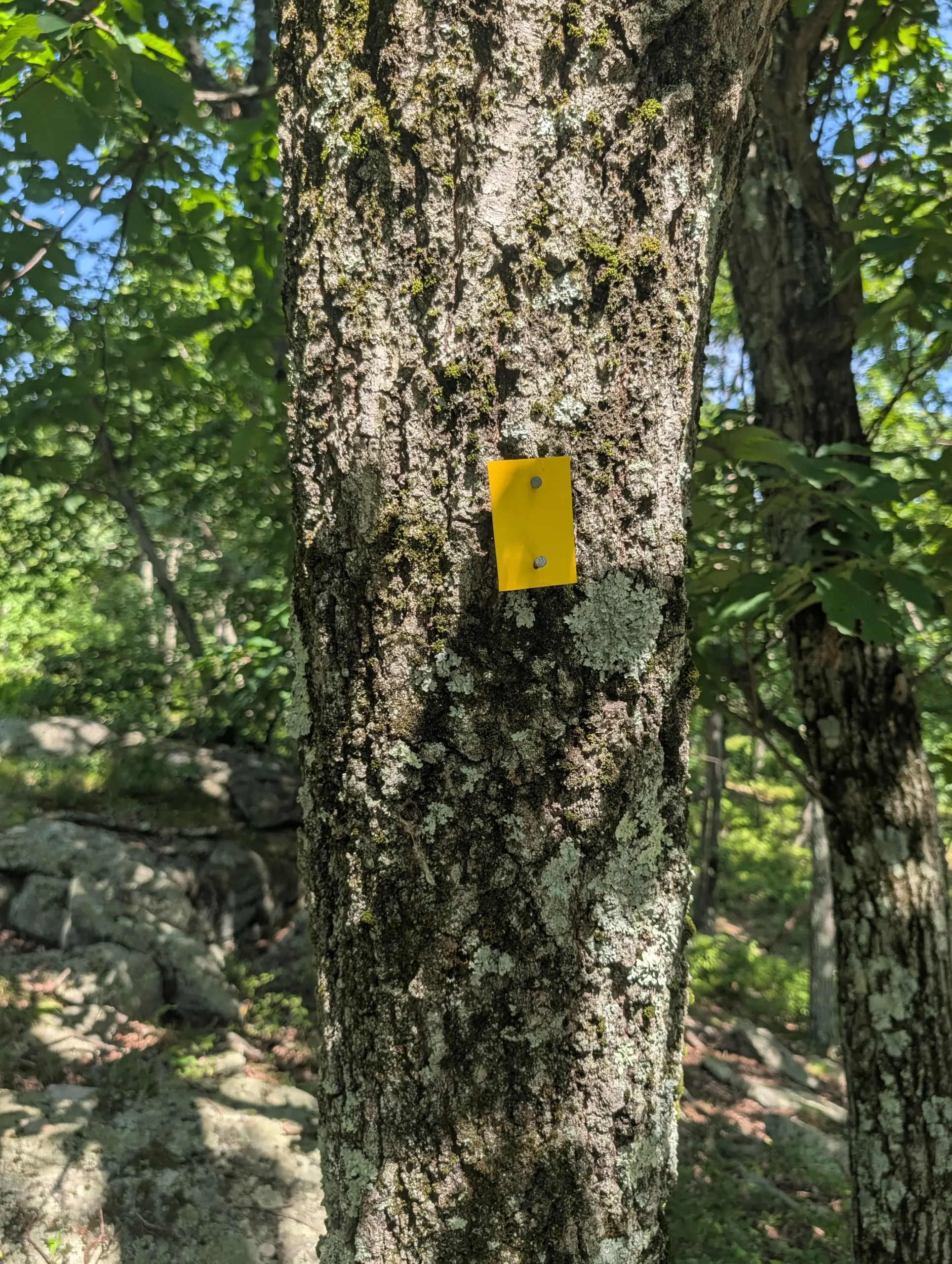
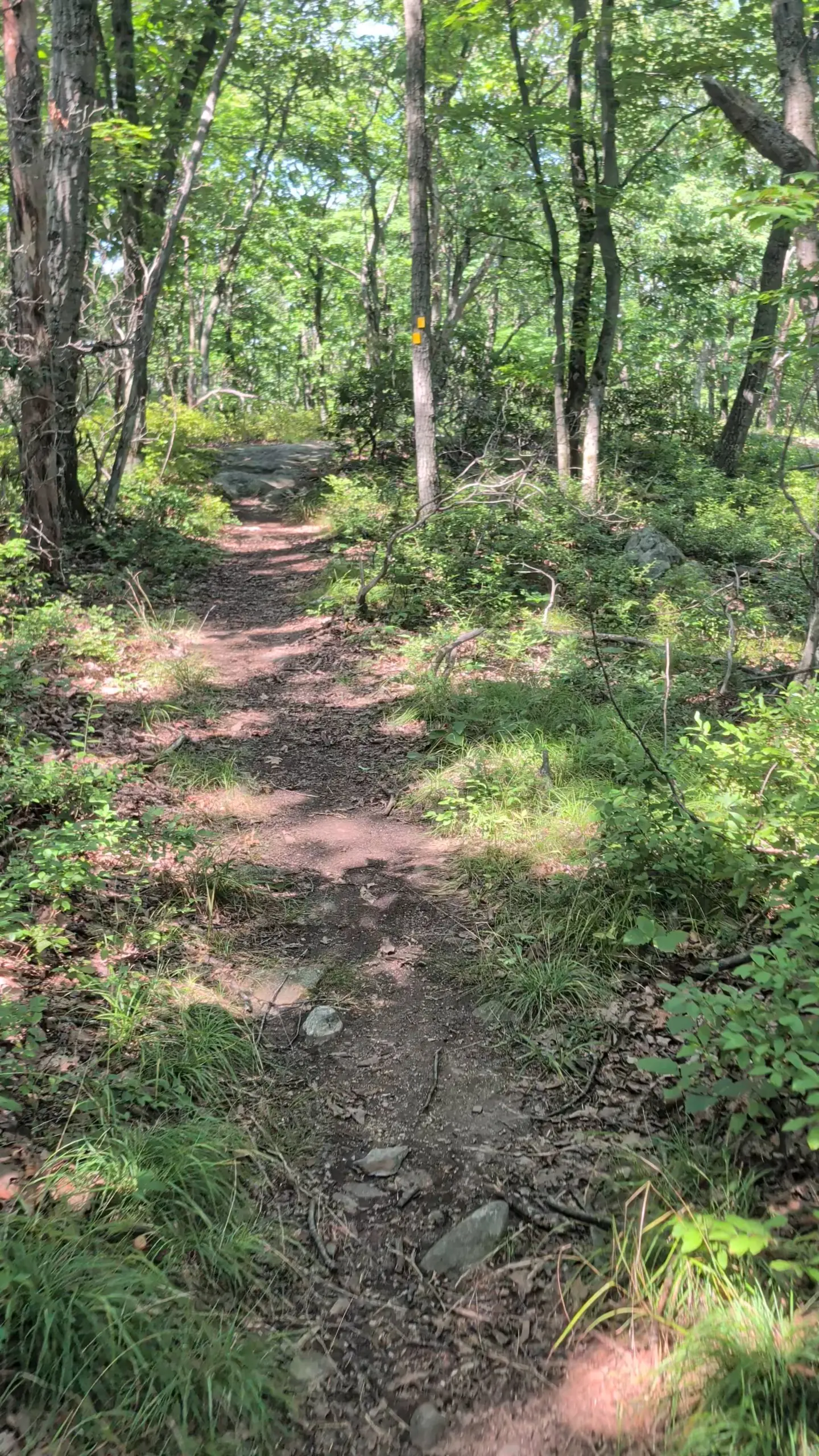
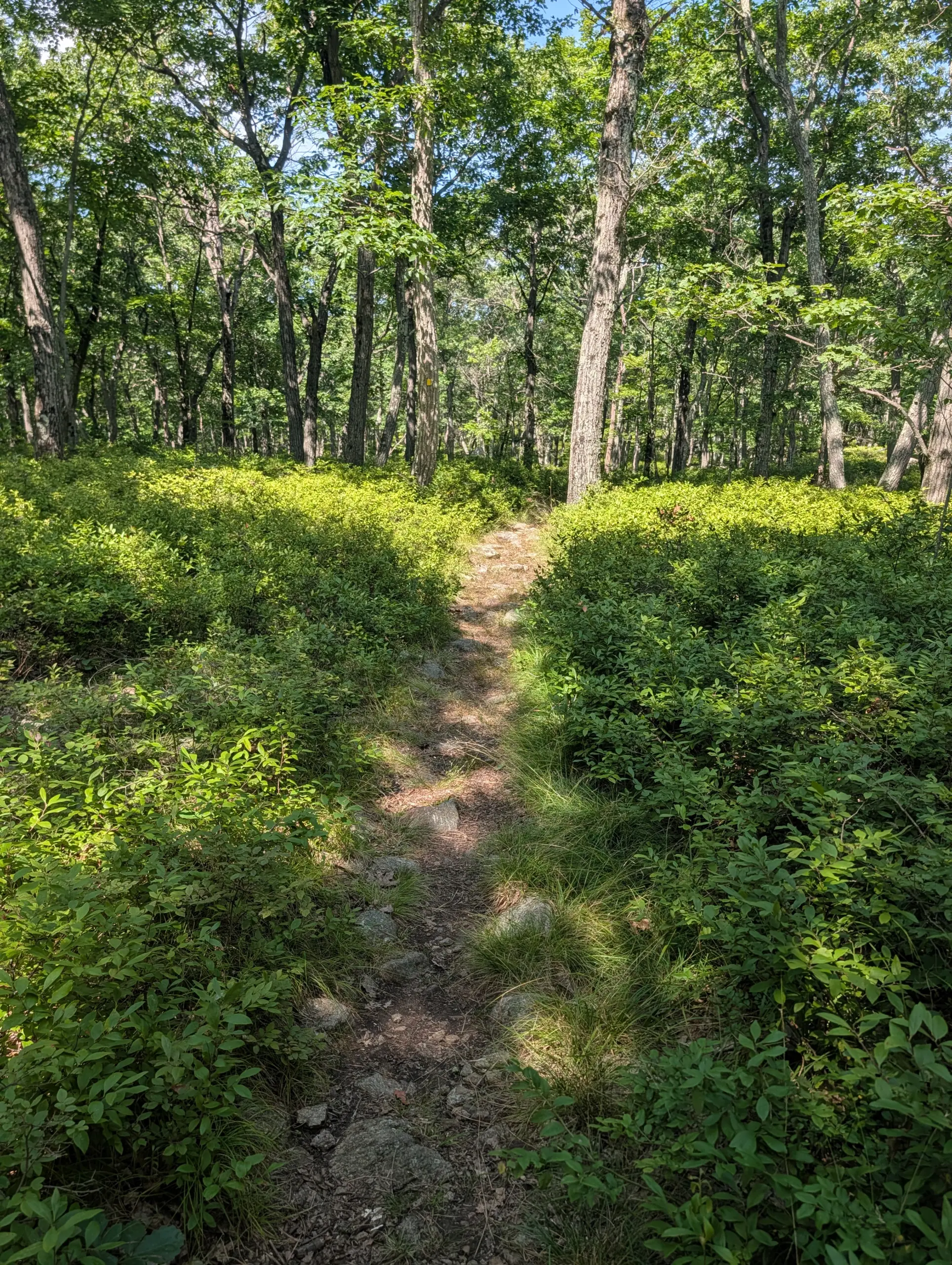
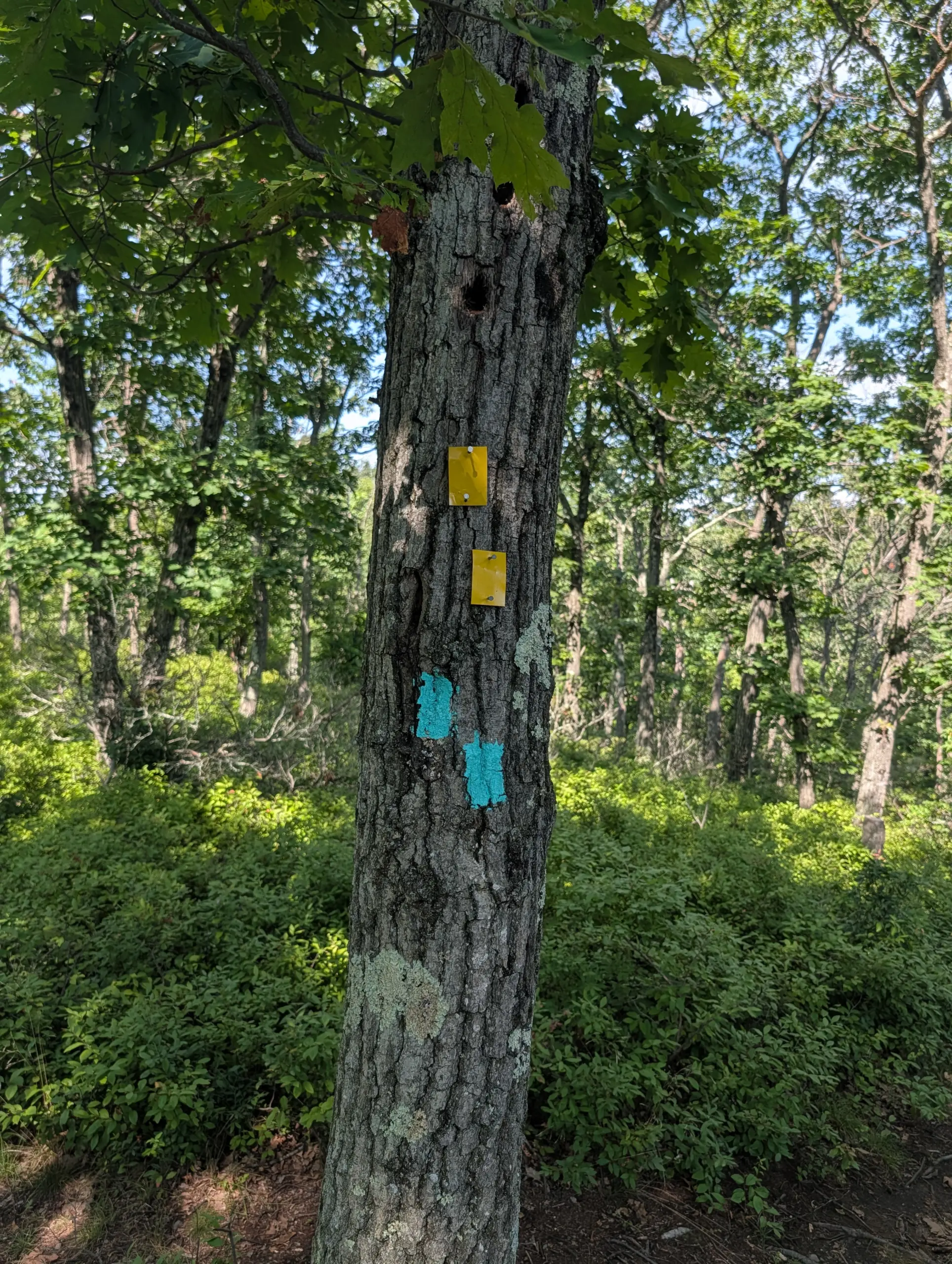
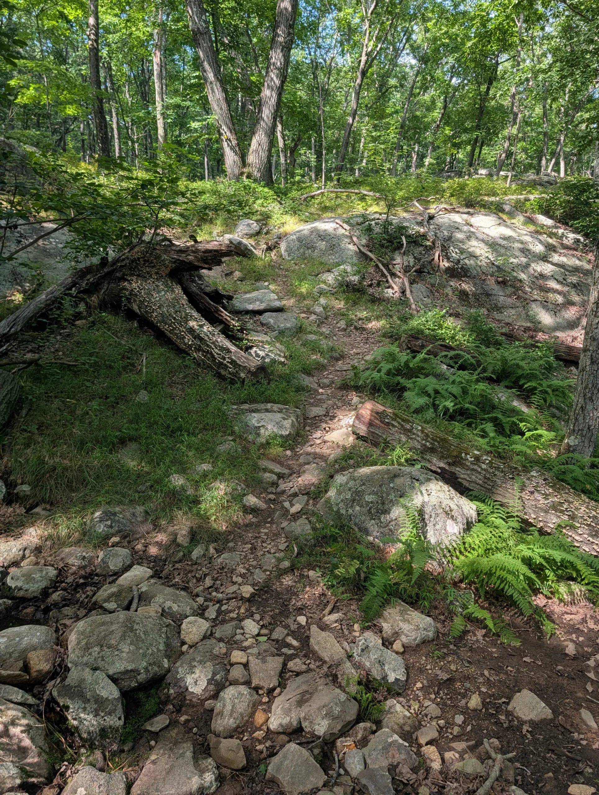
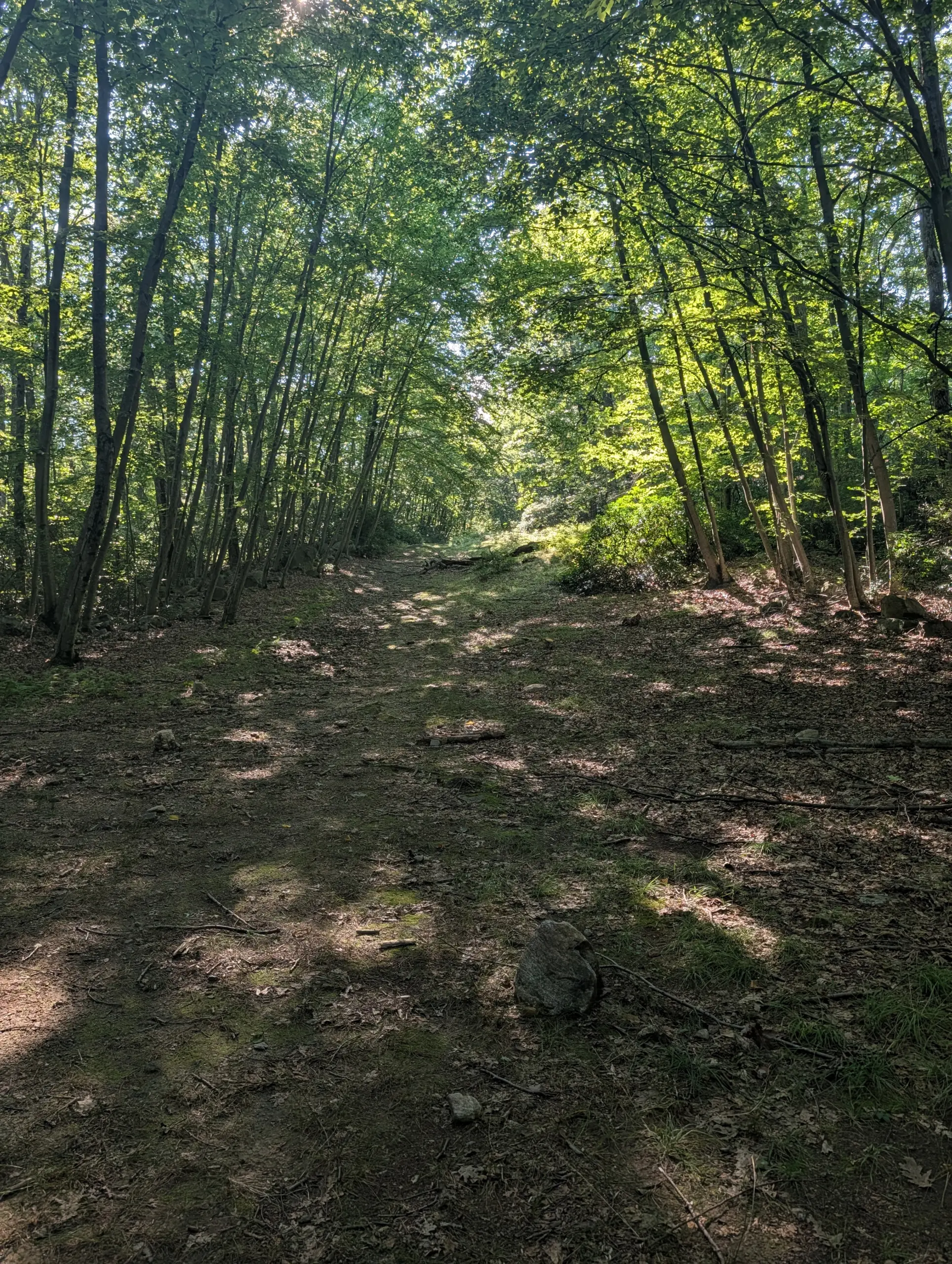
I started from the AMC grounds at Breakneck Pond, climbing upward on the unmarked trail until reaching the Breakneck Mountain trail (white blazes). I then made a left, heading northeast, to meet the Suffern-Bear Mountain Trail (yellow blazes). From there, it was just a matter of following the Suffern-Bear Mountain Trail as far out as I wanted to go.
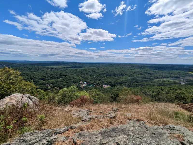
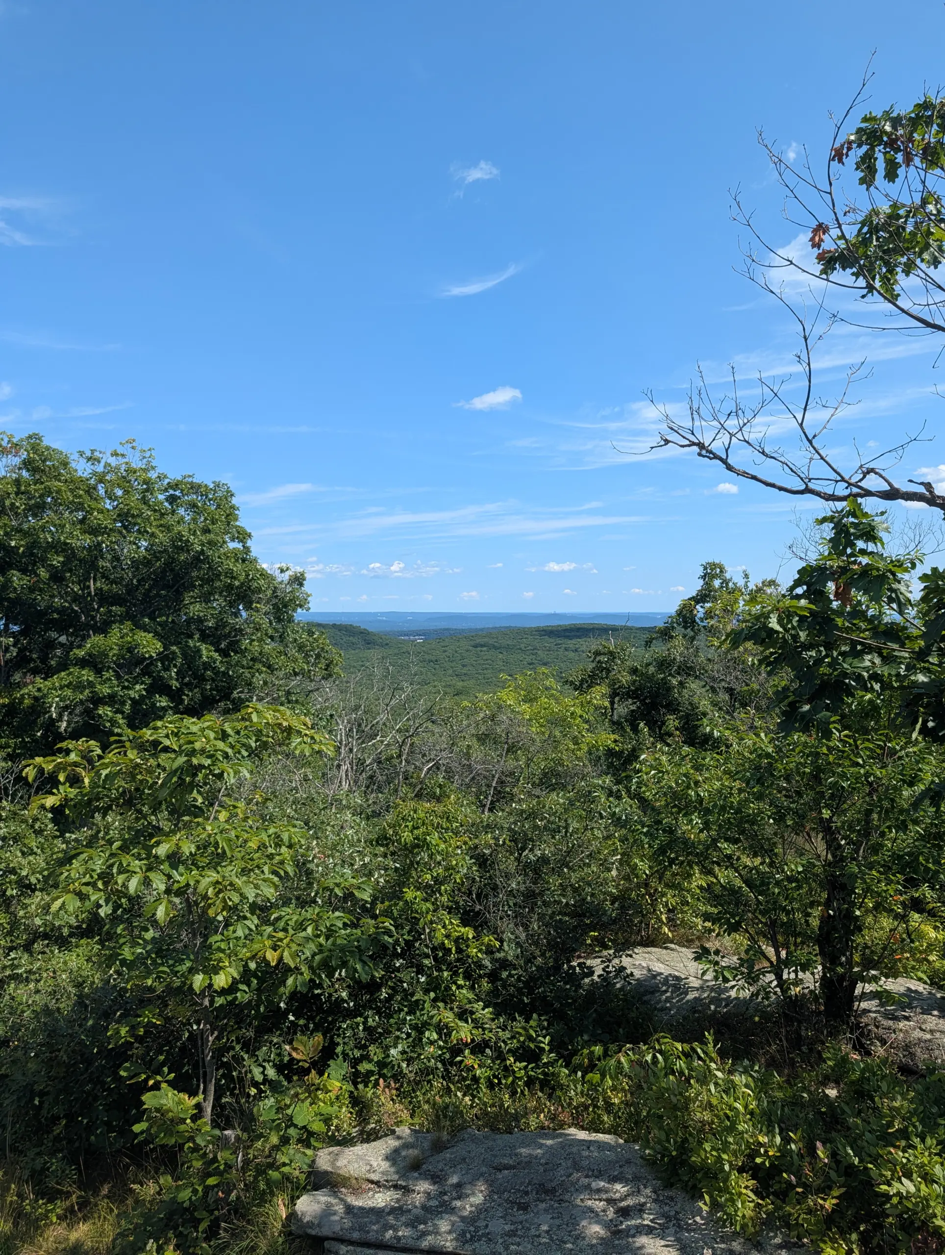
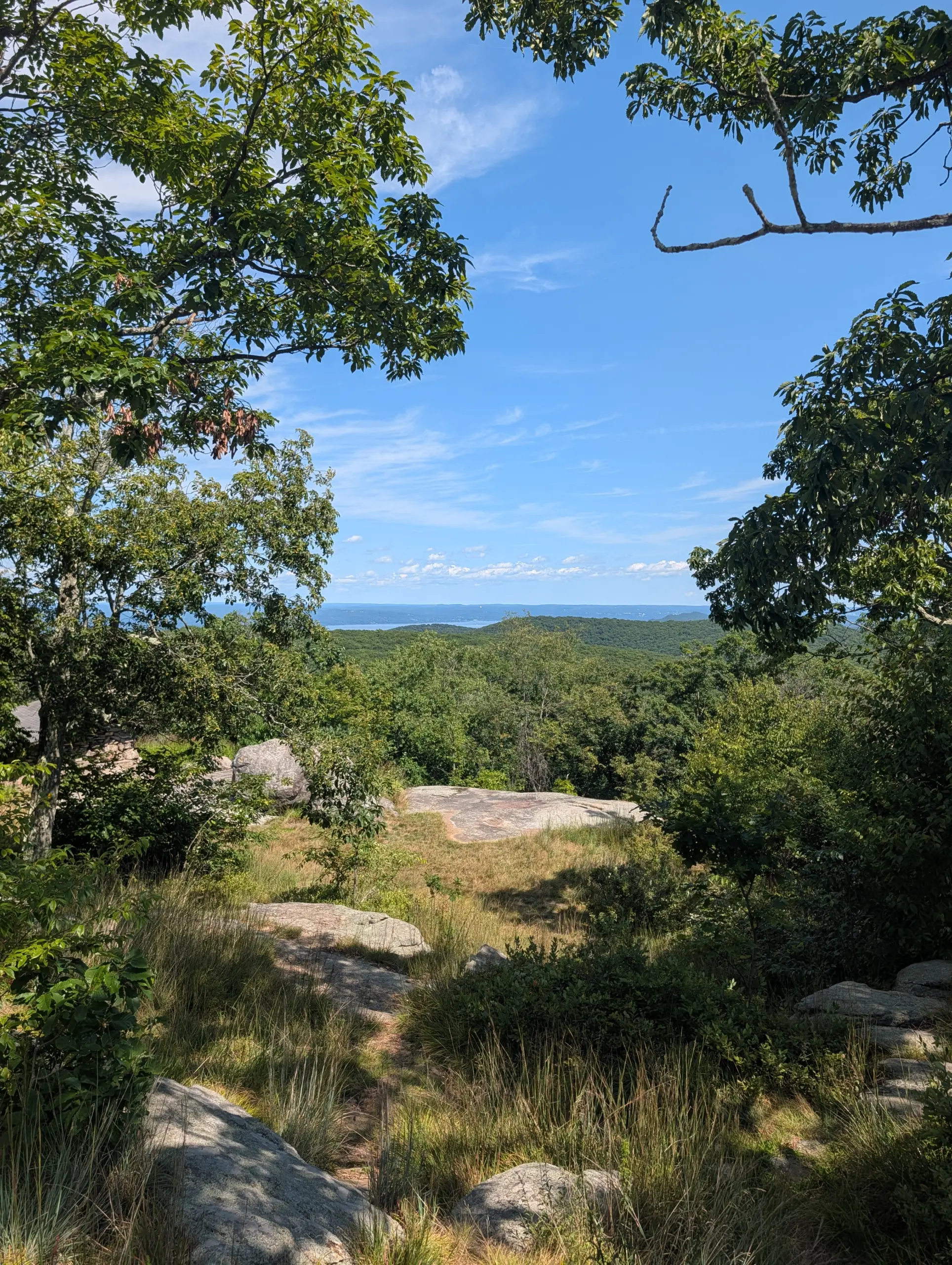
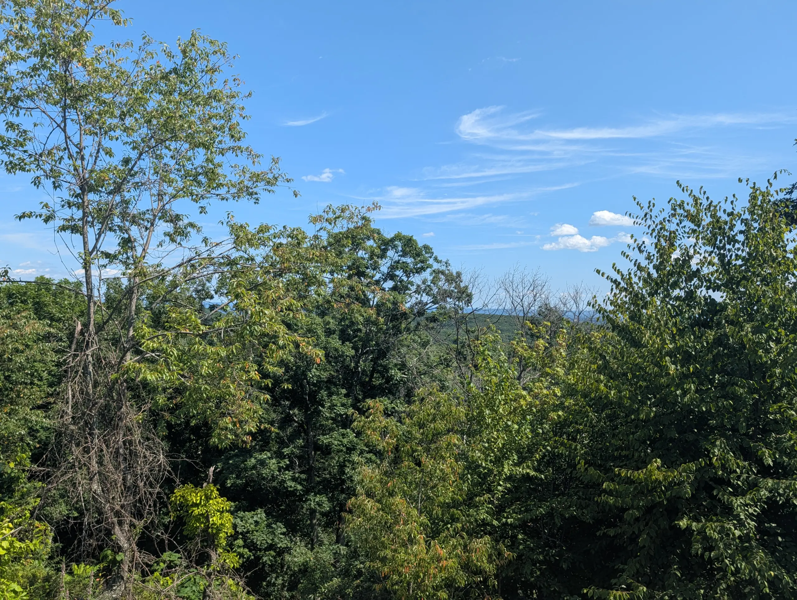
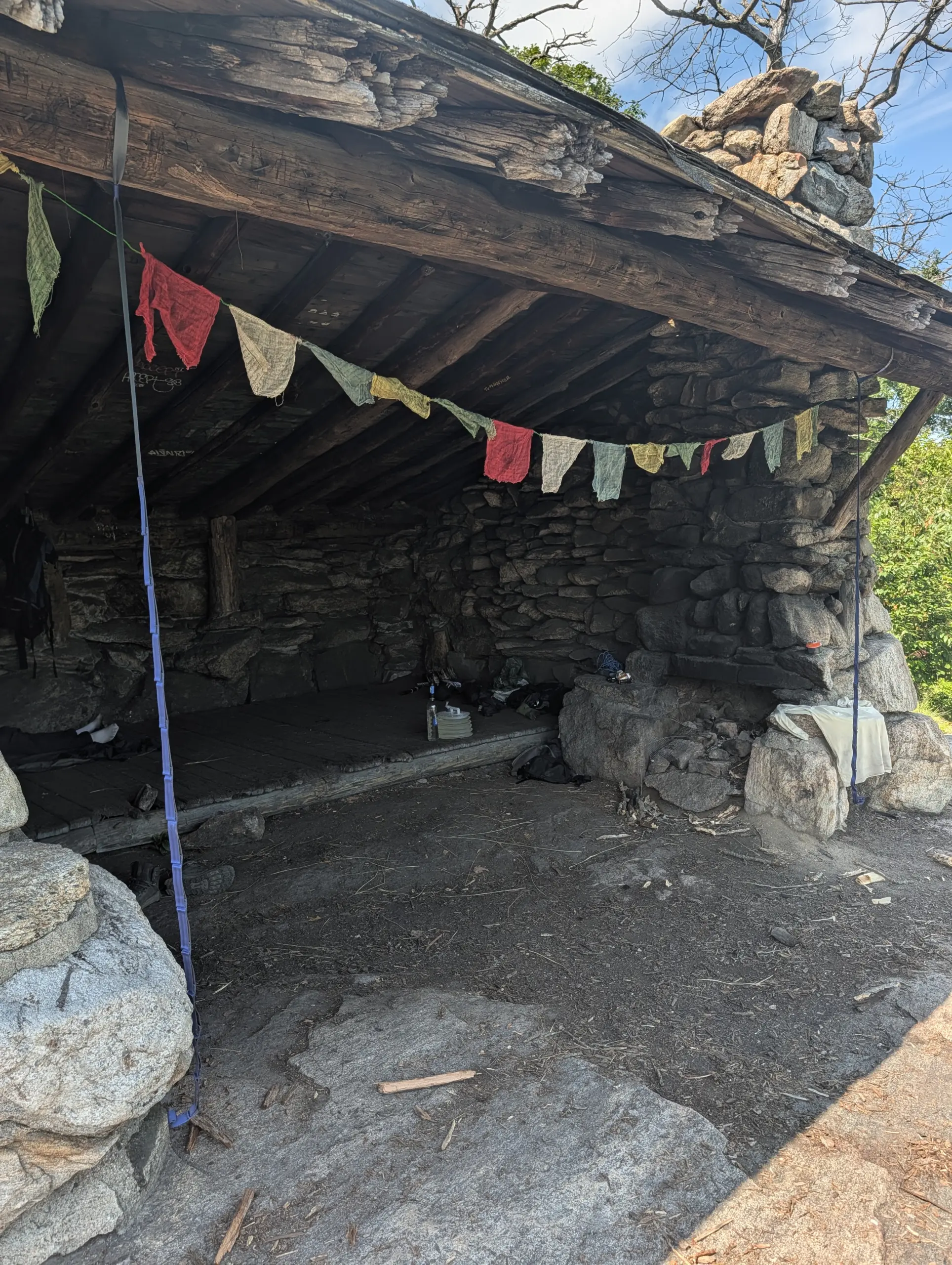
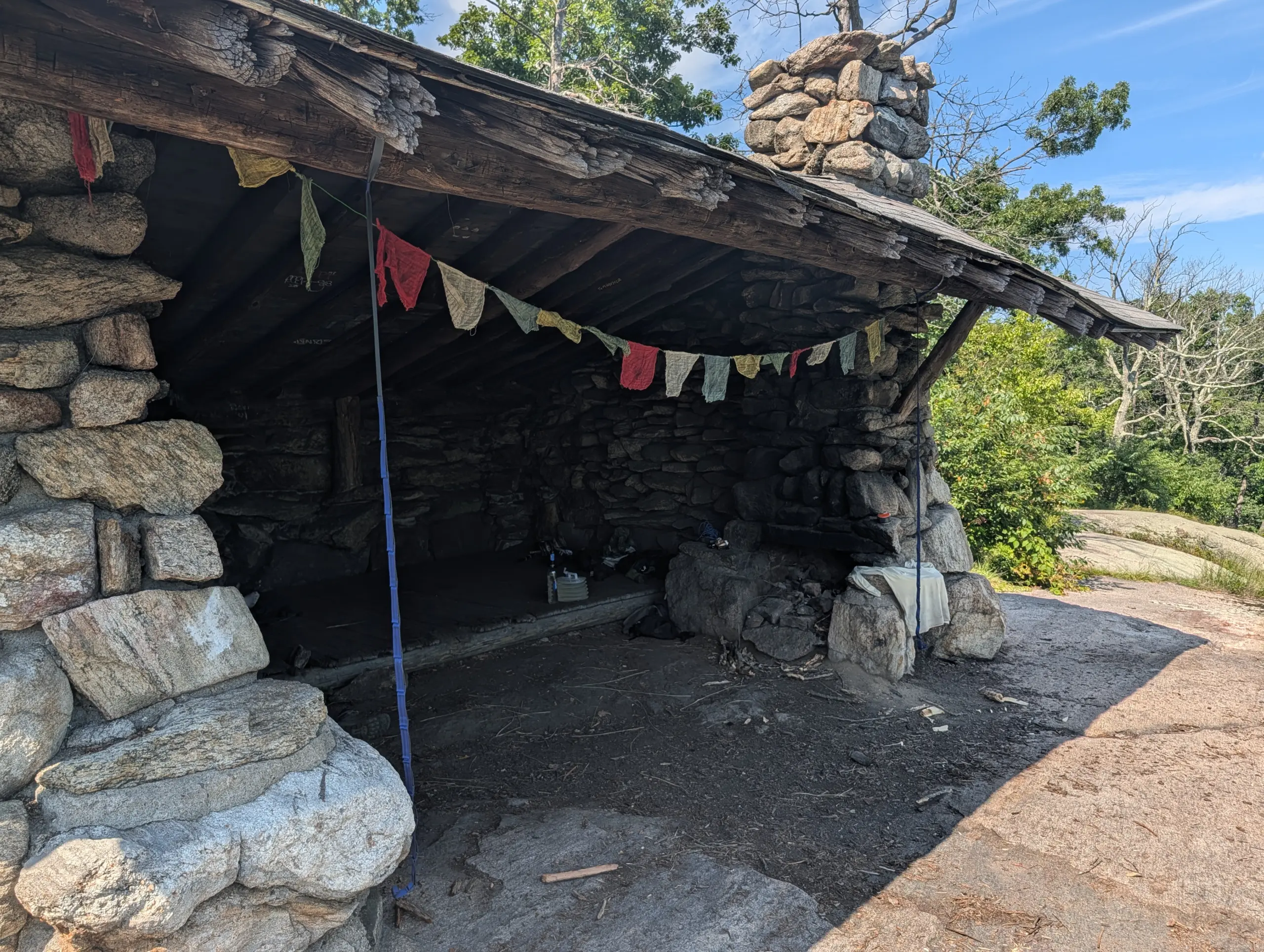
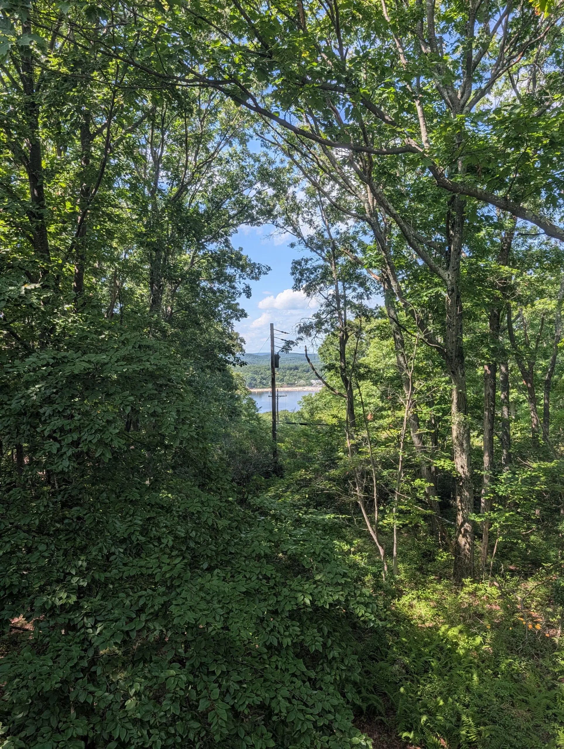
I first encountered one of the lean to shelters at Big Hill, where I stopped and spoke to a gentleman spending a few nights there. From a lookout spot near the shelter, I was able to see the Hudson River off to the east. Most of the rest of the view was obscured by trees. It’s unclear to me if this was the actual lookout spot I was trying to find, or just happened to be a spot with a small view. Either way, it was still a nice reward.
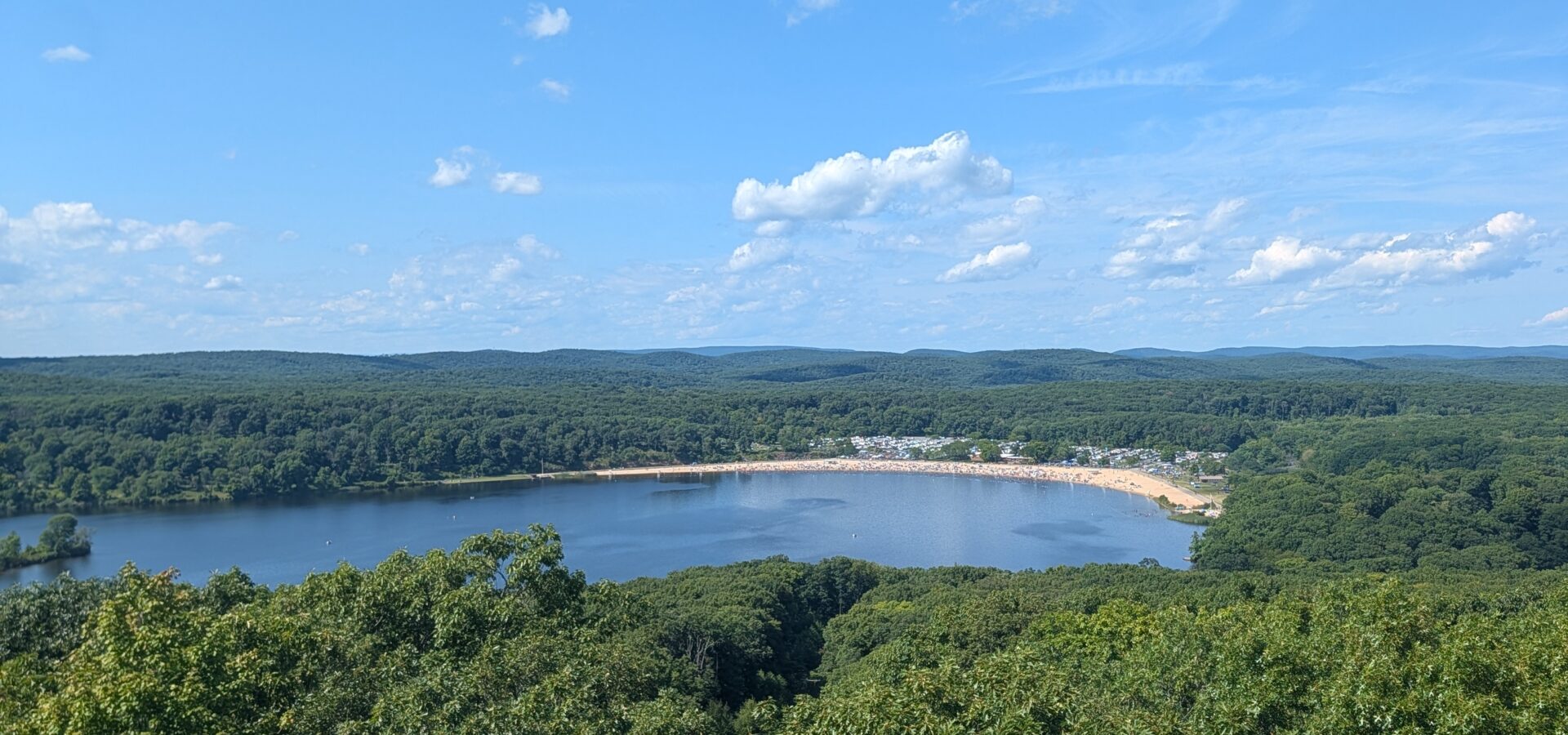
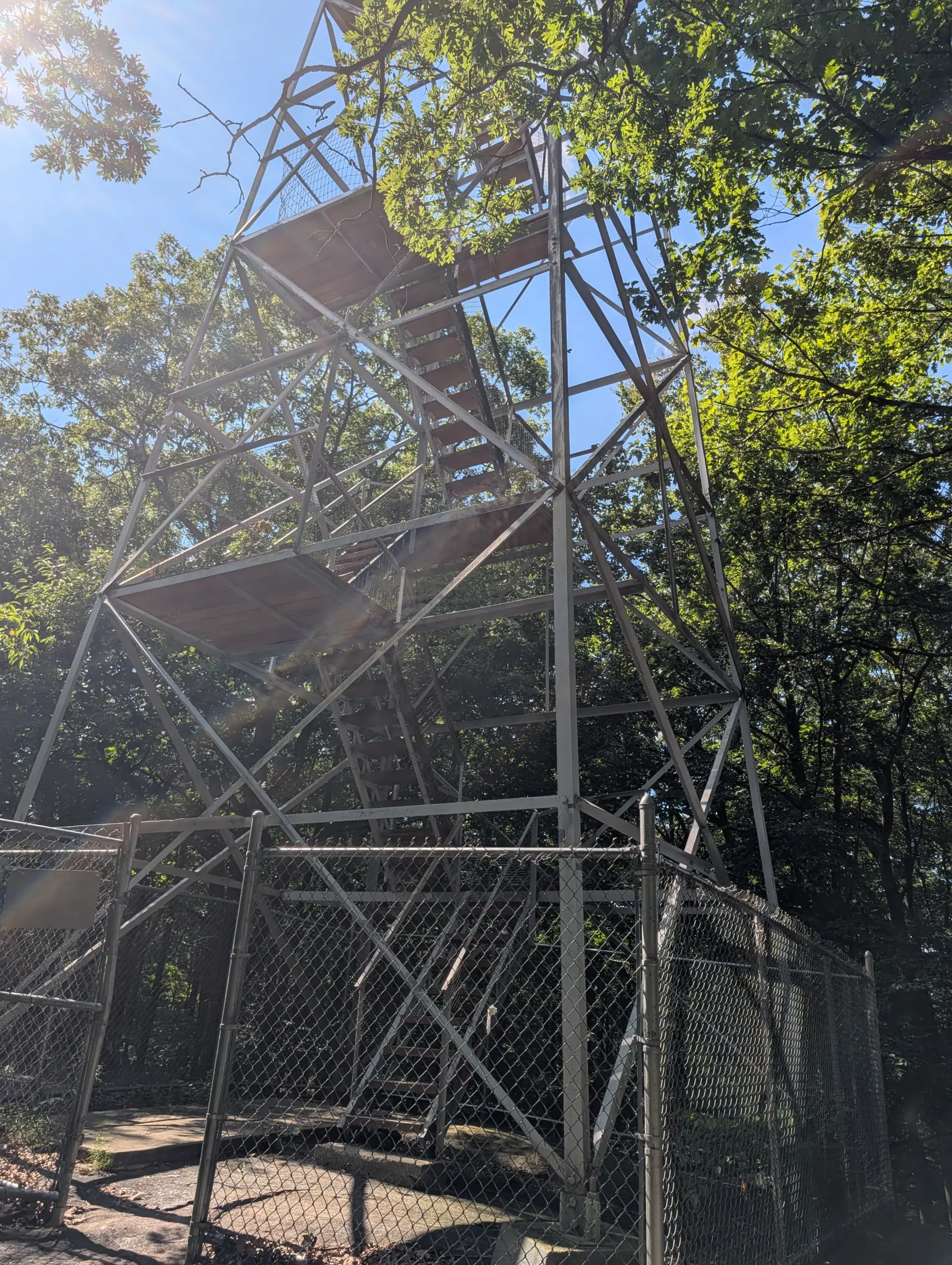
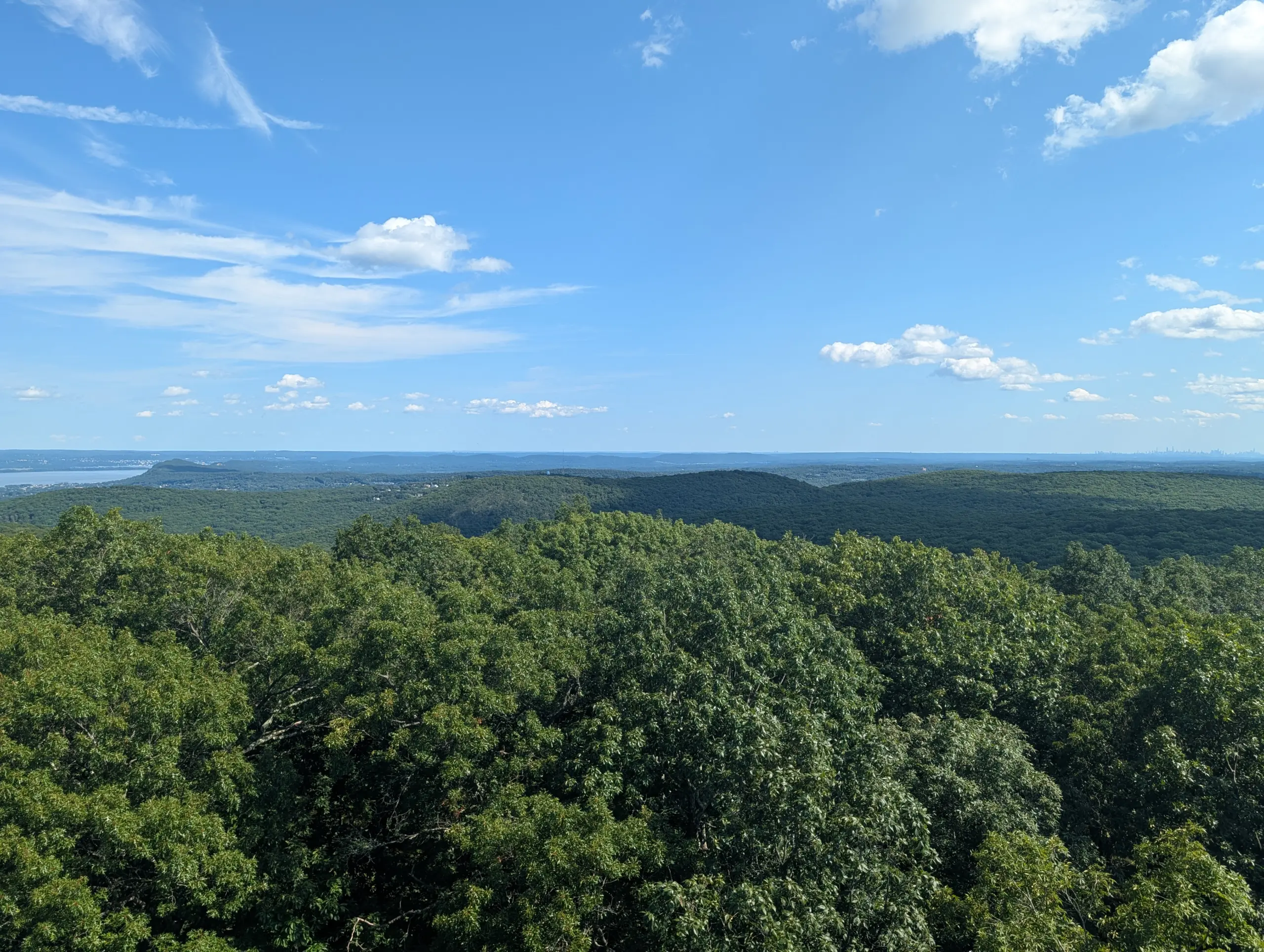
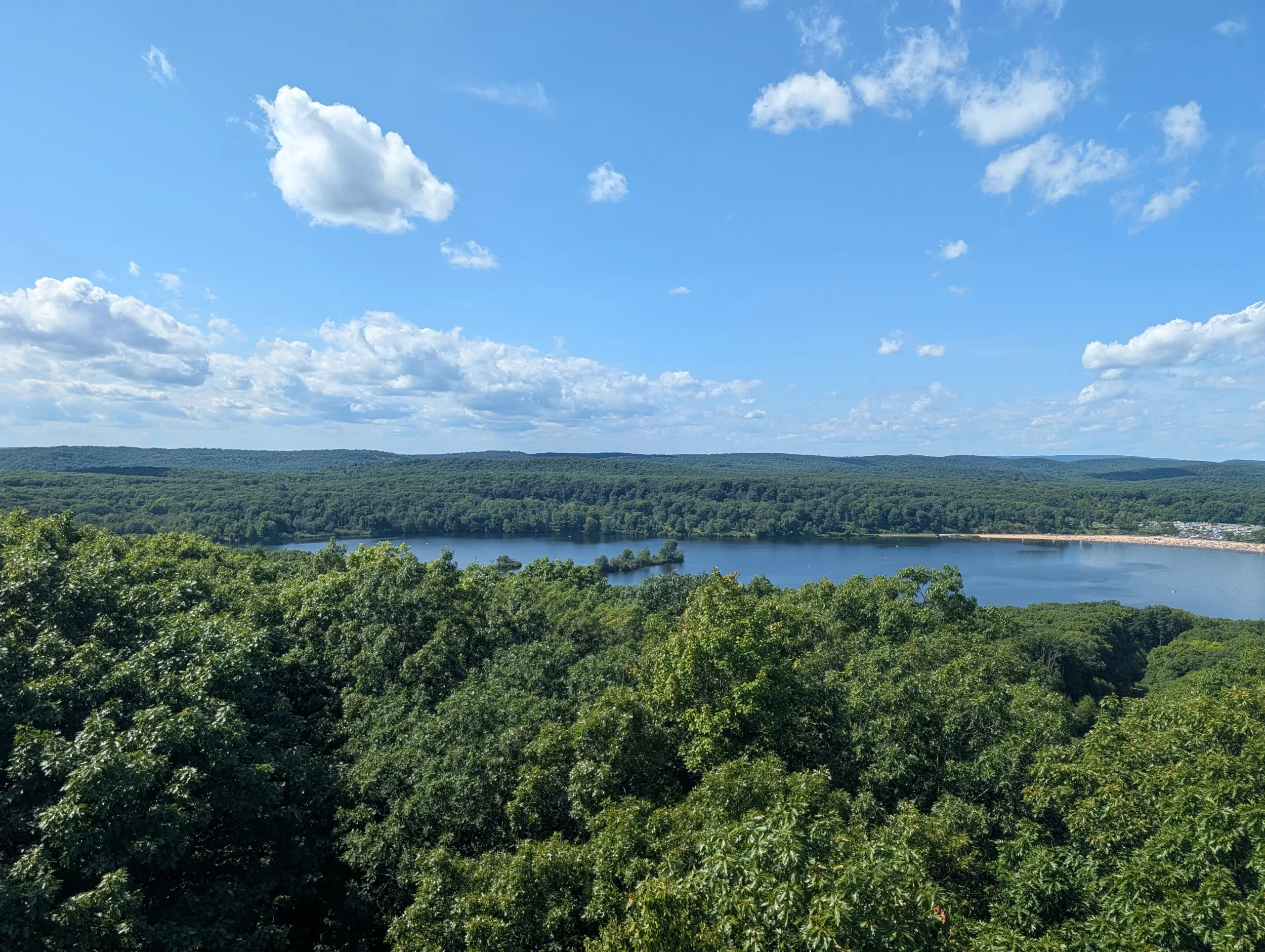
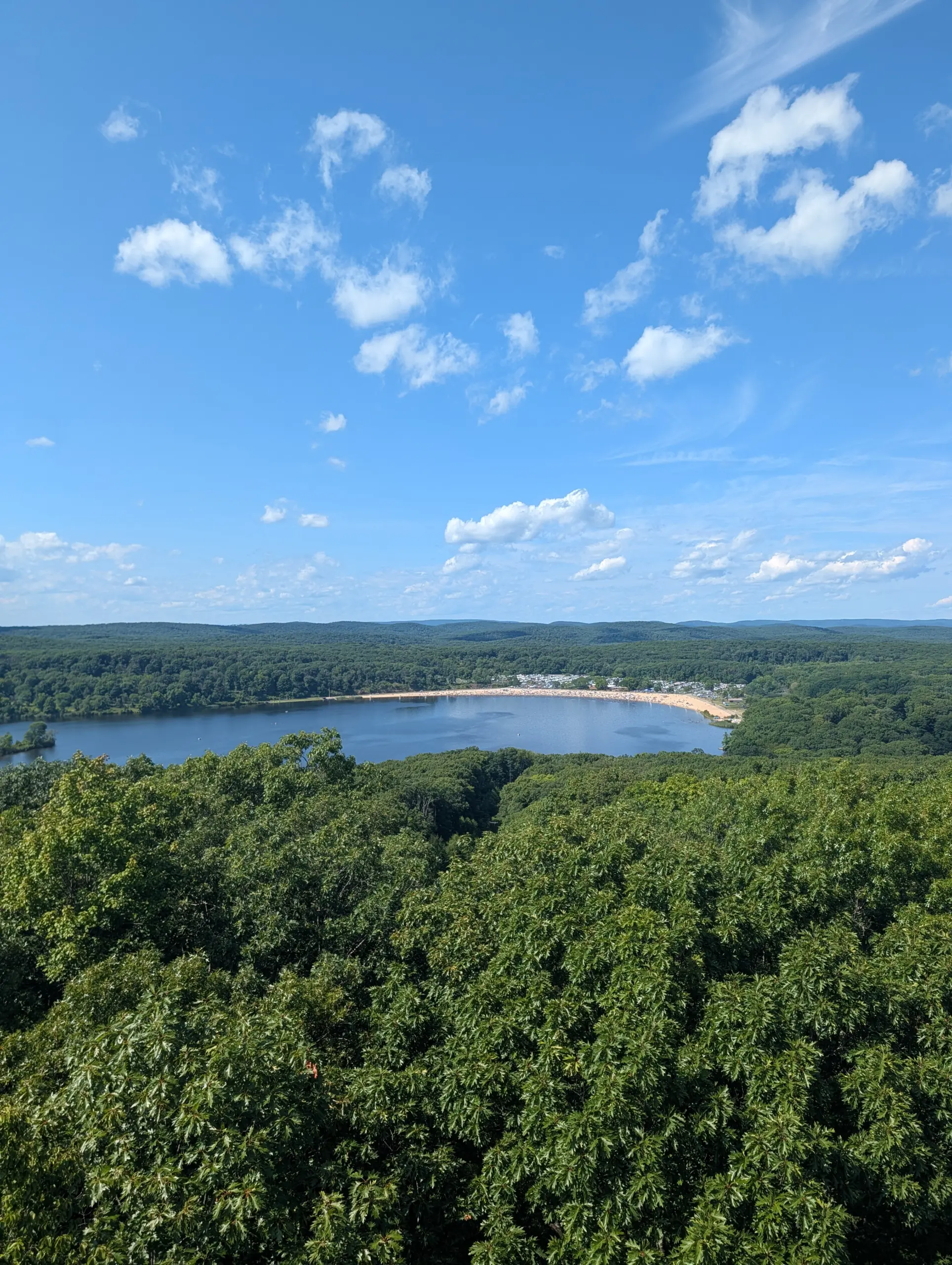
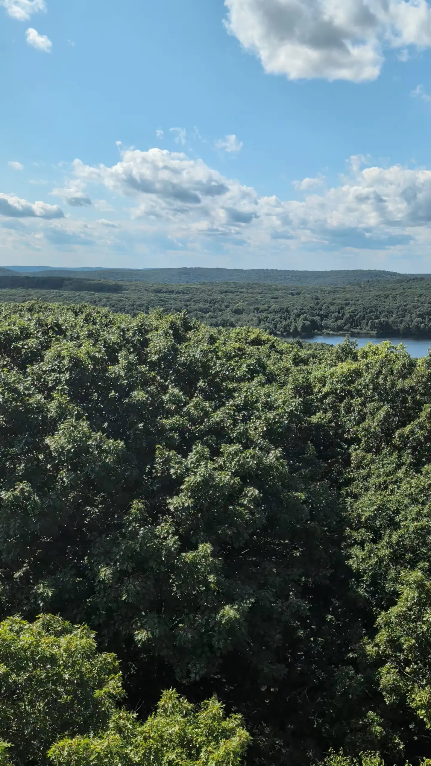
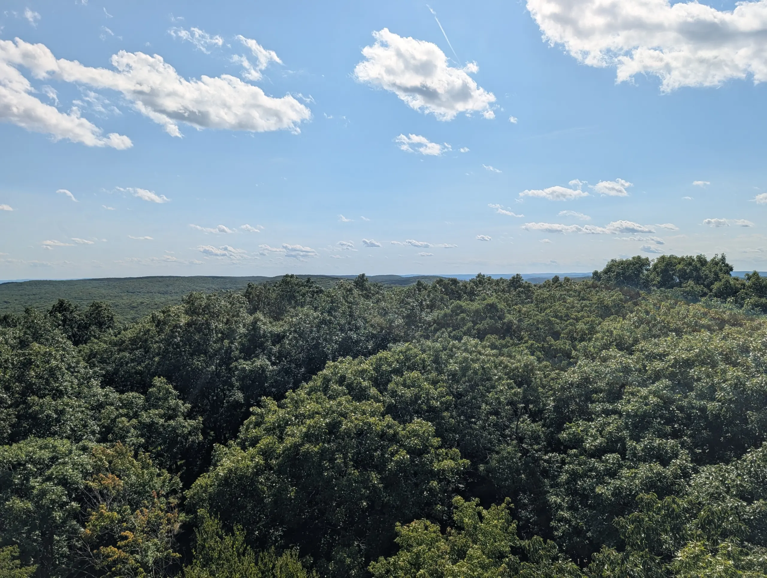
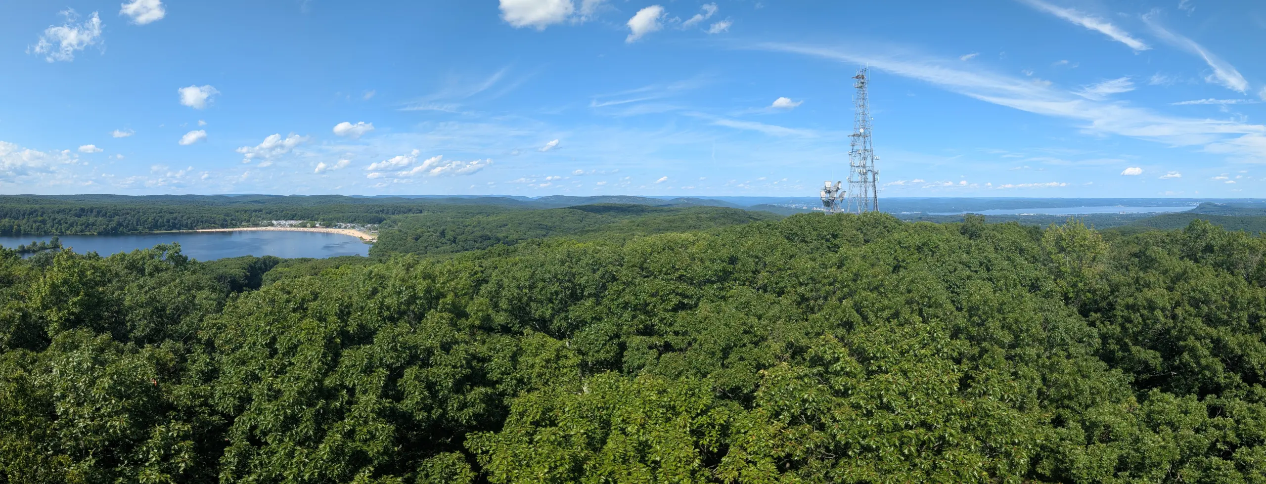
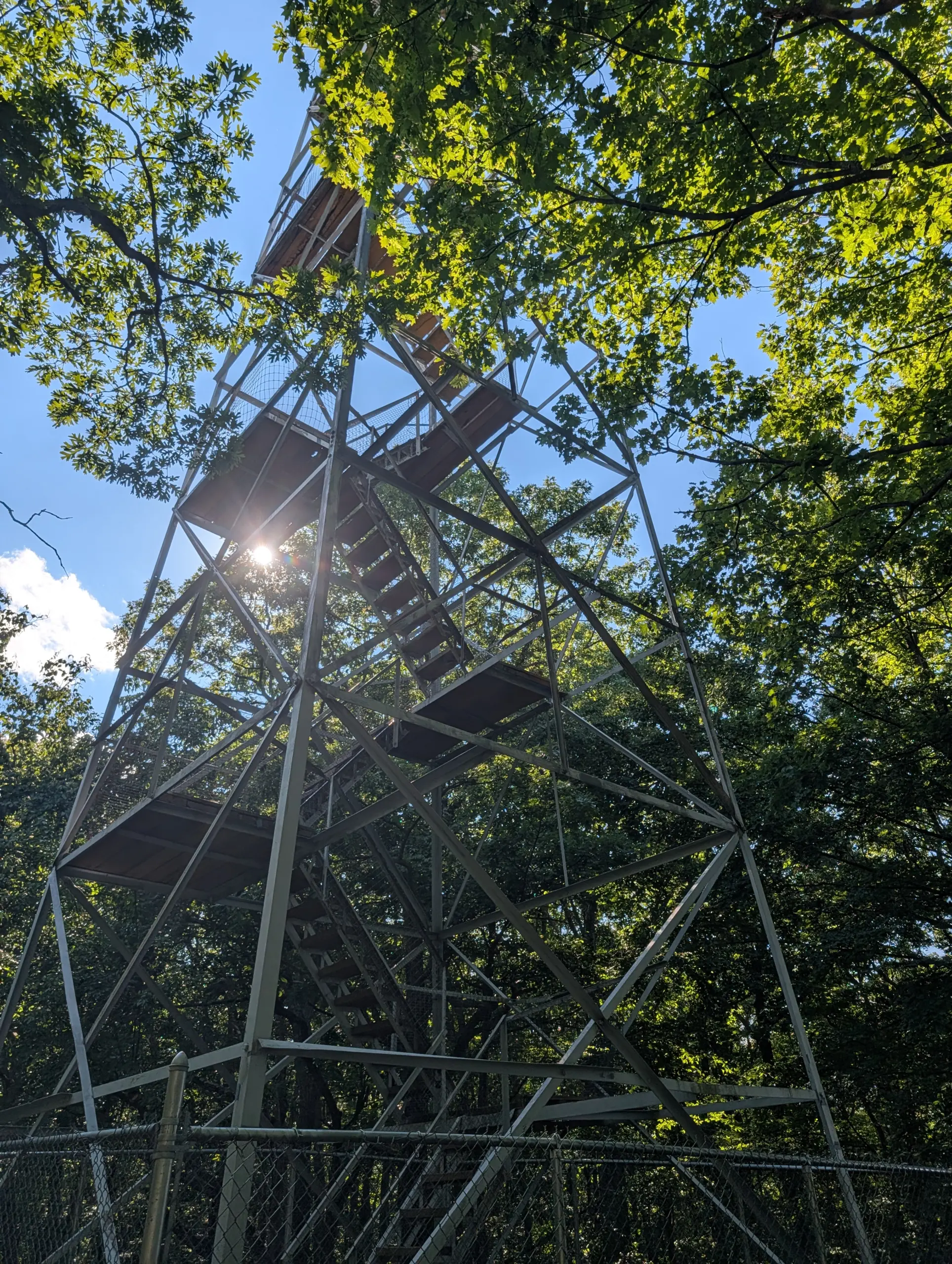
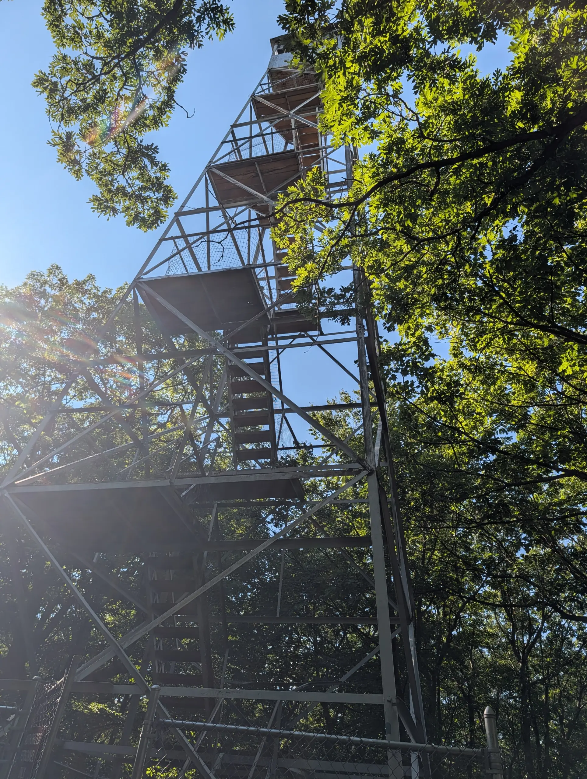
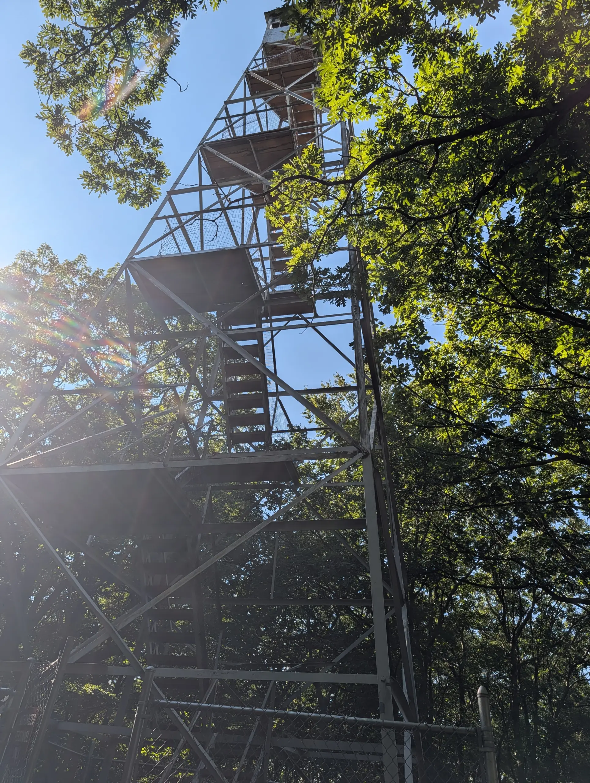
Continuing further down the trail, I eventually made it to the fire tower at Jackie Jones Mountain. The views in all directions were amazing. I spent several minutes there taking it all in. It’s close enough to Lake Welch that I could slightly hear the chatter of the beachgoers at Lake Welch.
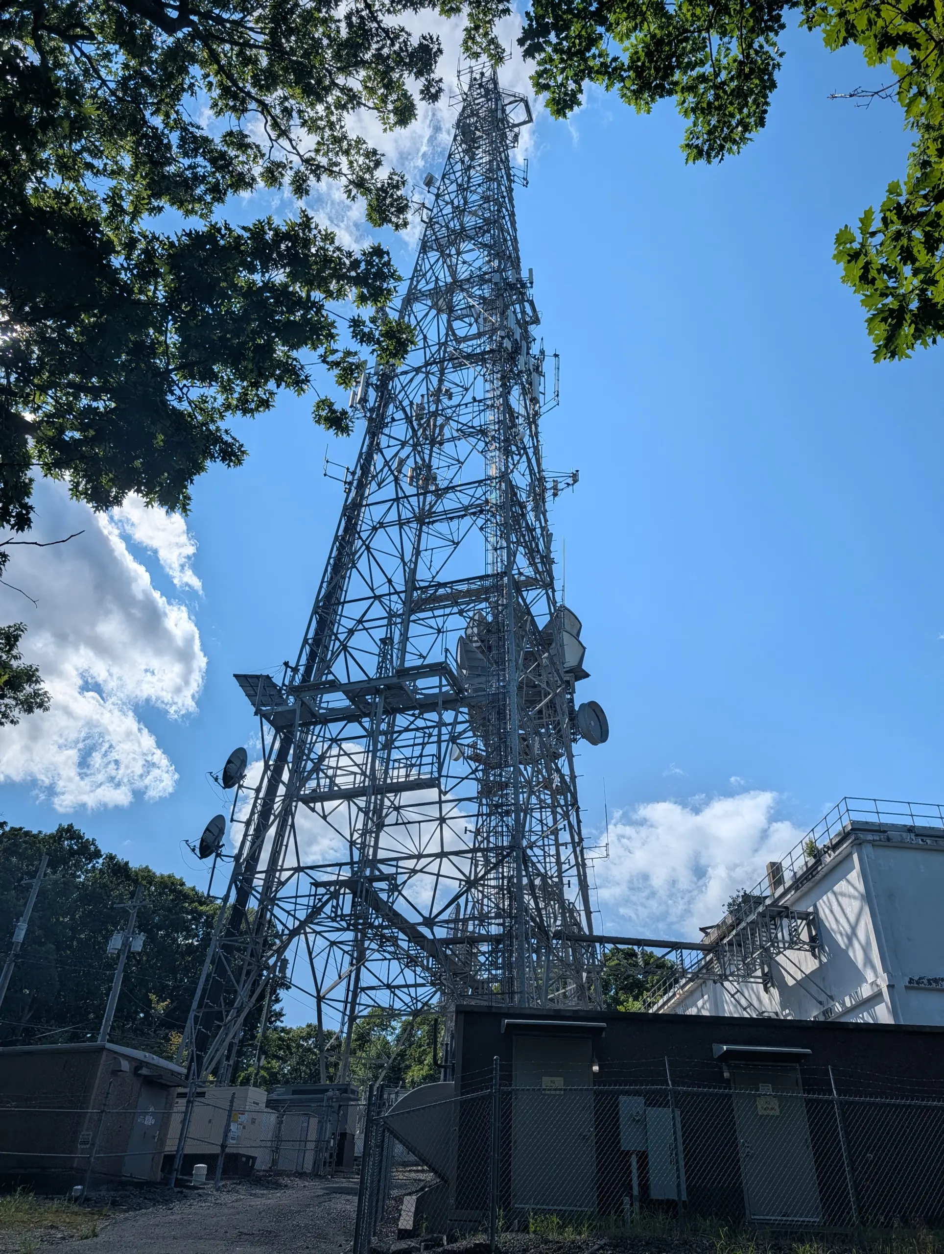
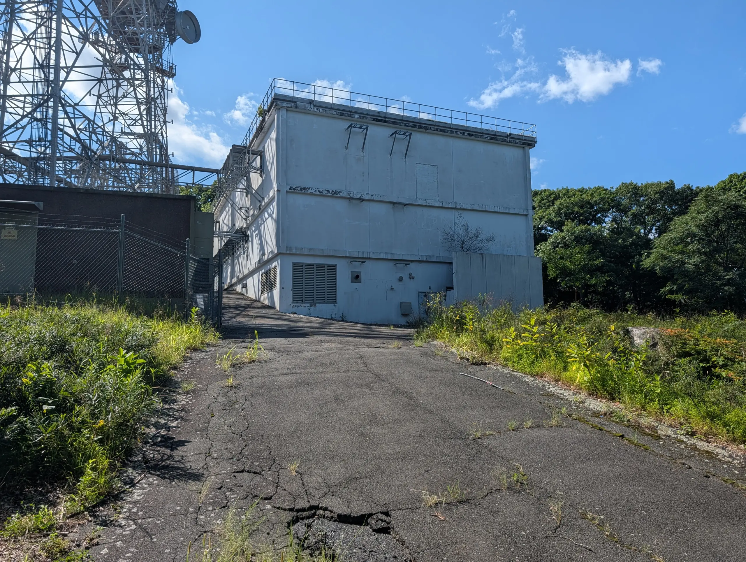
Not too far away is a communications tower run by American Tower Corporation. It appeared to have cellular antennas, satellite antennas, and other equipment I couldn’t identify. I even saw what I believe is equipment for the abandoned AT&T Long Lines microwave network.
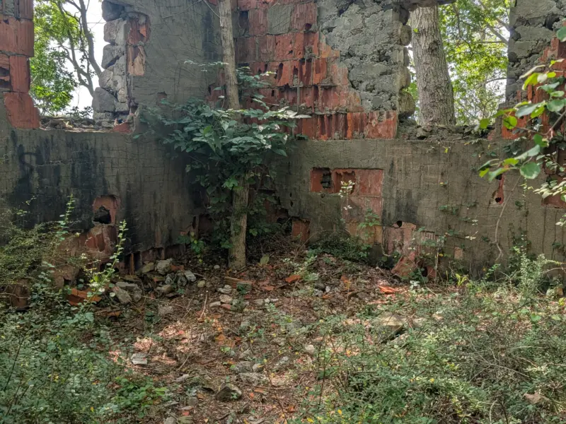
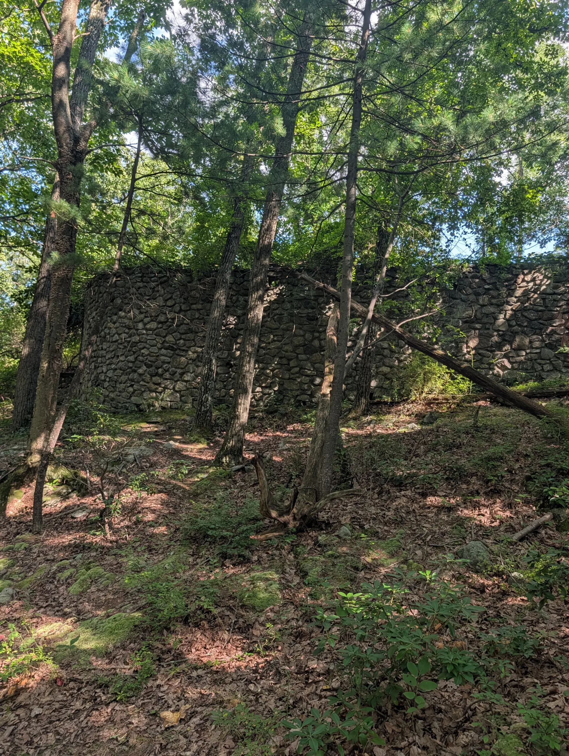
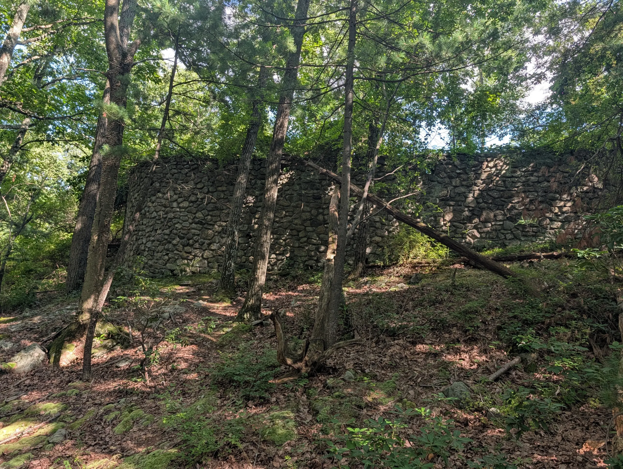
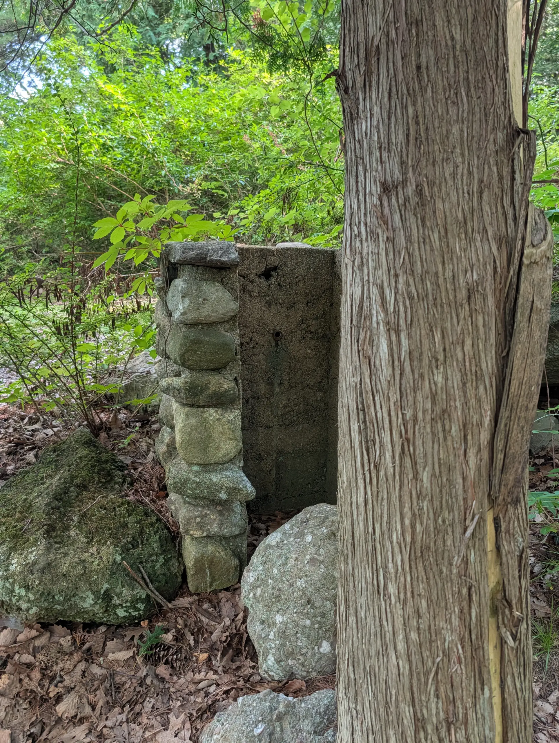
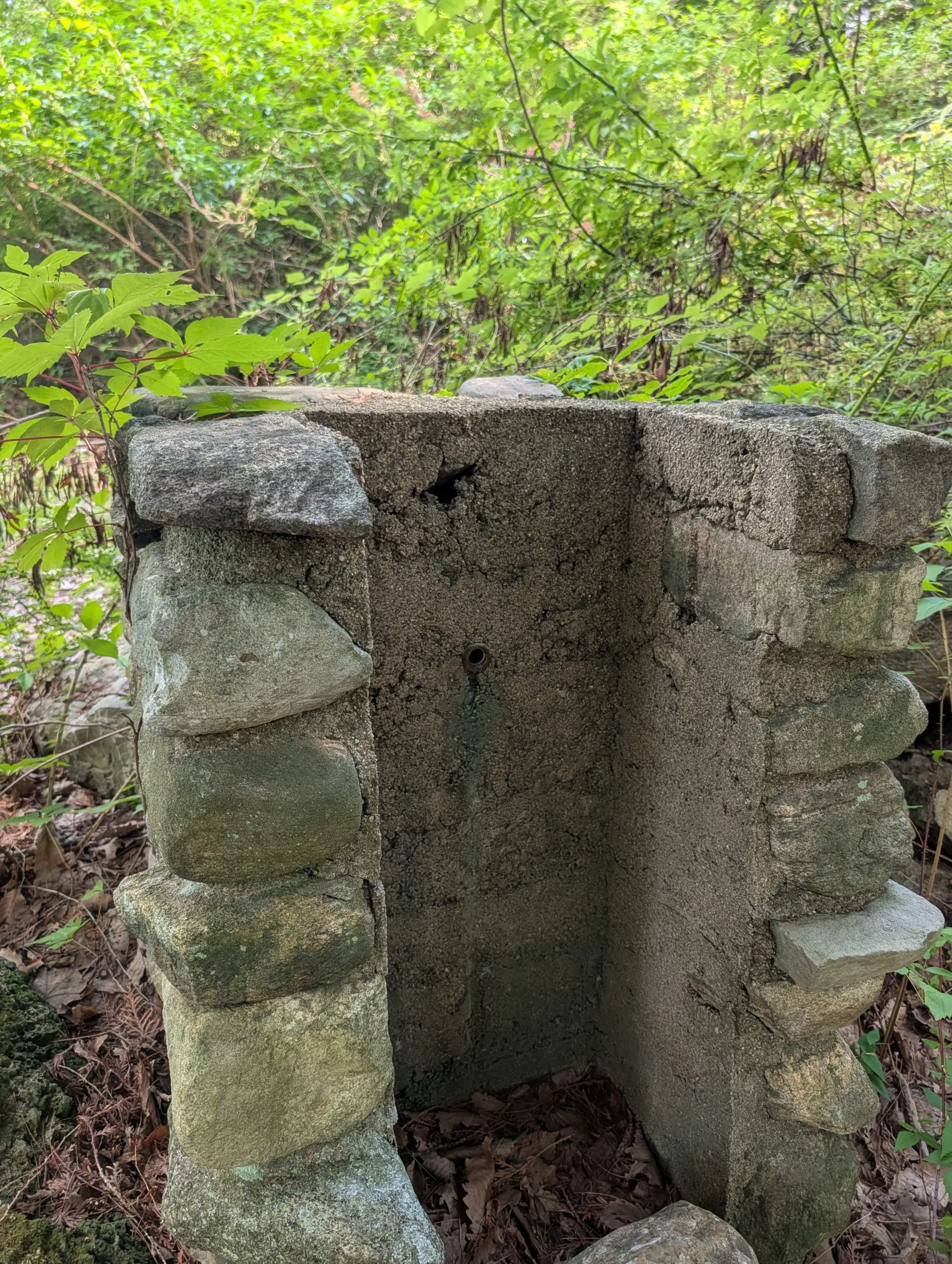
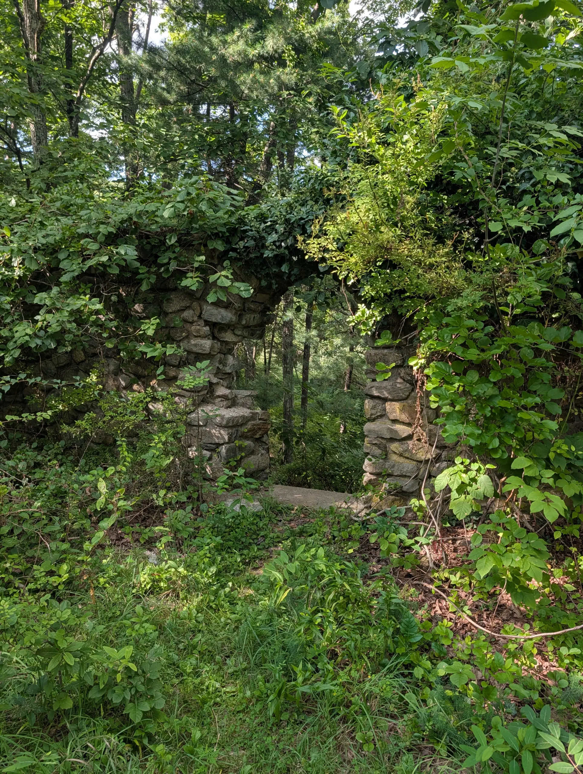
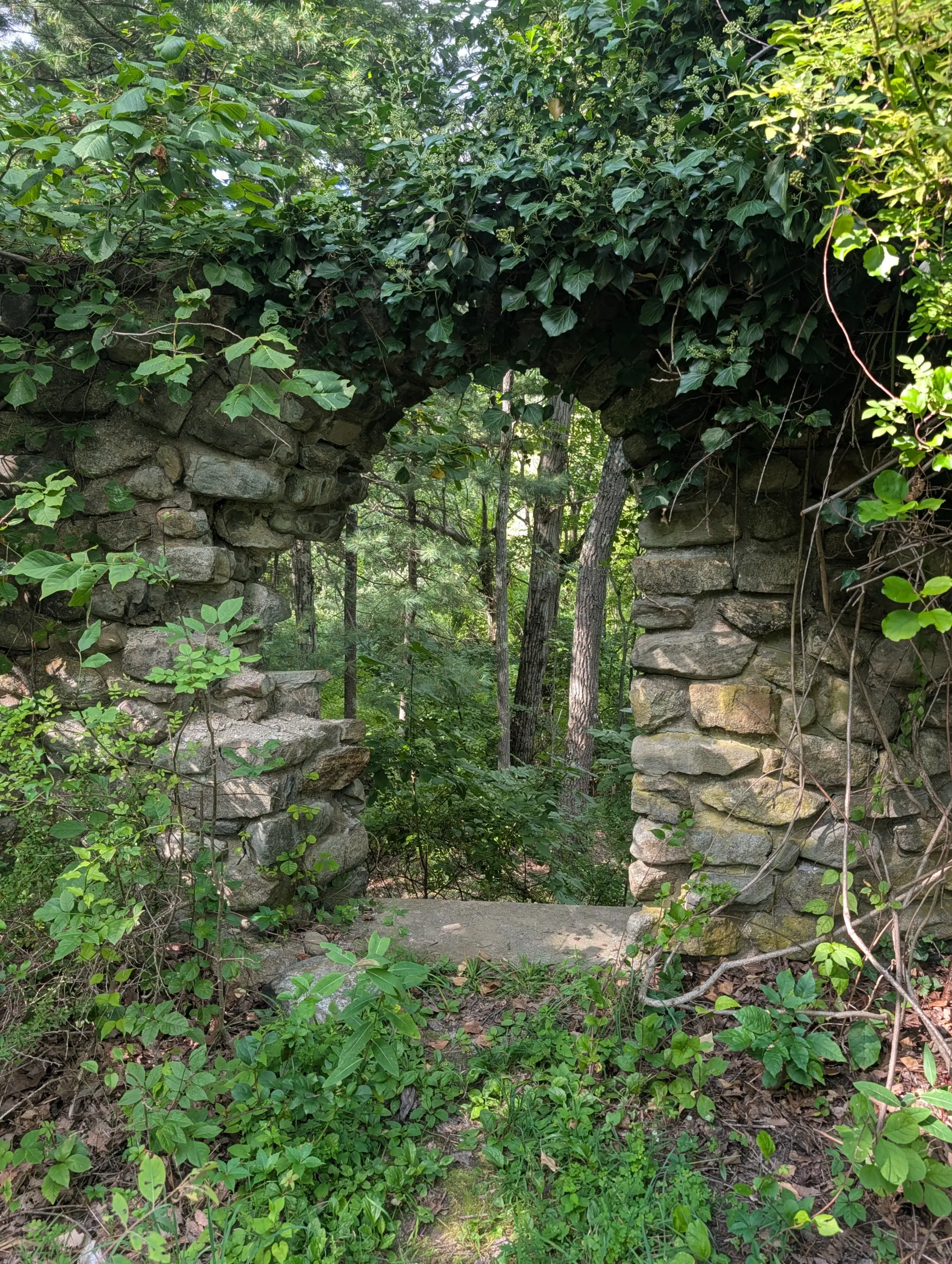
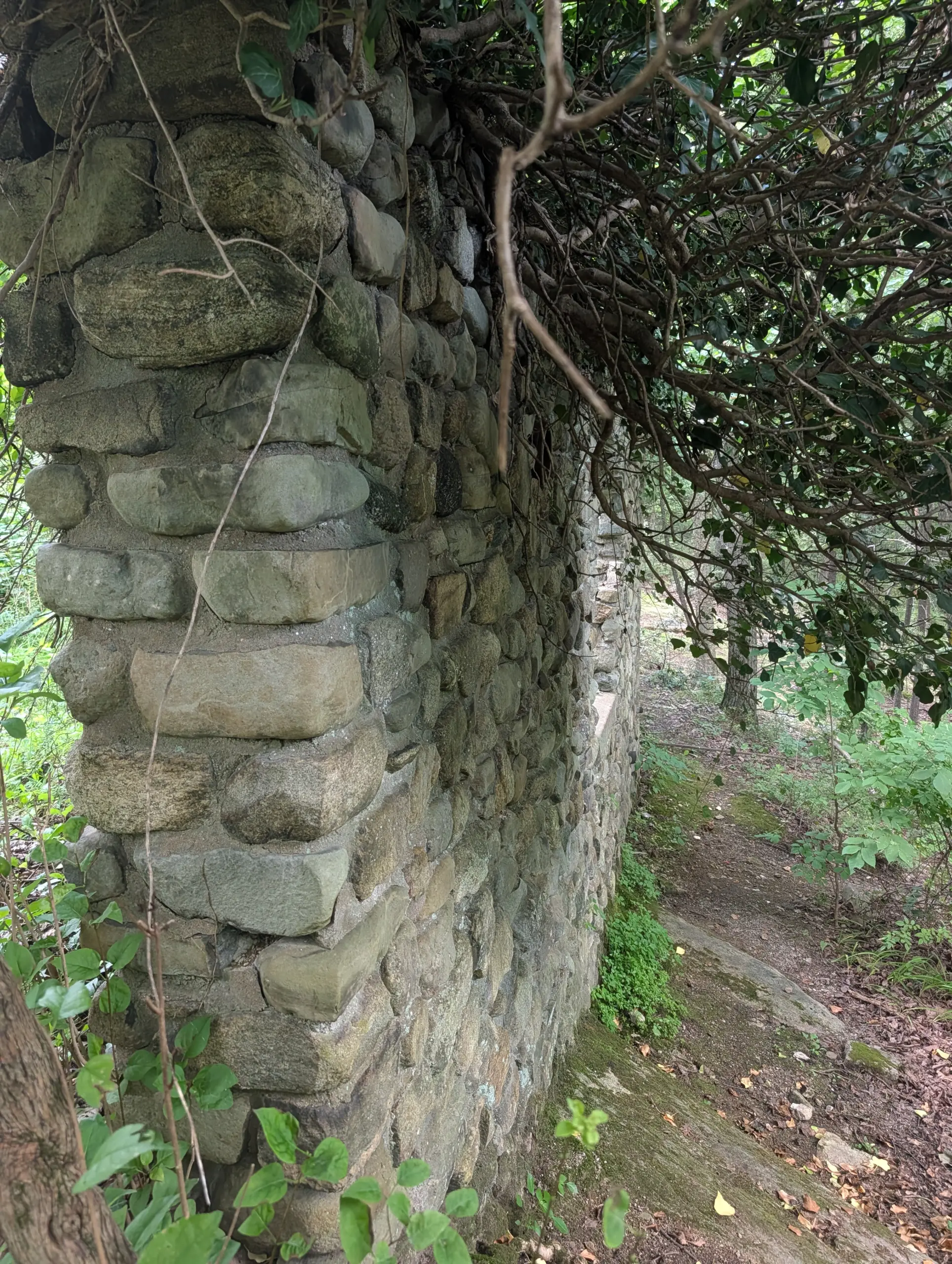
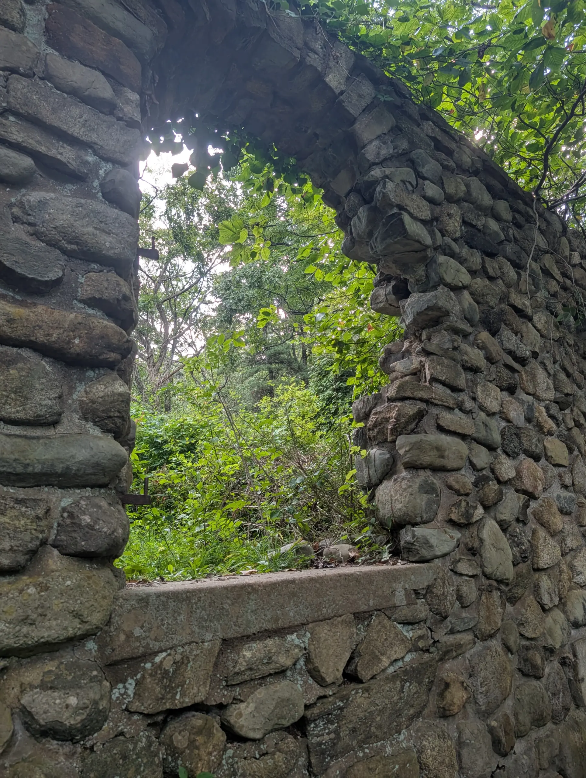
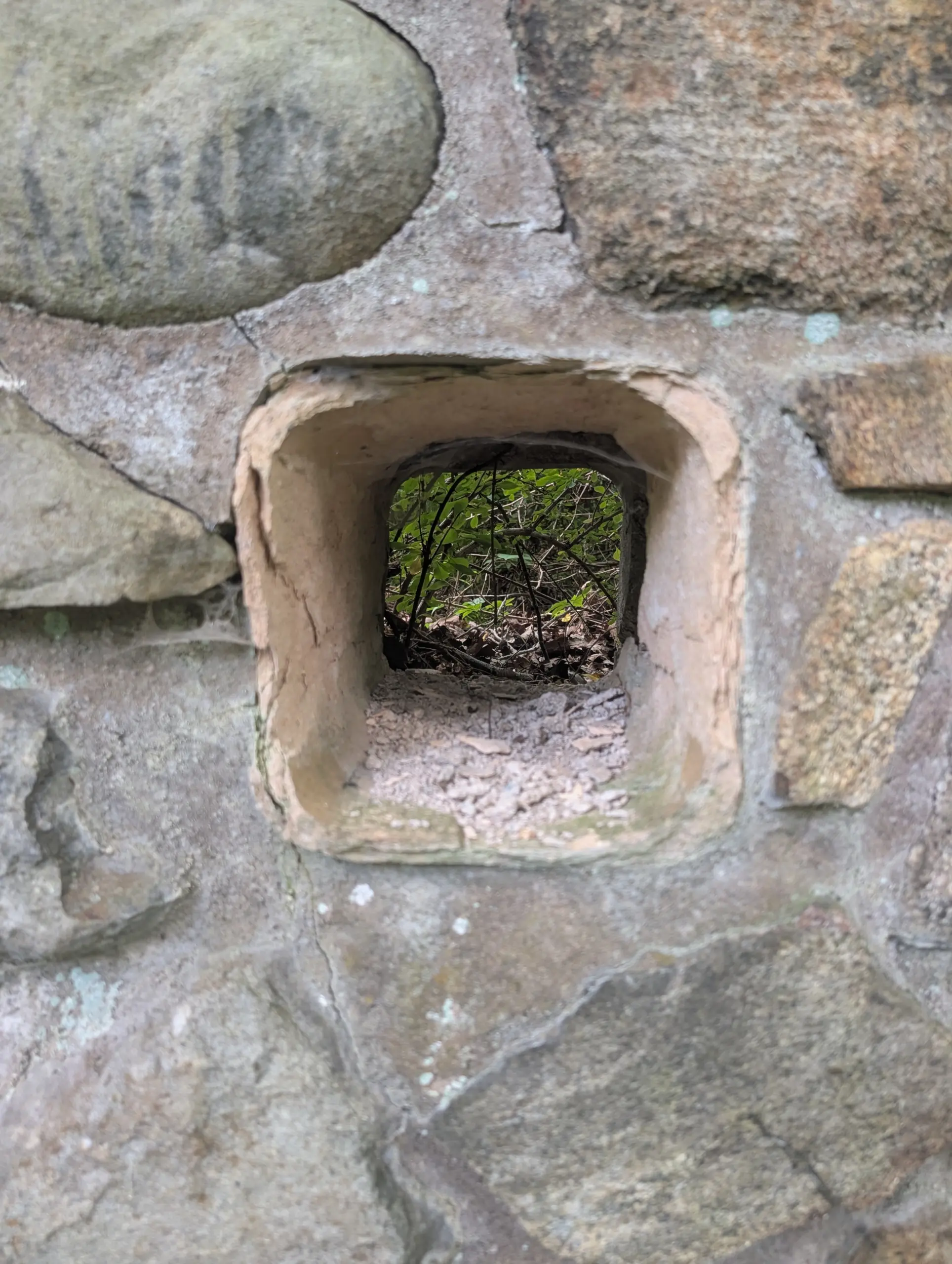
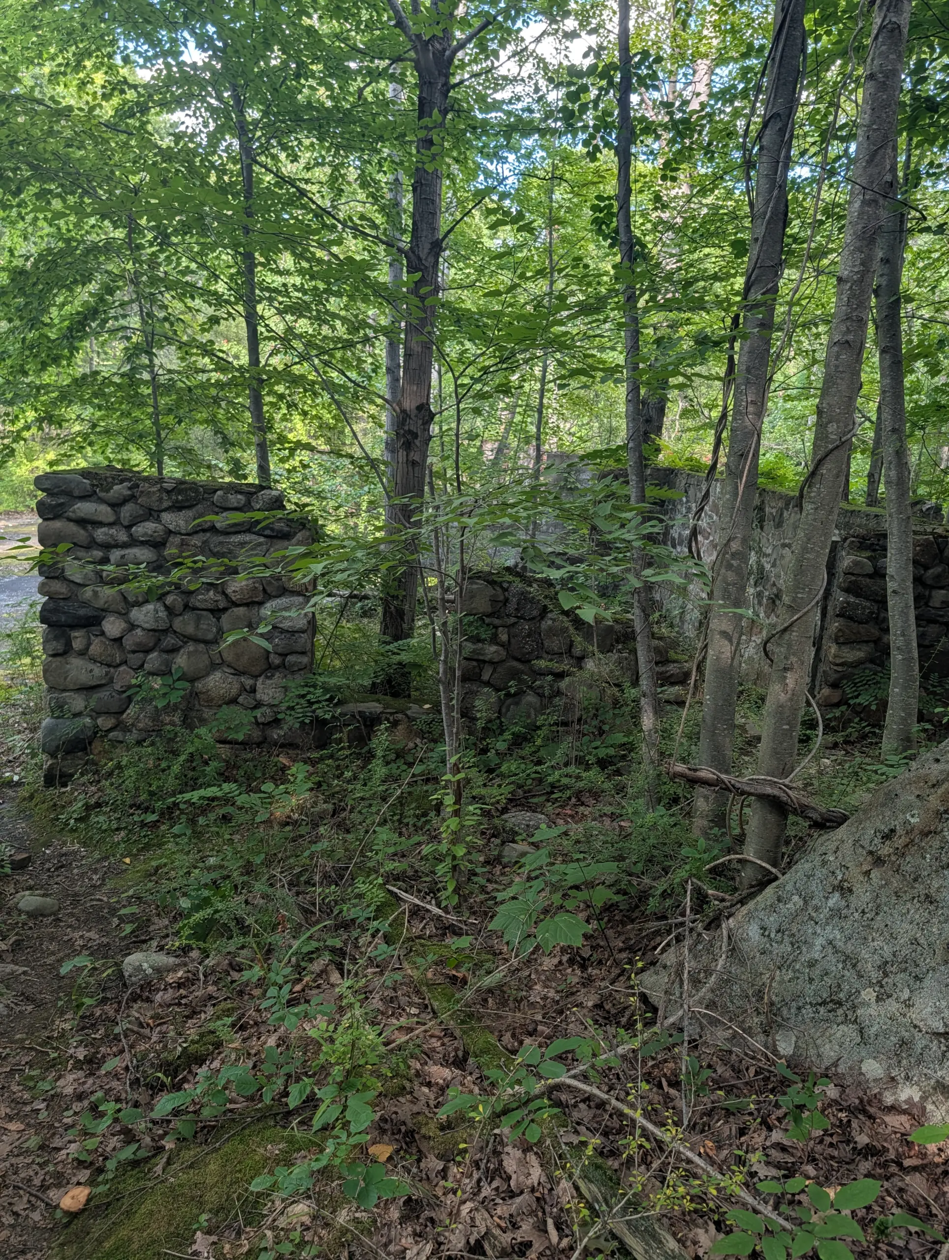
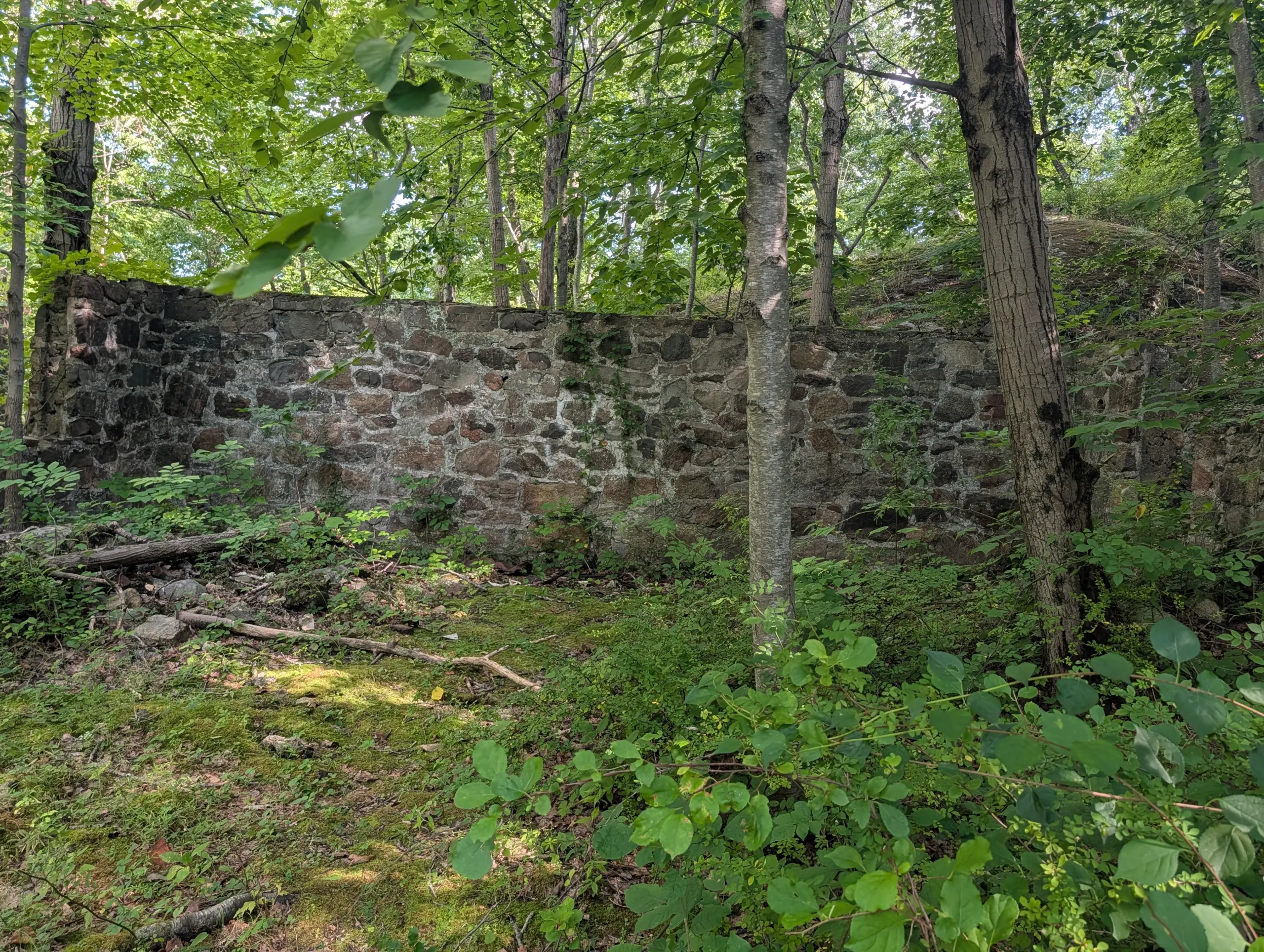
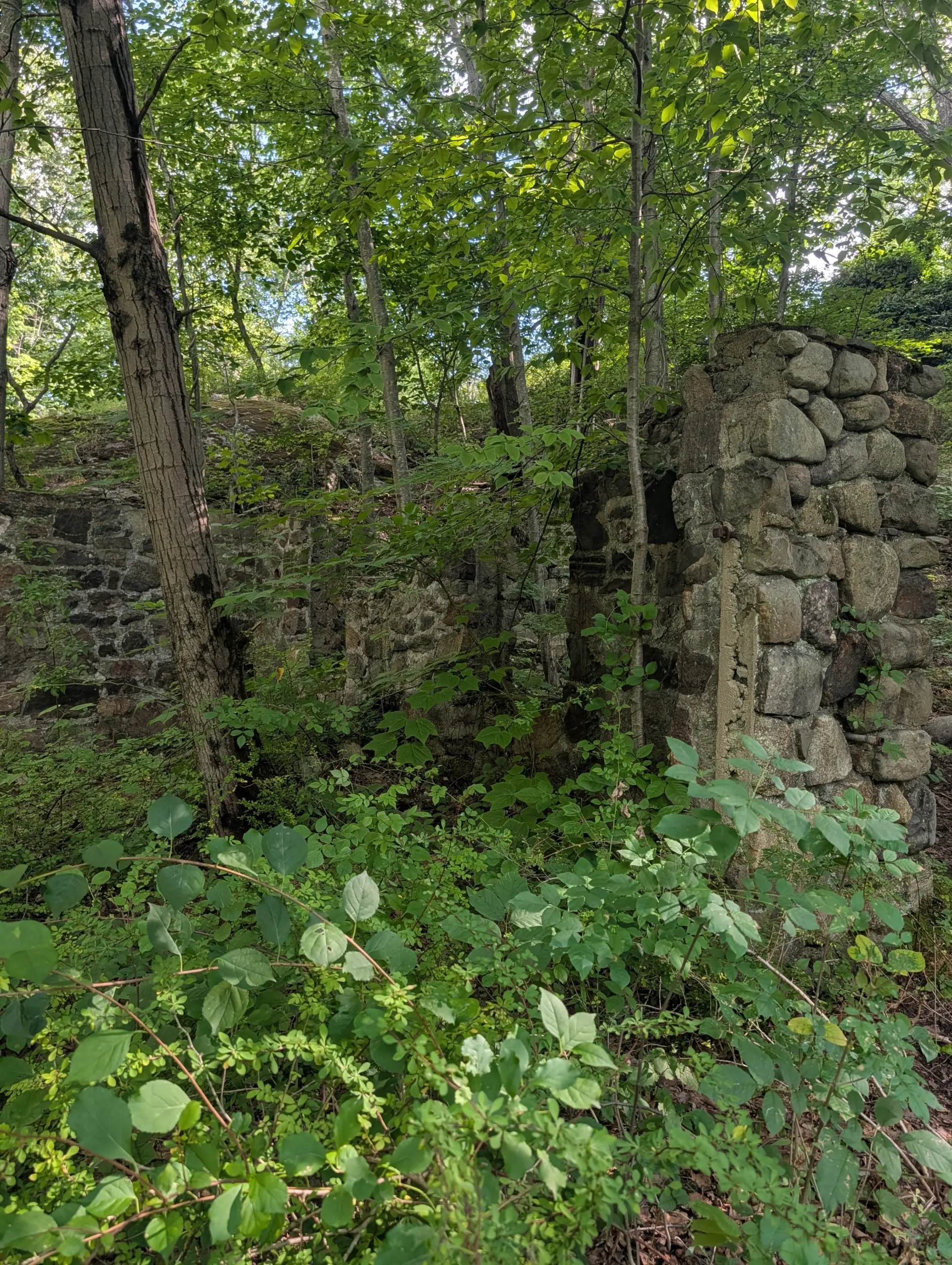
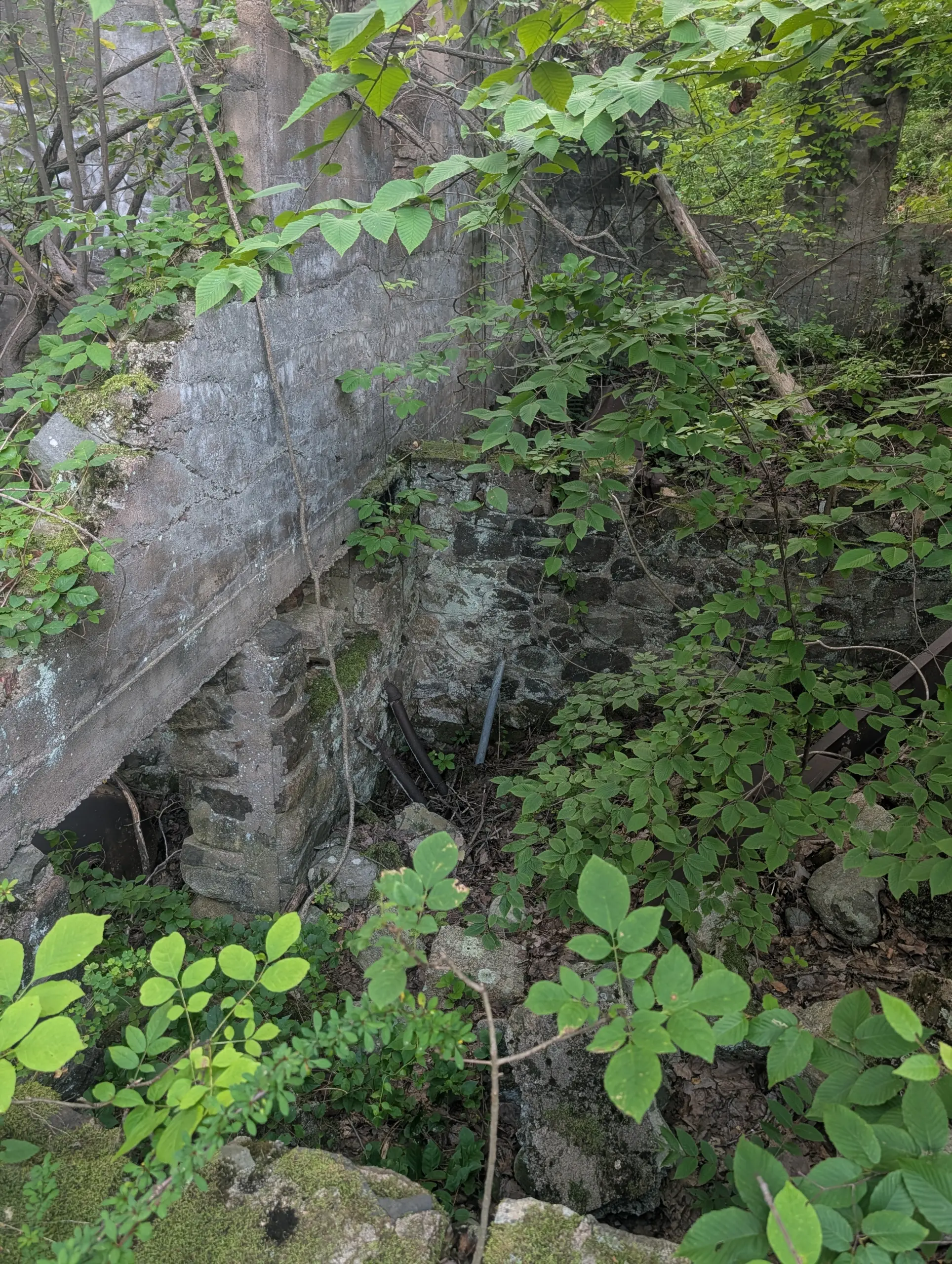
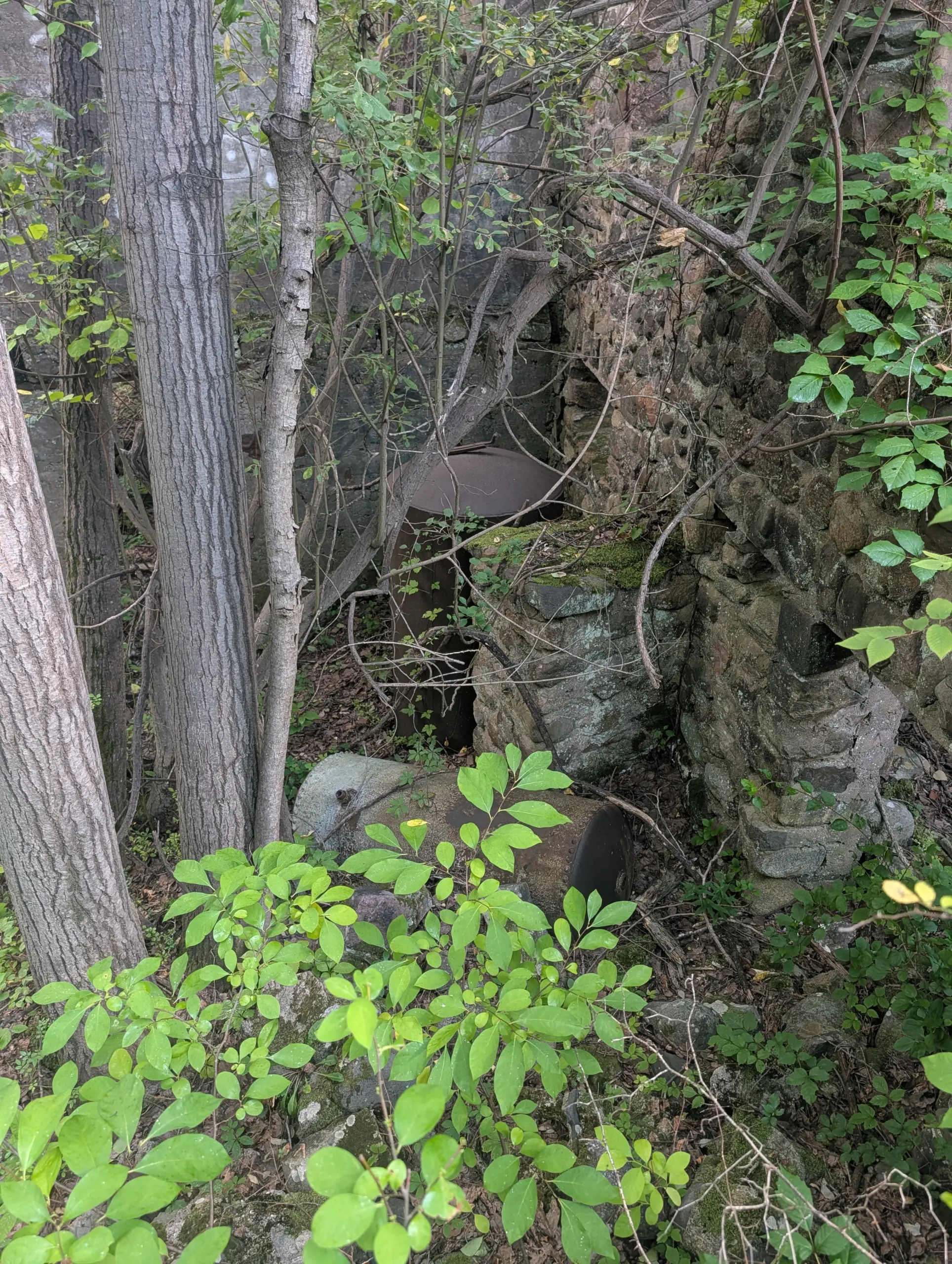
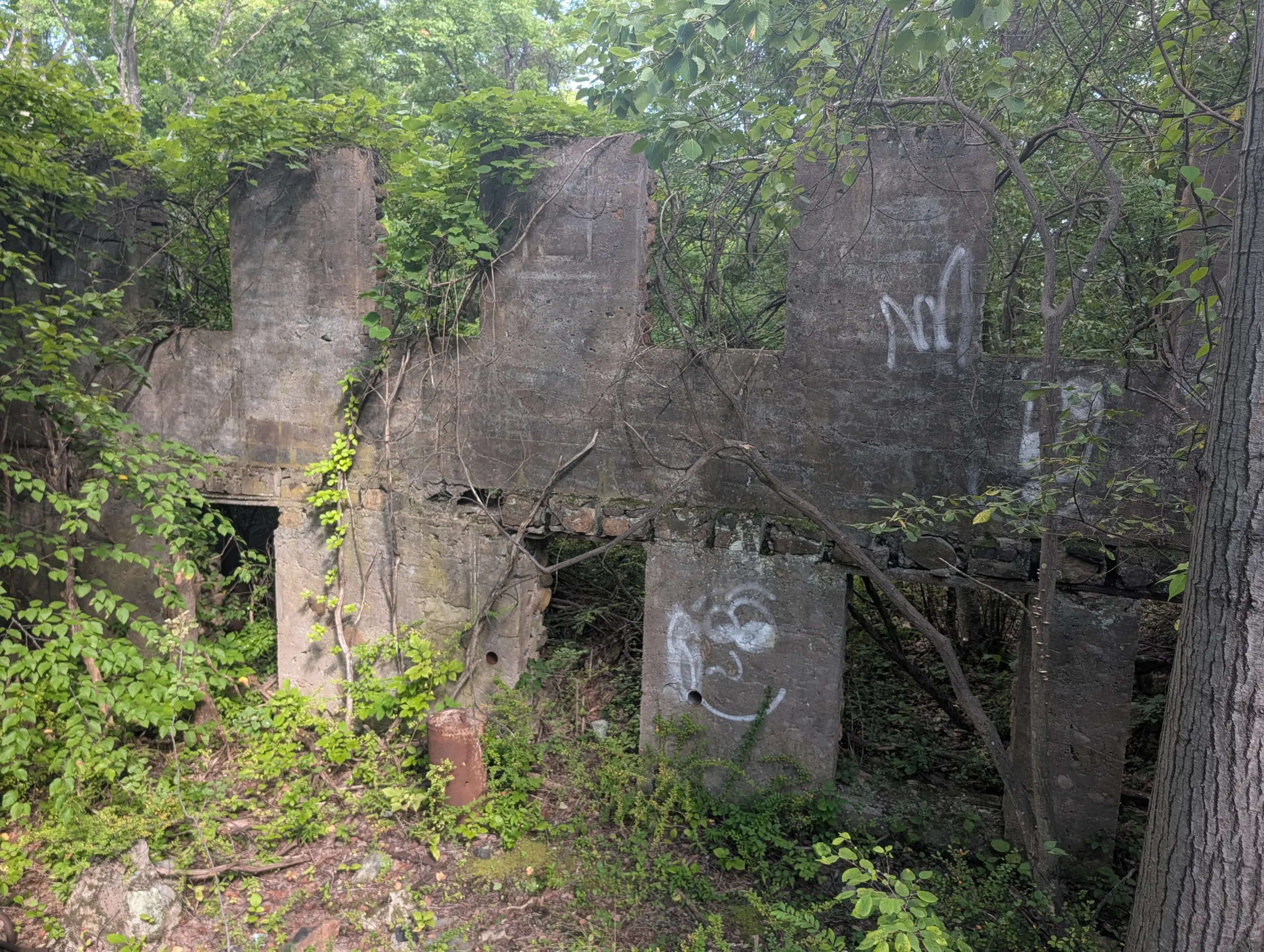
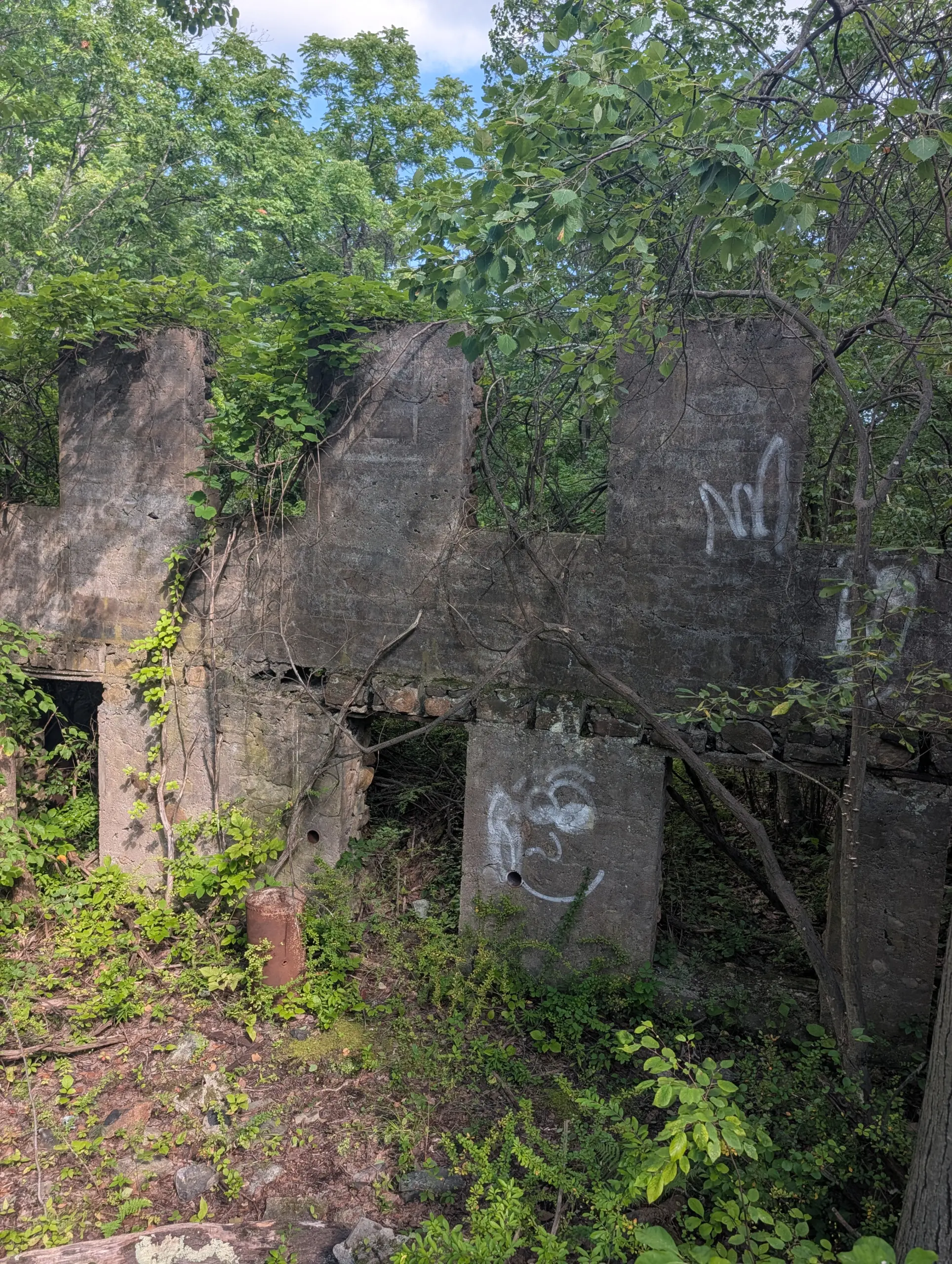
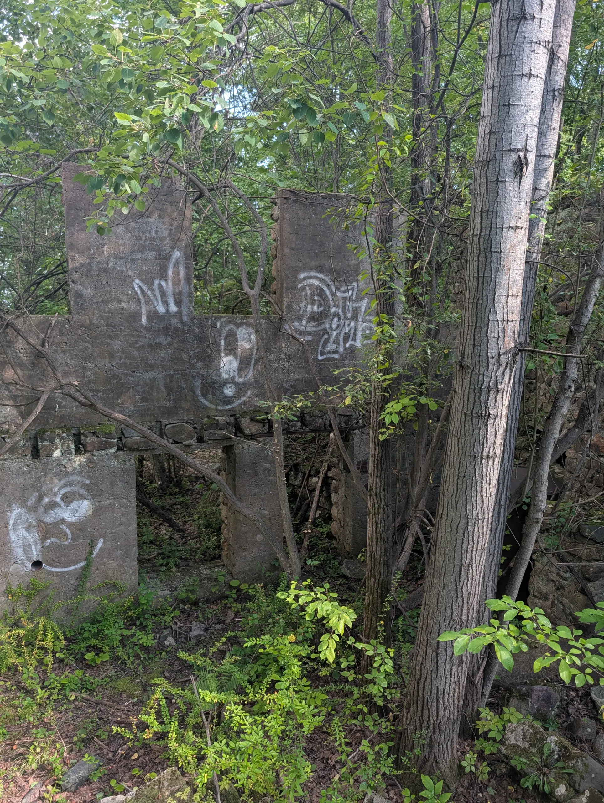
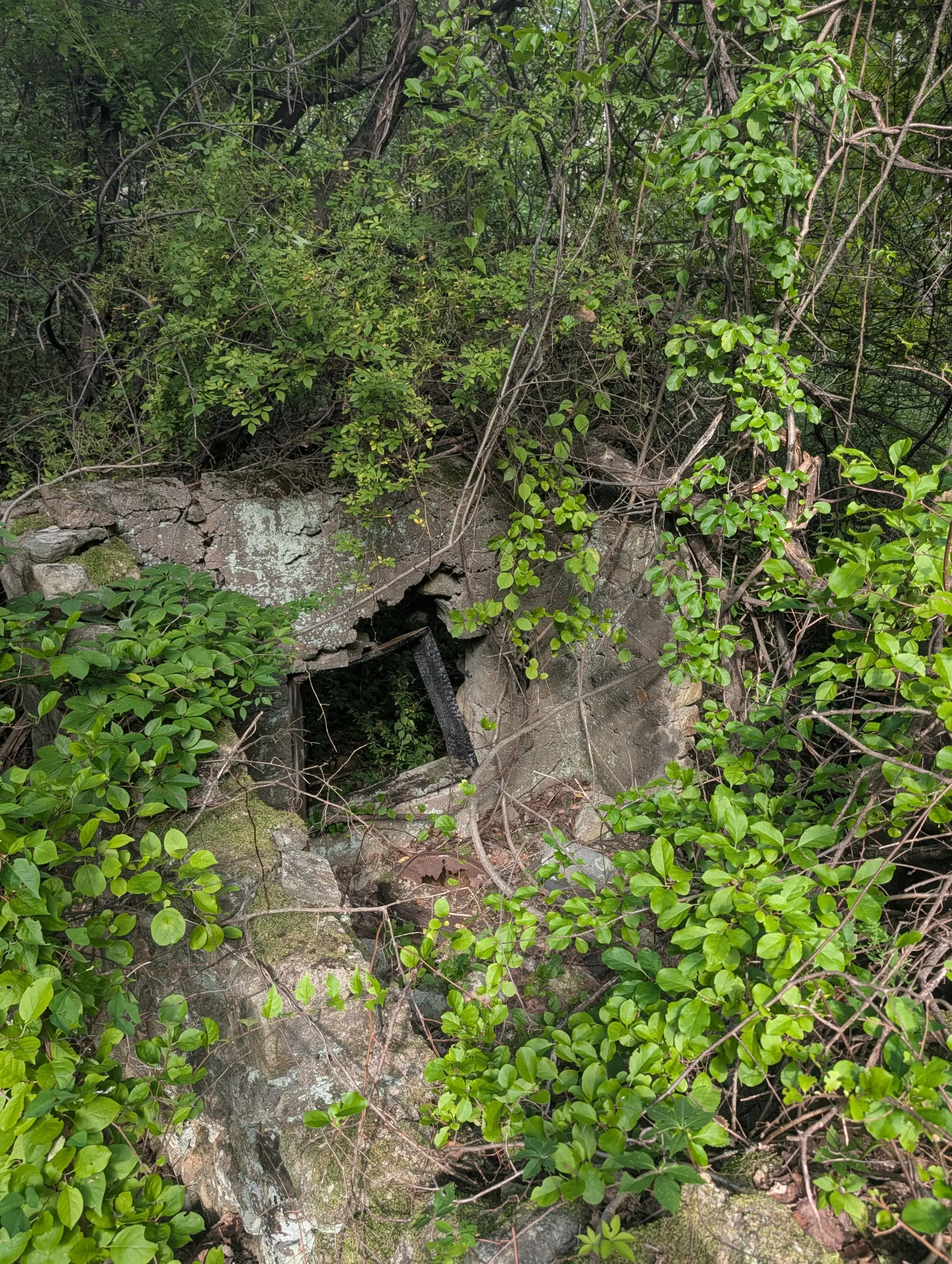
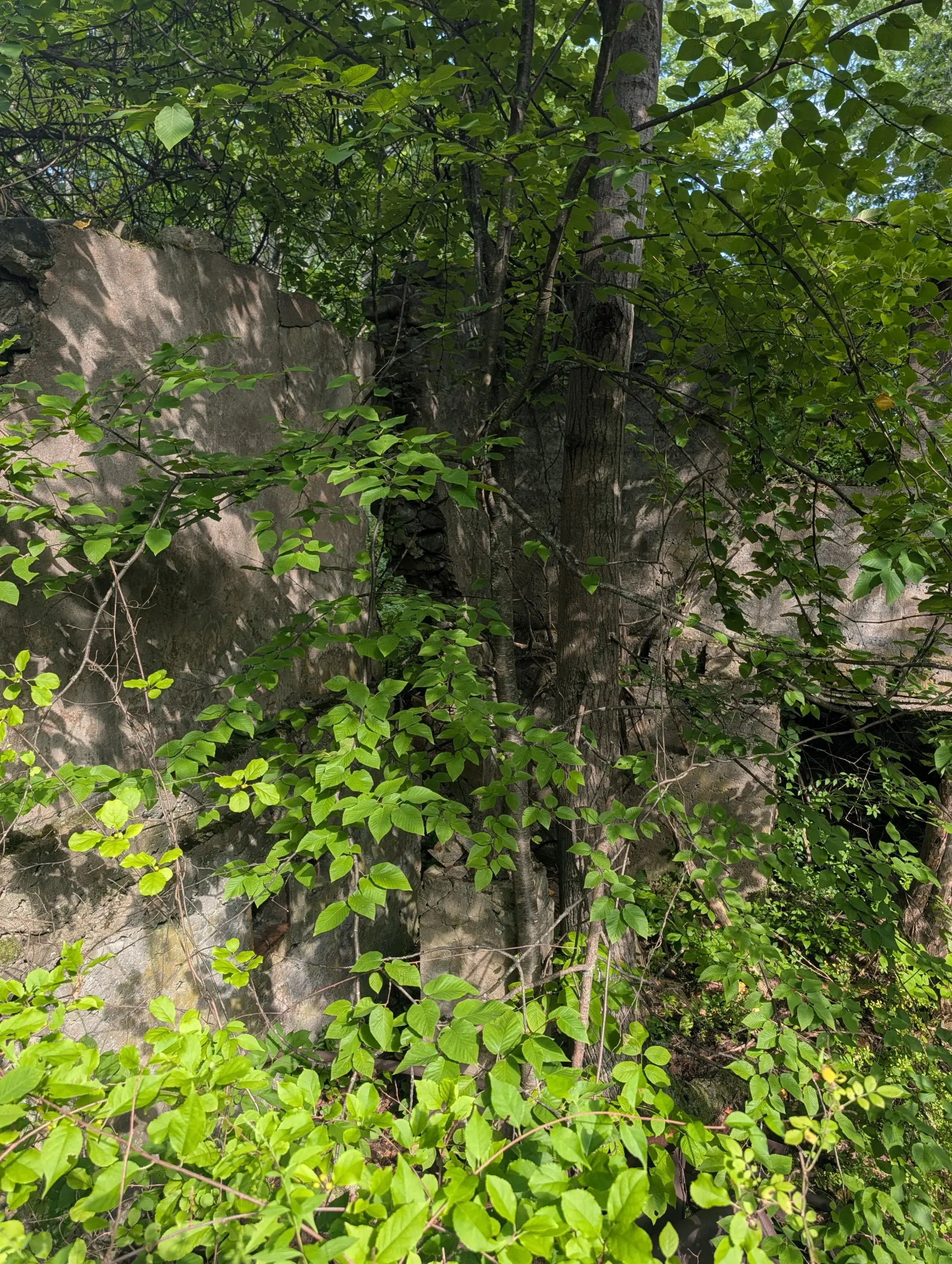
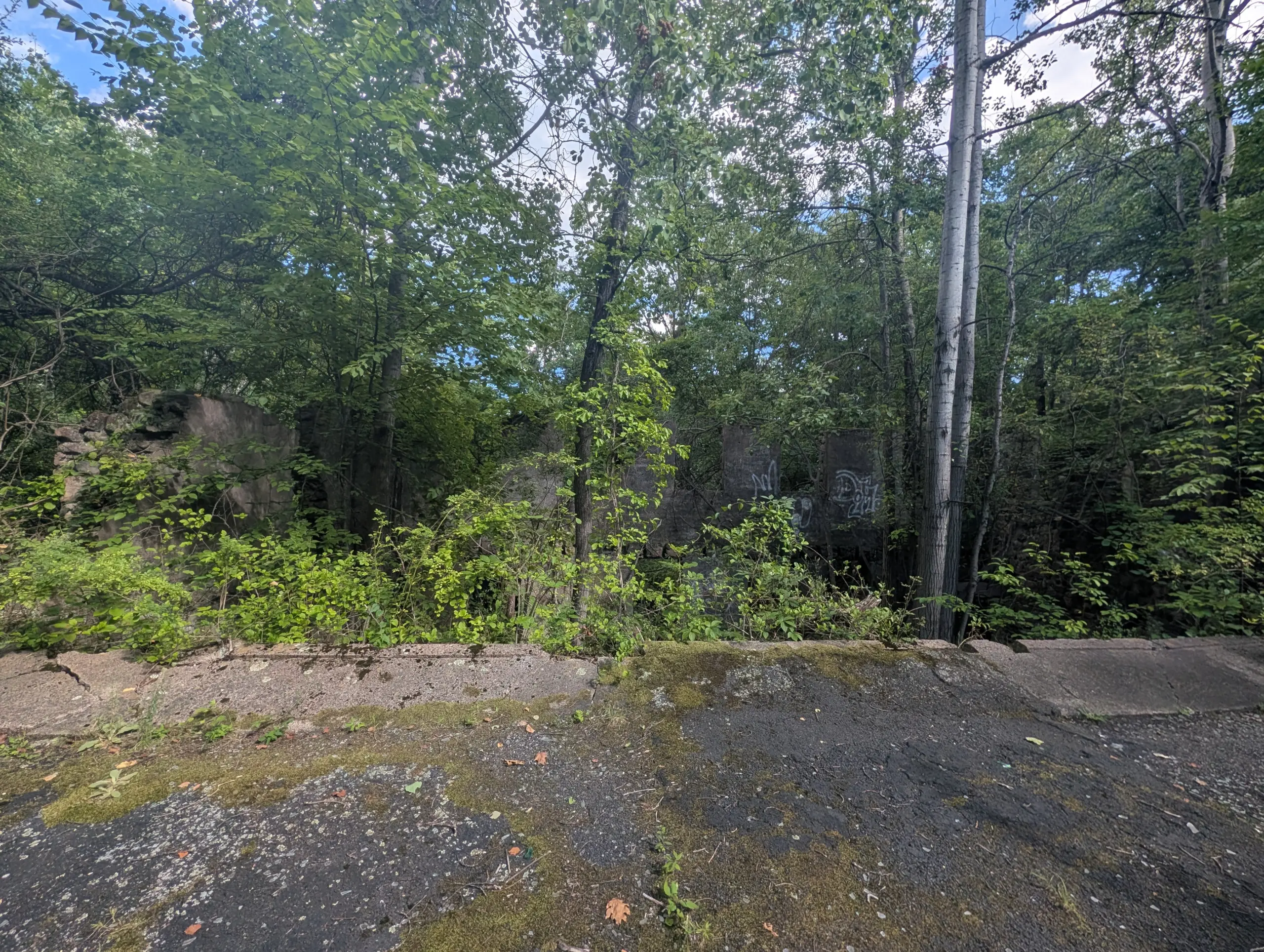
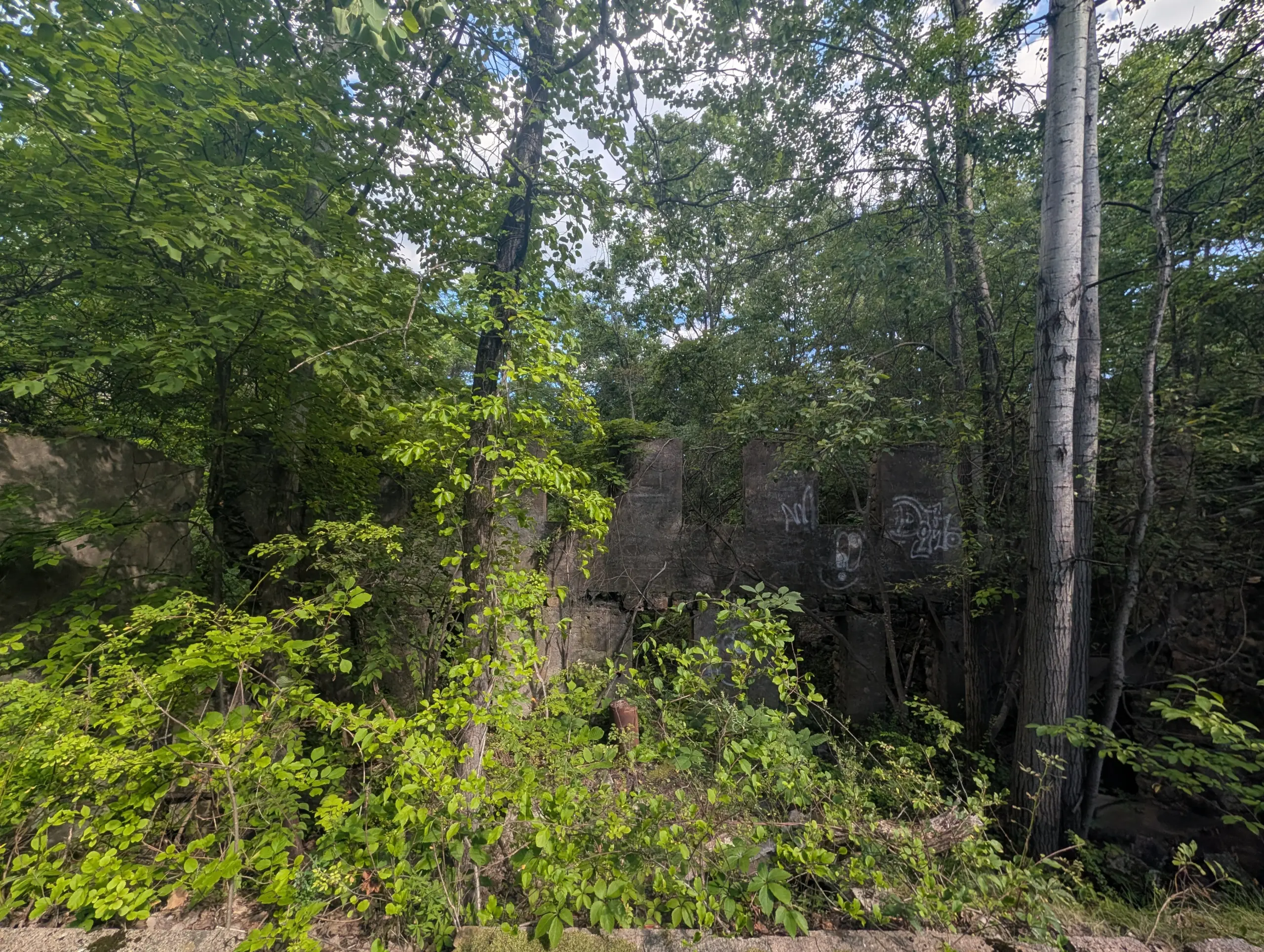
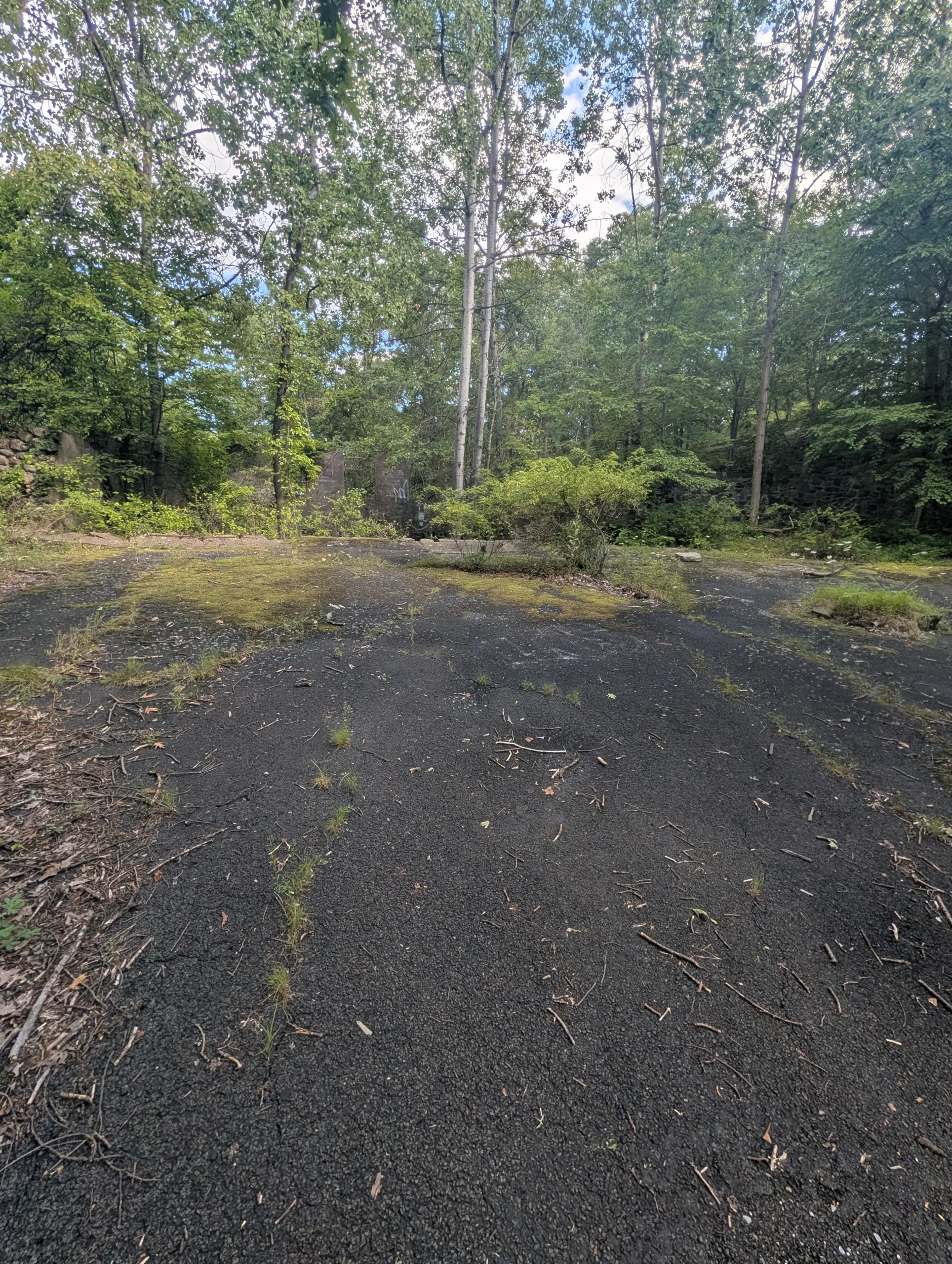
I soon made it to the ORAK ruins, the former estate of George Buchanan, the Vice President of Karo Corn Products Refining Co. Demolished in 1973, the grounds are showing their age, but there are still some walls and small structures partially standing. Exploring ruins is a favorite activity of mine.
At this point, I decided to turn around to make the journey back to camp. The second half of the trip was pretty uneventful as I booked it back to camp quickly to ensure I’d make it in time for dinner.
Overall, it was a great hike in beautiful August weather!
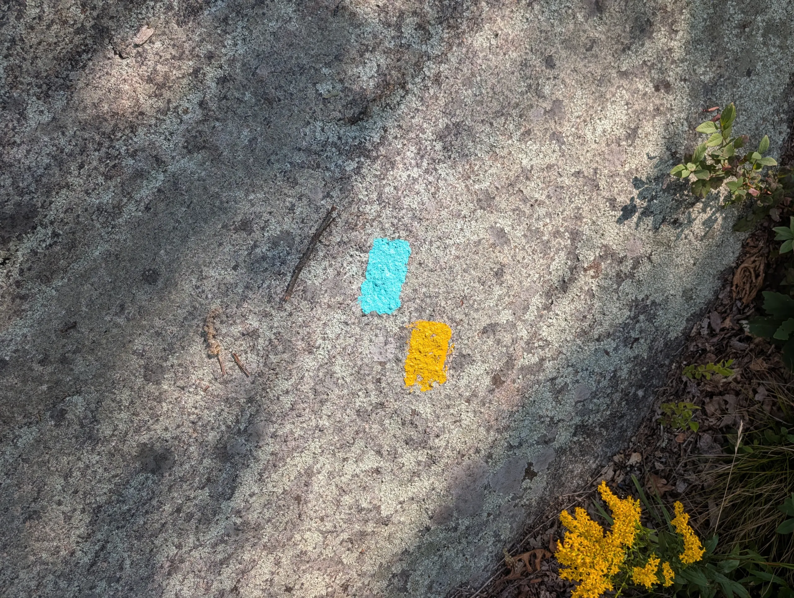
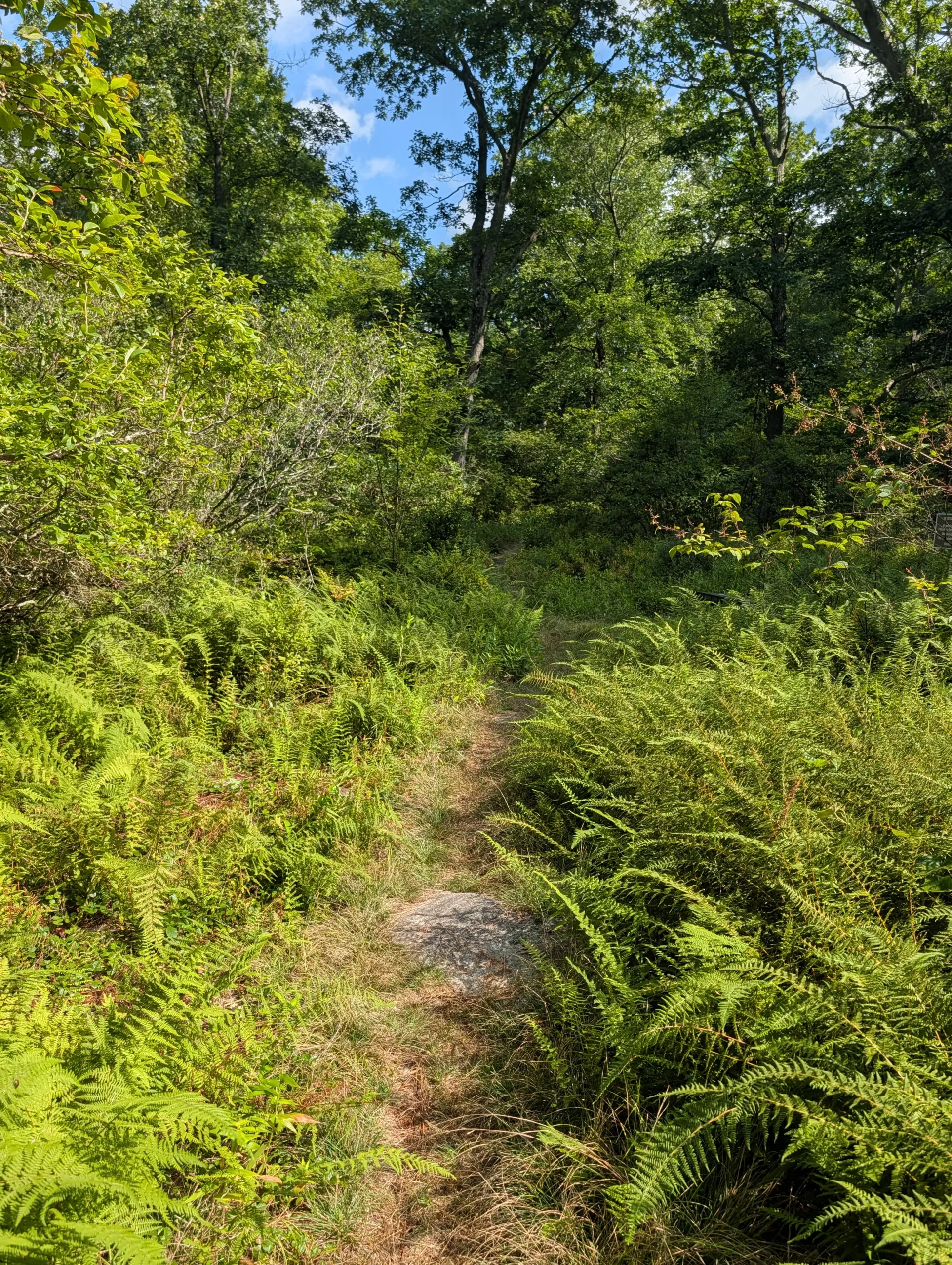
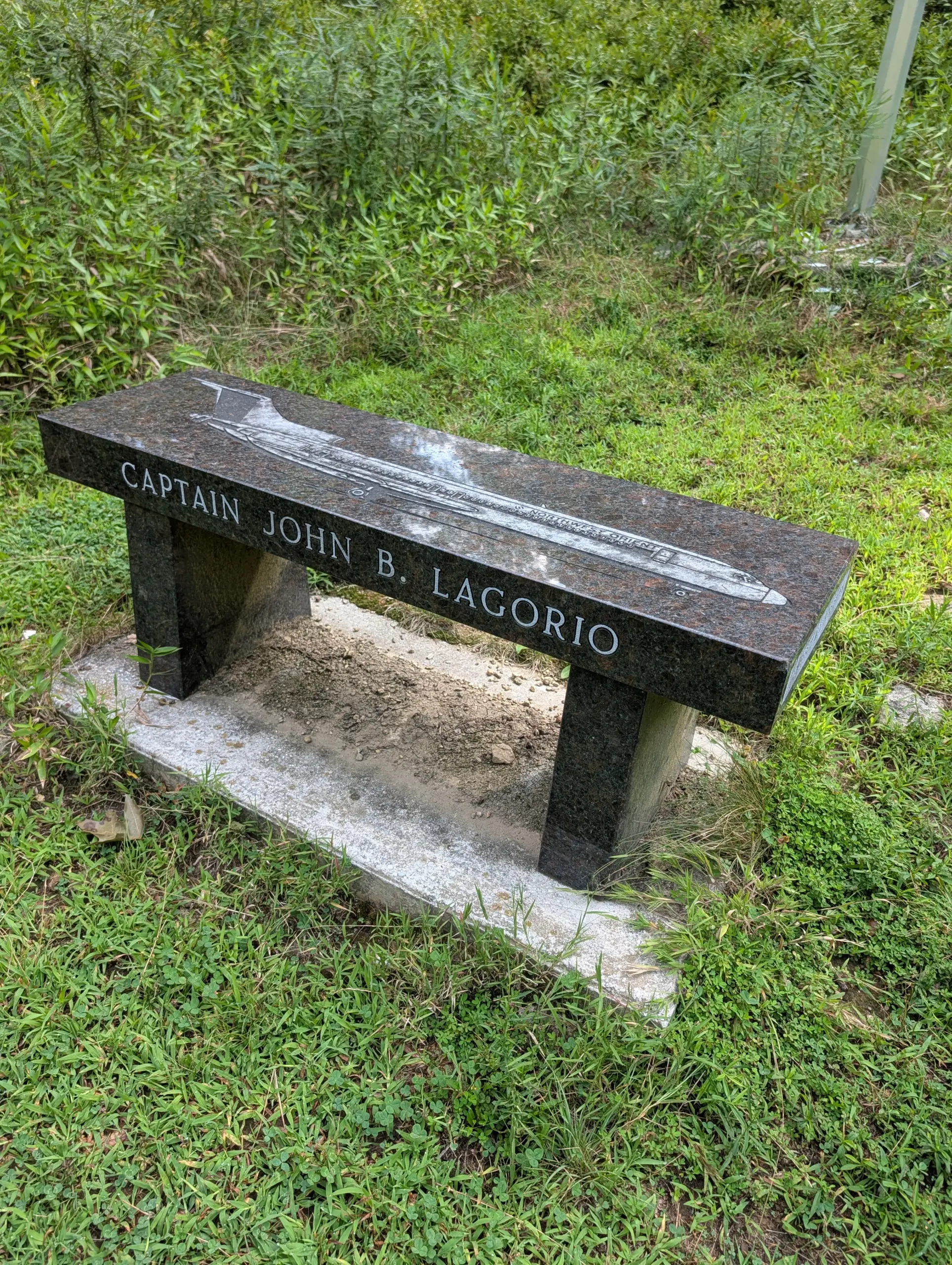
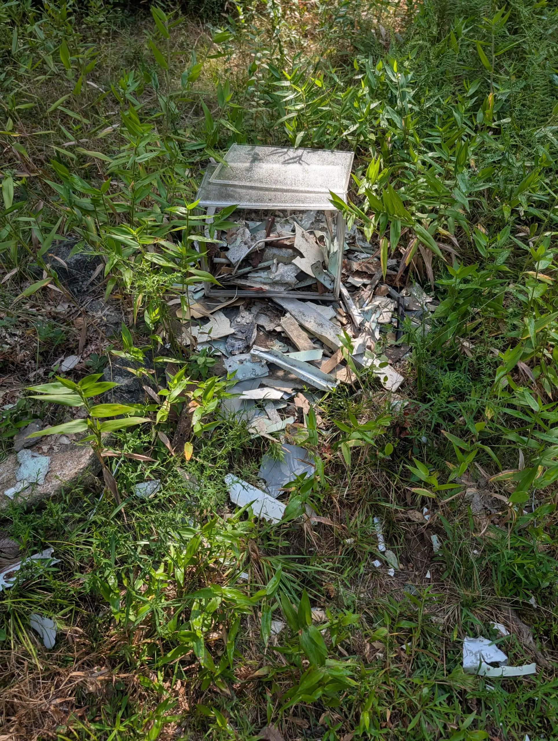
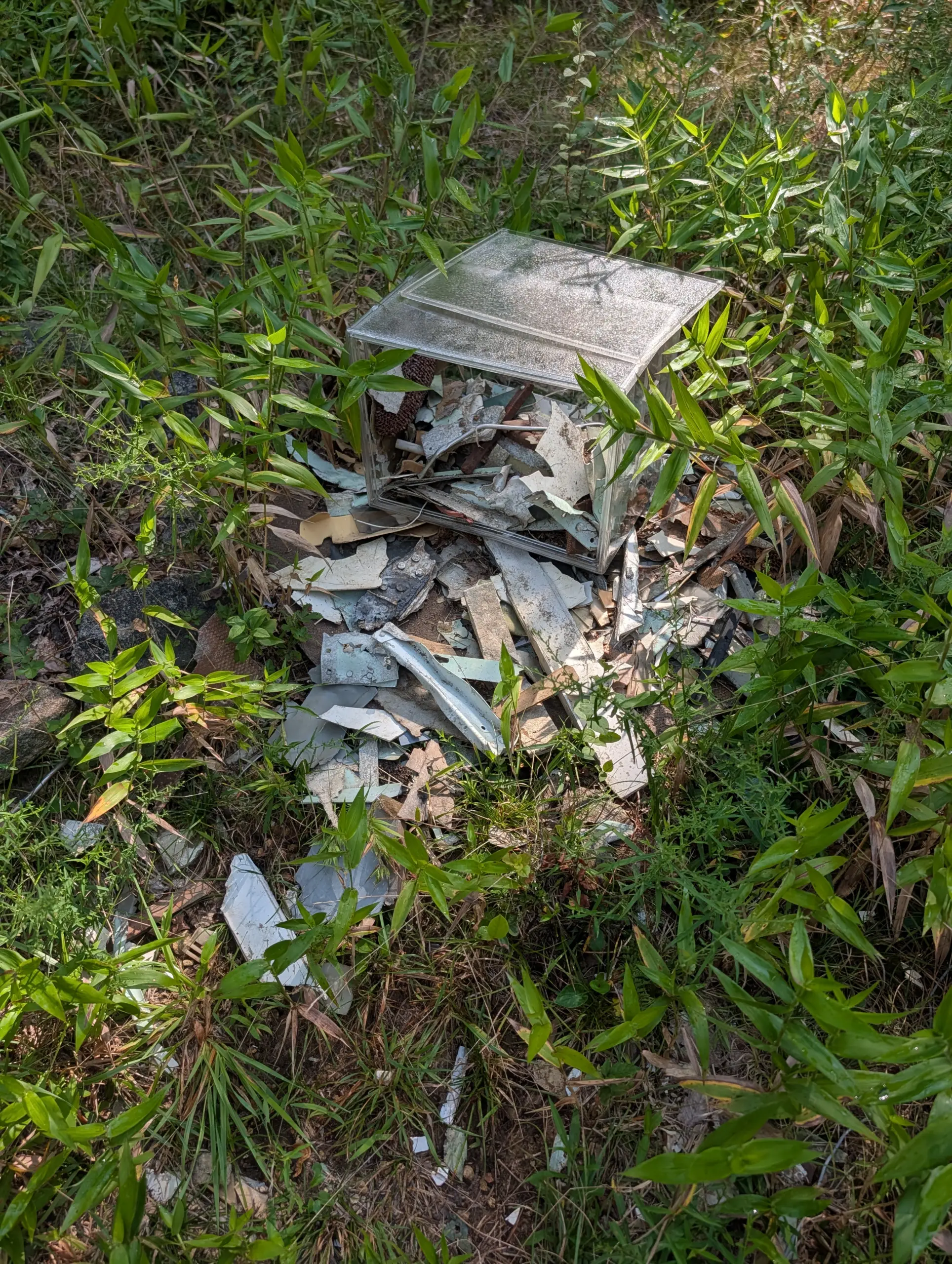
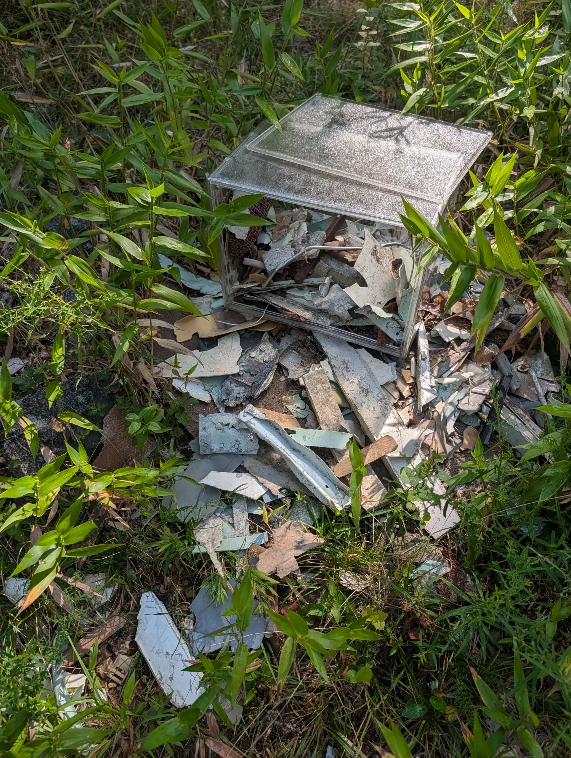
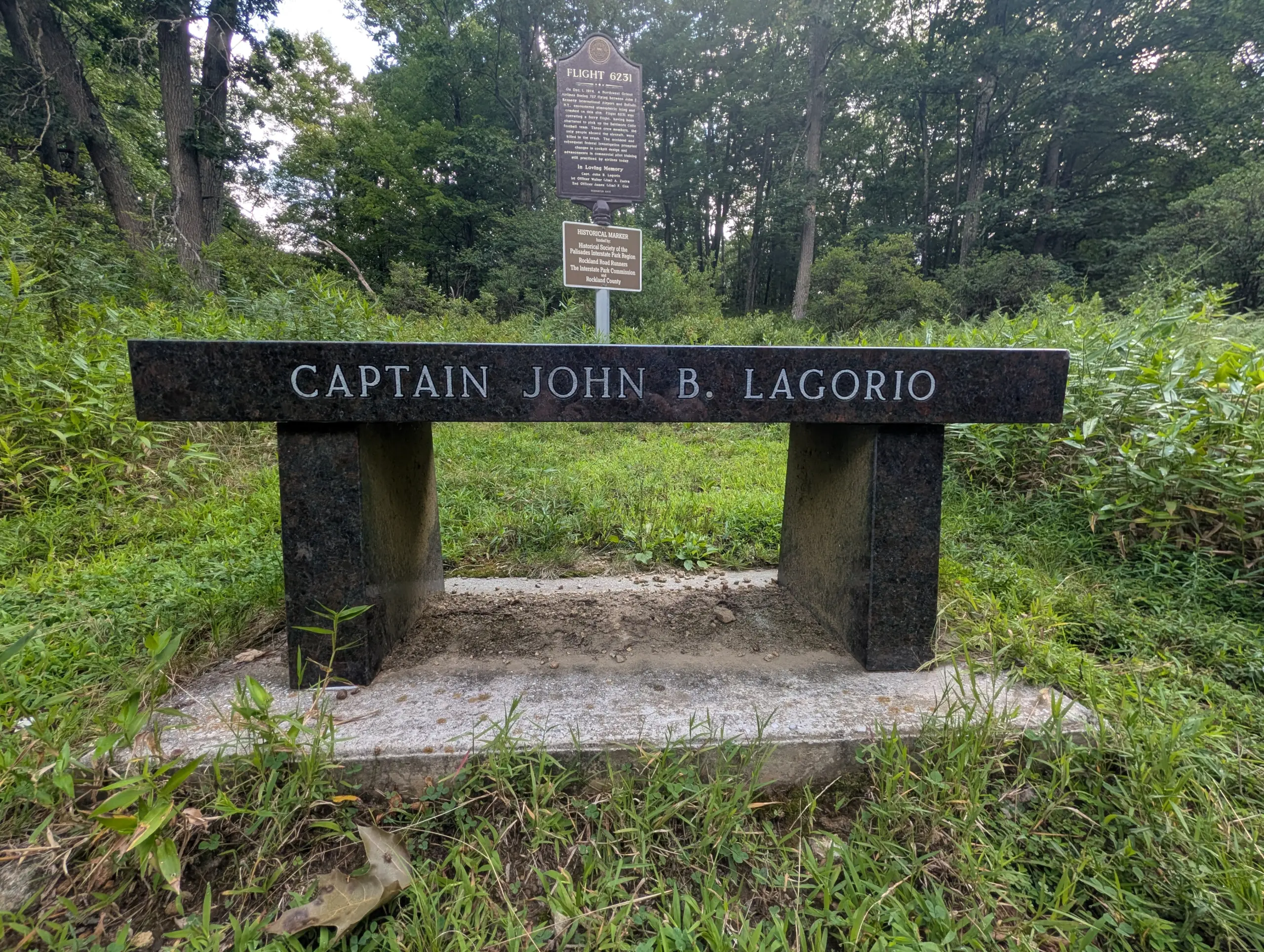
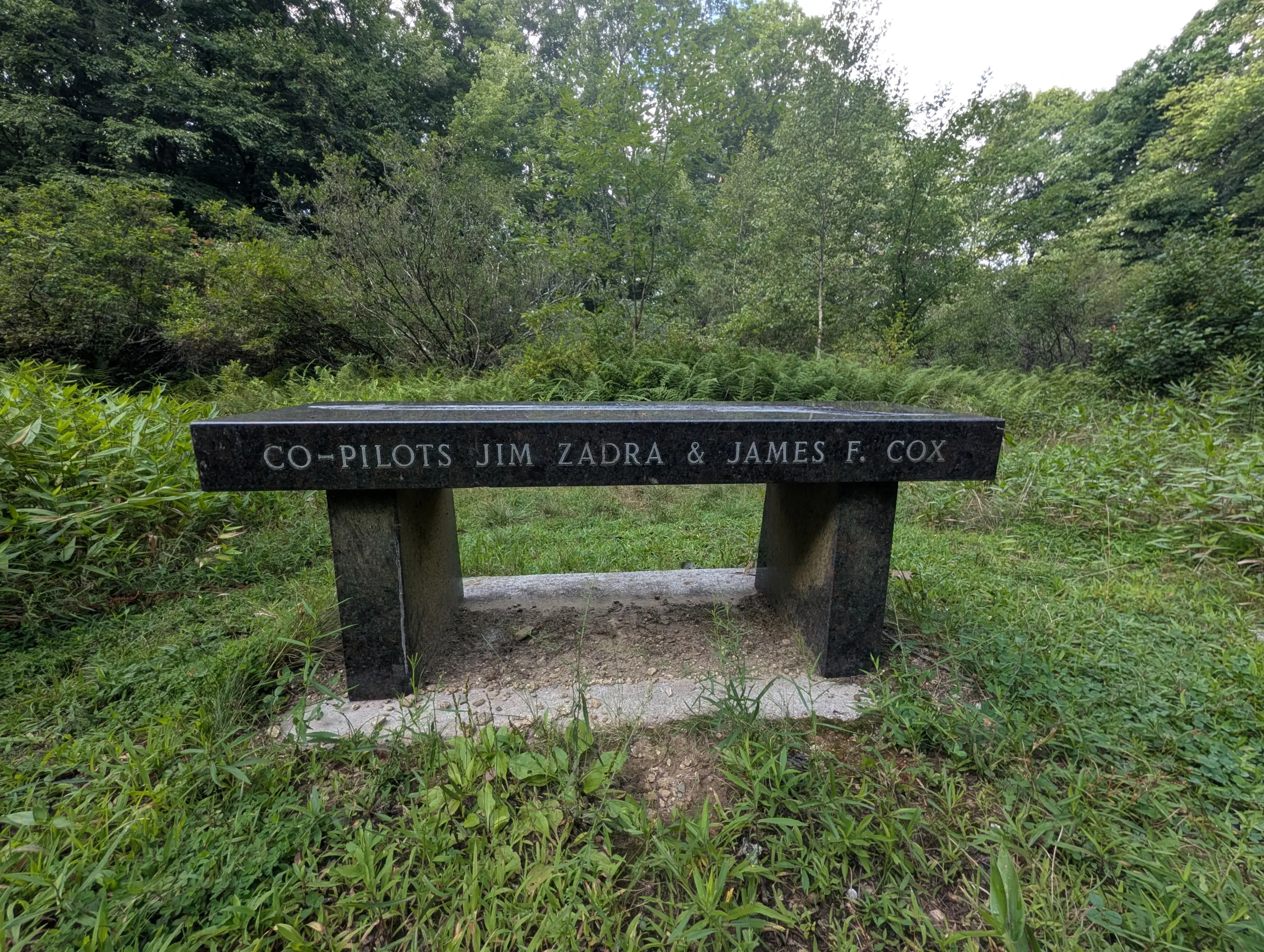
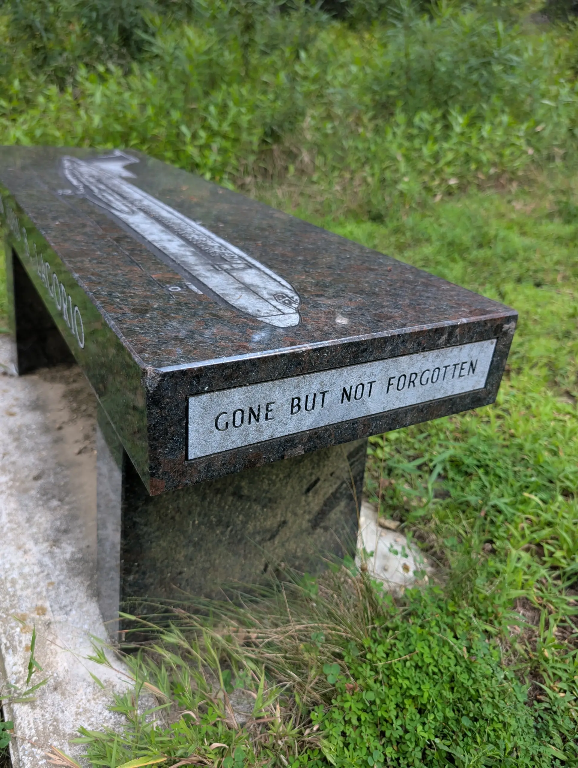
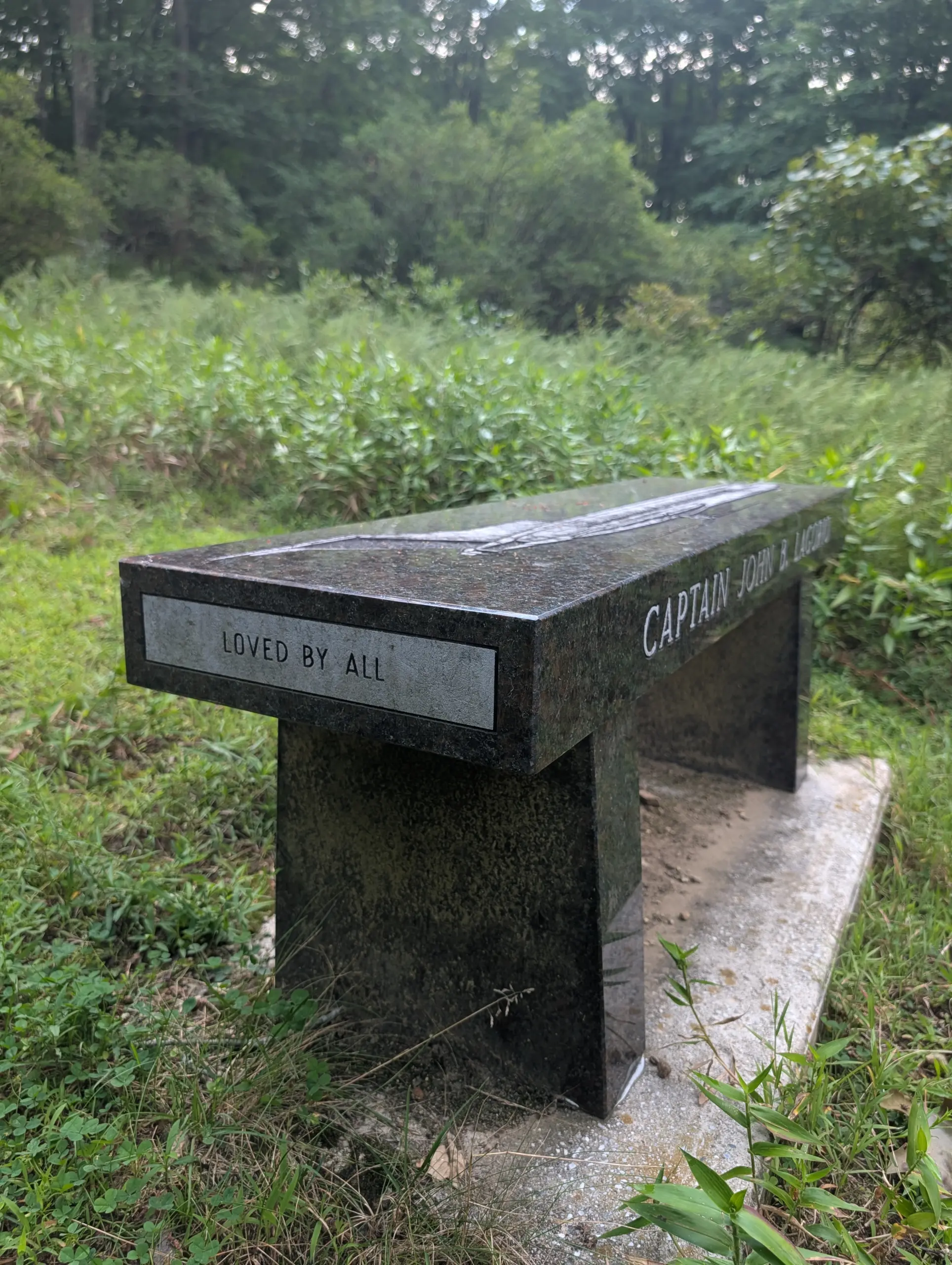
On Sunday, I walked down the camp driveway, Breakneck Road, to the Long Path trail (blue/teal blazes). I made a right onto the trail, heading in a northeasterly direction. About 1/10th of a mile down the trail is a memorial site for the victims of the Northwest Orient Airlines Flight 6231 plane crash. There’s a dedication plaque and a beautiful granite bench. In addition, there’s a plastic box with small bits of fuselage parts from the wreckage. It was an eerie feeling touching parts that came from a tragic plane crash. I happen to regularly watch videos about plane crash investigations and although this one had not been on my radar before now, it was fascinating to be at an actual crash site, even if it was over 50 years later.
I highly recommend the AMC Harriman experience for anyone that enjoys any level of outdoor activit
Photos



GPS Route & Elevation
Loads an interactive map; map tiles are served by the U.S. Geological Survey, which receives your IP address. Learn more about maps and your privacy