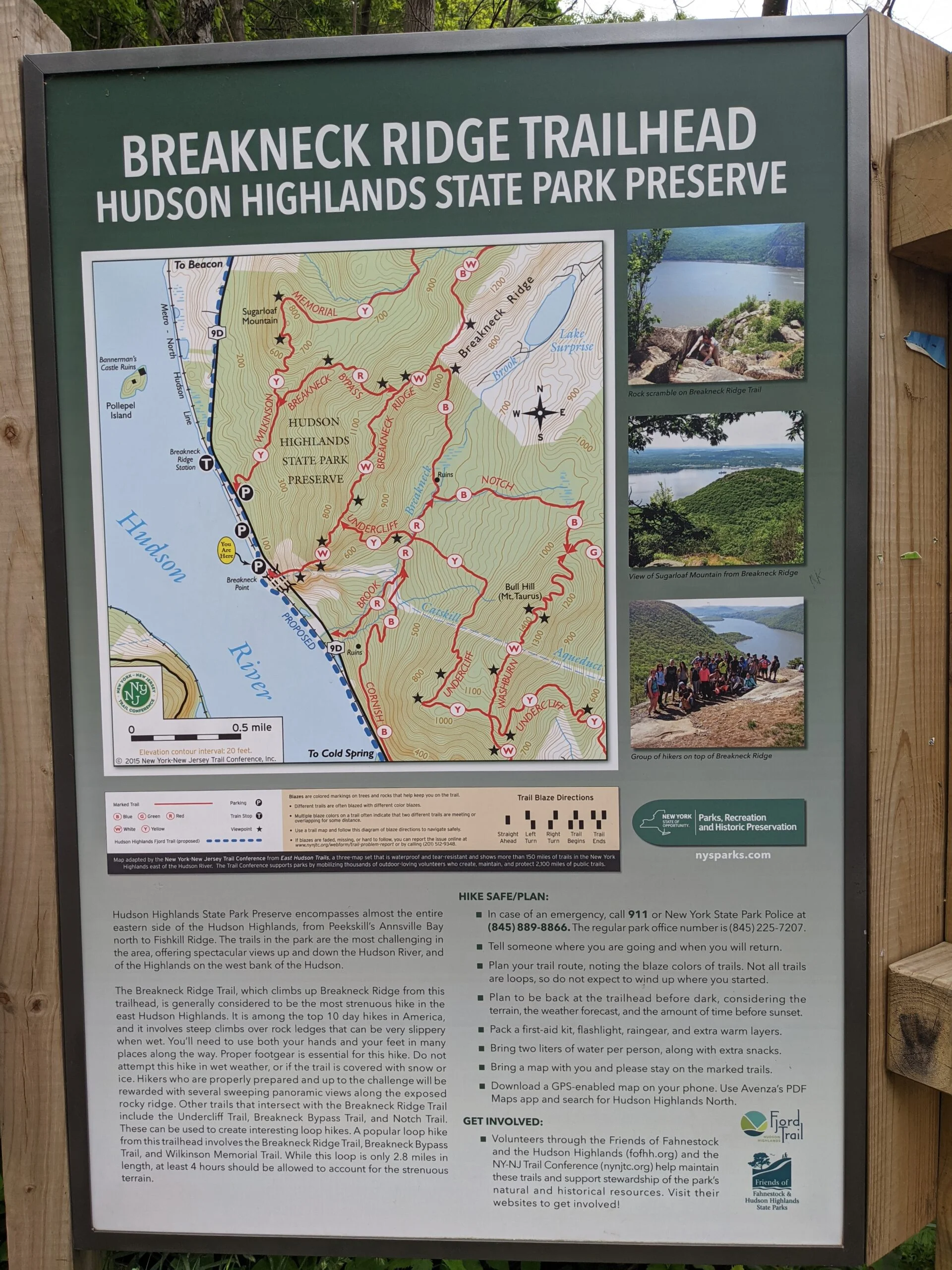
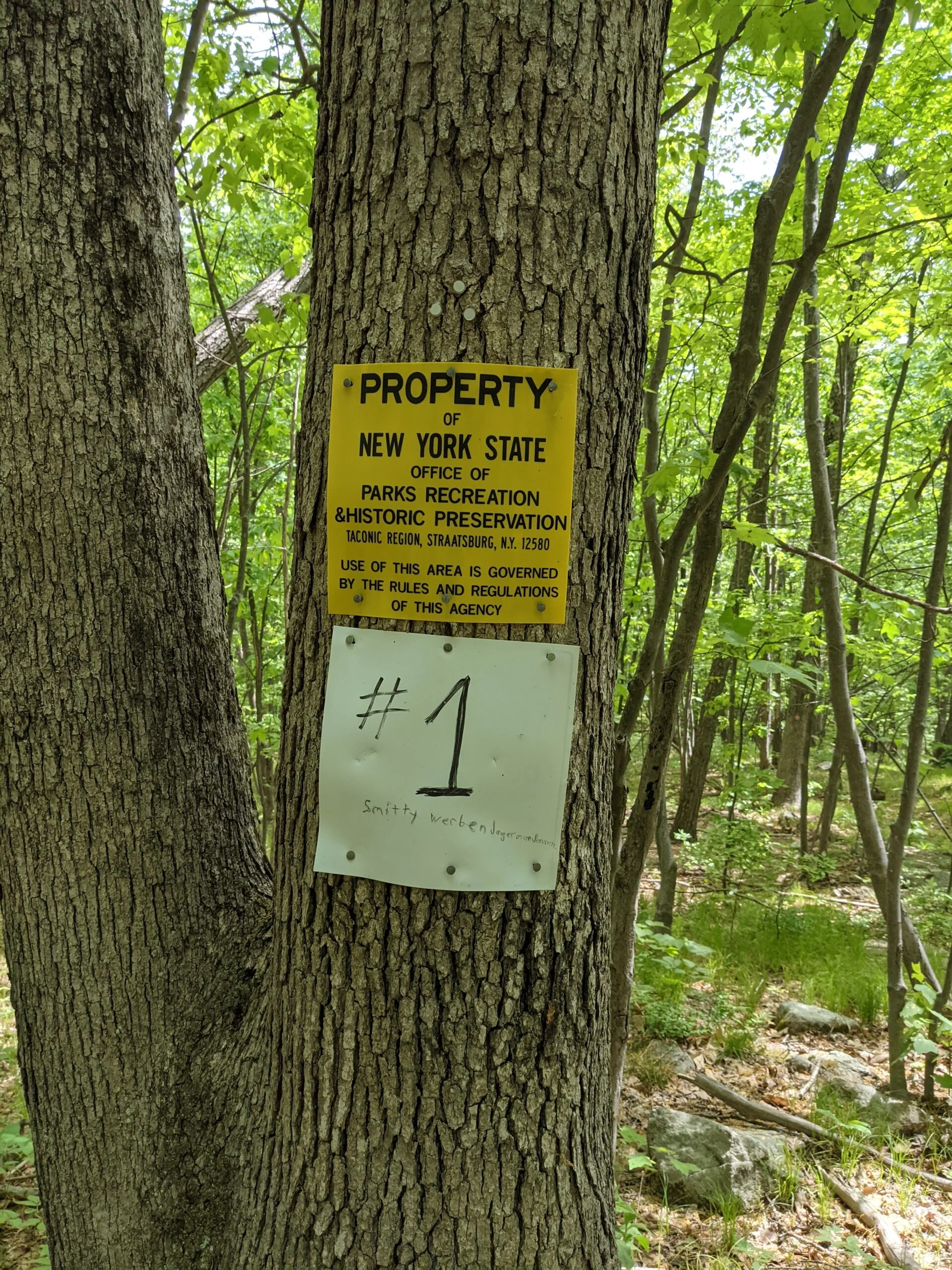
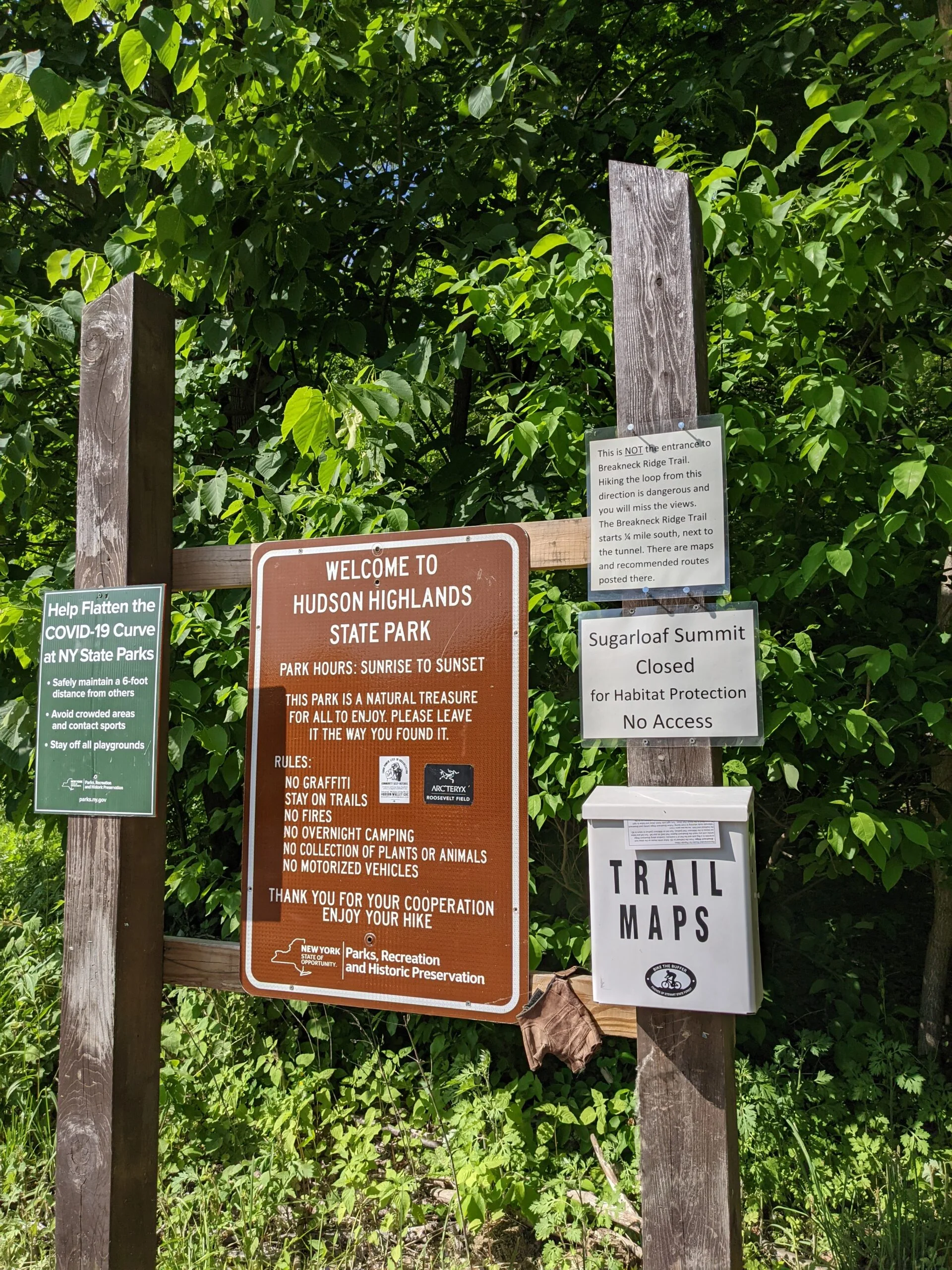
Hudson Highlands State Park Preserve
Breakneck Ridge – Hudson River, Notch Trail, Fire Tower, Wilkinson Memorial Trail
- 10.4 mi
- 2,894 ft gain
- 08:33:18
- 391 photos
- 17 videos
In honor of my one year anniversary of starting this hiking journey, I picked a special hike. I had been hearing about Breakneck Ridge for almost 10 months and decided today was the day I would conquer it. I was originally planning to wait until the weekend to celebrate, but I was worried about possible rain in the weather forecast for the weekend. On top of that, I knew that Breakneck attracts a ton of hikers on the weekends to the point where parking is sometimes difficult to find and the lookout spots get crowded. Rather than compete against all those variables, I figured a Tuesday morning hike would be much quieter.
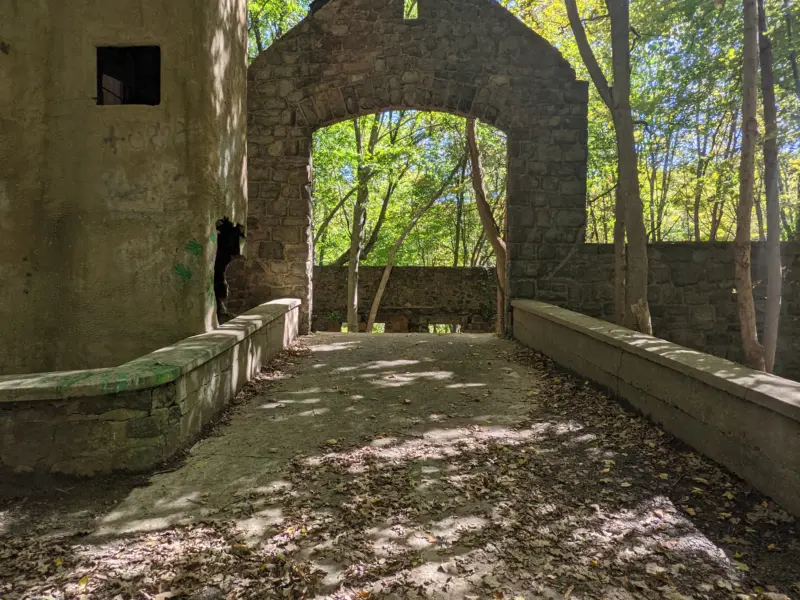
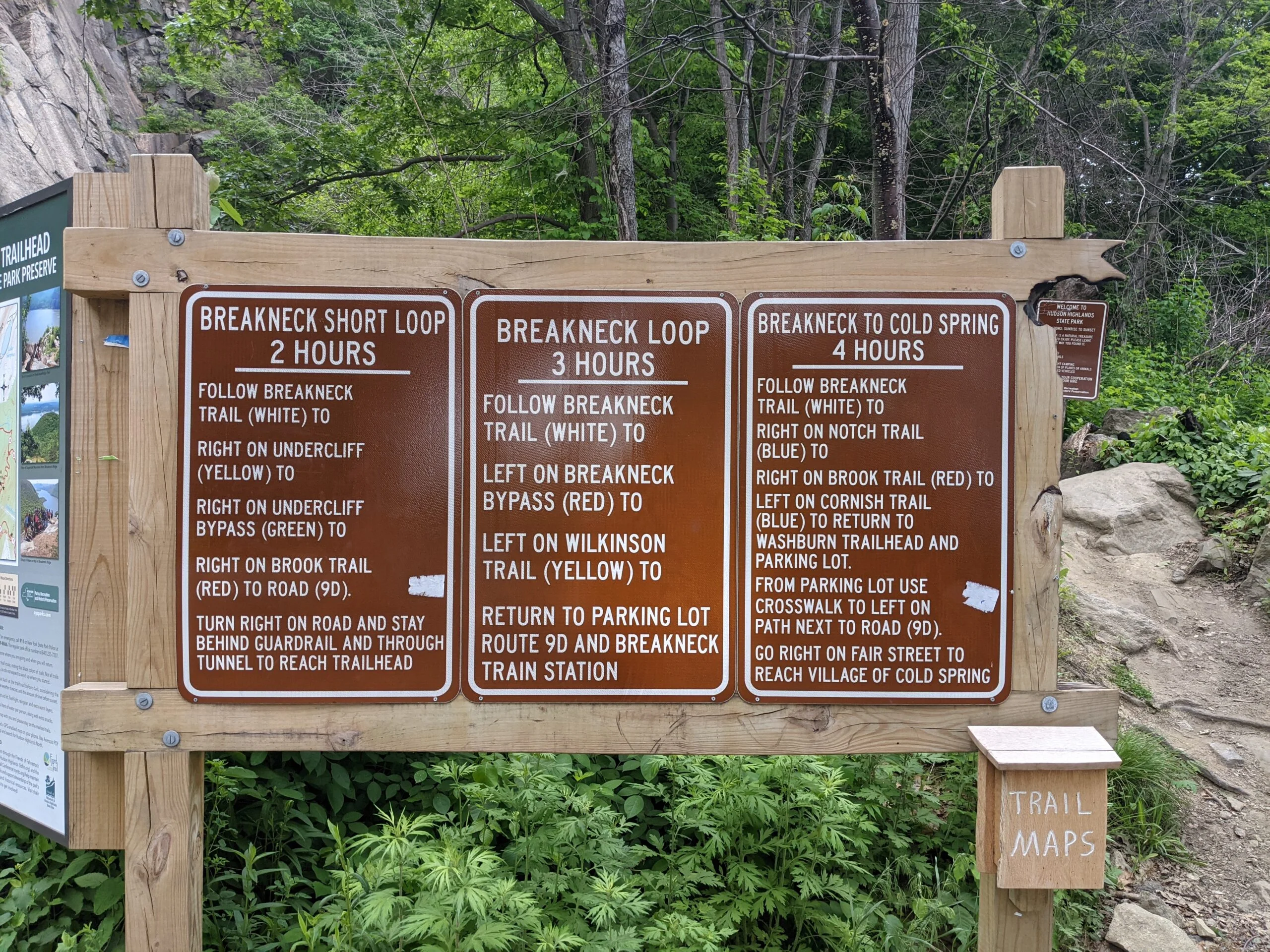
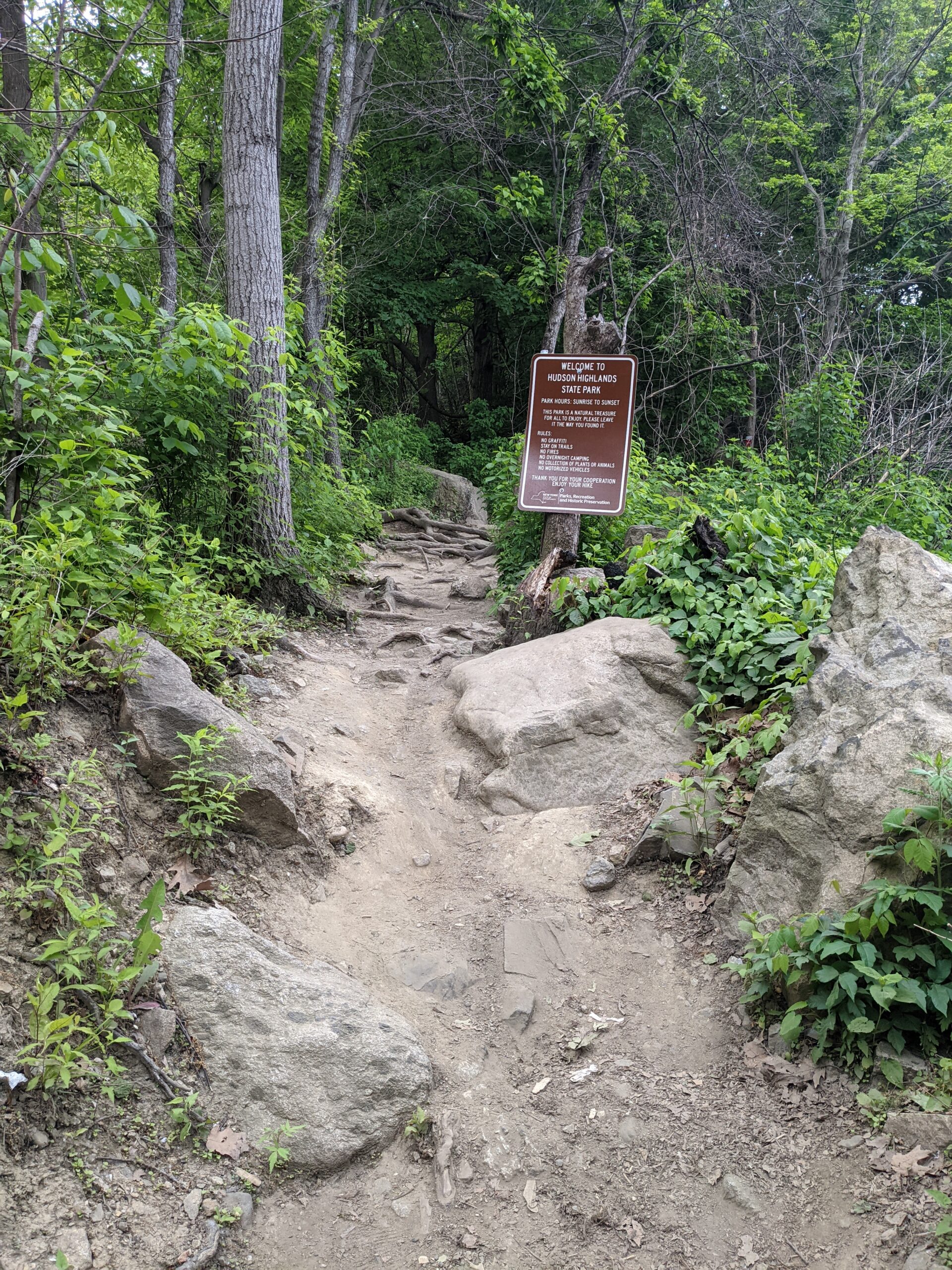
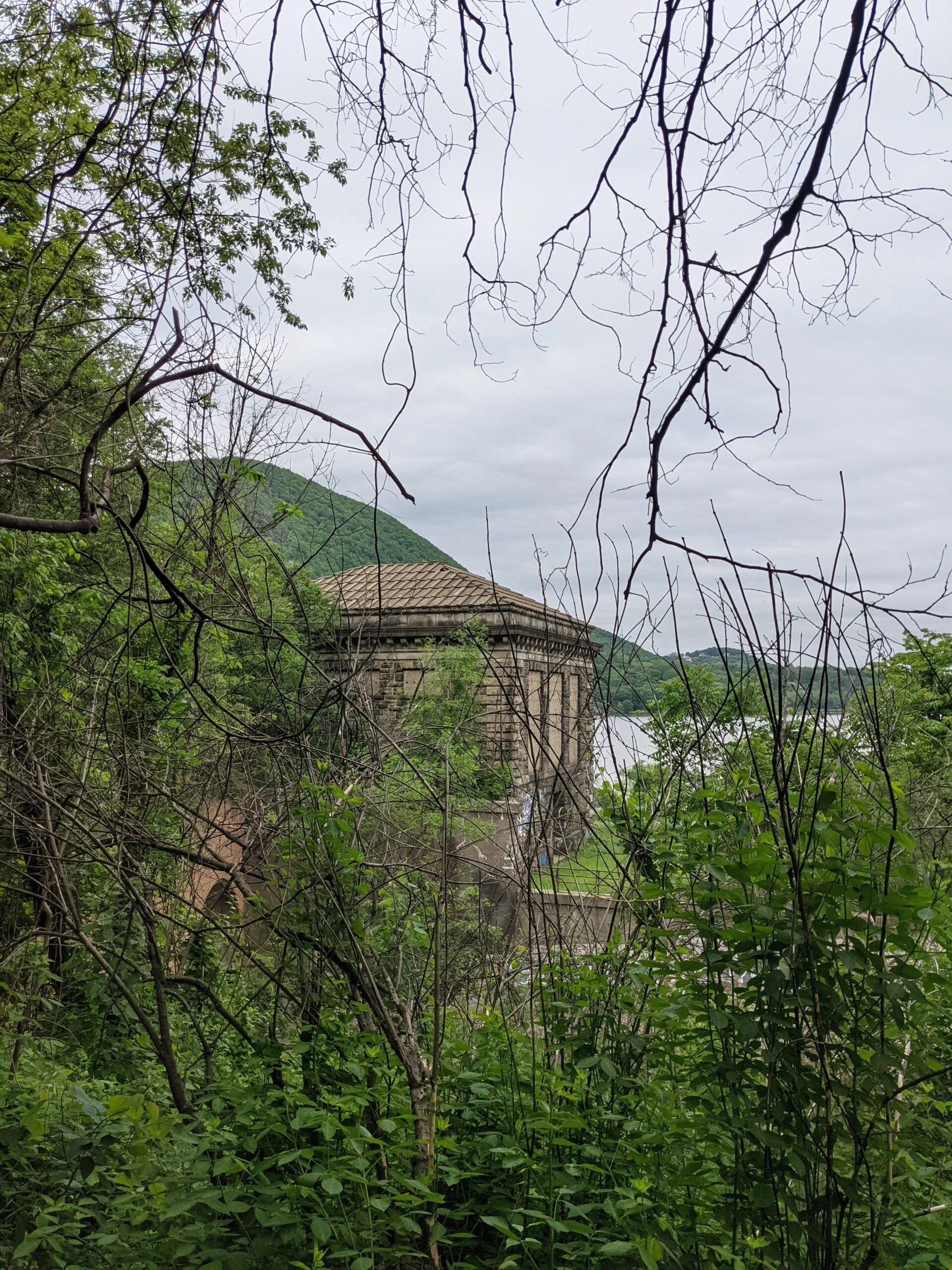
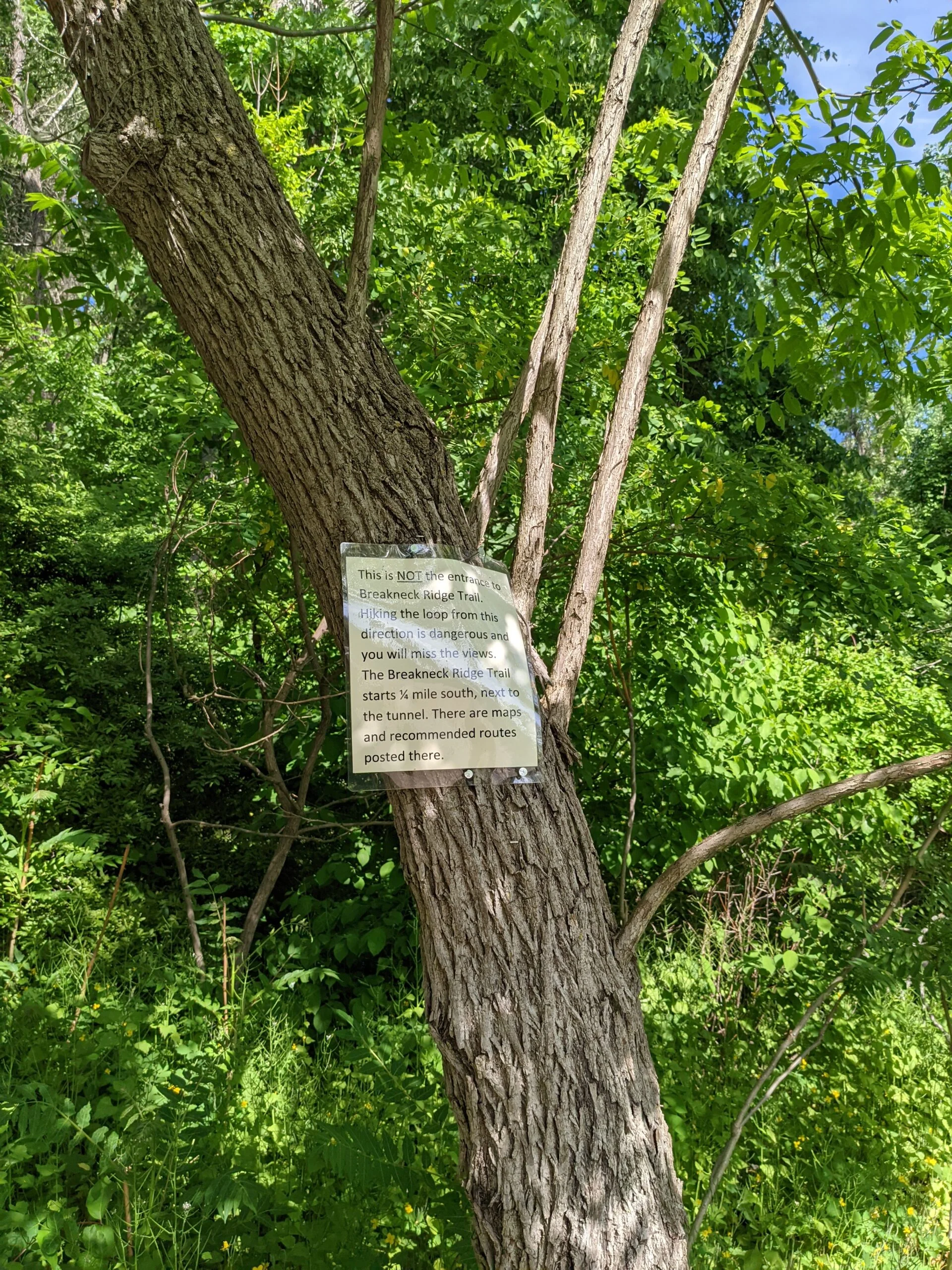
I mapped out a route on AllTrails the night before and planned to follow it counterclockwise. I set off in the morning and as I headed up Route 9D, I knew my marker was the tunnel right after the Chalet on the Hudson catering hall. After passing the tunnel, I found parking on the eastern shoulder of the road, just north of the trail head. I walked south to the trail head, stopping to use one of the four portable toilets. It’s not often you find restrooms near trails, so it was a welcome treat.
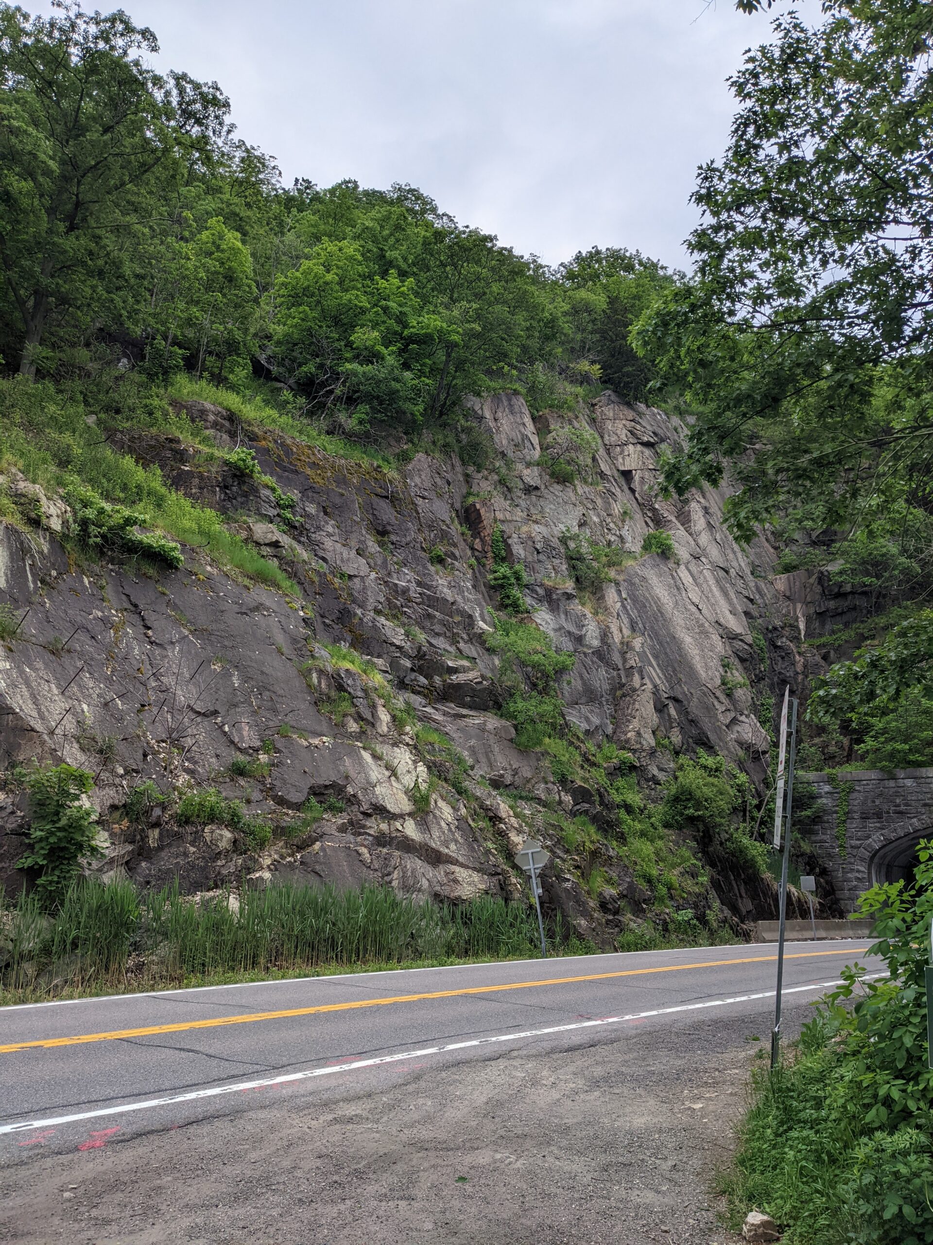
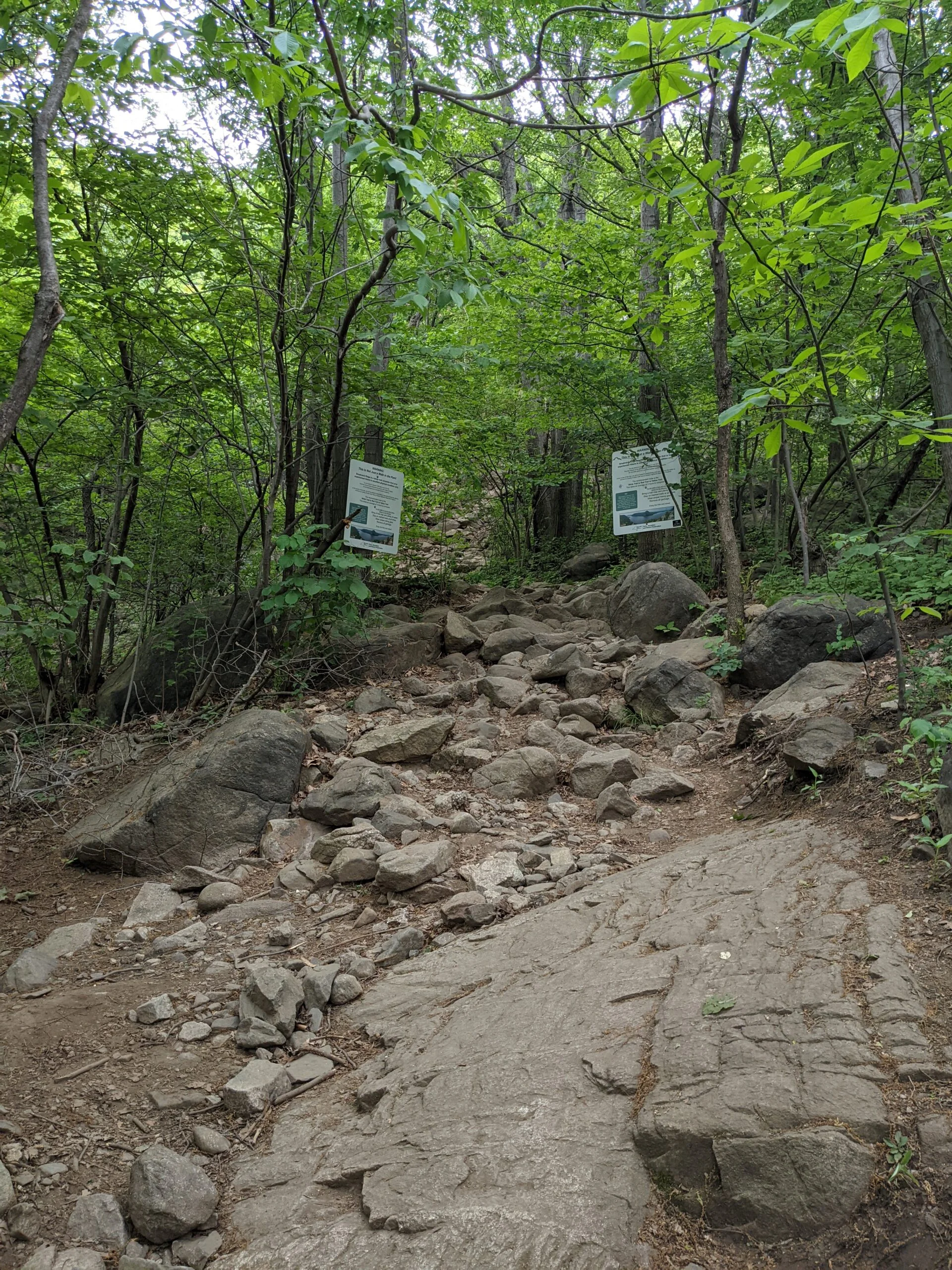
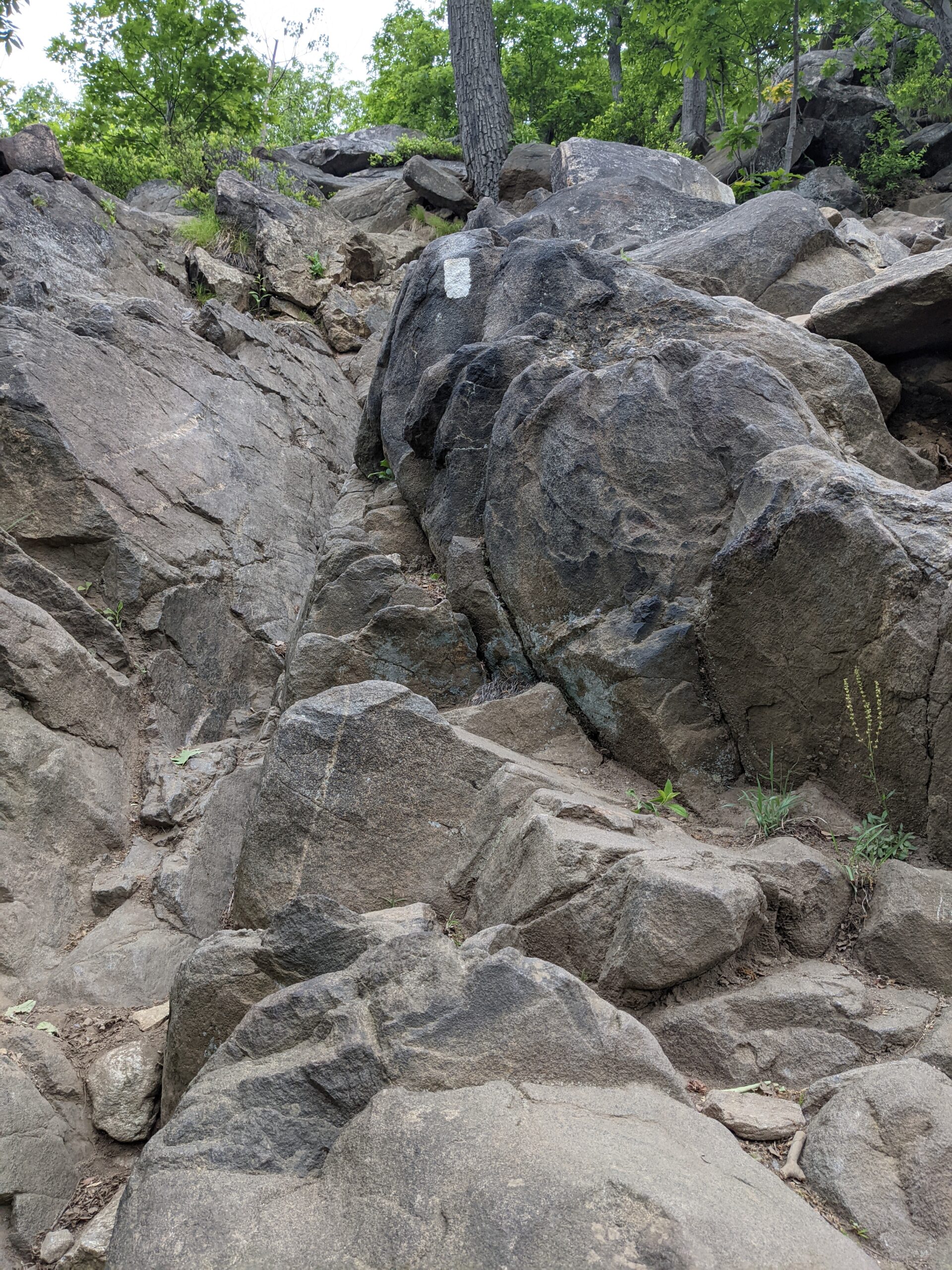
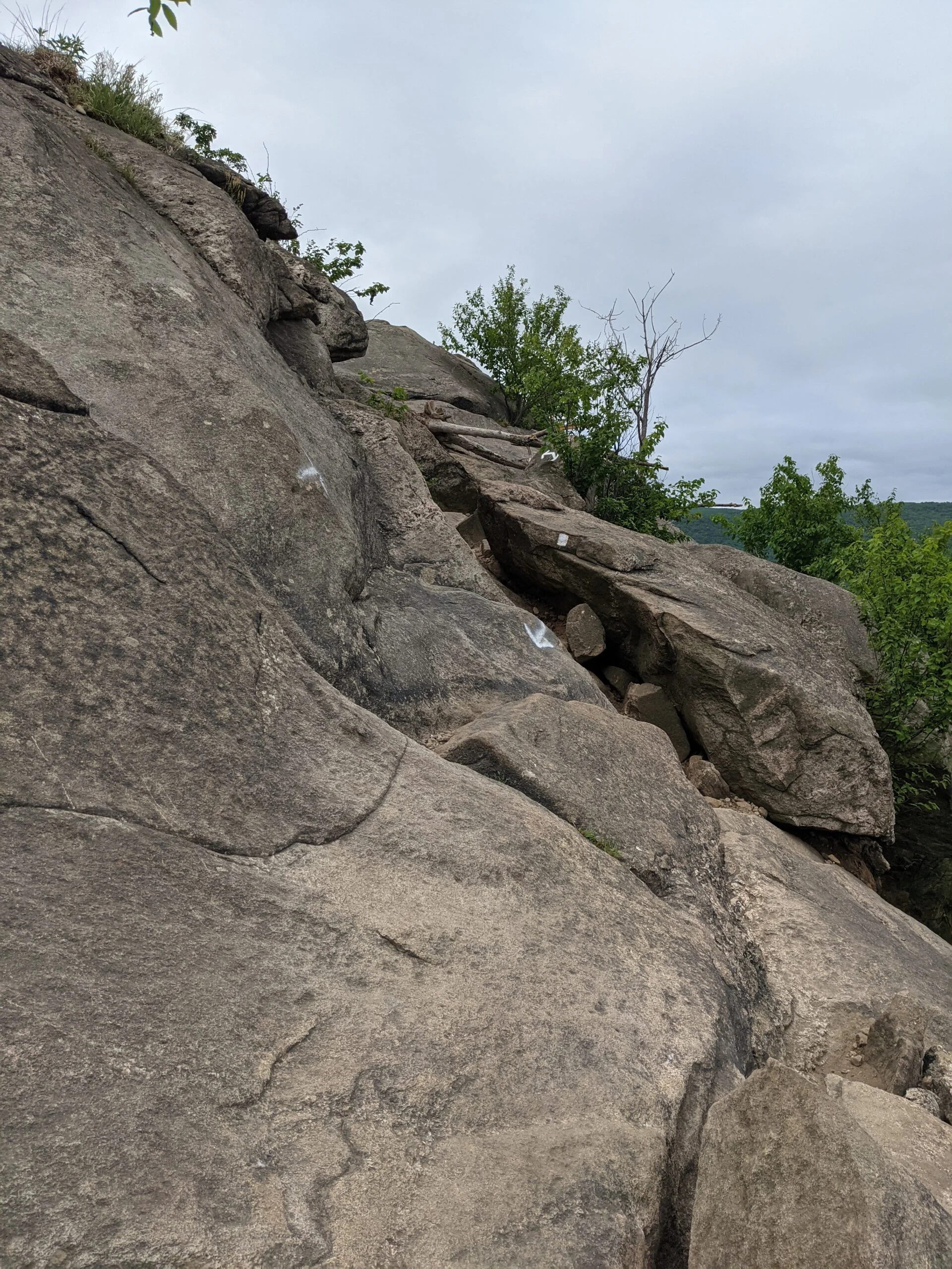
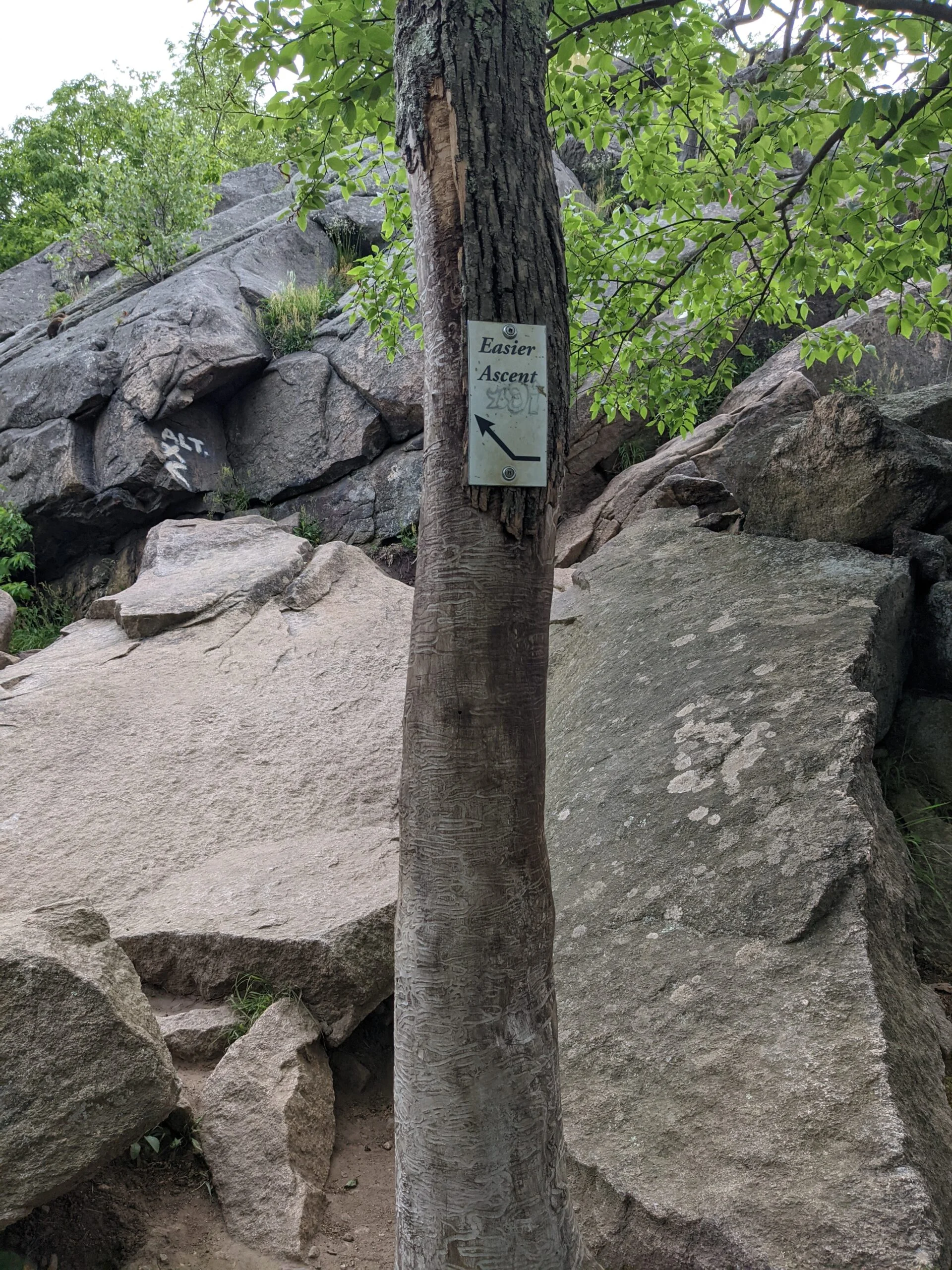
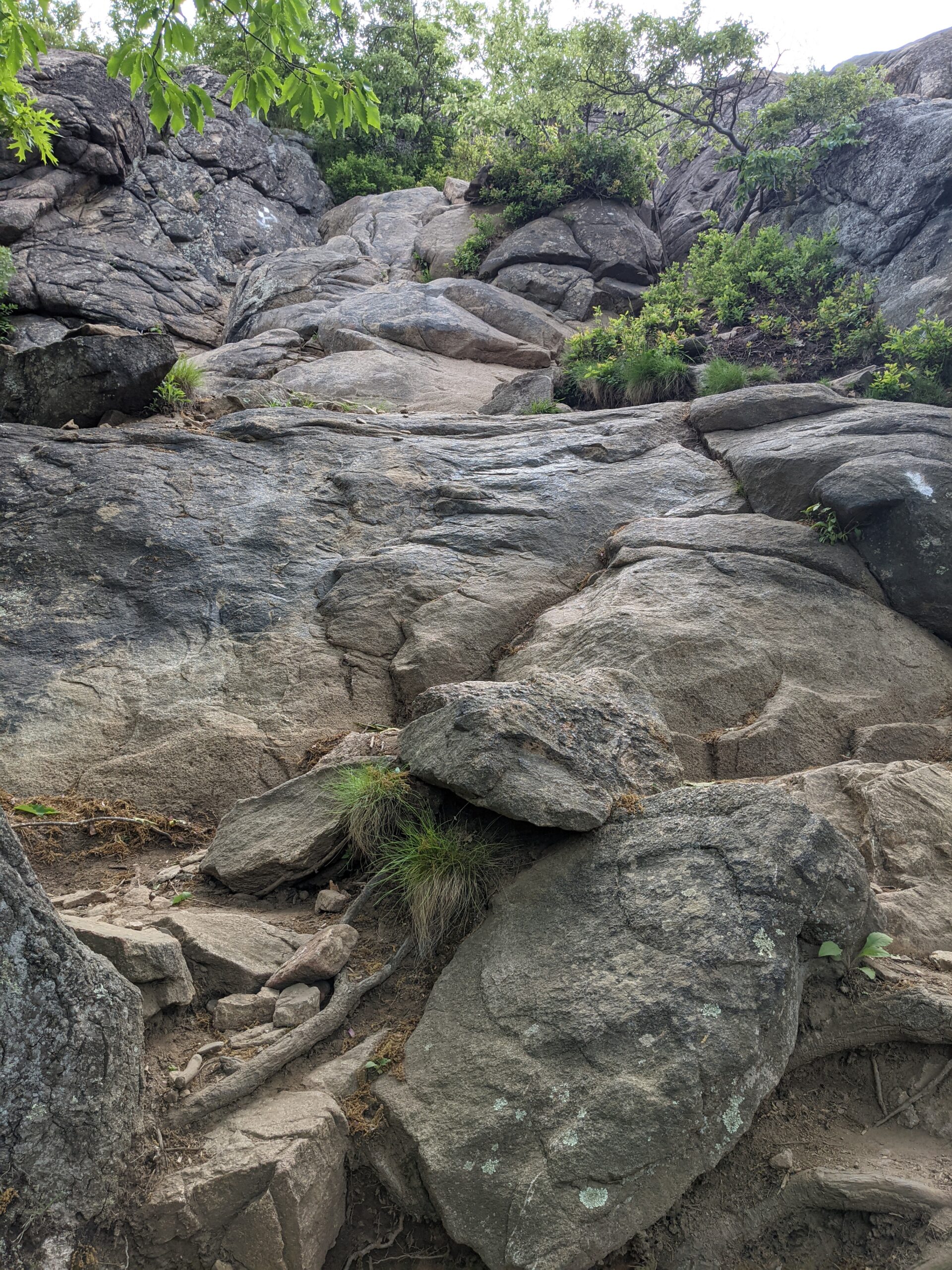
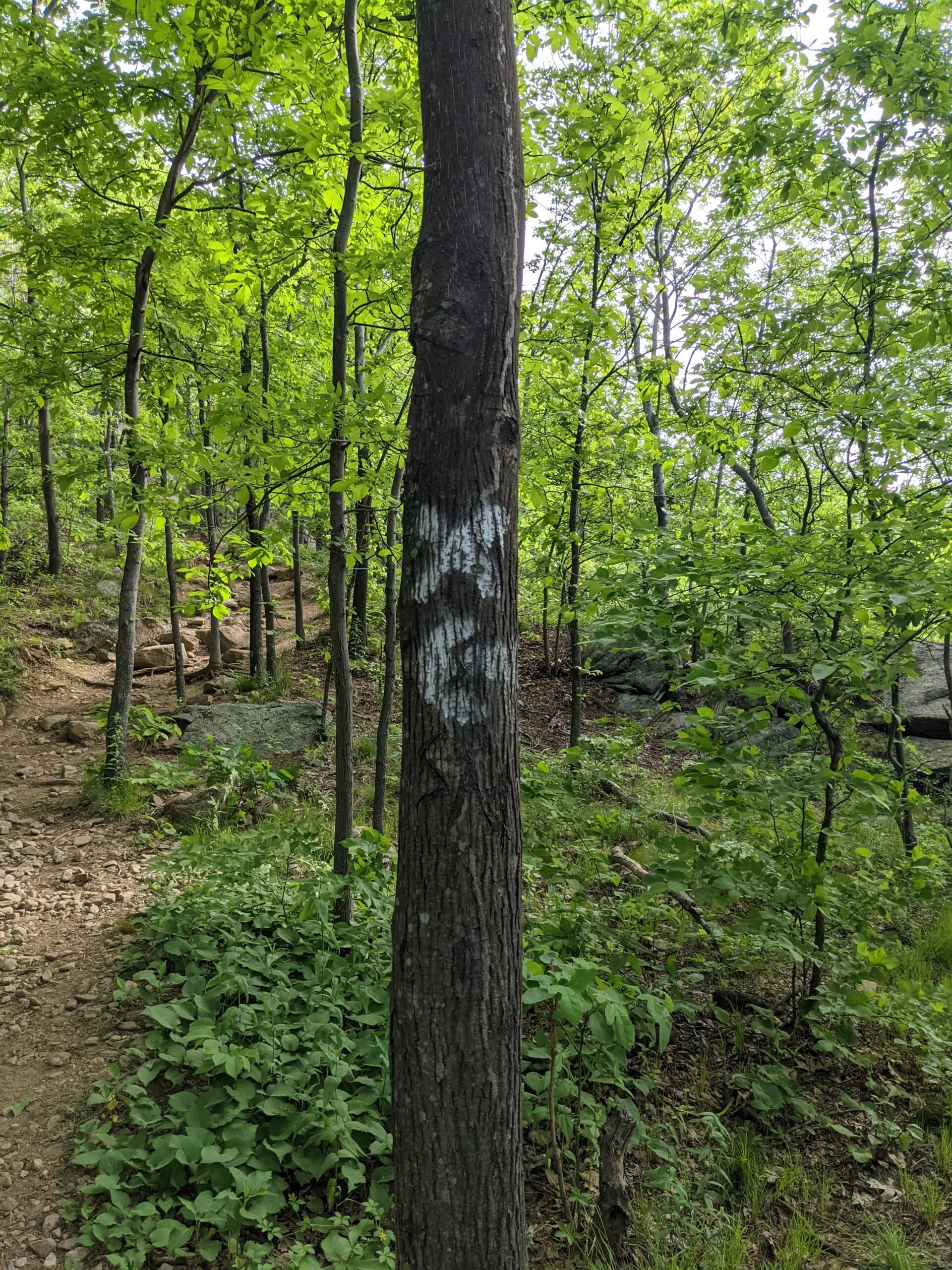
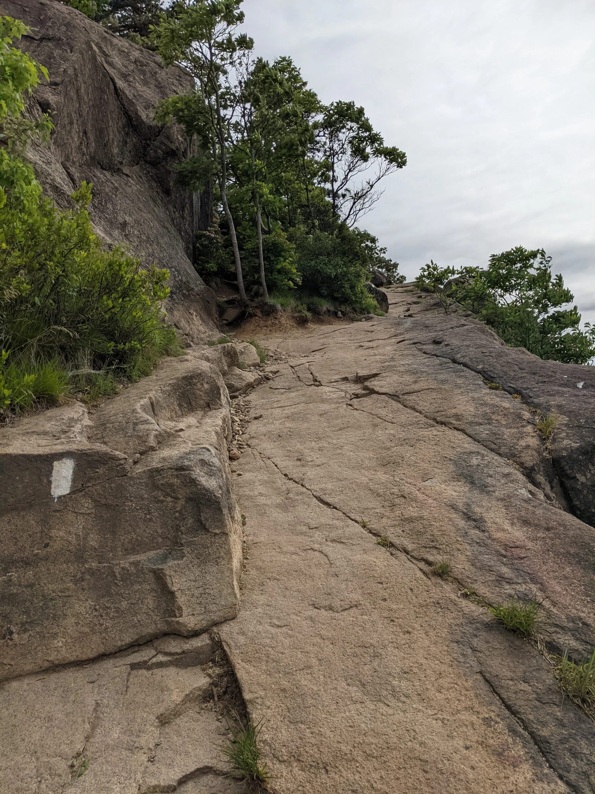
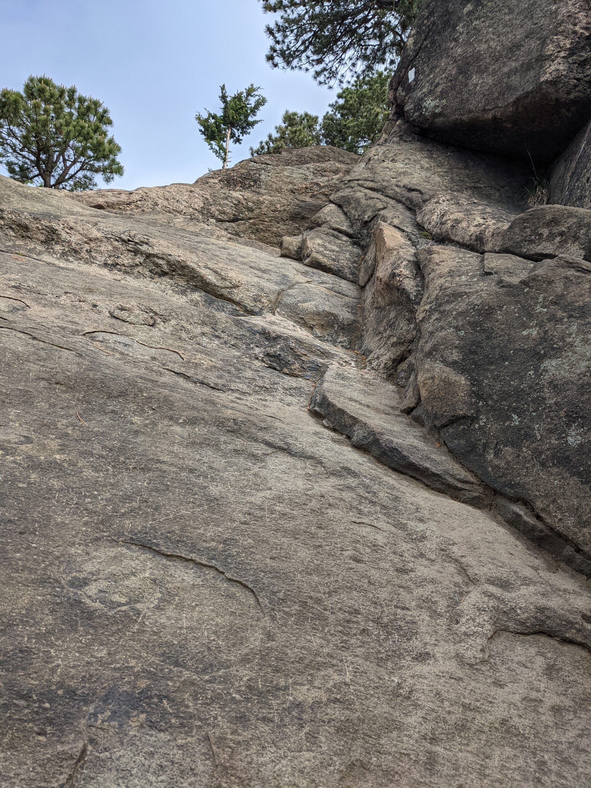
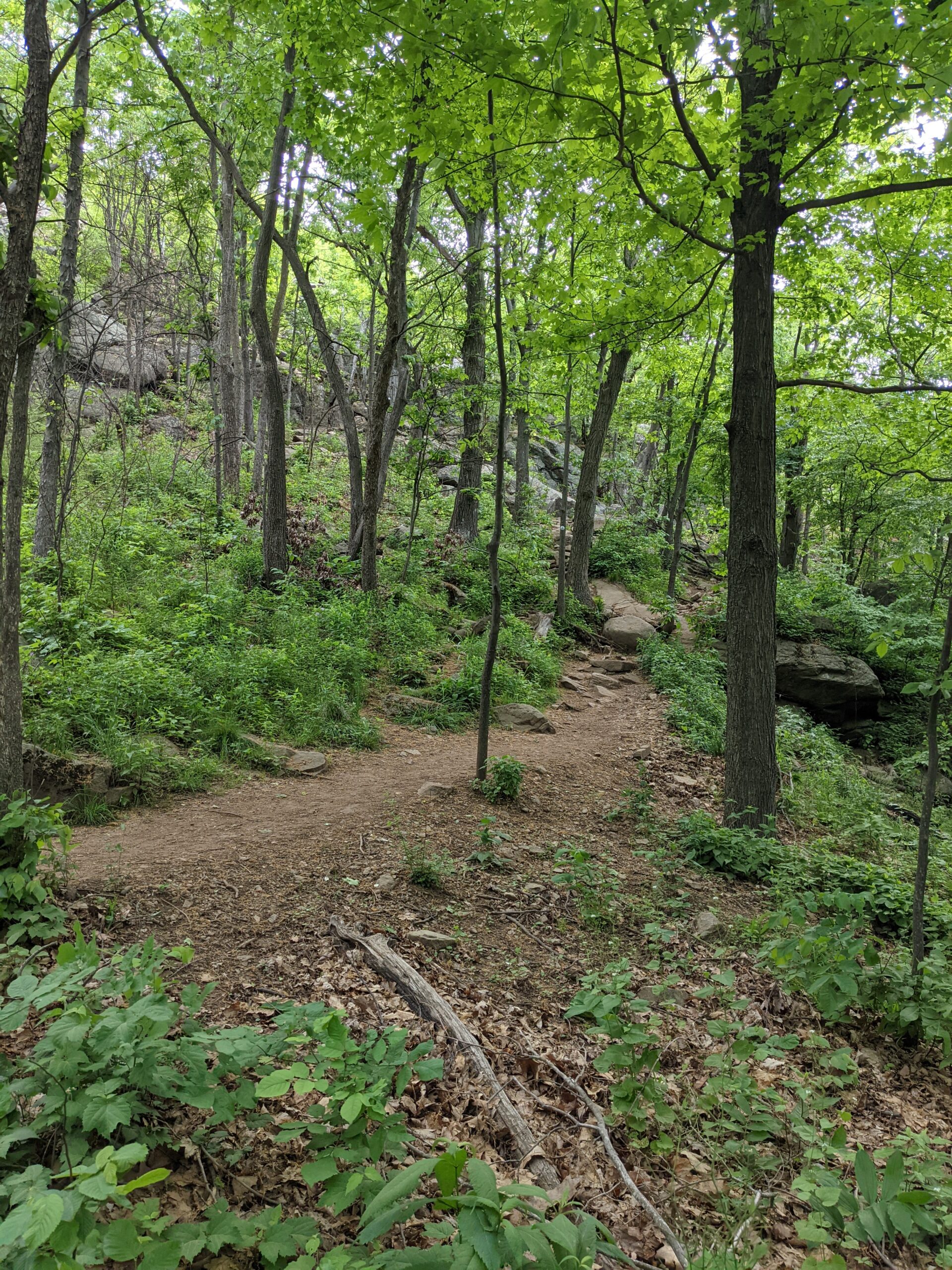
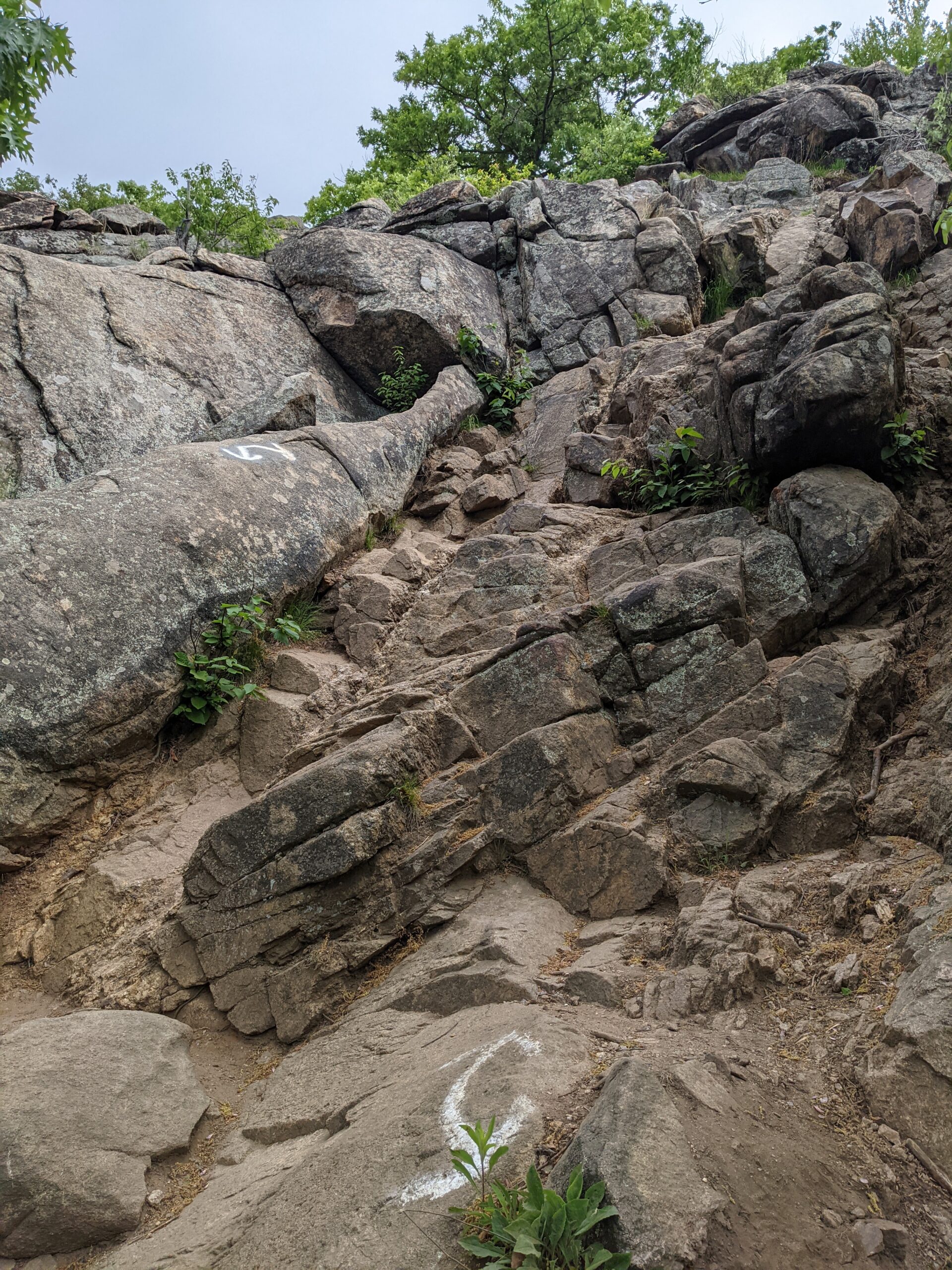
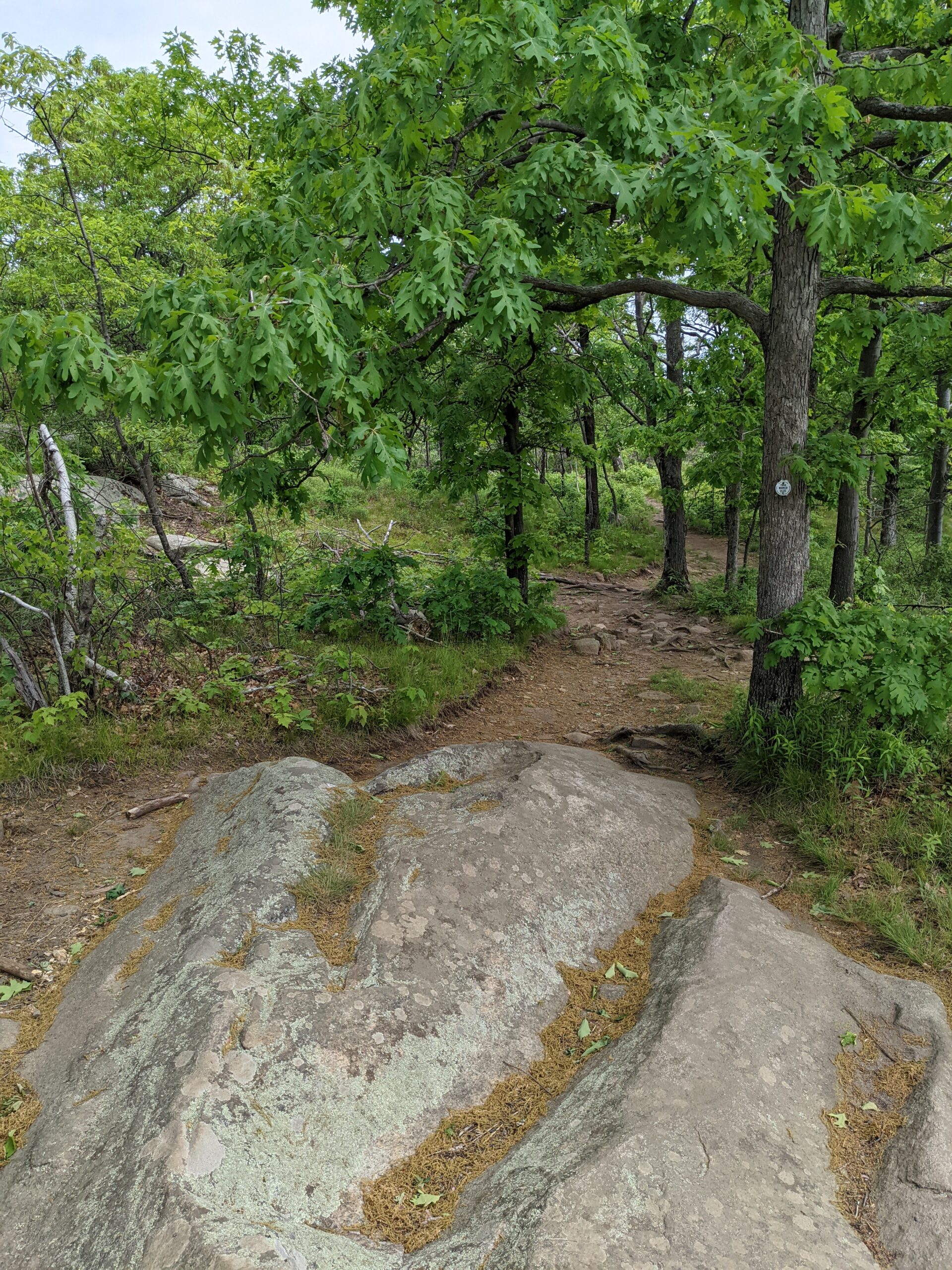
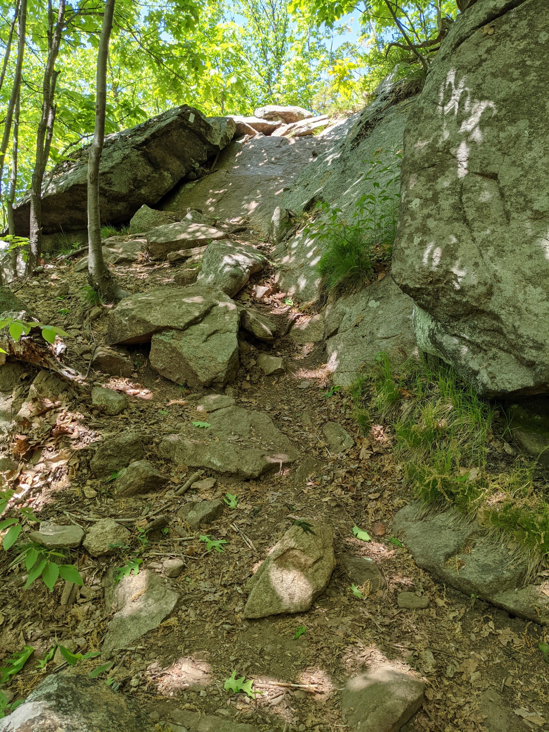
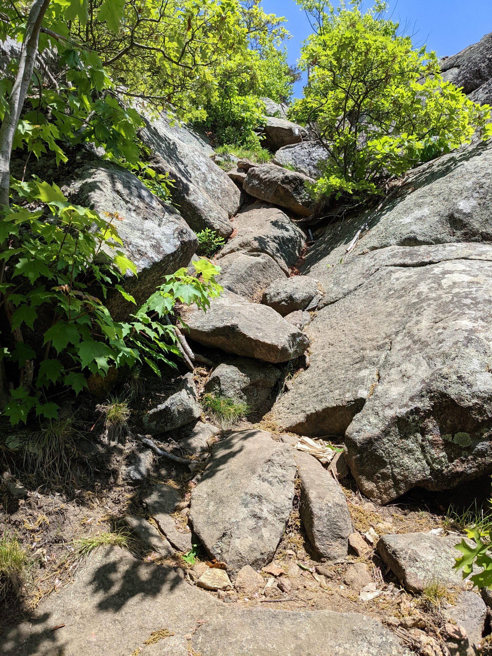
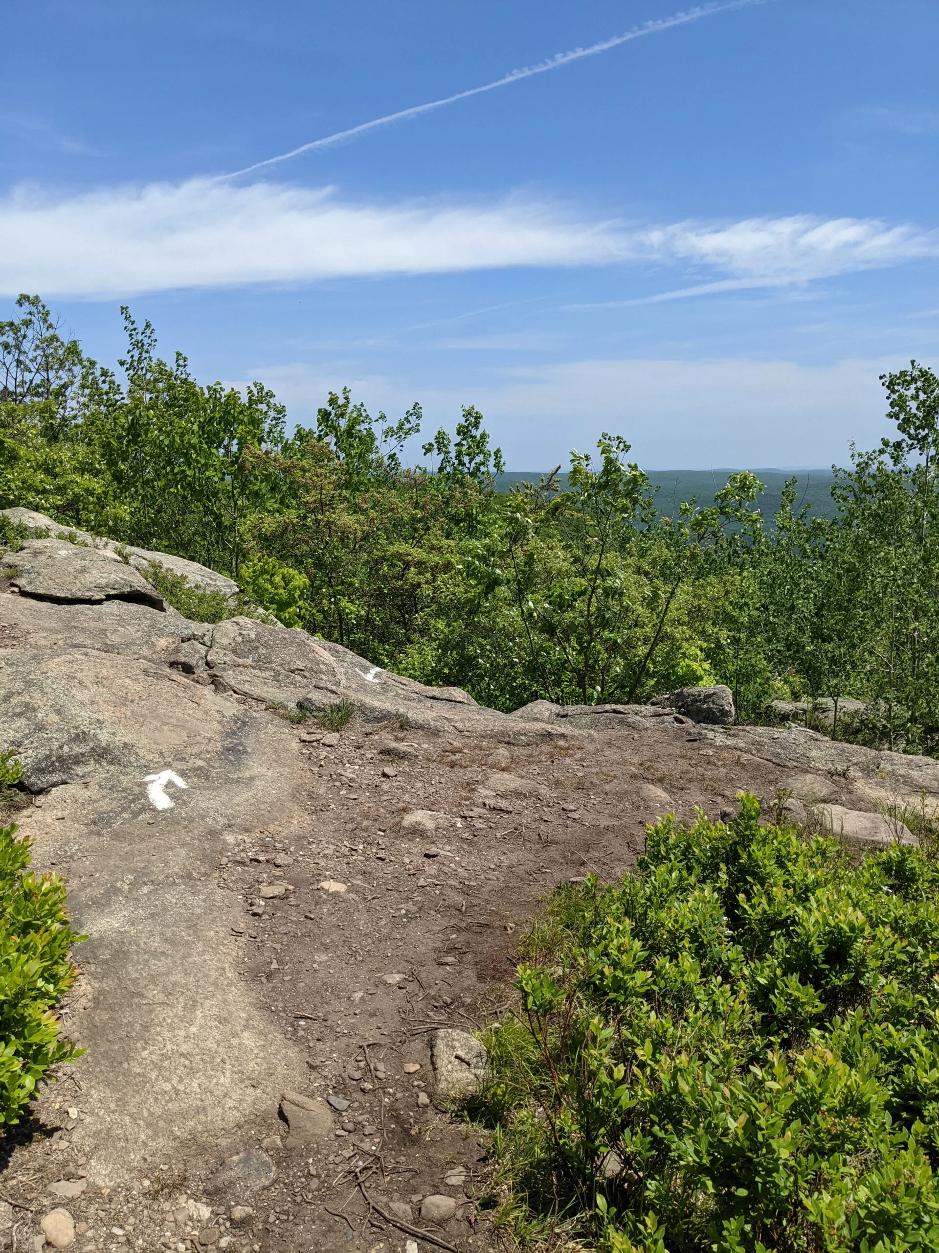
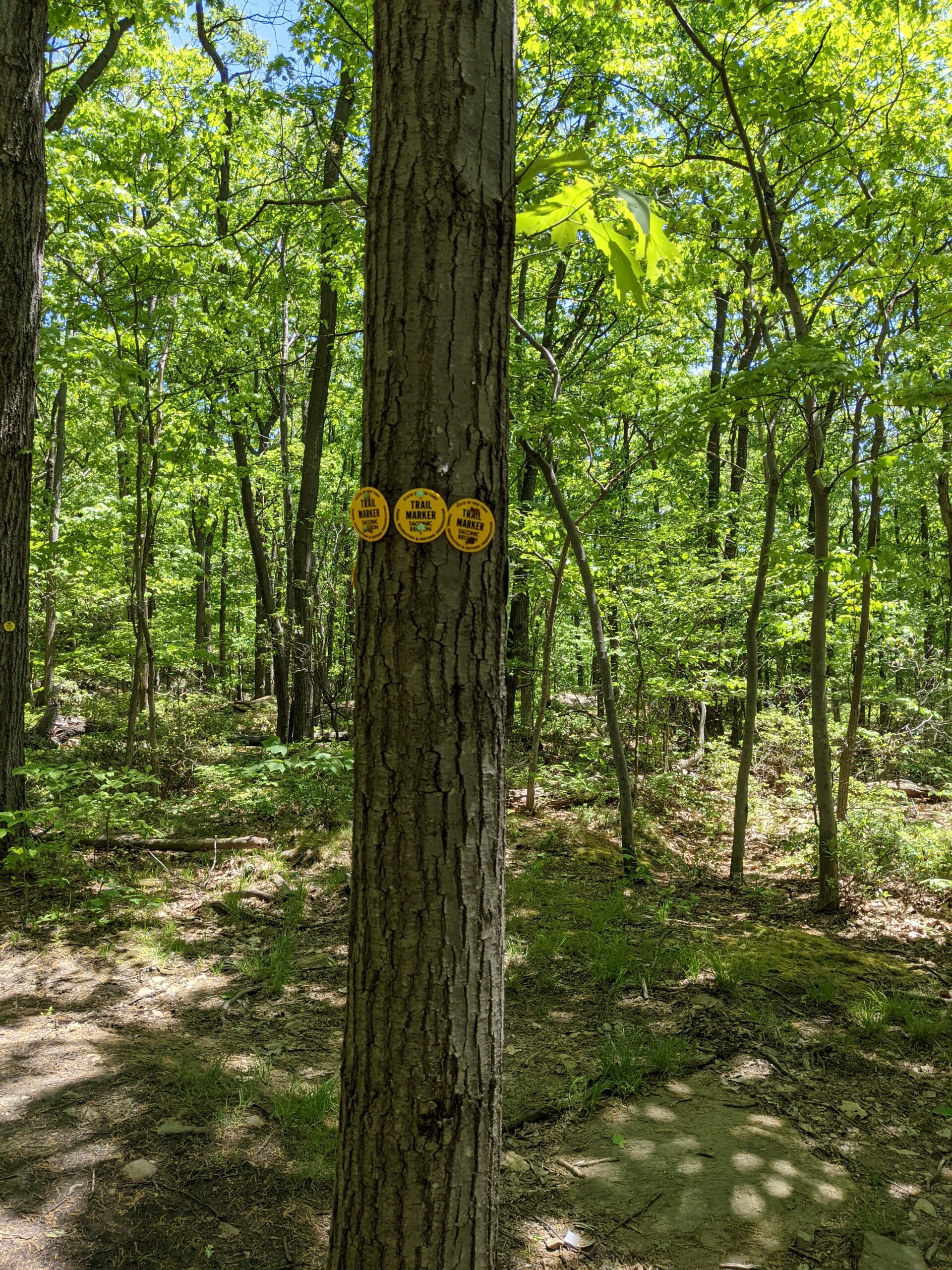
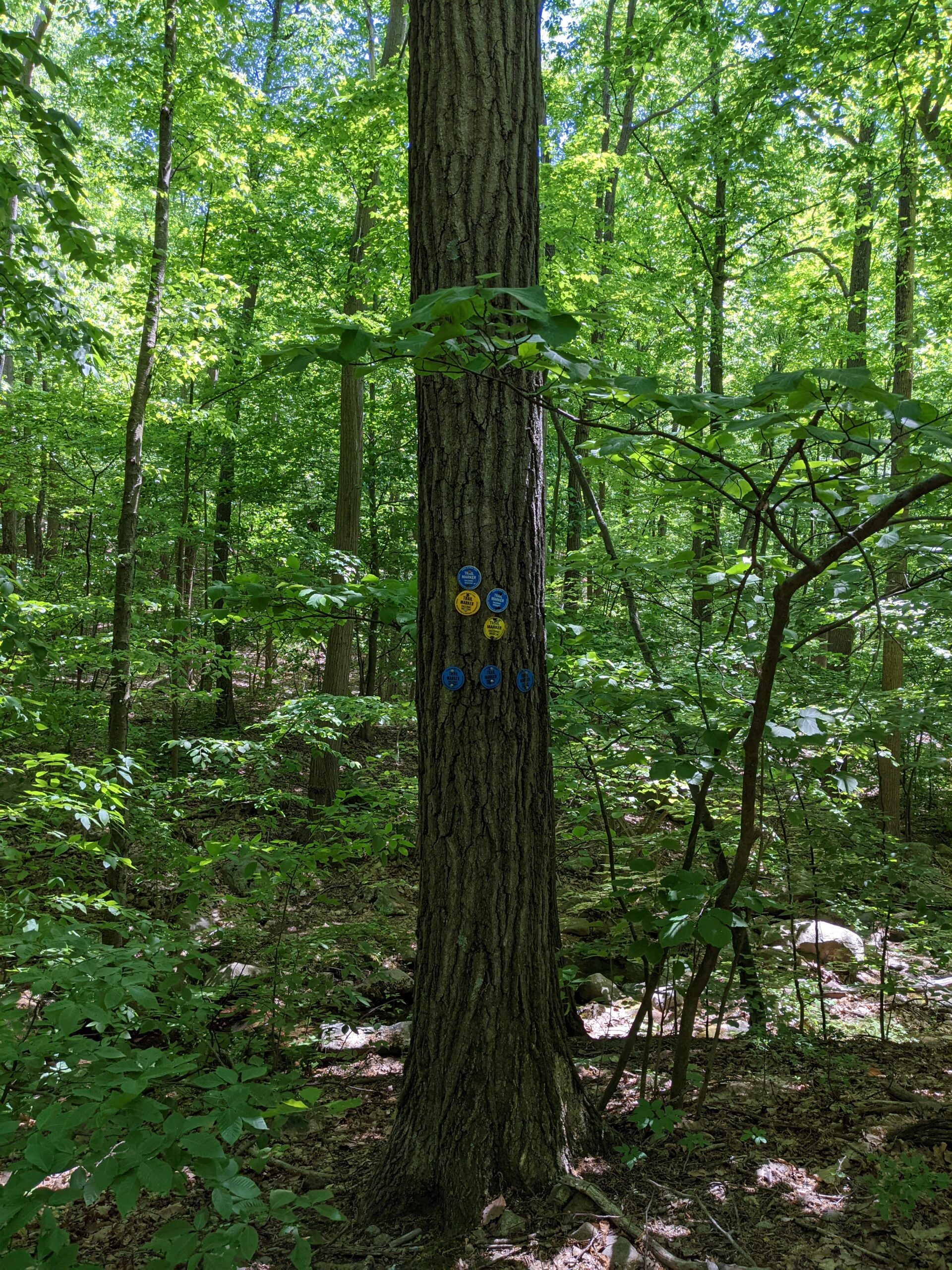
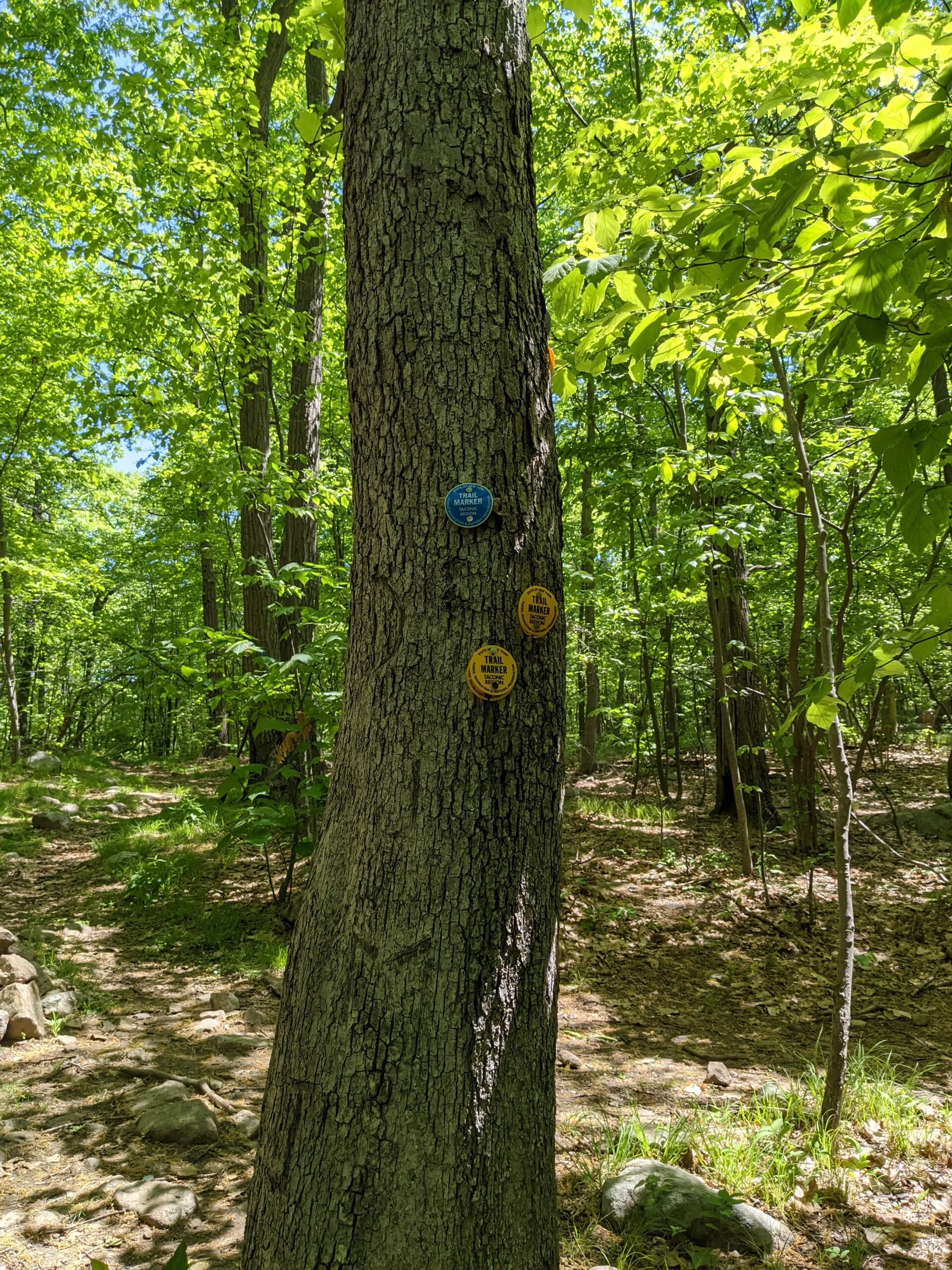
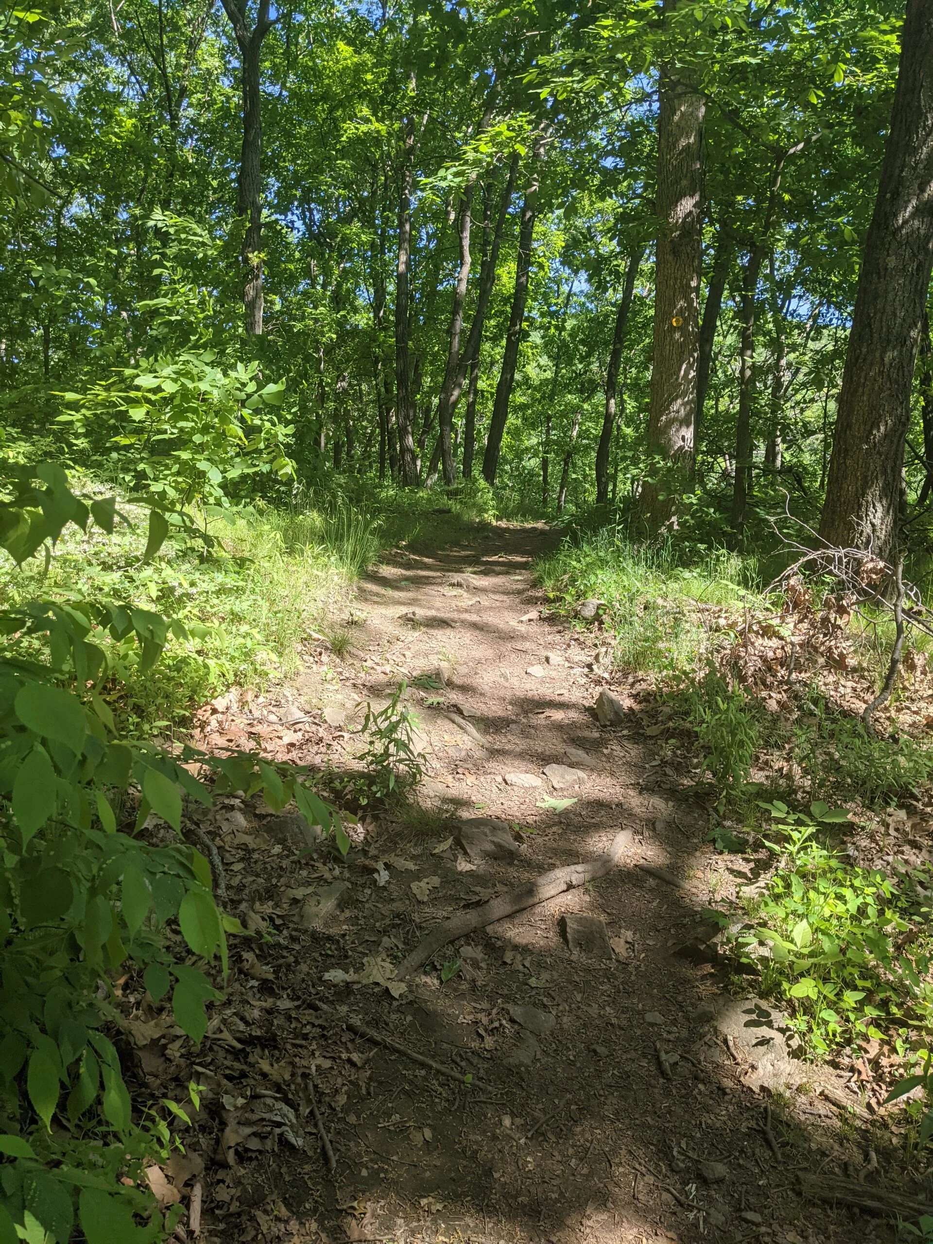
I started my journey up the Breakneck Ridge trail (BR, white blazes) at 8:10am. After crossing over the top of the tunnel, I was presented with a warning sign that read, “This Is Not Just a Walk in the Park! Breakneck Ridge is a steep rock scramble that is for experienced hikers in excellent physical condition only. You are about to ascend 1,250 feet in only 3/4 mile. This hike should not be attempted by anyone with a fear of heights. Do not climb alone or in adverse weather conditions.” I was told by others that this was a daunting hike, but I had never seen a sign like this before.
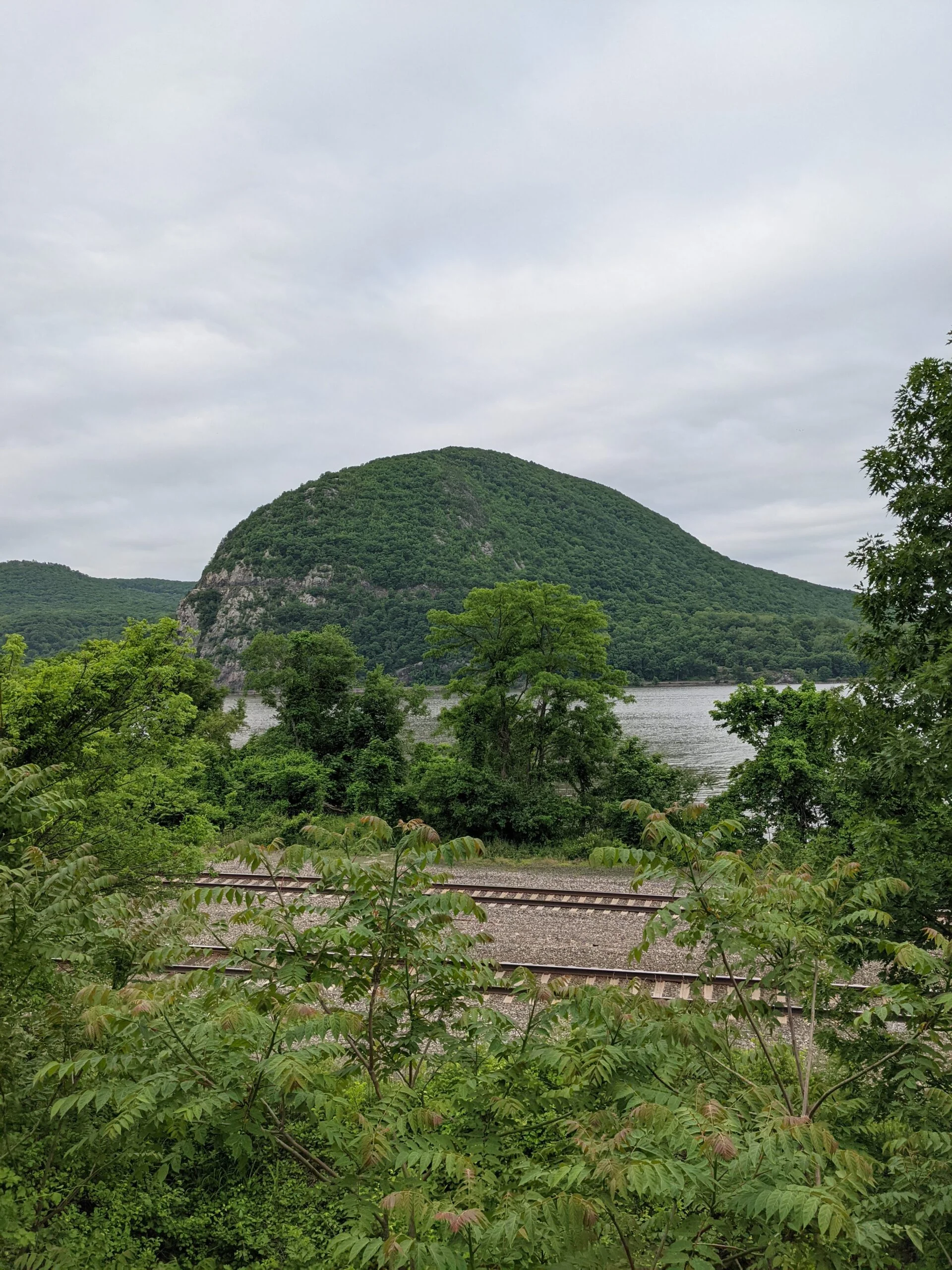
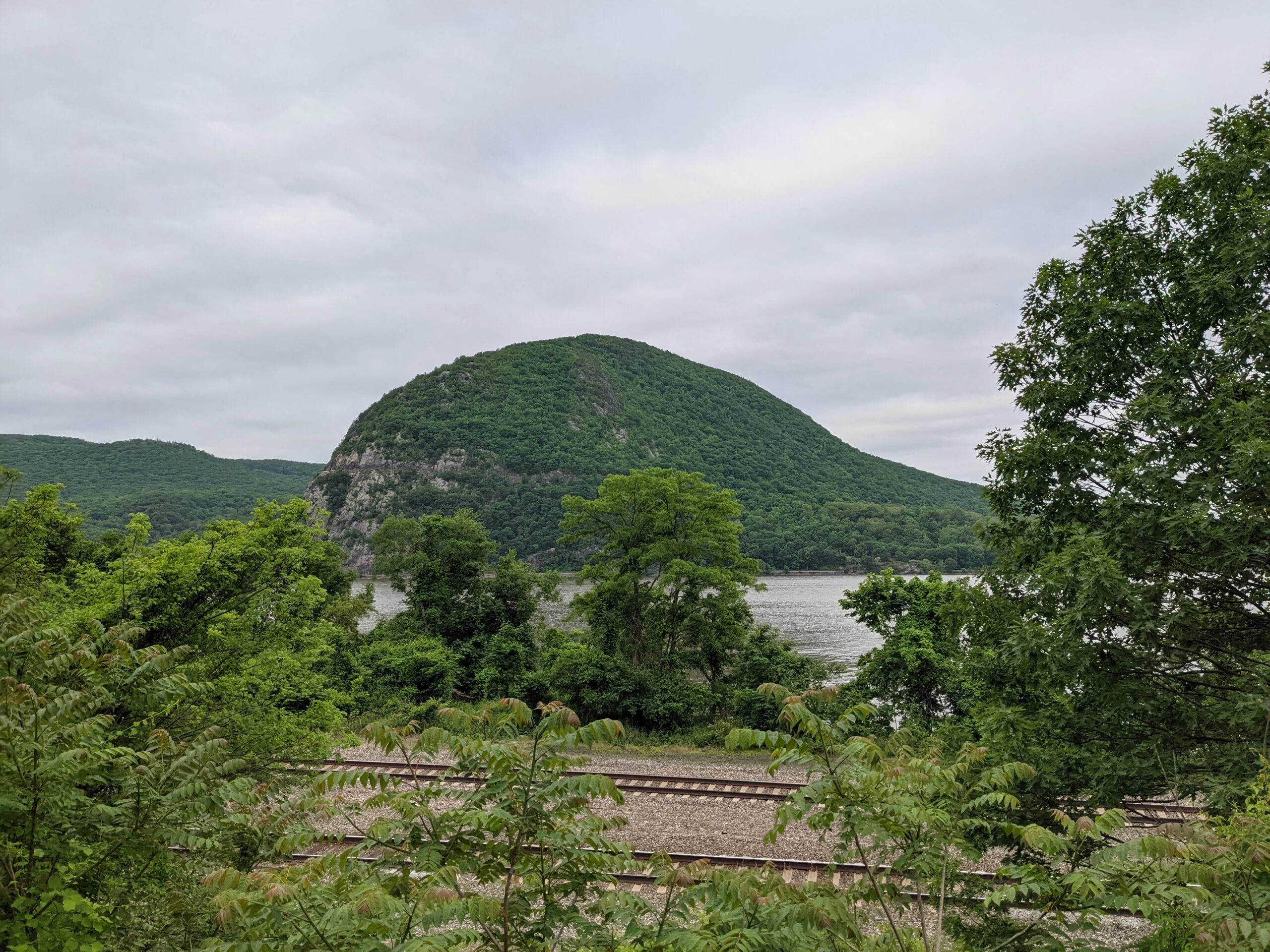
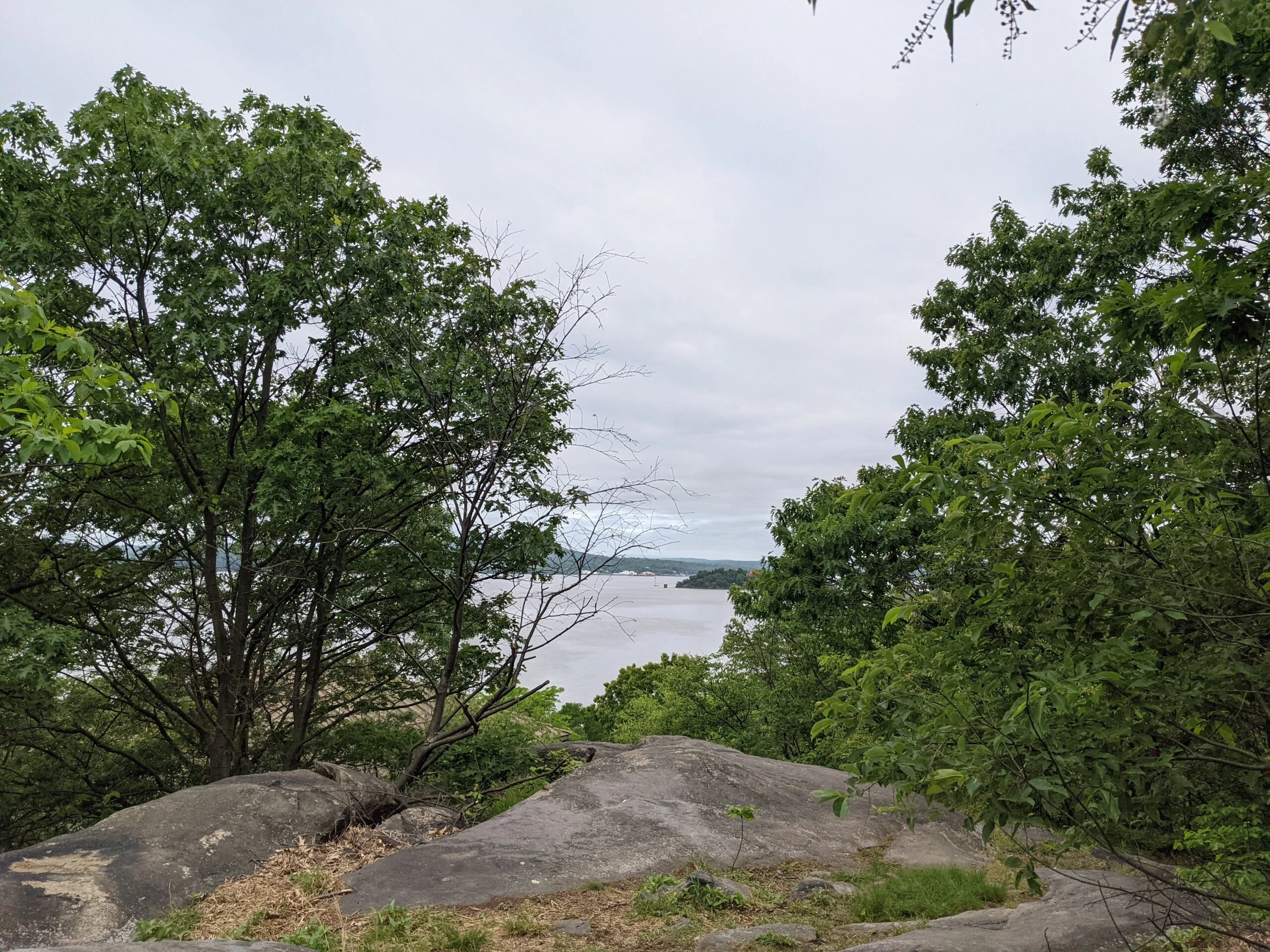
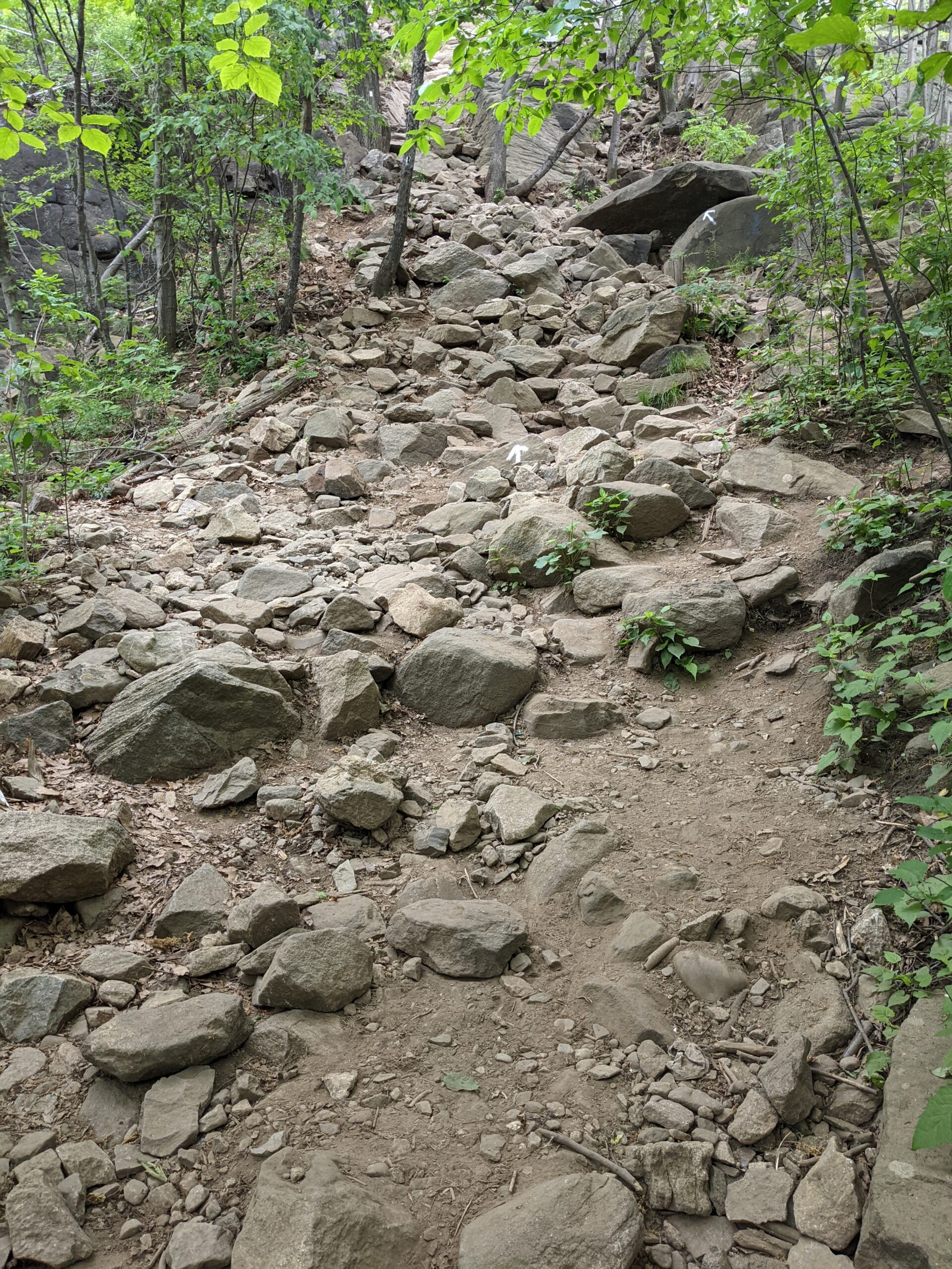
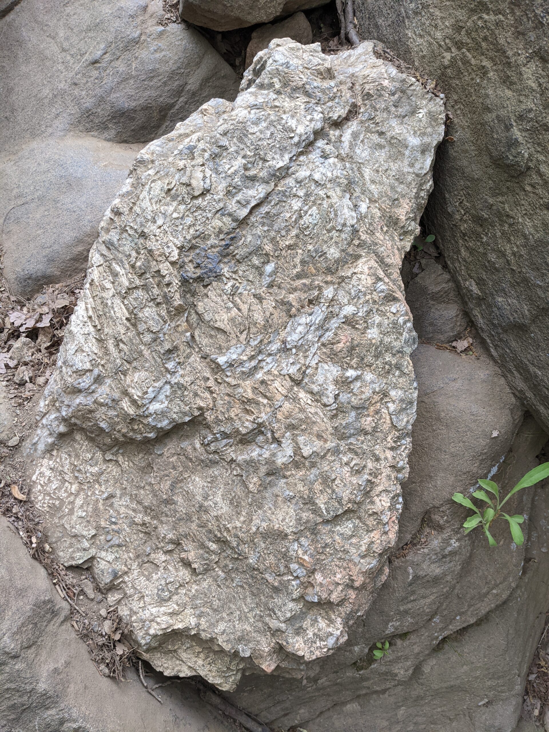
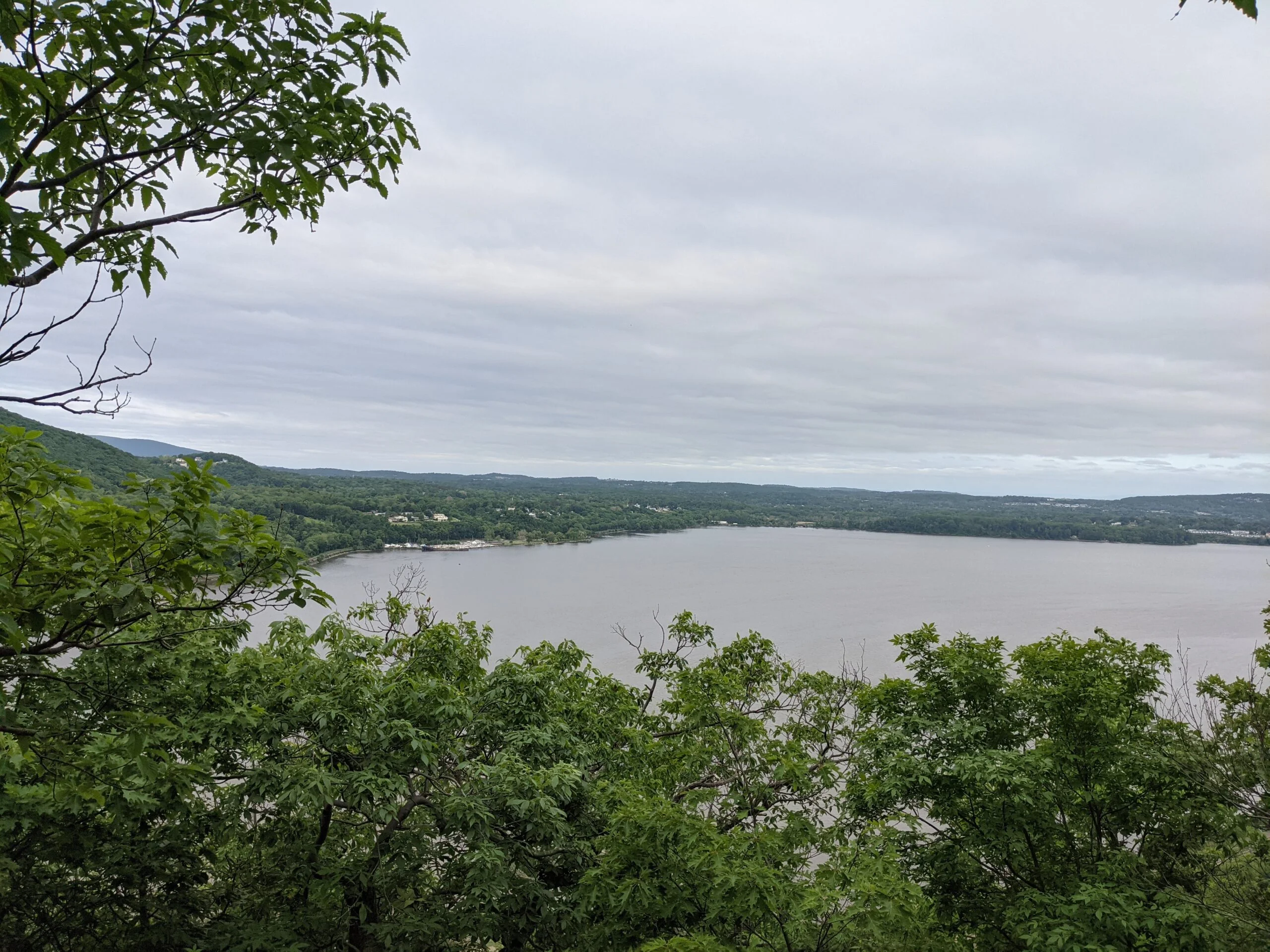
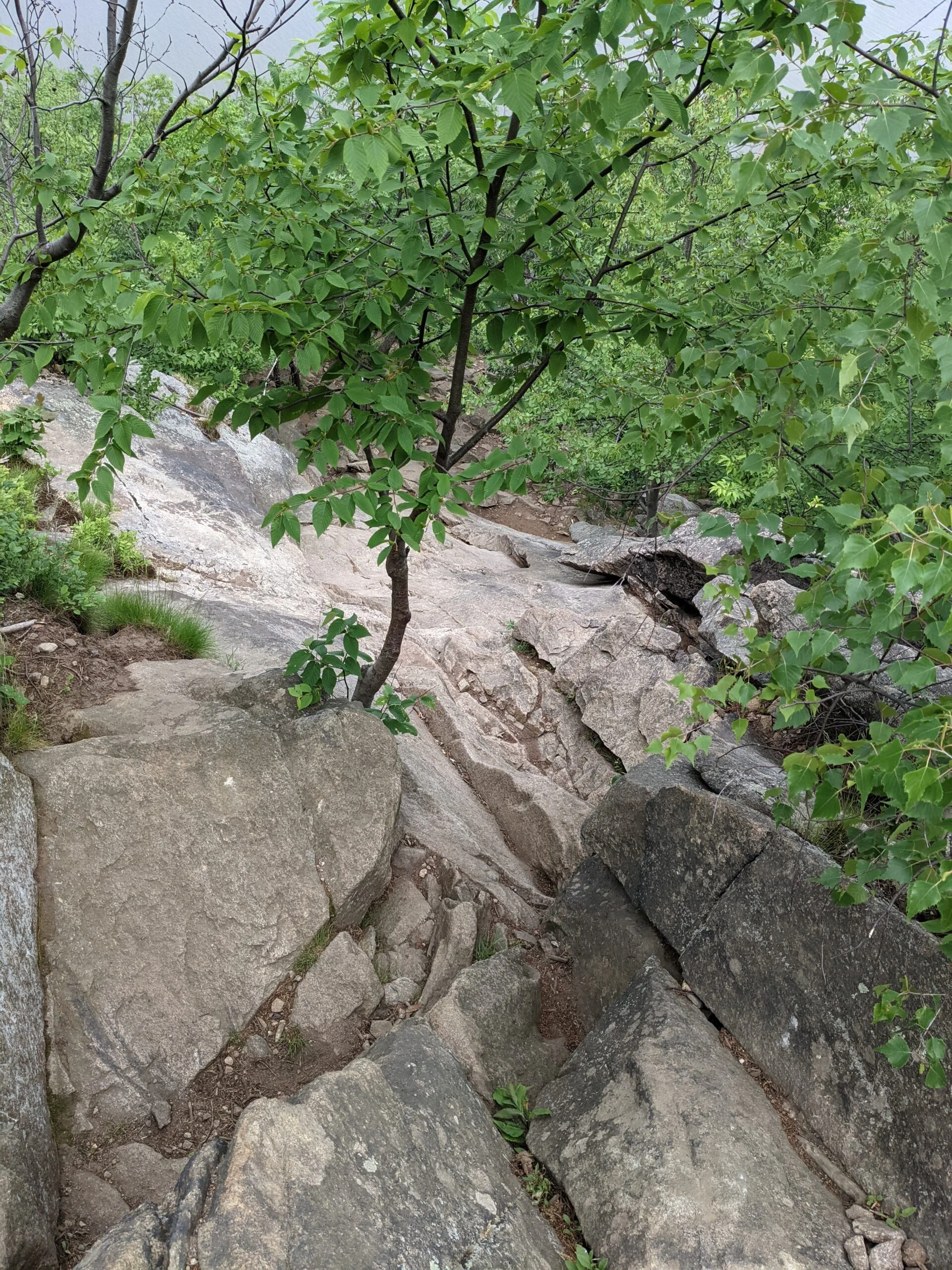
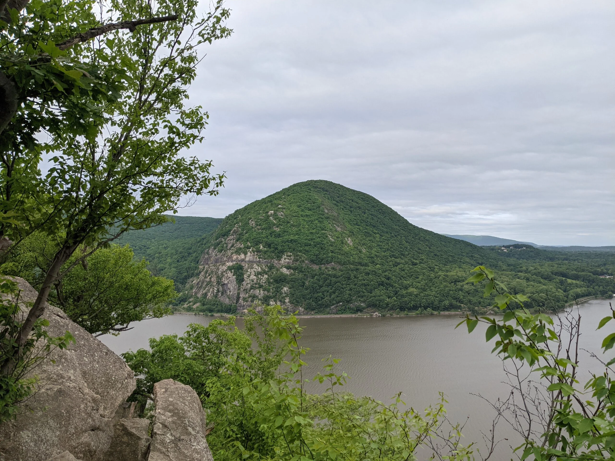
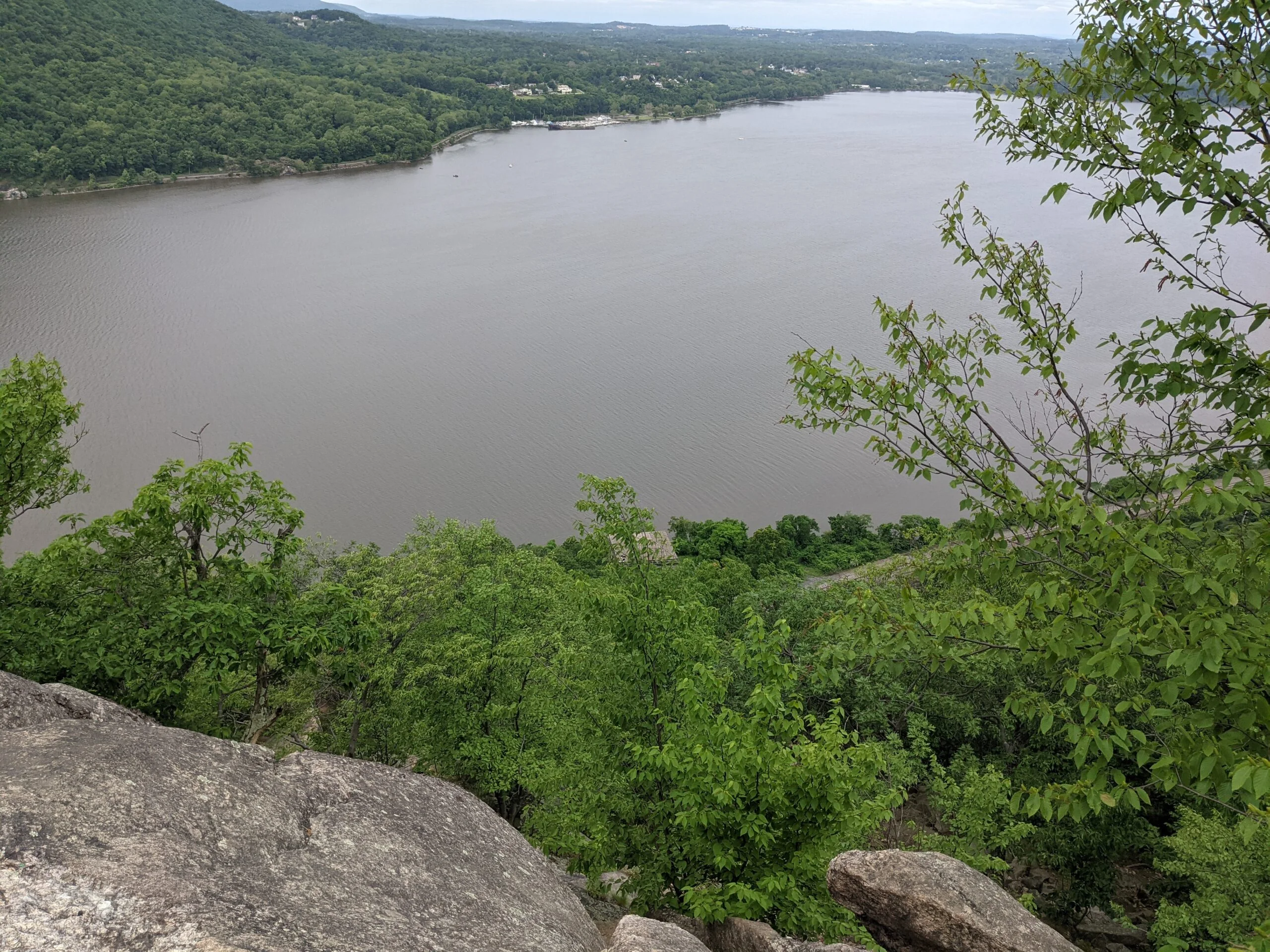
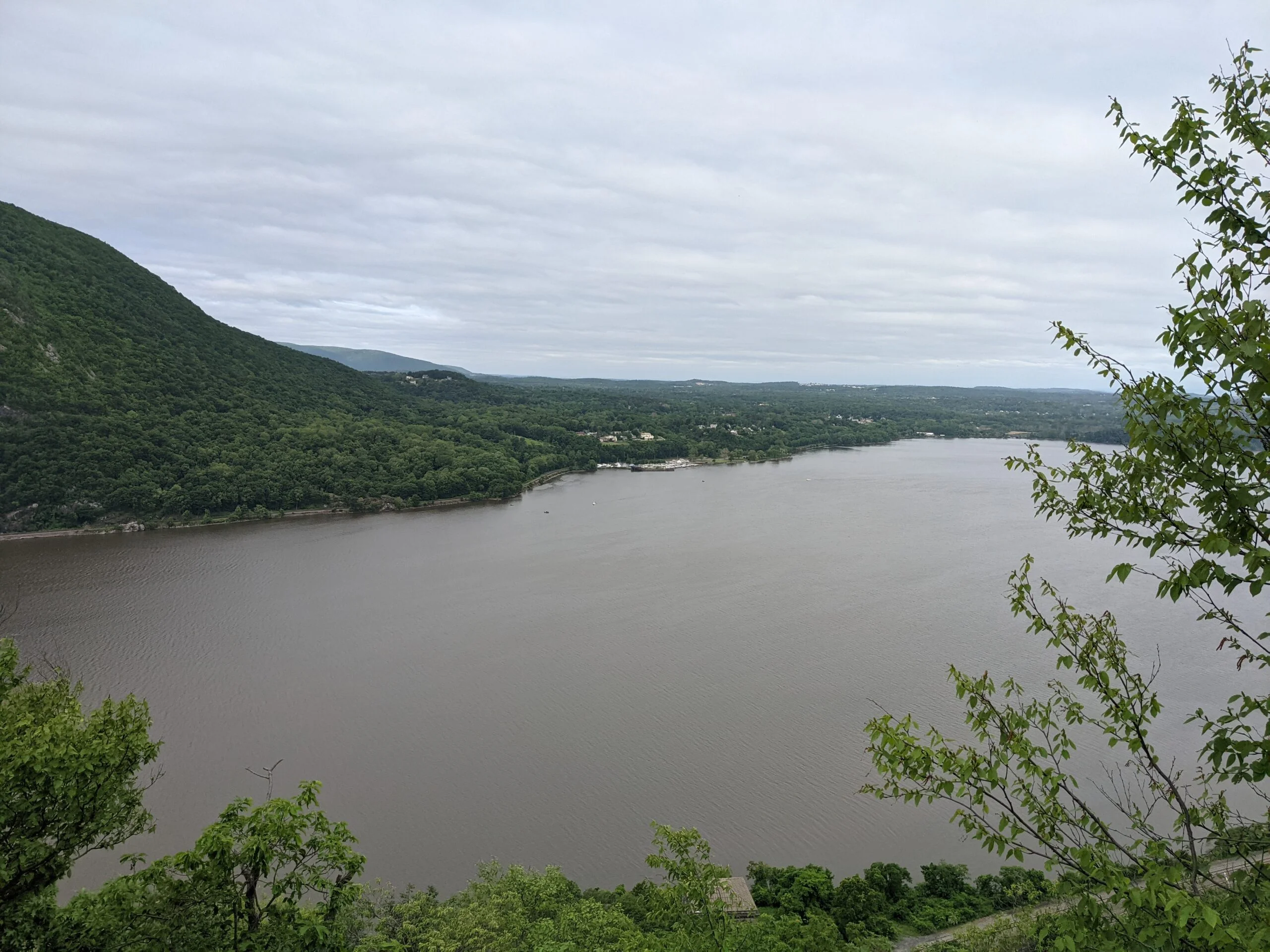
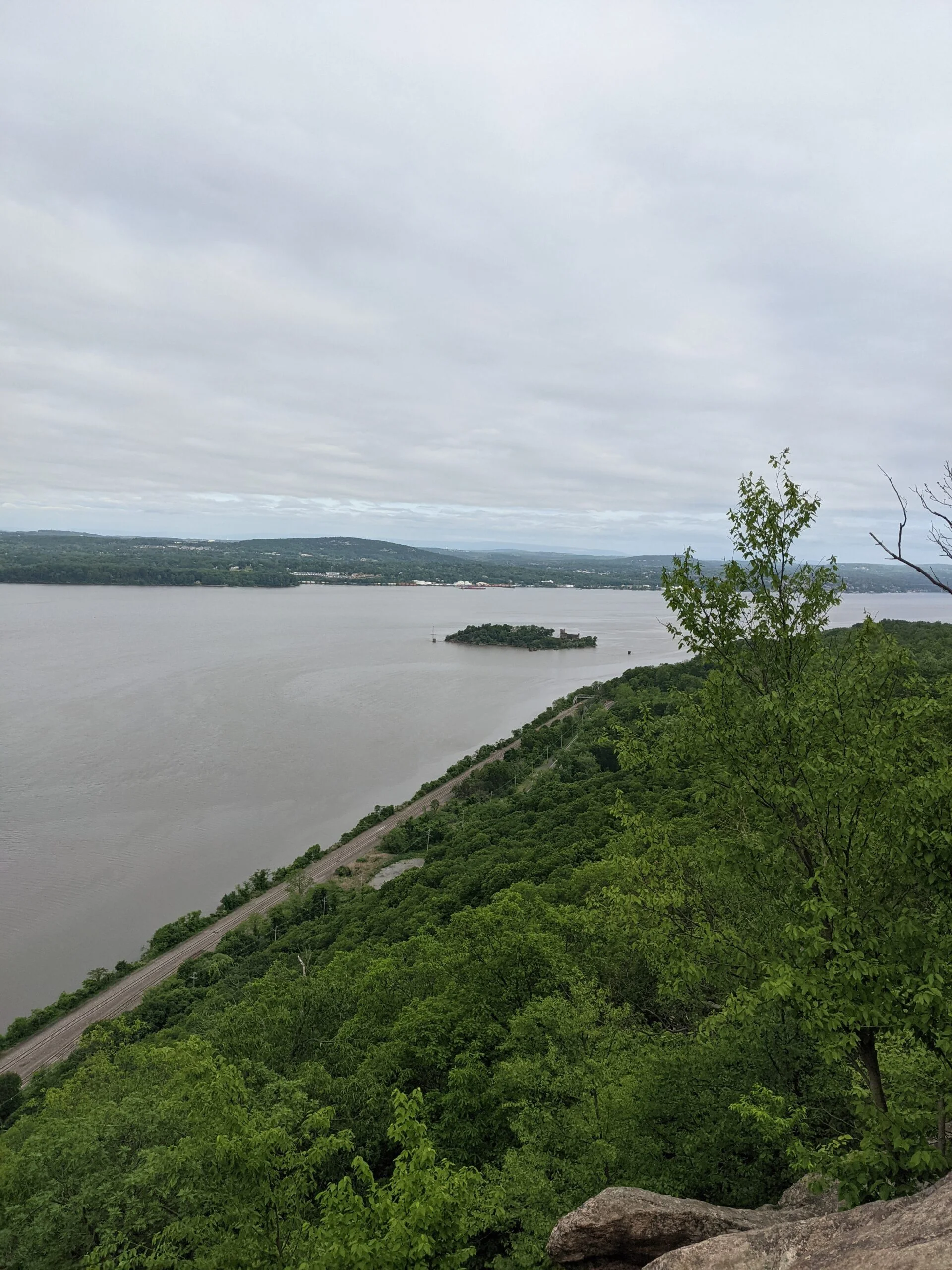
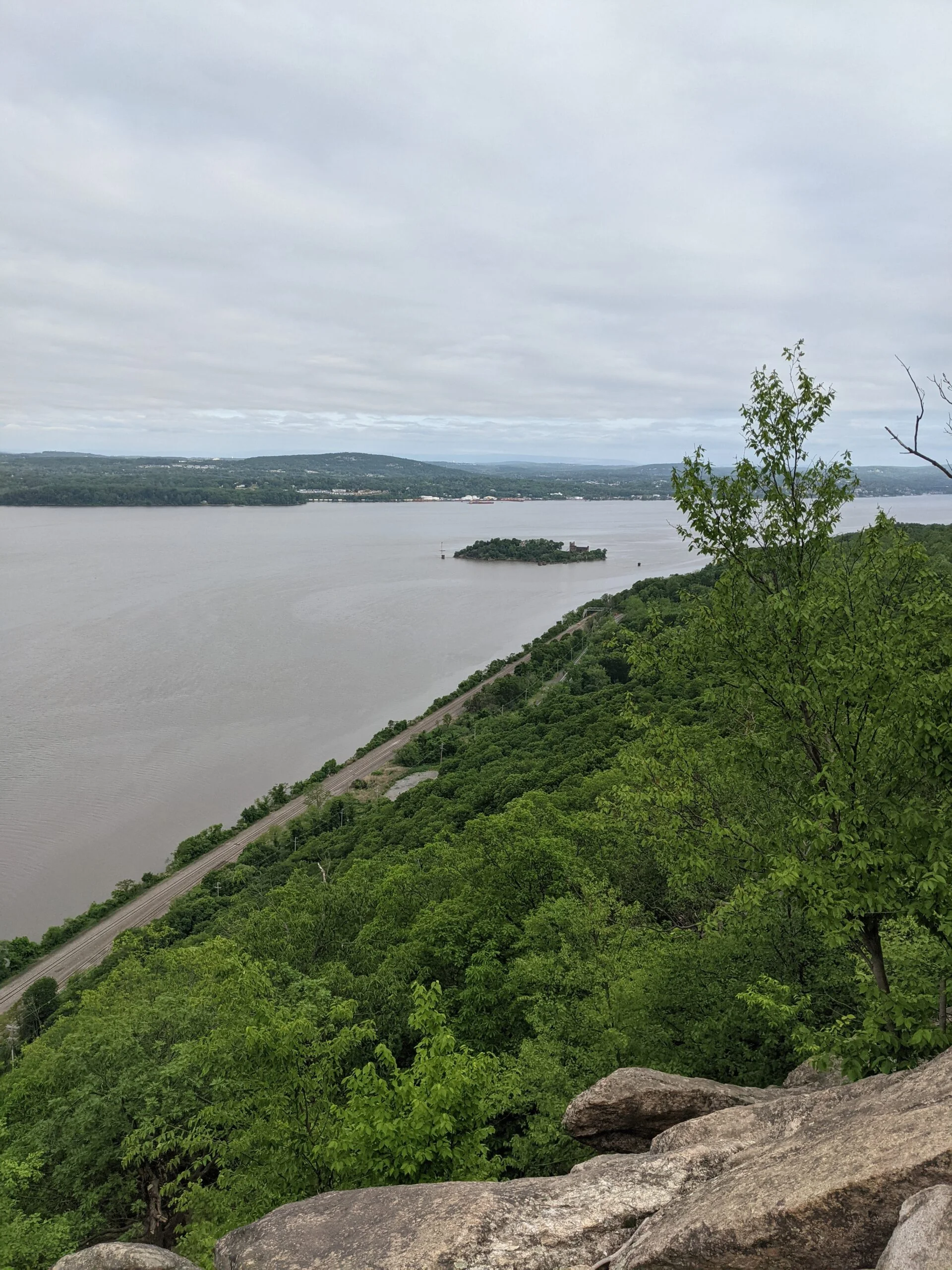
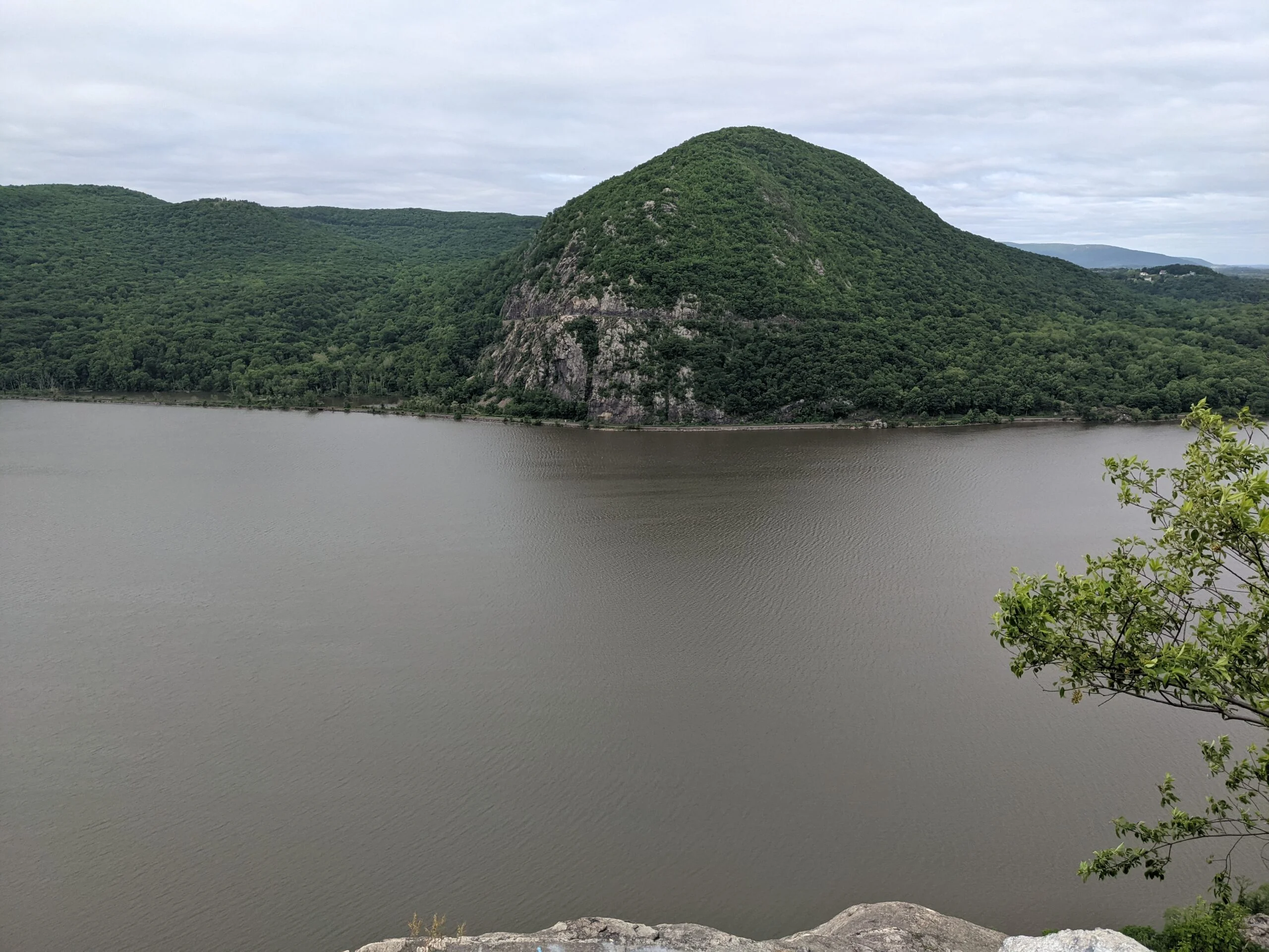
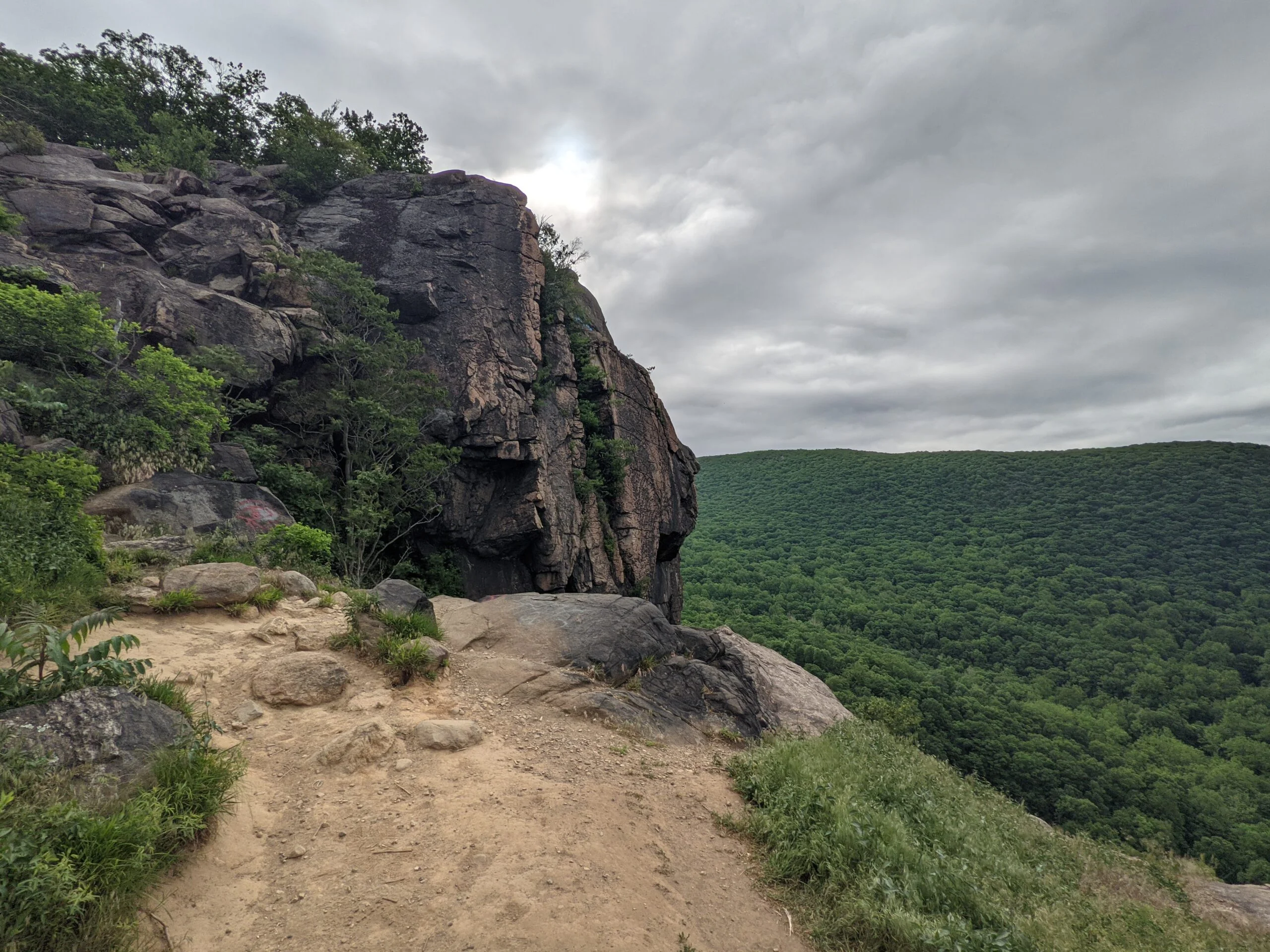
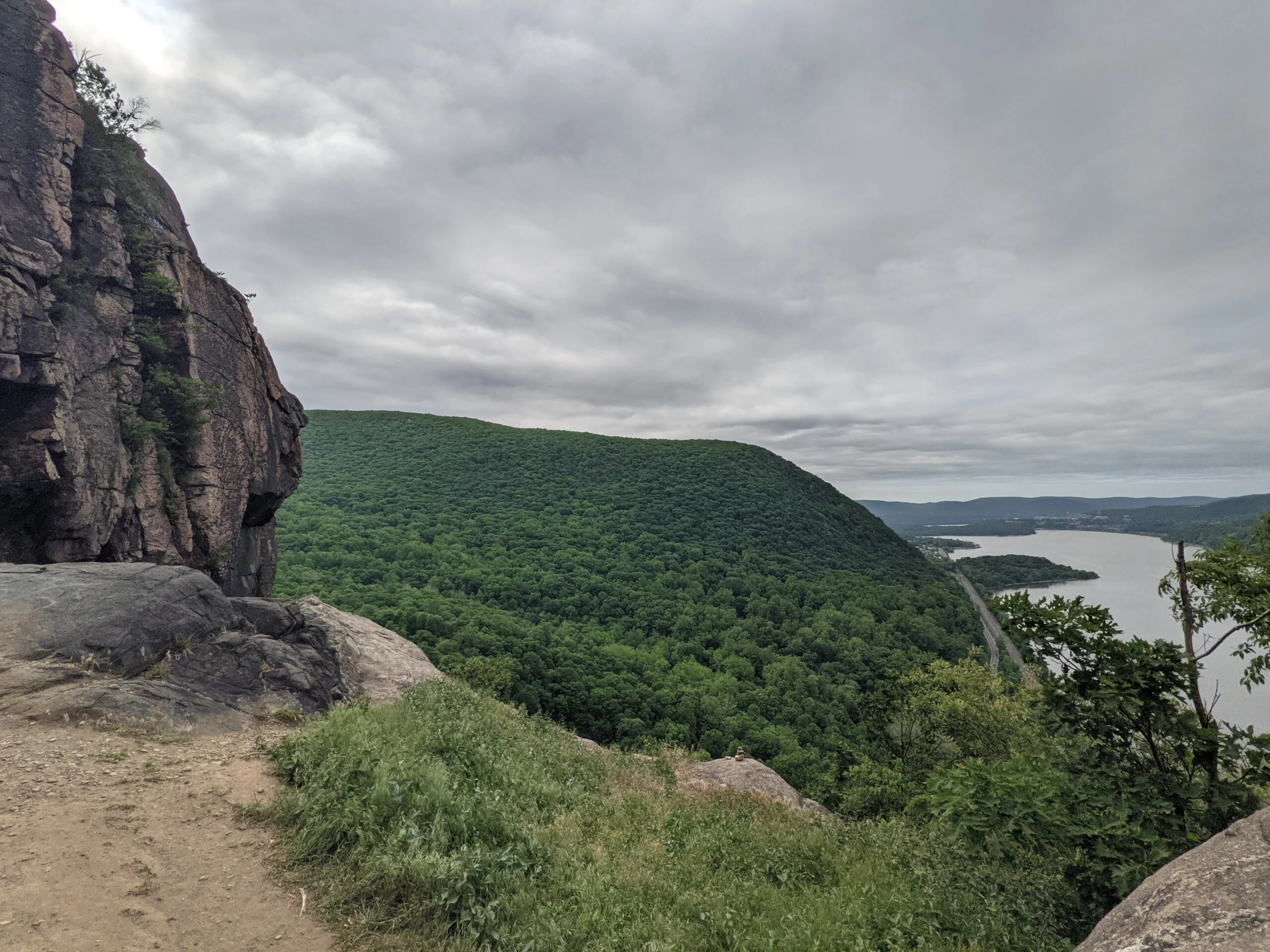
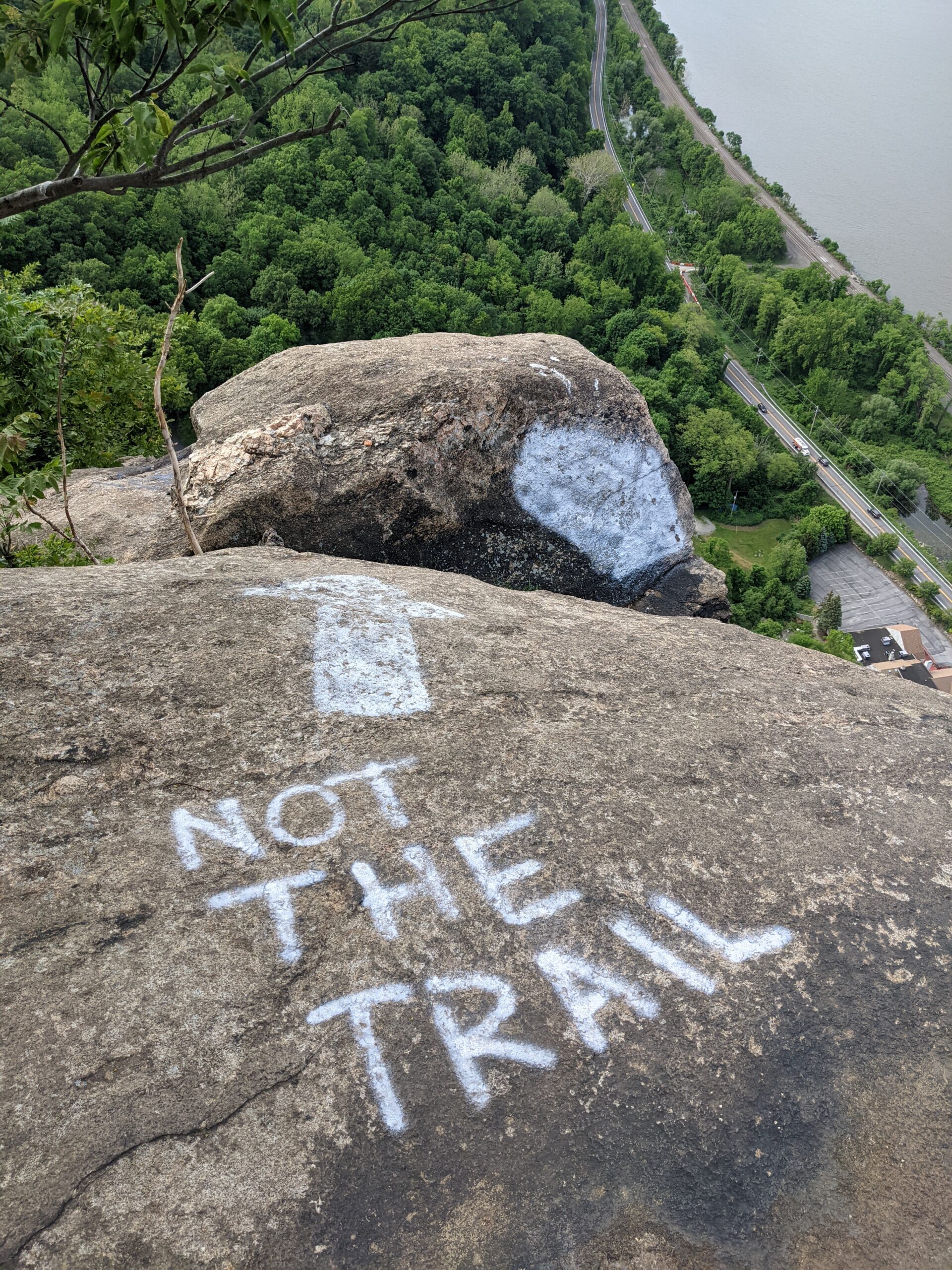
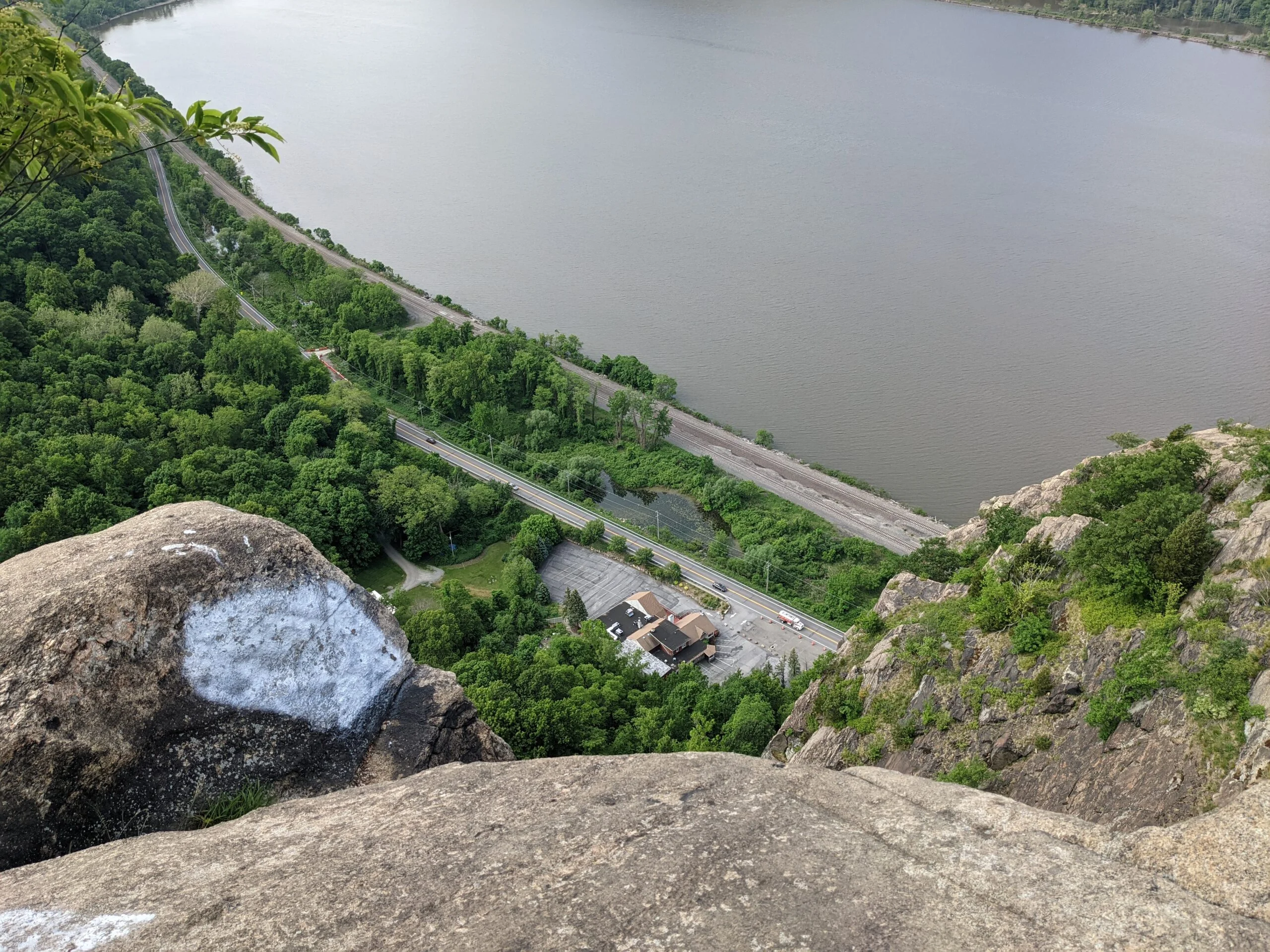
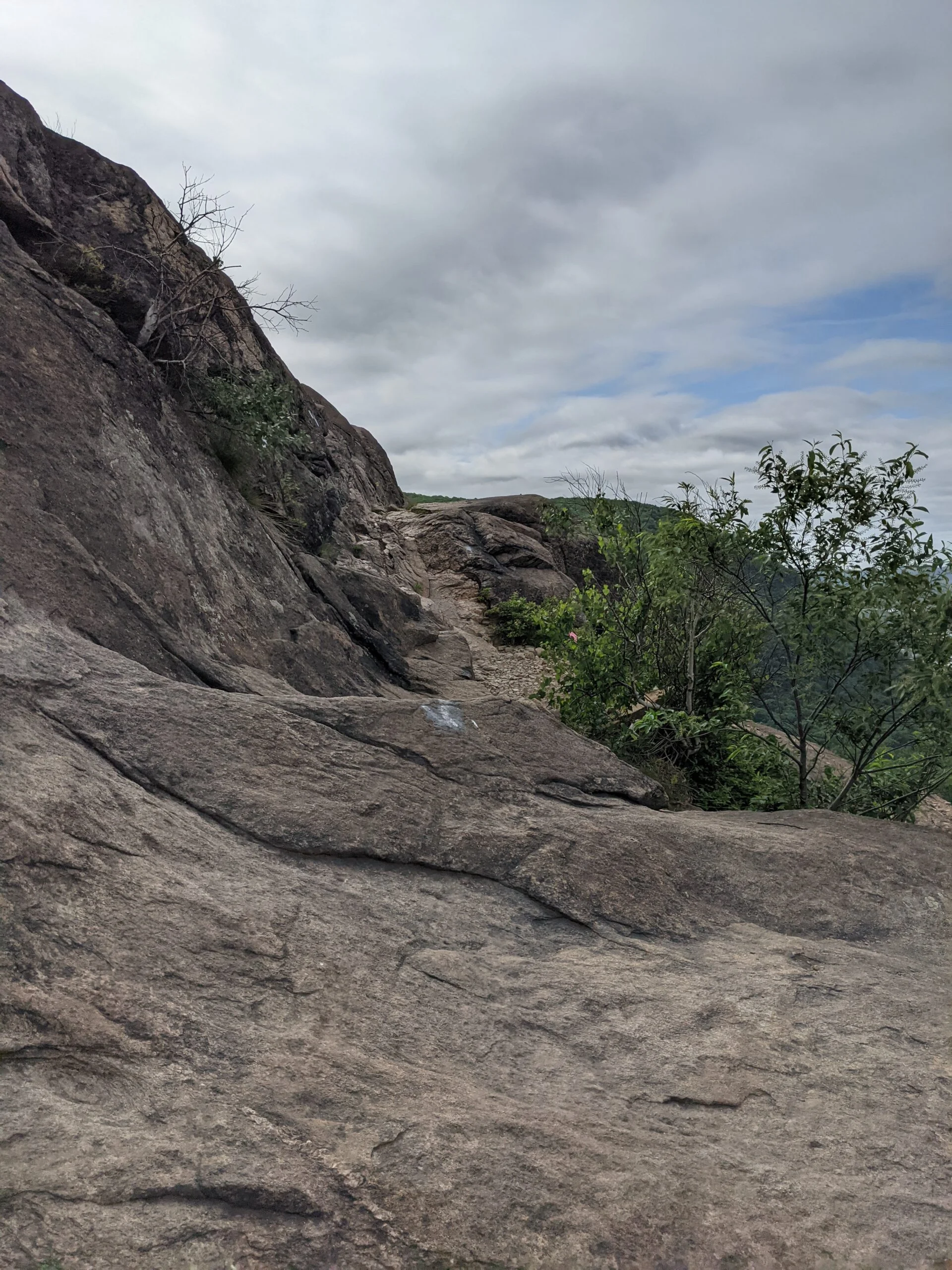
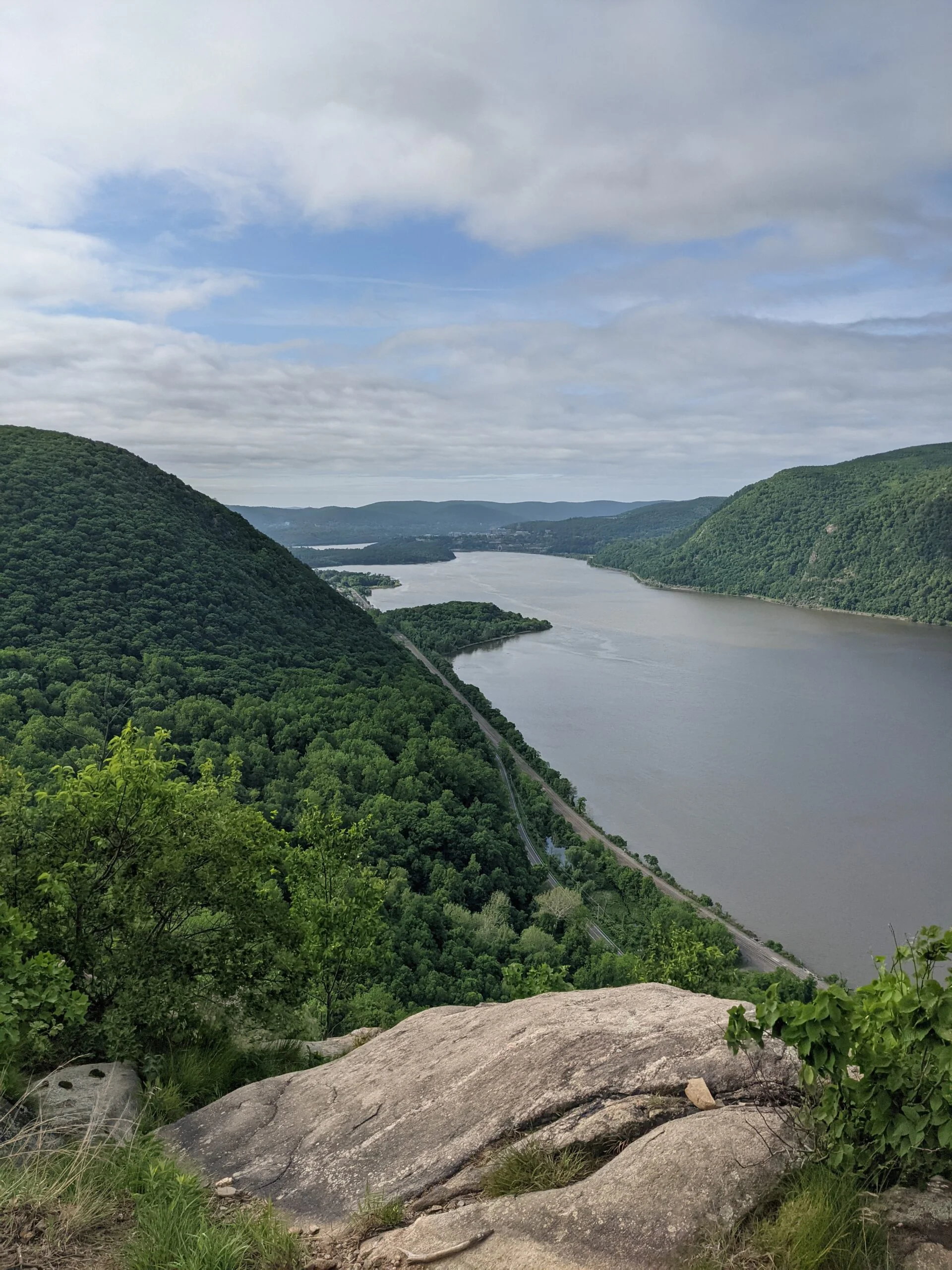
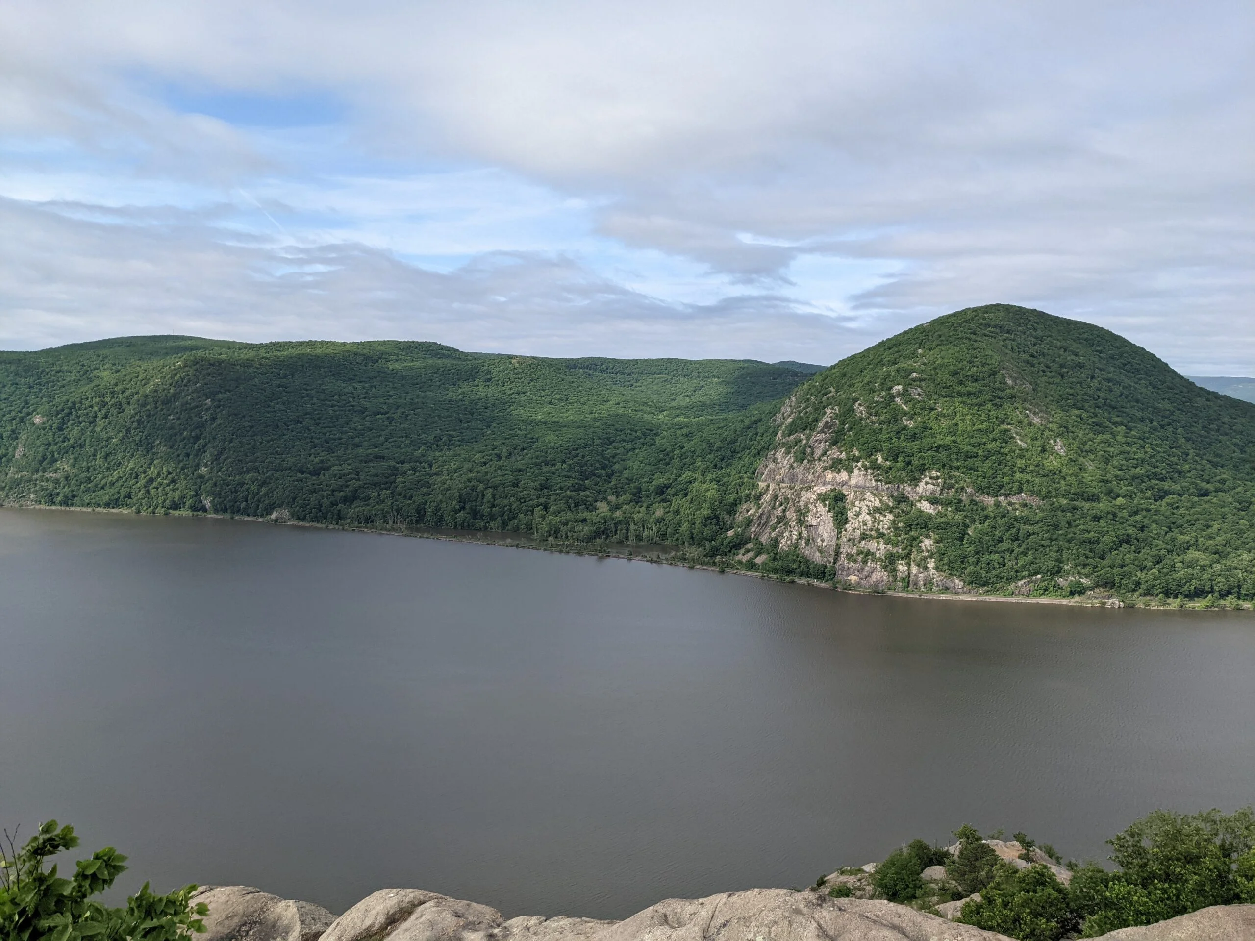
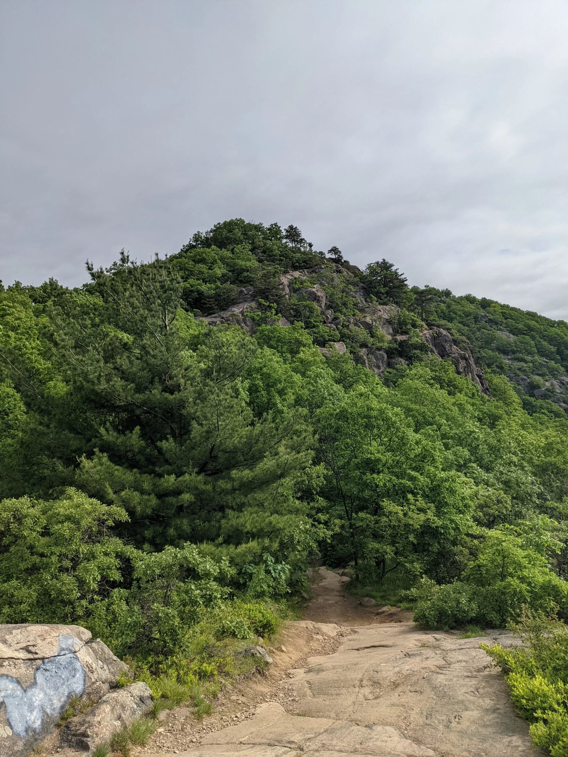
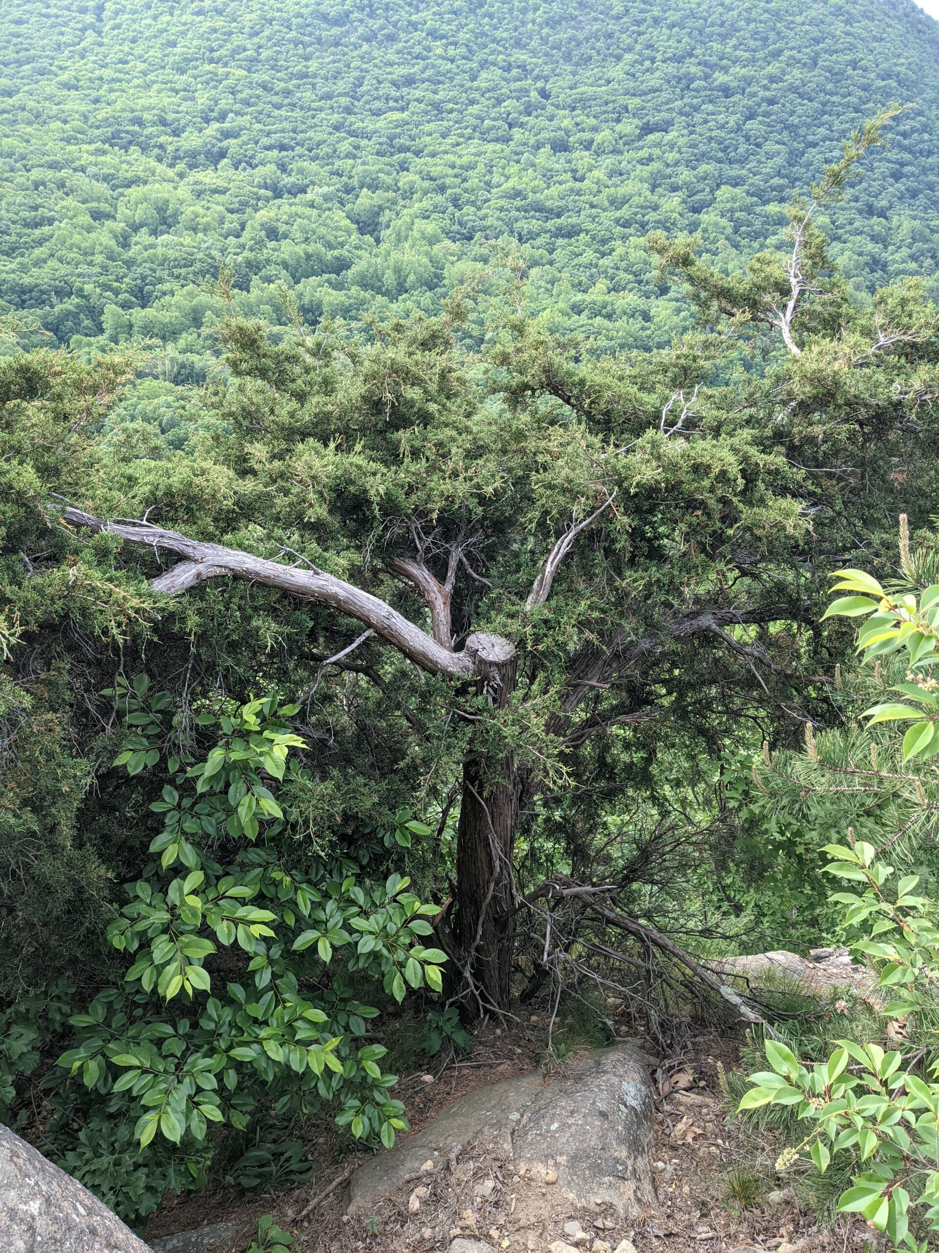
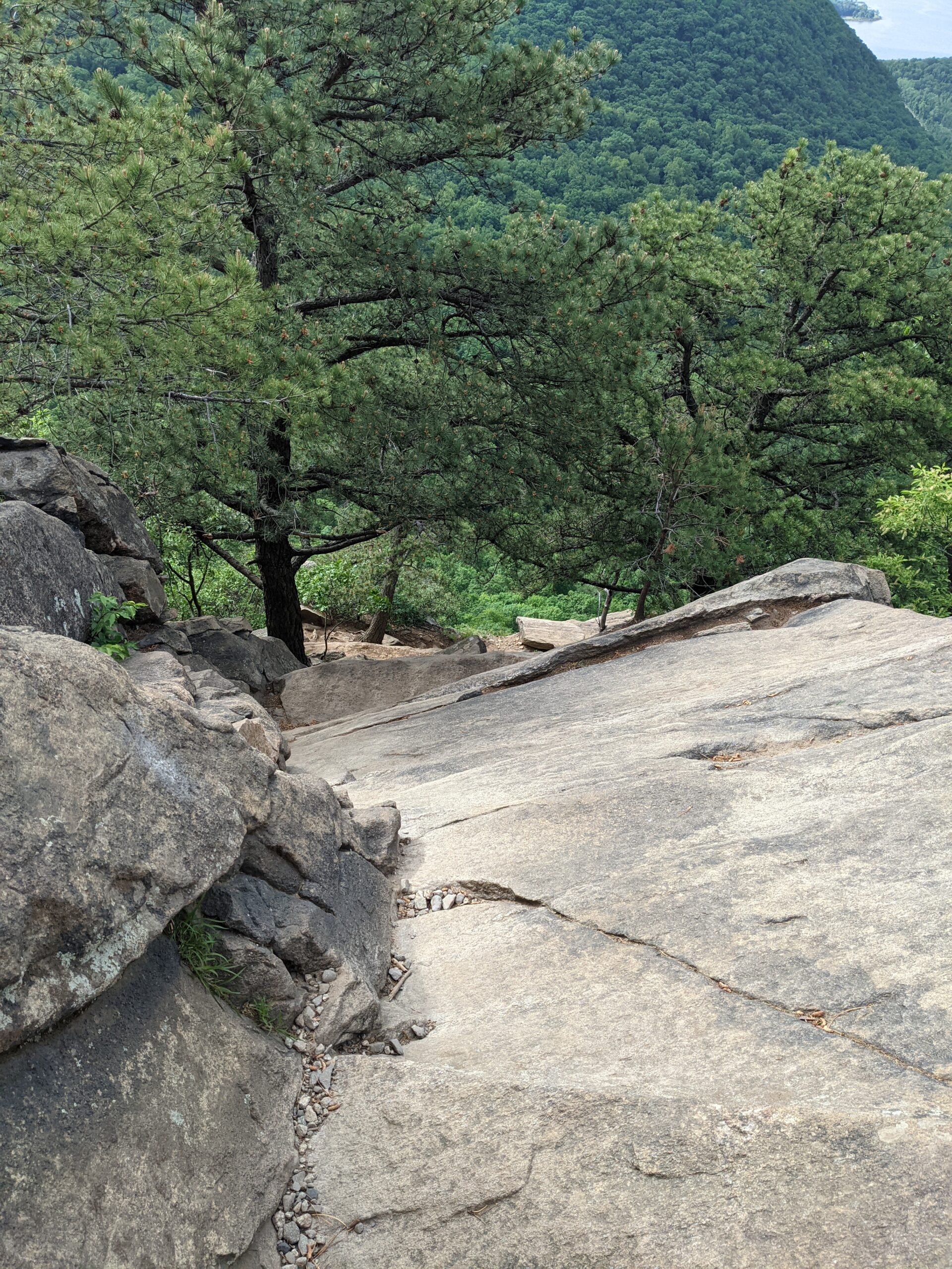
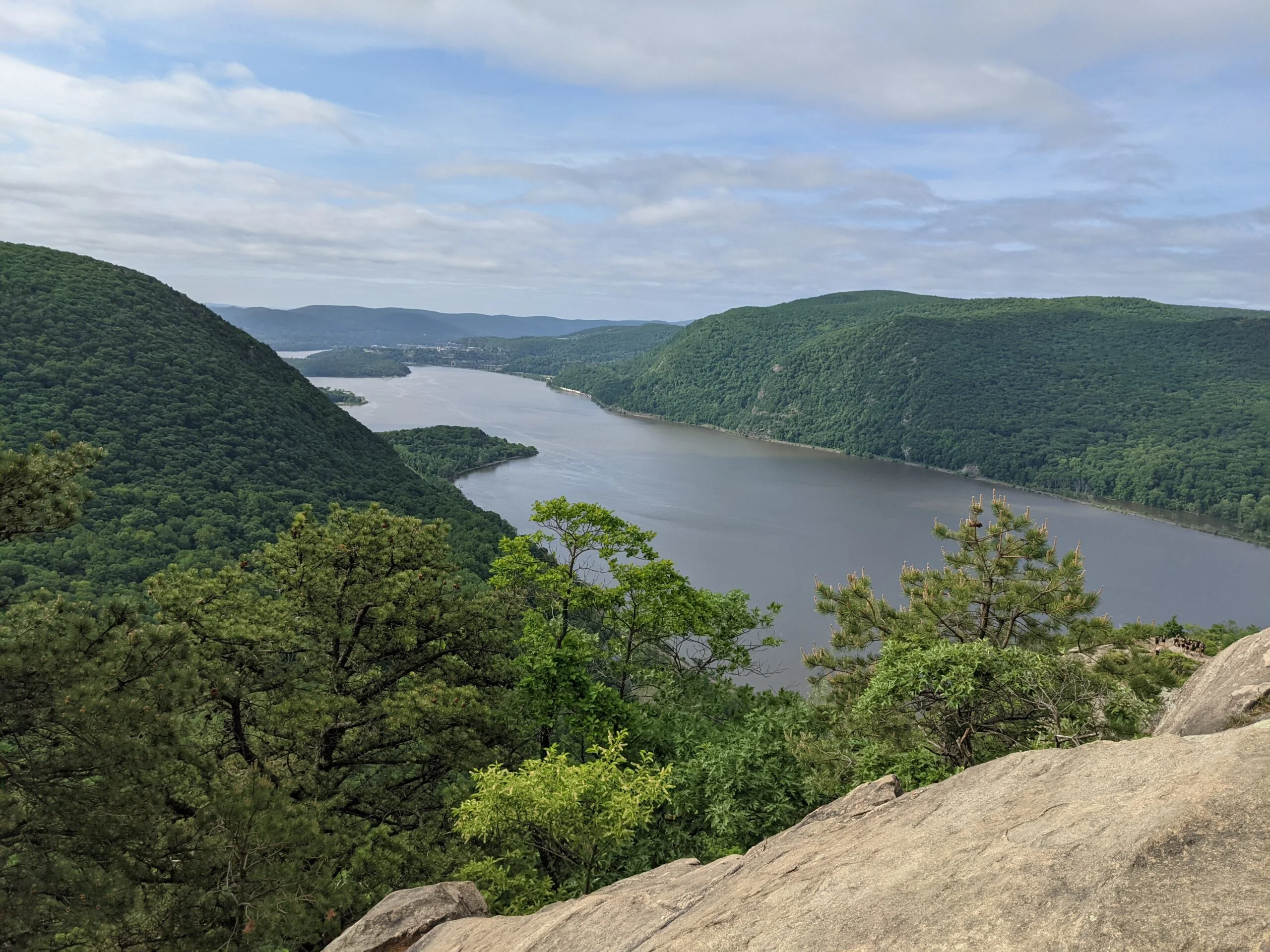
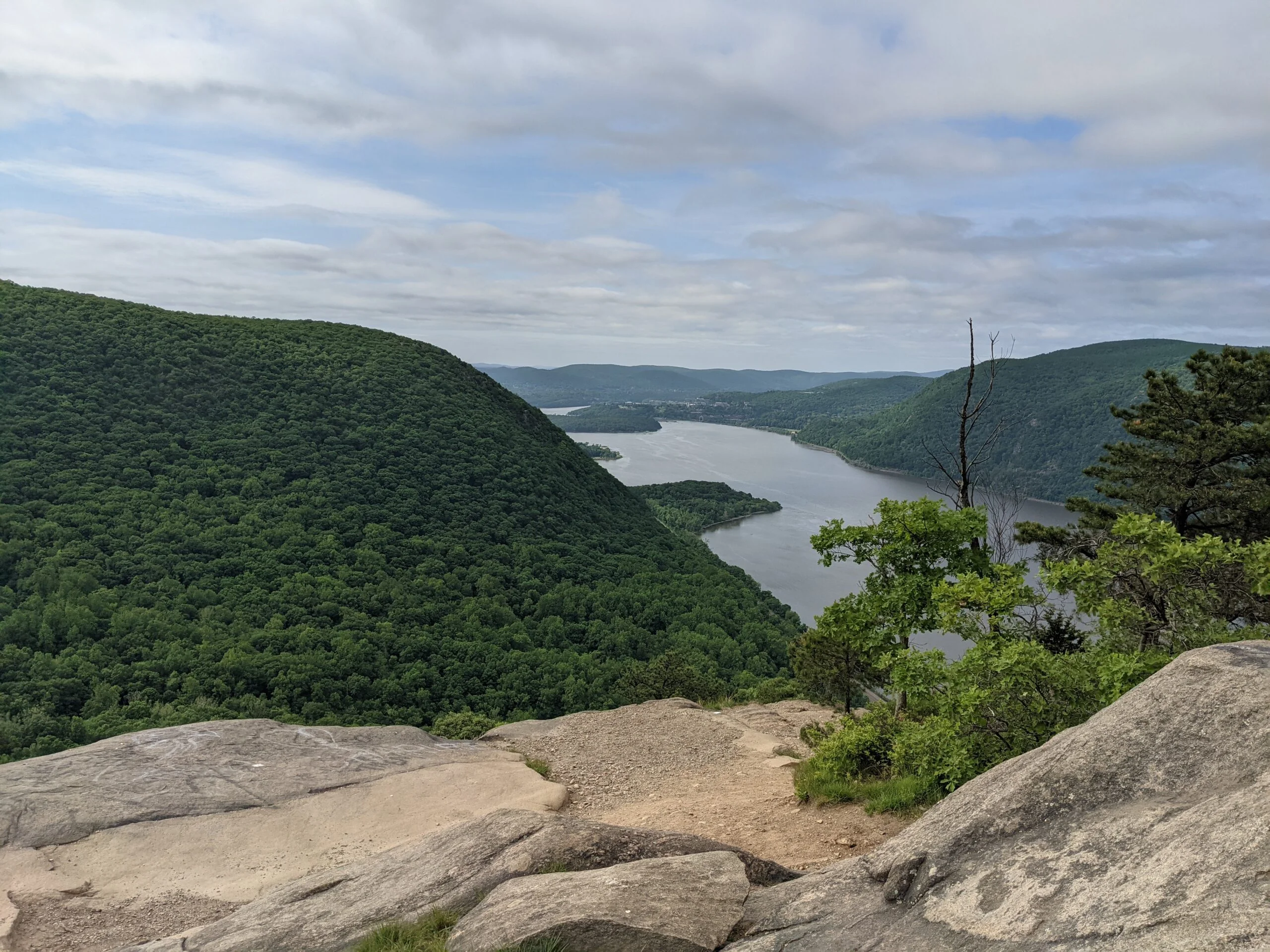
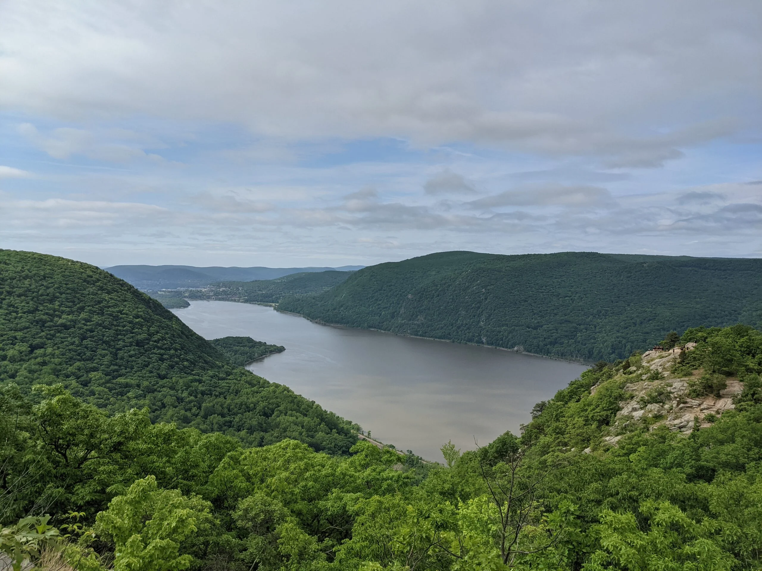
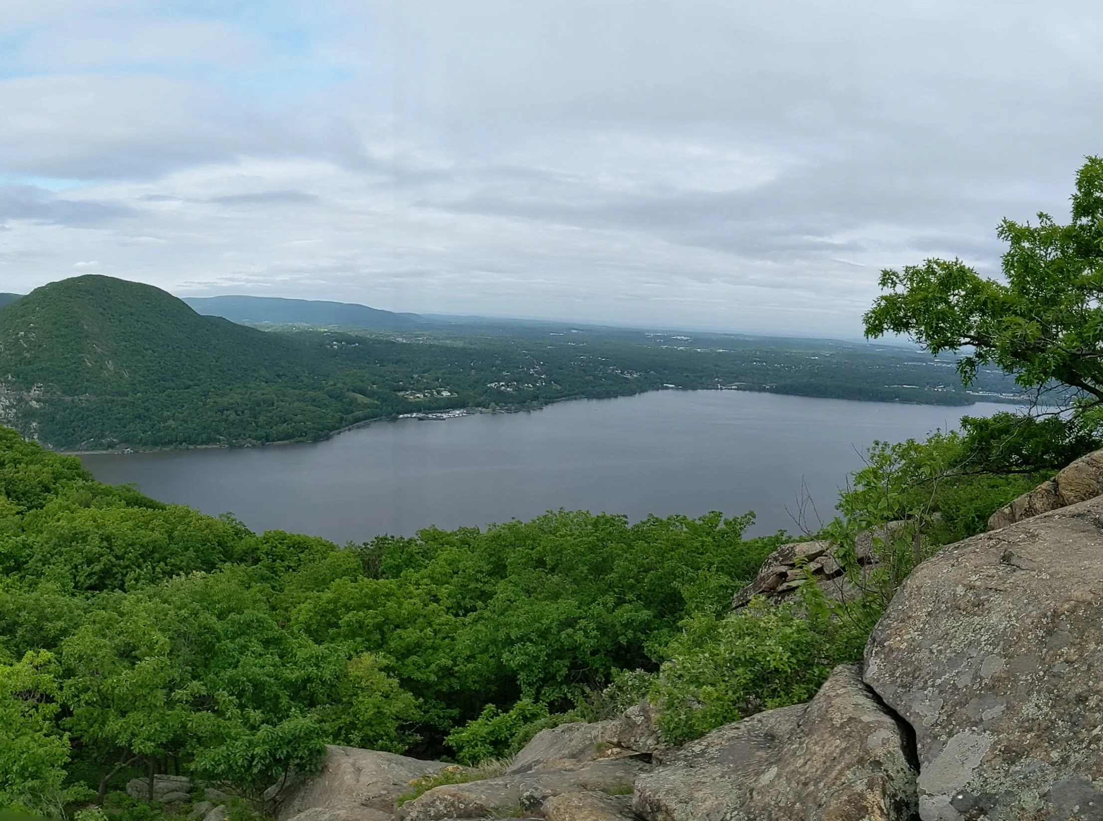
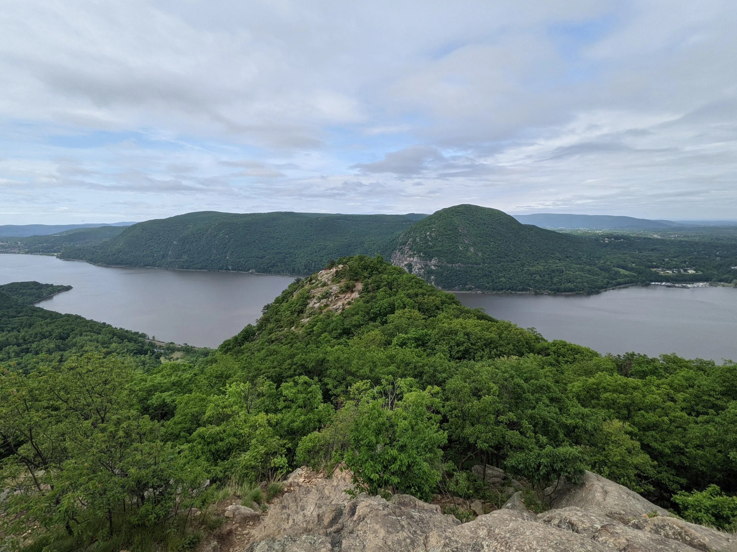
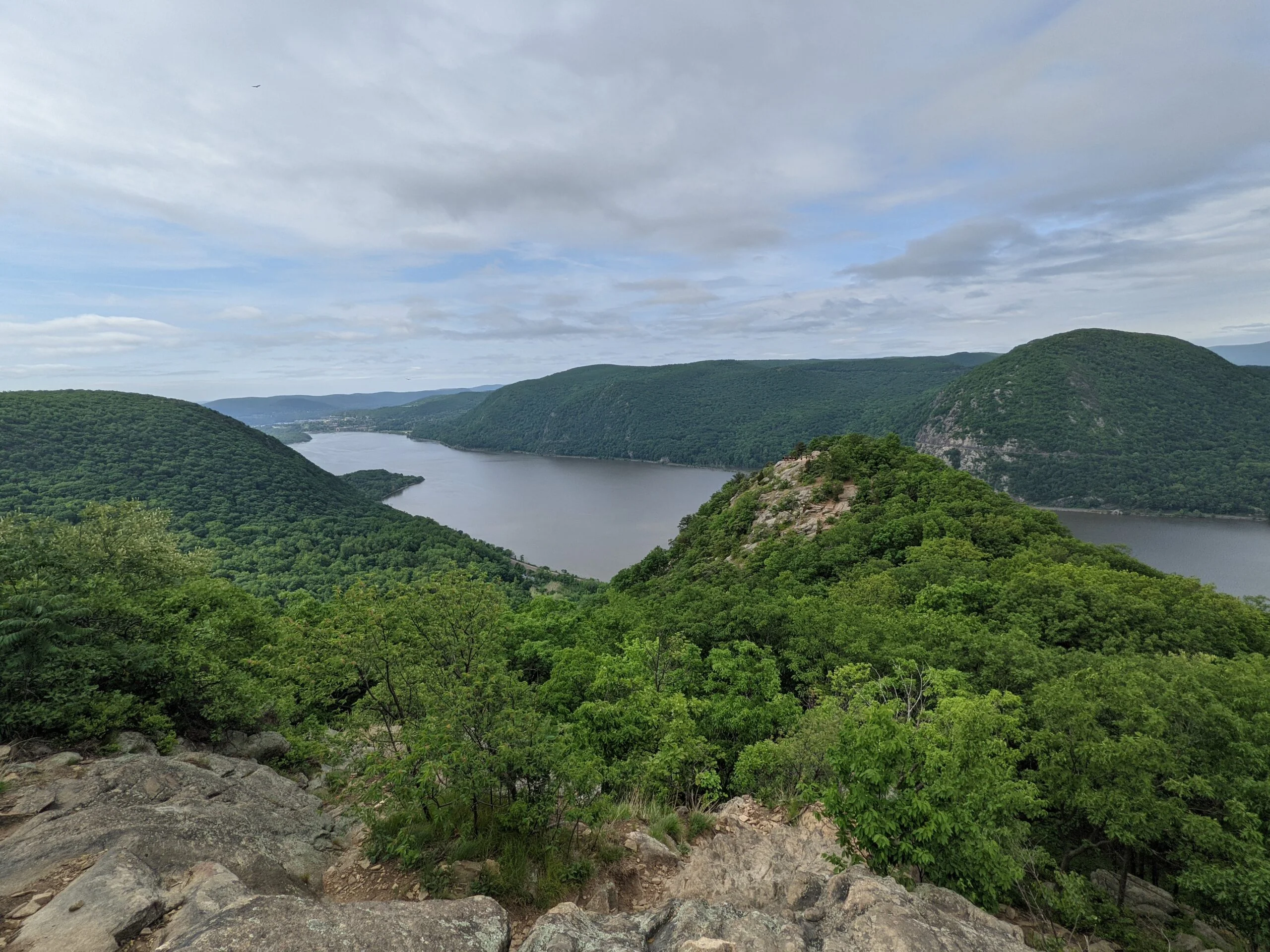
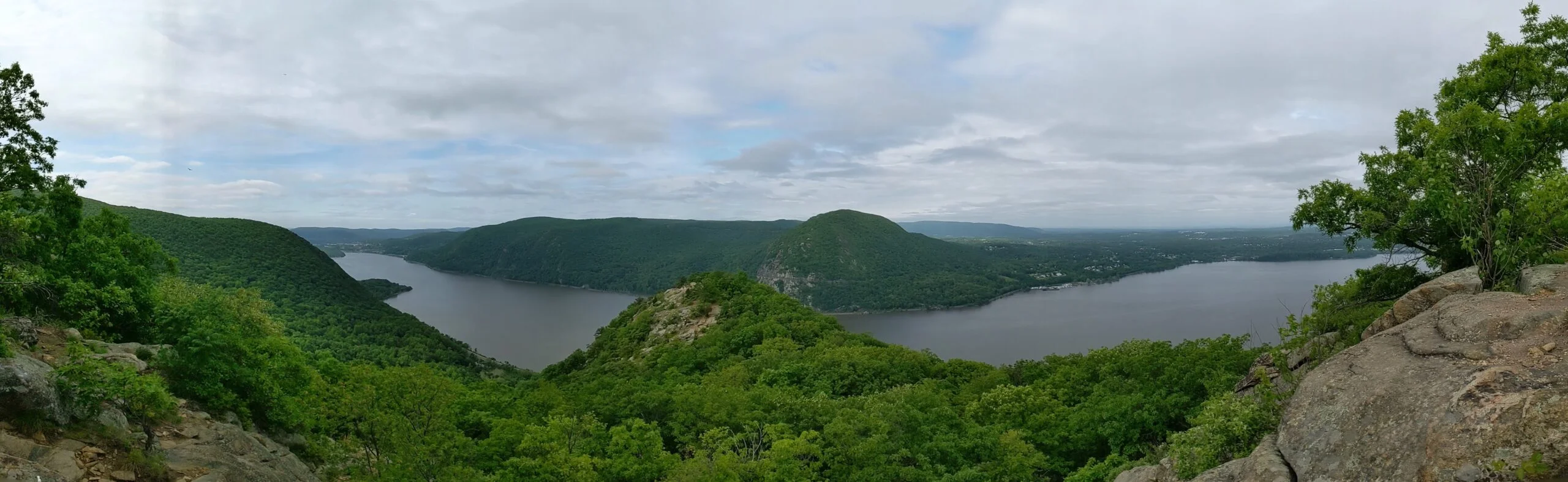
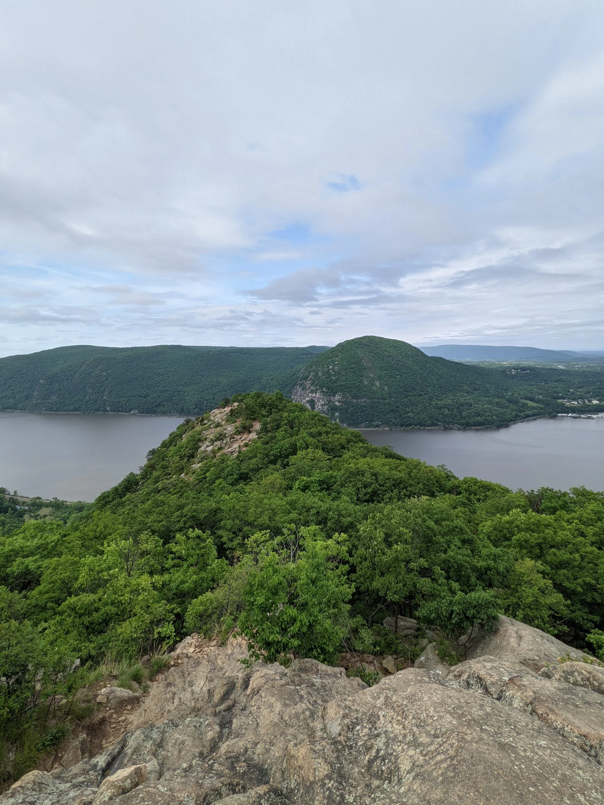
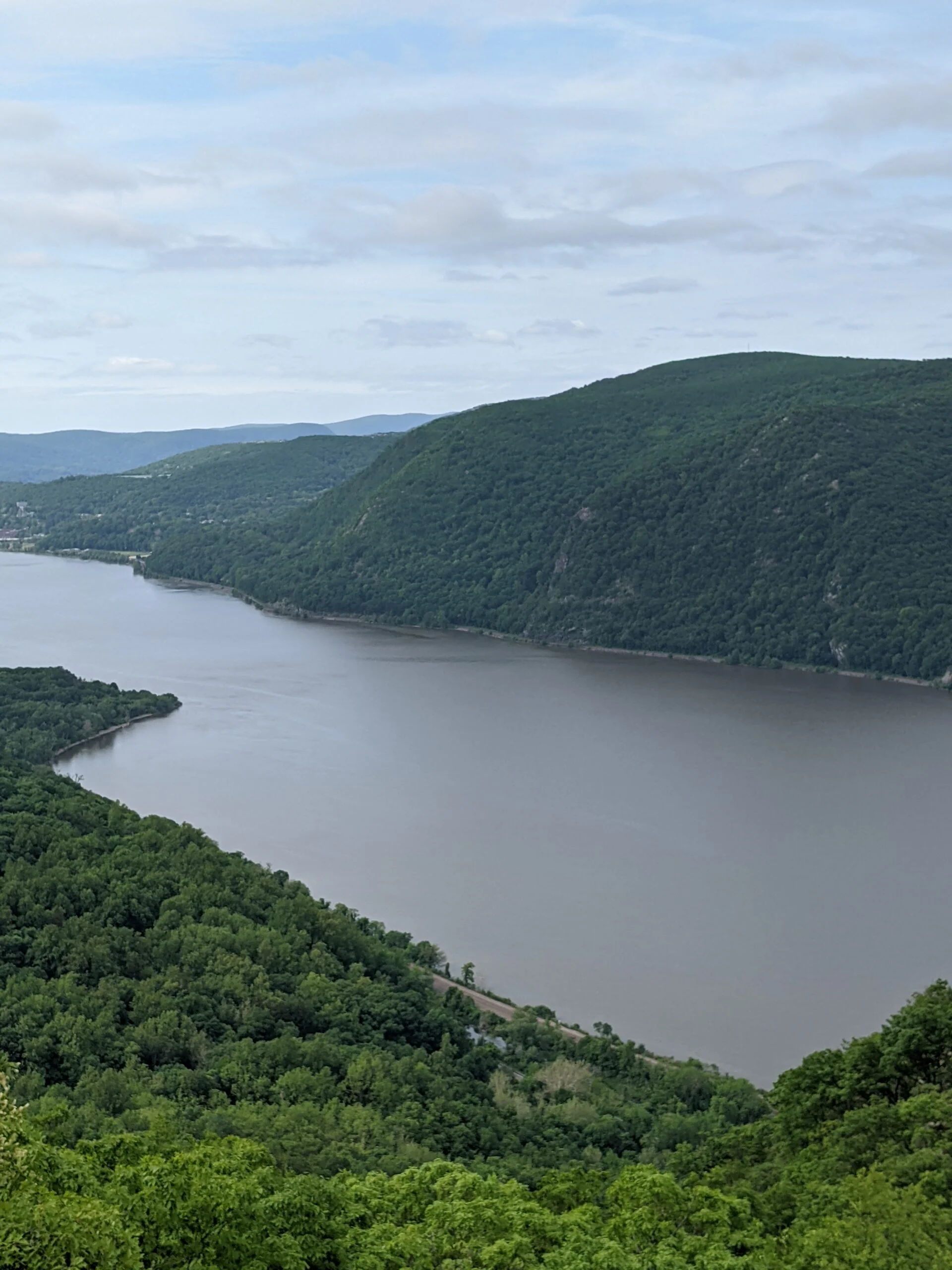
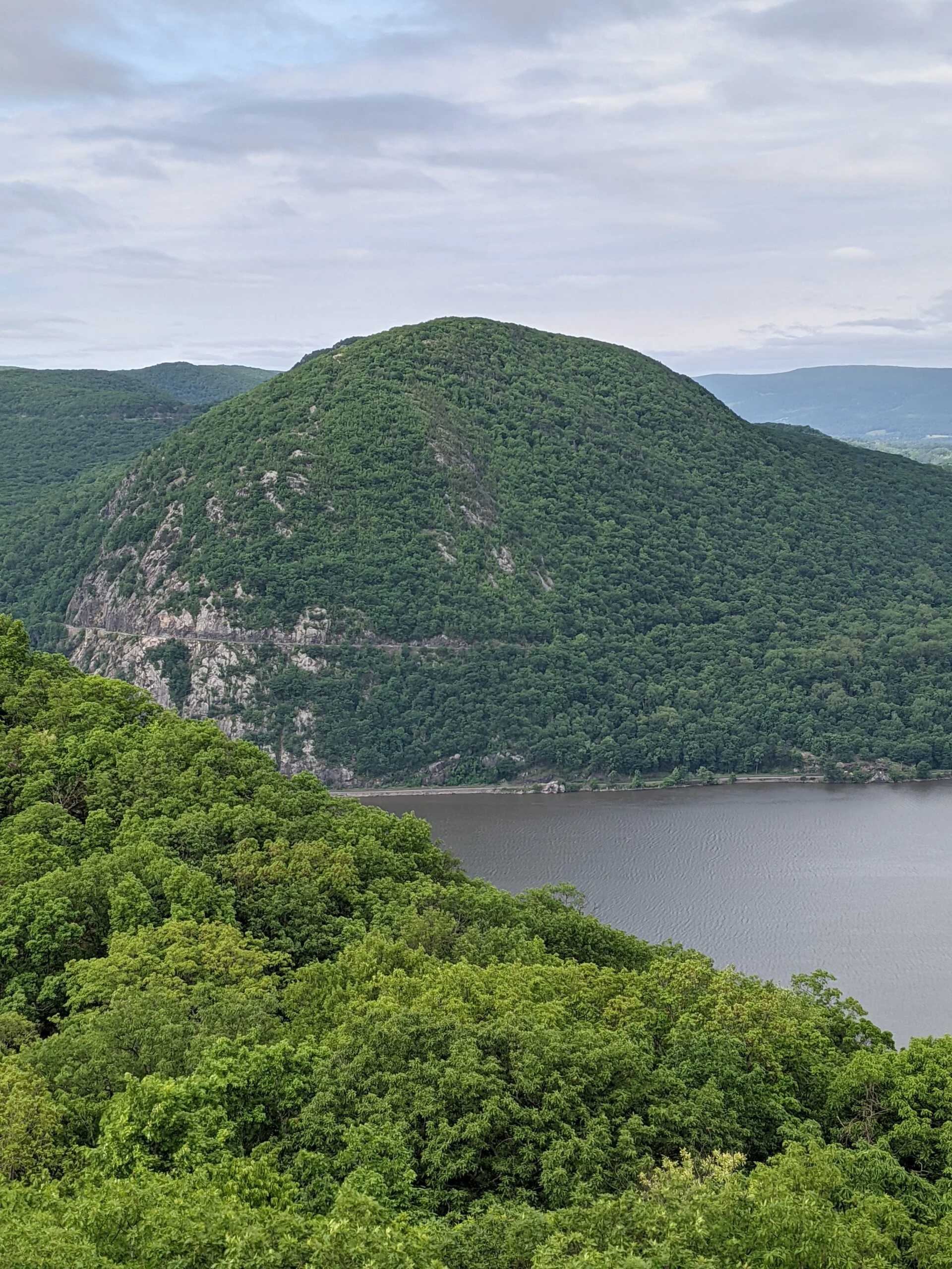
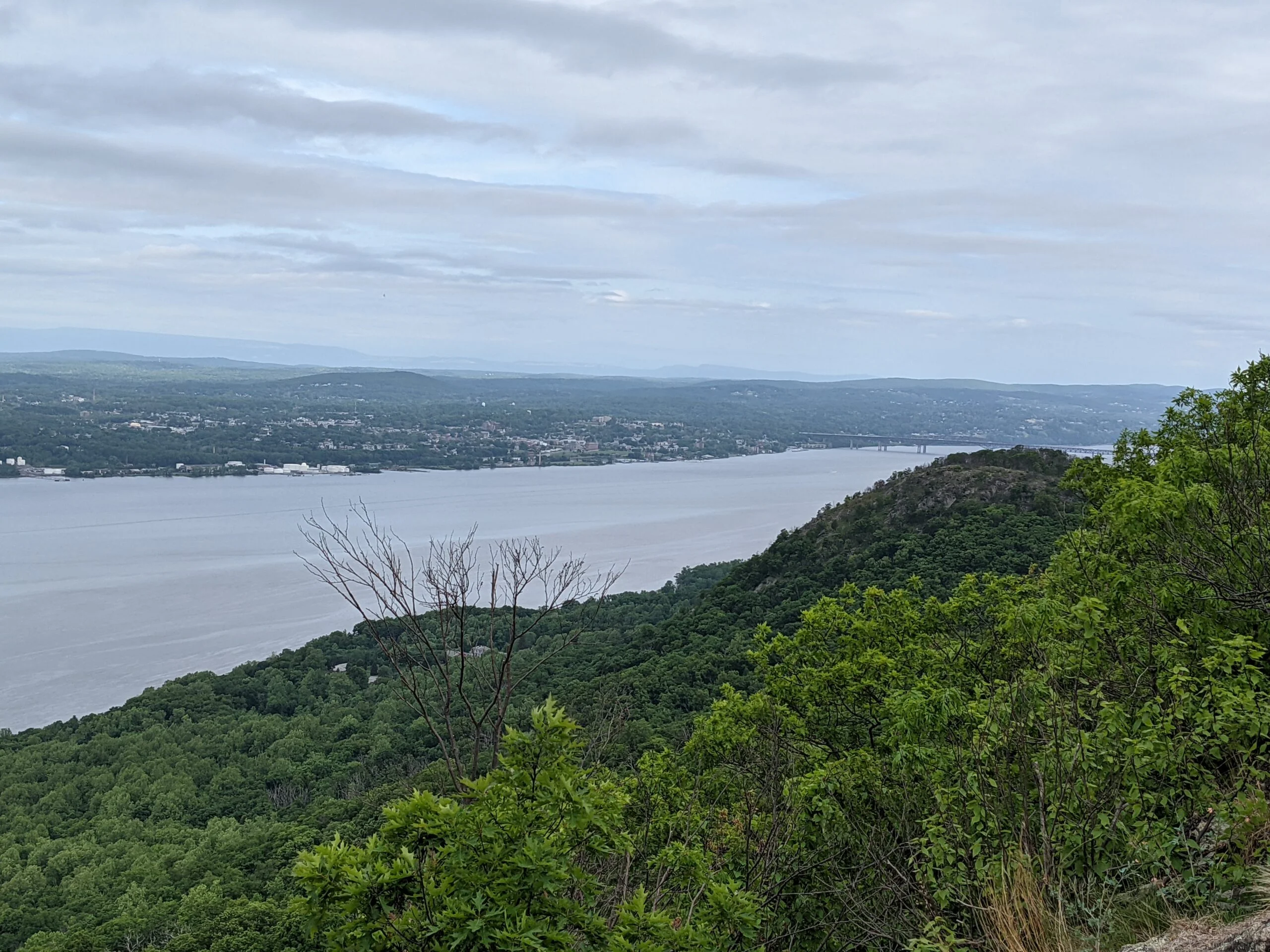
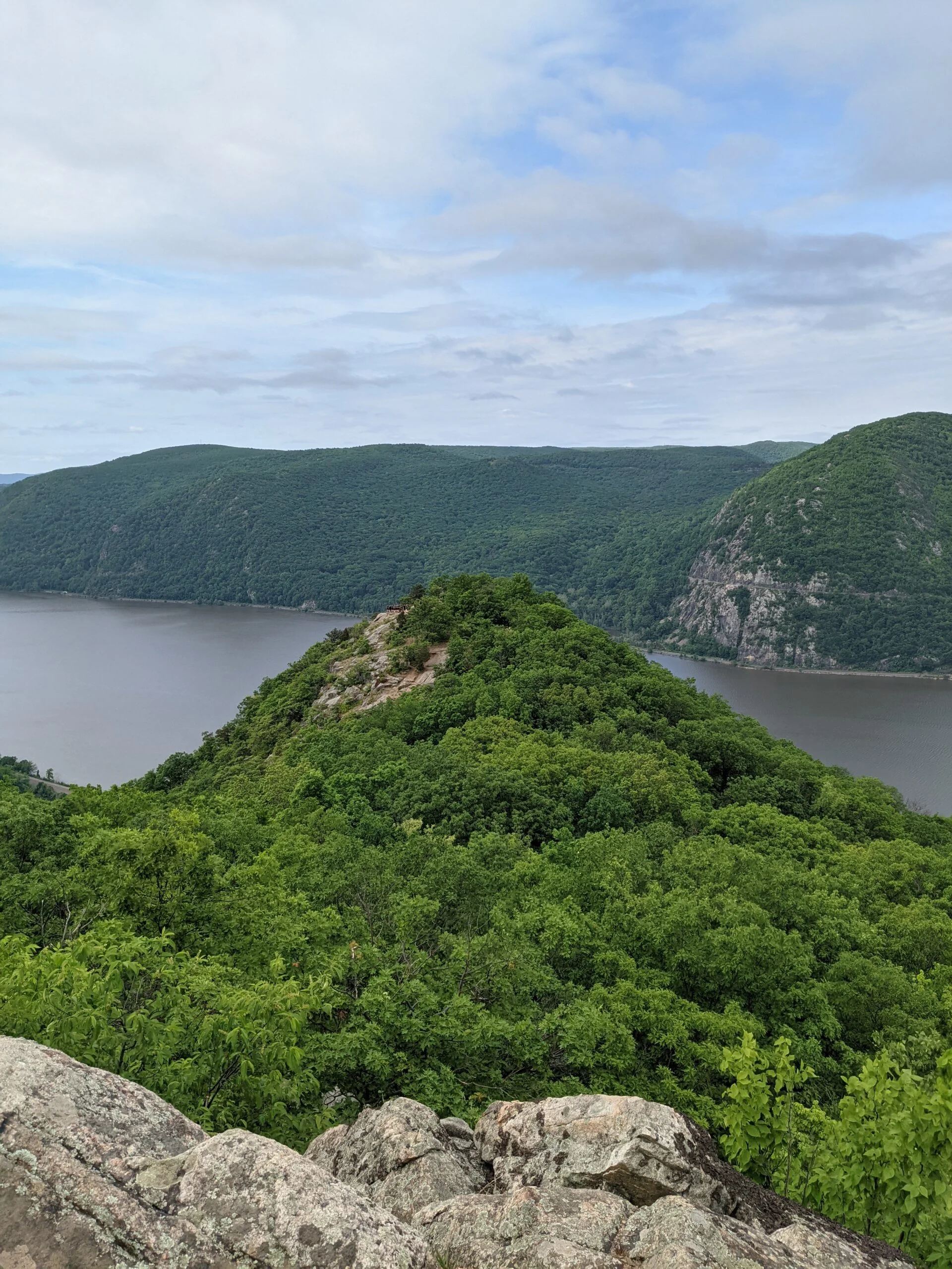
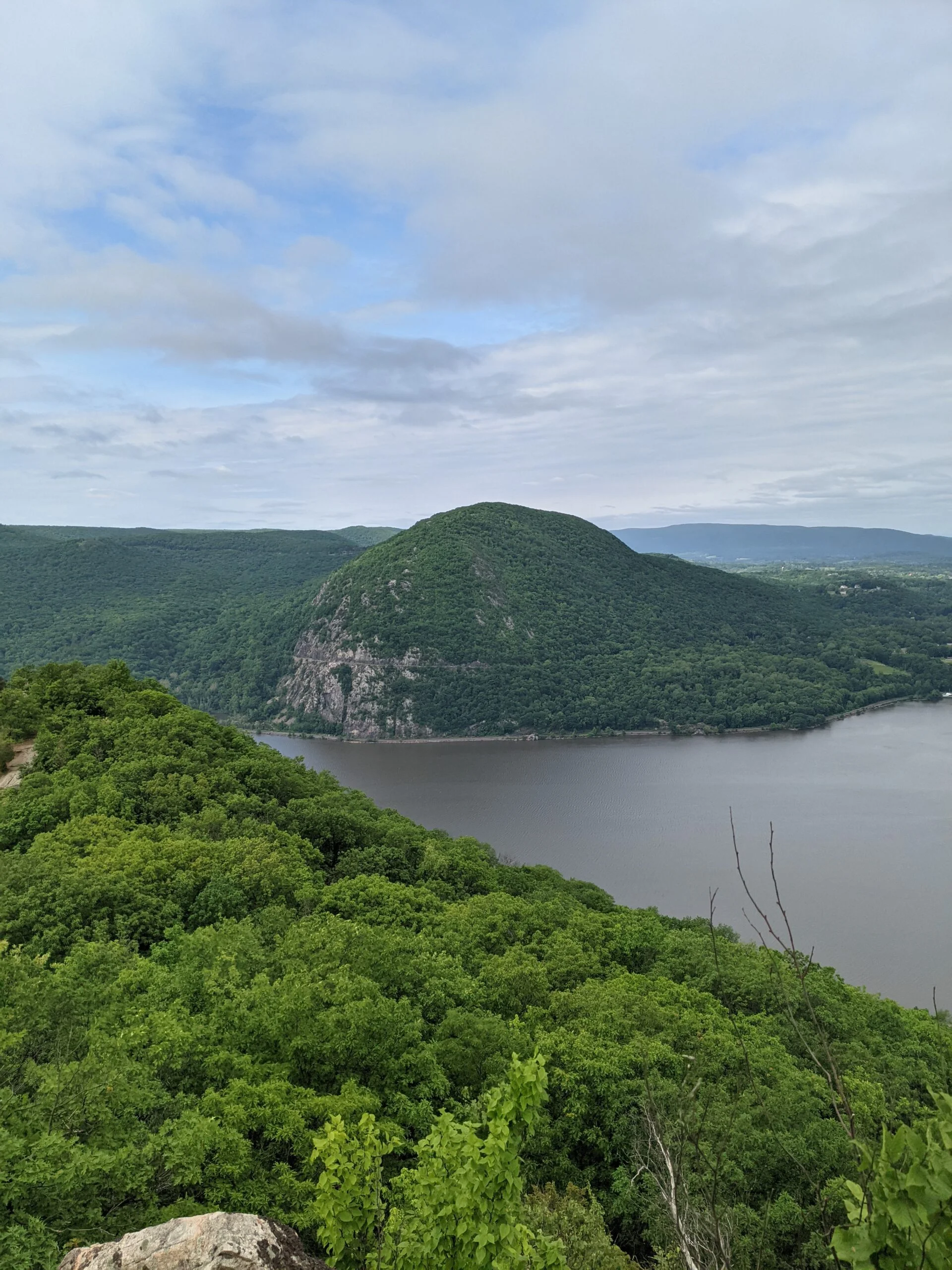
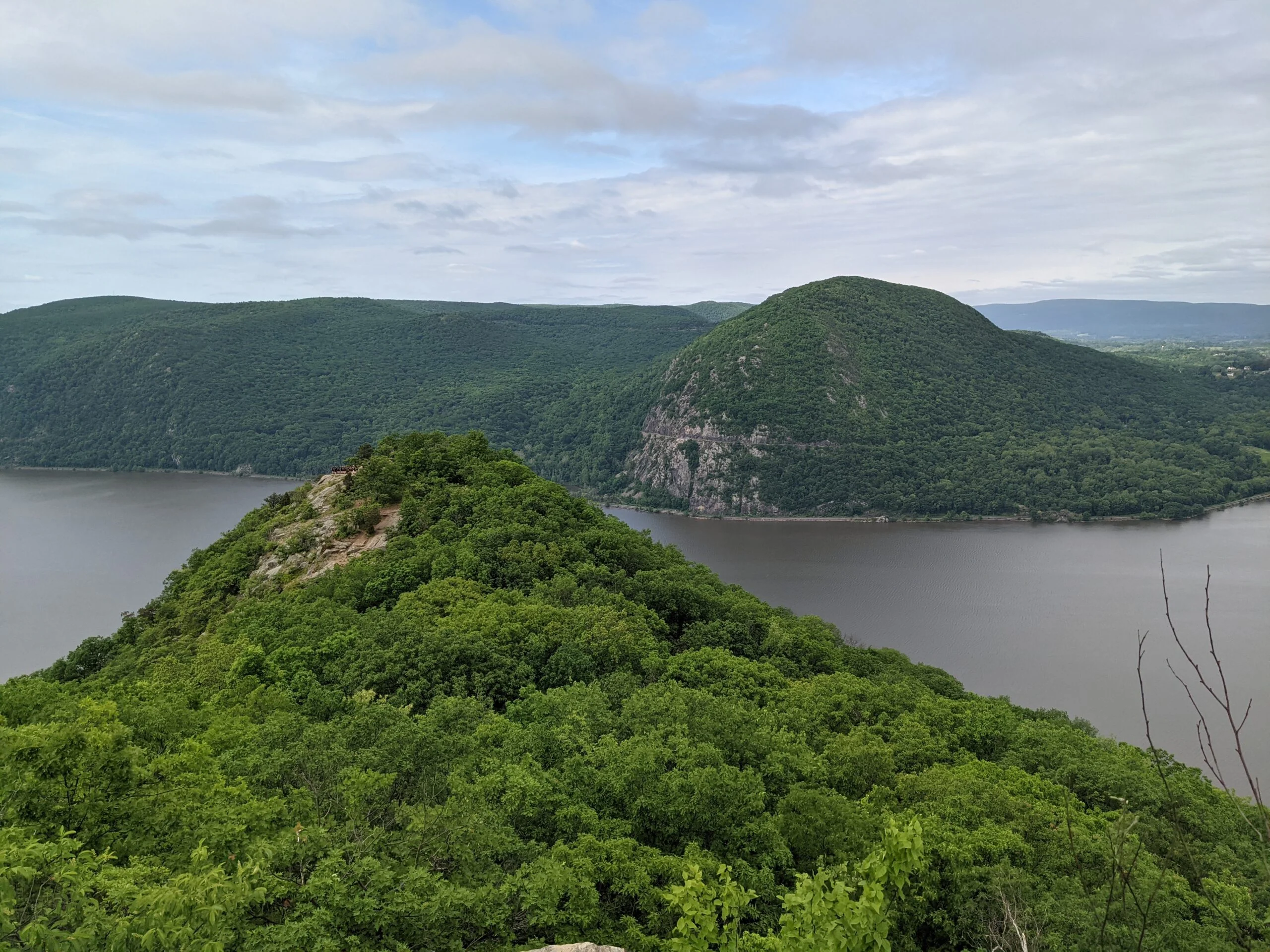
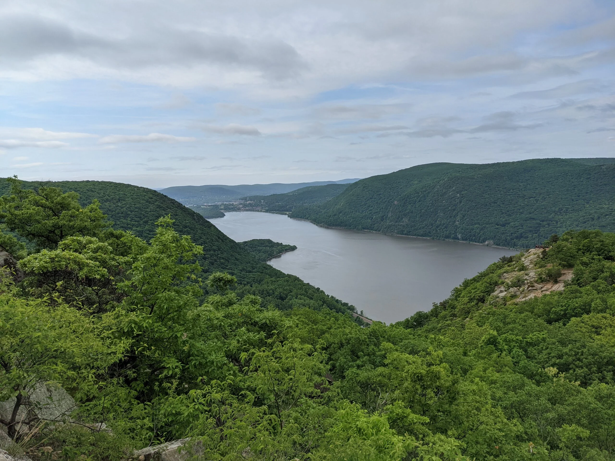
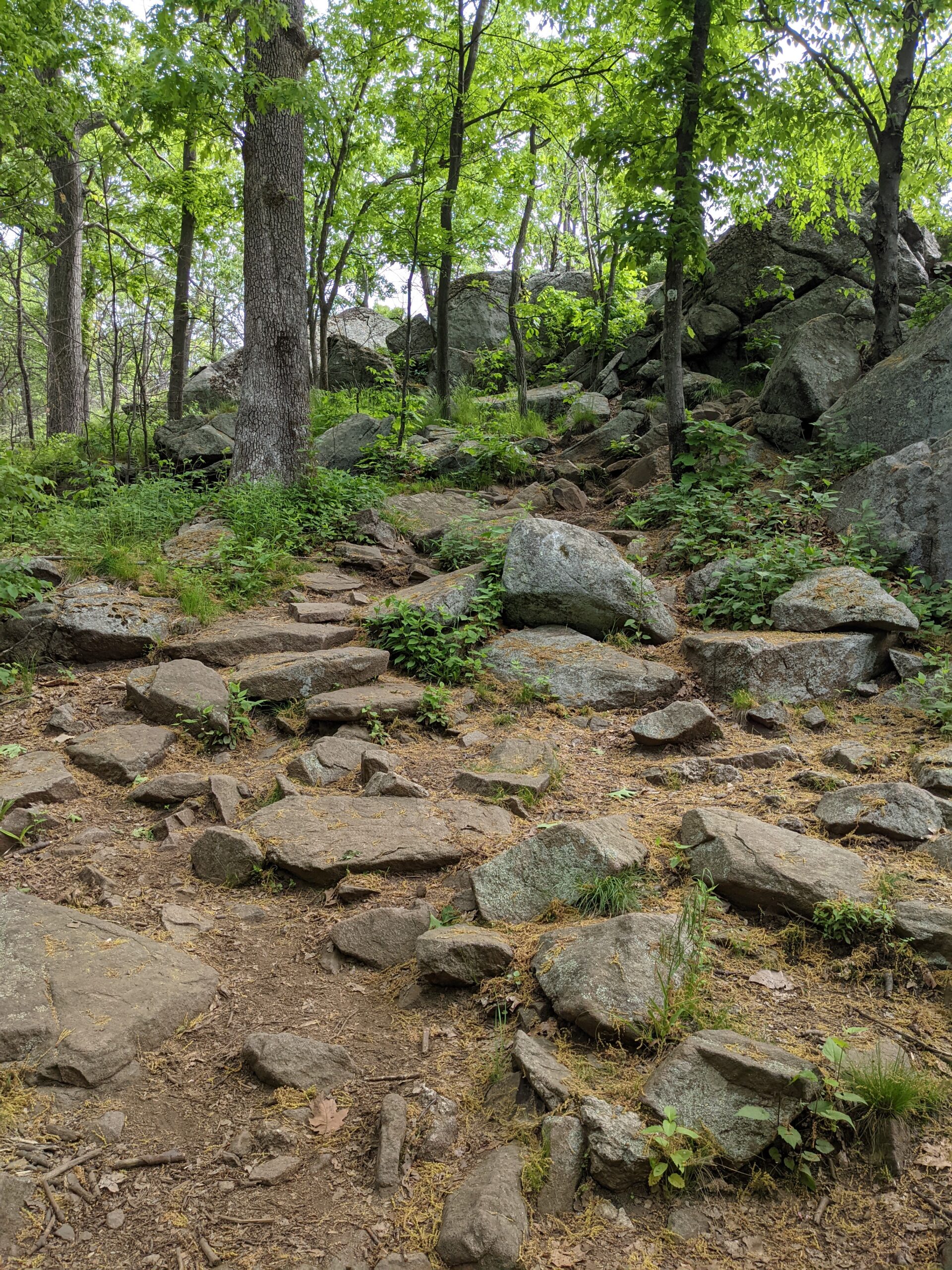
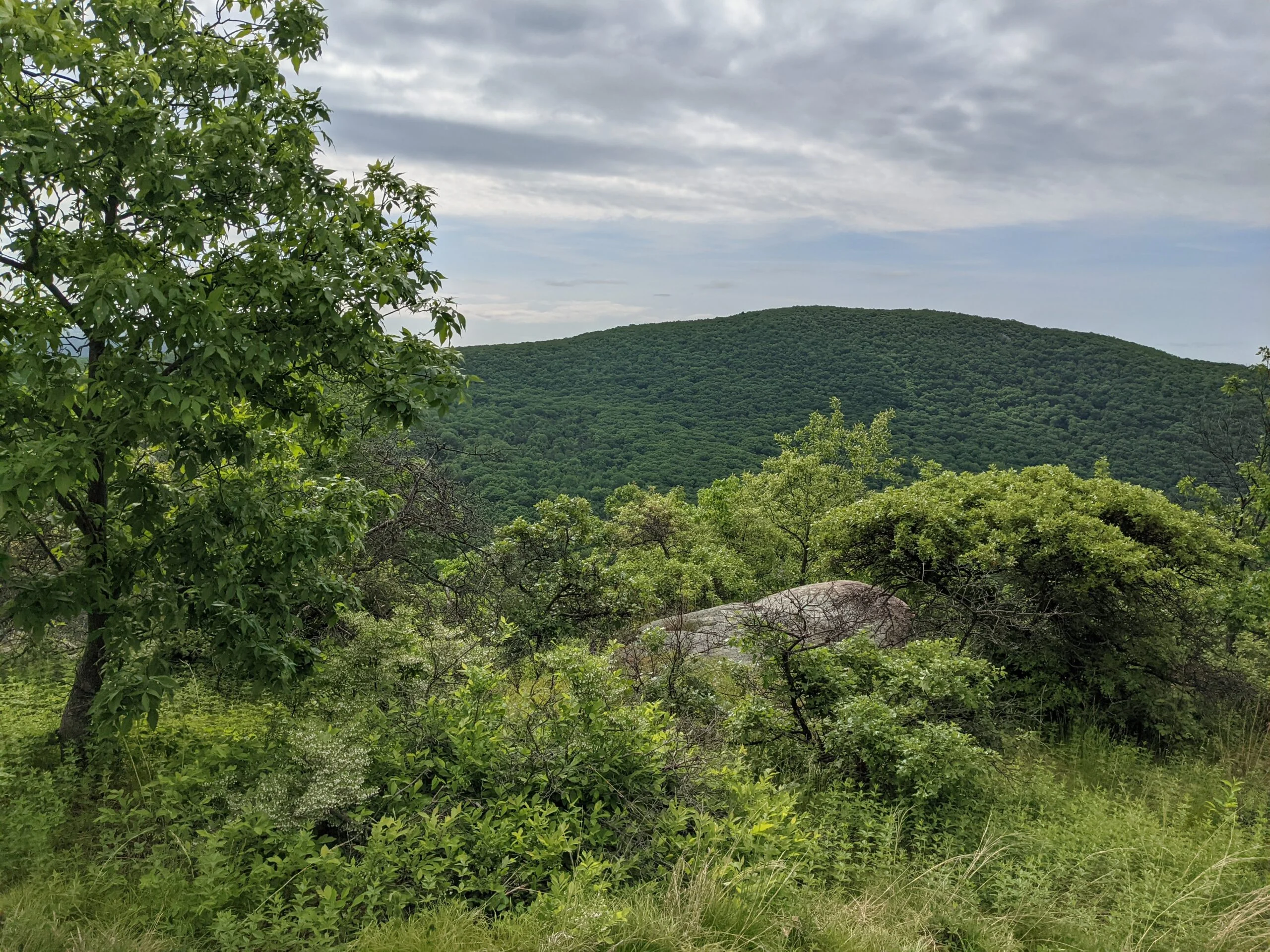
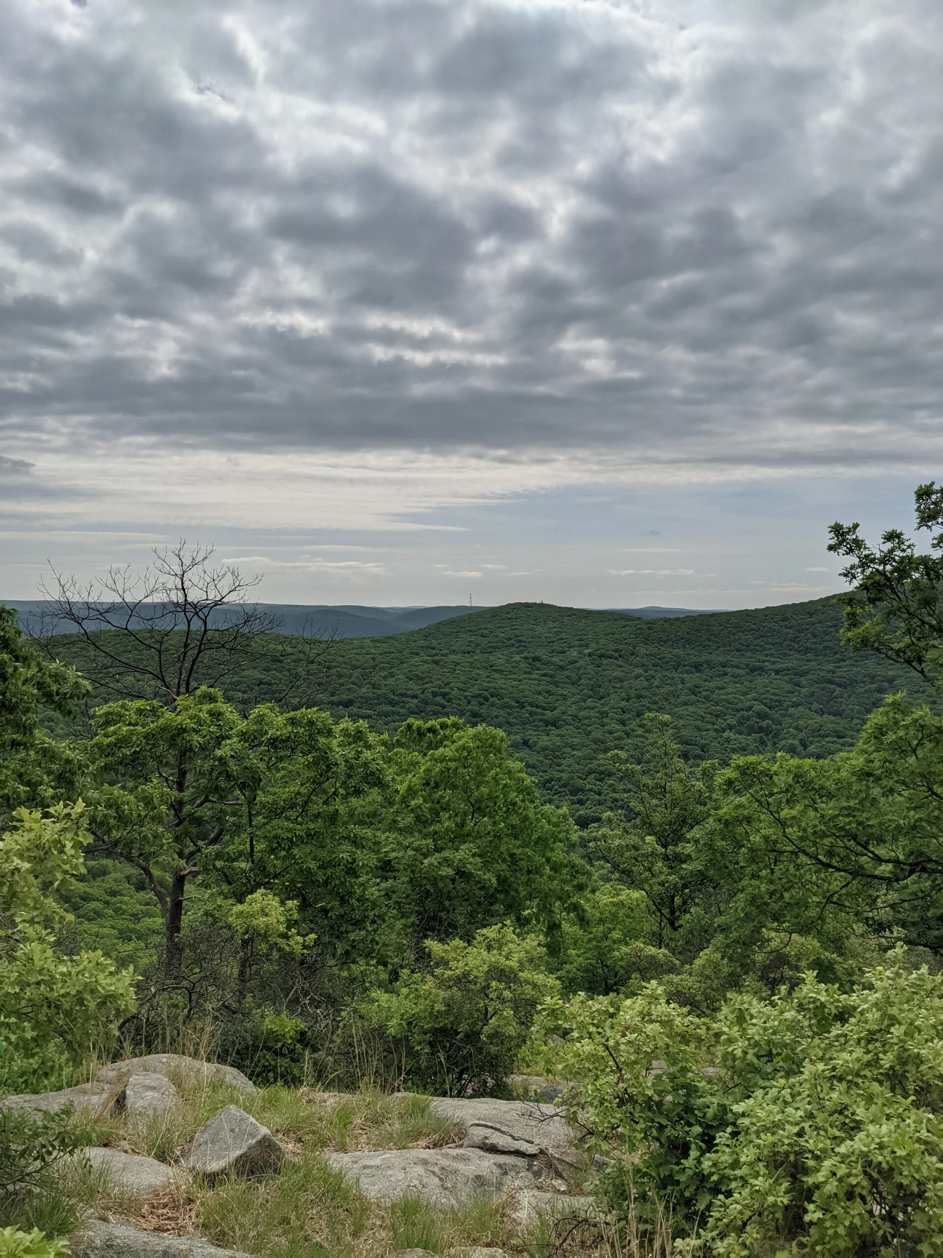
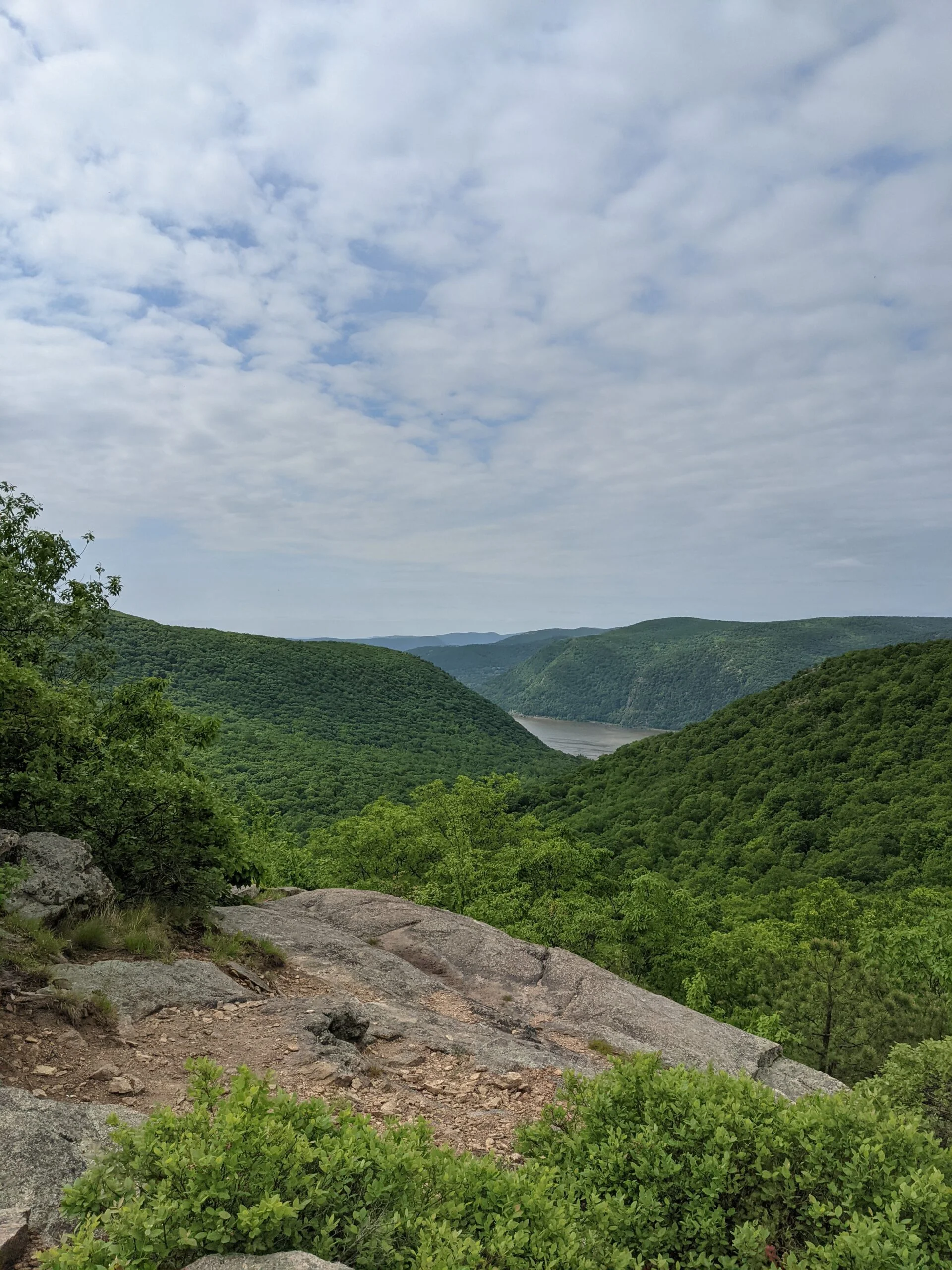
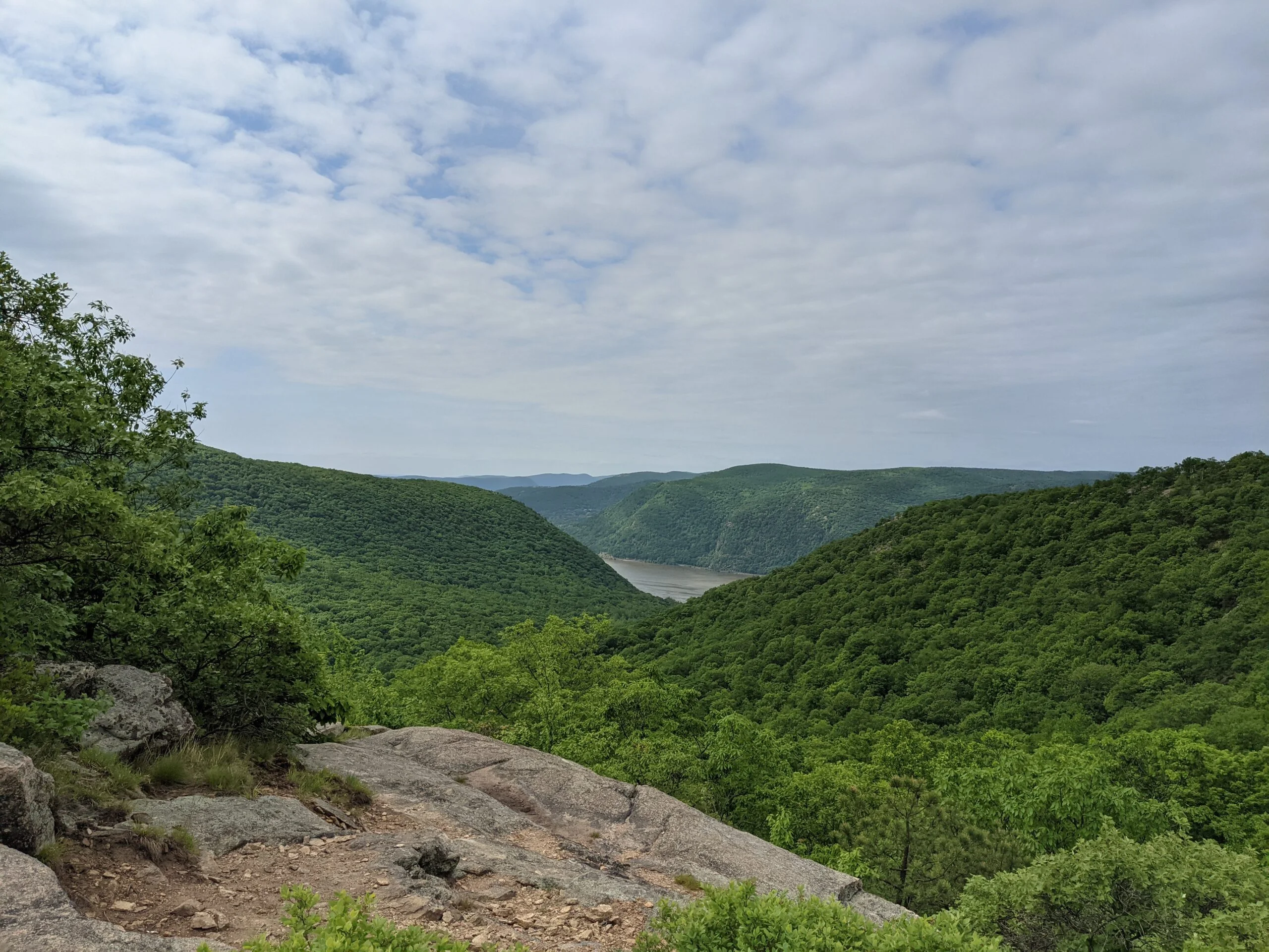
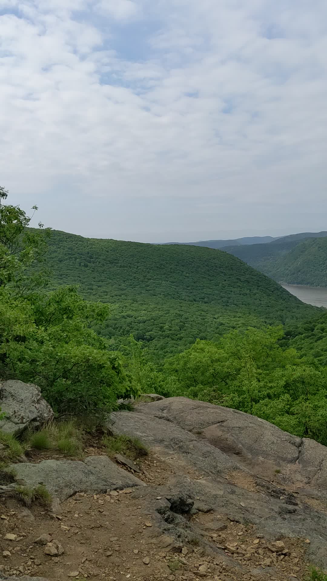
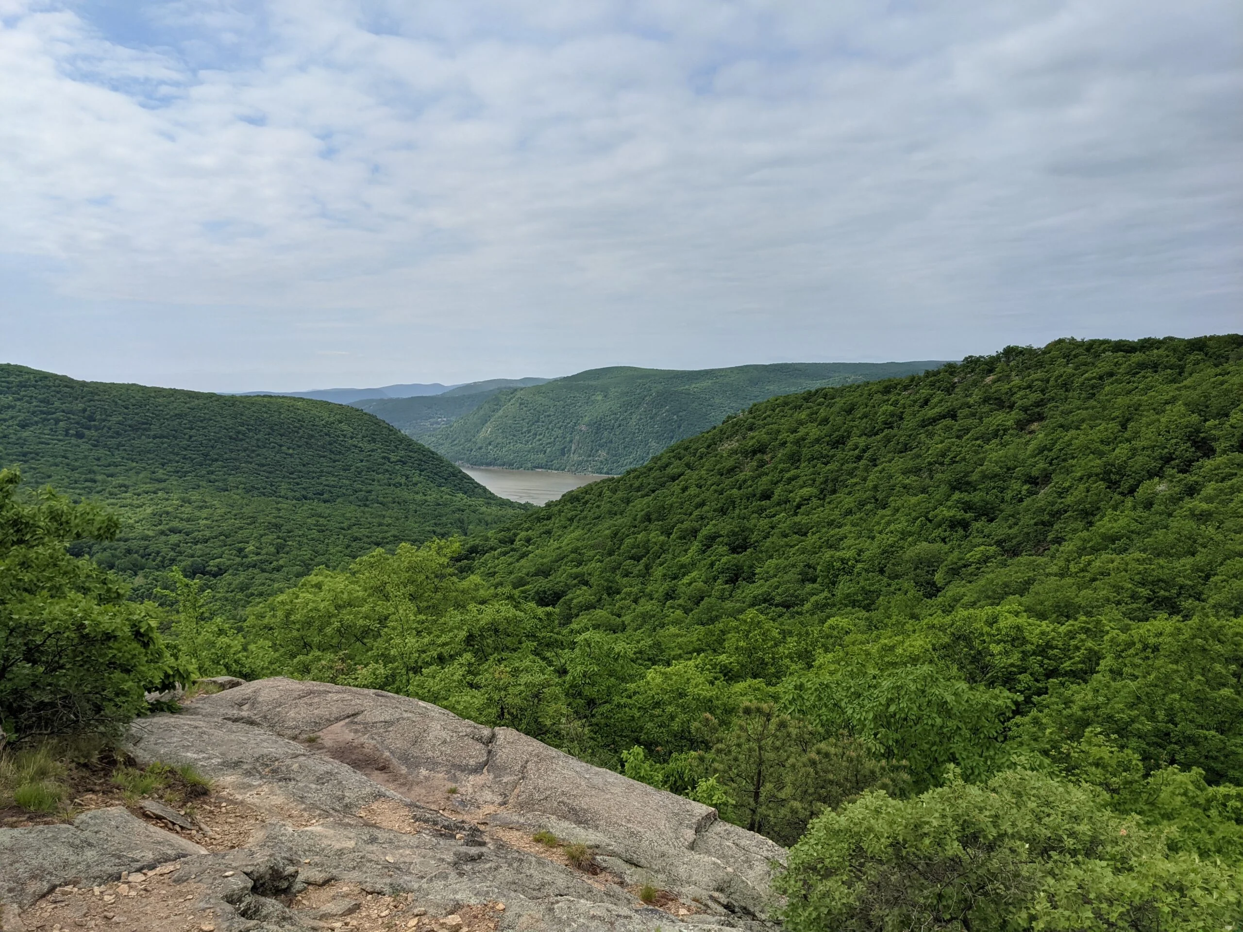
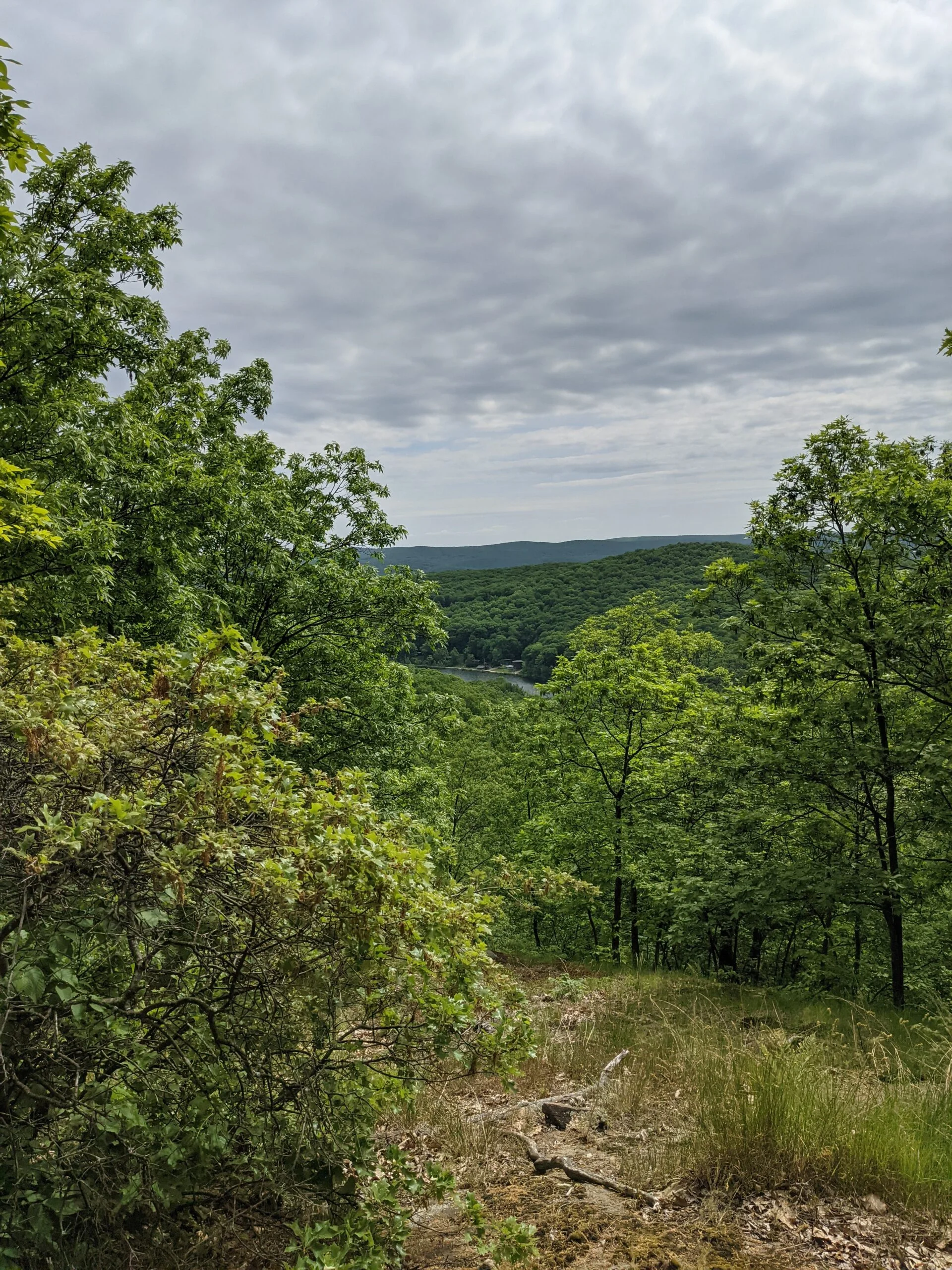
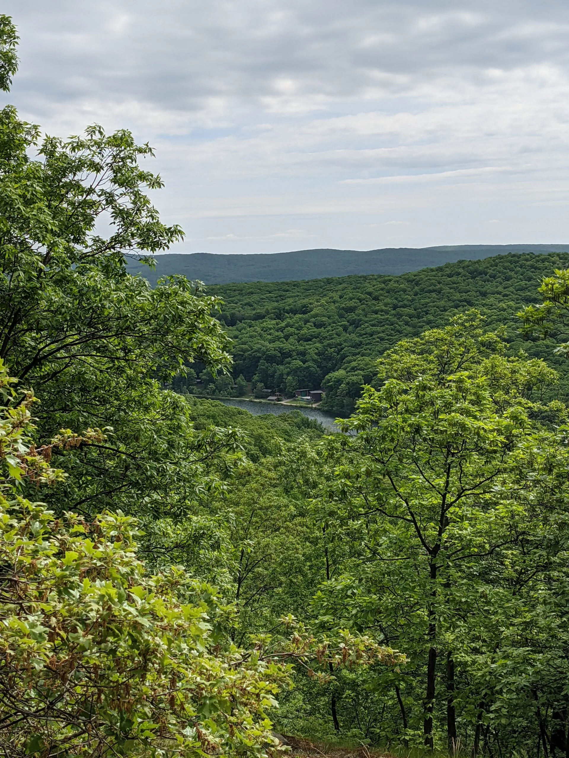
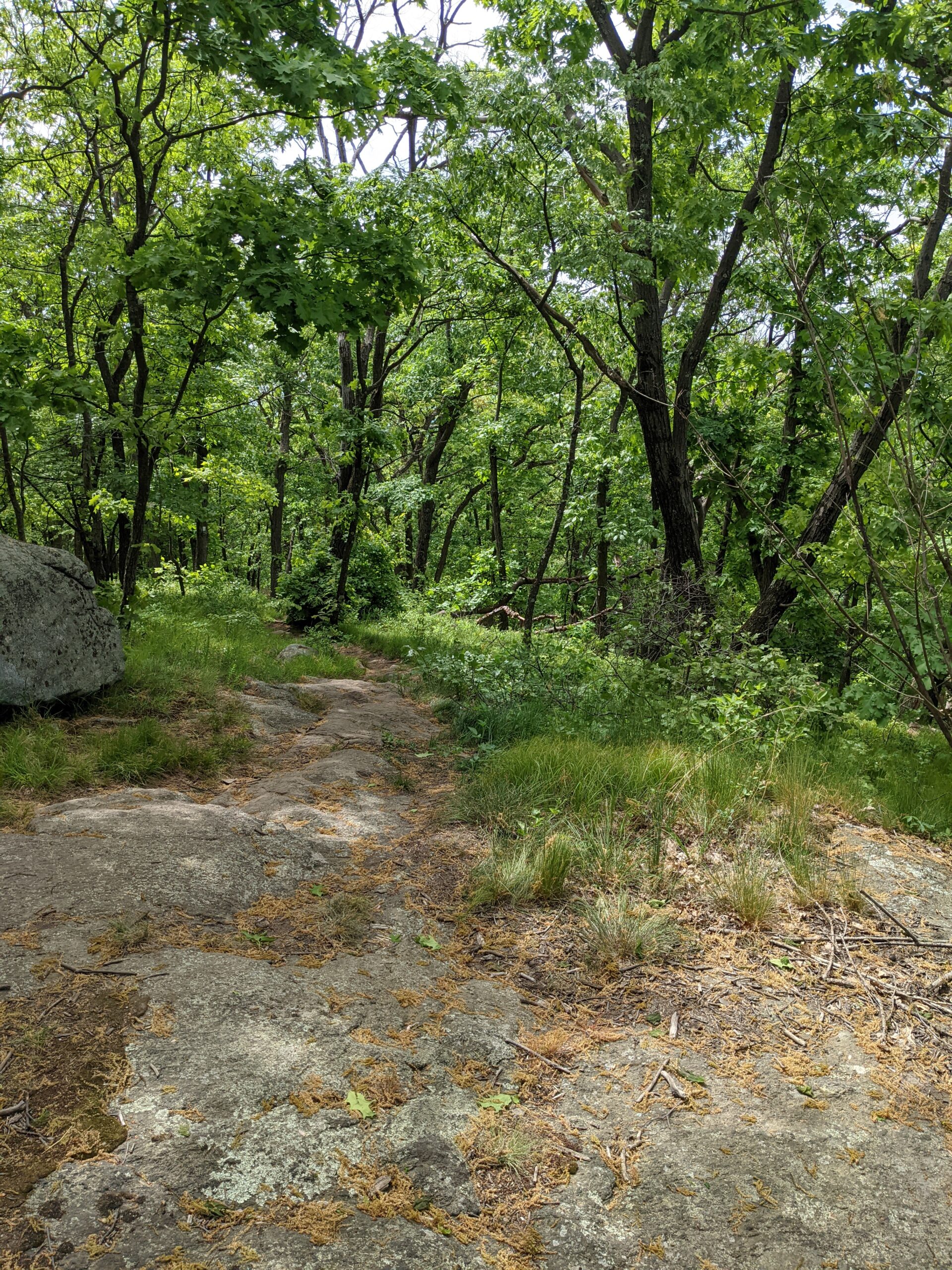
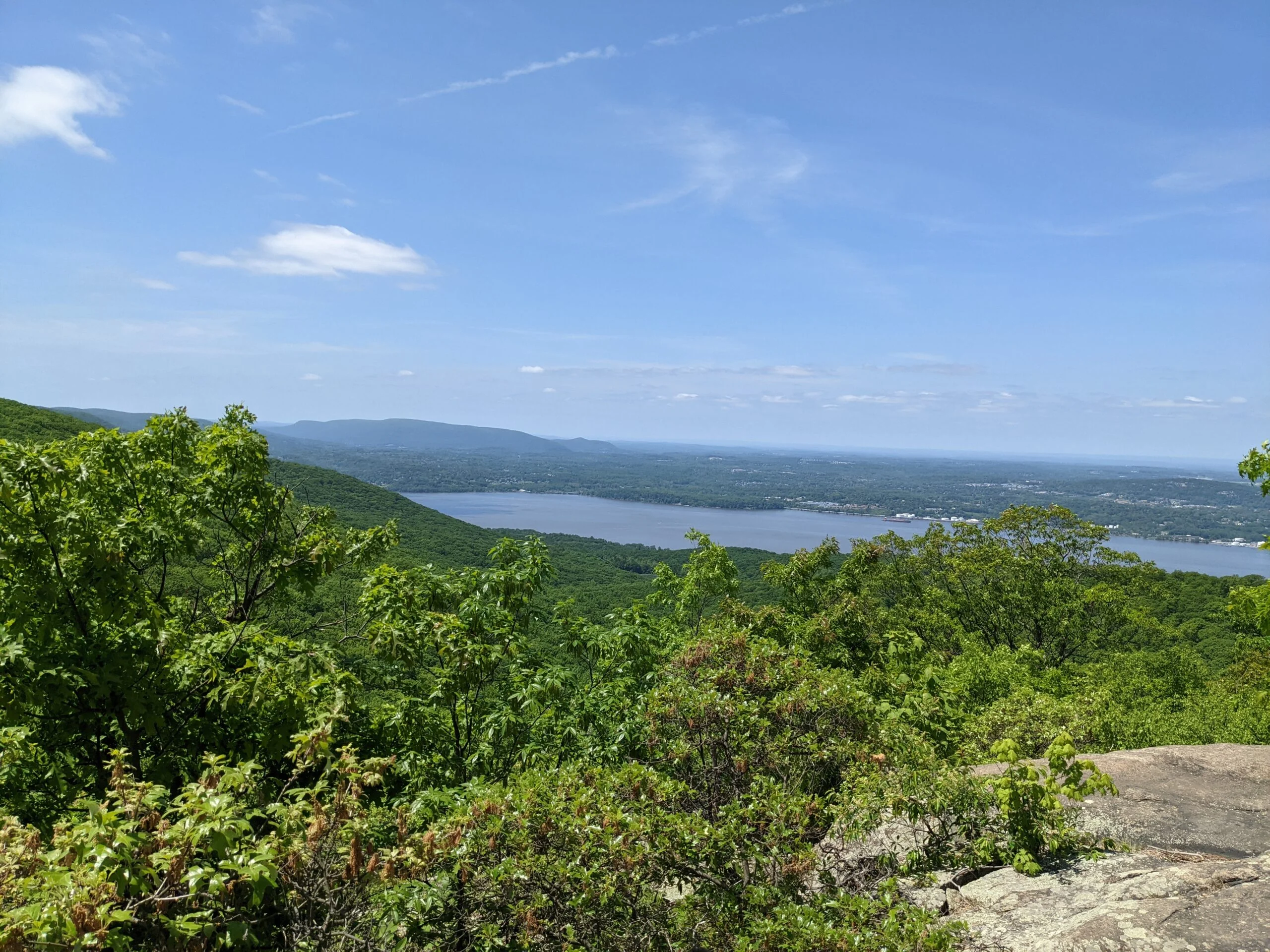
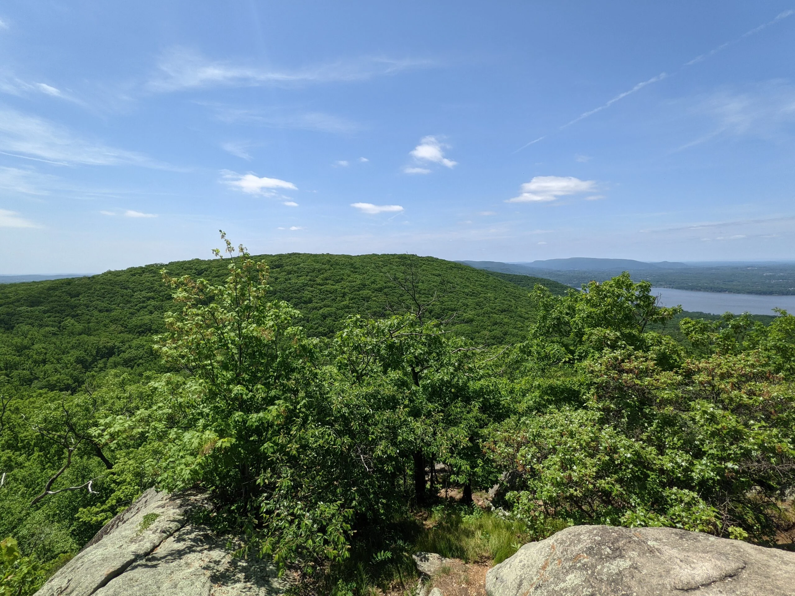
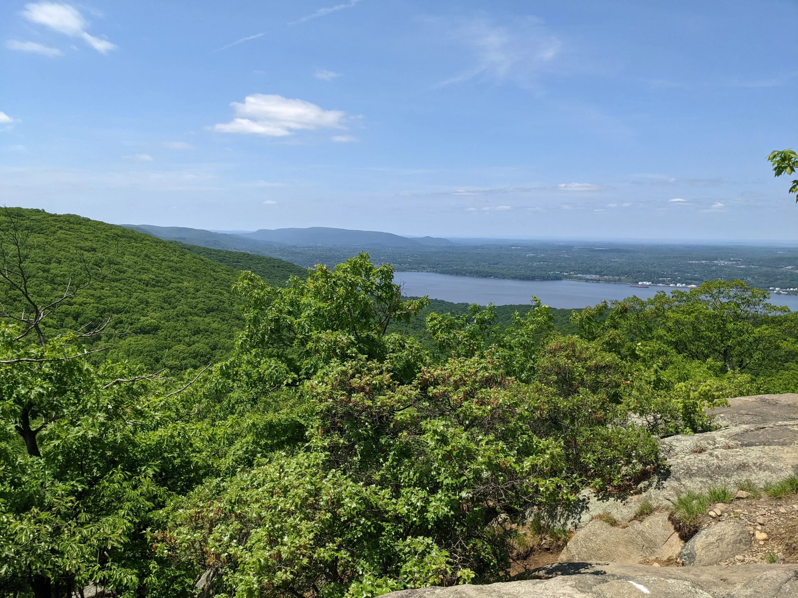
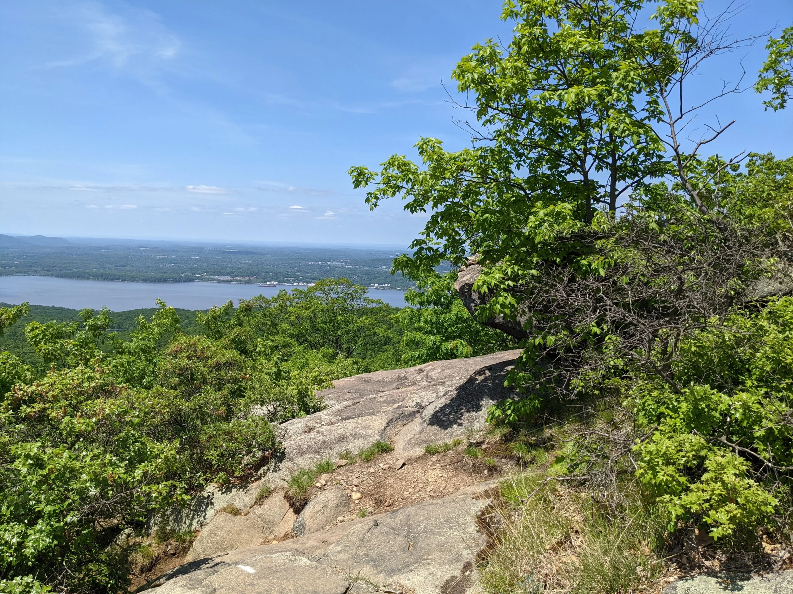
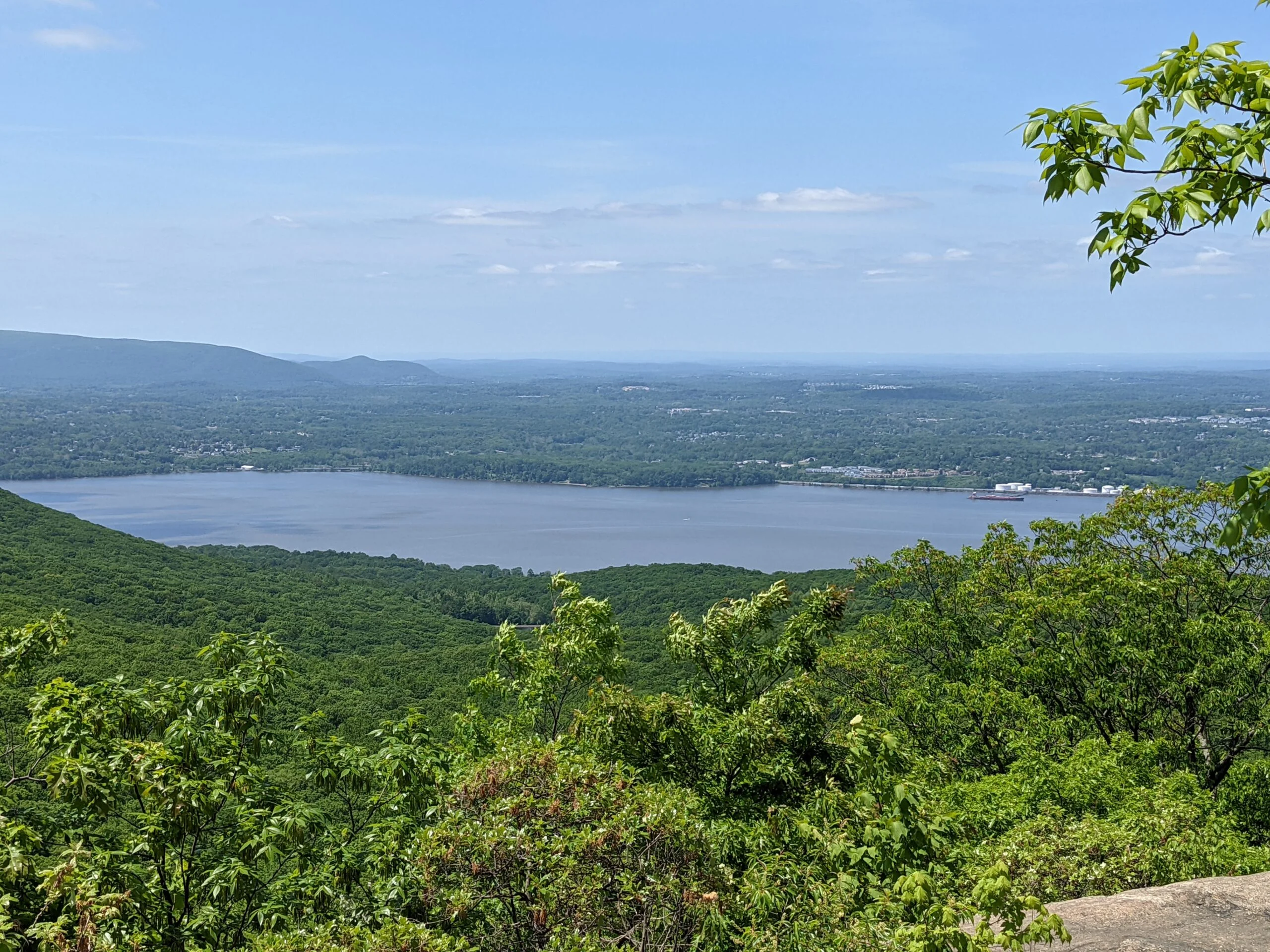
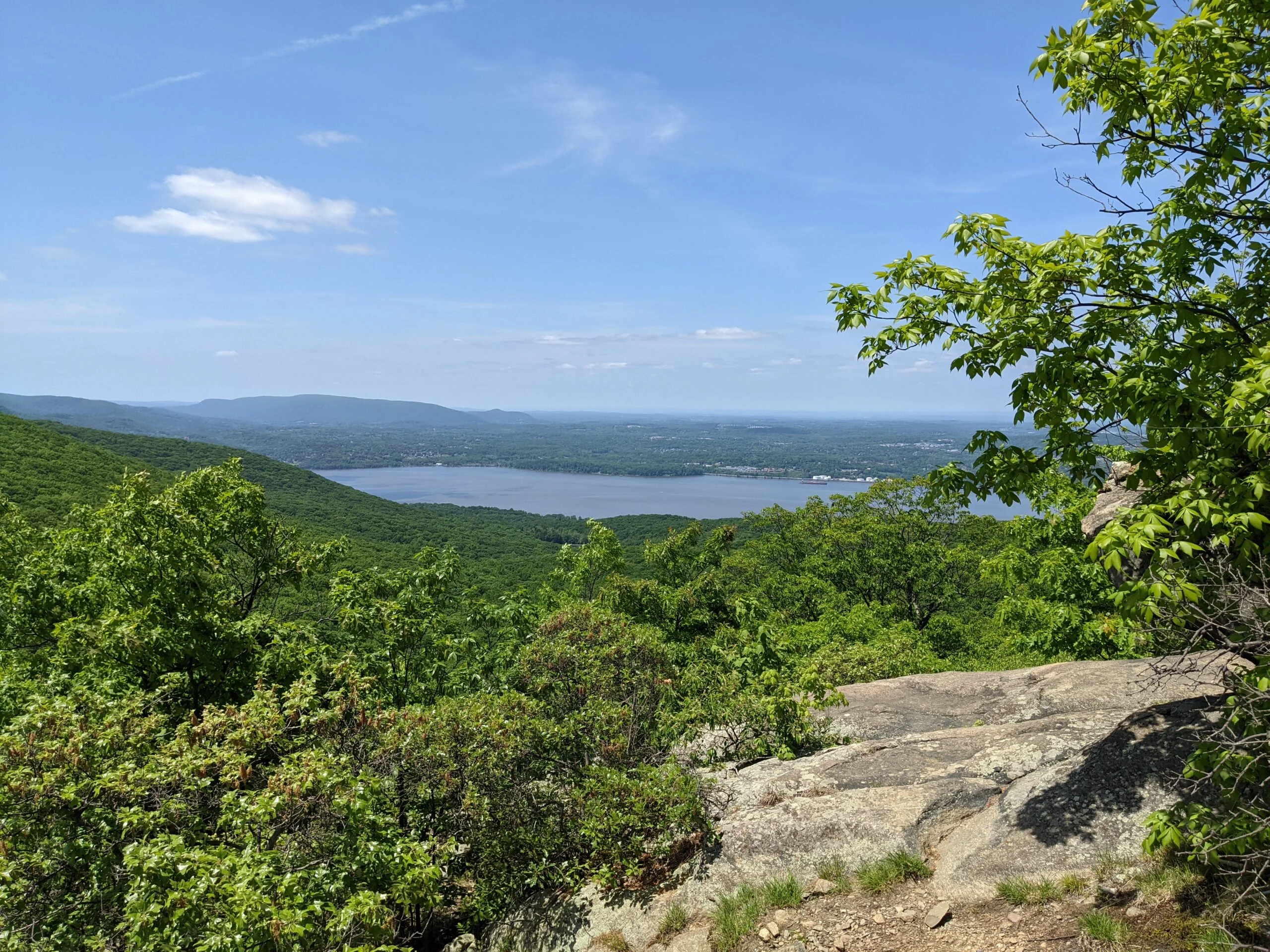
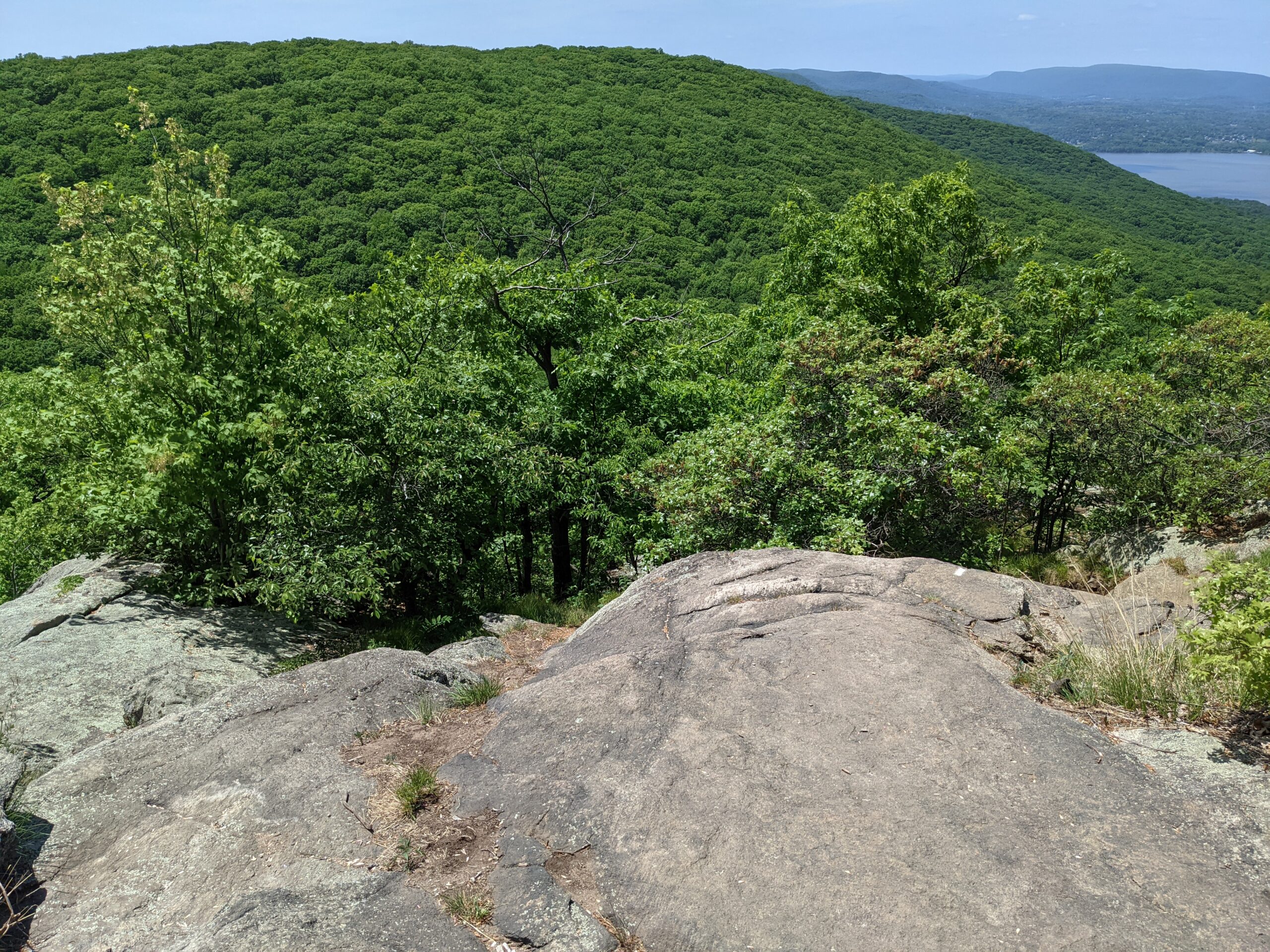
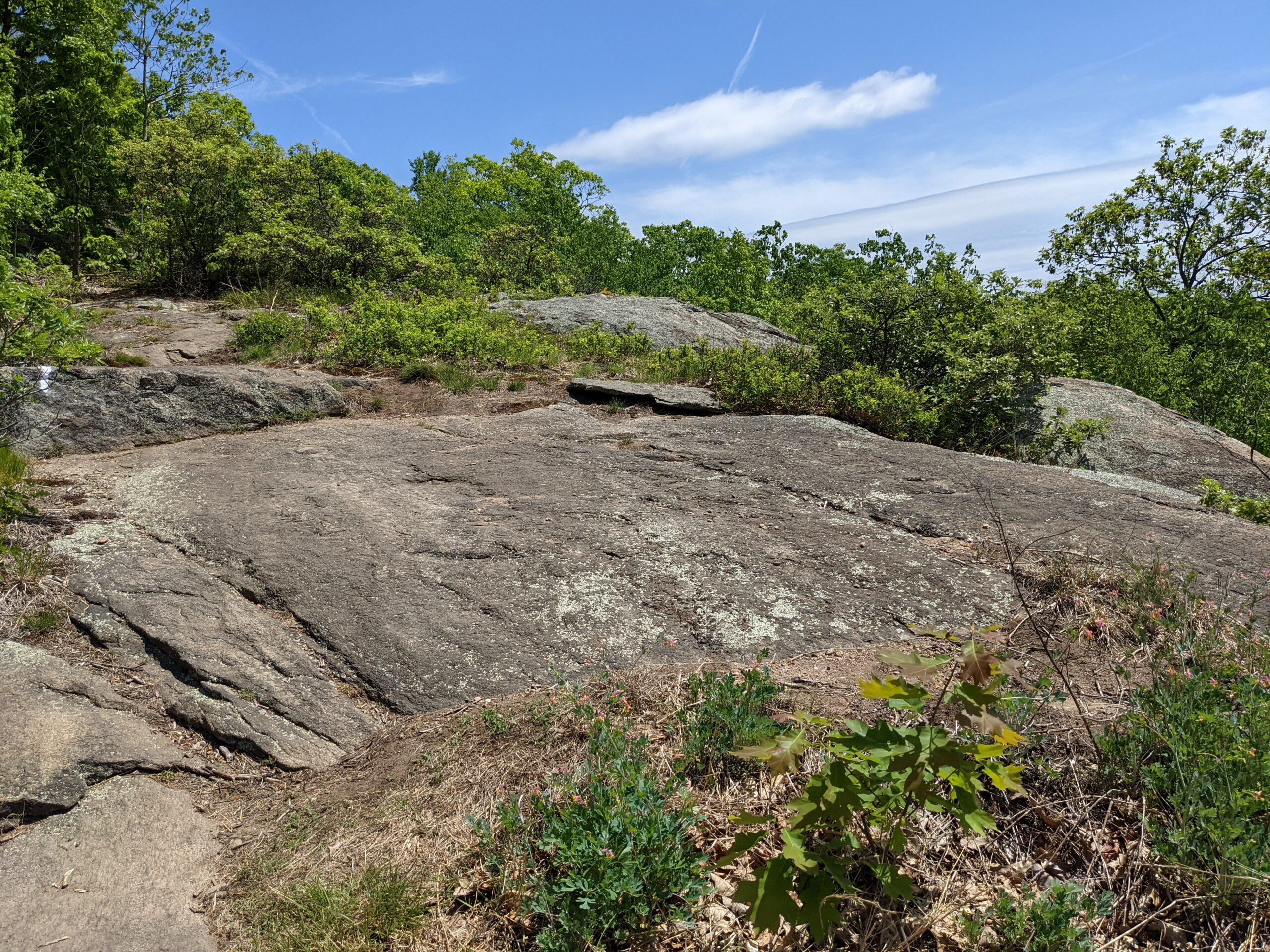
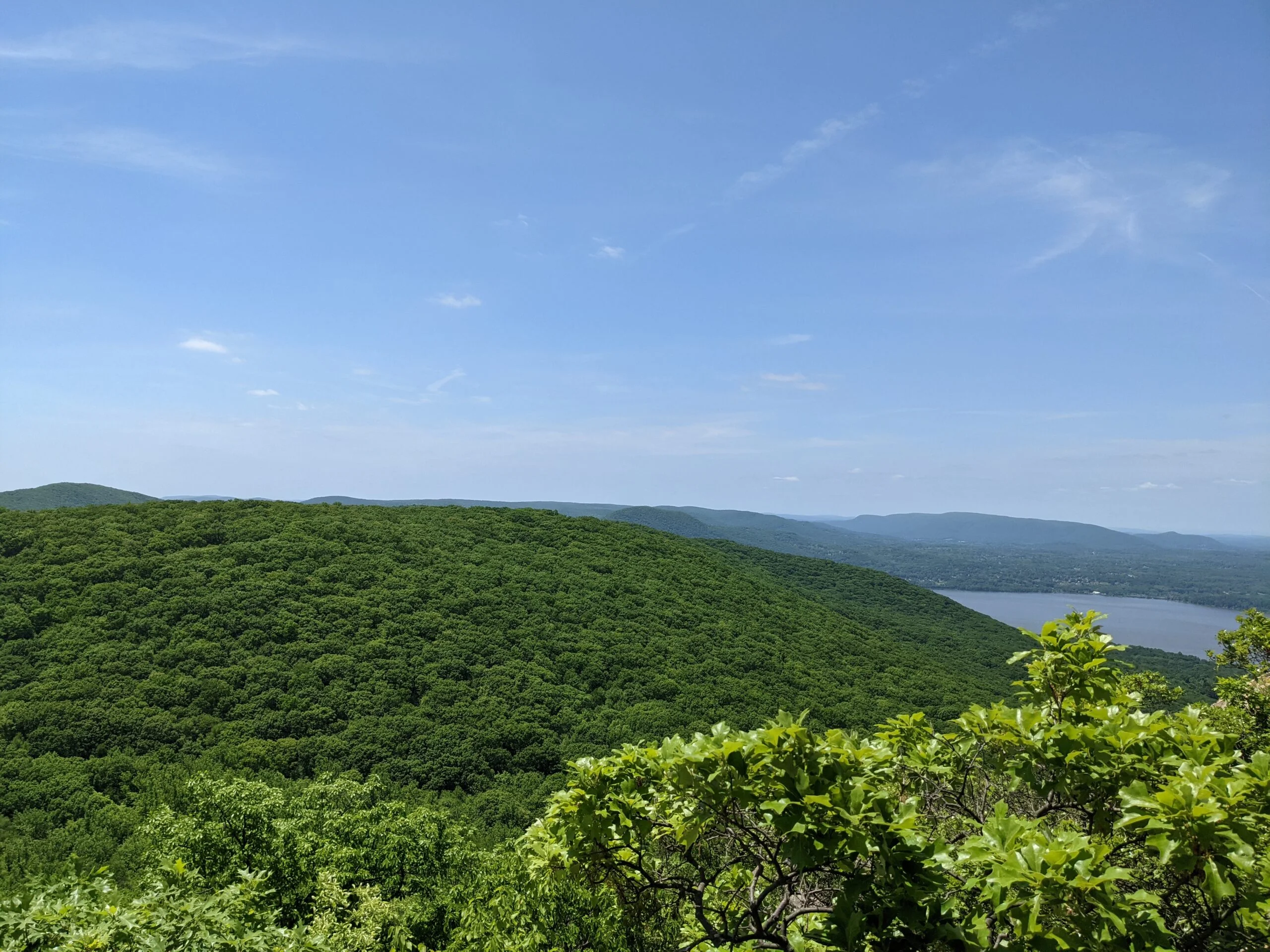
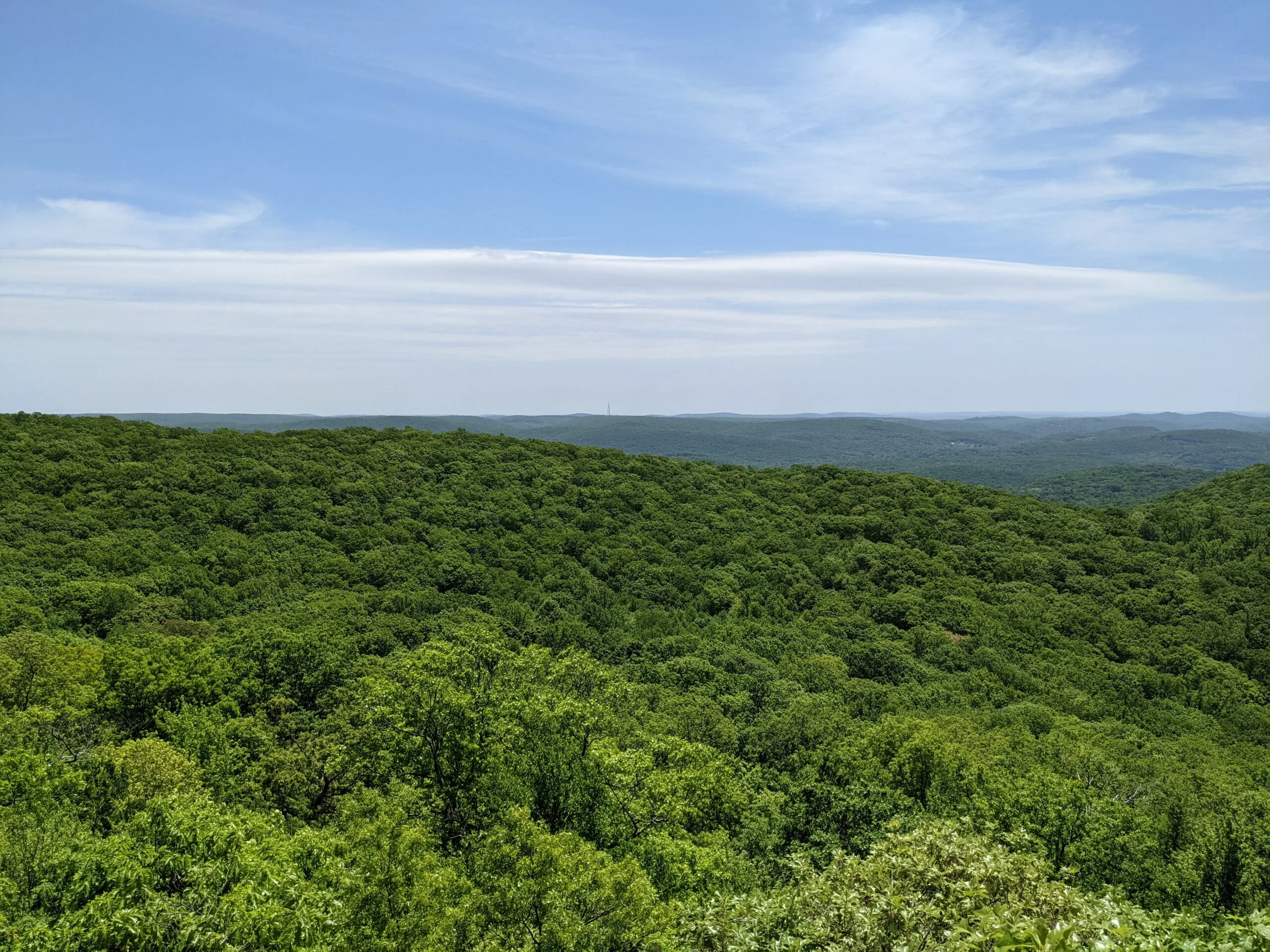
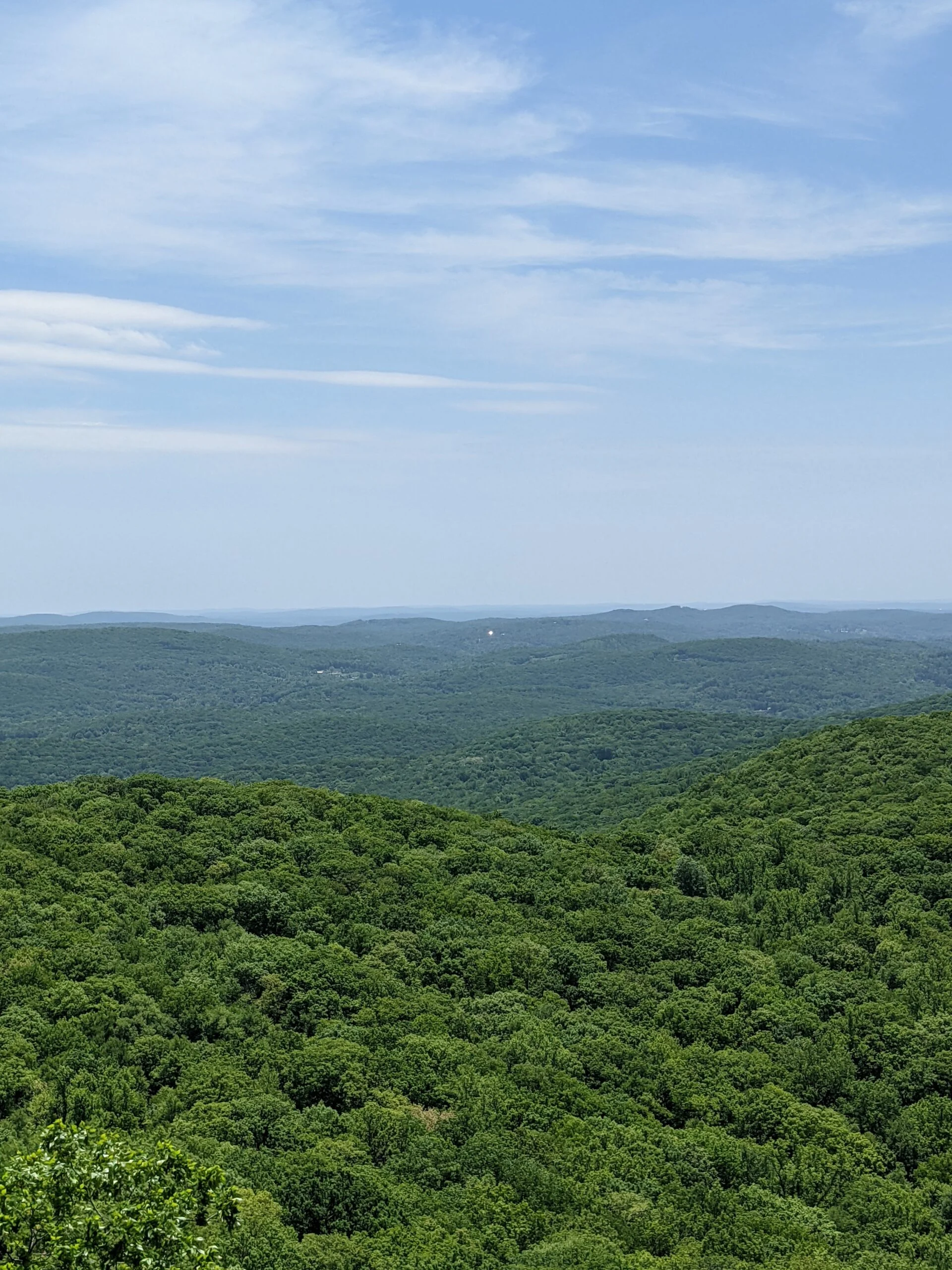
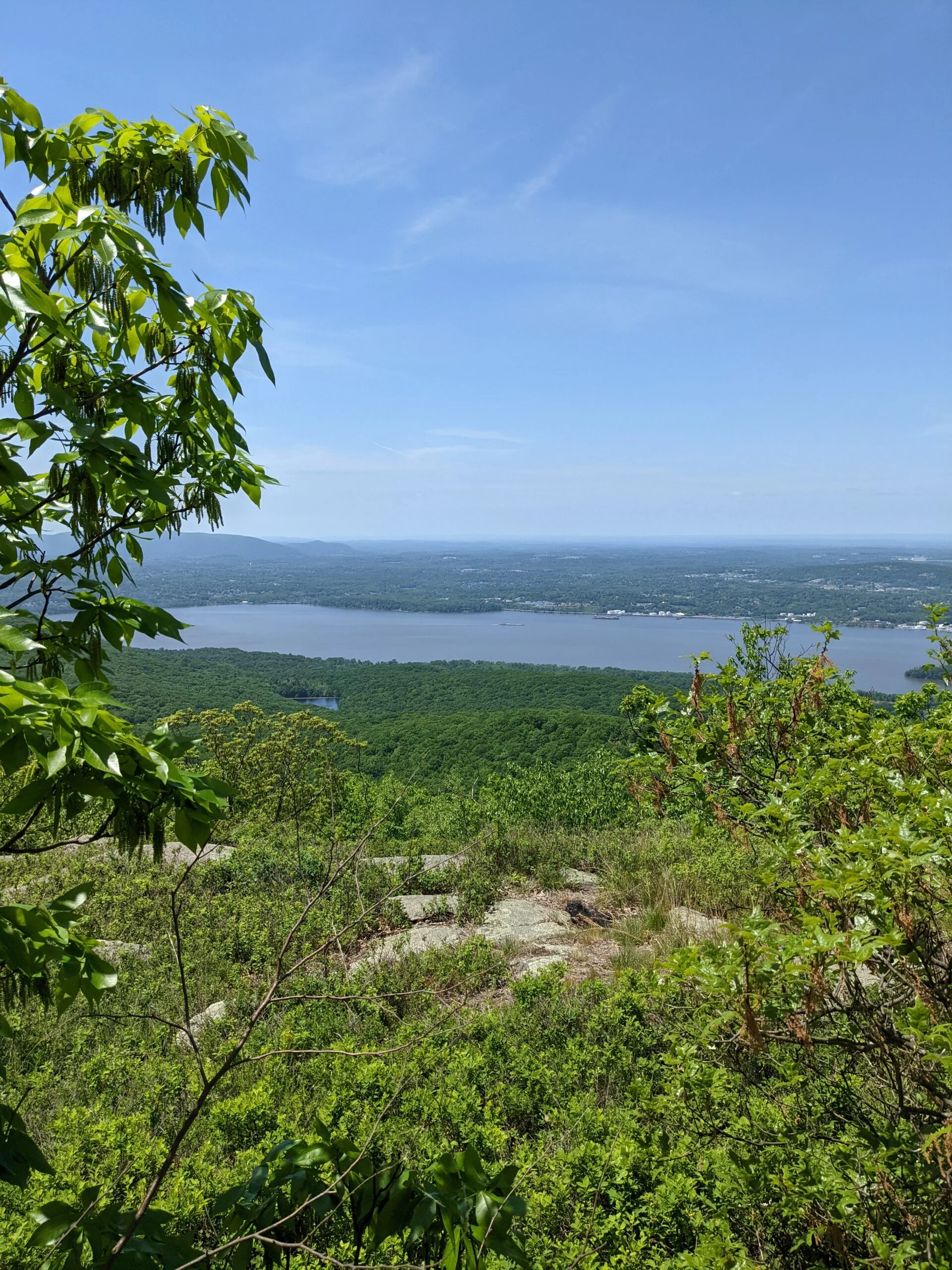
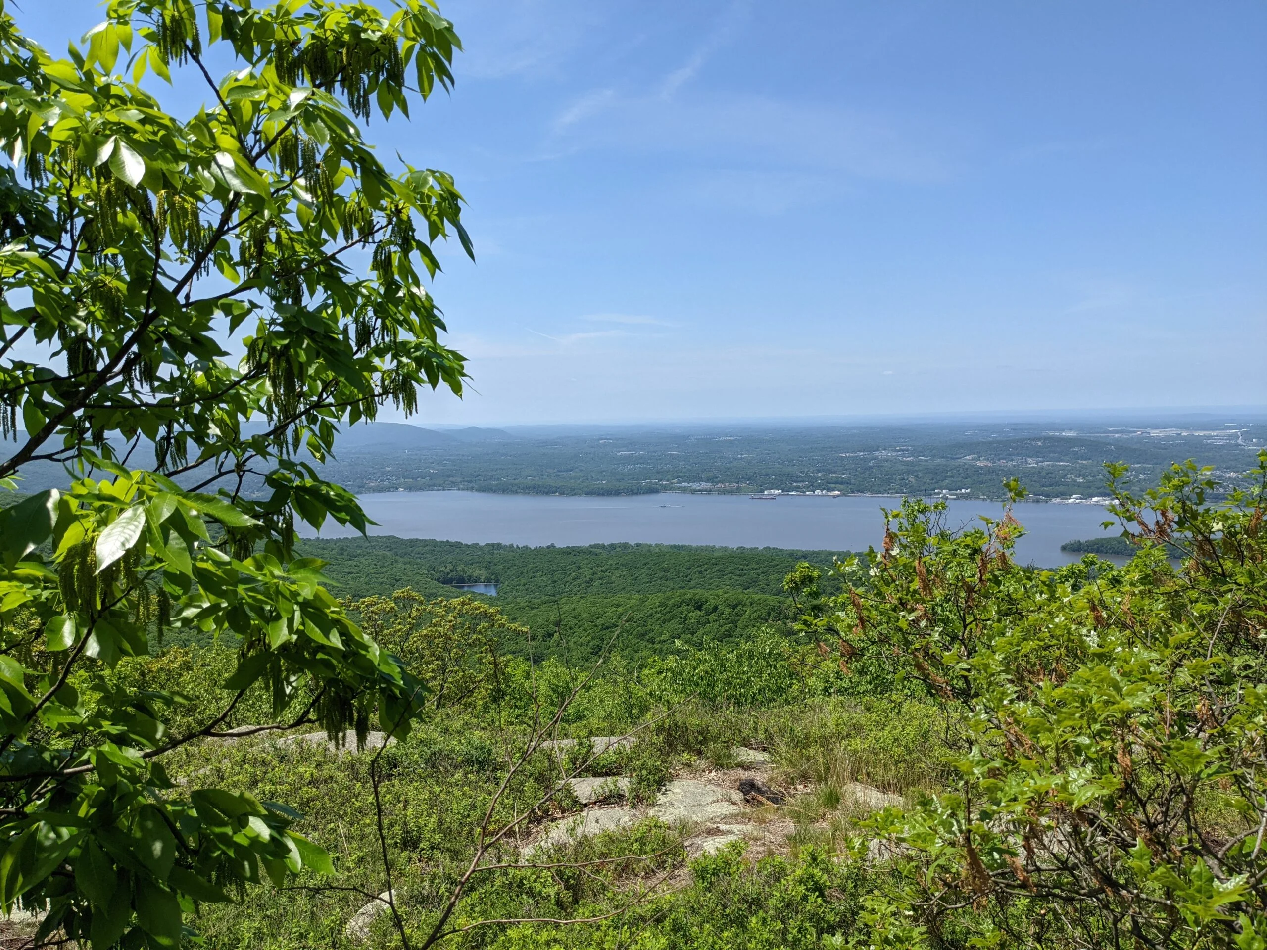
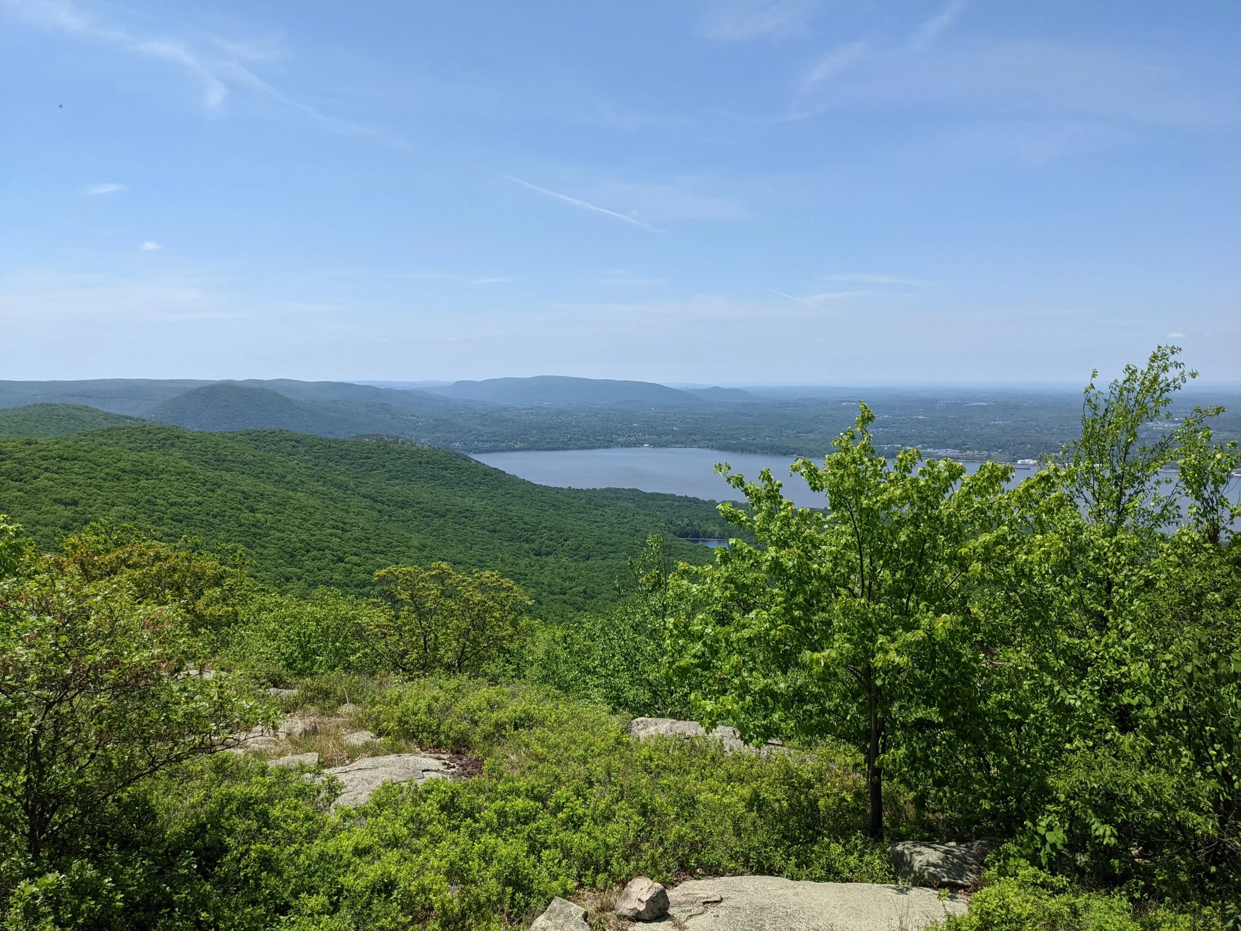
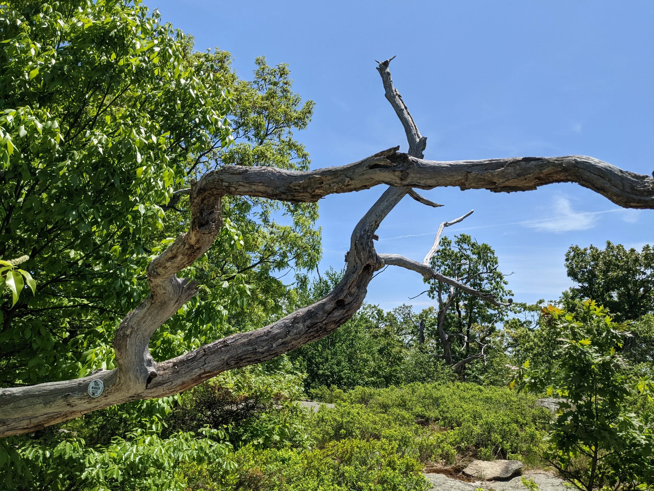
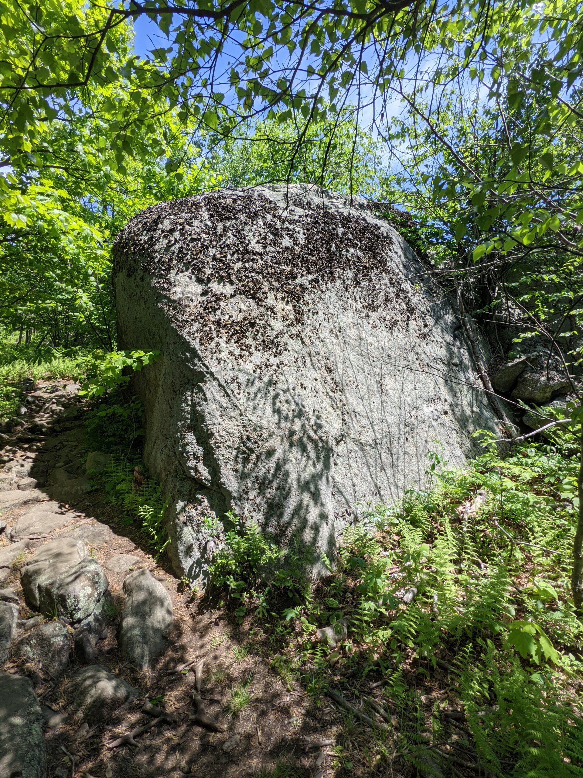
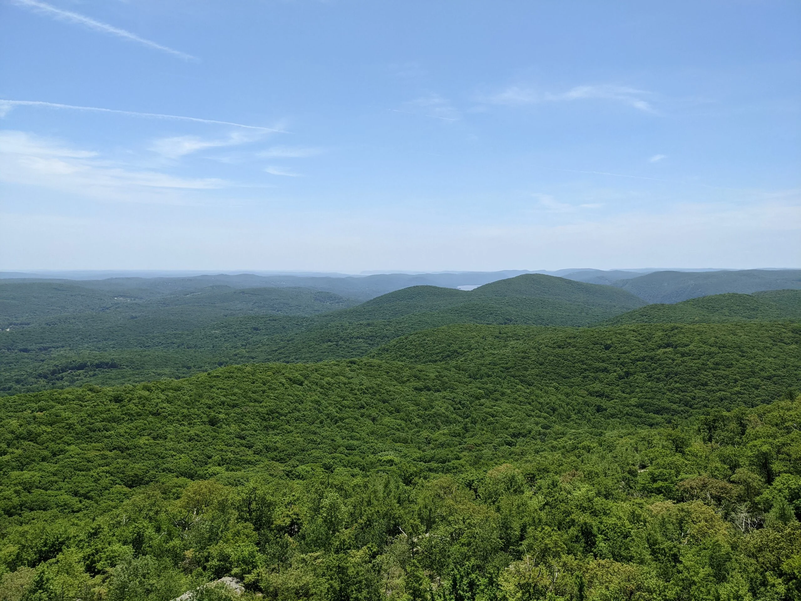
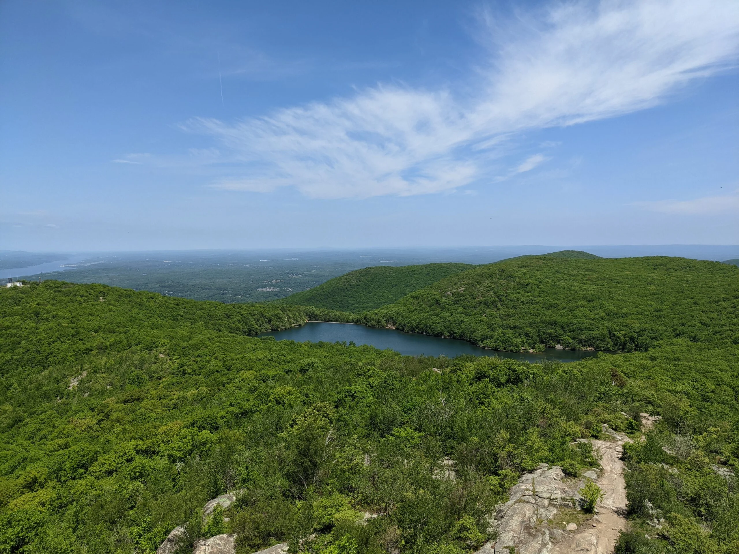
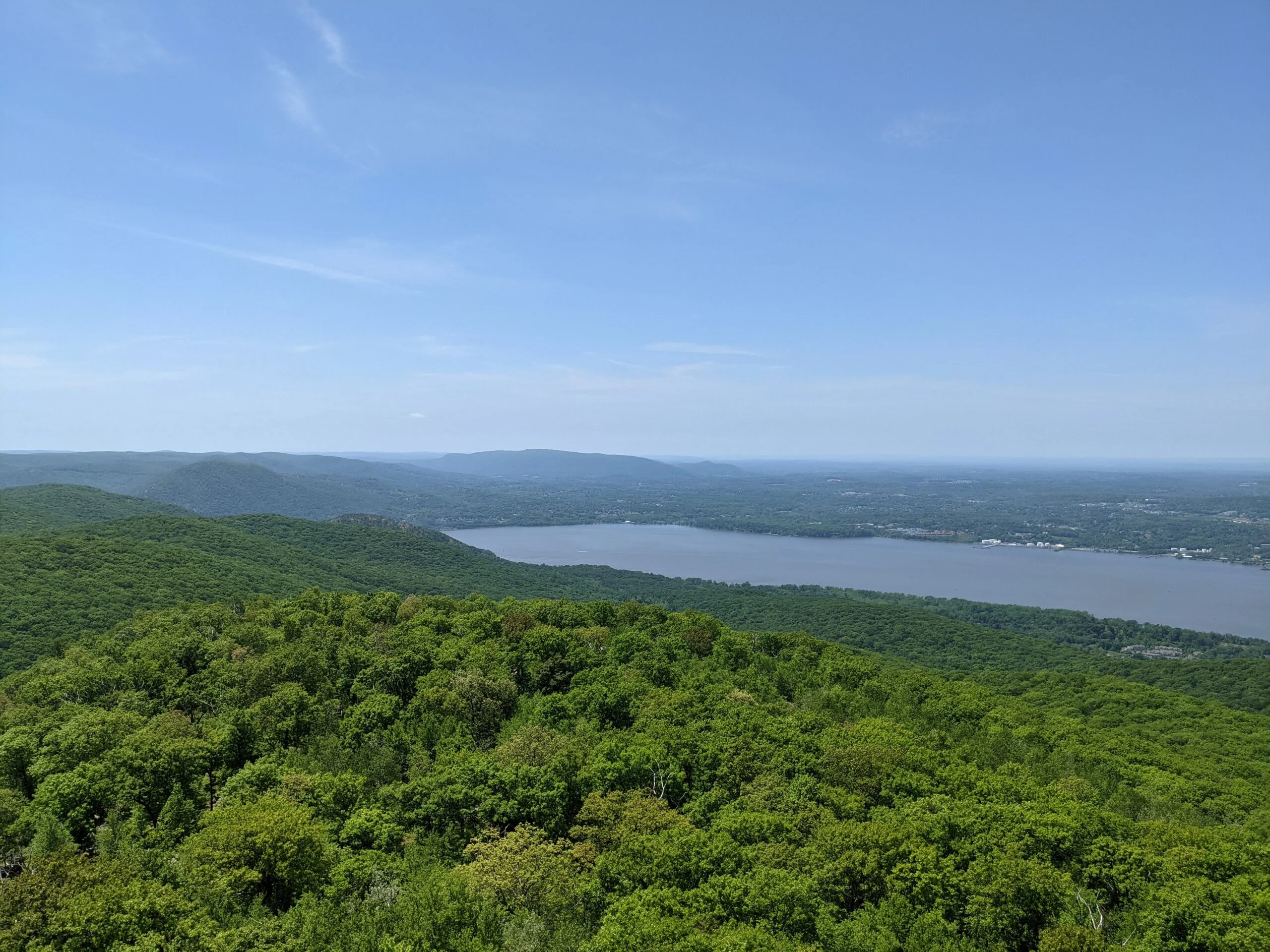
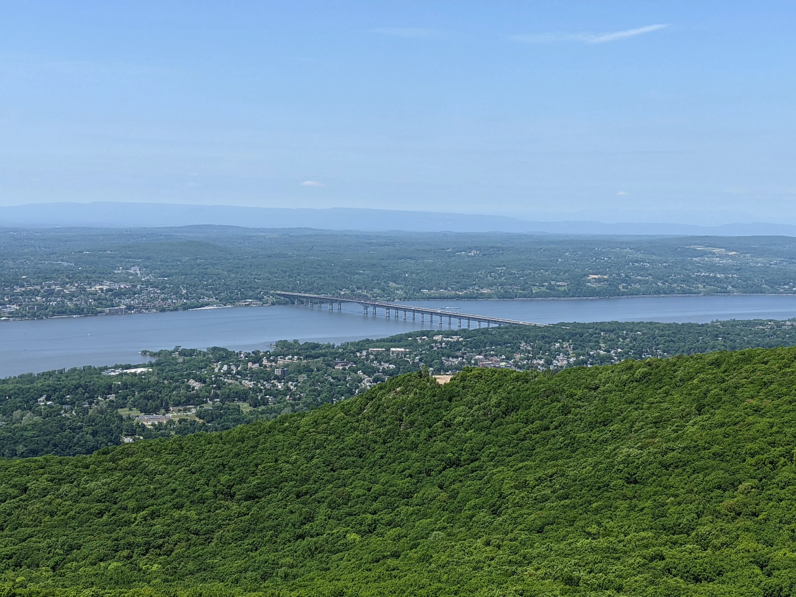
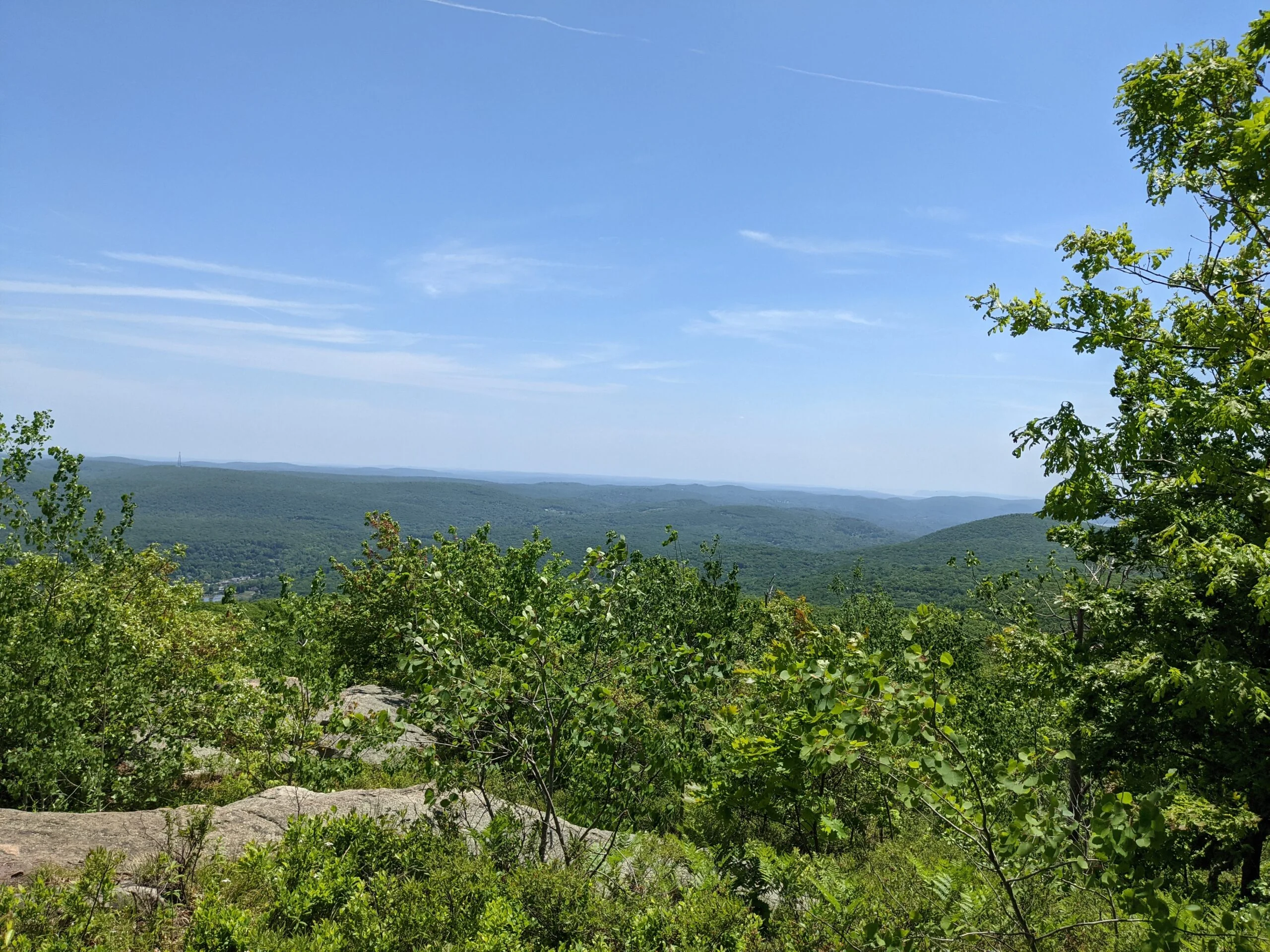
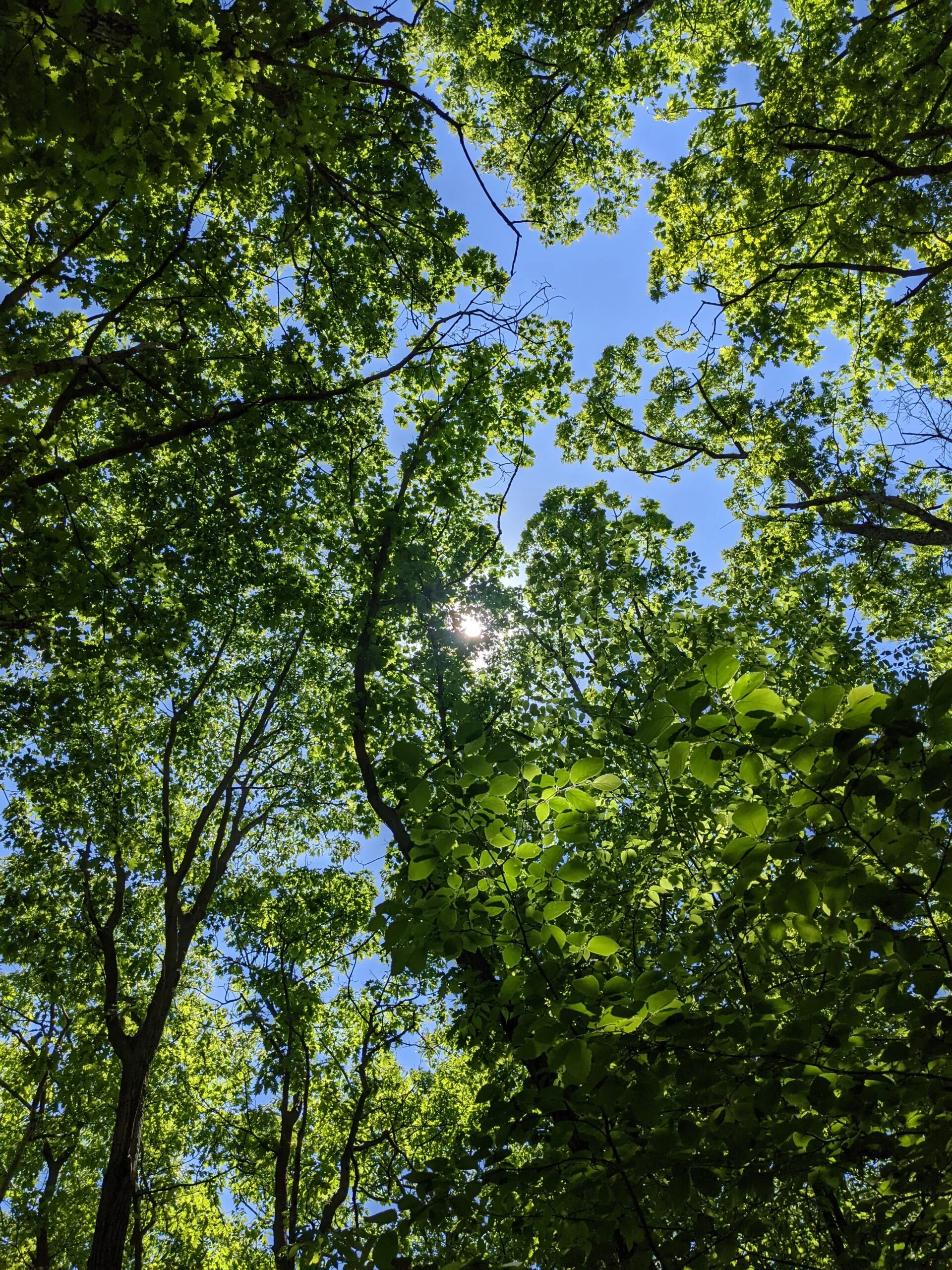
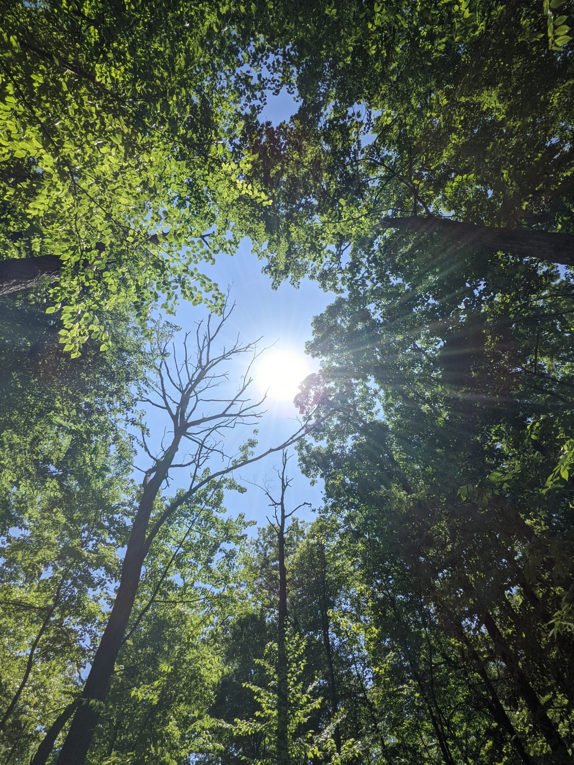
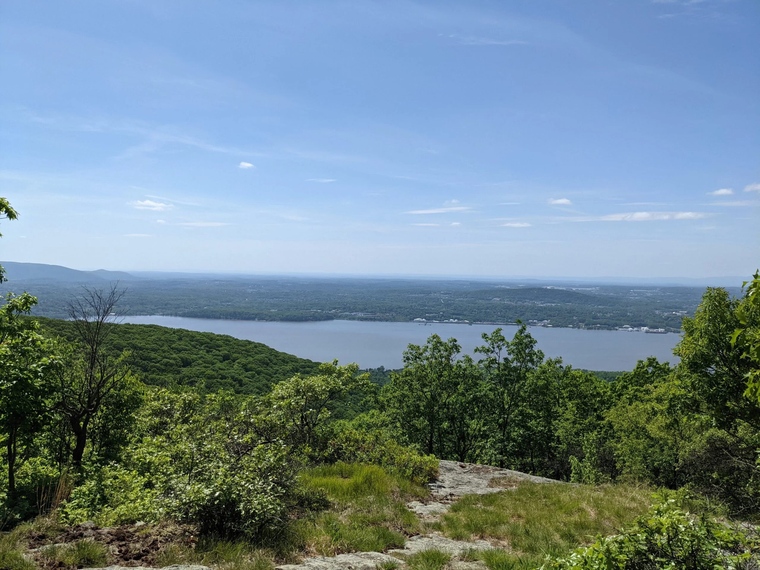
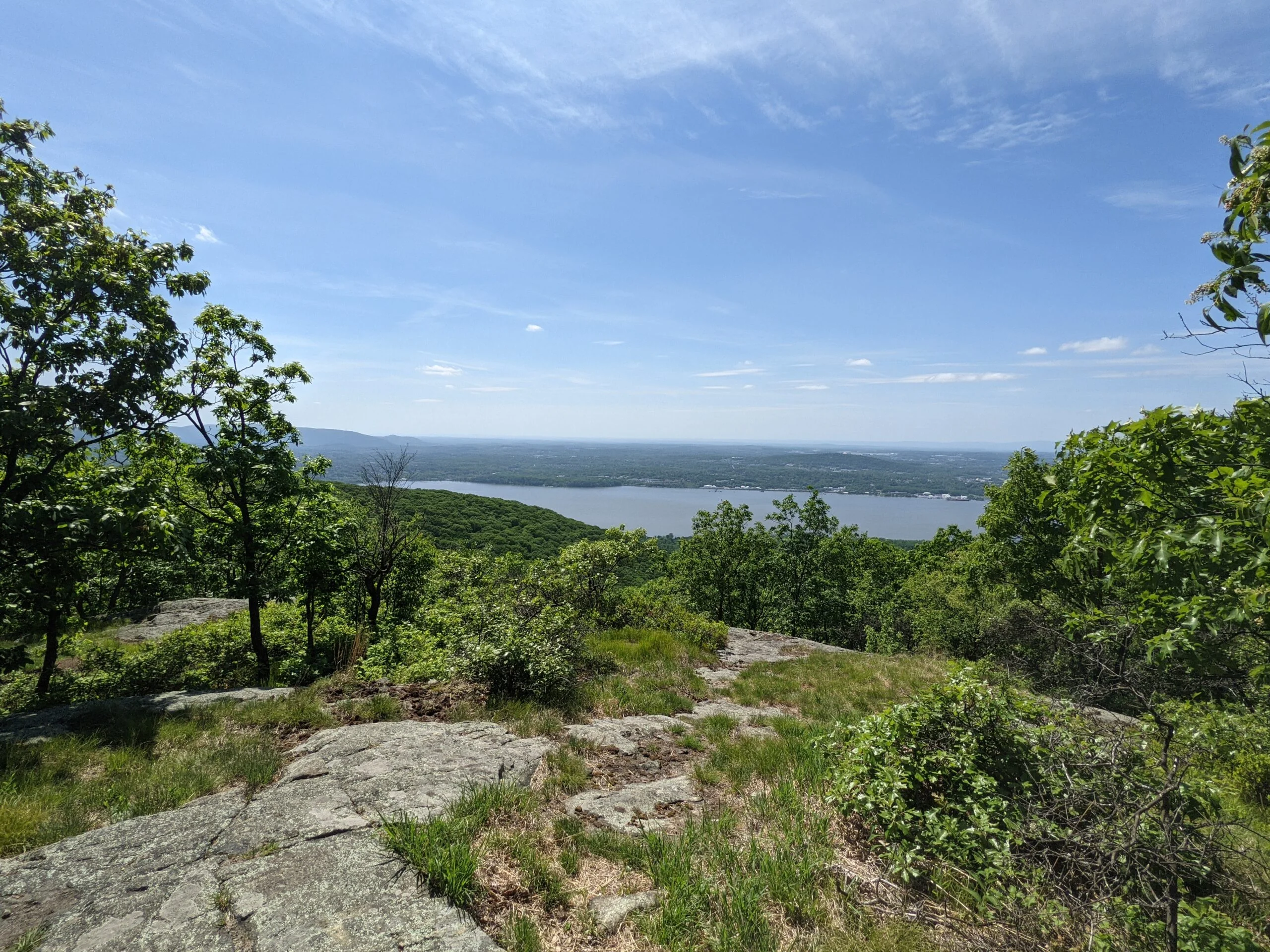
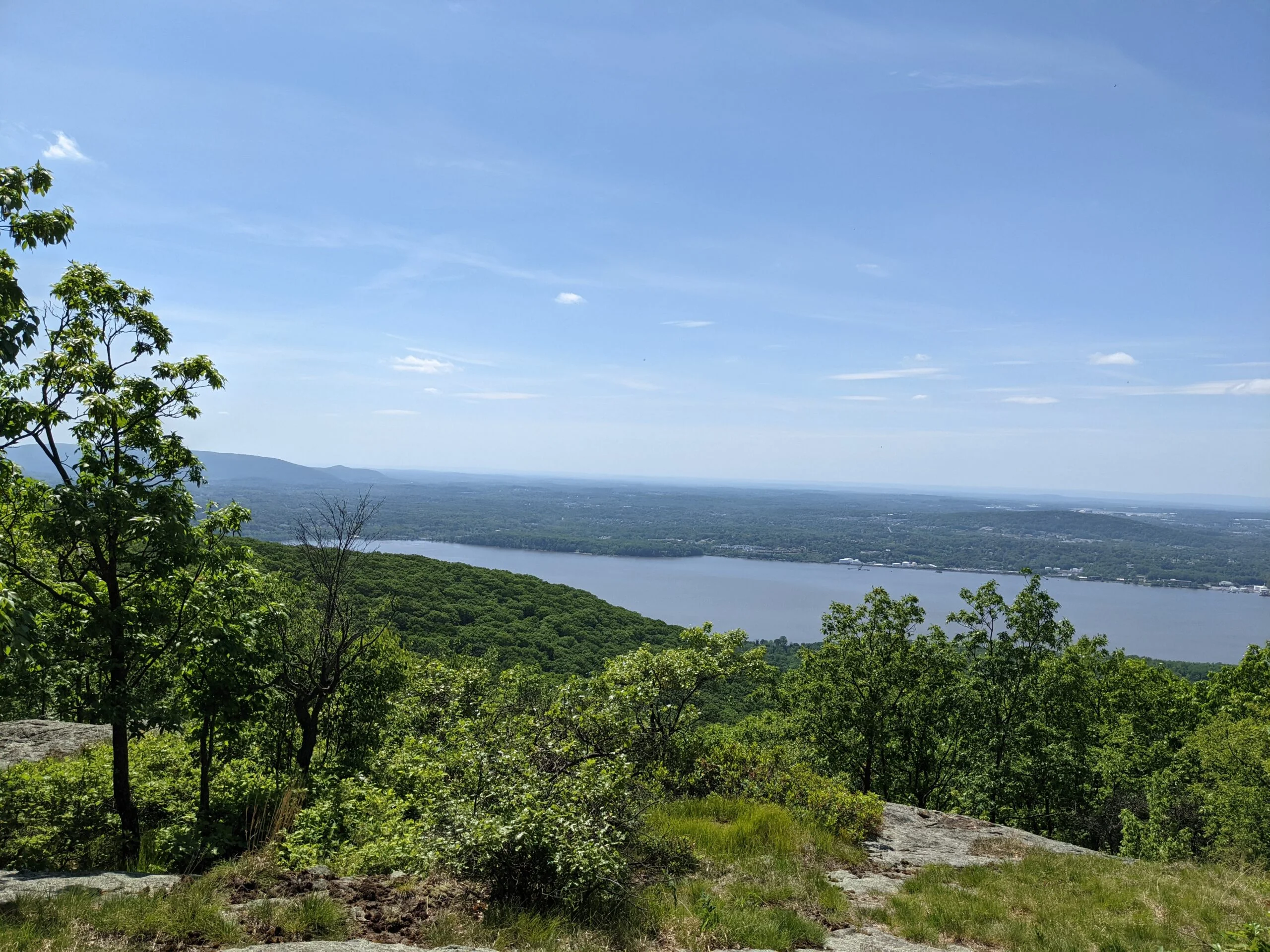
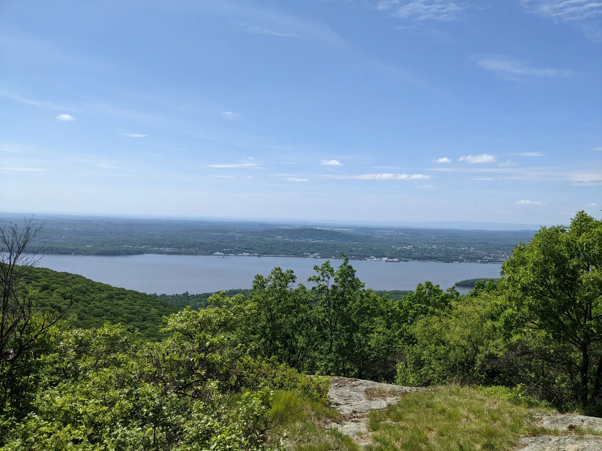
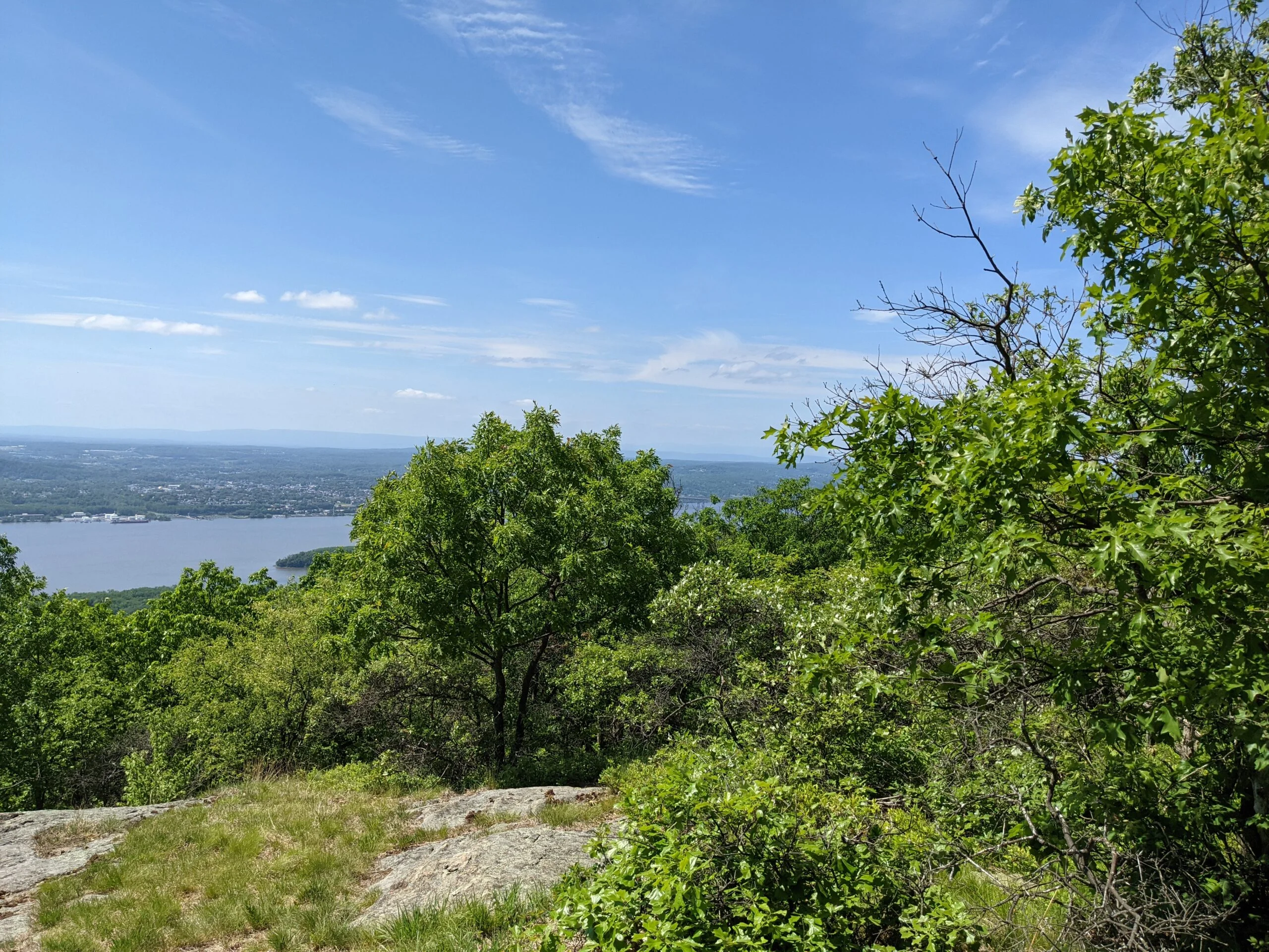
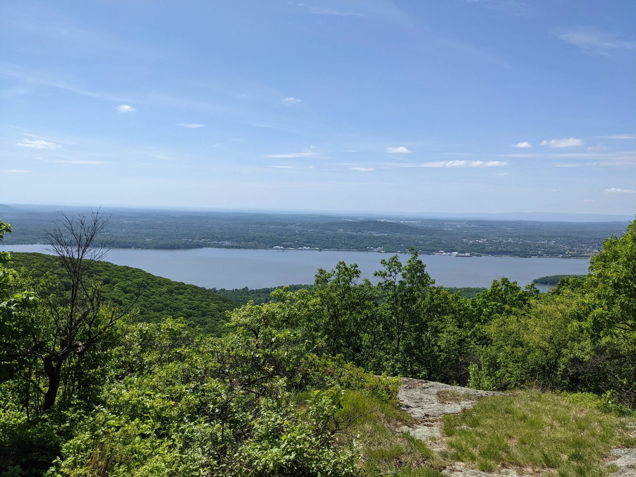
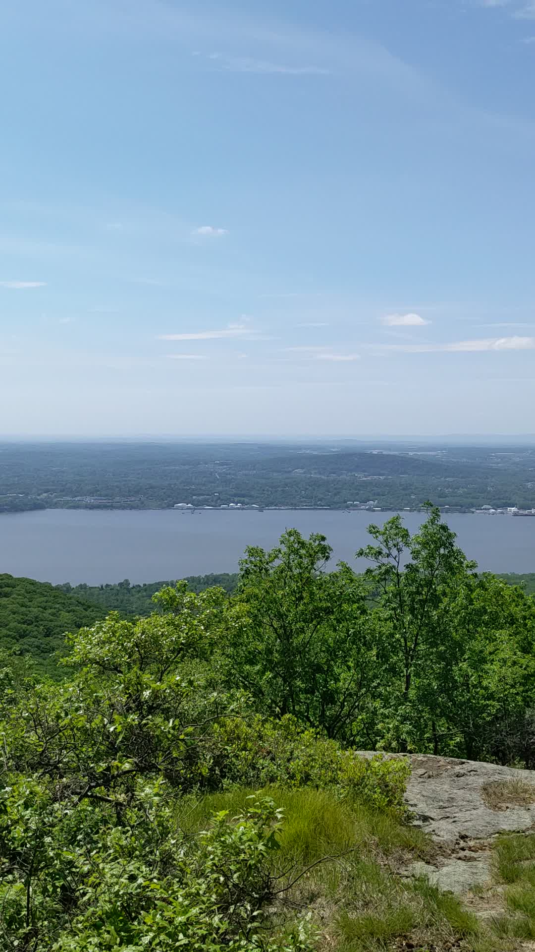
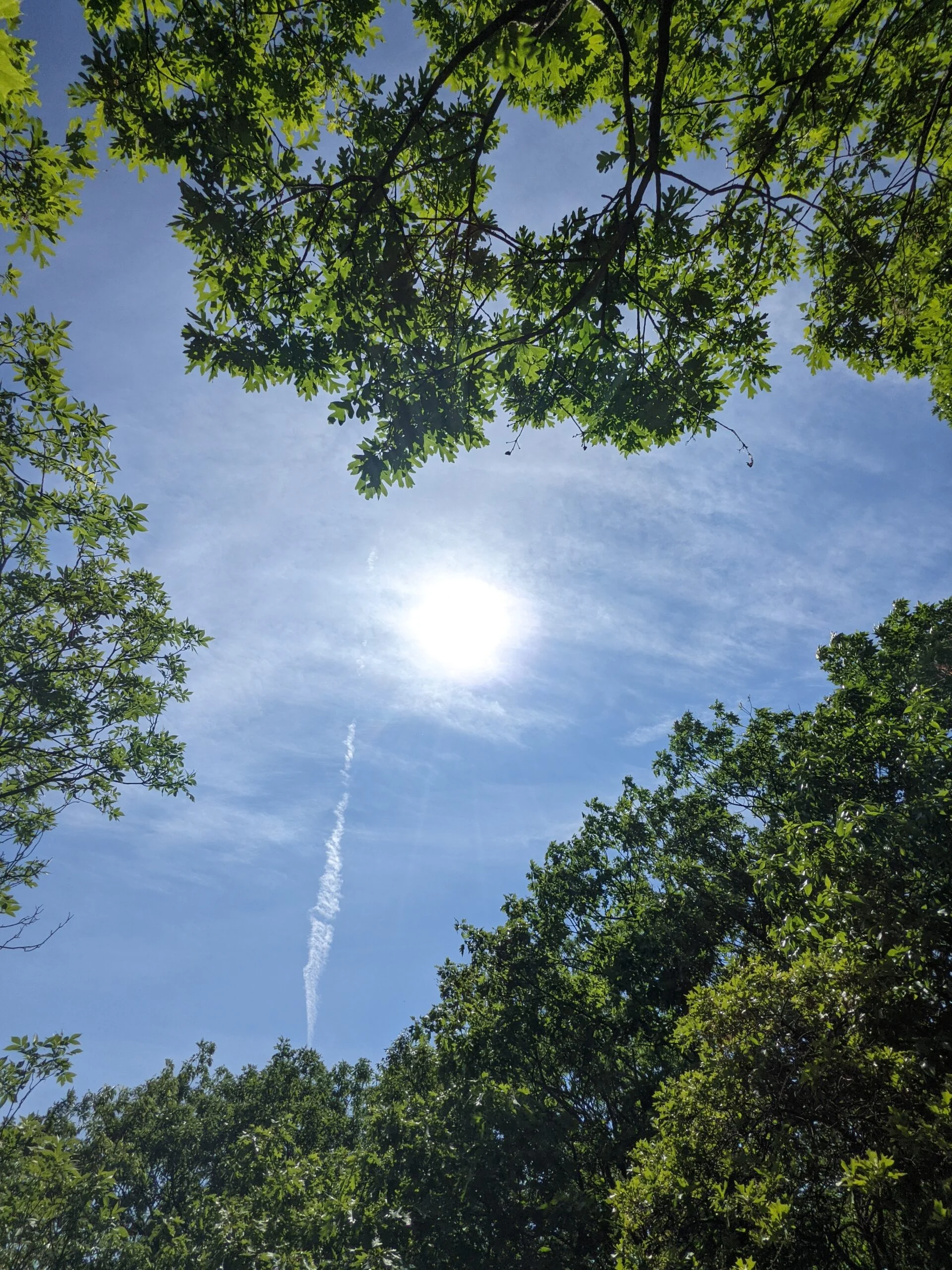
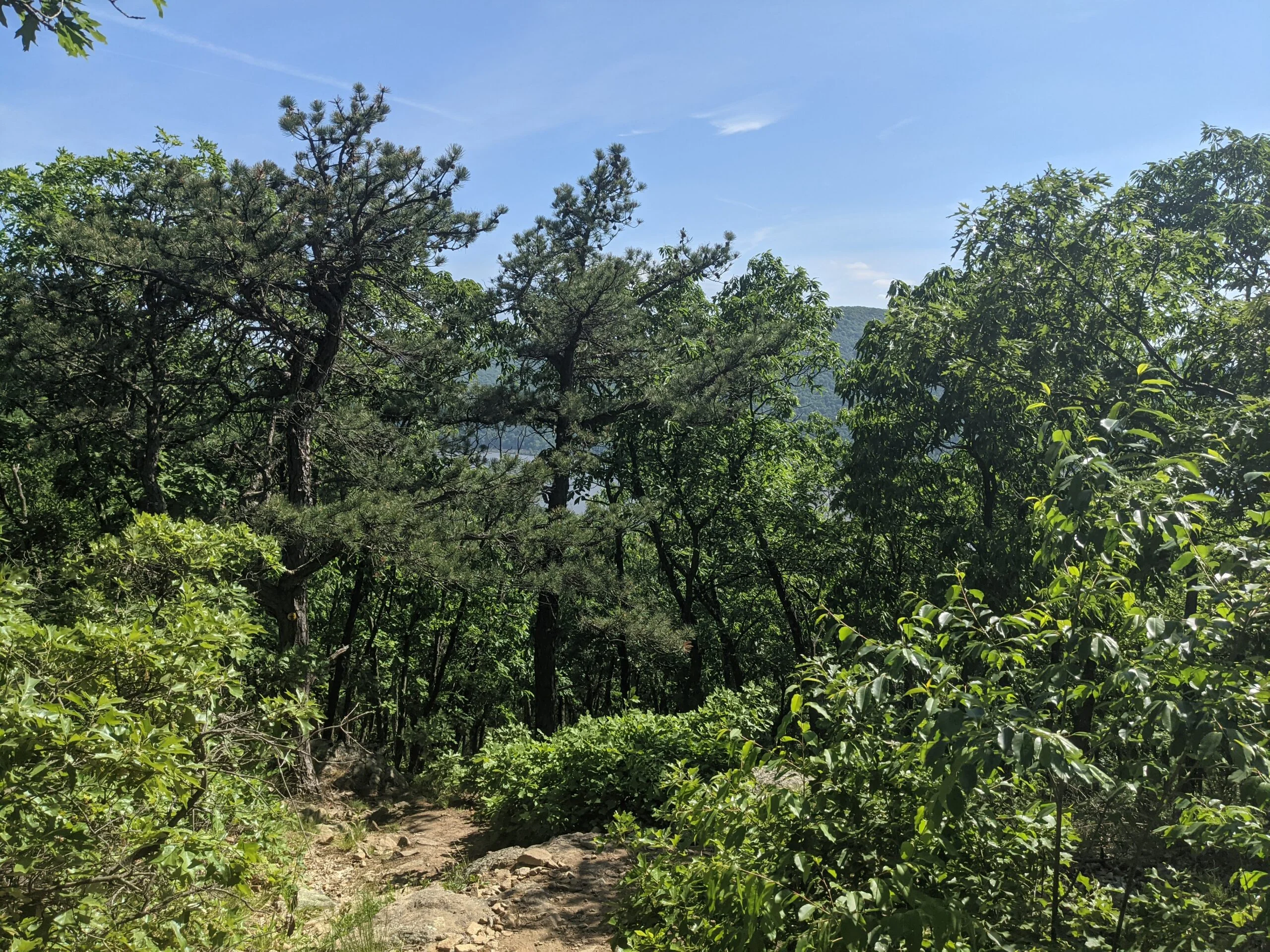
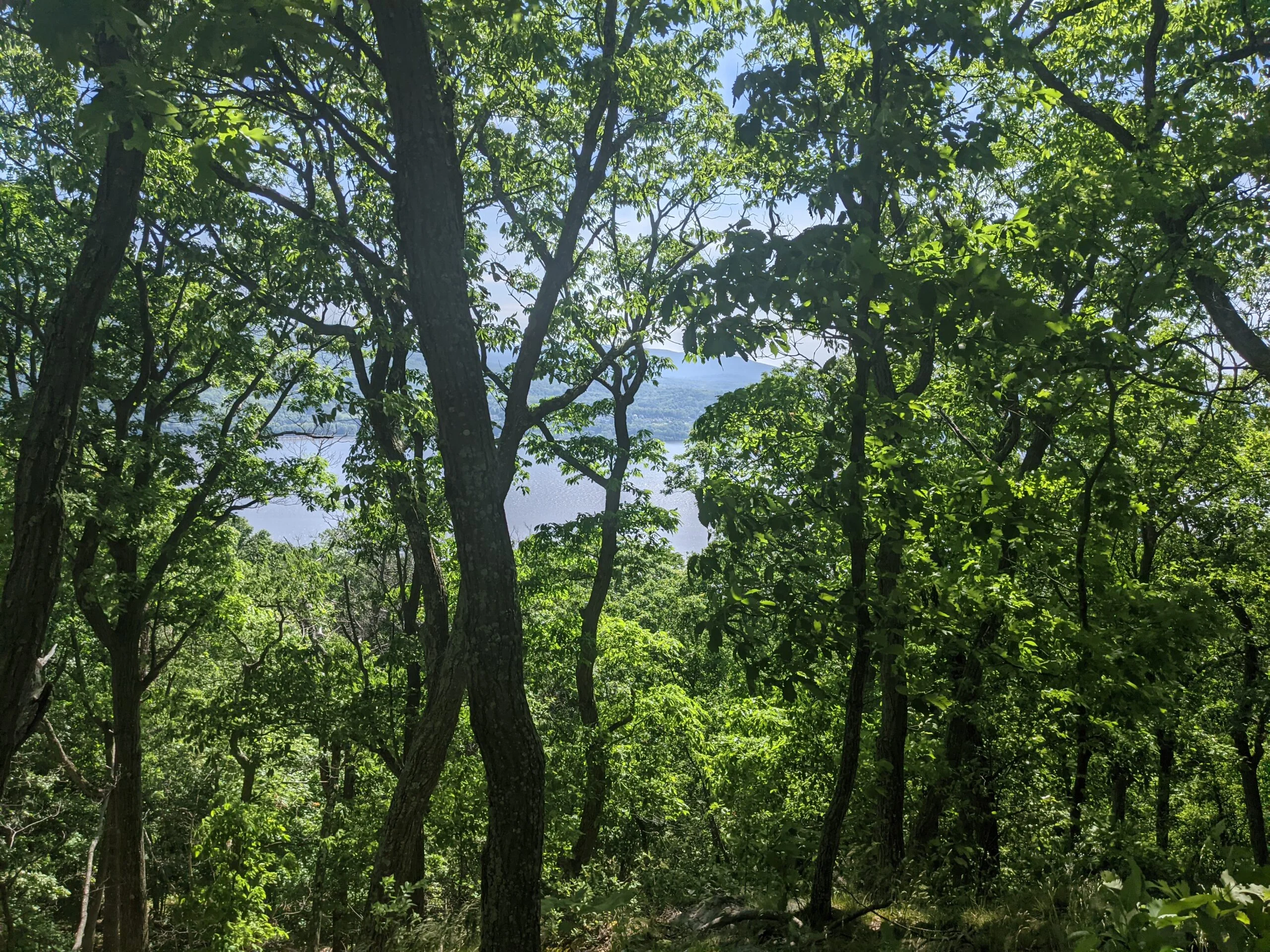
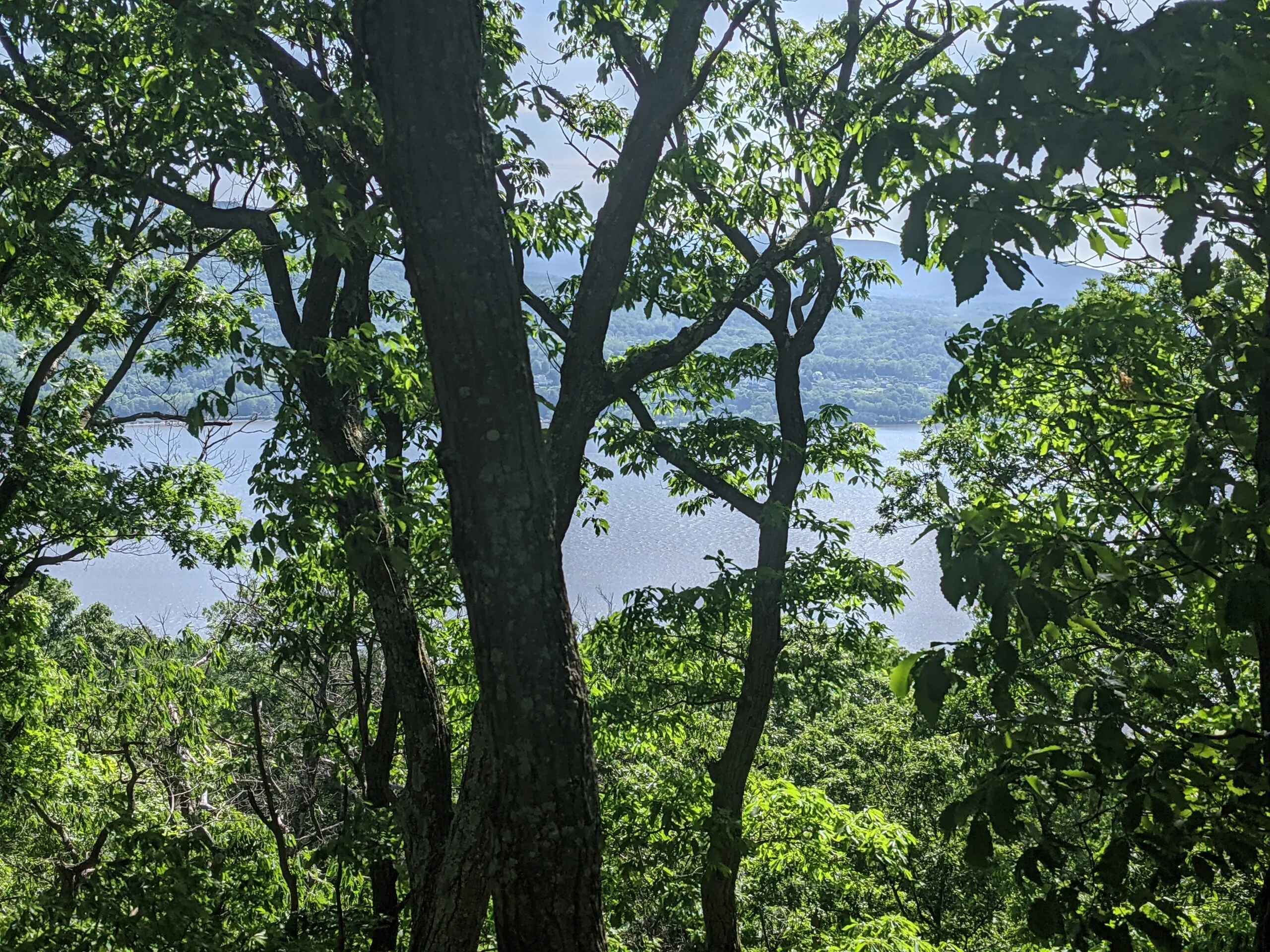
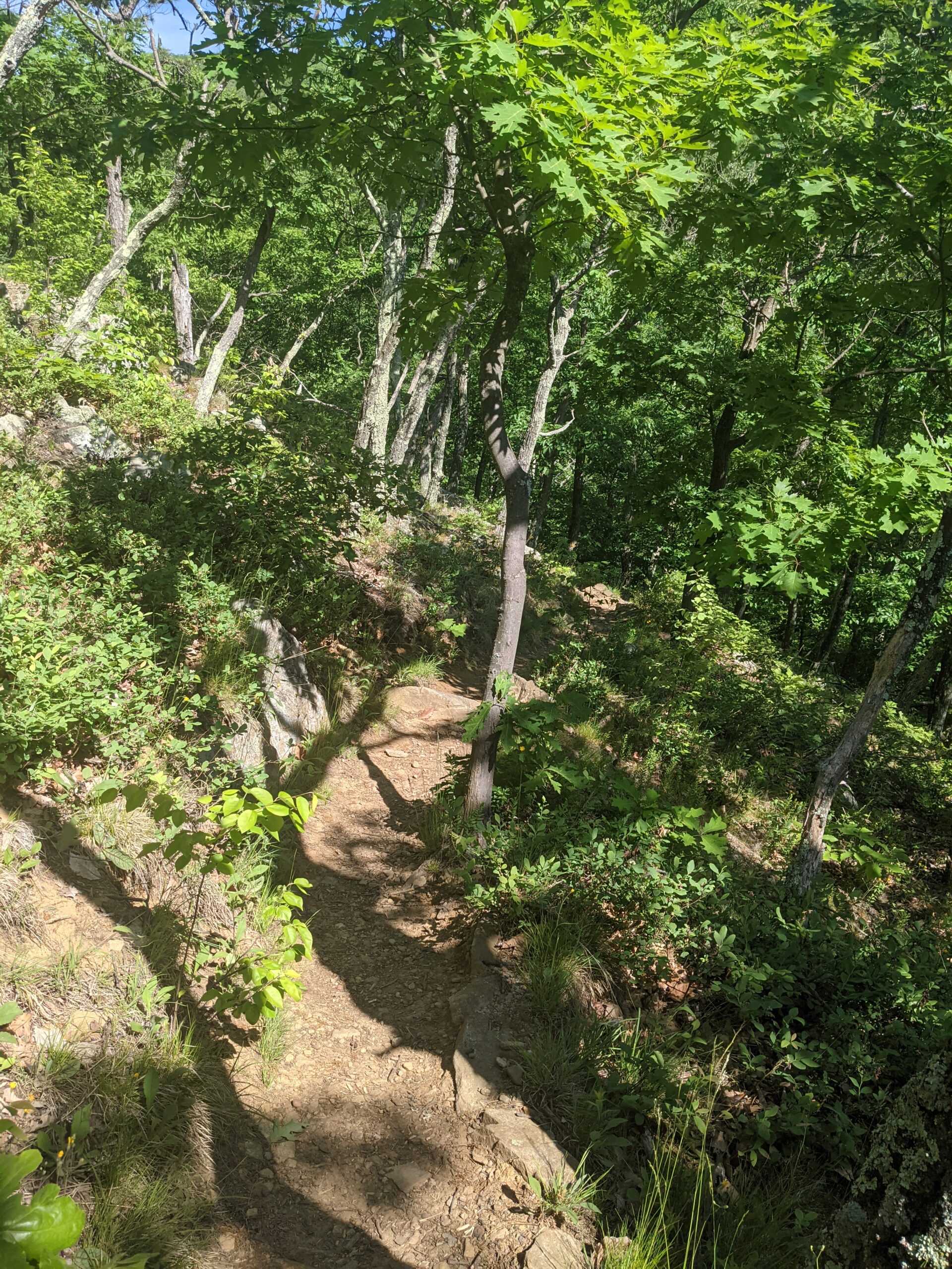
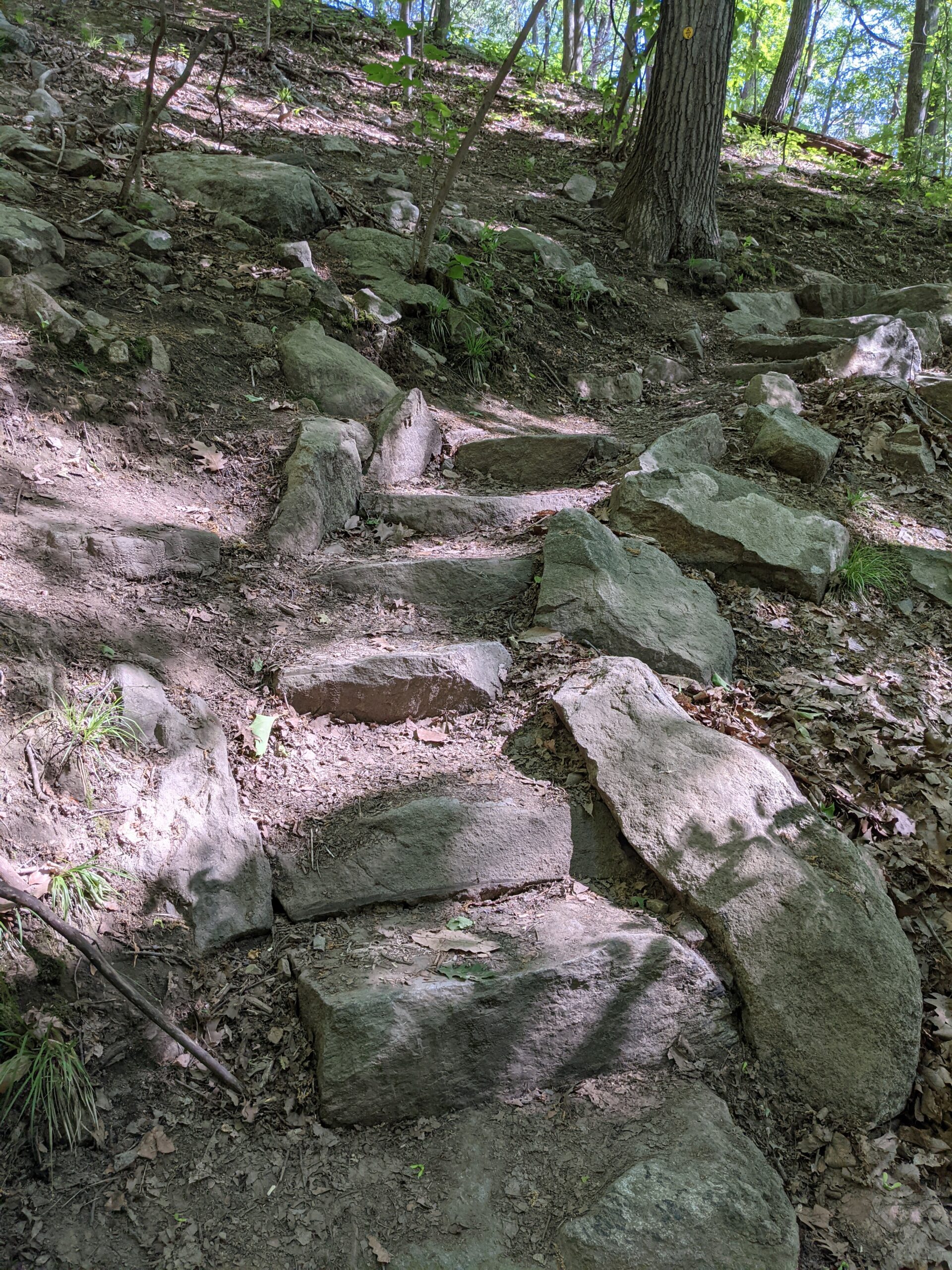
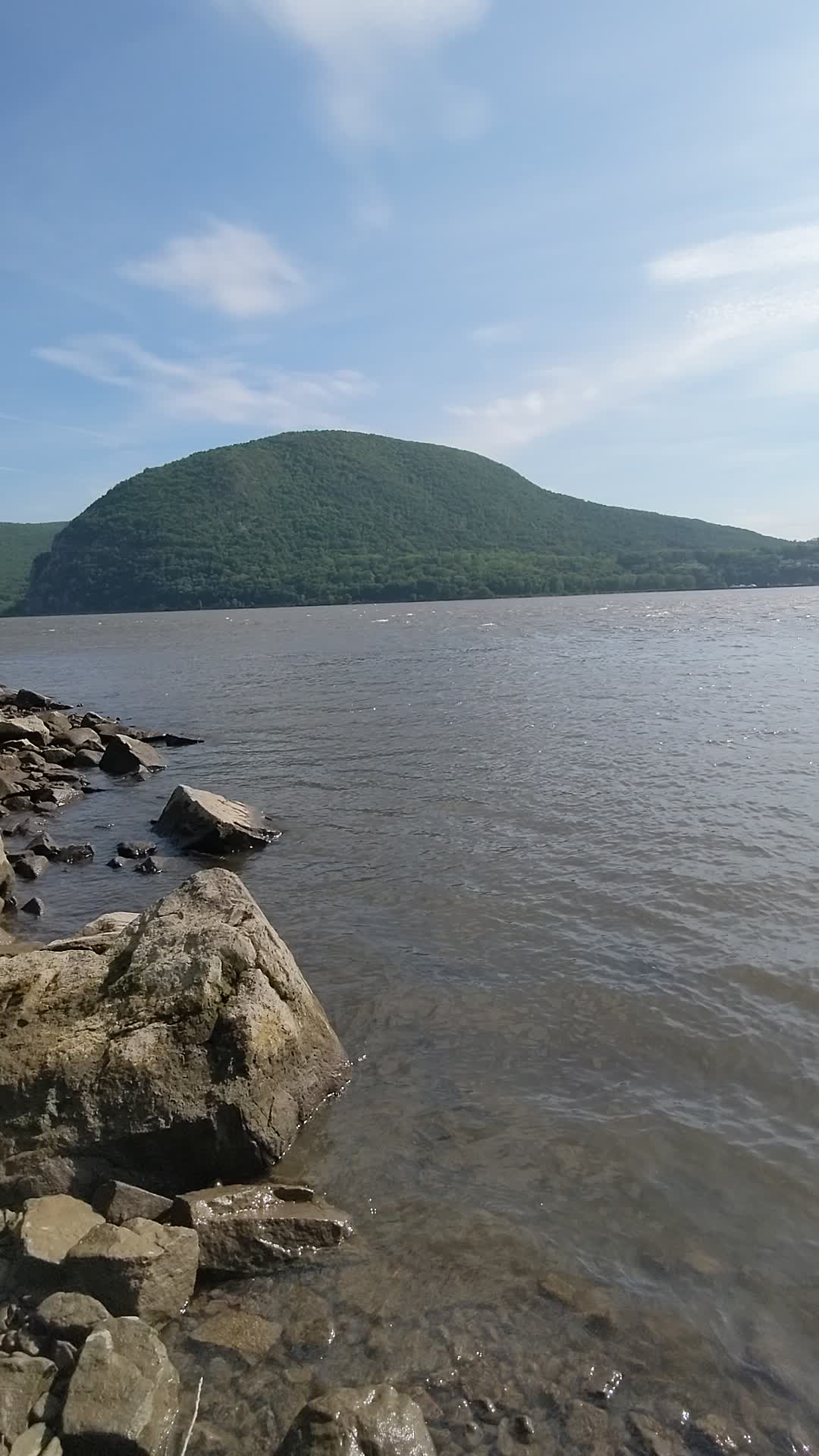
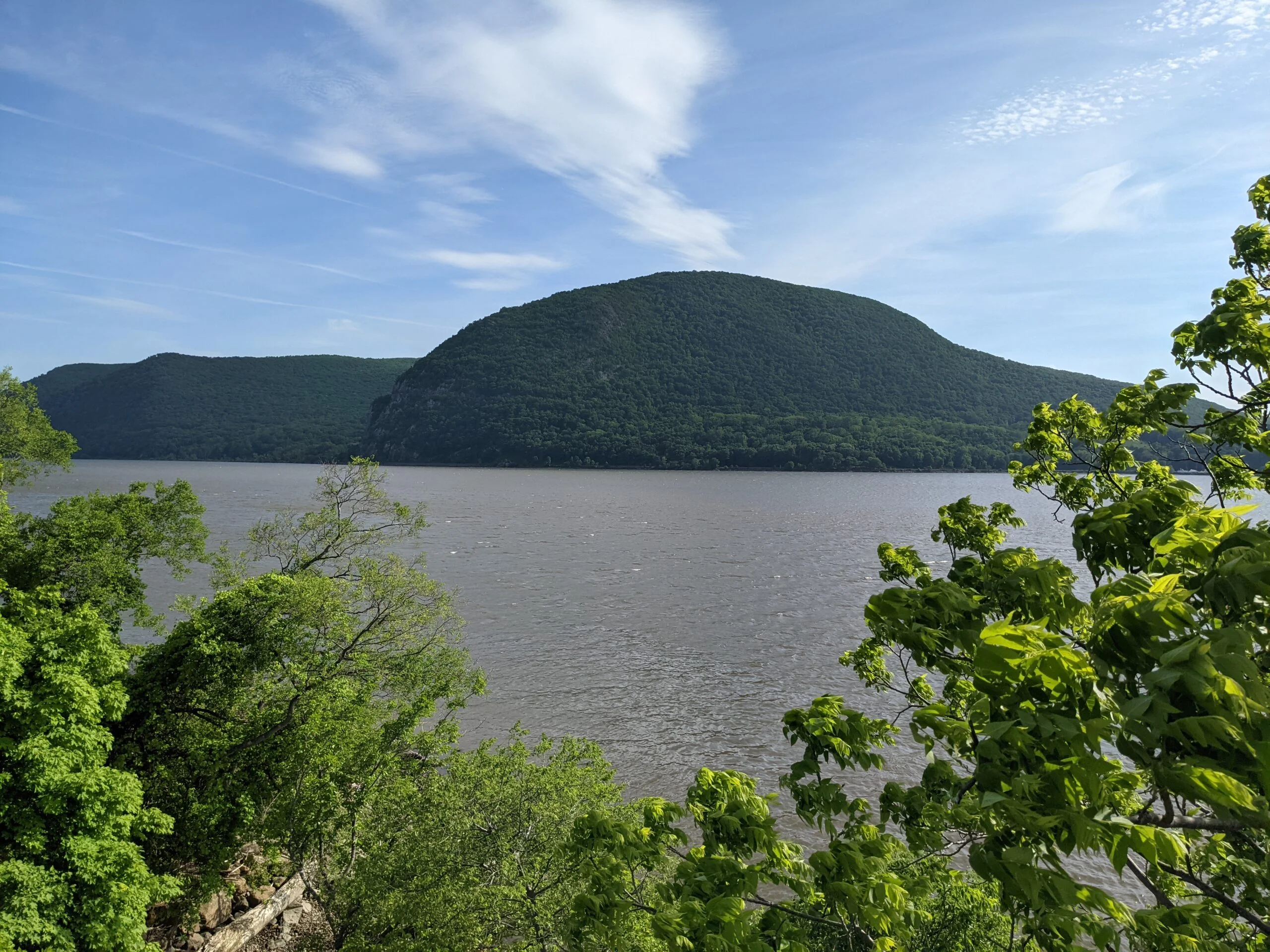
Onward and upward! From that point on, the rock scramble begins. I would say that it’s not an incredibly difficult climb; it’s just that it requires finding the right footholds and handholds to climb up with. I took my time, stopping several times to catch my breath, take a drink of water, and/or photograph the trail and views. I reached the first of five landings at 8:37am, which was at the 1/2 mile mark. This landing is at an elevation of approximately 523 ft and provided great views of the Hudson River along with Storm King Mountain, directly across the river. There used to be an American flag at this landing, but it was not present today.
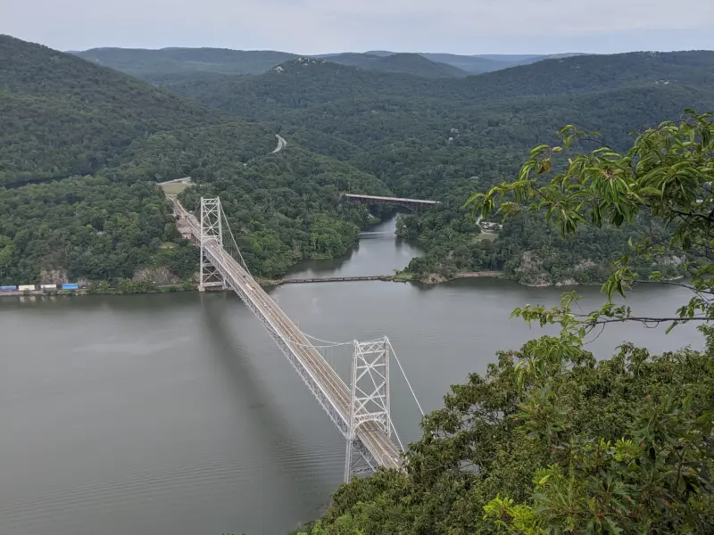
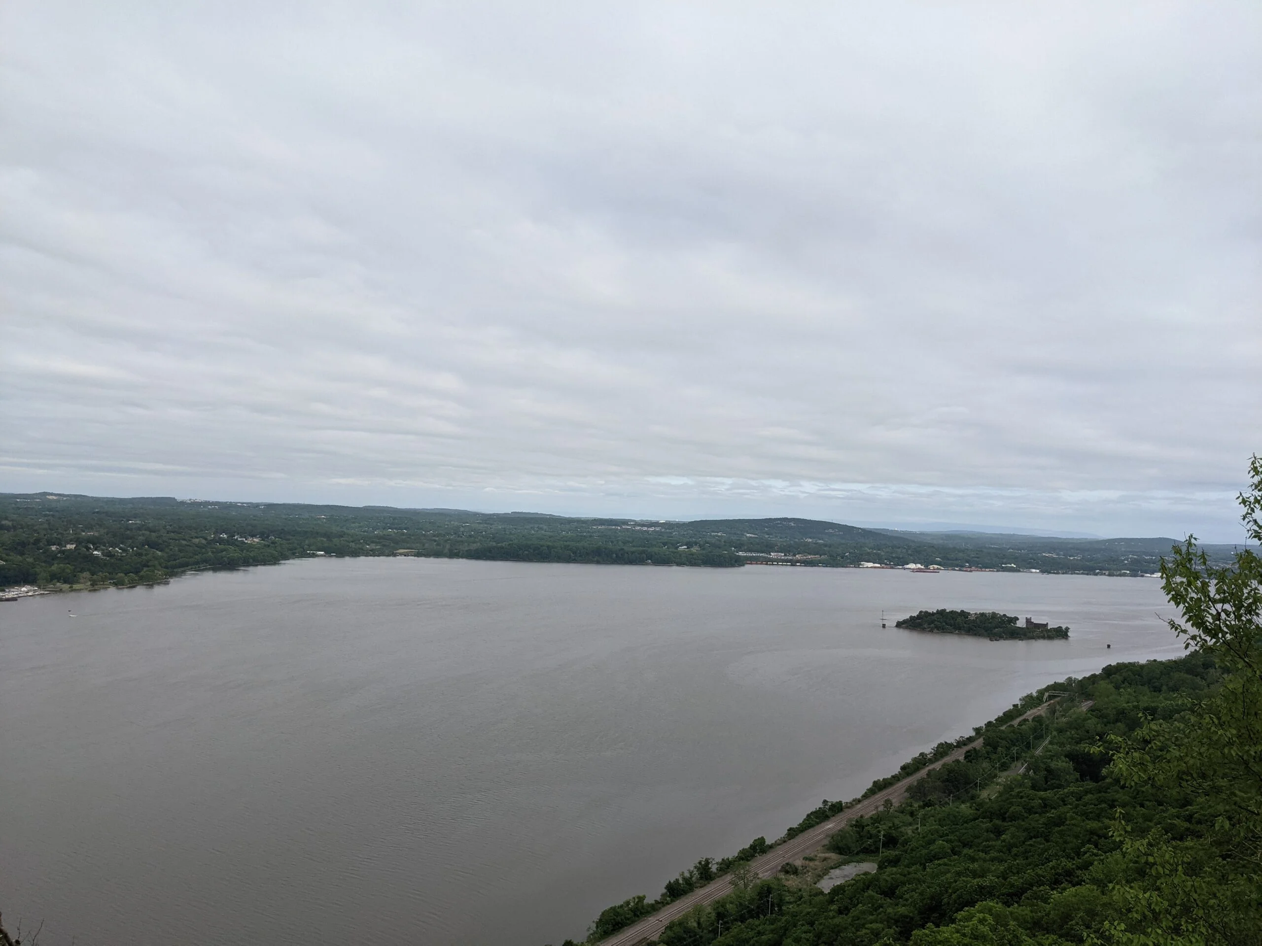
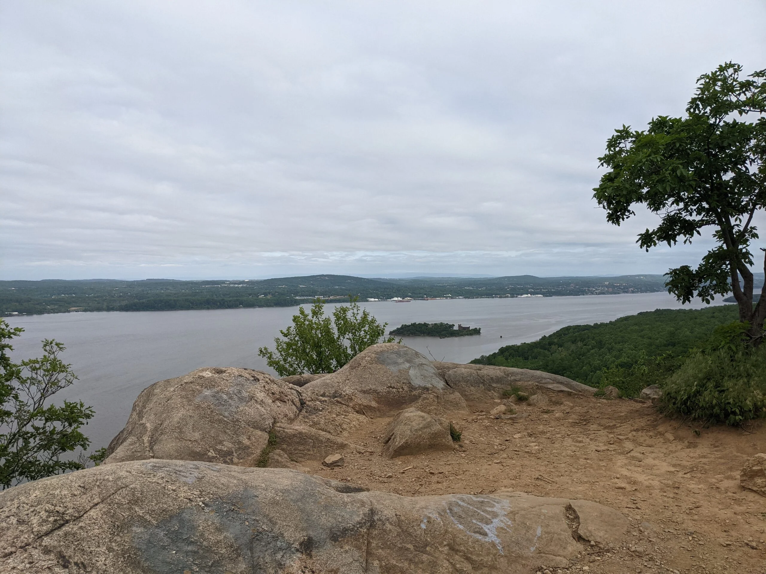
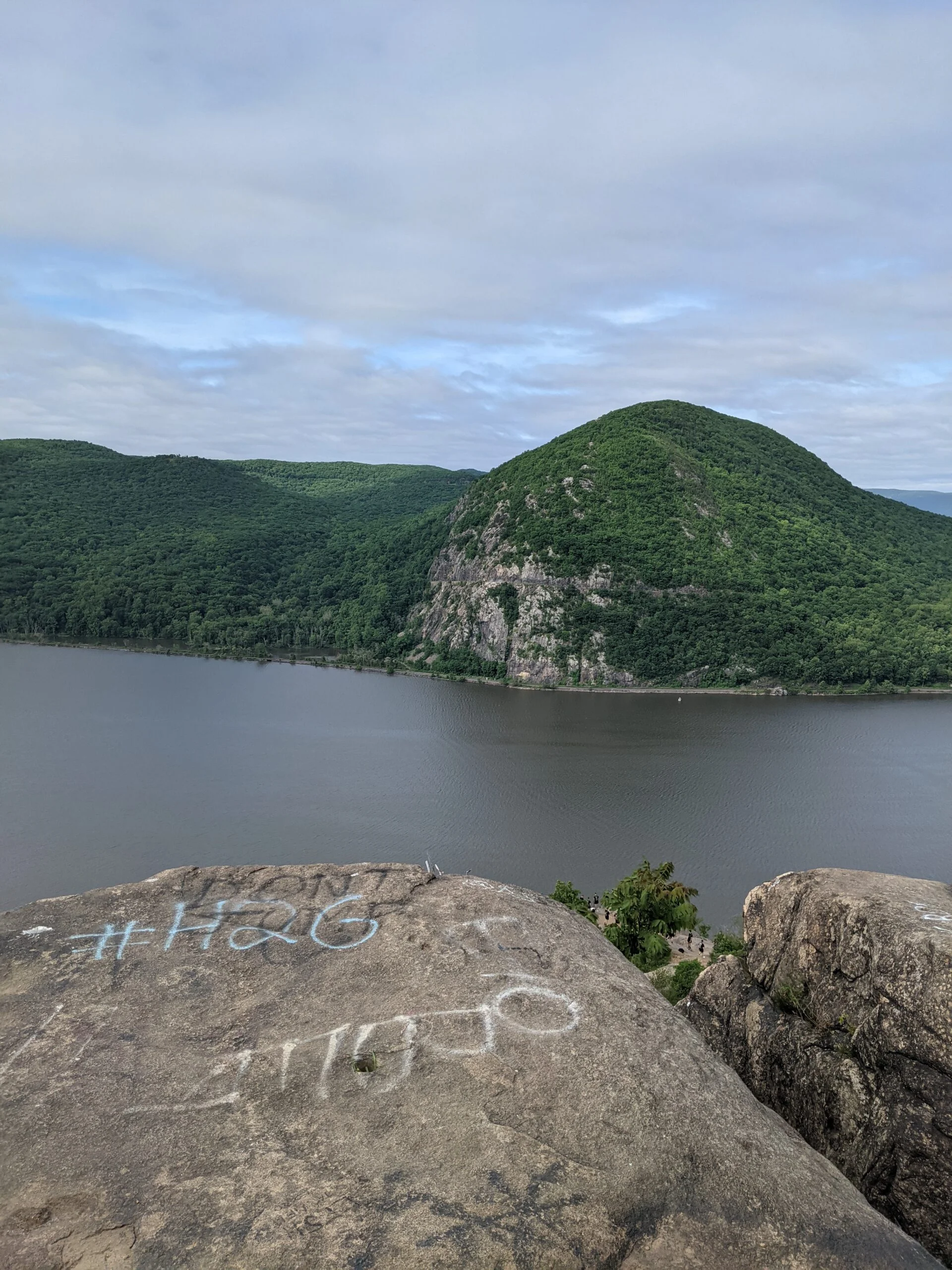
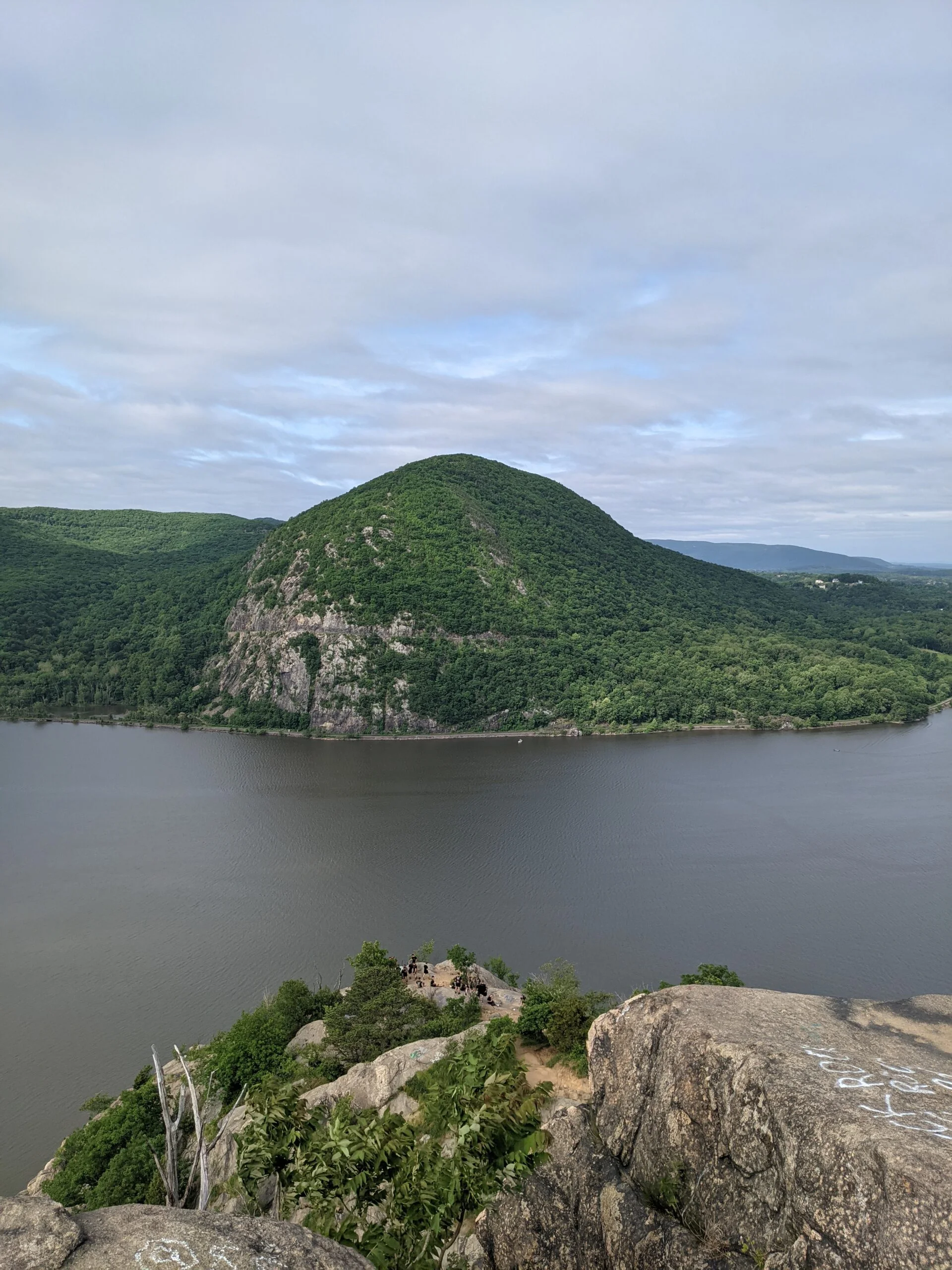
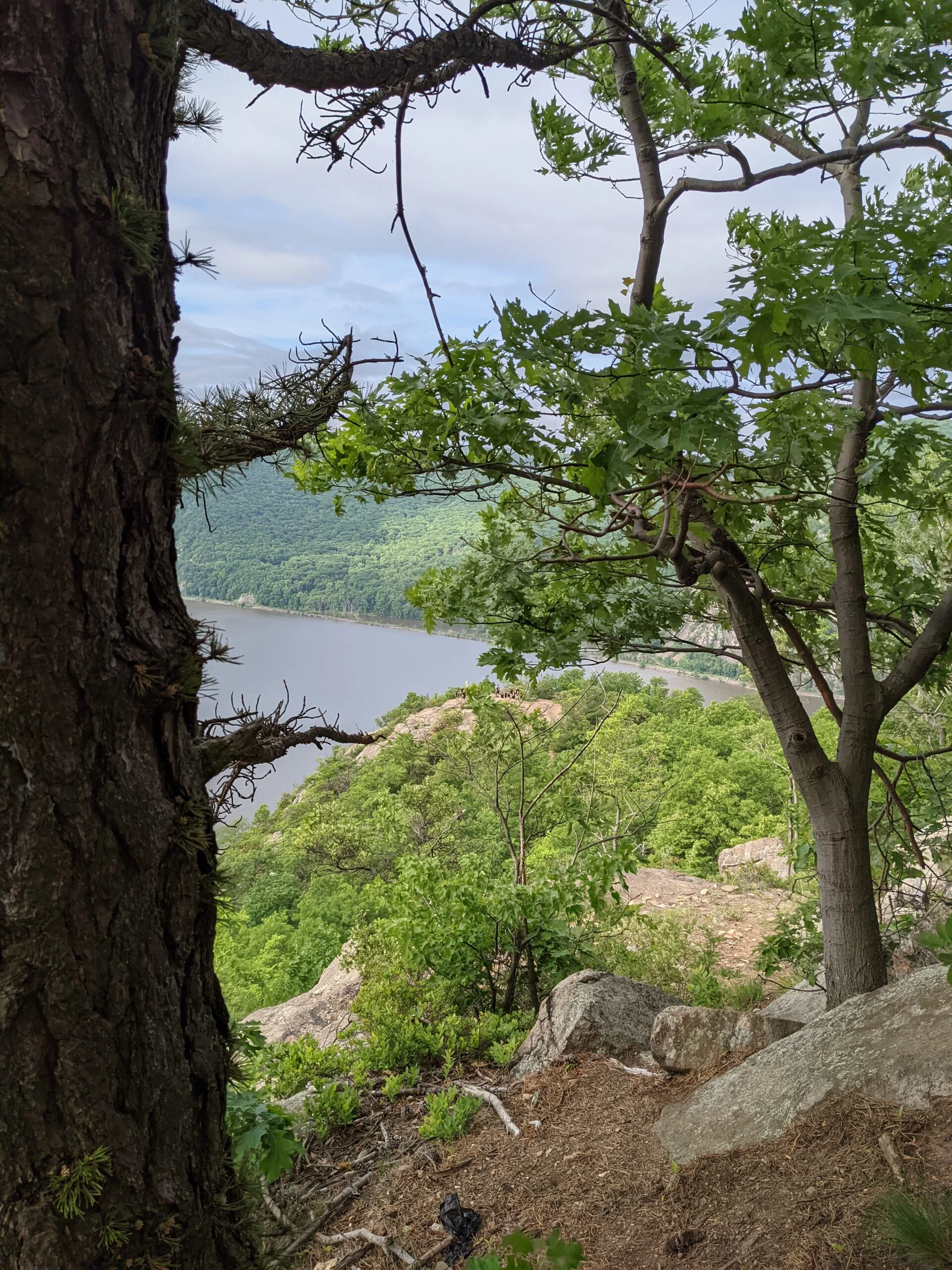
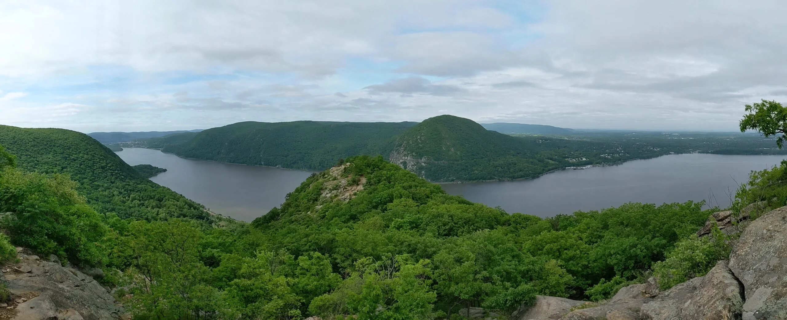
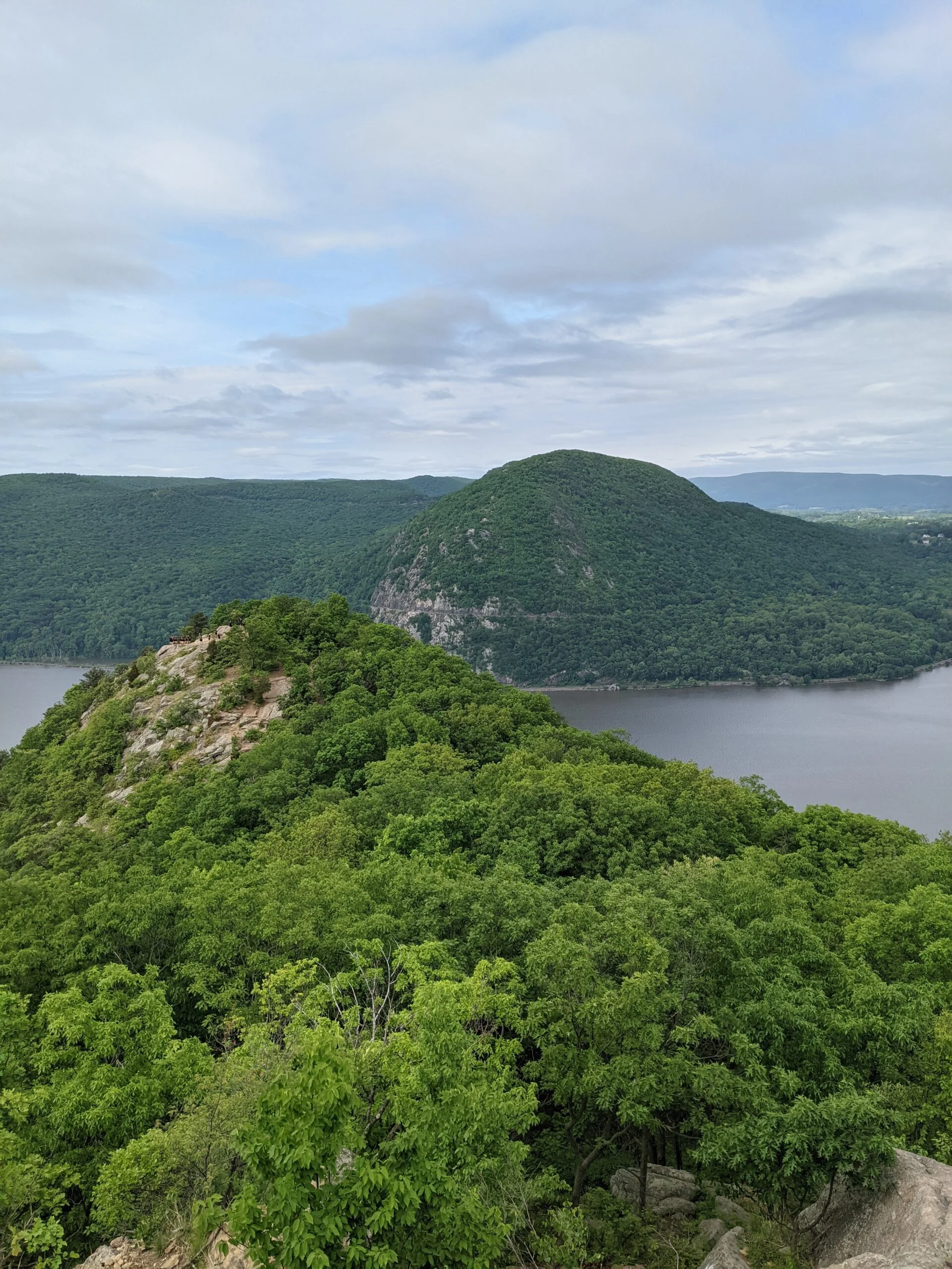
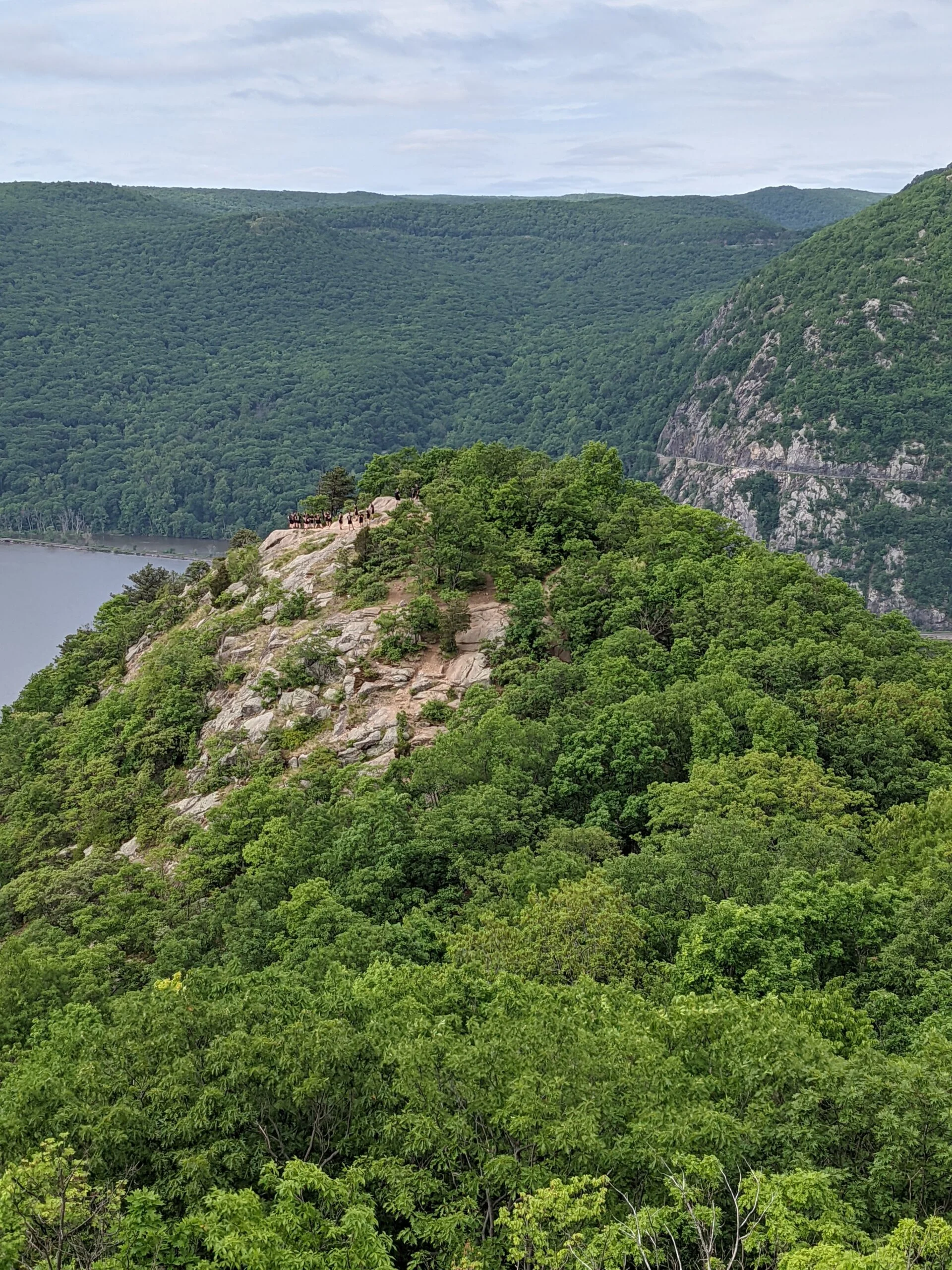
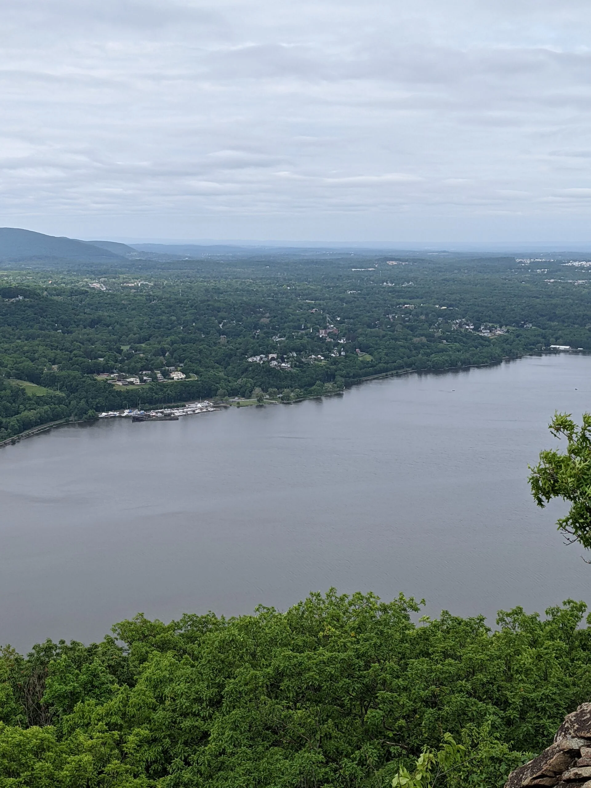
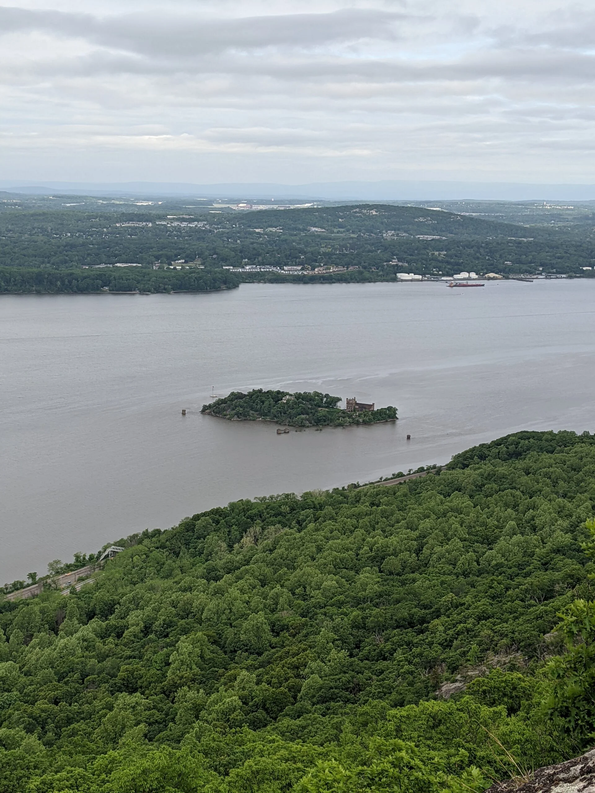
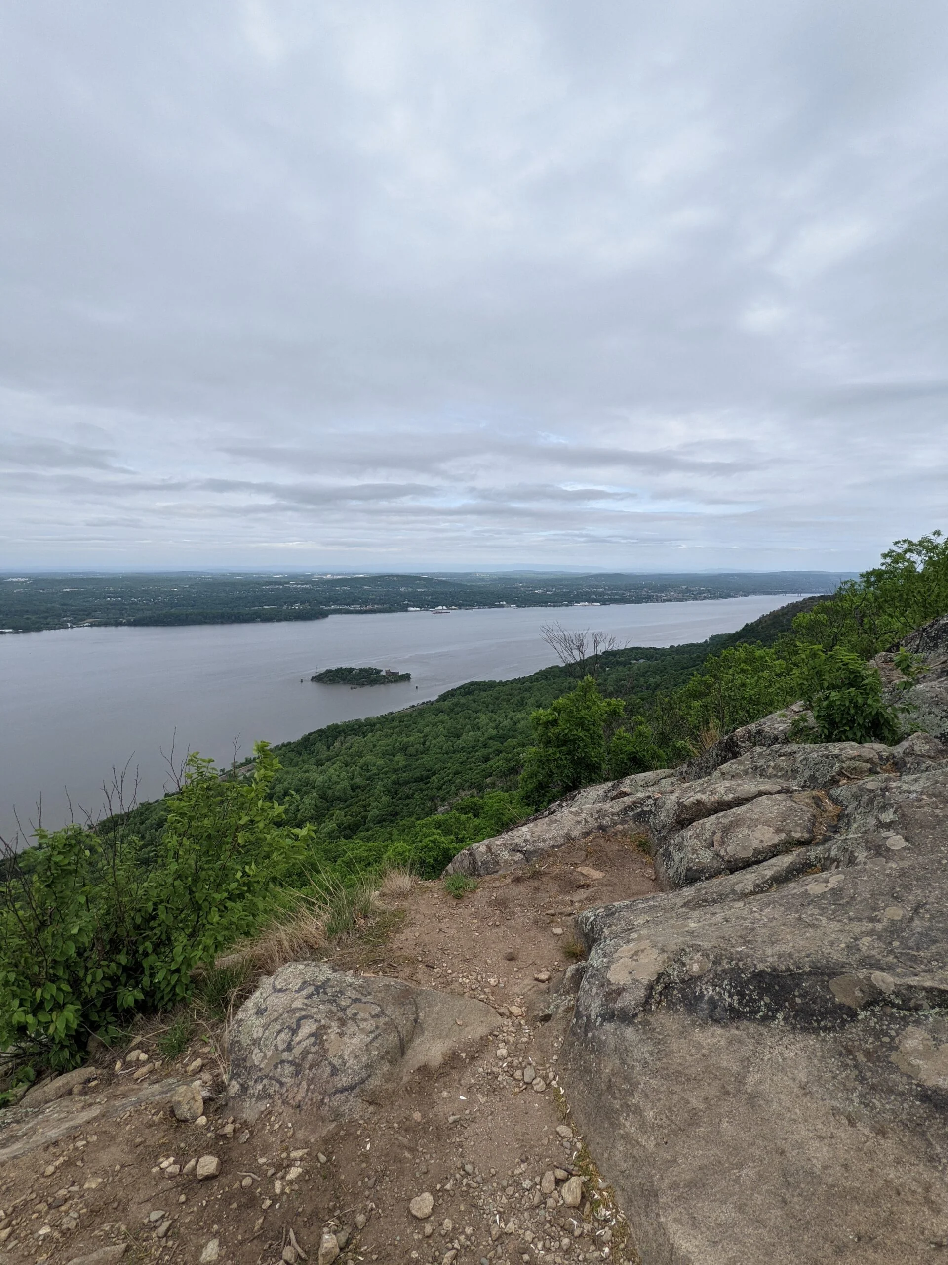
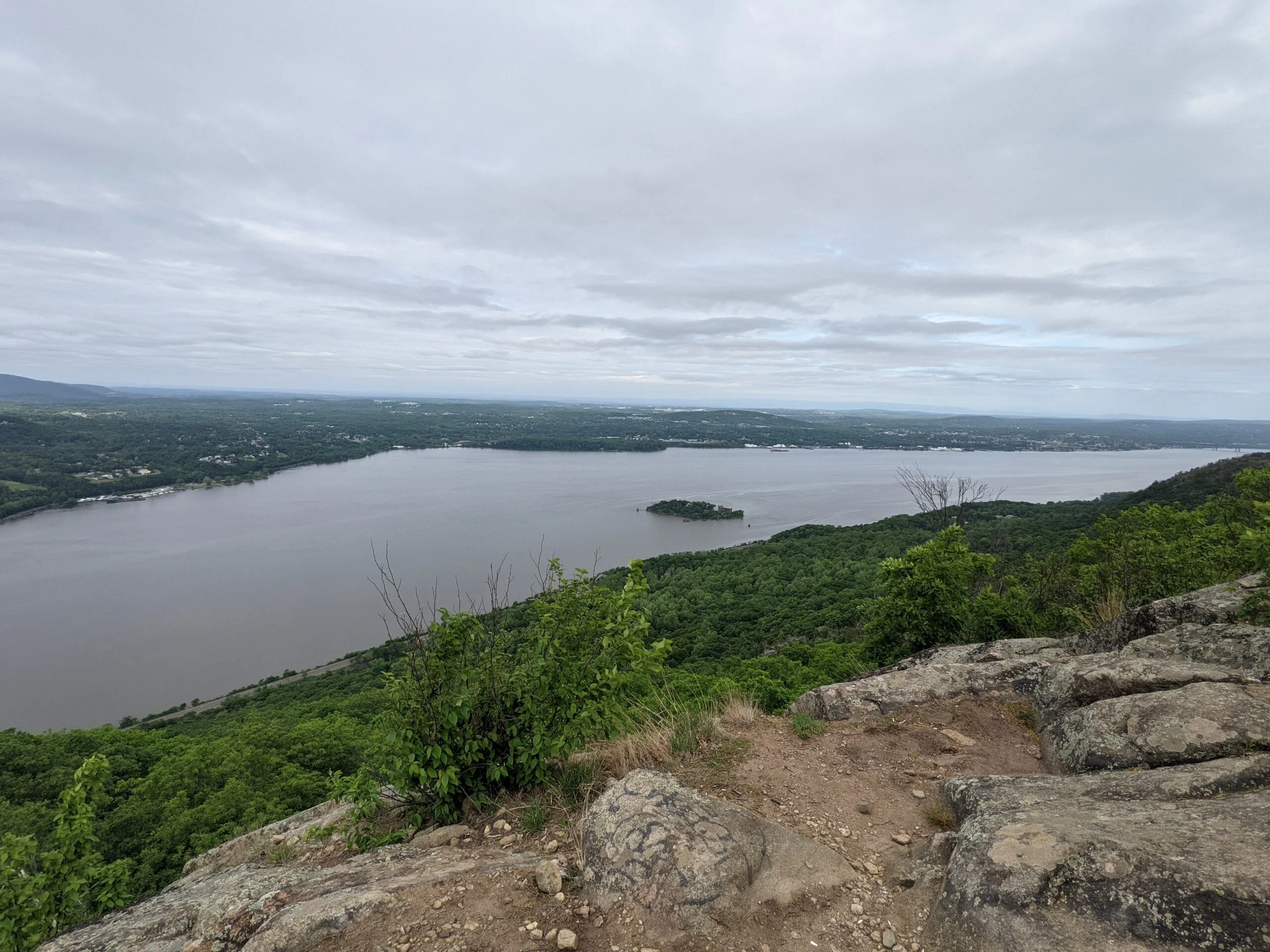
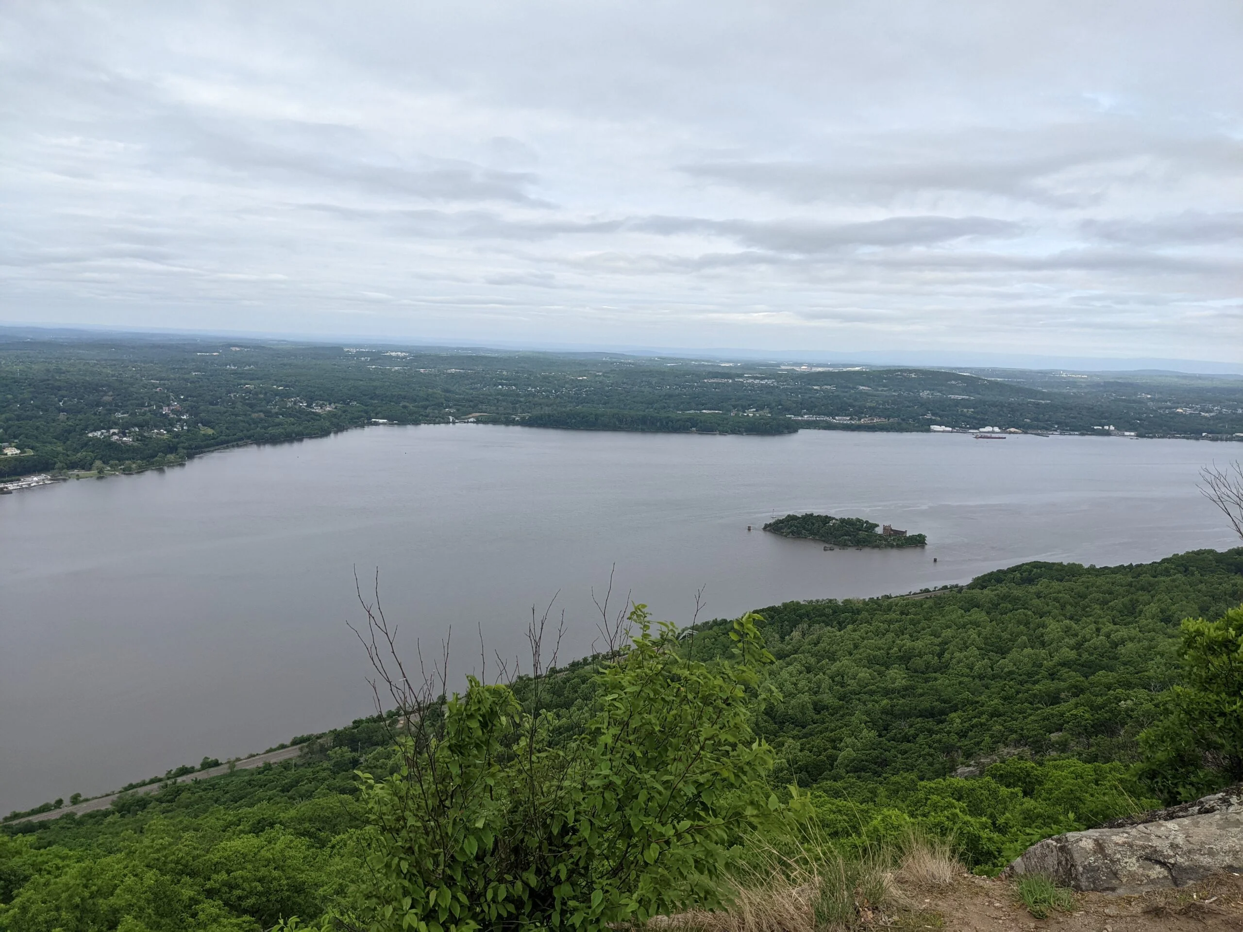
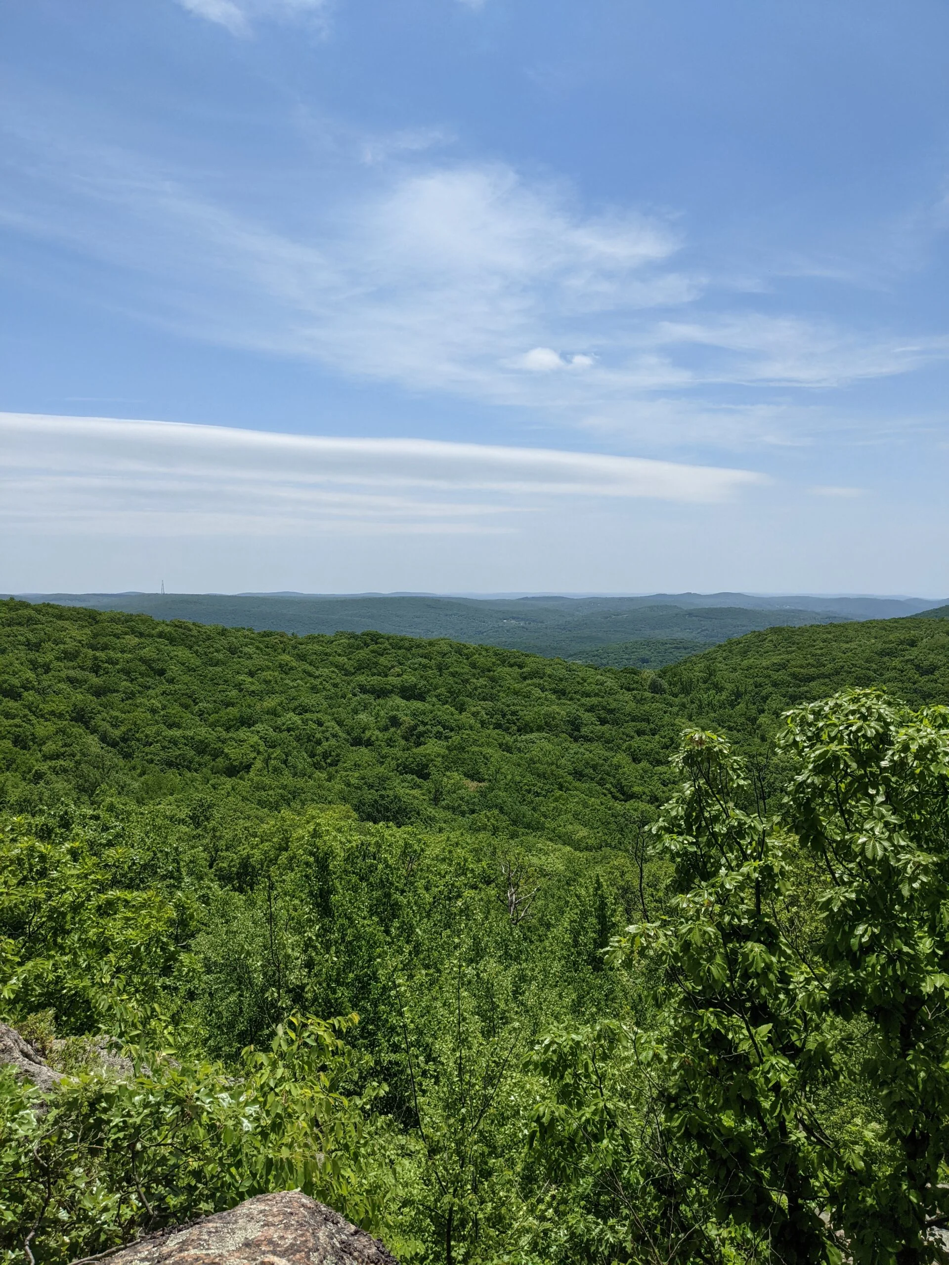
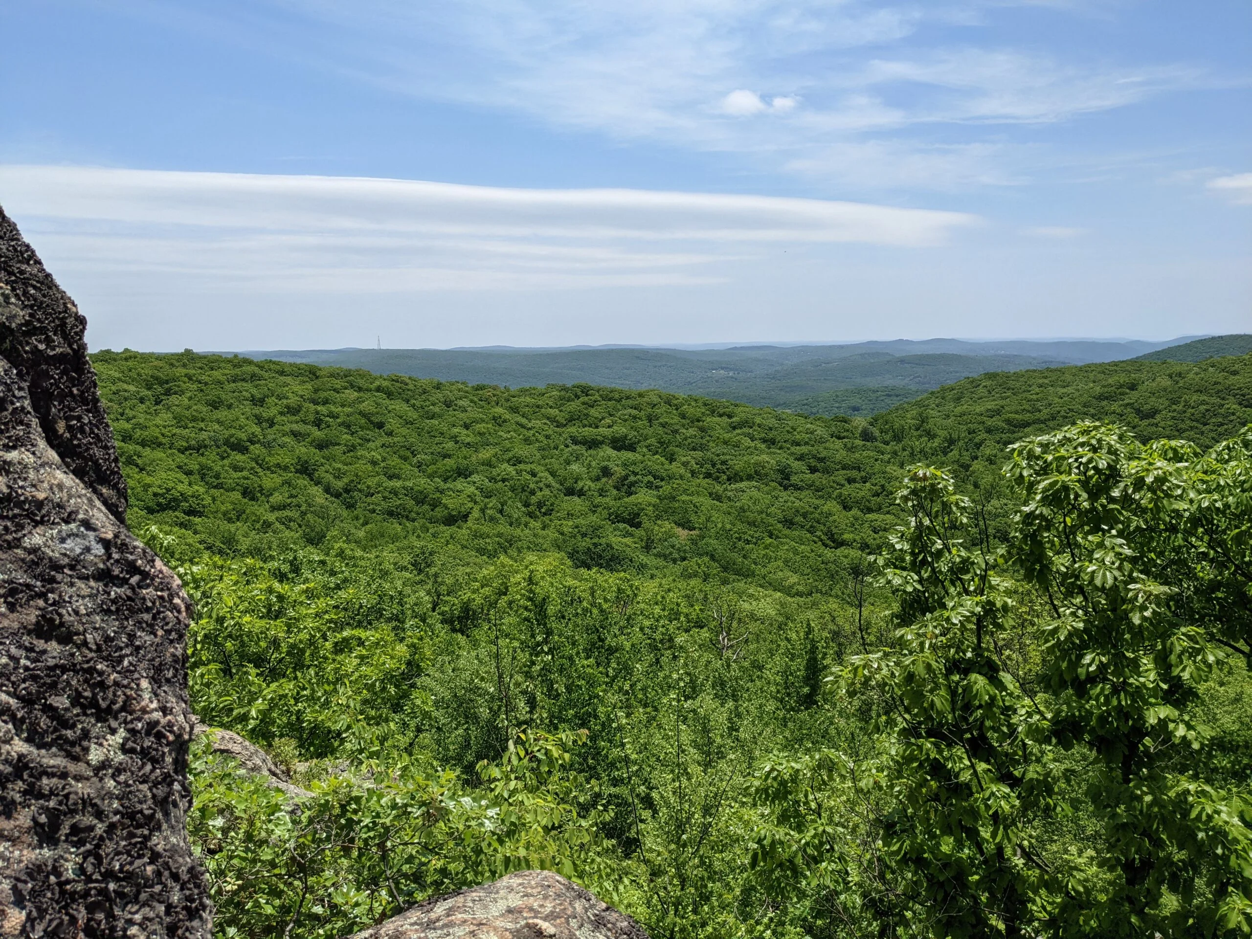
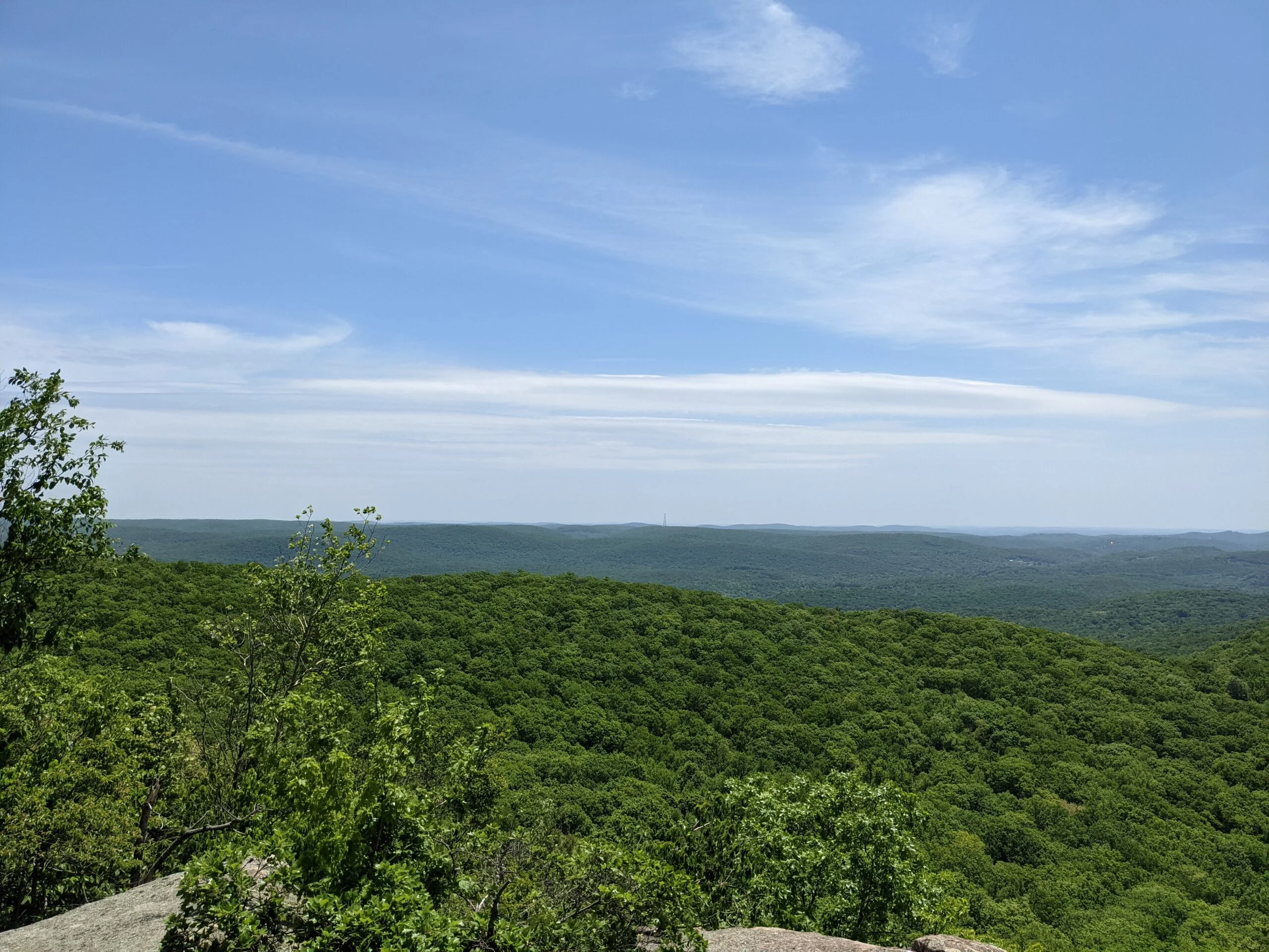
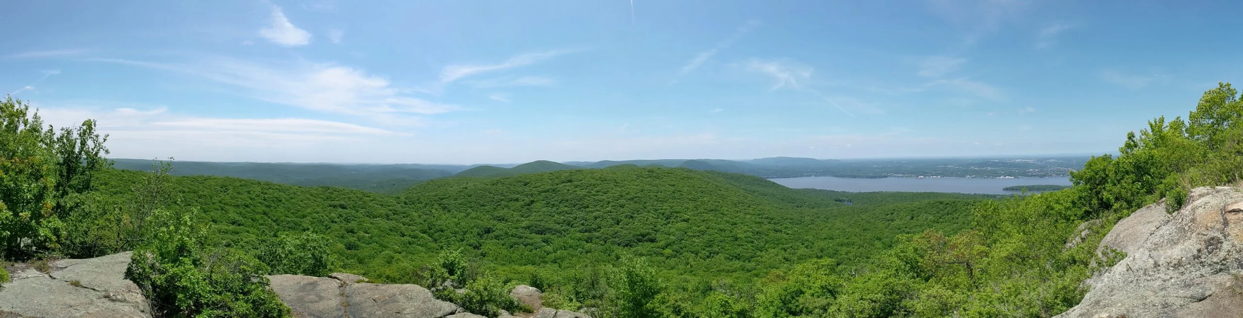
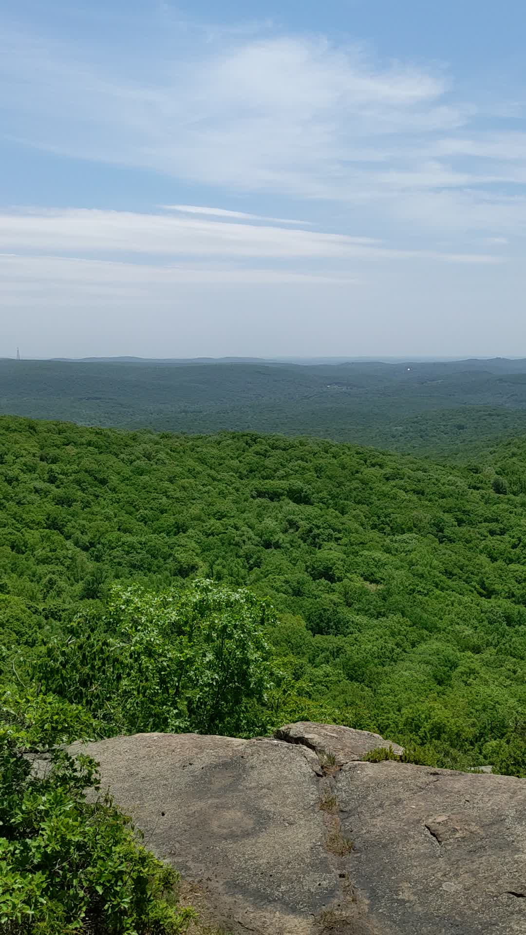
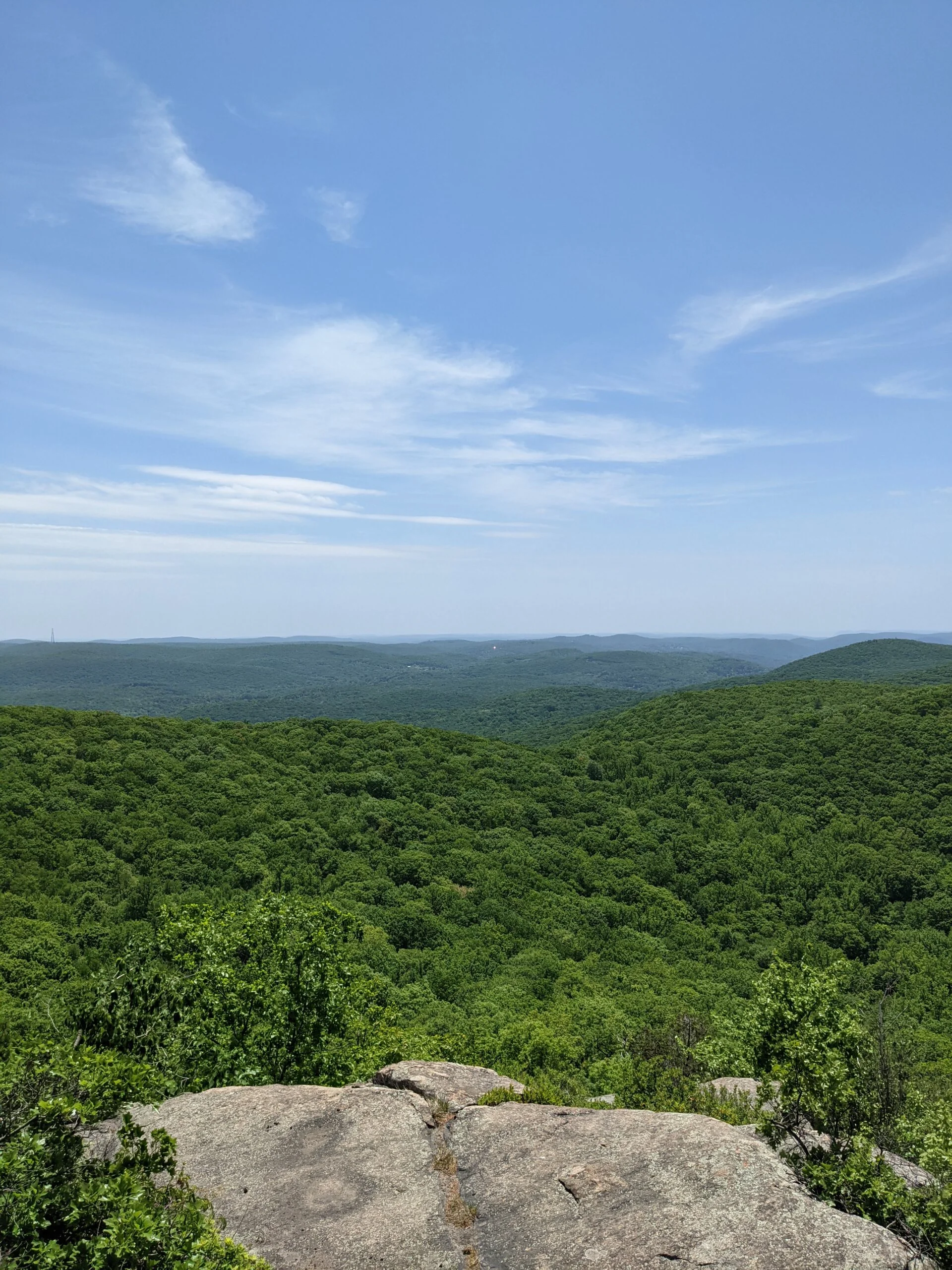
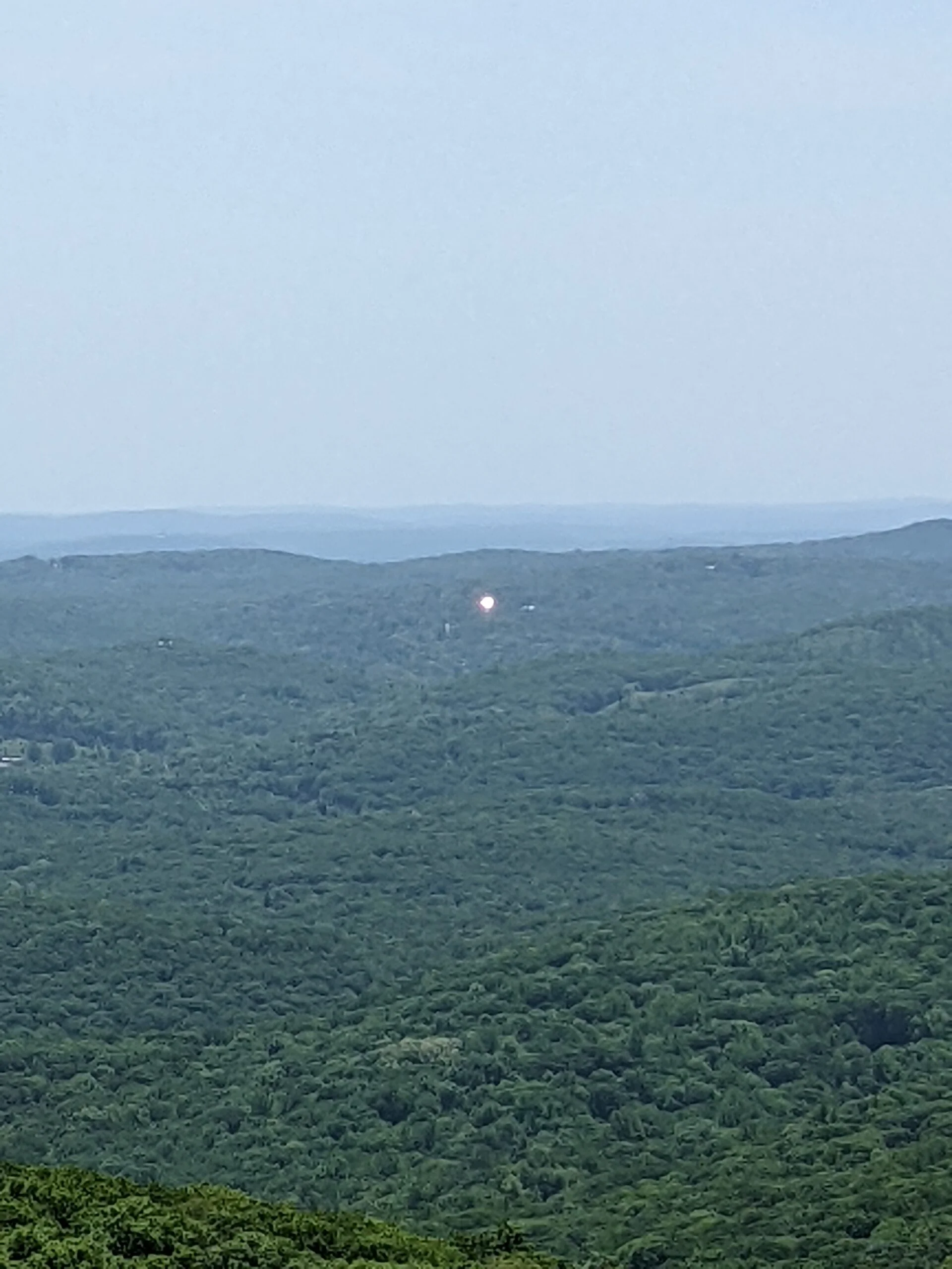
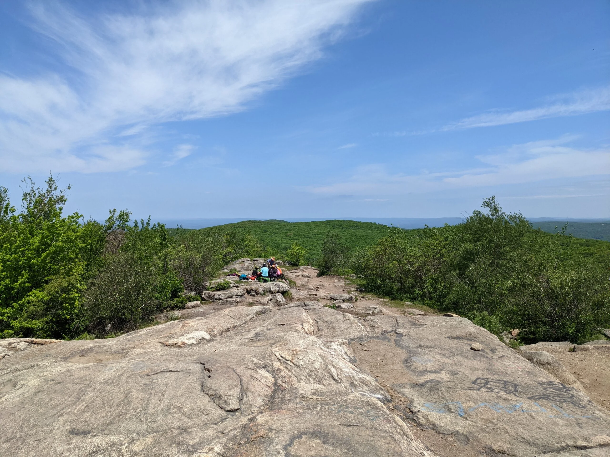
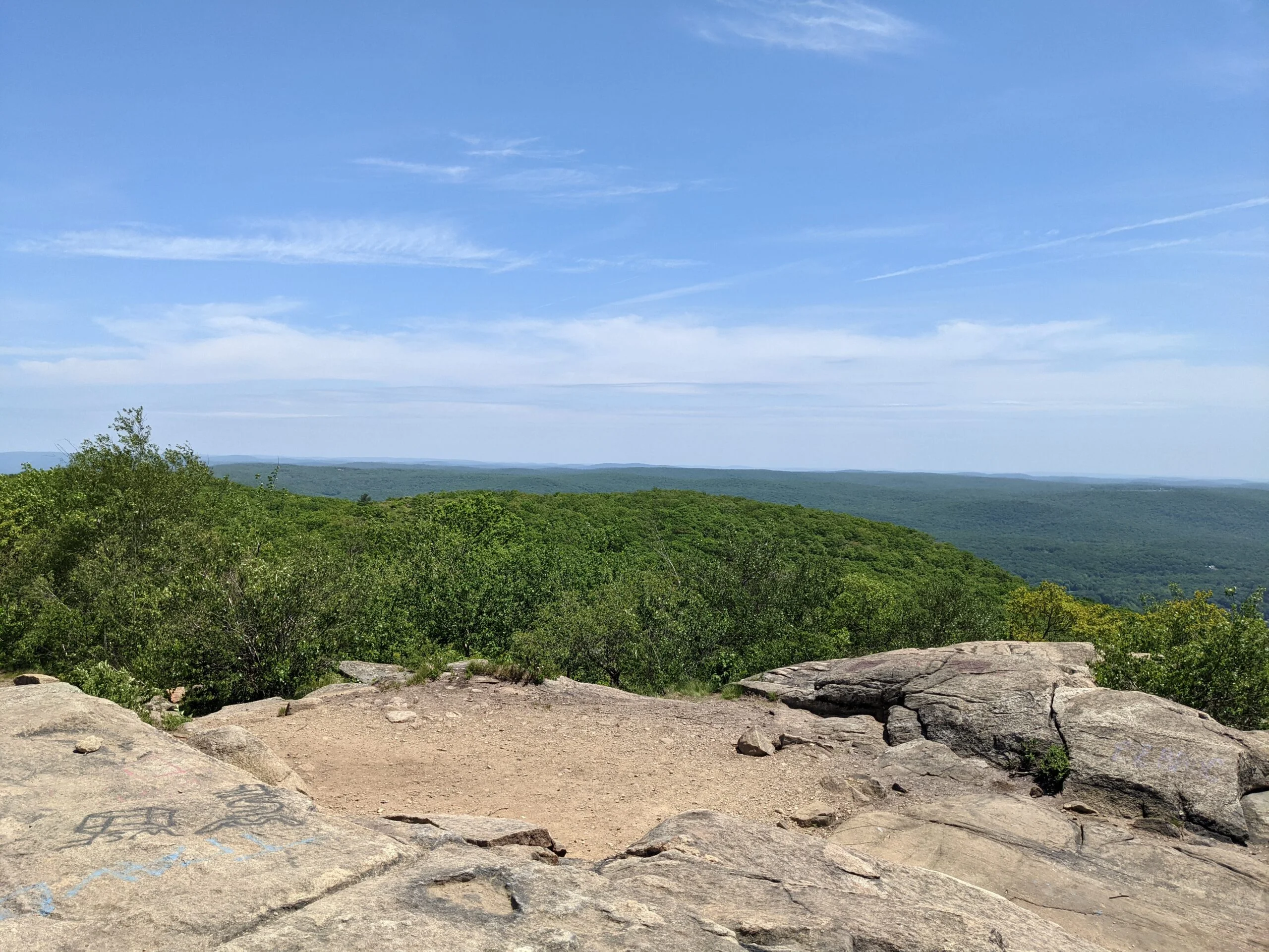
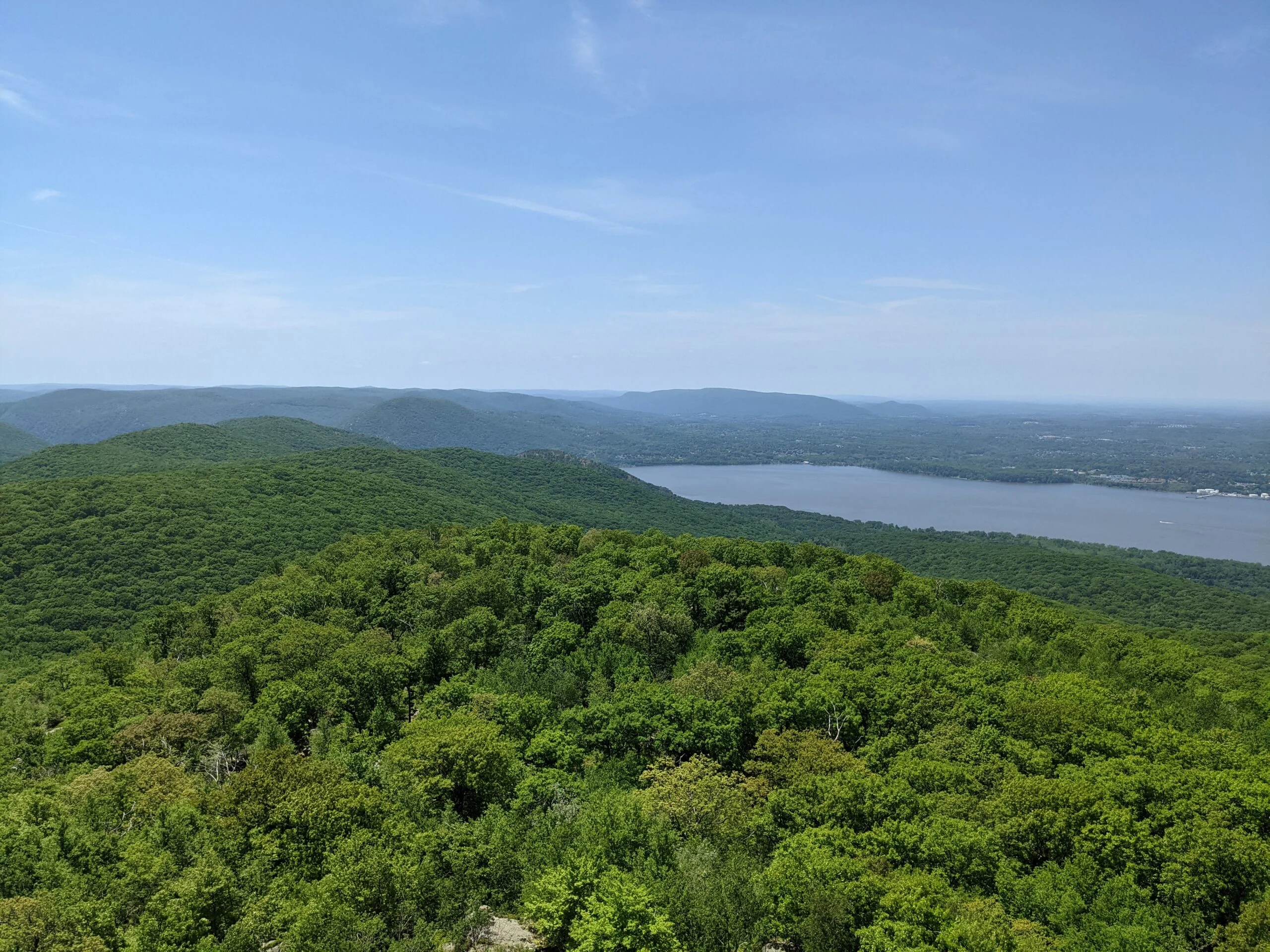
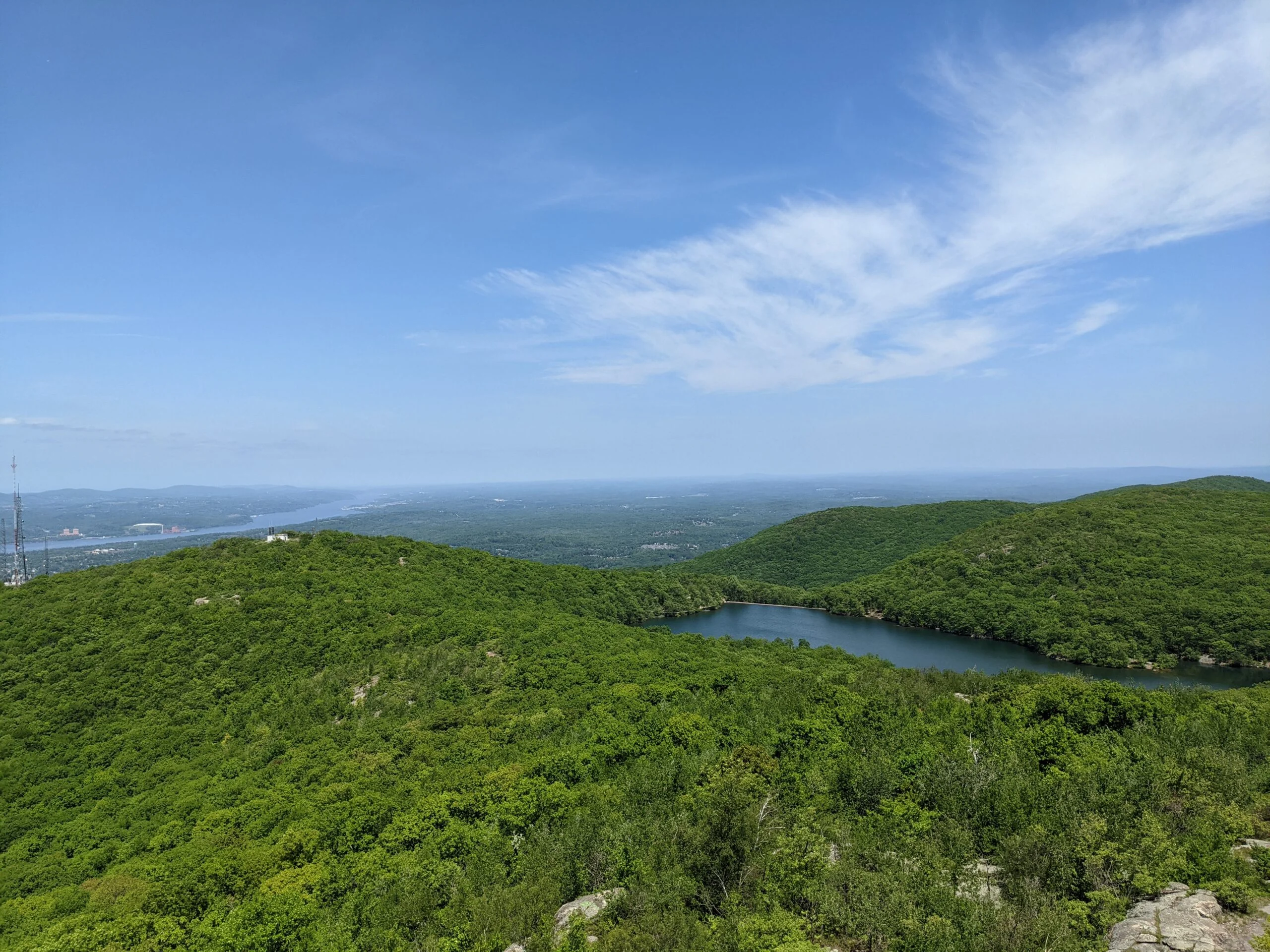
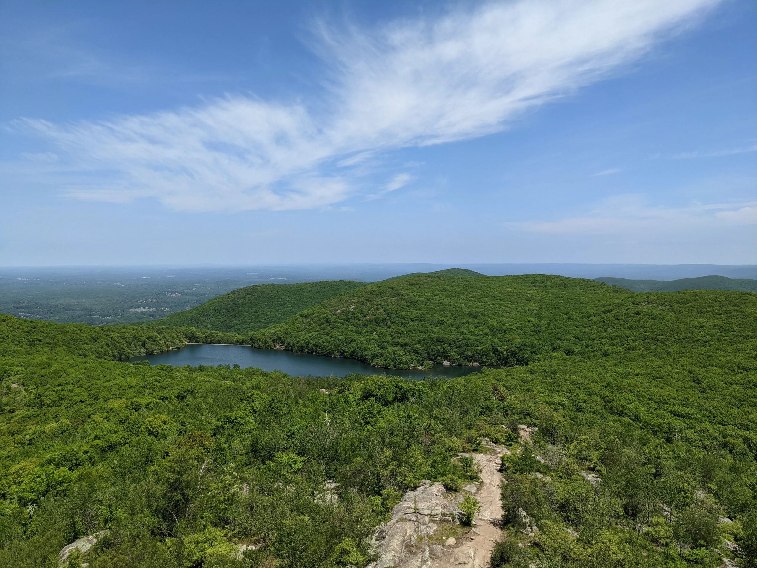
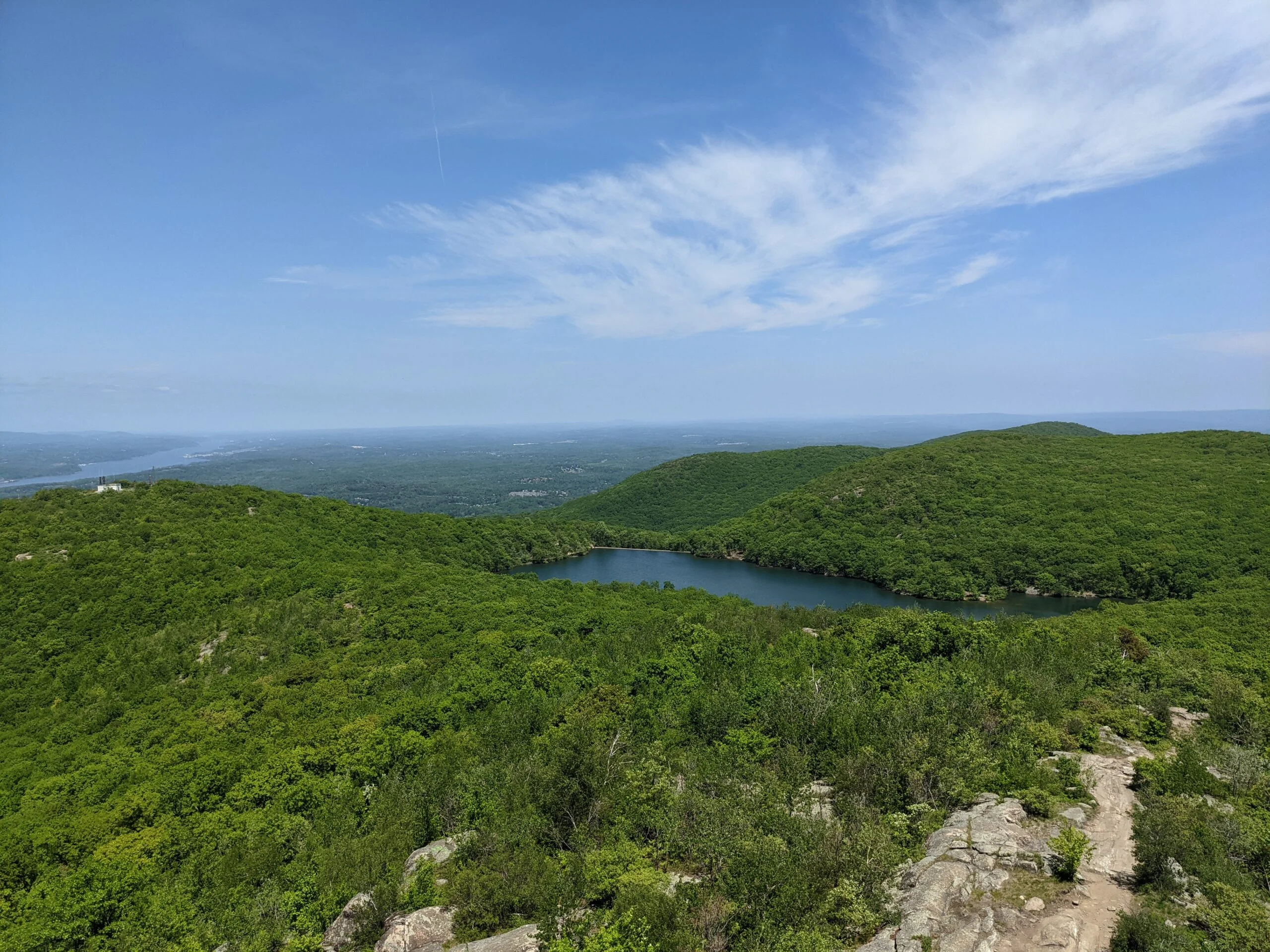
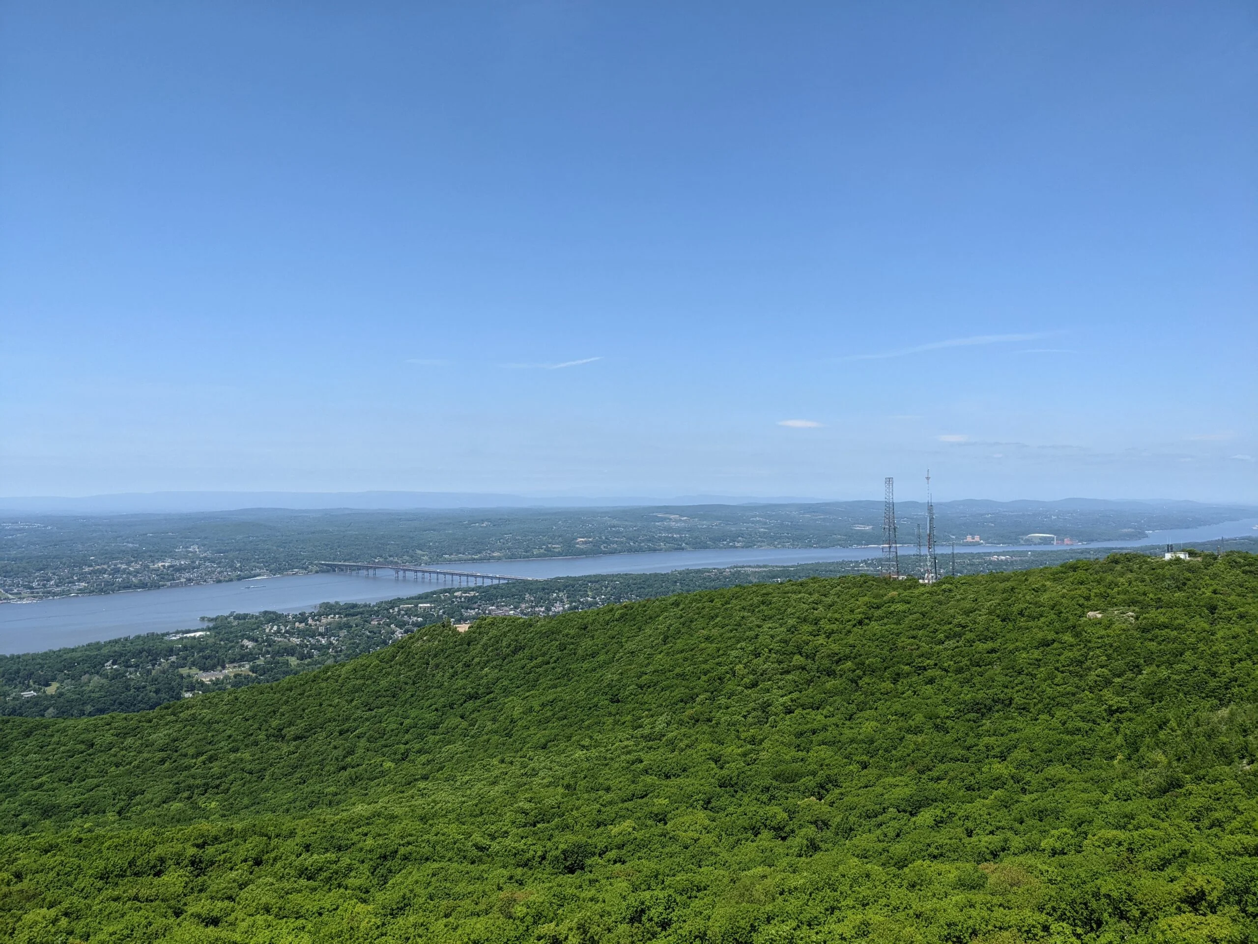
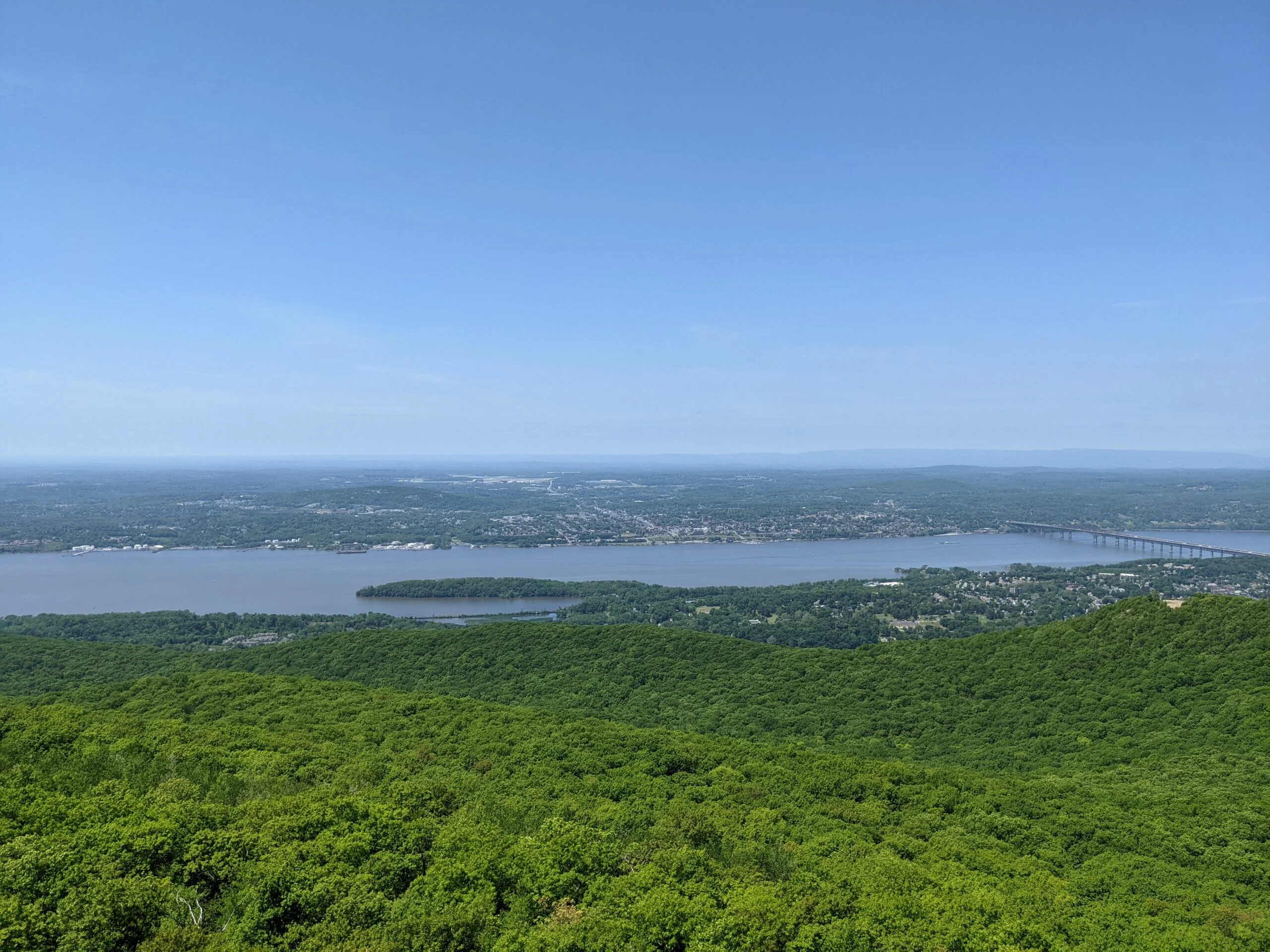
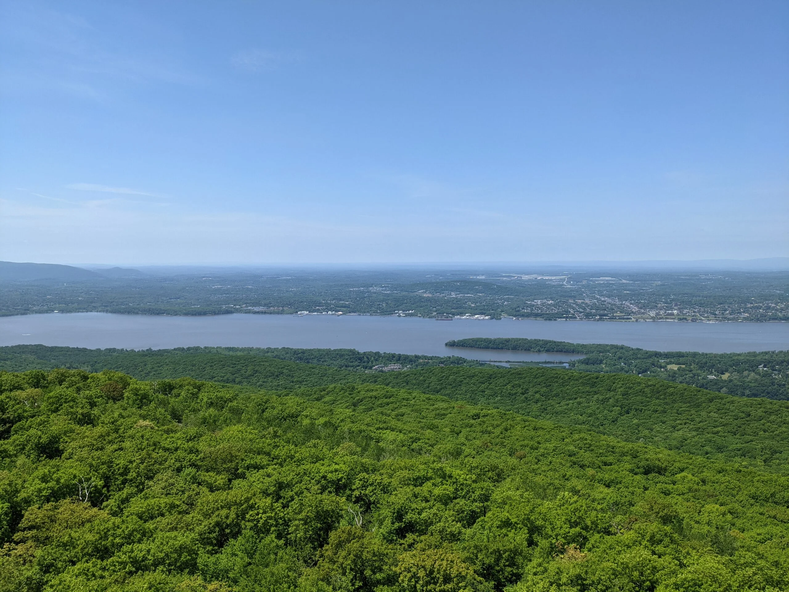
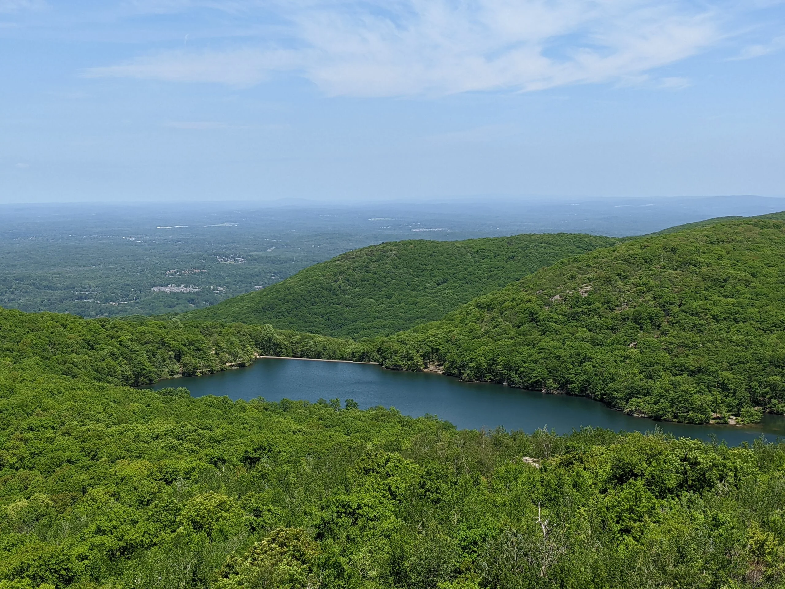
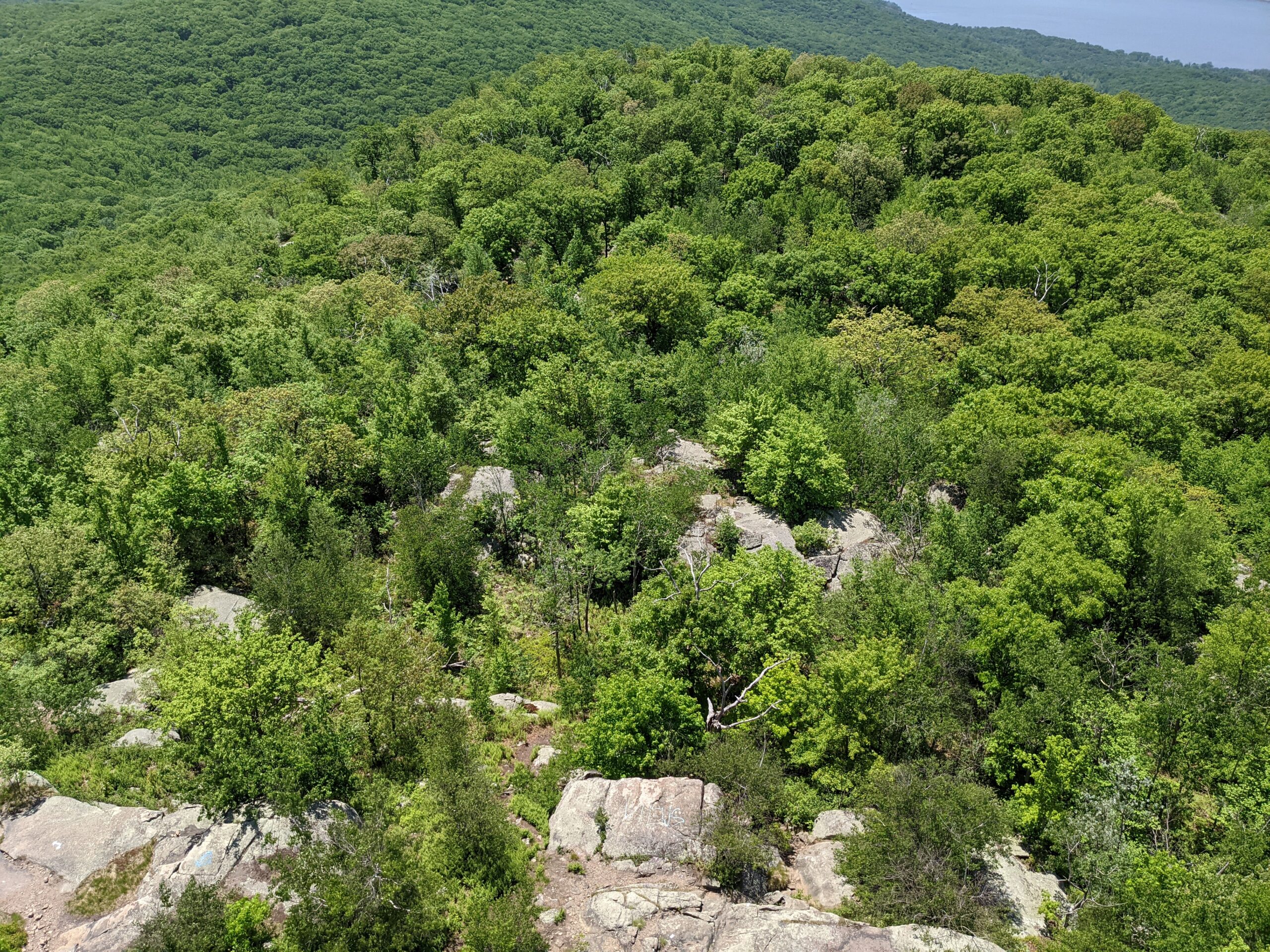
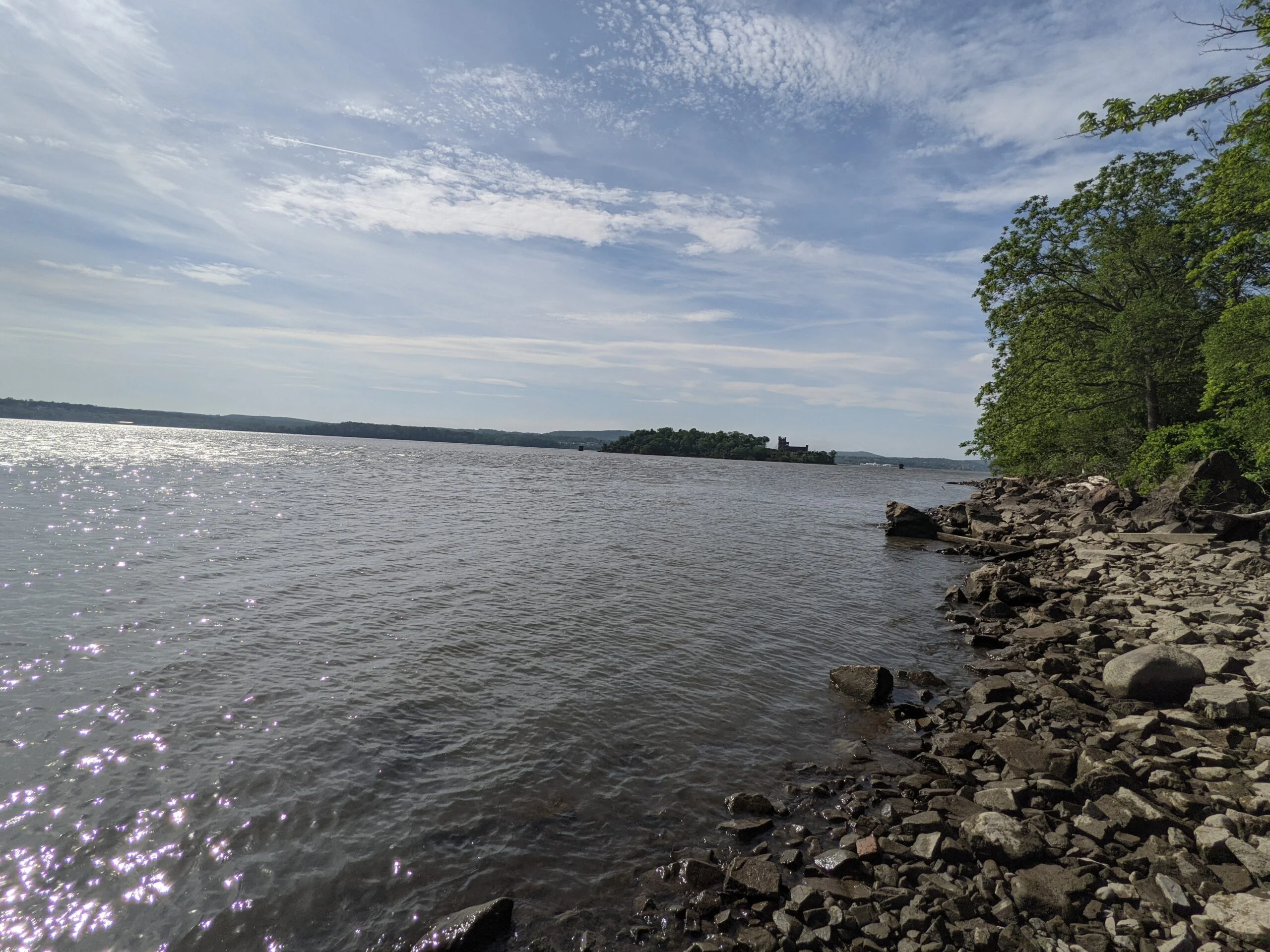
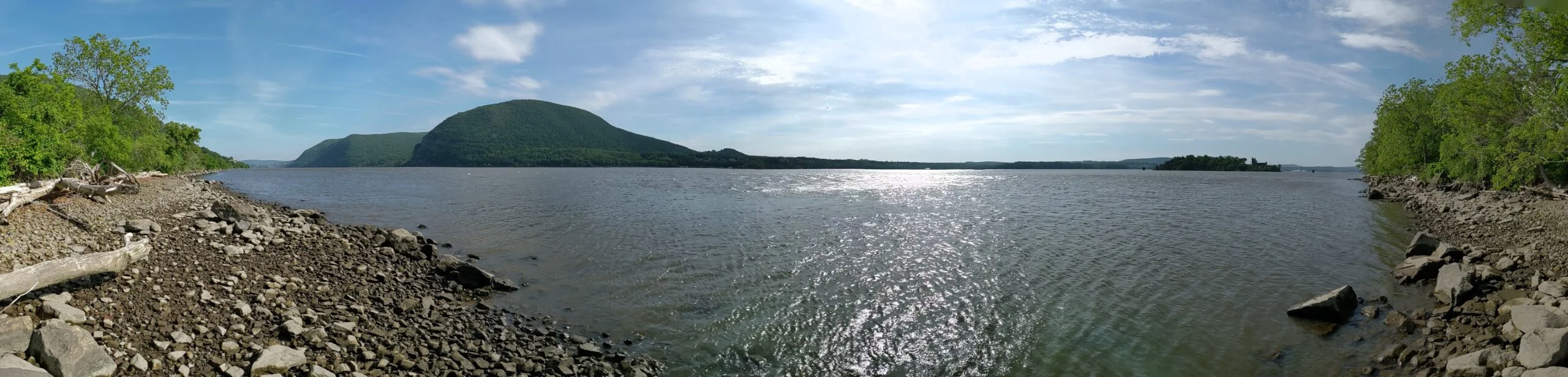
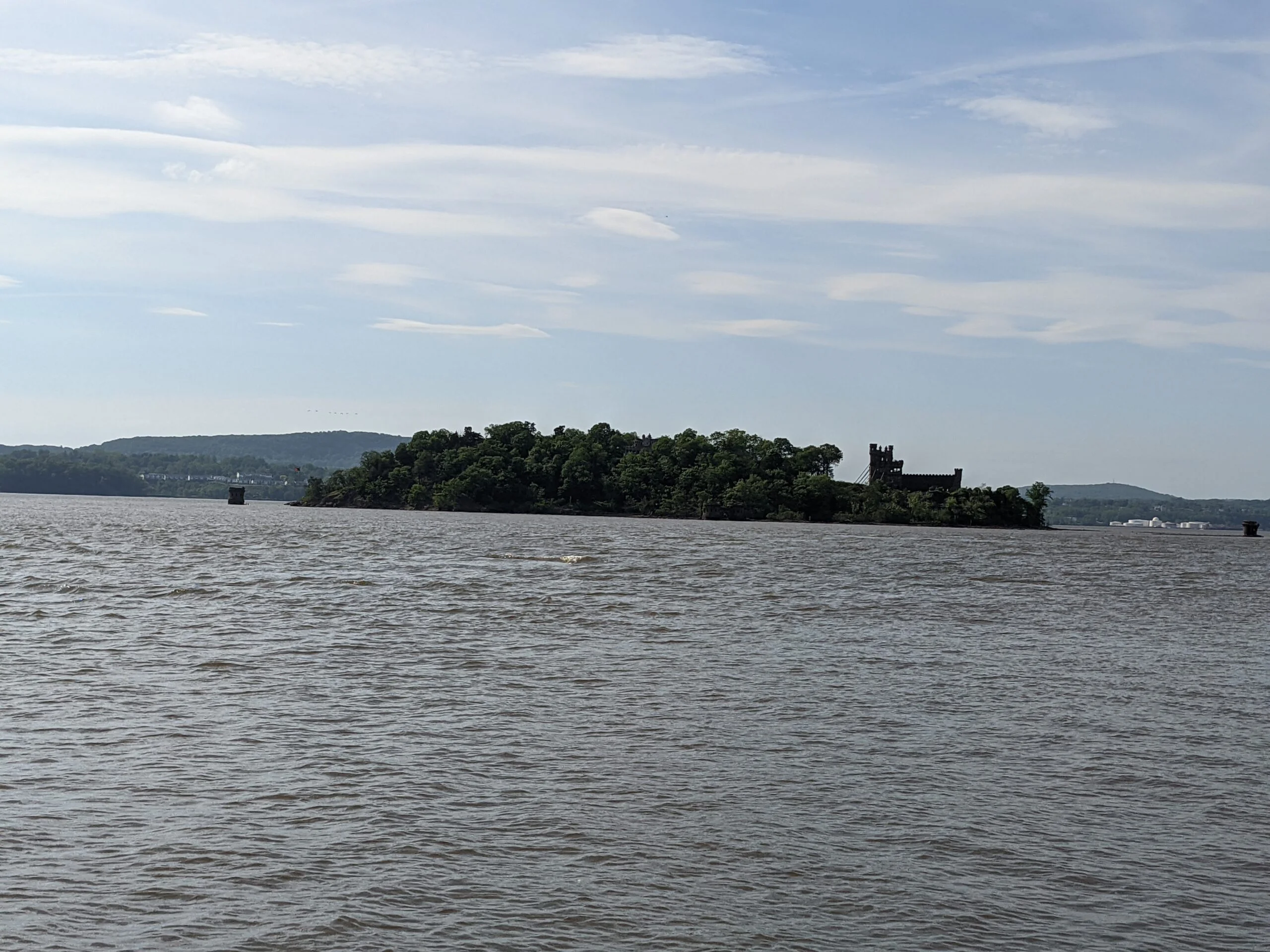
A few short hops up is landing #2, which is angled more to the south. Another 1/10 mile up is landing #3, sitting at around 659 ft elevation. This one also provides good views to the south along with a view of the Chalet on the Hudson catering hall by looking straight down. Climbing higher to around 781 ft is landing #4 with more views that are mostly to the south, with some of the north peeking through the brush and trees. Lastly, at around the 1 mile mark with an elevation just over 1,000 ft, is the final landing with the most sweeping views, looking both north and south along the Hudson River, including a view of Pollepel Island. I made it here at 9:23am and spent a bunch of time taking photos. From here, the BR trail continues north, with various other spots offering views to the south and the east.
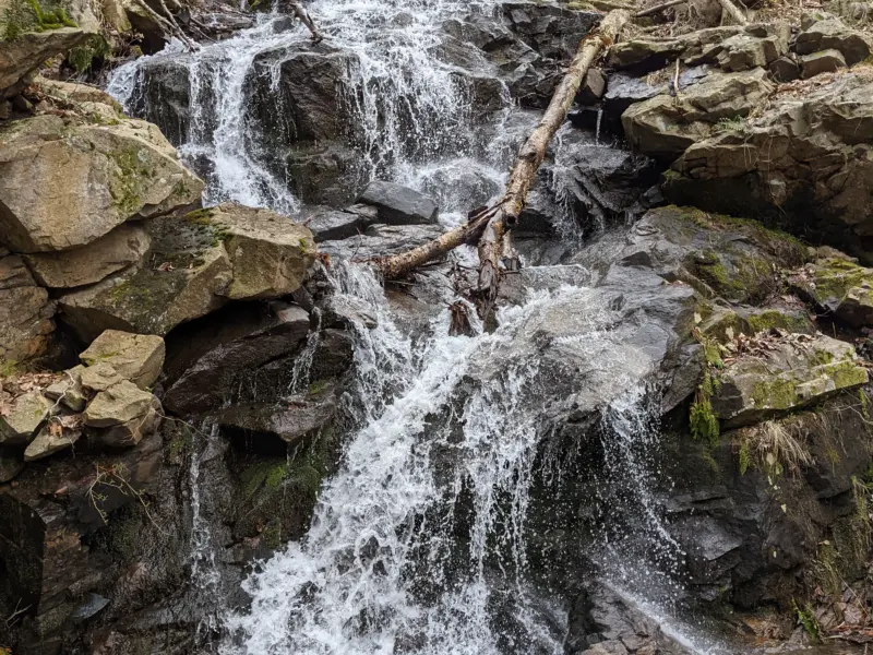
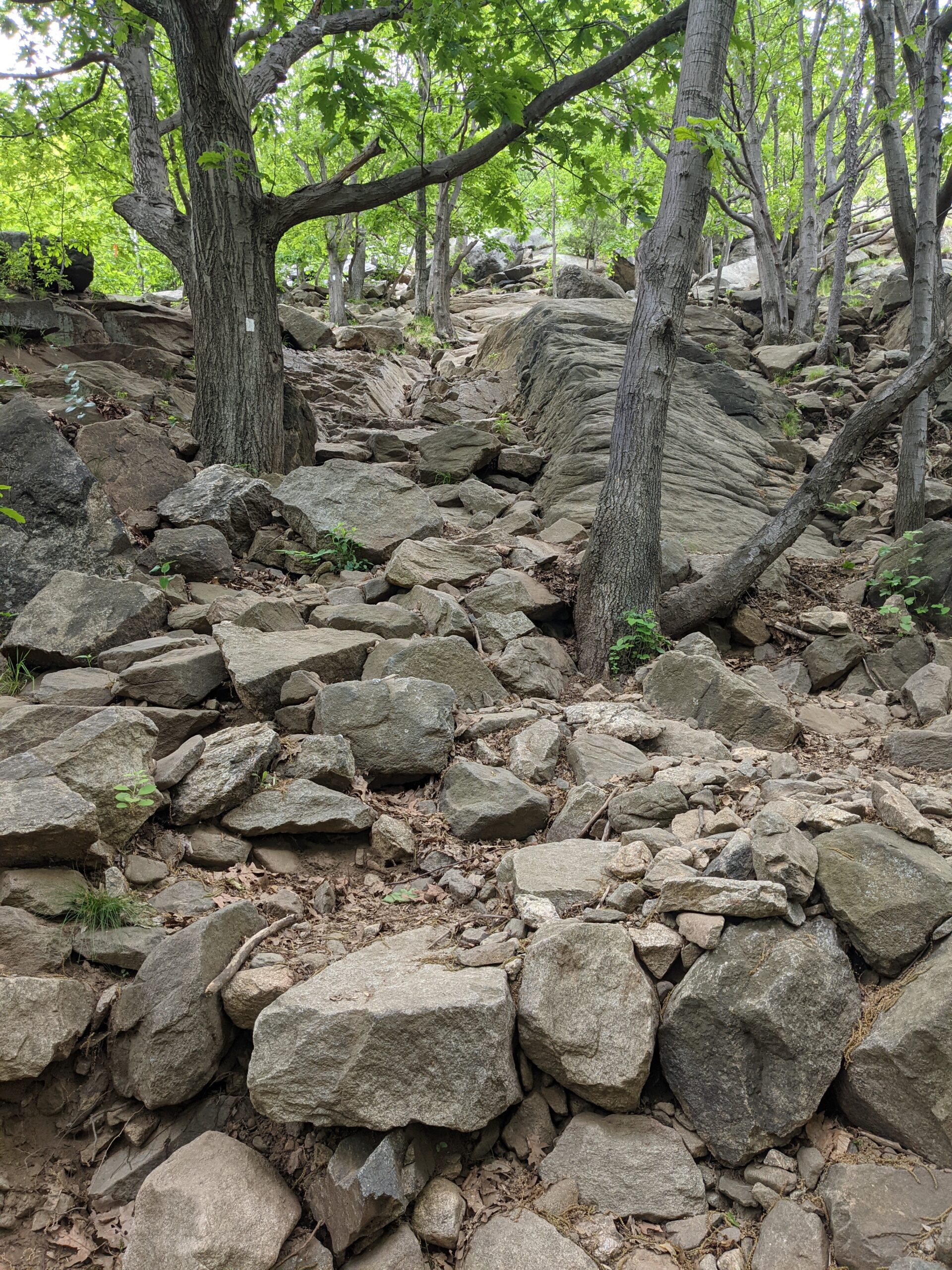
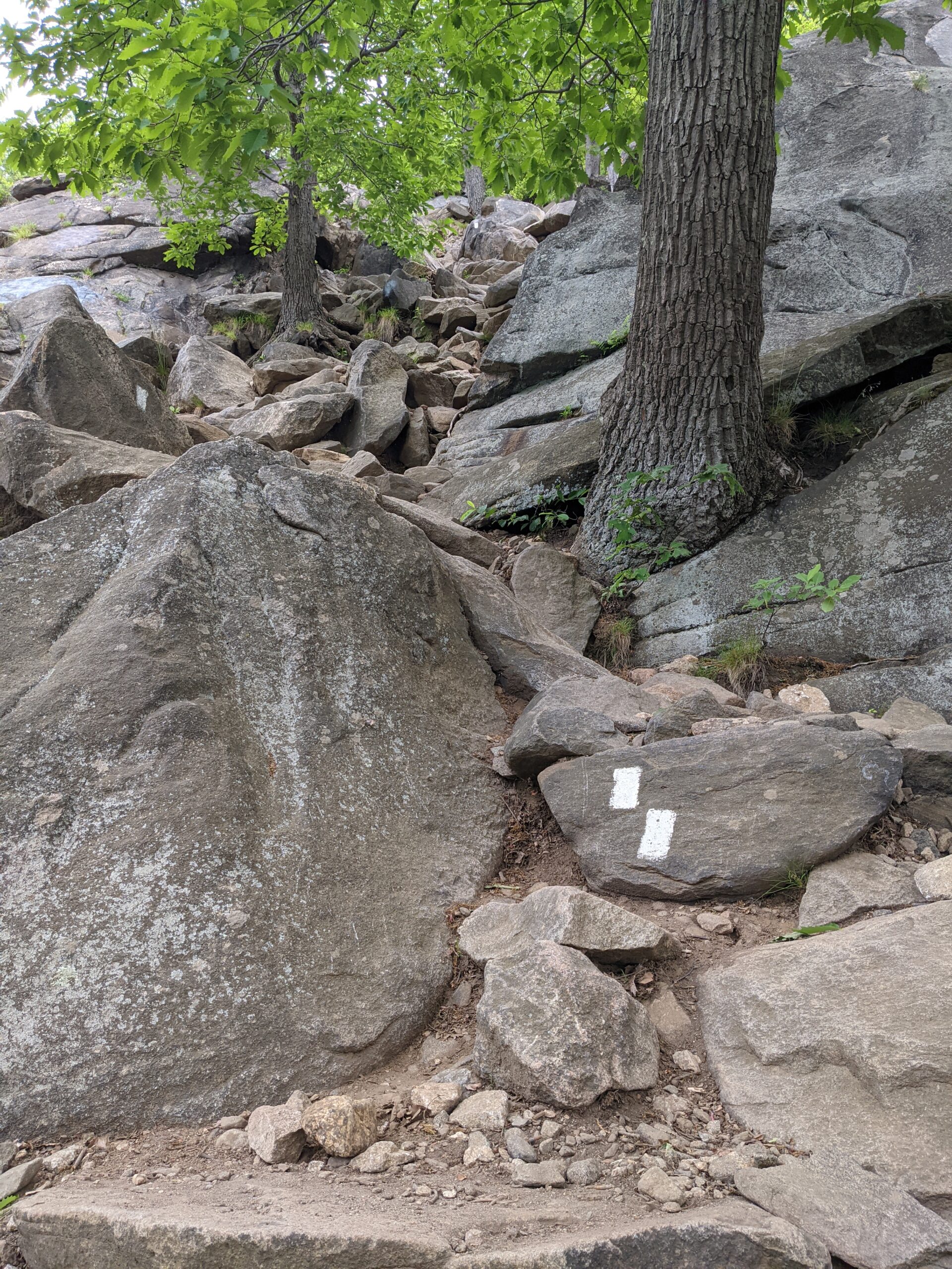
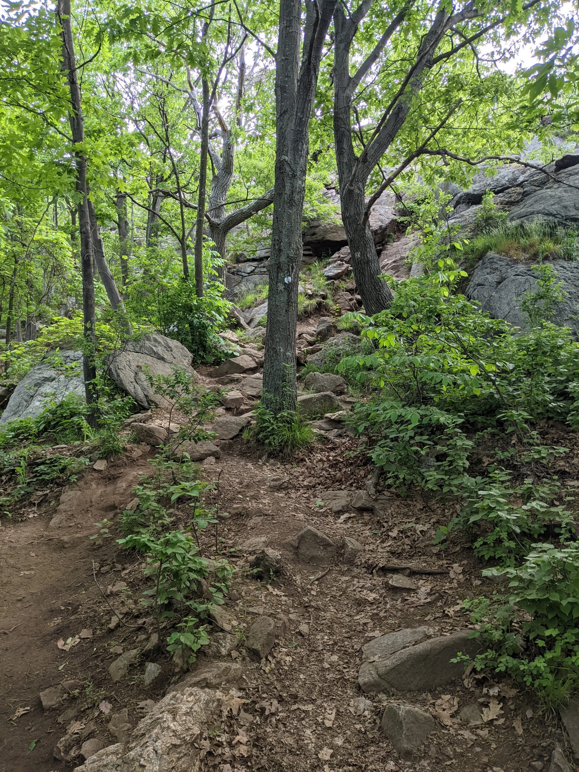
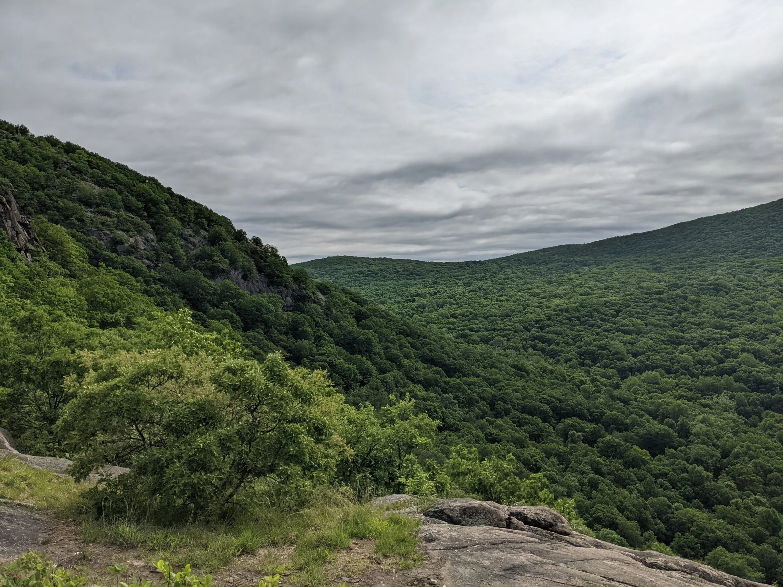
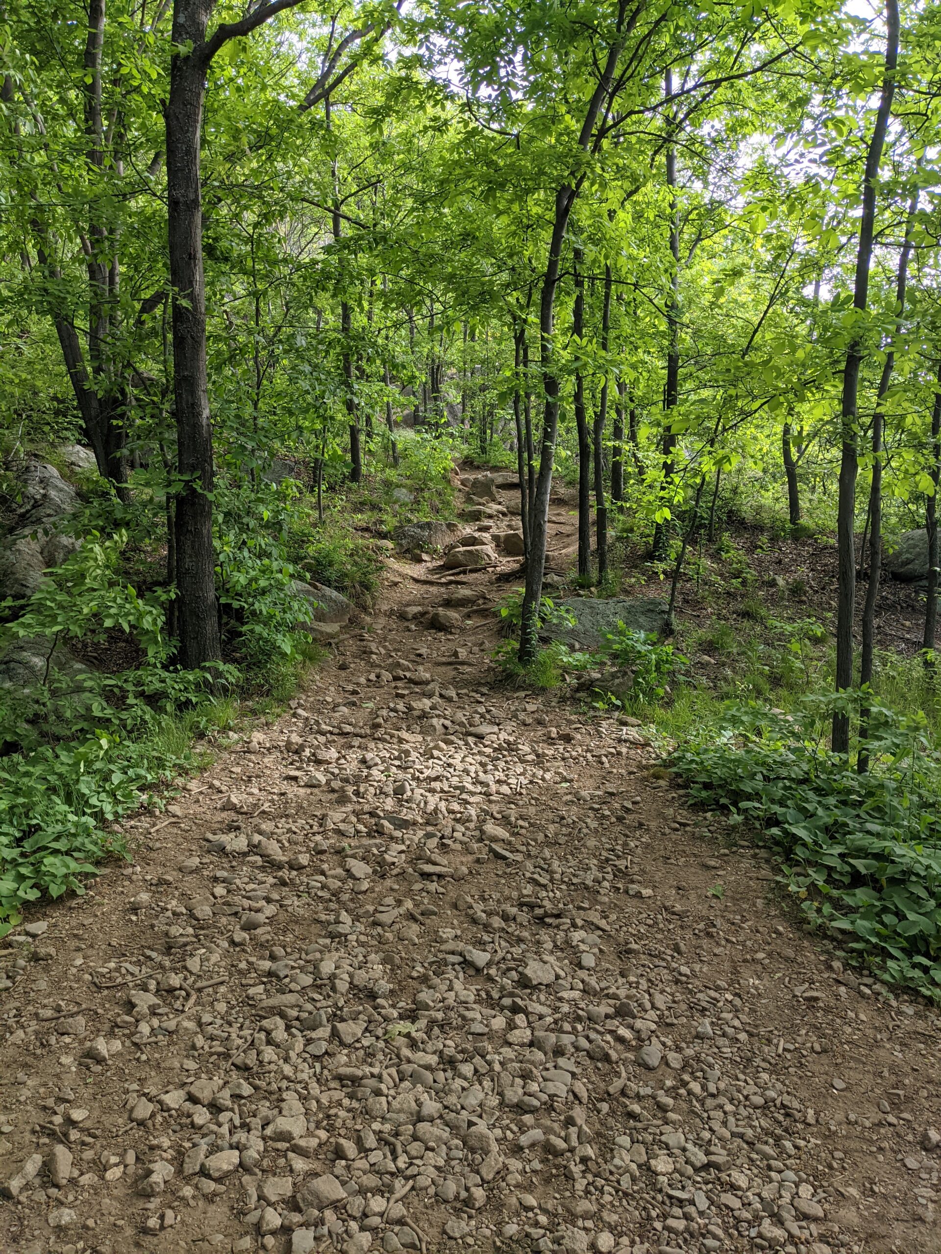
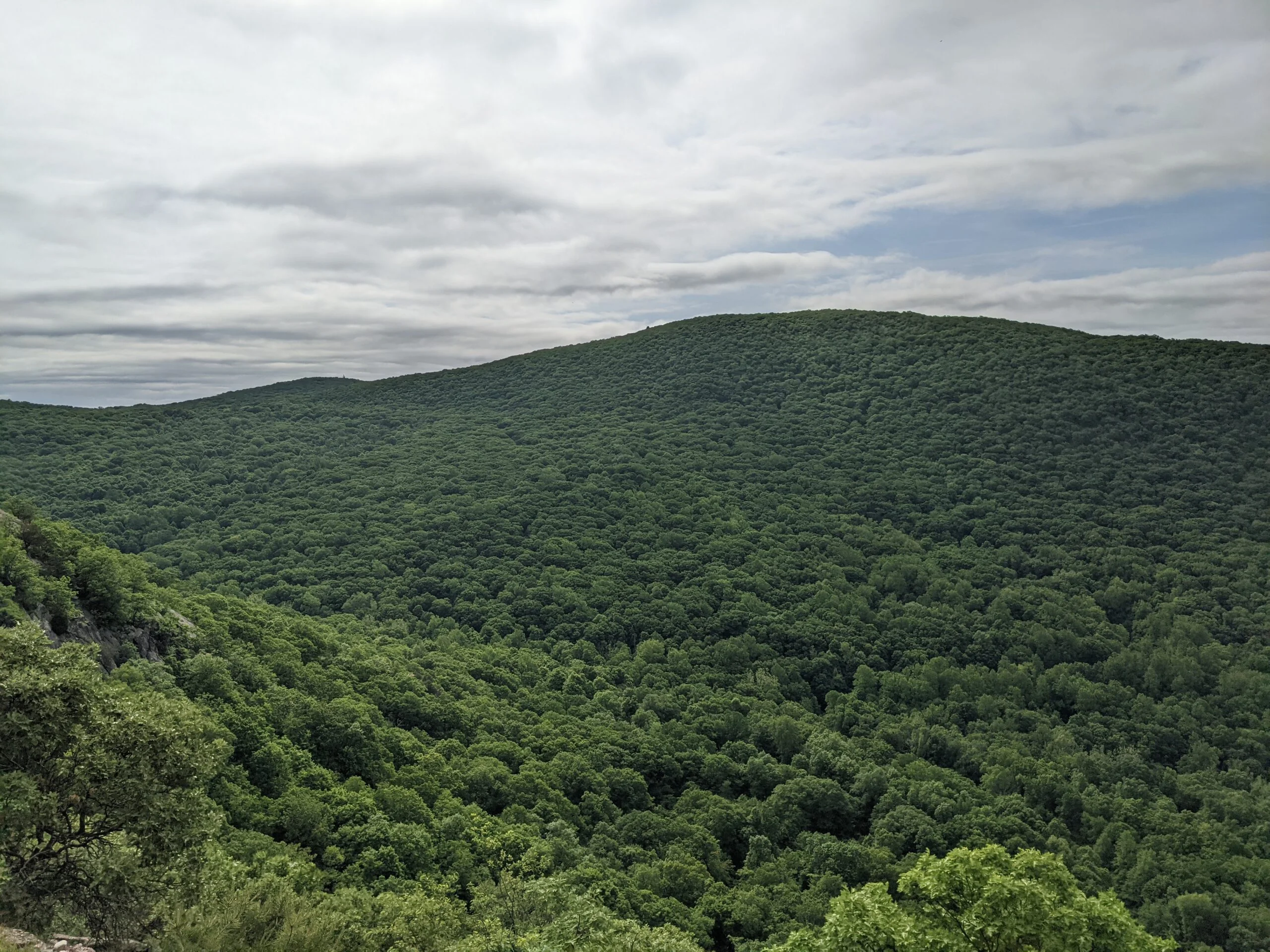
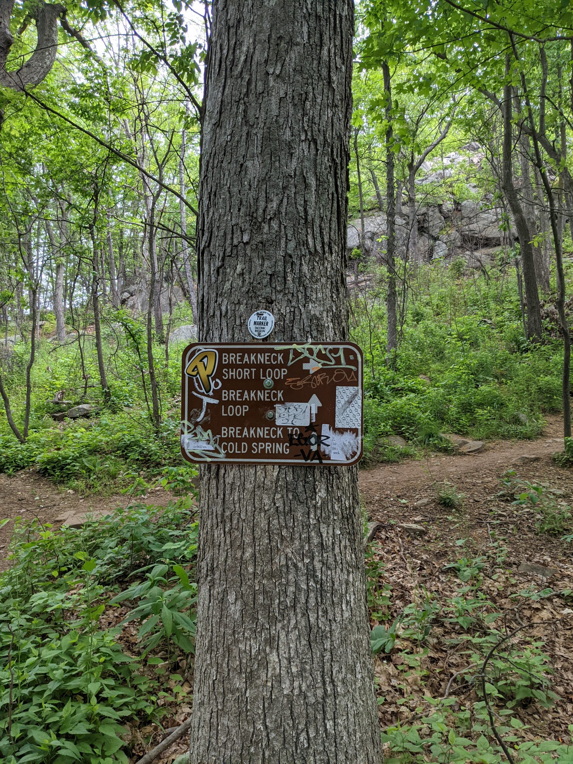
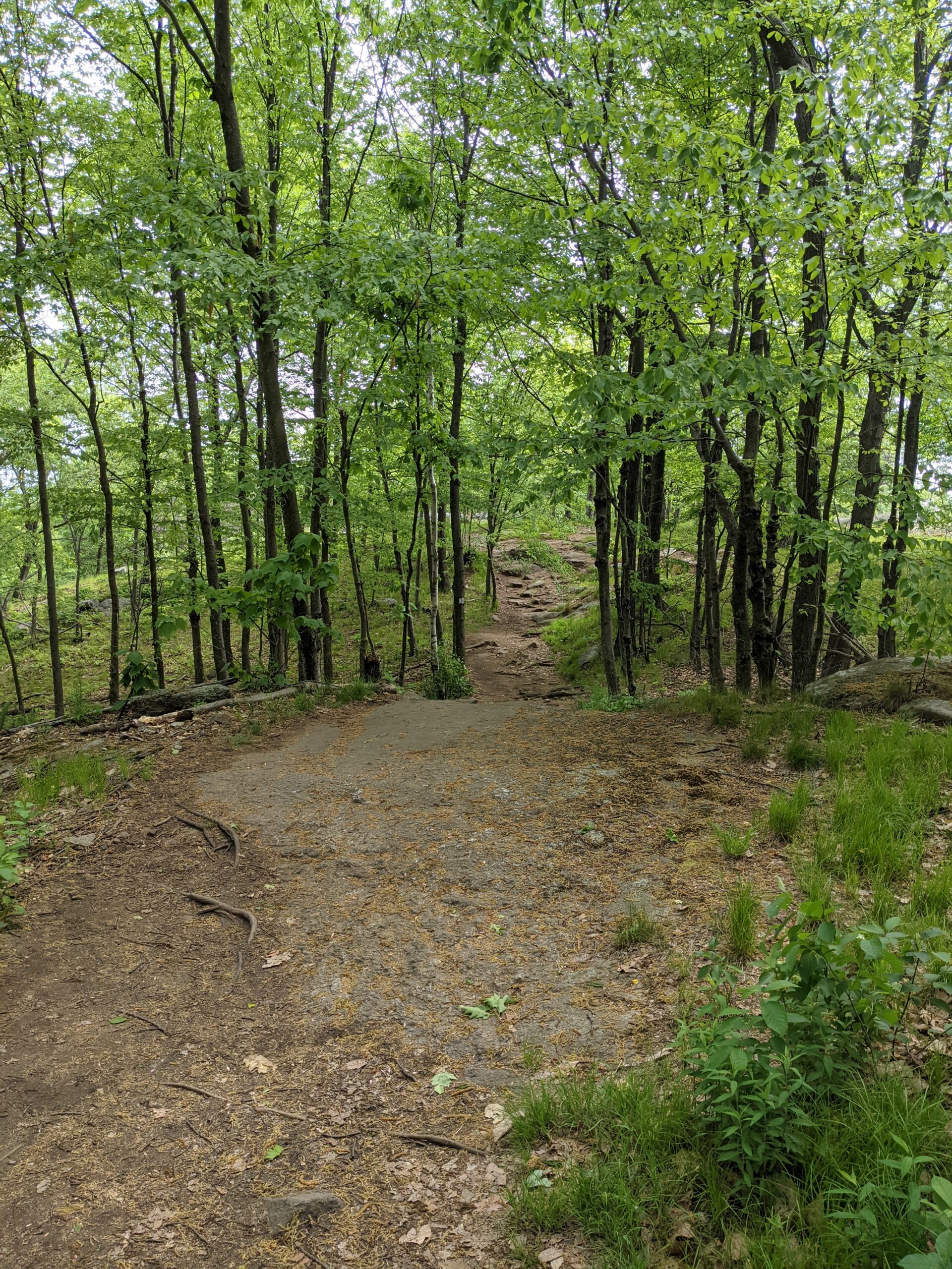
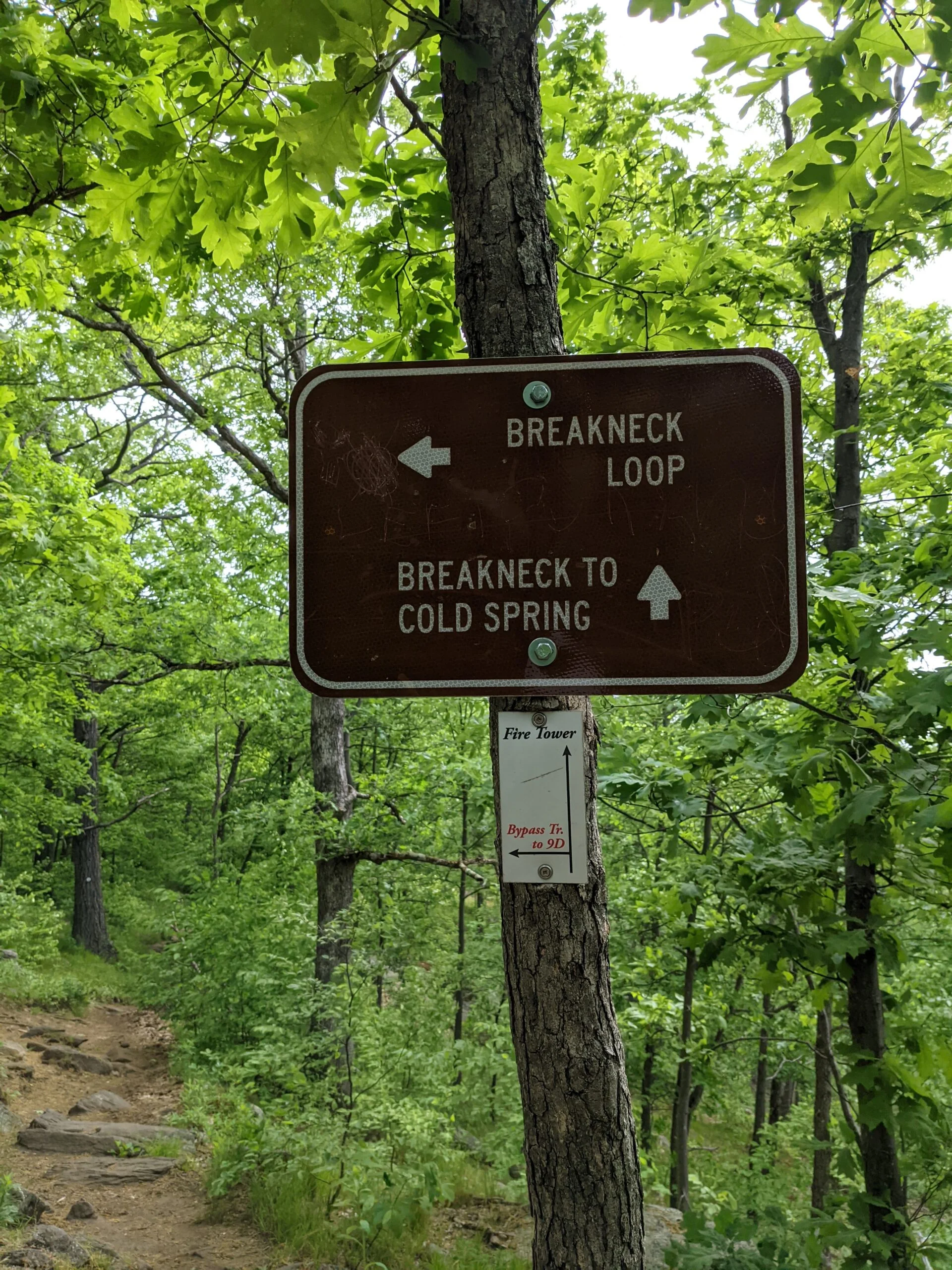
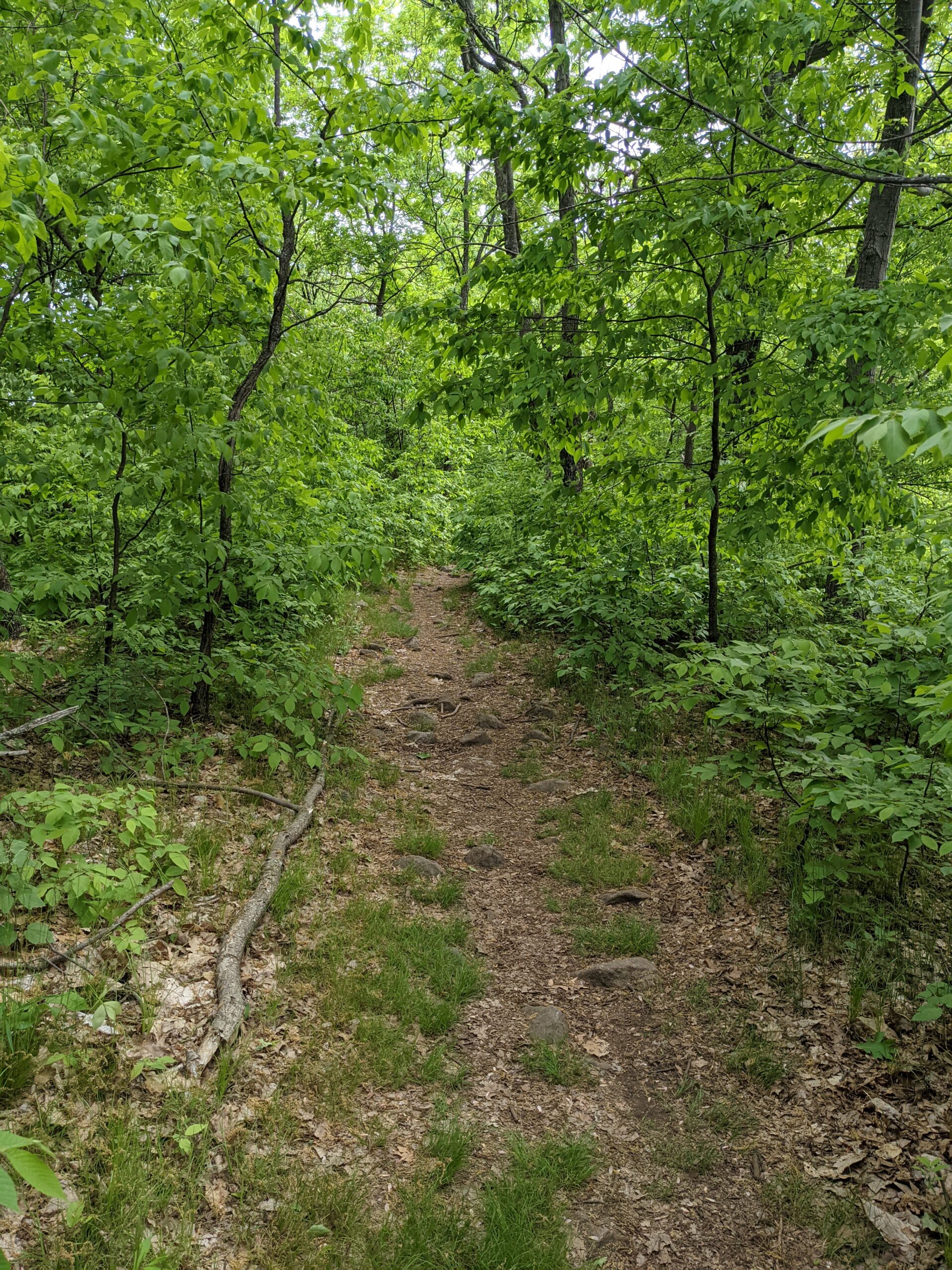
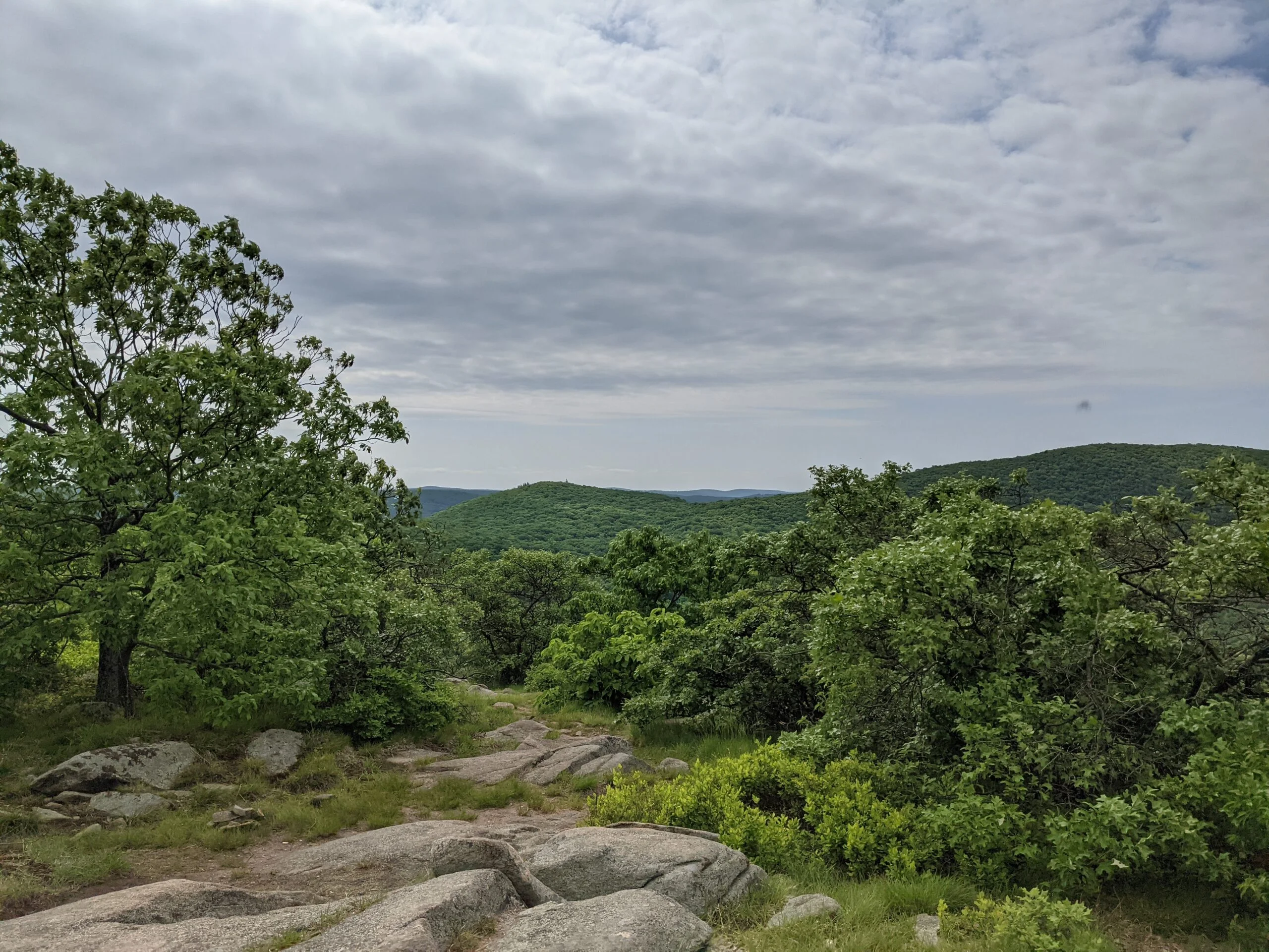
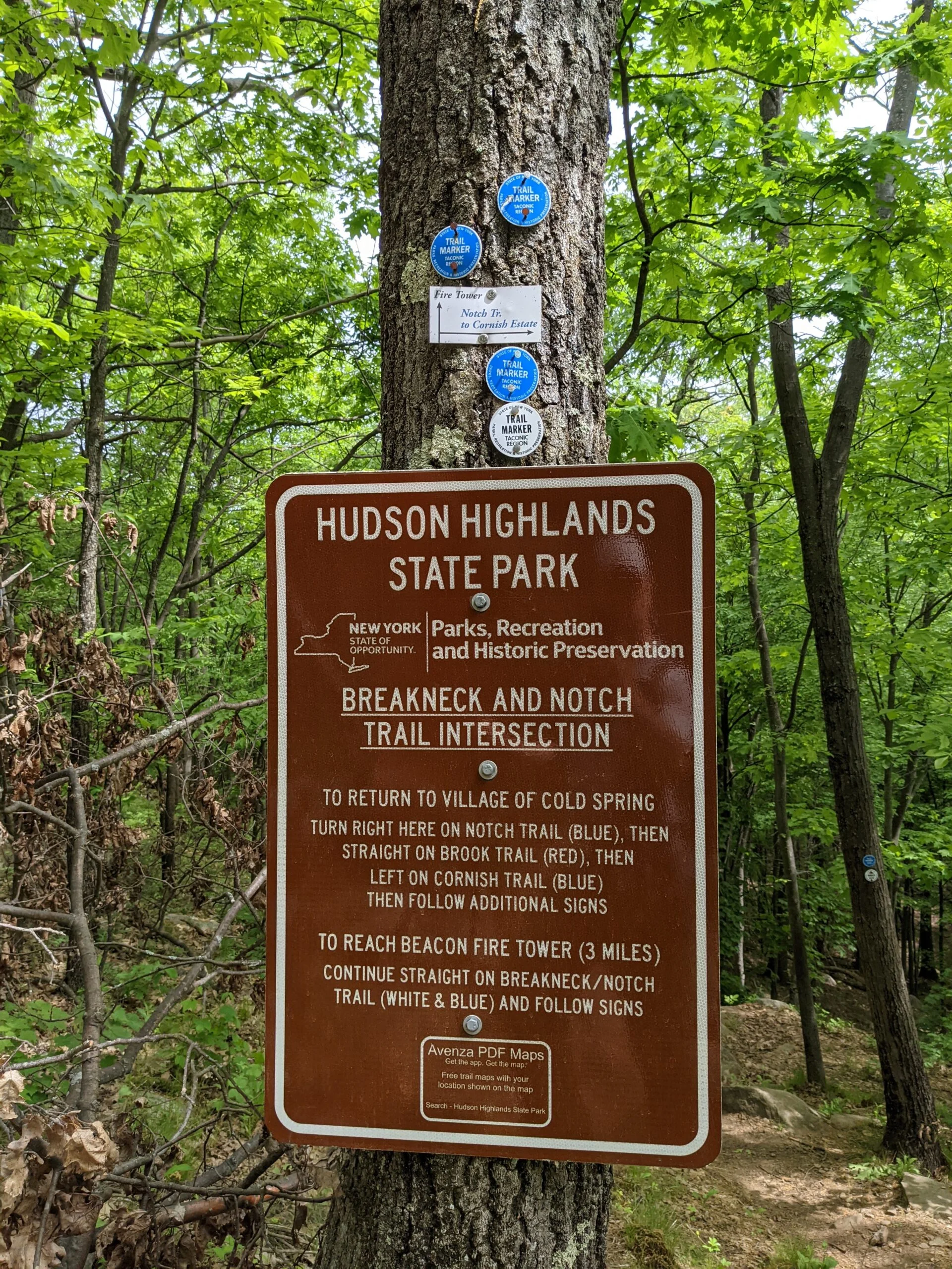
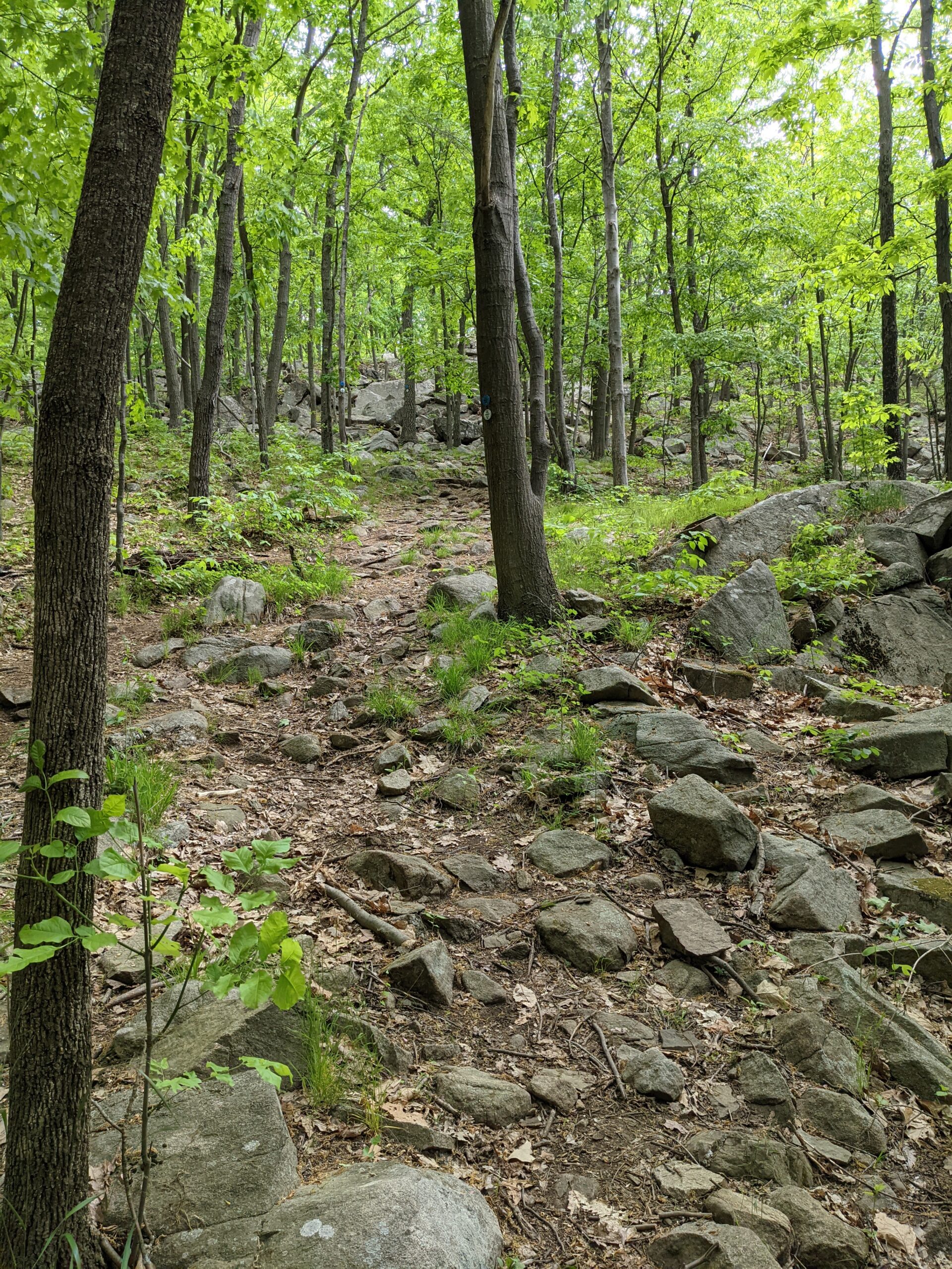
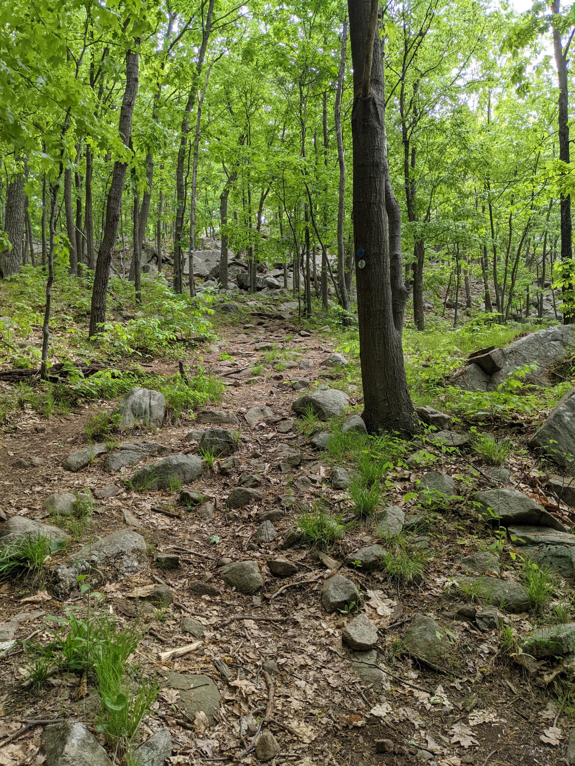
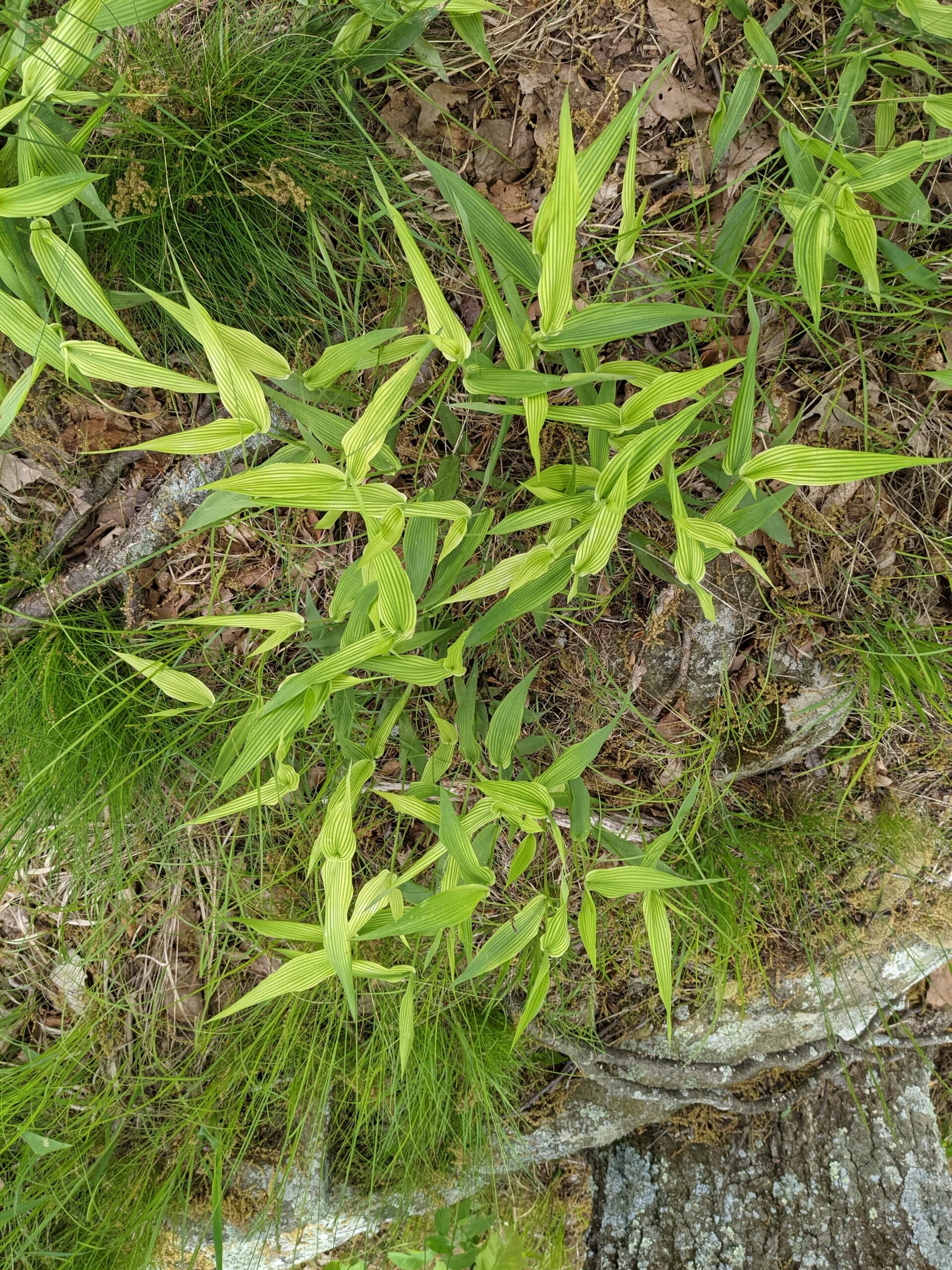
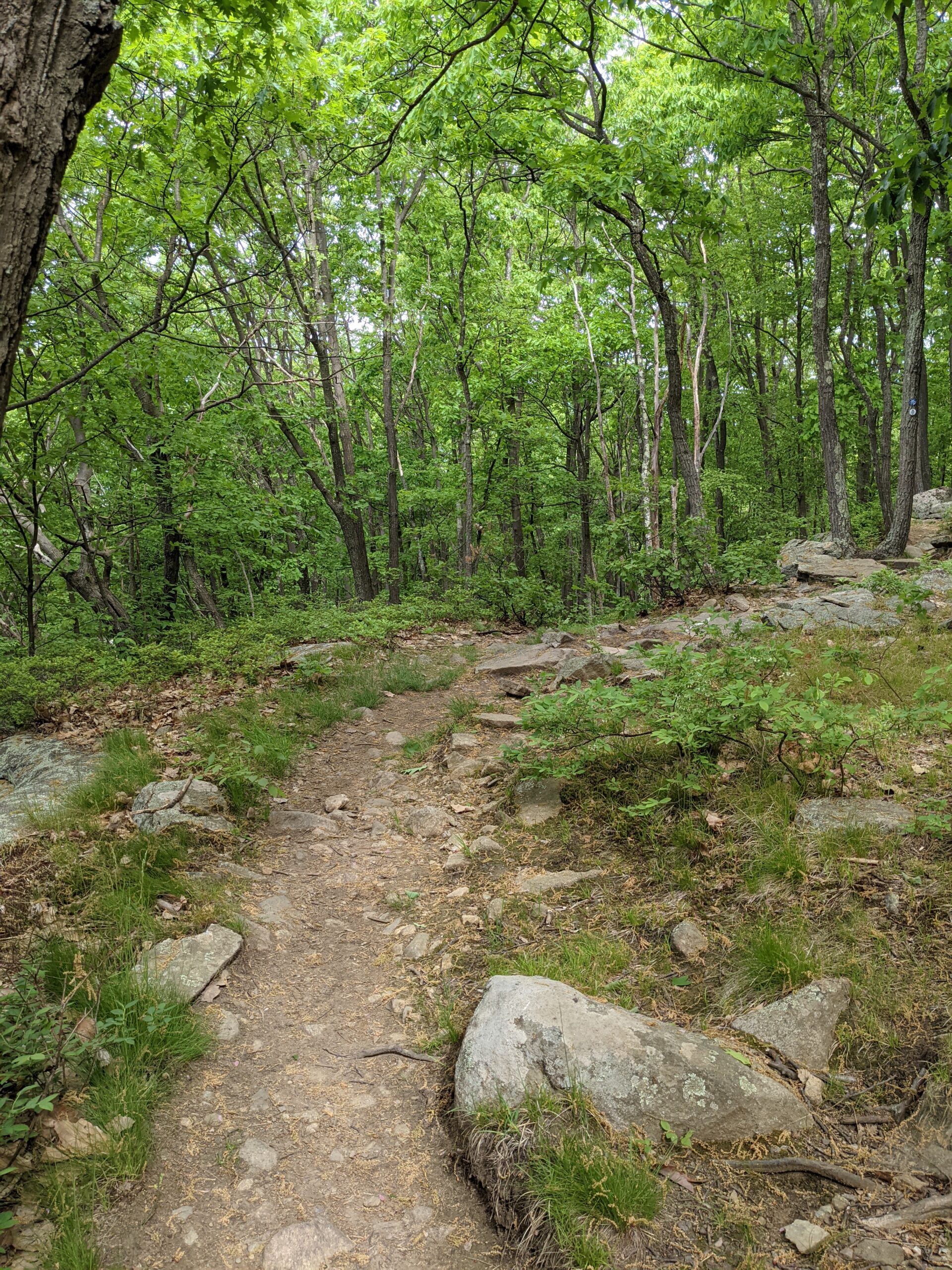
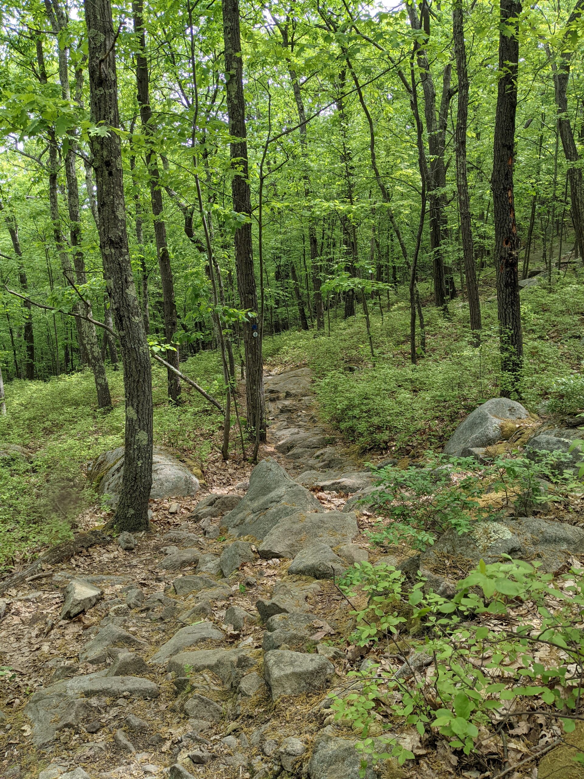
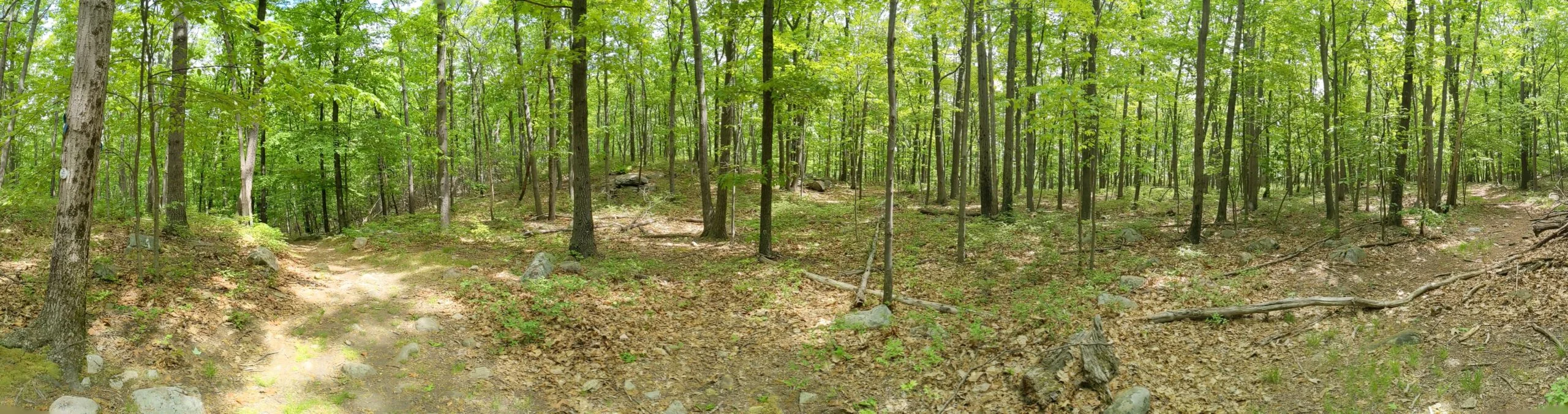
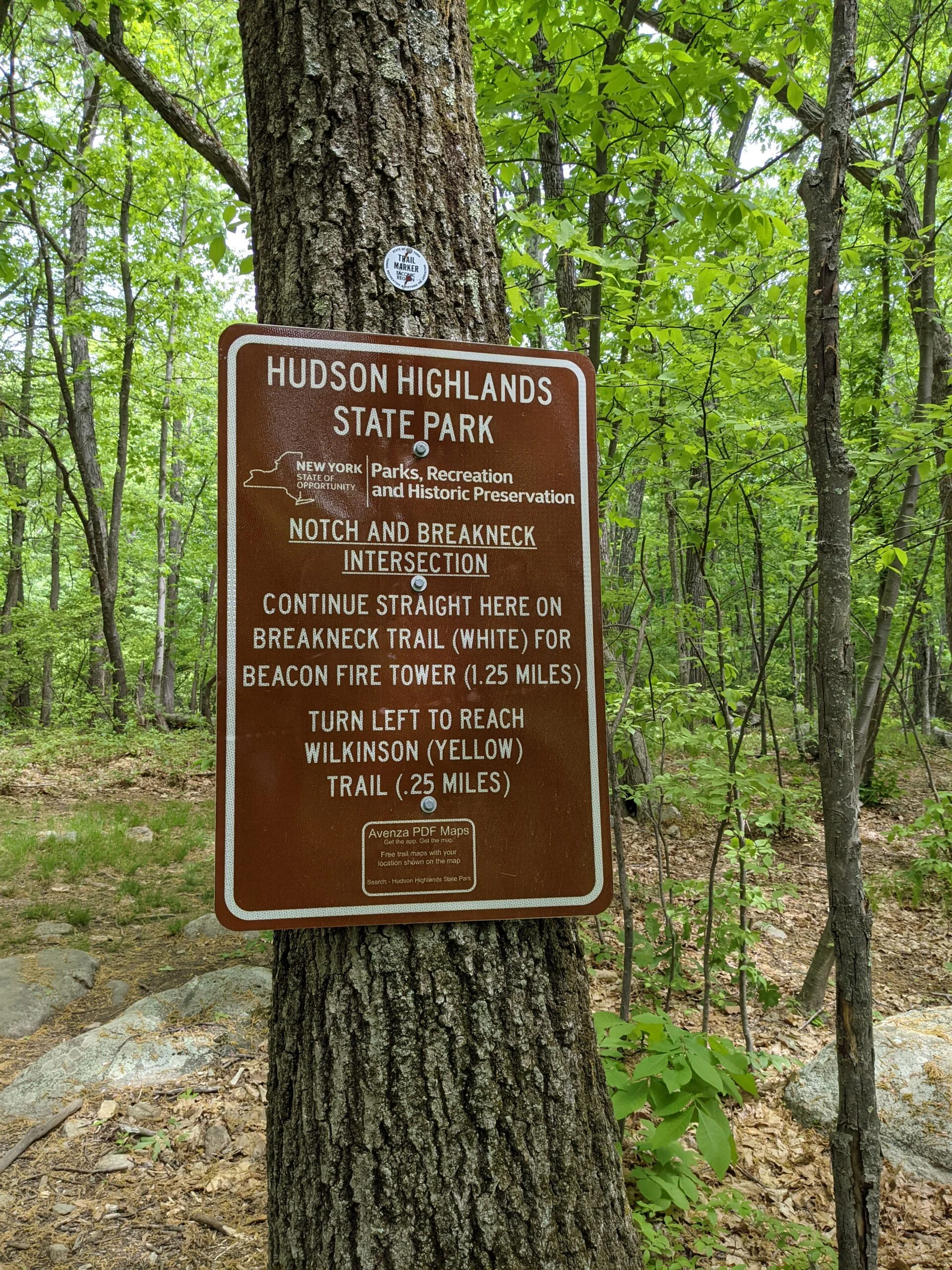
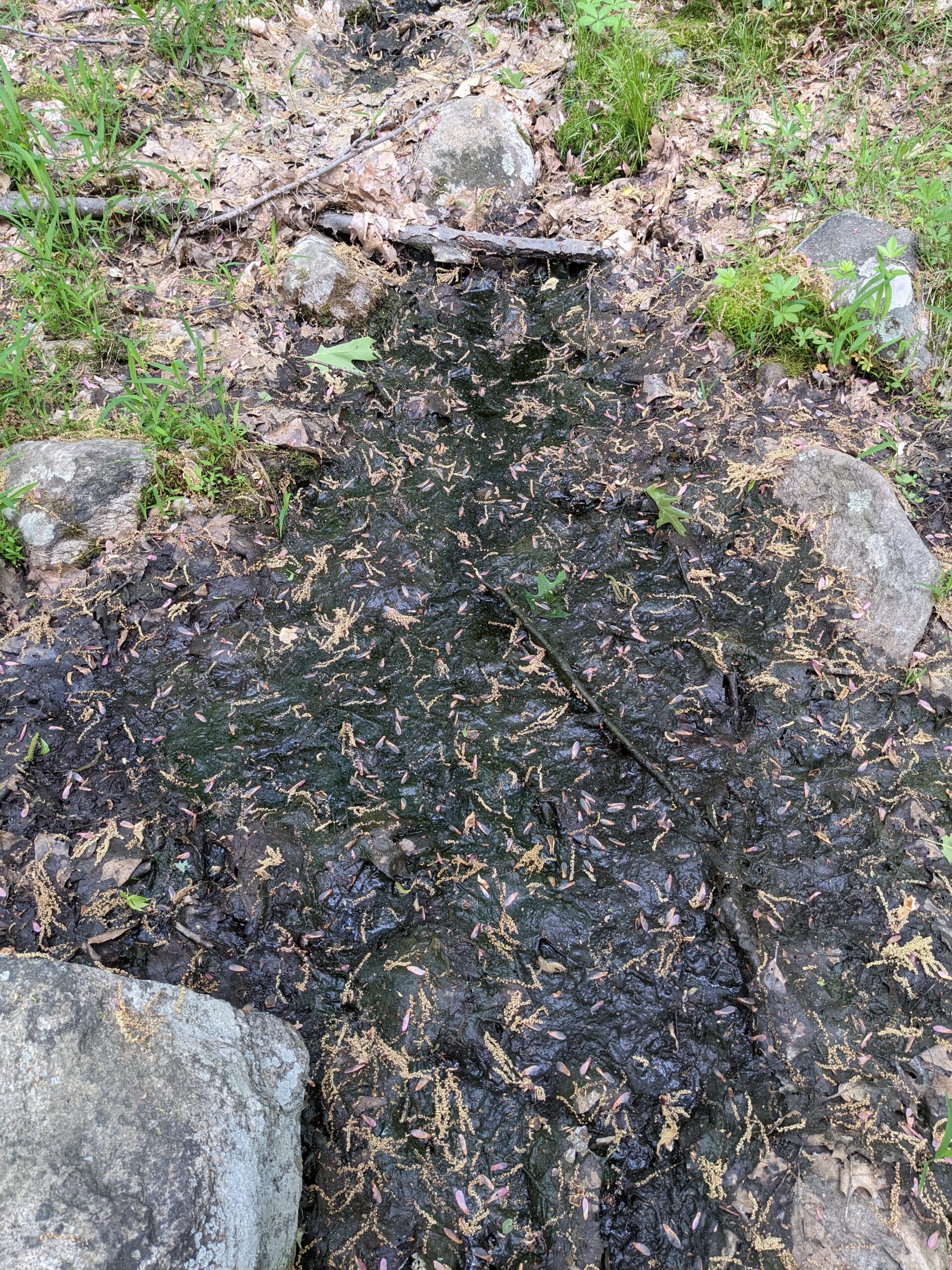
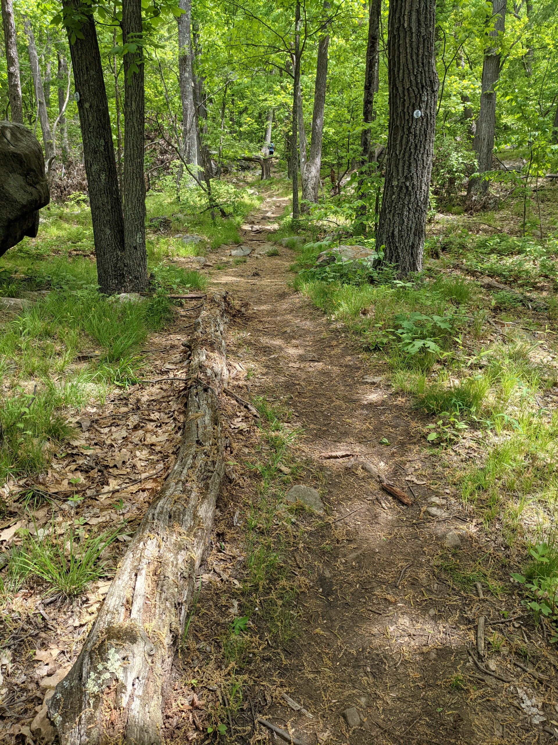
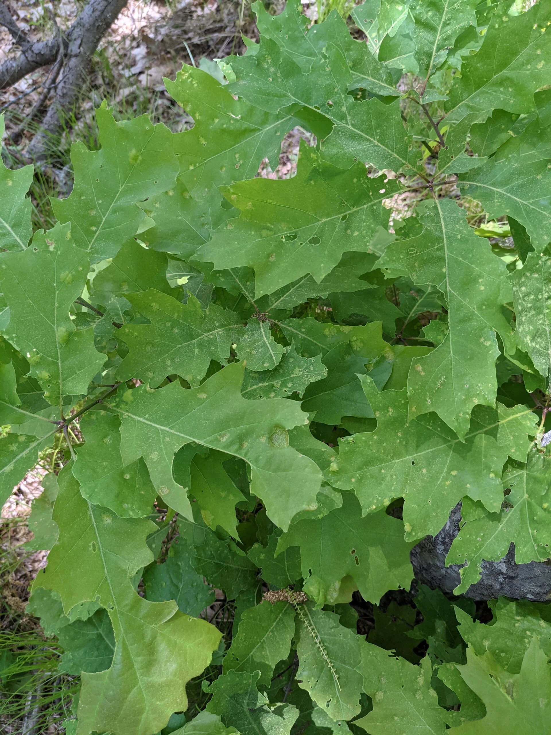
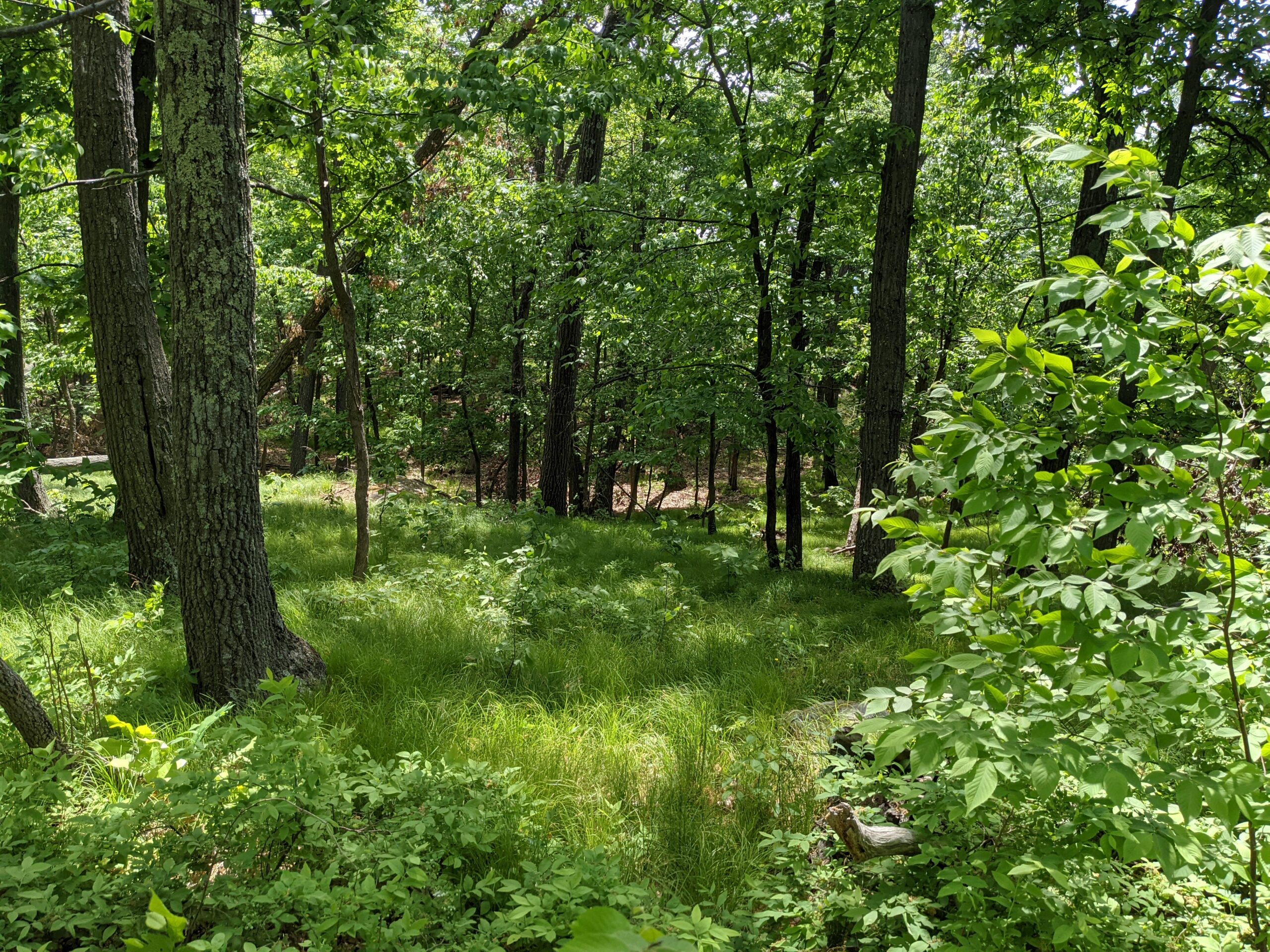
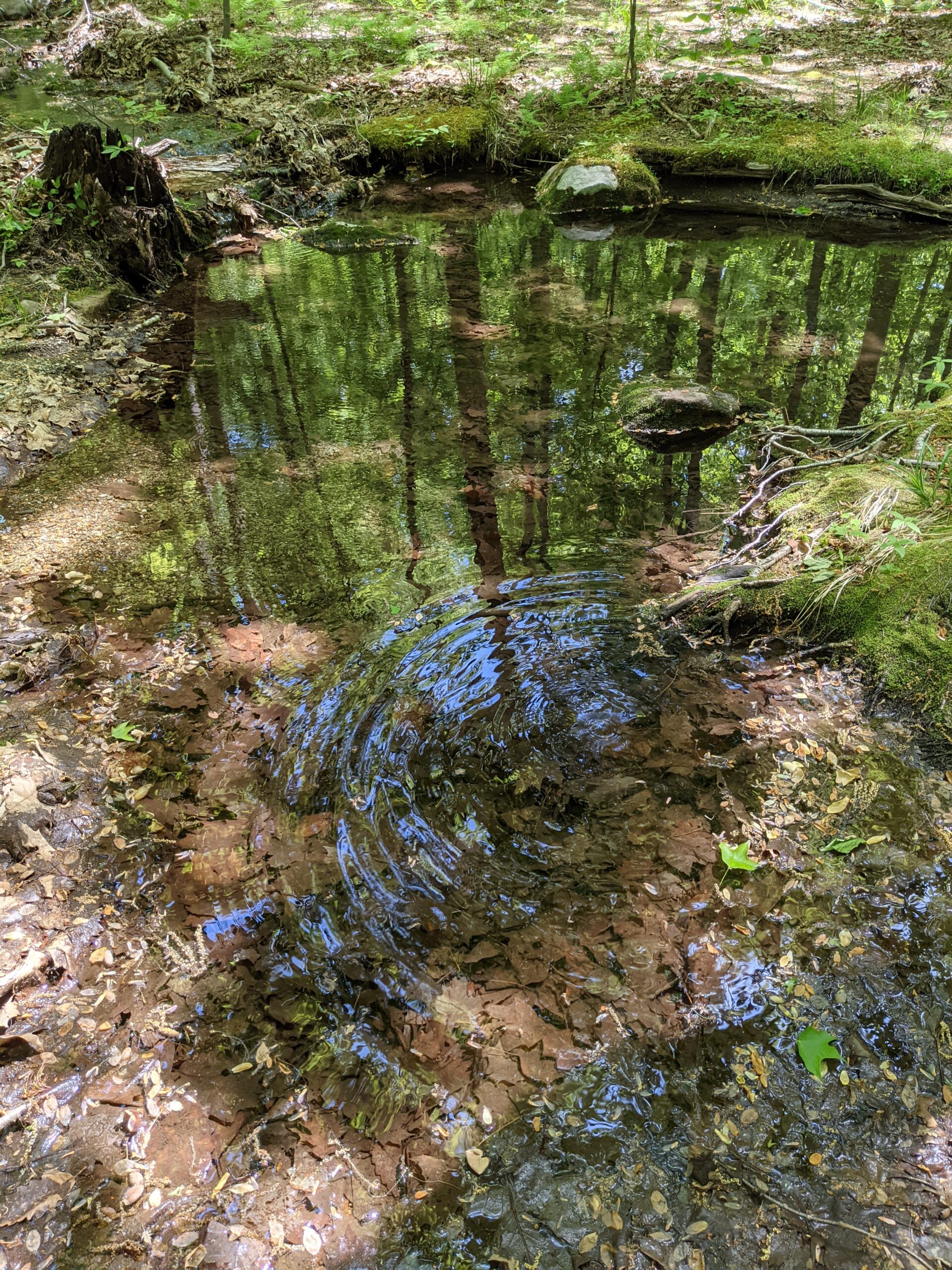
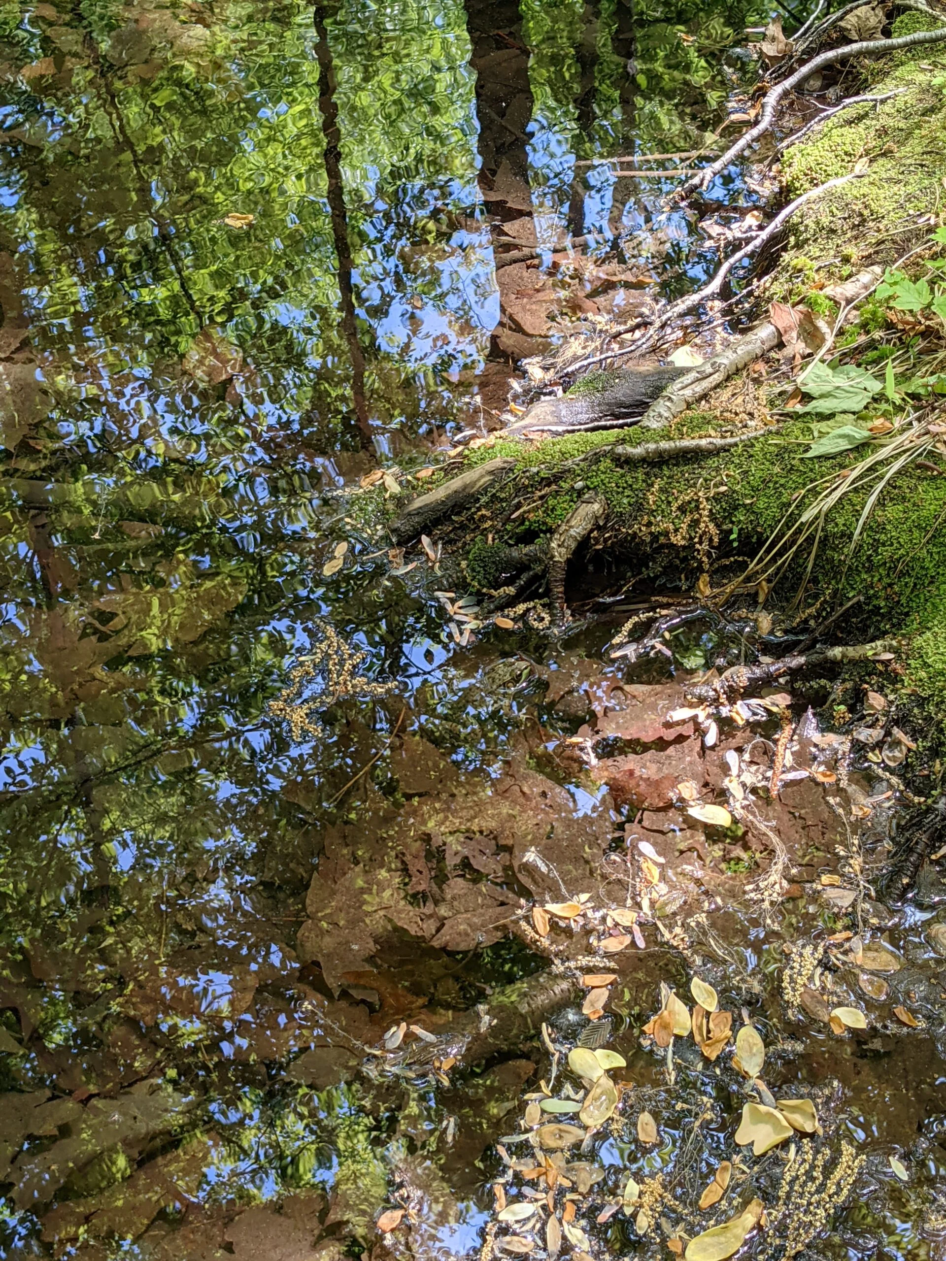
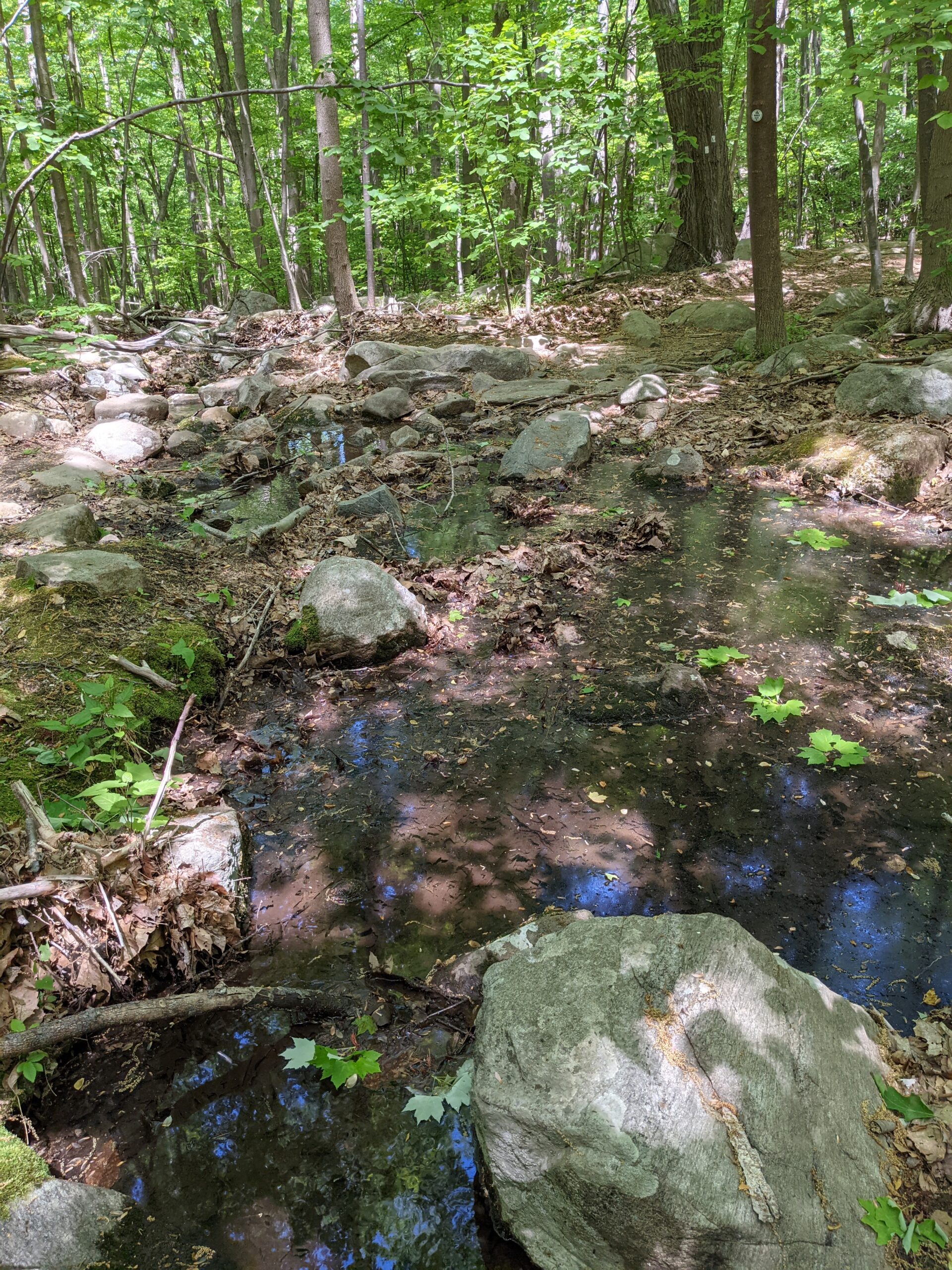
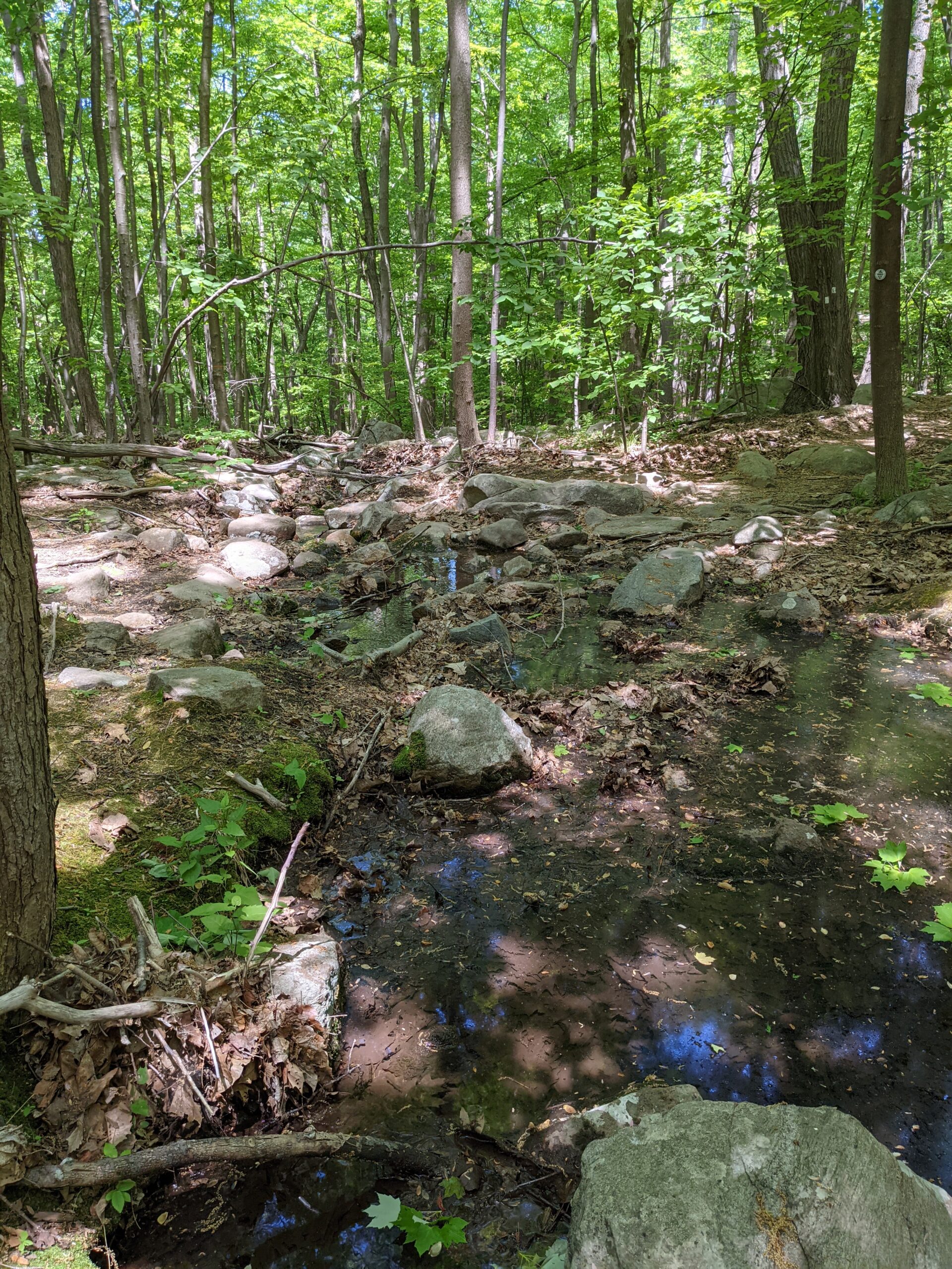
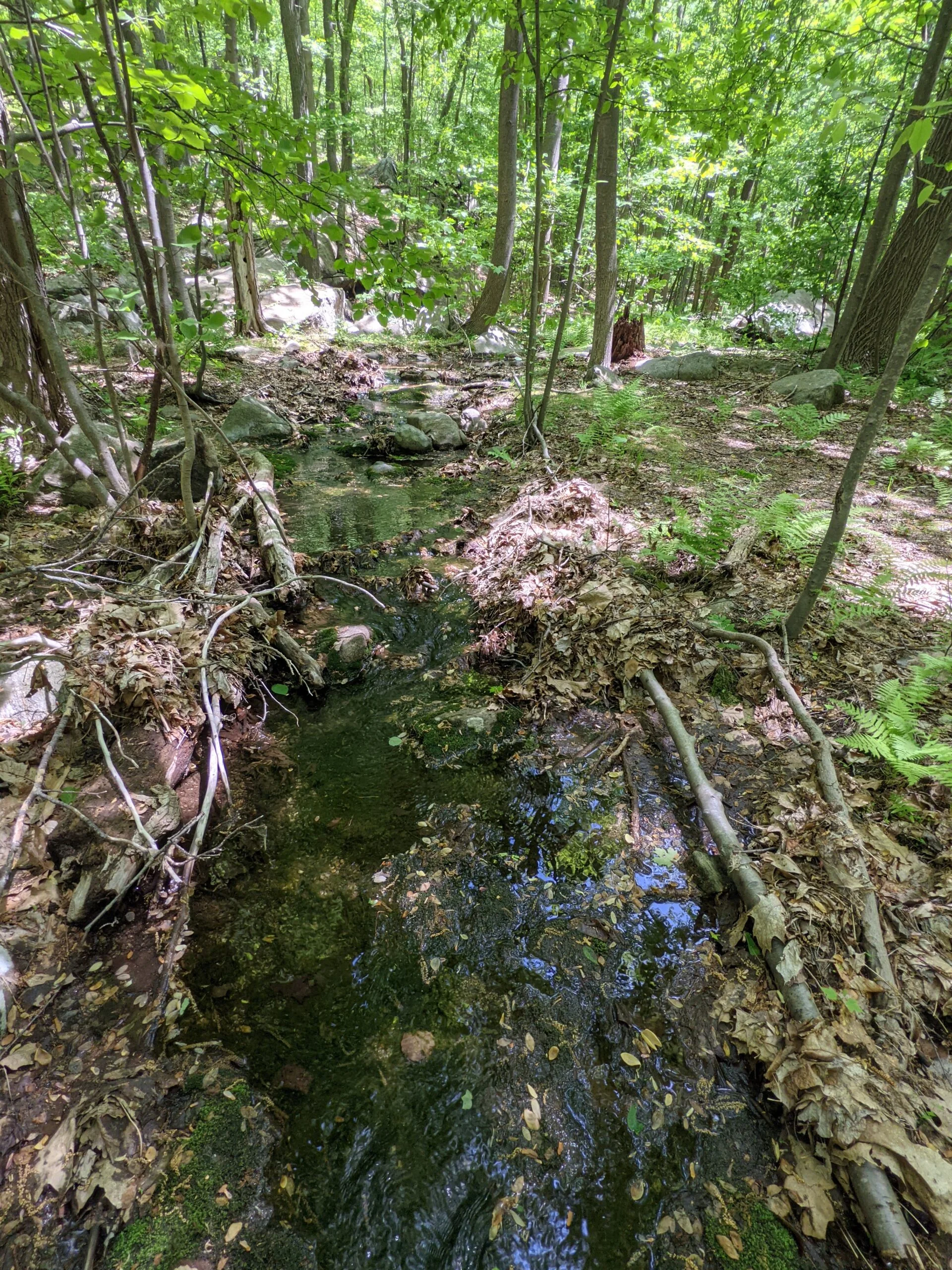
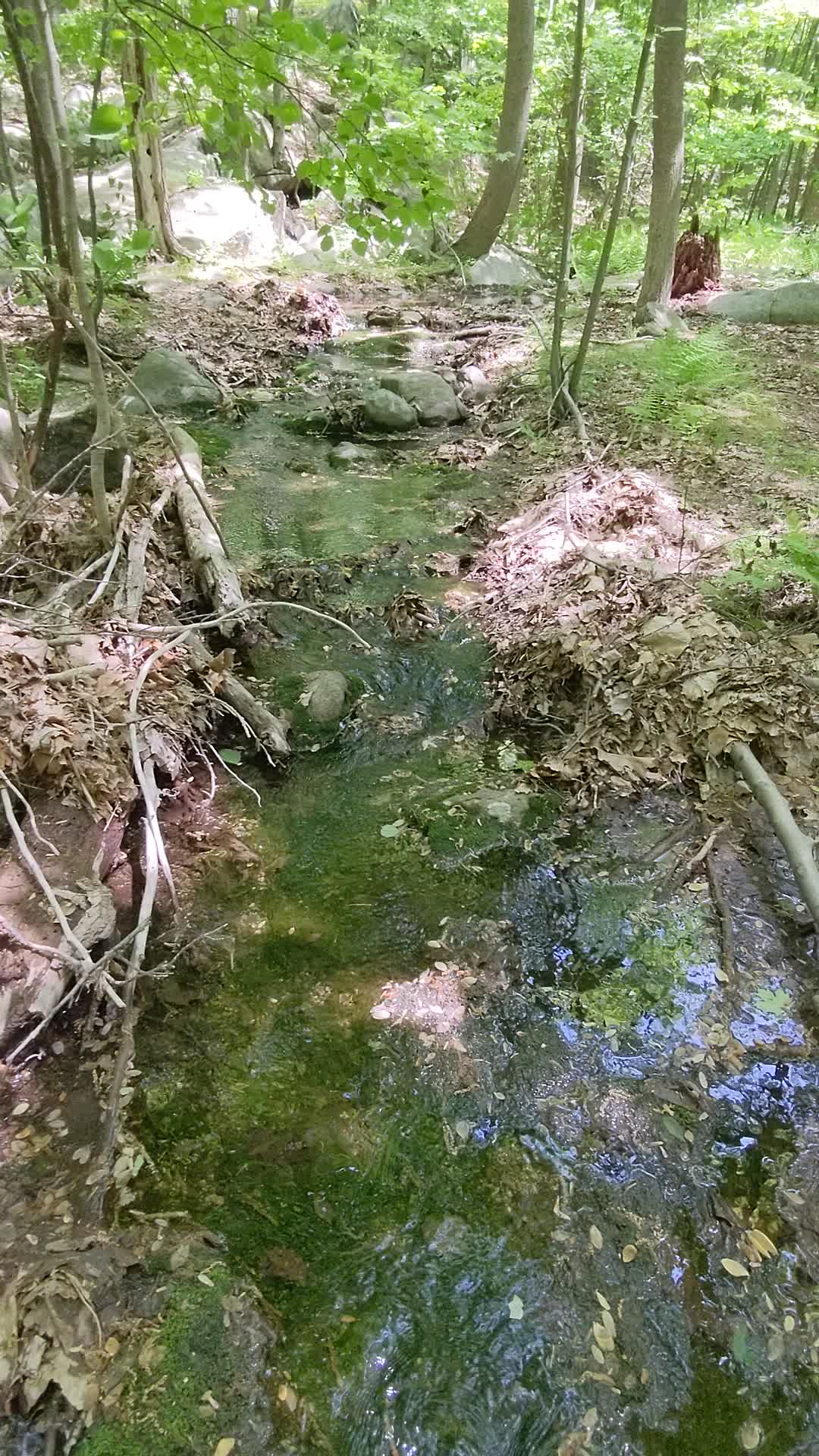
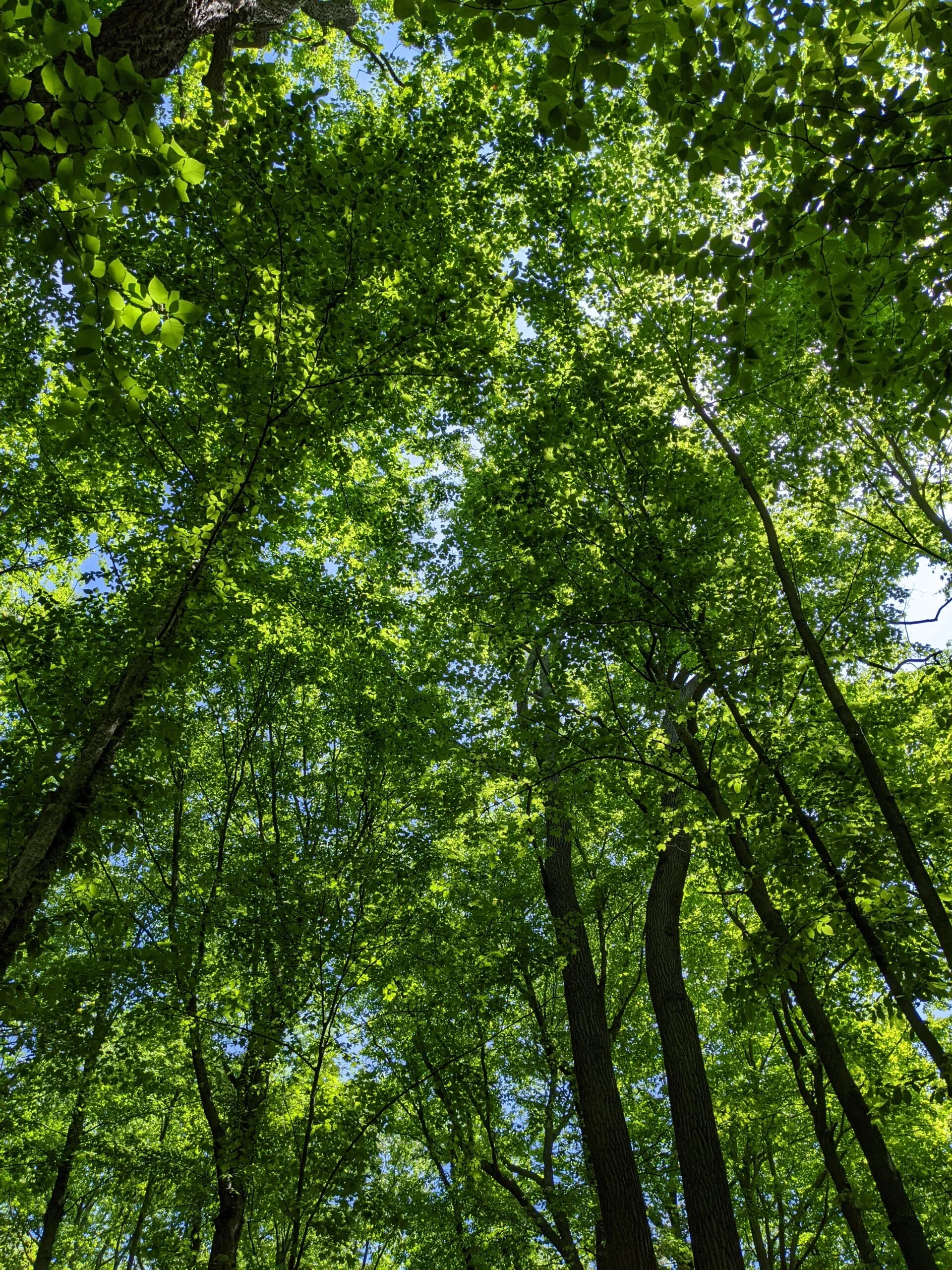
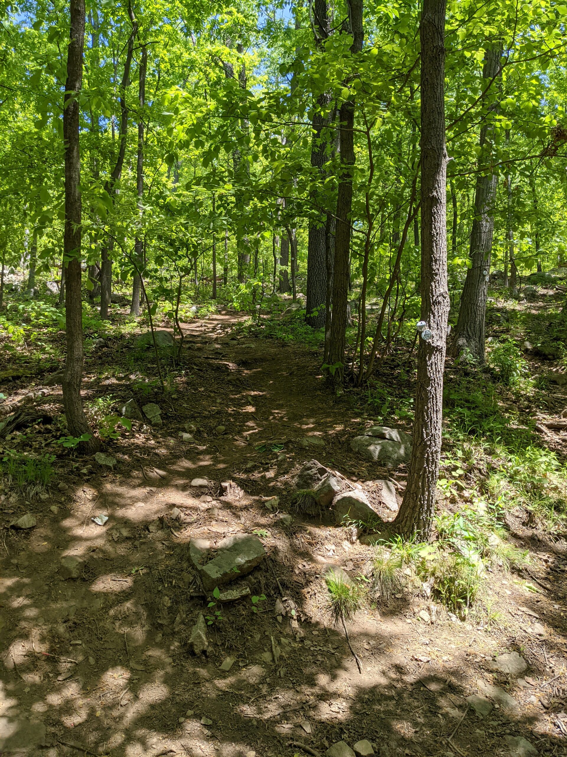
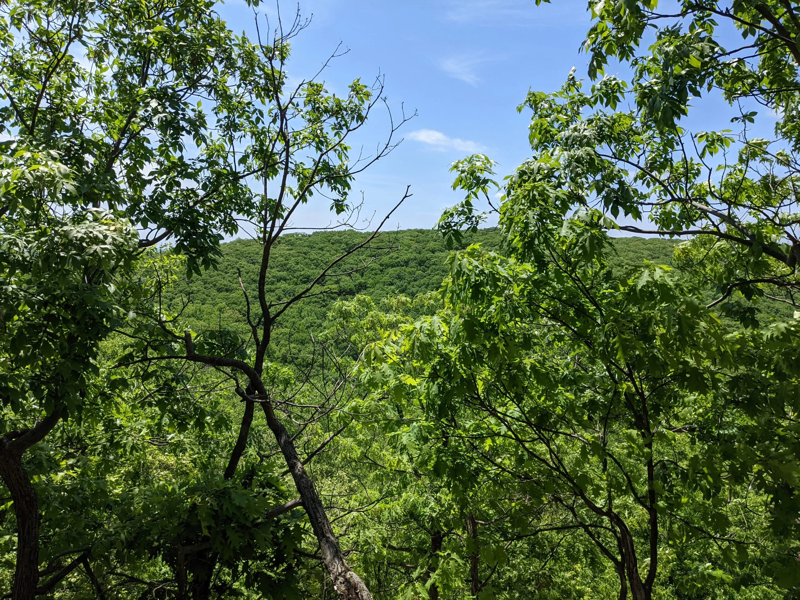
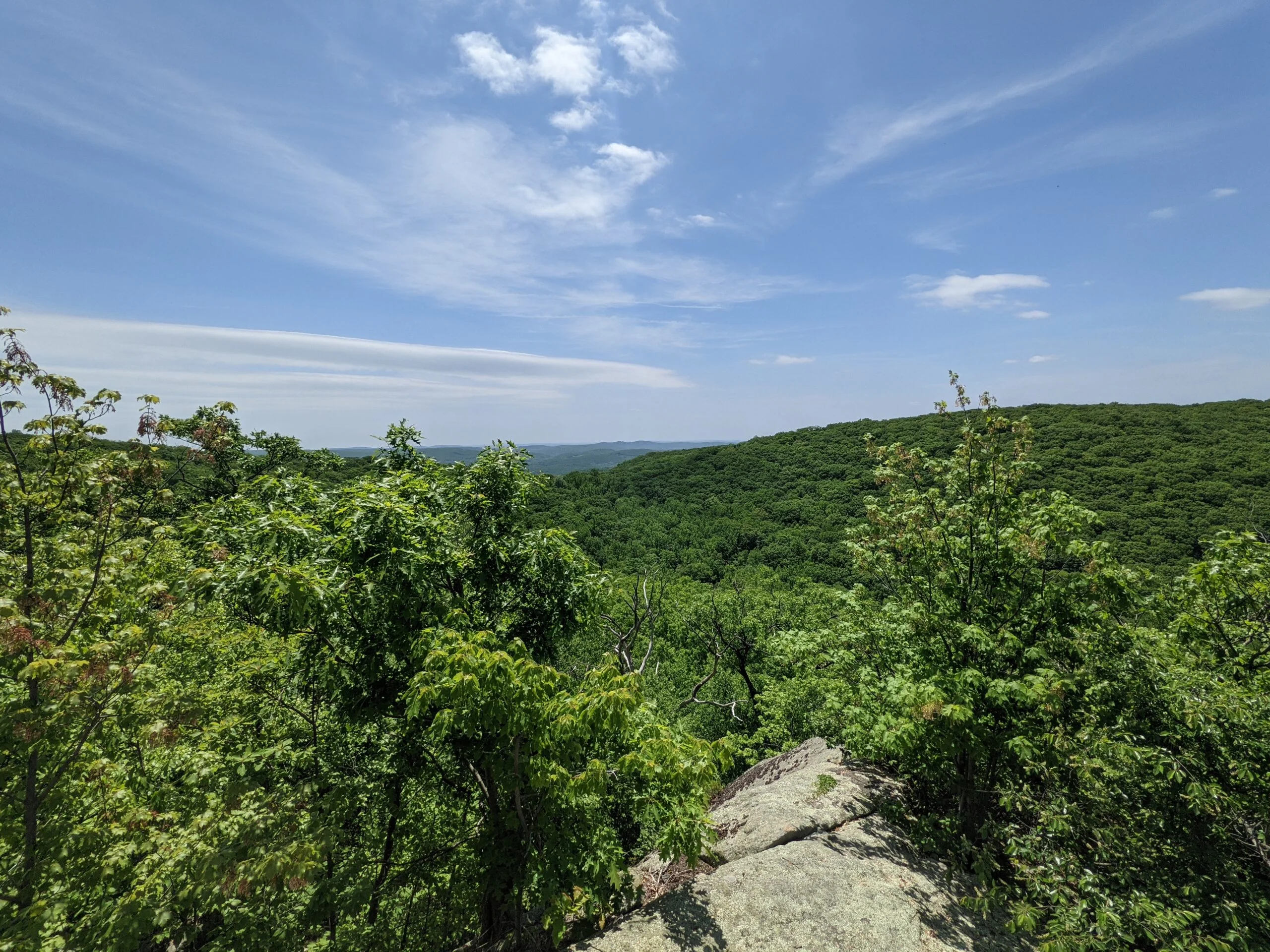
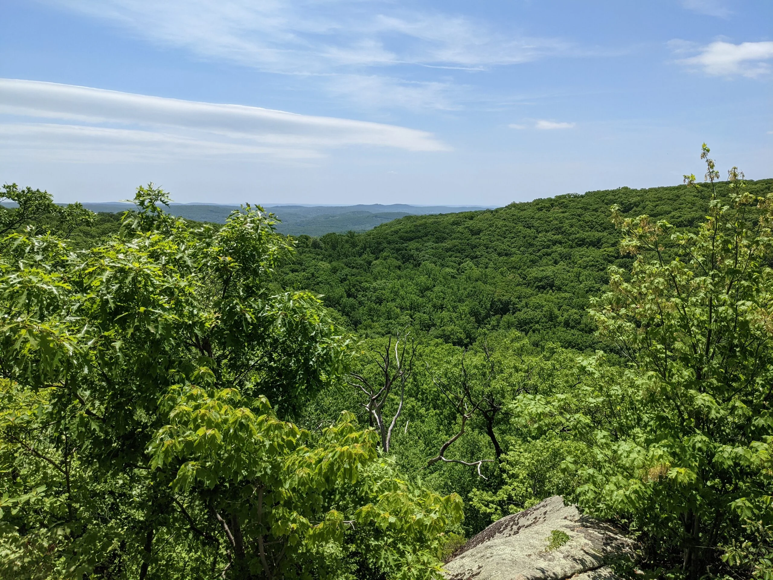
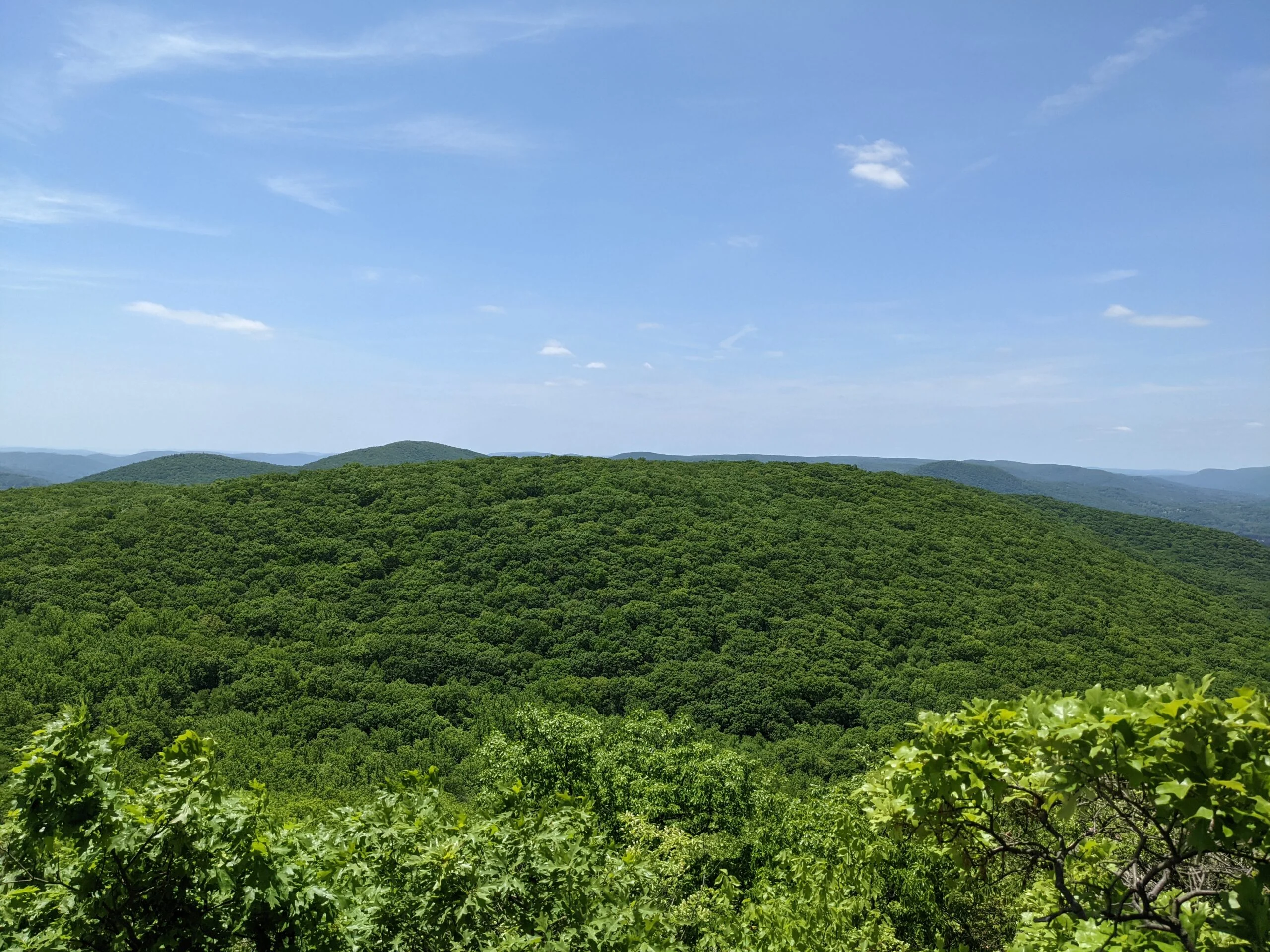
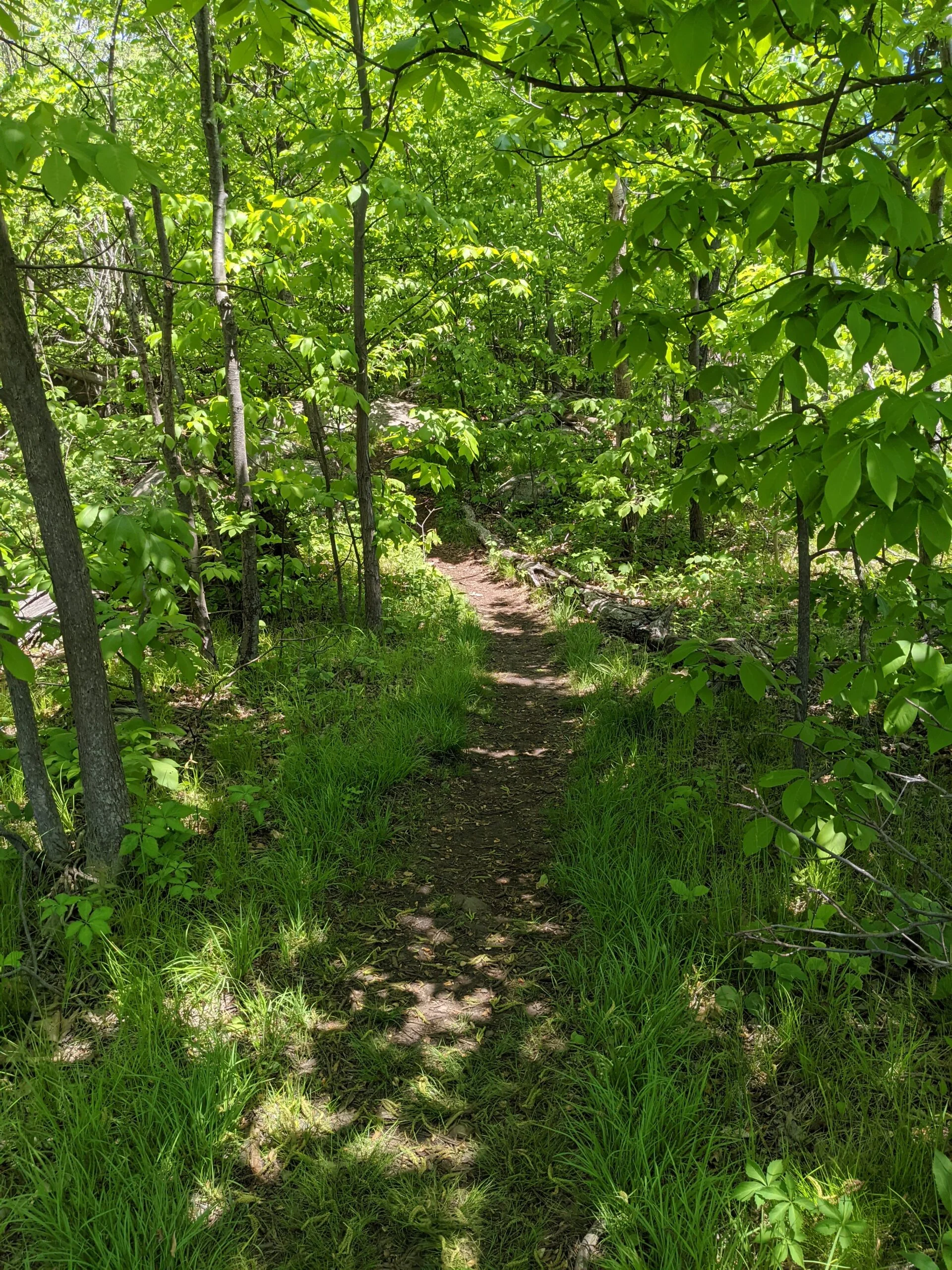
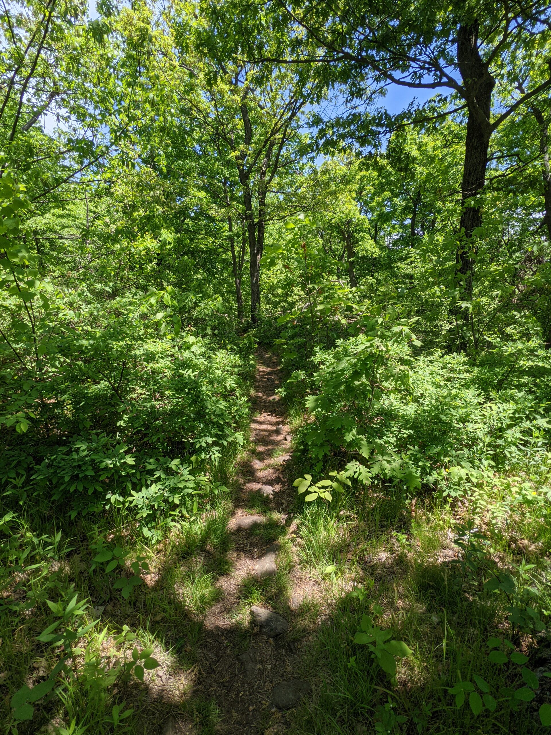
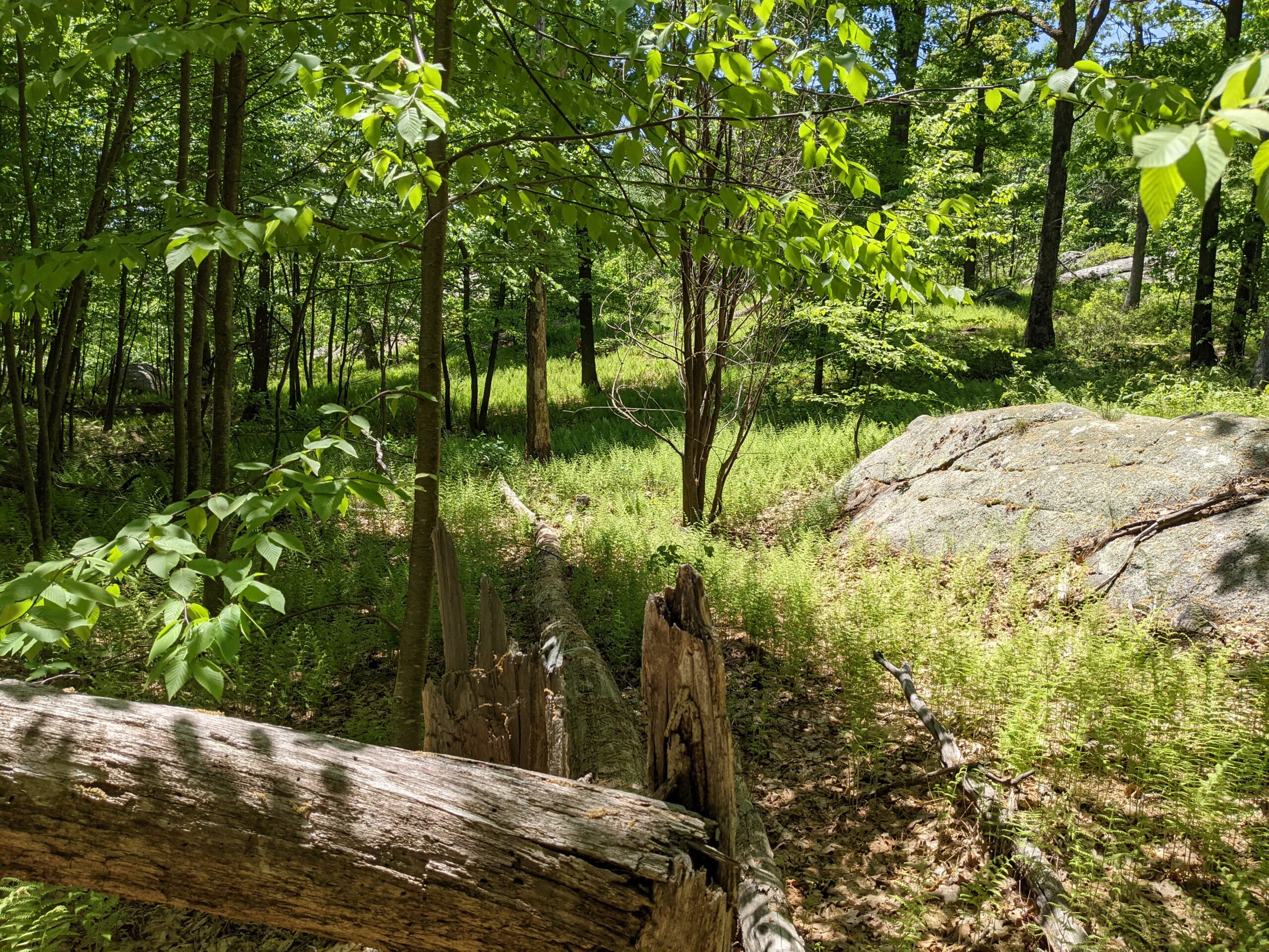
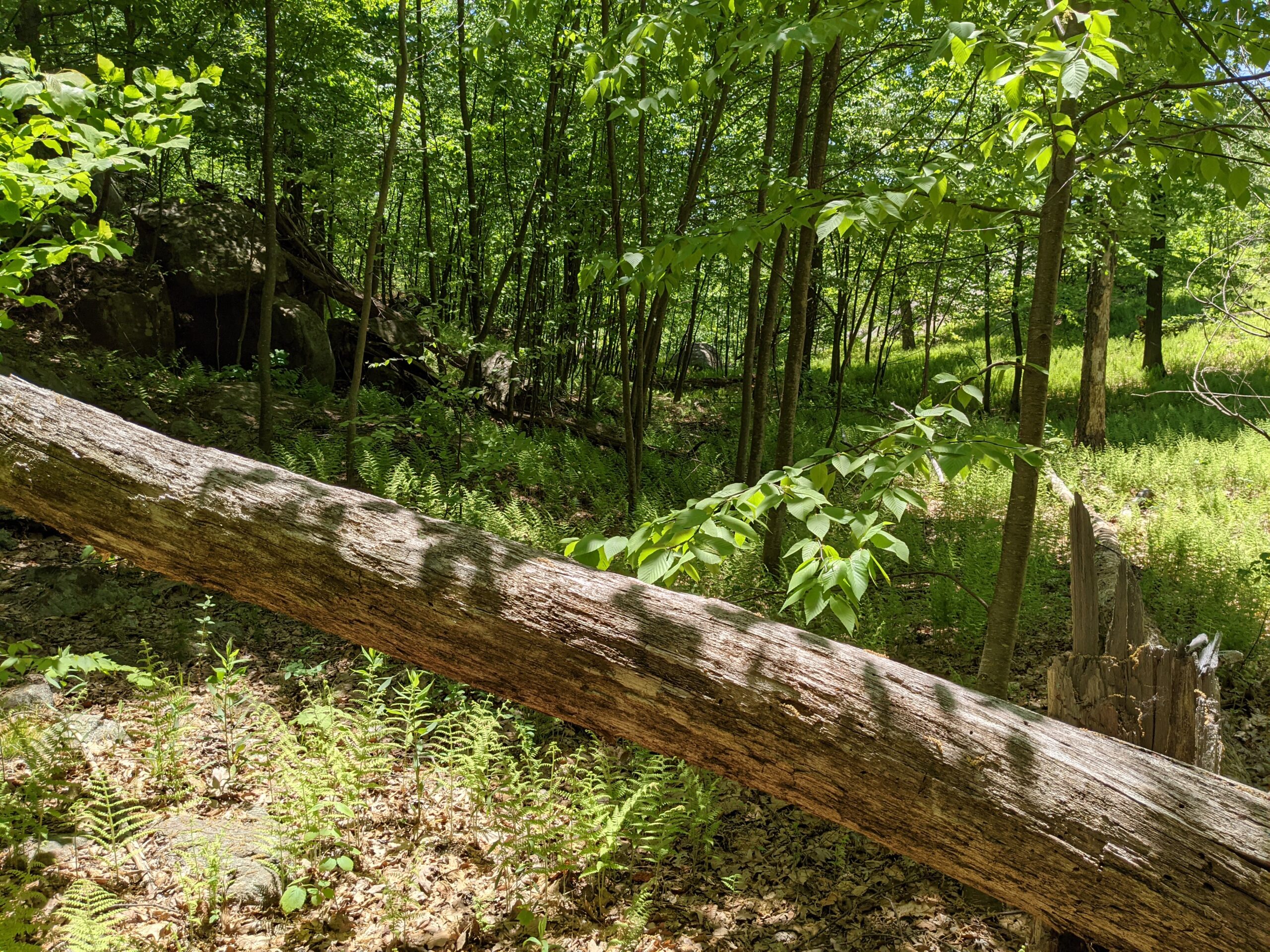
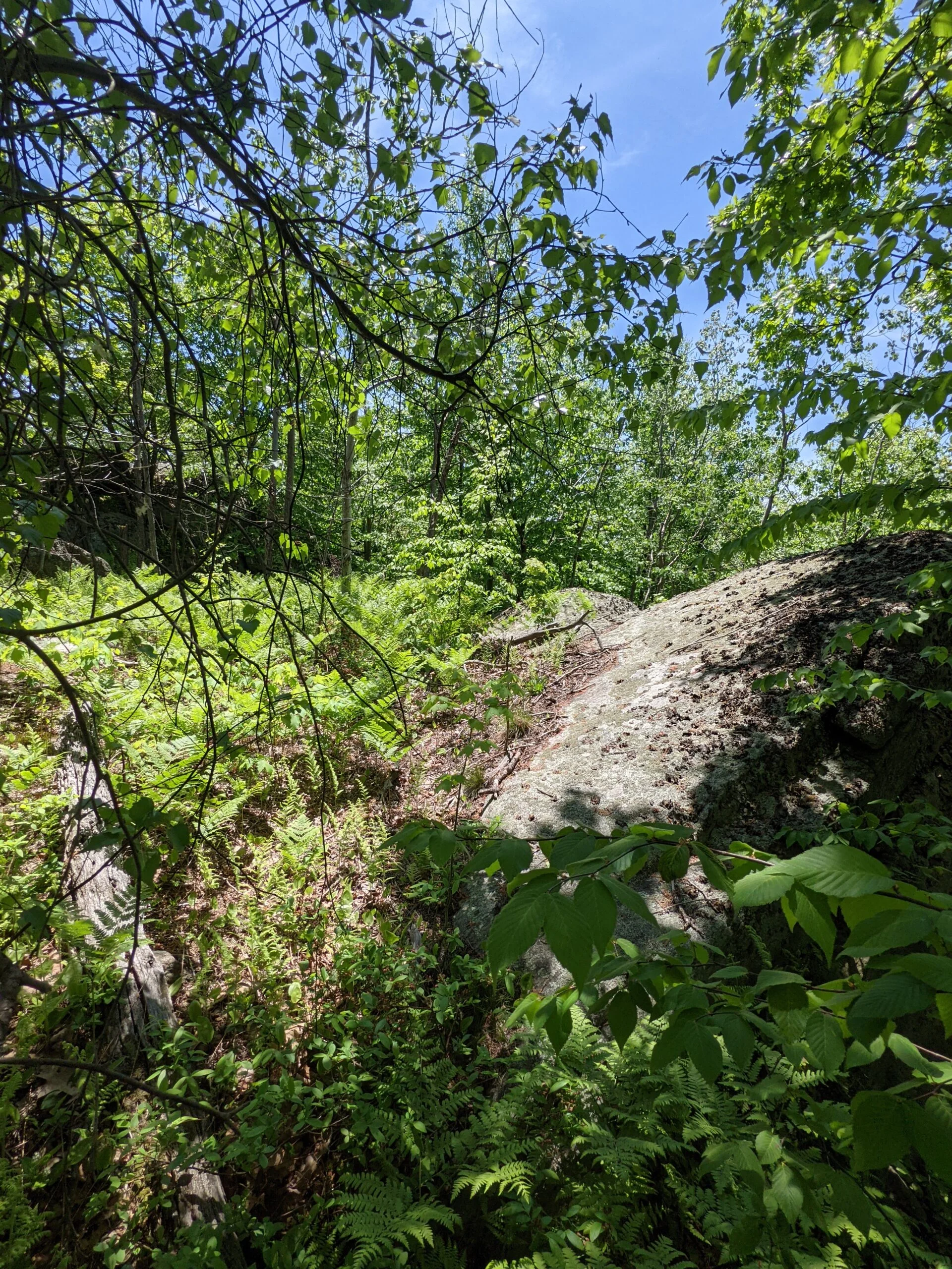
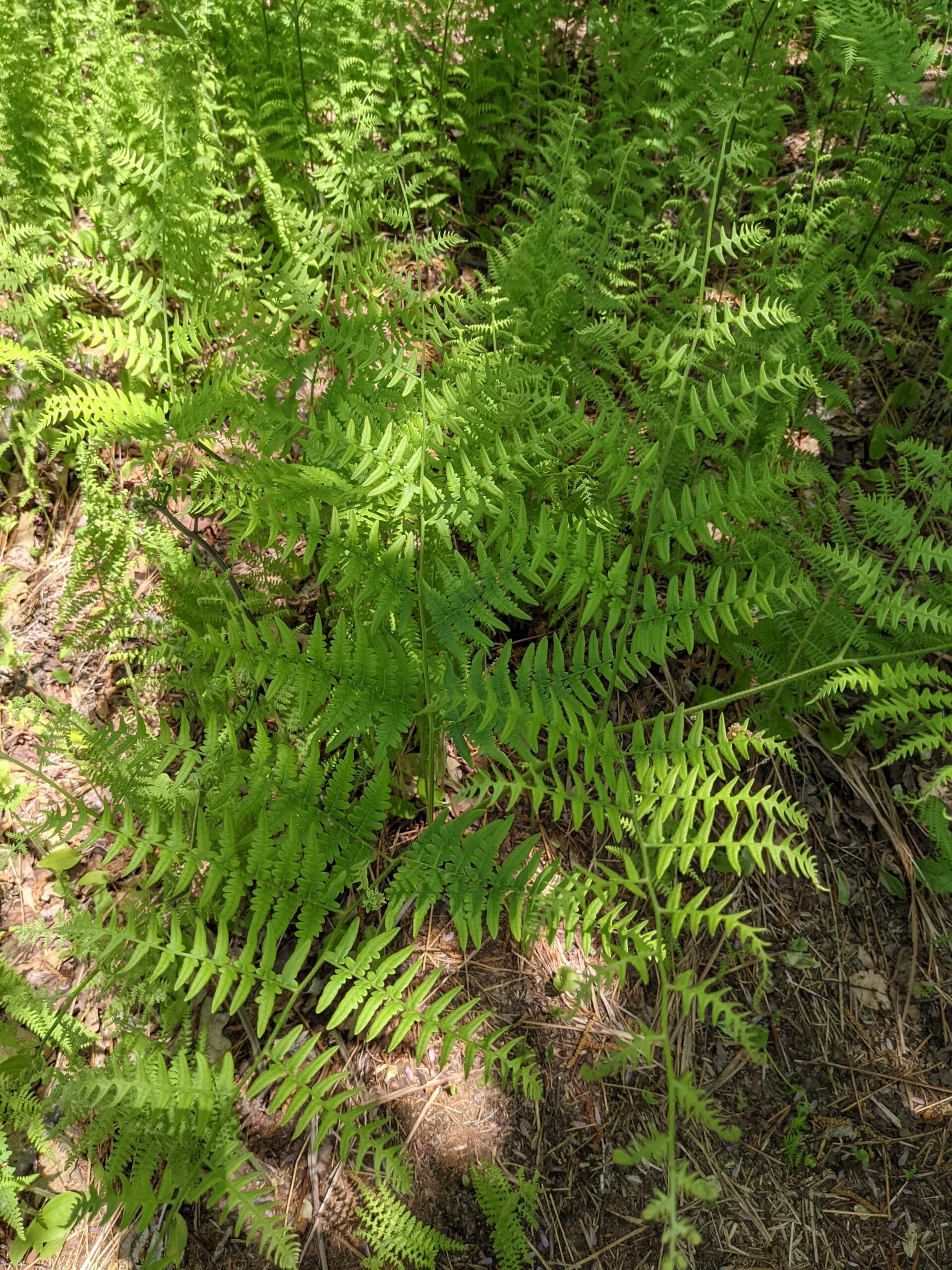
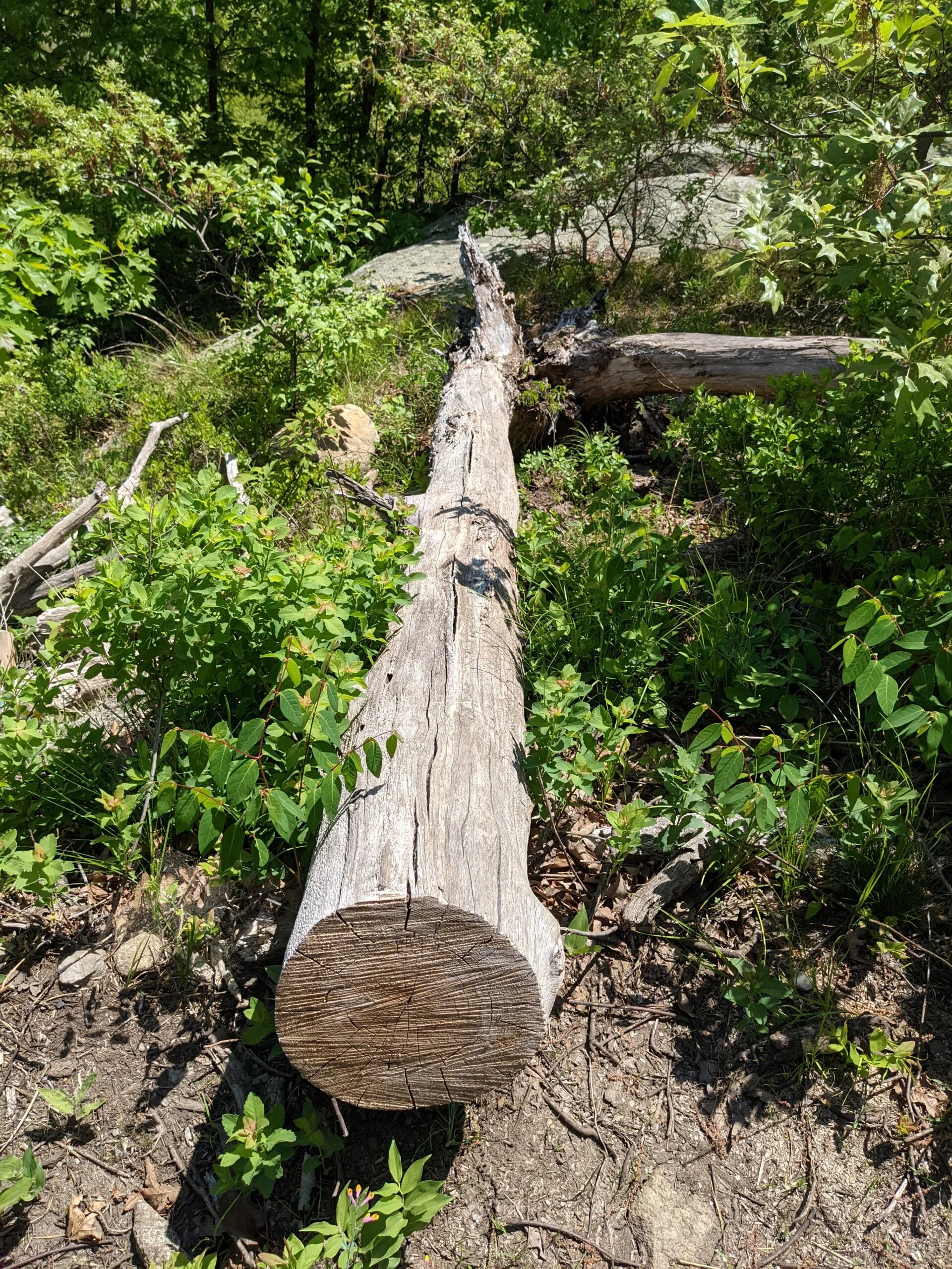
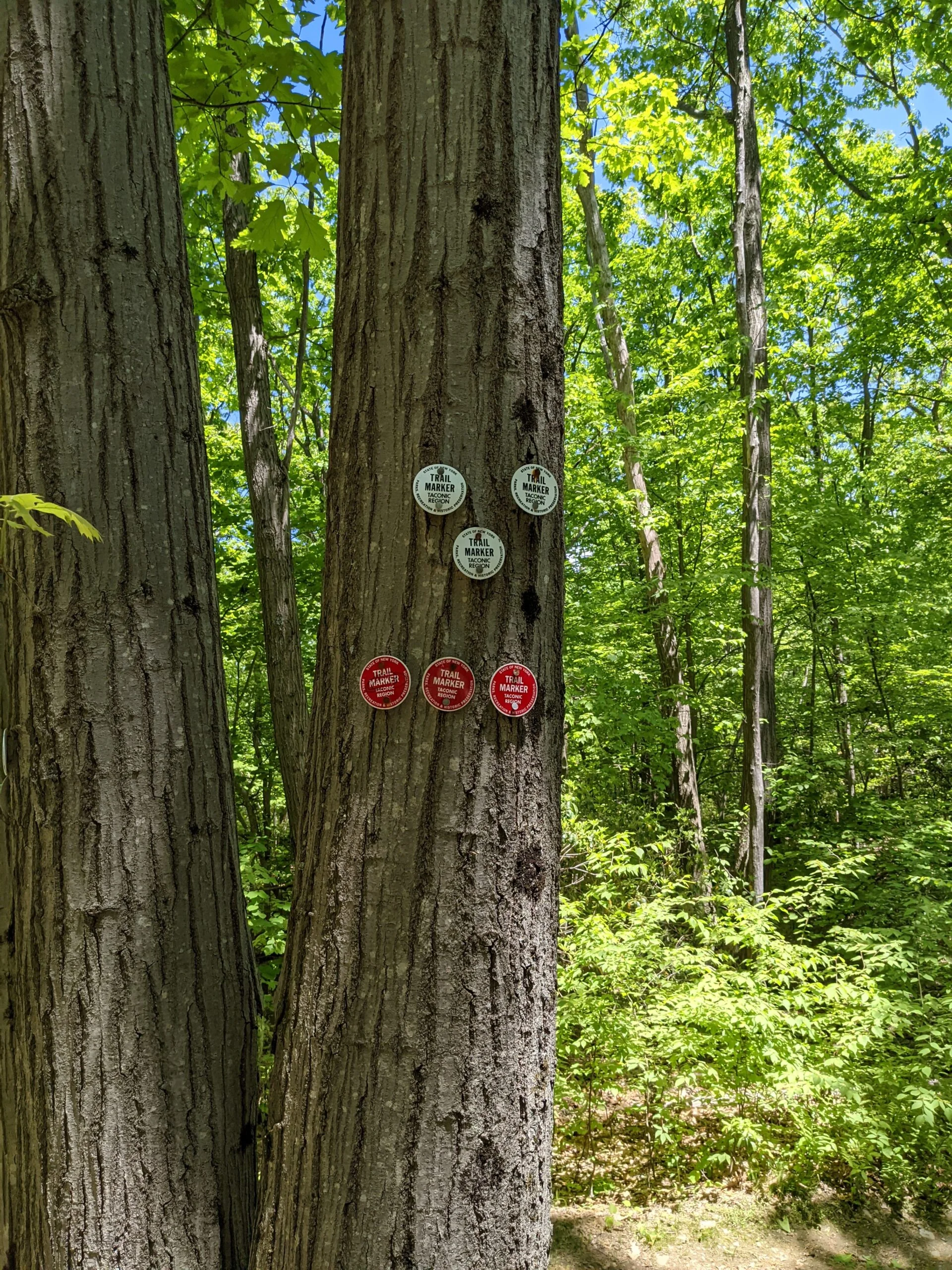
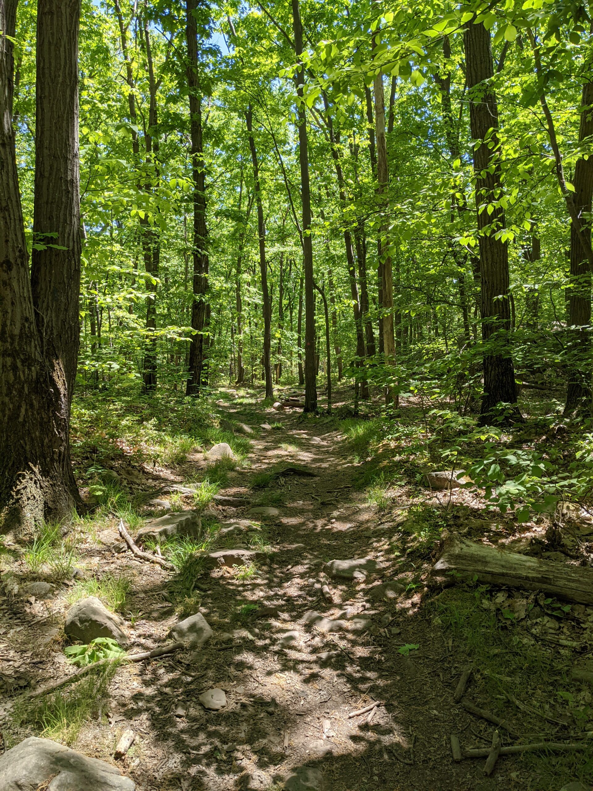
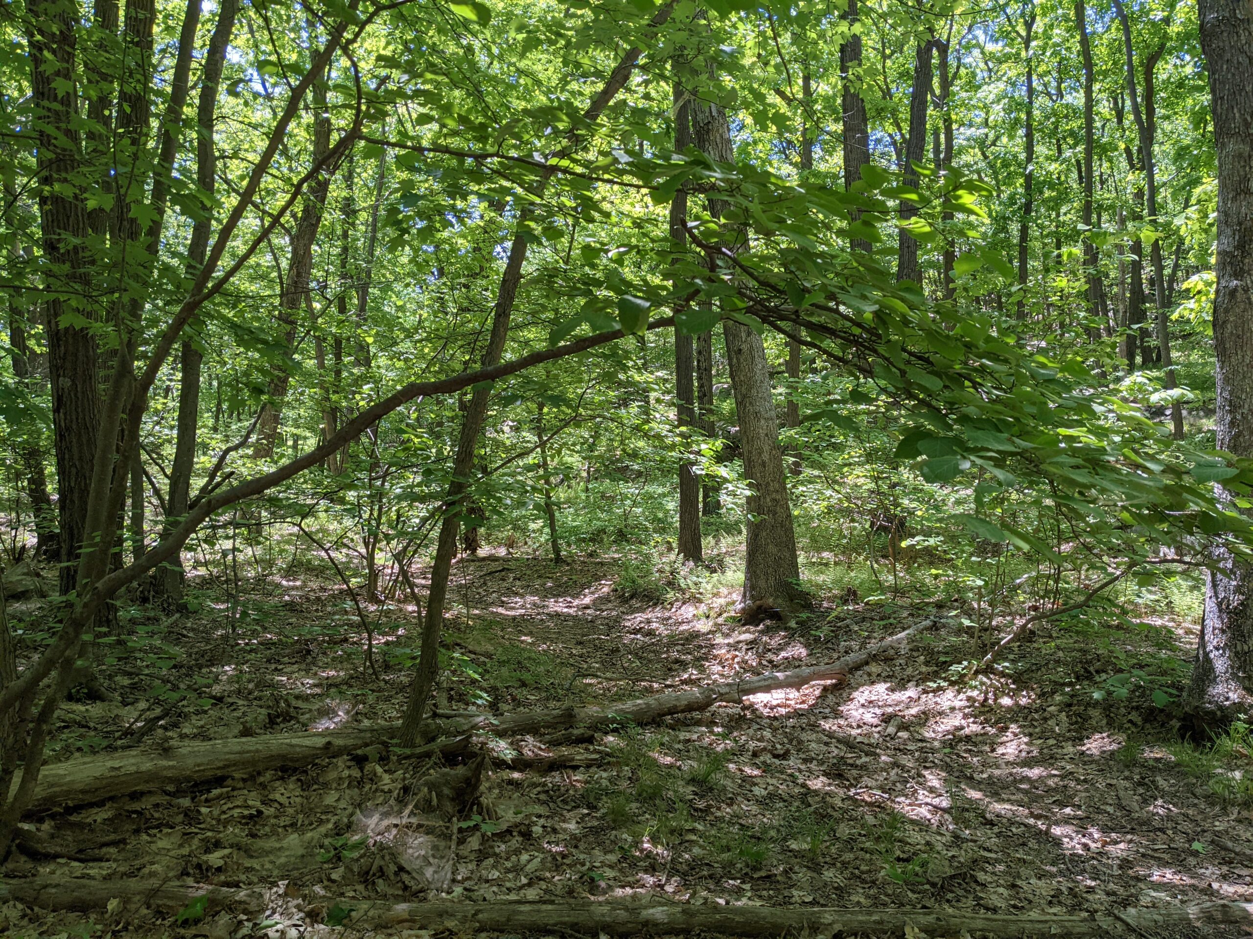
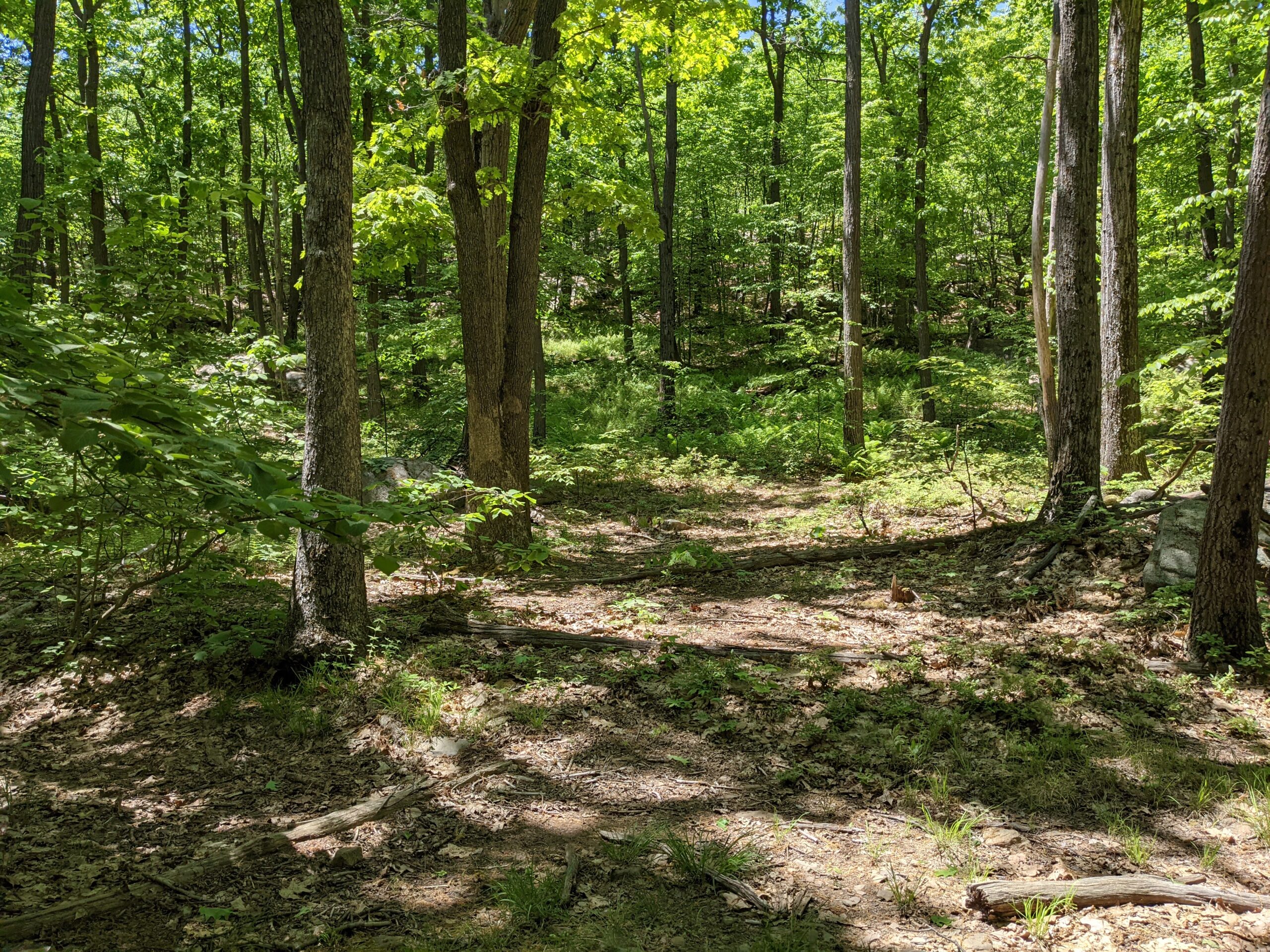
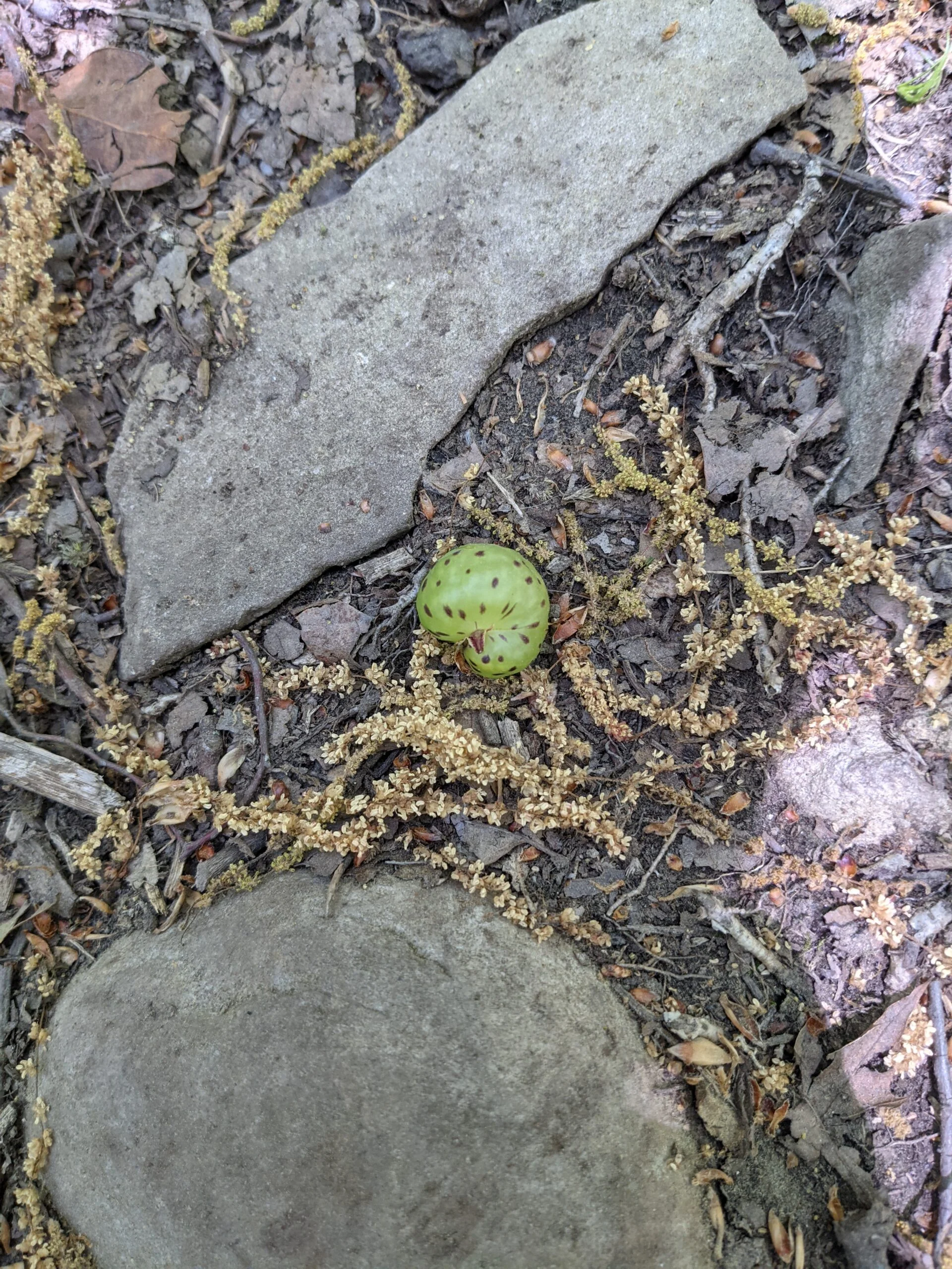
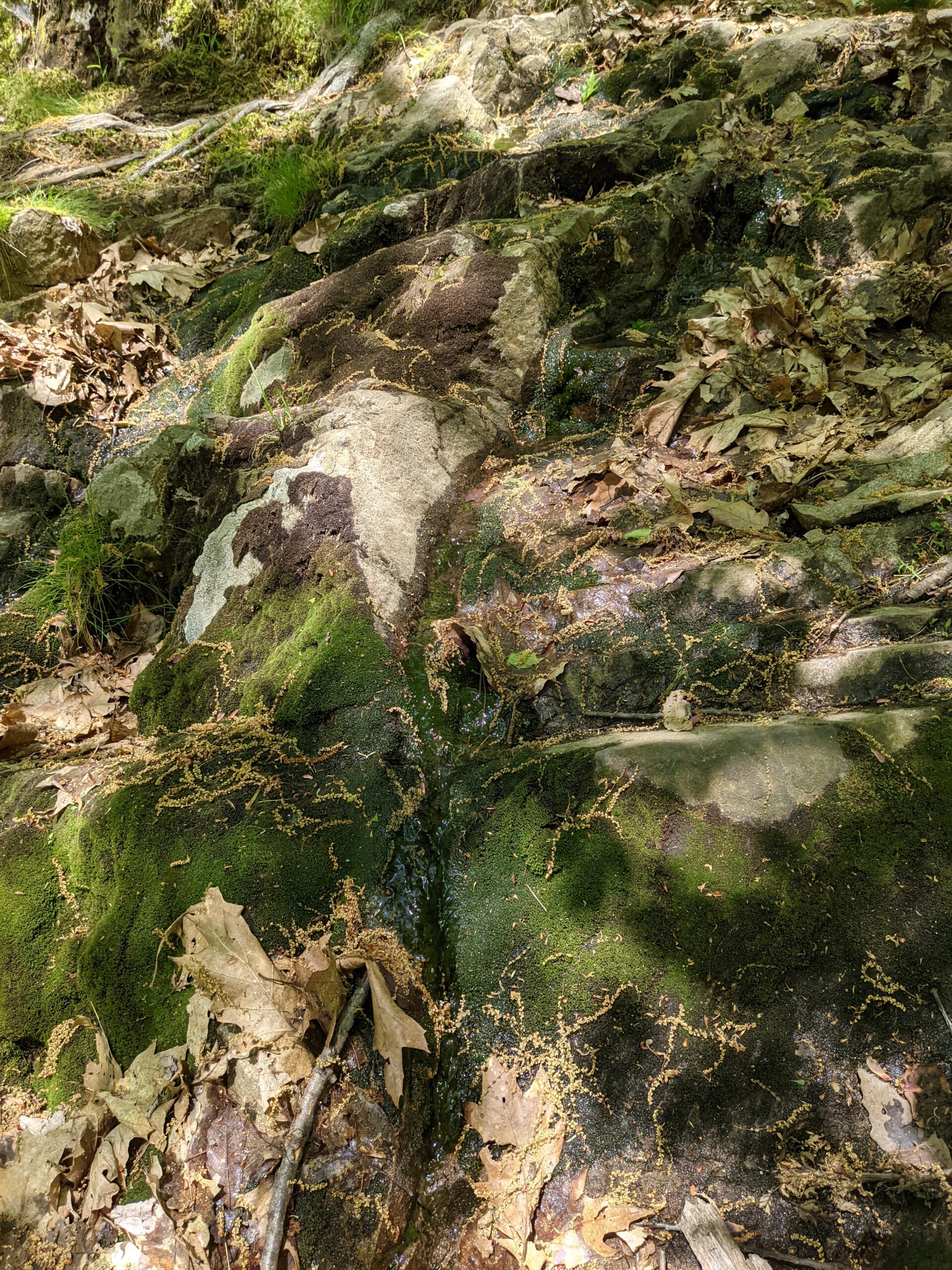
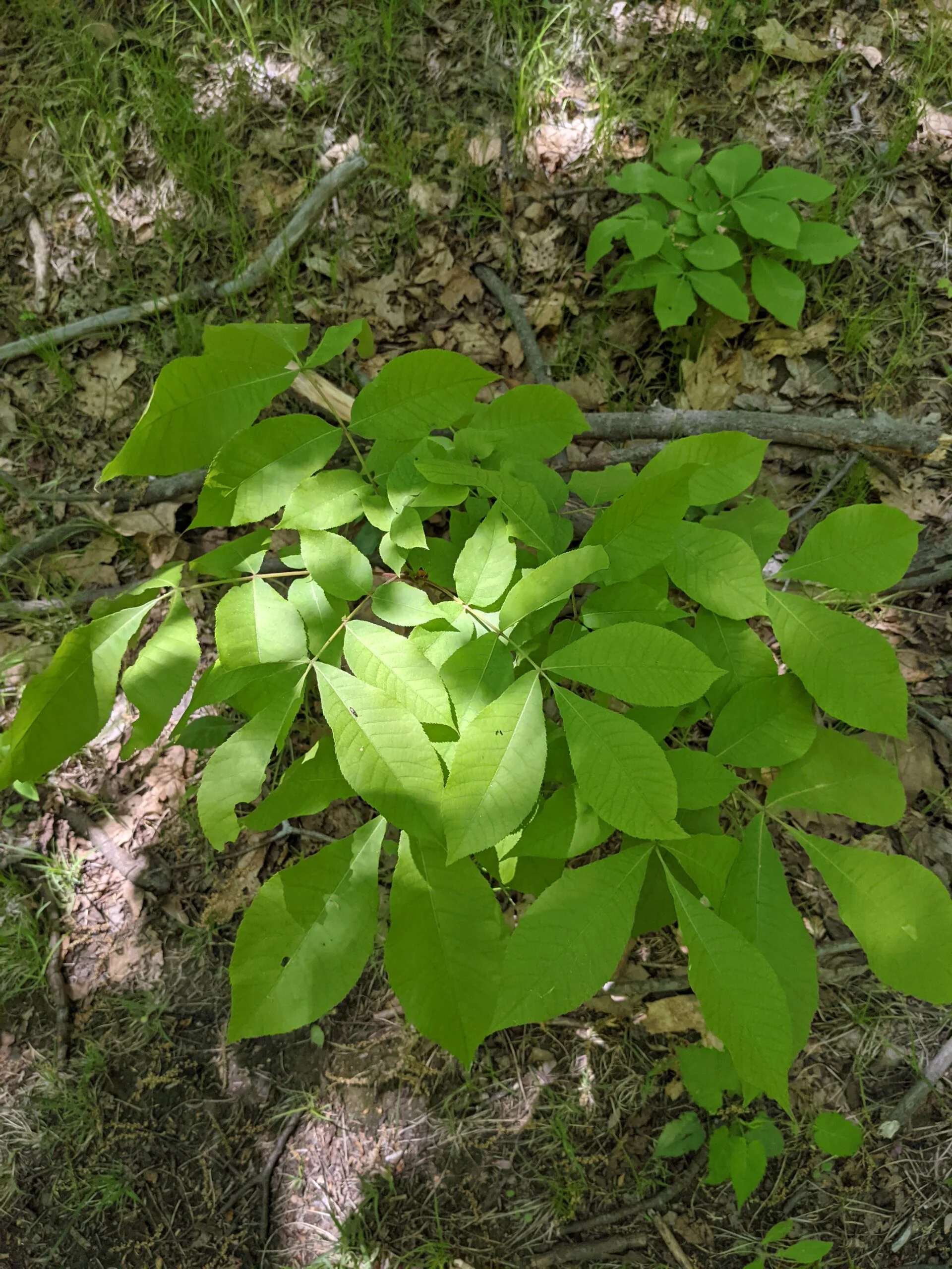
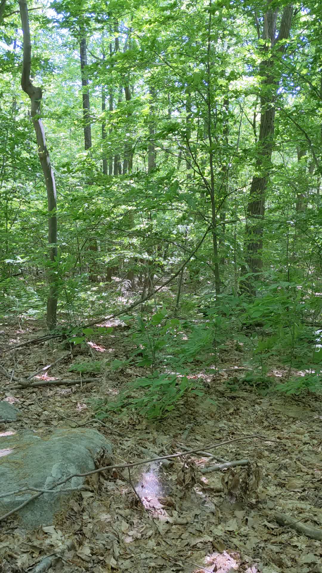
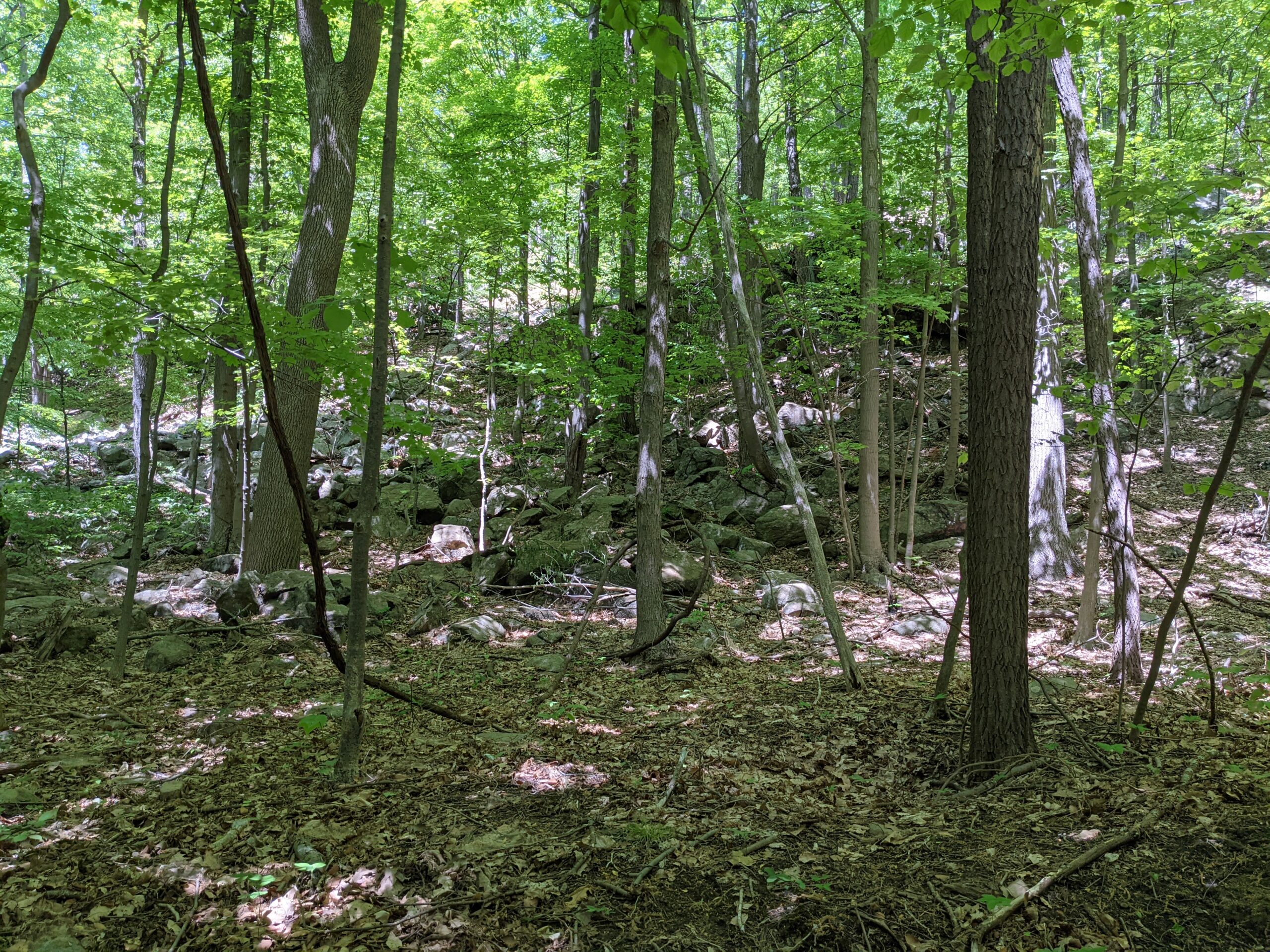
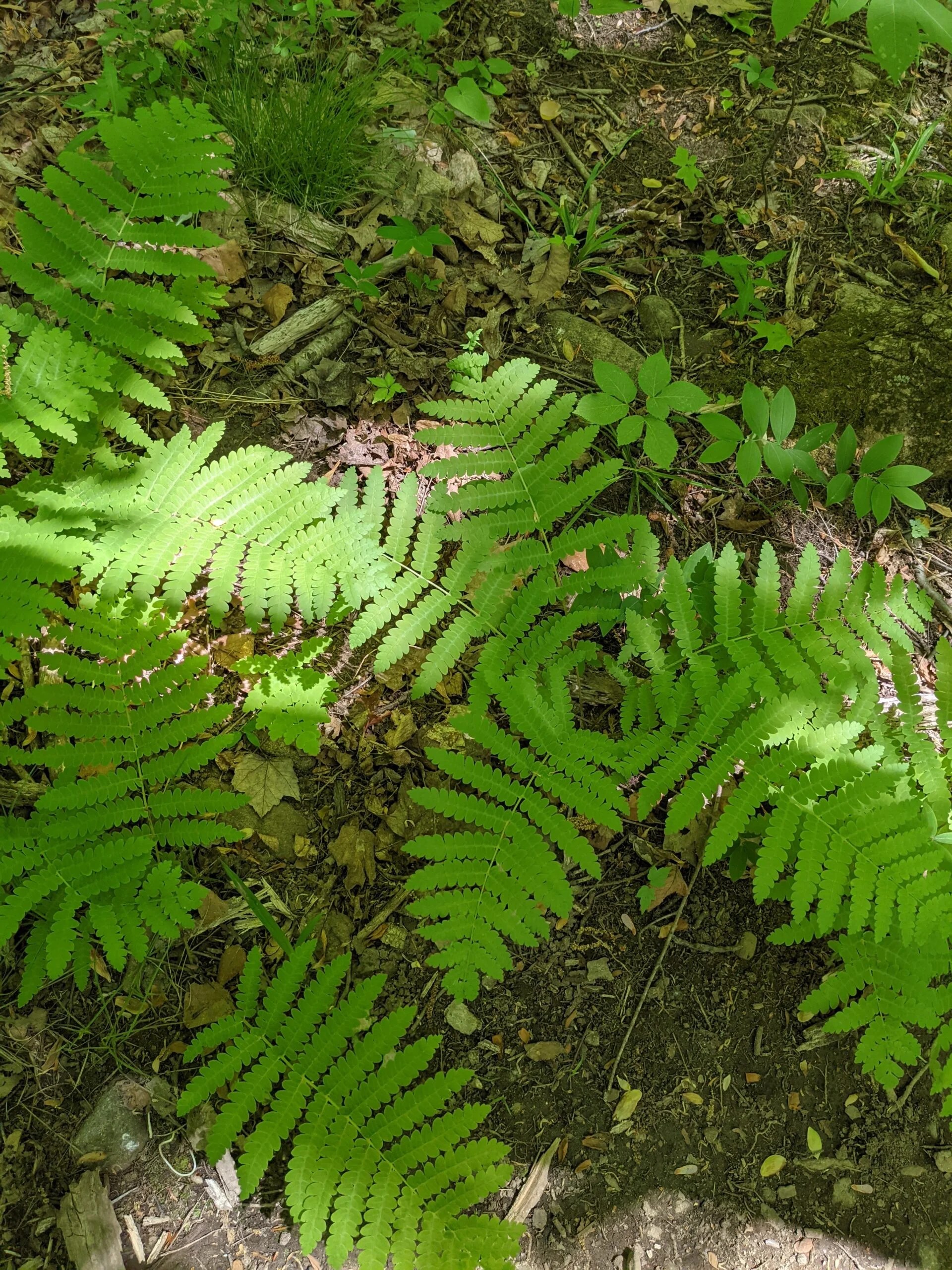
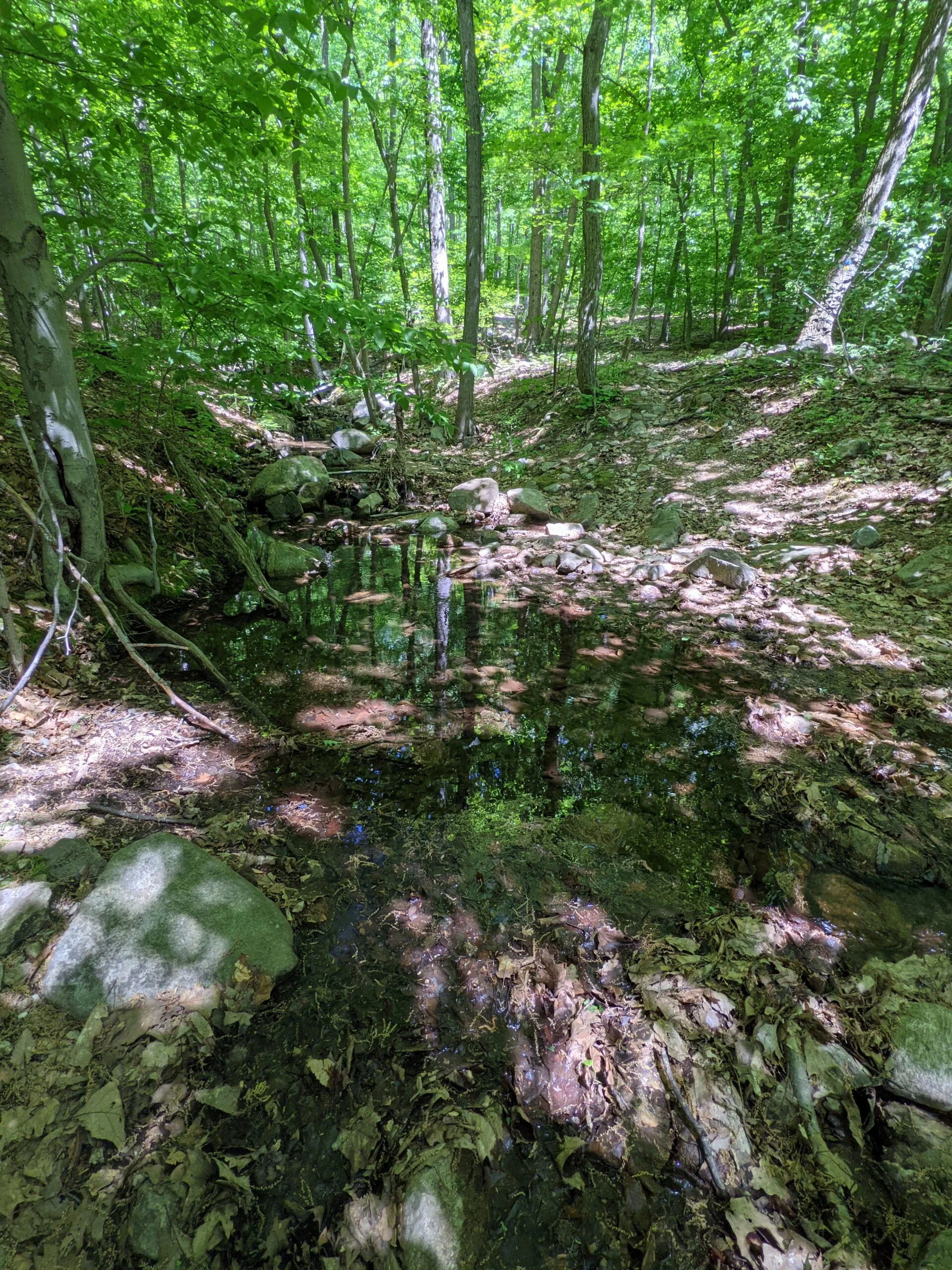
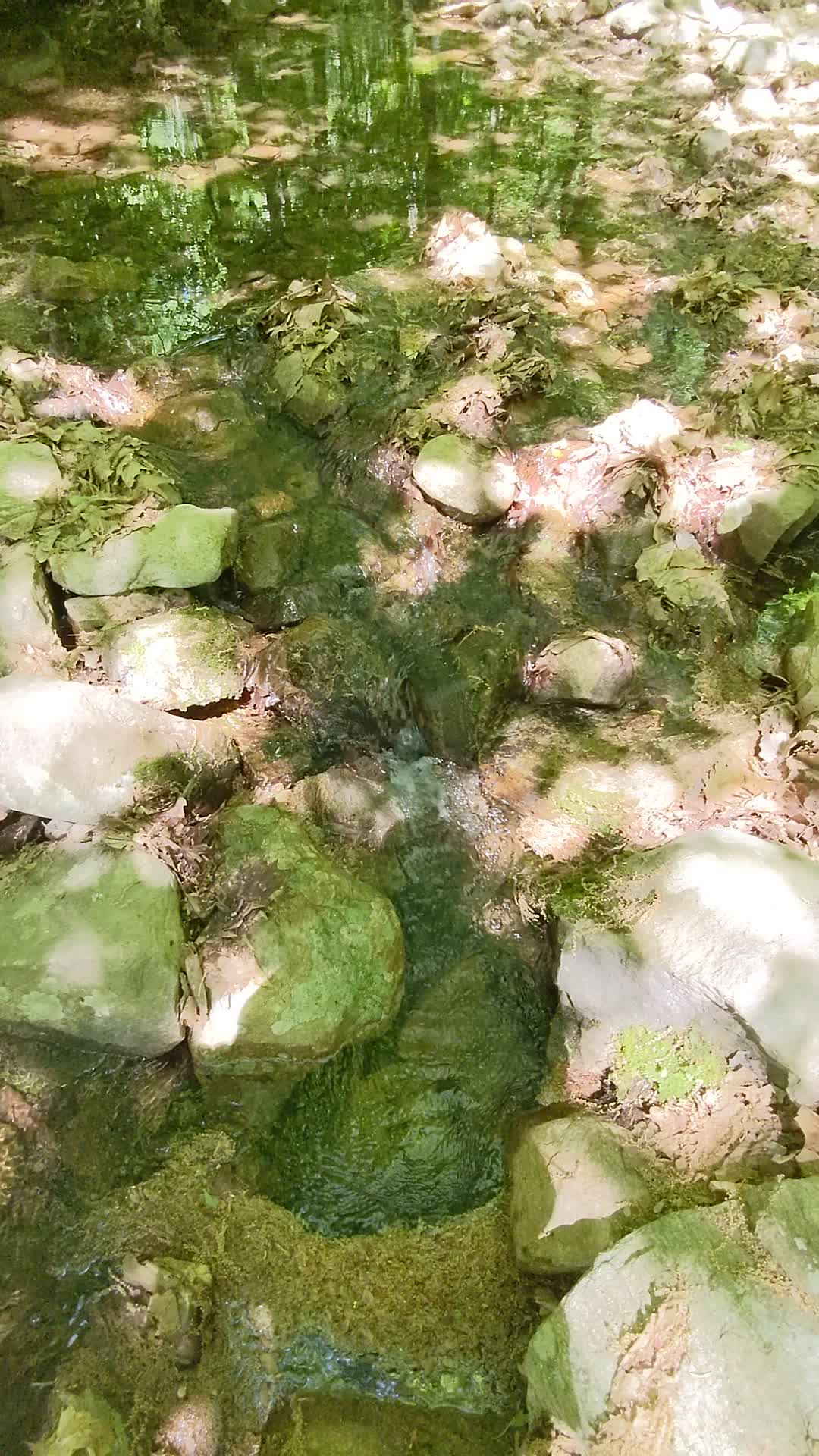
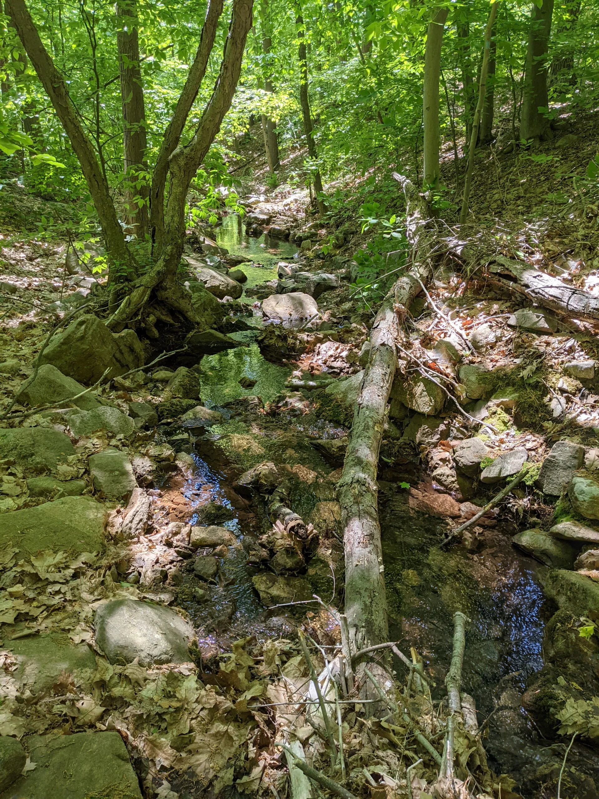
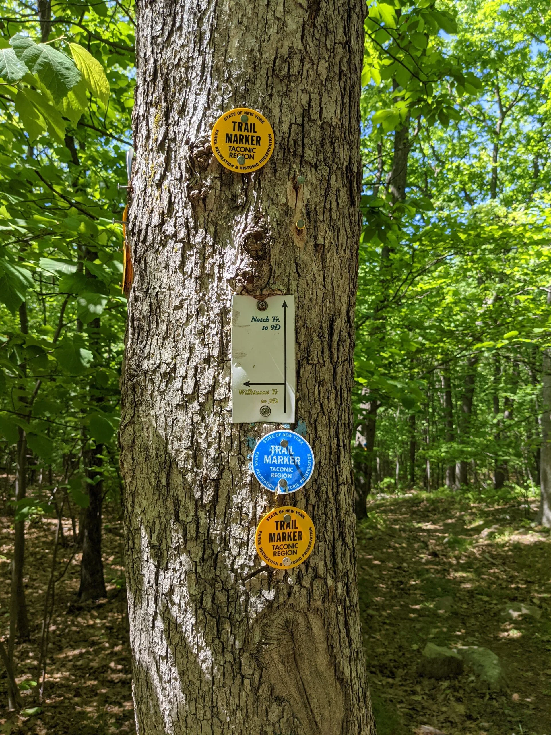
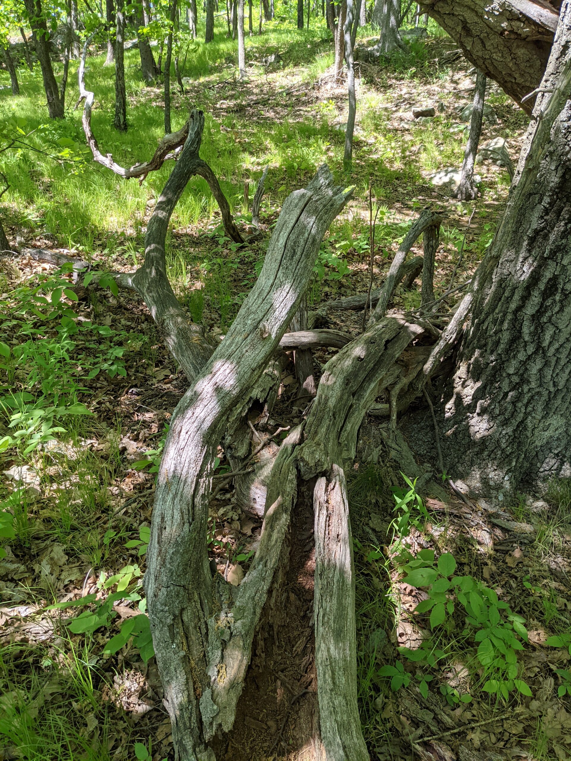
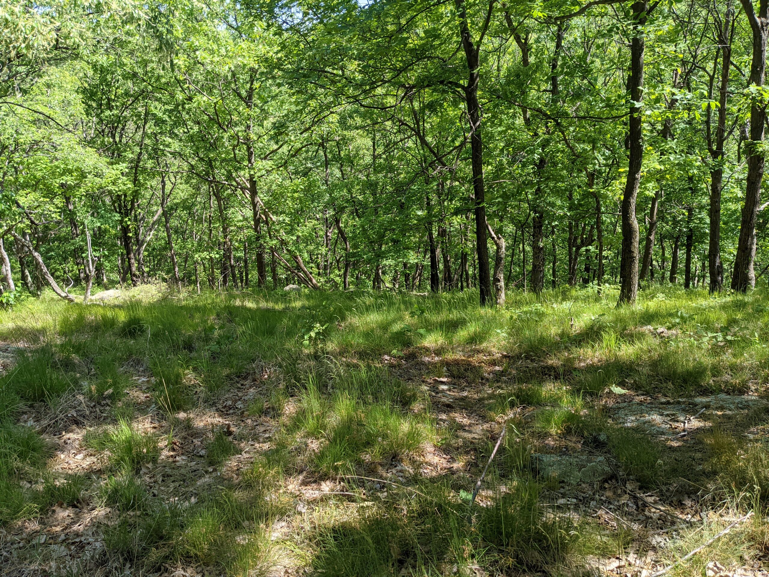
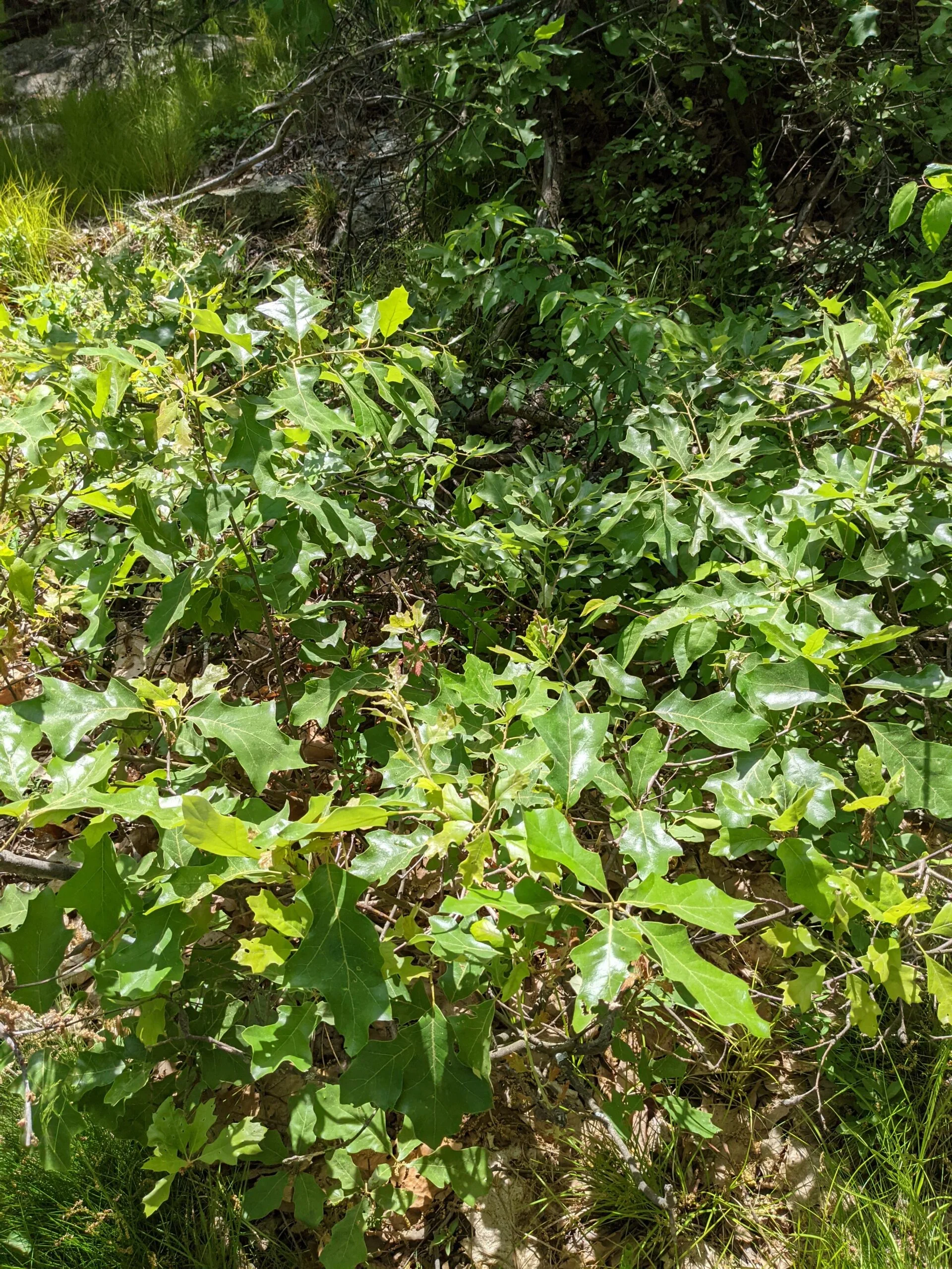
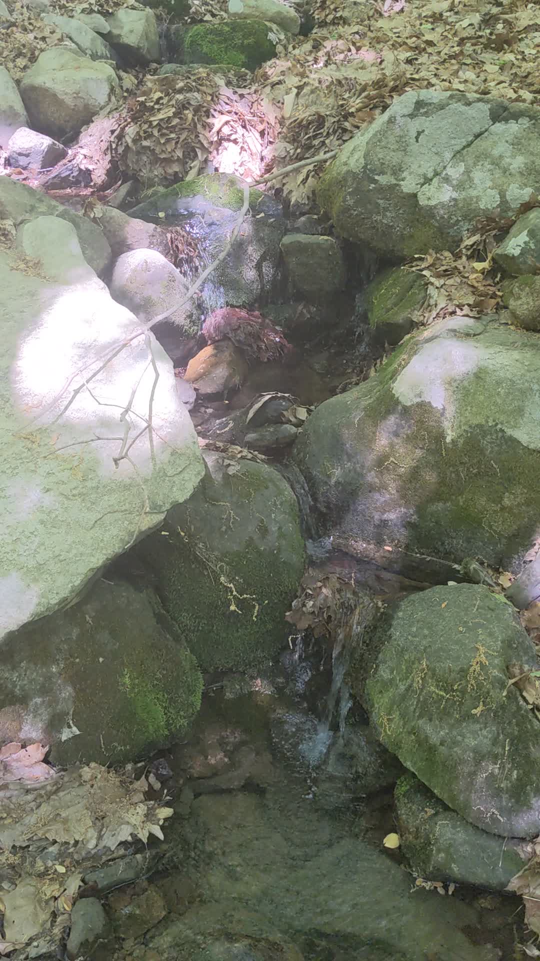
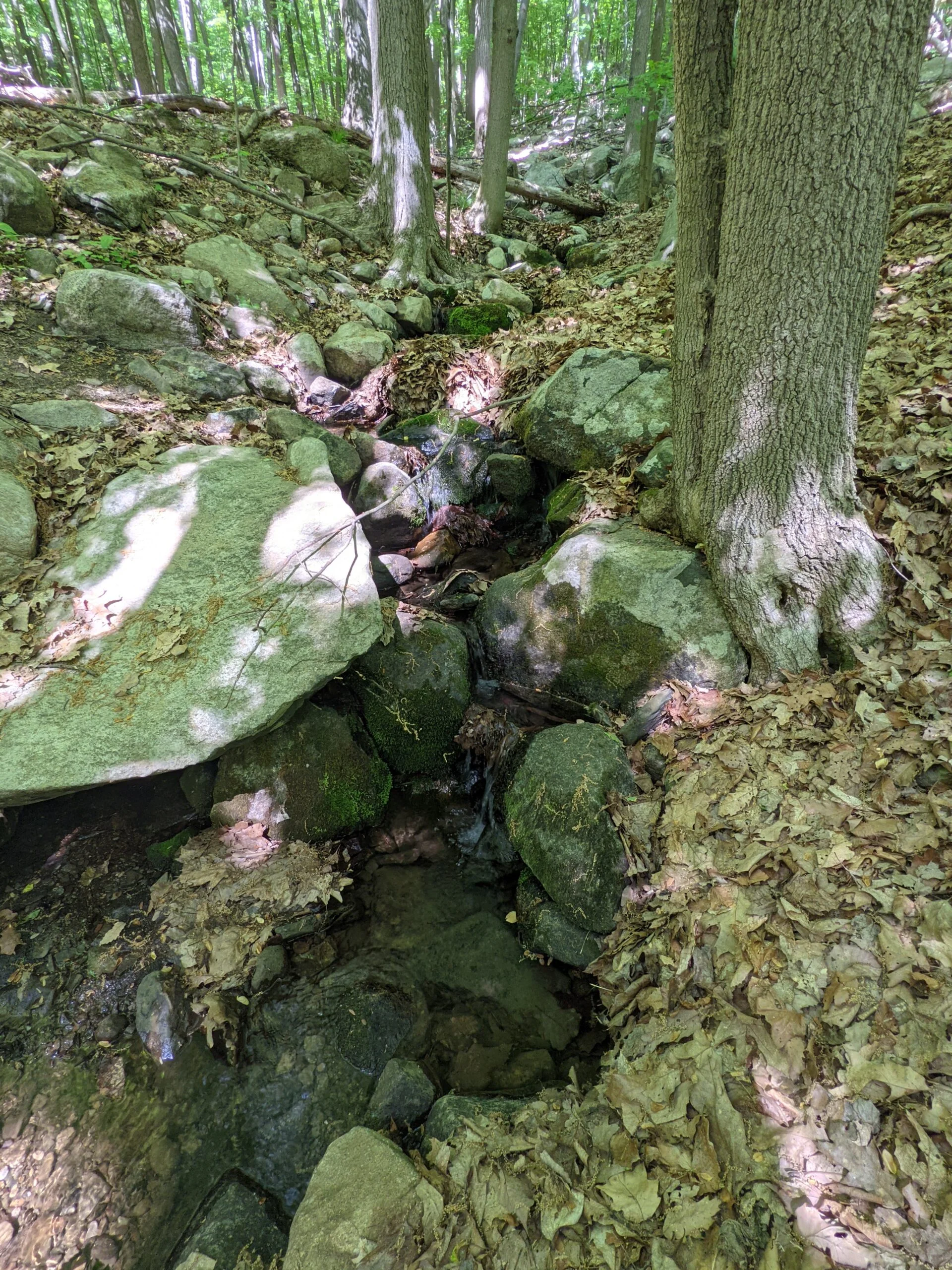
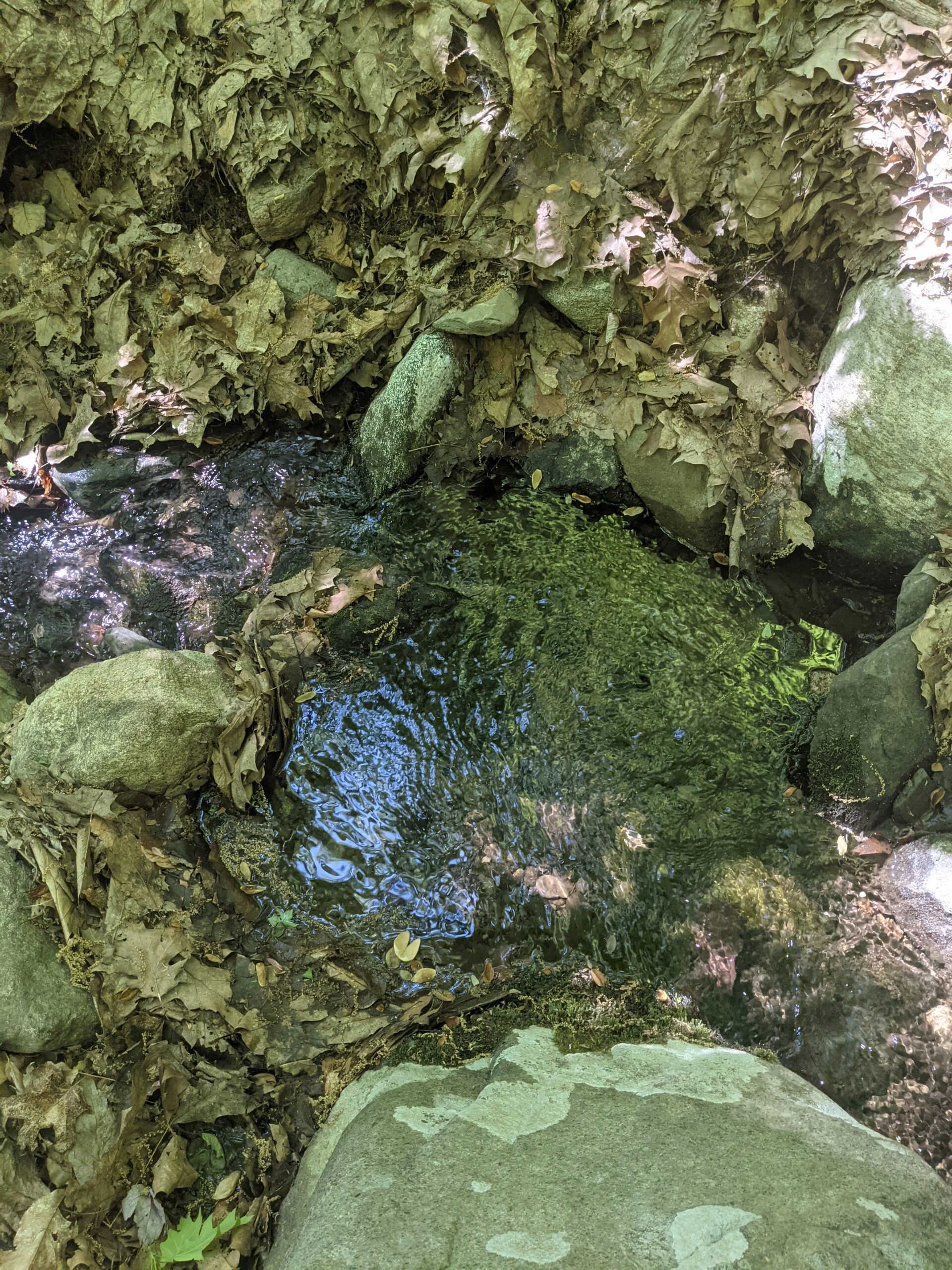
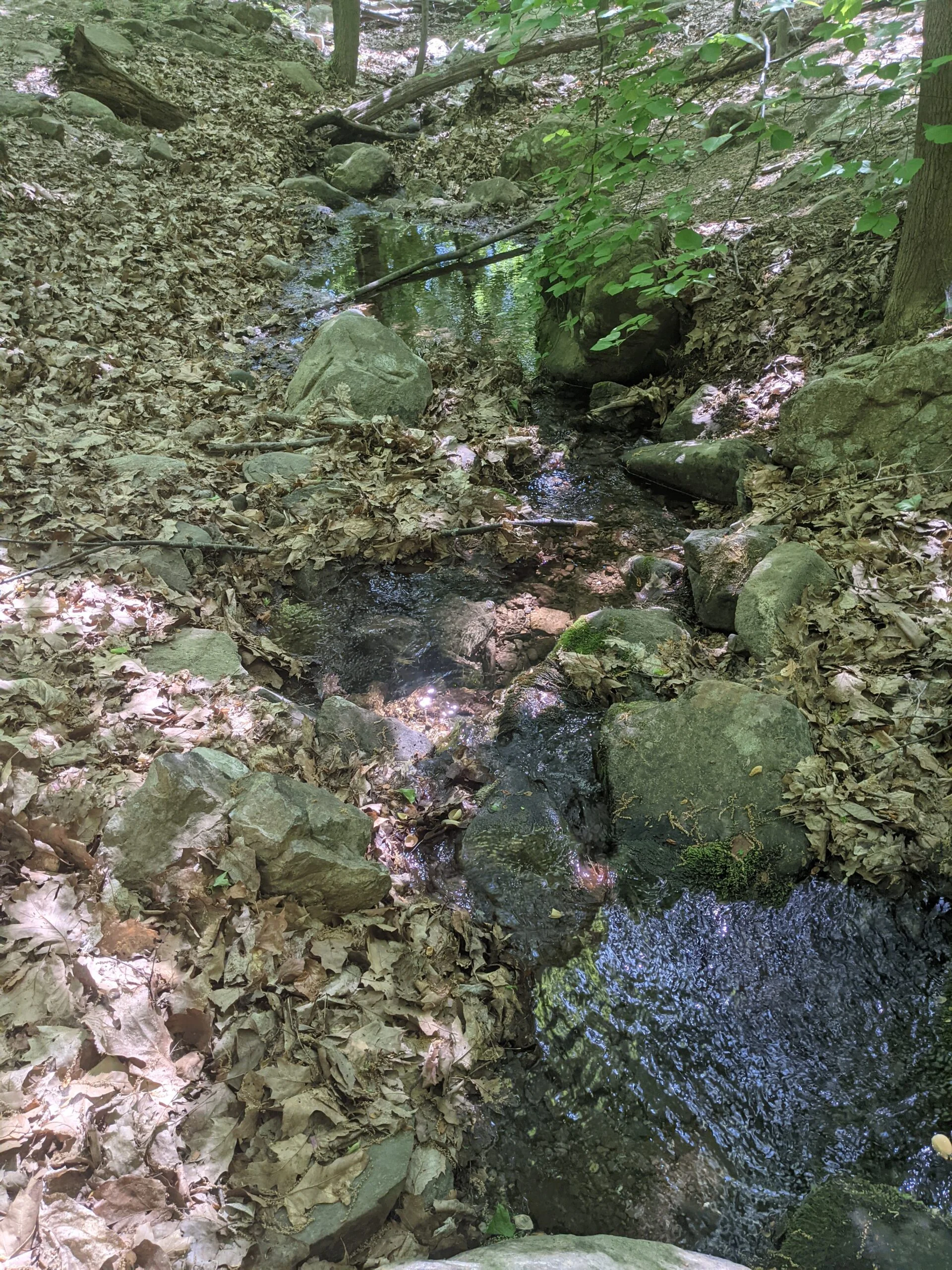
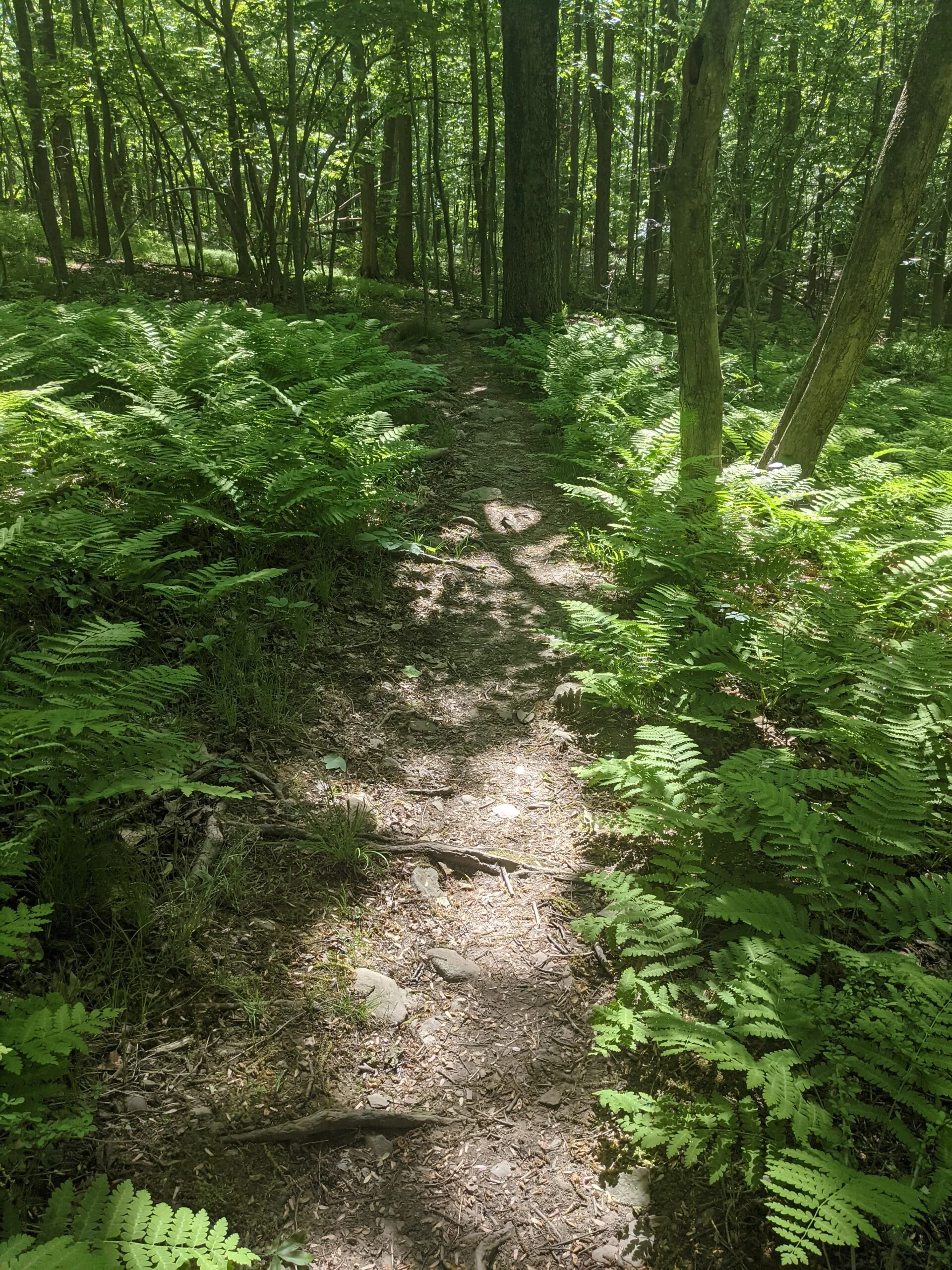
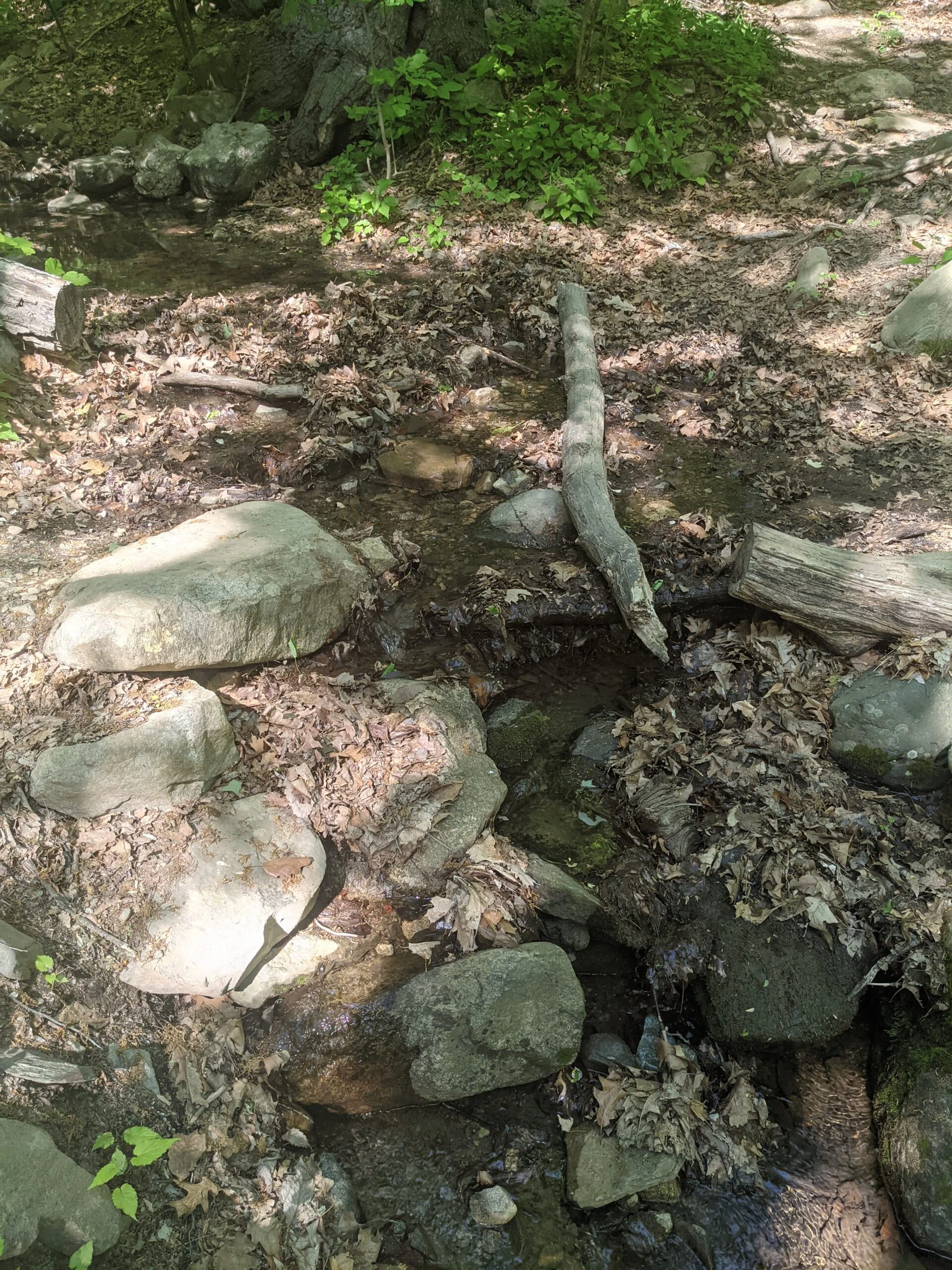
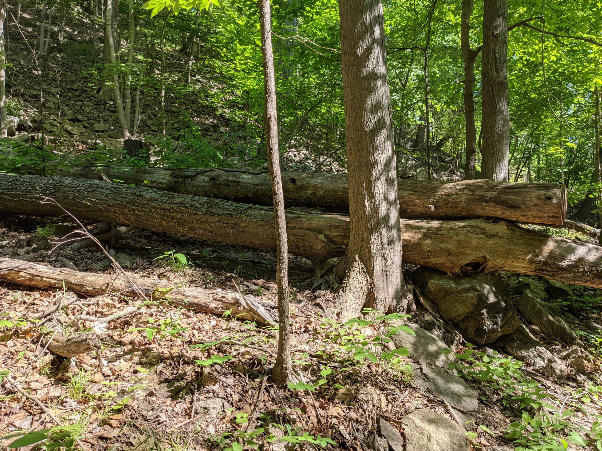
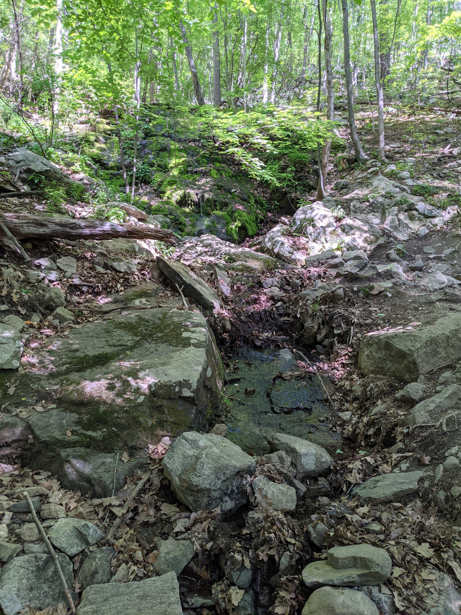
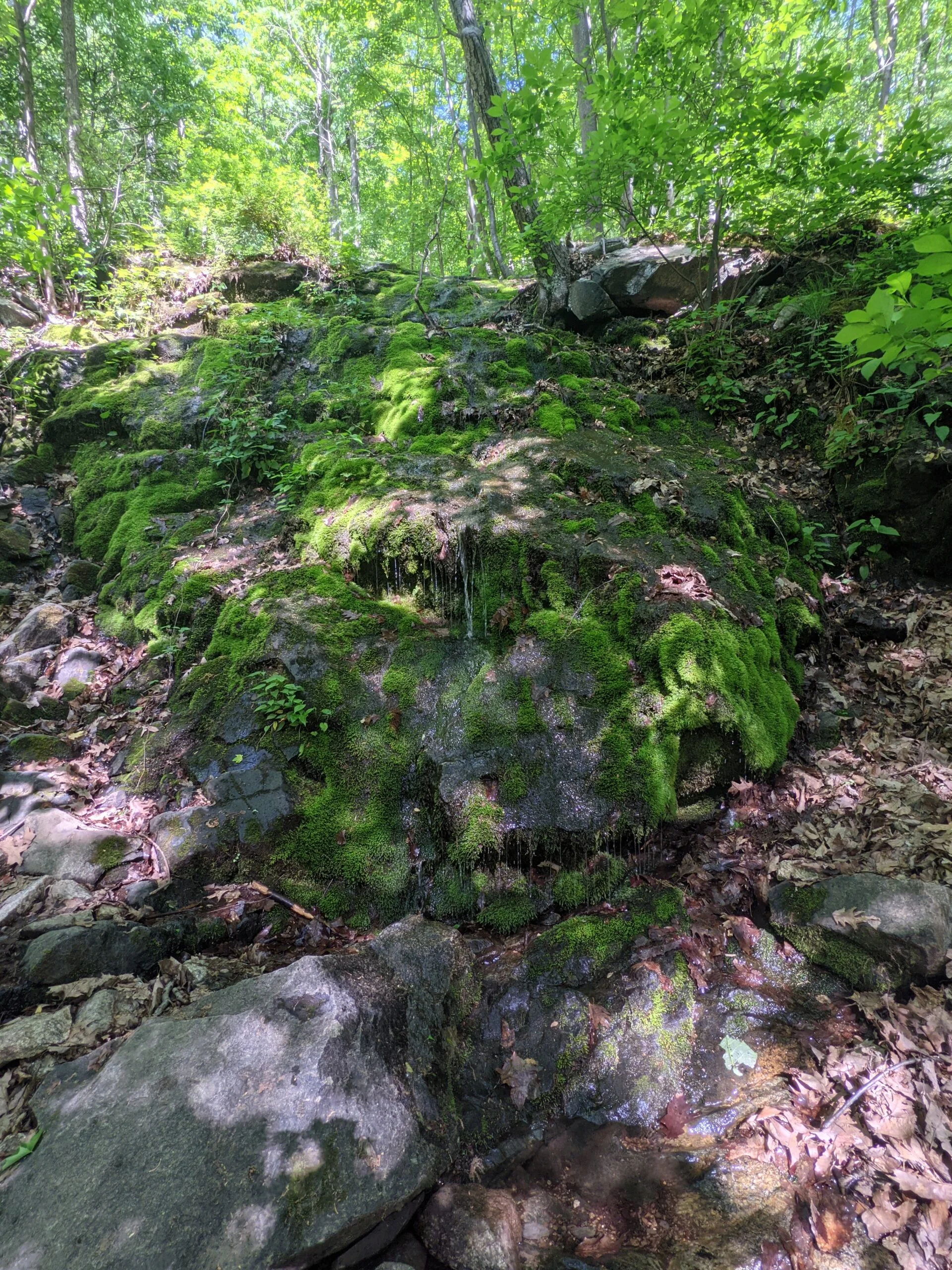
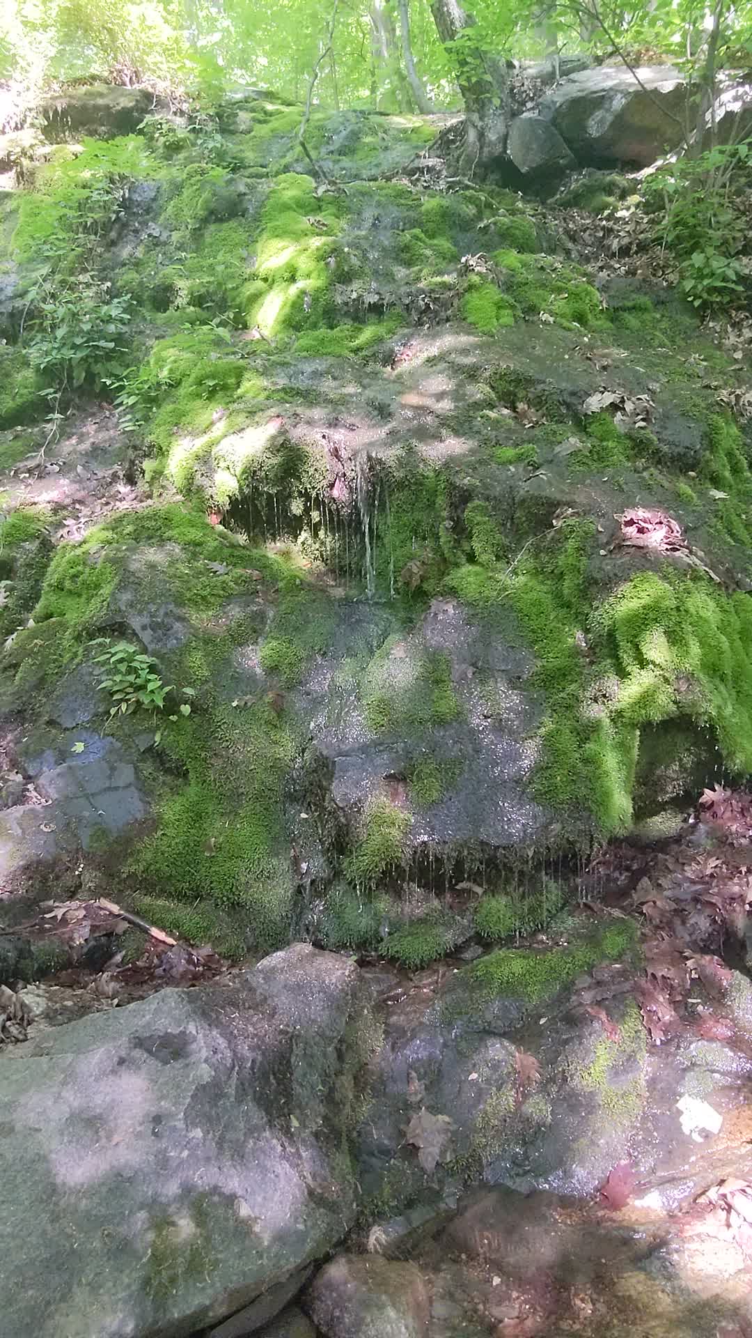
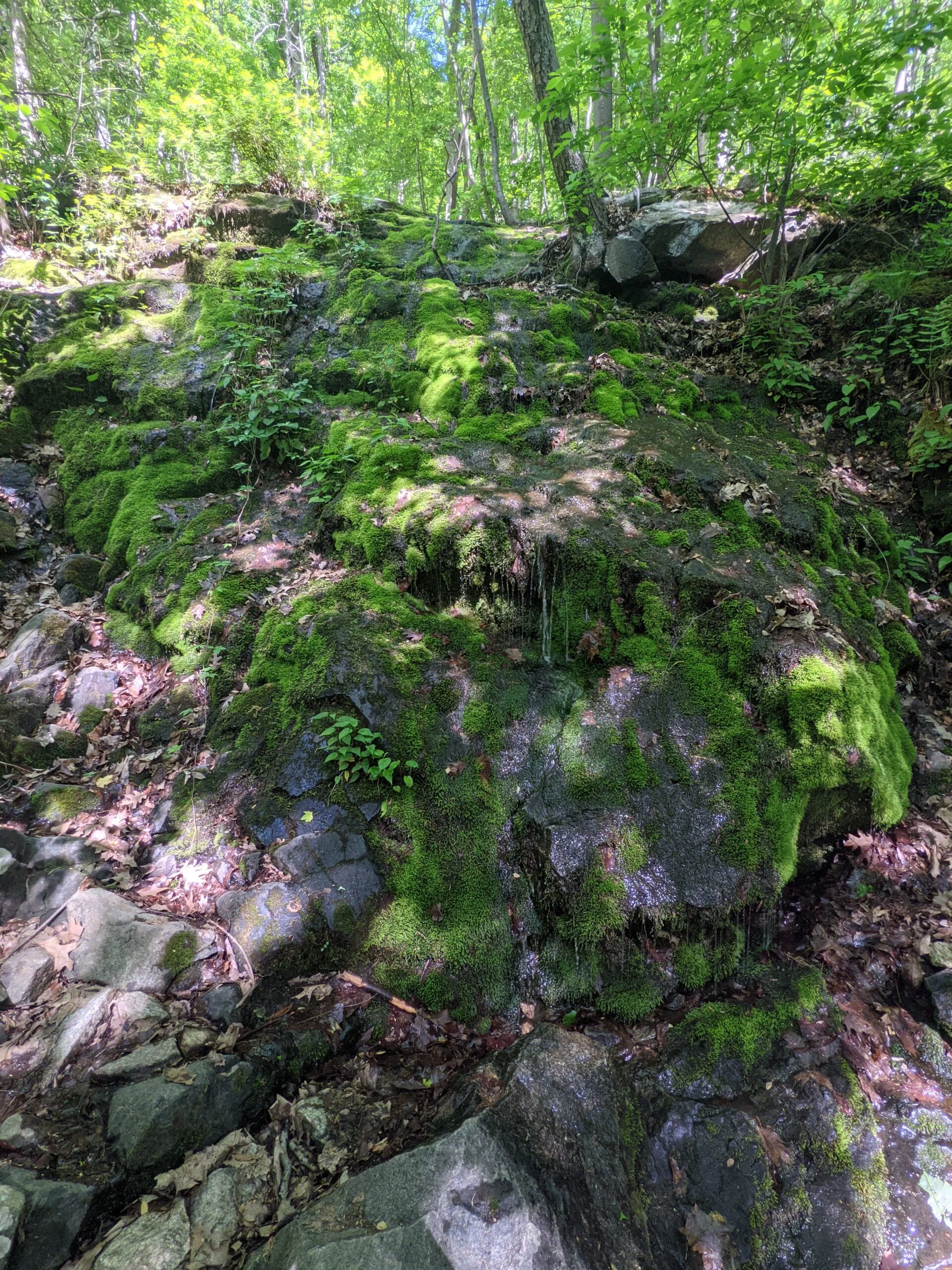
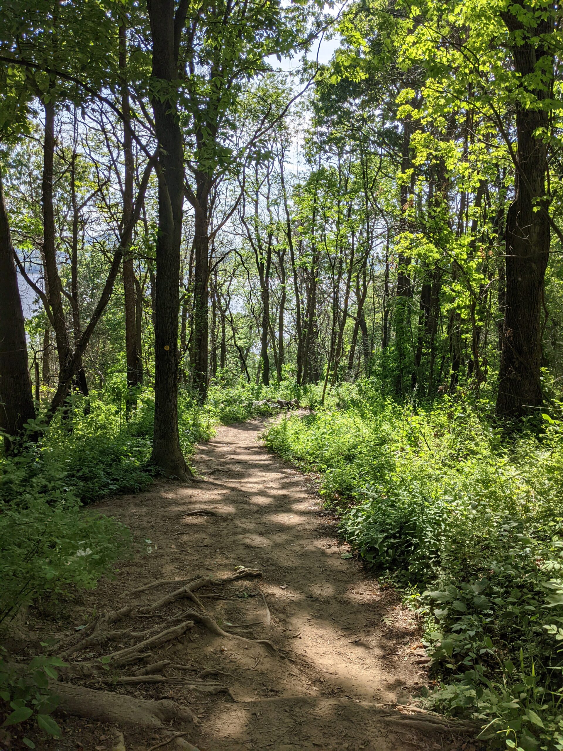
Around the 2 mile mark, BR joins with the Notch trail (NT, blue blazes) and they both continue north to the actual Breakneck Ridge, around the 2.5 mile mark. I wasn’t able to see much from here though, as I was in an interior, wooded section of the park. At the 3.5 mile mark, BR and NT split apart and I stayed on BR, heading toward the fire tower. This was a pretty lush area of a the park with a couple water crossings along the way.
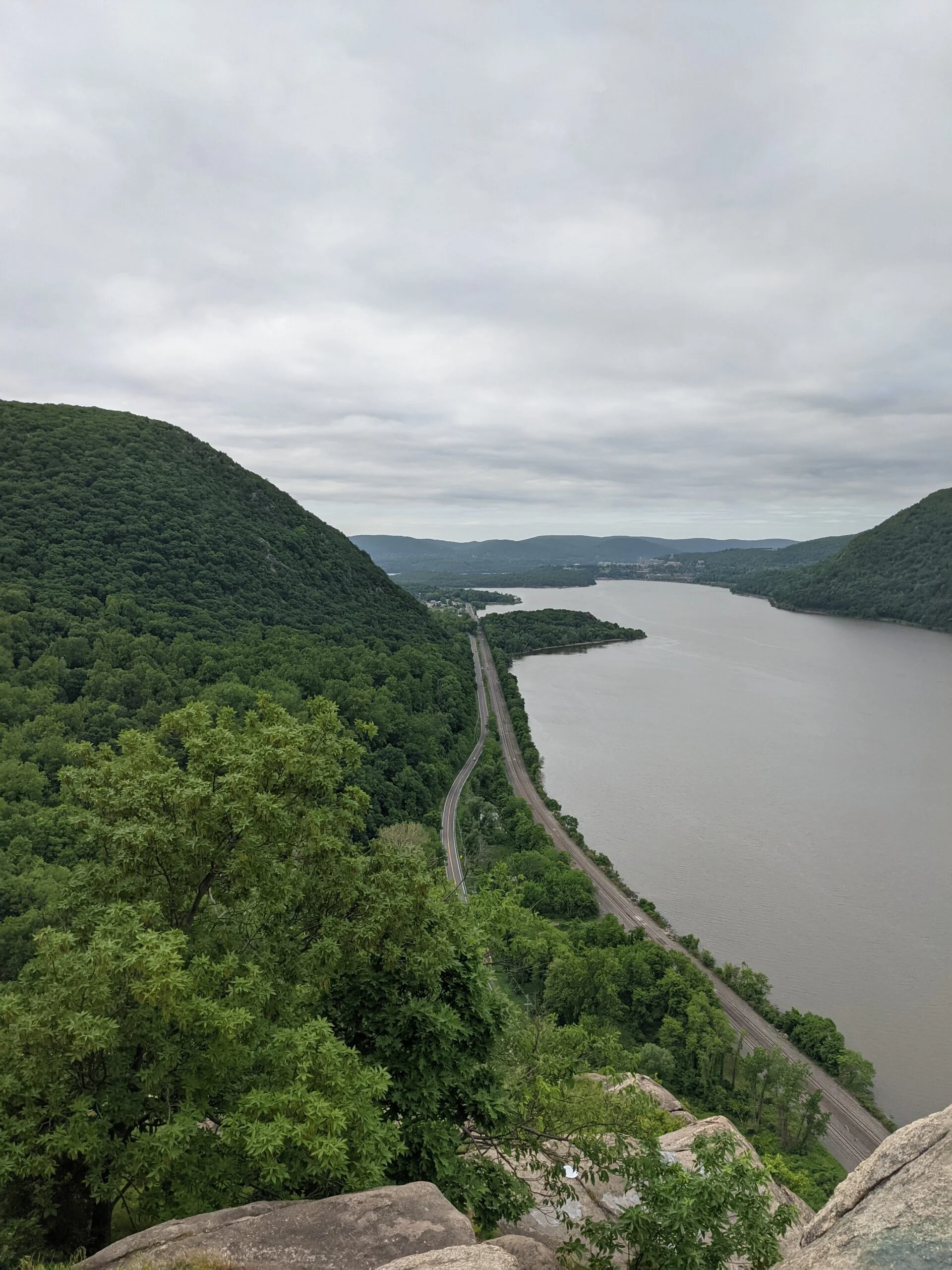
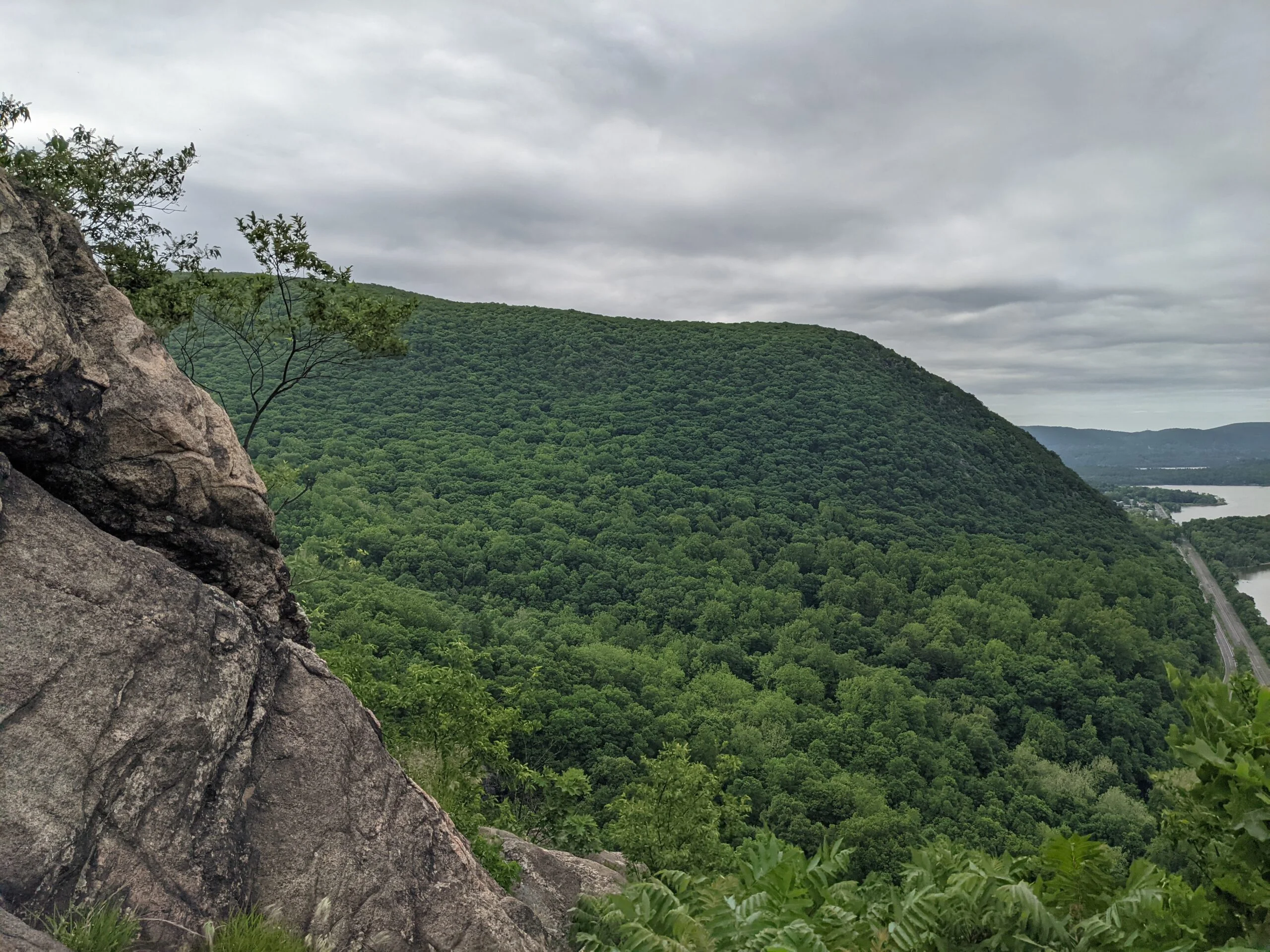
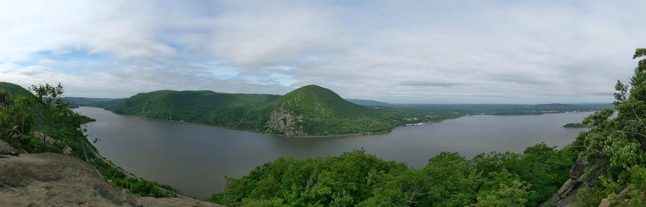
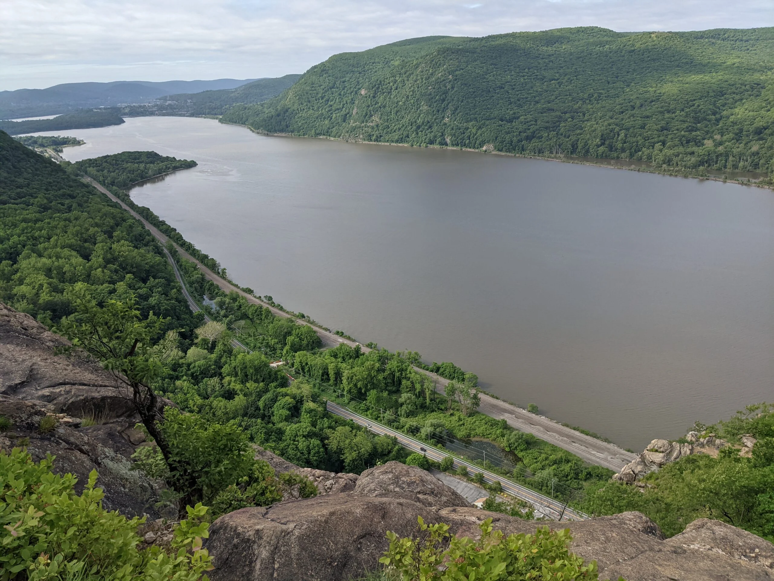
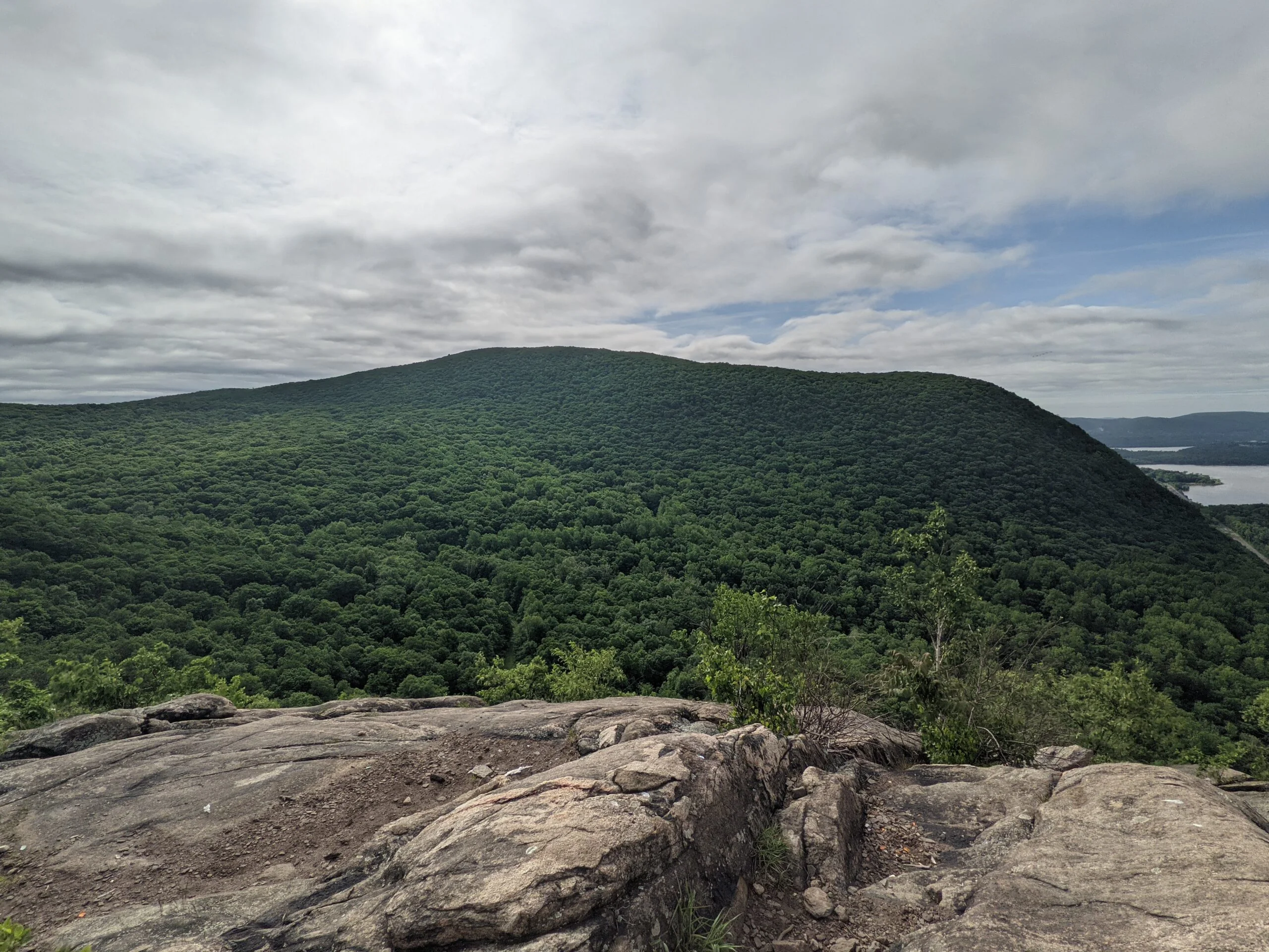
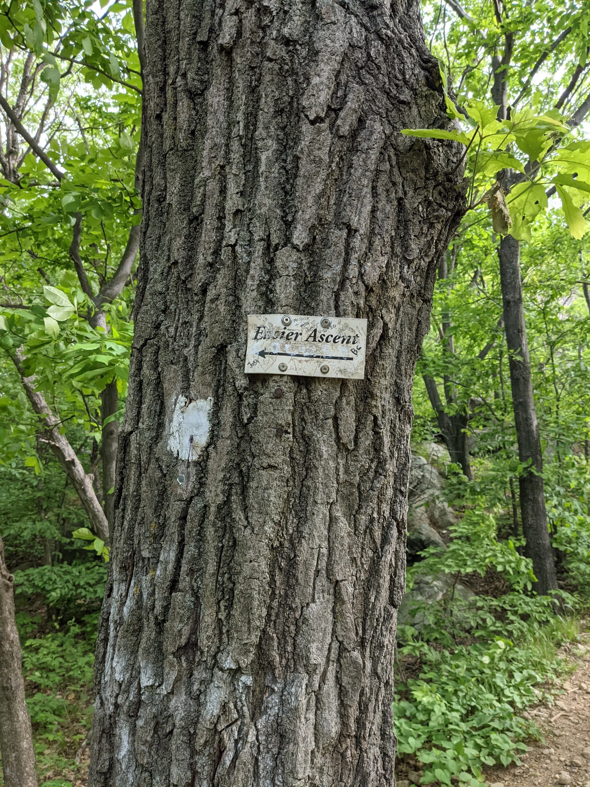
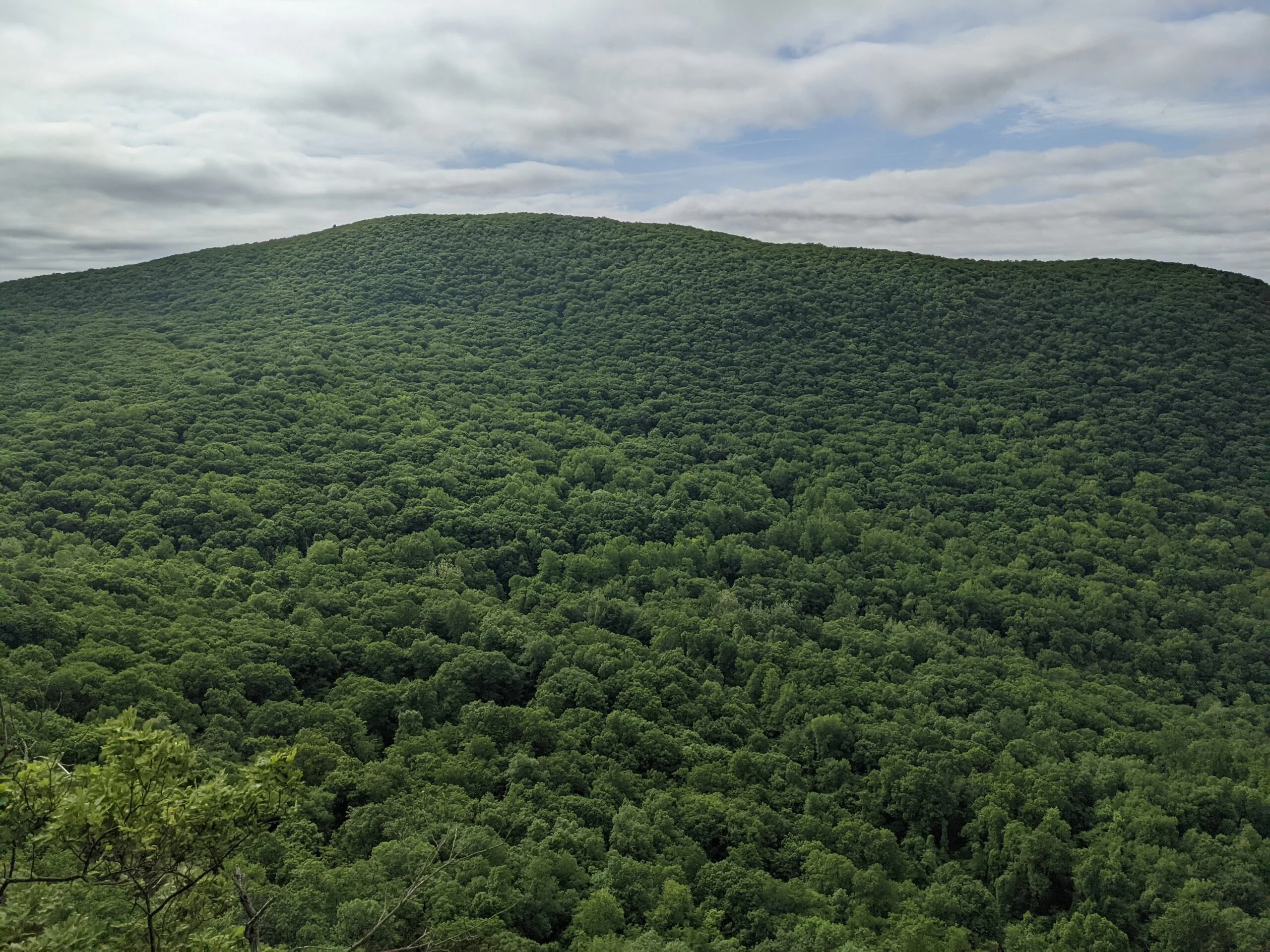
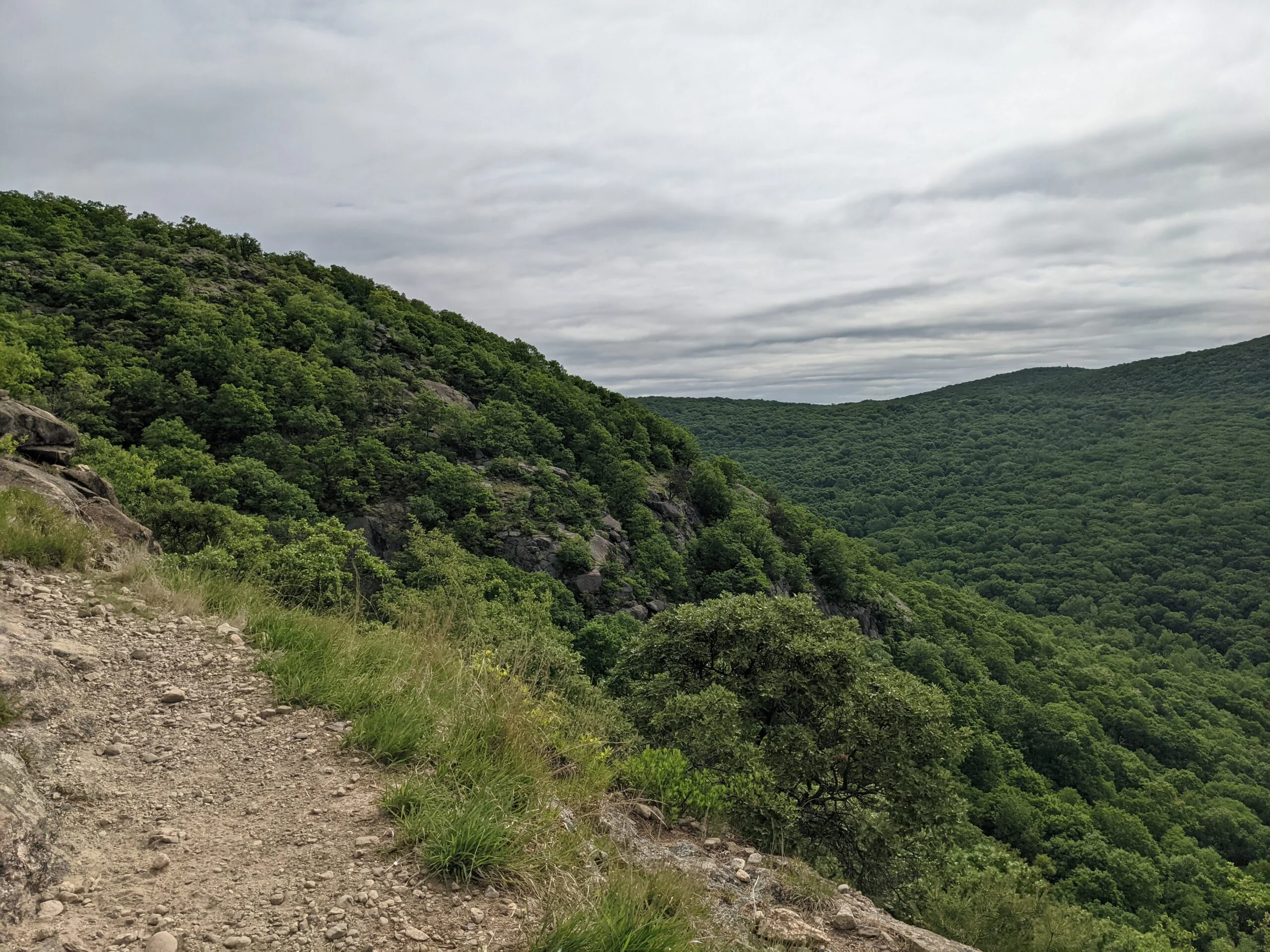
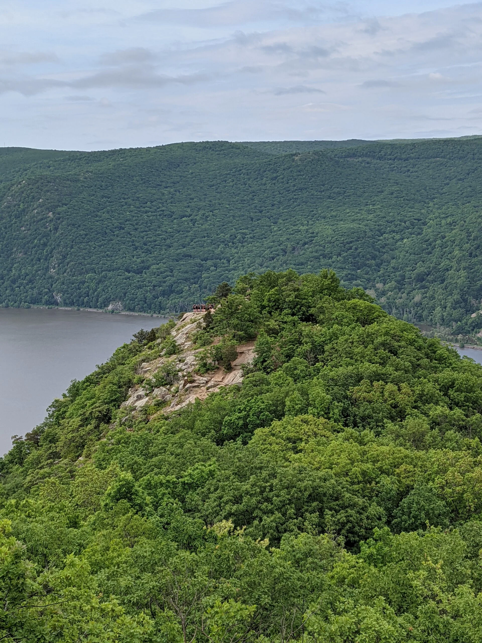
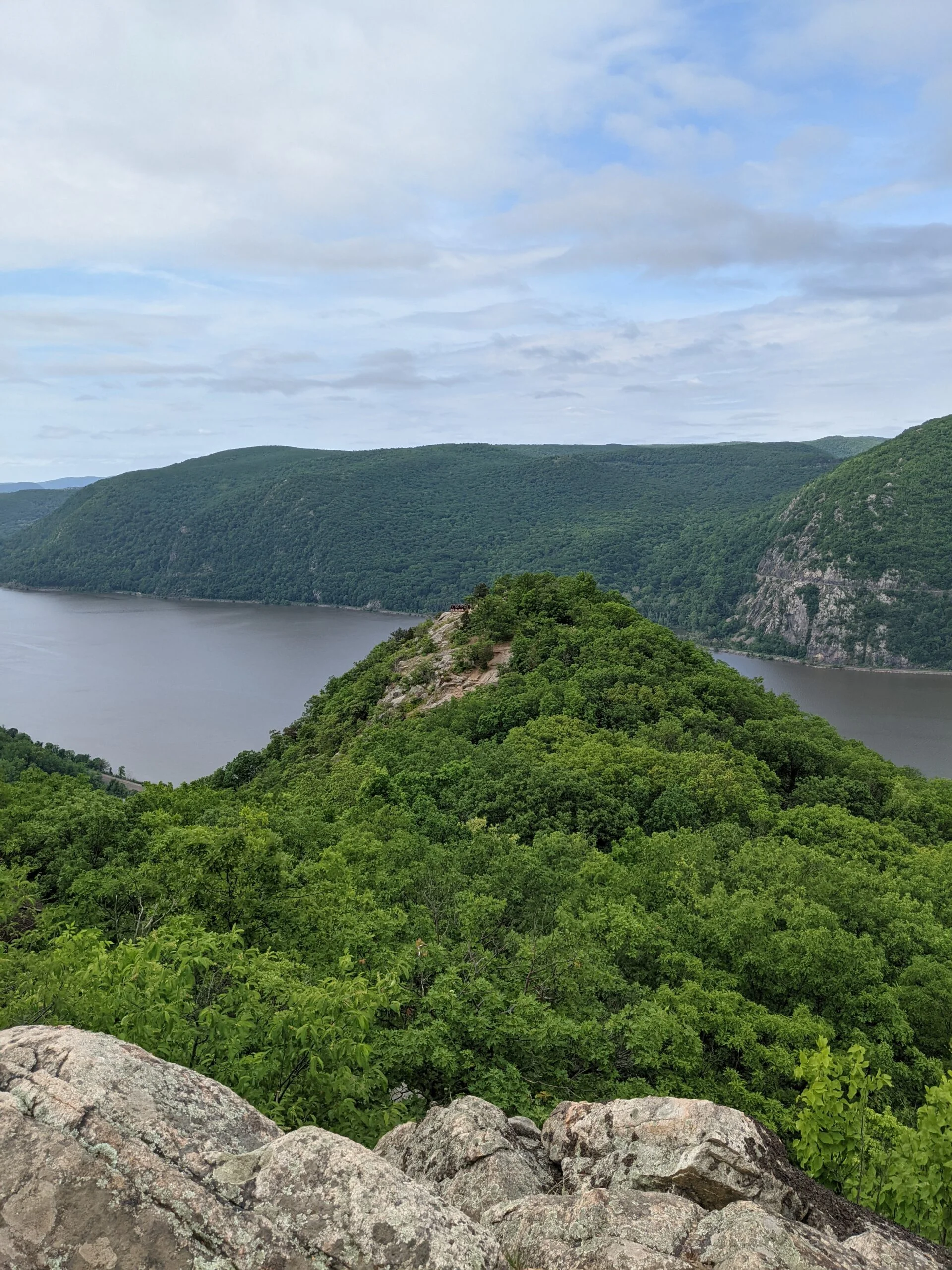
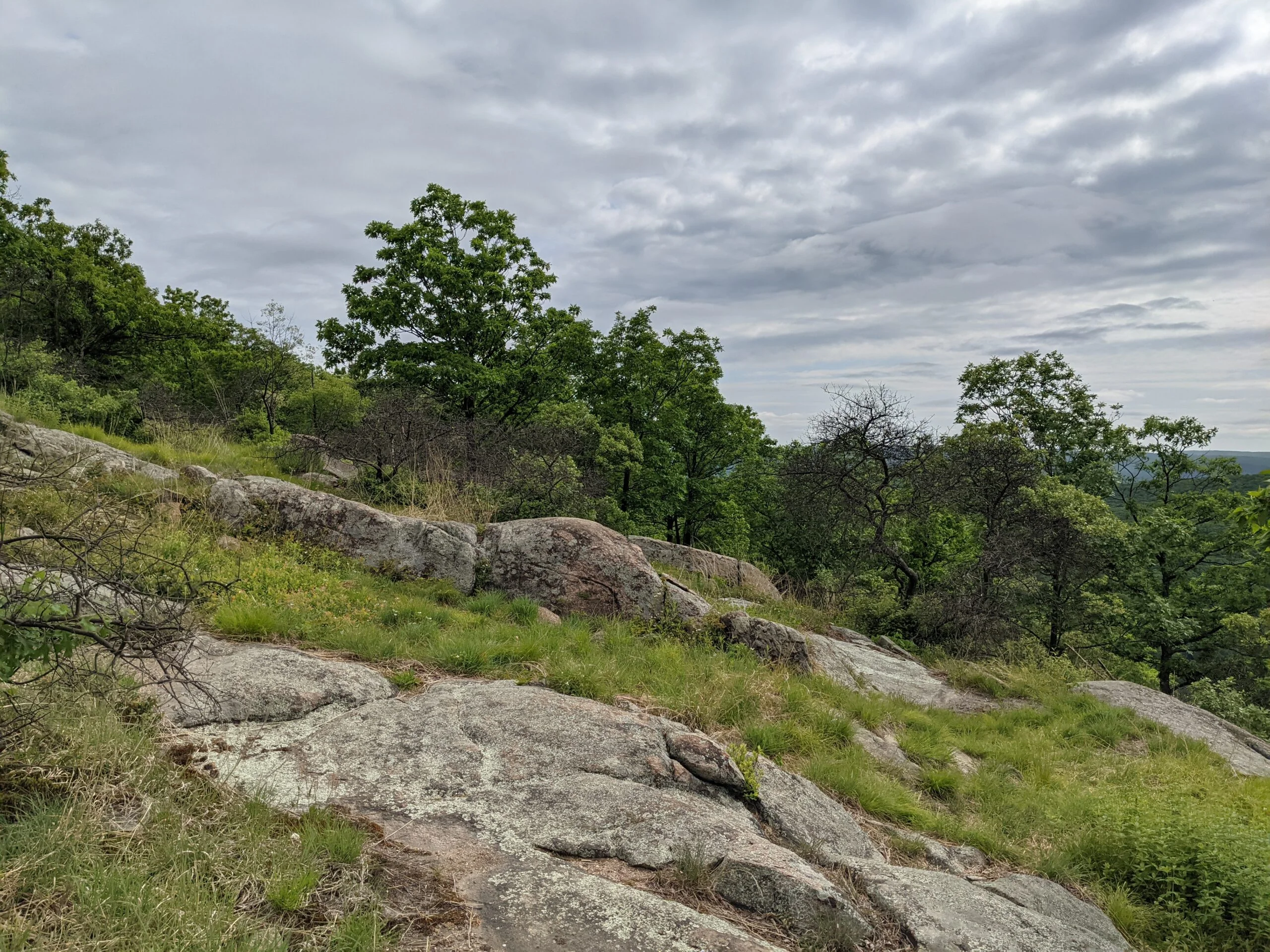
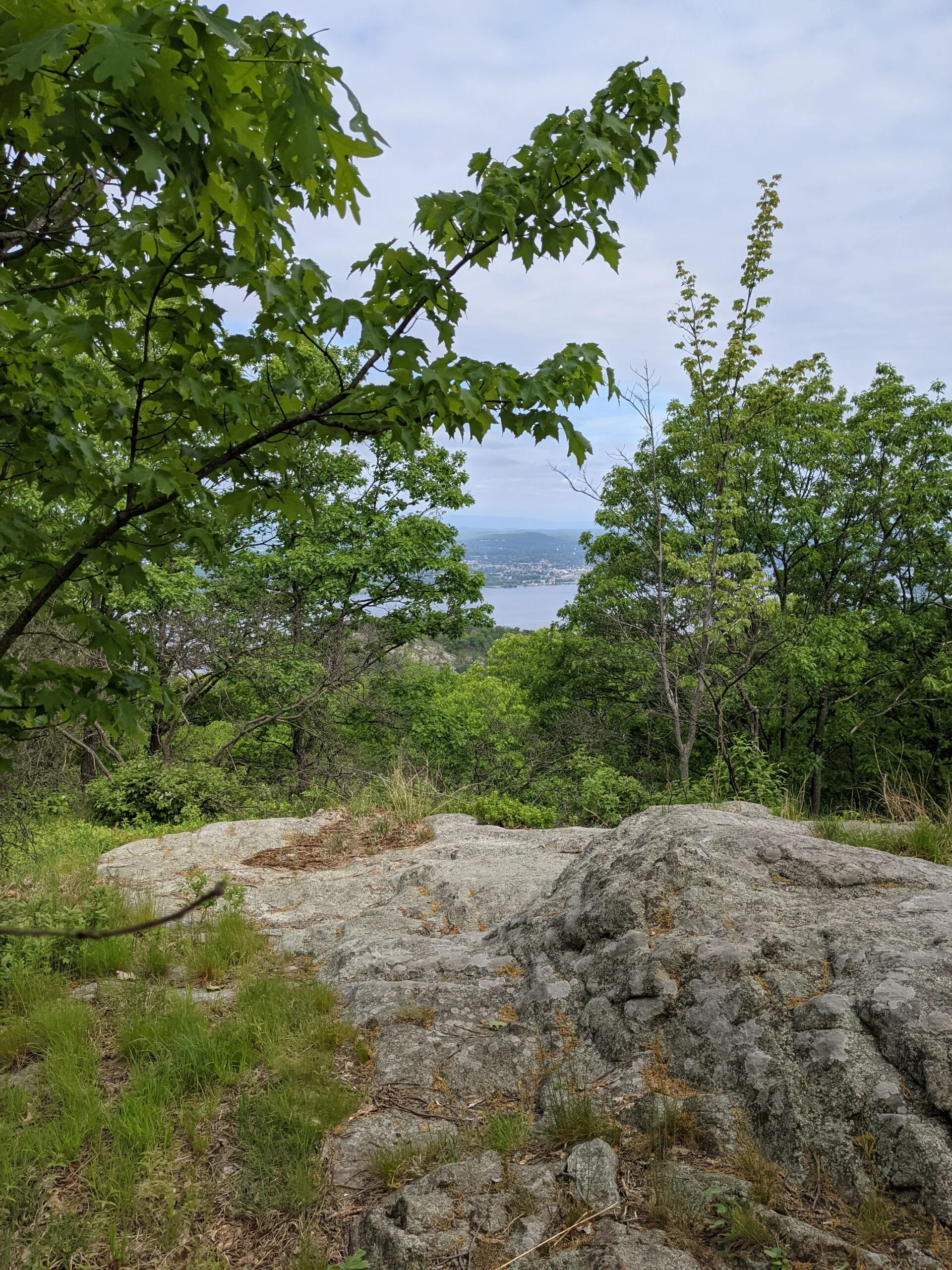
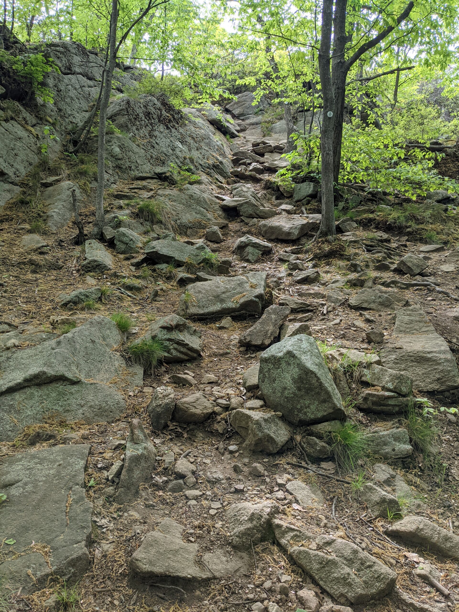
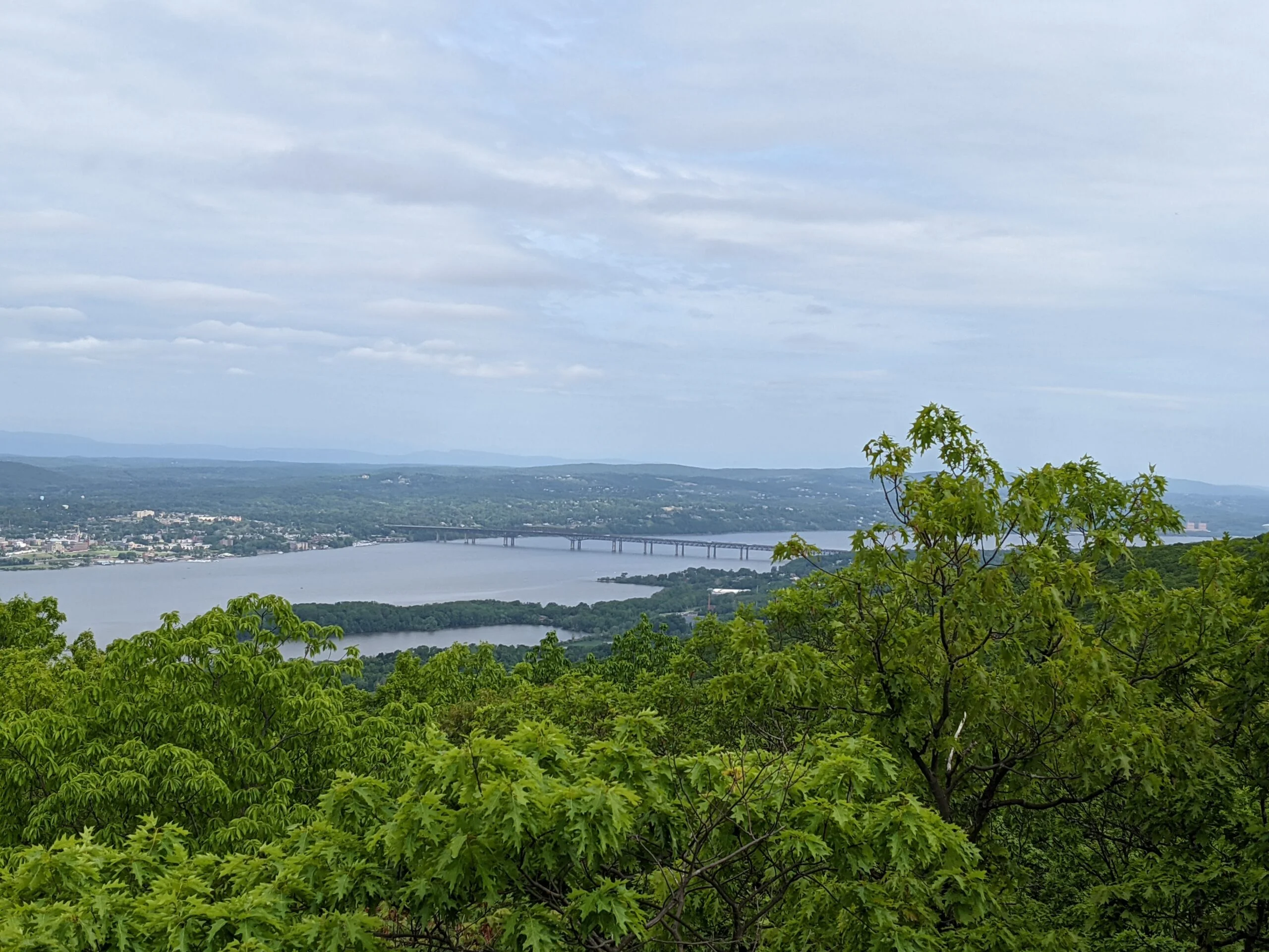
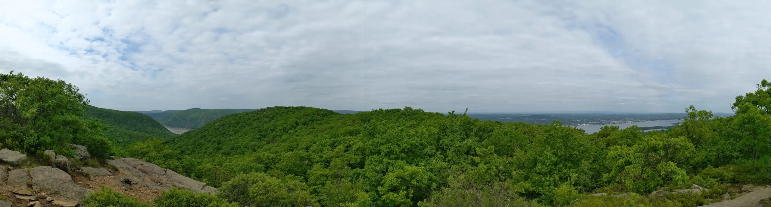
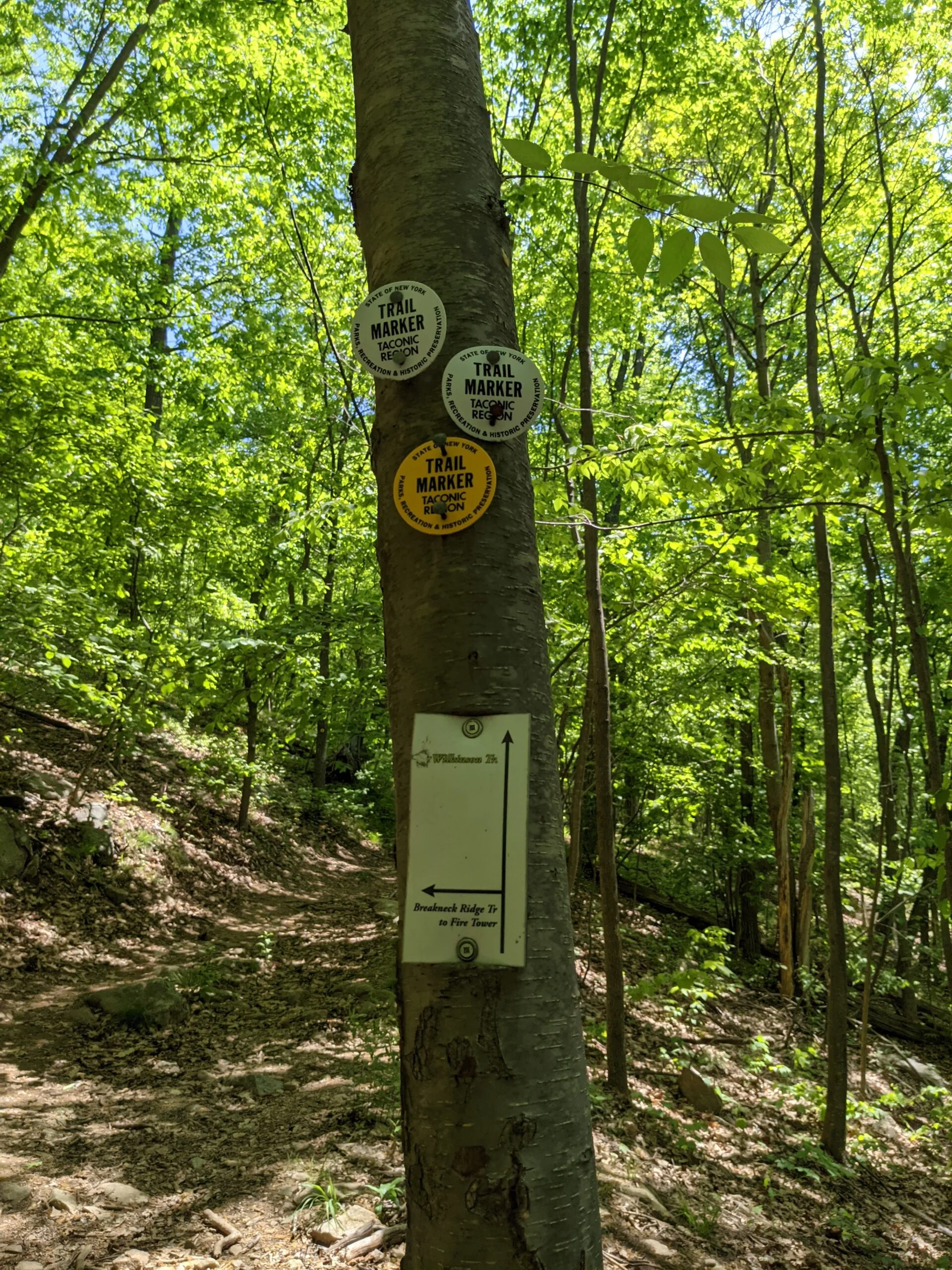
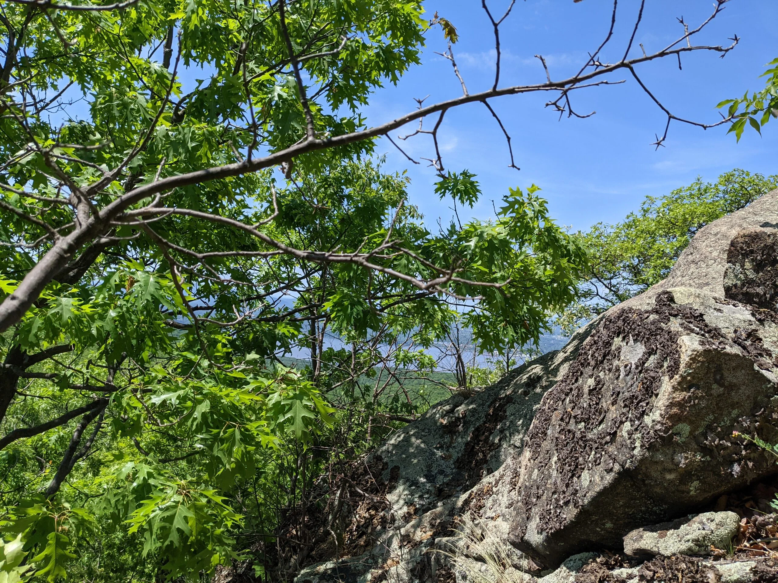
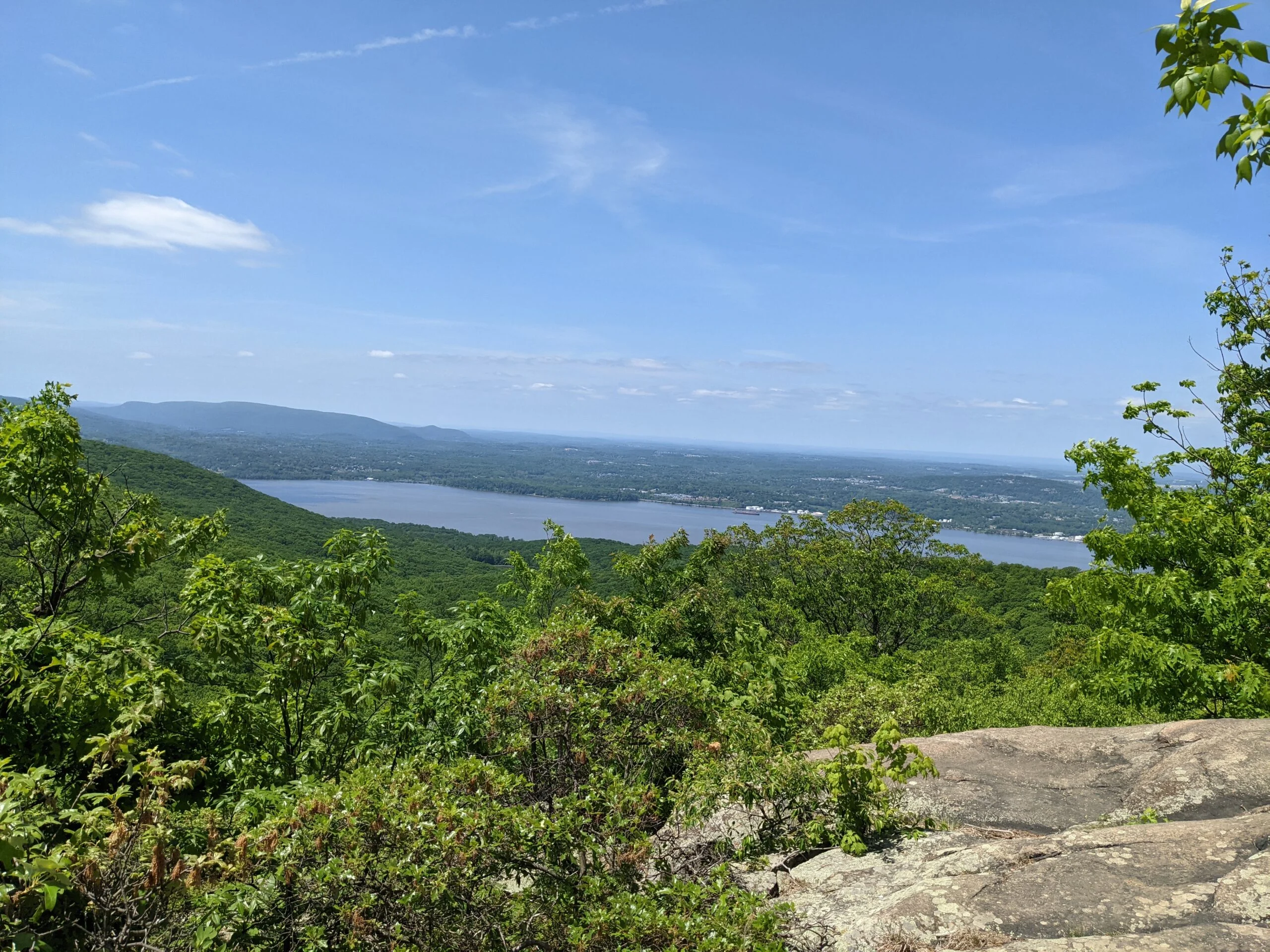
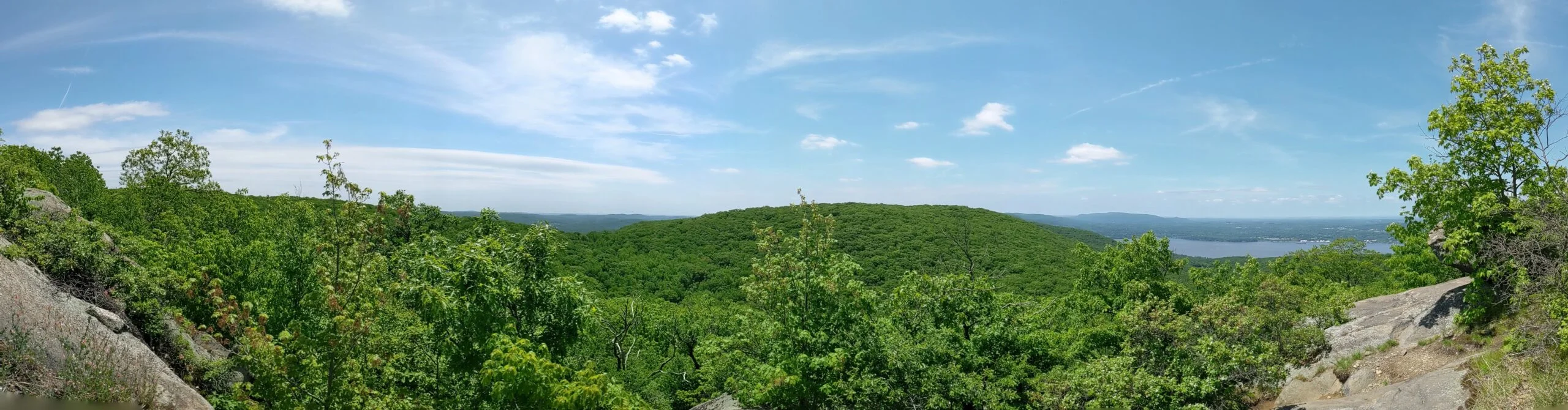
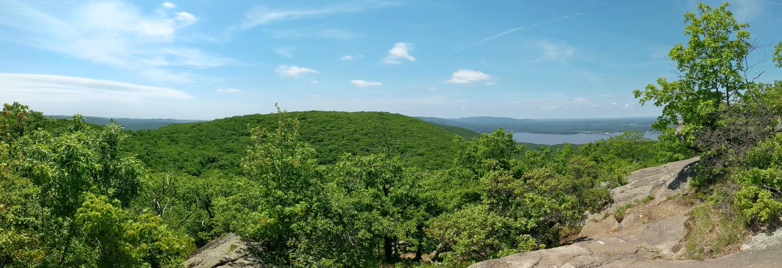
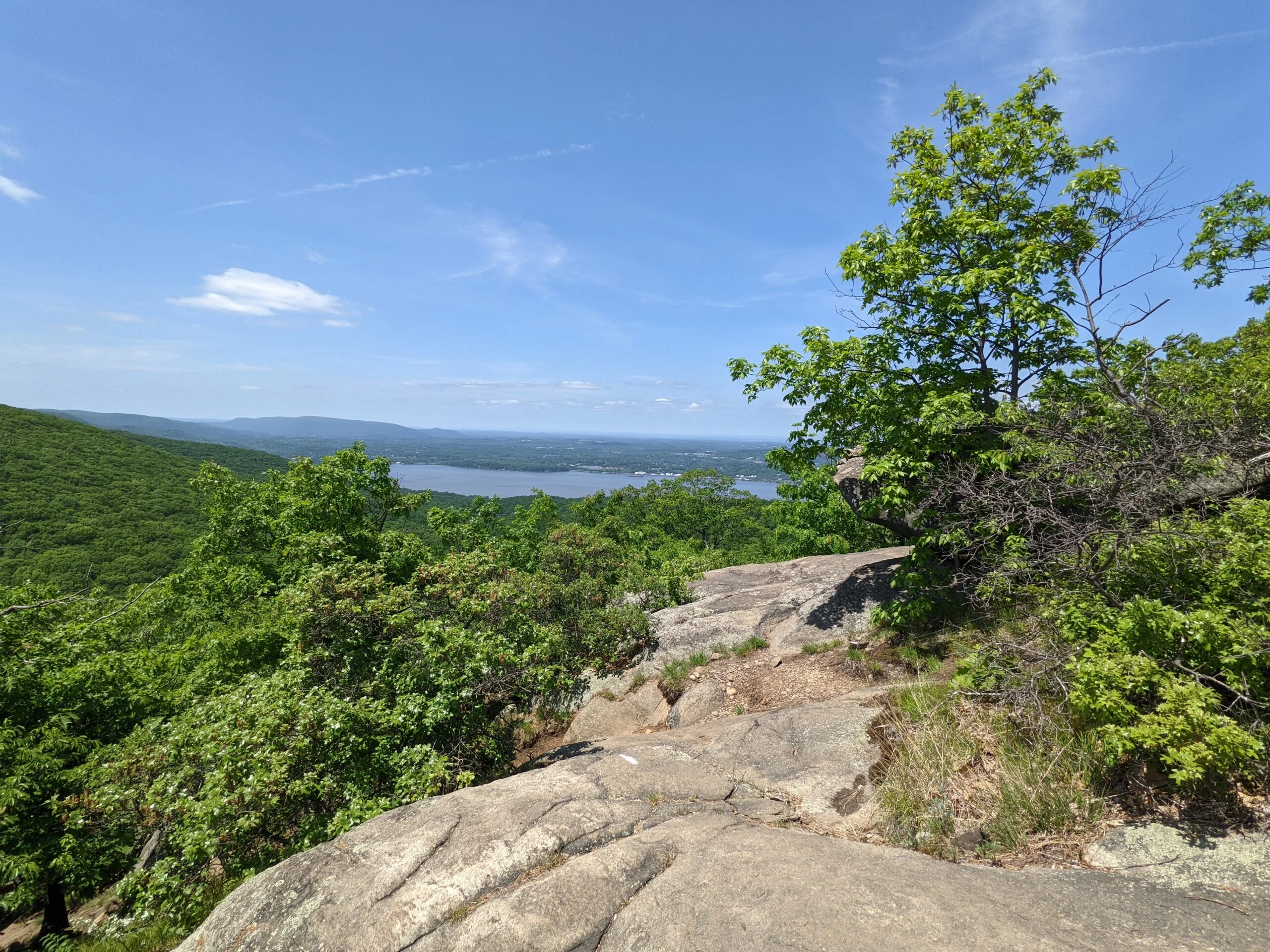
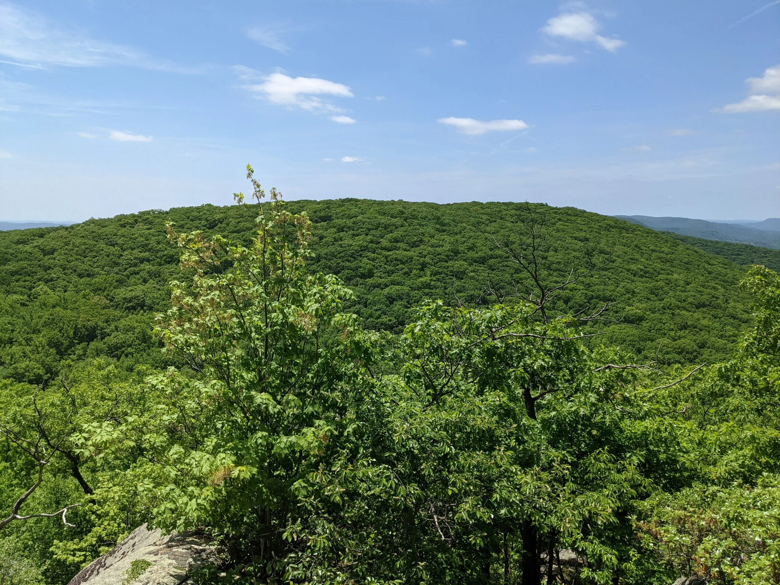
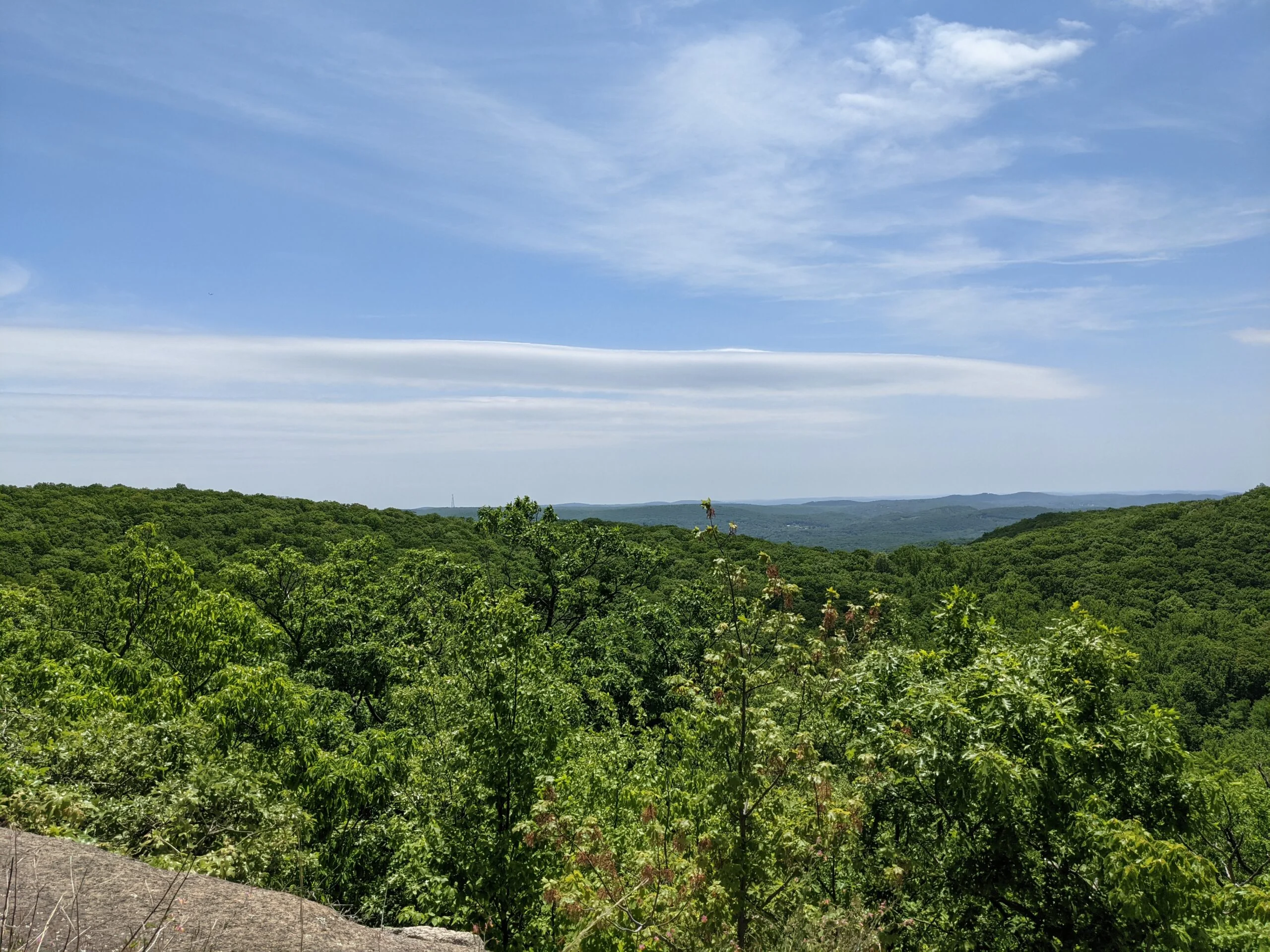
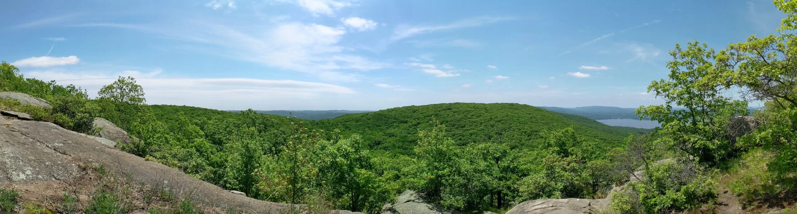
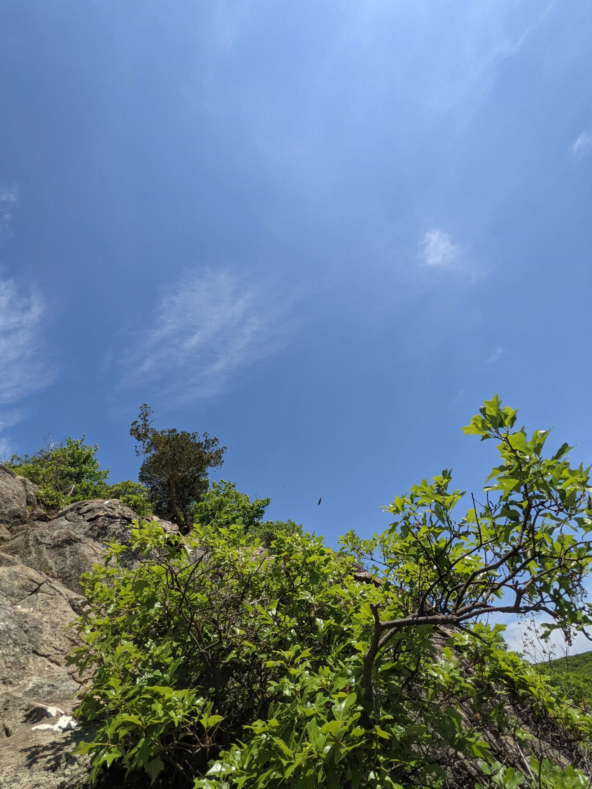
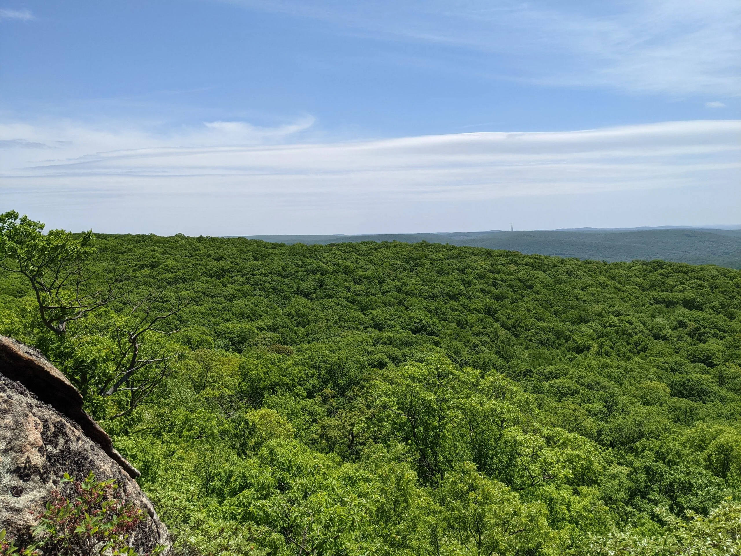
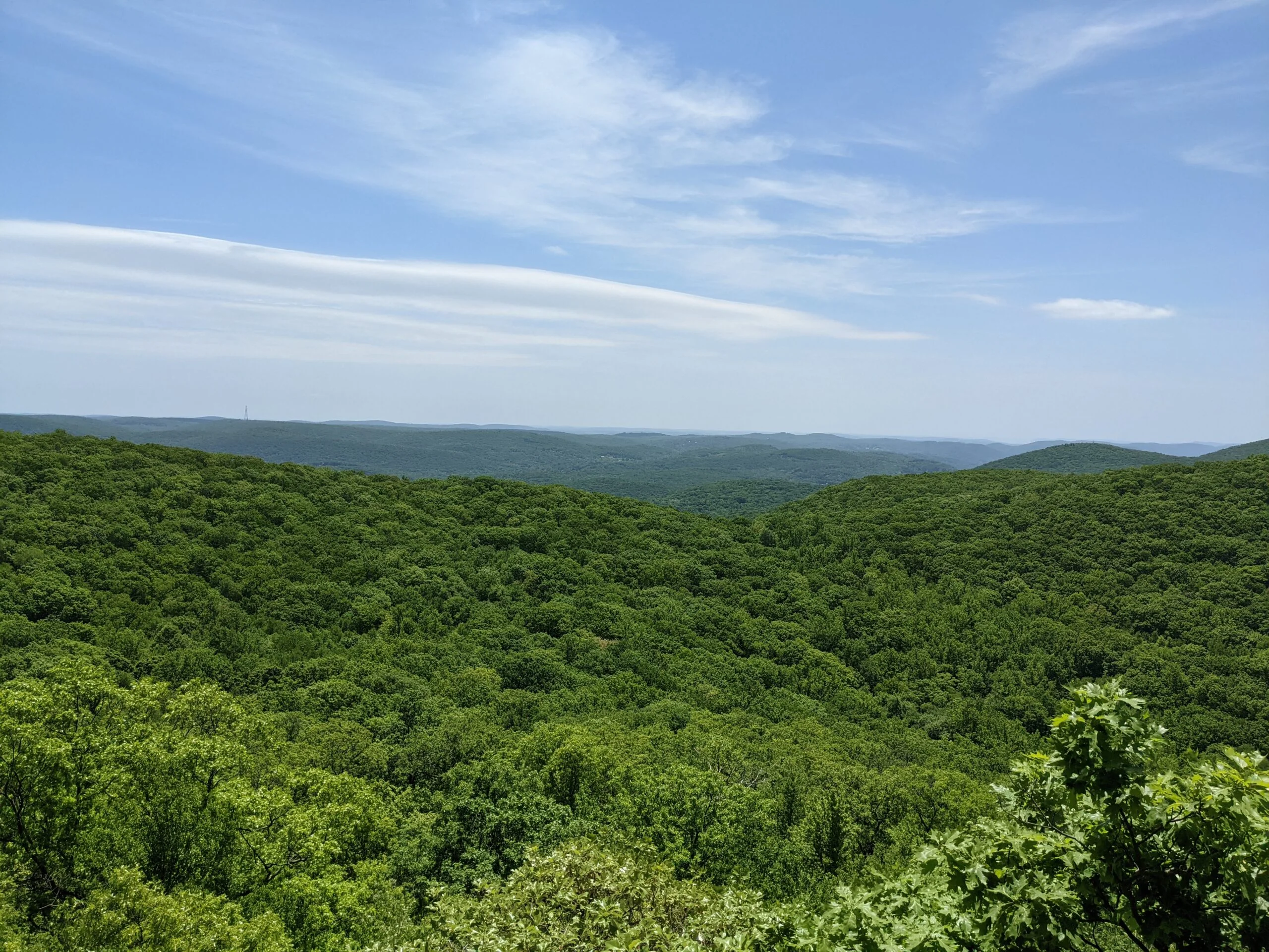
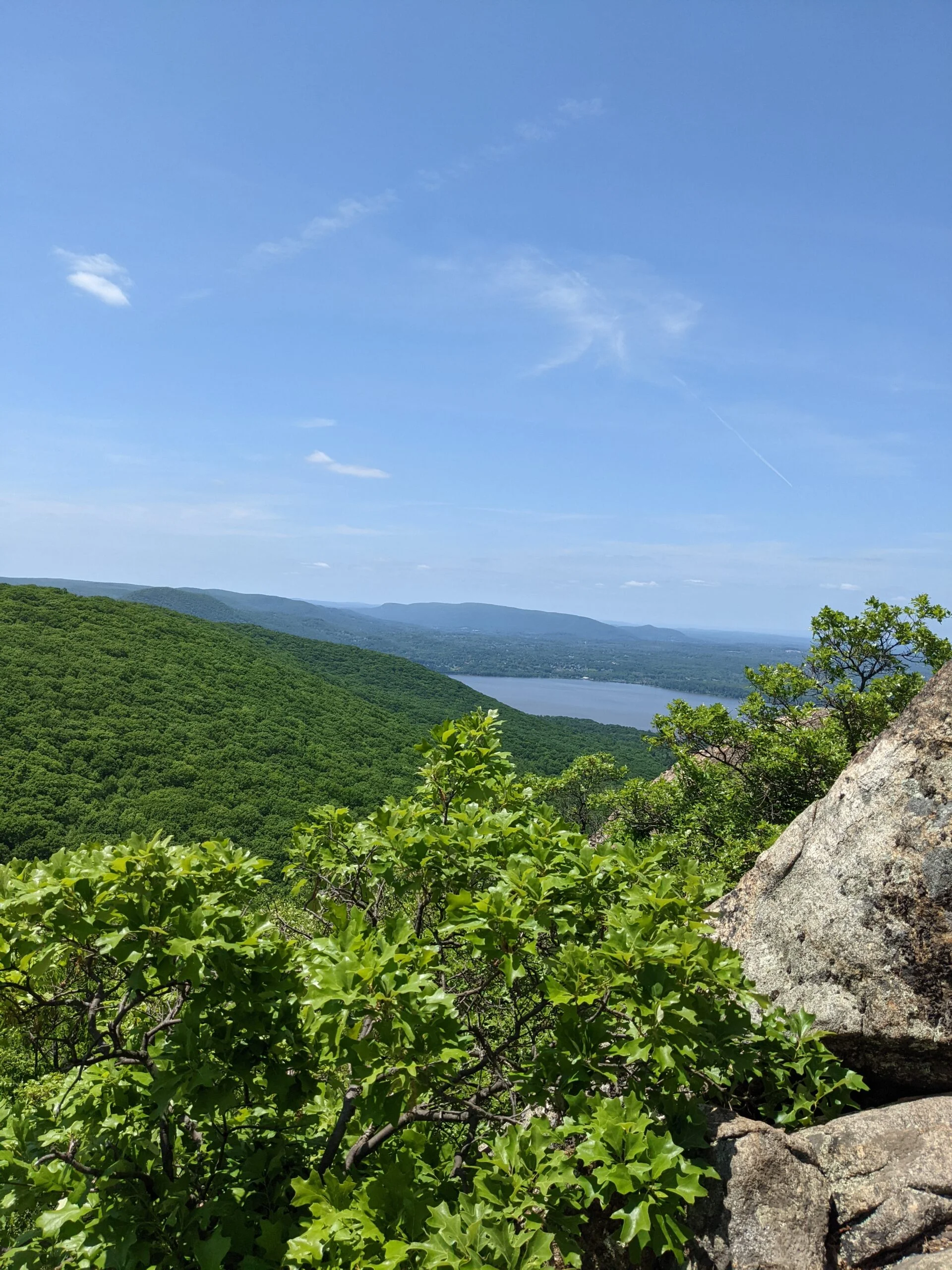
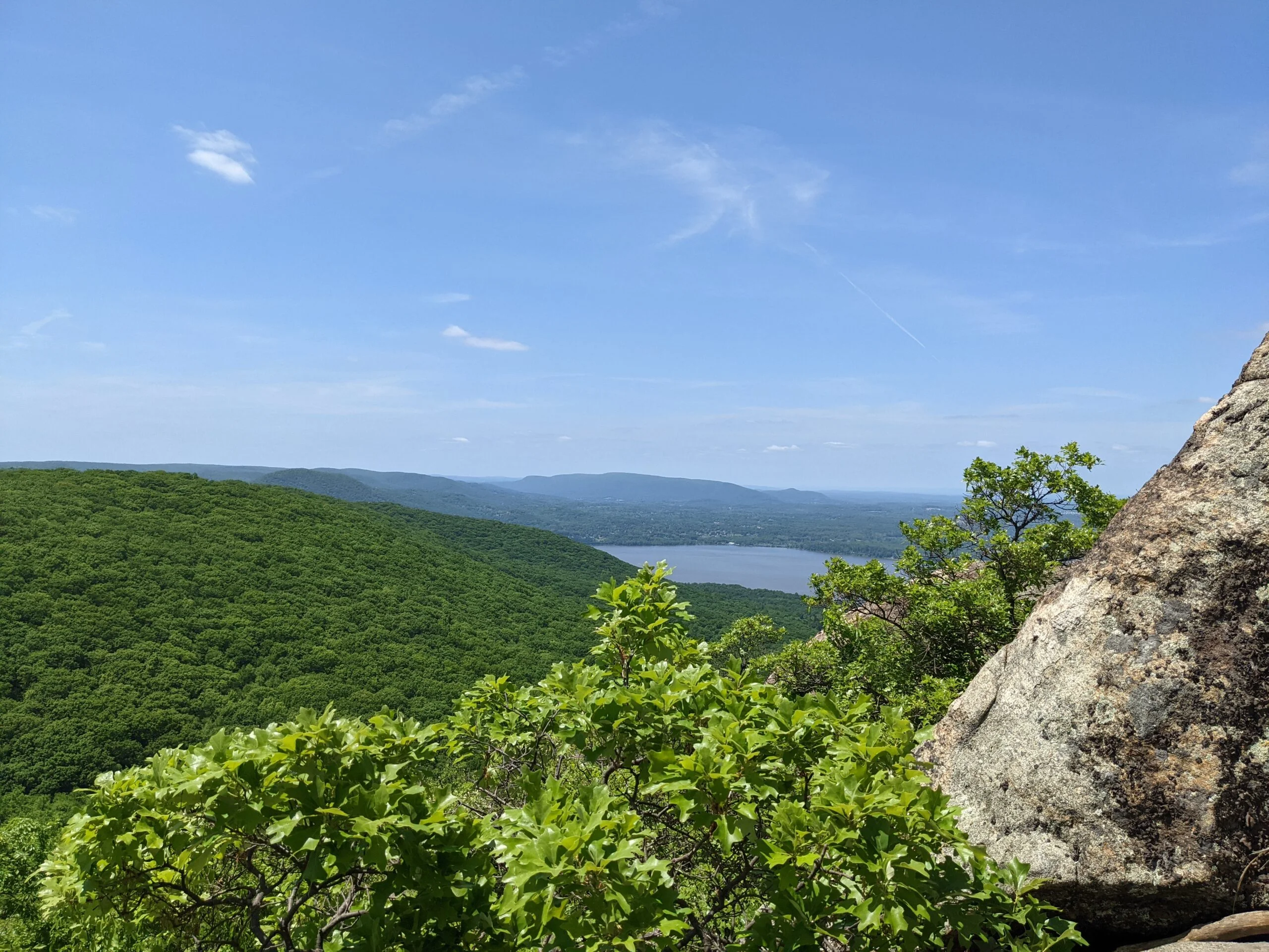
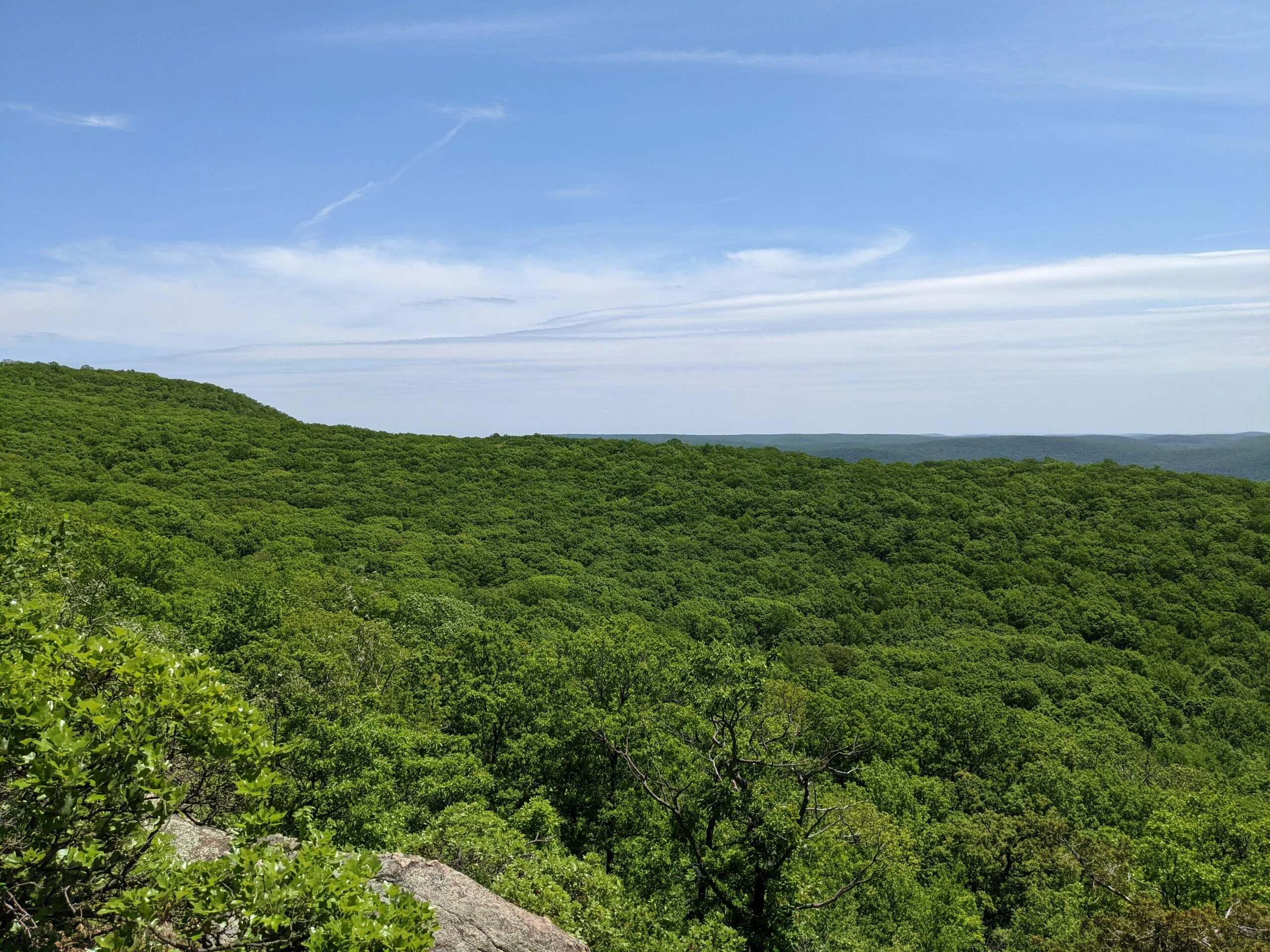
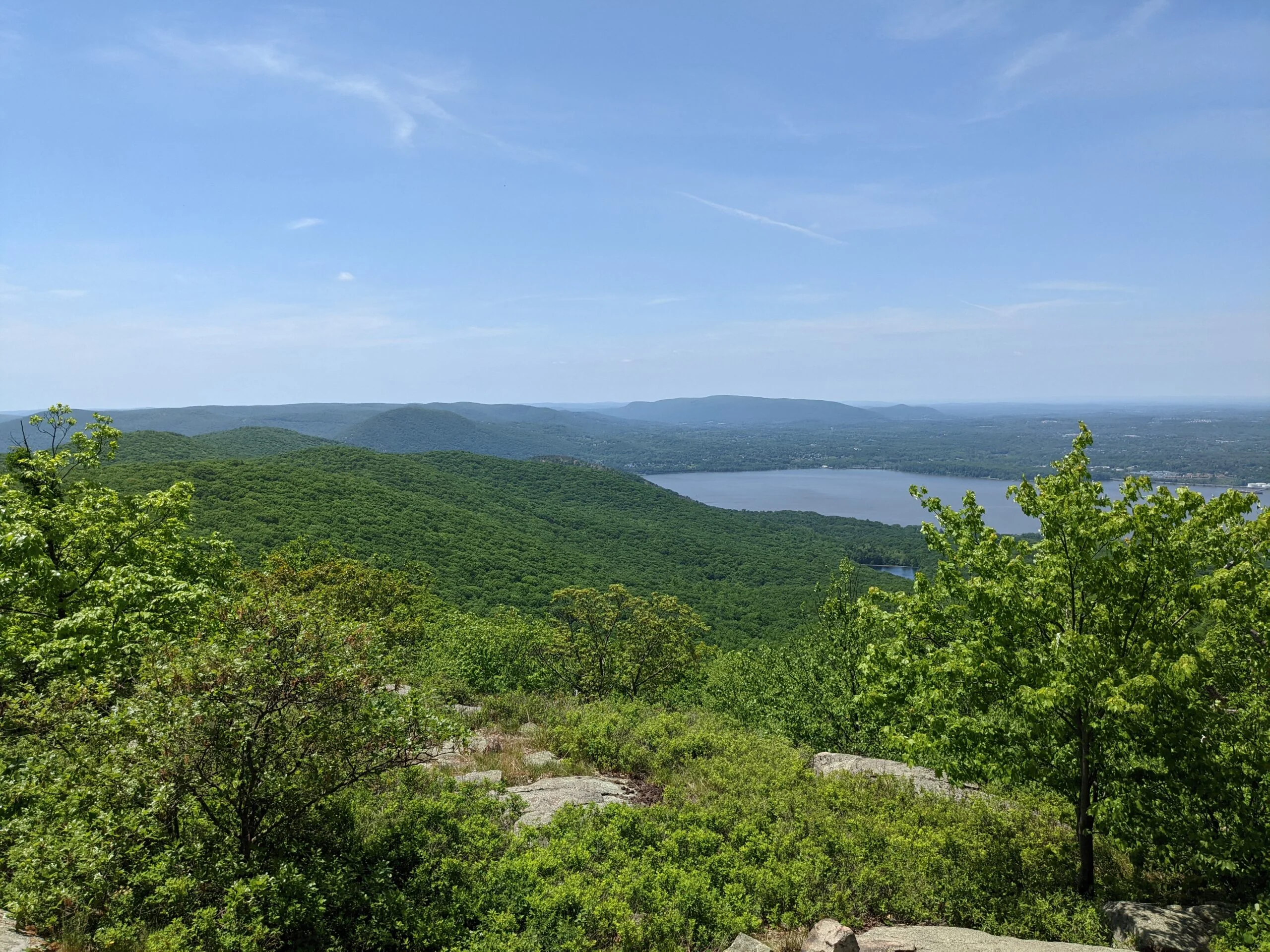
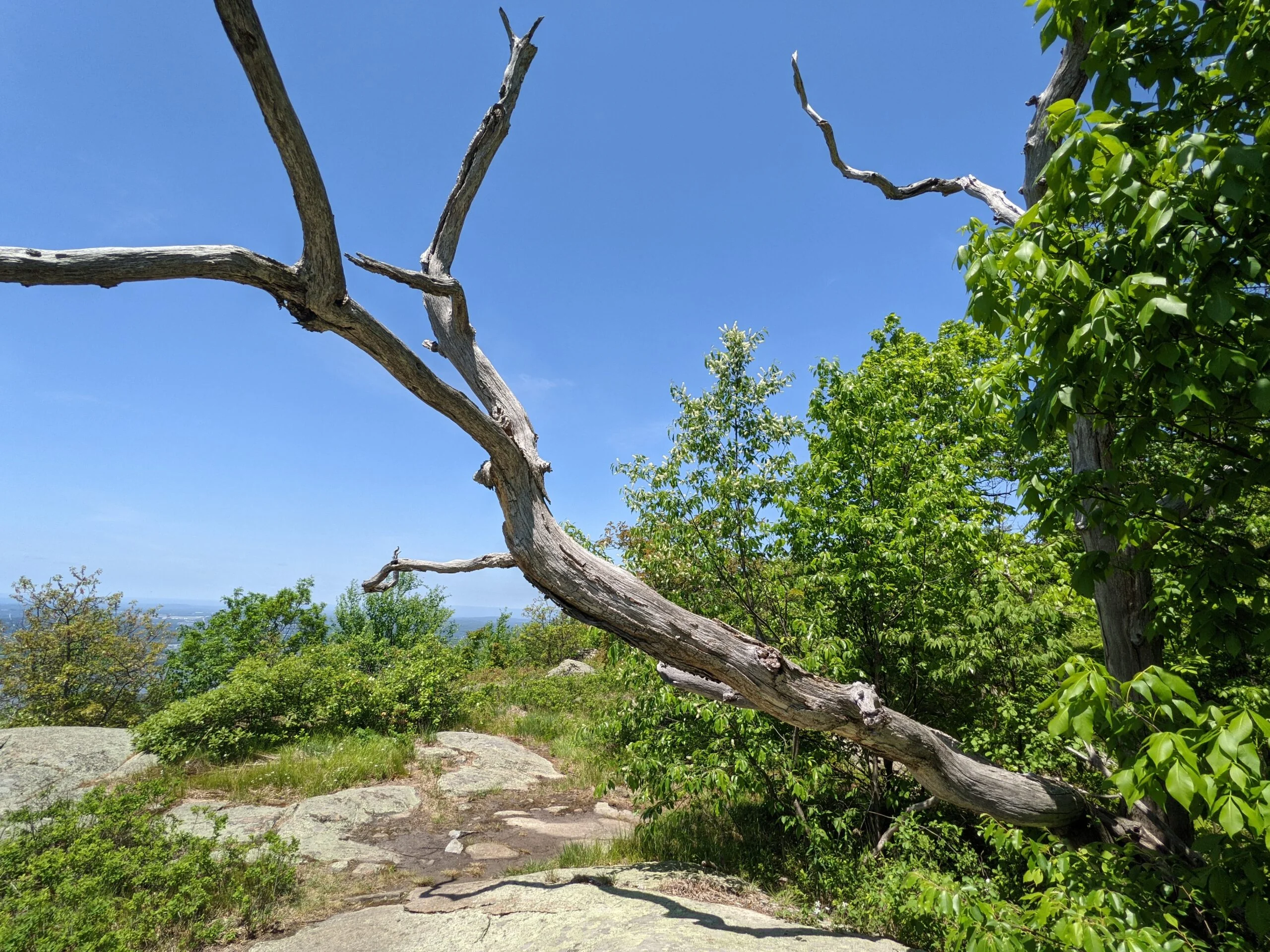
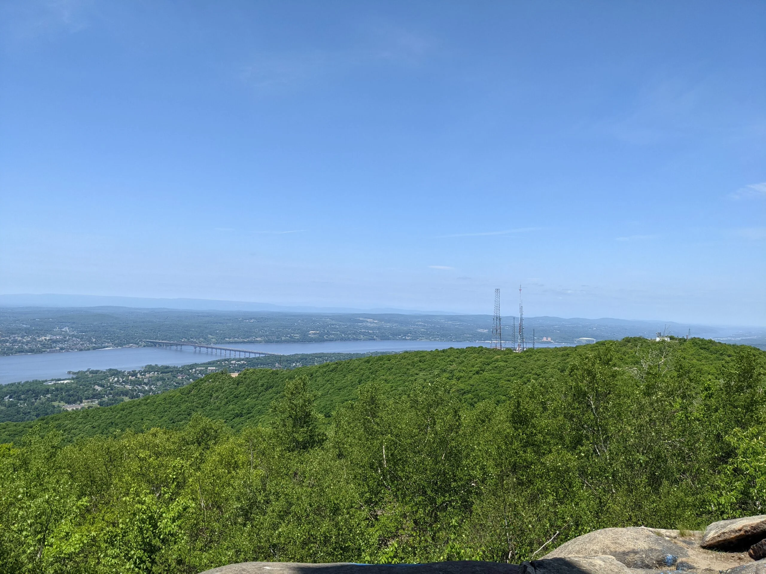
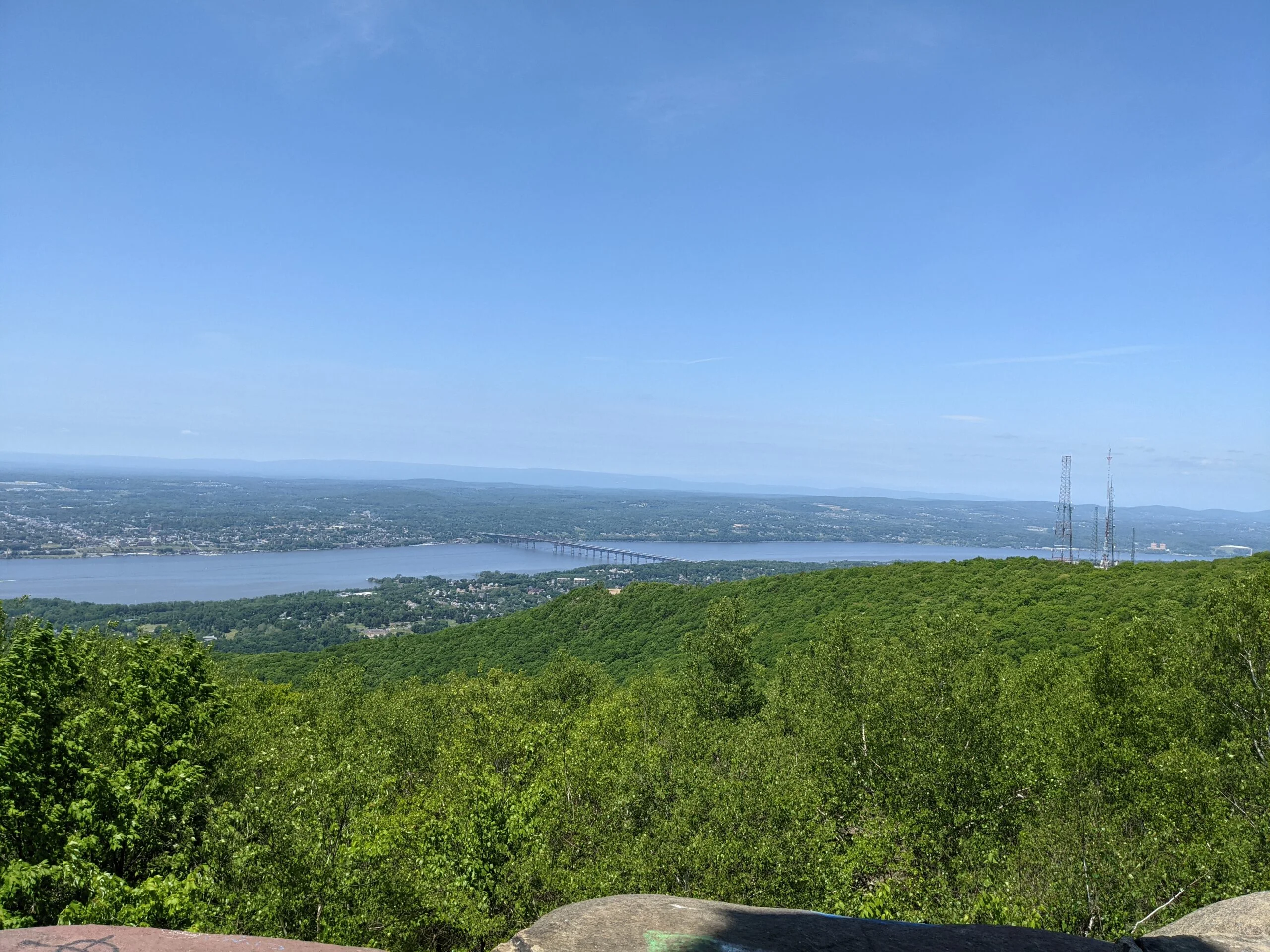
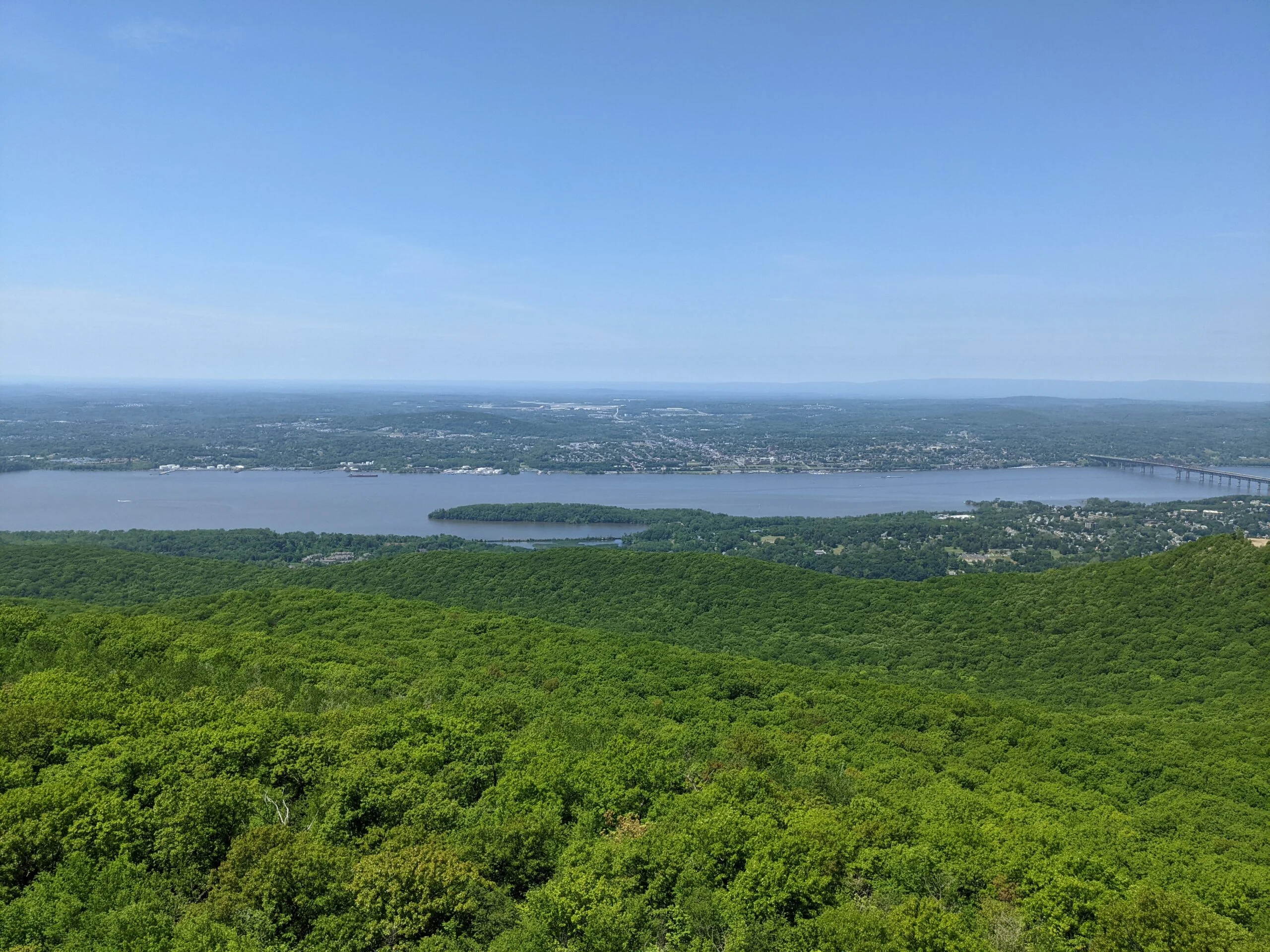
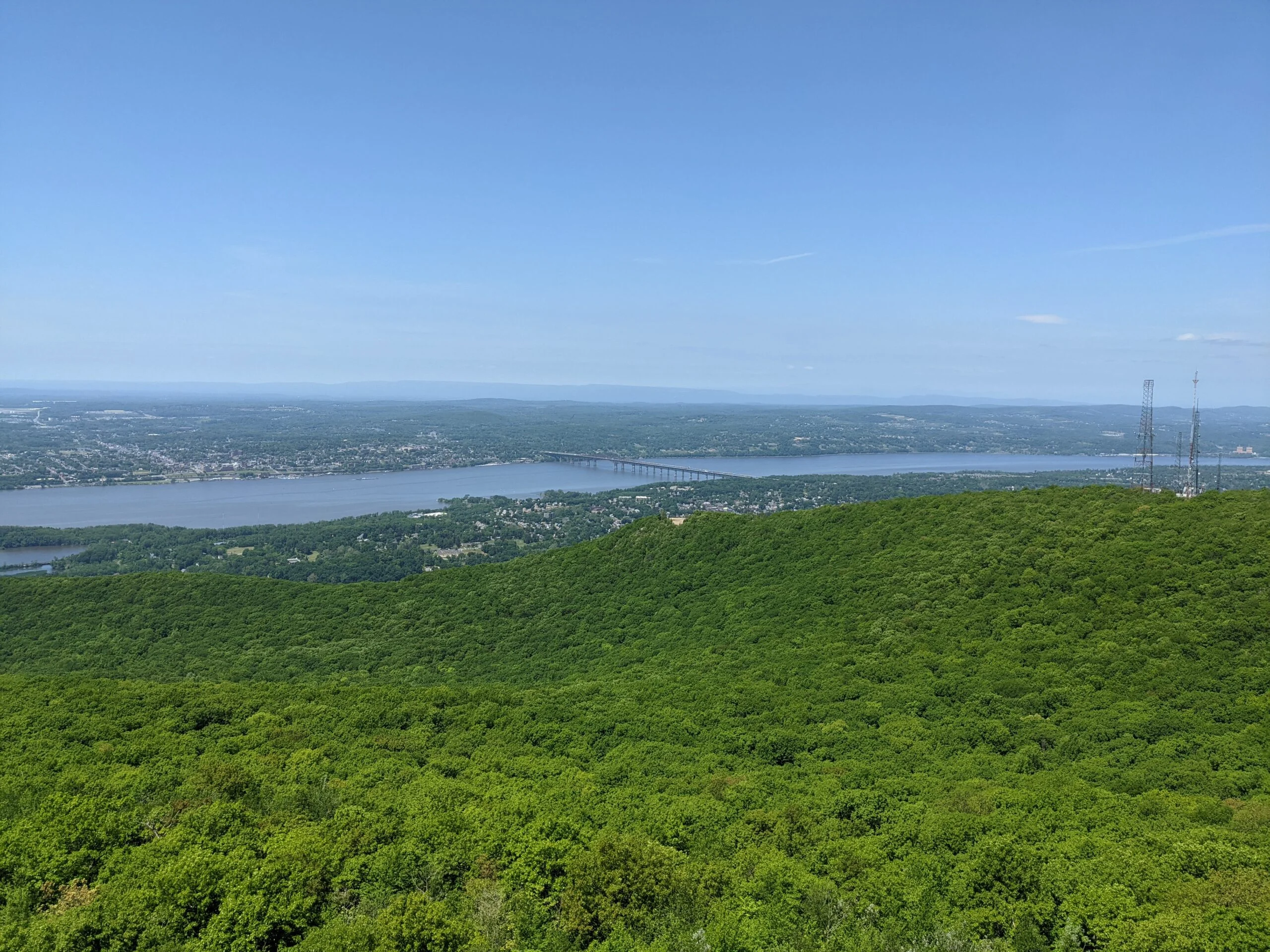
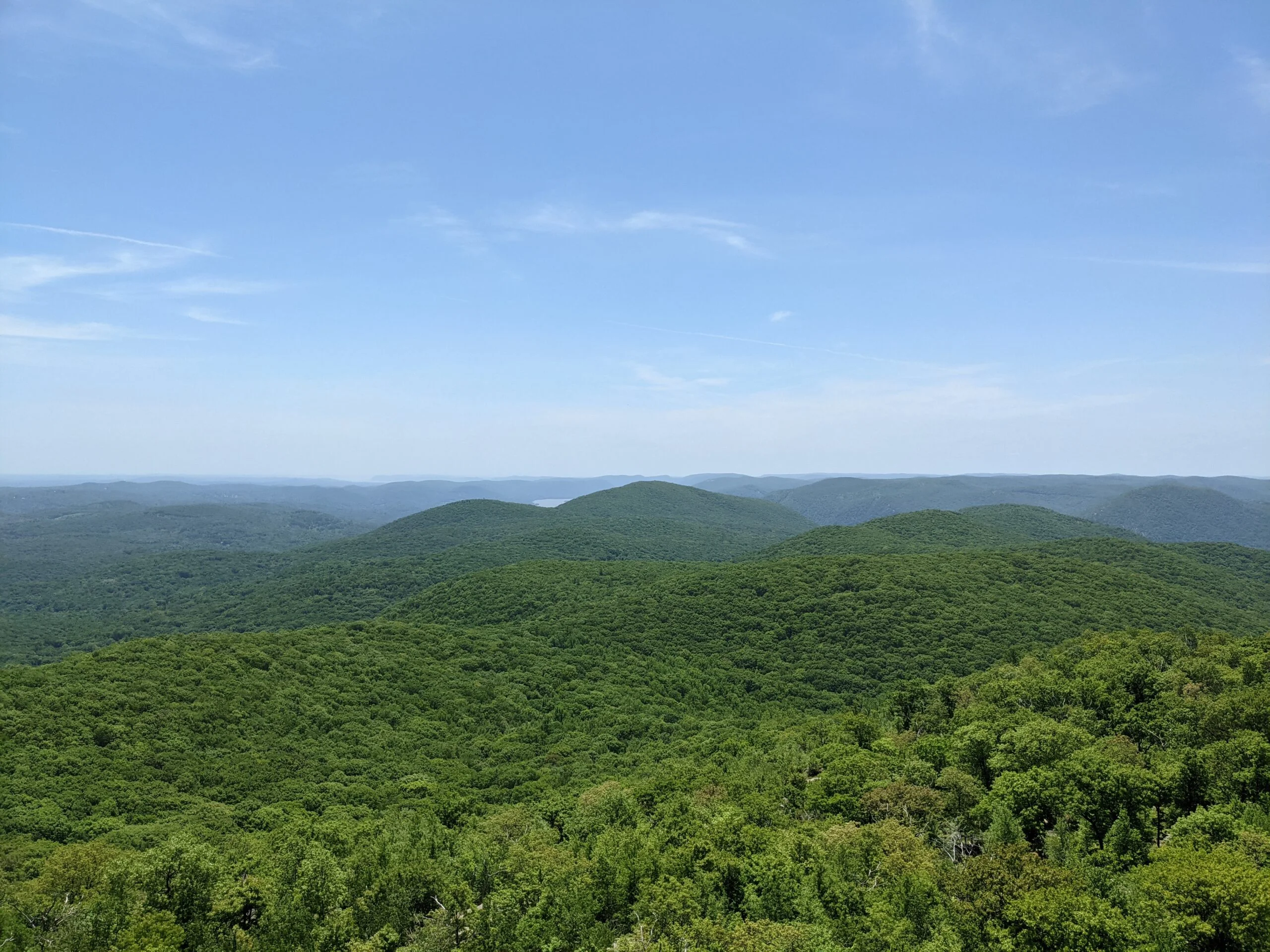
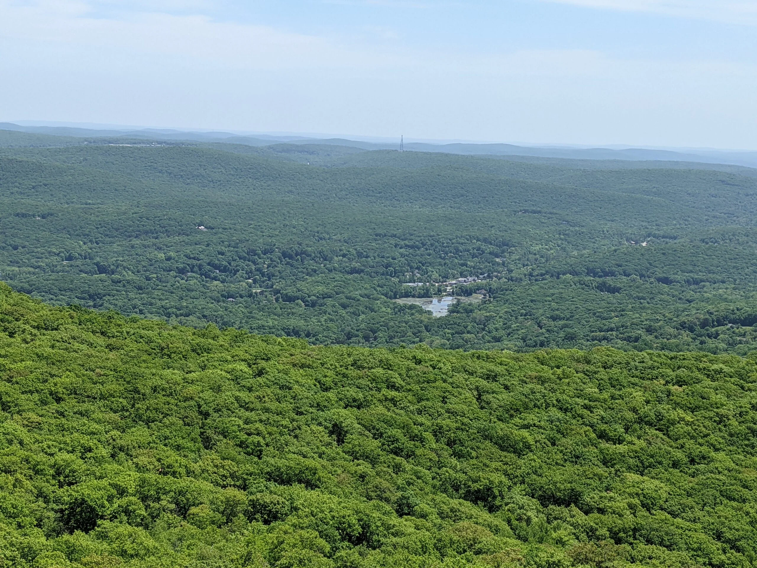
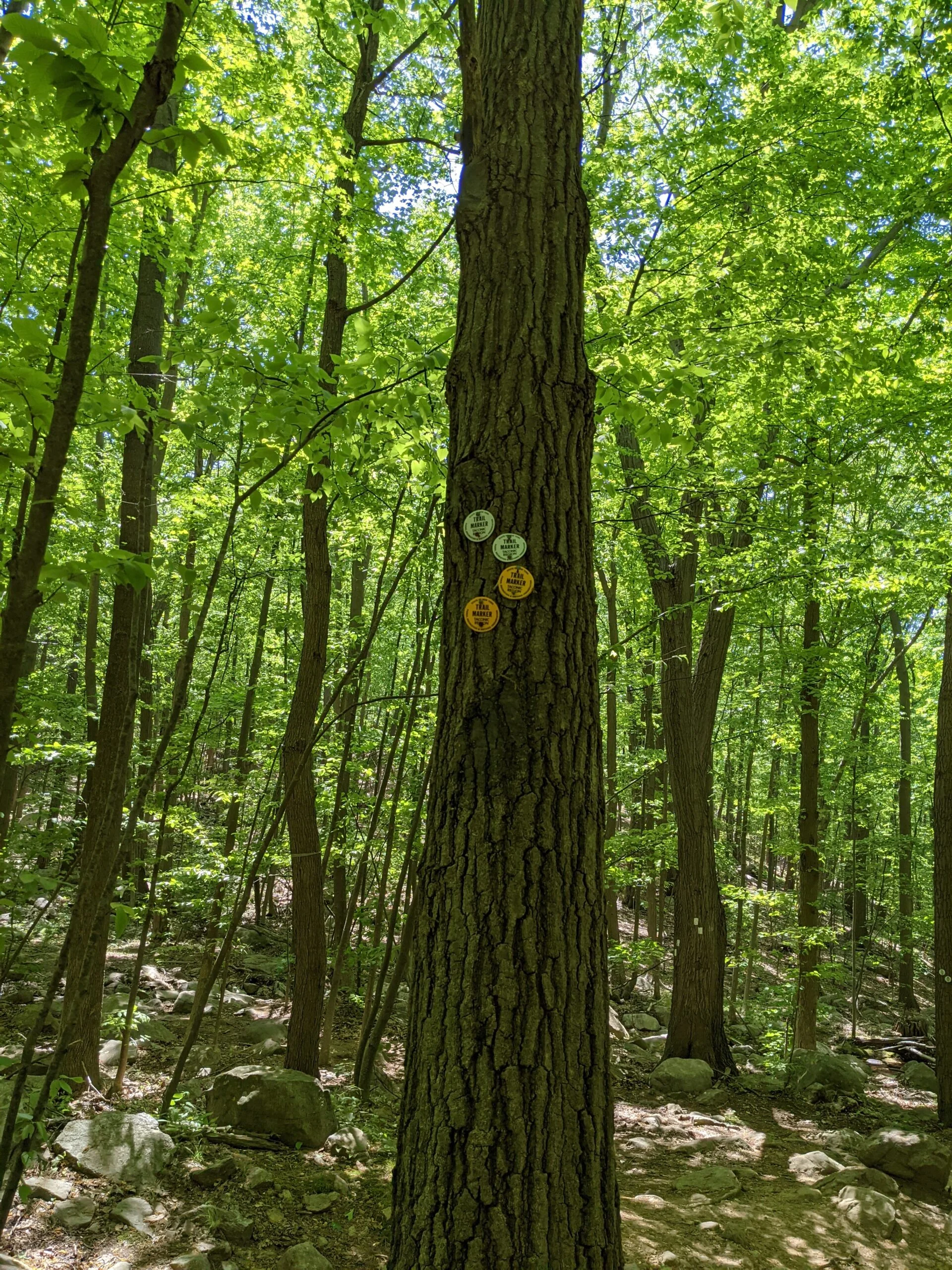
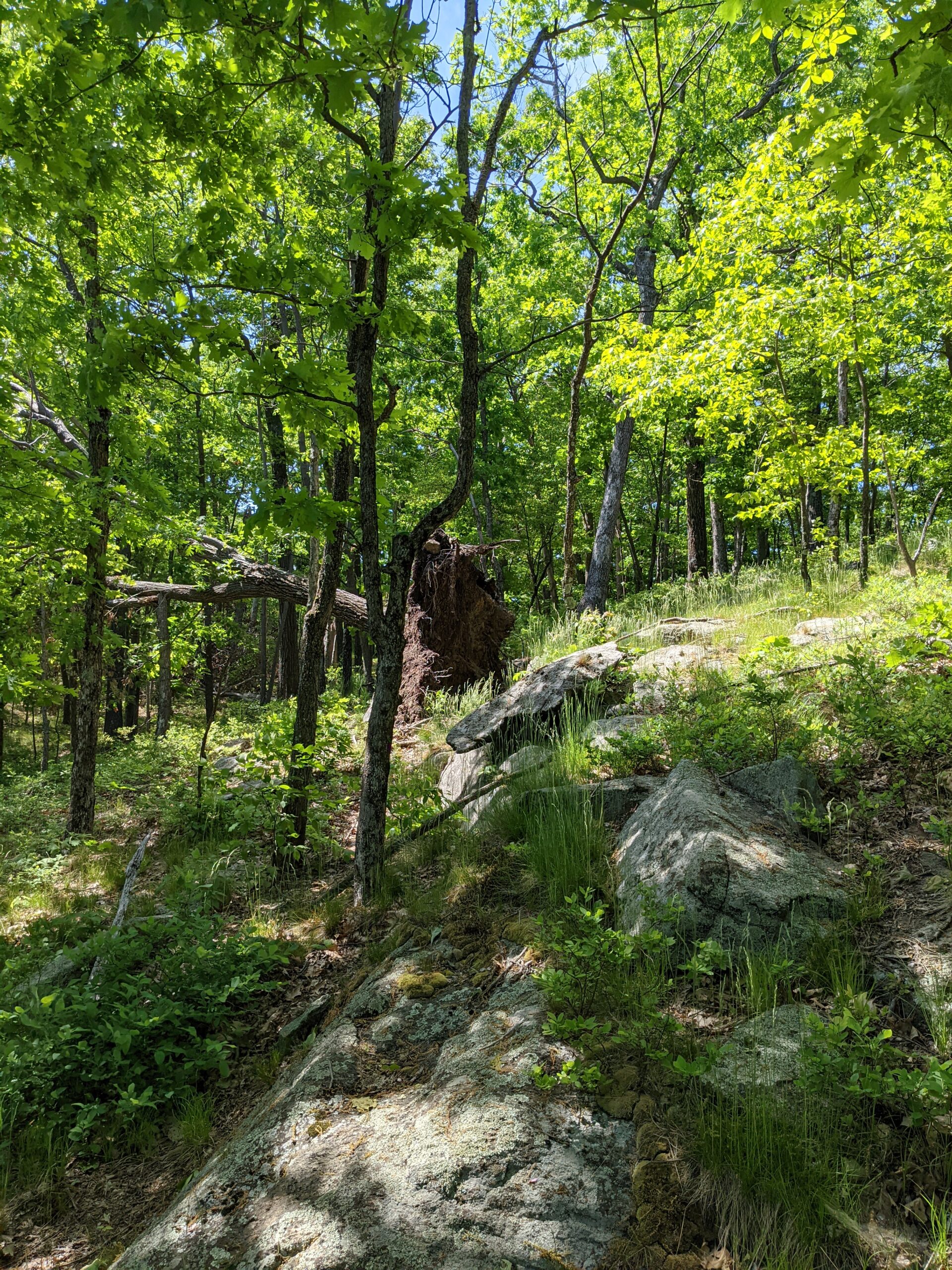
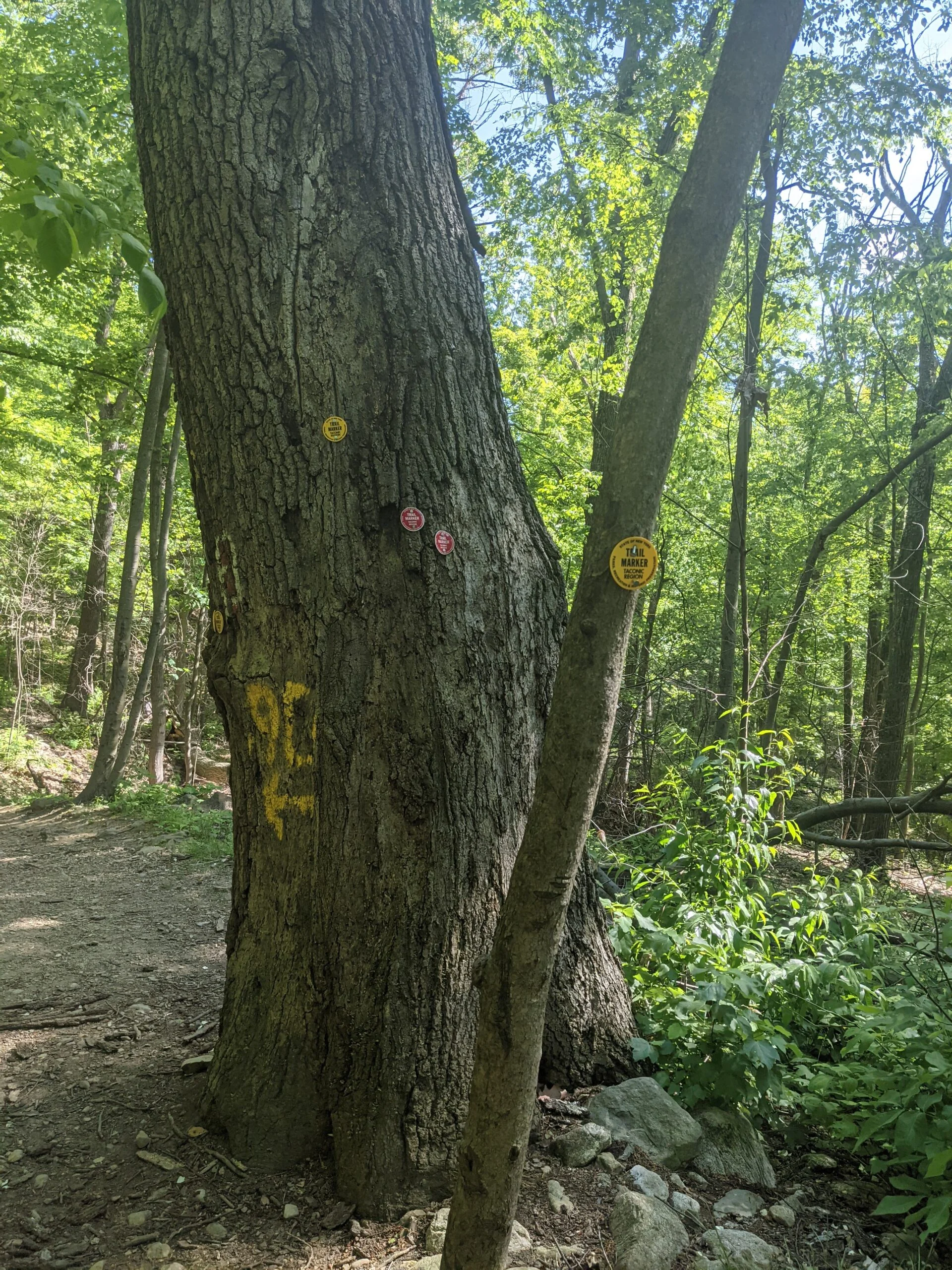
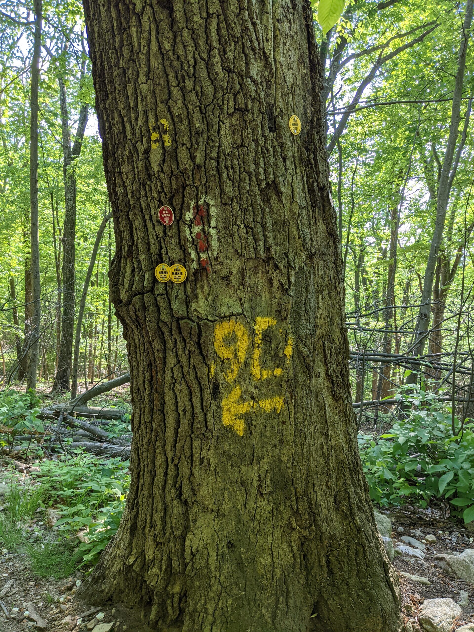
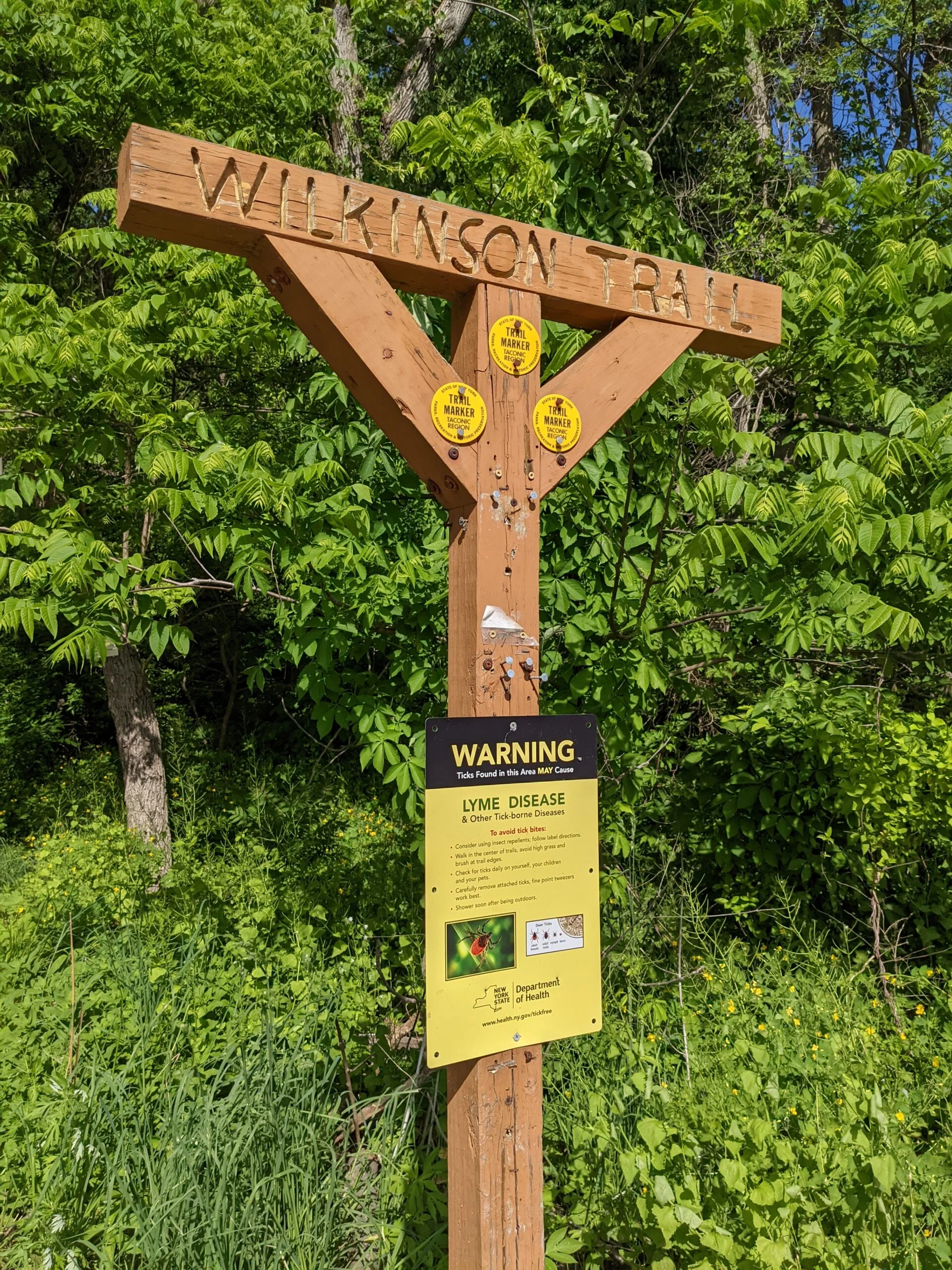
Hitting mile 4.4, BR crosses over the Wilkinson Memorial trail (WM, yellow blazes). I continued on BR, now following that portion of the trail in a clockwise direction toward the fire tower. At this point, BR becomes another rock scramble, arguably as tough as the initial scramble at the beginning of the hike. The ascent is about 600 ft over 1/2 a mile. As I was going up, I kept stopping to take photos of the views, thinking that was the best spot until I went further and got an even better view. There’s a spot around the 4.6 mile mark where I was able to see just about everything to the west, south, and east.
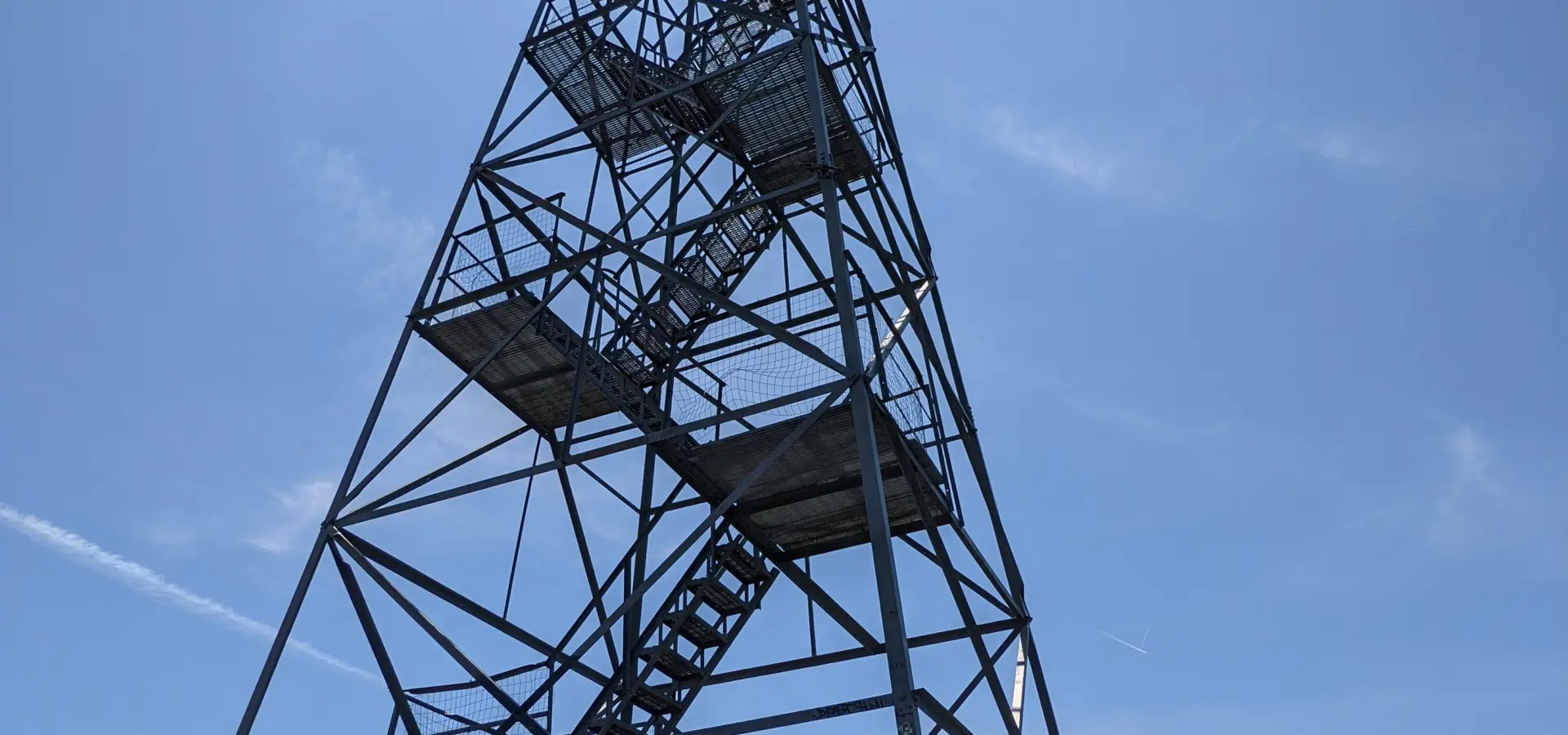
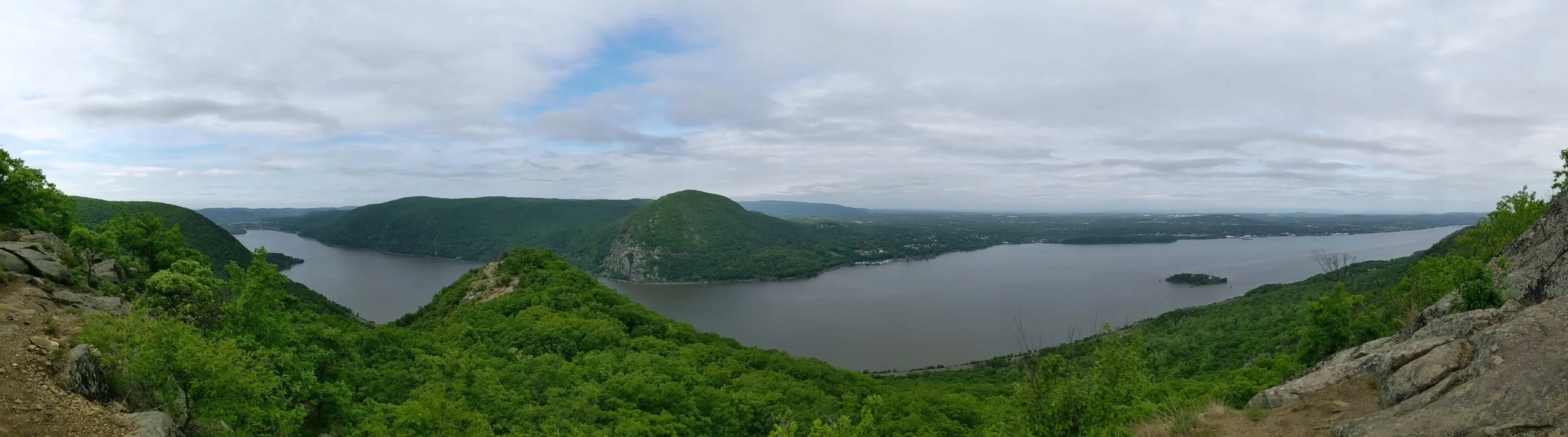
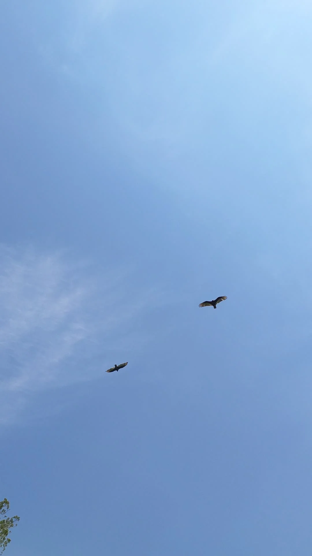
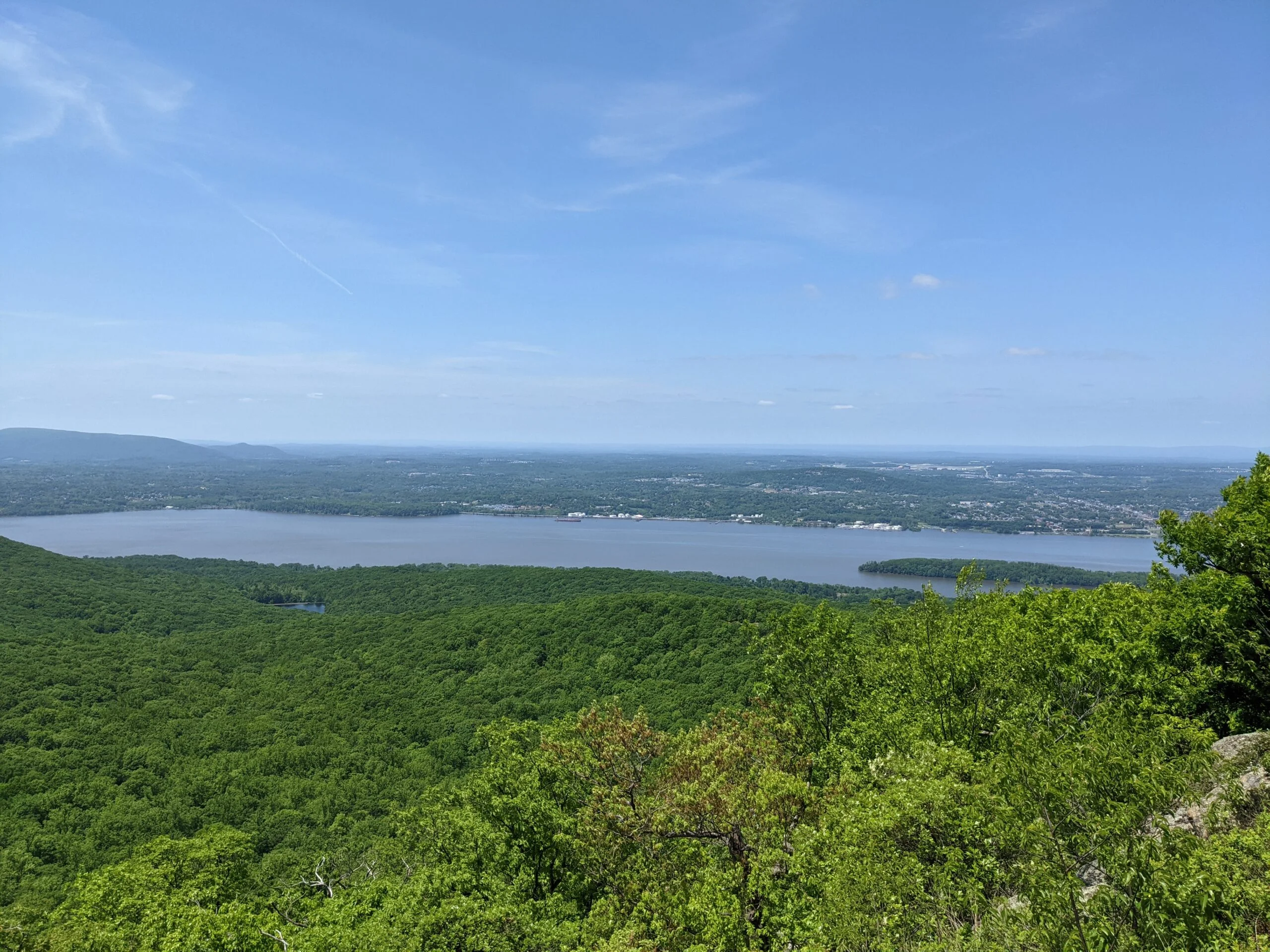
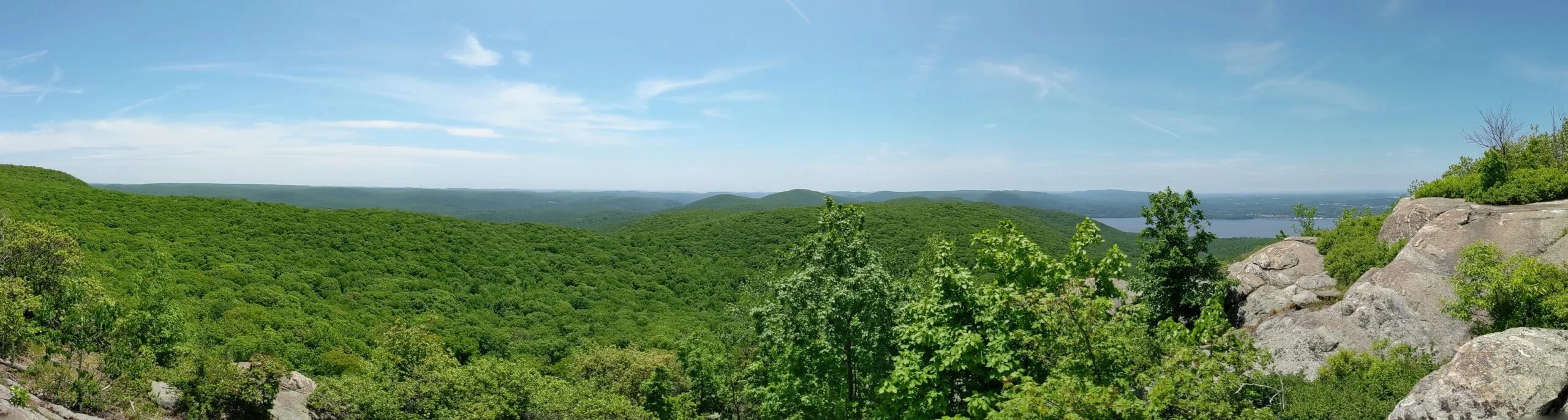
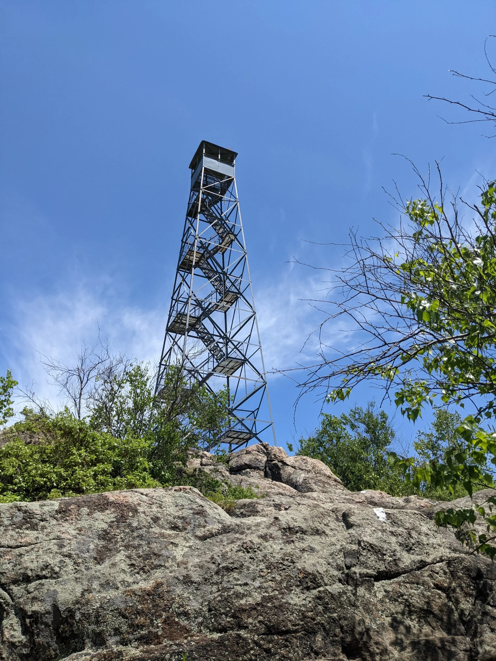
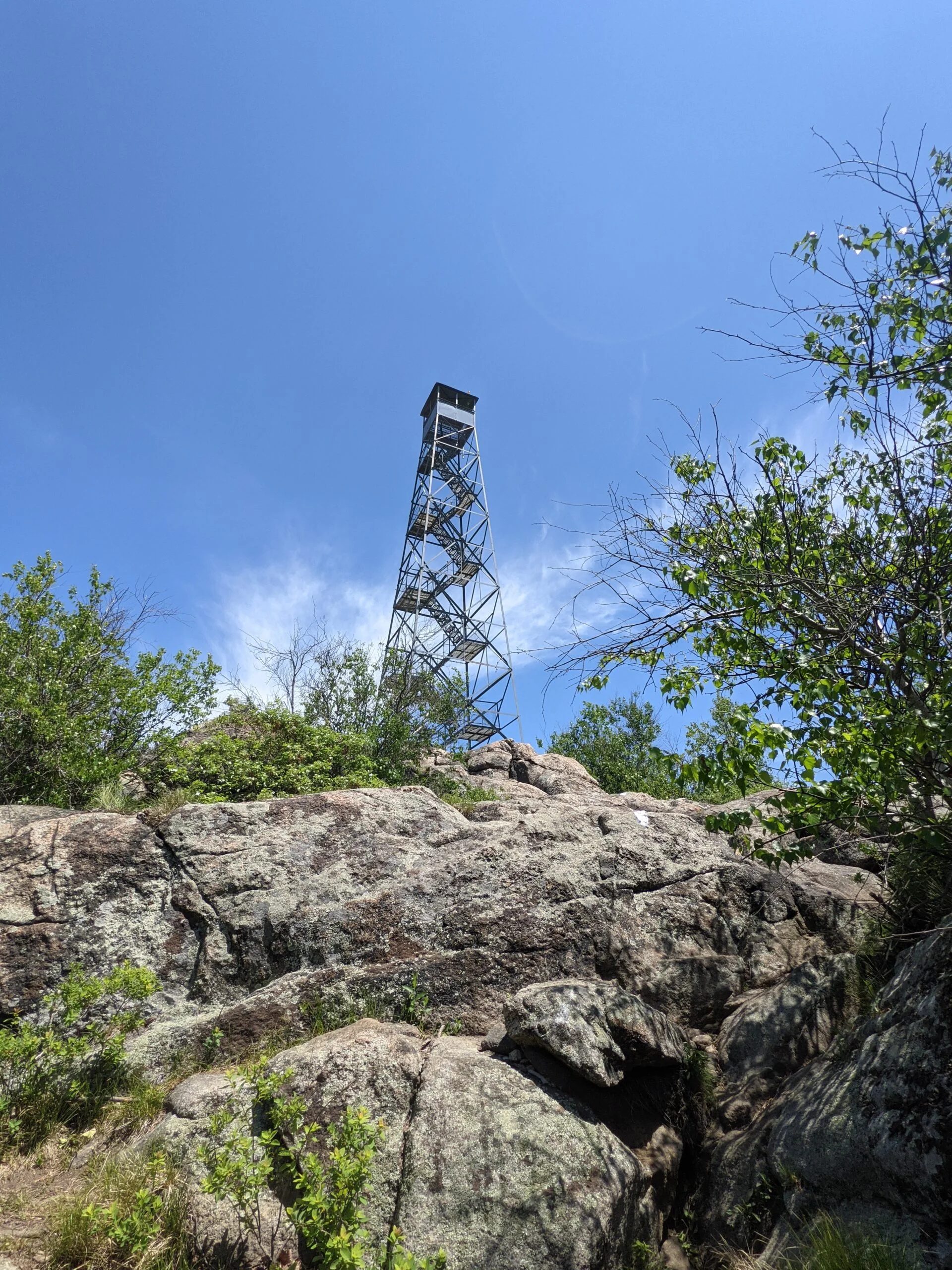
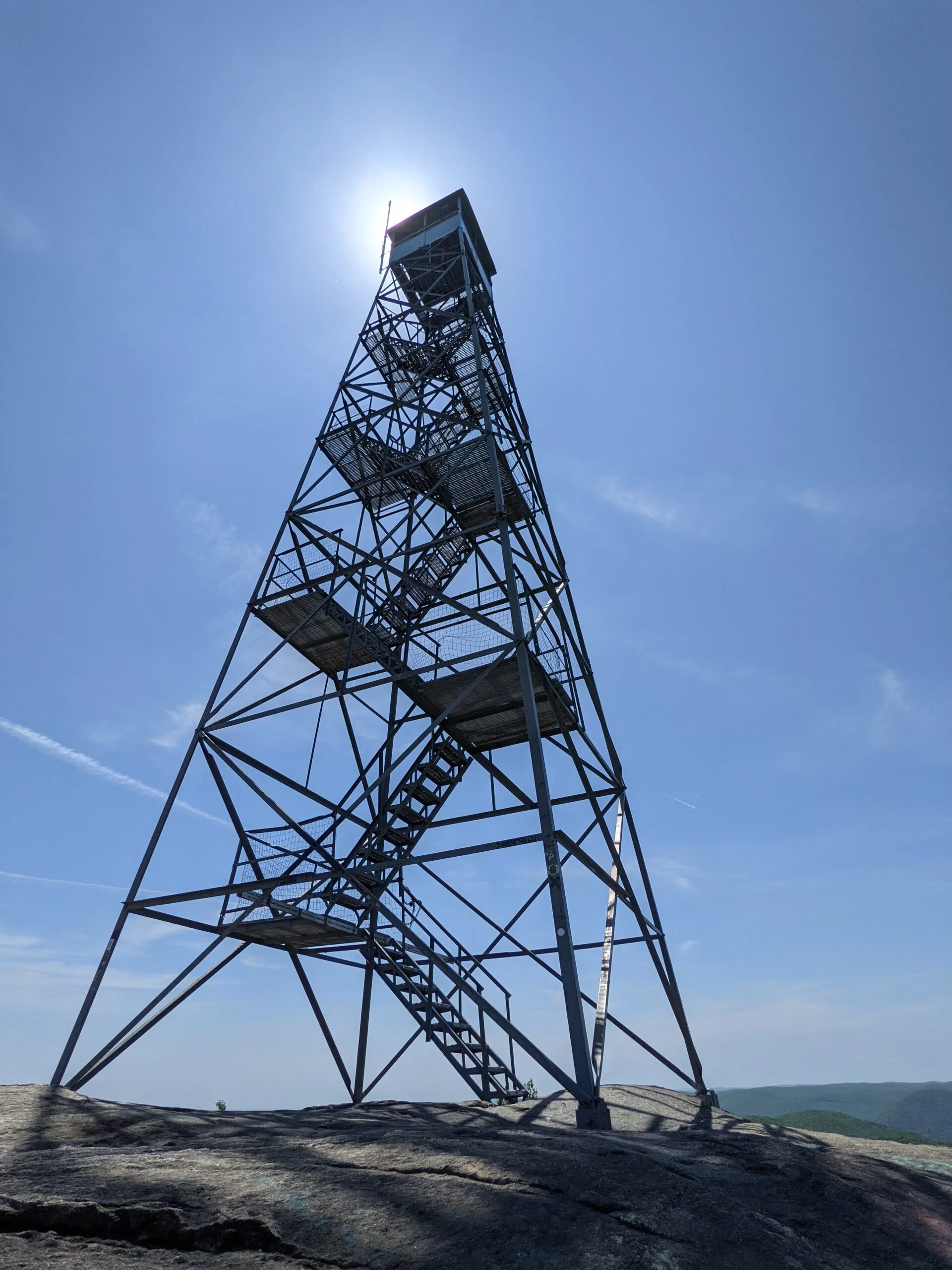
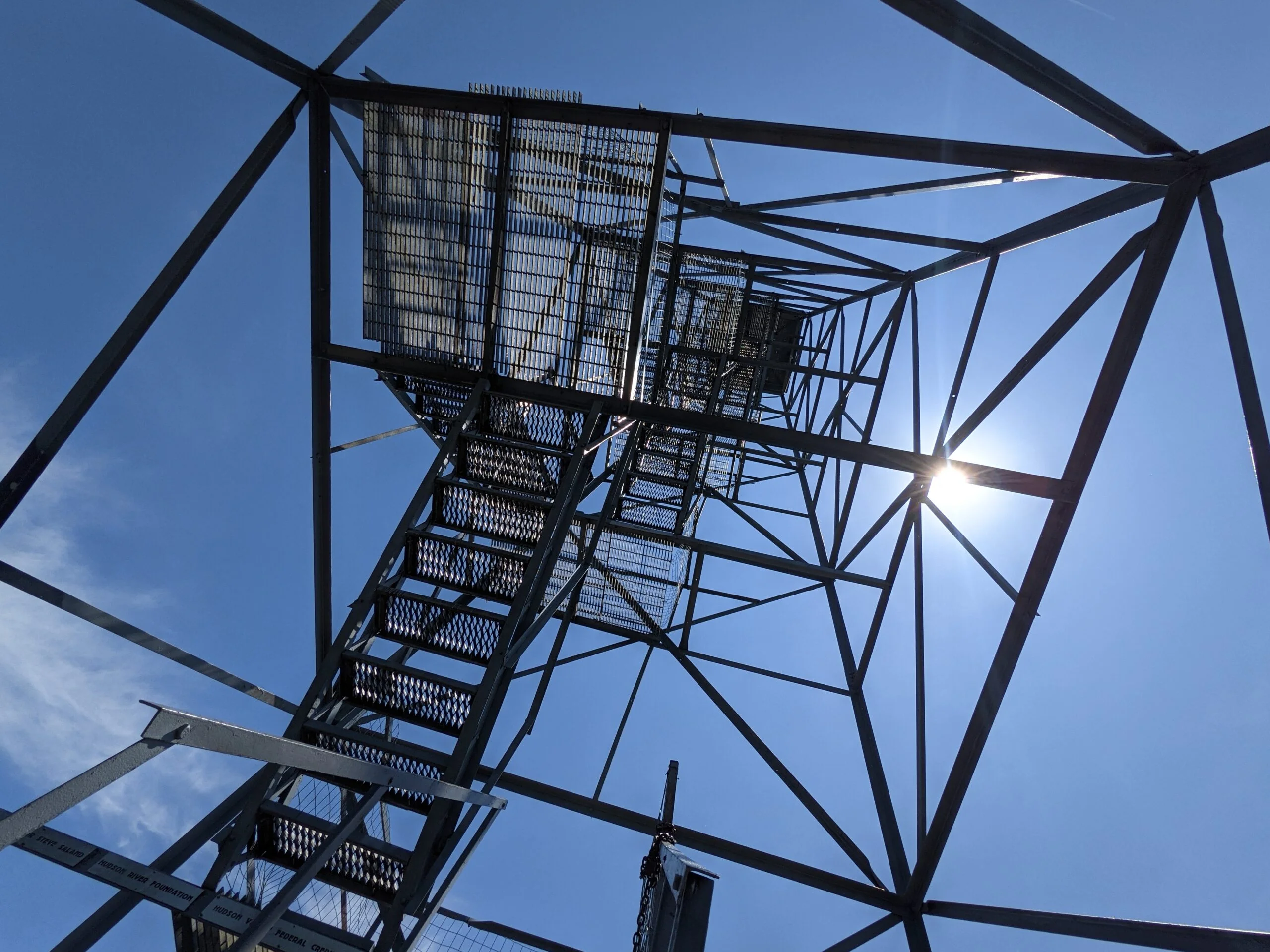
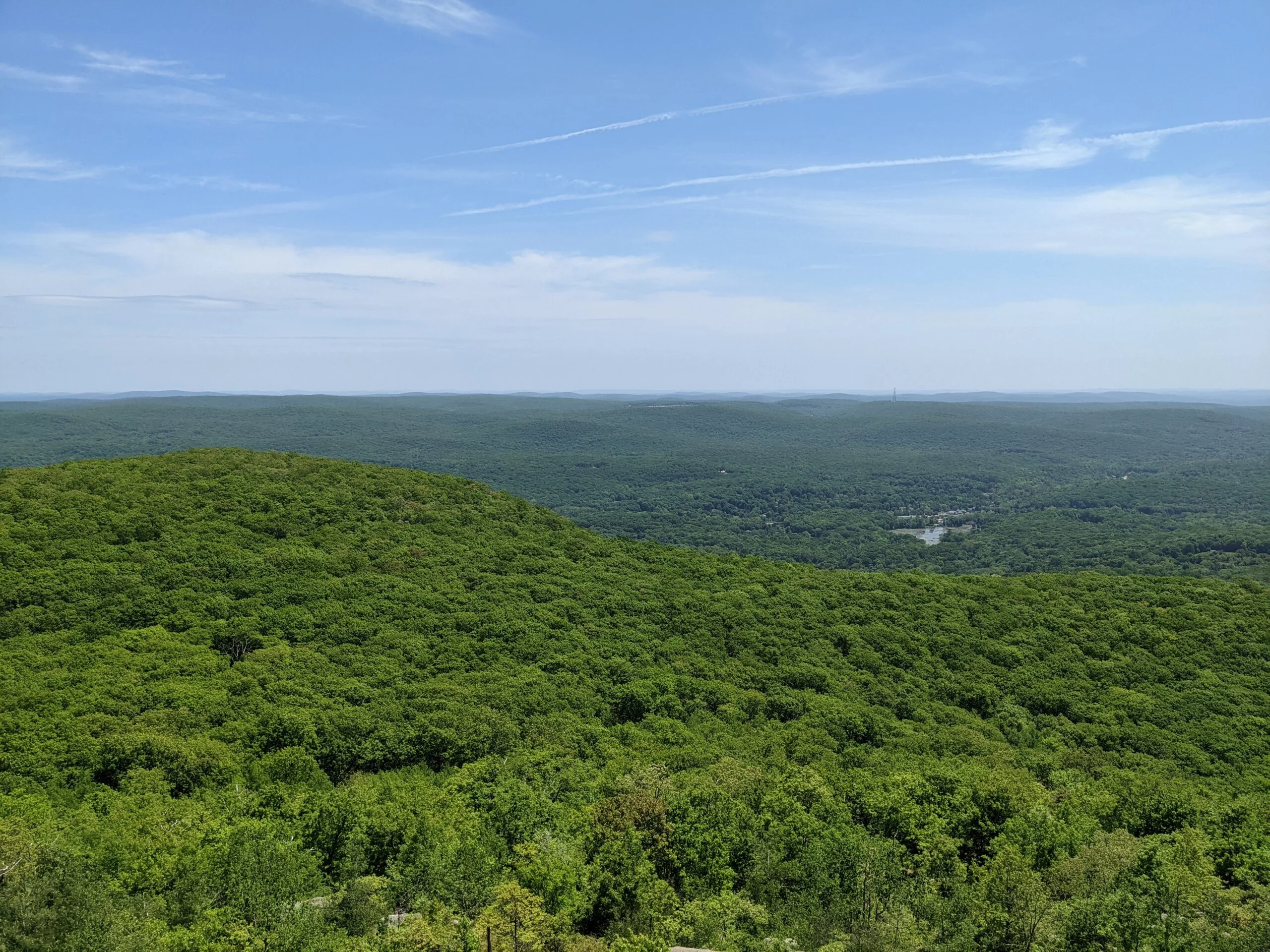
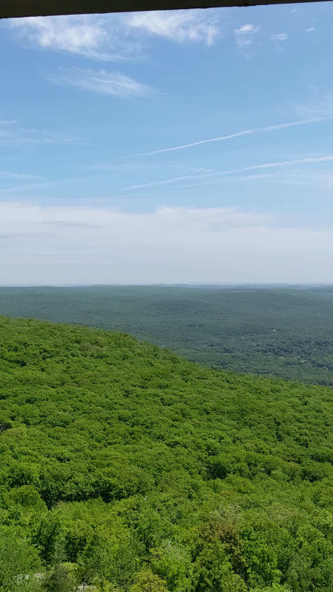
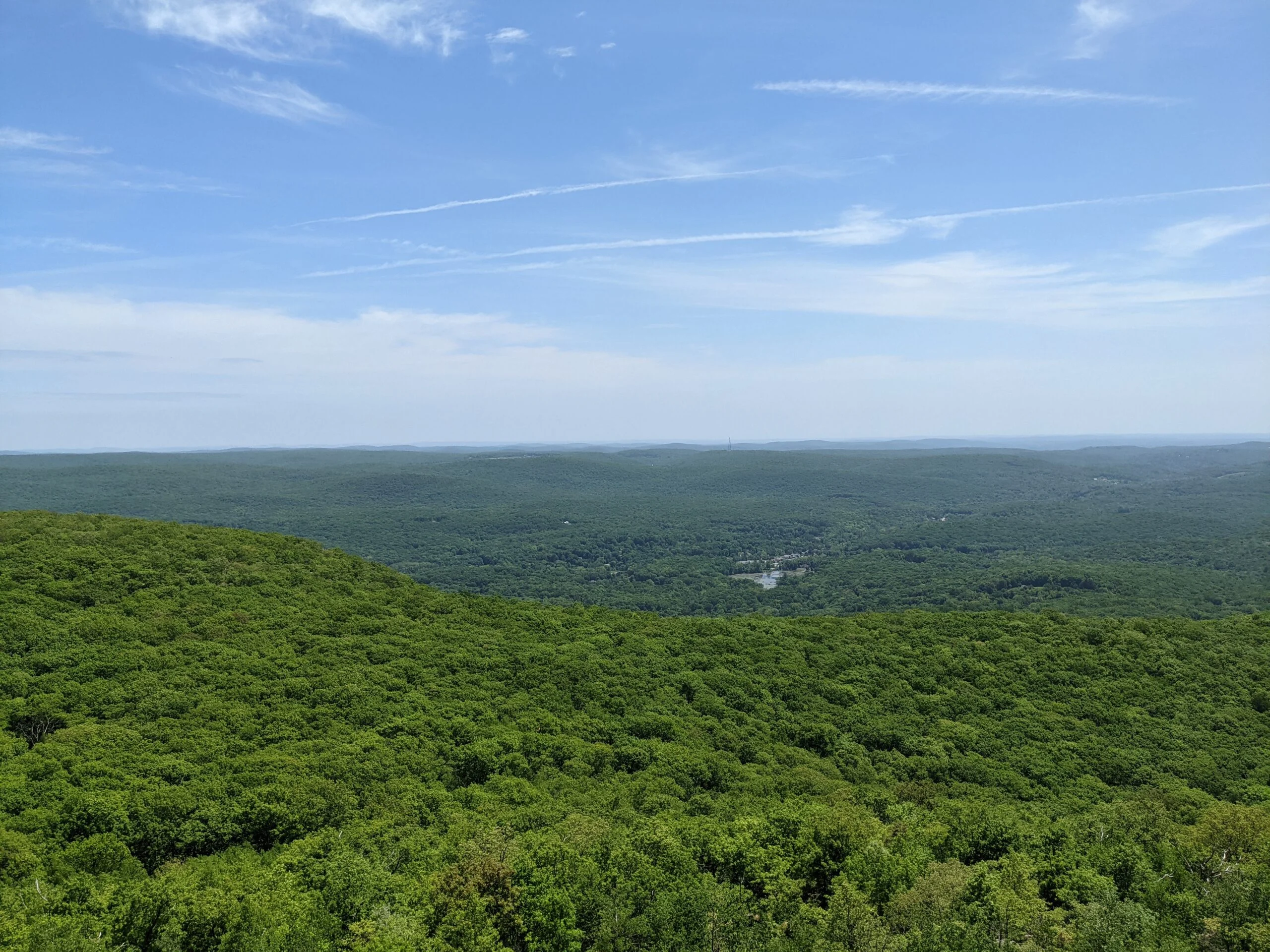
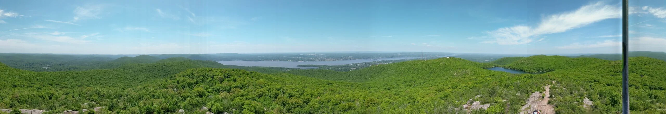
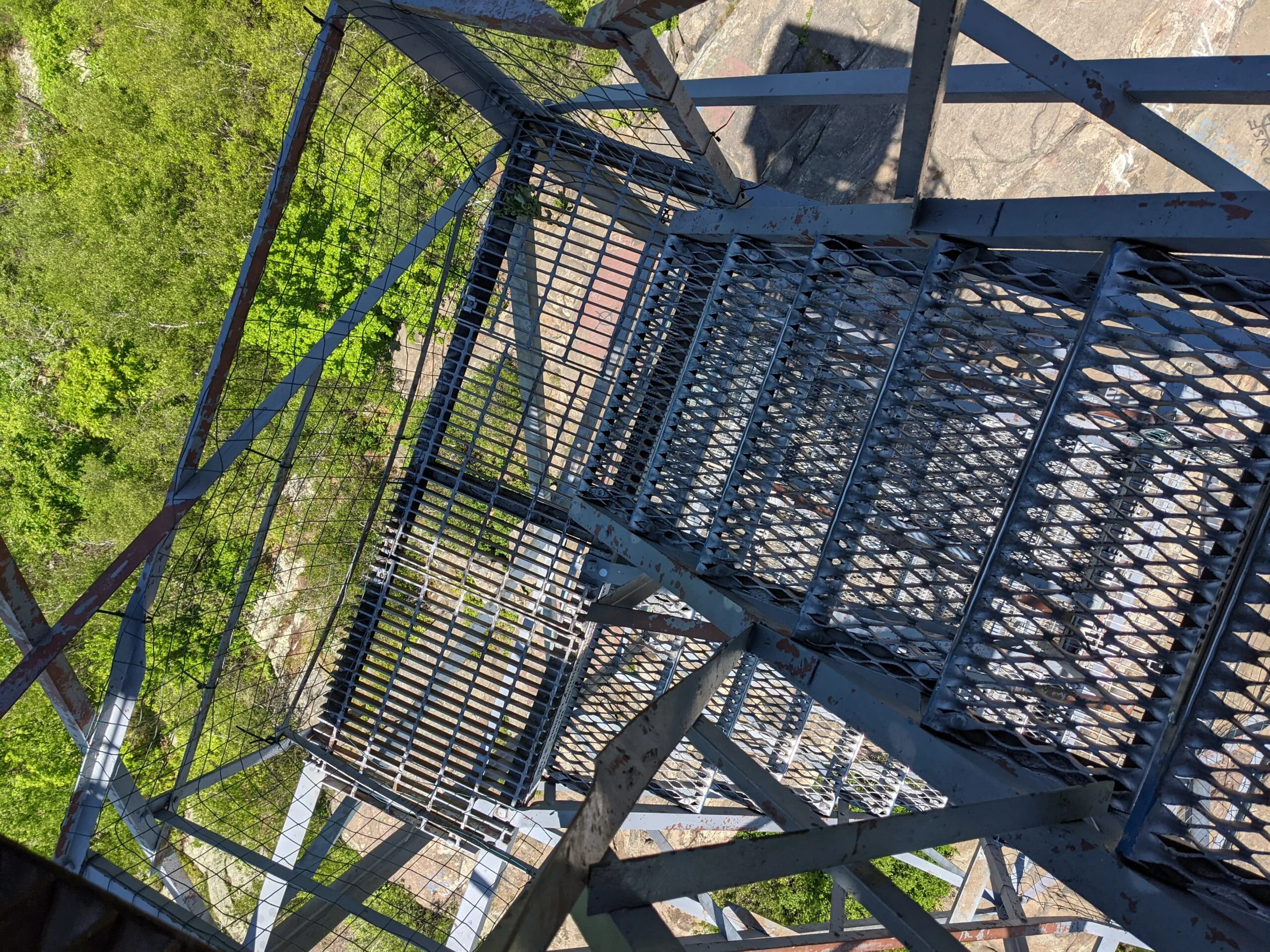
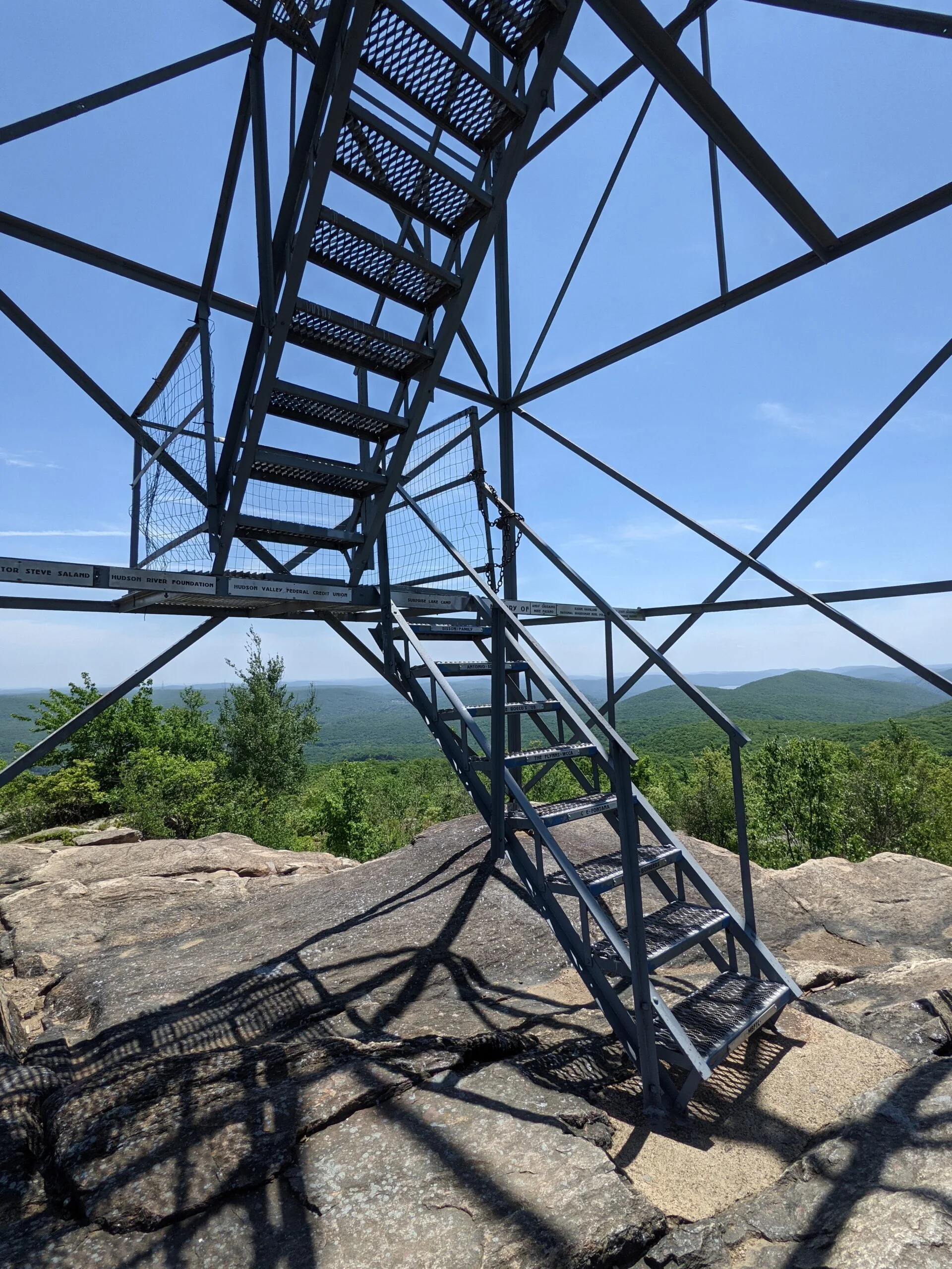
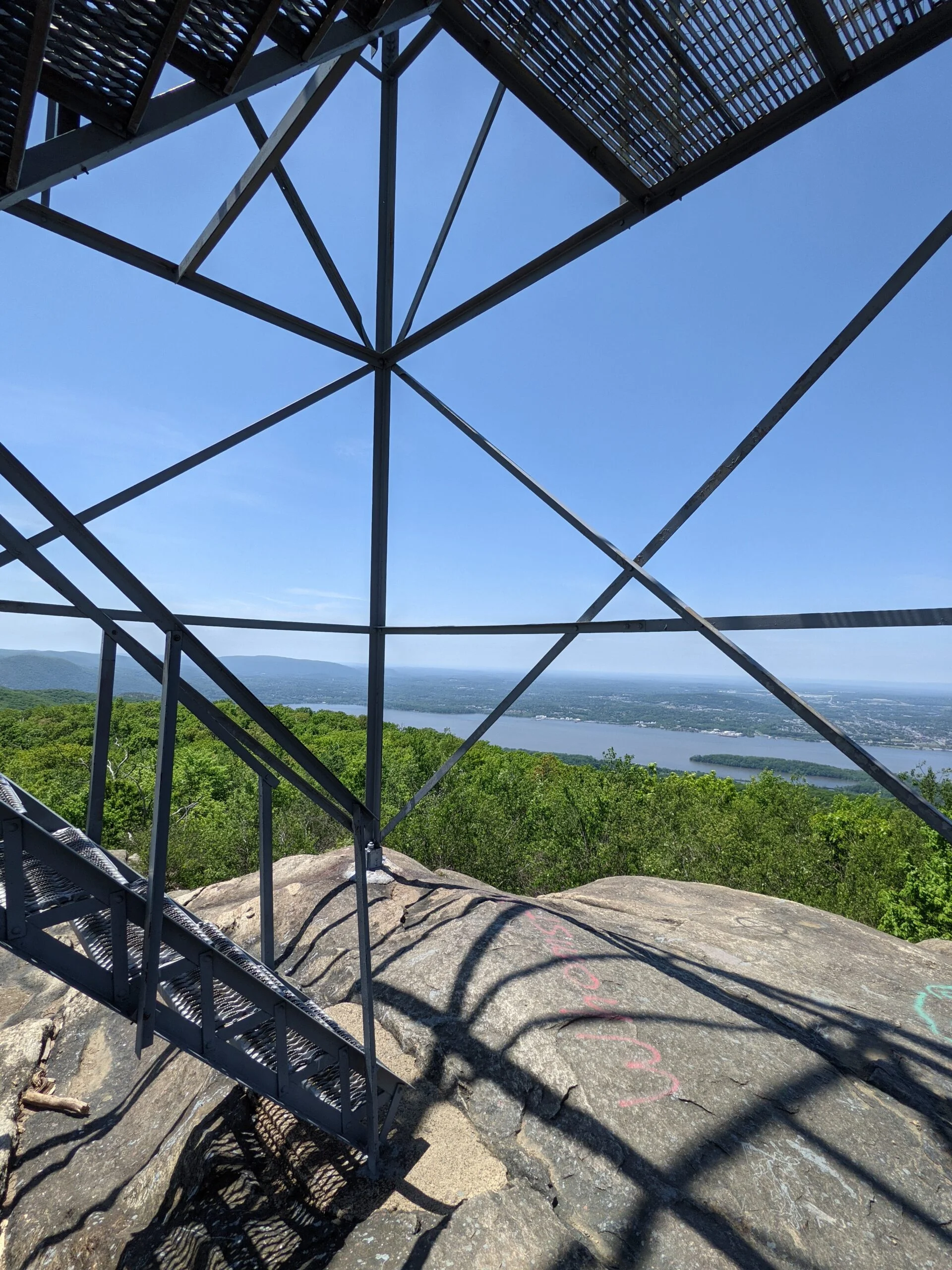
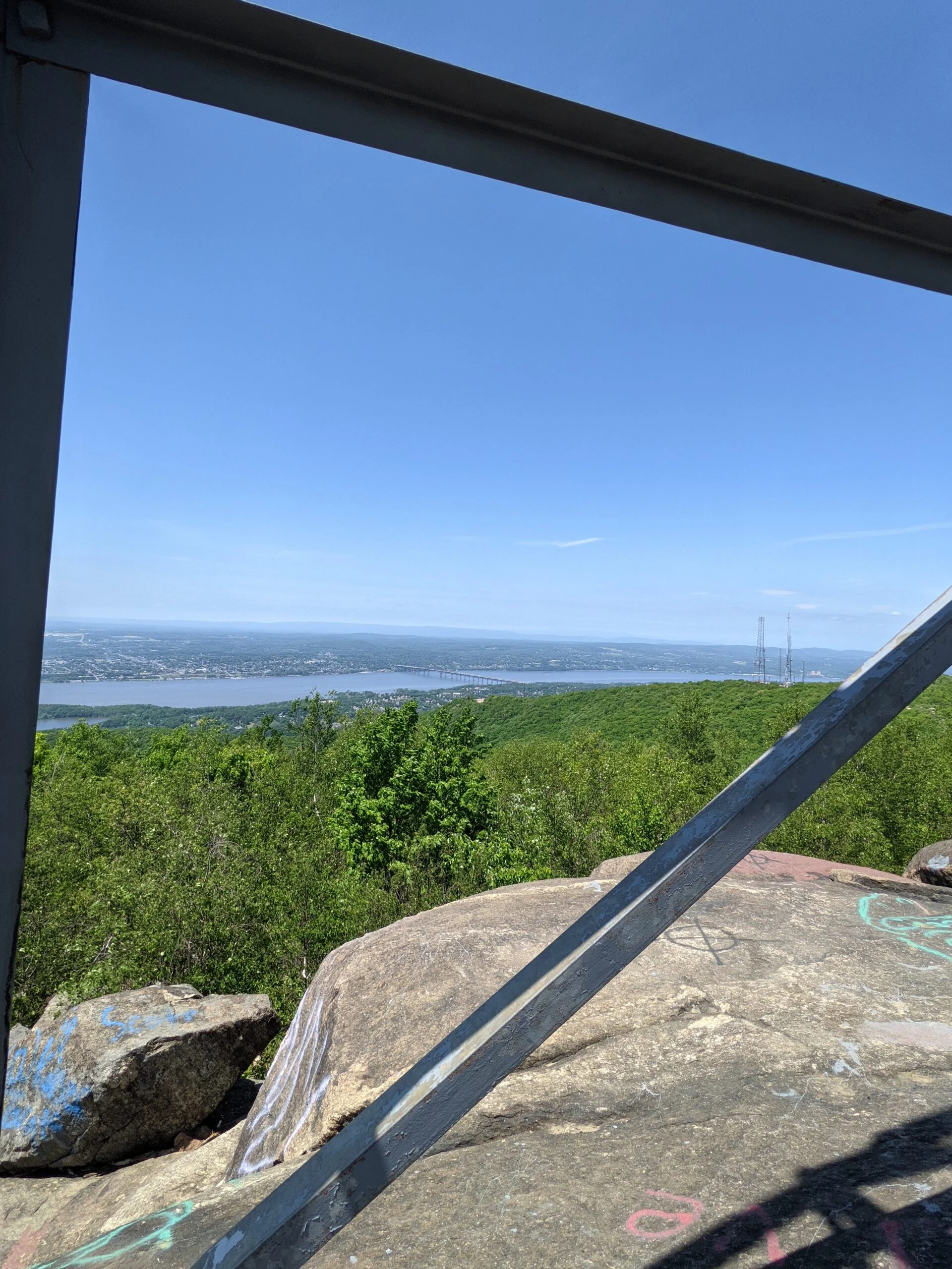
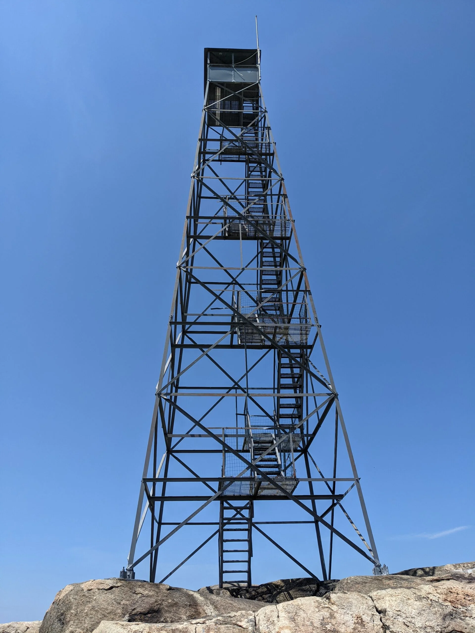
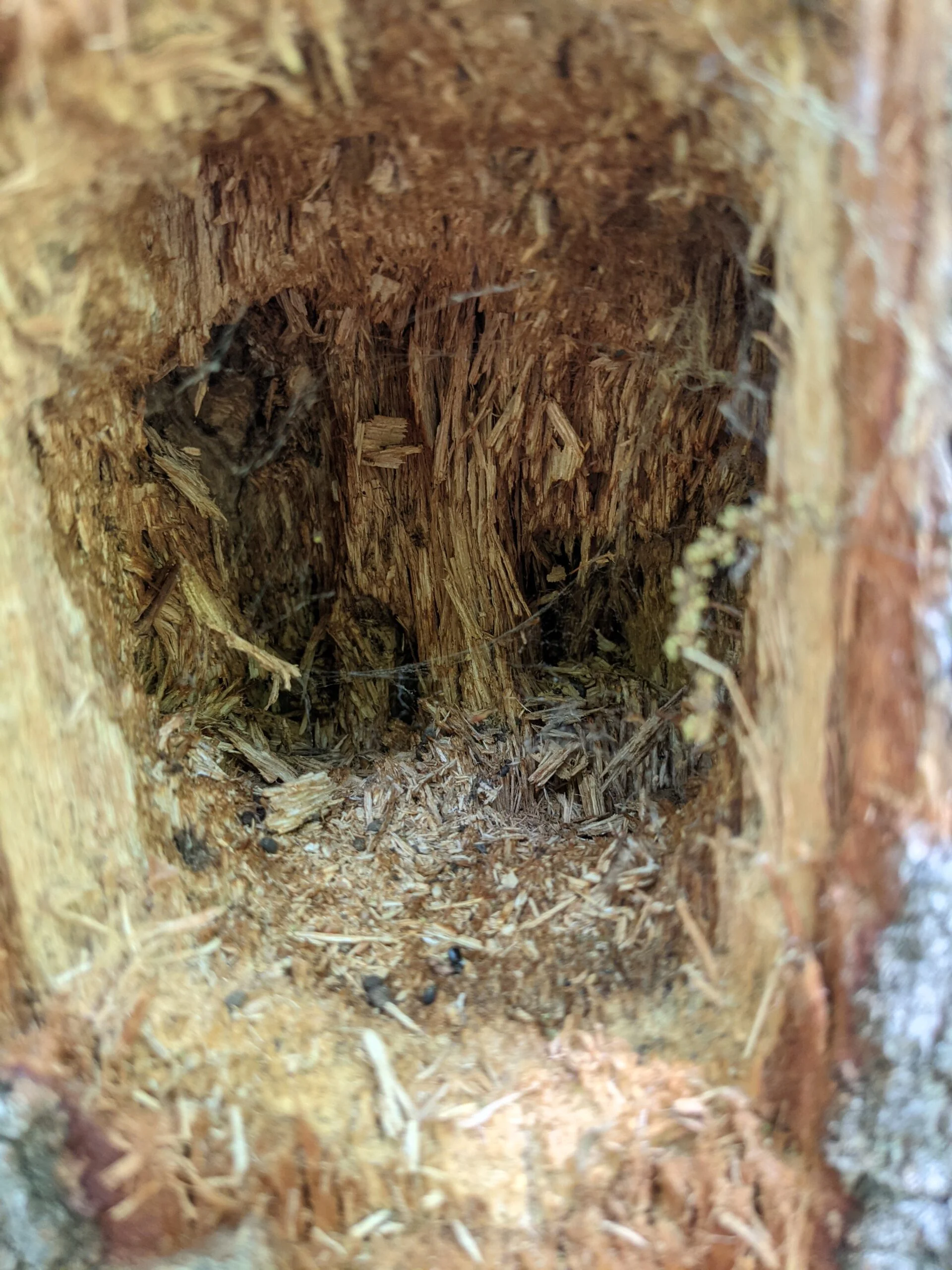
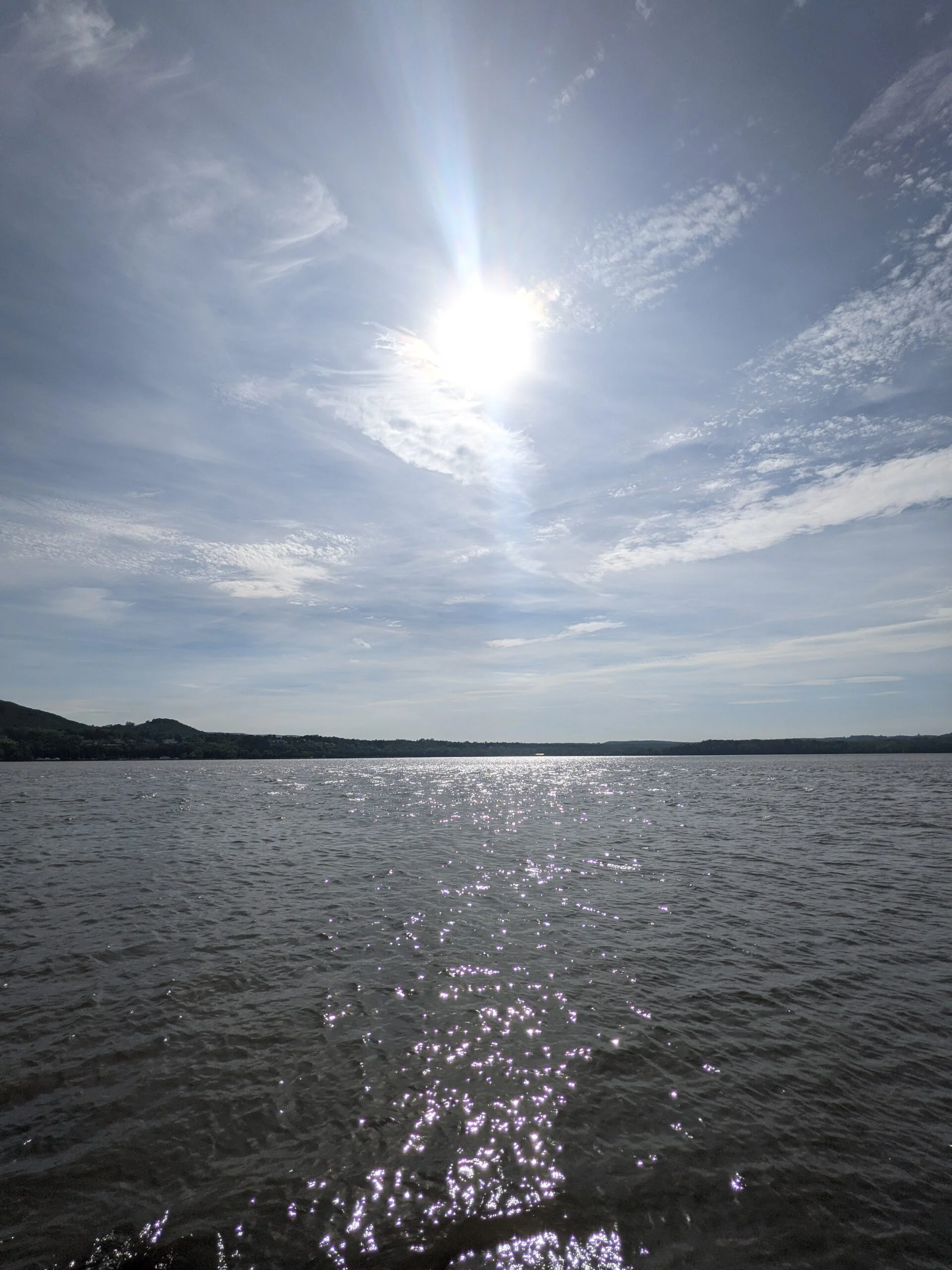
Right at the 5 mile mark, I made it to the South Beacon Mountain Fire Tower, which I had visited a few weeks ago when I took the Casino Trail from Mt. Beacon Park. My last visit was on a Saturday and there was a line to go up the tower, so I didn’t spend much time up top, not wanting to hog the space. Today, however, I was completely alone! I was able to spend 15 uninterrupted minutes atop the tower, taking a variety of photos and videos from different angles. I was even able to get an awesome panoramic shot by carefully passing my phone from one hand to the other in front of each of the 8 or so vertical bars of the tower.
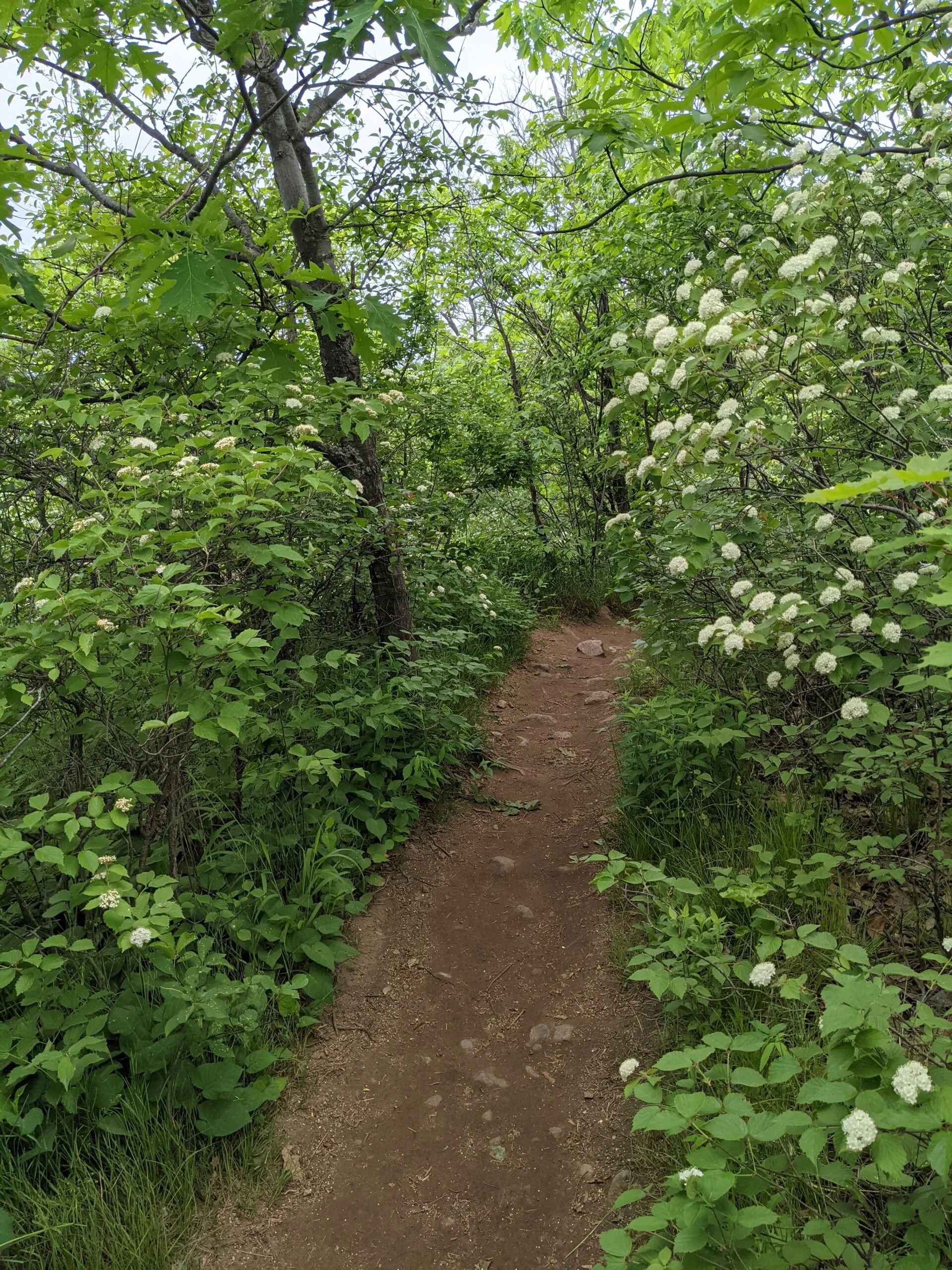
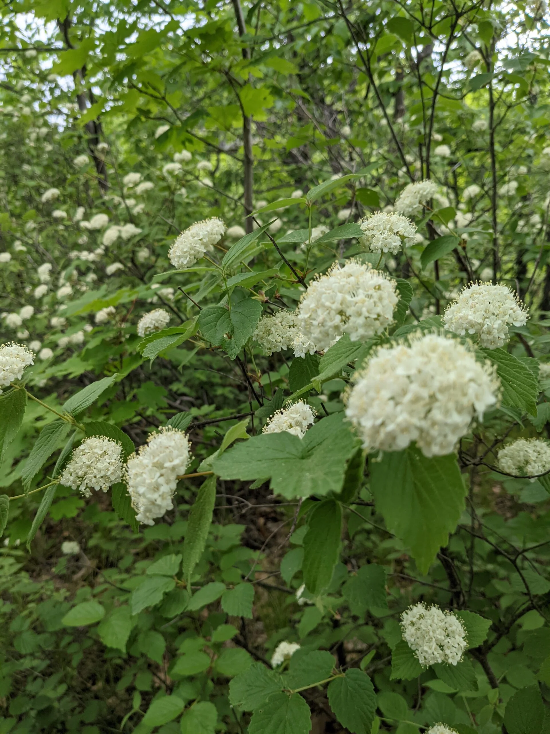
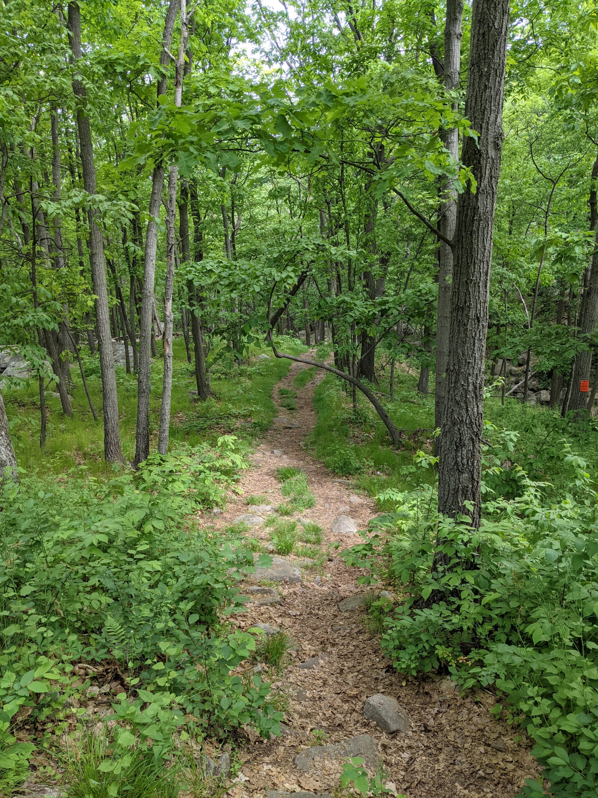
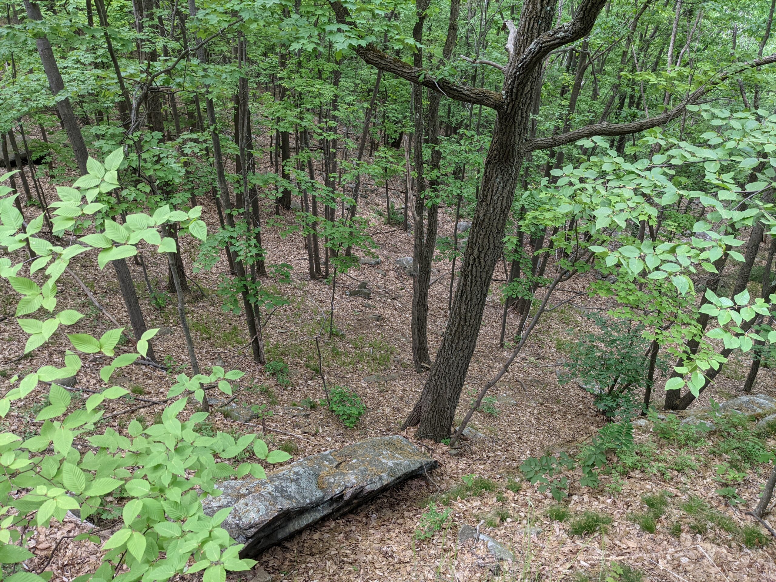
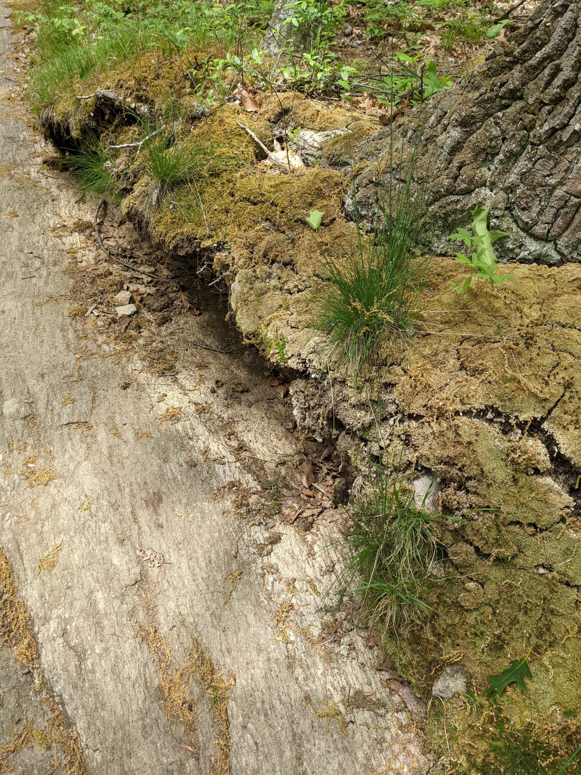
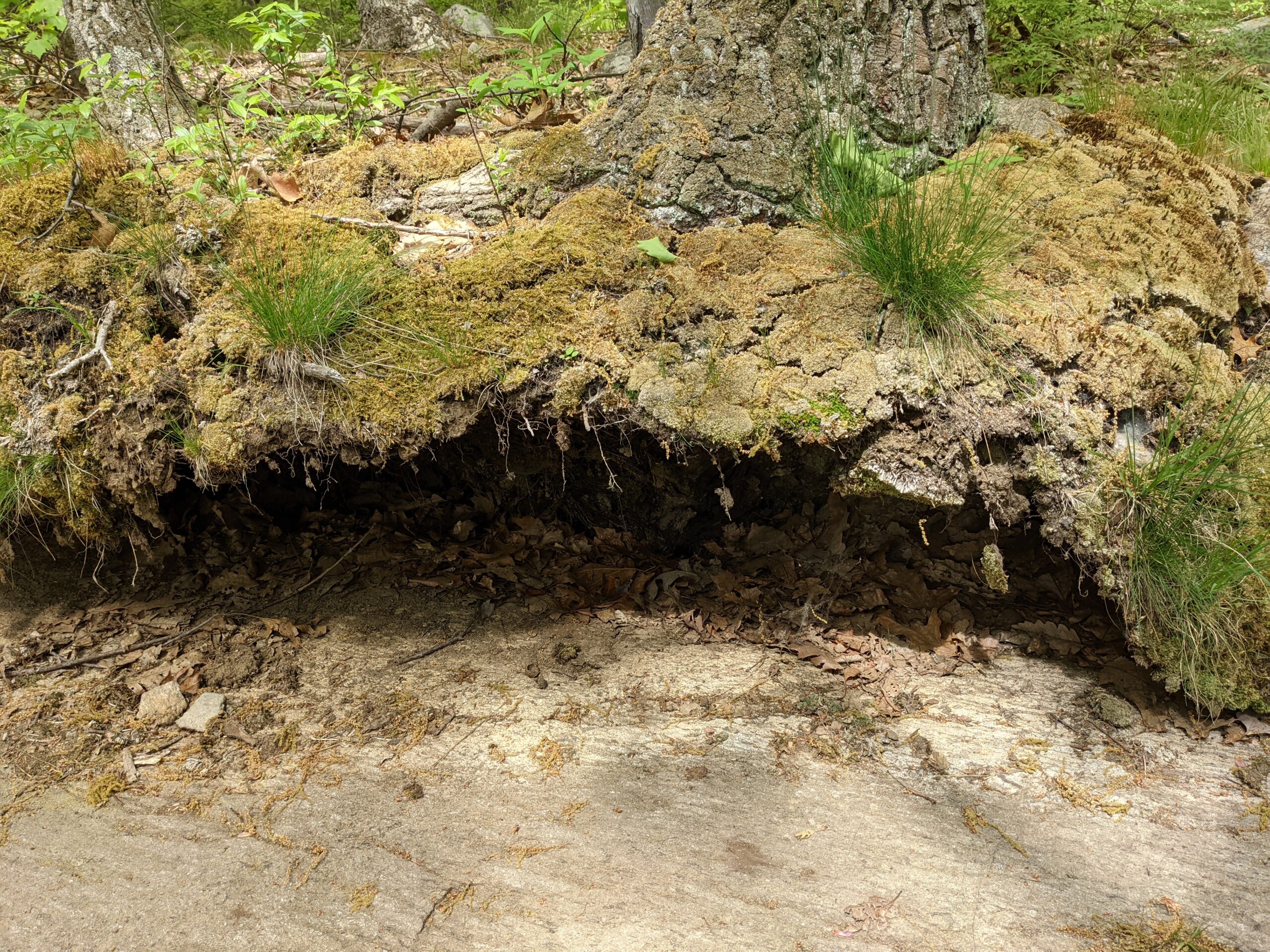
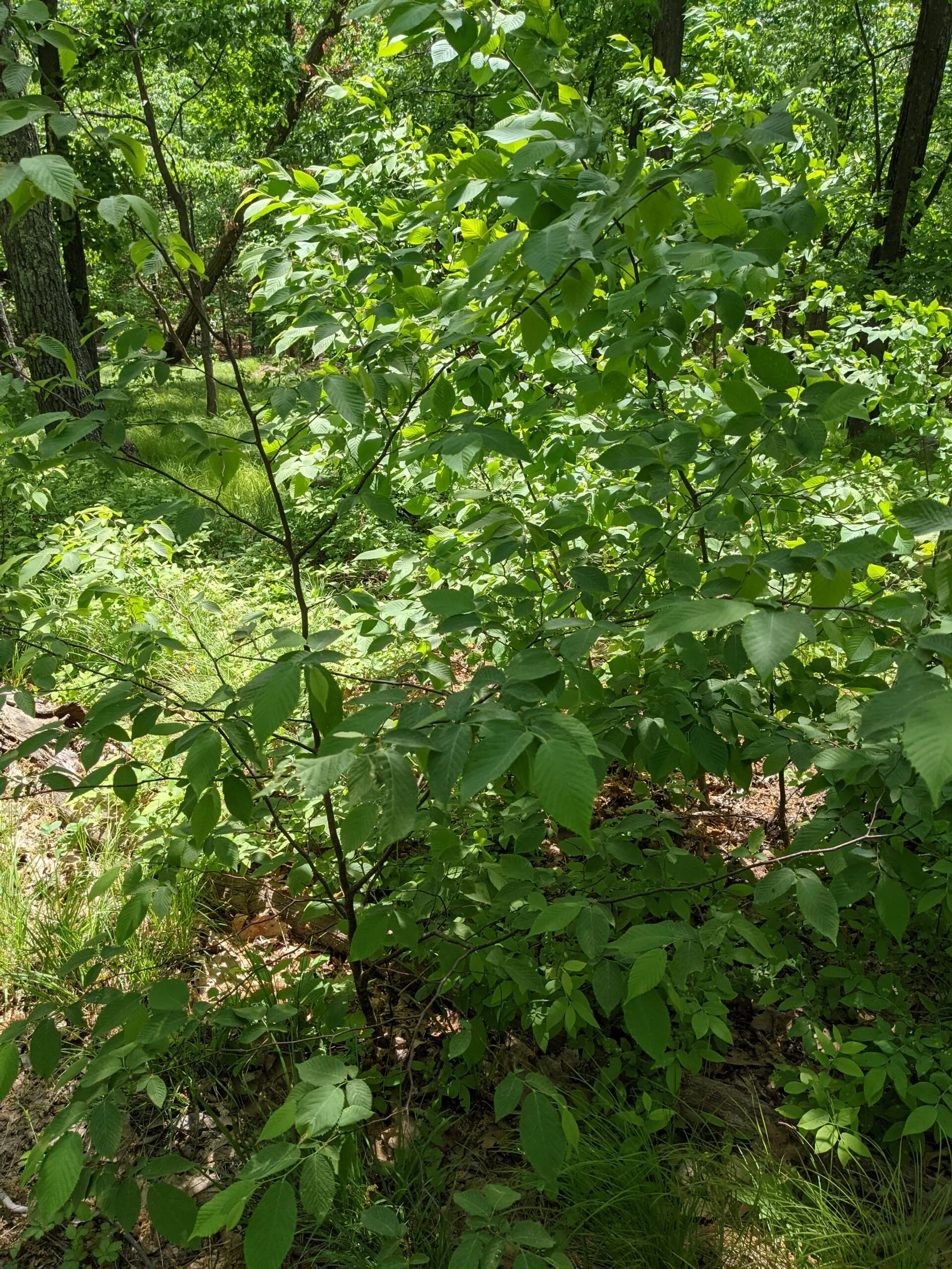
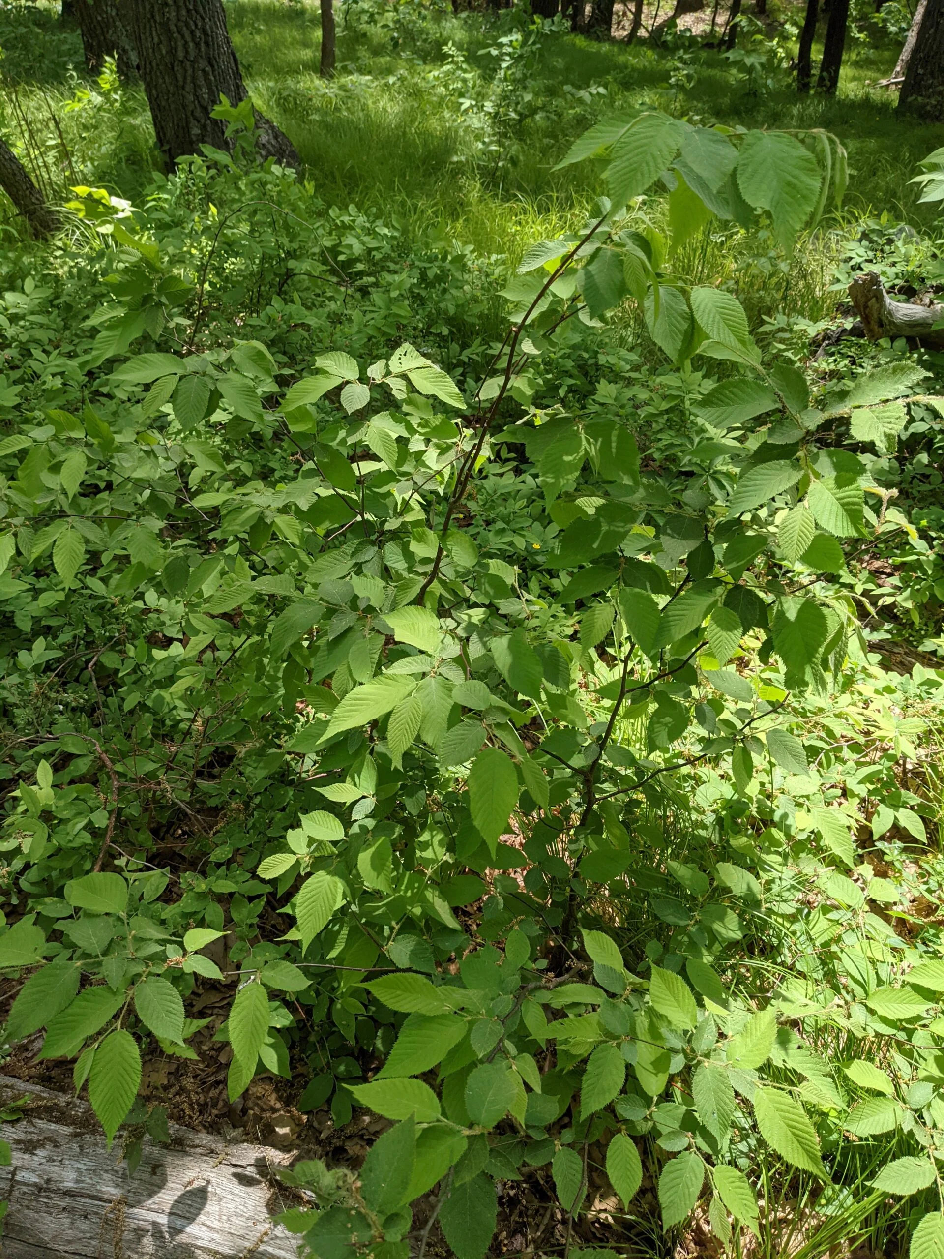
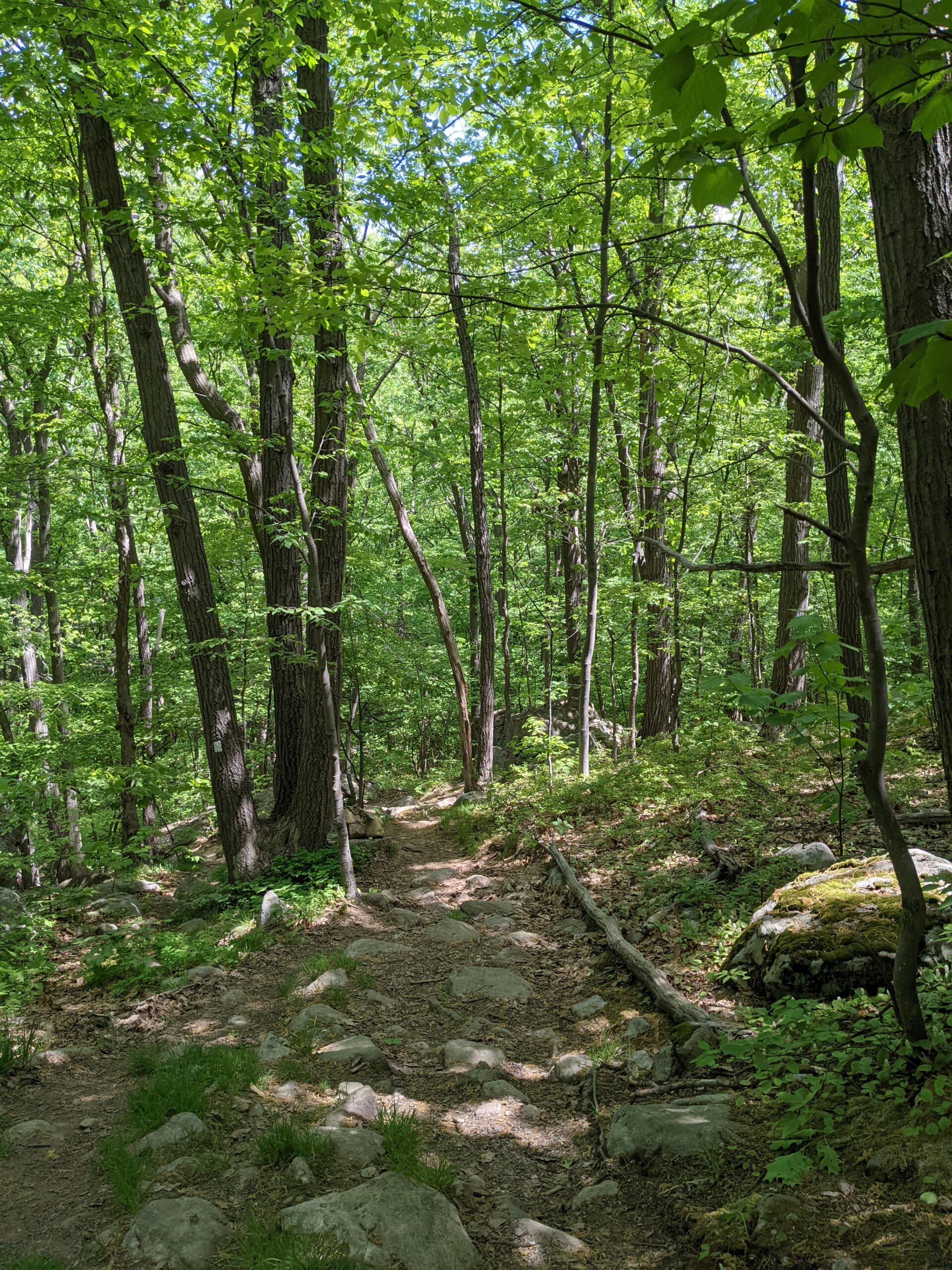
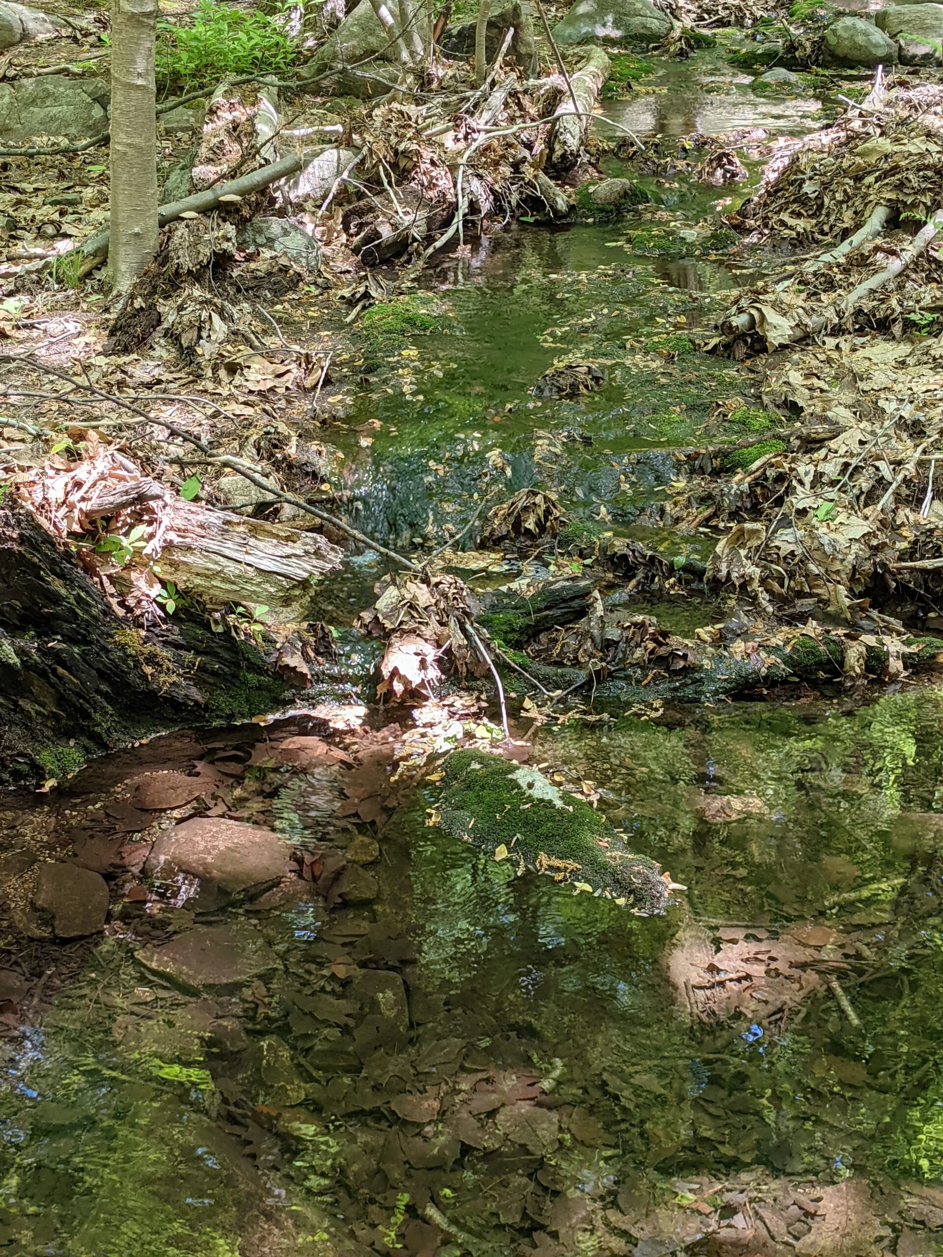
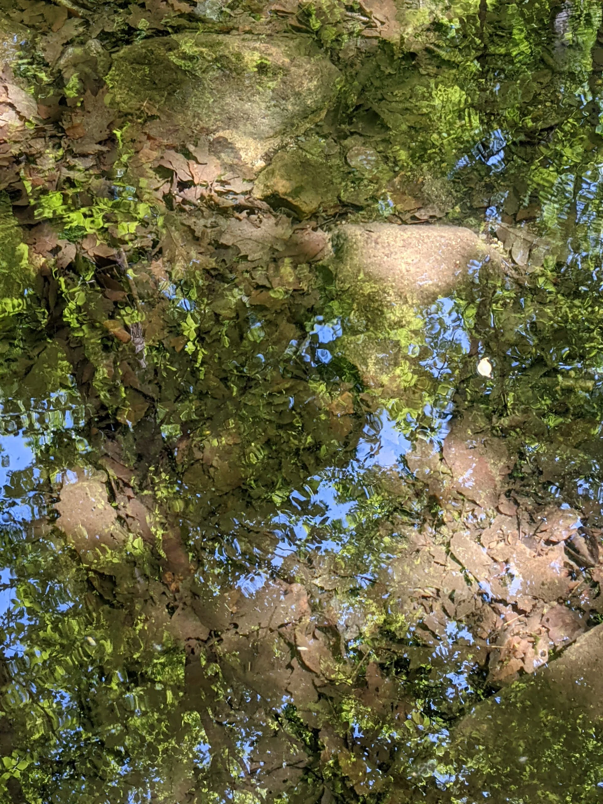
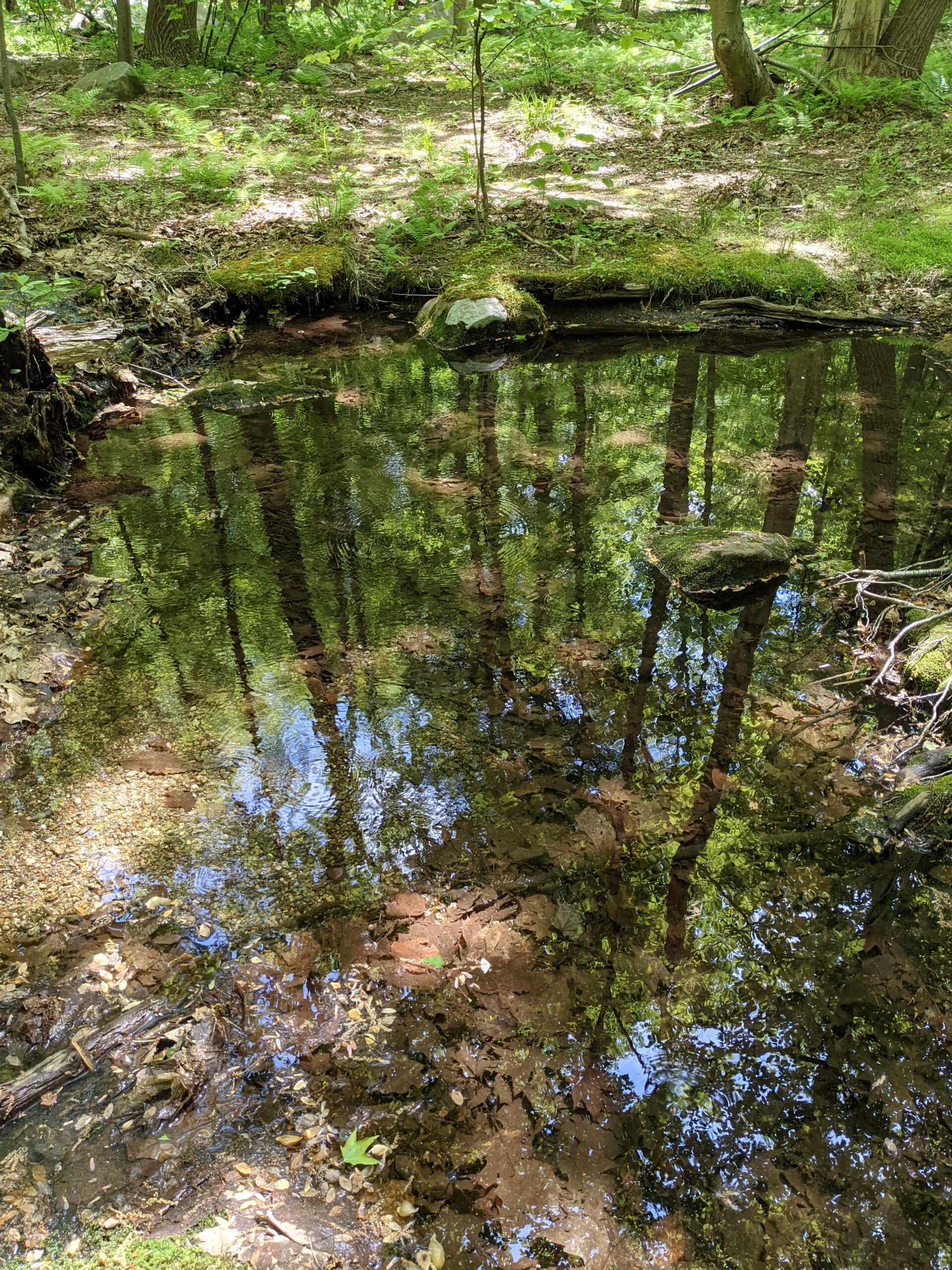
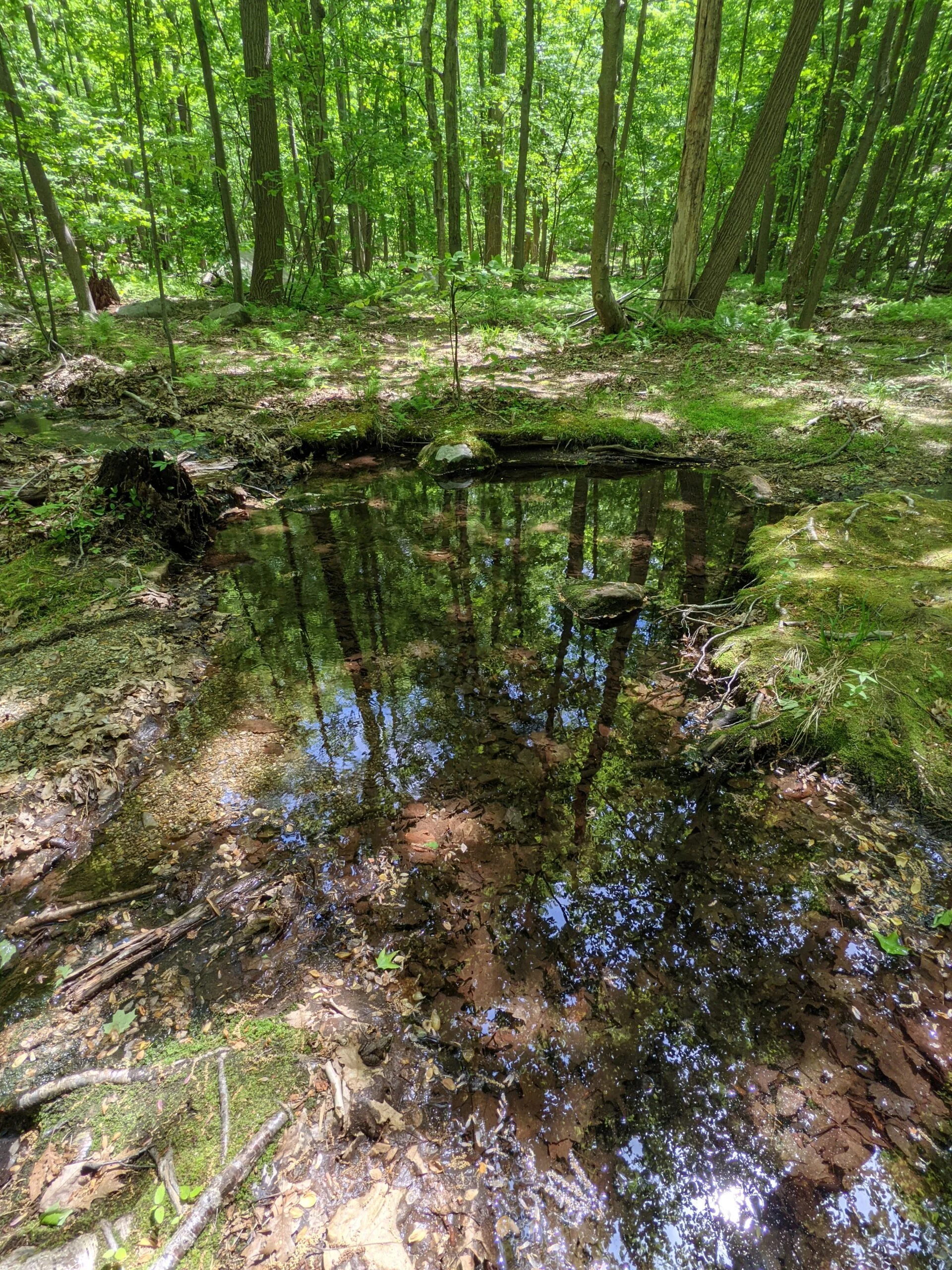
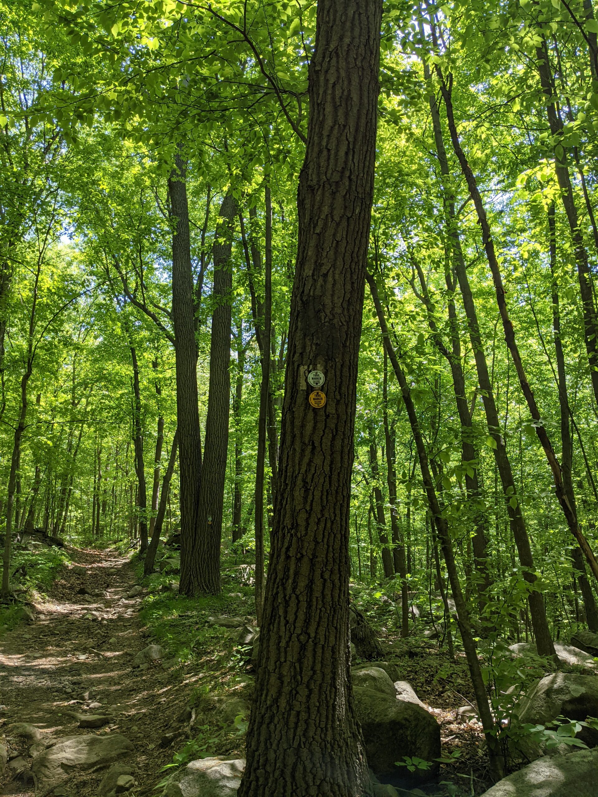
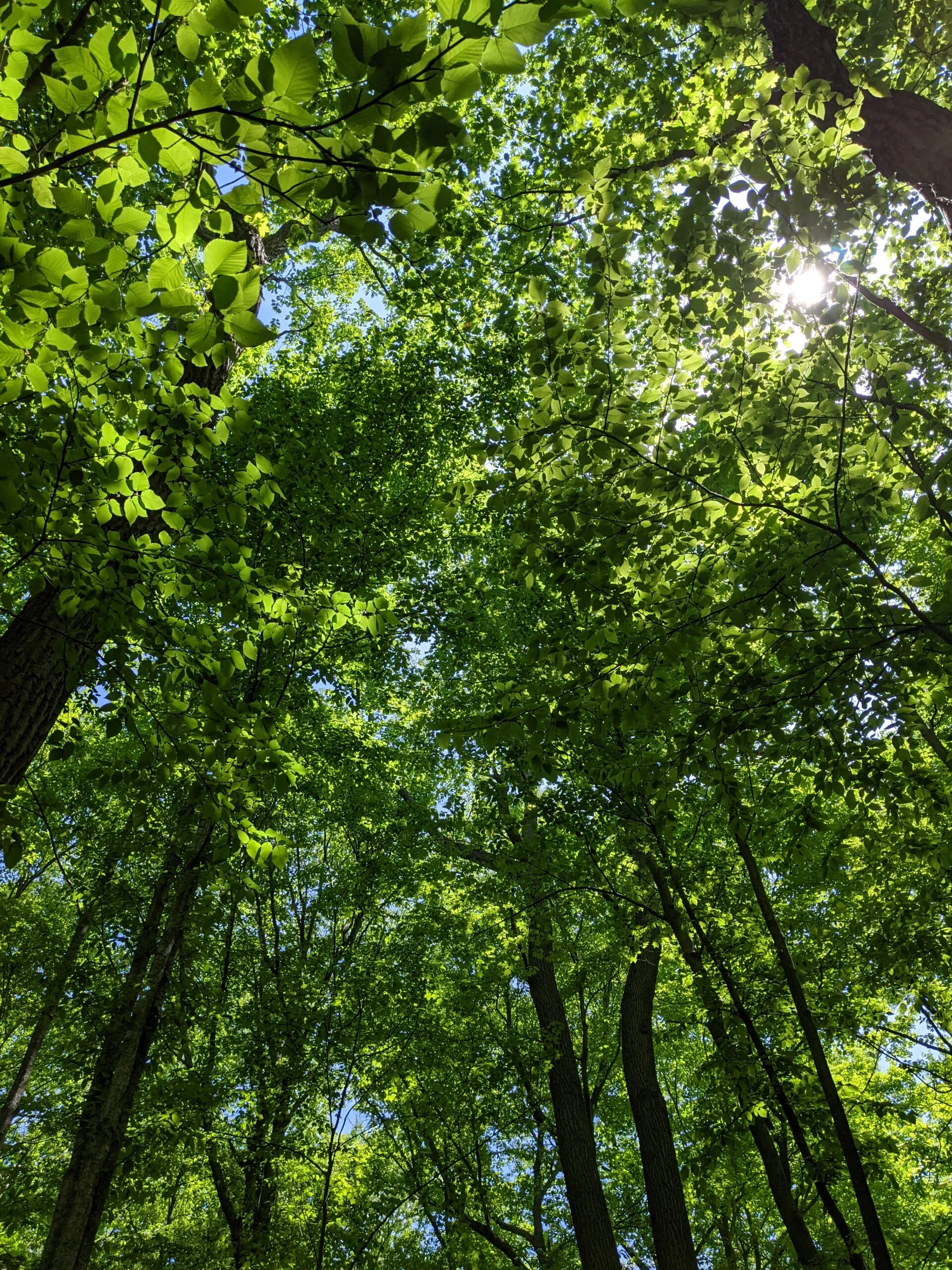
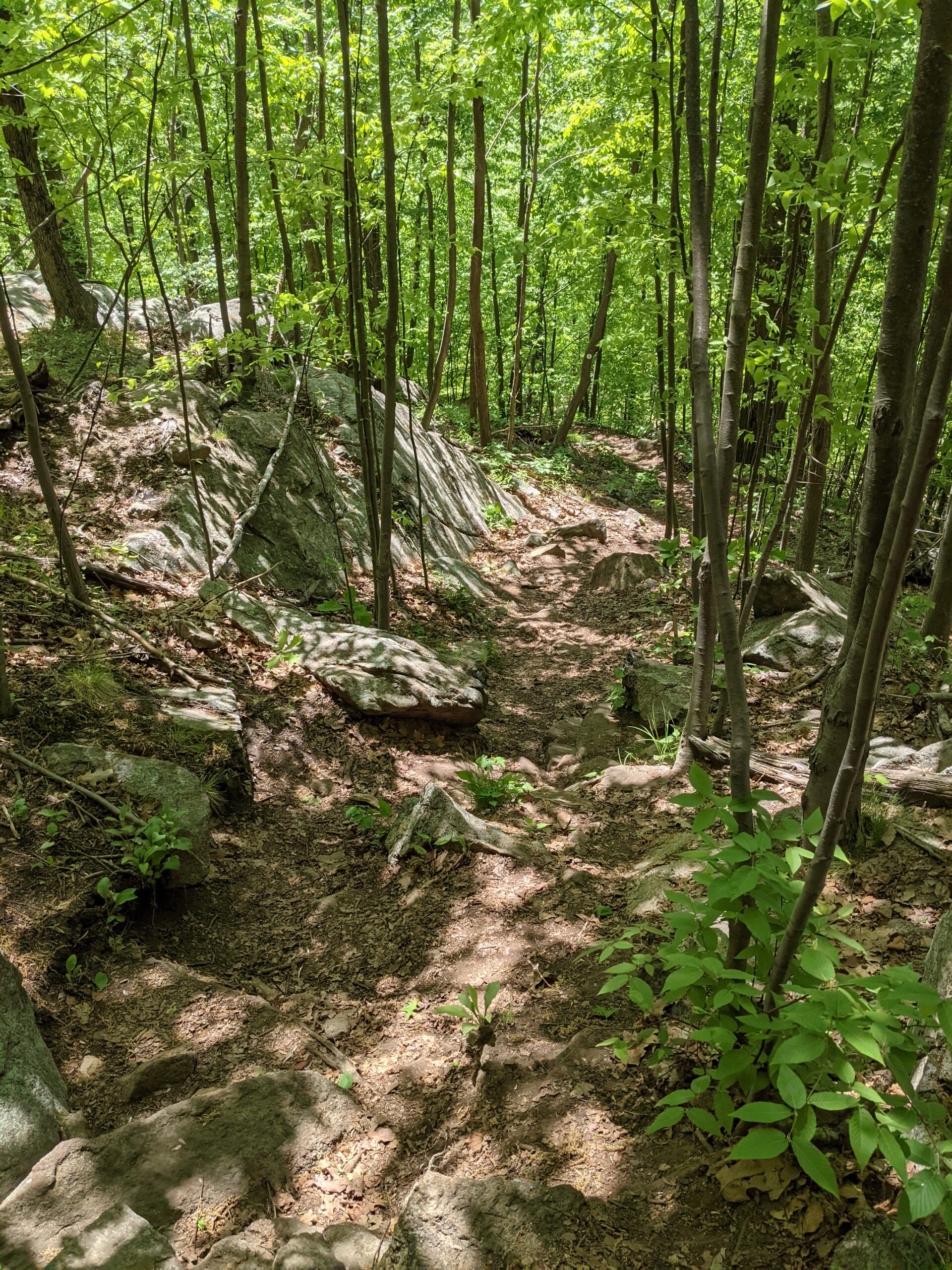
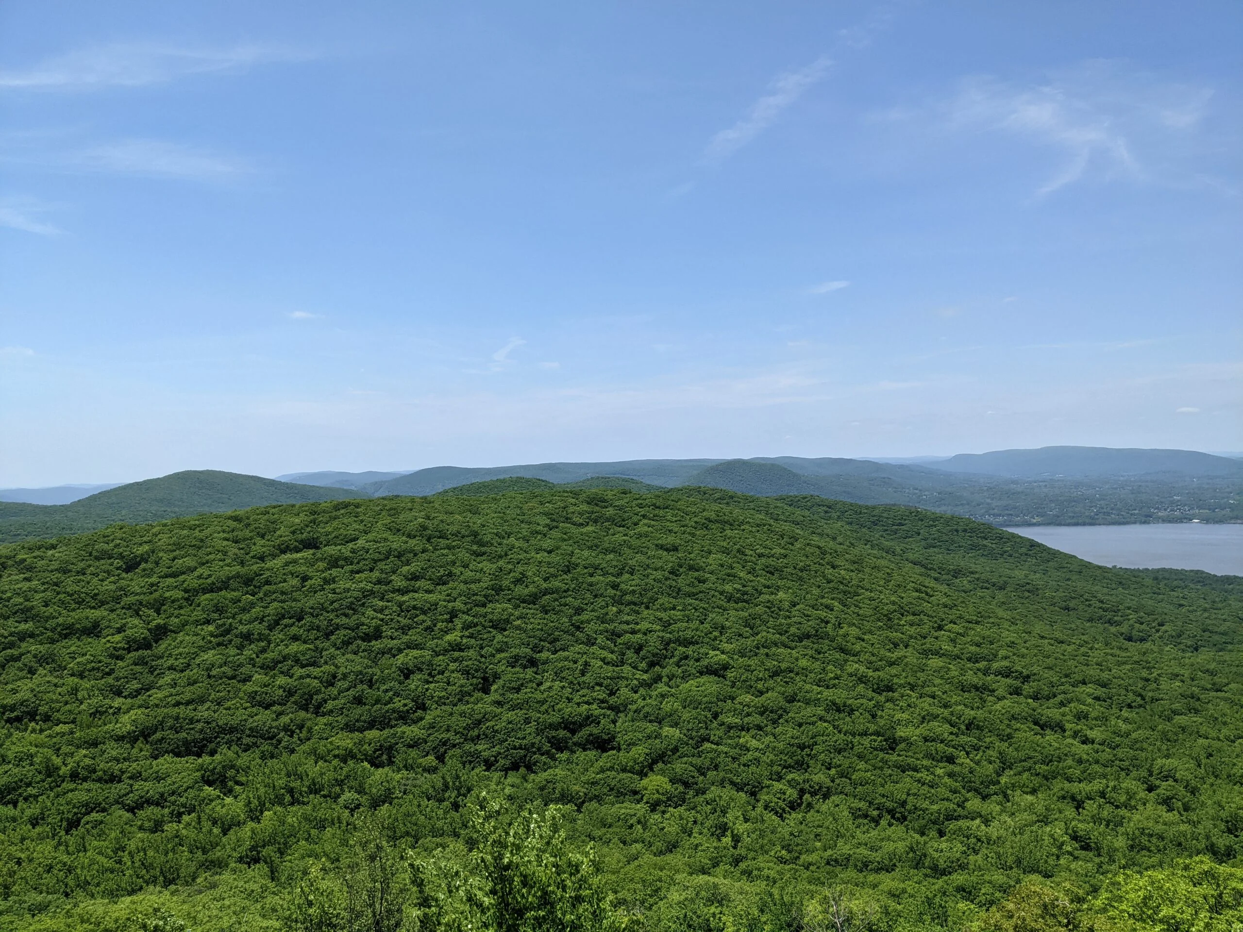
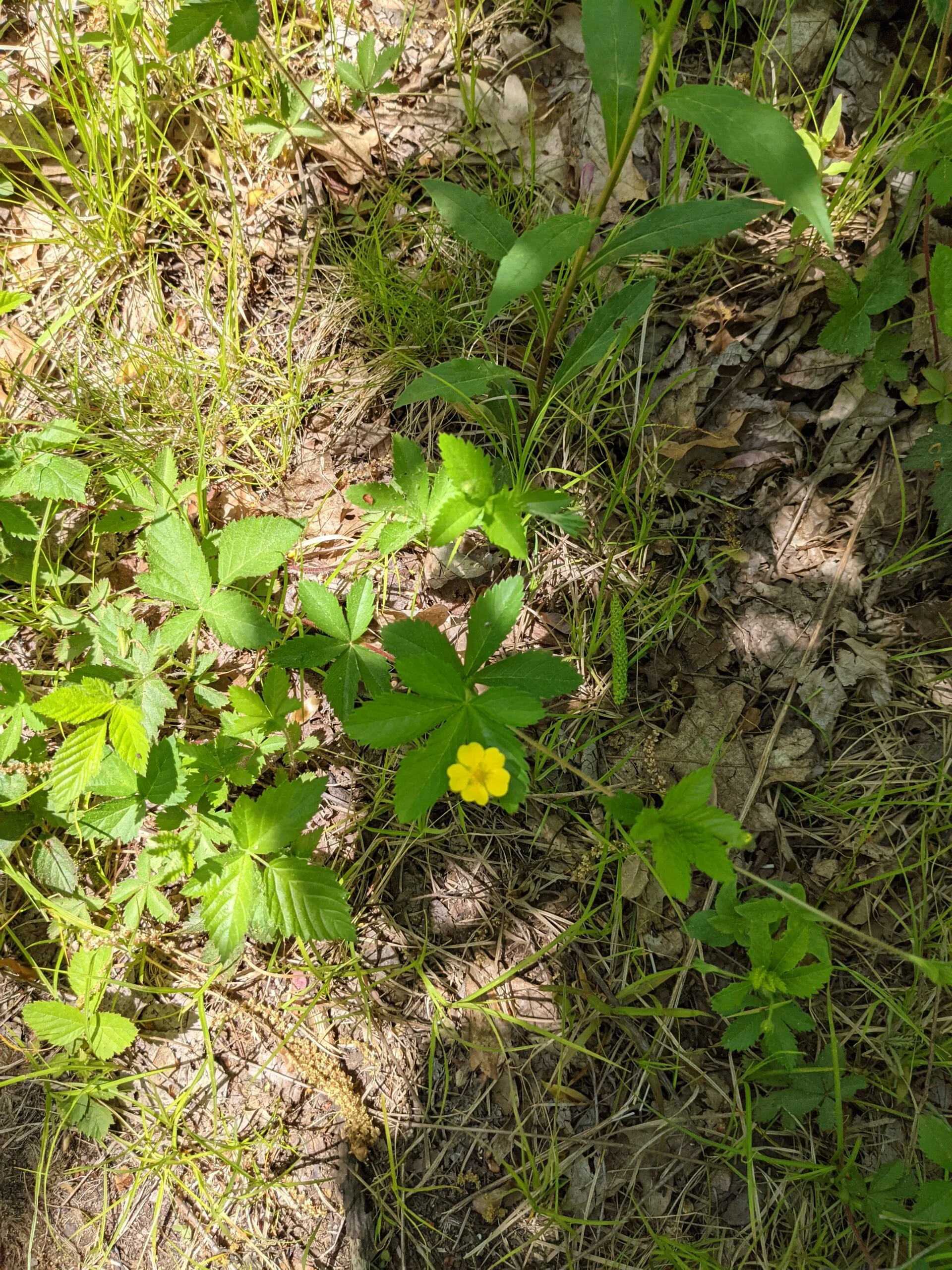
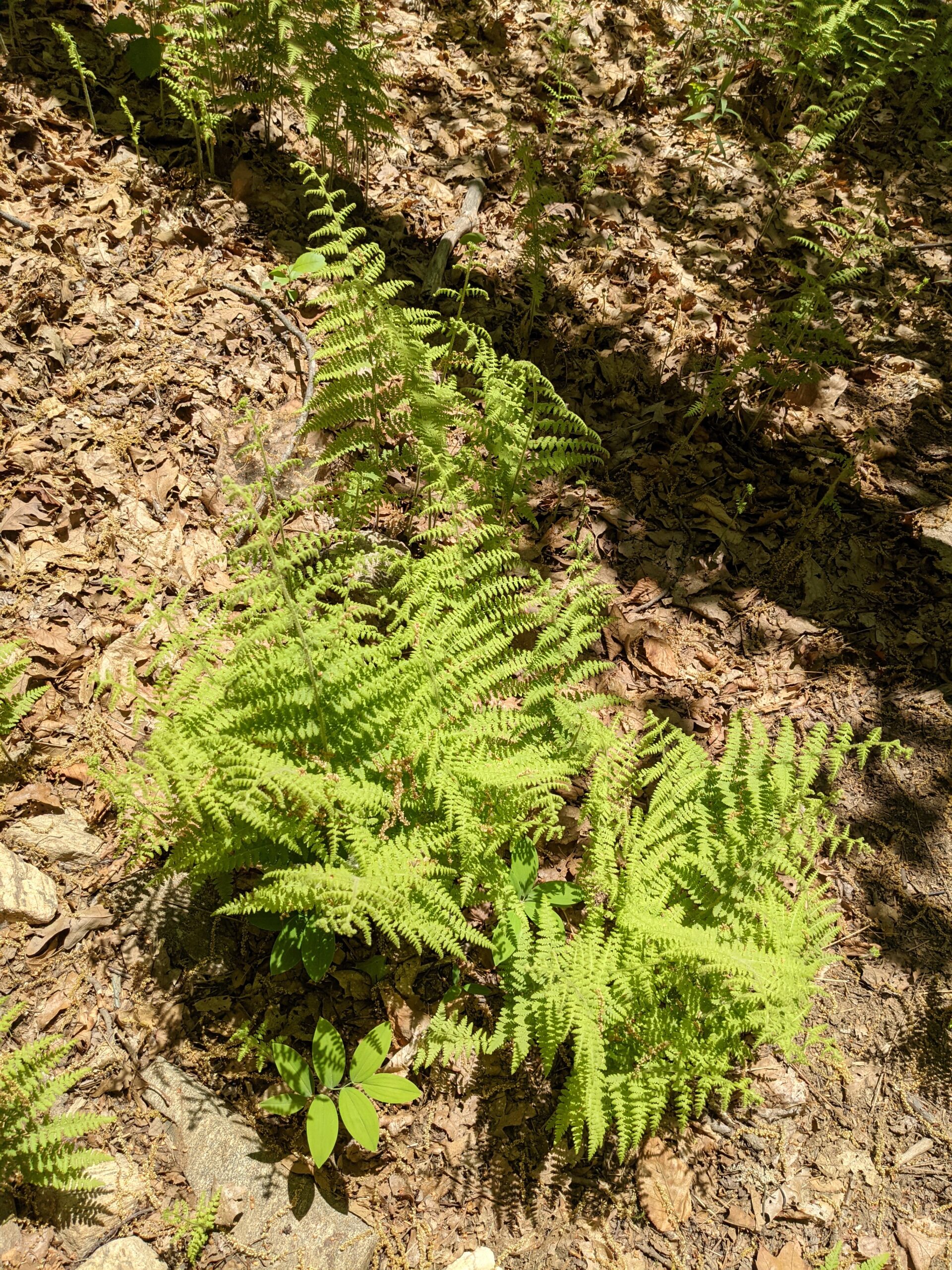
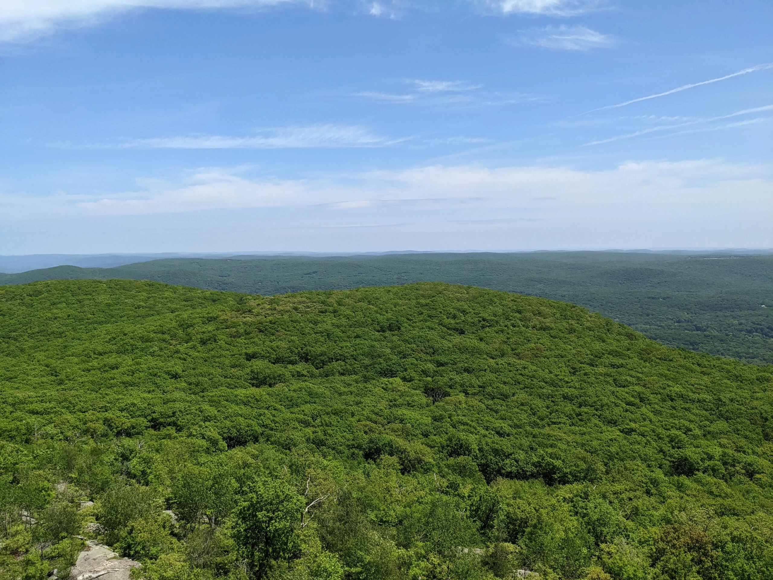
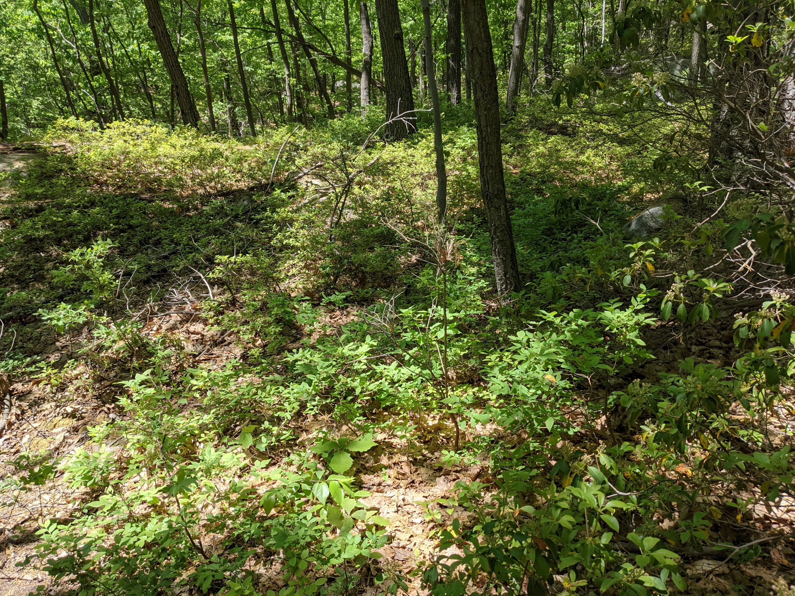
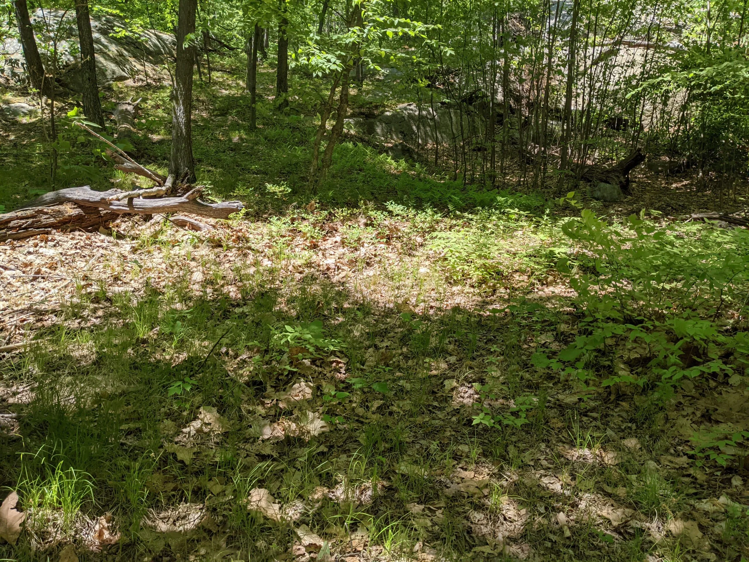
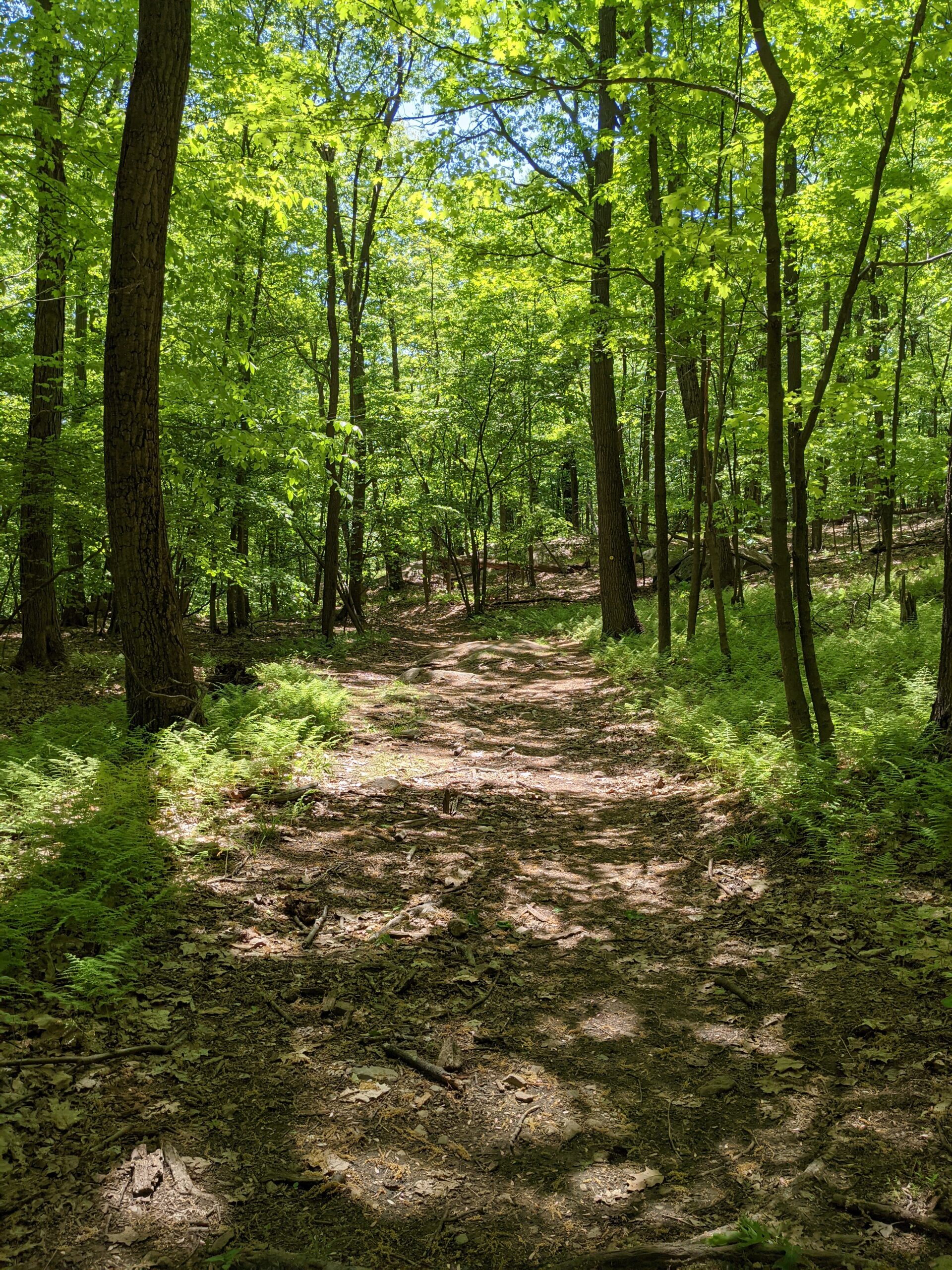
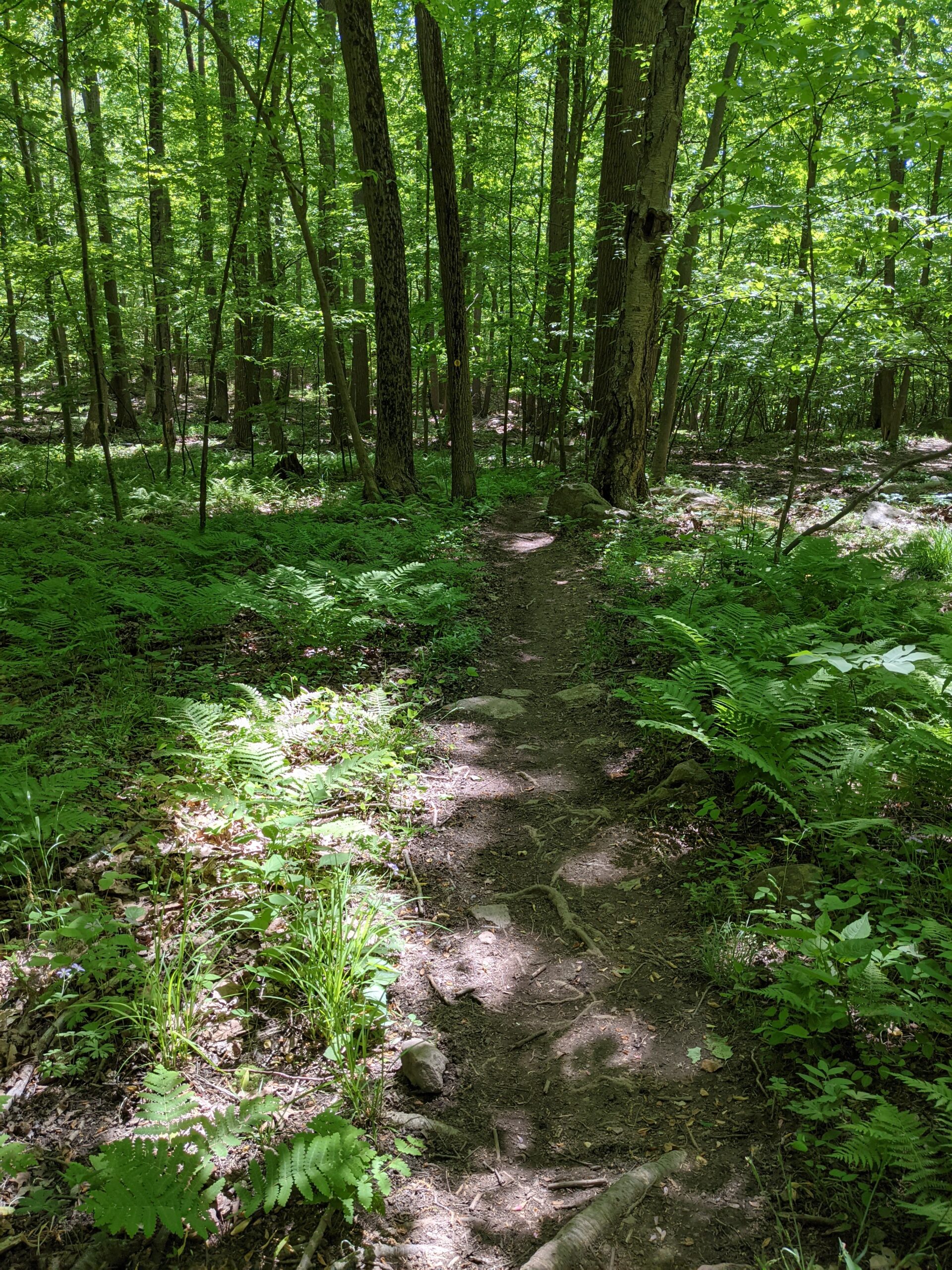
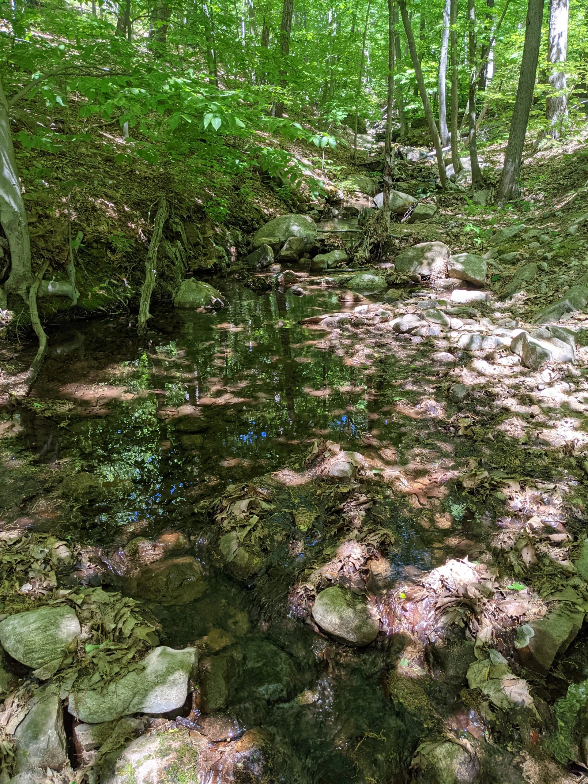
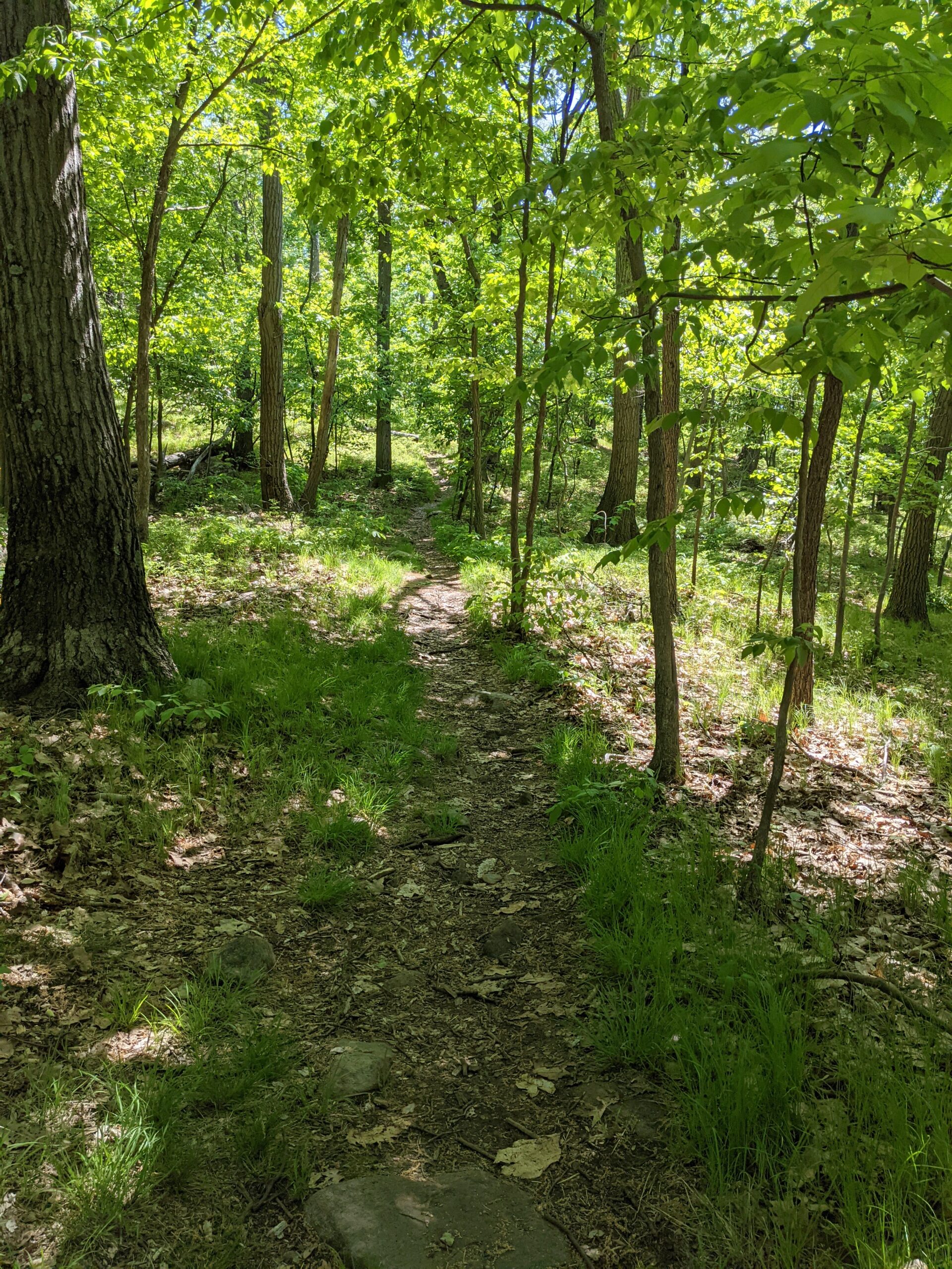
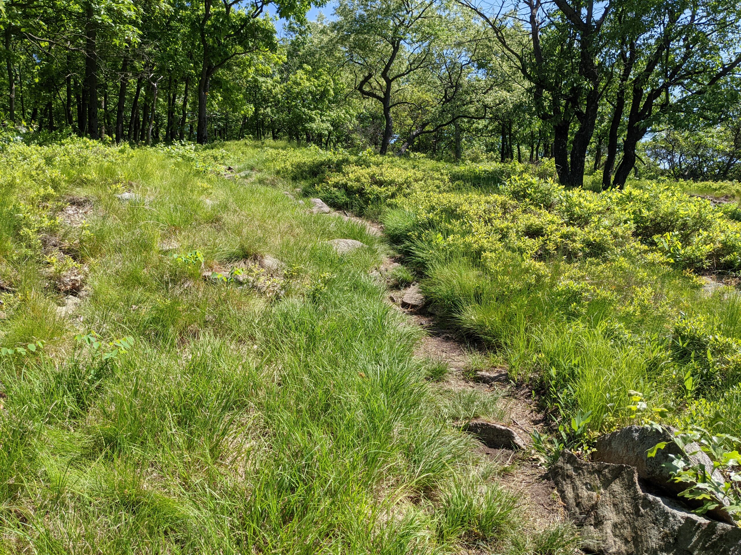
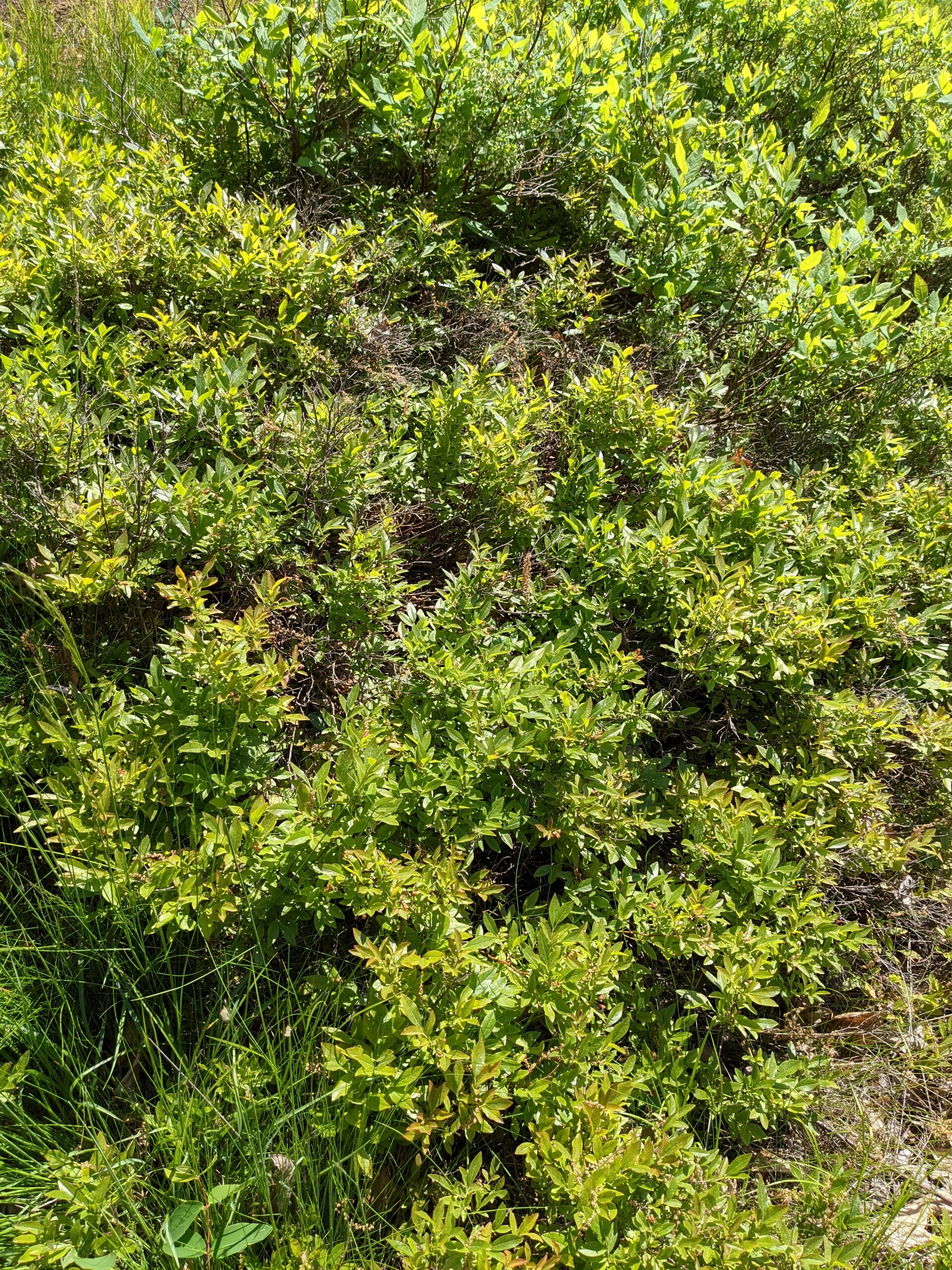
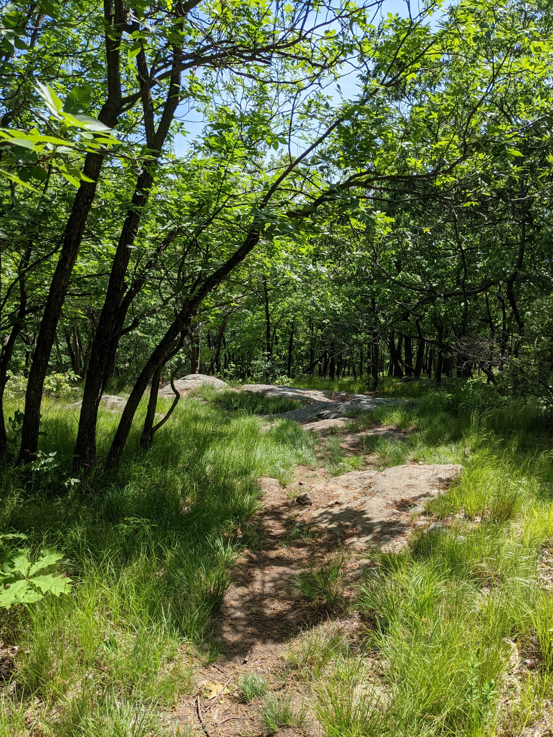
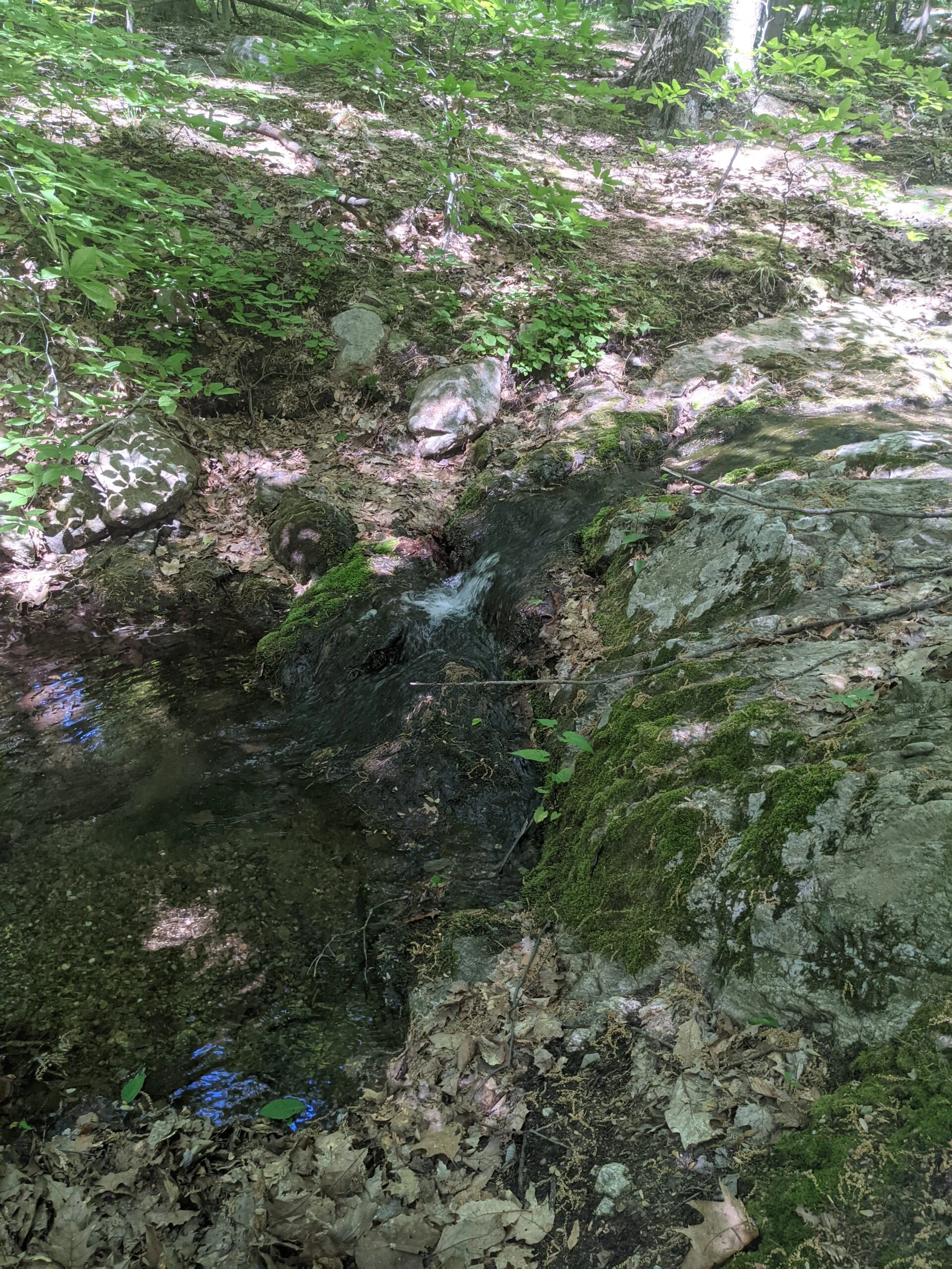
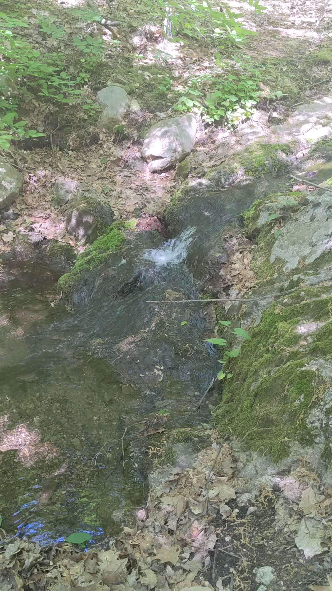
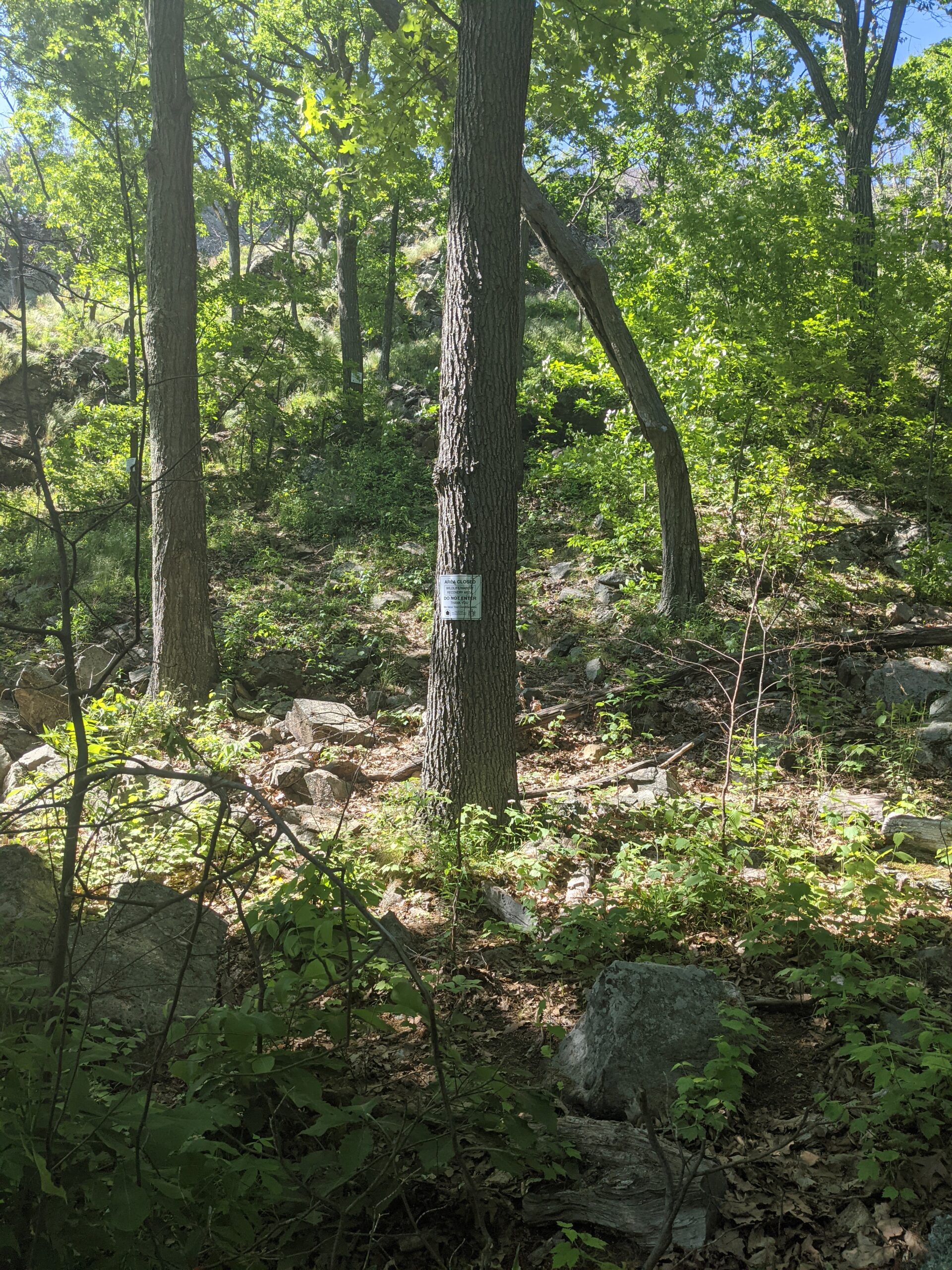
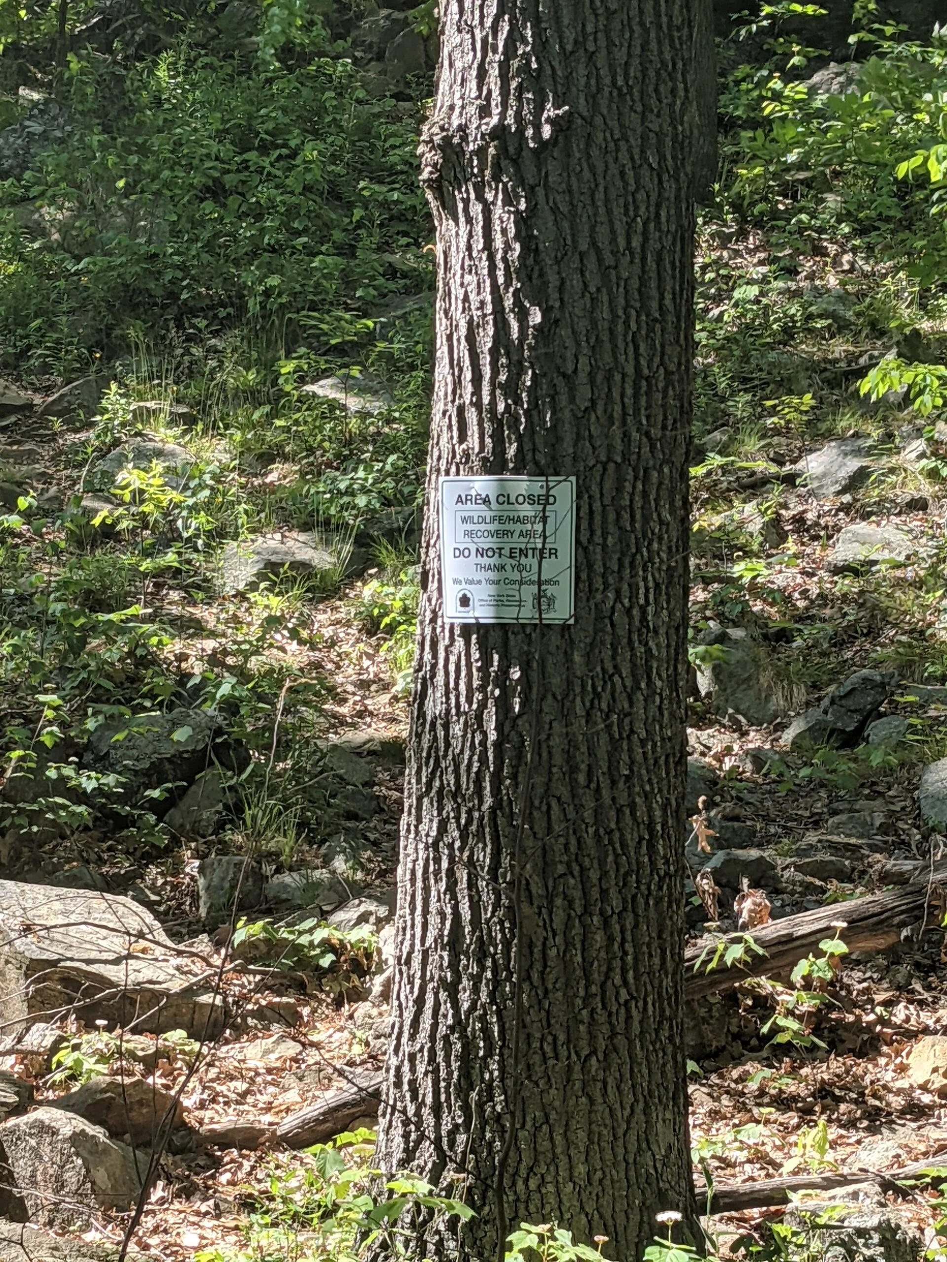
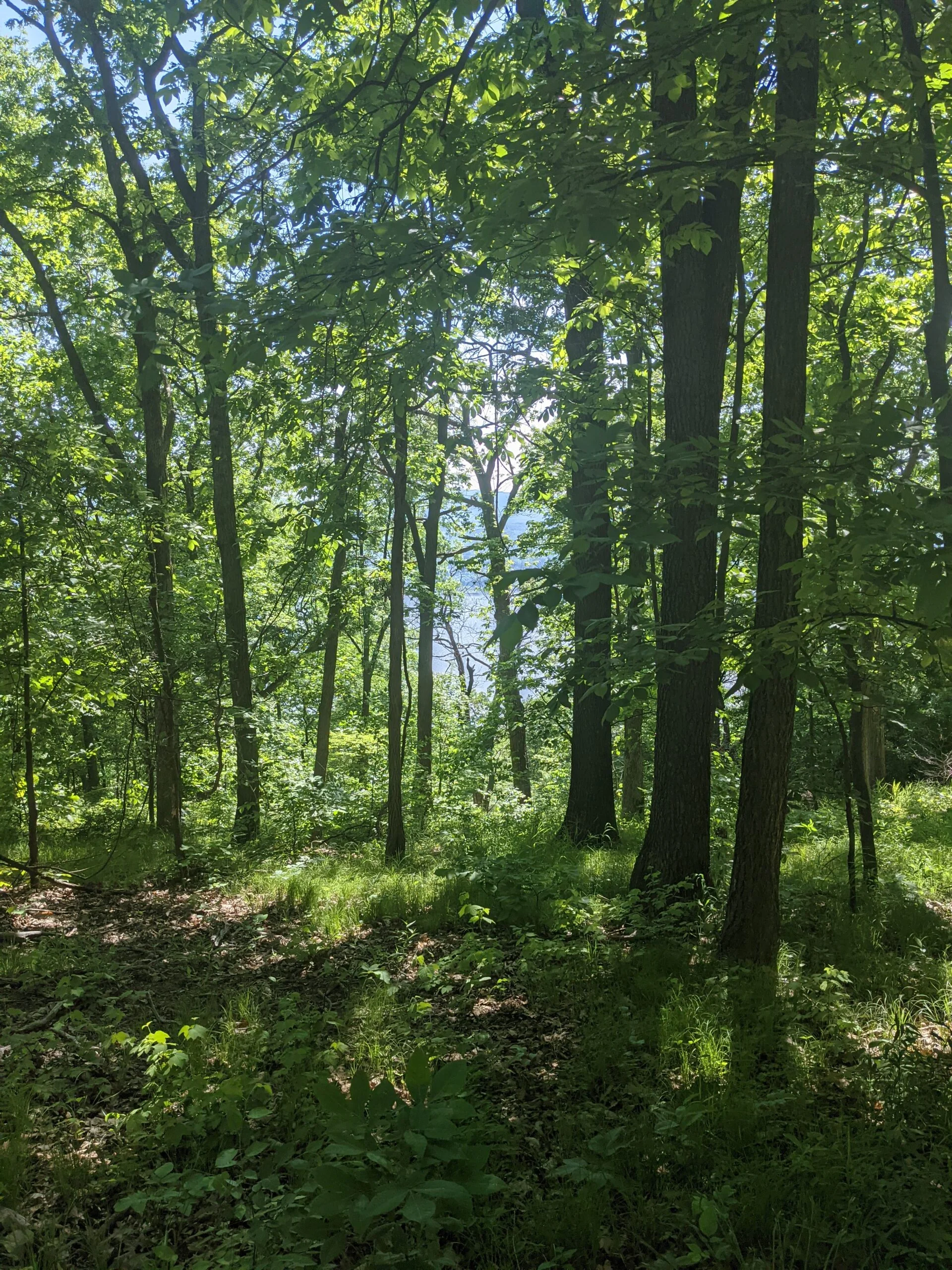
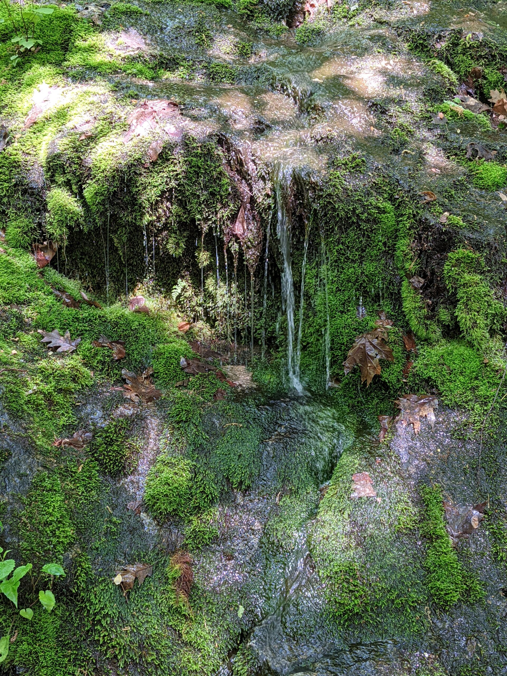
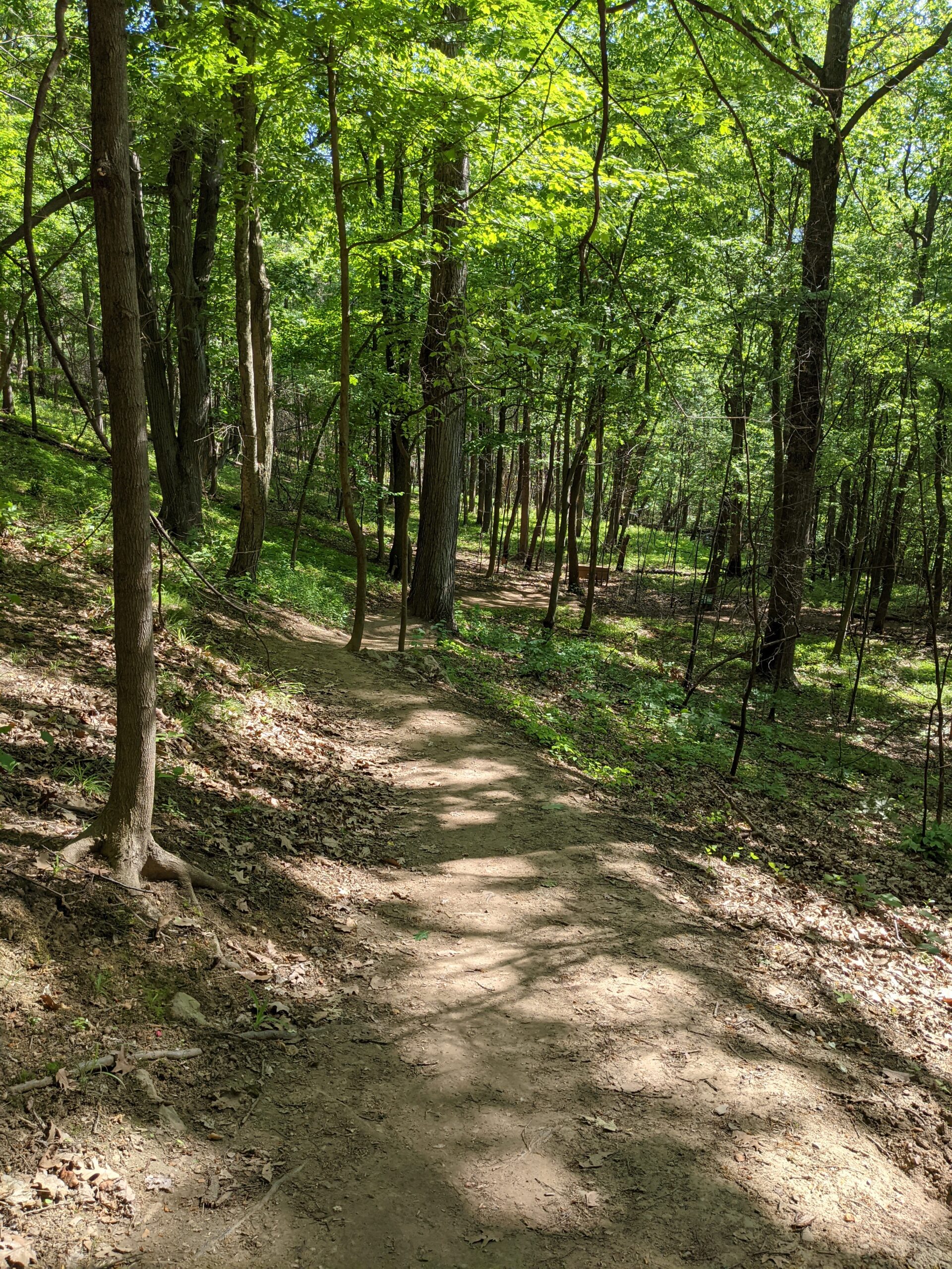
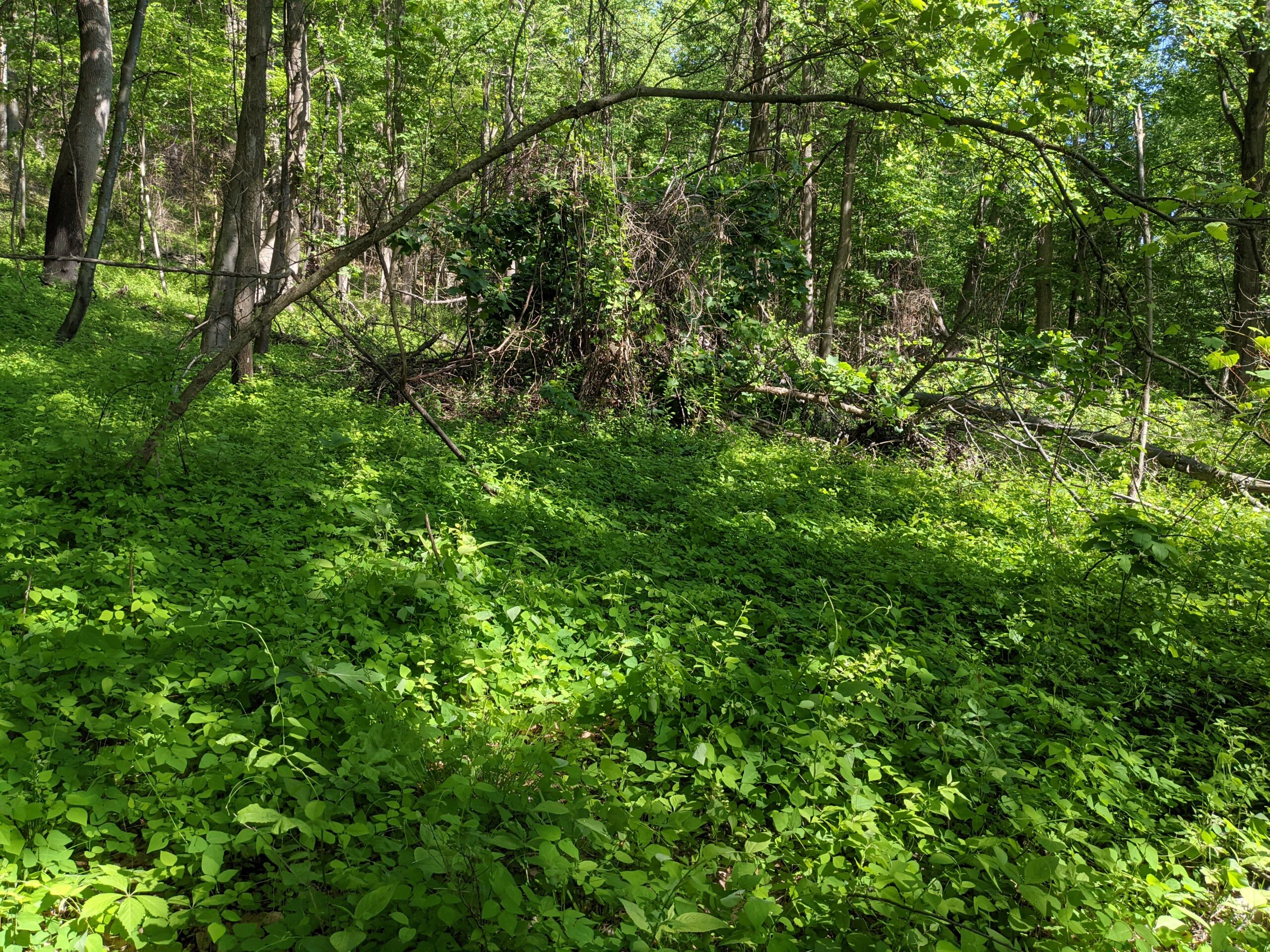
After enjoying my solitude at the tower, I took BR to the end where it meets the Casino trail (CT, red blazes). I made a right (to the east) onto CT, then after 2/10 of a mile, made another right onto the Wilkinson Memorial trail (WM, yellow blazes). This started my journey back south toward the trail head. I crossed over BR again where I had cross earlier, then made it to the spot where WM runs alongside NT. The trail here is blazed both yellow and blue for about 6/10 of a mile. At the 7.3 mile mark, WM split off on its own again. This whole section of WM was a beautiful, lush landscape of green with a few water crossings along the way. It’s a mostly gradual descent of about 1,500 feet from the fire tower to the end. Around the 9.2 mile mark, I wanted to take a detour up to Sugarloaf Mountain, but signs were posted saying the area was closed to allow for wildlife/habitat recovery.
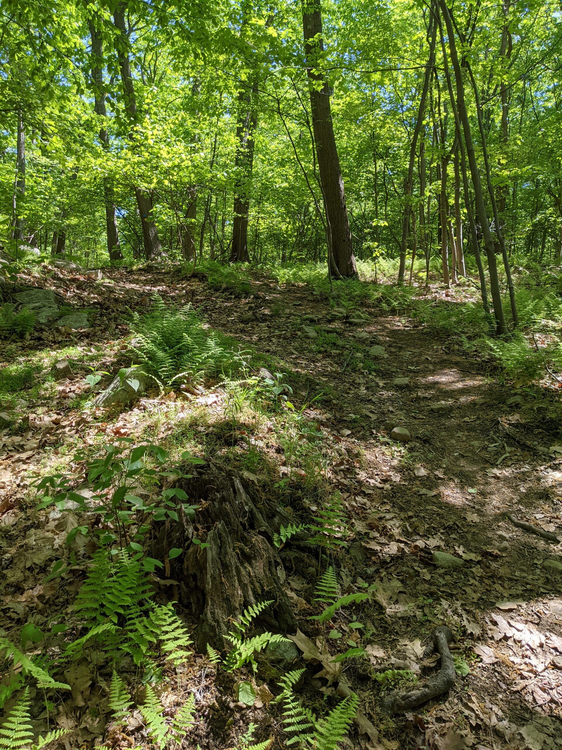
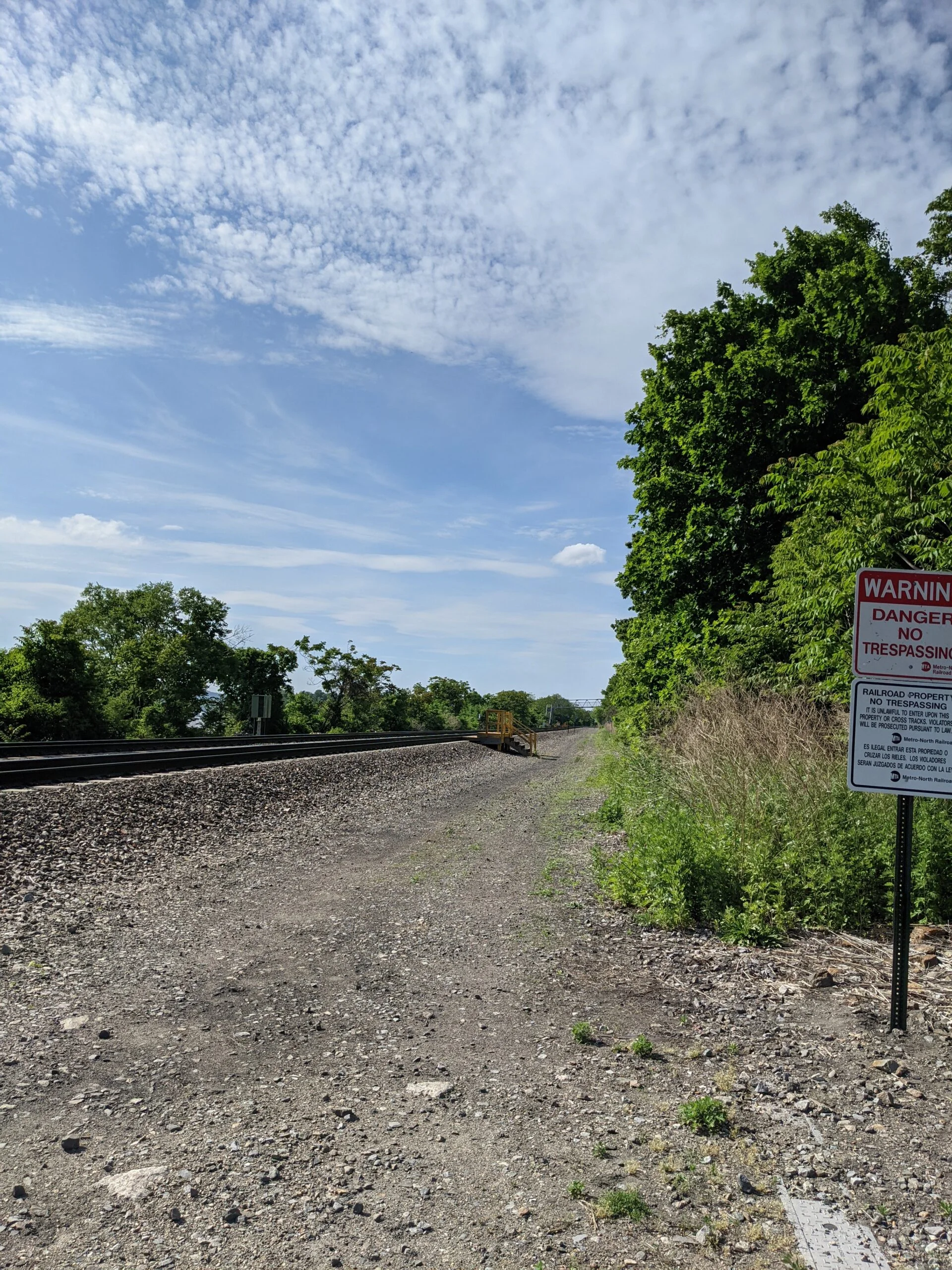
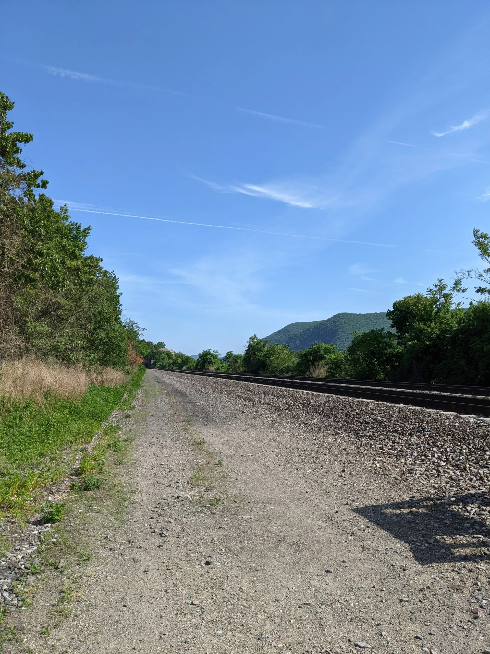
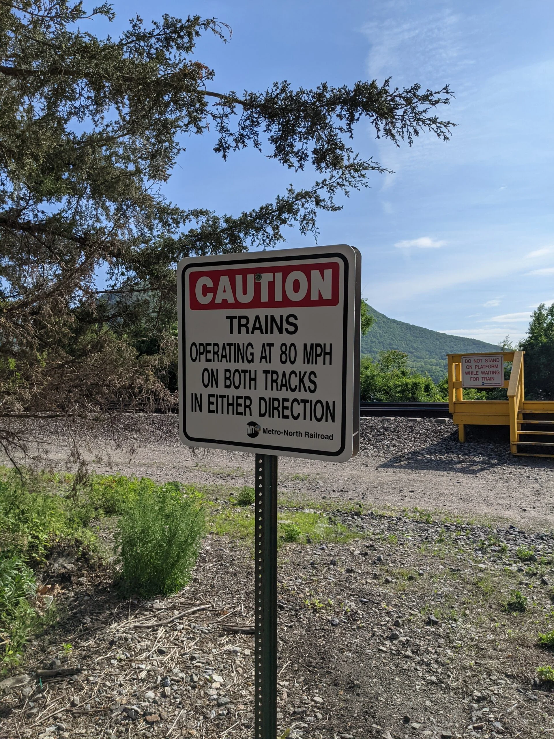
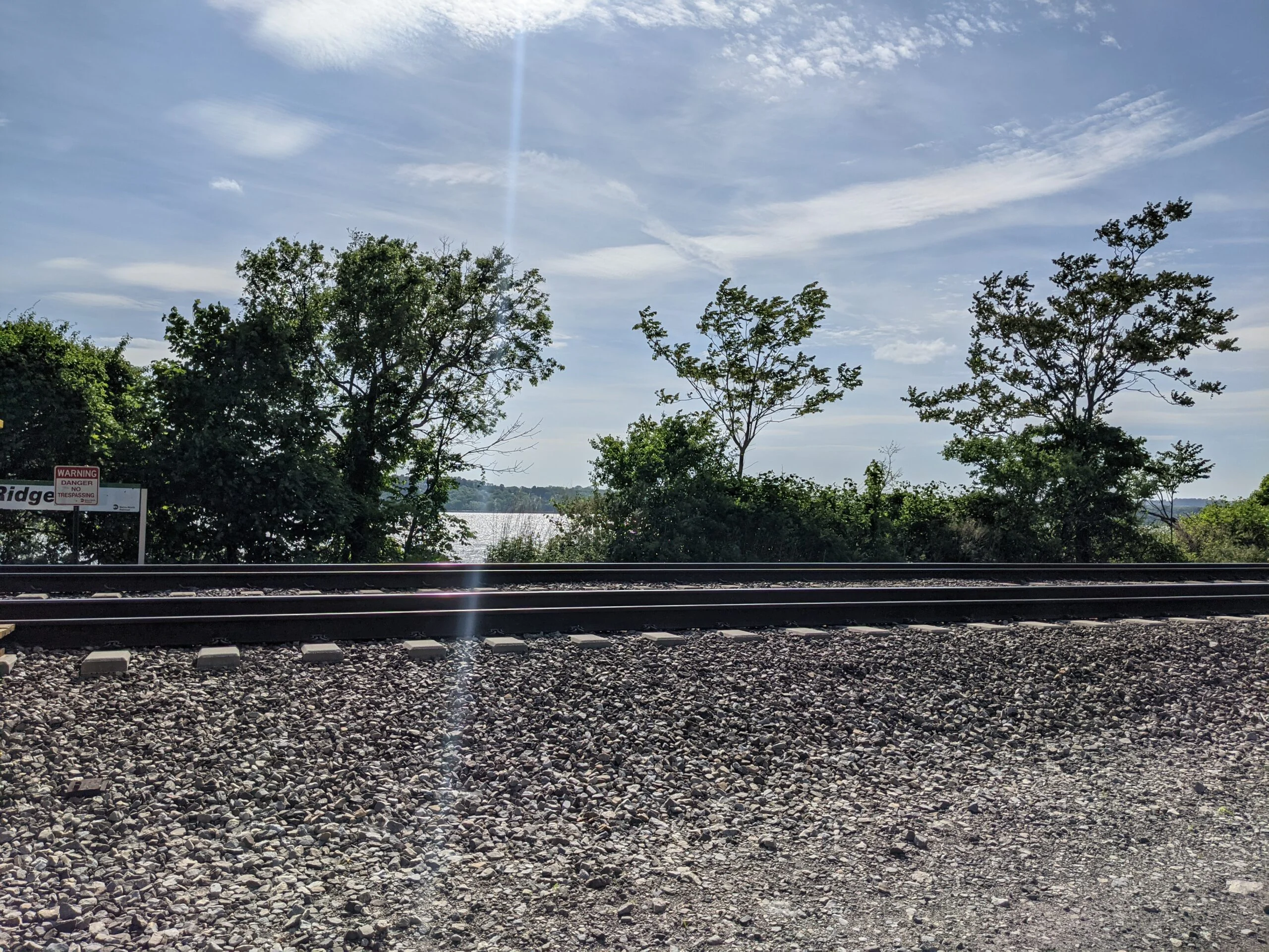
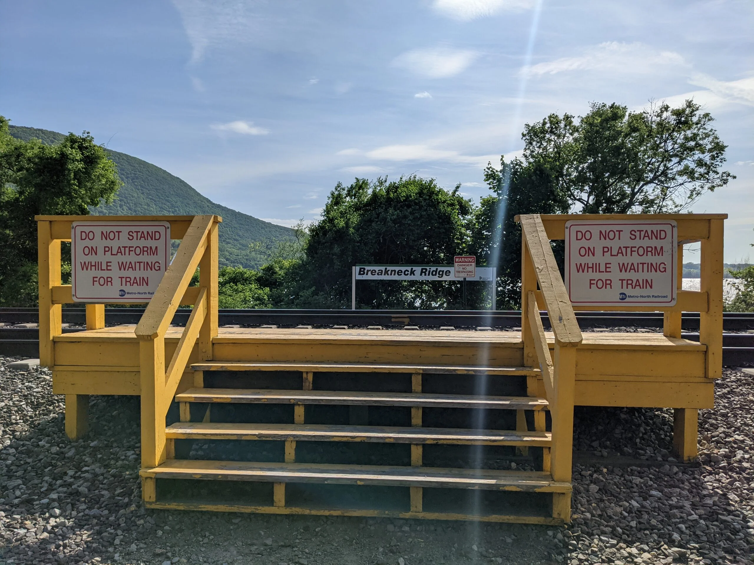
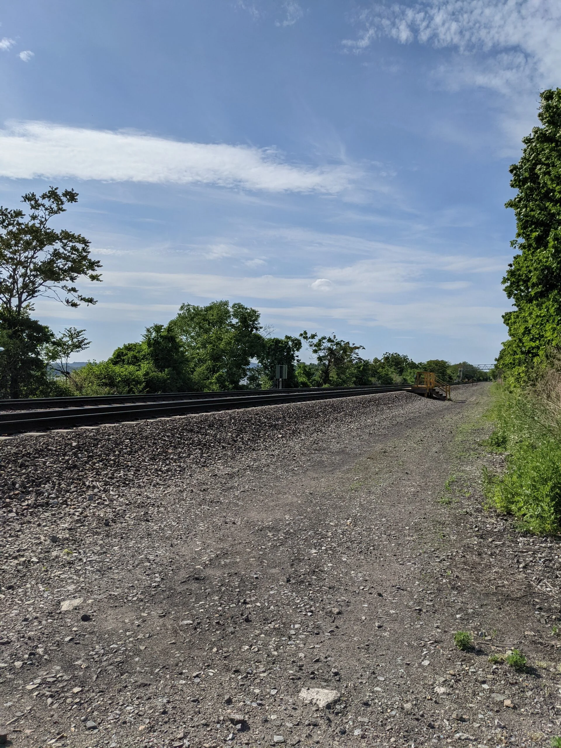
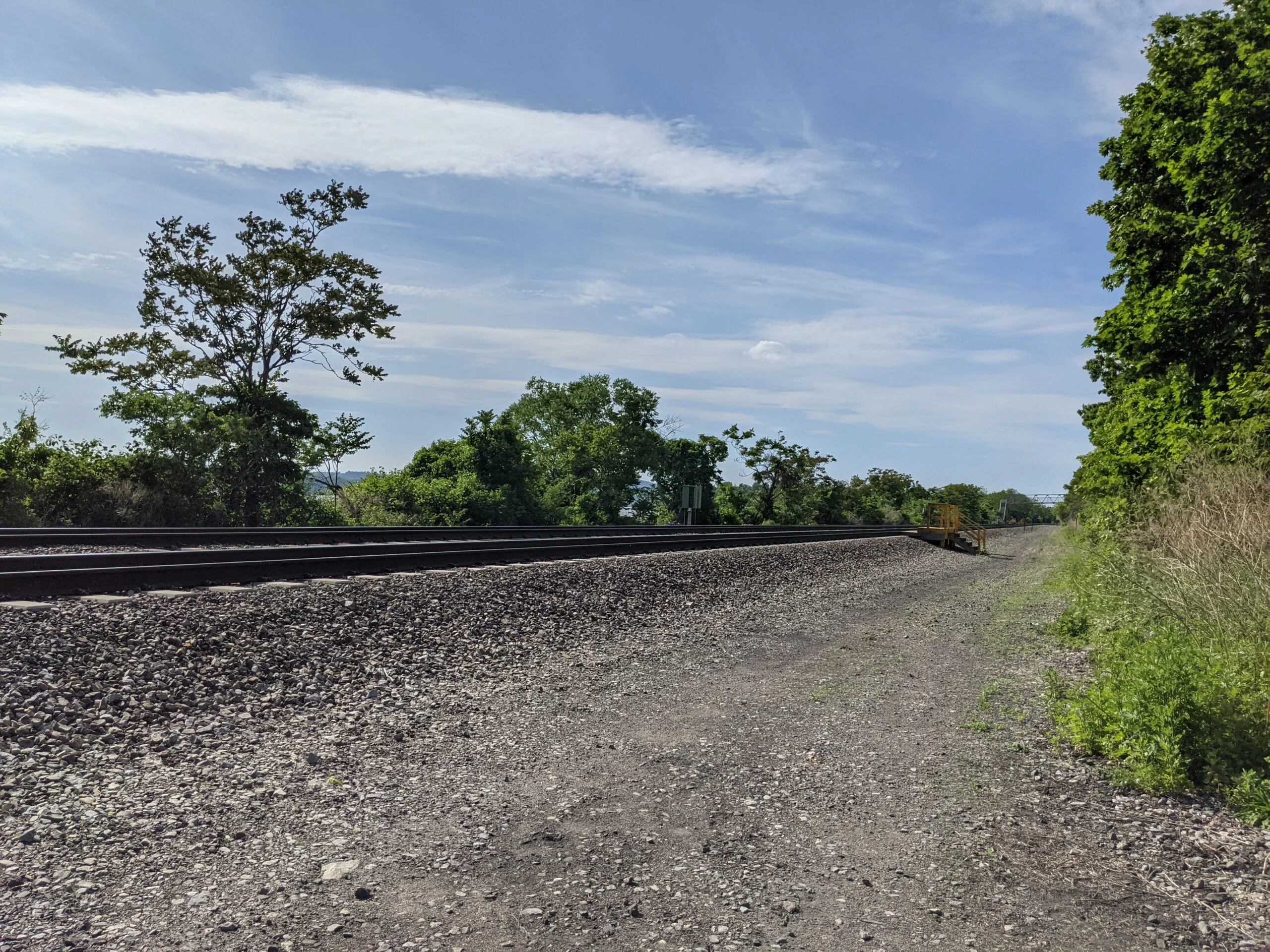
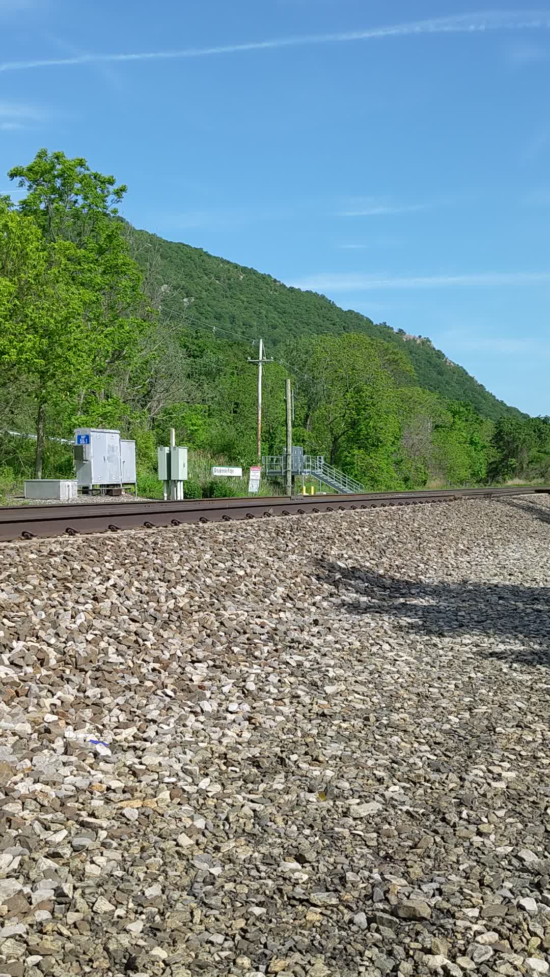
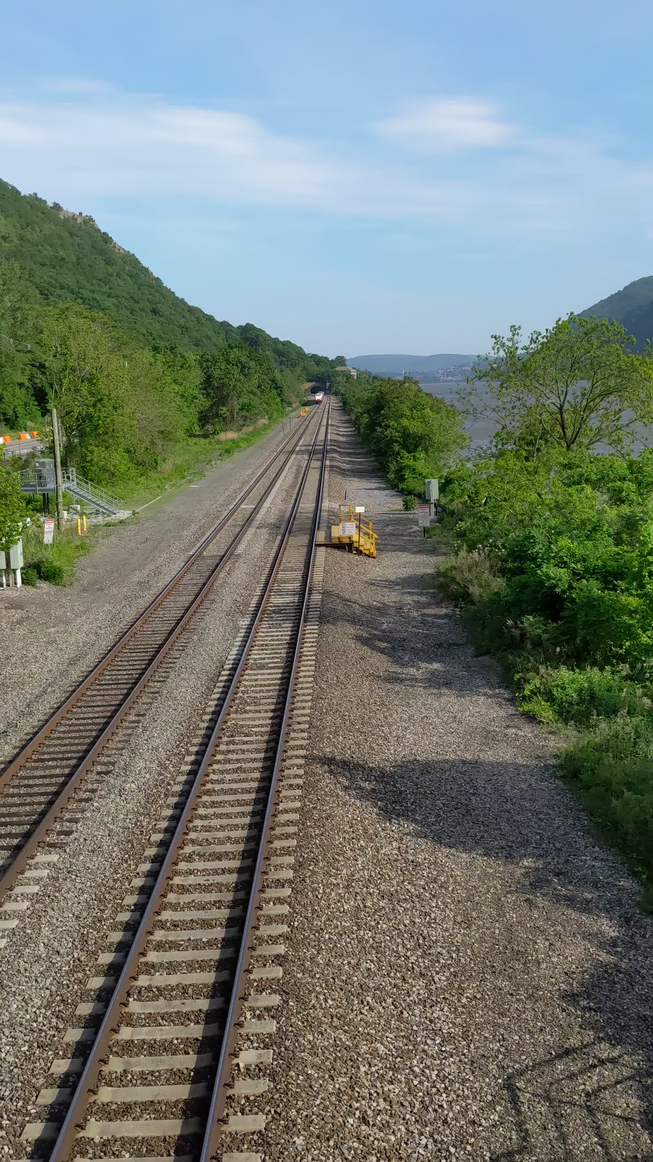
I followed the remainder of WM until reaching Route 9D, clocking in at 10.3 miles. This trail head put me just a short distance north of where I had parked and immediately across the road from the Breakneck Ridge stop on Metro North. The stop is now temporarily closed, but it allowed me access to view the train tracks and I really wanted to get a video of a train passing. After waiting several minutes with no train coming by, I noticed a walkway over the tracks a bit further north of where I was. I walked up 9D and then over the walkway, which allows access to the southern Breakneck Ridge stop. I was able to get a video of a train heading north by keeping a safe distance off the side of the tracks.
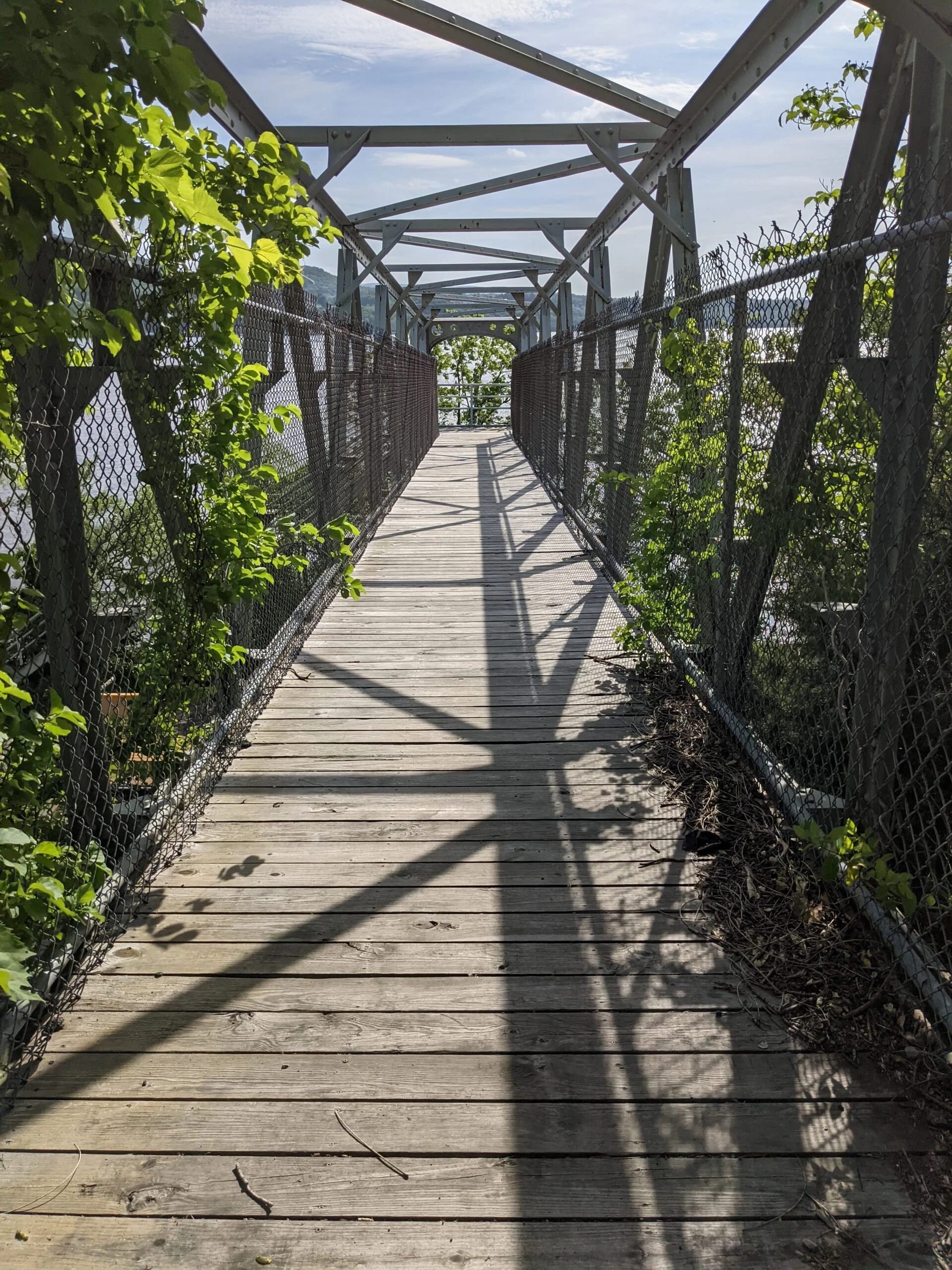
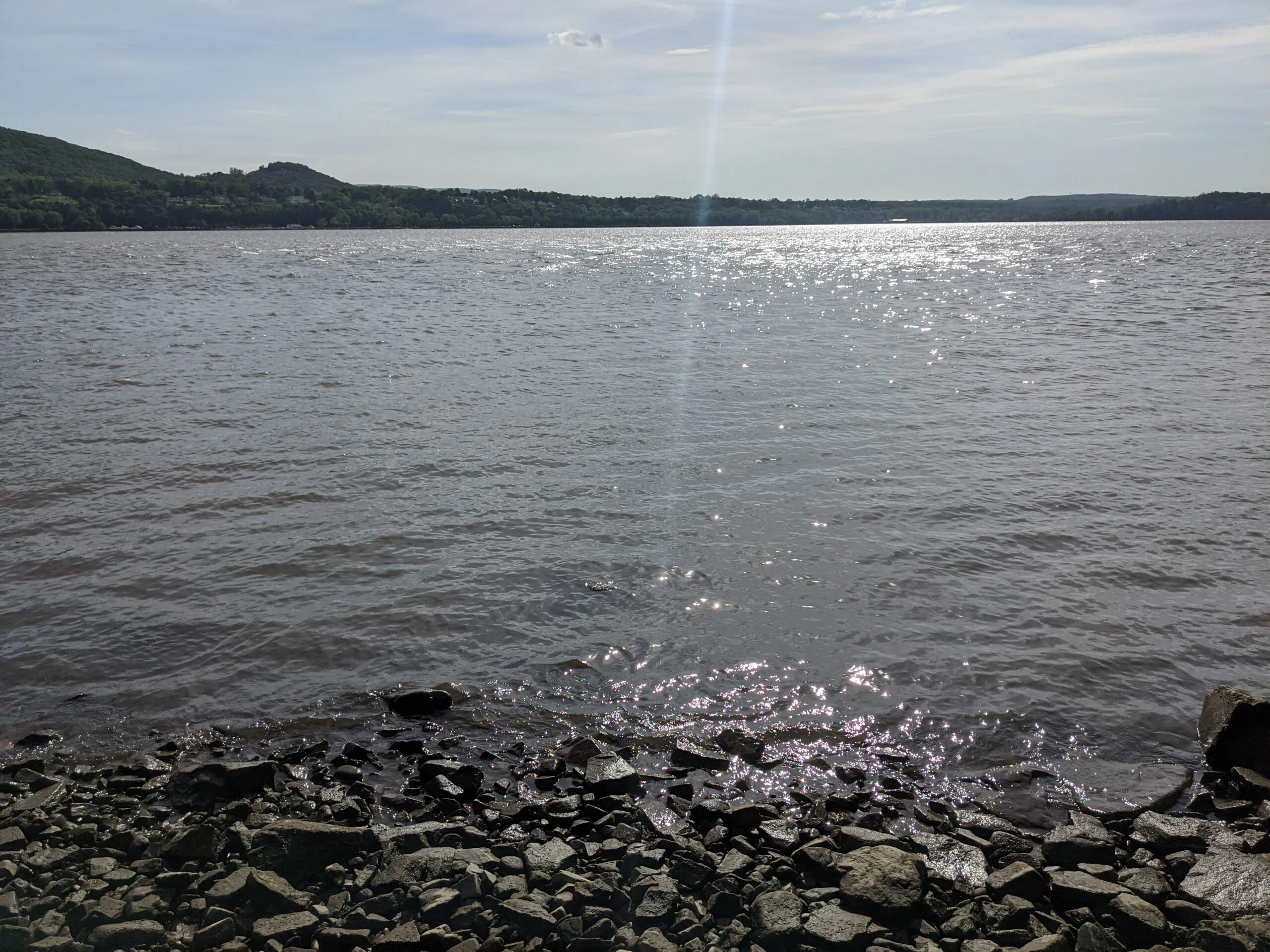
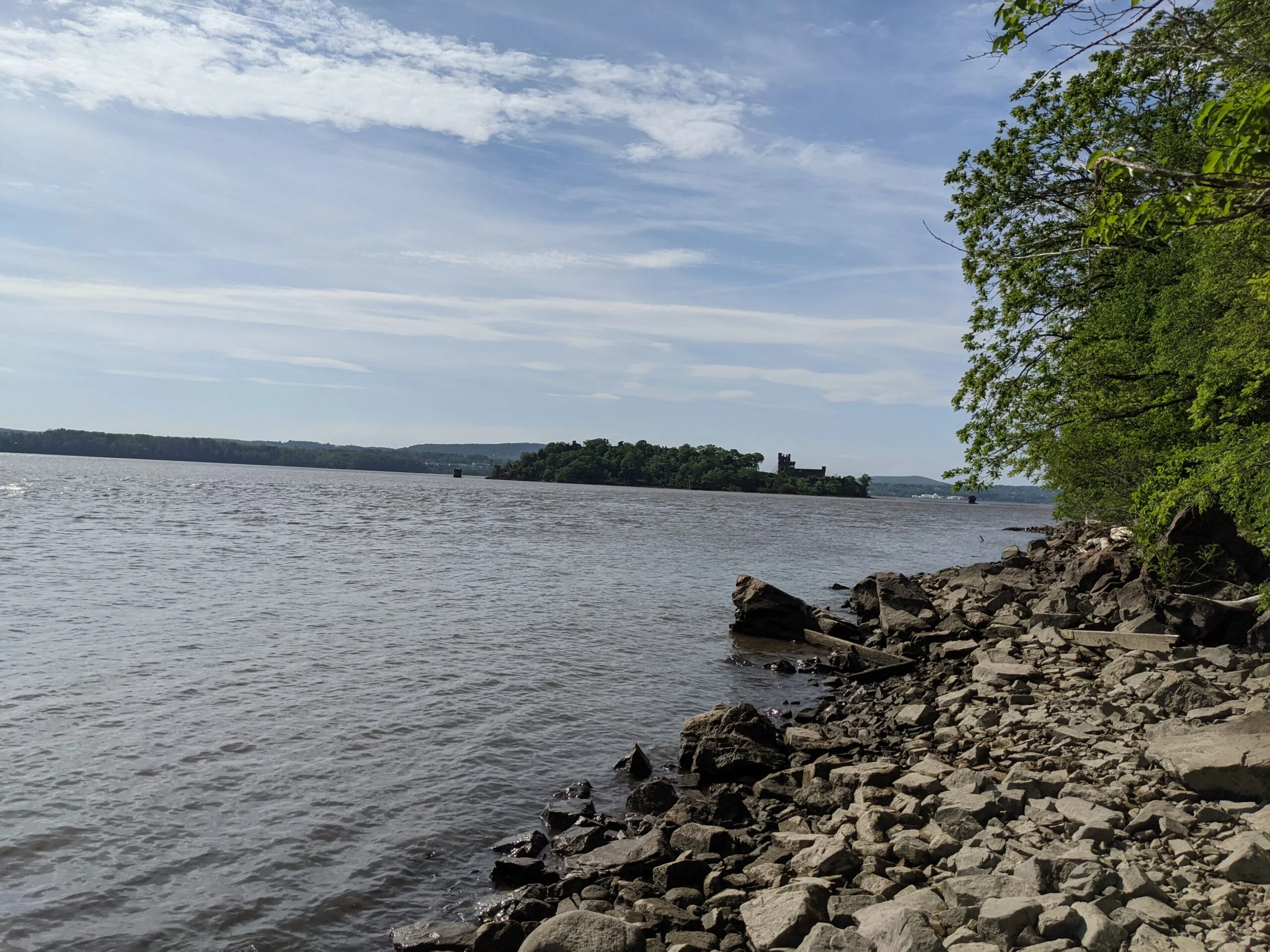
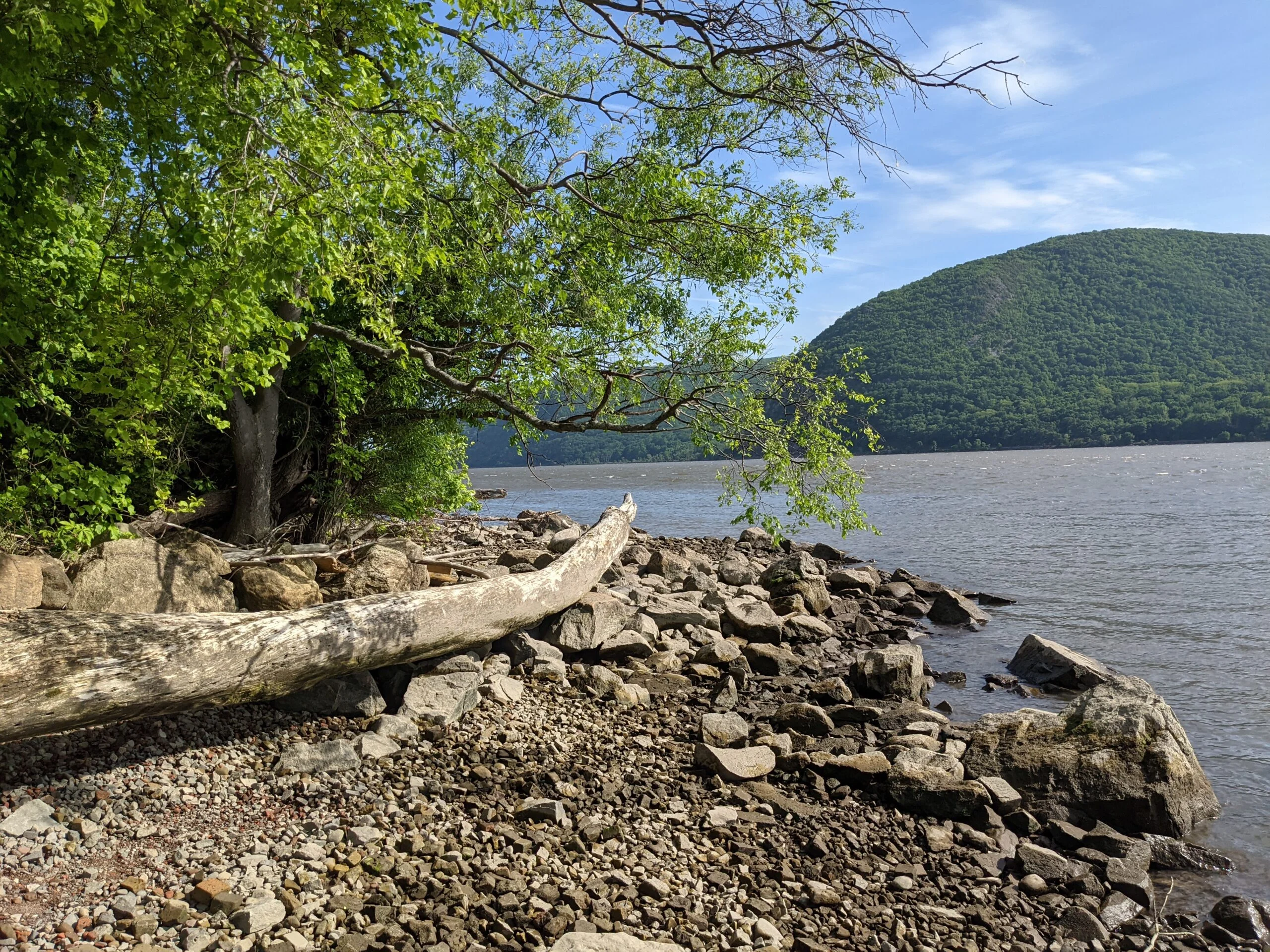
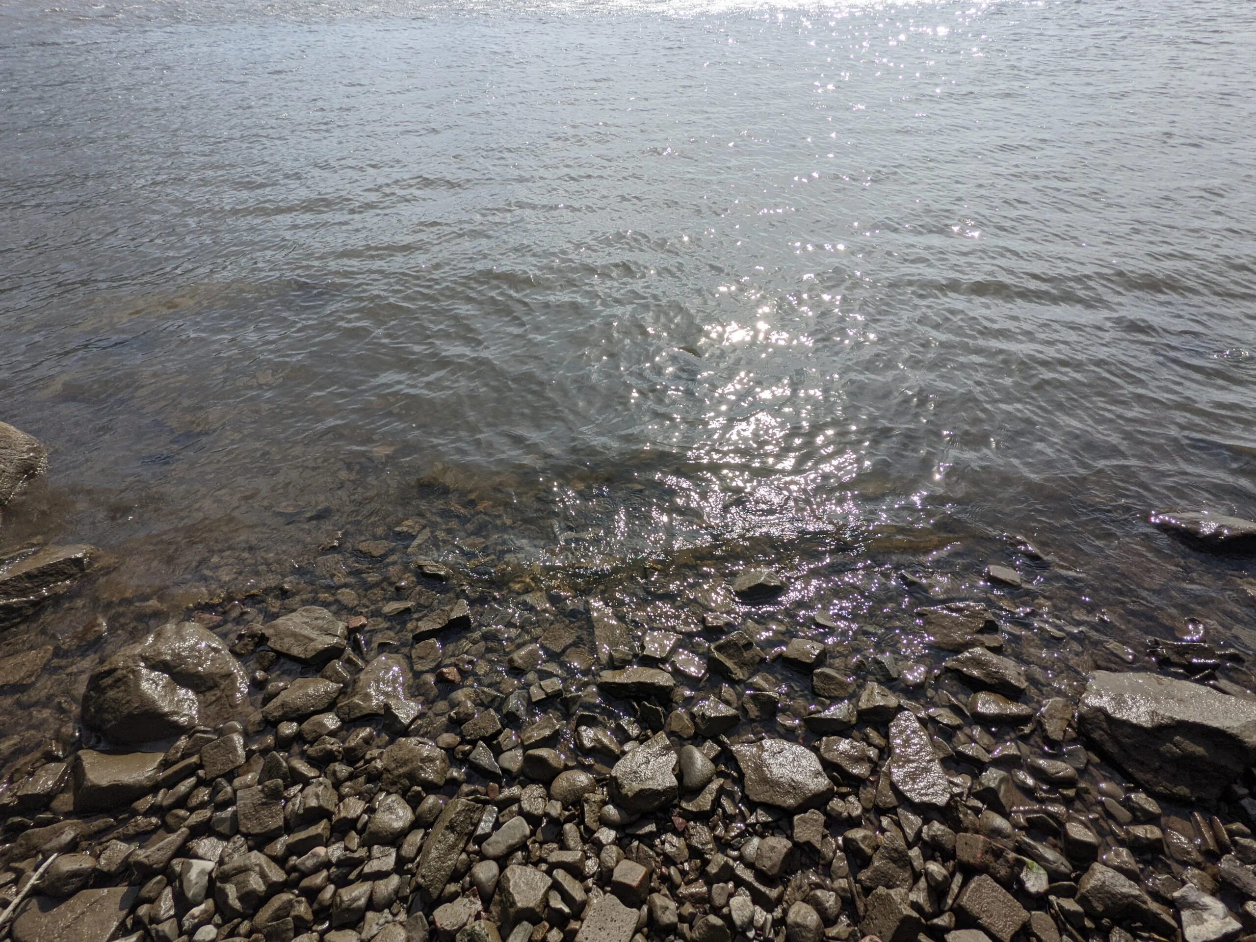
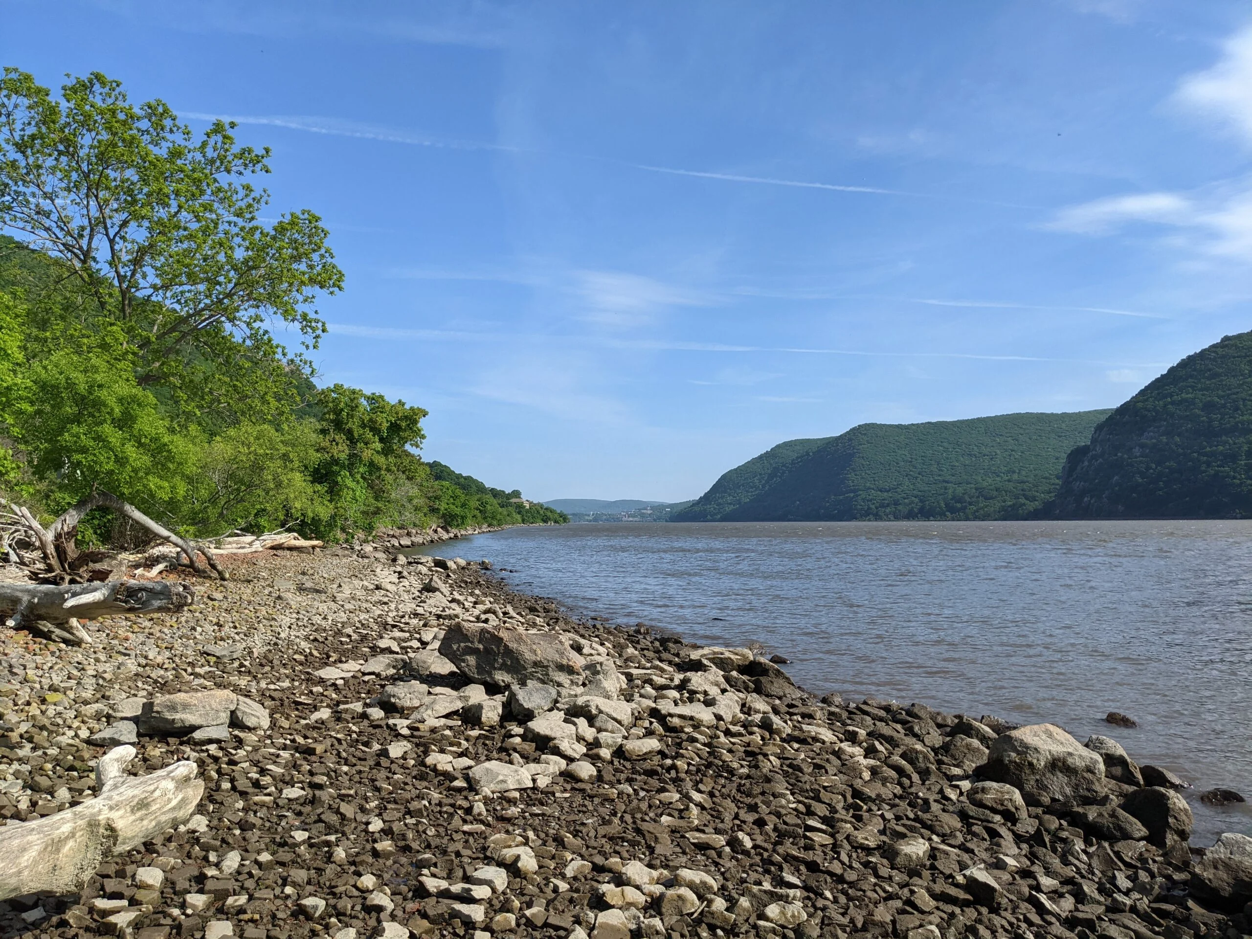
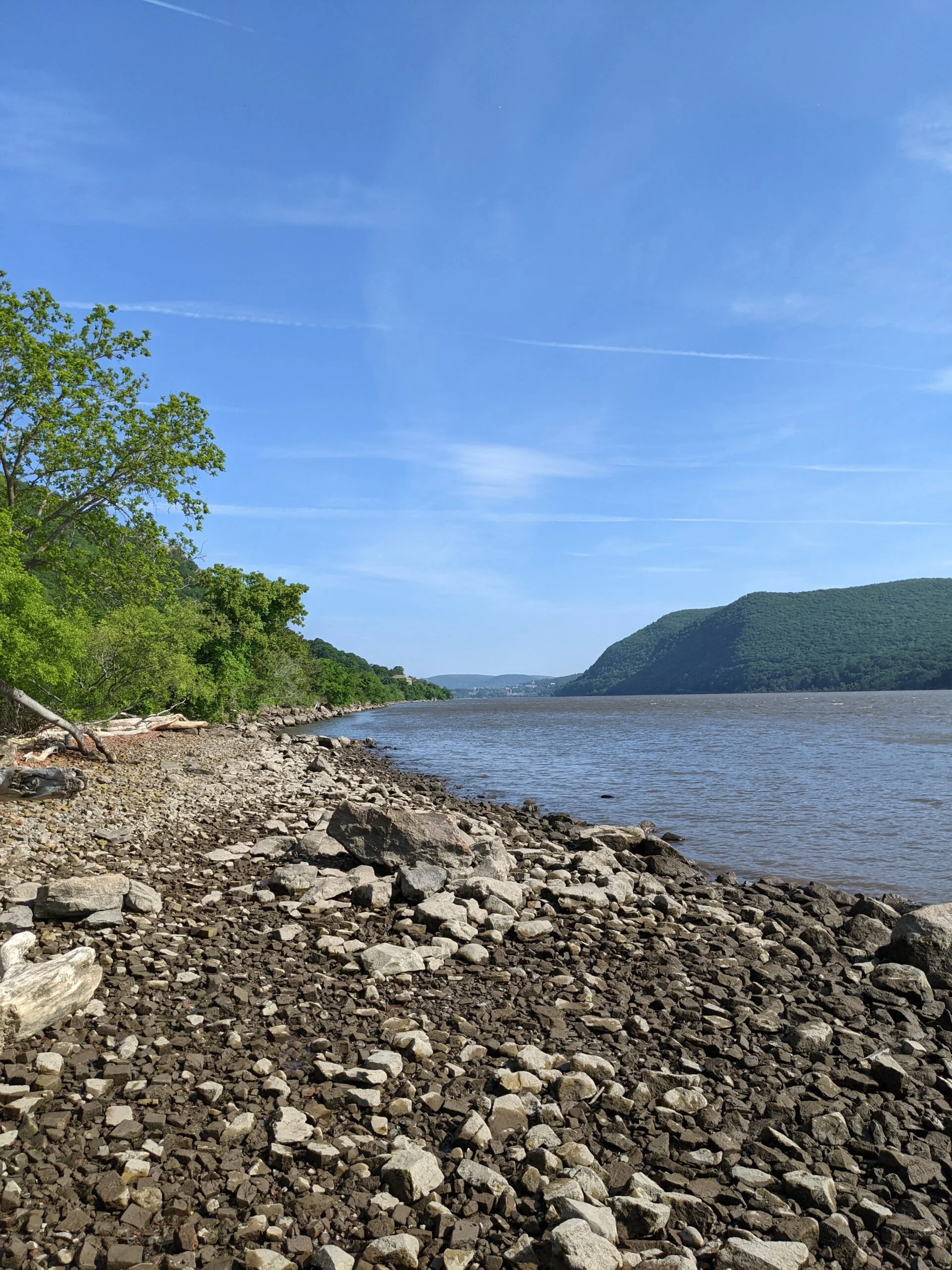
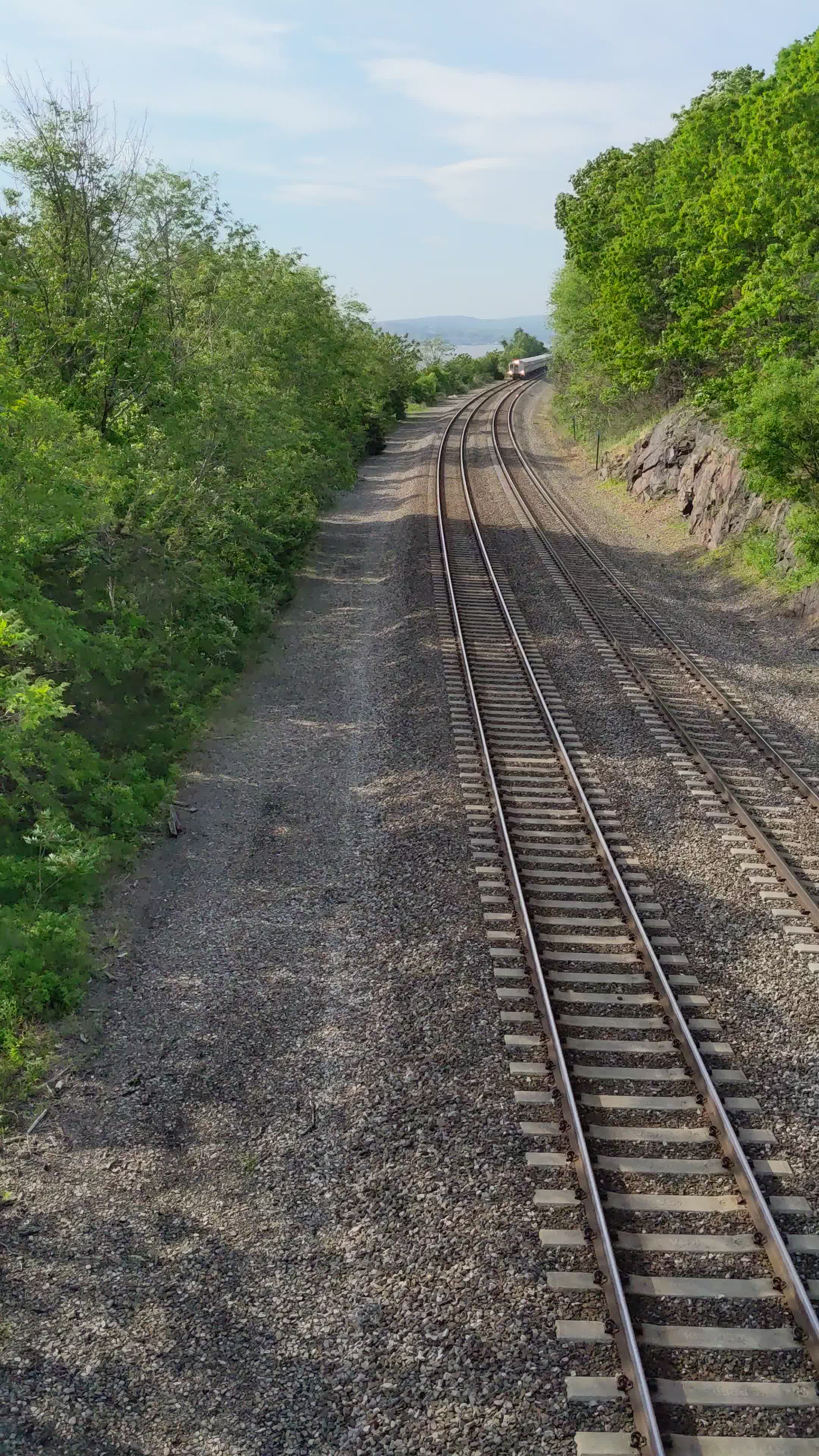
I then noticed a narrow path that led down to the banks of the Hudson River, so of course I had to go explore! I was able to get some great photos of Storm King Mountain, Pollepel Island, and the waves of the river from this vantage point. I headed back up to the top of the walkway and looked up the train schedules for the Cold Spring station, just south of where I was. There was a northbound train coming in less than 5 minutes and a southbound train coming less than 10 minutes after that. I was able to get great overhead videos of both trains by placing my phone in between the chain link fence.
At this point, I was ready to call it a day as I had been out for over 9.5 hours. I walked south on 9D back to my car and headed home.
Overall, this was an absolutely amazing hike on a beautiful day. Since it was a Tuesday, I only ran into a handful of people the entire day, which allowed me to have a really peaceful hike and I felt like I practically had the park to myself. The views climbing up Breakneck were breathtaking. The trek up to the fire tower was fun and a challenge of its own. Being able to “hog” the fire tower gave me some really awesome shots. The second half of the hike heading back south is an oasis of quiet forest. Then being able to catch a few trains on video was the cherry on the top of an already perfect day.
I don’t feel that the Breakneck climb was as bad as it’s advertised. It’s a slow go, for sure, and I probably took it slower than most by stopping to take so many breaks and photos, but I almost feel like Anthony’s Nose and Mt. Beacon were harder. I think, maybe, the steep walking ascents of those two are harder on the legs, even with trekking poles, whereas since Breakneck requires climbing and handholds, the exertion is more equally distributed between the hands and legs and this may have made it feel easier to me. Whatever the case may be, this is definitely a hike I would do again!
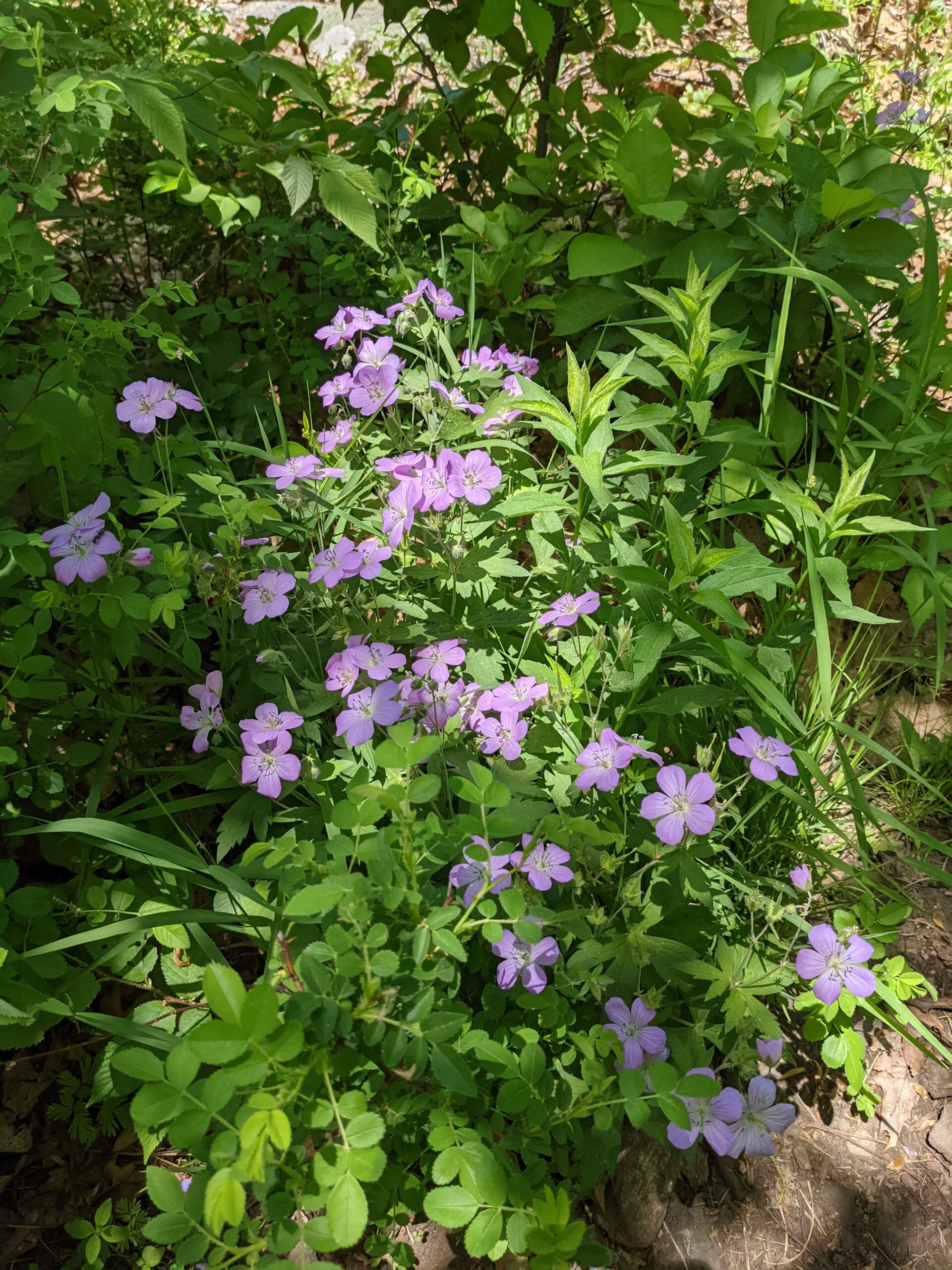
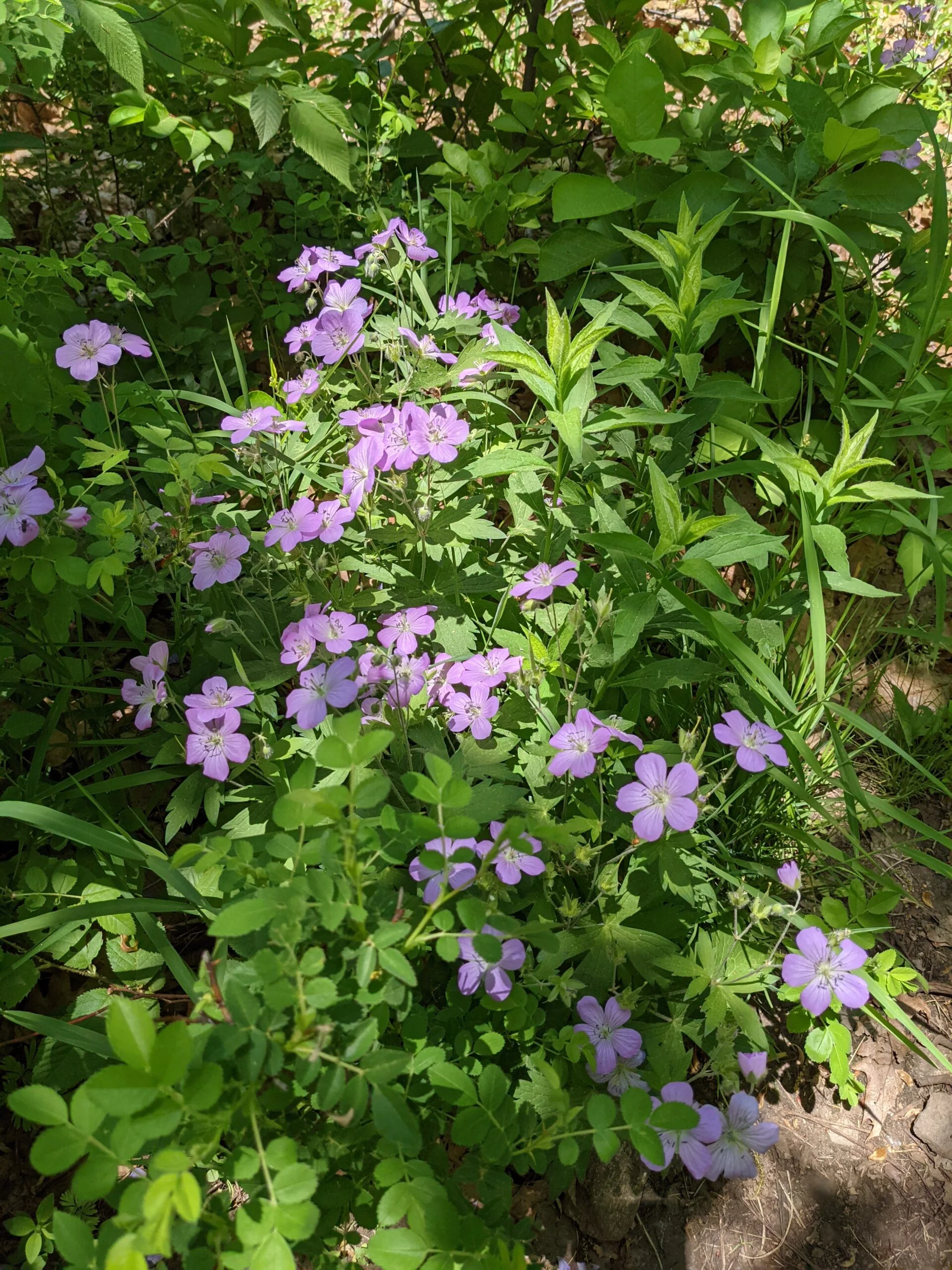
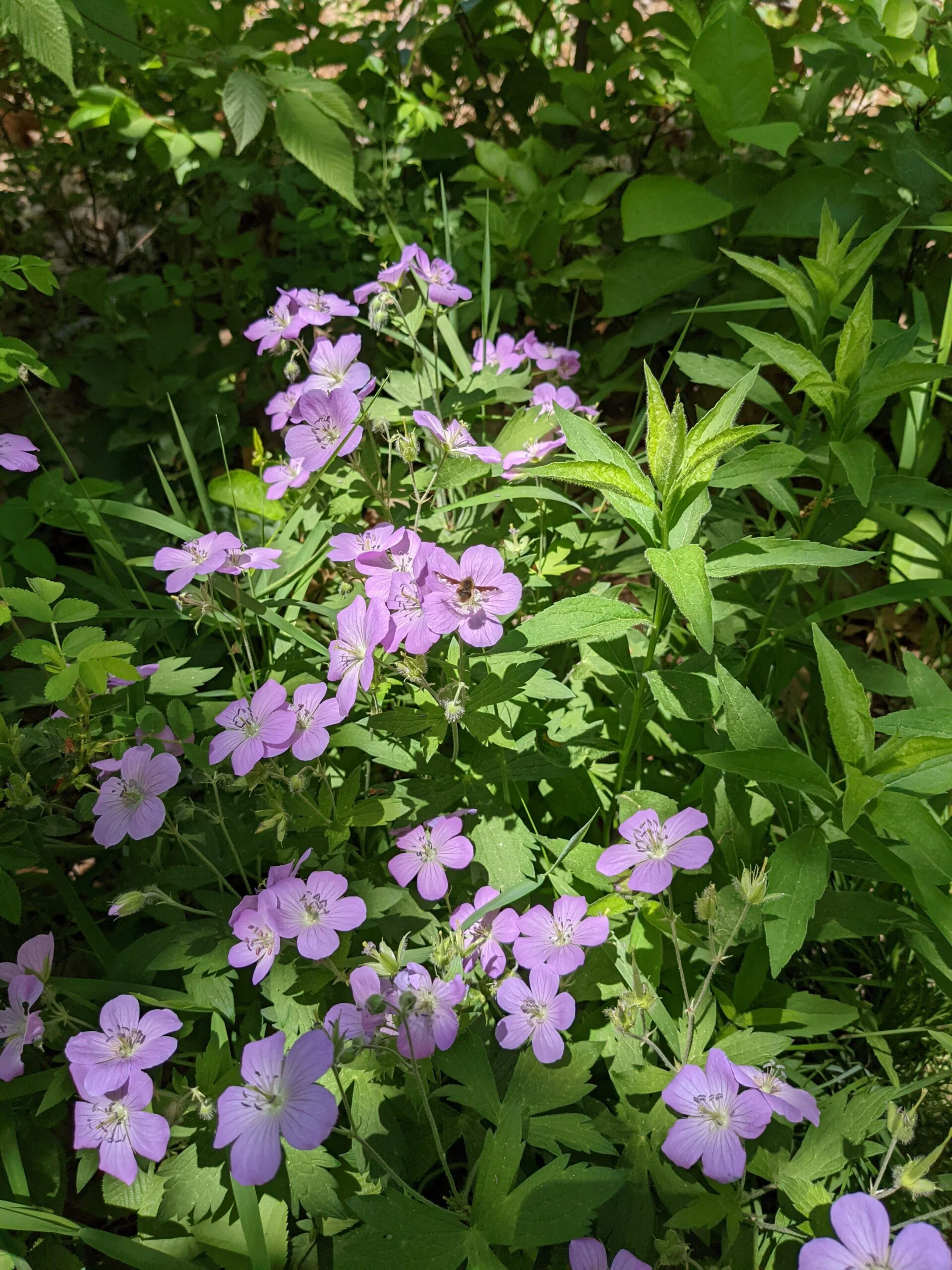
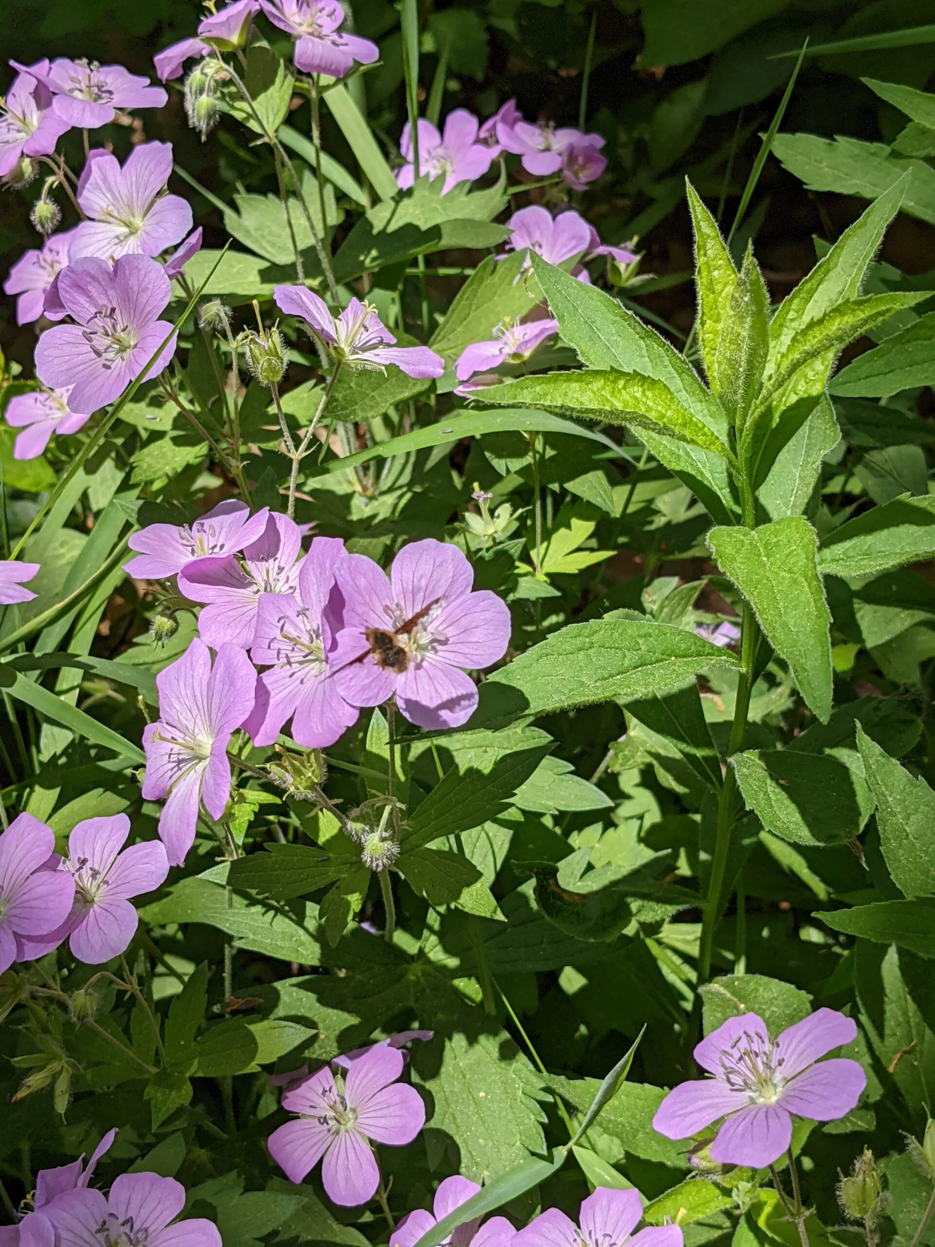
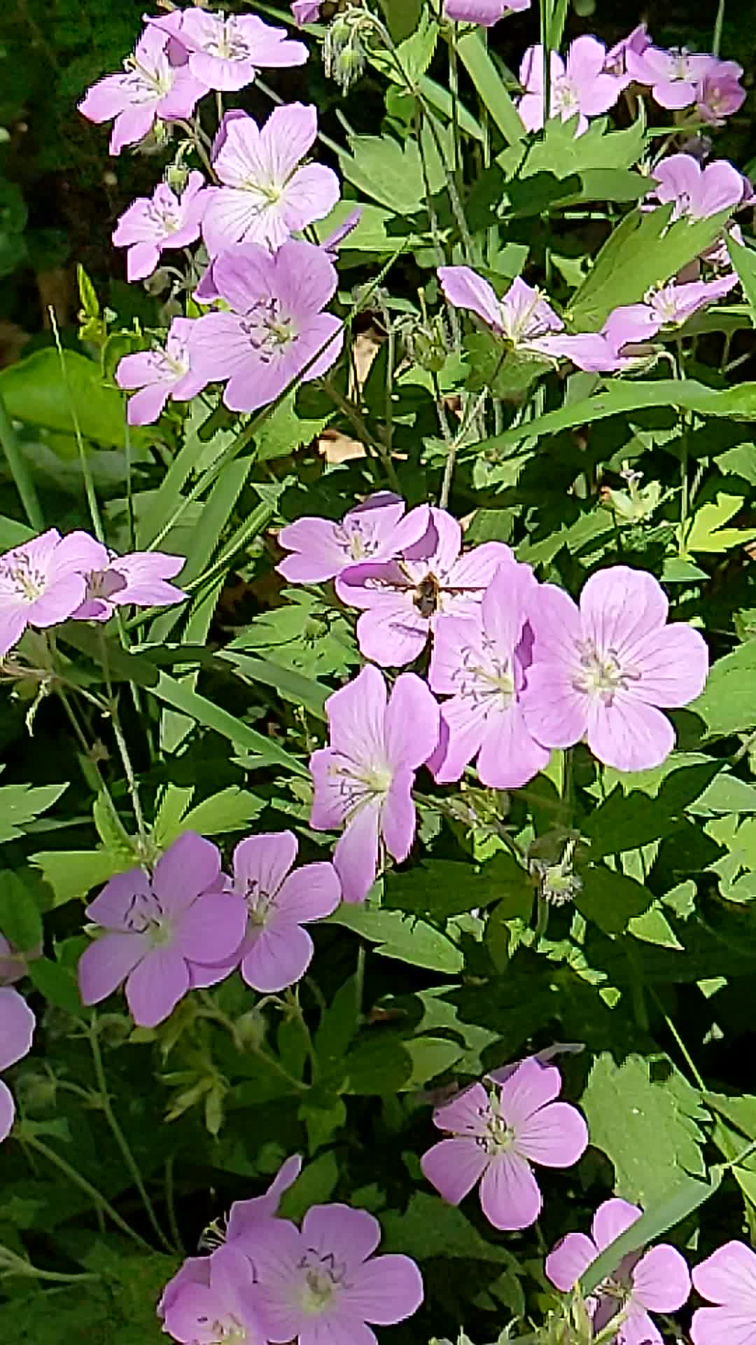
Photos


GPS Route & Elevation
Loads an interactive map; map tiles are served by the U.S. Geological Survey, which receives your IP address. Learn more about maps and your privacy