Harriman State Park Harriman-Bear Mountain State Parks
Harriman State Park – Turkey Hill, Stockbridge Mountain, Black Mountain, AT, Long Path
- 13.5 mi
- 2,339 ft gain
- 08:10:19
- 179 photos
- 5 videos
This post may contain affiliate links. If you buy through them, I may earn a commission at no extra cost to you. As an Amazon Associate I earn from qualifying purchases.
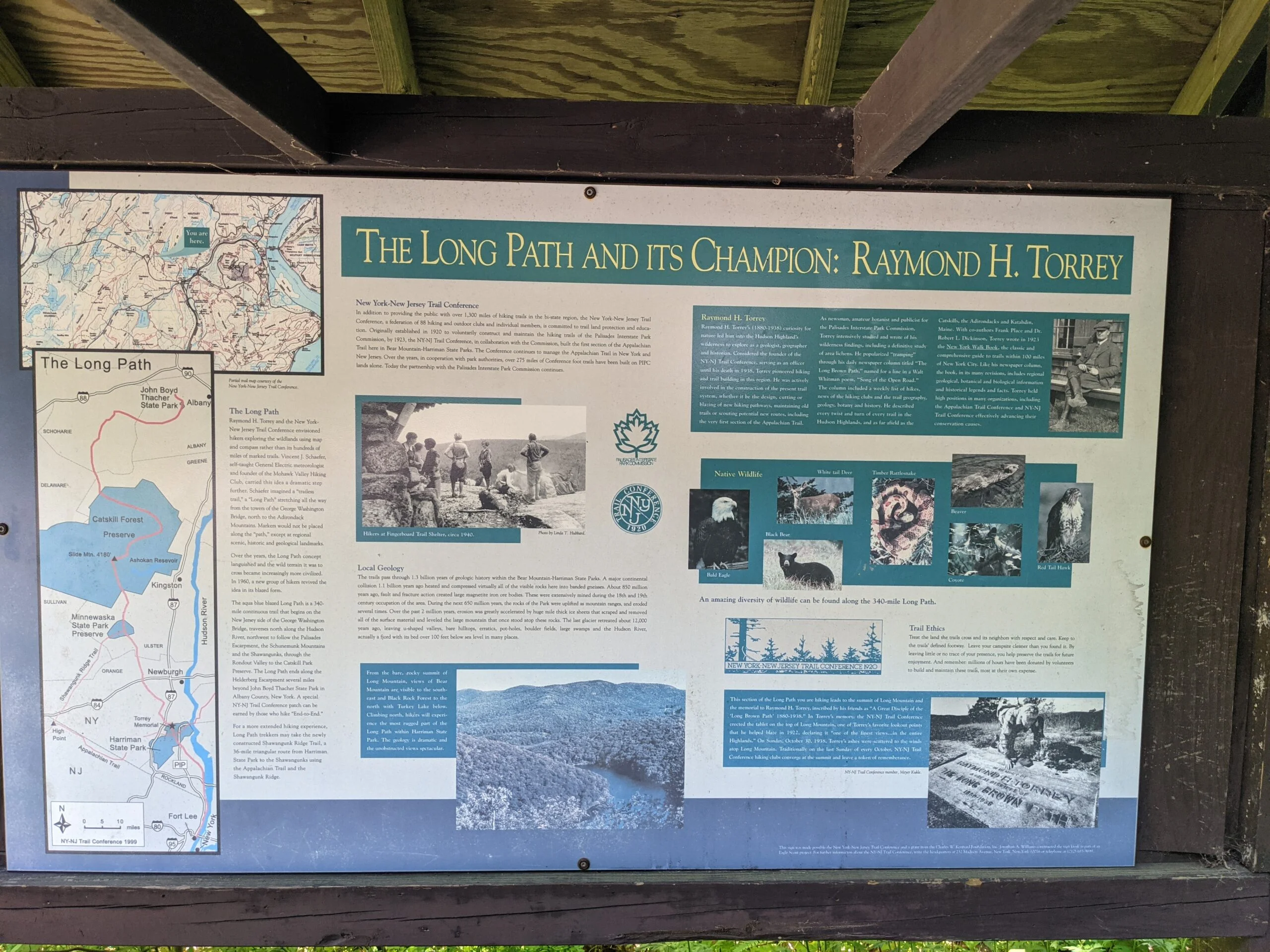
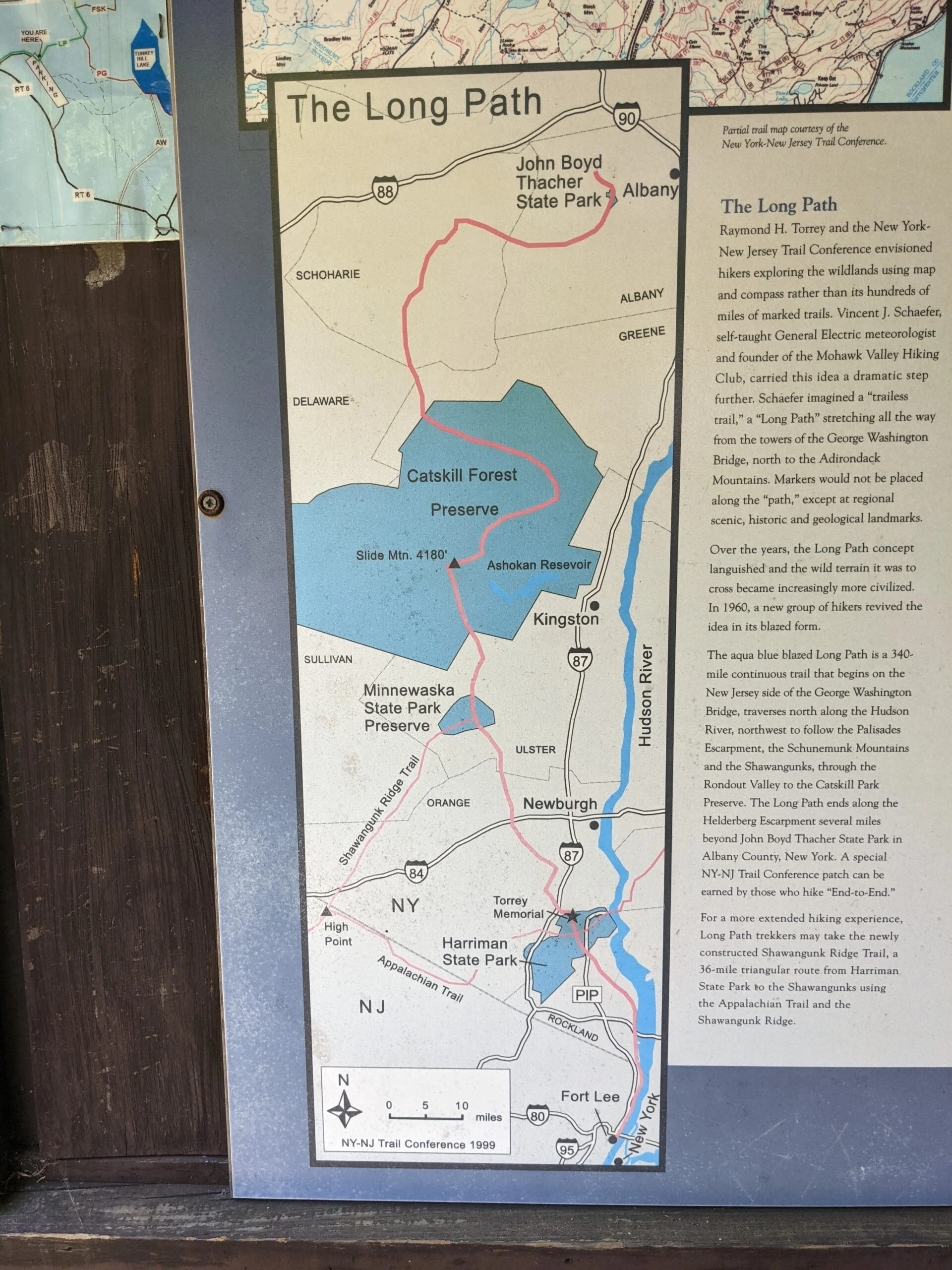
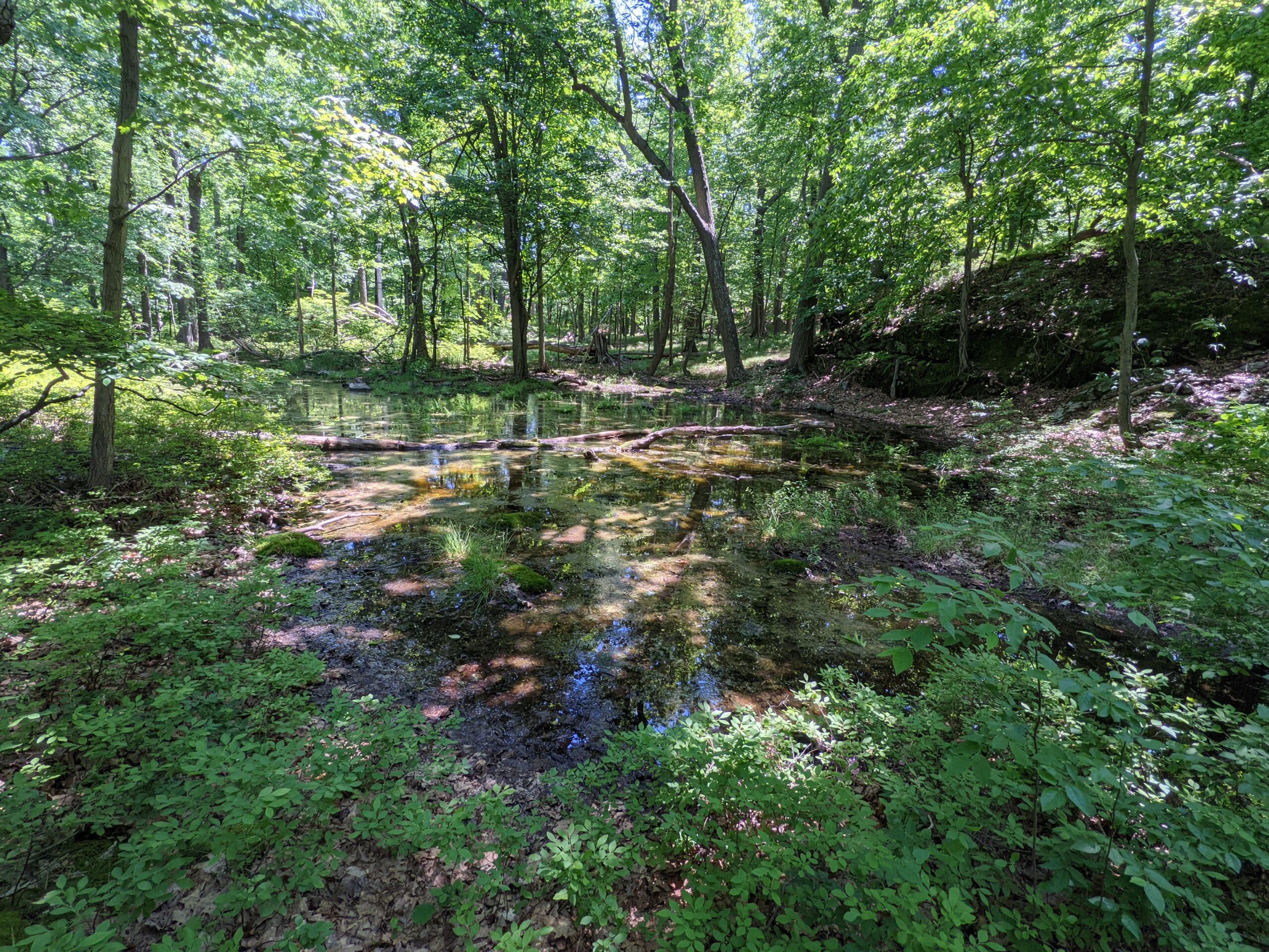
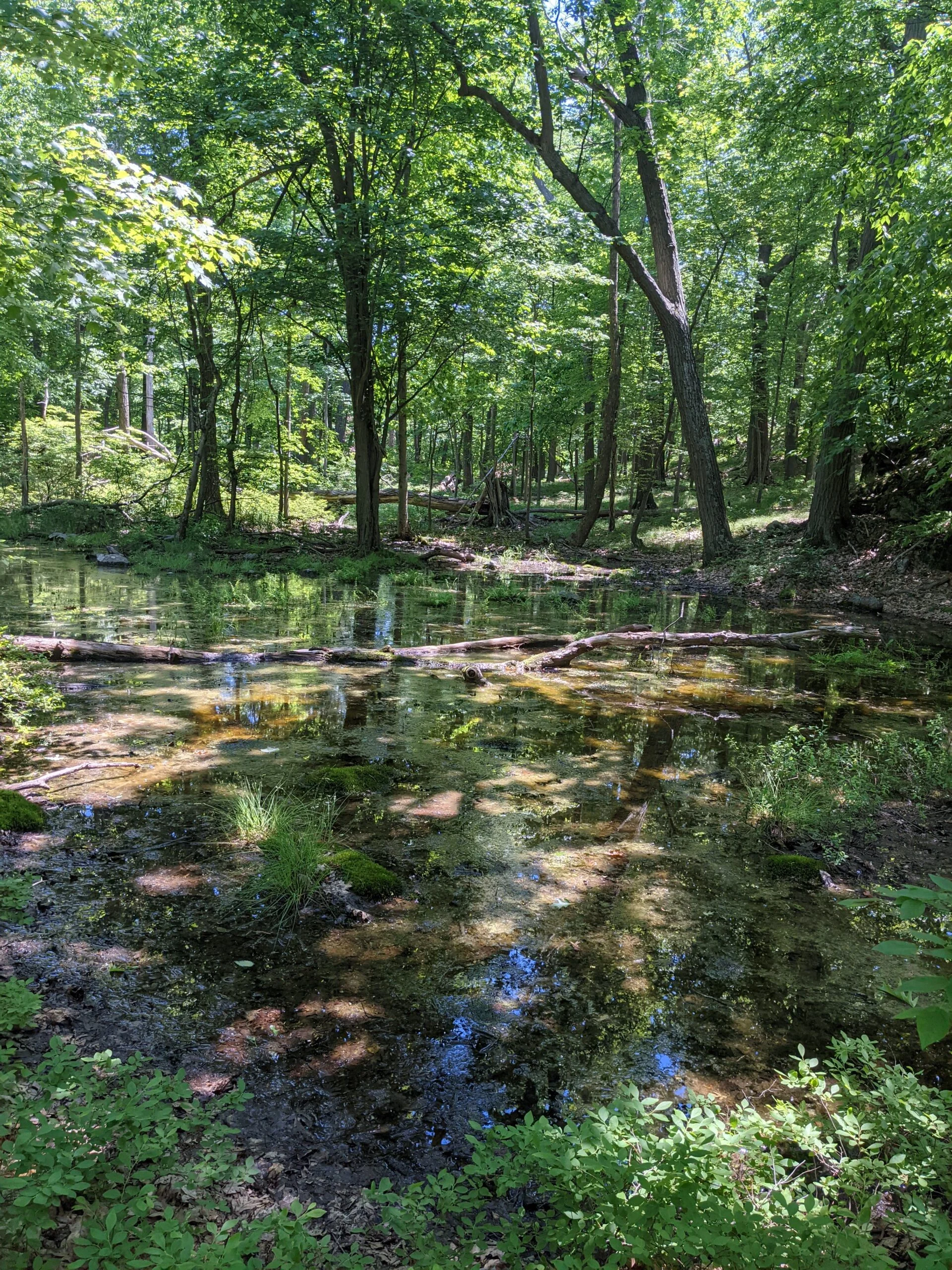
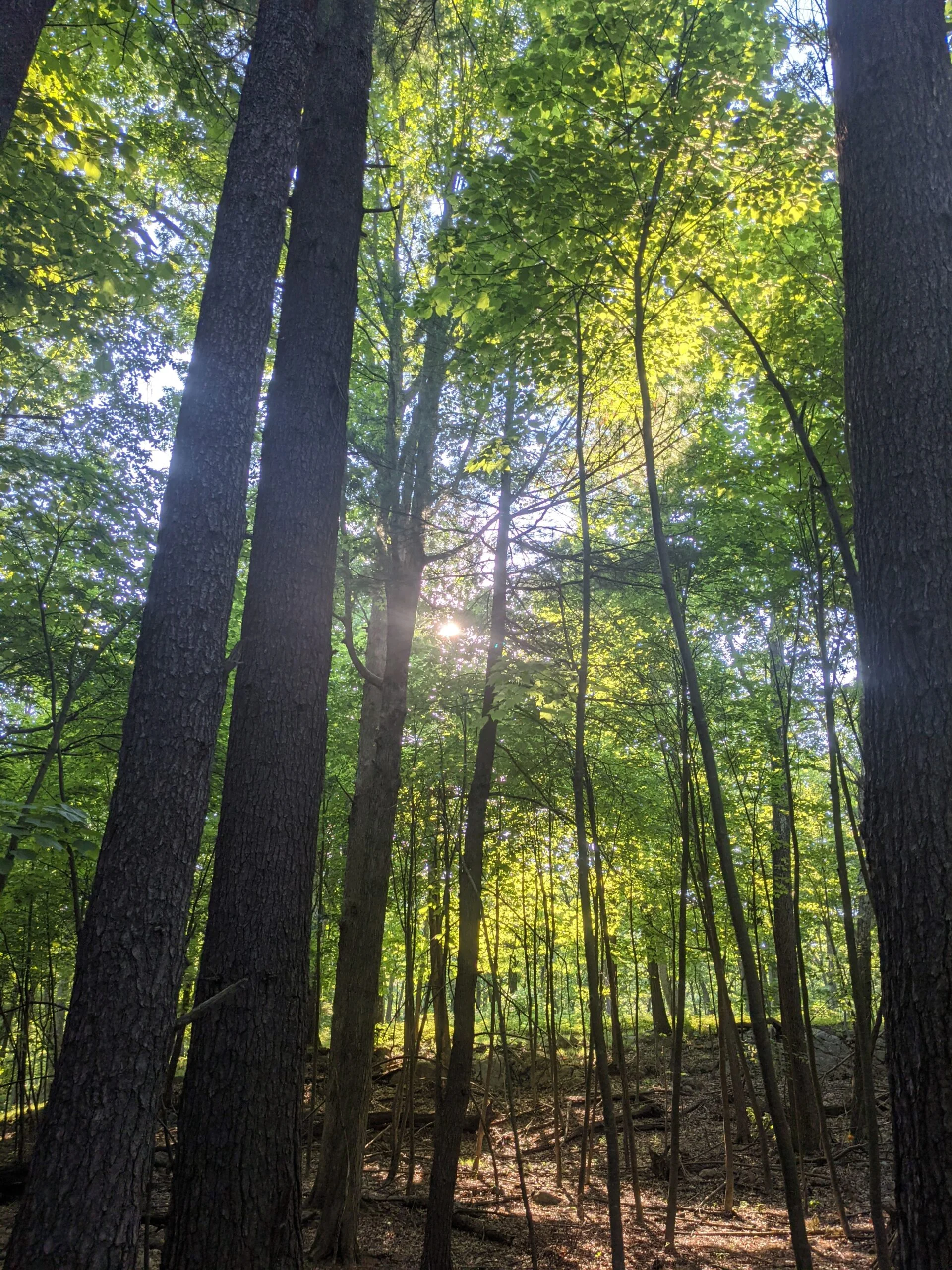
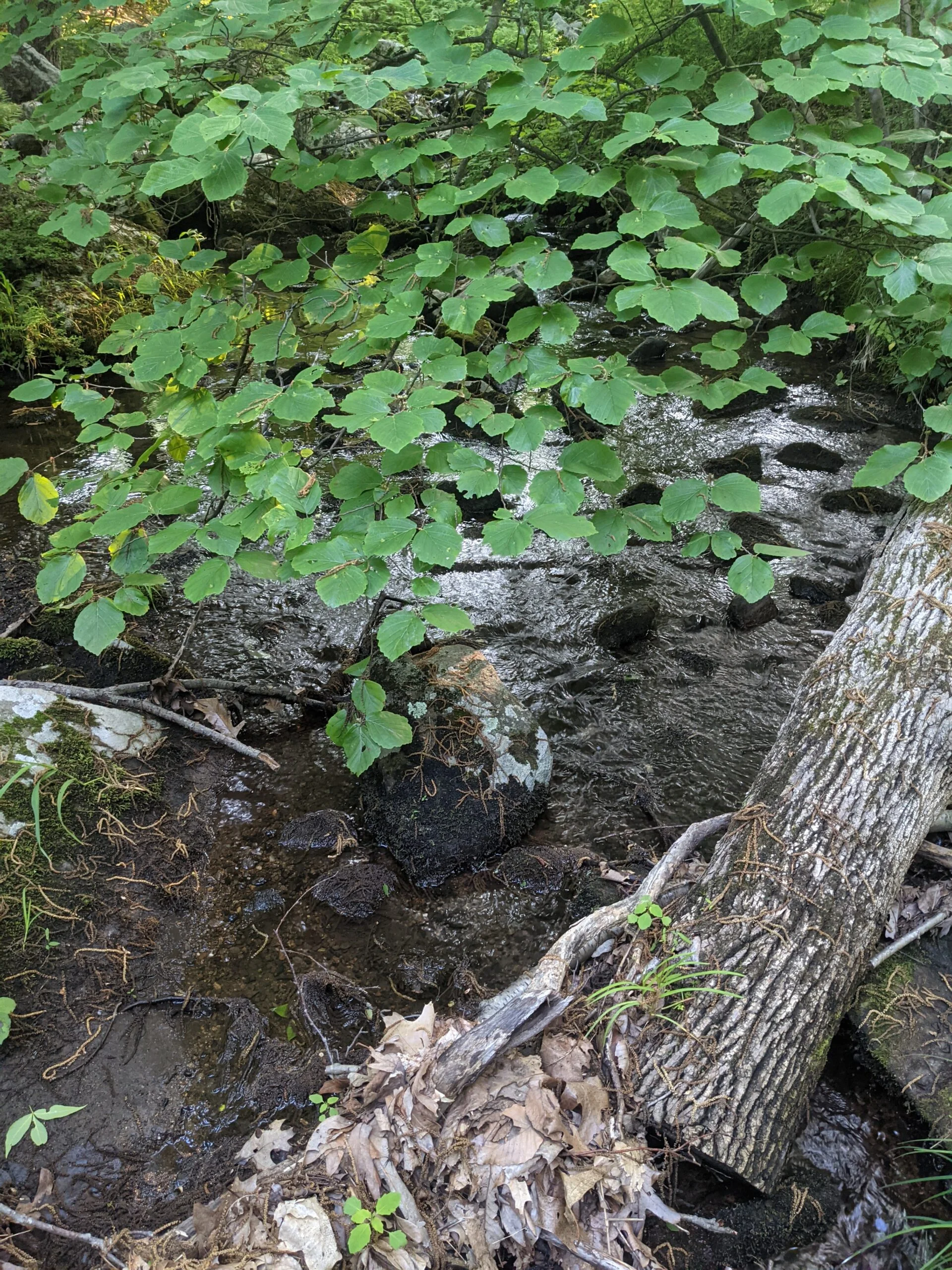
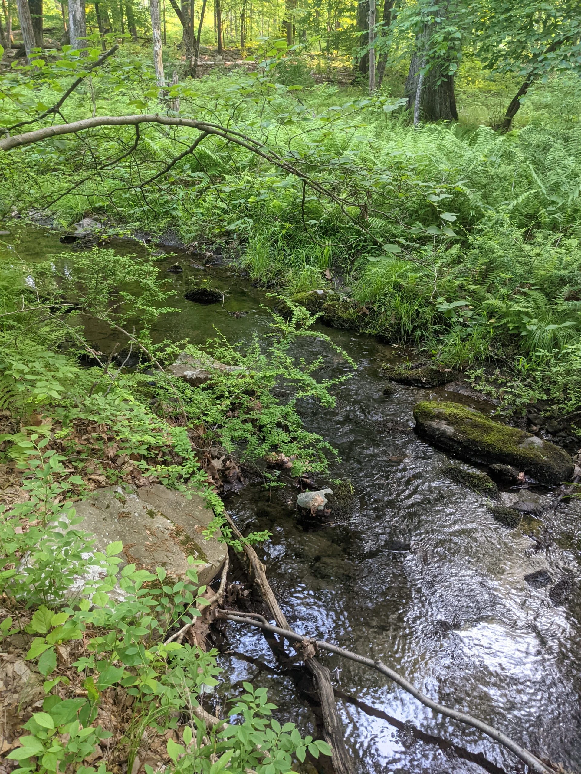
Once again, I found myself at Harriman State Park. I continue to explore new areas of the park each time I visit. I planned to take the Long Path Loop from Route 6 Parking Lot trail and hike it counterclockwise.
With temperatures expected to peak in the low 90’s, I brought 7.5L of water flavored with citrus fruit flavor Nuun Sport Electrolyte Drink Tablets ($). The past few hikes I’ve been trying out two Platypus Platy 2-Liter Ultralight Collapsible Water Bottles ($). I bought them because it seemed like they would be more malleable and not as tall as the plastic water bottles I had been using. They’ve been performing okay. I haven’t found any leaks, but they’re pretty awkward to pour. I think I’ve finally found the right technique for not ending up with water all over myself.
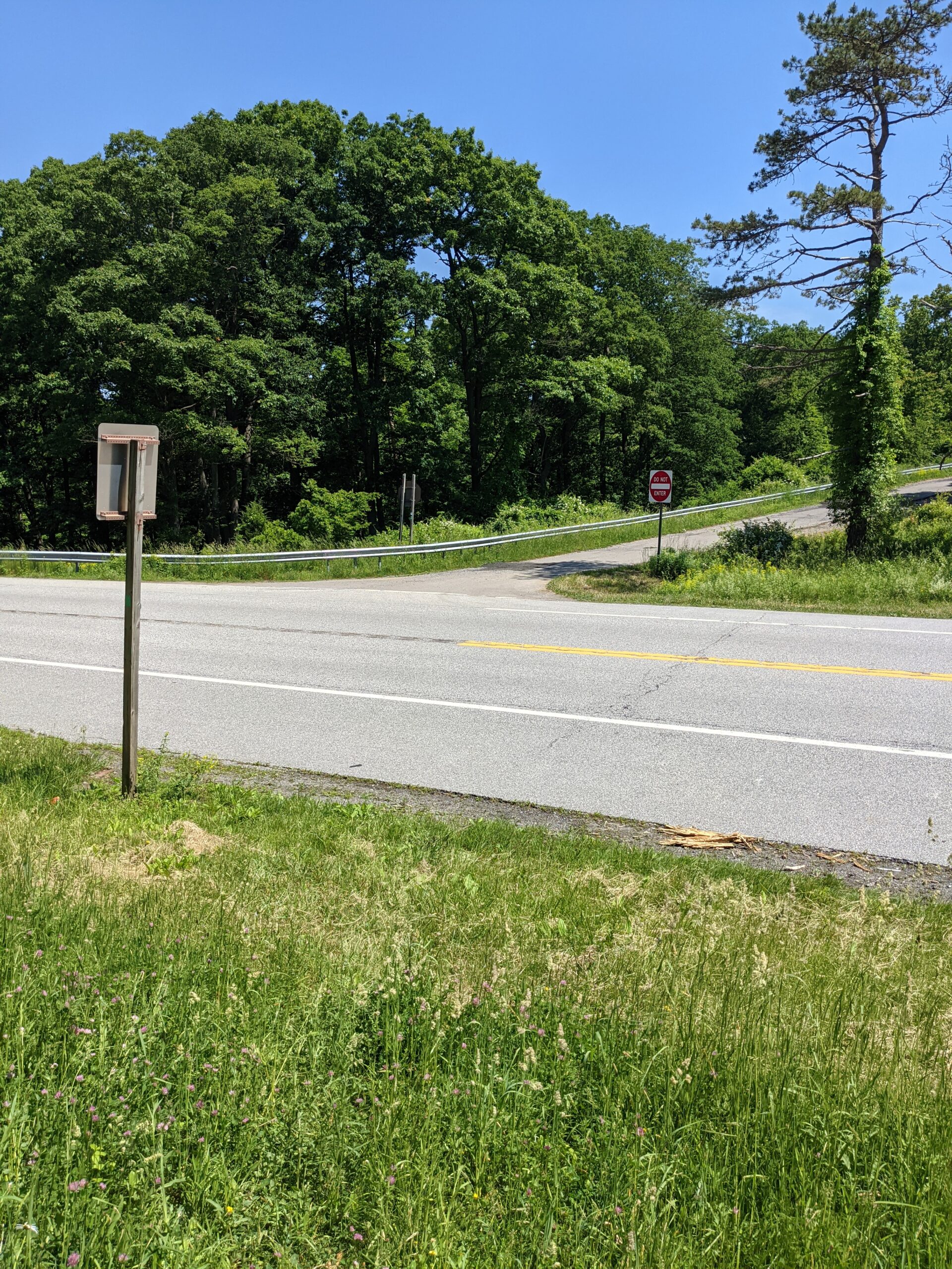
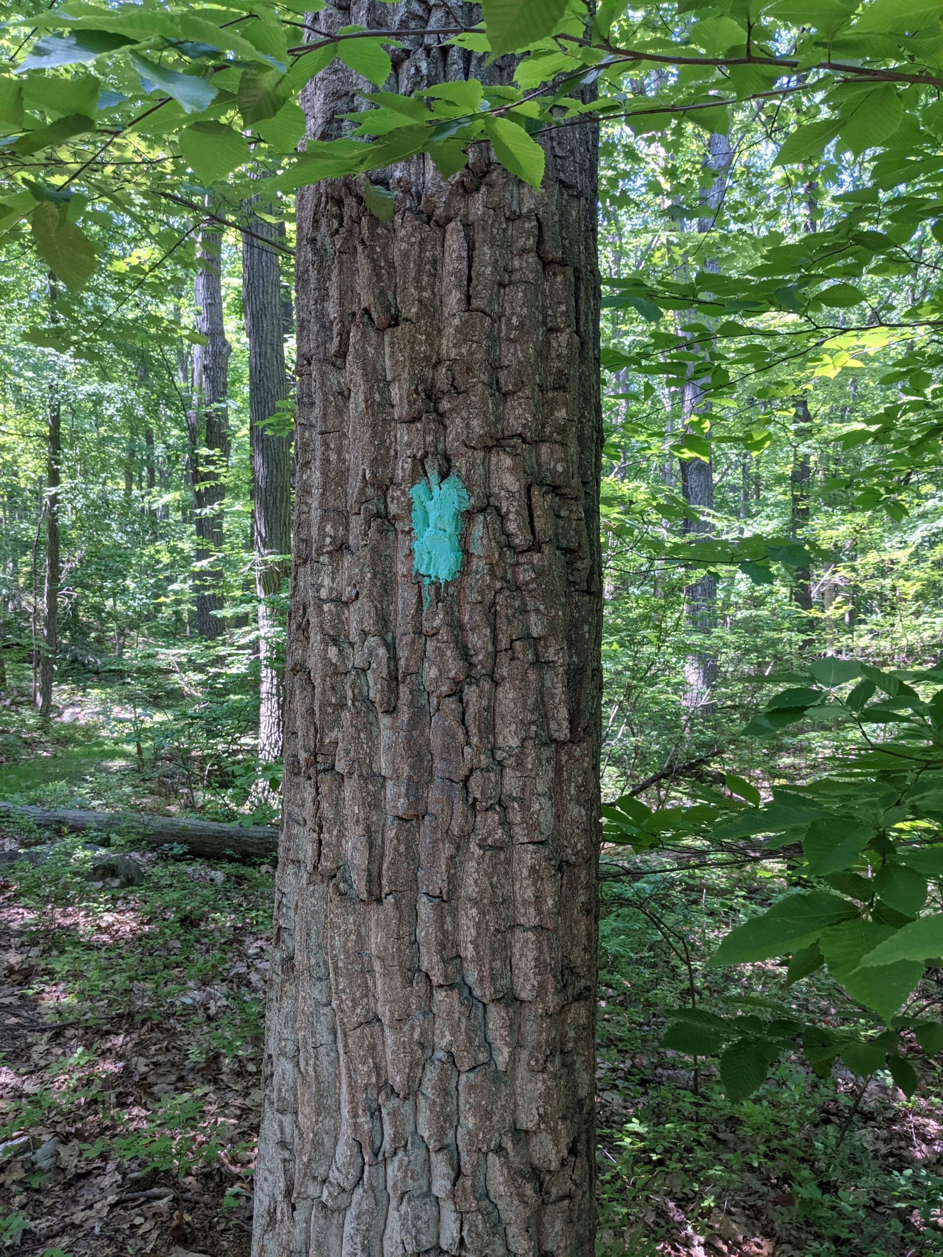
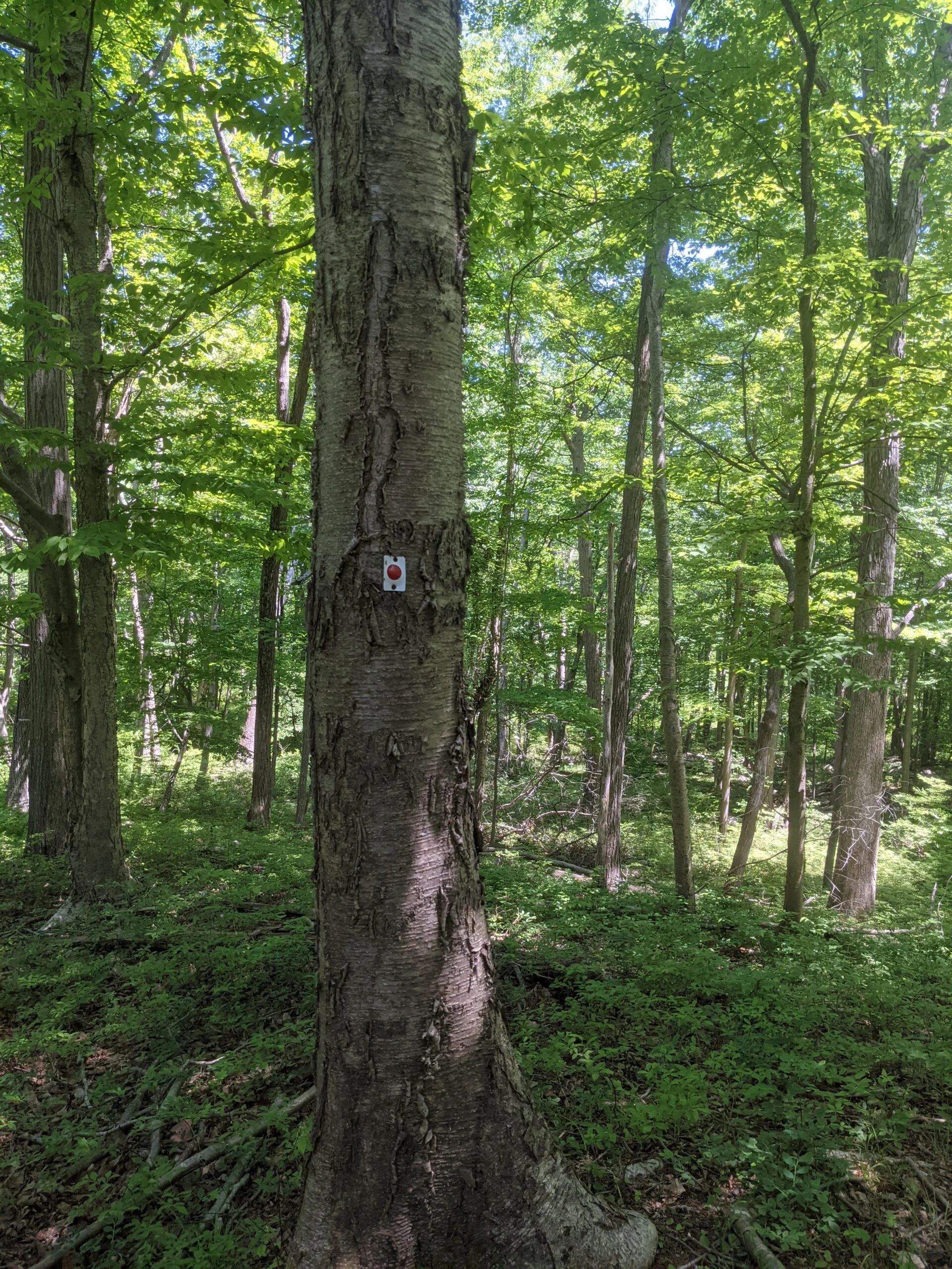
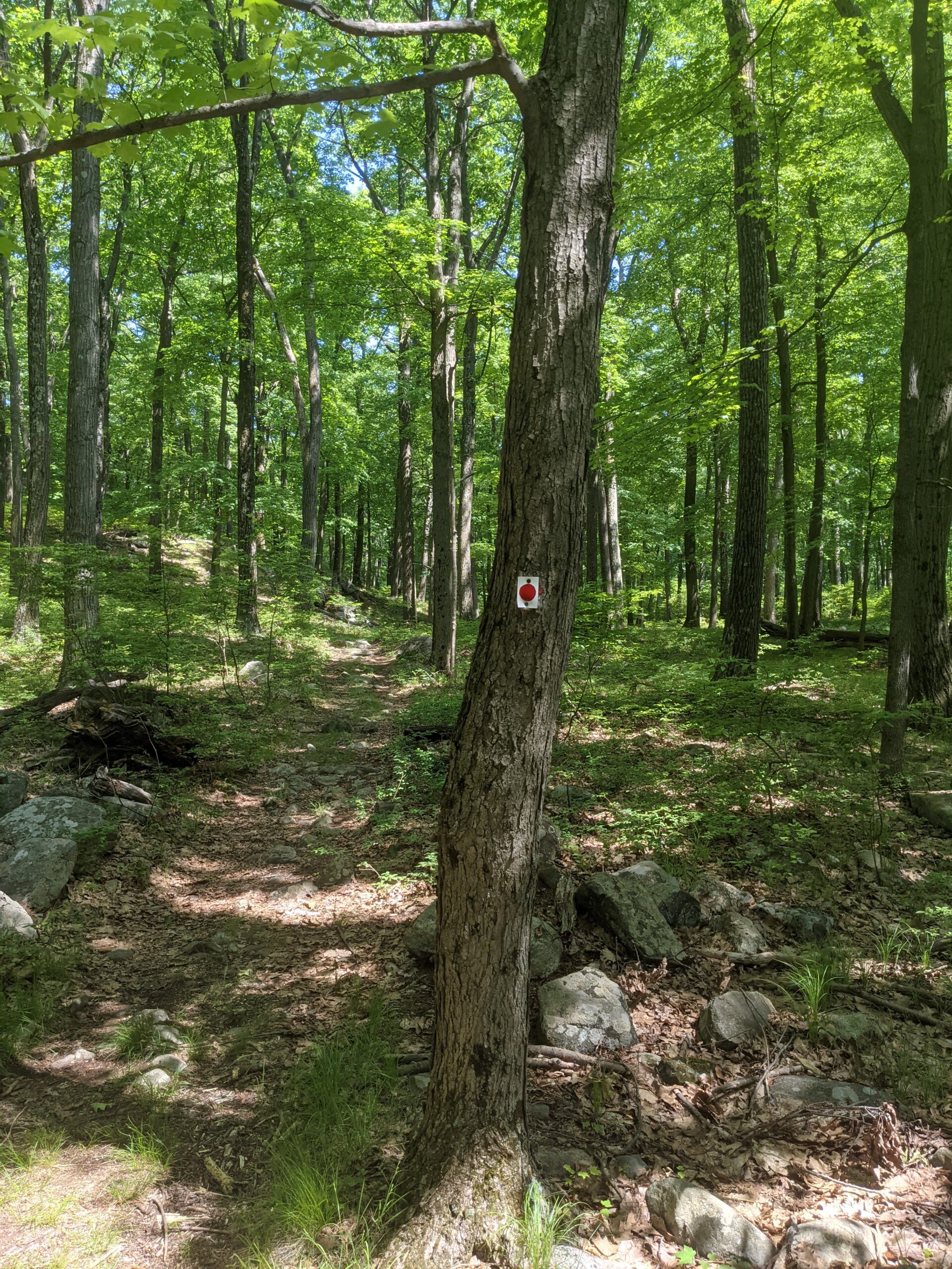
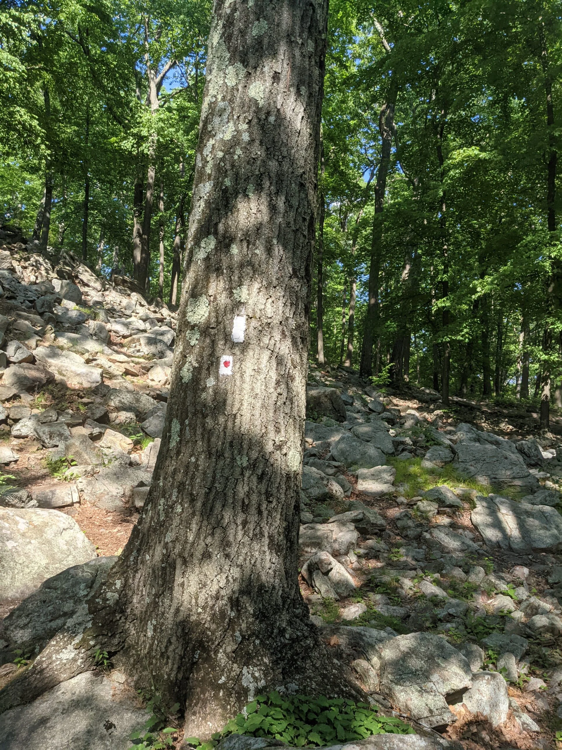
I arrived at the Turkey Hill Parking area around 11:15am. This was a later start than I had wanted, but better late than to not go at all. Starting the hike counterclockwise requires crossing Long Mountain Parkway (Route 6) almost immediately. I waited around 2 minutes for a big enough break in the traffic to cross over to the other side where I easily found the trail head for the Long Path trail (LP, teal blazes) heading south.
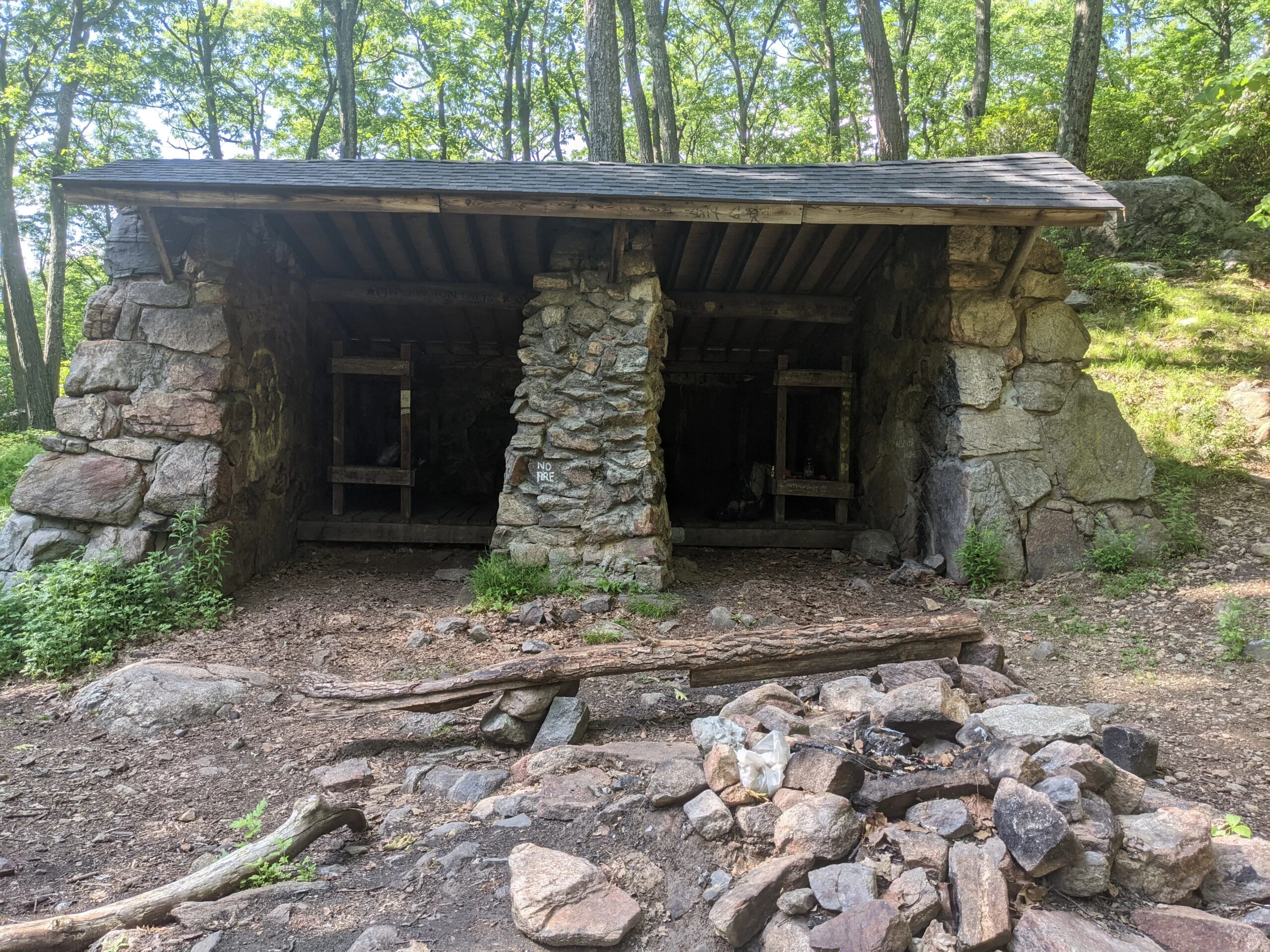
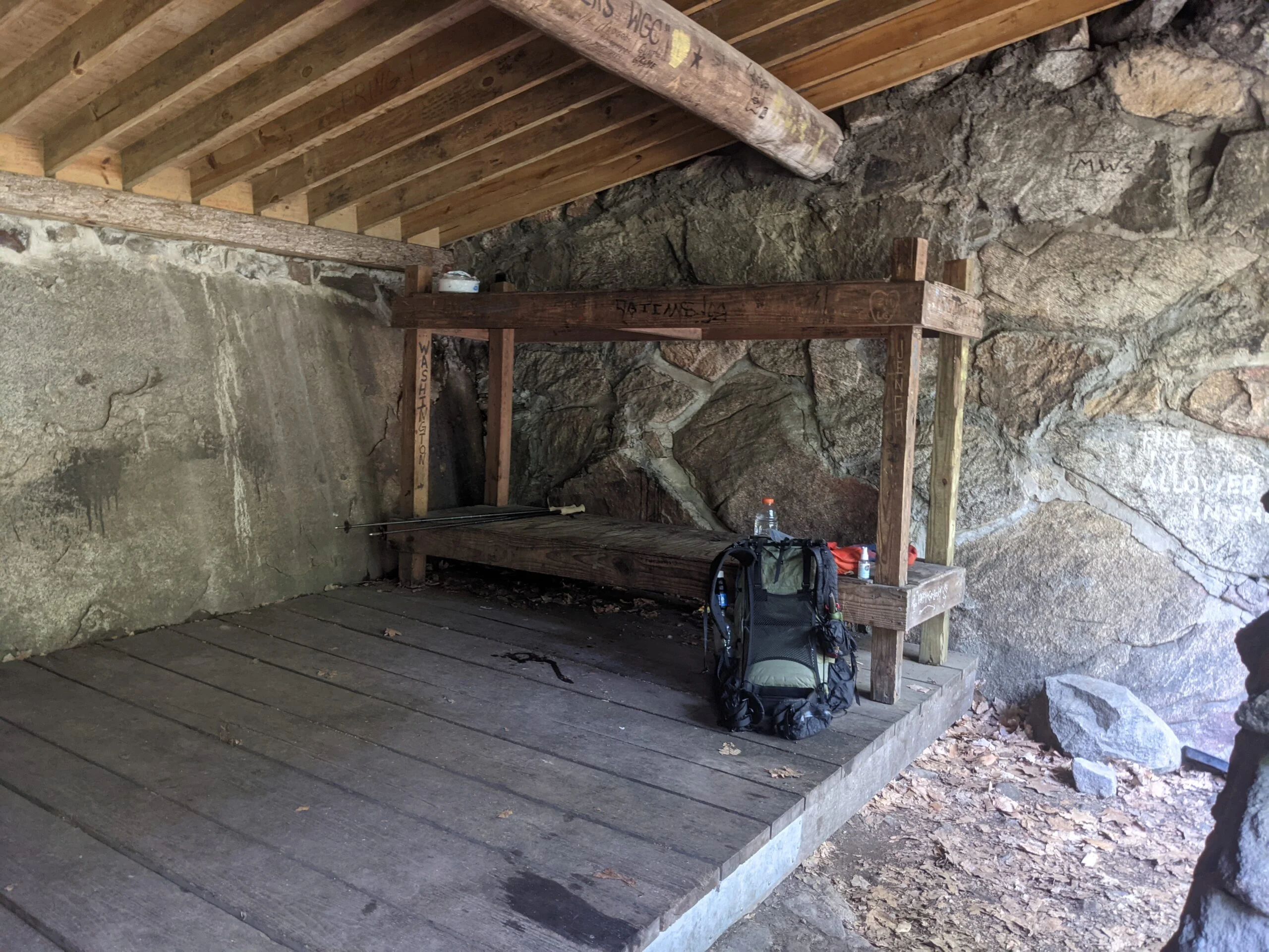
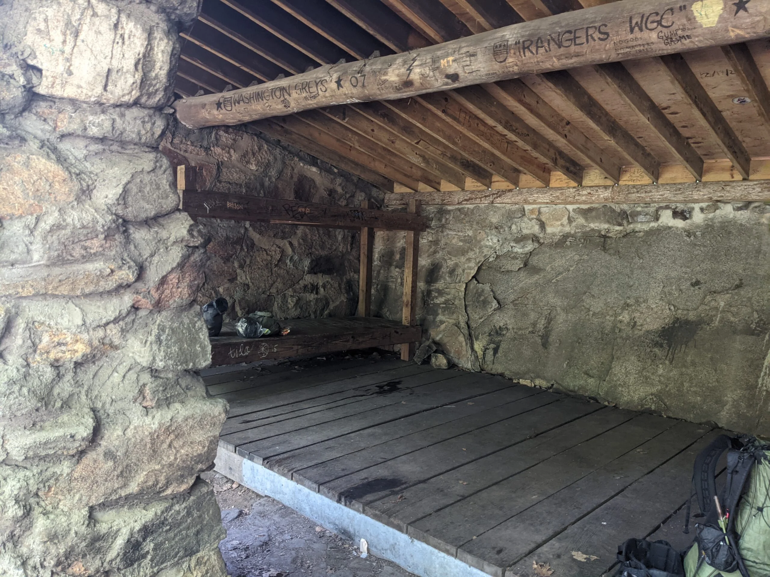
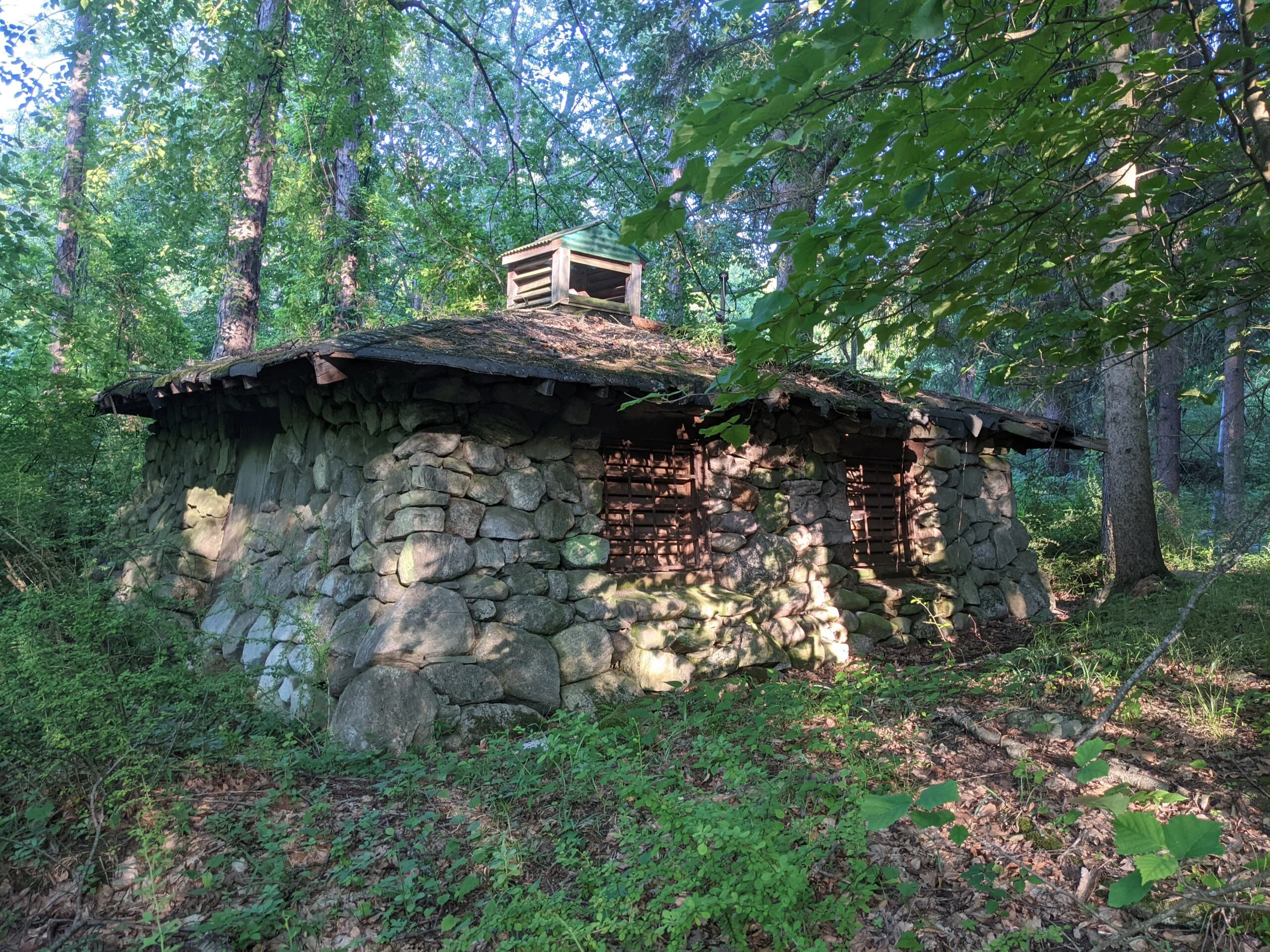
At around the 2.3 mile mark, I came across a woman grilling waffles outside of the Stock Bridge lean to shelter. I briefly spoke to her, learning that she had stayed overnight.
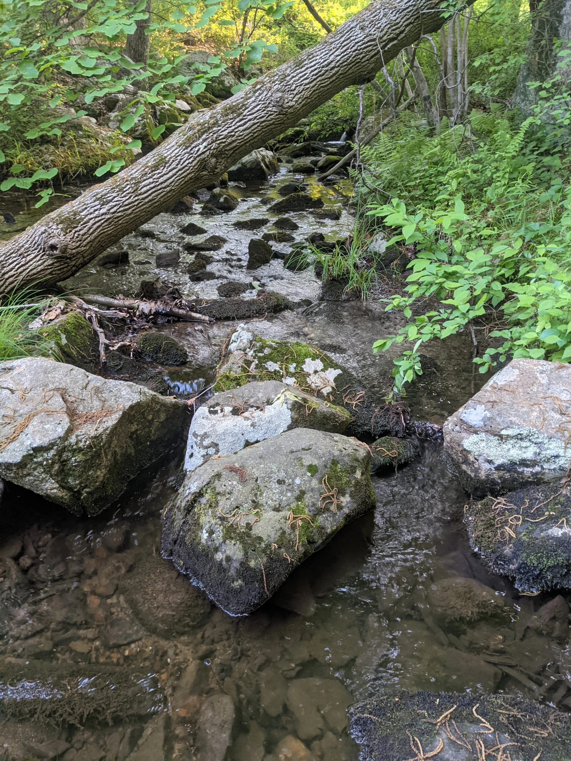
Continuing on, I reached an unblazed service road at around the 4.2 mile mark and followed that until I reached the intersection of the Appalachian Trail (AT, white blazes) and the Ramapo – Dunderberg trail (R-D, white with red circle blazes). My original route had me taking AT to the north, but I decided to take a detour to see Lake Tiorati, so I followed R-D to the east.
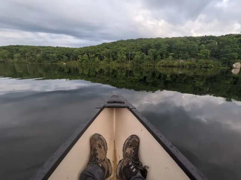
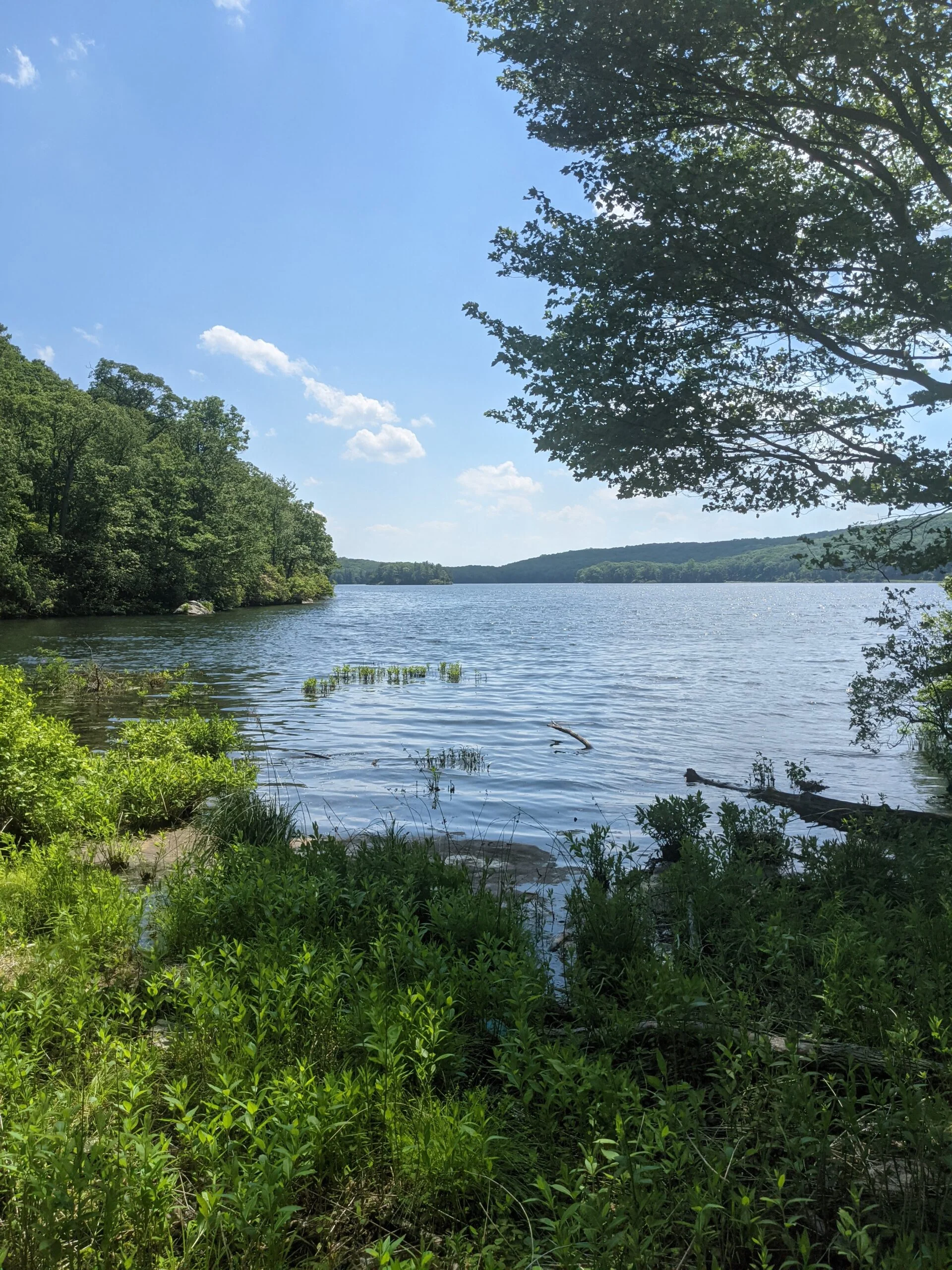
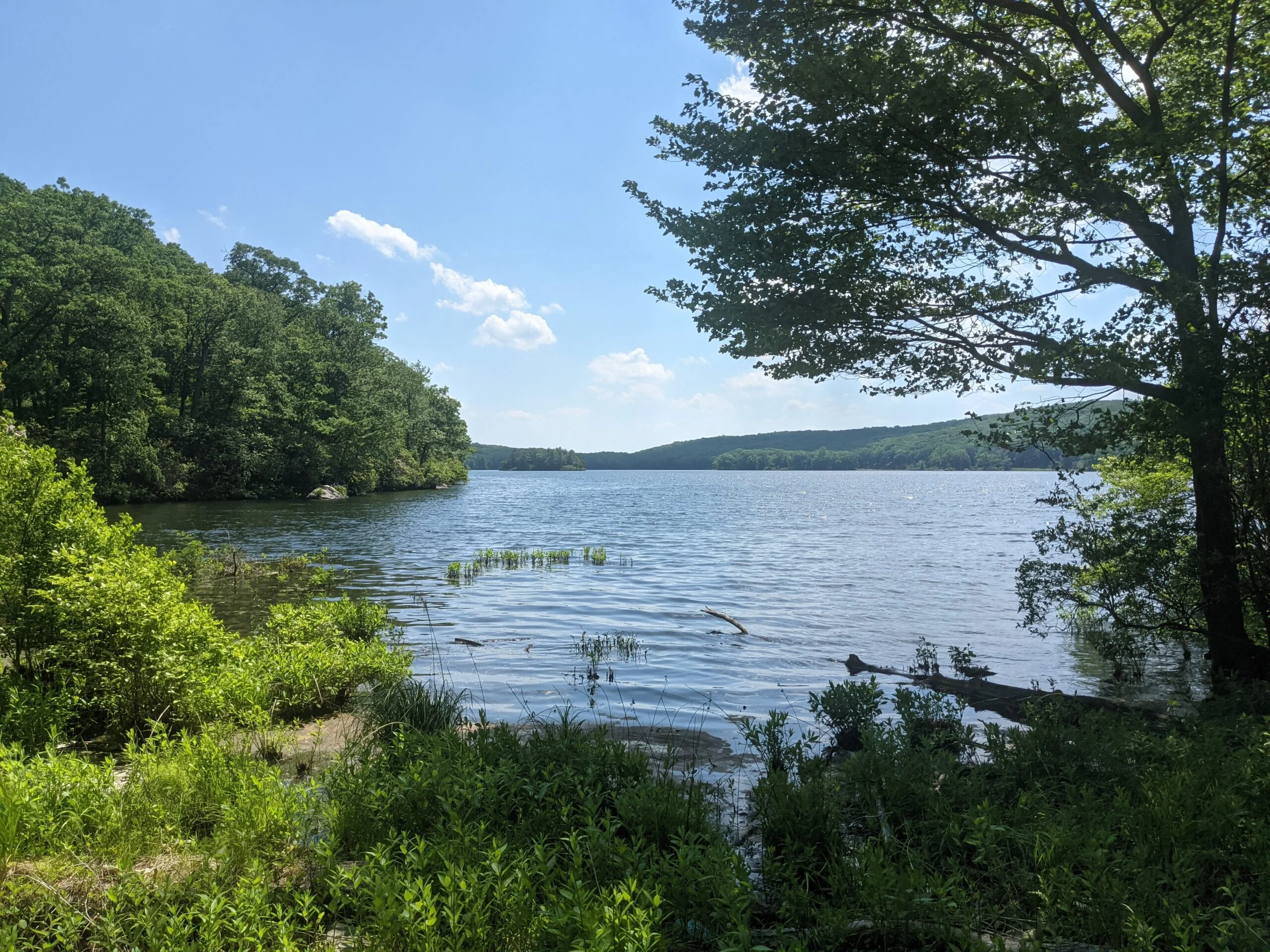
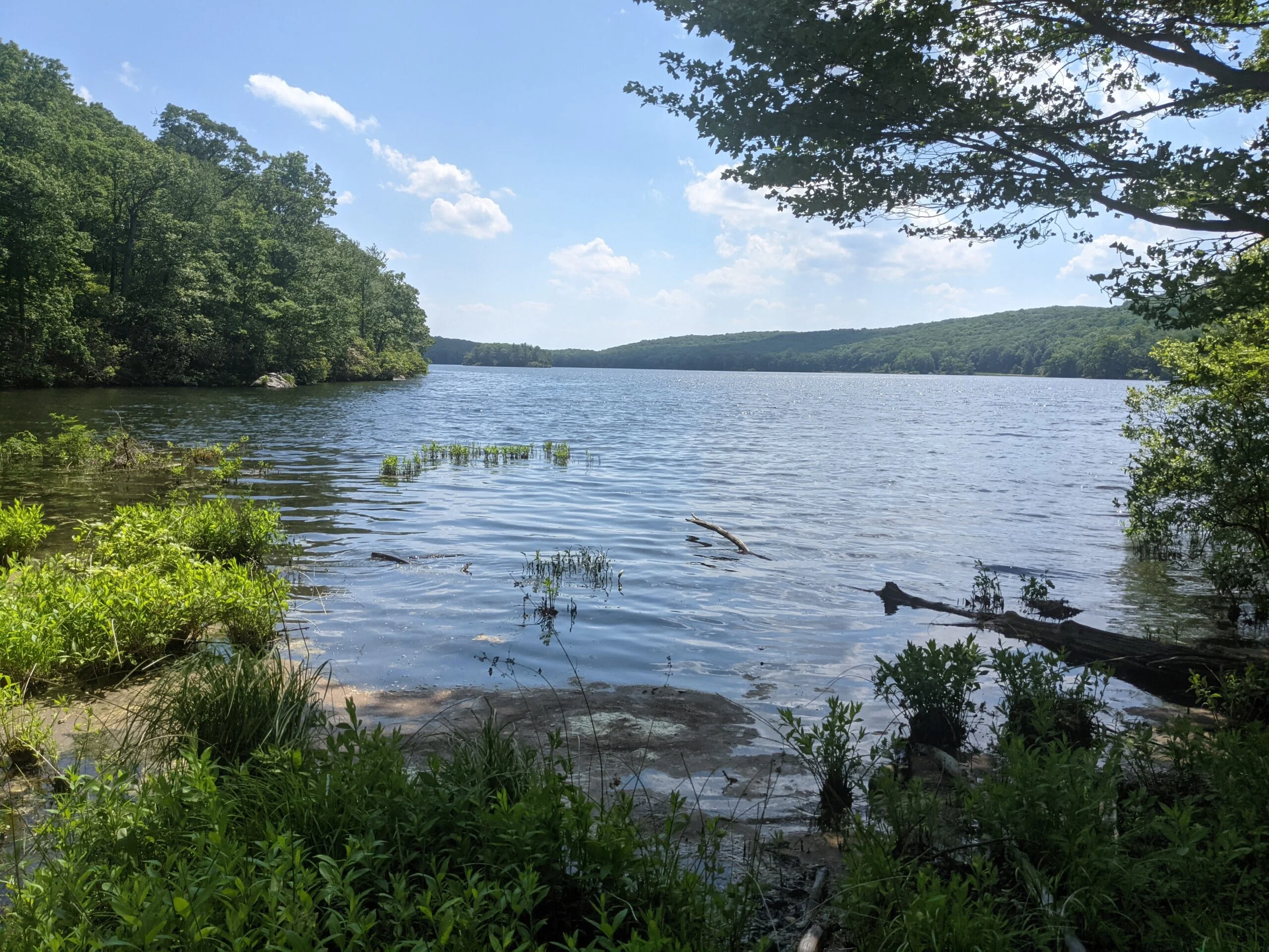
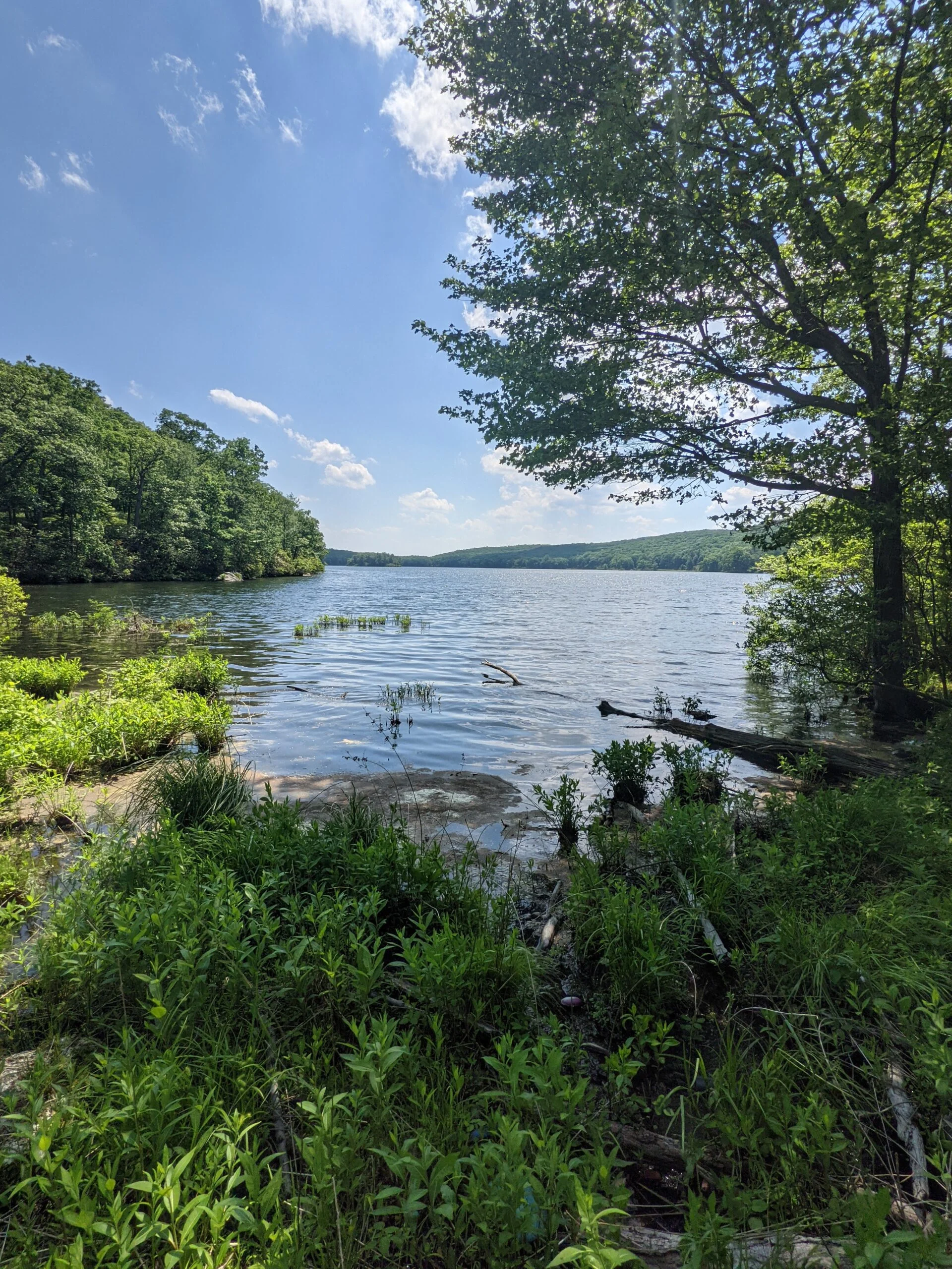
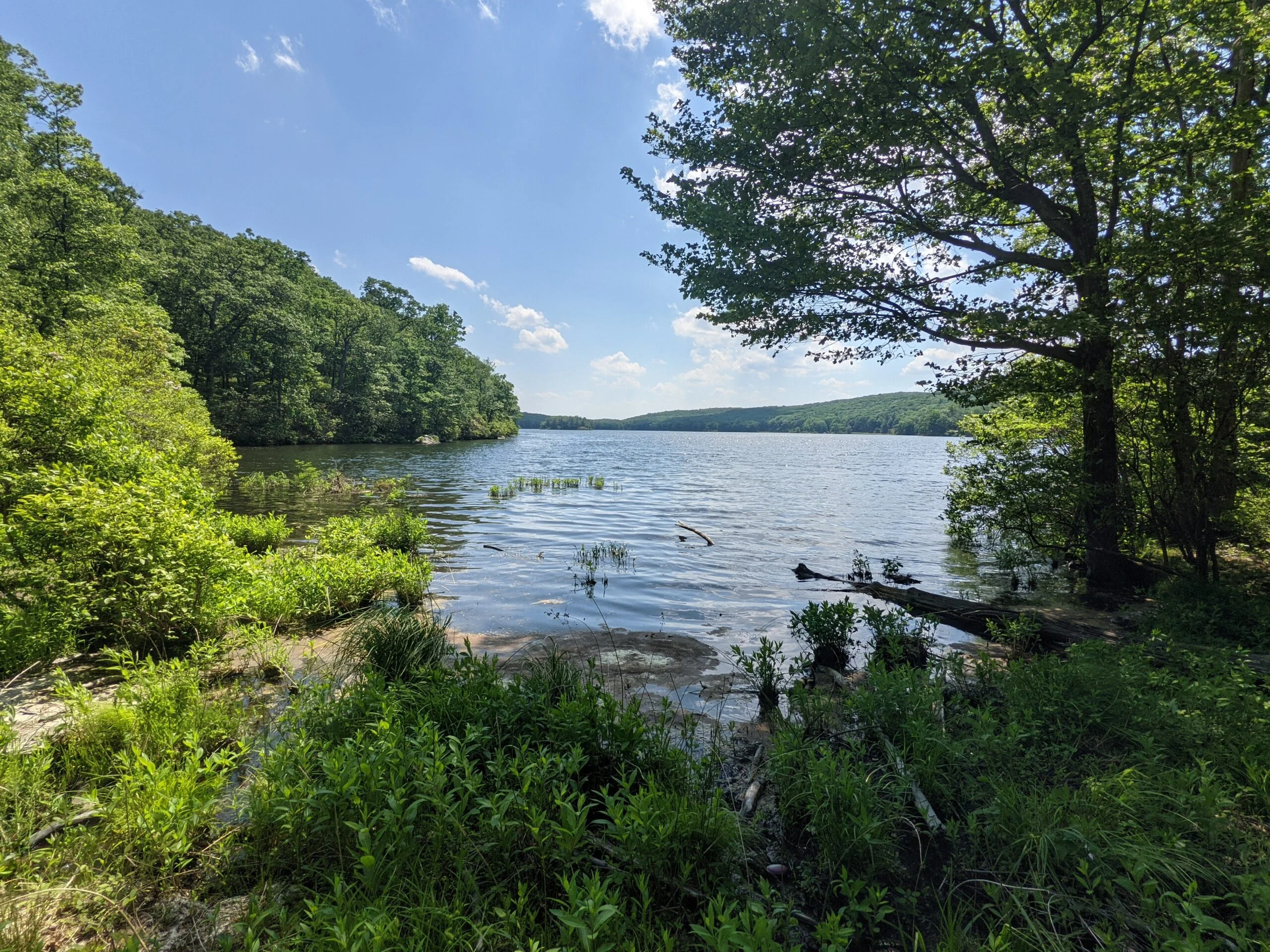
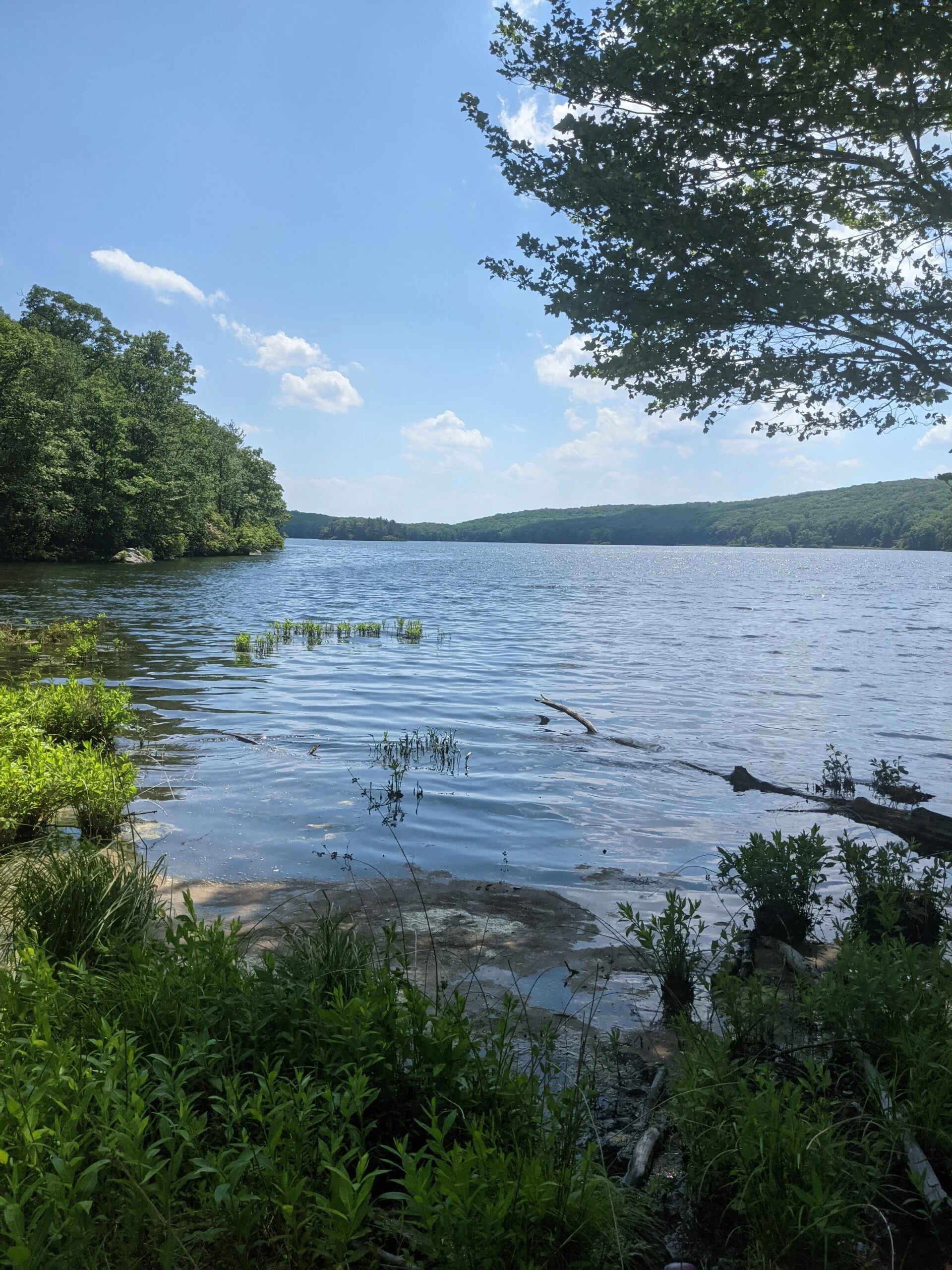
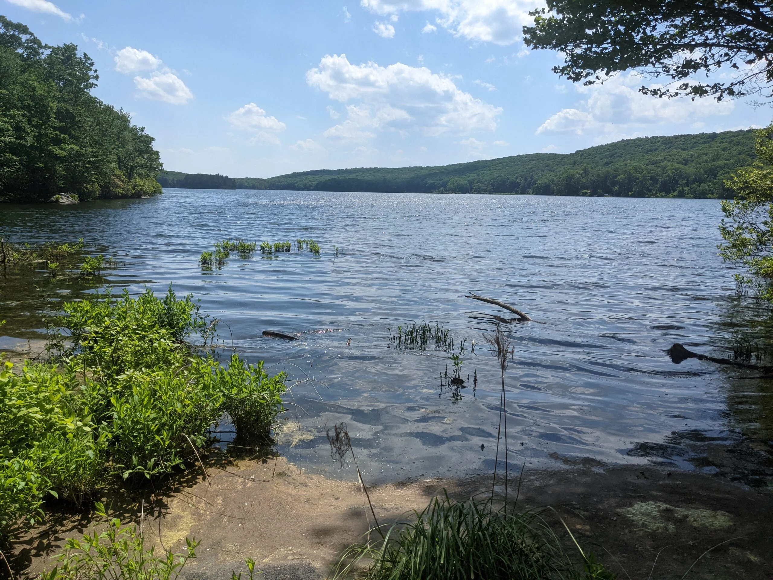
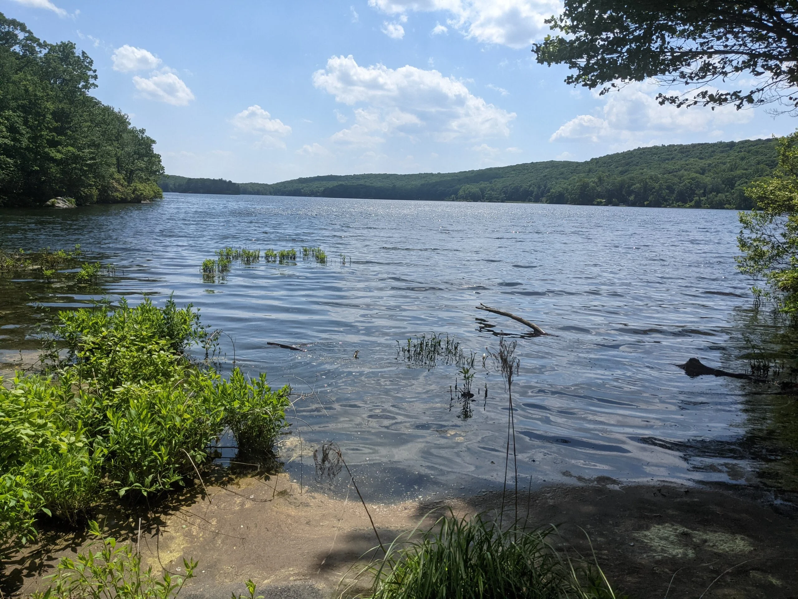
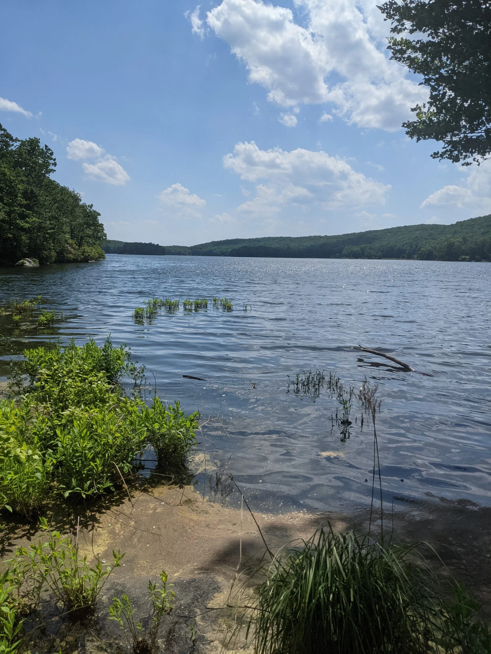
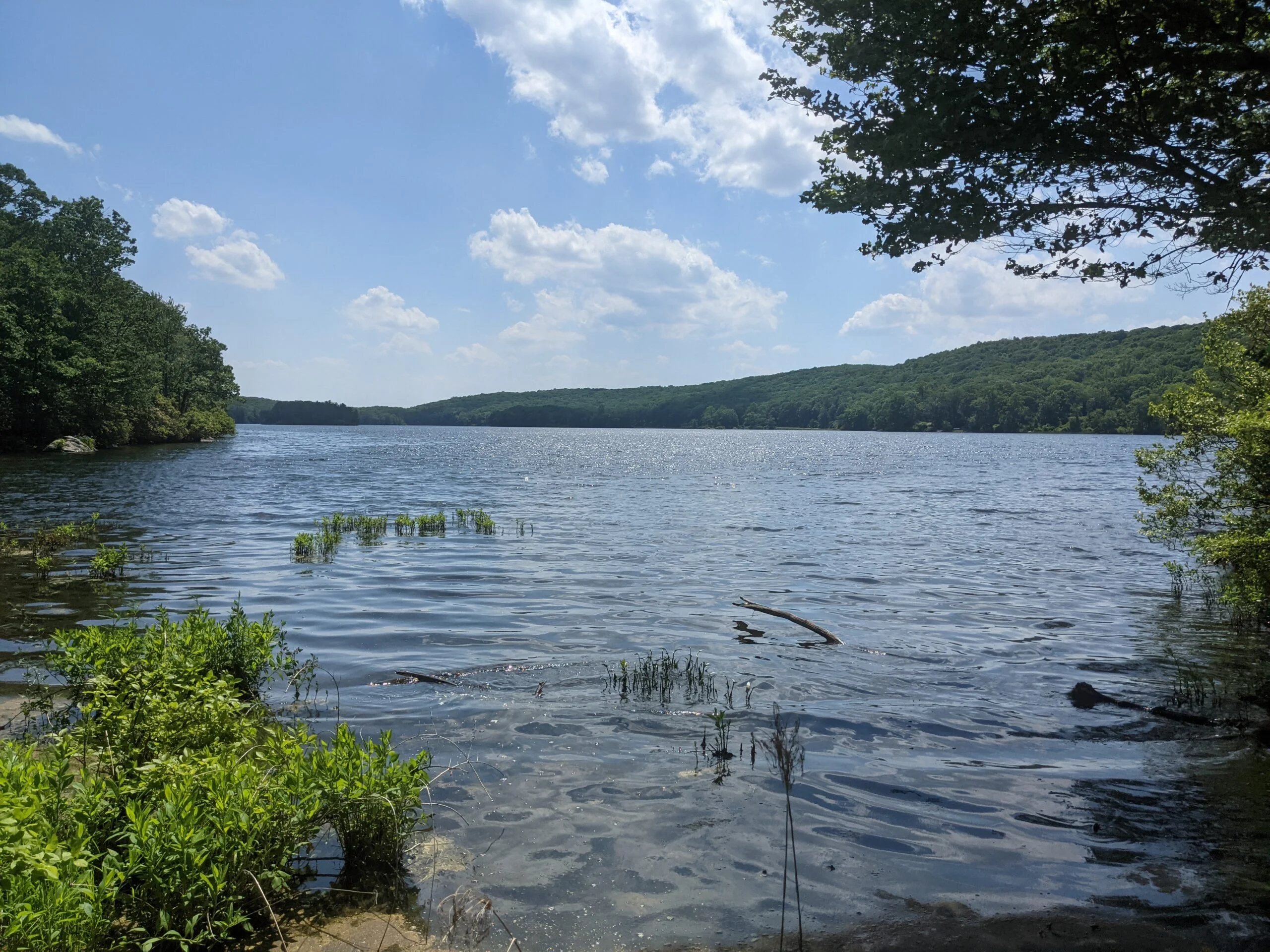
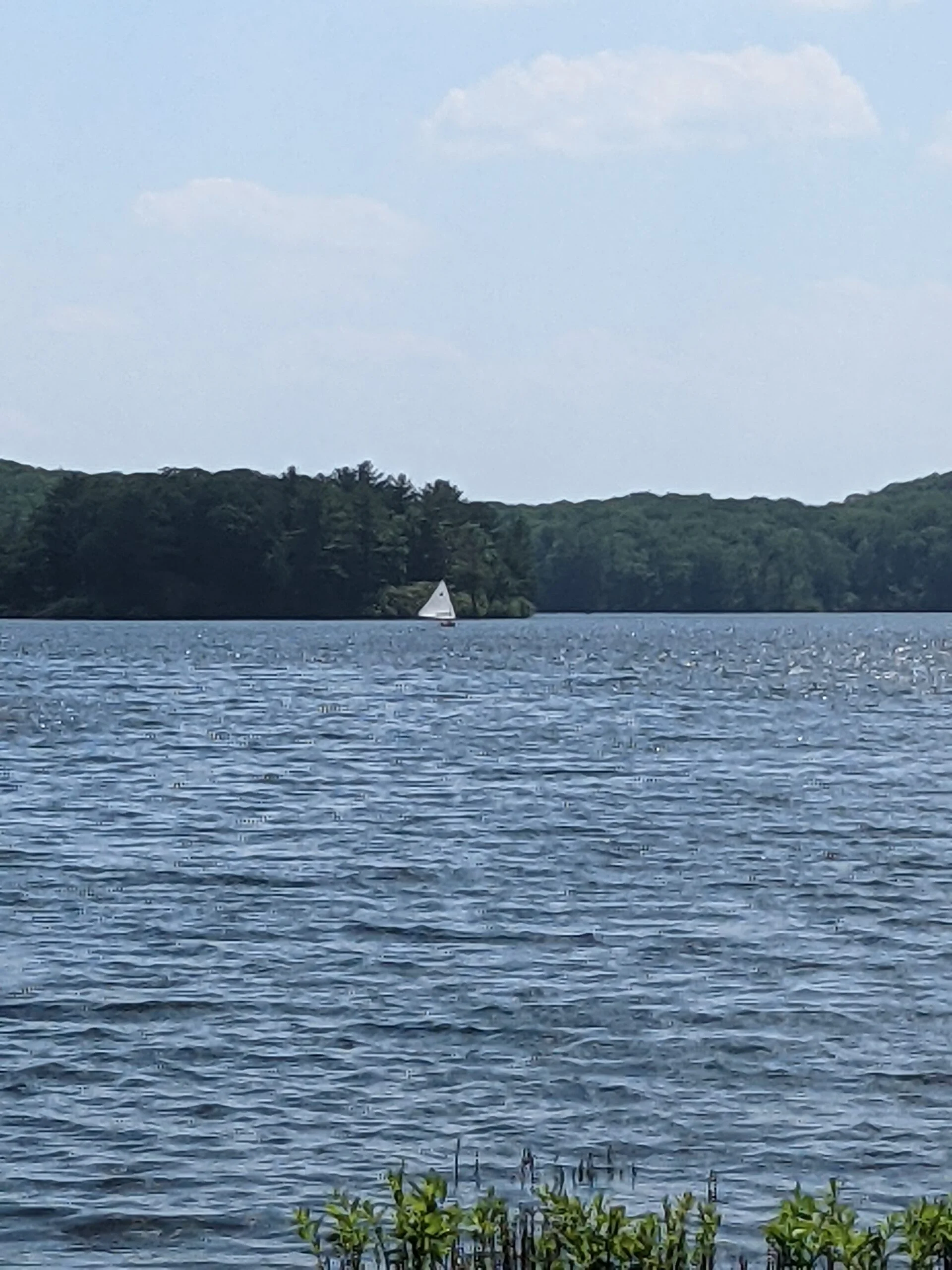
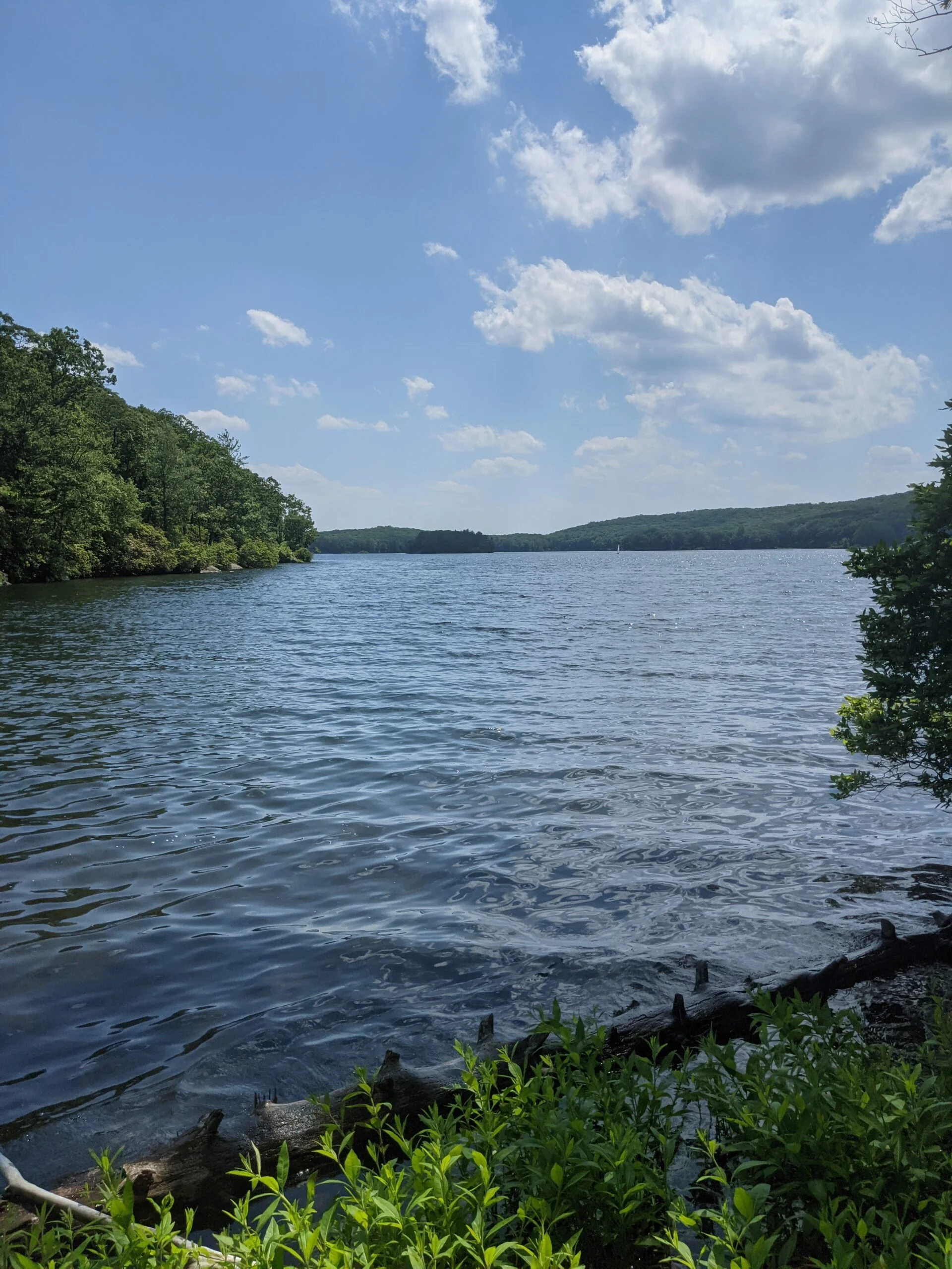
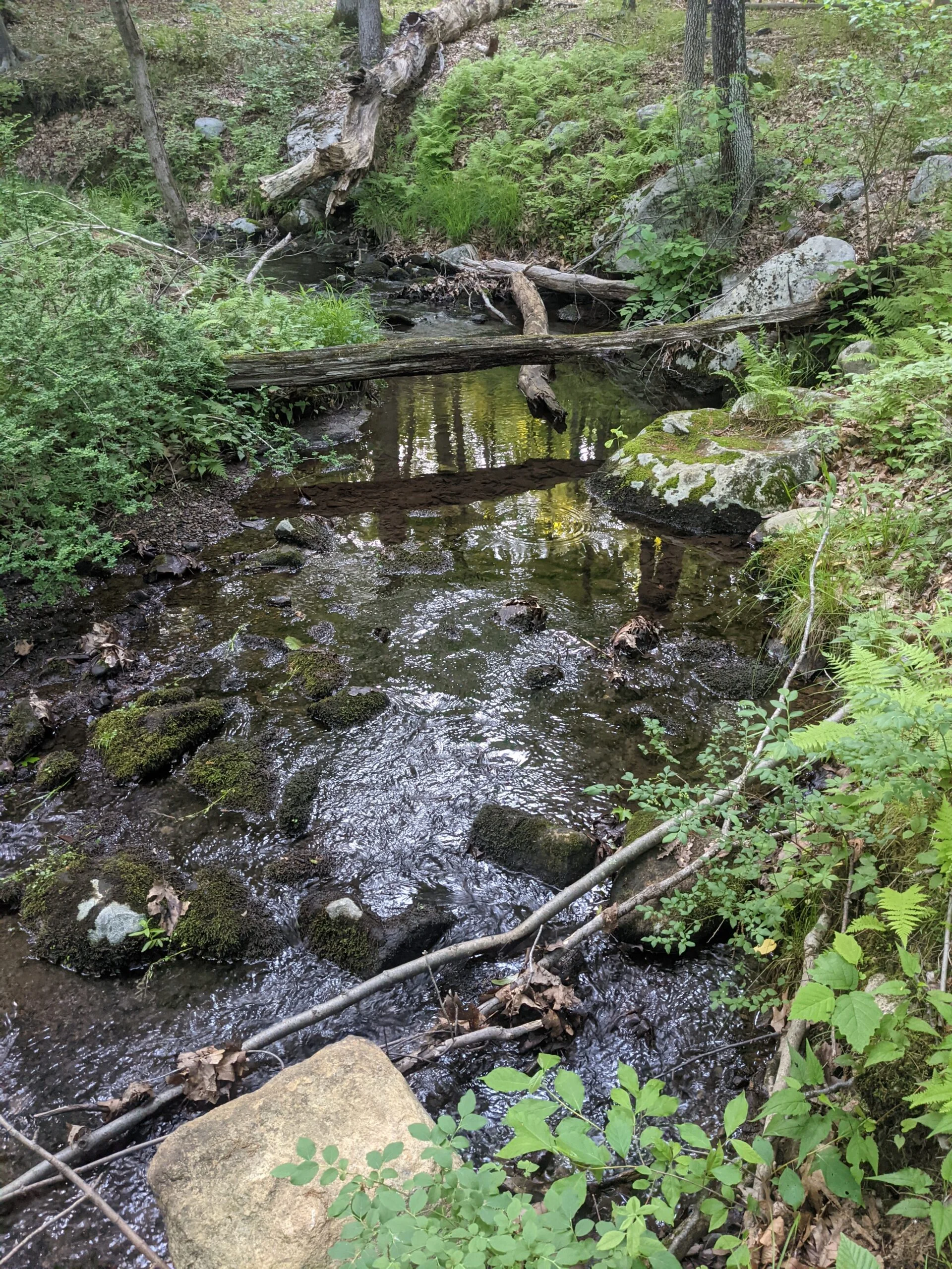
I crossed Tiorati Brook Road and made my way down to the northeast corner of the lake. I was originally thinking about dipping my feet in the water, but it was looking a little murky and I thought it would be a hassle to try to dry my feet off afterwards, so instead I took a photo break. It was the perfect day for photos and for the sailboat I saw floating across the surface.
I reconnected with R-D, following it about another mile to the intersection with AT. I was planning to take AT to the north, but I accidentally found myself on an unblazed trail heading to the east. I noticed my mistake very early on, but decided to continue with this route because there was a group of people talking loudly on the AT route I would have taken. When I’m hiking with friends, I don’t mind chatting most of the way, but I find it irritating to be near conversations I’m not a party to, especially when they’re talking loud enough for it to carry far. I’d rather focus on the noises of the forest and trying to figure out what animals may be near me when I walk by.
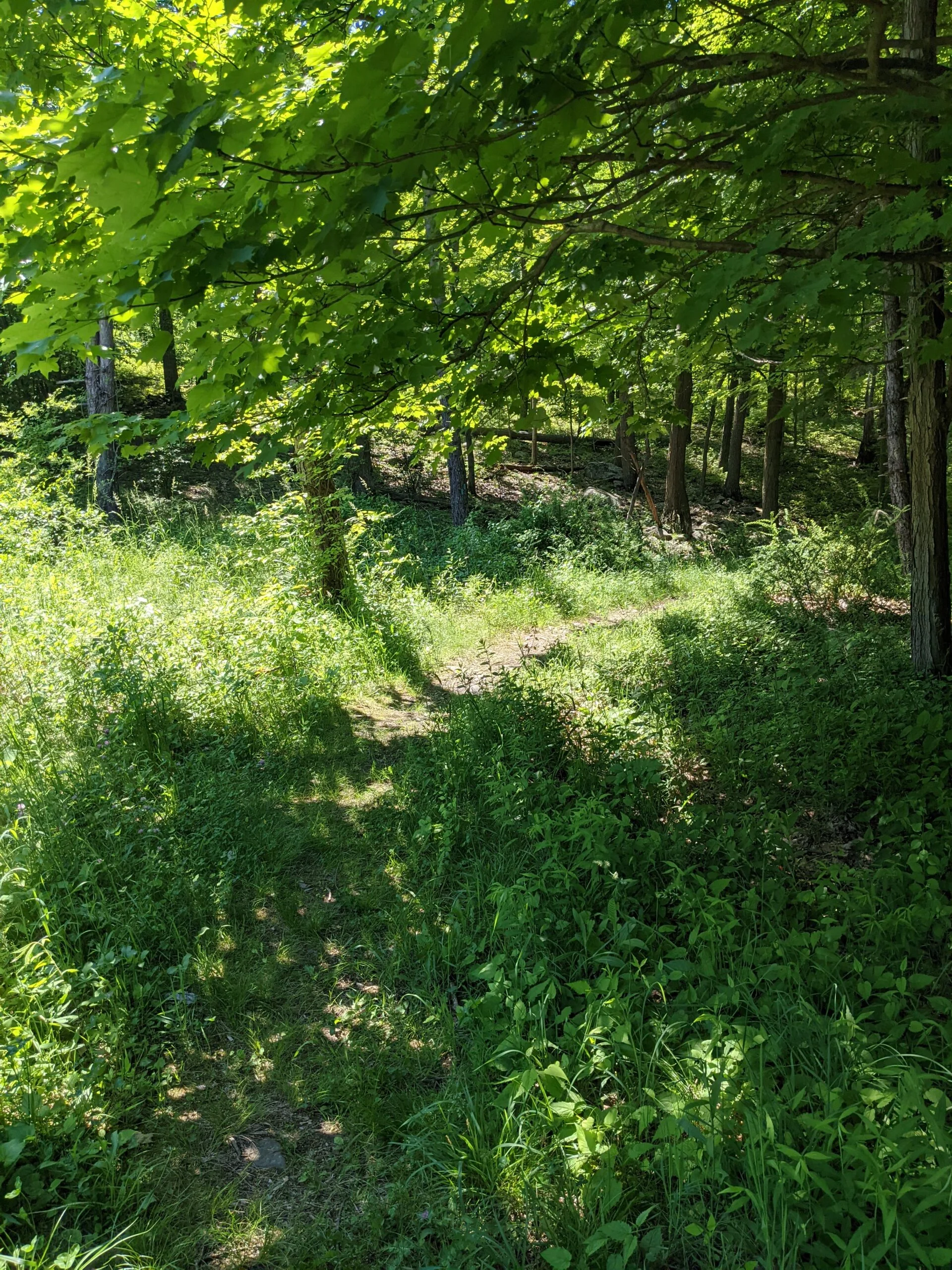
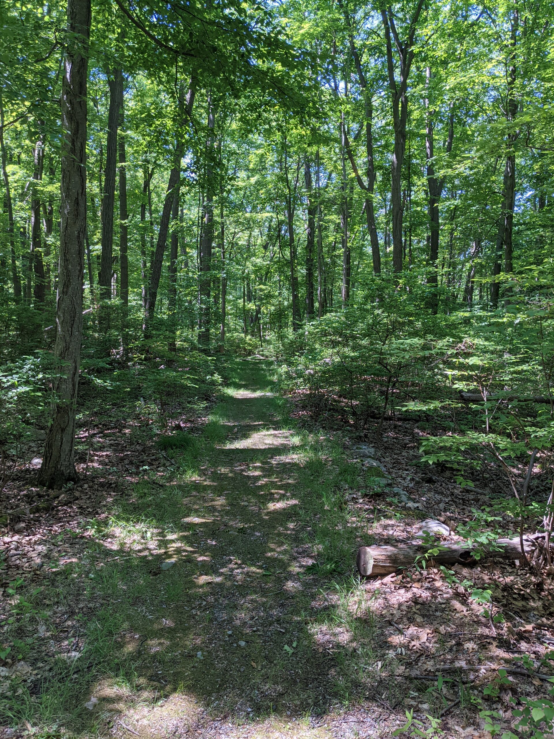
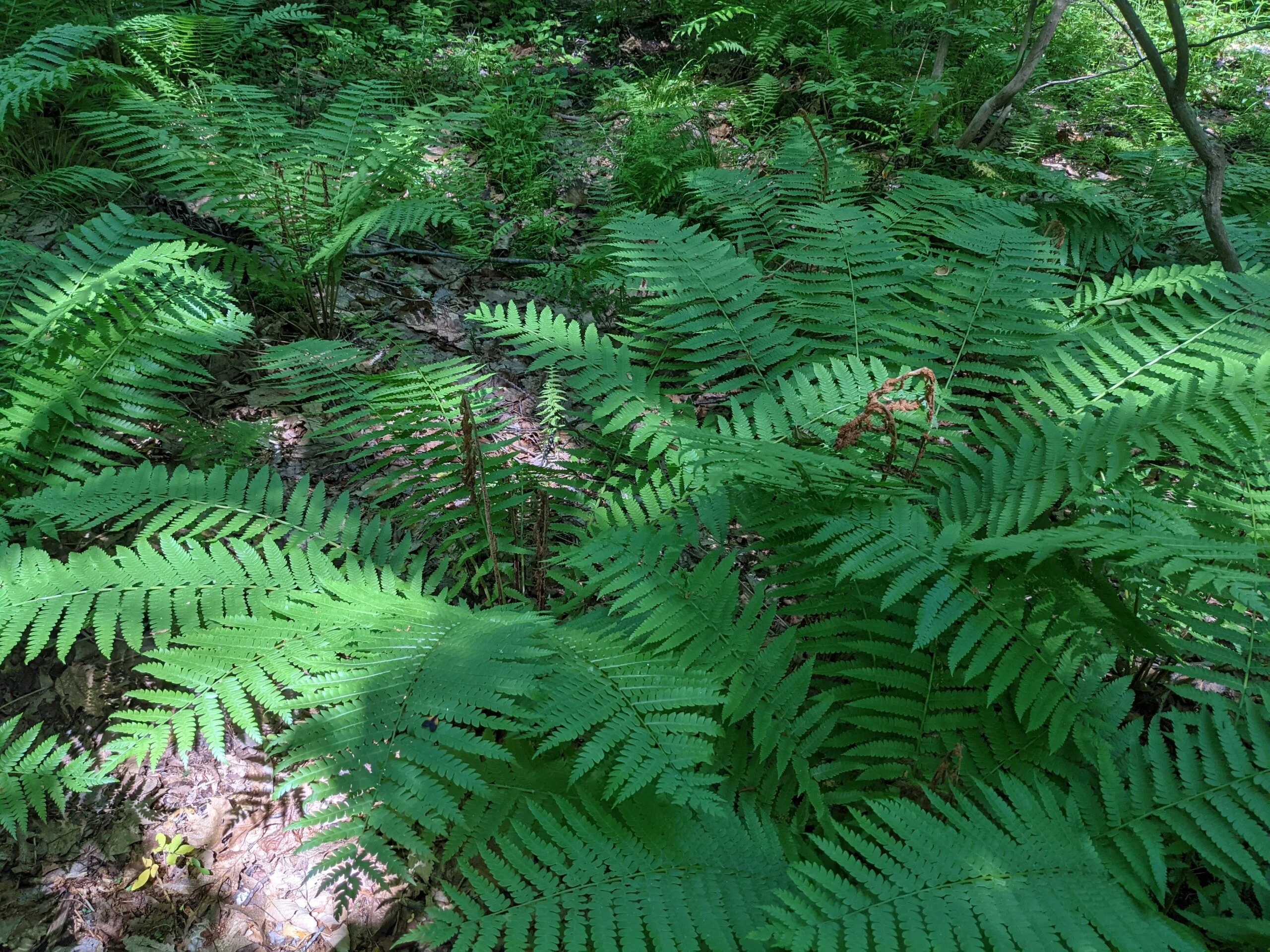
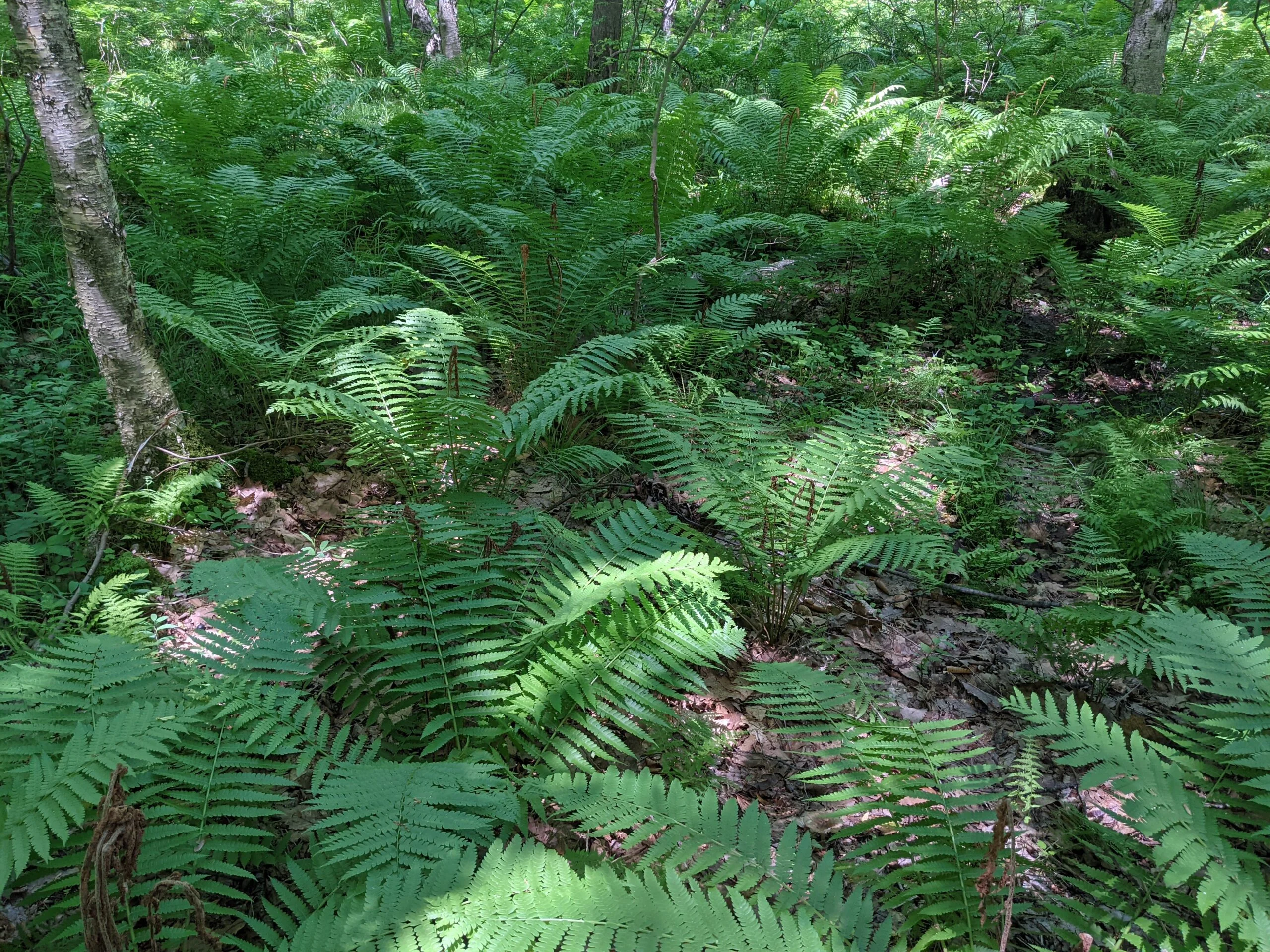
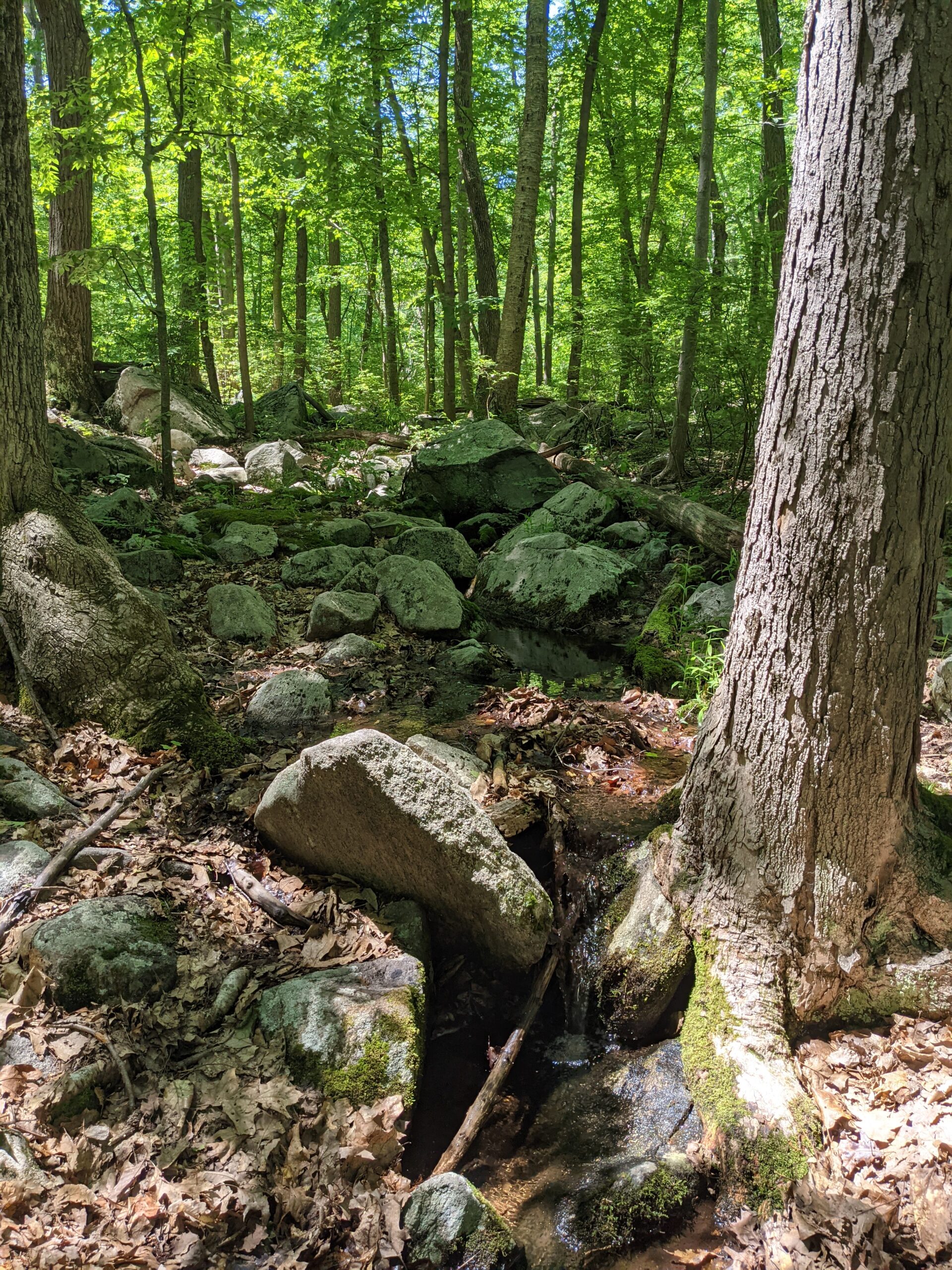
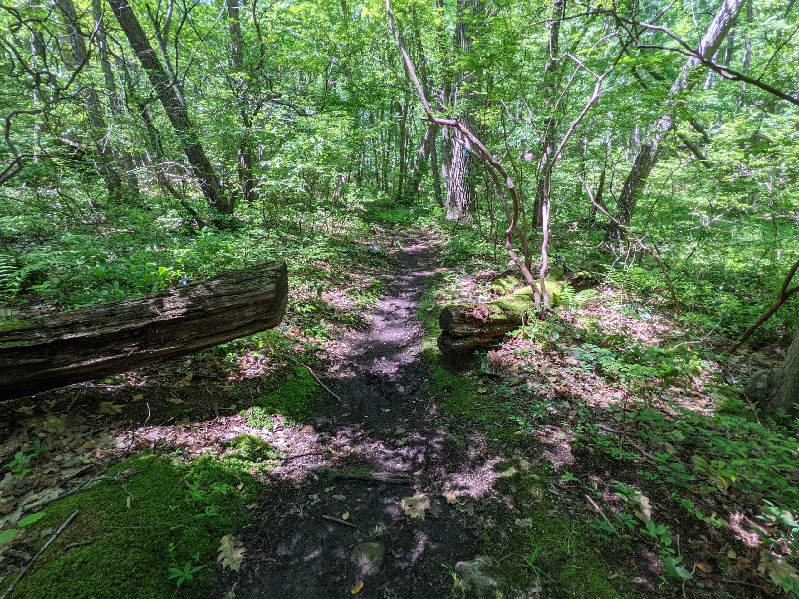
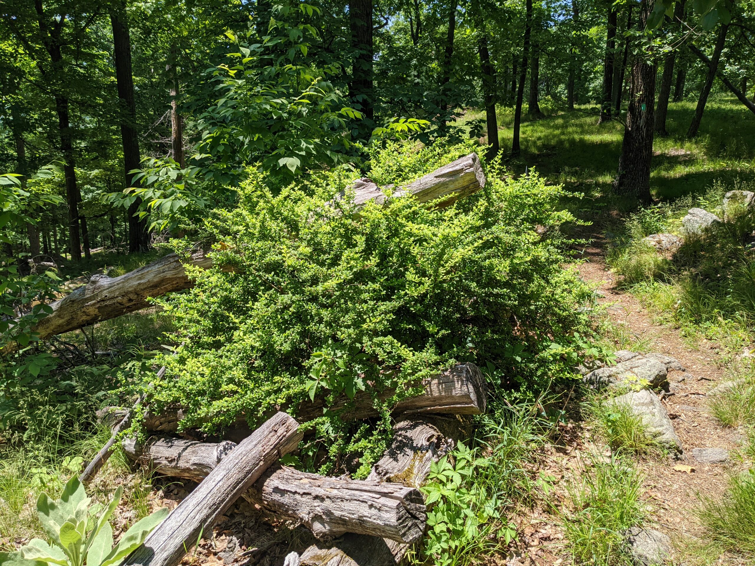
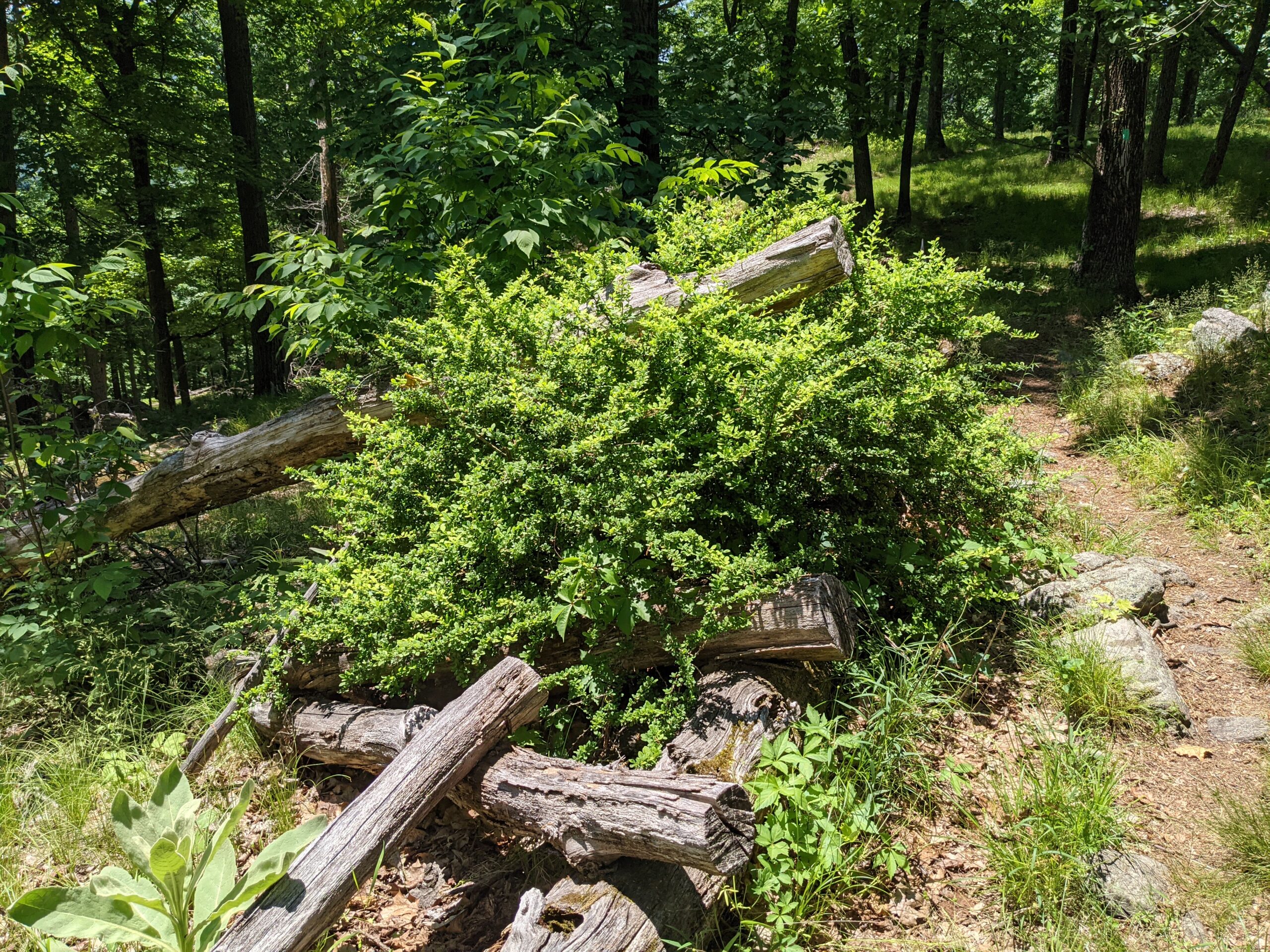
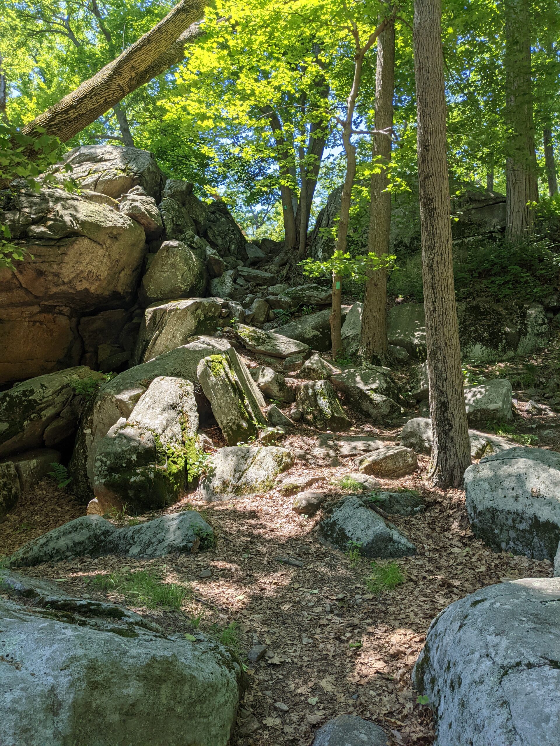
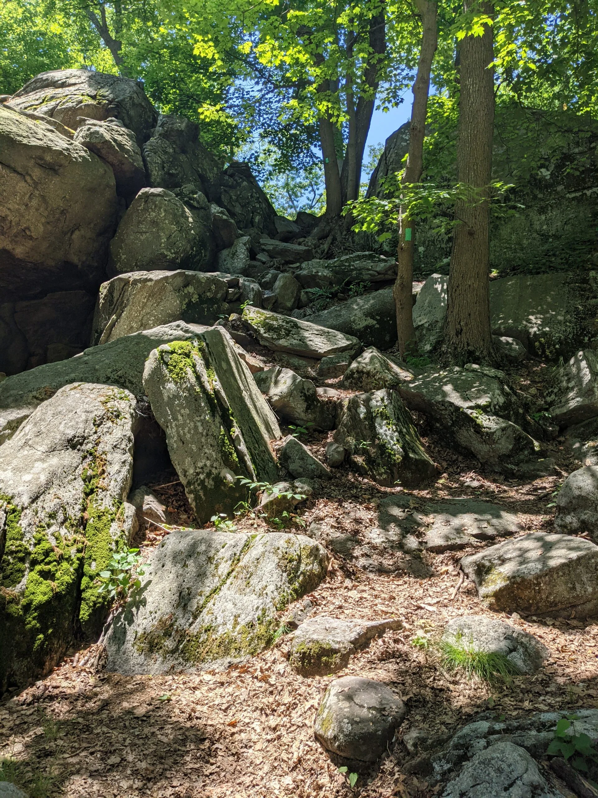
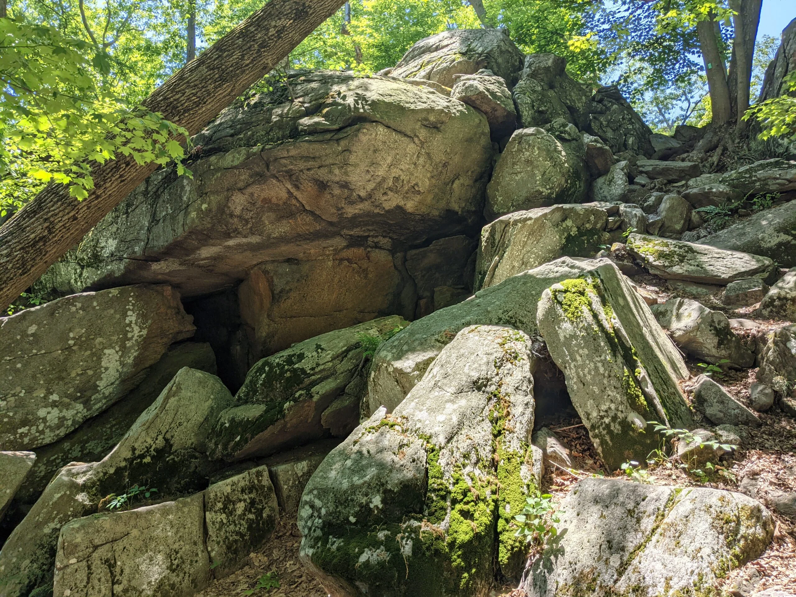
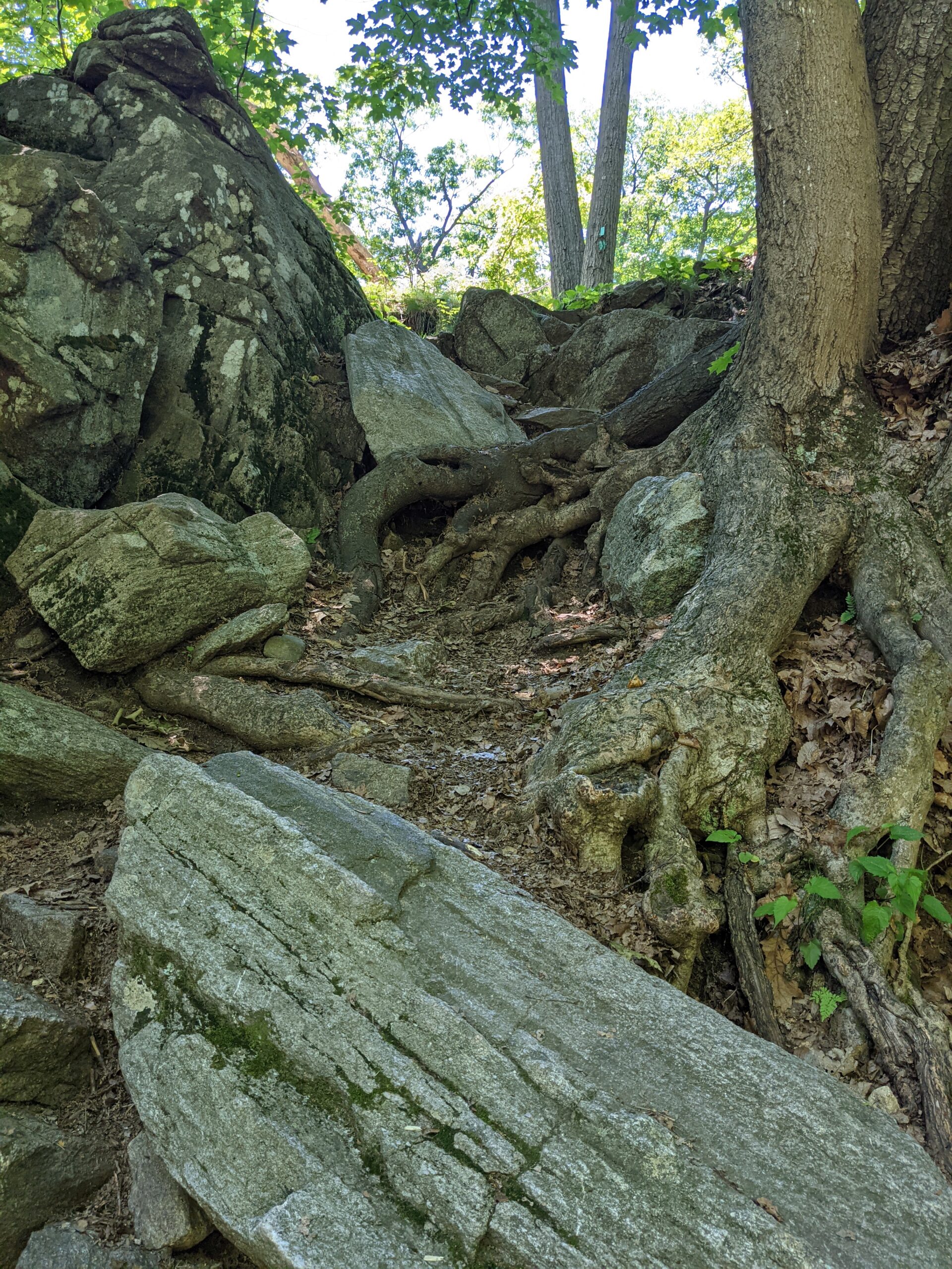
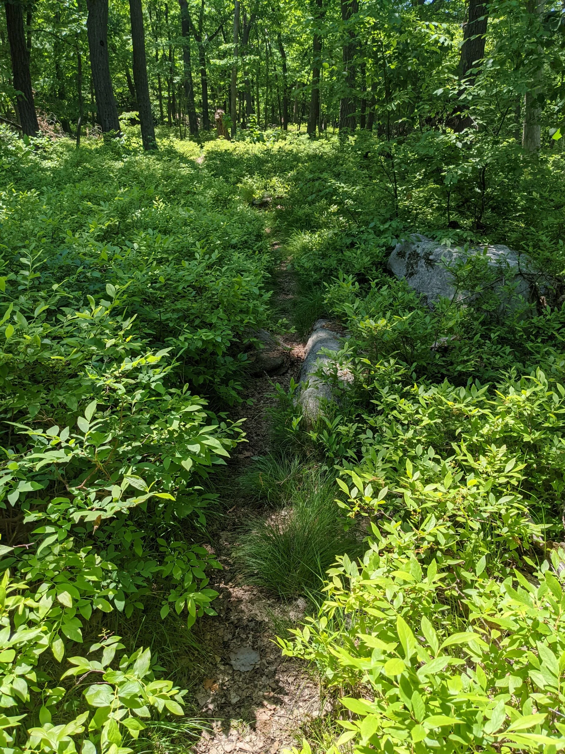
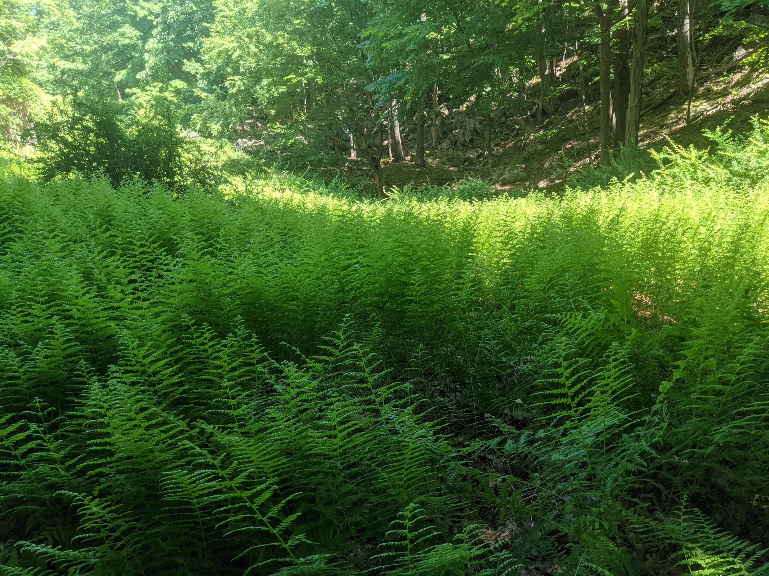
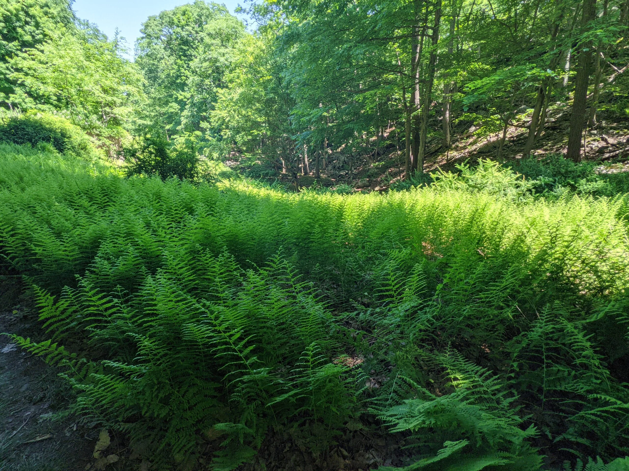
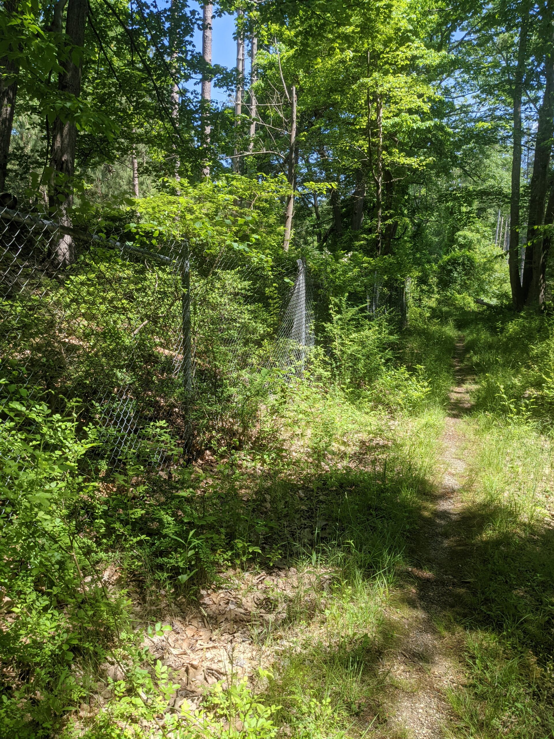
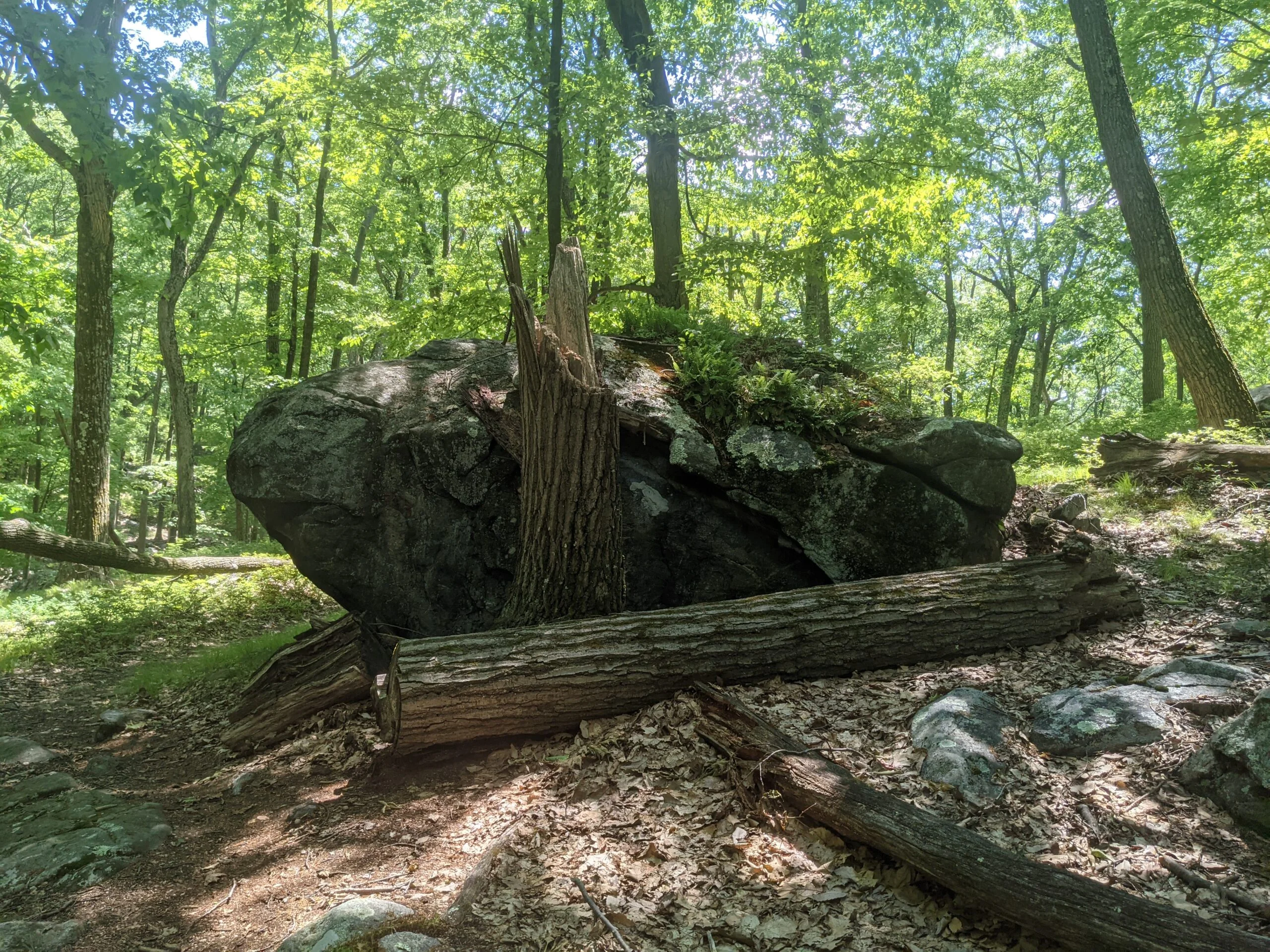
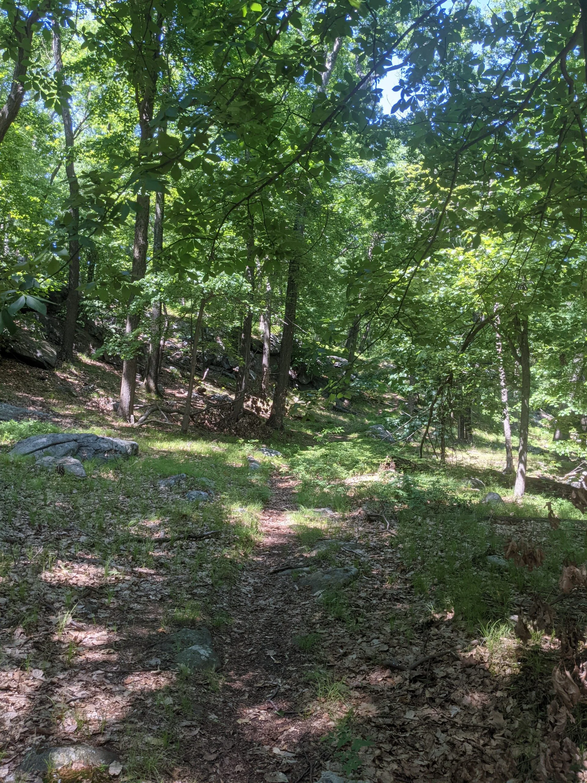
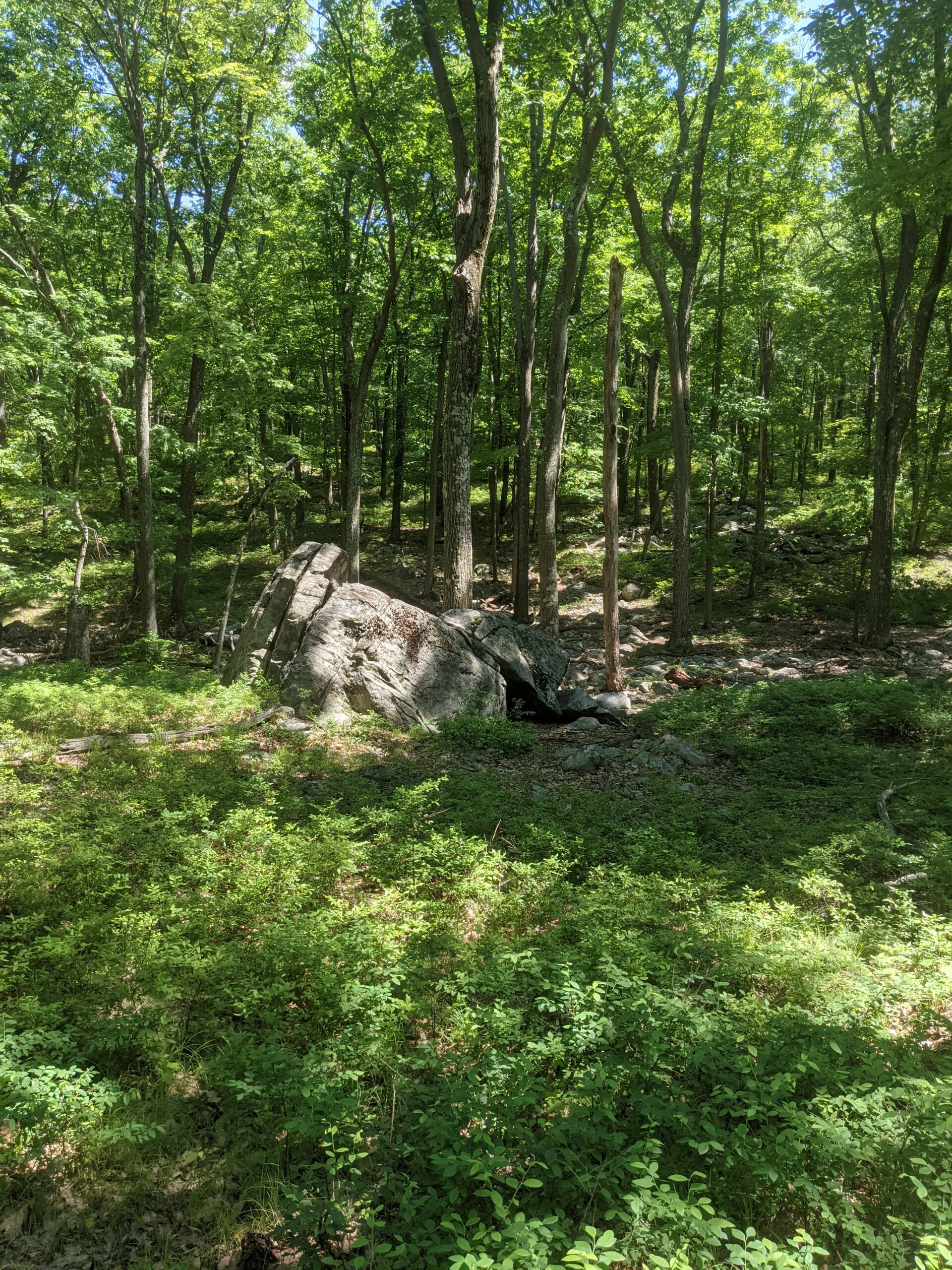
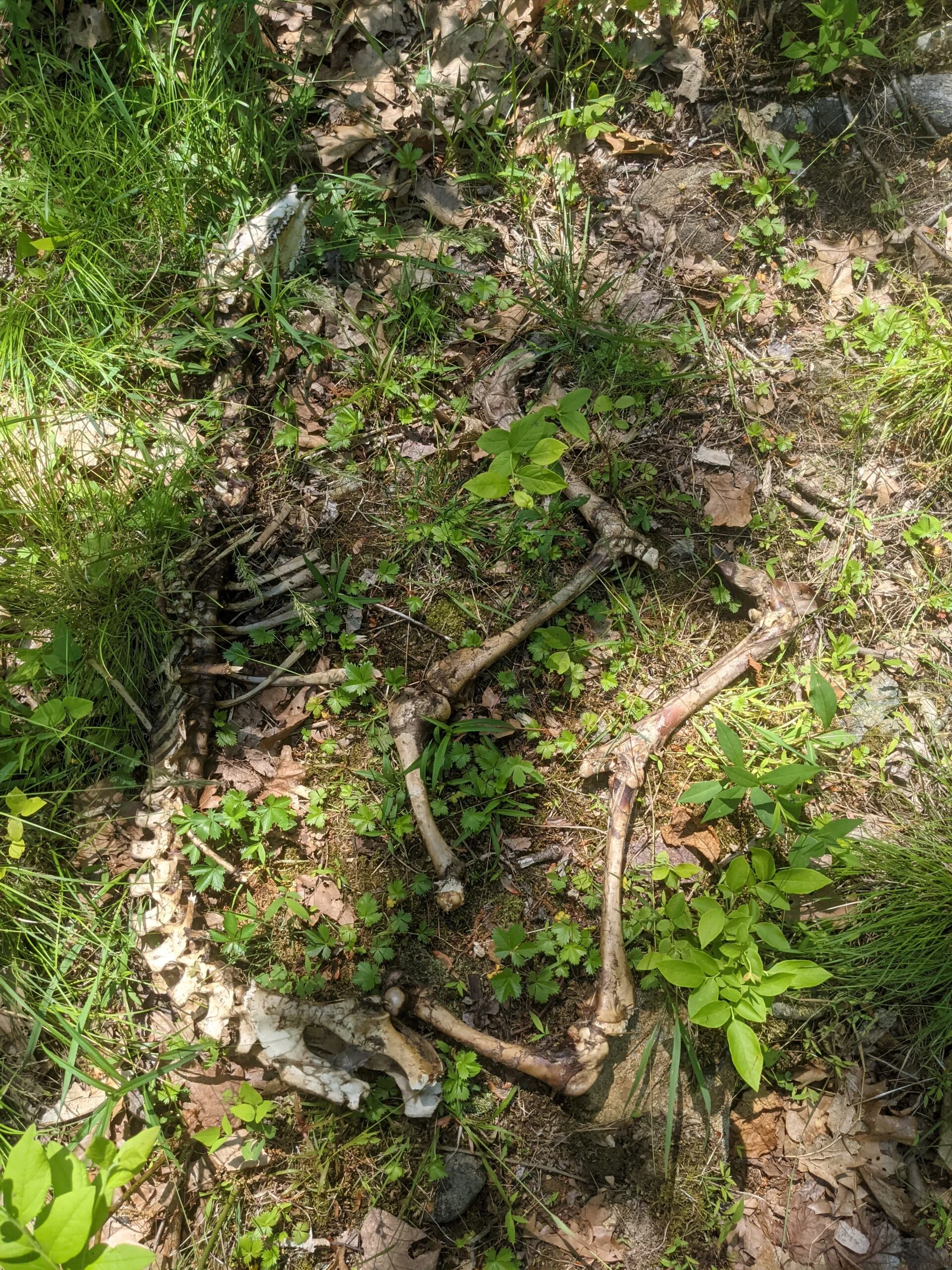
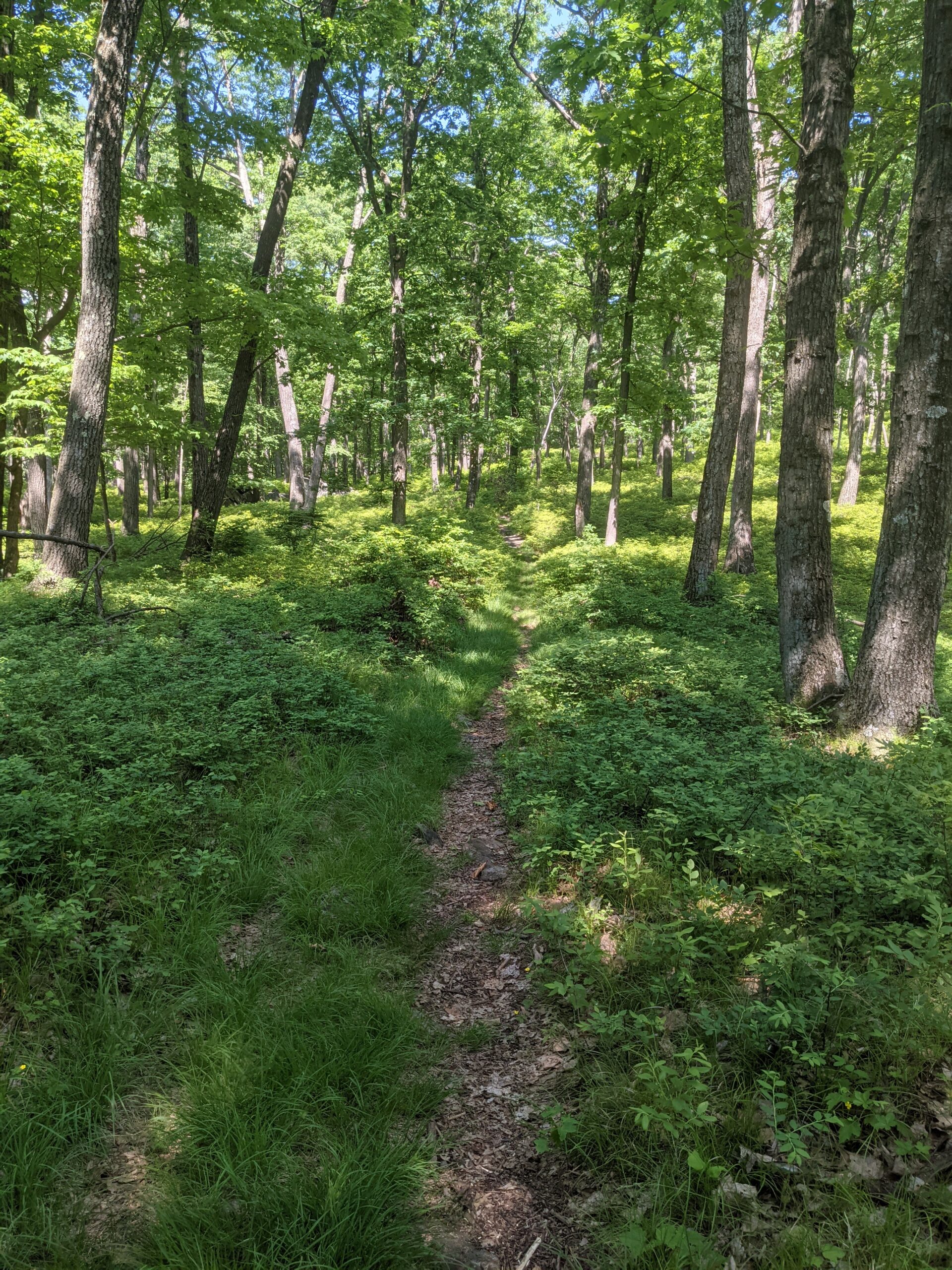
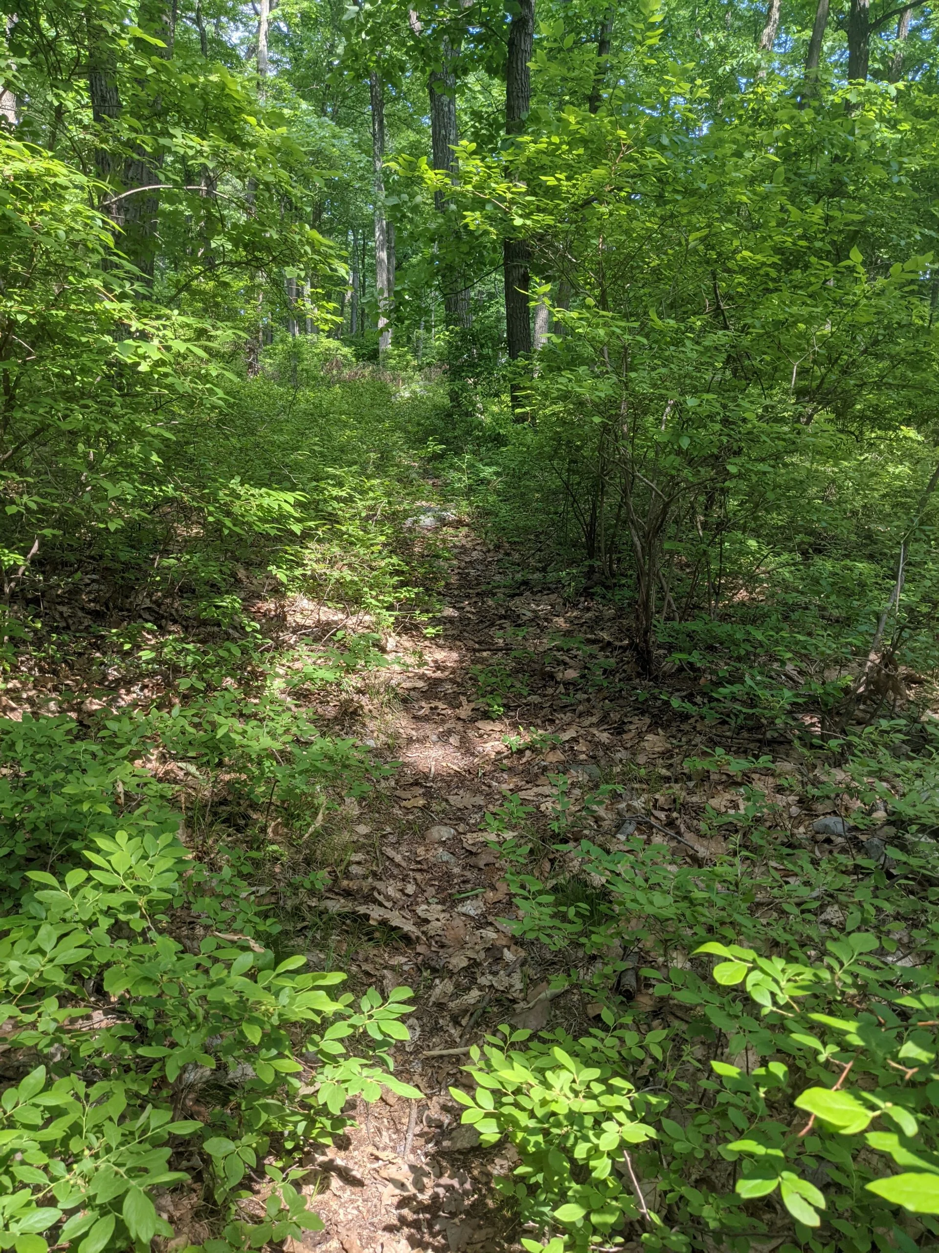
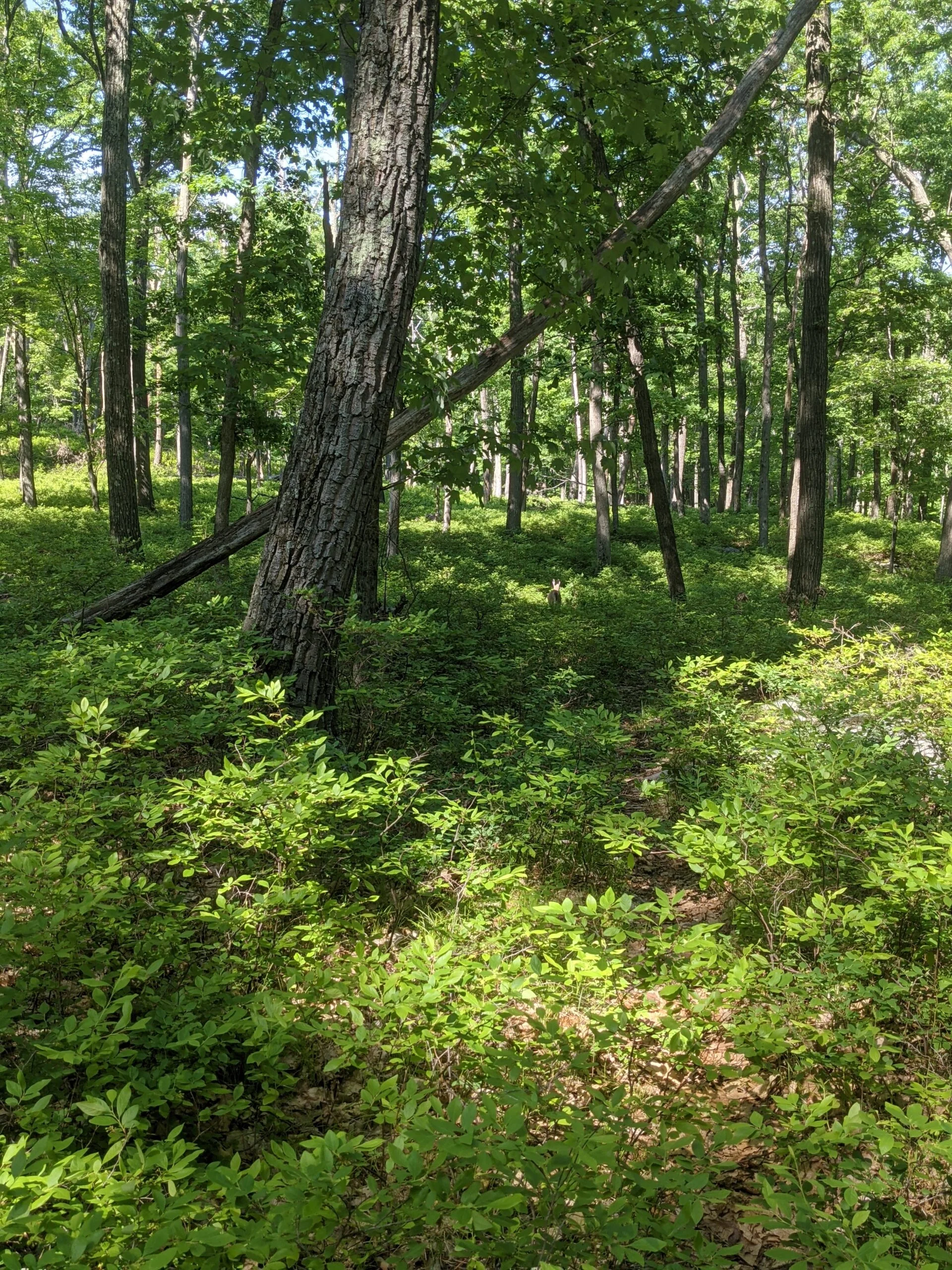
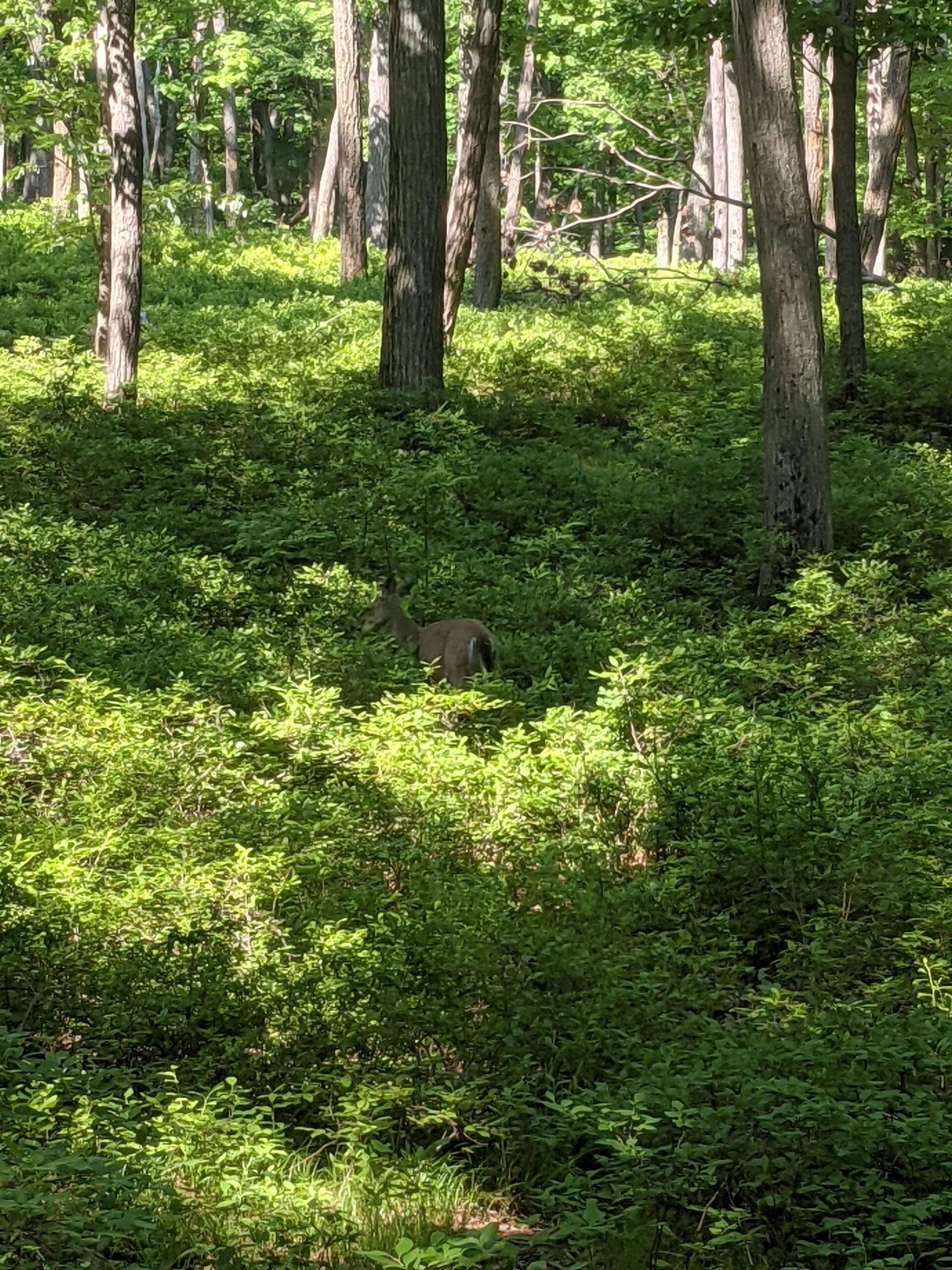
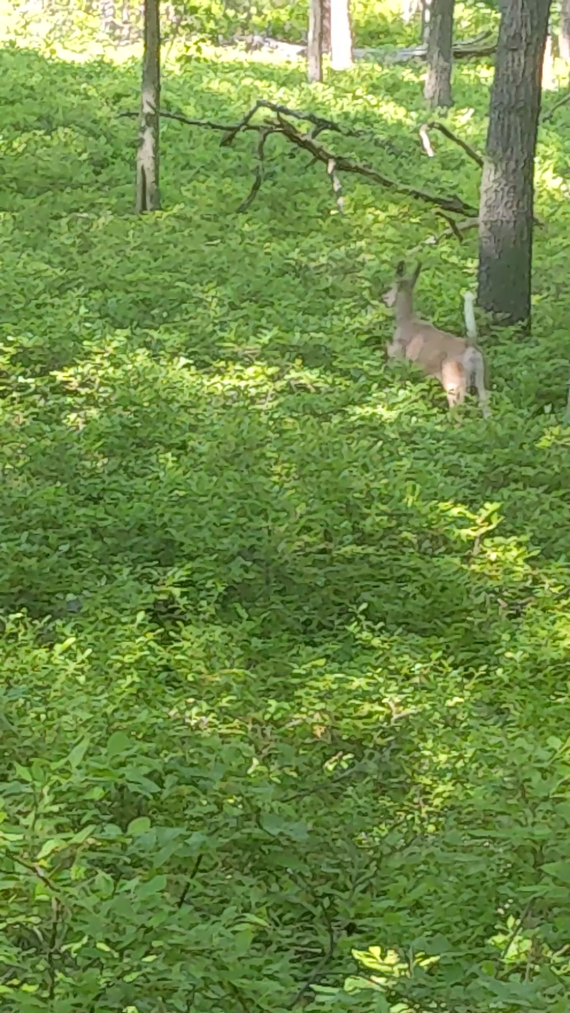
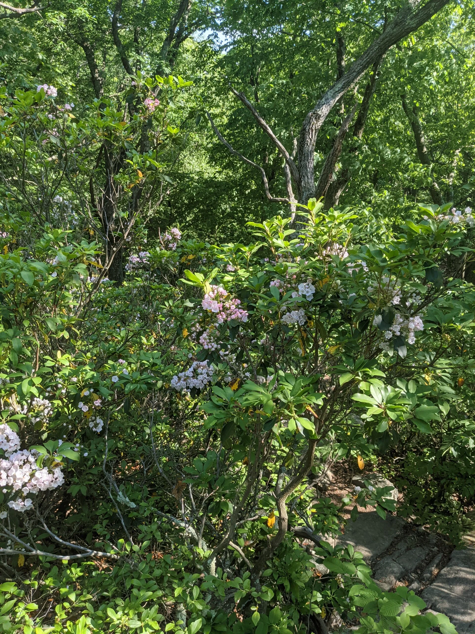
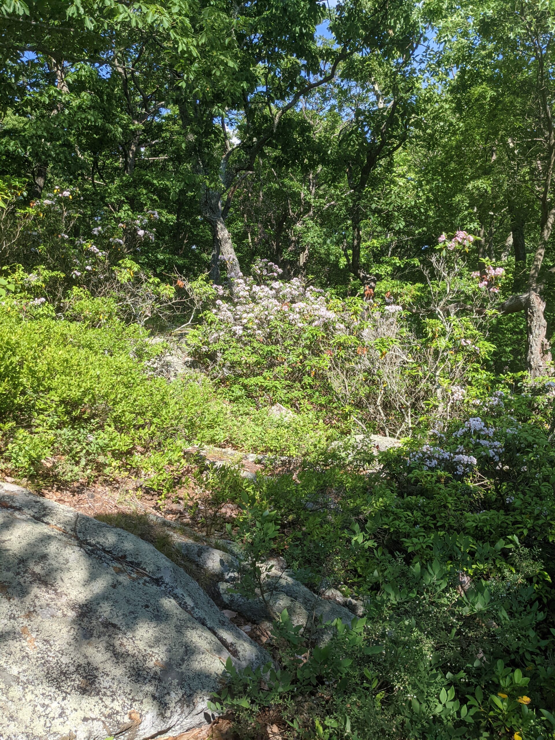
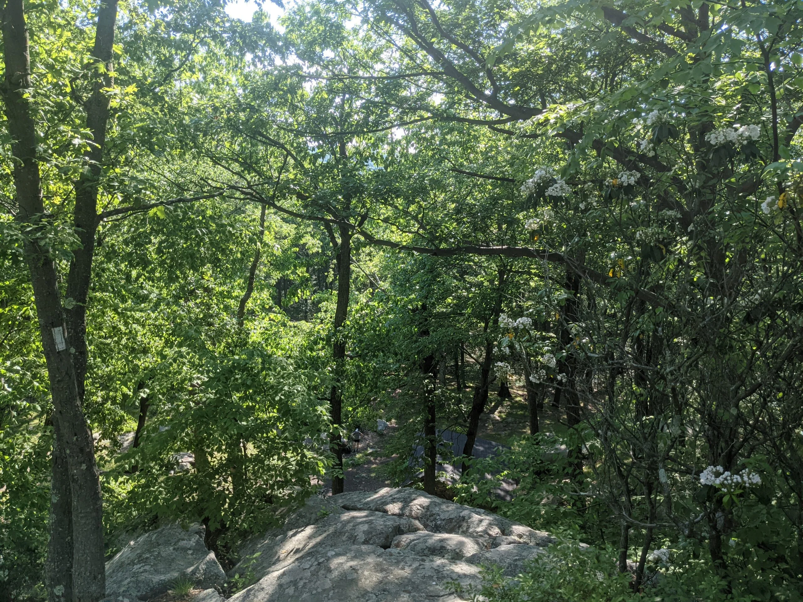
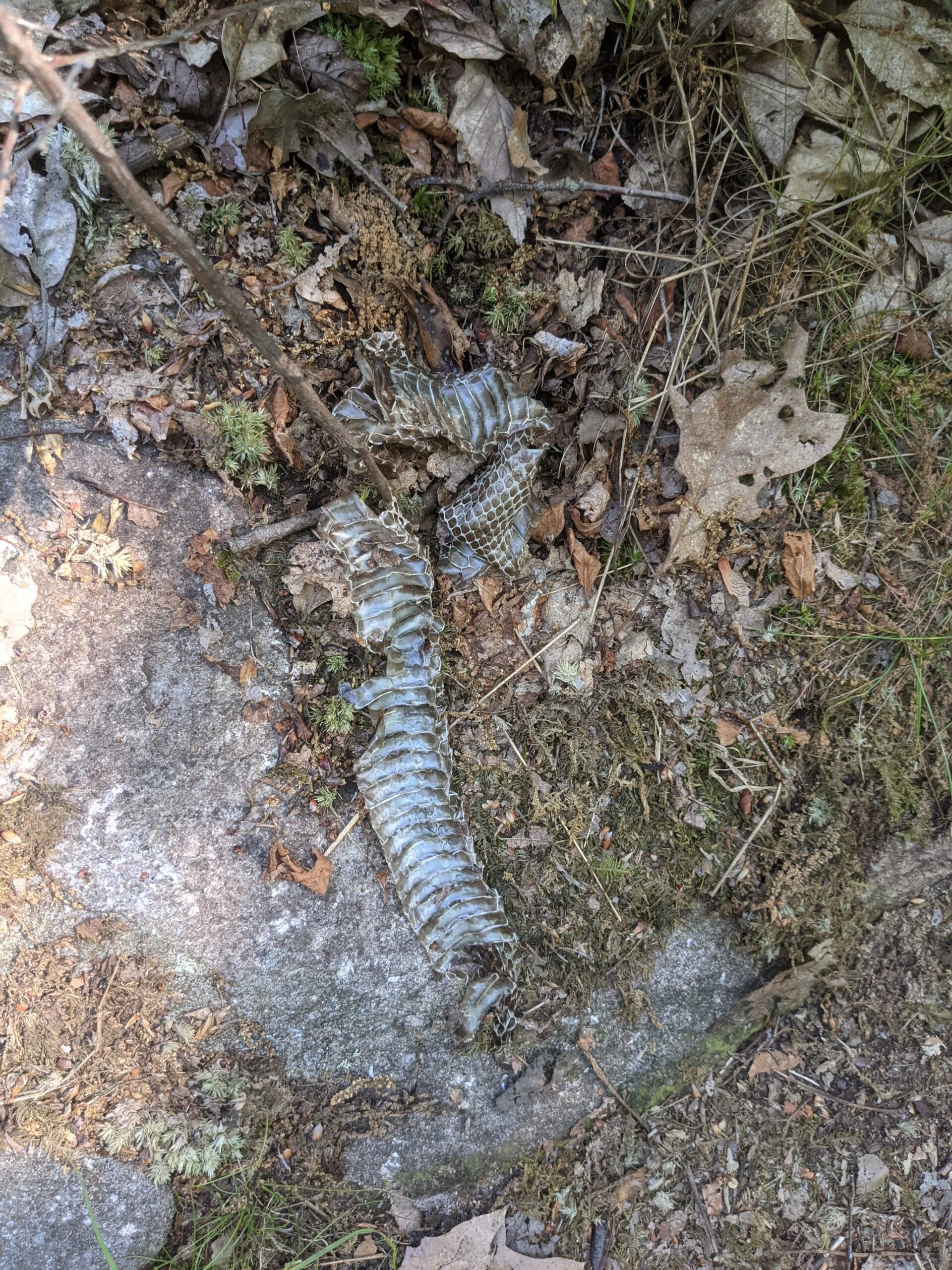
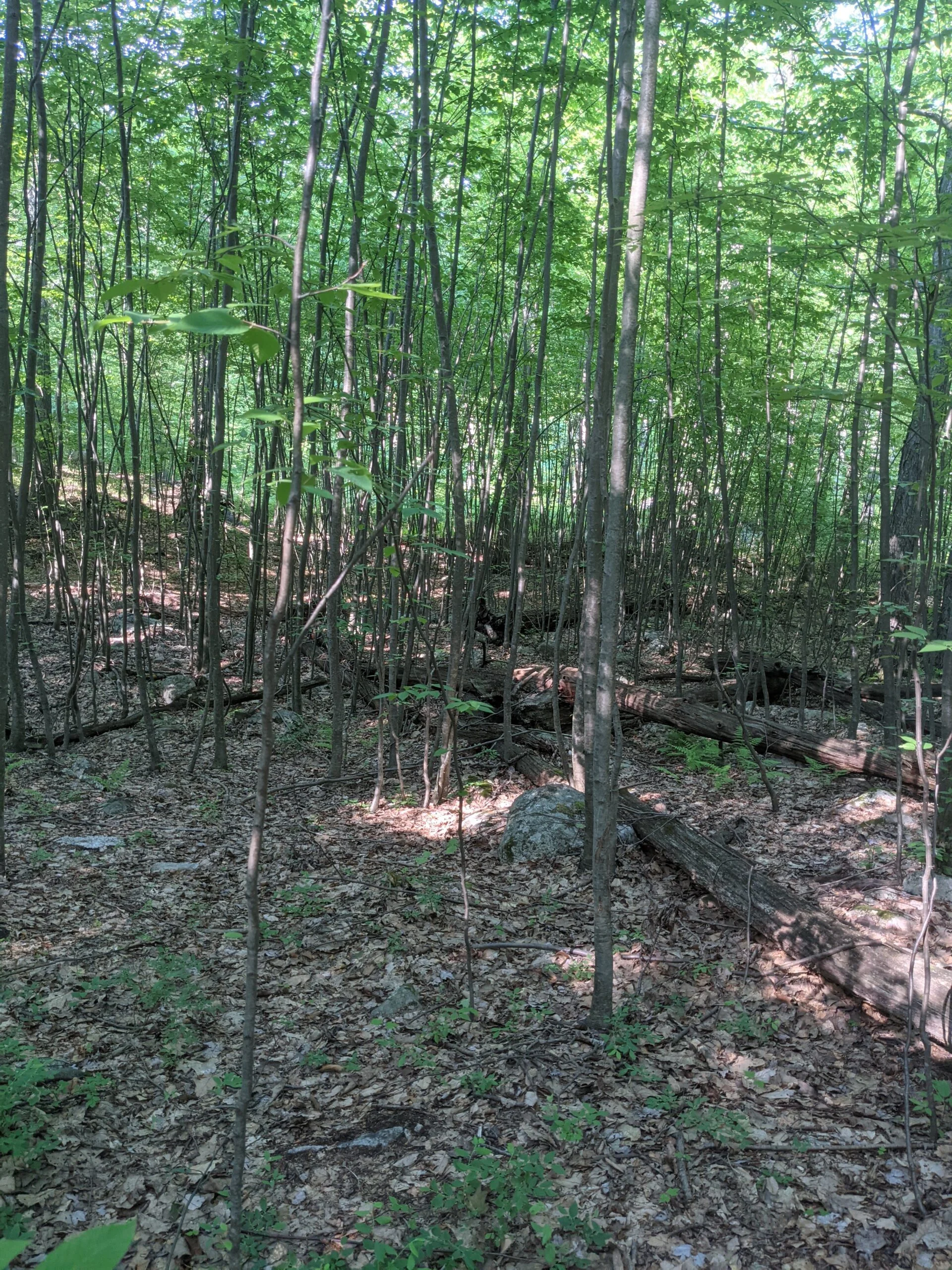
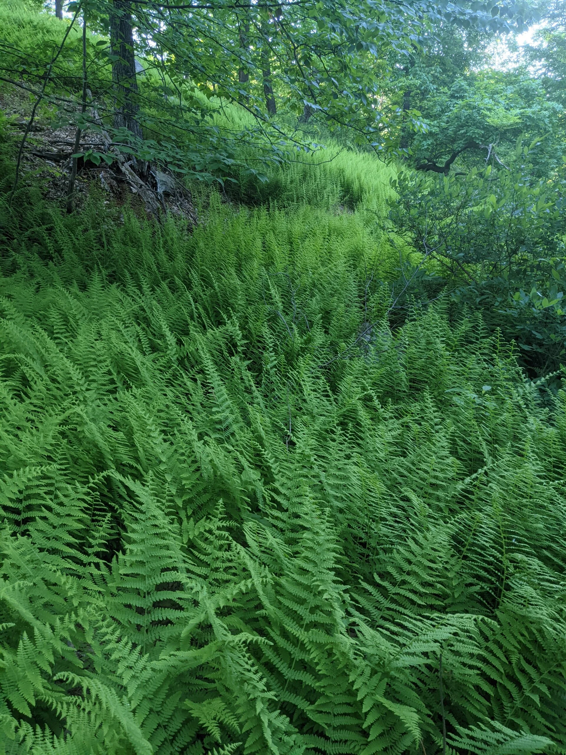
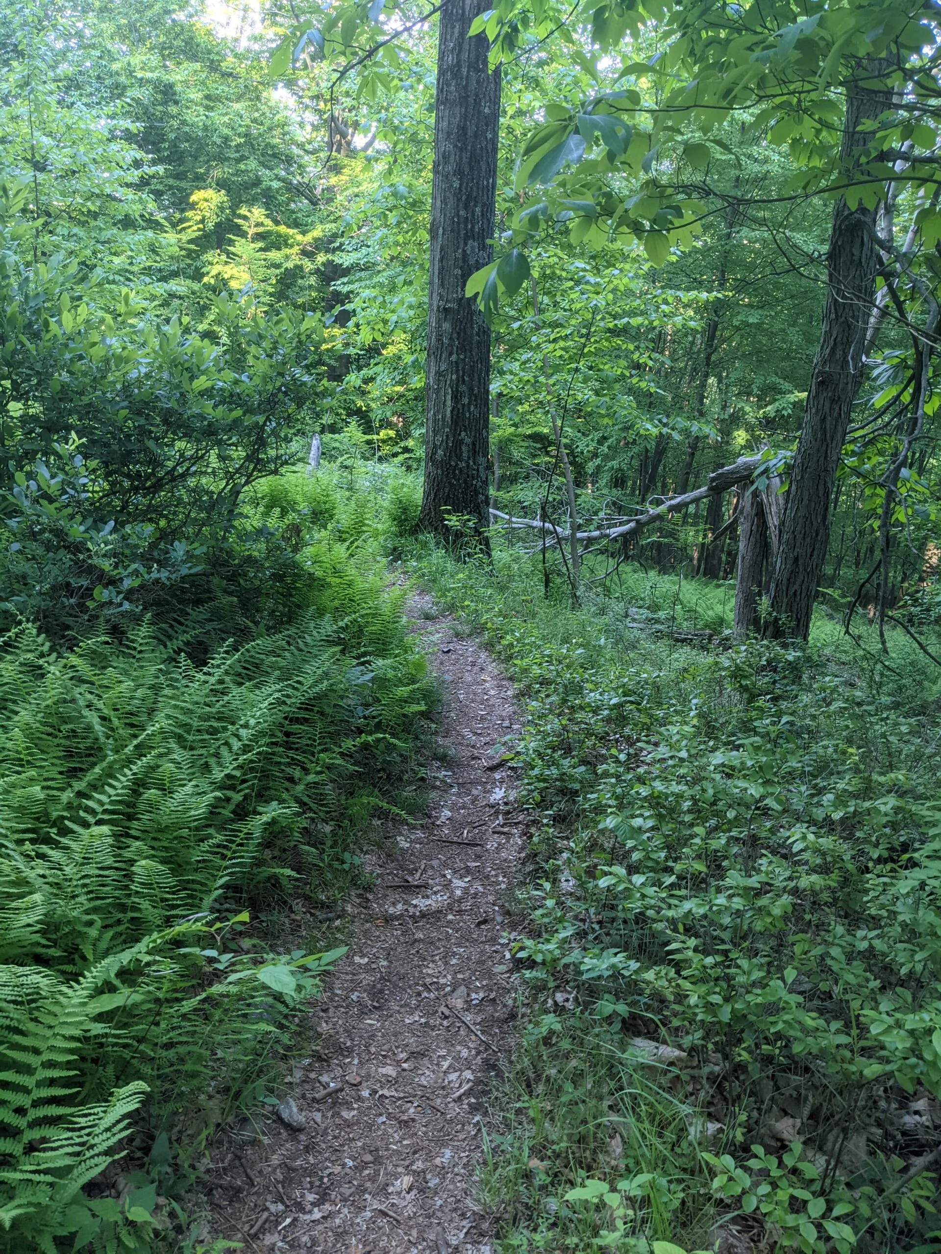
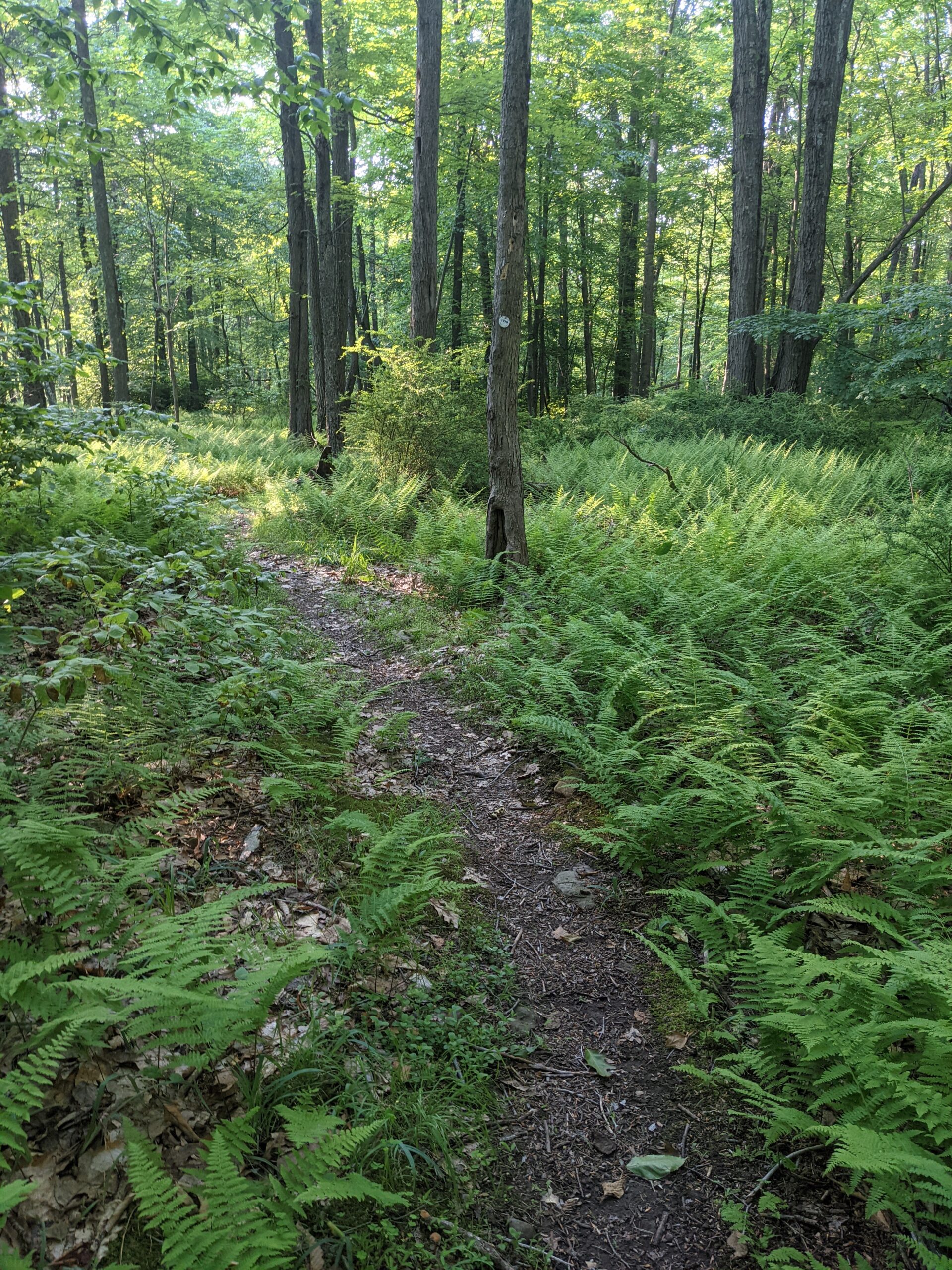
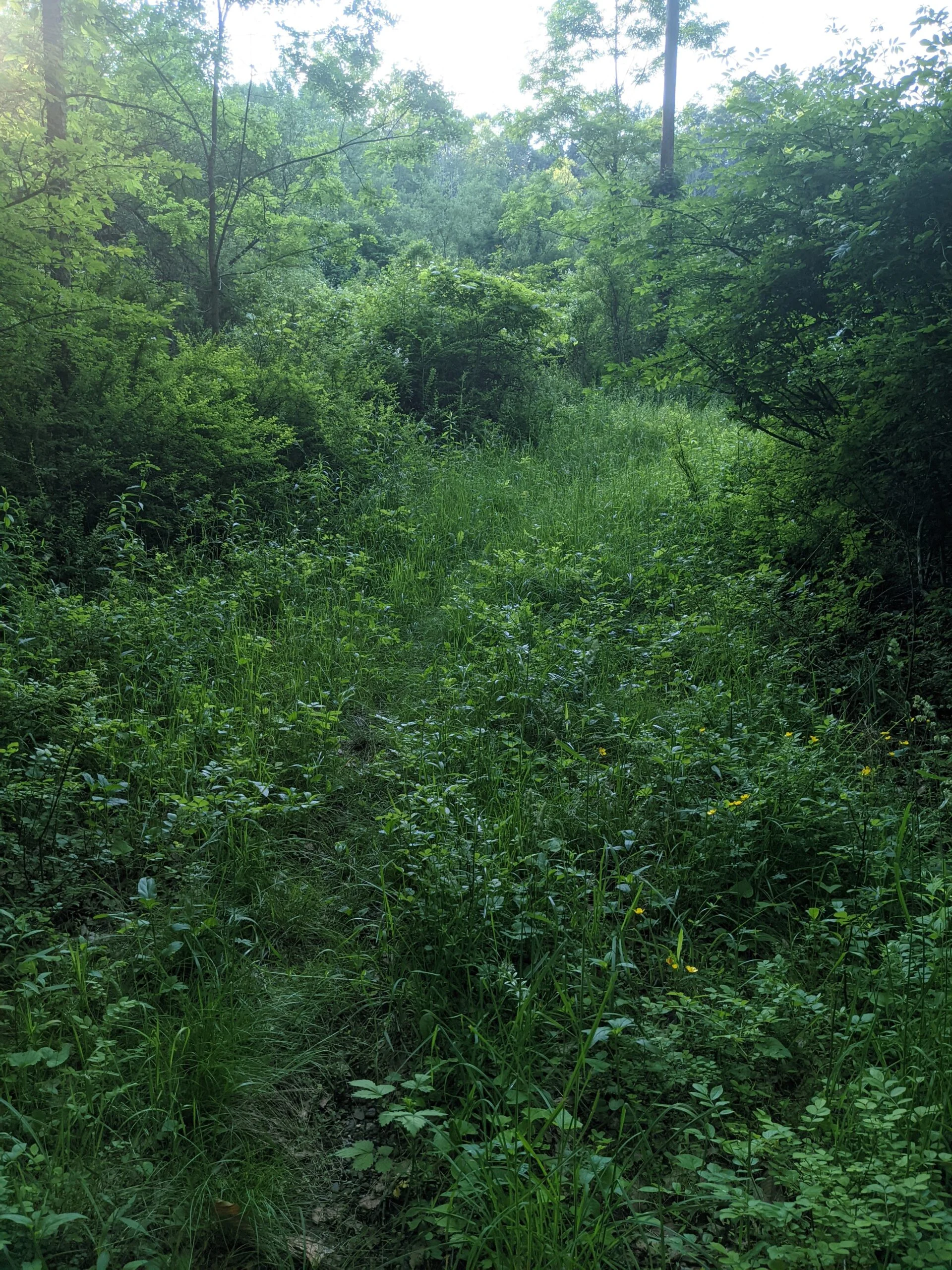
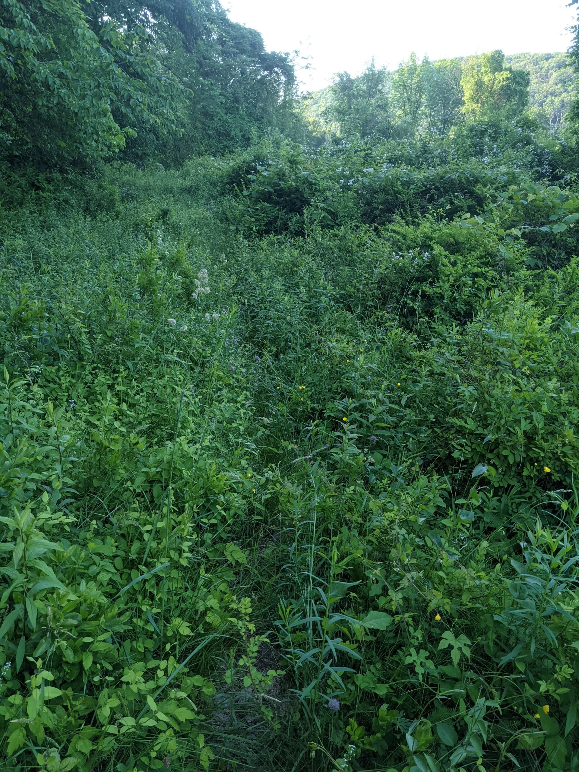
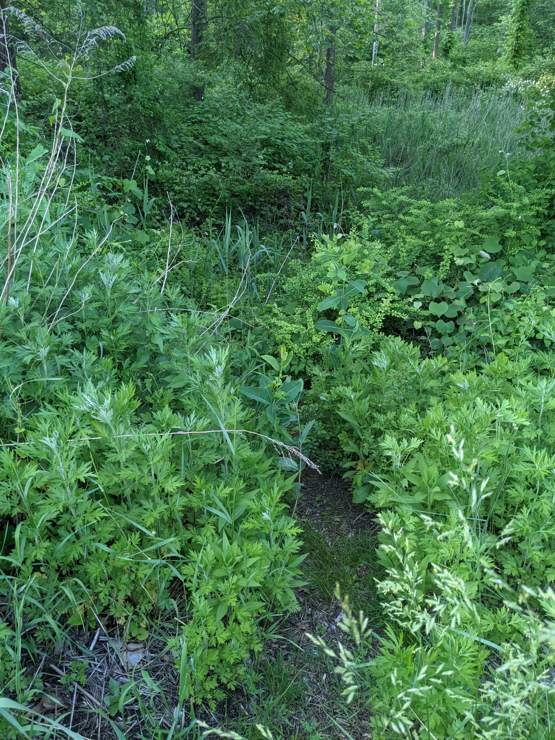
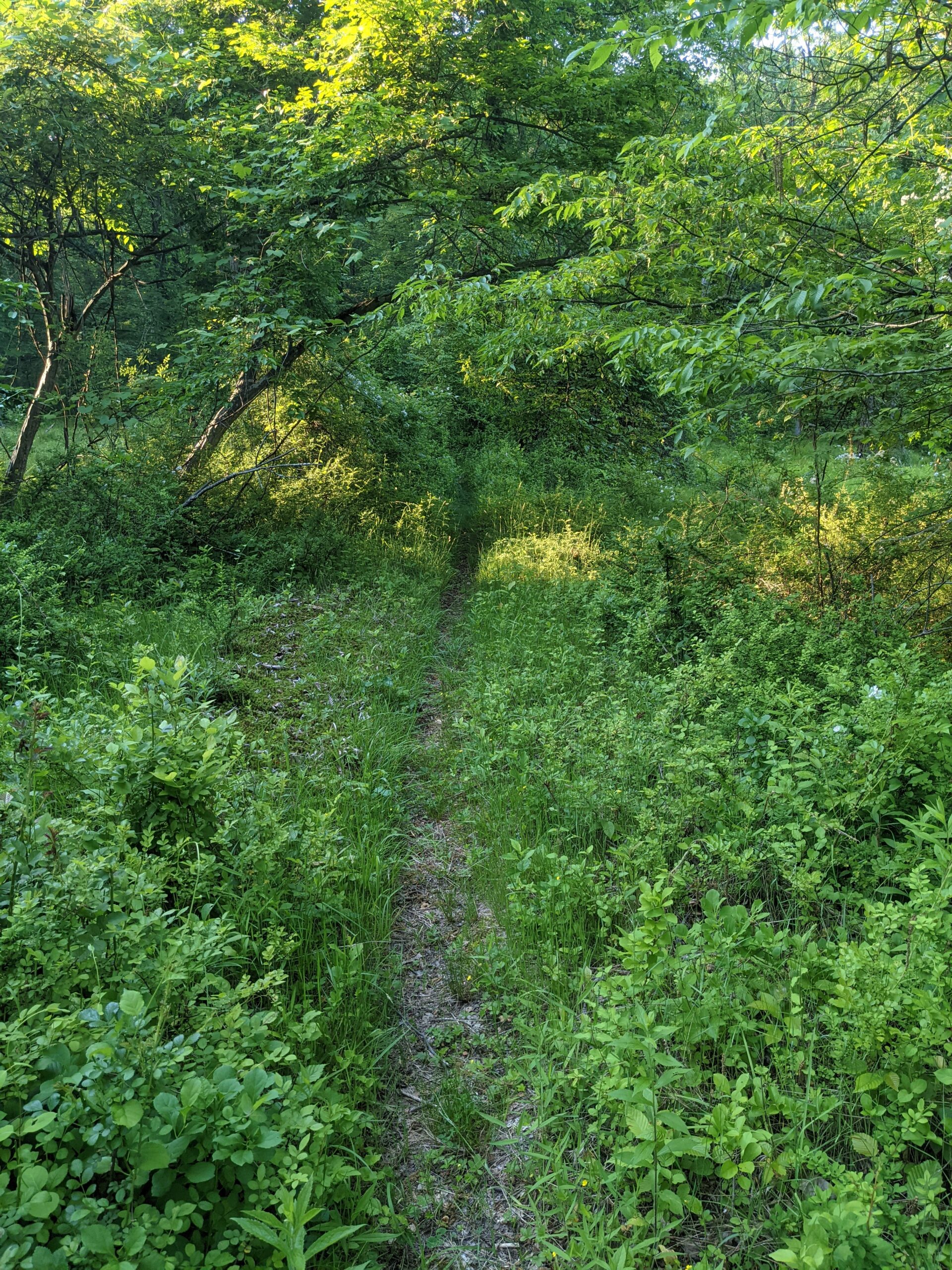
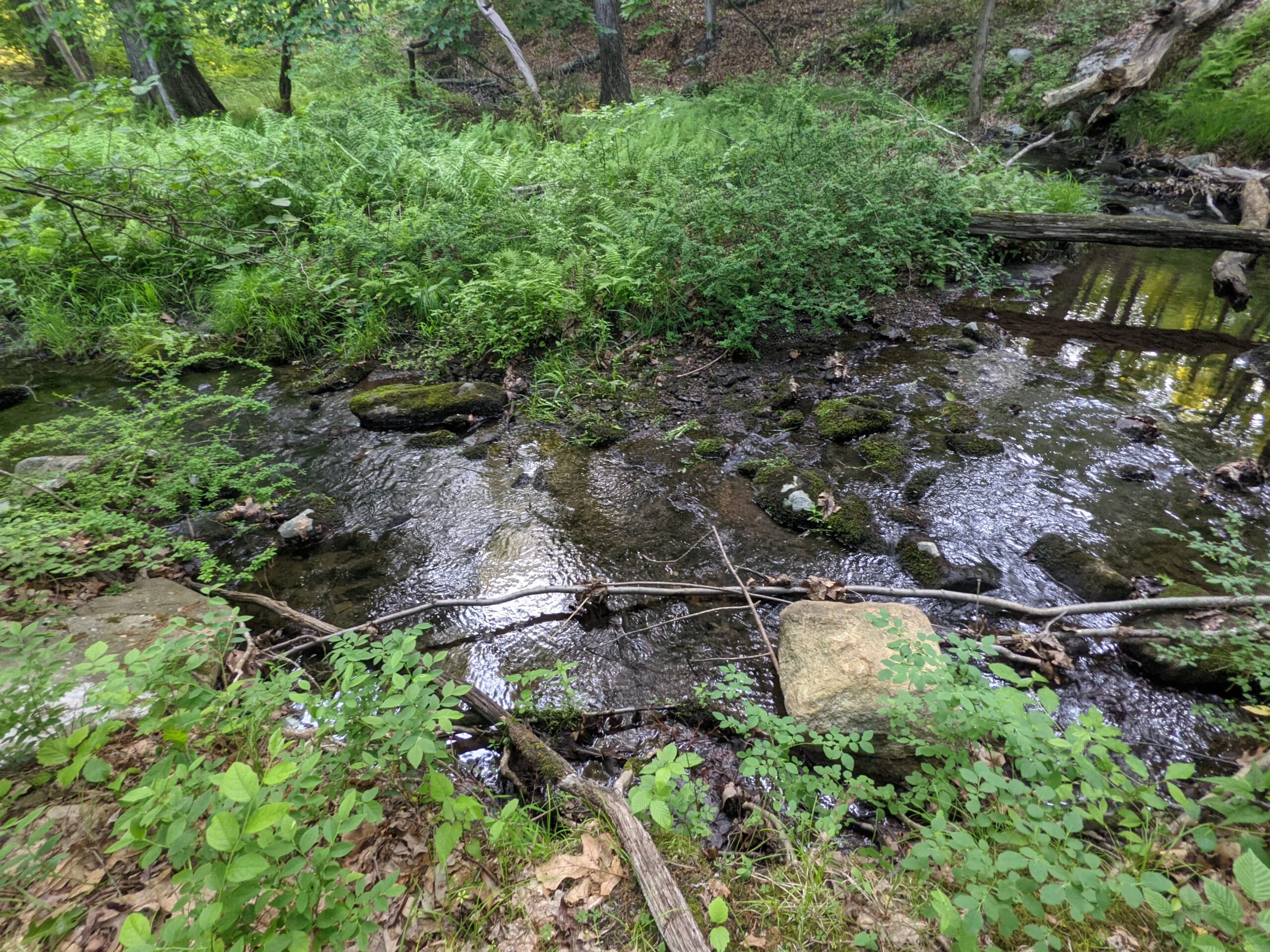
I pretty quickly learned that this route is very seldom taken. The trail was very overgrown, with bushes and other plans encroaching the pathway. Still, I was able to make out the trodden dirt enough to navigate through. I would definitely not attempt this trail in the winter, where it would be impossible to see the ground markings. Along the way, I came across a deer grazing on the flora. Although it saw me and moved off the path, it wasn’t particularly scared of me and stayed relatively close to the trail as I stopped to take a few photos and videos.
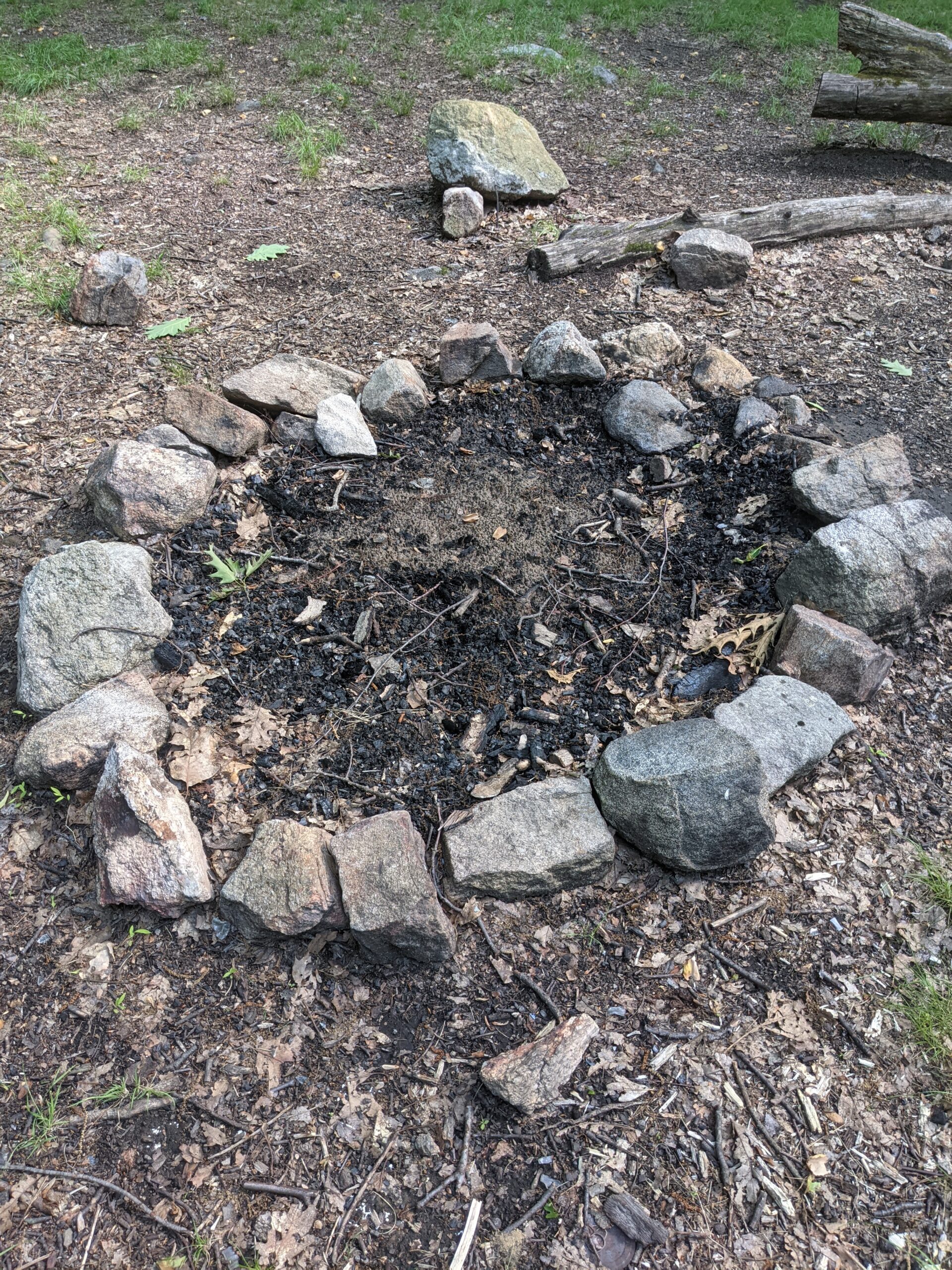
After about 8/10 of a mile, at the 7.8 mile mark overall, the unblazed trail meets the Menomine trail (yellow blazes). I followed this to the north west for just over a 1/2 mile to meet the intersection with the AT. It is here I met a gentleman who was getting setup to spend the night in the William Brien Memorial lean to shelter. There was another man setting up a campfire a couple hundred feet away and a woman who had just arrived and was scoping out the situation to also potentially stay overnight.
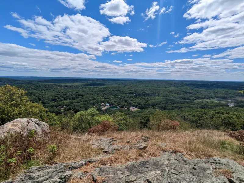
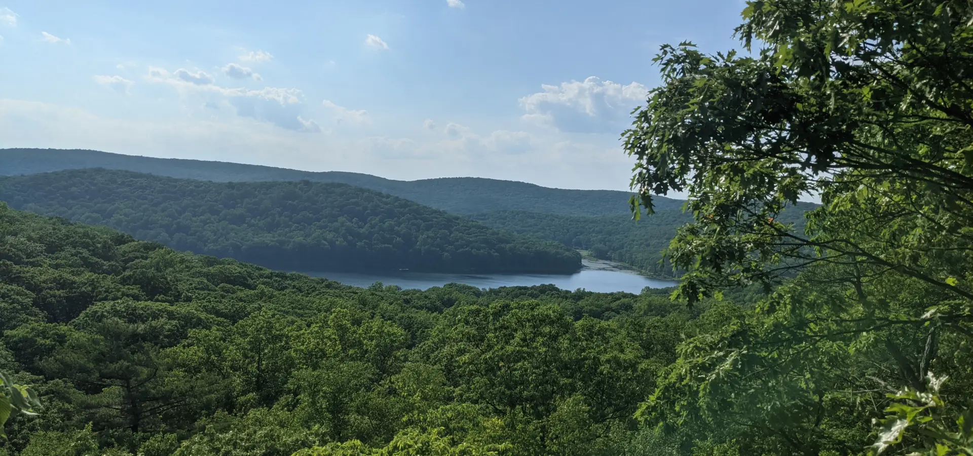
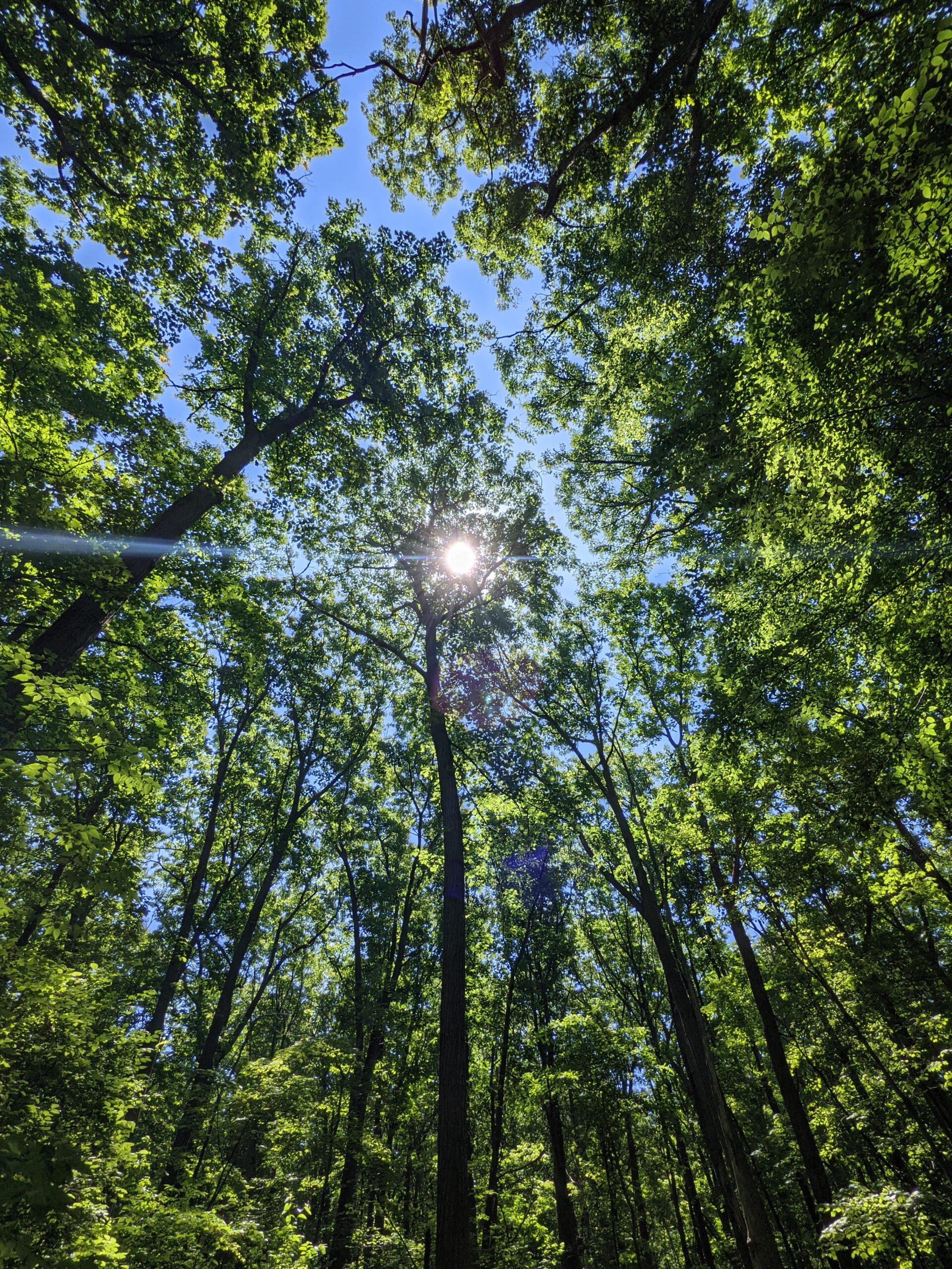
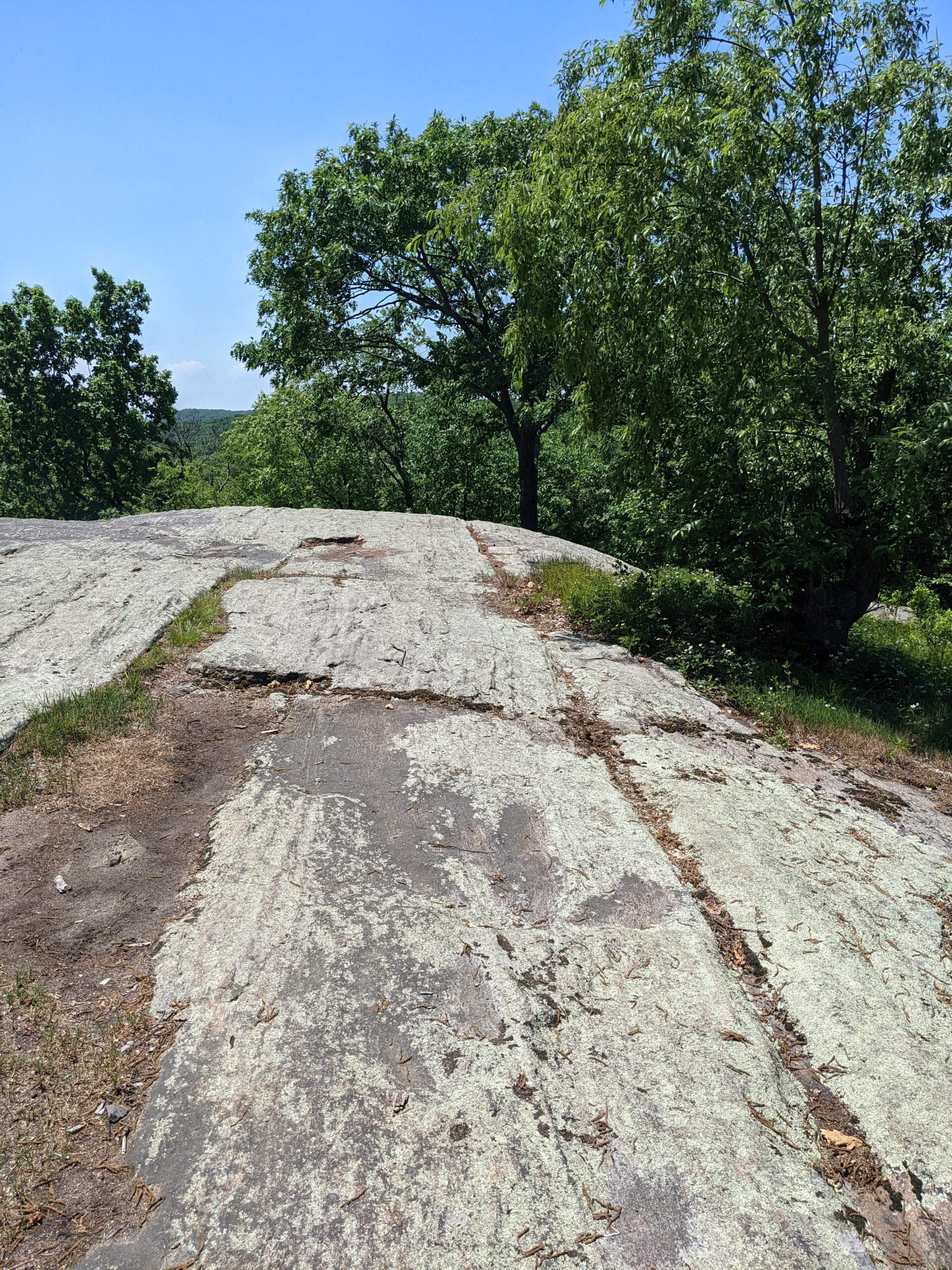
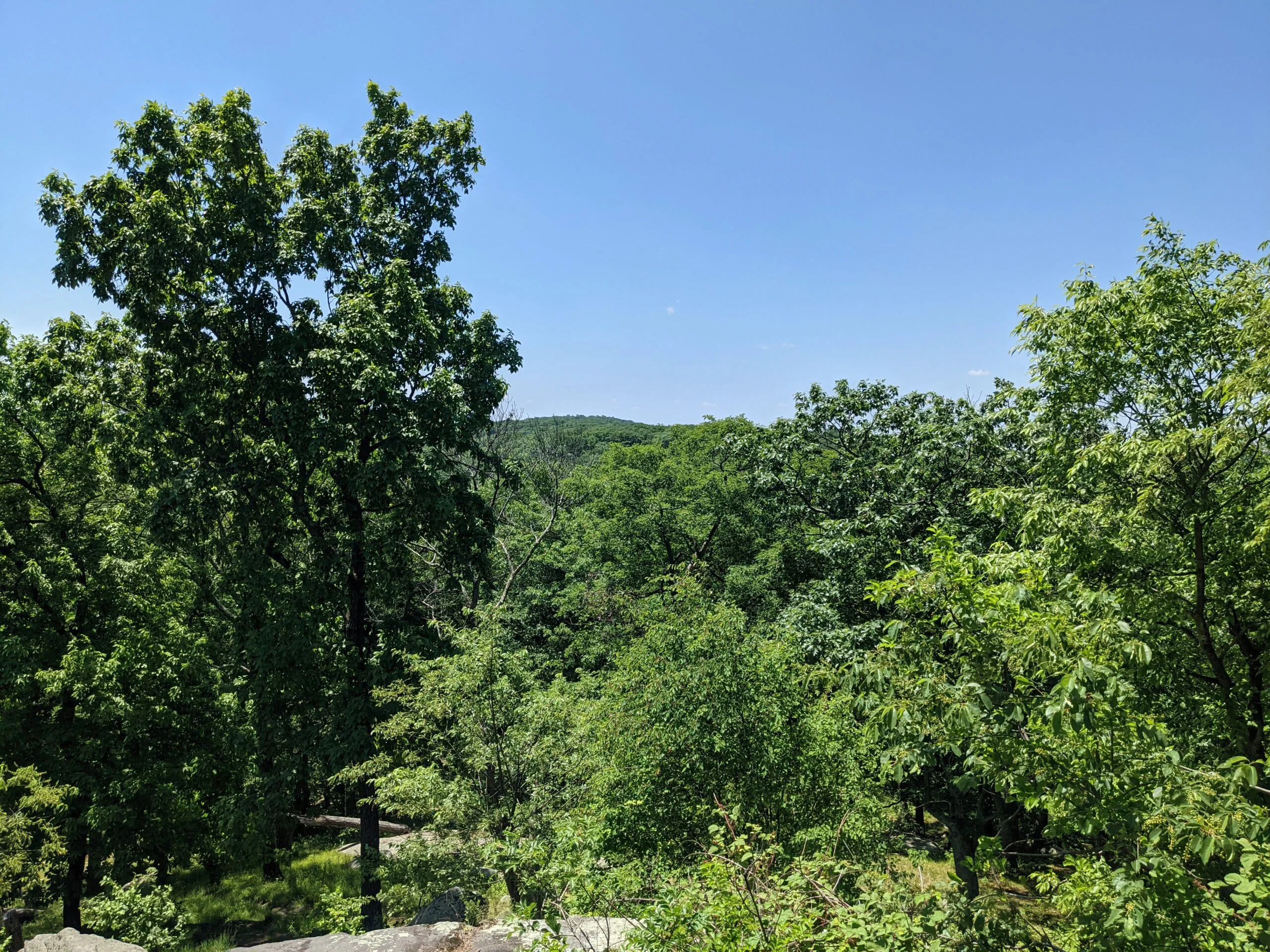
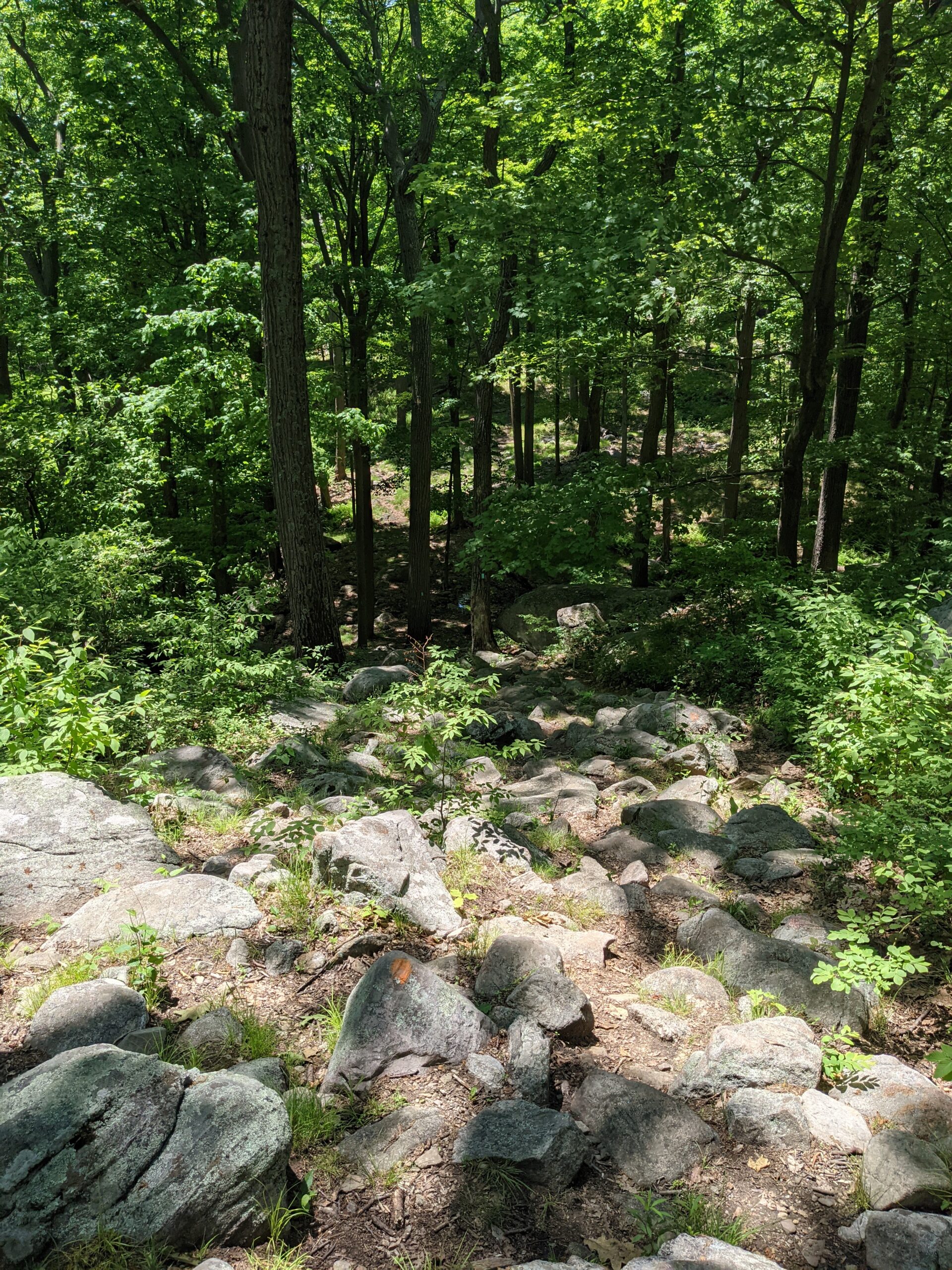
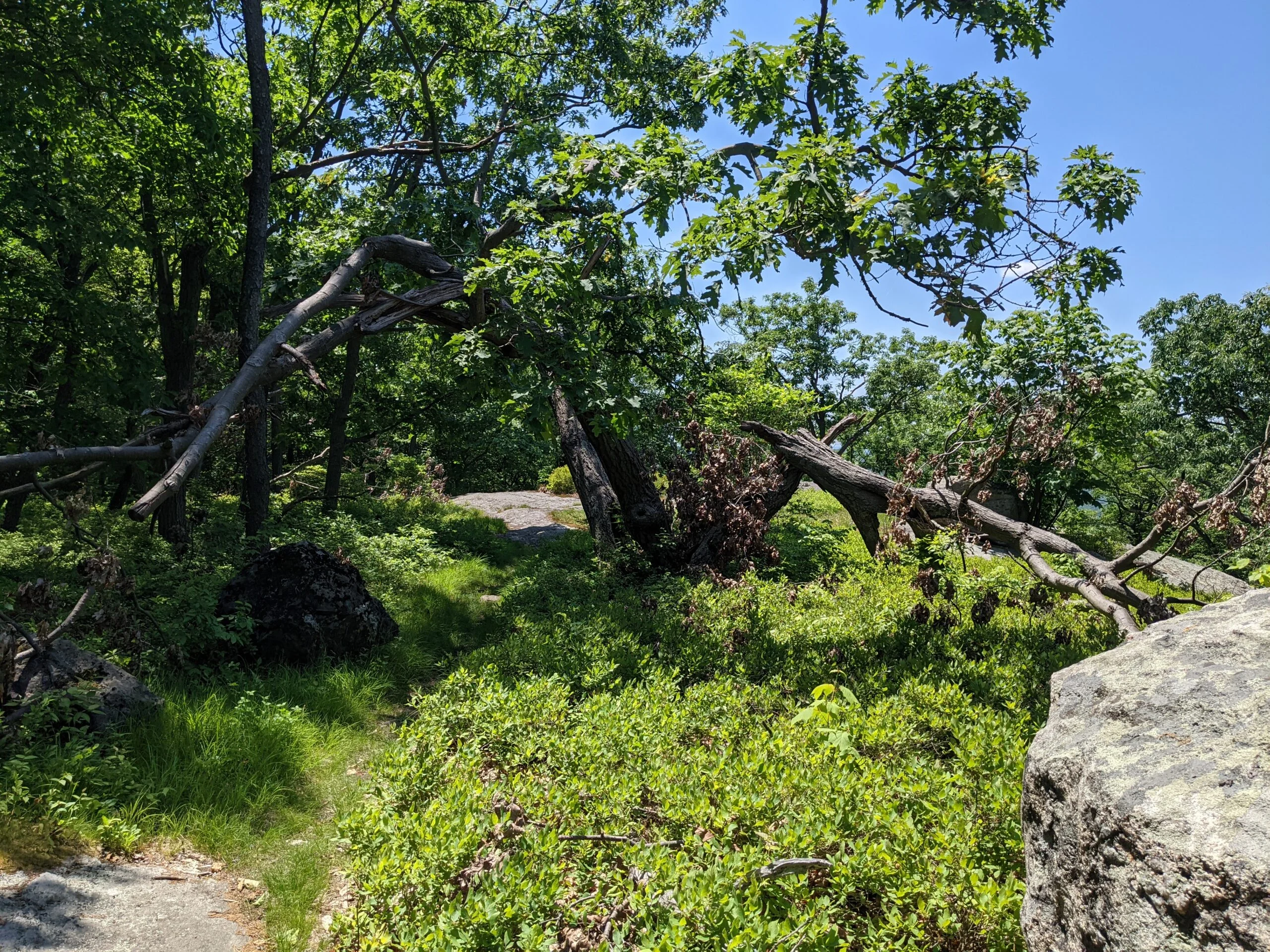
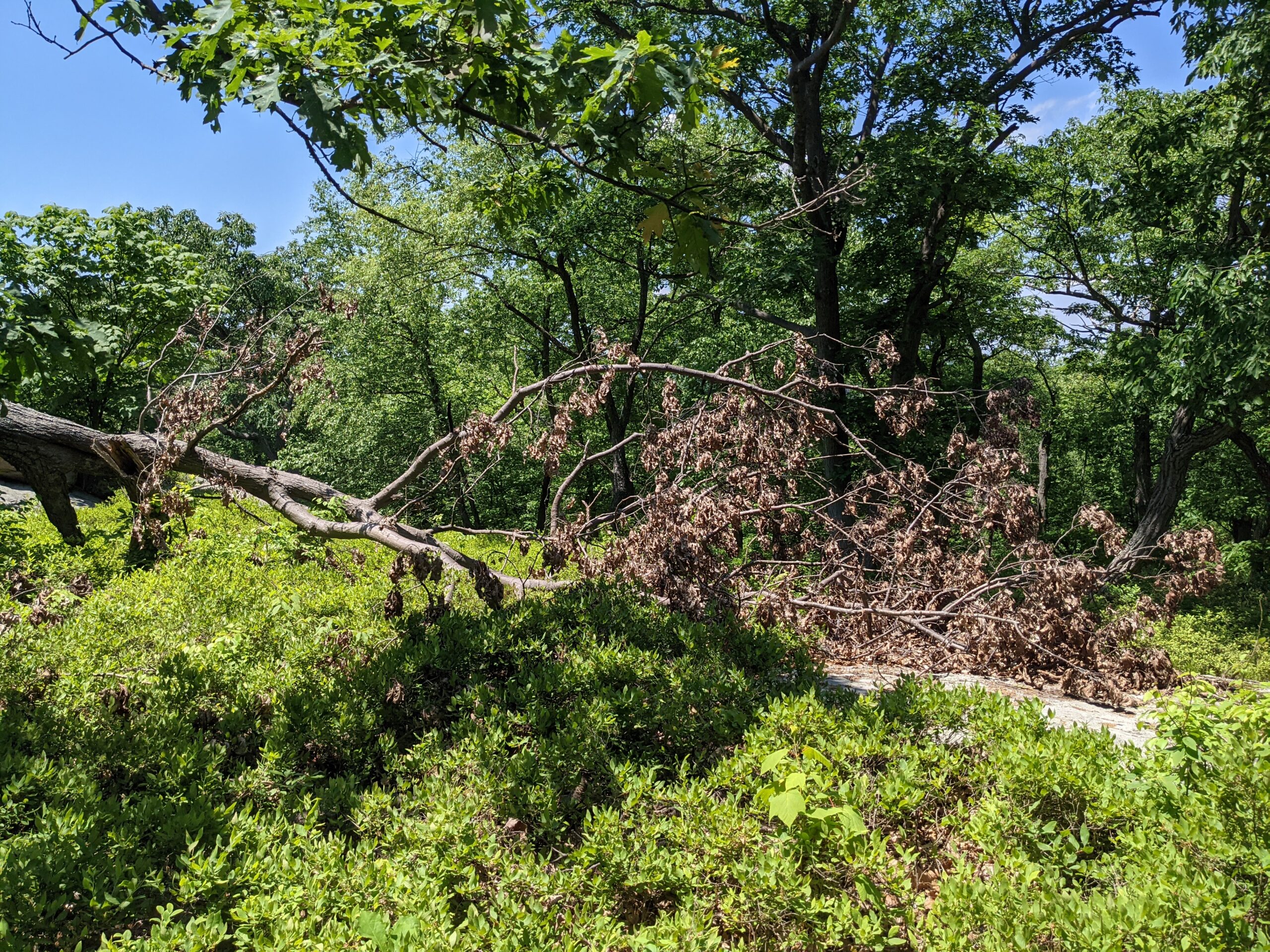
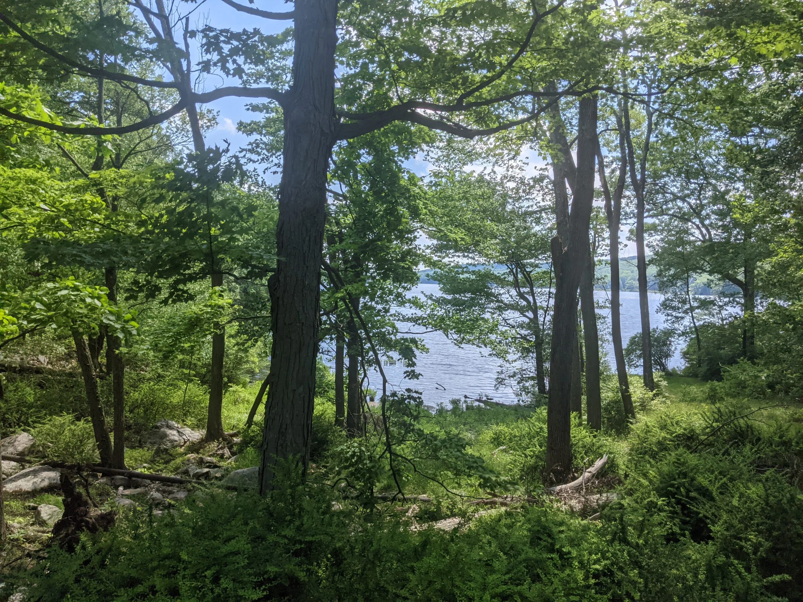
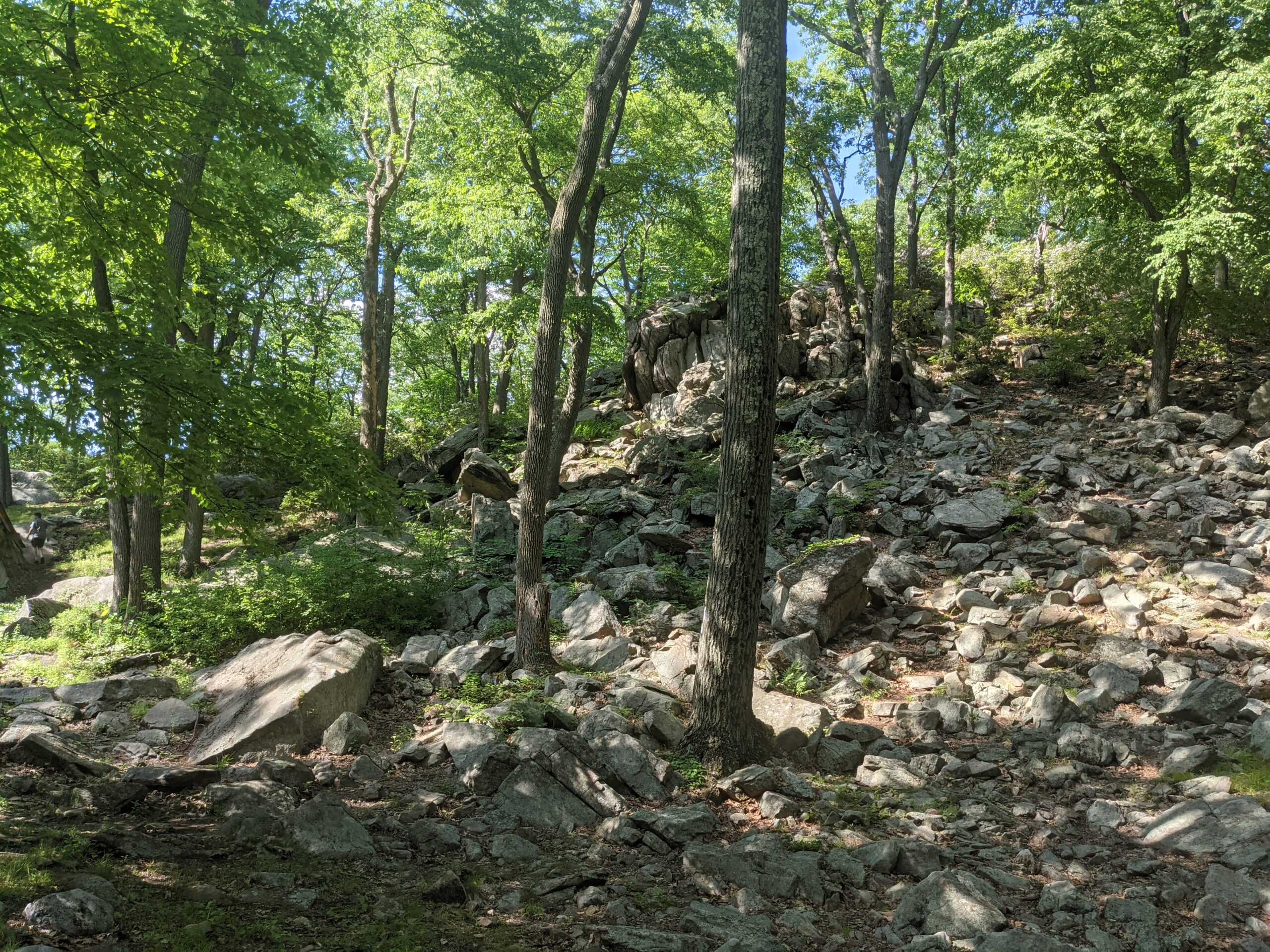
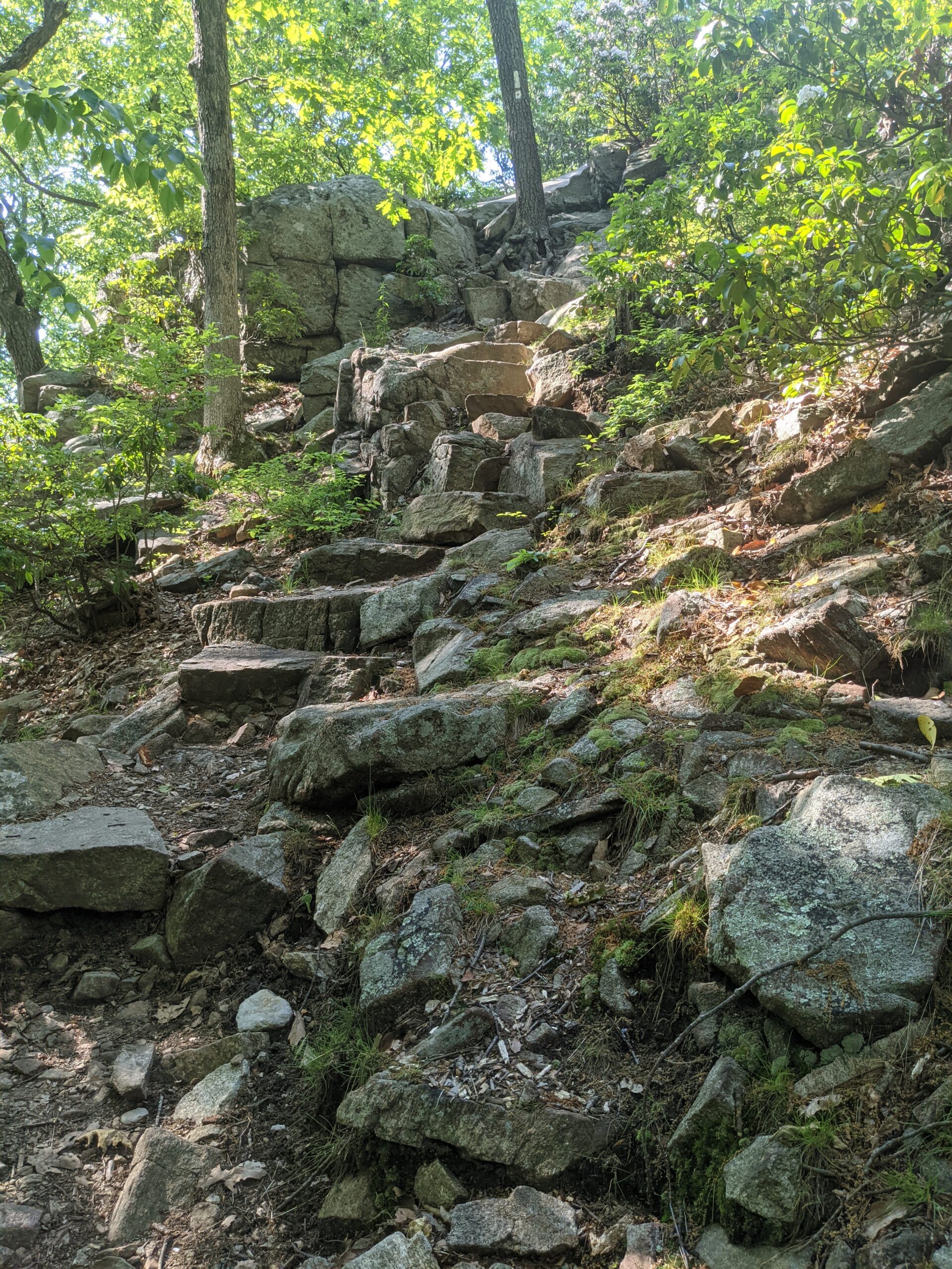
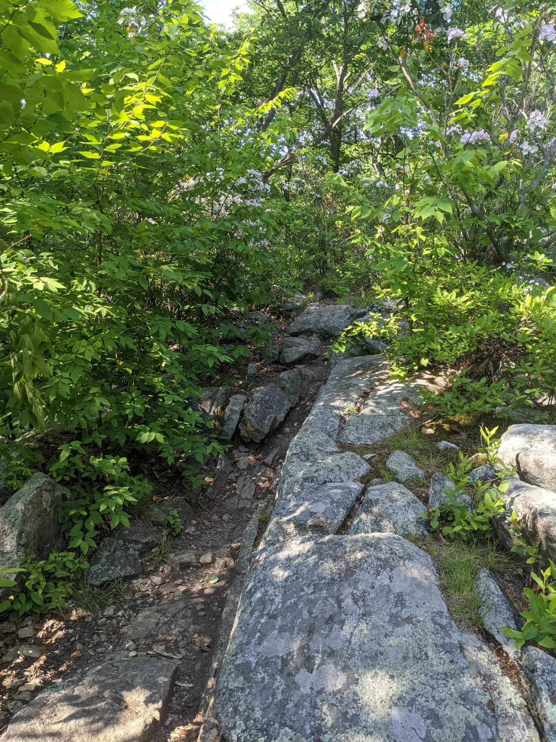
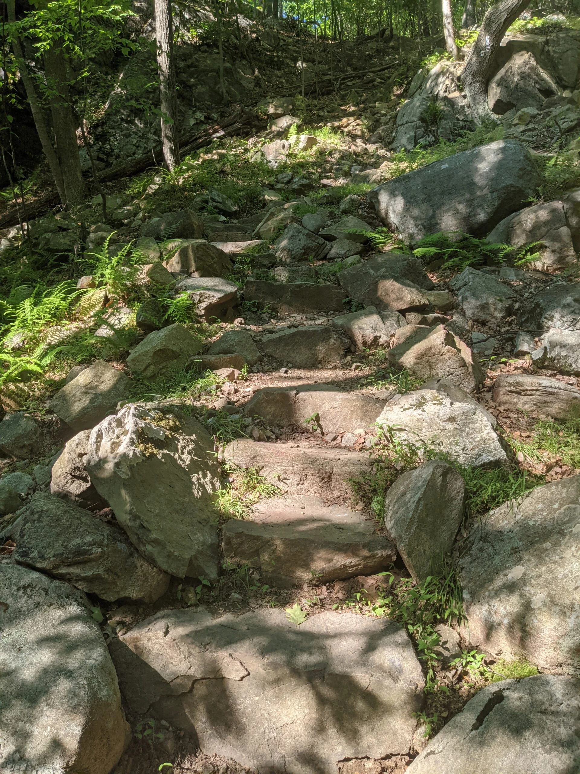
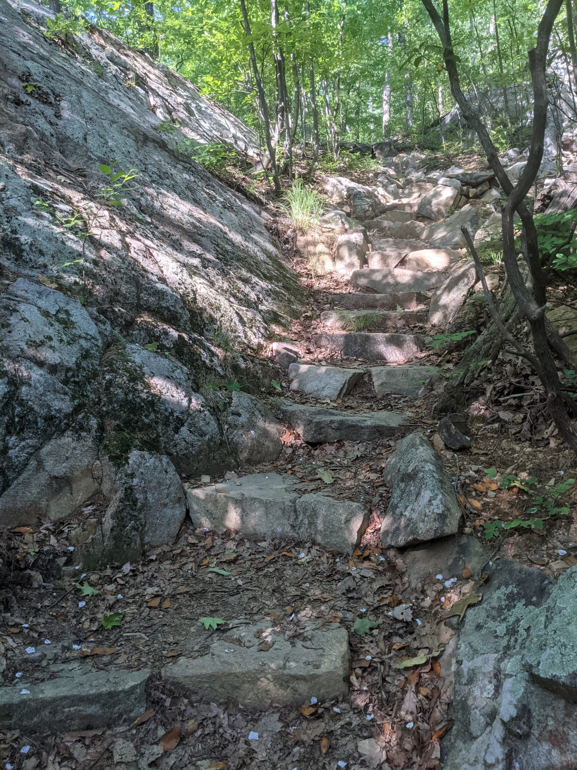
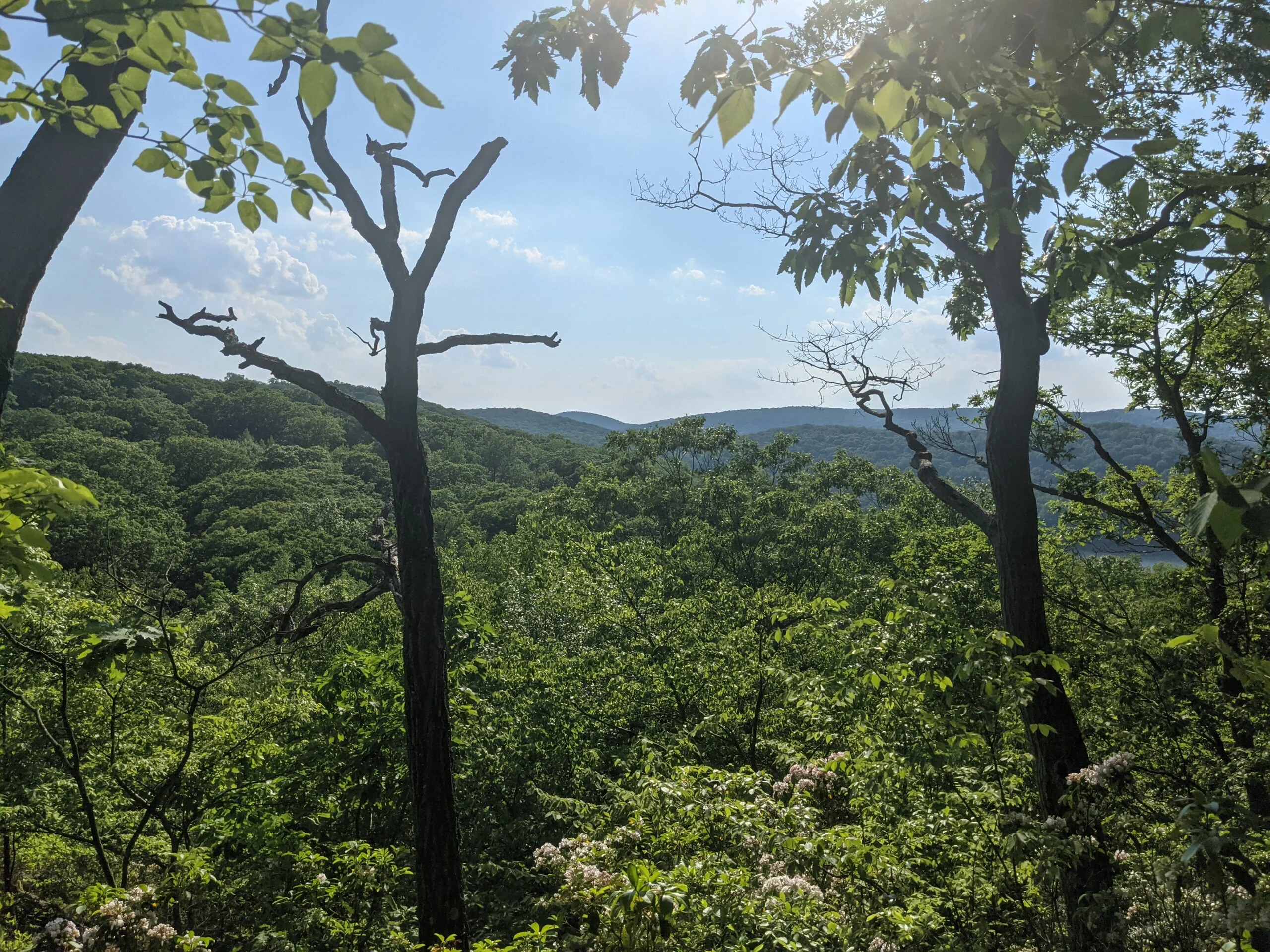
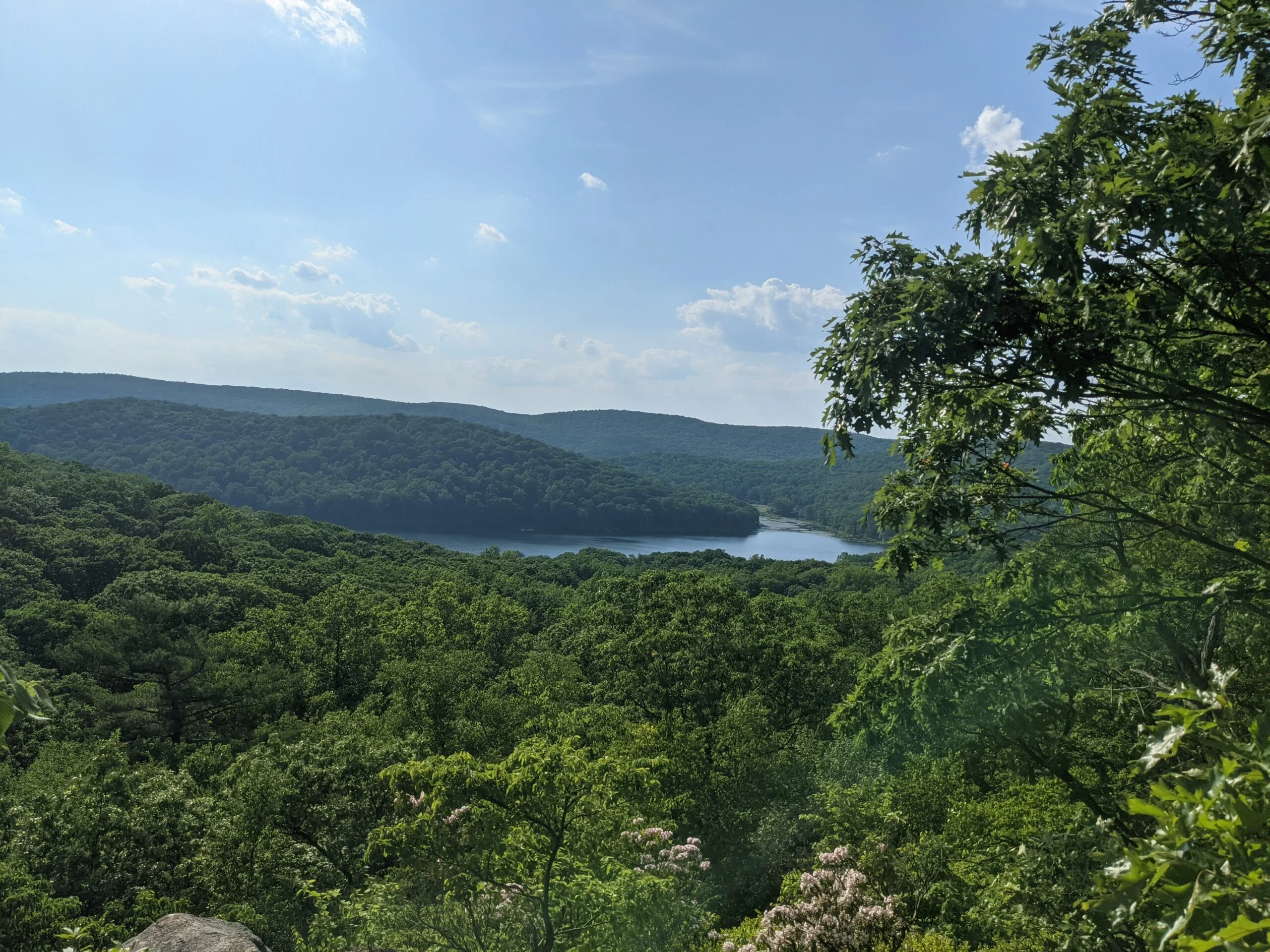
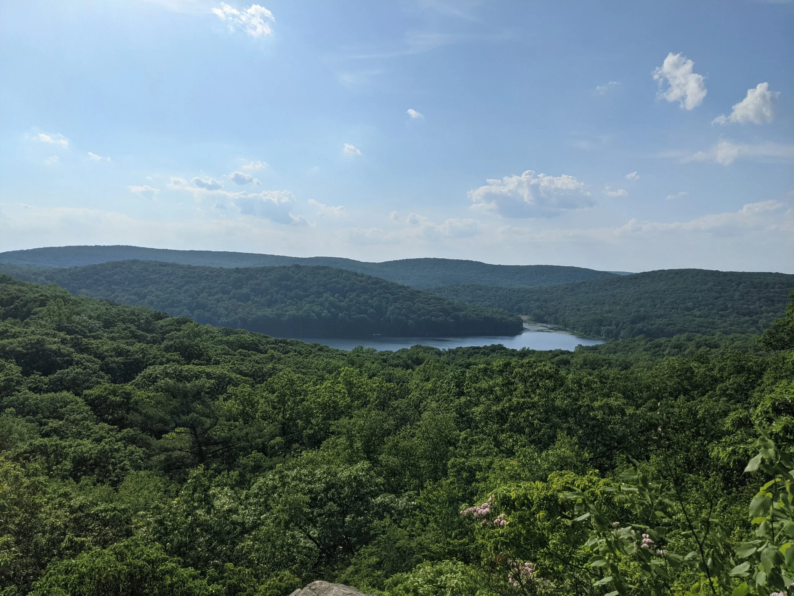
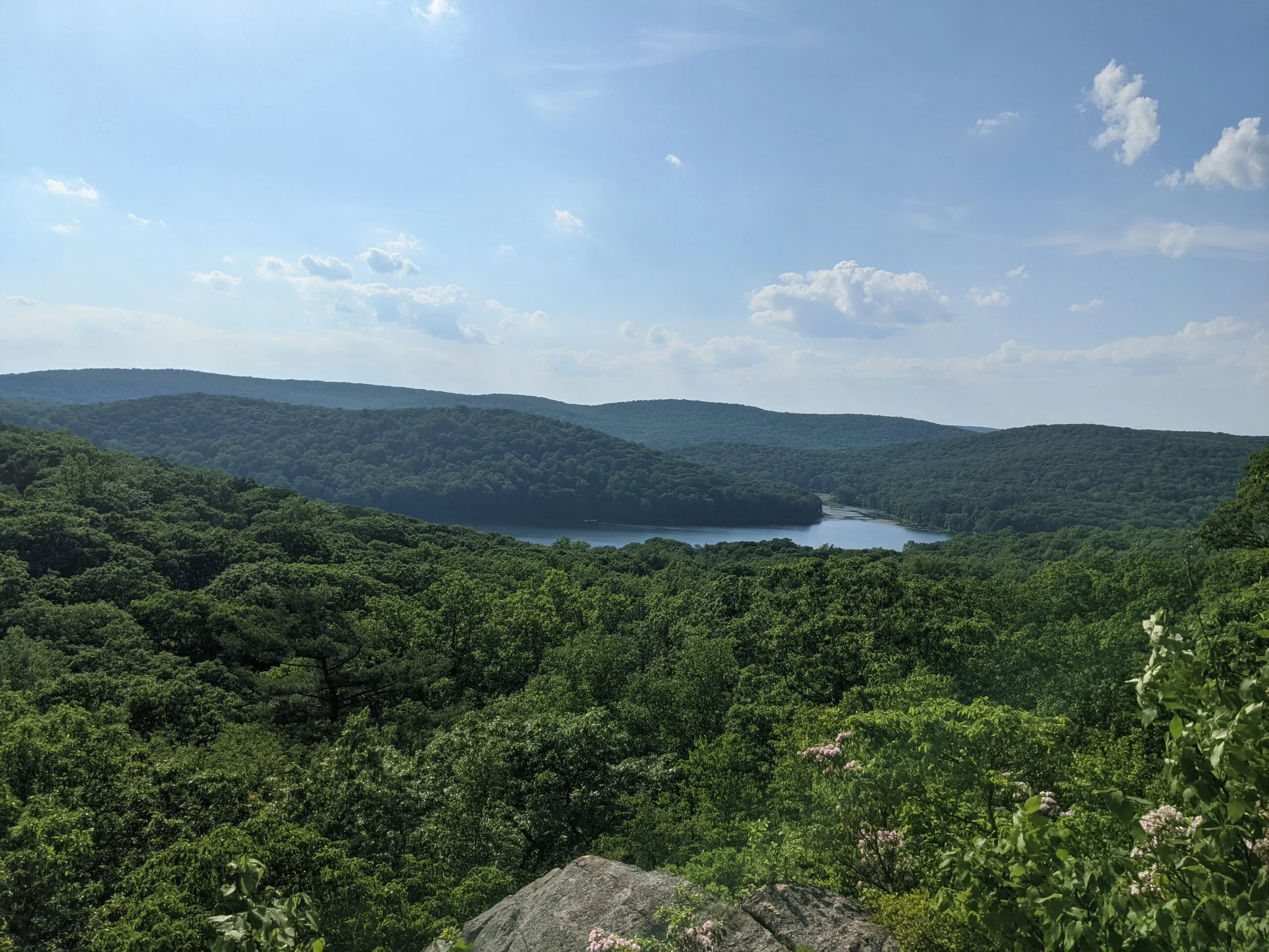
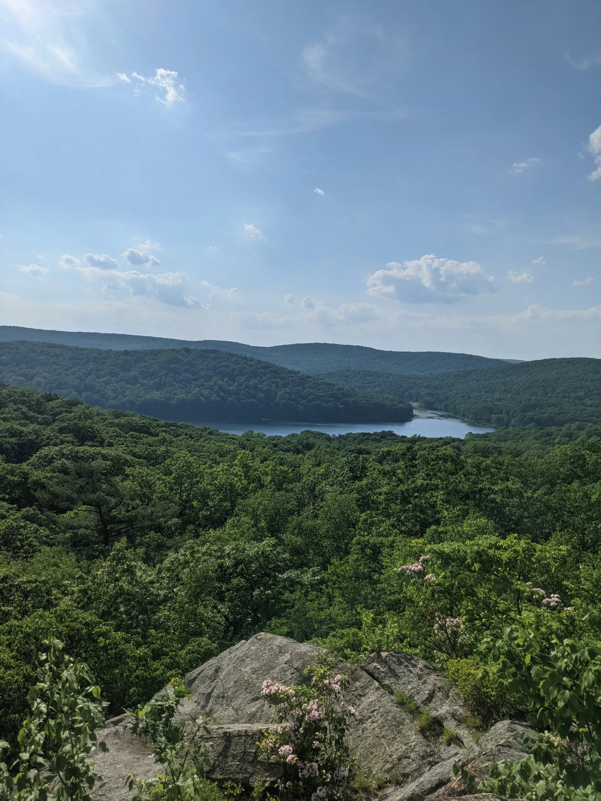
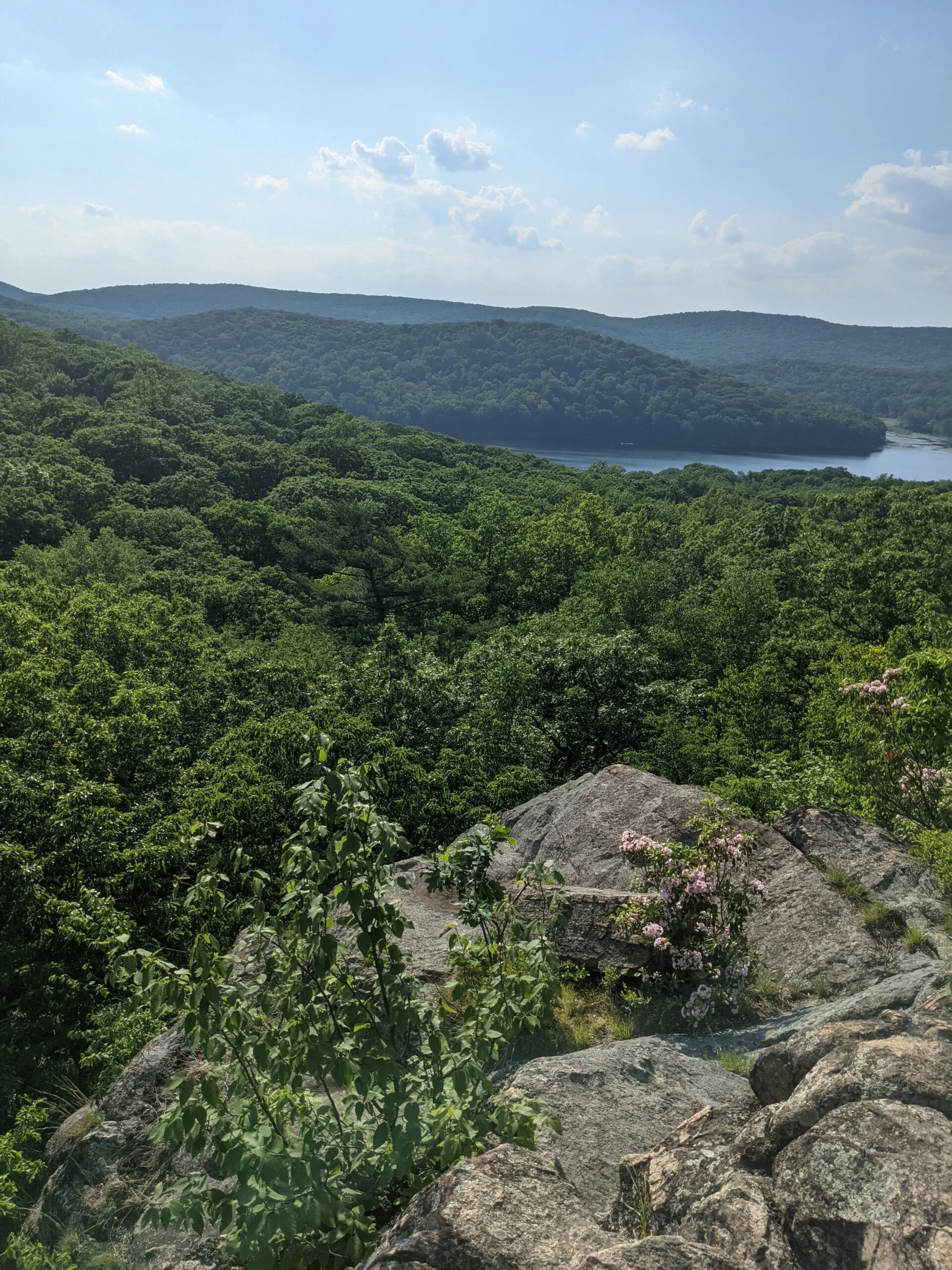
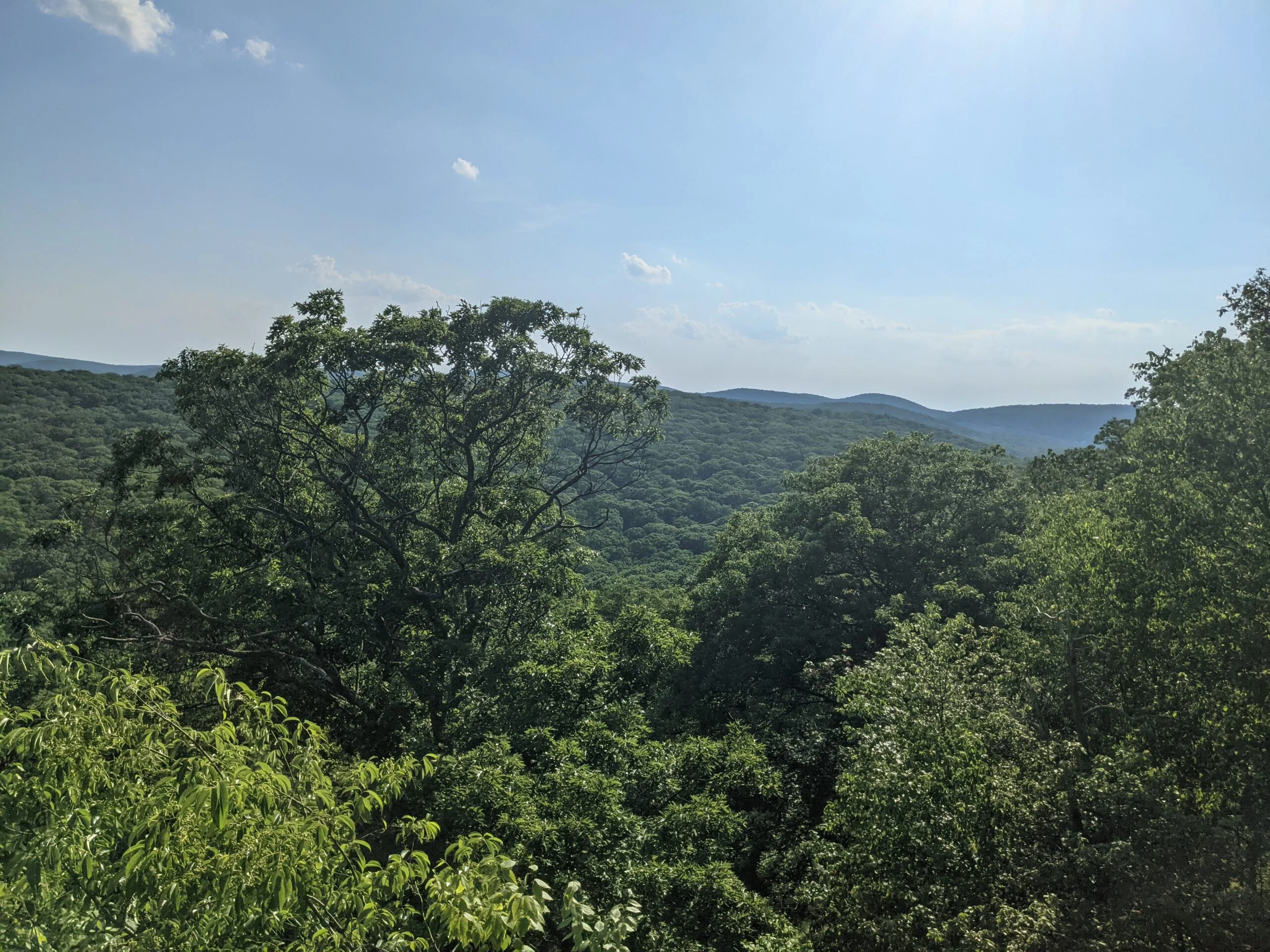
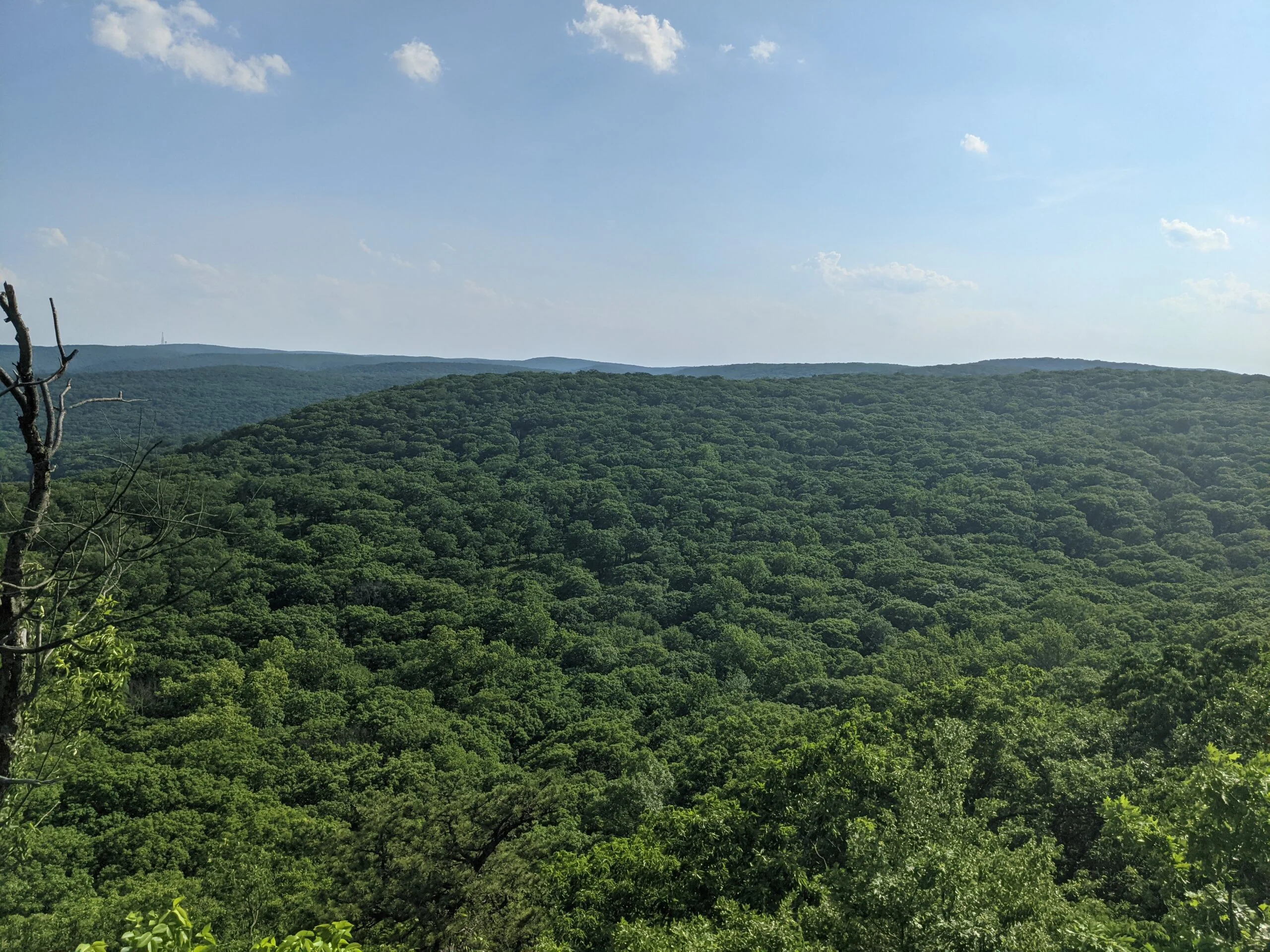
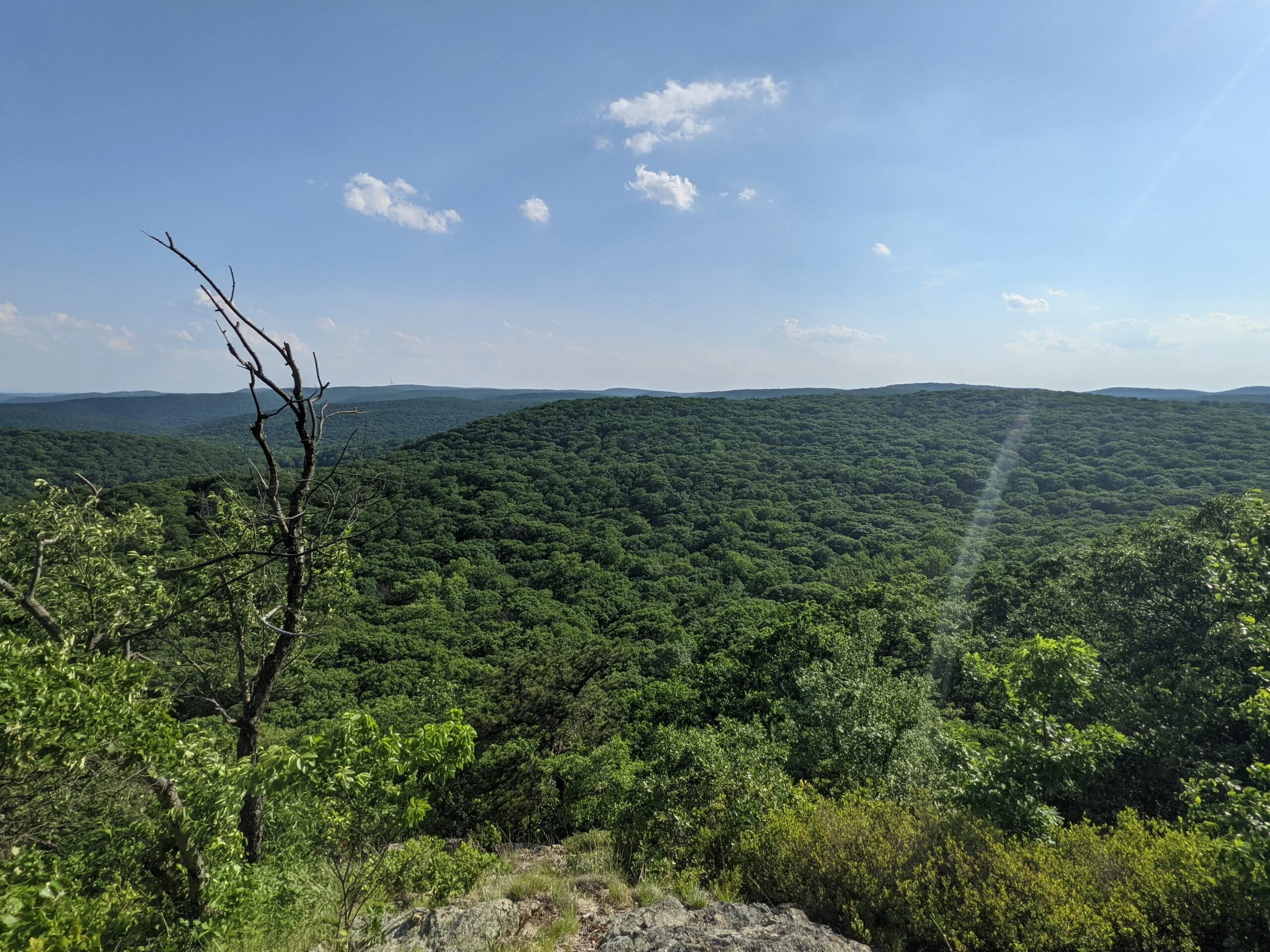
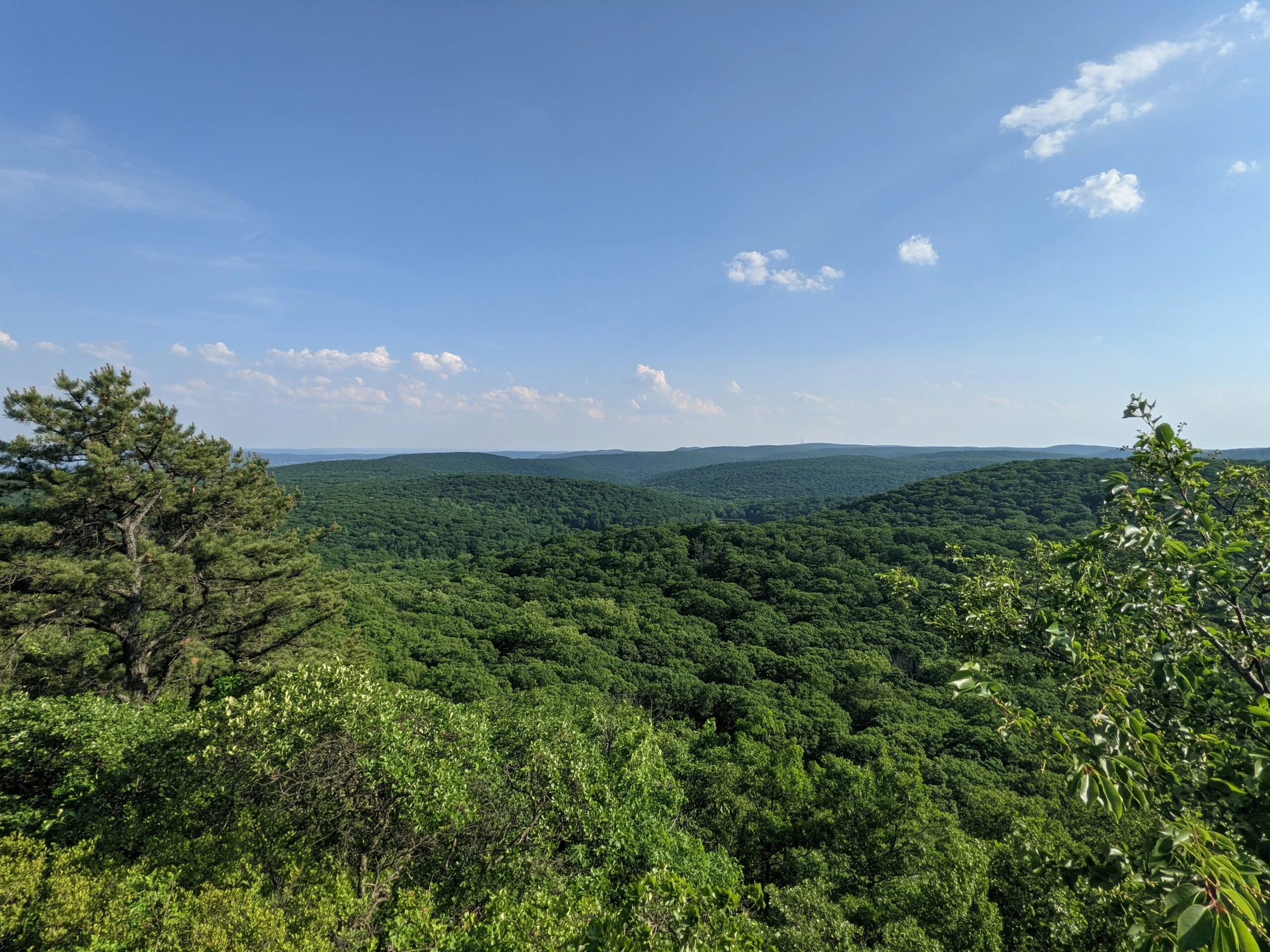
I continued on AT, which begins a mile ascent at this point on a switchback with rock steps. At around the 9.5 mile mark, I made it to a lookout spot which had a decent view of Silver Mine Lake off in the distance. I continued up the AT, eventually reaching Black Mountain, which had some great views of the valley and a barely visible Hudson River.
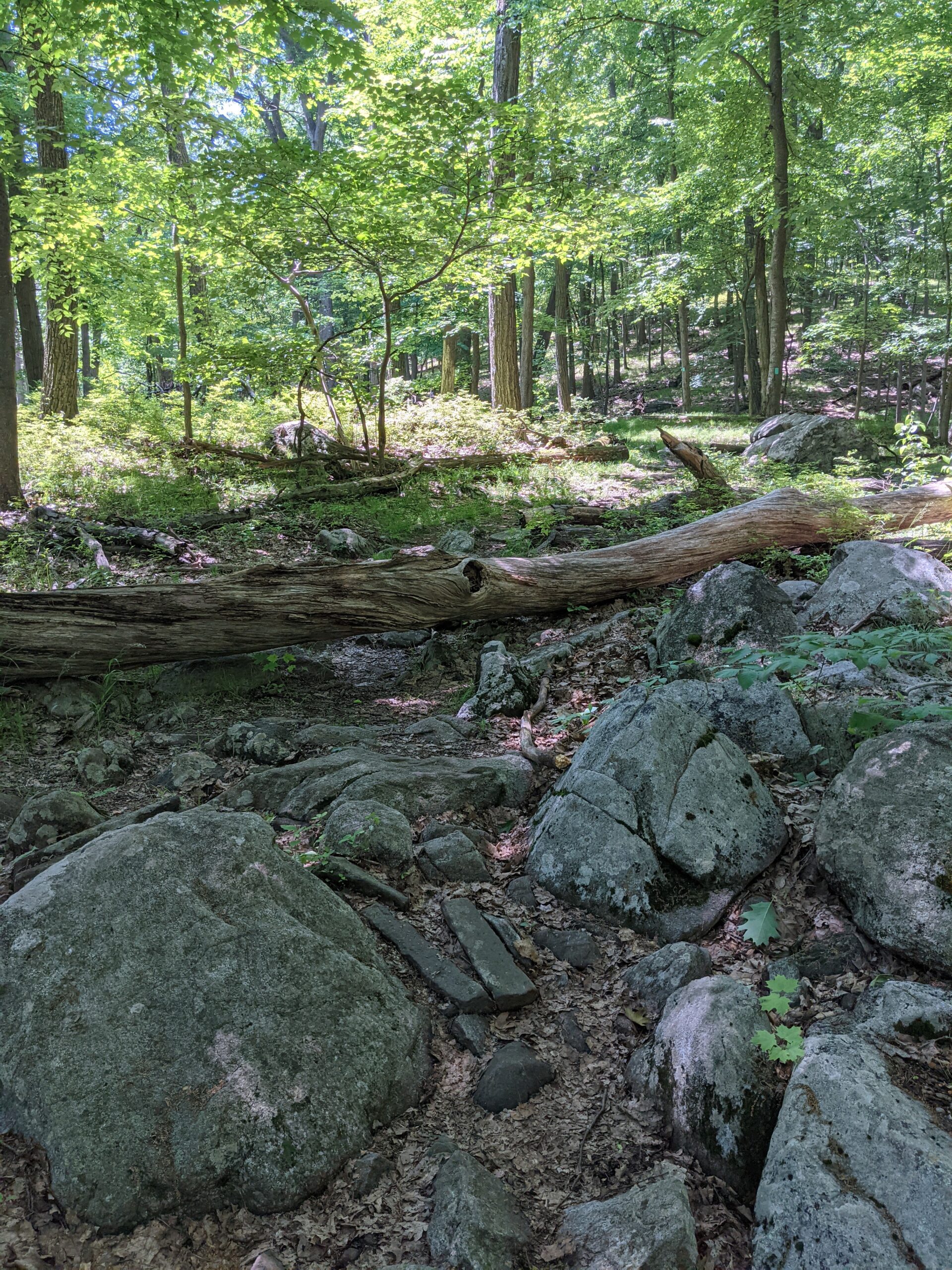
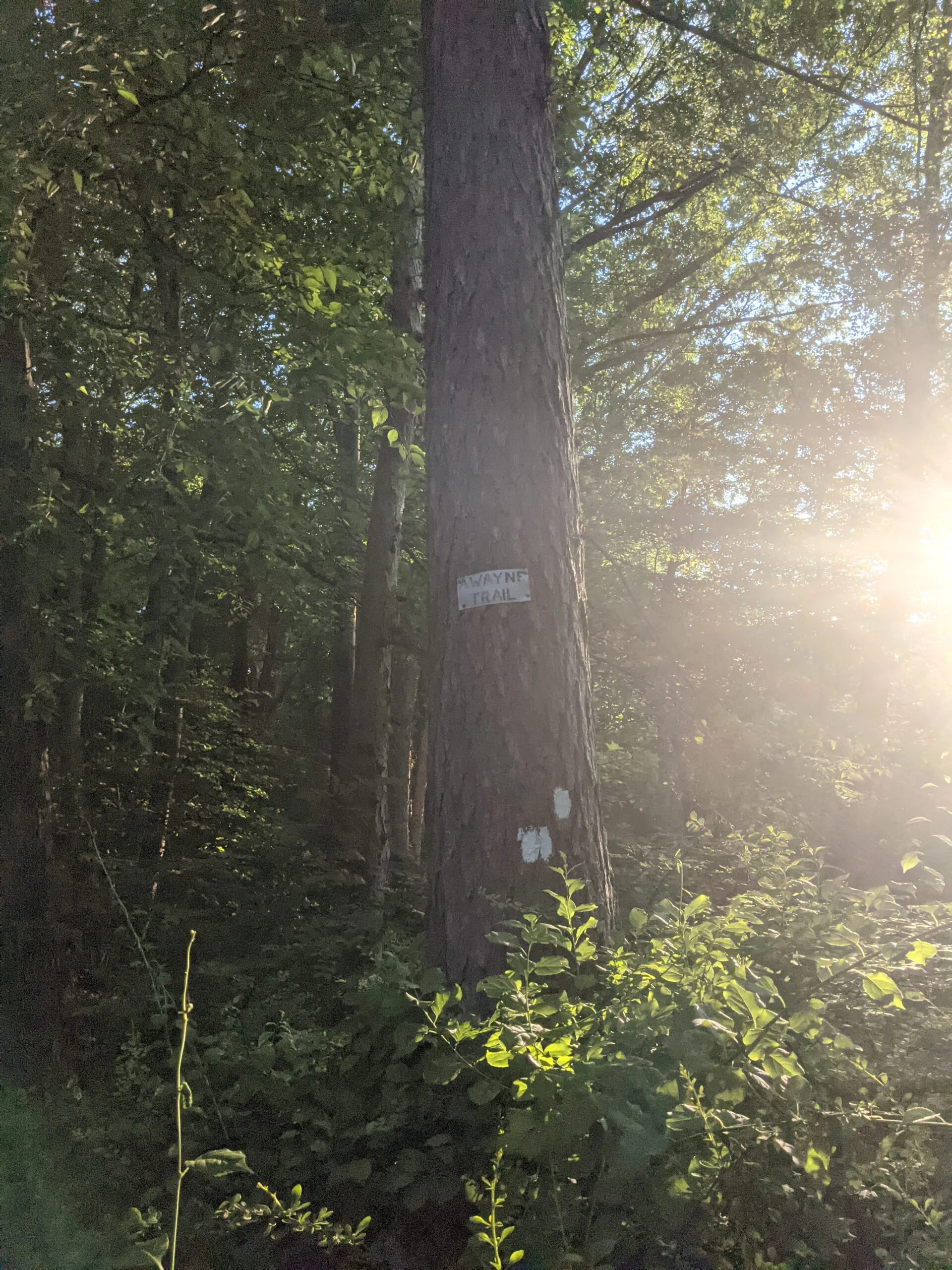
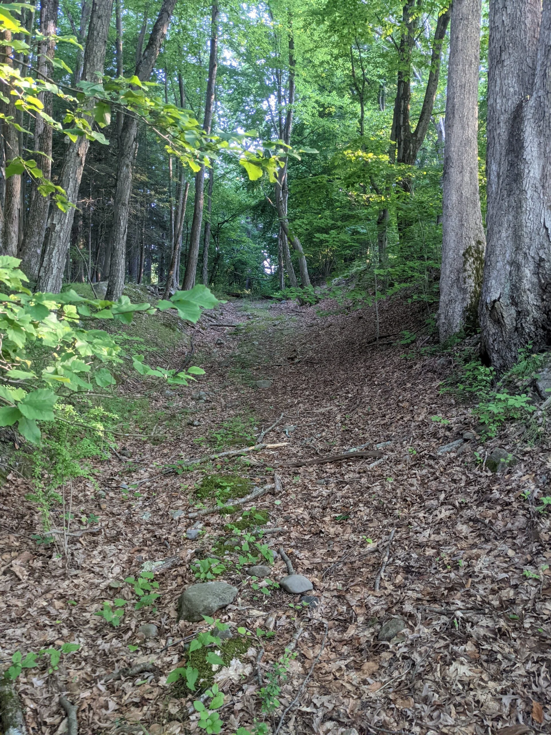
After descending the mountain, I met up with the 1779 trail (1779 disc blazes) around the 10.5 mile mark. I breezed through this section of the trail, as it was pretty flat and not too rocky. Just before the 12 mile mark, I got a little confused where I was supposed to go next, but gained my bearings to cross over Seven Lakes Parkway and find the Anthony Wayne (white blazes) trail head.
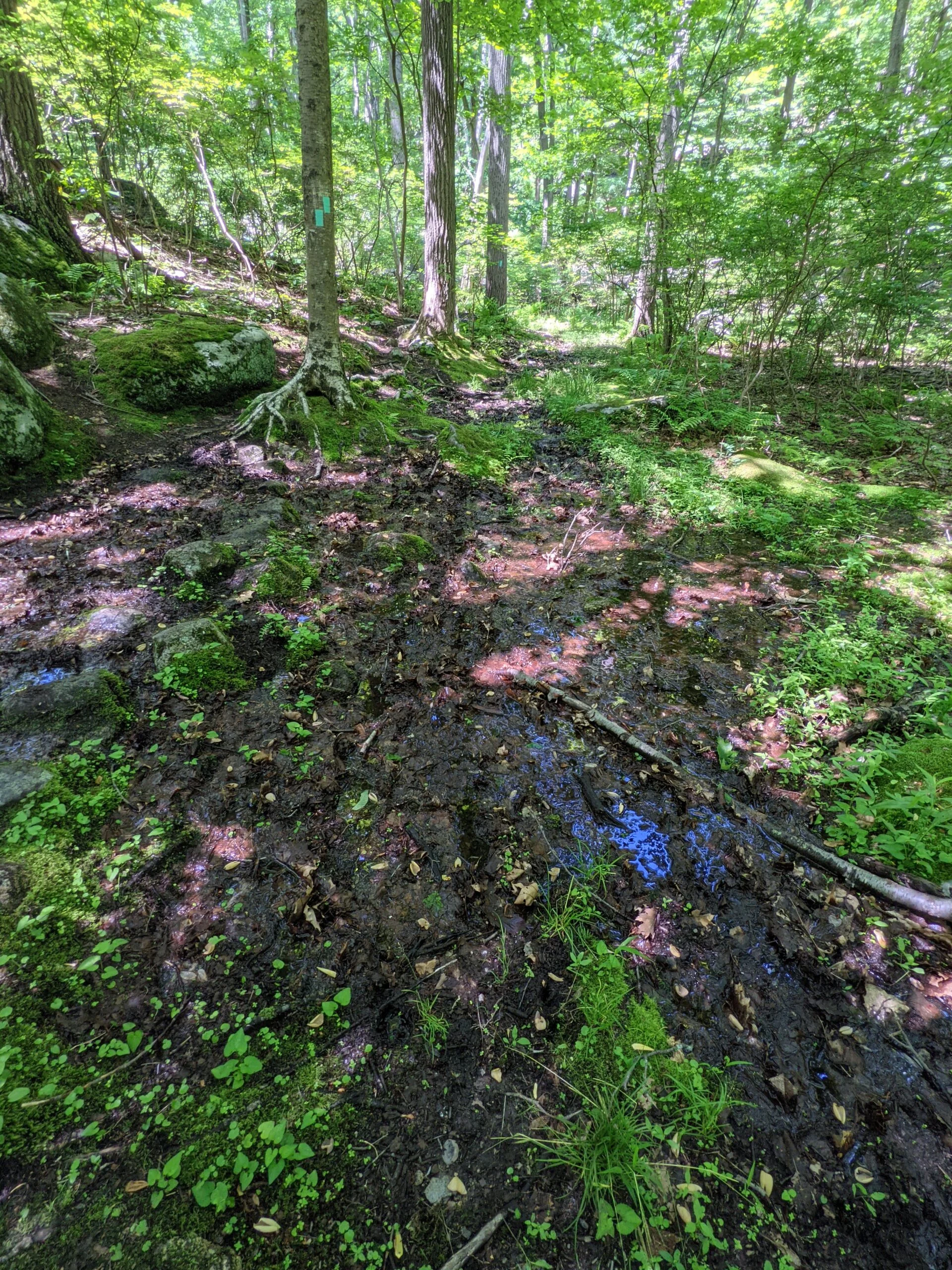
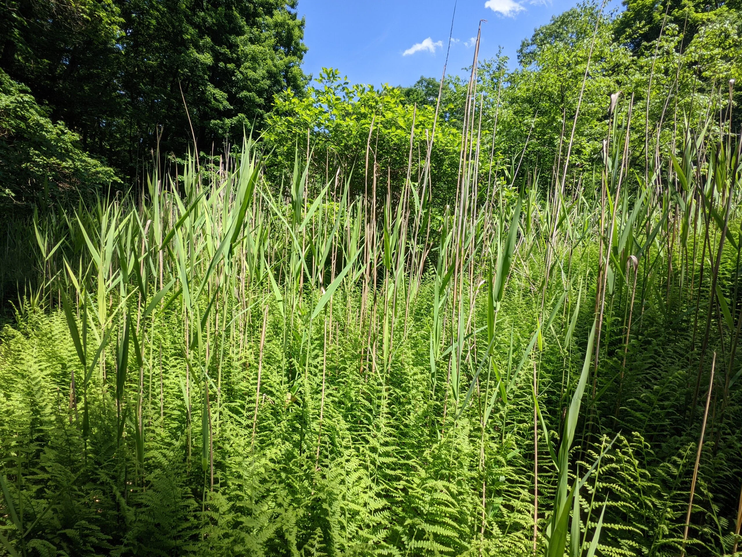
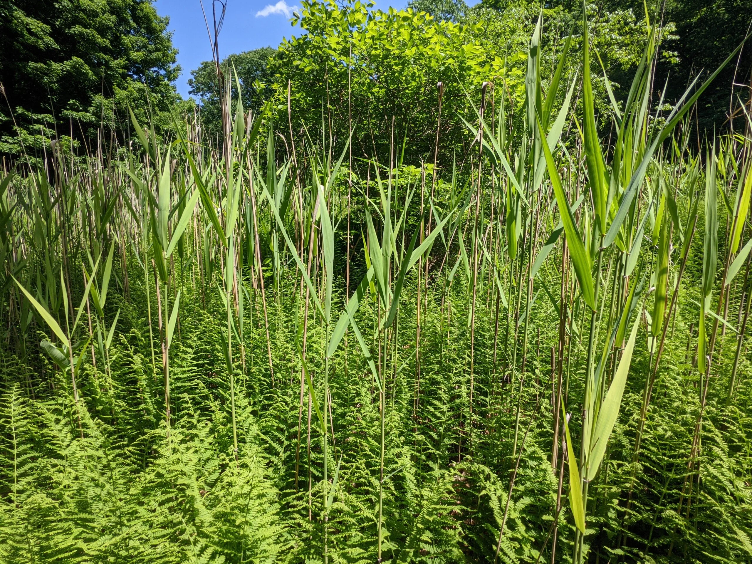
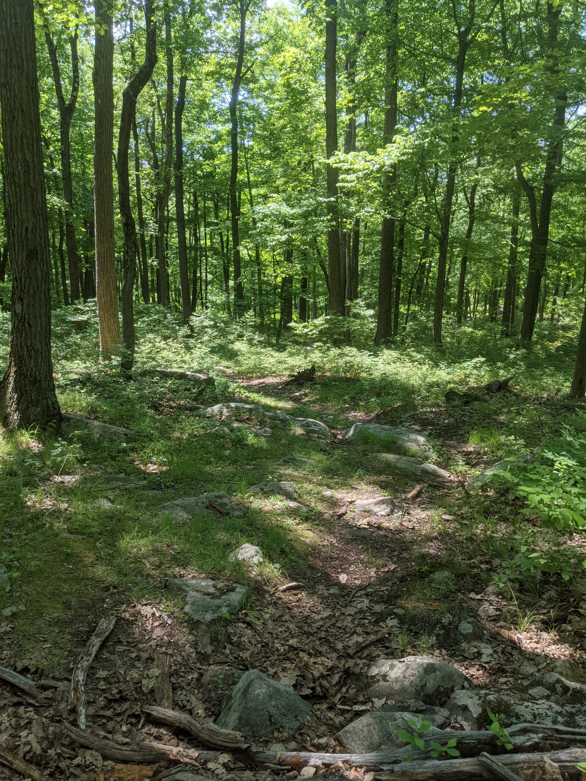
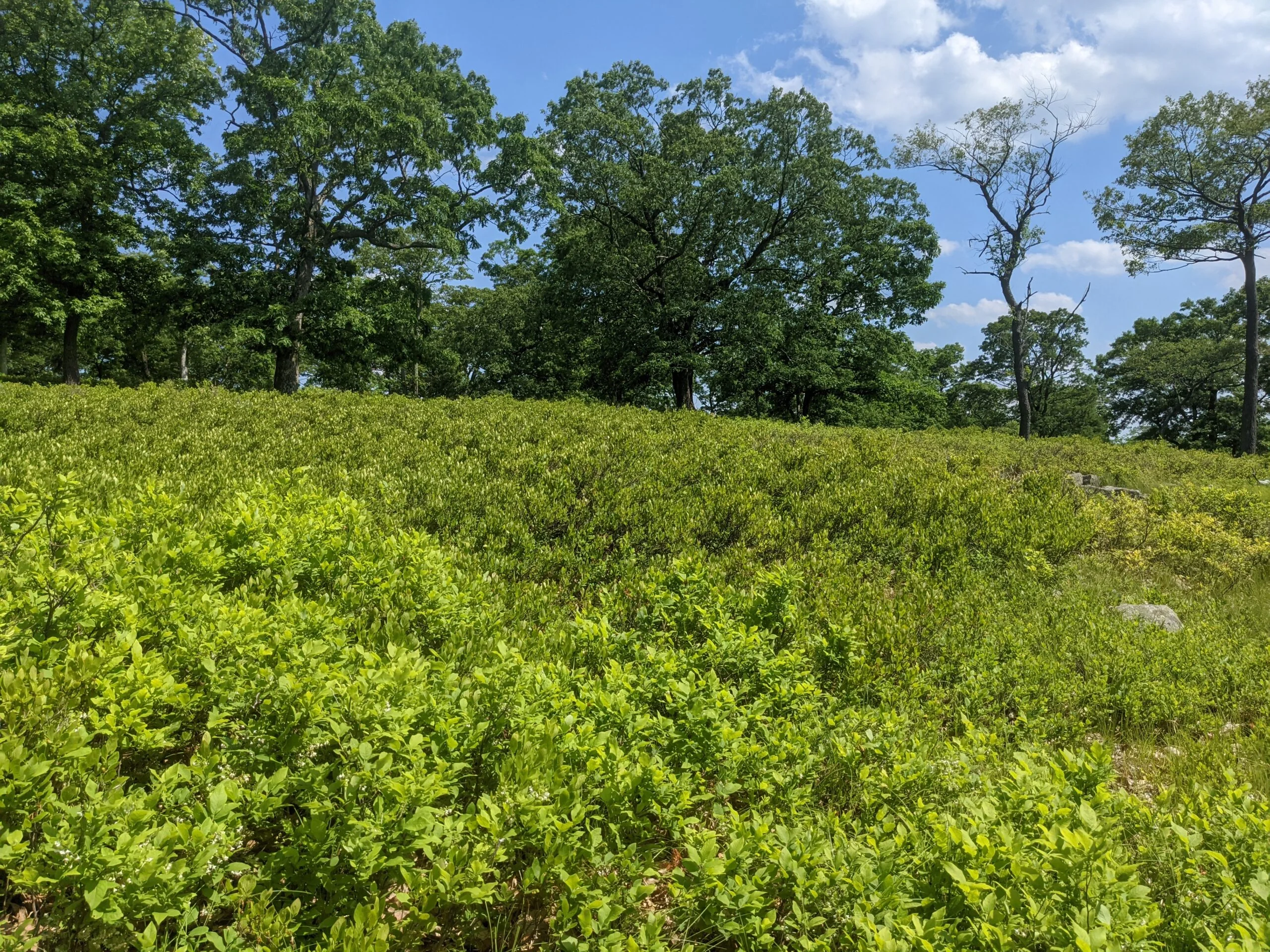
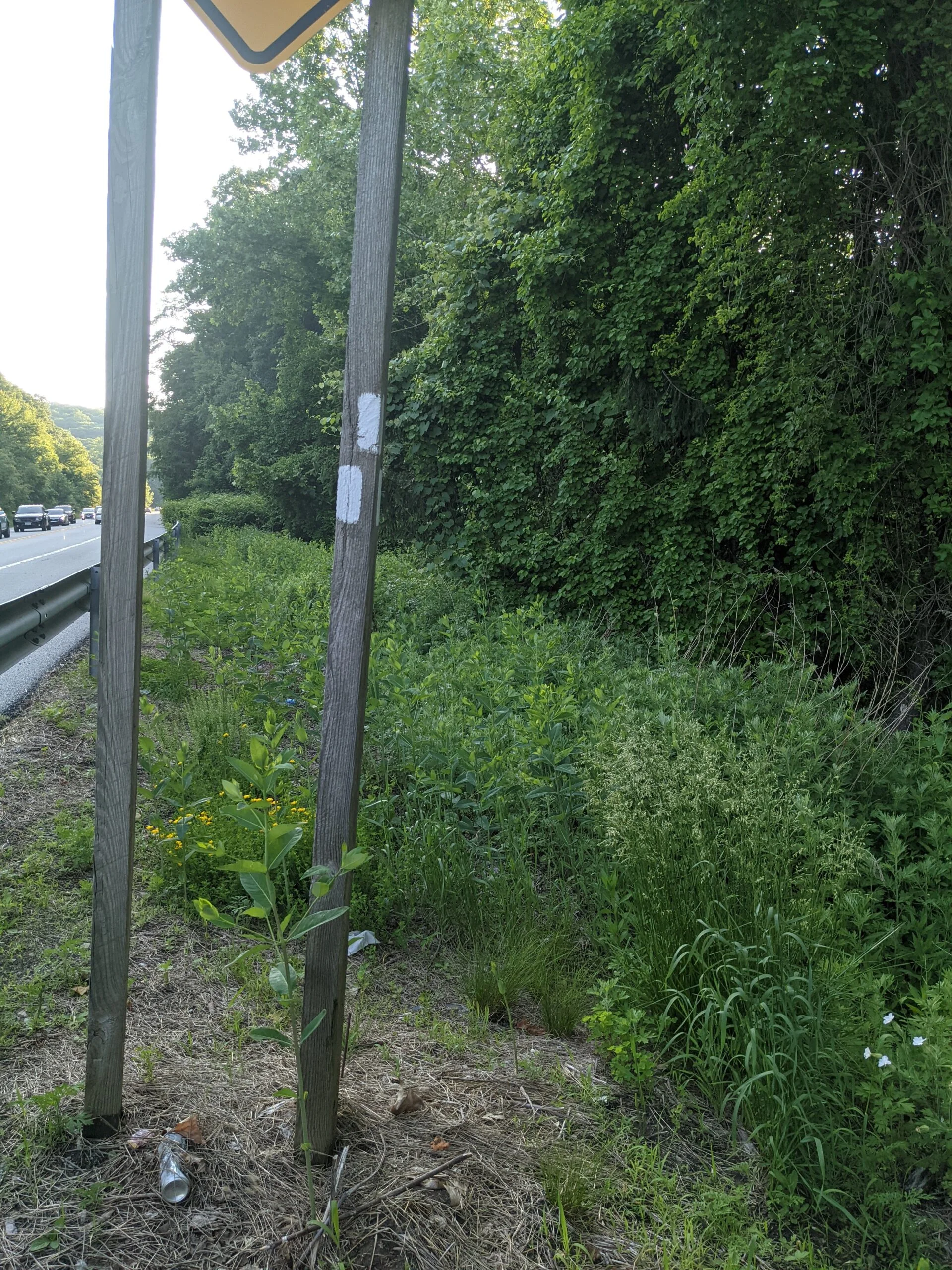
Things got very interesting from here. The Anthony Wayne trail is not well traveled, so rolled down my hiking pants to walk through the high grass and brush. Like the previous less-traveled trail I encountered, I was still able find my way using the ground markings and the few blazes this trail had. I reached a different section of Long Mountain Parkway (Route 6), which at this time now had a stead stream of cars heading south east. Although traffic was moving slowly and someone probably would have let me cross, there ended up being a break in the traffic when a few cars decided to turn around in the middle of the road.
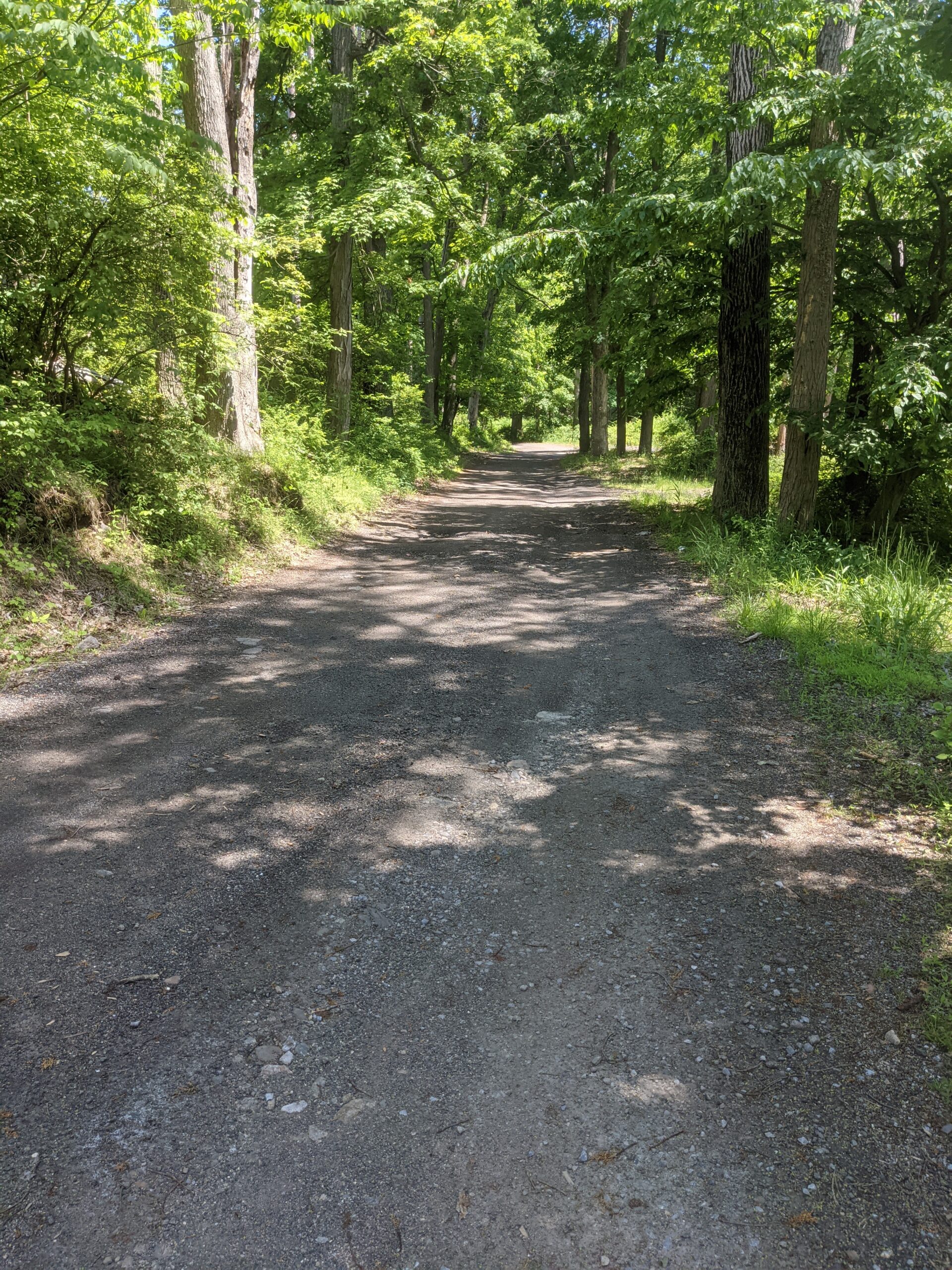
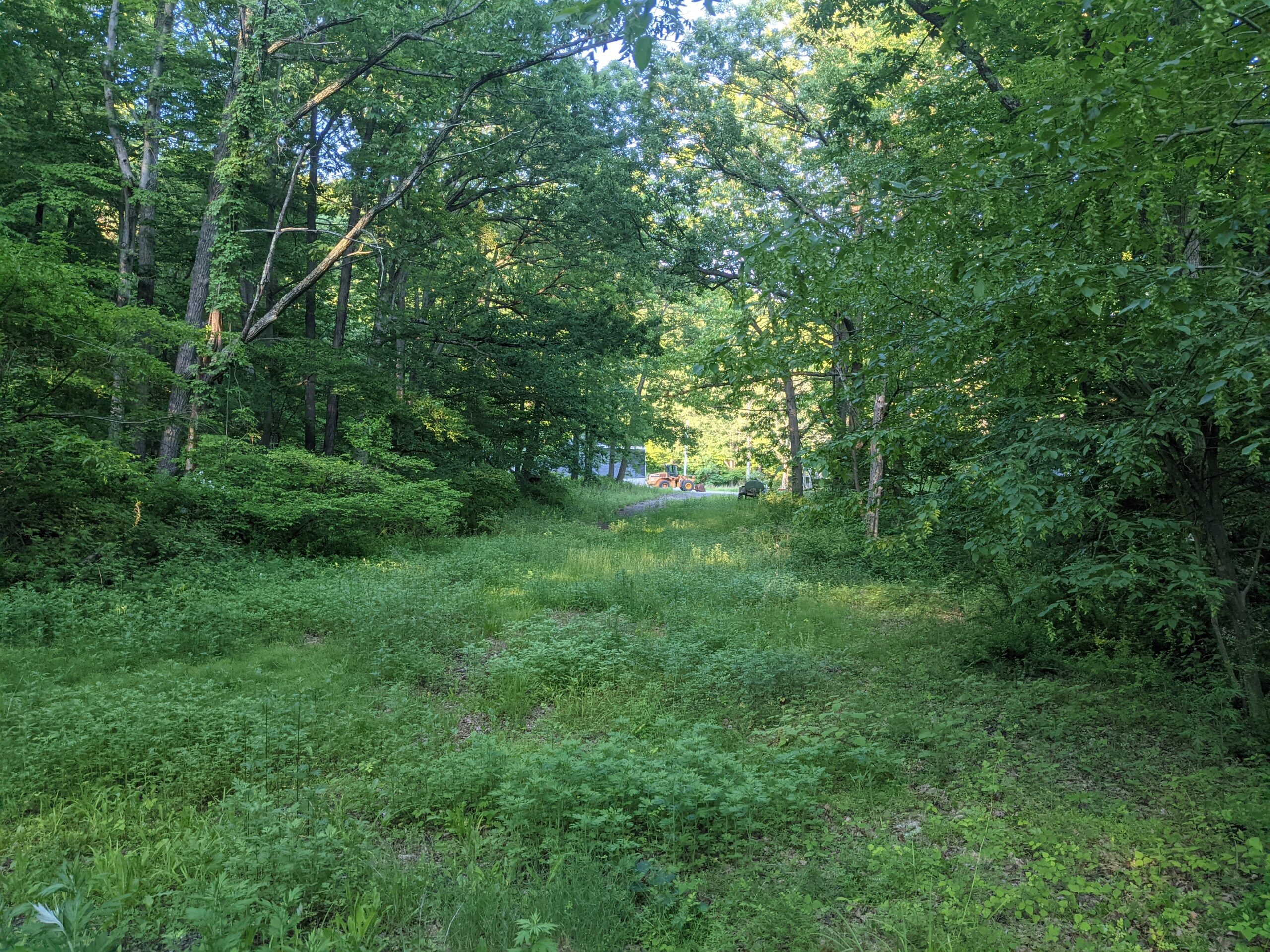
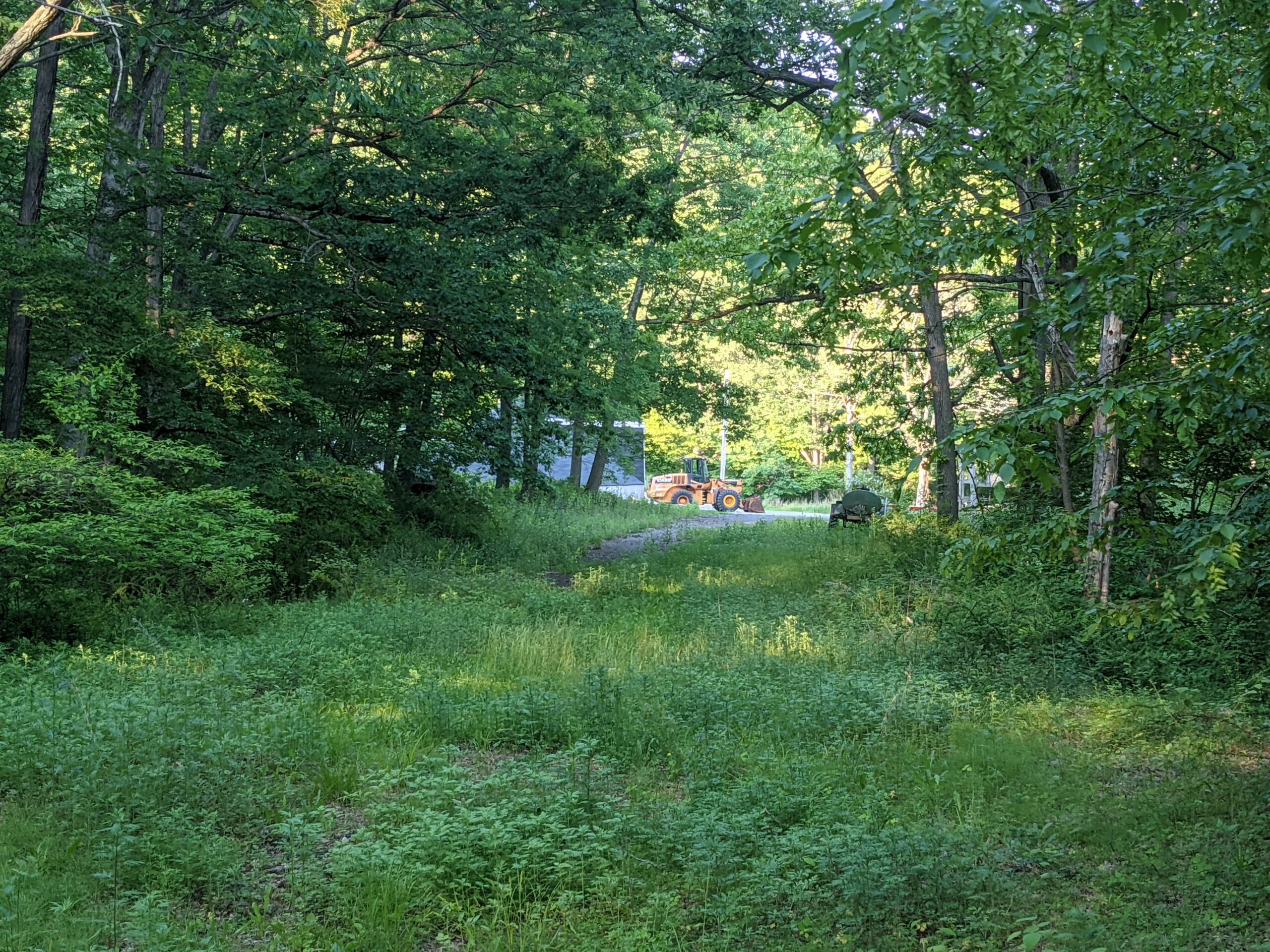
I found the white blazes on the opposite side of the road, just a little bit north from where I crossed. I followed them past the Queensoboro Maintenance Yard road, then the blazes stopped and I was on my own. There were several unblazed trails in here. I started up one, but realized it was taking me in a direction I didn’t want to go, so I cut over and found another carriage path type trail that eventually led me back to my car.
I’m not afraid to admit that I came out of this hike completely soaked in sweat. I estimate that I spent half the day under the cover of trees and half the day on more exposed routes. While I did hike all last summer in hot temperatures, those hikes were mostly in the 4-7 mile range, so much less time in the sun and overall energy involved. This is the first time I really pushed through the heat for such a long distance. I ended up coming out okay, albeit a bit tired. I worried in the beginning if I brought enough water, but I kept checking and refilling about every 4 miles to monitor my progress. I tend to drink about 1L every 2 miles and after I realized I was consistently maintaining that rate, I felt a little more at ease that I had enough to last the whole day. I think the regular sipping of water along with snack breaks along the way helped me avoid any kind of heat sickness.
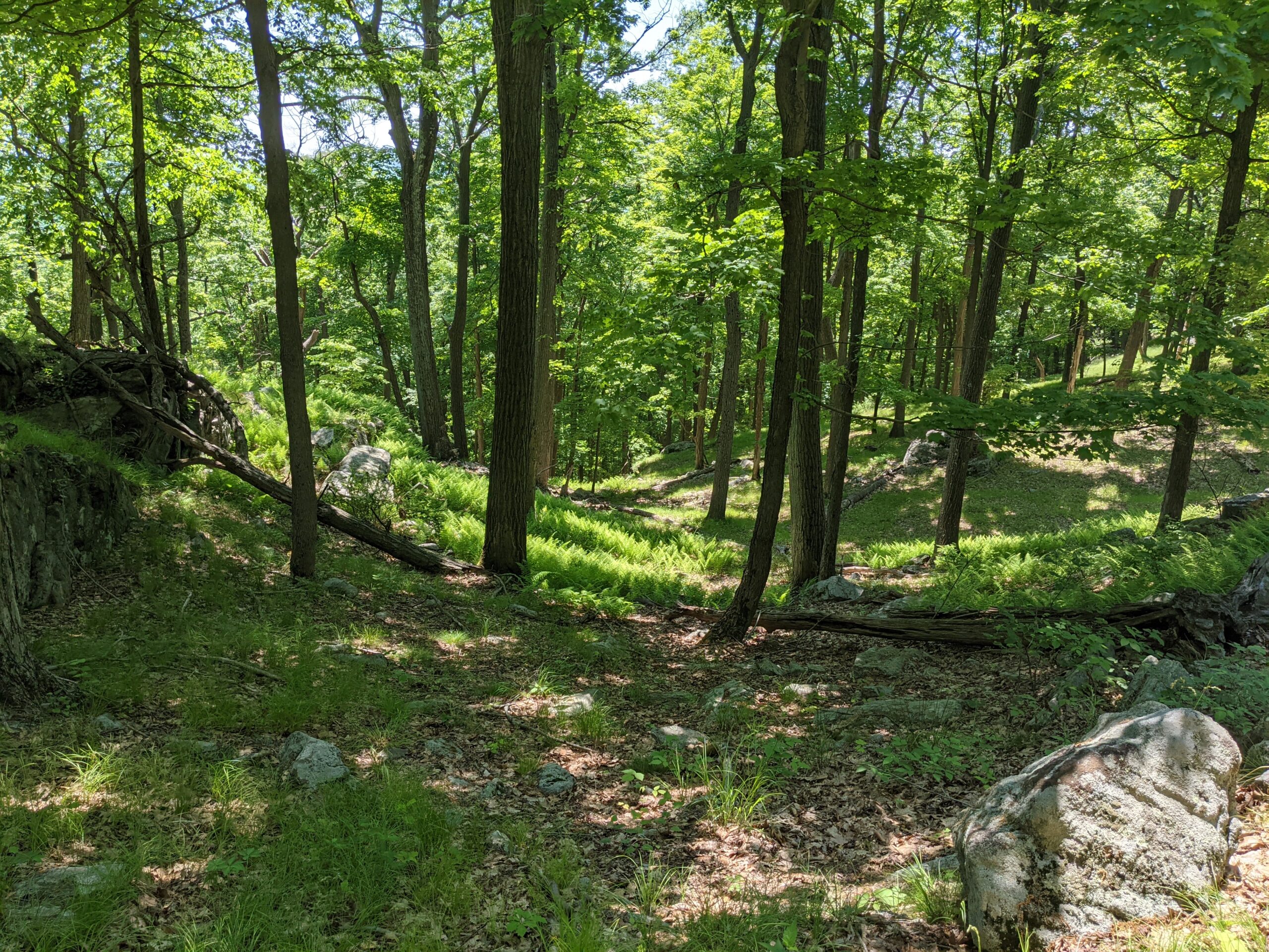
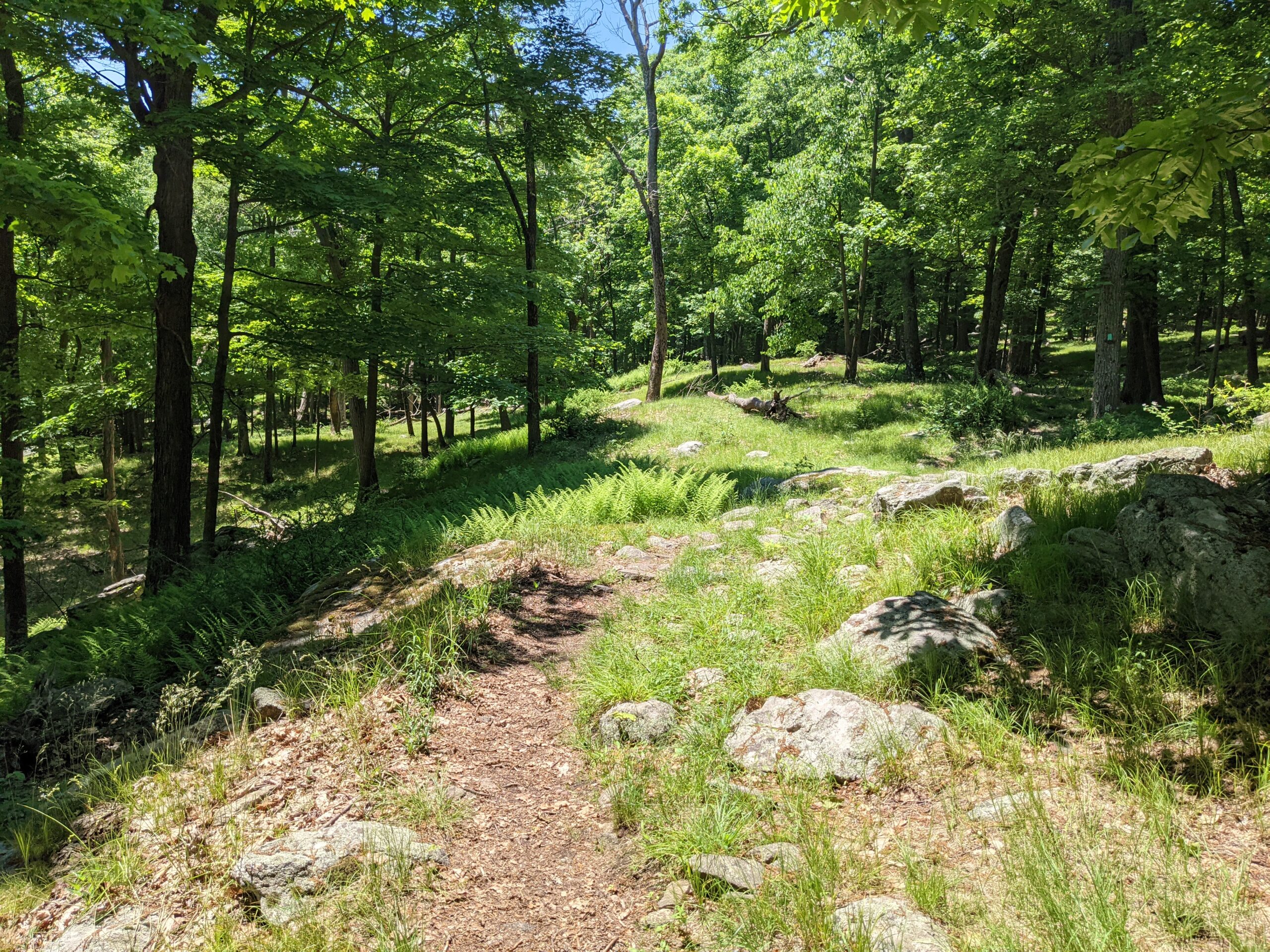
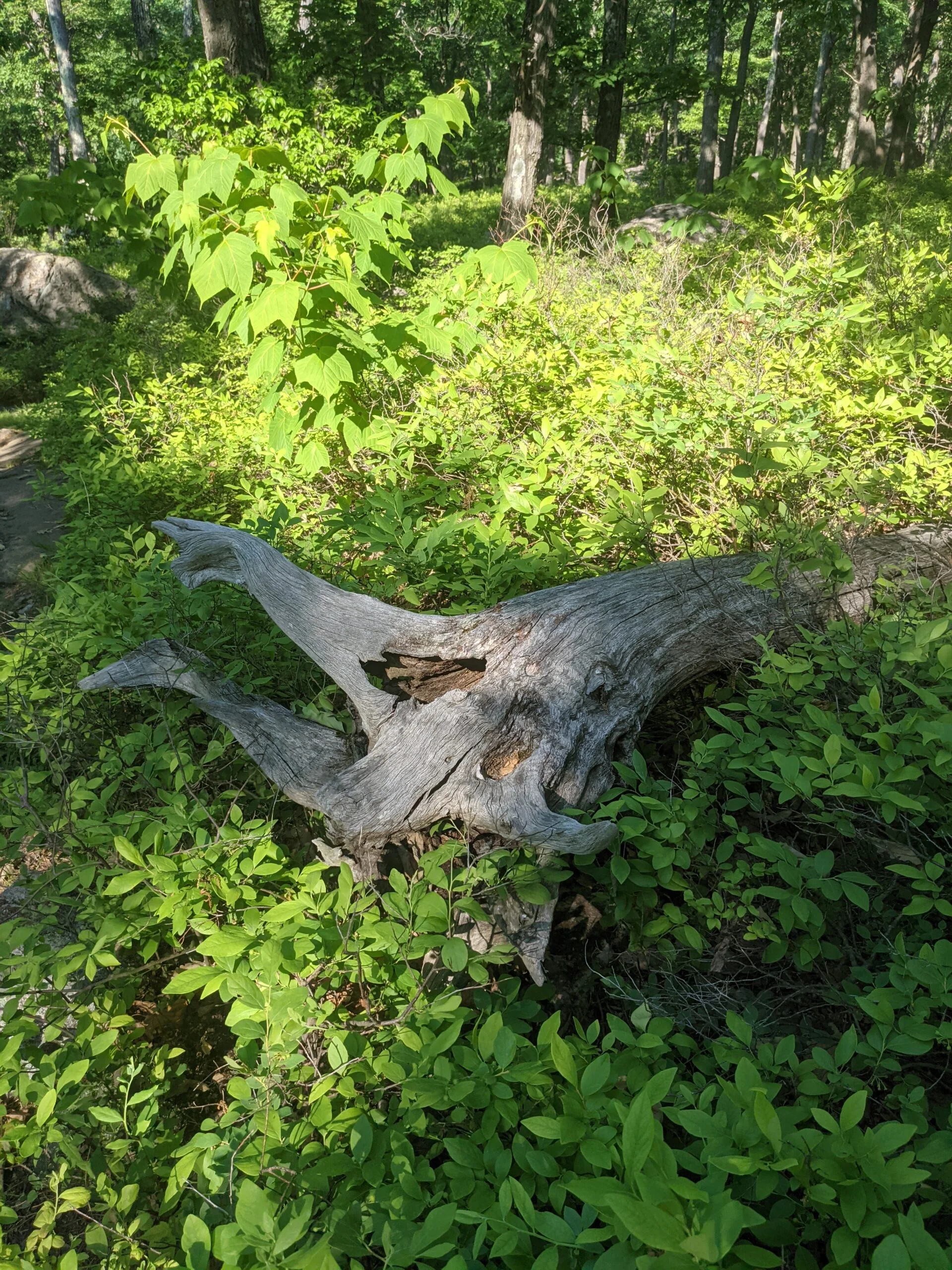
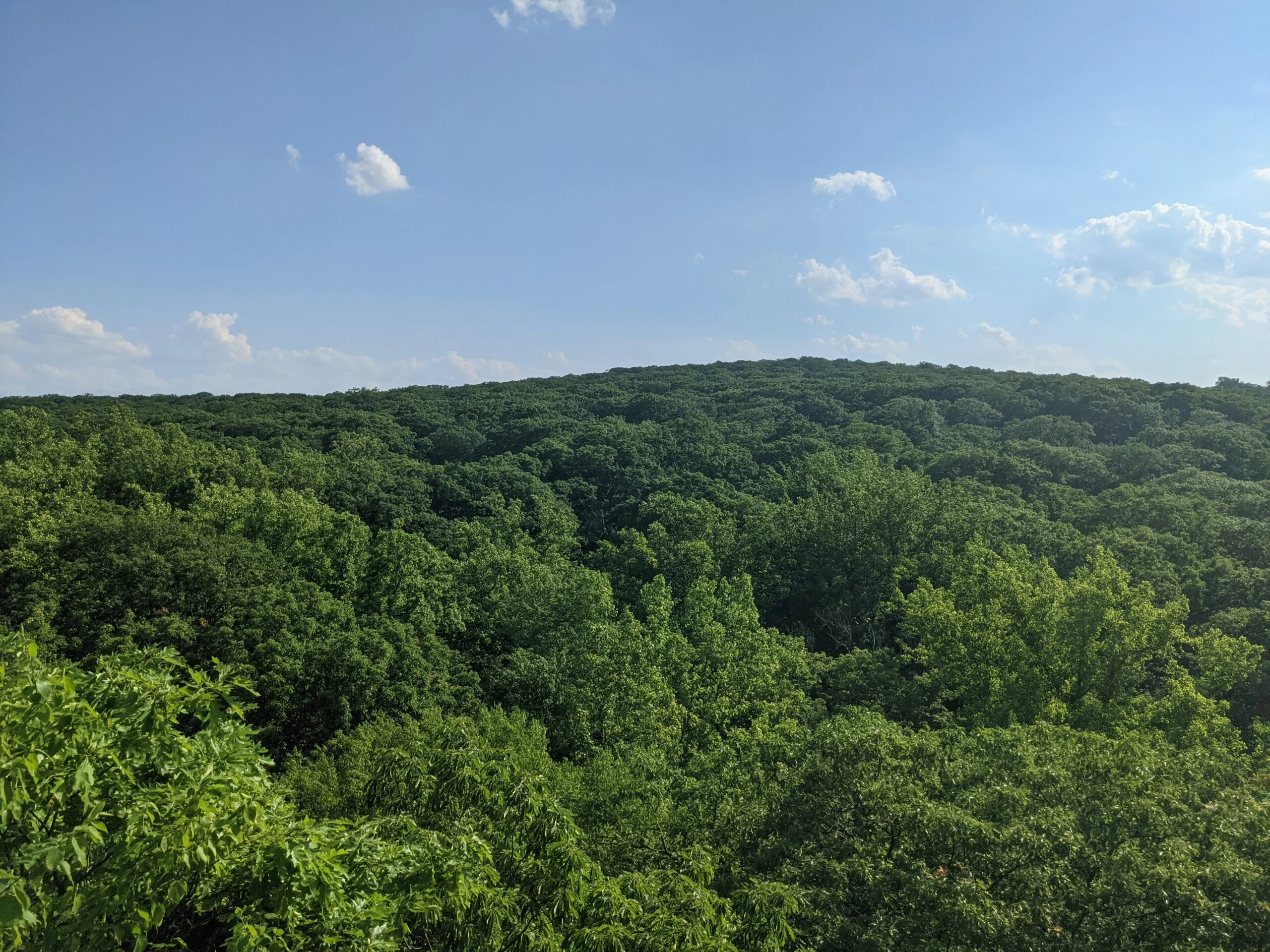
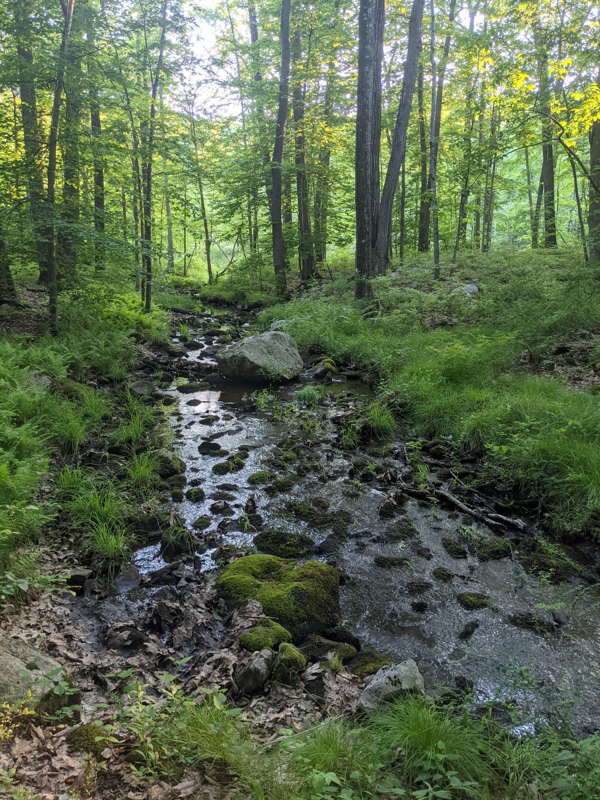
I got a couple of cool views here and there, but I knew going in this would be more of a forest hike than a view hike and I was okay with that. Due to the intense sun, I didn’t want to spend too much time on mountain tops and I was happy to stay in the shade as much as possible. Even without the views, it was an awesome hike! I enjoyed exploring yet another new section of Harriman I had not seen before.
(Note: I lost phone service right before reaching the 1779 trail and had to force quit the AllTrails app. After restarting it, my GPS tracks were very flaky from that point on.)
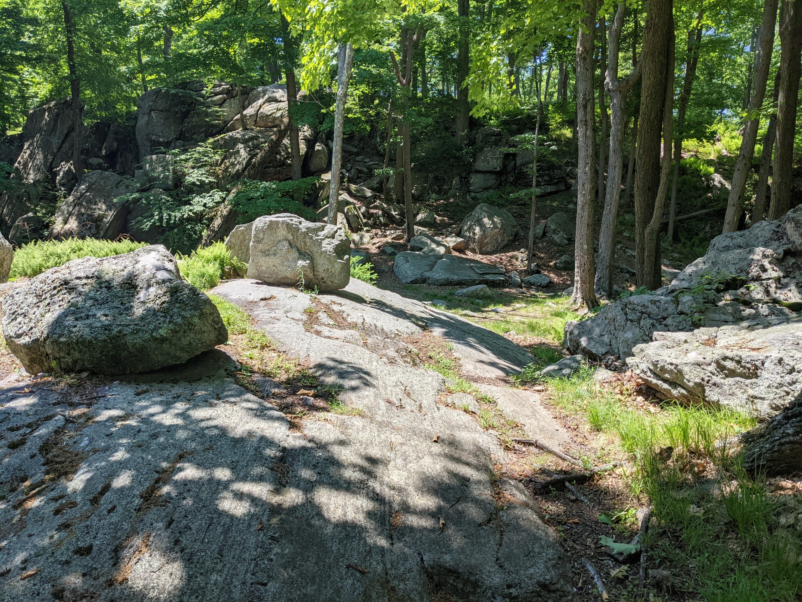
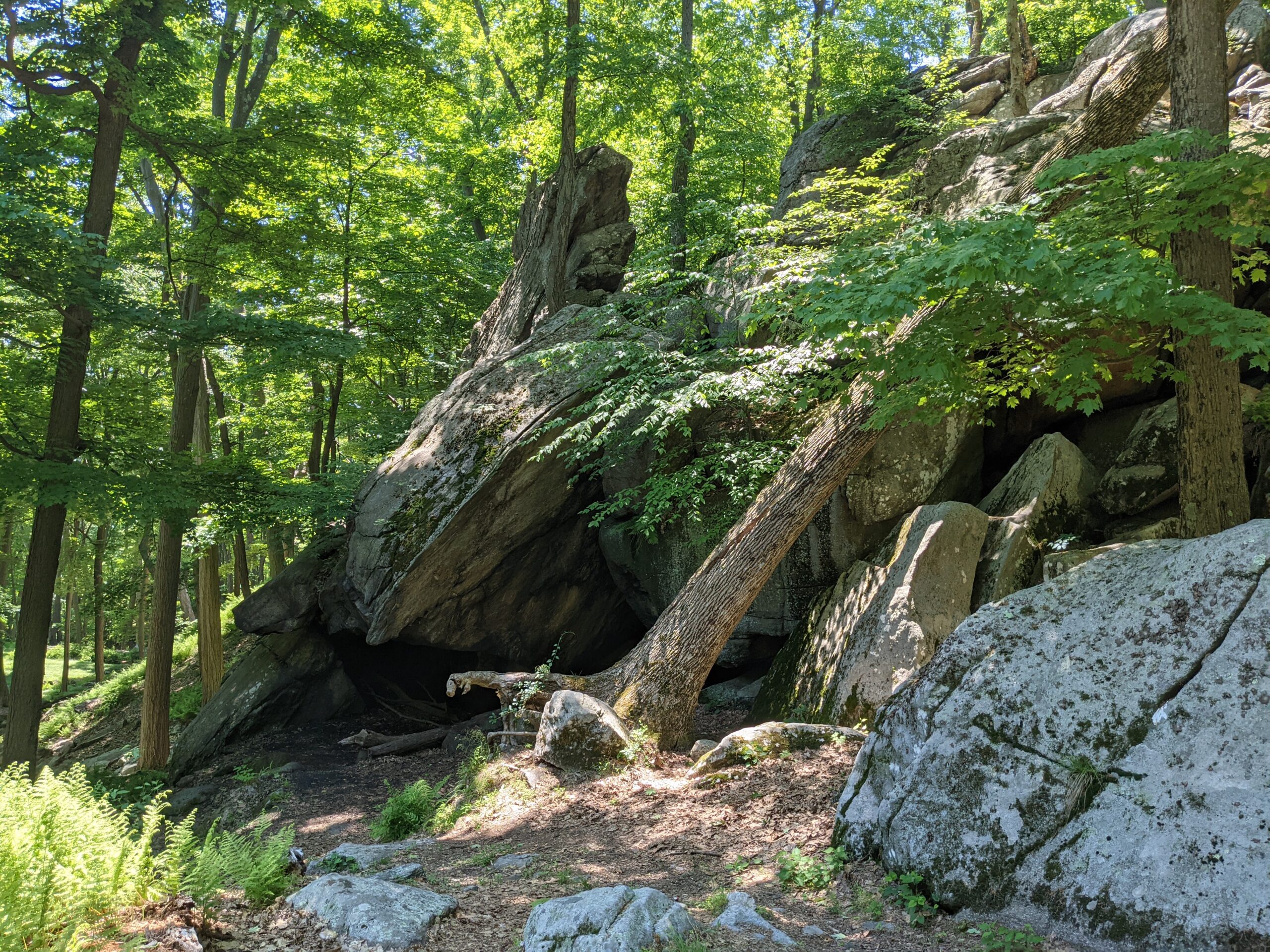
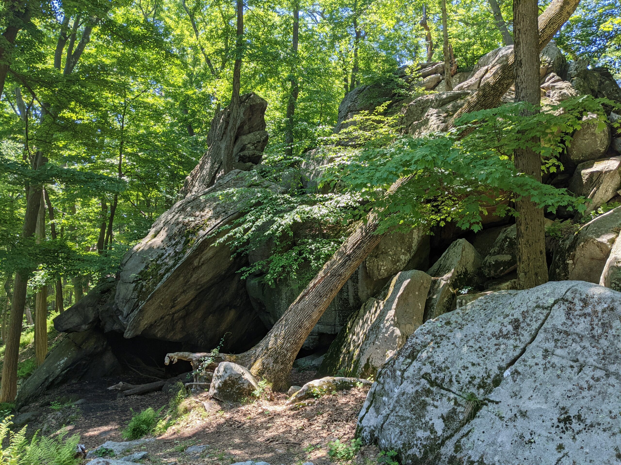
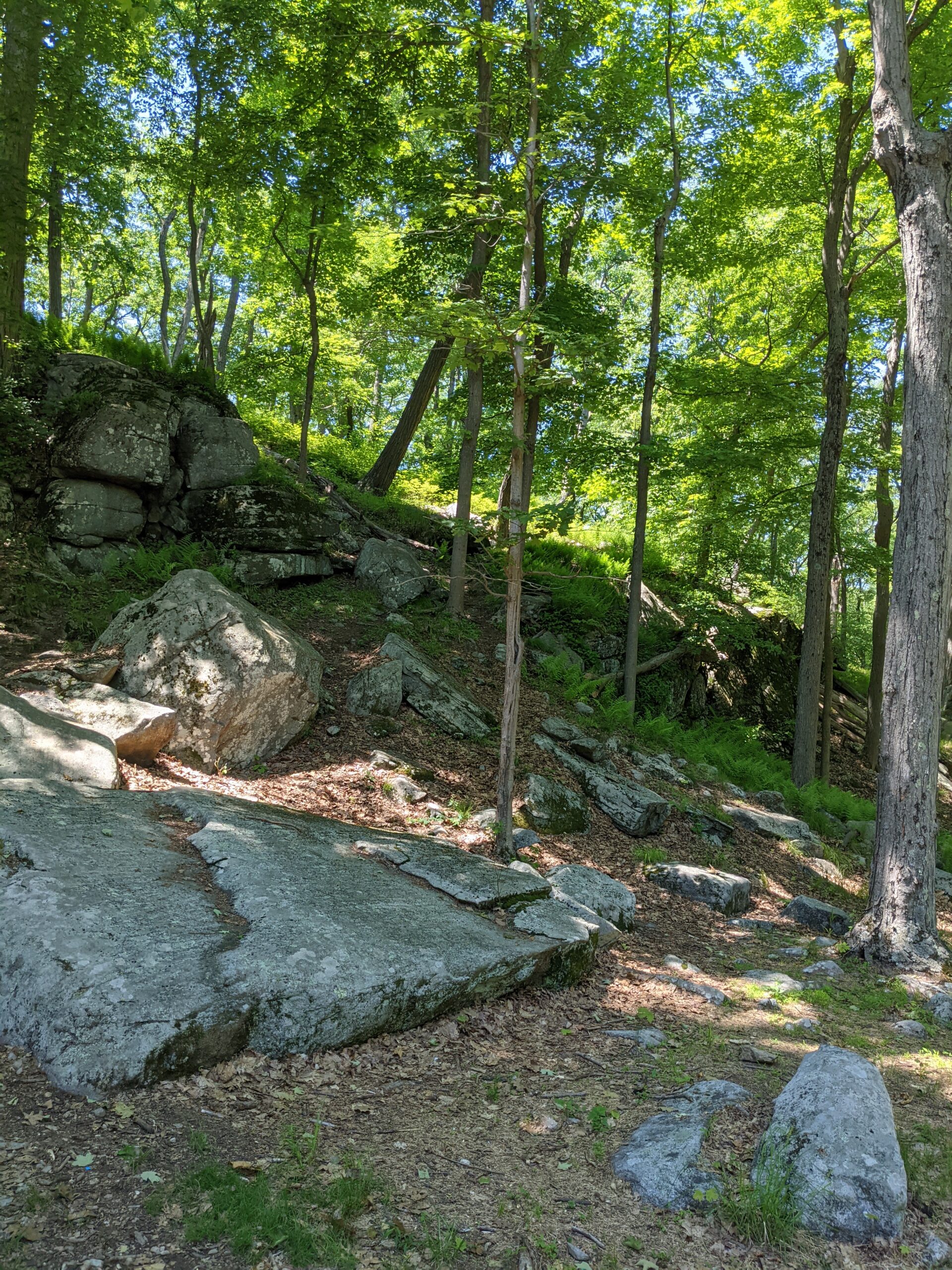
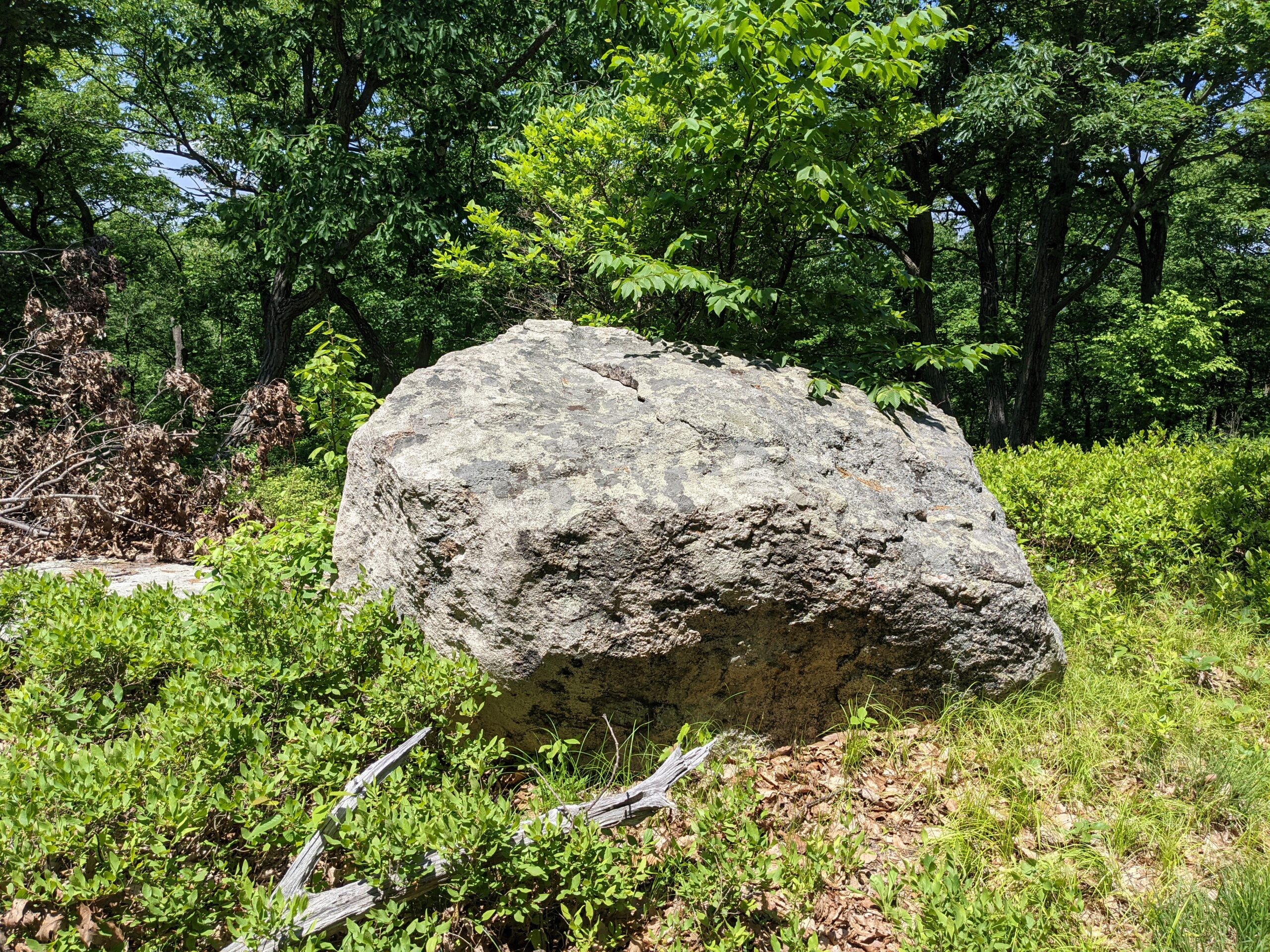
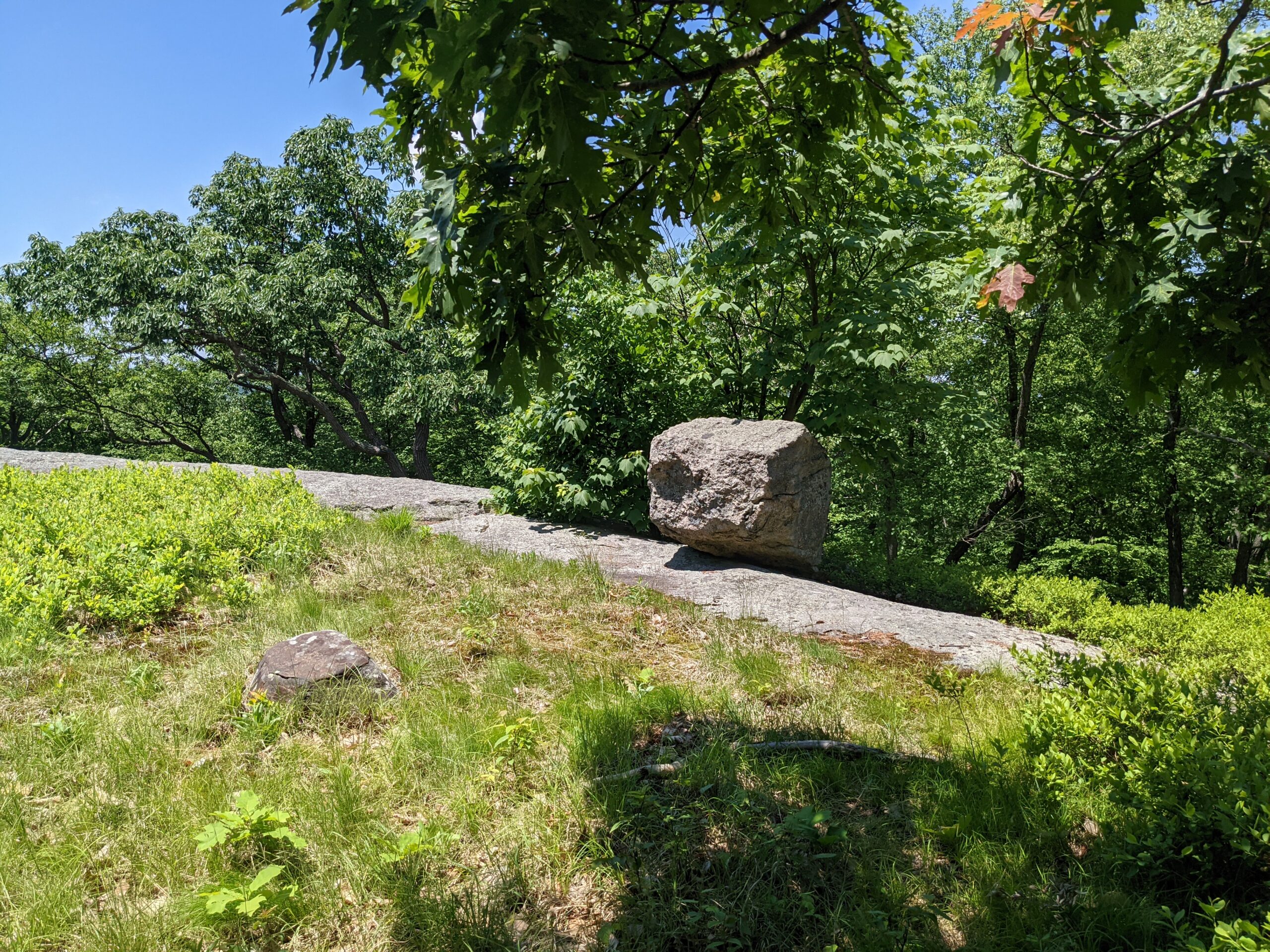
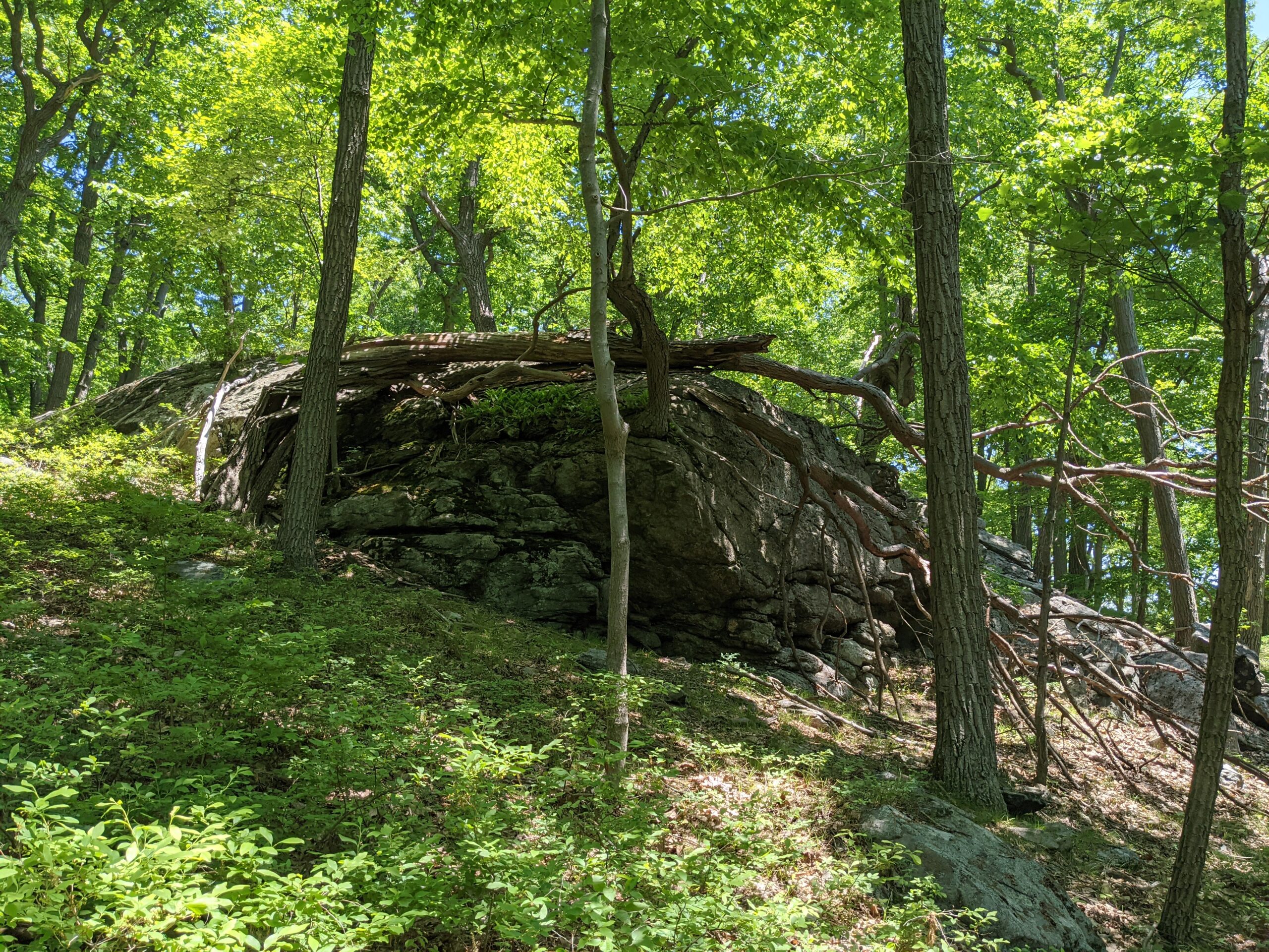
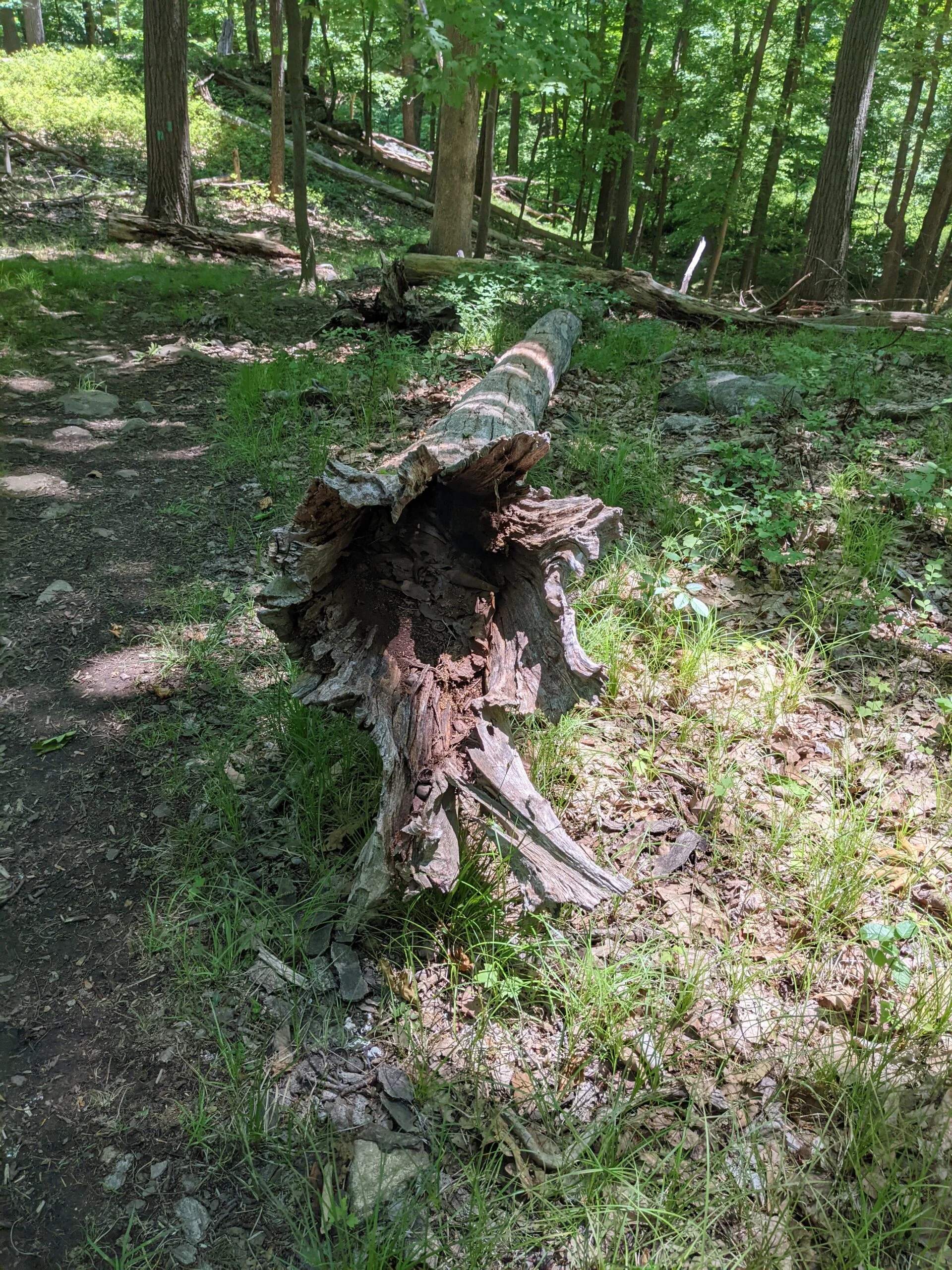
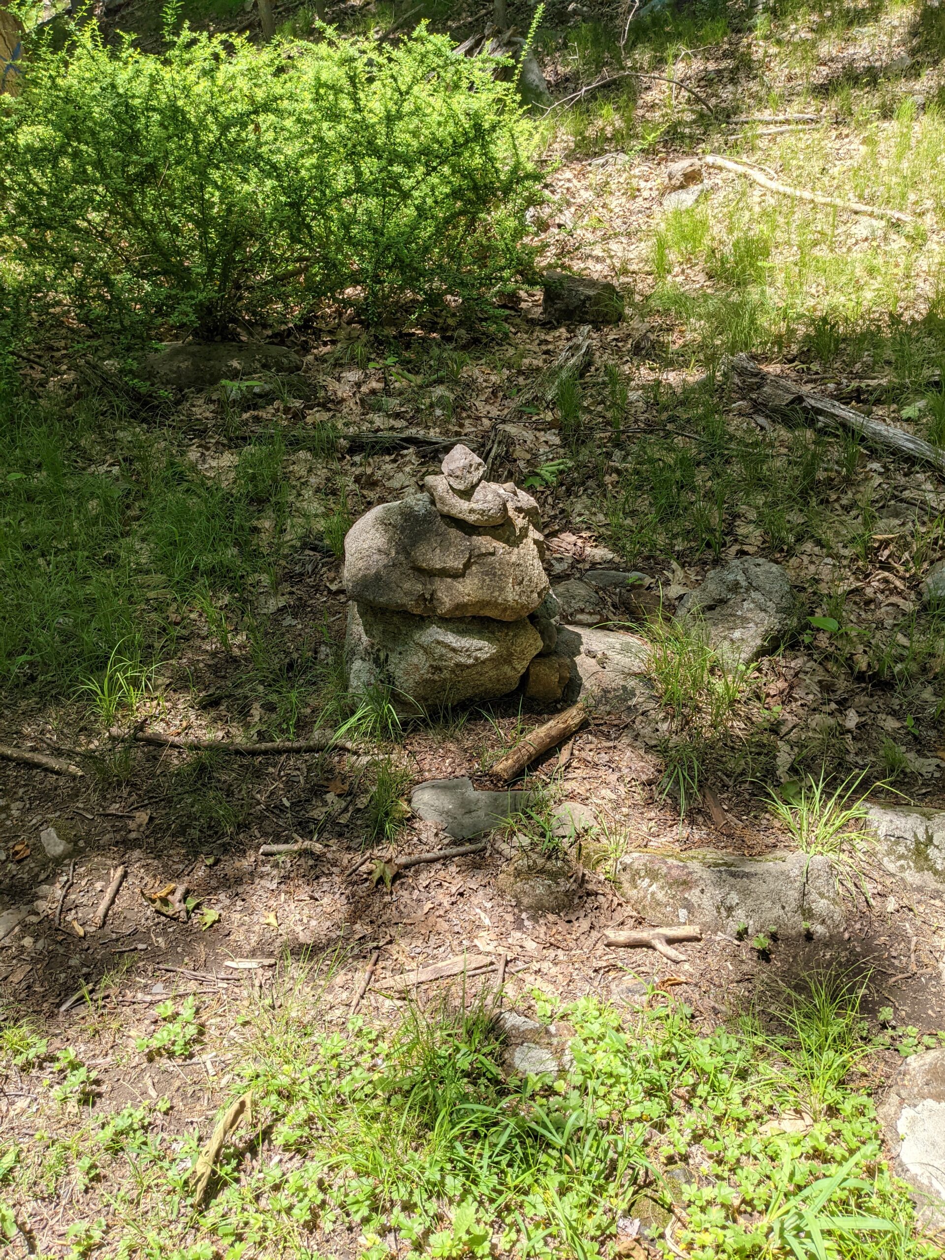
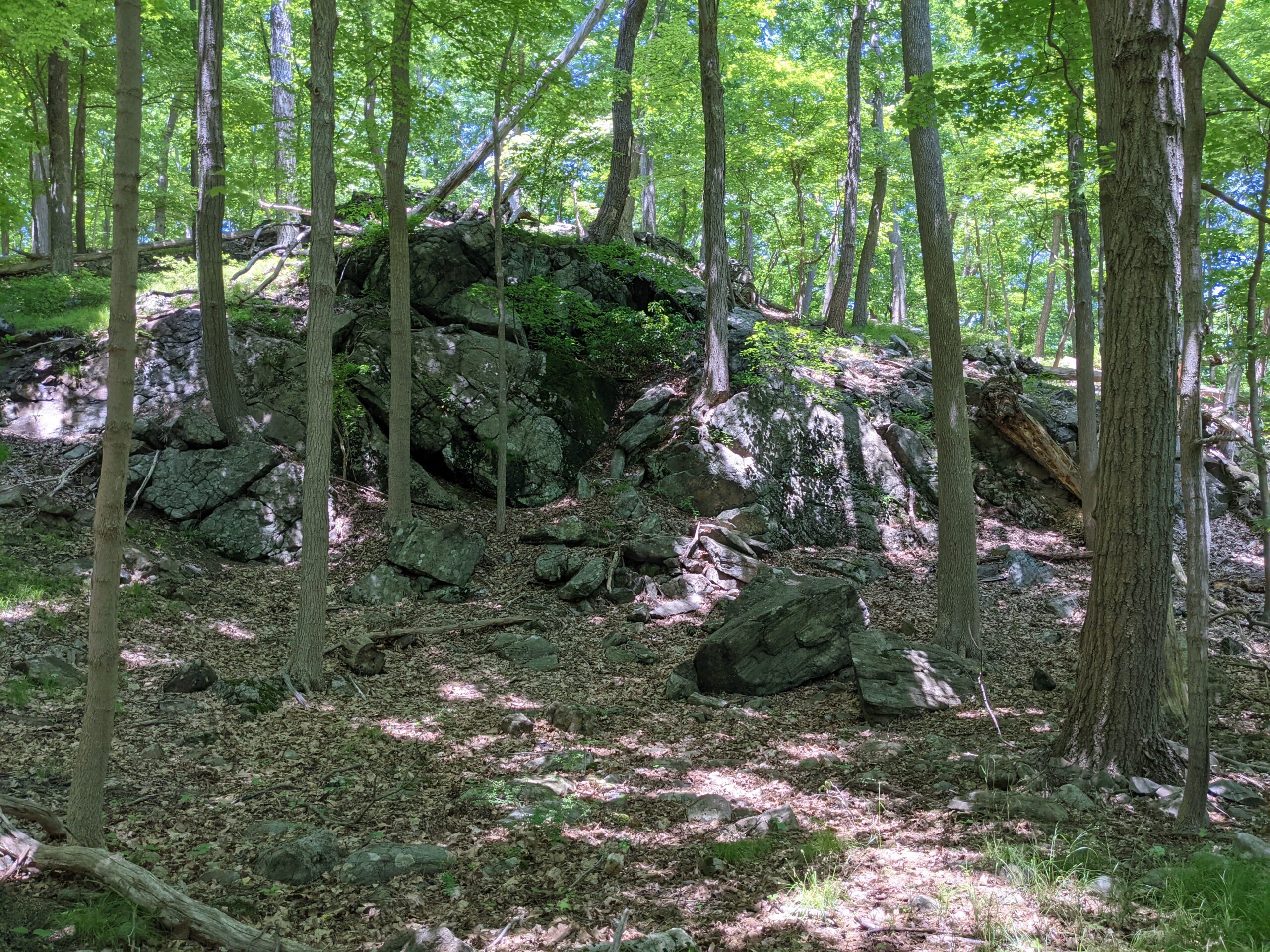
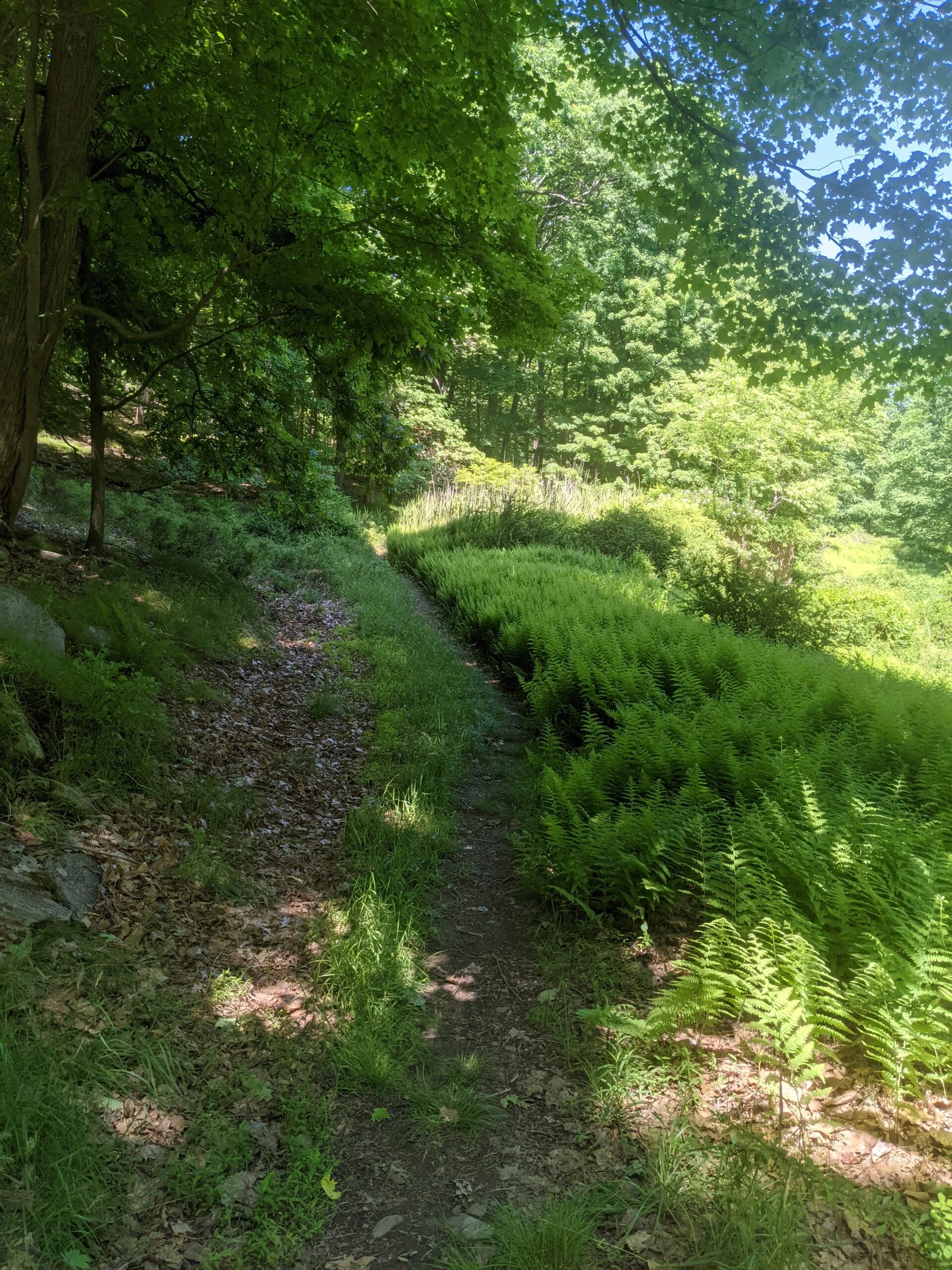
Photos


GPS Route & Elevation
Loads an interactive map; map tiles are served by the U.S. Geological Survey, which receives your IP address. Learn more about maps and your privacy