Minnewaska State Park Preserve Sam's Point Preserve
Minnewaska State Park Preserve – Sam’s Point, High Point, Verkeerderkill Falls
- 11.1 mi
- 1,178 ft gain
- 06:45:32
- 167 photos
- 3 videos
When I was younger, my friends and I used to hike parts of the main, northern section of Minnewaska State Park Preserve a few times a year; however, we had never explored the Sam’s Point Area in the southern end of the park. I got a recommendation to check out Verkeerderkill Falls, so I found the Sam’s Point and Verkeerderkill Falls Trail on AllTrails and invited a childhood buddy.
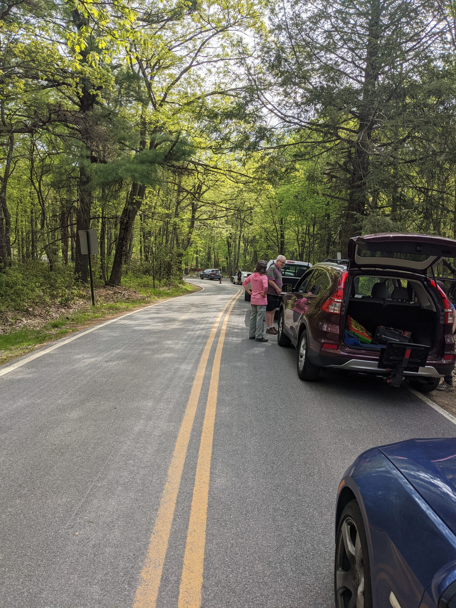
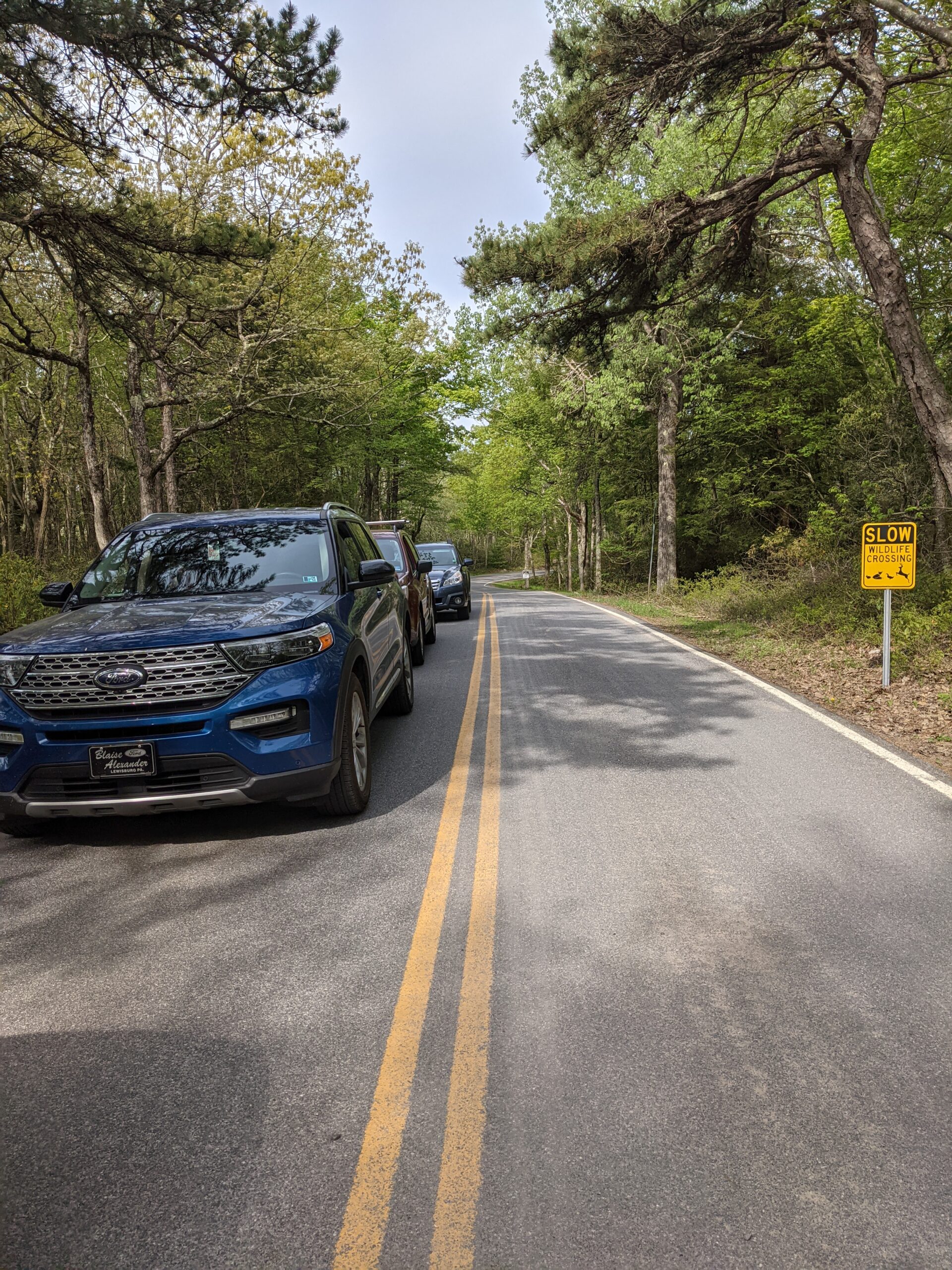
Anyone who’s been to Minnewaska on a weekend before knows that the parking lots fill up early and there’s no roadside parking anywhere near the park. The gates open at 9am, so we arrived around 8:30a. At that point, there were about a dozen cars lined up ahead of us waiting to get in and another bunch arrived after us. At around 8:50a, park rangers opened the gate and we all parked. I would estimate the Sam’s Point parking lot holds about 50 cars and at this point it was already close to half full. I later saw a notification that the lot filled up at 10:30a that day. If you plan to do this hike or any hike in Minnewaska, it is recommended to arrive before 9am, especially on weekends and good weather days. There is a parking fee of $10 per vehicle; however, my buddy had a New York State Empire Pass which allows free admission to several parks in NY, including Minnewaska.
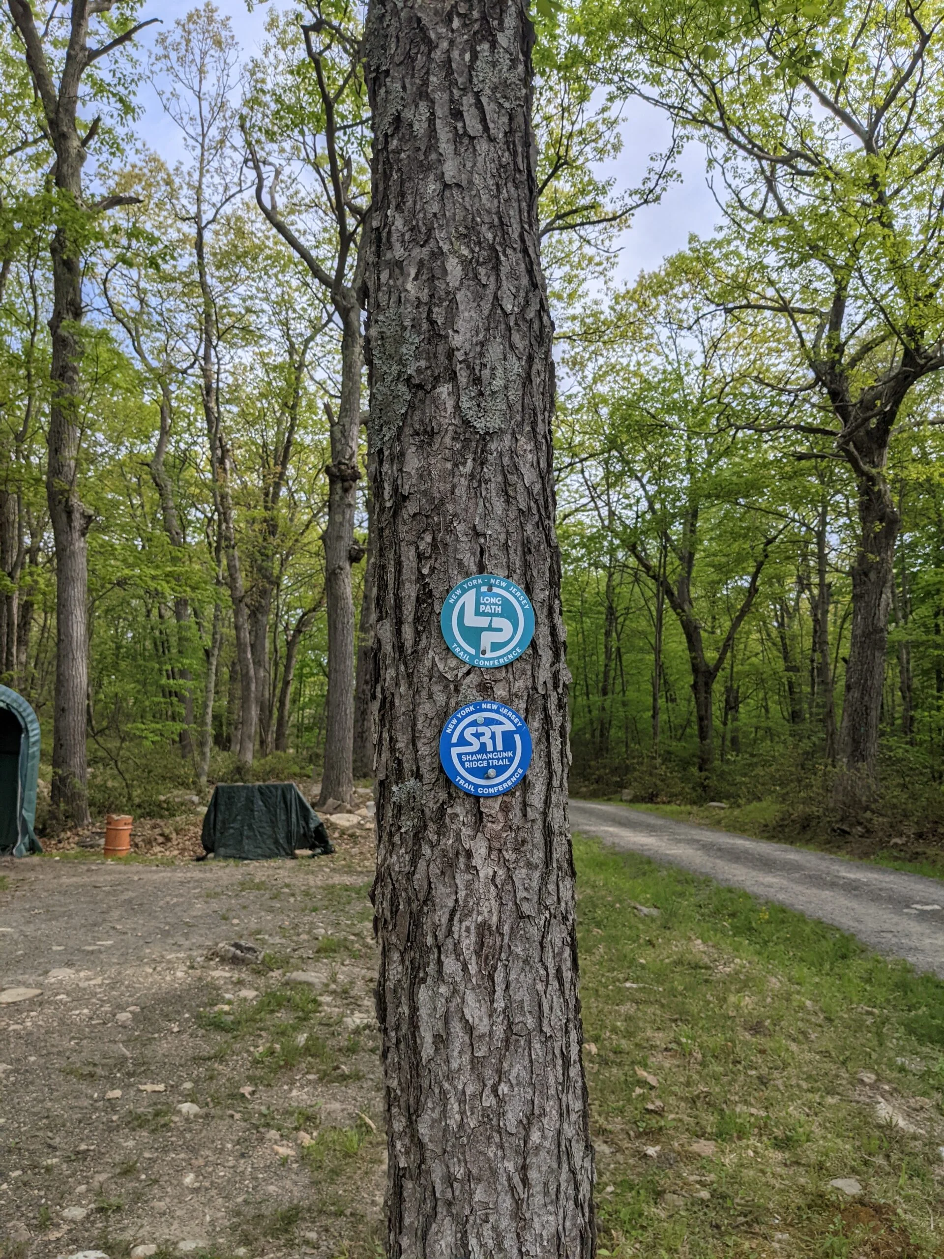
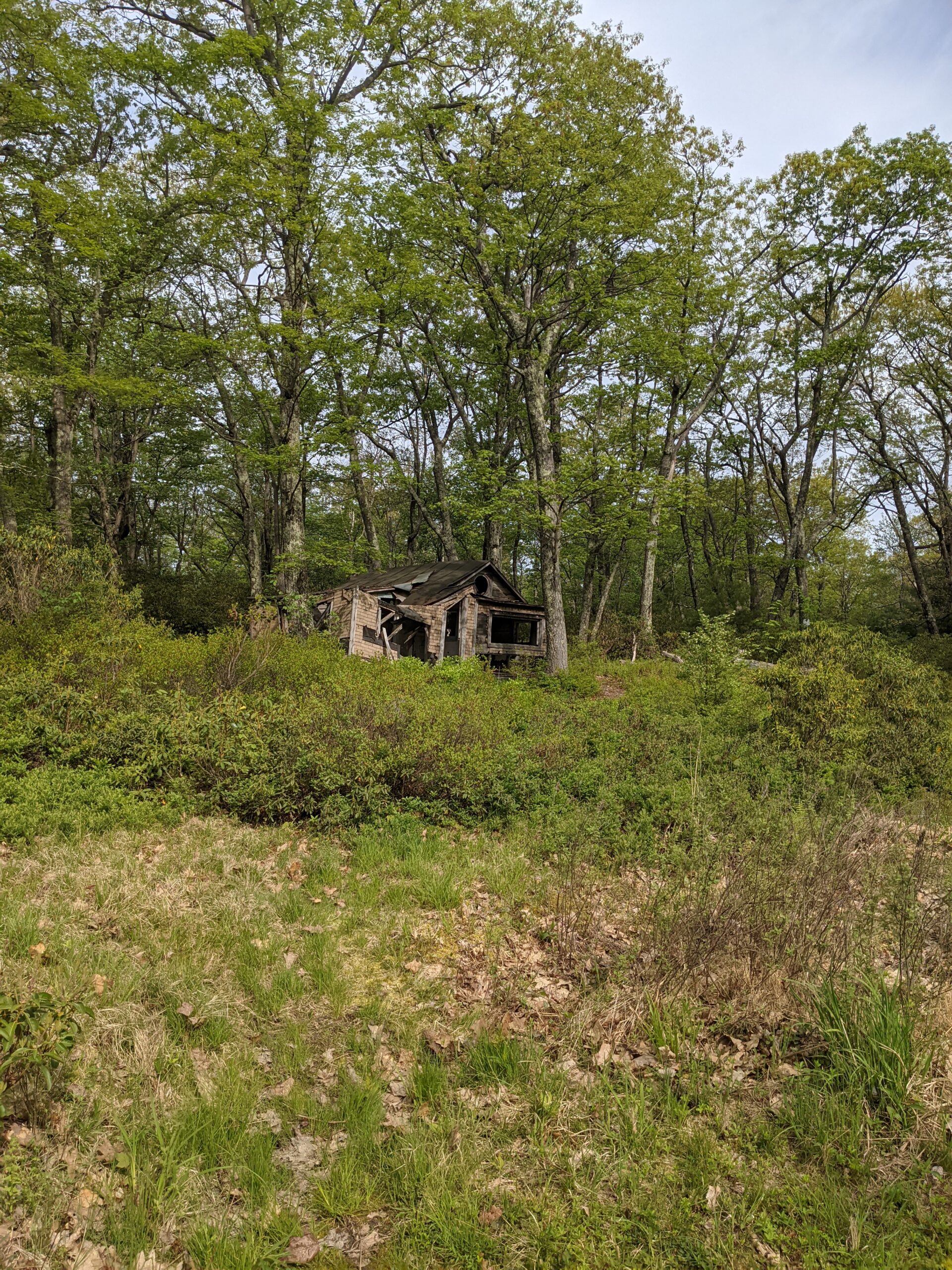
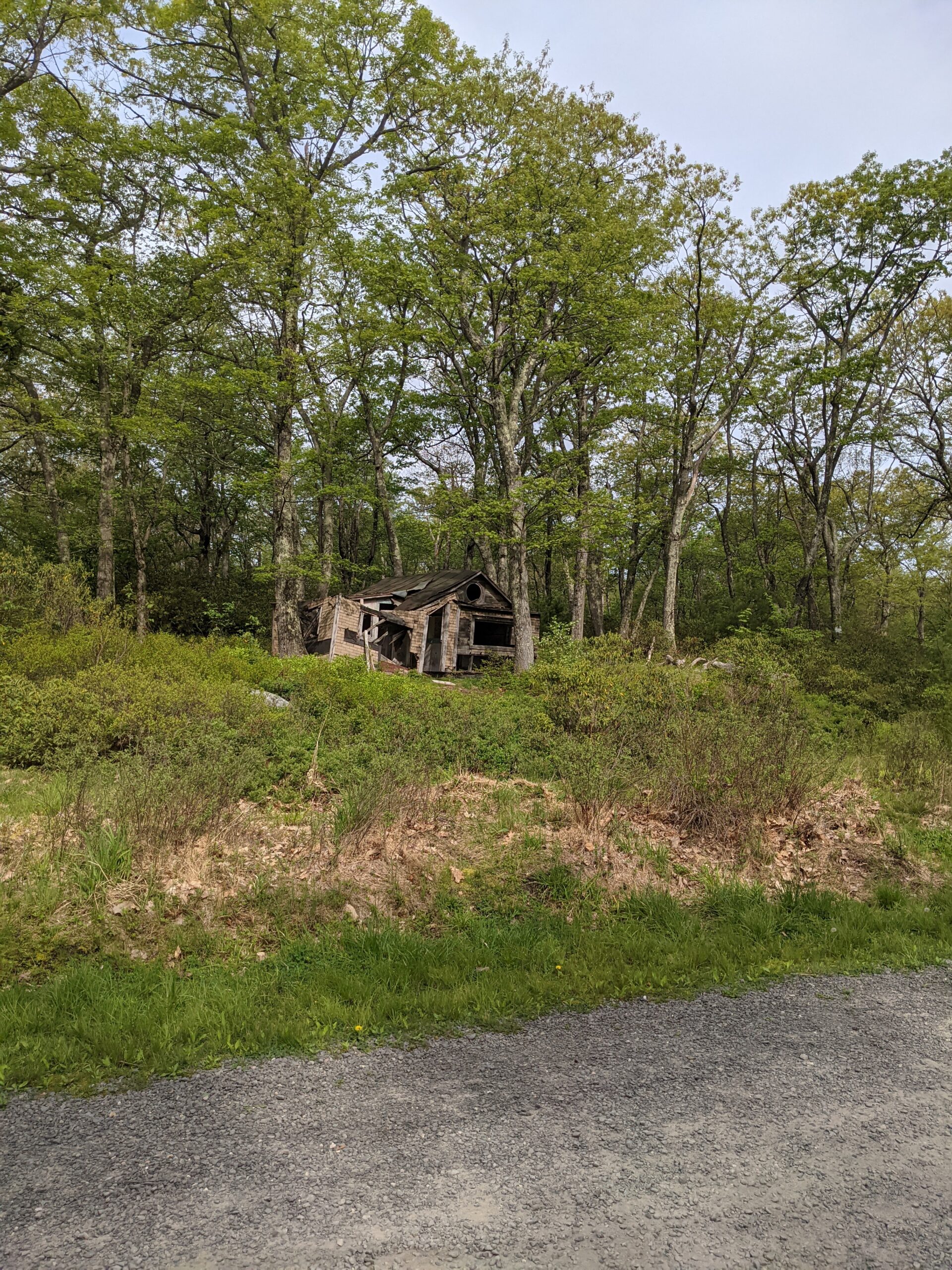
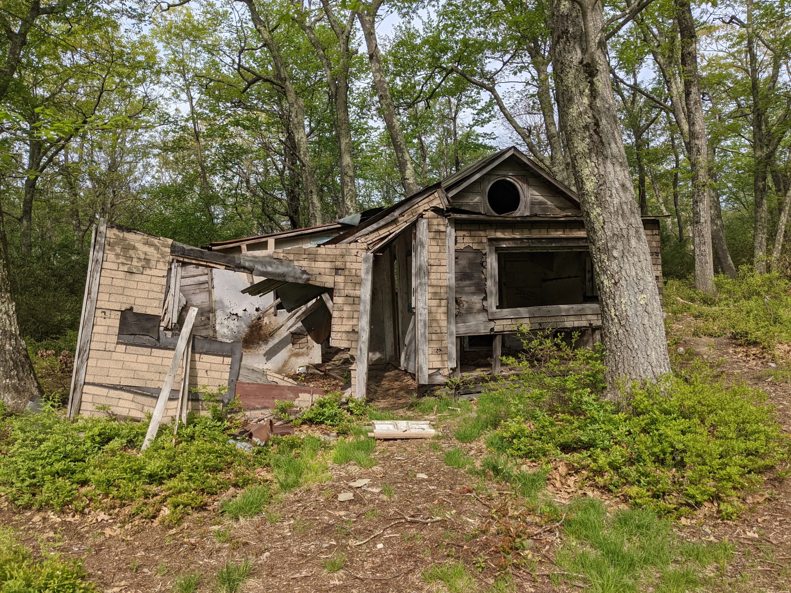
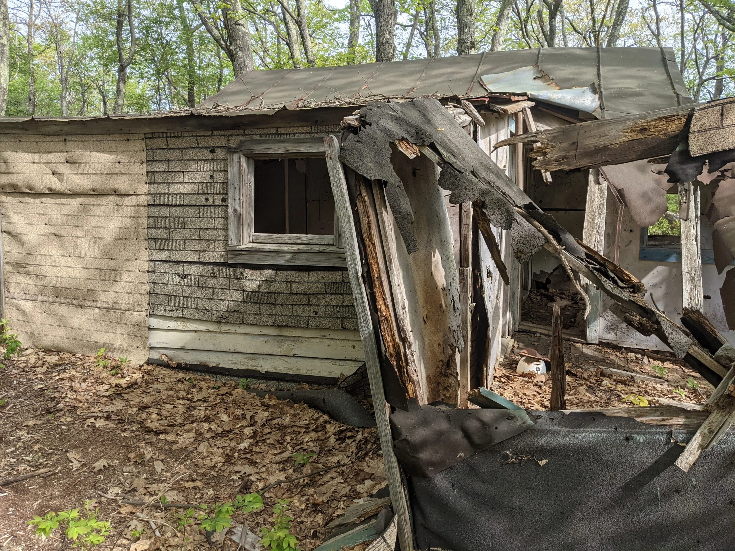
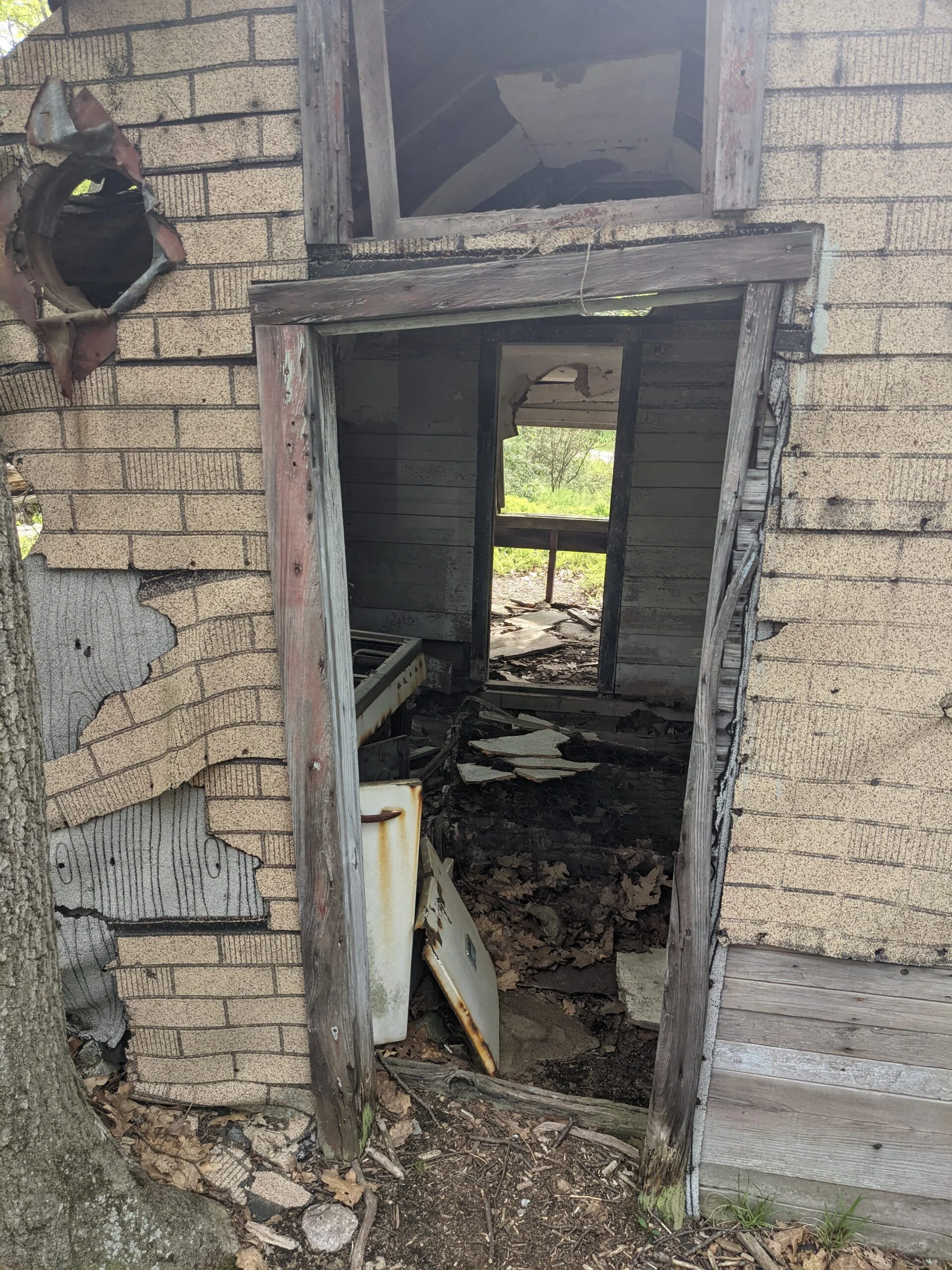
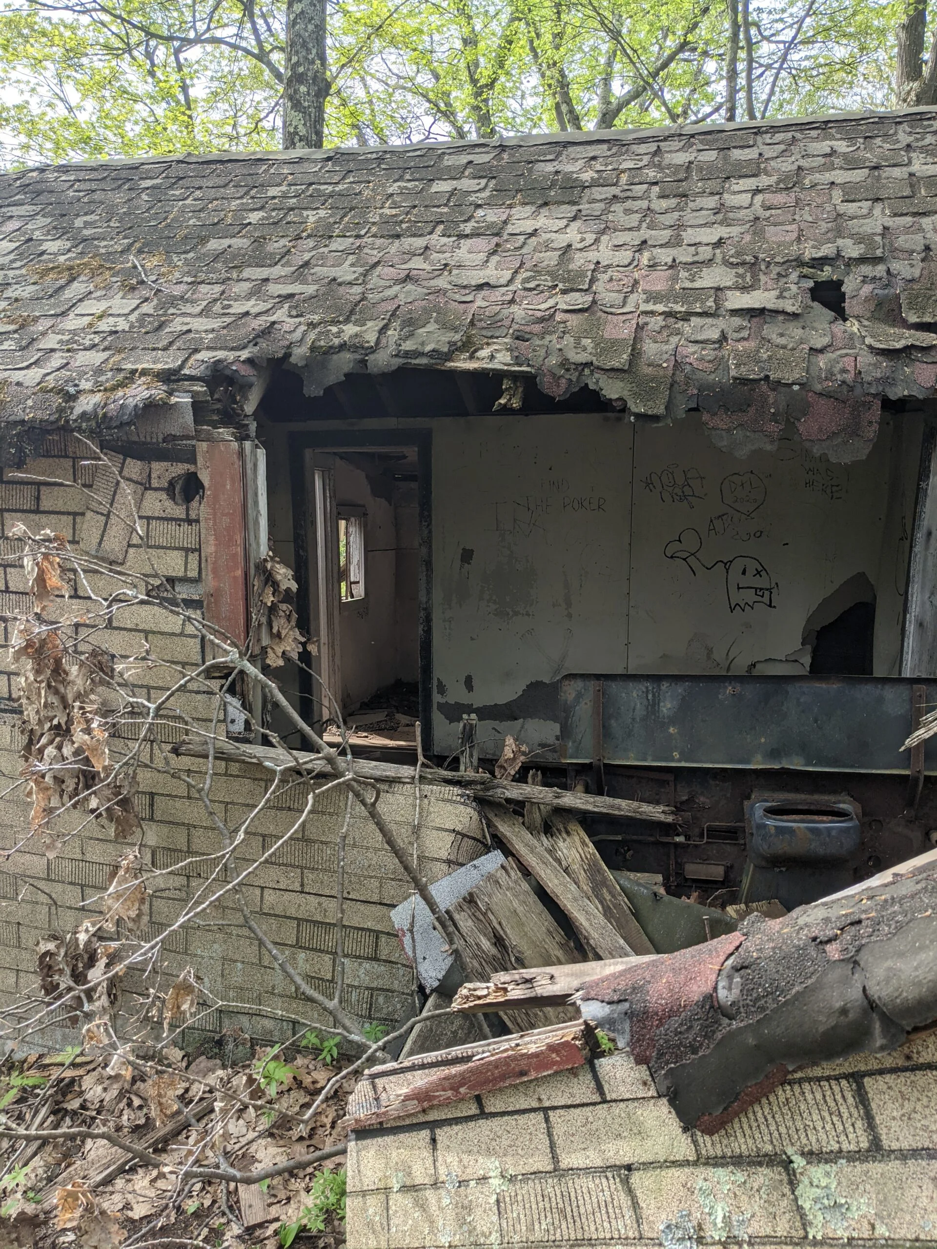
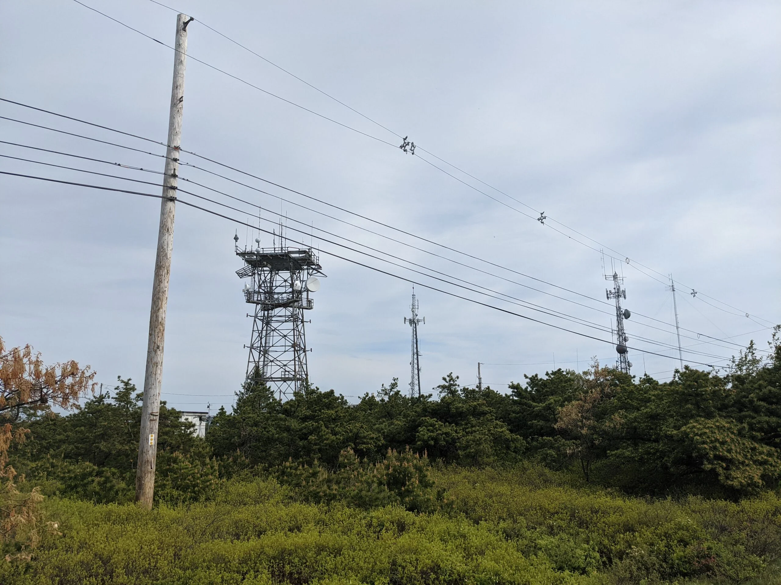
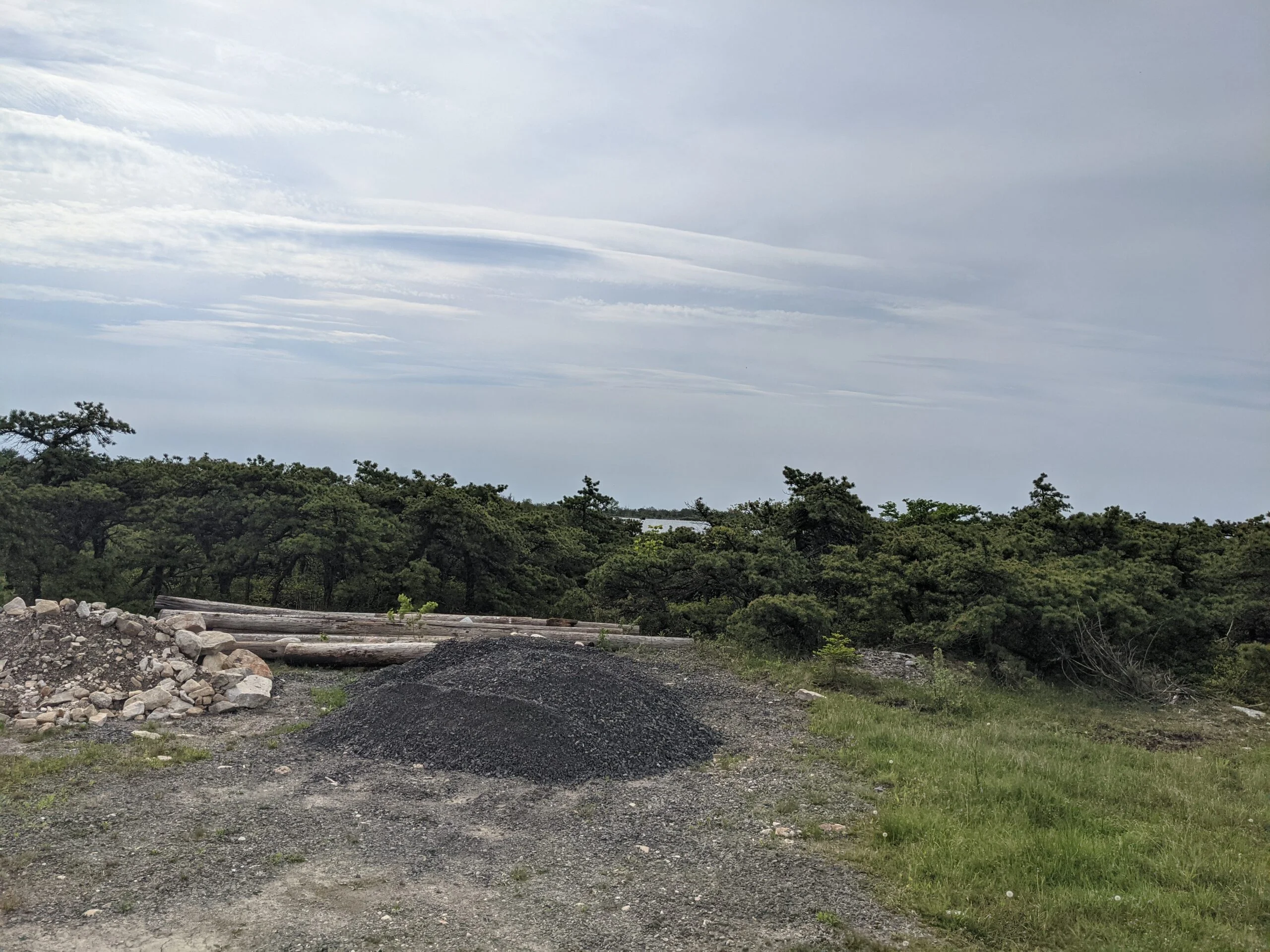
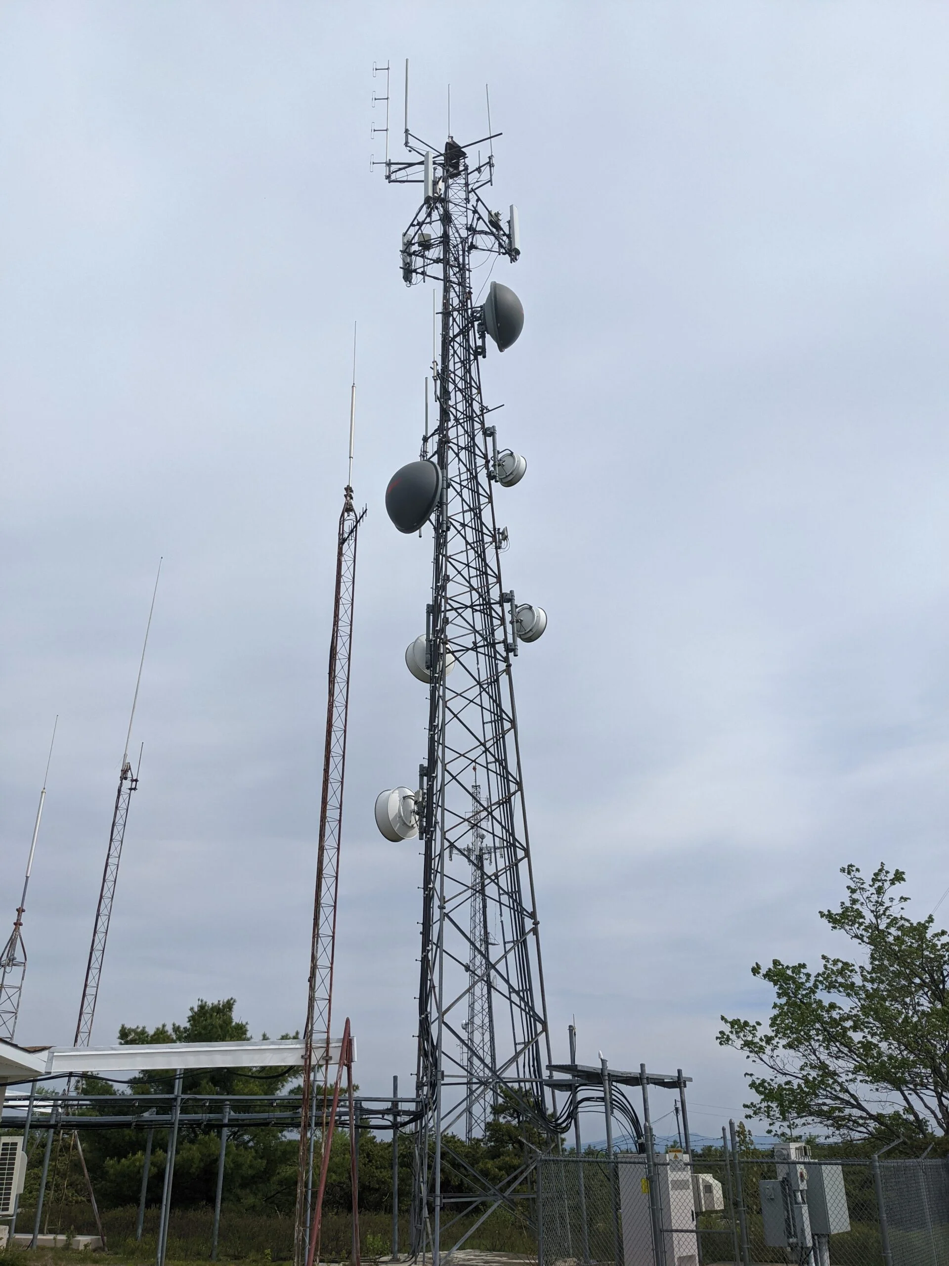
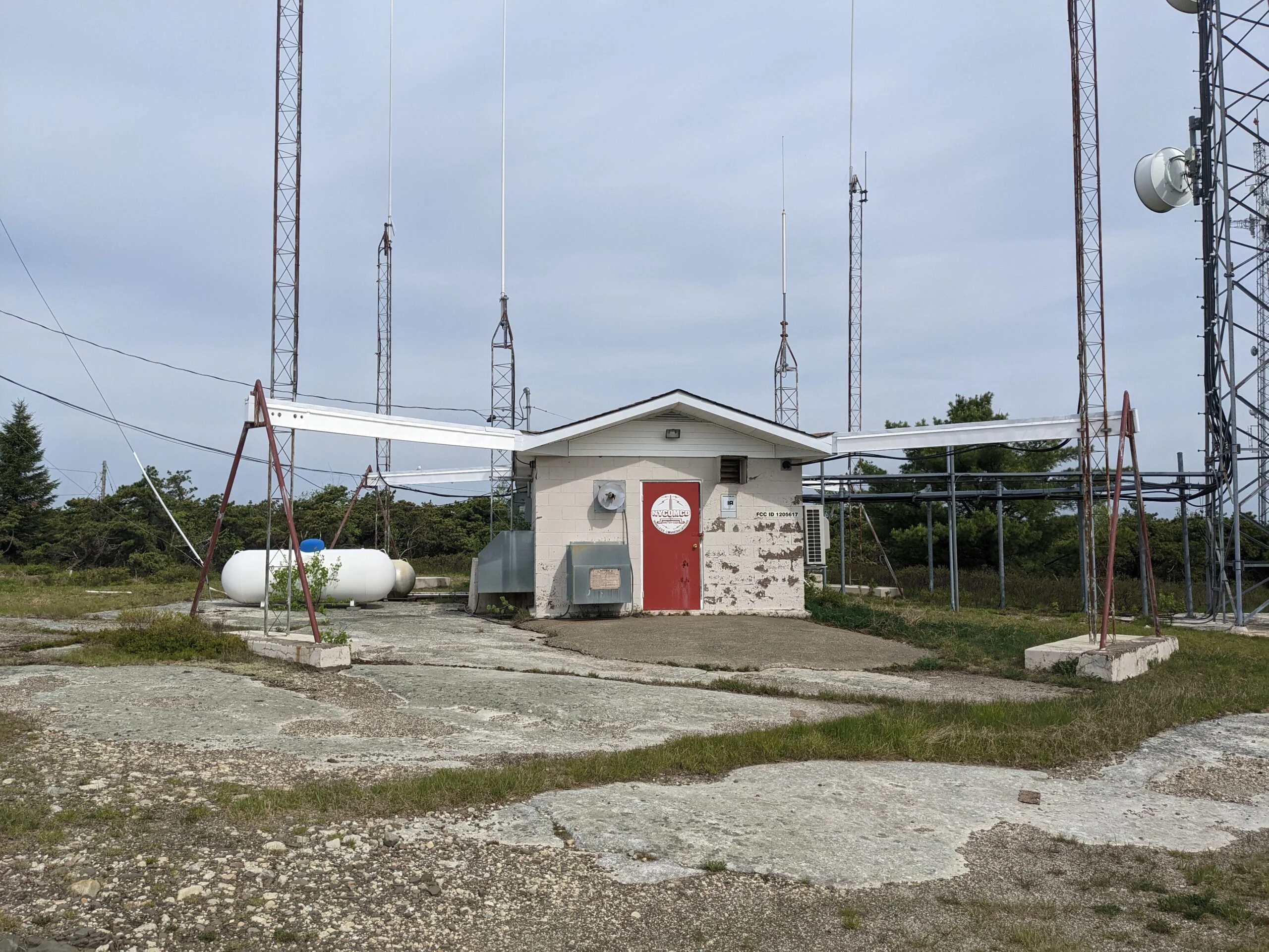
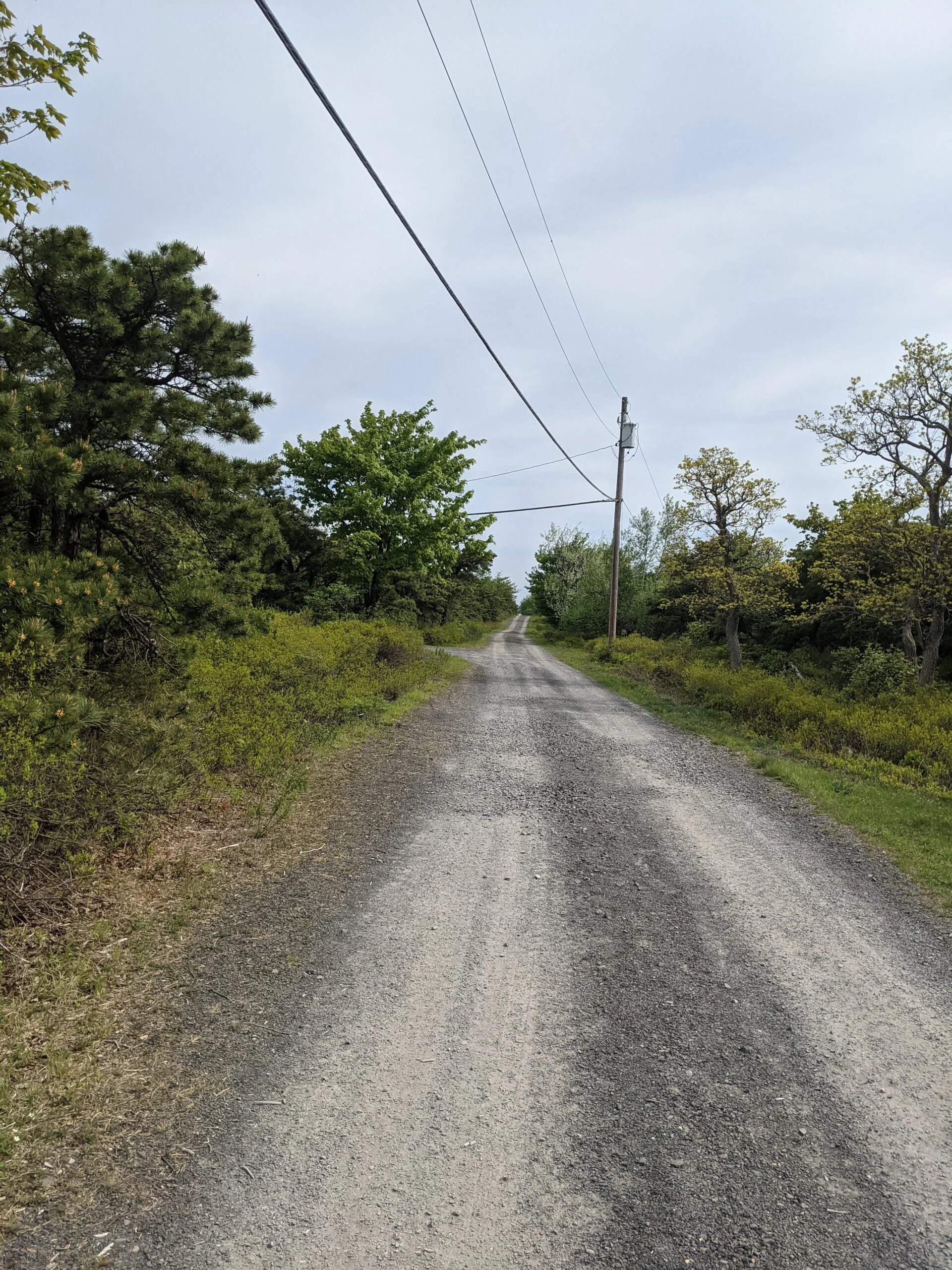
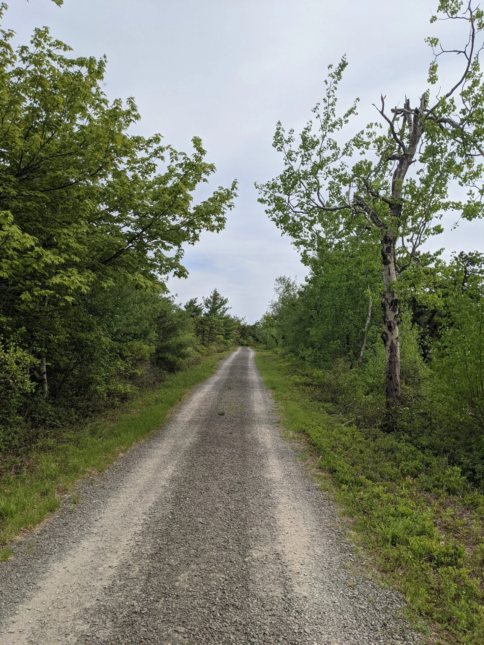
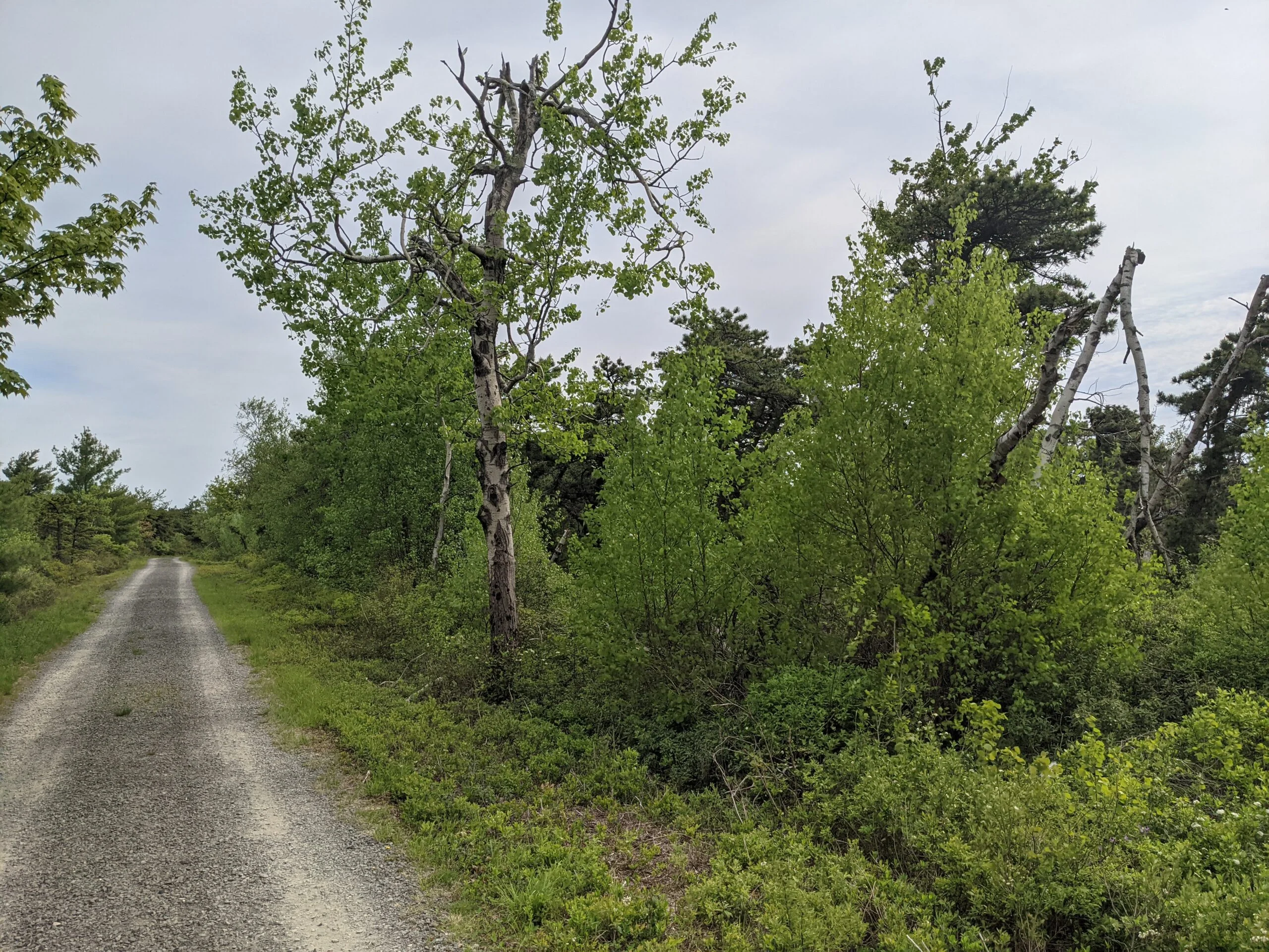
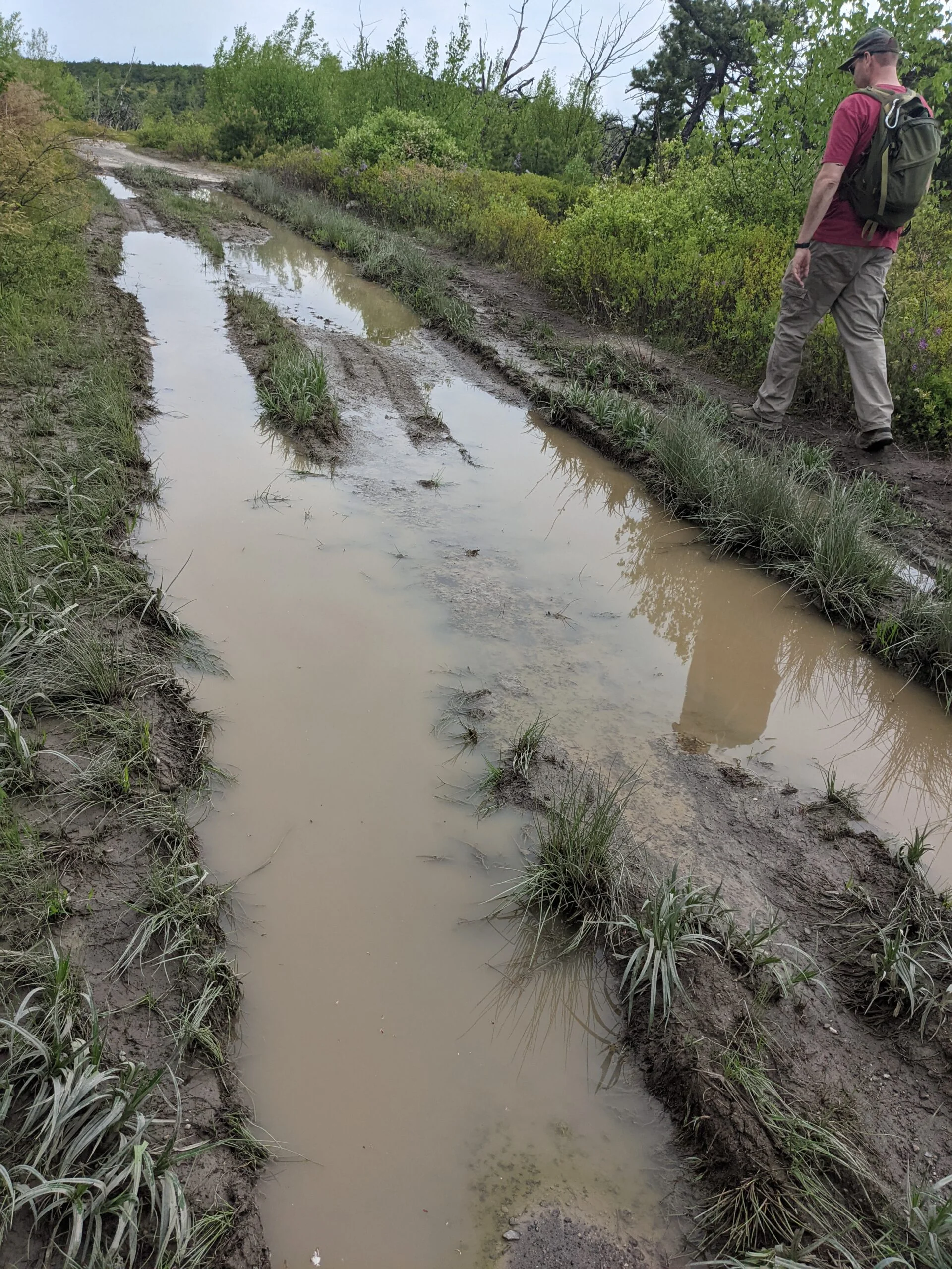
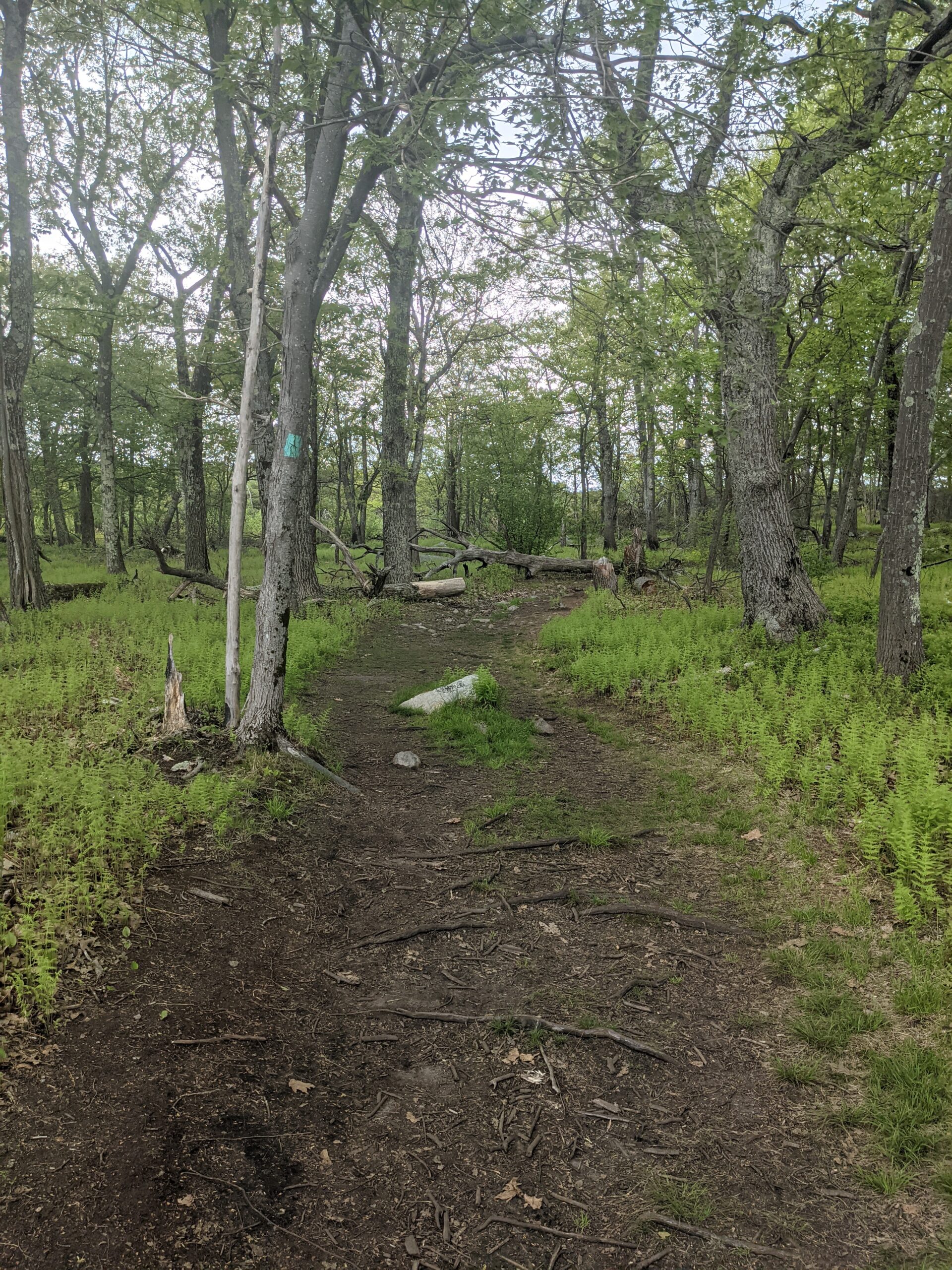
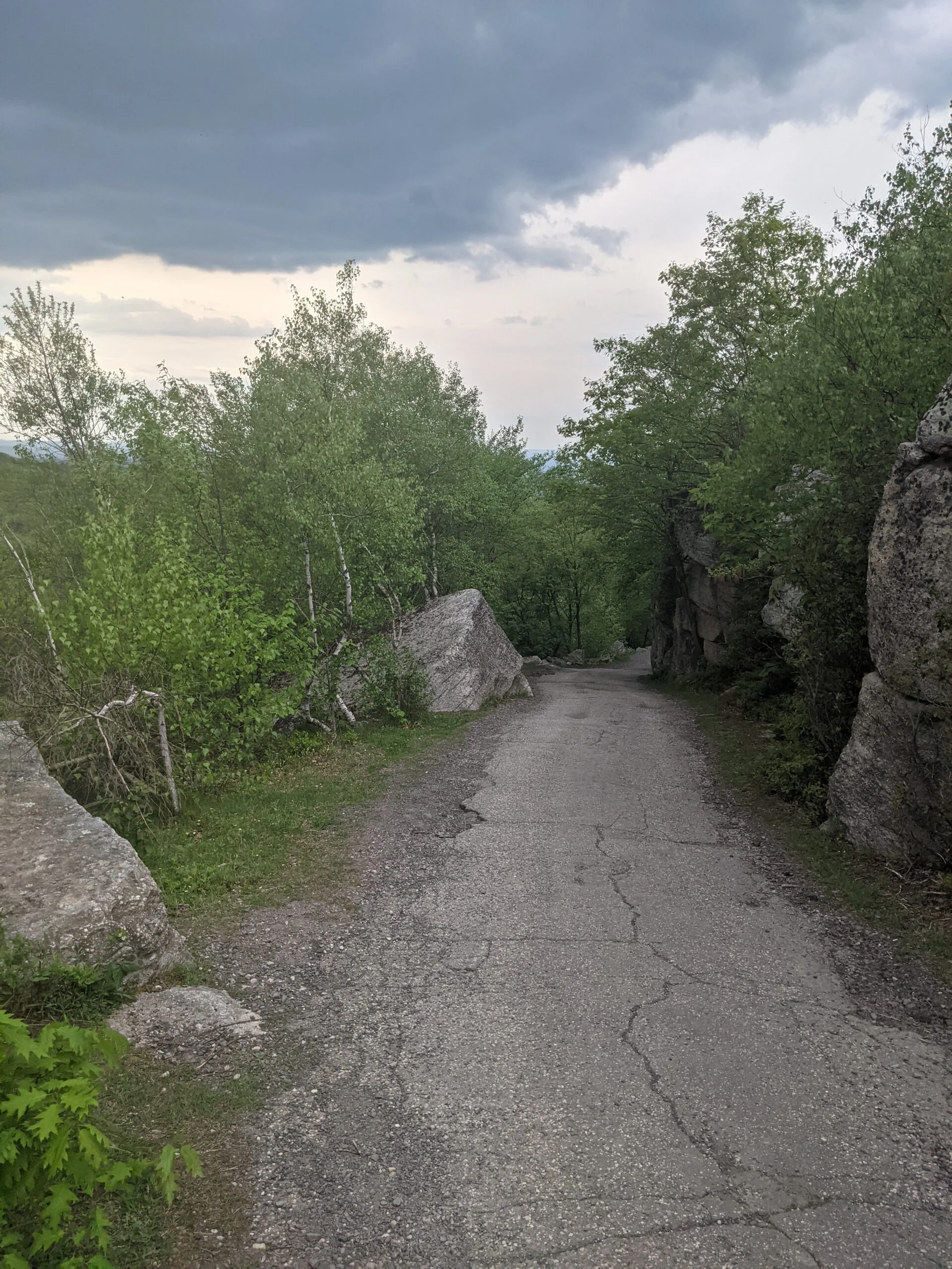
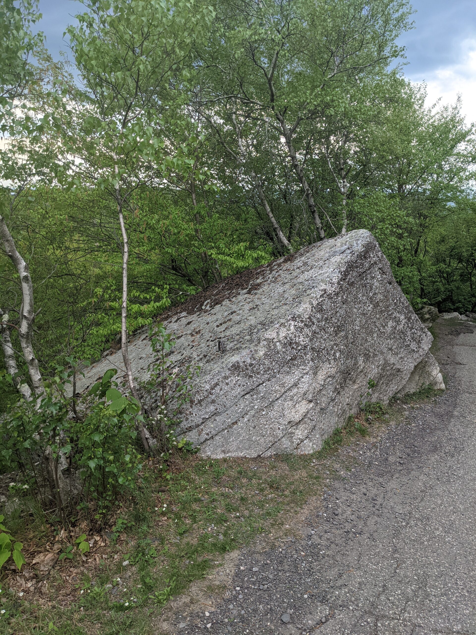
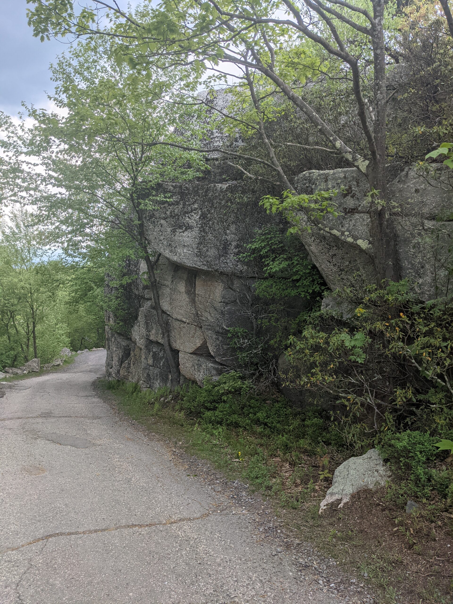
Having read up on this hike beforehand, I knew that taking the route clockwise via the Loop Road trail (LR) and High Point Carriage Road trail (HC) would involve walking on about 3 miles of paved/gravel carriage trail. We decided we’d rather get this part of the hike over first and save the more interesting parts for later in the day. From the parking lot and visitor’s center, we started up LR, passing several dilapidated huckleberry pickers’ shacks to our left. We explored one of the shacks, which was in a serious state of disrepair and had the requisite graffiti and carvings along the interior. Further up the trail, we came across several radio and microwave towers and antennas.
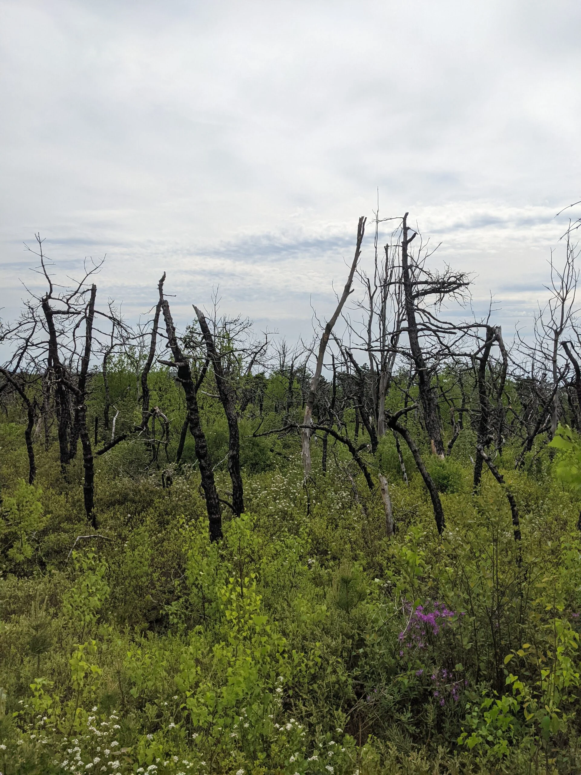
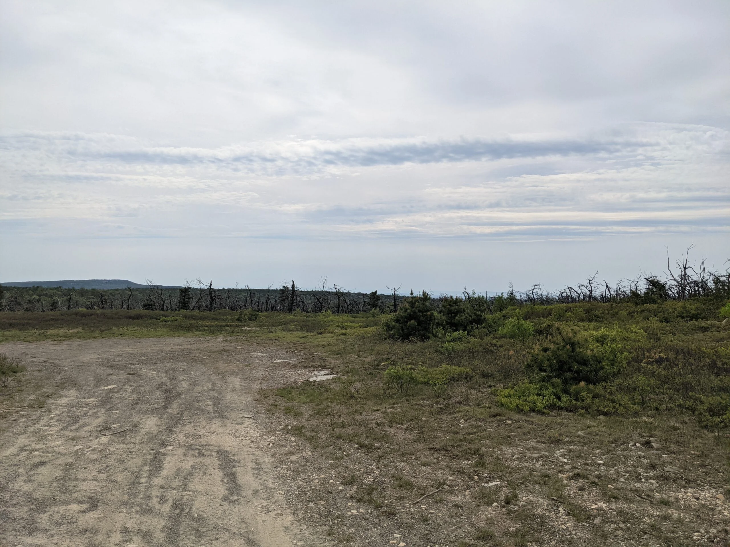
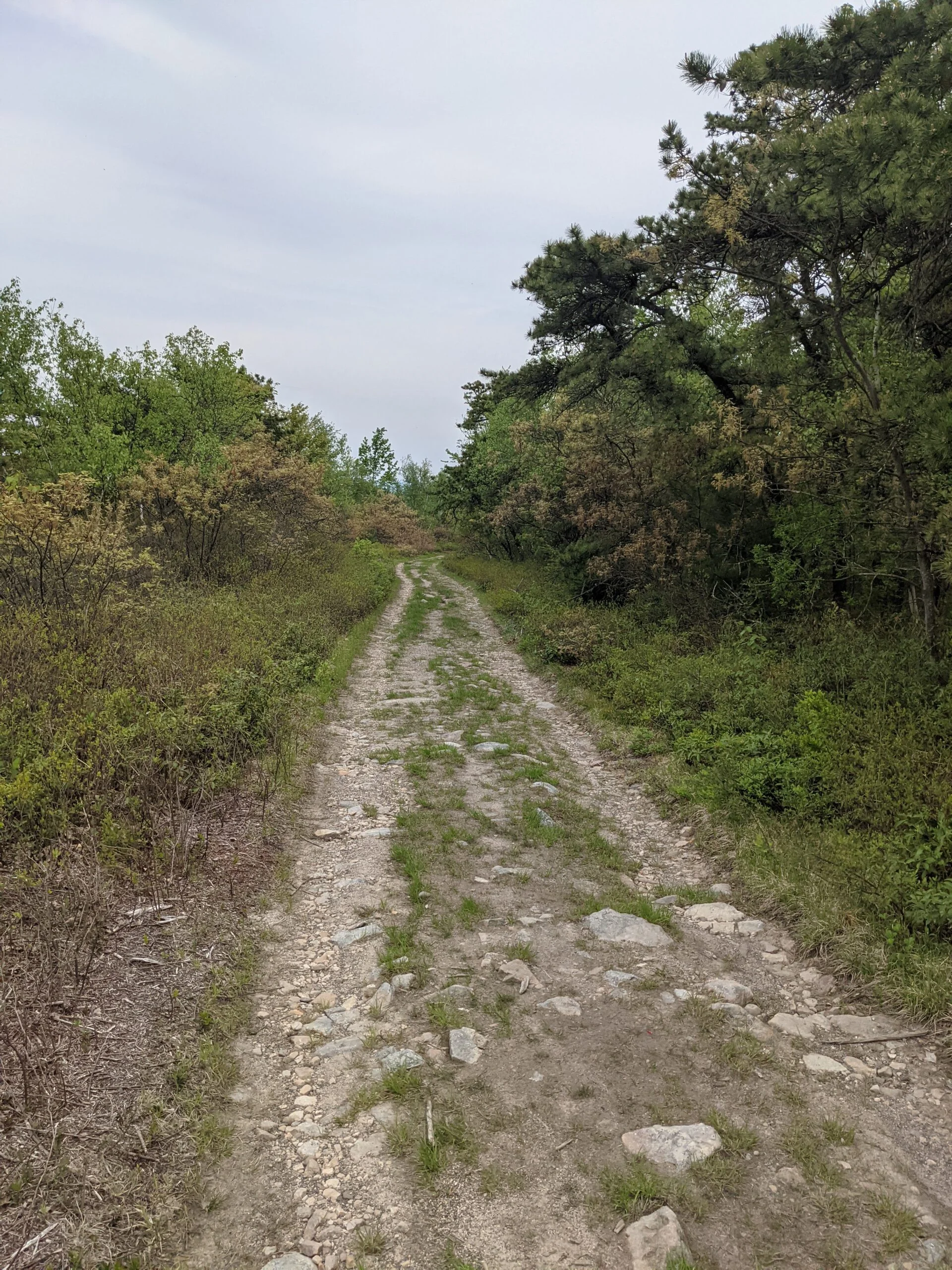
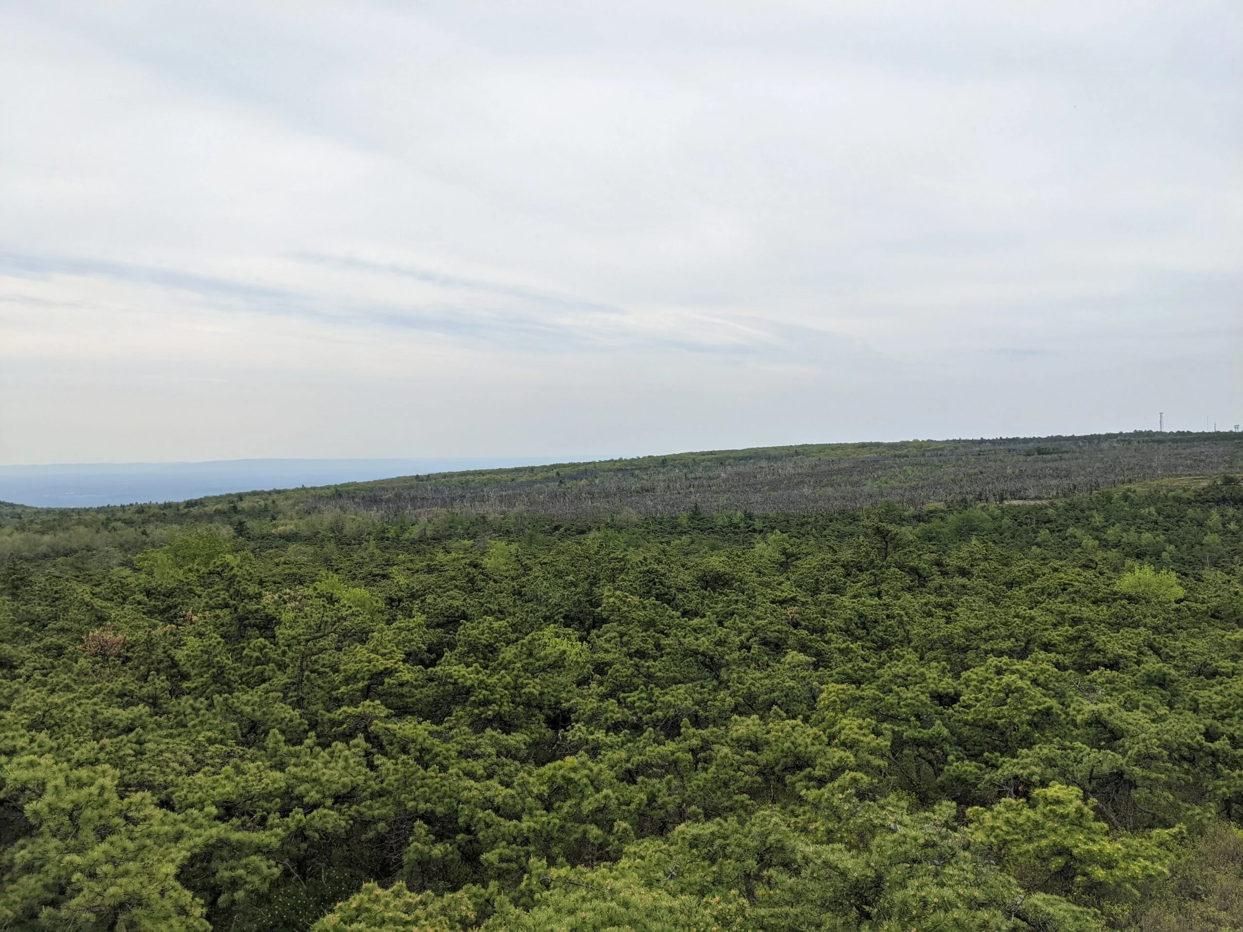
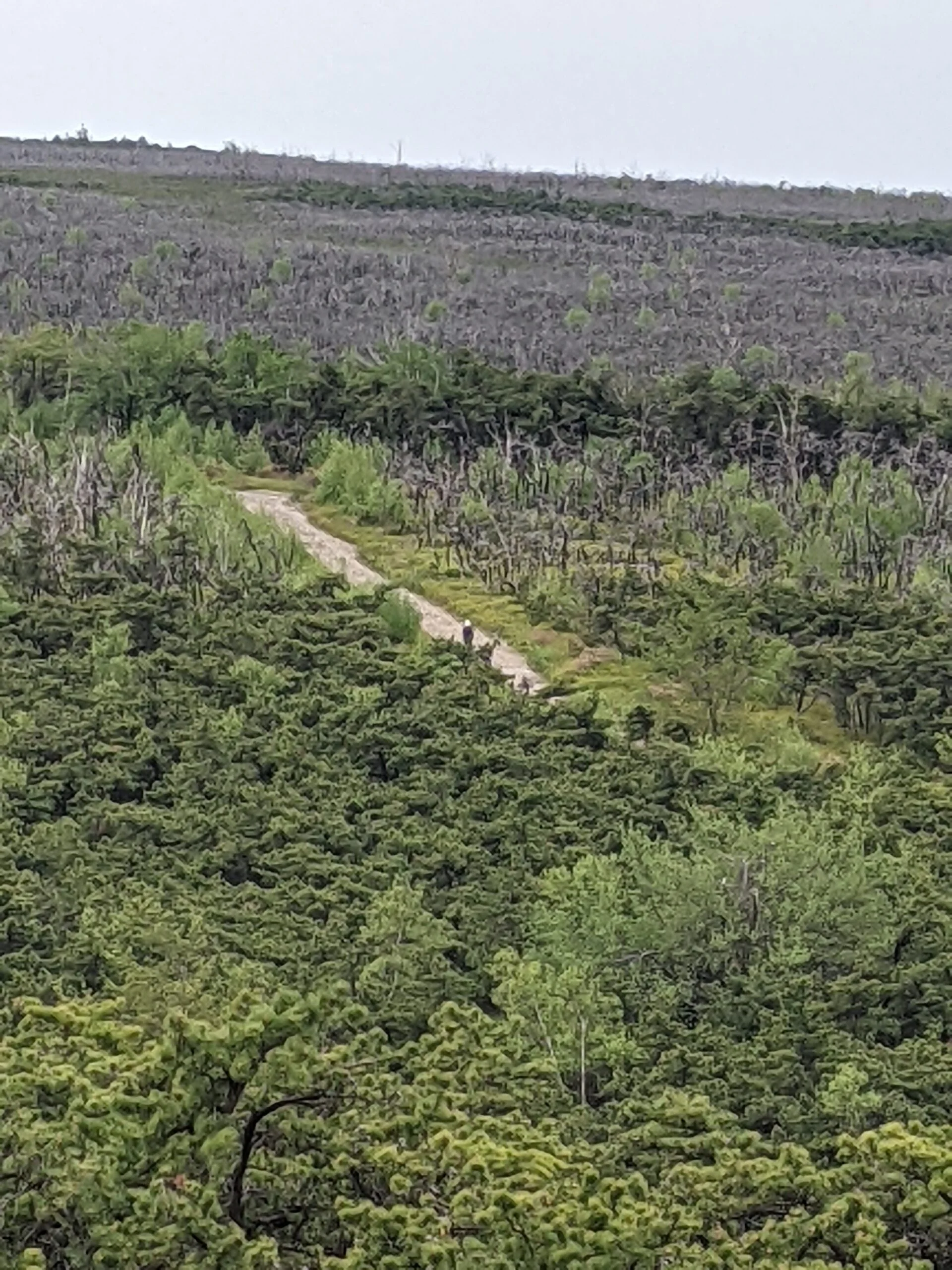
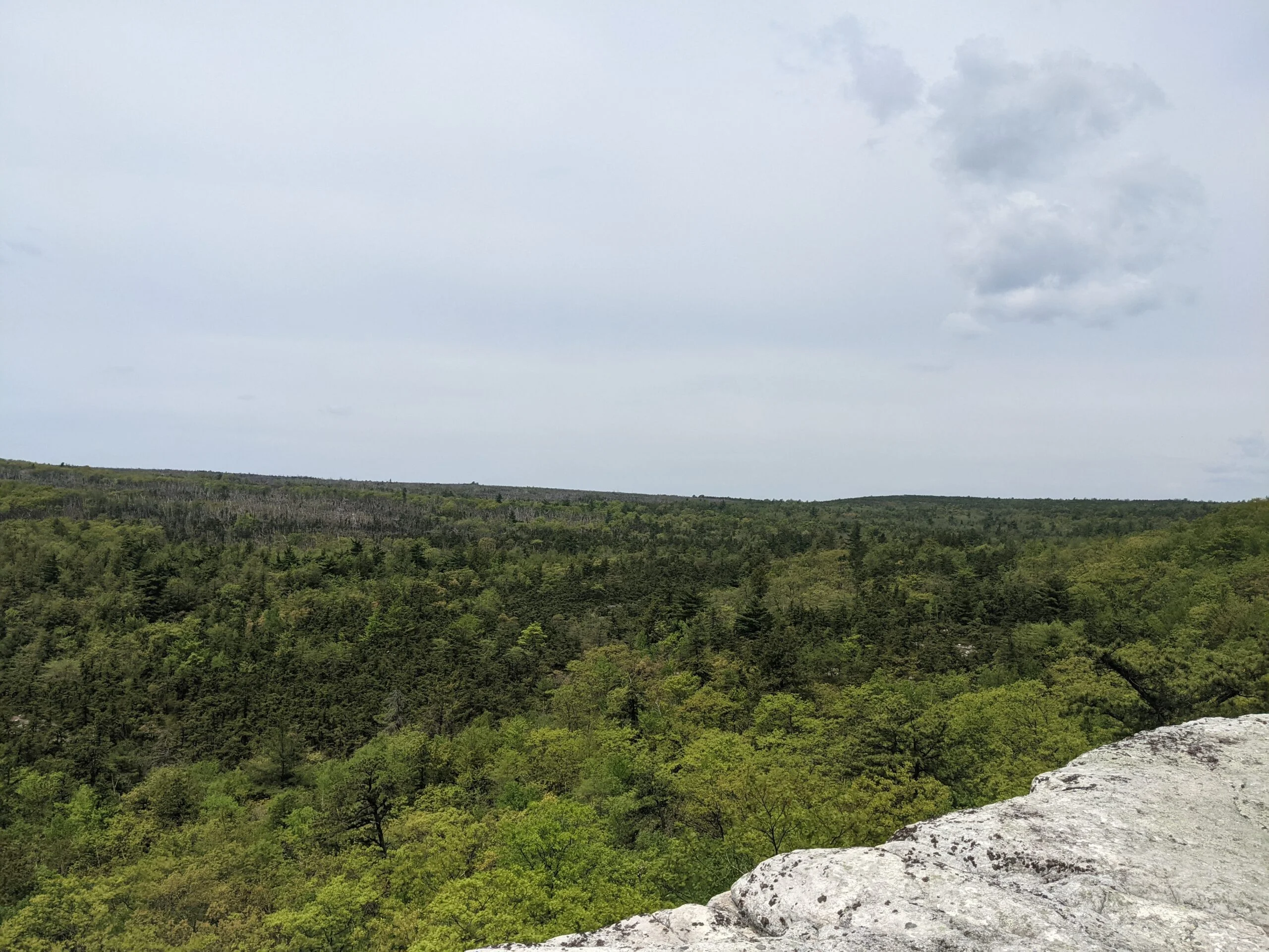
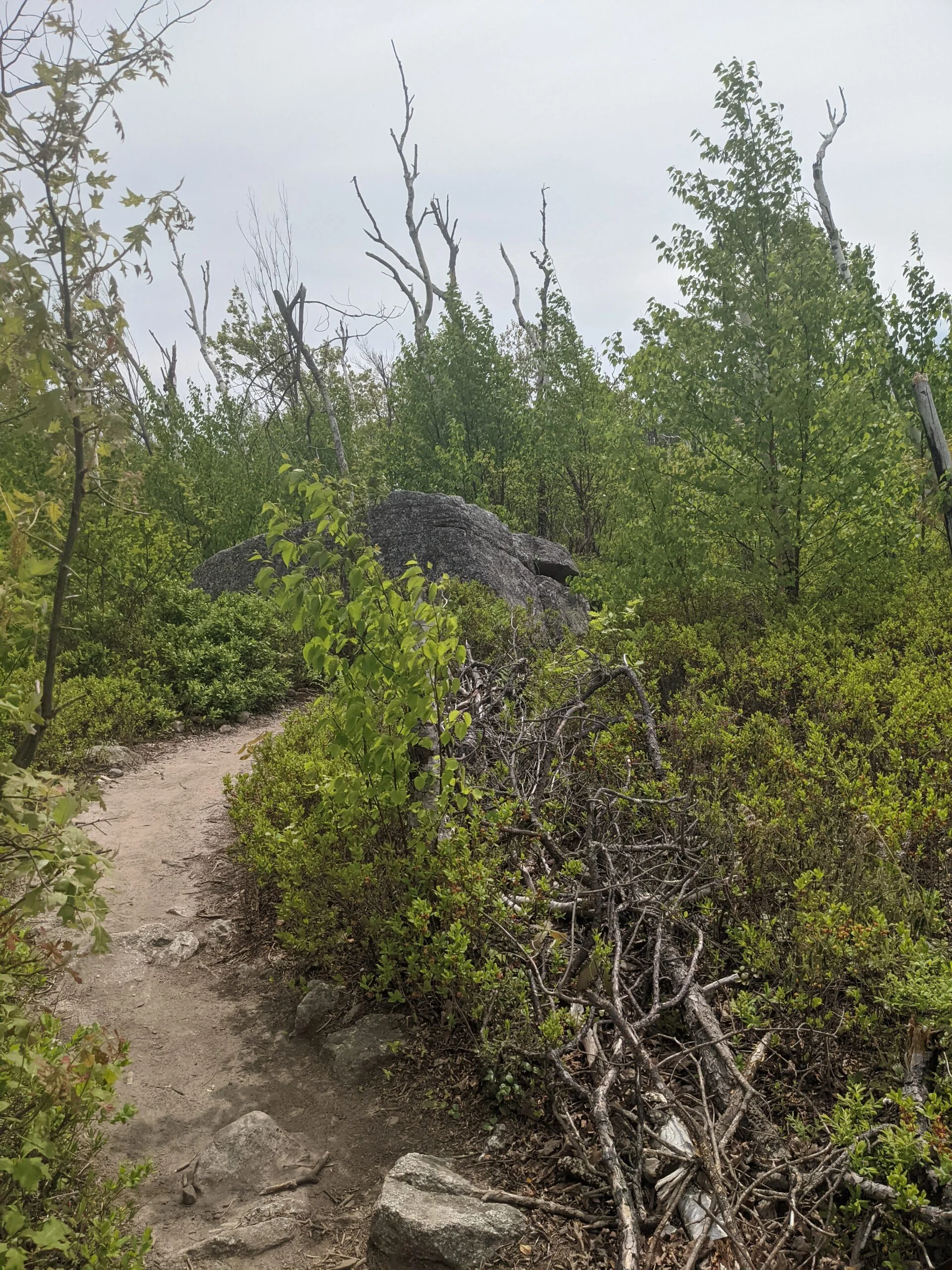
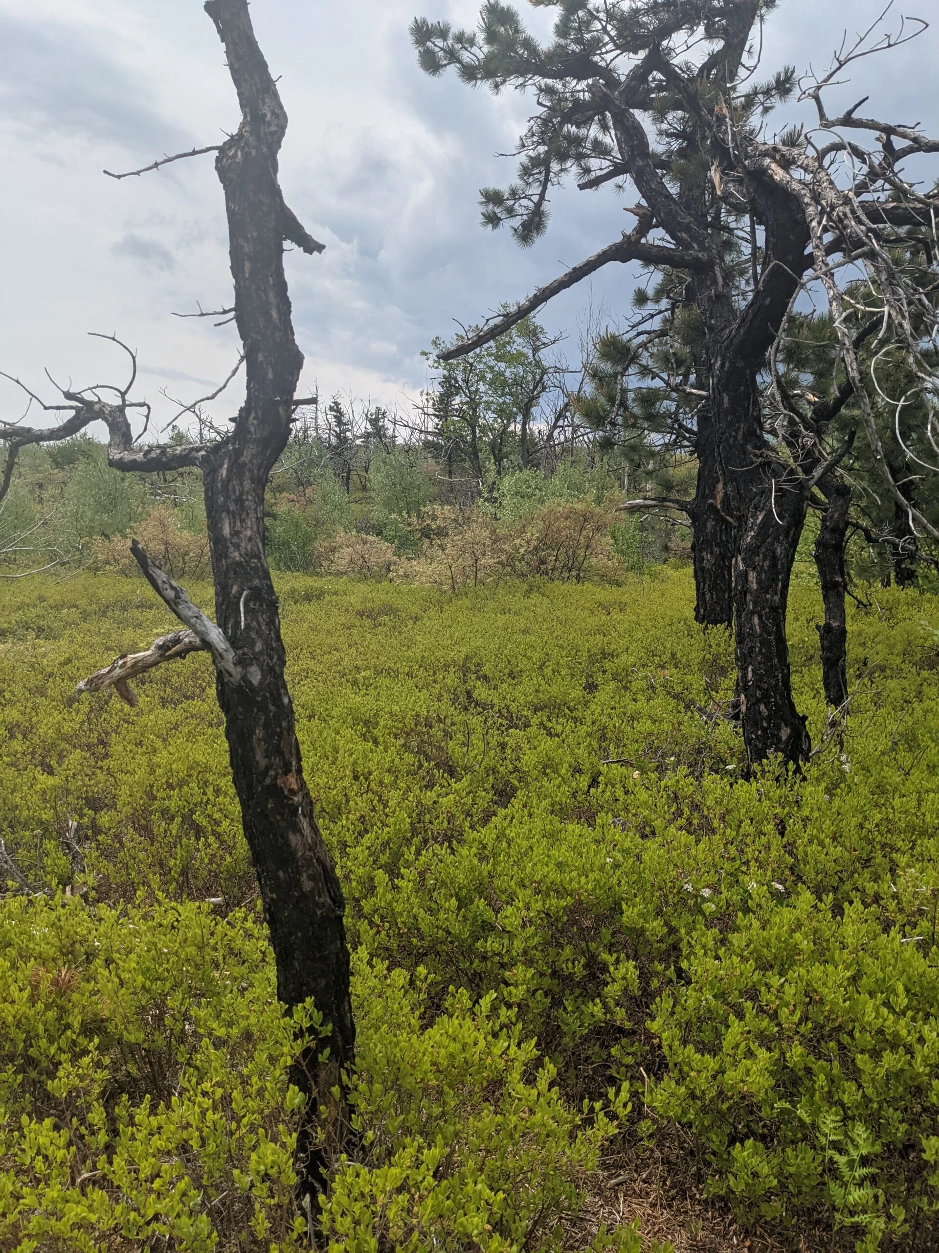
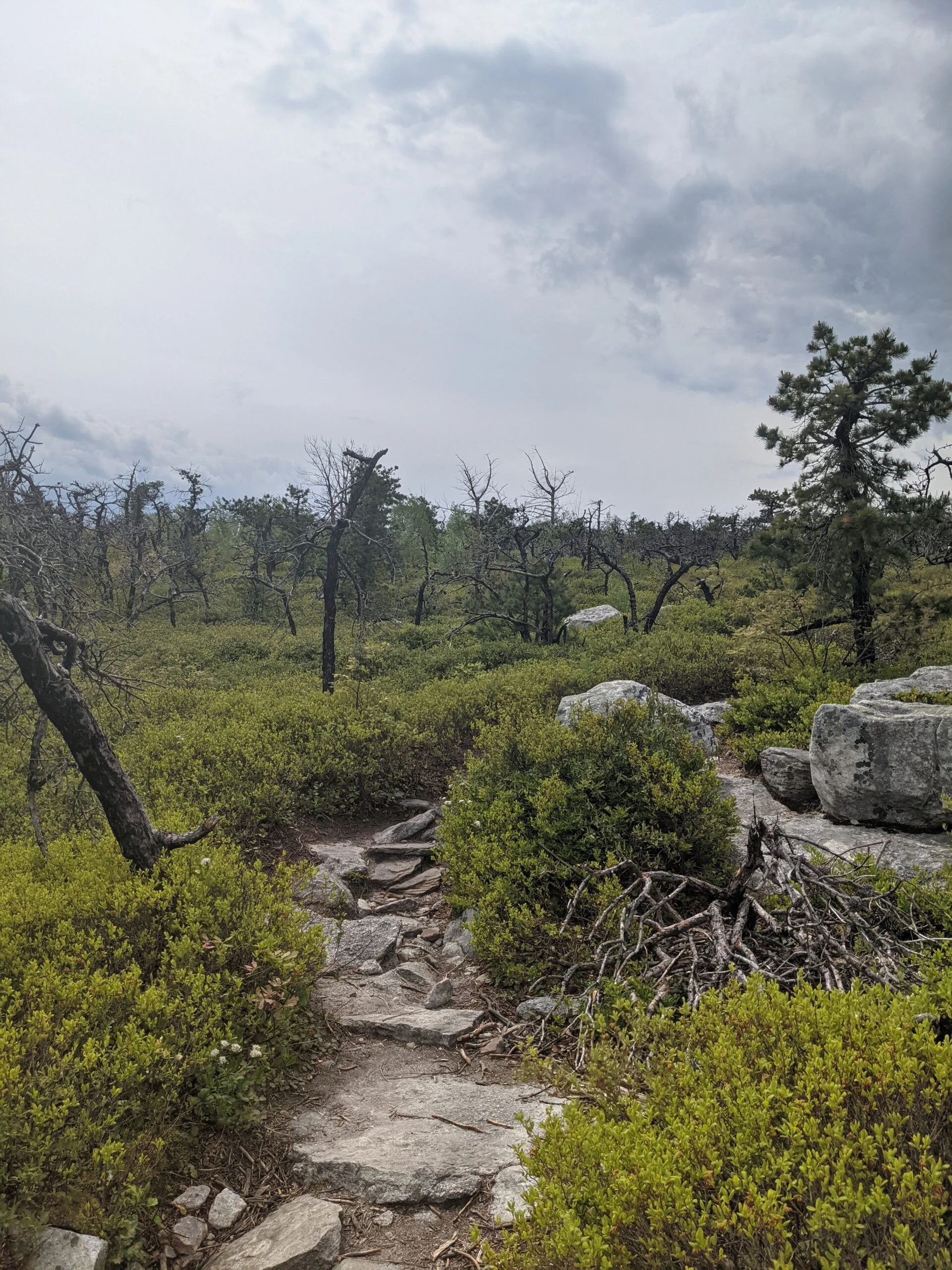
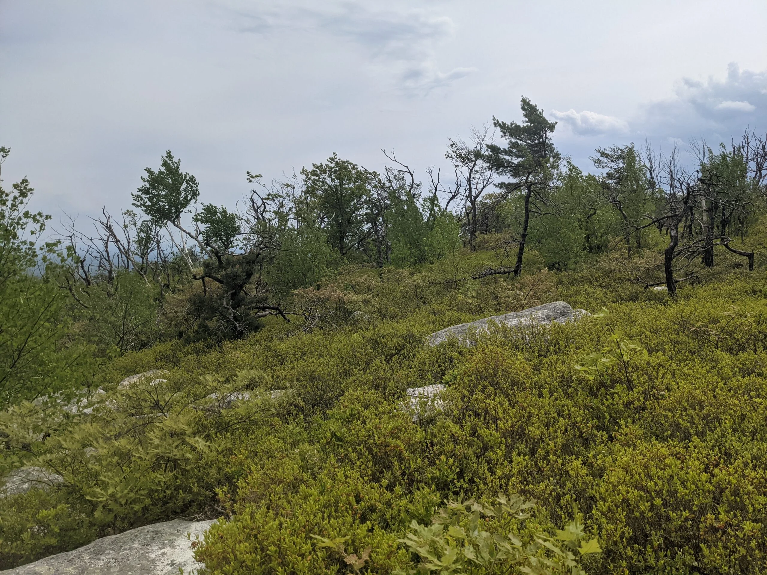
Around the 1.2 mile mark, having gradually ascended about 275 feet, we reached the HC trail on the left and followed that north. Like LR, HC is a packed gravel carriage trail. Along the way, we saw the charred remains of trees consumed by the April 2016 wildfire which burned for 5 days and affected over 2,000 acres of the park. The entire Sam’s Point area remained closed for over a month after the fire and the trails connecting Sam’s Point to the northern areas of Minnewaska didn’t reopen until August 2017. It is likely the fire was caused by humans.
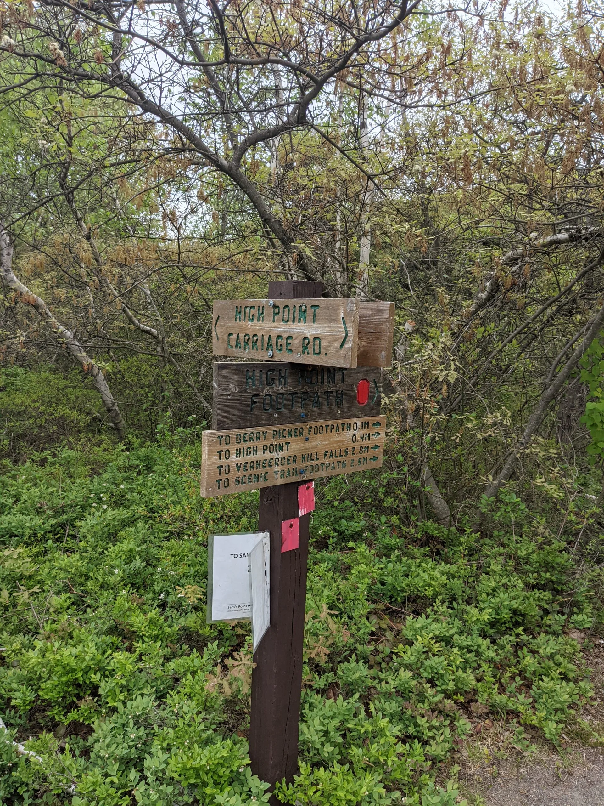
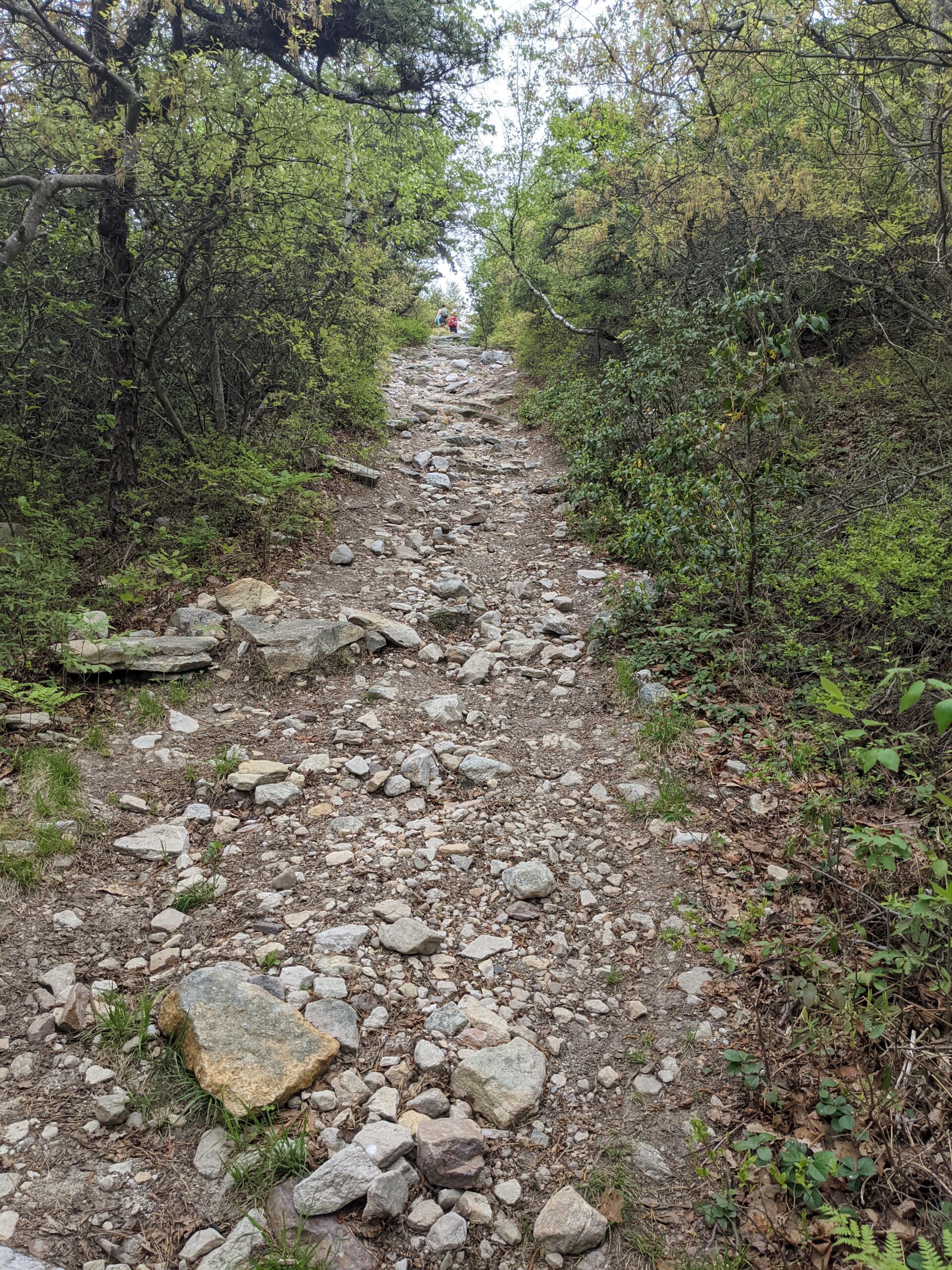
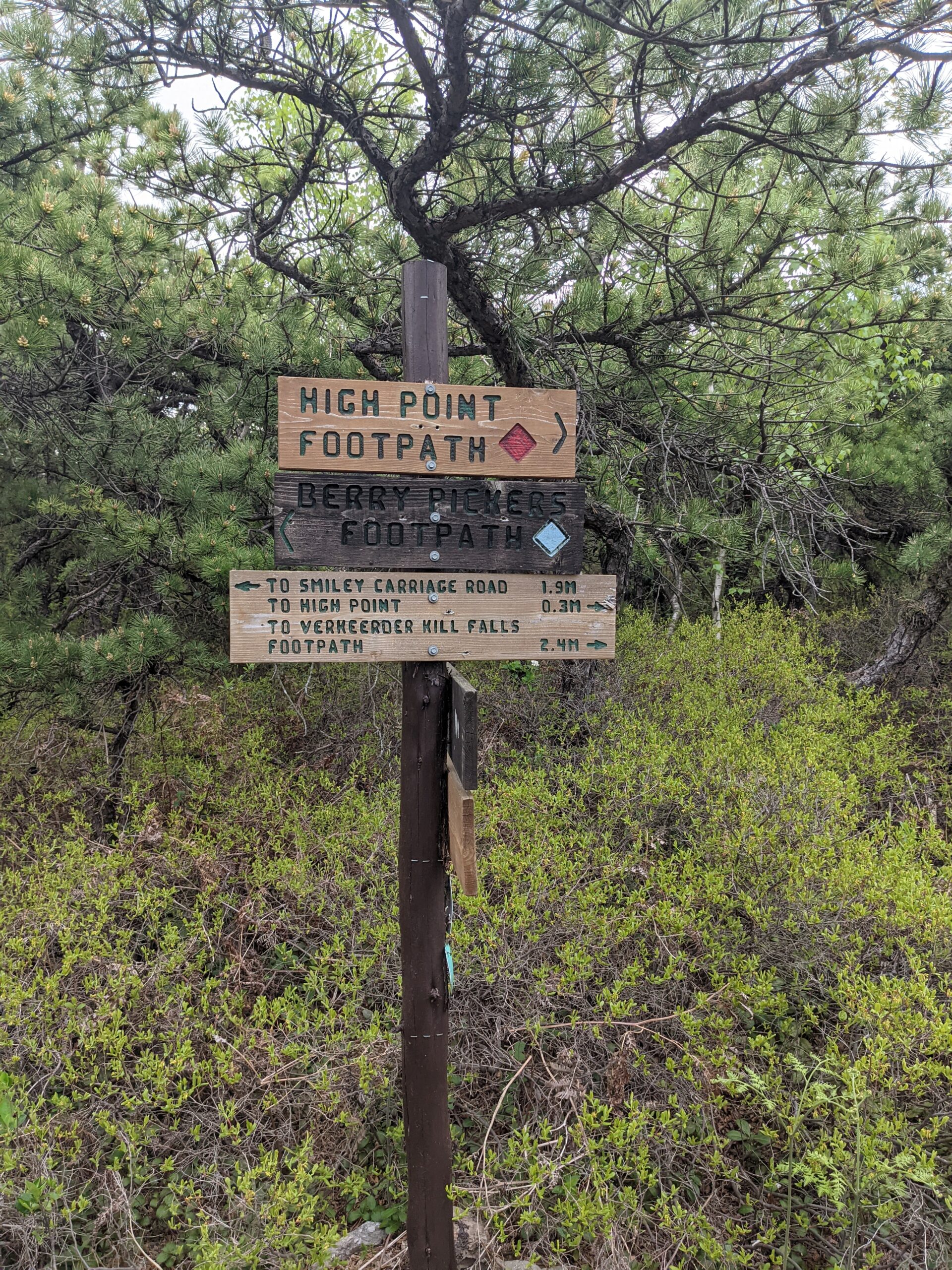
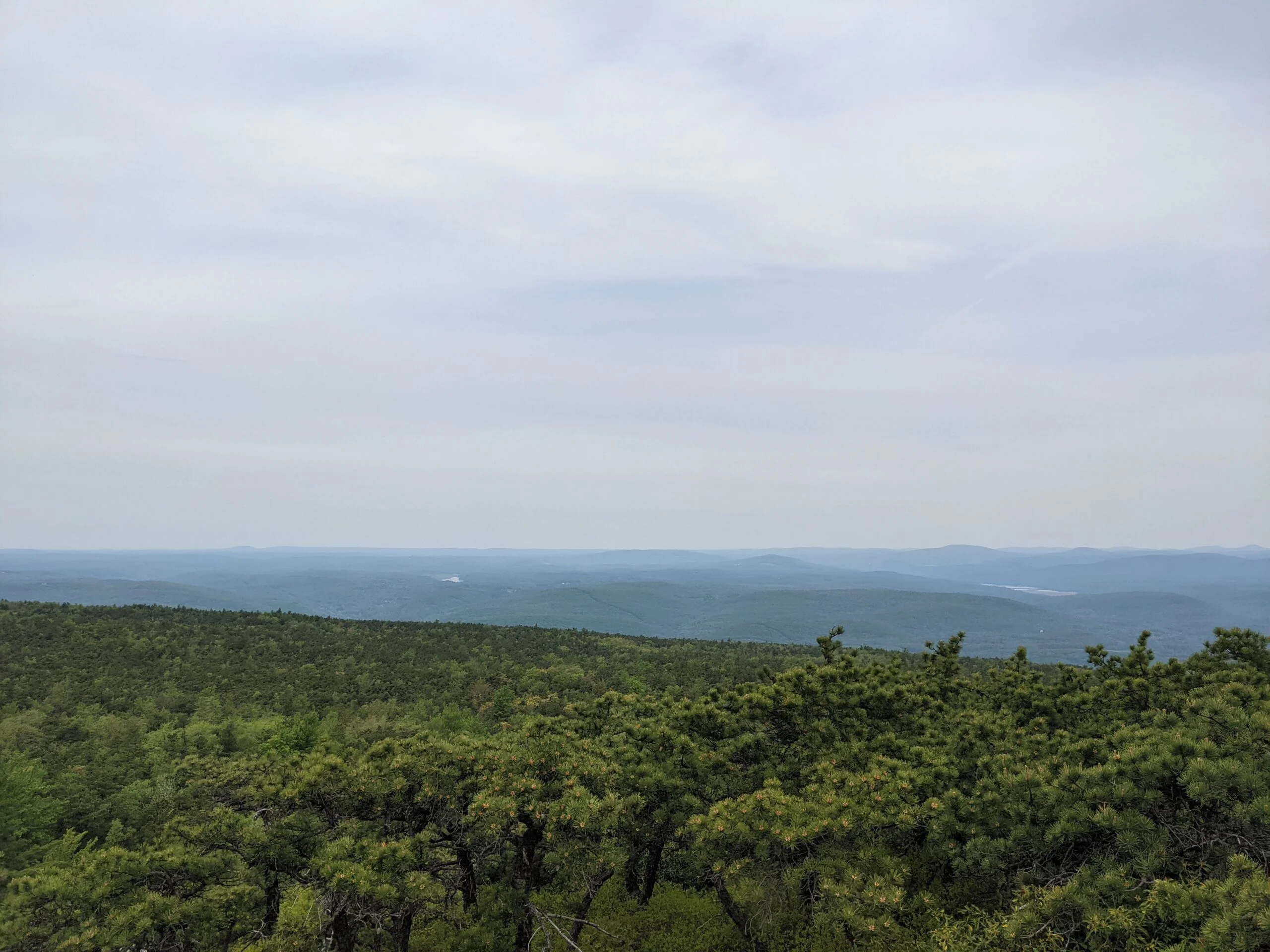
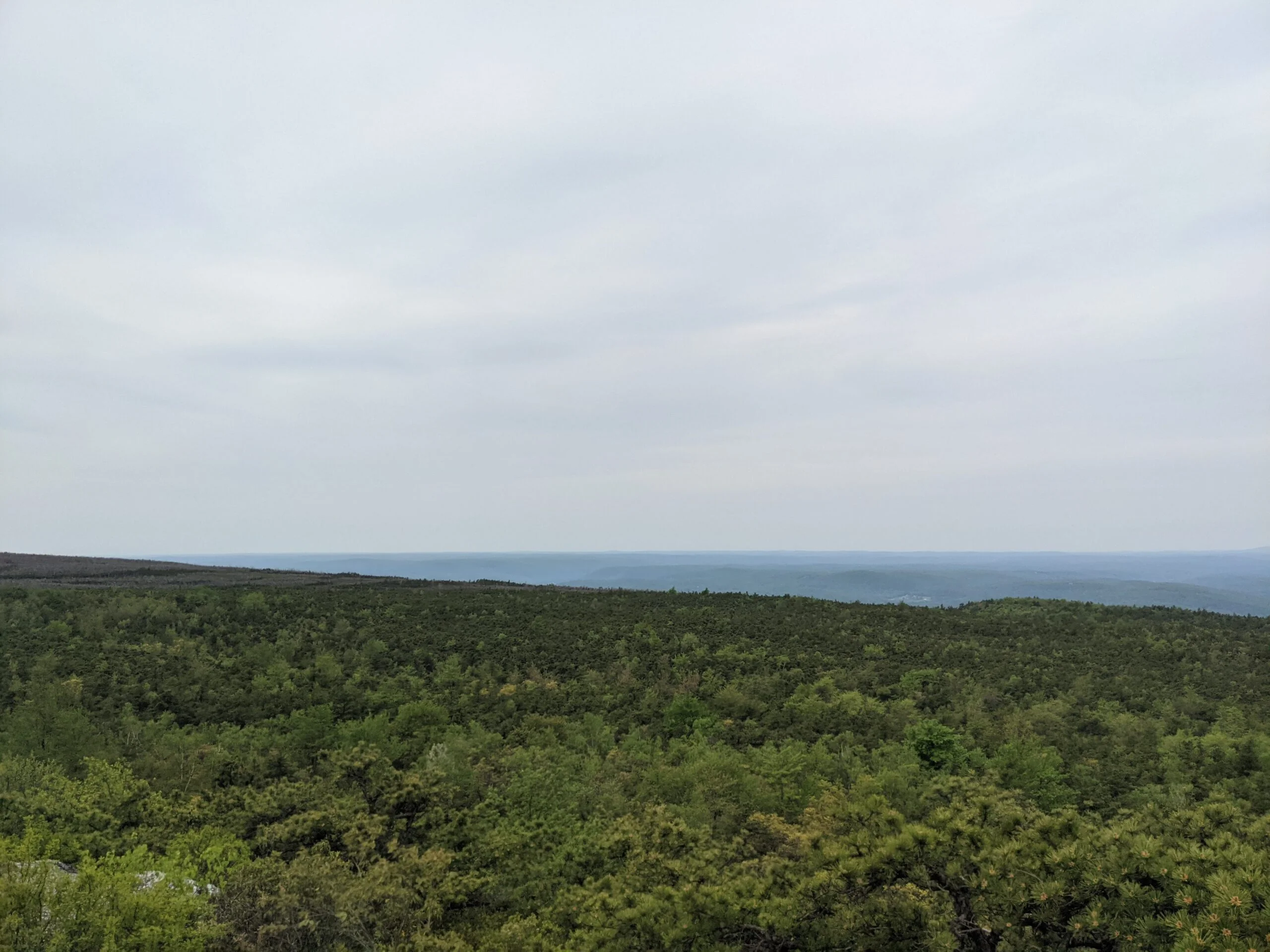
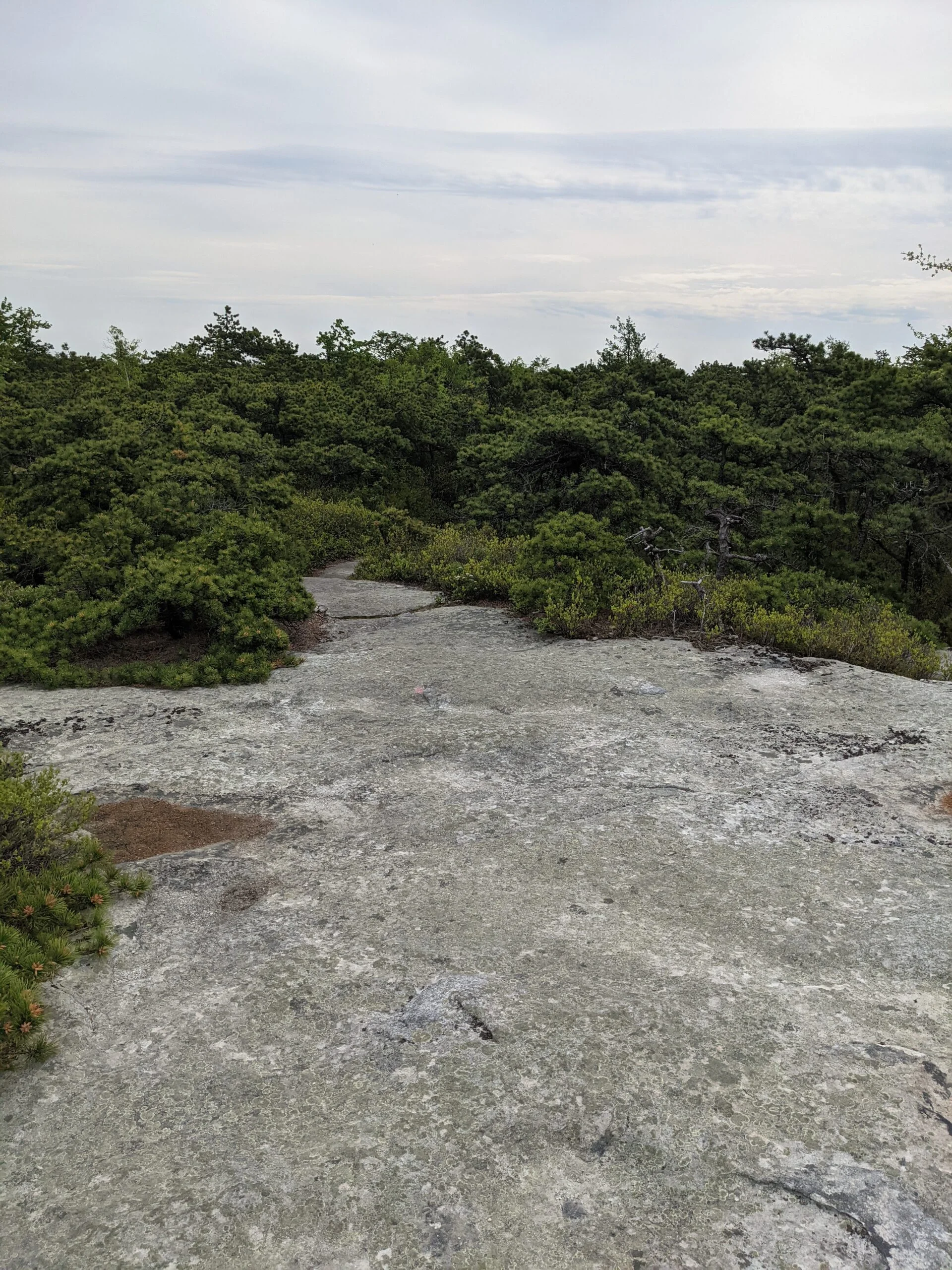
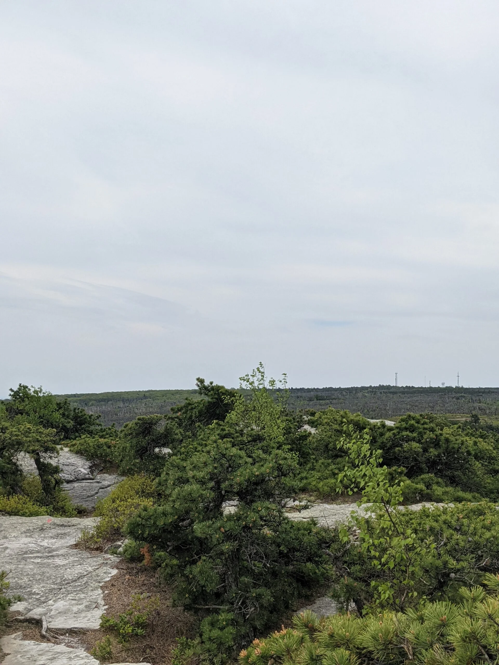
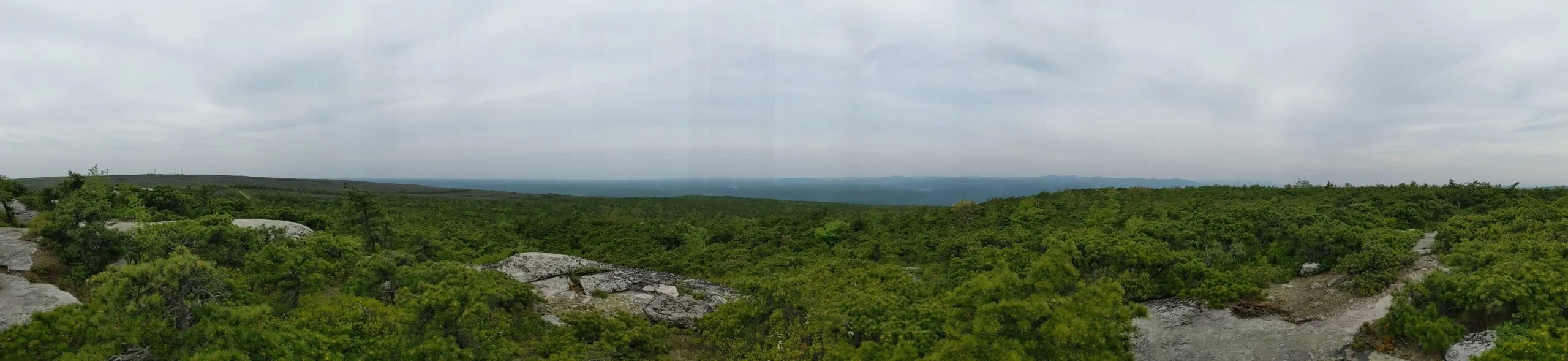
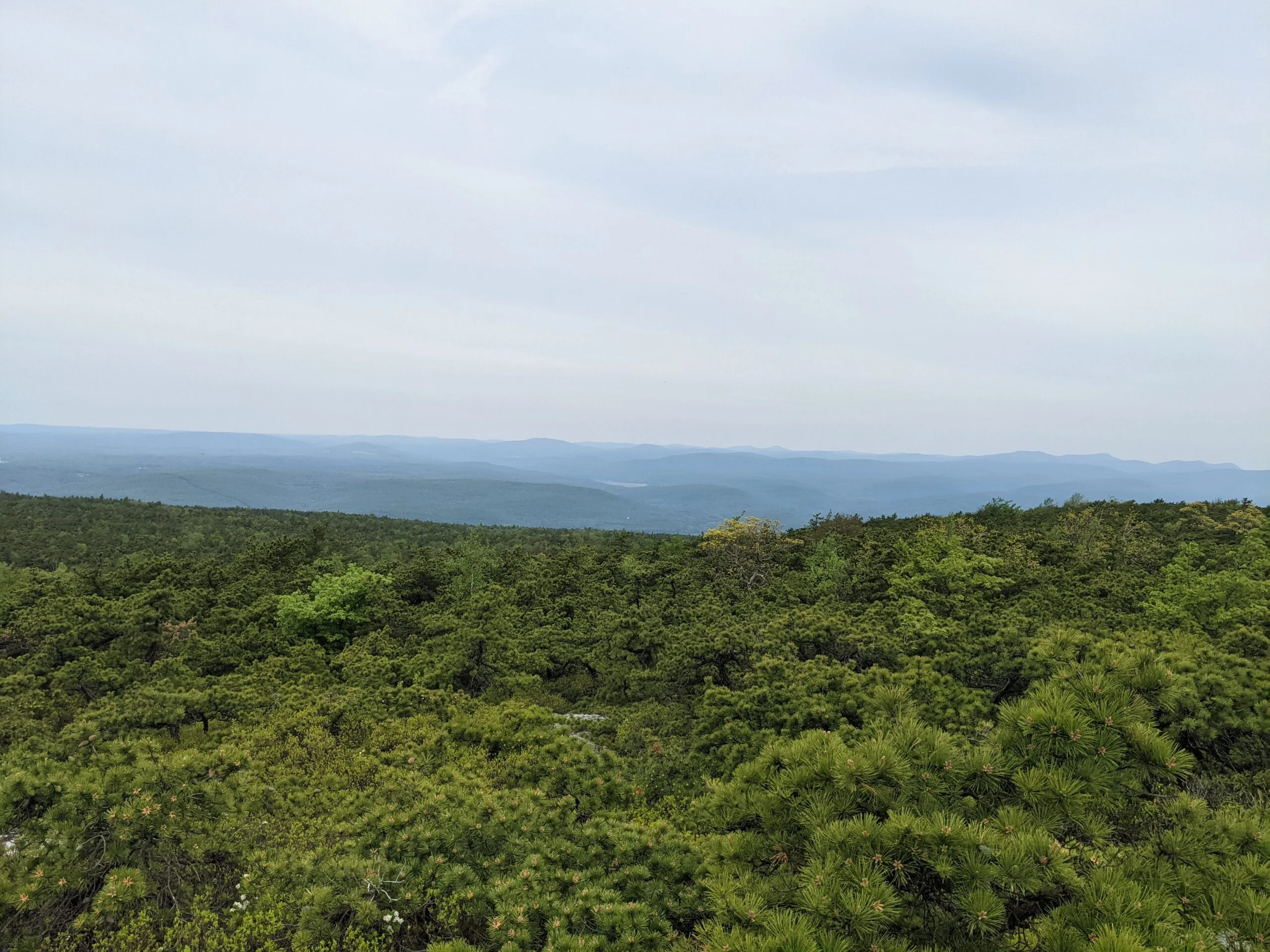
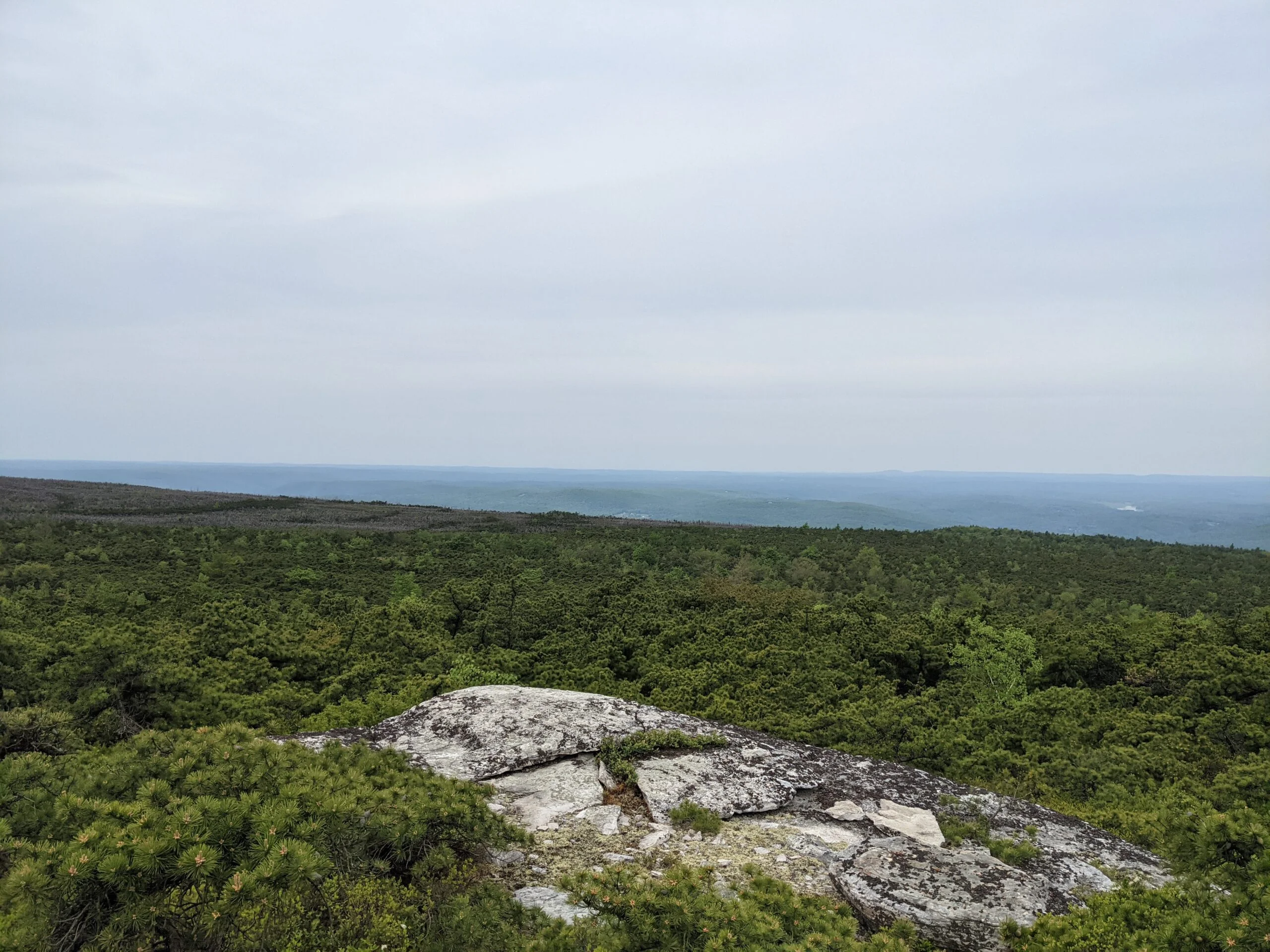
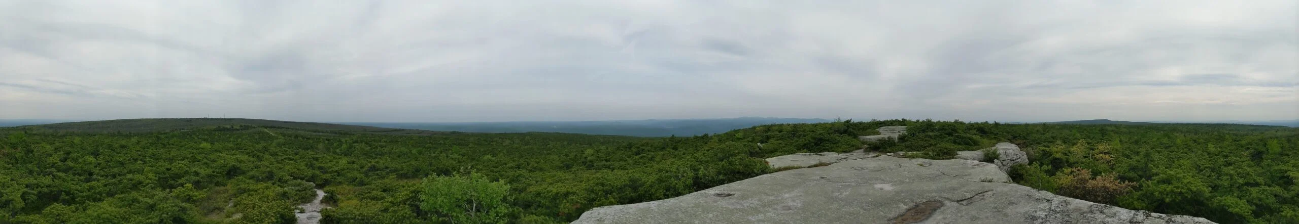
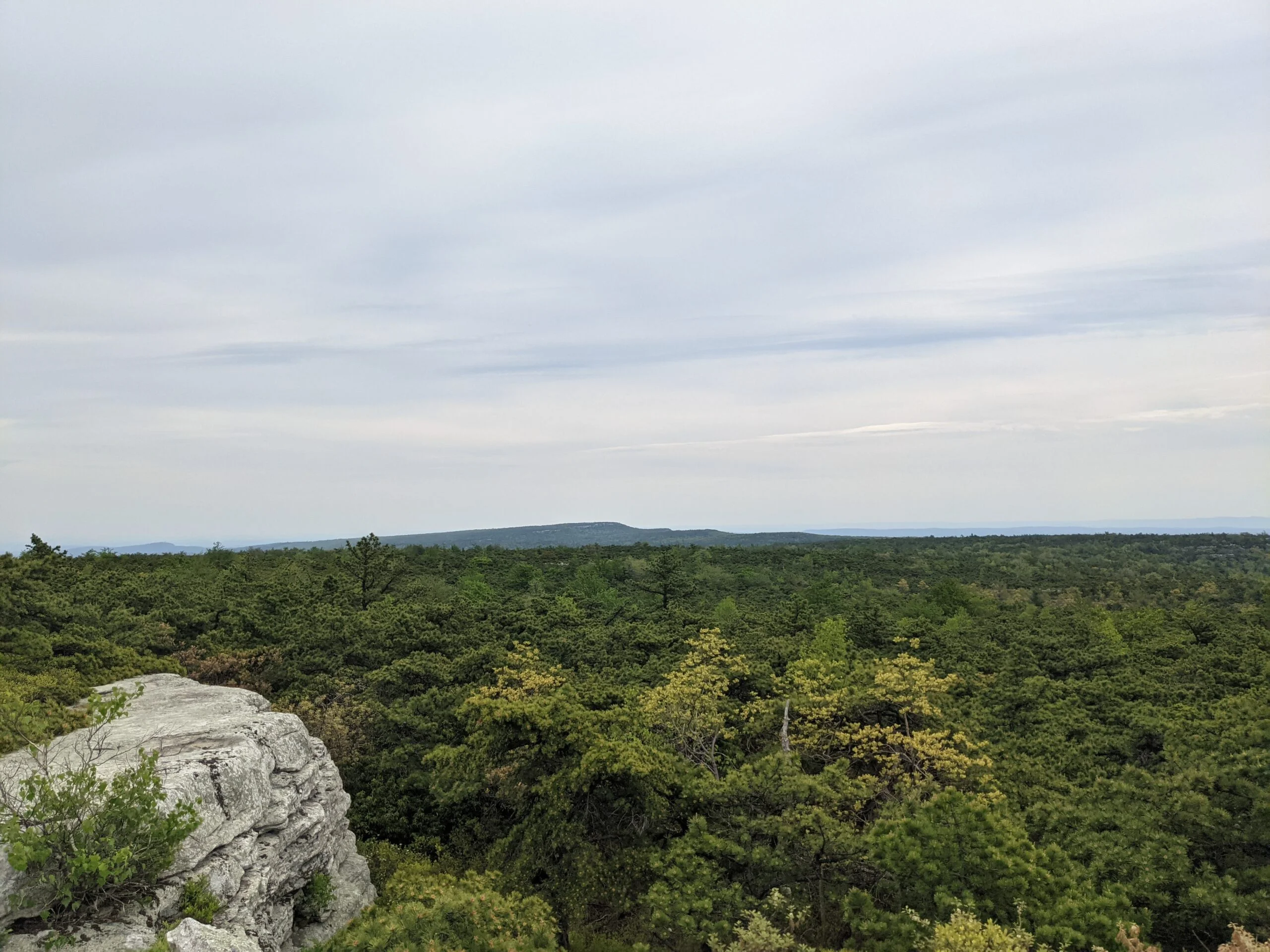
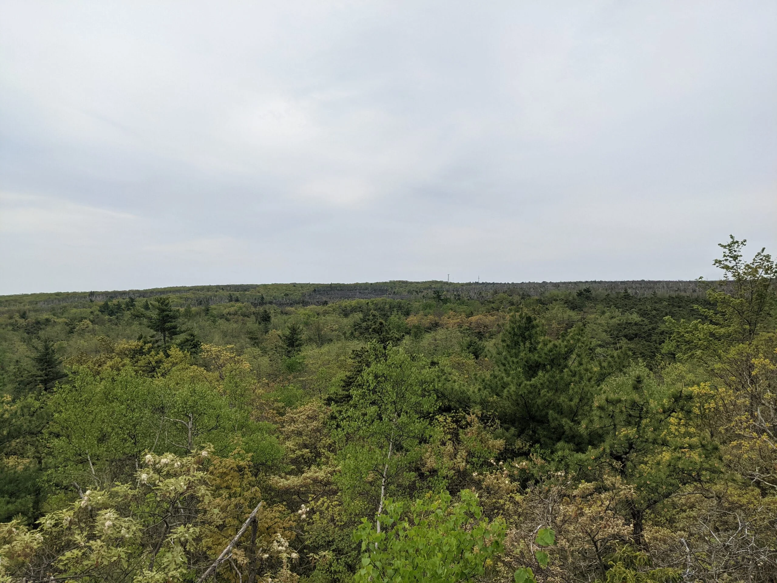
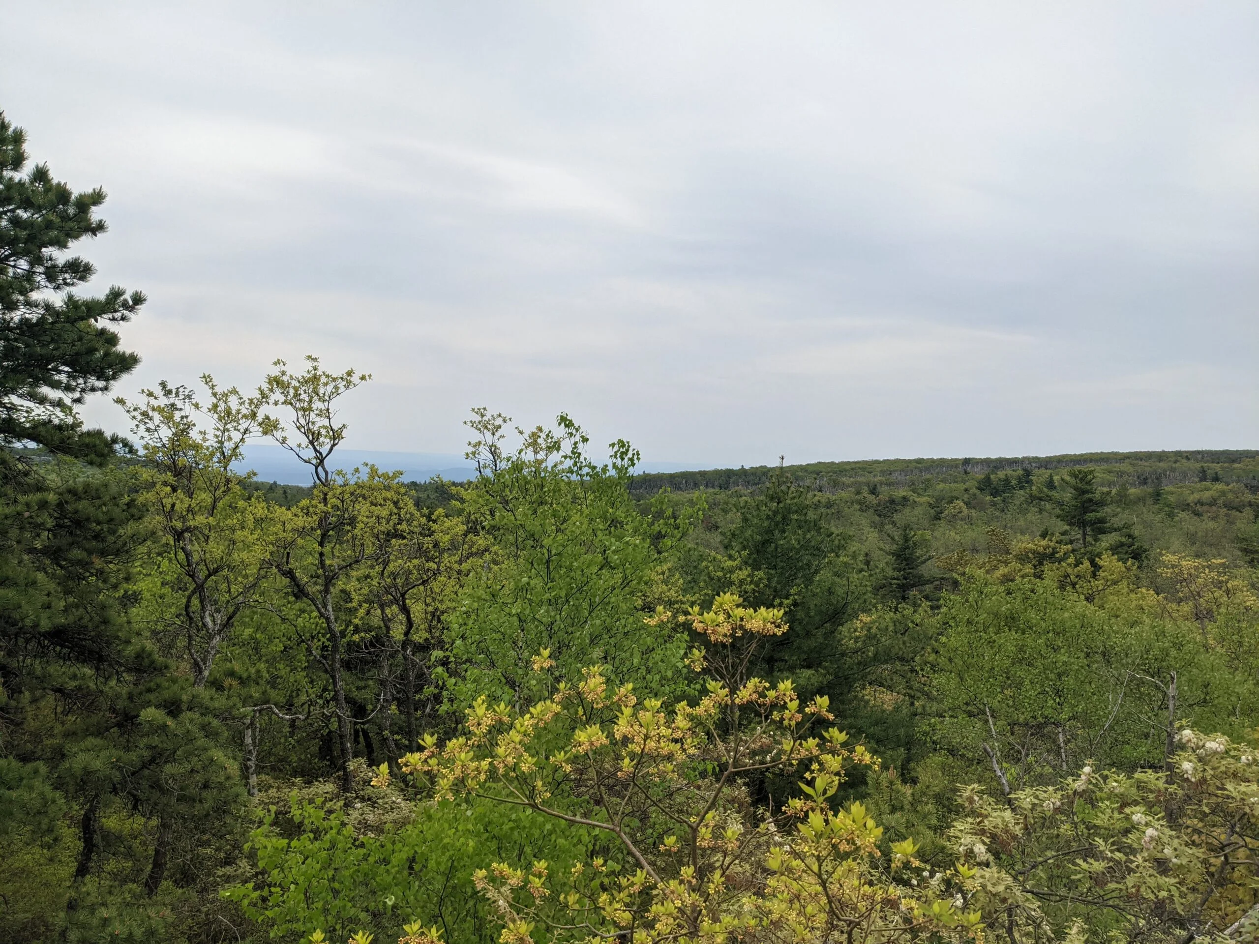
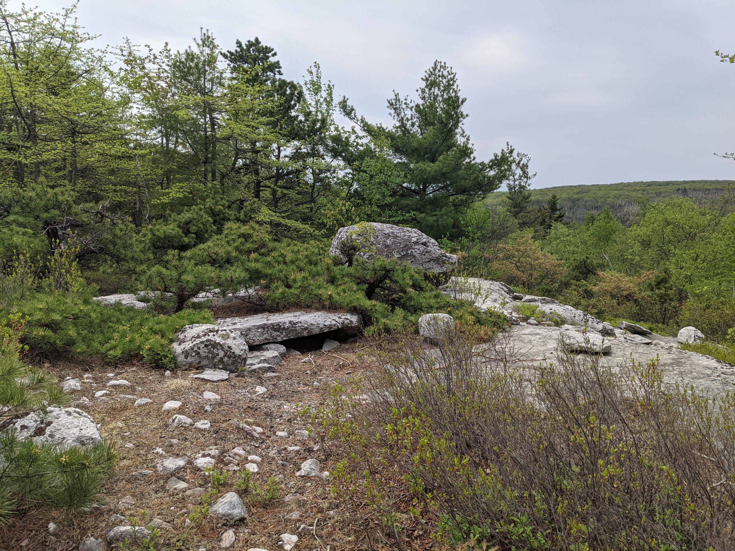
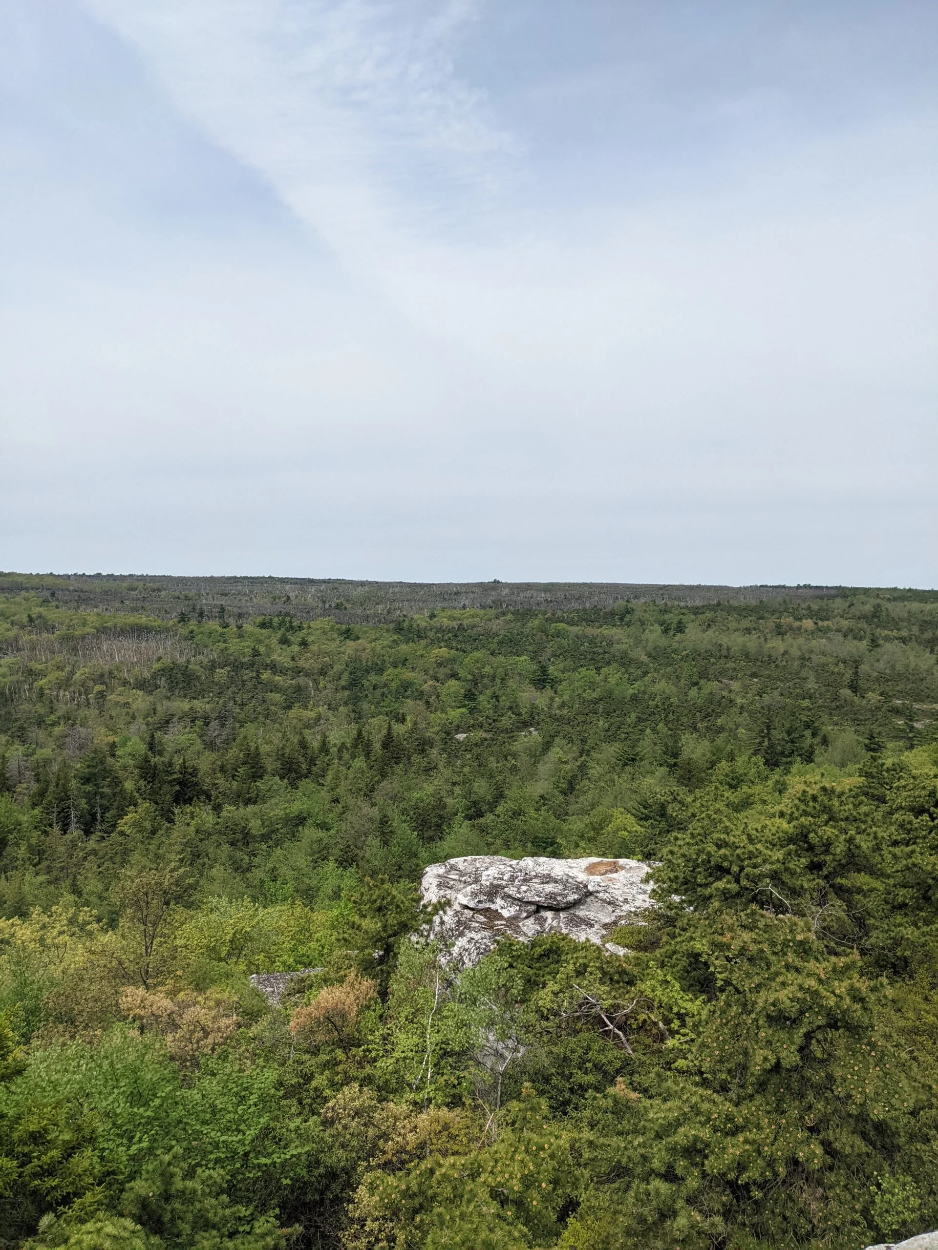
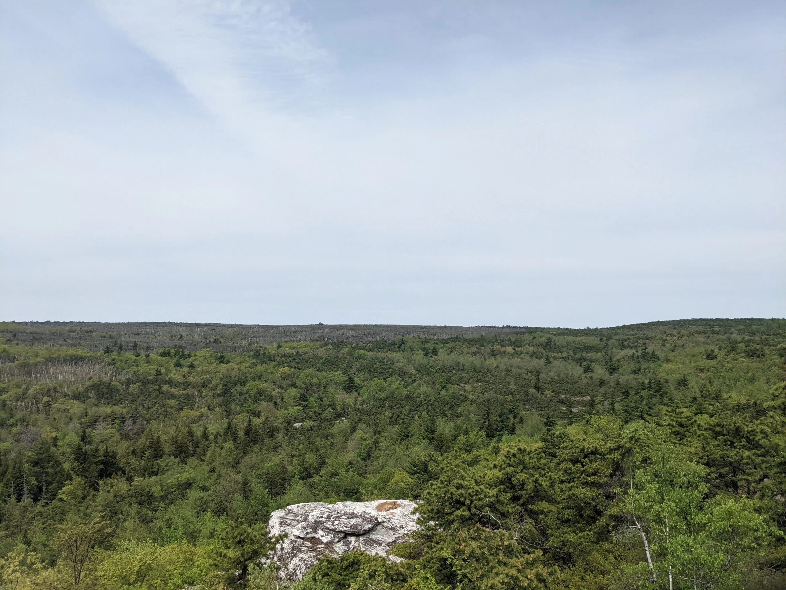
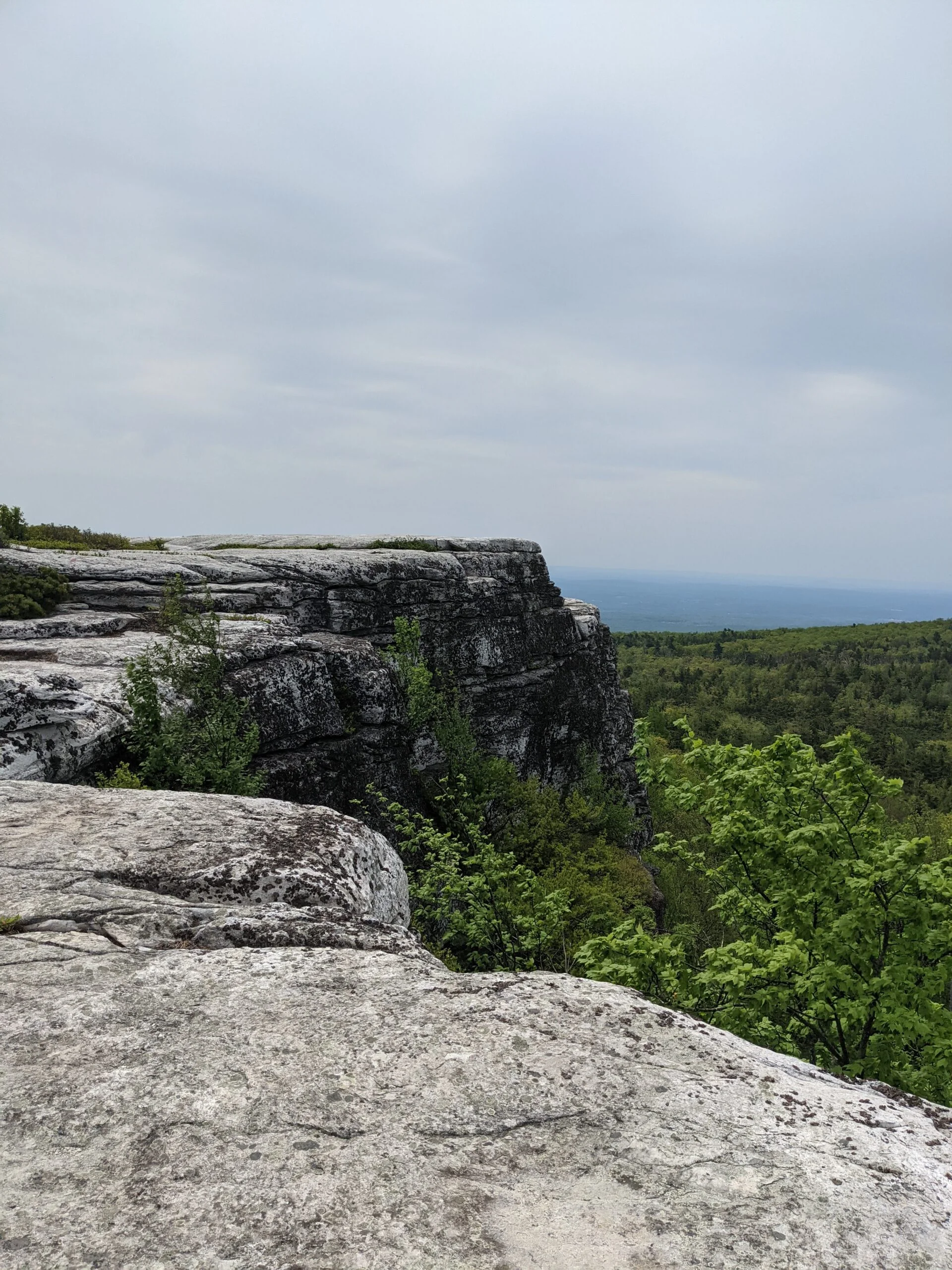
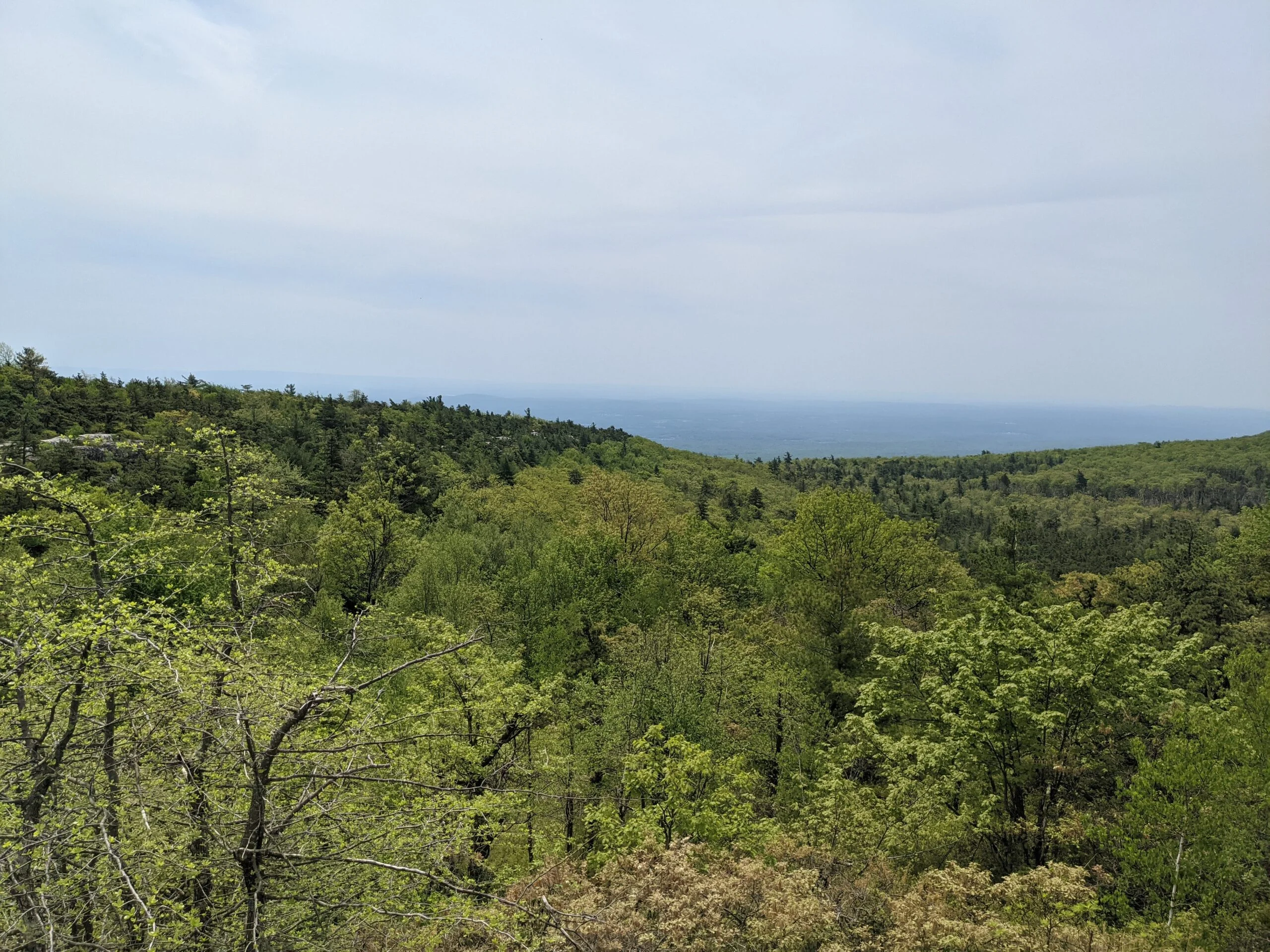
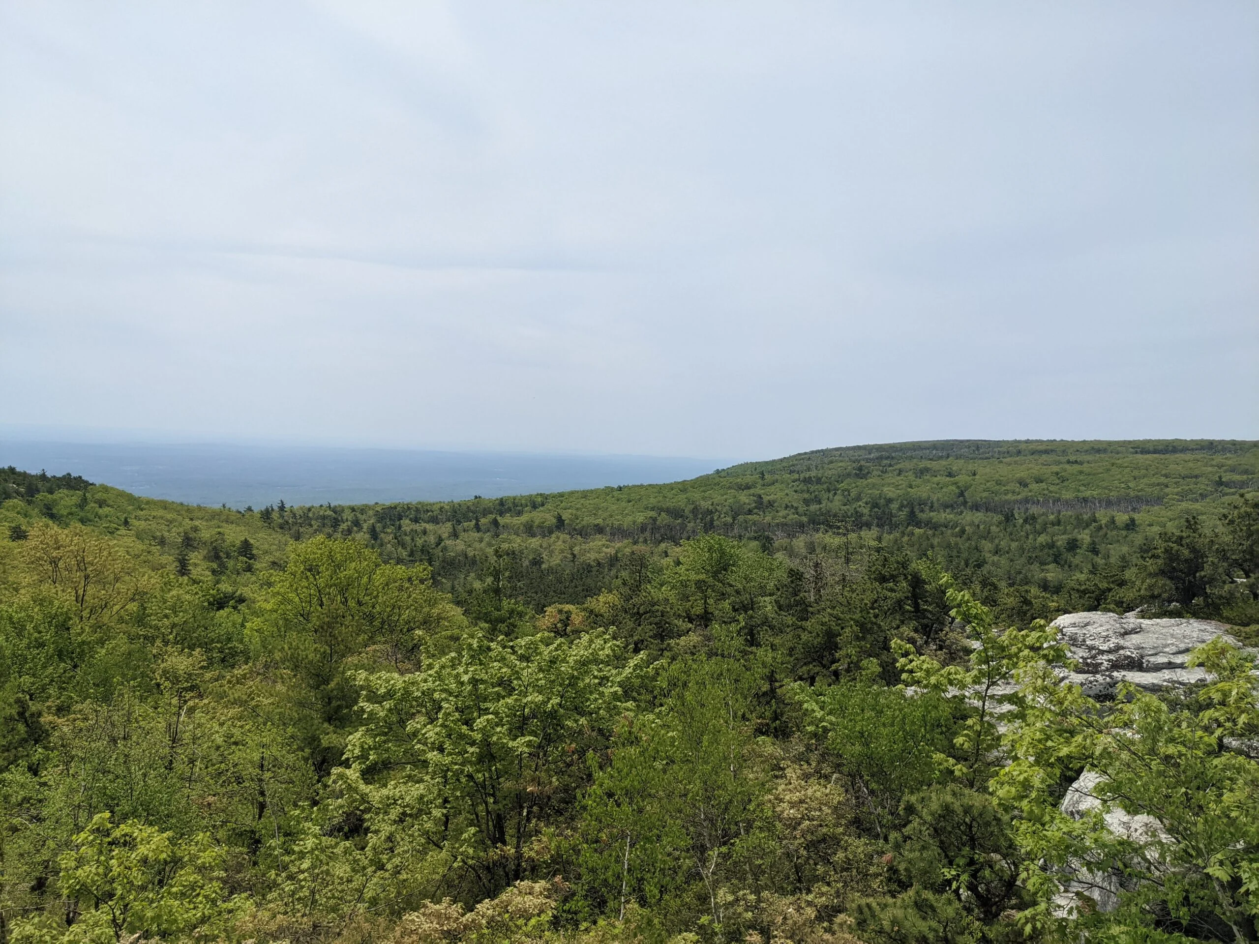
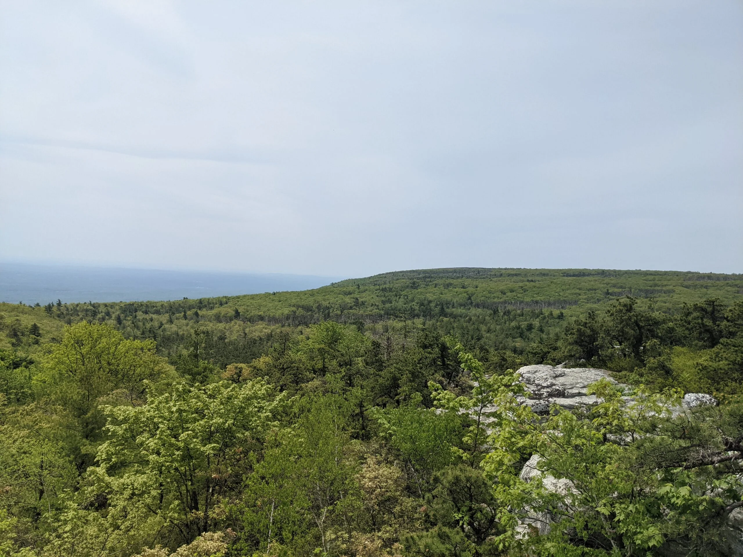
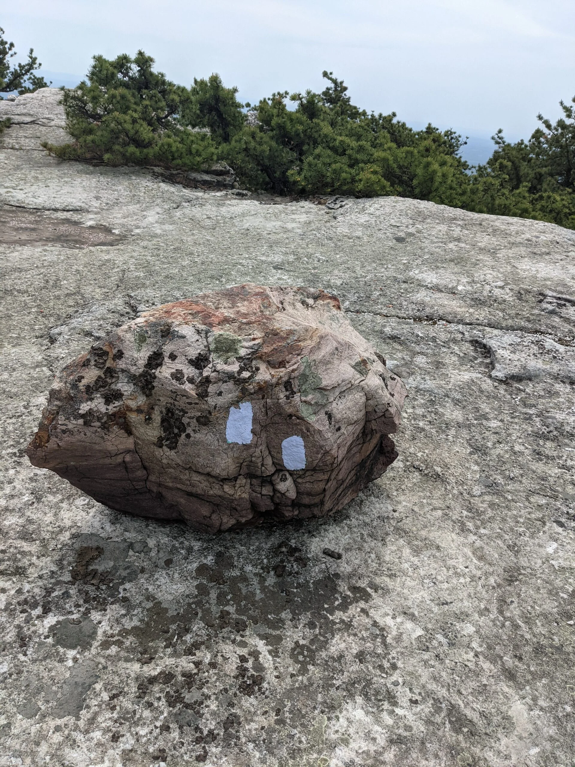
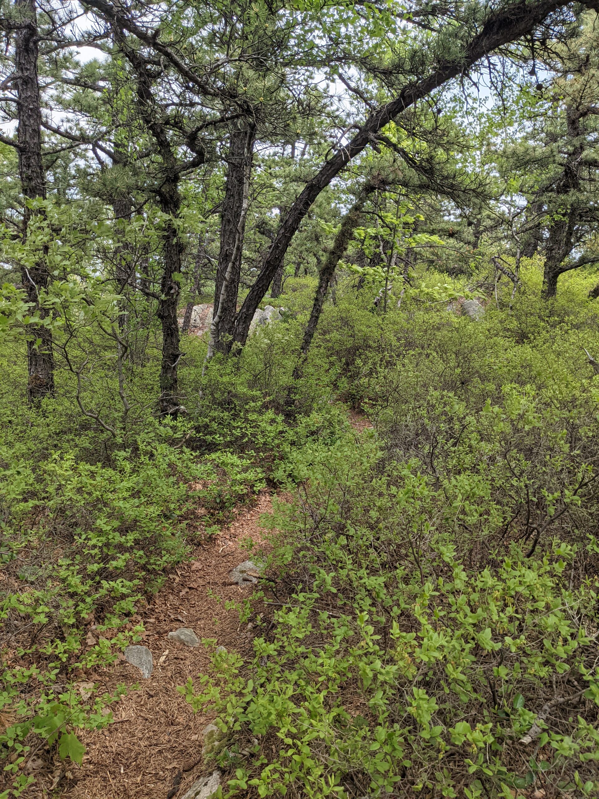
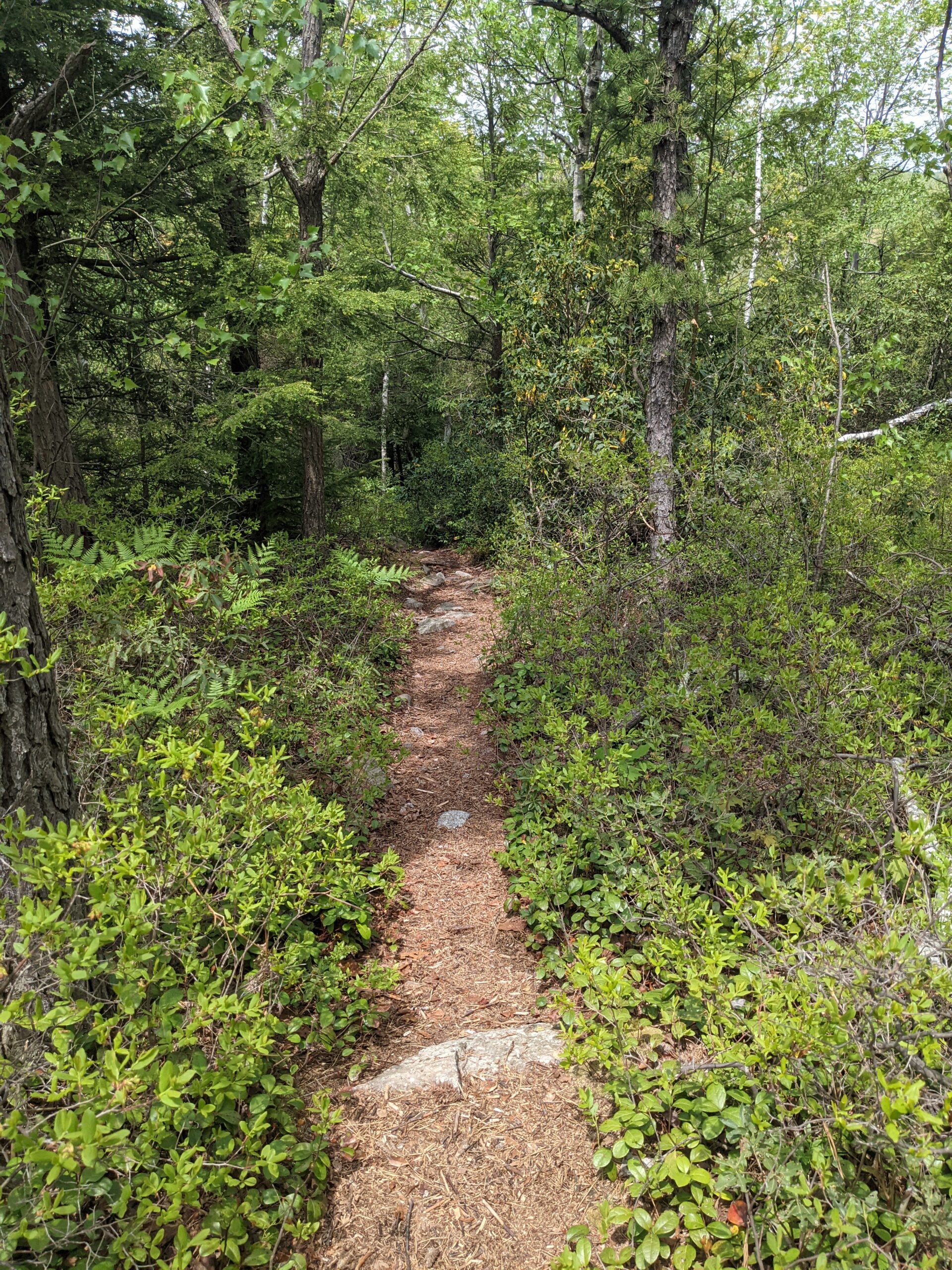
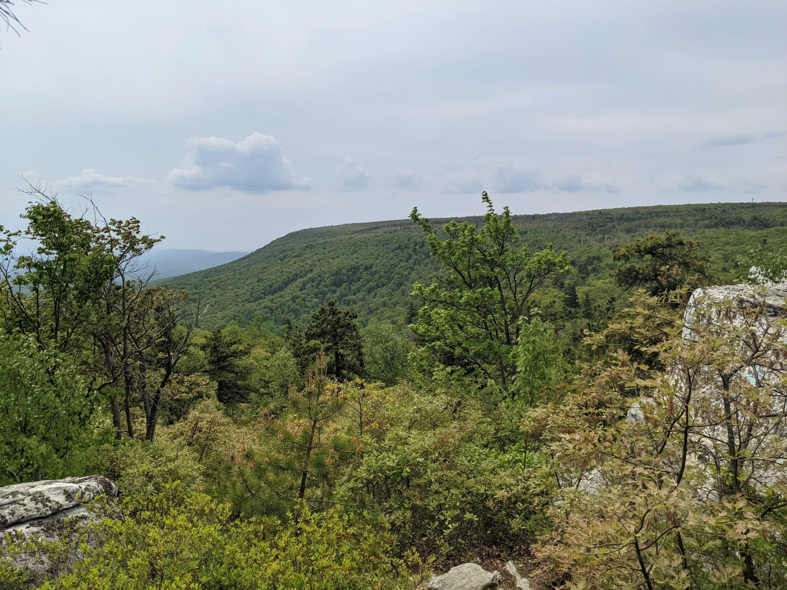
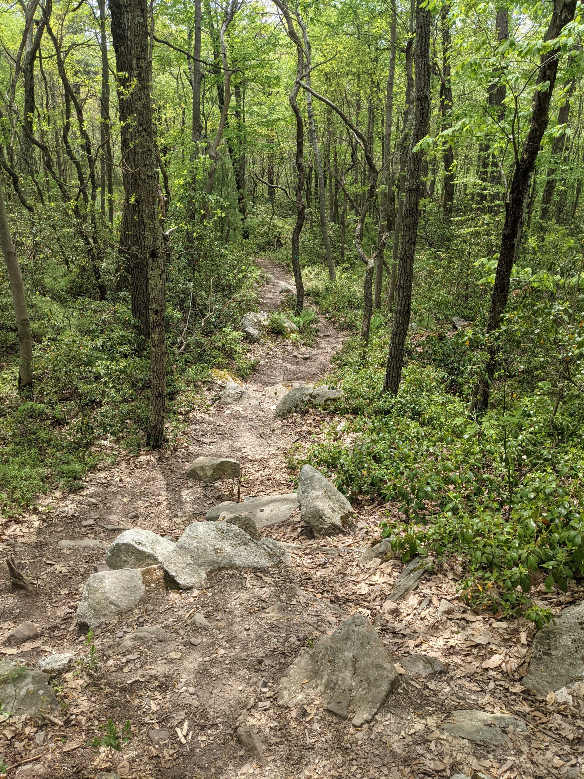
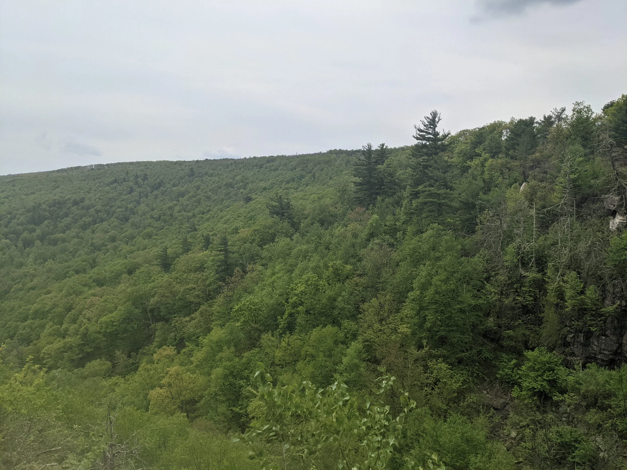
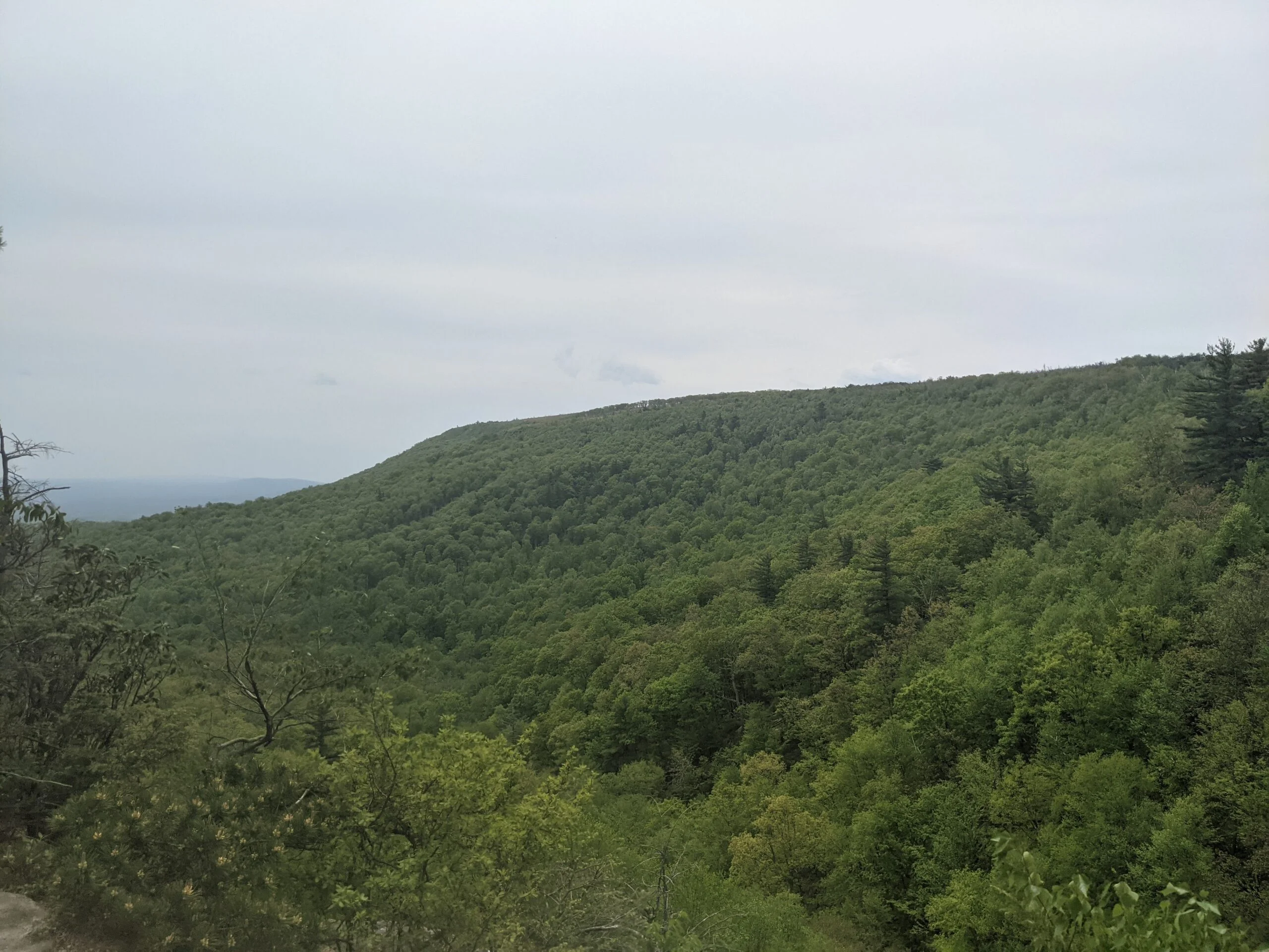
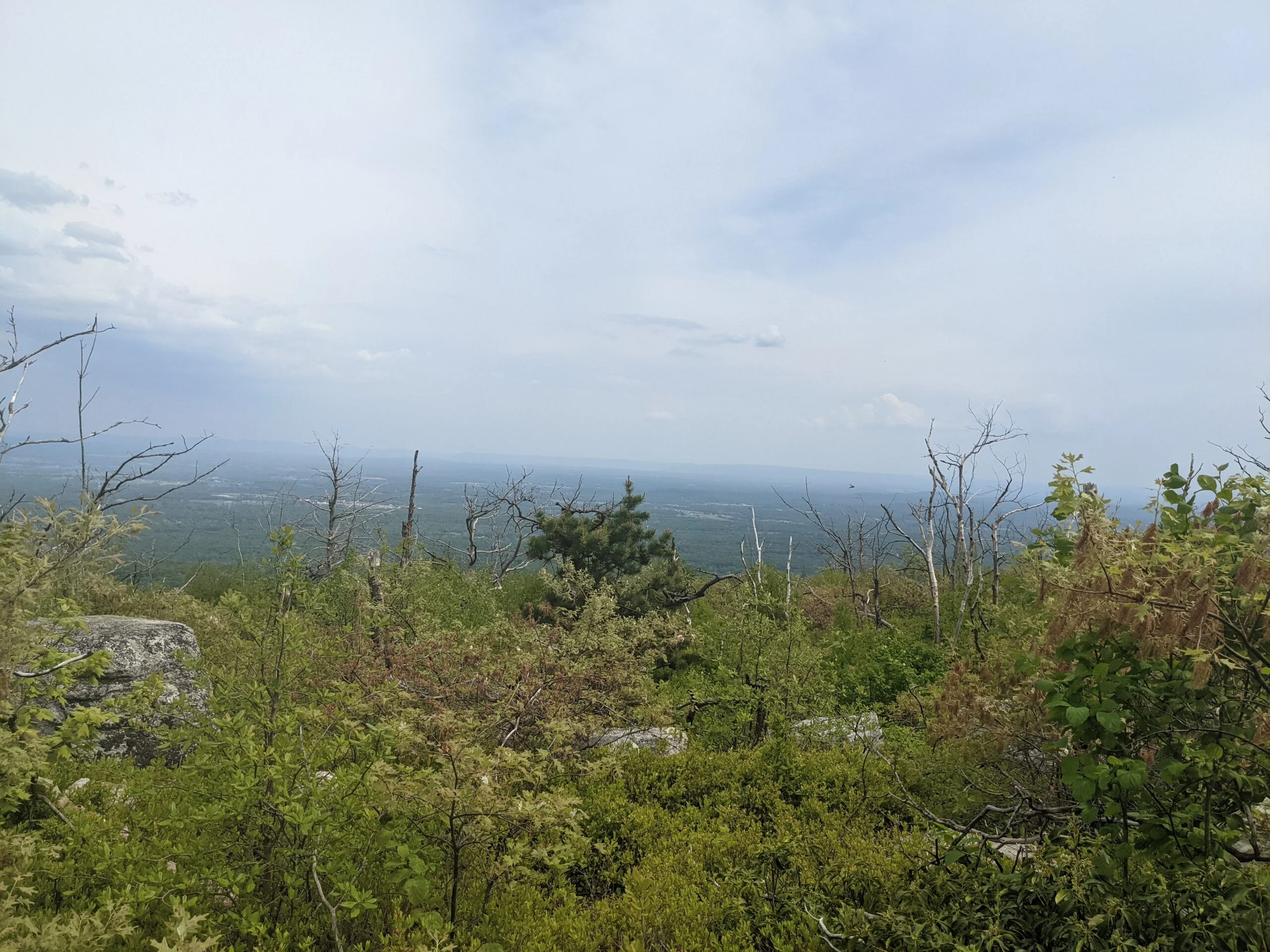
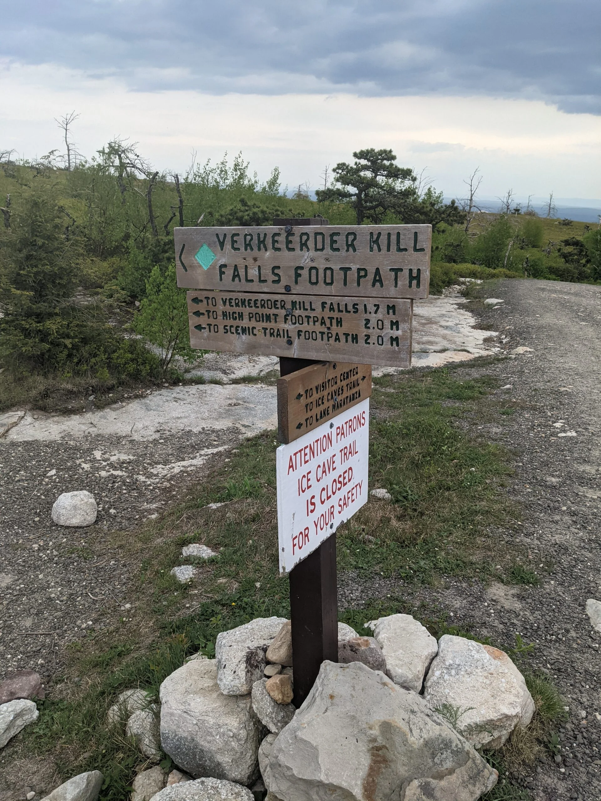
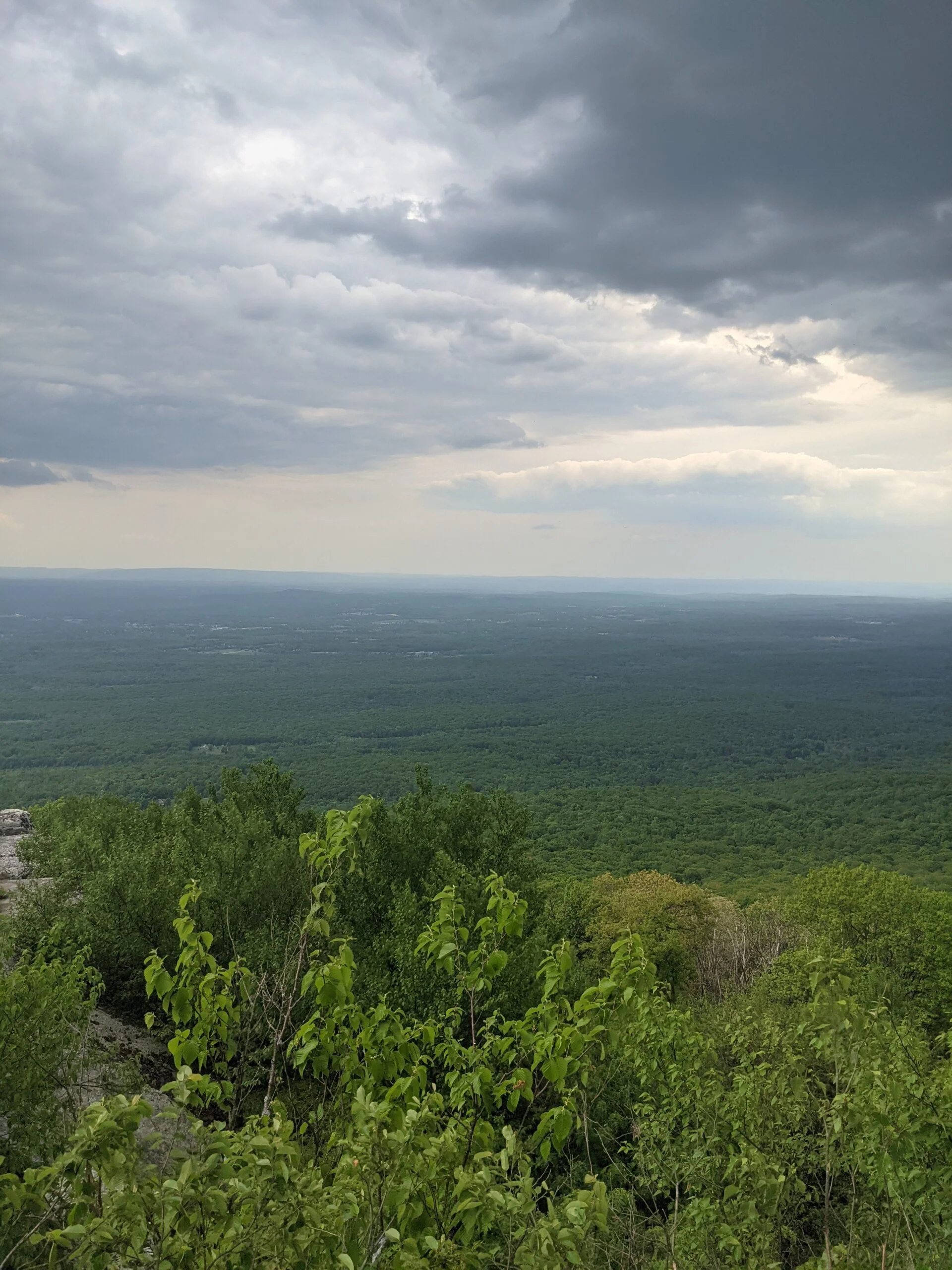
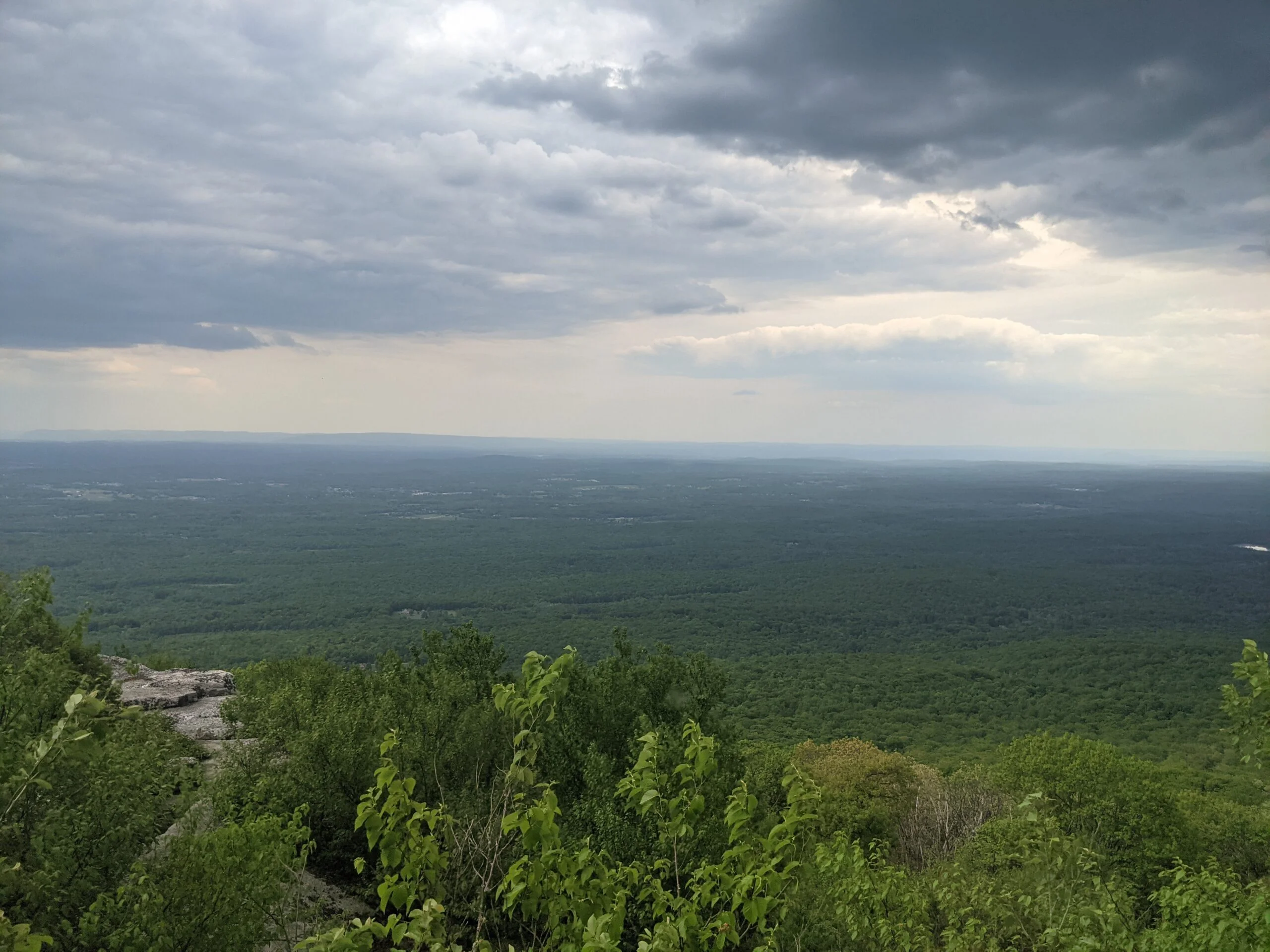
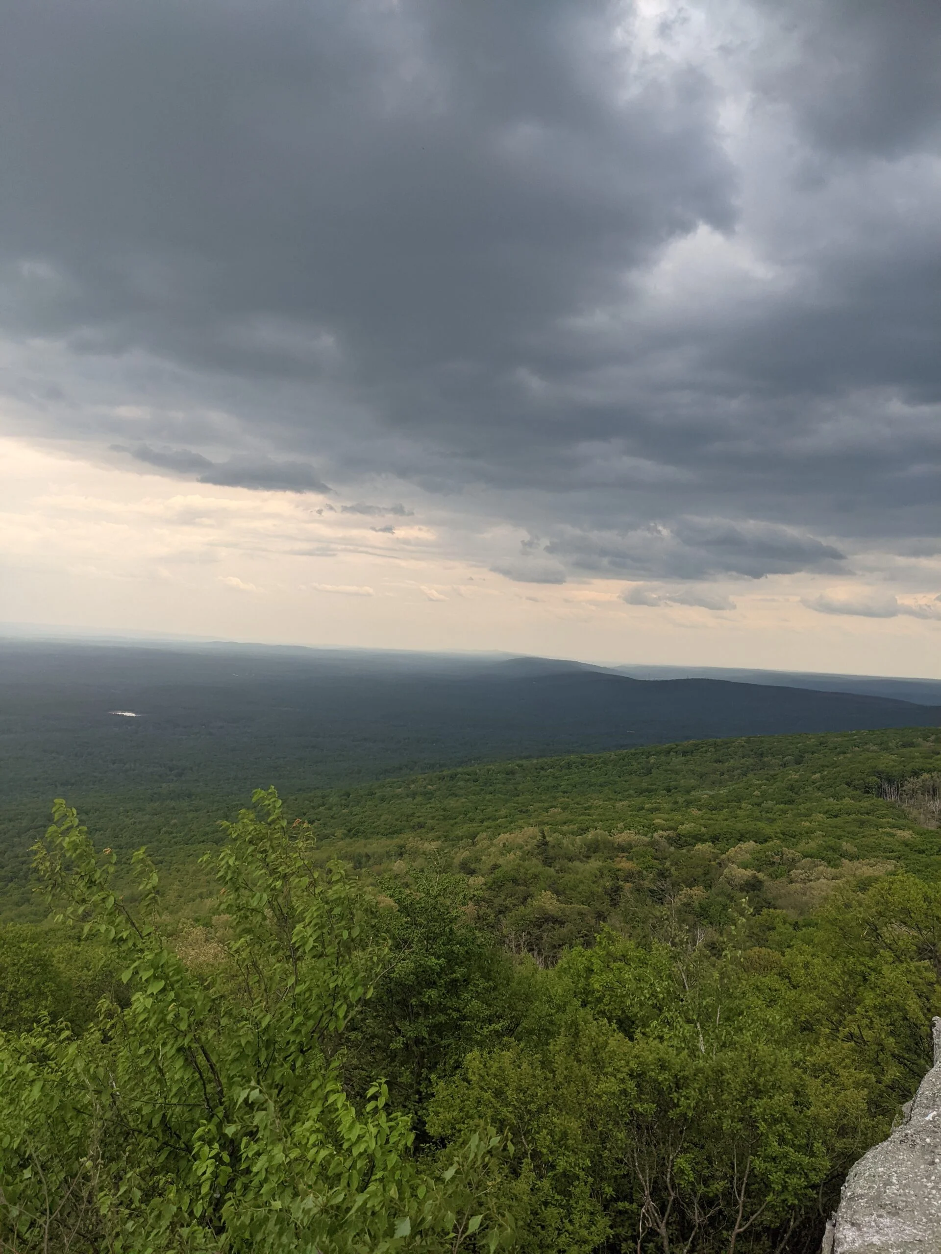
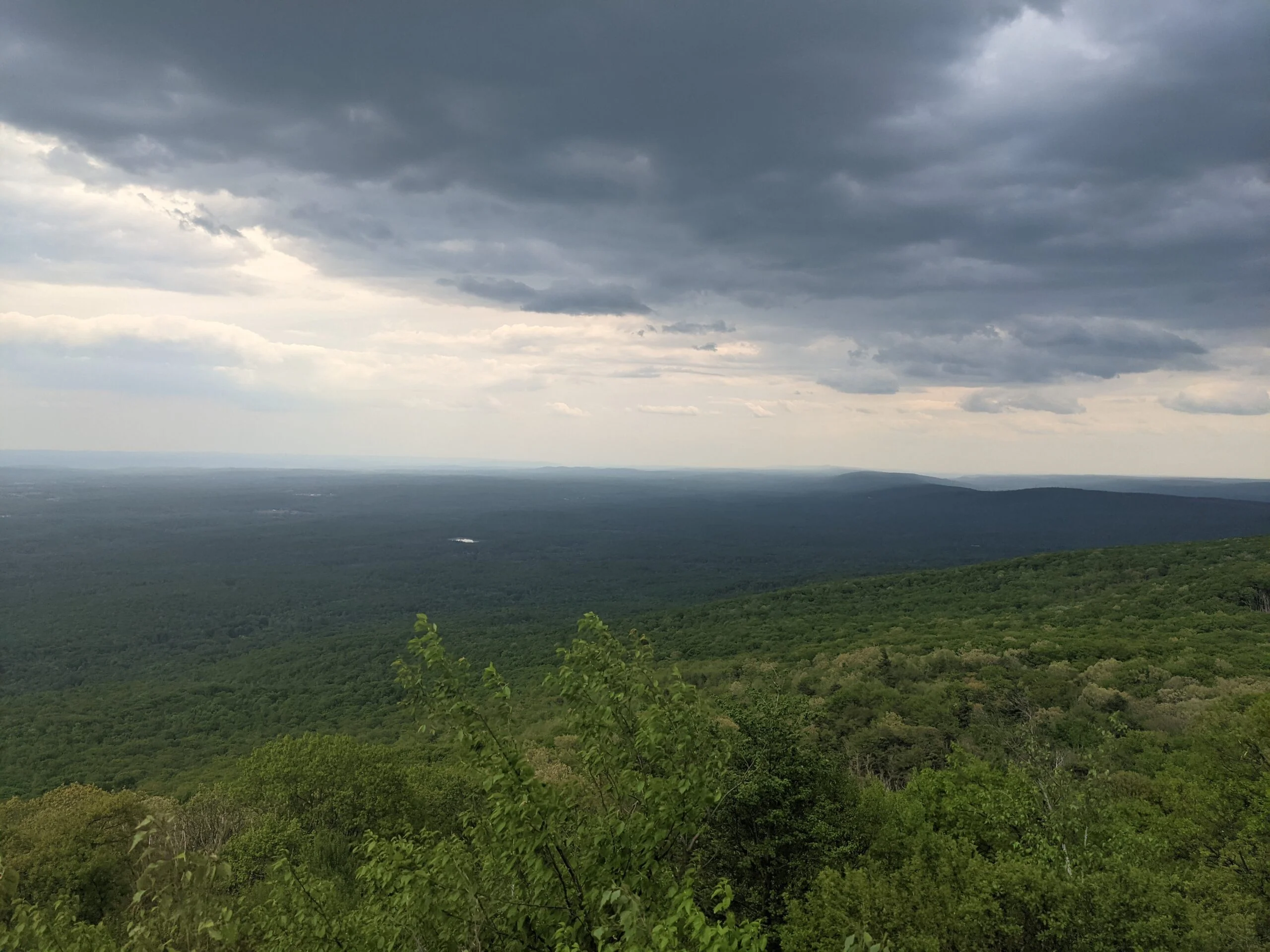
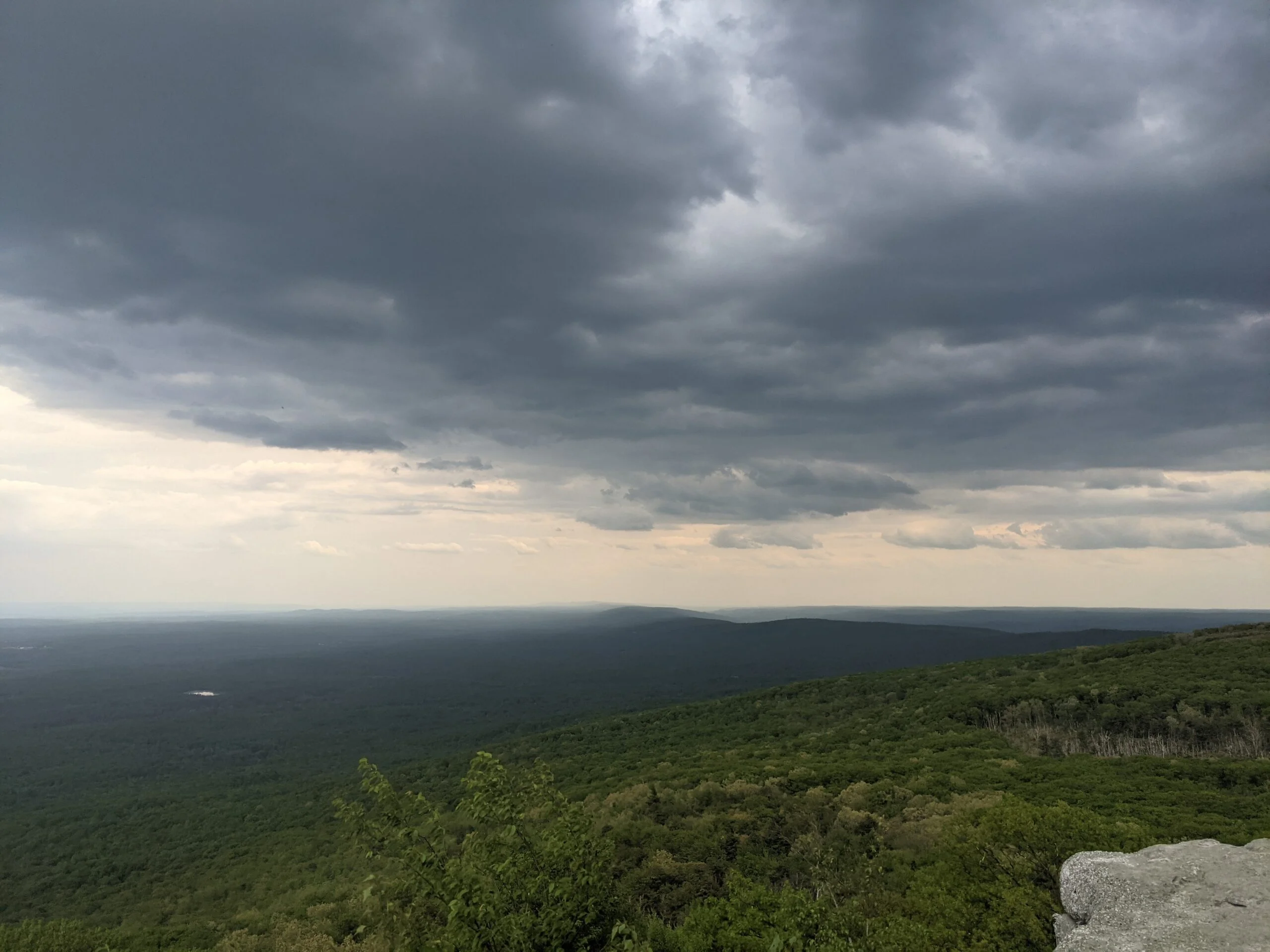
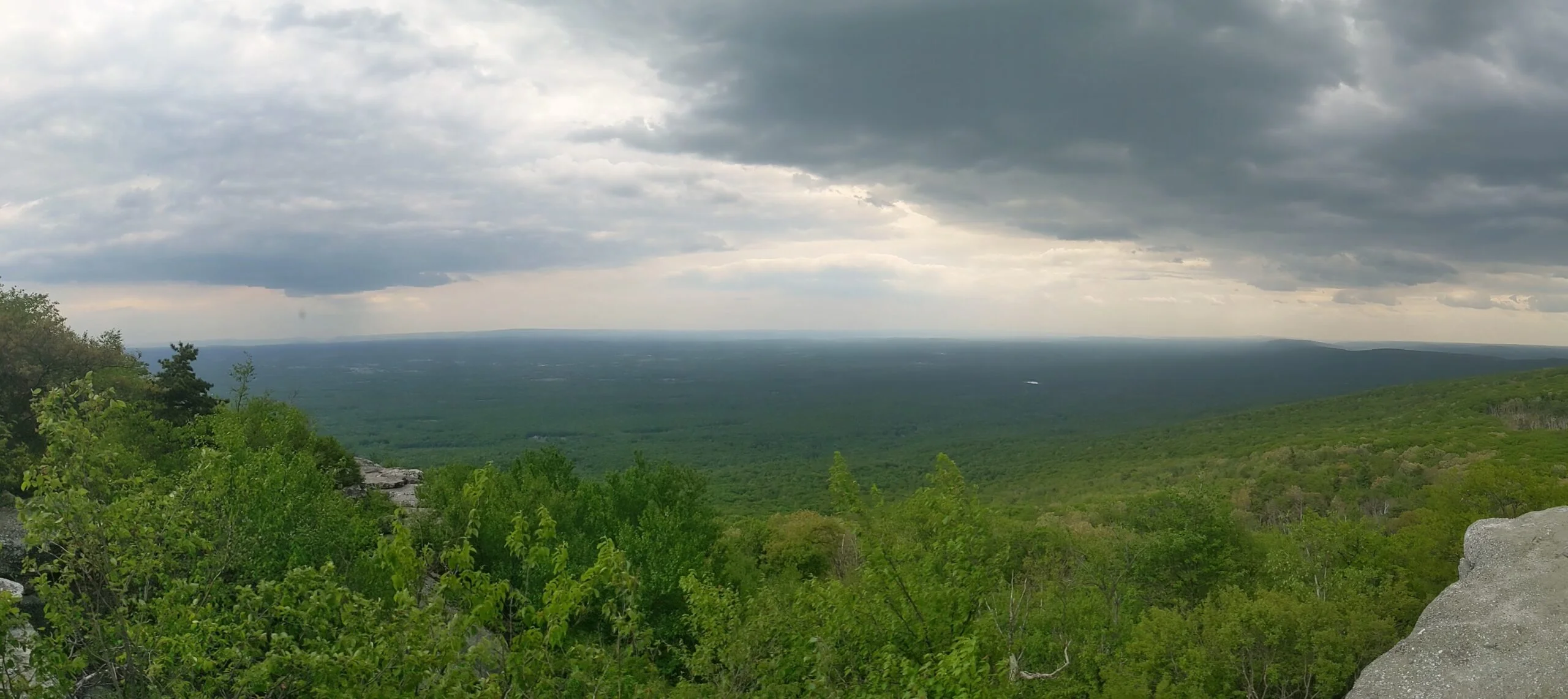
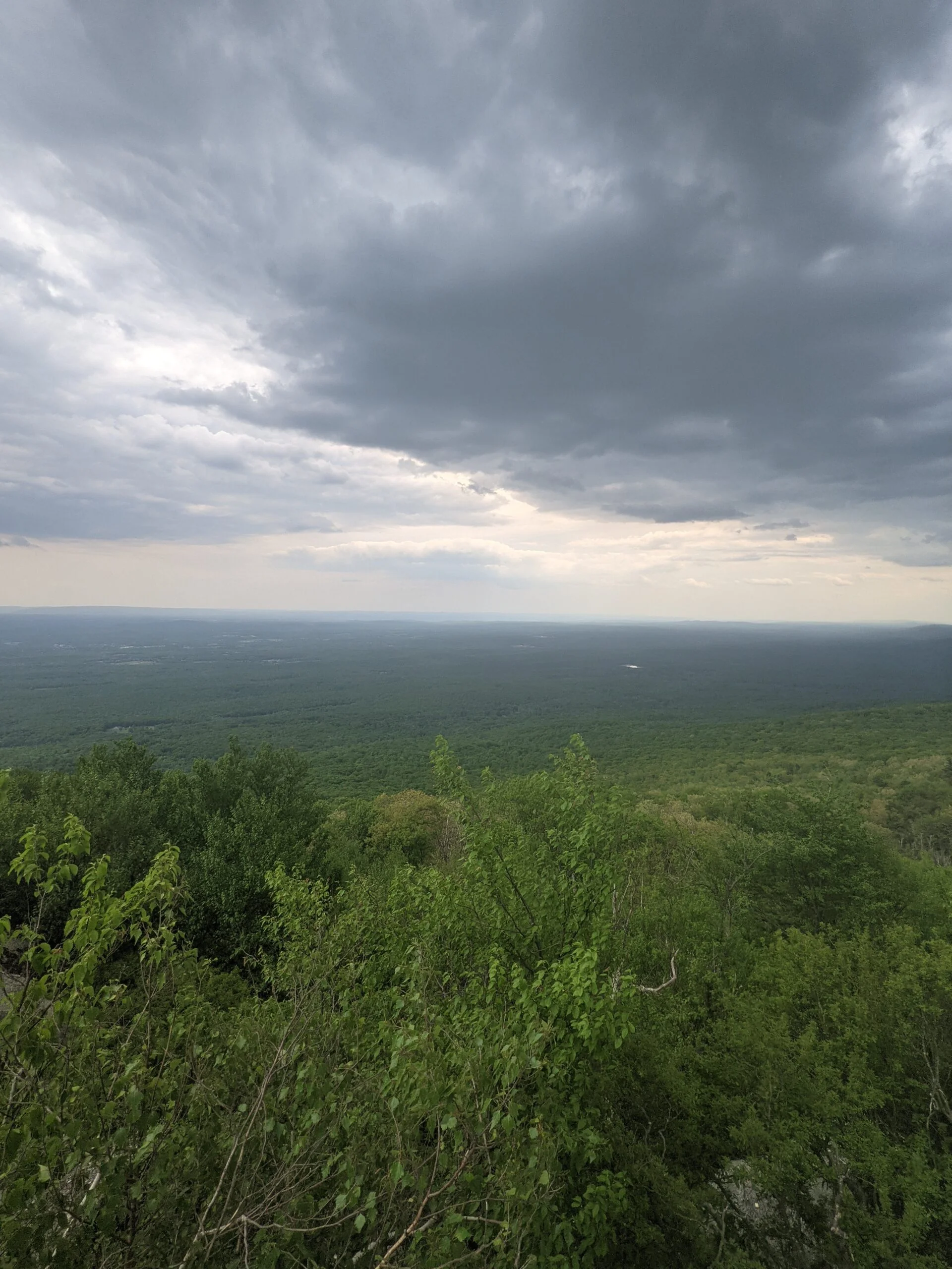
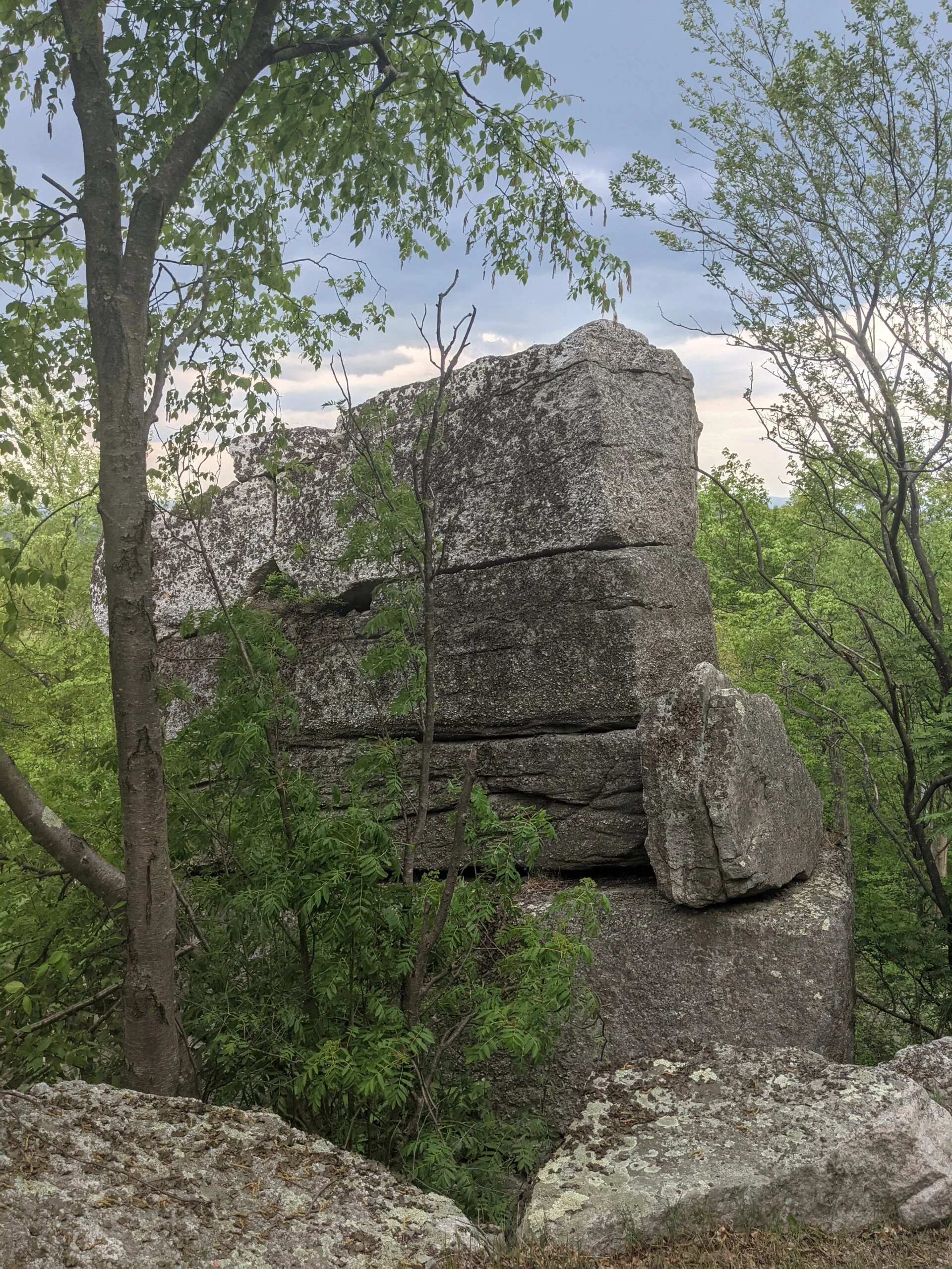
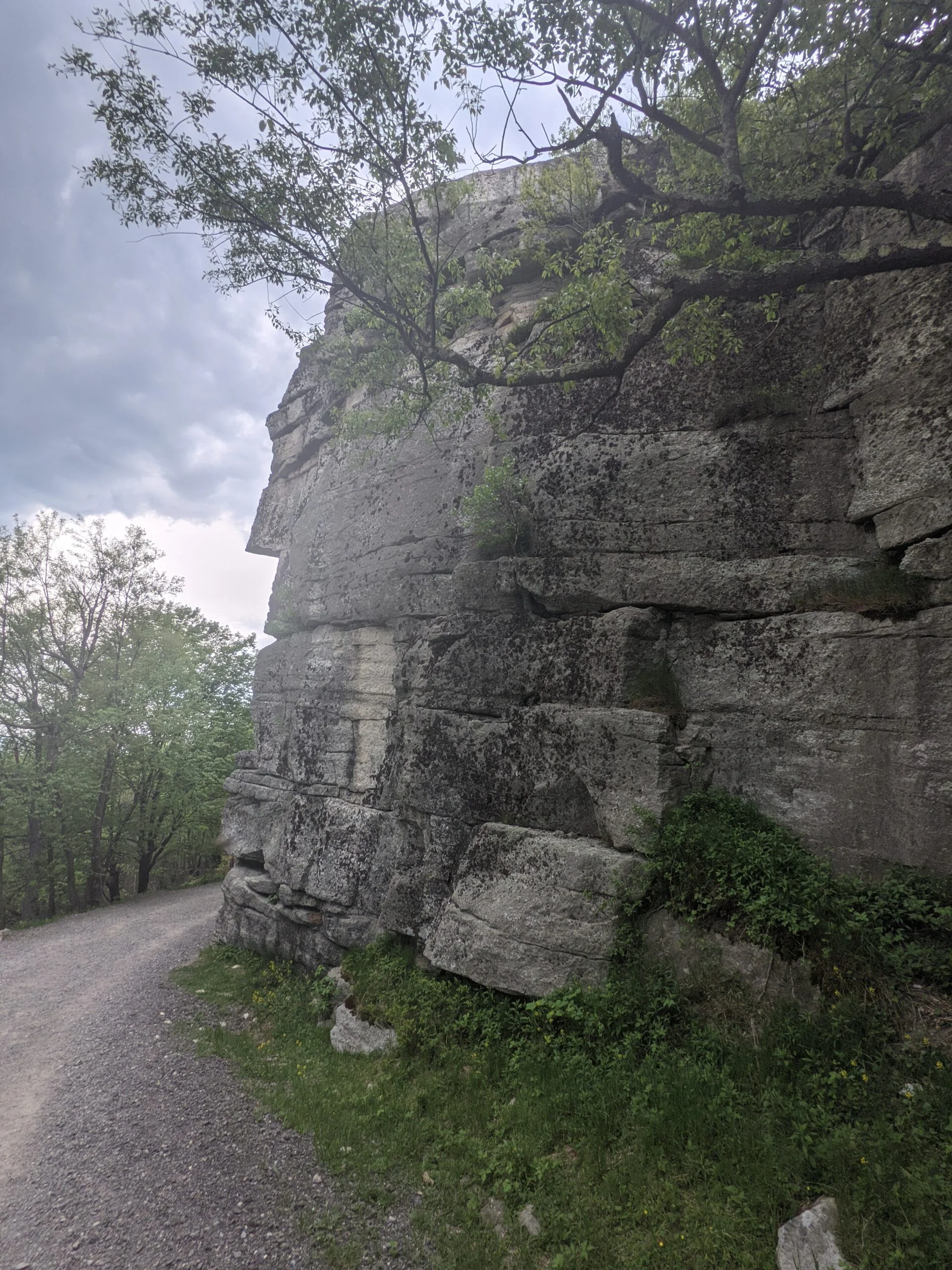
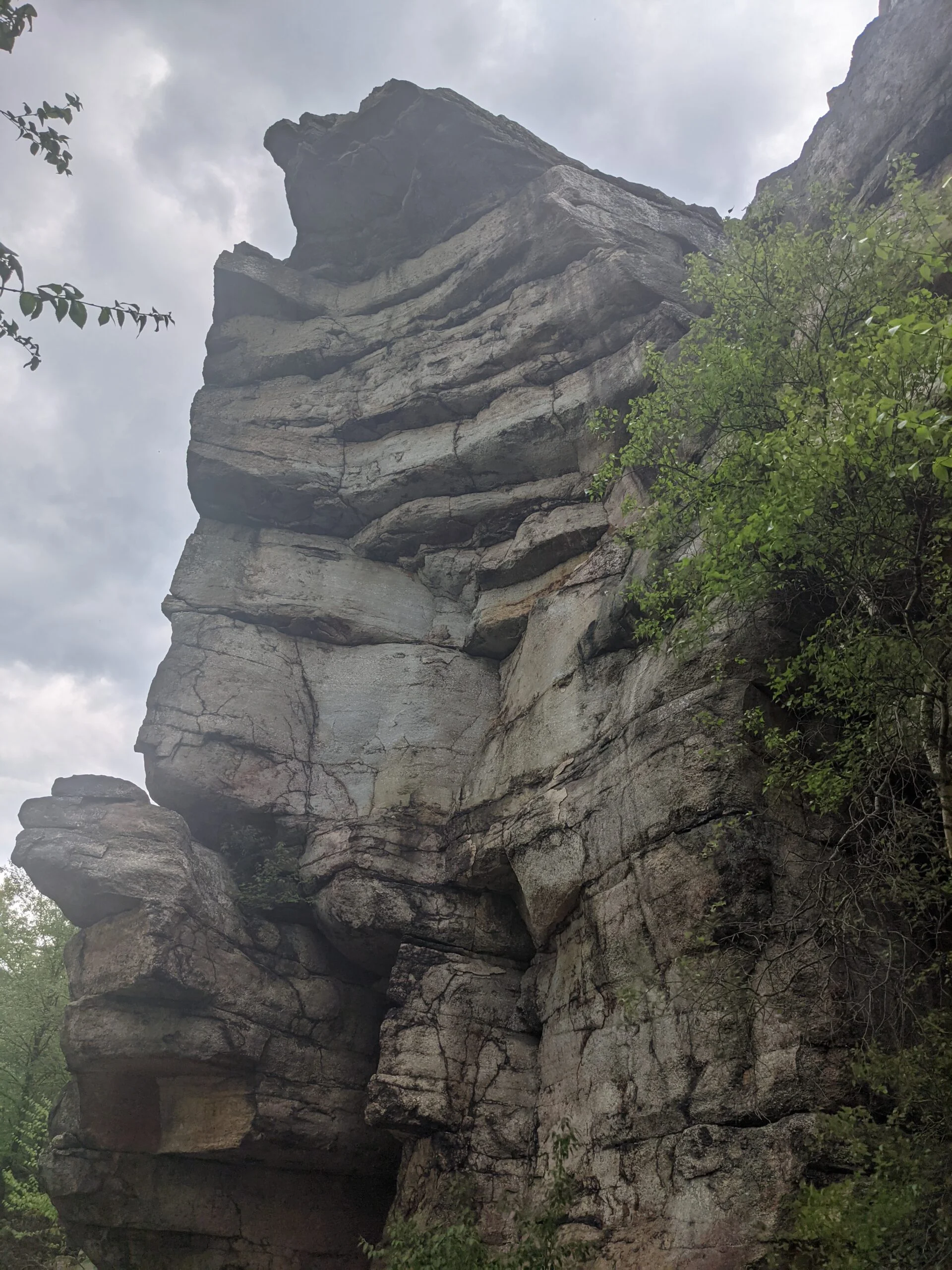
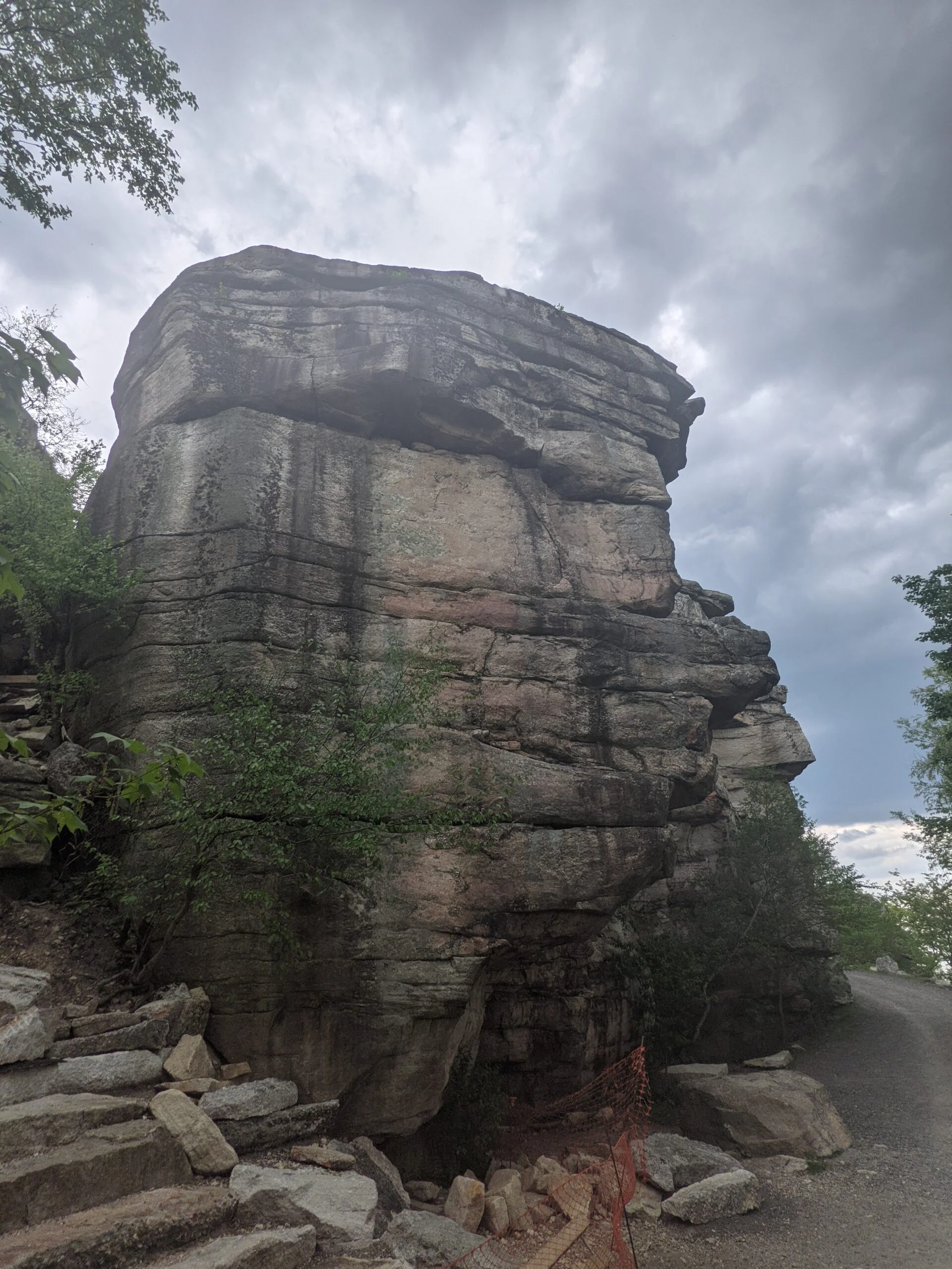
Around the 3 mile mark, we made a right onto the High Point trail (HT, red blazes). Along this trail, we encountered several lookout spots, including High Point, which provided great views of the surrounding park area. It was interesting to look out and see the carriage trails we had previous walked on. Around the halfway point on HT, we stopped at one rocky lookout for lunch. We climbed down several rock scrambles along the gradual descent from the mountain. None were super challenging and could be navigated by sitting and/or hand bracing.
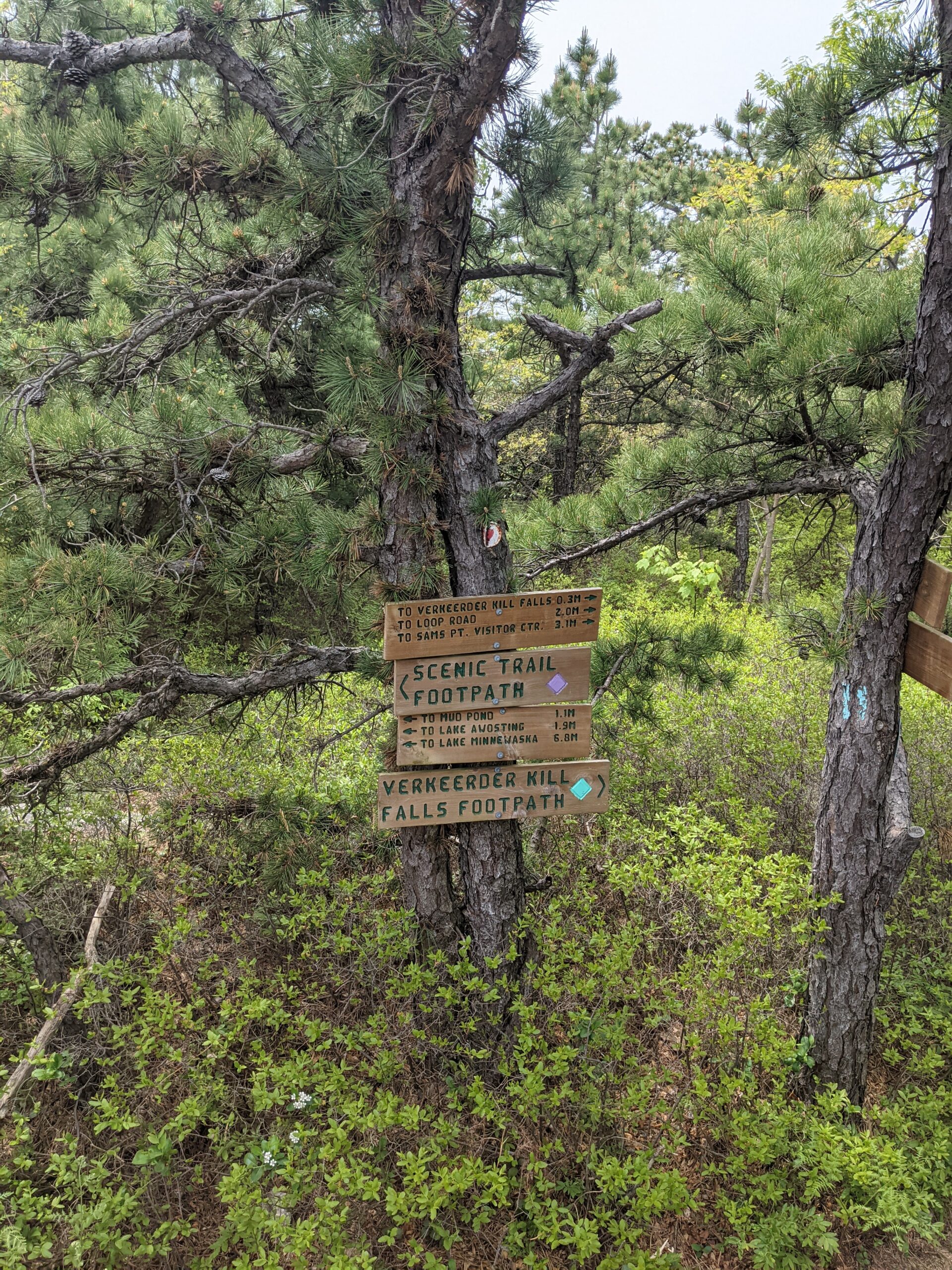
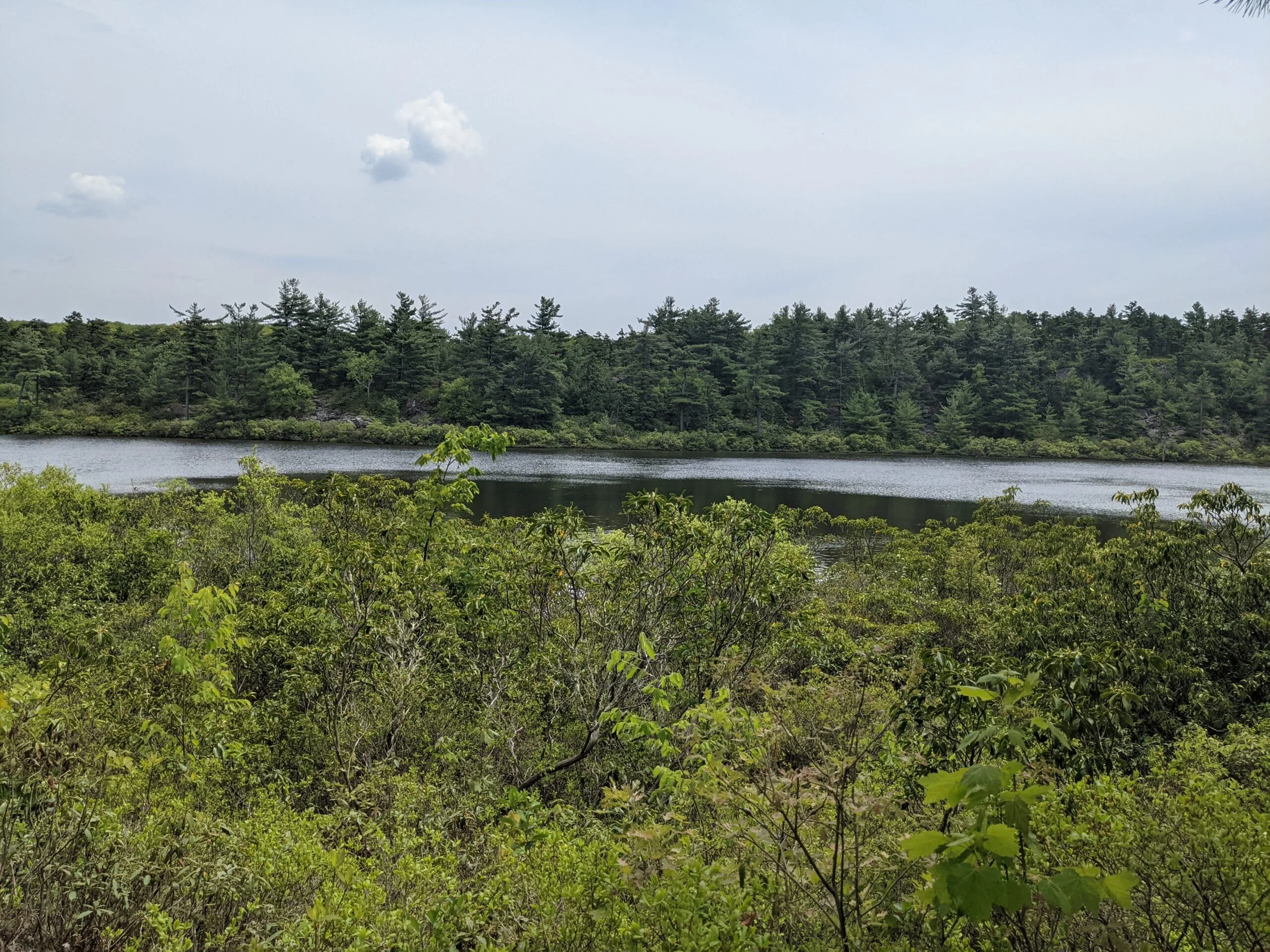
Making it to the 5.7 mile mark, we decided to take a detour on Scenic Trail (ST, violet blazes) over to Mud Pond. We reached Mud Pond just after a mile, but were unable to get to the shore line, which was a bit disappointing, so we turned around and backtracked to connect with the Verkeerderkill Falls trail (VK, aqua blazes) where we originally veered off.
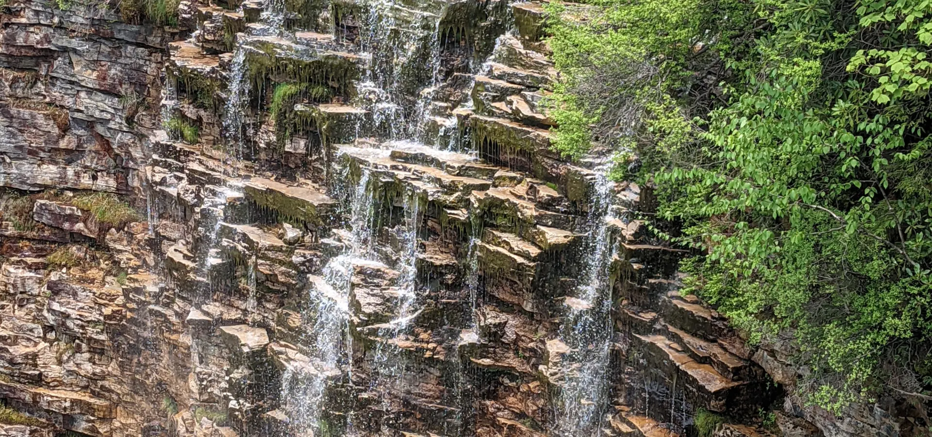
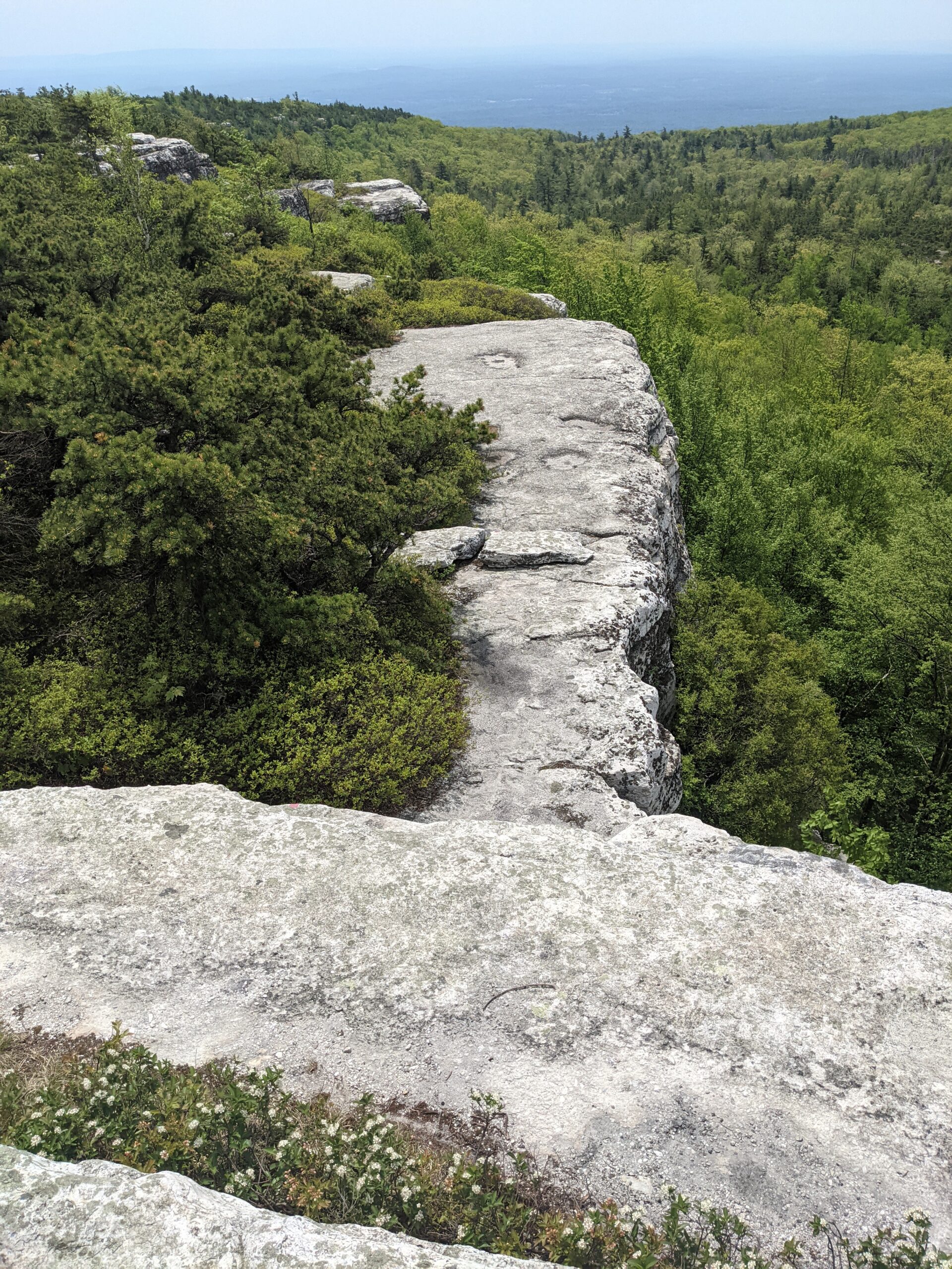
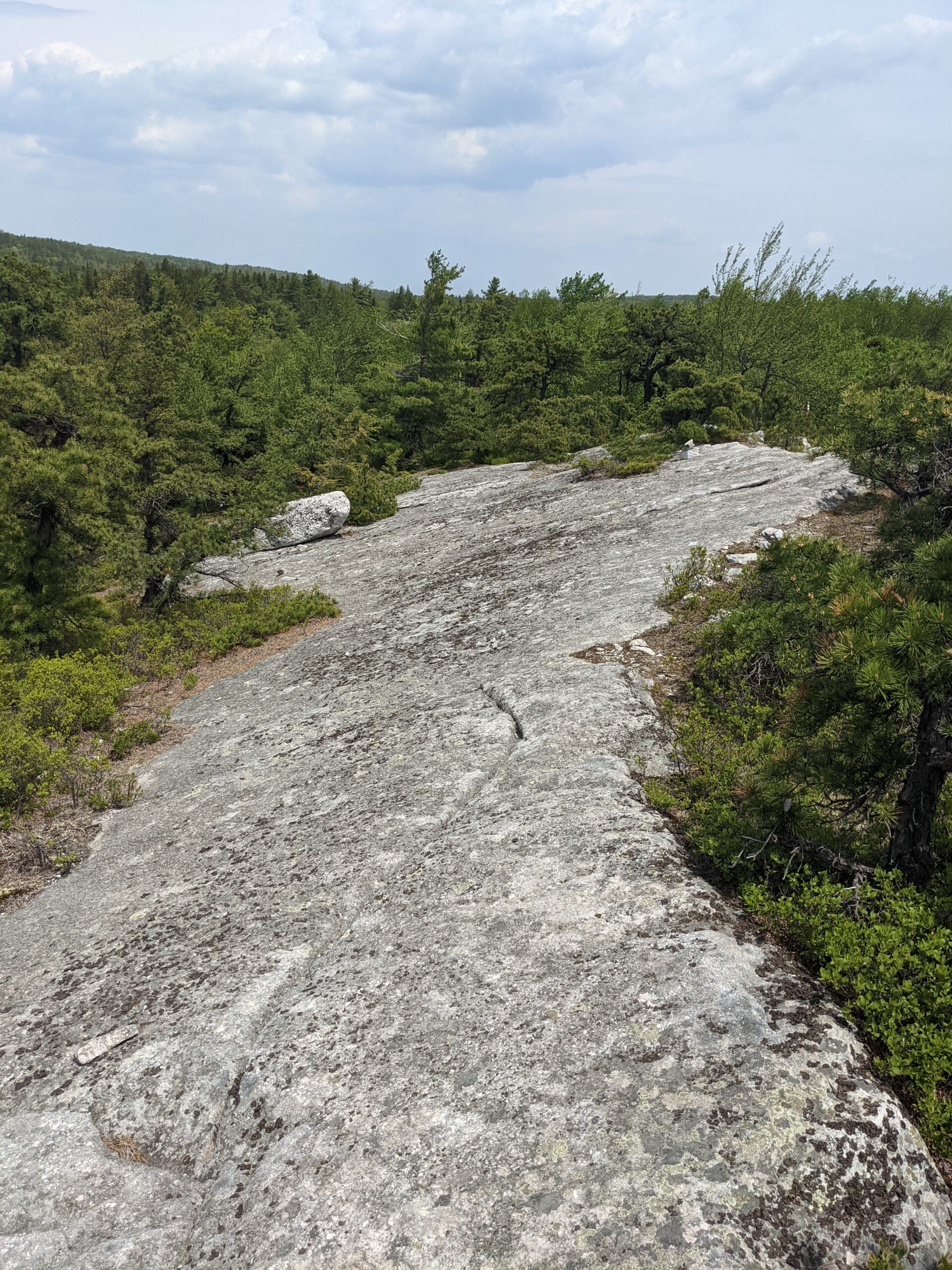
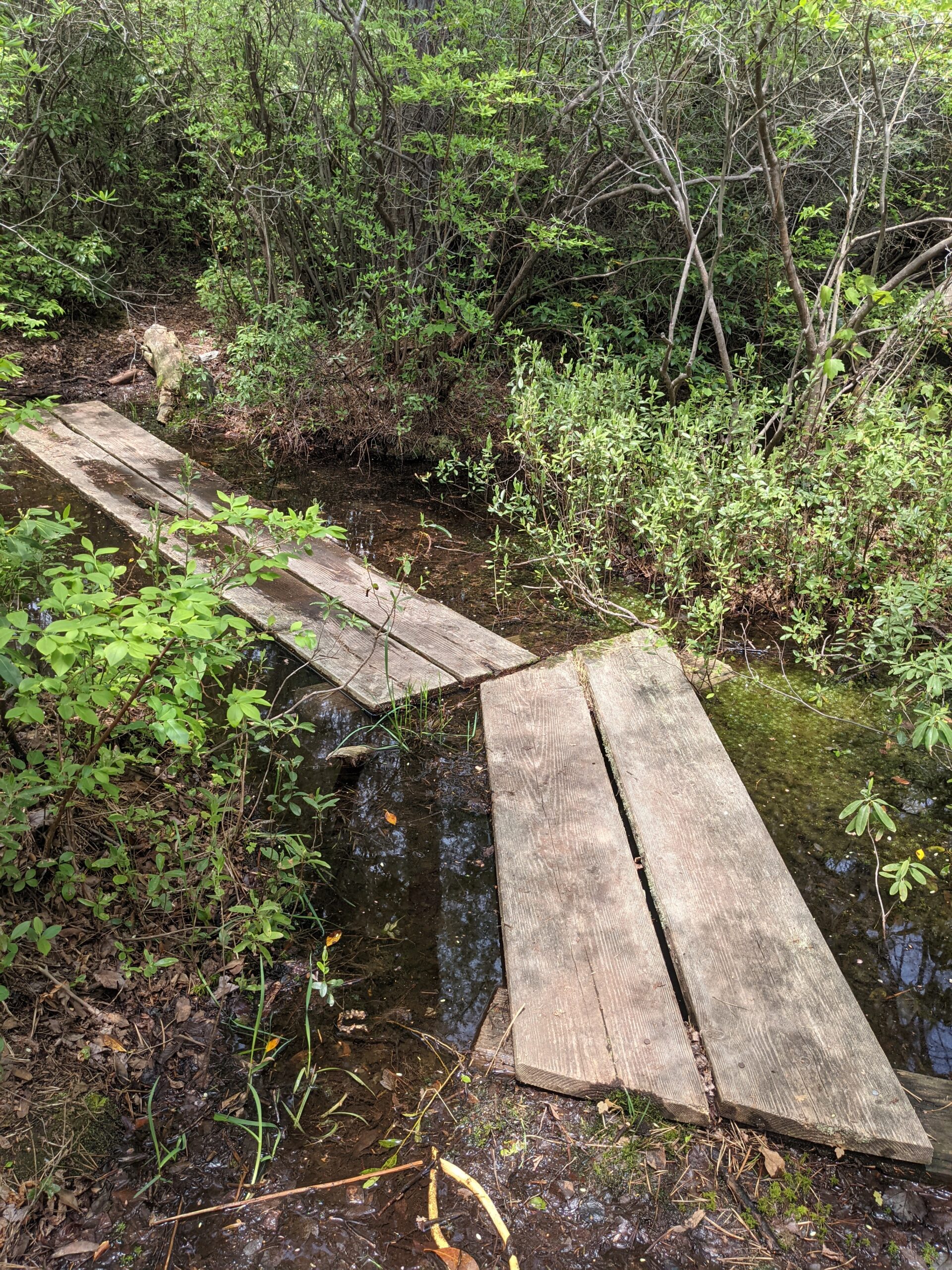
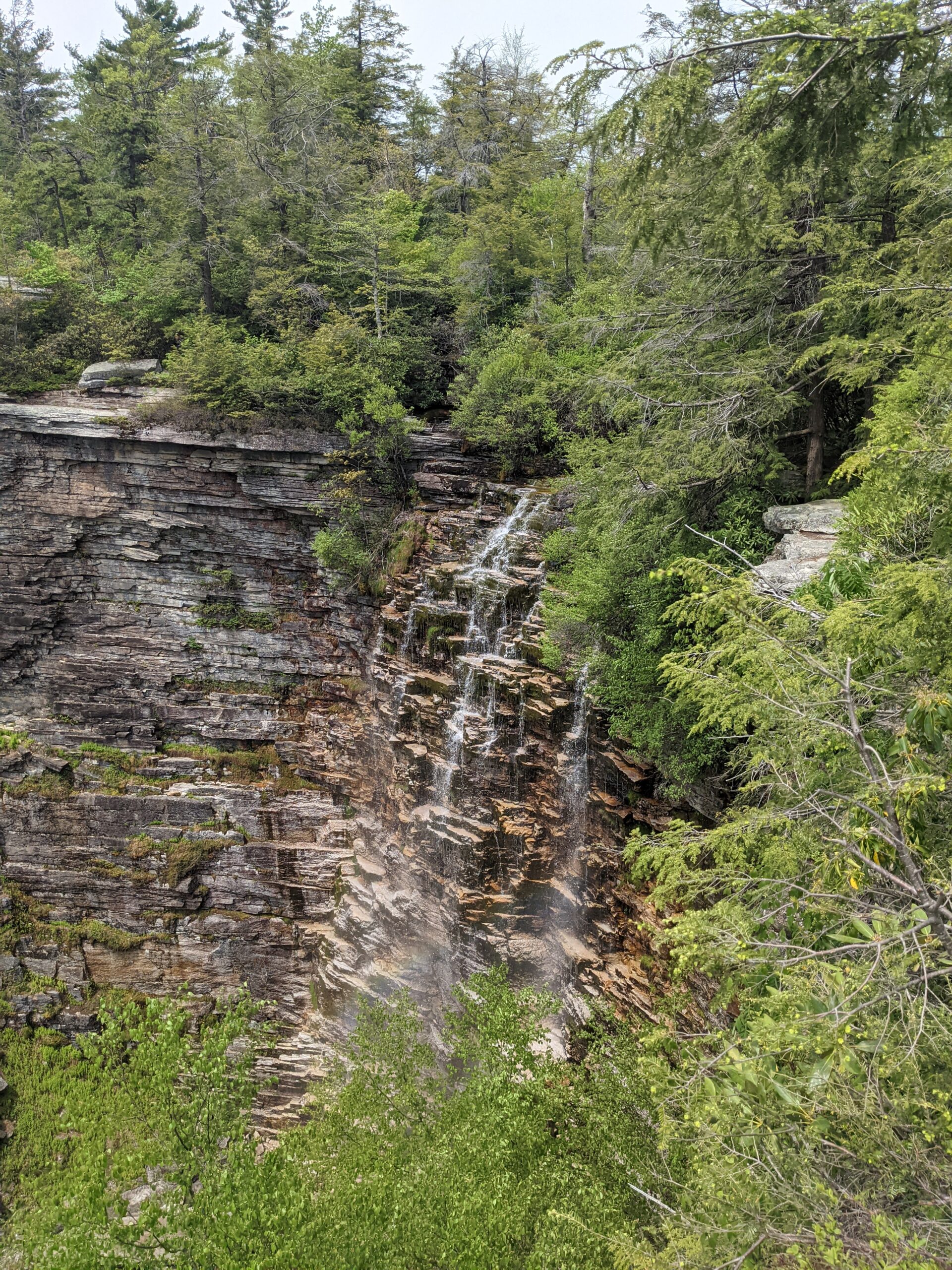
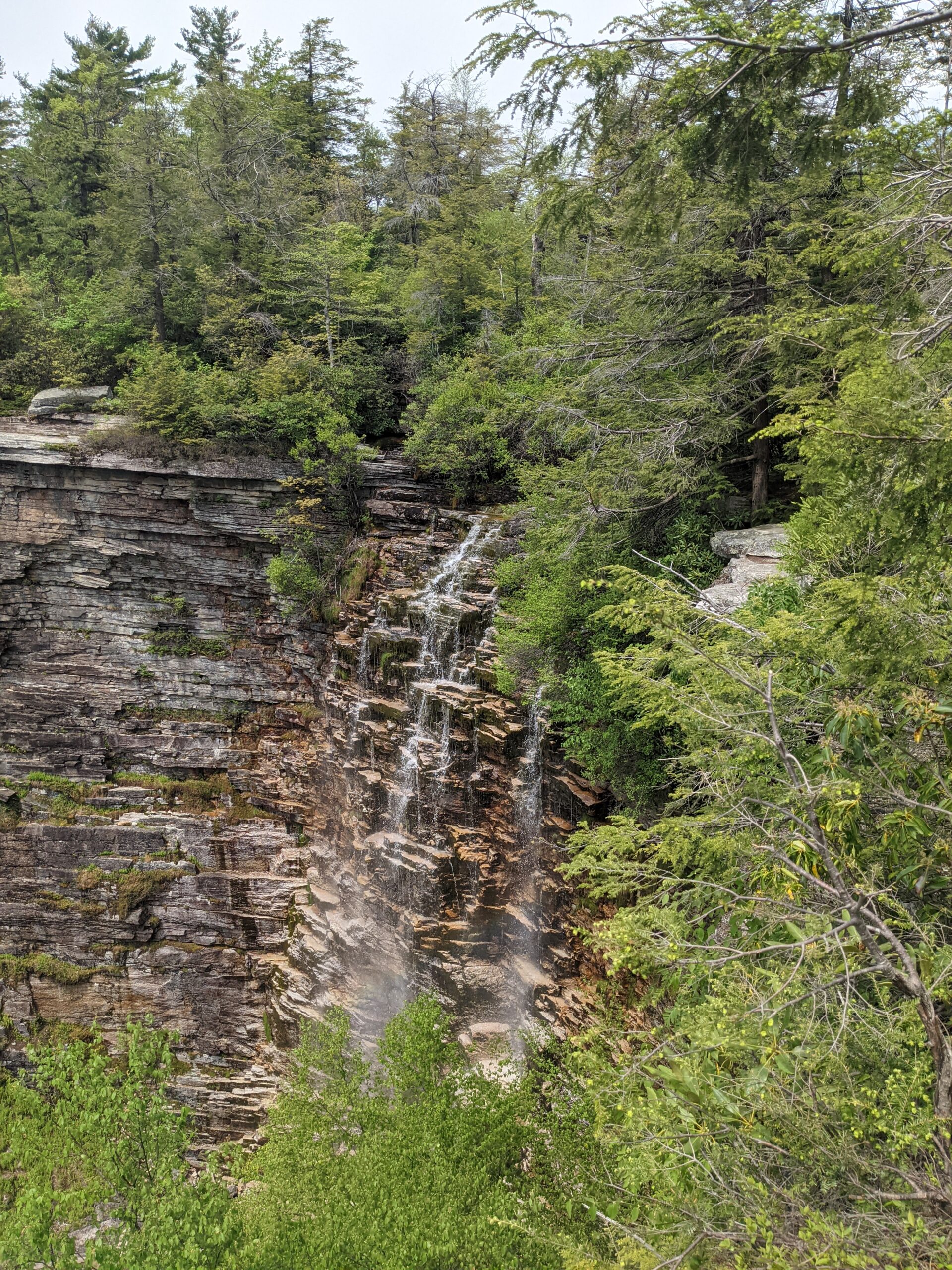
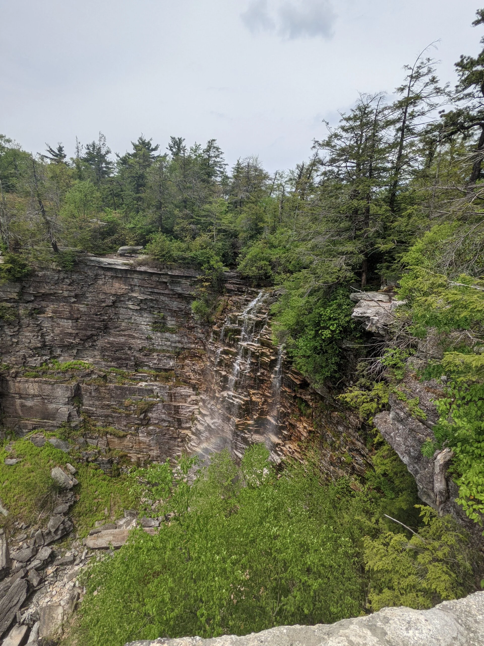
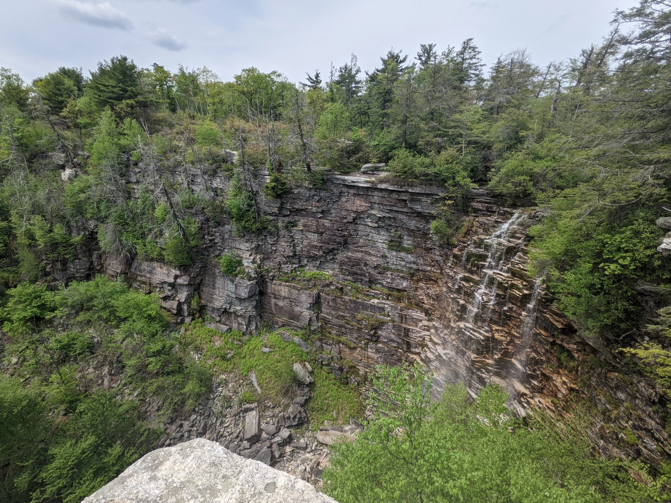
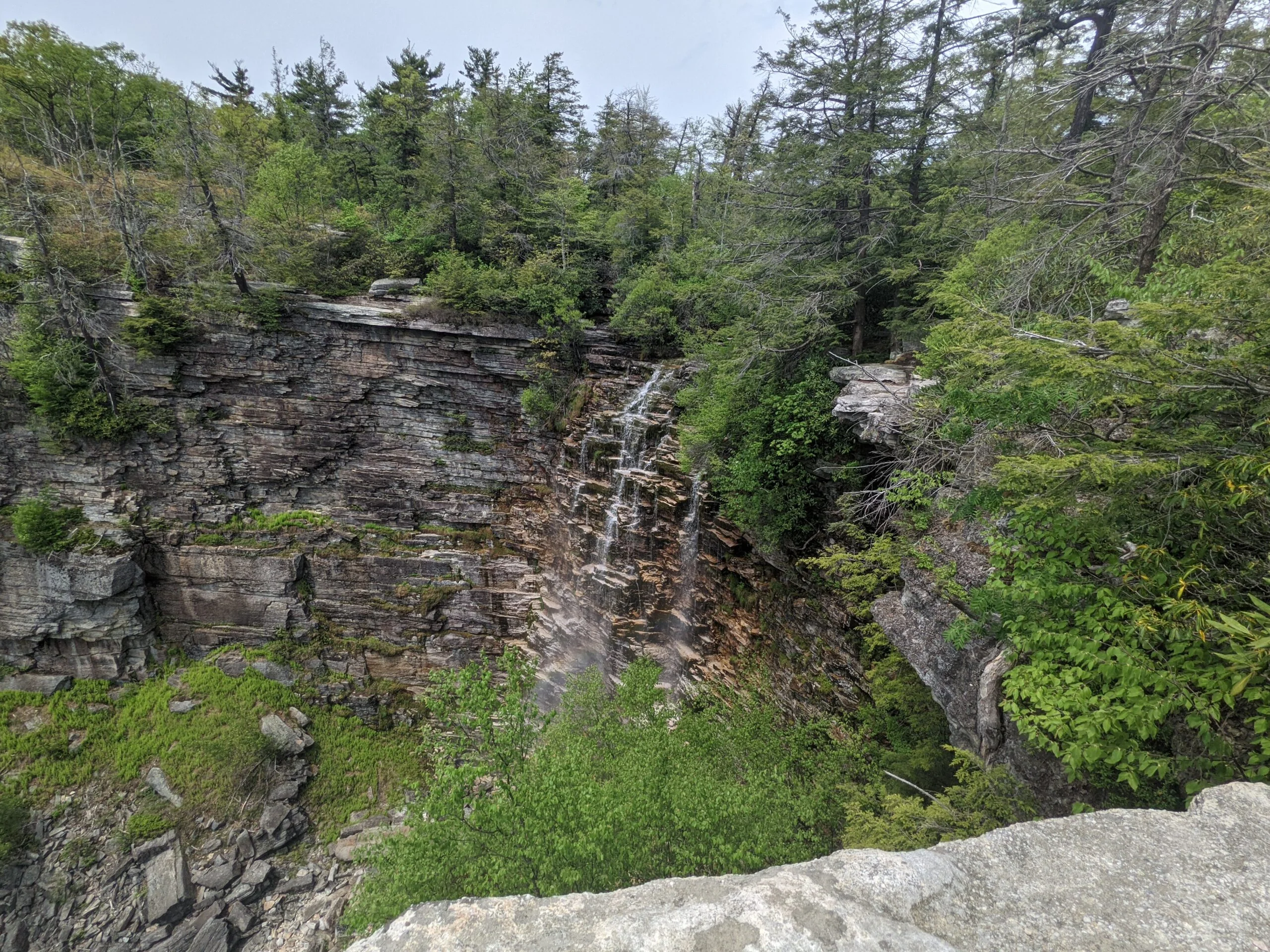
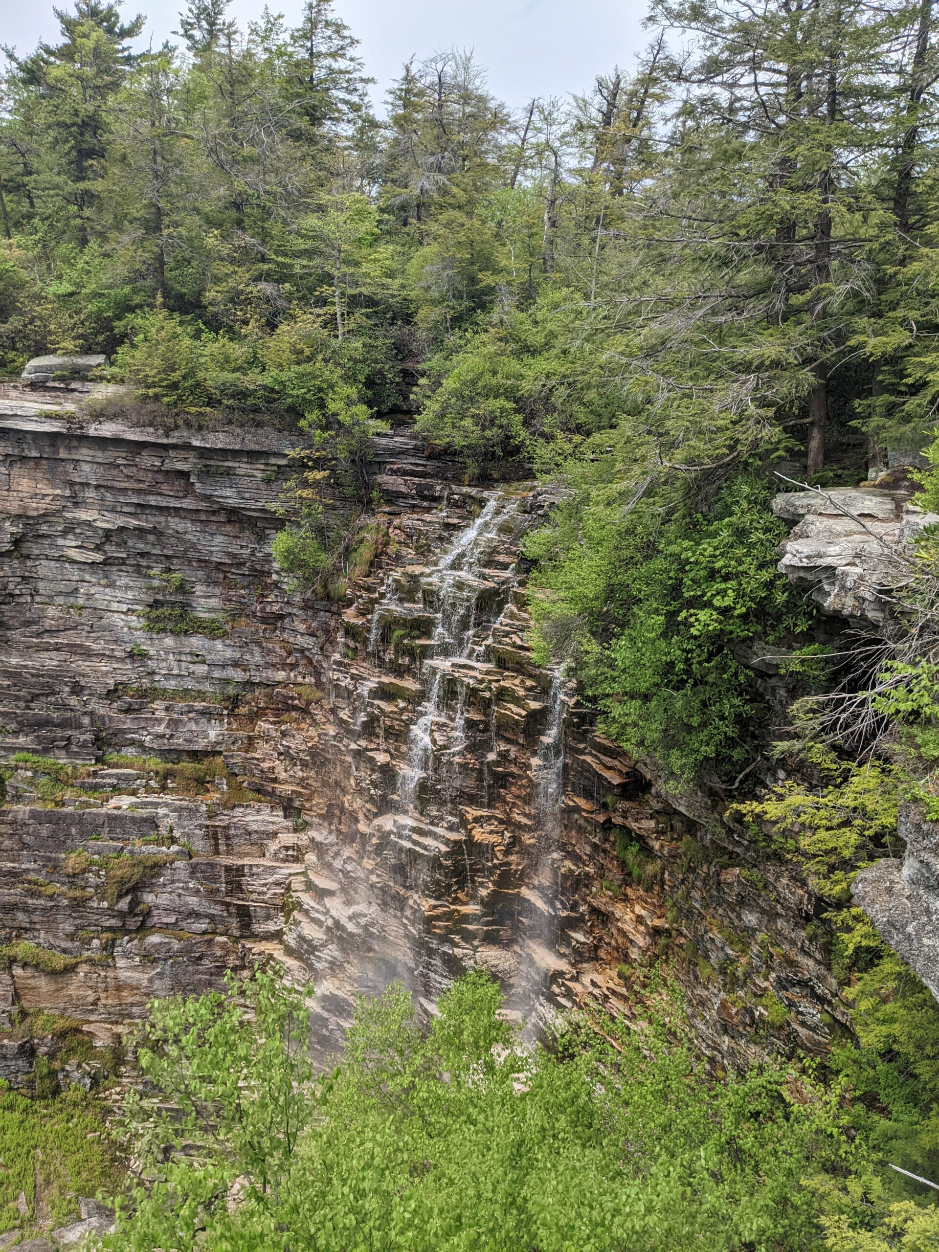
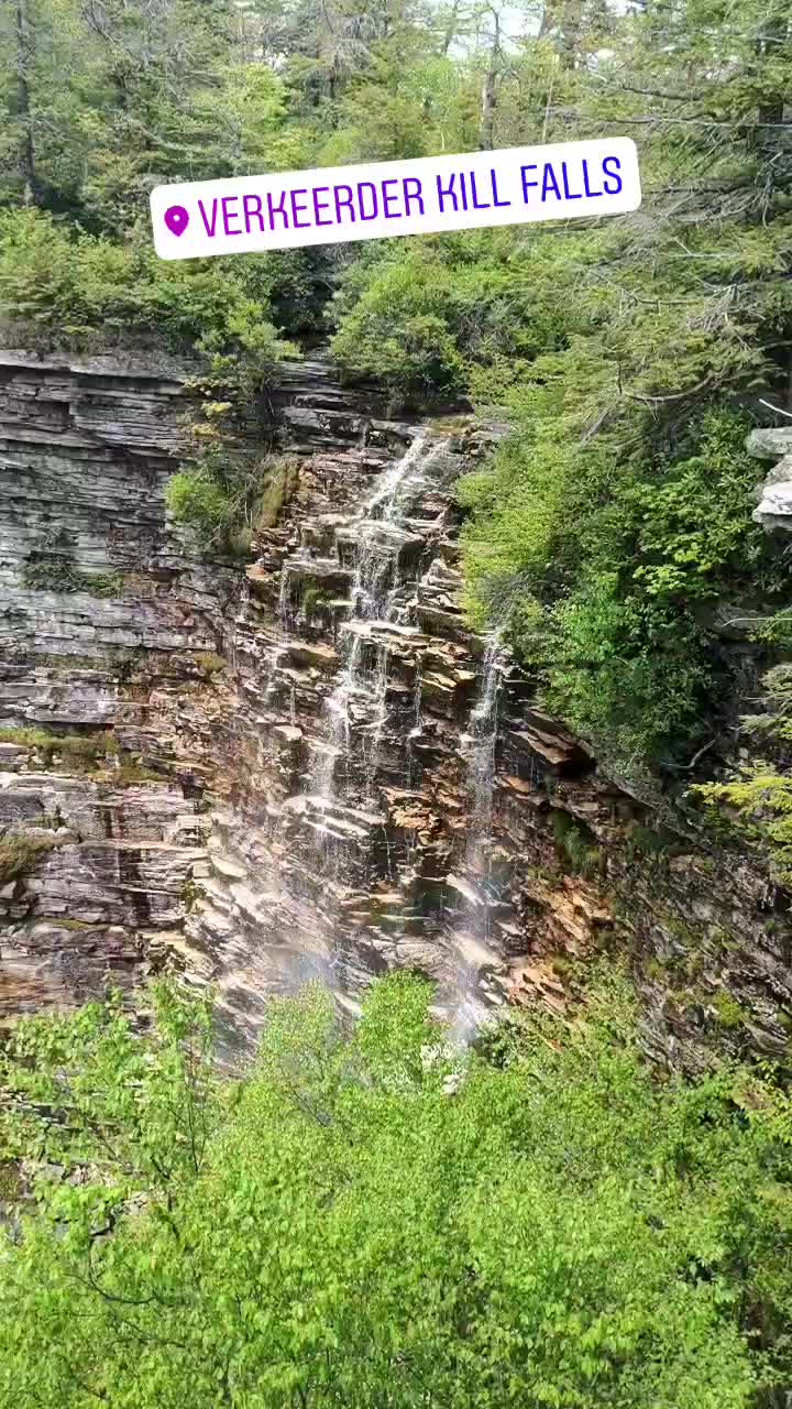
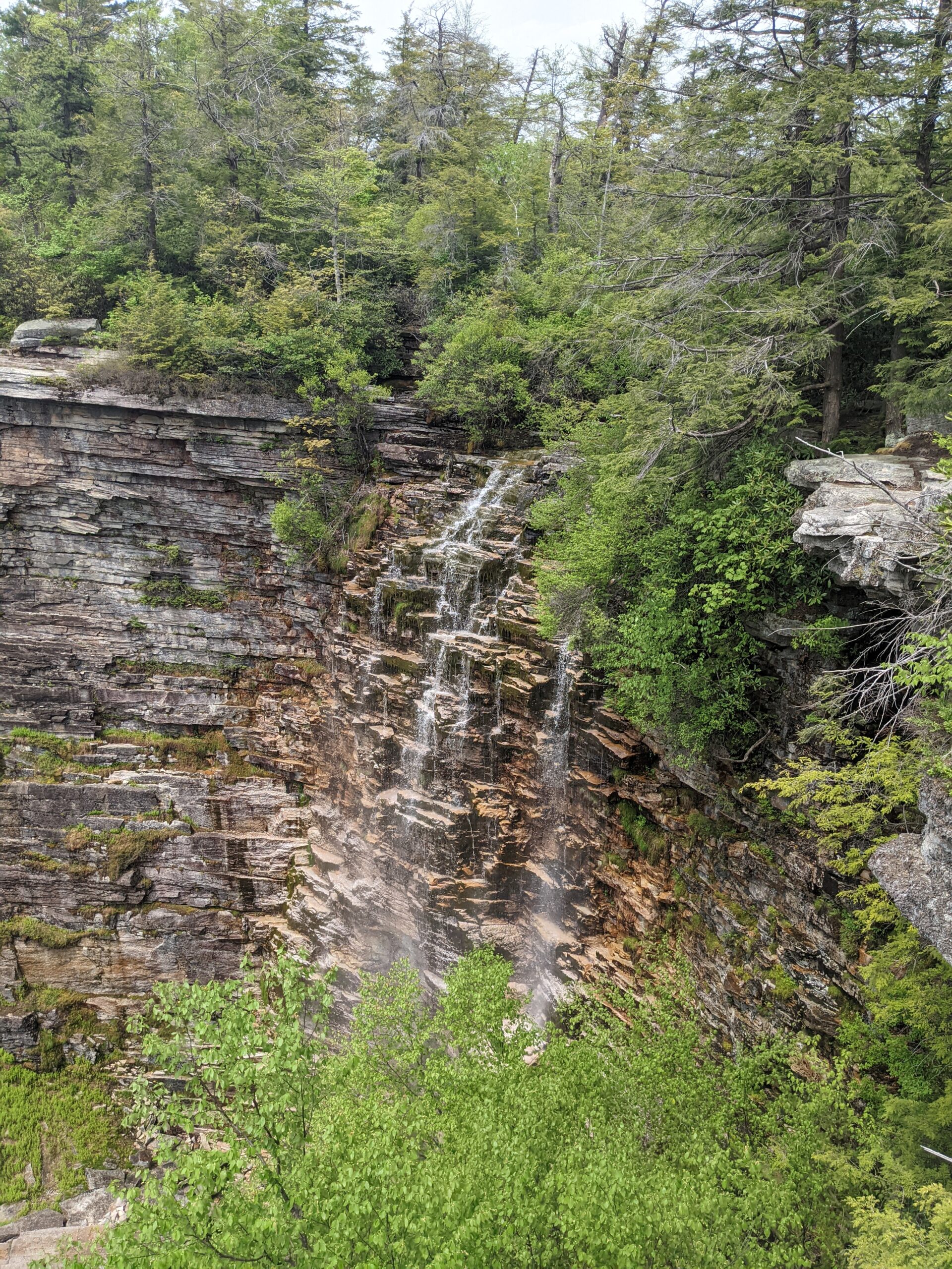
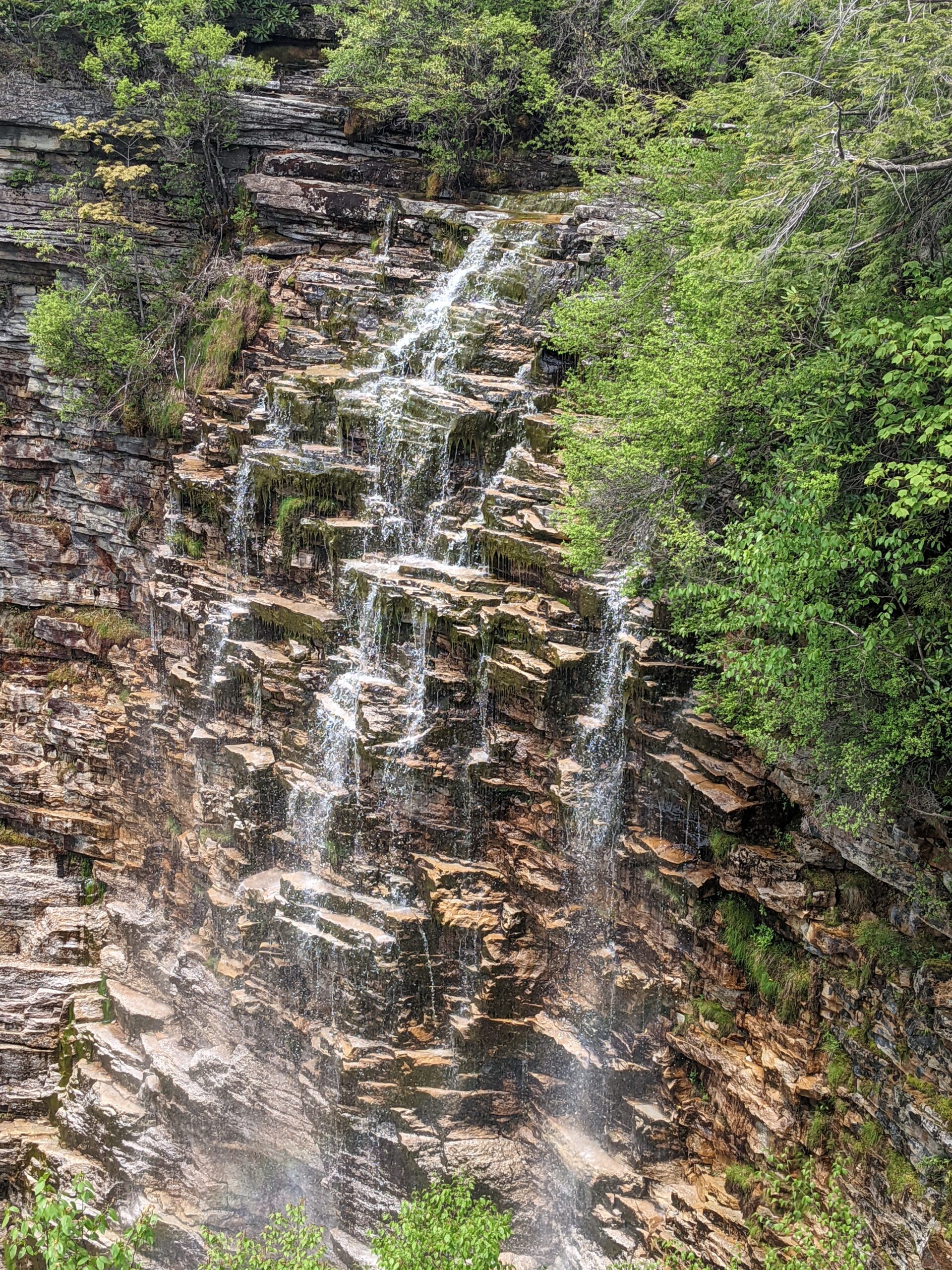
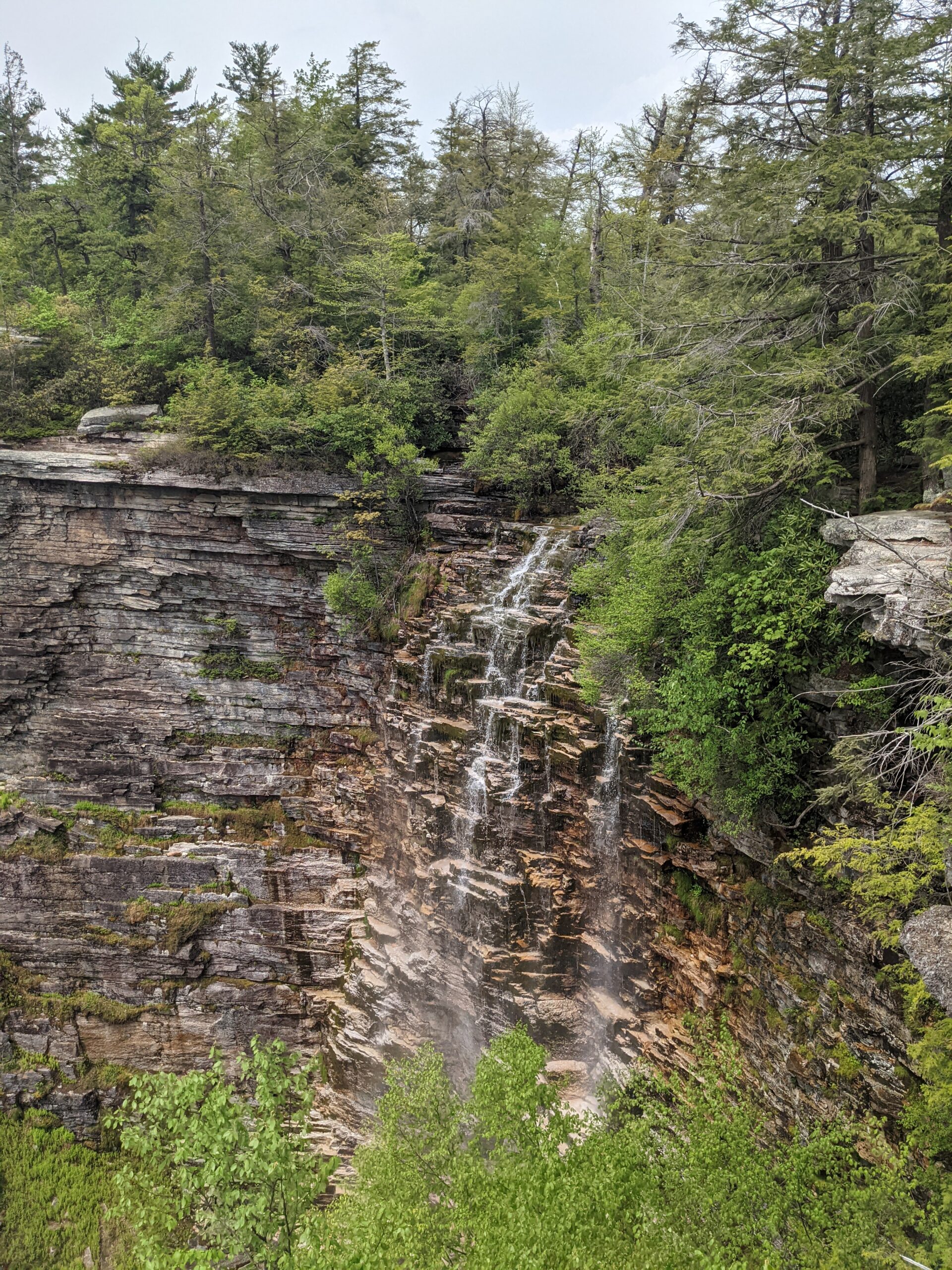
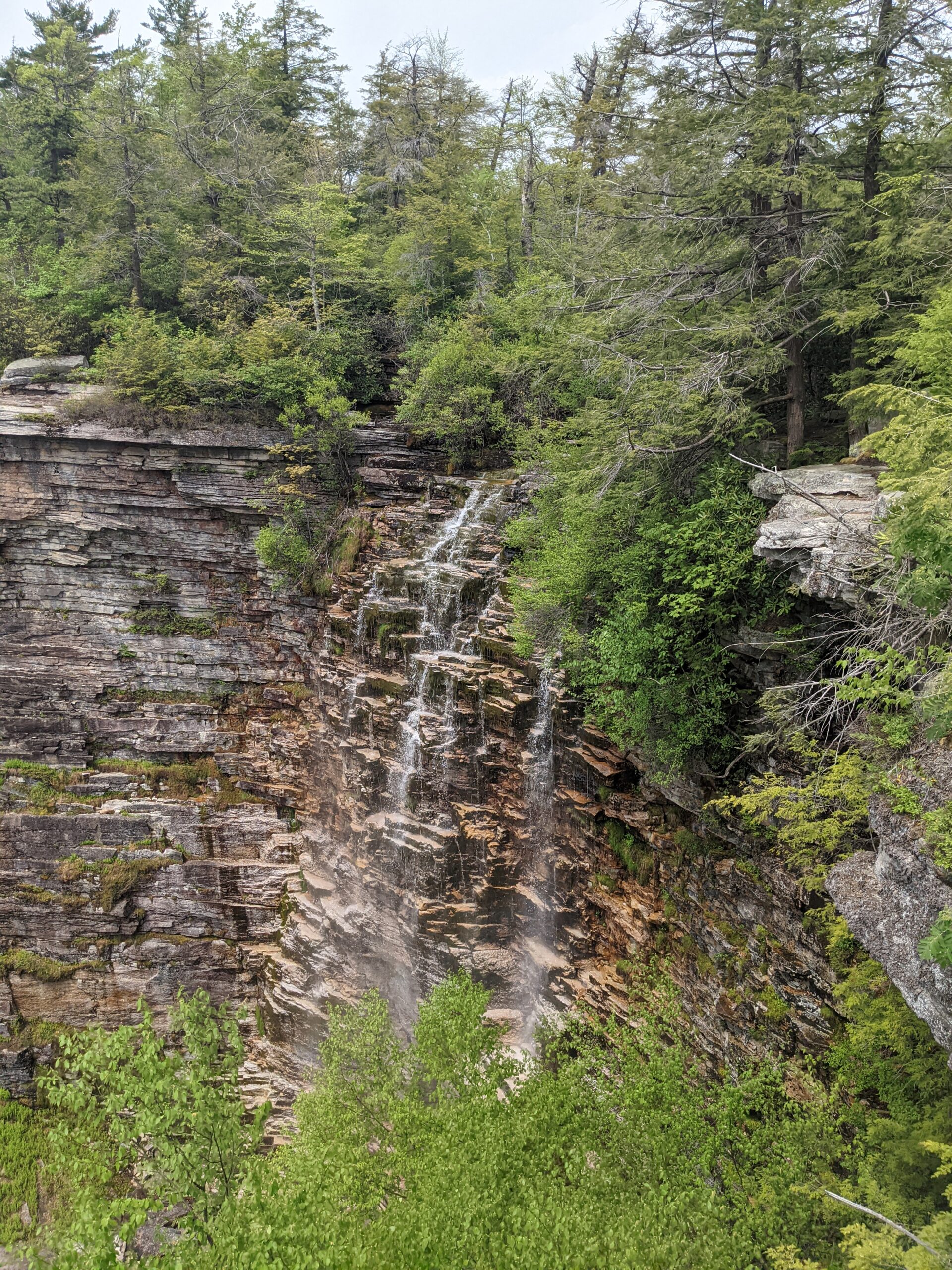
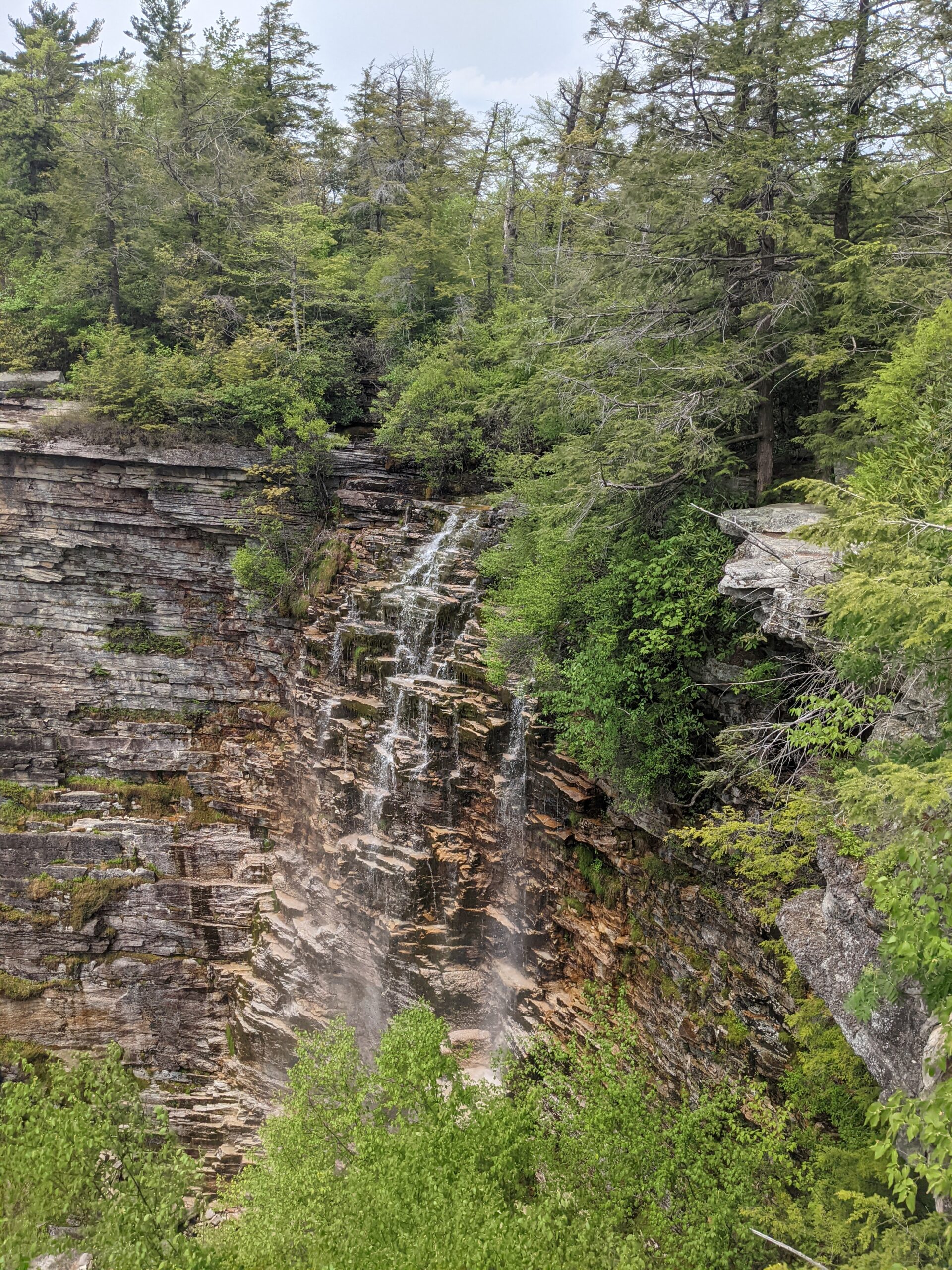
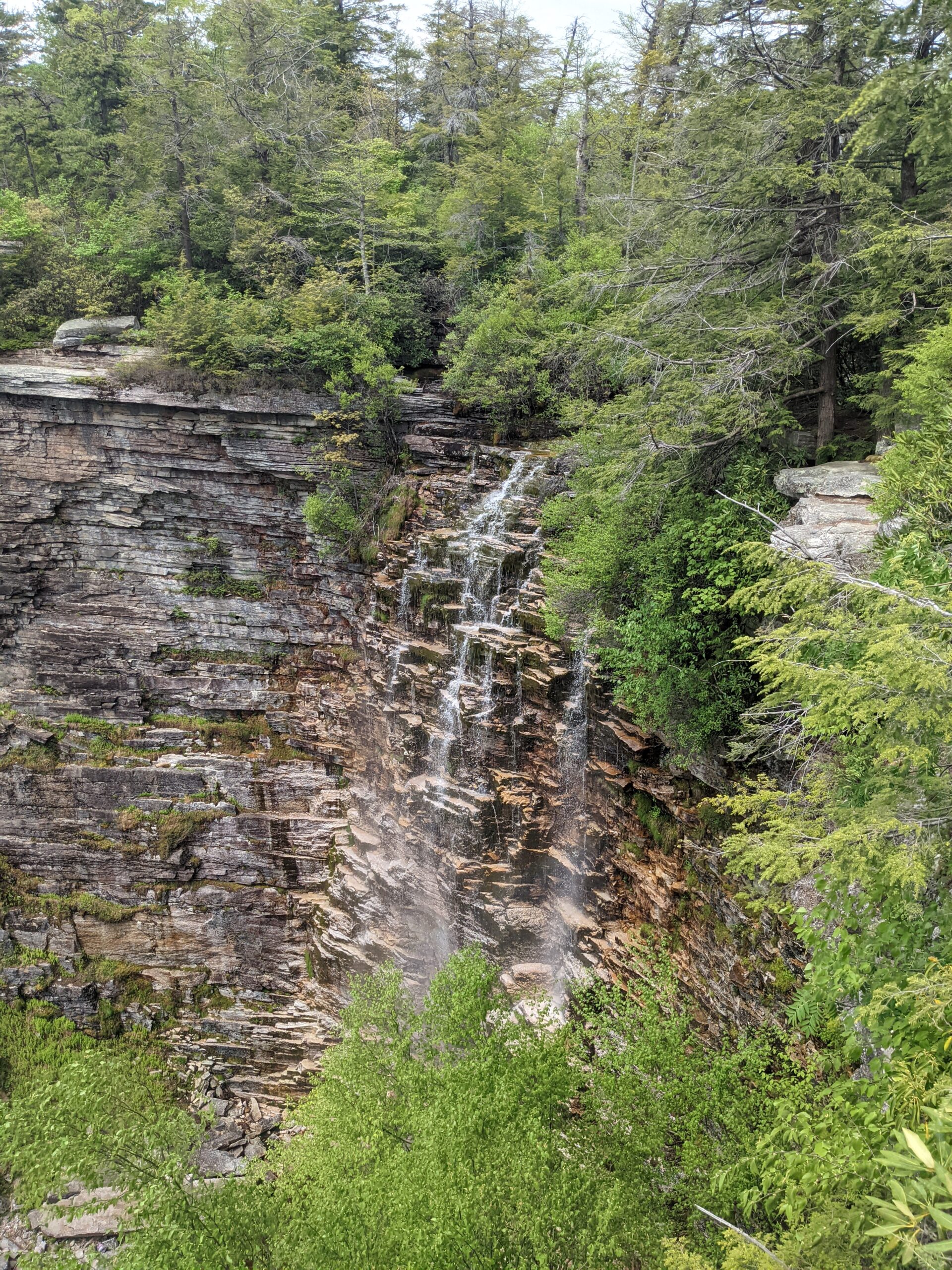
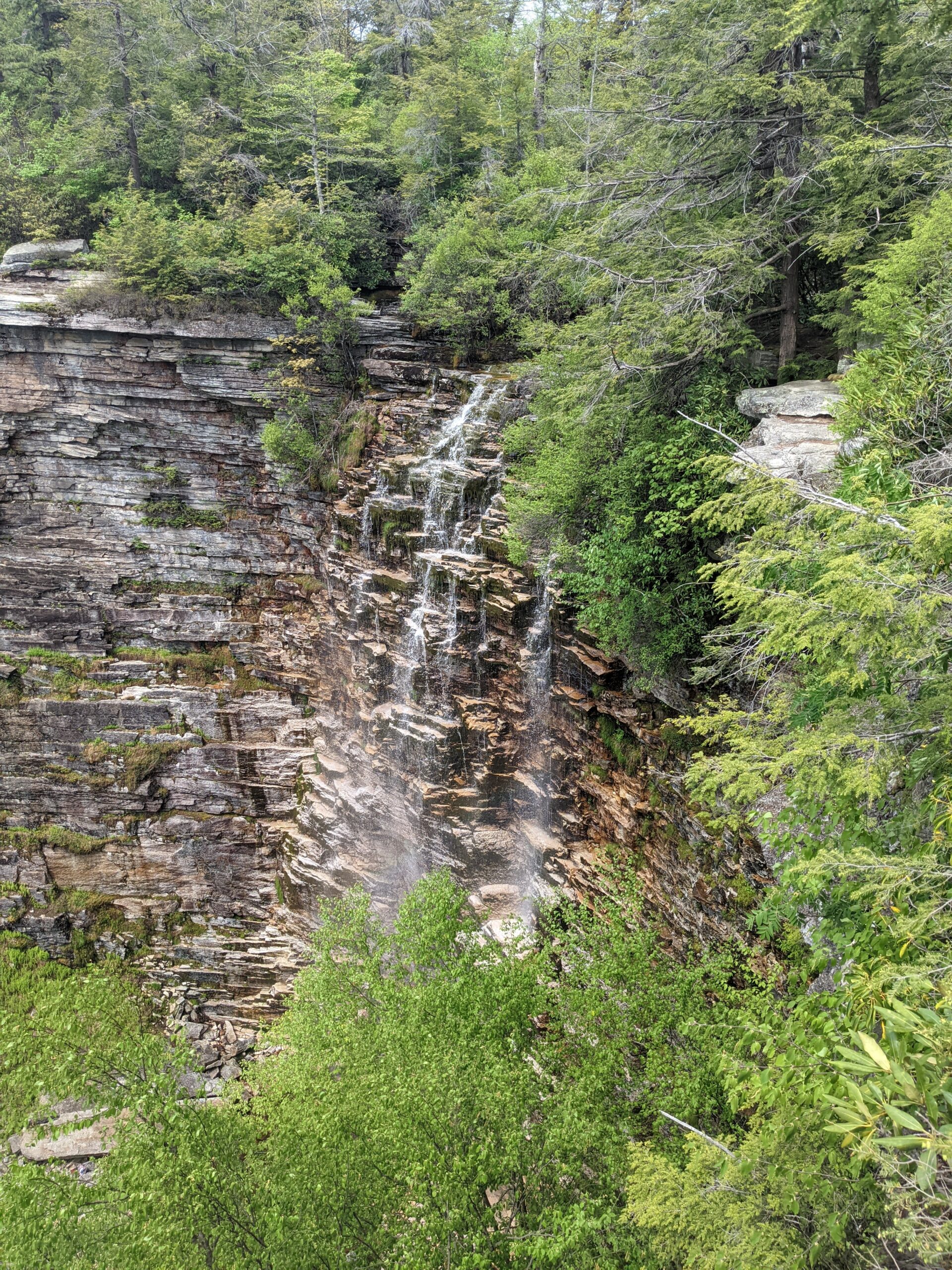
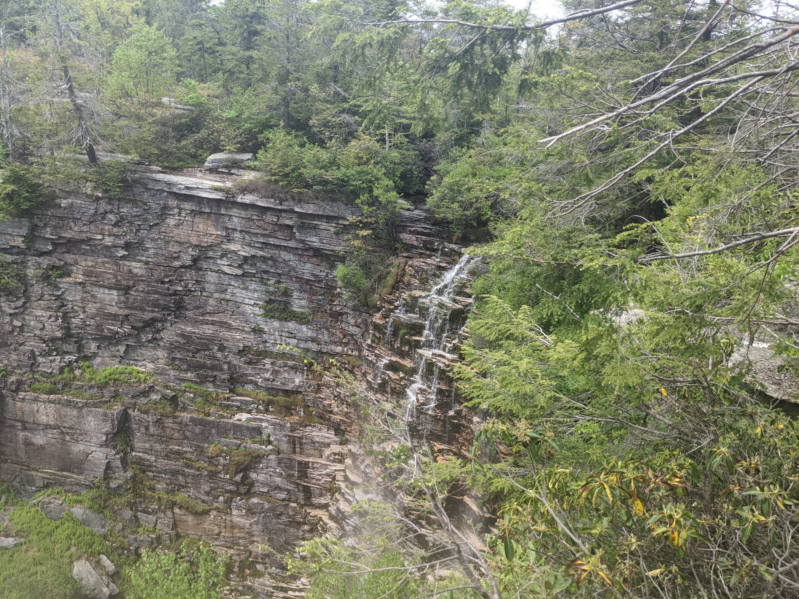
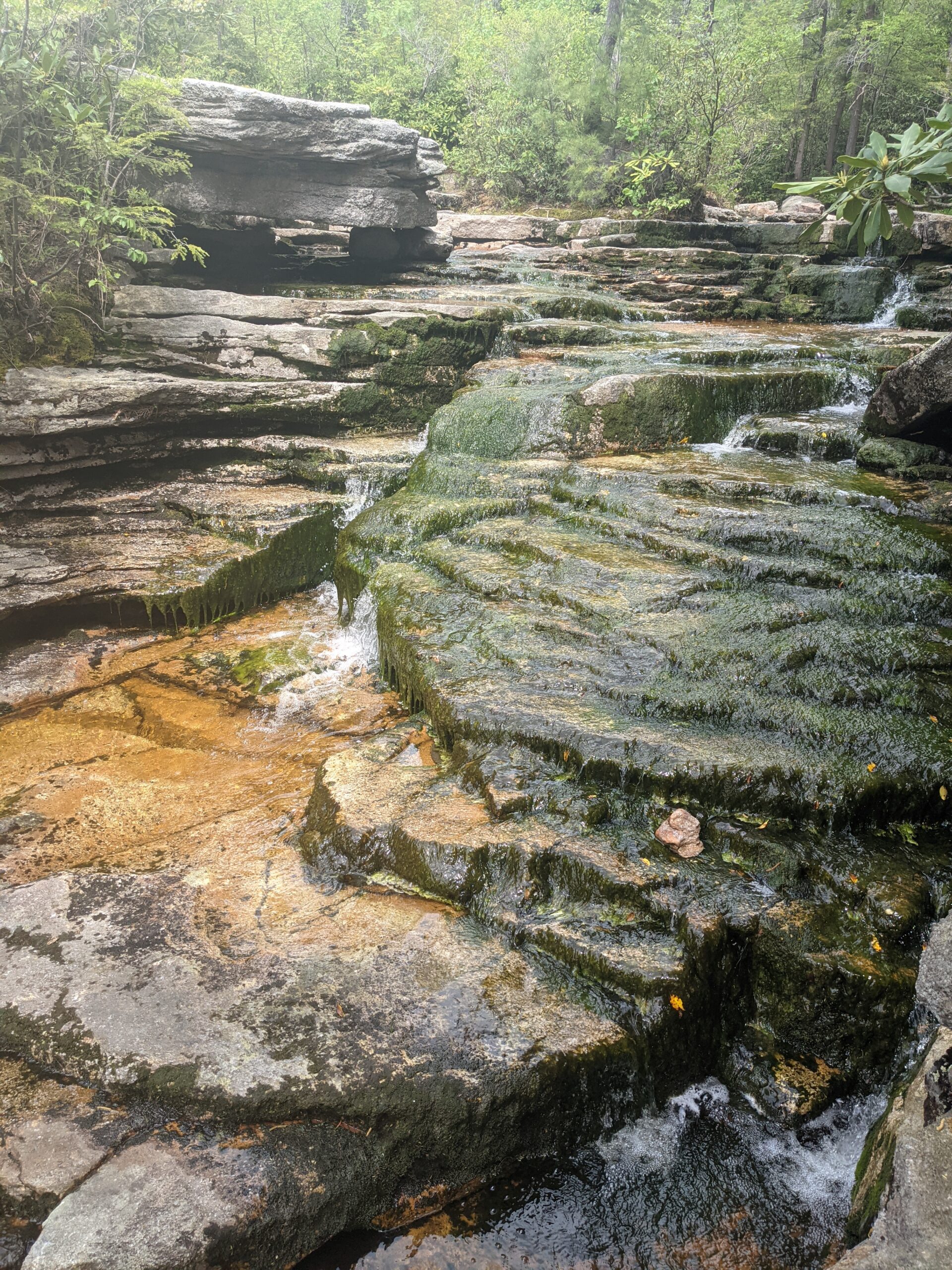
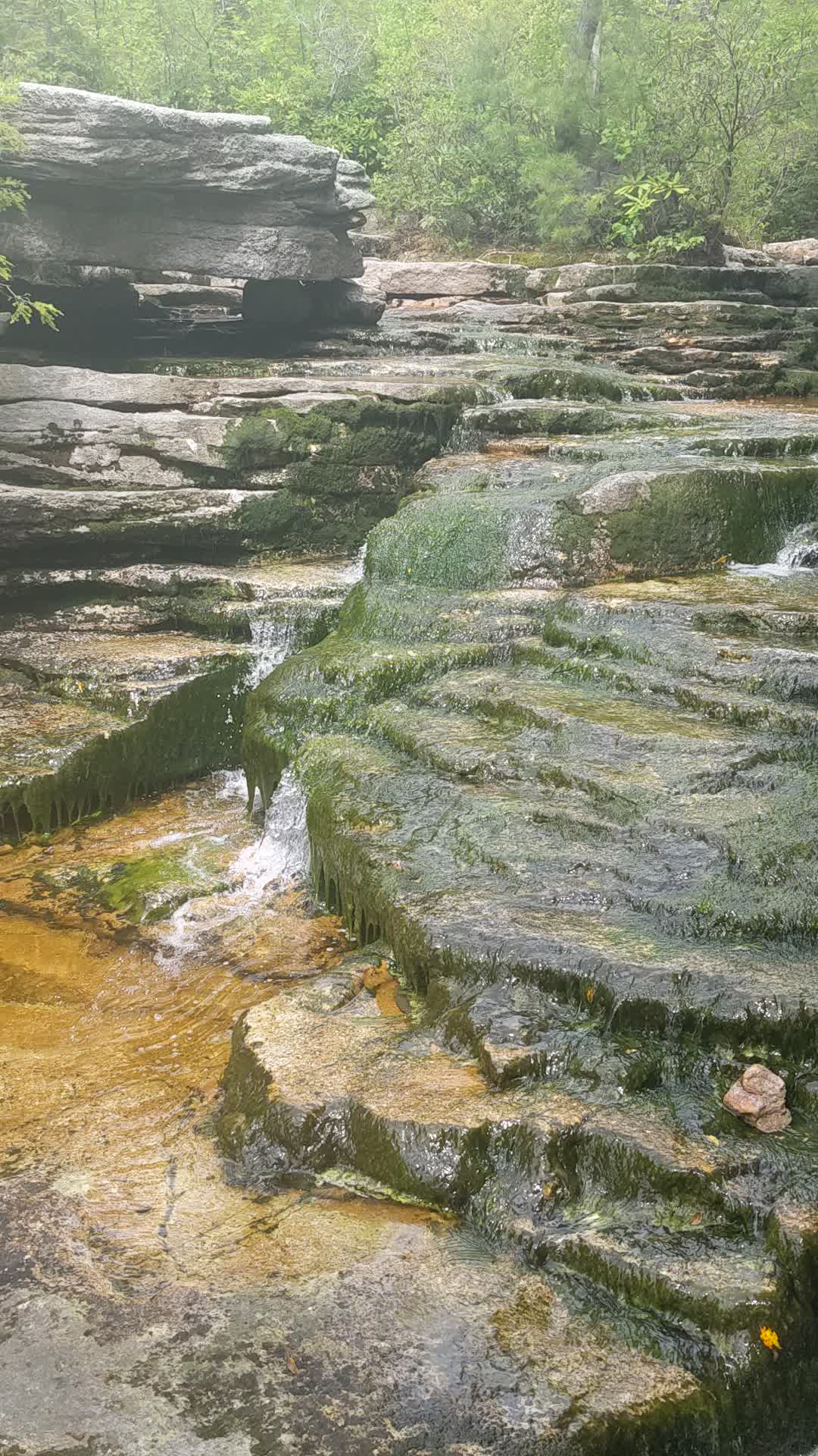
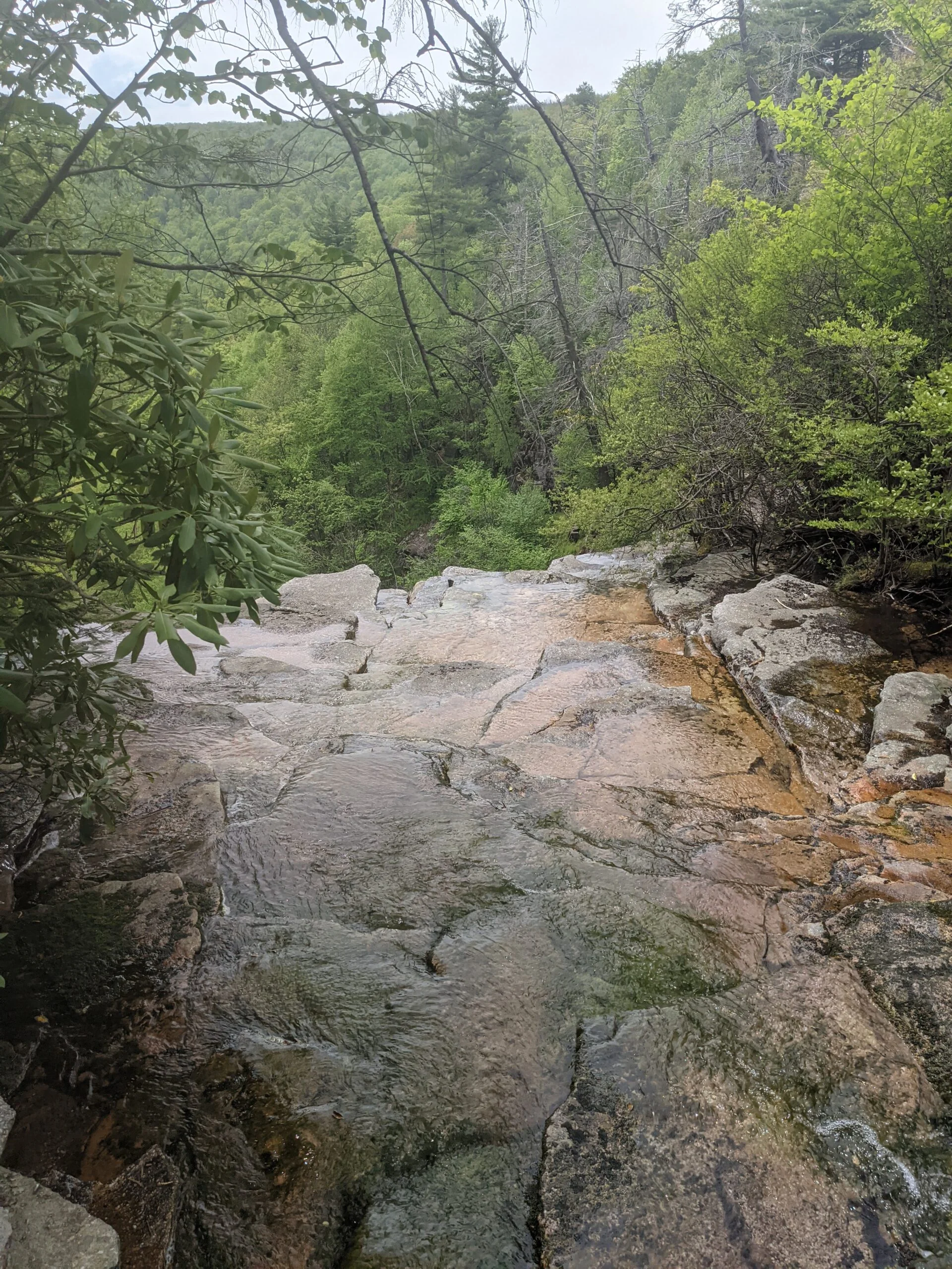
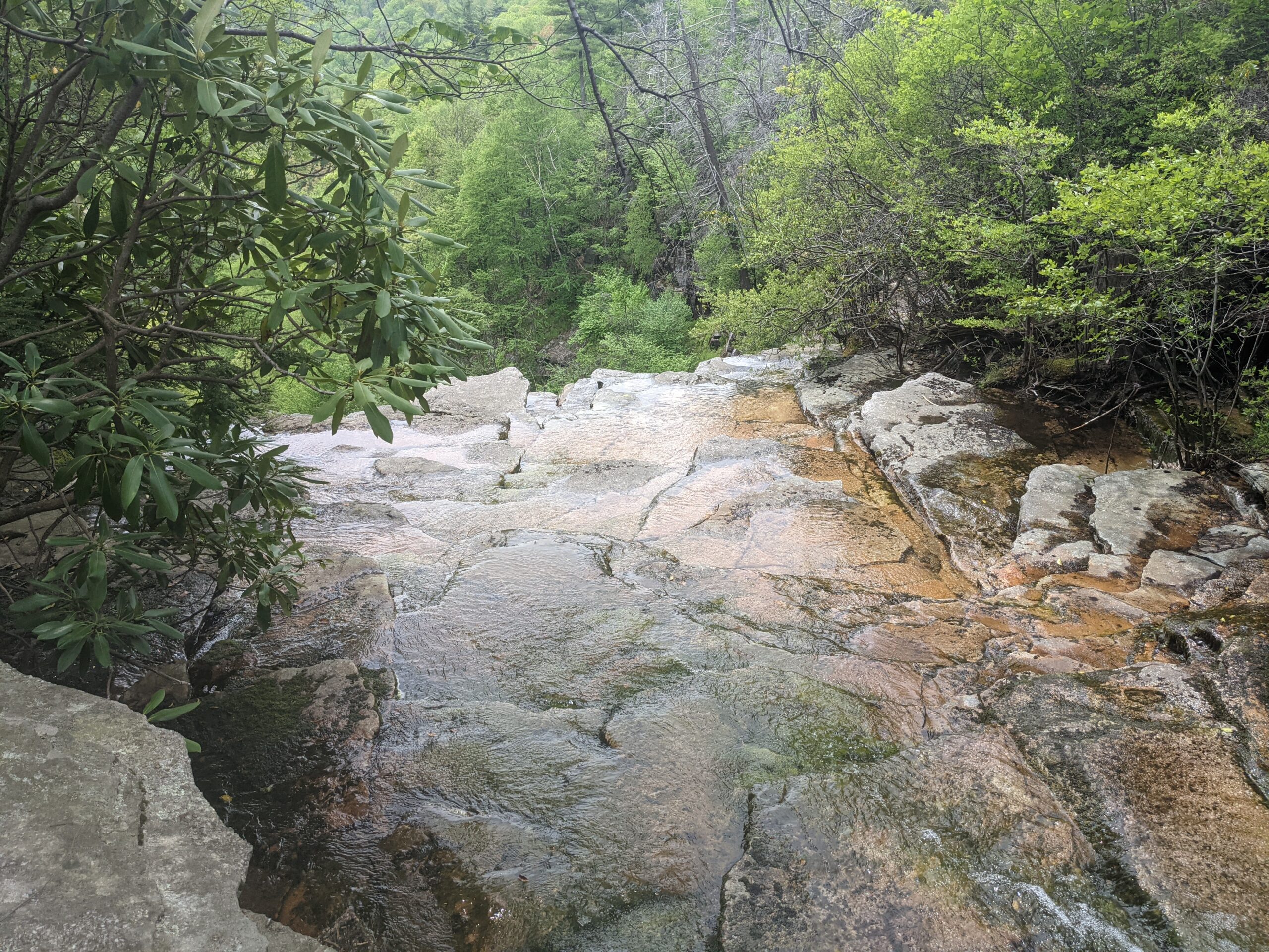
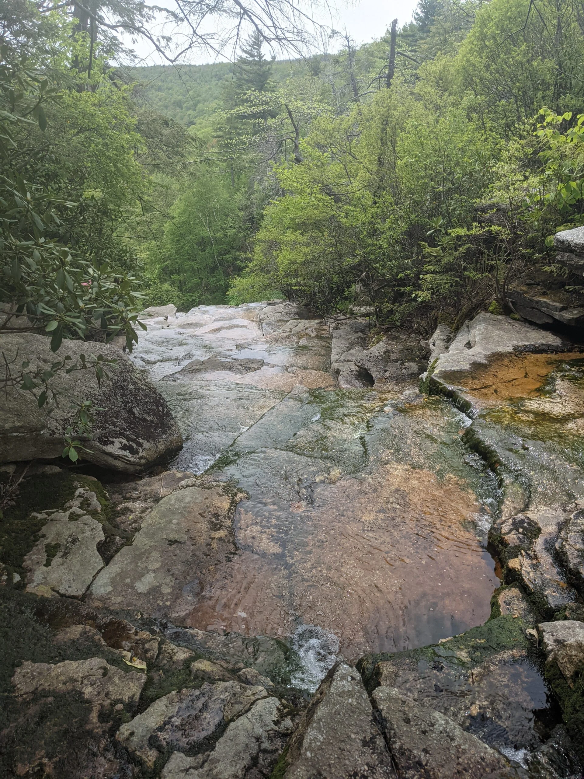
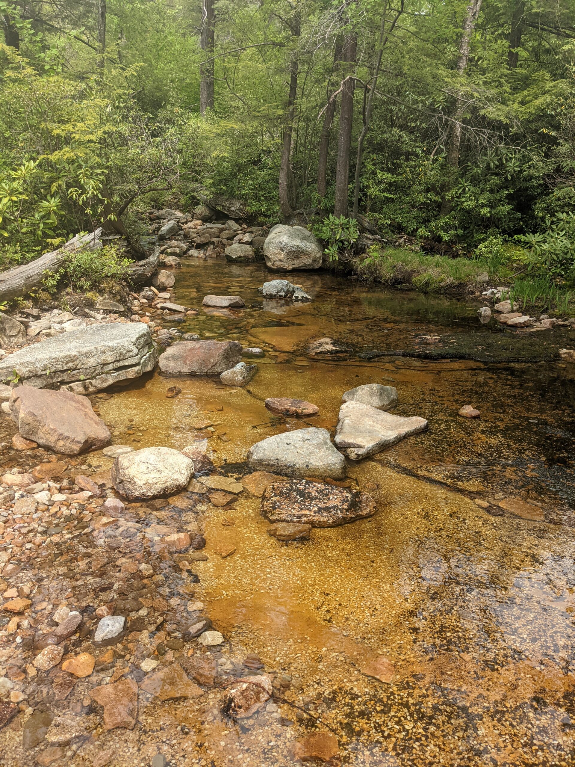
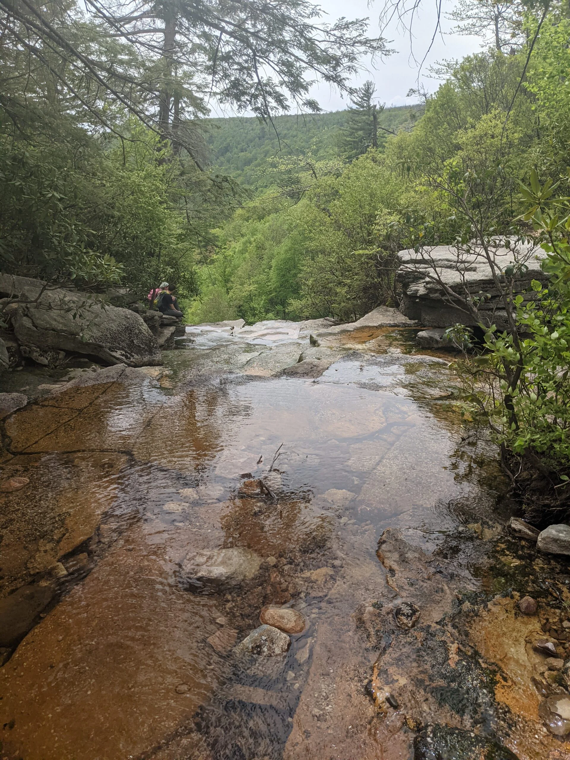
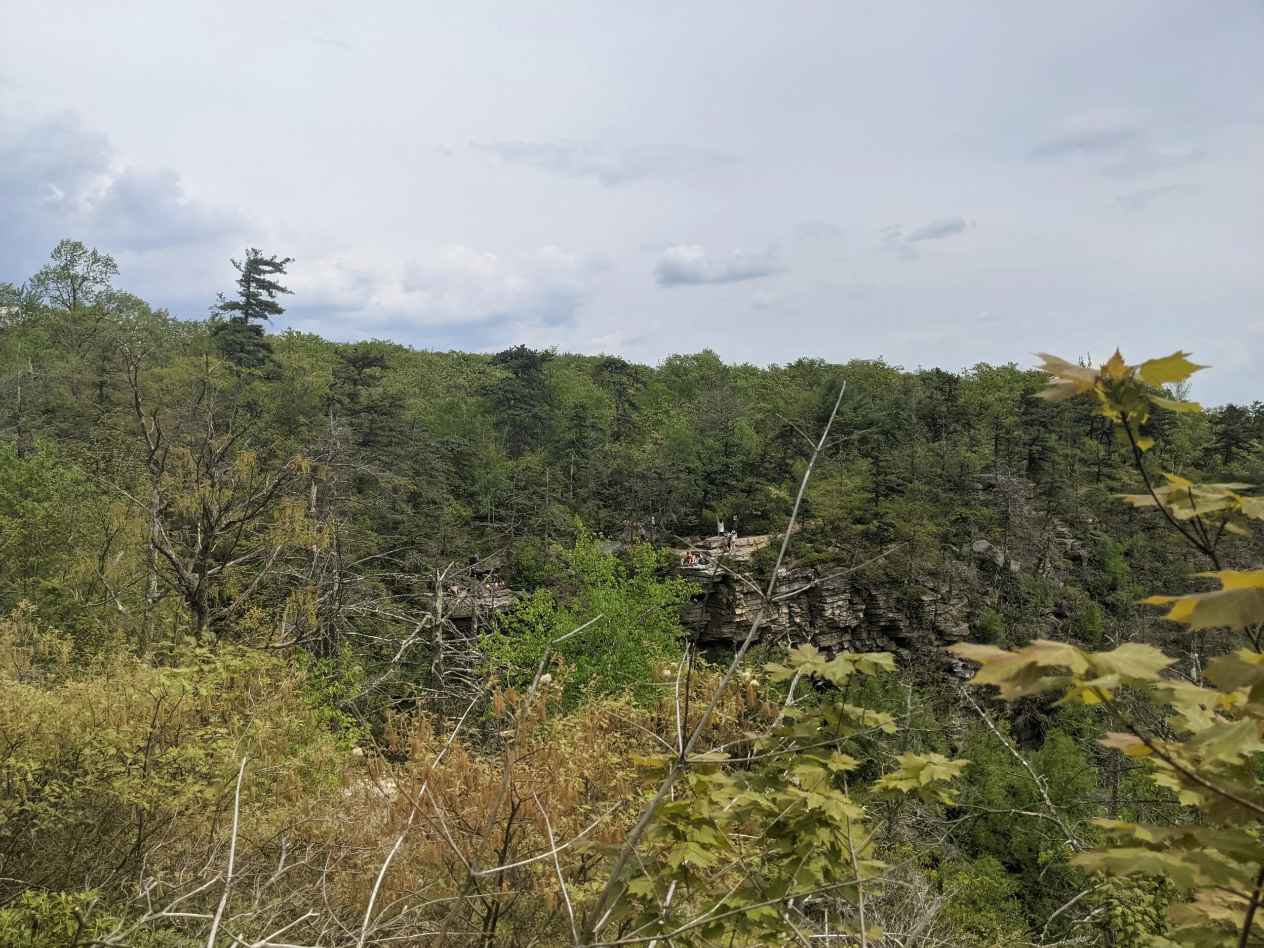
Within minutes, we were at the highlight of the trip, the Verkeerderkill Falls. The waterfall is 187 feet tall and we viewed it from the rocky outcrops that were a bit higher and off to the side of the top of waterfall. Looking straight down into the valley below is a bit vertigo inducing, but looking at the falls themselves is mesmerizing. We were able to get a bunch of photos and videos a few minutes before a few larger groups started arriving. I had seen several pictures of the falls online, which range from slow streams to heavy flows. Today was more on the slow side, but it was still an awe-inspiring experience. There are several viewing points along the ridge, so we walked around and explored the area. The trail crosses over the Verkeerderkill stream and the point where the stream meets the top of the falls is easily accessible.
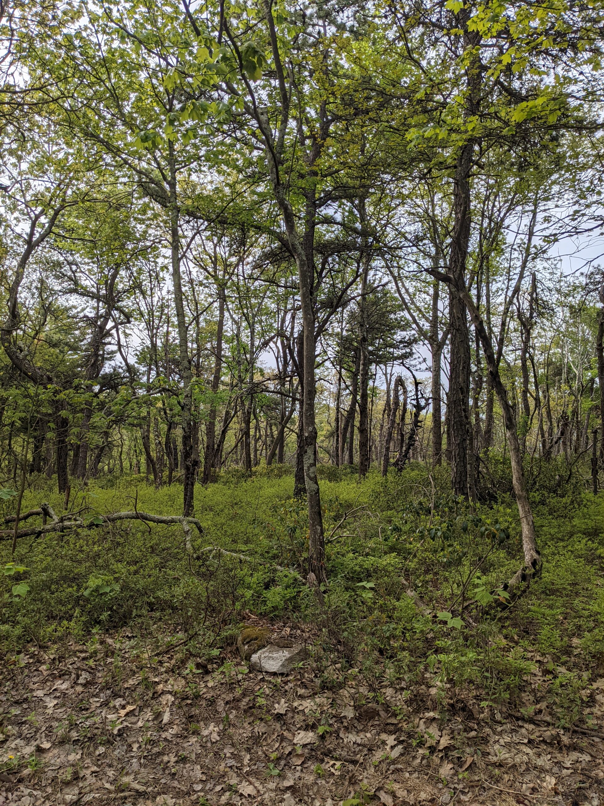
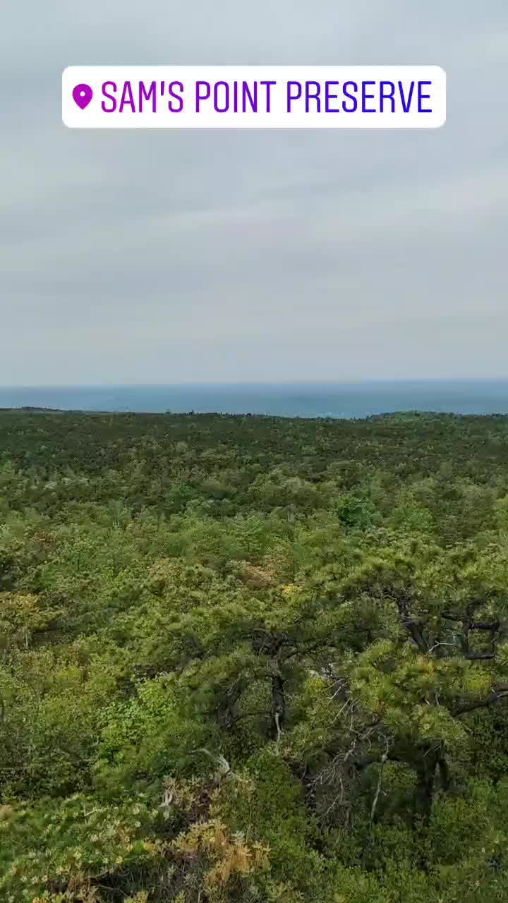
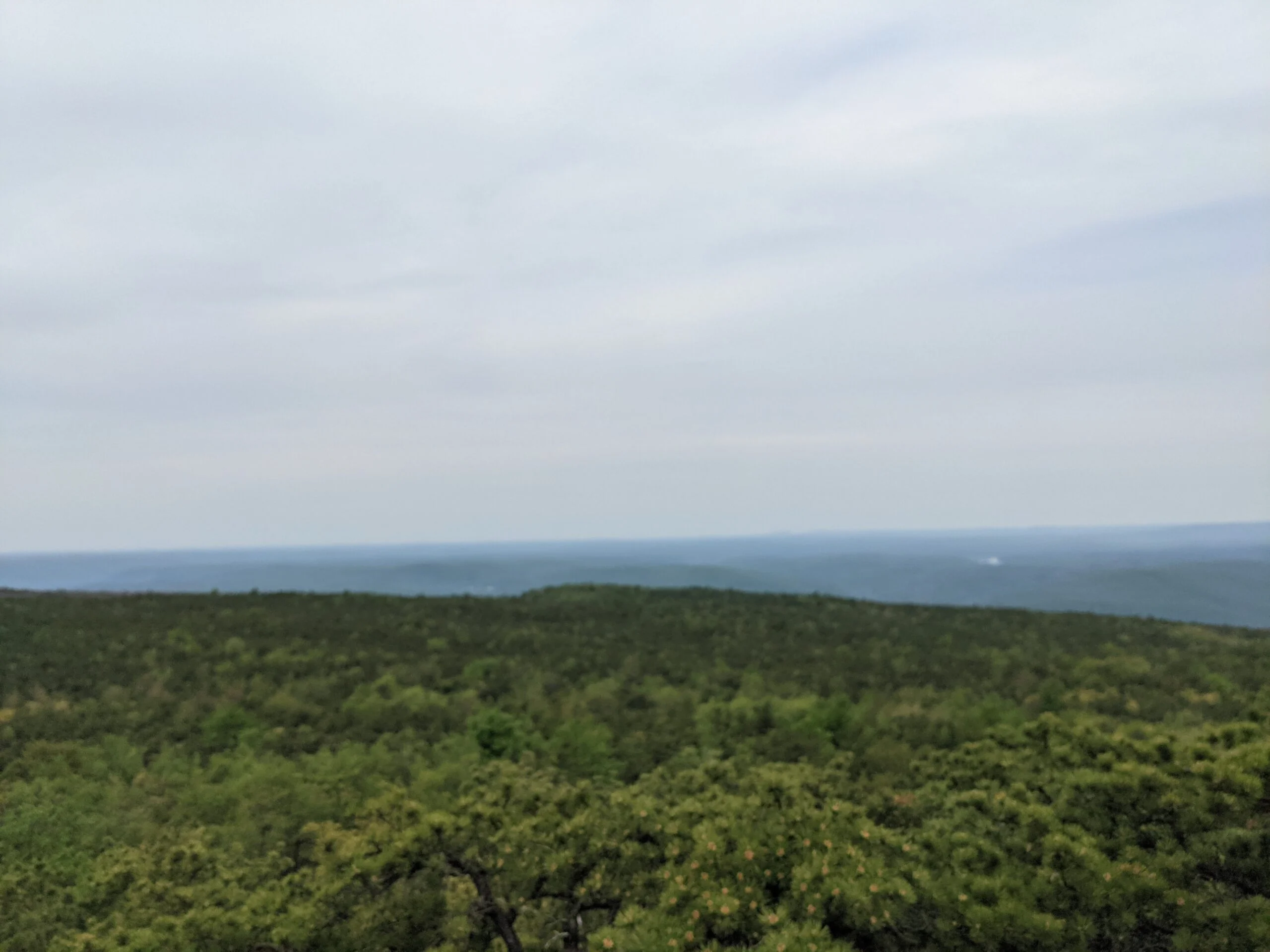
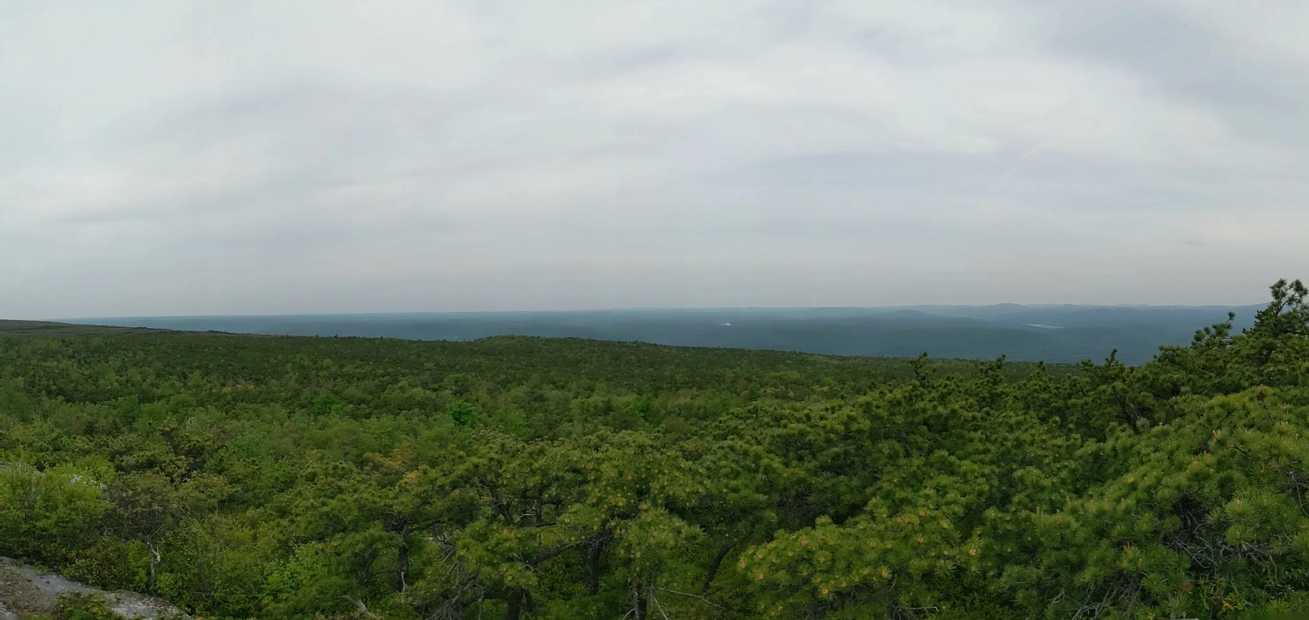
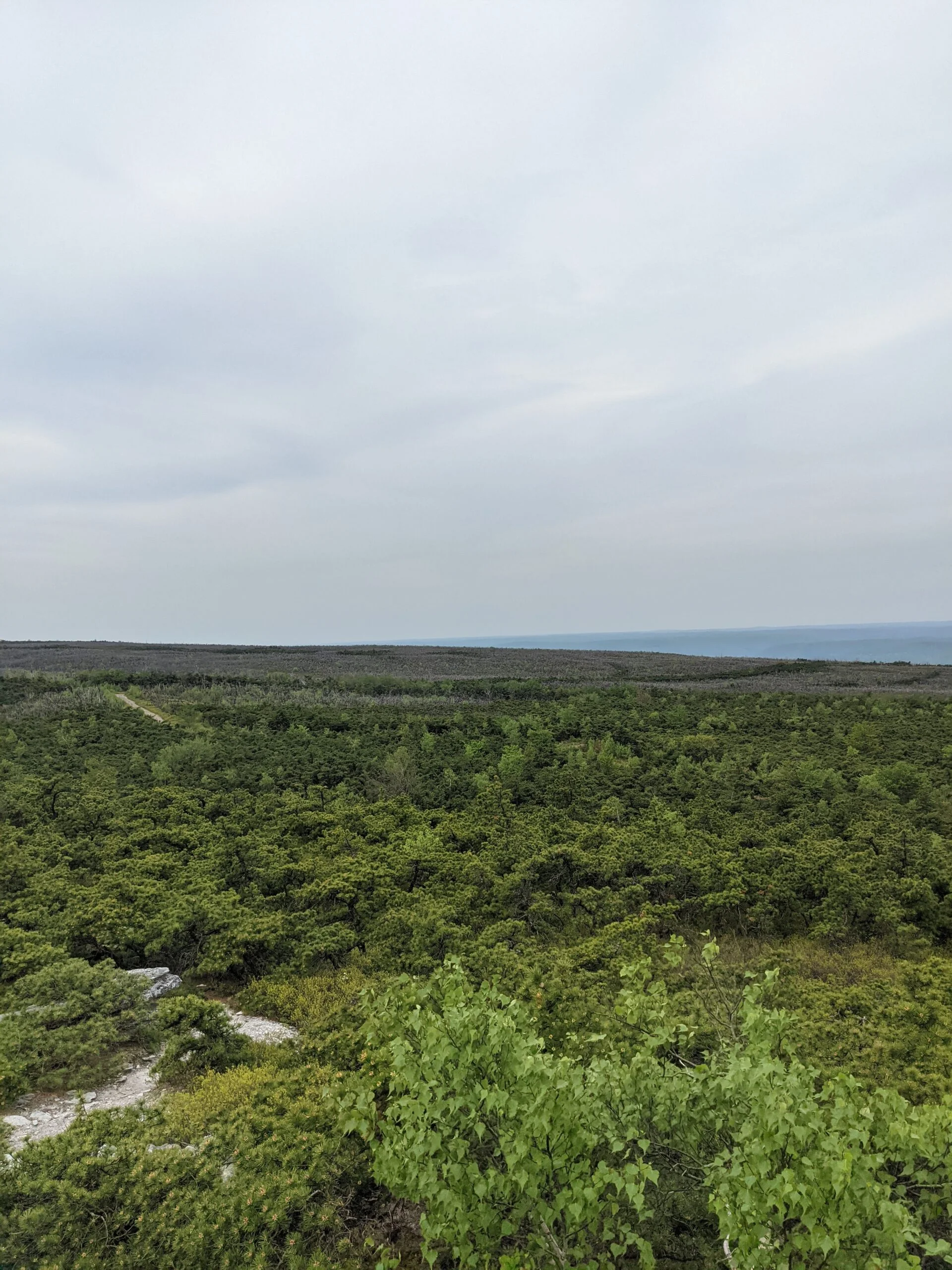
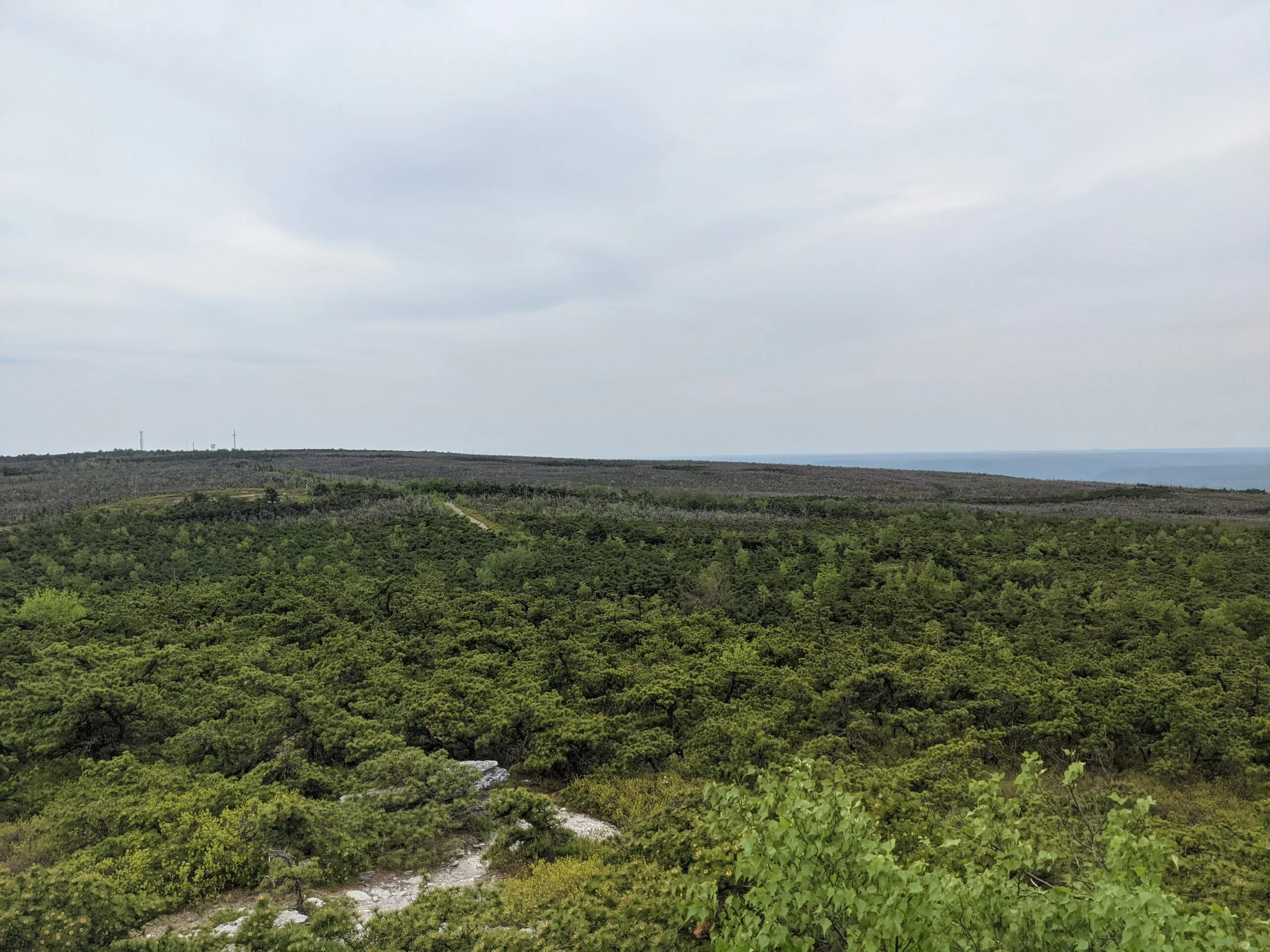
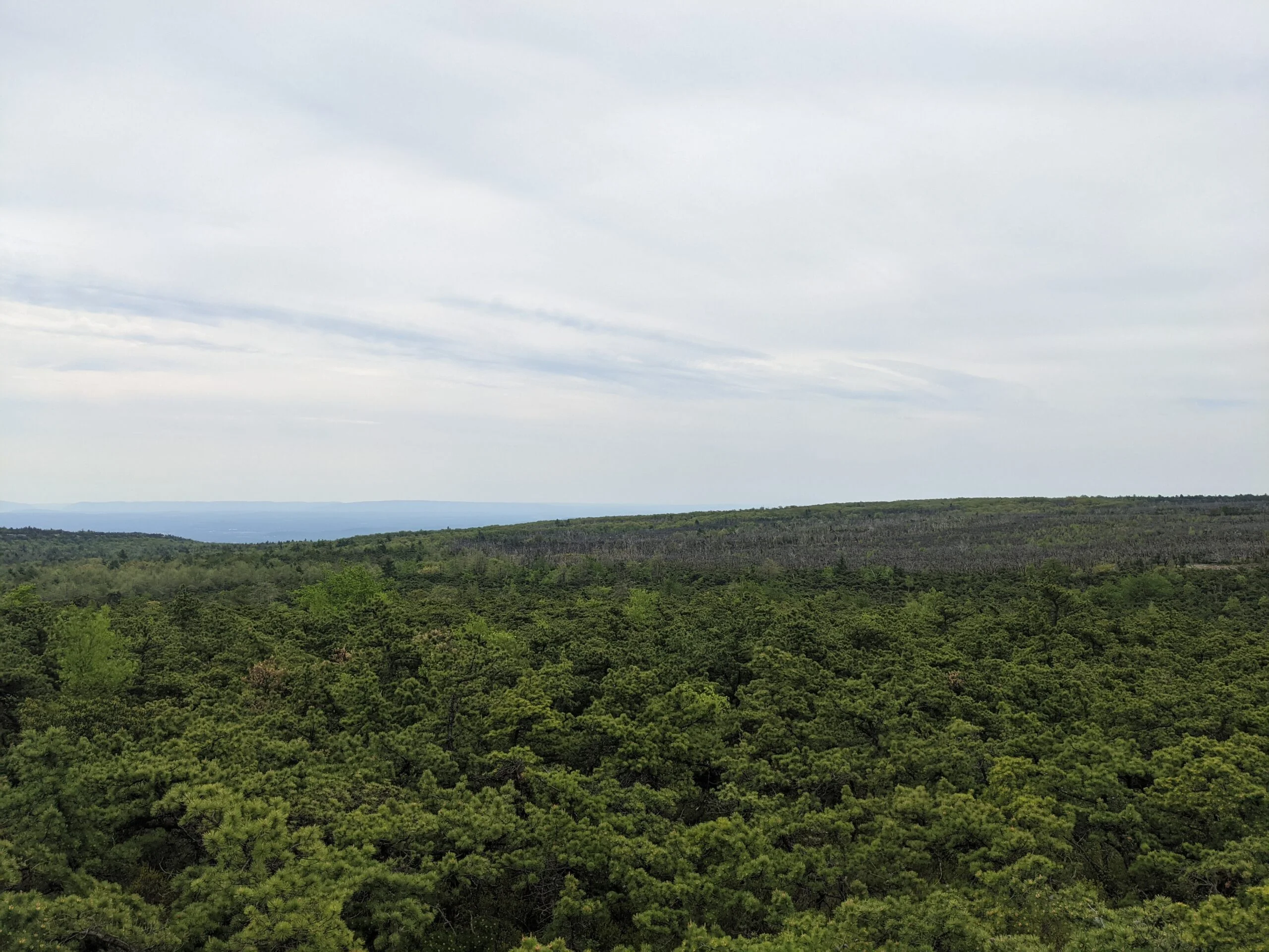
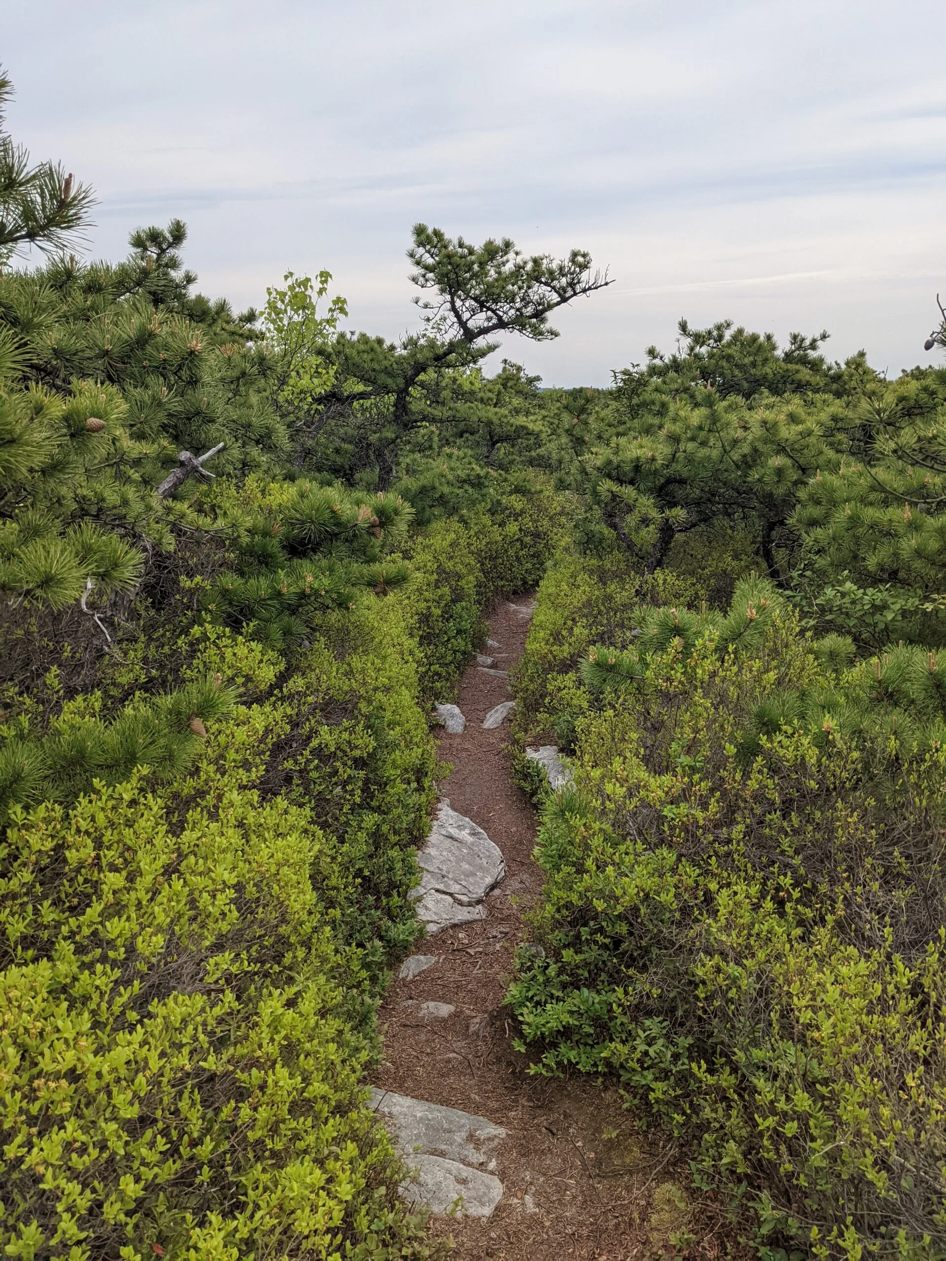
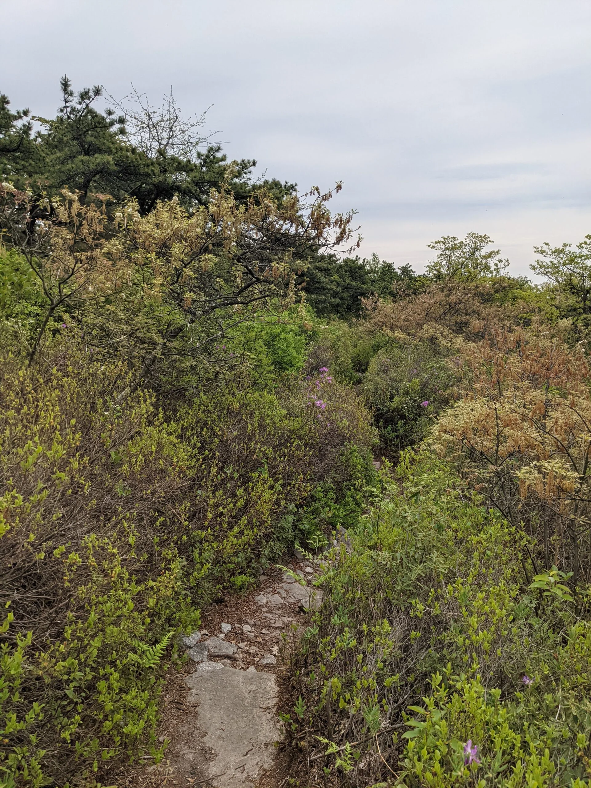
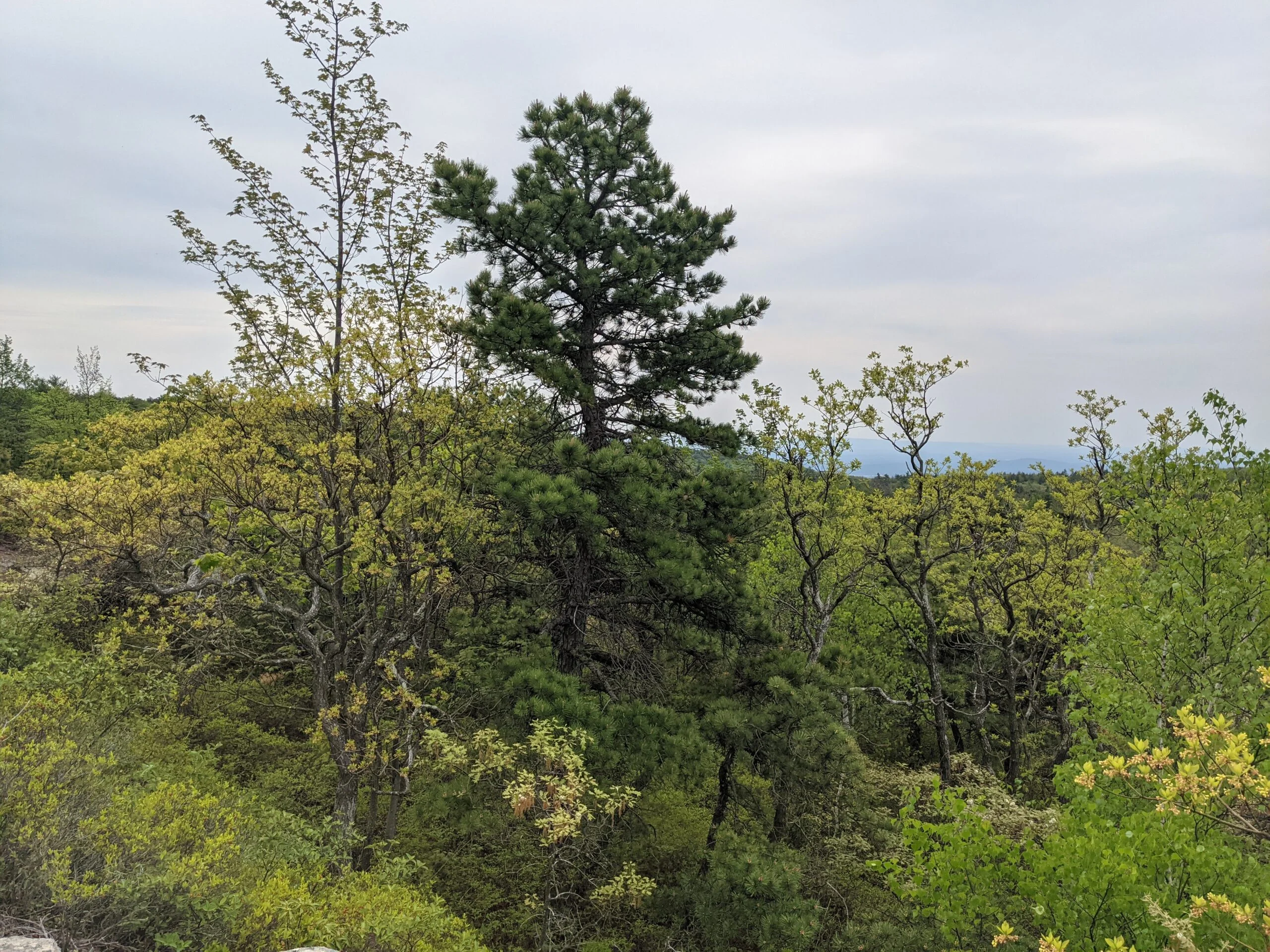
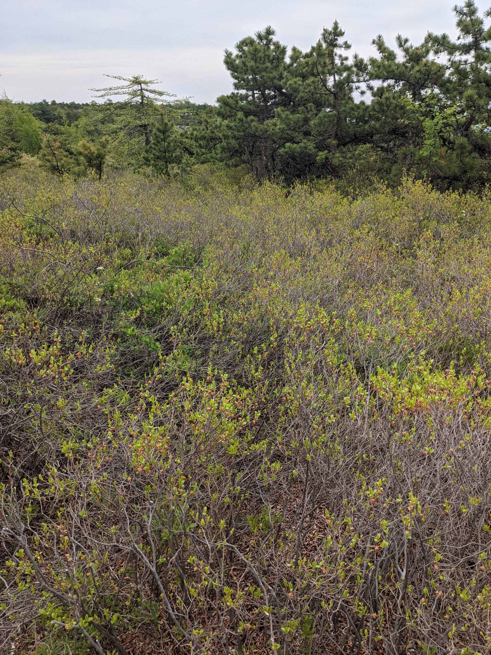
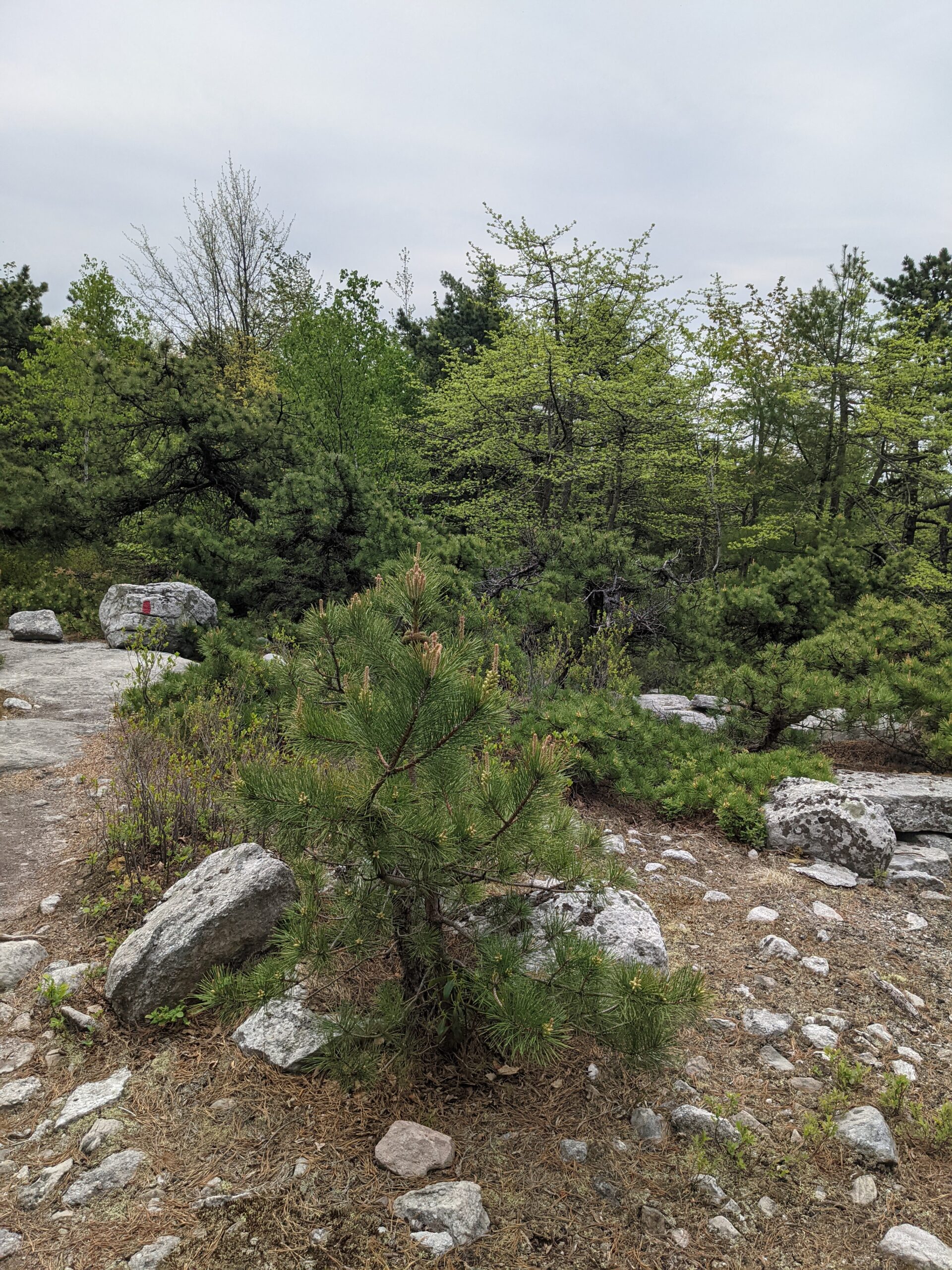
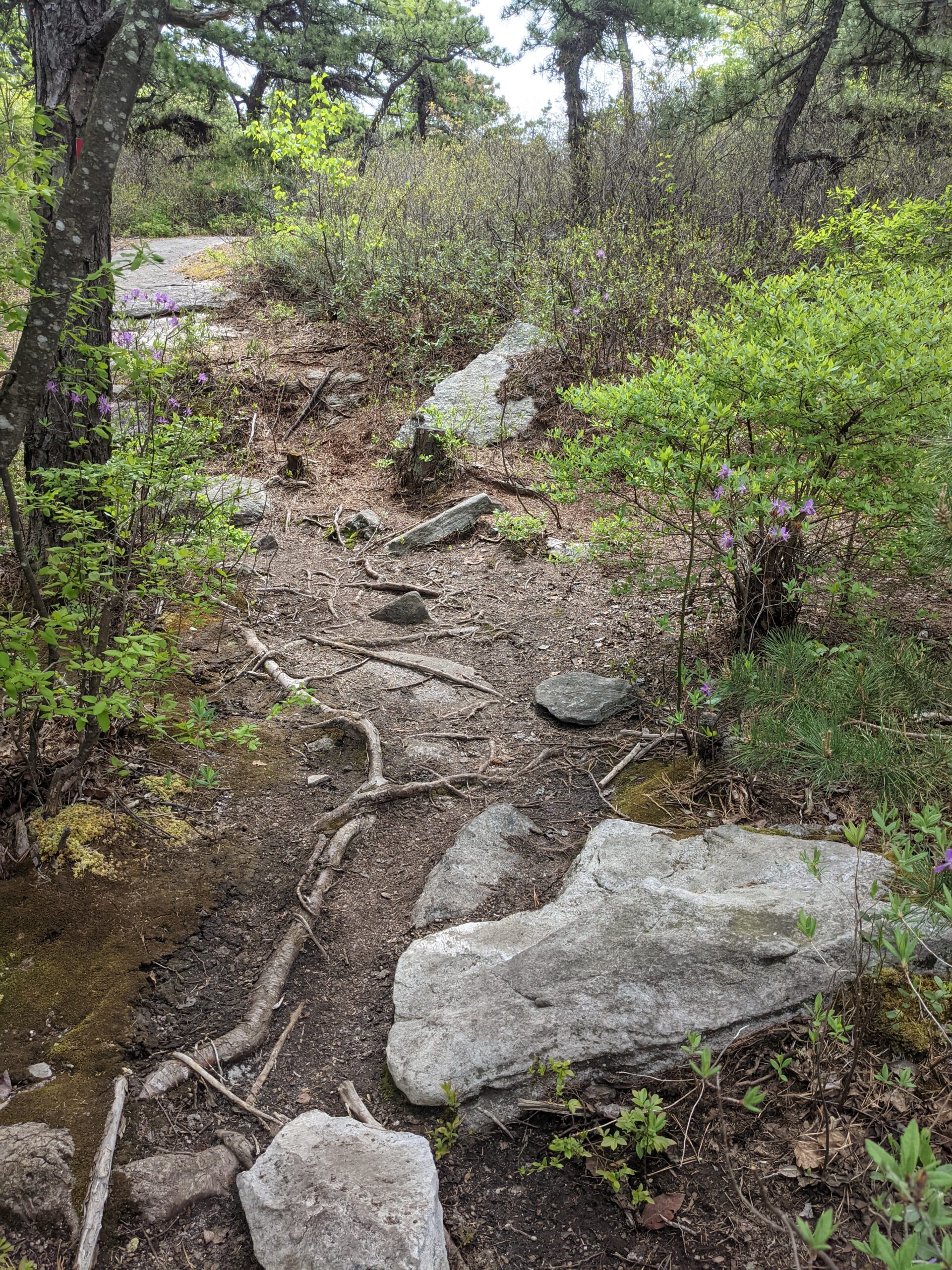
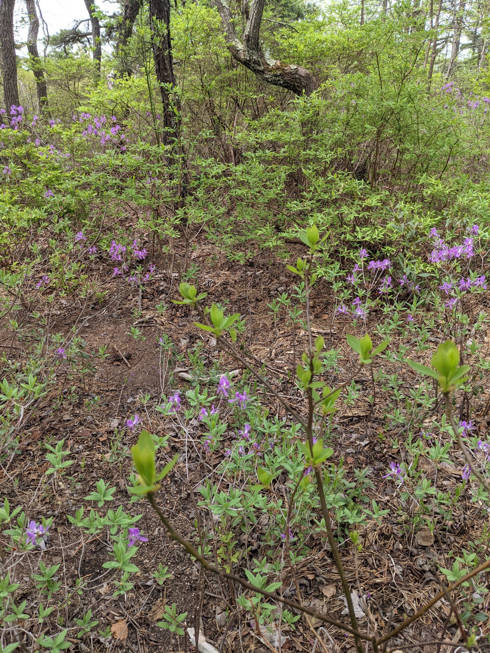
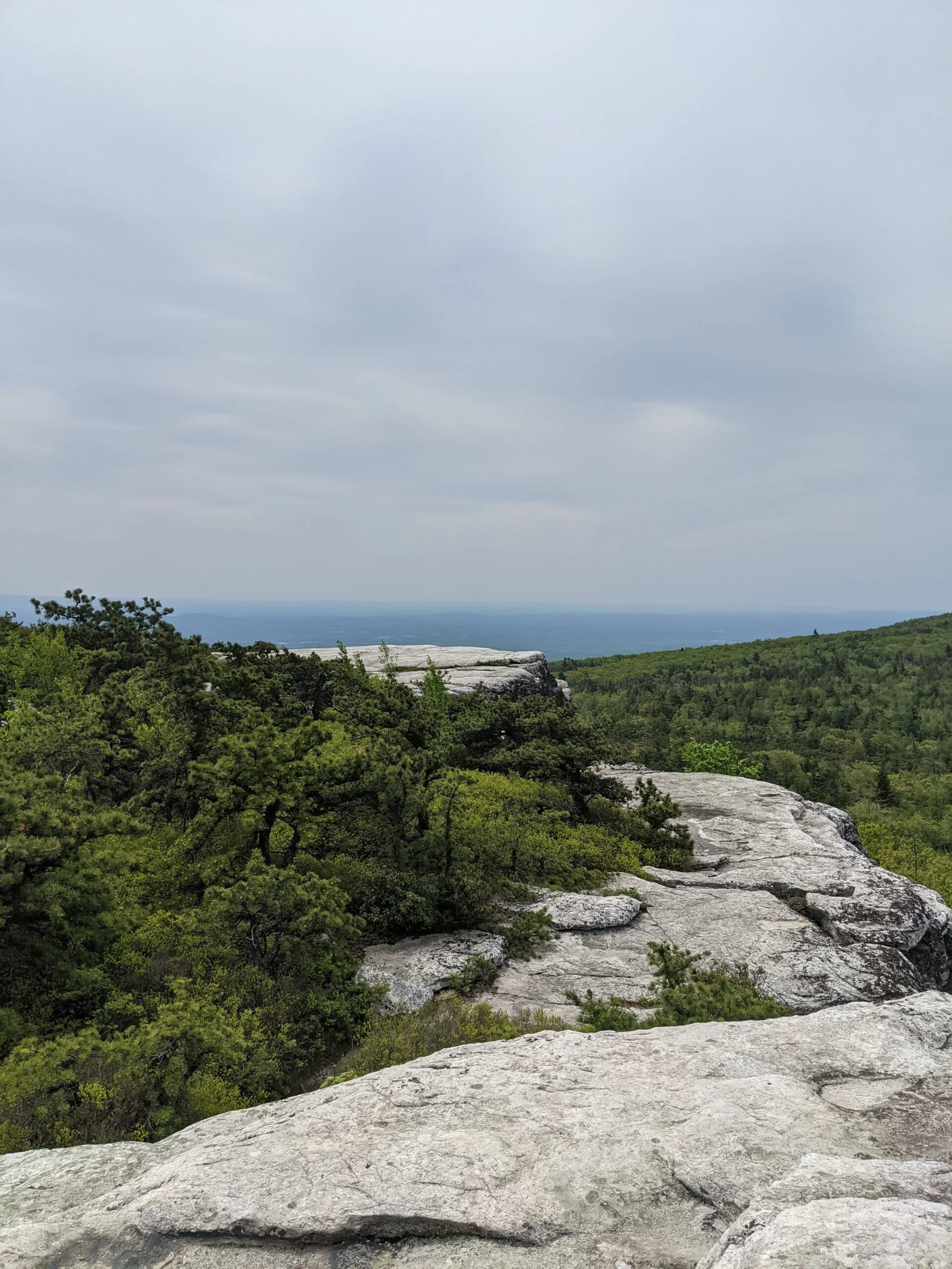
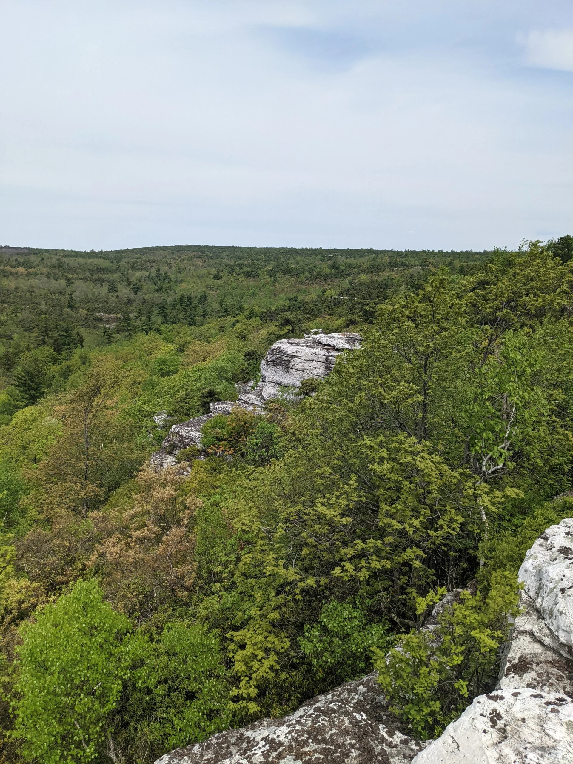
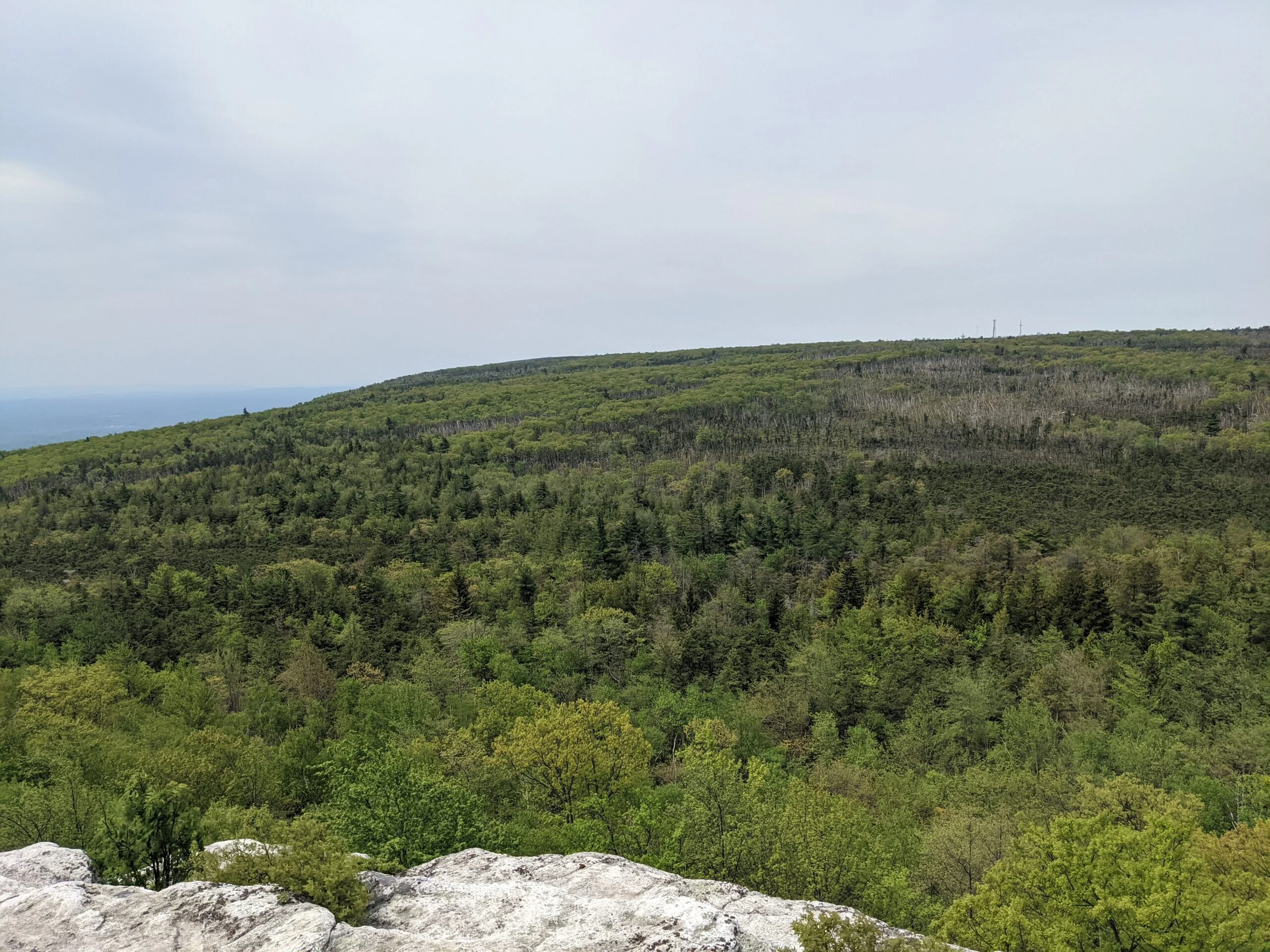
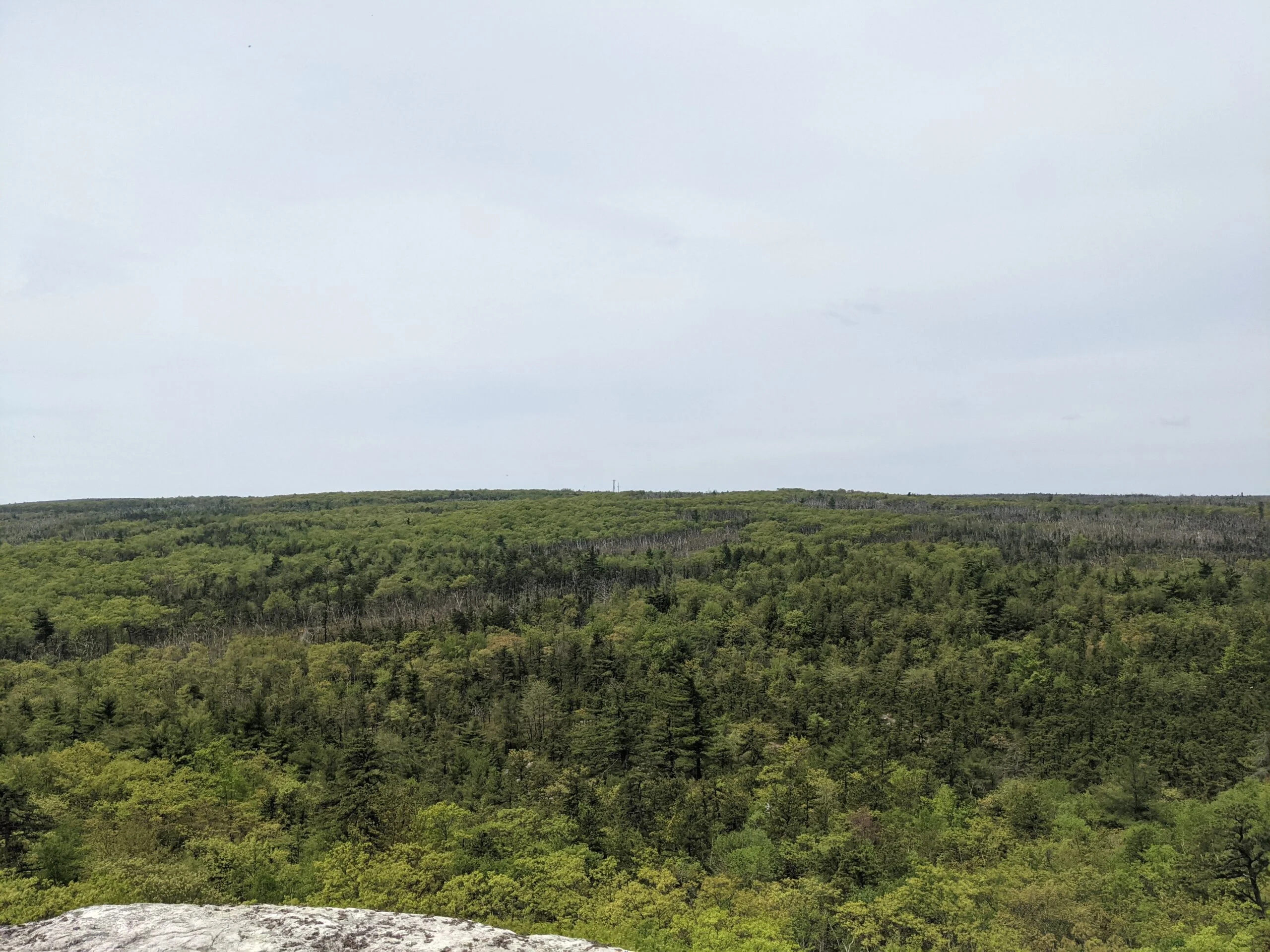
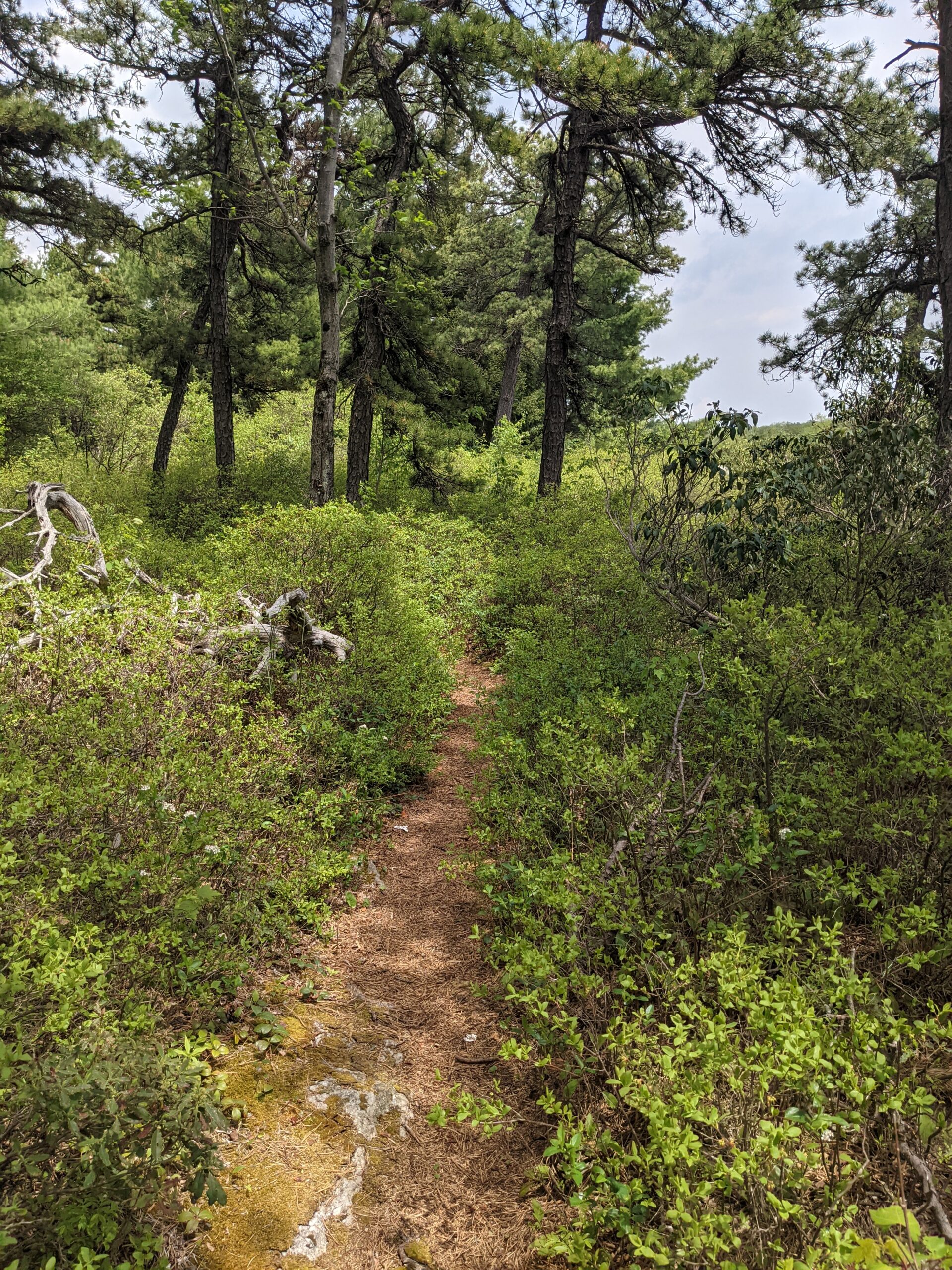
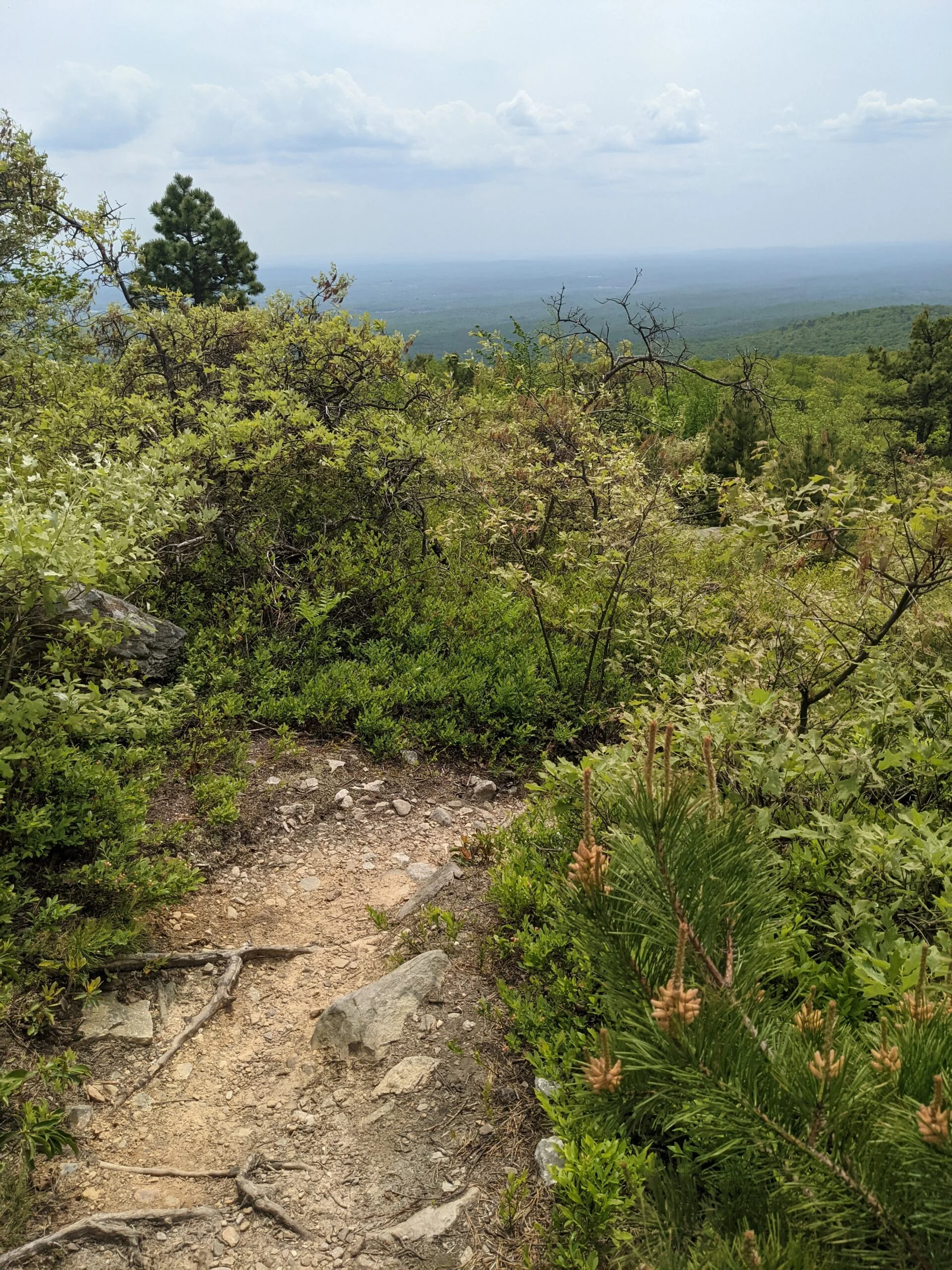
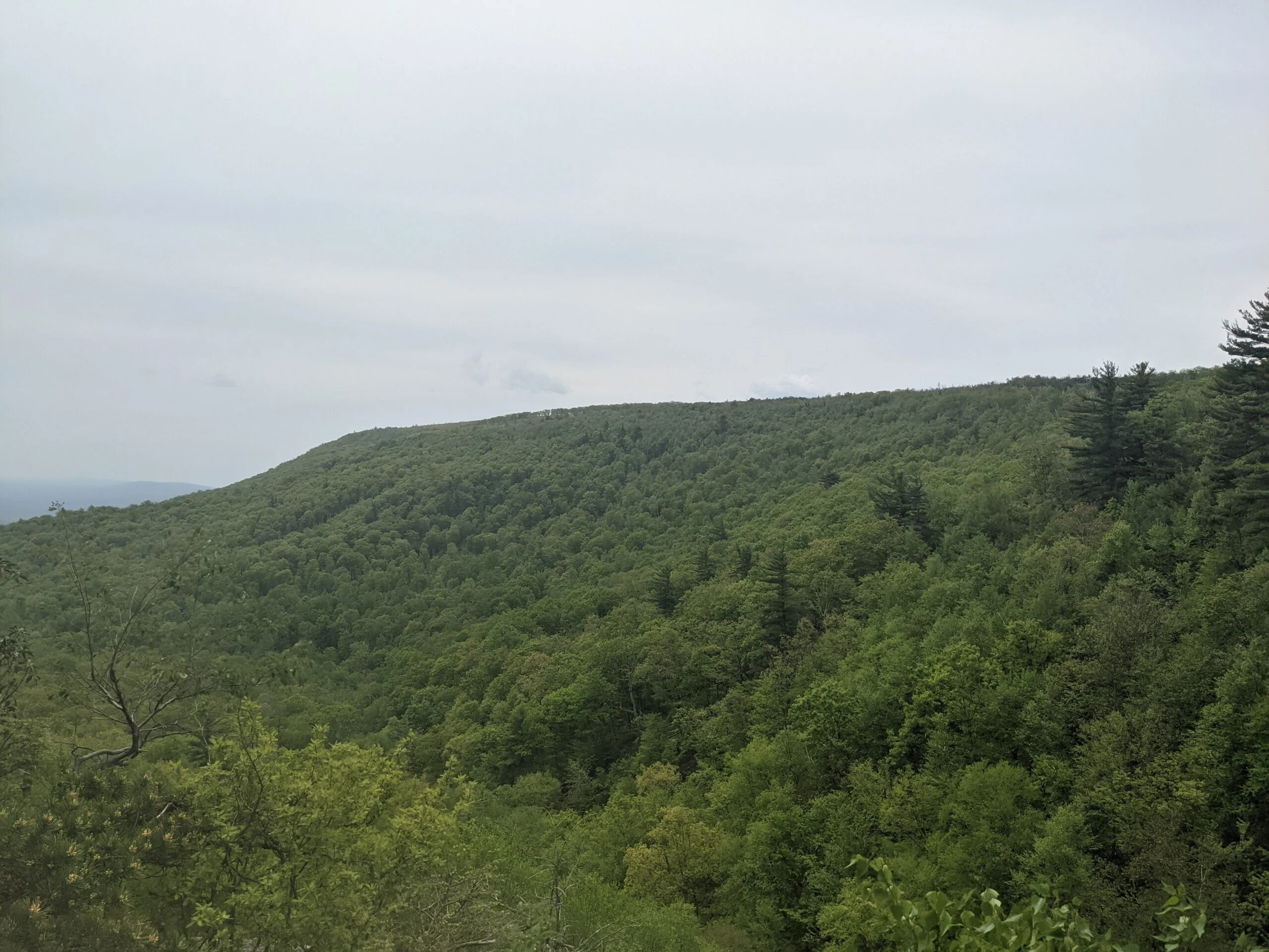
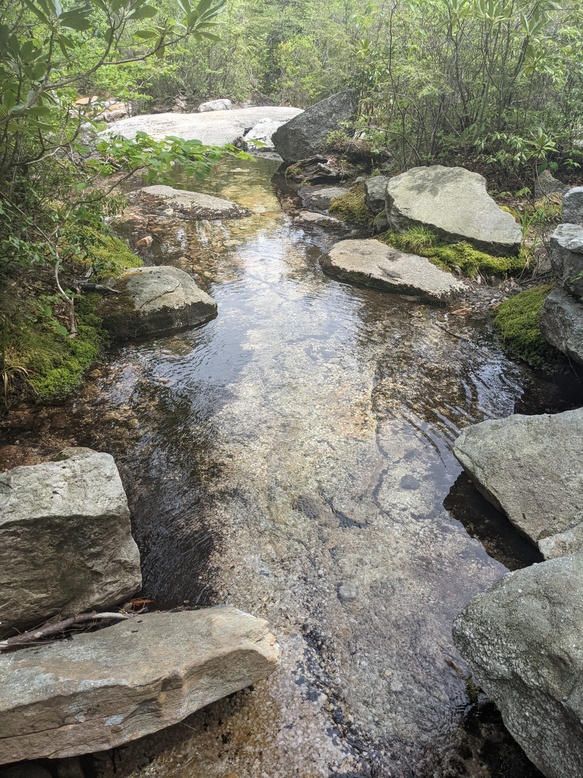
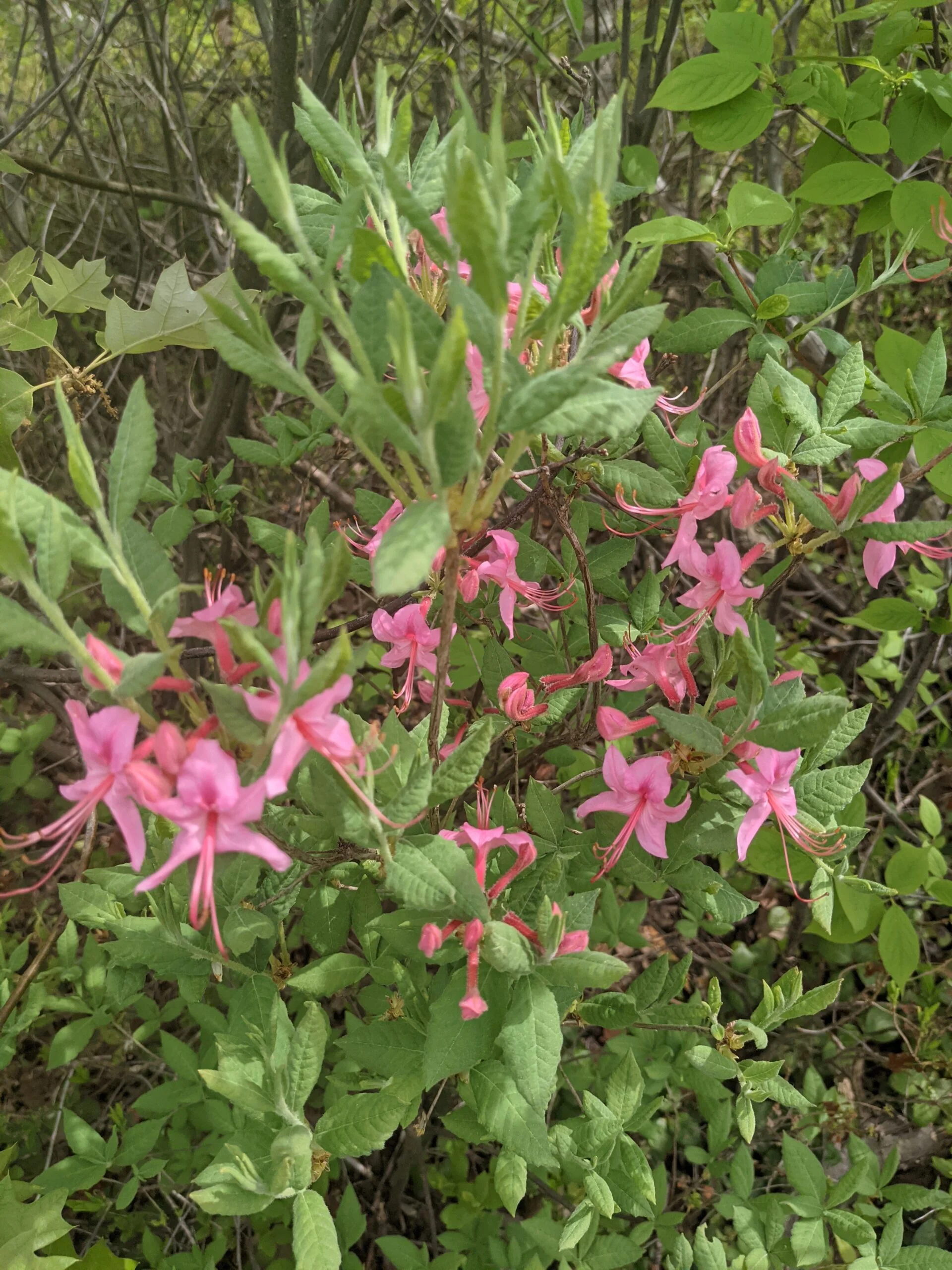
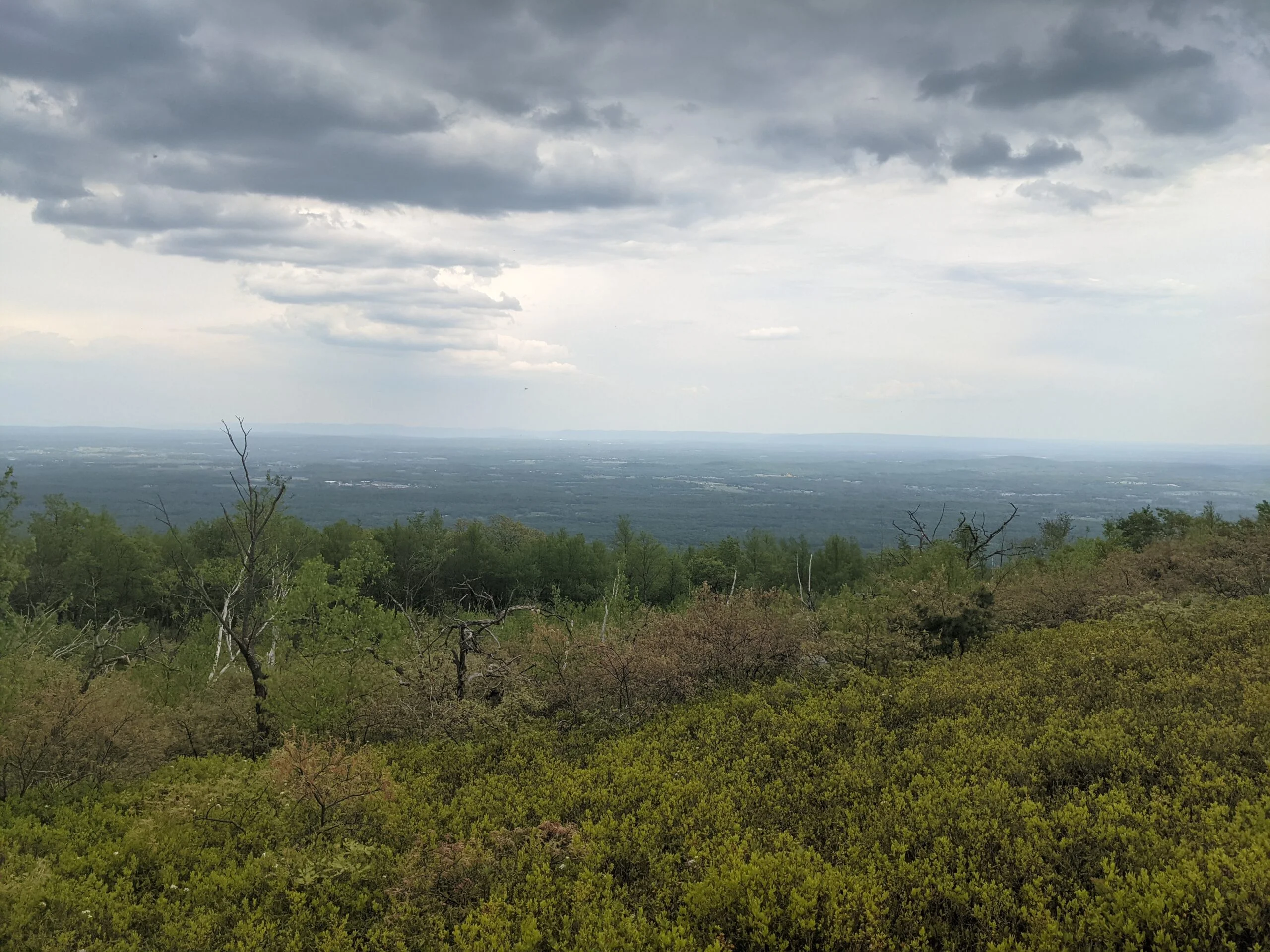
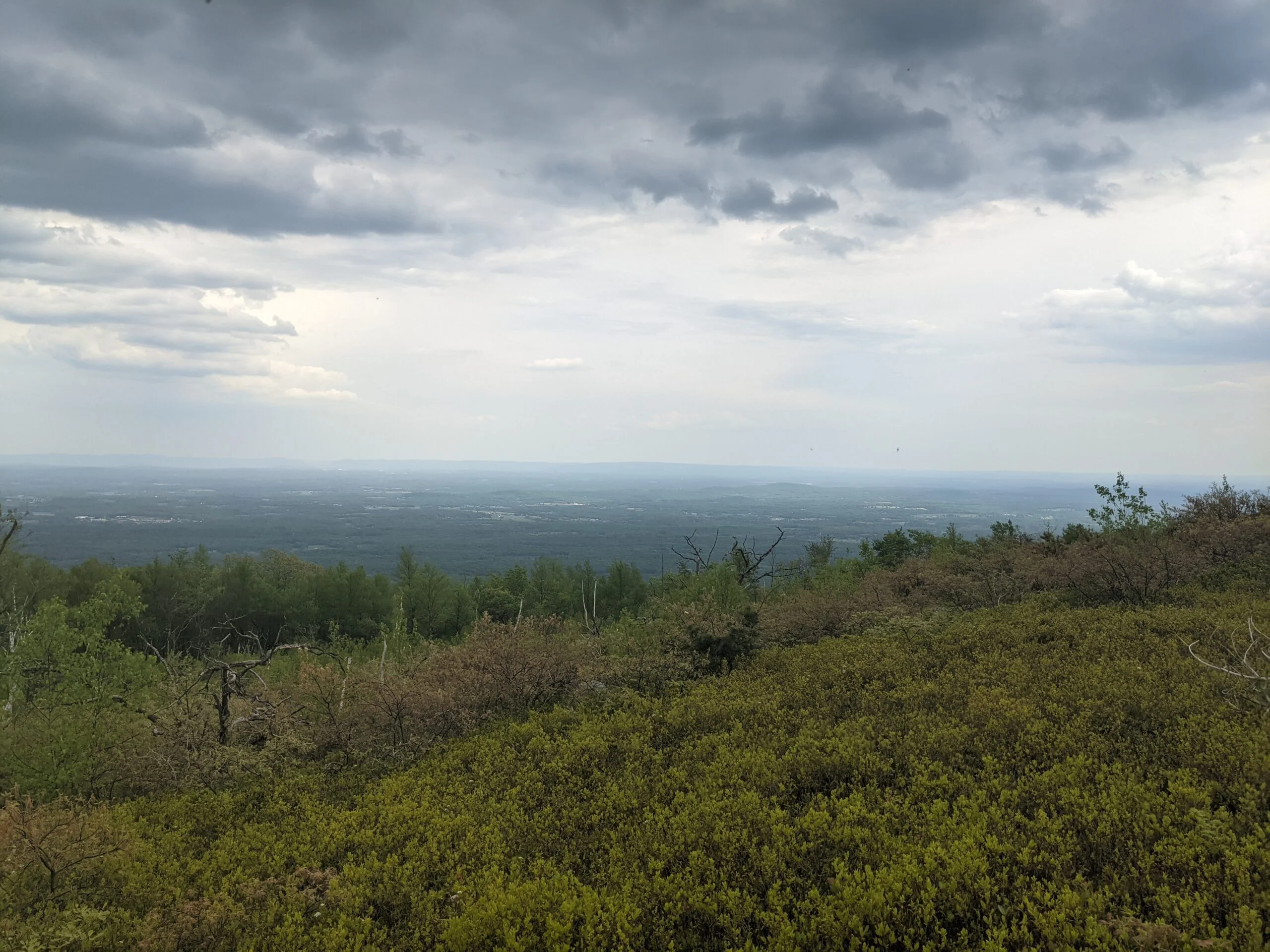
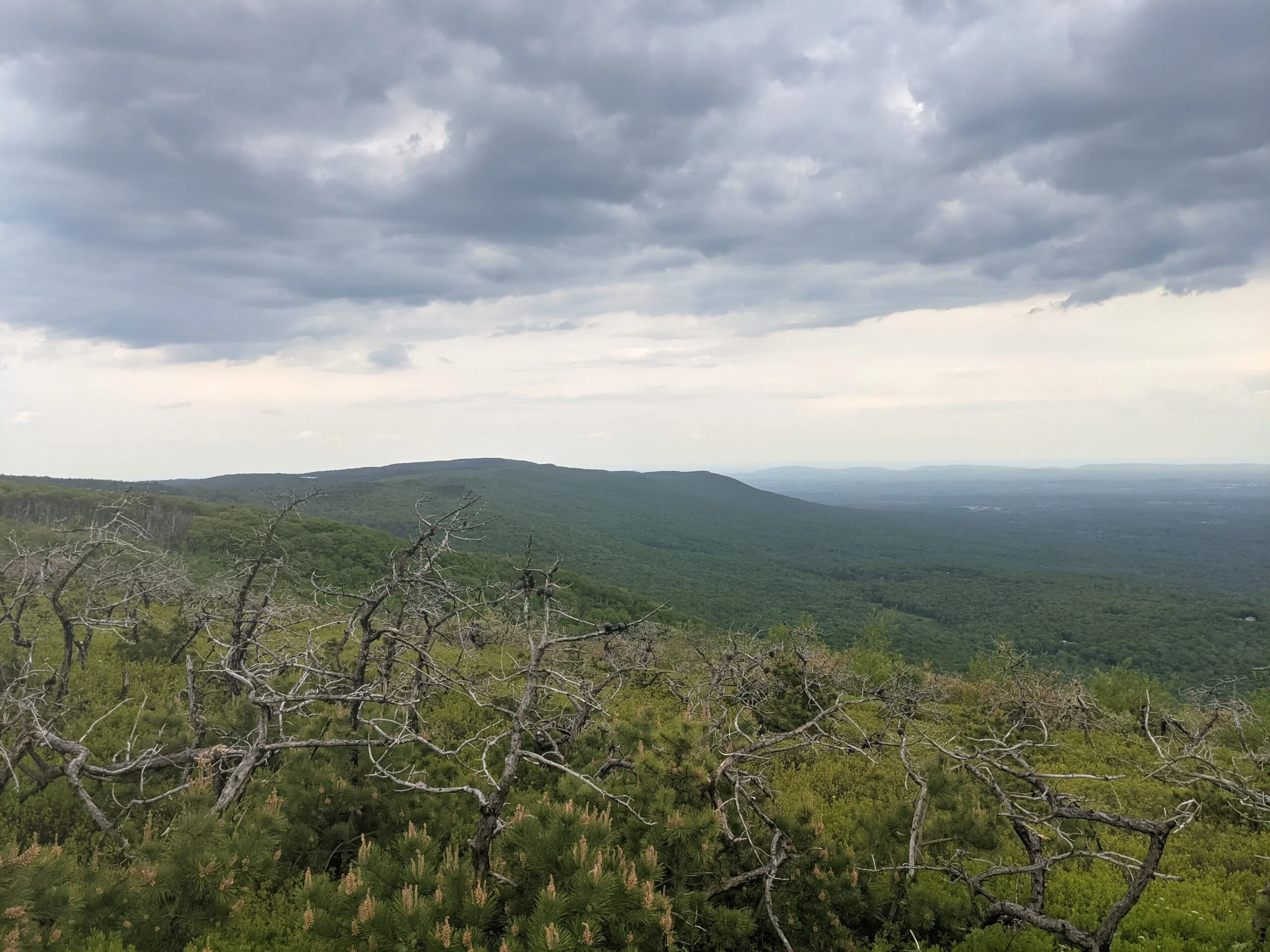
After getting our fill of the waterfall, we continued on VK along the eastern ridge line of the park. This part of the trail is very rocky, so a little more slow going. It opens up into a pine barren area which provides sweeping views of the Hudson Valley. There’s no sun cover here, so come prepared with sunscreen, a hat, and plenty of water.
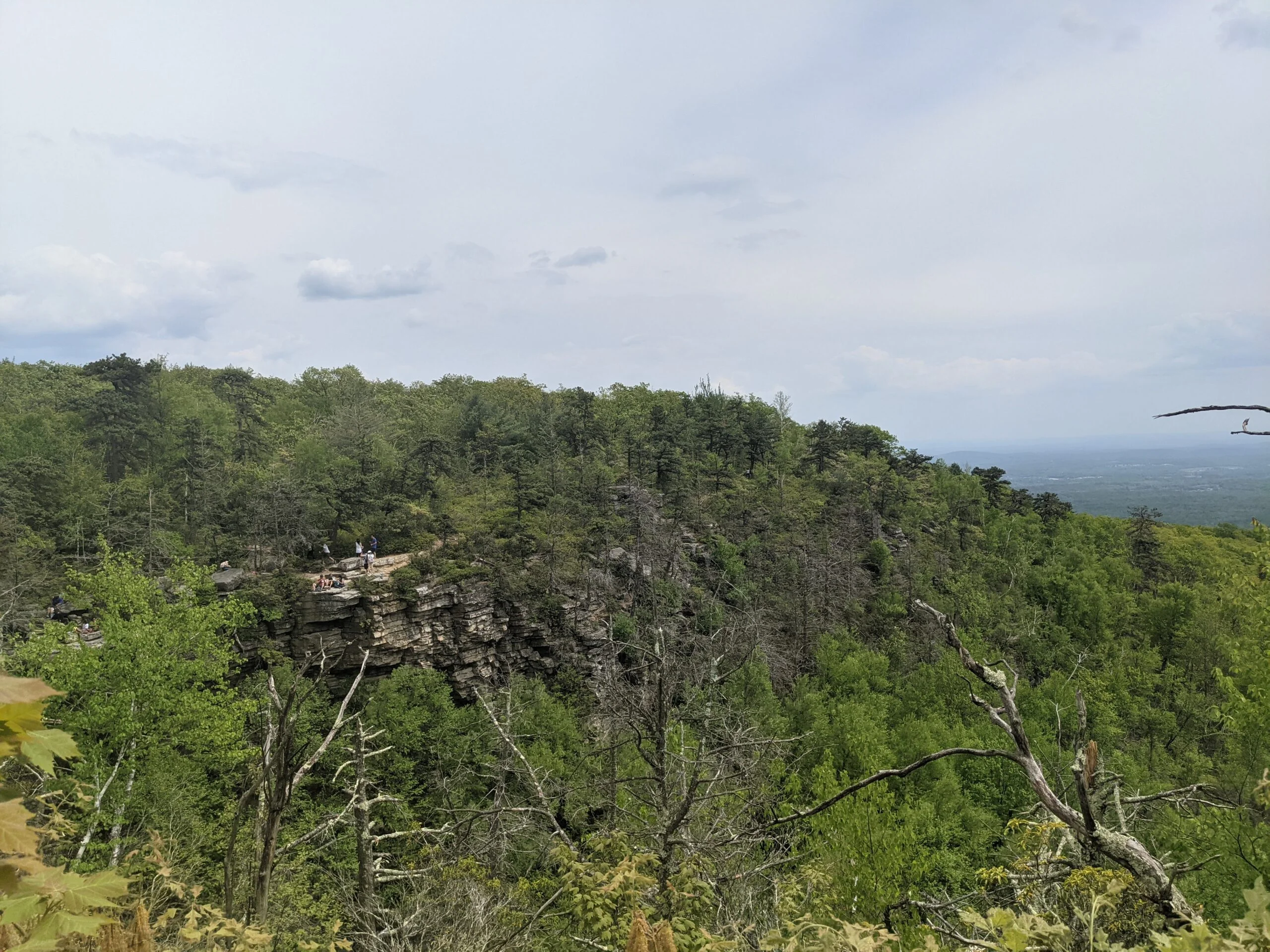
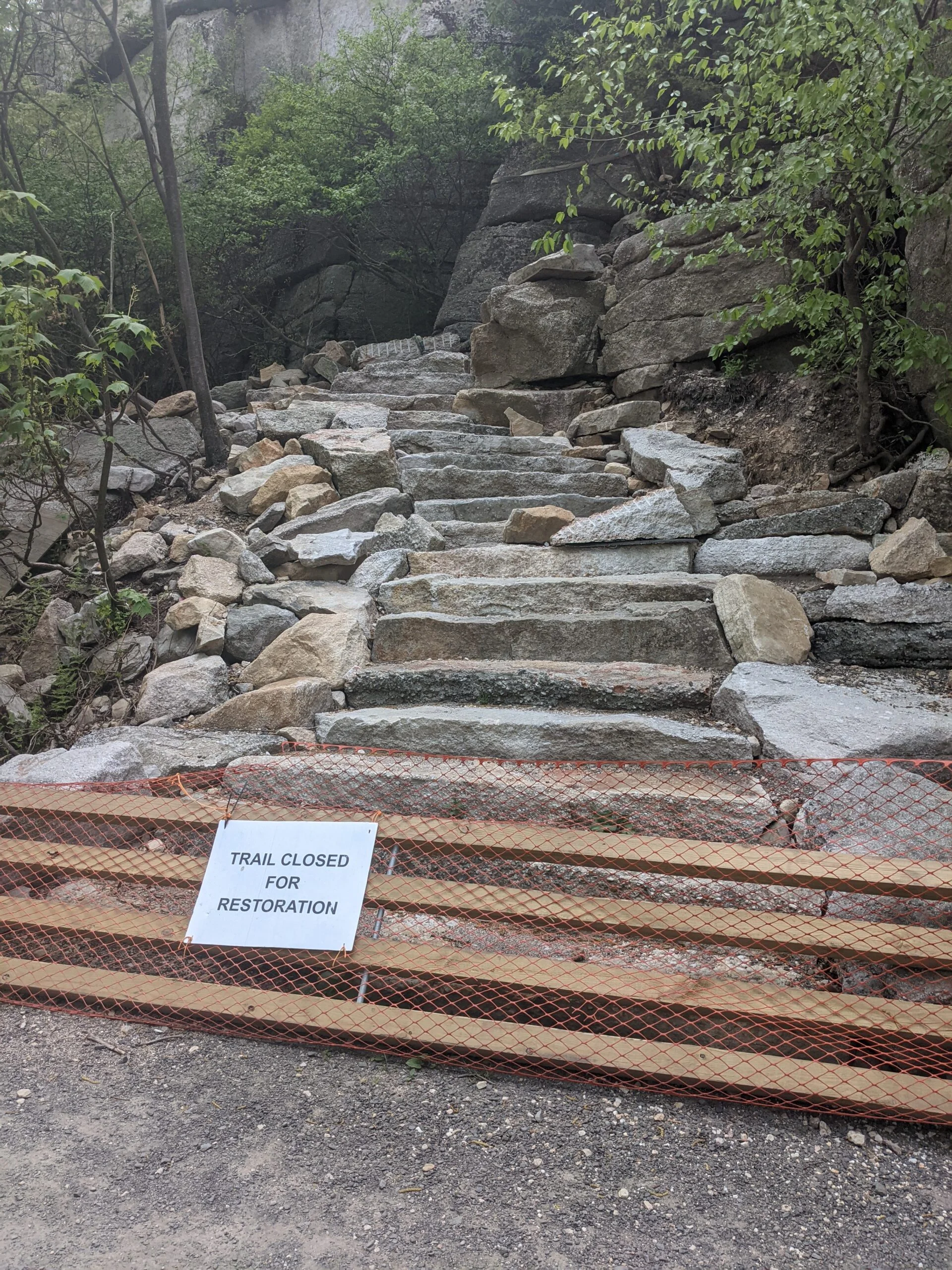
Around the 10 mile mark, we connected with the other side of LR, making the last mile of our journey another carriage road trek, which in itself is a bit underwhelming, but we encountered some interesting lookout points at Sam’s Point. Unfortunately, the Lenape Steps are being repaired. I wouldn’t mind coming back once they’re finished to get a view from atop the summit. We made our way back to the parking lot to end our journey.
The day was humid with temperatures in the high 80s. The first half of the hike was mostly overcast, with the sun poking out during the latter half. I brought just shy of 8L of water and went through about 6L of it. I tend to consume a lot on these hotter days while my buddy drank significantly less of his stash. I’d rather bring more than not have enough.
I have mixed feelings about this hike. I don’t think I’d ever complain about being in nature, getting exercise, and having amazing views of waterfalls and valleys from mountaintops. That being said, about a third of the hike was on carriage roads, which doesn’t get me excited. About another third of the hike was over very rocky terrain, which is just tedious to walk through over long distances. I’m happy and appreciative that I went, especially because of the company of a childhood friend, but it might be a while before I revisit this specific loop.
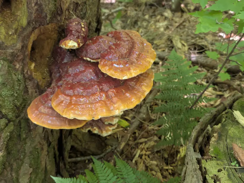
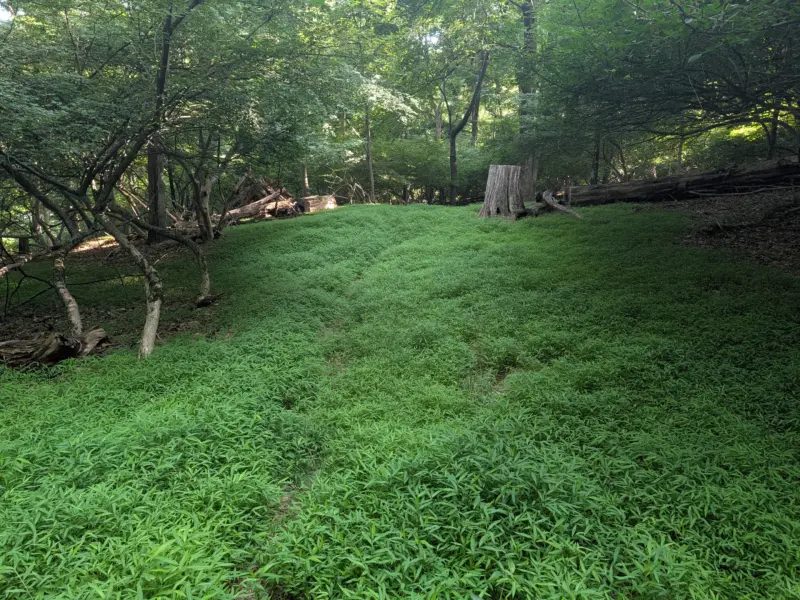
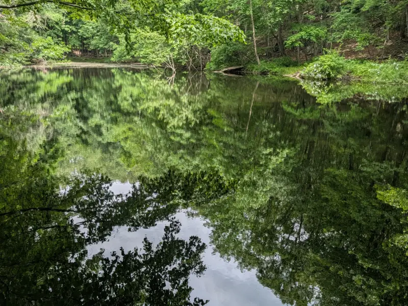
Photos


GPS Route & Elevation
Loads an interactive map; map tiles are served by the U.S. Geological Survey, which receives your IP address. Learn more about maps and your privacy