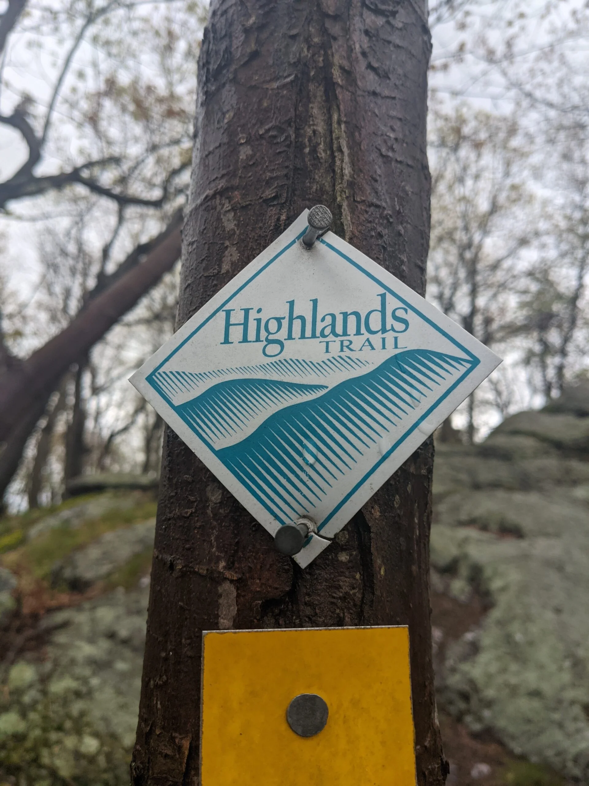
Schunnemunk State Park – Schunnemunk Mtn, Trestle, Megoliths, Sweet Clover, Otterkill
- 9.0 mi
- 1,736 ft gain
- 05:05:32
- 237 photos
- 6 videos
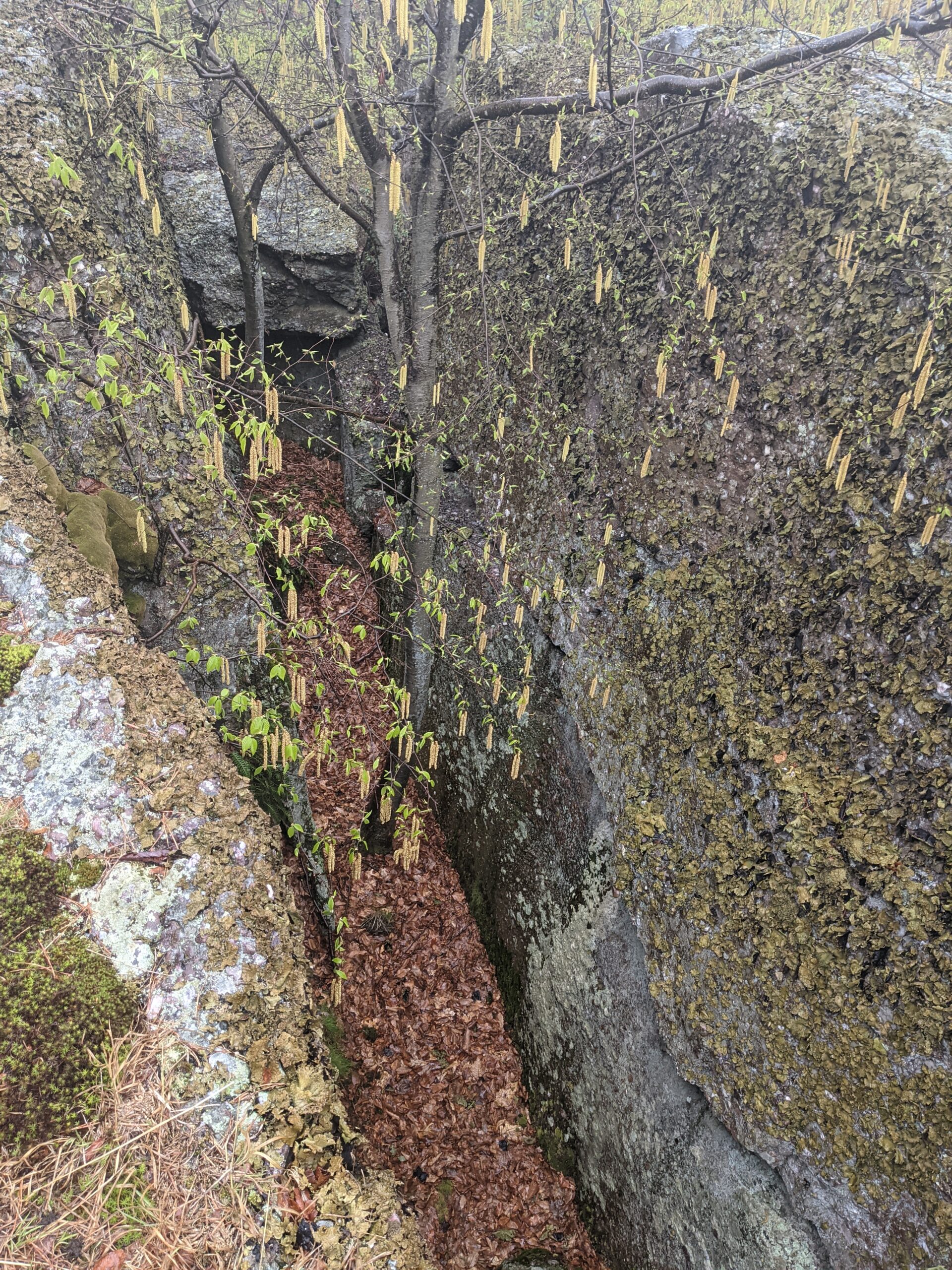
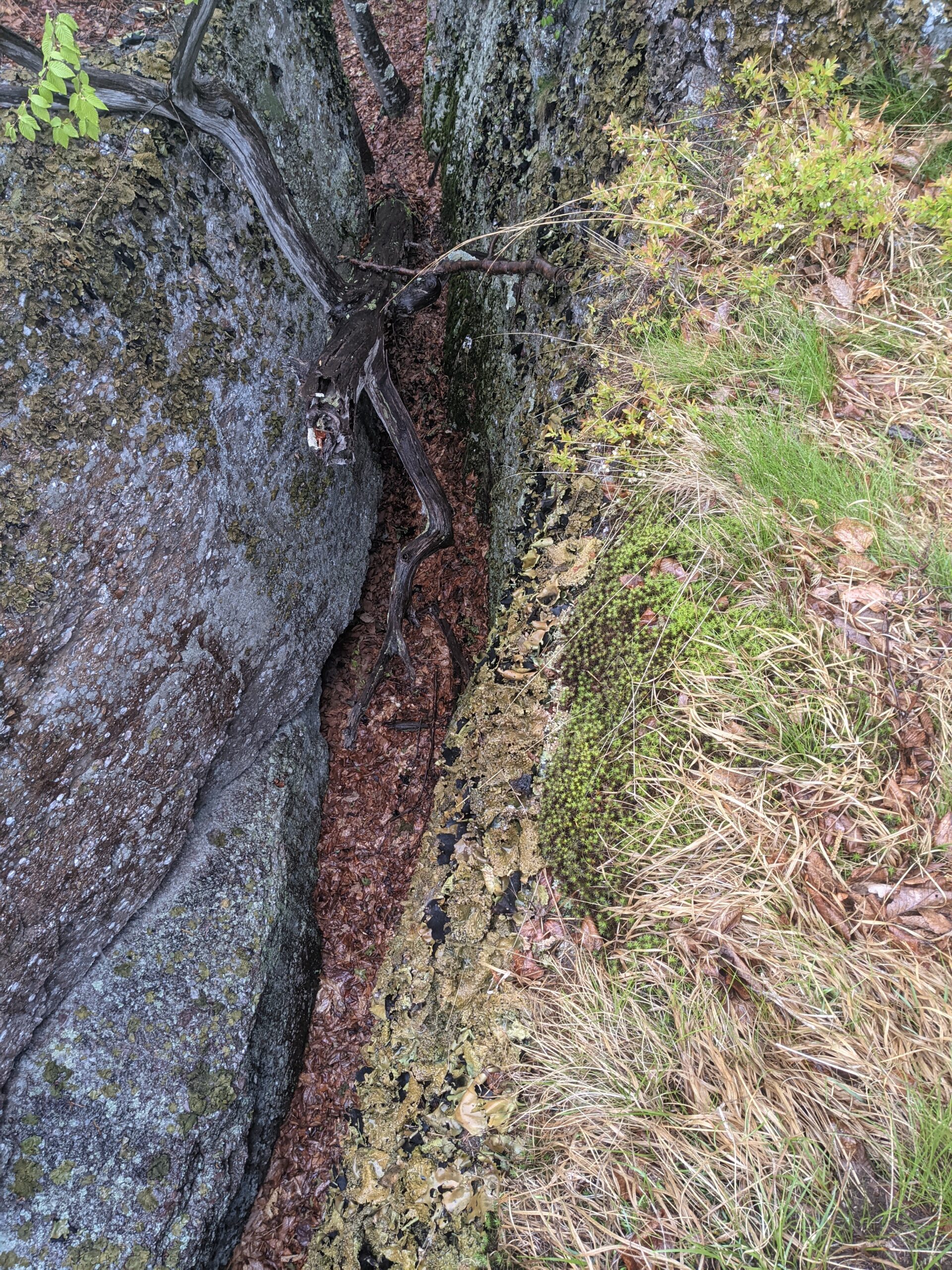
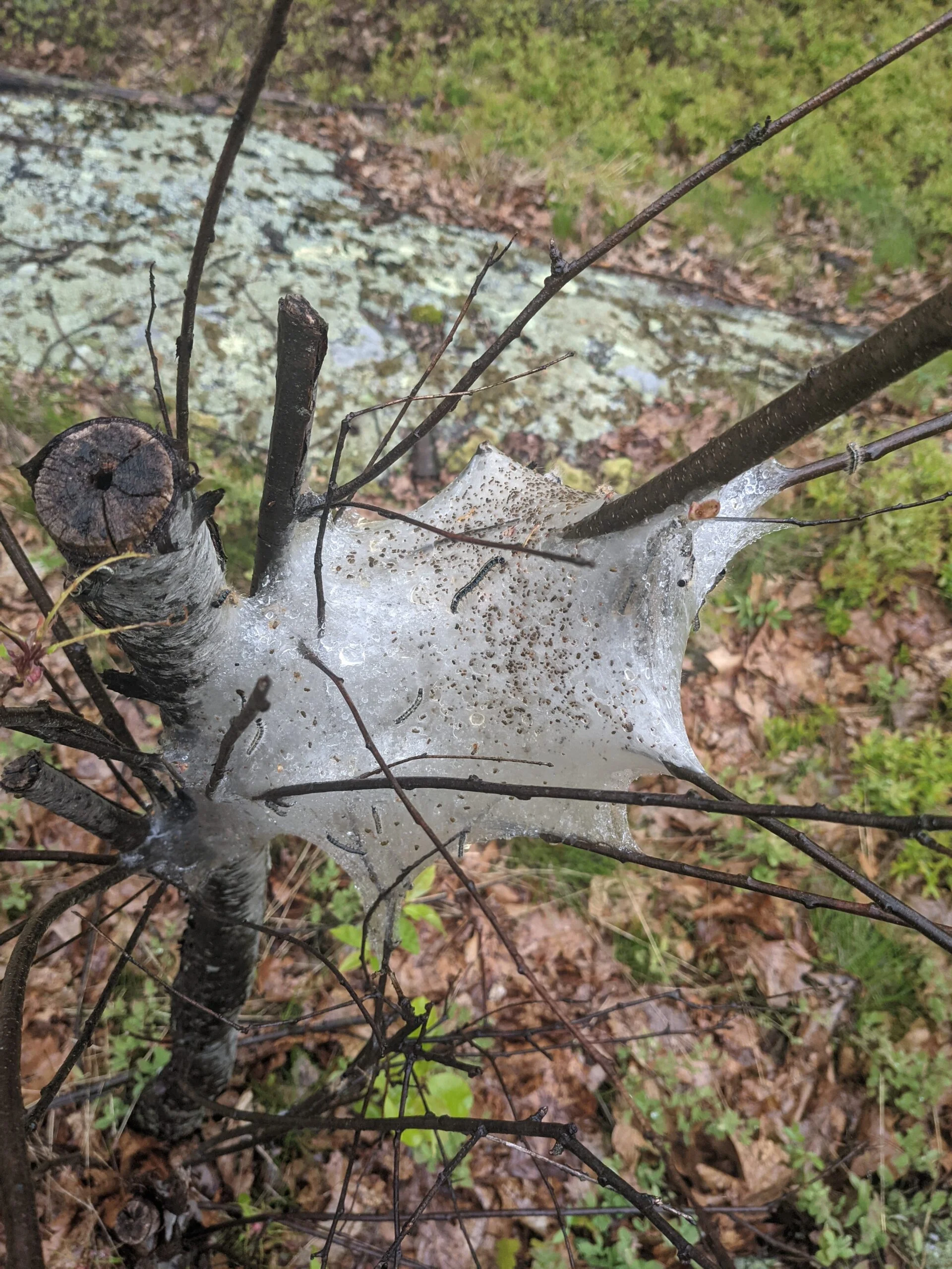
My first visit to Schunnemunk State Park was filled with rain, which made parts of the hike cold and unpleasant, but it ended up being well worth the effort.
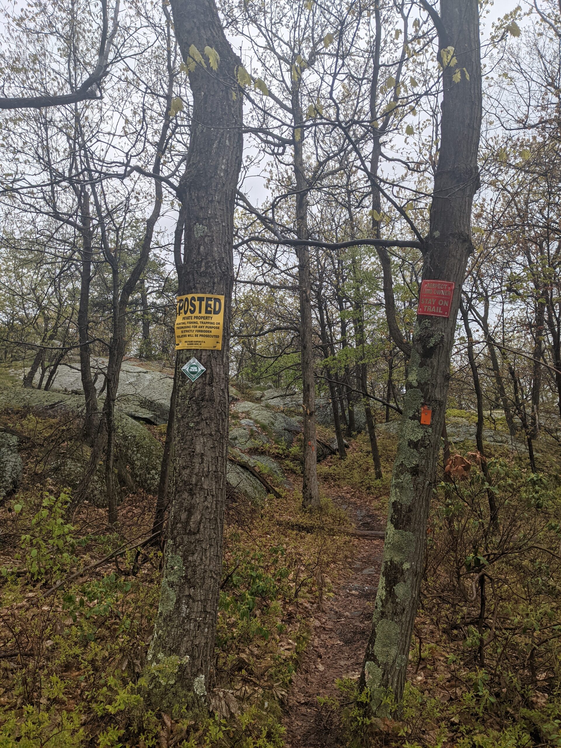
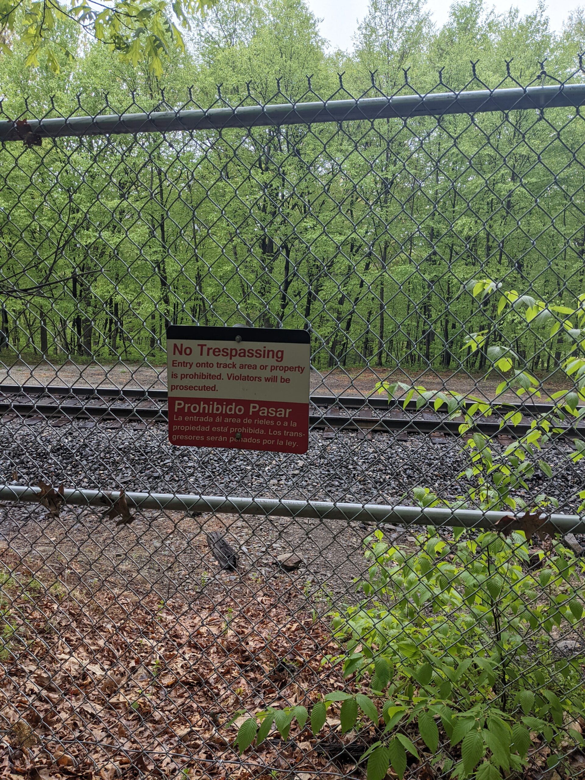
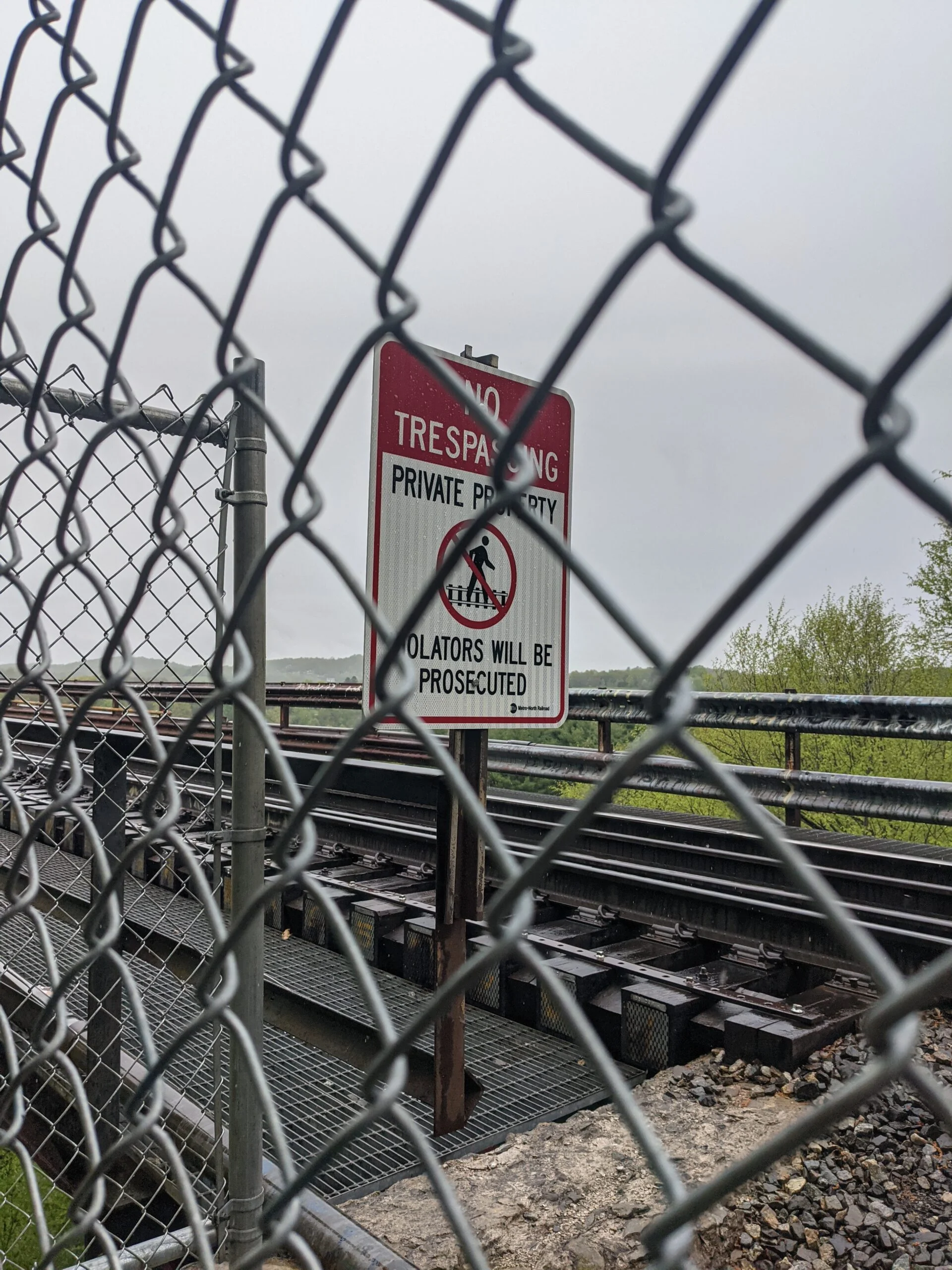
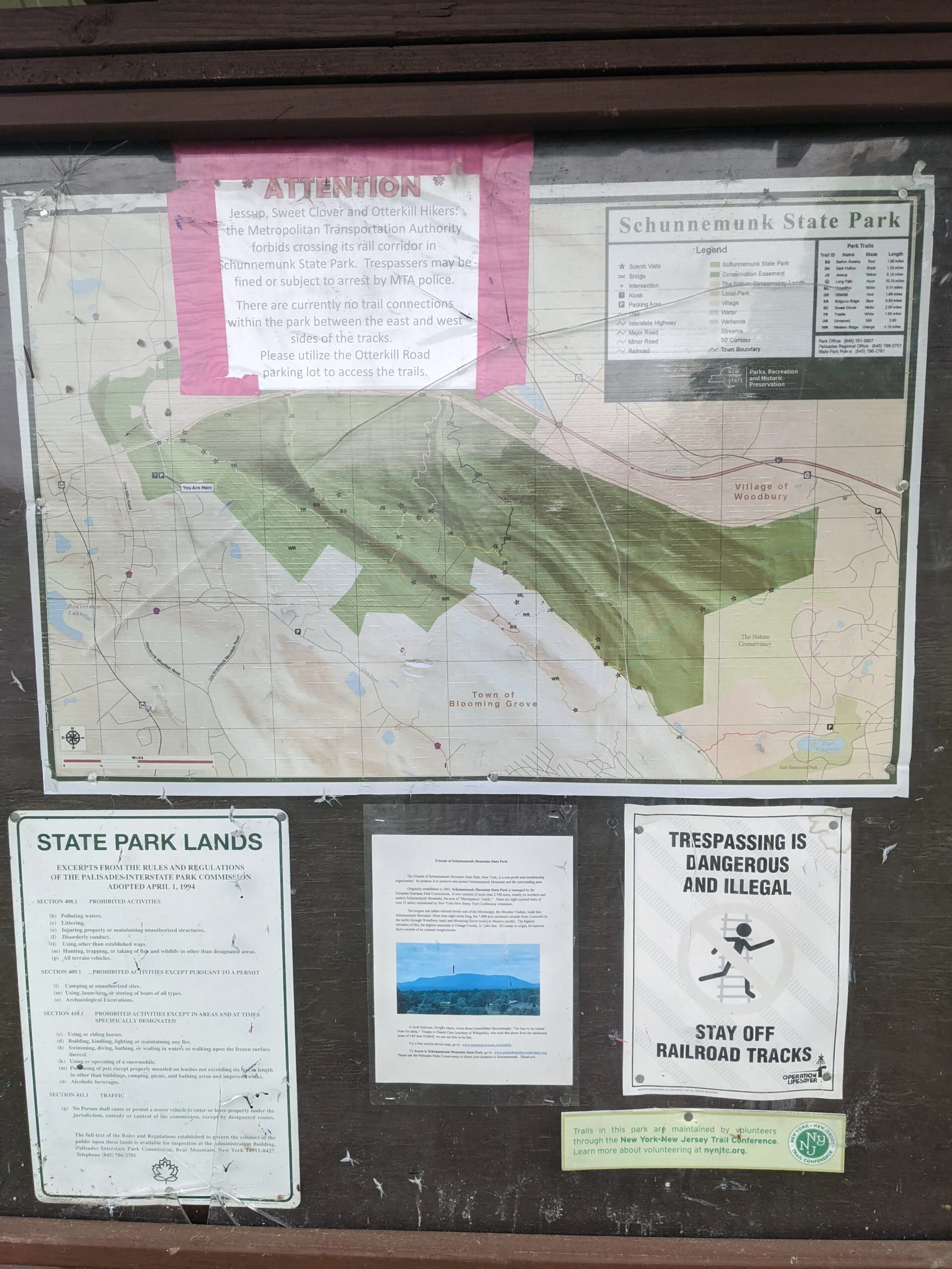
I found a couple existing routes mapped out on AllTrails, but they required crossing over the train tracks which is technically illegal. The chances of an MTA officer waiting on the trails to issue tickets is likely small, but since I’m posting my GPS tracks and hike details to this blog, I figured best not to take the risk. To err on the side of caution, I decided to map out my own route.
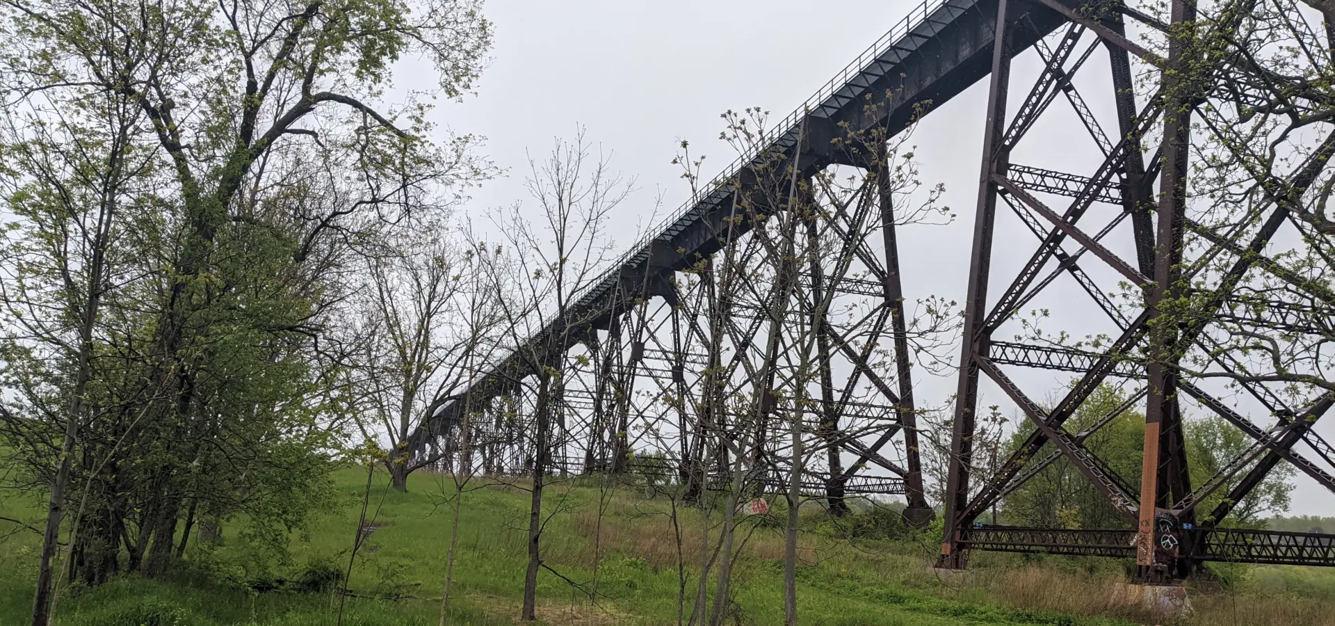
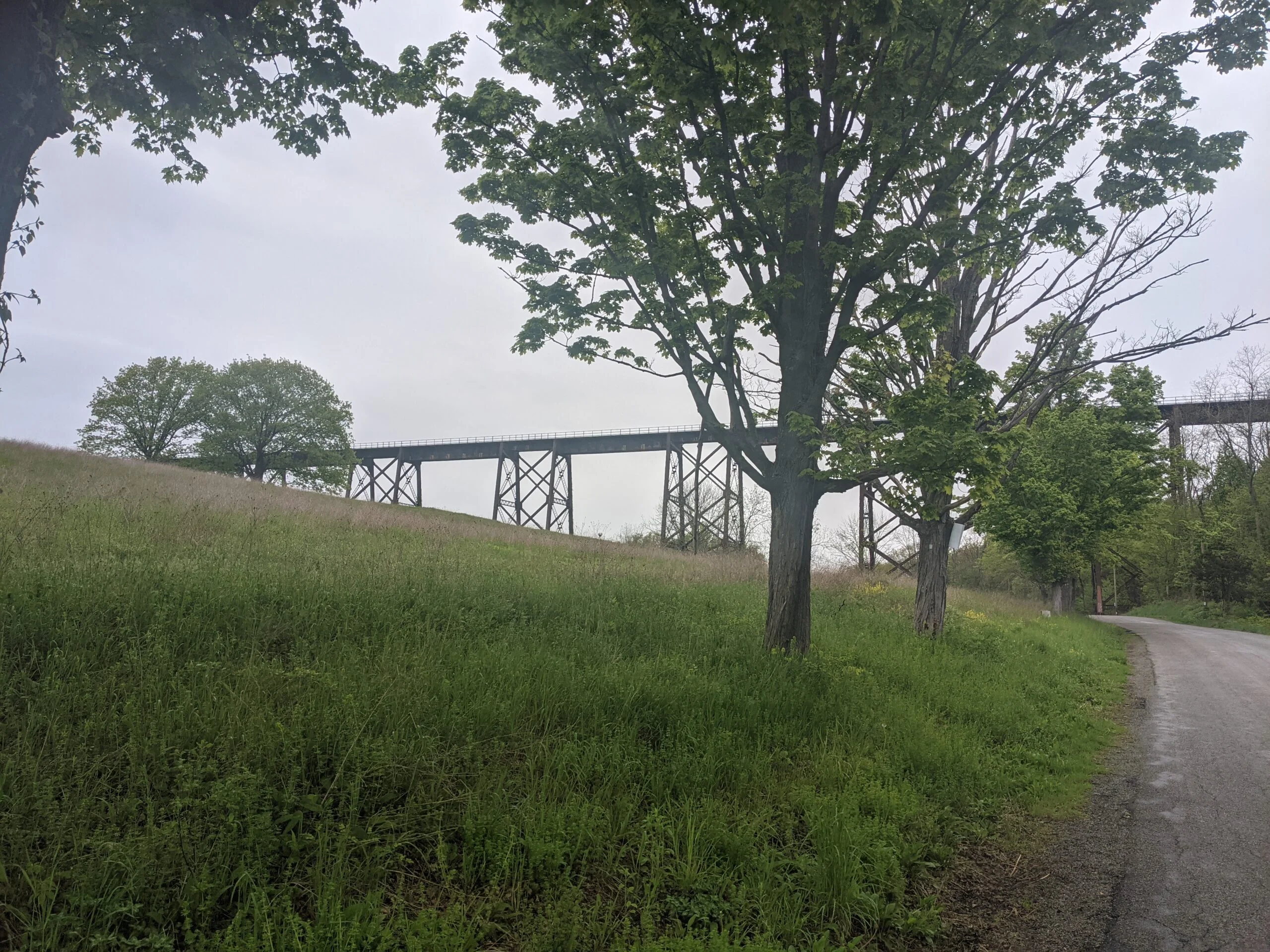
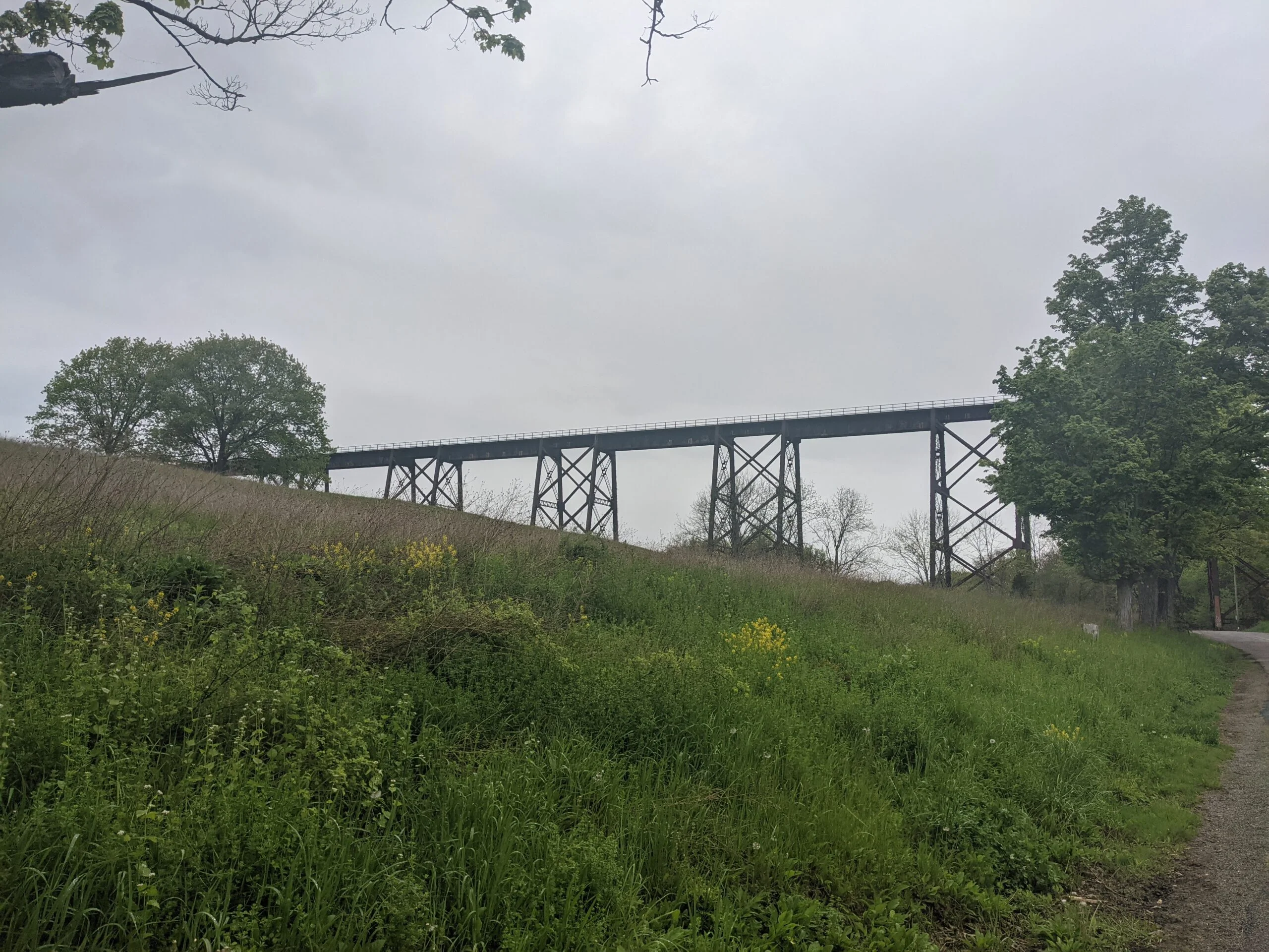
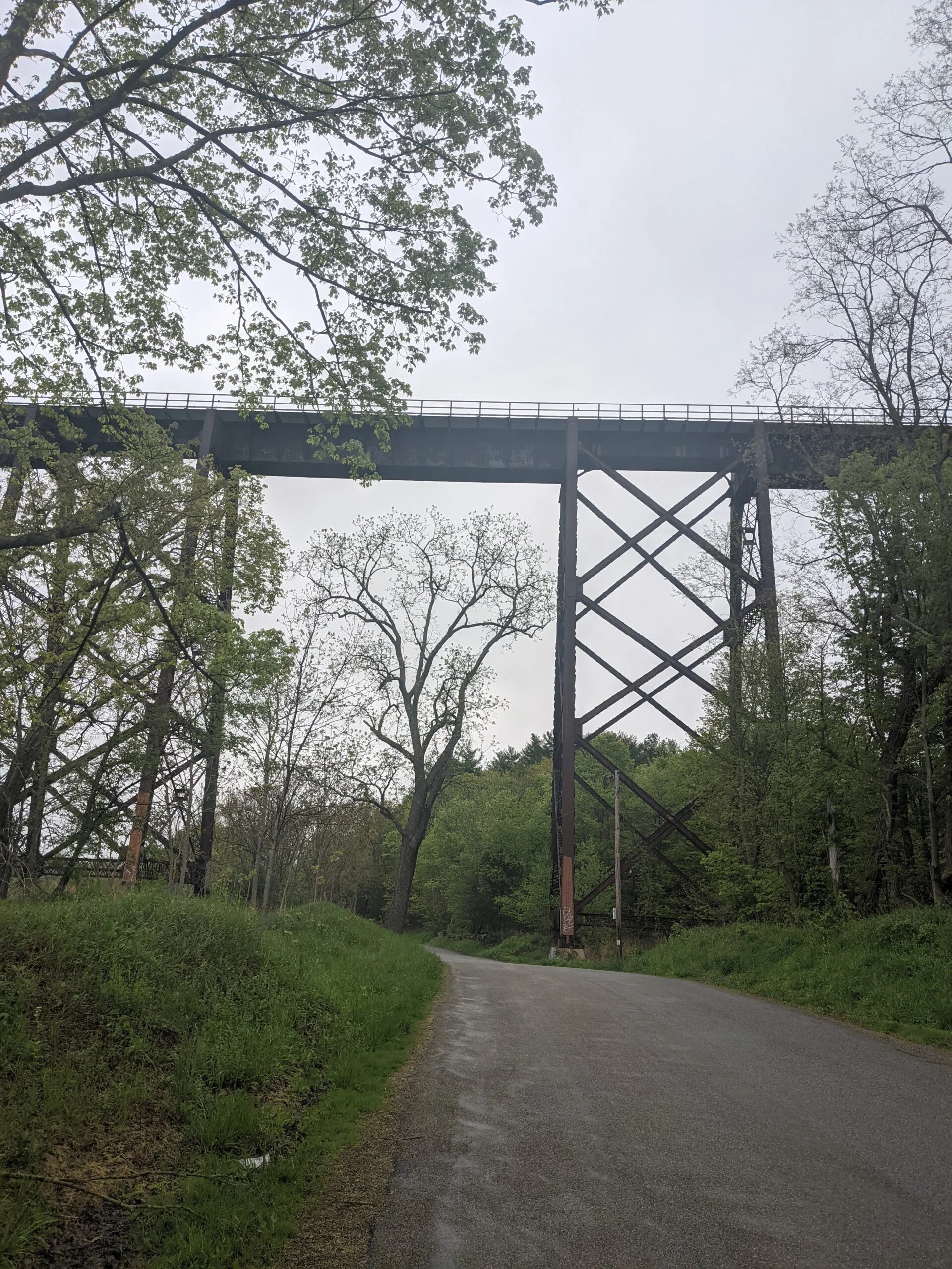
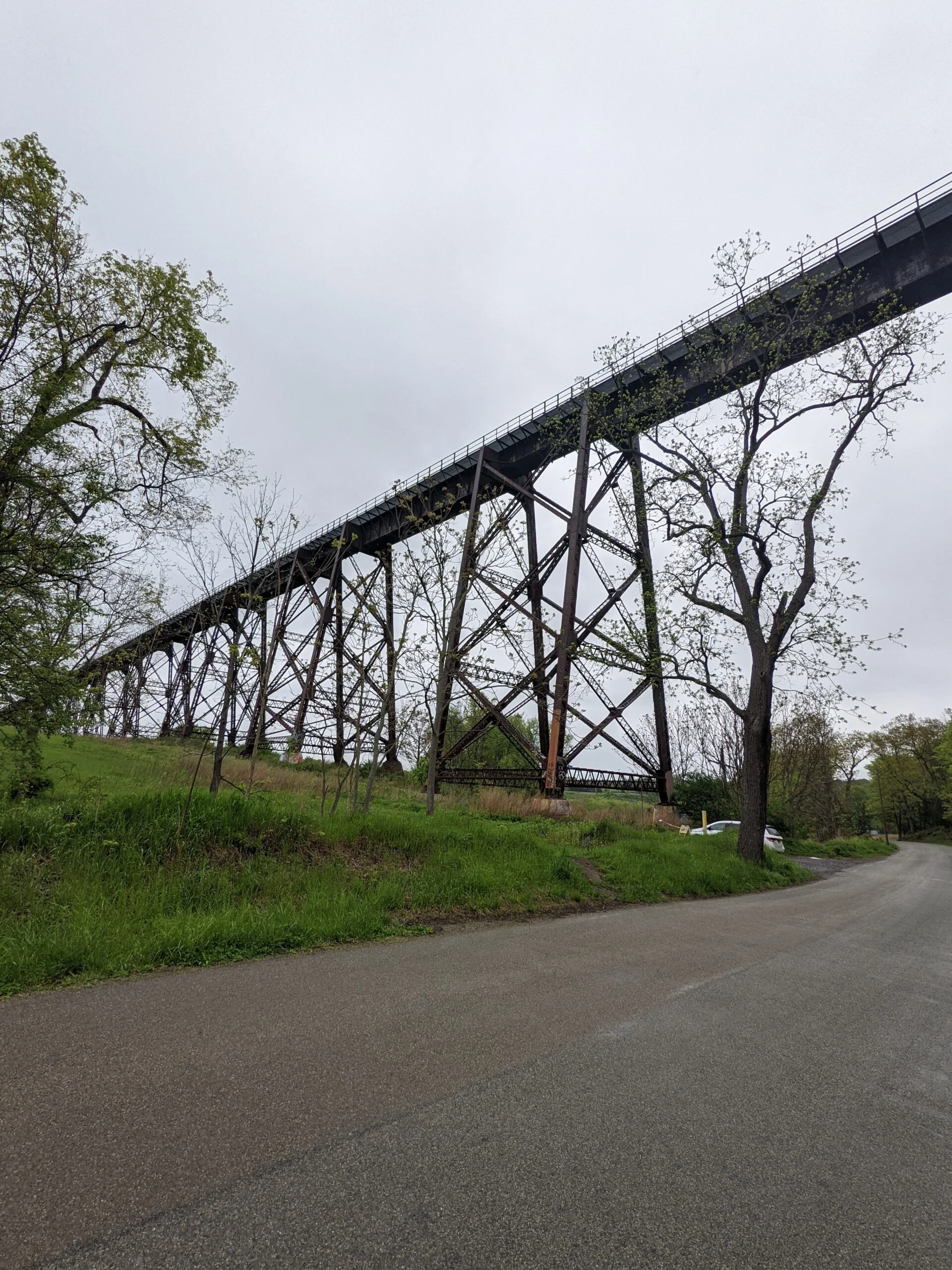
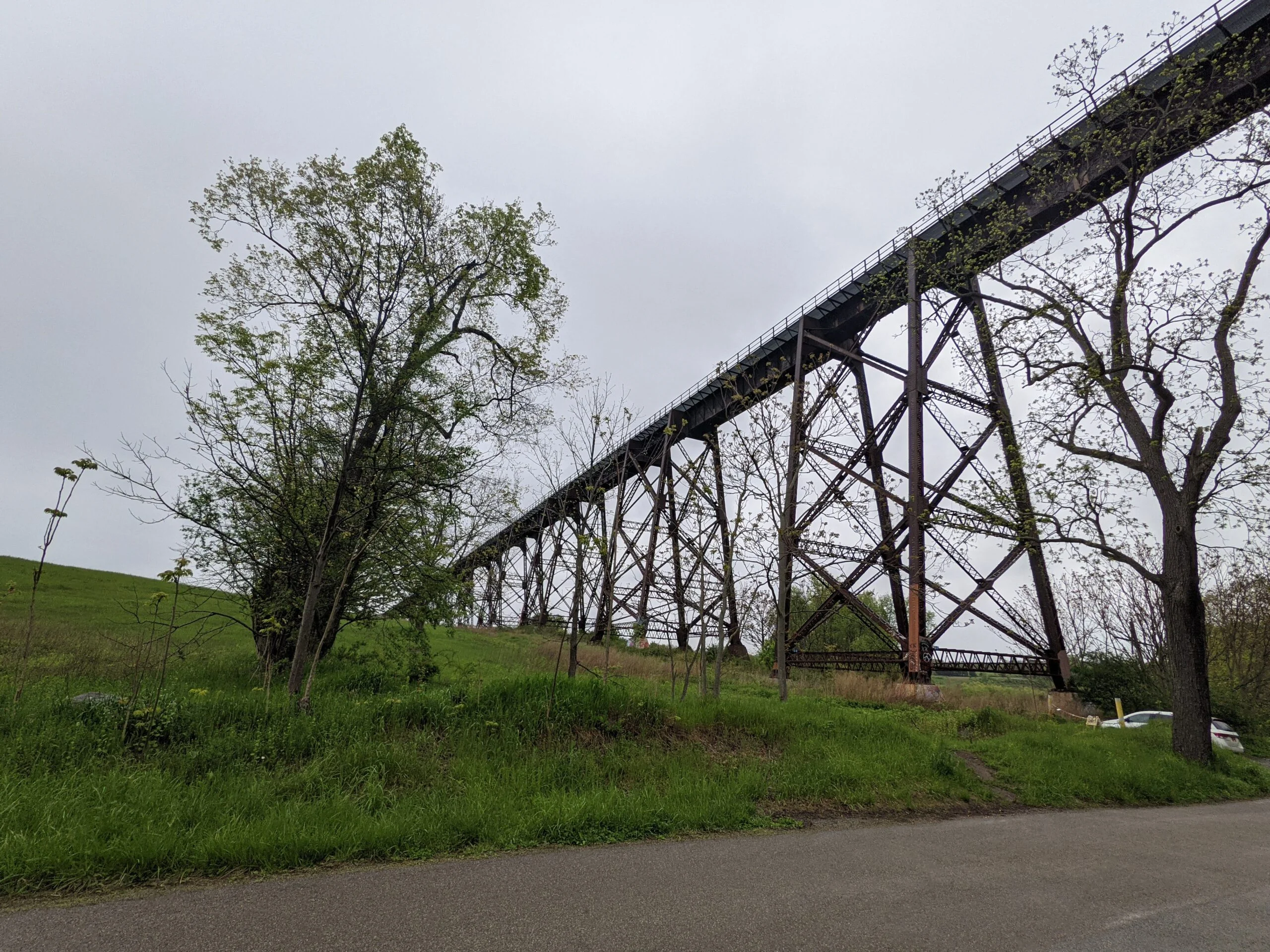
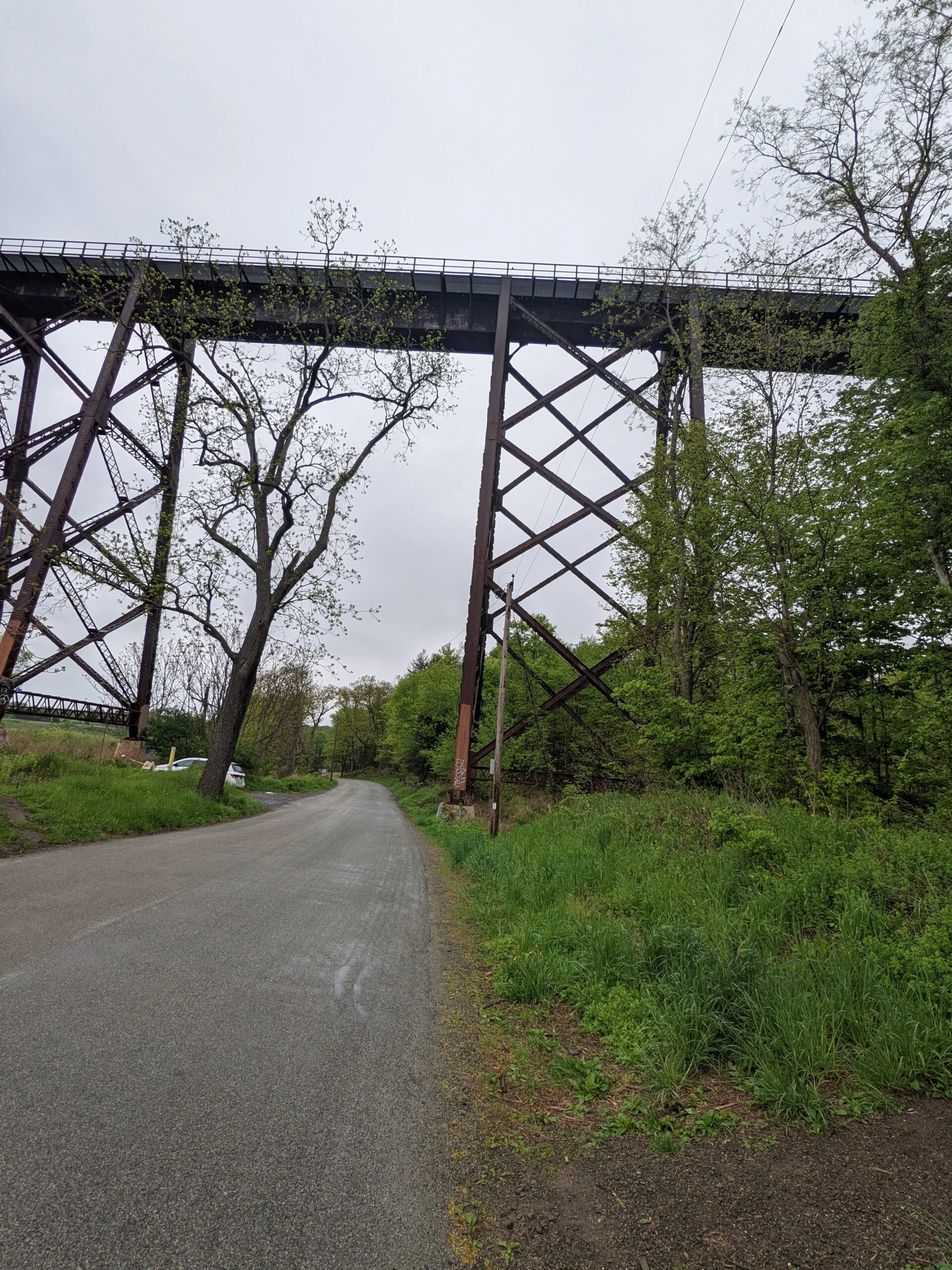
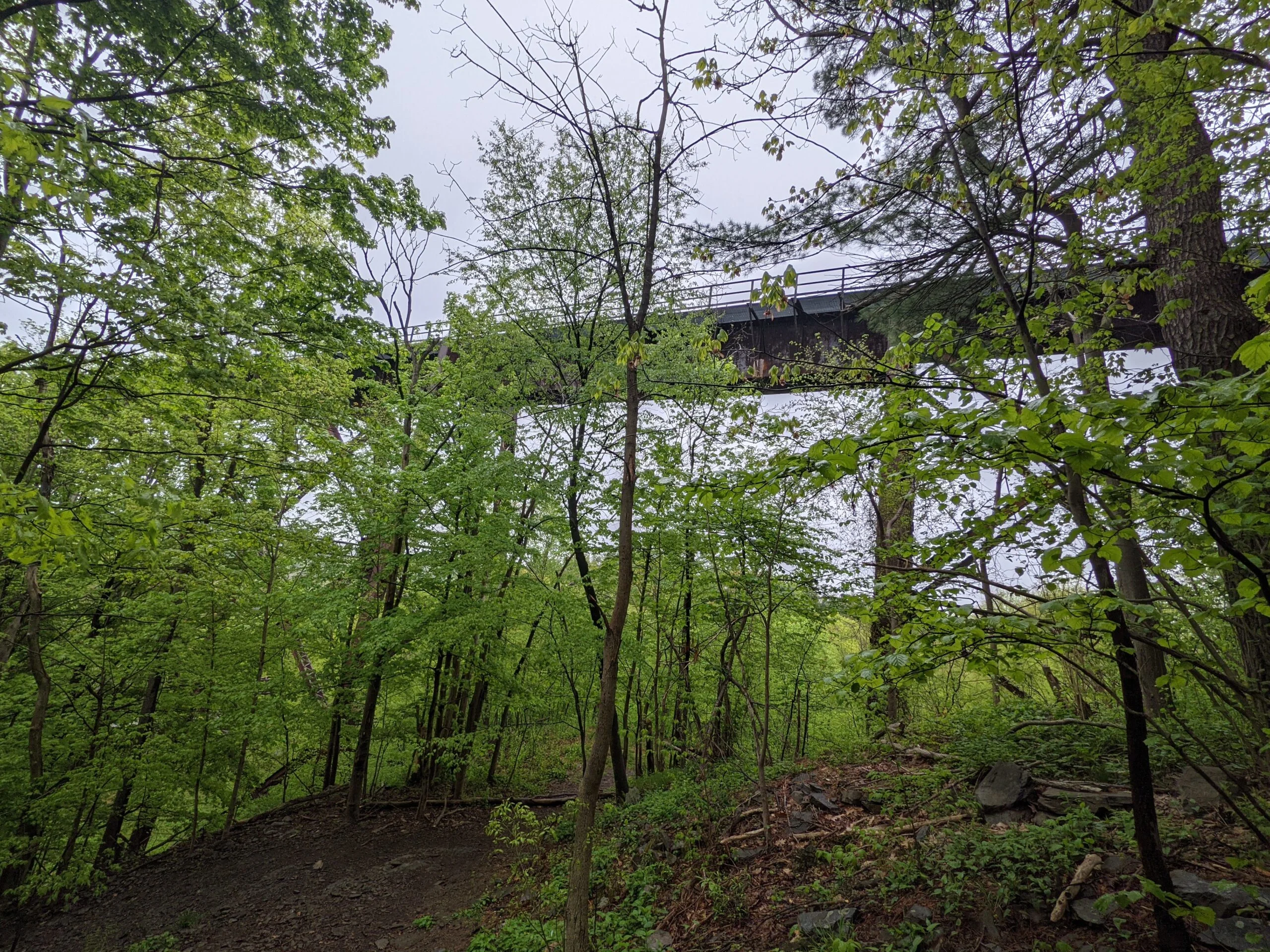
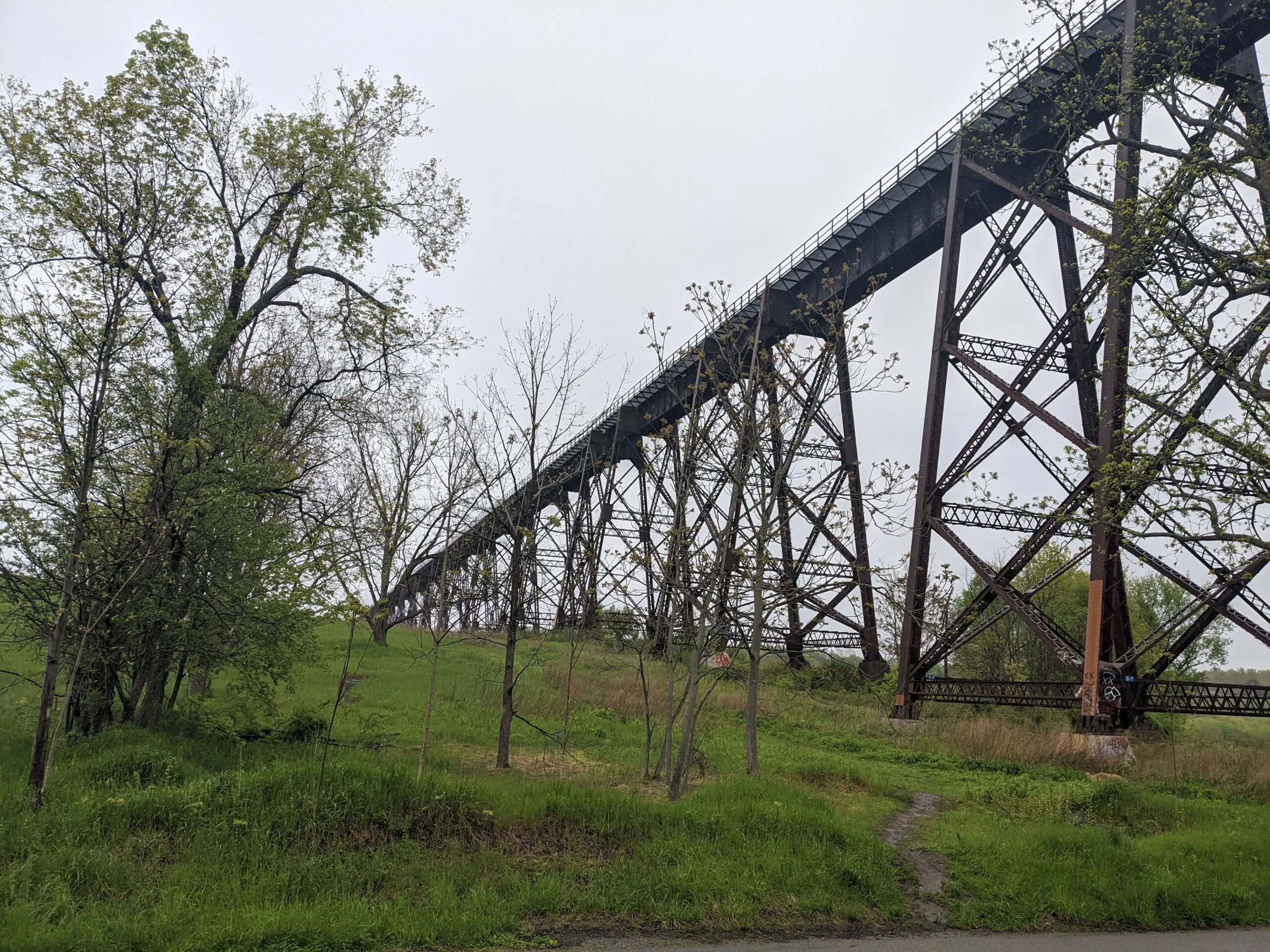
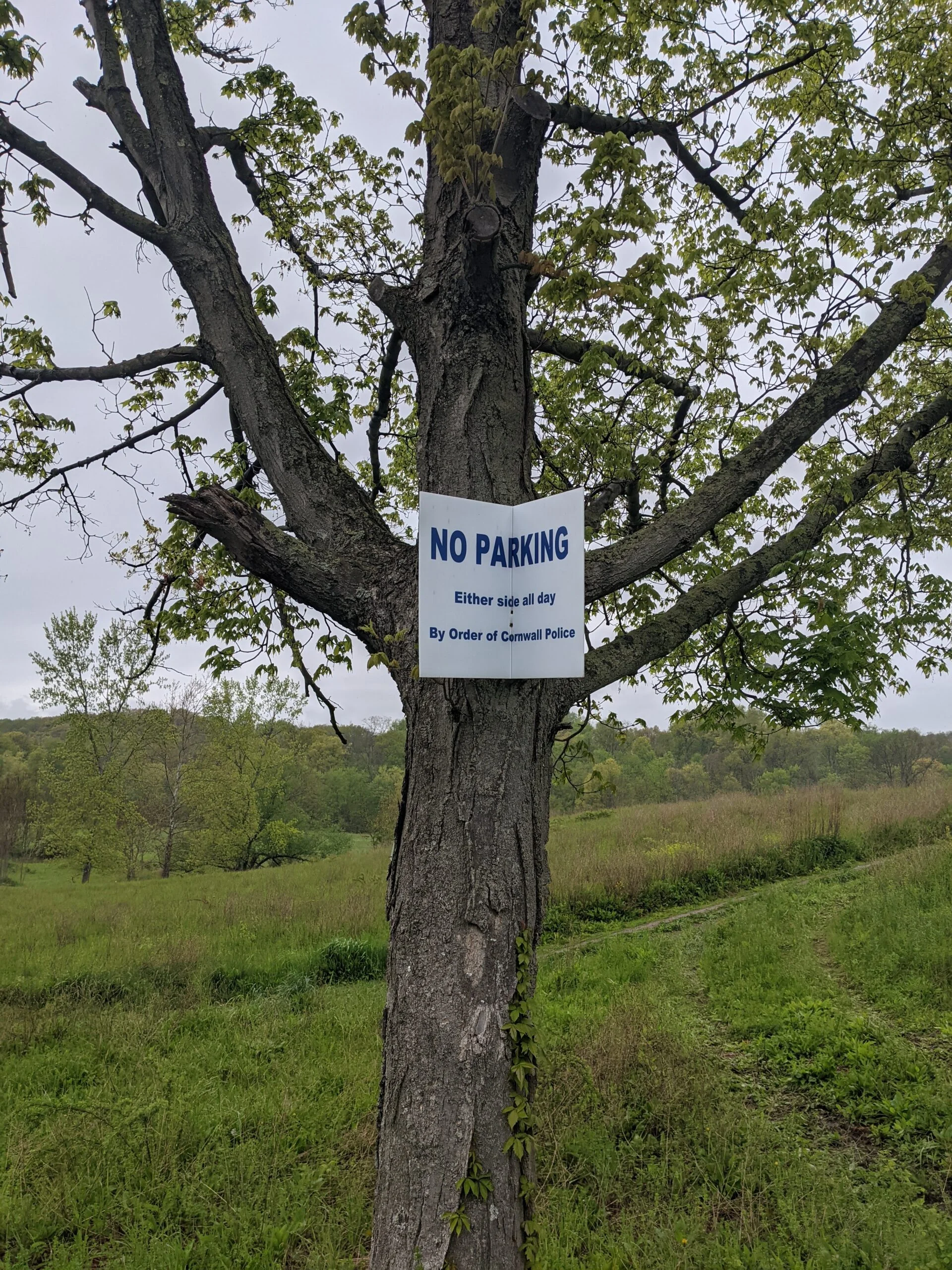
I parked at the Schunemunk Mountain Otterkill Road Trail Head in the north western part of the park, near the train trestle. At this point in the day, there was a very light drizzle, but barely noticeable.
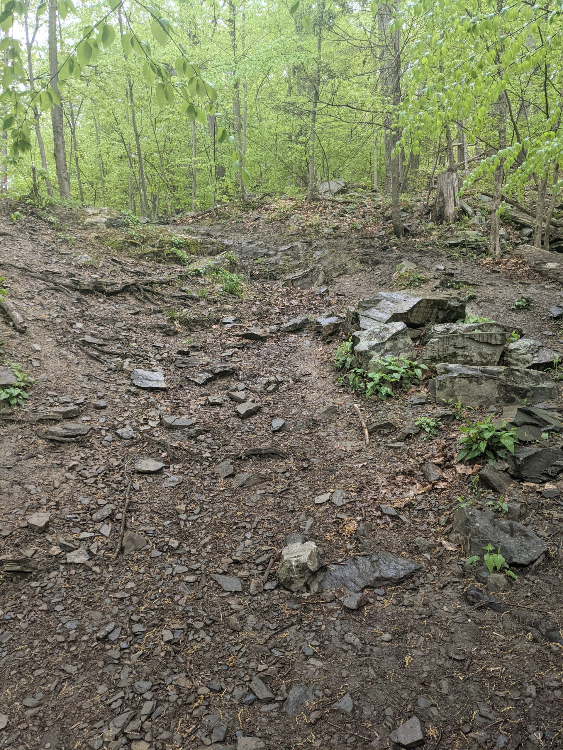
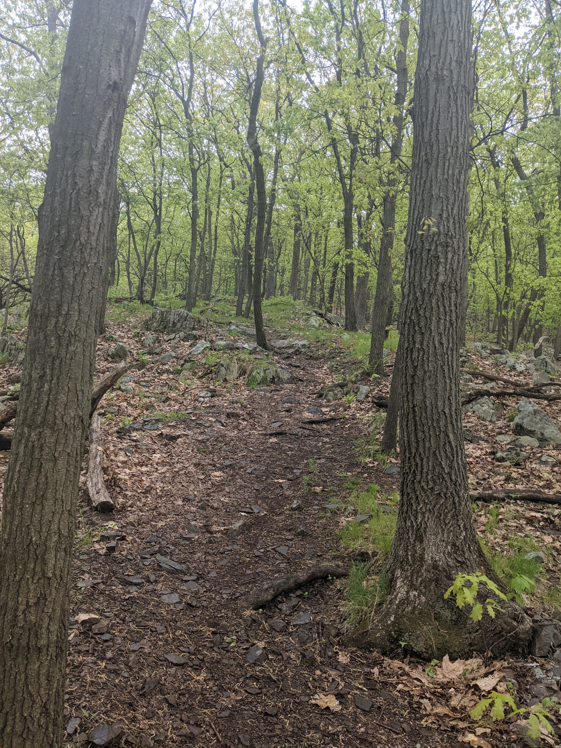
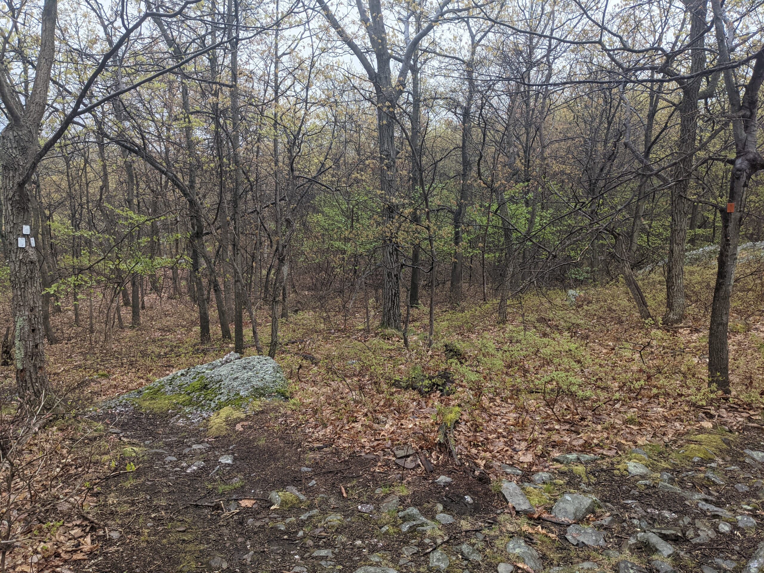
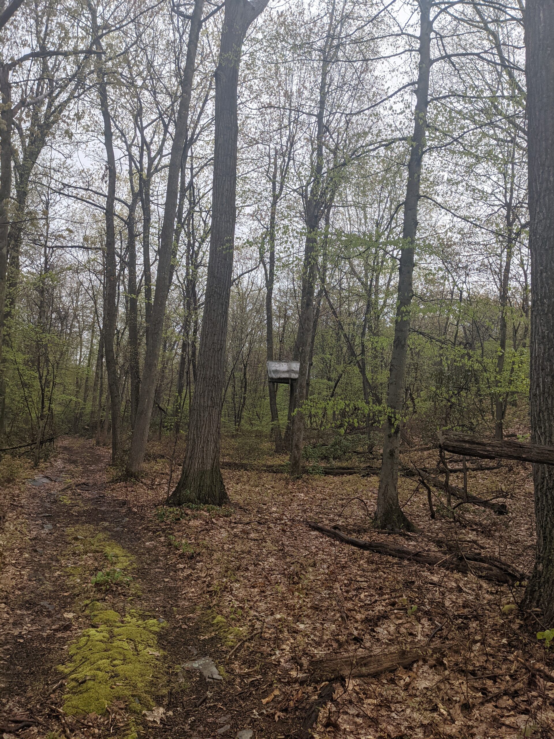
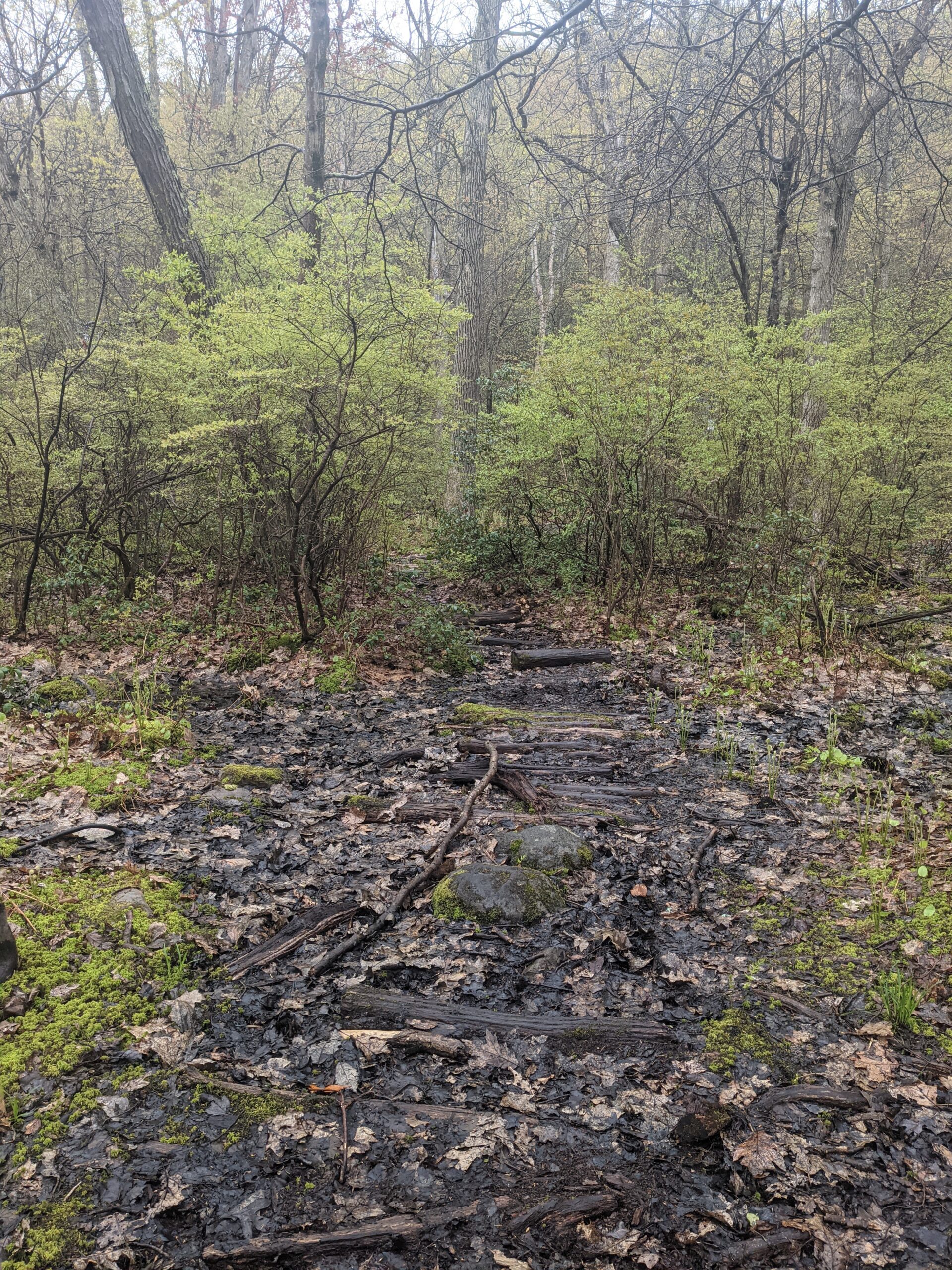
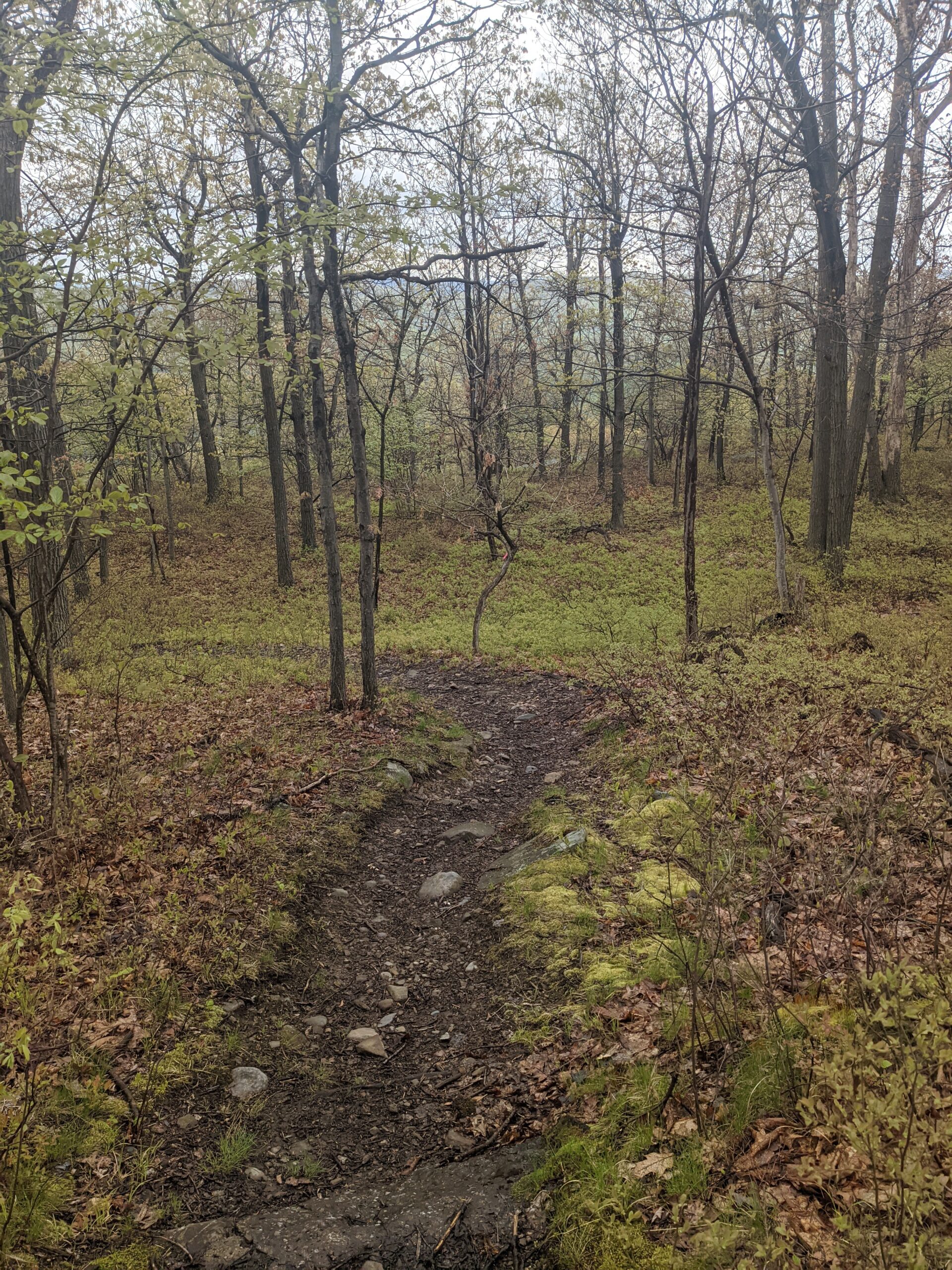
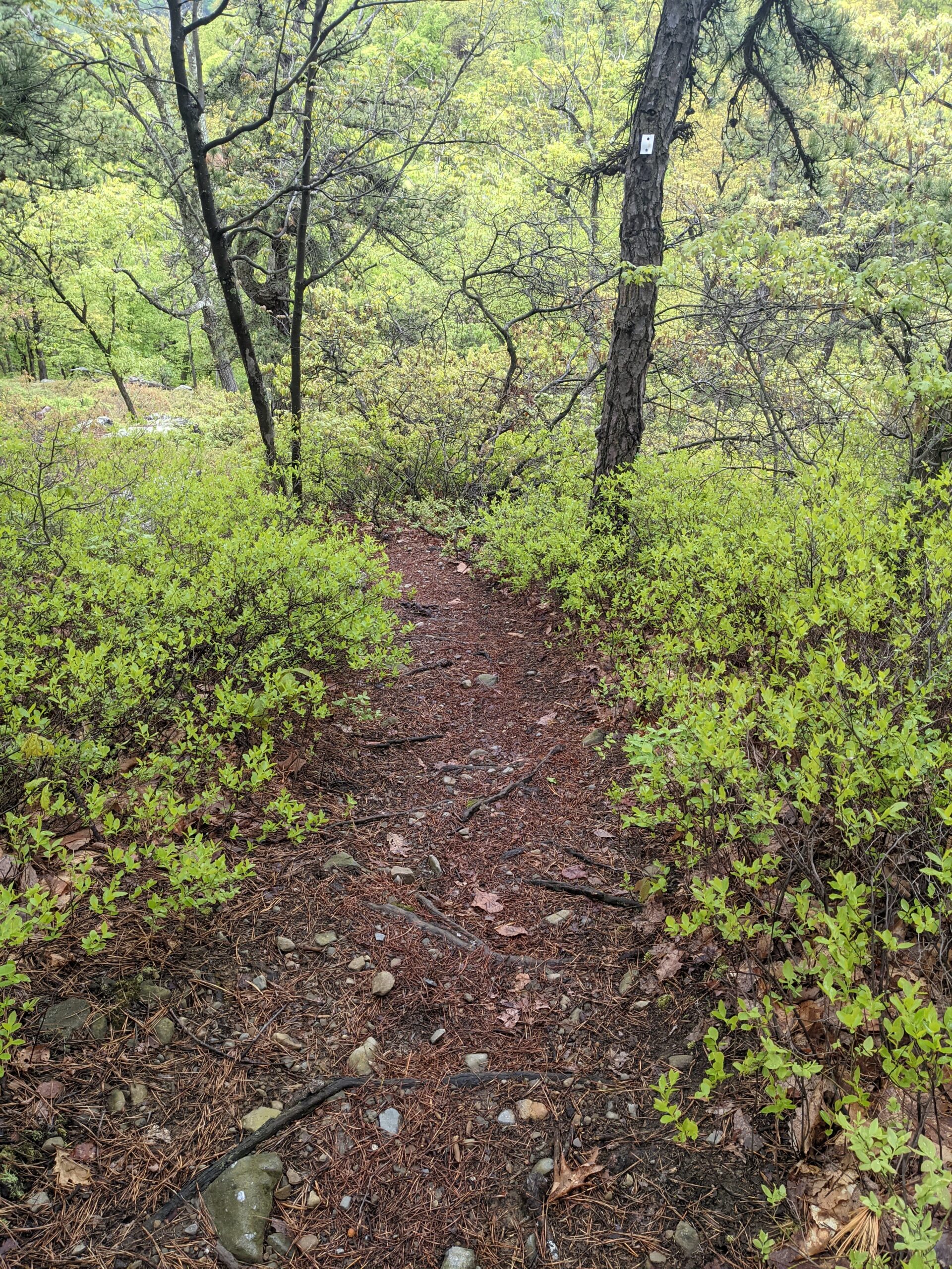
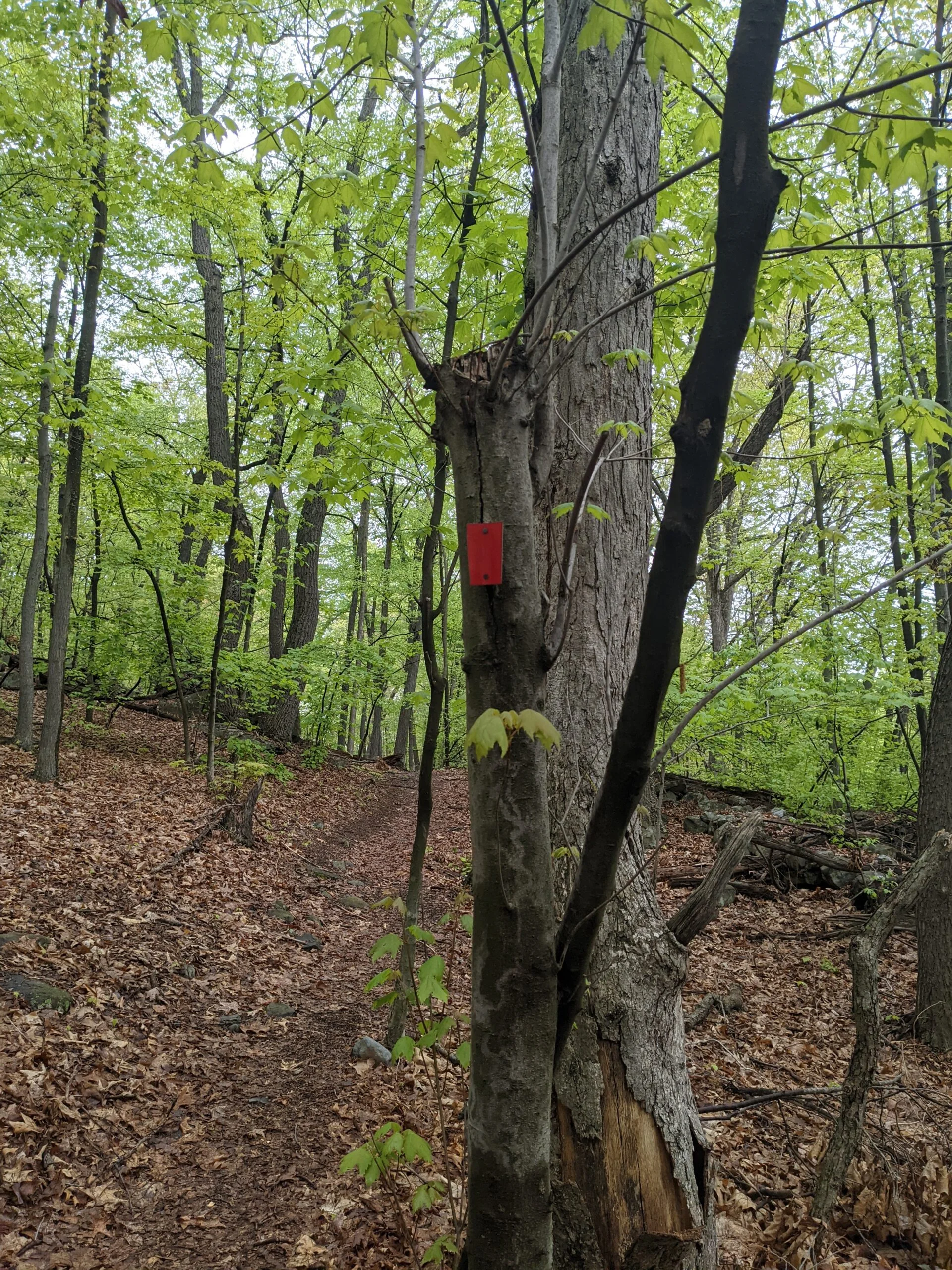
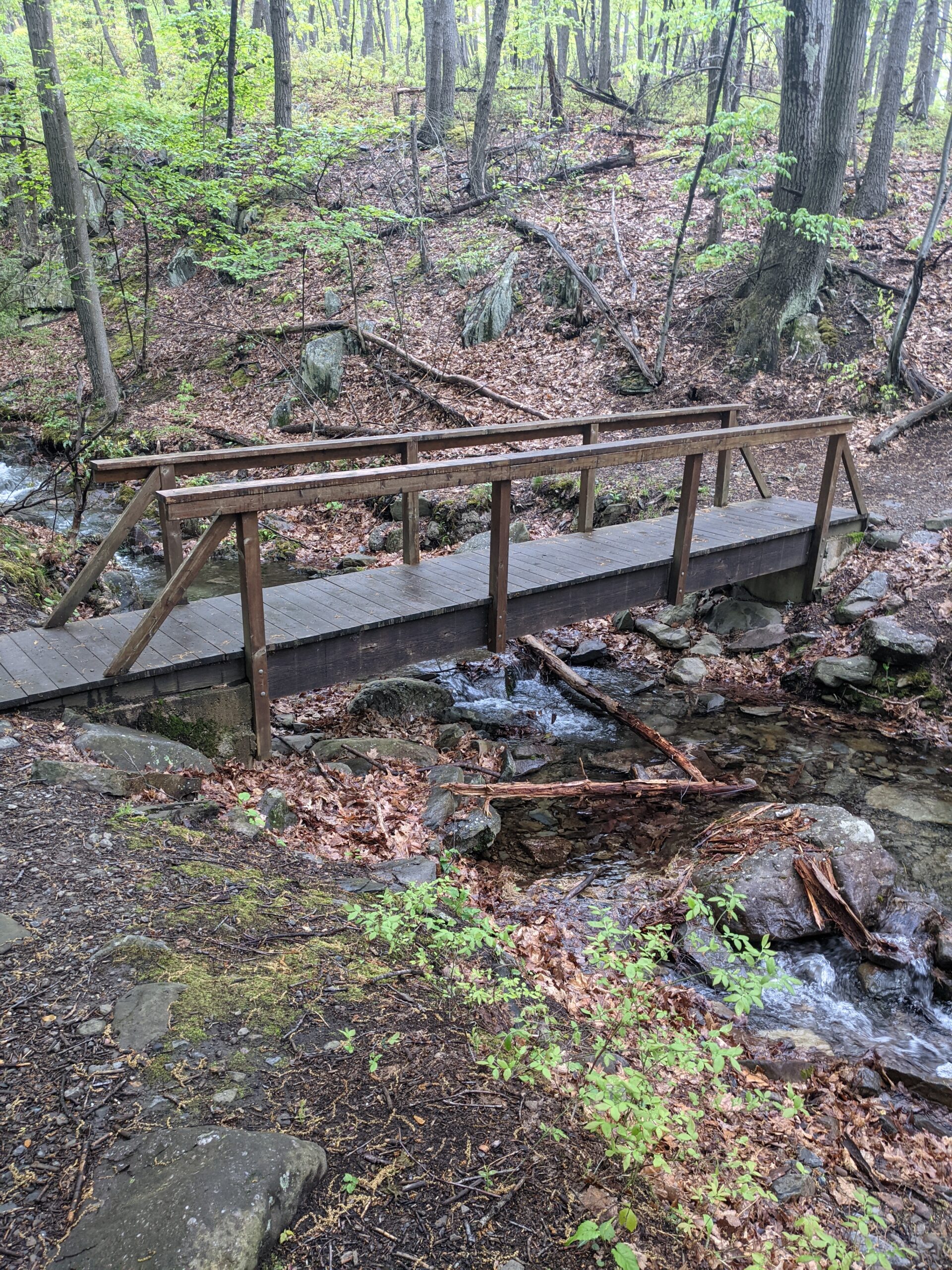
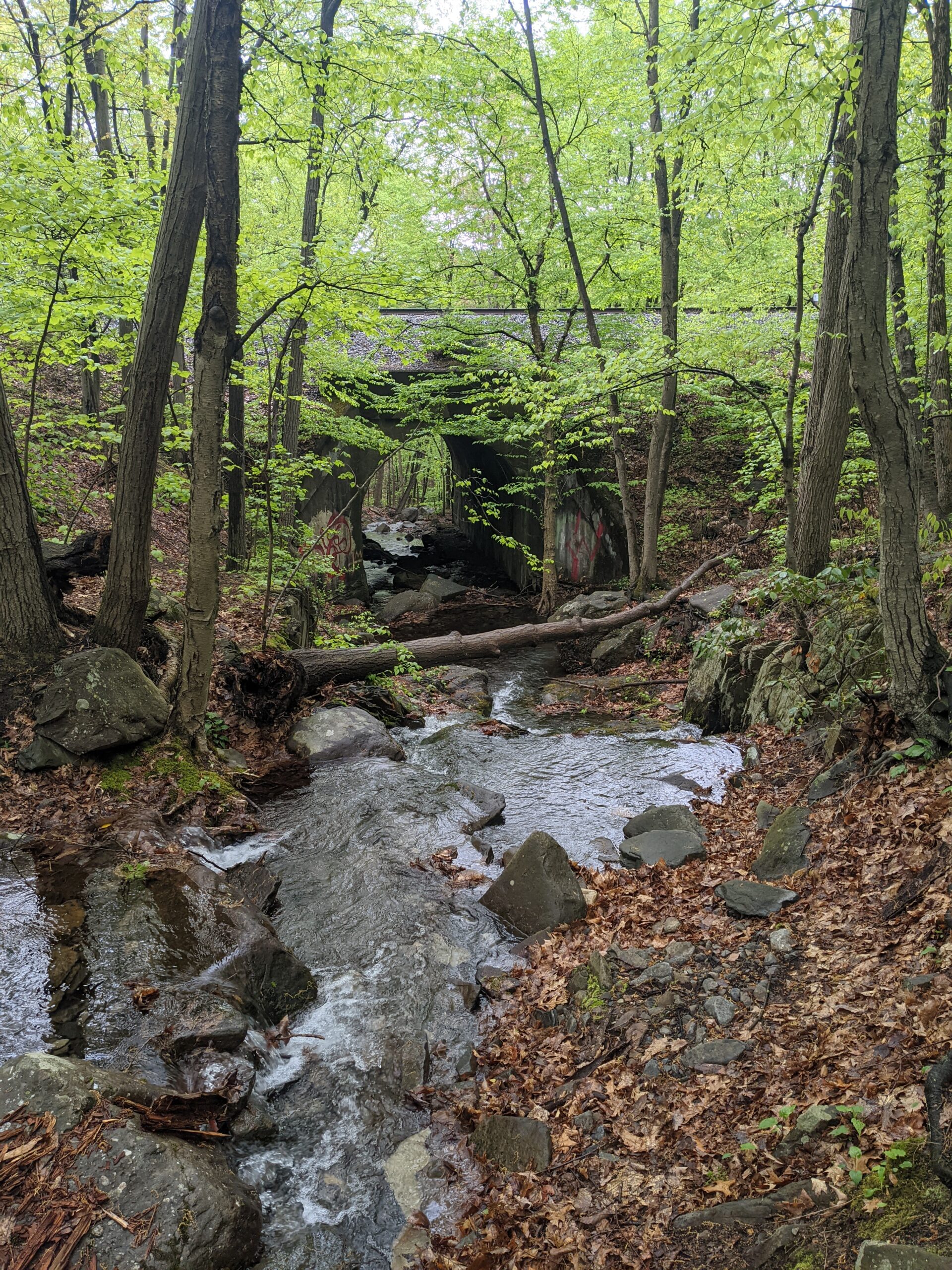
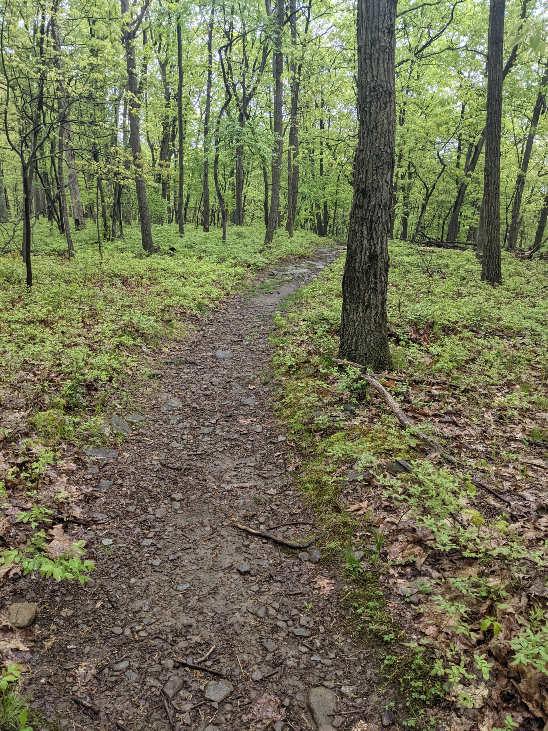
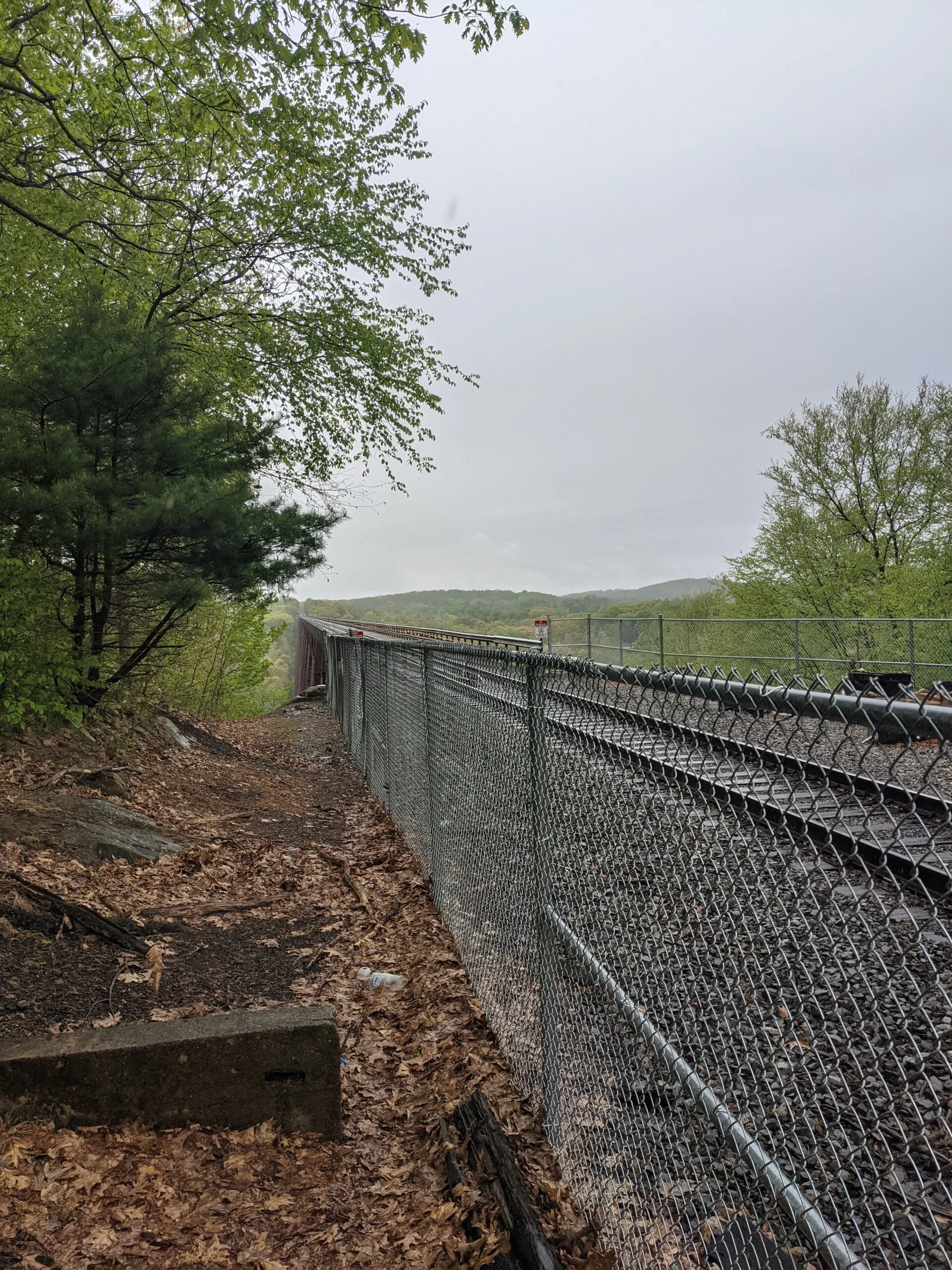
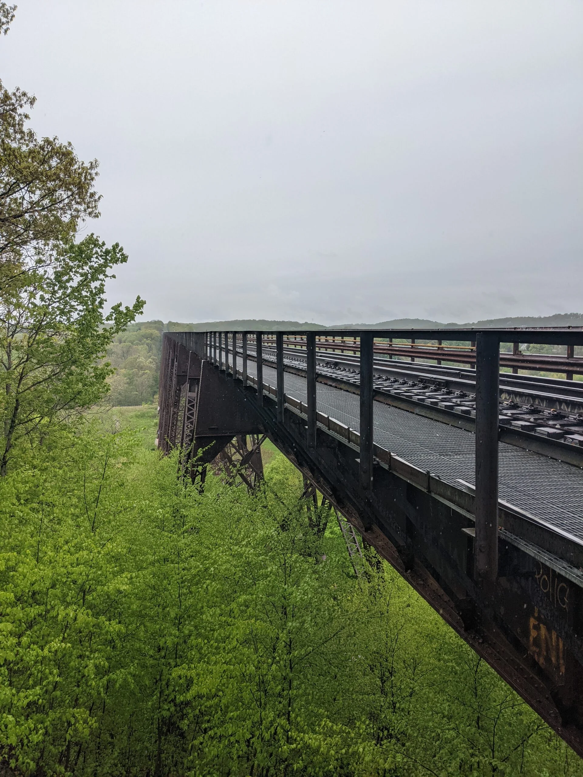
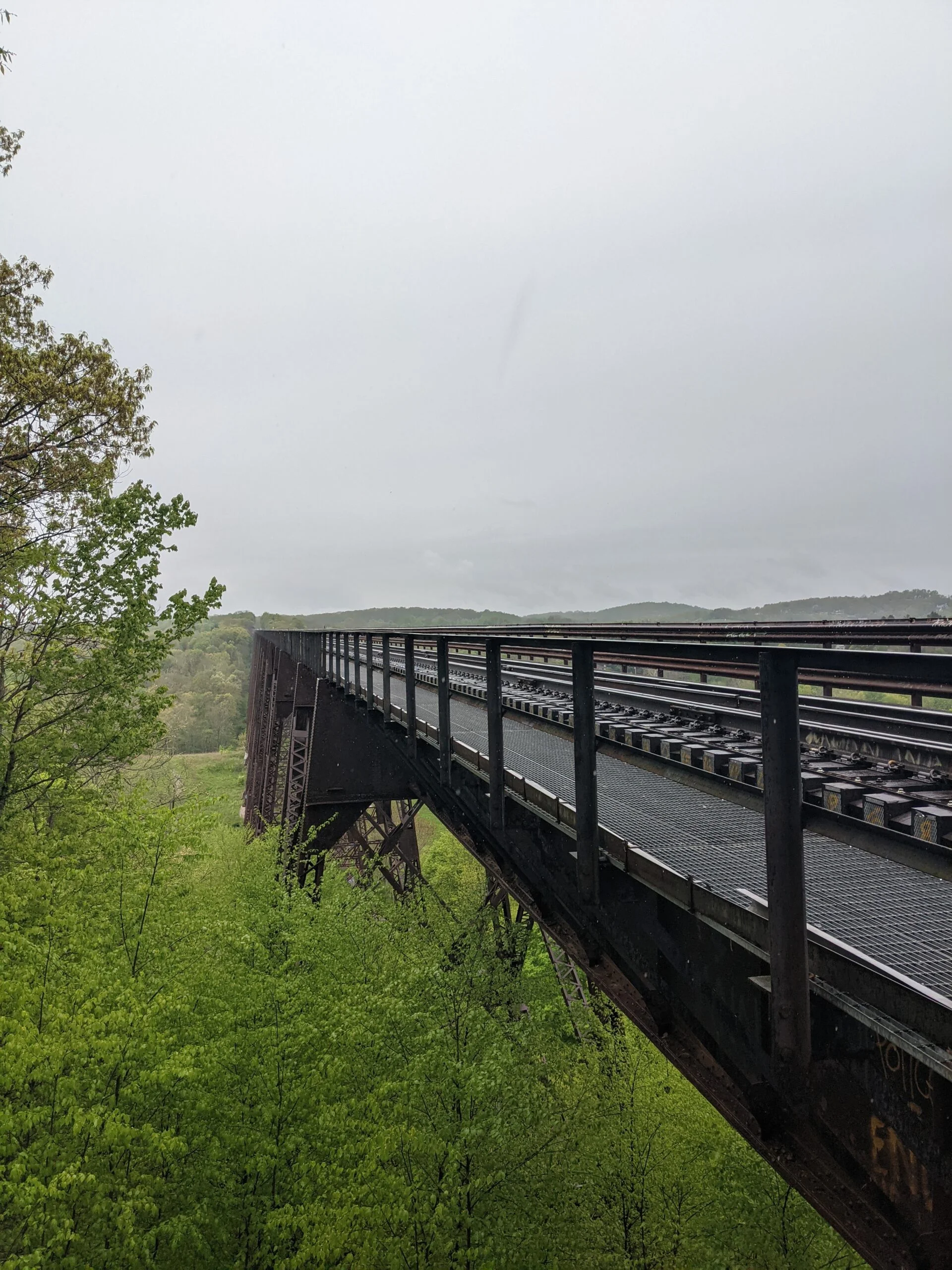
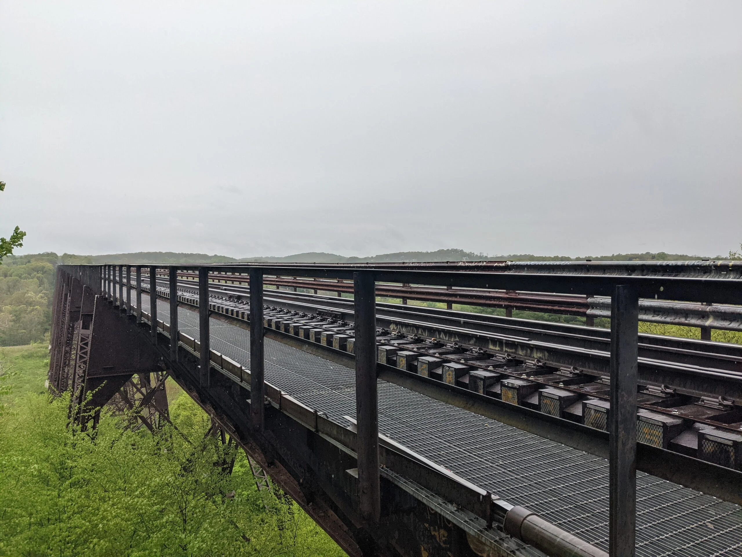
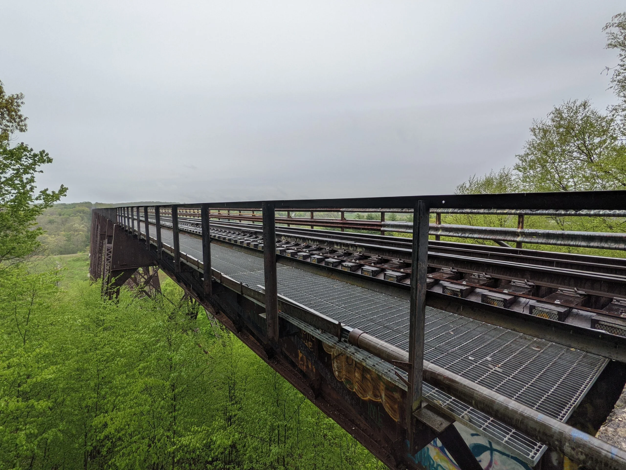
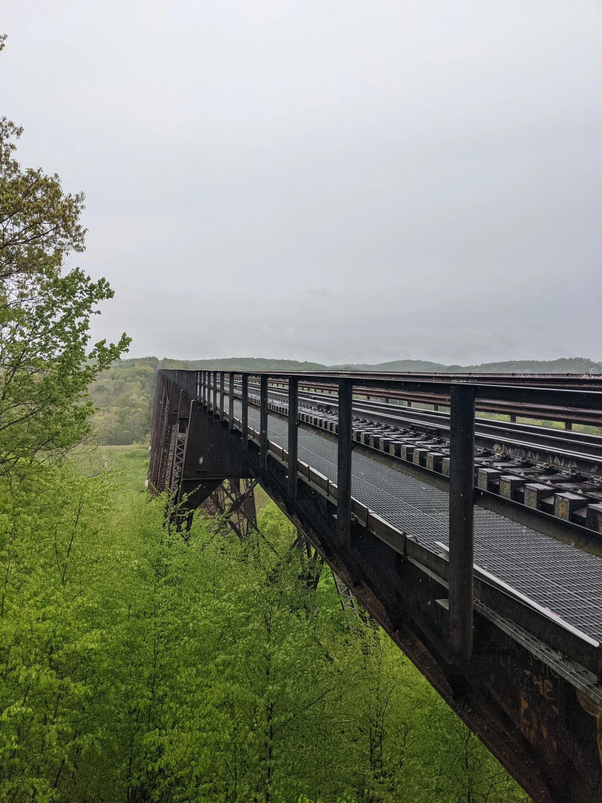
I walked about 2/10 of a mile north on Otterkill Road to the trailhead, just south of the train trestle looming overhead. Both the Otterkill trail (OK, red blazes) and the Trestle trail (TR, white blazes) start here. I veered to the right to take OK. It’s an uphill trek of about 1,000 feet for almost the entire 1.6 miles of the OK trail, which is mostly dirt.
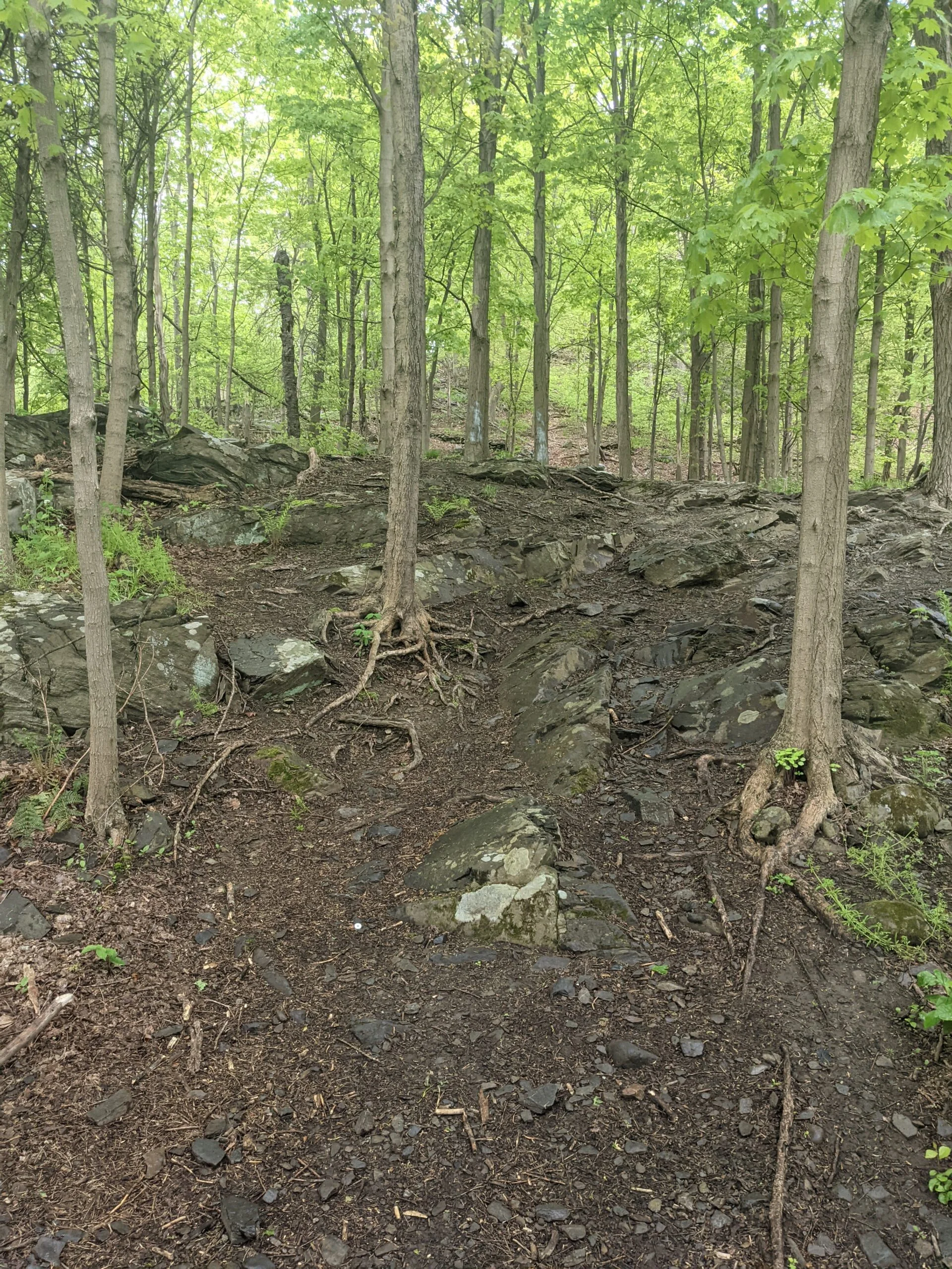
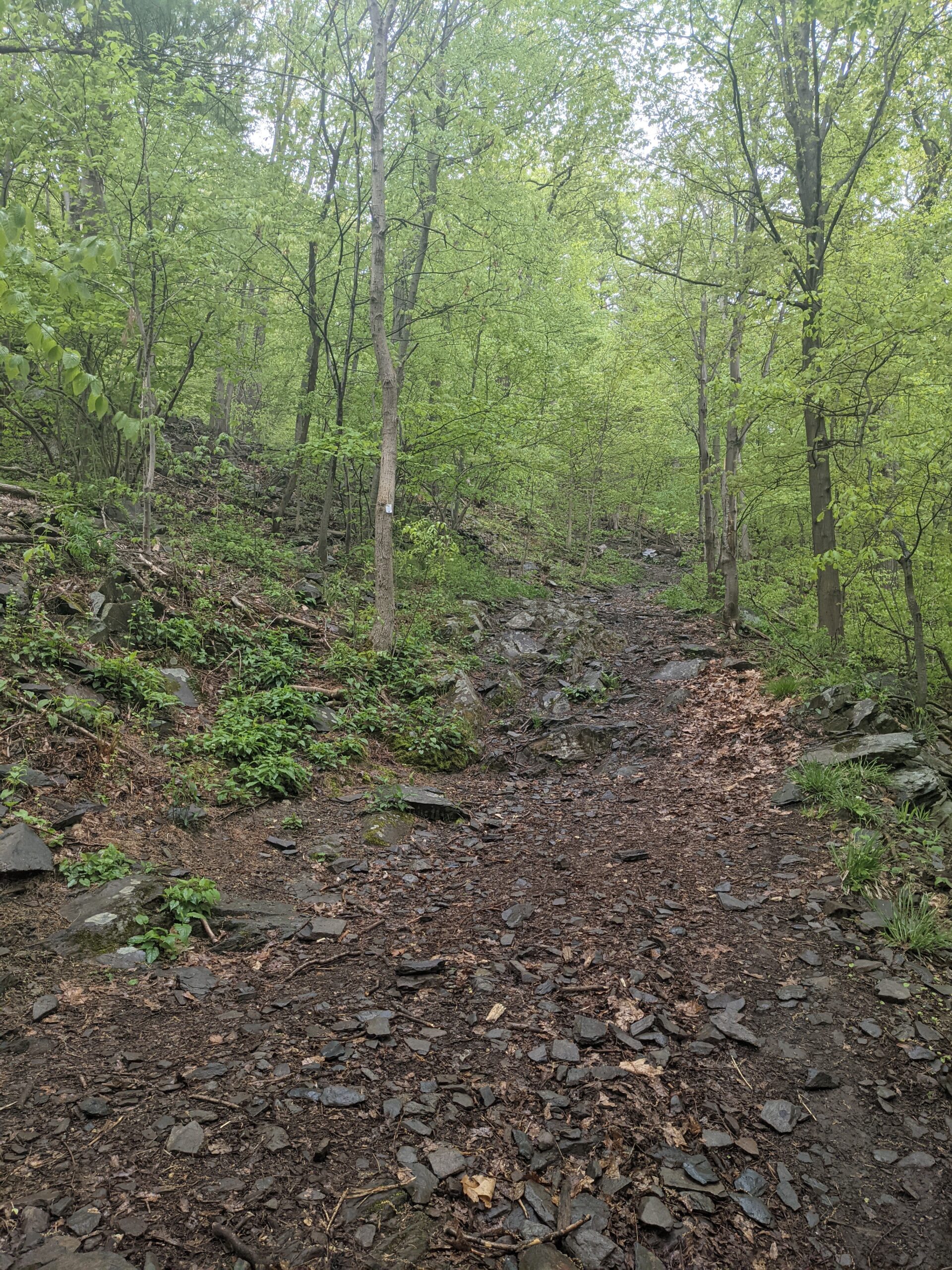
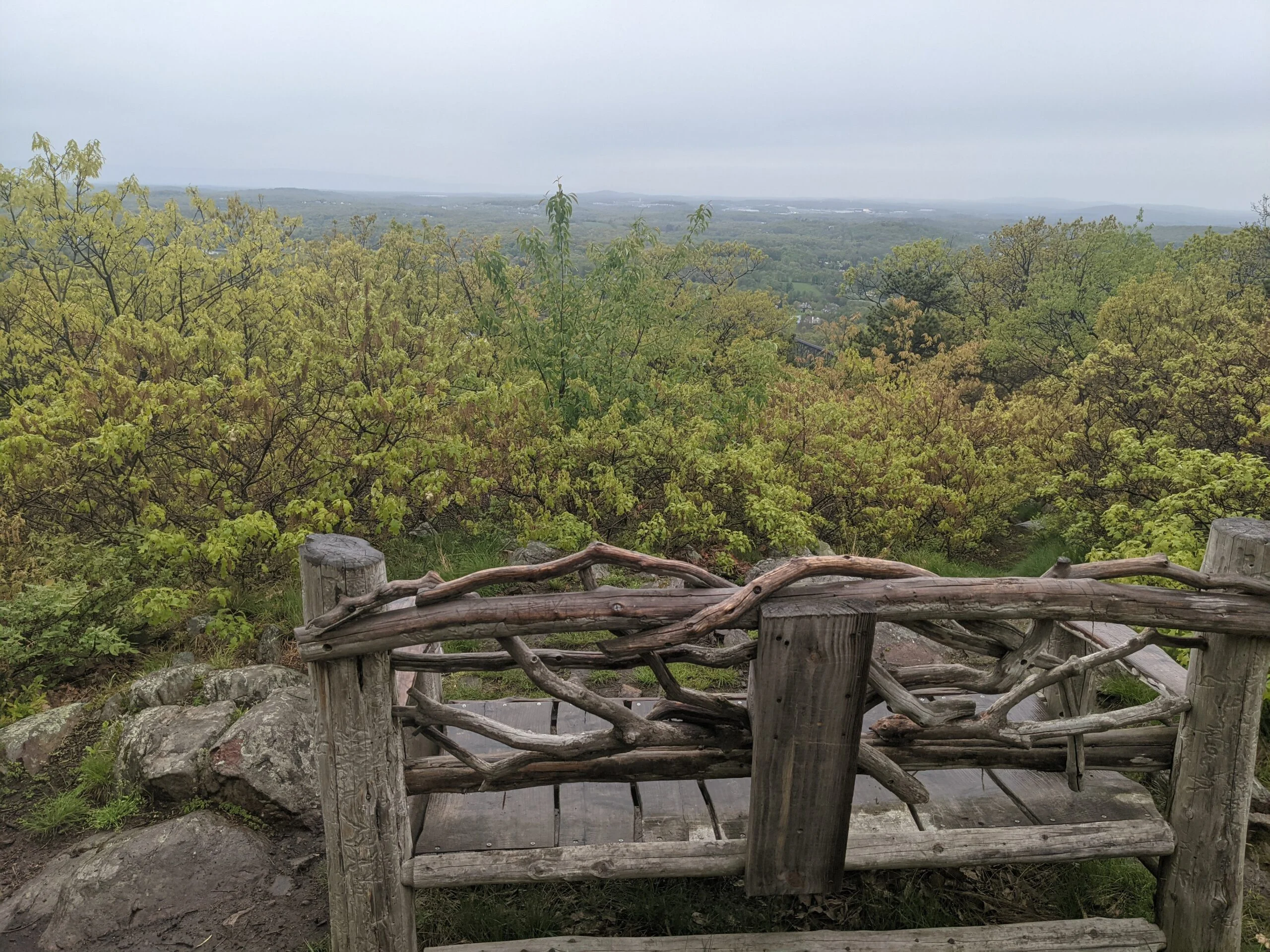
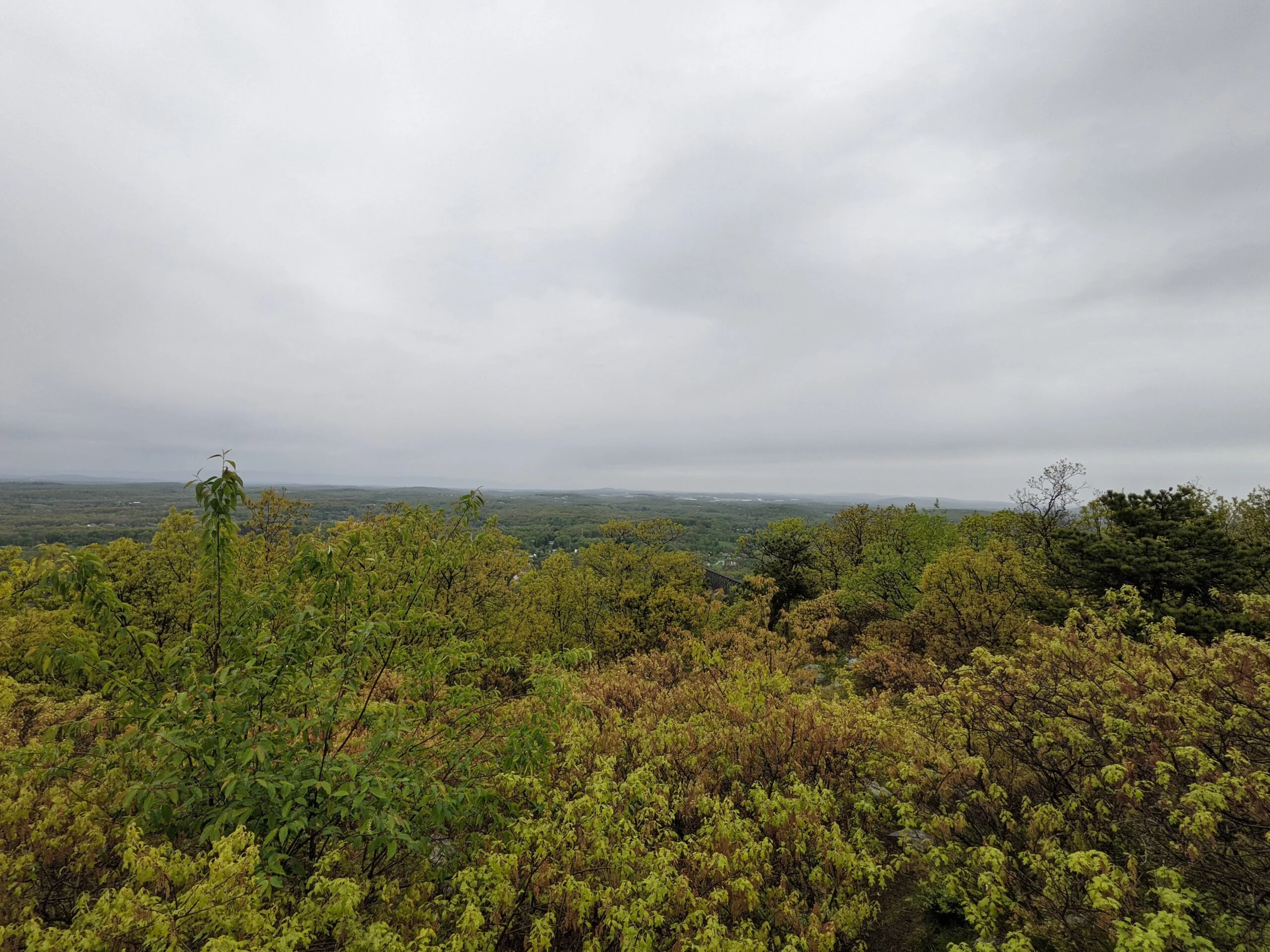
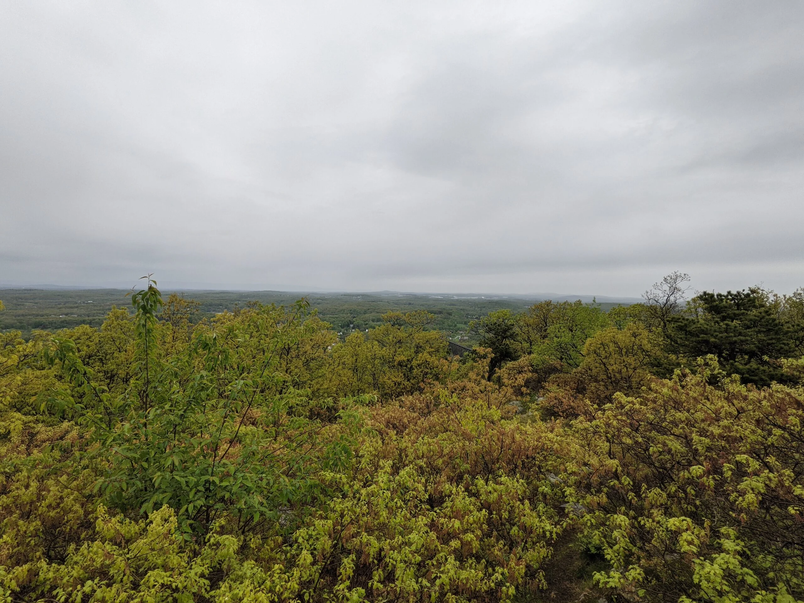
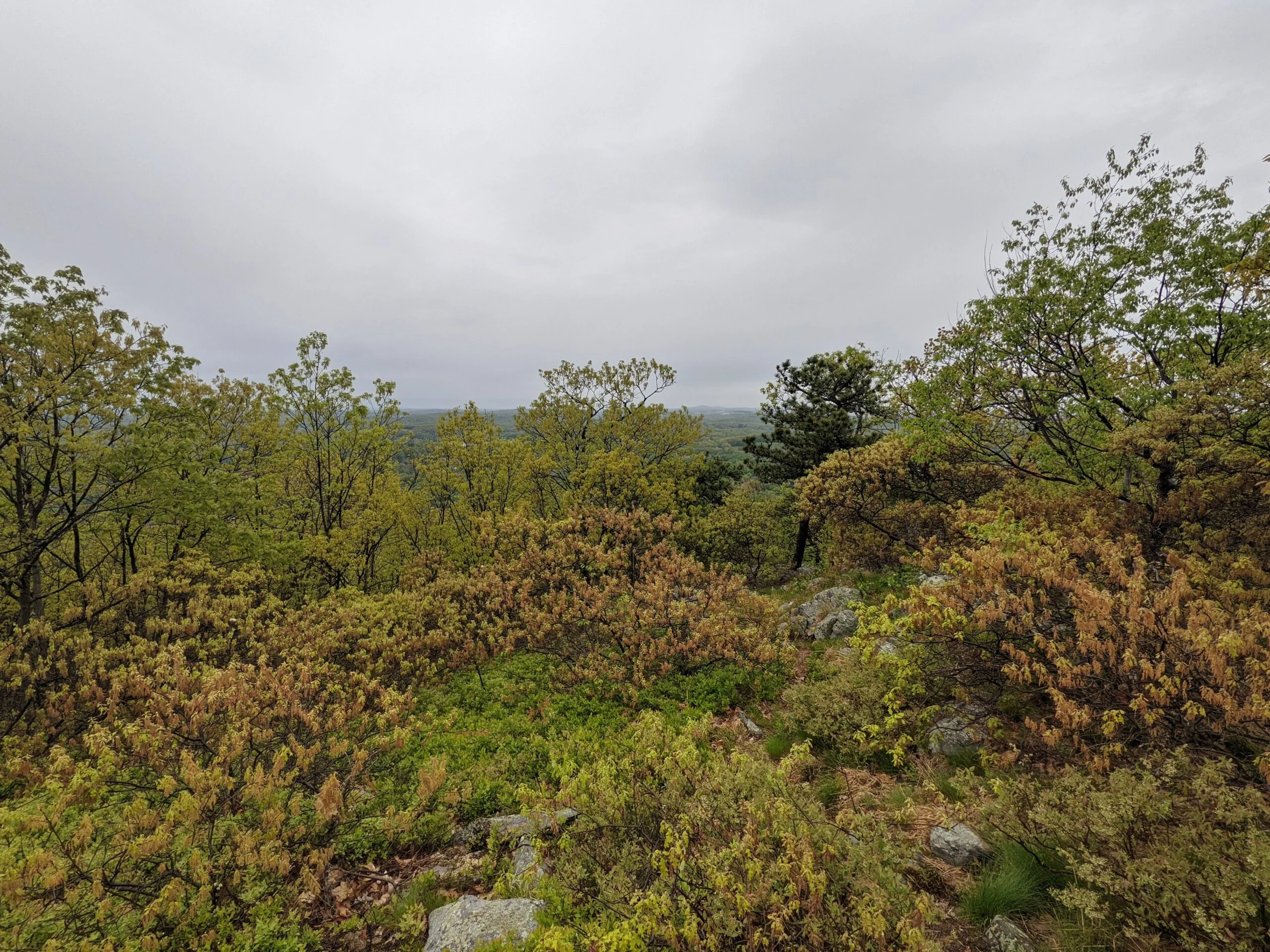
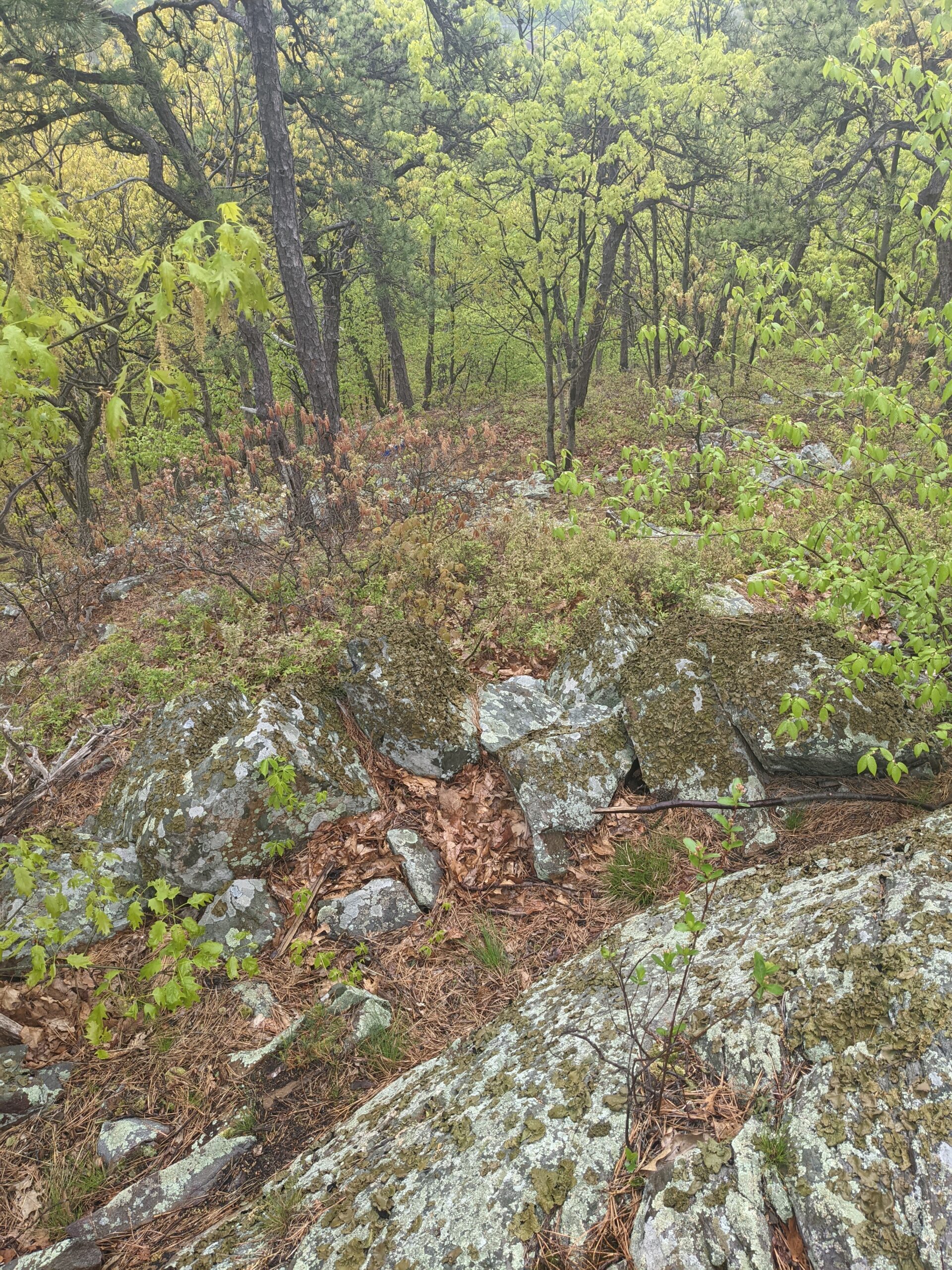
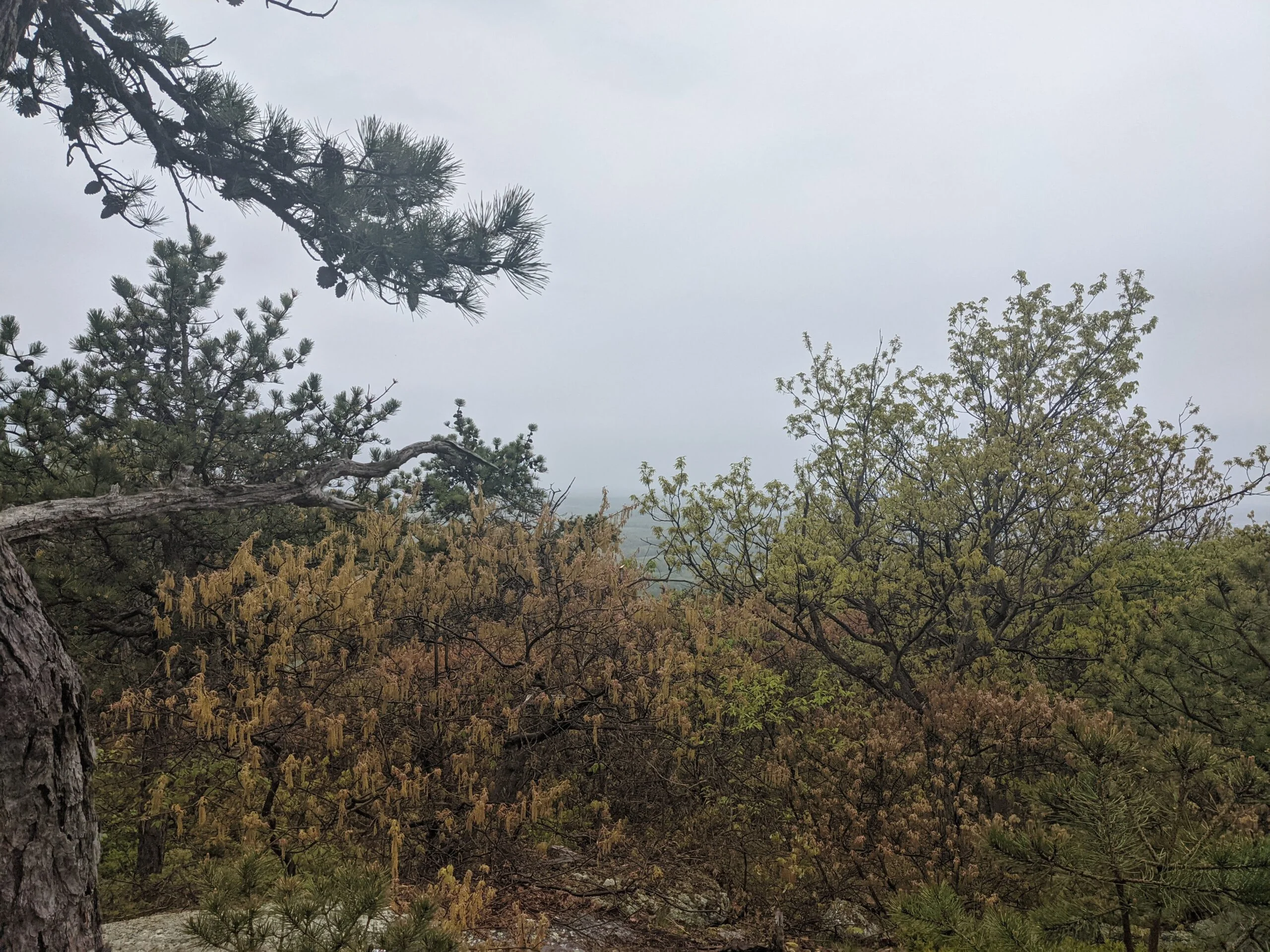
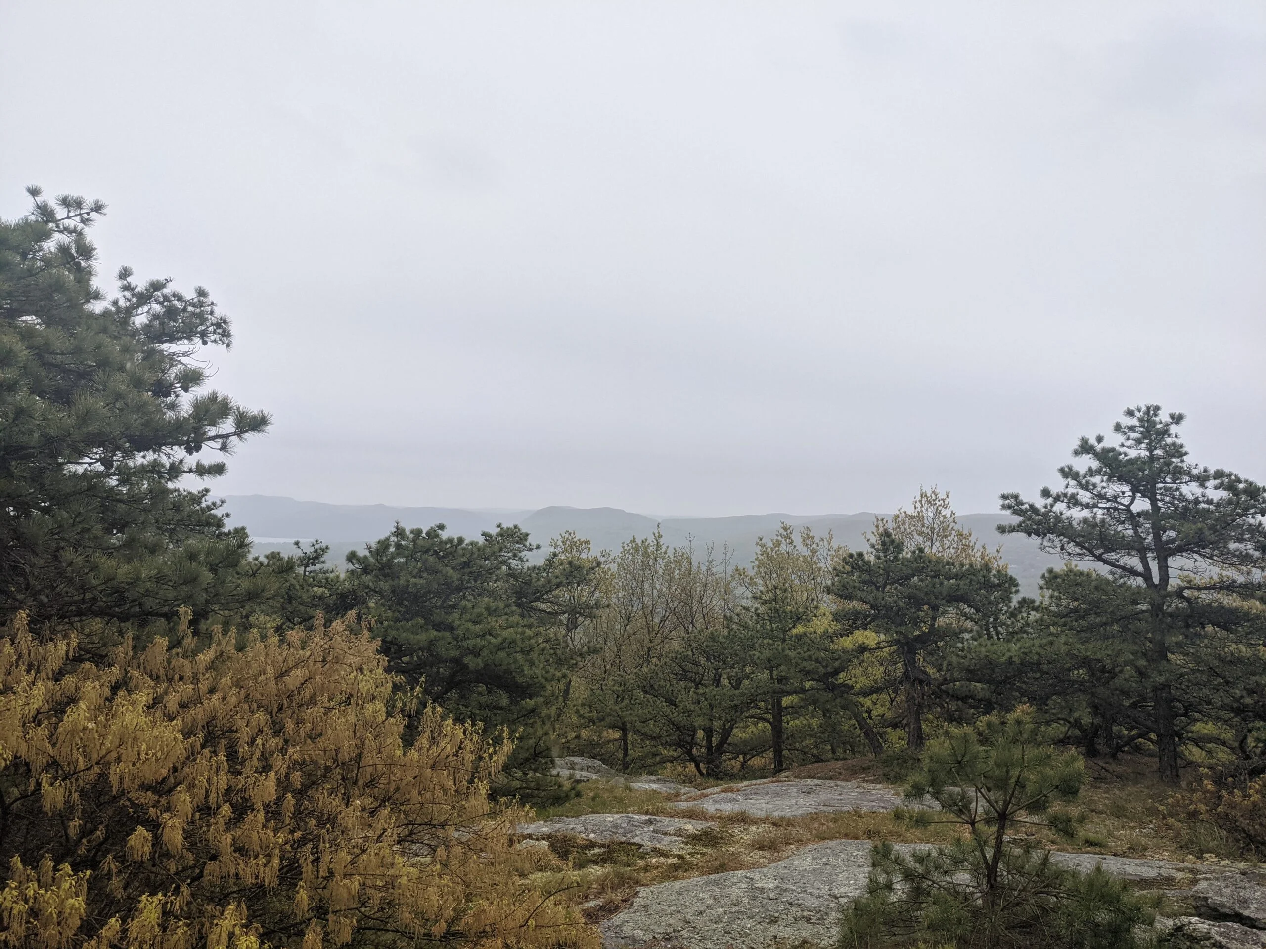
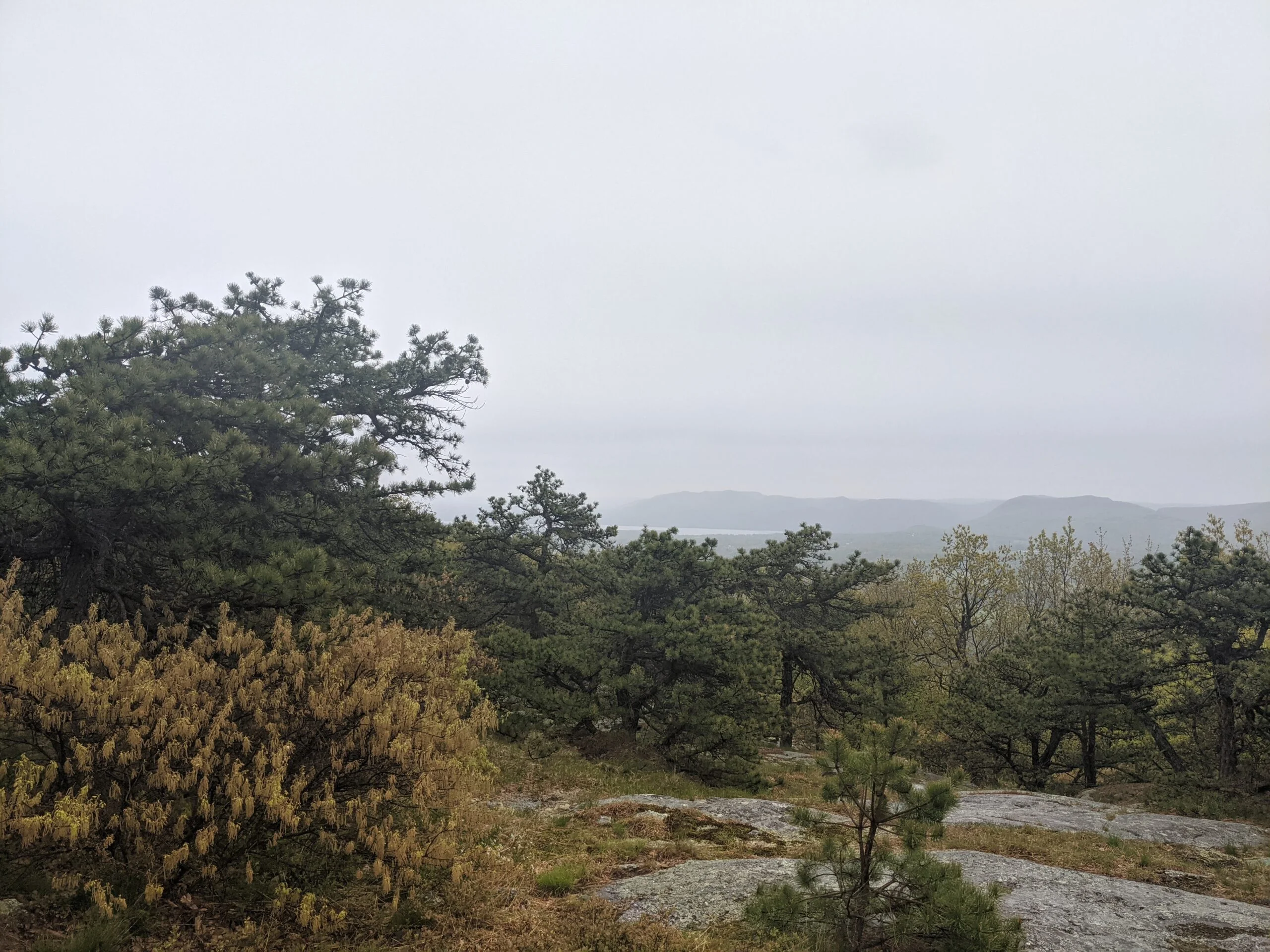
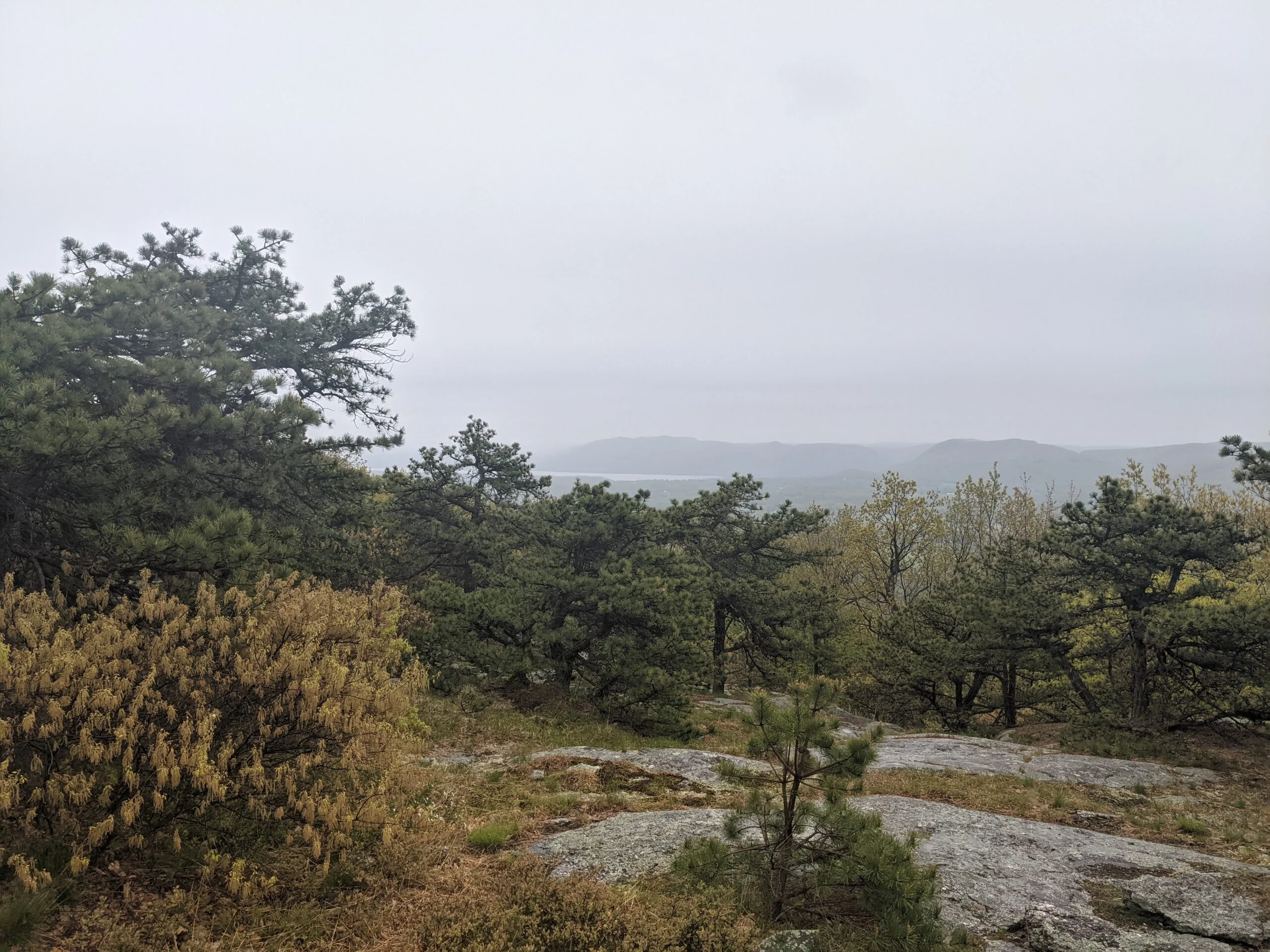
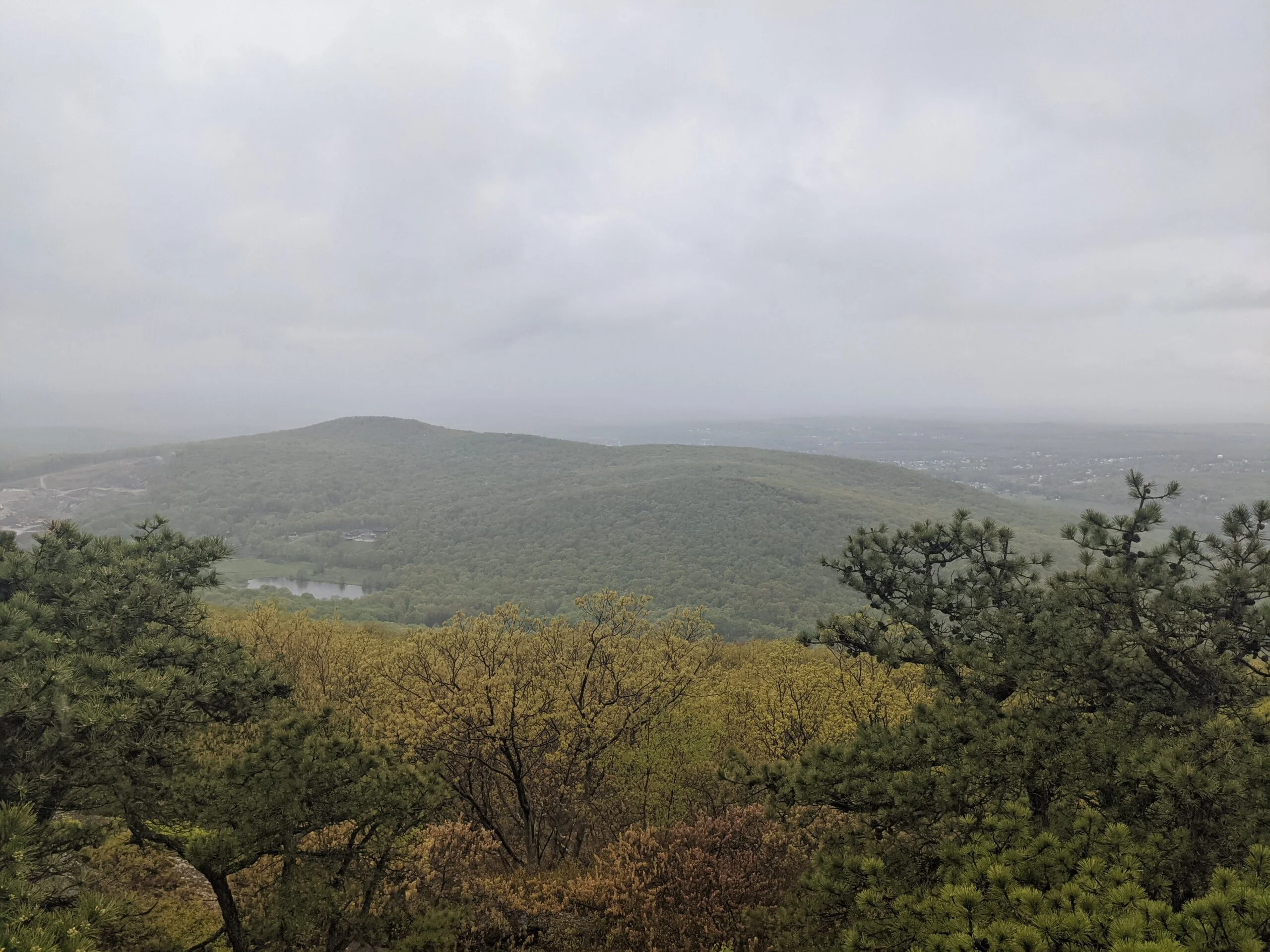
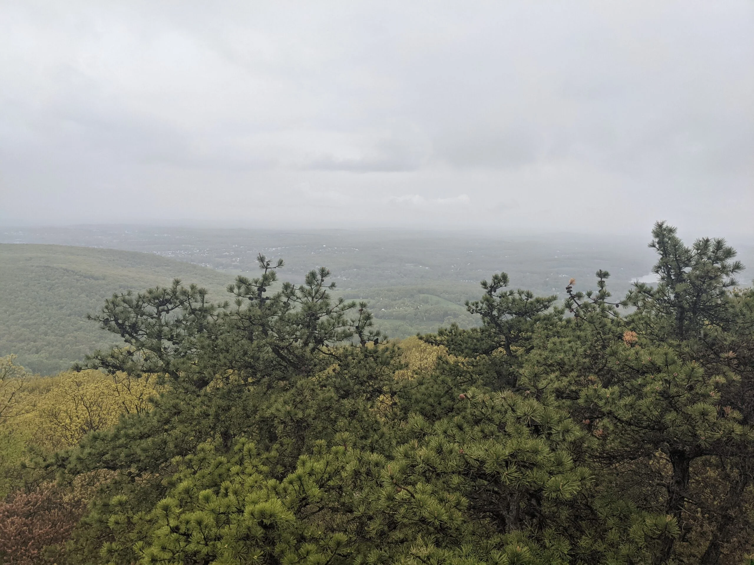
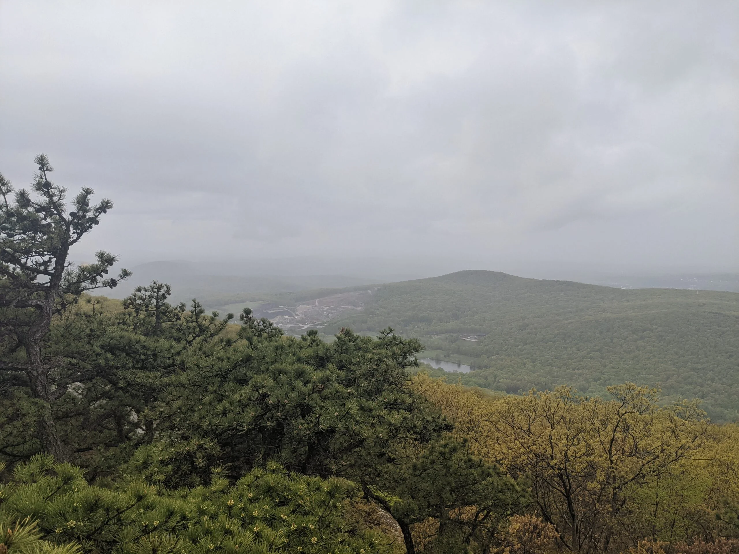
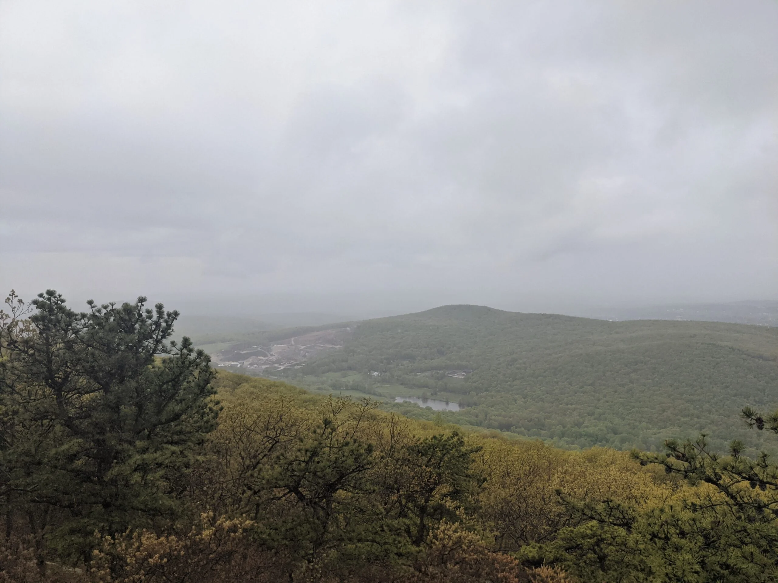
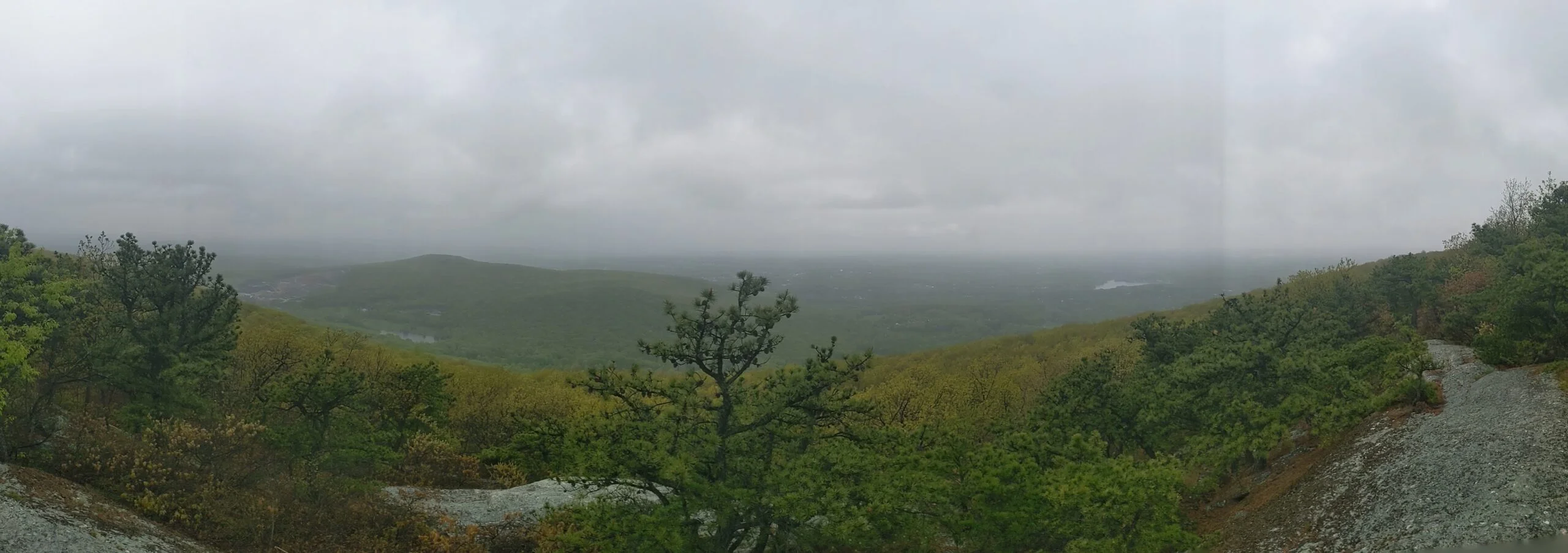
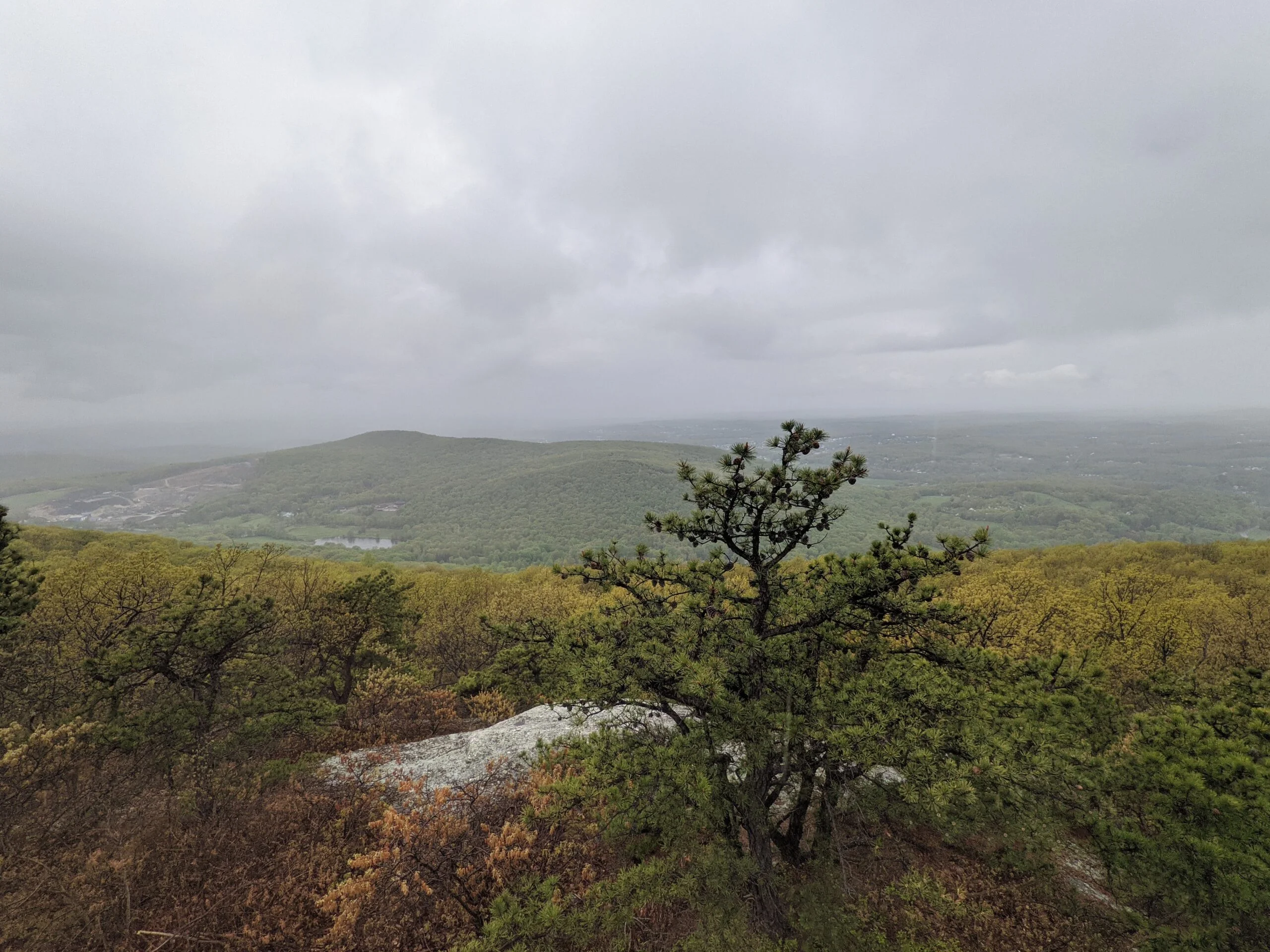
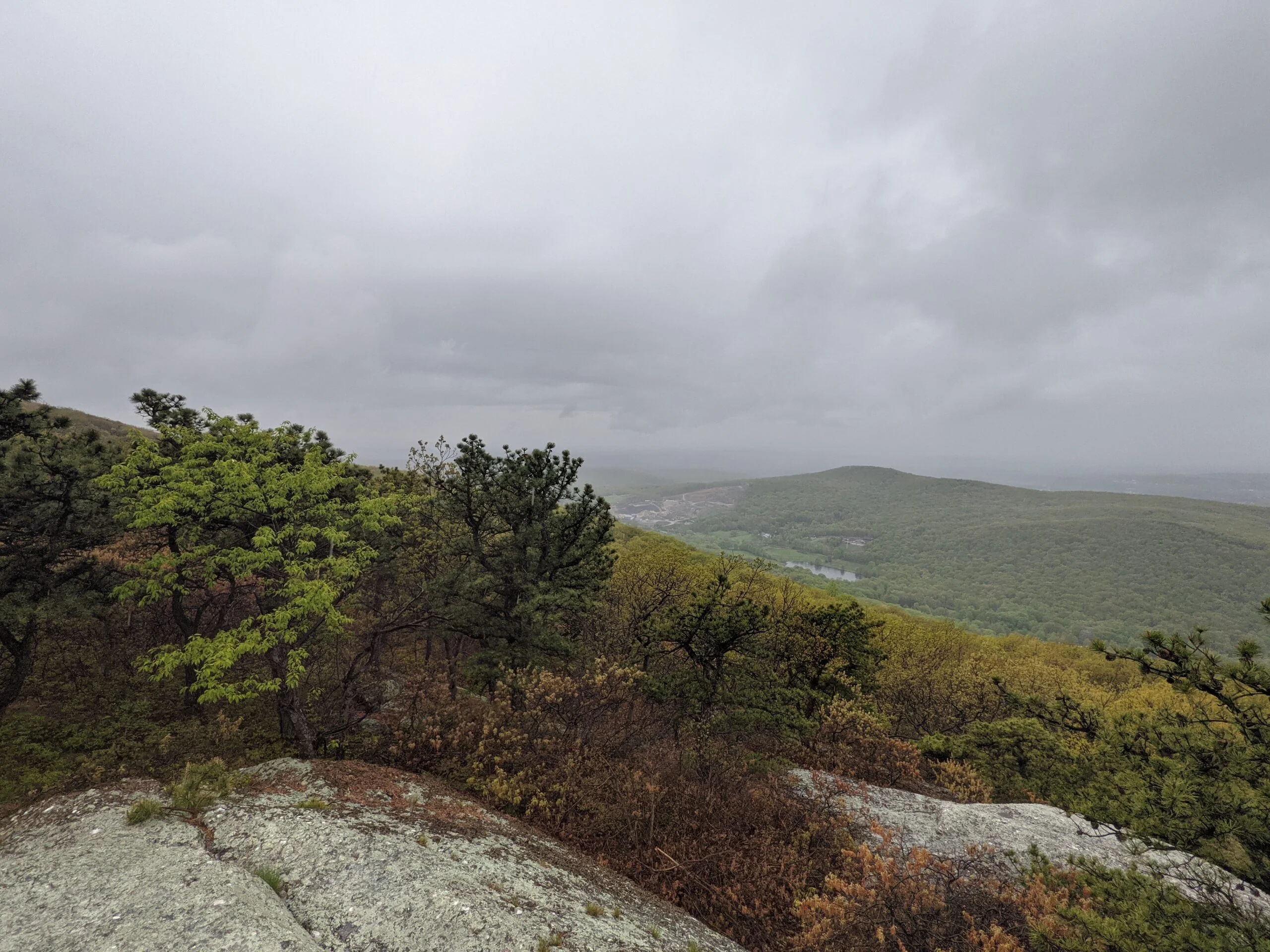
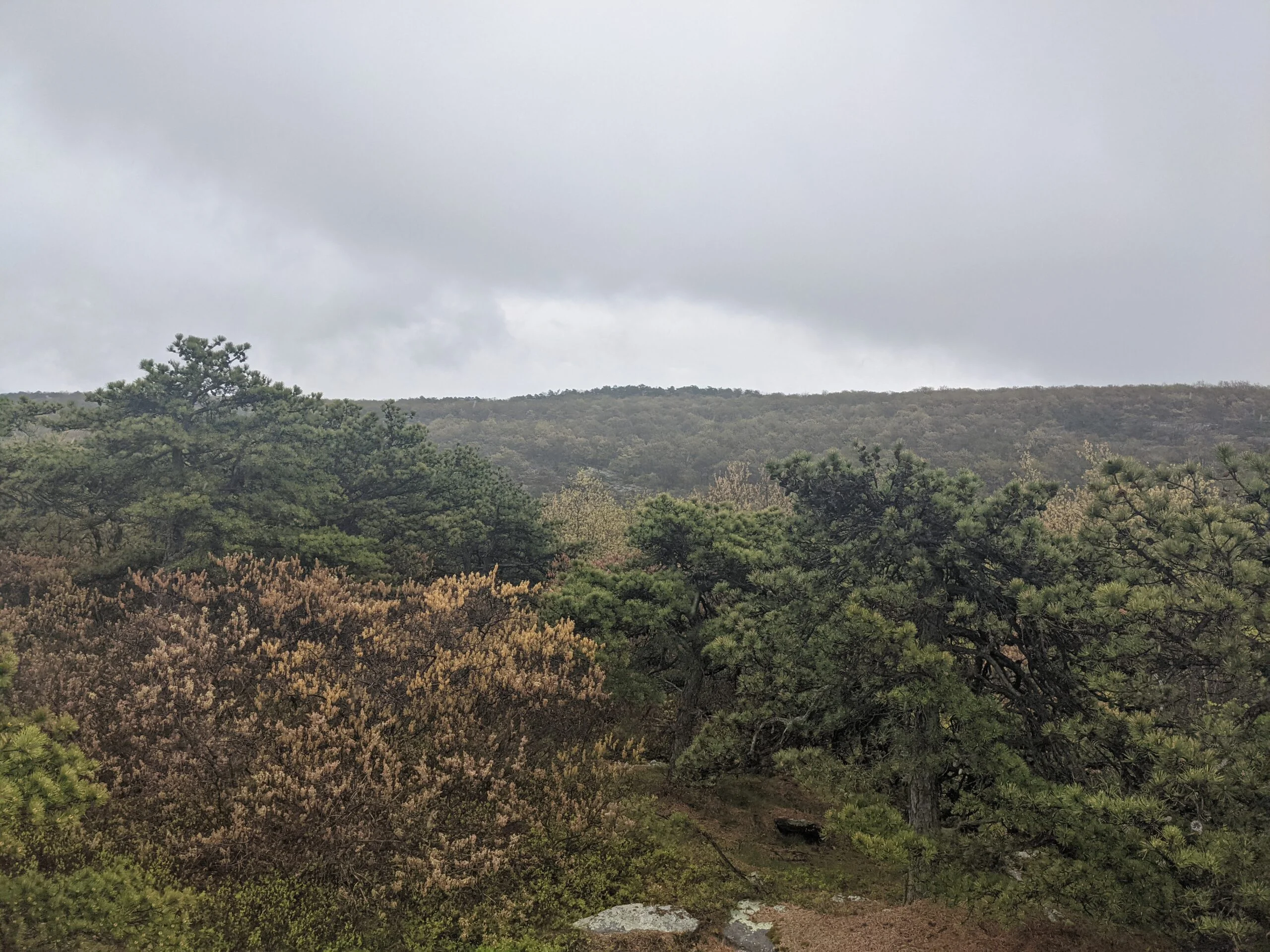
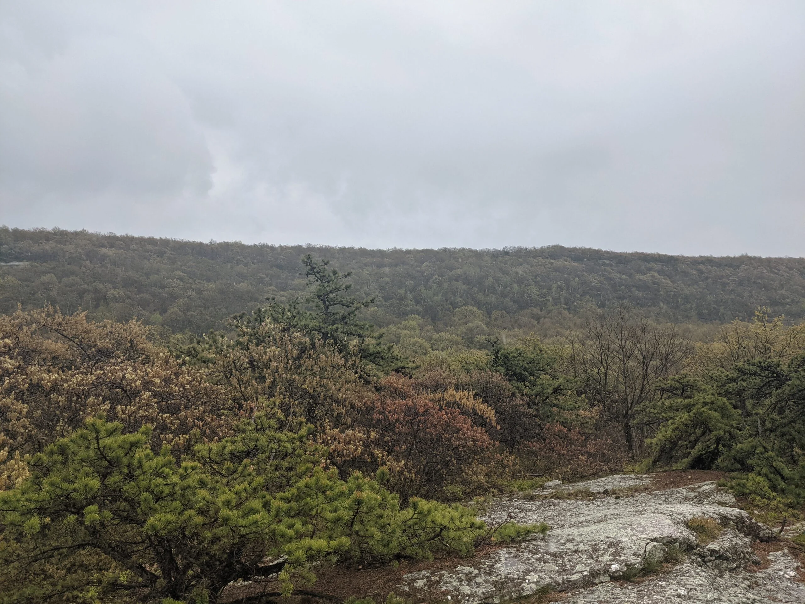
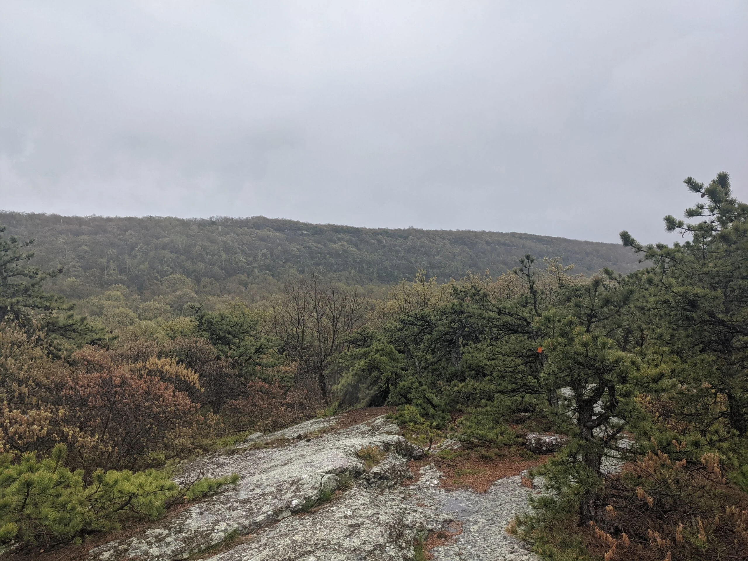
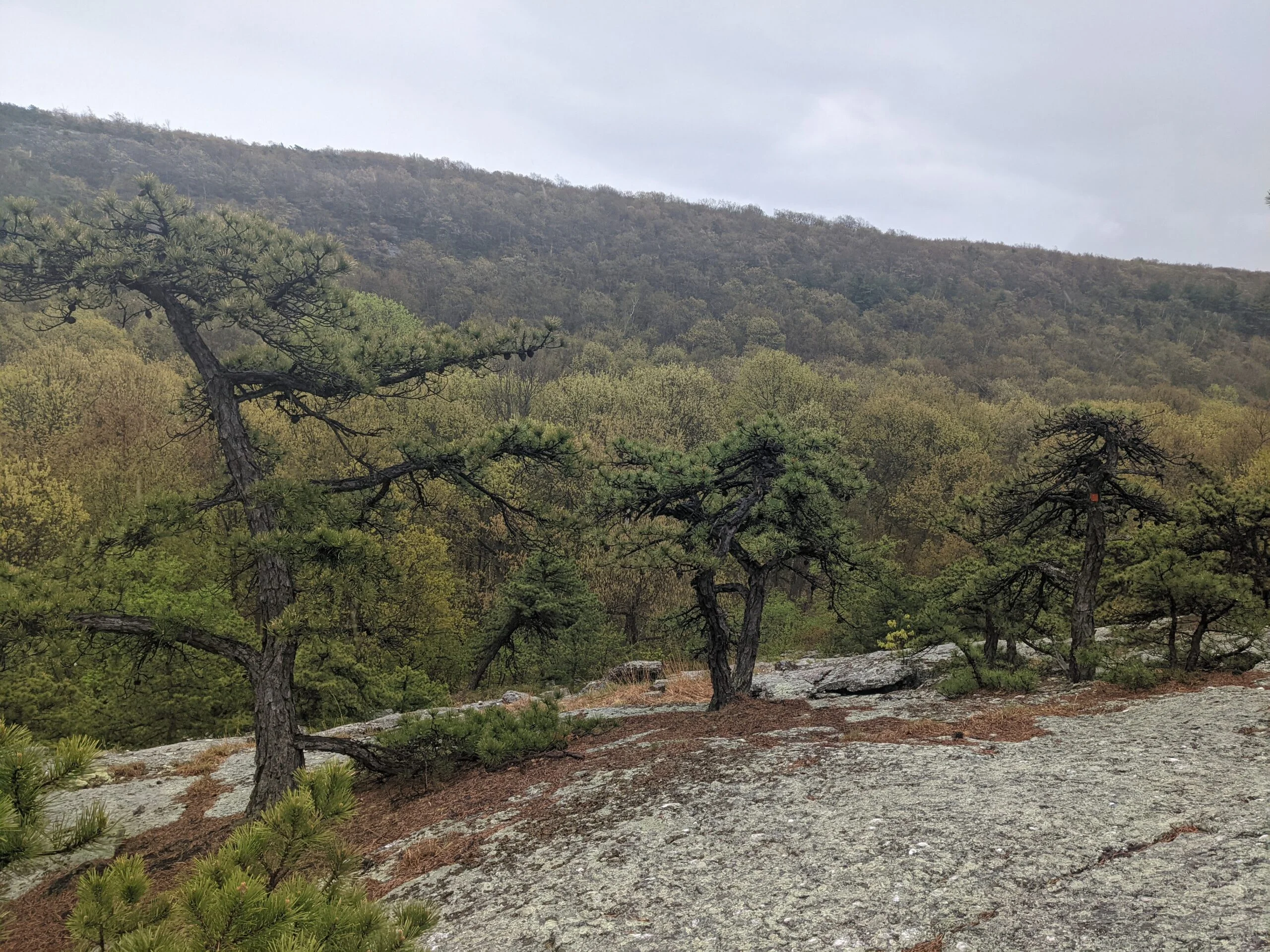
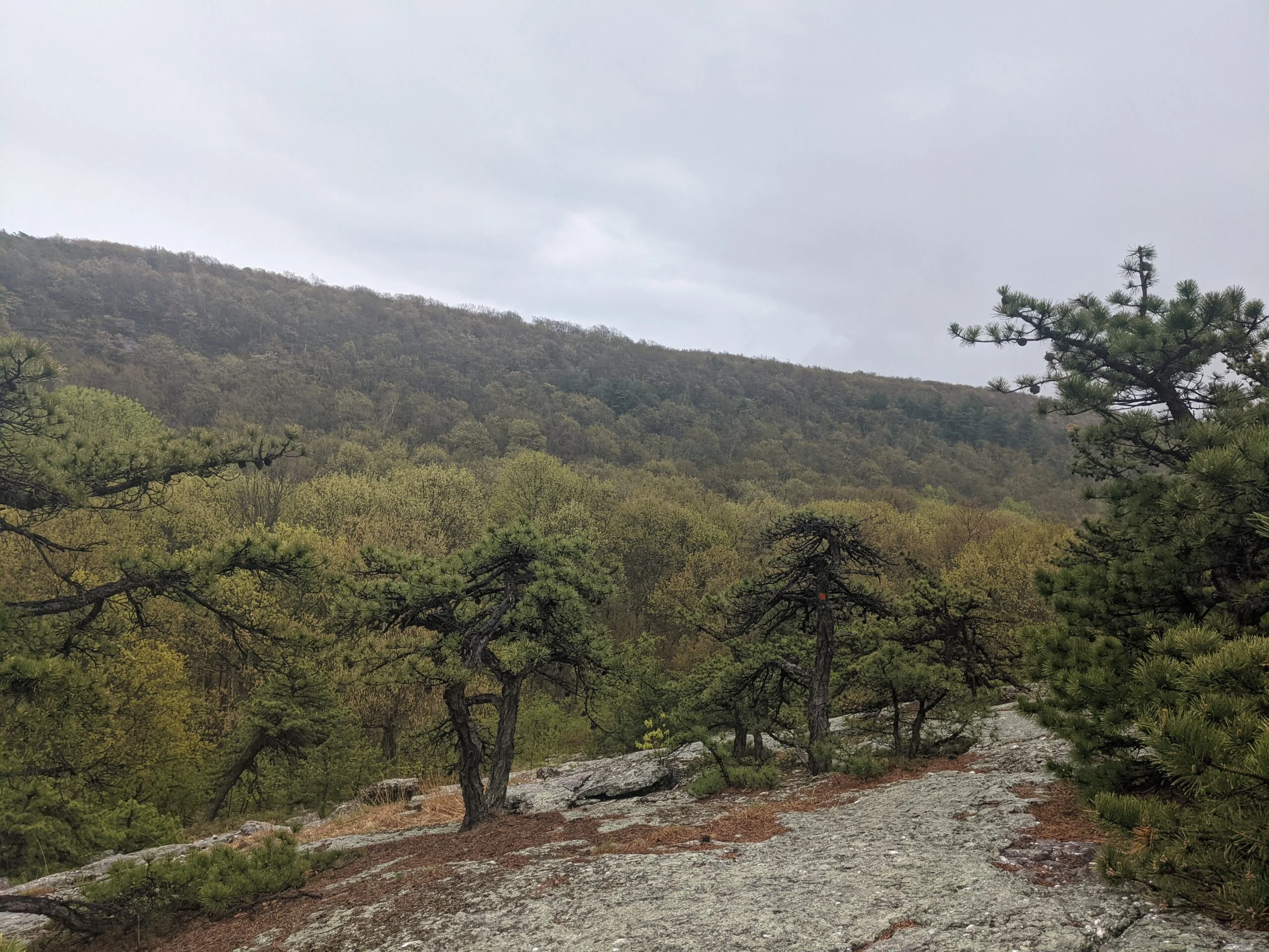
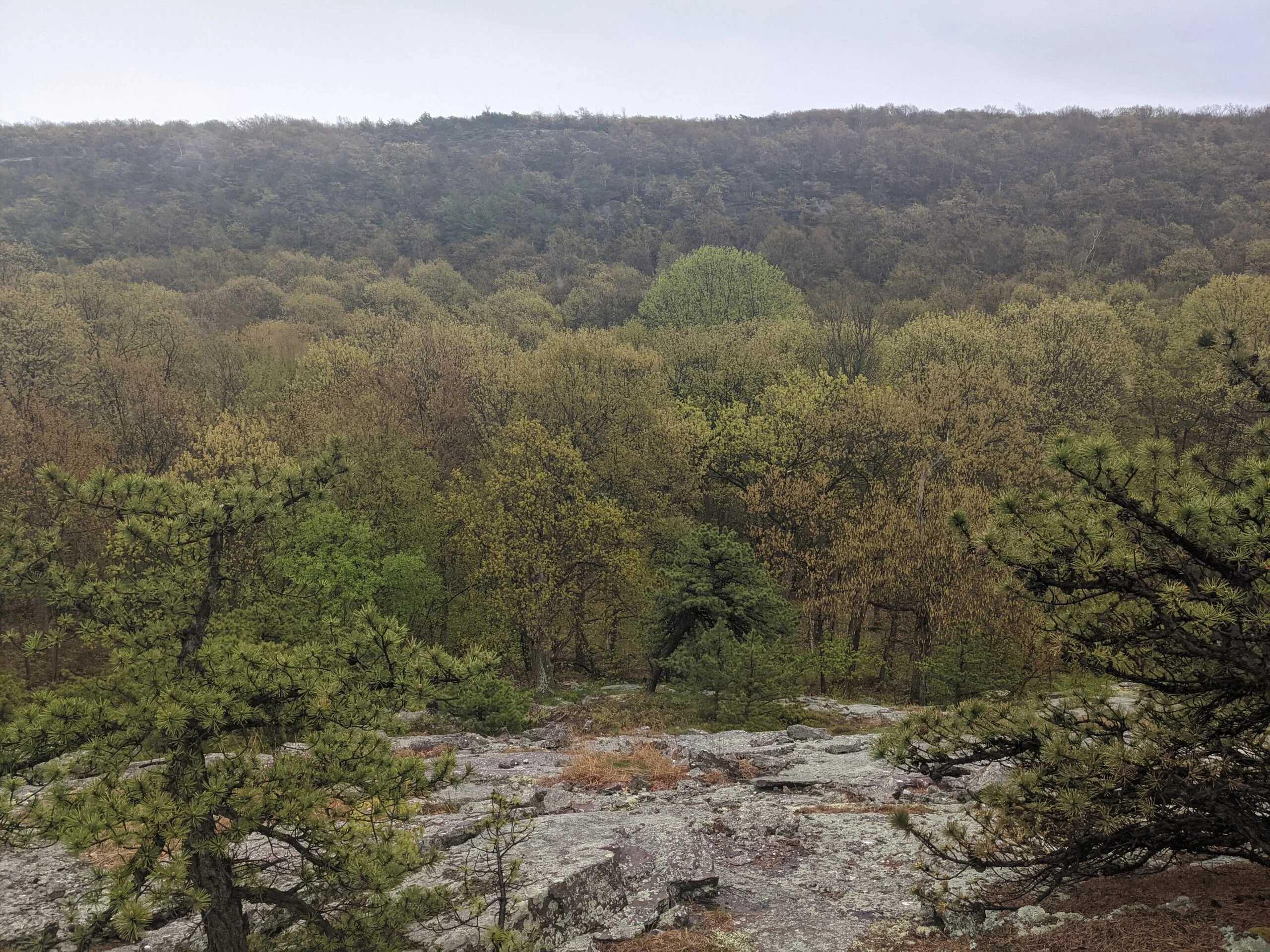
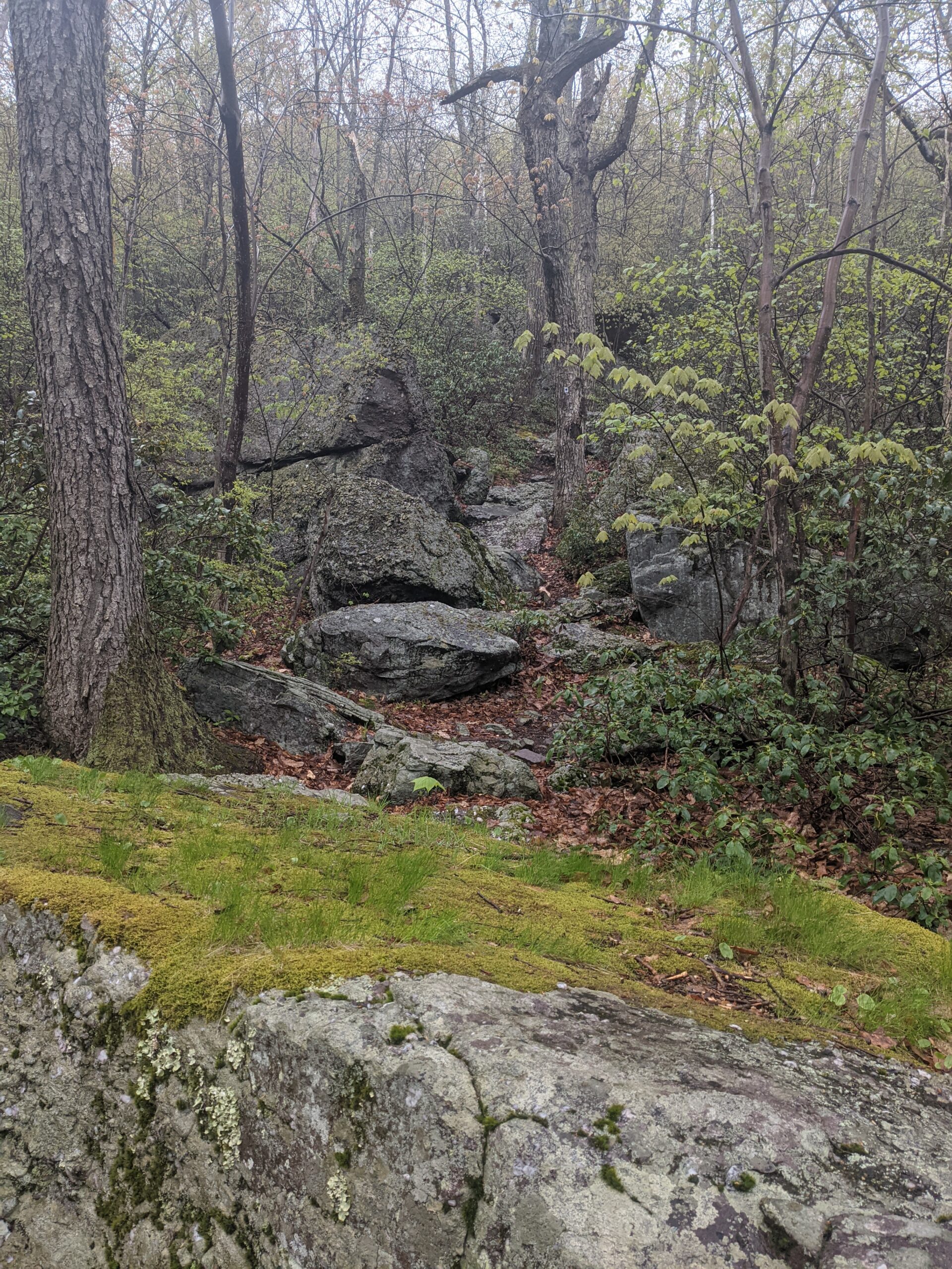
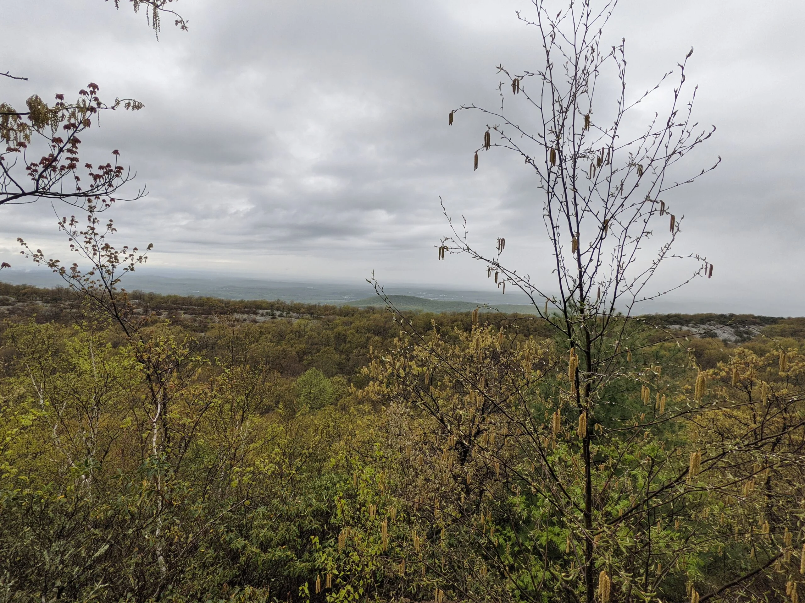
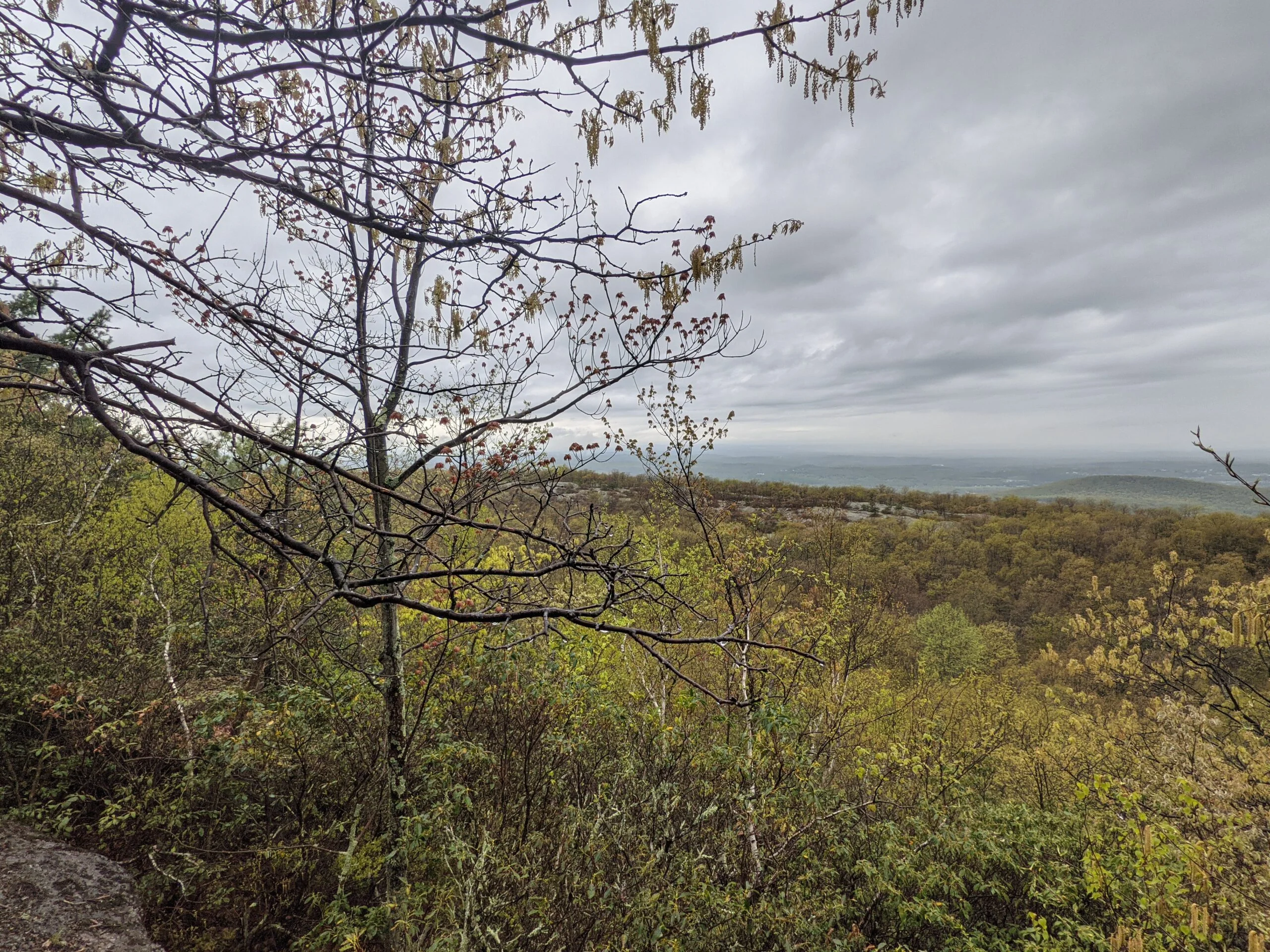
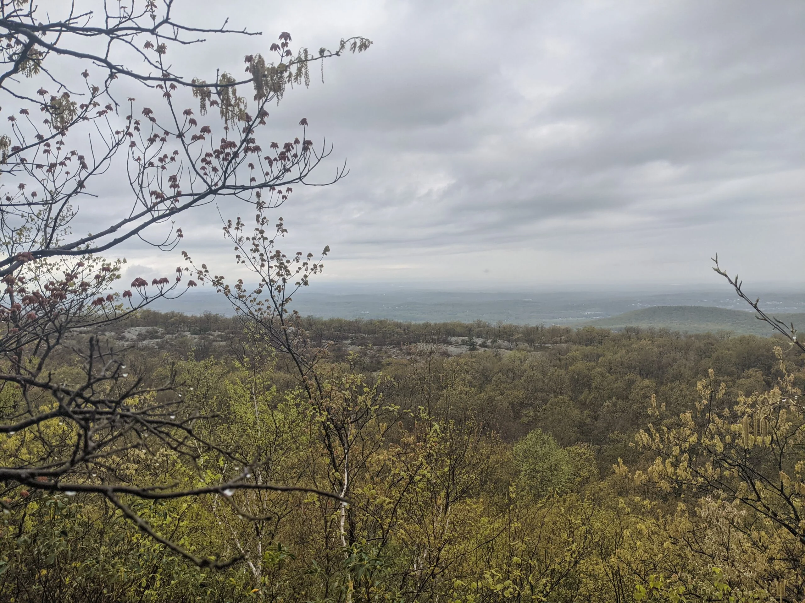
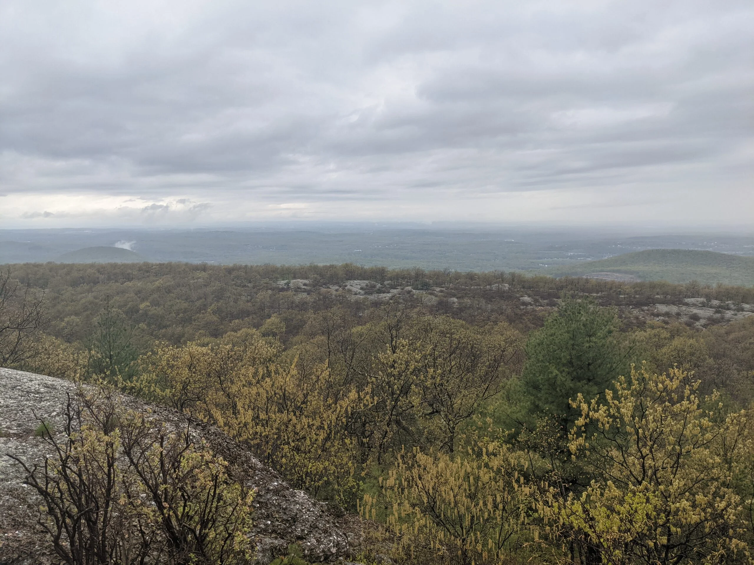
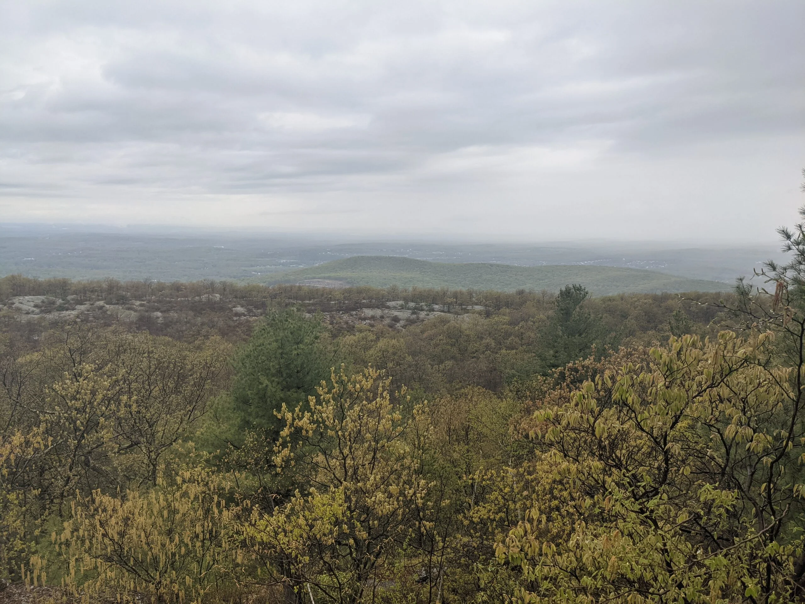
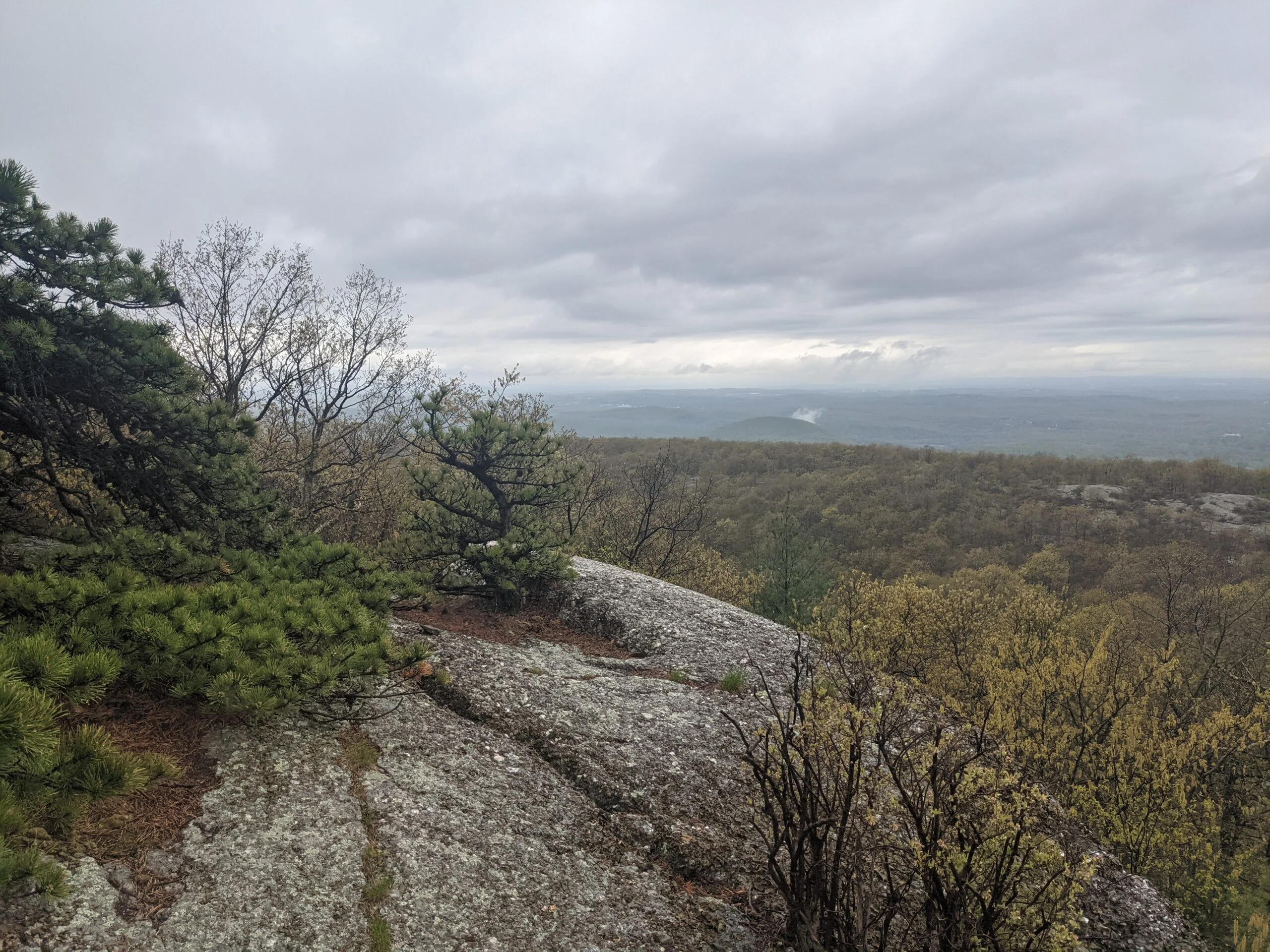
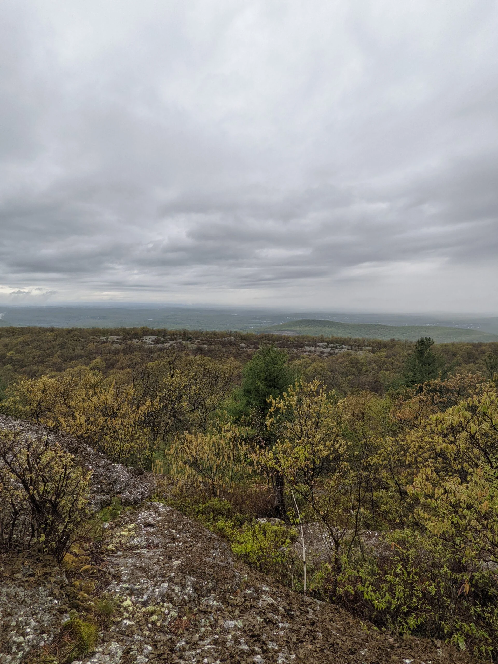
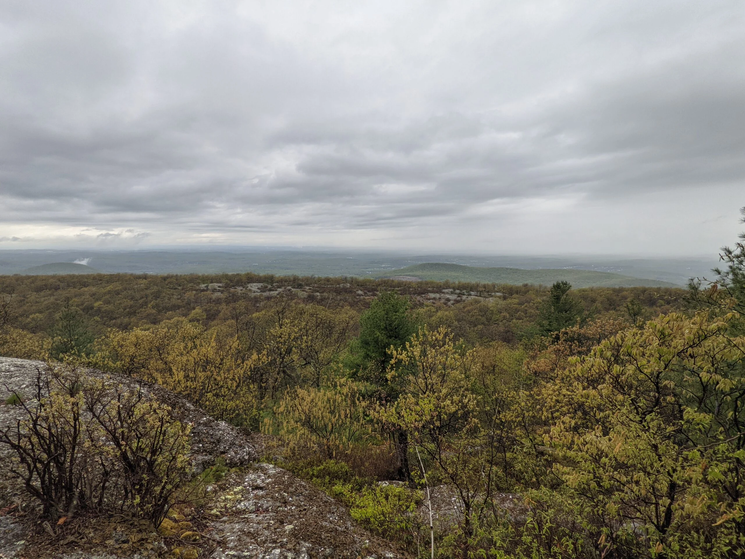
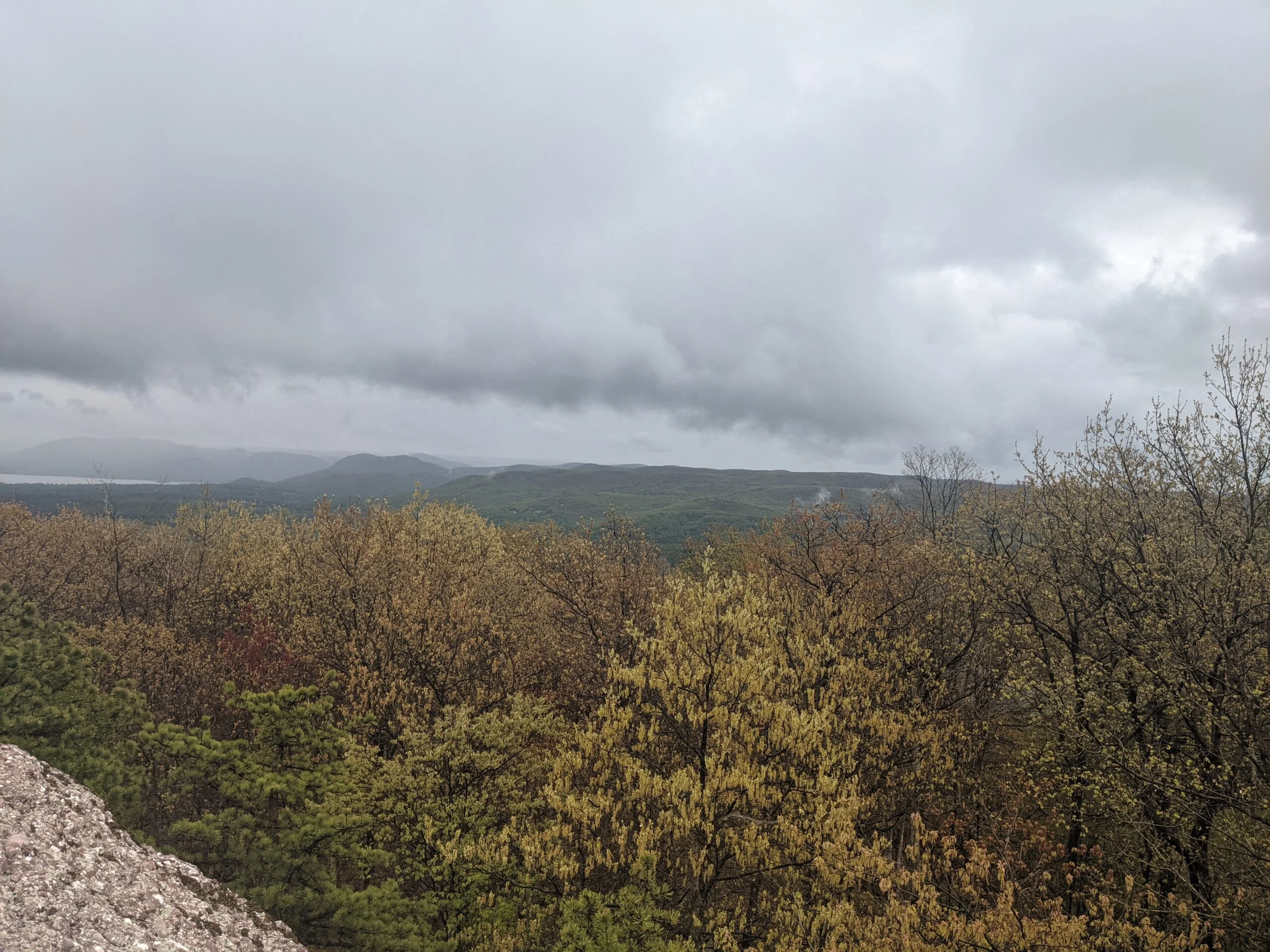
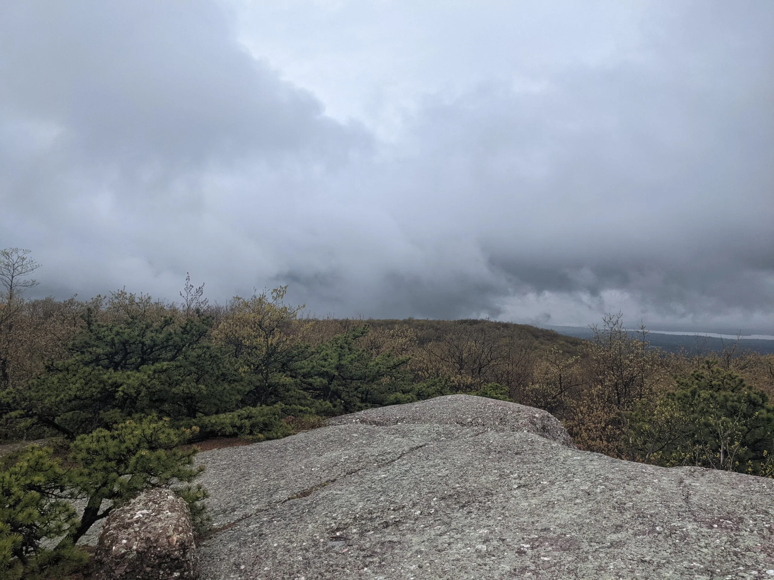
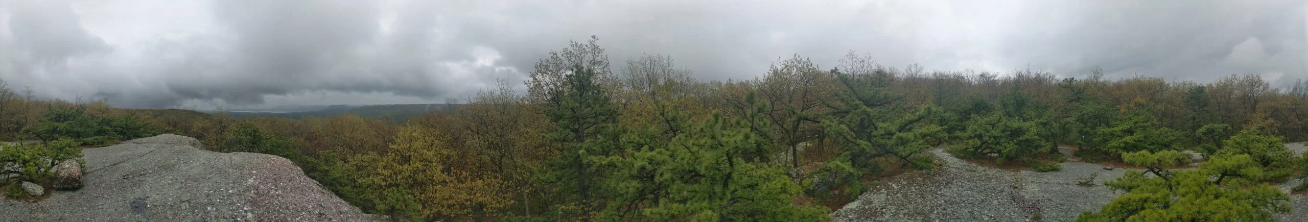
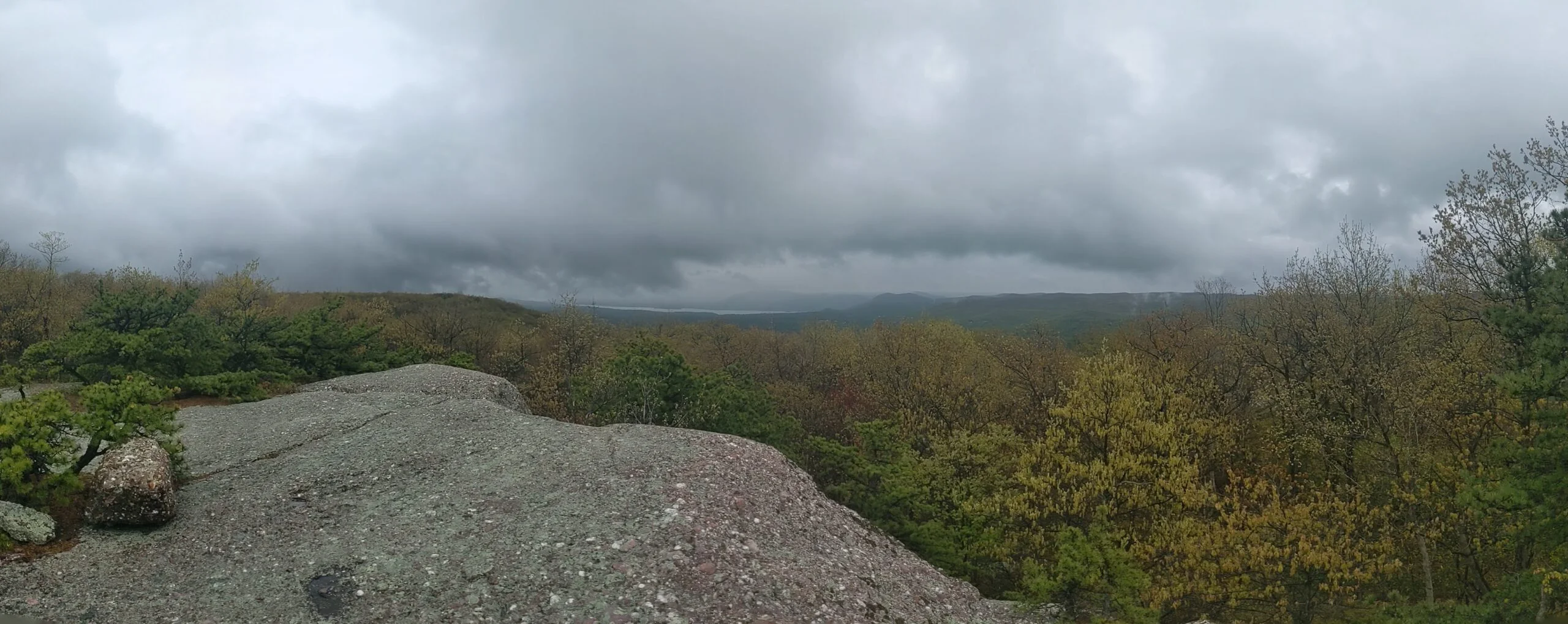
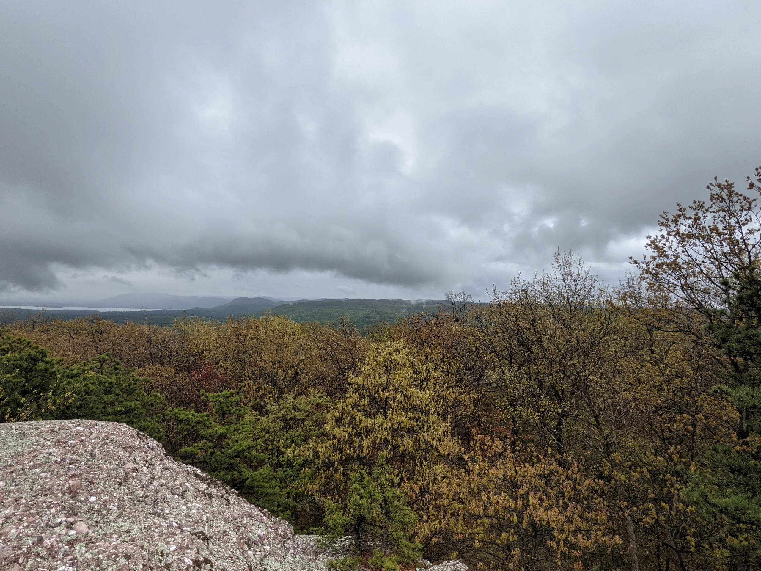
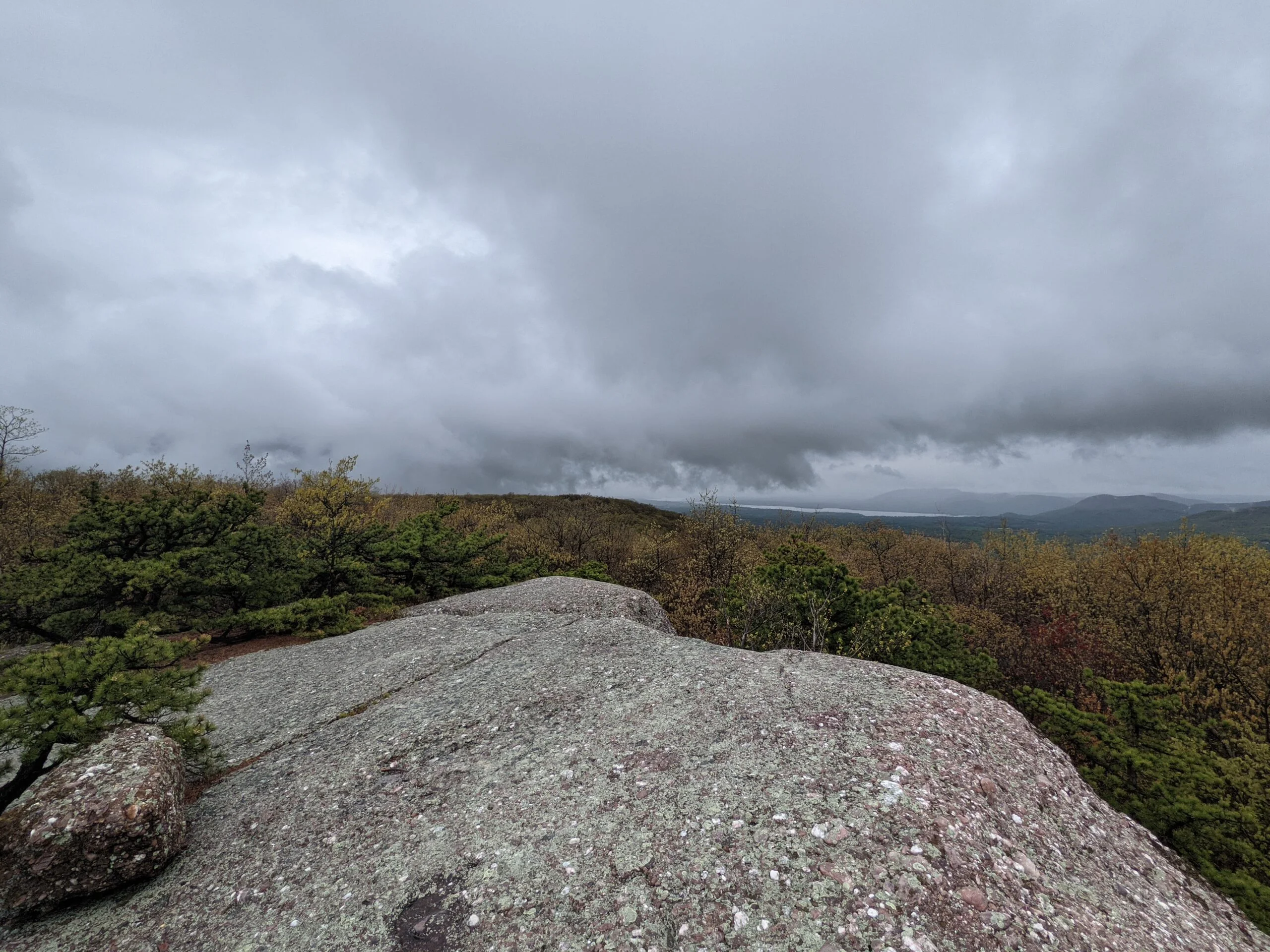
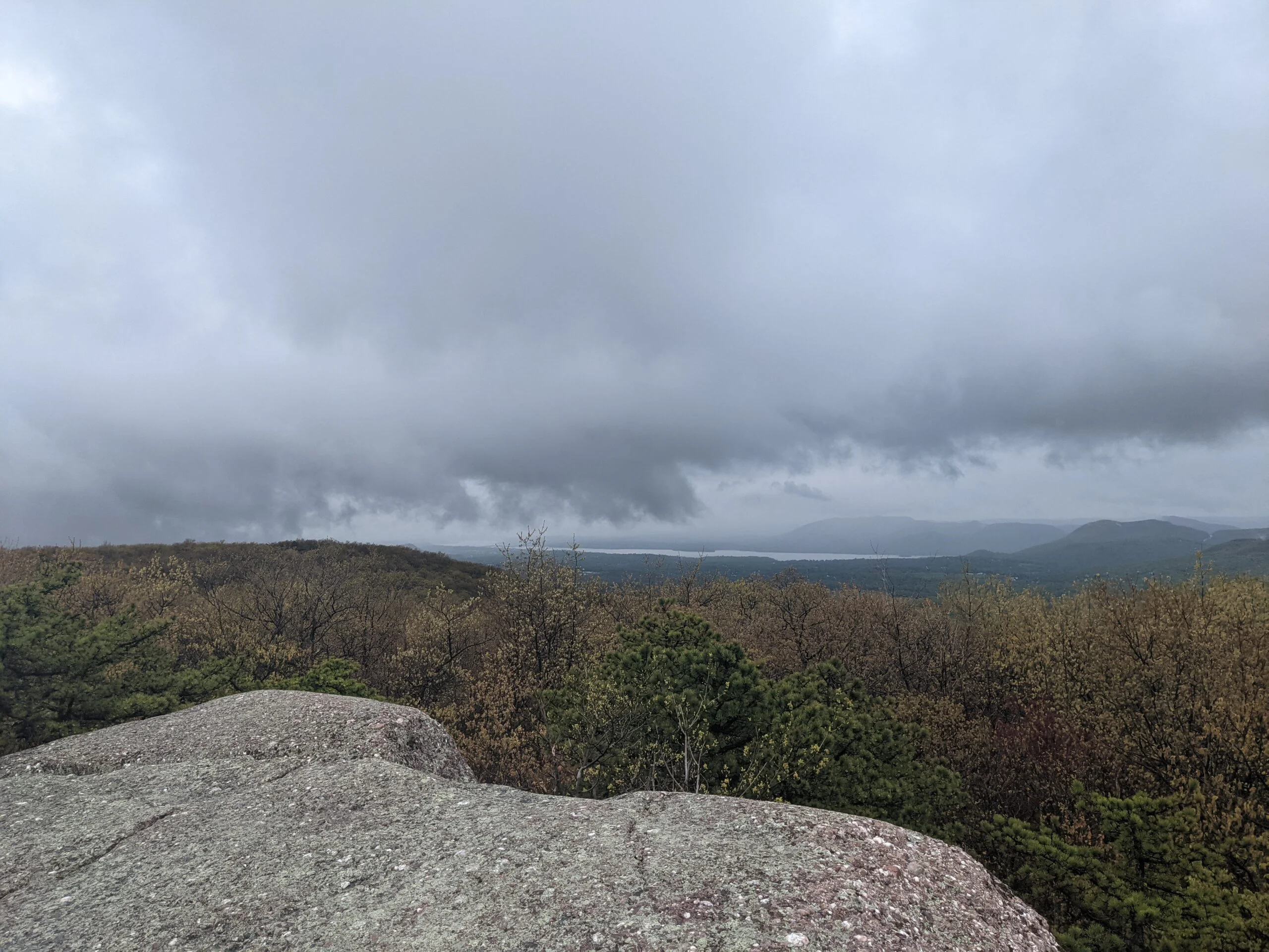
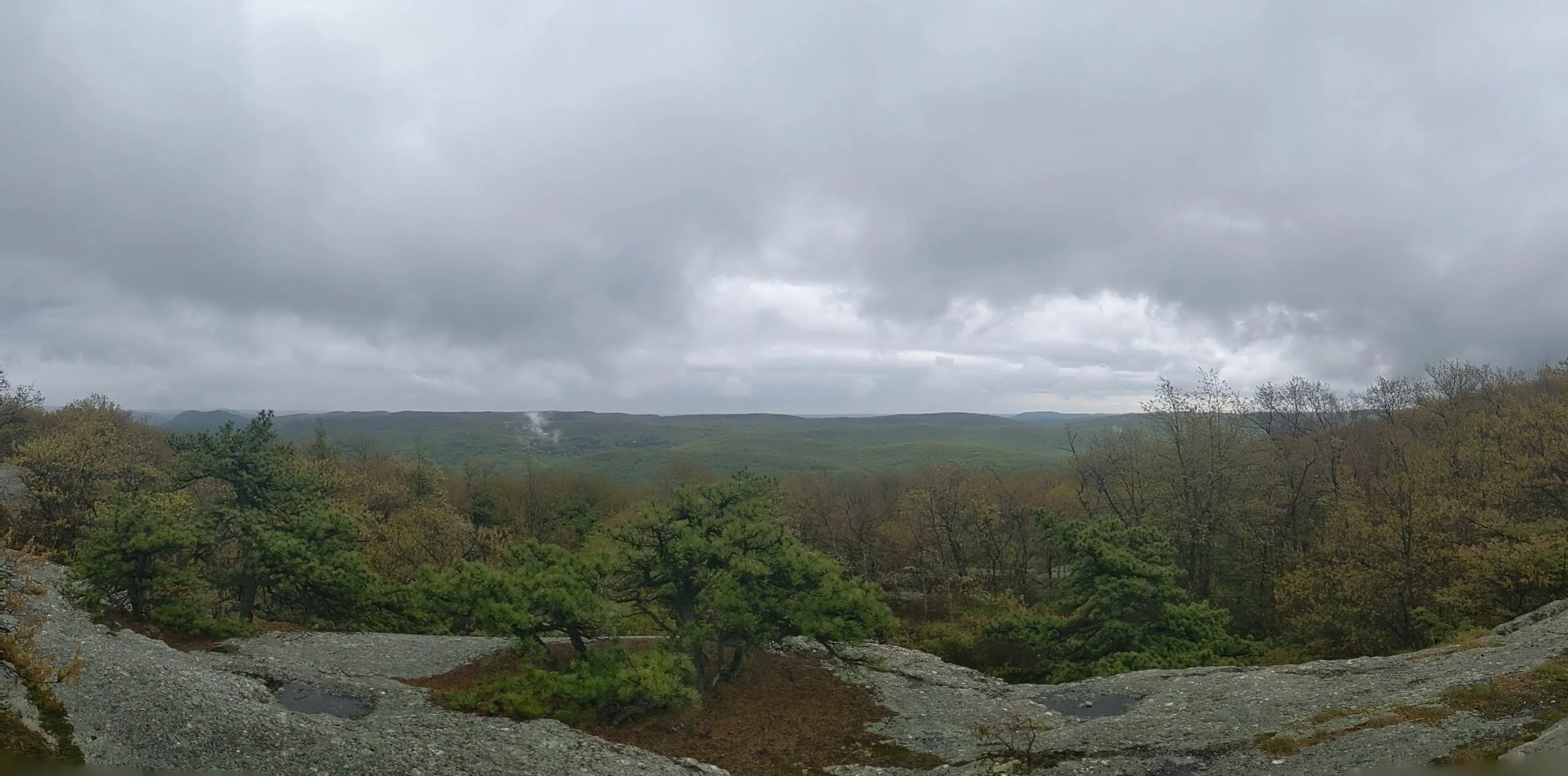
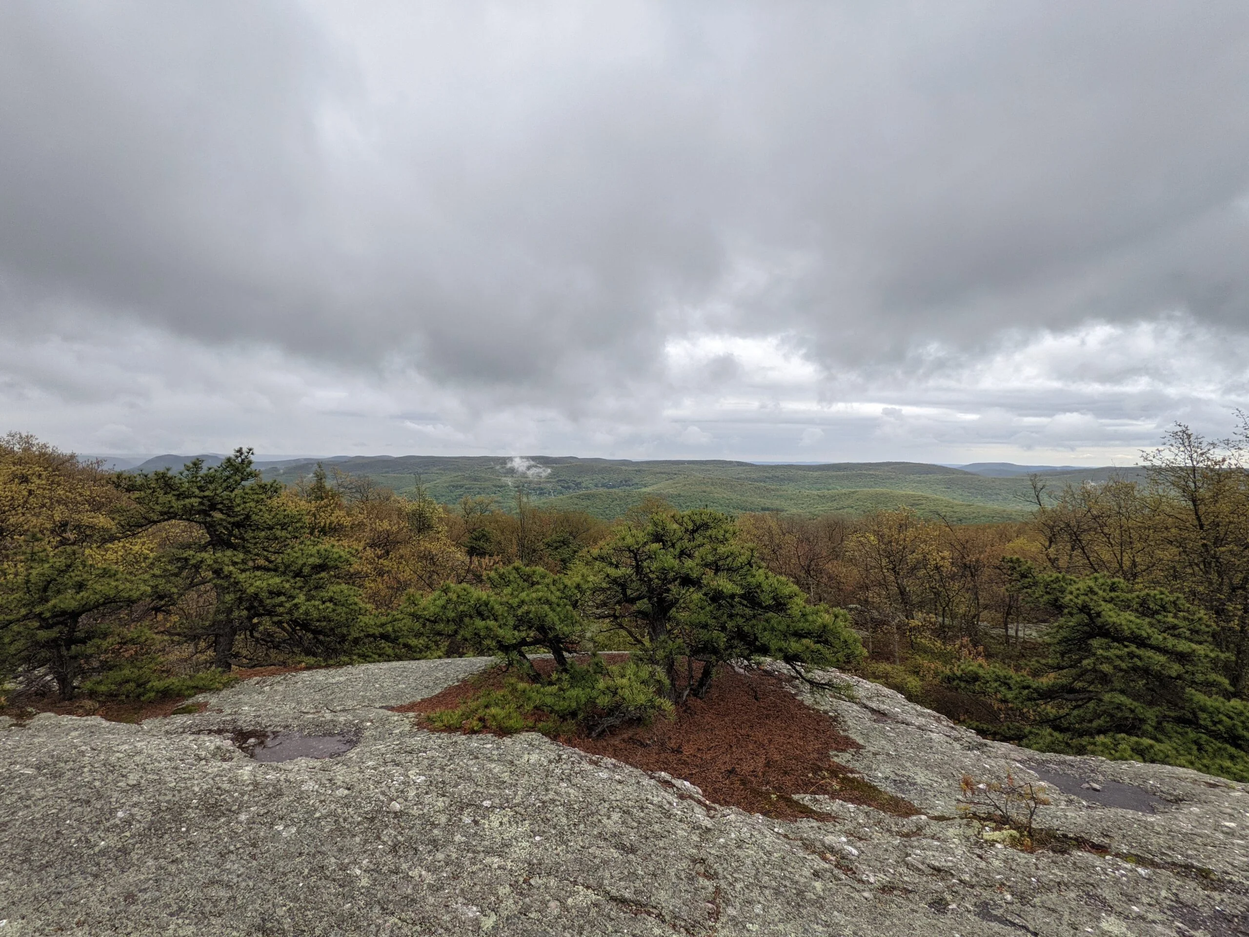
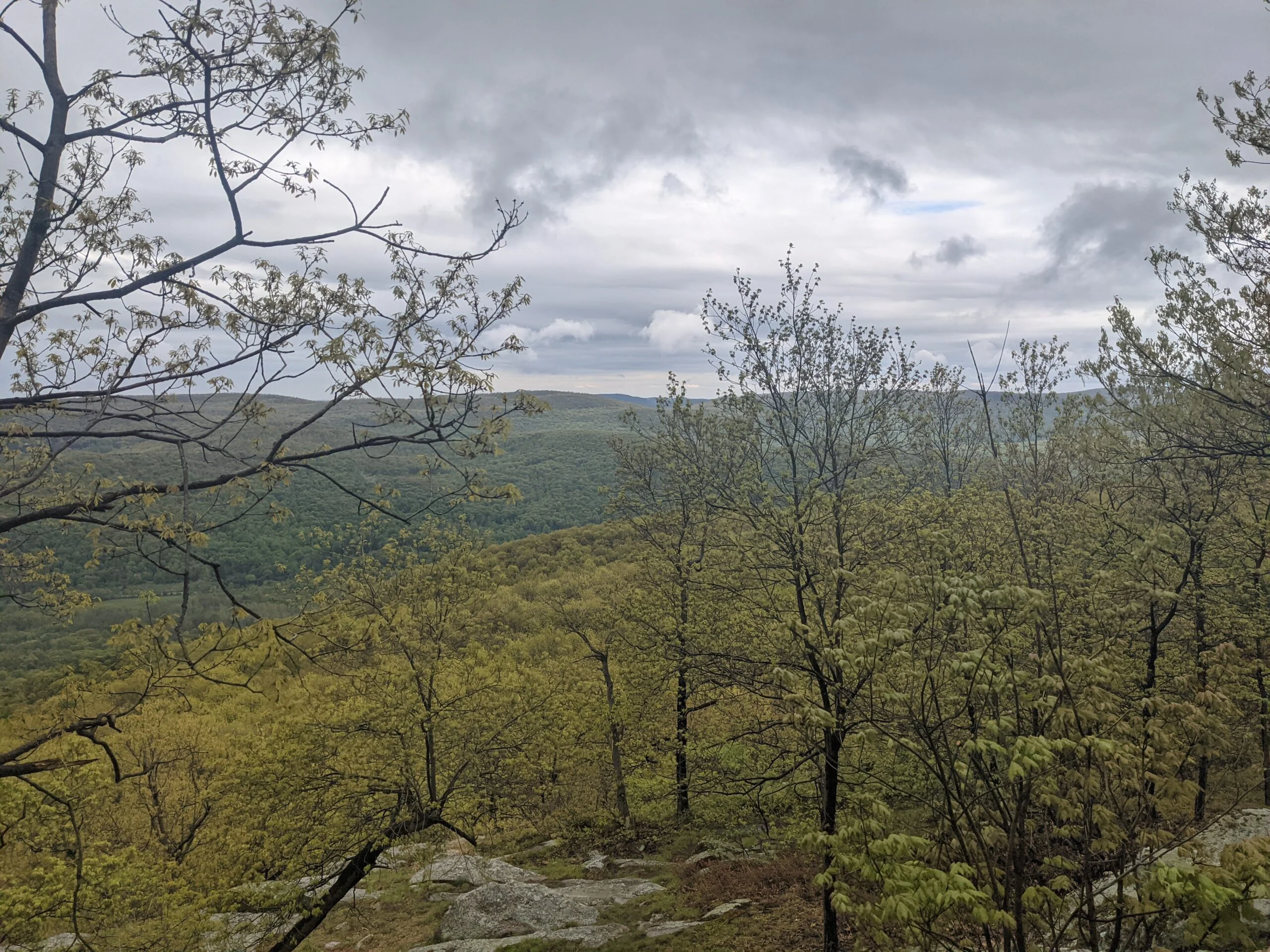
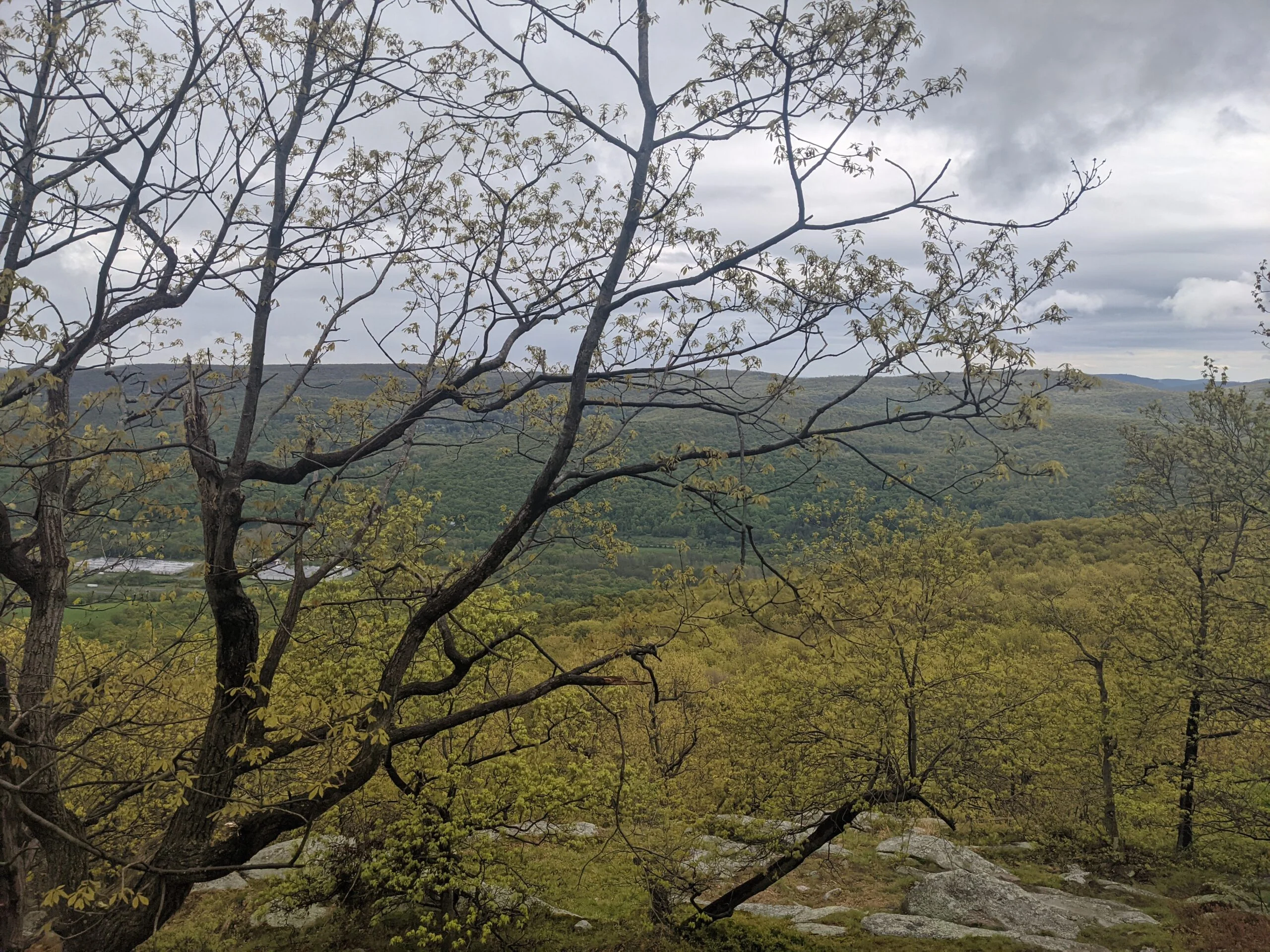
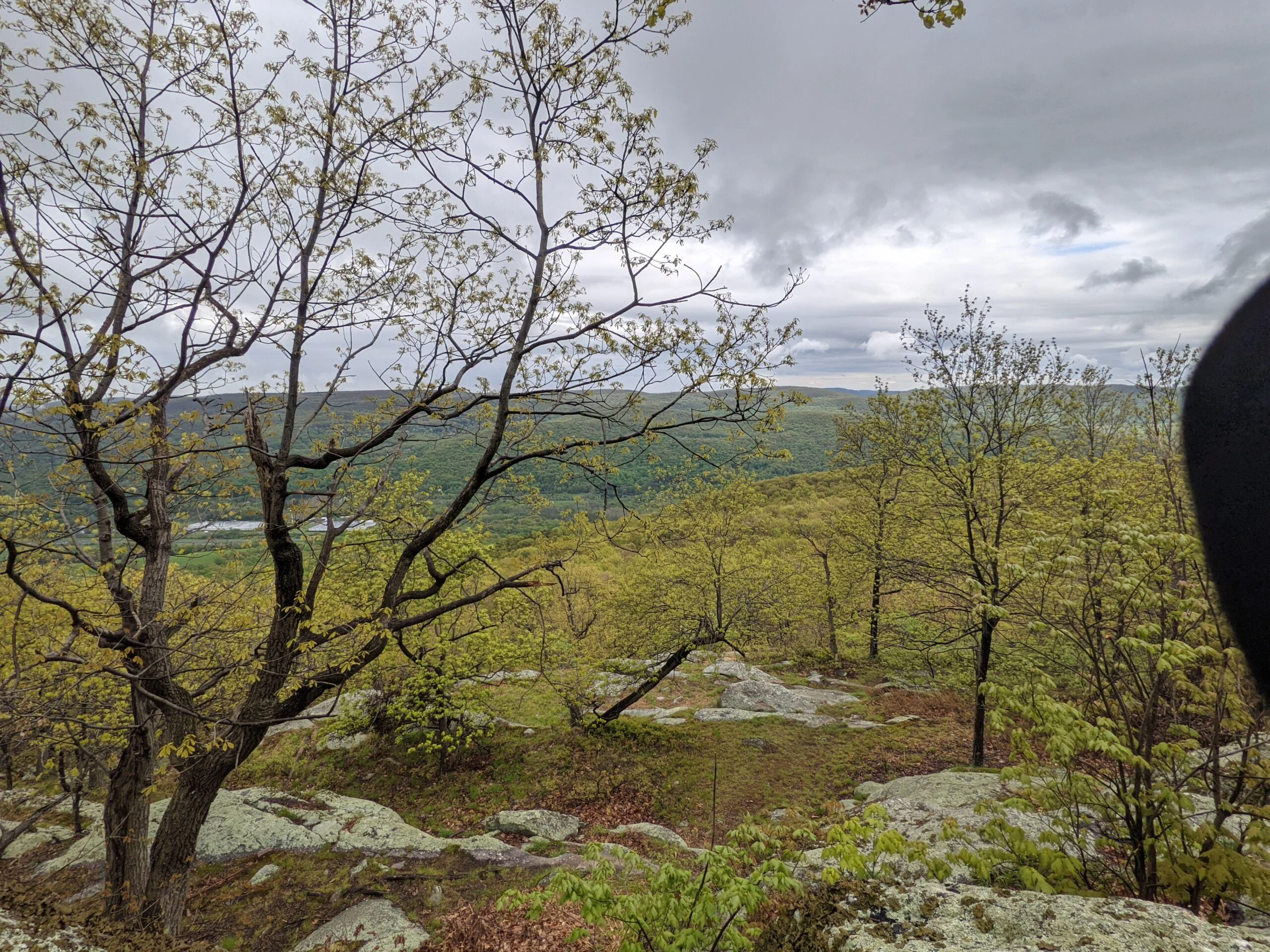
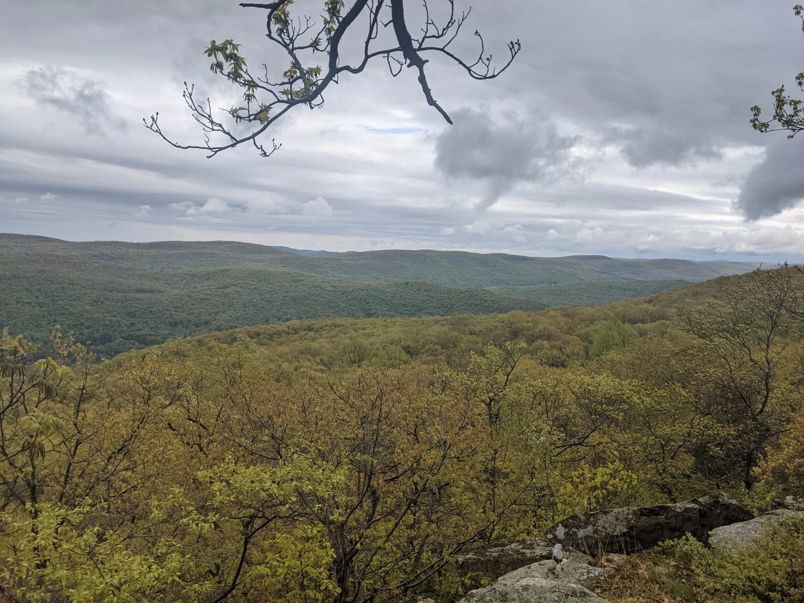
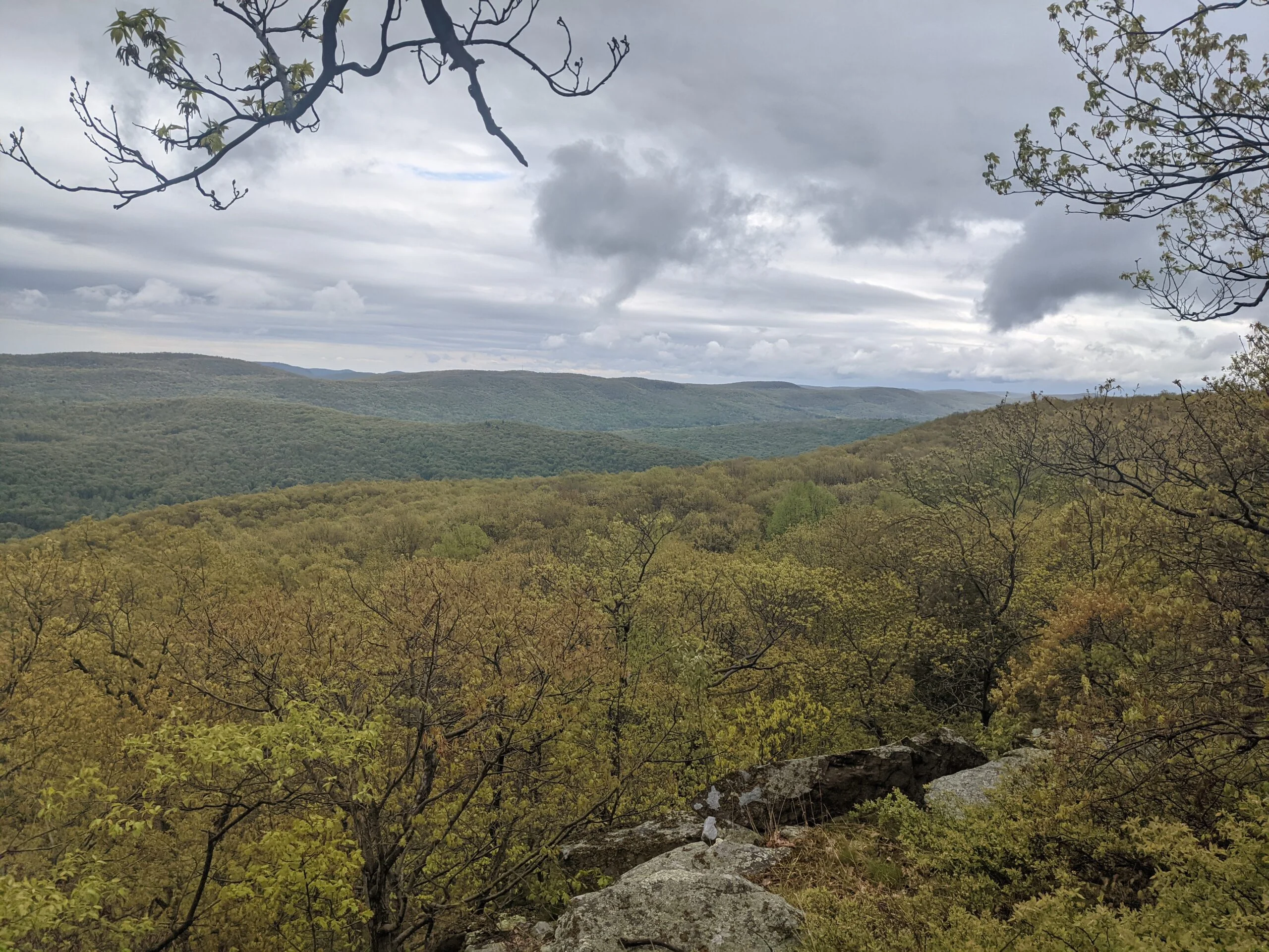
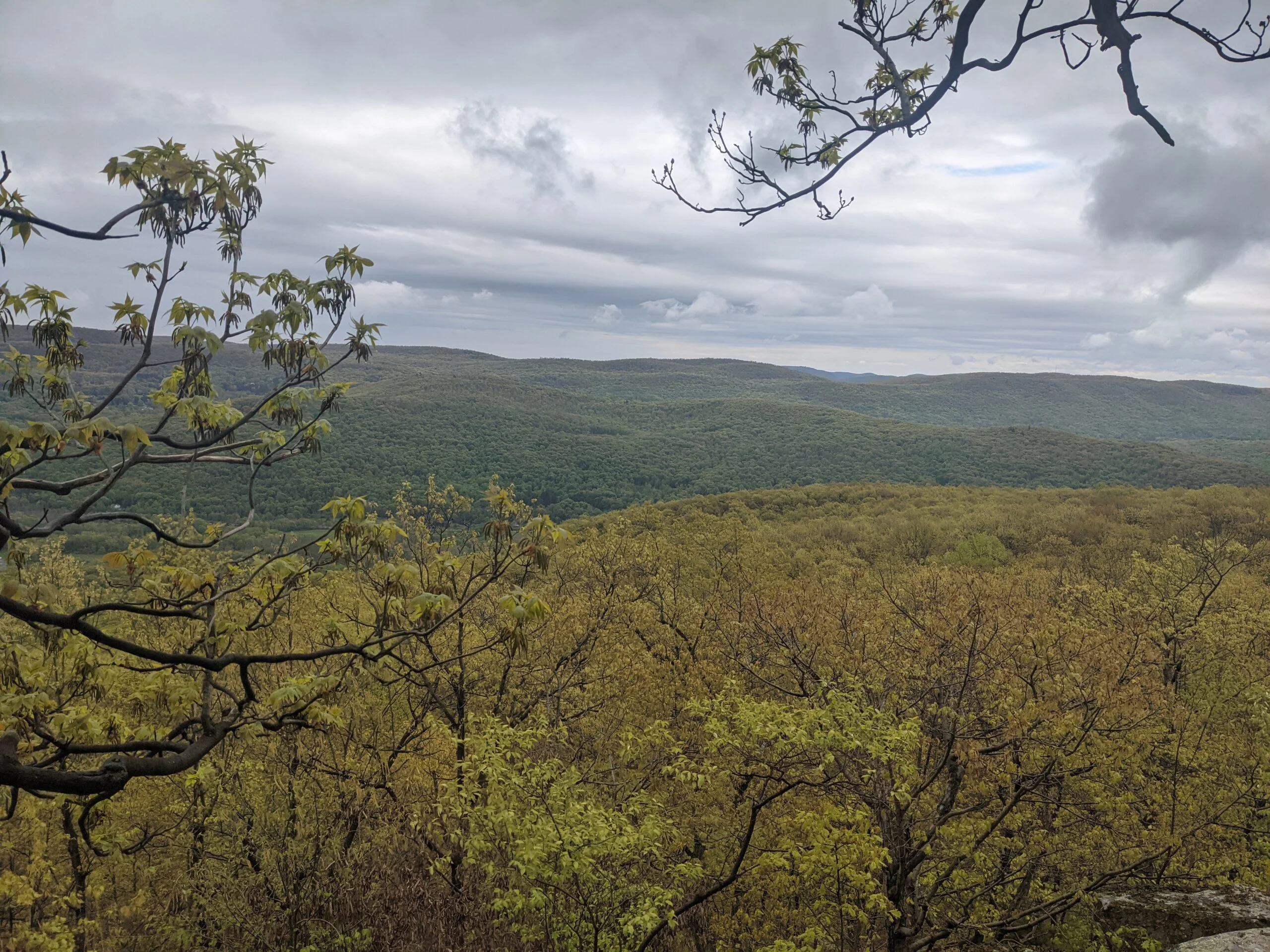
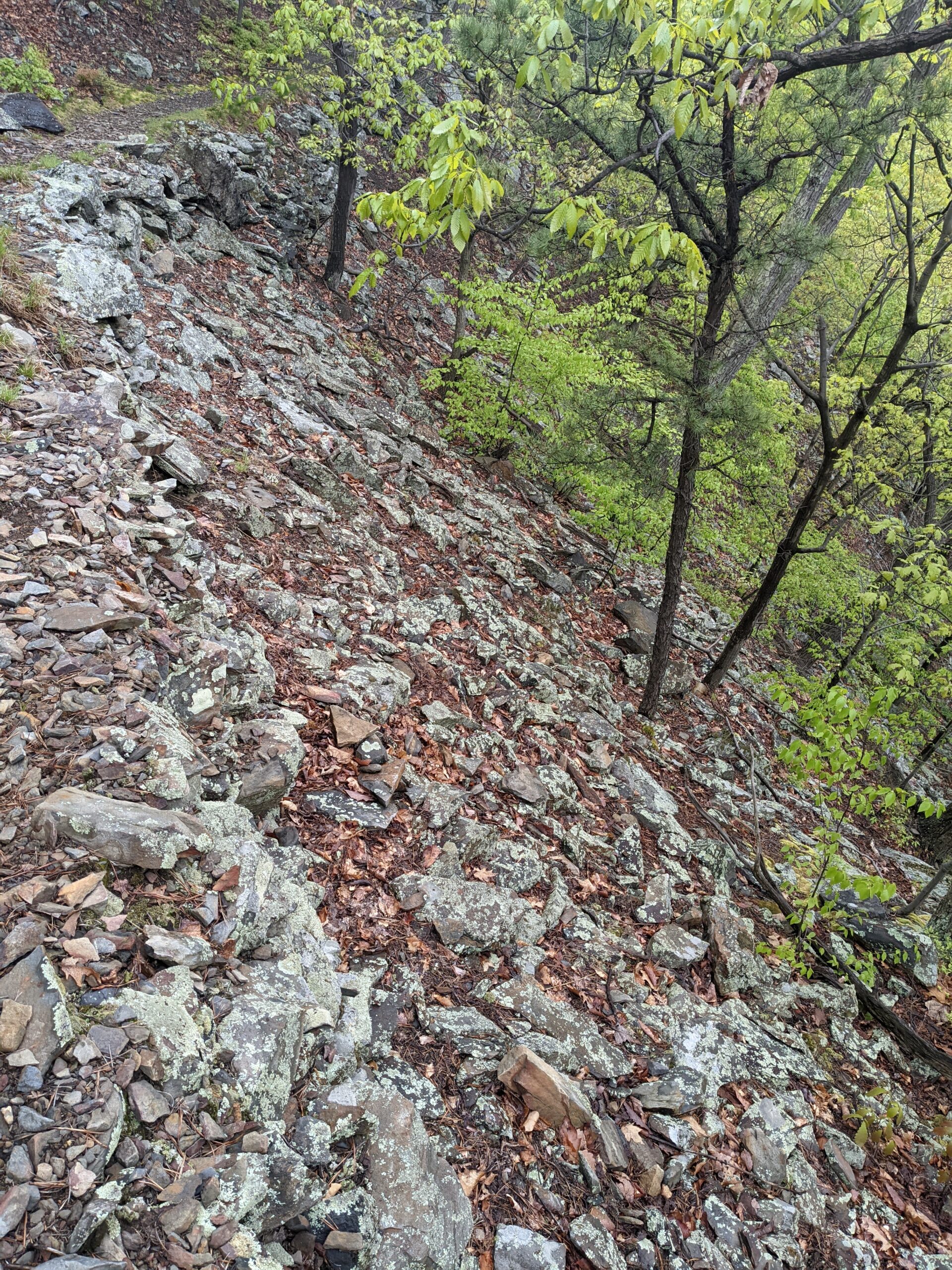
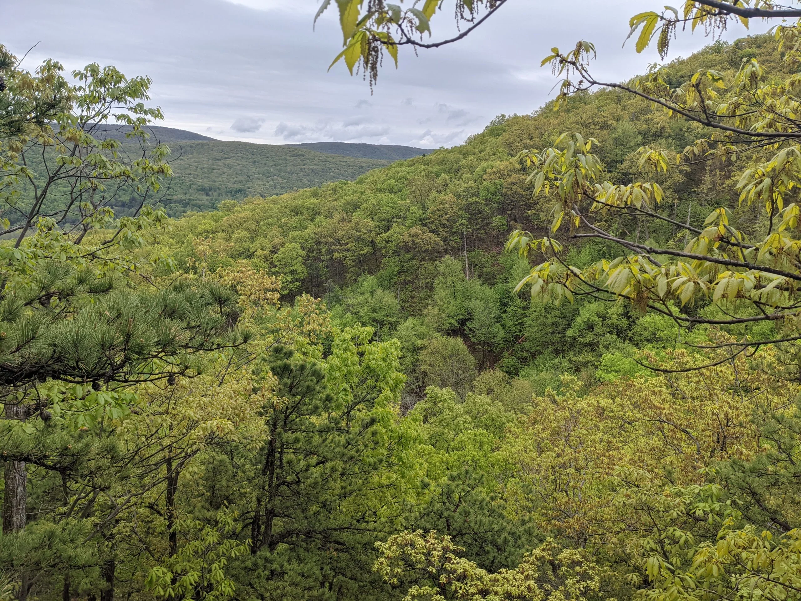
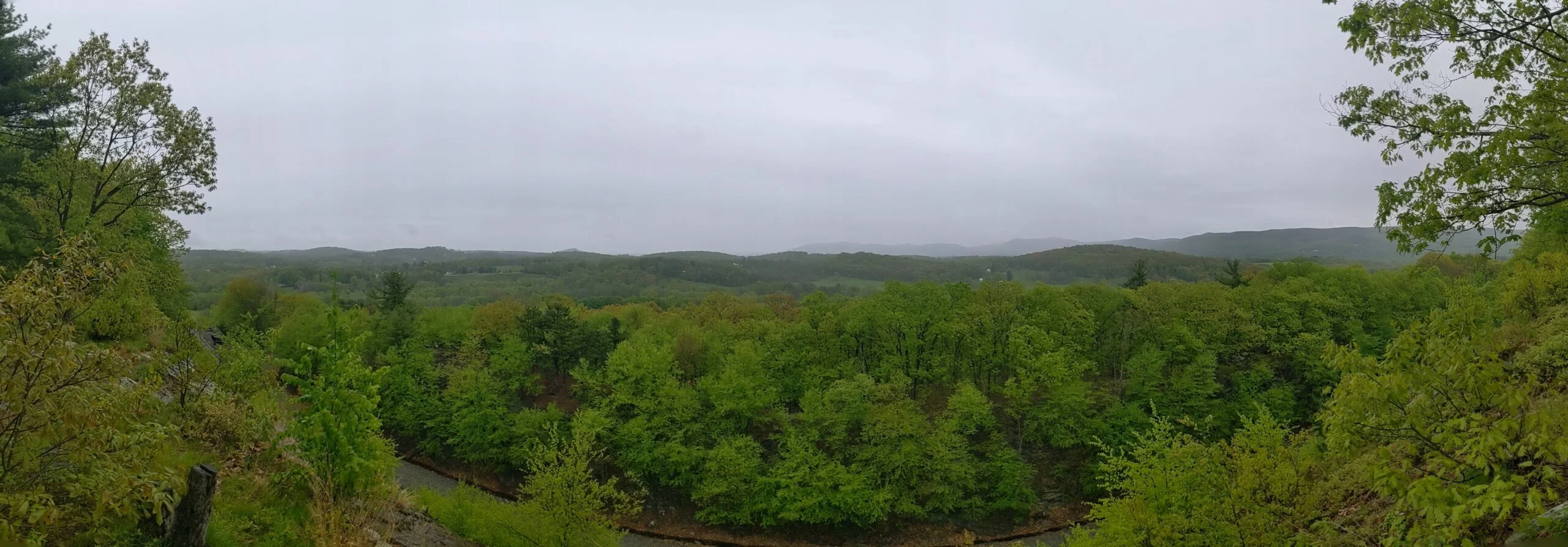
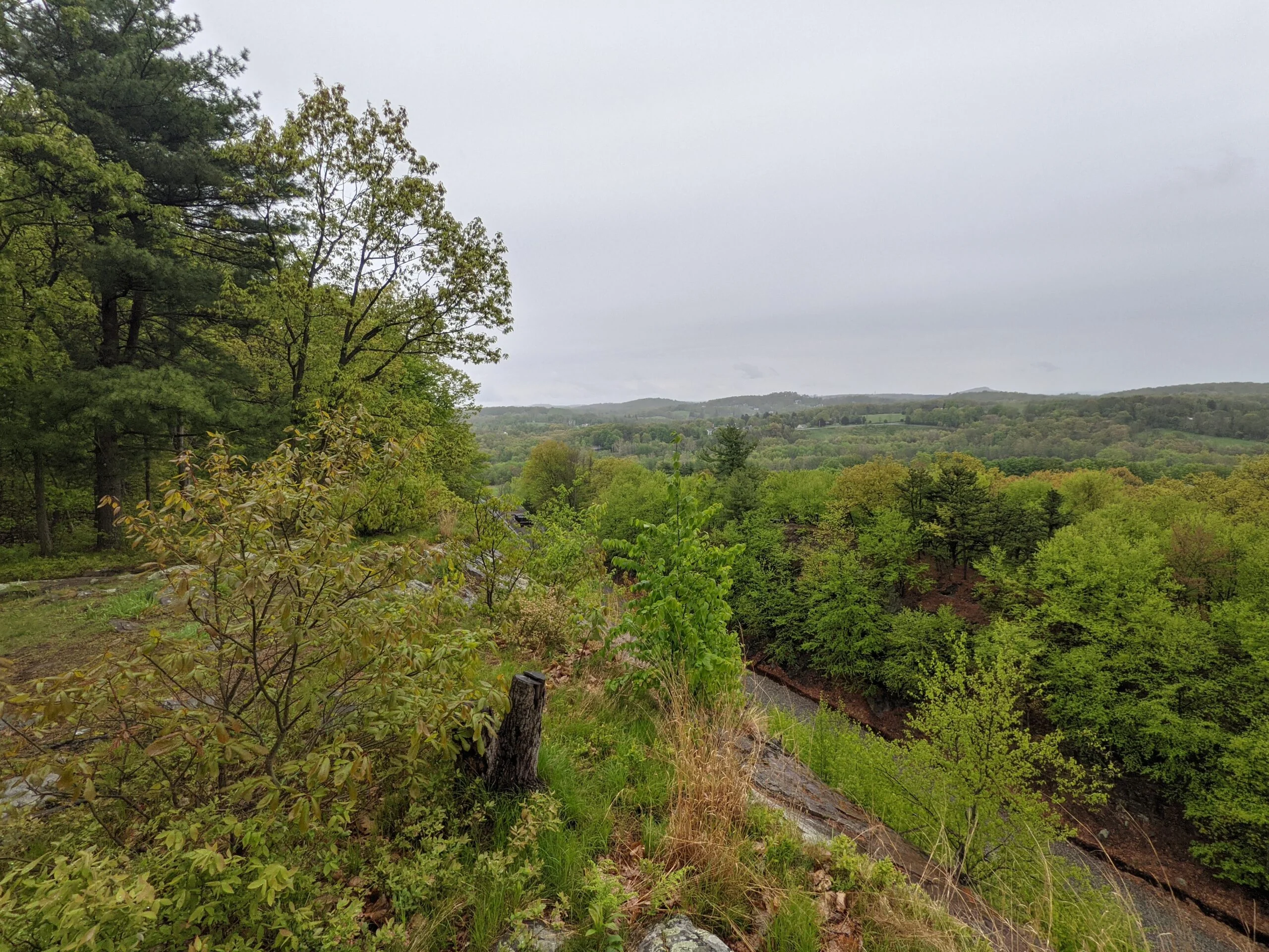
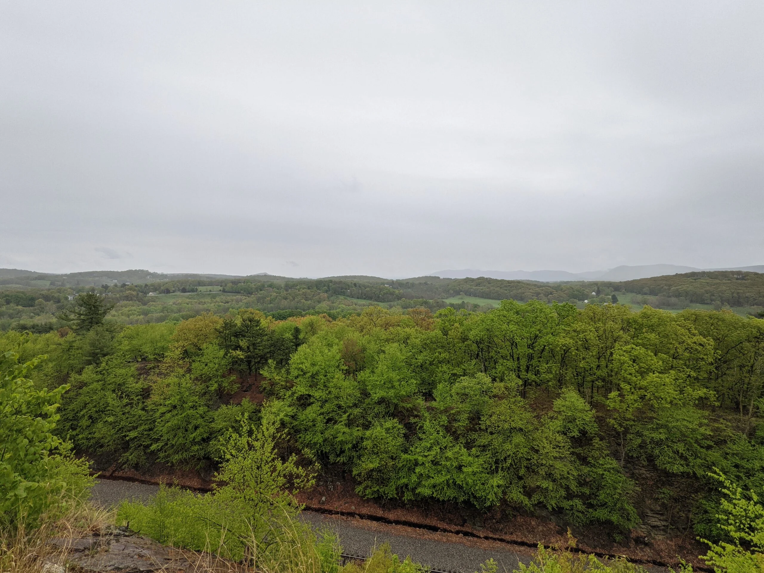
When OK ends and meets the Western Ridge trail (WR, orange blazes), the rain started to really pick up. I decided to put on my poncho so I didn’t get soaked. This part of the trail was rocky, so I took it slower as to not slip on the rain-soaked rocks. There were a few lookout spots along the way where I stopped to take photos of the beautiful mountain ranges in the distance.
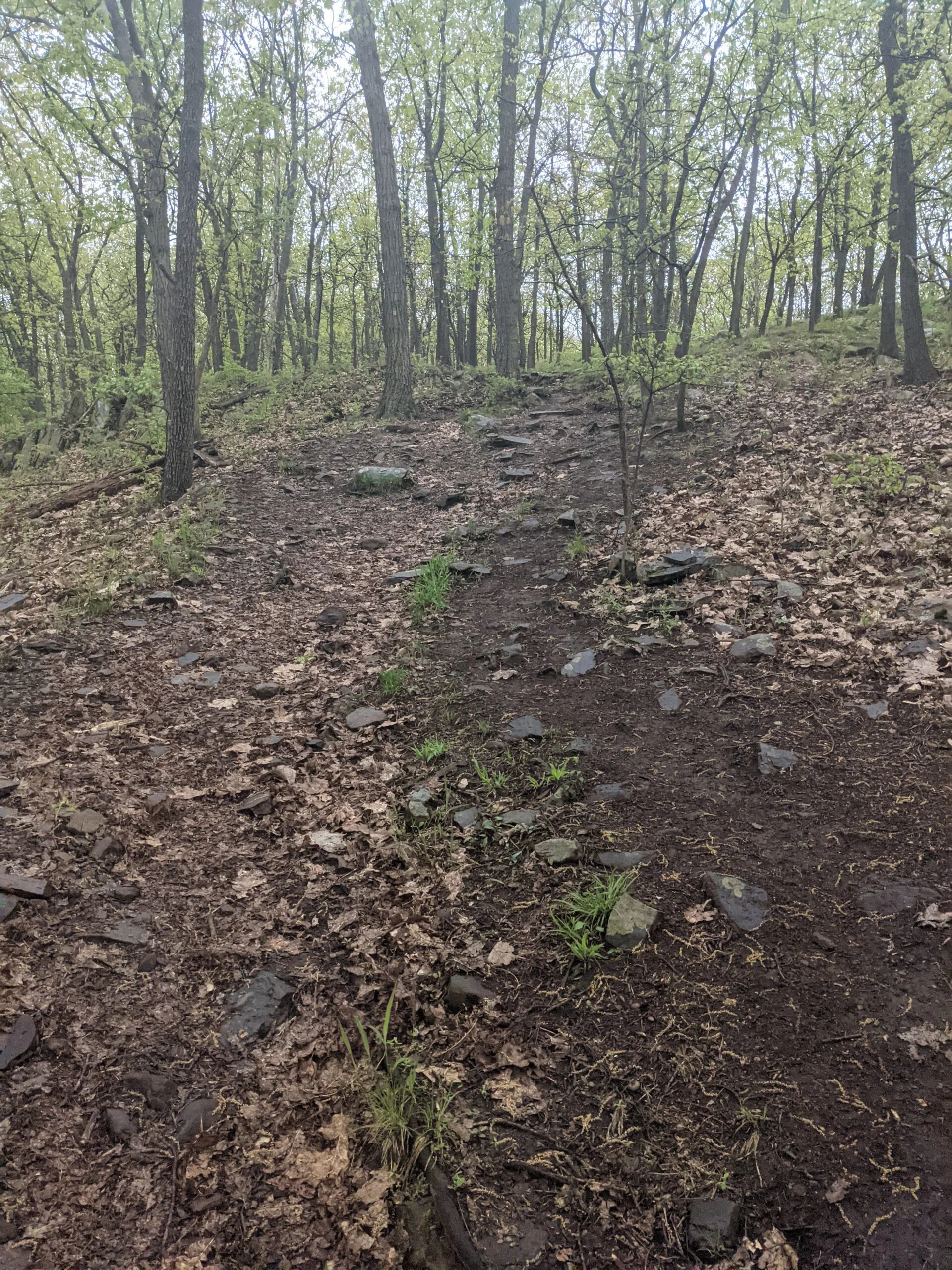
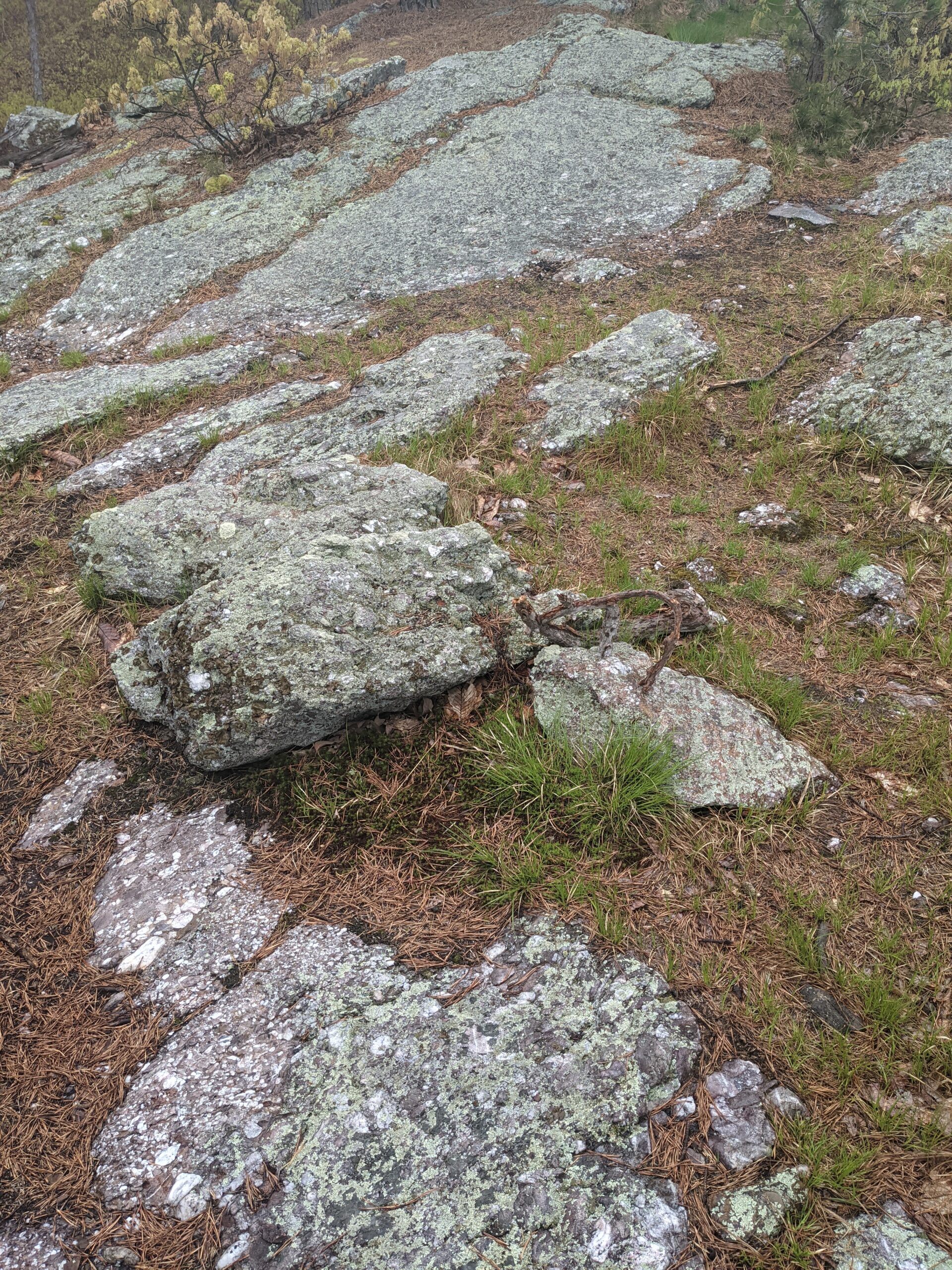
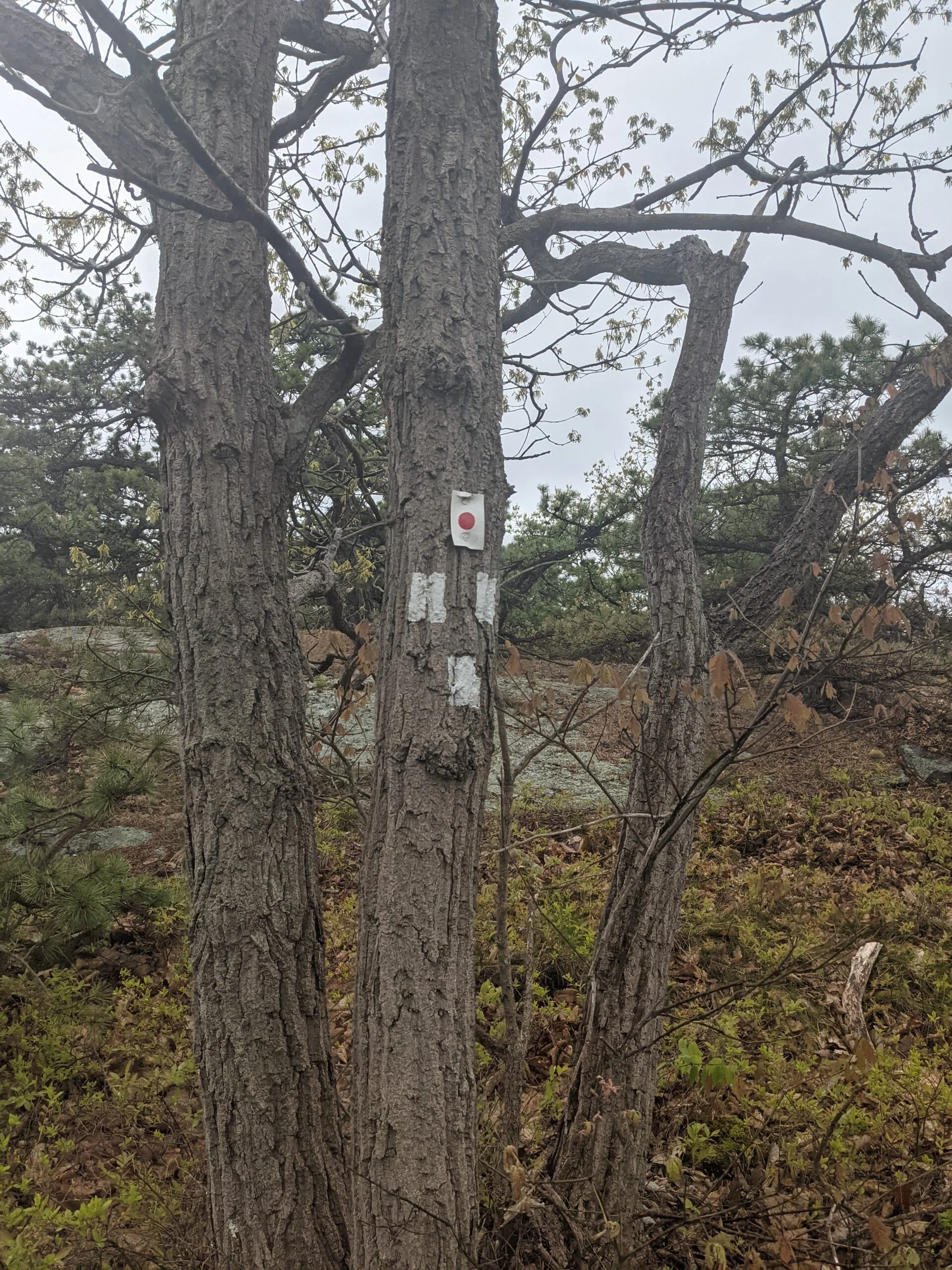
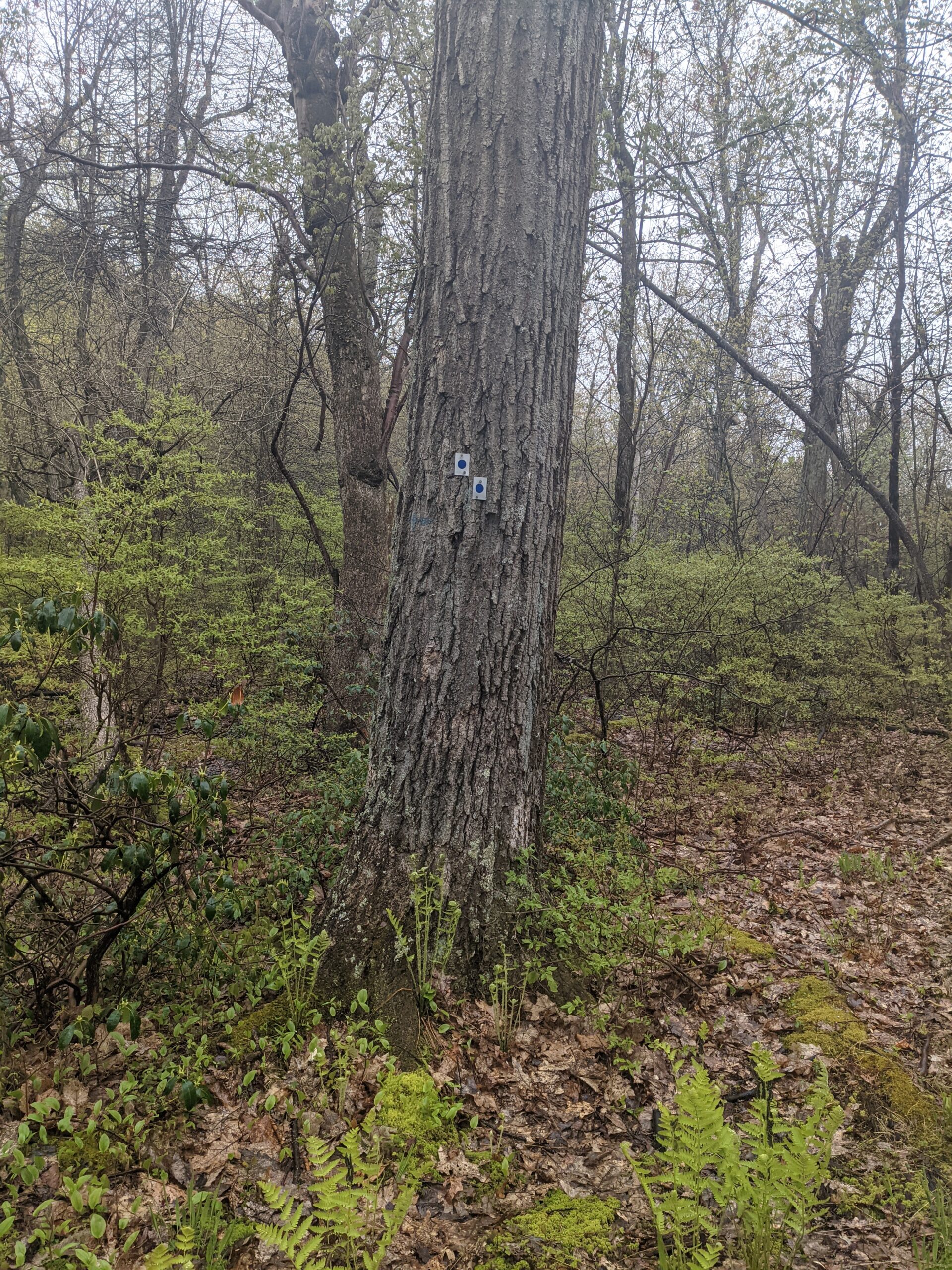
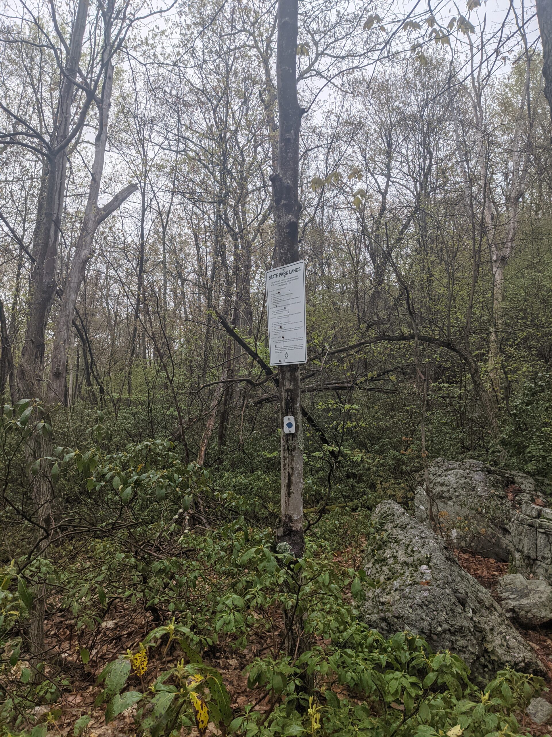
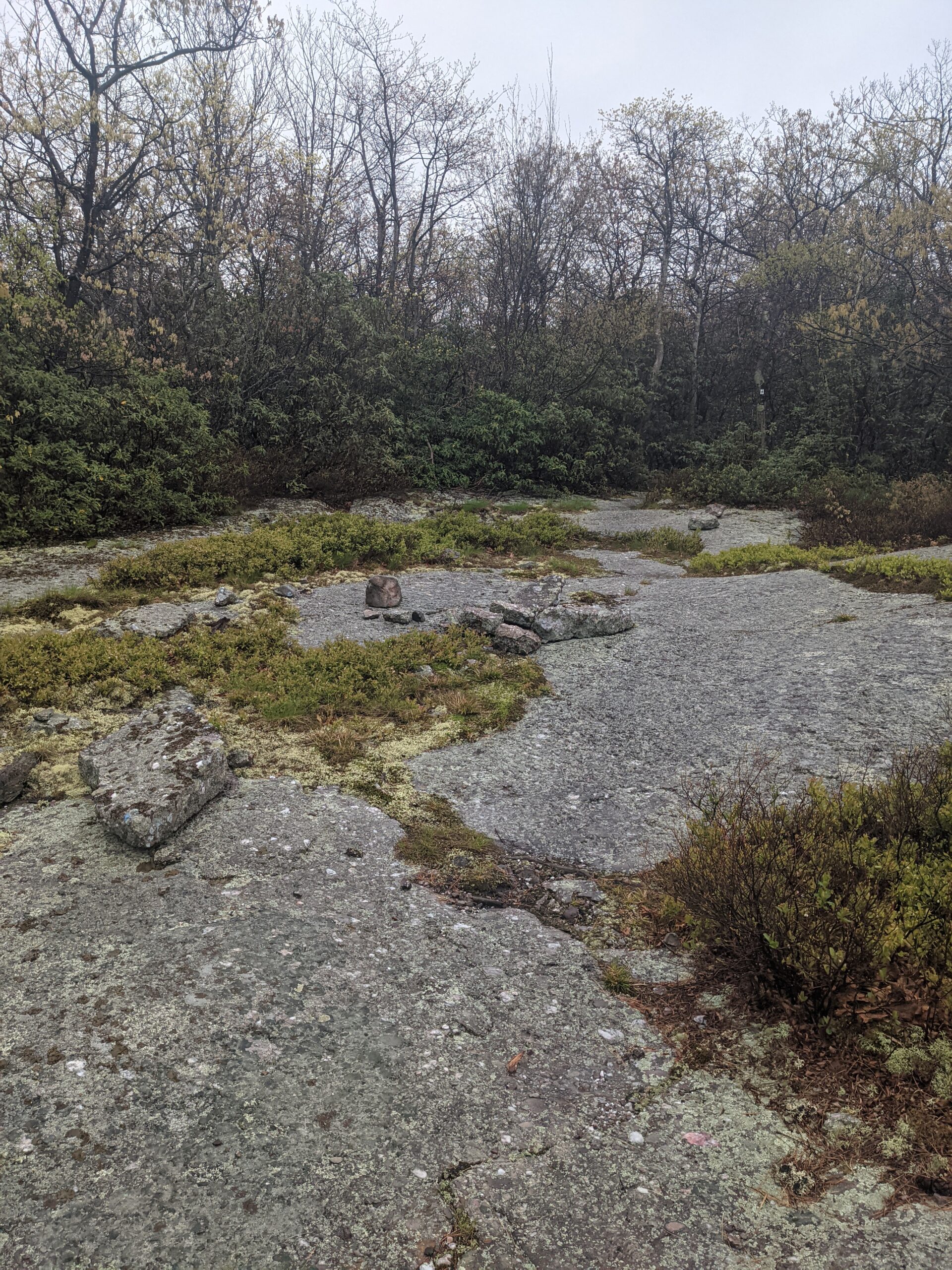
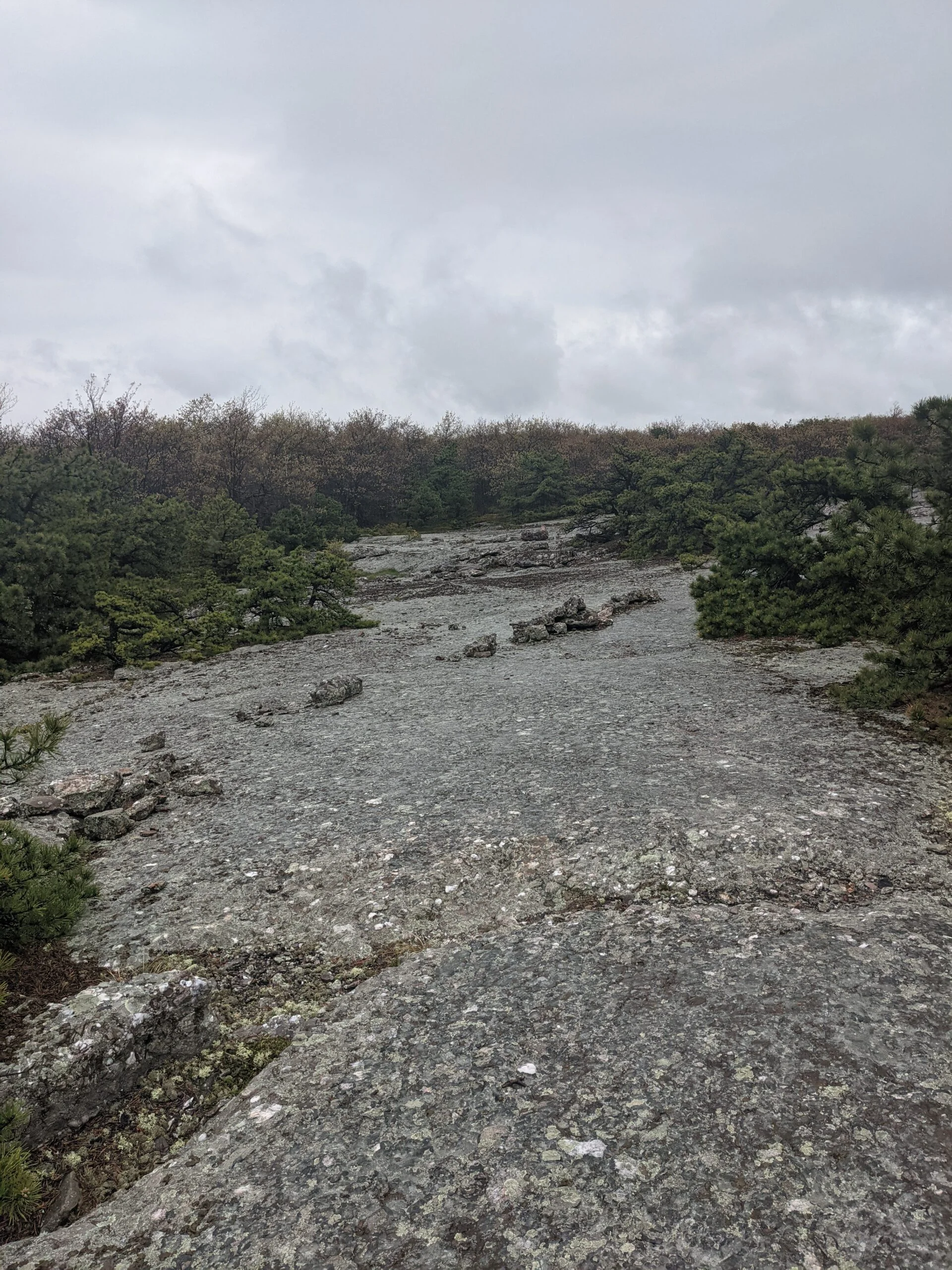
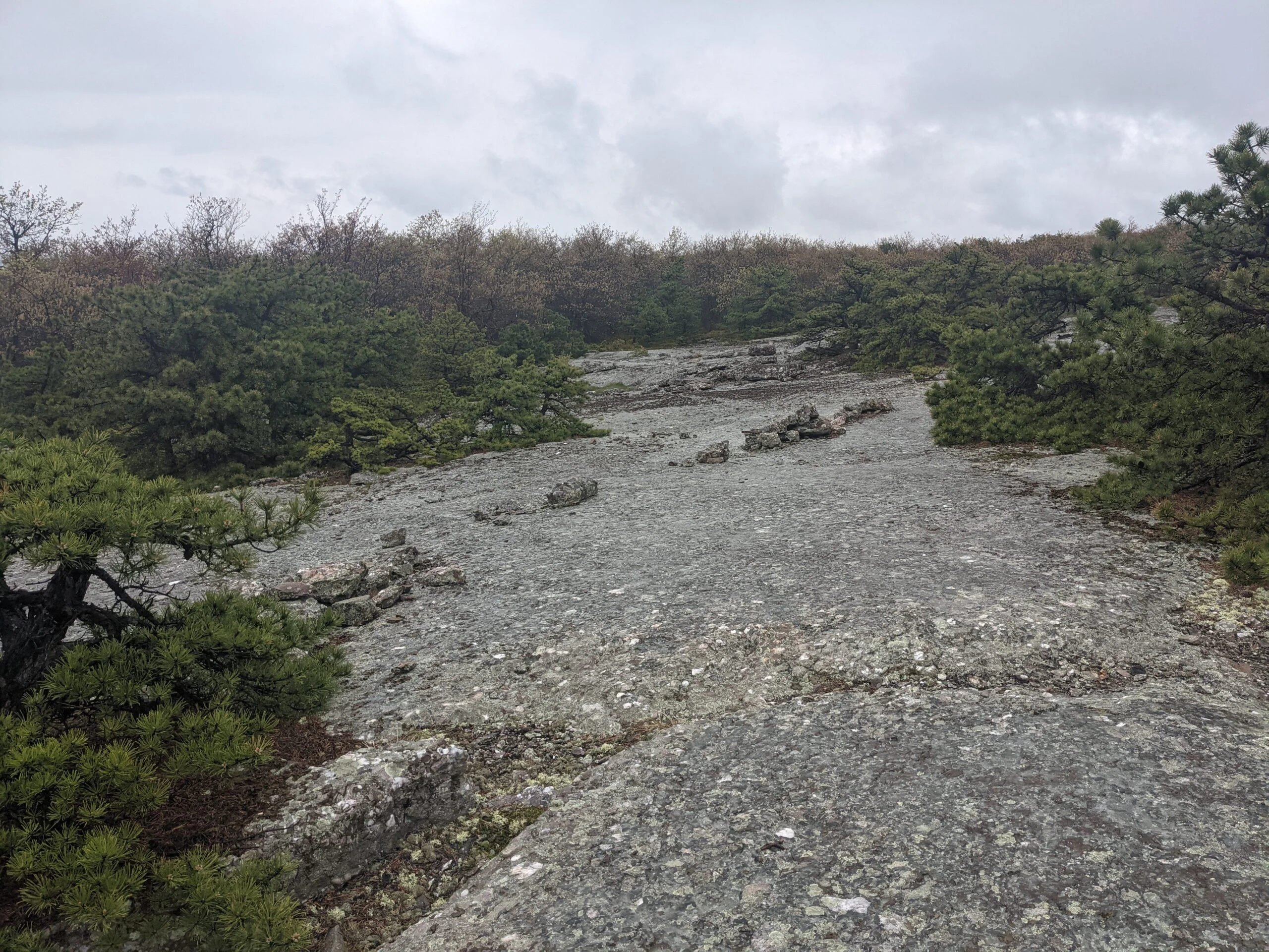
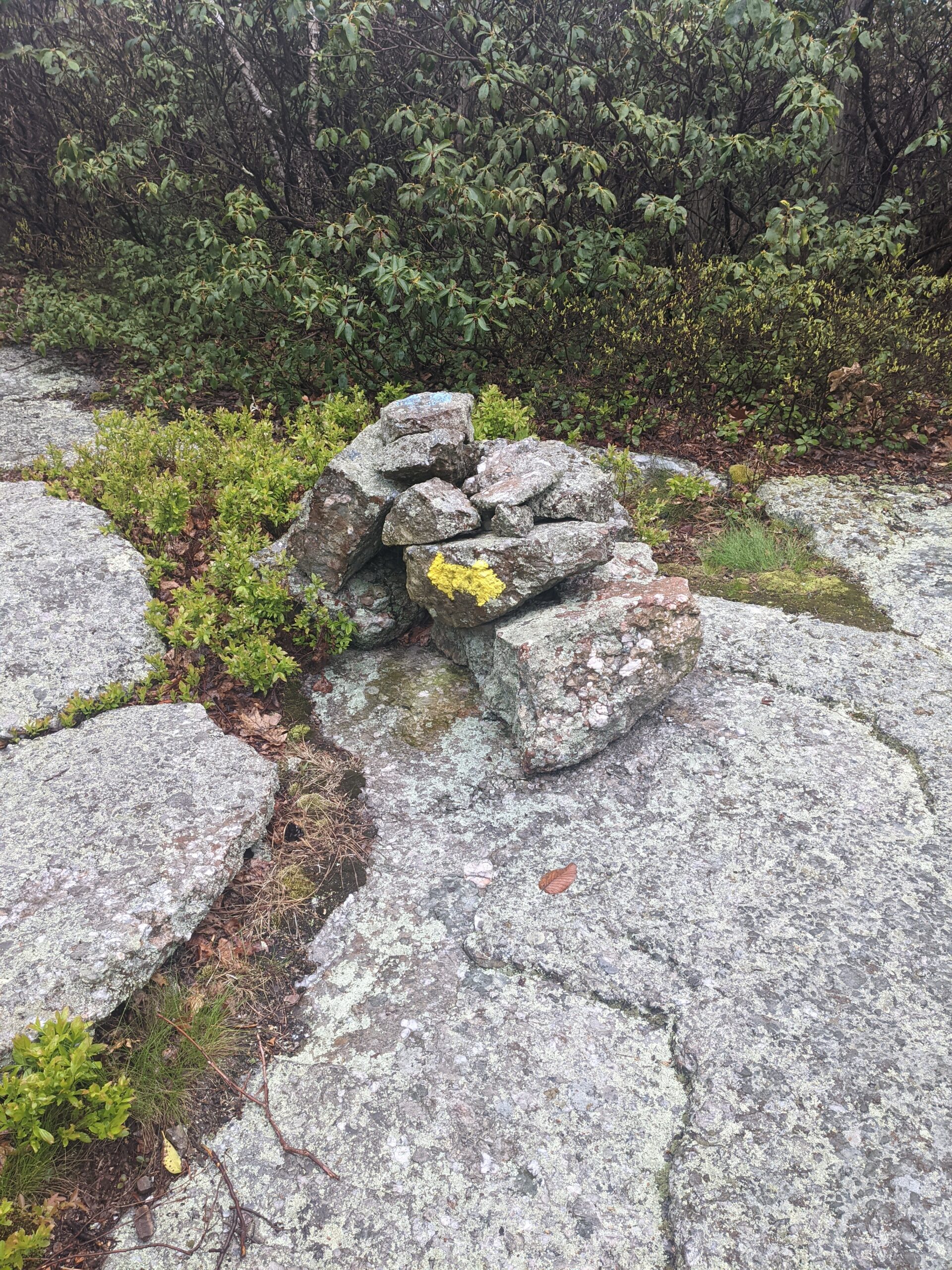
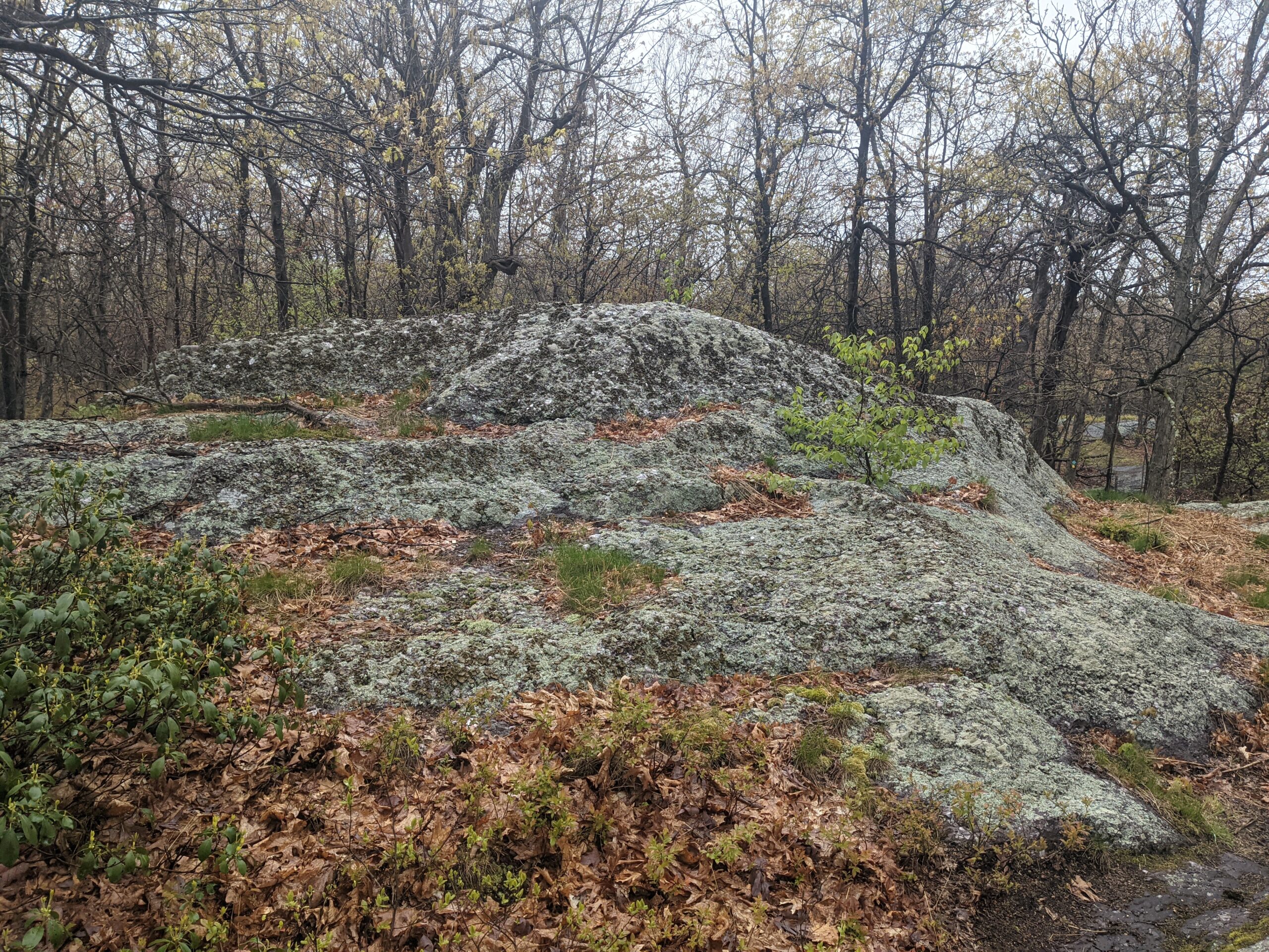
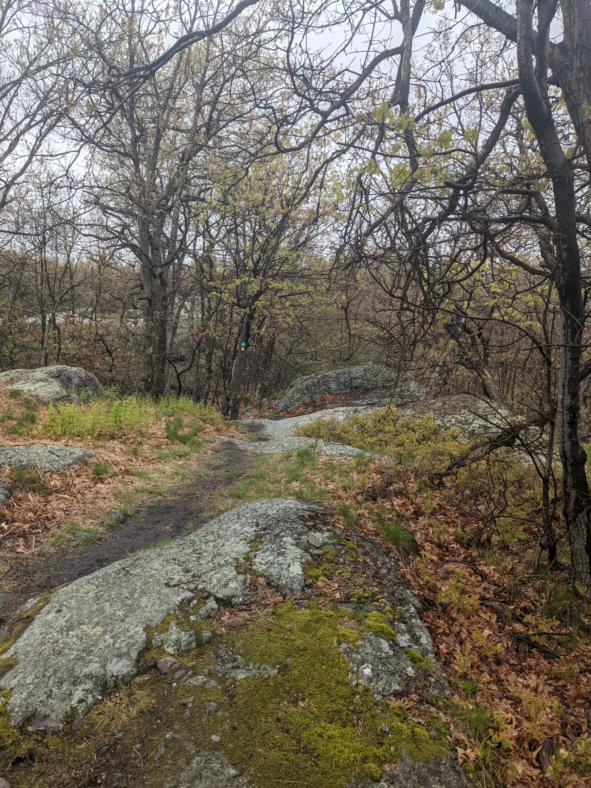
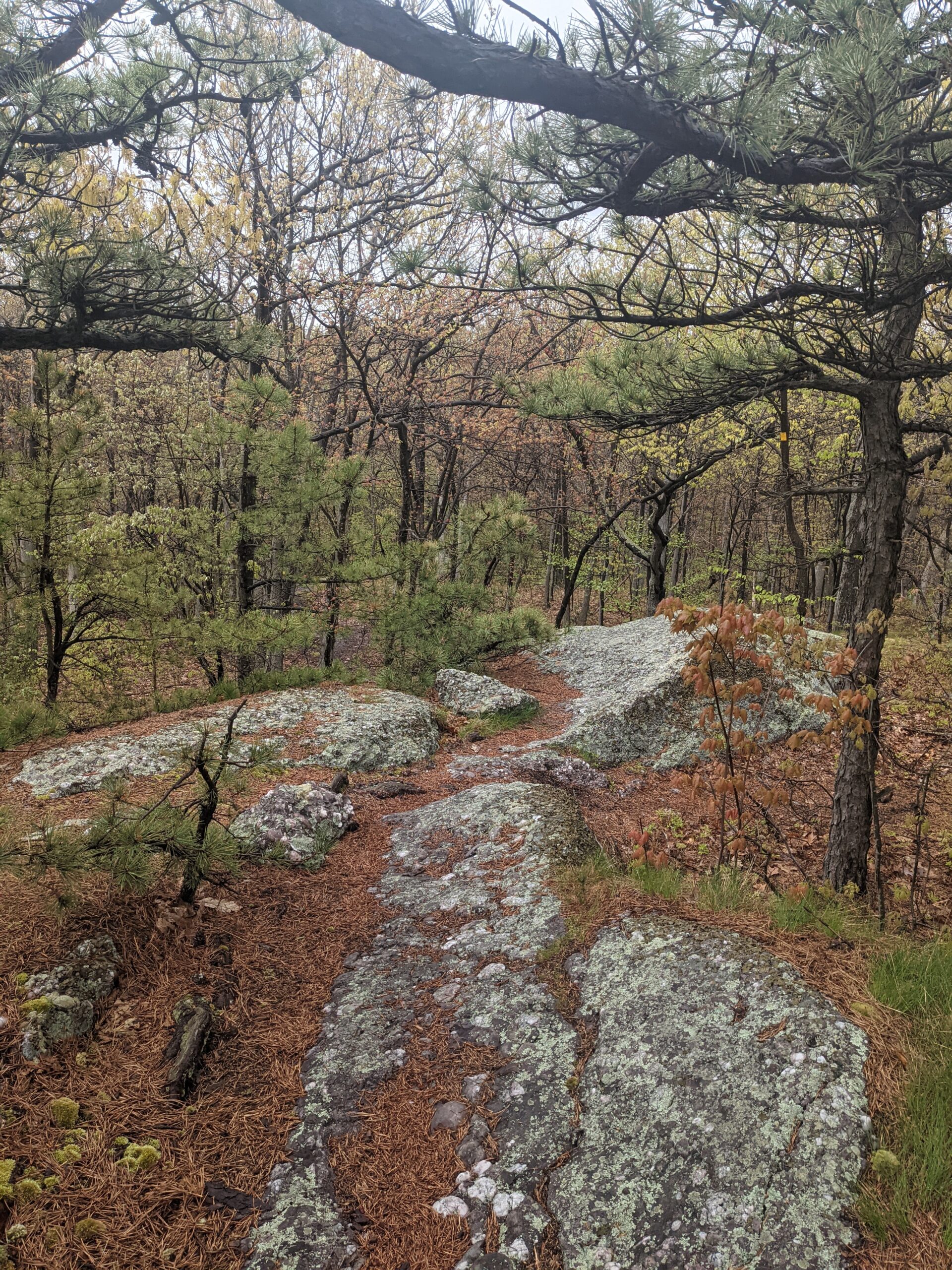
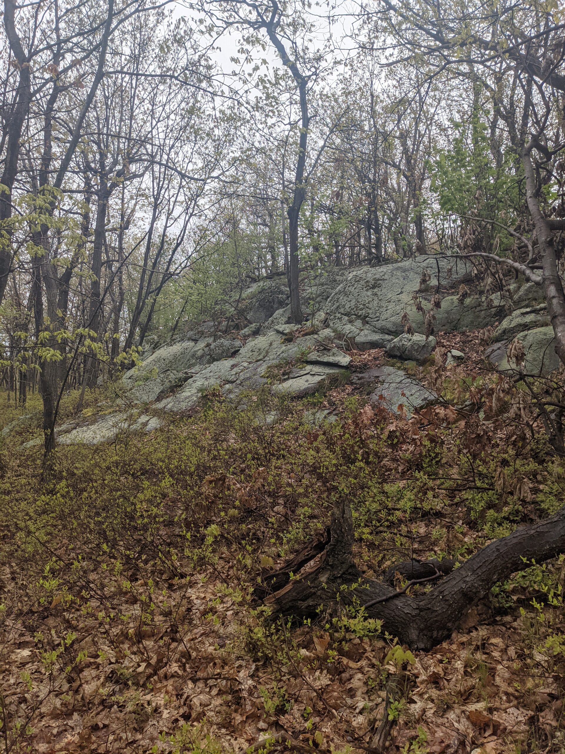
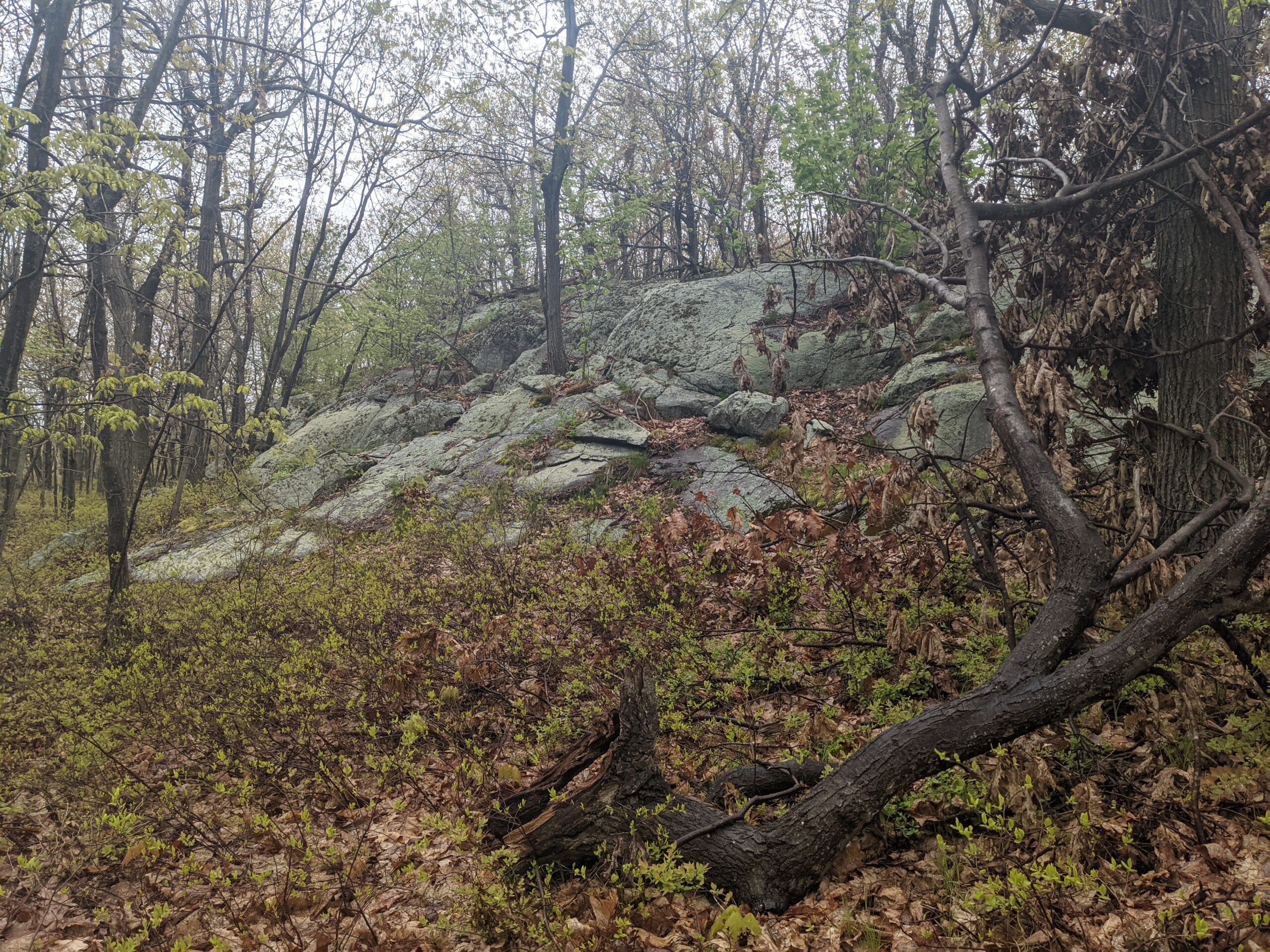
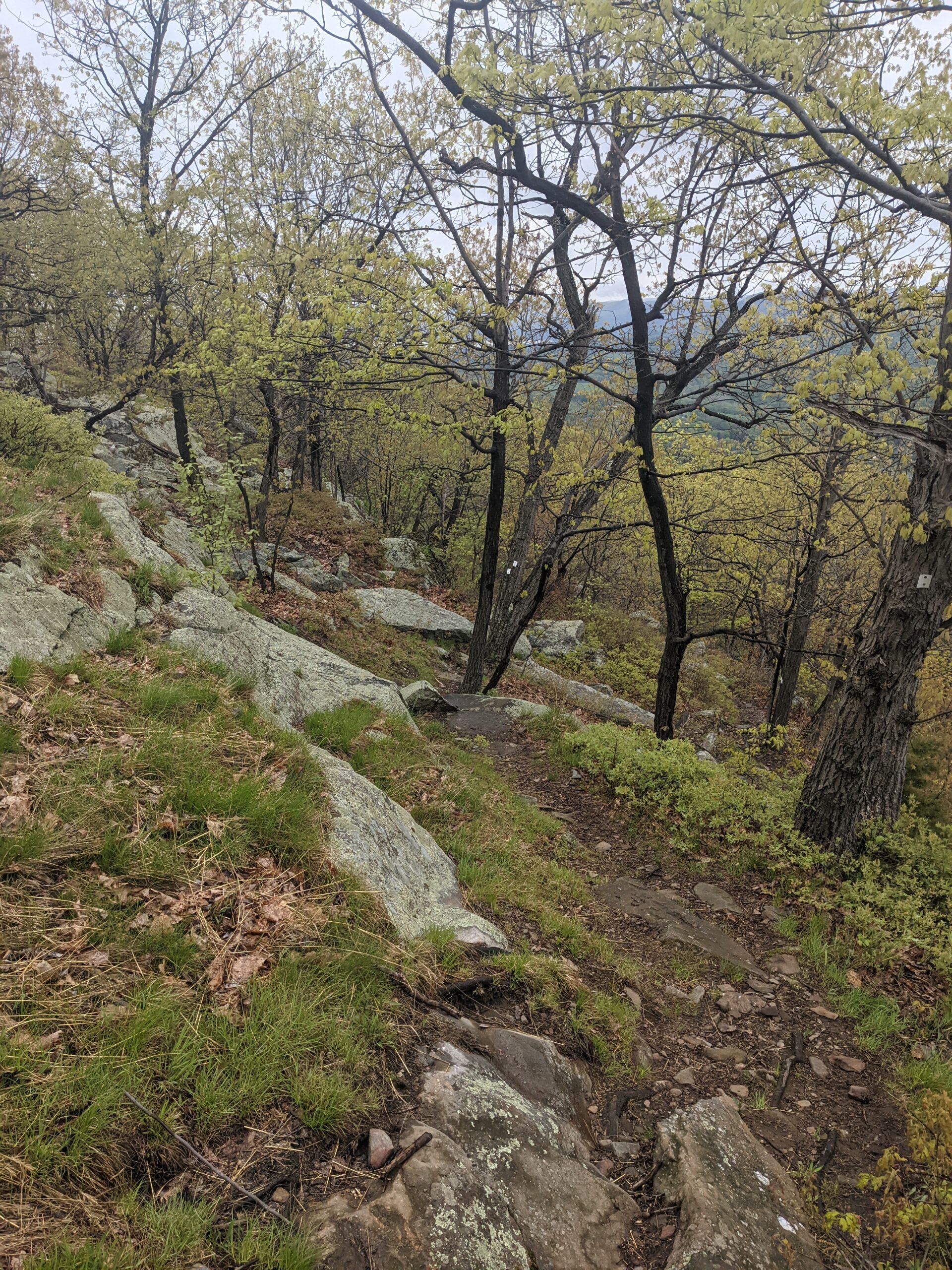
At the first intersection with the Barton Swamp trail (BS, white with red circle blazes), I made a right to follow it for about 2/10 of a mile. I then followed the Ridge to Ridge trail (RR, white with blue circle blazes), which climbs about 300 feet up Schunnemunk Mountain over about 4/10 of a mile. Much of this is a rock scramble.
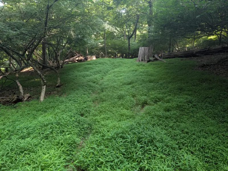
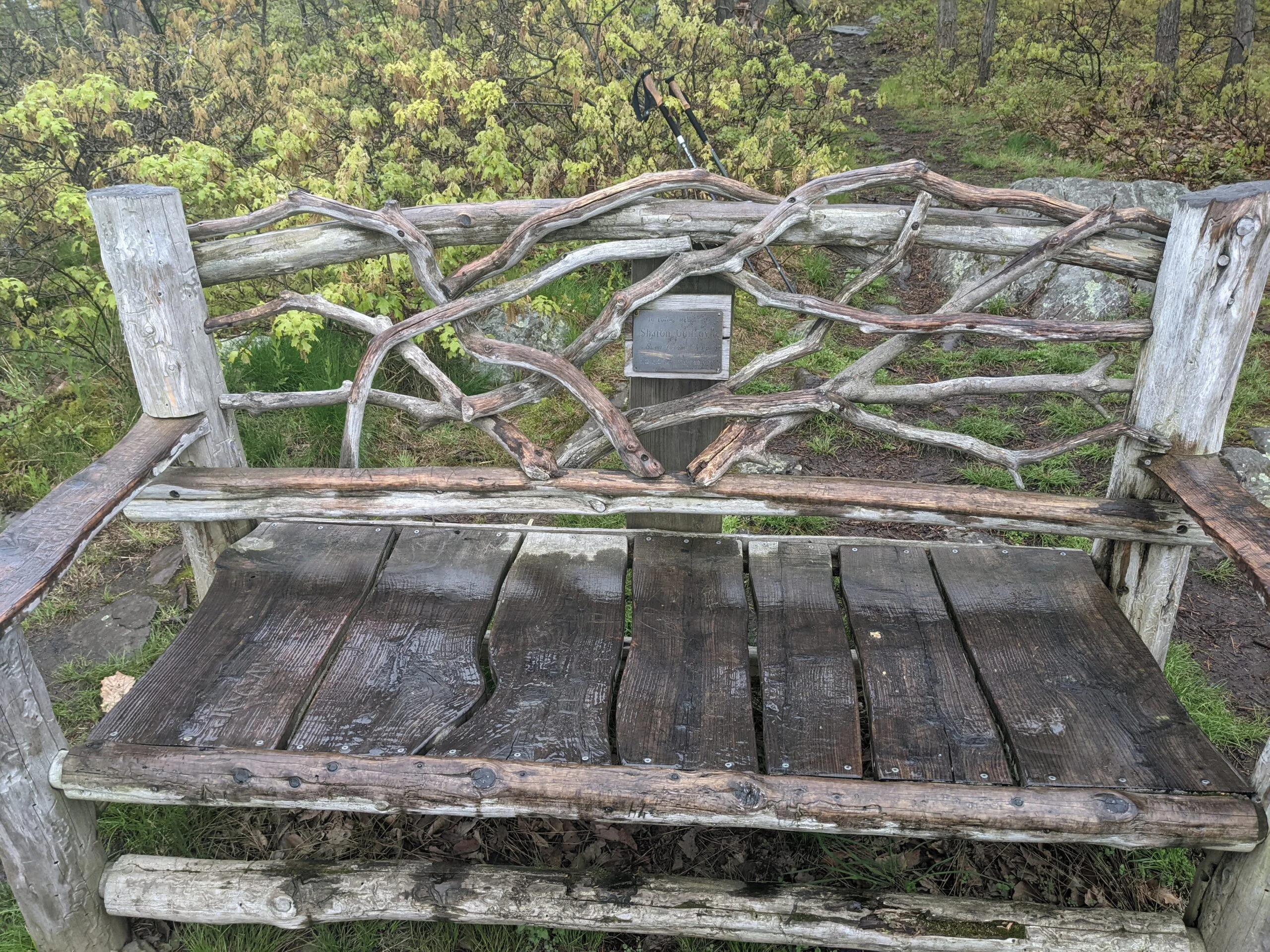
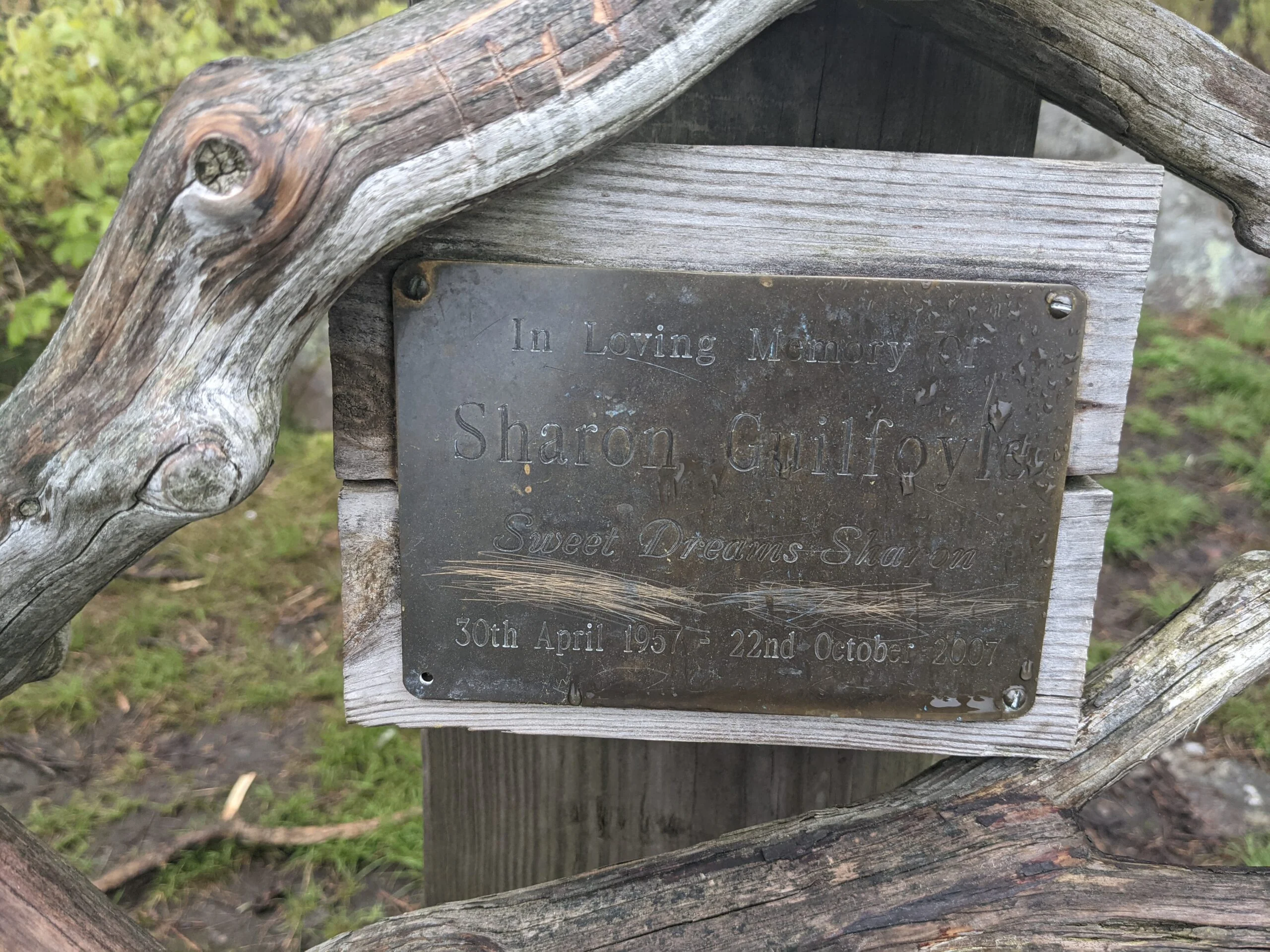
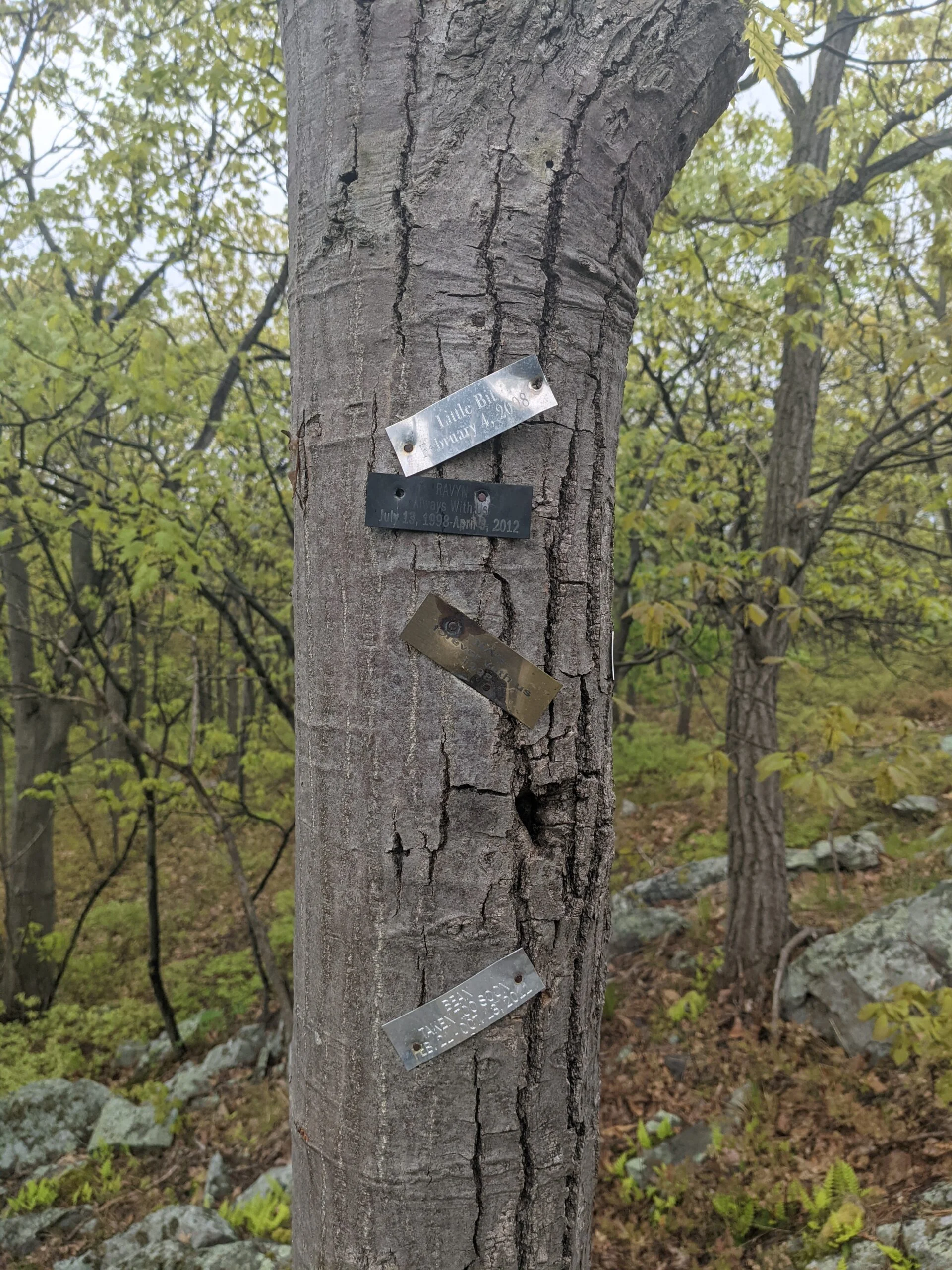
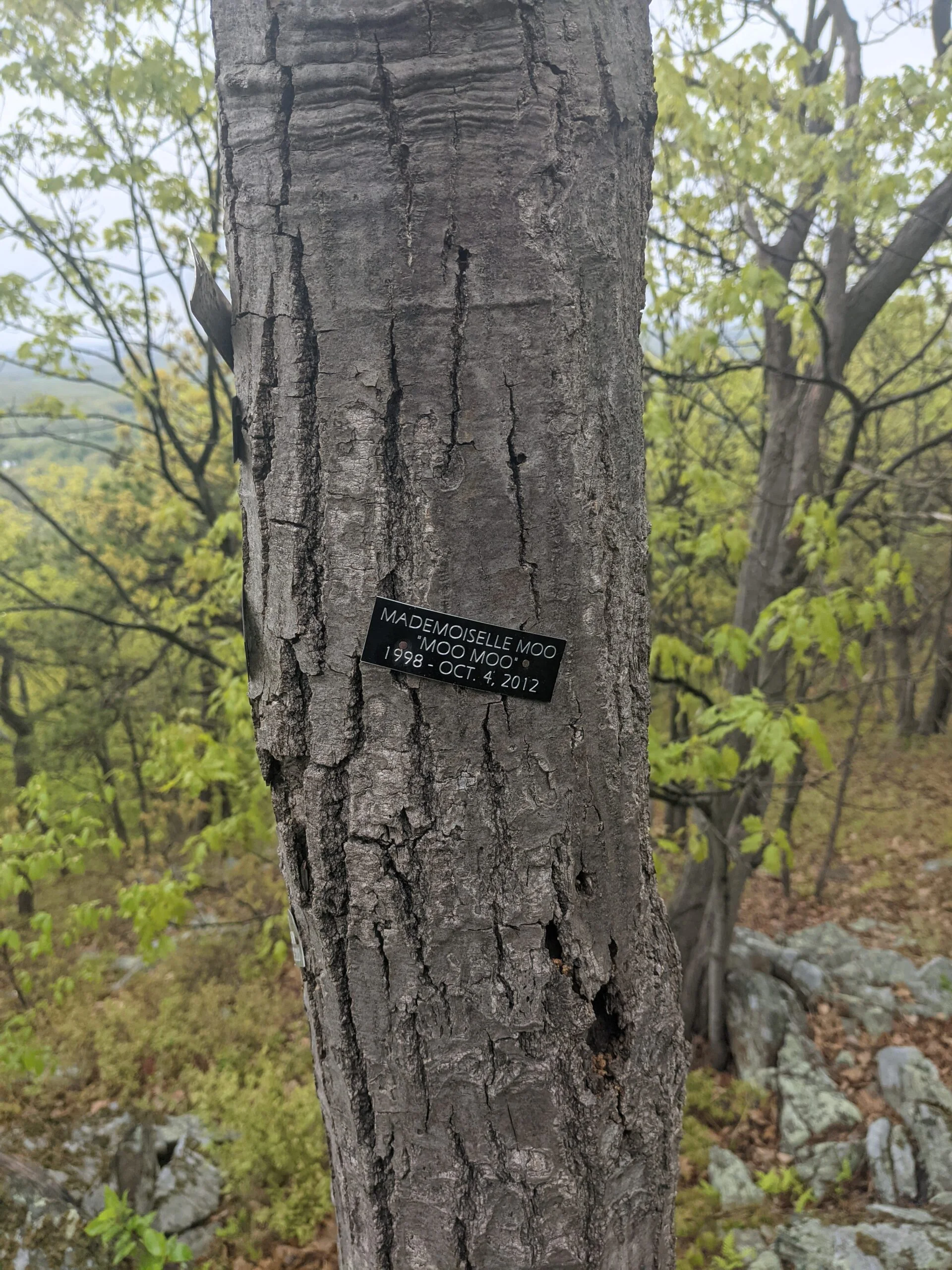
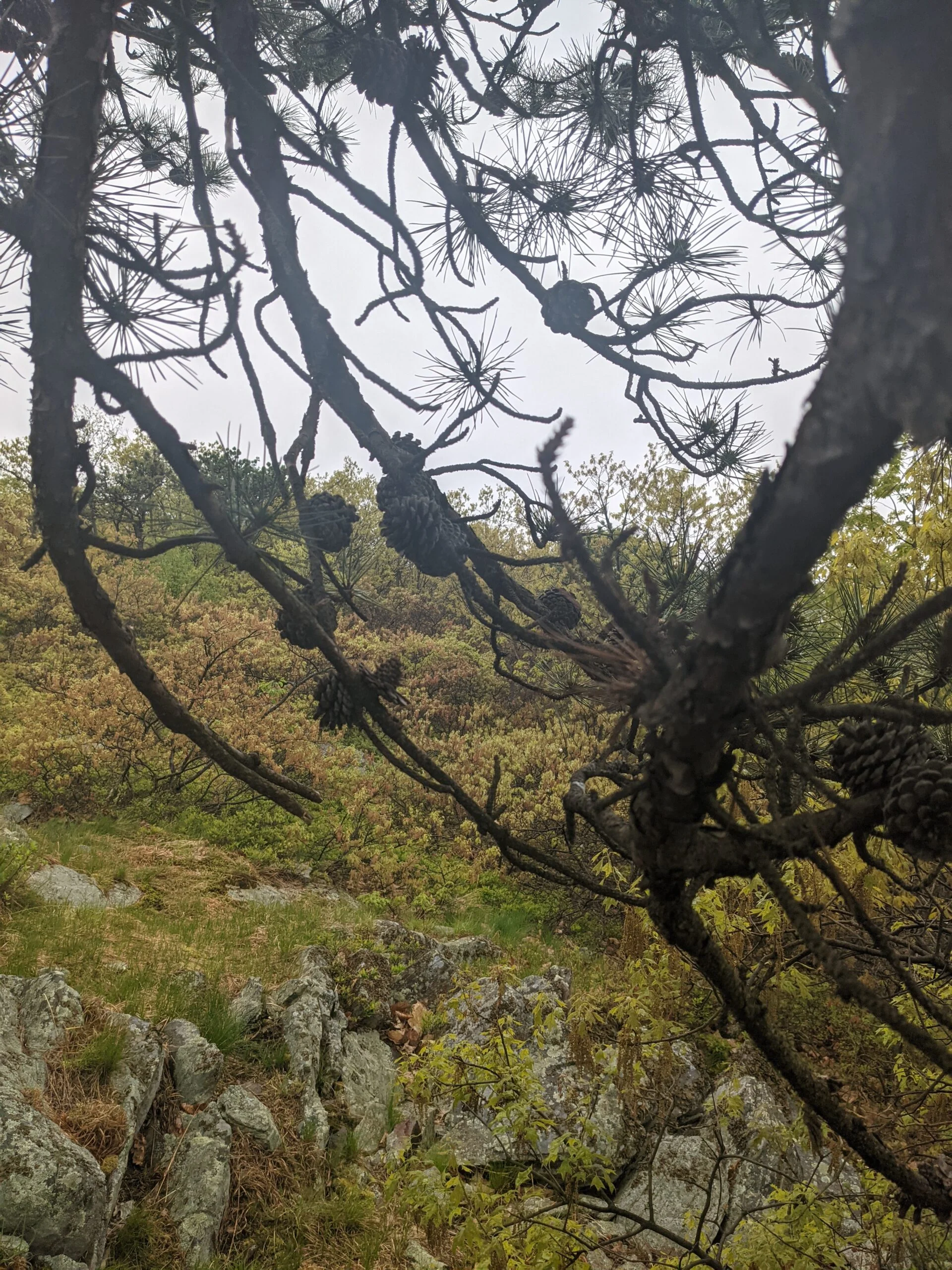
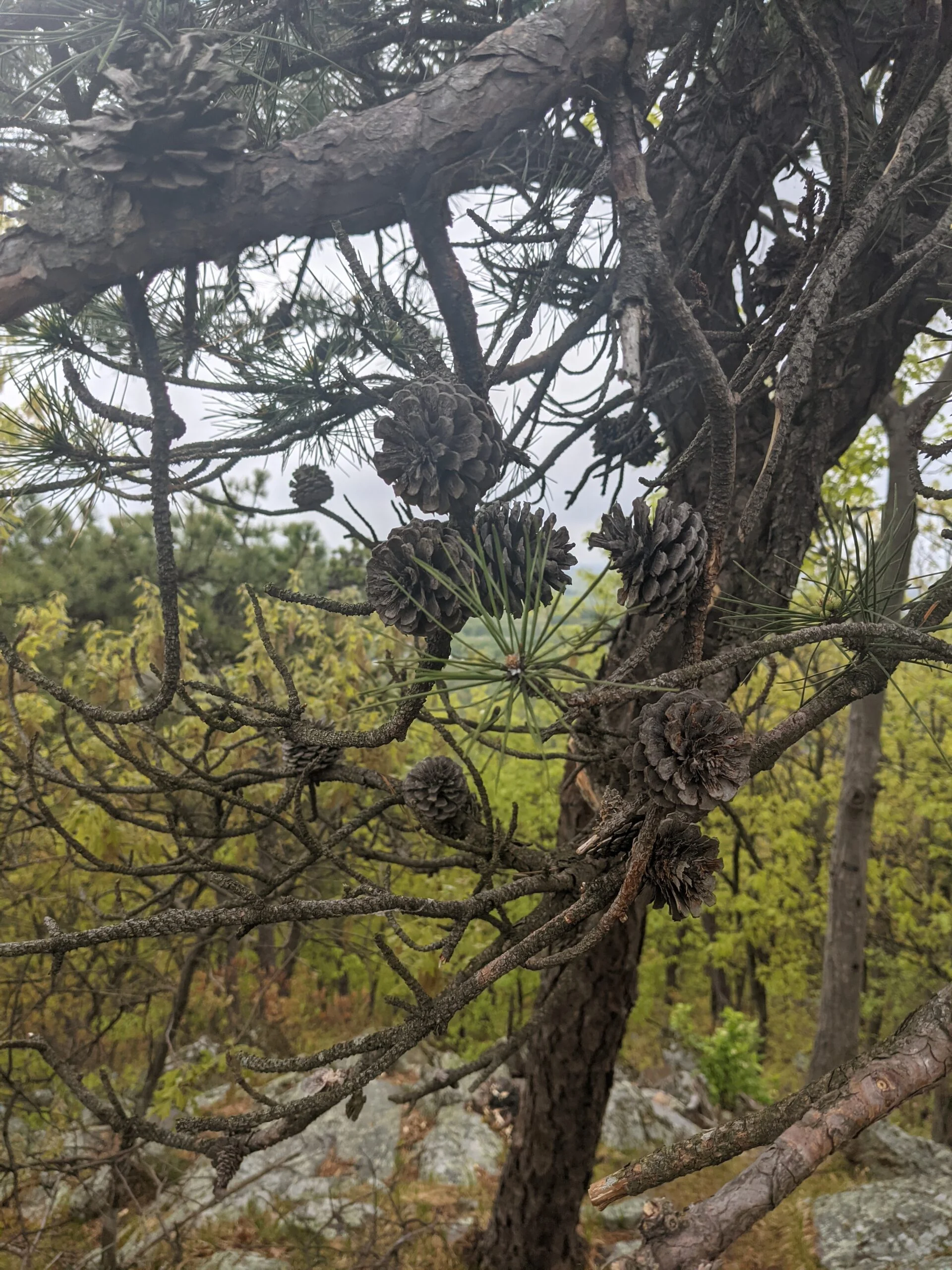
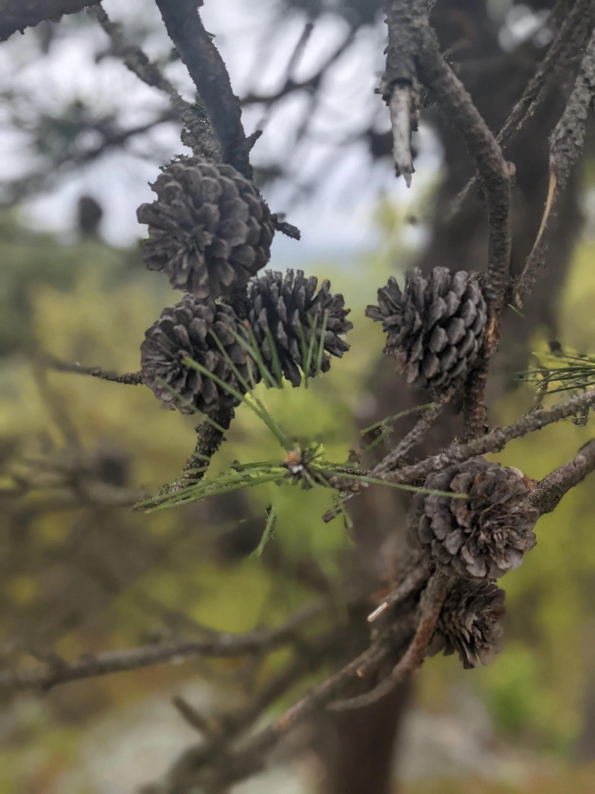
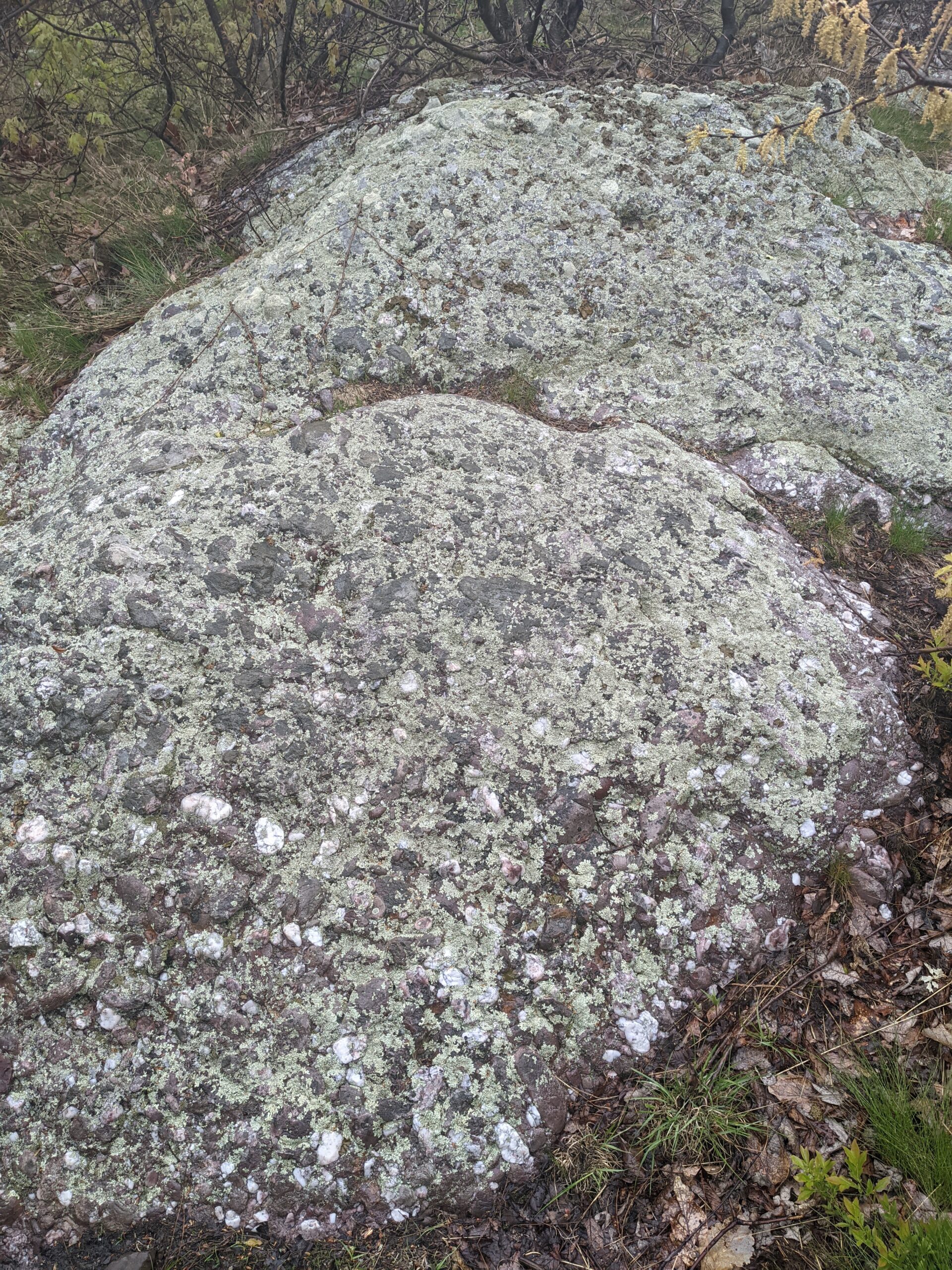
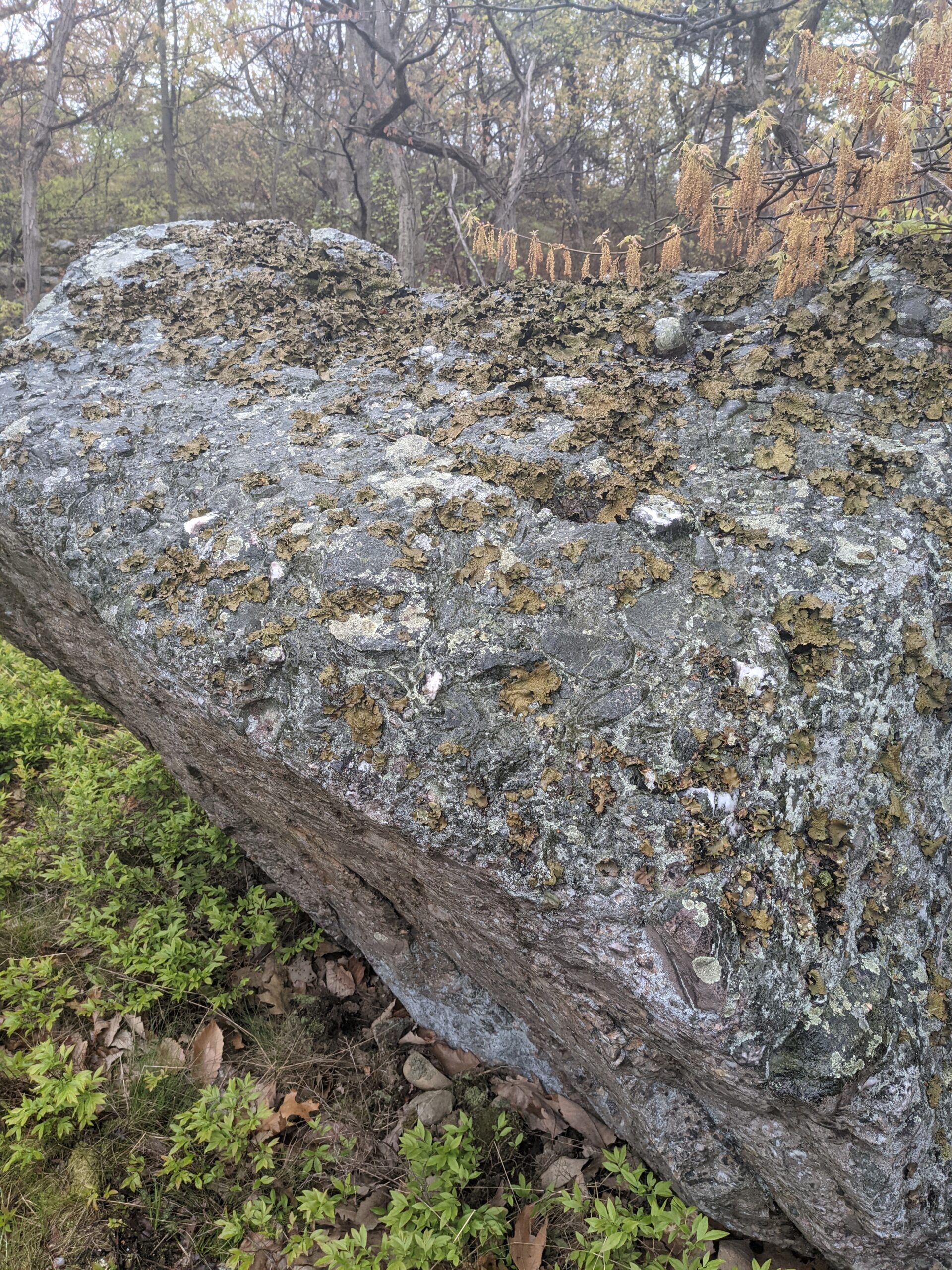
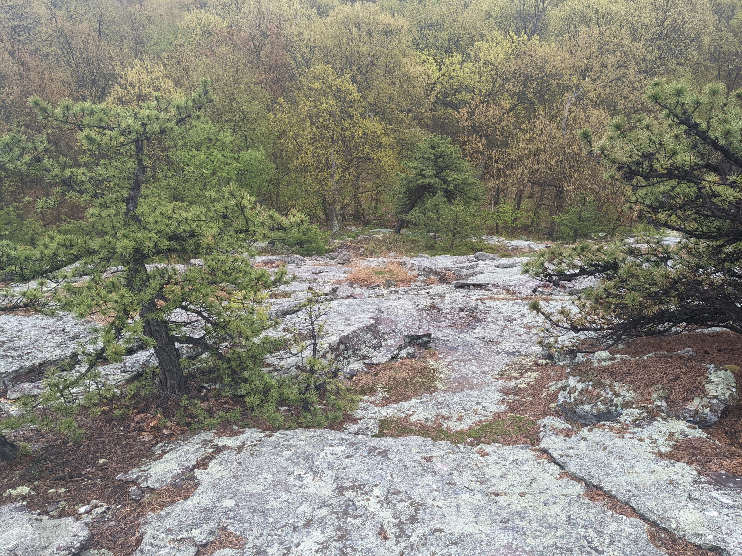
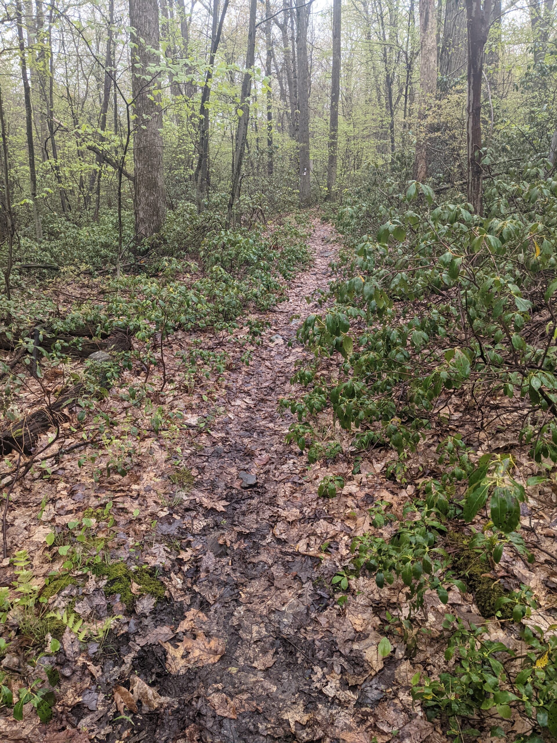
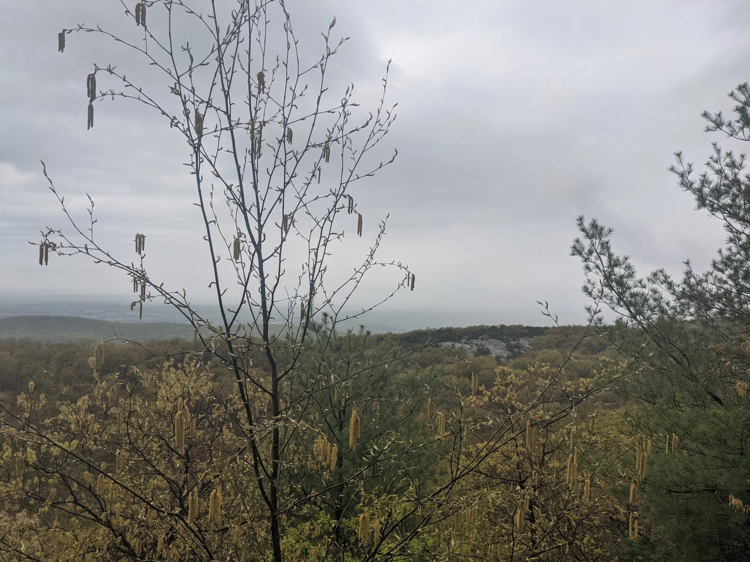
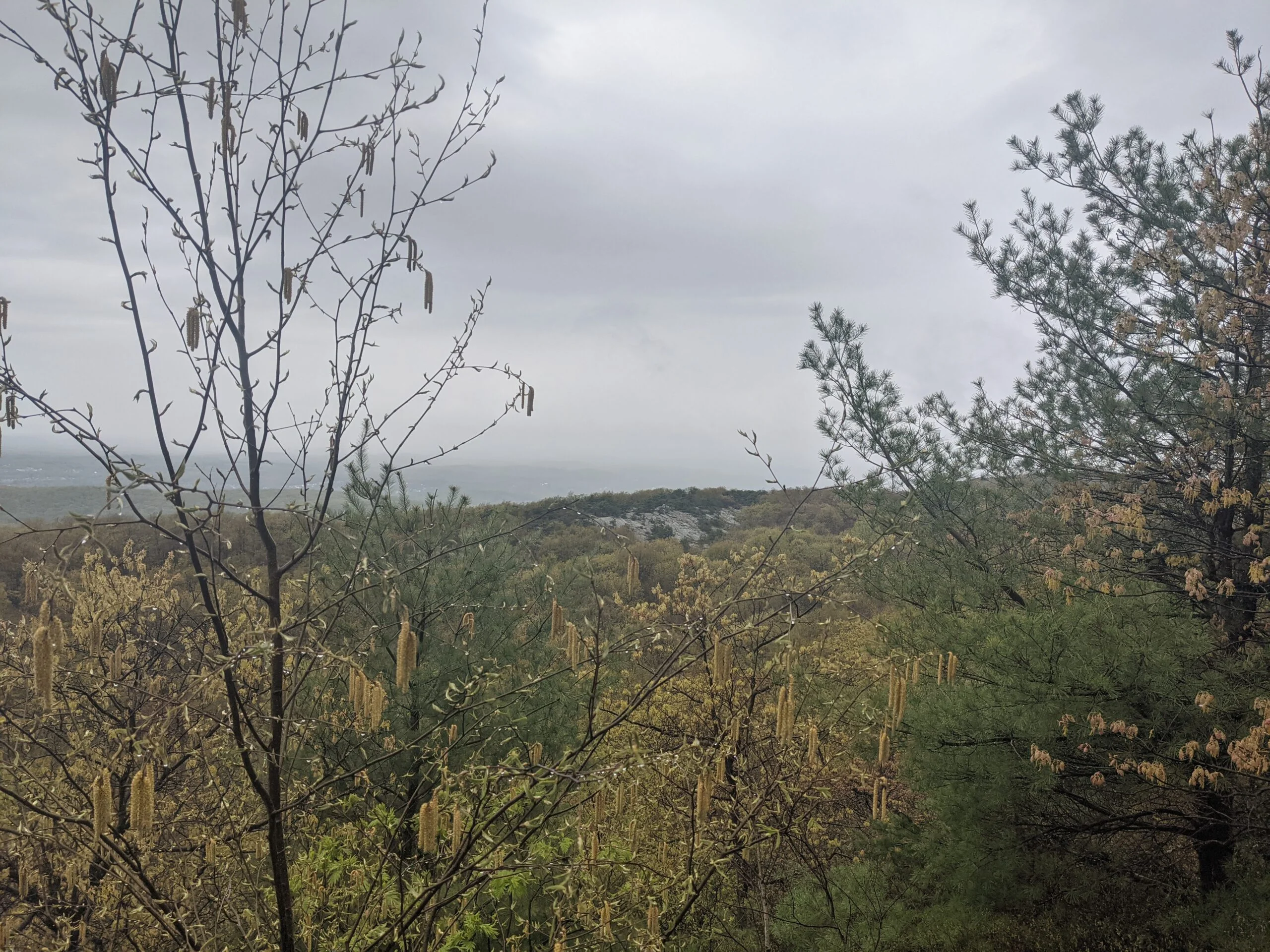
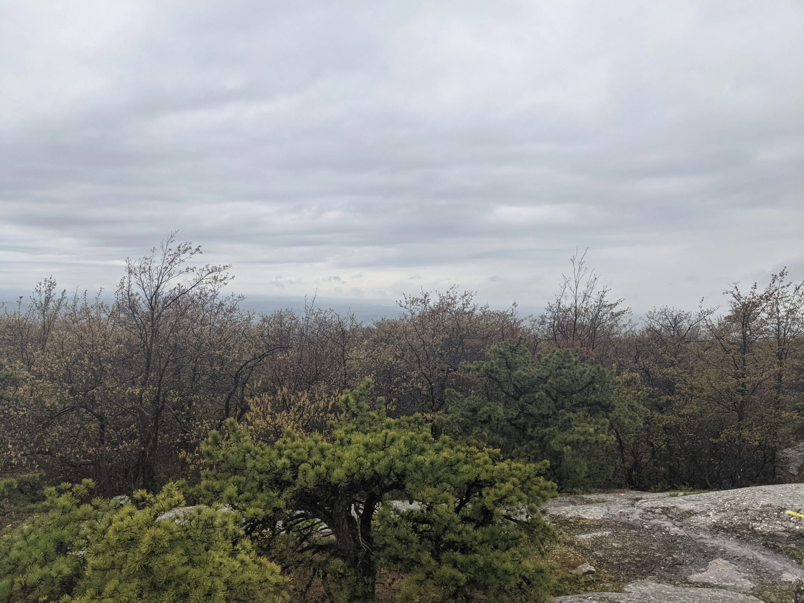
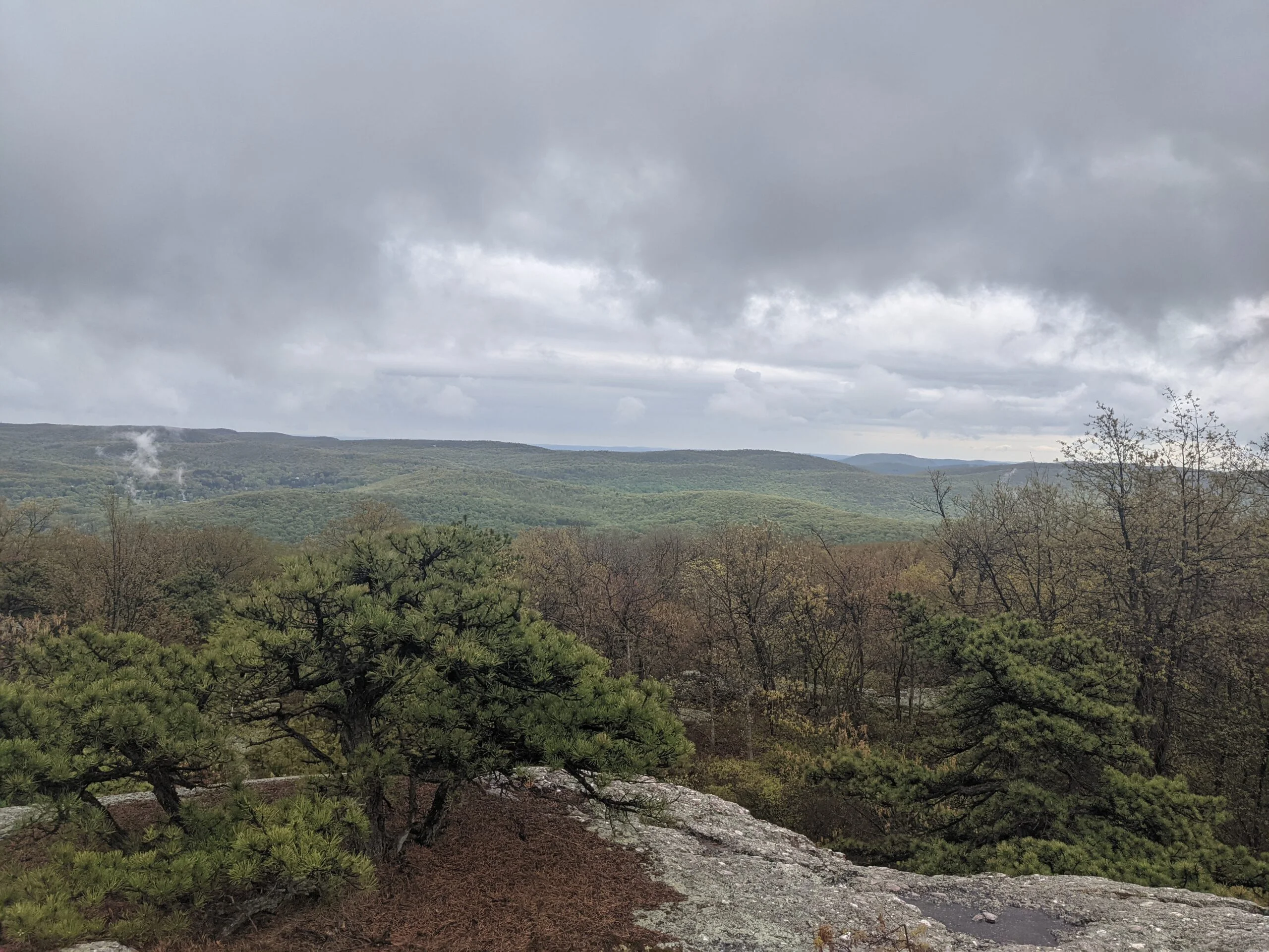
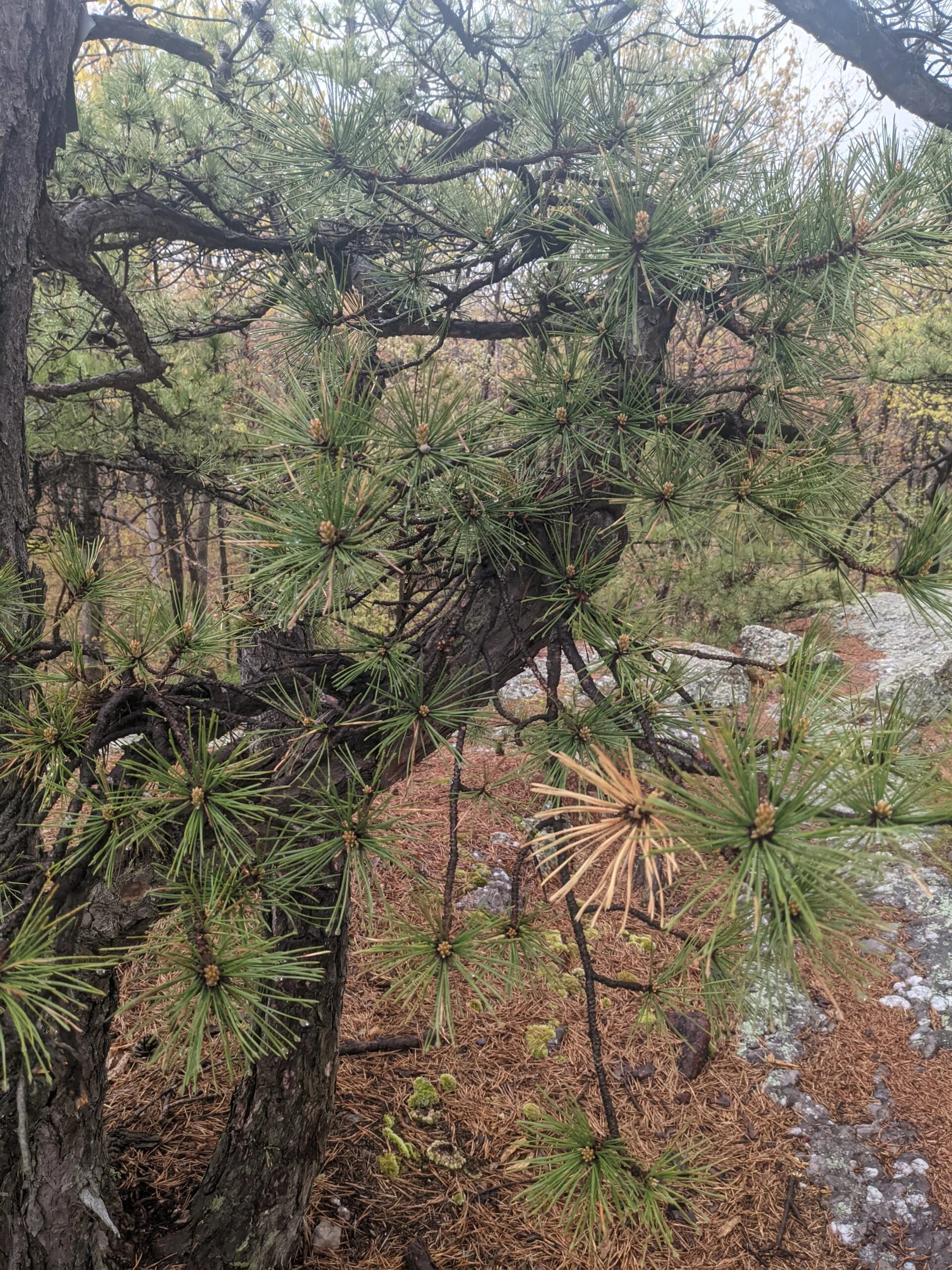
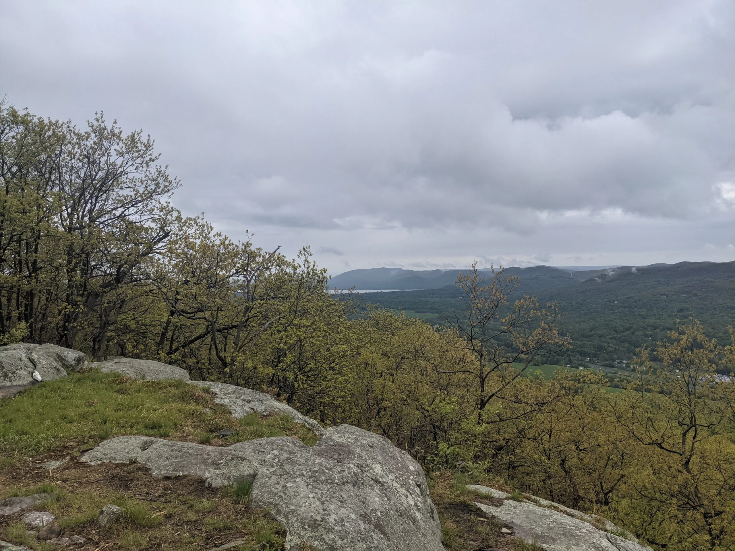
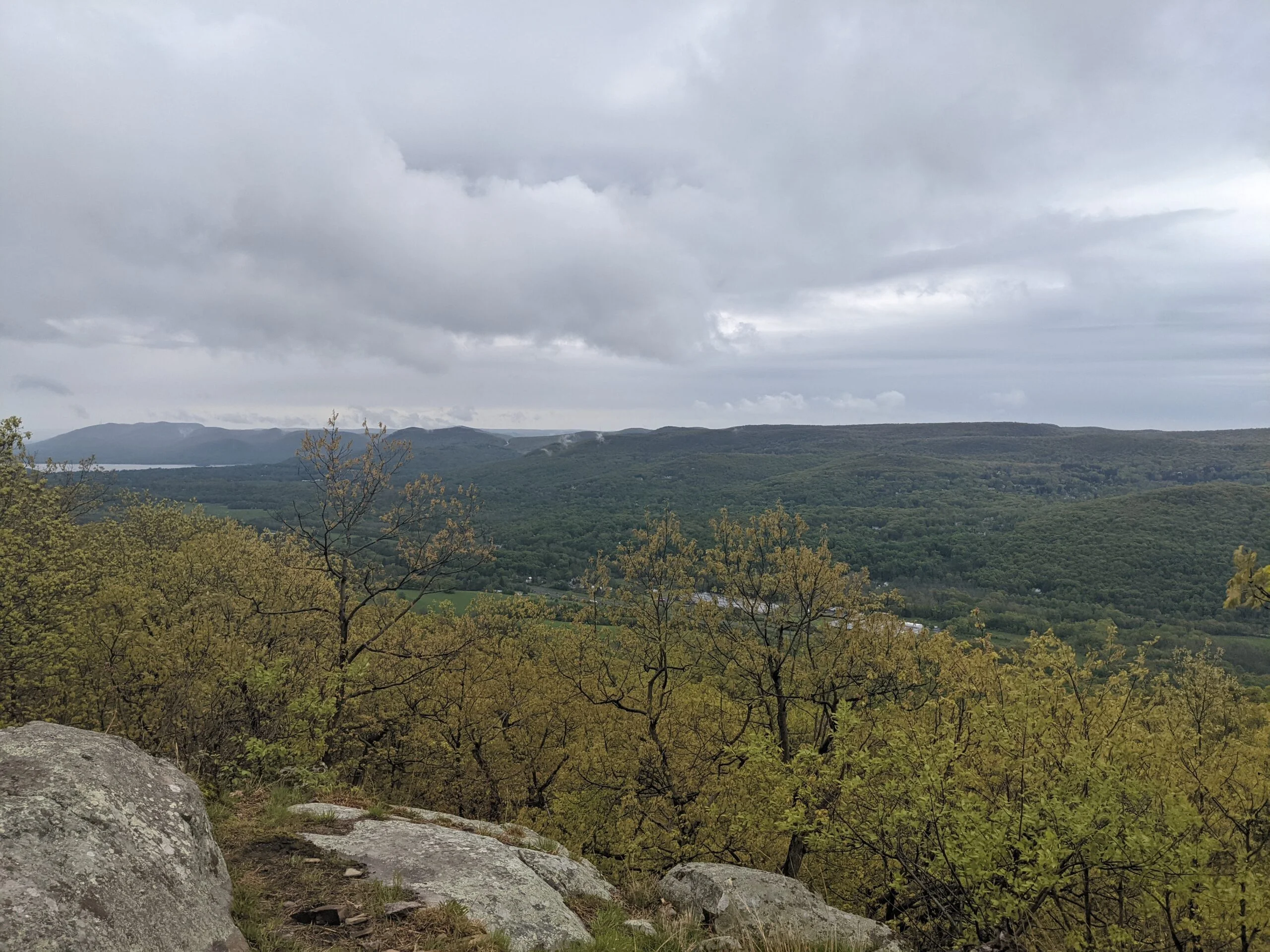
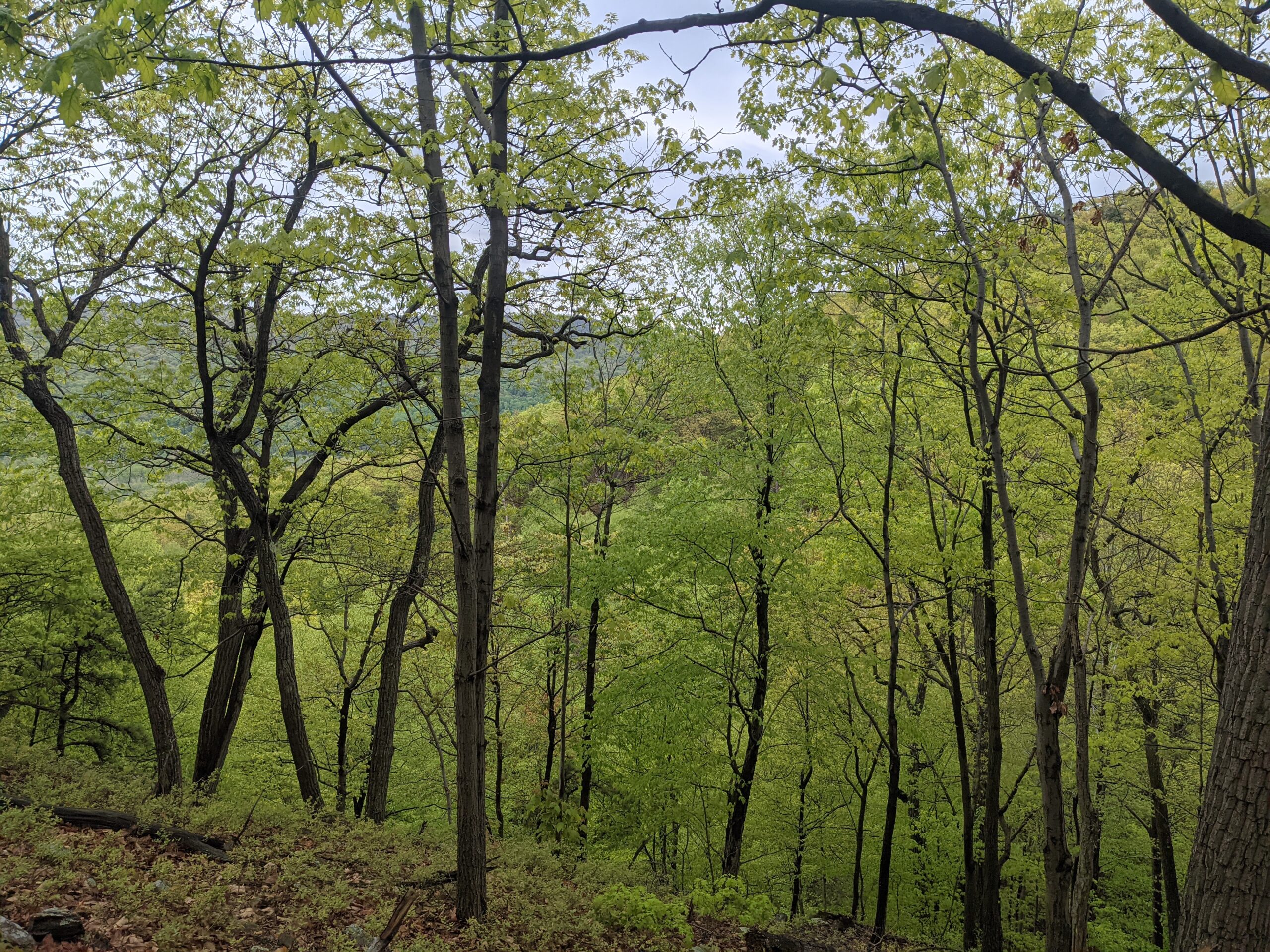
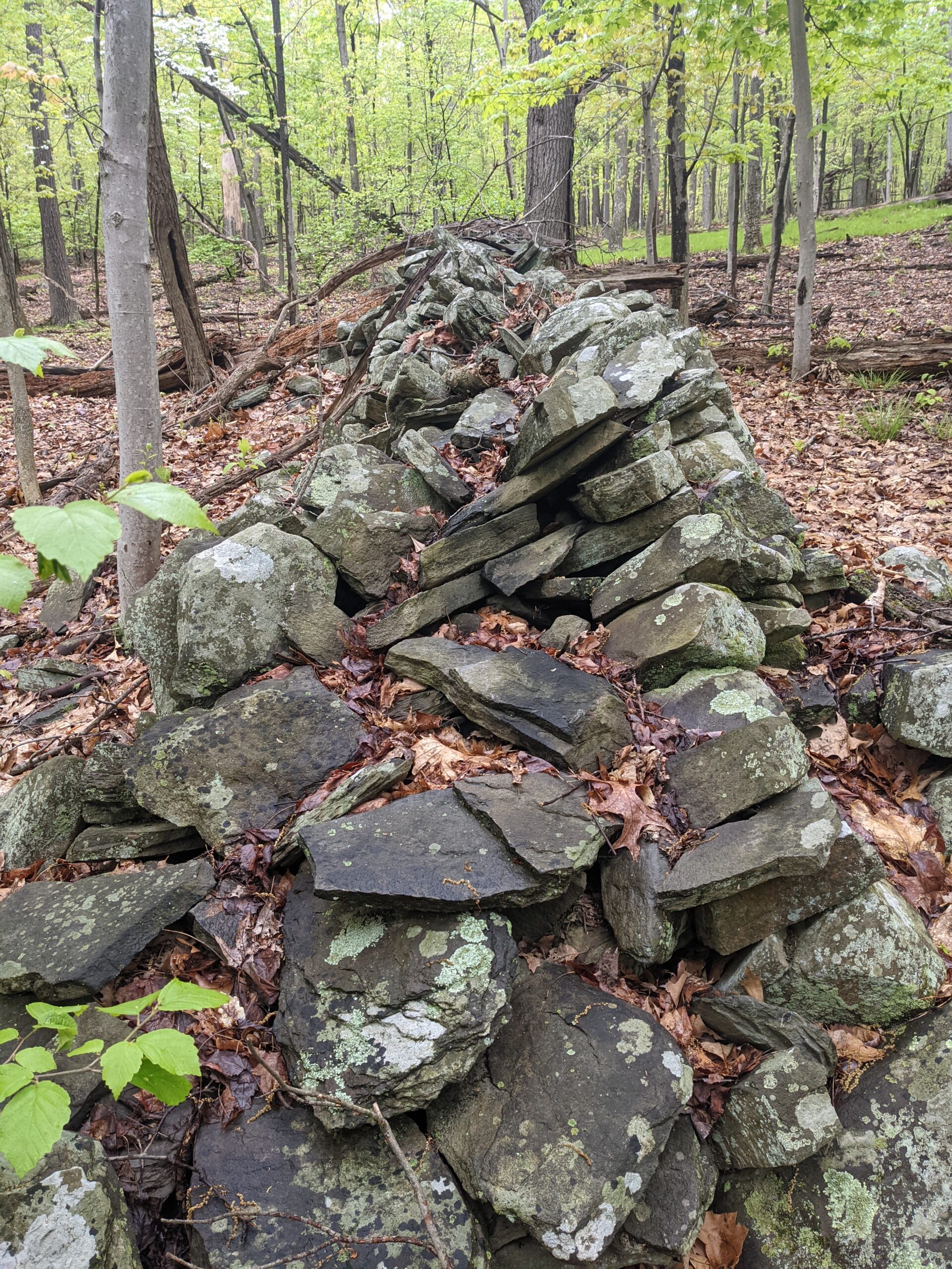
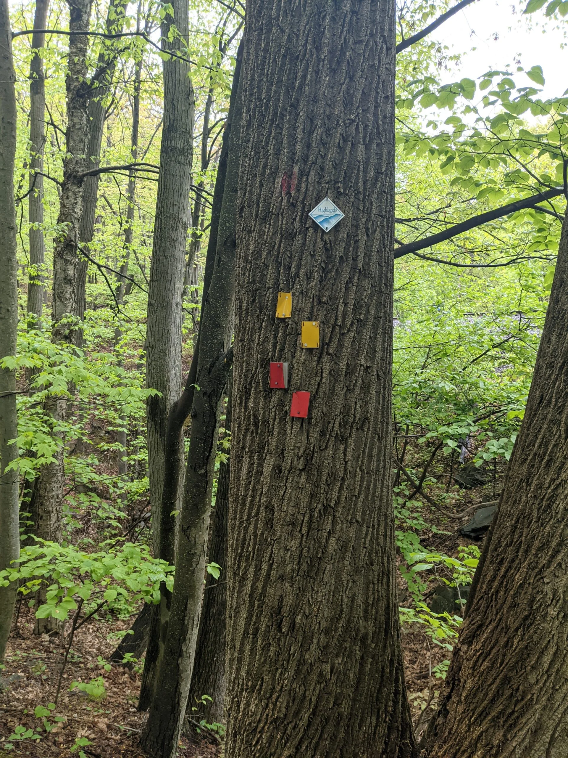
When reaching the top of the mountain, BS turns into the Megoliths trail (ML, yellow blazes). The rain had finally let up, so I was able to remove the poncho and stop for a snack break. This is the highest point in Orange County, and looking out, the land seems to run forever.
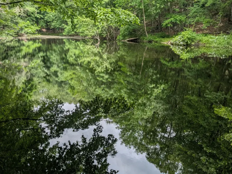
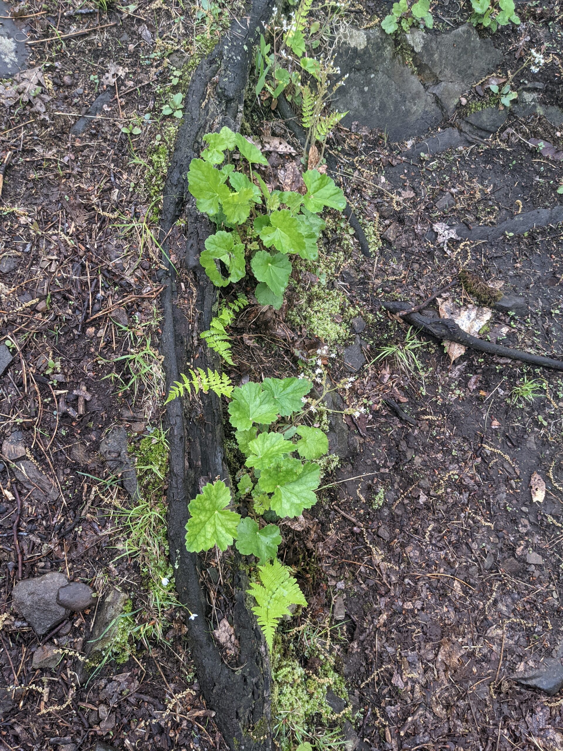
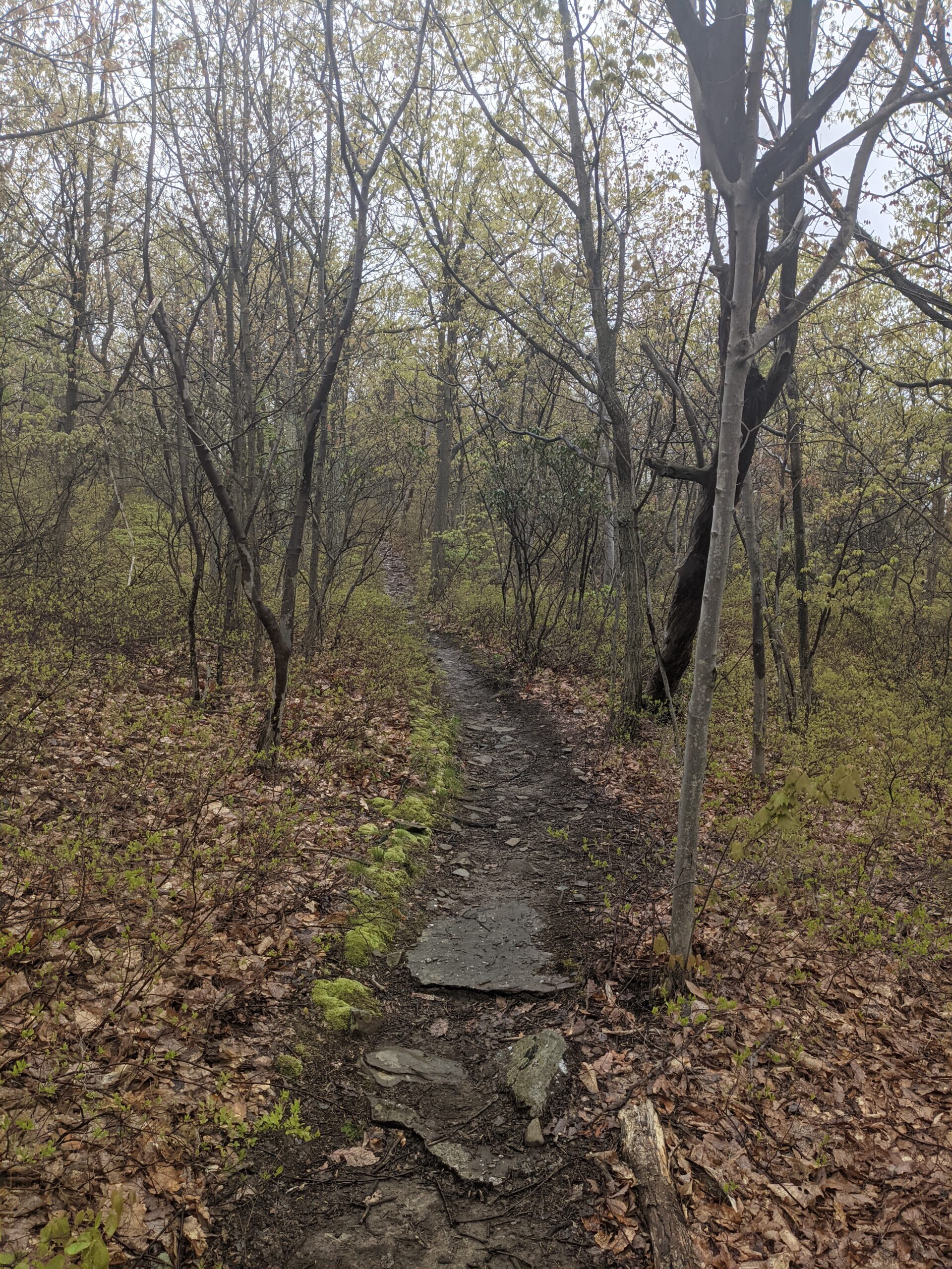
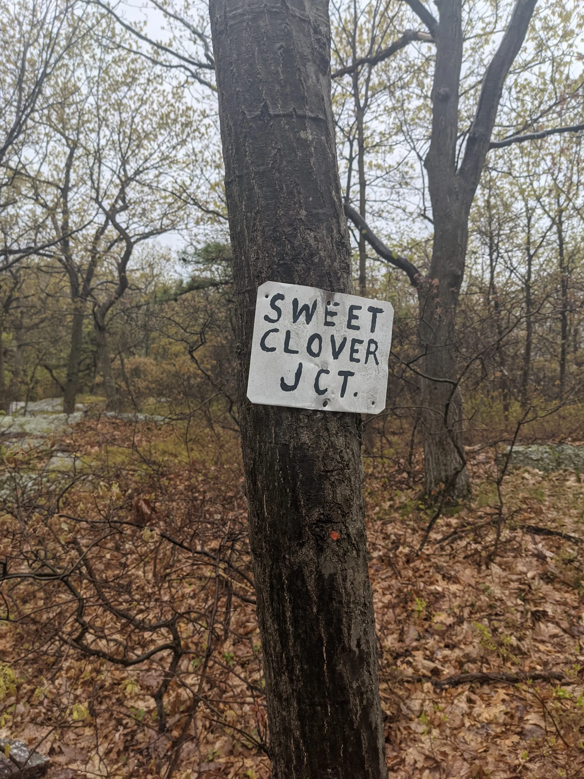
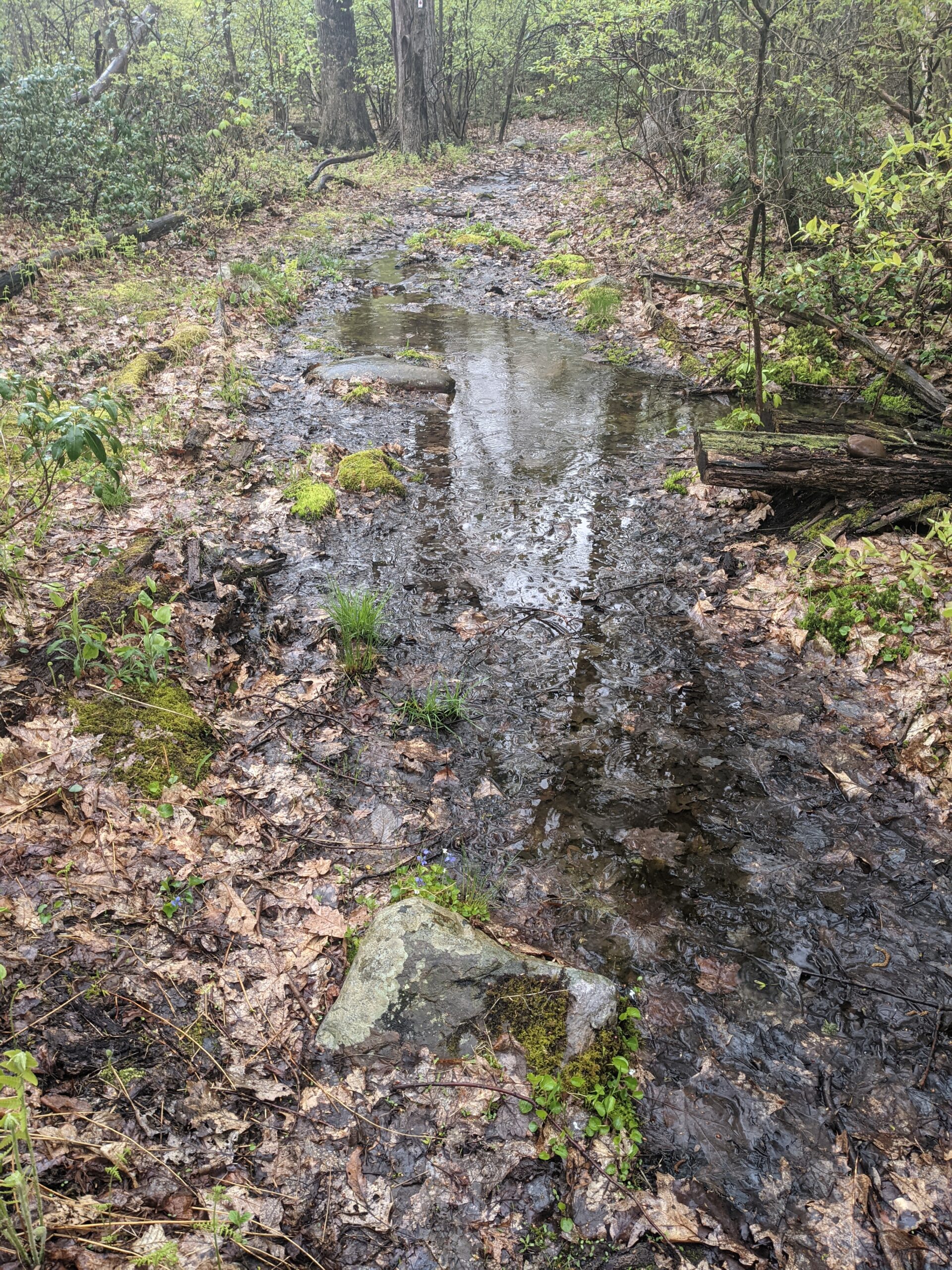
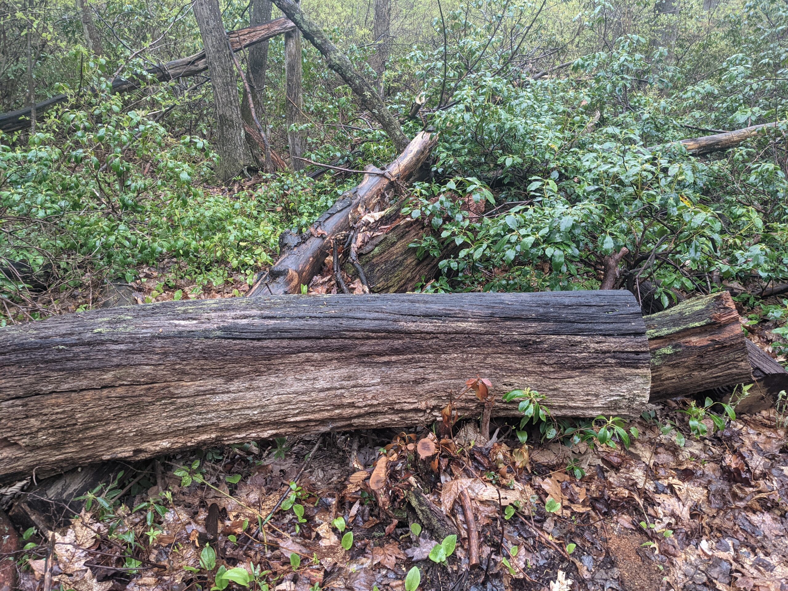
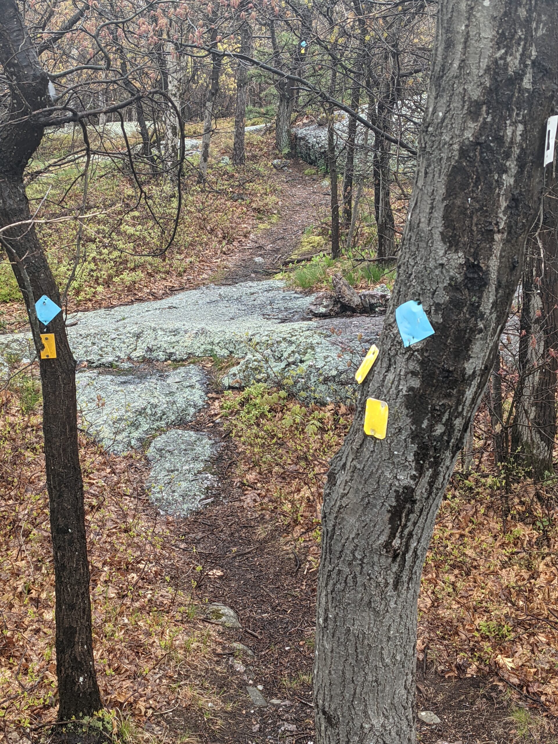
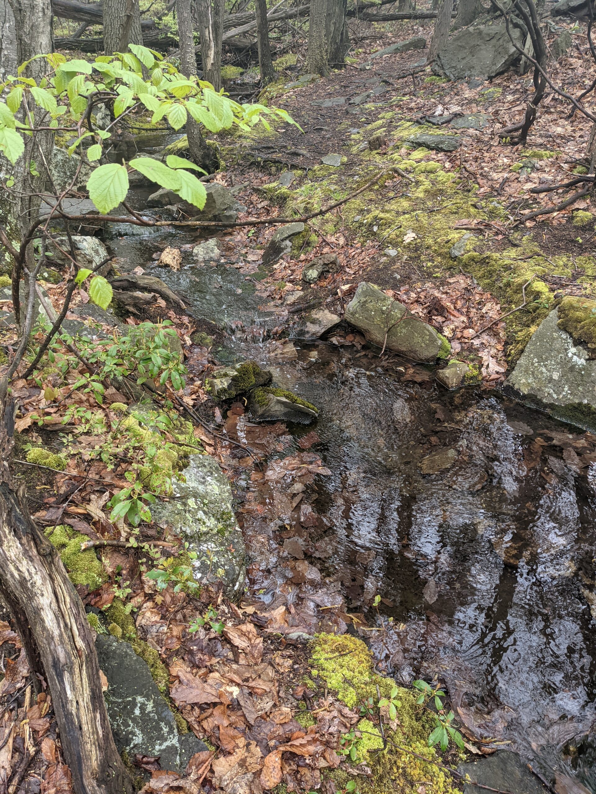
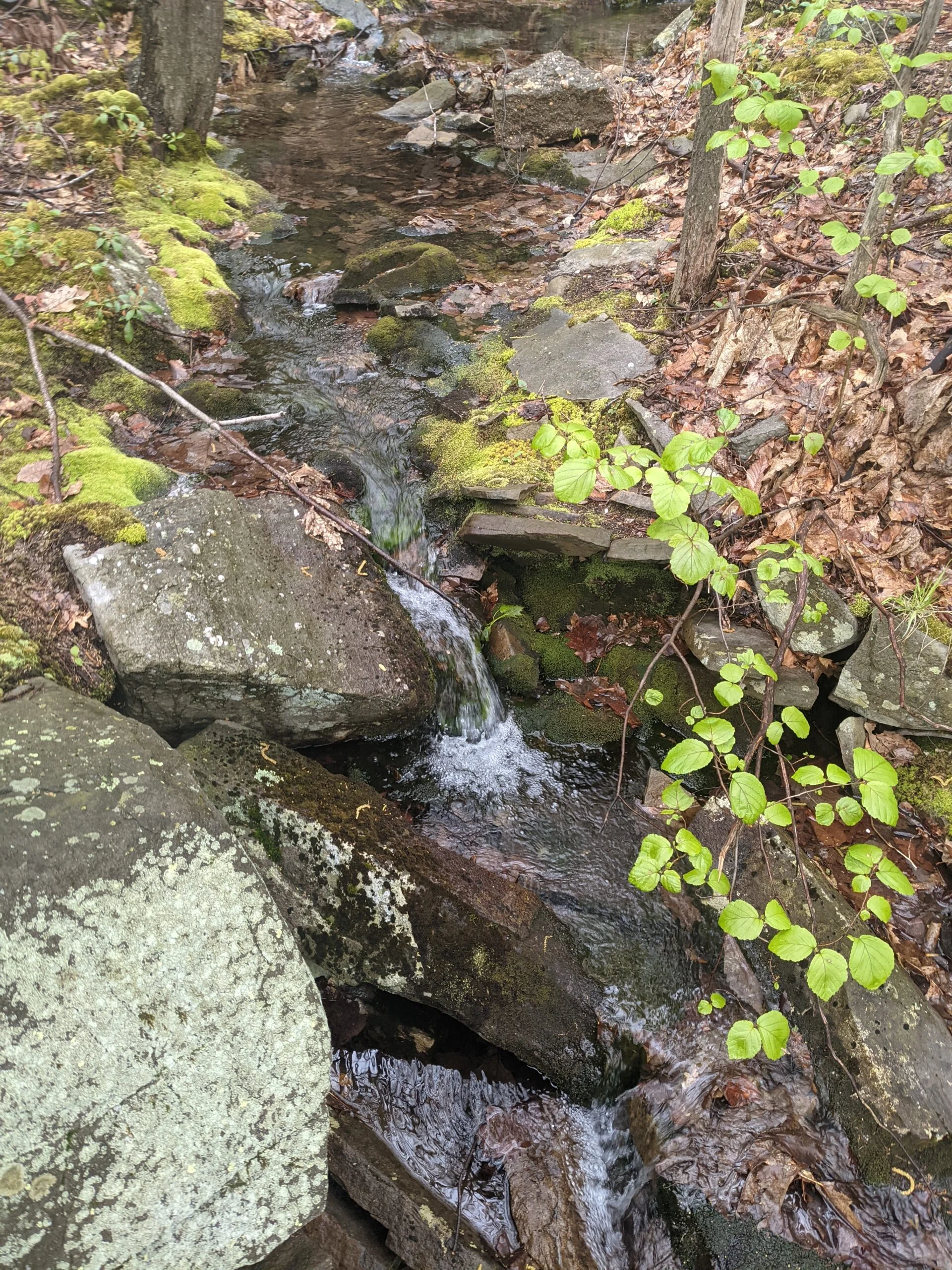
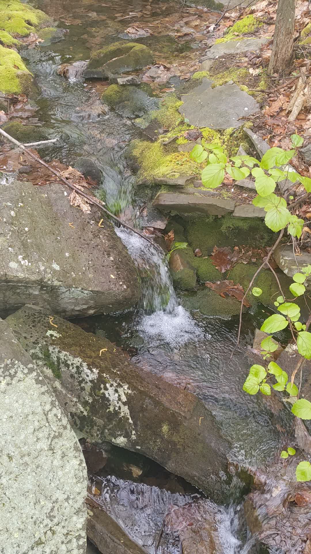
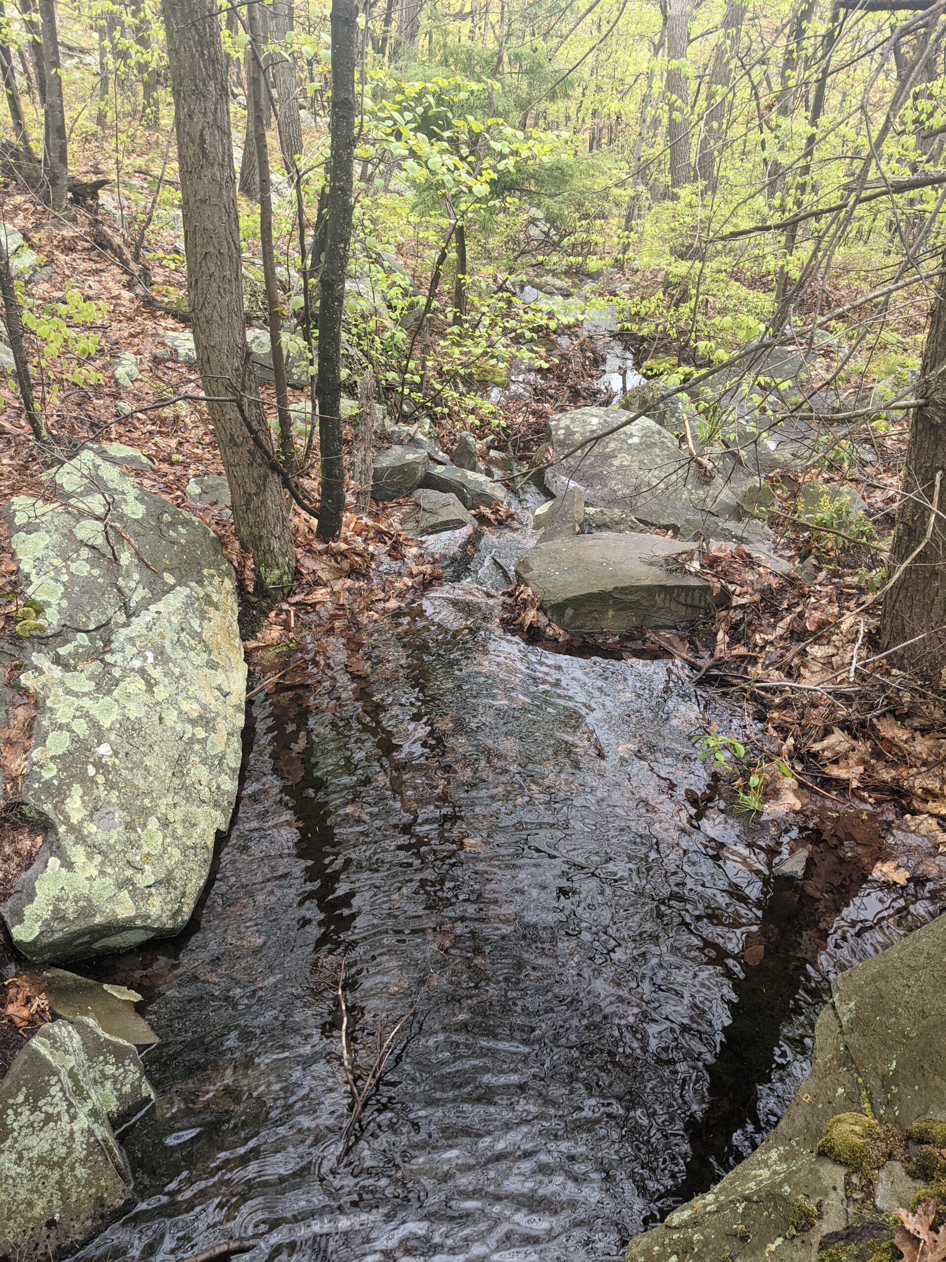
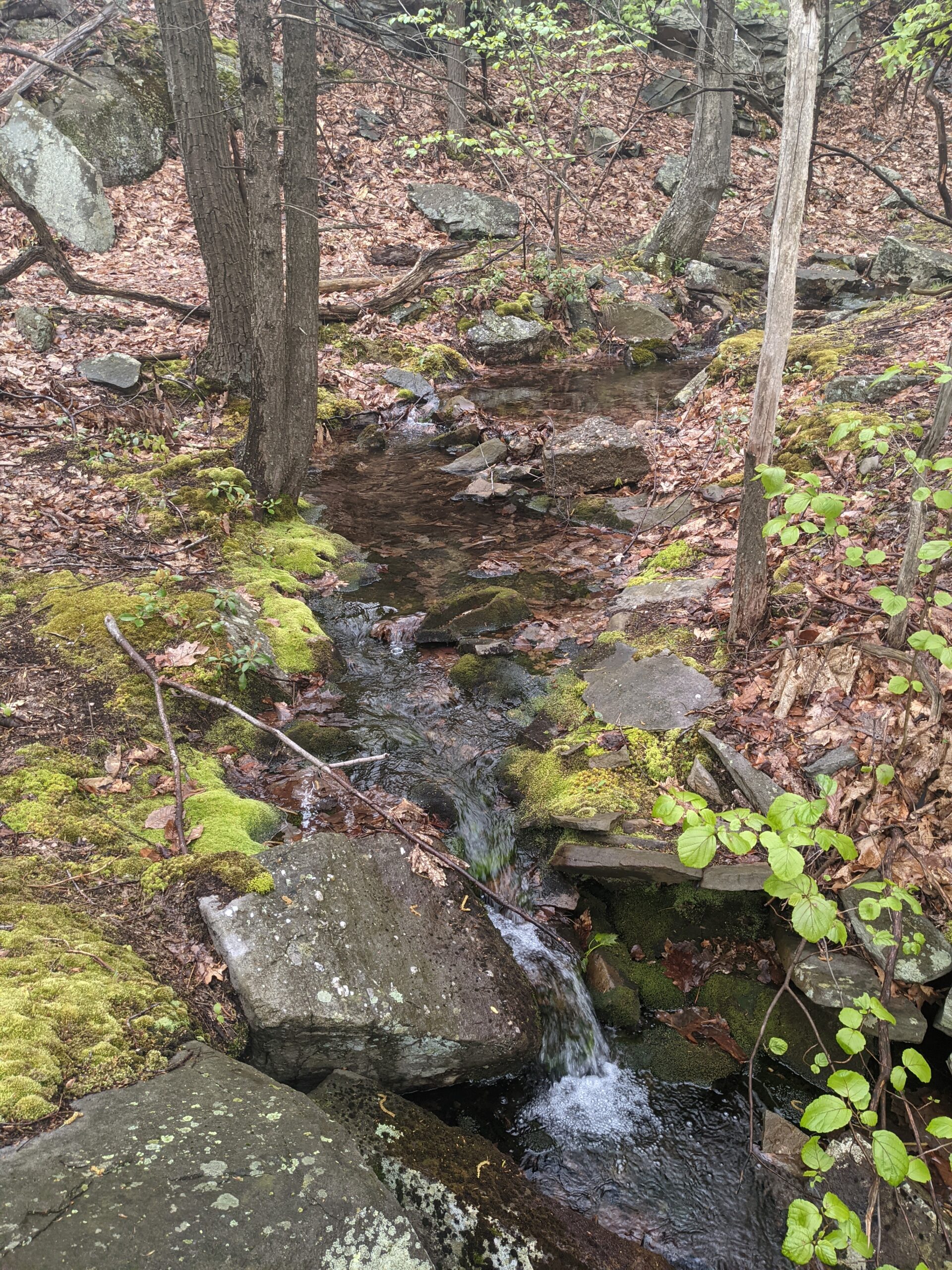
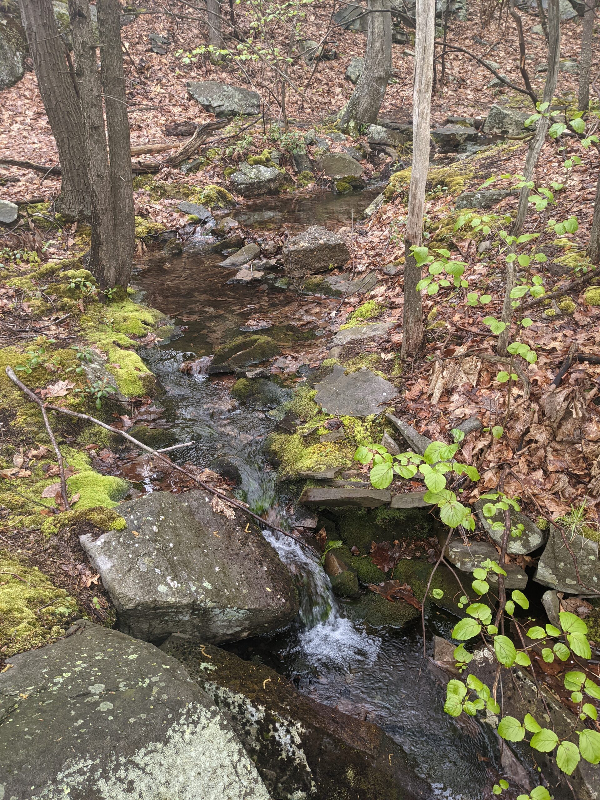
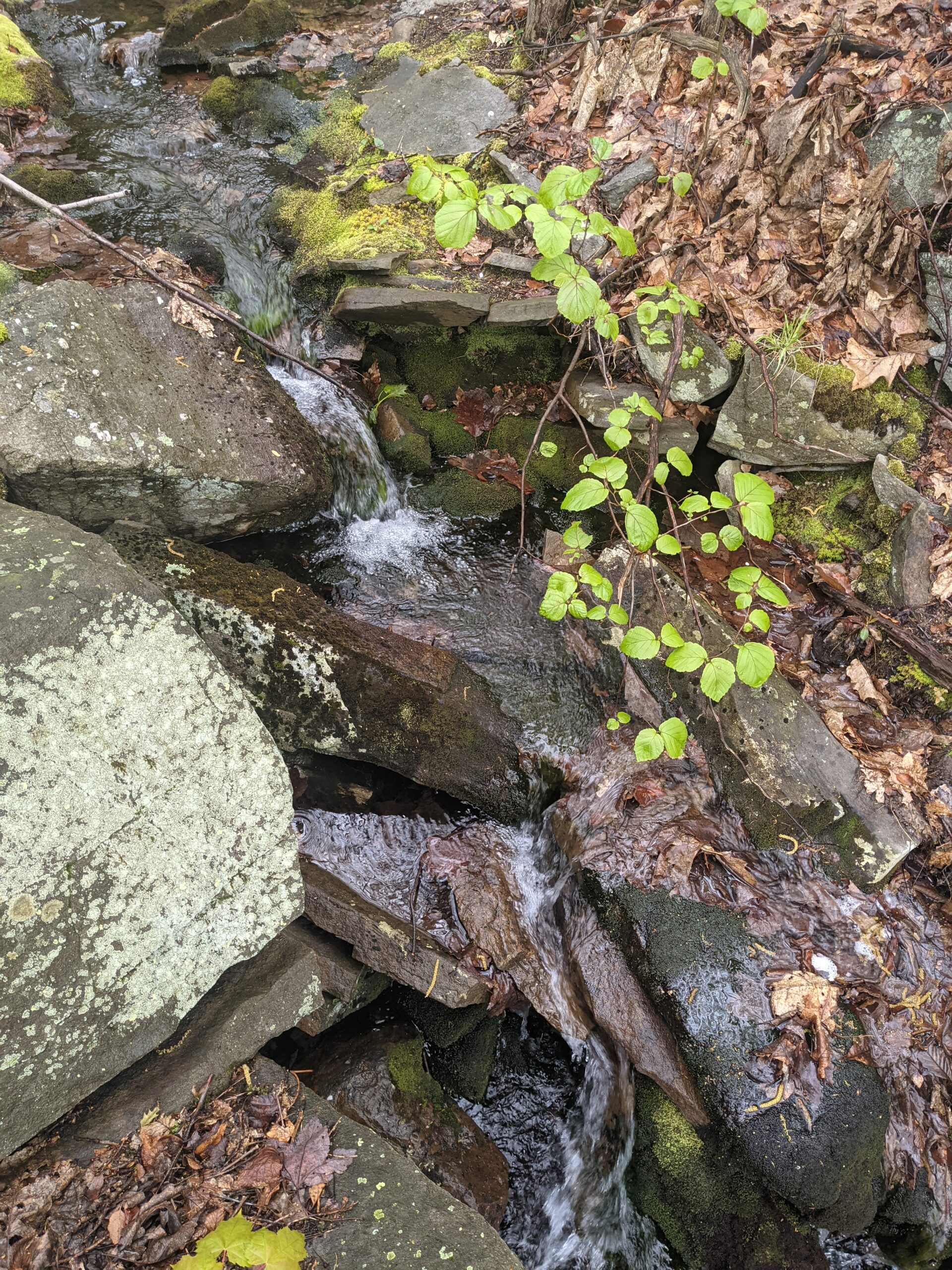
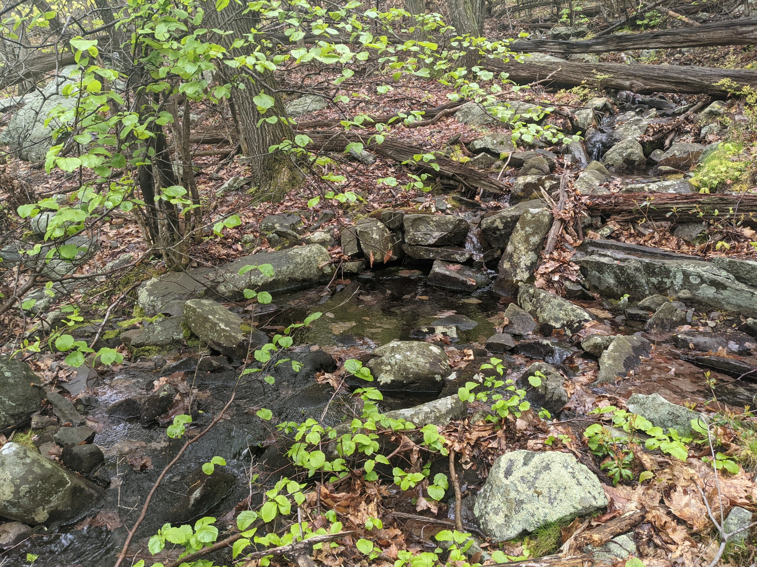
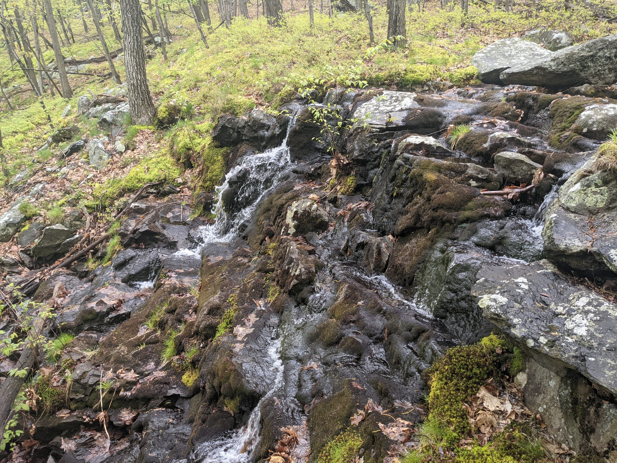
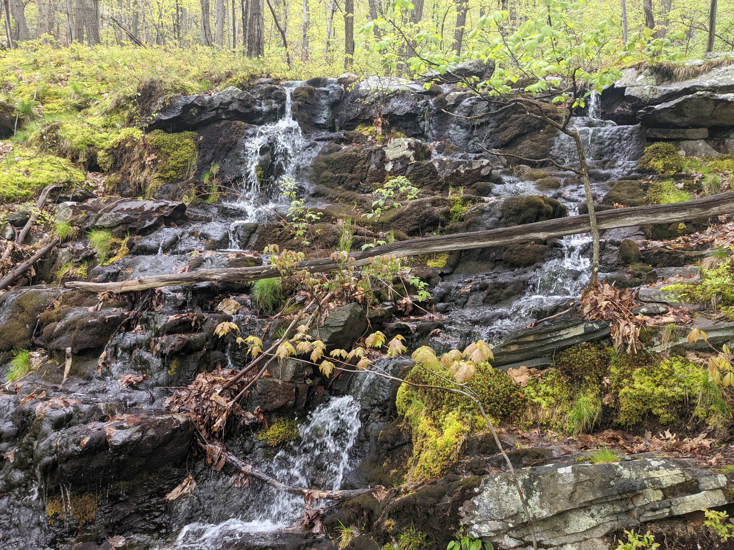
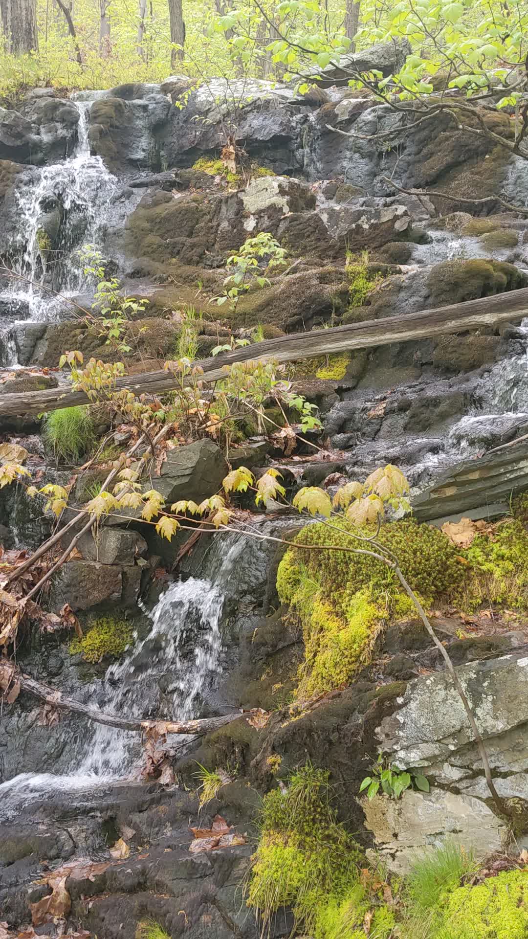
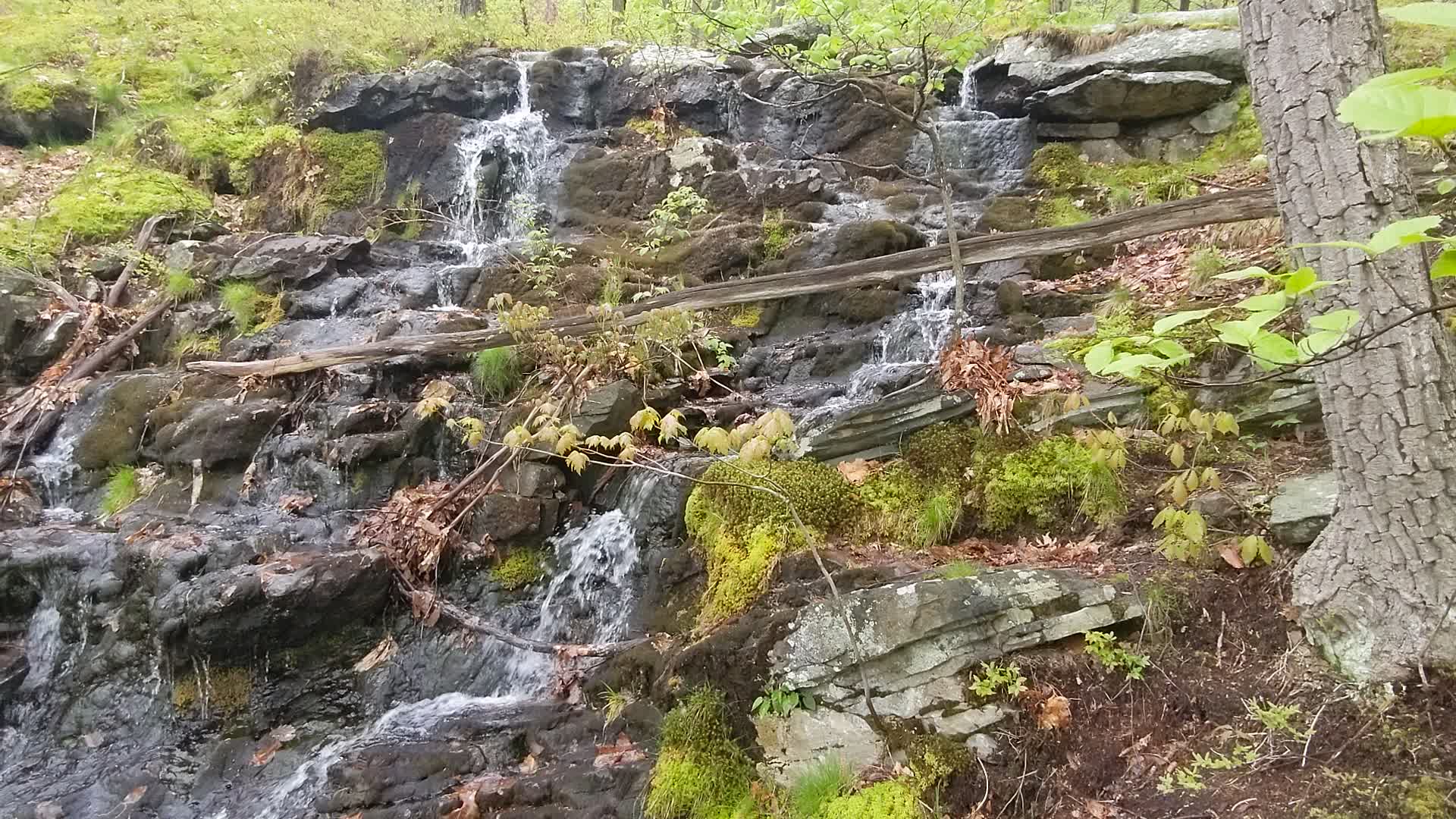
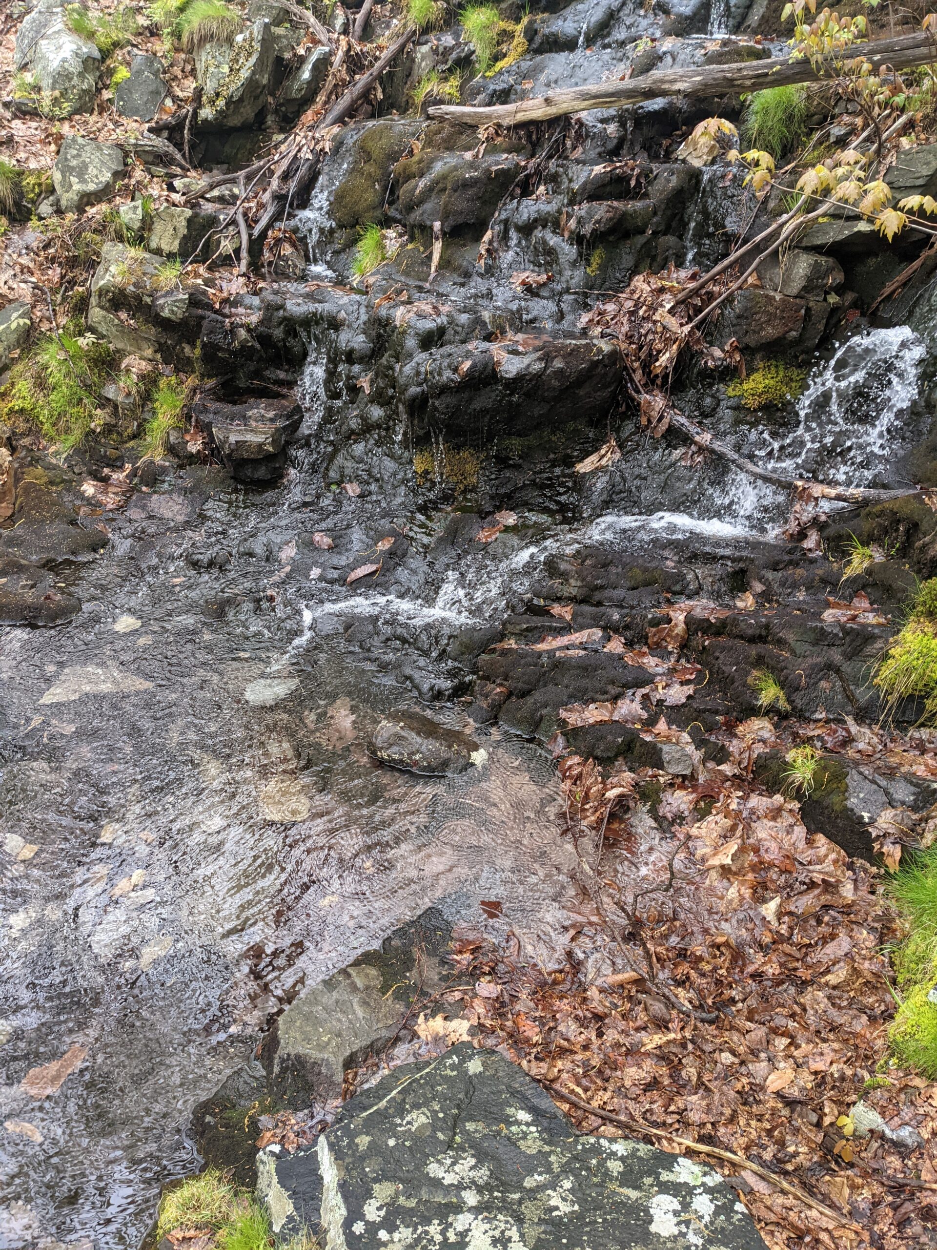
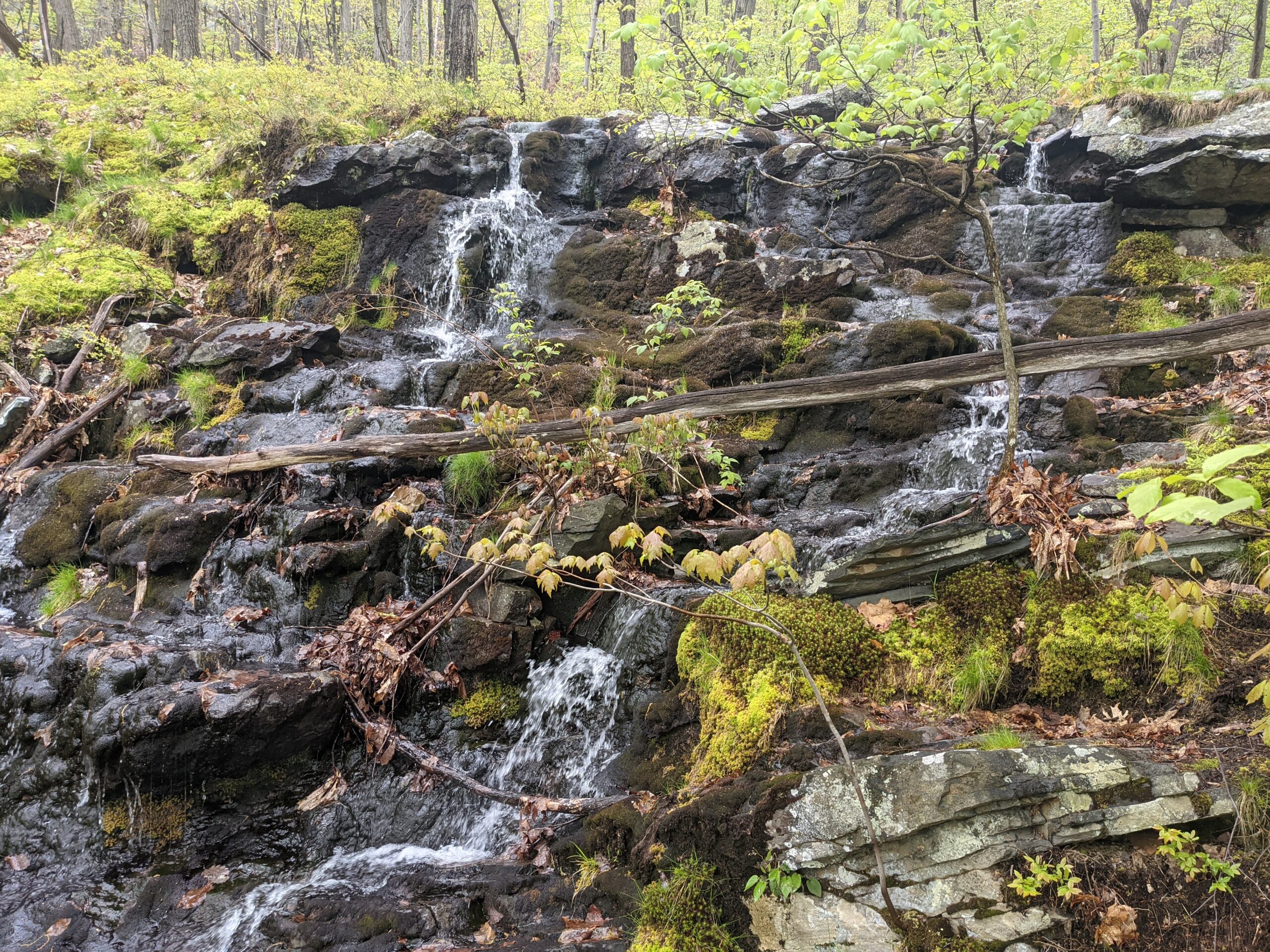
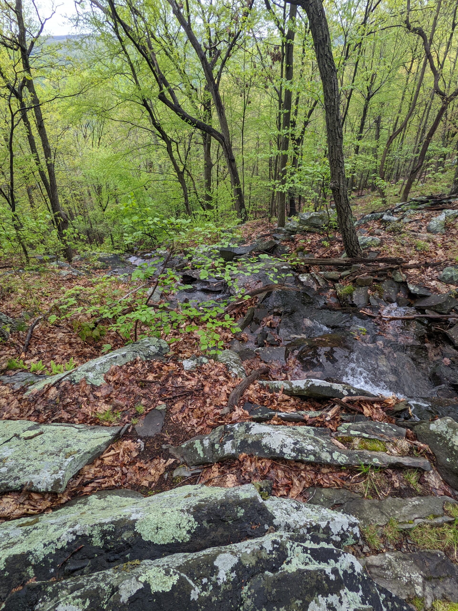
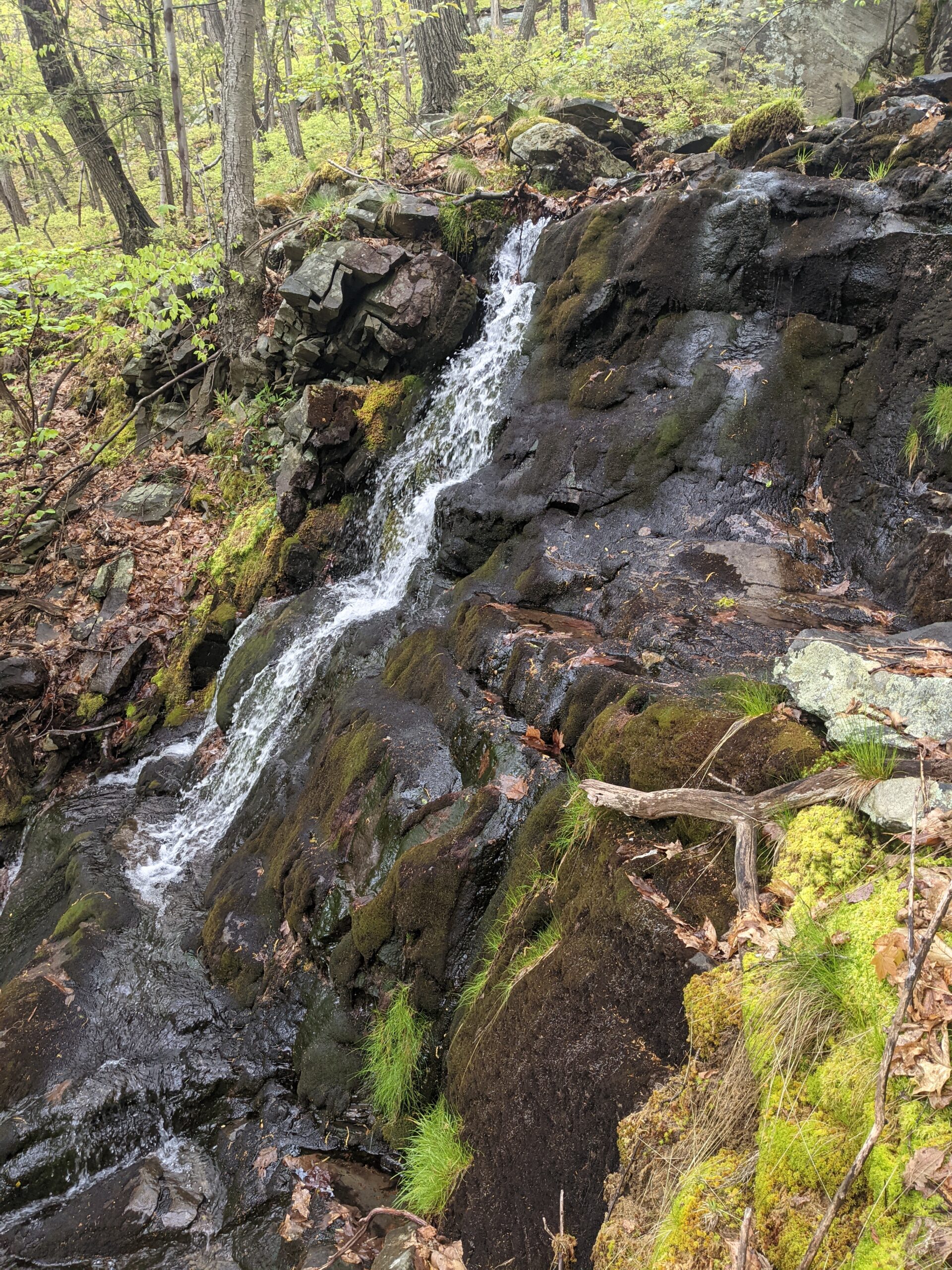
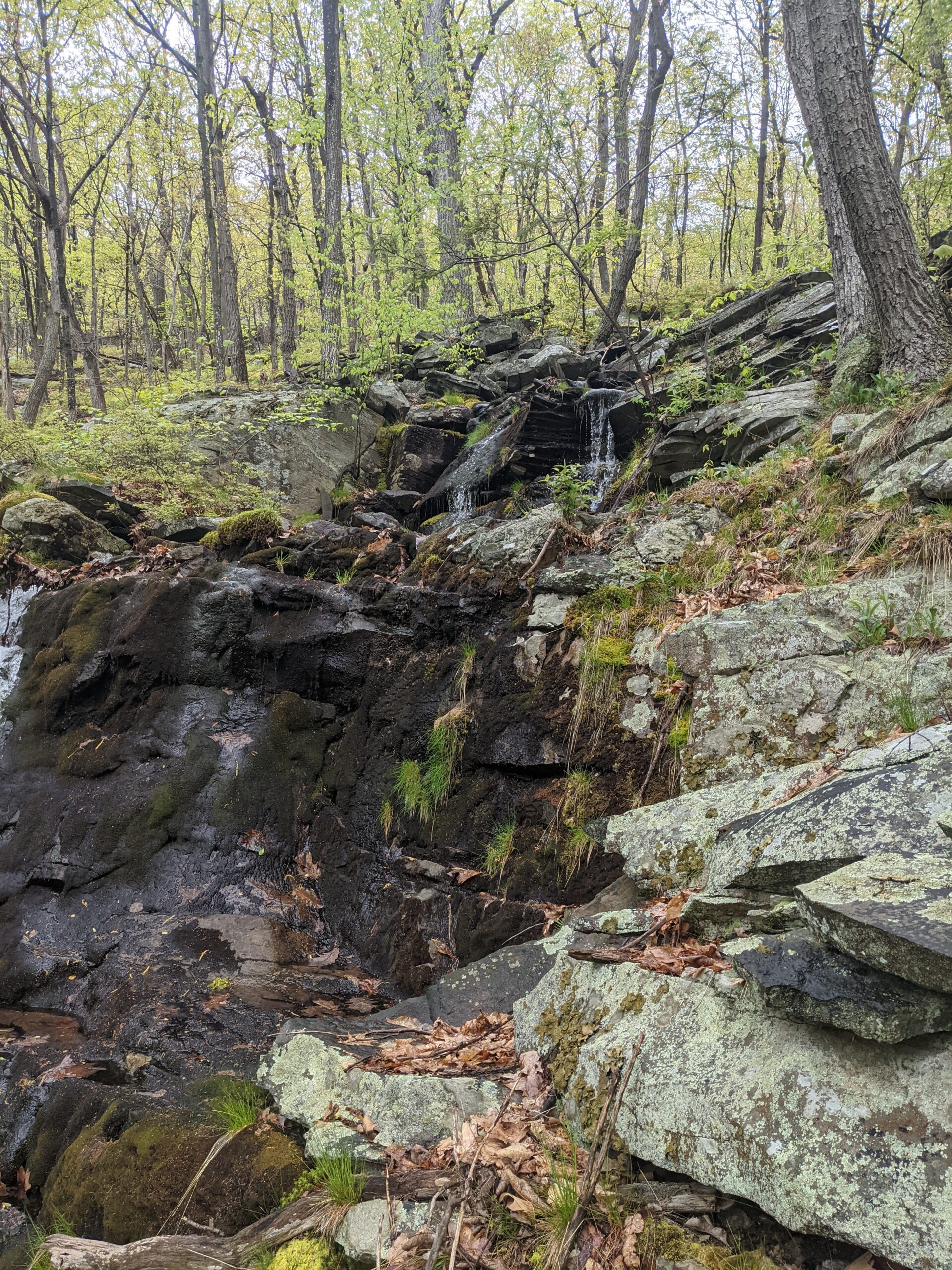
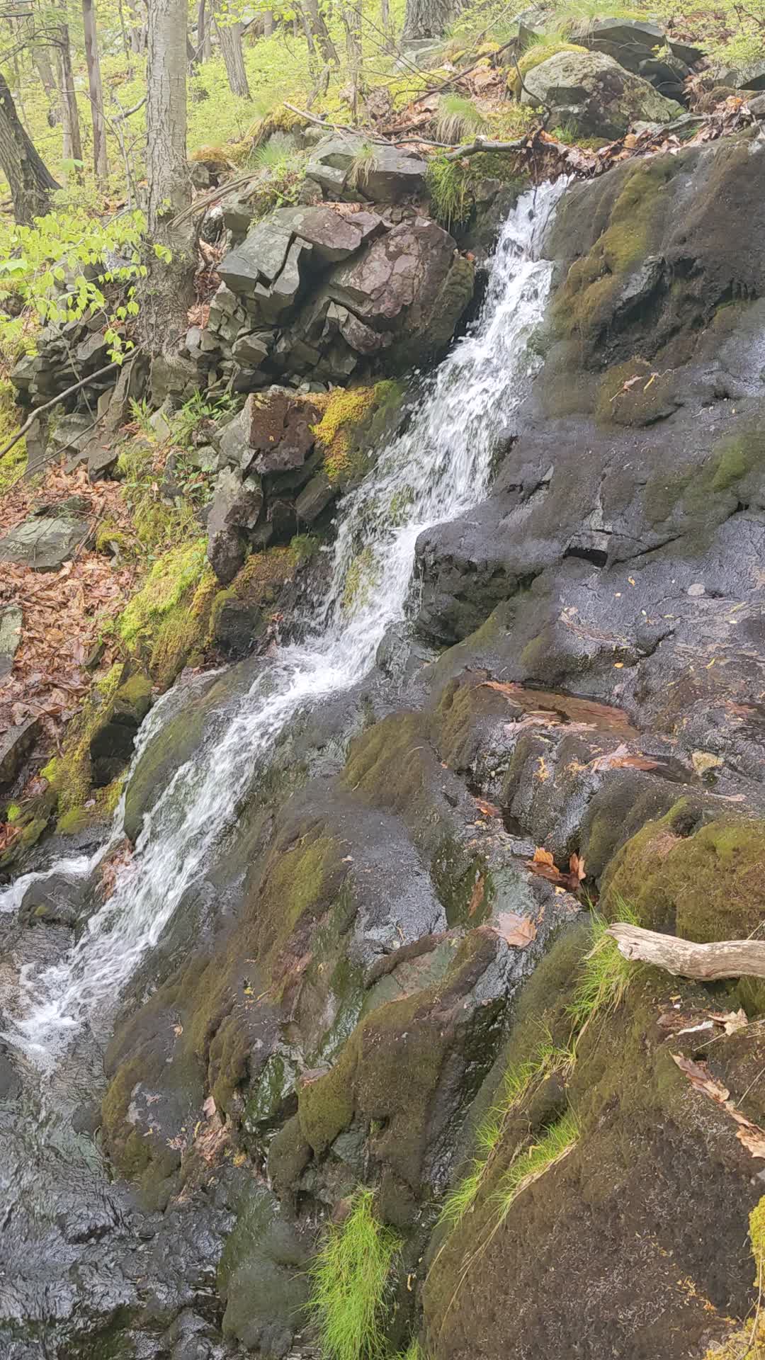
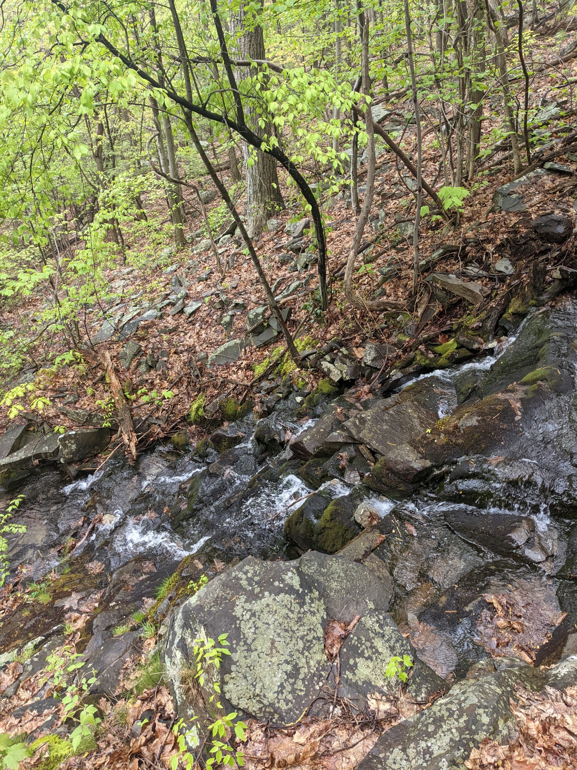
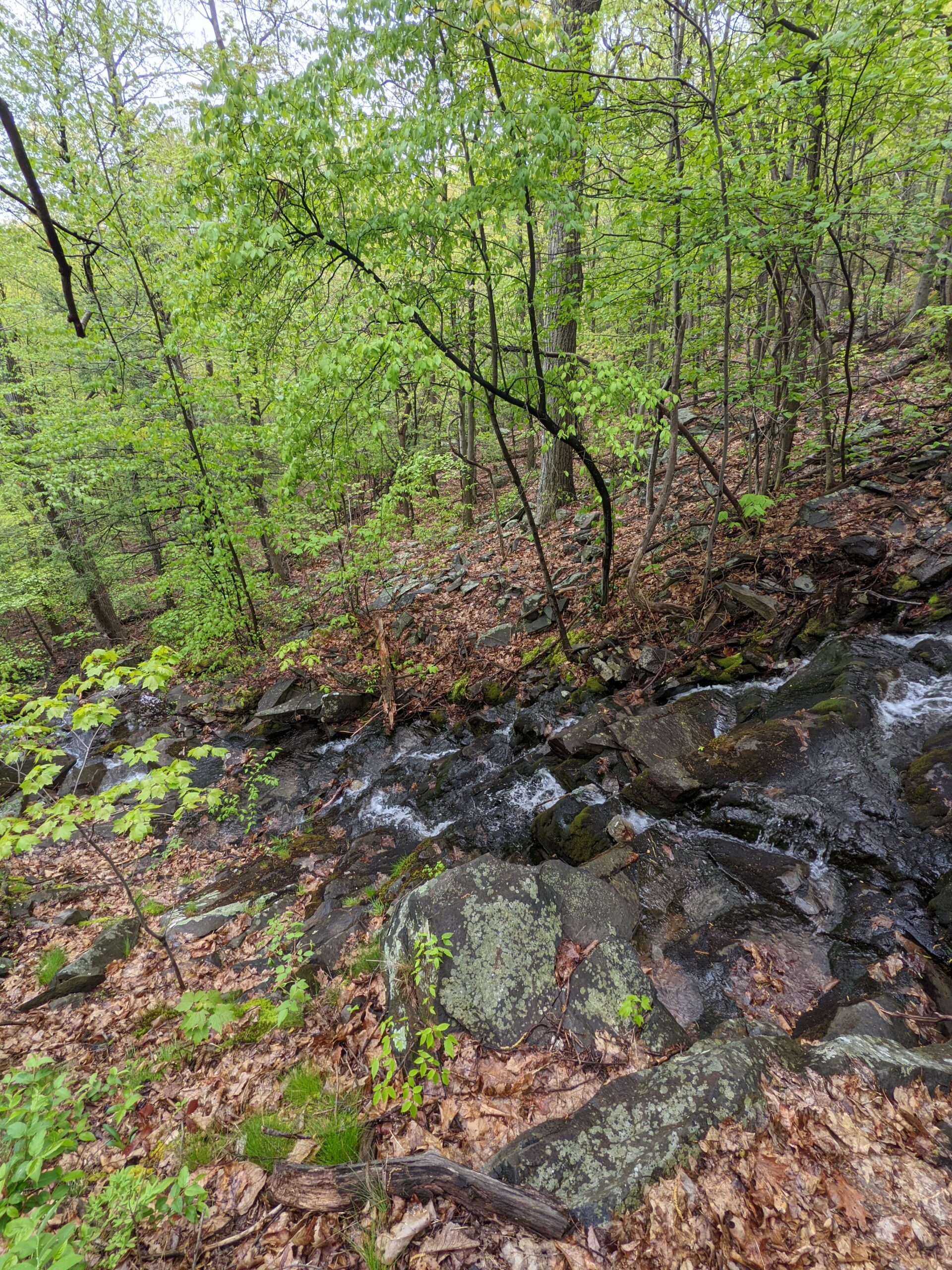
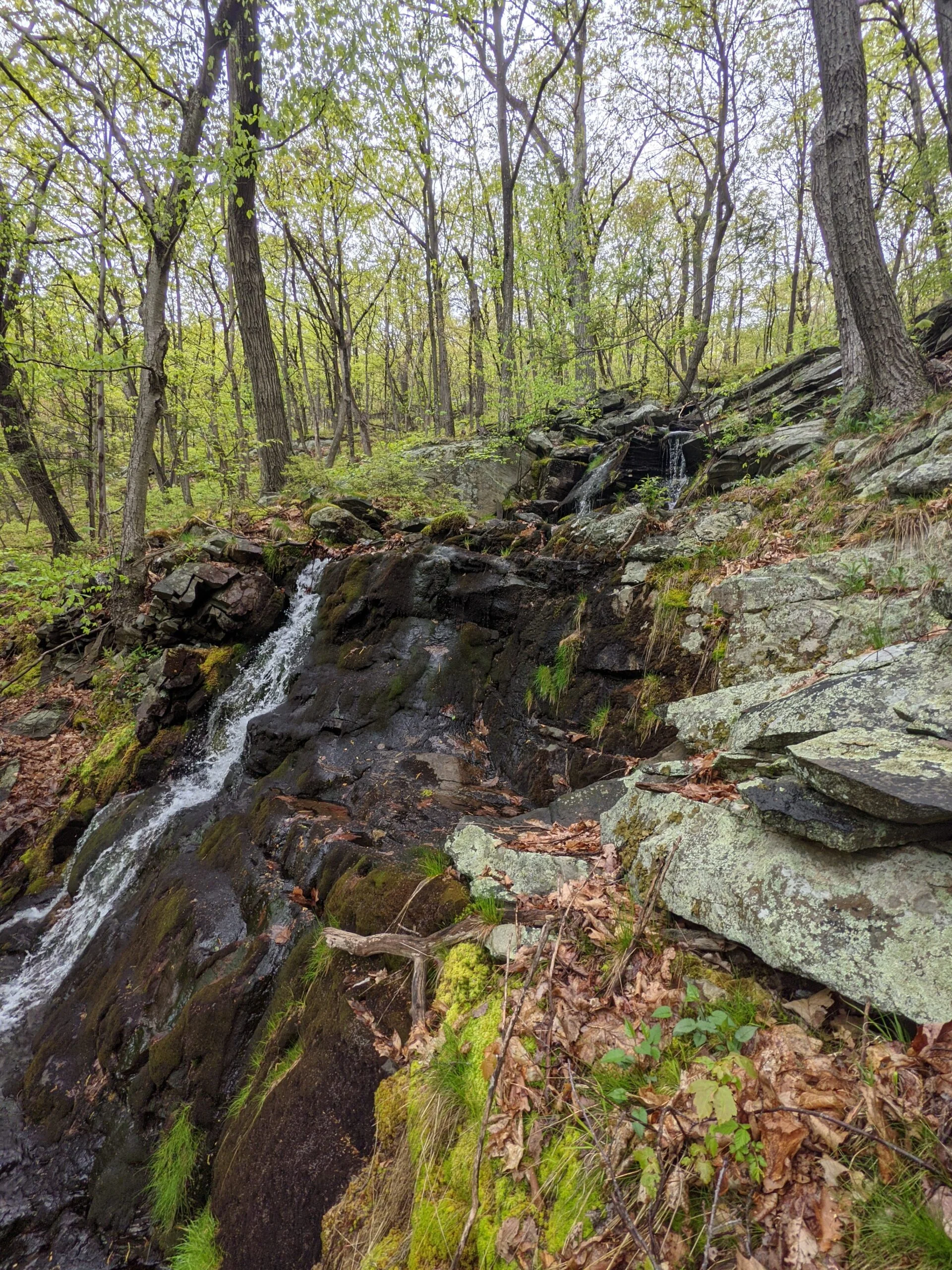
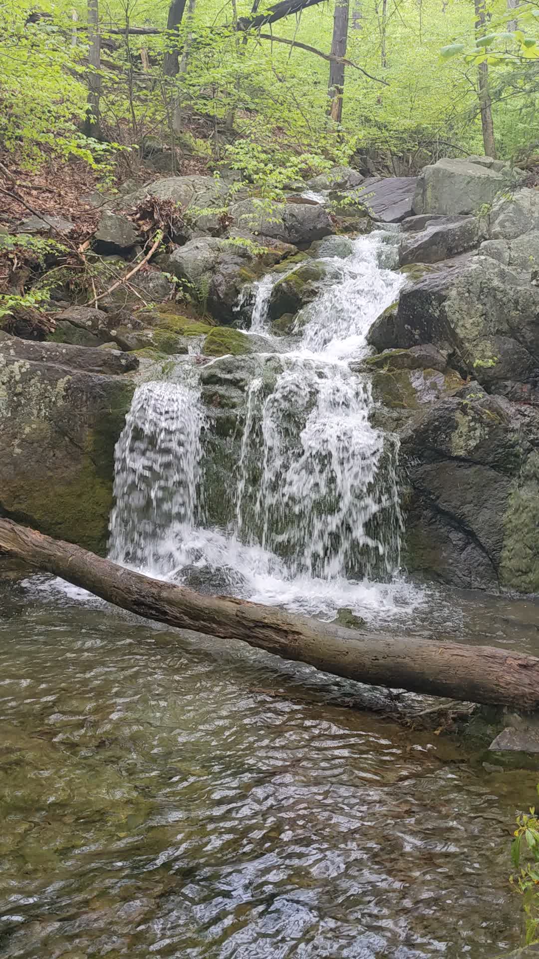
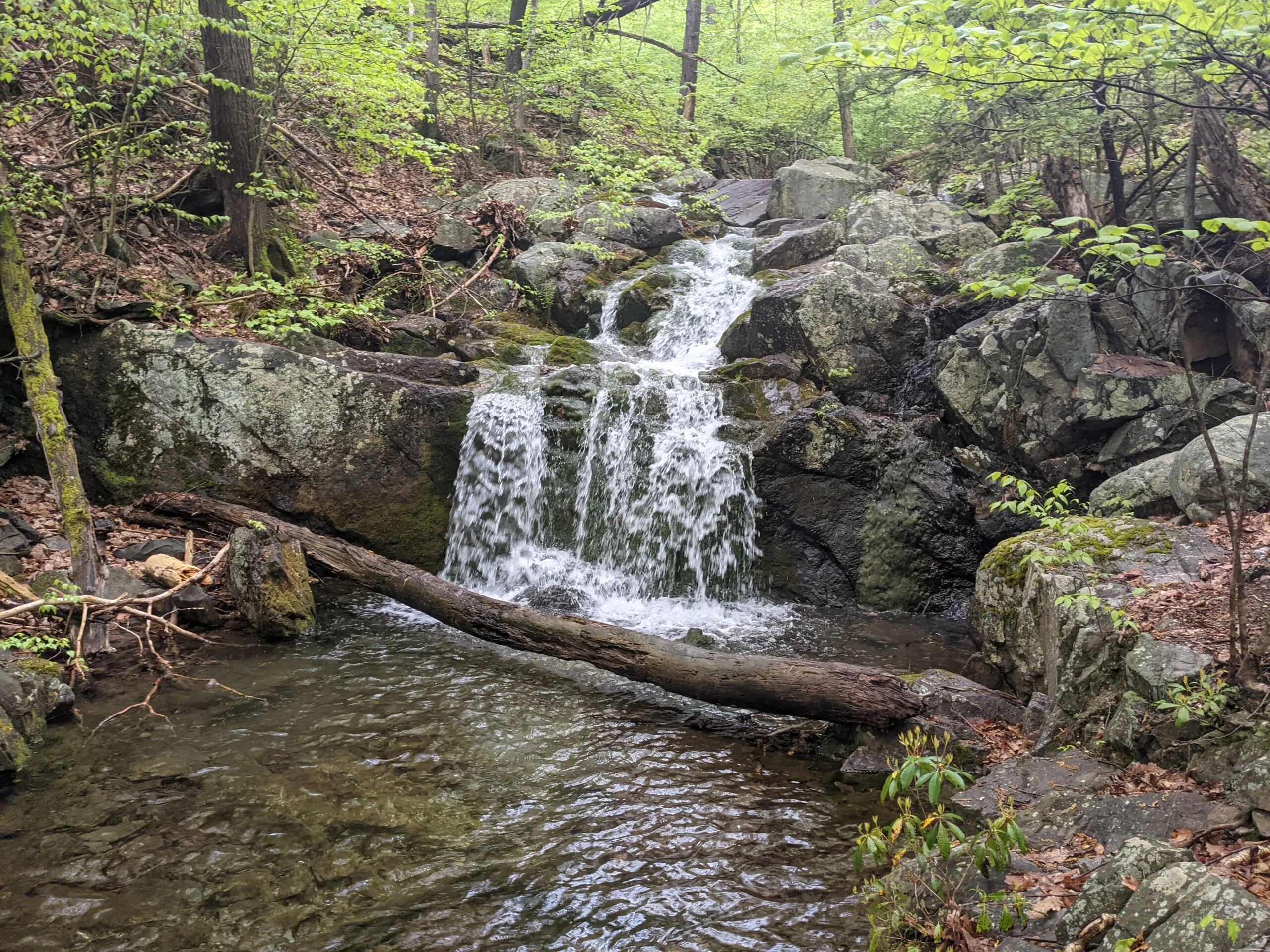
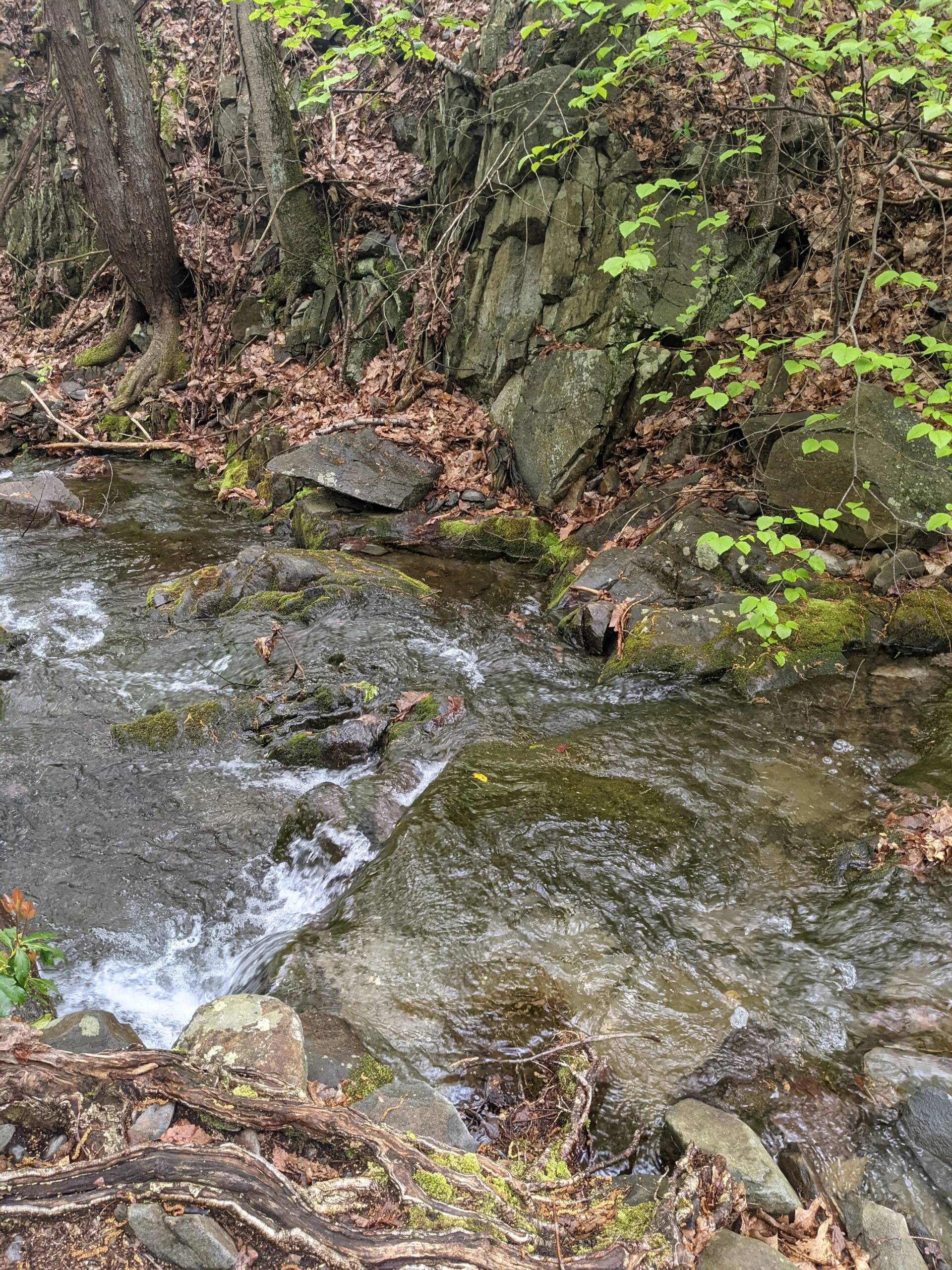
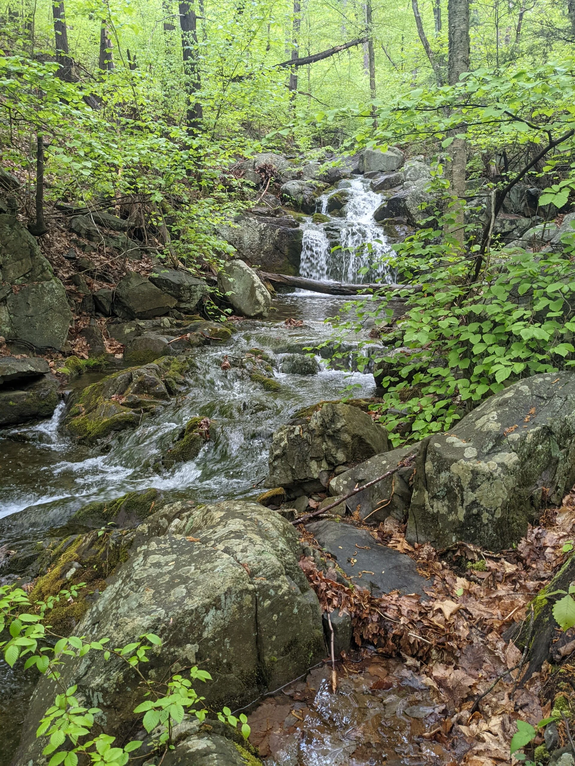
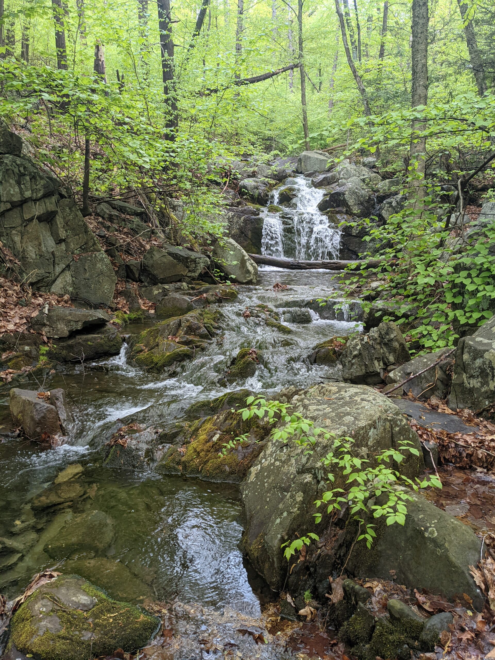
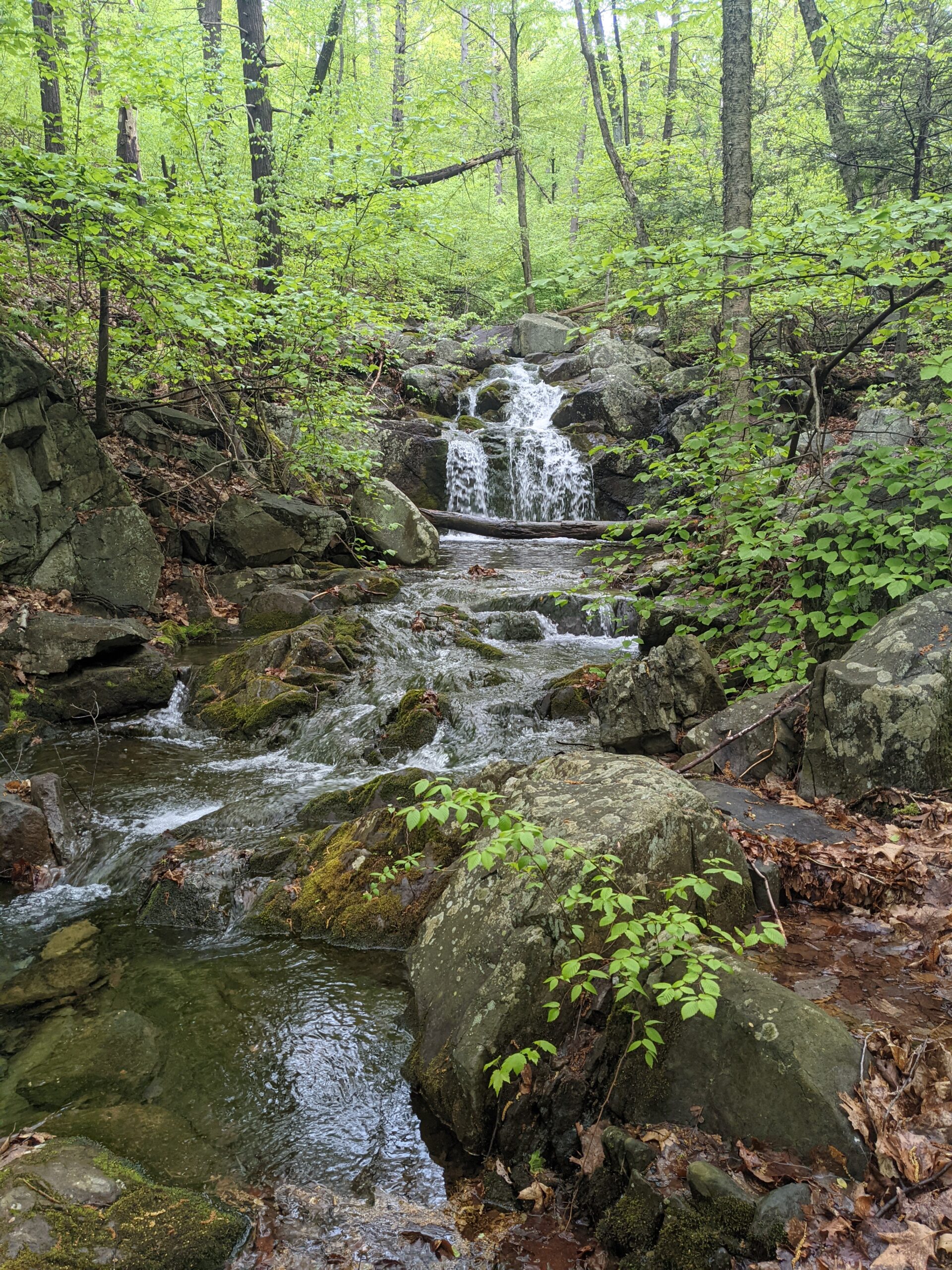
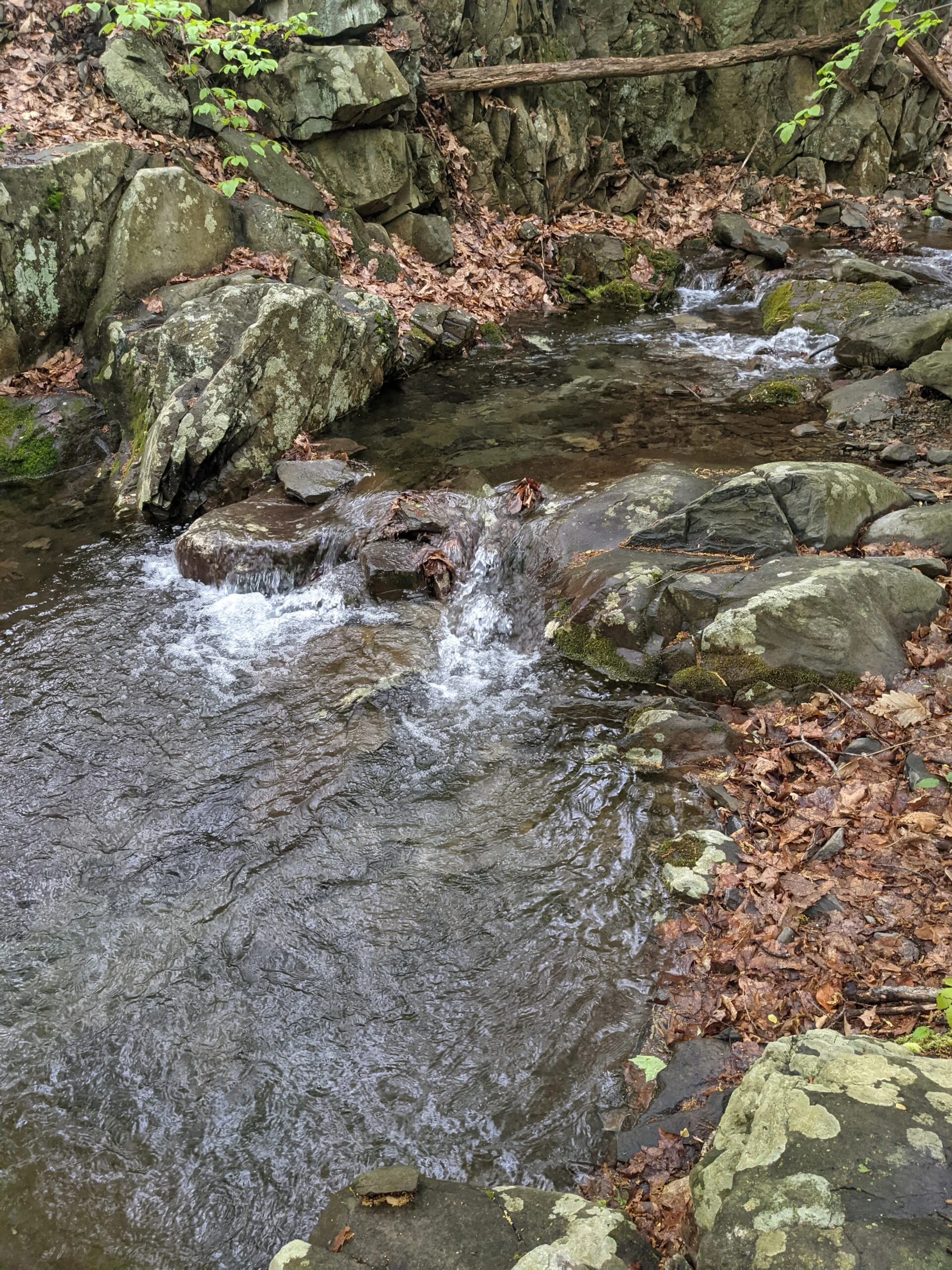
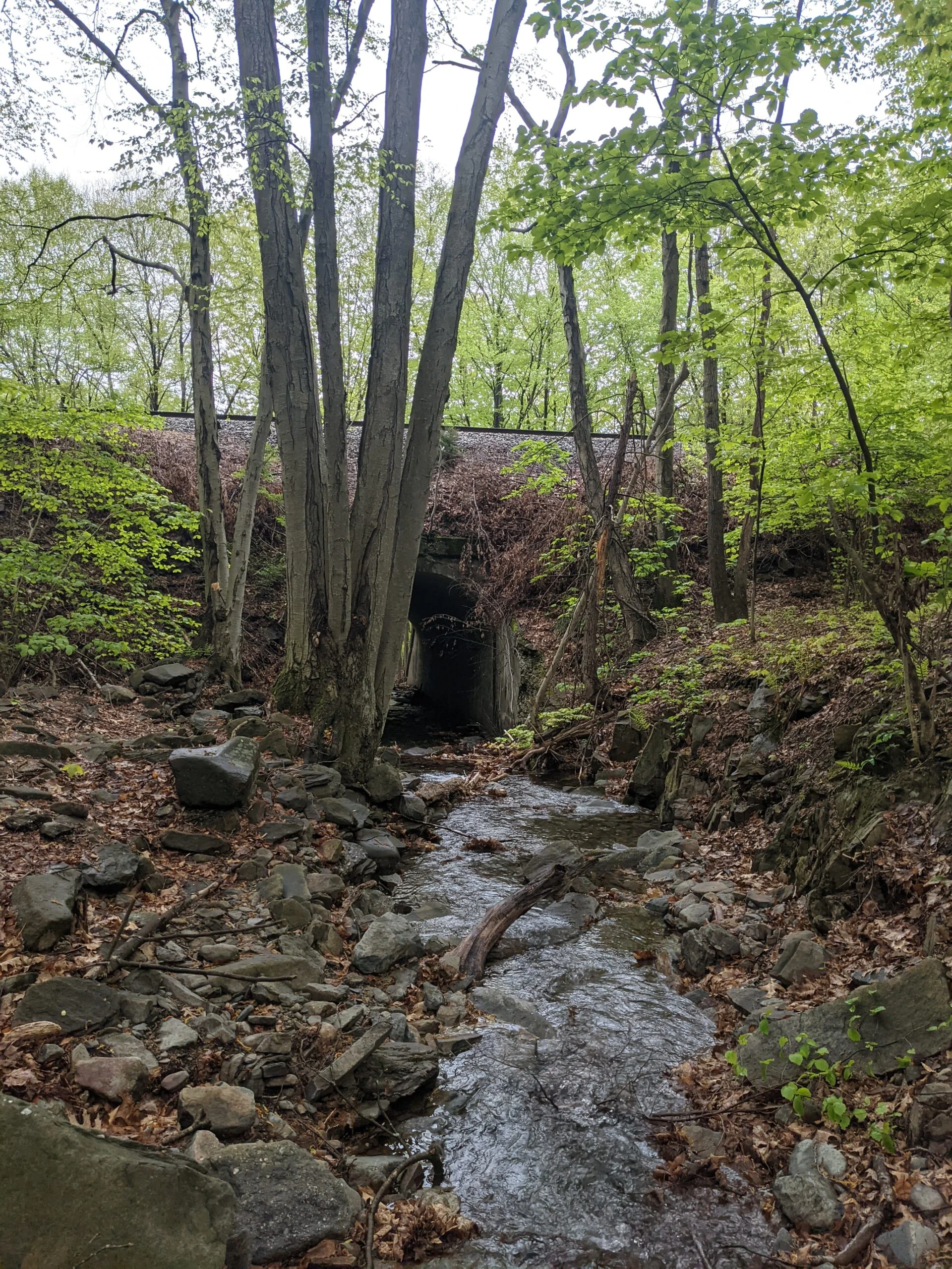
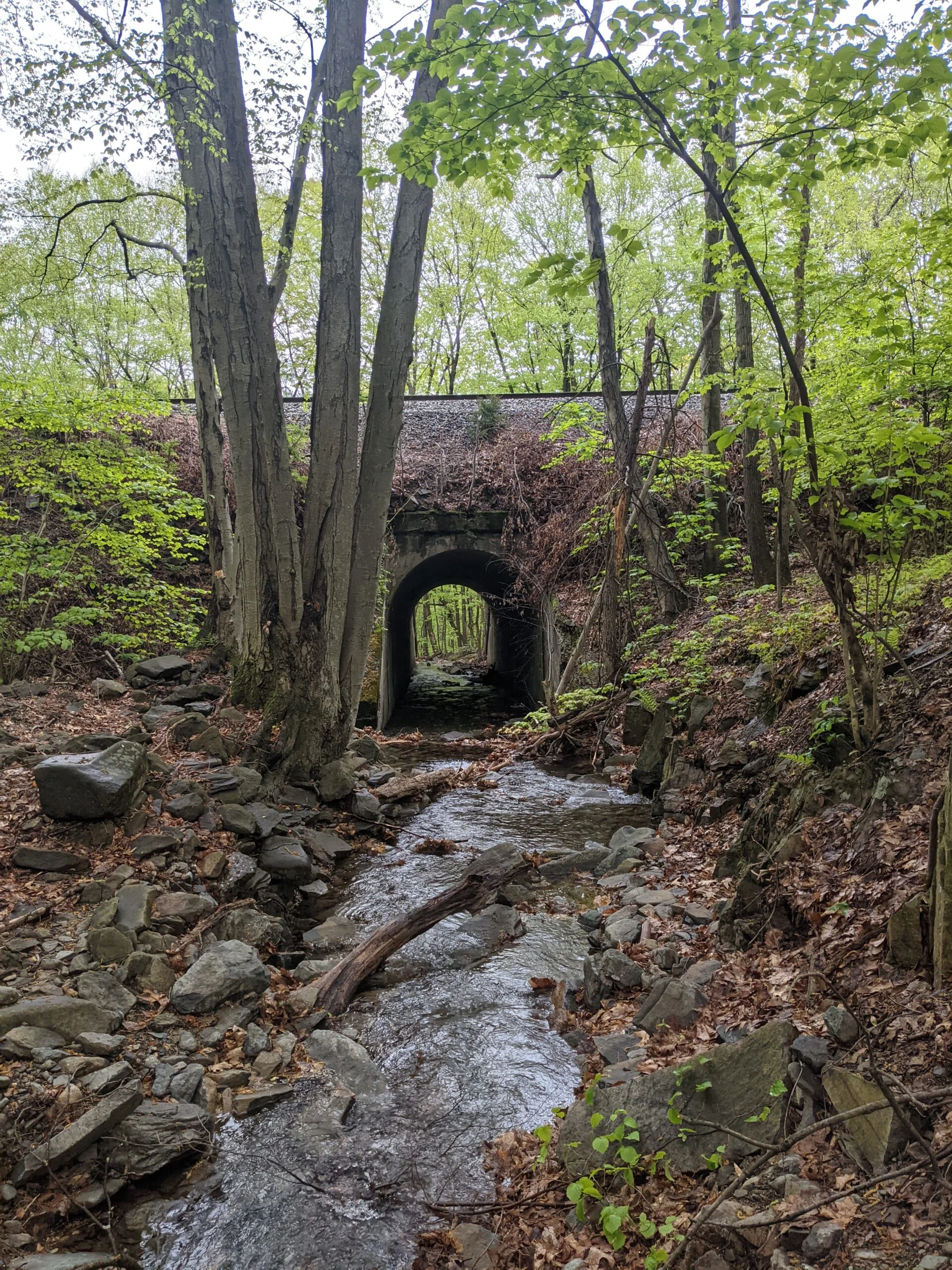
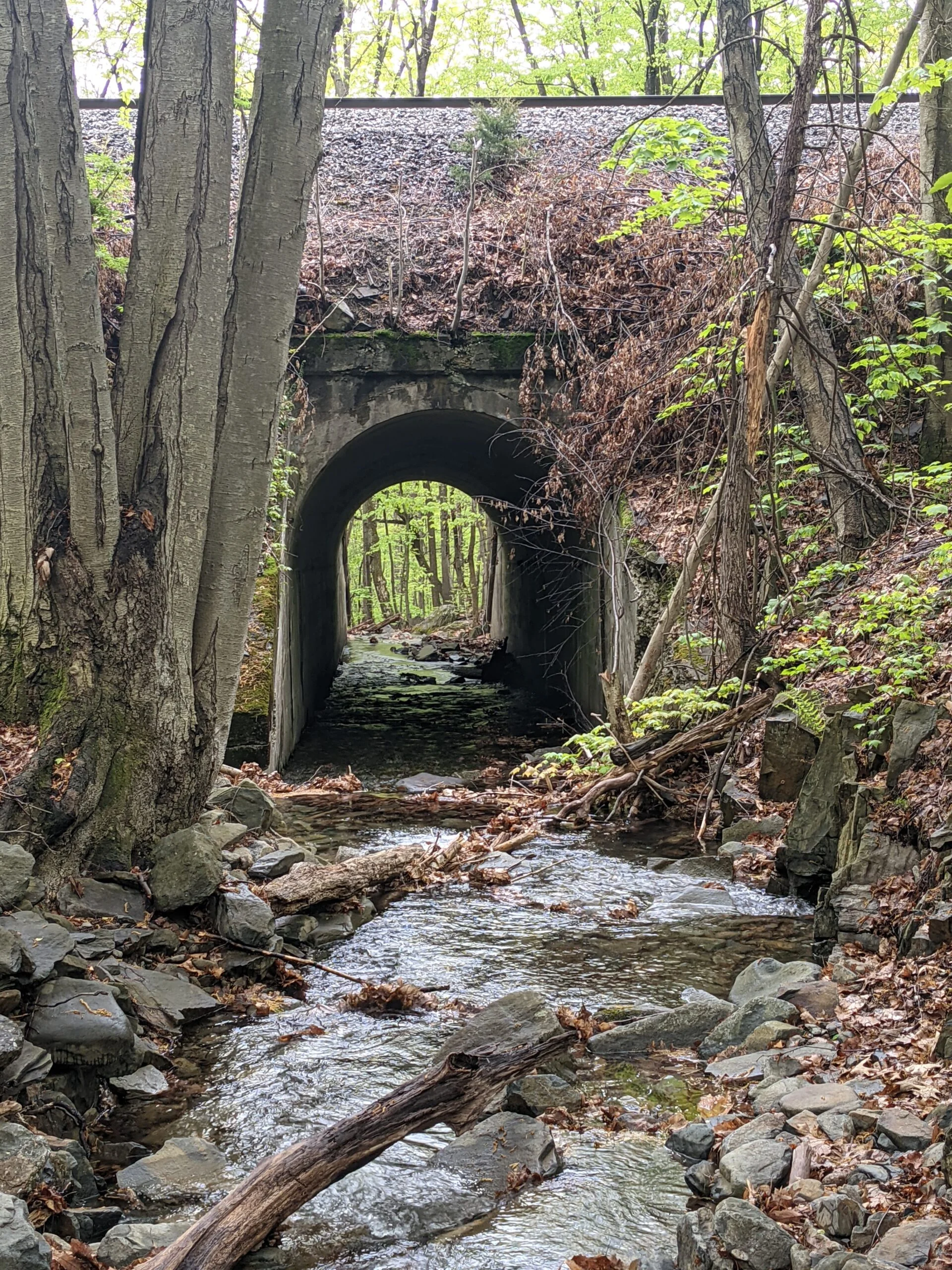
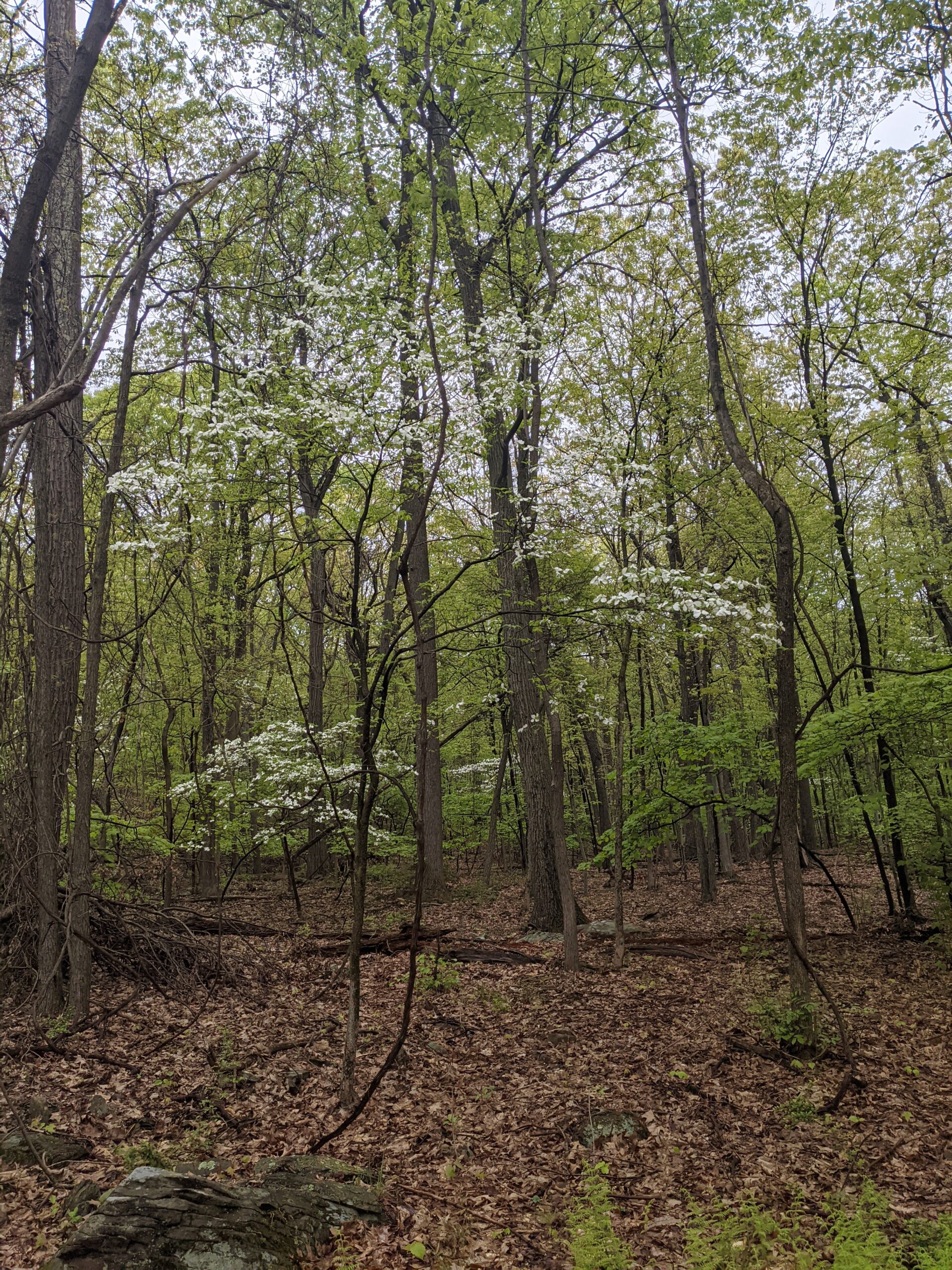
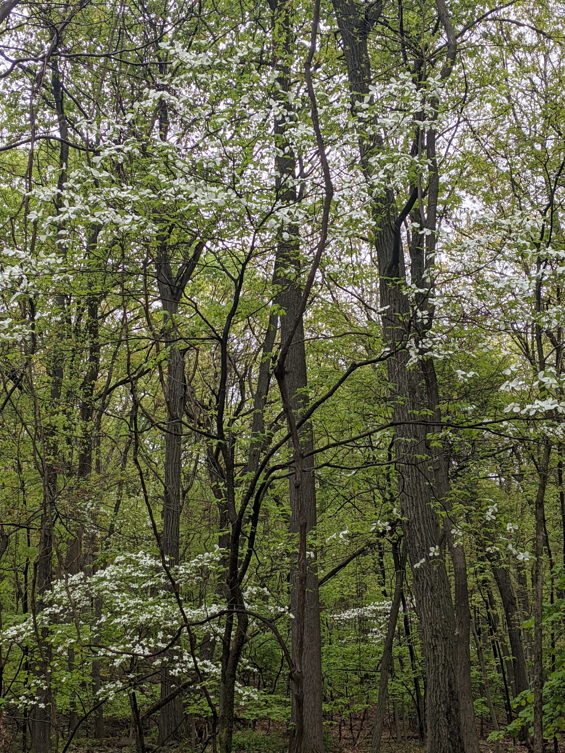
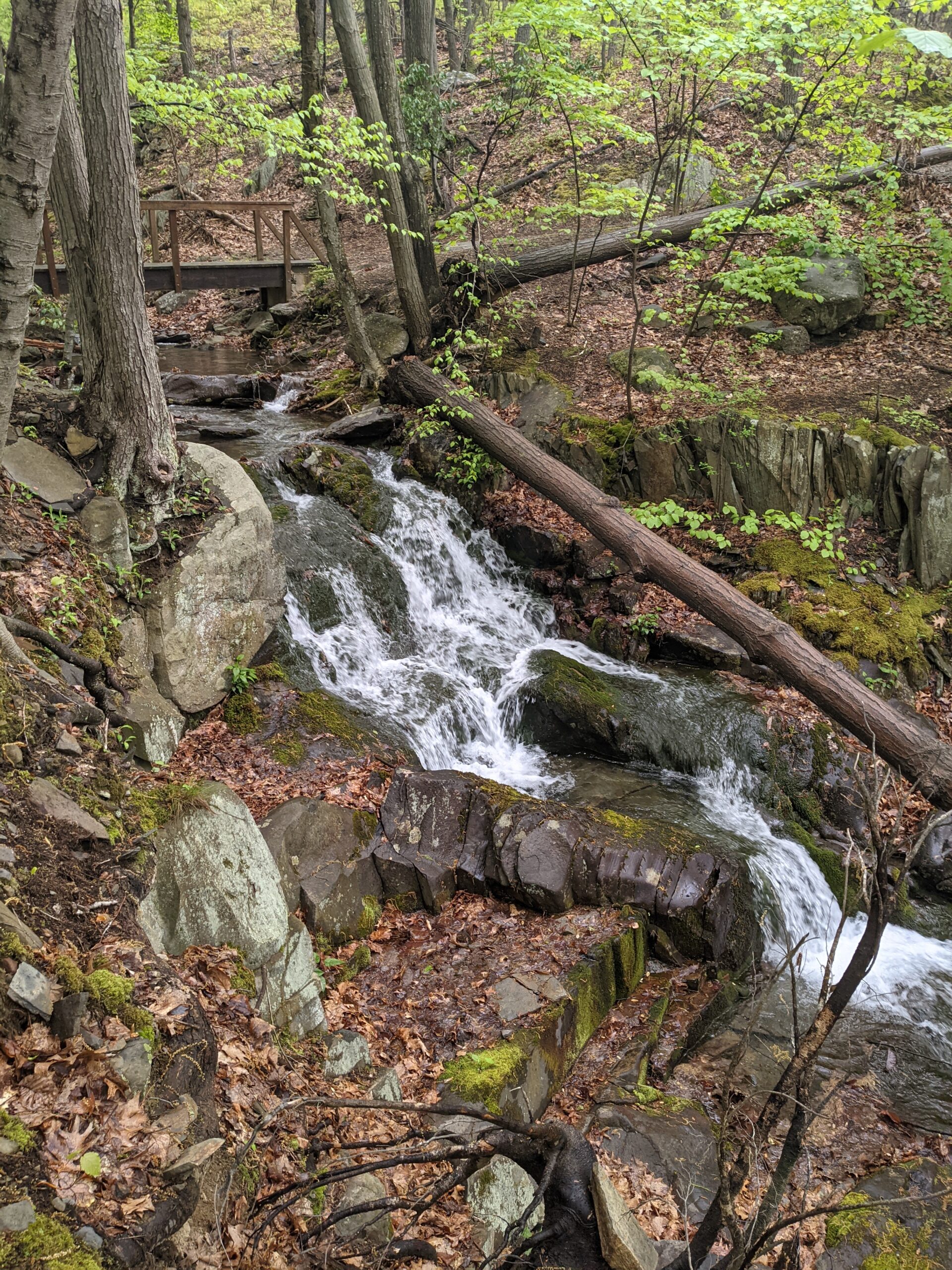
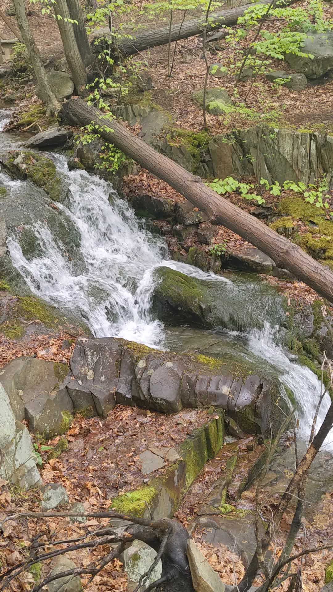
I followed ML until it intersected with Sweet Clover trail (SC, white blazes), which I took to the right (east). SC descends about 1,100 feet over 1.5 miles. The trail follows a stream off to the right and at several parts along the way, various waterfalls can be heard and seen.
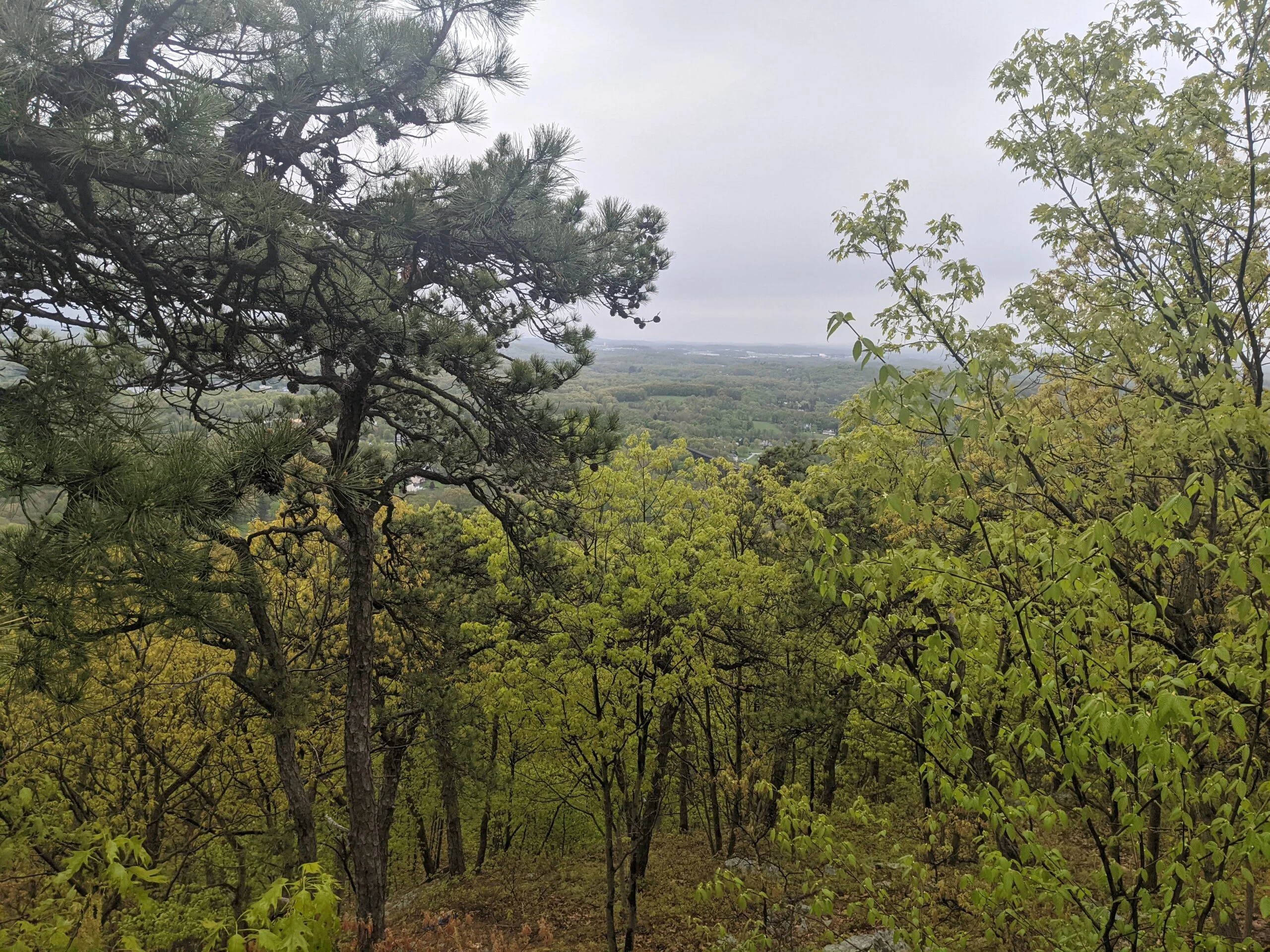
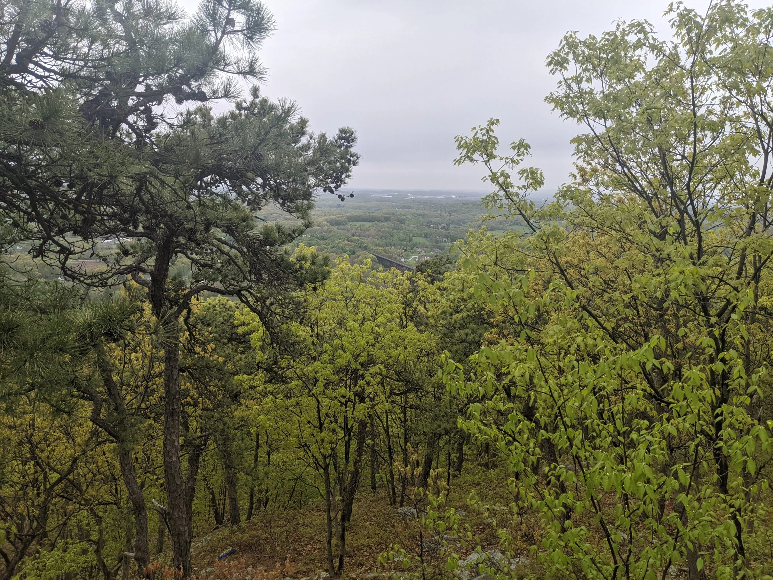
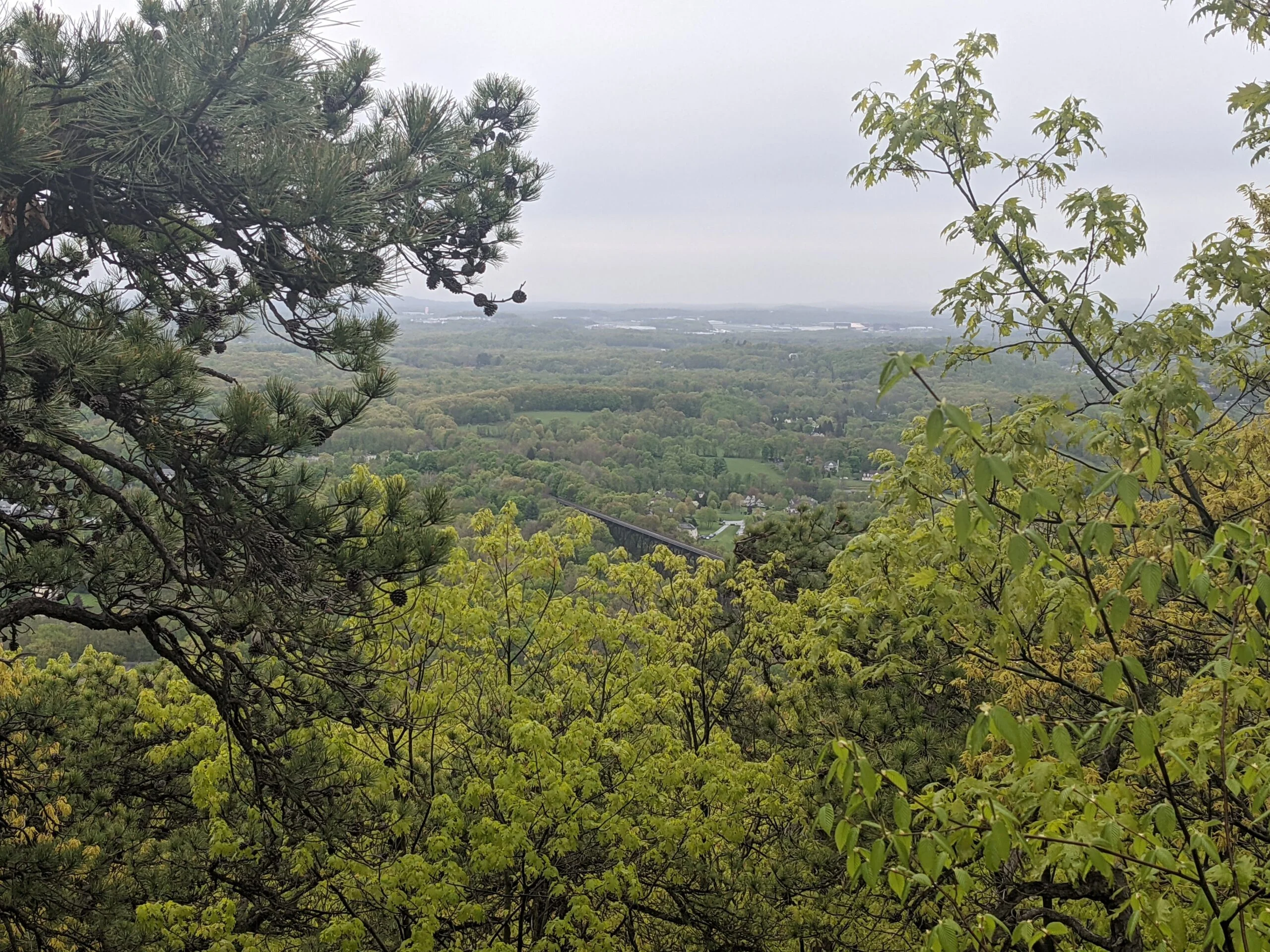
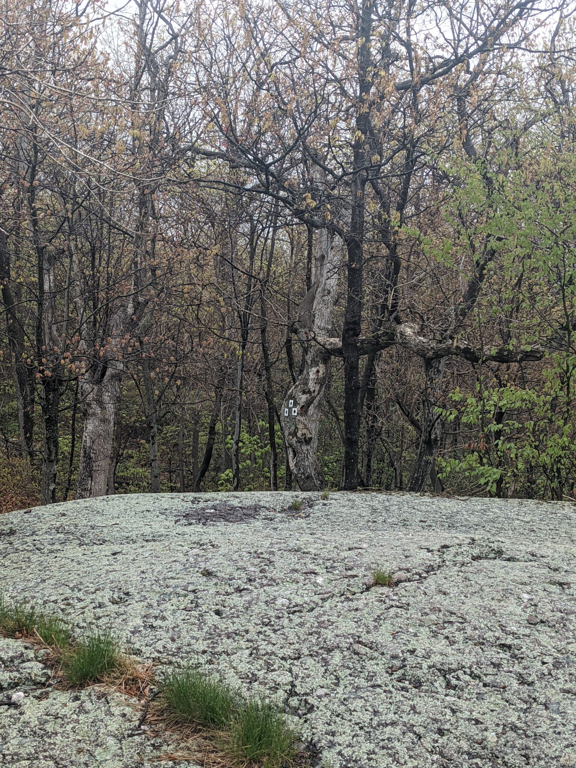
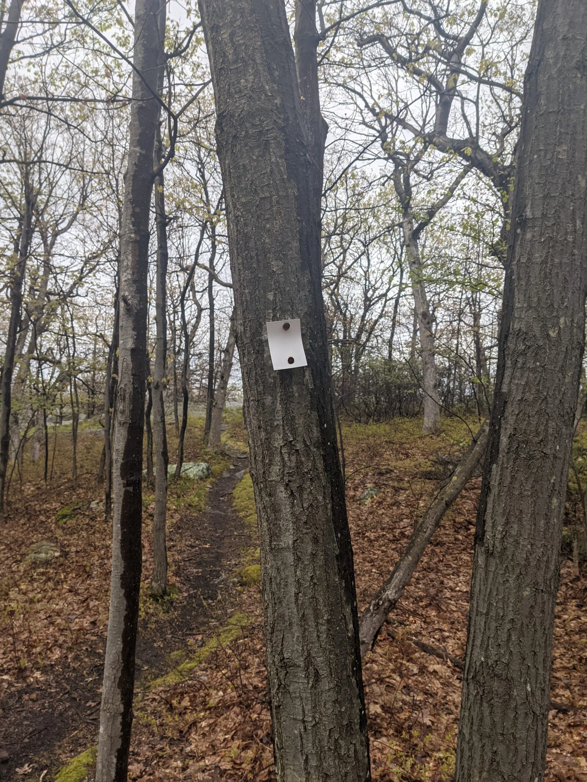
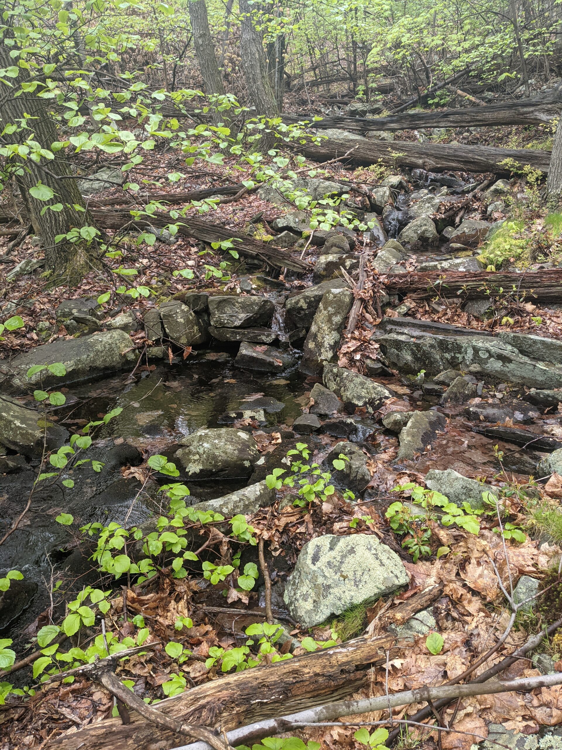
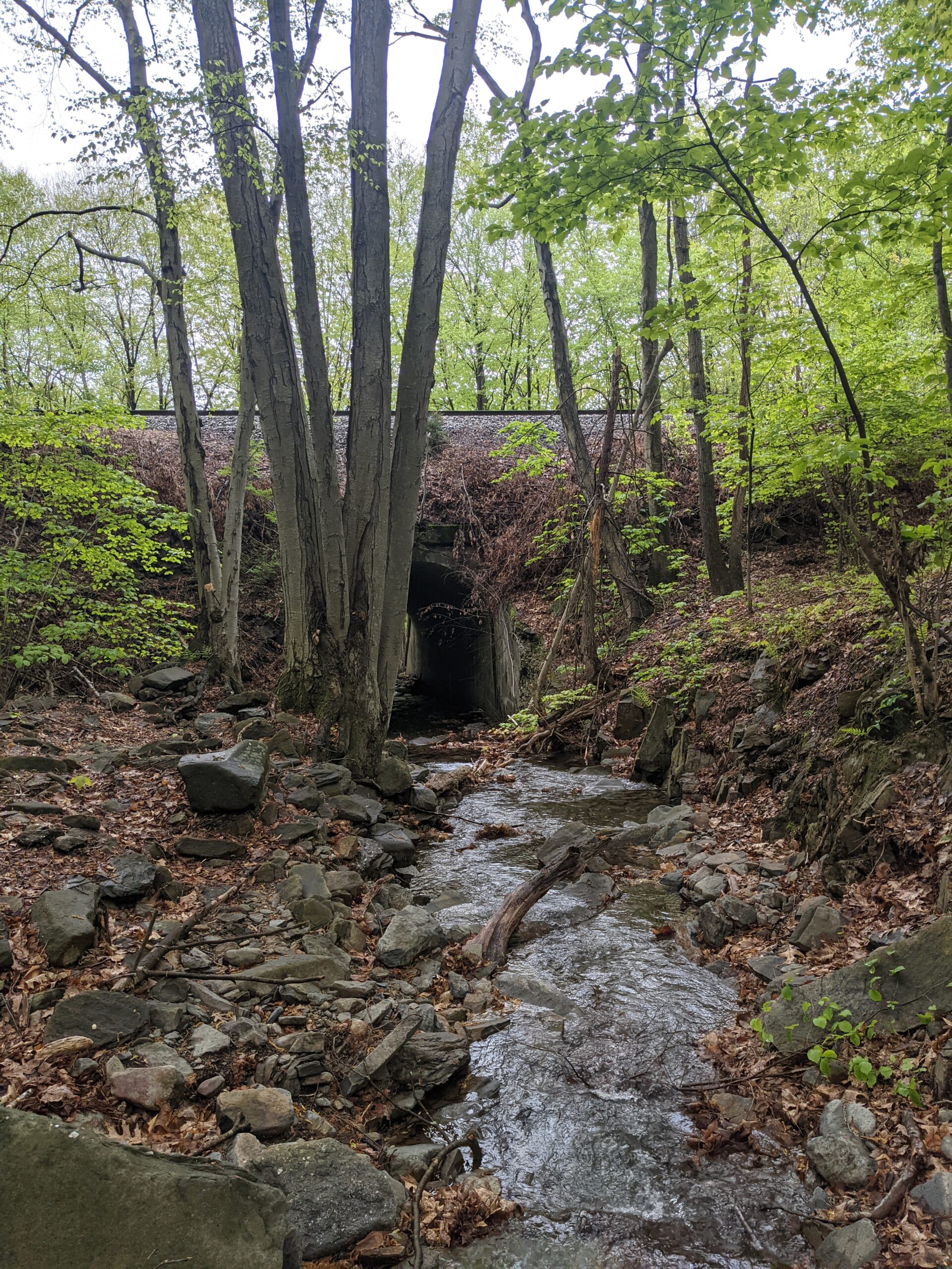
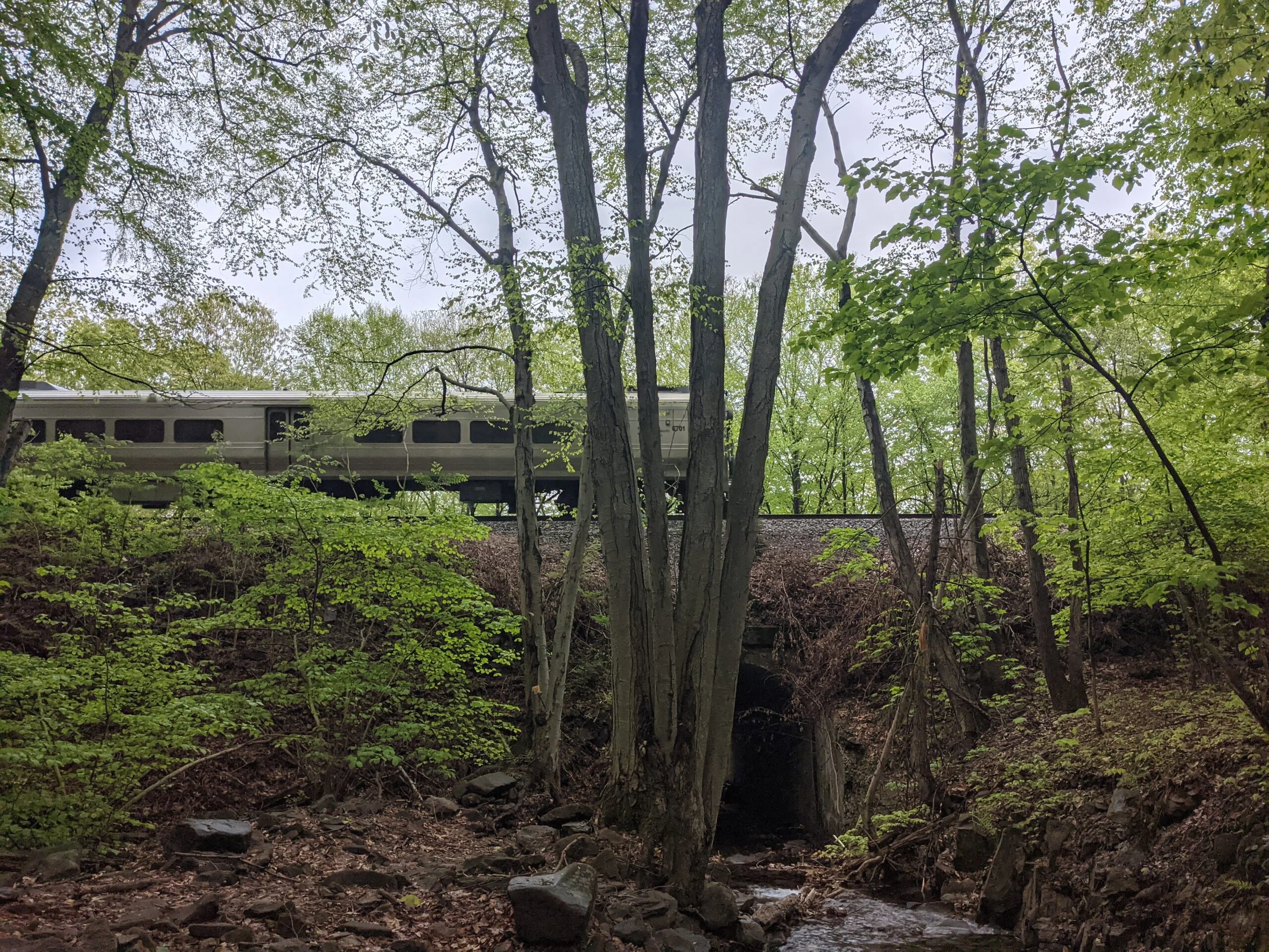
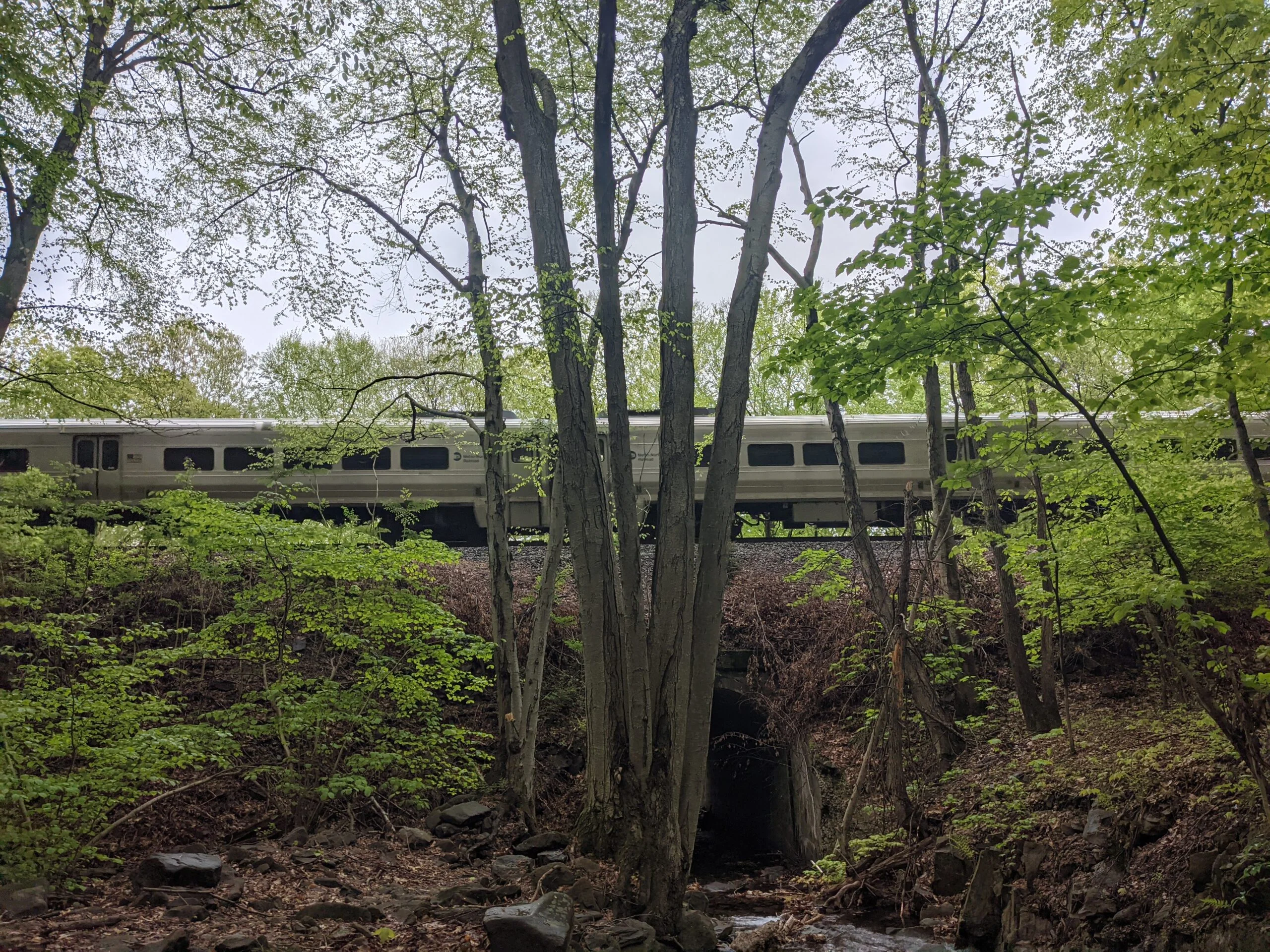
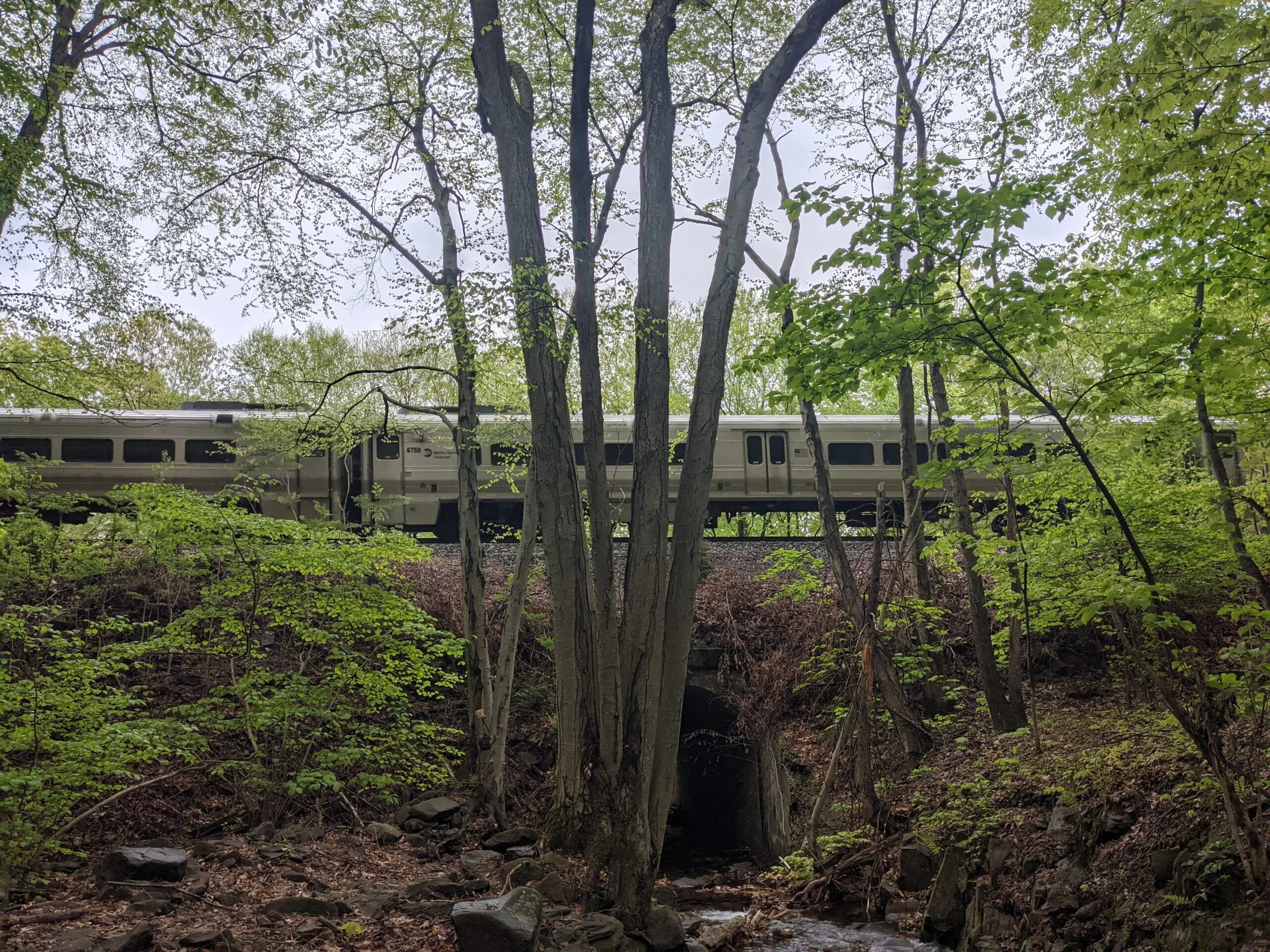
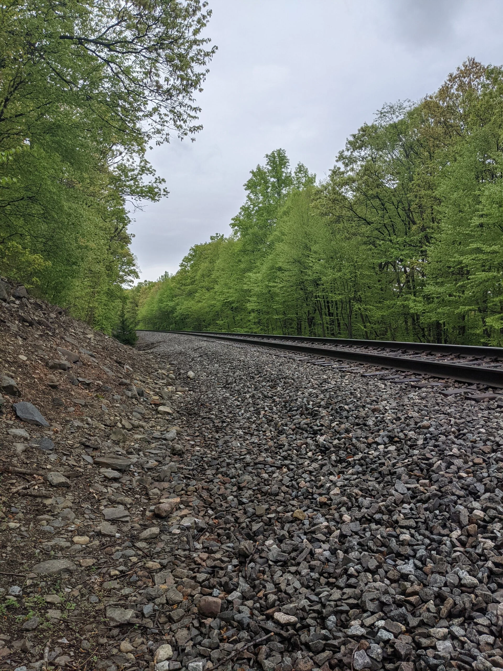
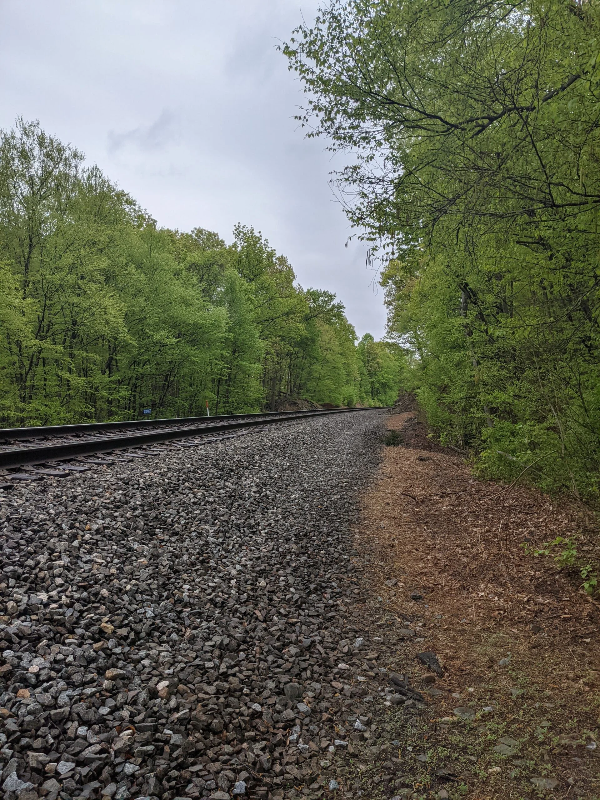
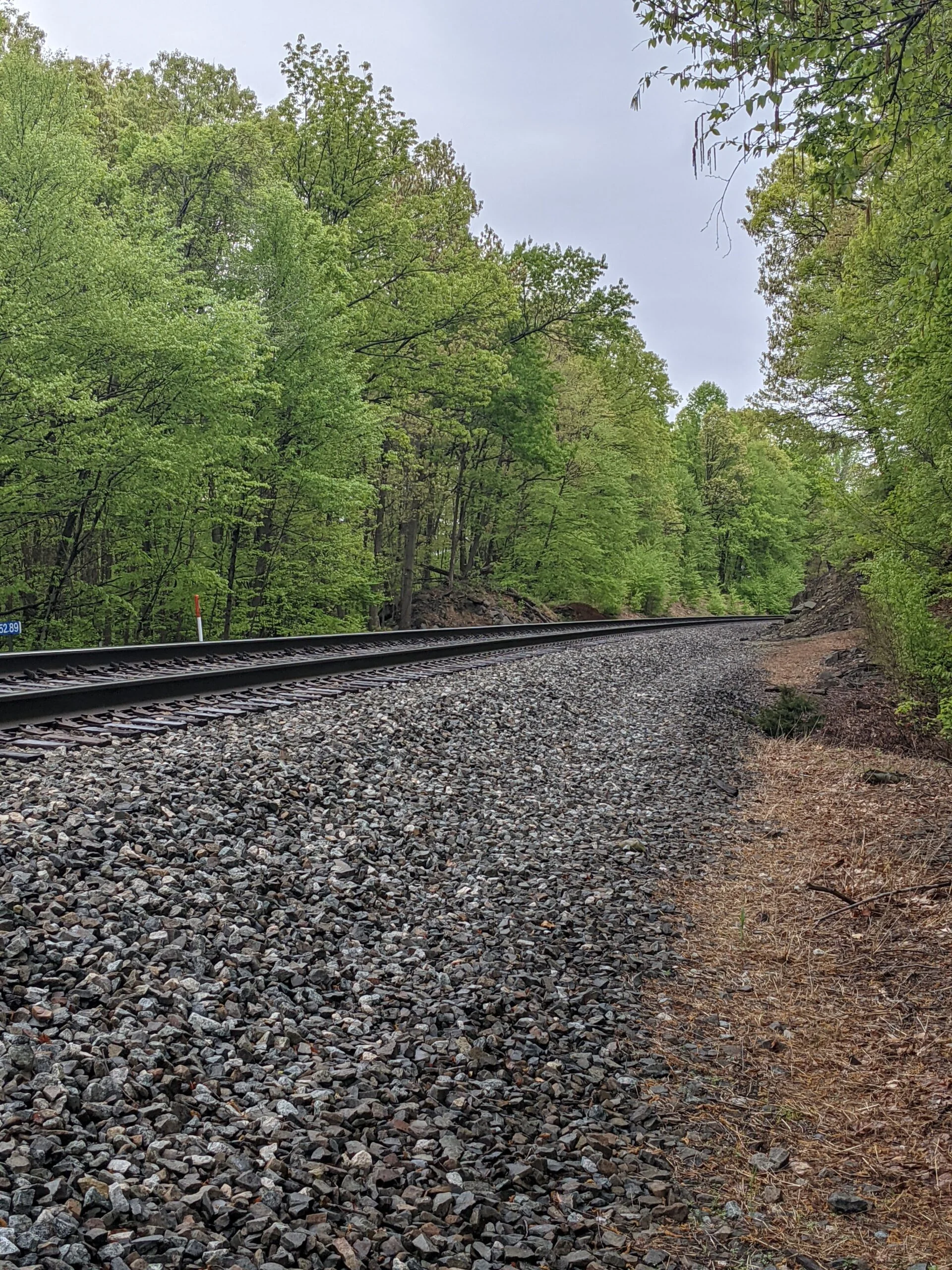
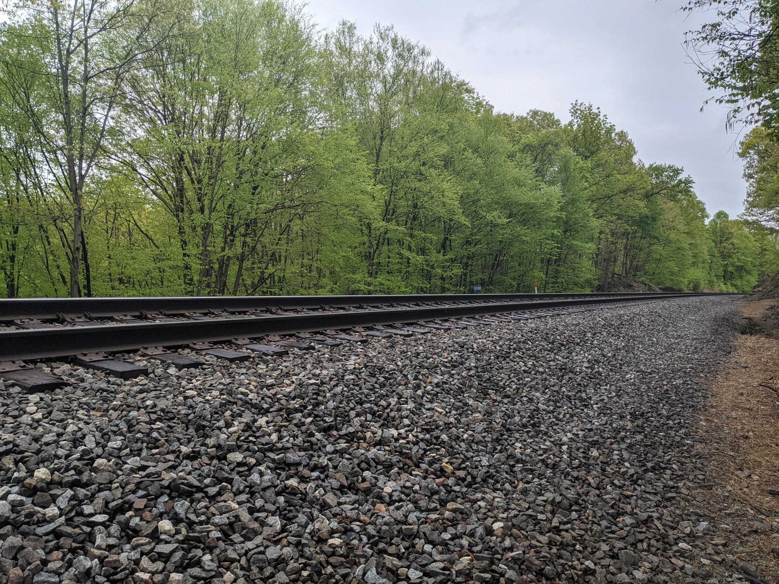
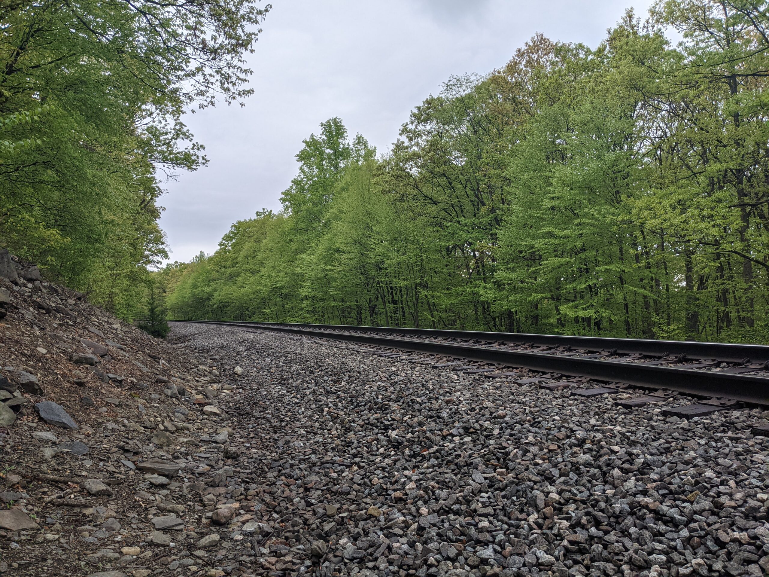
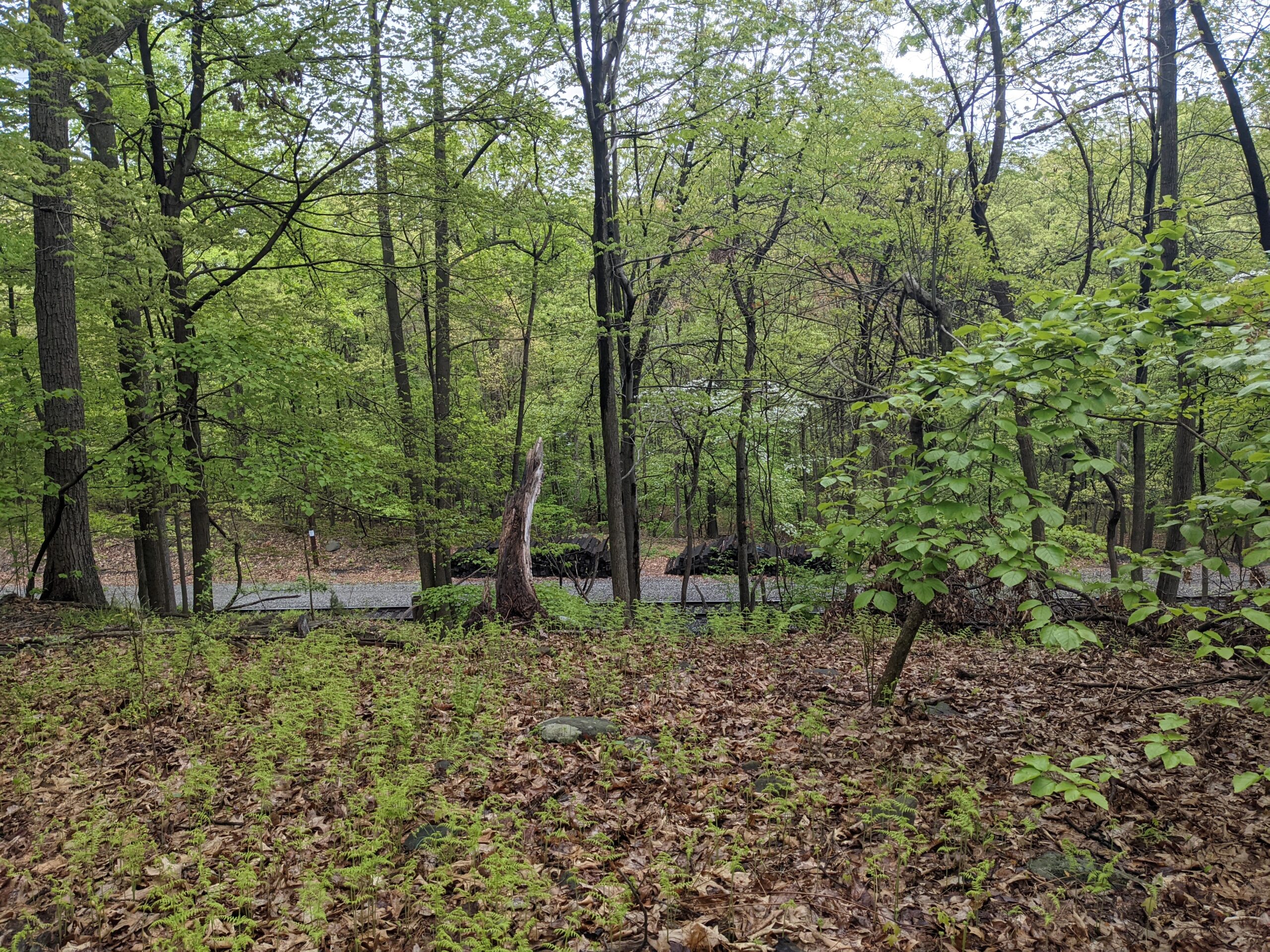
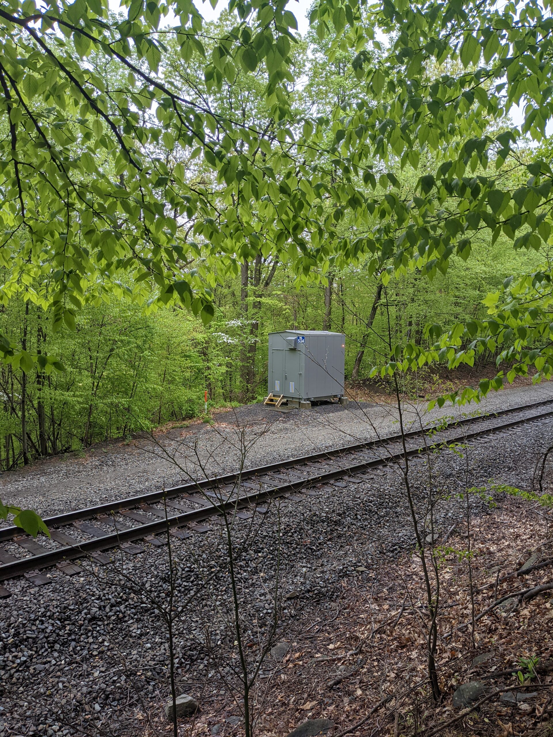
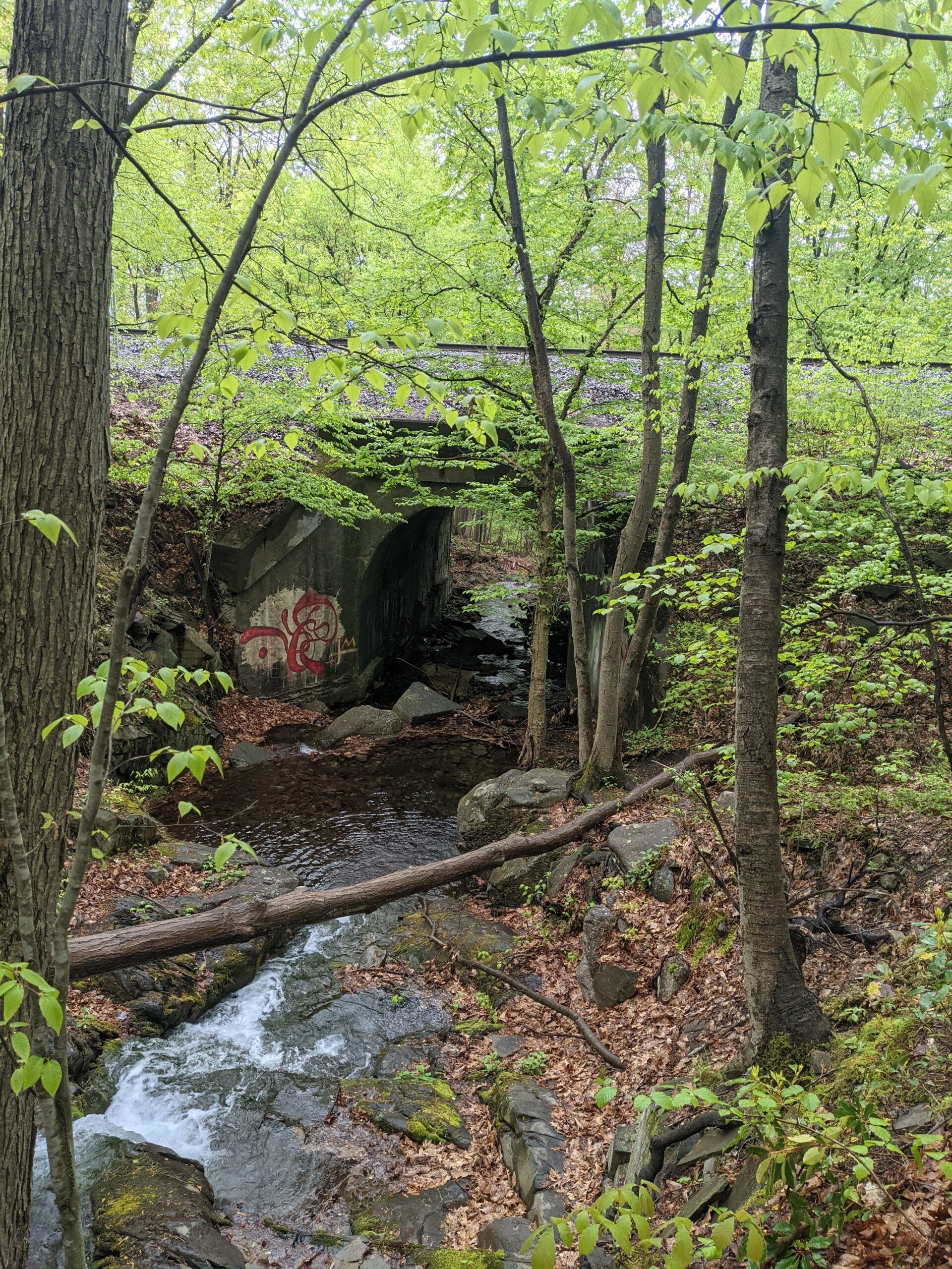
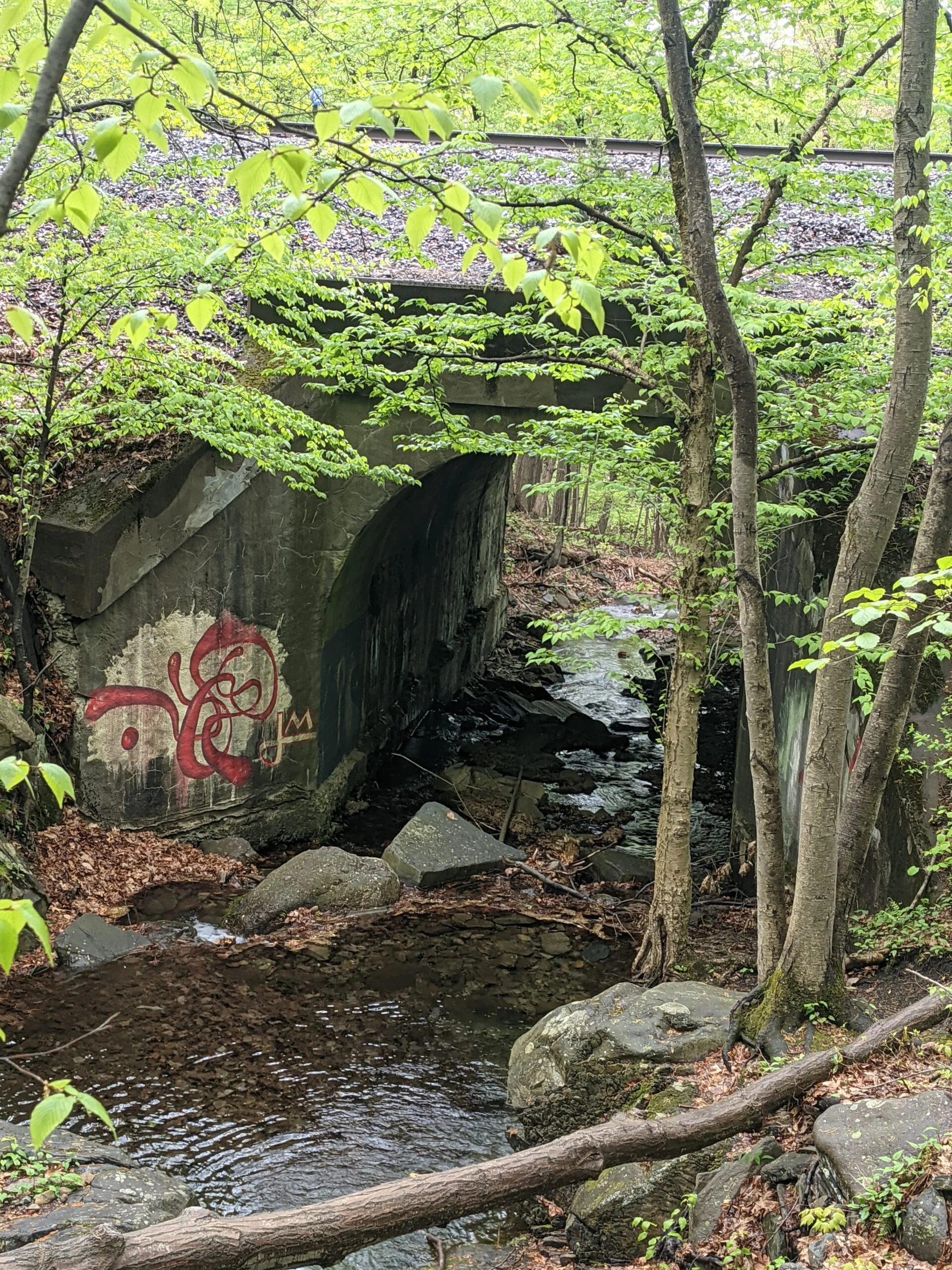
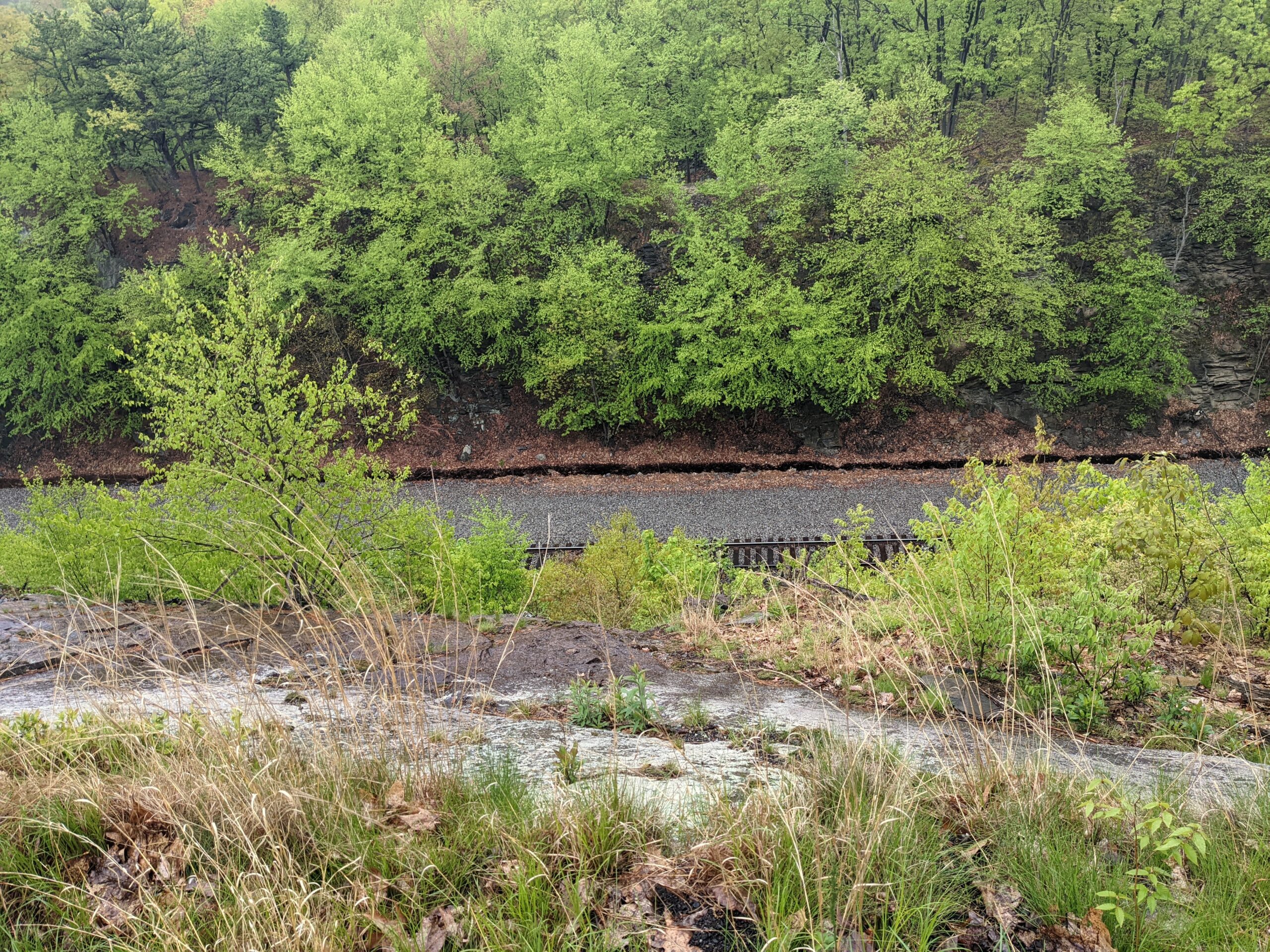
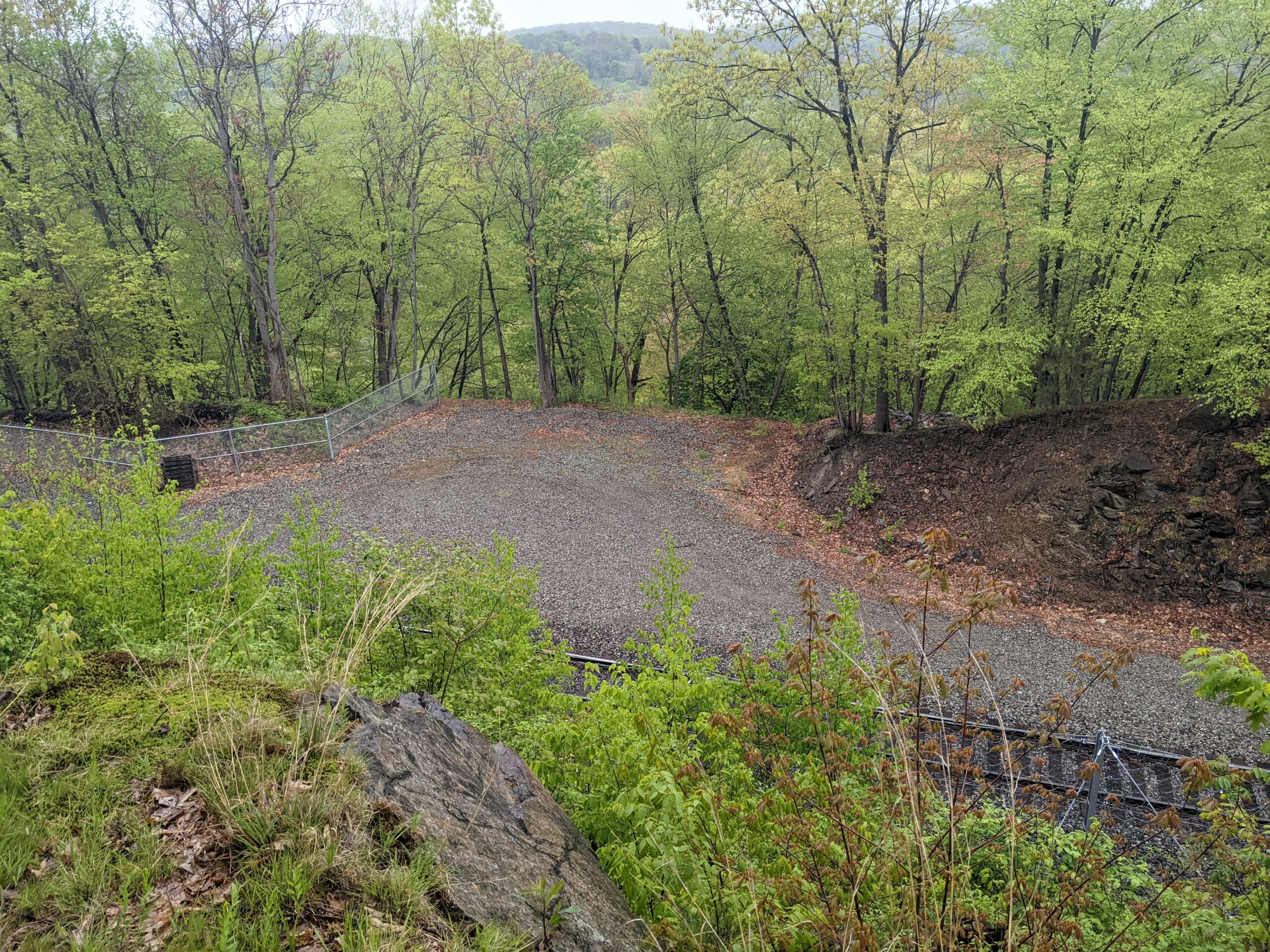
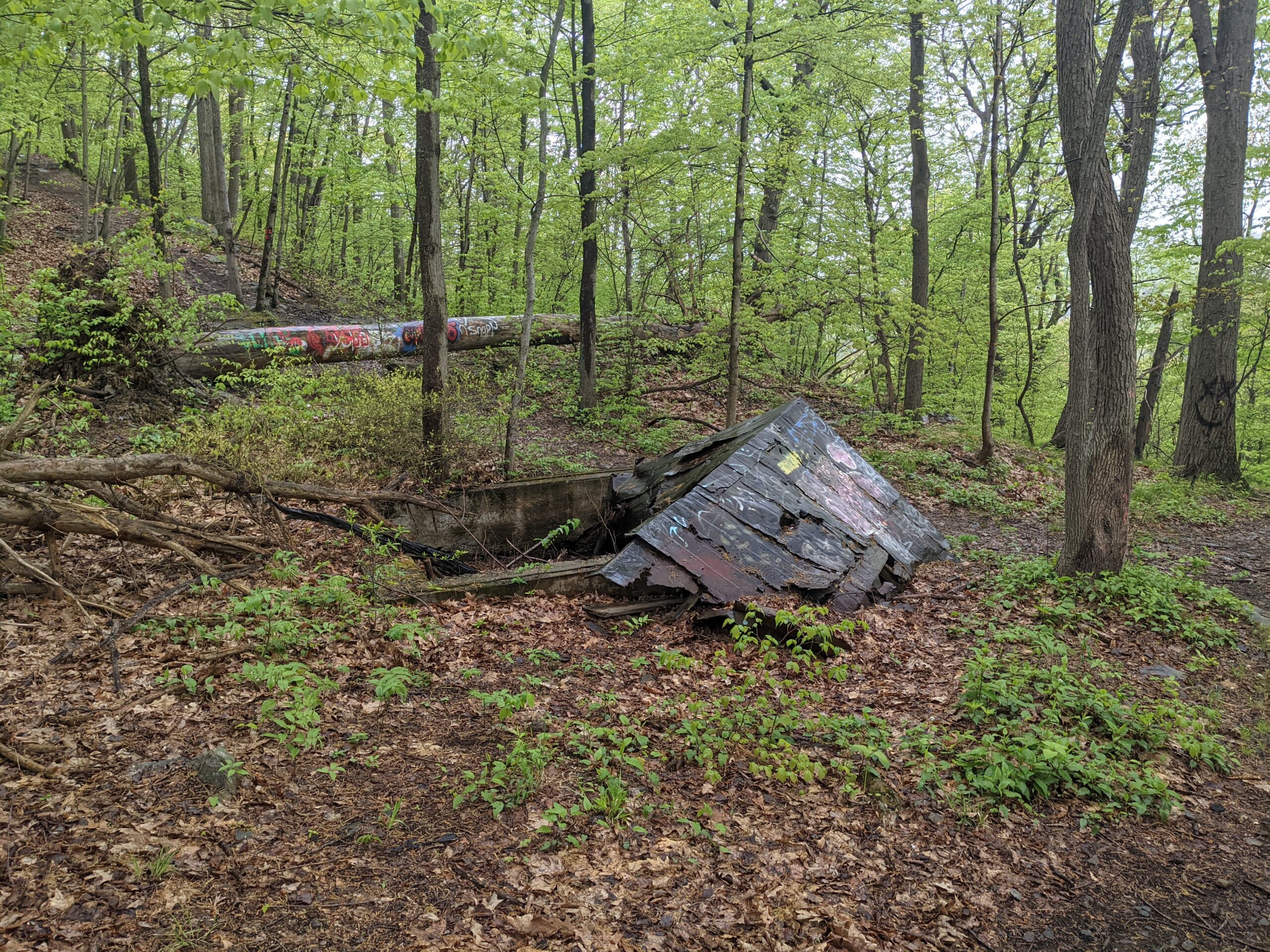
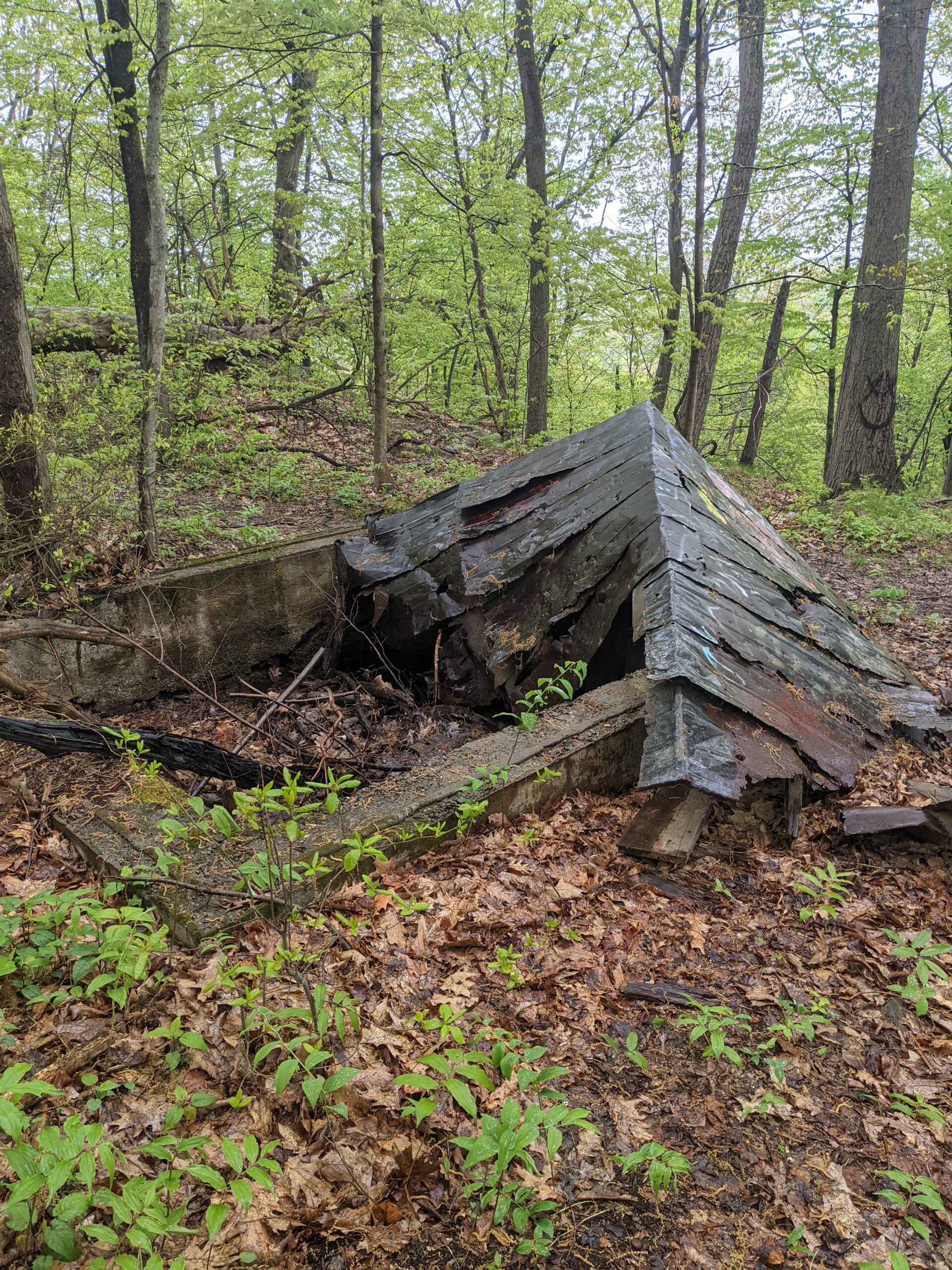
At the end of SC, I turned onto OK, which closely follows the western boundary of the railroad tracks. There are several spots where the trail leads down to the tracks and passing trails are clearly visible. About halfway along, where OK meets with Jessup (JS, yellow blazes), the trail crosses Baby Brook. Toward the end of OK, the beginning of the train trestle can be seen directly off the trail. At this point, the rain picked up again. I’d love to come back and photograph this on a clear, sunny day. OK met up with TR, descending back to the trail head, where I made my way back to my car.
This is a beautiful park with varied terrain and excellent views of the Hudson Valley and Hudson River. I can only imagine how much more I could have seen without the rain and fog. The temperatures in the mid-40s, combined with the rain, made parts of the hike unpleasant, but not unbearable.
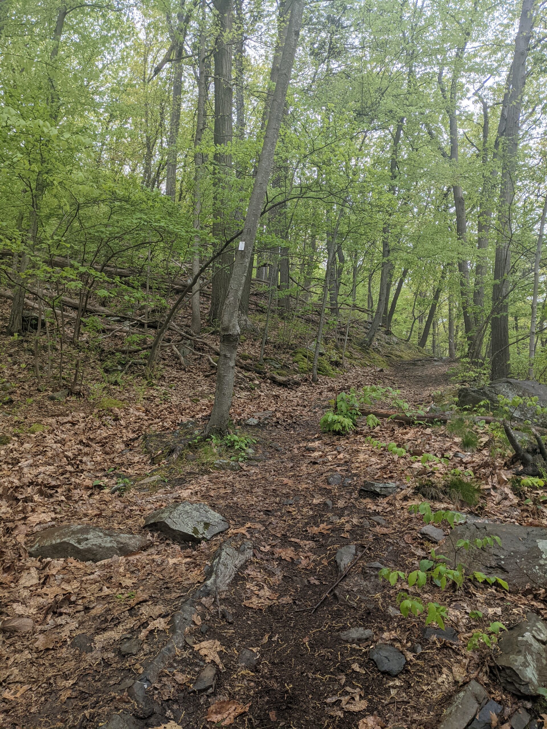
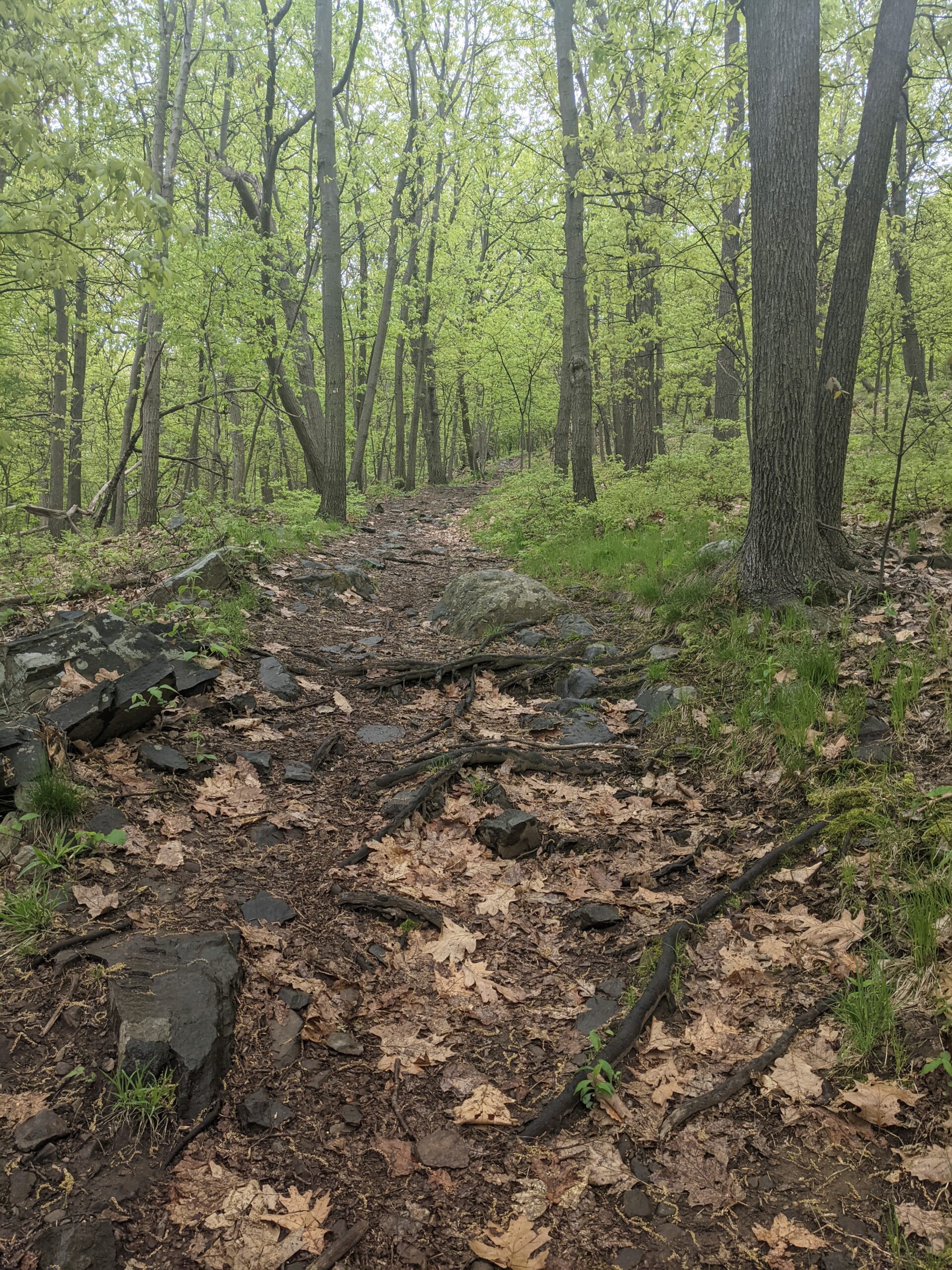
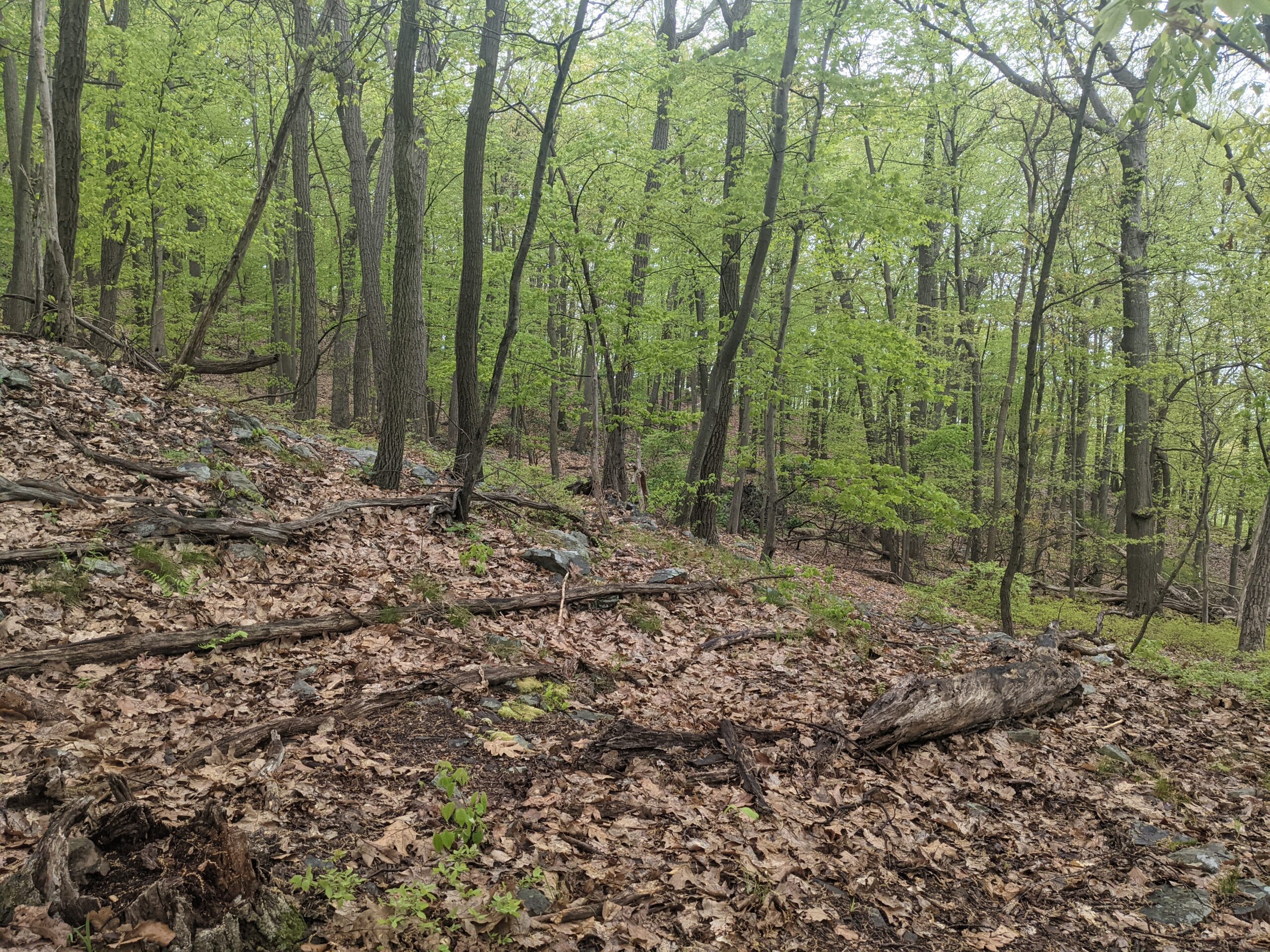
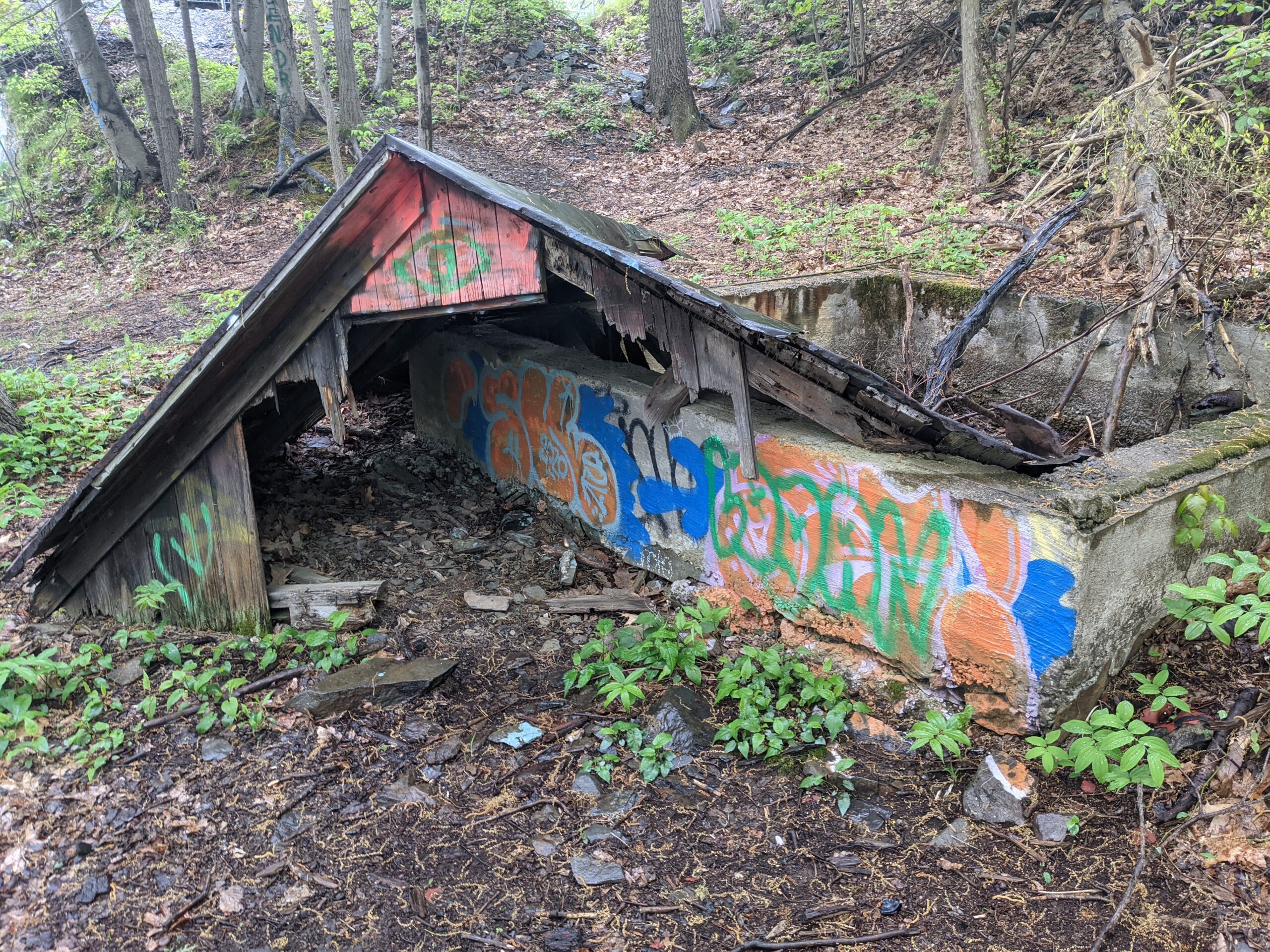
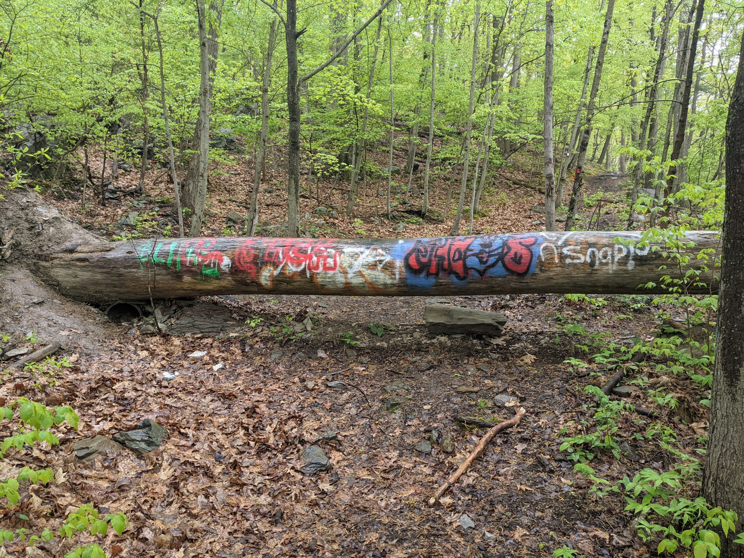
Photos


GPS Route & Elevation
Loads an interactive map; map tiles are served by the U.S. Geological Survey, which receives your IP address. Learn more about maps and your privacy