The Irvington Woods – Ice Pond, Irvington Reservoir, Memorial Loop, Hermit Wetlands
- 4.7 mi
- 646 ft gain
- 02:34:40
- 117 photos
- 3 videos
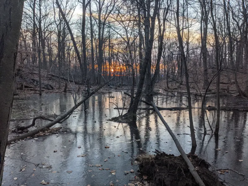
What started out as a rainy and foggy morning turning to a clear 62-degree afternoon and an excuse to get out of the house! This was my 6th trip to The Irvington Woods, although I had not visited in over a year.
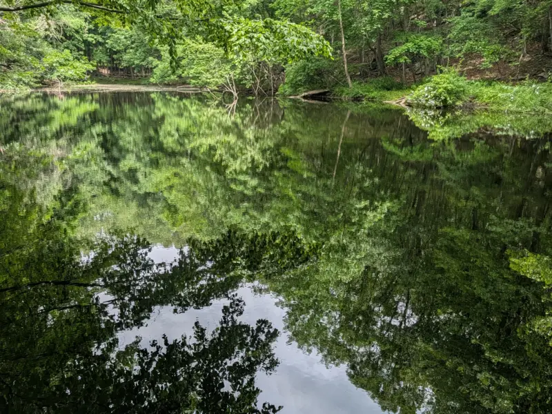
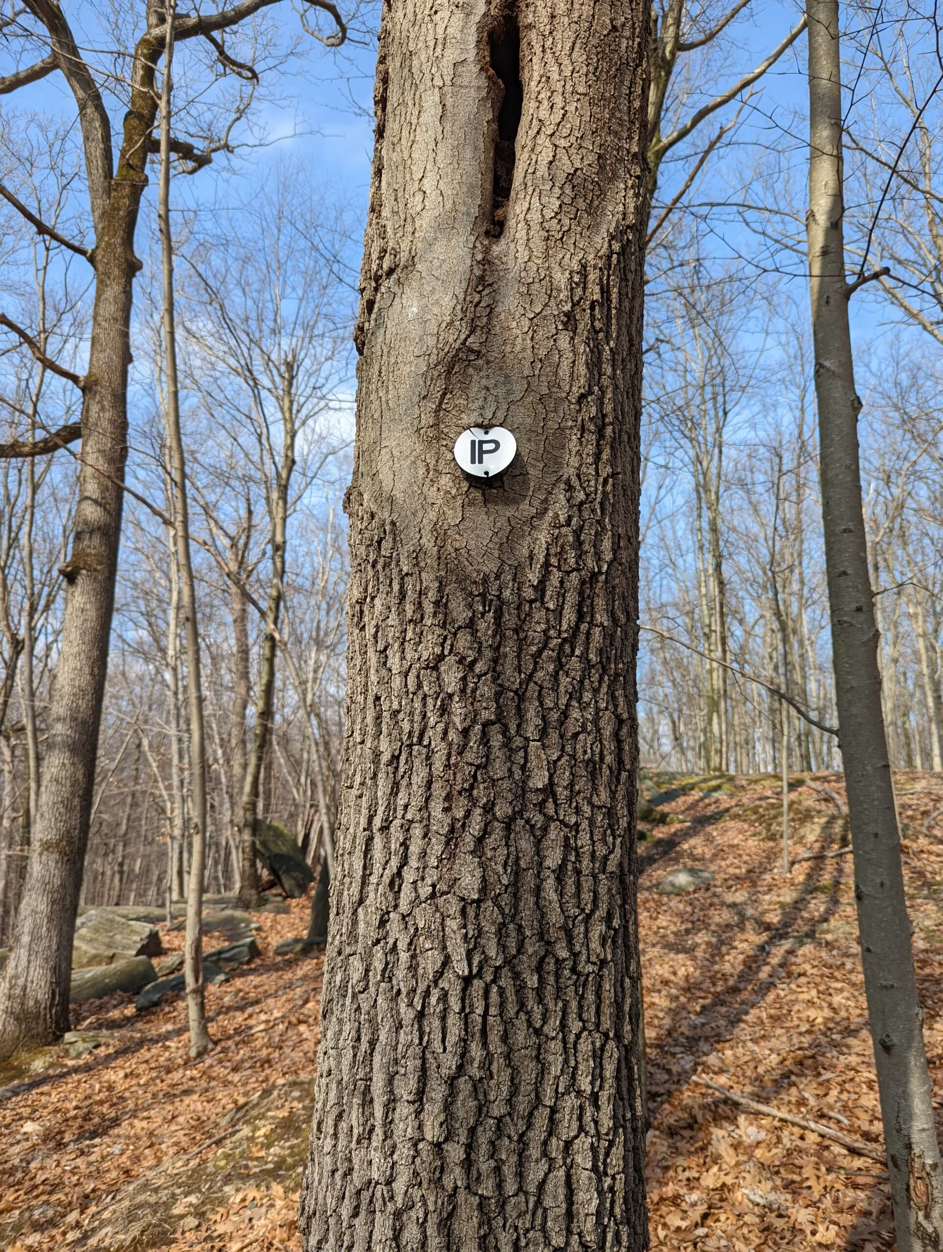
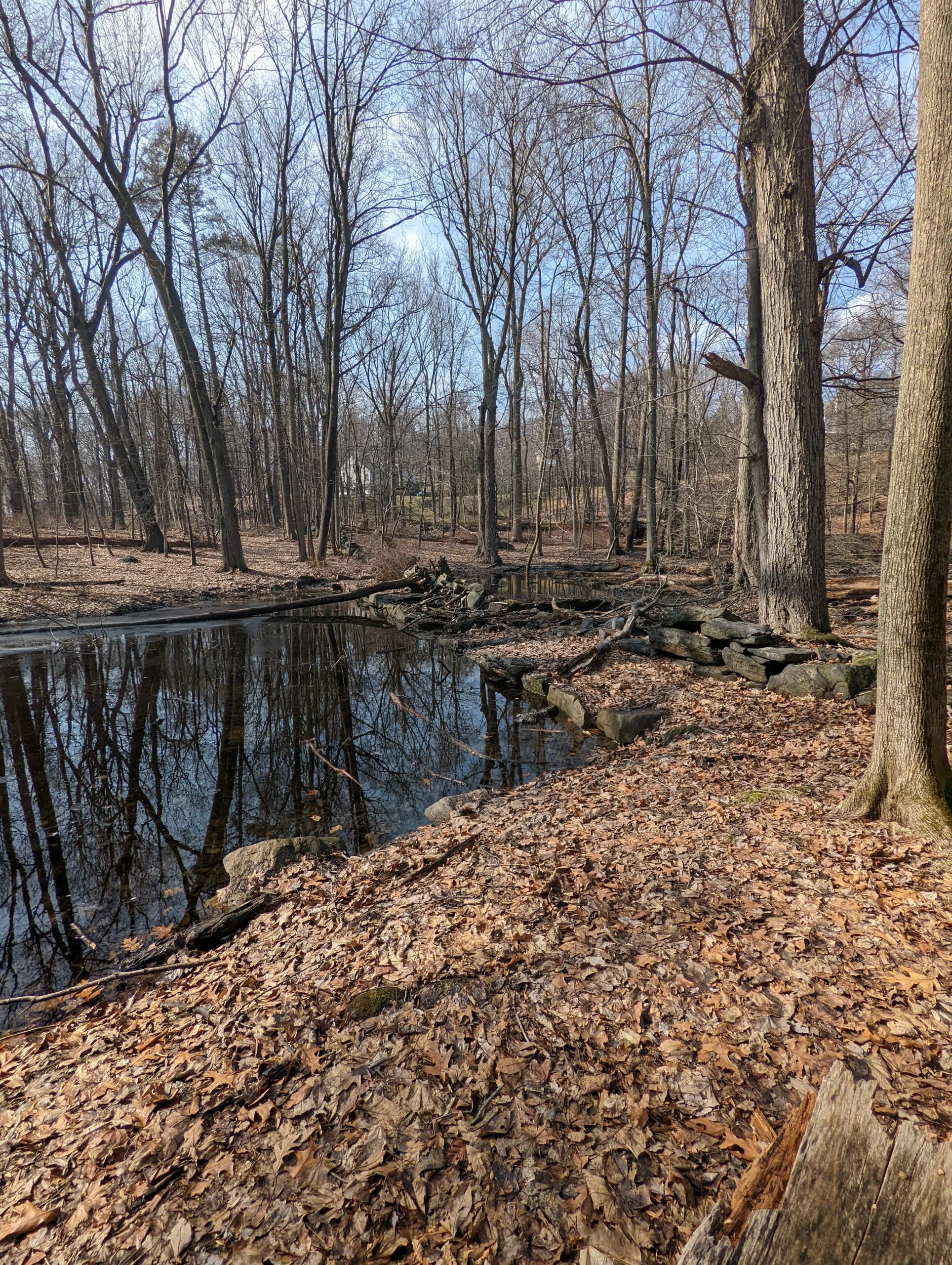
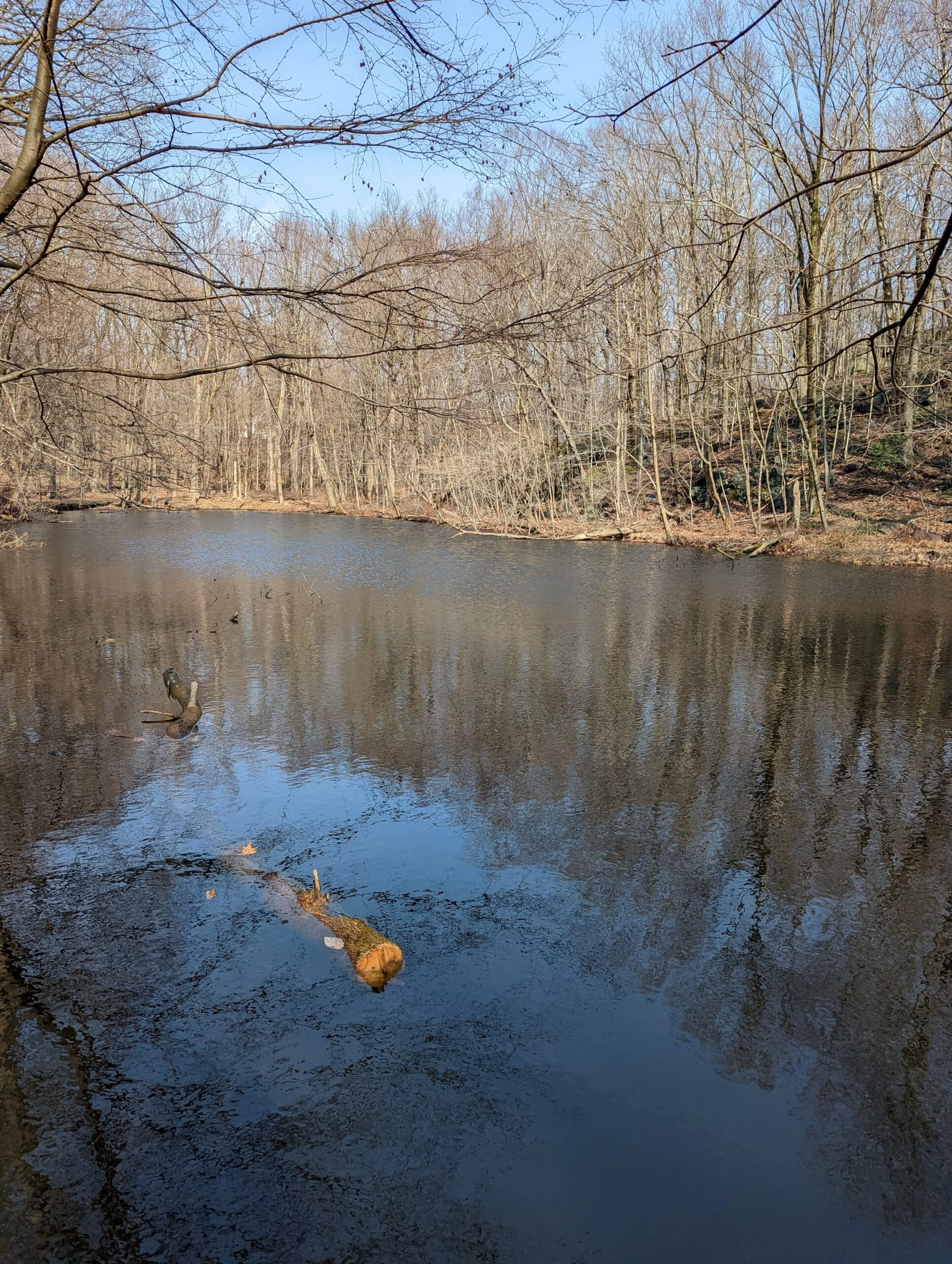
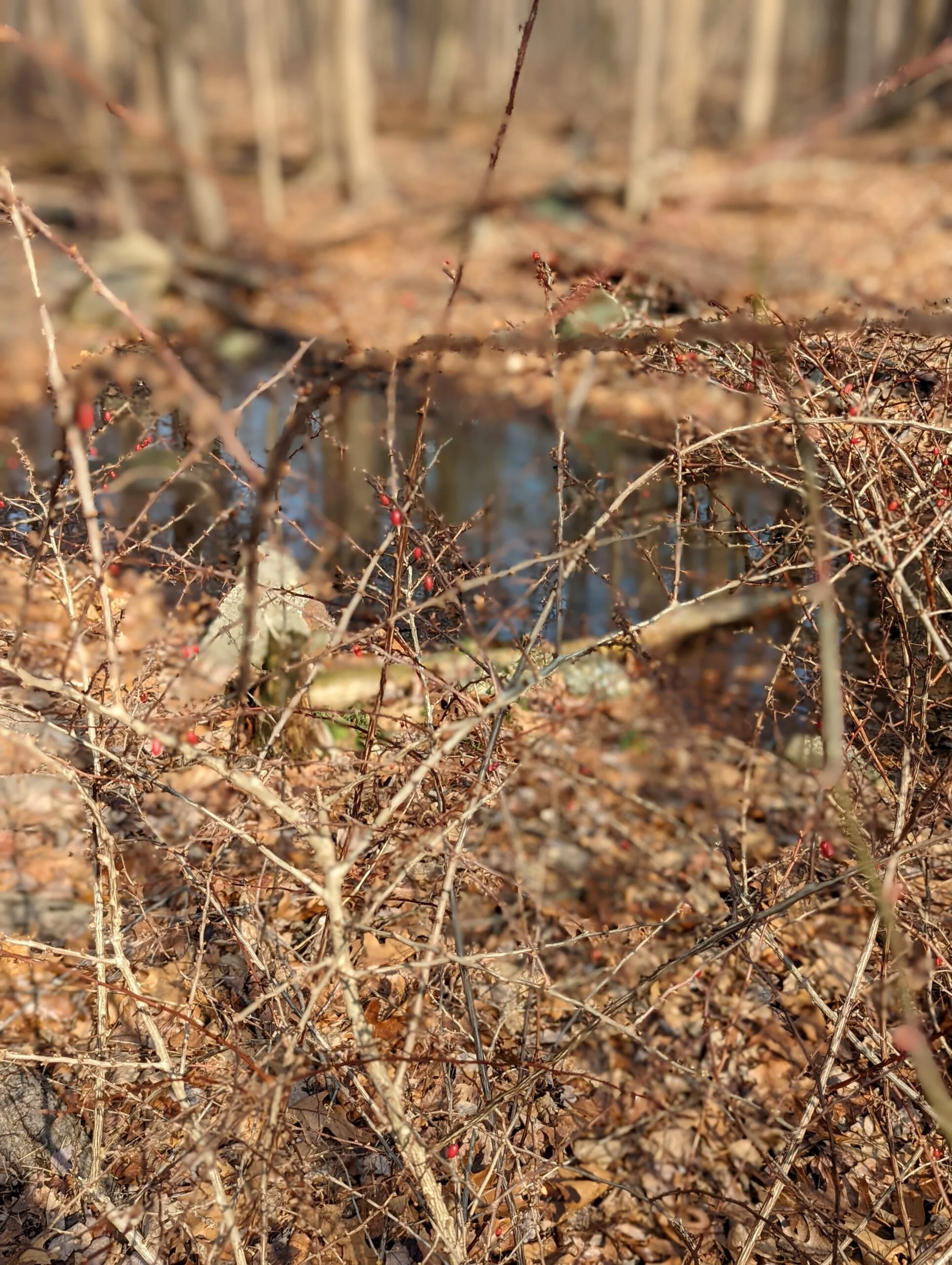
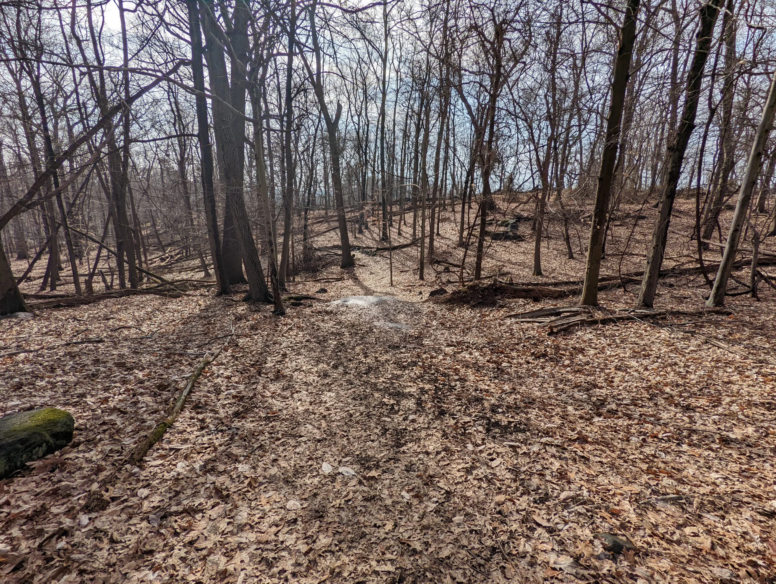
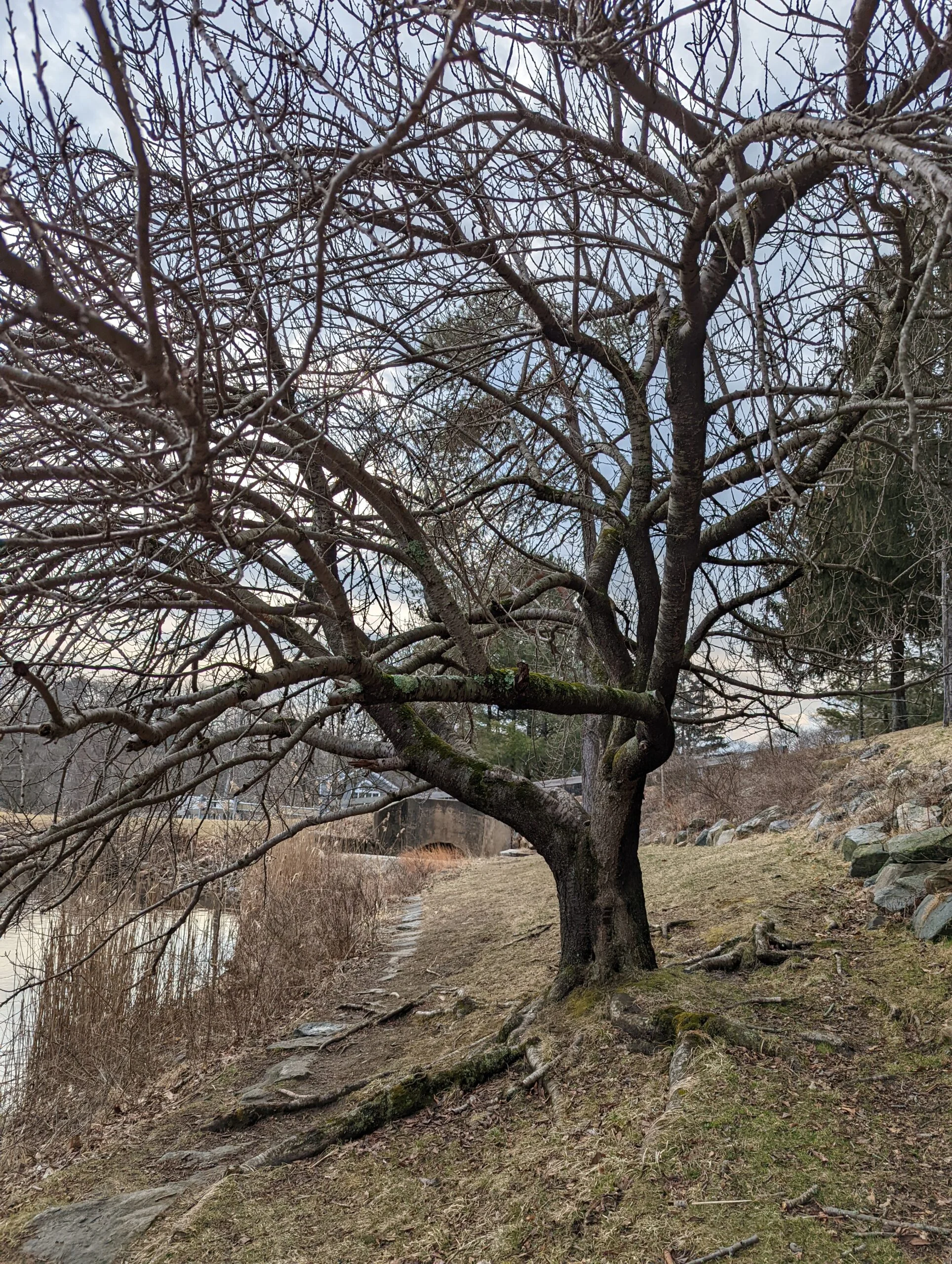
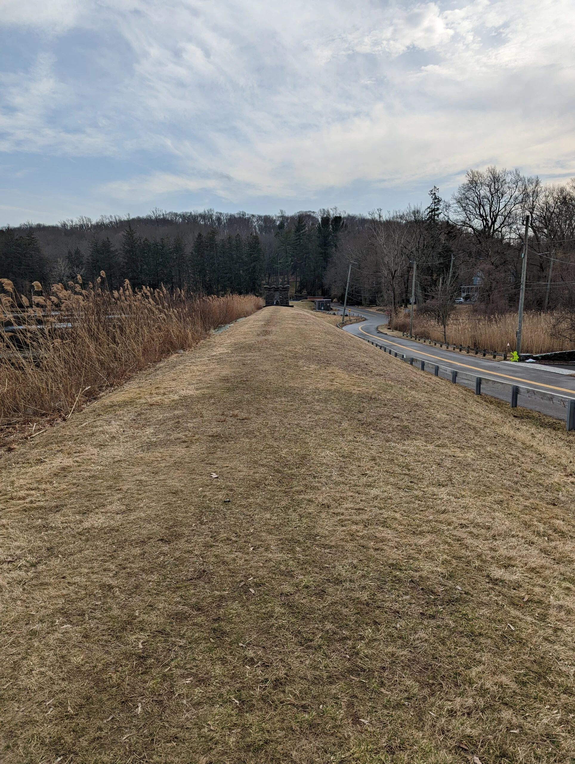
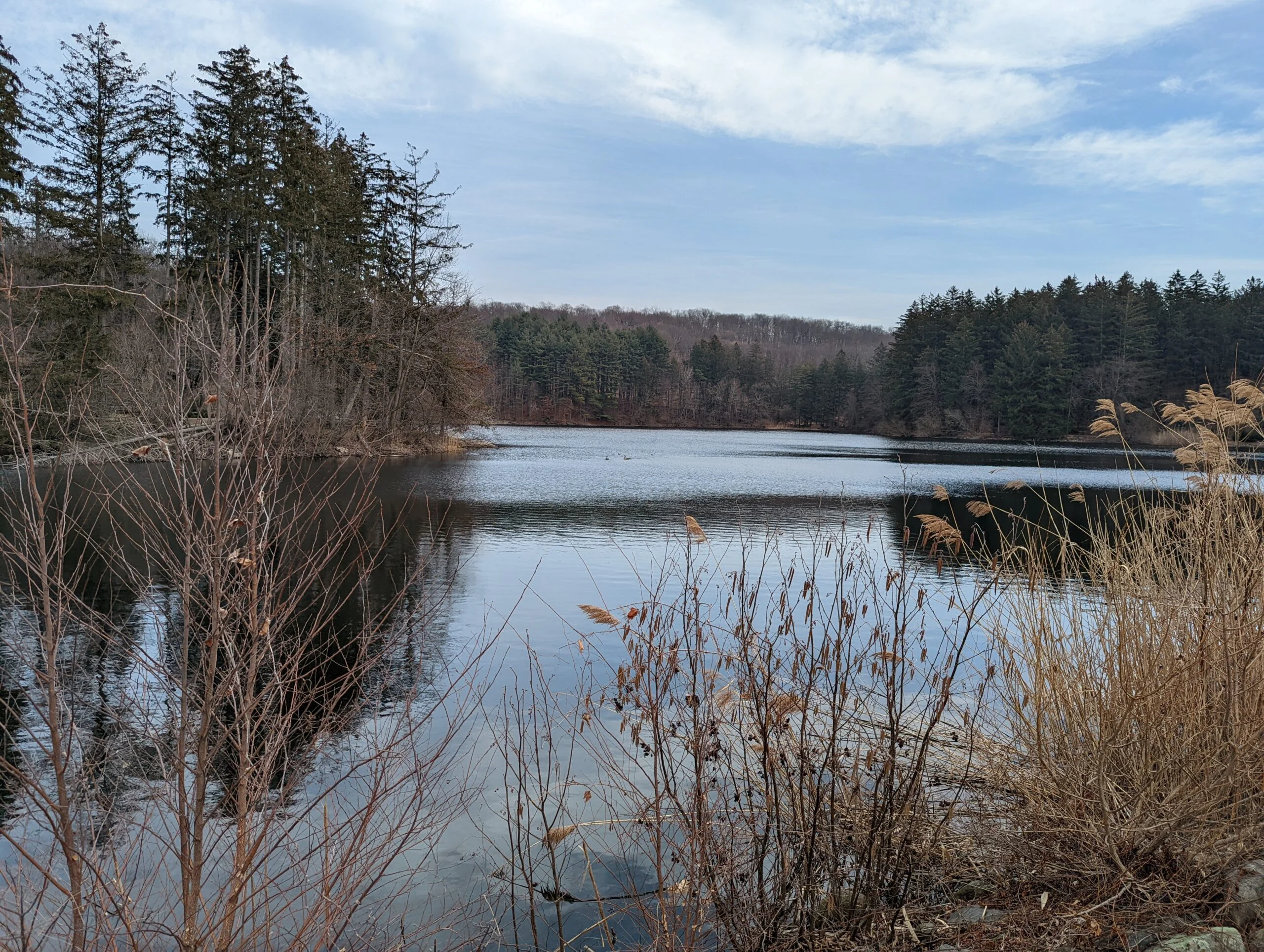
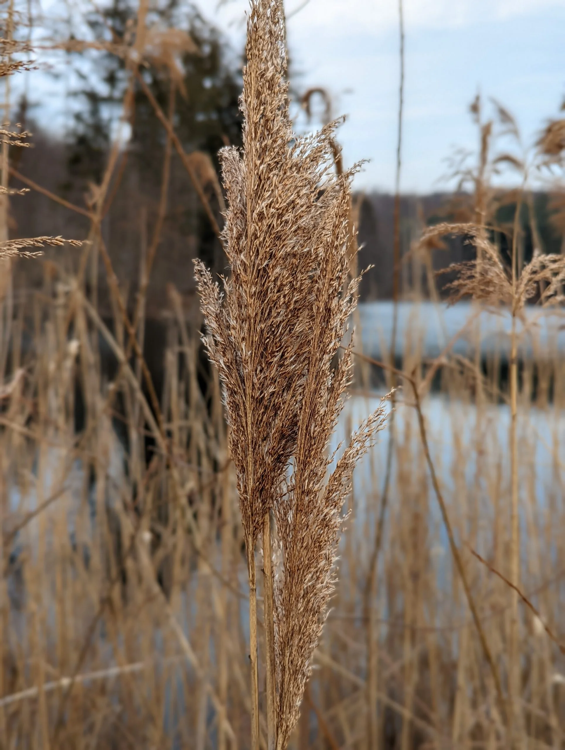
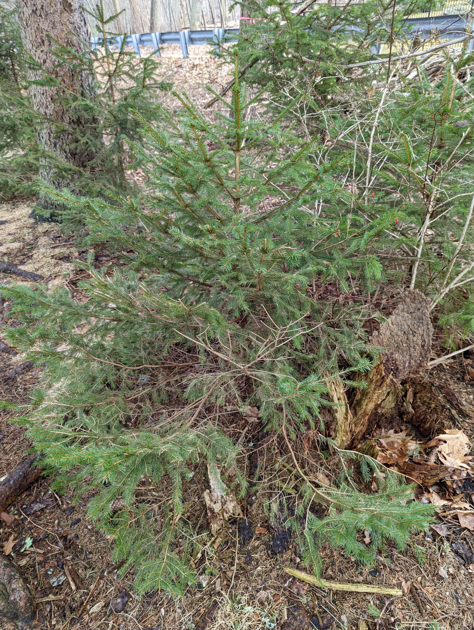
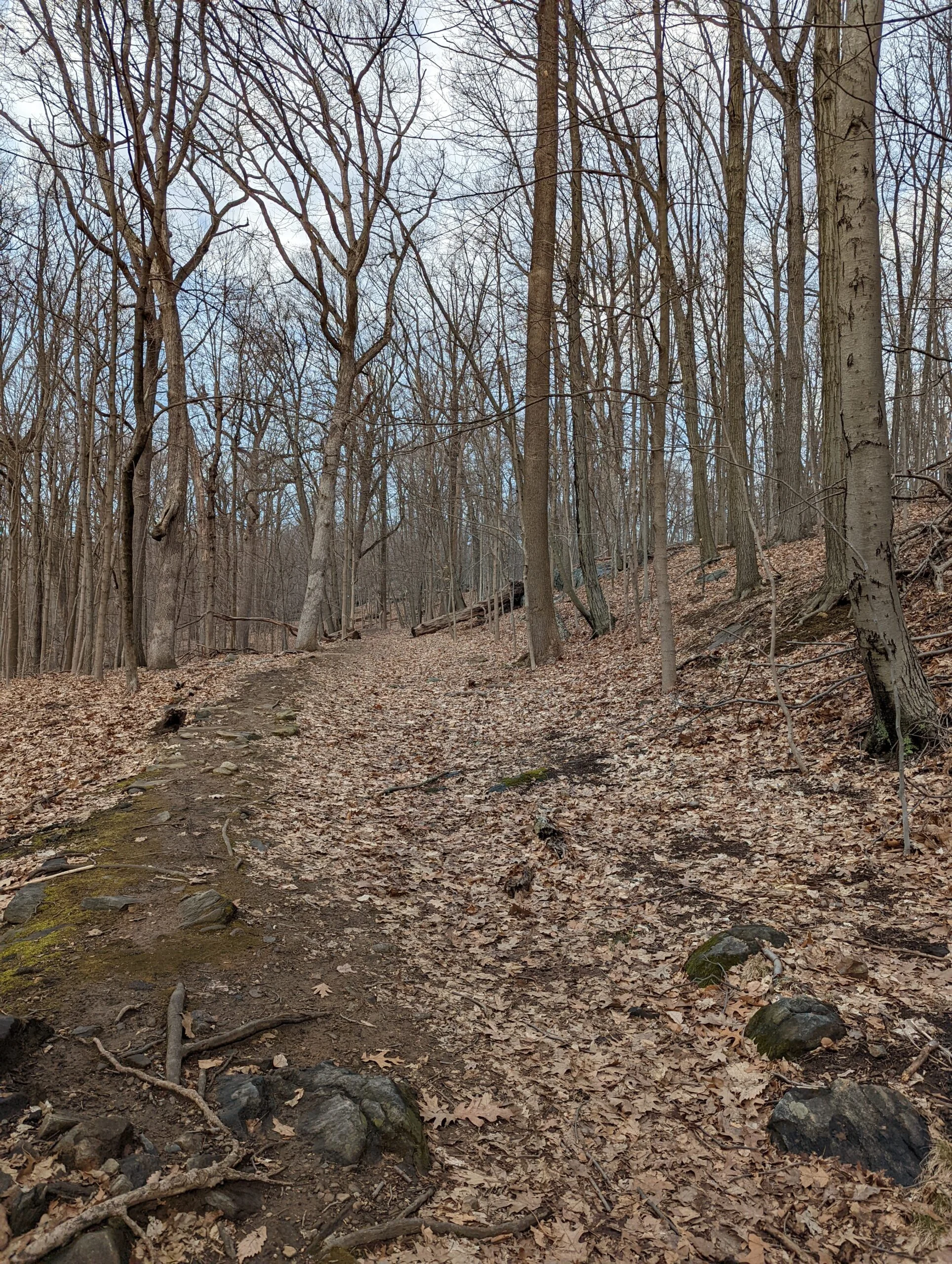
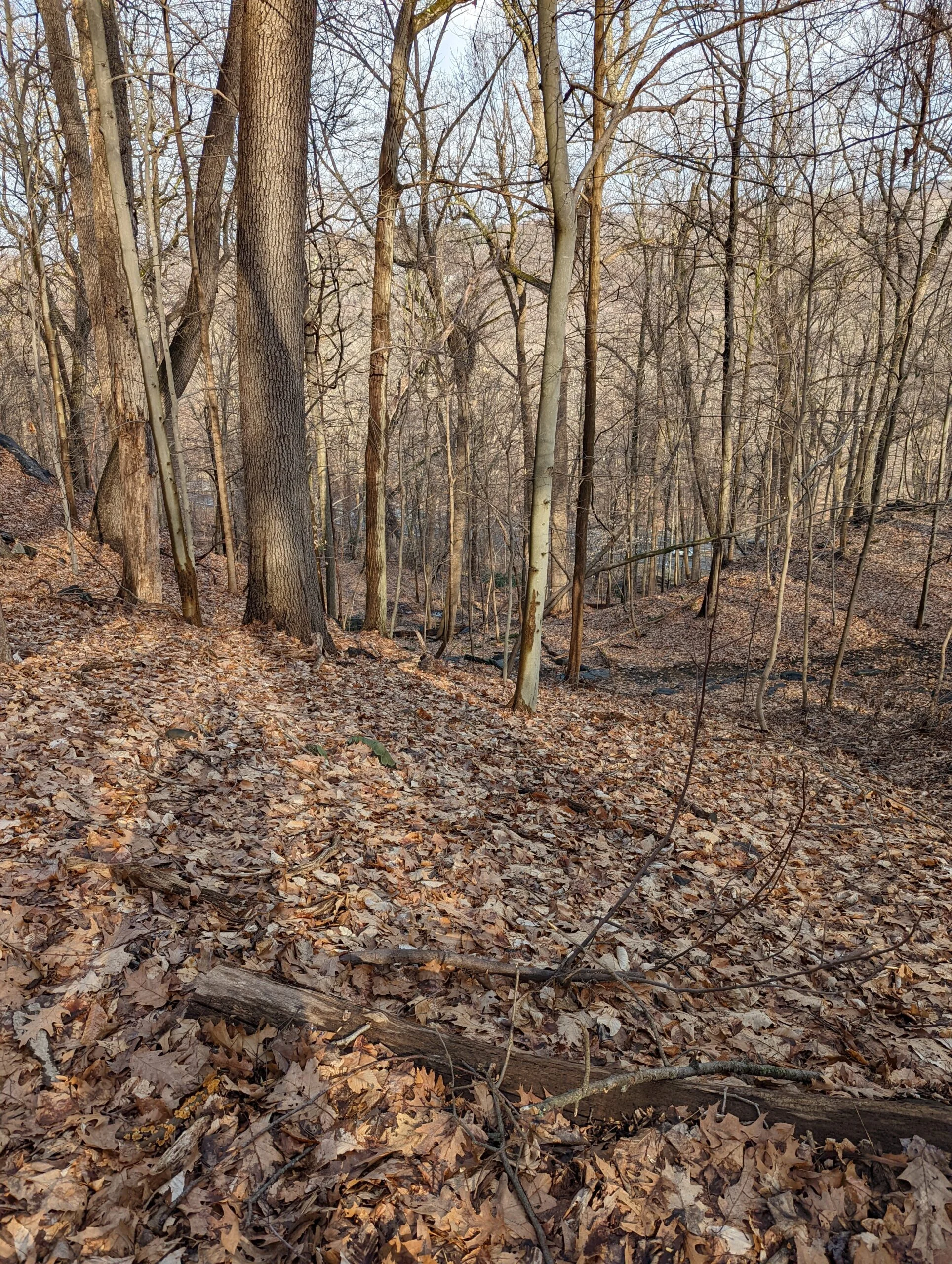
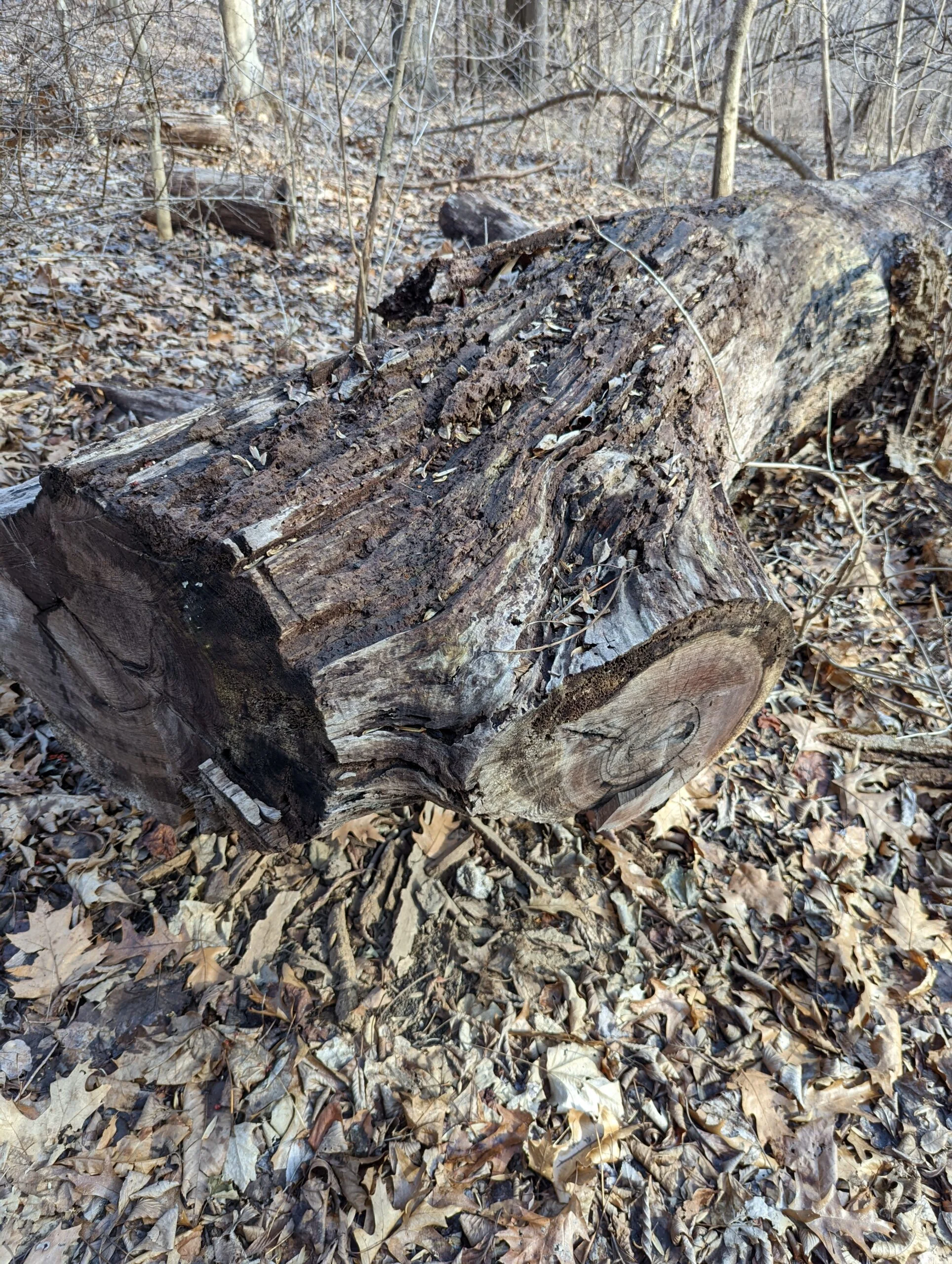
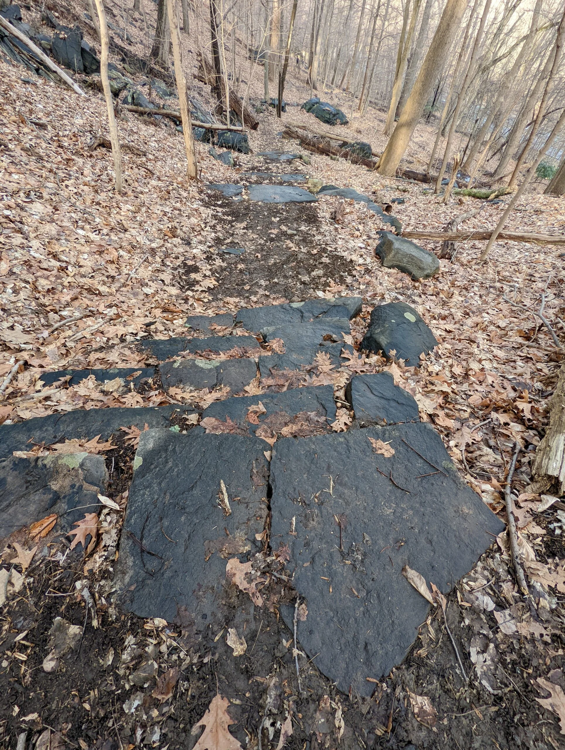
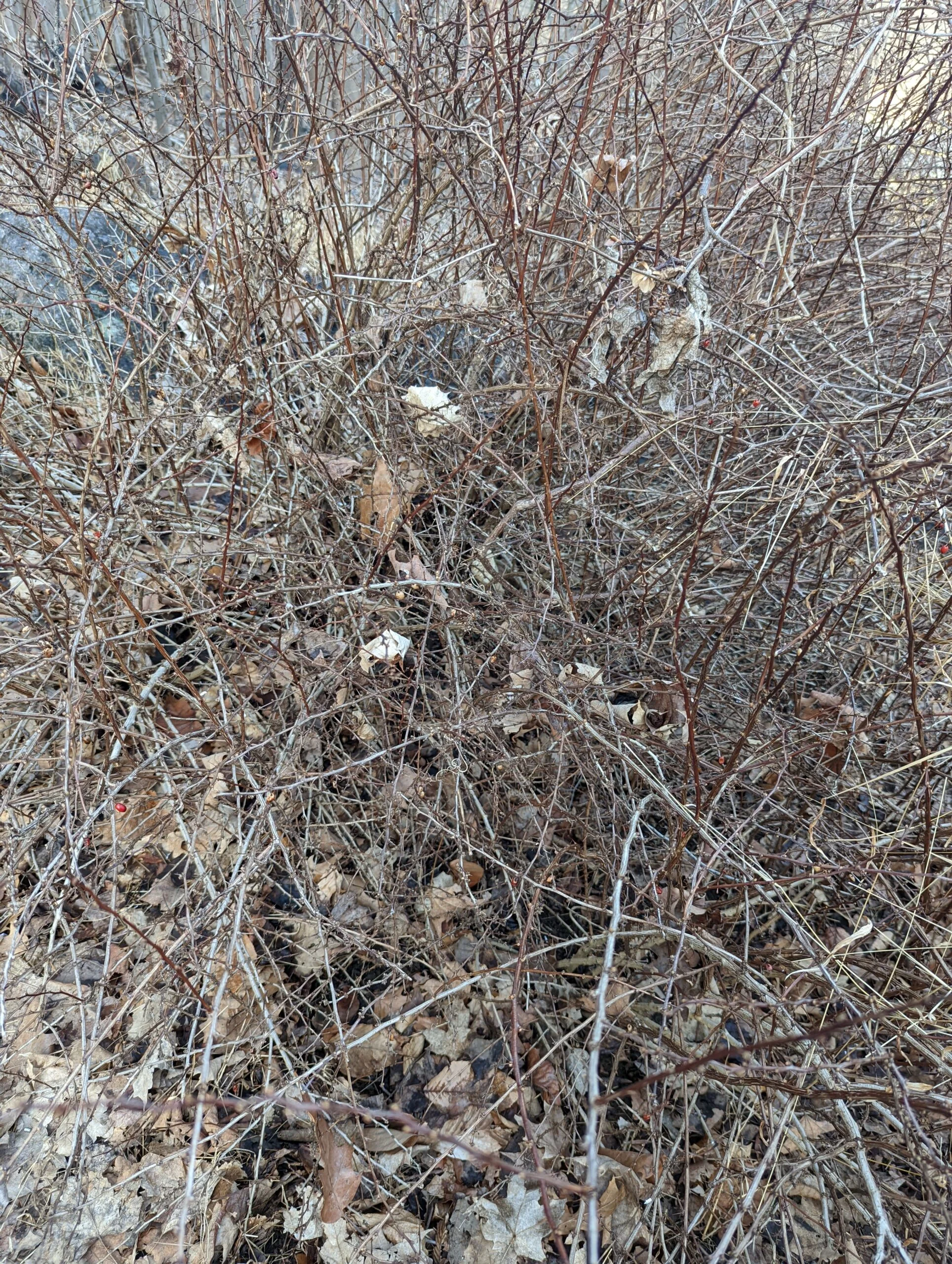
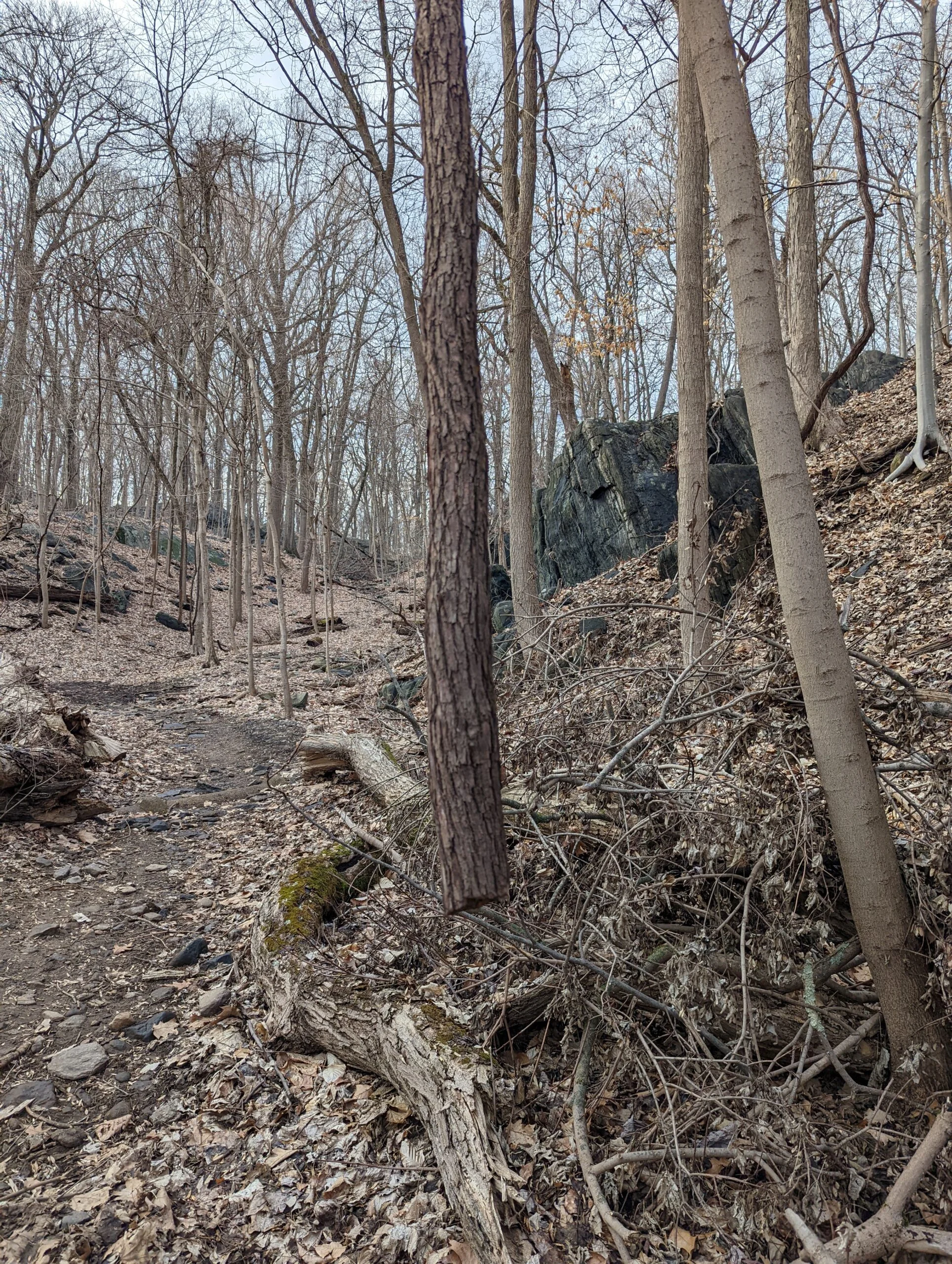
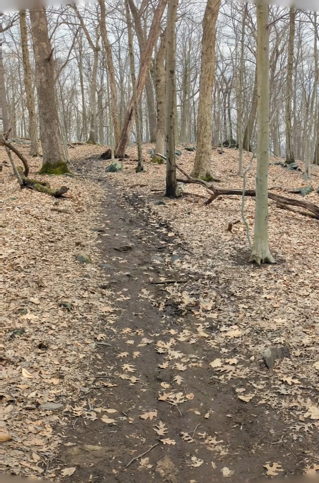
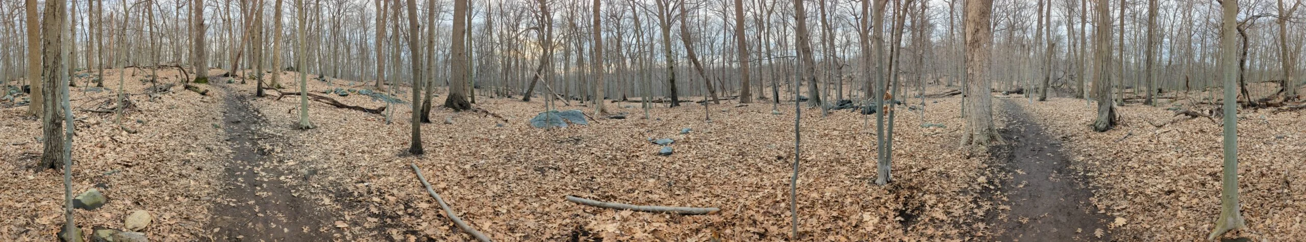
Since I’ve already seen every part of the park, I decided to take a familiar “outer loop” path around the perimeter in a counterclockwise direction. Arriving at the O’Hara Nature Center parking lot at 2pm, I headed north on the Ice Pond trail (IP blazes). Upon reaching Ice Pond, I noticed most of the ice had already melted, leaving just a few chunks left. I continued onward to Marshall Pond which was completed melted. I took a bunch of photos as I circled it entirely counterclockwise.
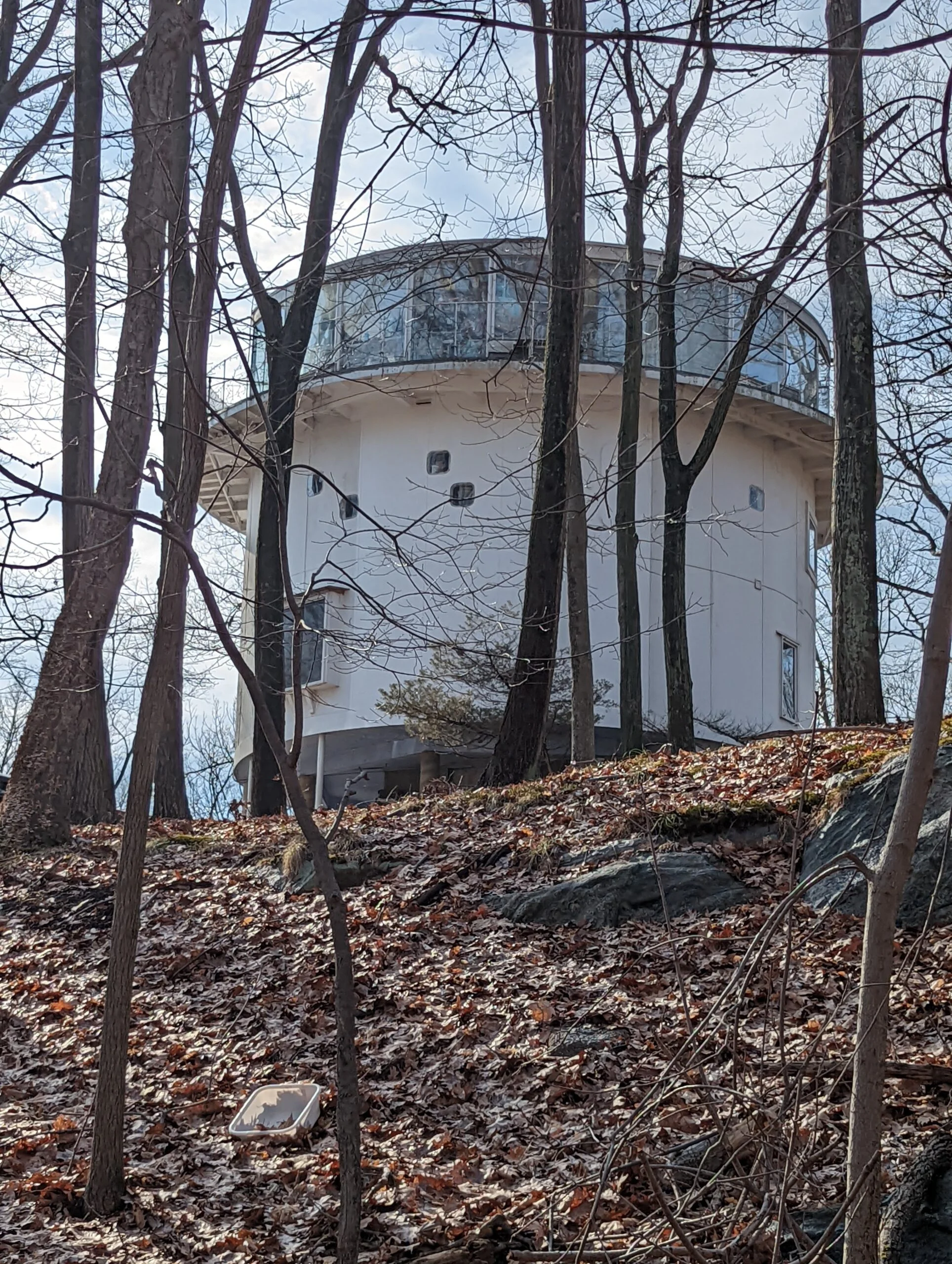
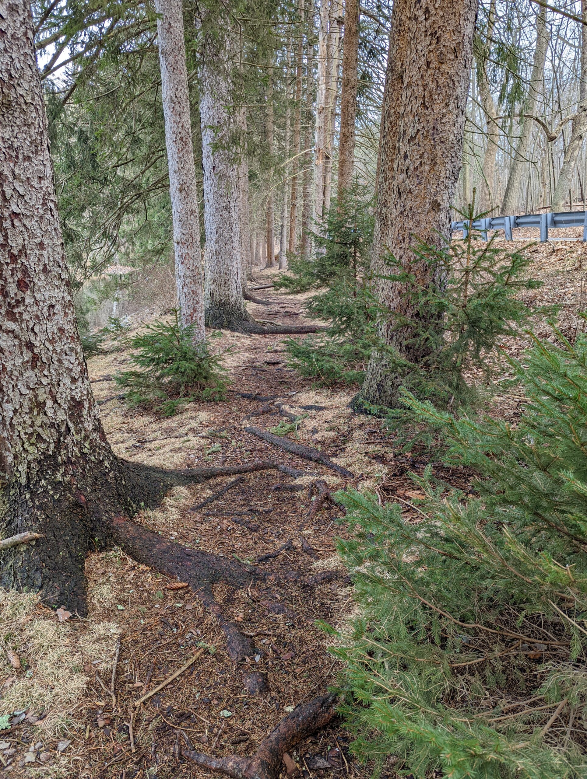
I then connected with the Cross Country trail (XC blazes), making a detour at the halfway point to connect with the unblazed trail leading down to the Irvington Reservoir. Along the way, I passed the familiar round house I’ve seen on previous trips. It reminds me of a wider, shorter version of a lighthouse. I’ve tried finding information about the house online, but was unable to locate anything. I’d love to see what the inside looks like!
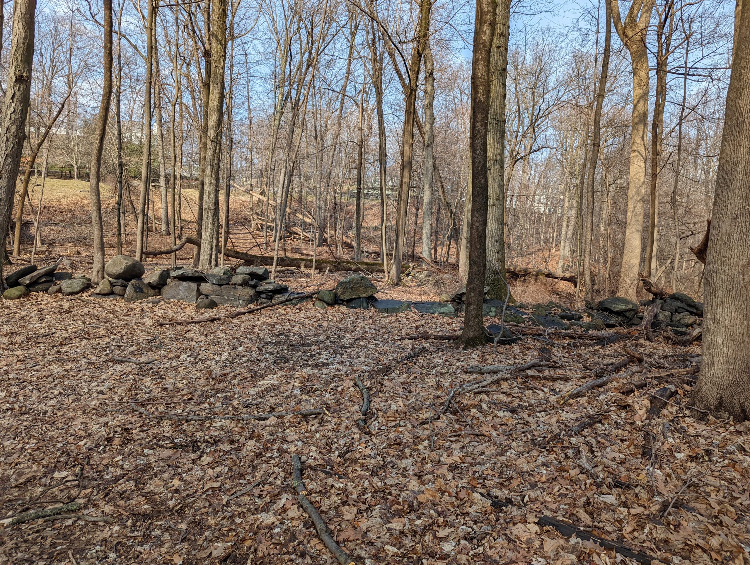
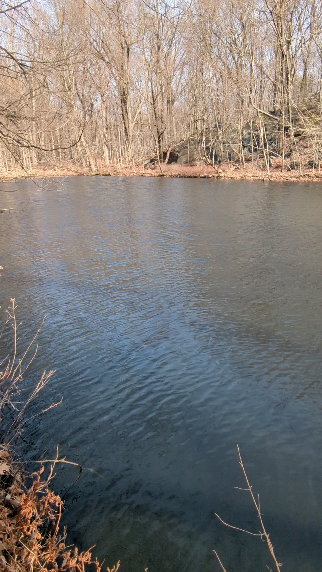
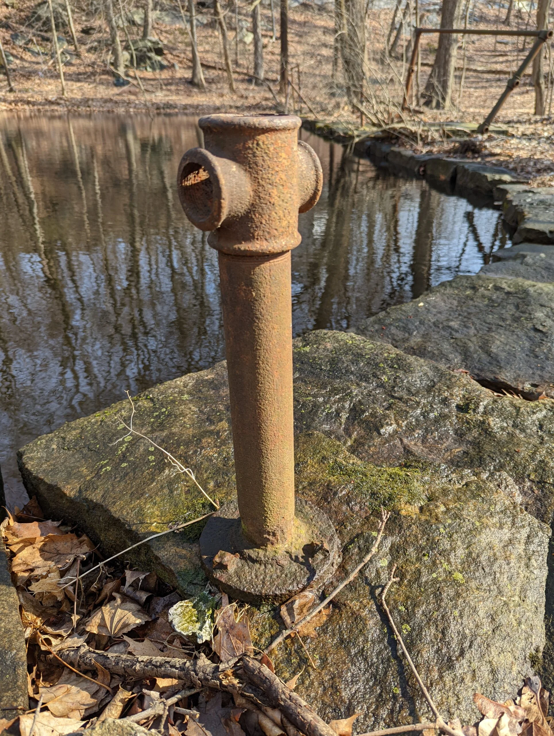
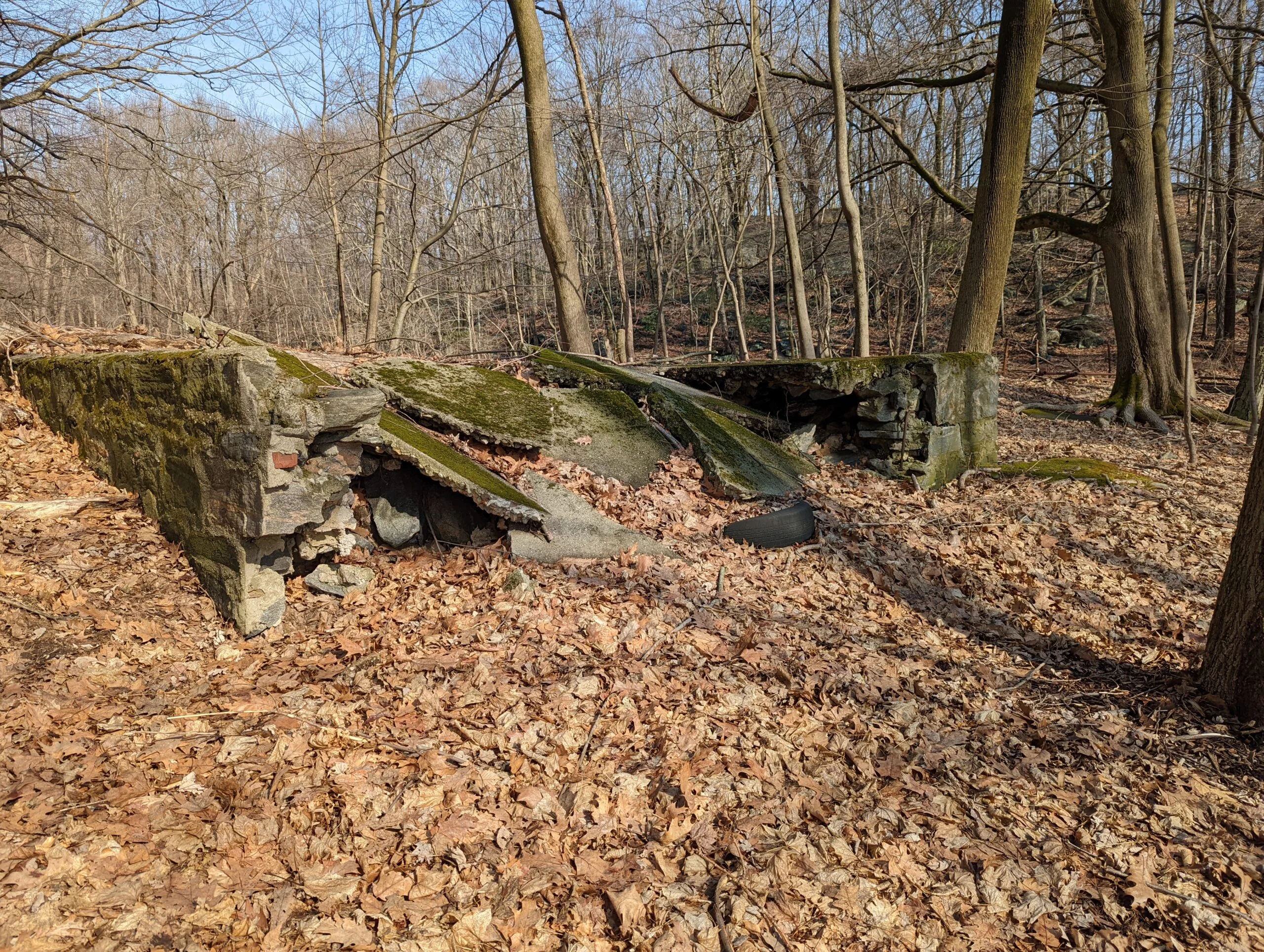
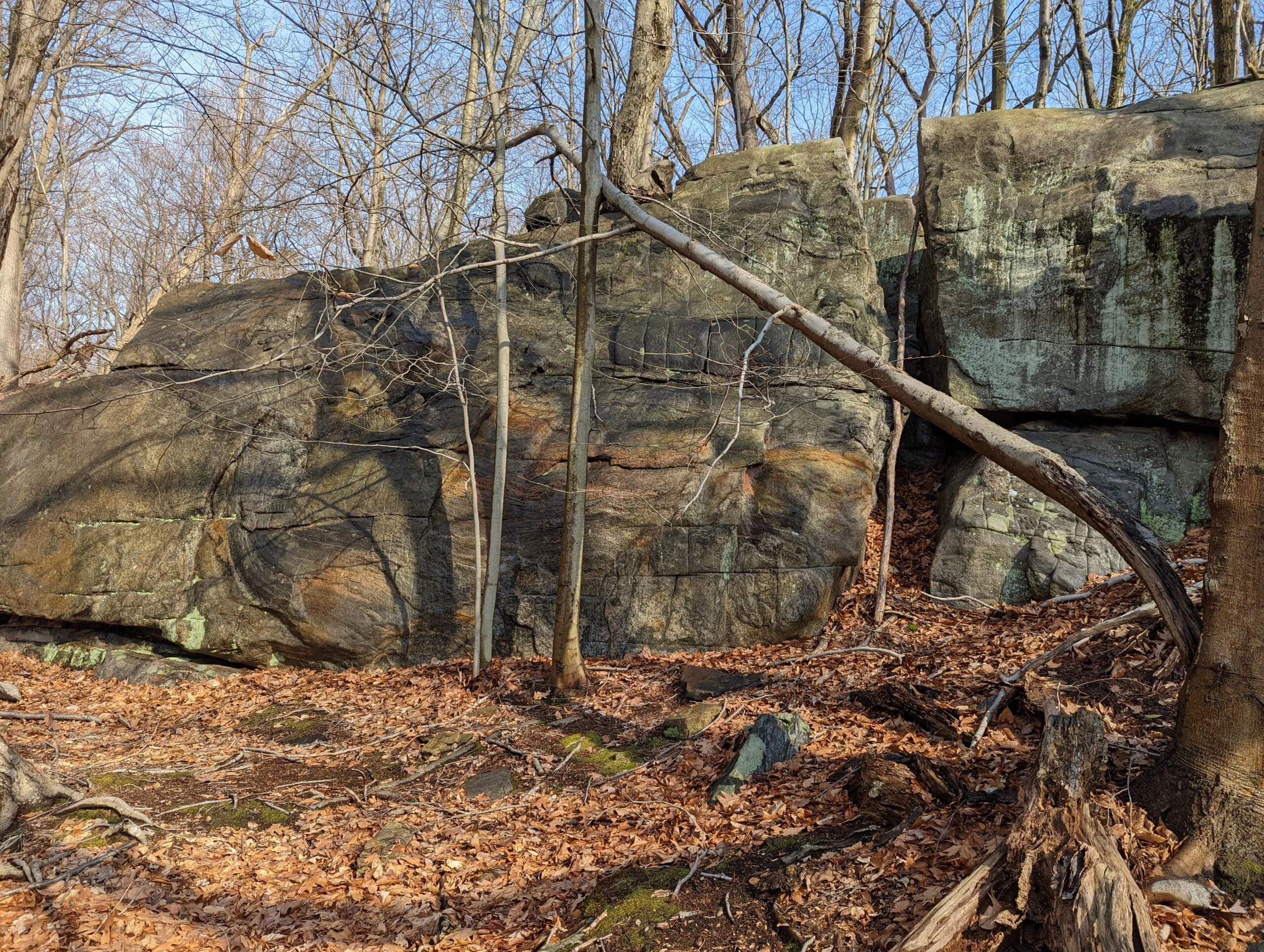
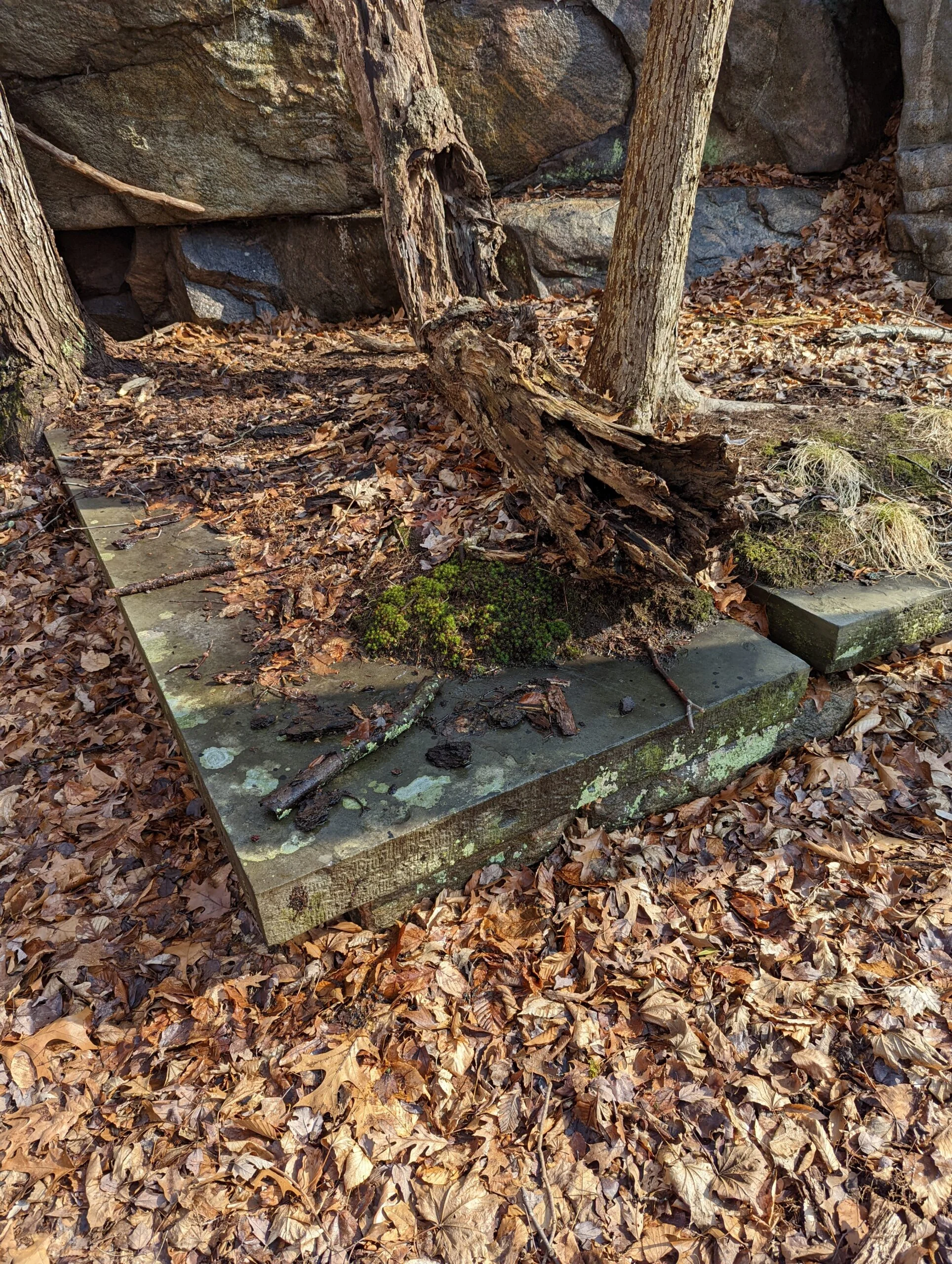
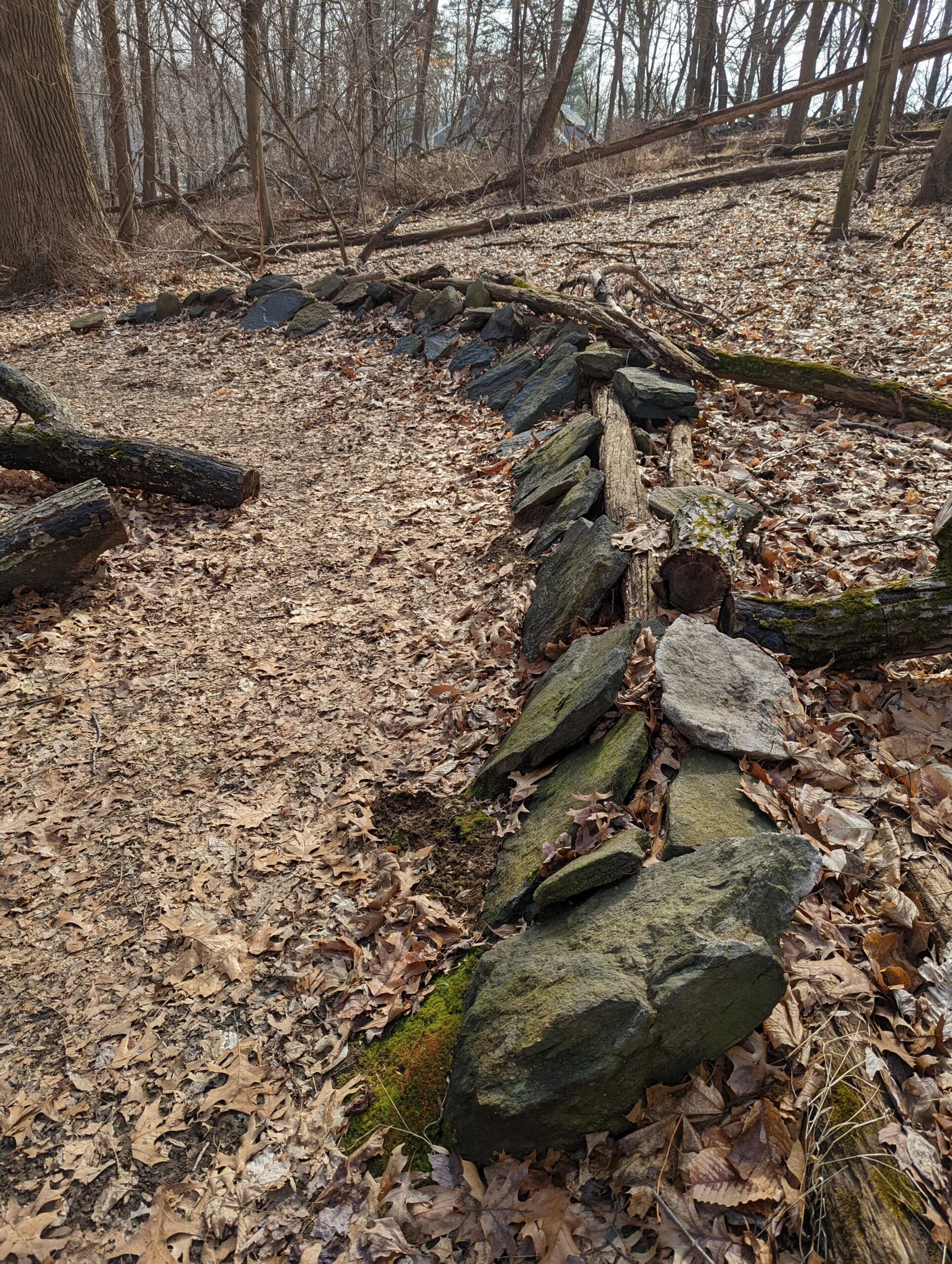
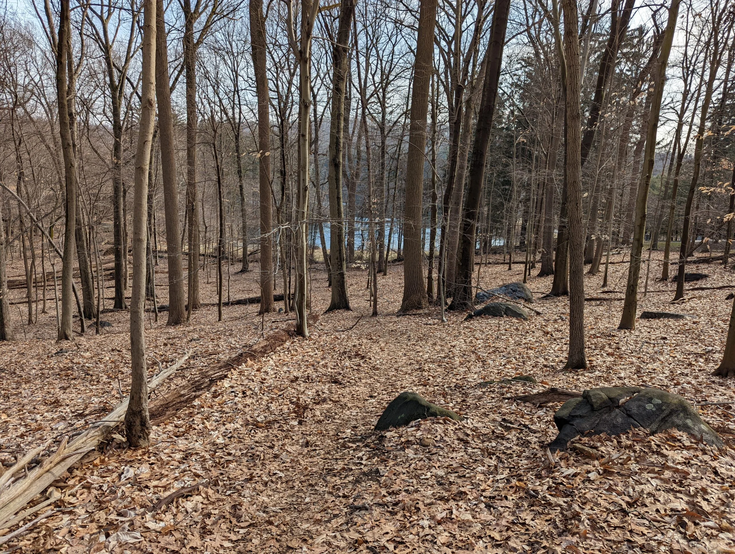
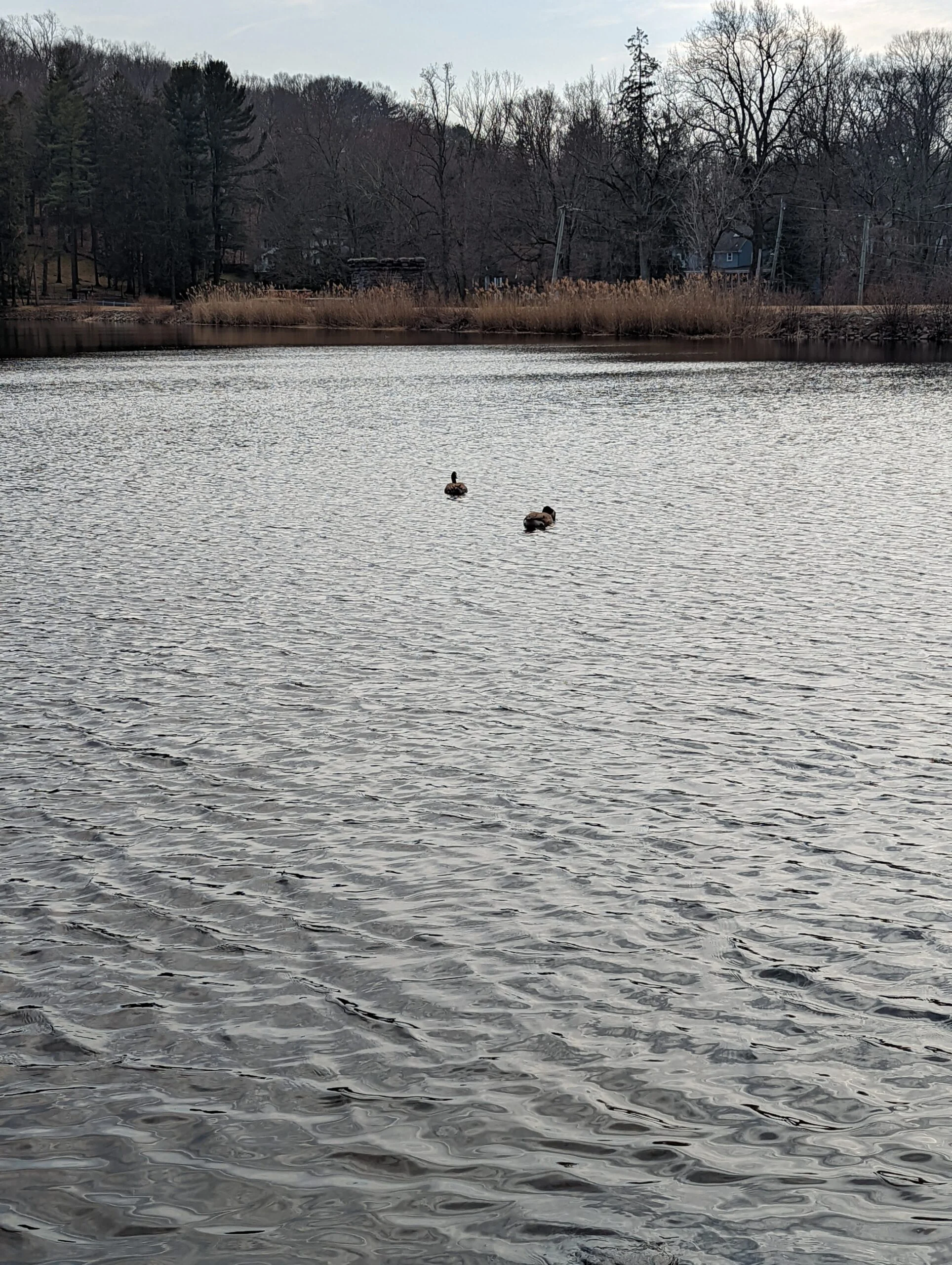
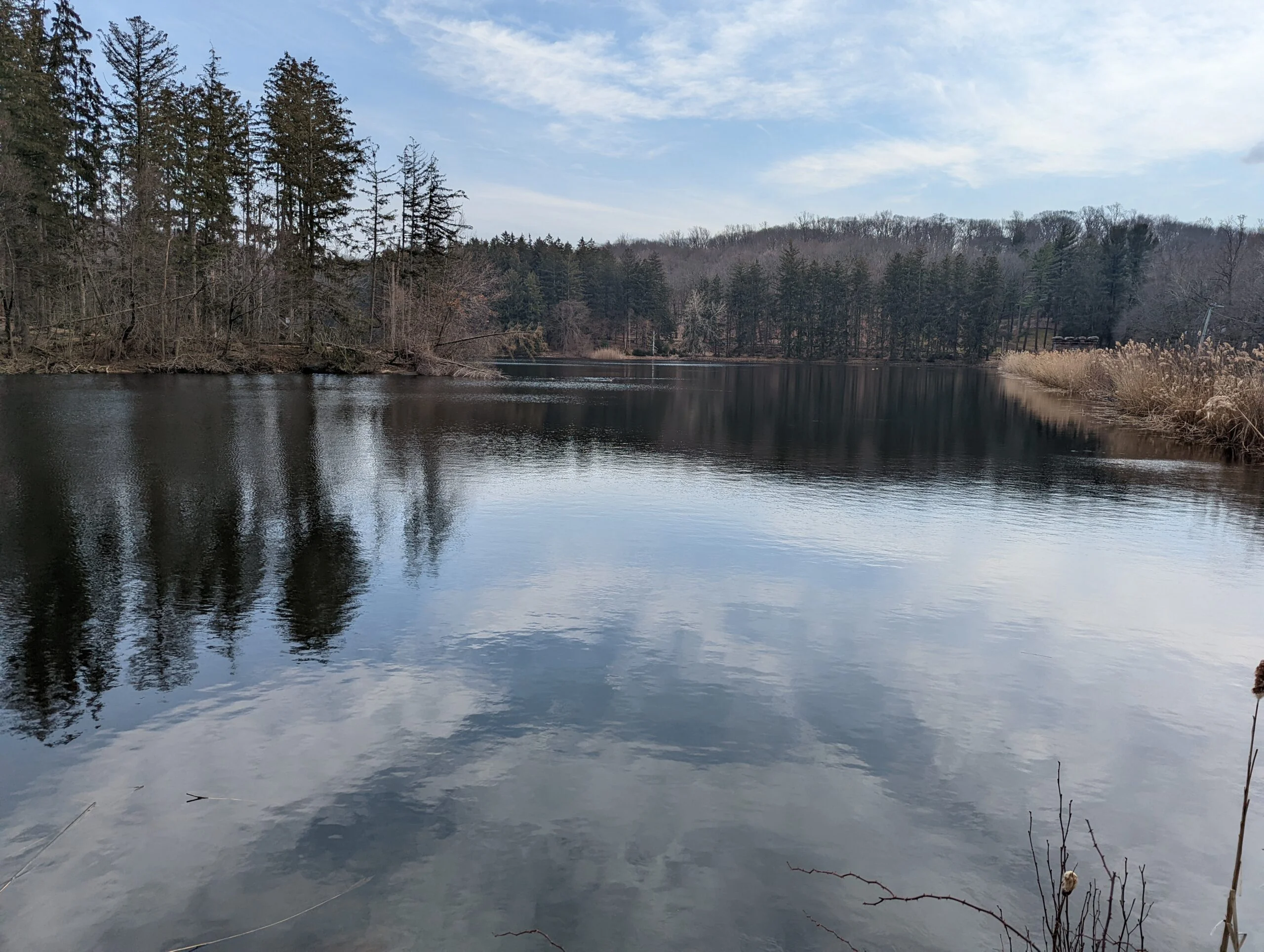
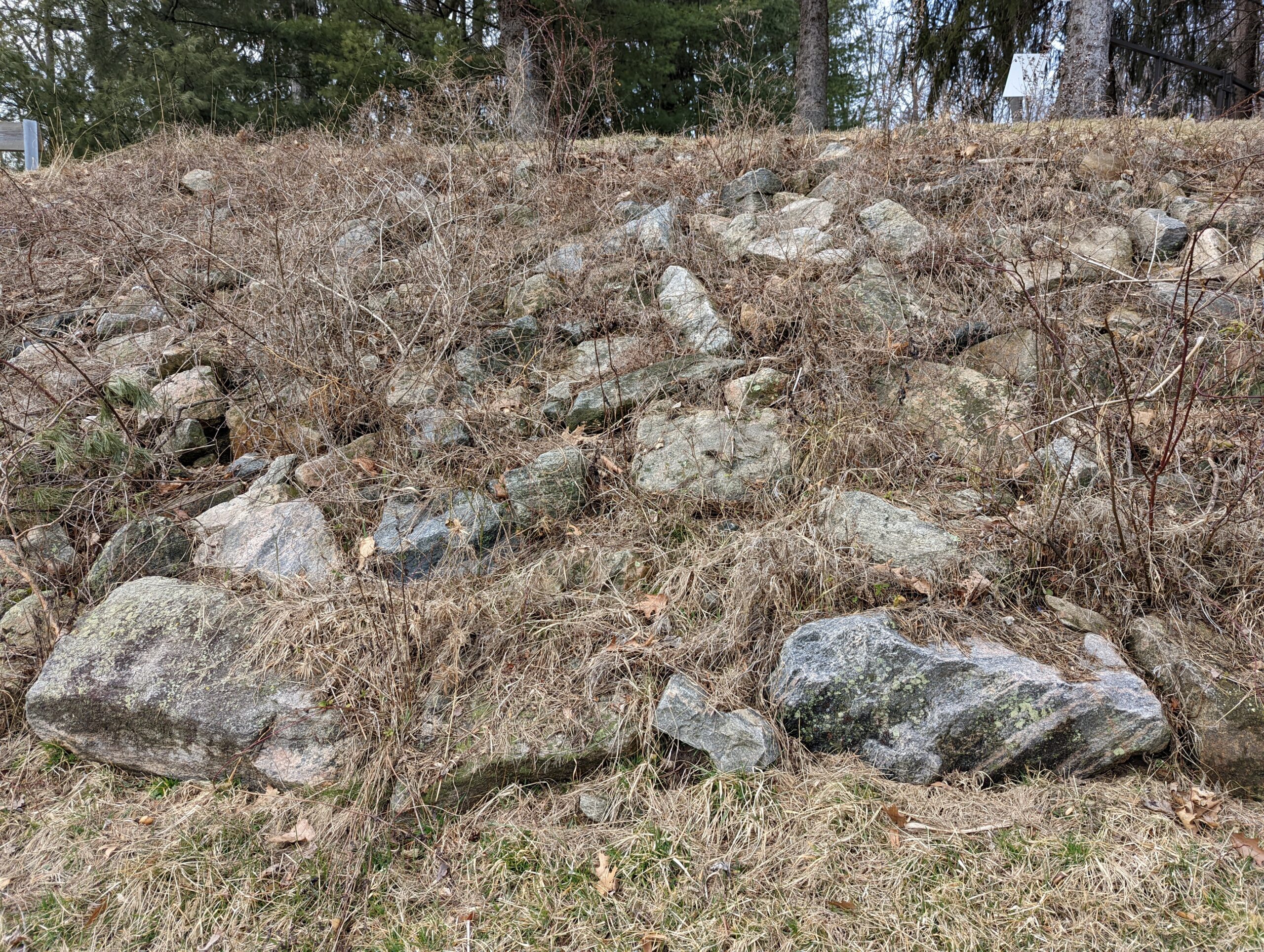
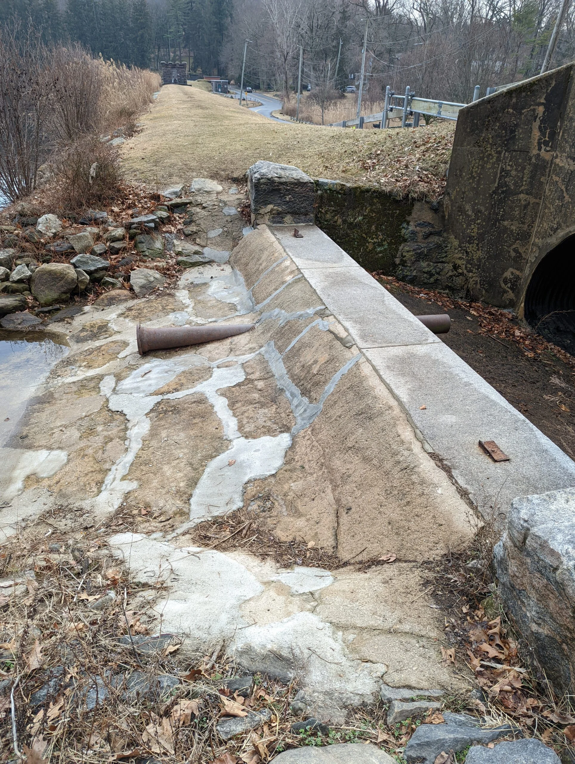
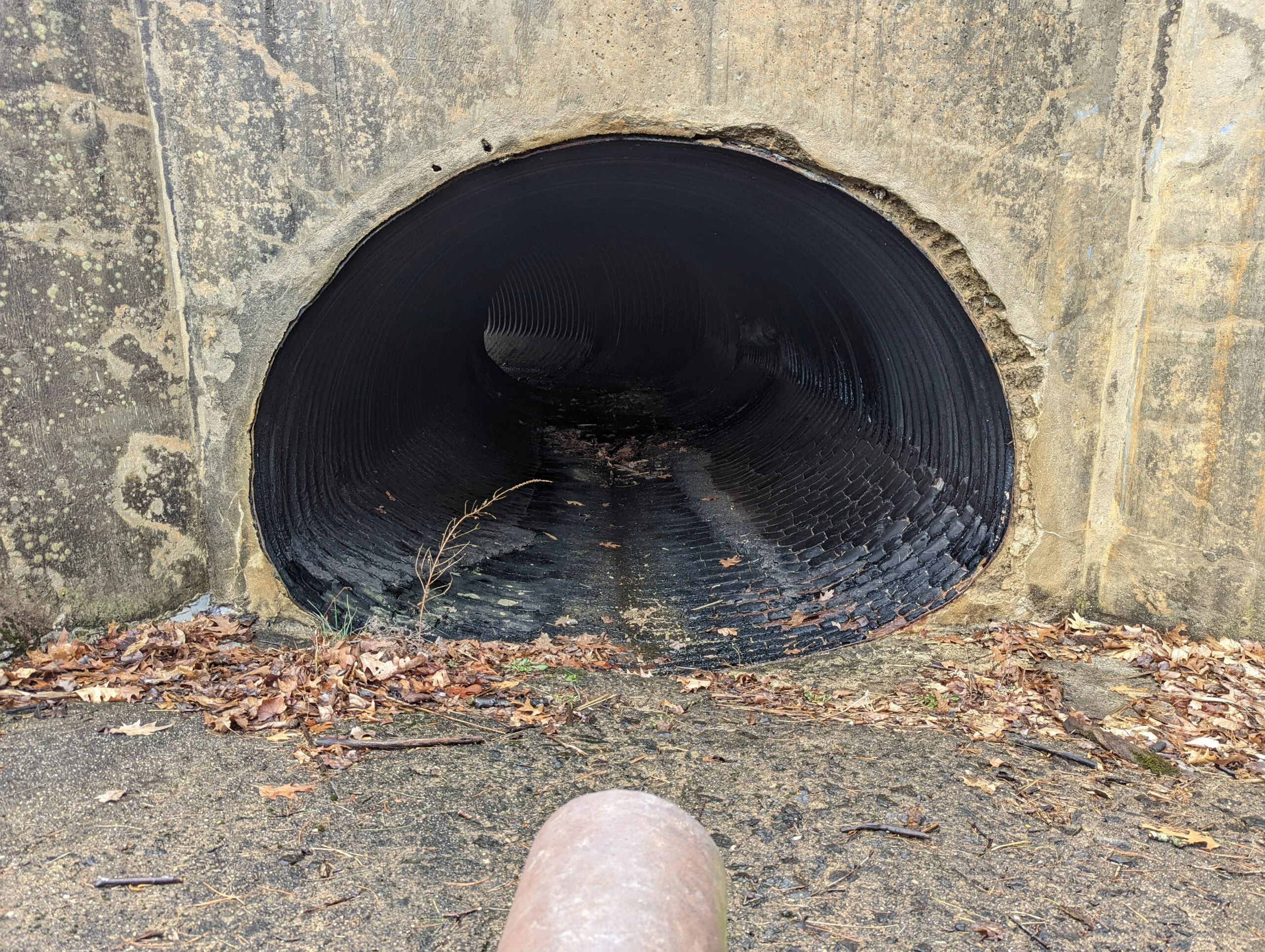
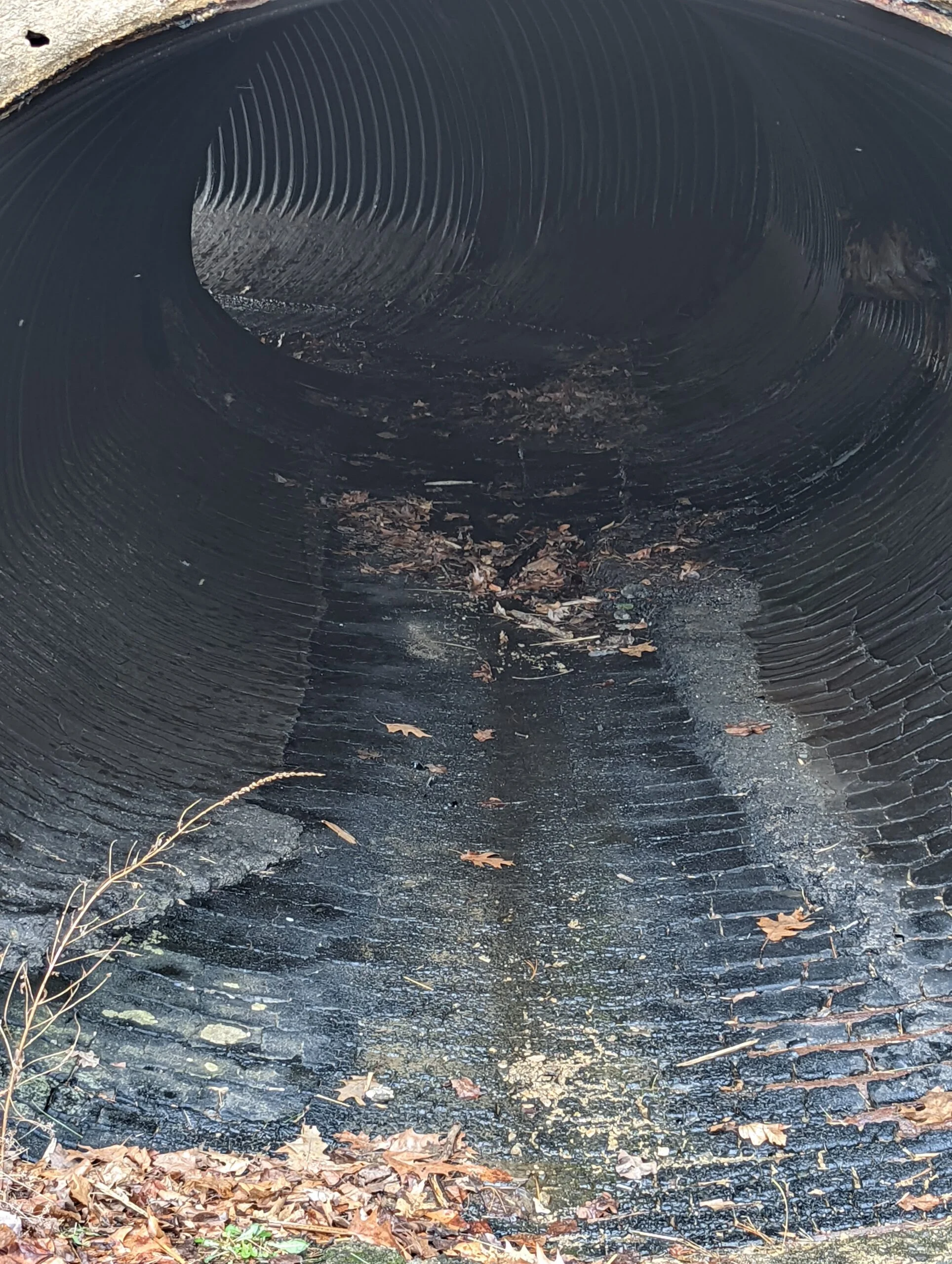
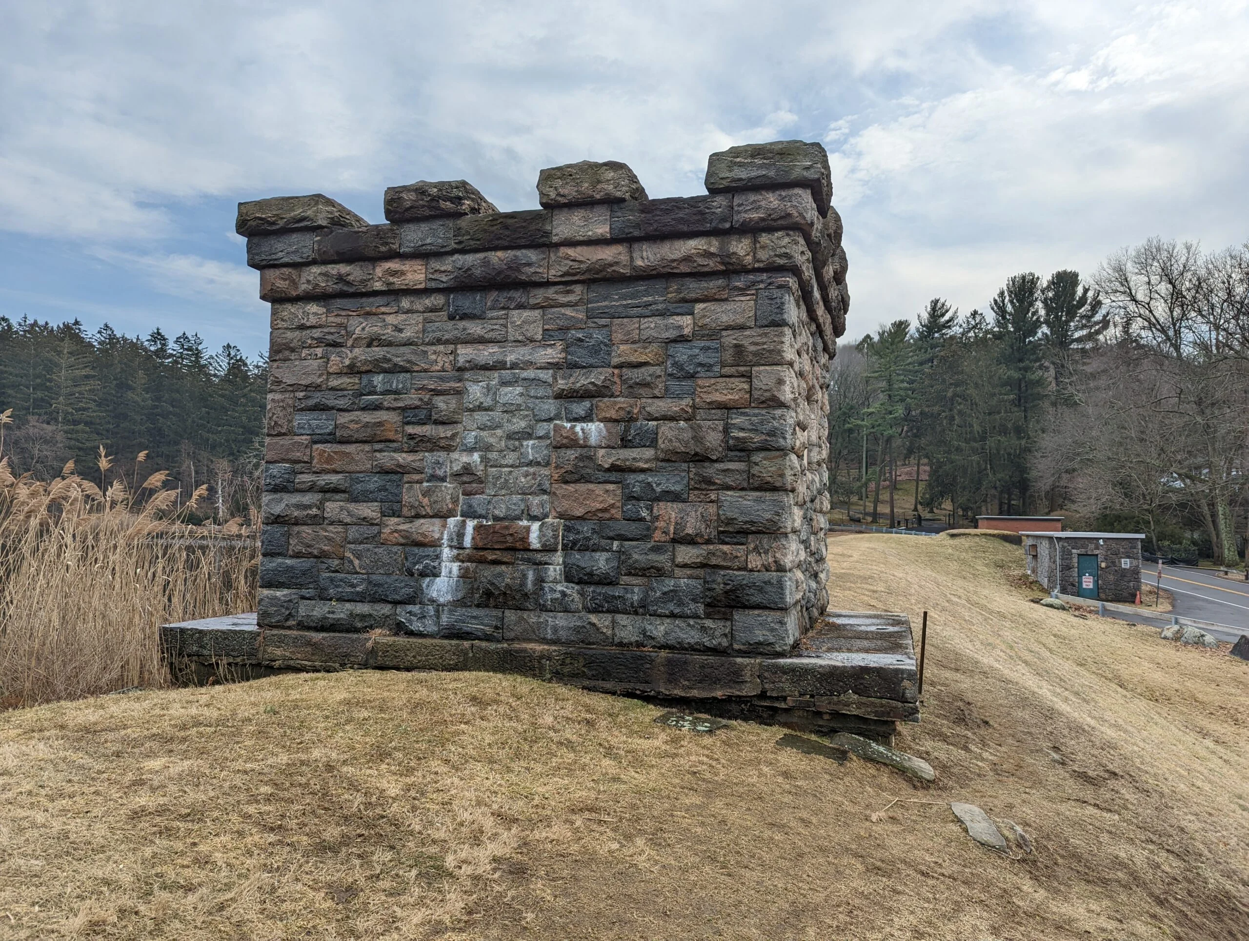
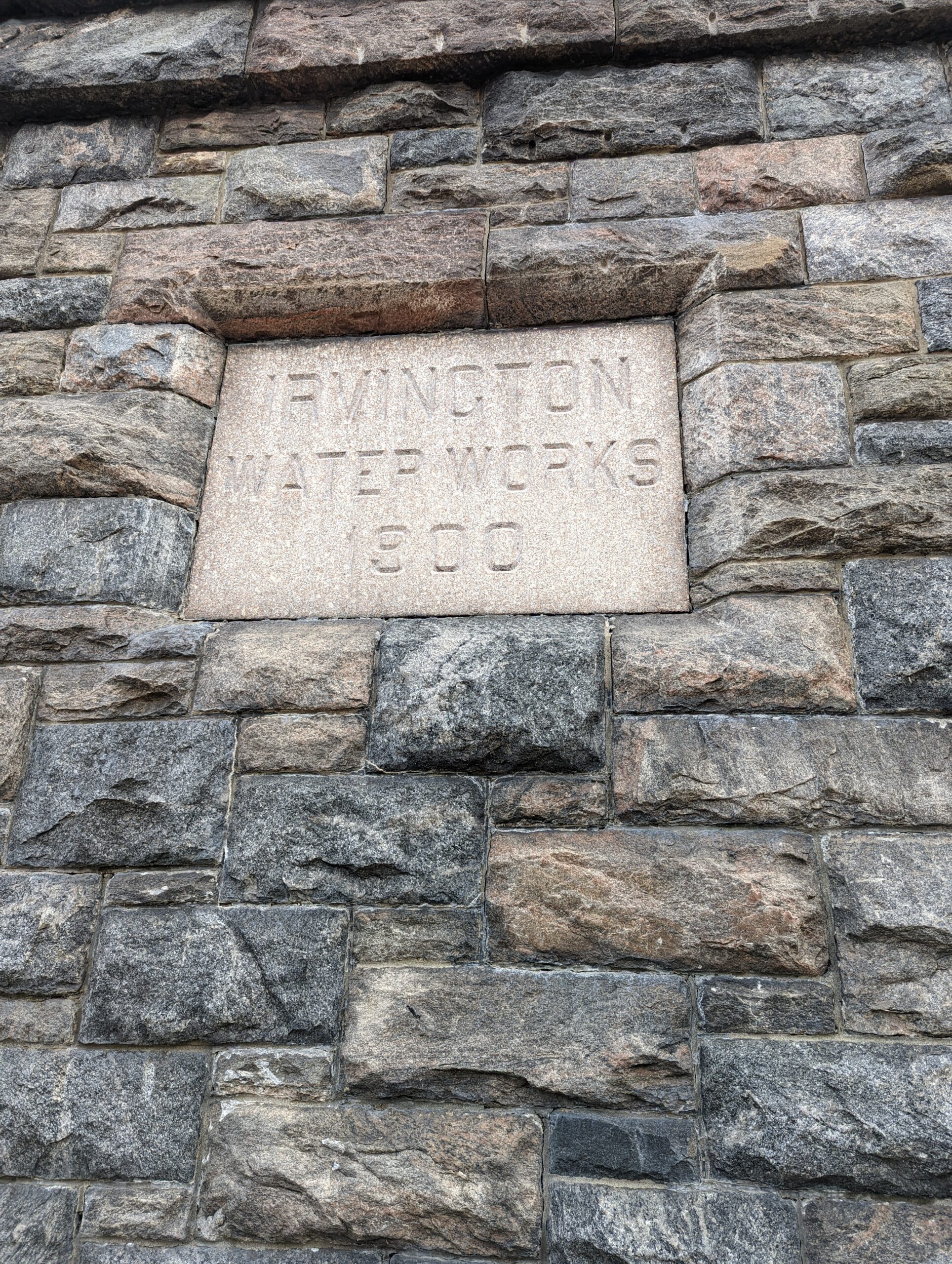
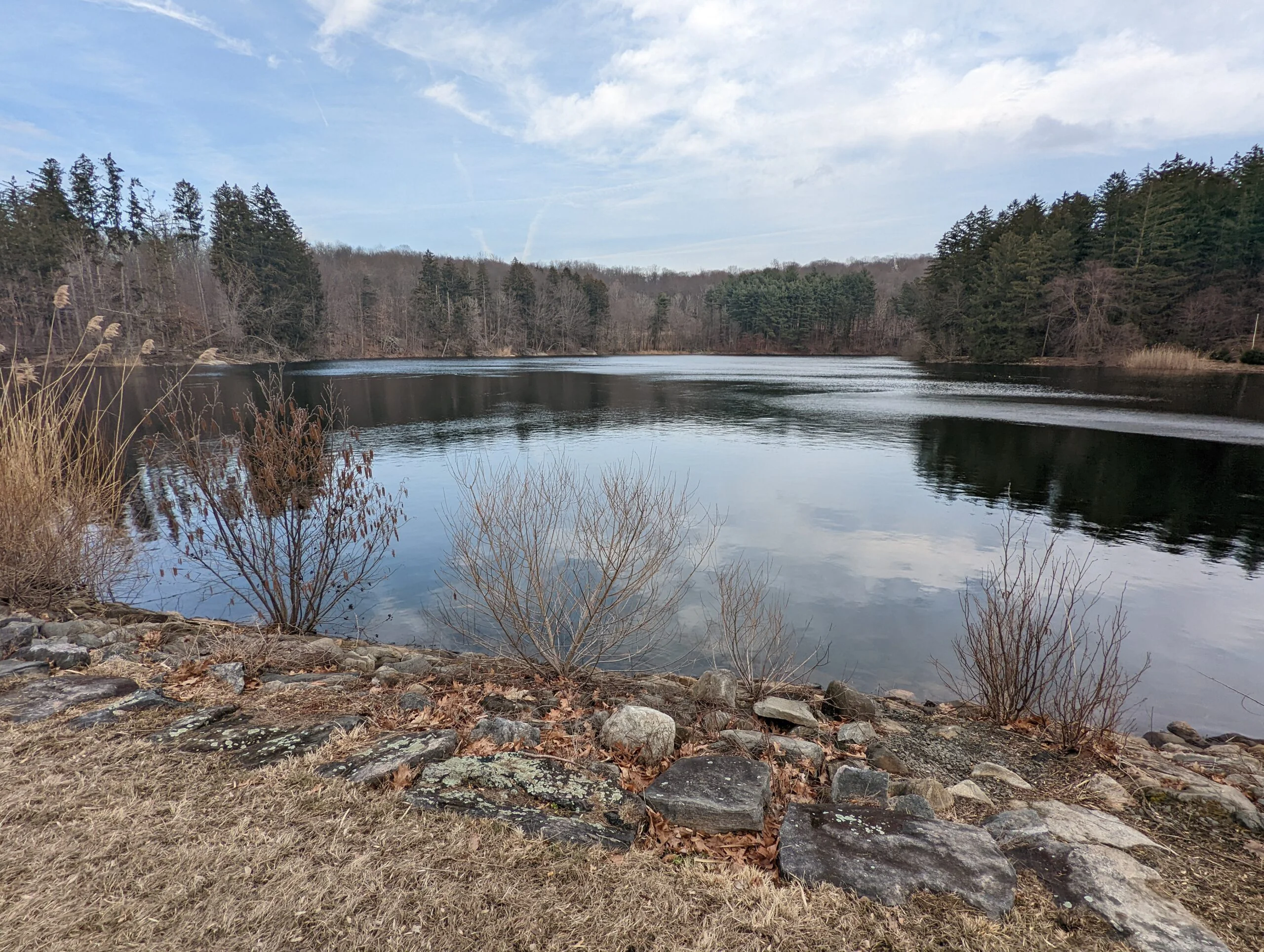
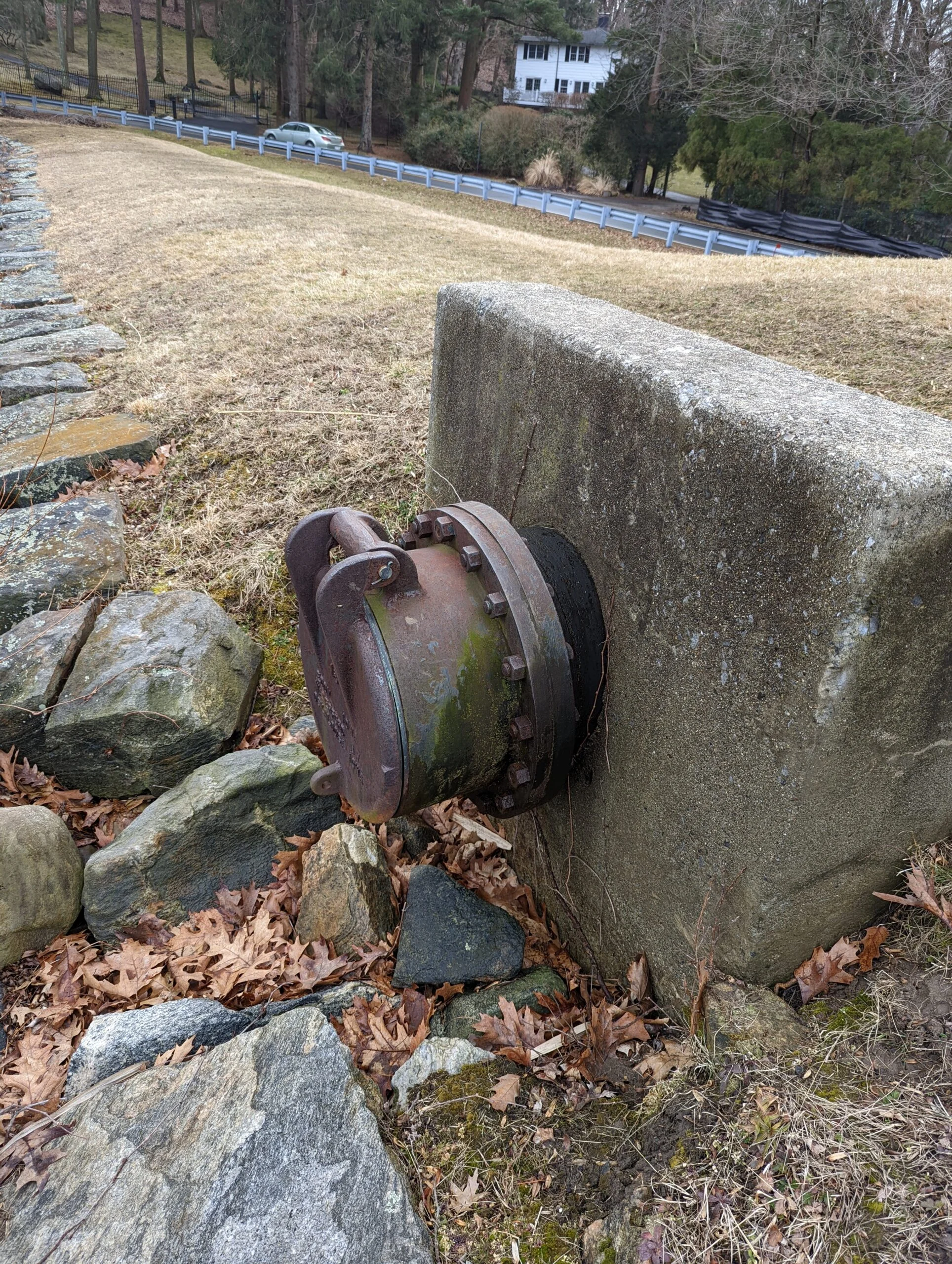
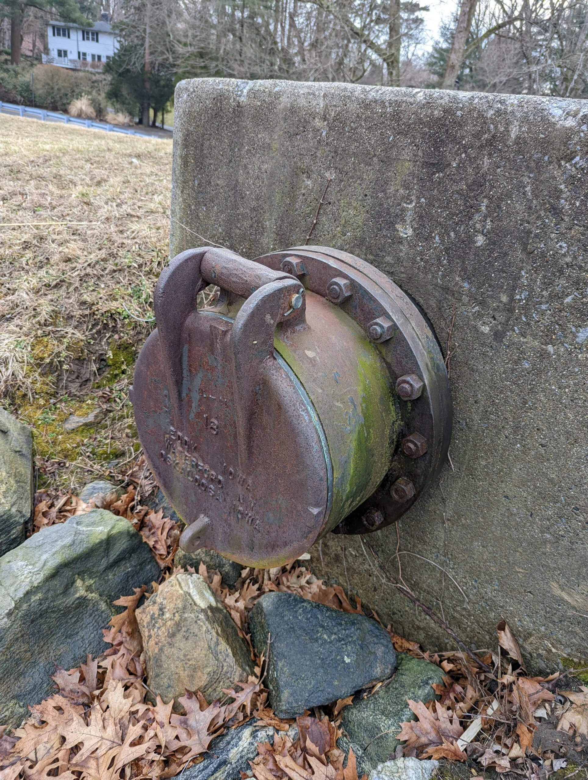
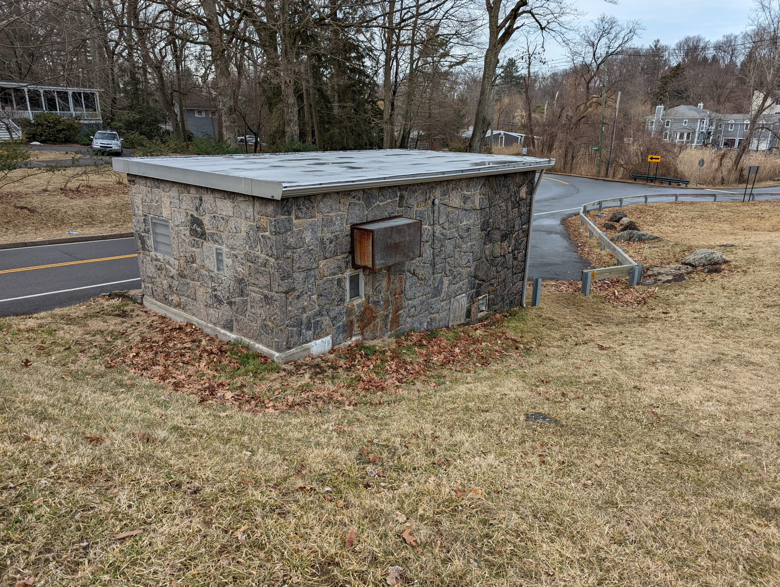
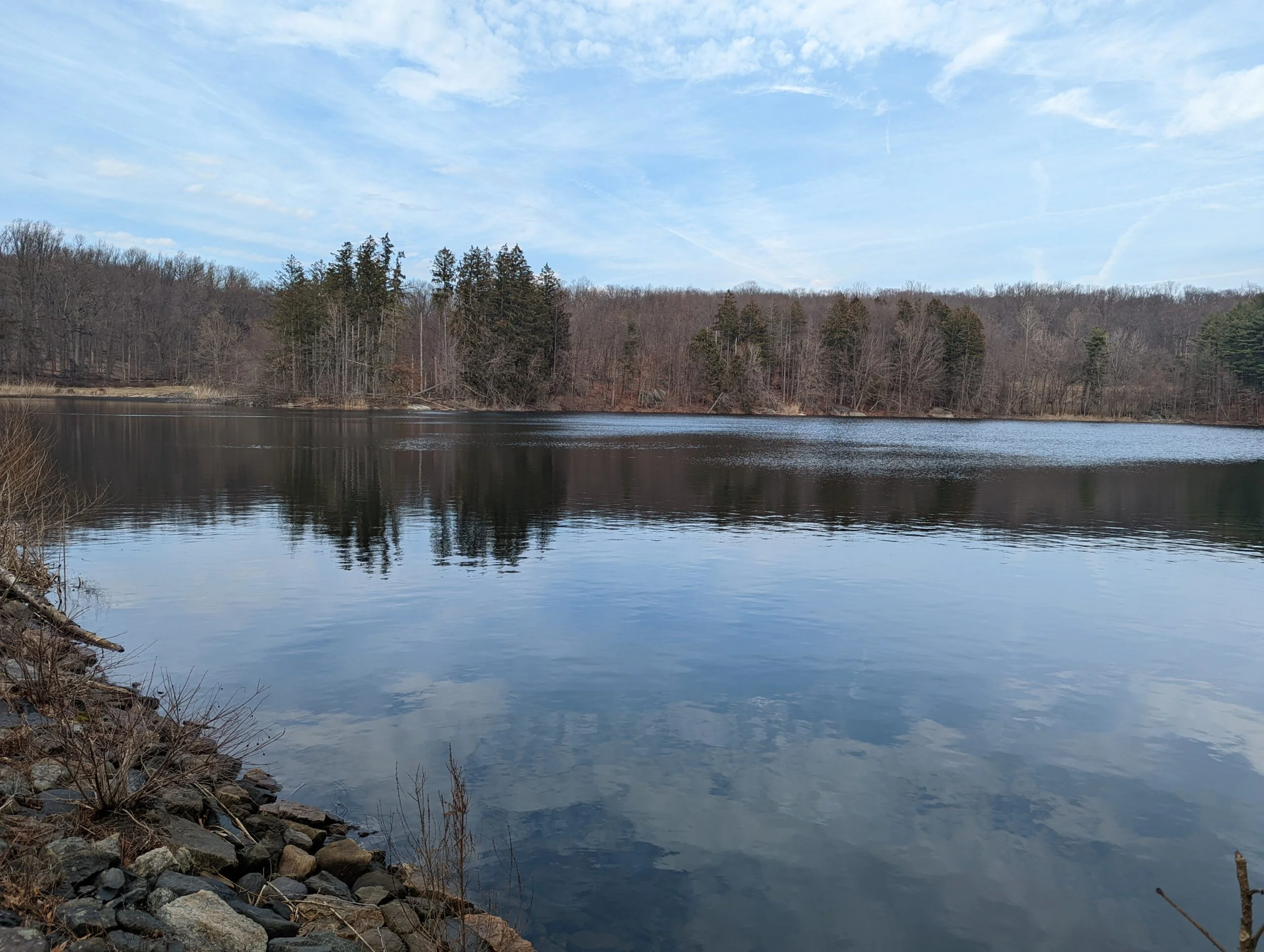
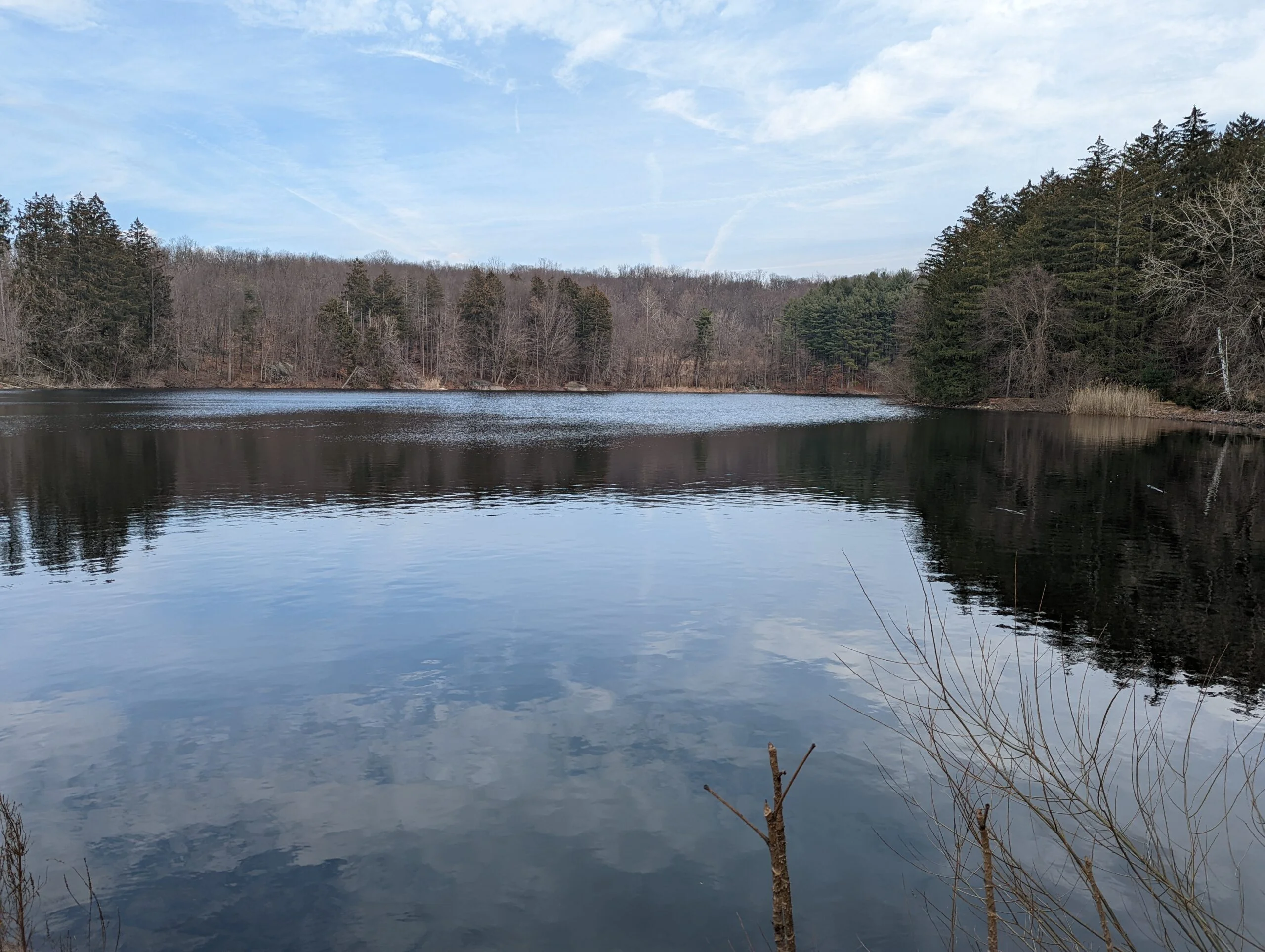
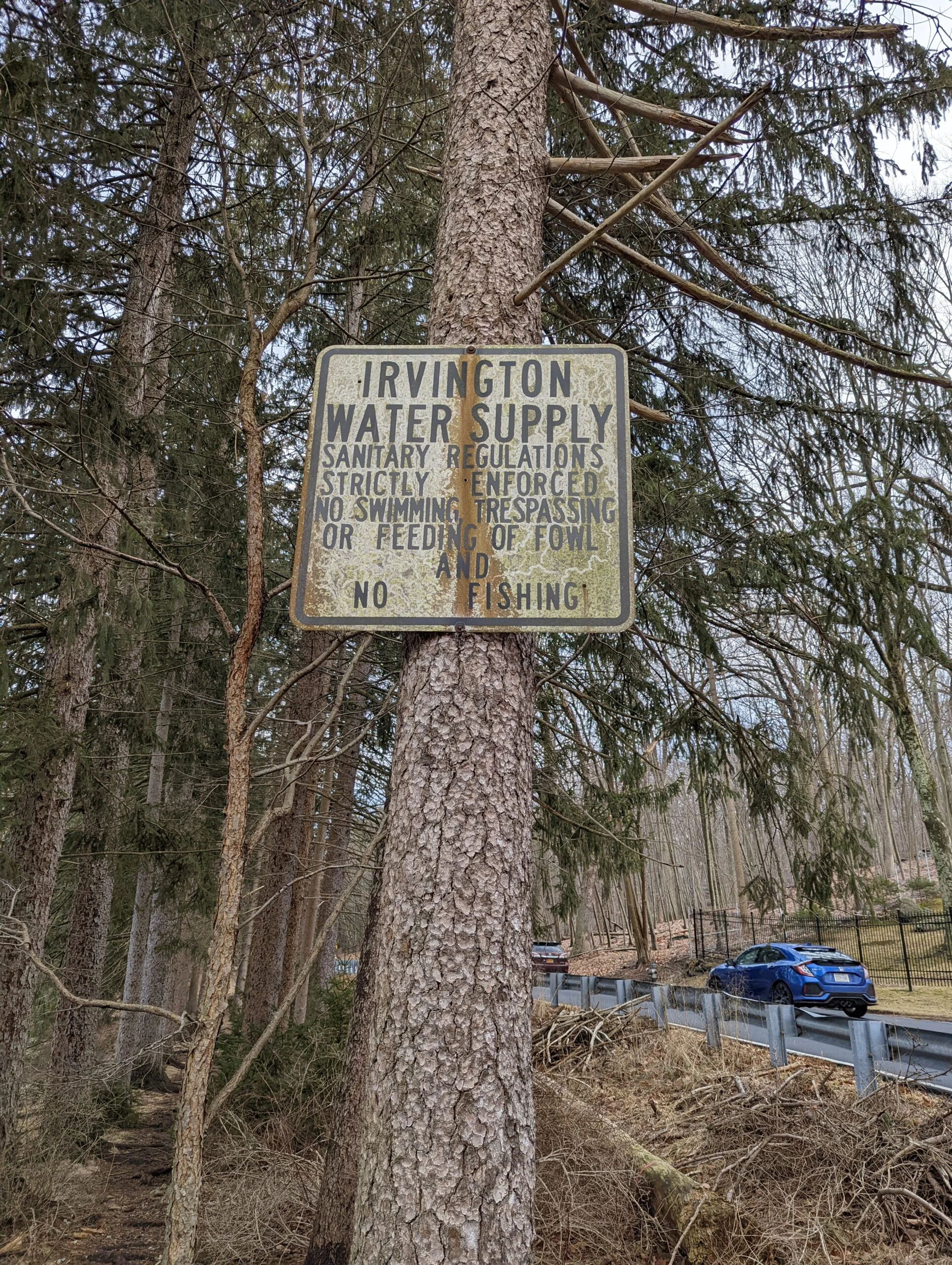
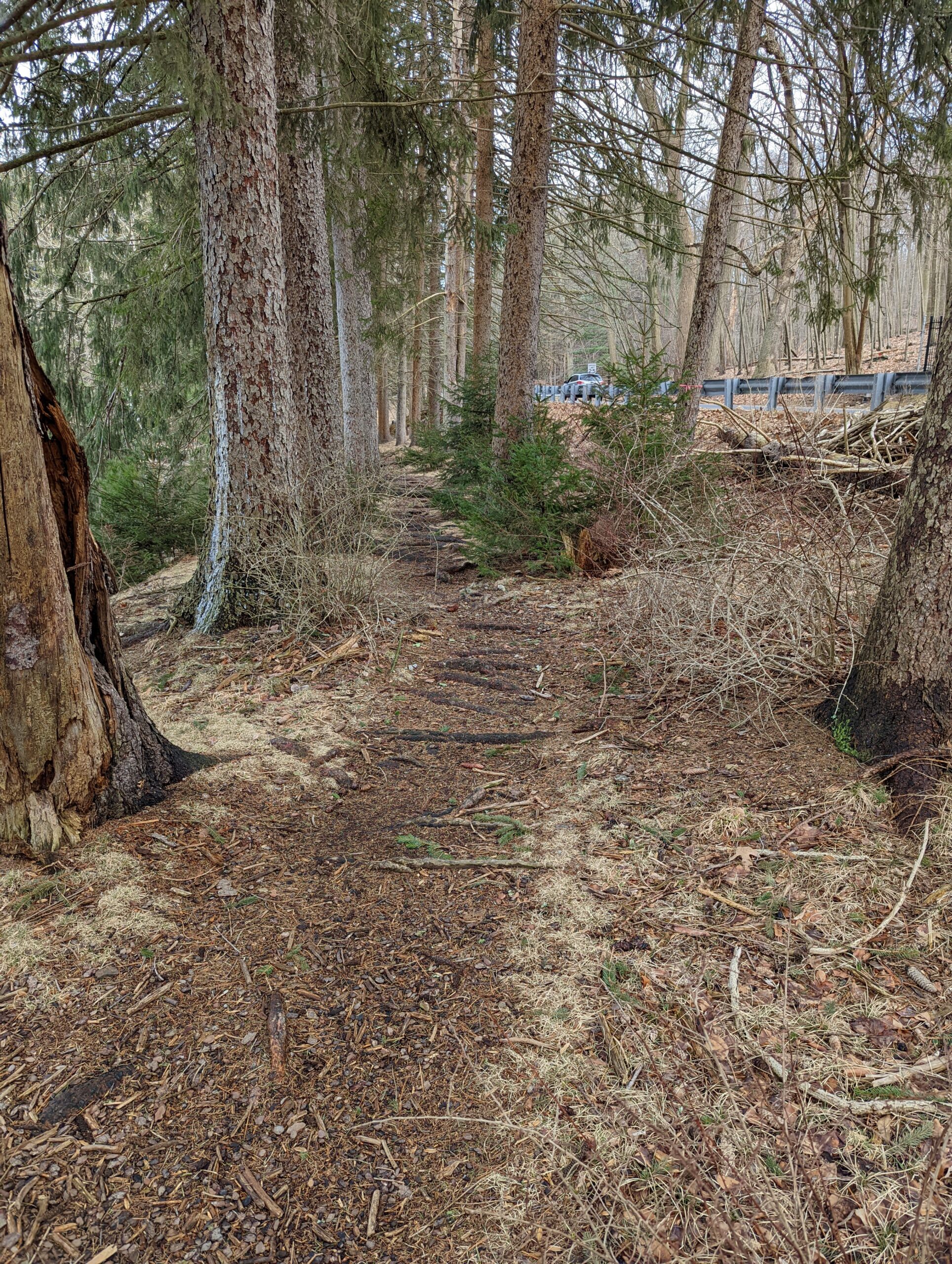
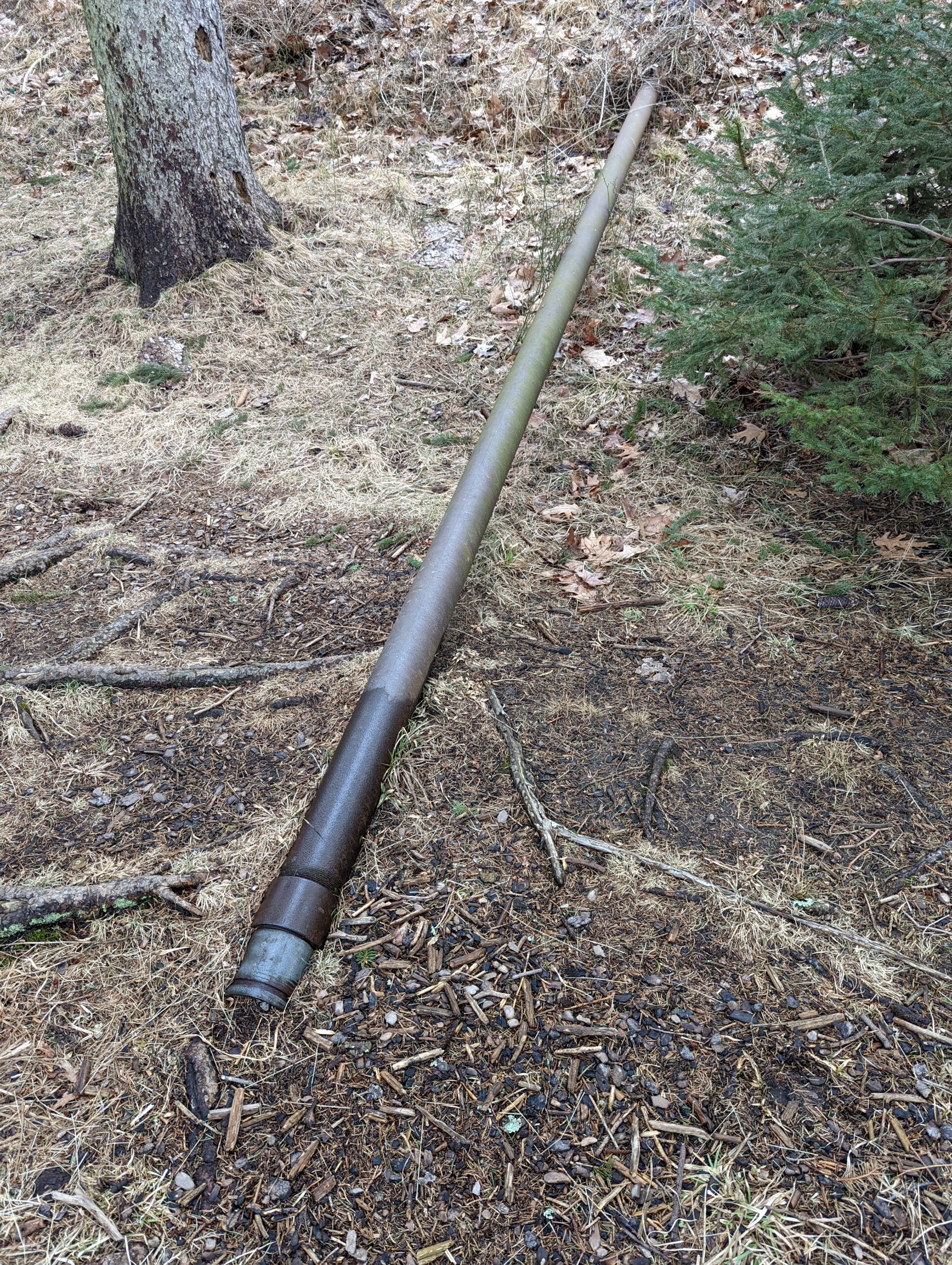
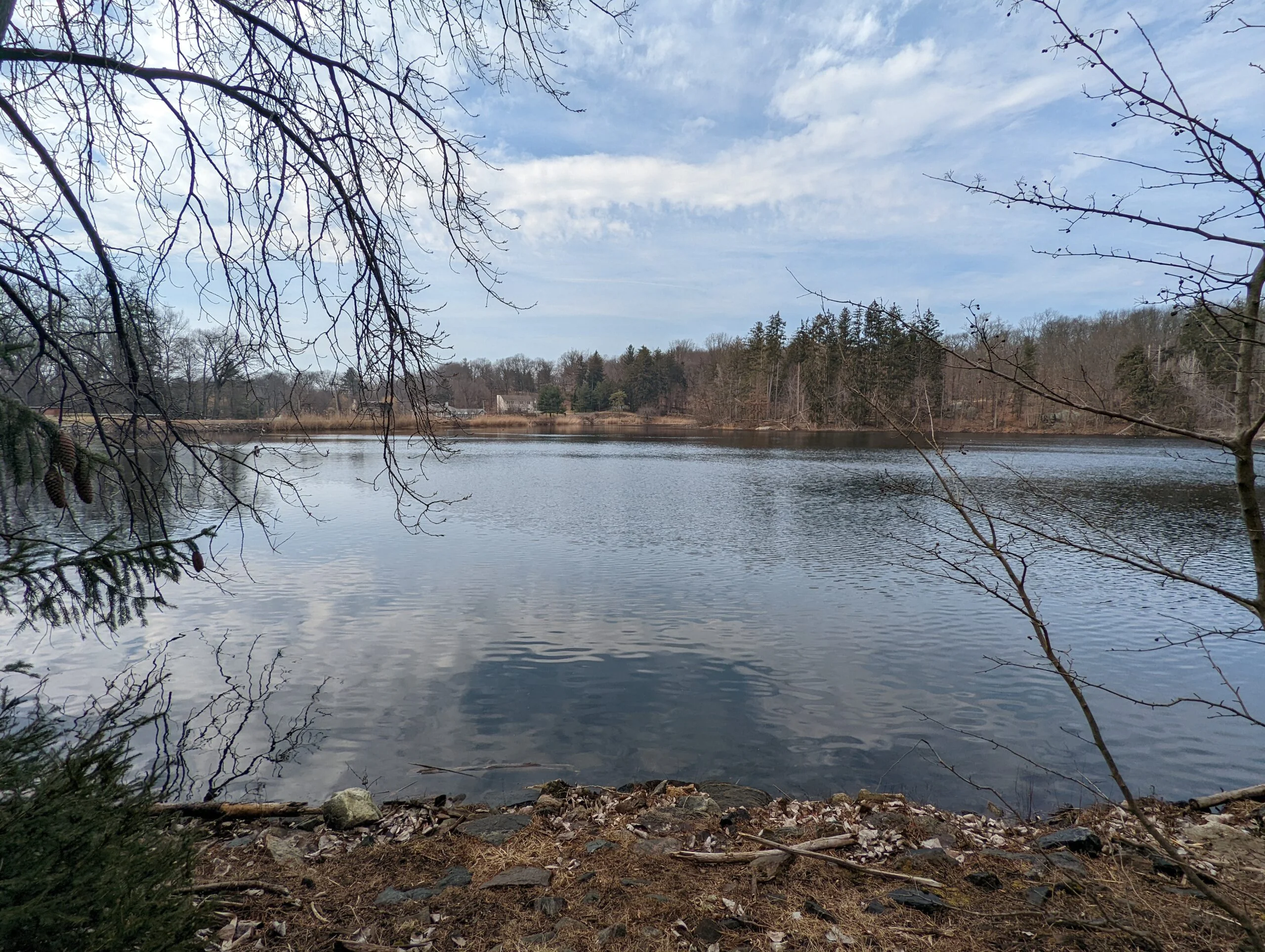
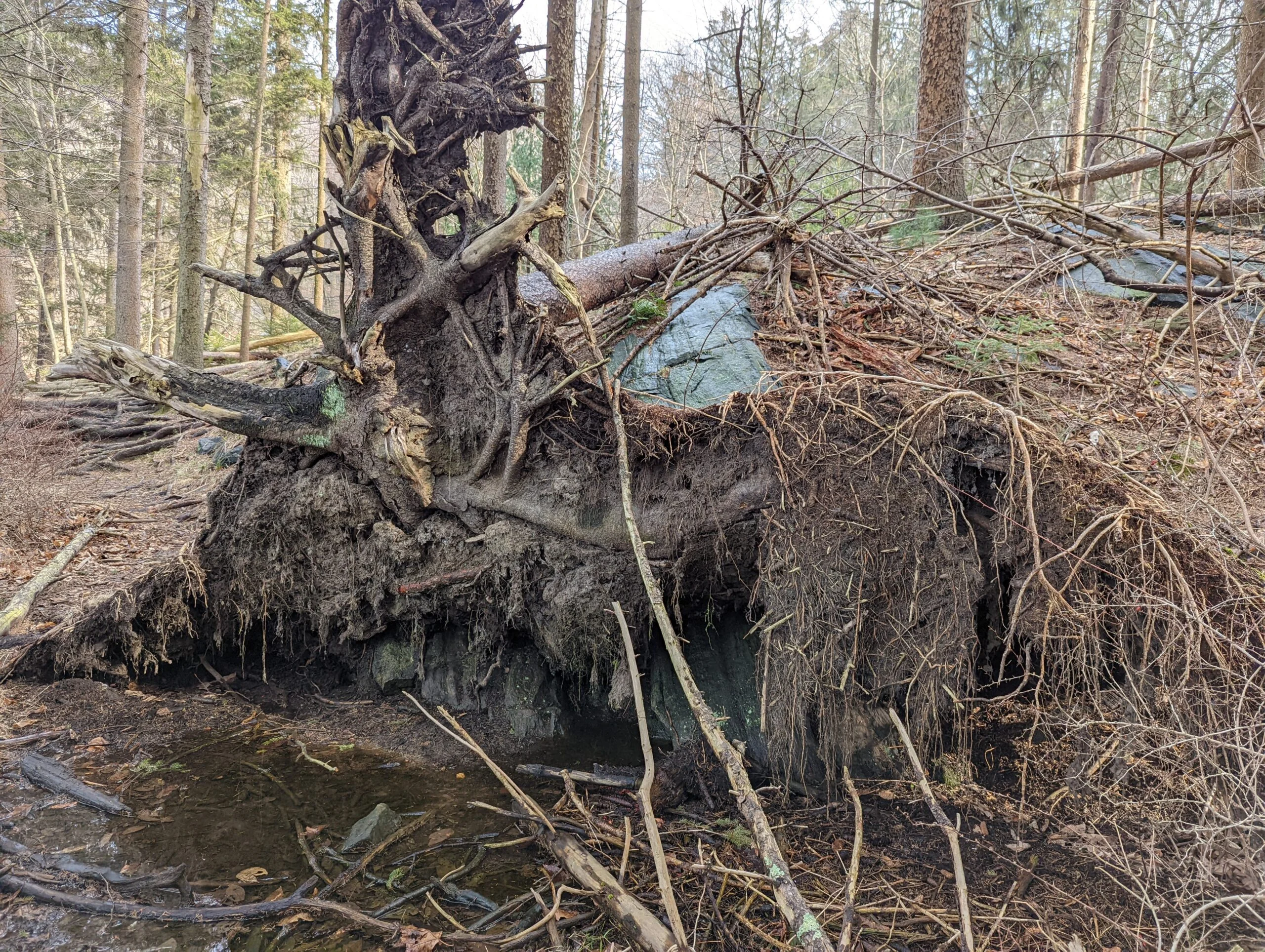
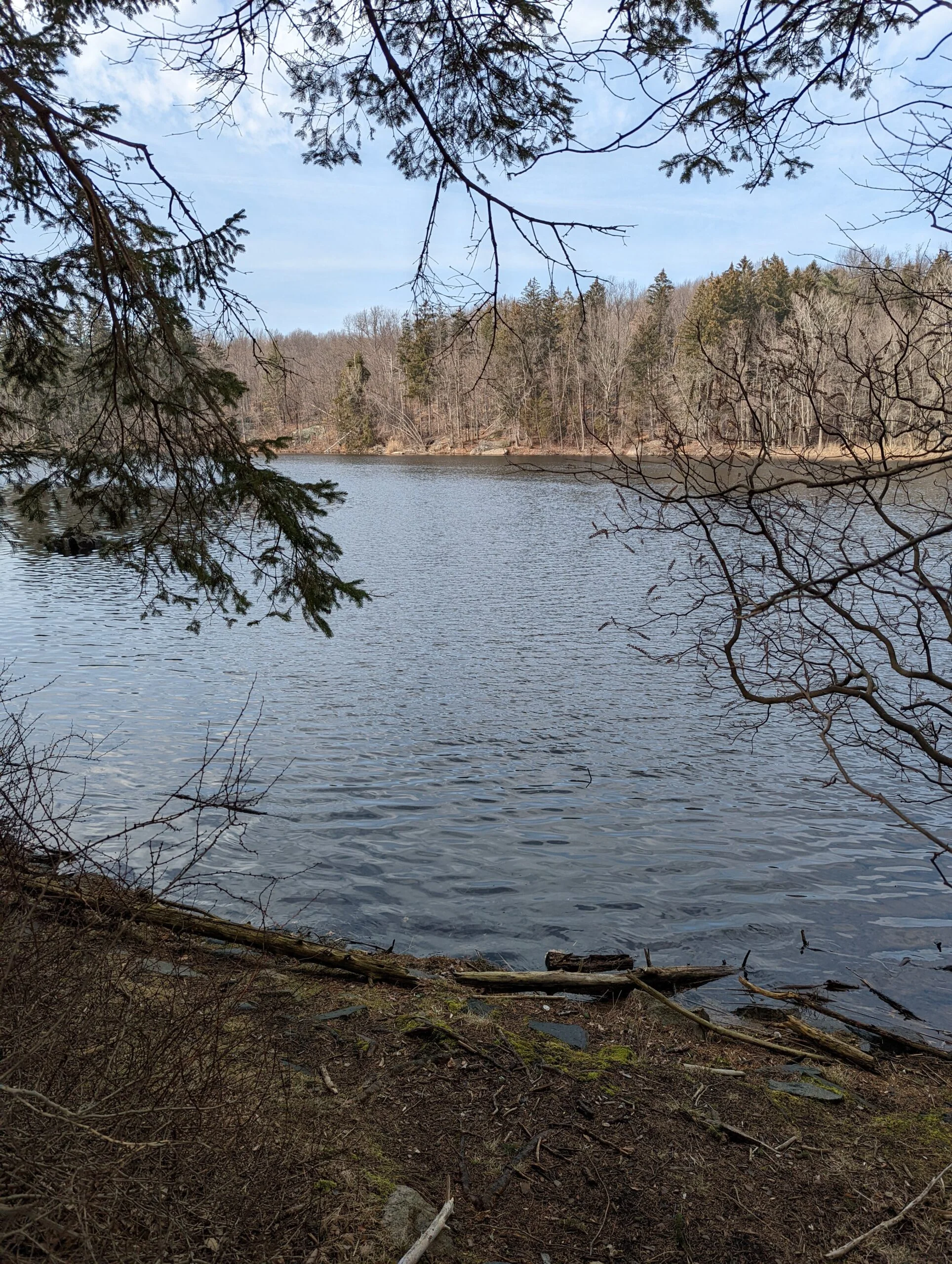
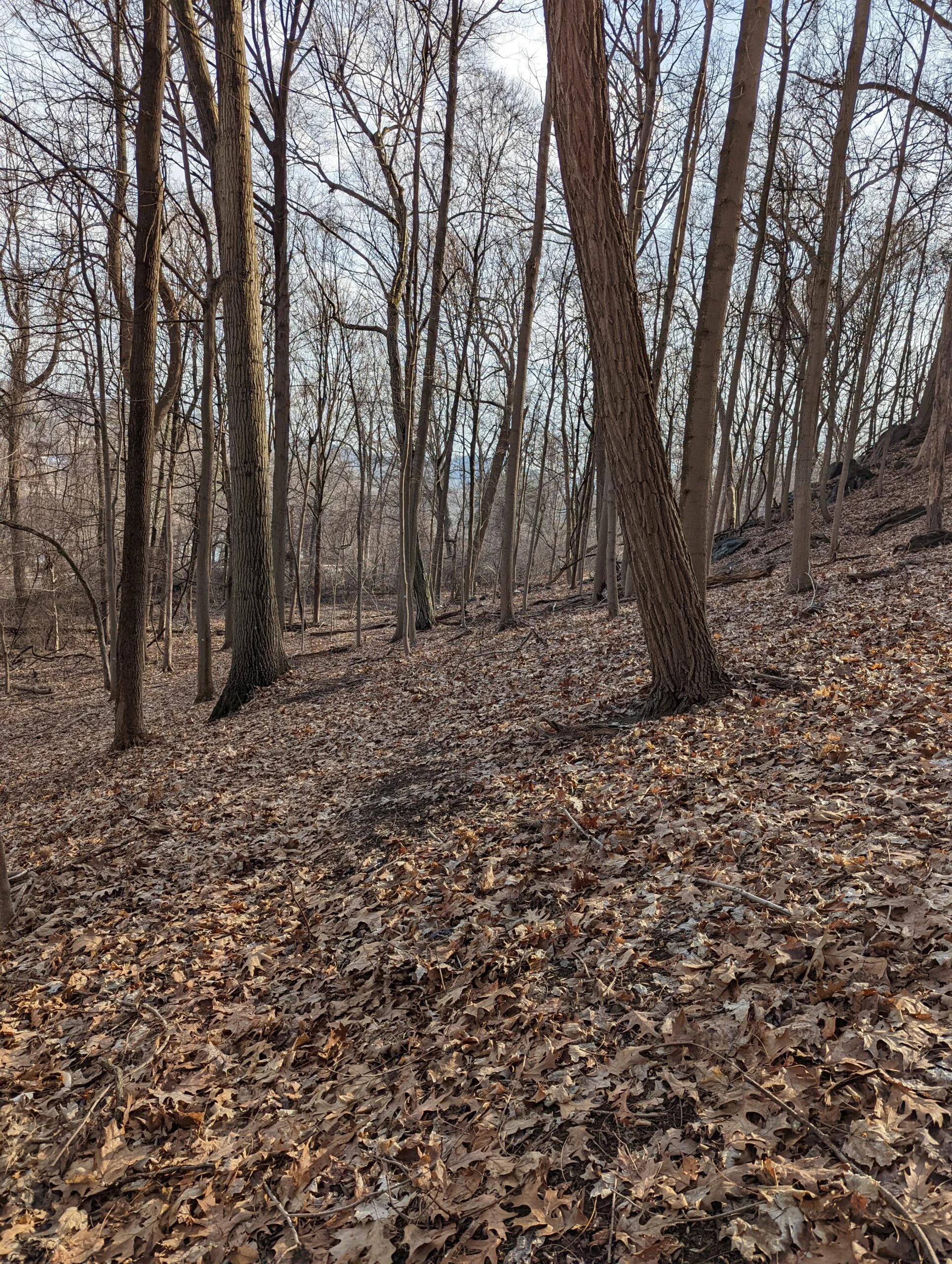
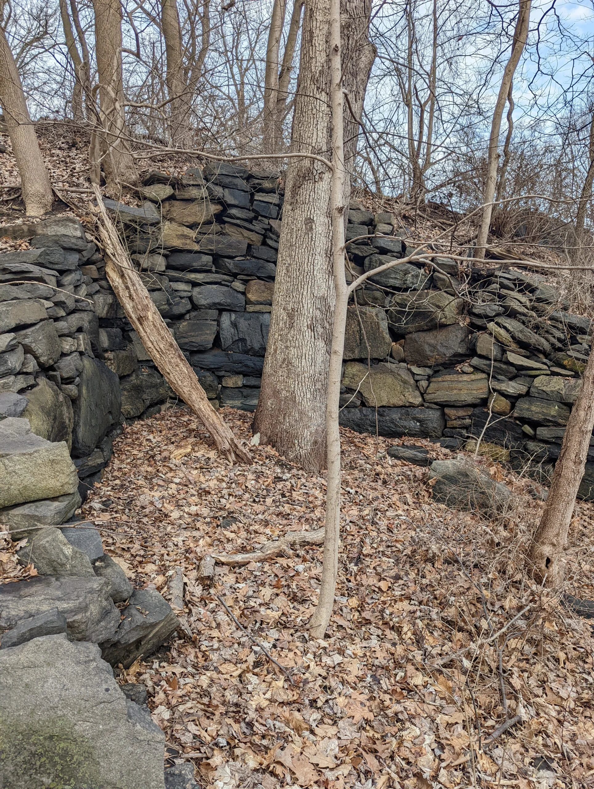
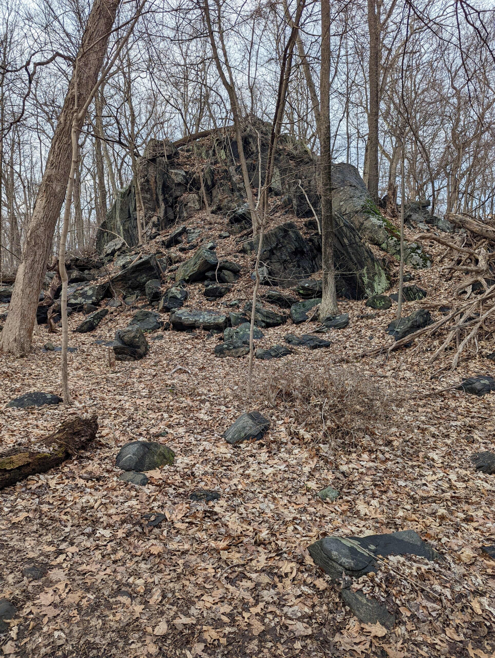
When I reached Irvington Reservoir and Jenkins Rock, I decided to circle the reservoir counterclockwise, as I hadn’t explored the western and southern sides of before. I found what I think is a relief pipe leading to a large tunnel should the water level get too high. There were also a couple pump houses or mechanical rooms along the way, one being built in 1900. I followed a quaint little trail on the southern side which led me to the Cyrus Field Road parking lot.
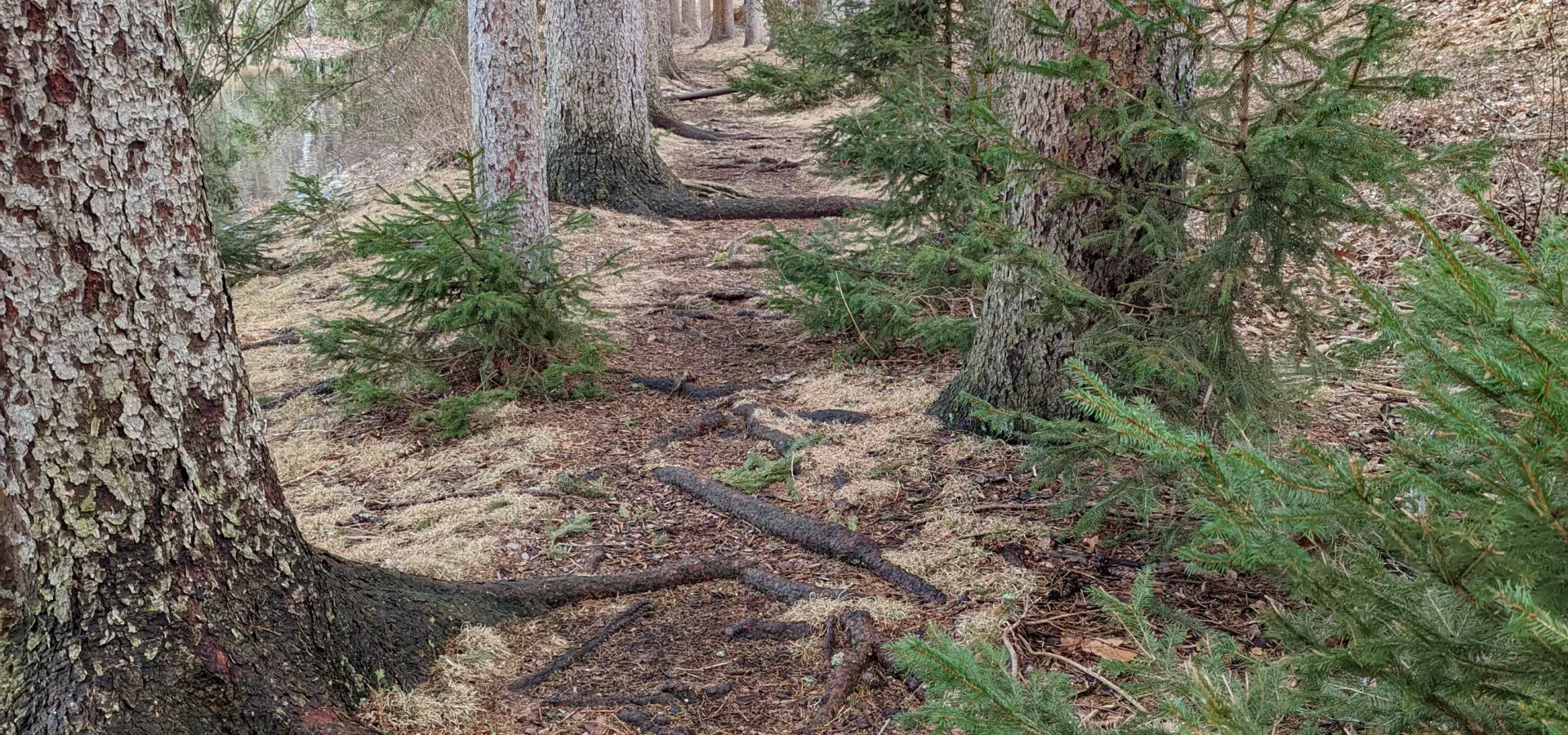
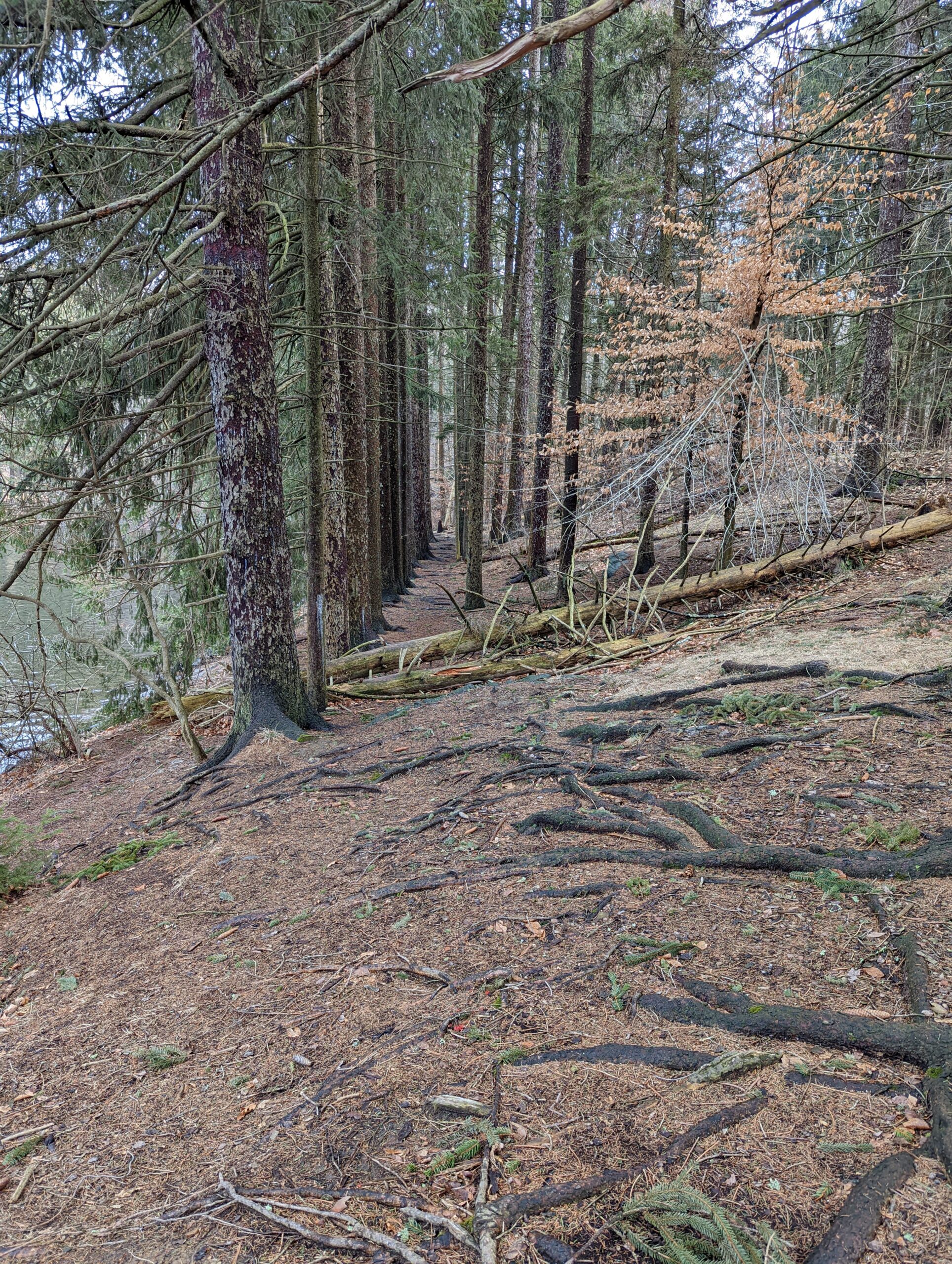
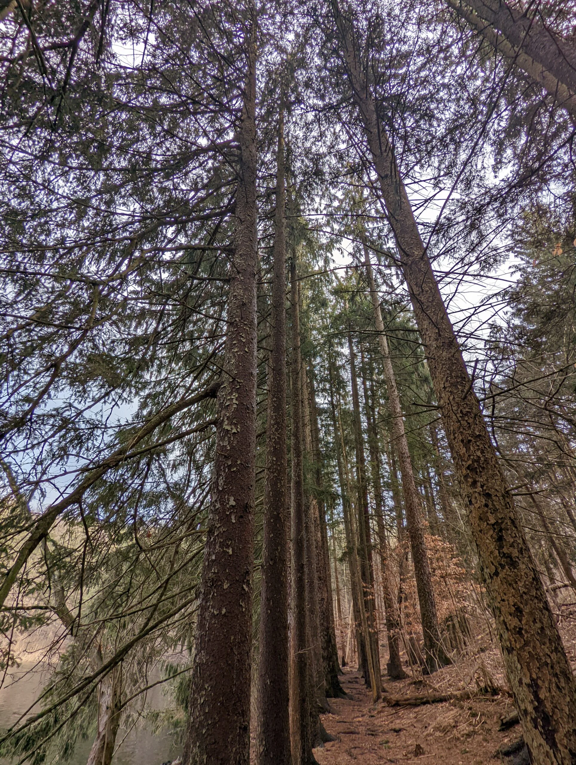
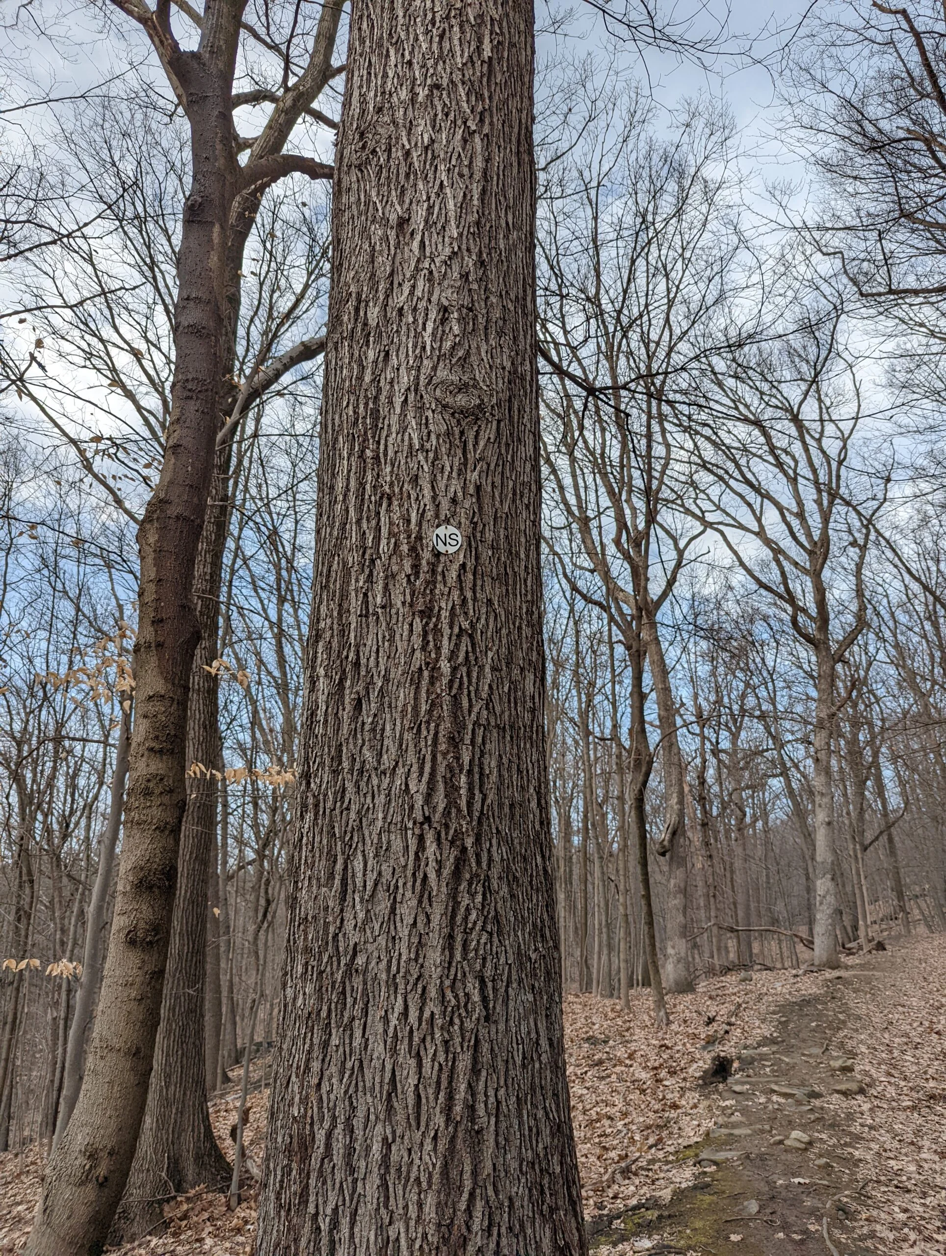
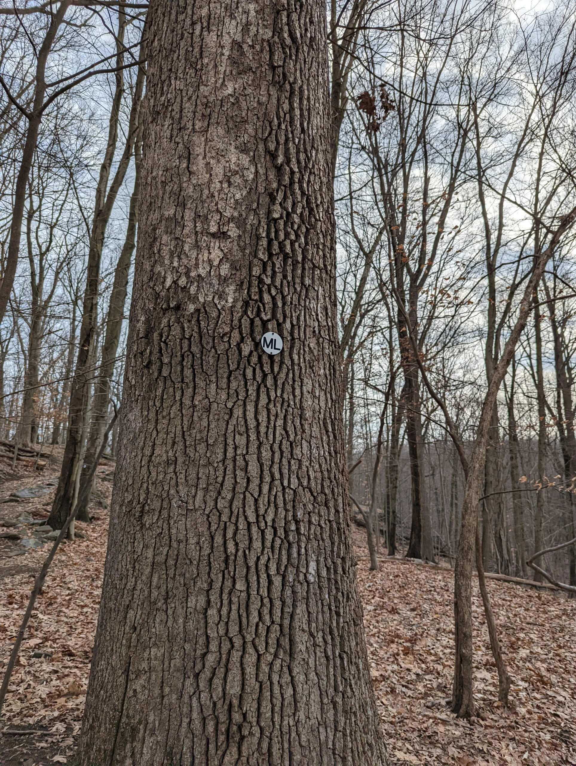
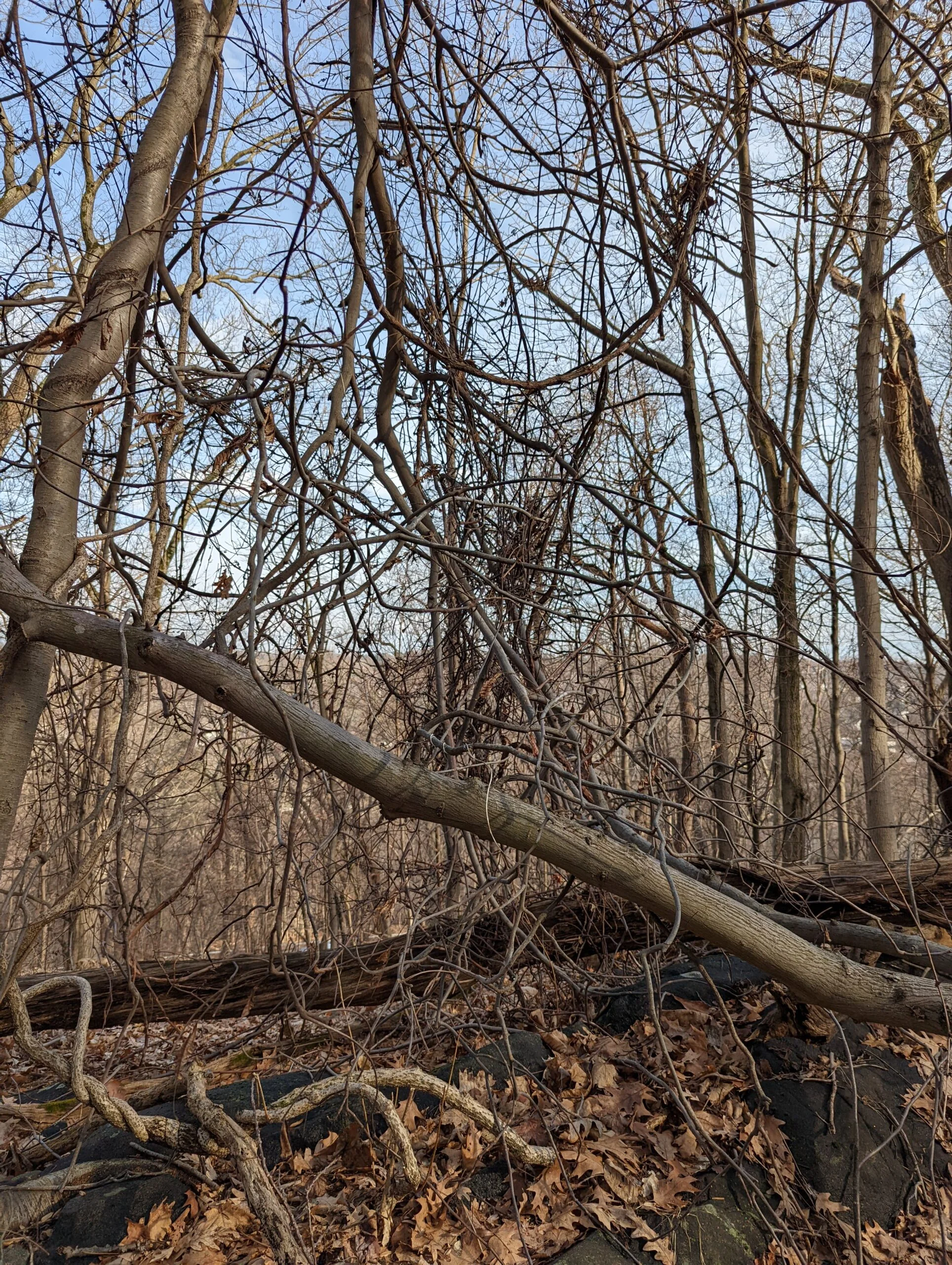
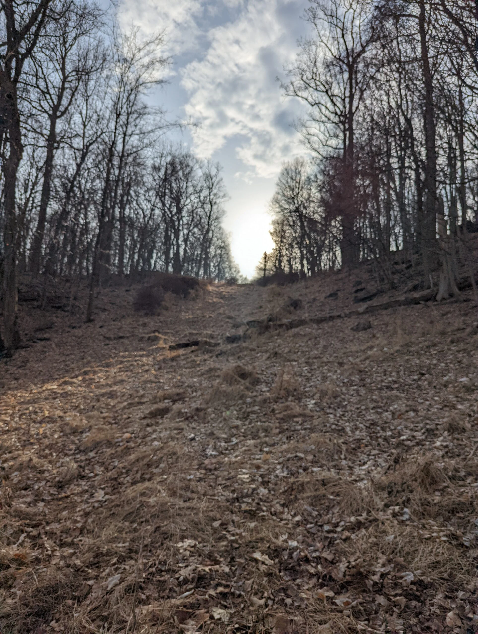
From there I connected with the North South trail (NS blazes), then quickly hopped on the Memorial Loop trail (ML blazes). Passing through intersections 21 and 22, I veered off of ML at 23 to take the white blazed trail through the southern most part of the park. I’ve hiked this section several times and I particularly like it in the summer when all the vegetation is lush and green.
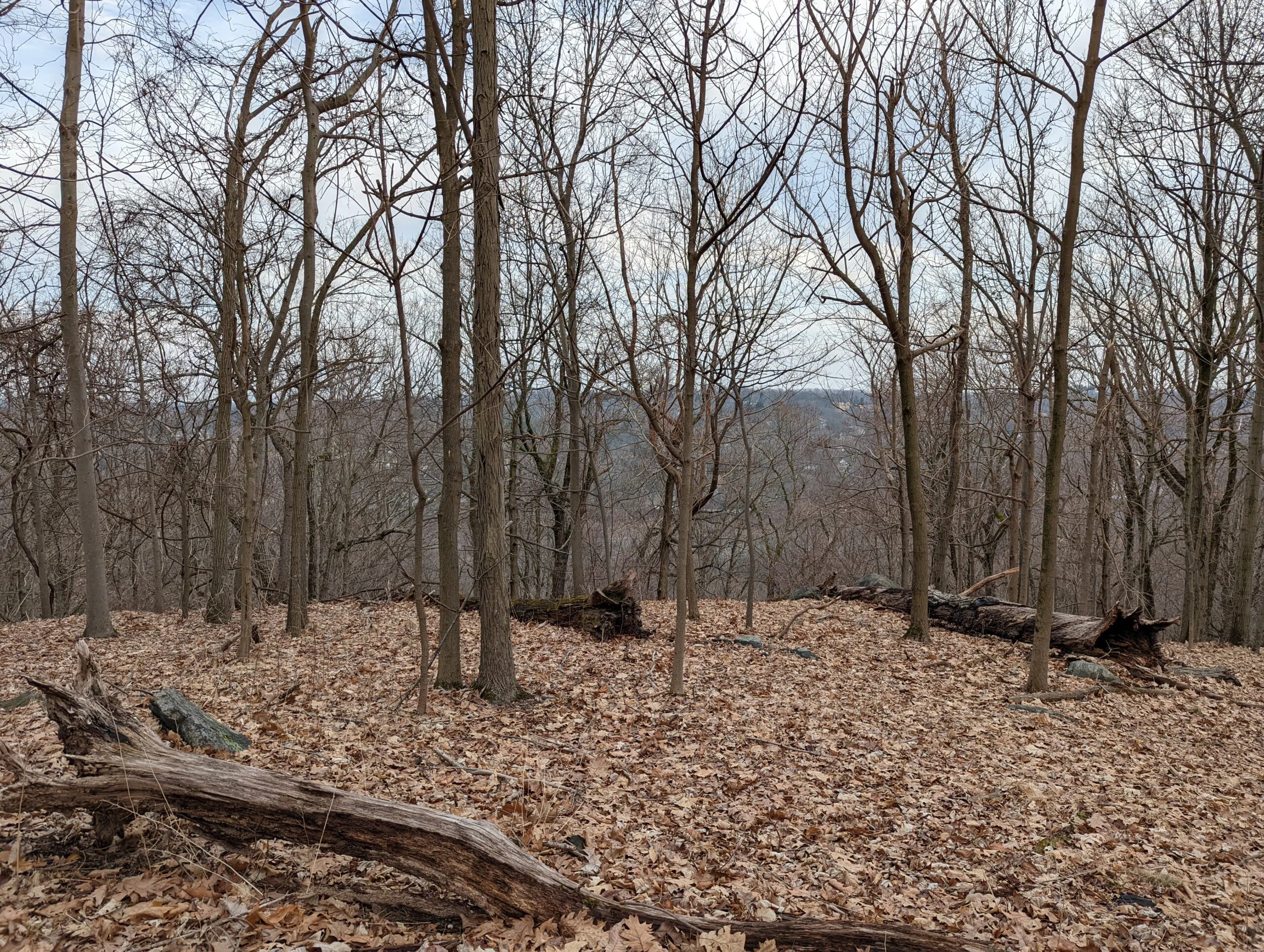
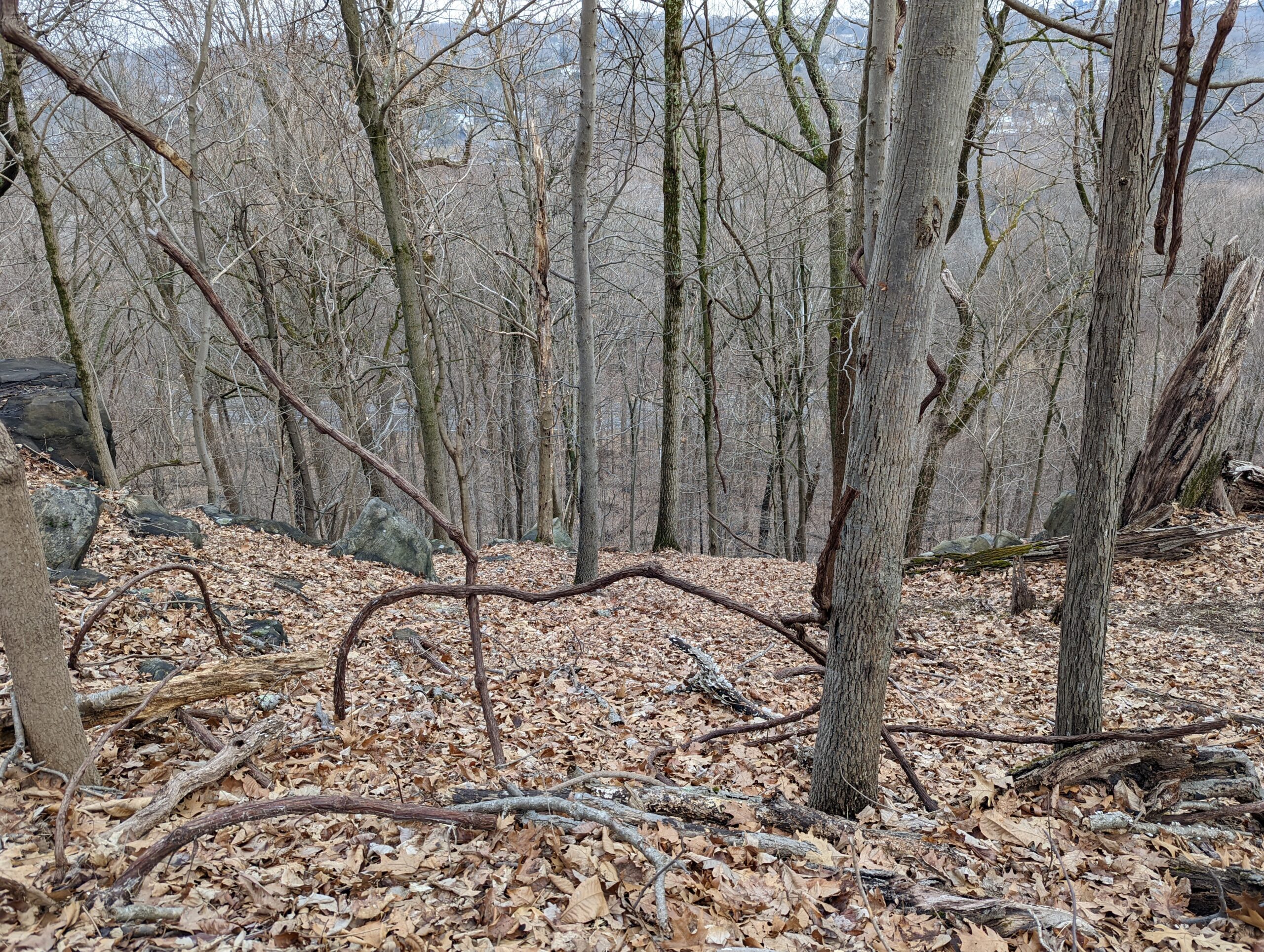
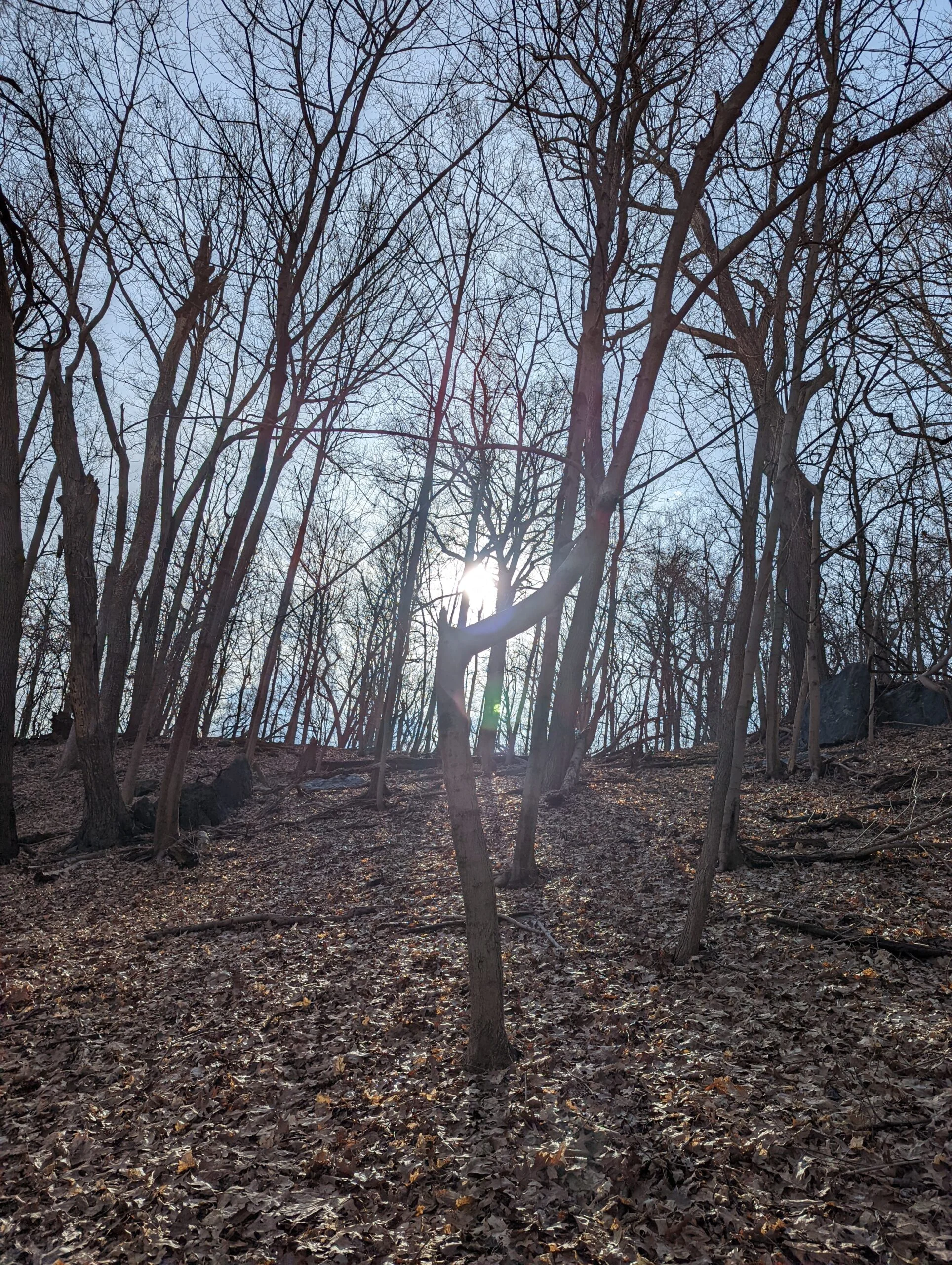
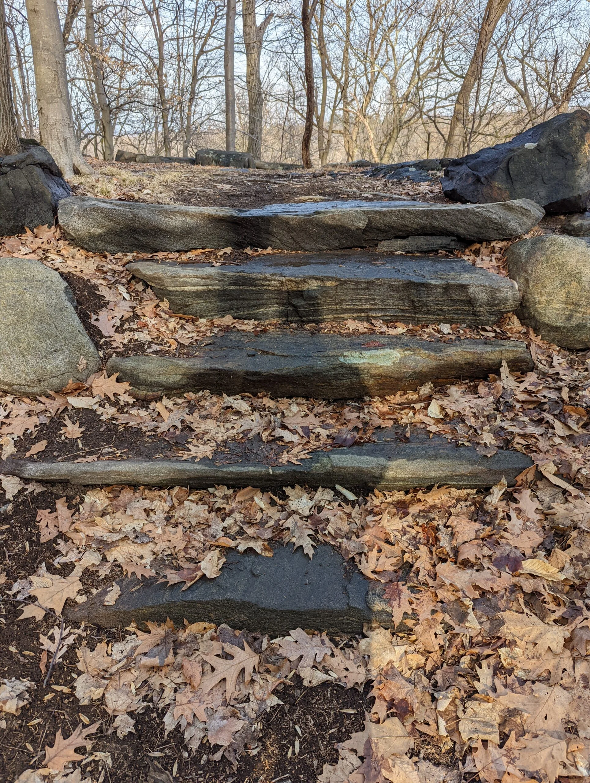
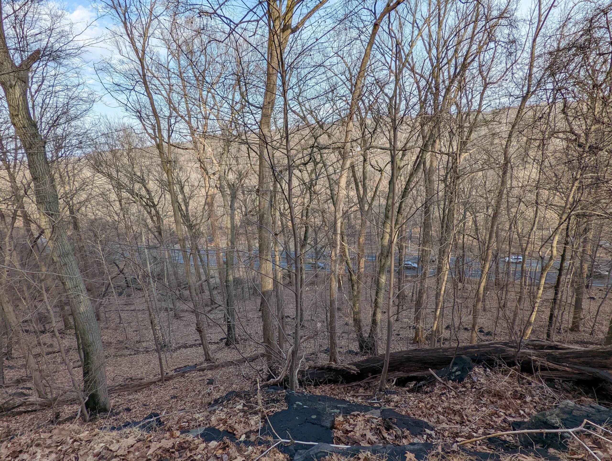
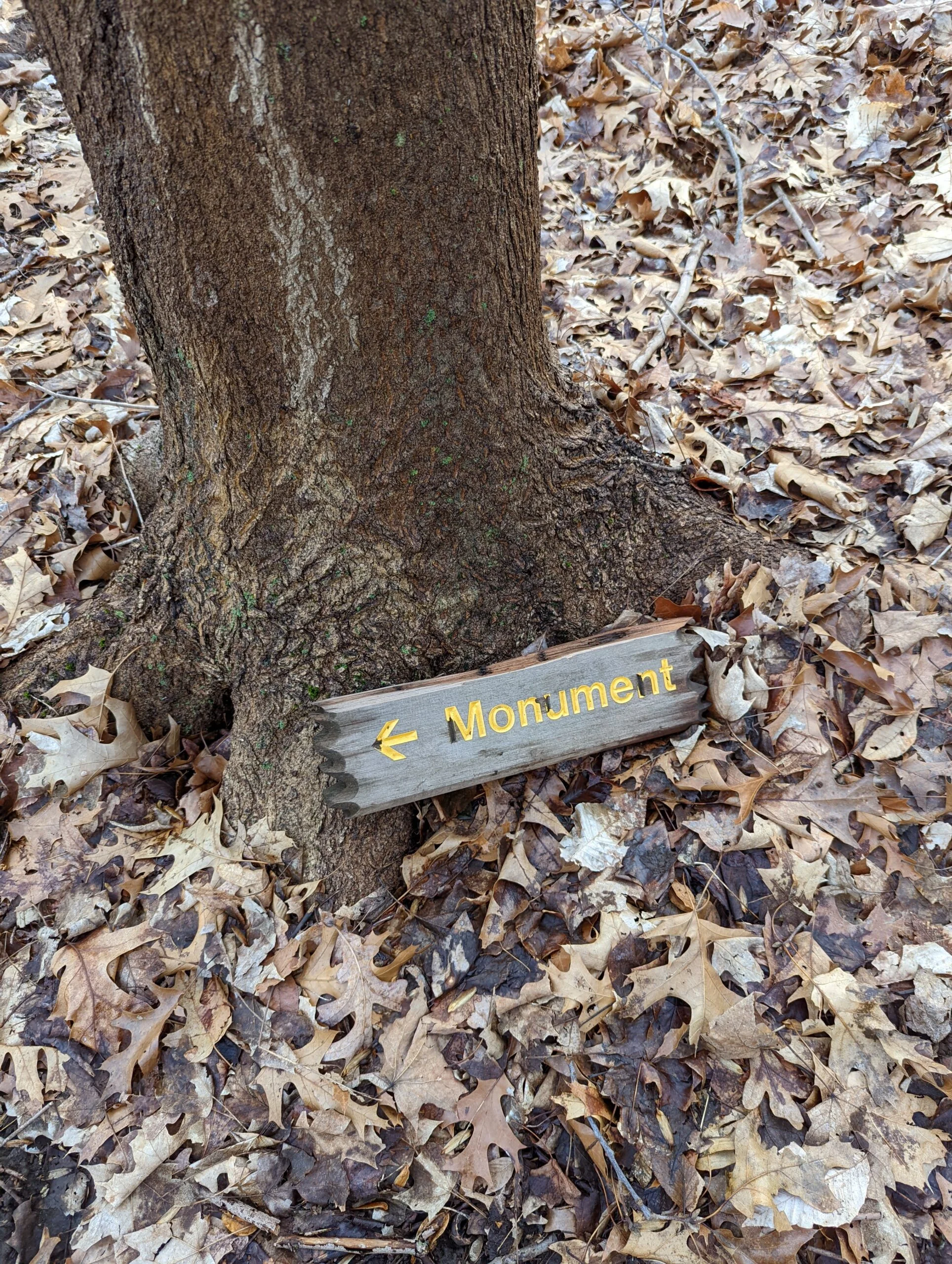
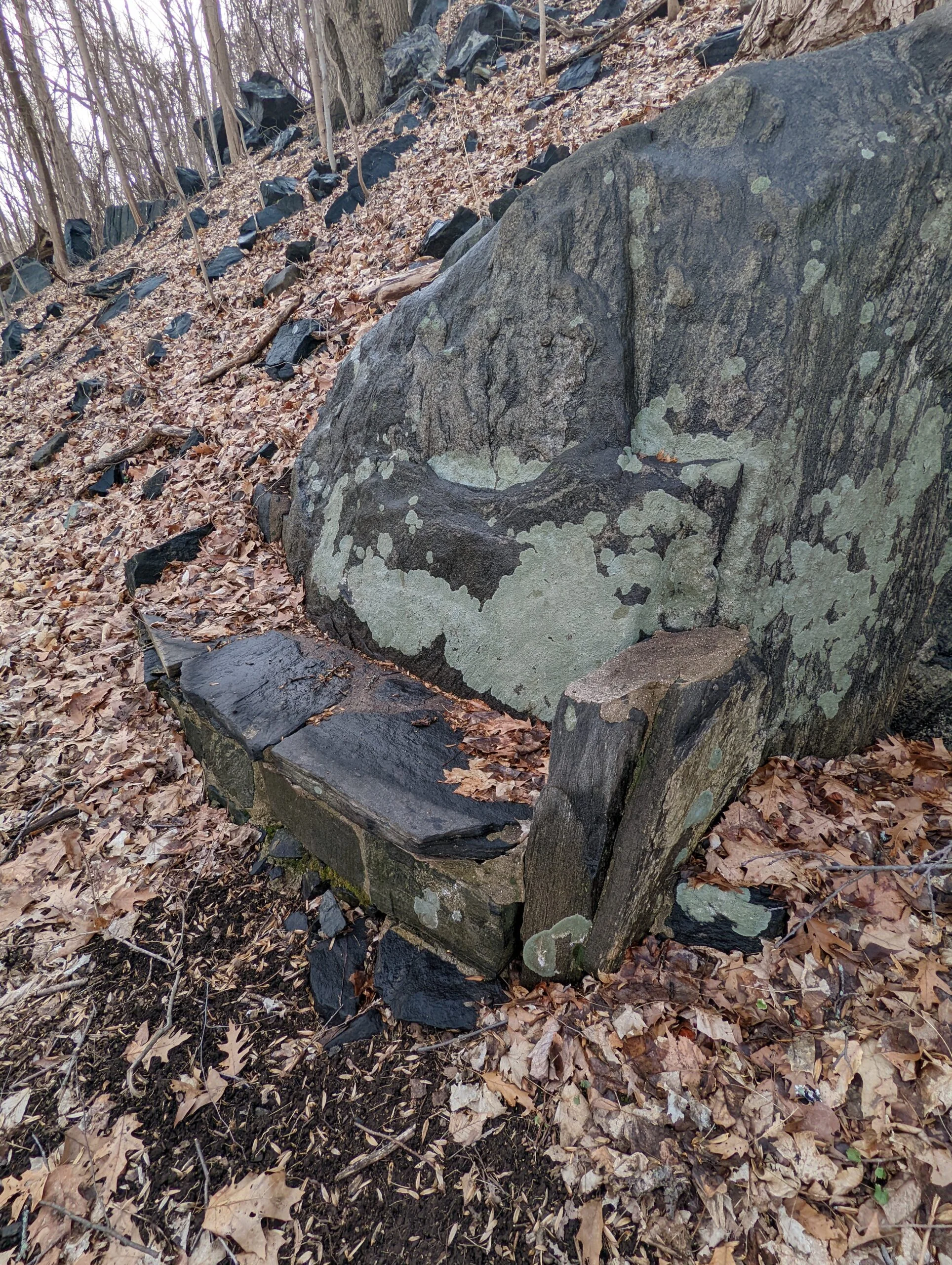
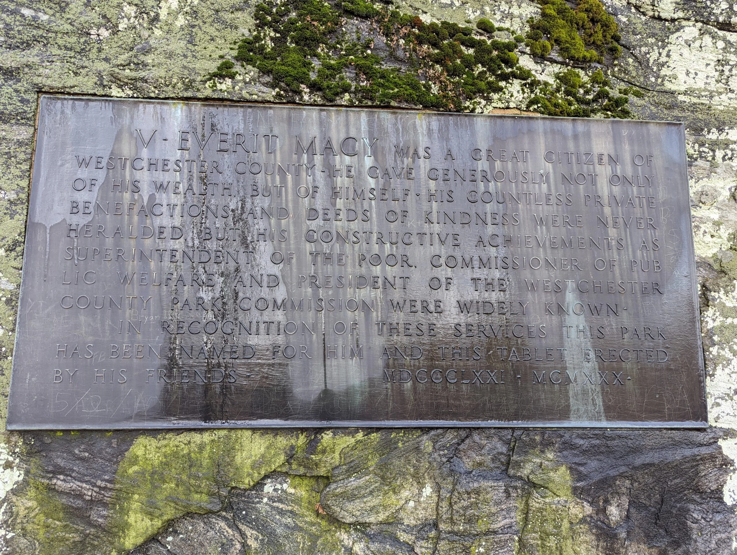
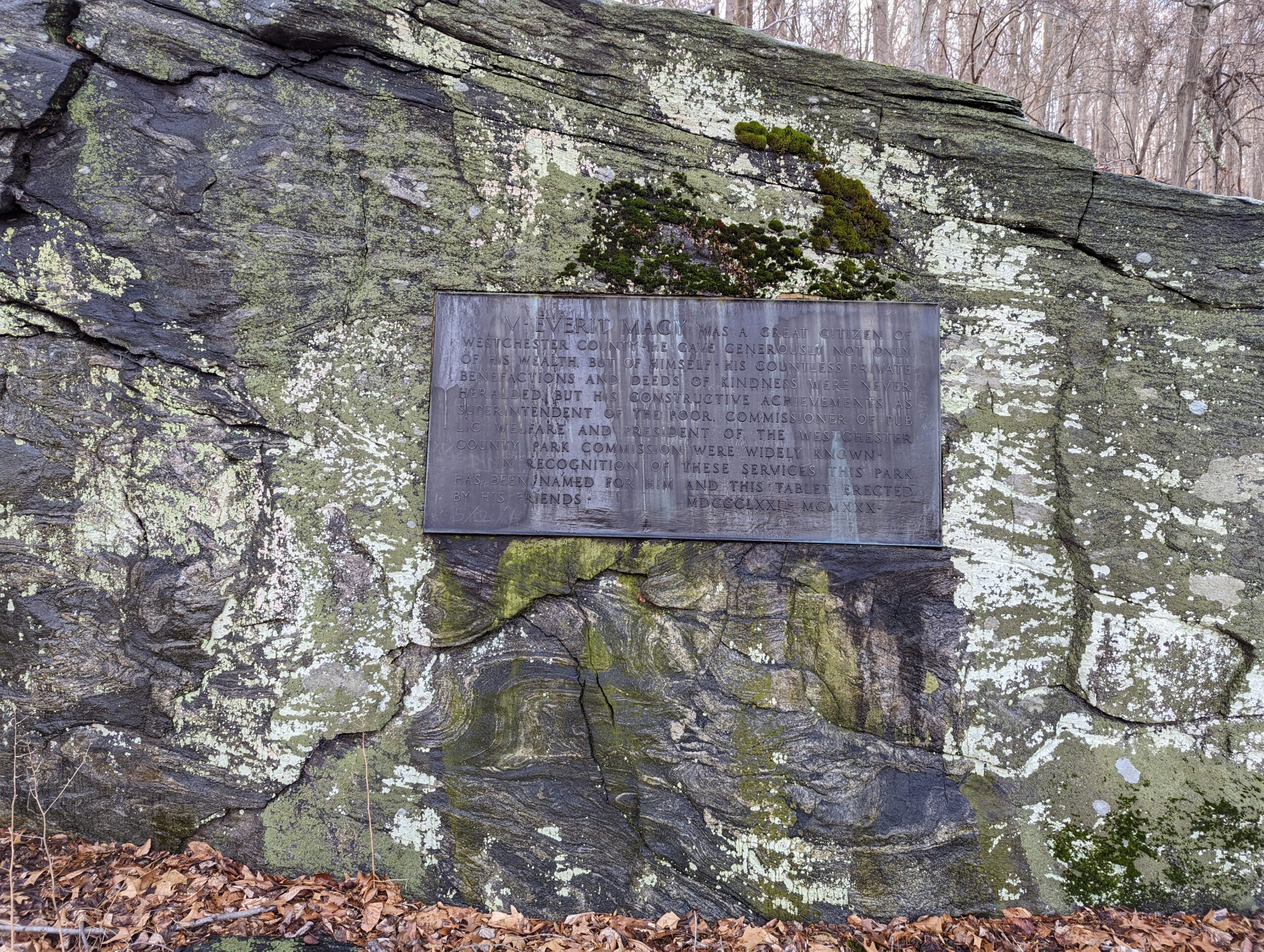
Finishing my detour, I connected back with ML slightly south of intersection 23. I snapped a few photos from the Terrace, but even with the leaves gone, there’s still not much of a view. I descended the Steps and took the trail down to the Macy Monument, close to the Saw Mill River Parkway.
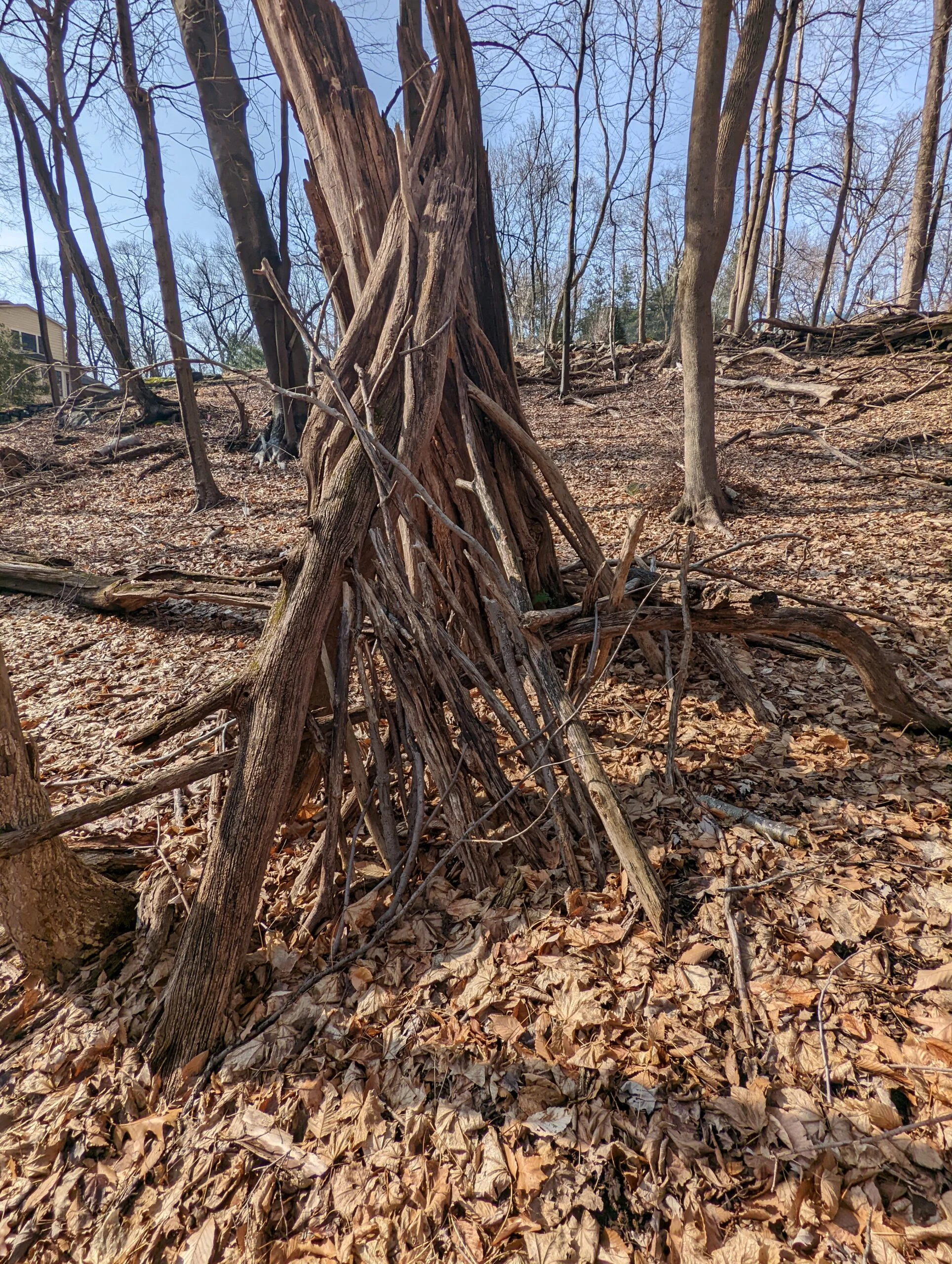
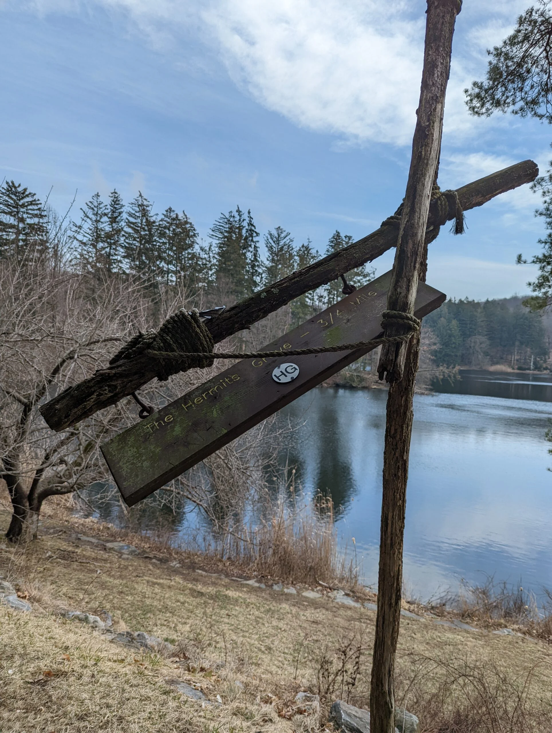
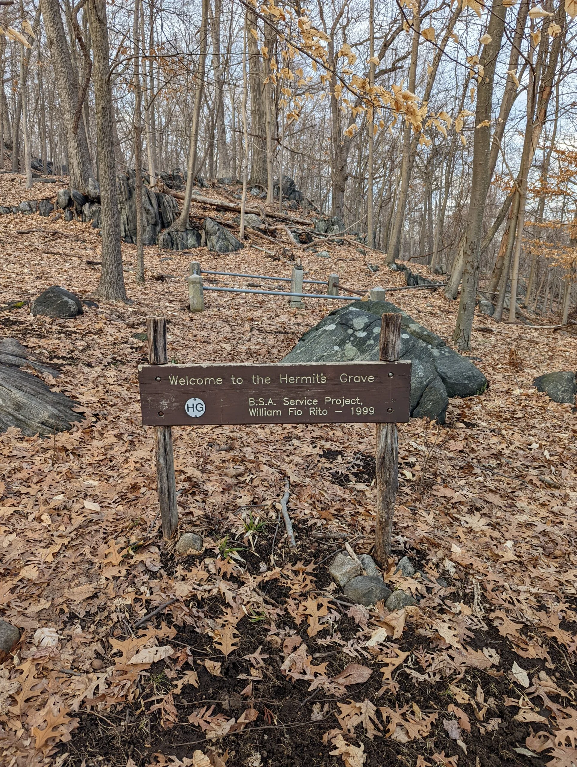
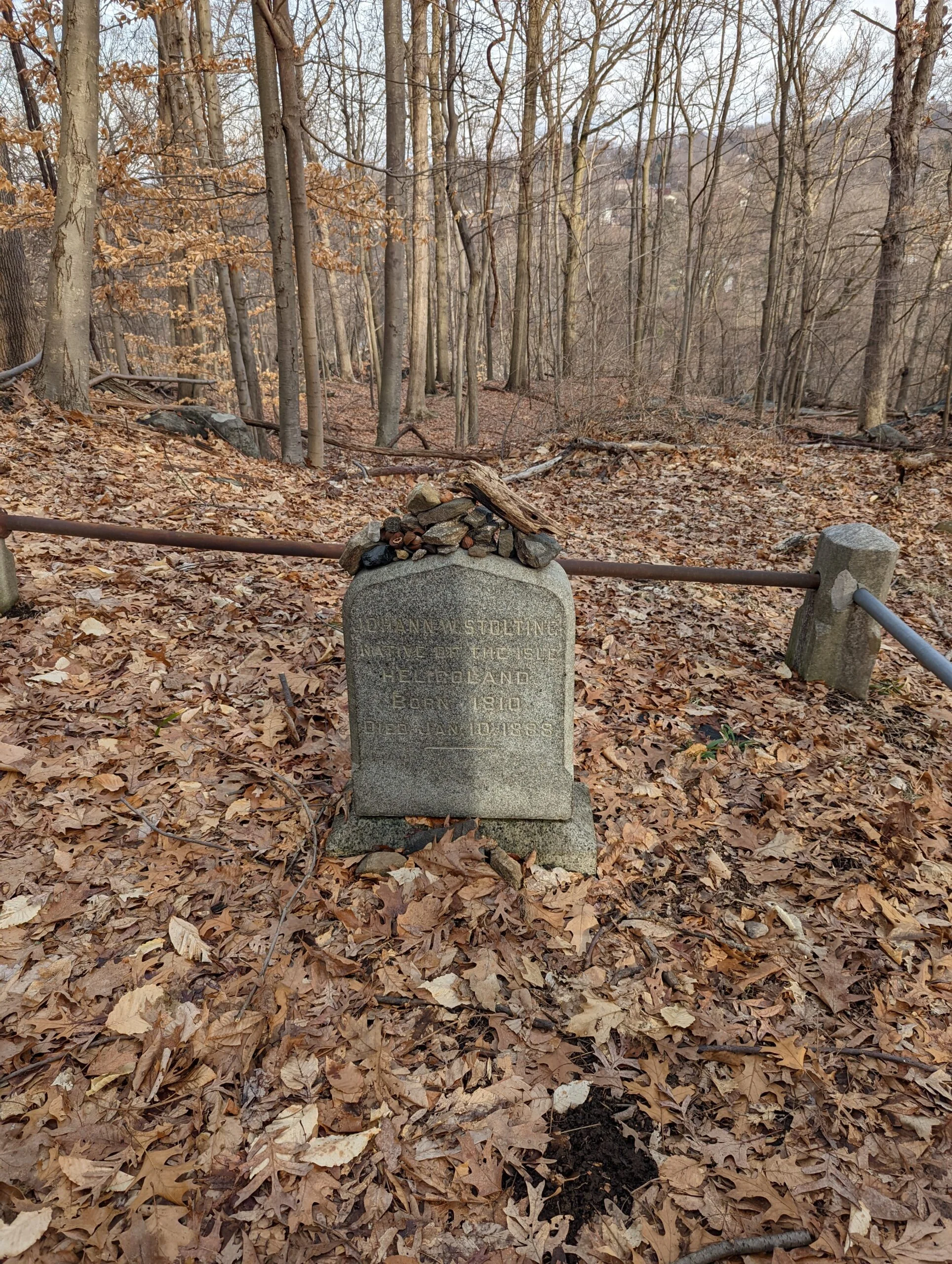
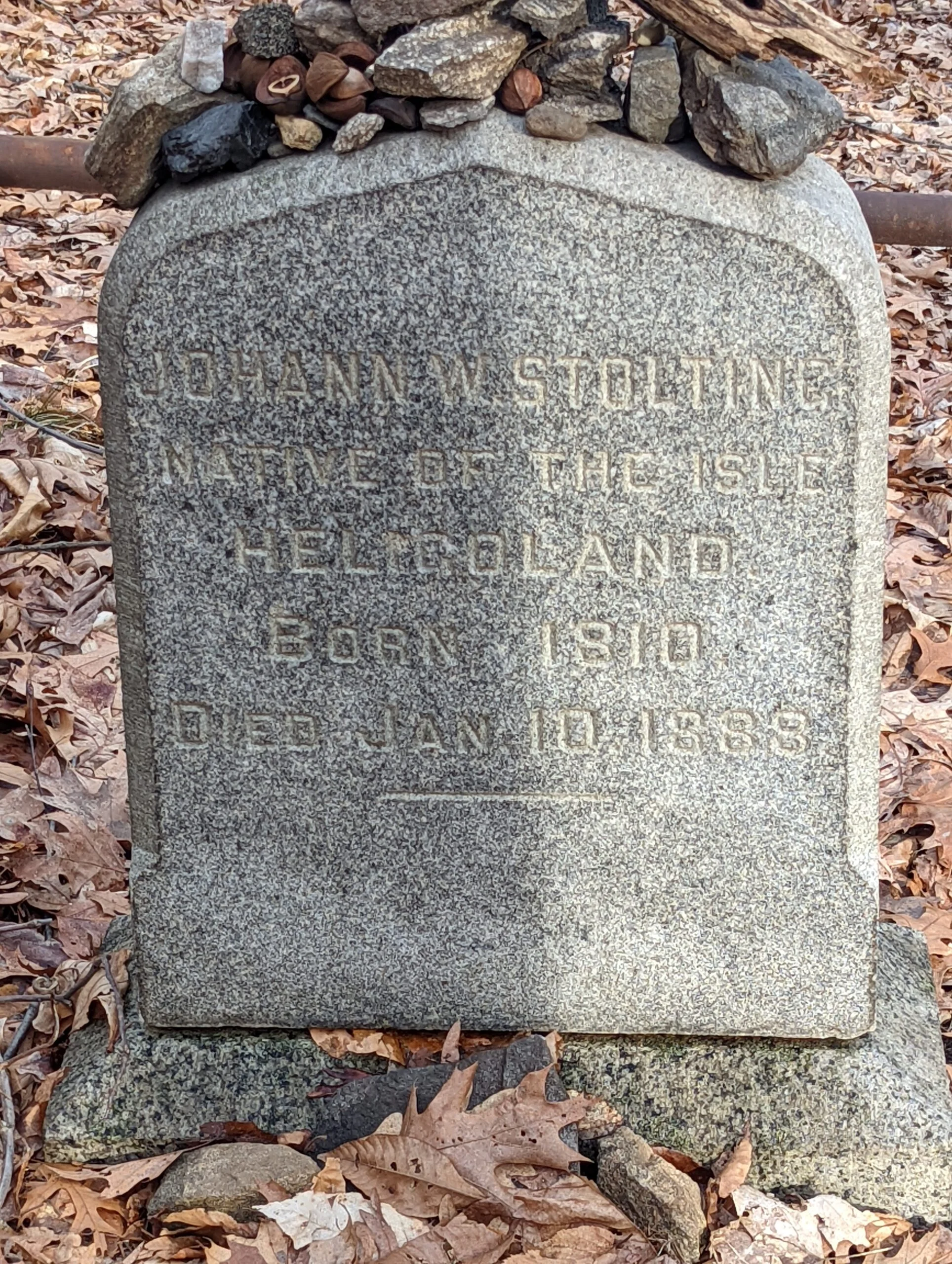
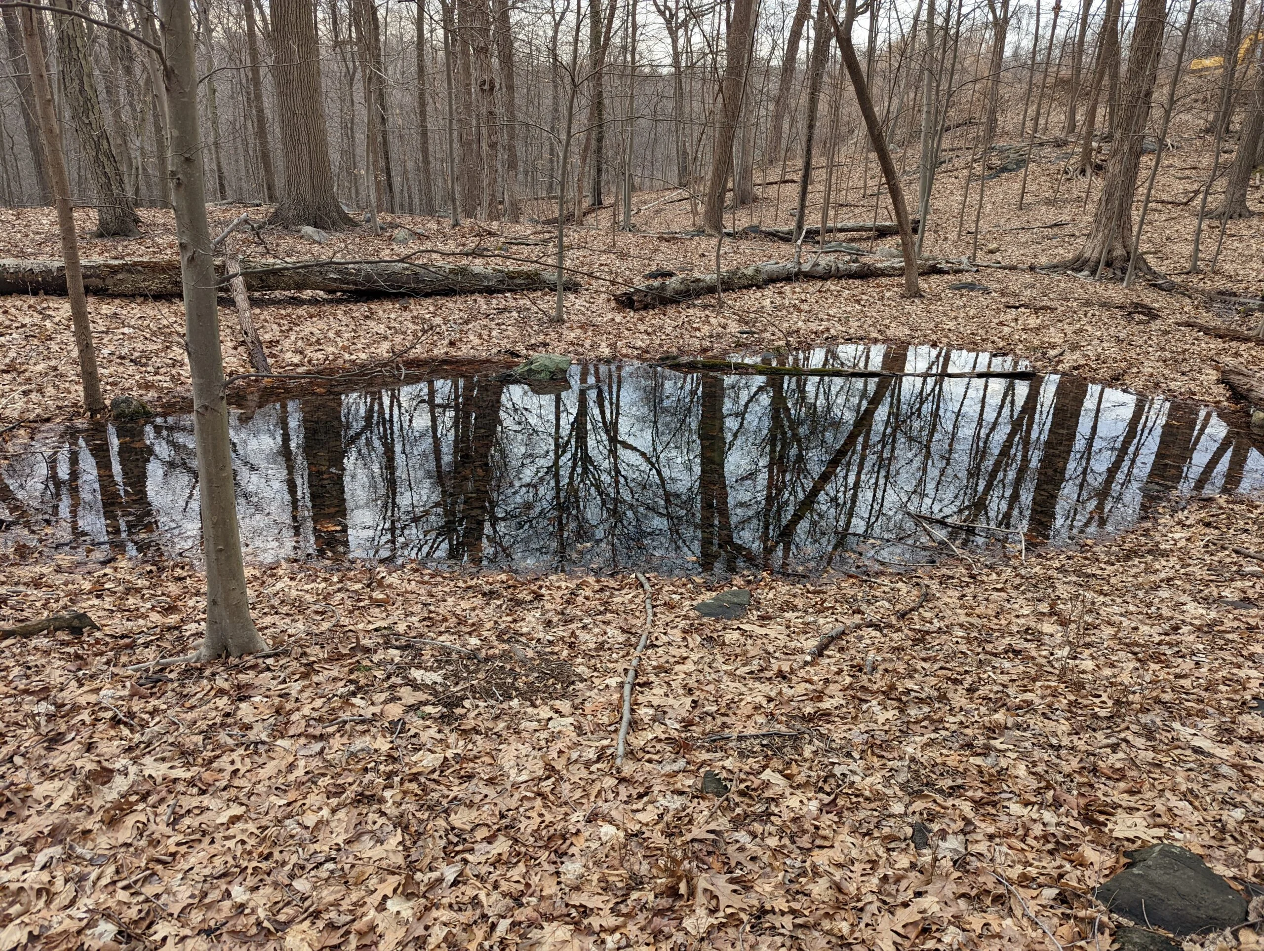
After the monument, I resumed my journey on ML, heading north on the eastern section of the trail. I quickly reached the Hermits Grave trail (HG blazes) which I followed to the grave itself. I try to hit as many of the Points of Interest as possible. After a brief stop, I backtracked on HG through intersections 26 and 25 over to 20, where I made the right turn to take HG north. Passing through 17A, I then took the unblazed trail that is to the east of the small pond that lies between intersections 17 and 16.
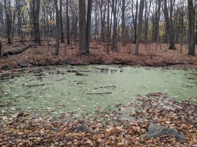
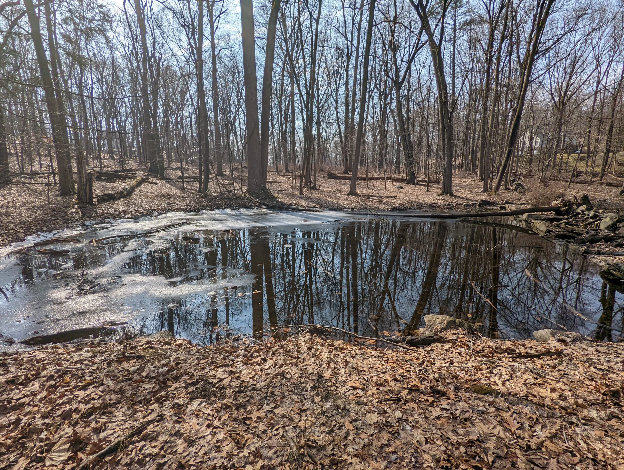
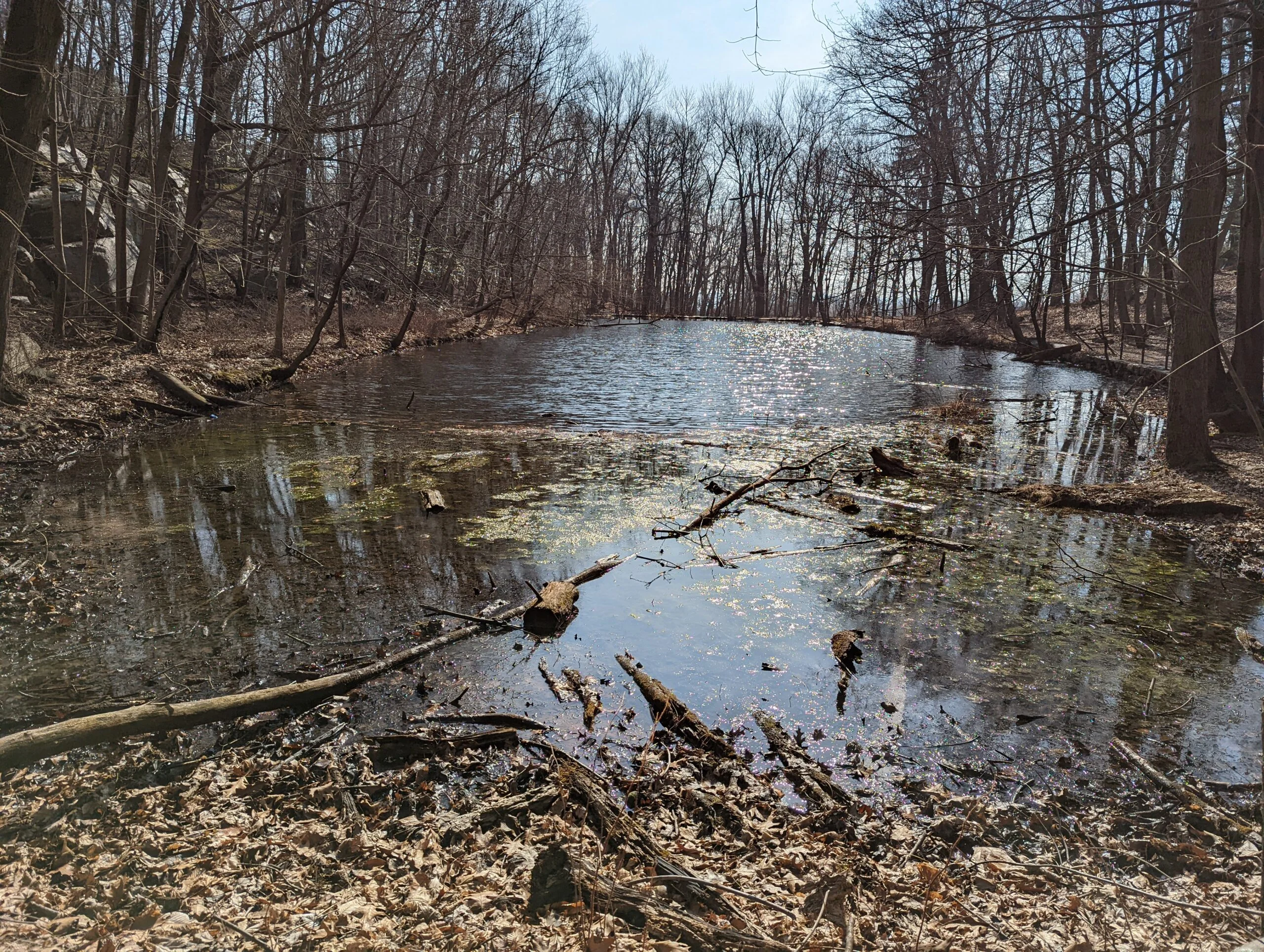
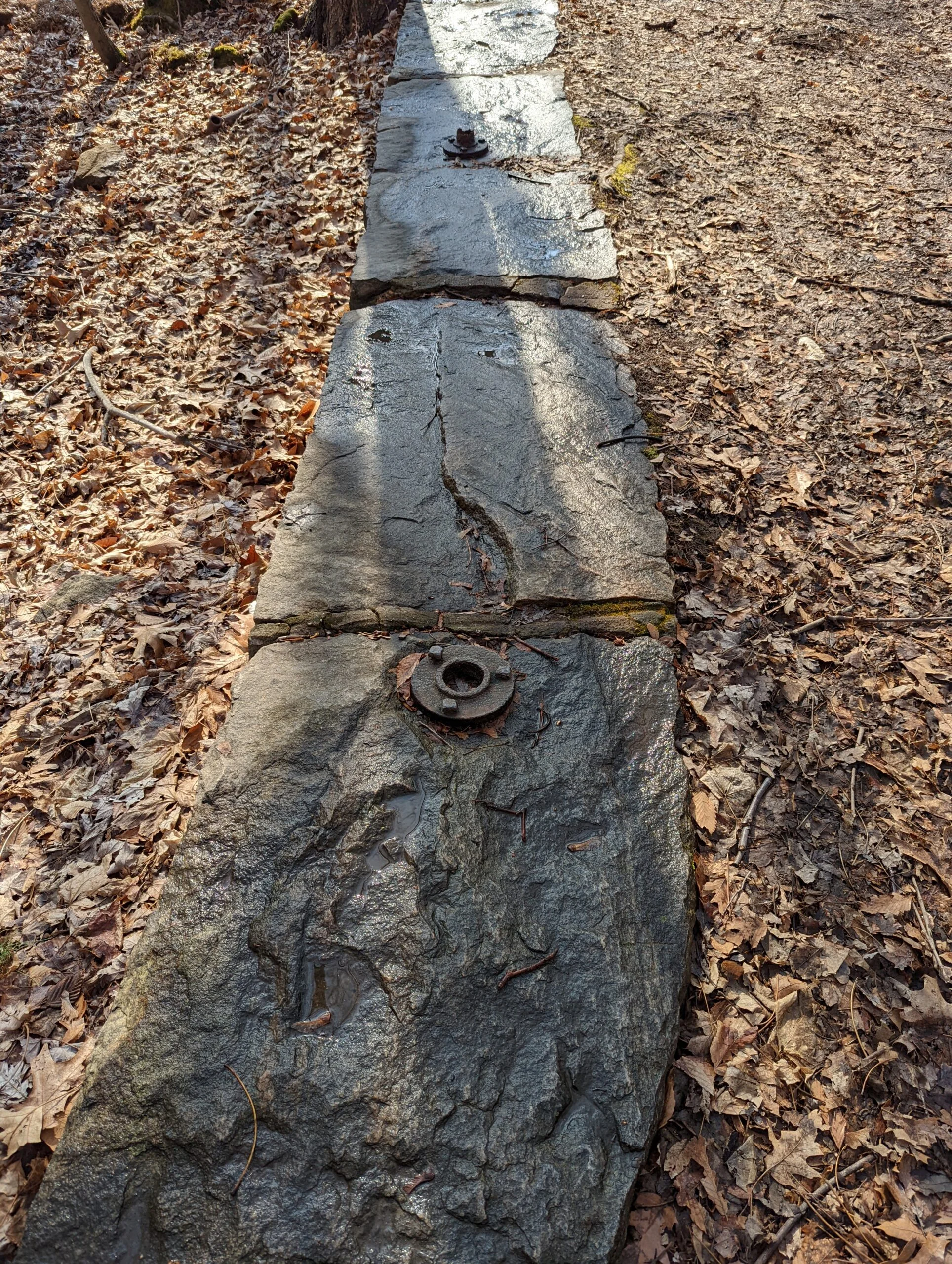
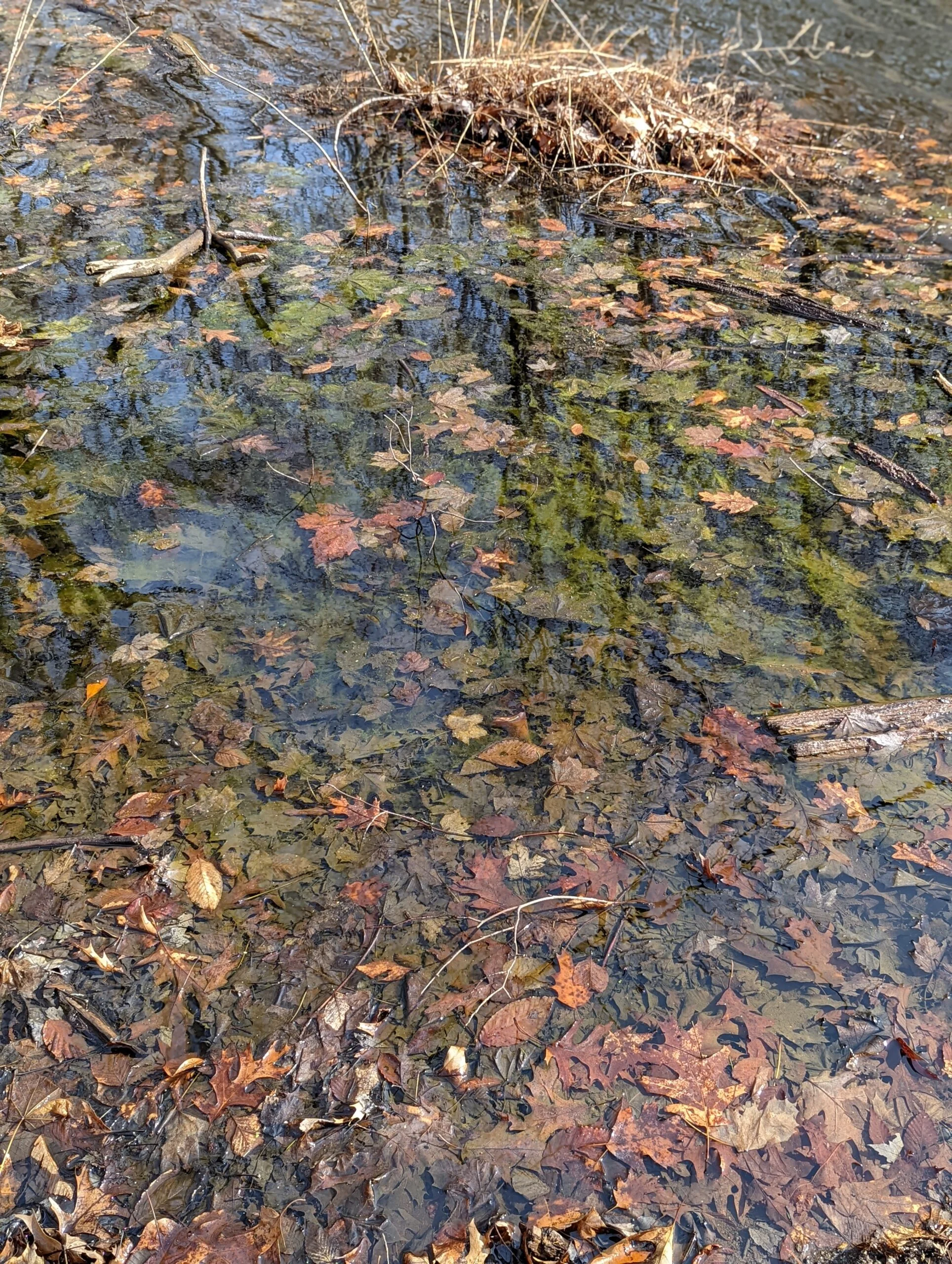
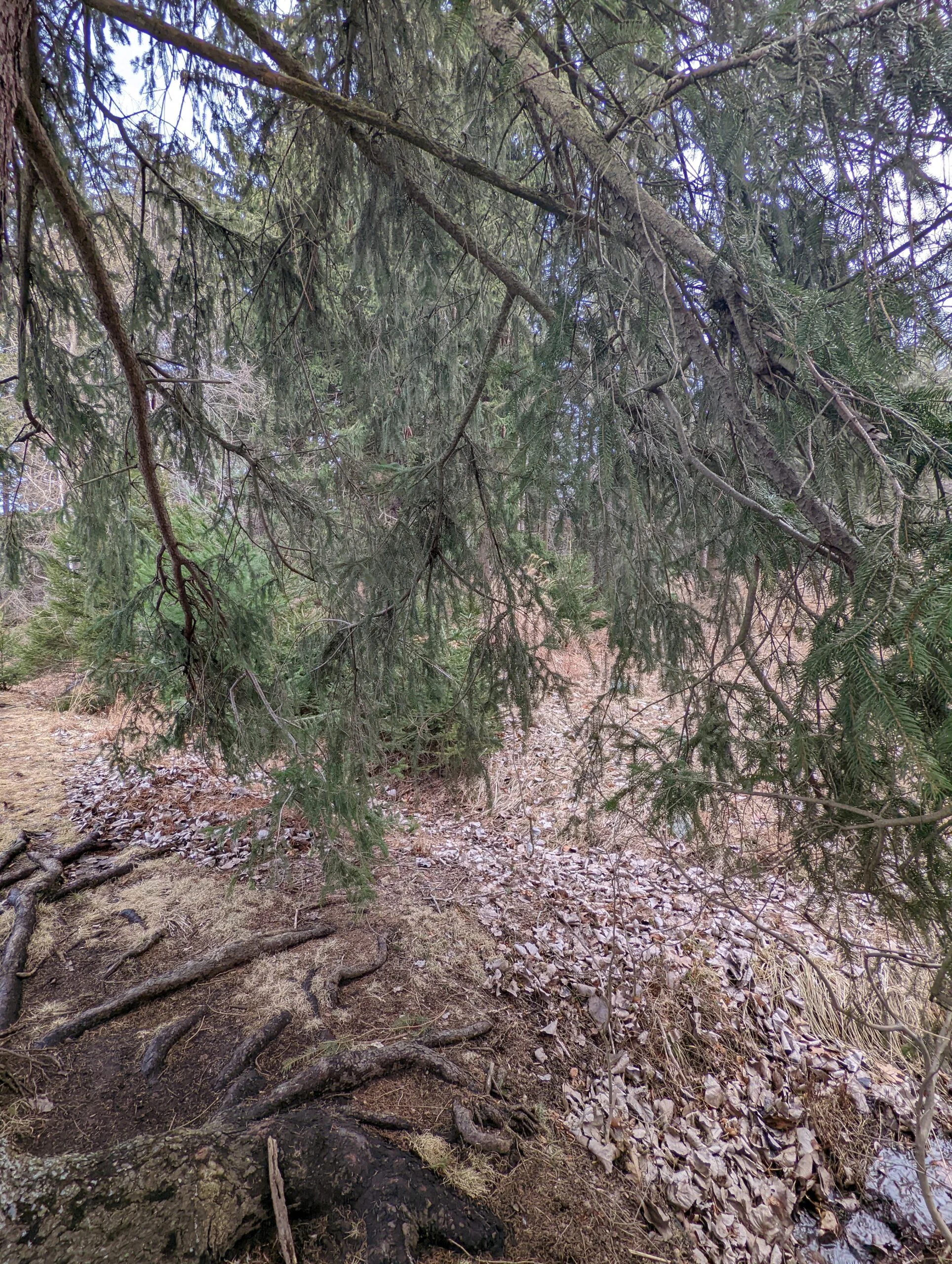
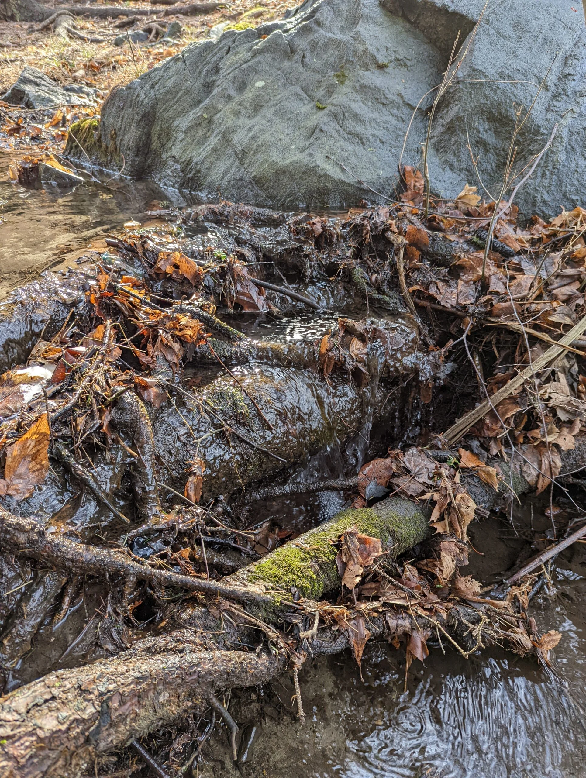
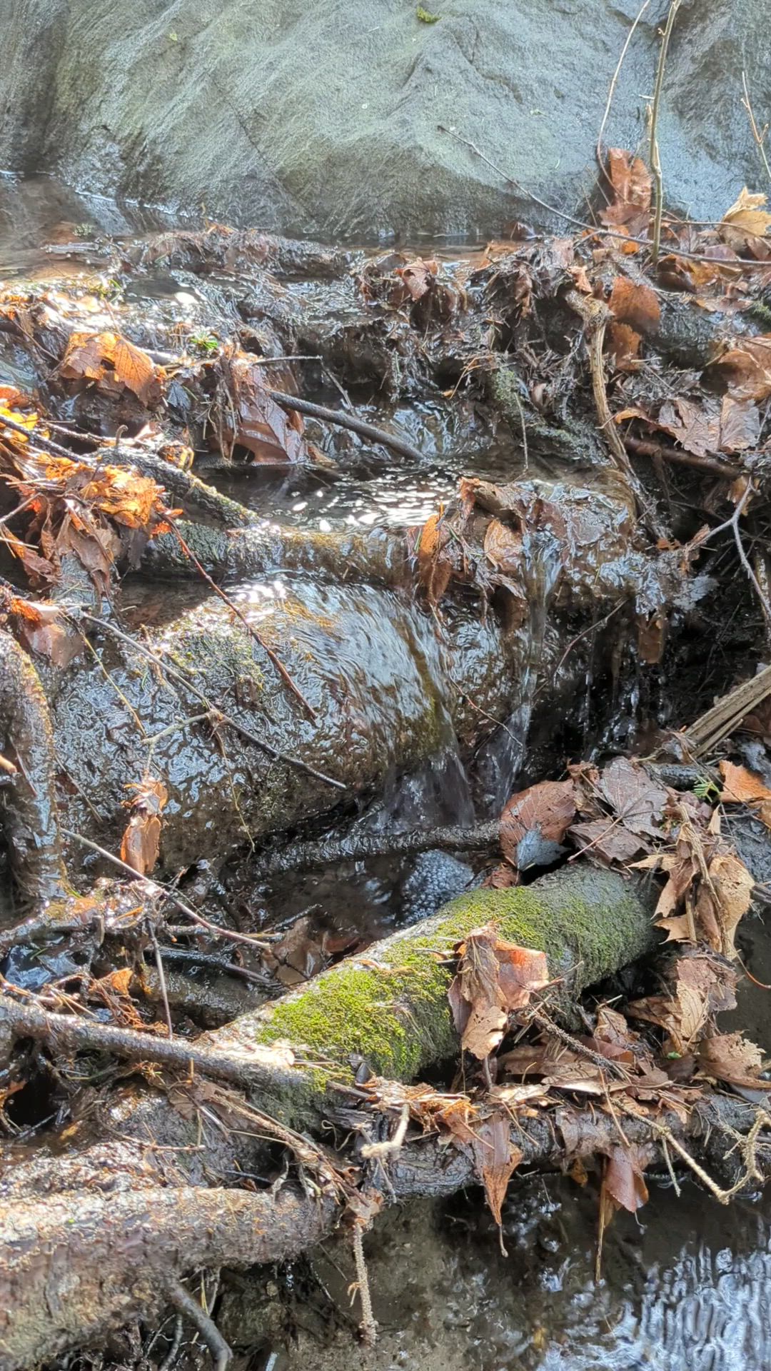
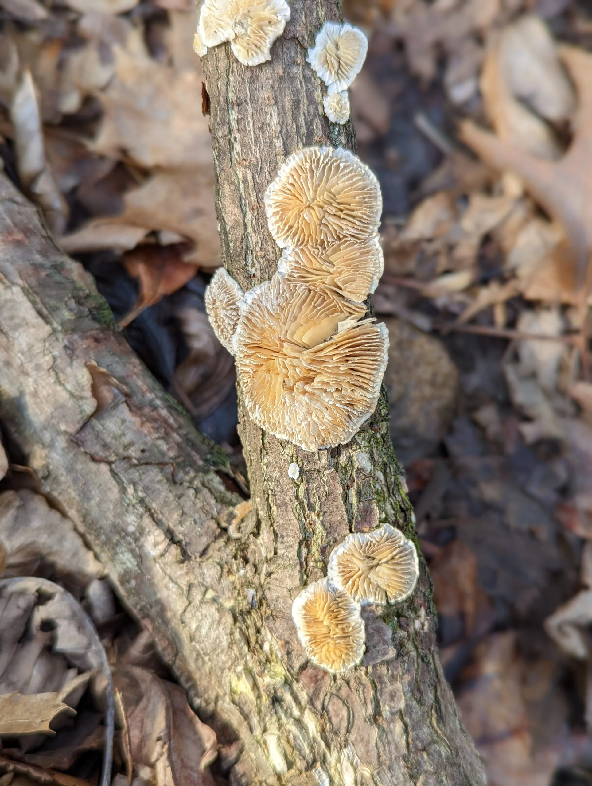
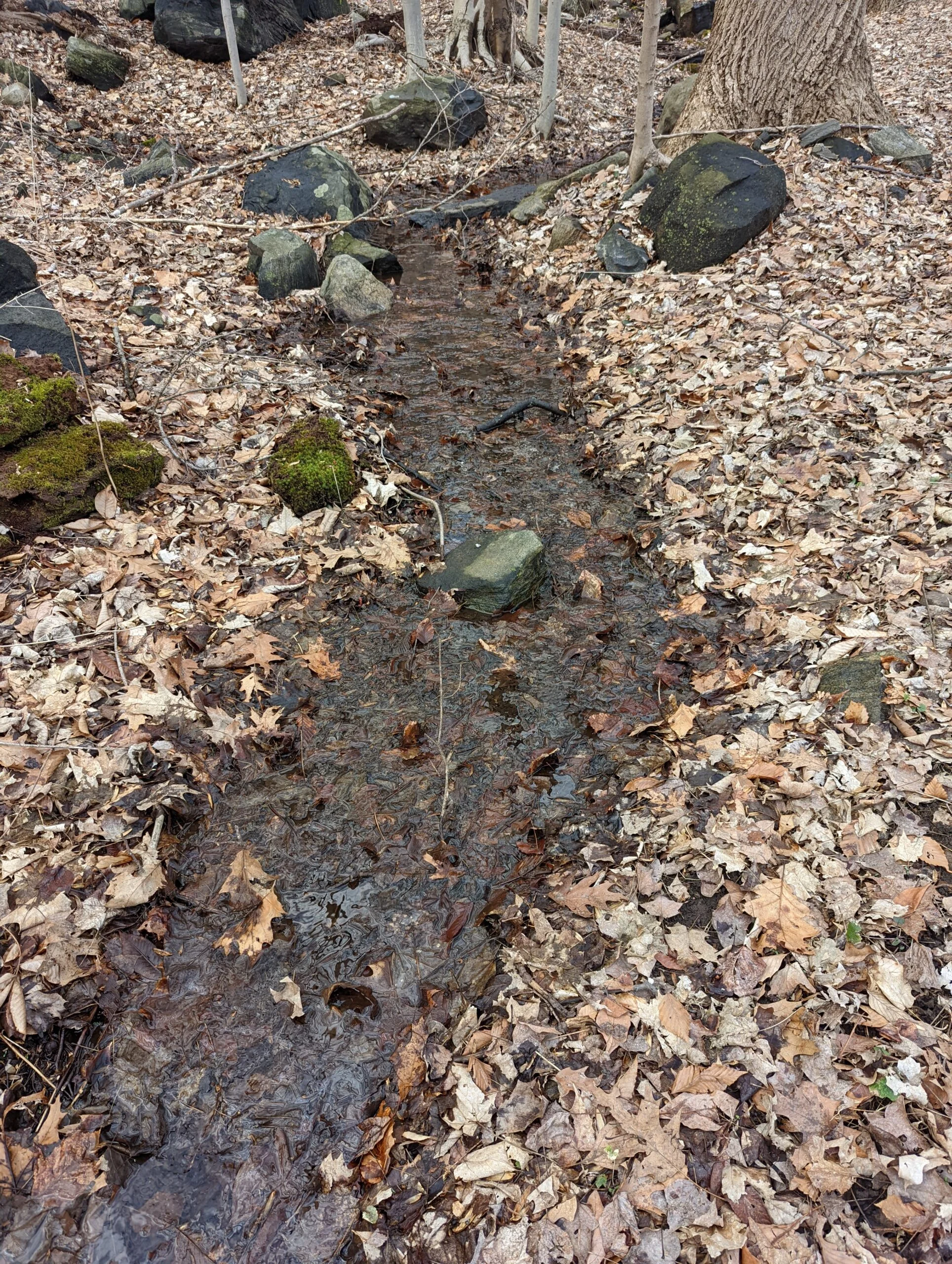
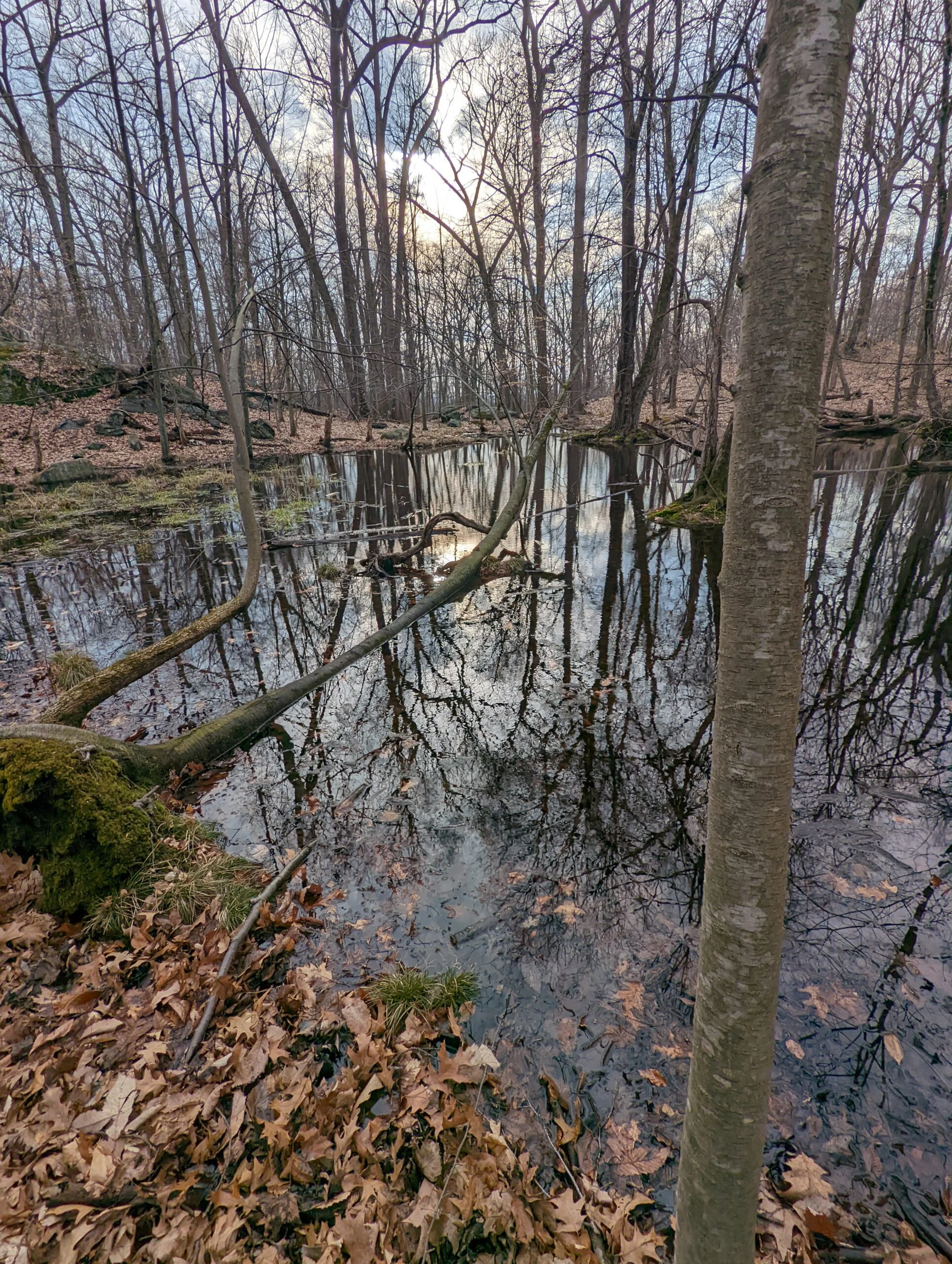
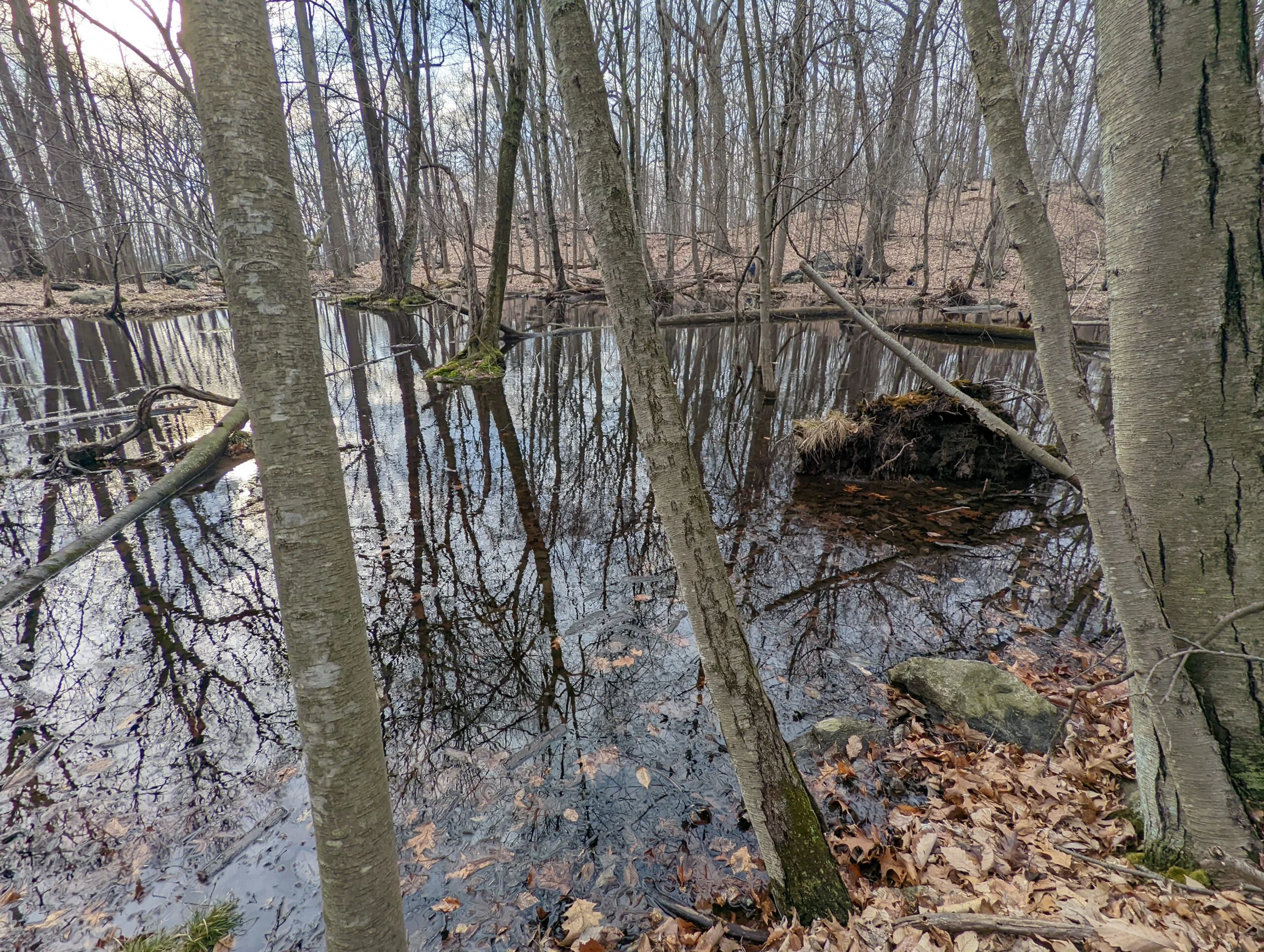
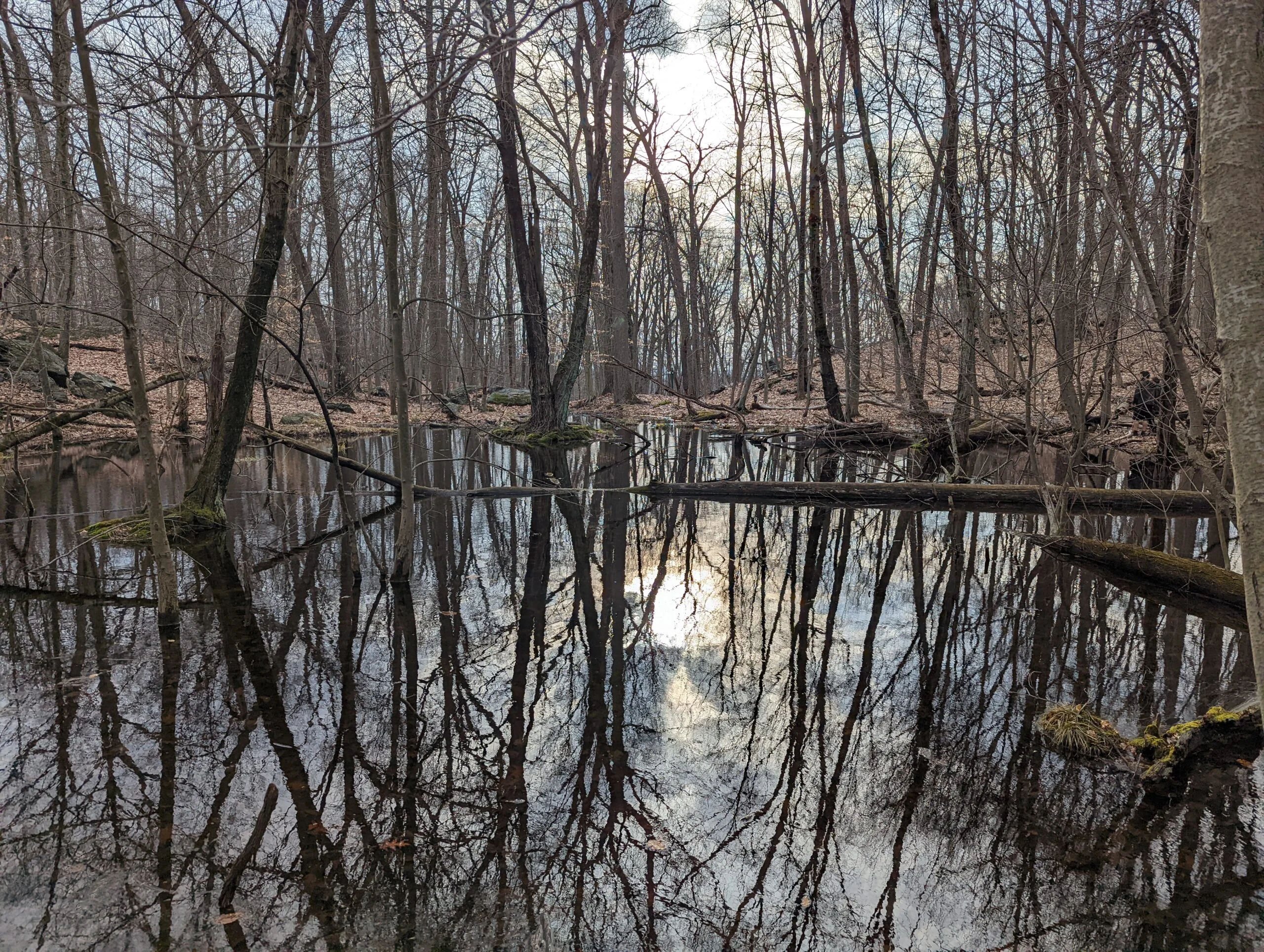
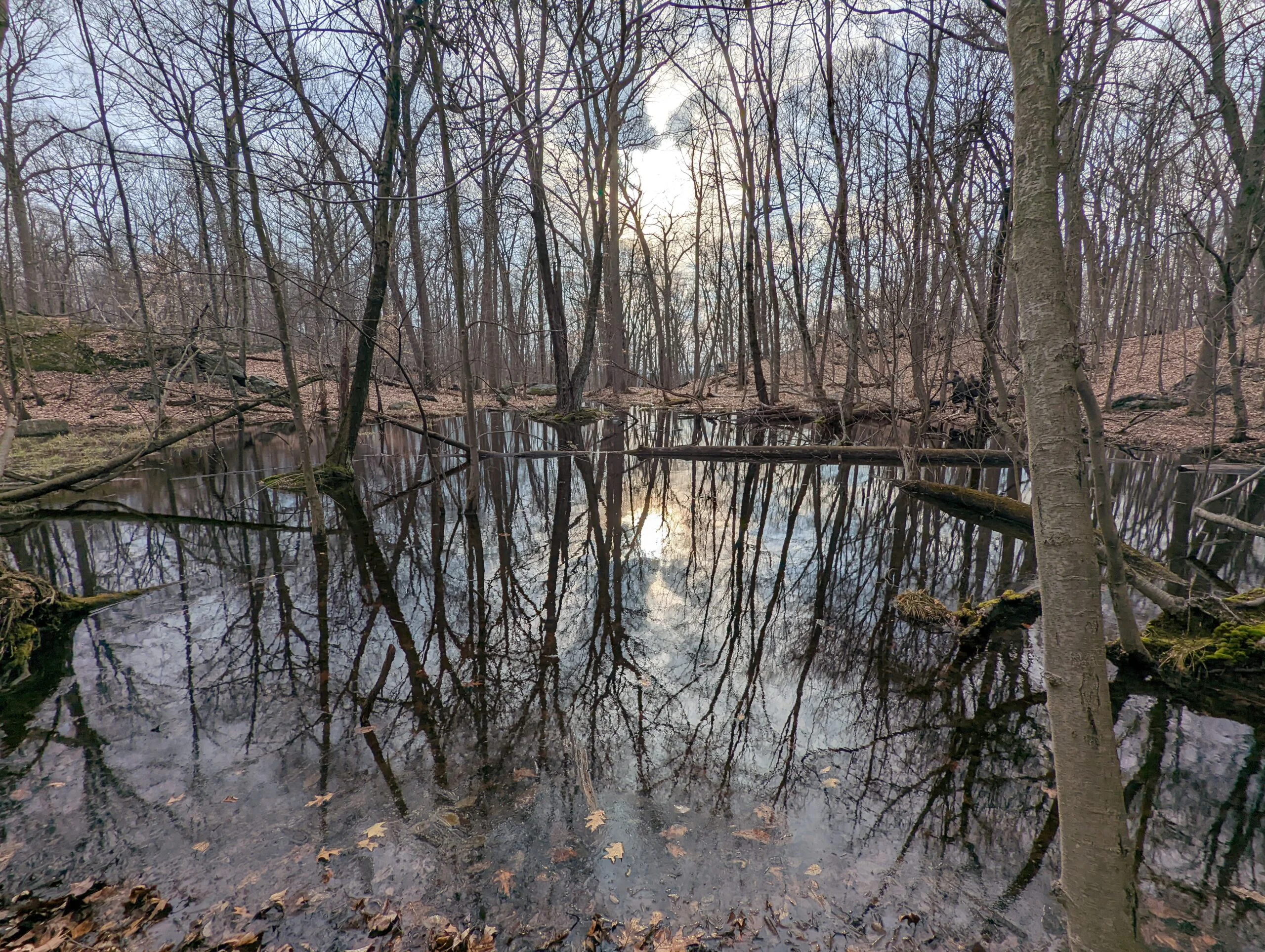
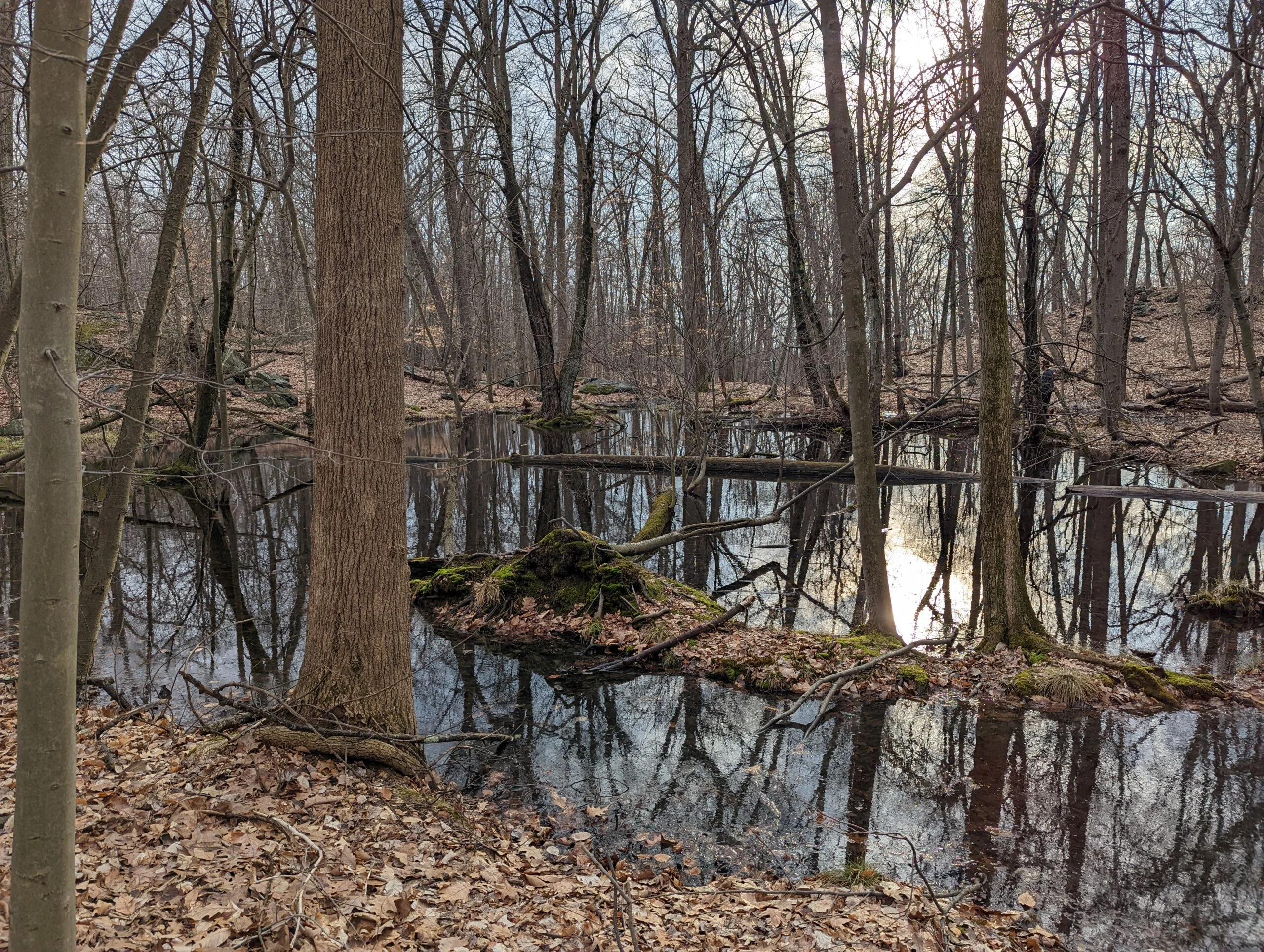
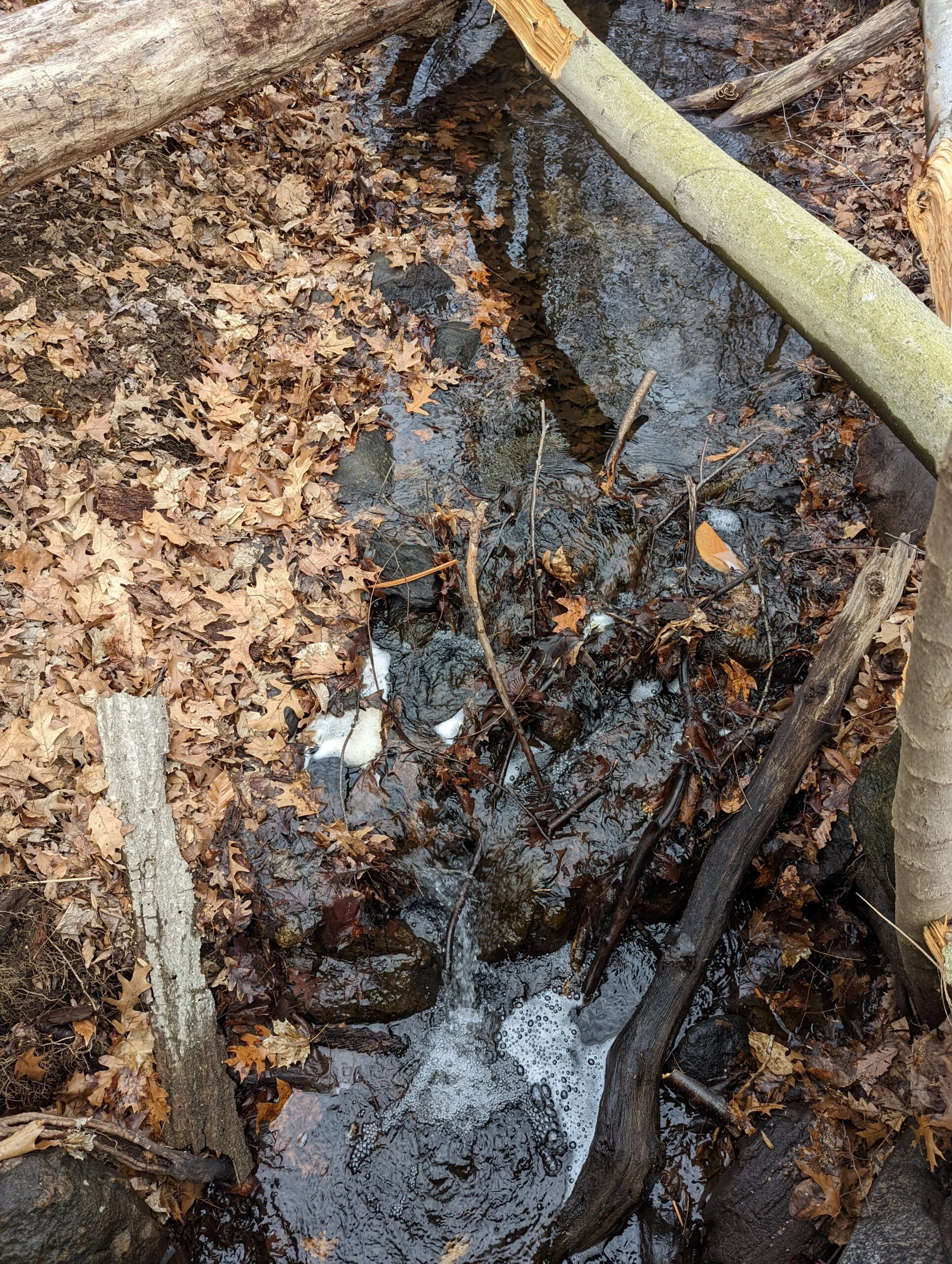
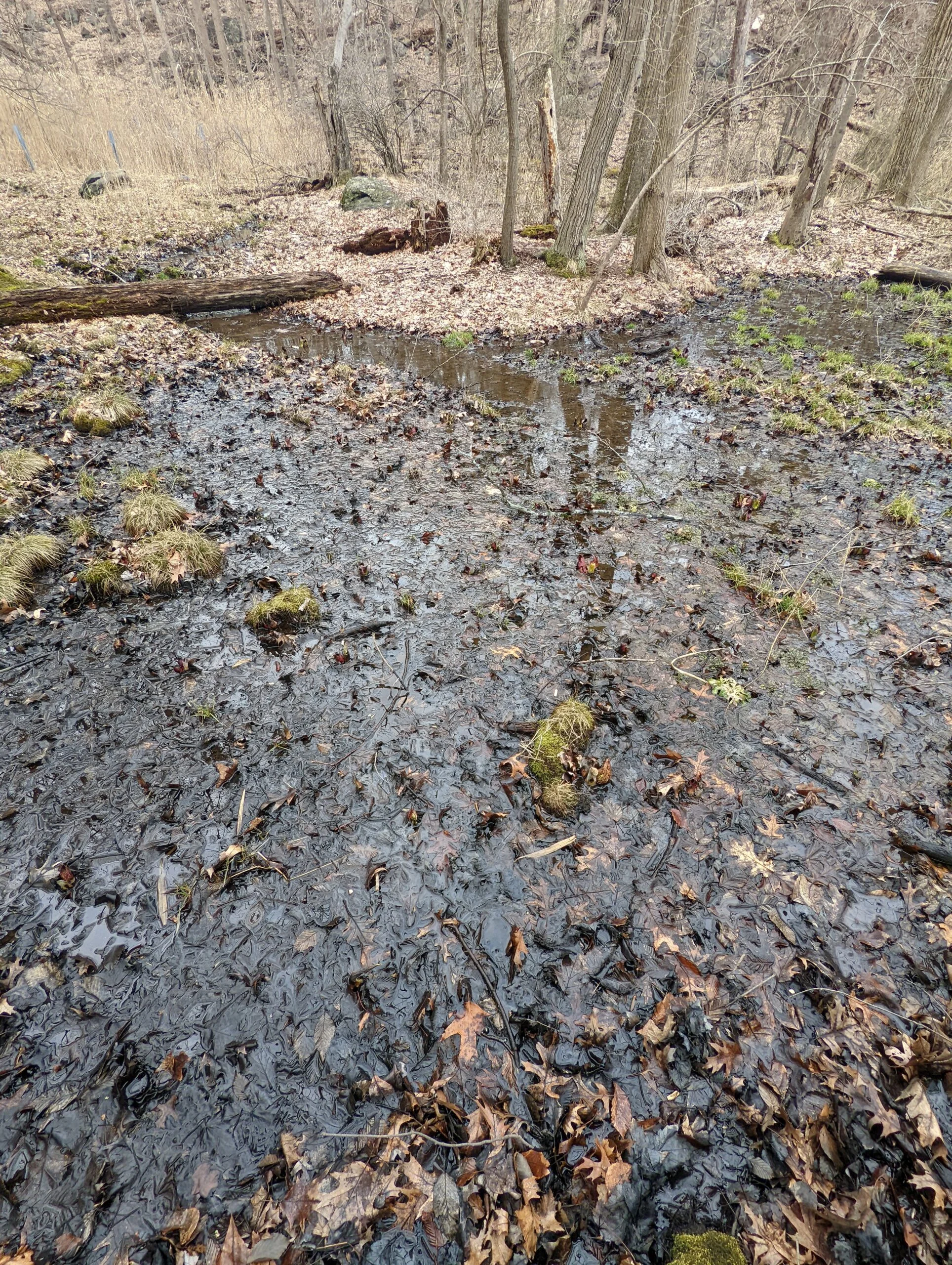
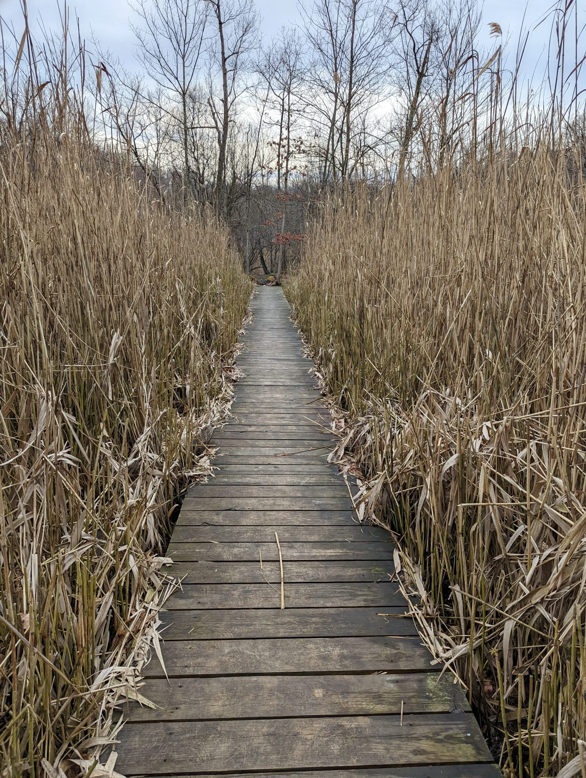
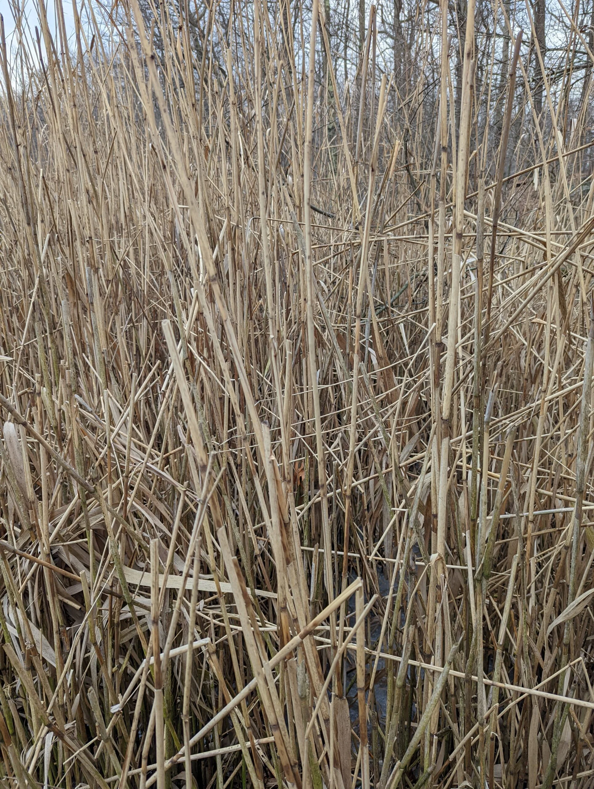
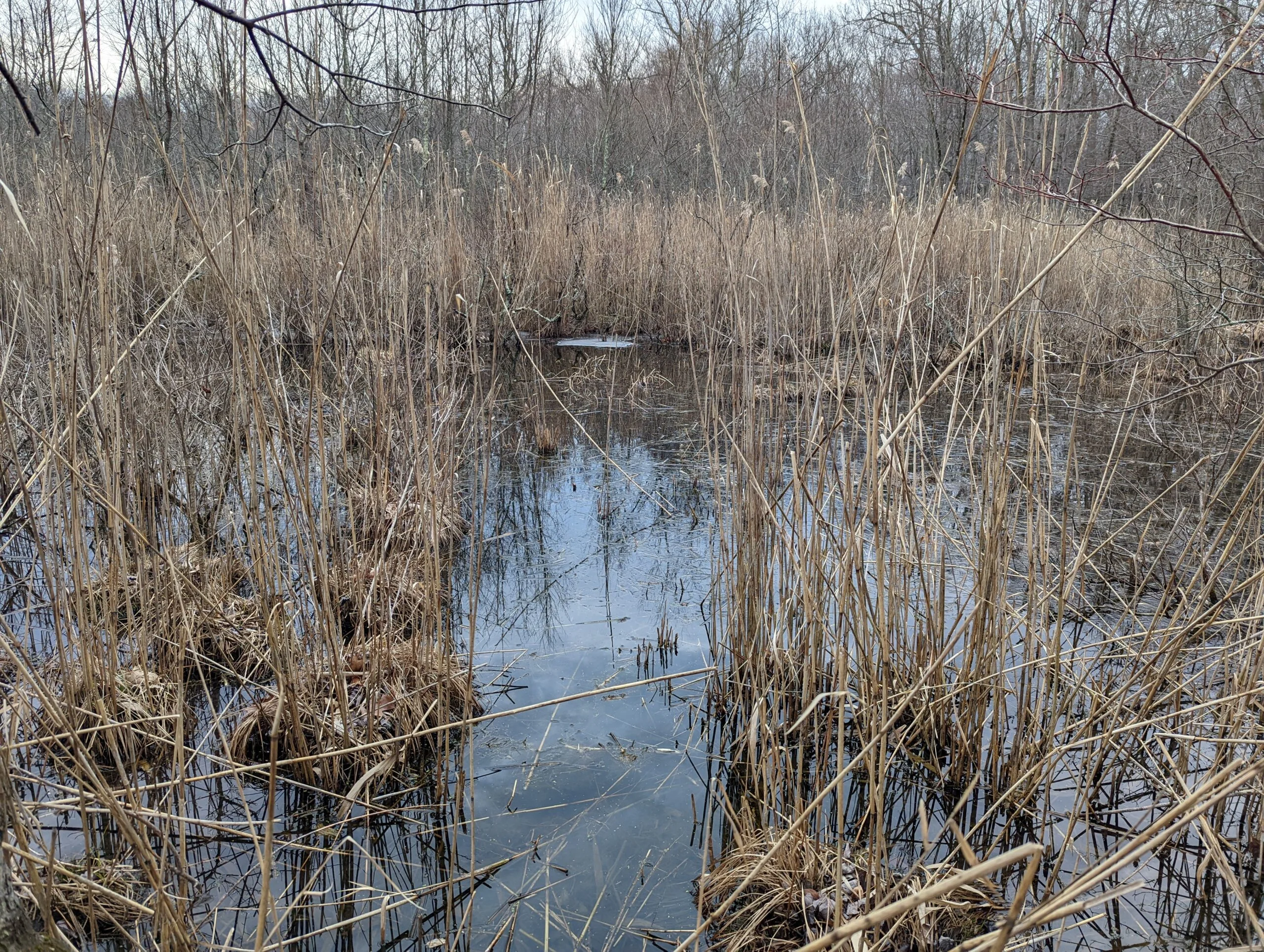
At intersection 9, I turned north on to NS, then took a right at intersection 6 to continue on NS. I took the wooden path into Hermit Wetlands. I’ve heard wildlife in the swampland on previous visits, but it was quiet today.
After leaving the wetlands, I turned to my car to finish my trip. Overall, another satisfying trip!
I consider this park more in the category of a walk in the woods rather than a demanding hike, but exercise is still exercise! This park holds a special place in my memory as it was where I first gained my initial hiking experience and confidence. It’s now become a familiar spot that I’m comfortable exploring without needing to constantly reference a map.
Photos


GPS Route & Elevation
Loads an interactive map; map tiles are served by the U.S. Geological Survey, which receives your IP address. Learn more about maps and your privacy