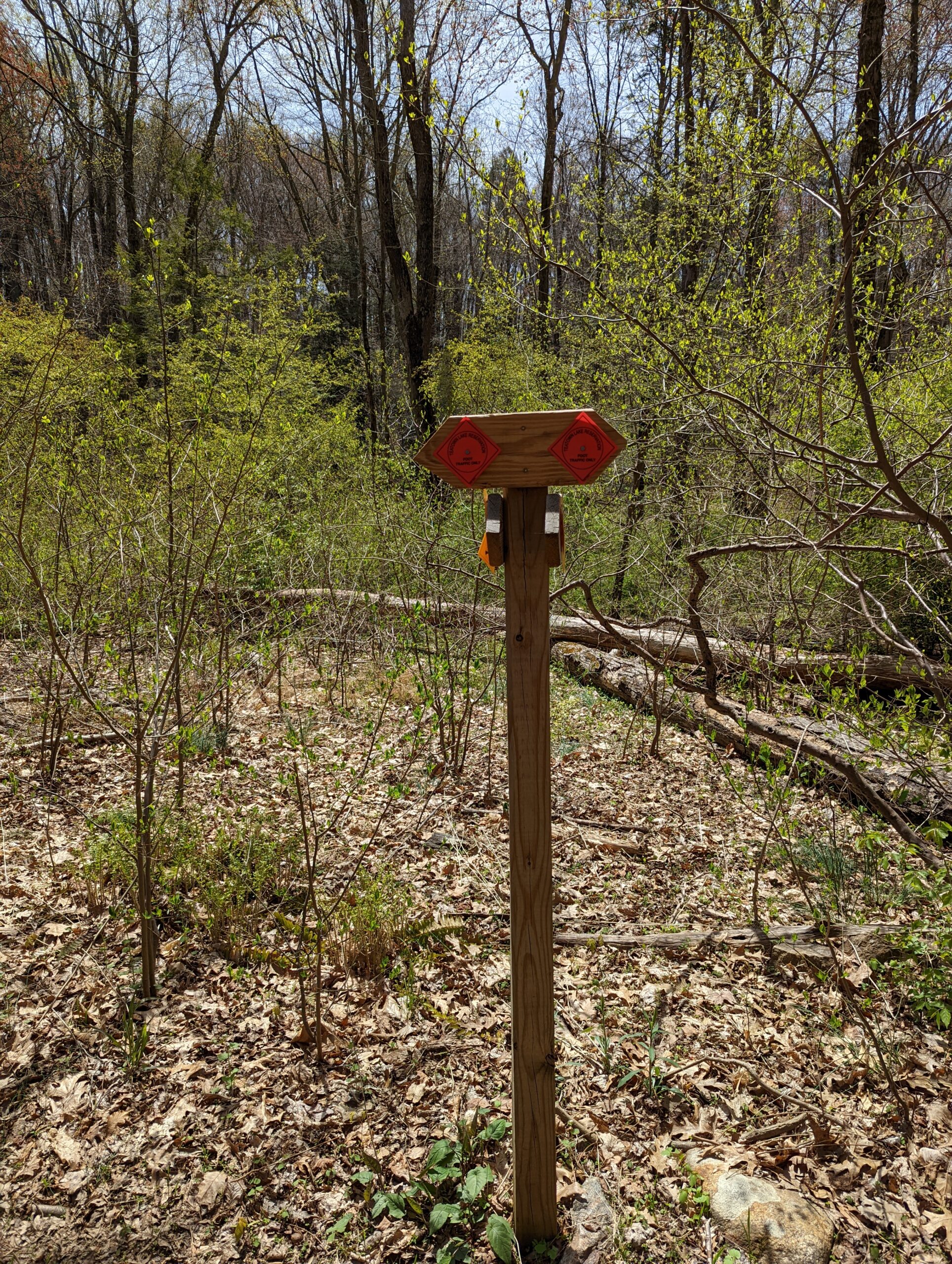
Teatown Lake Reservation – Three Lakes Loop, Overlook Loop, Lakeside Loop
- 7.4 mi
- 846 ft gain
- 04:38:12
- 191 photos
- 5 videos
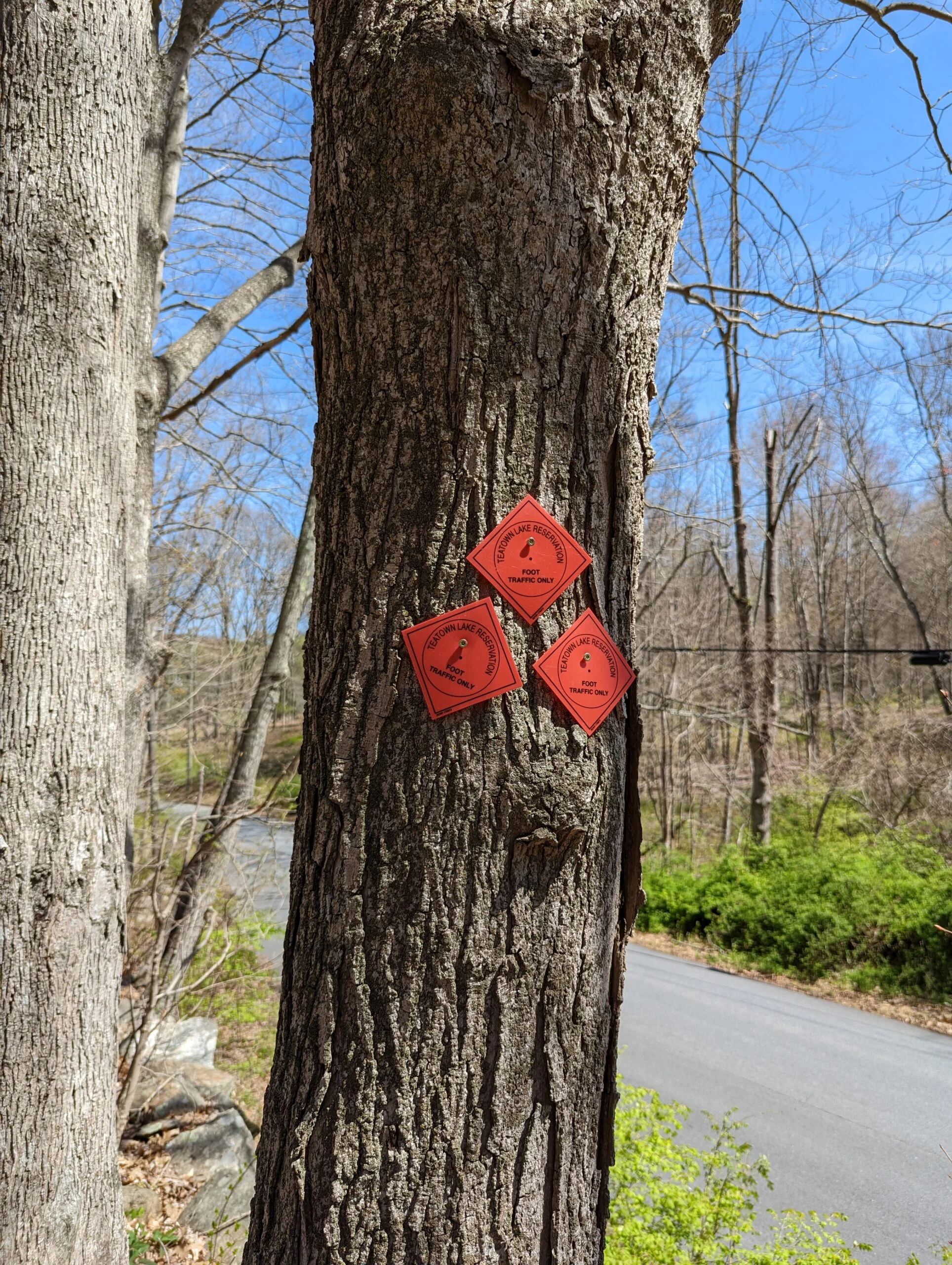
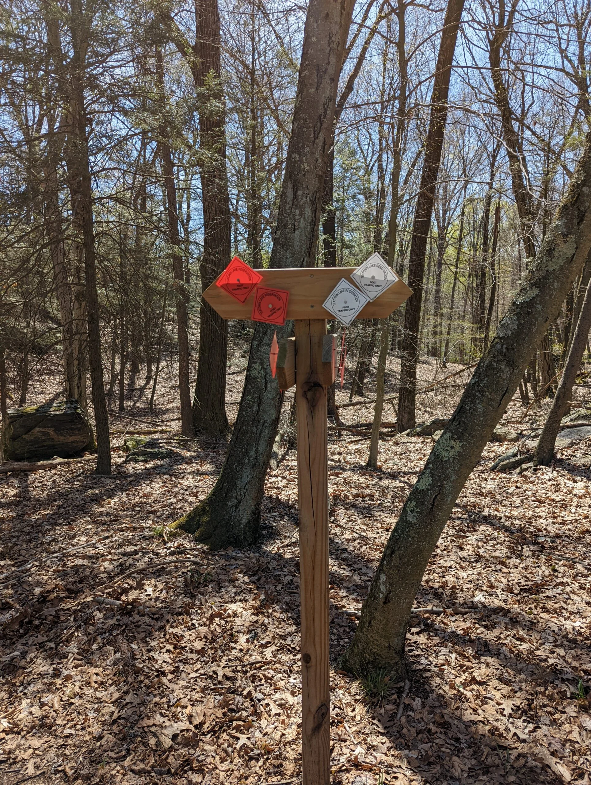
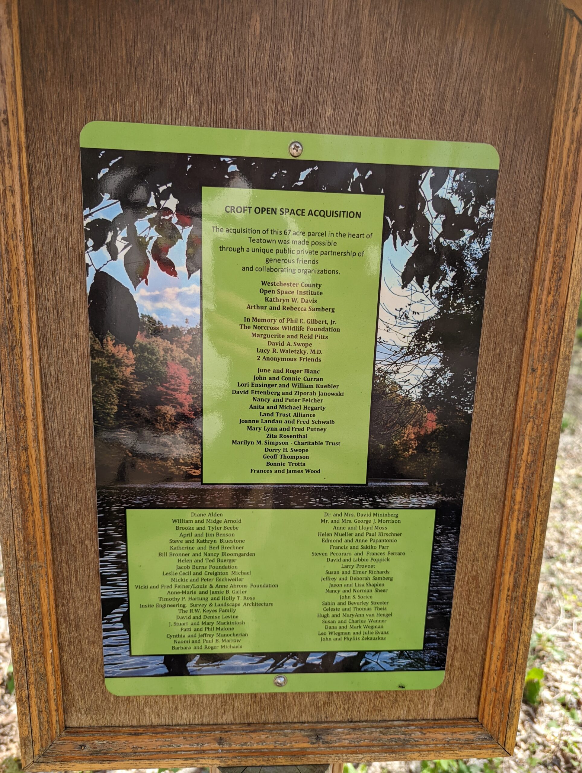
I came across another gem by exploring options on All Trails: Teatown Lake Reservation. This privately-held nature preserve spans 1,000 acres and contains over 15 miles of hiking trails. I wasn’t able to find any existing routes that were long enough, so I created a new route which explored the middle, southern, and eastern areas of the preserve.
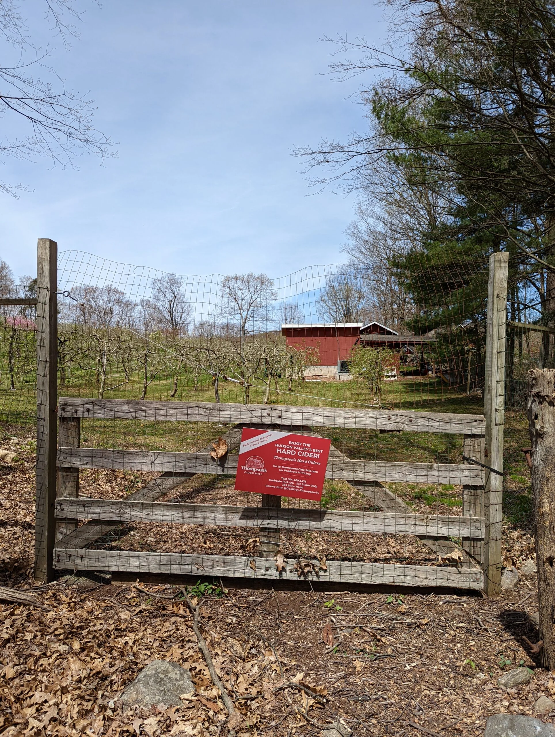
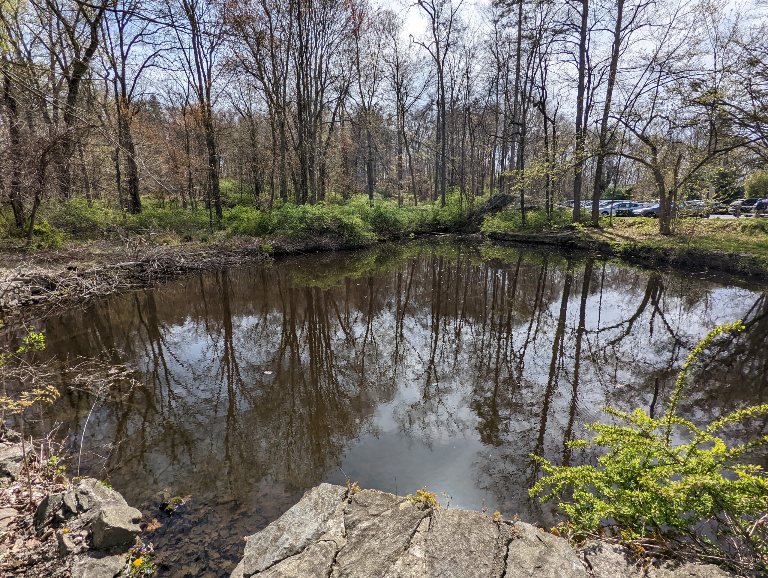
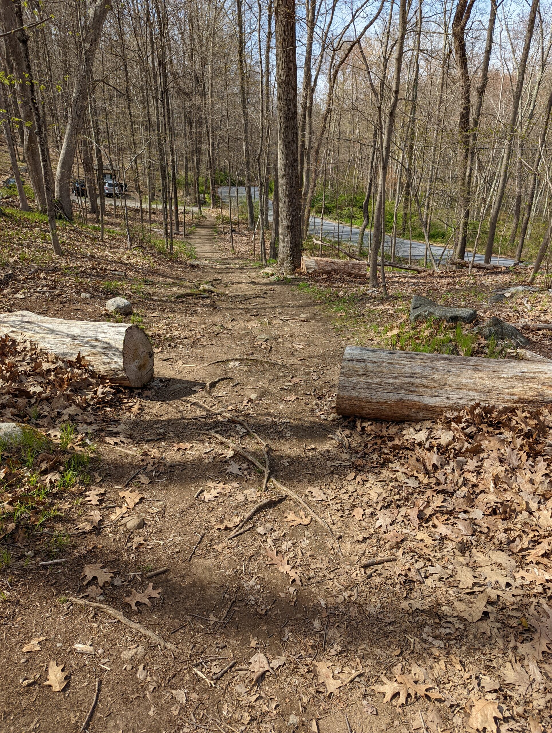
I arrived at the Blinn Road parking area just after 11am. Temperatures were in the mid to upper 60’s and it was a dry, pleasant day. There is a $5 parking fee assessed from 9a – 5p, payable by cash or credit card at a ticket machine.
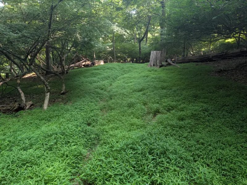
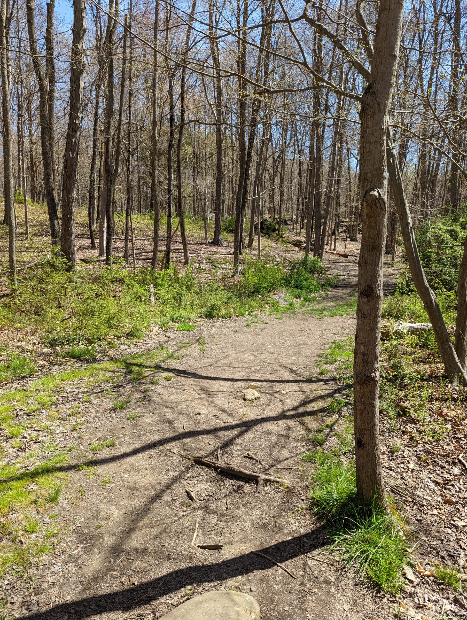
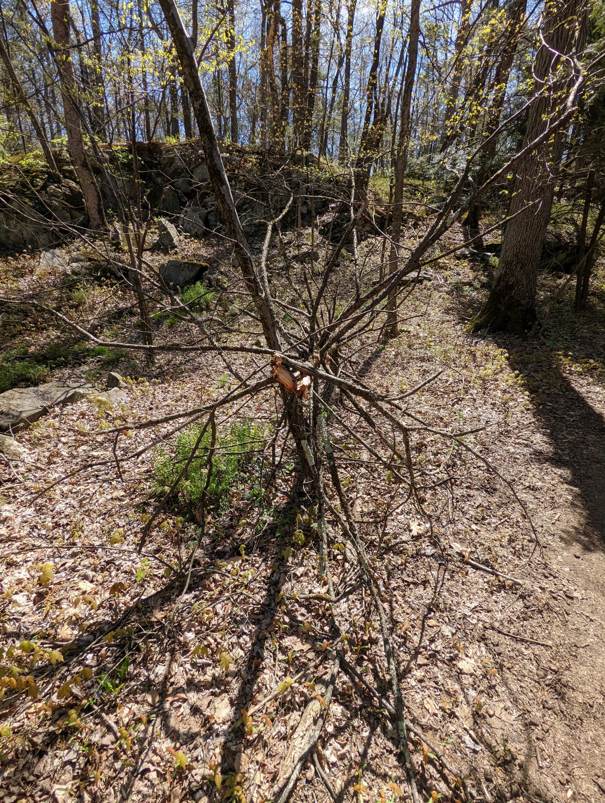
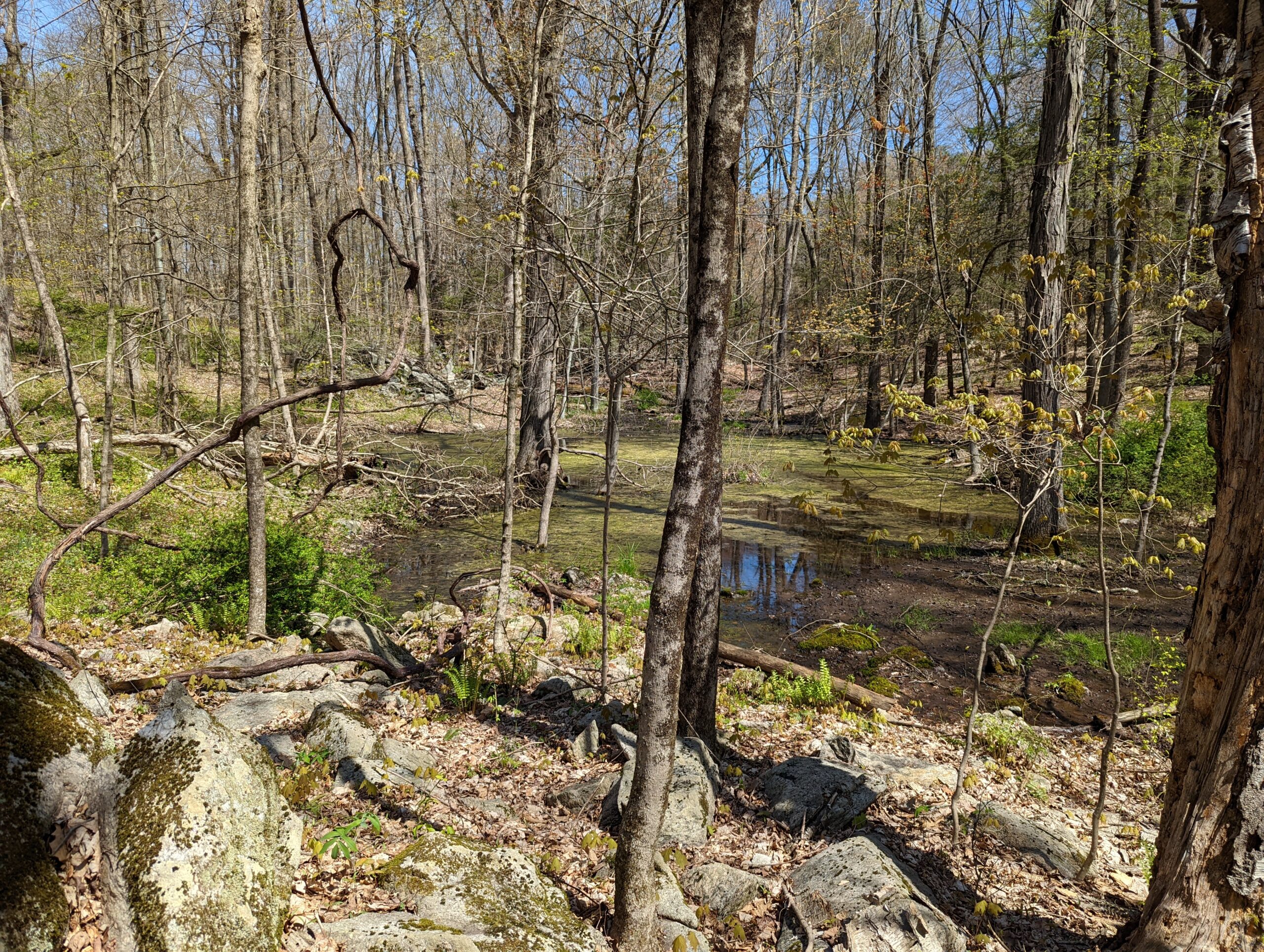
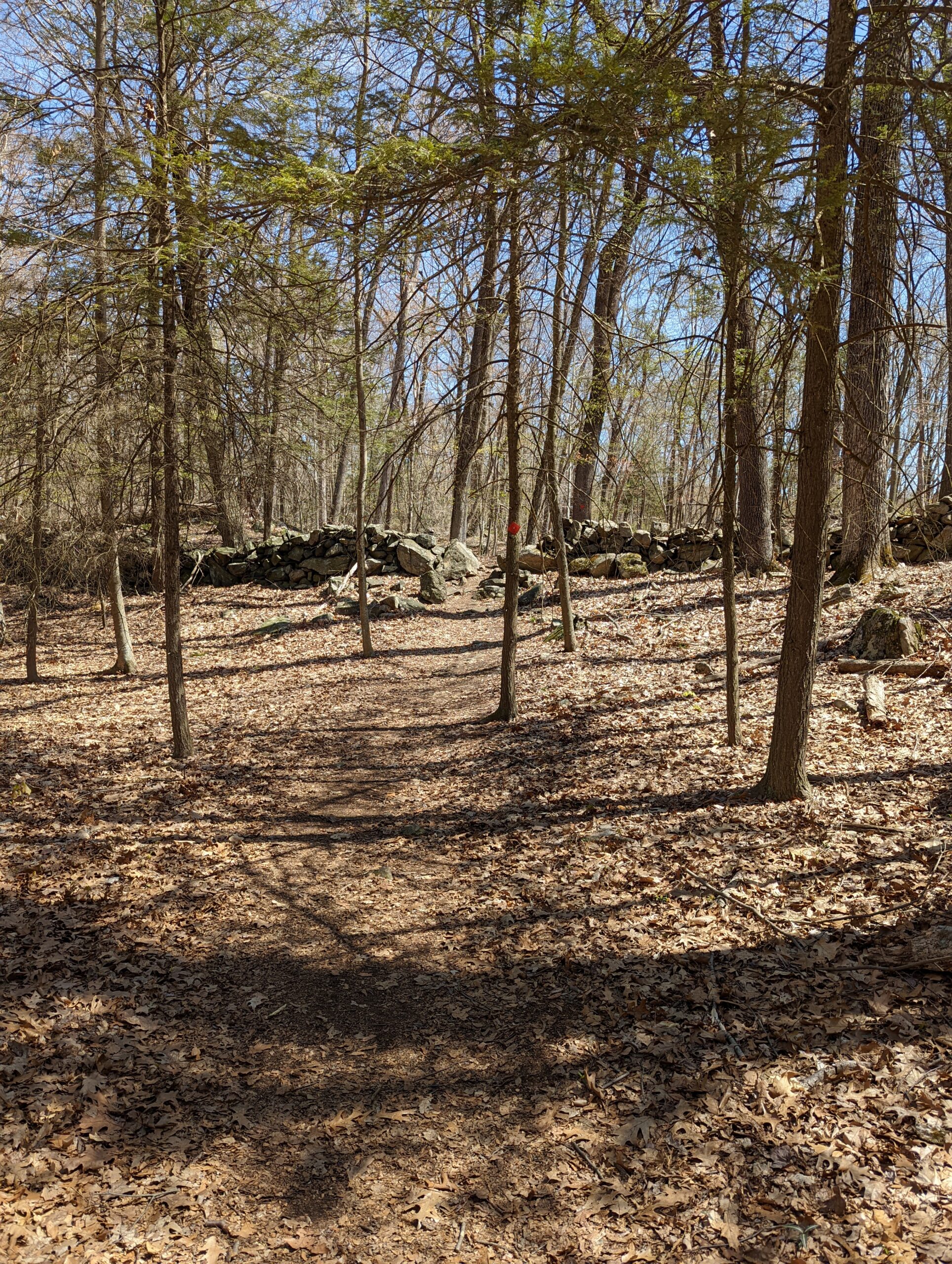
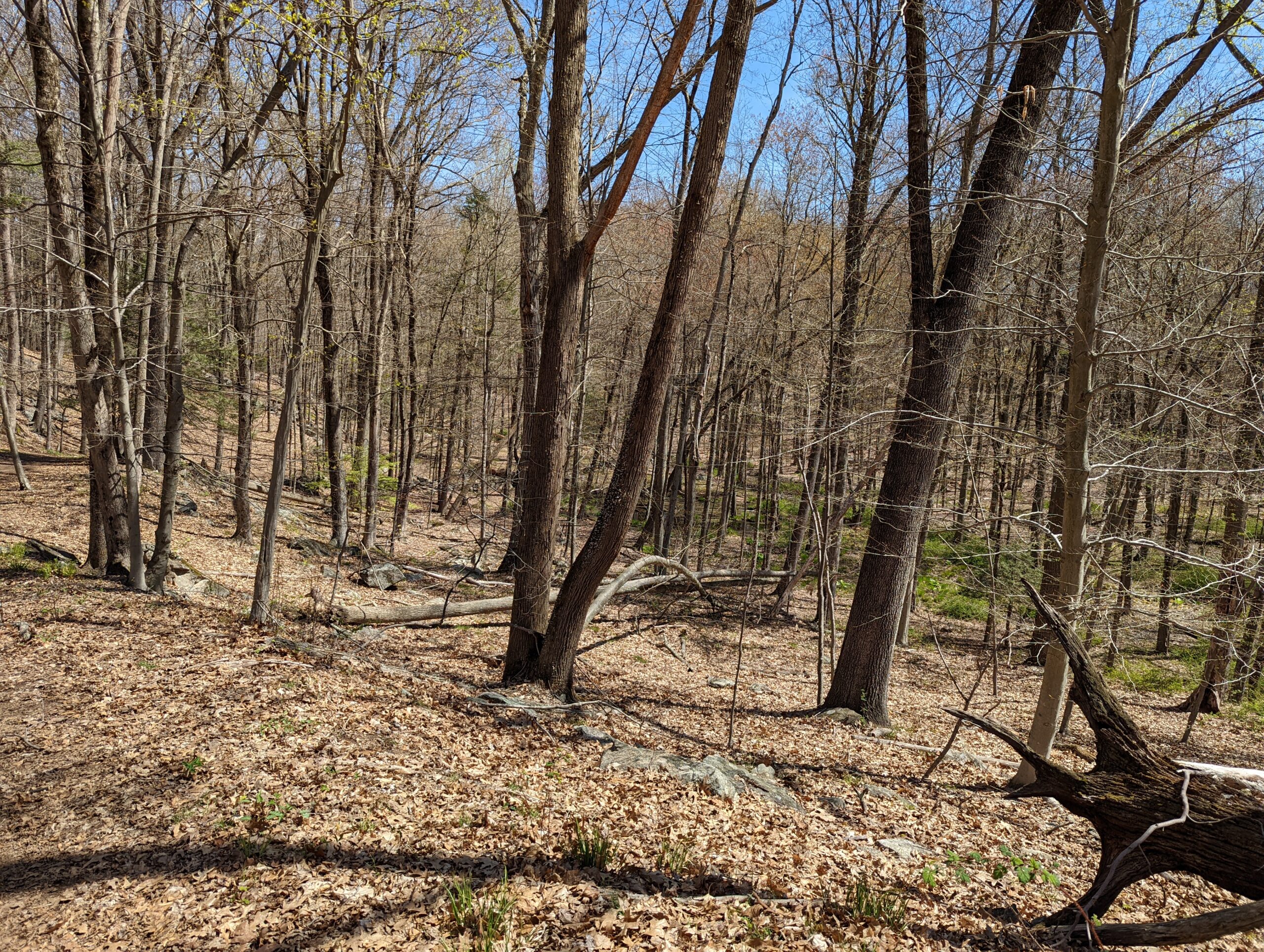
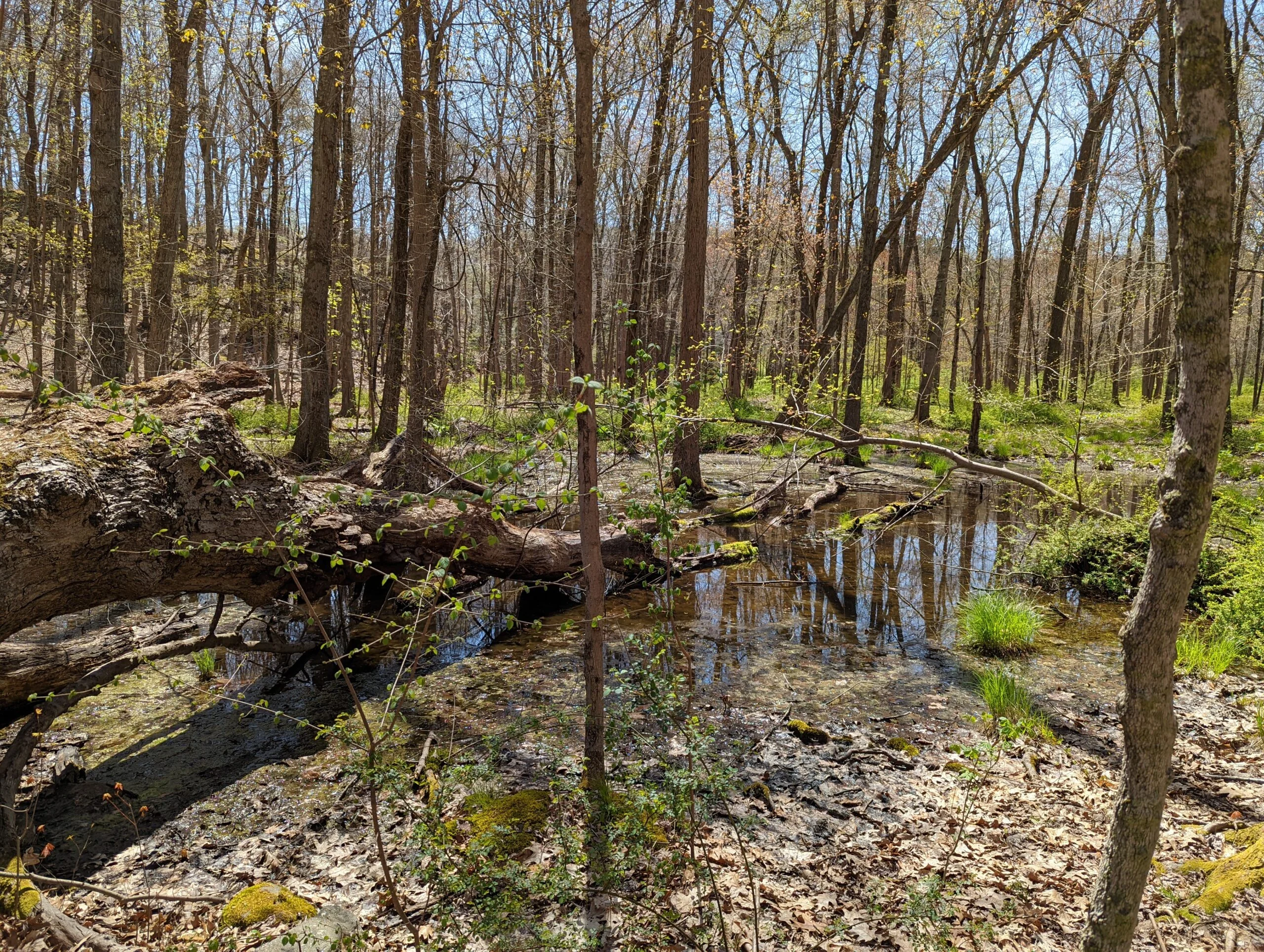
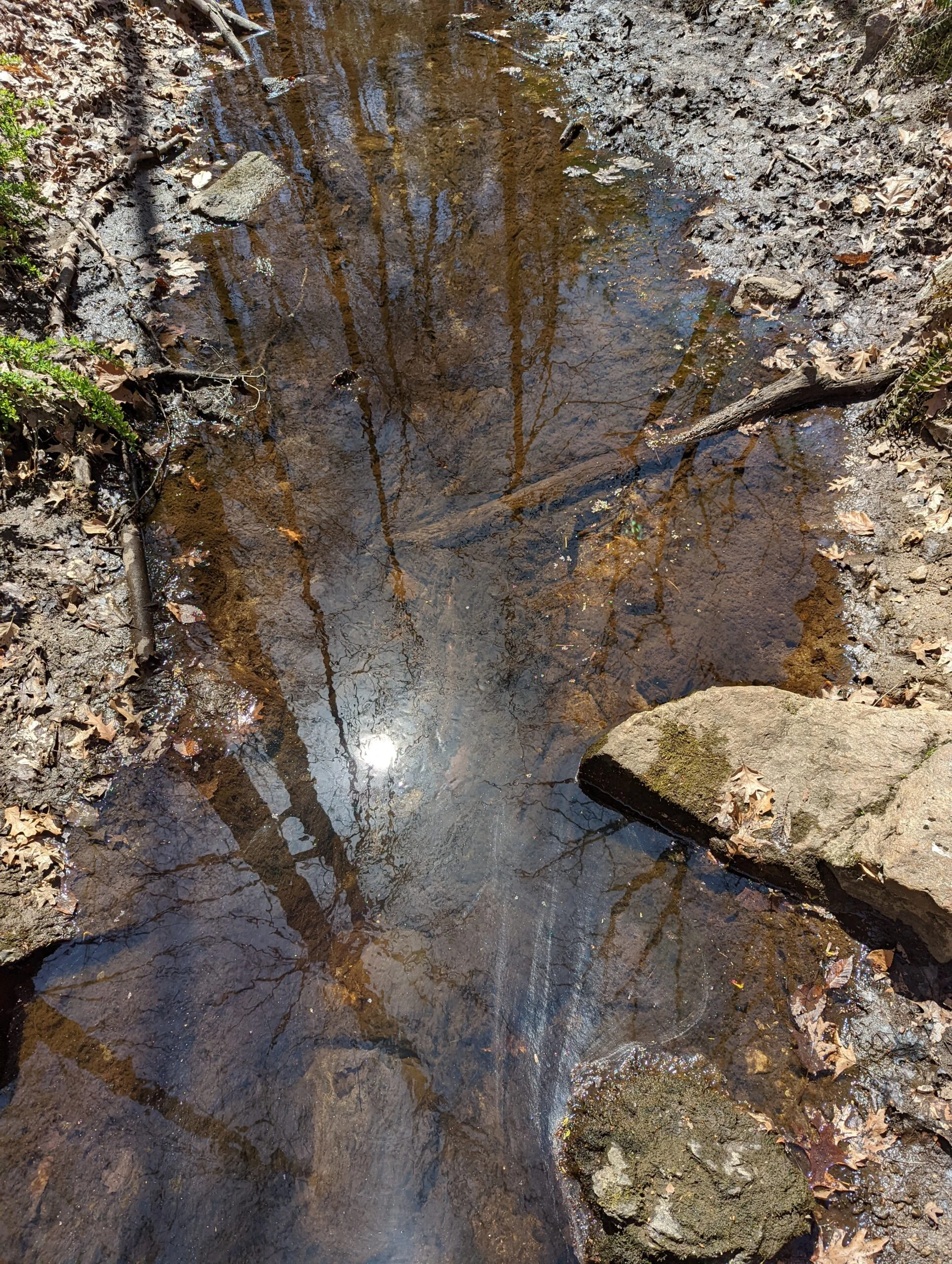
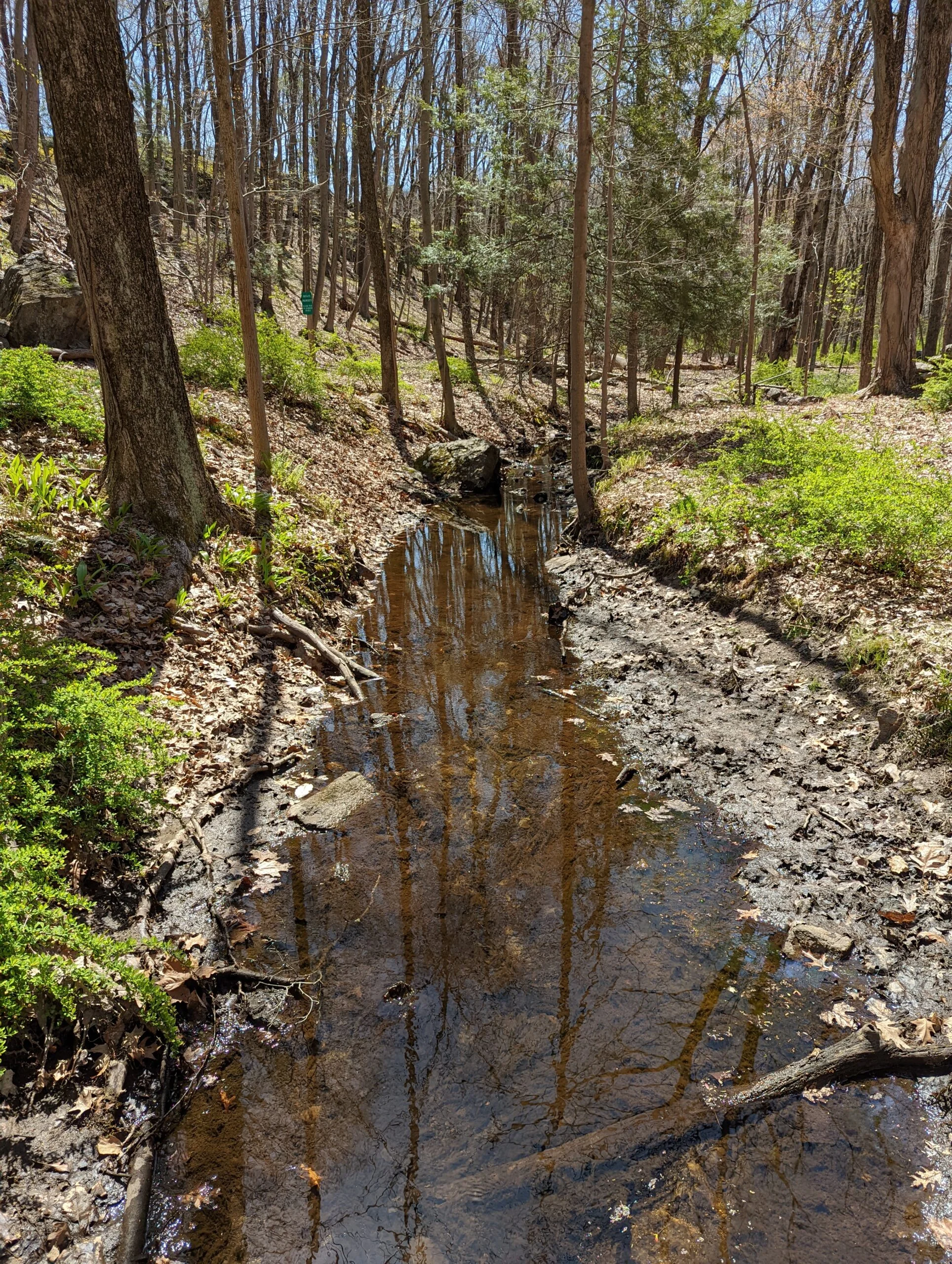
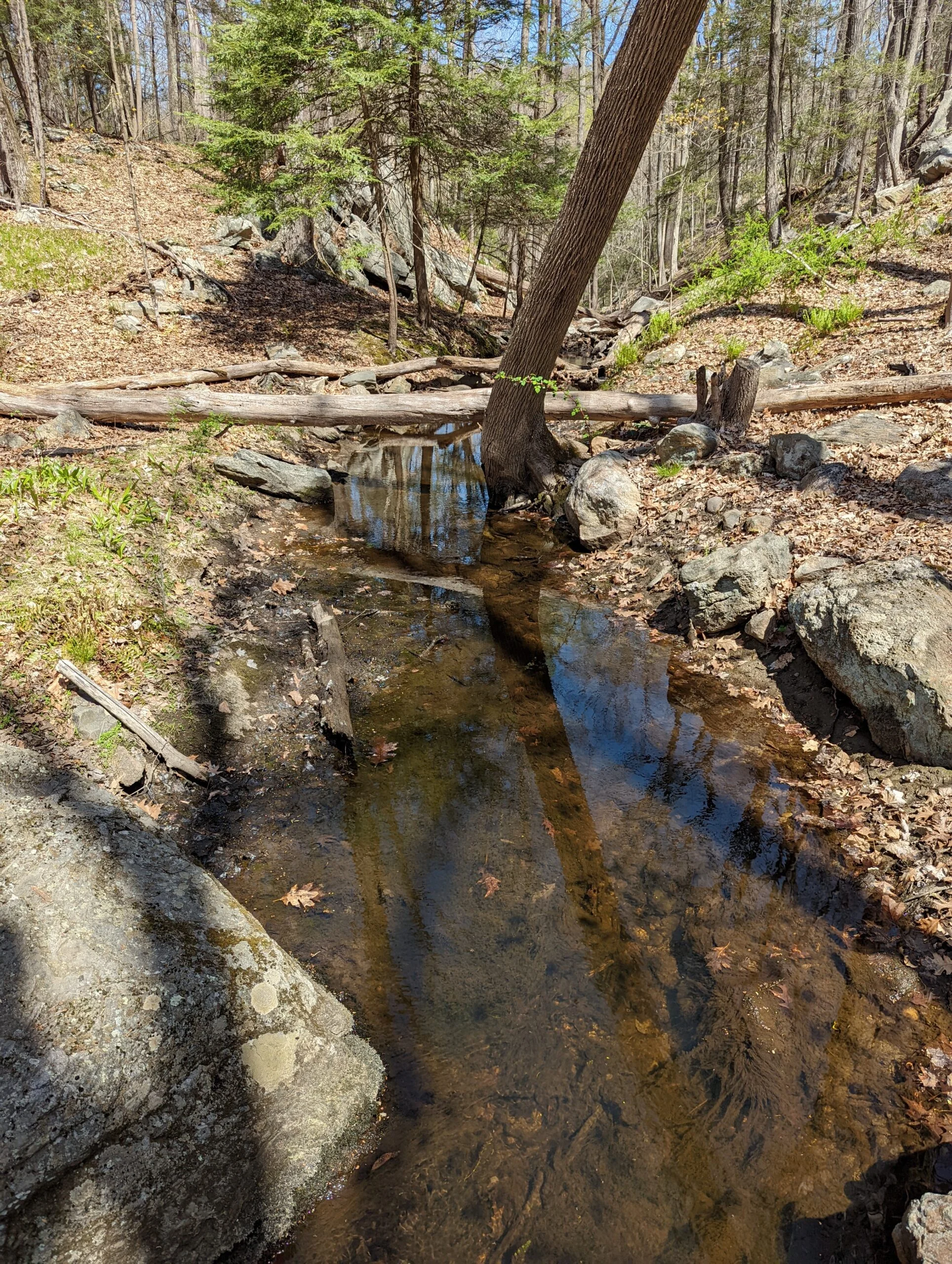
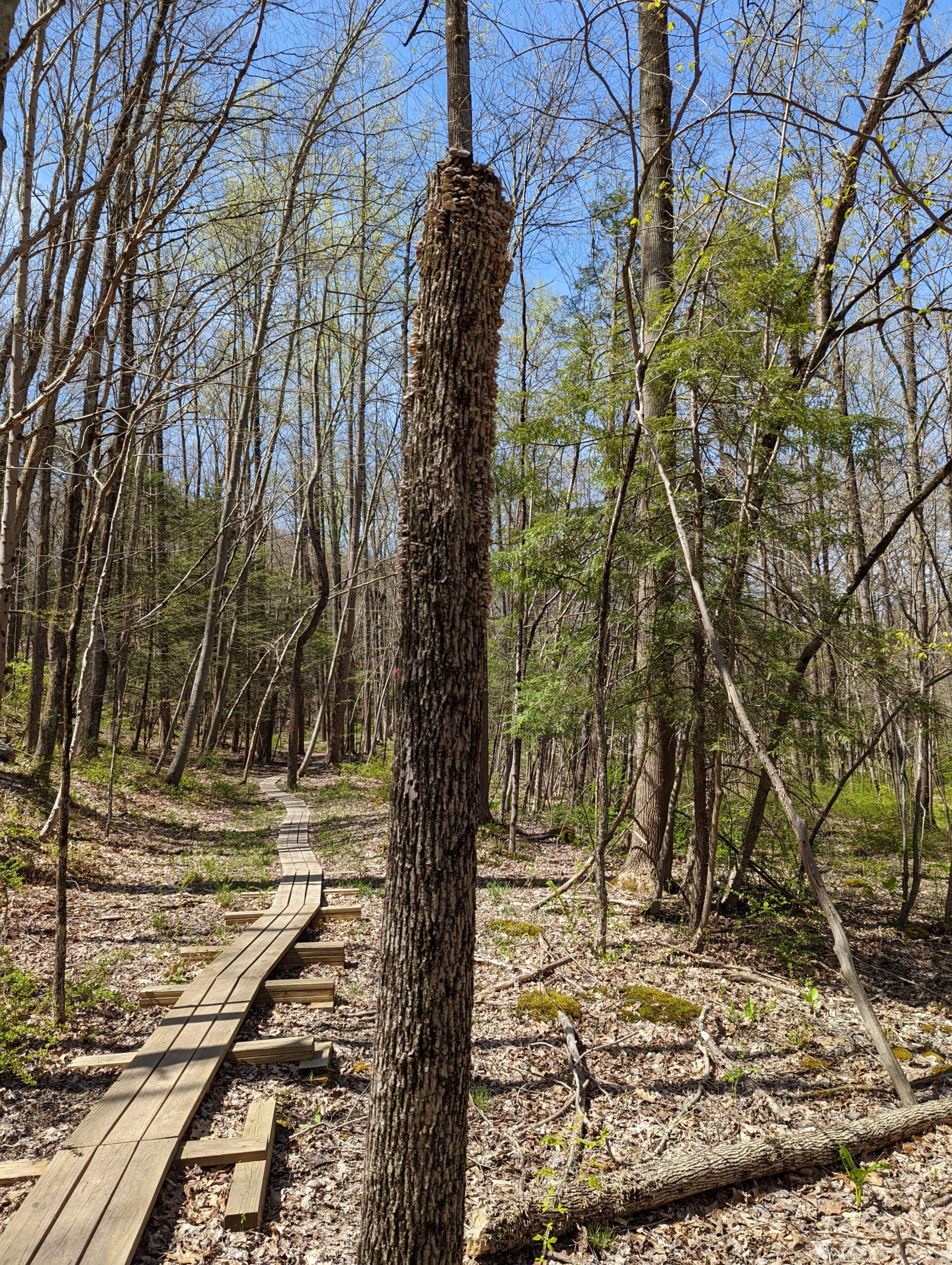
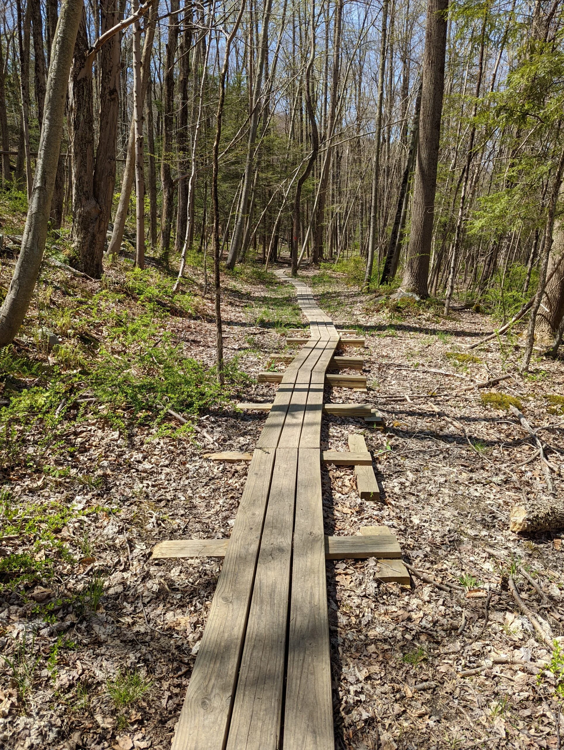
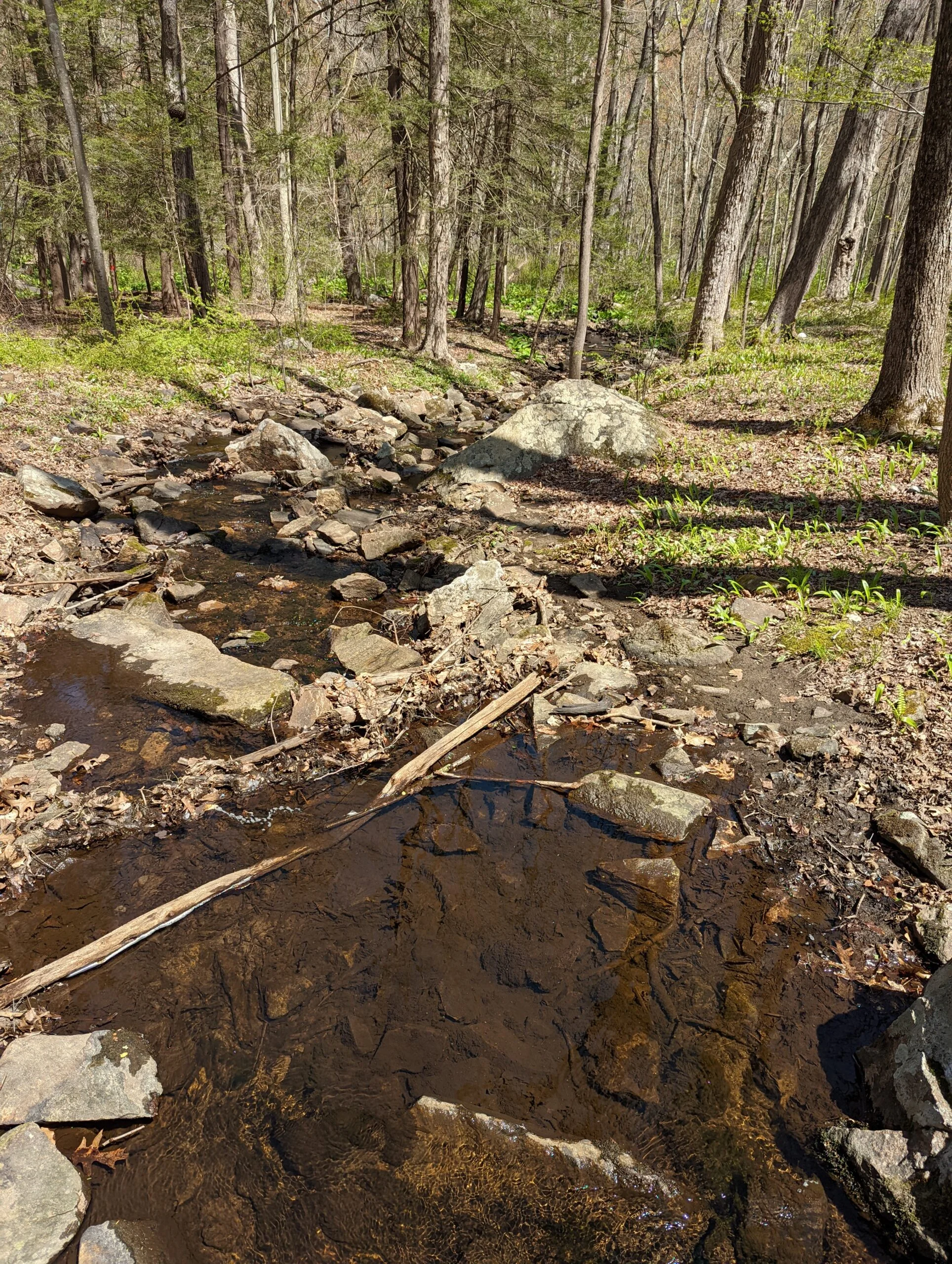
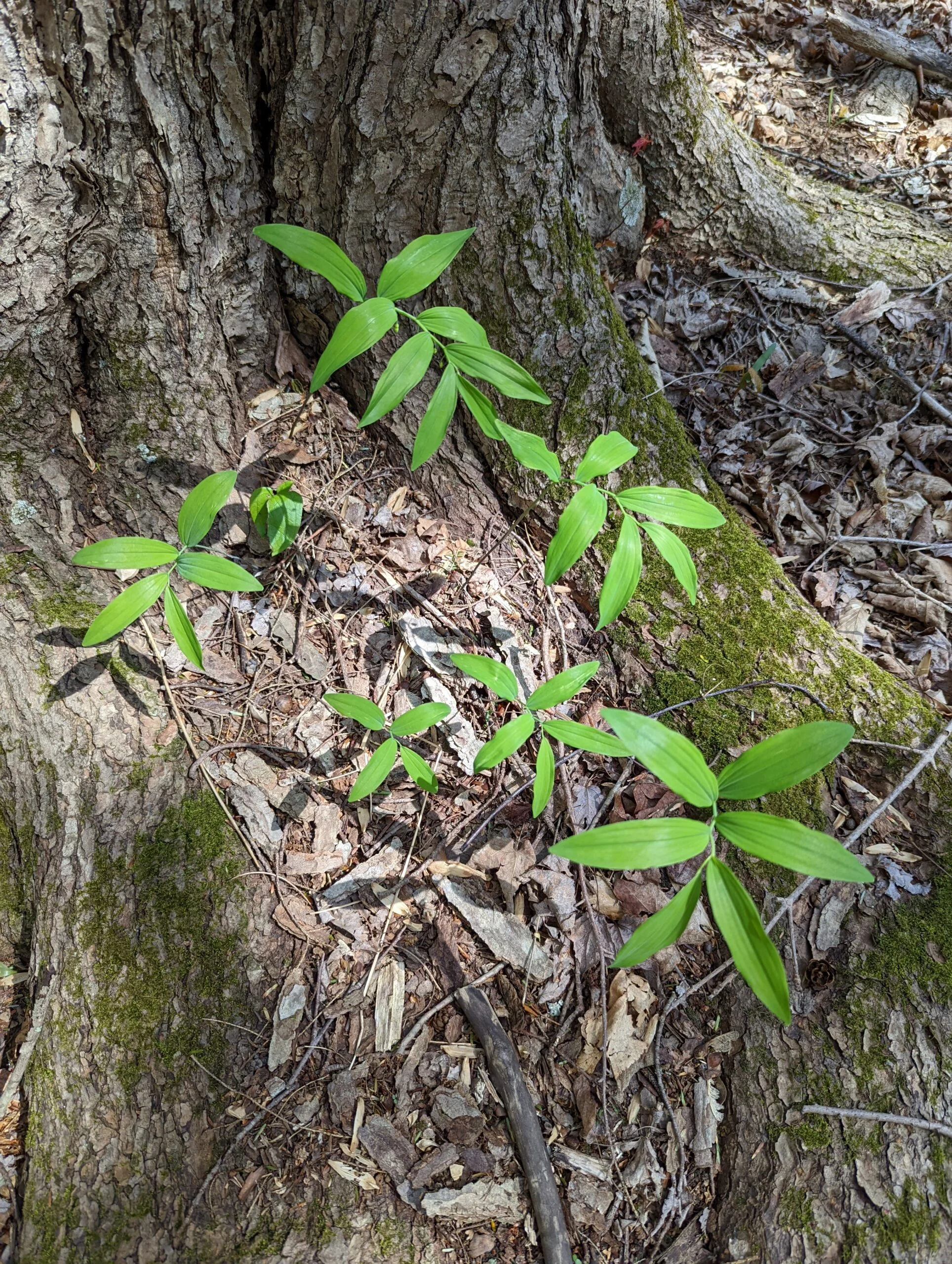
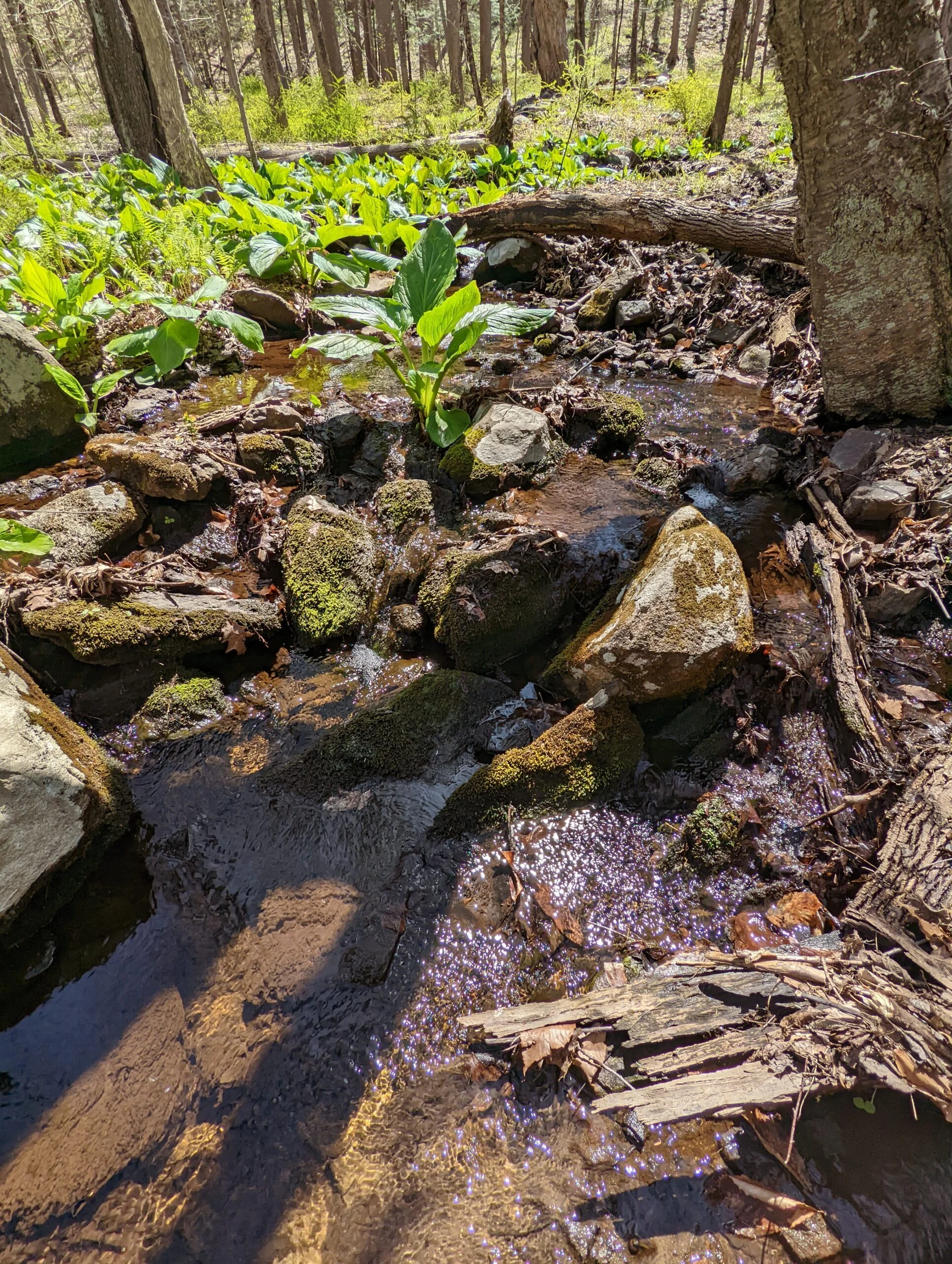
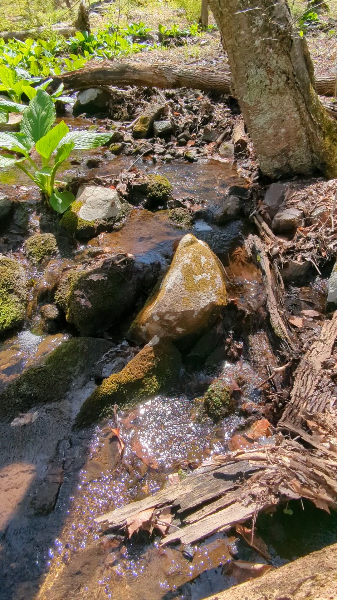
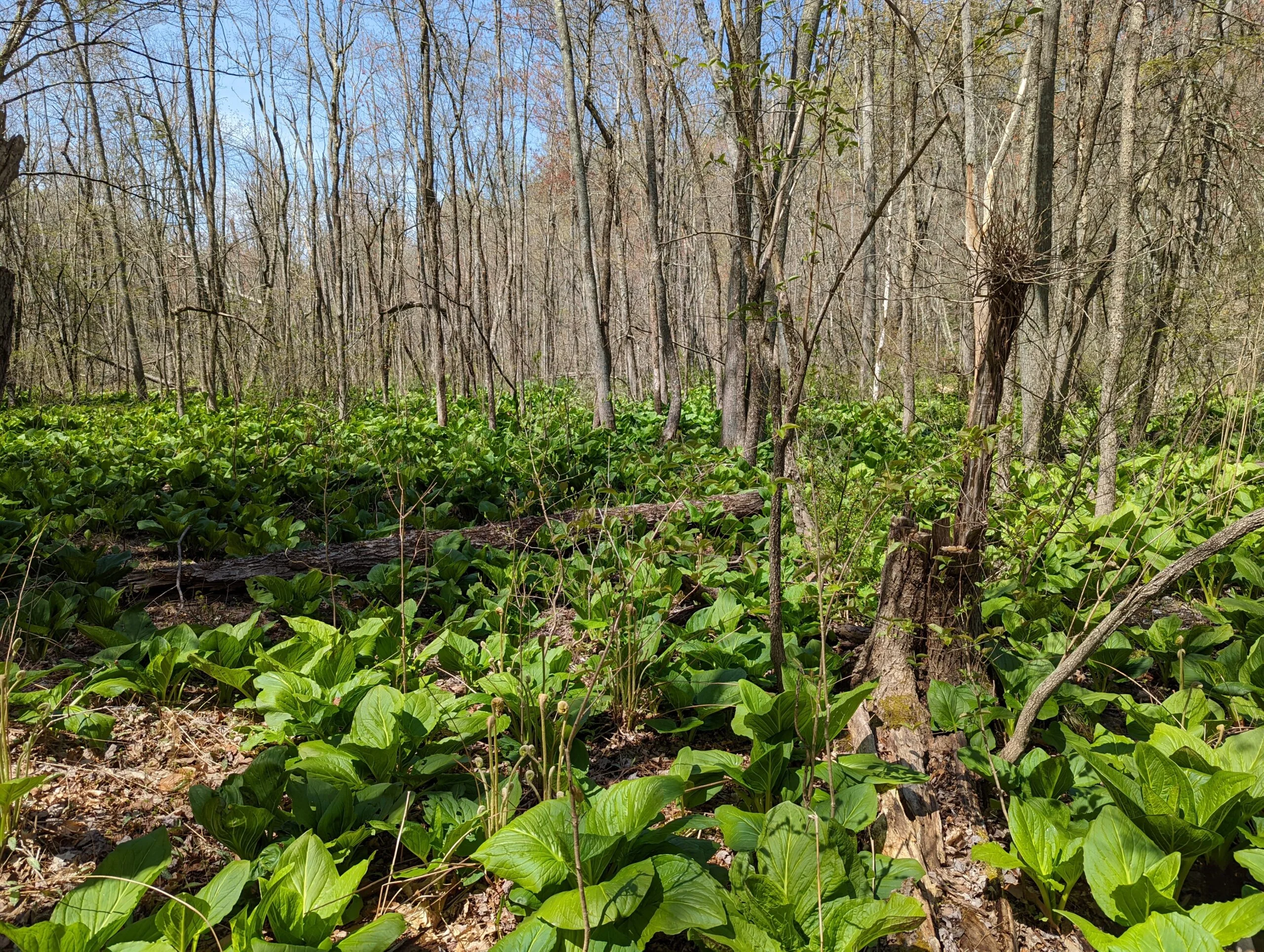
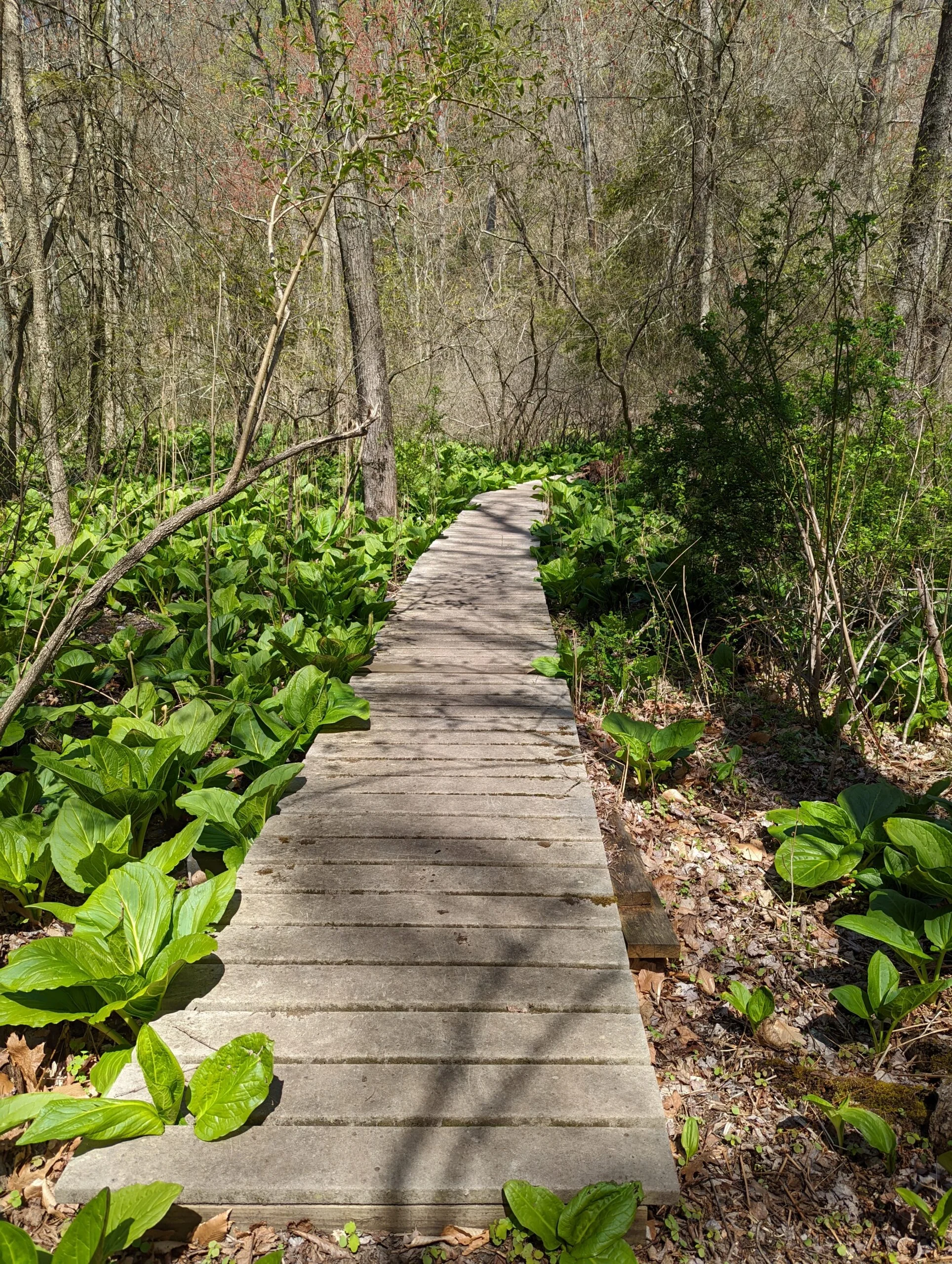
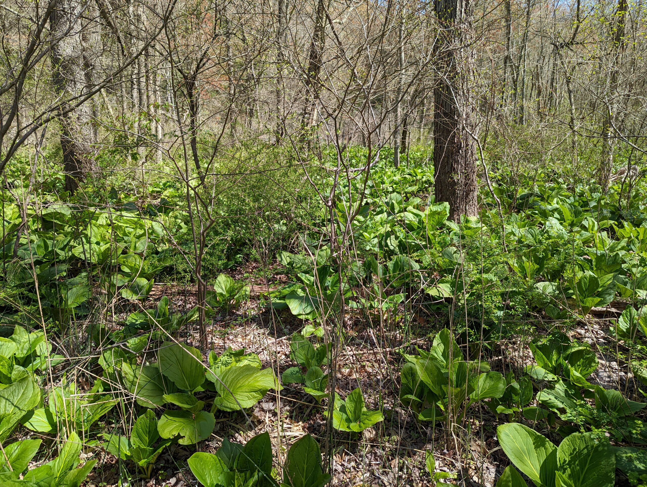
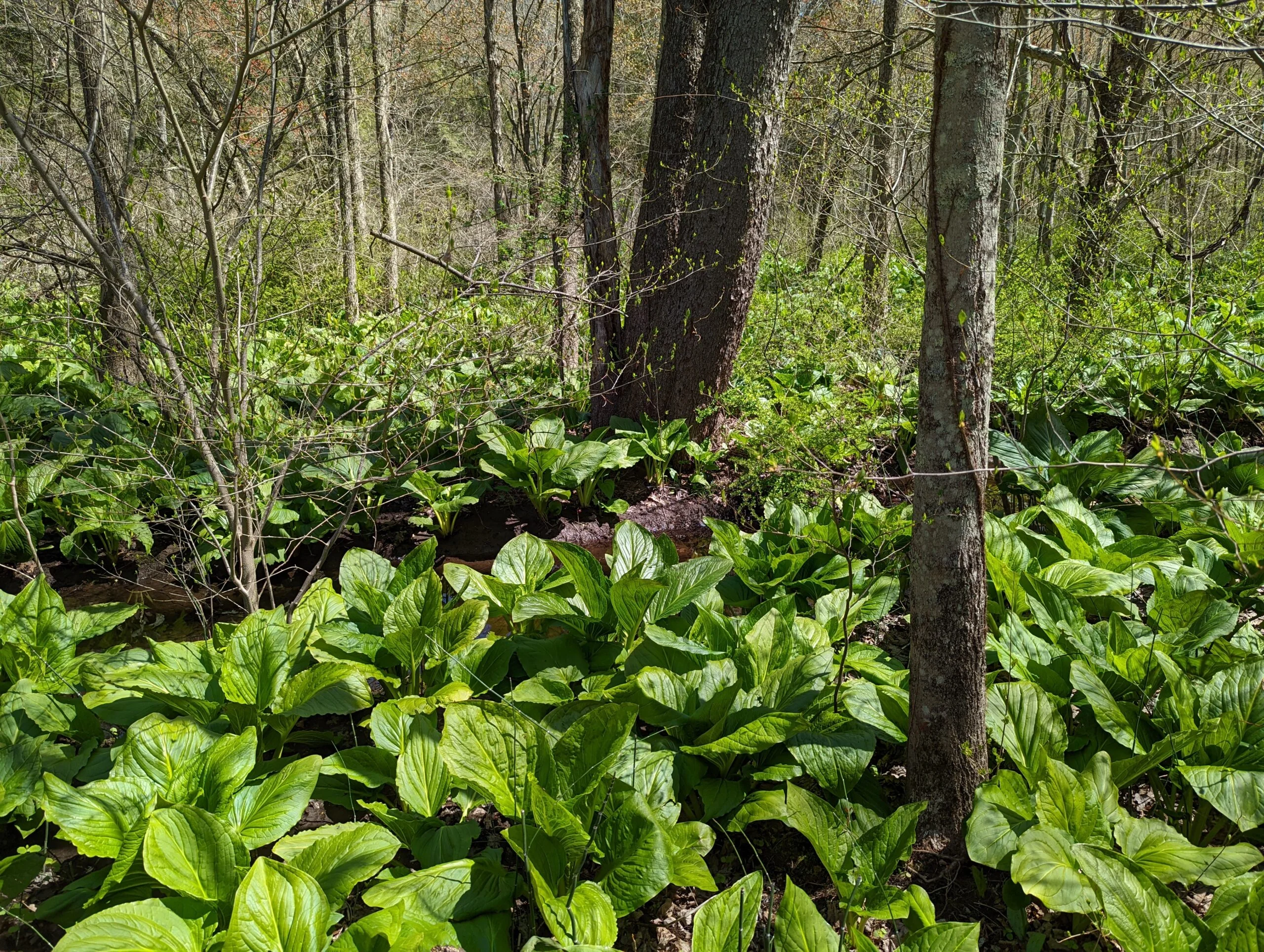
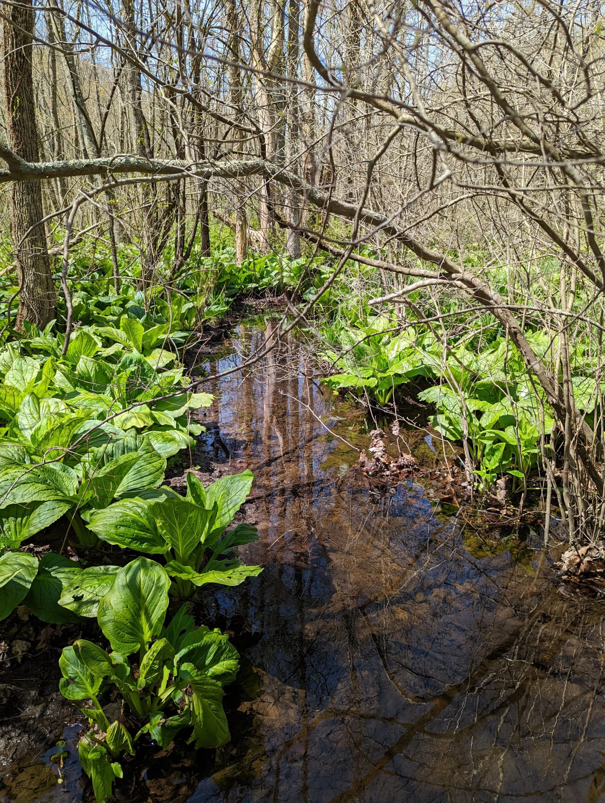
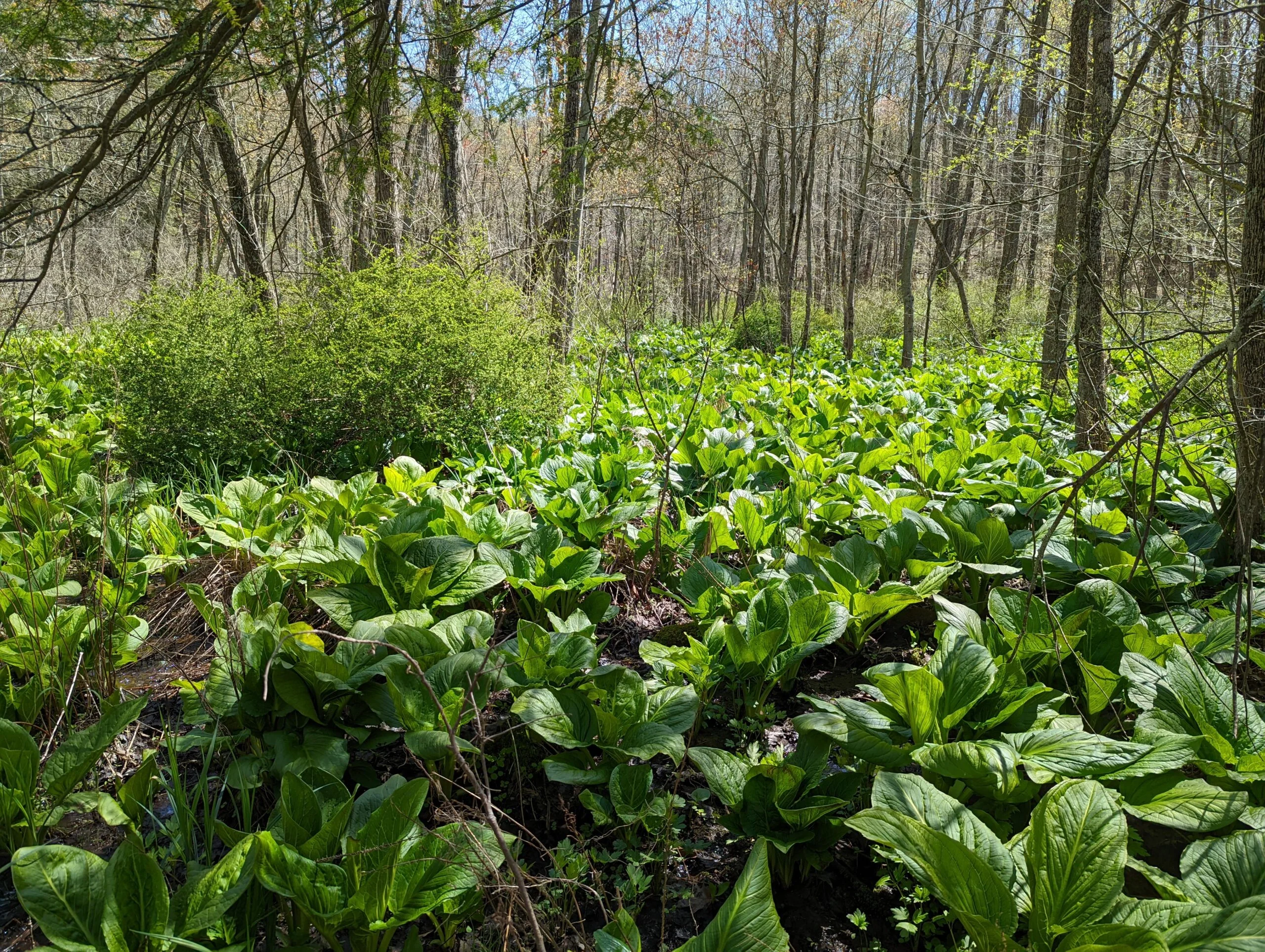
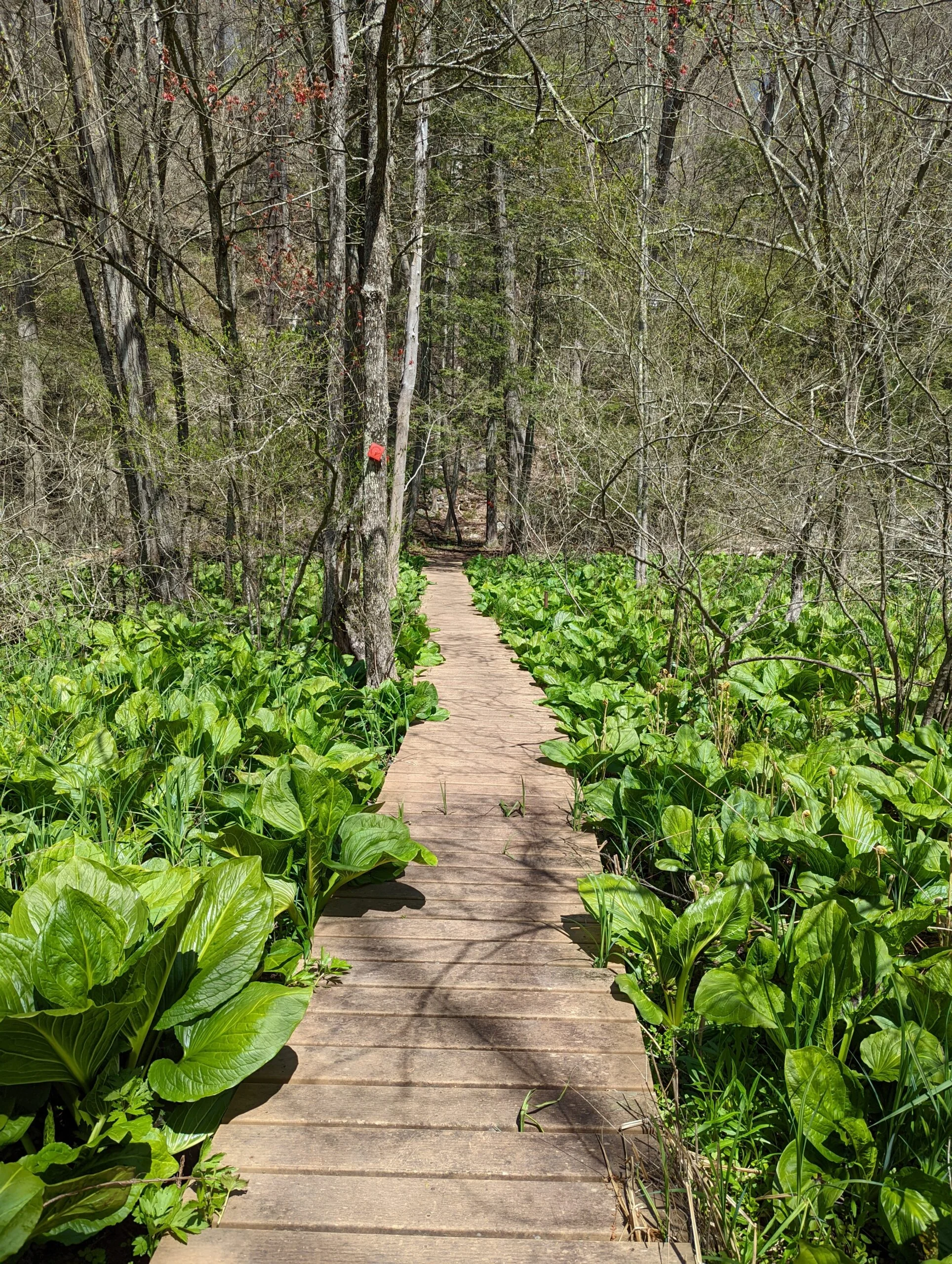
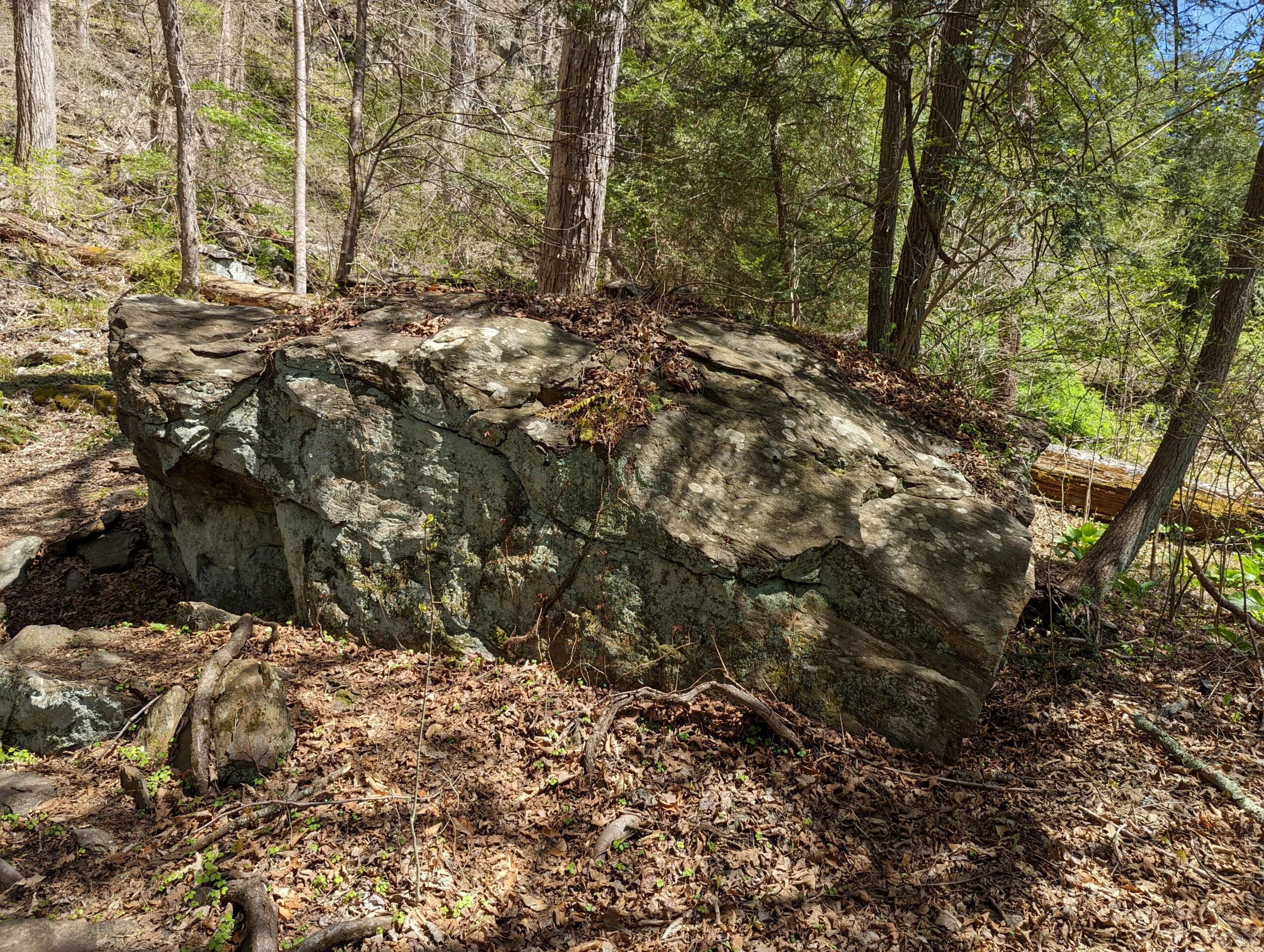
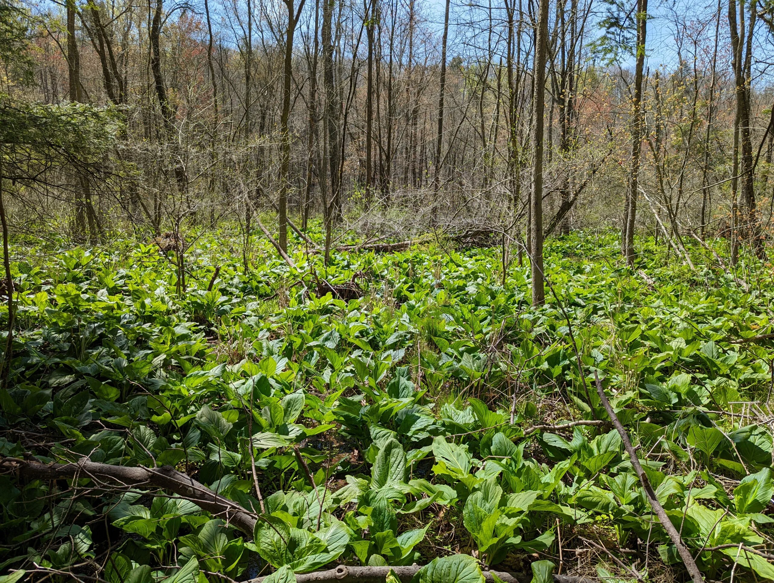
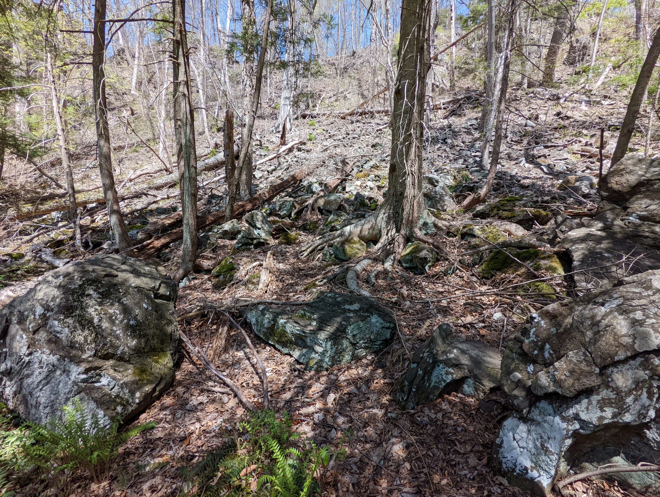
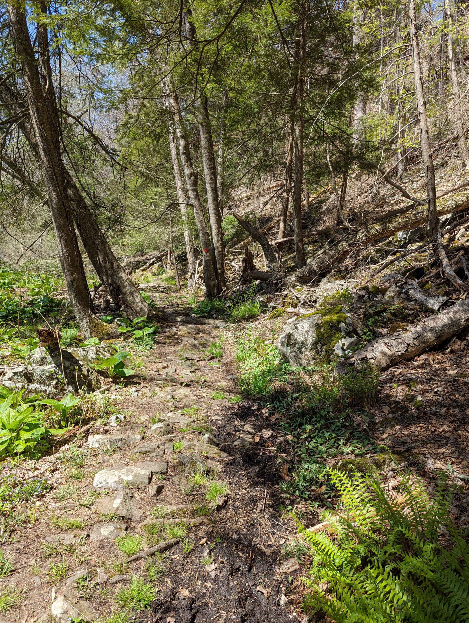
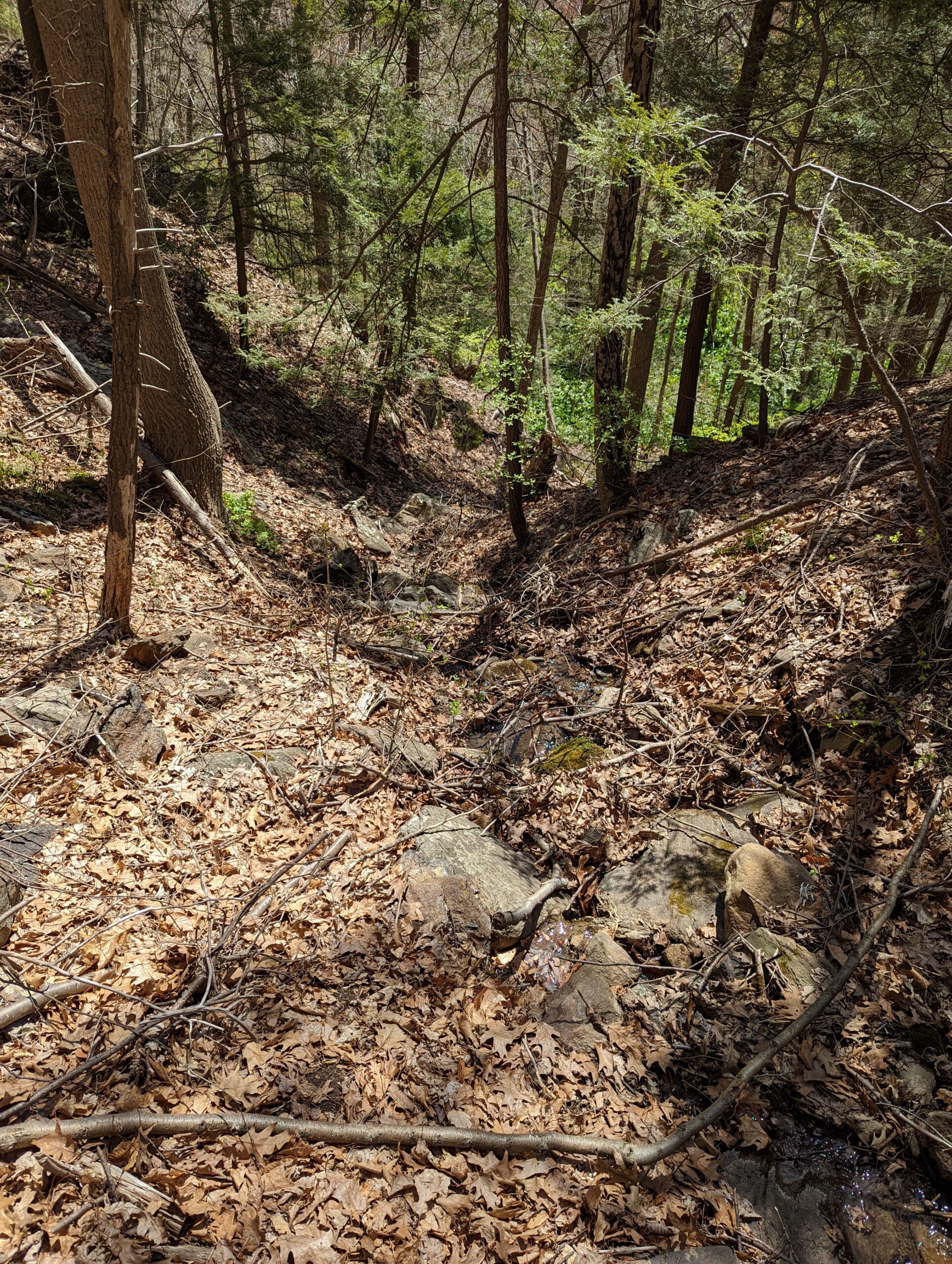
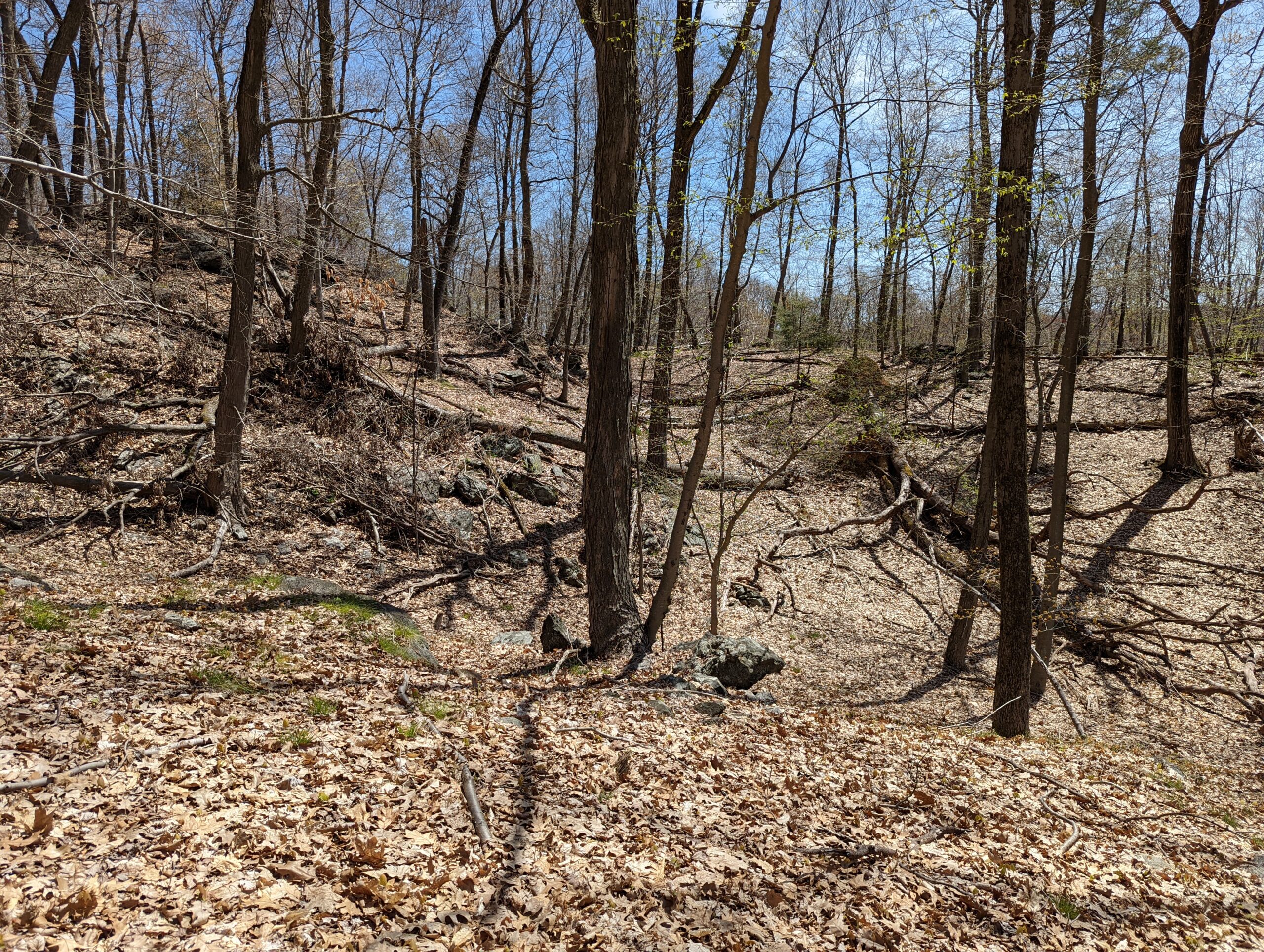
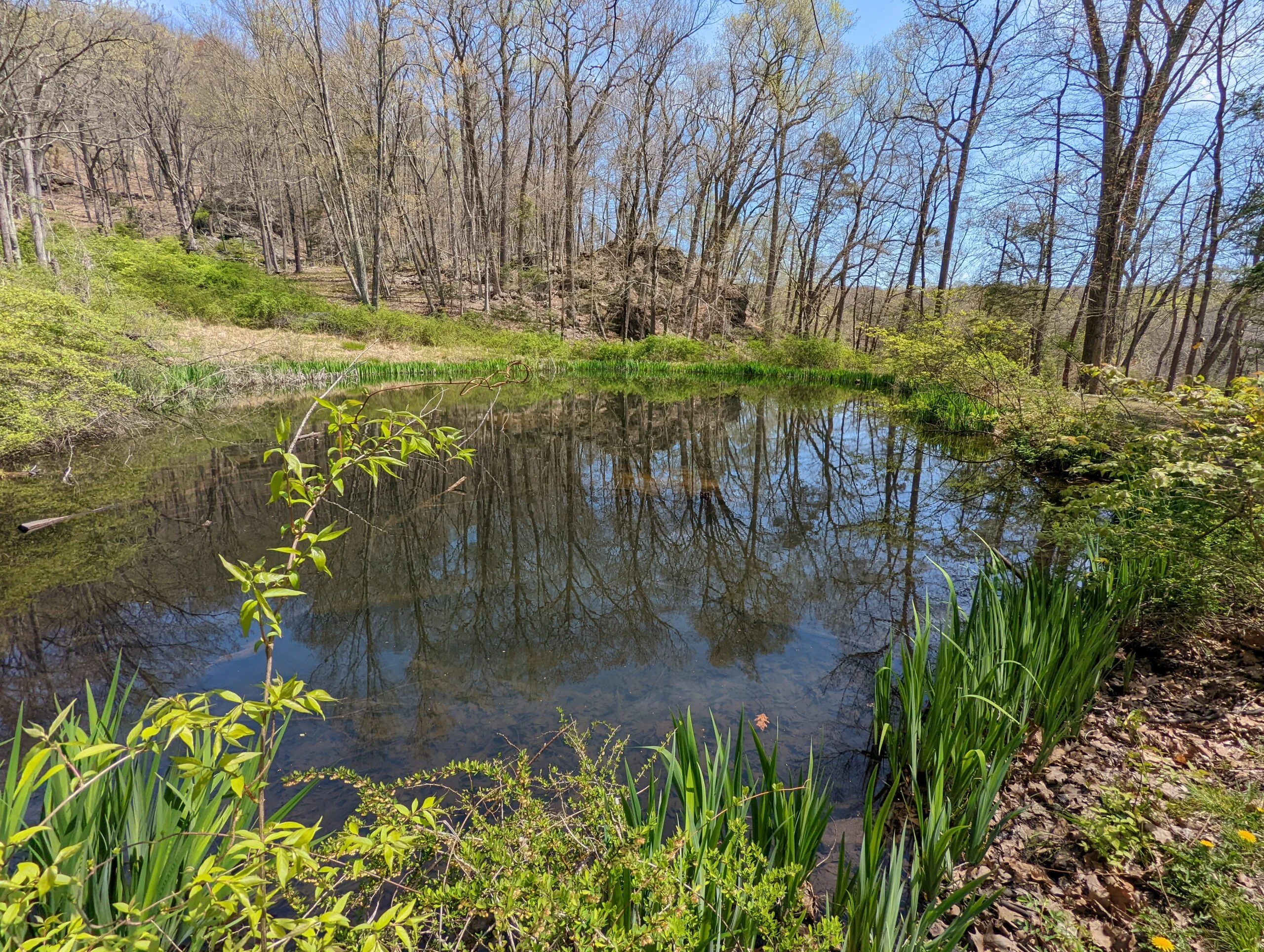
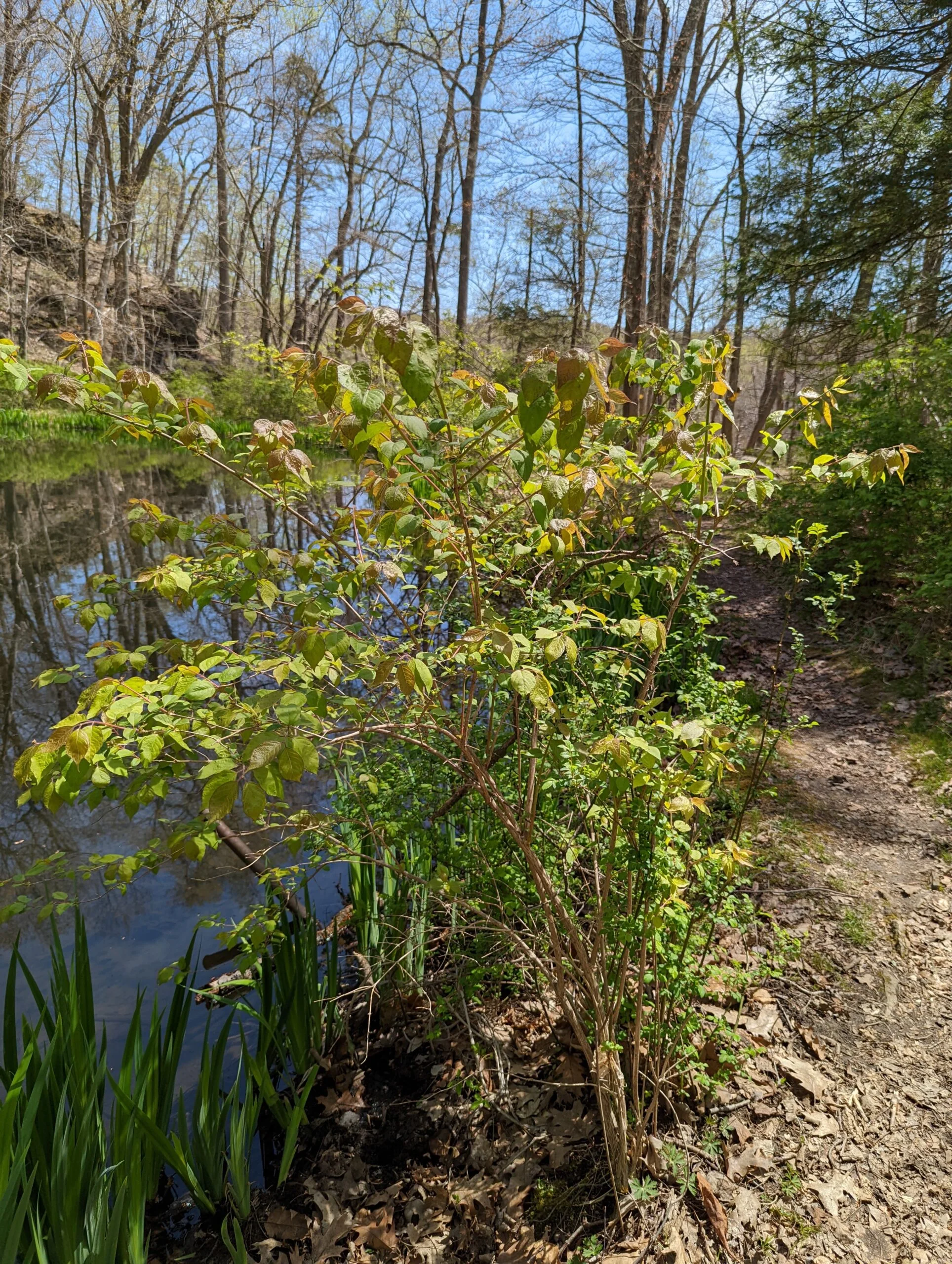
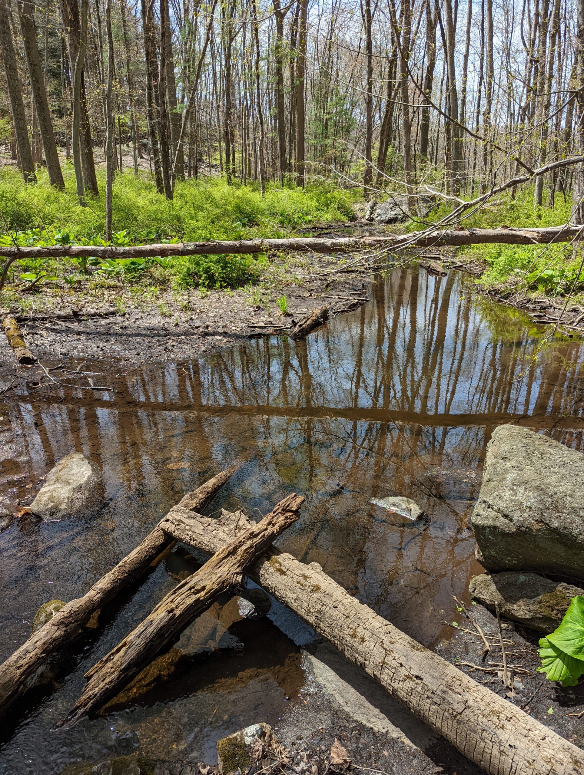
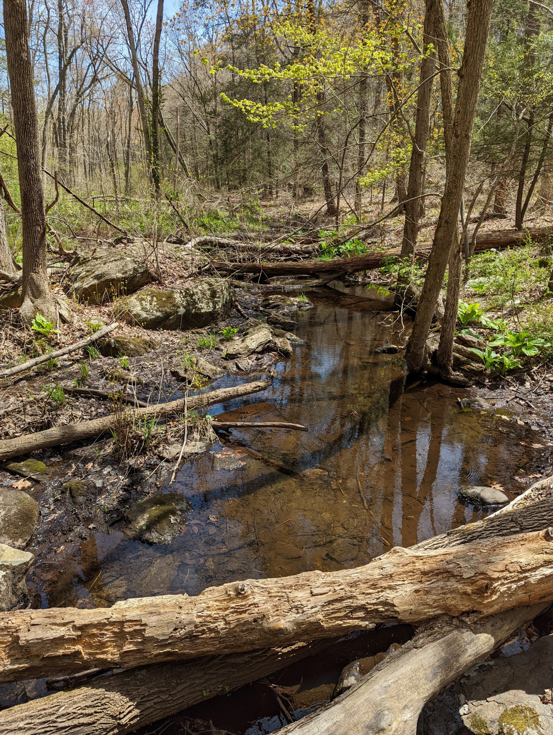
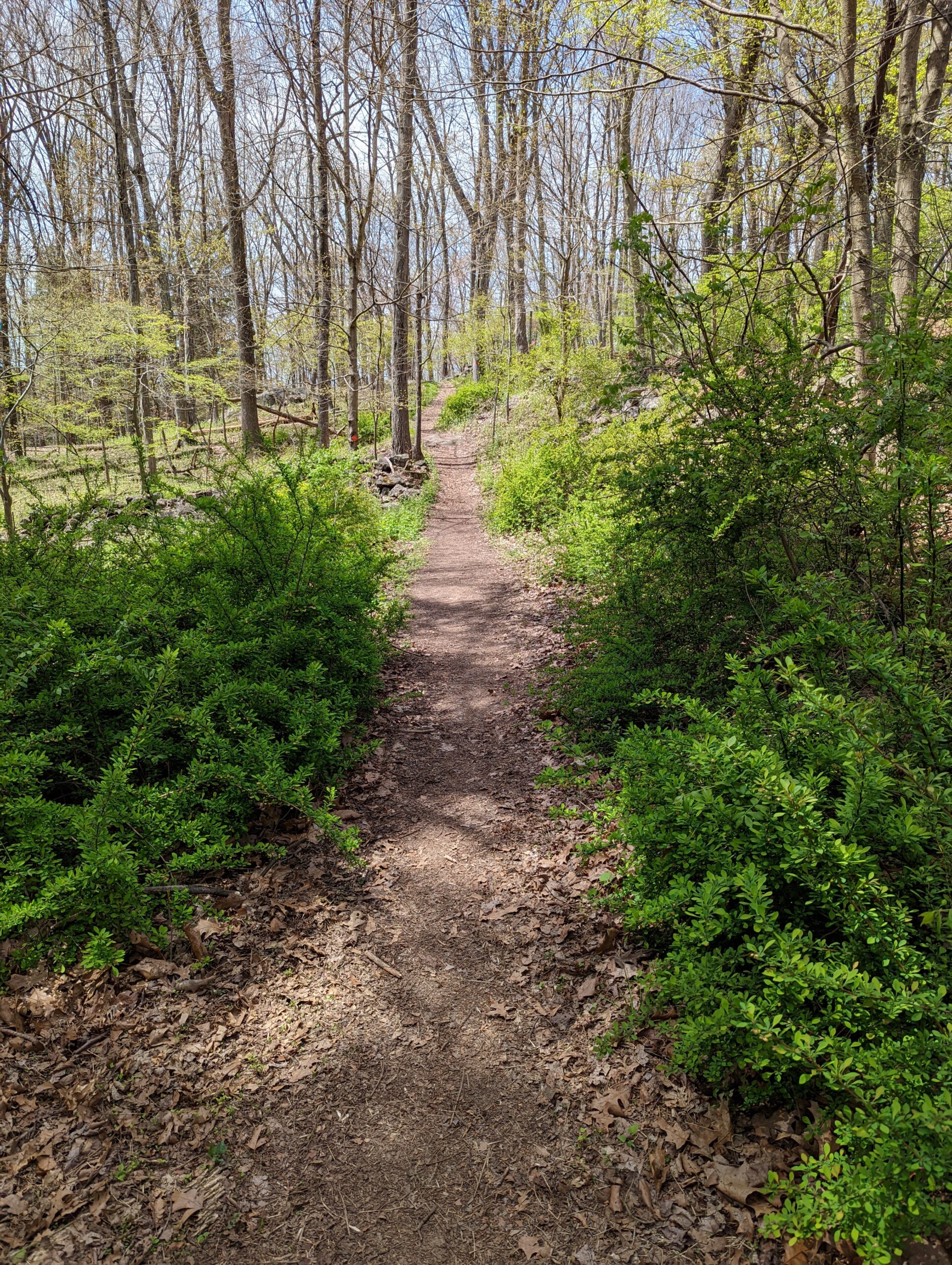
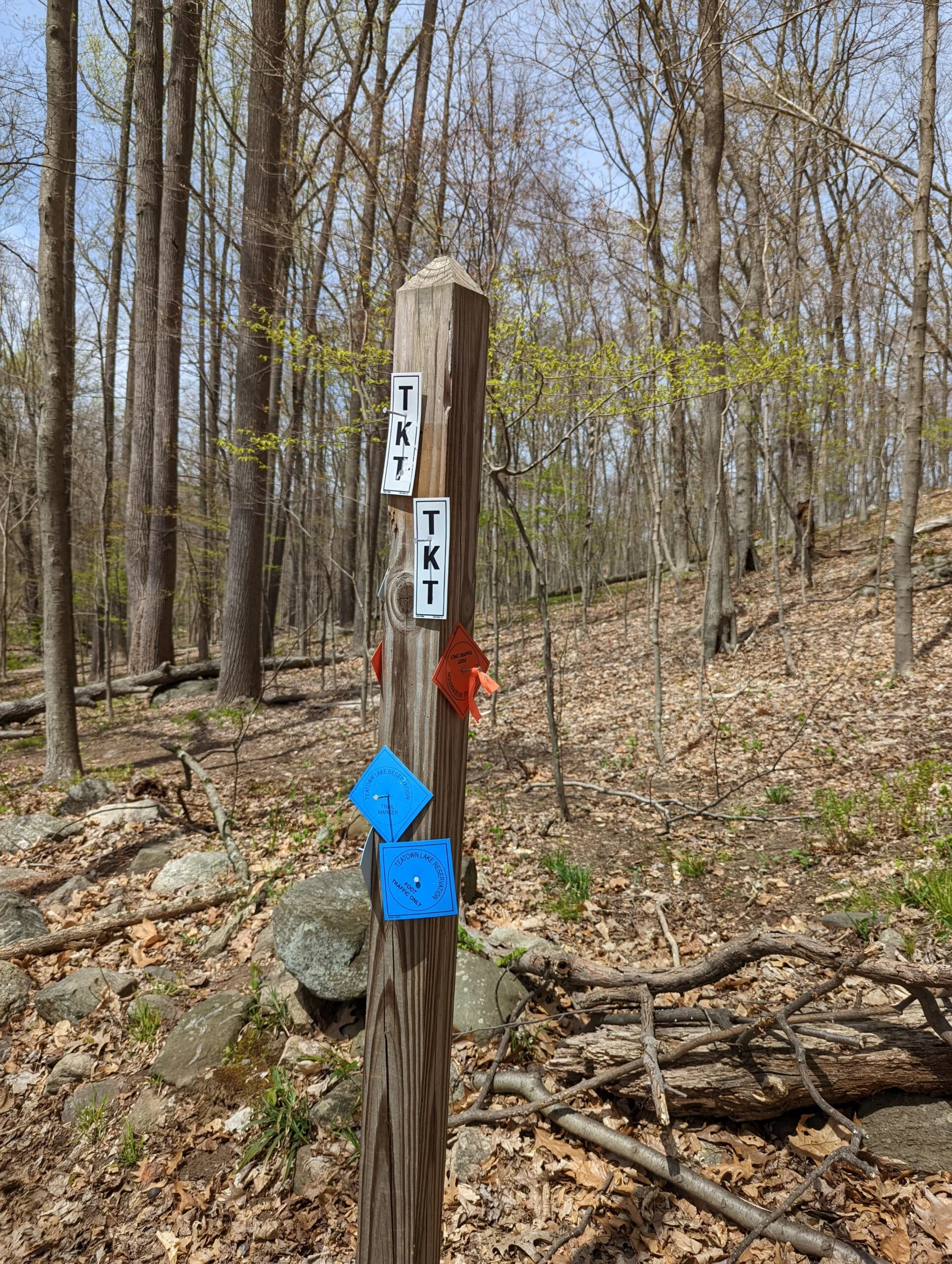
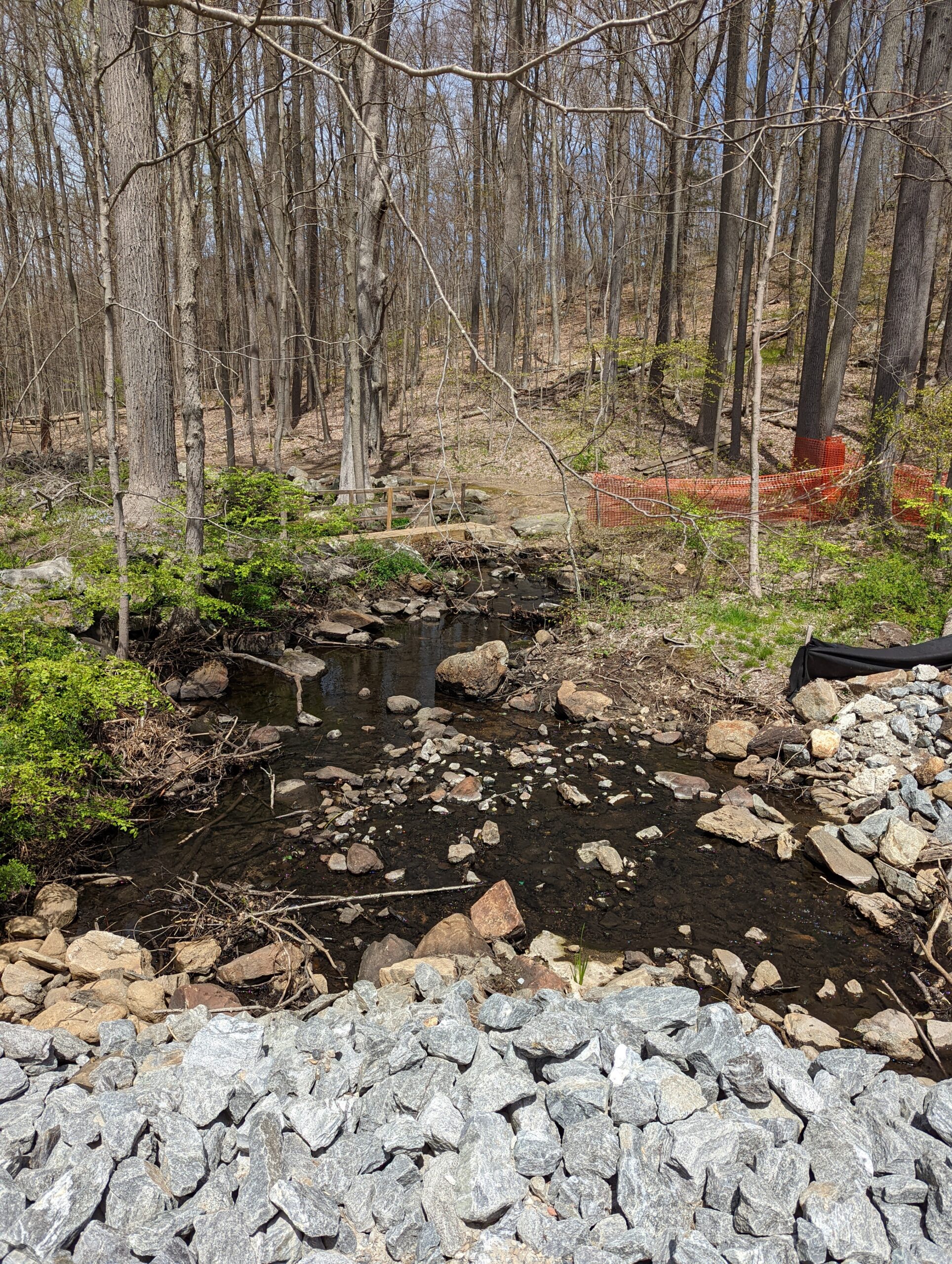
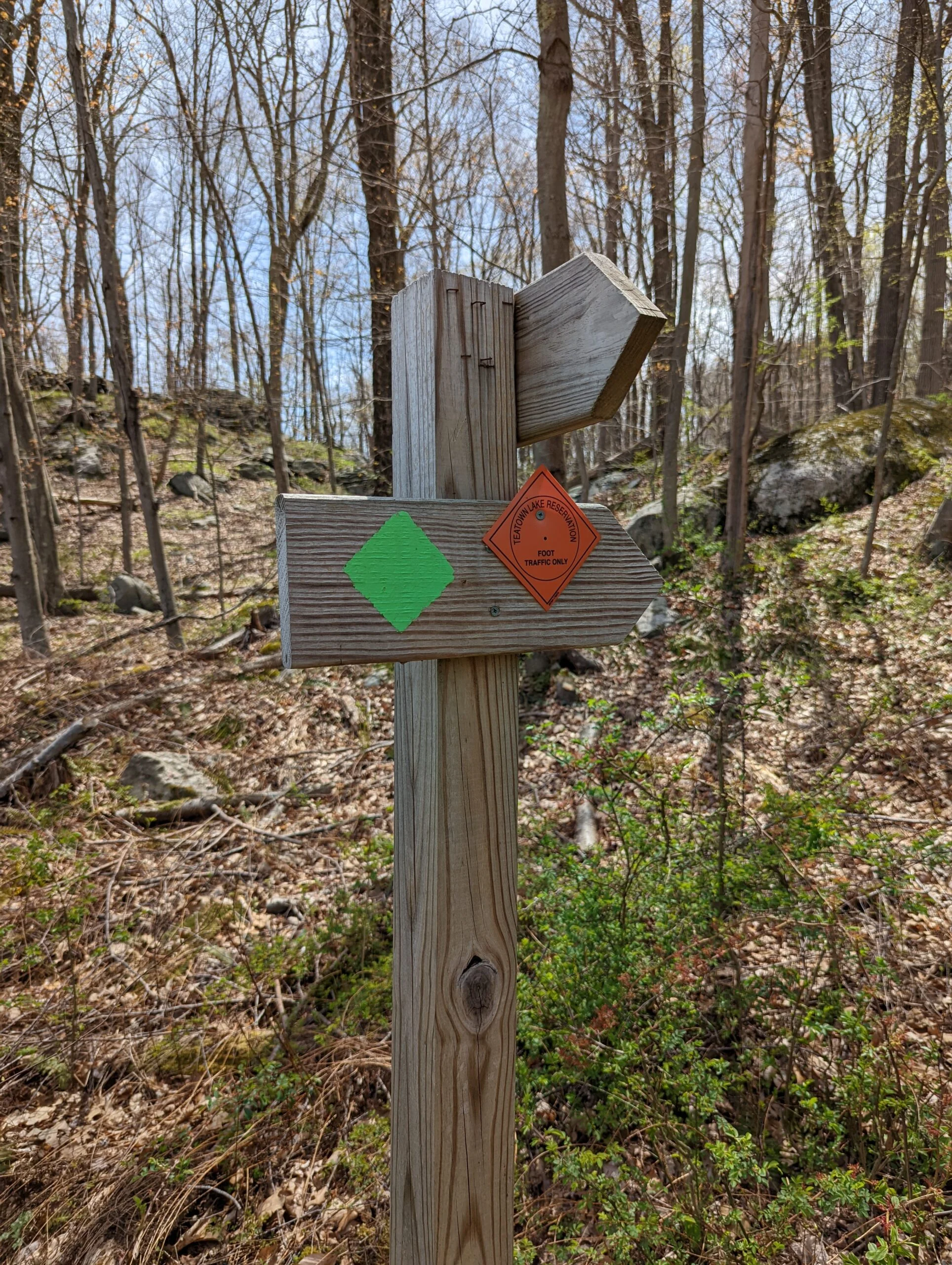
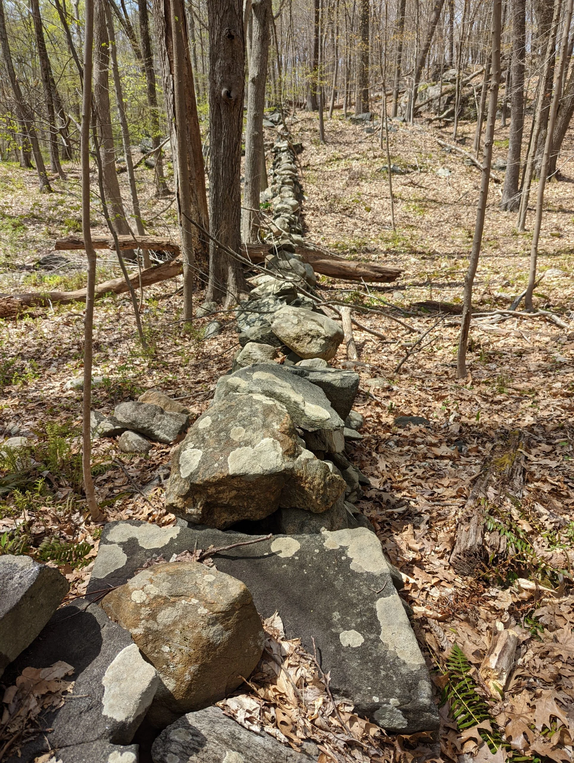
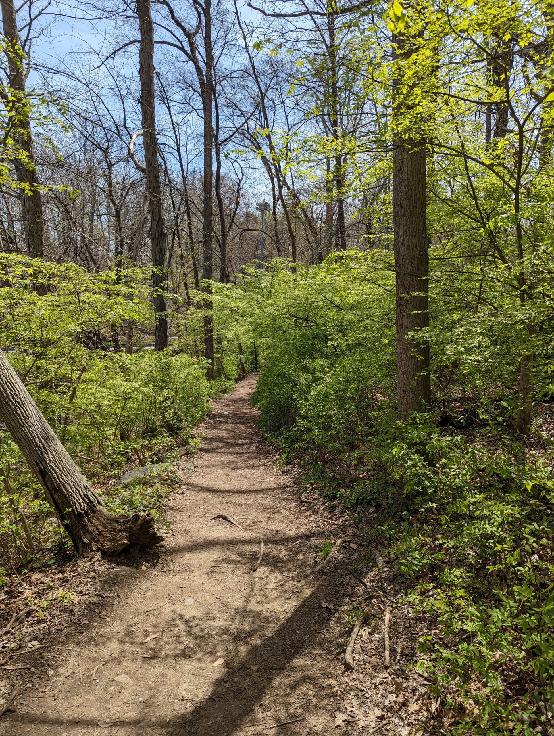
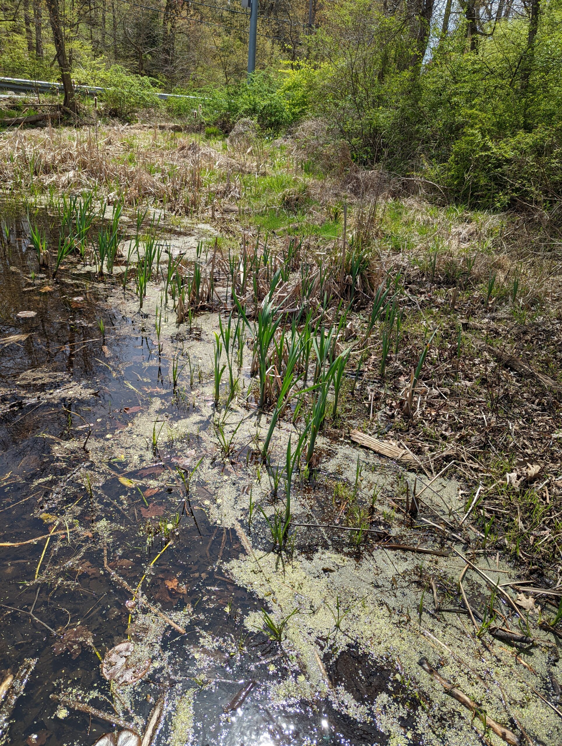
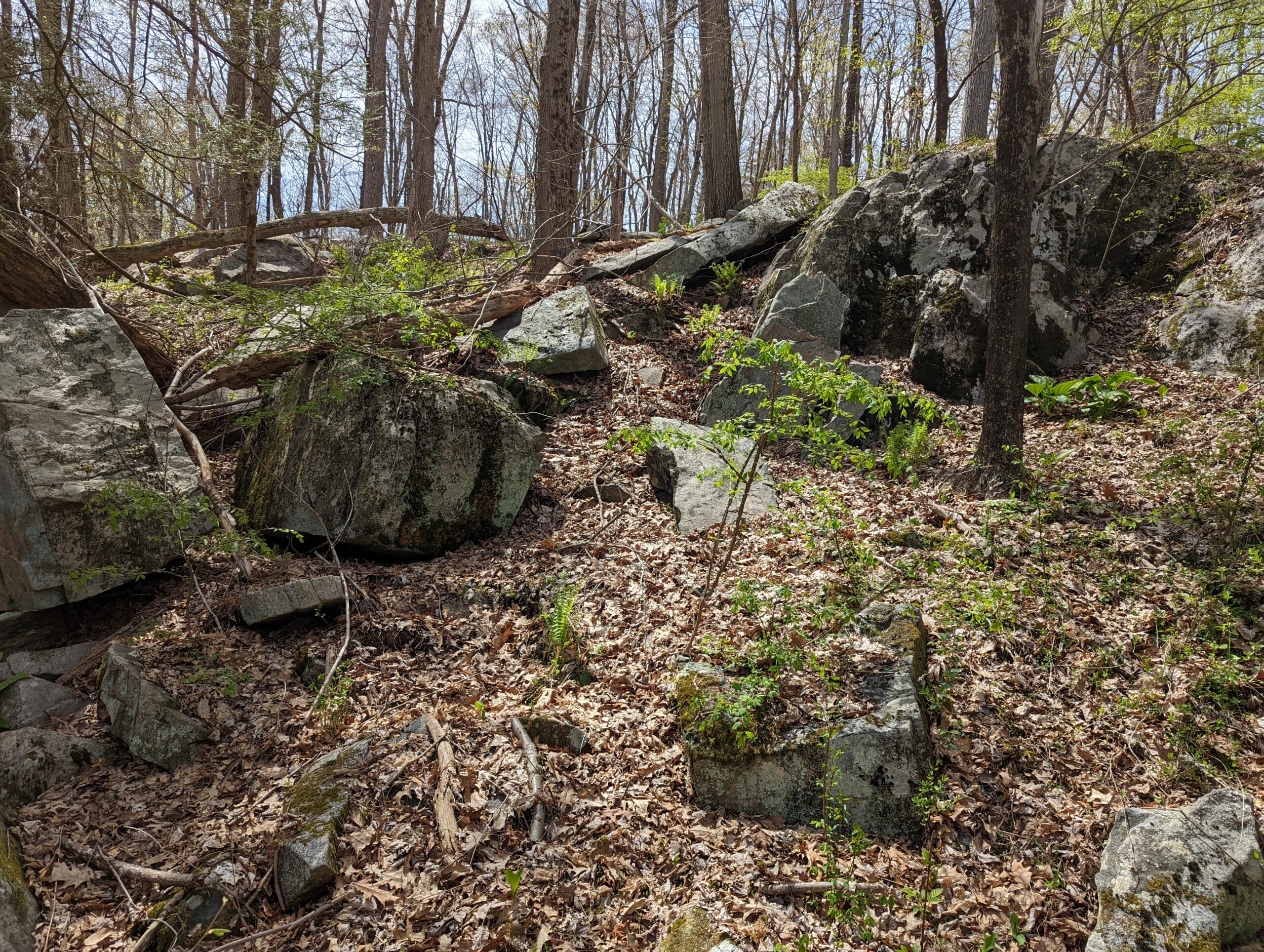
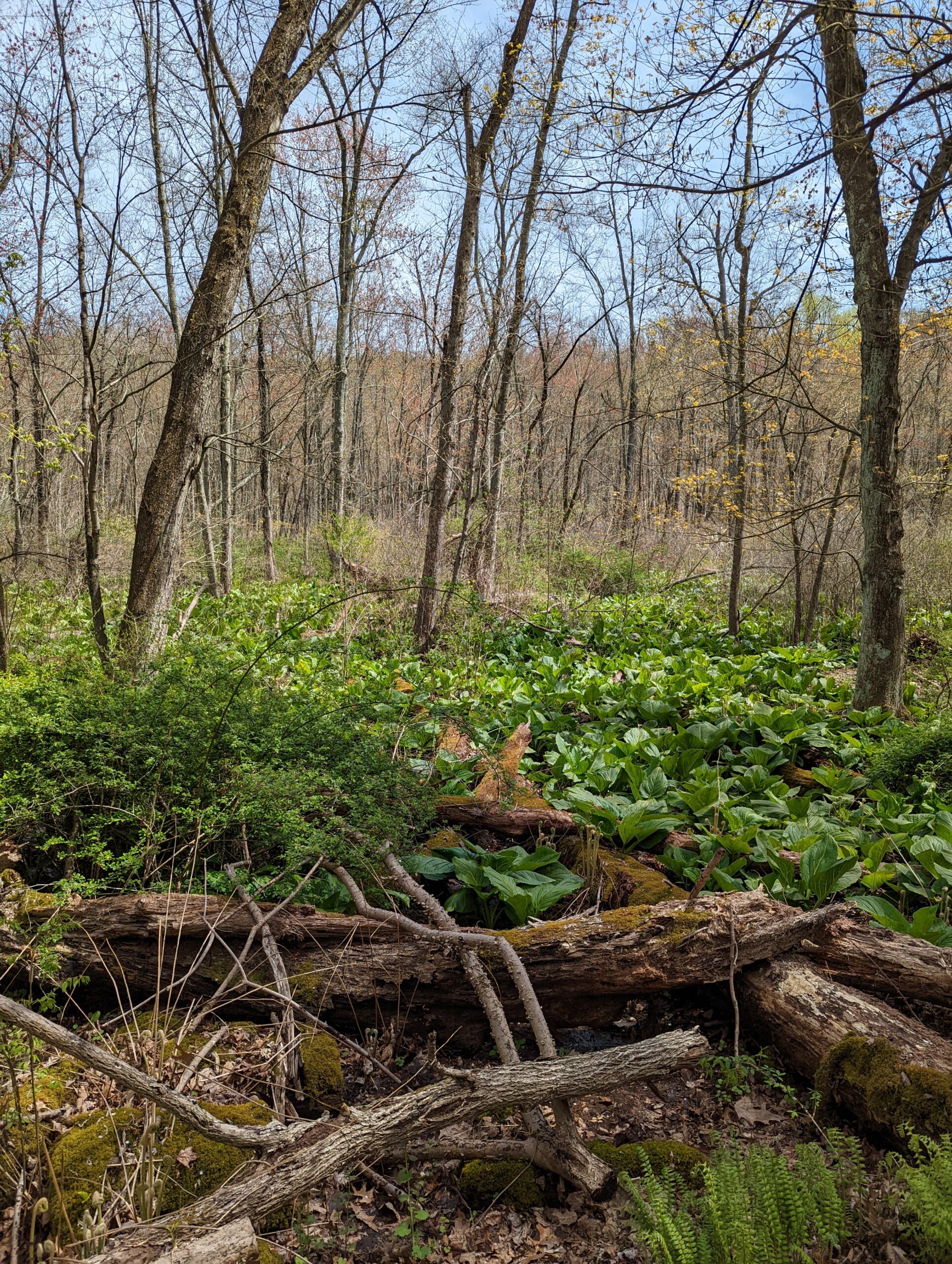
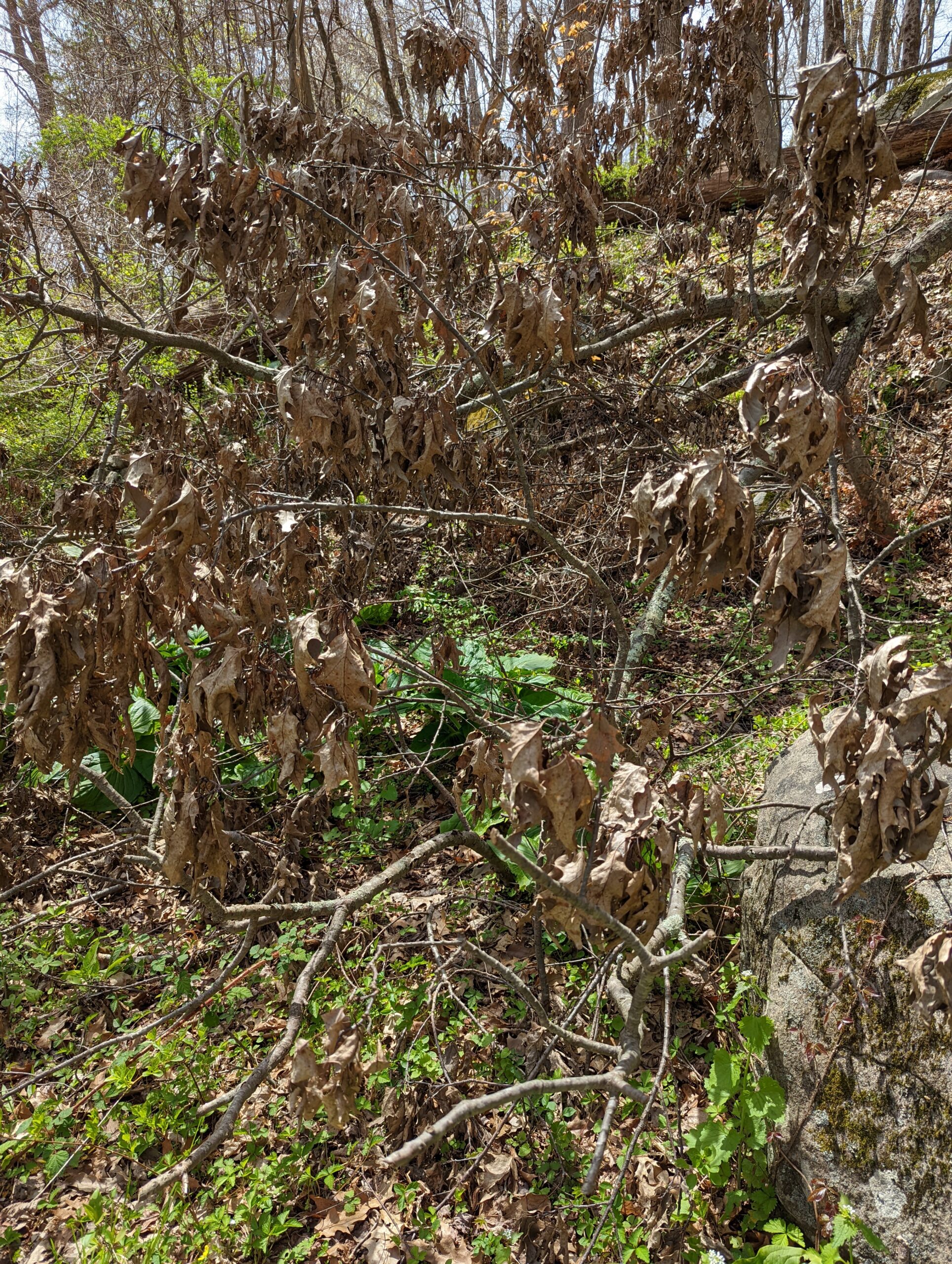
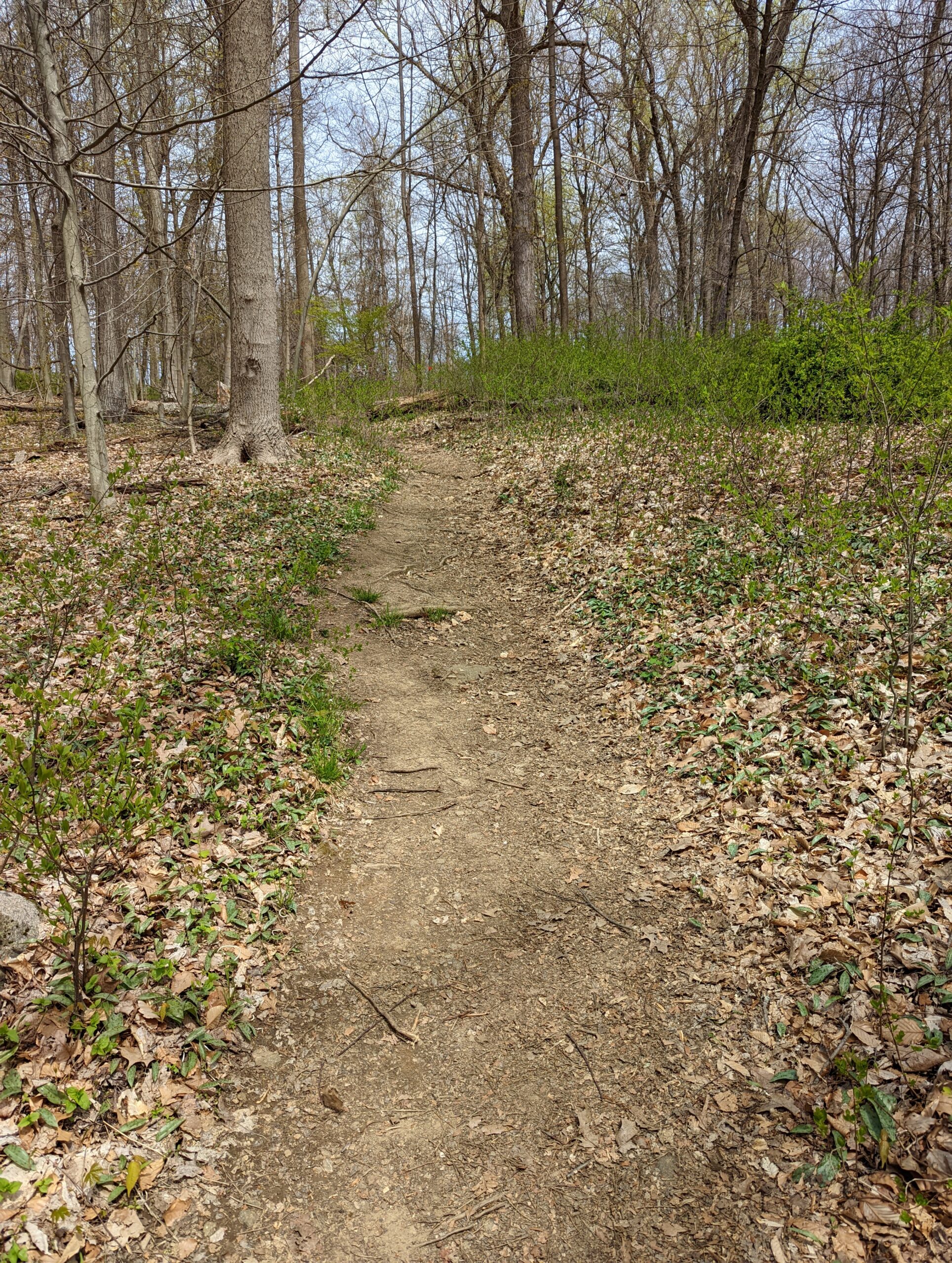
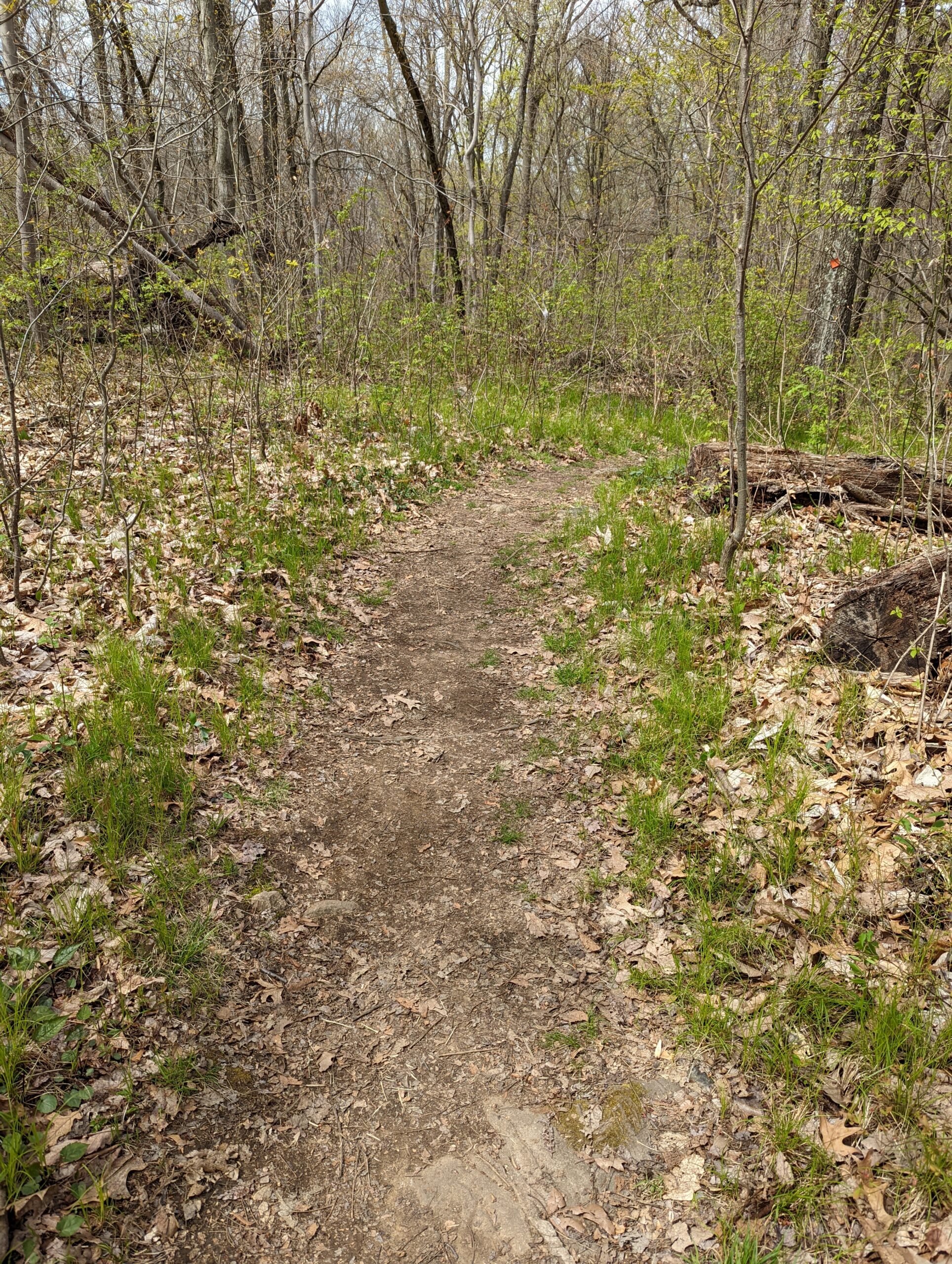
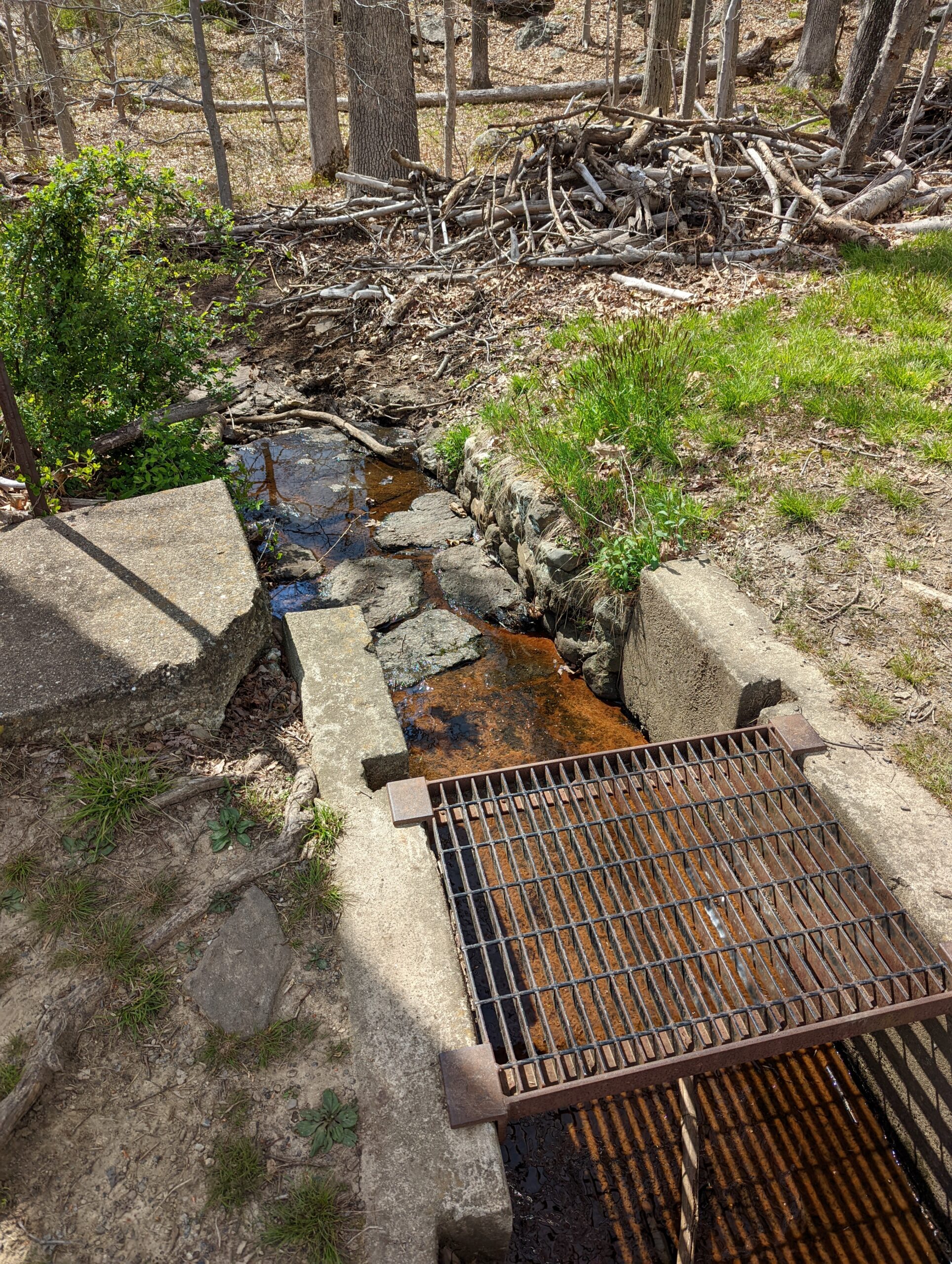
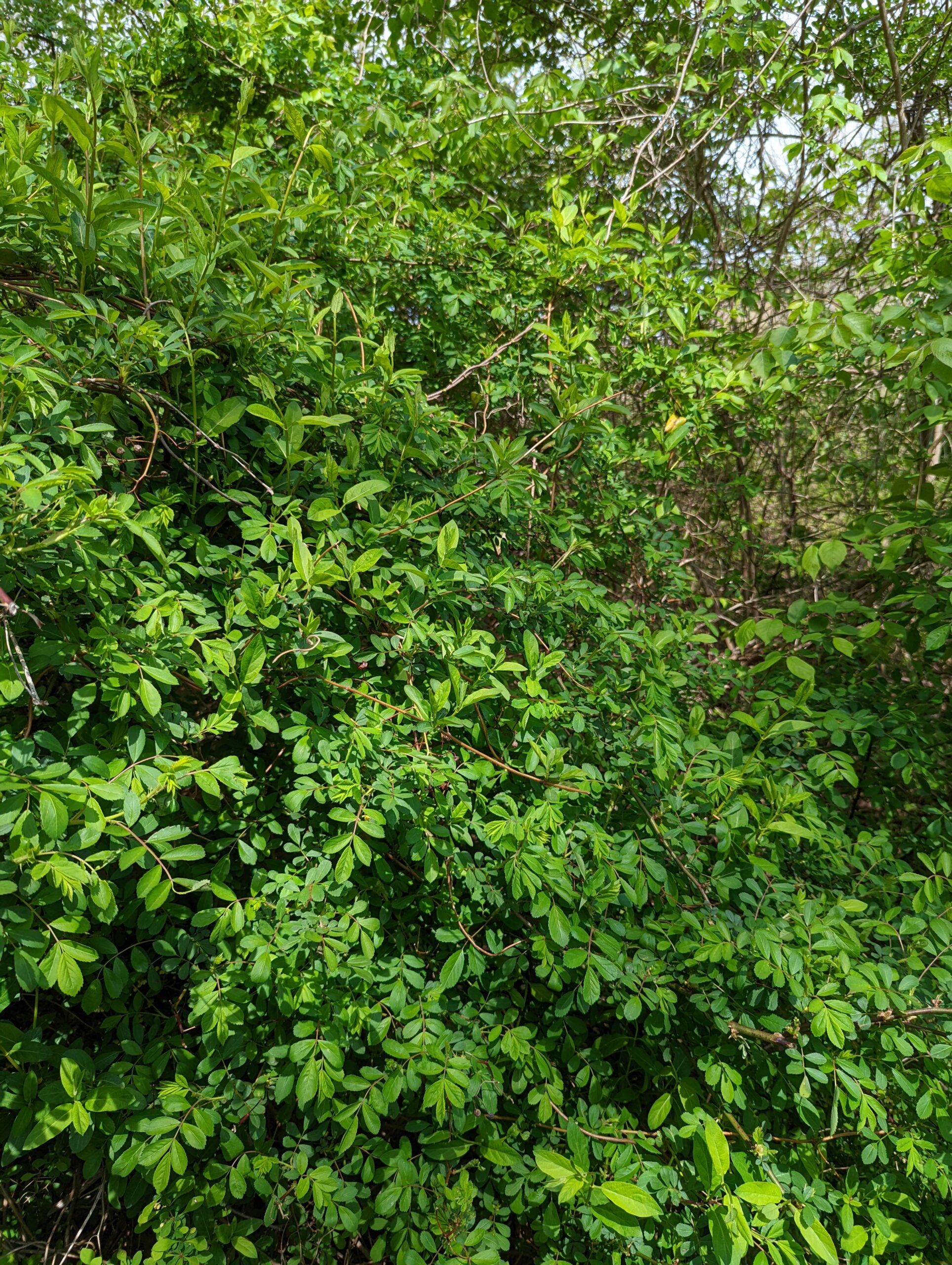
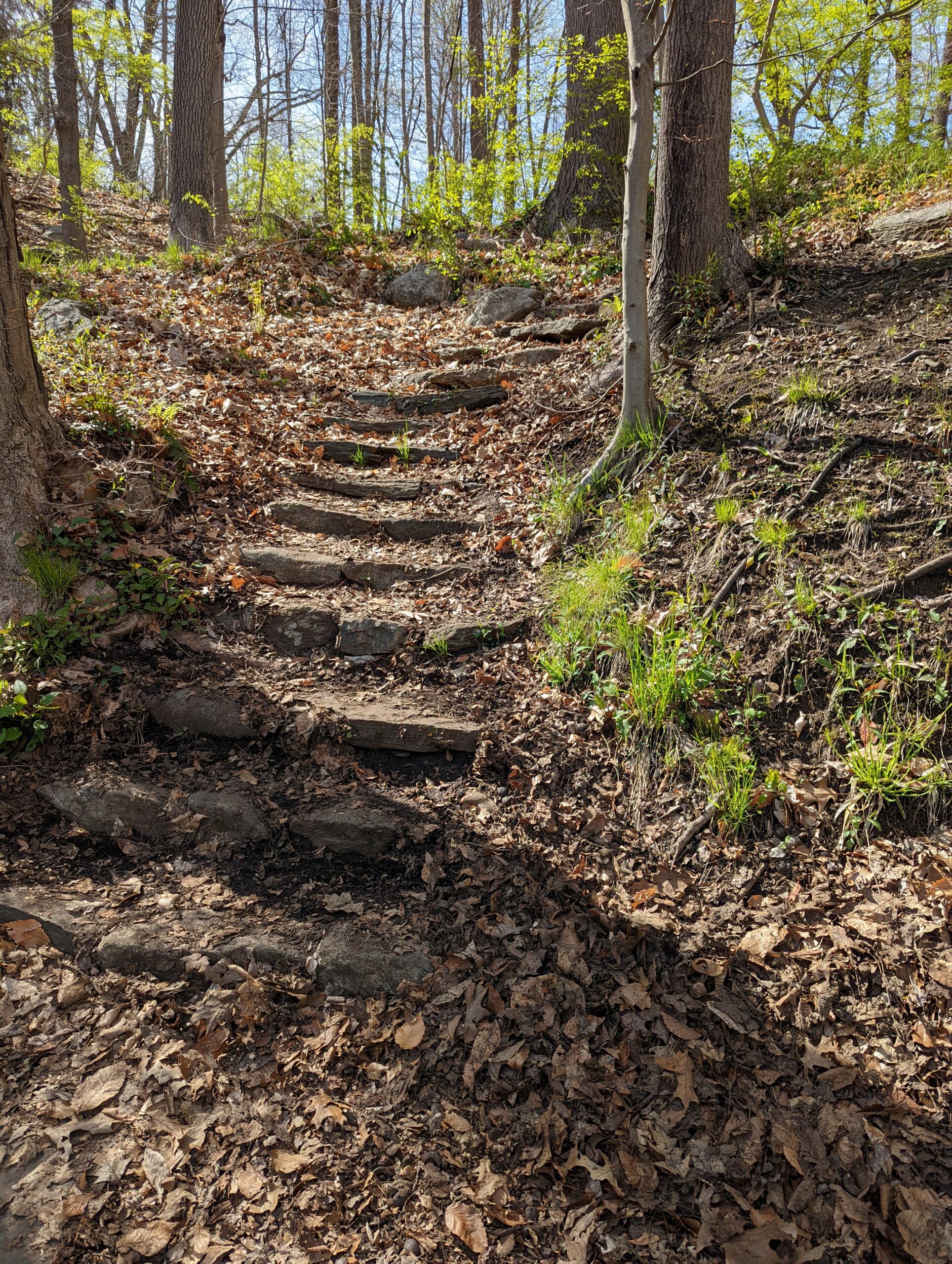
I started my journey on the Hidden Valley Loop (HV, red blazes), following it counterclockwise. This is a quiet trail, with a small stream crossing and a lush marshy area.
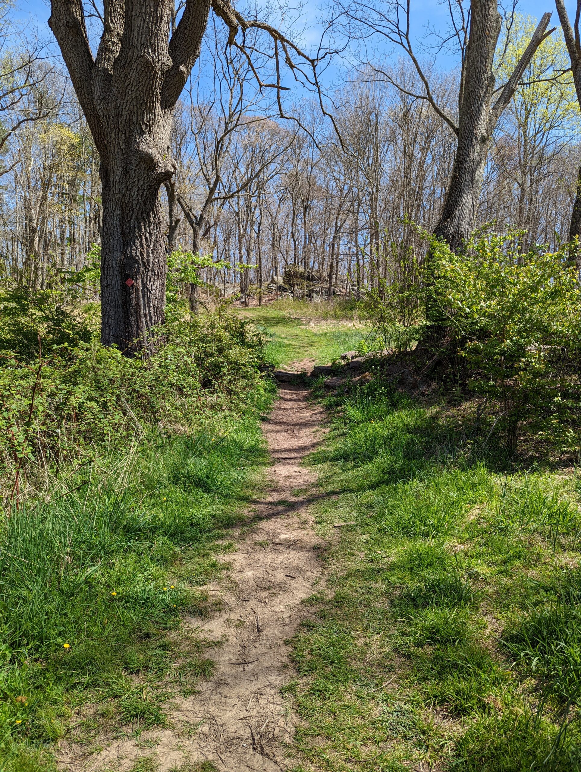
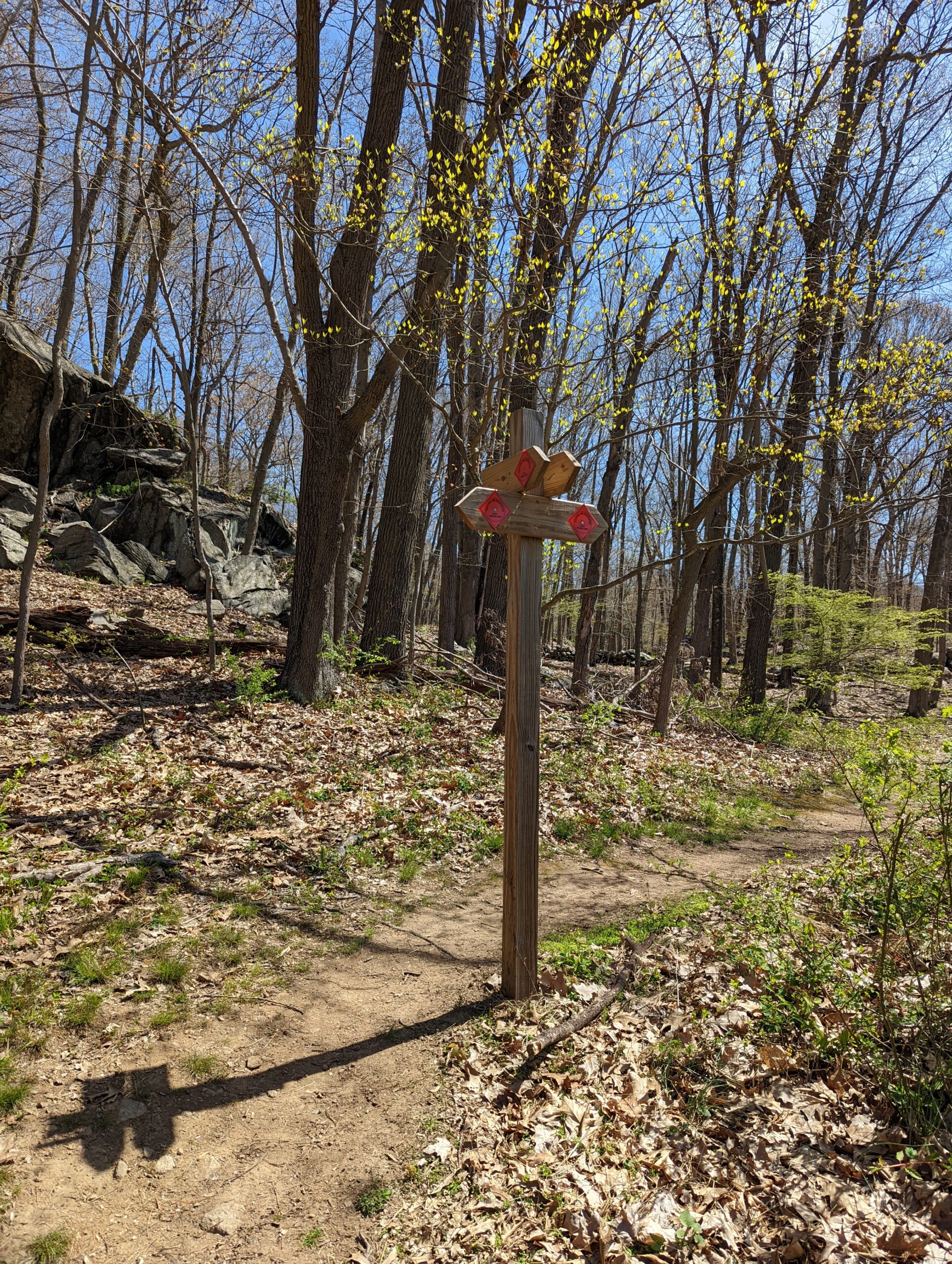
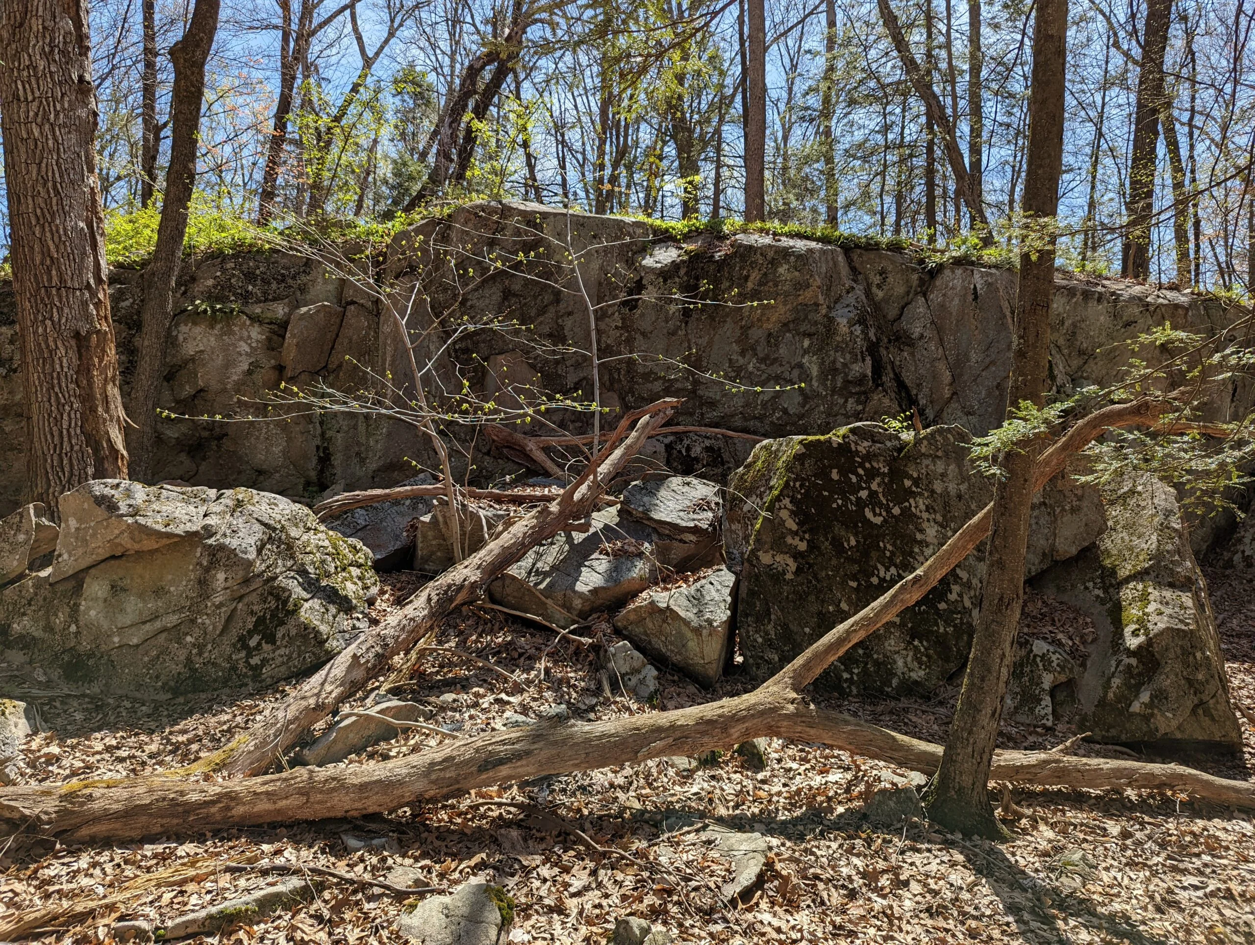
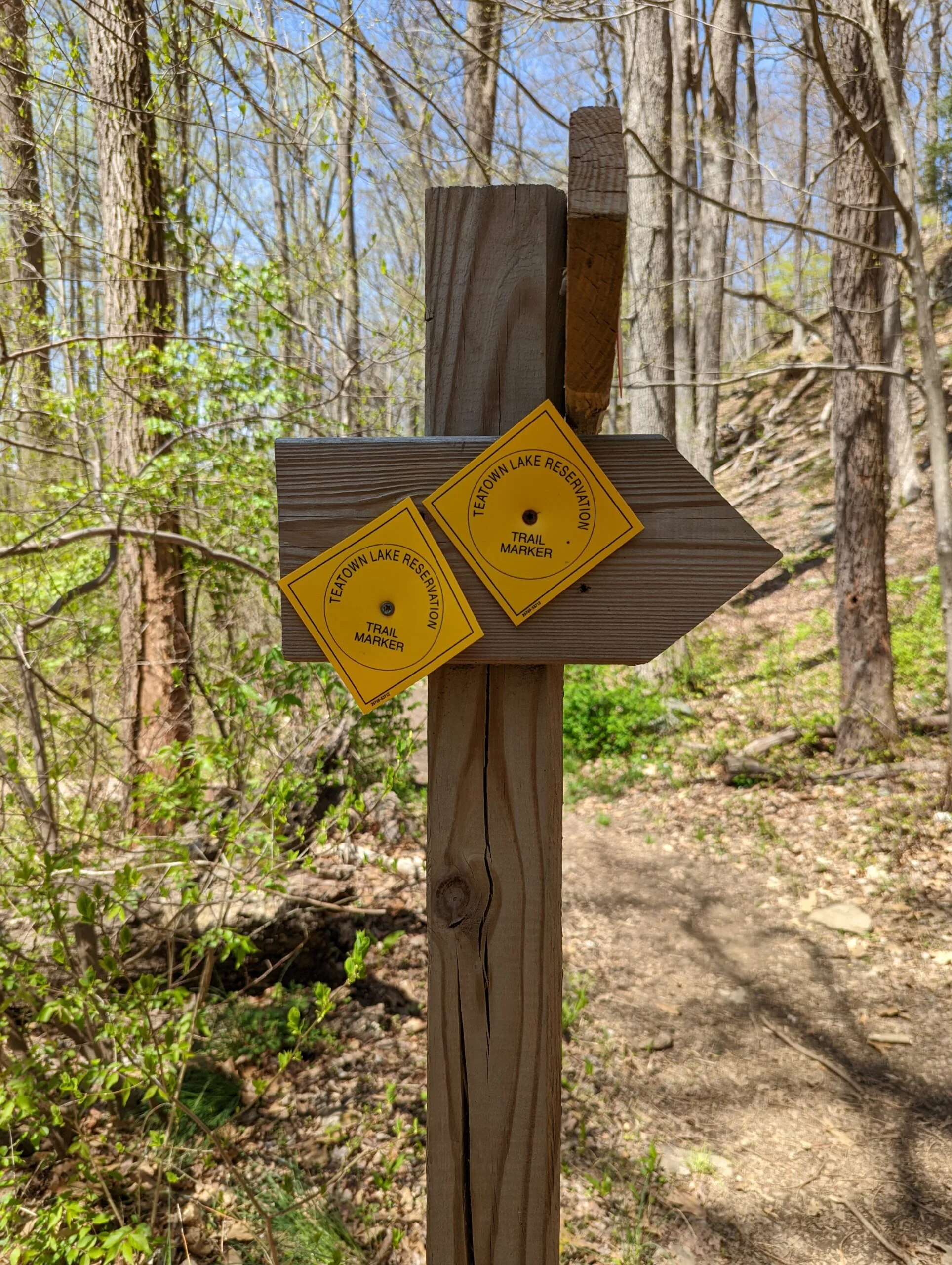
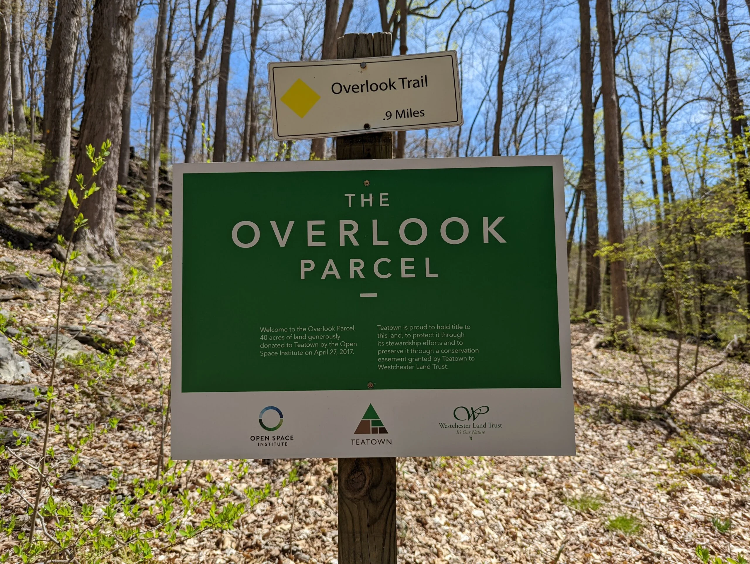
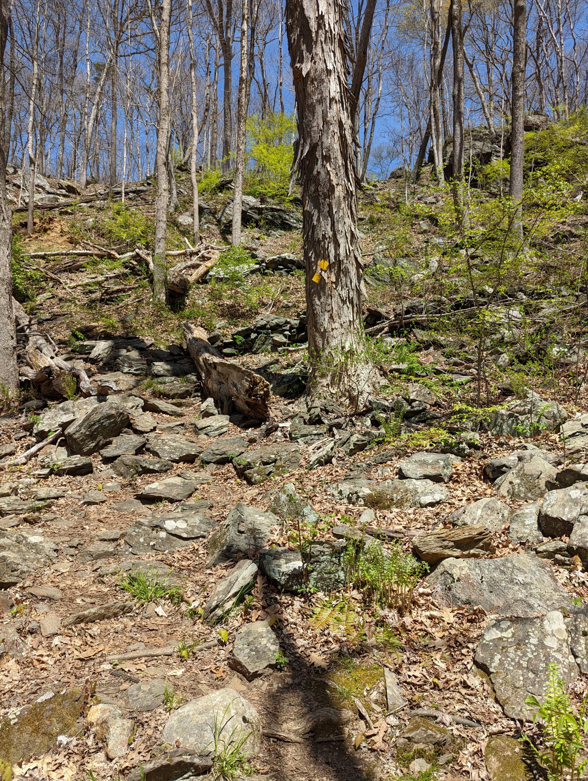
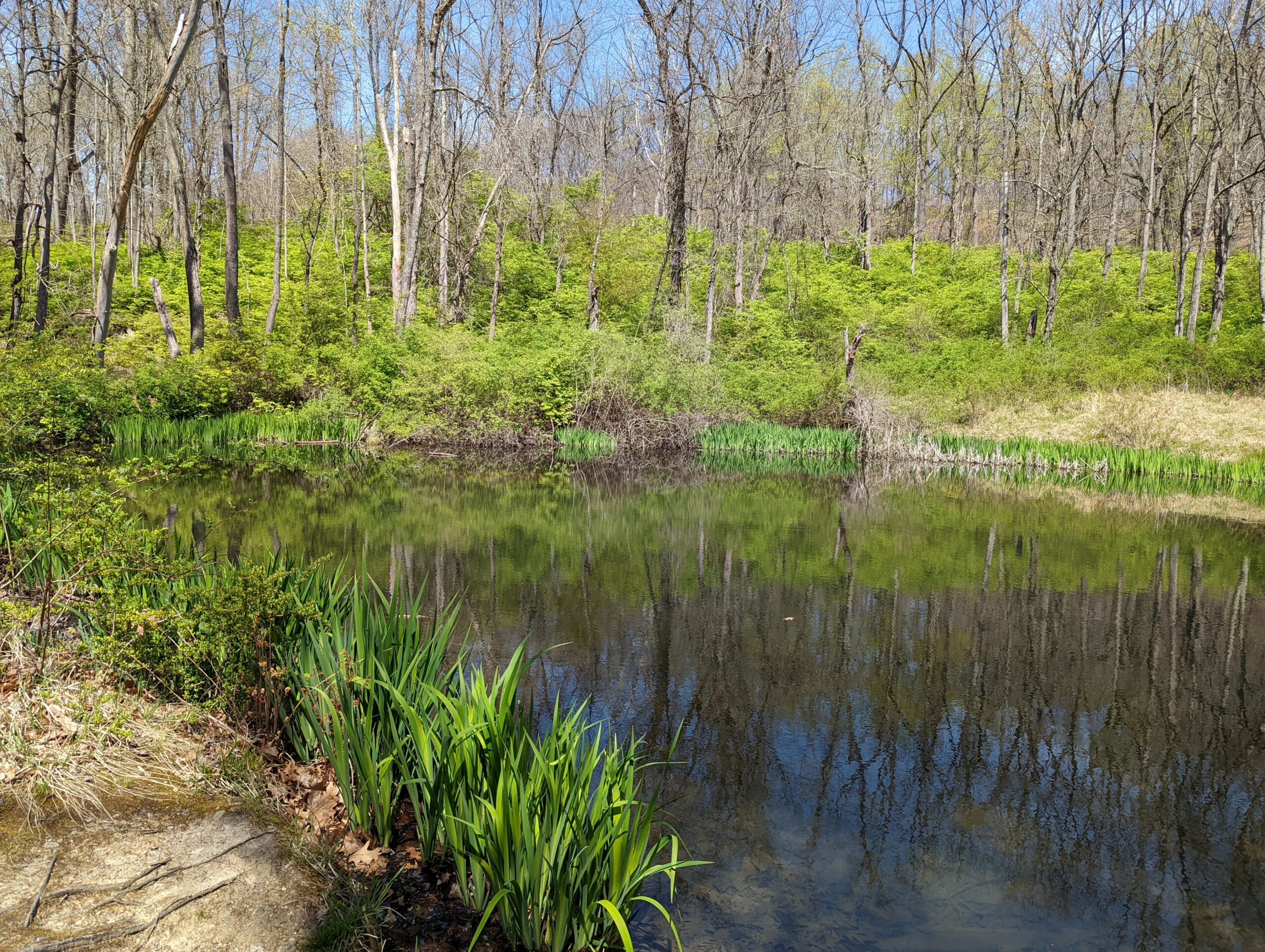
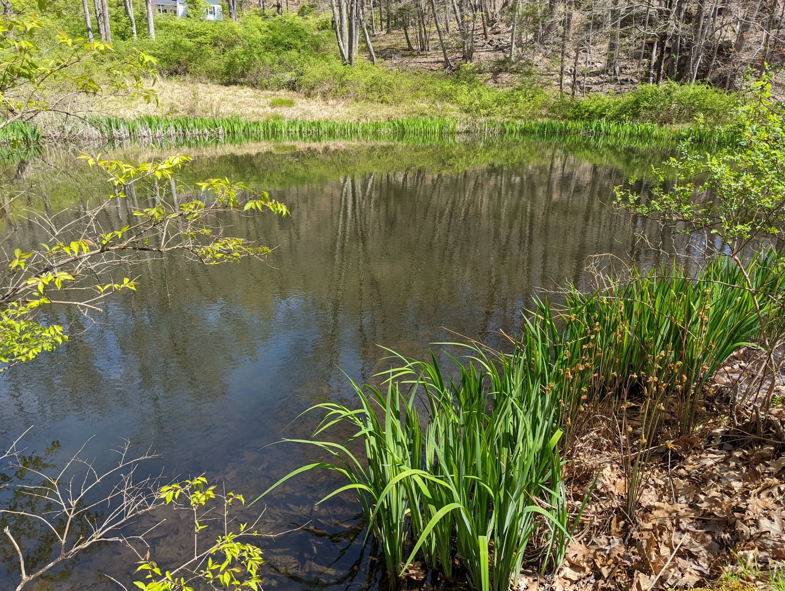
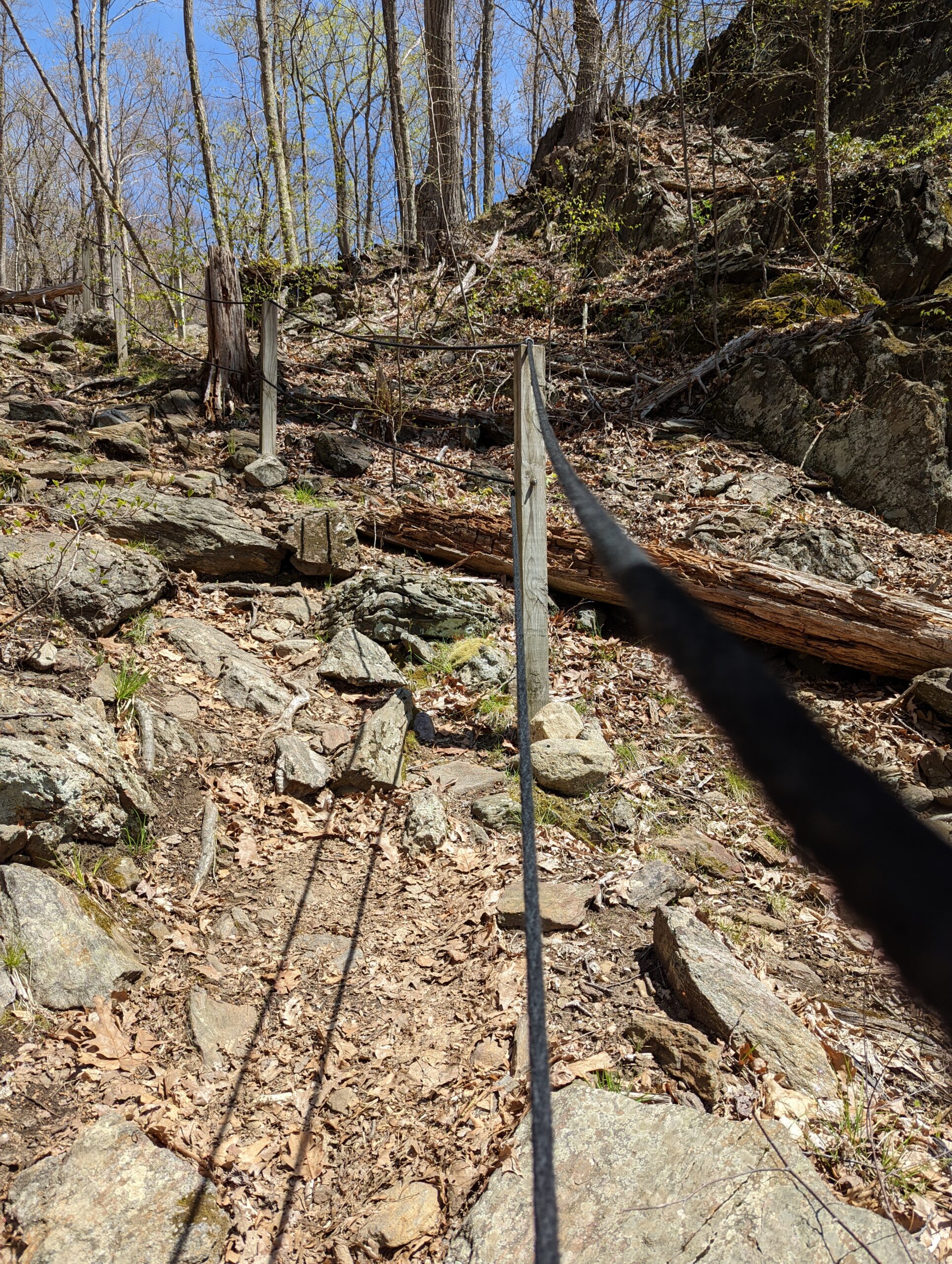
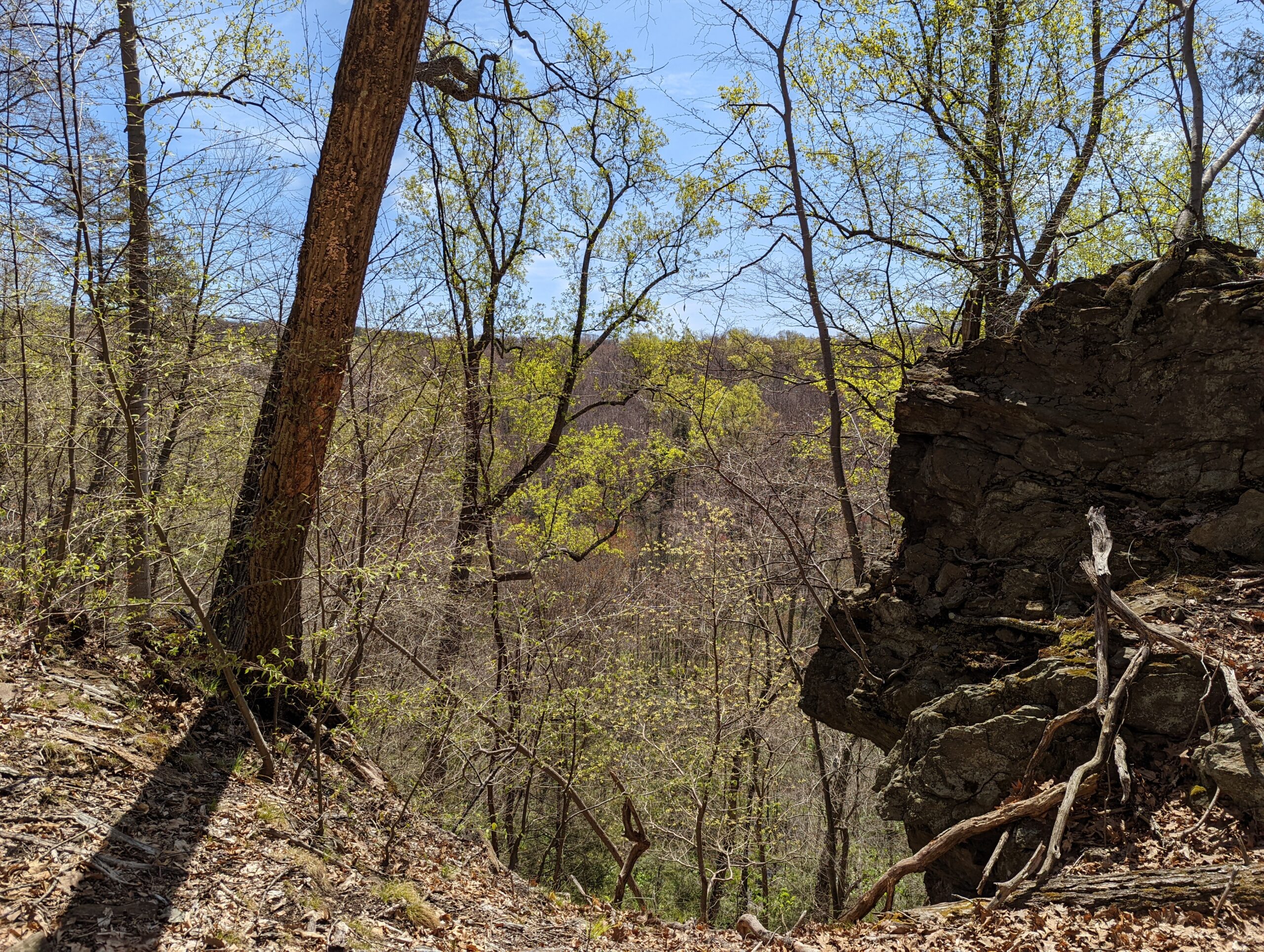
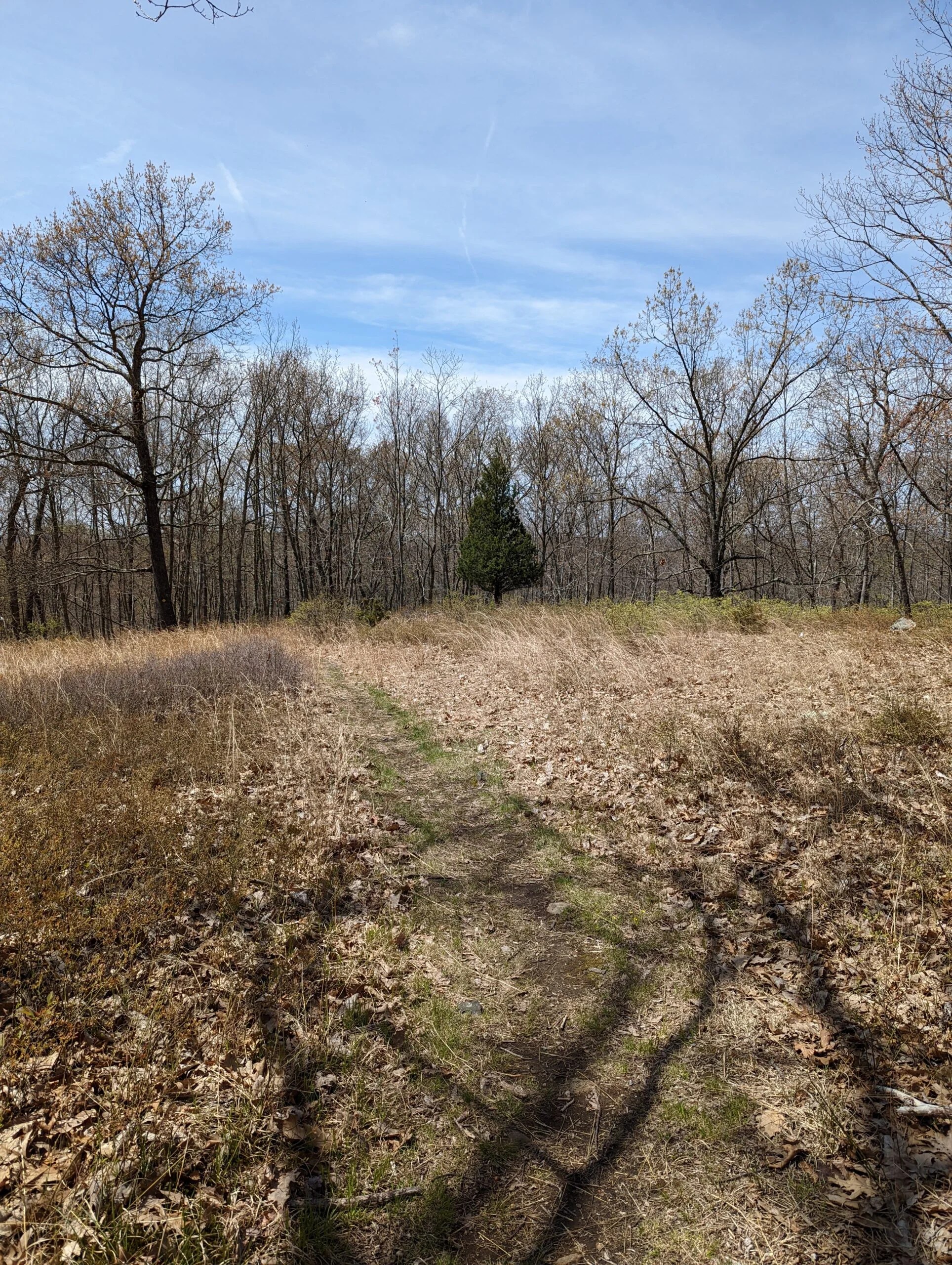
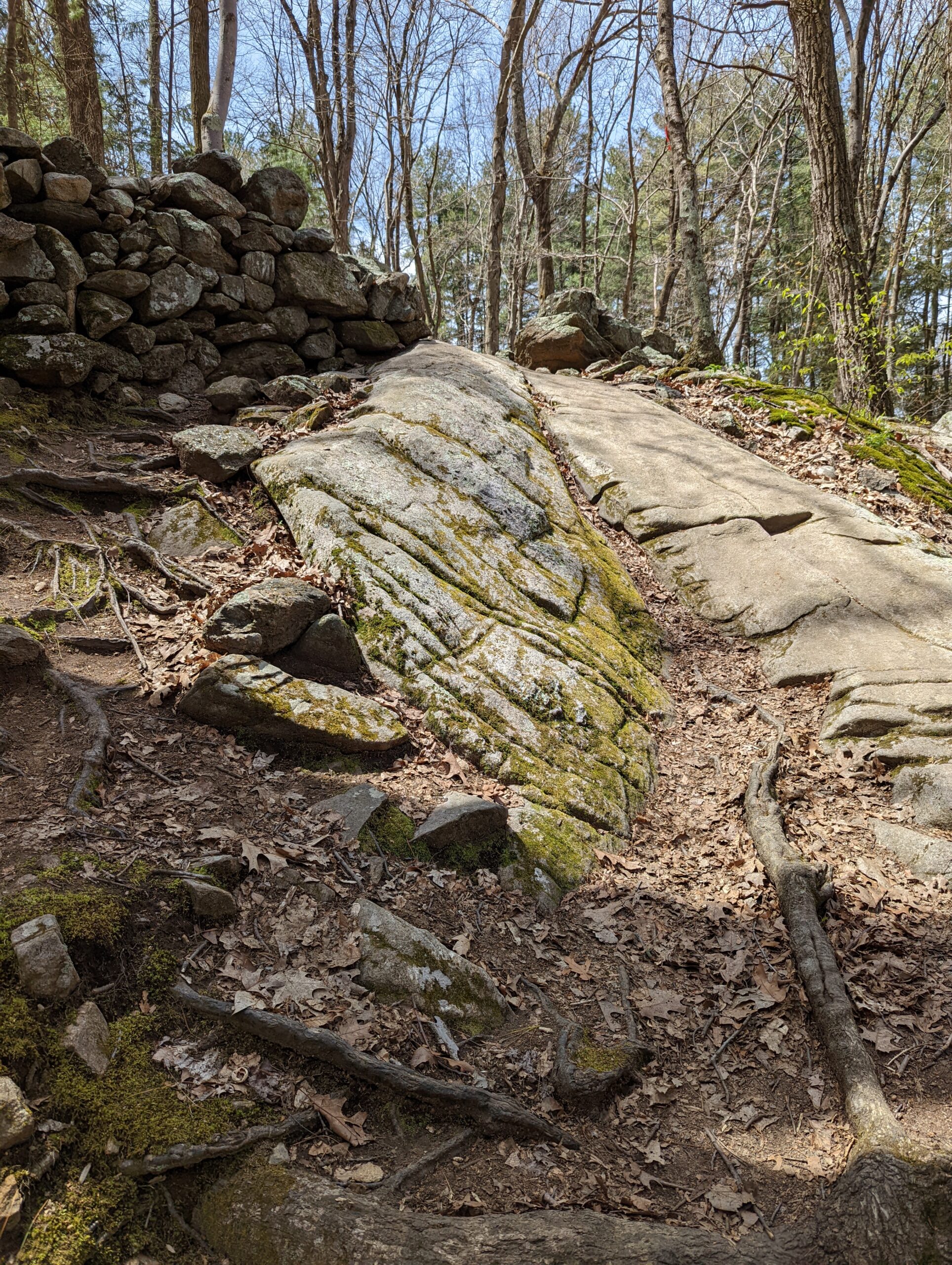
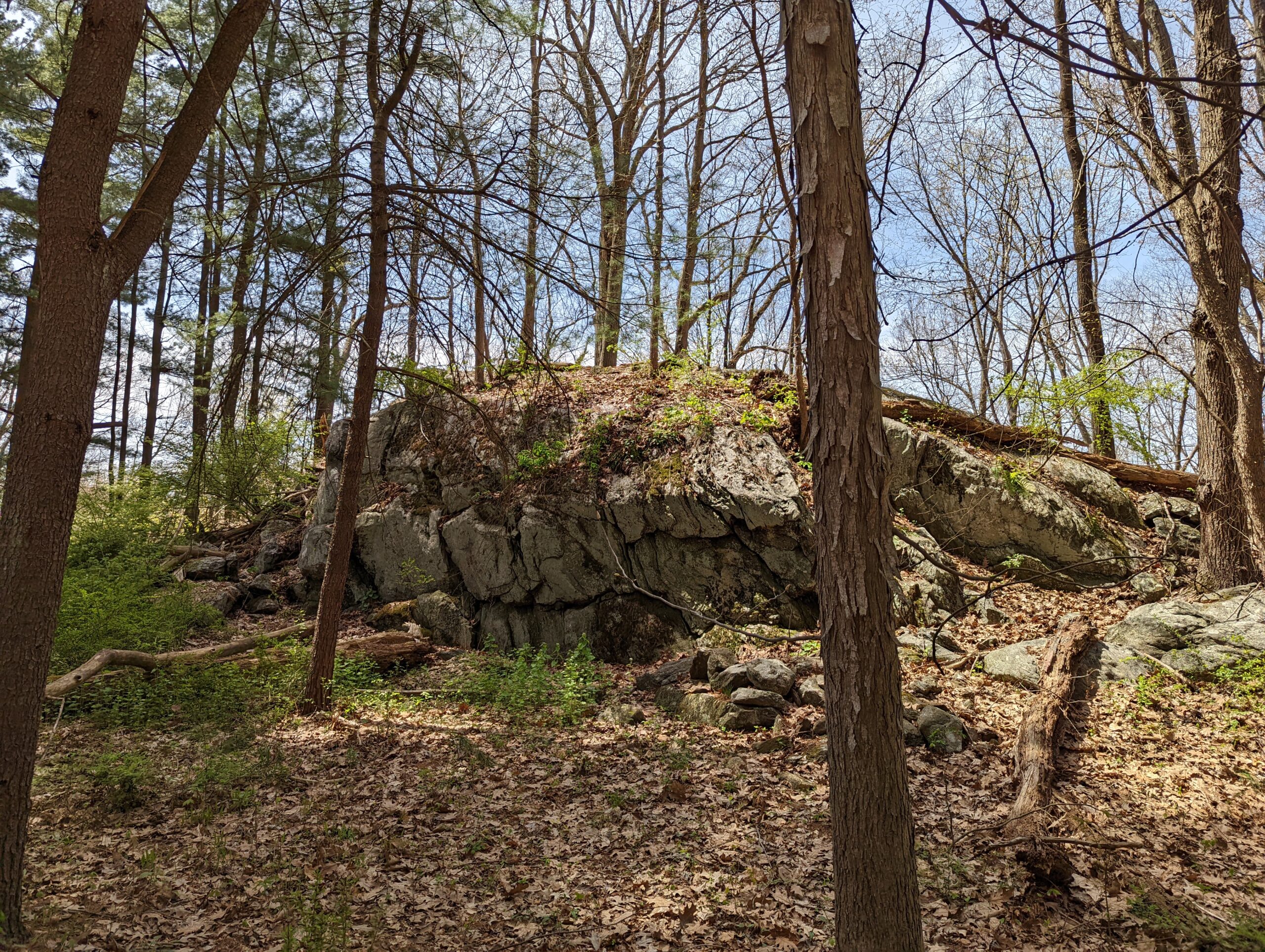
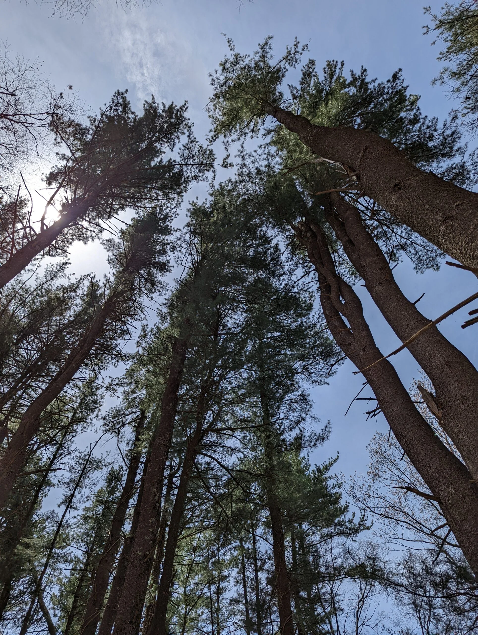
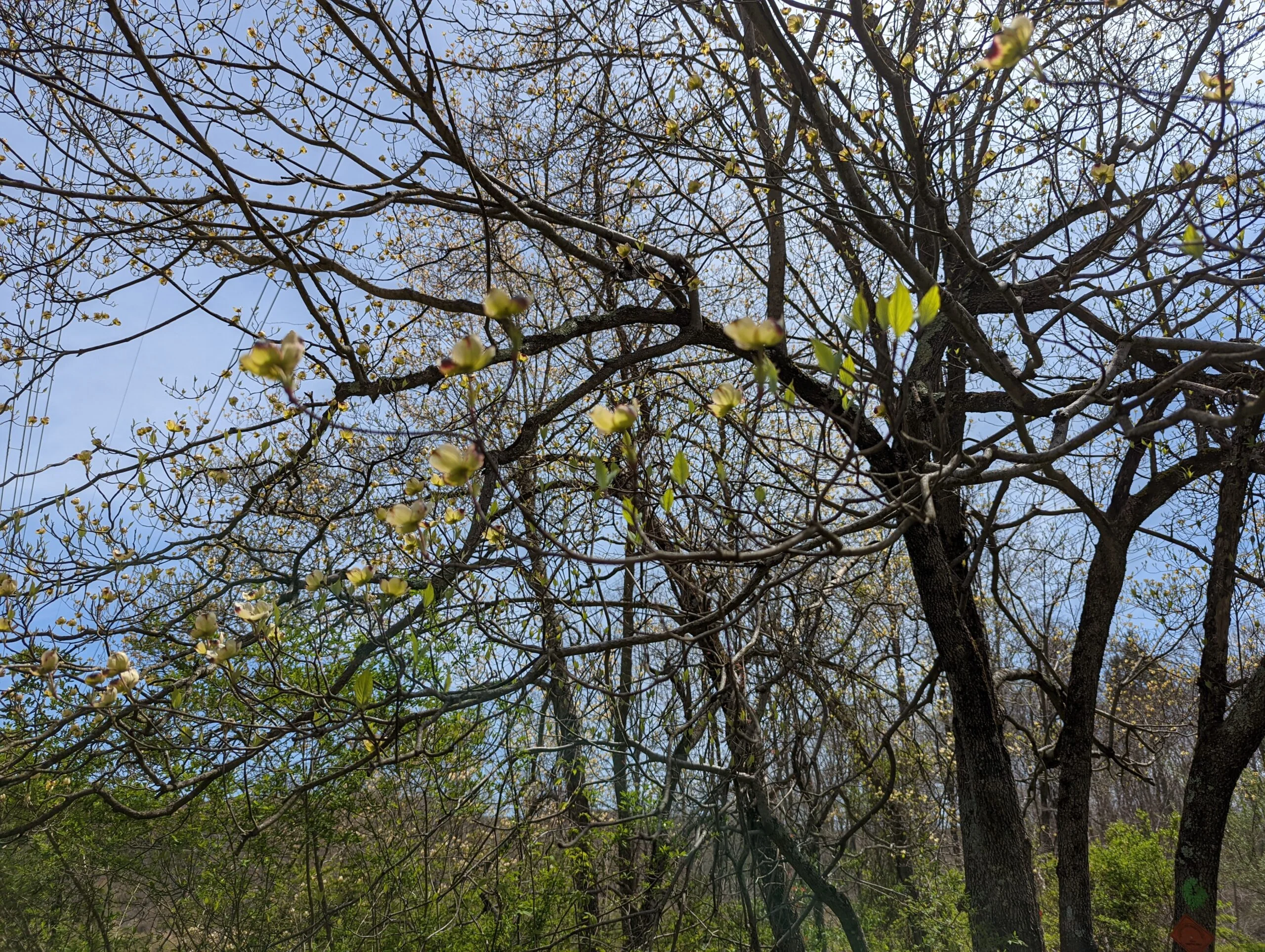
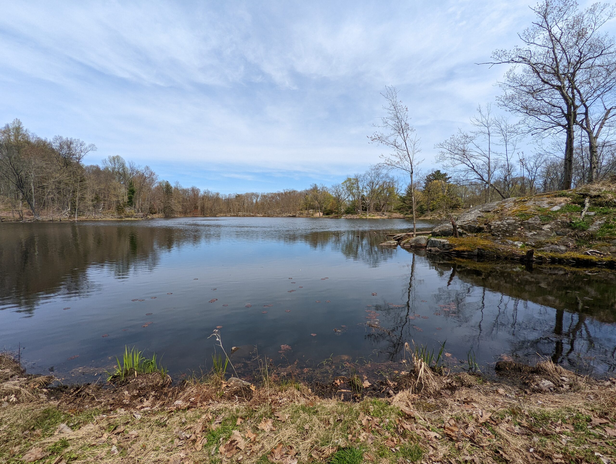
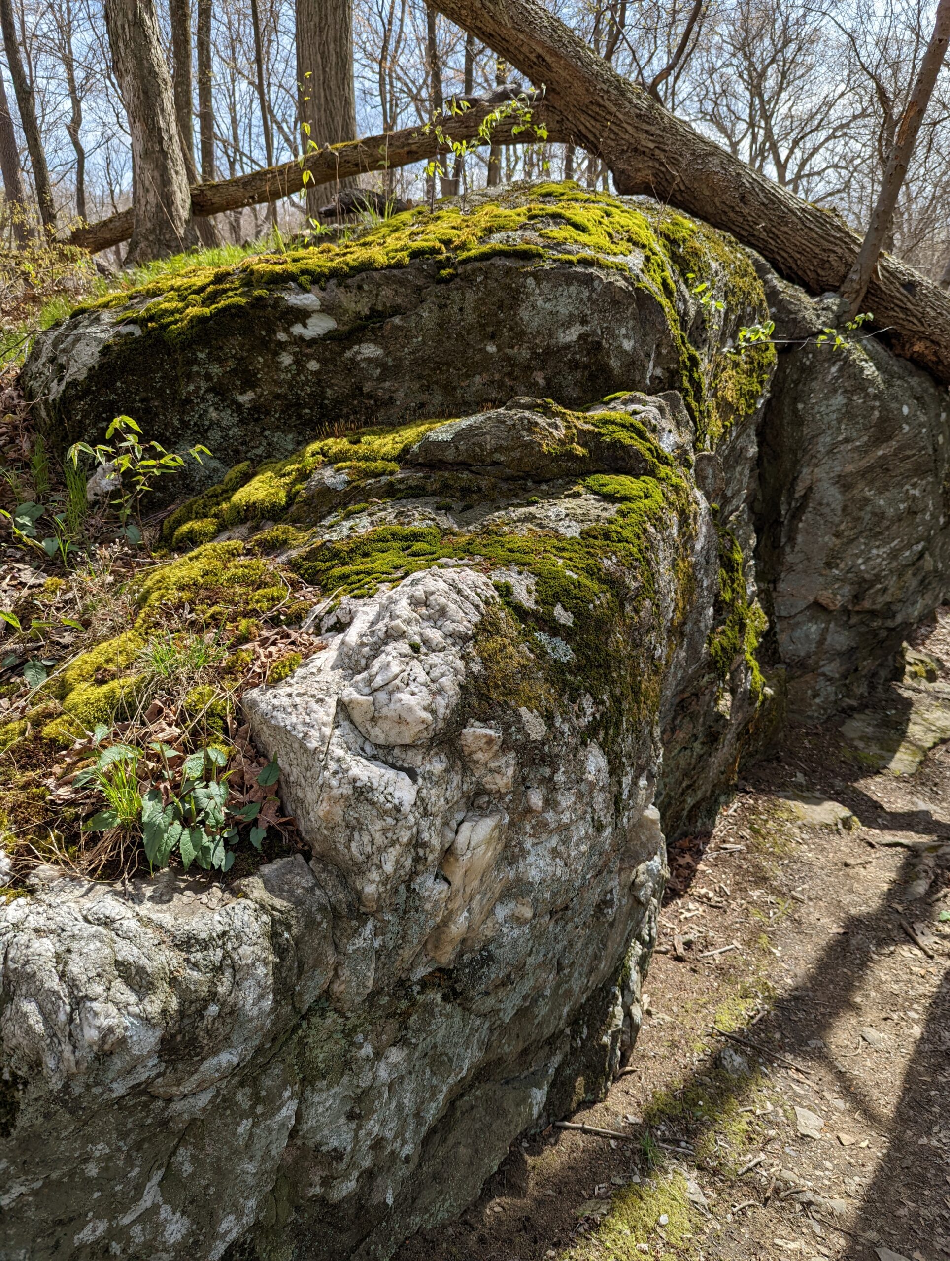
I quickly made it to Overlook Loop (OL, yellow blazes). After an ascent of about 50 ft, I was in front of a small unnamed lake. There’s a private residence that sits in the middle of this loop trail, at the end of Journey’s End Lane. I also took the counterclockwise route on this trail, ascending another 200 ft to the summit. There were some views of the surrounding area, but no specific outlook point that I’m aware of. I finished the loop and stopped for a snack near the lake.
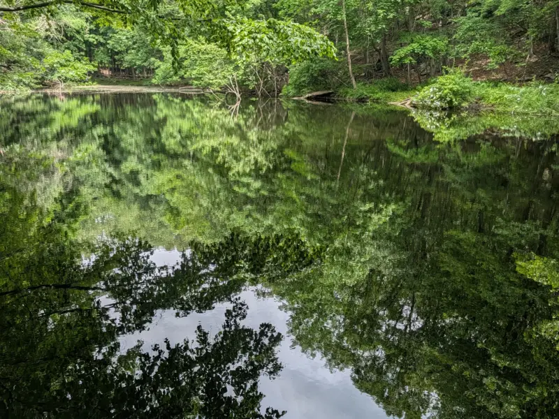
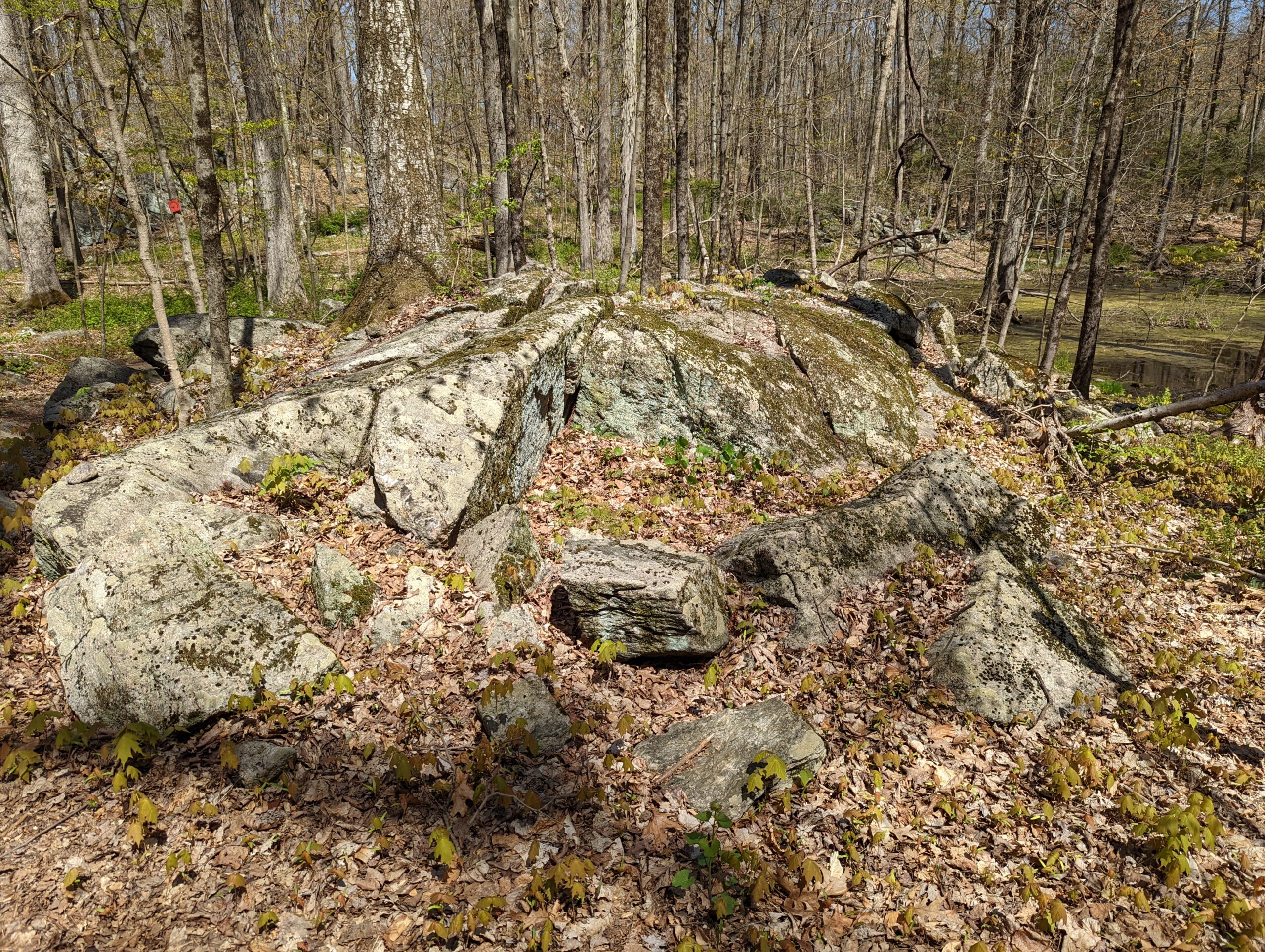
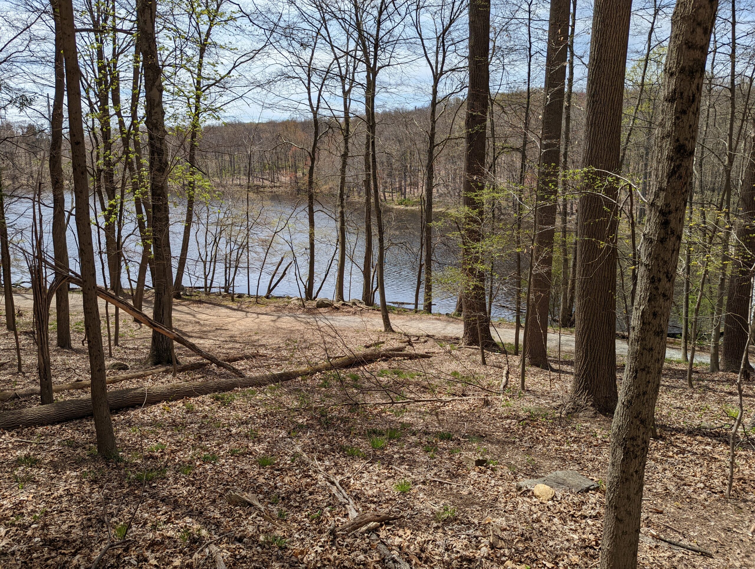
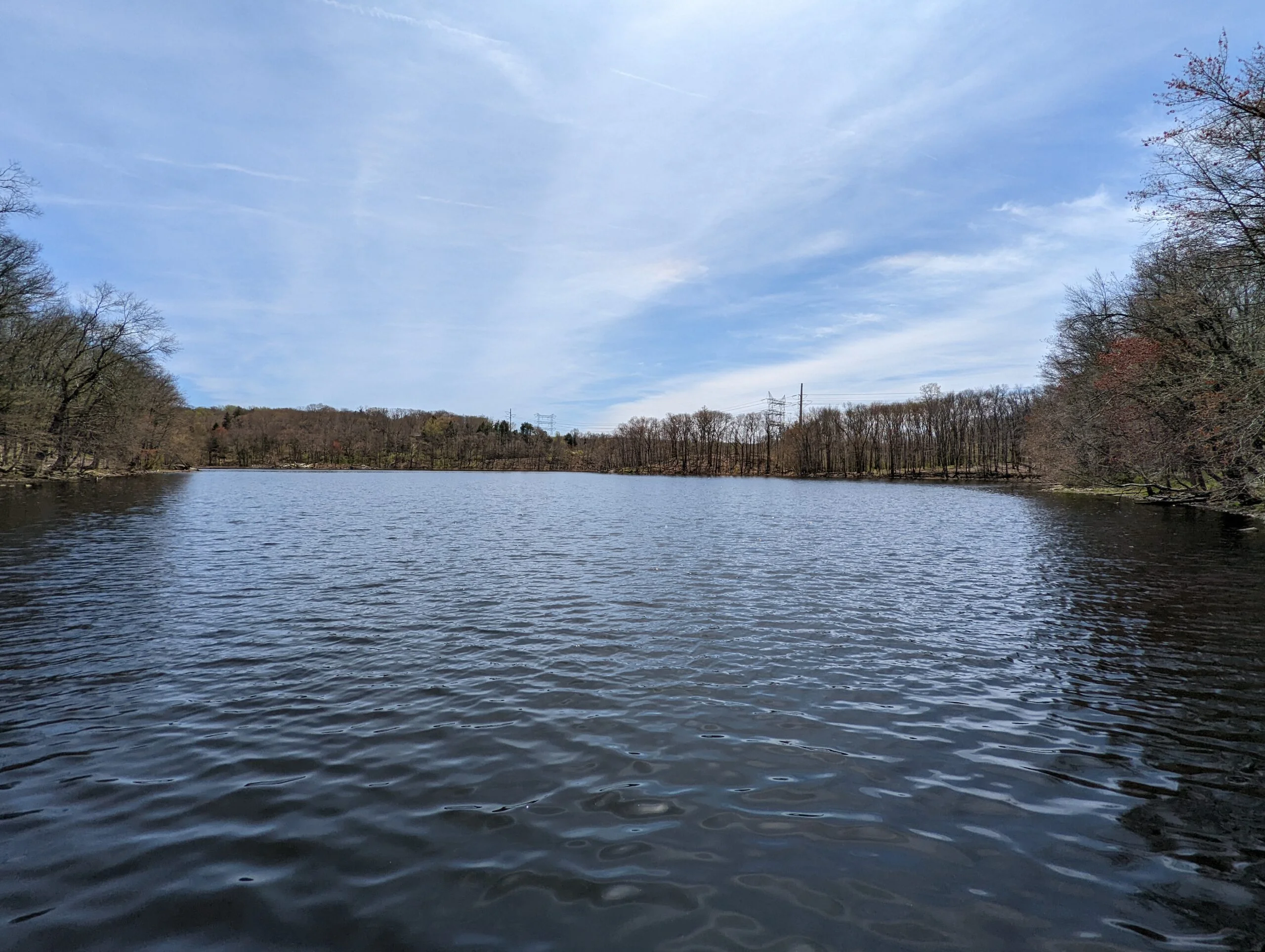
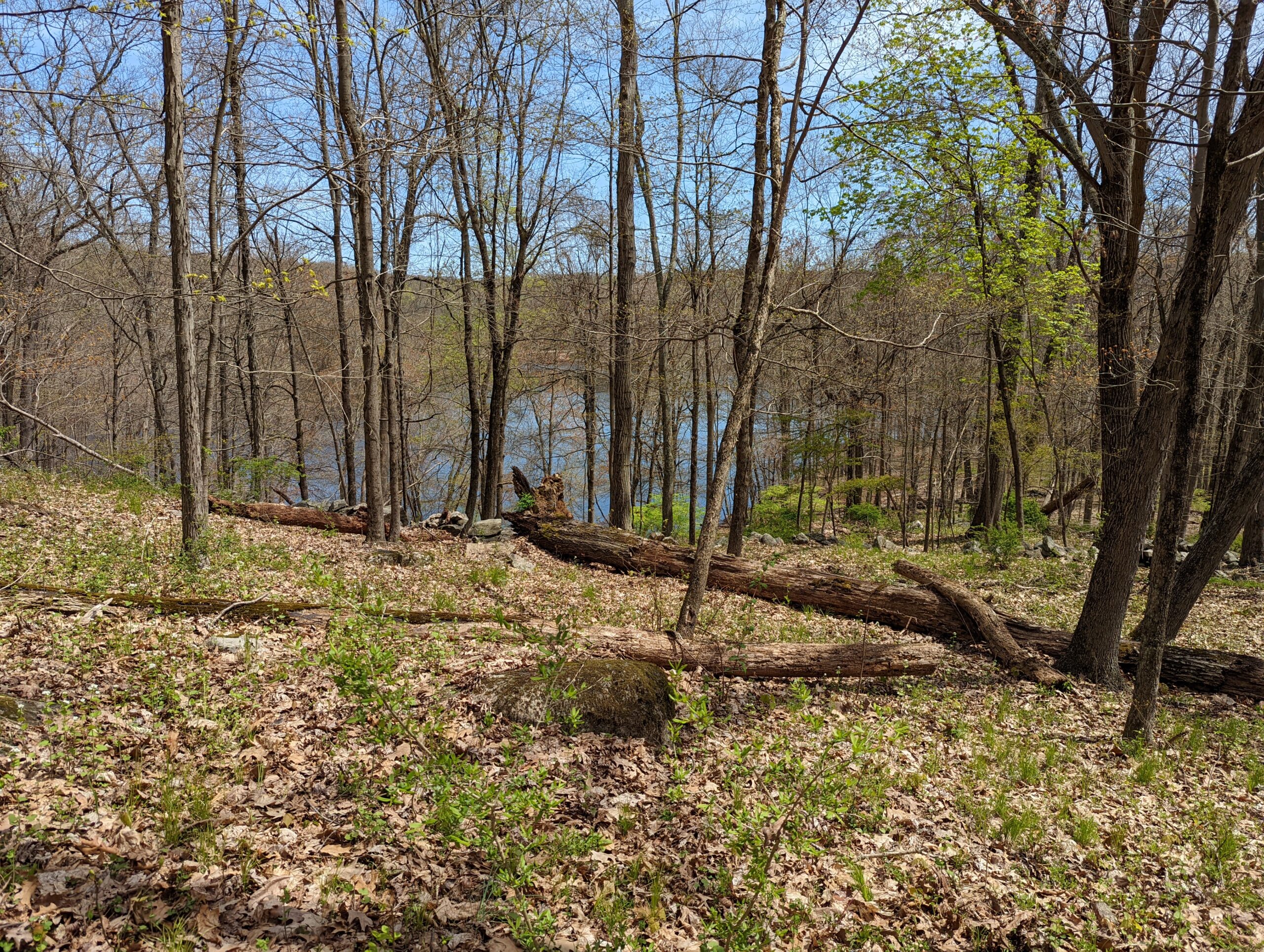
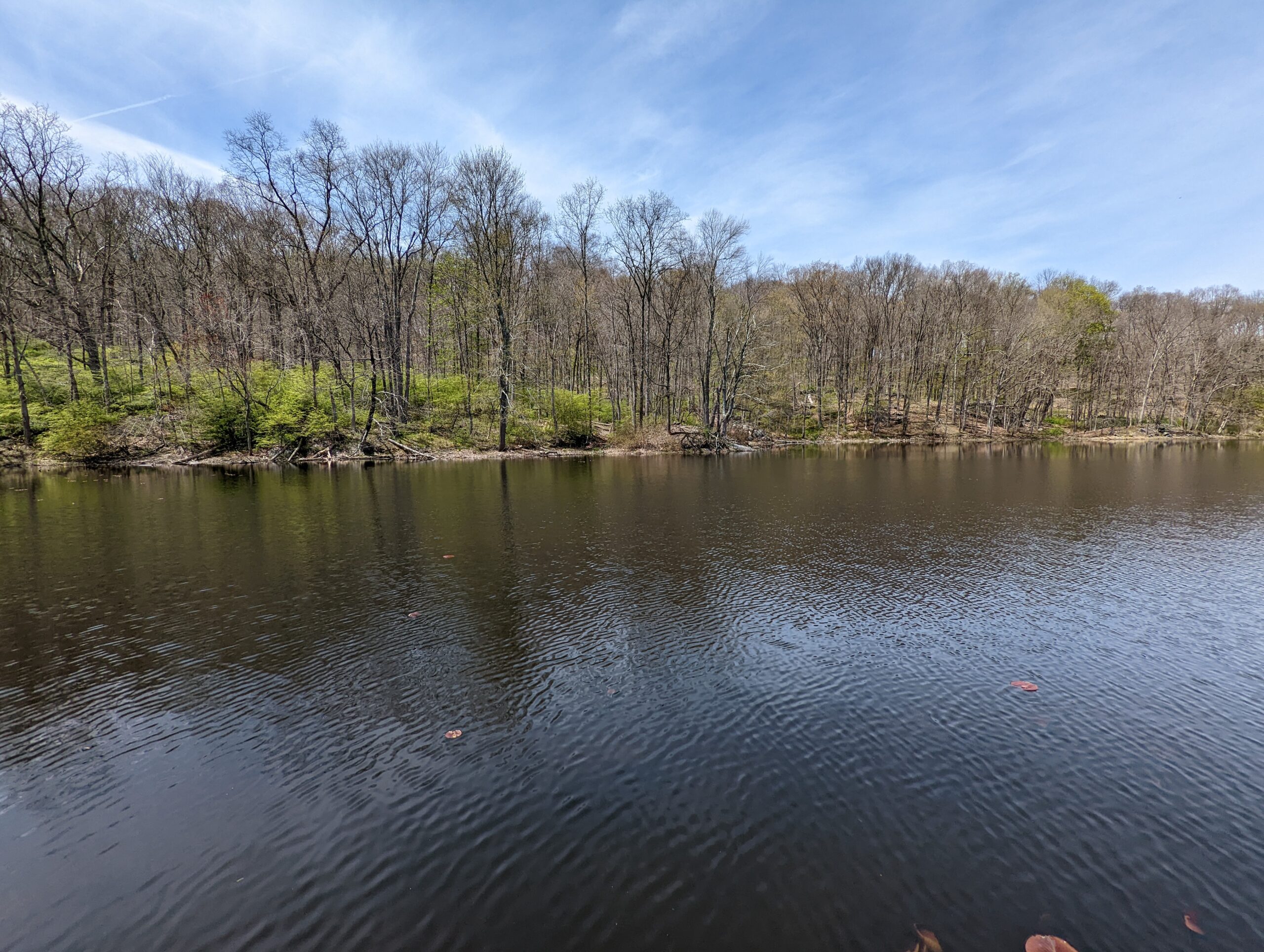
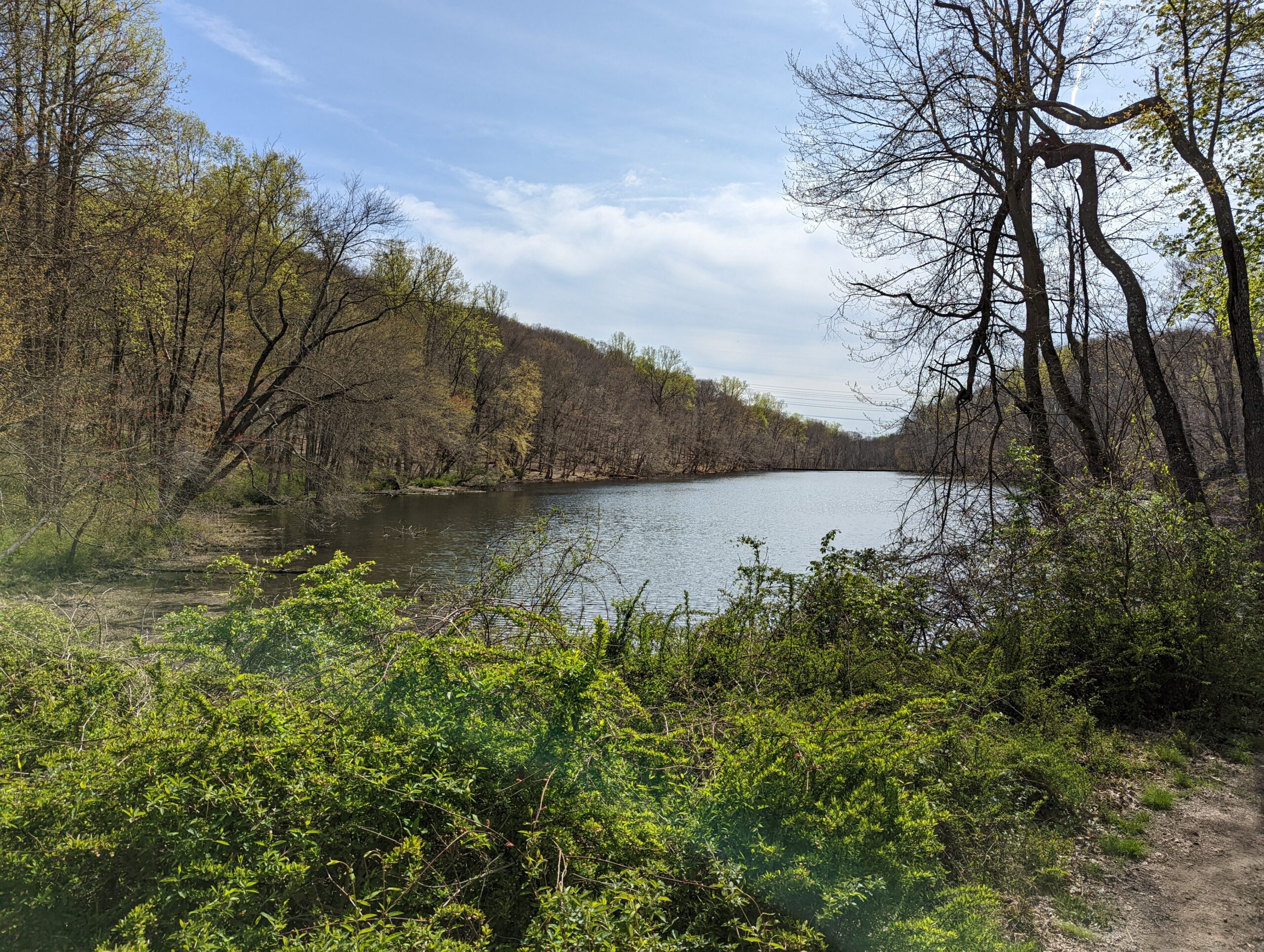
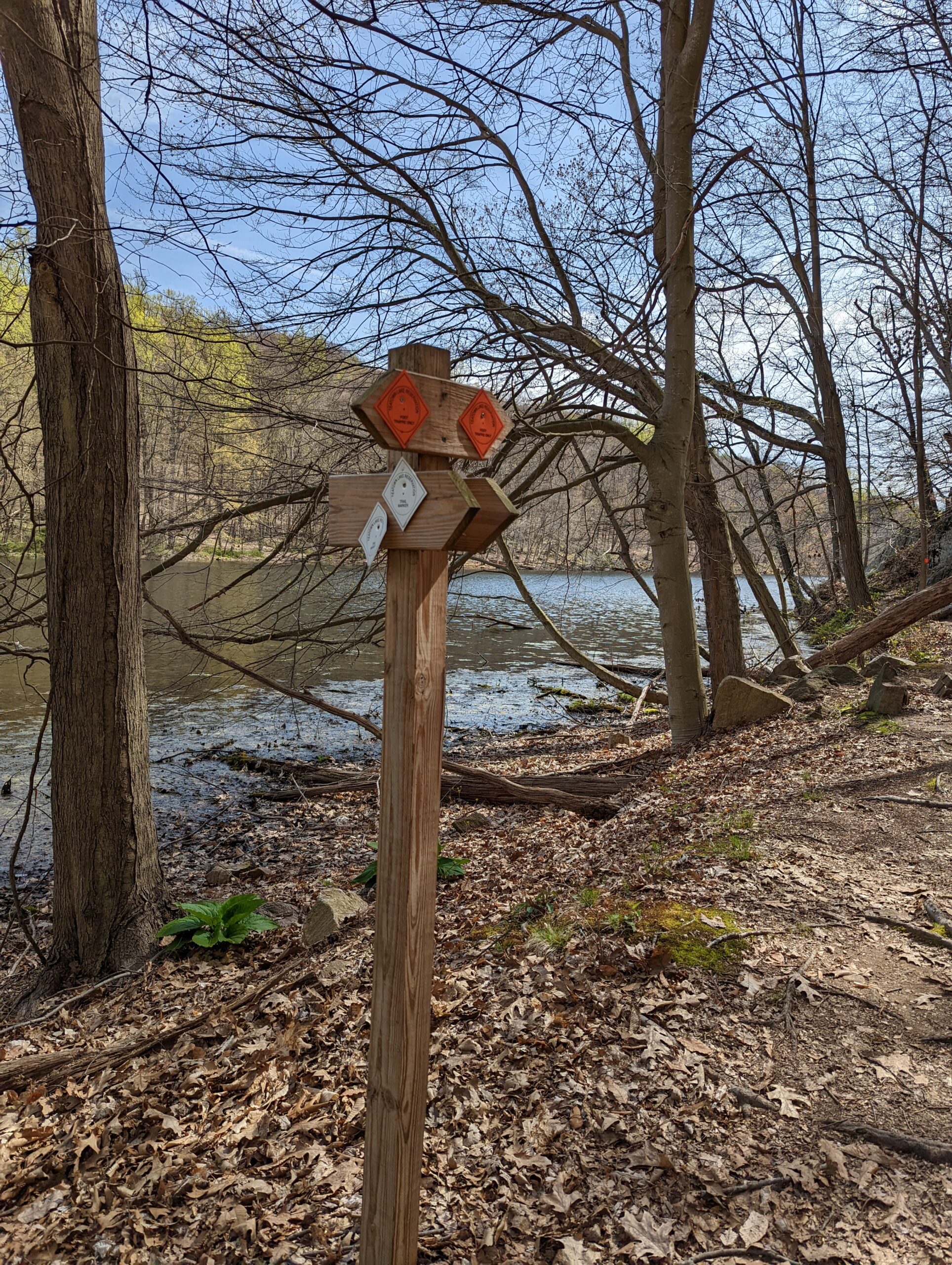
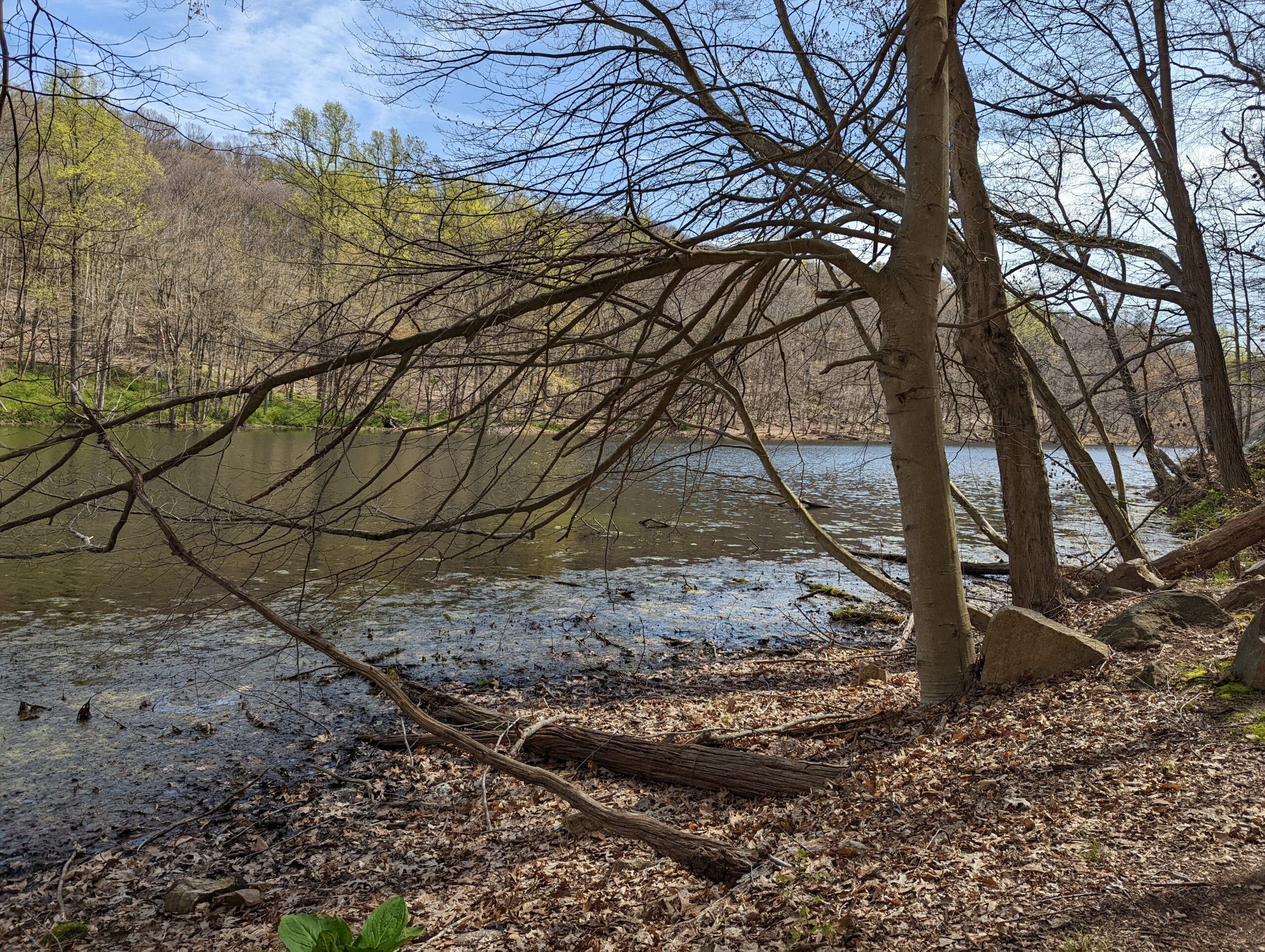
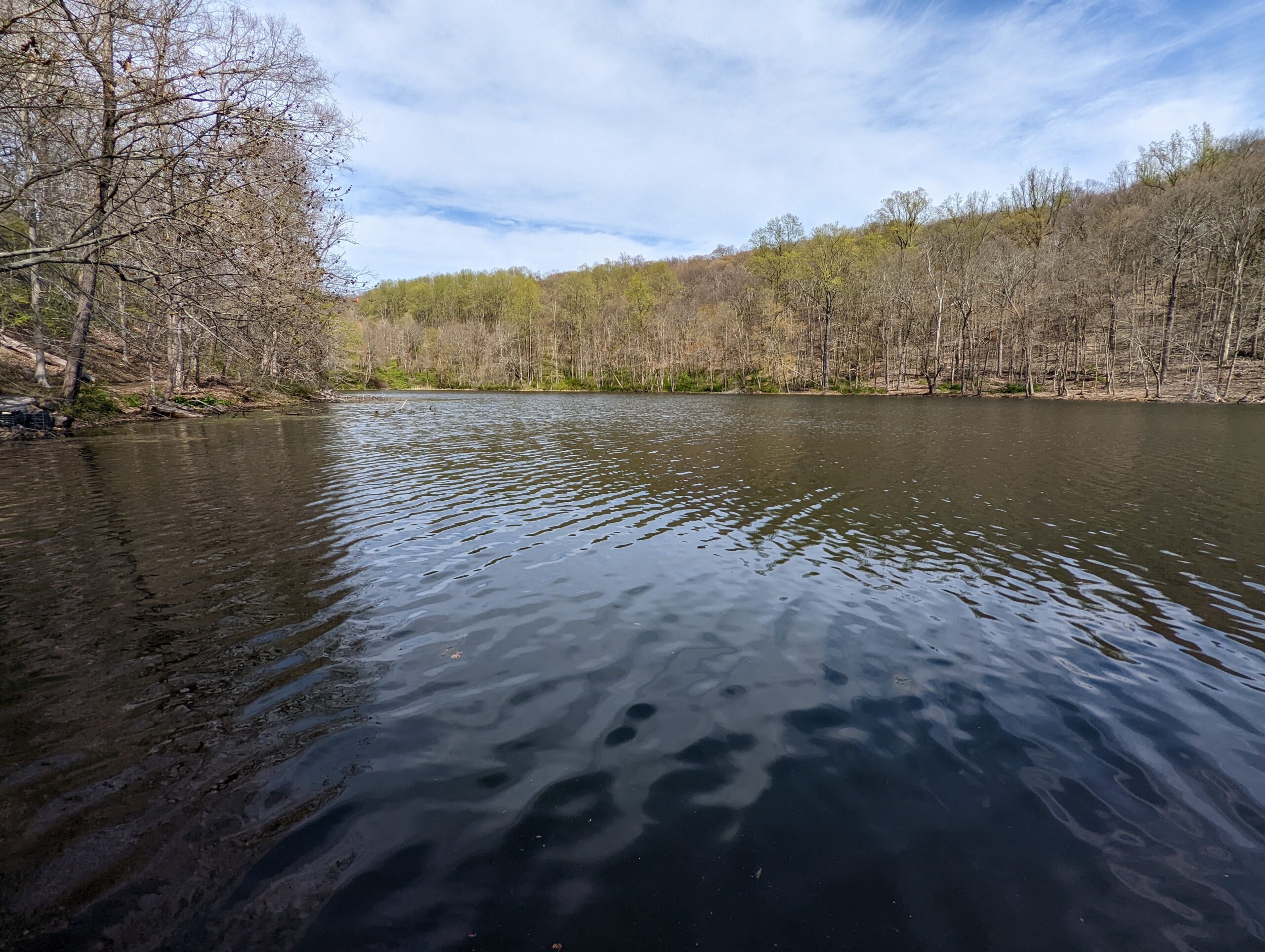
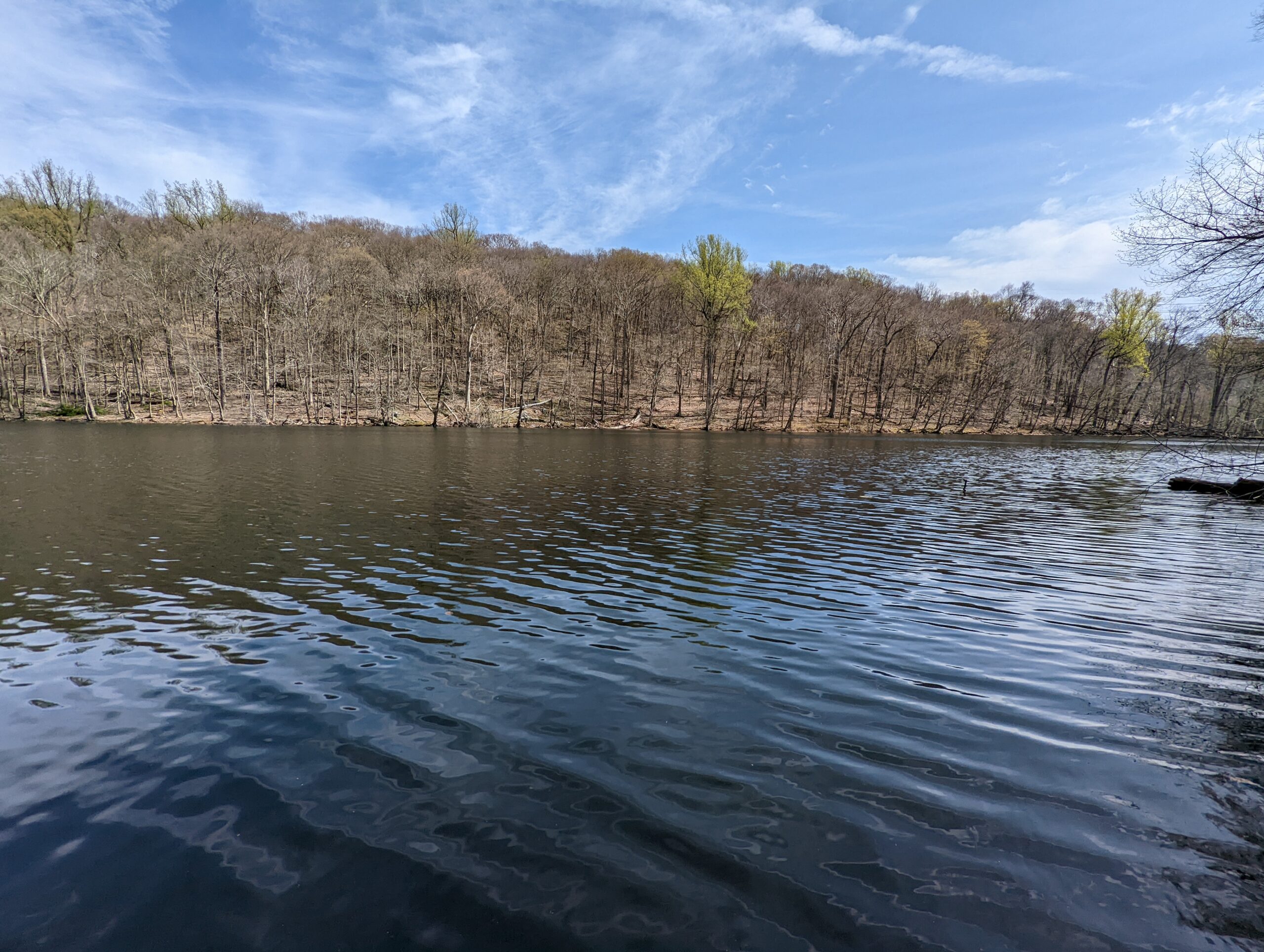
Resuming my hike, I descended back down Overlook Loop to Hidden Valley Loop and continued following the latter on the western half of the loop I had not yet visited. I made my way back near where I started on Blinn Road and switched to the Three Lakes Loop (TL, orange blazes). This led me to the gorgeous views from the northern edge of Teatown Lake.
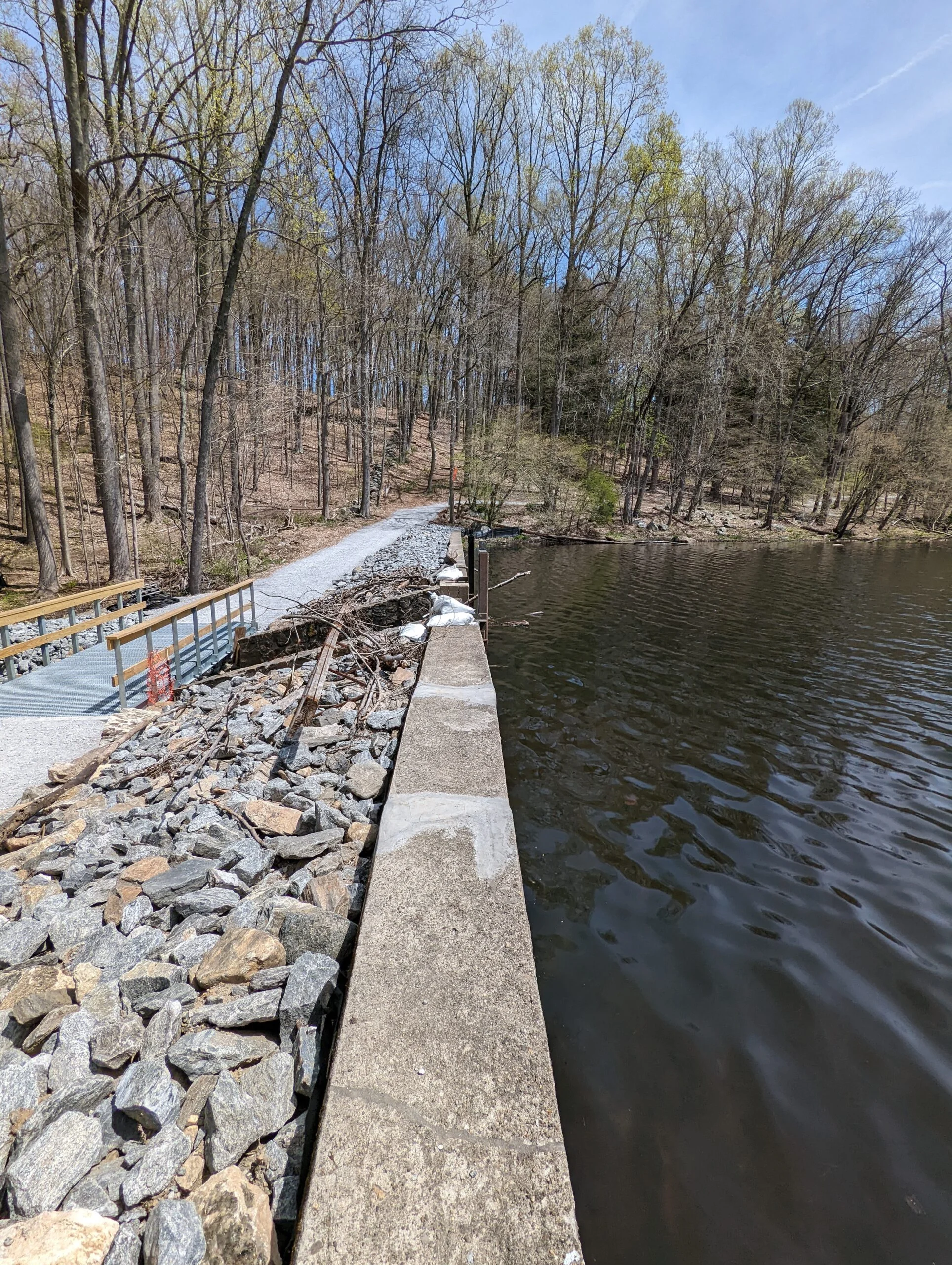
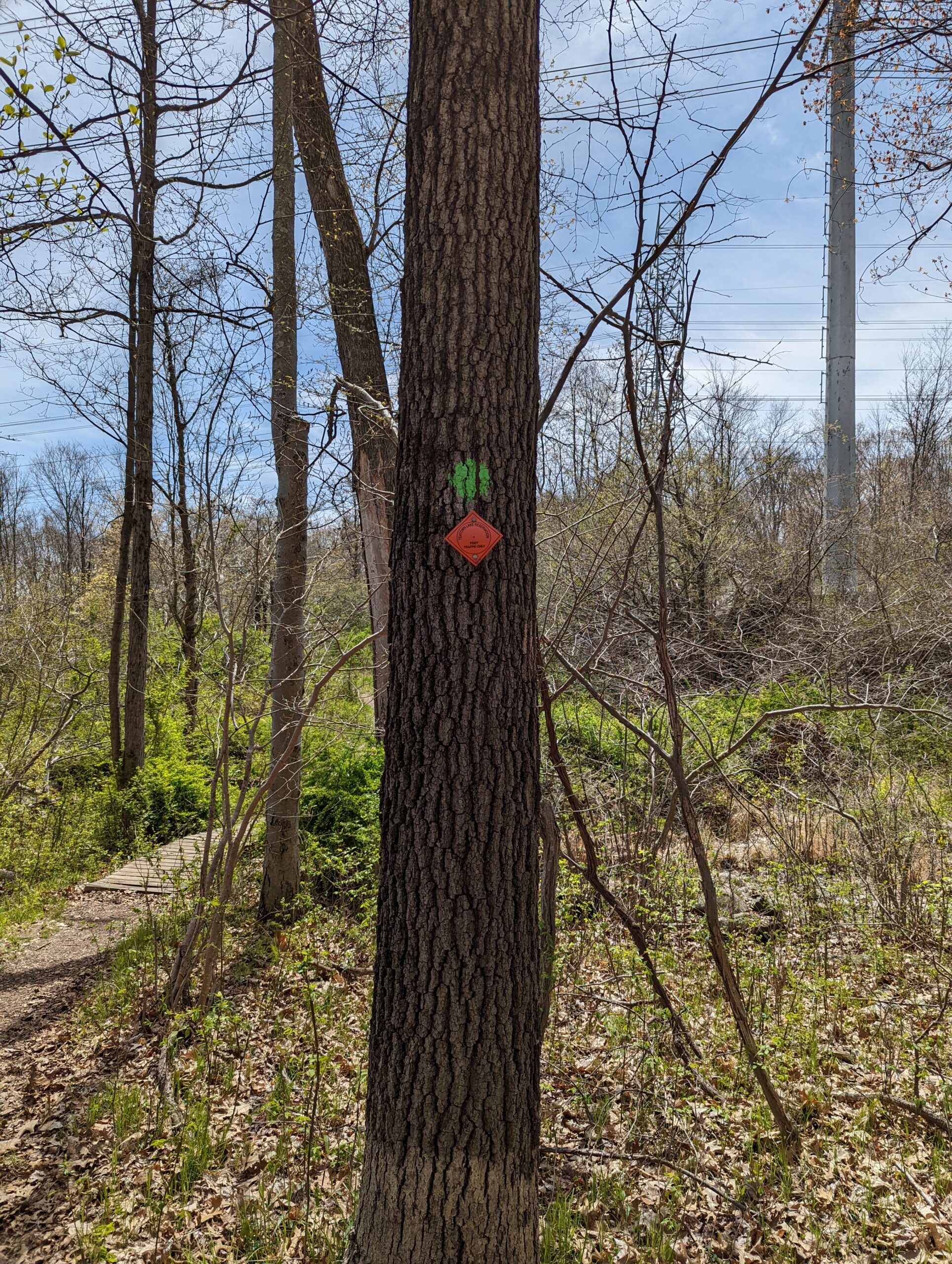
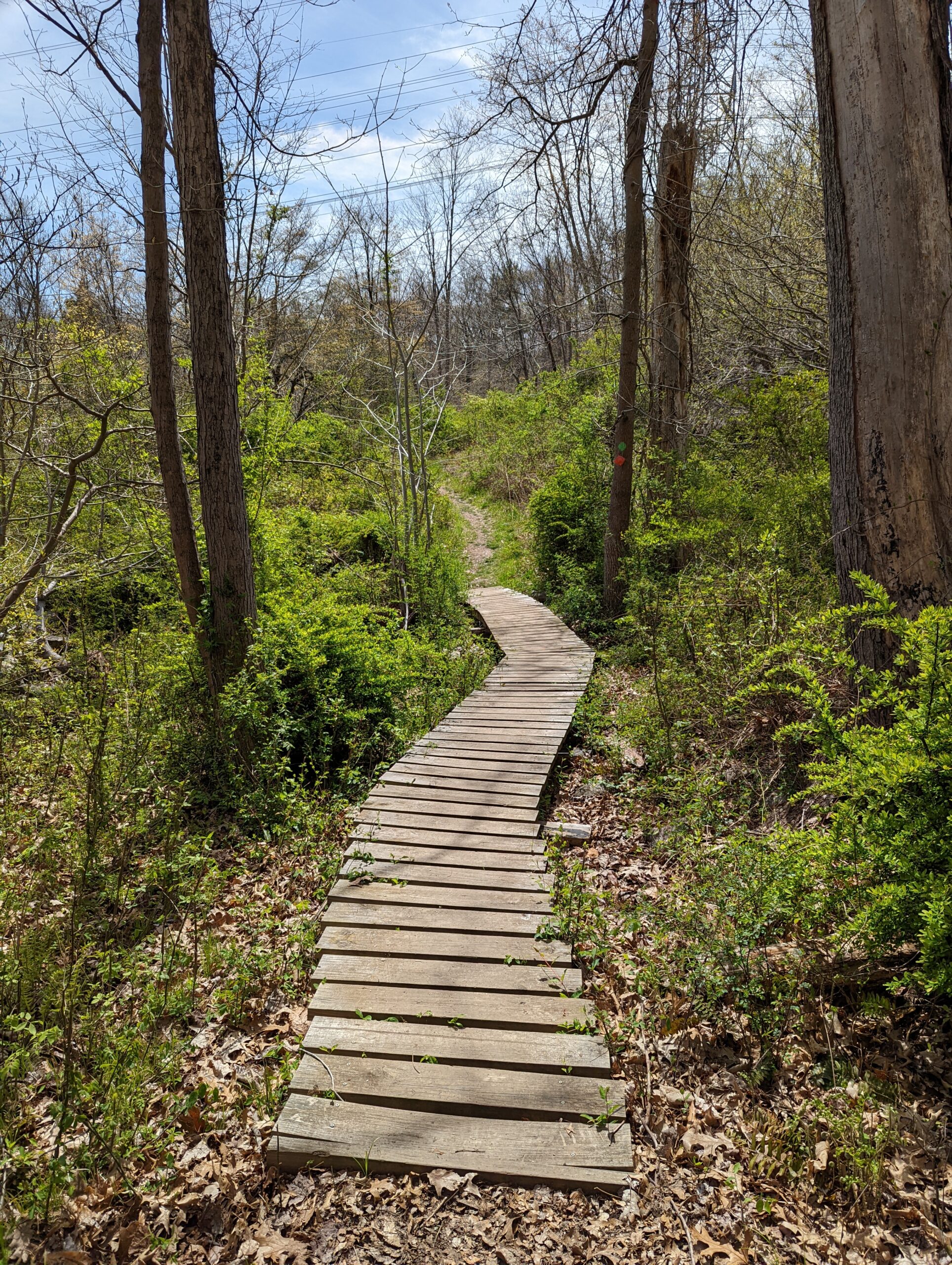
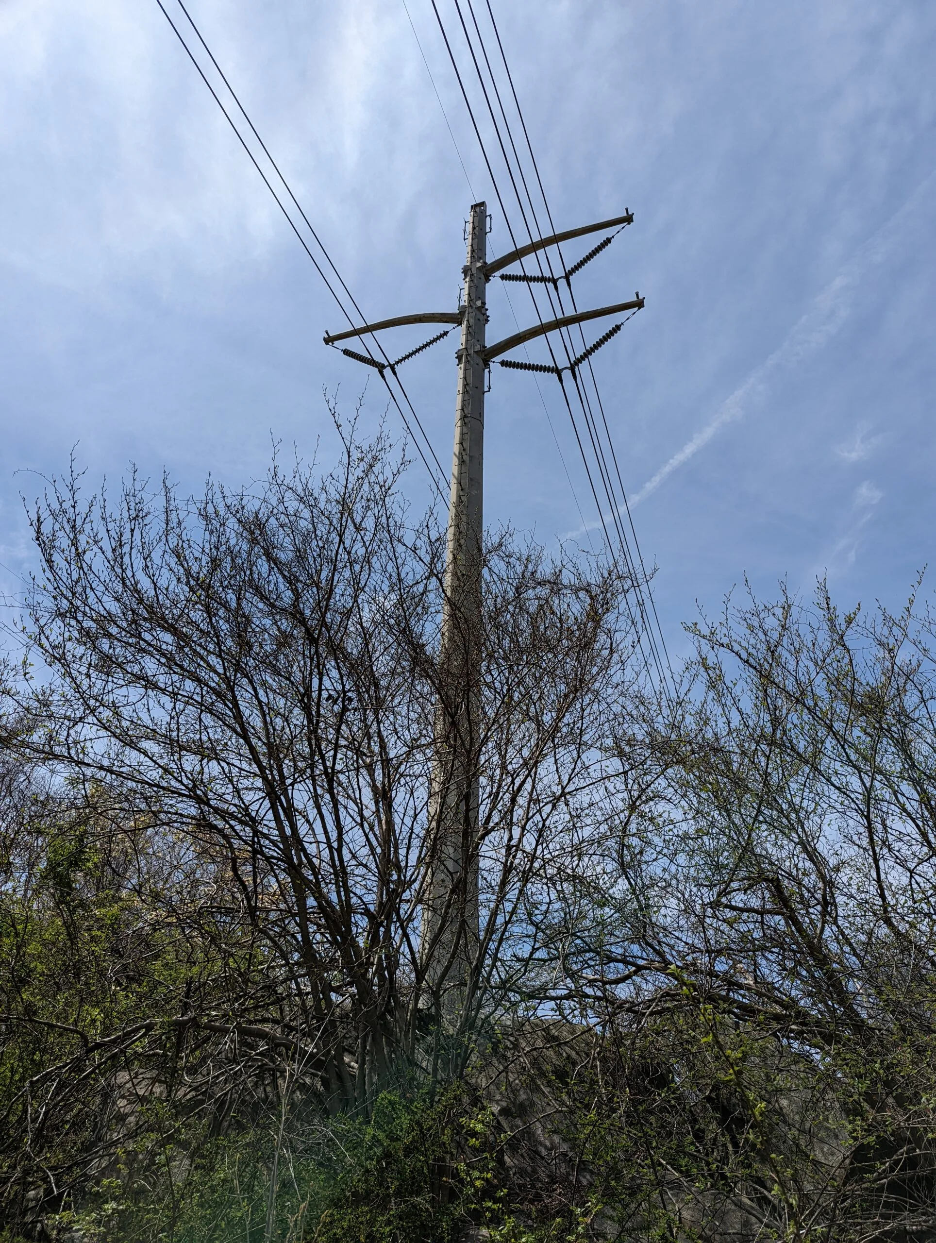
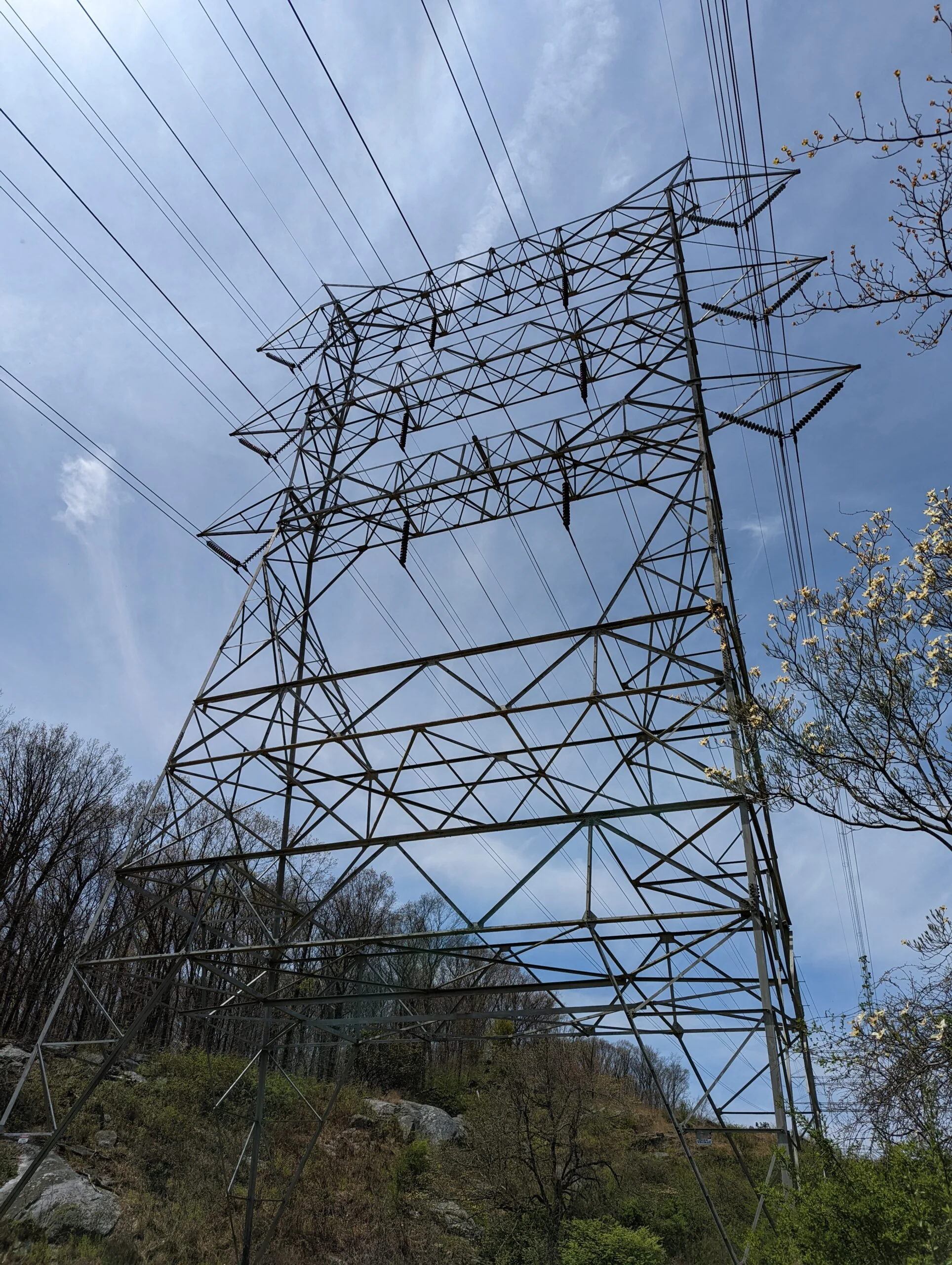
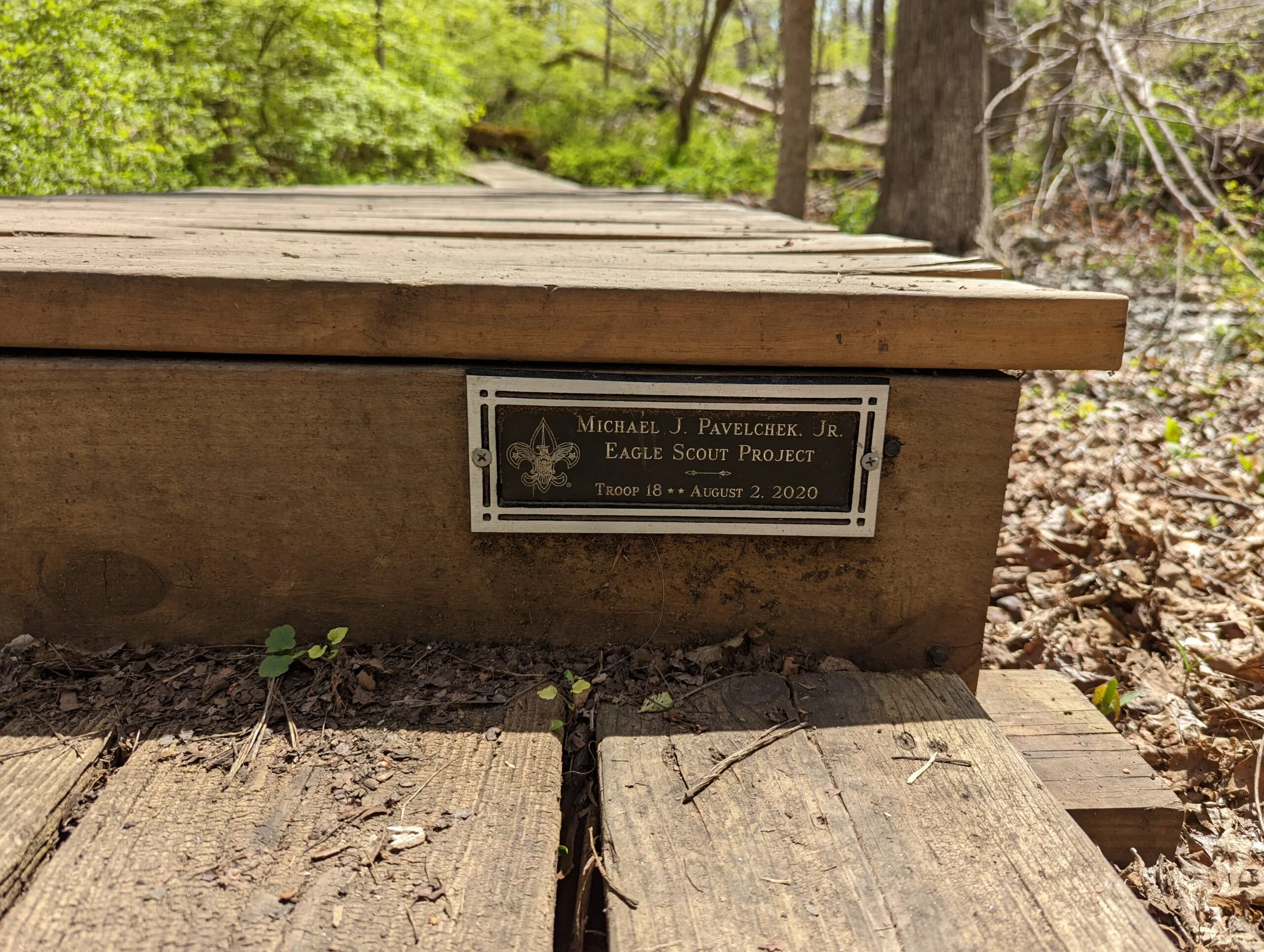
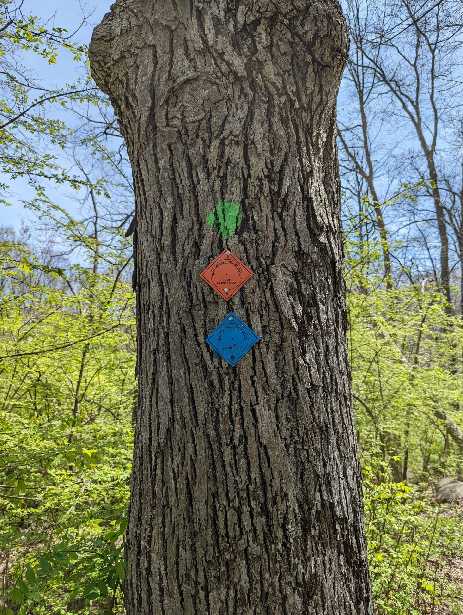
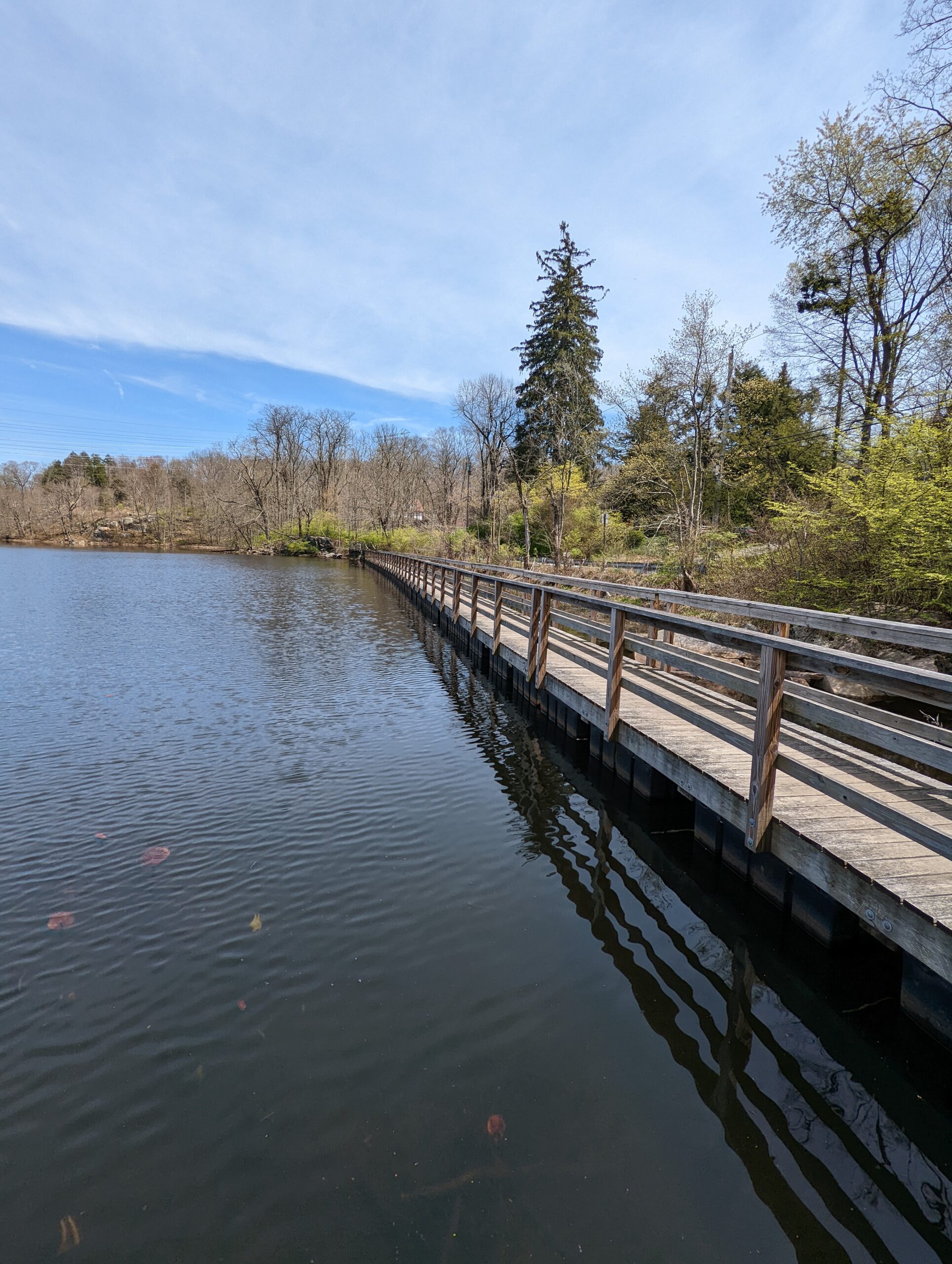
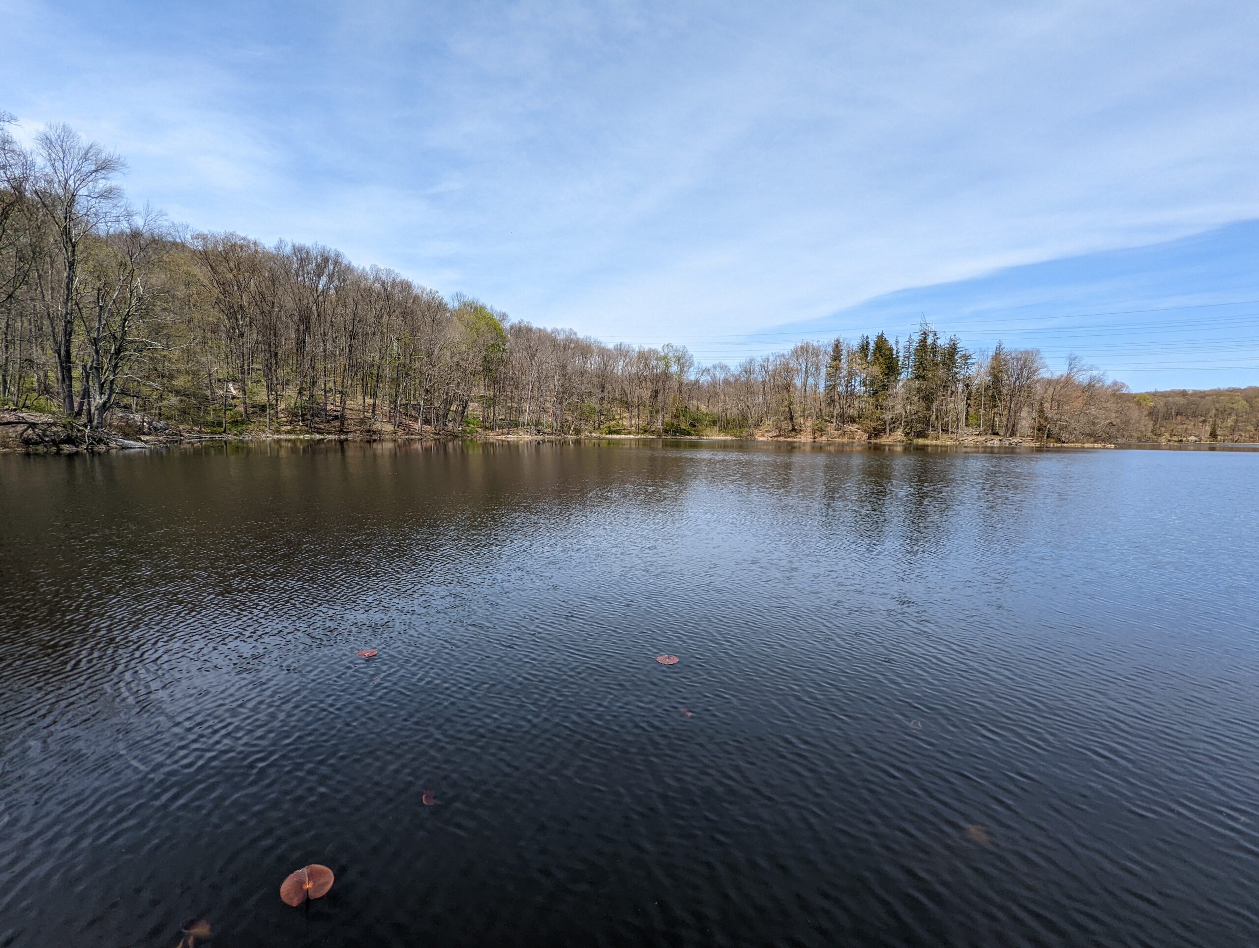
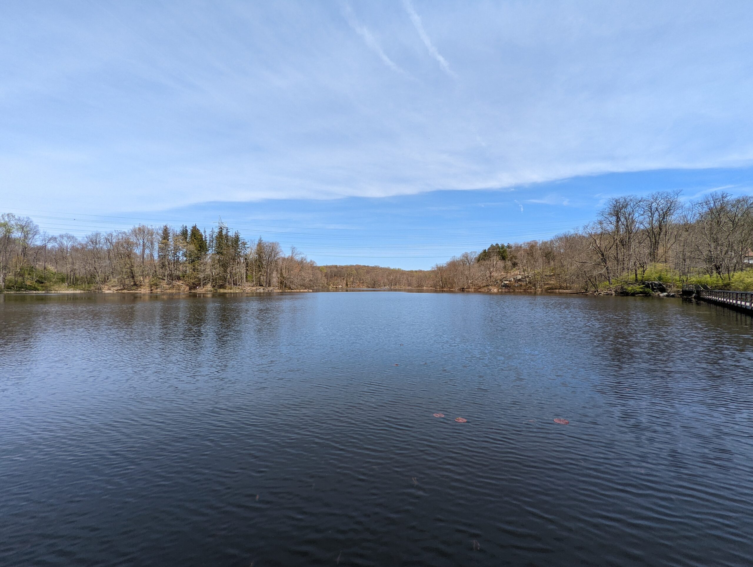
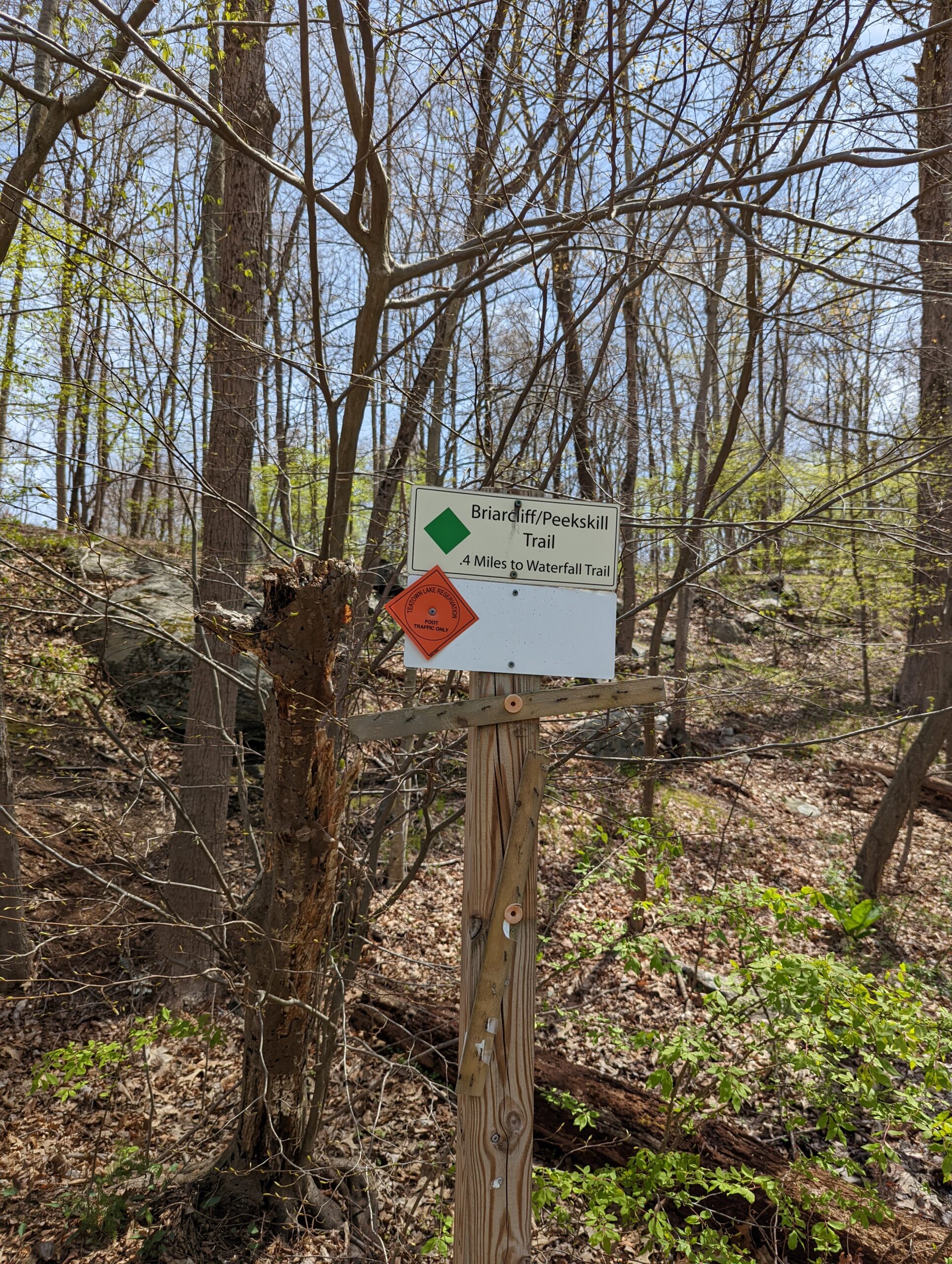
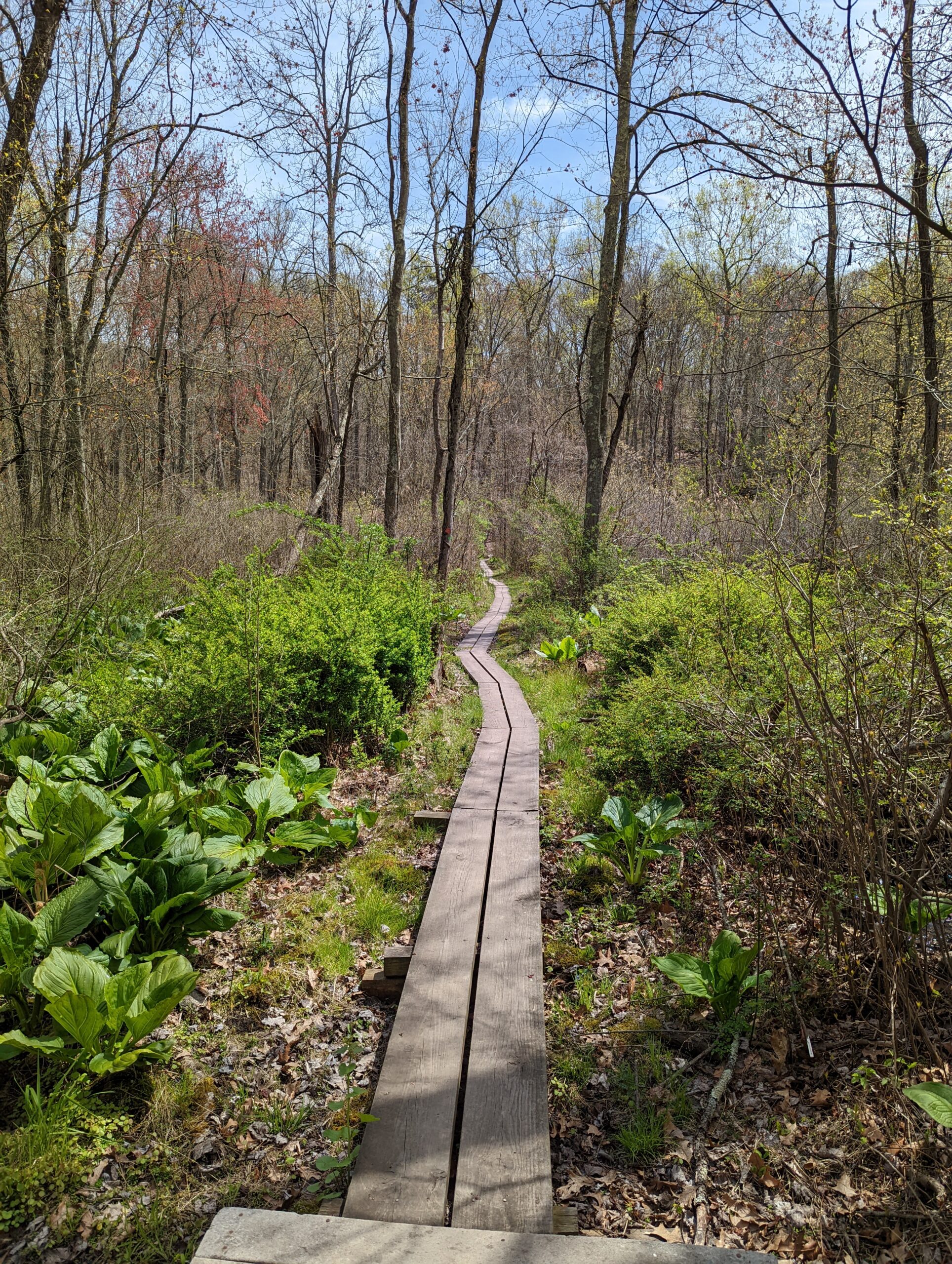
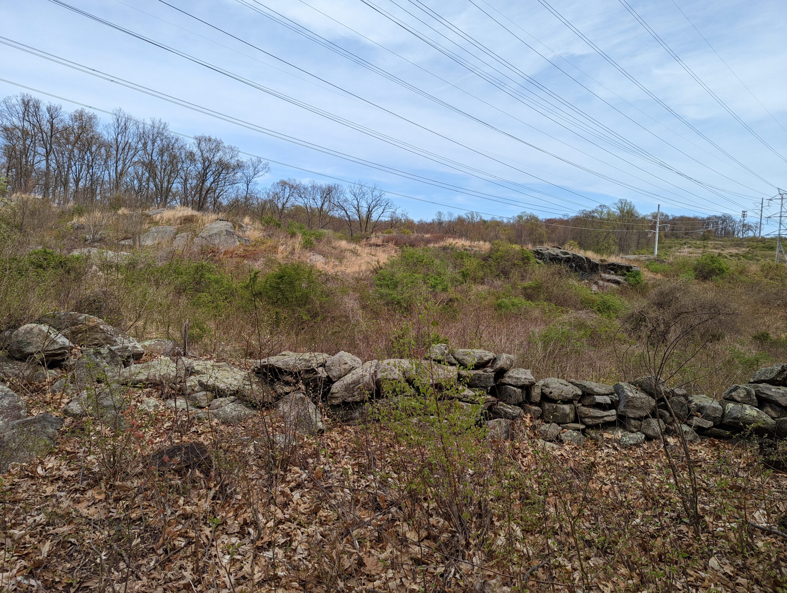
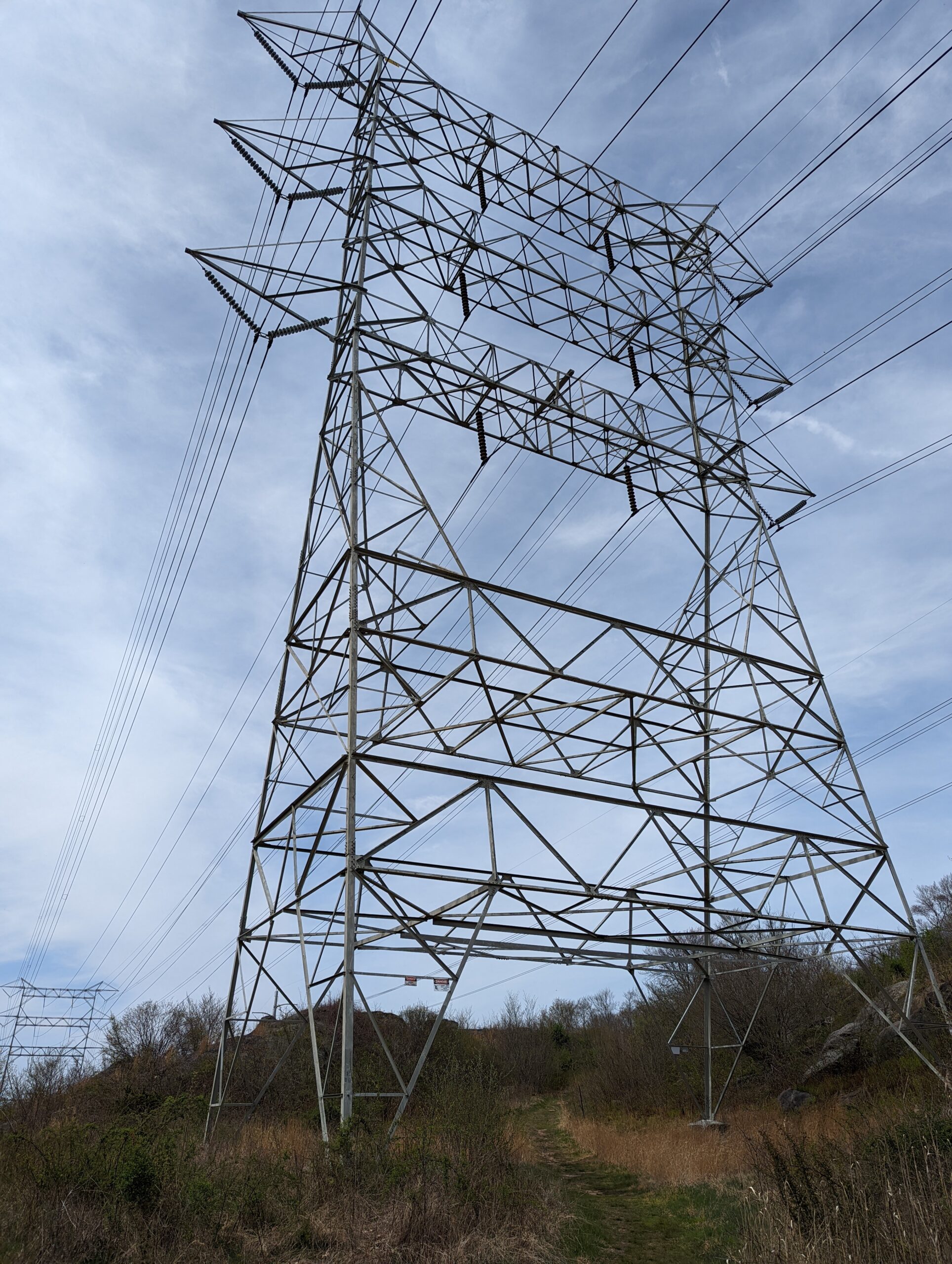
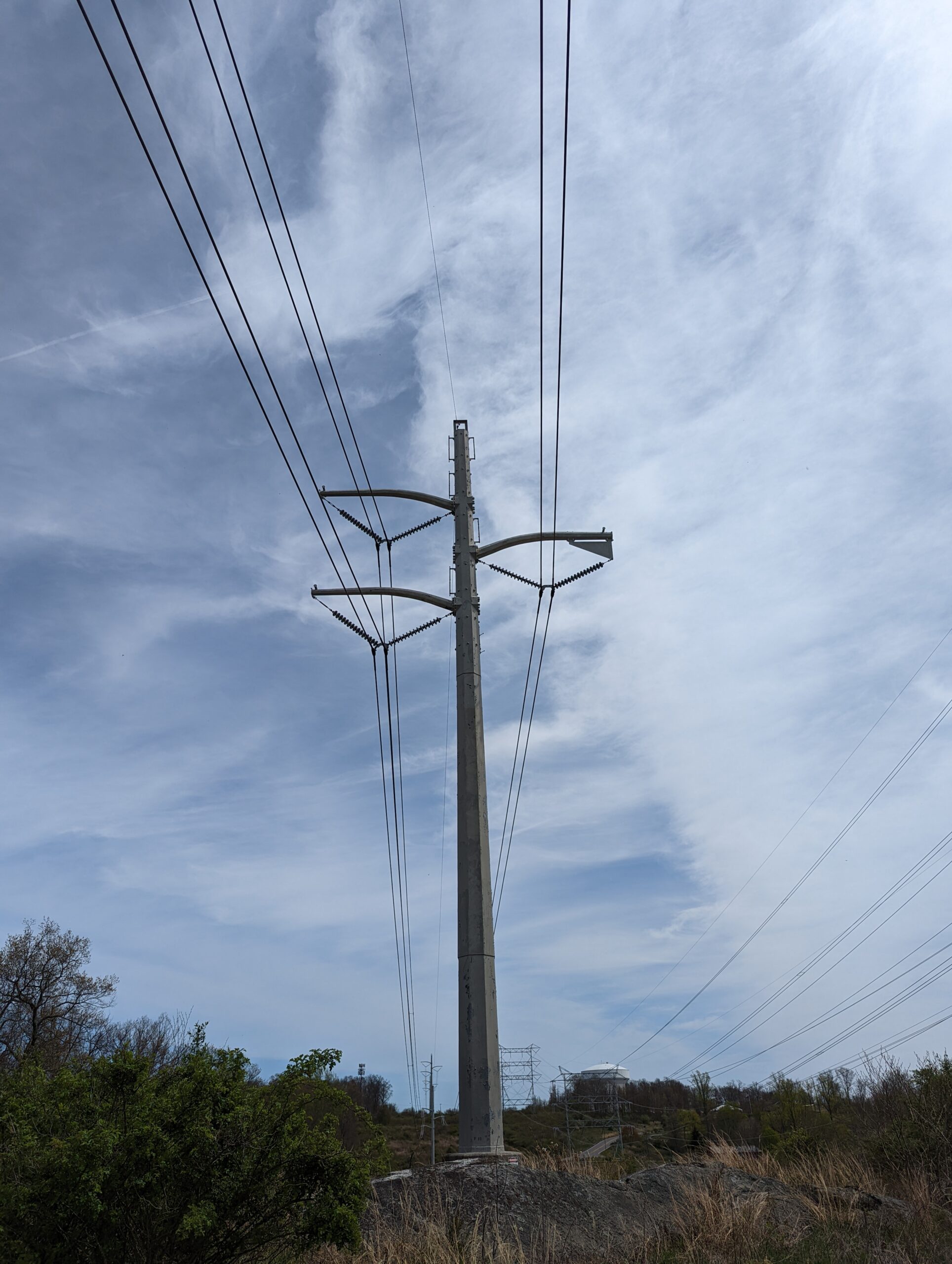
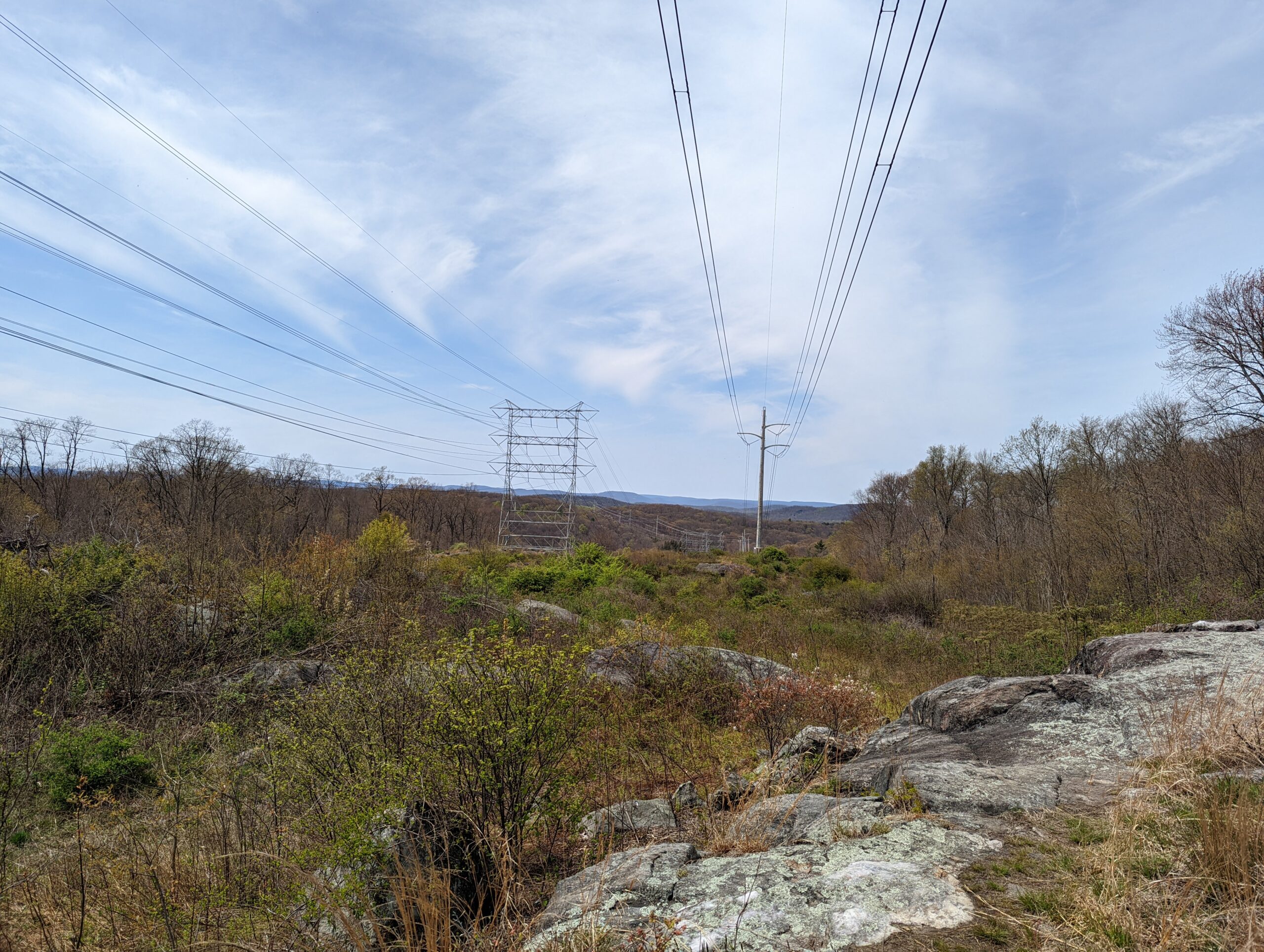
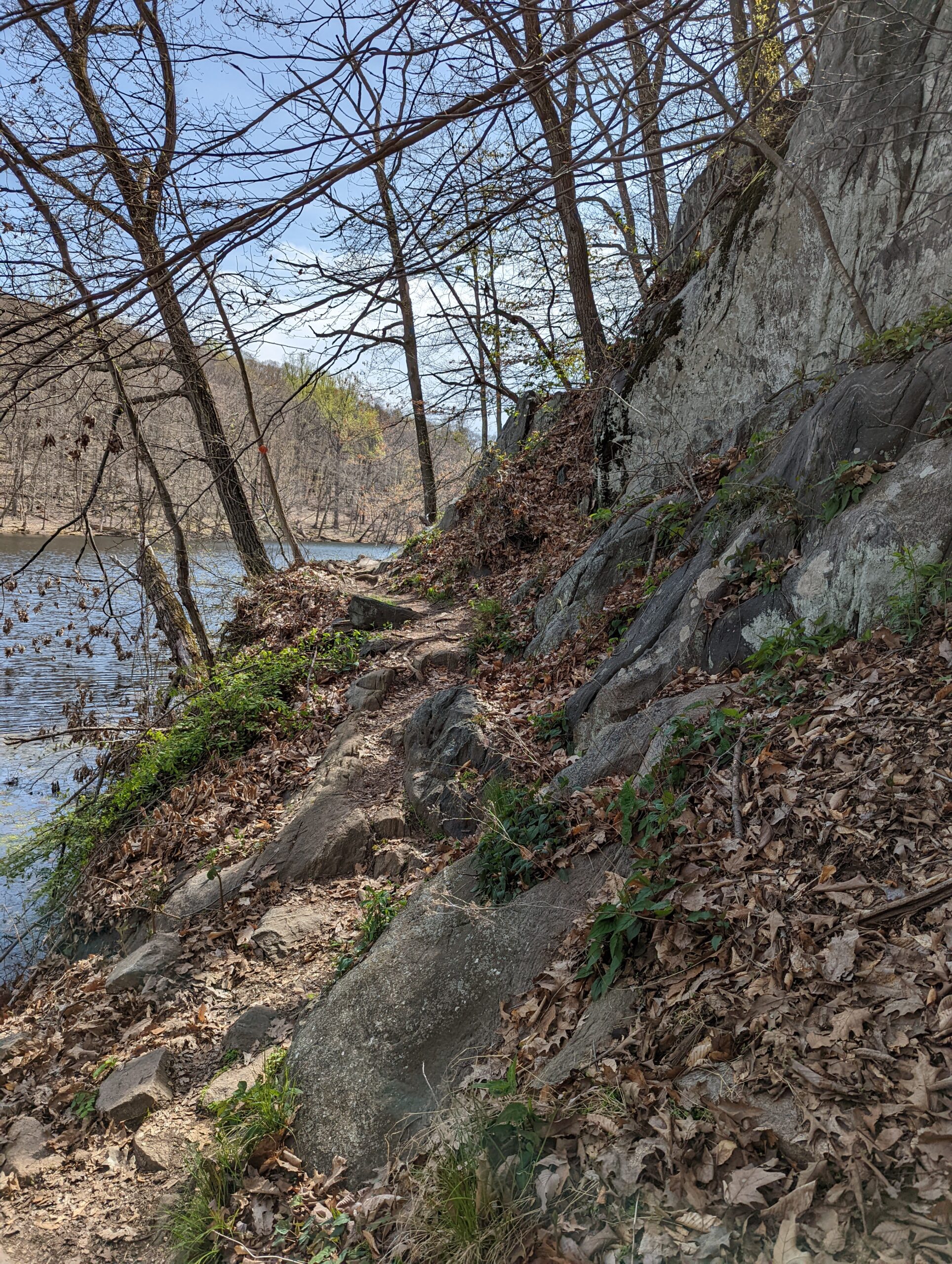
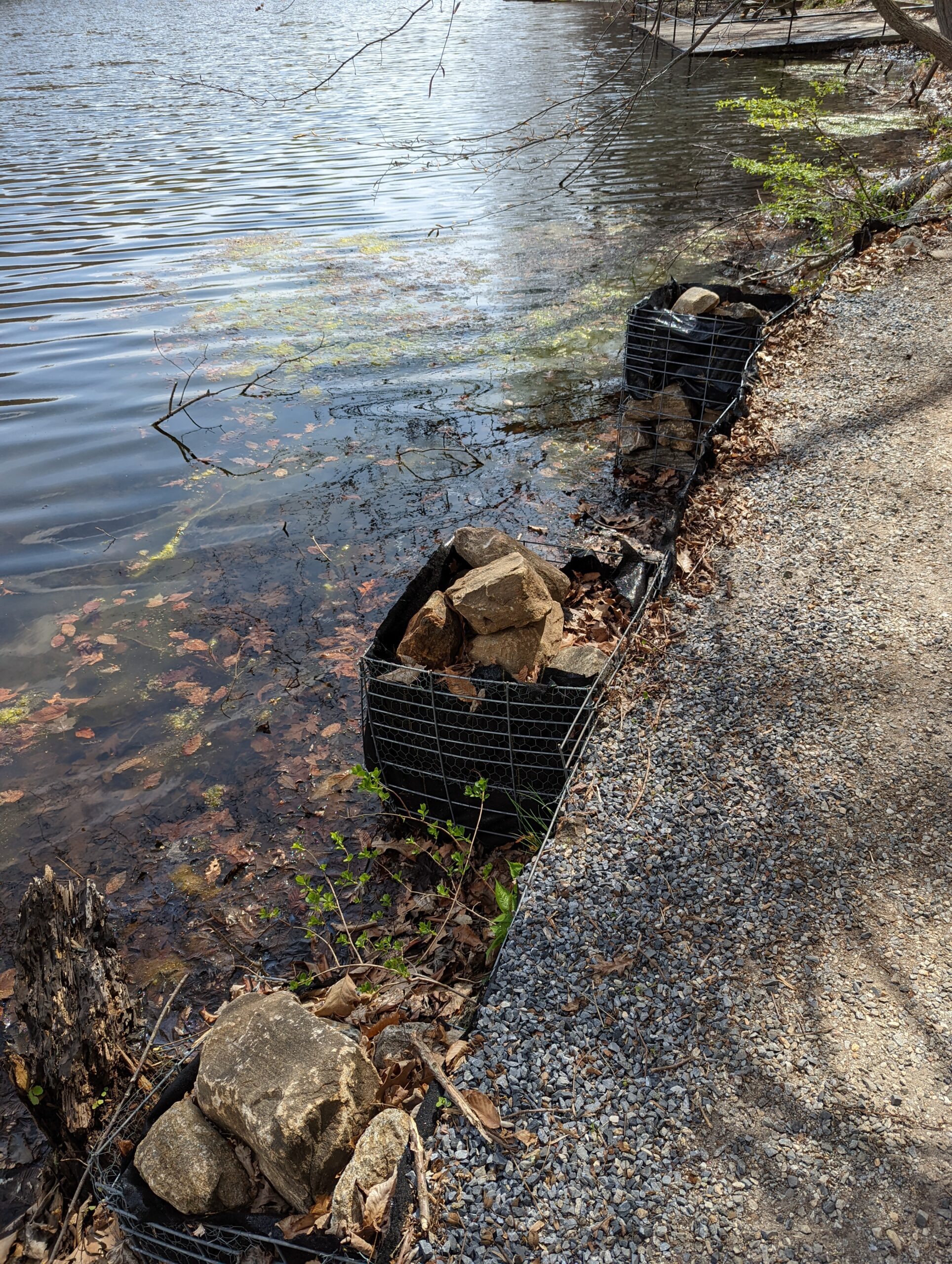
Three Lakes Loop then makes a turn to the south and runs congruously with the Briarcliff-Peekskill Trail (BP, green blazes). I followed the trails through a power line clearing, then to the southwestern edge of Teatown Lake. I took a detour onto the Lakeside Loop (LS, blue blazes) so I could walk along the wooden floating trail that sits in the lake. After snapping some photos on the lake, I doubled back to continue following BP/TL to the south.
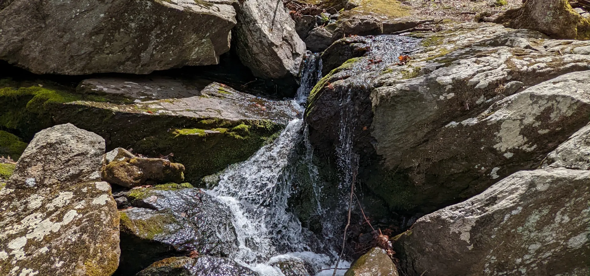
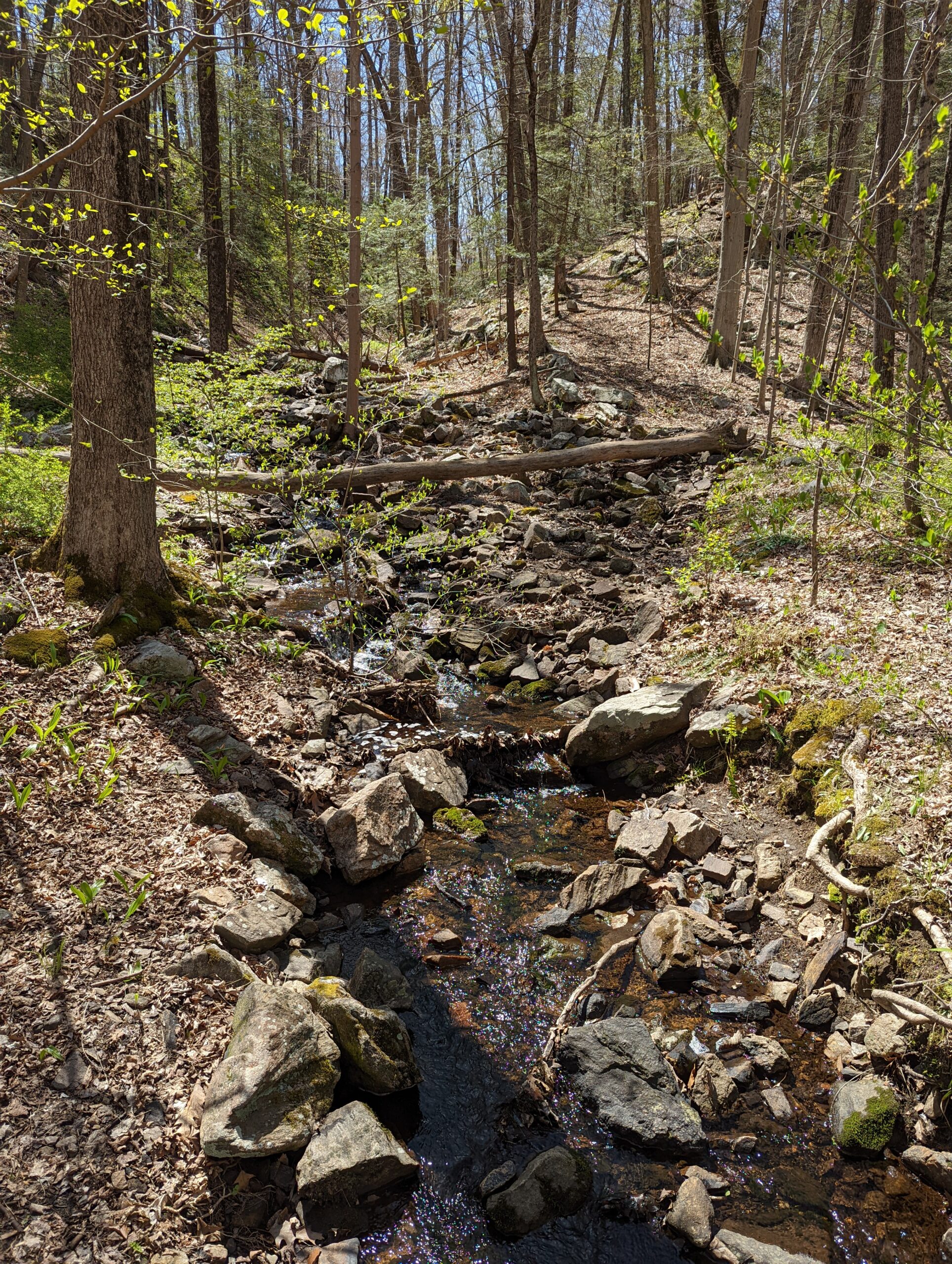
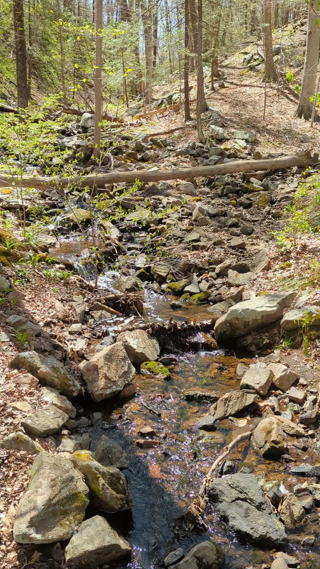
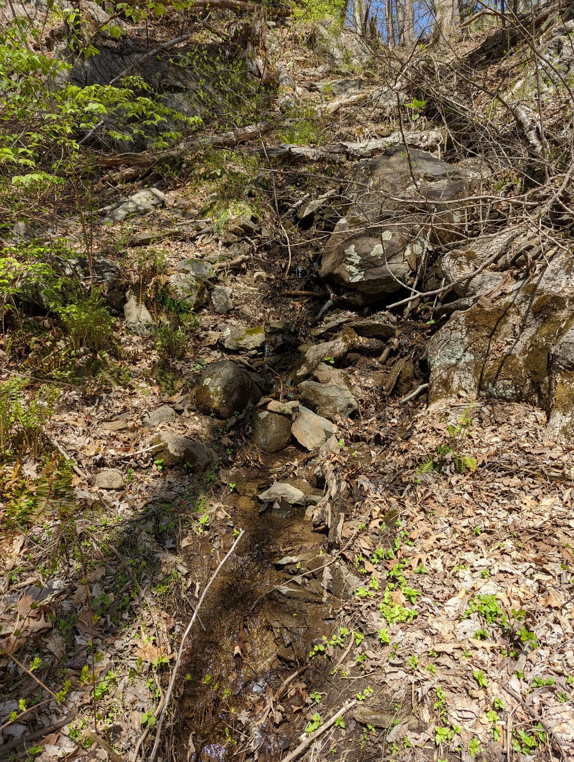
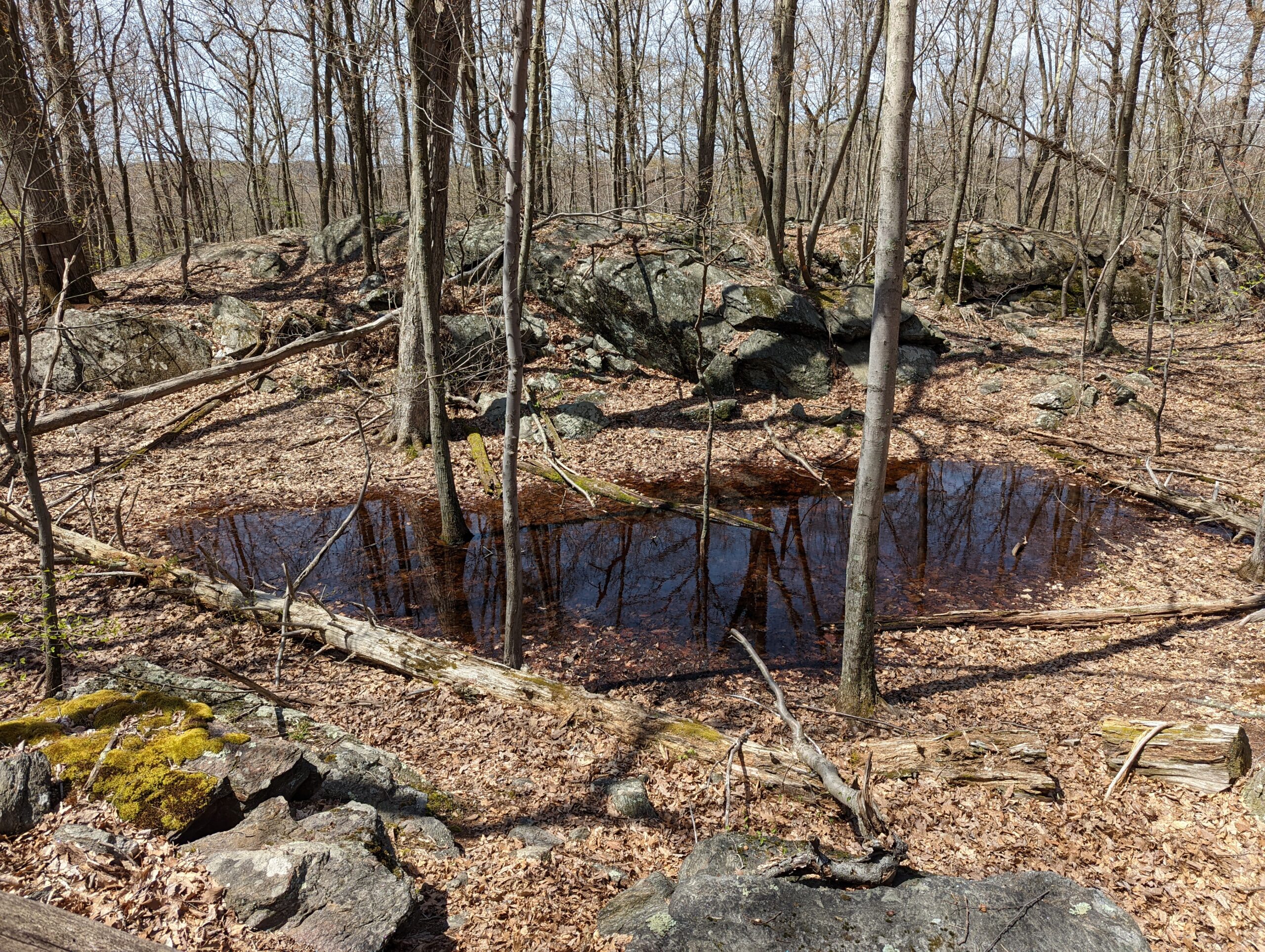
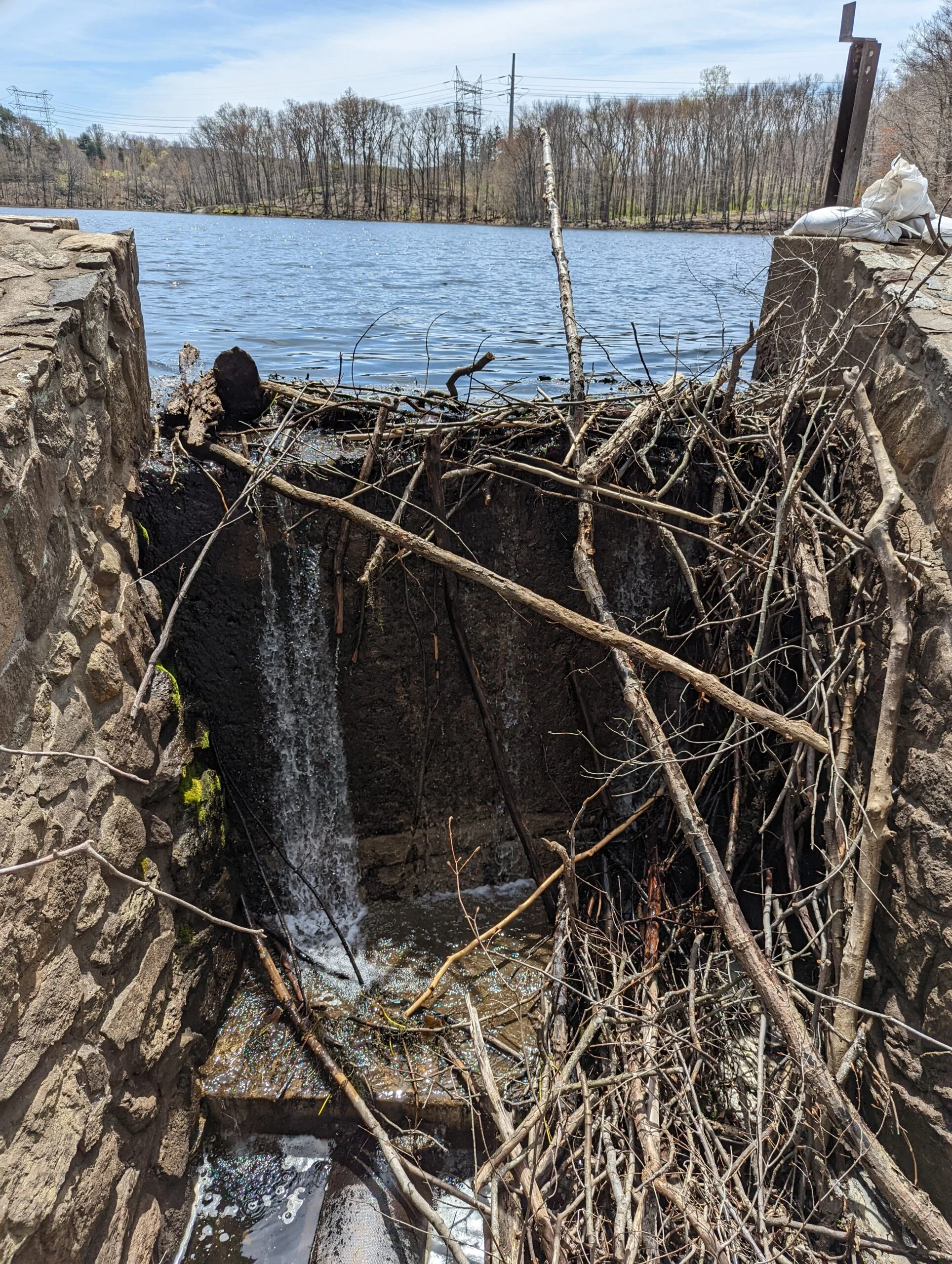
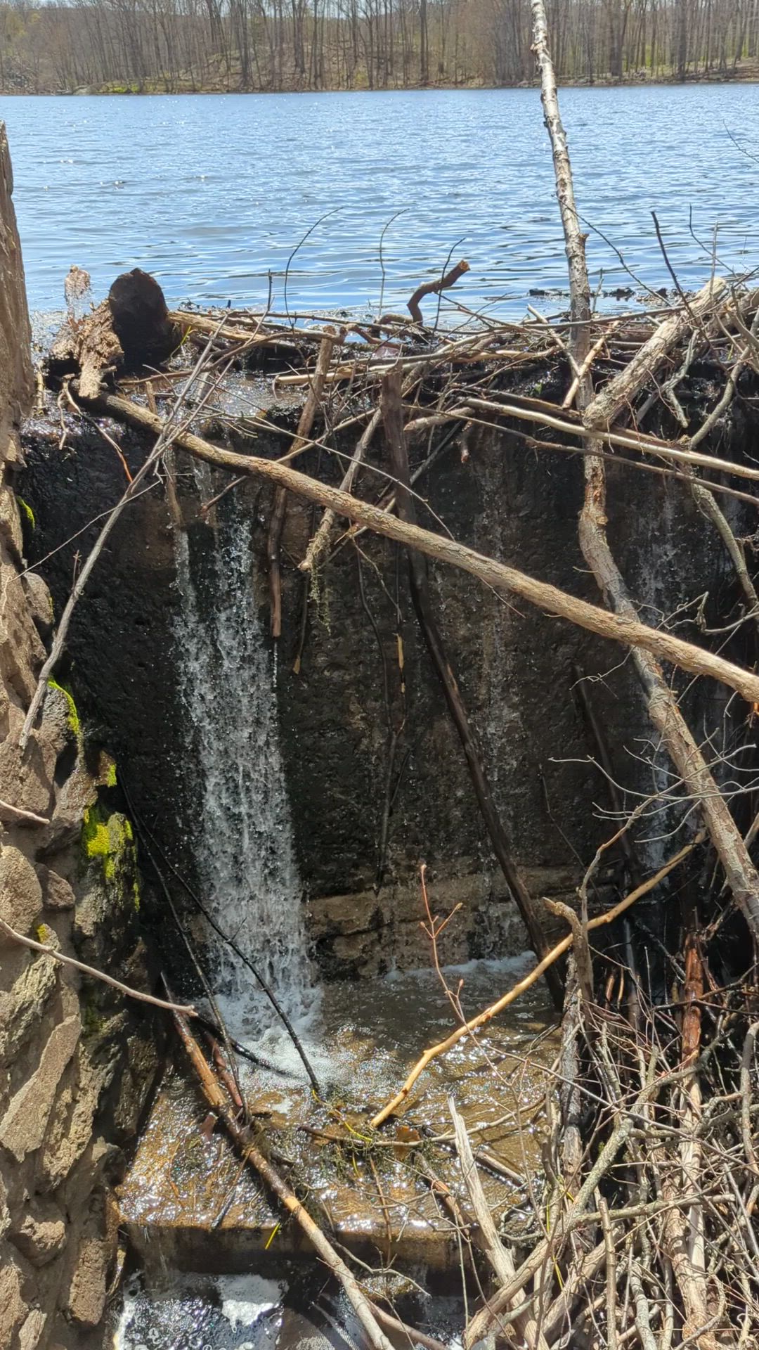
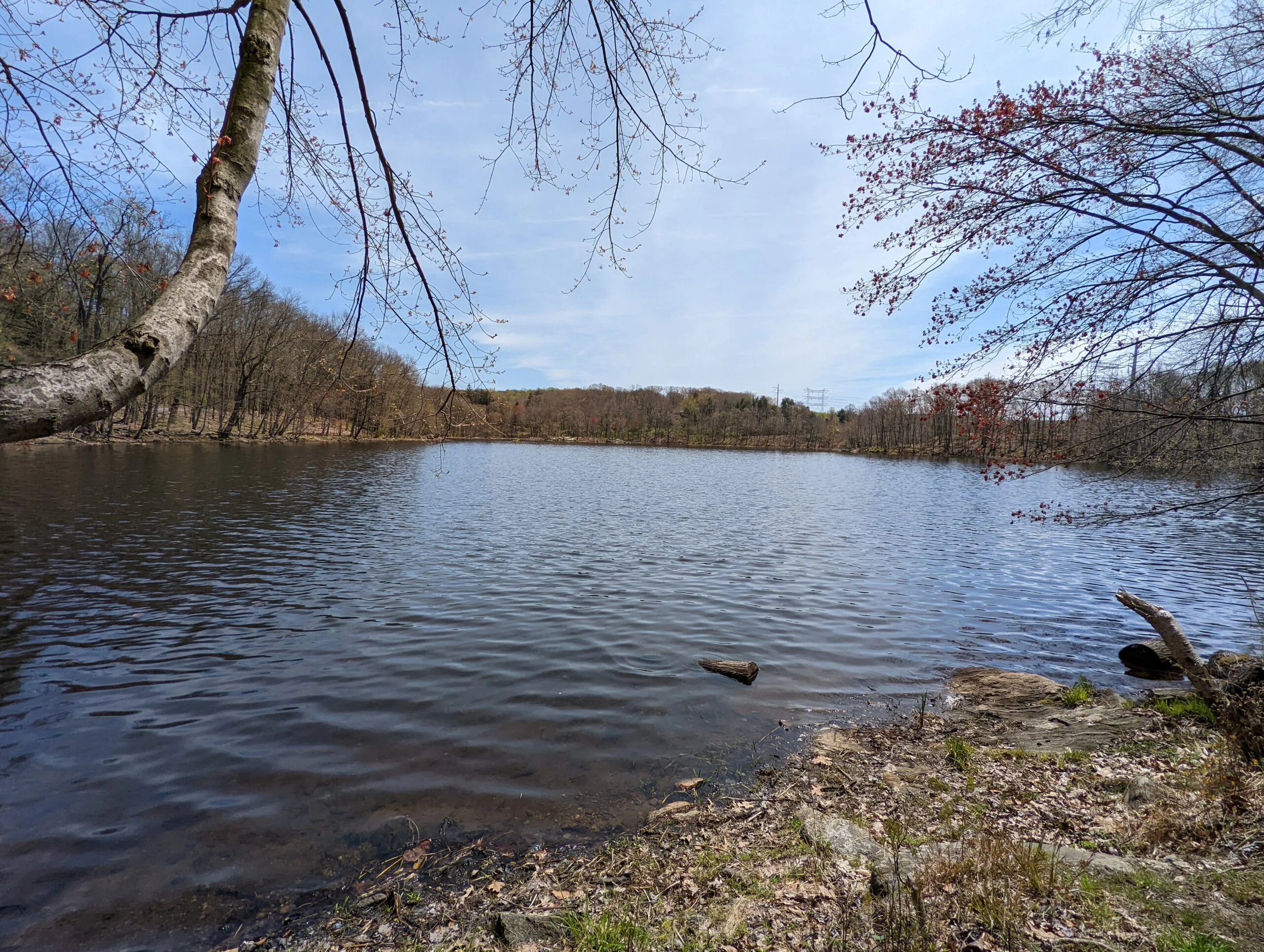
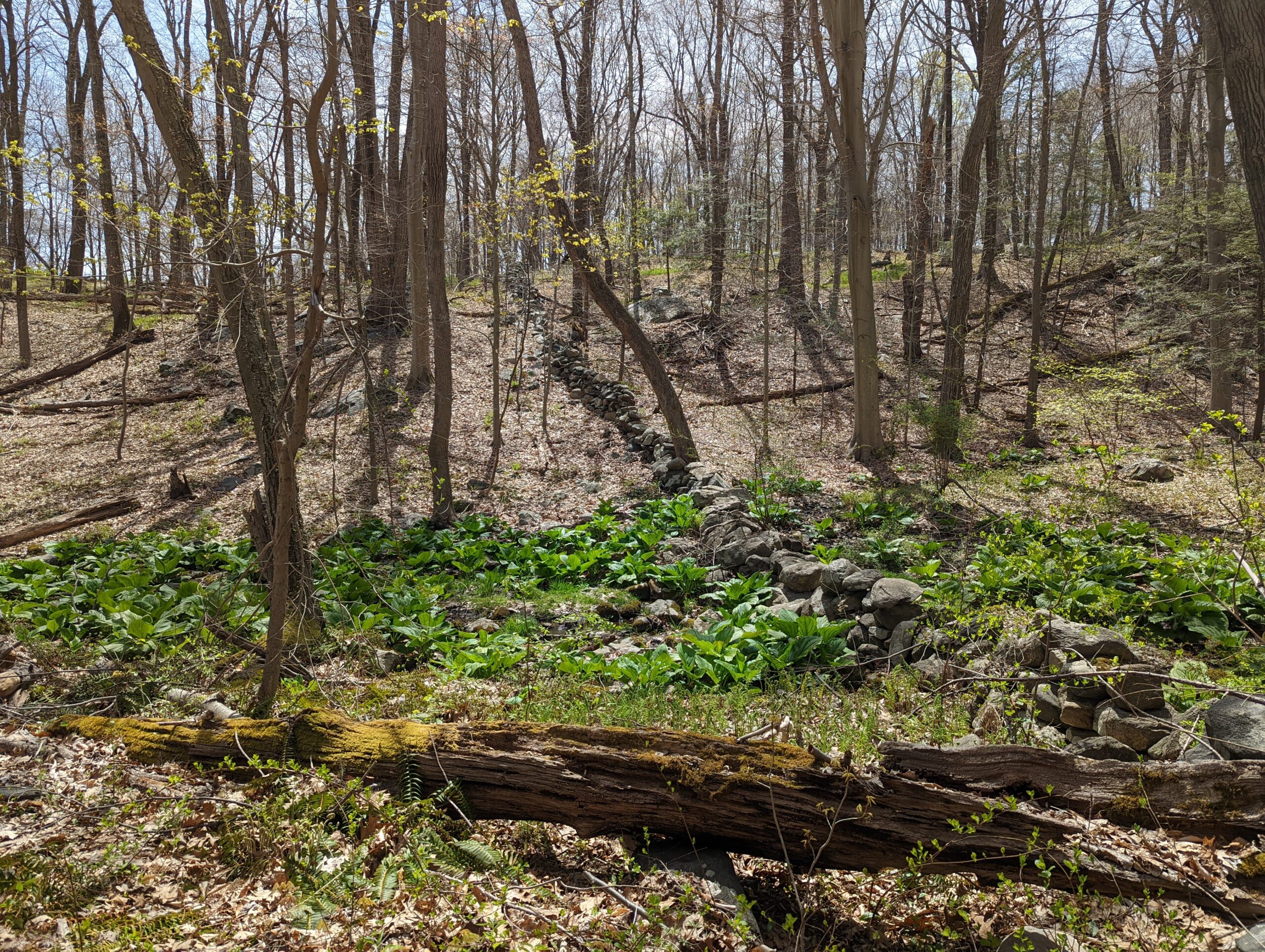
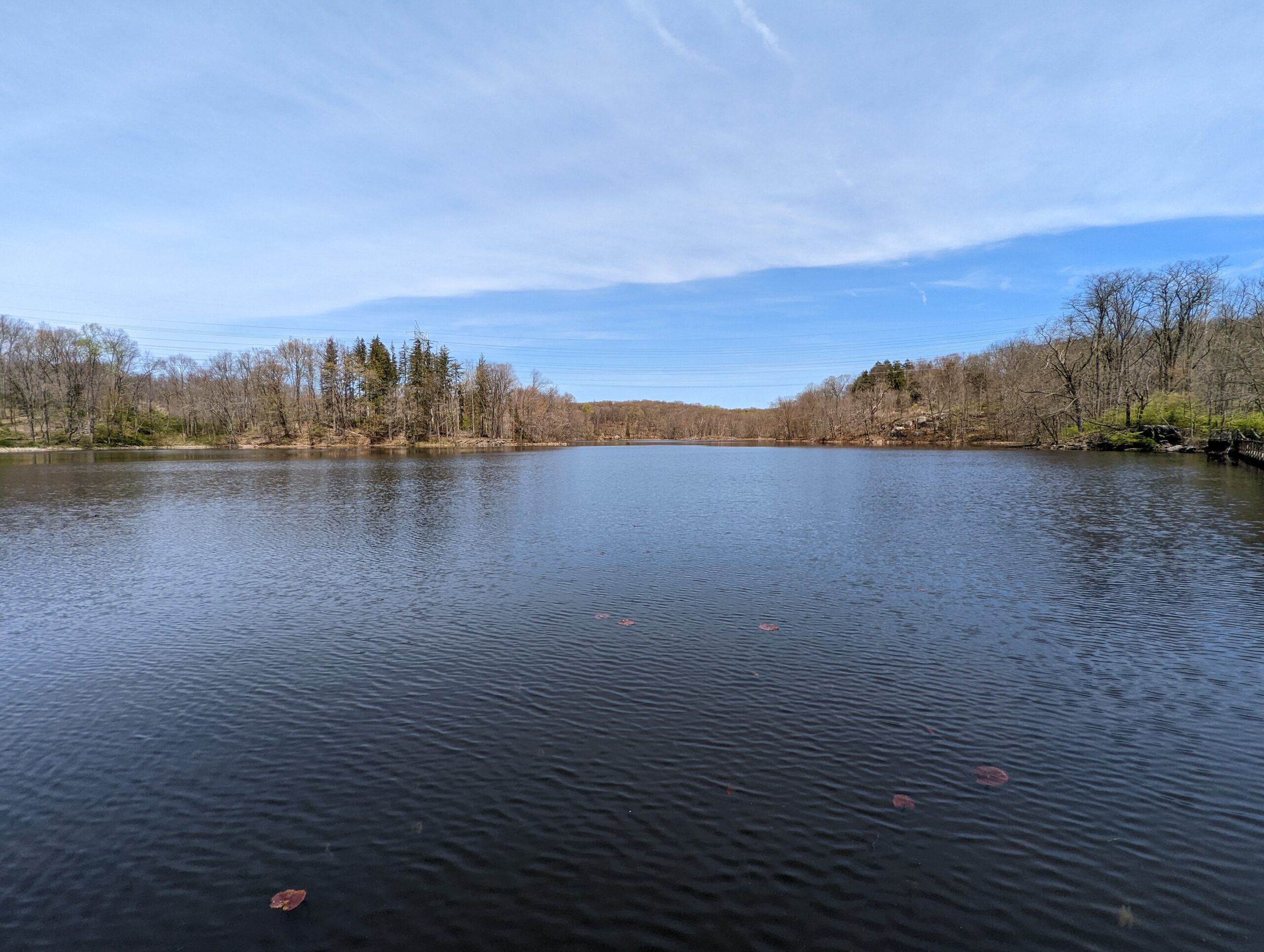
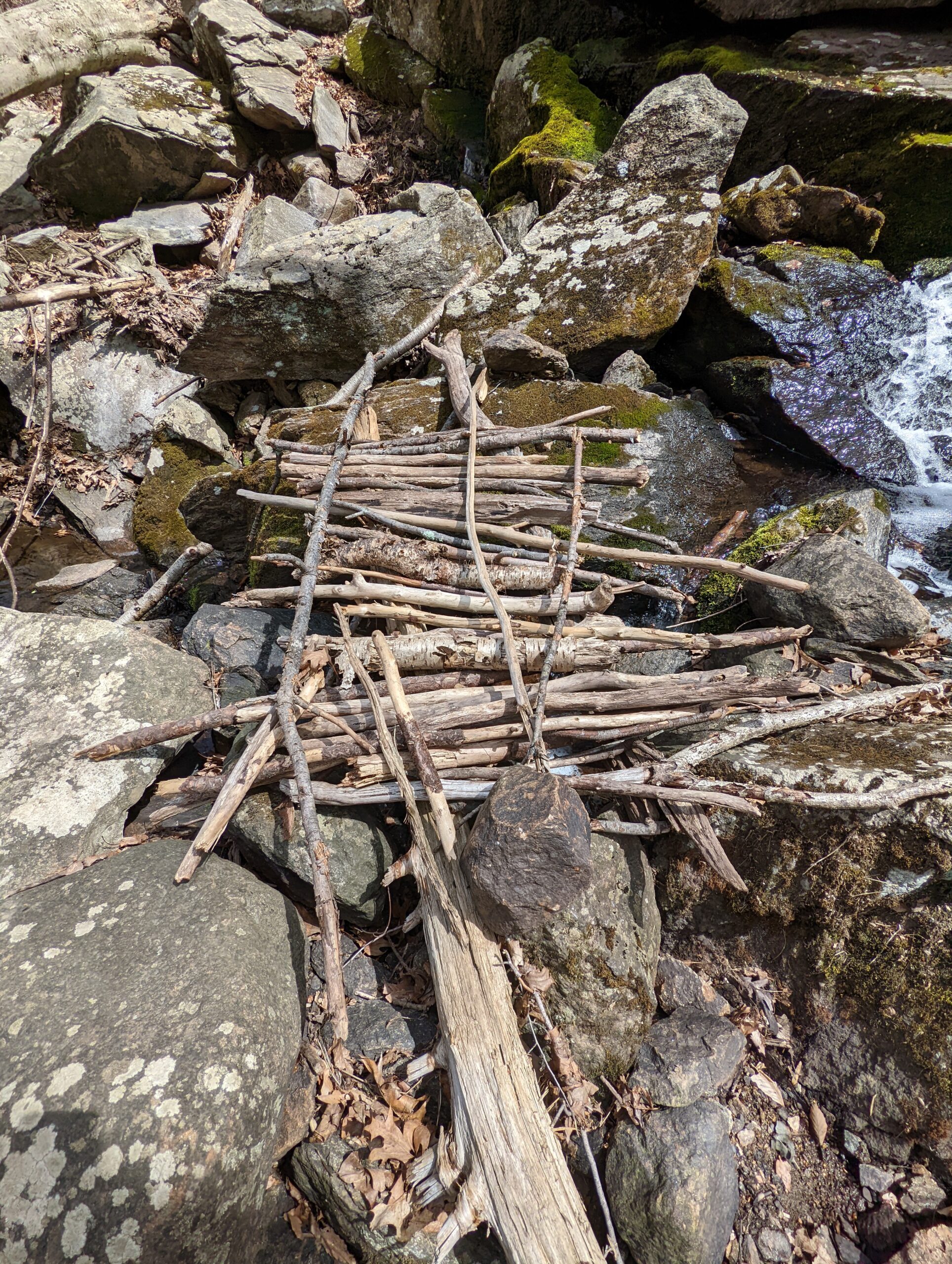
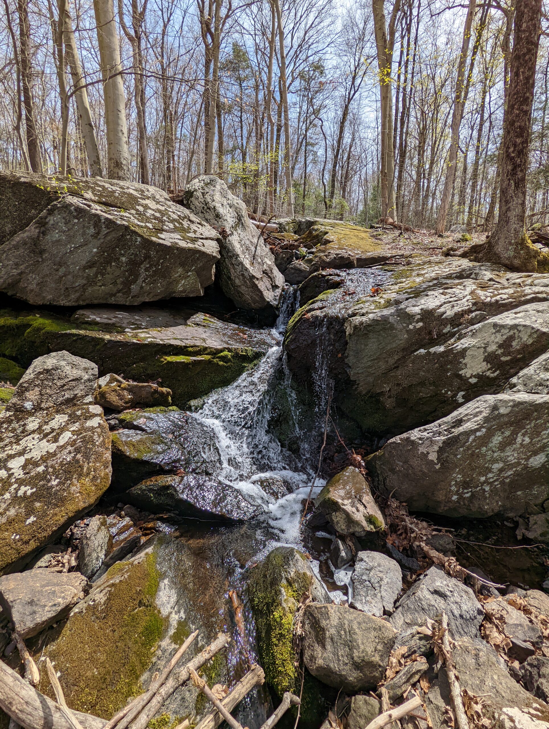
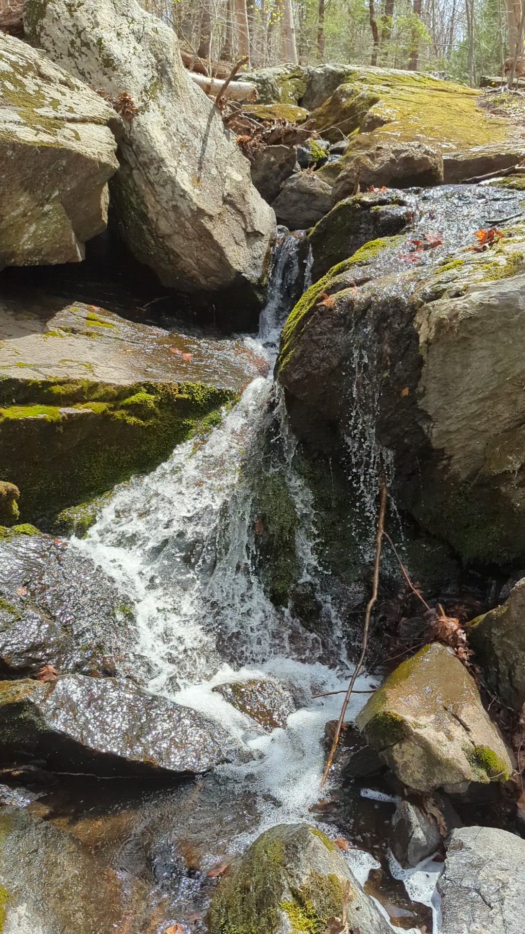
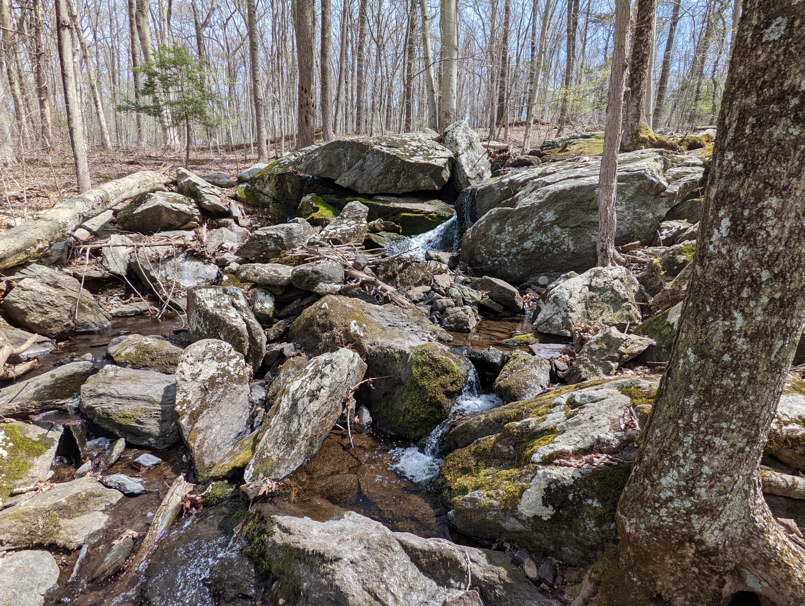
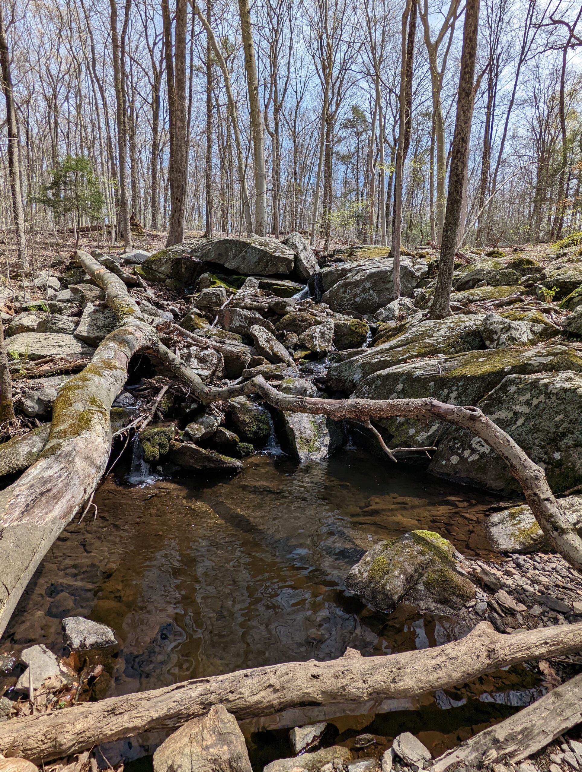
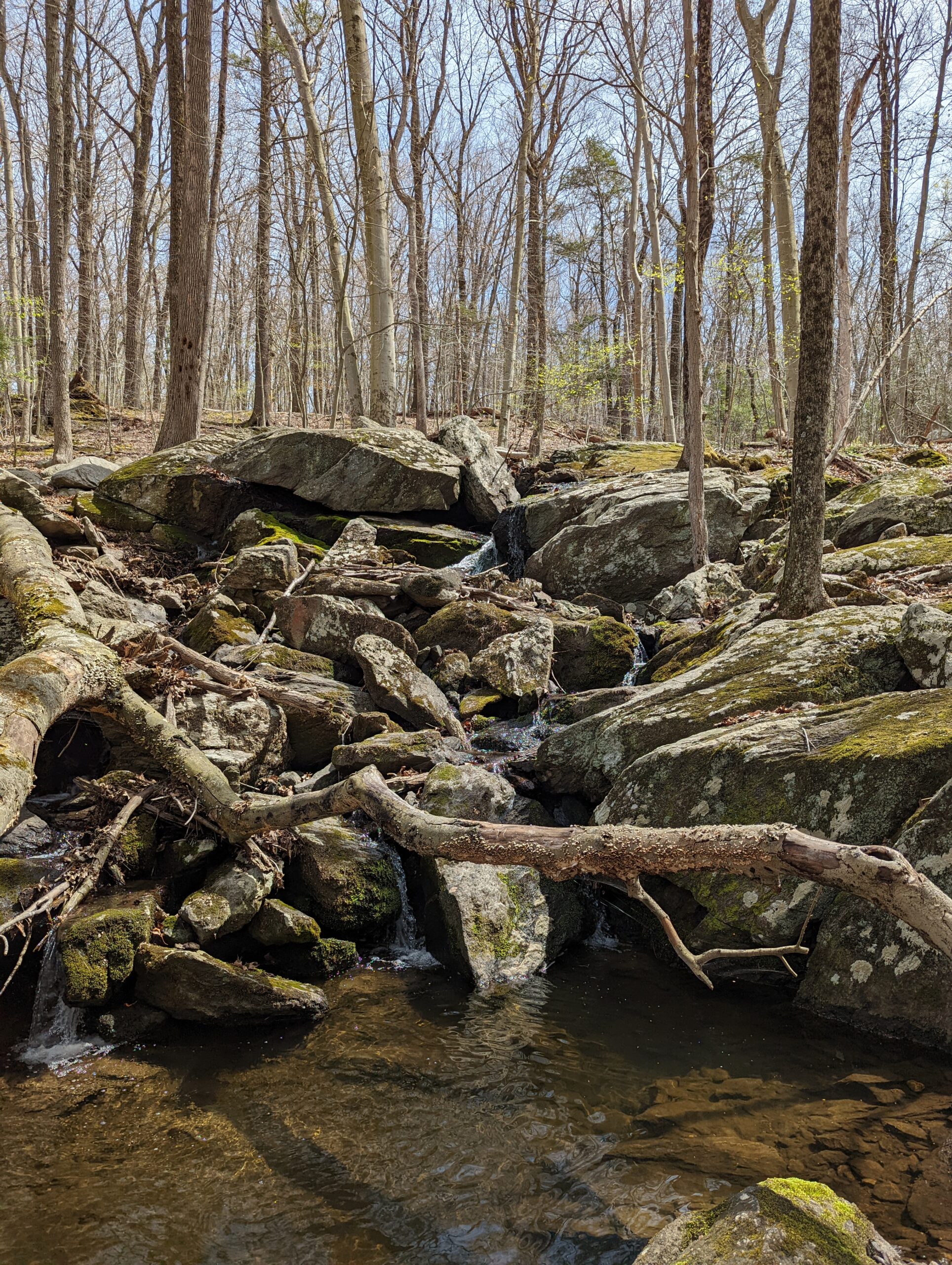
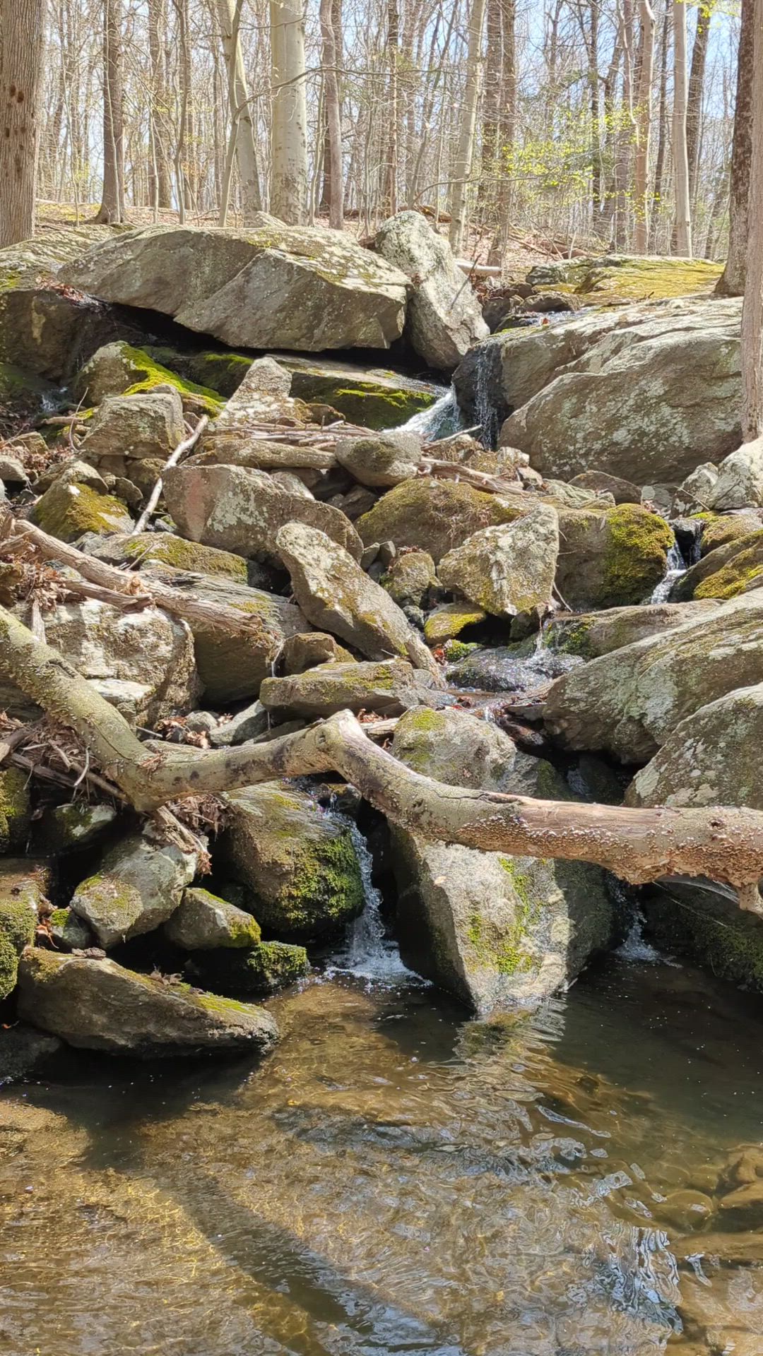
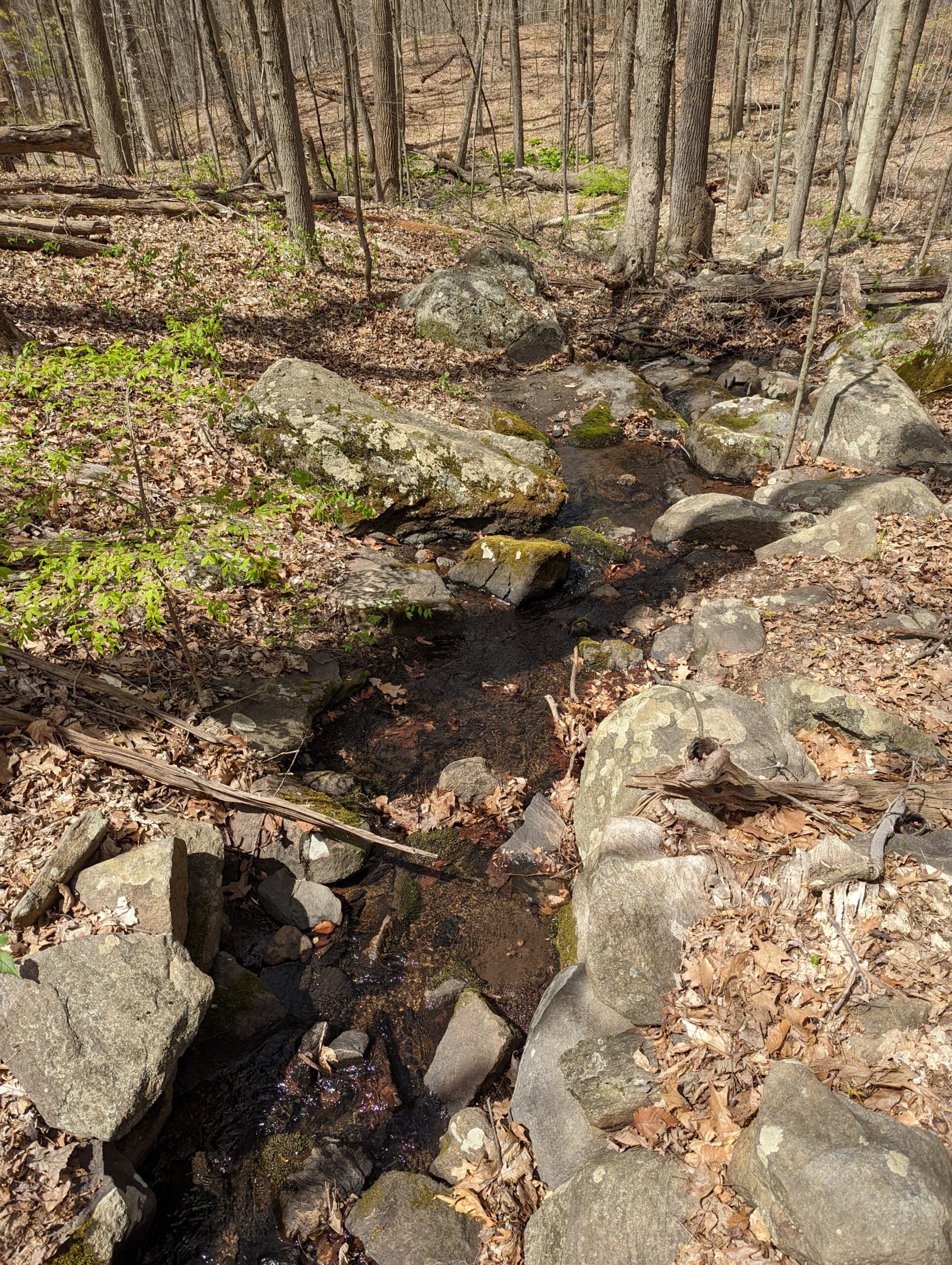
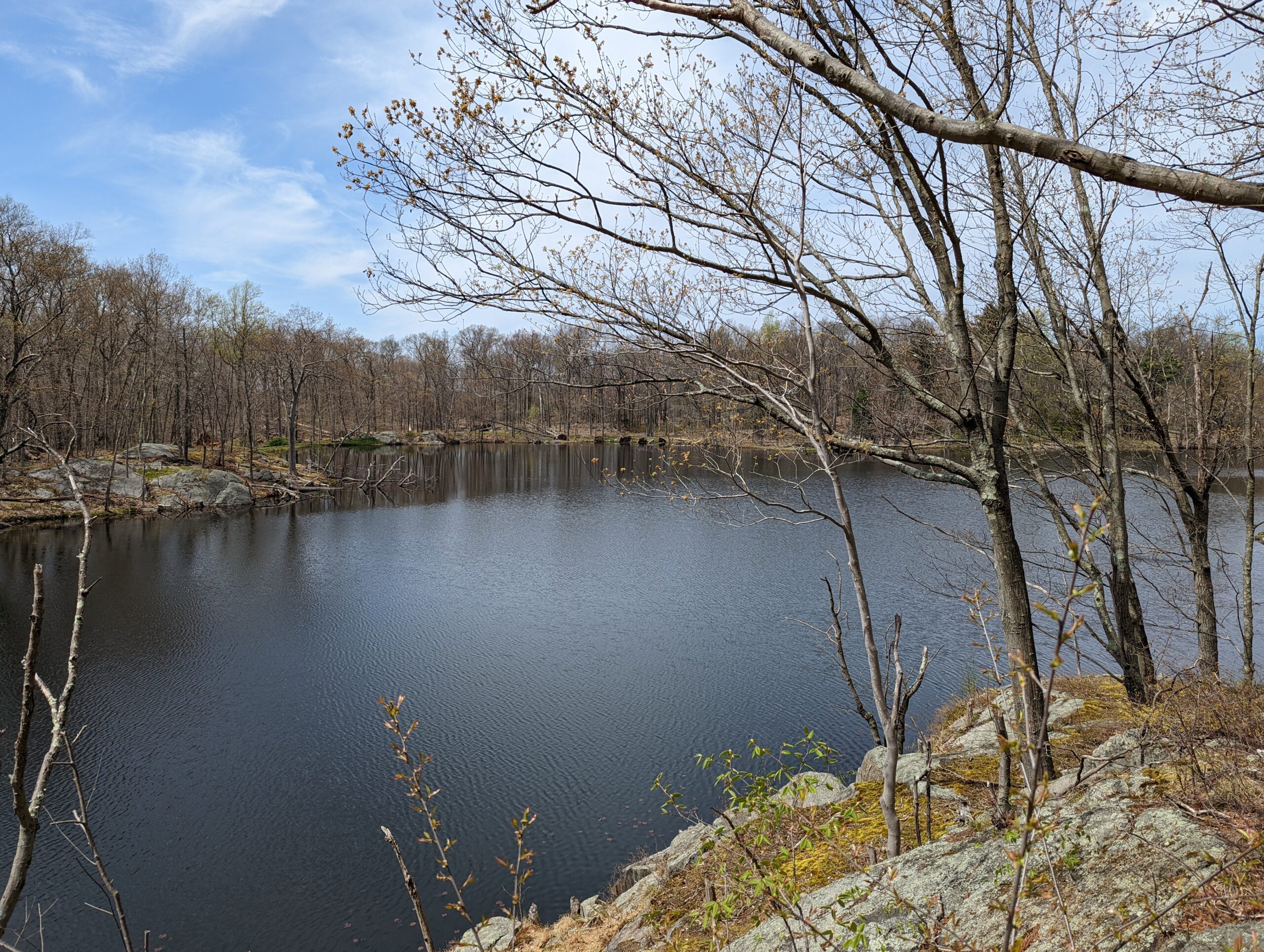
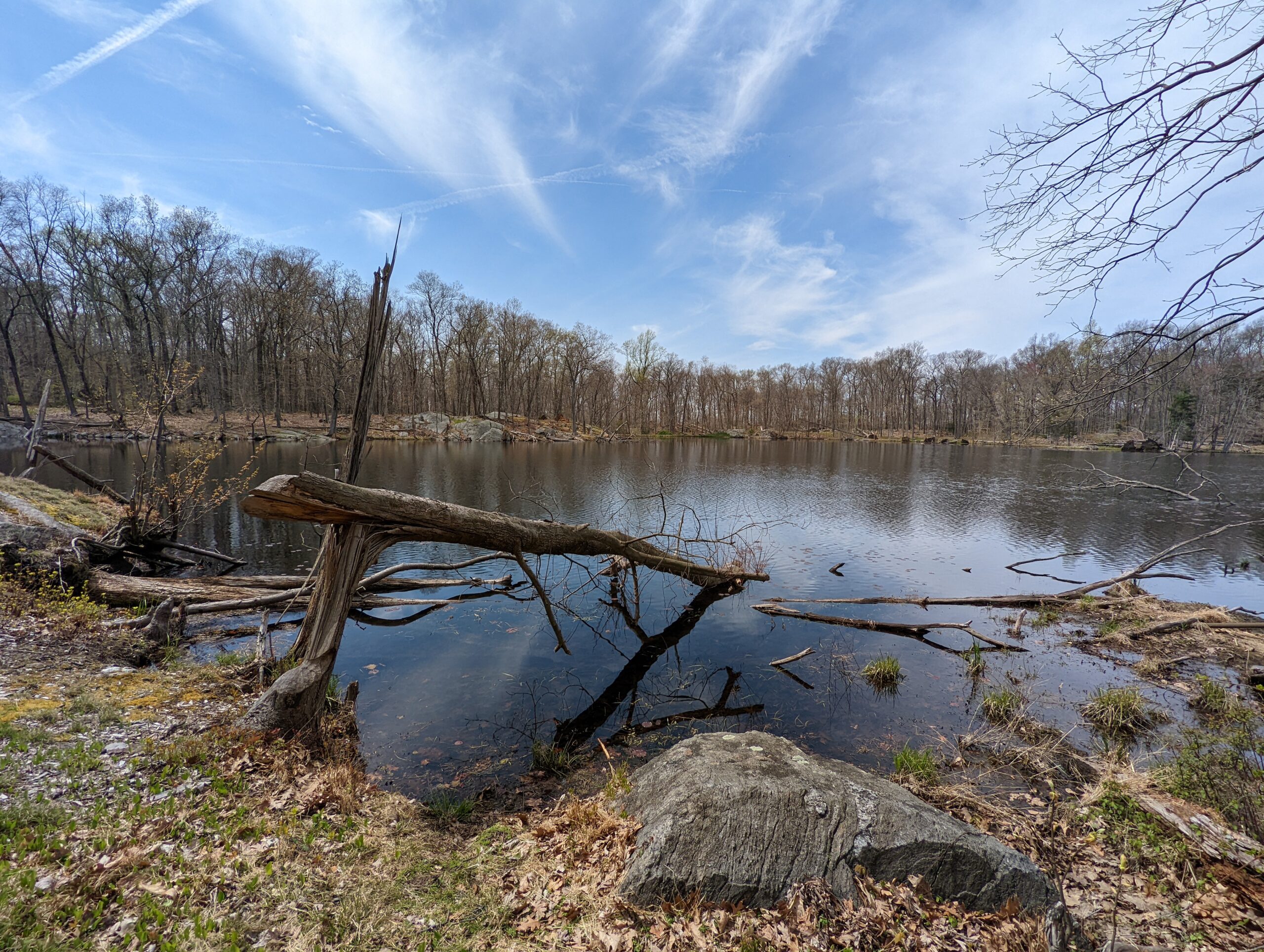
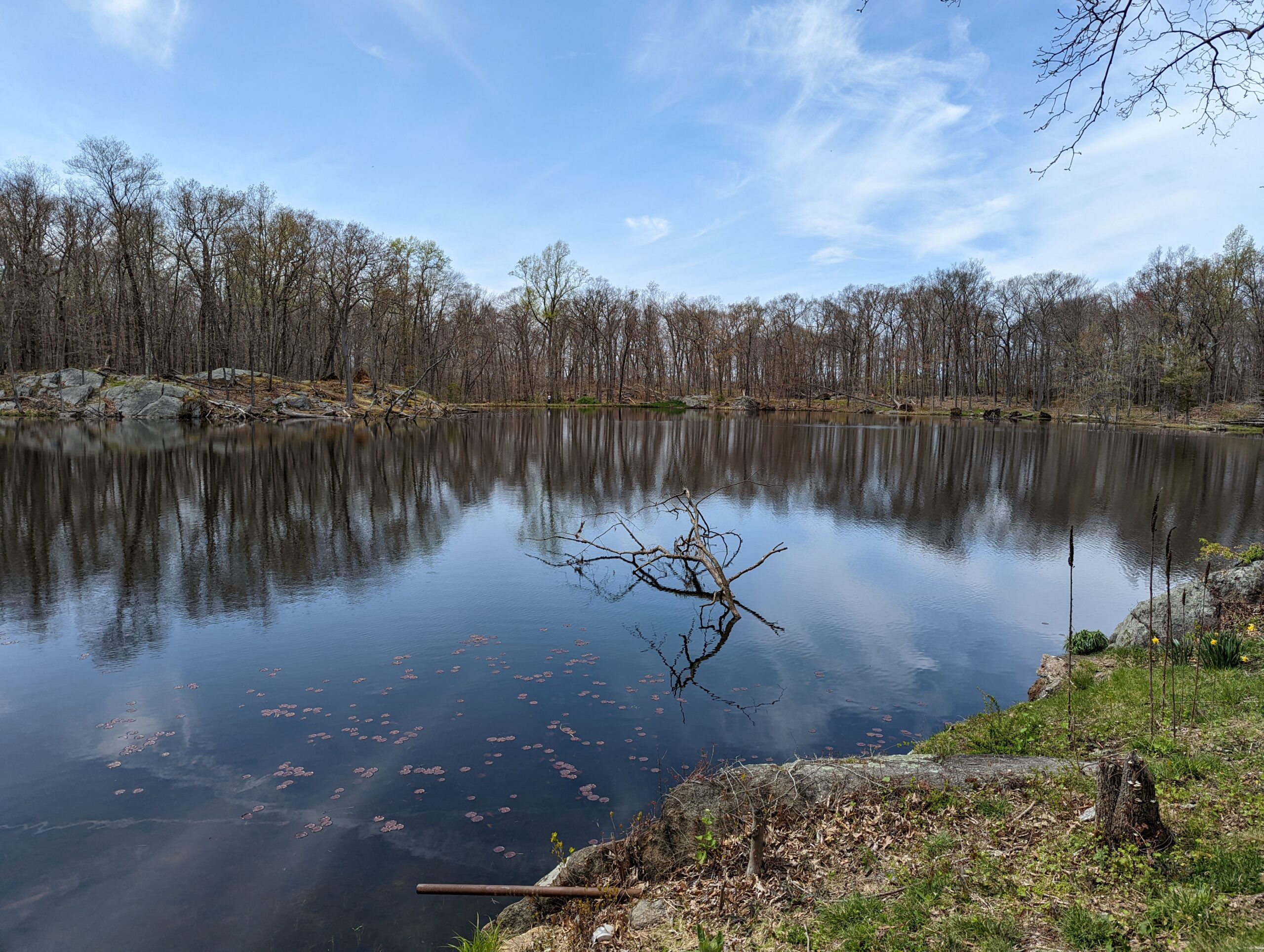
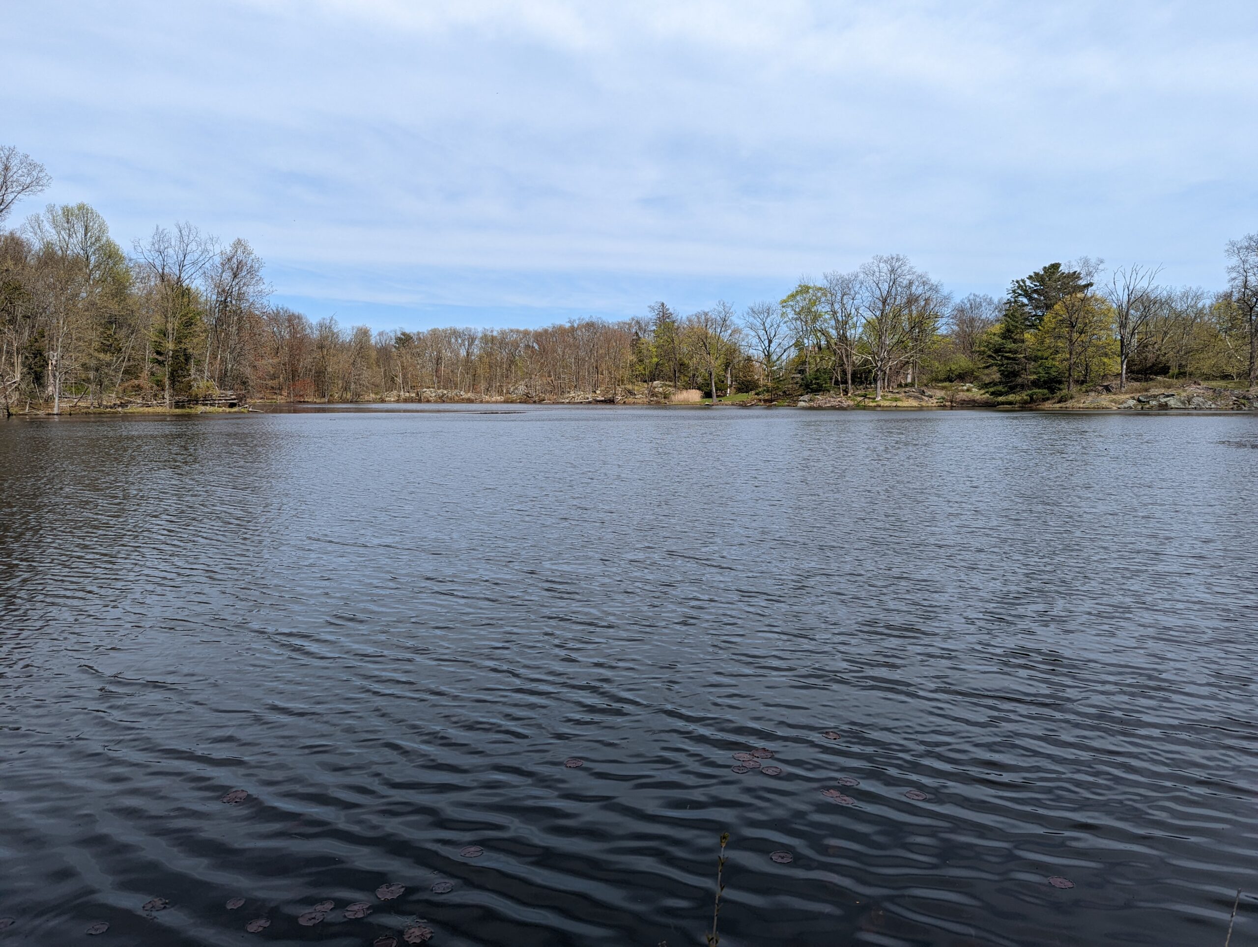
Eventually the two trails diverge and I took Three Lakes Loop to the east. I was delighted to encounter a small waterfall about 1/10th of a mile into this section of the trail. I stopped to snap a bunch of photos and videos, then continued east on Three Lakes Loop. I passed through another clearing for the power lines, then came upon Shadow Lake.
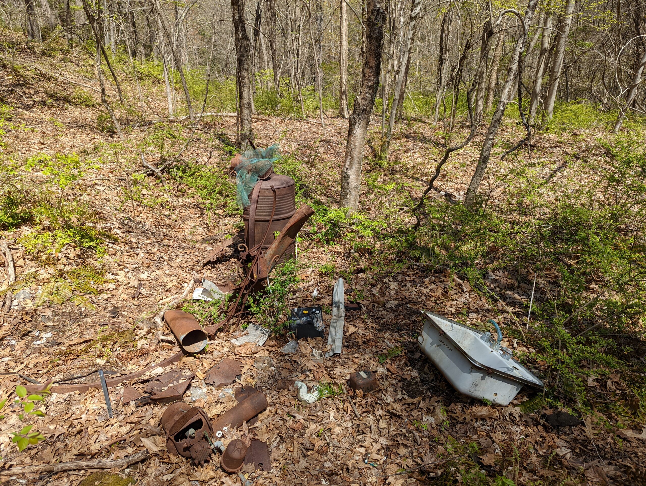
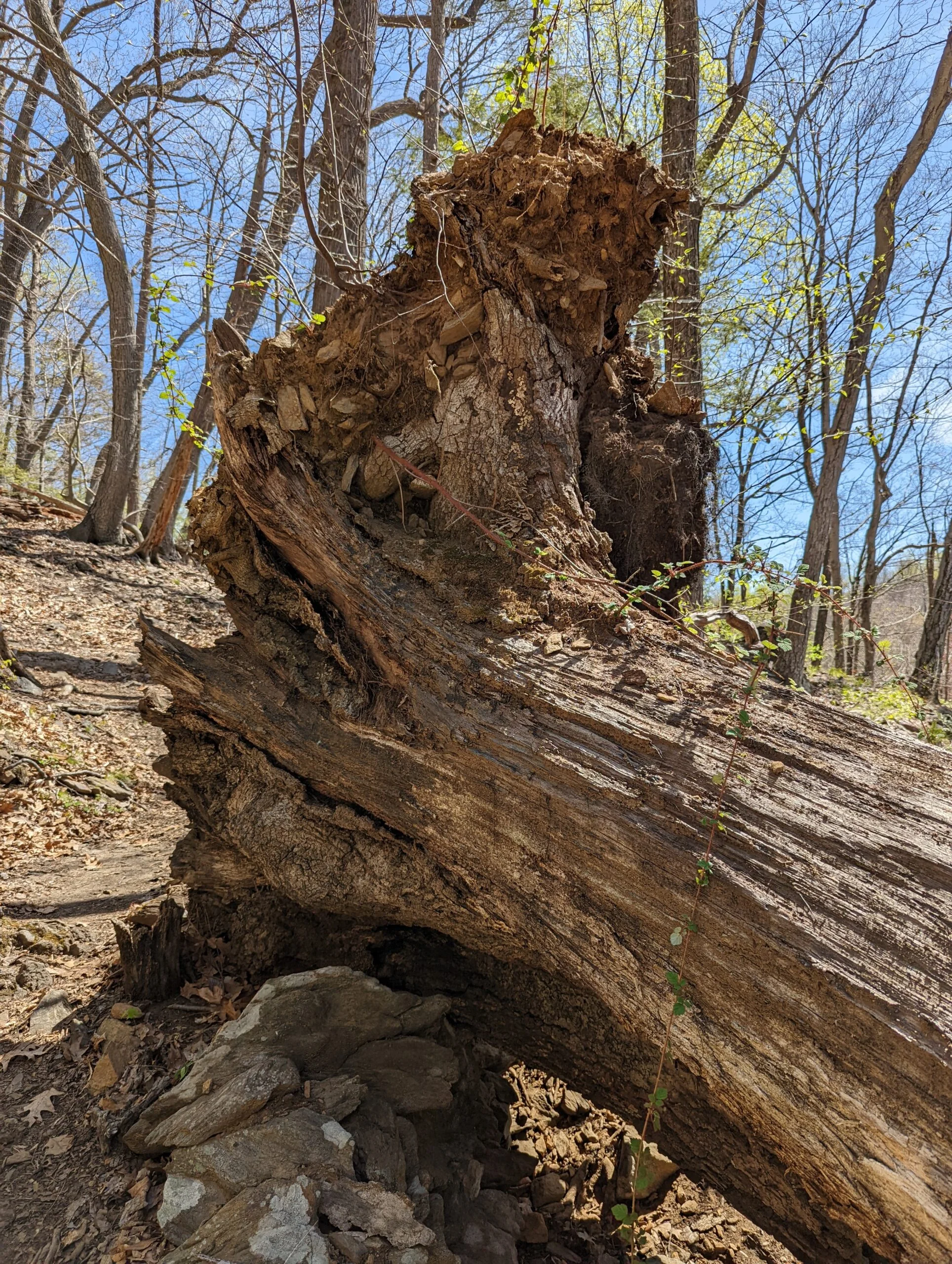
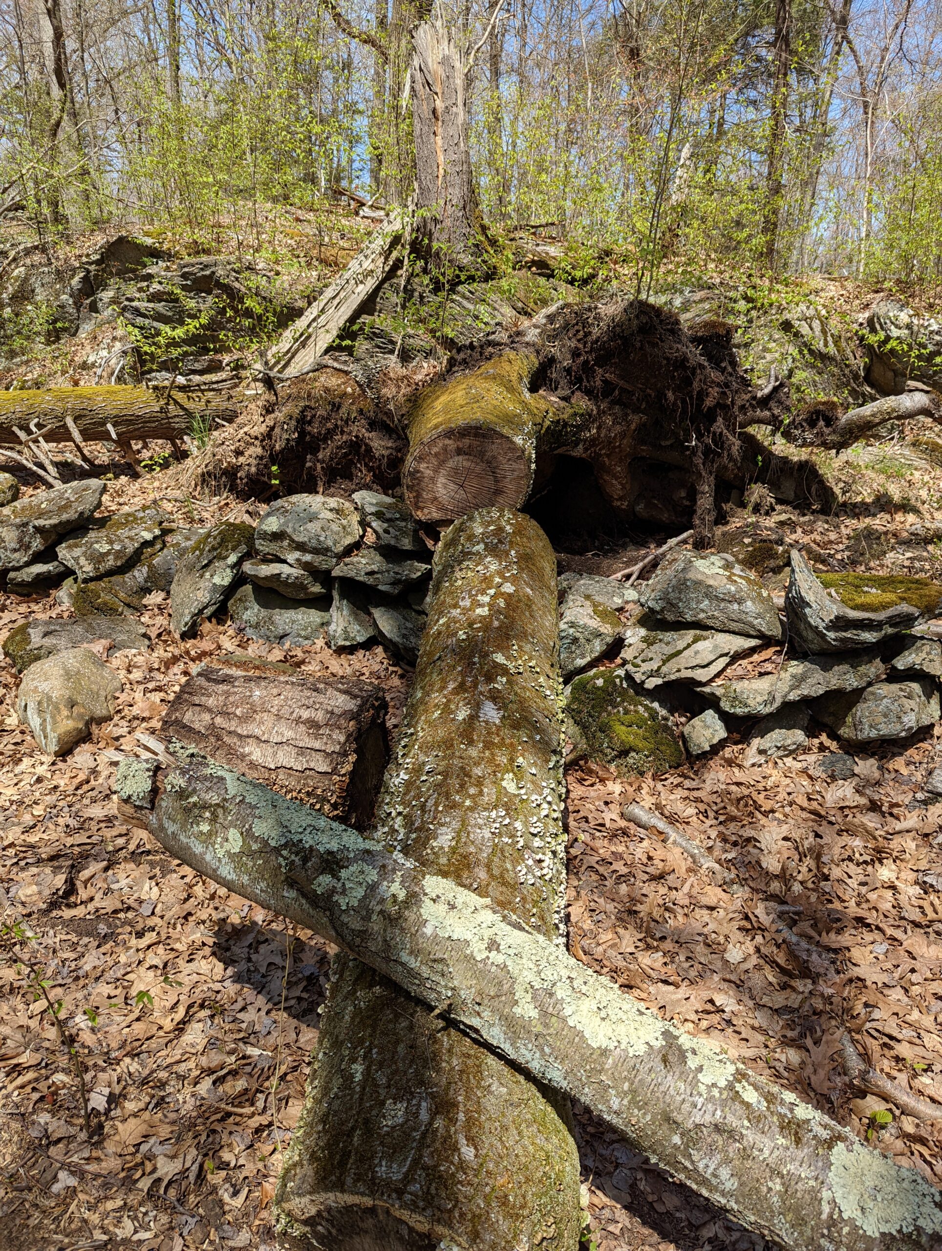
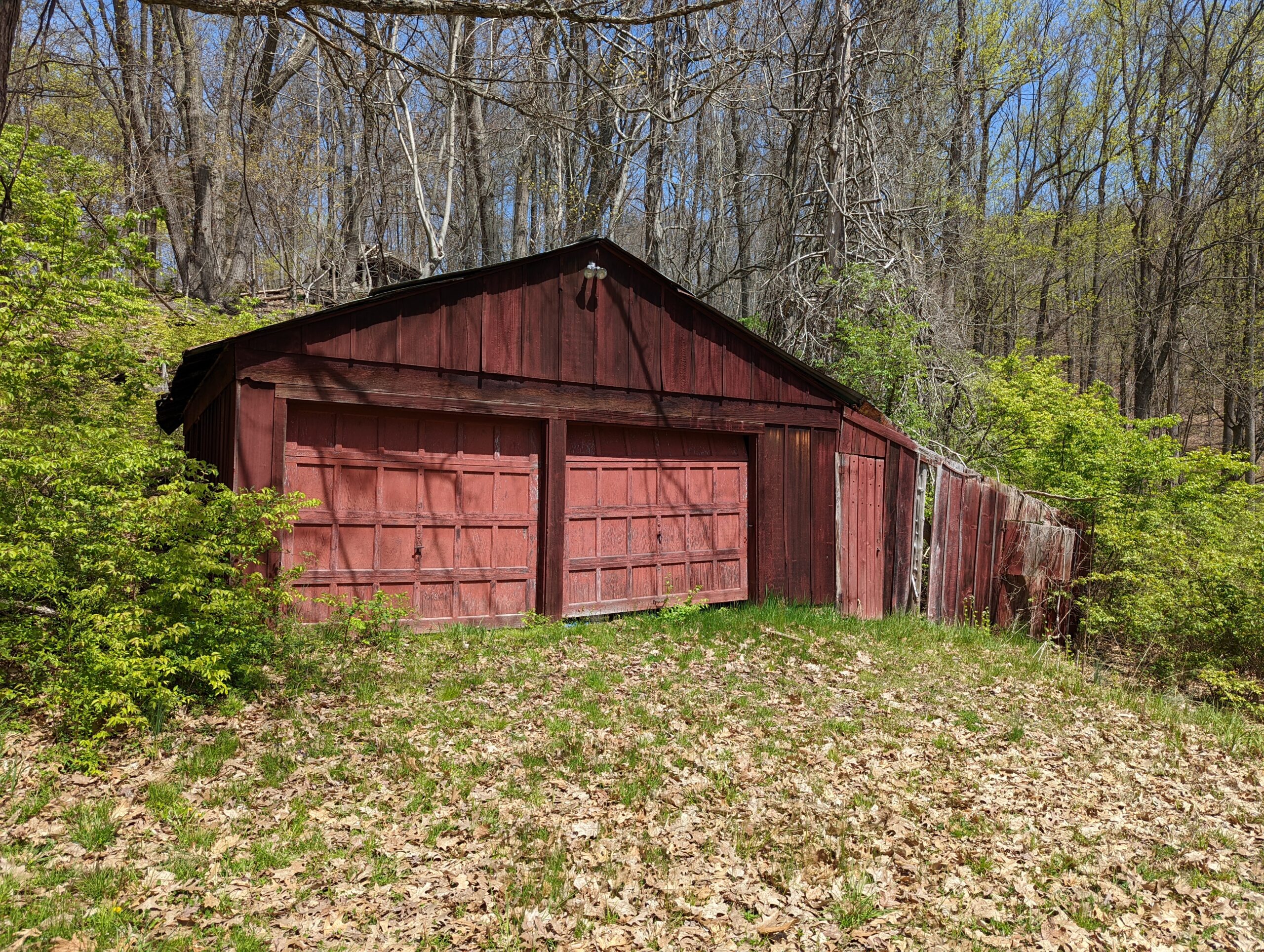
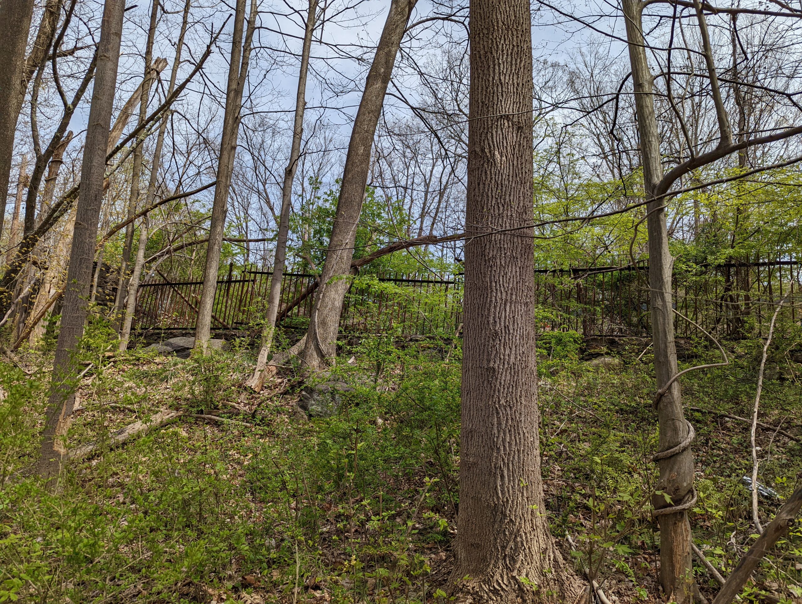
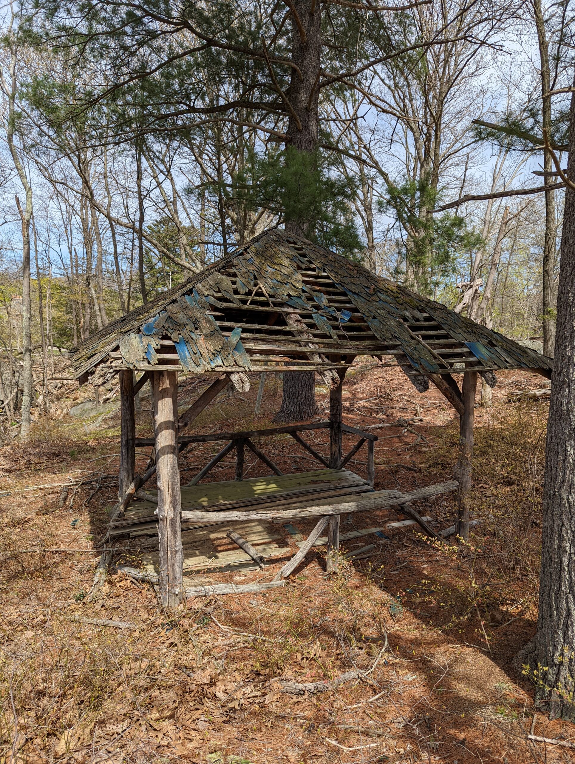
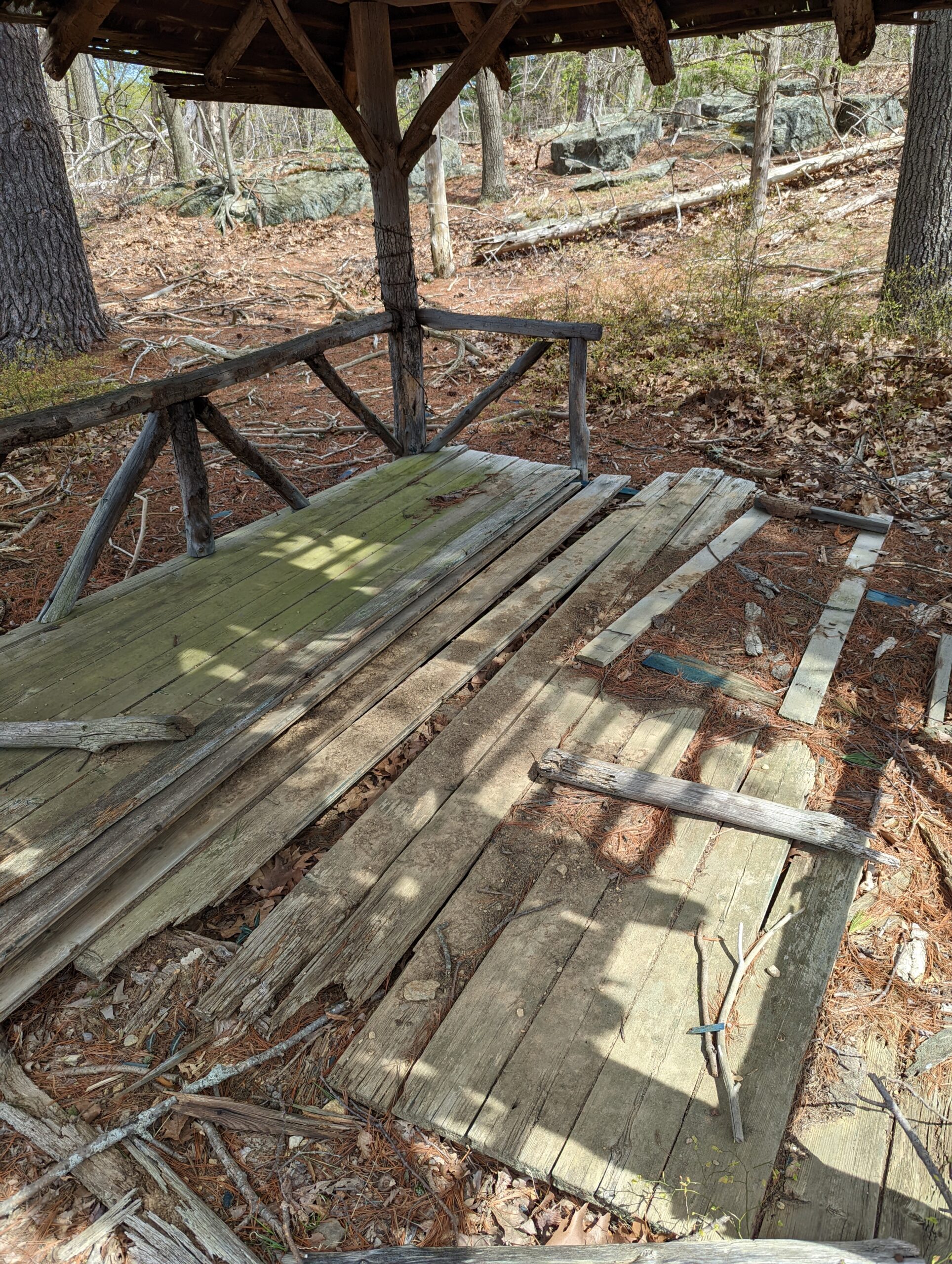
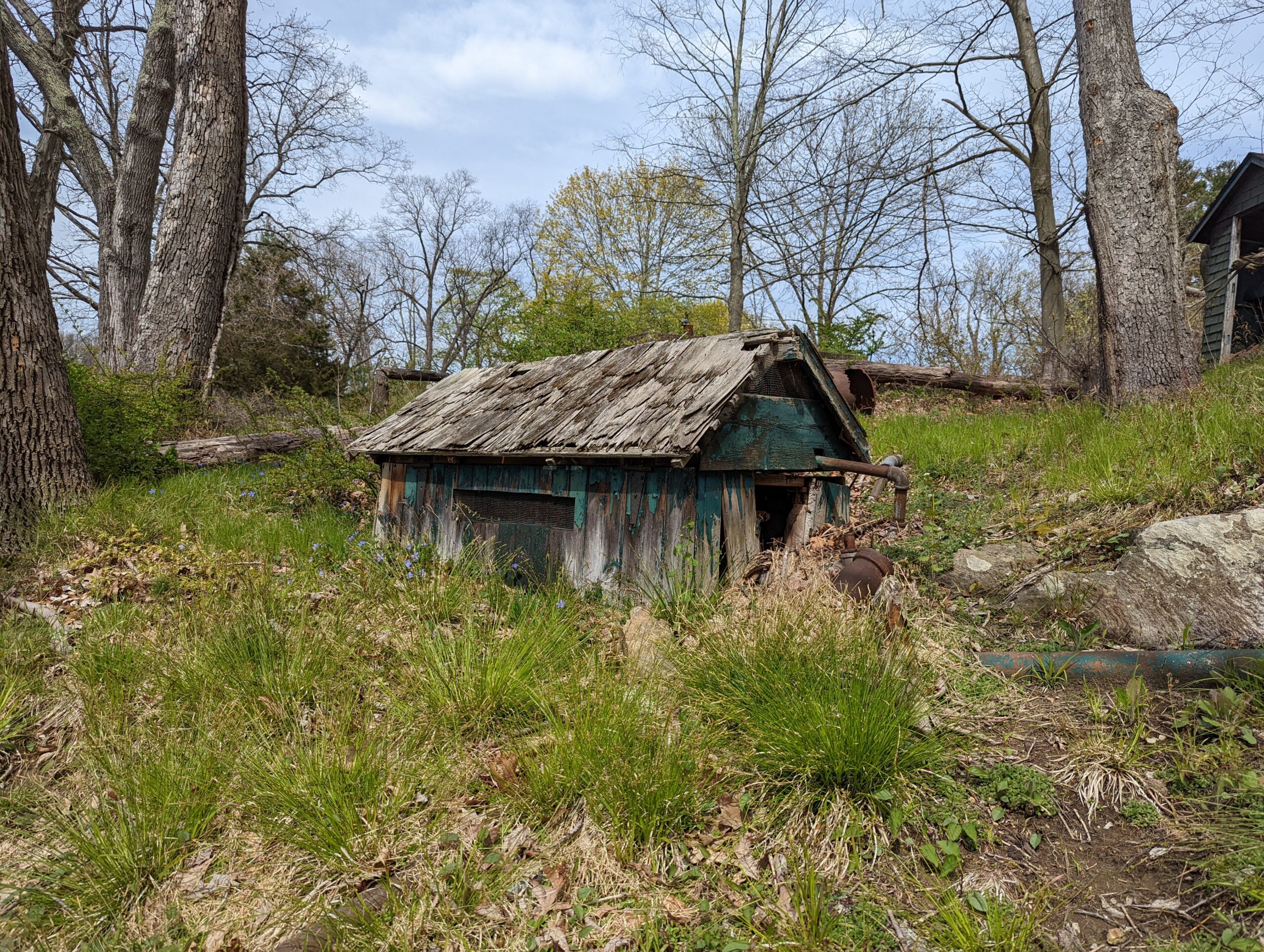
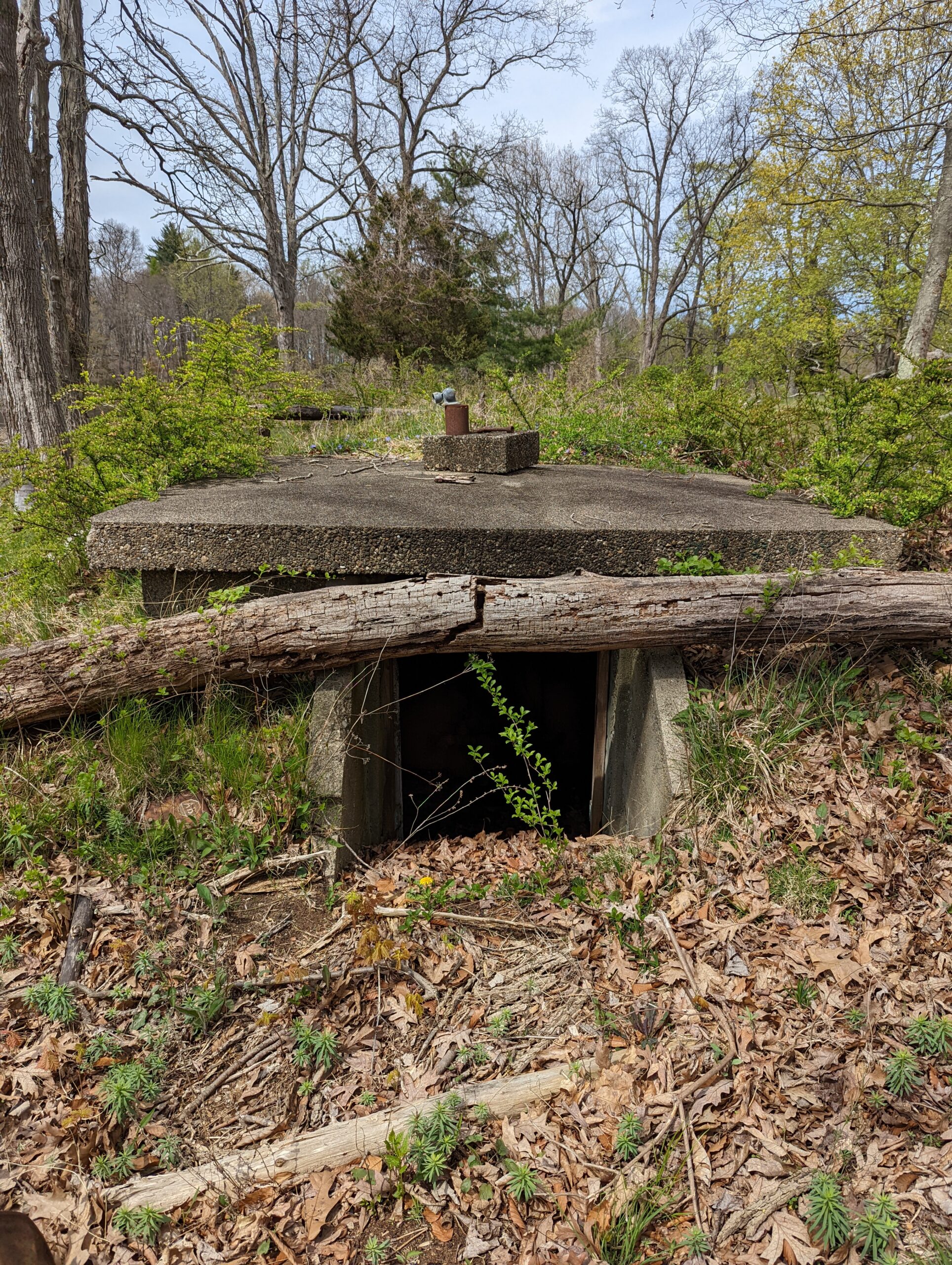
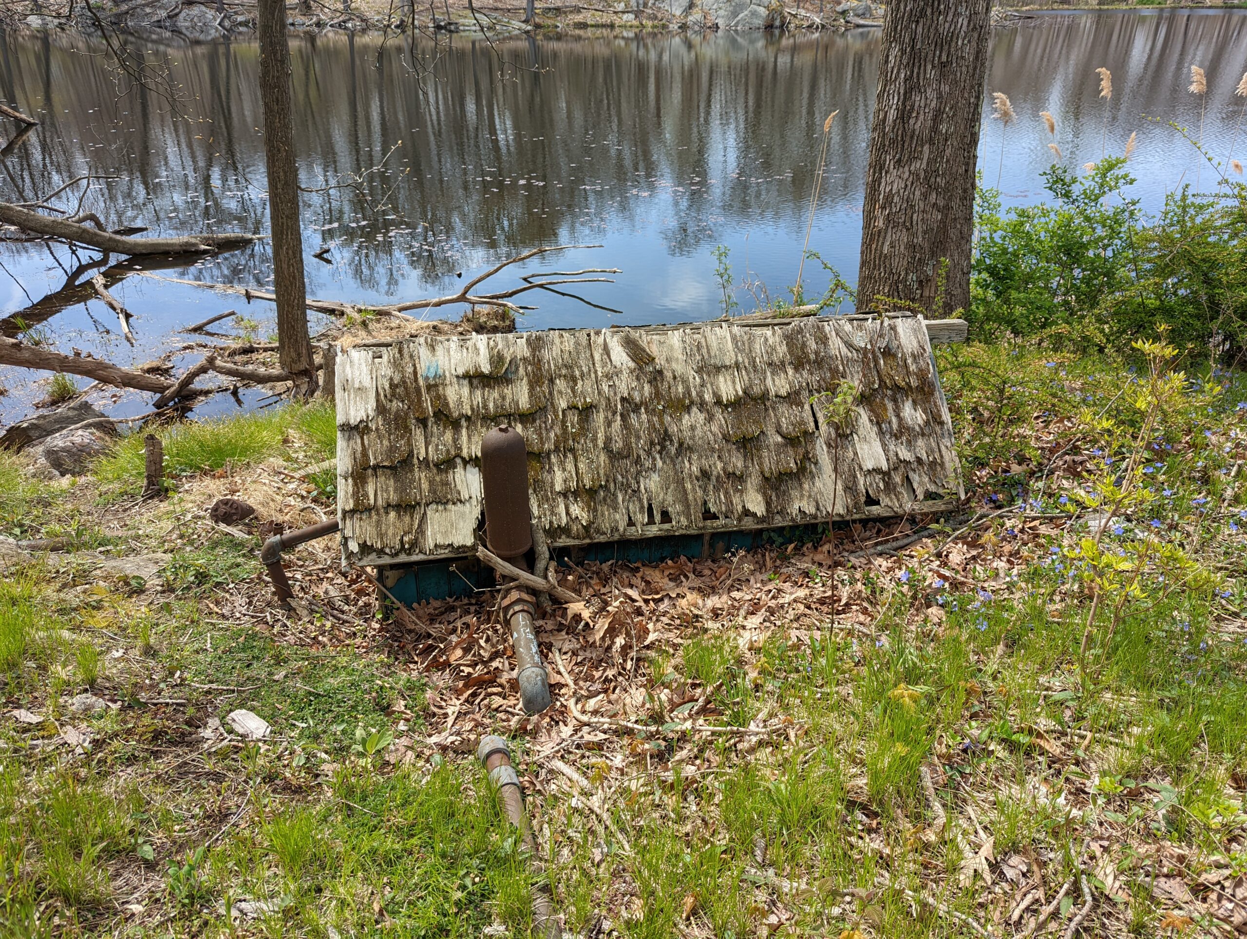
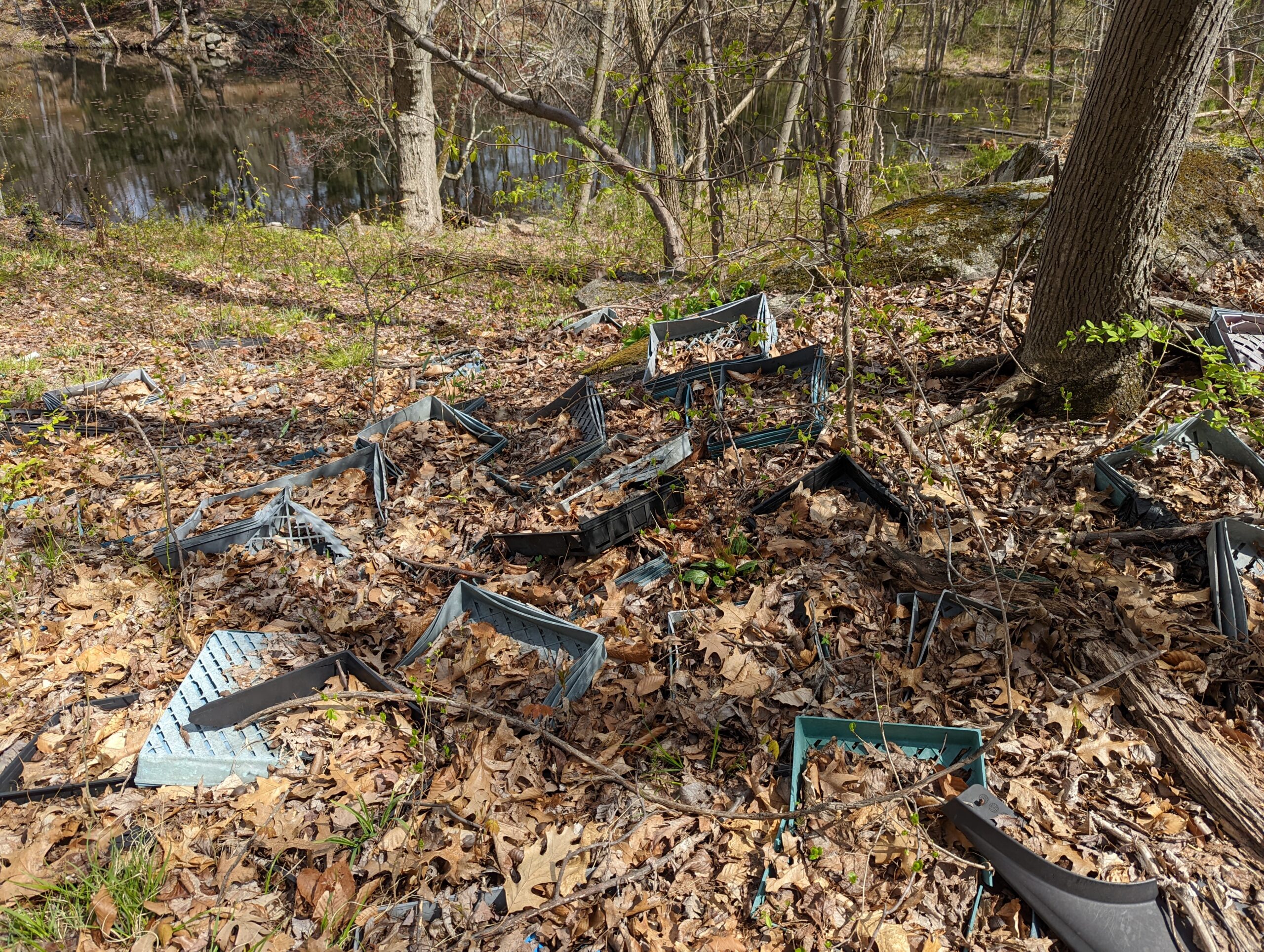
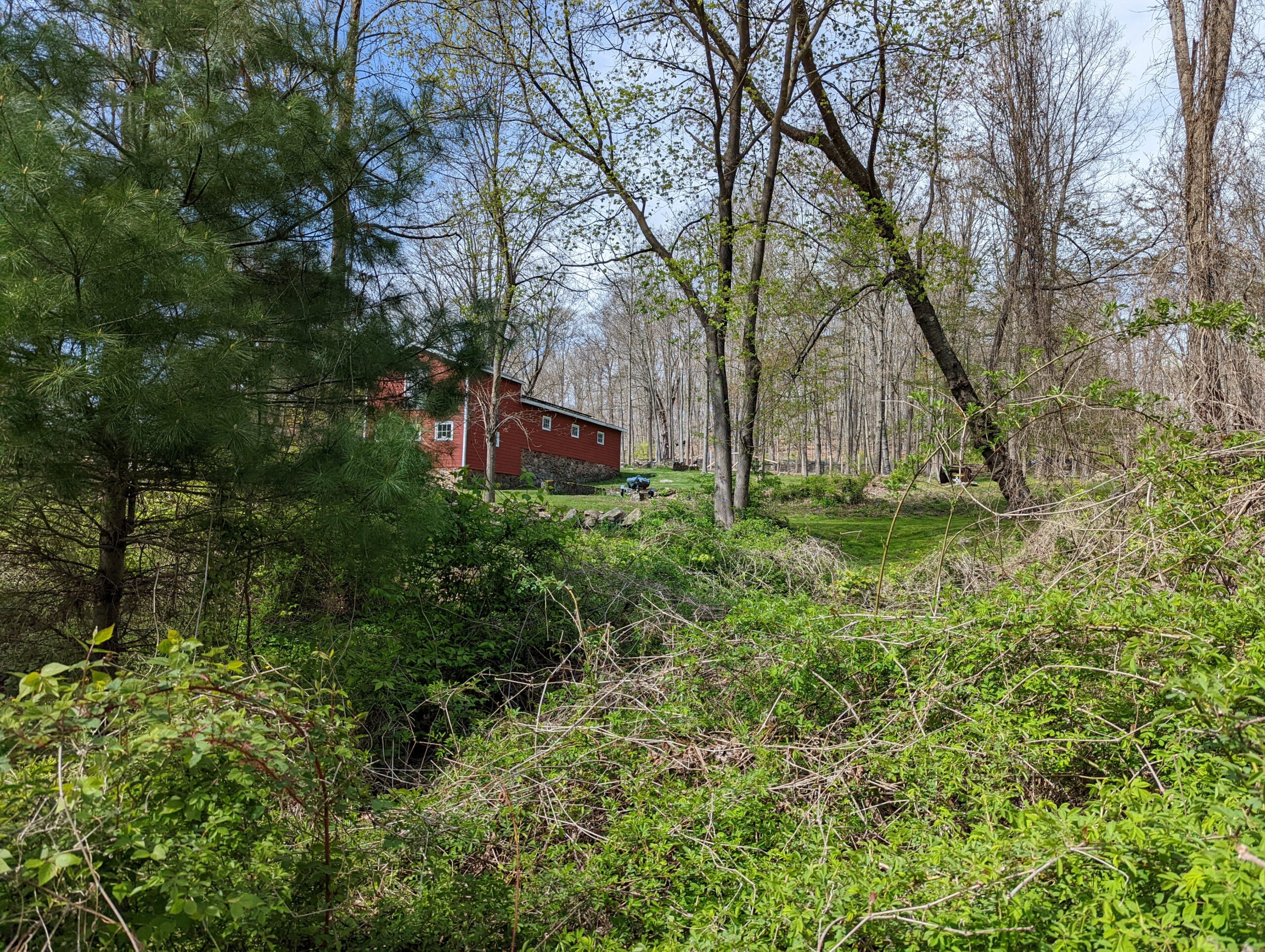
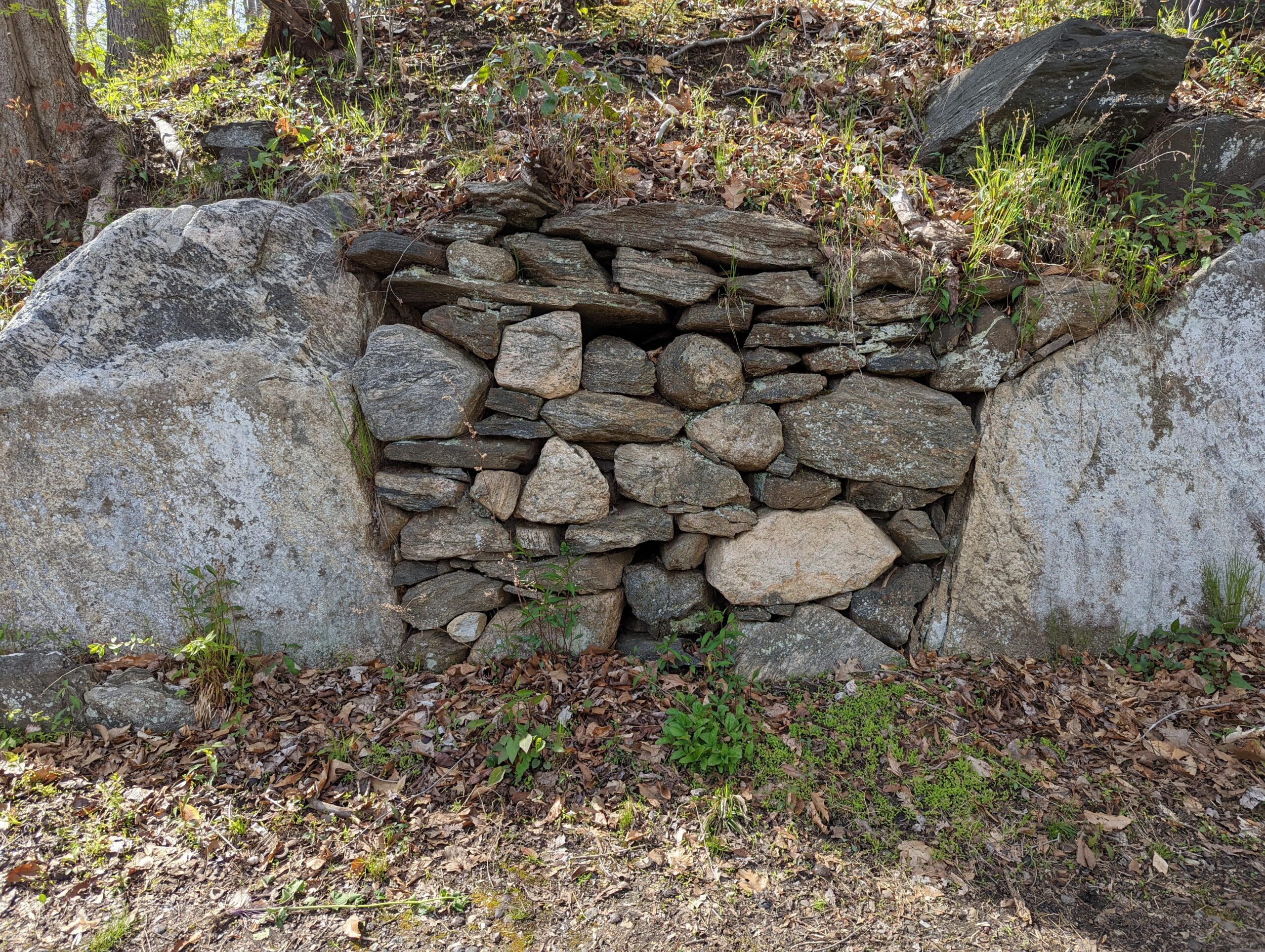
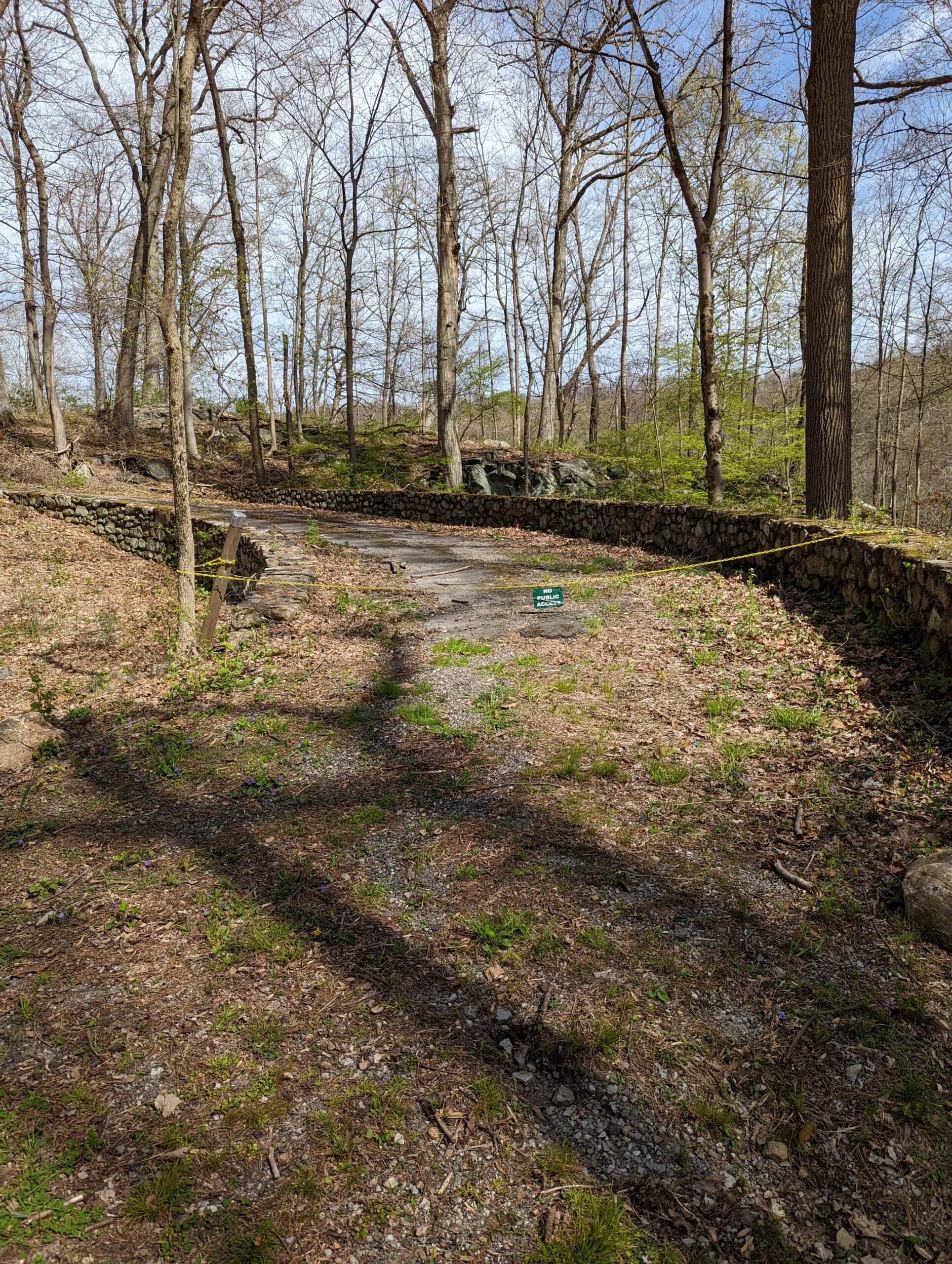
As I was taking photos of the lake, I noticed some structures in the distance on the opposite bank. I walked along the bank of the lake to the other side, past where any official trails ended. I found a dilapidated gazebo-like structure and a defunct pump house. I wanted to explore more, but it seemed like going any further would be intruding on what seemed like the property of a nearby house, so I aborted mission and turned back.
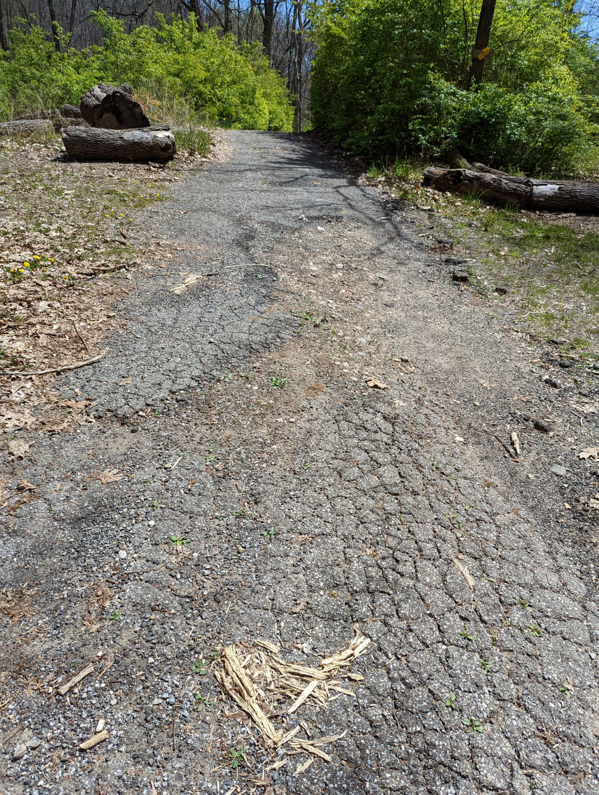
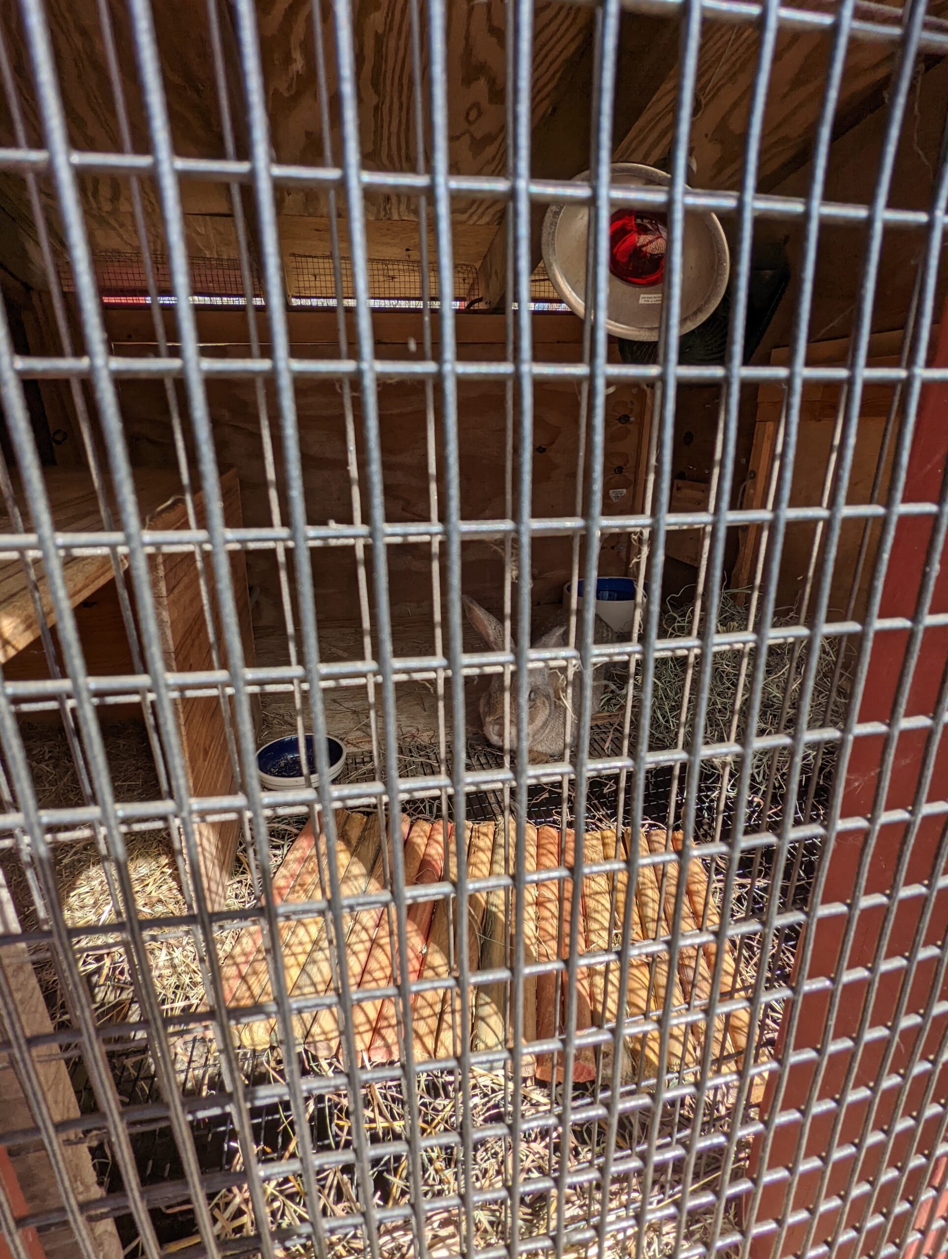
Getting back on Three Lakes Loop, I soon hit the banks of Vernay Lake and continued down the narrow path along the edge of the lake. Staying on Three Lakes Loop took me to the Visitor Center. I stopped to peek at some bunnies in an outdoor hutch, then made my way back to my car.
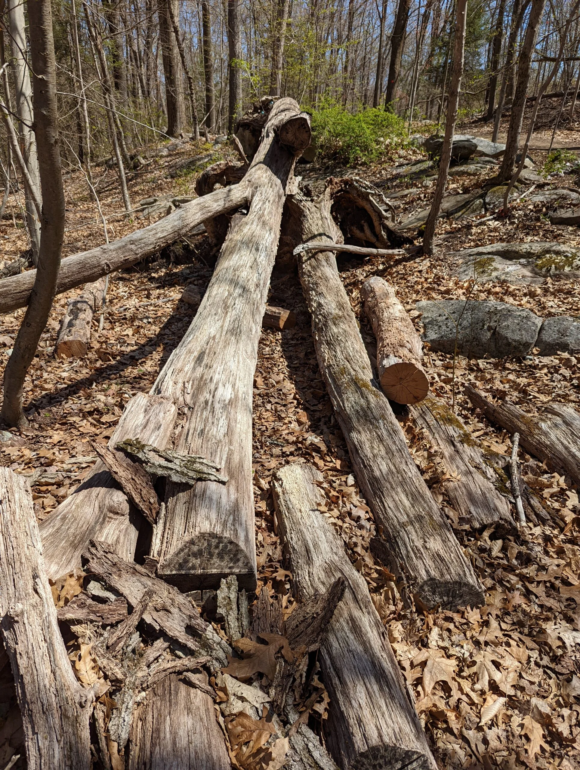
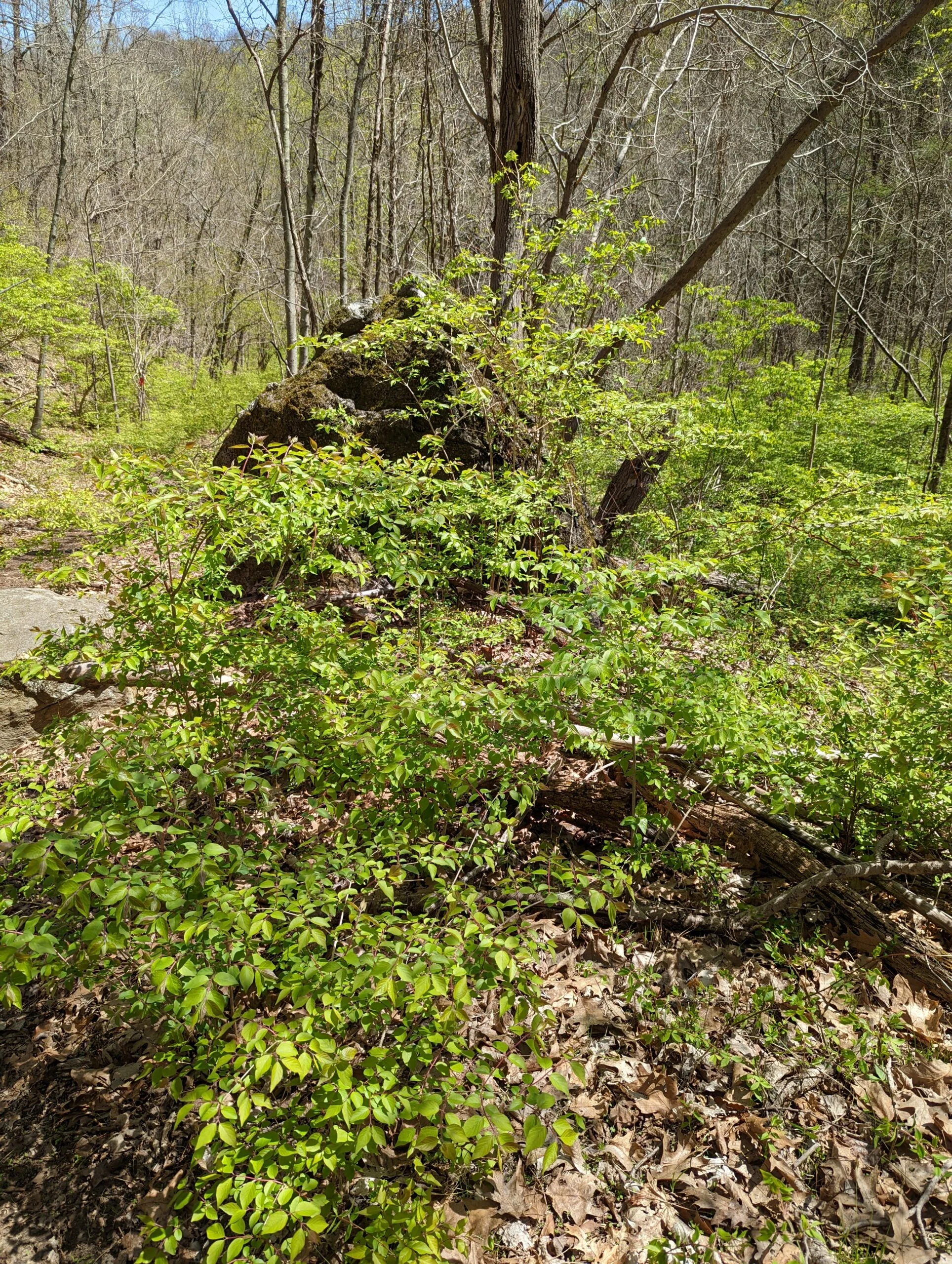
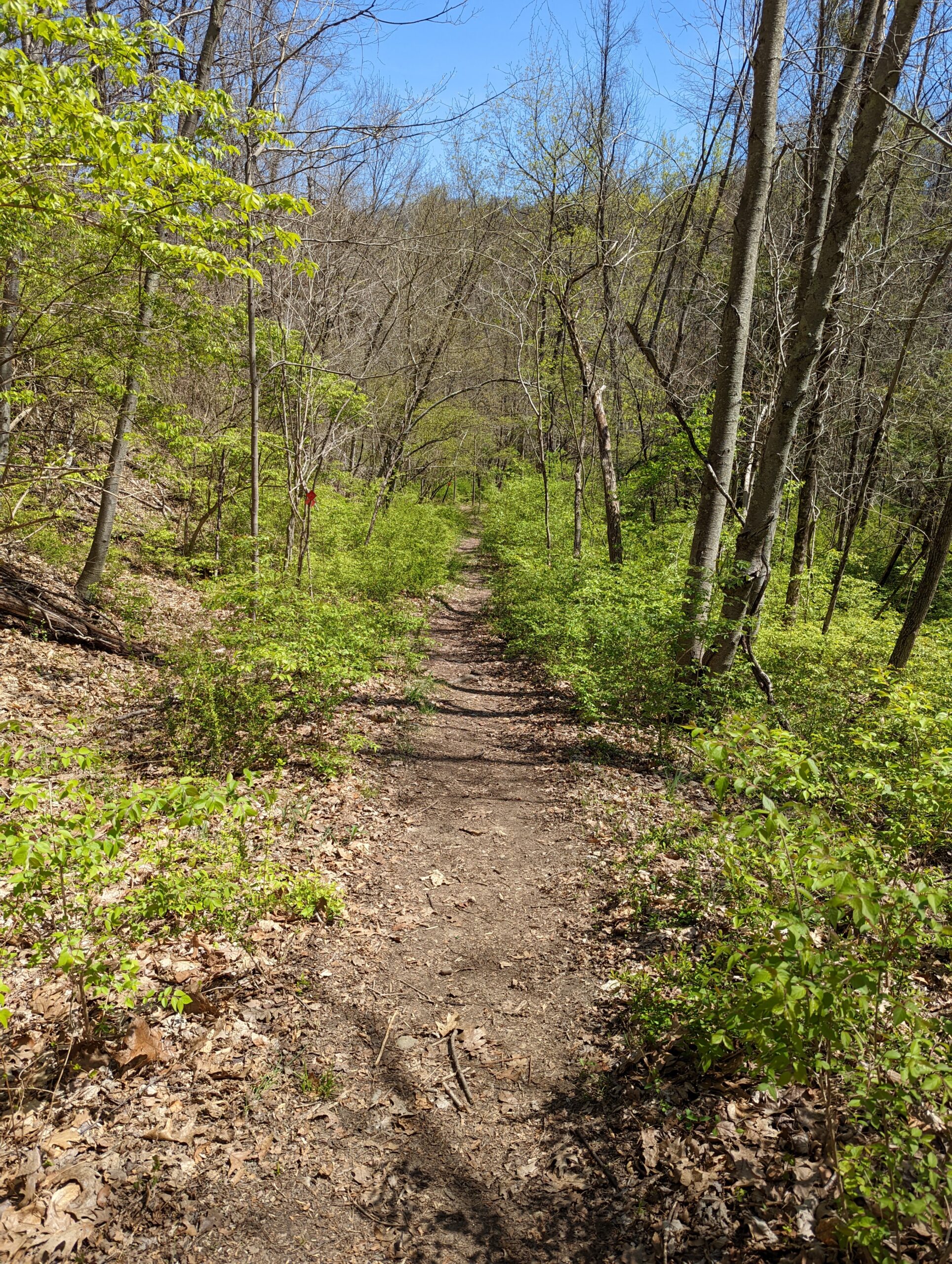
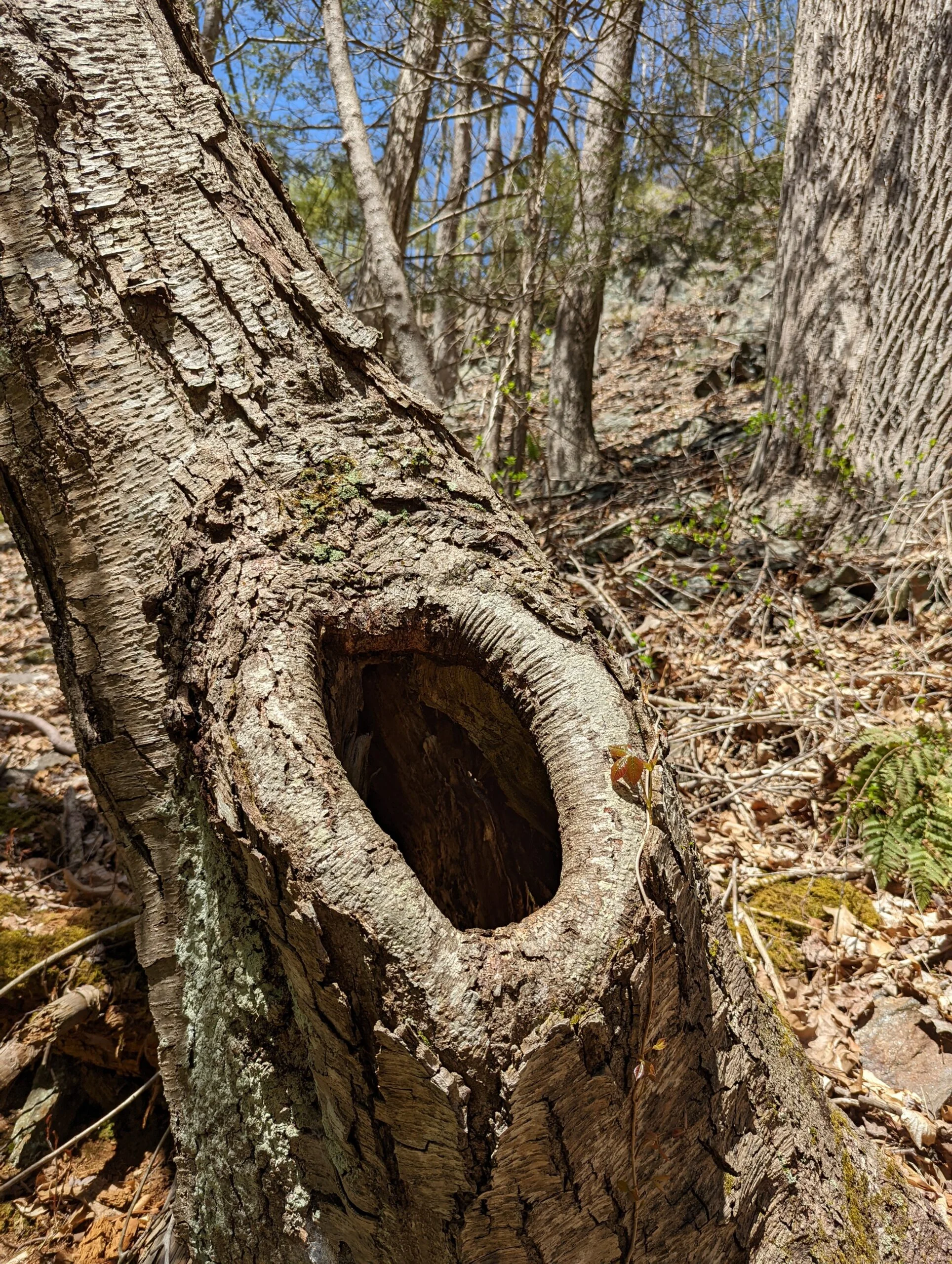
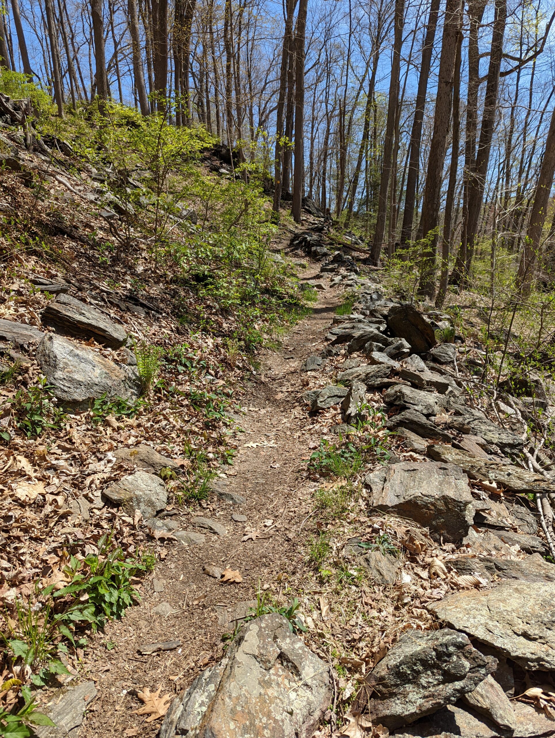
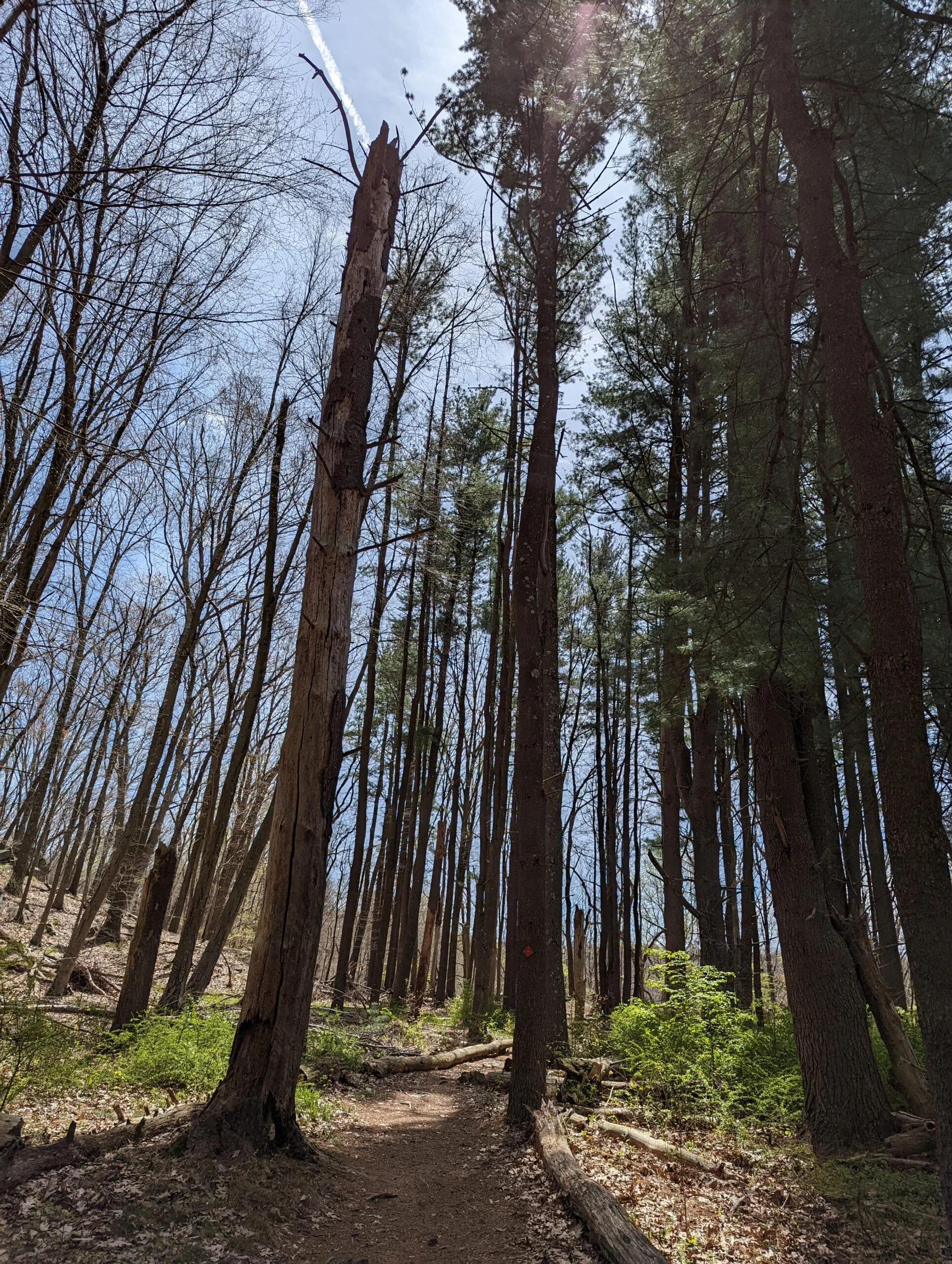
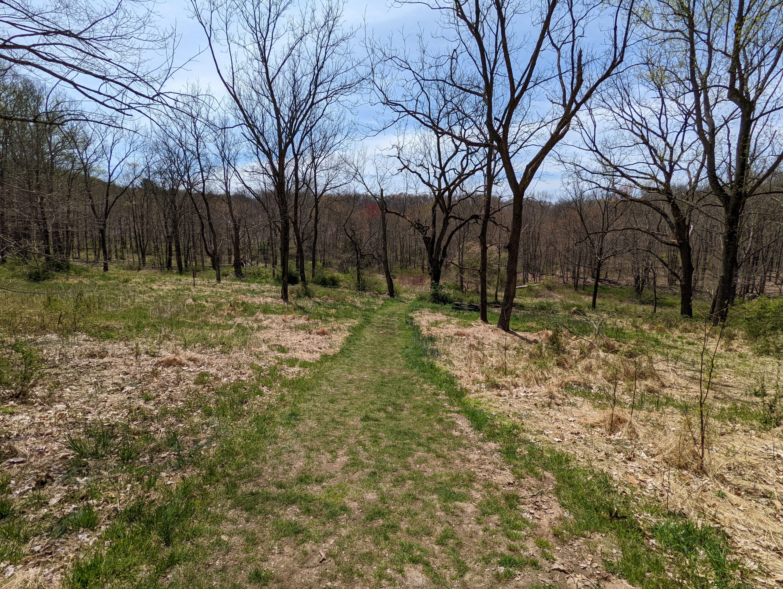
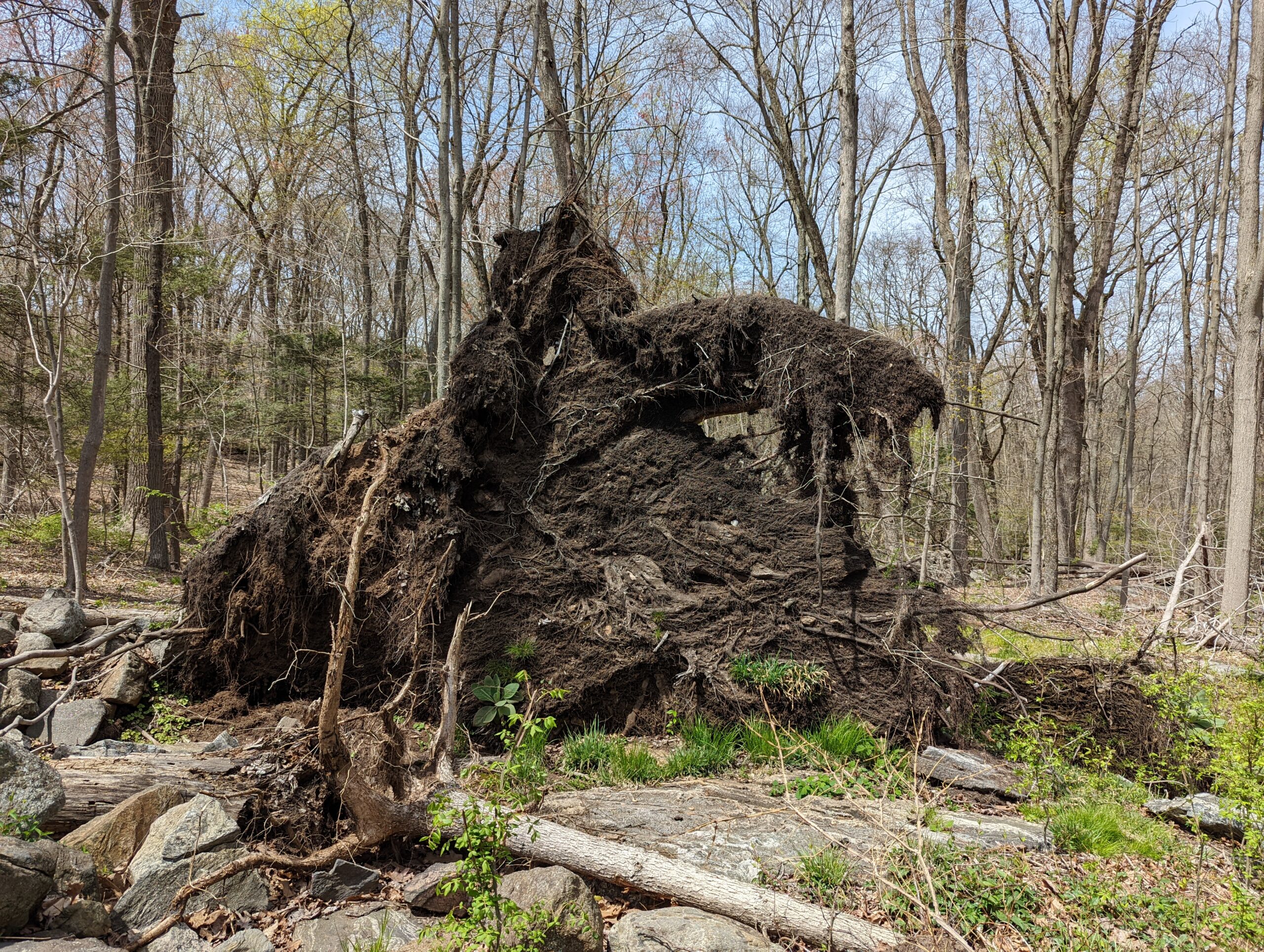
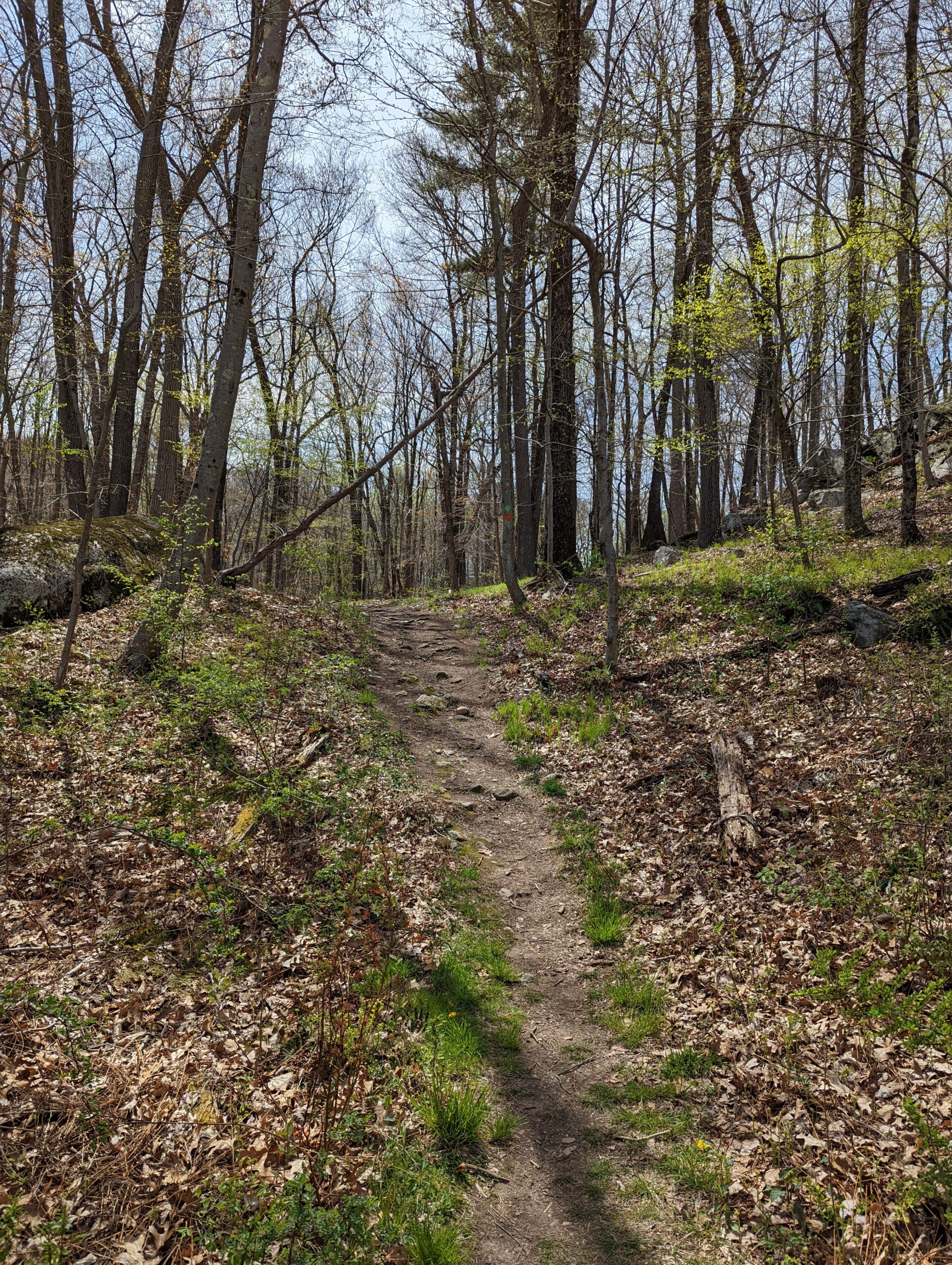
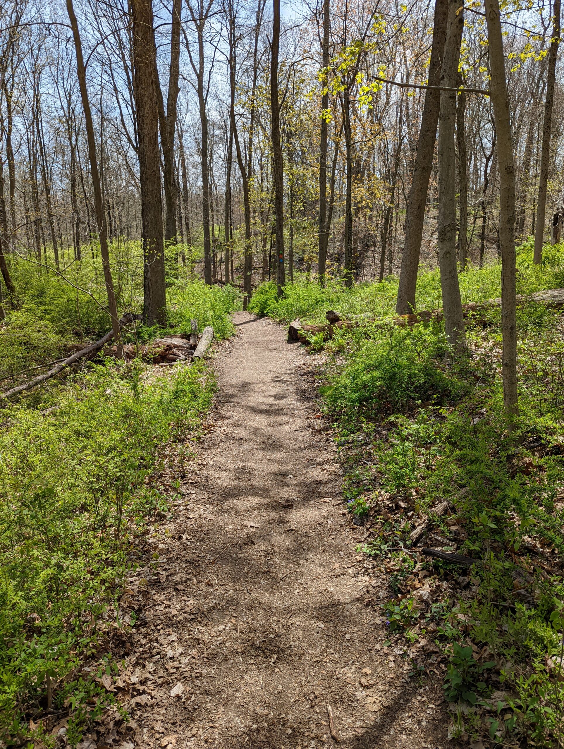
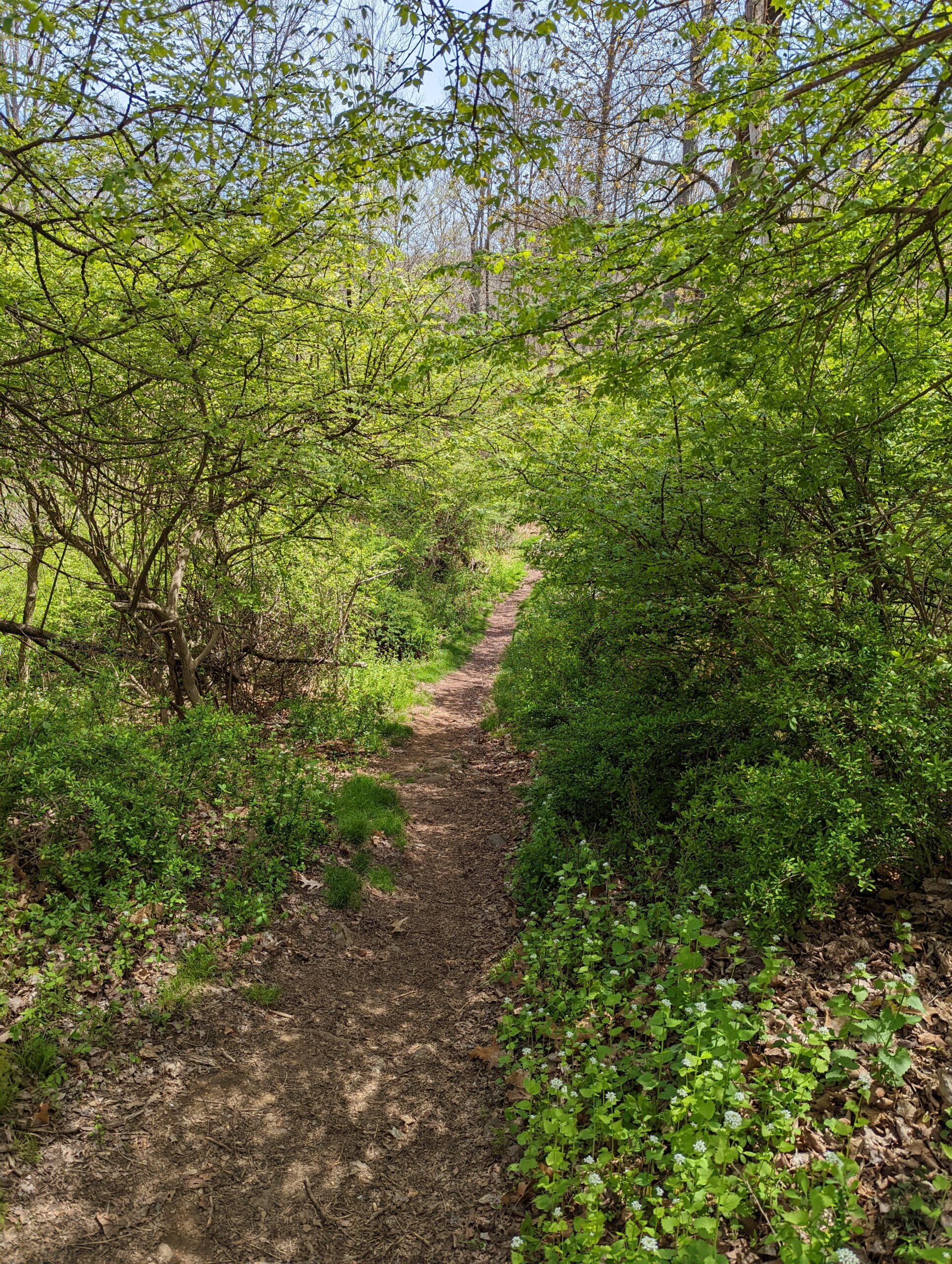
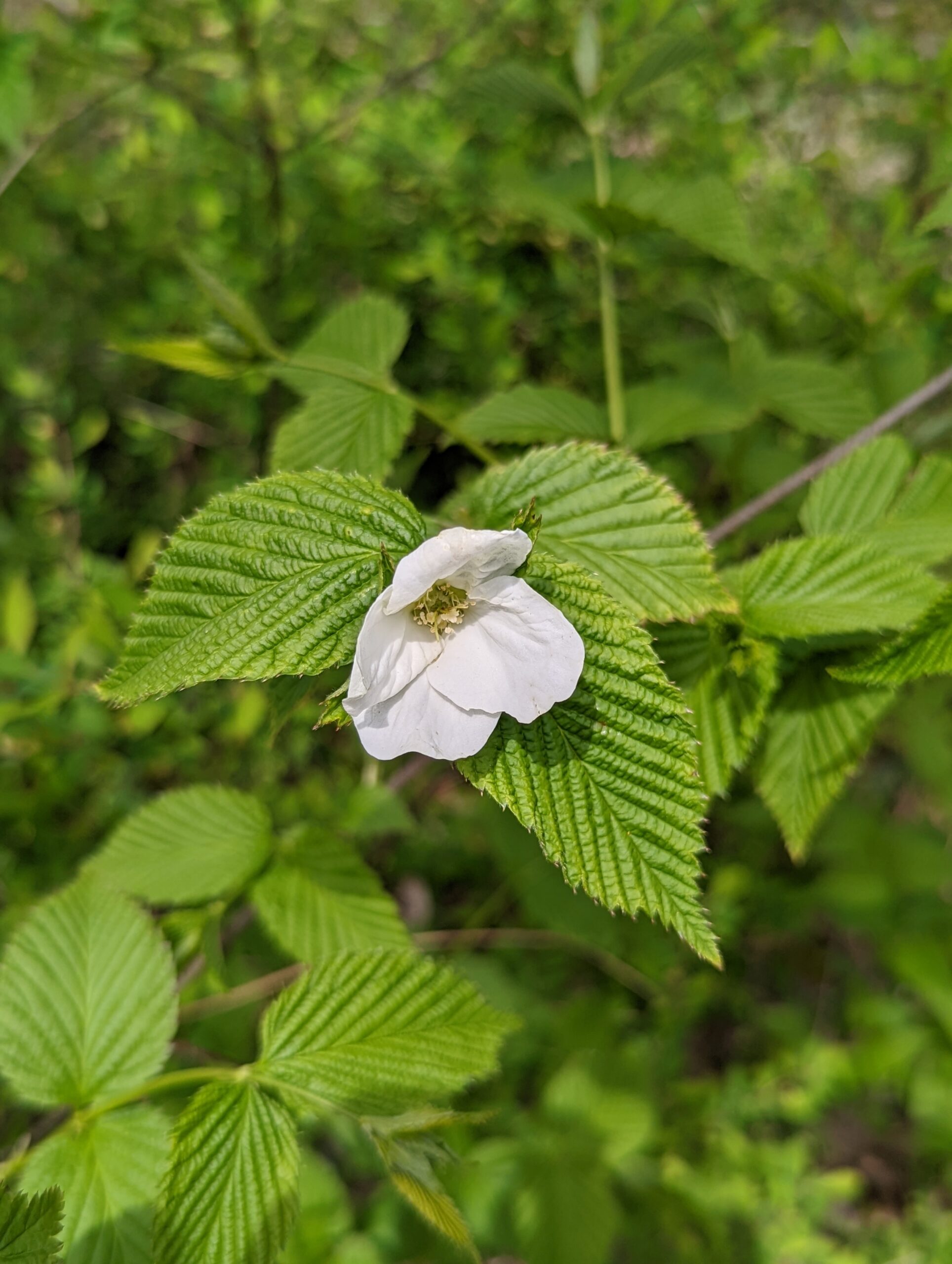
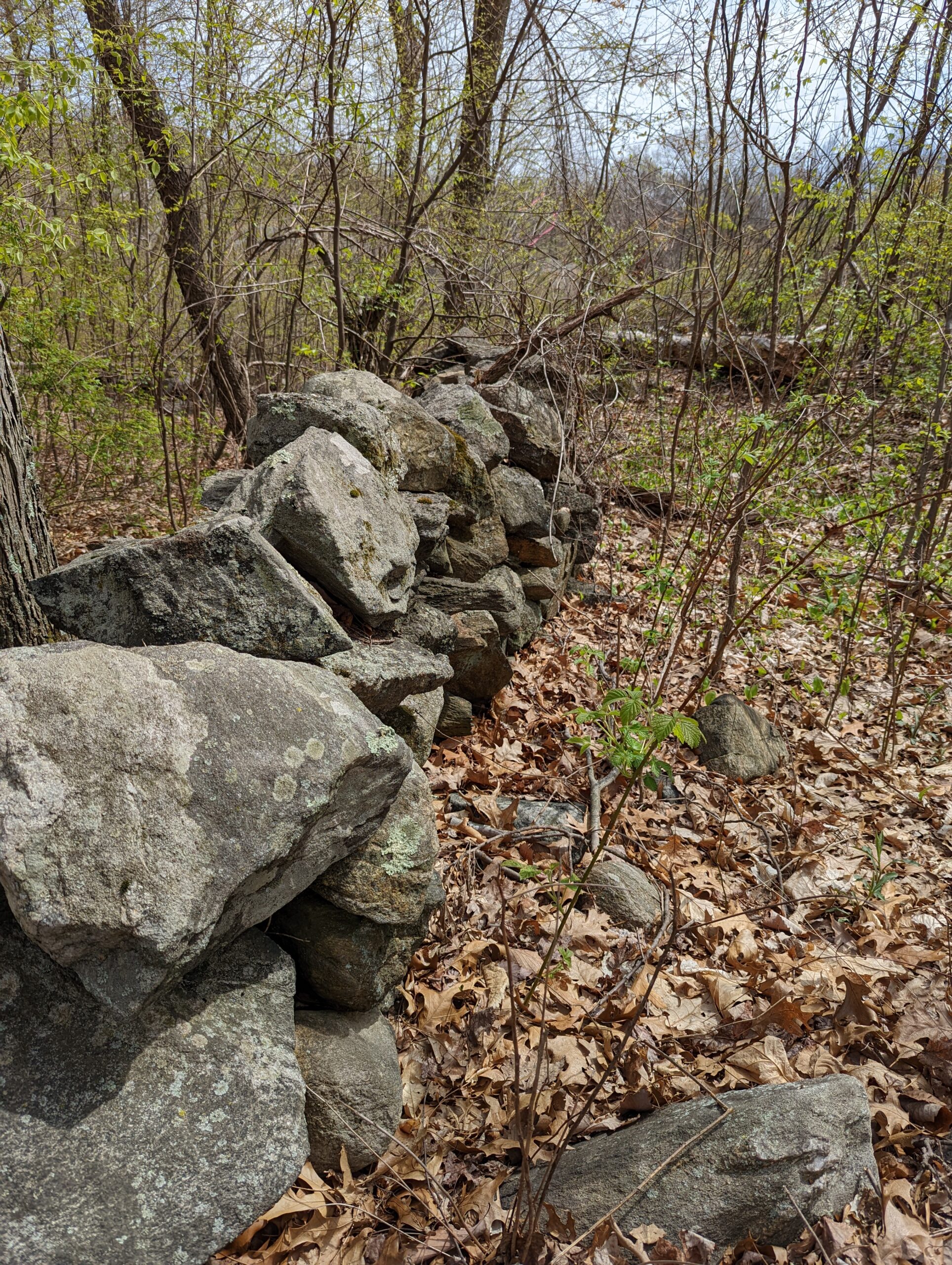
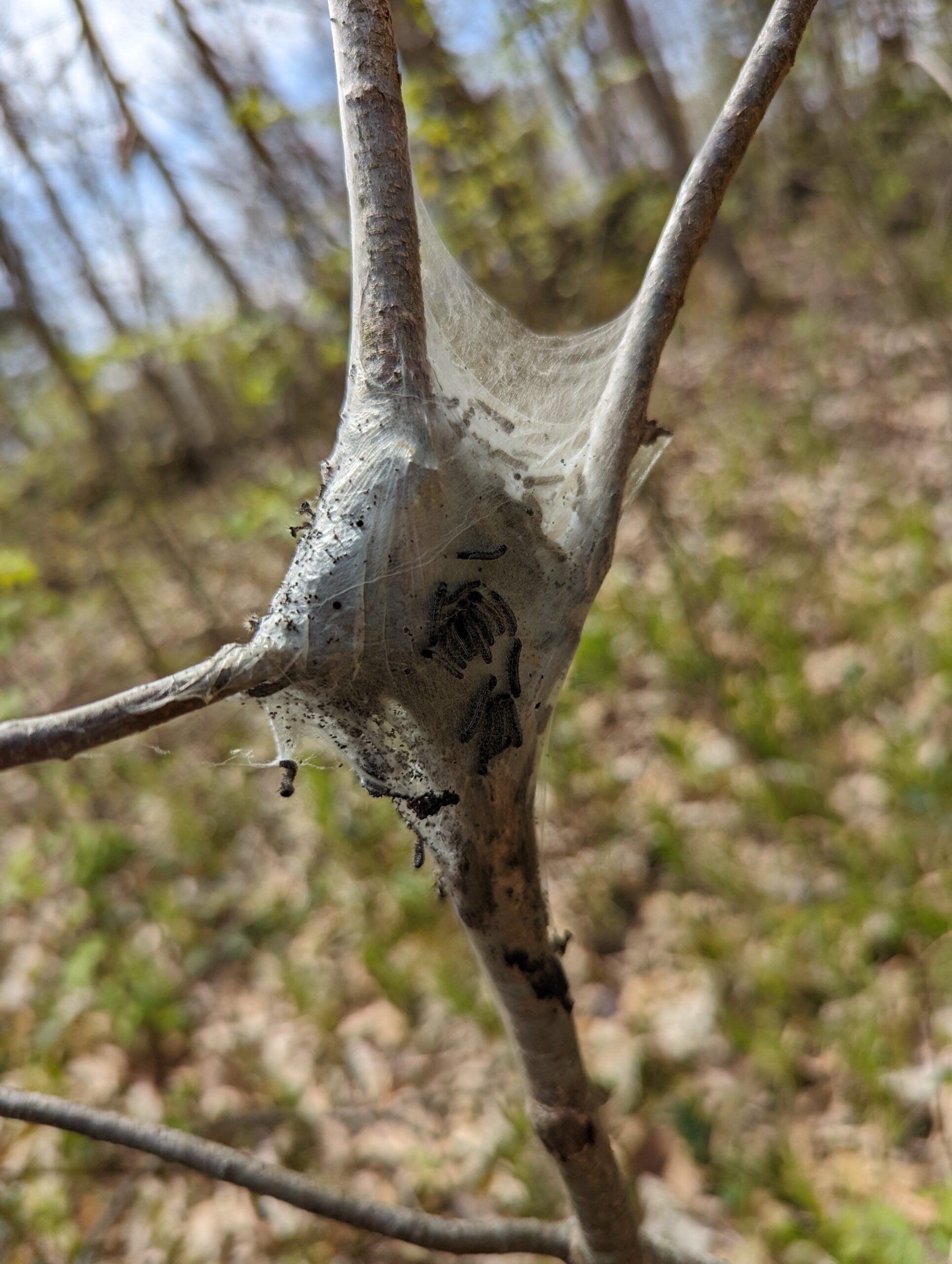
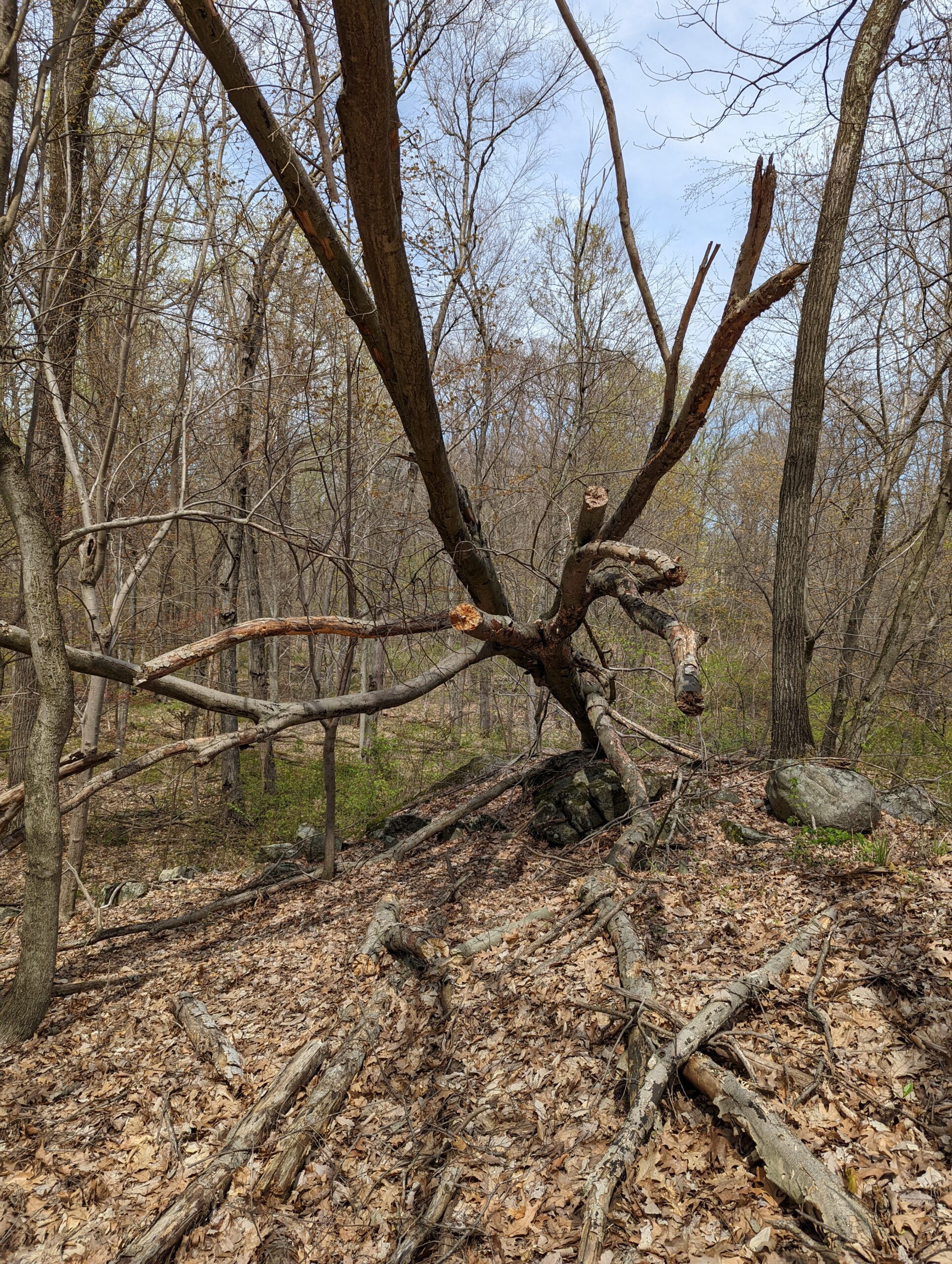
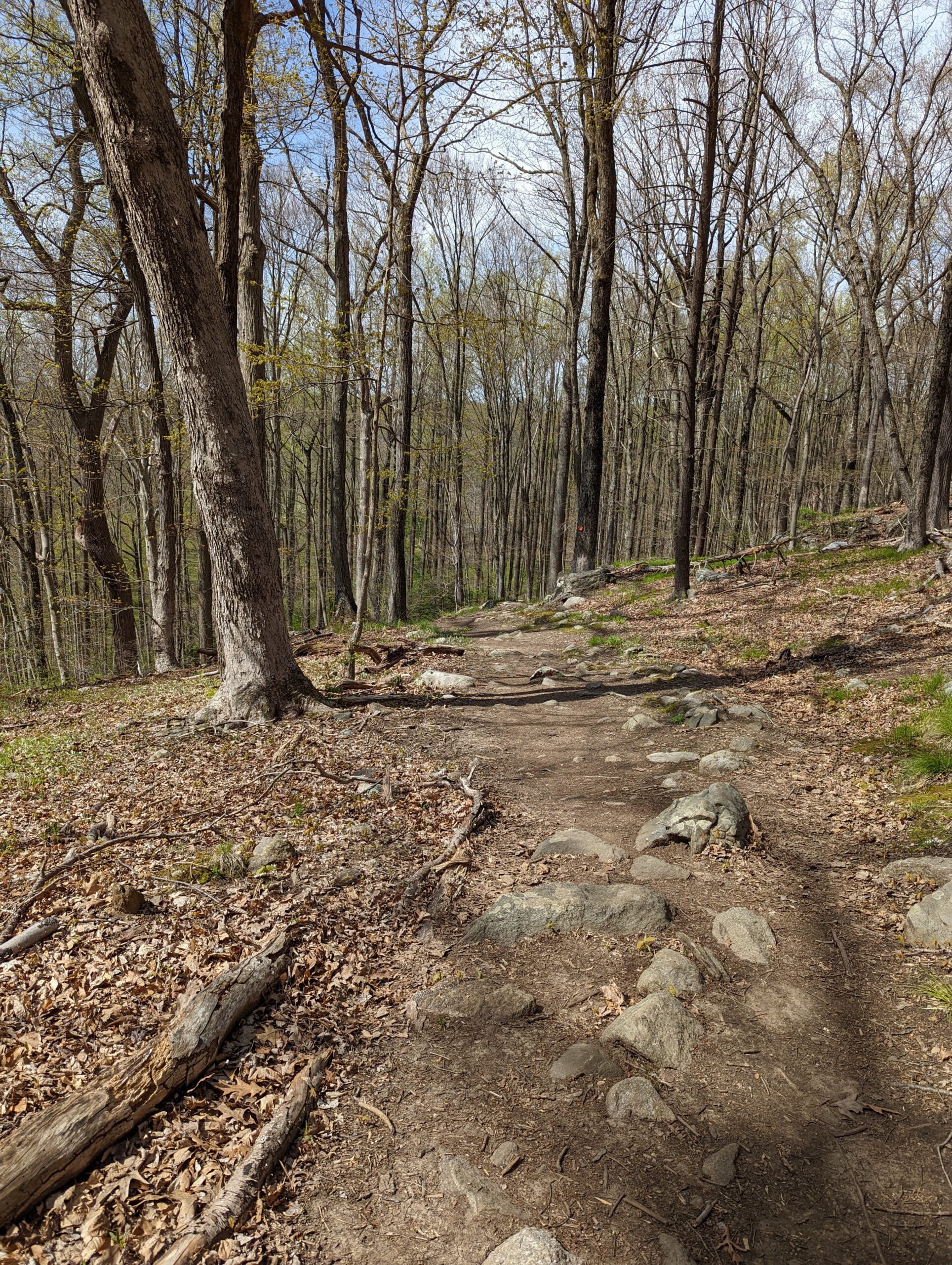
Overall, this was a pretty easy and enjoyable hike. Except for the short-lived inclines at Overlook Loop, the rest of the hike was relatively flat. The scenery was ever-changing, from small streams to marsh lands to lush green areas to pine trees to clearings to lakes to waterfalls. I was pleased with the diversity and would love to explore some of the other trails on a future visit.
Photos


GPS Route & Elevation
Loads an interactive map; map tiles are served by the U.S. Geological Survey, which receives your IP address. Learn more about maps and your privacy