Hudson Highlands State Park Preserve
Bull Hill Loop – Northgate, Cornish Estate, Washburn Trail, Breakneck Brook
- 8.7 mi
- 1,581 ft gain
- 06:13:11
- 345 photos
- 11 videos
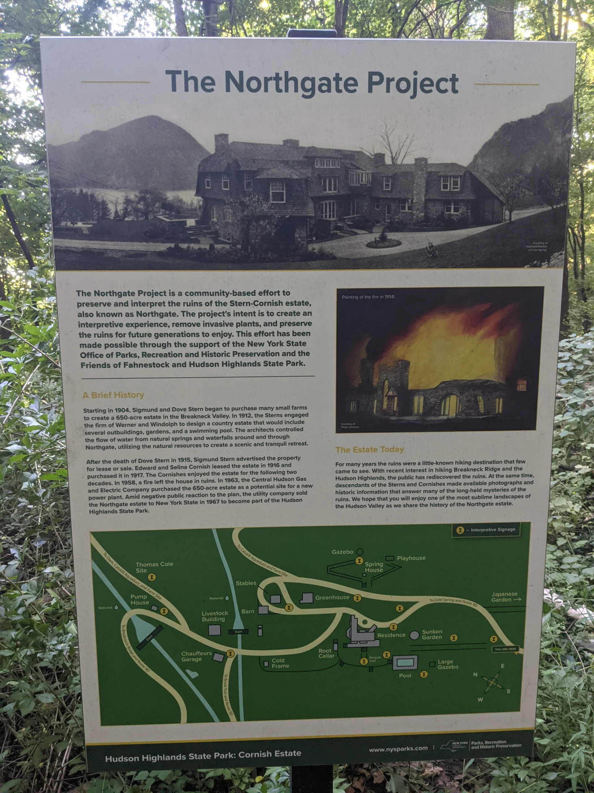
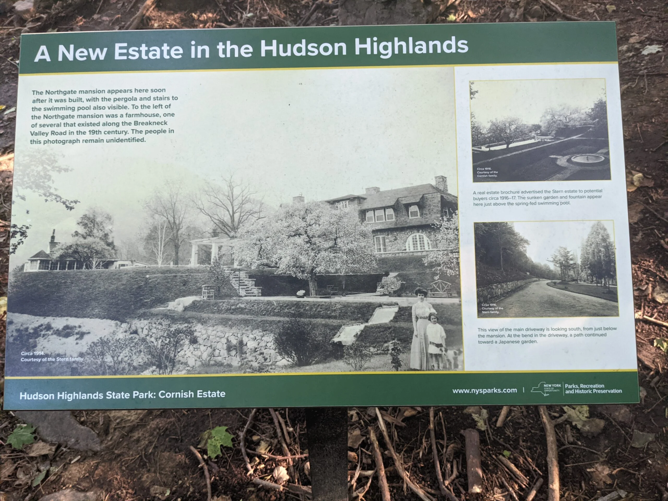
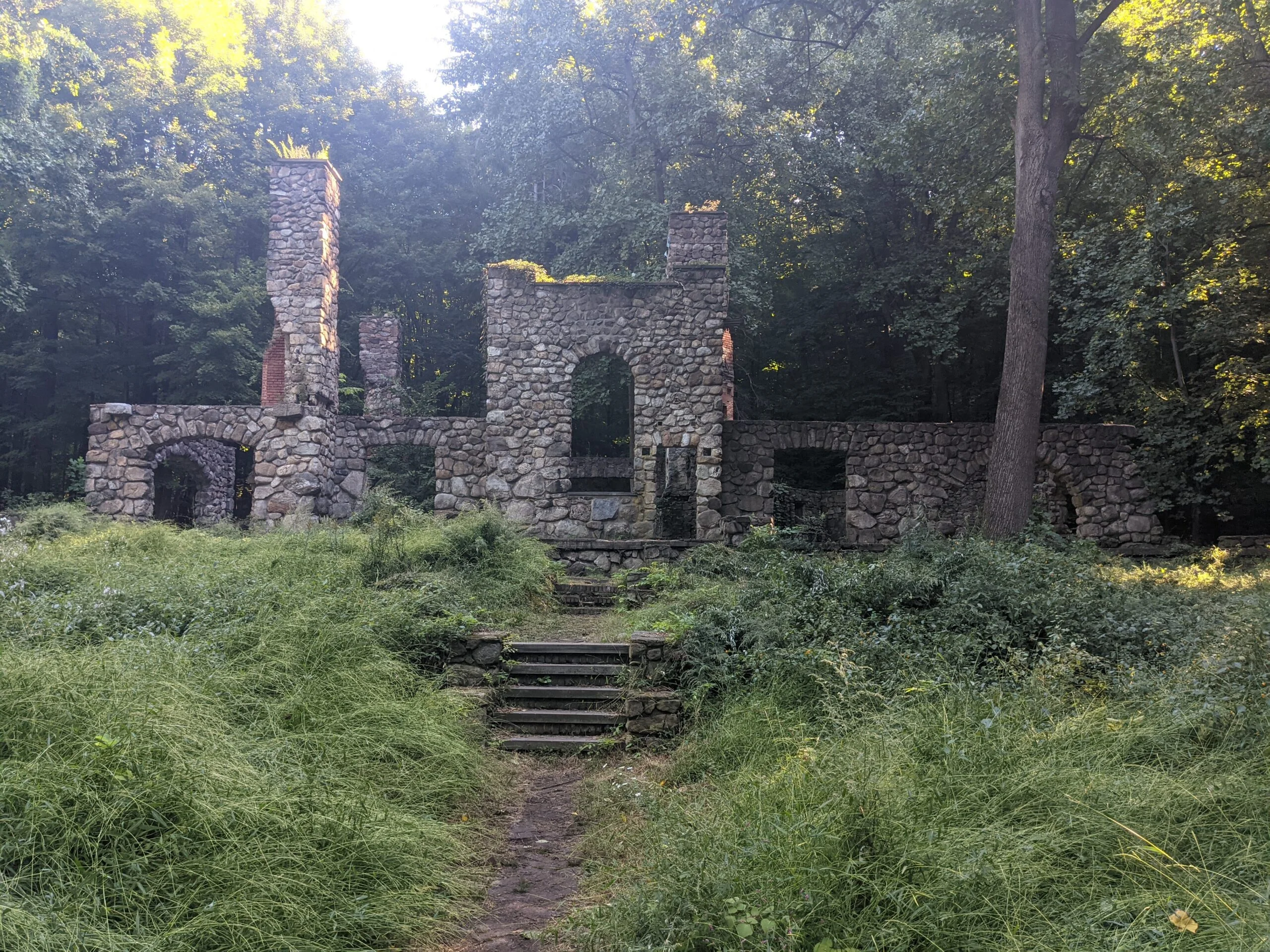
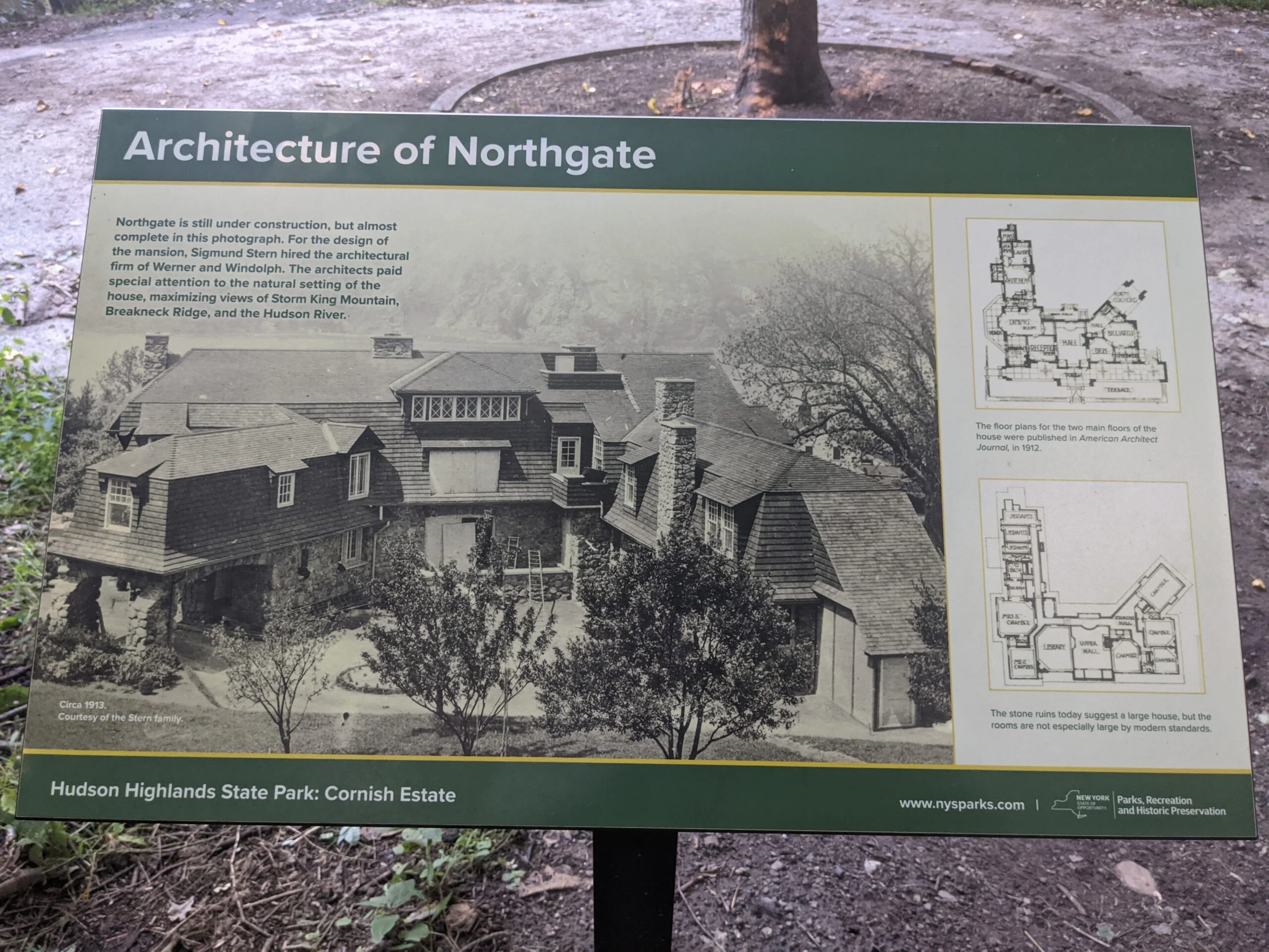
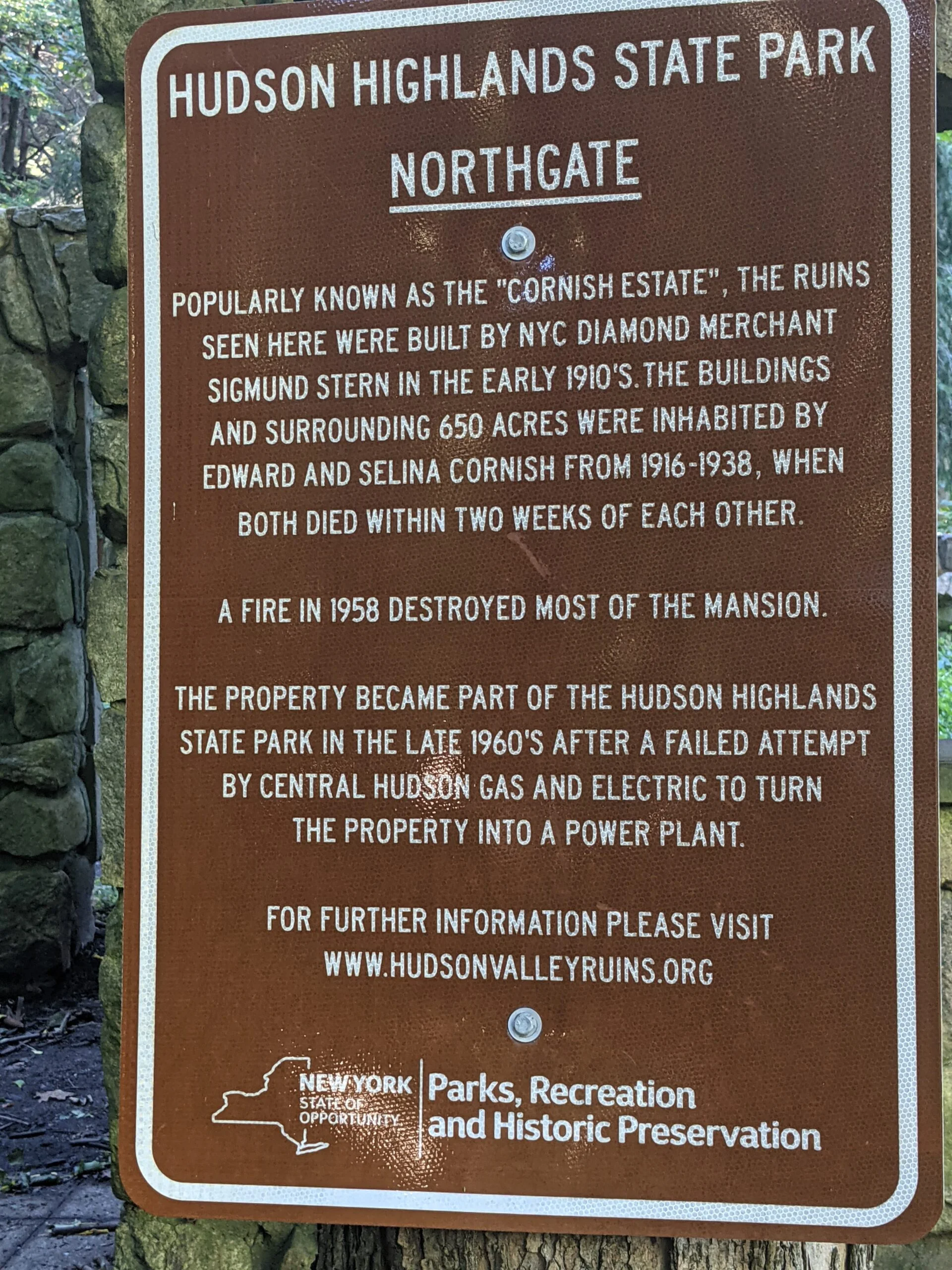
I was chatting with a fellow hiking enthusiast this week who recommended I check out the Cornish Estate (also known as Northgate) ruins. The property was an early 20th century working dairy farm situated on 650 acres of land in Cold Spring, NY between Breakneck Ridge and Bull Hill.
I used the Bull Hill Full Loop circuit from All Trails as my template for the hike.
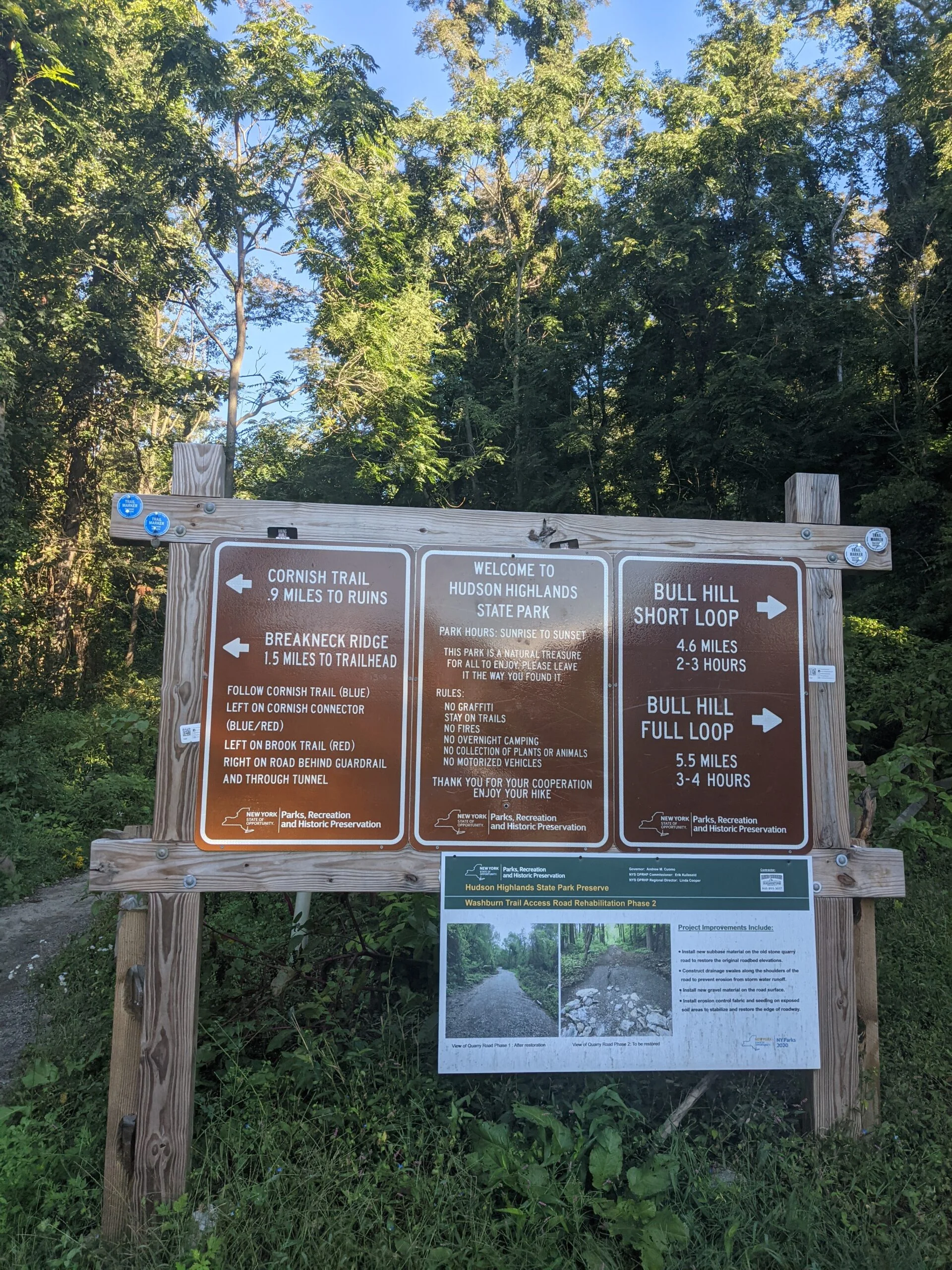
I arrived at the Washburn Trailhead parking area on Route 9D right around 9am. Most people do this route counterclockwise, but I was worried by the time I got to the ruins, it would be late in the day and probably full of people. I figured my best opportunity for getting photos with minimal interruptions would be to hit the ruins first before too many people were out on the trails.
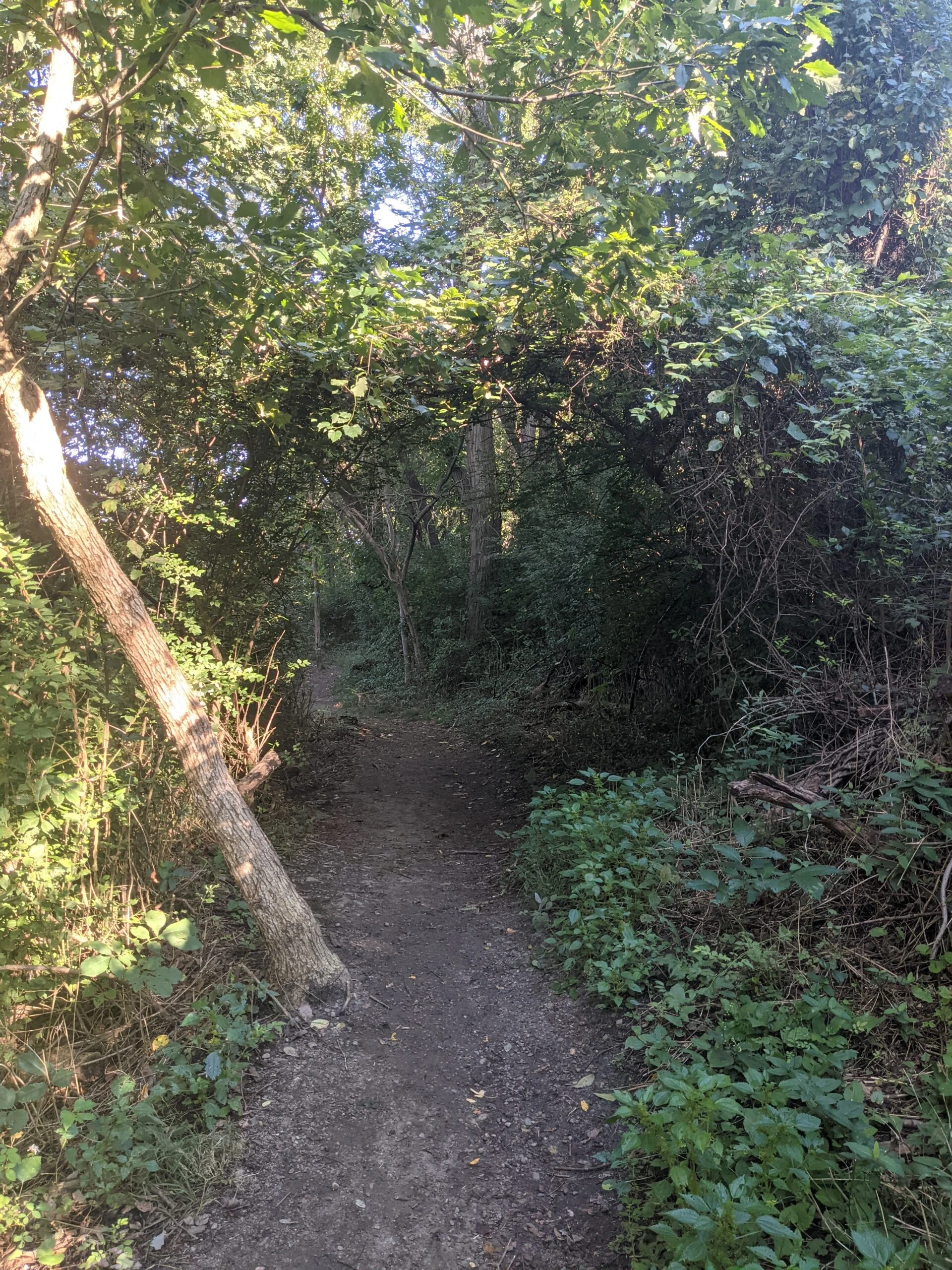
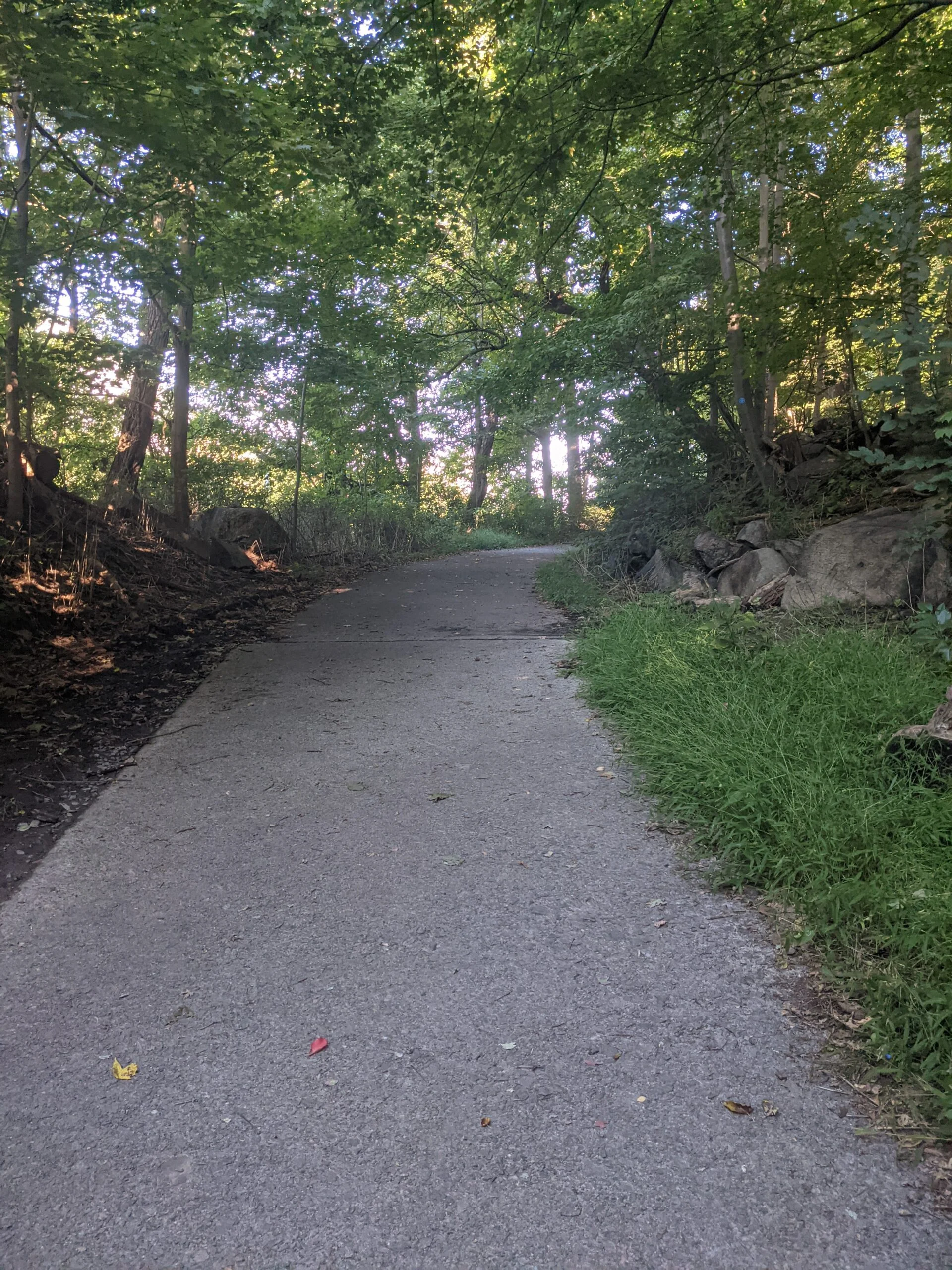
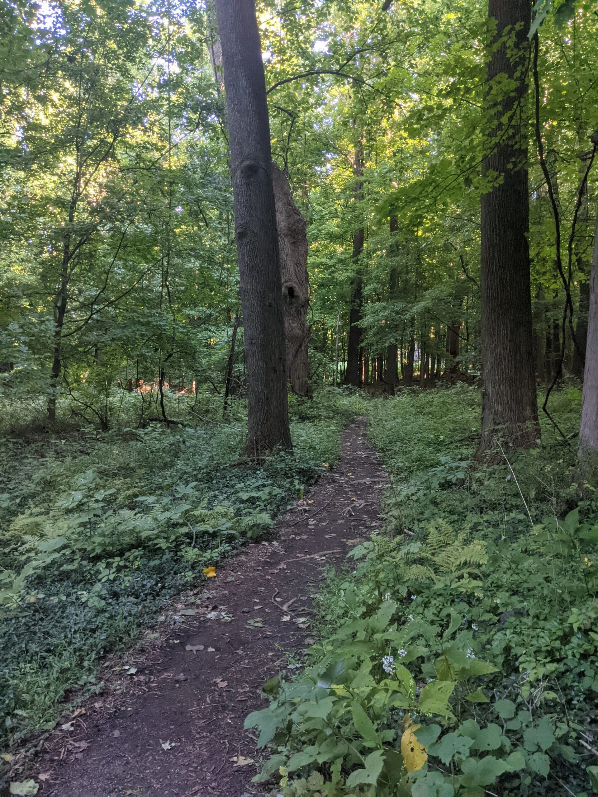
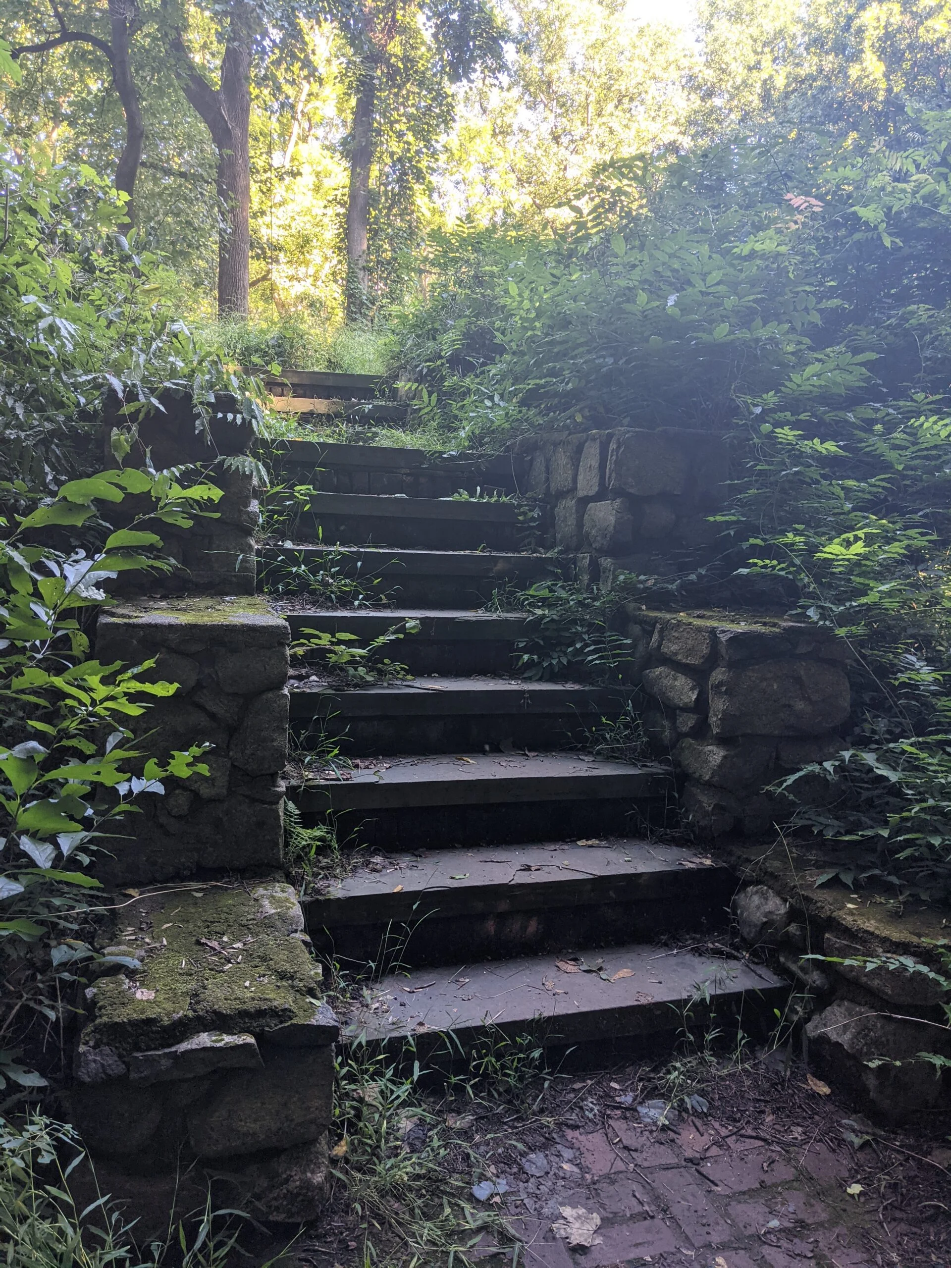
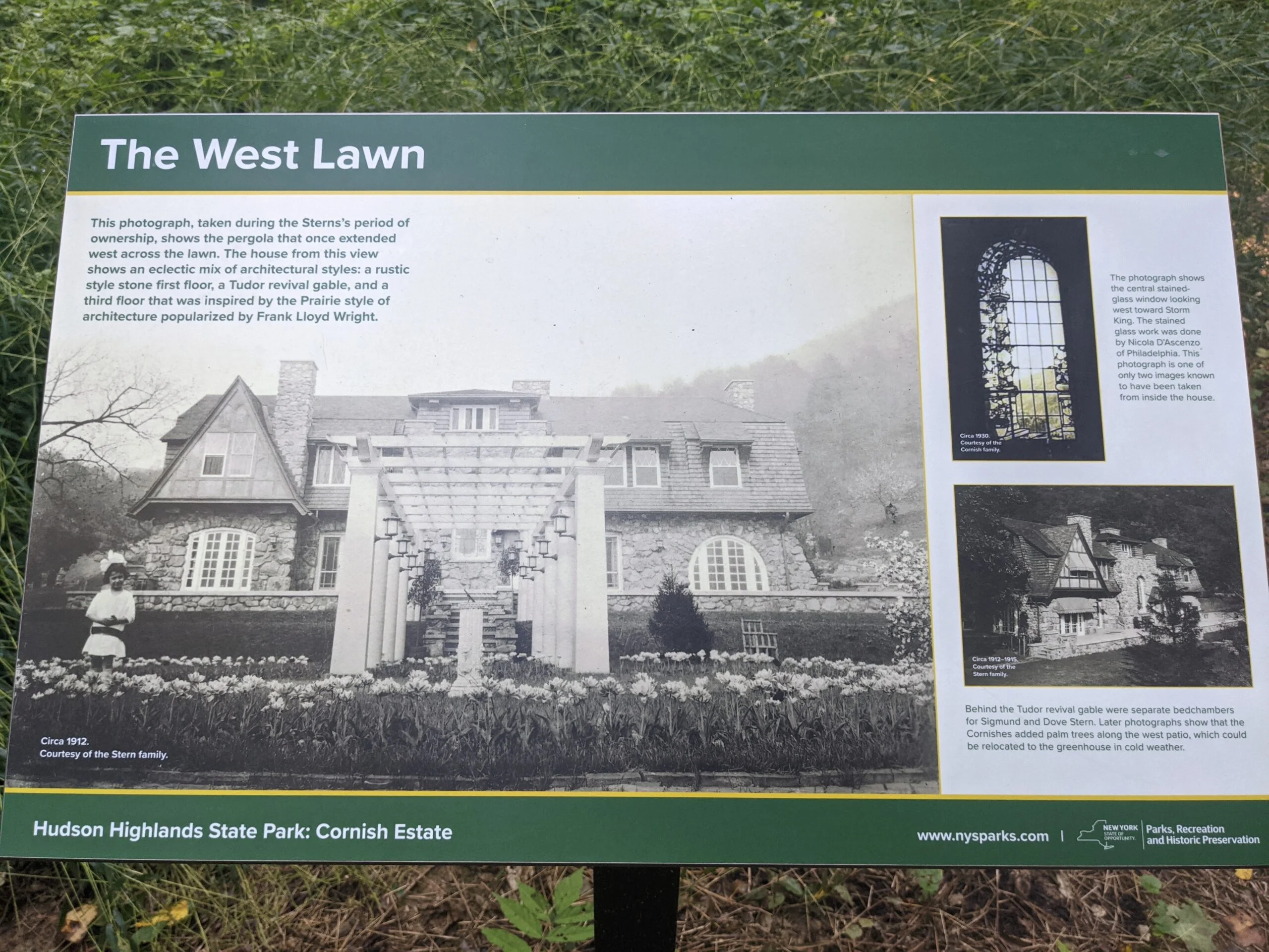
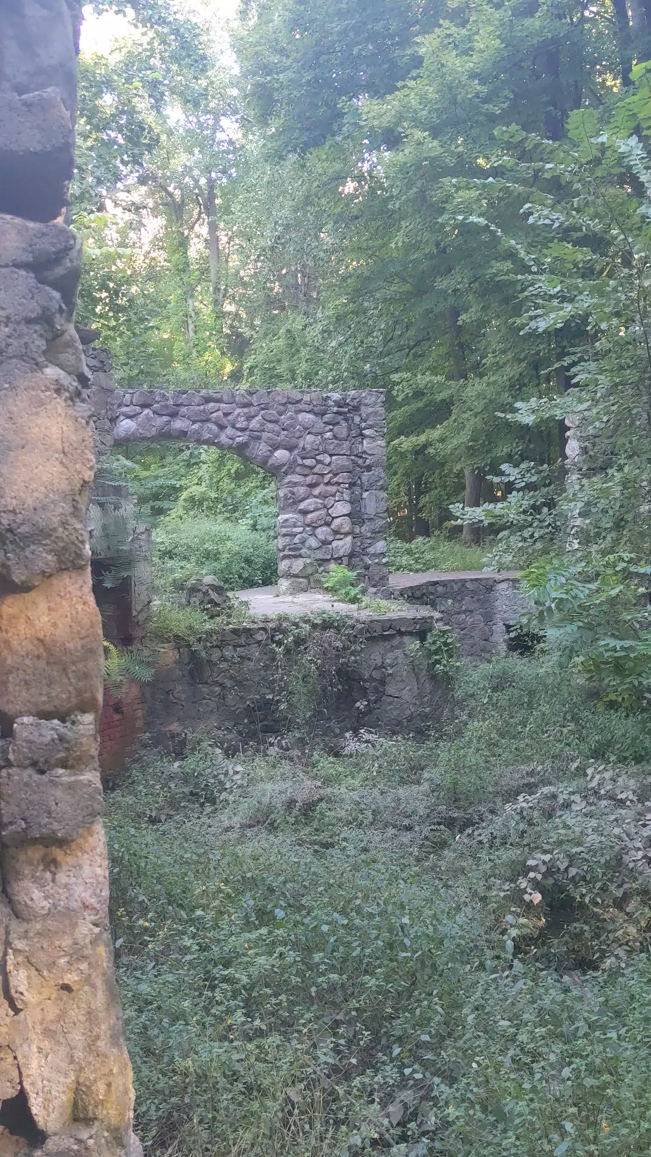
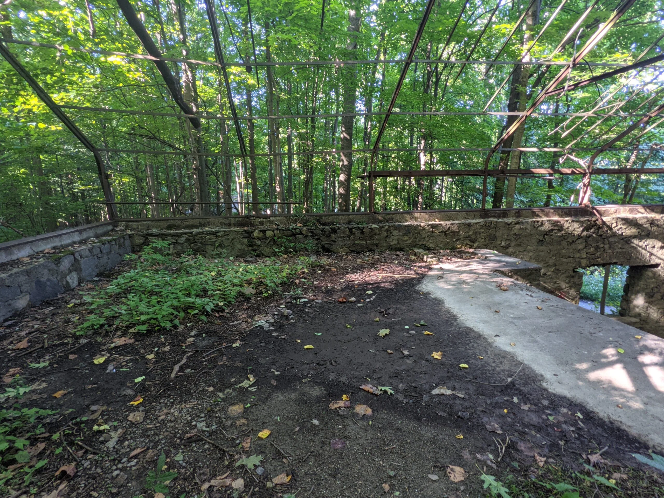
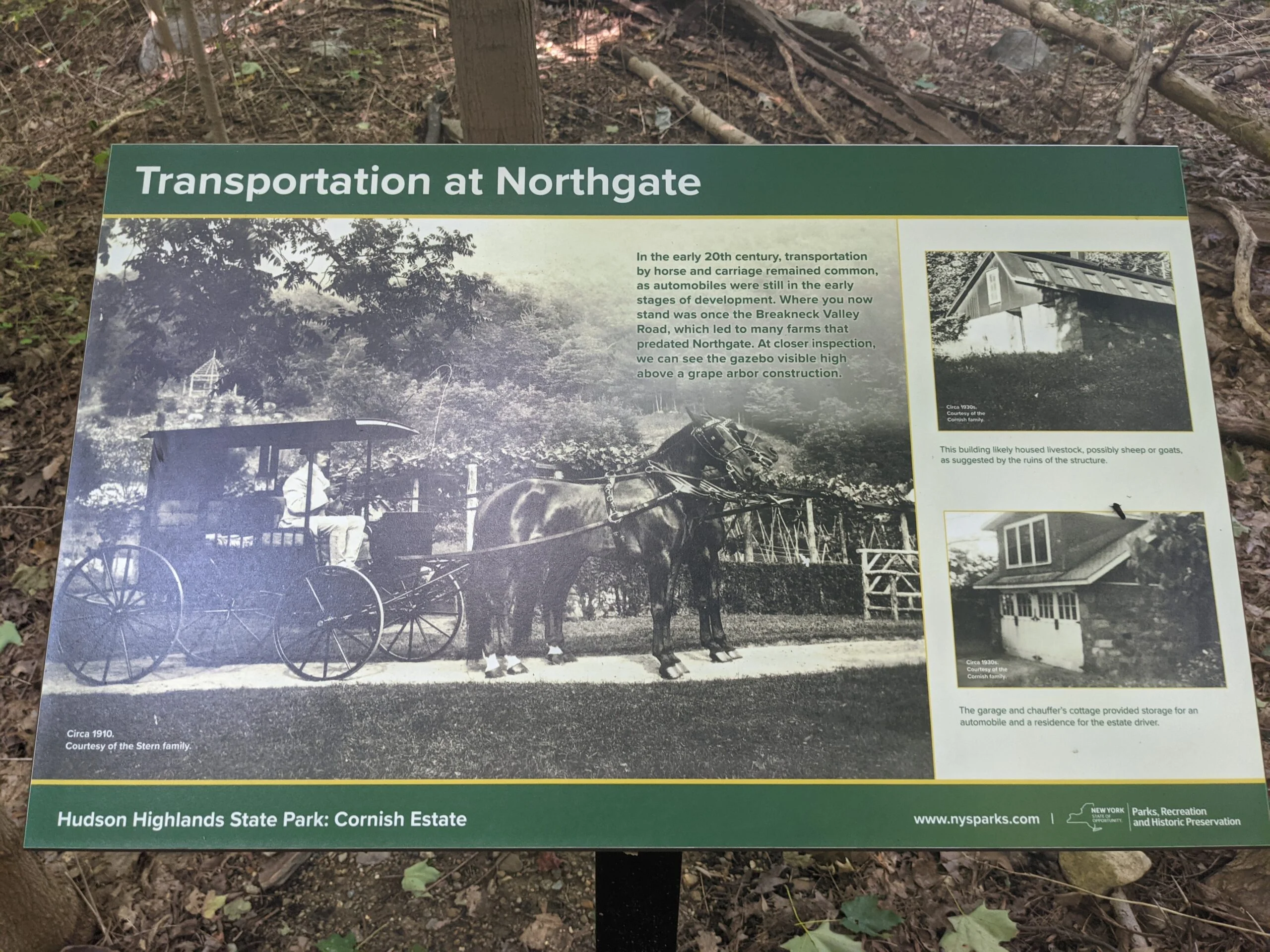
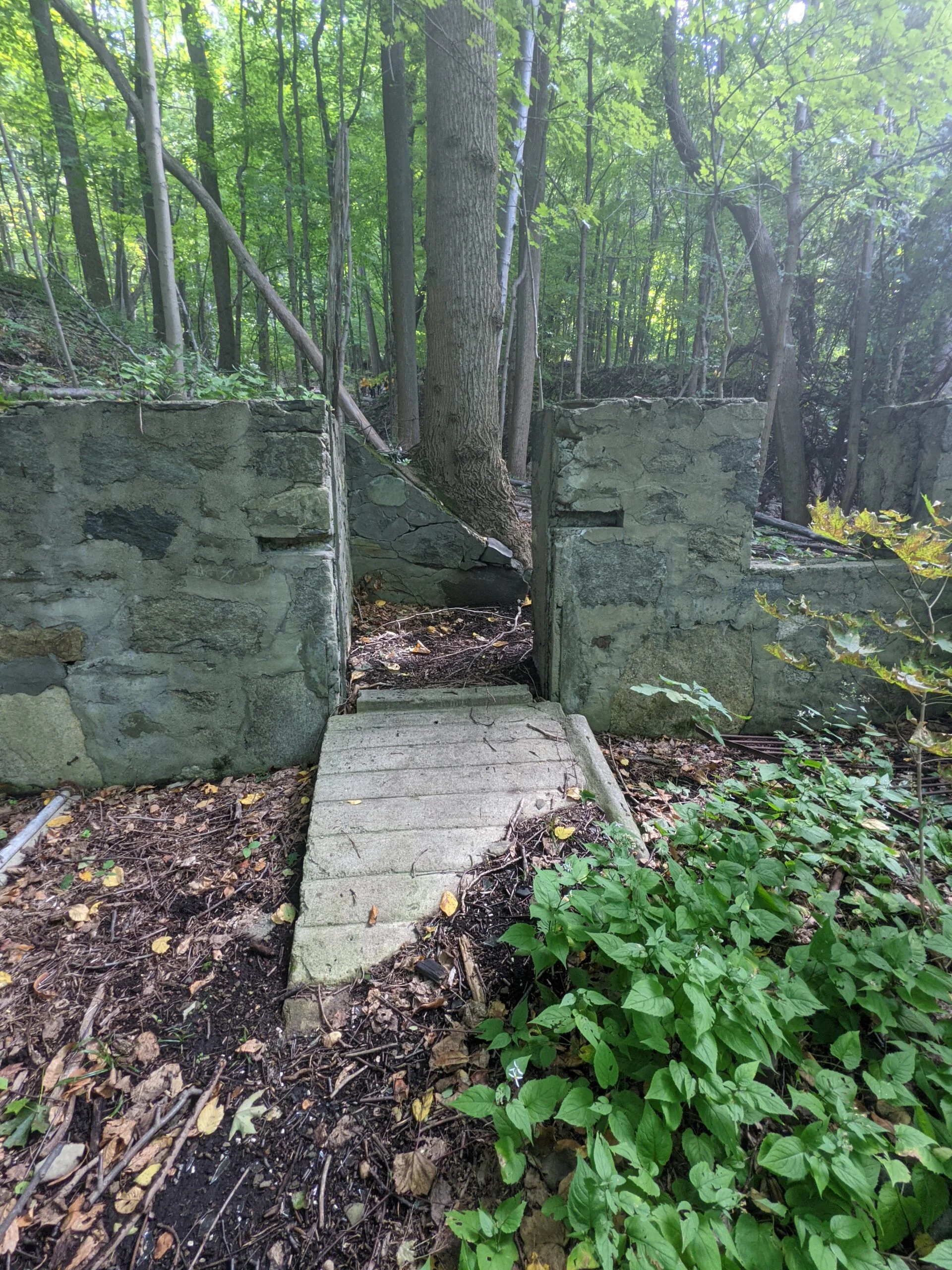
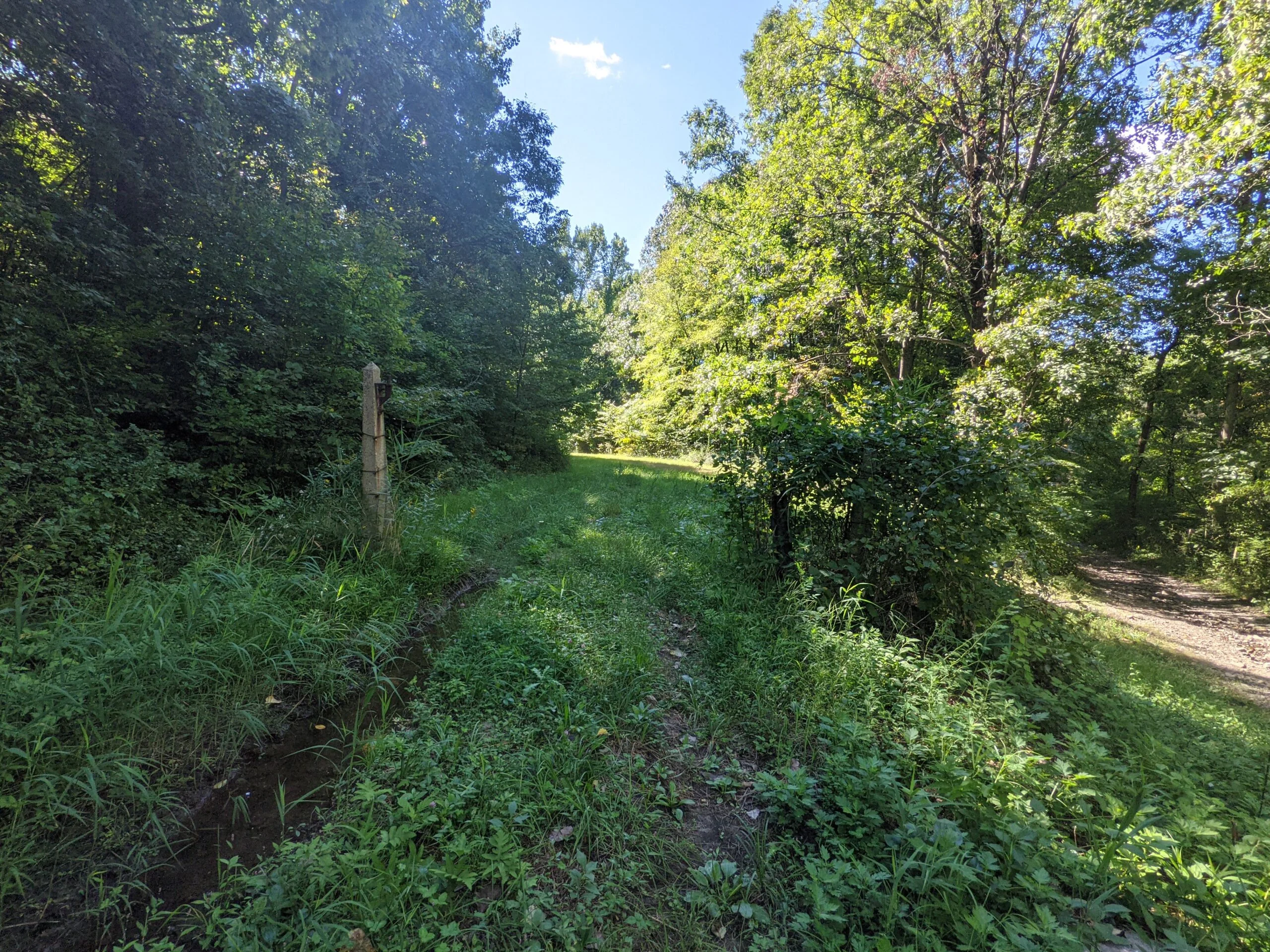
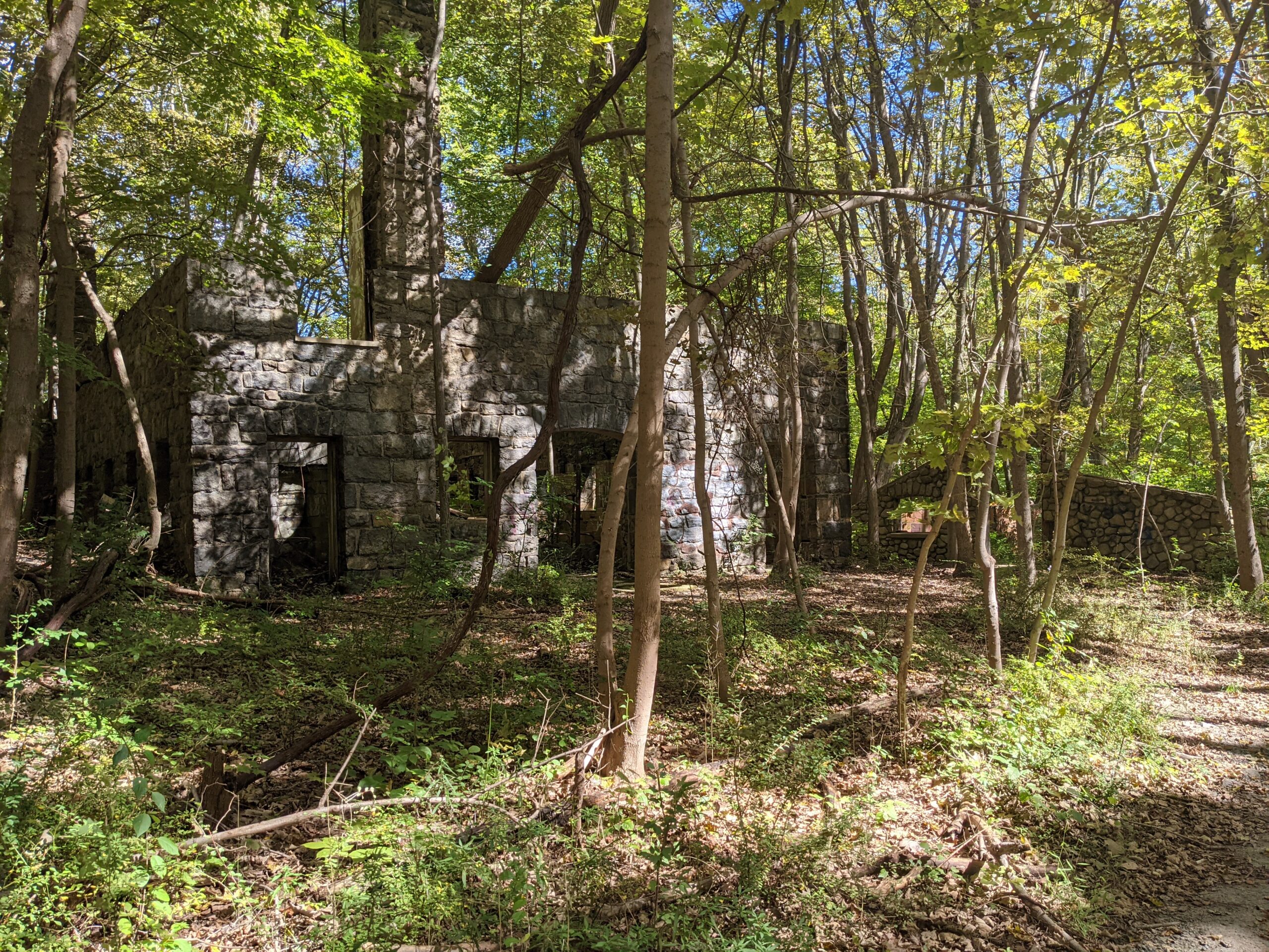
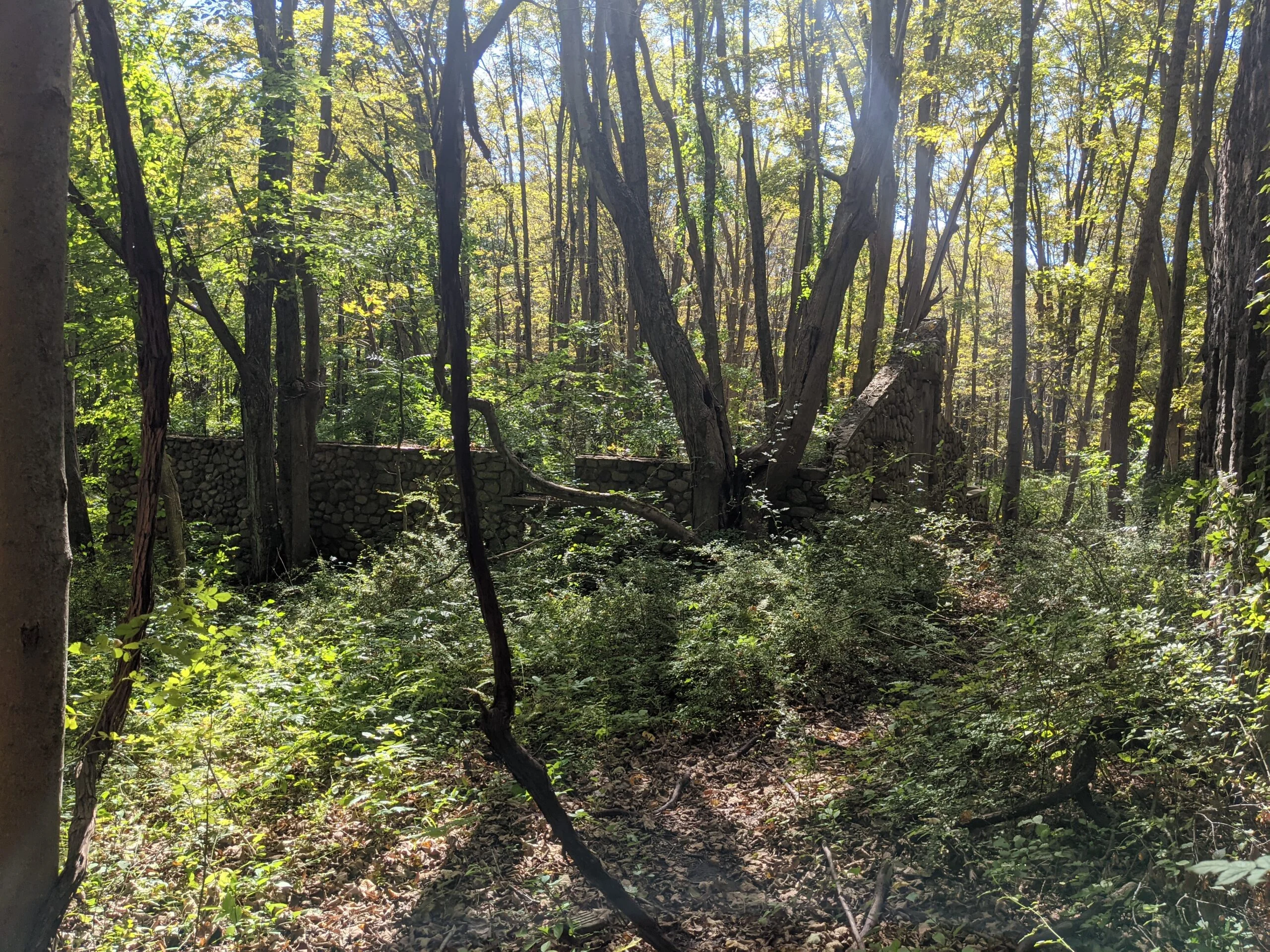
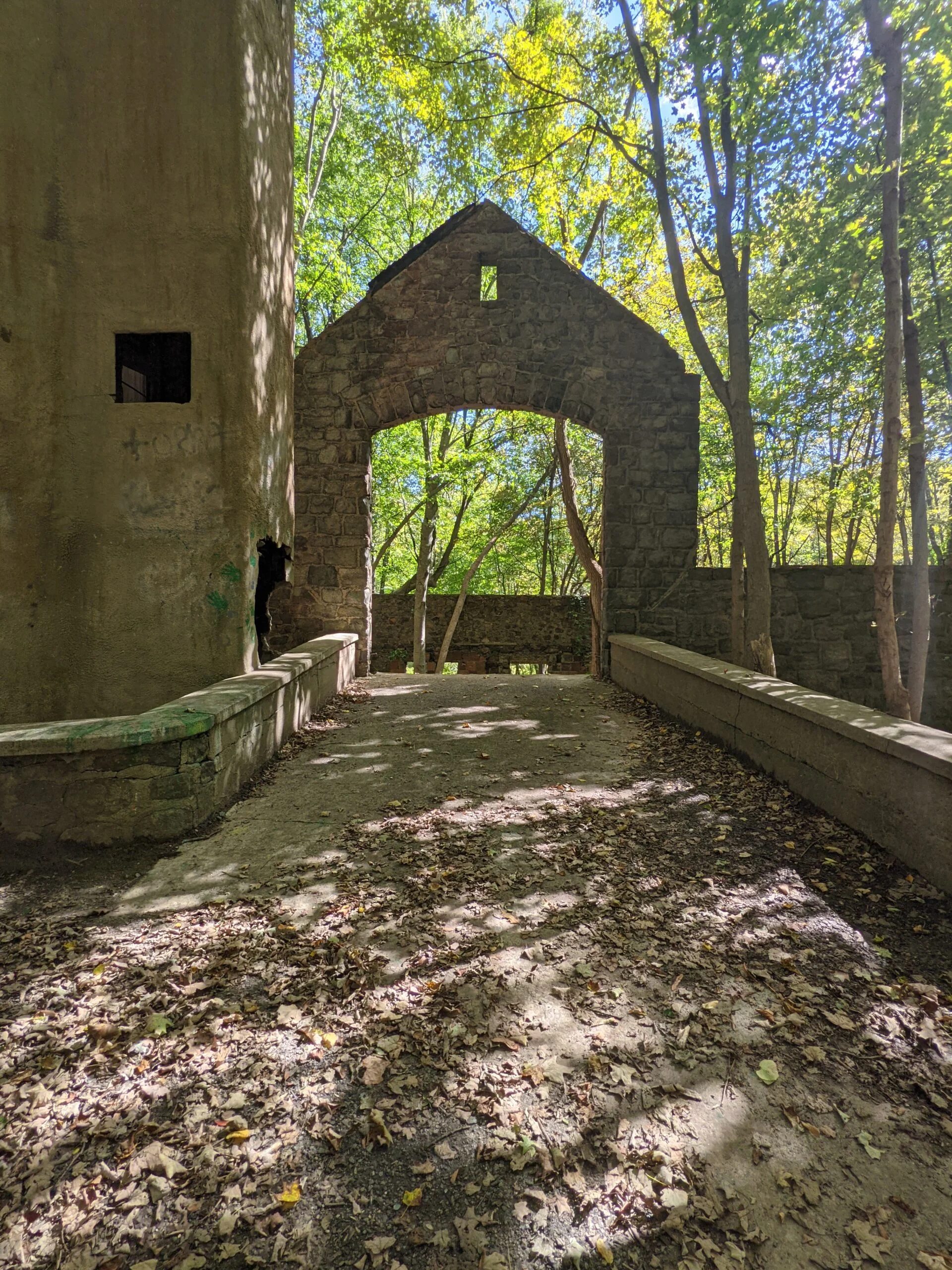
From the parking lot, I took the left fork to enter the Cornish Trail (CN, blue blazes). The dirt trail quickly turned into a concrete road with a slight incline that rose about 150ft over 1 mile. At this point, the forest opened up to reveal the area where the main house sits.
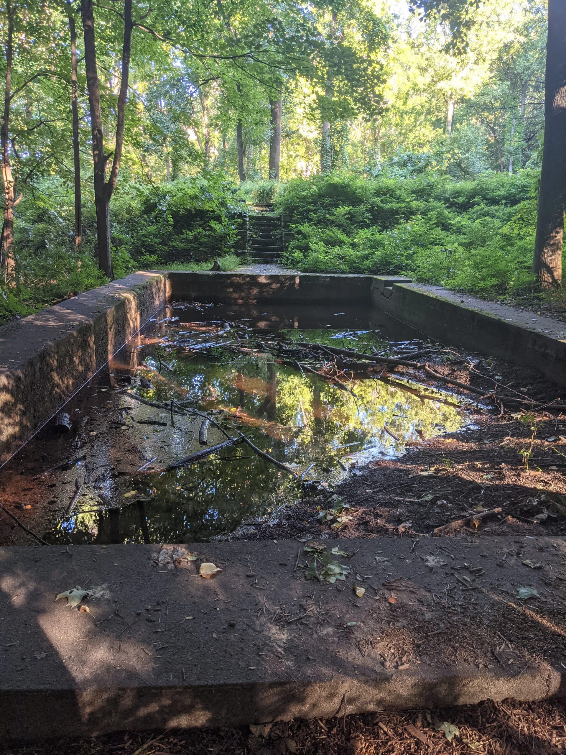
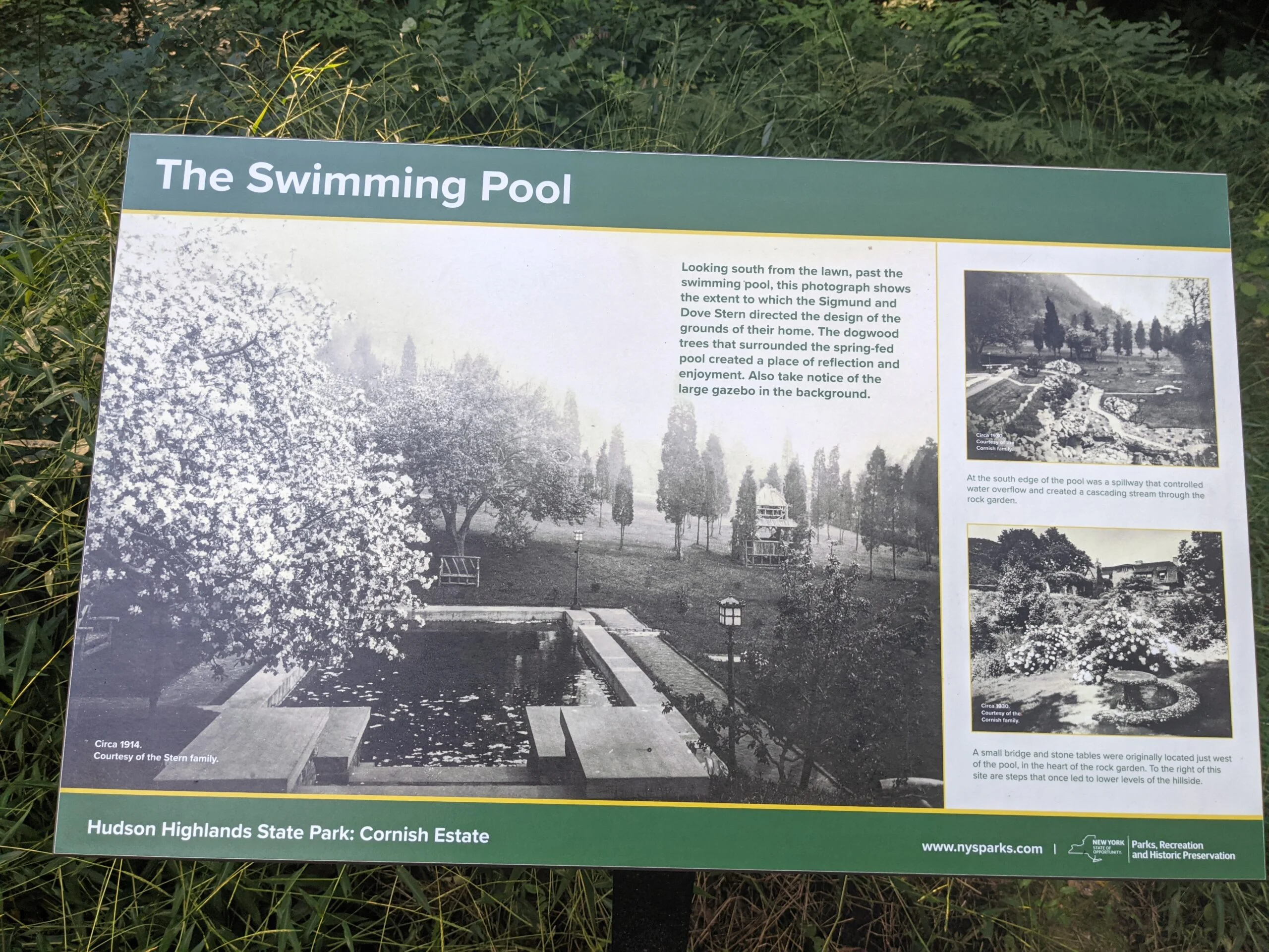
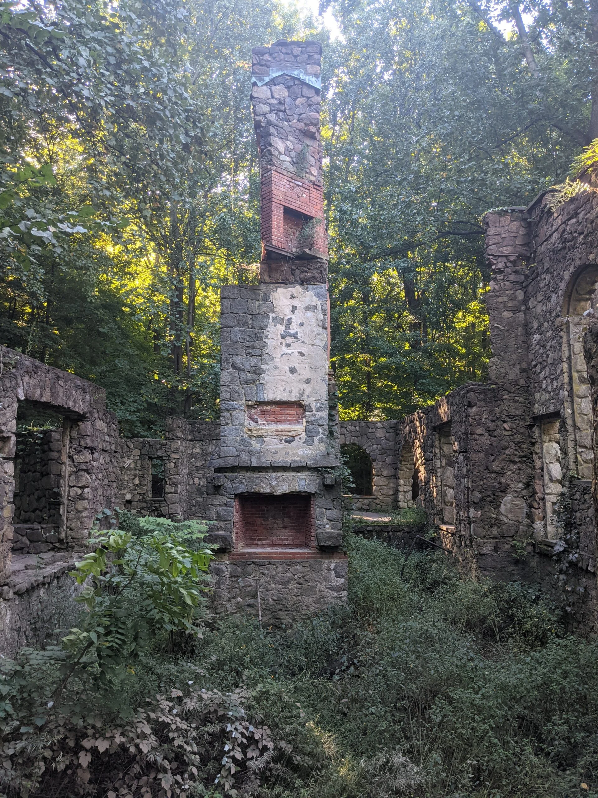
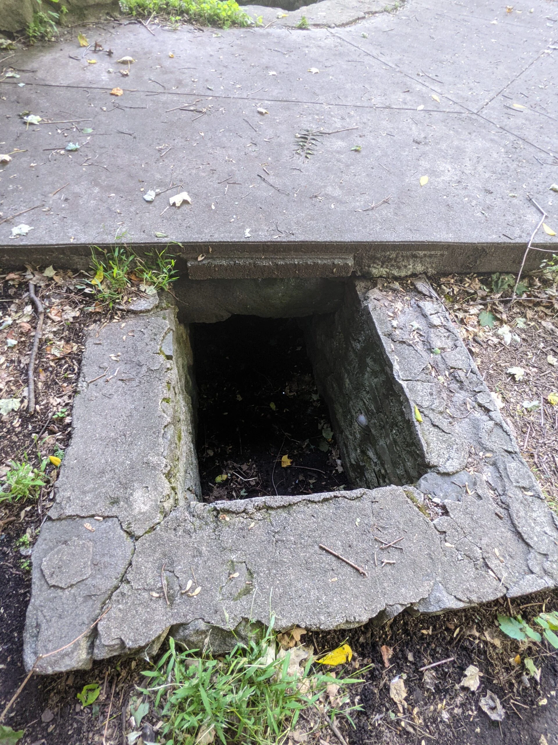
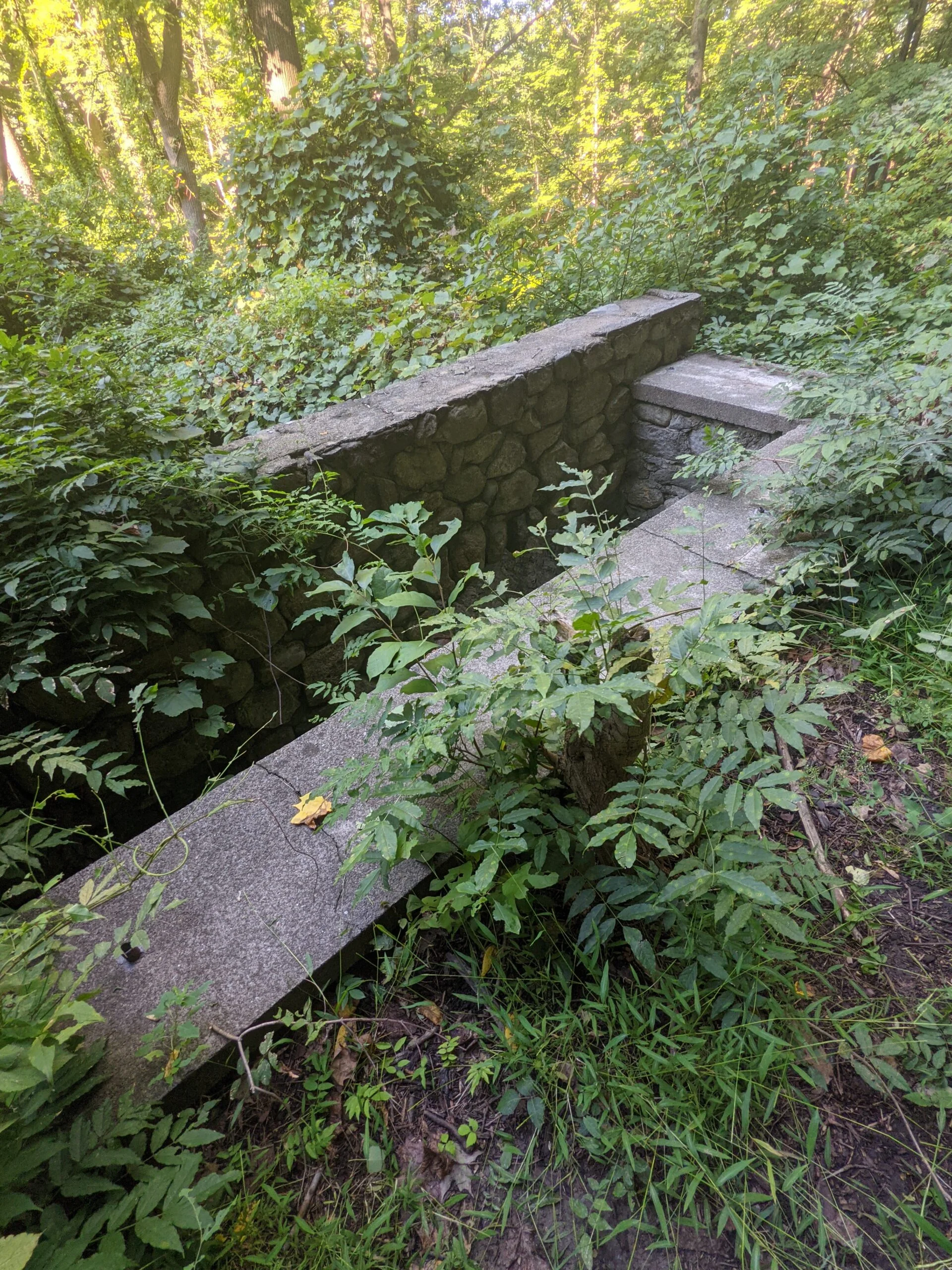
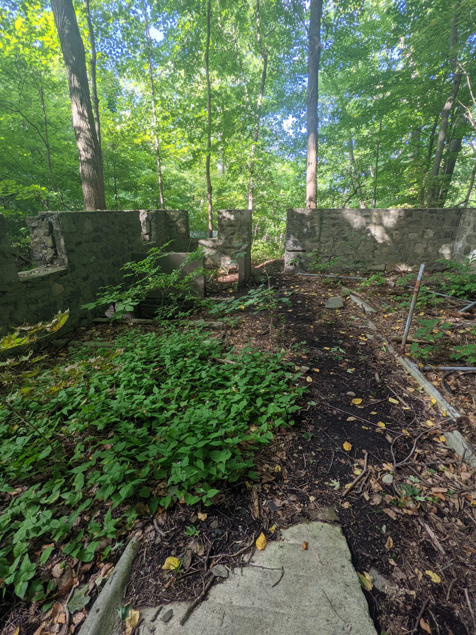
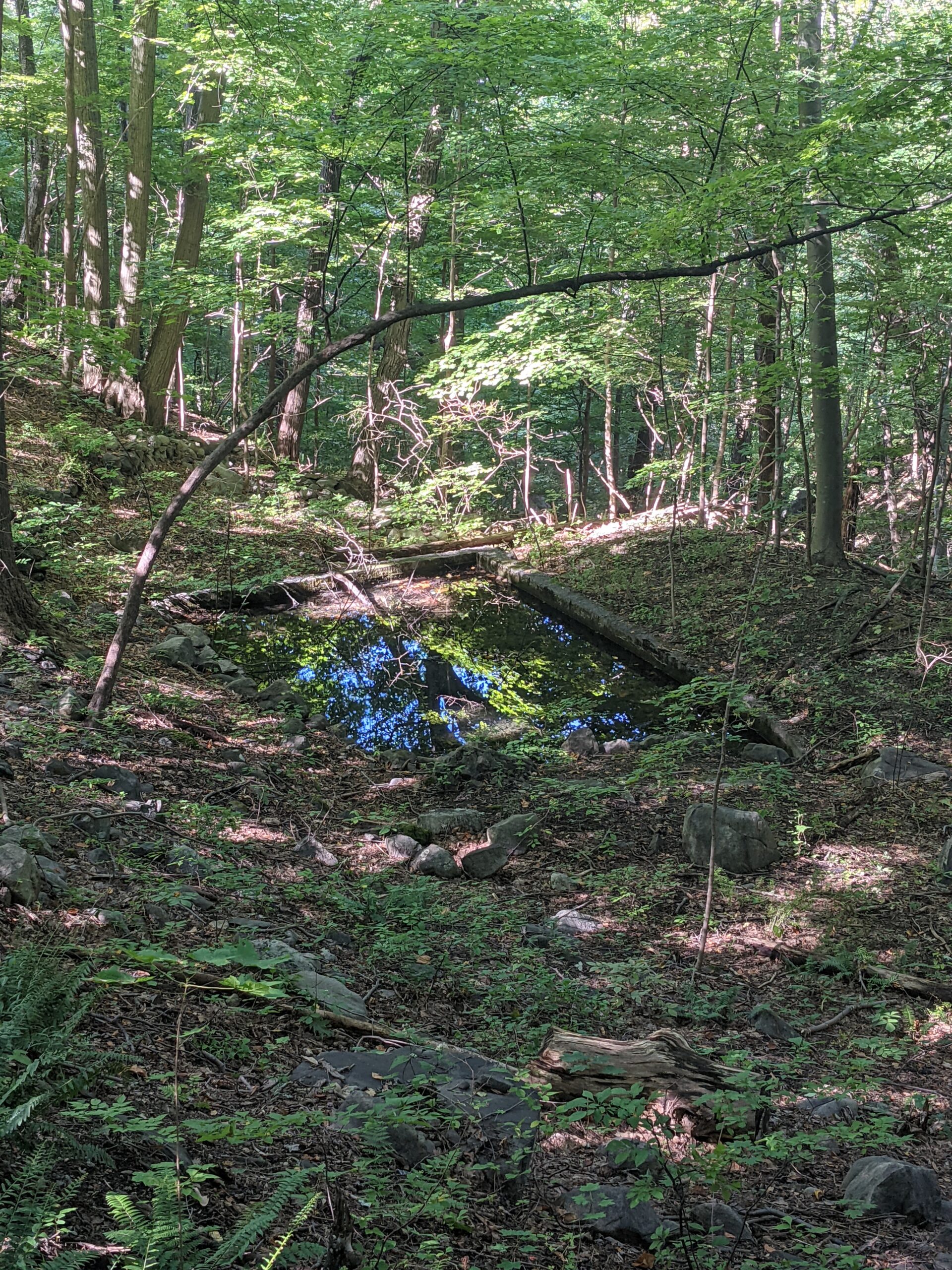
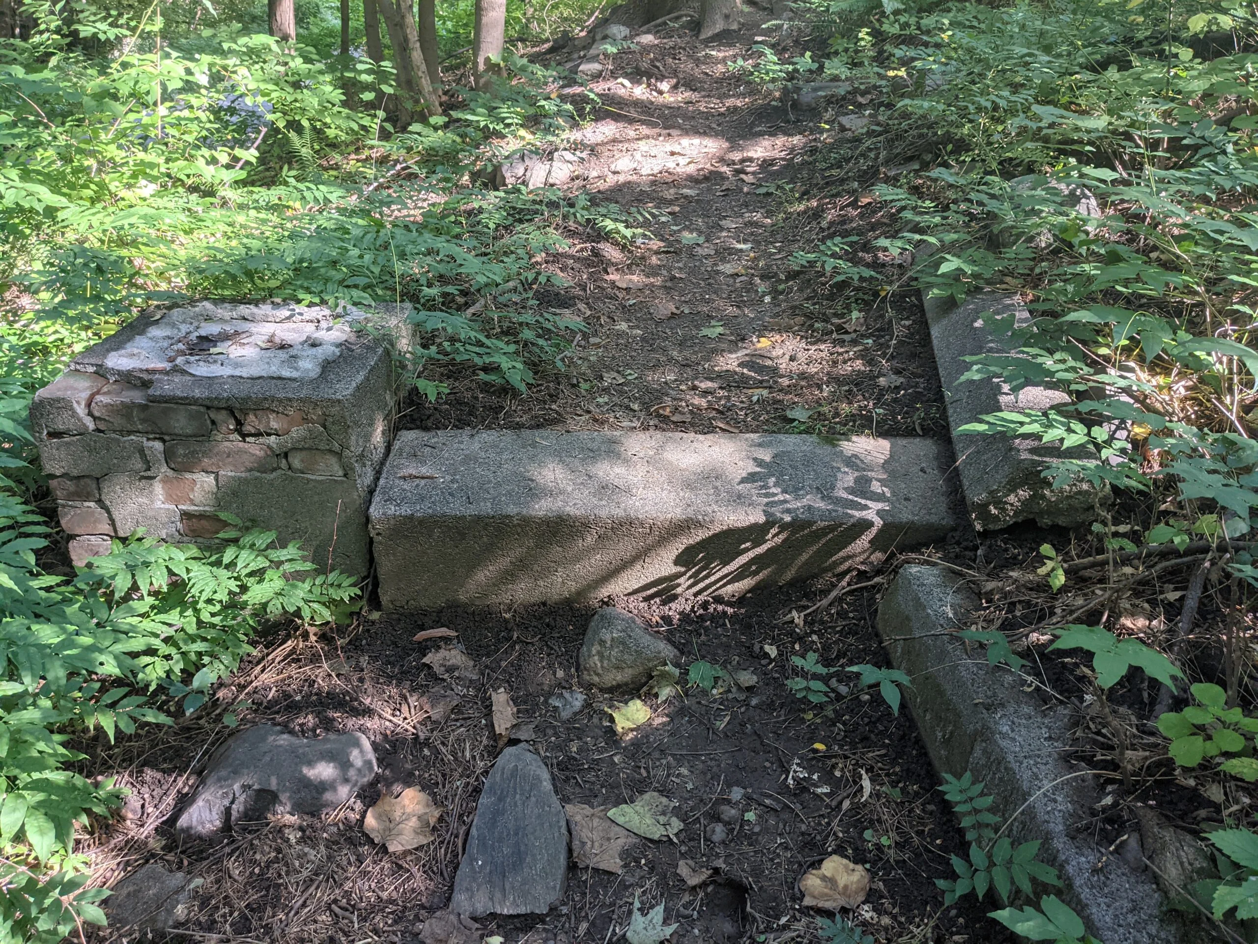
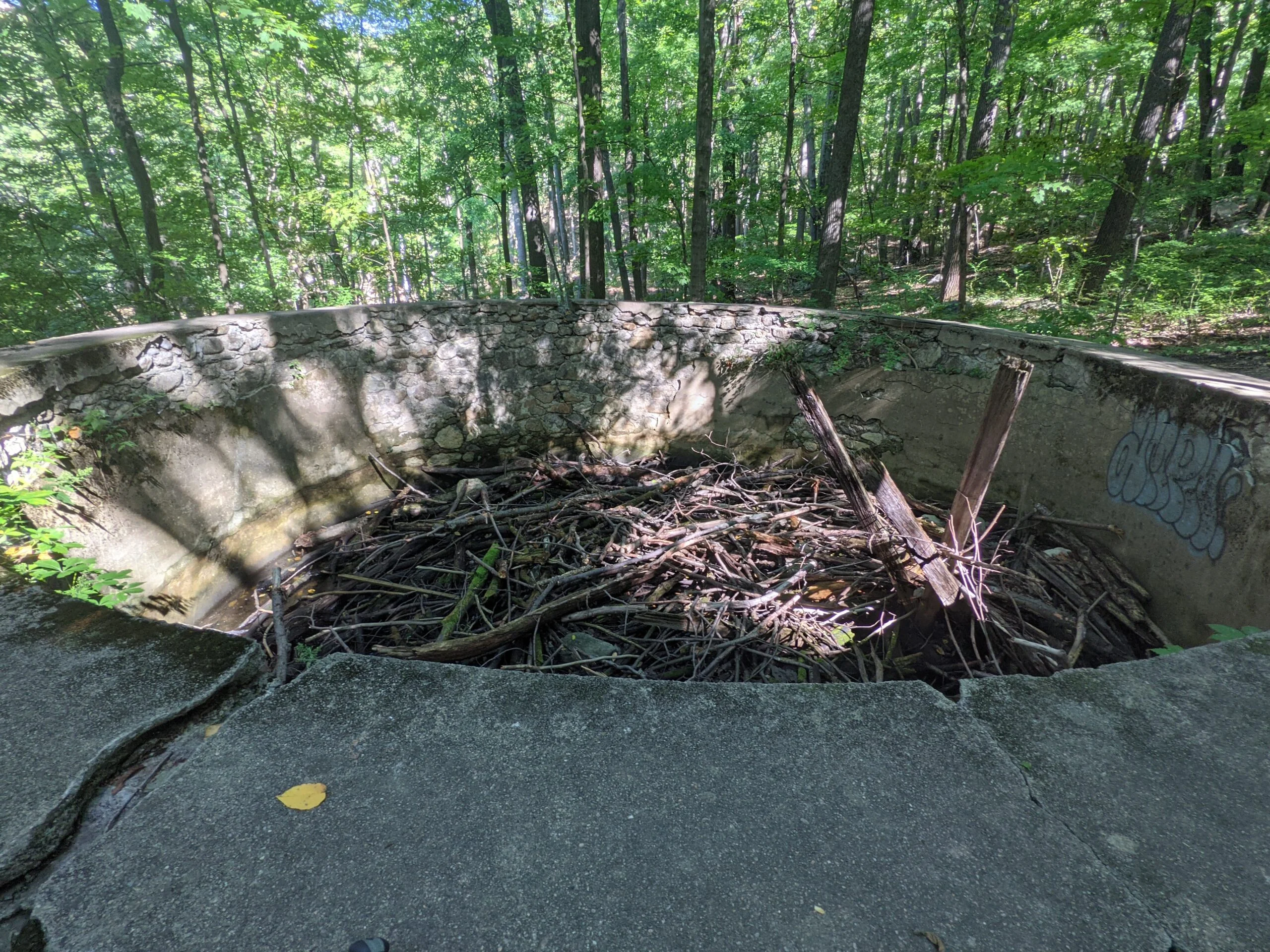
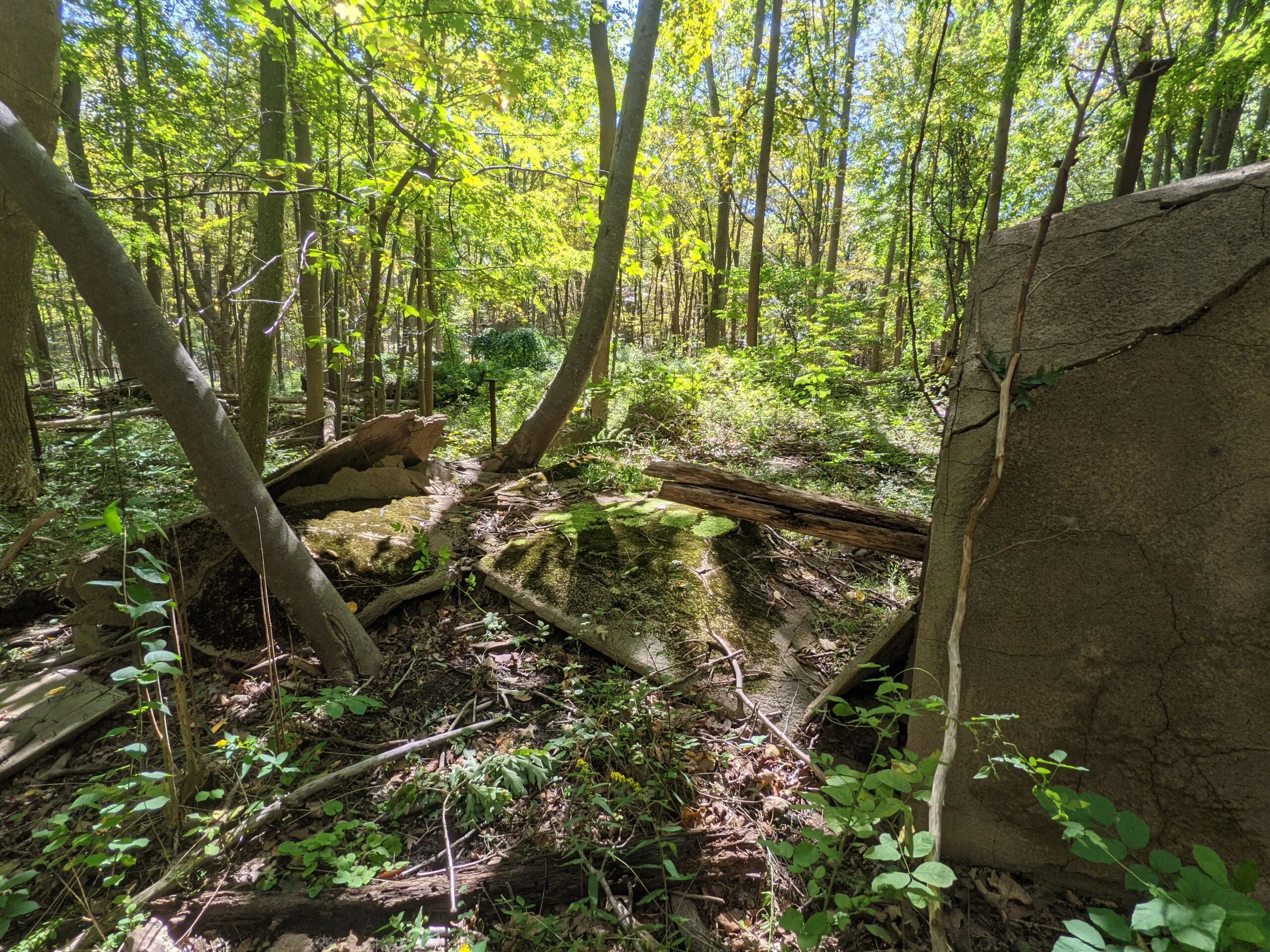
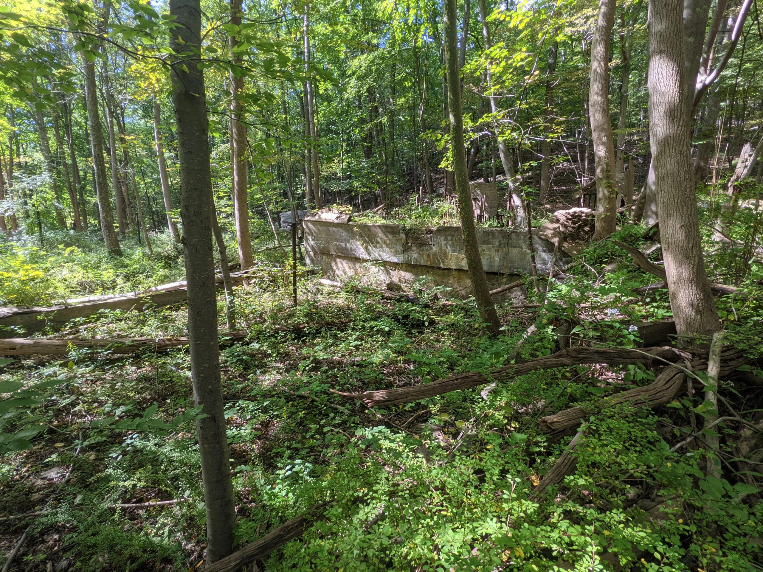
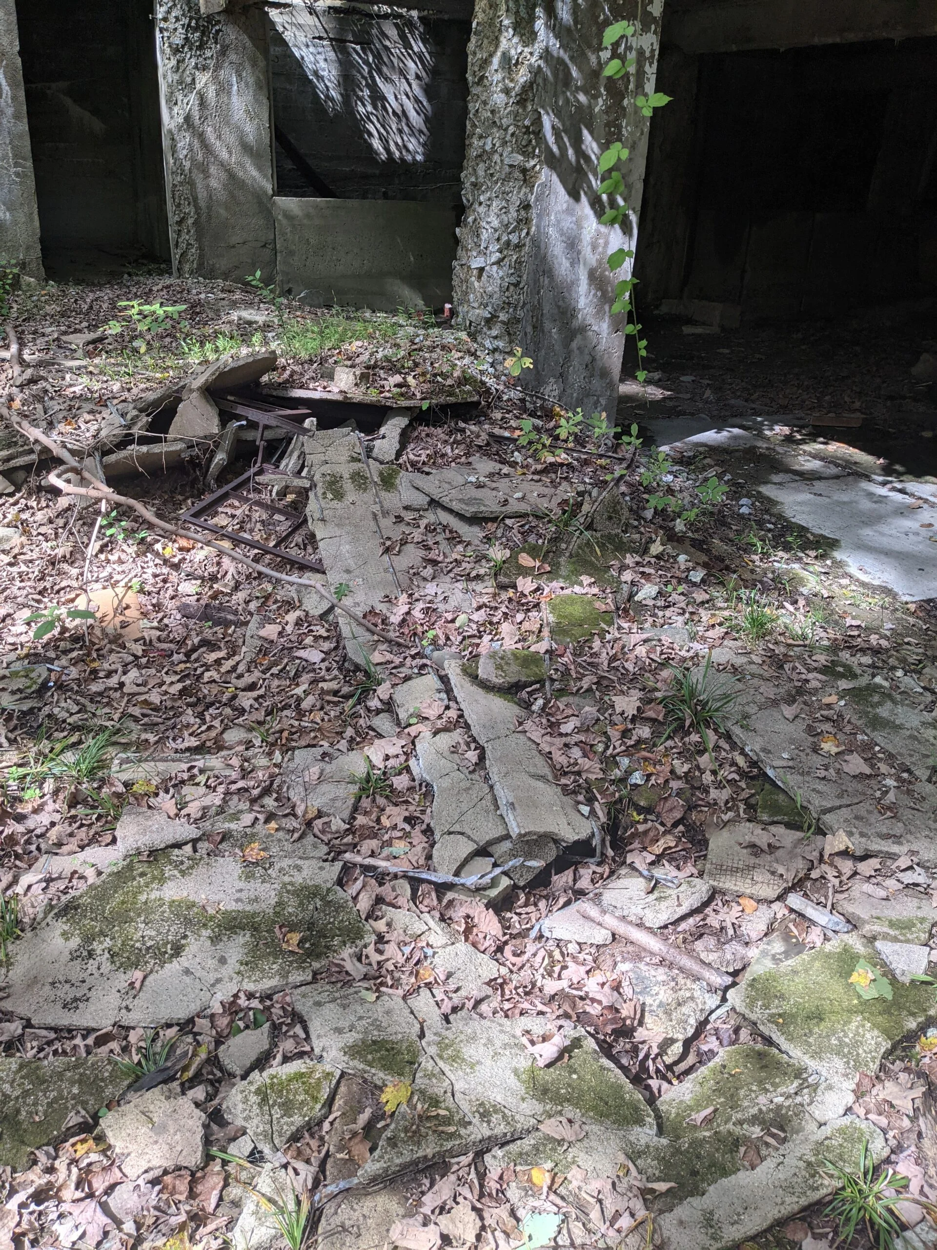
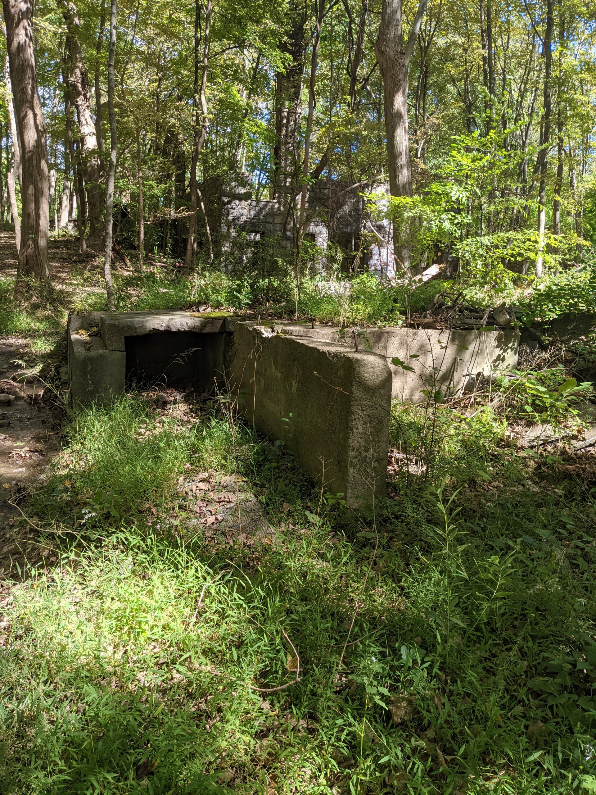
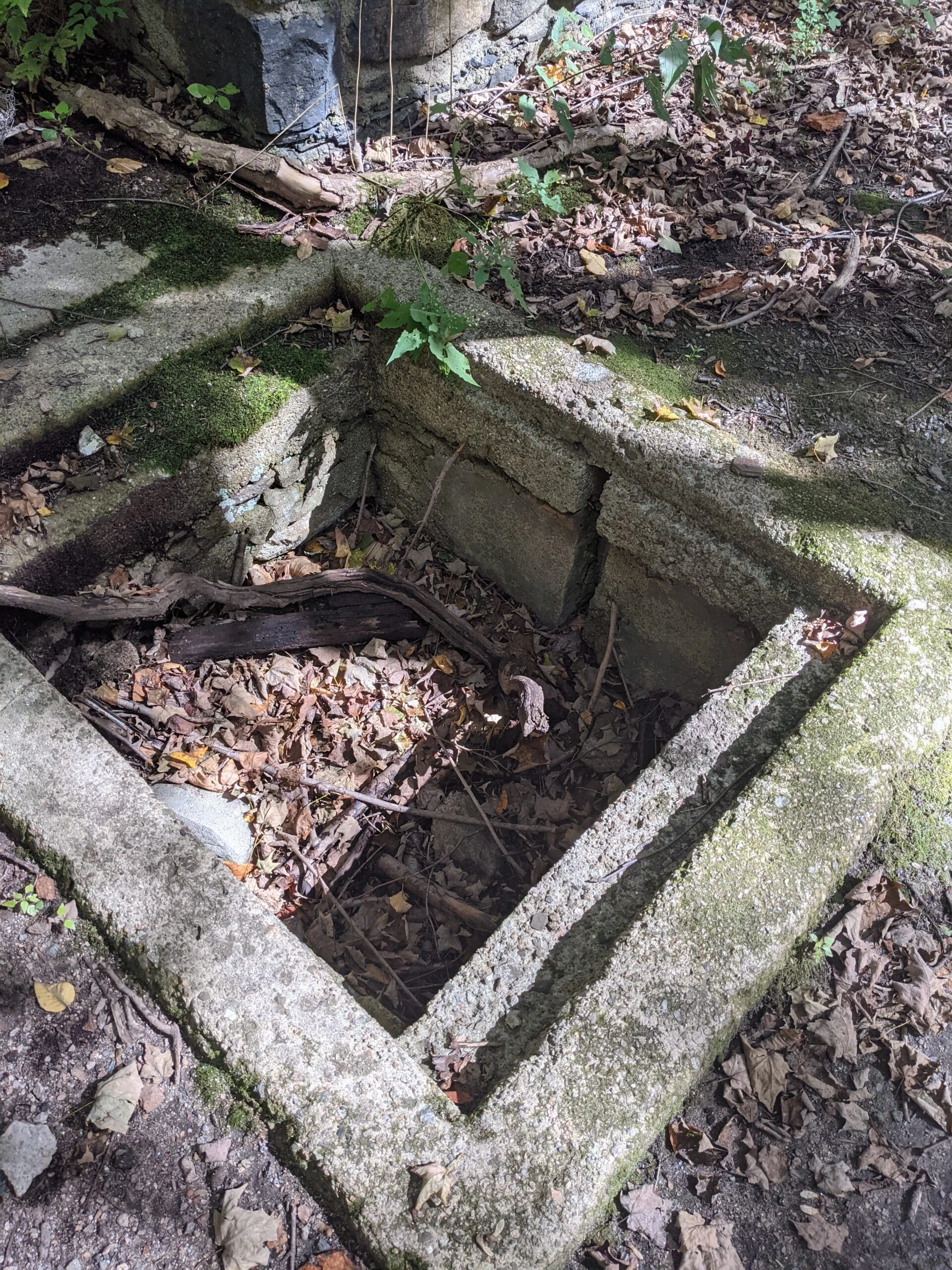
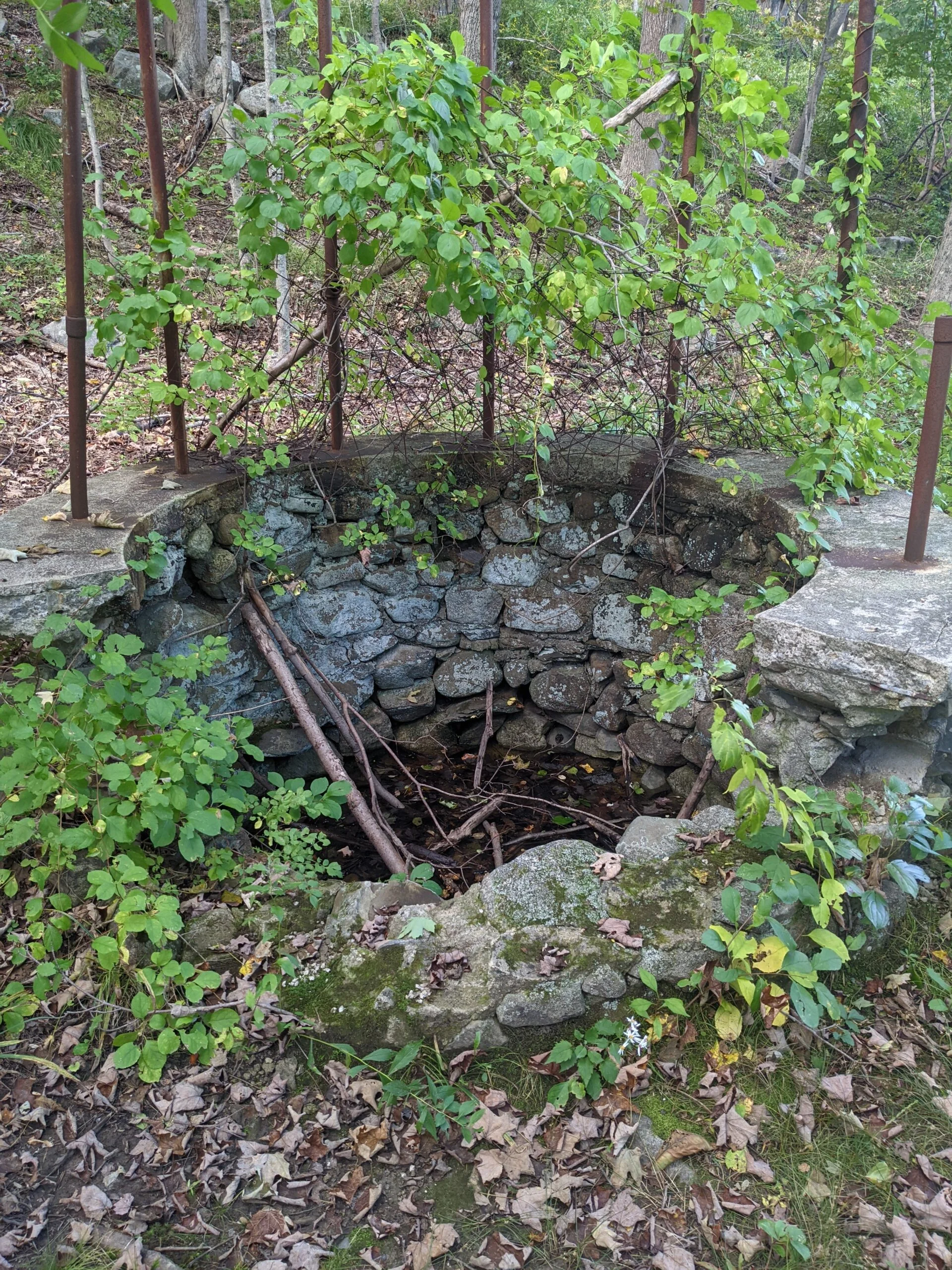
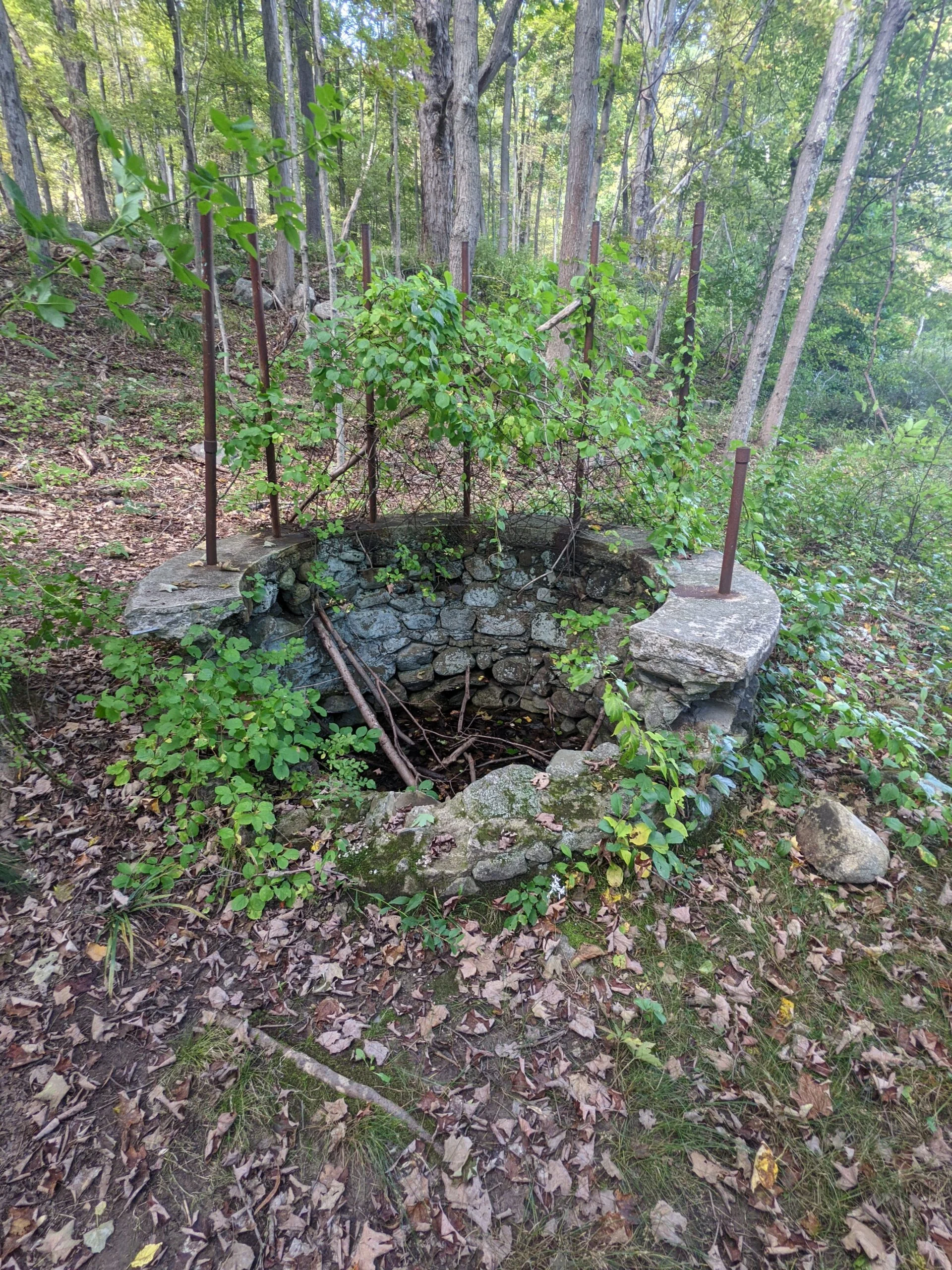
After reading a sign and map introducing the property, I decided to start with the spring-fed pool. Relatively modest in size, it’s basically a concrete box in the ground, now filled with branches, dirt, and other debris. Climbing the stairs from the pool, I got a good view of the main house from a distance and contrasted that with photos of the original structure. It was pretty awe inspiring to see what the property once looked like.
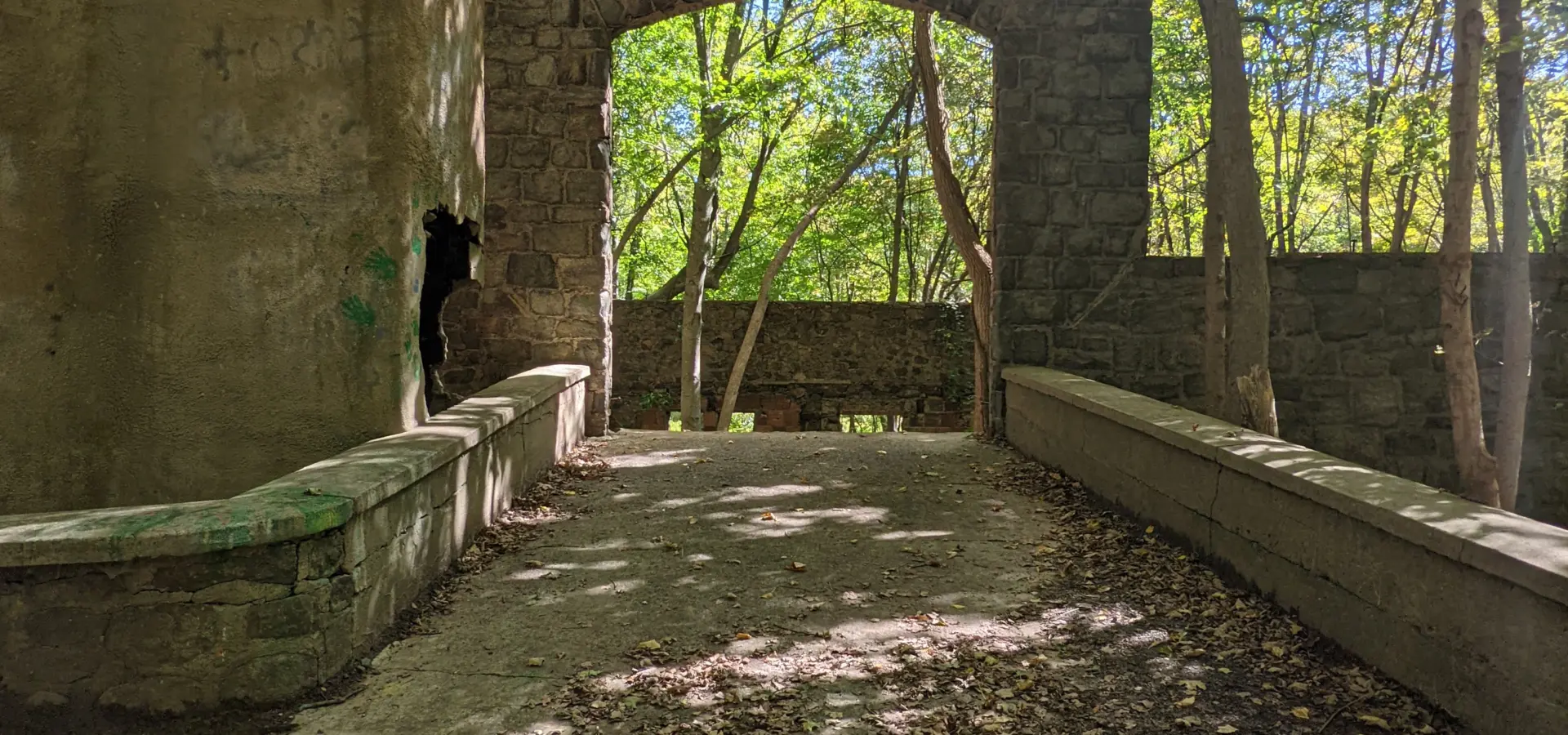
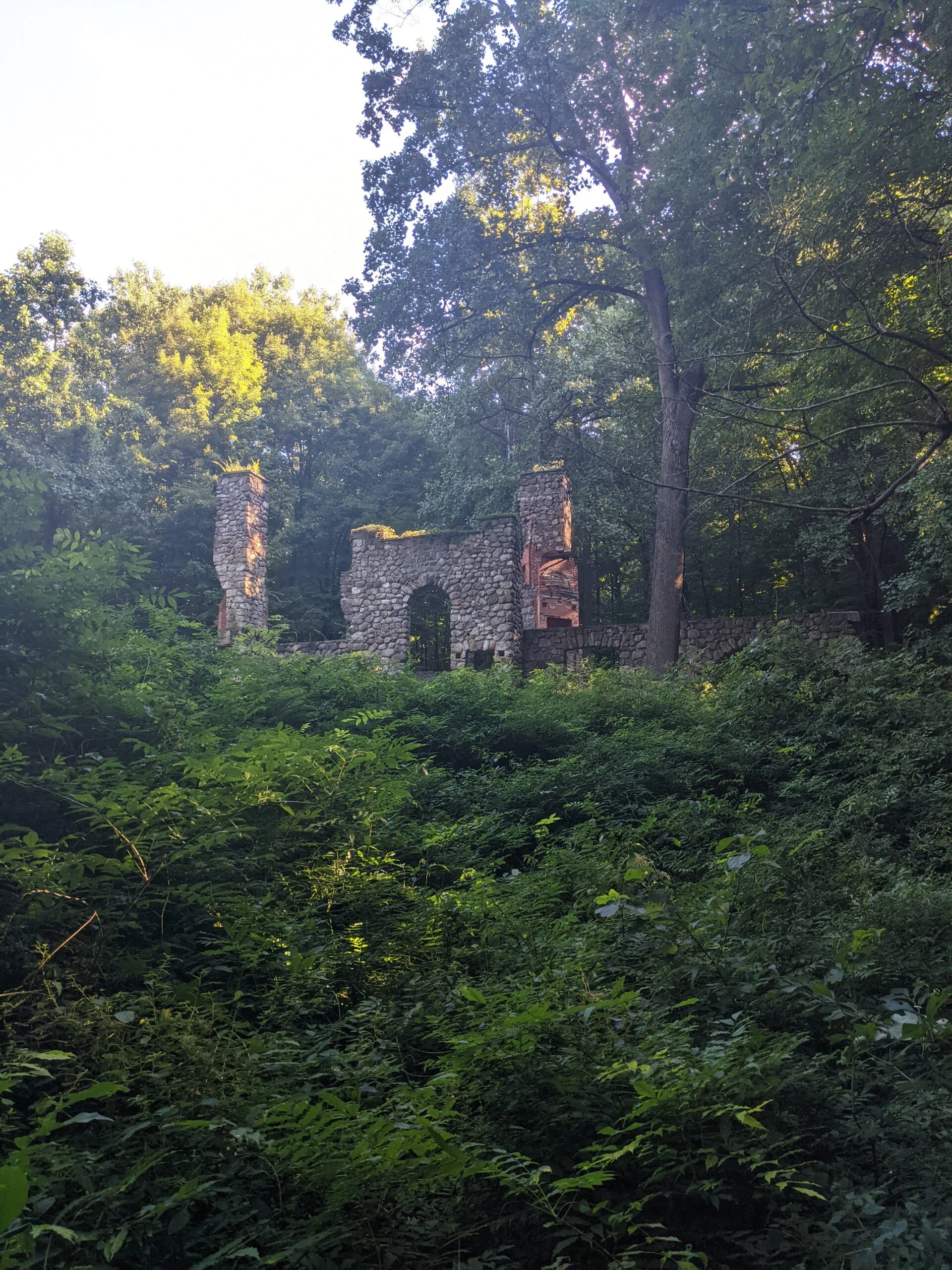
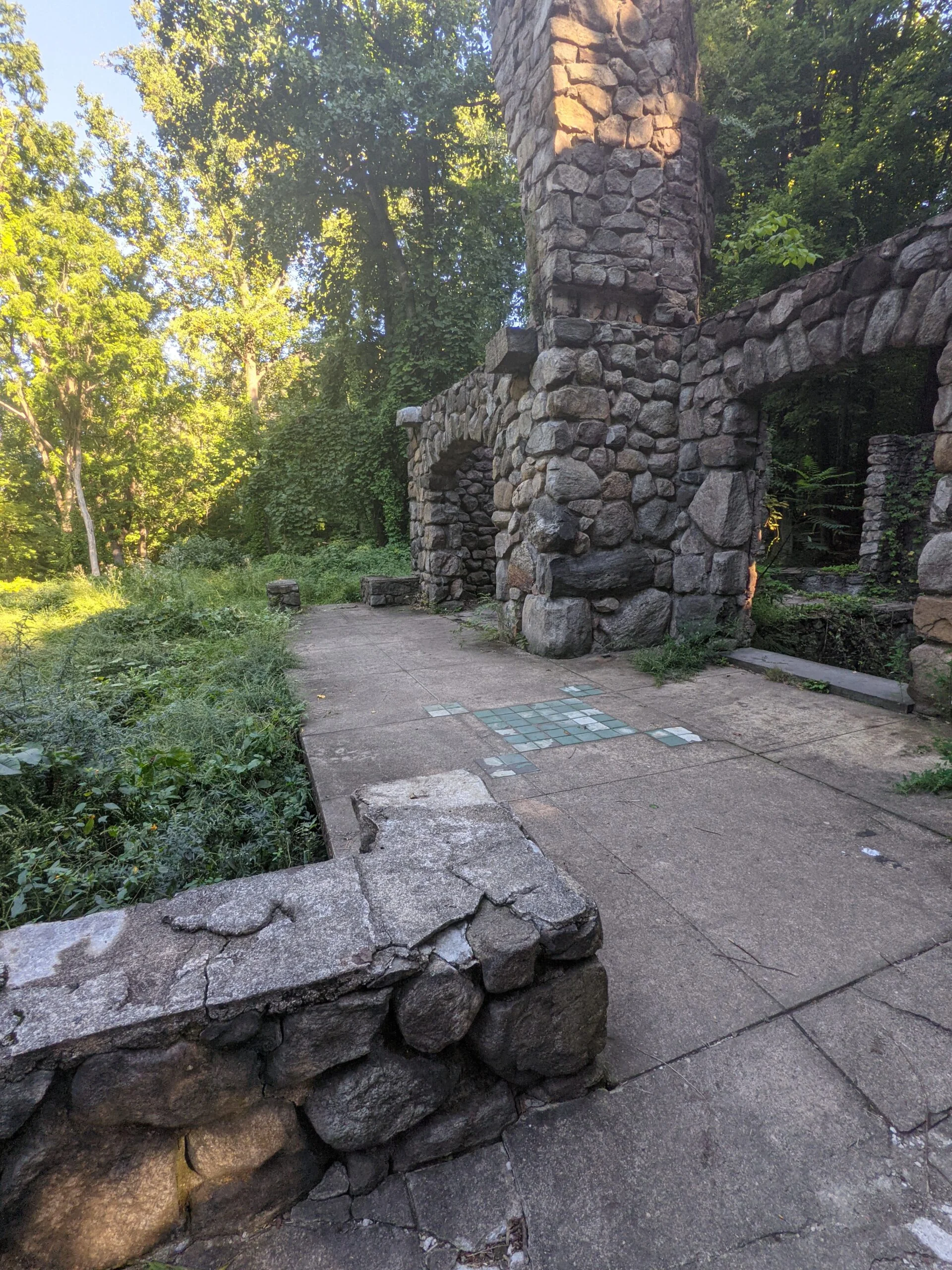
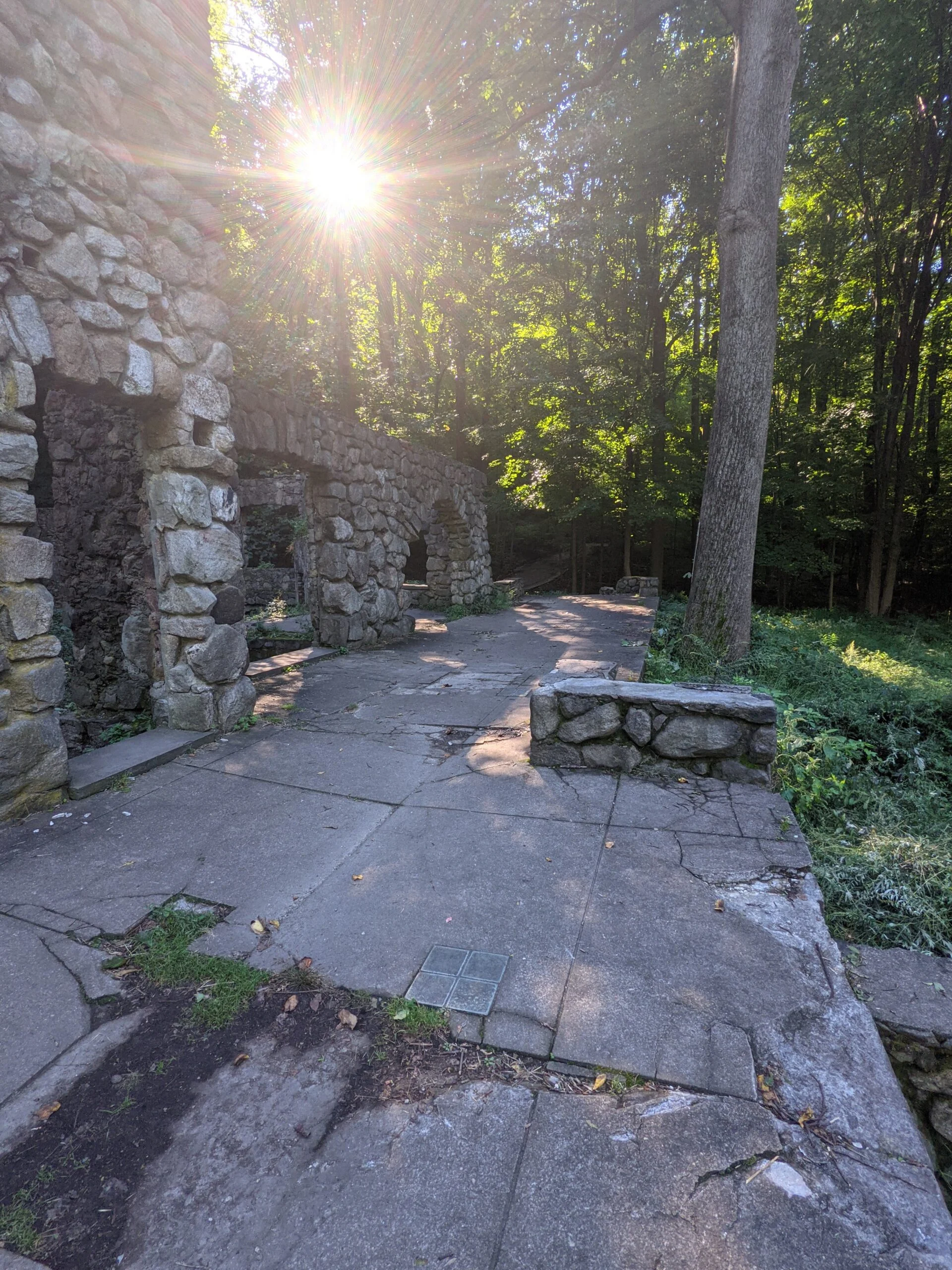
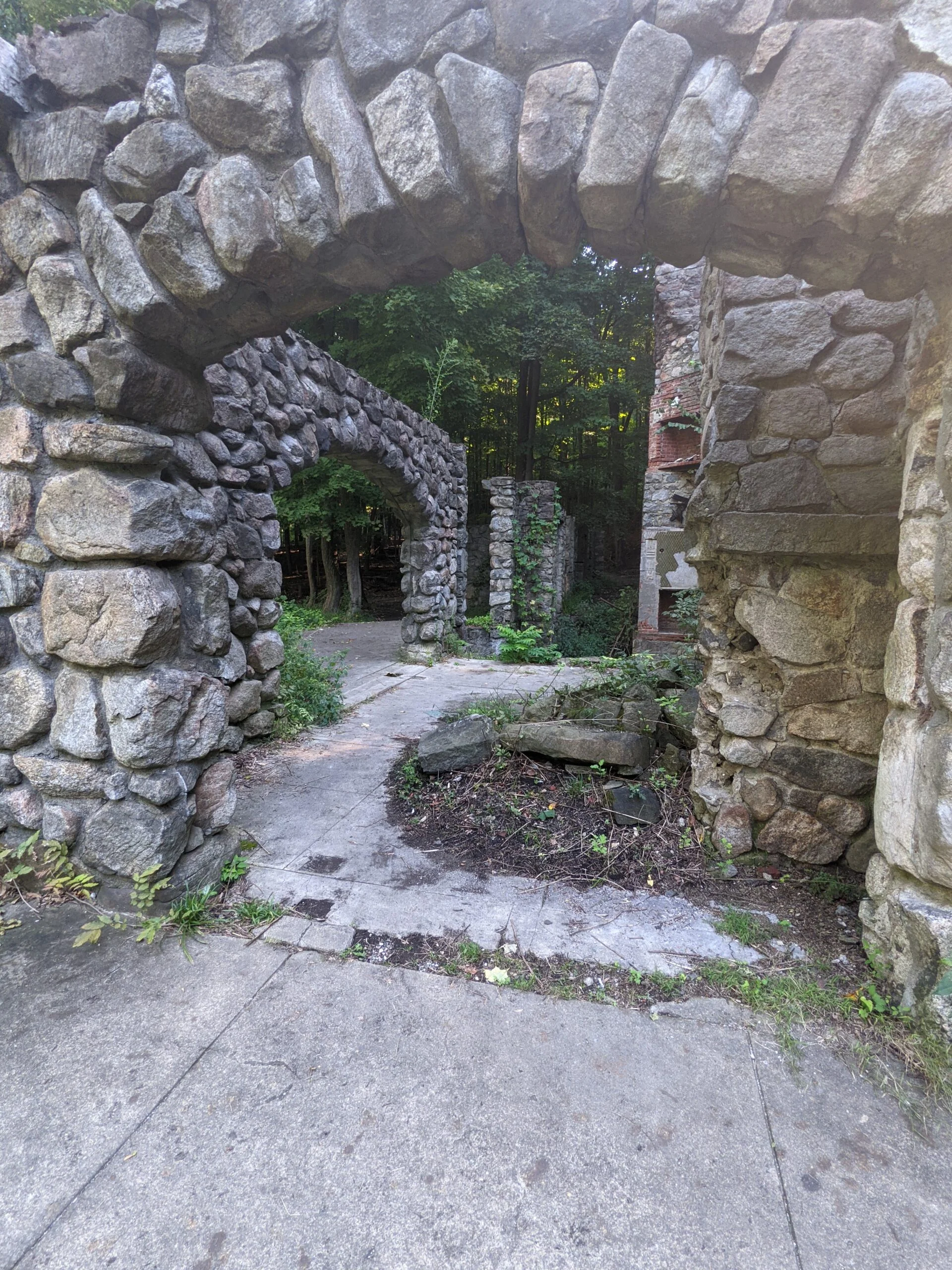
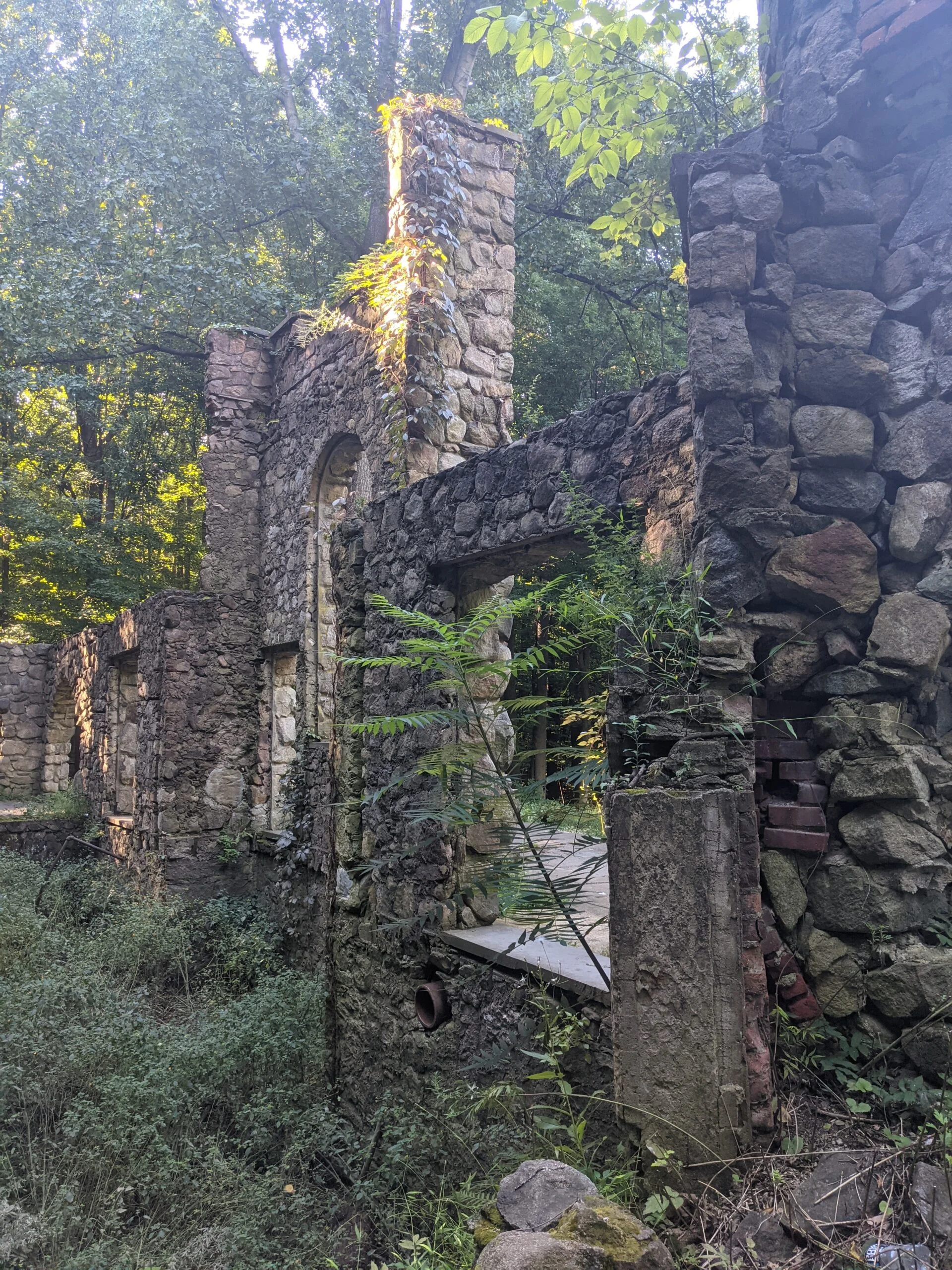
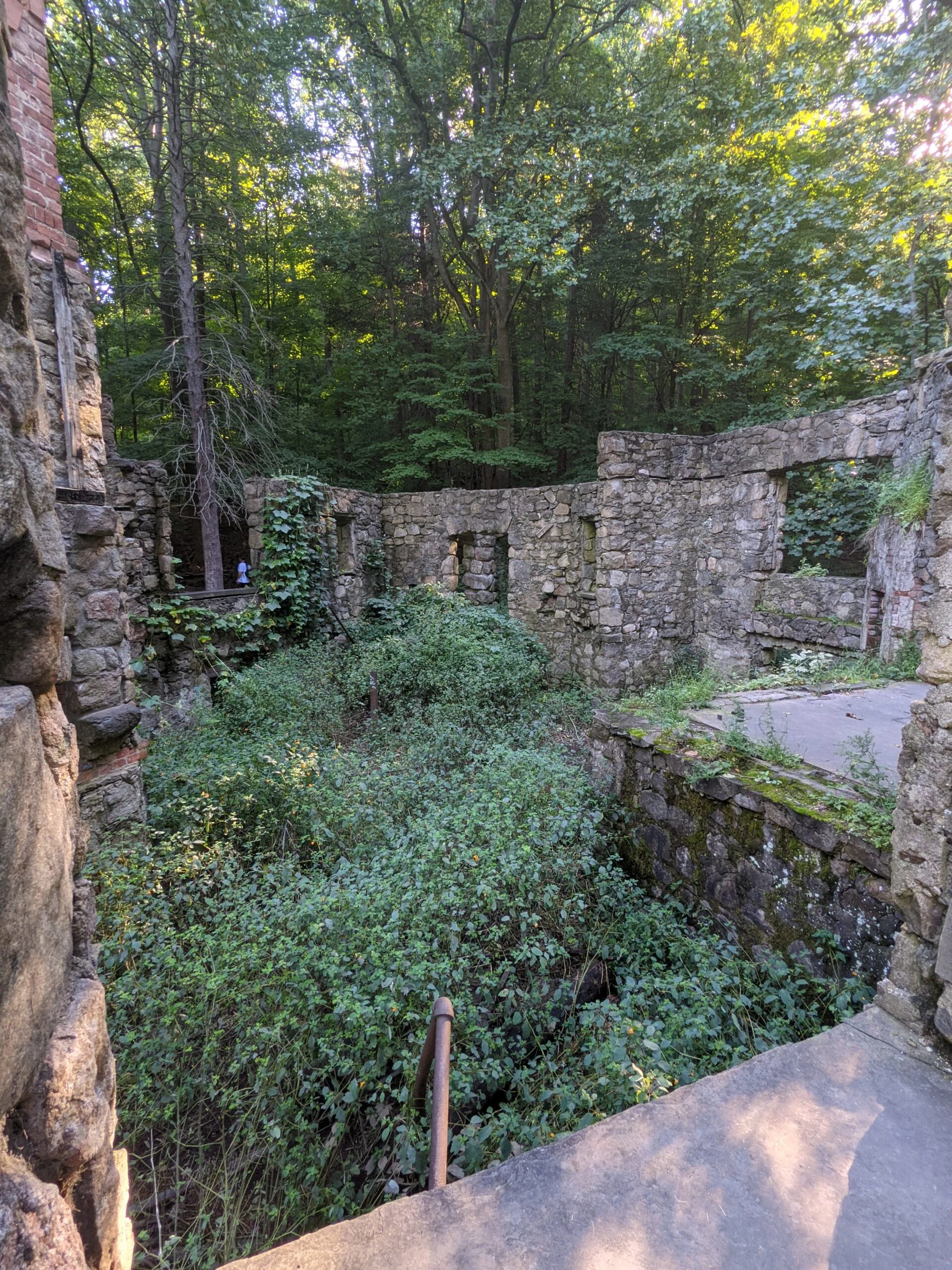
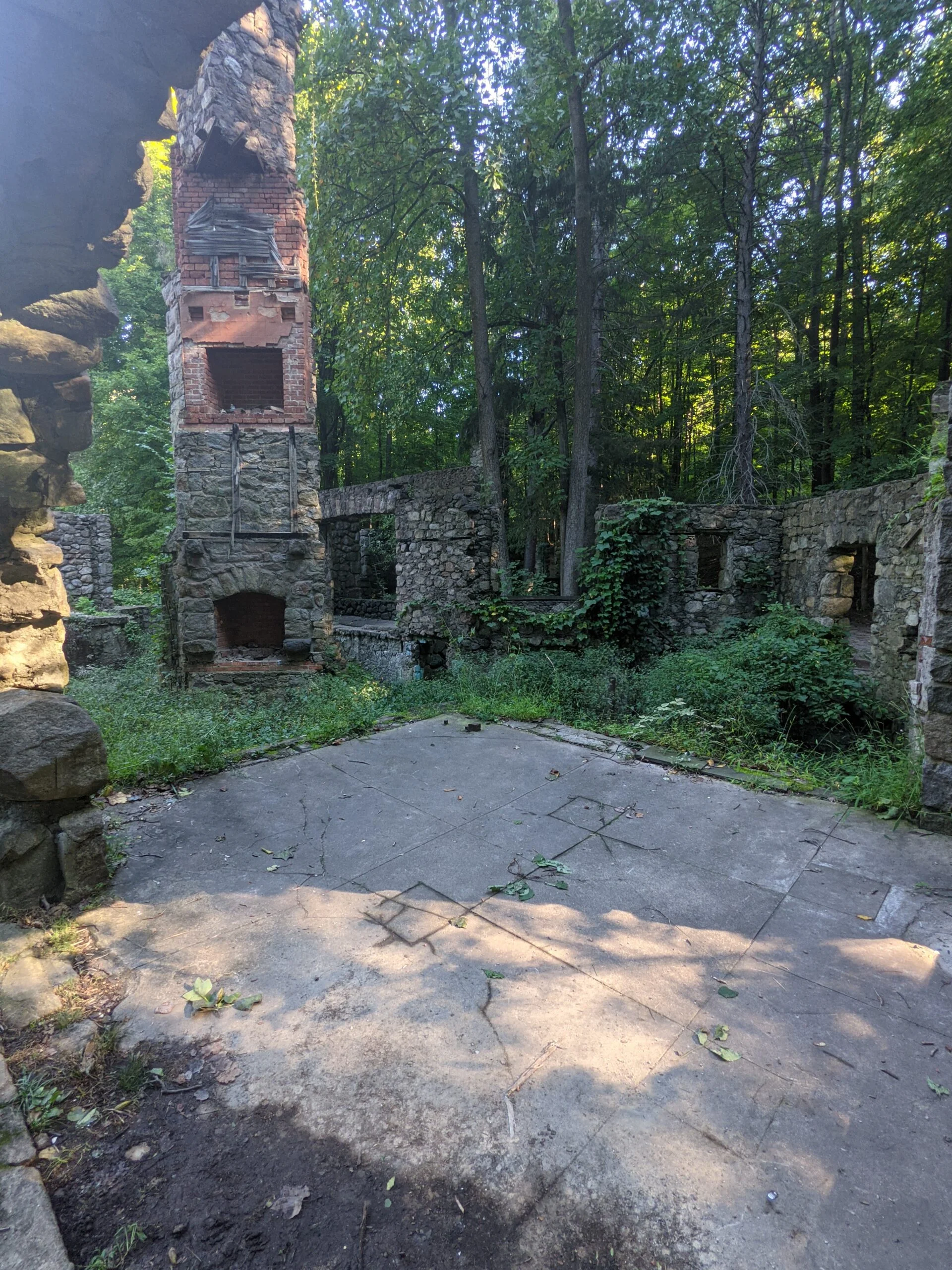
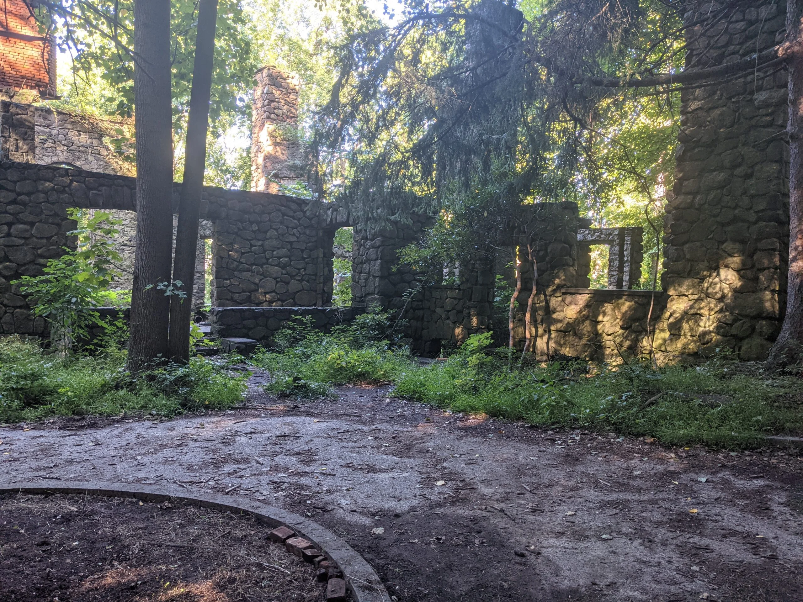
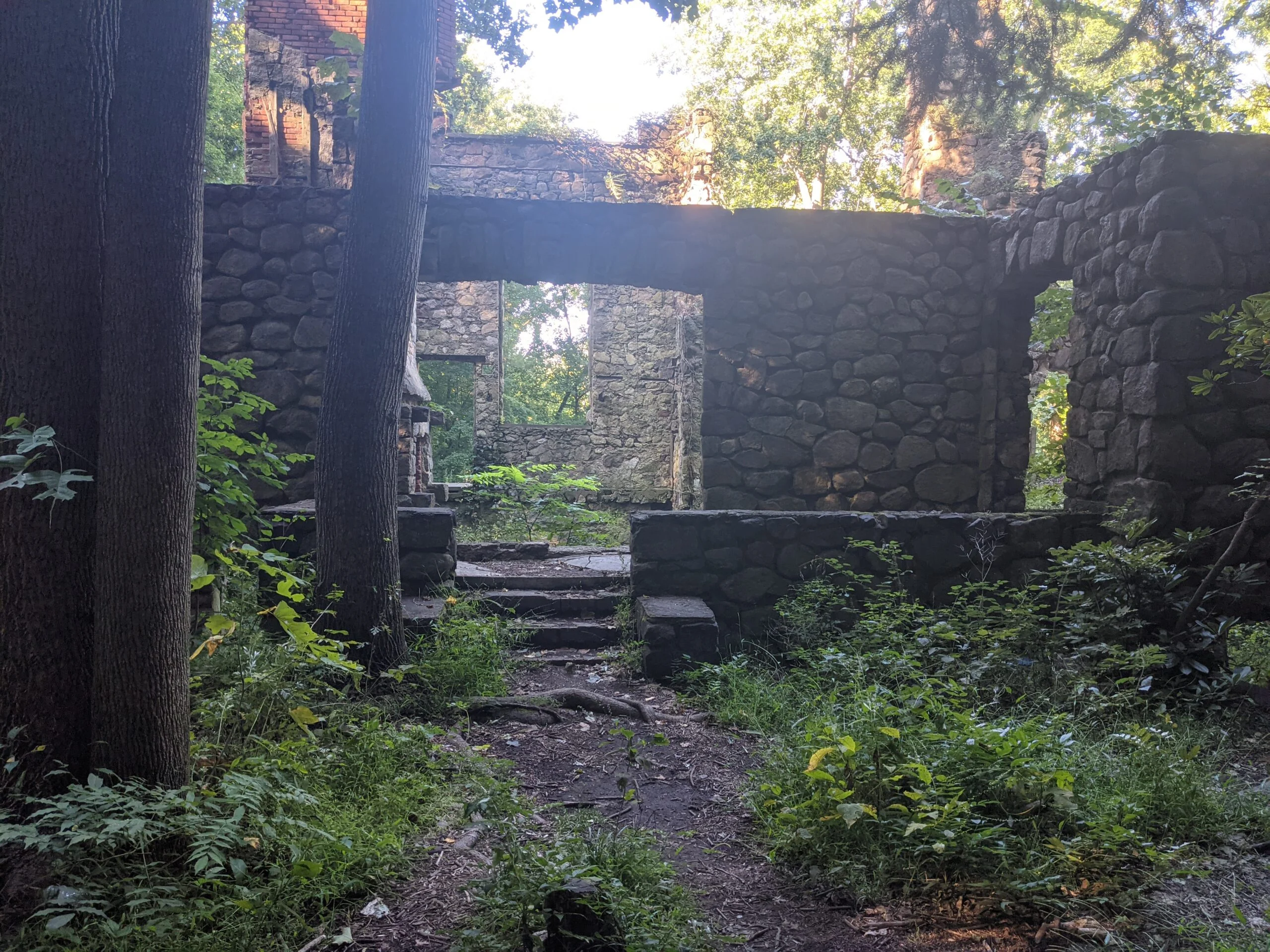
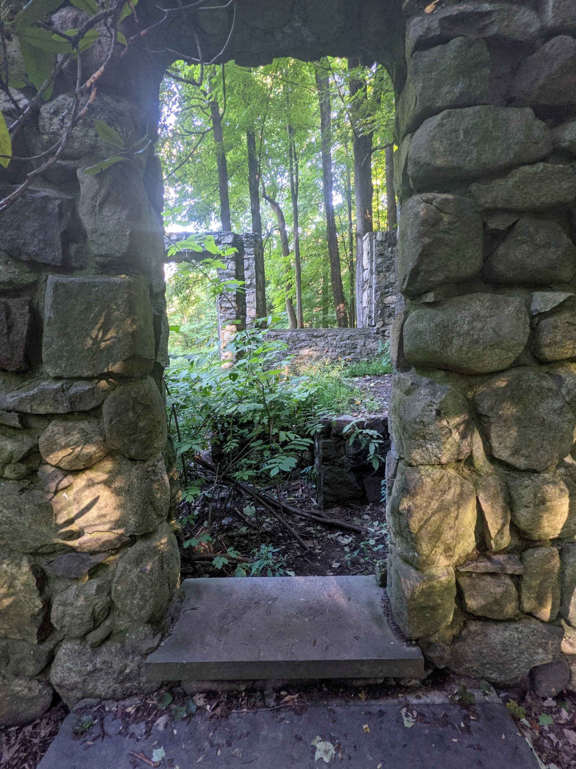
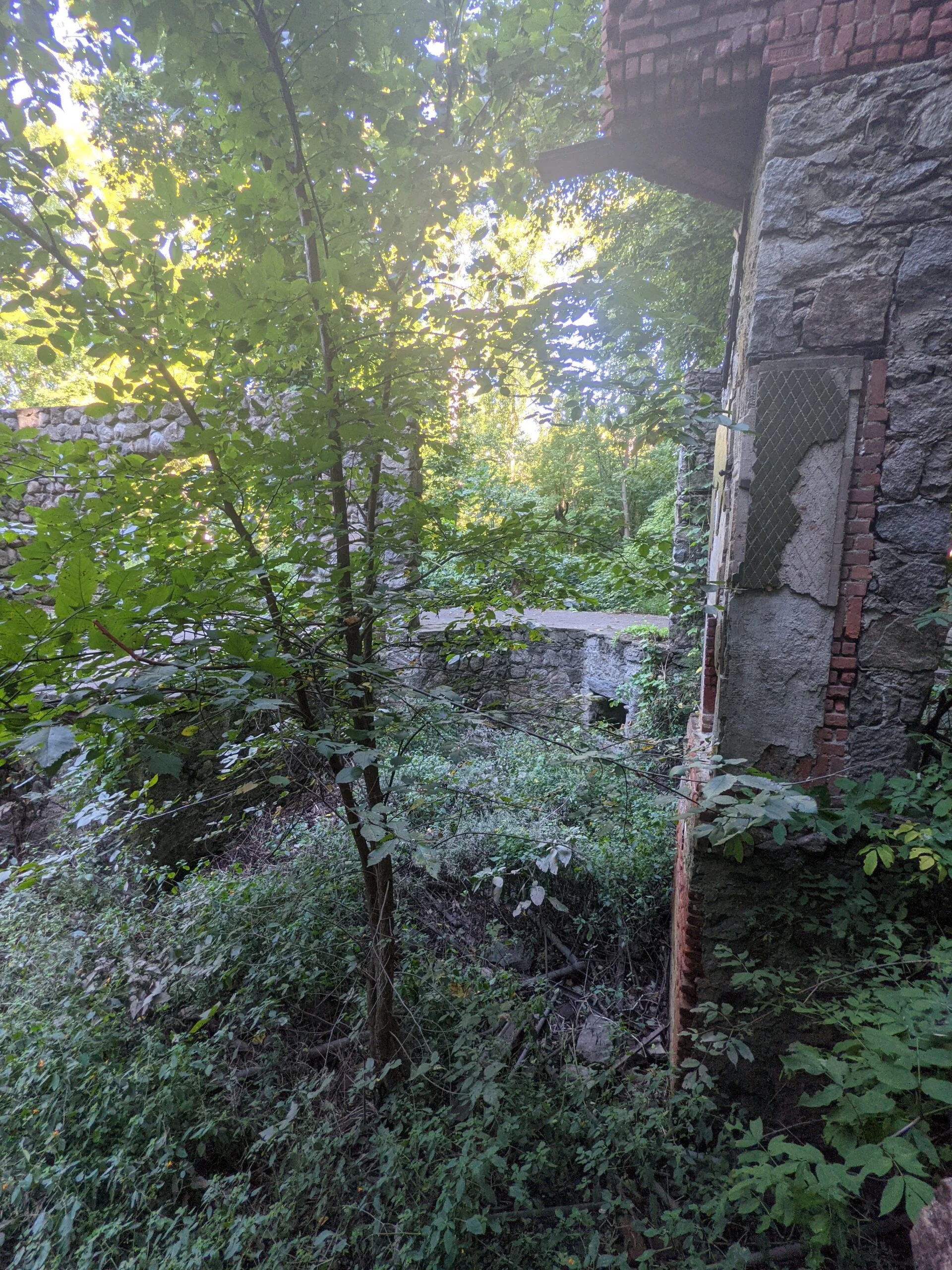
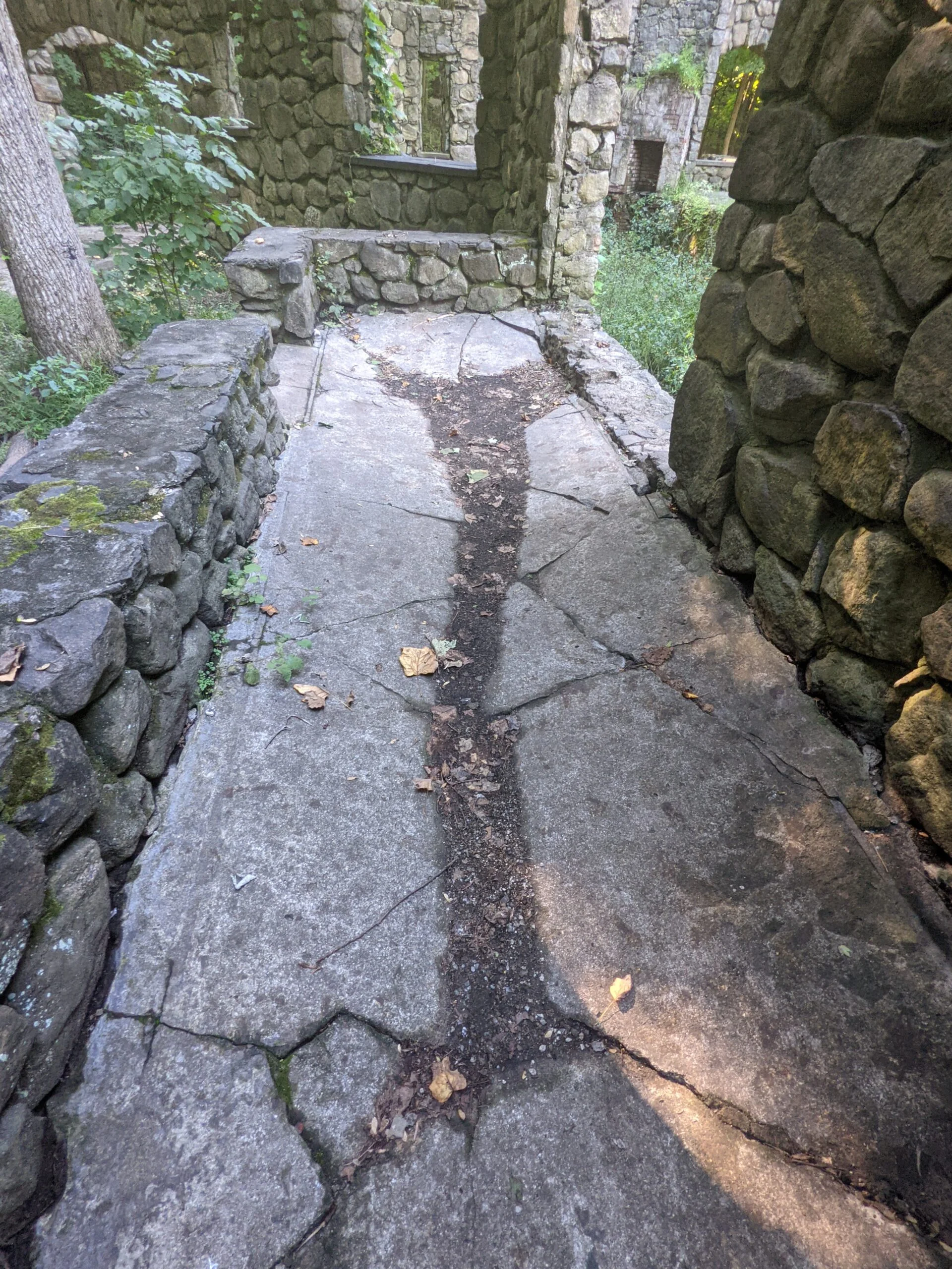
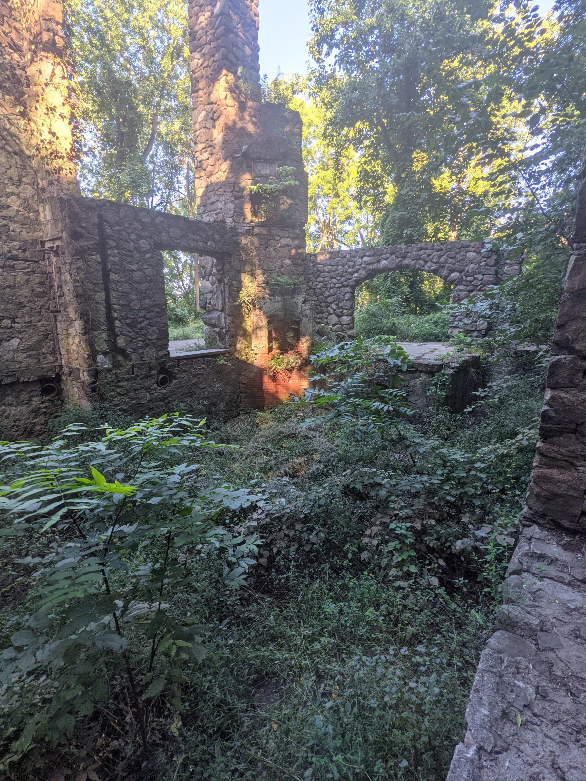
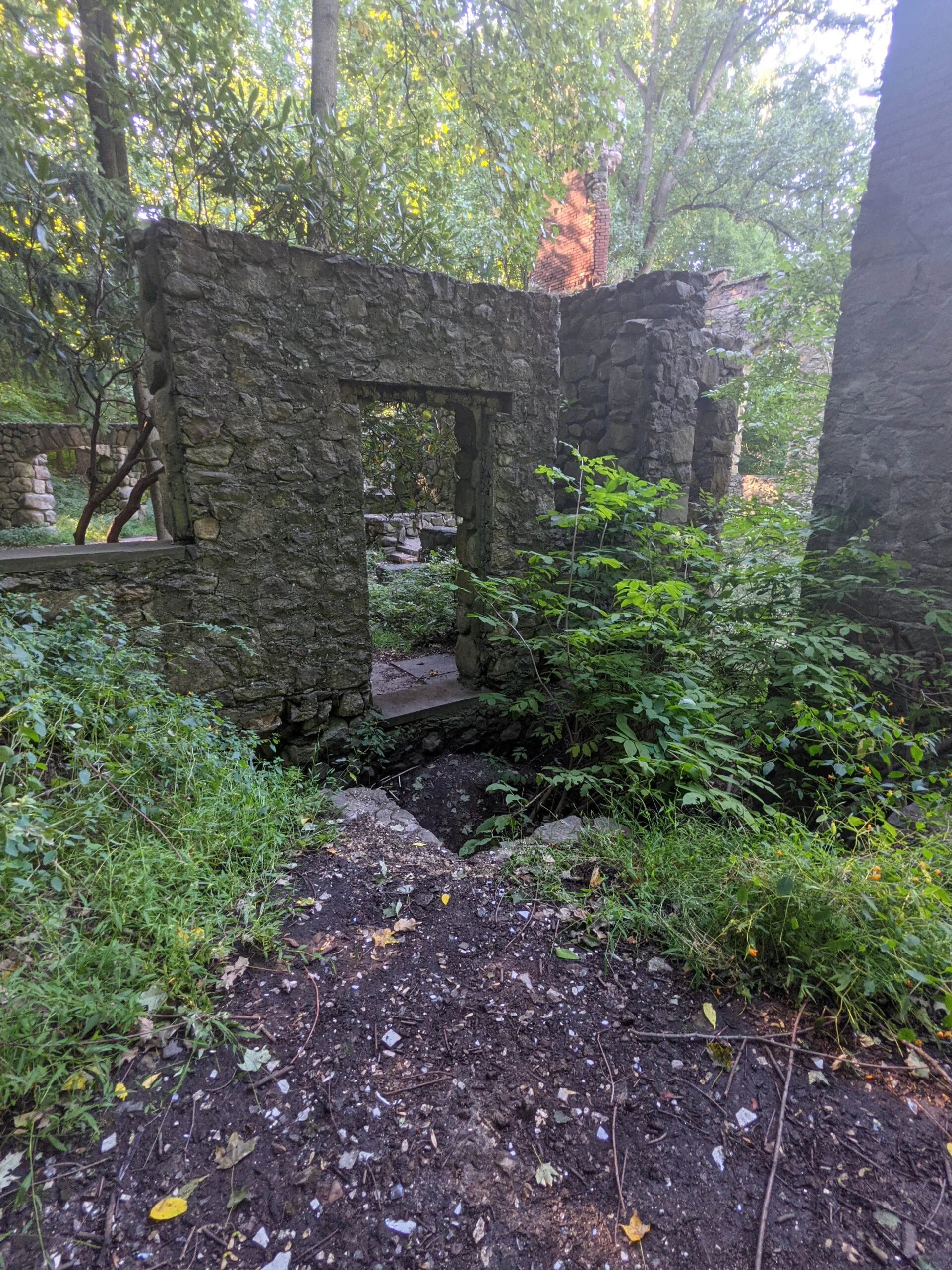
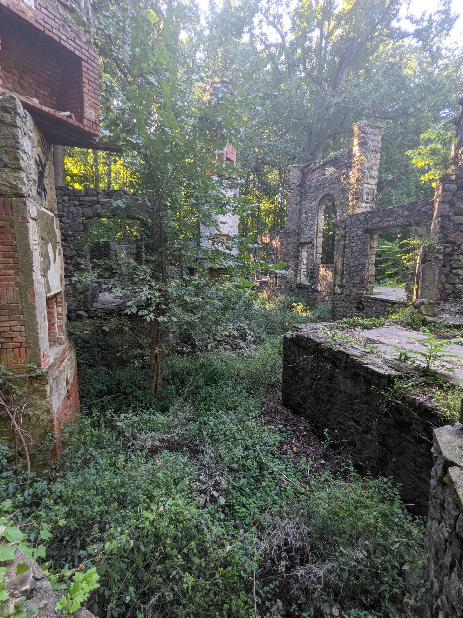
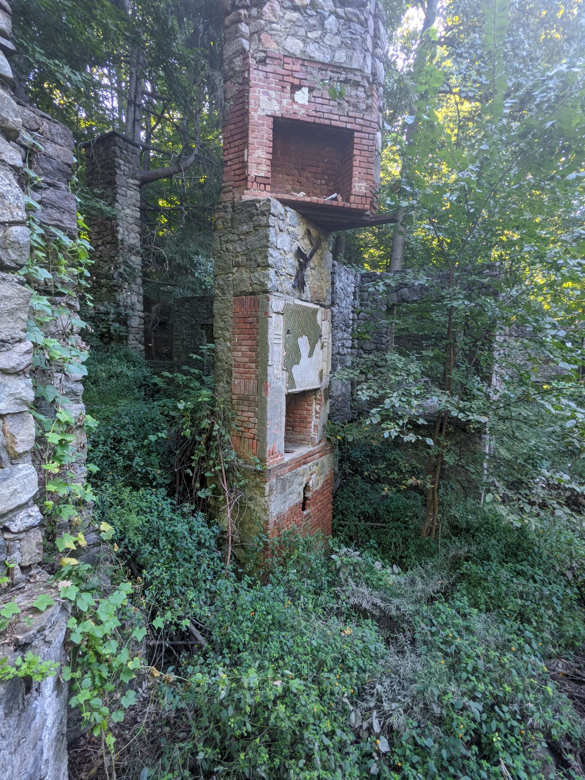
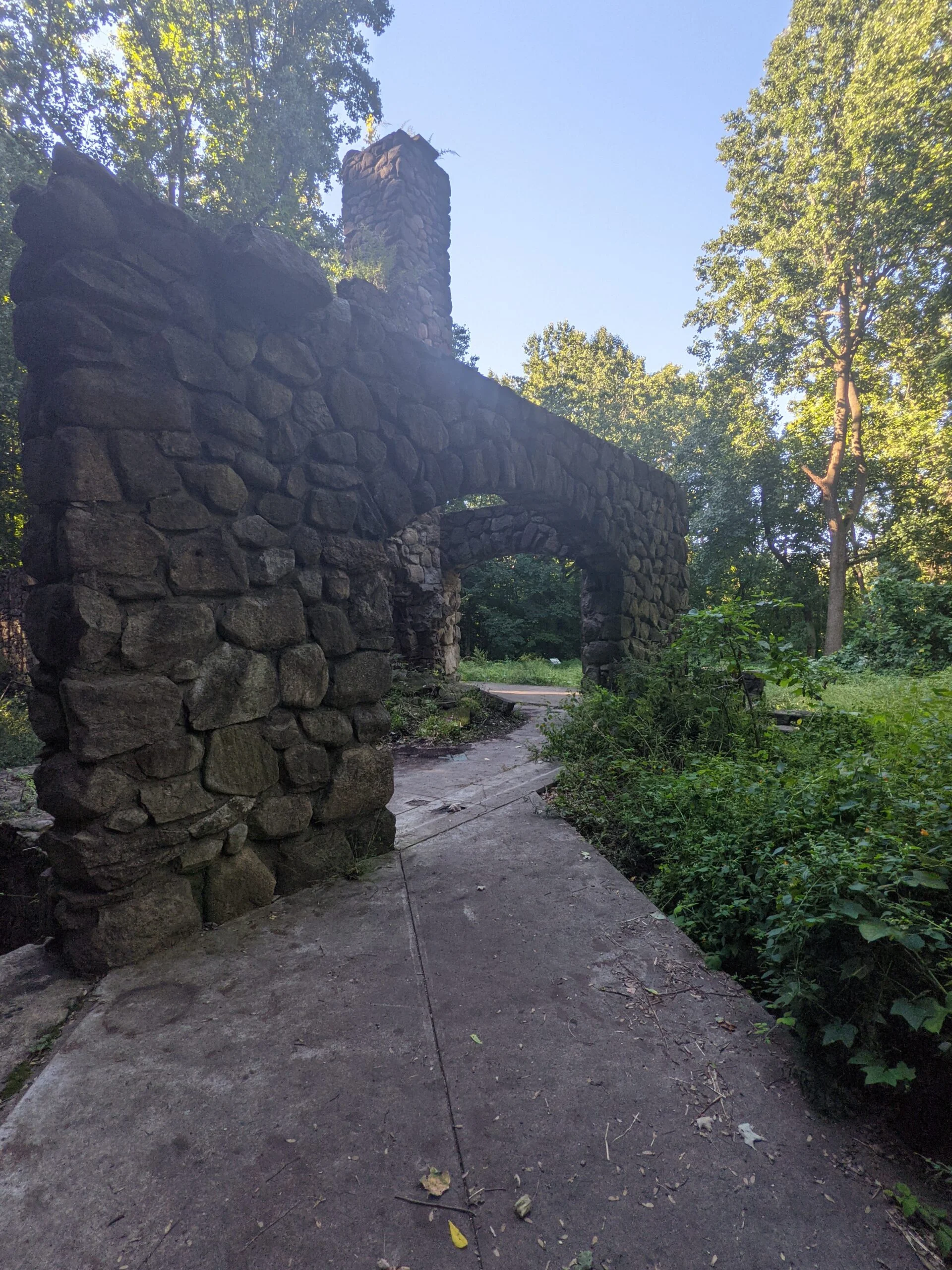
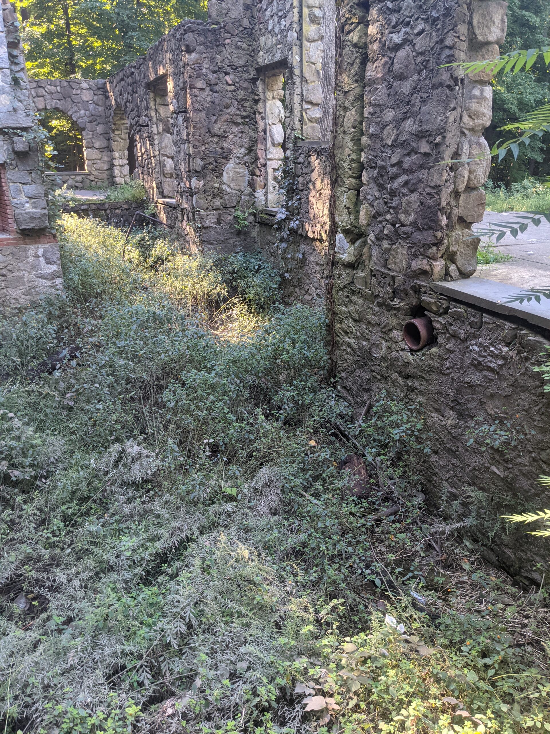
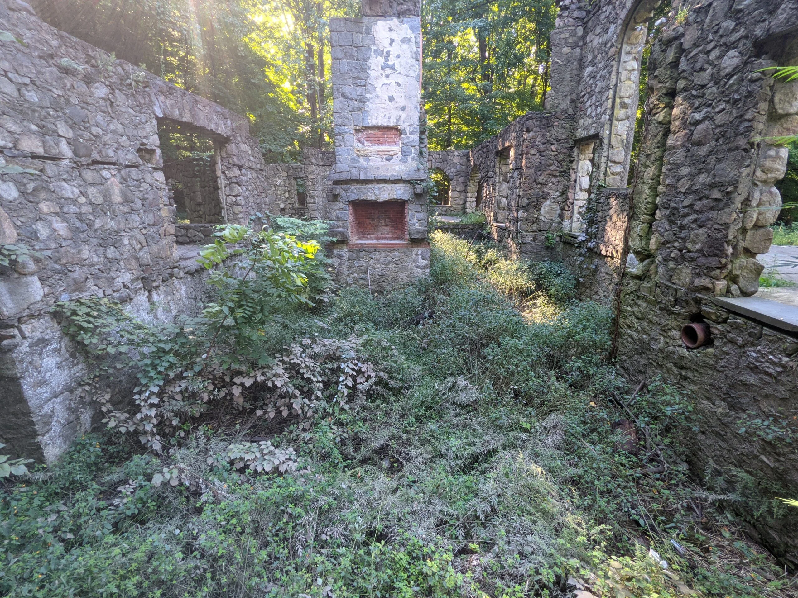
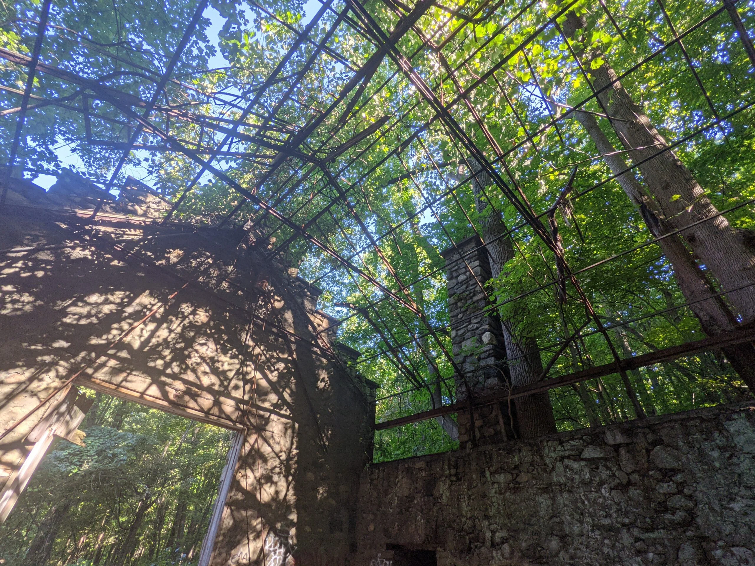
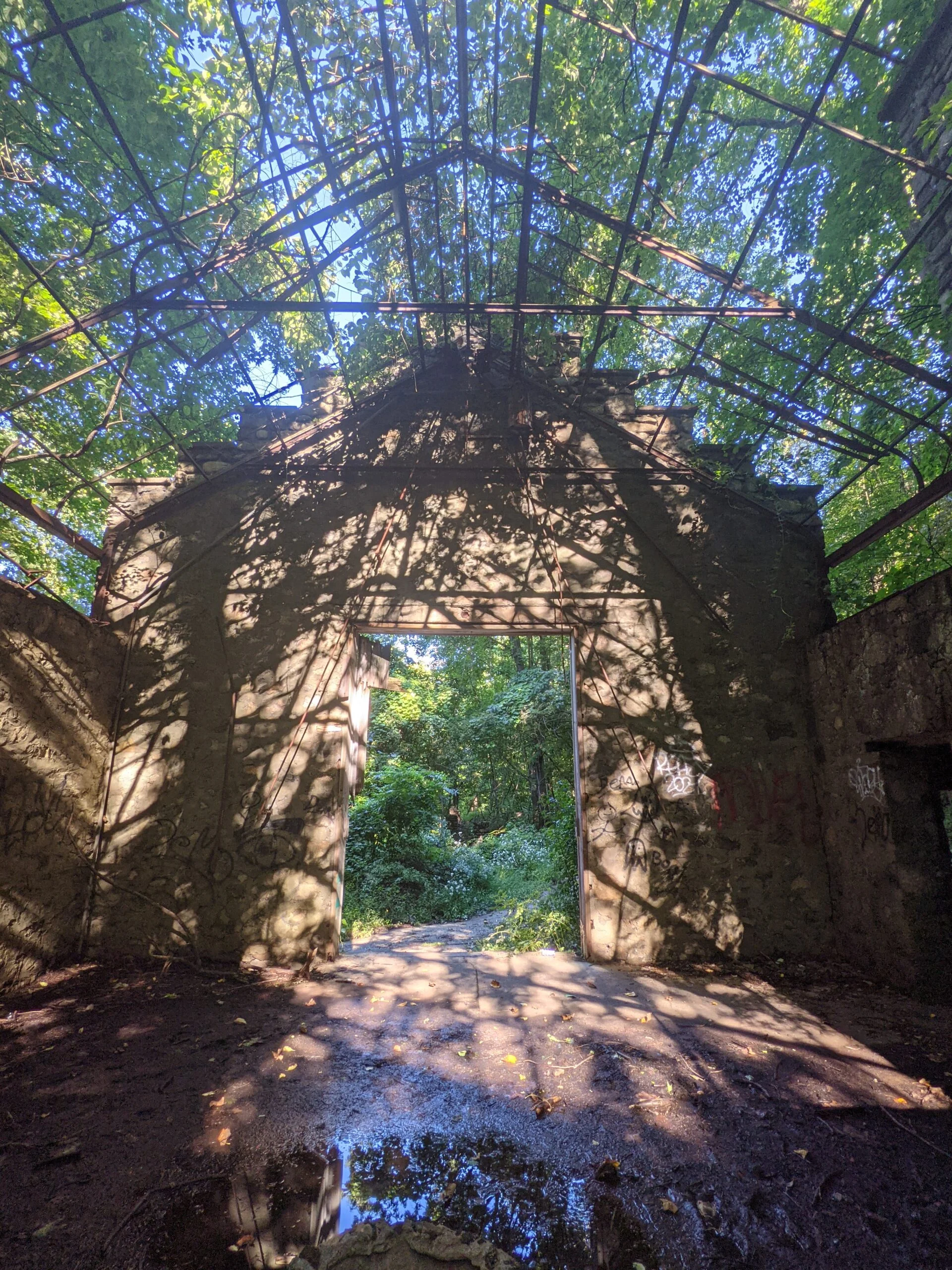
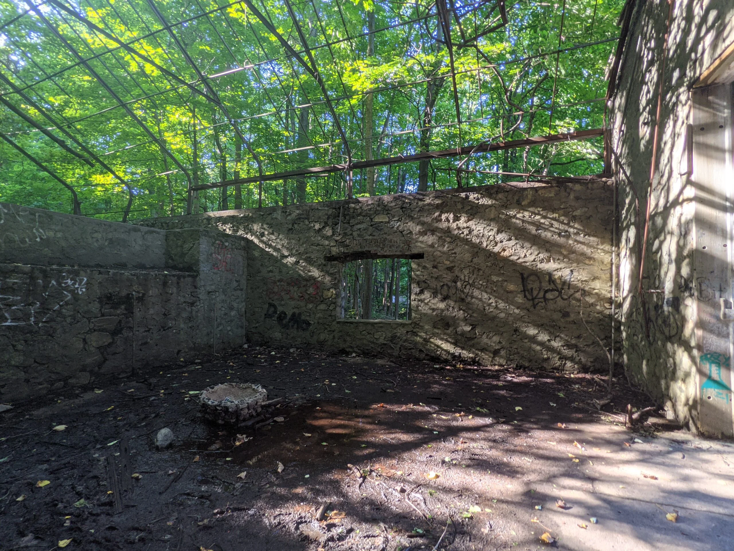
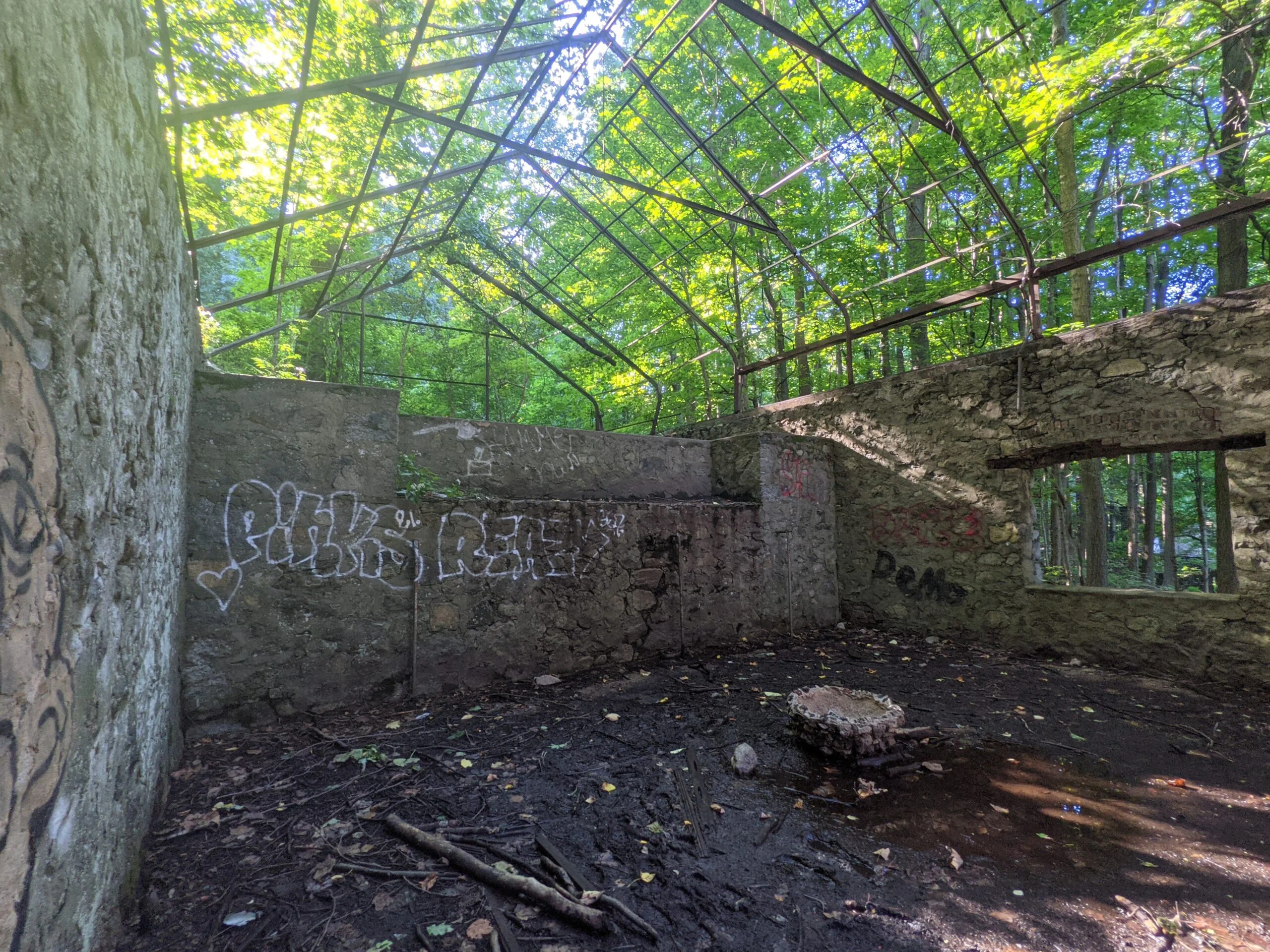
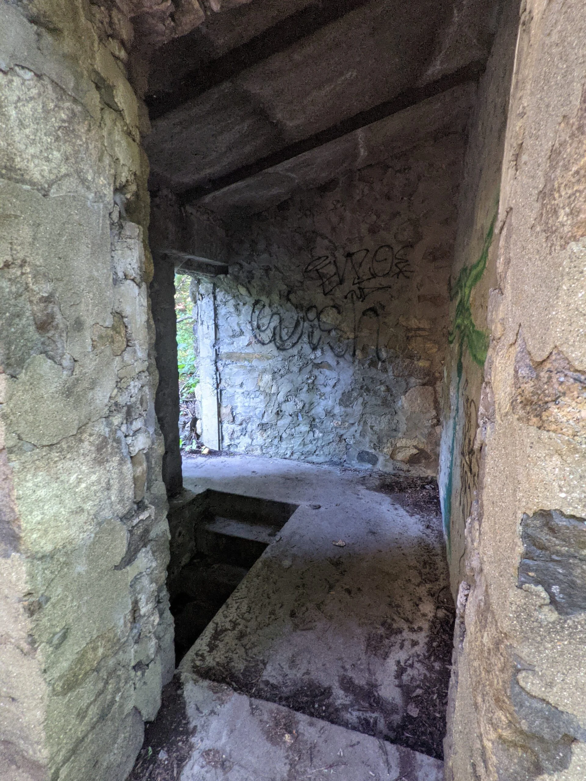
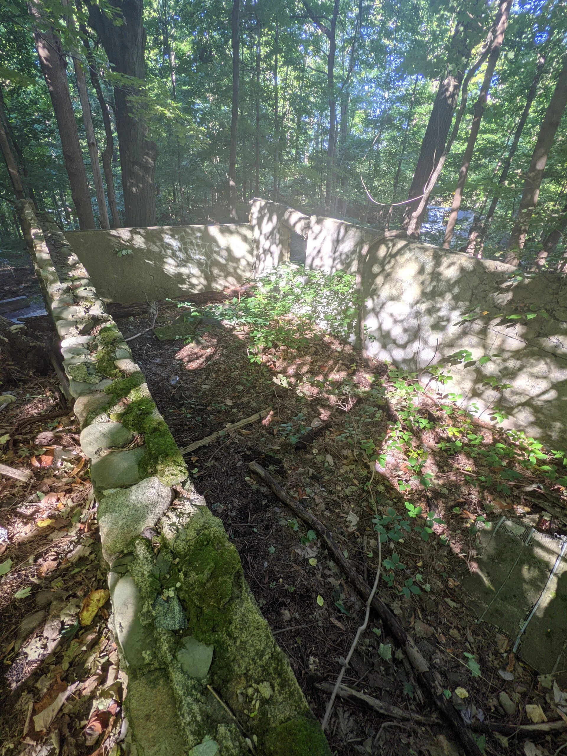
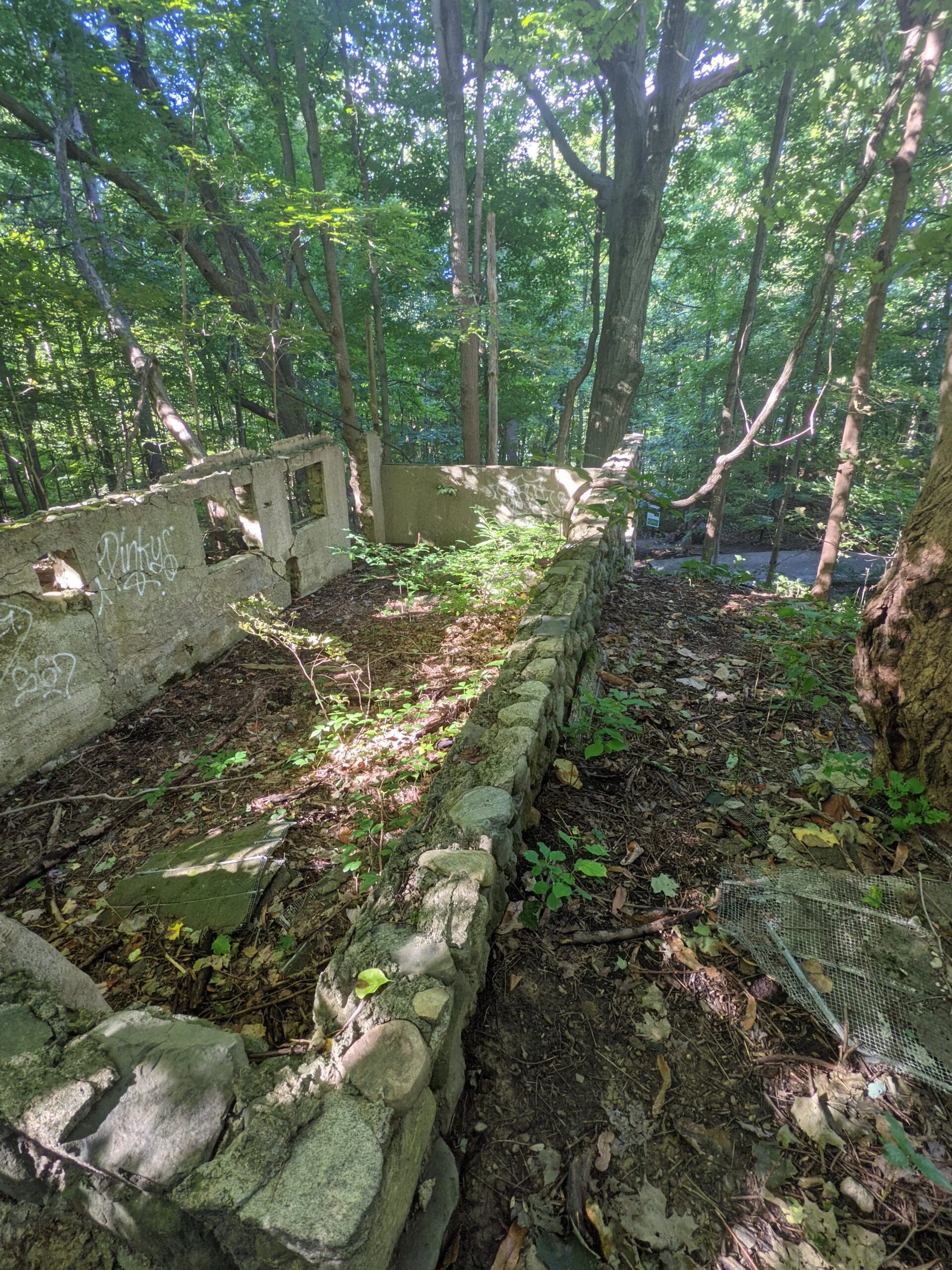
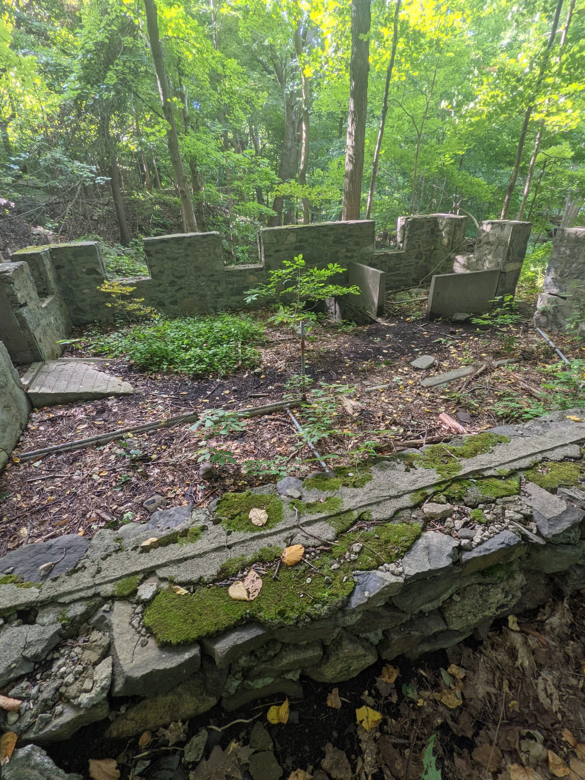
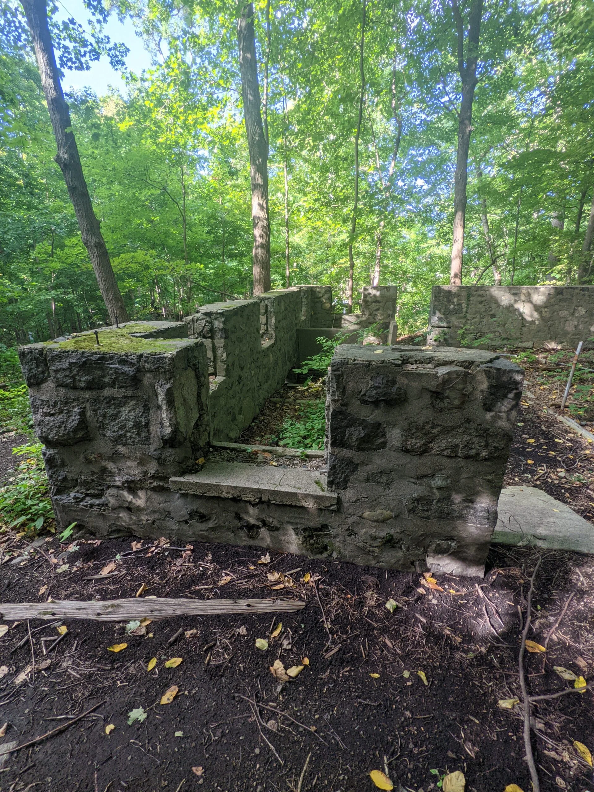
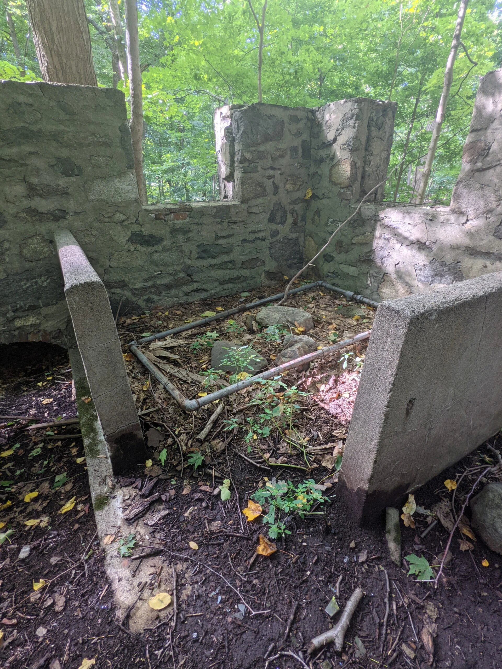
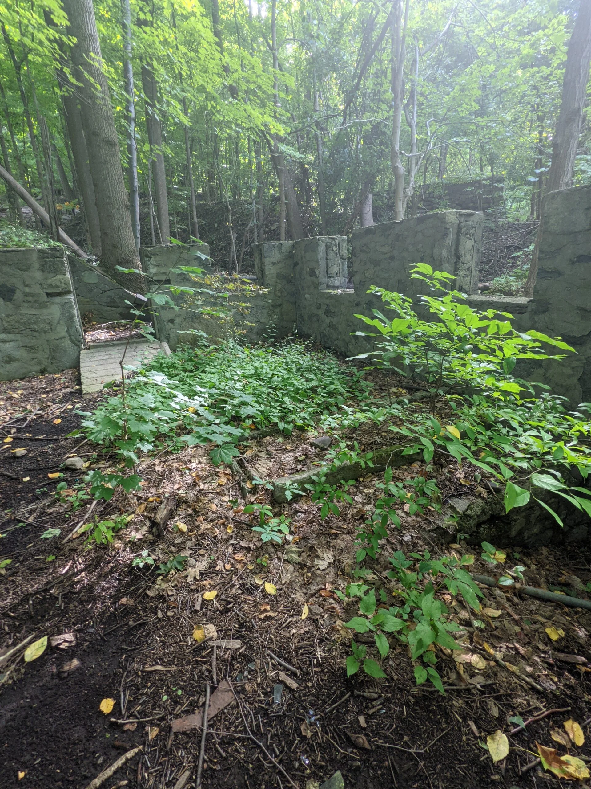
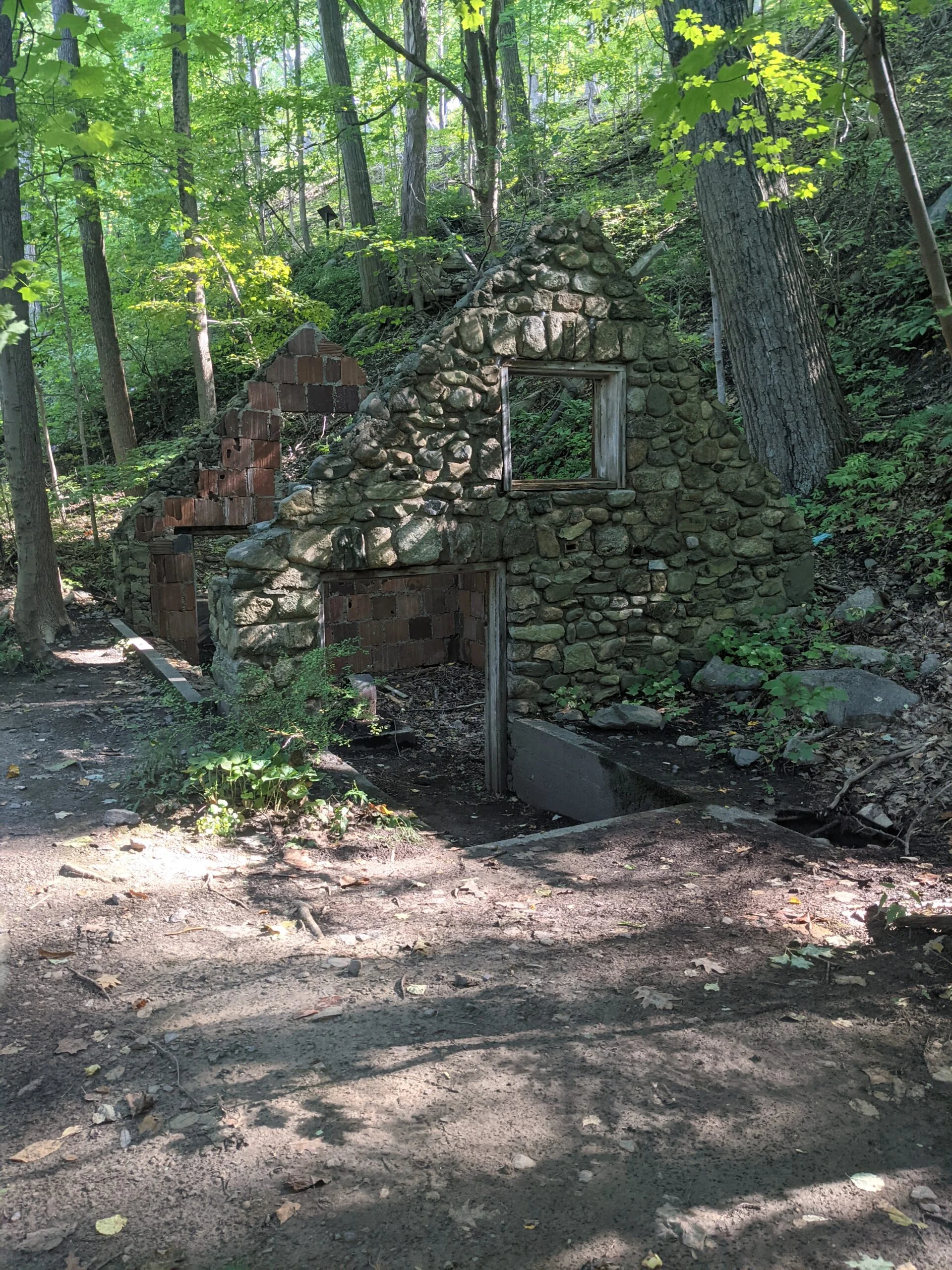
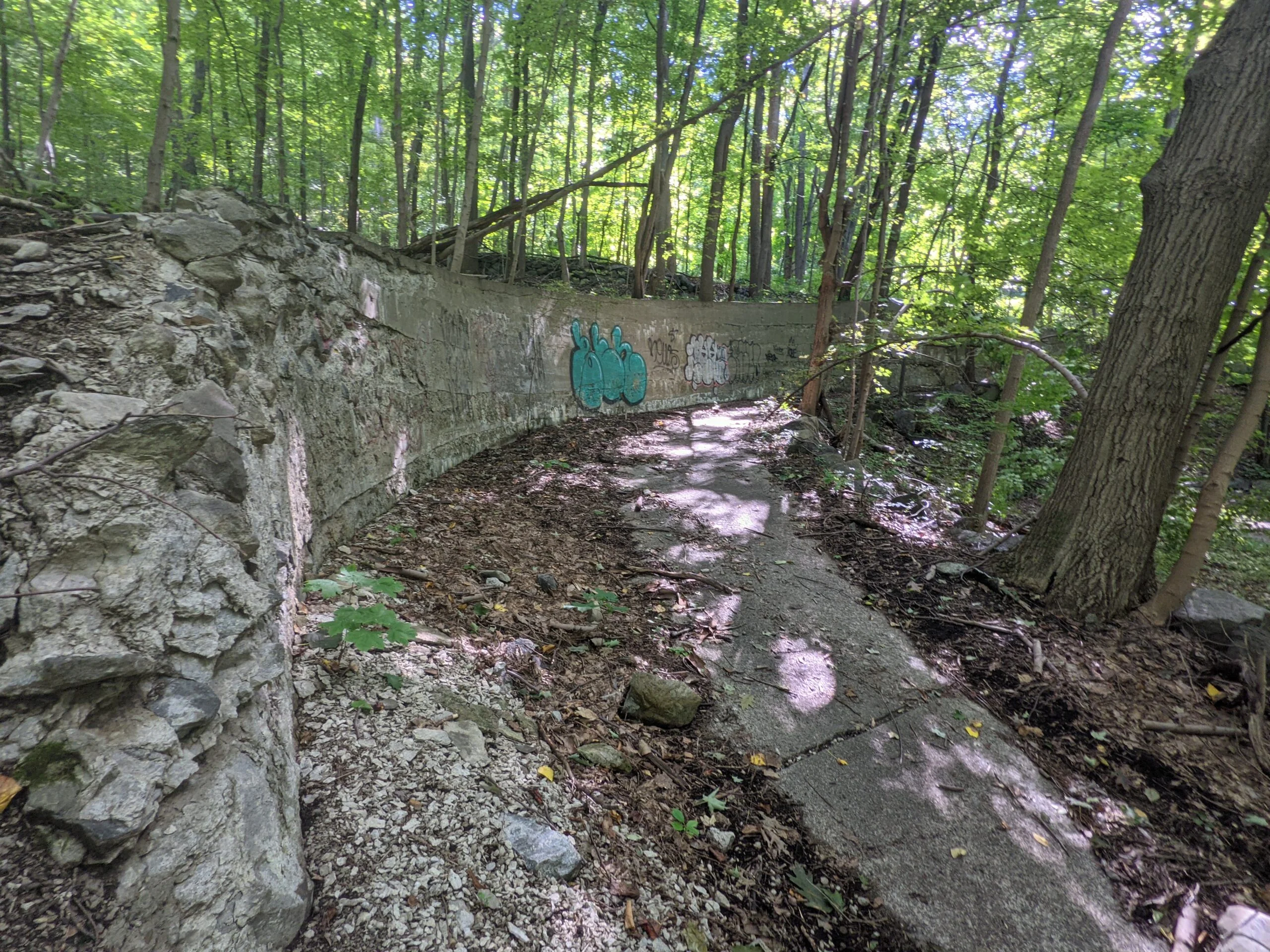
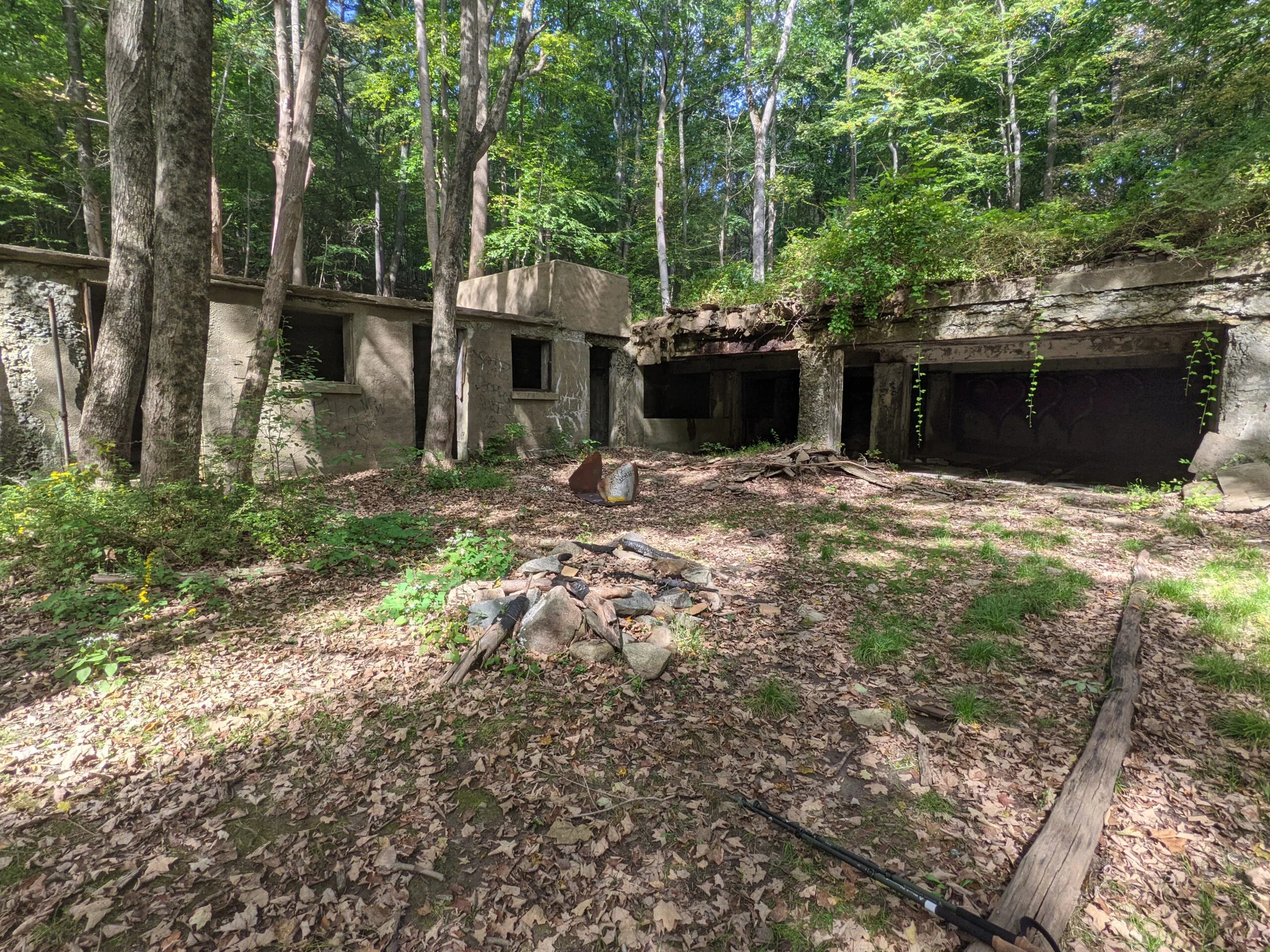
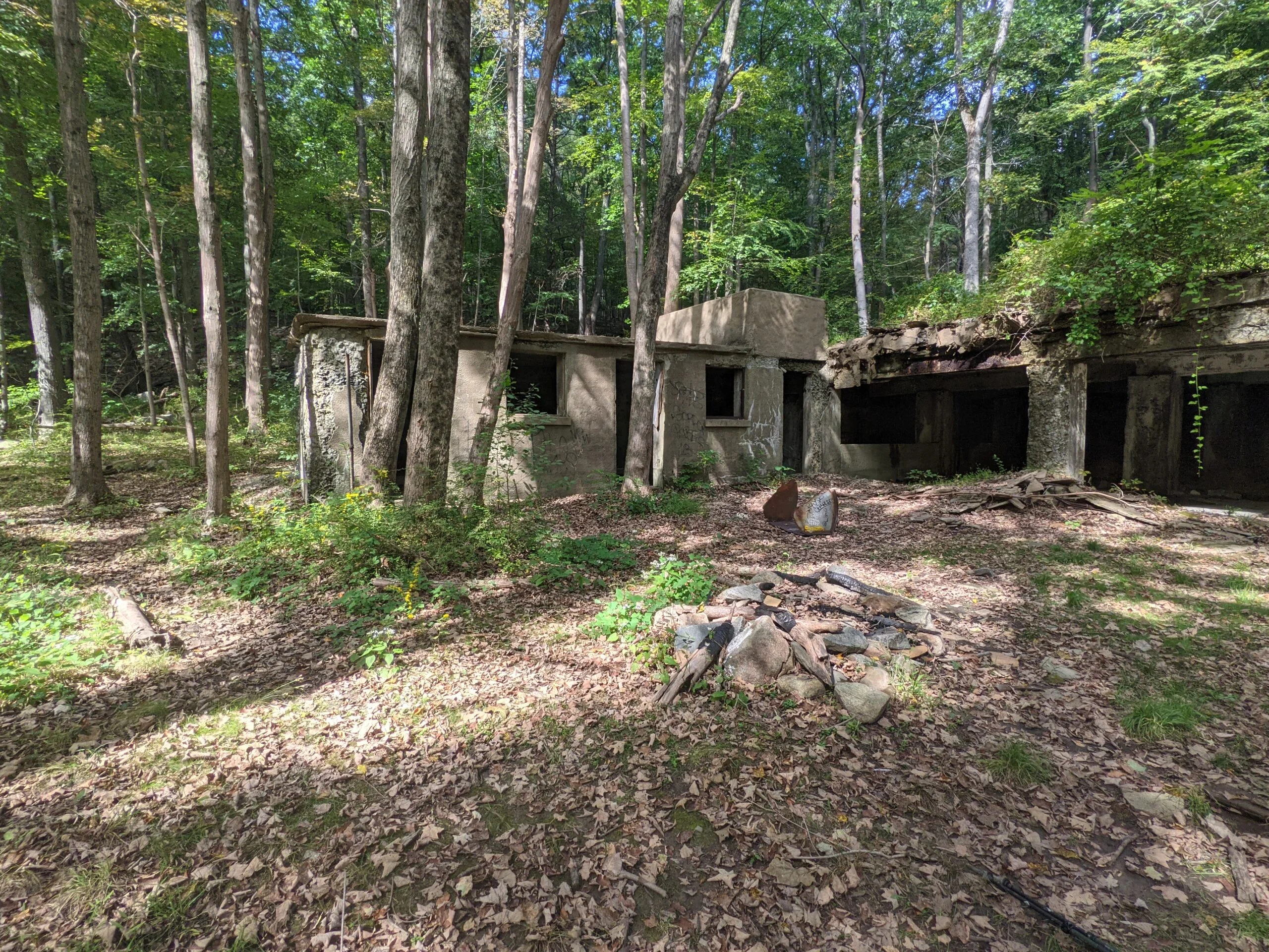
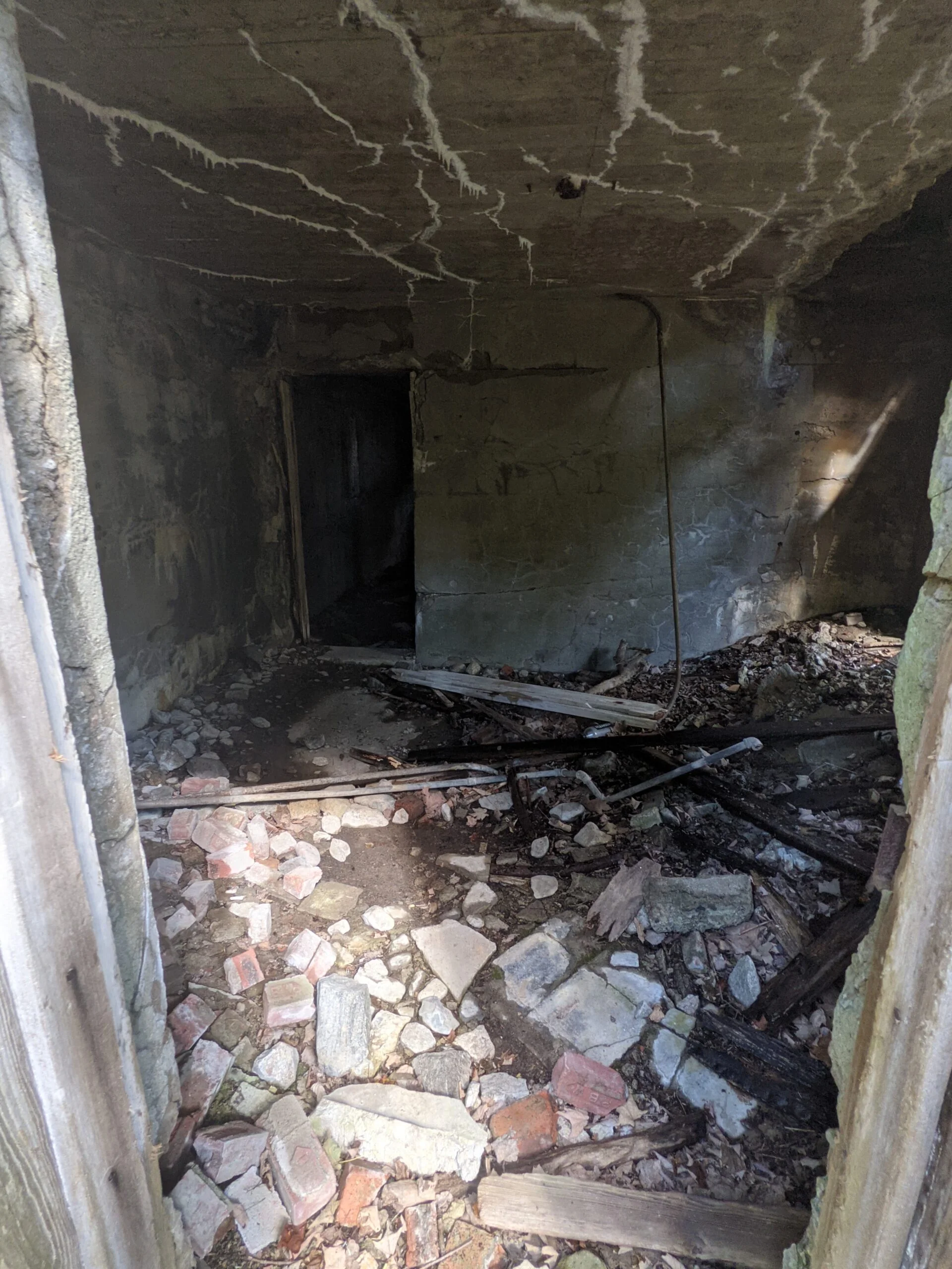
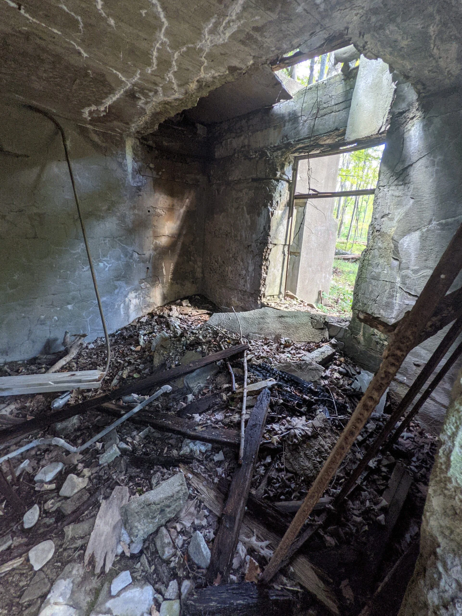
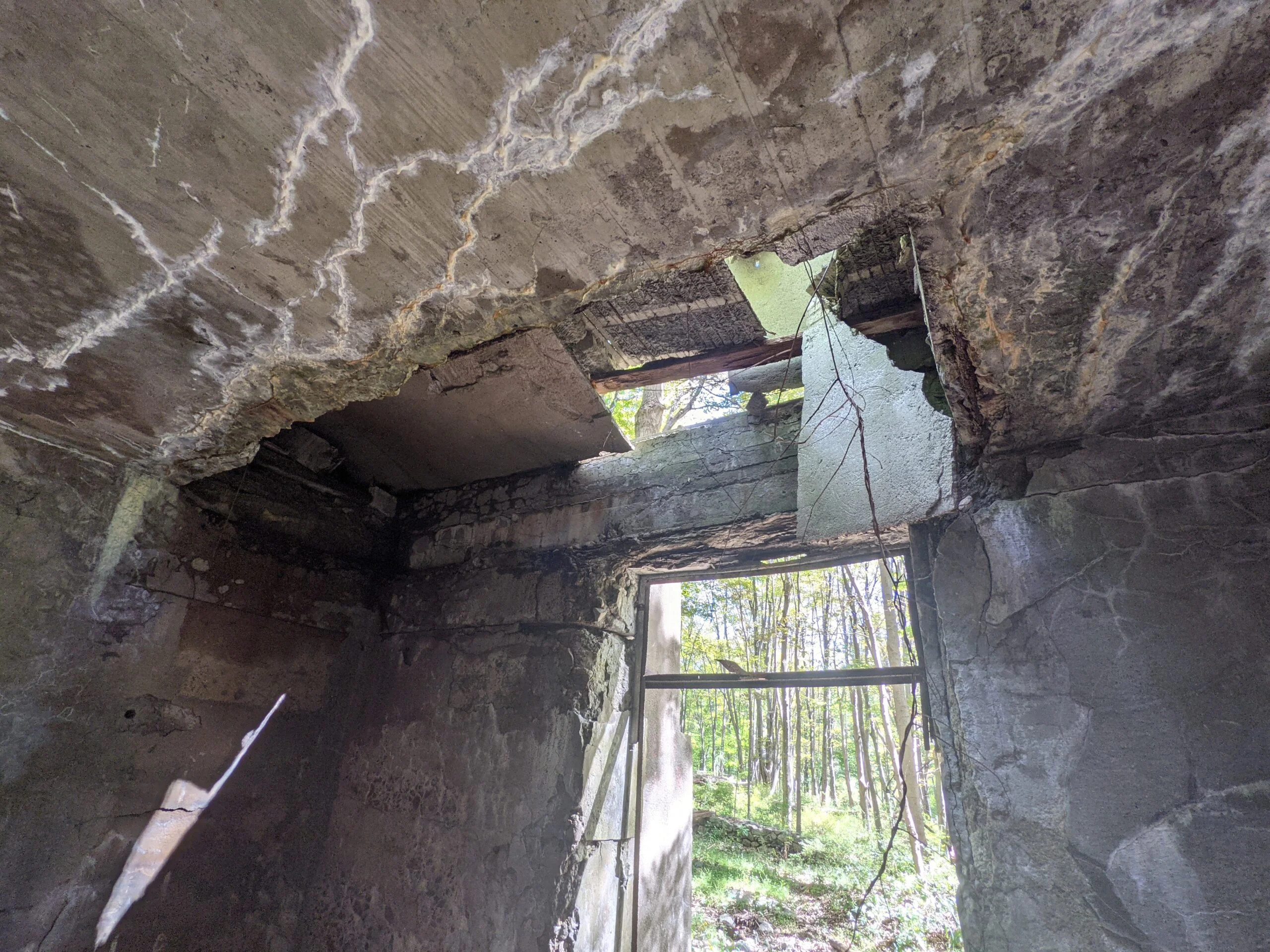
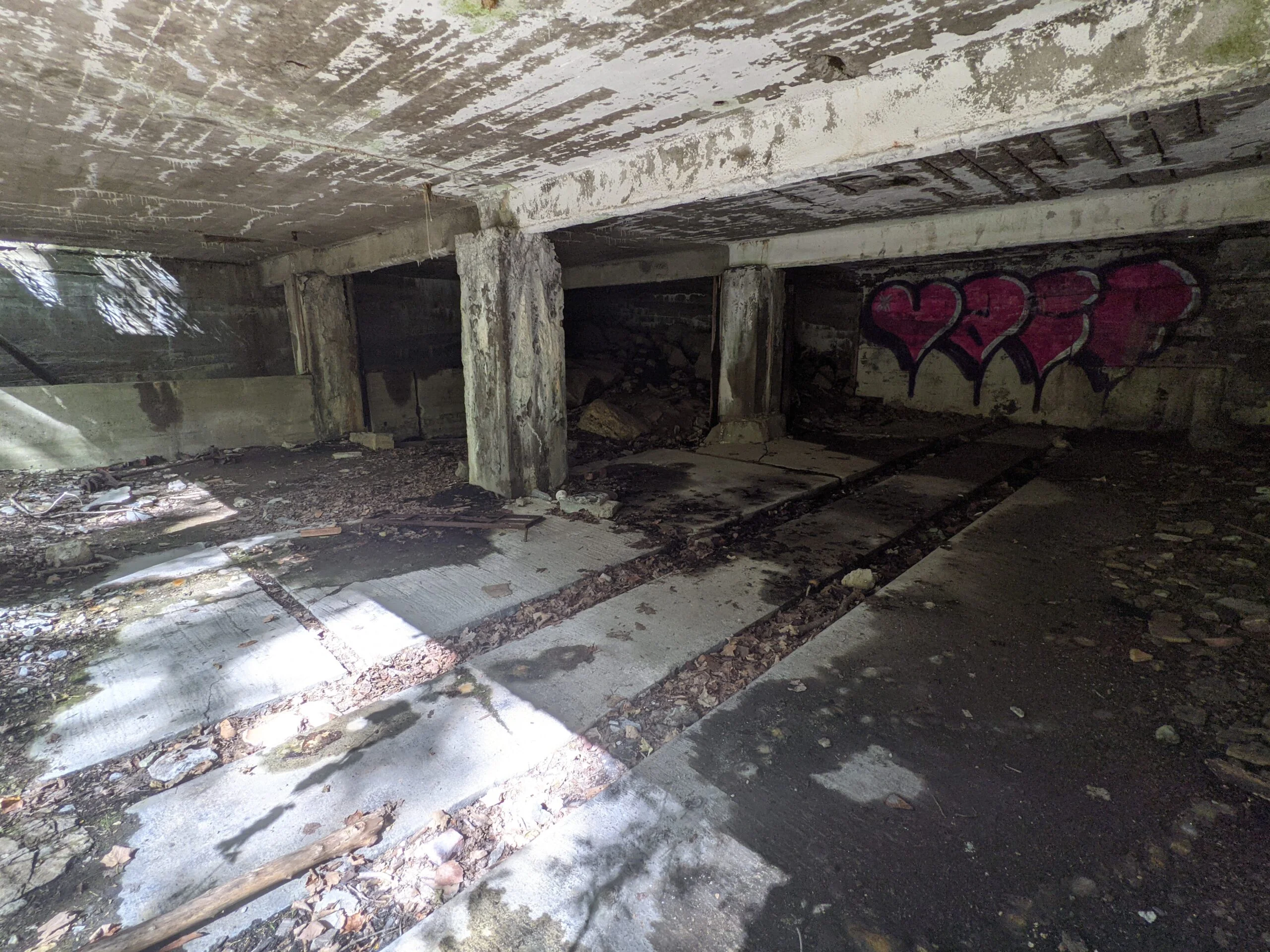
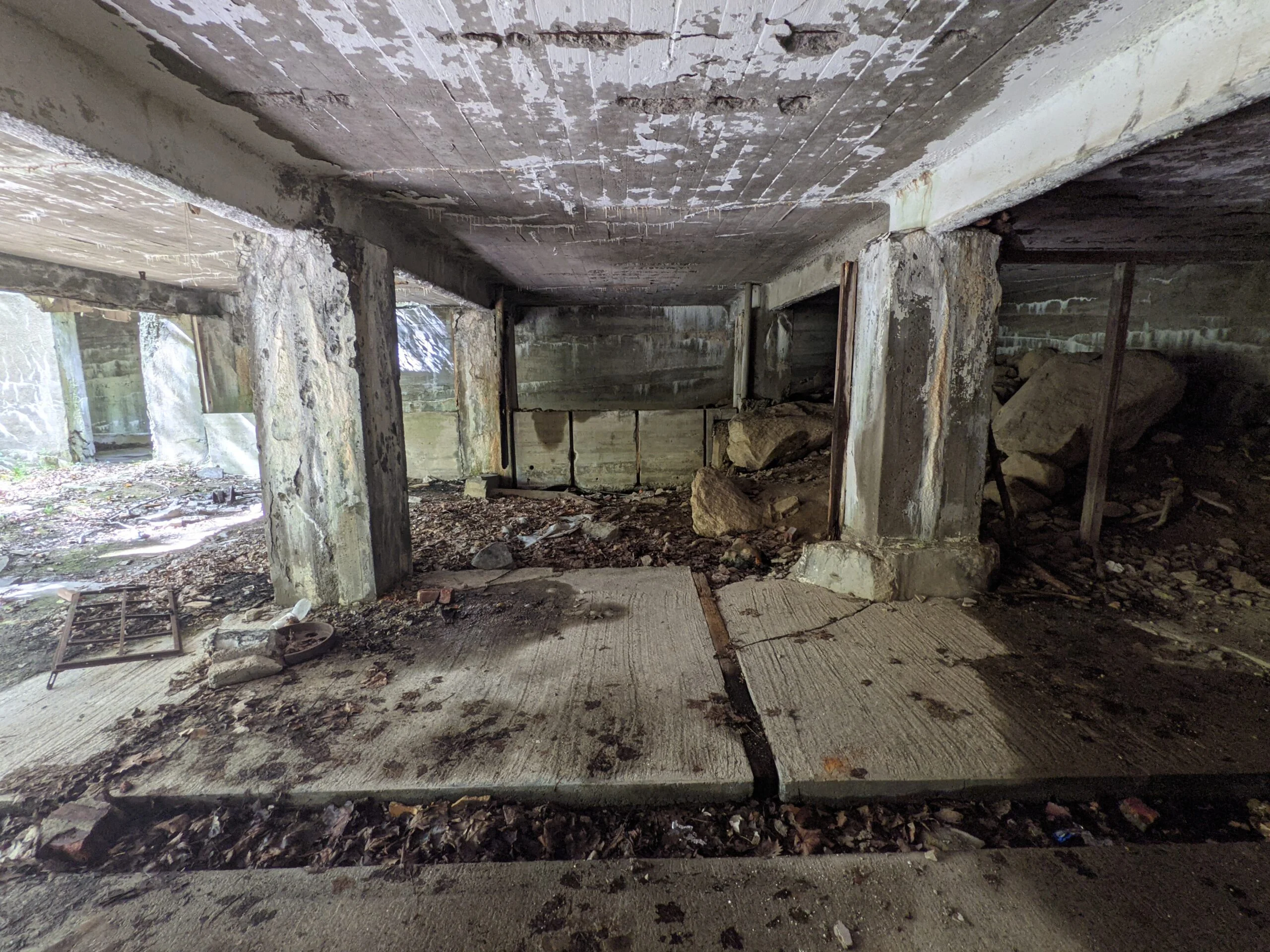
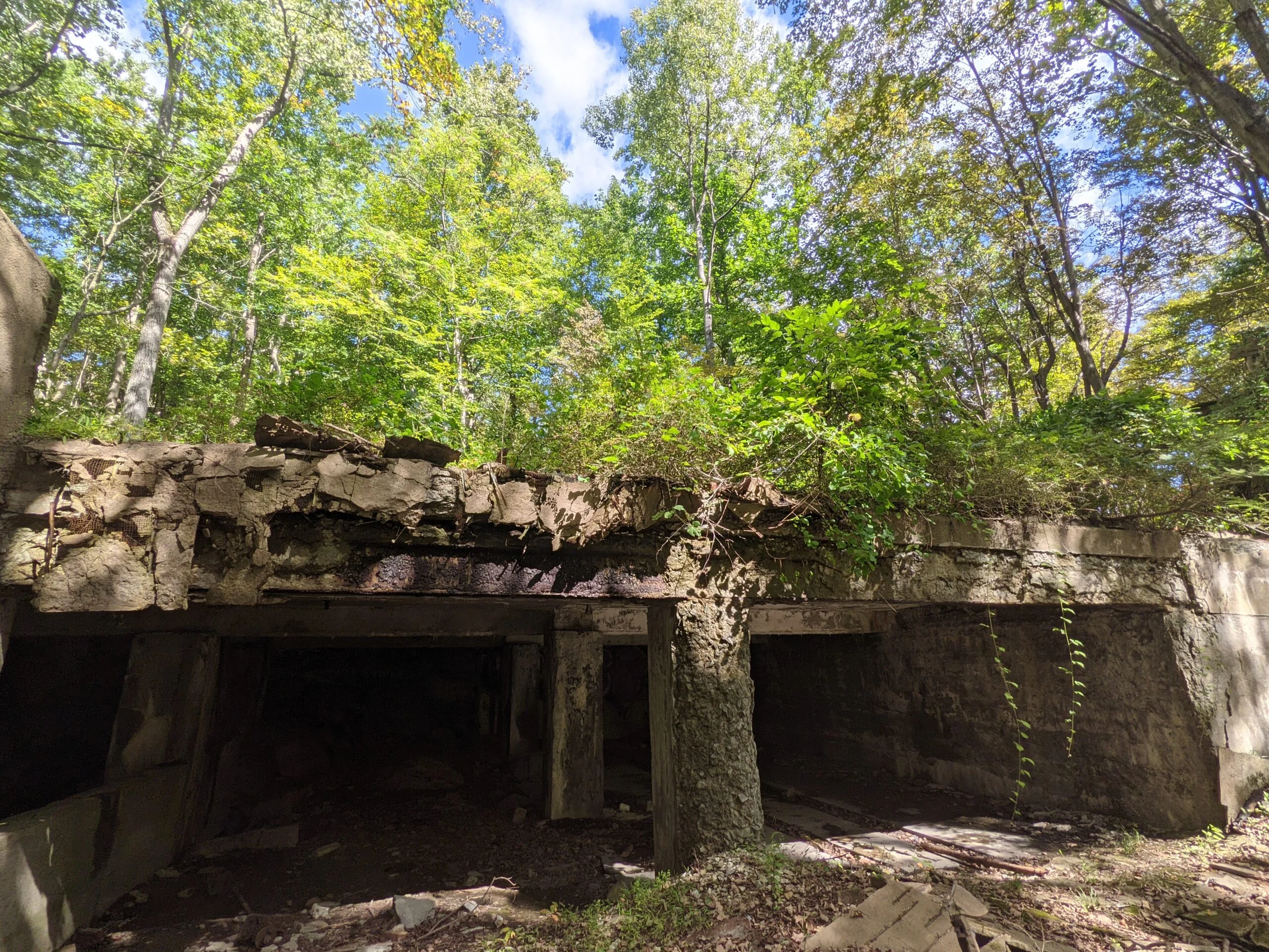
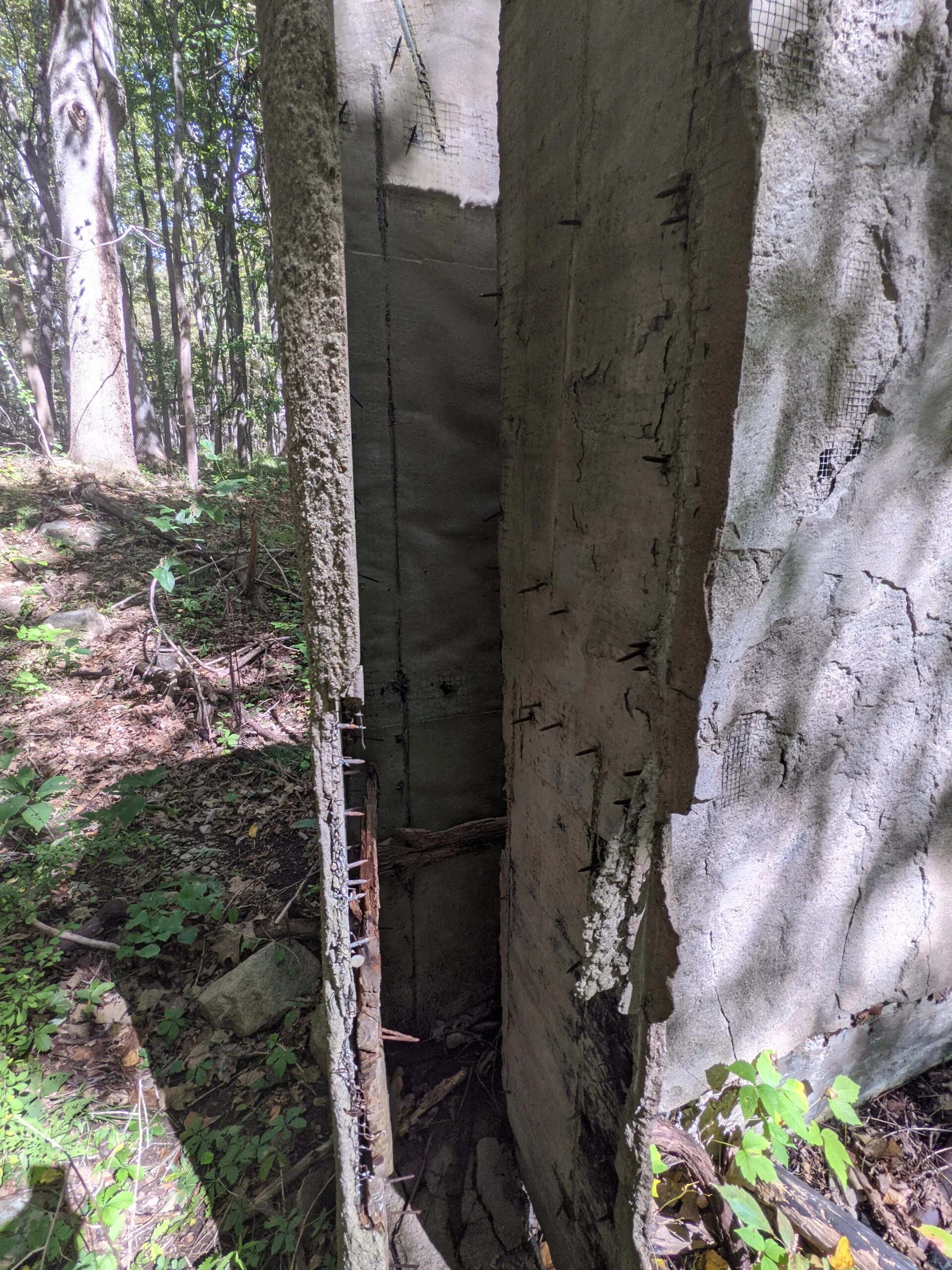
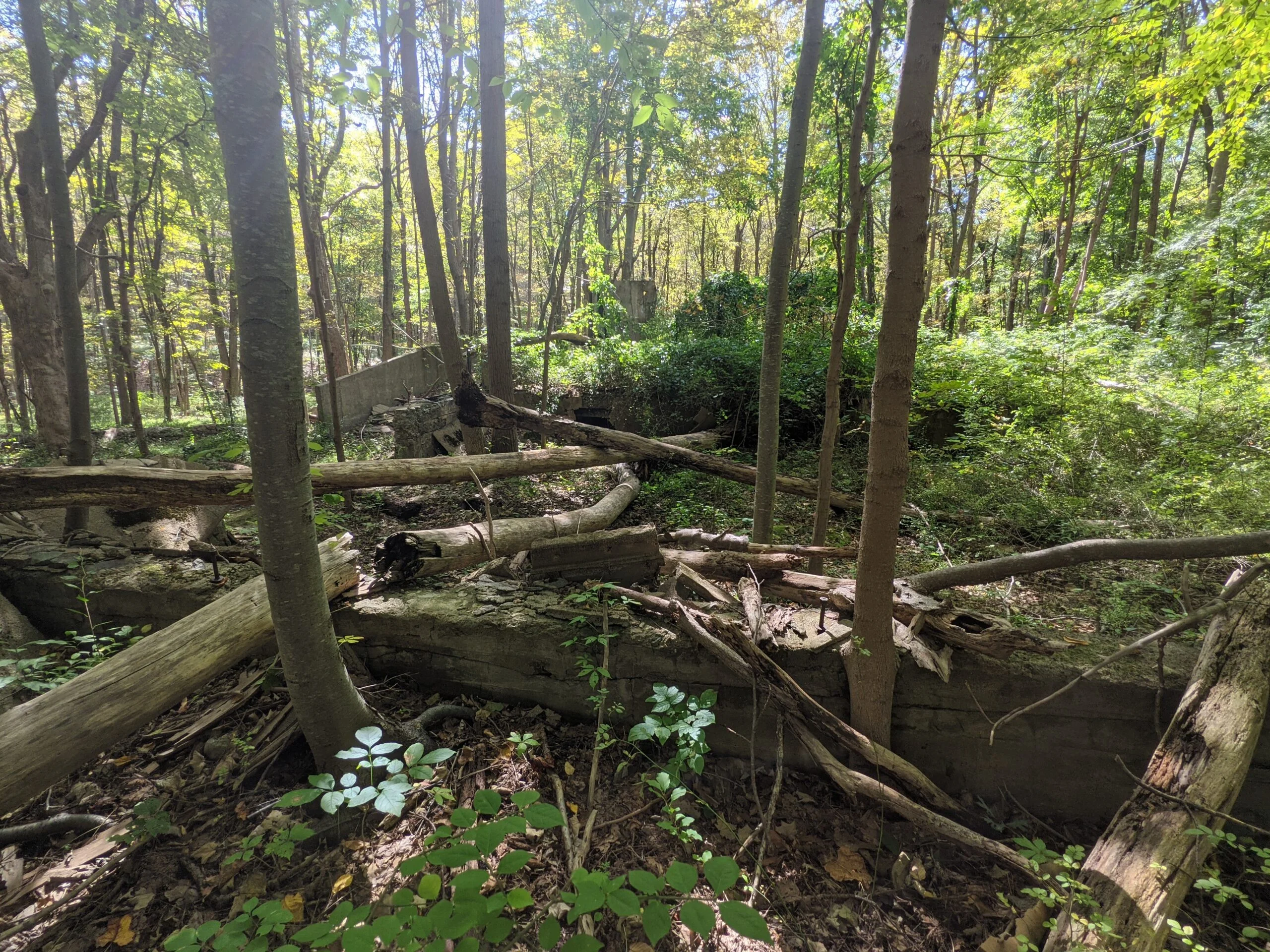
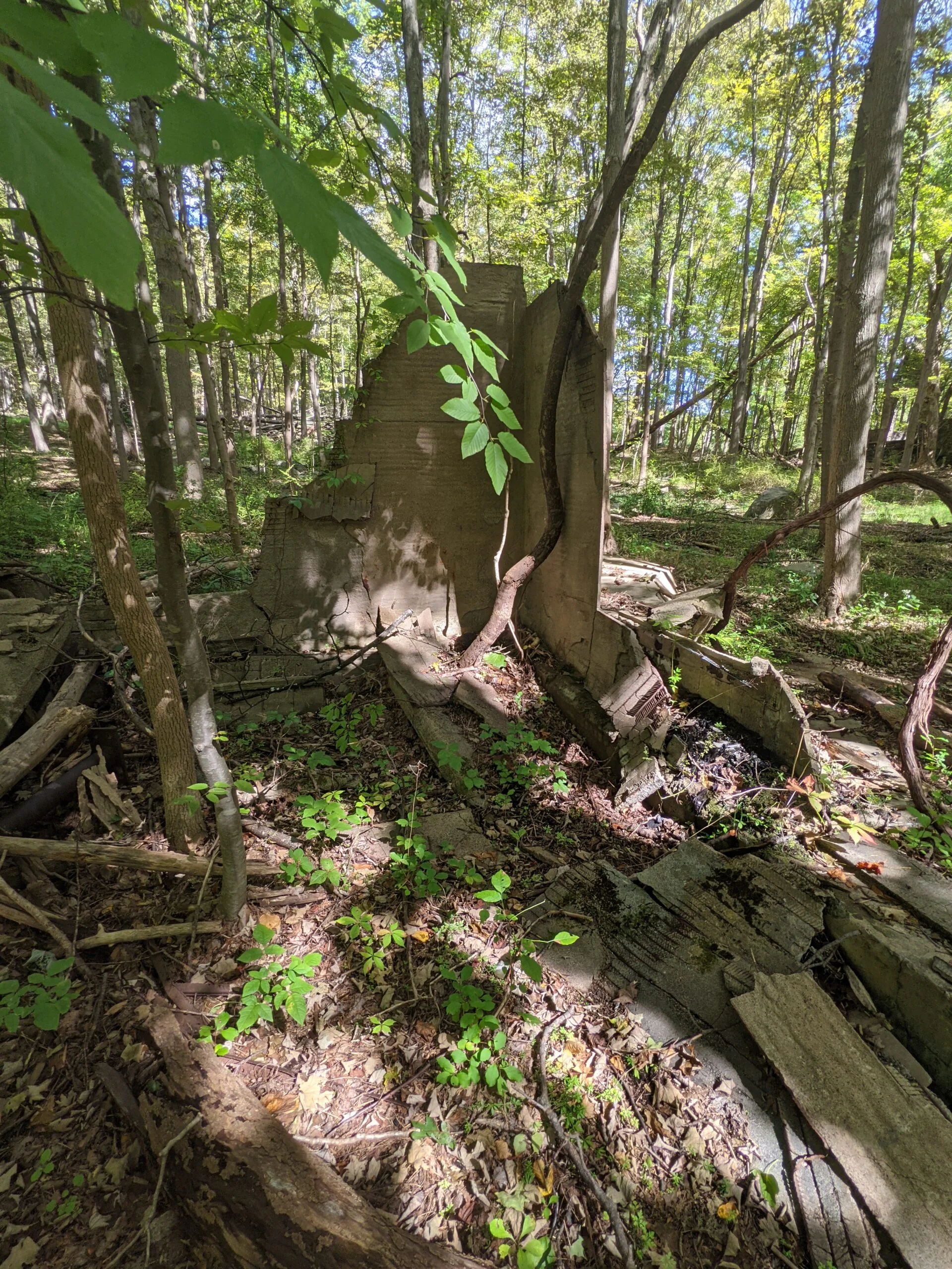
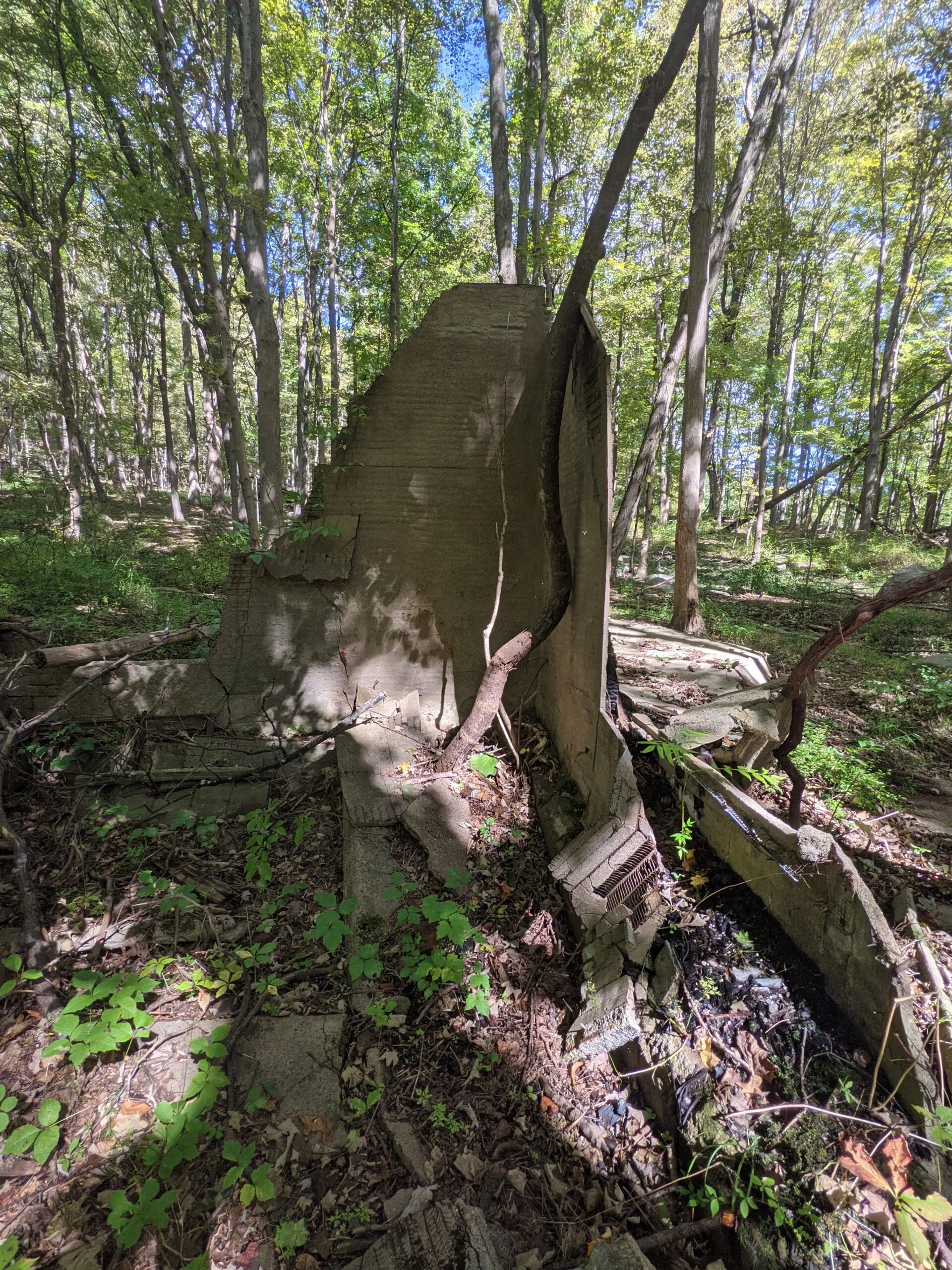
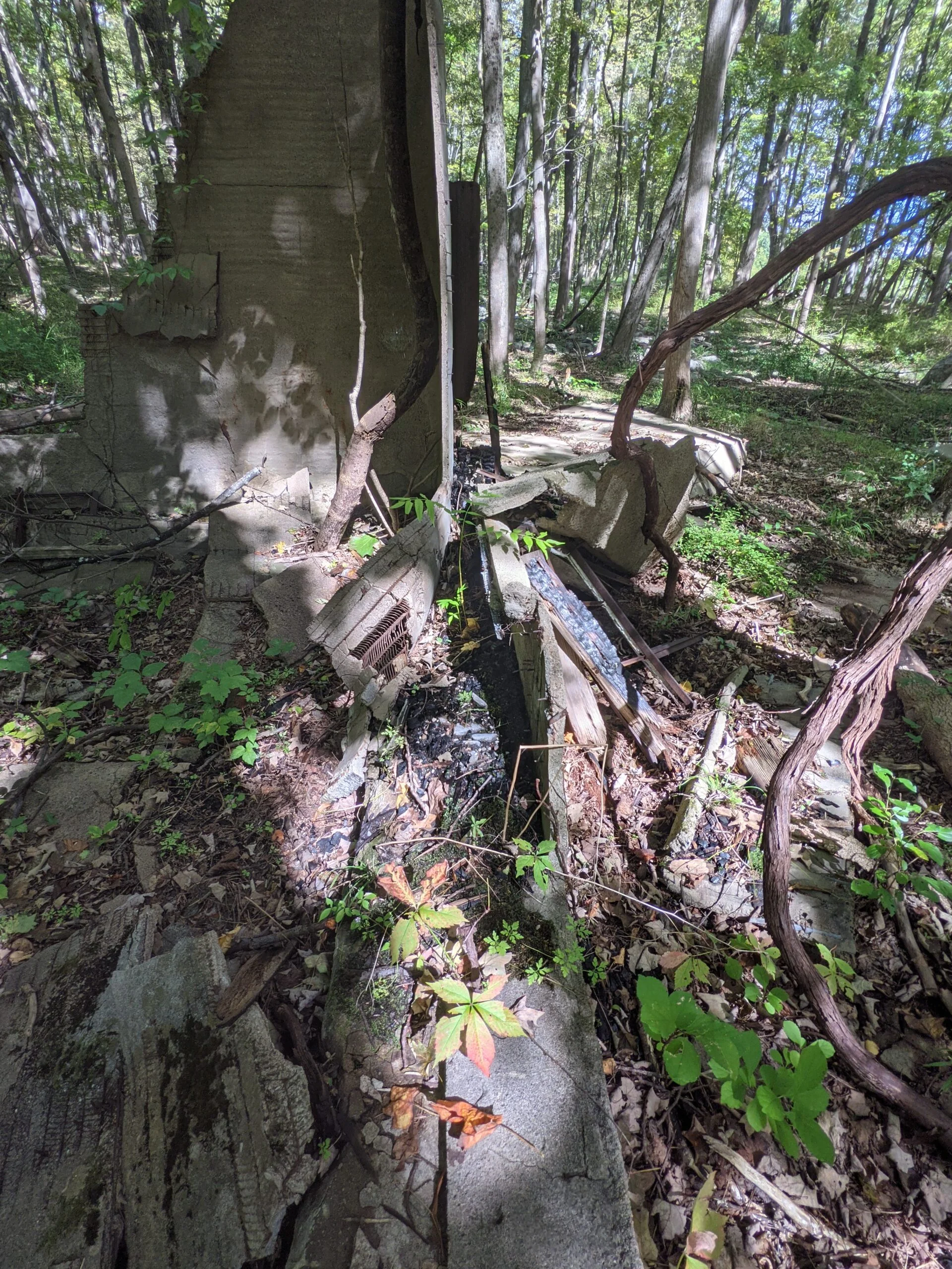
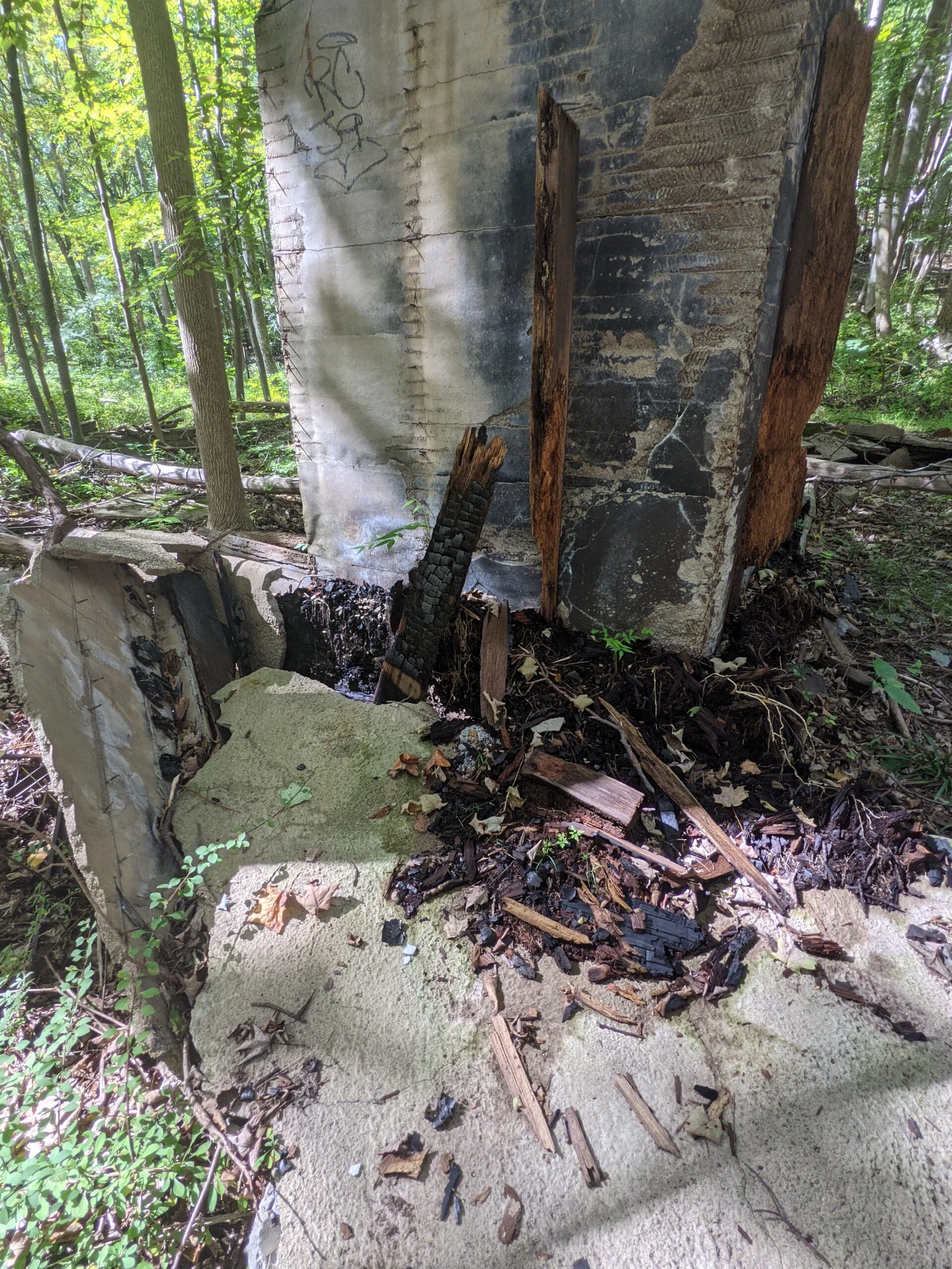
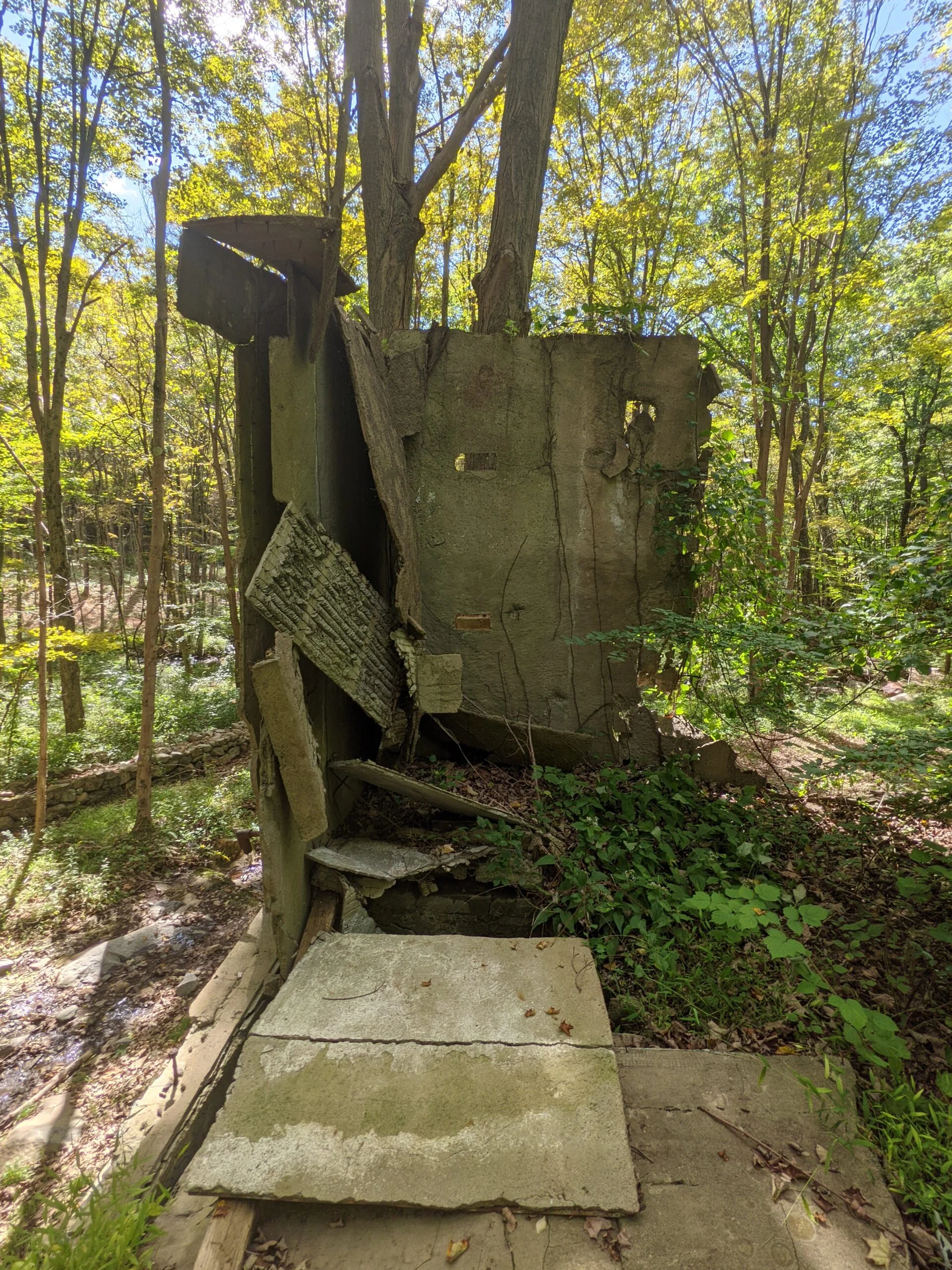
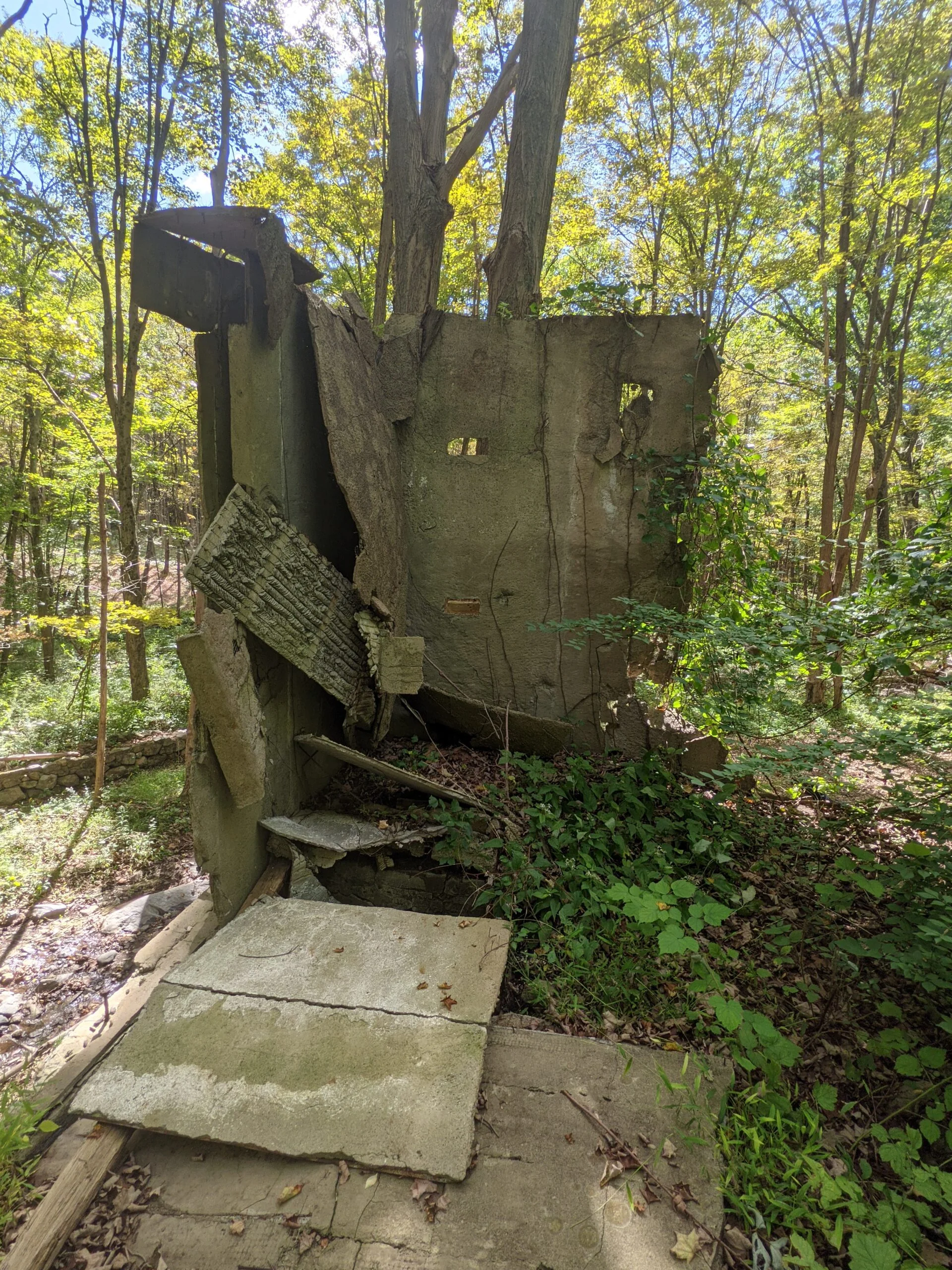
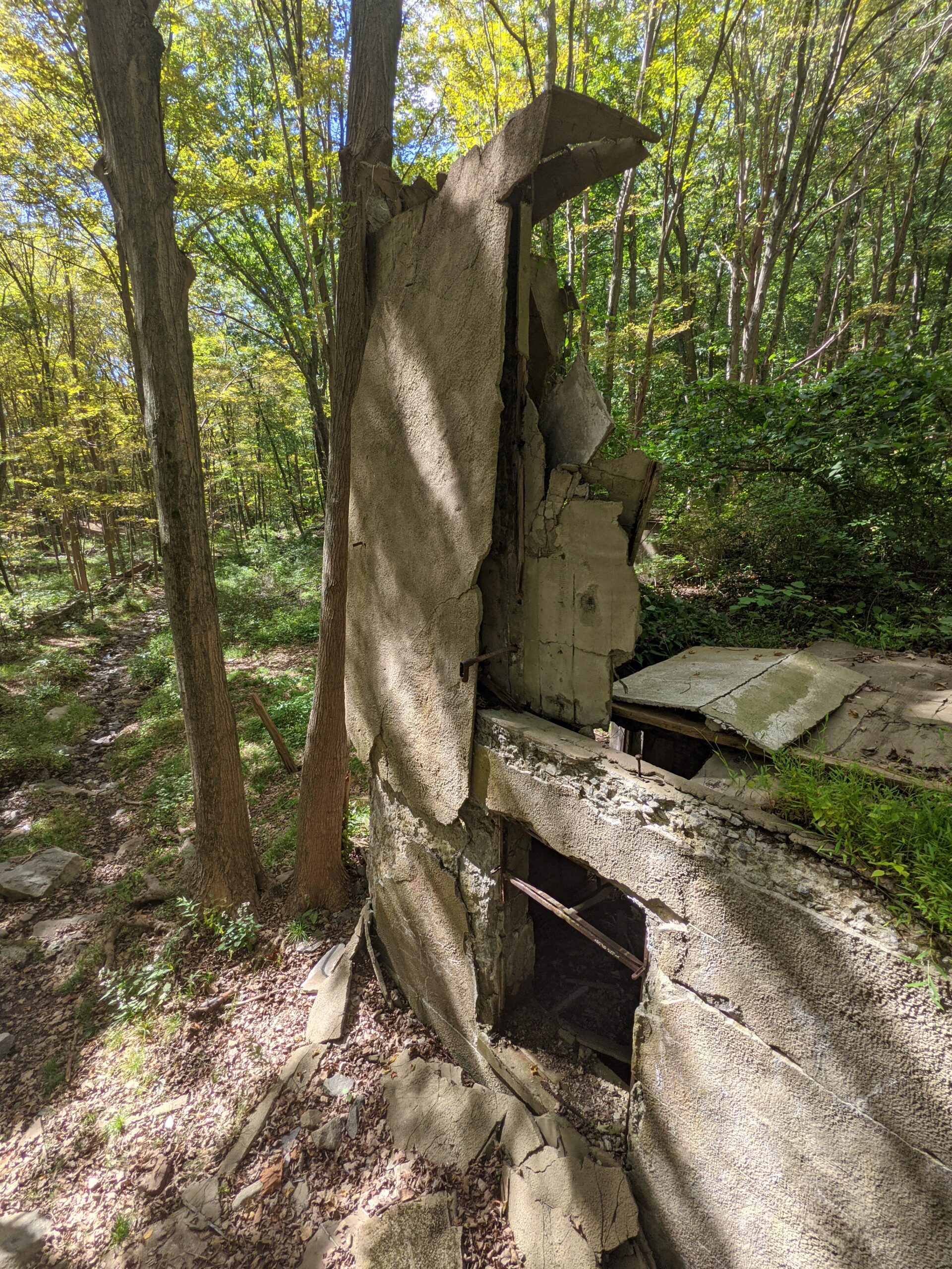
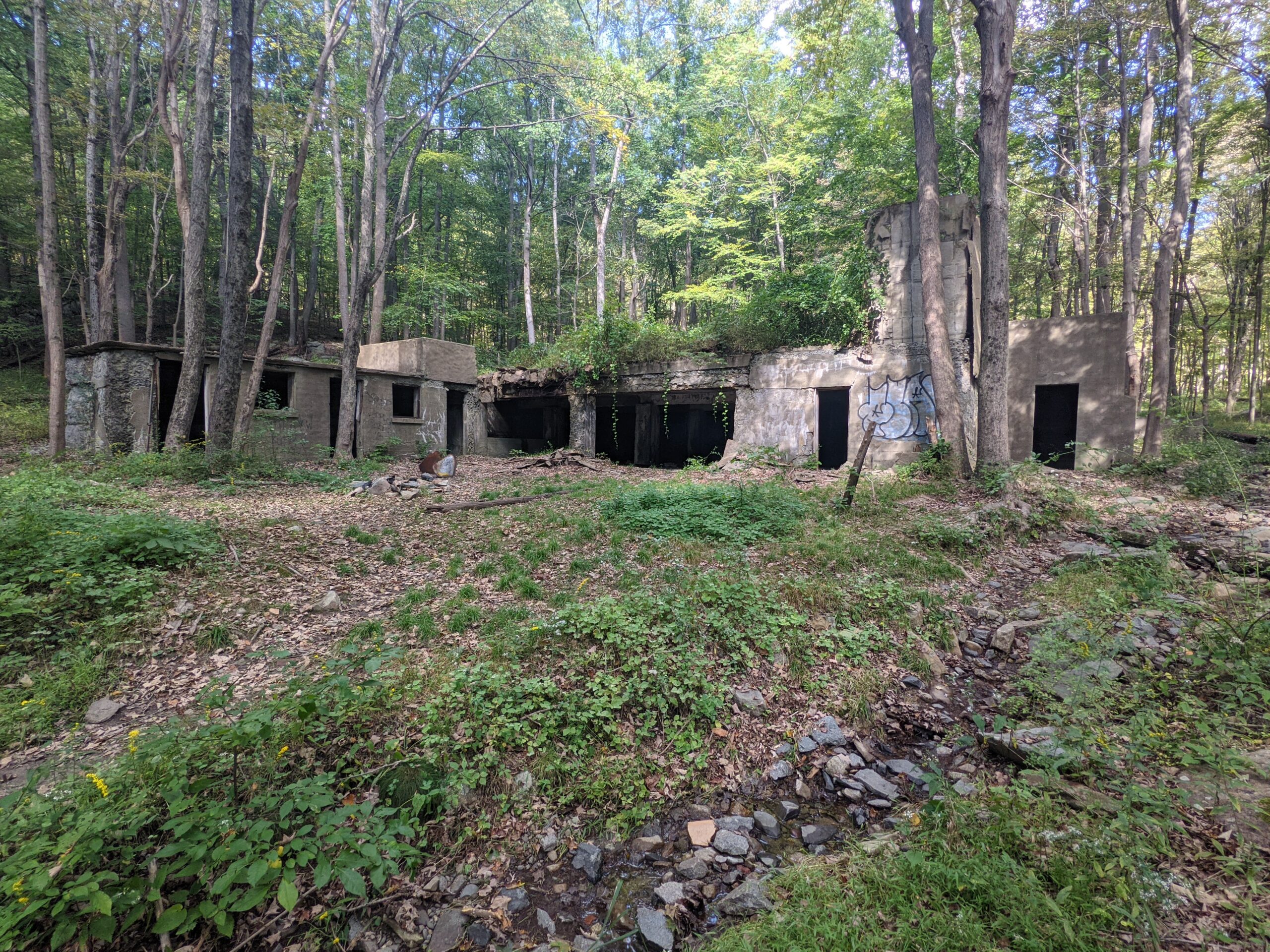
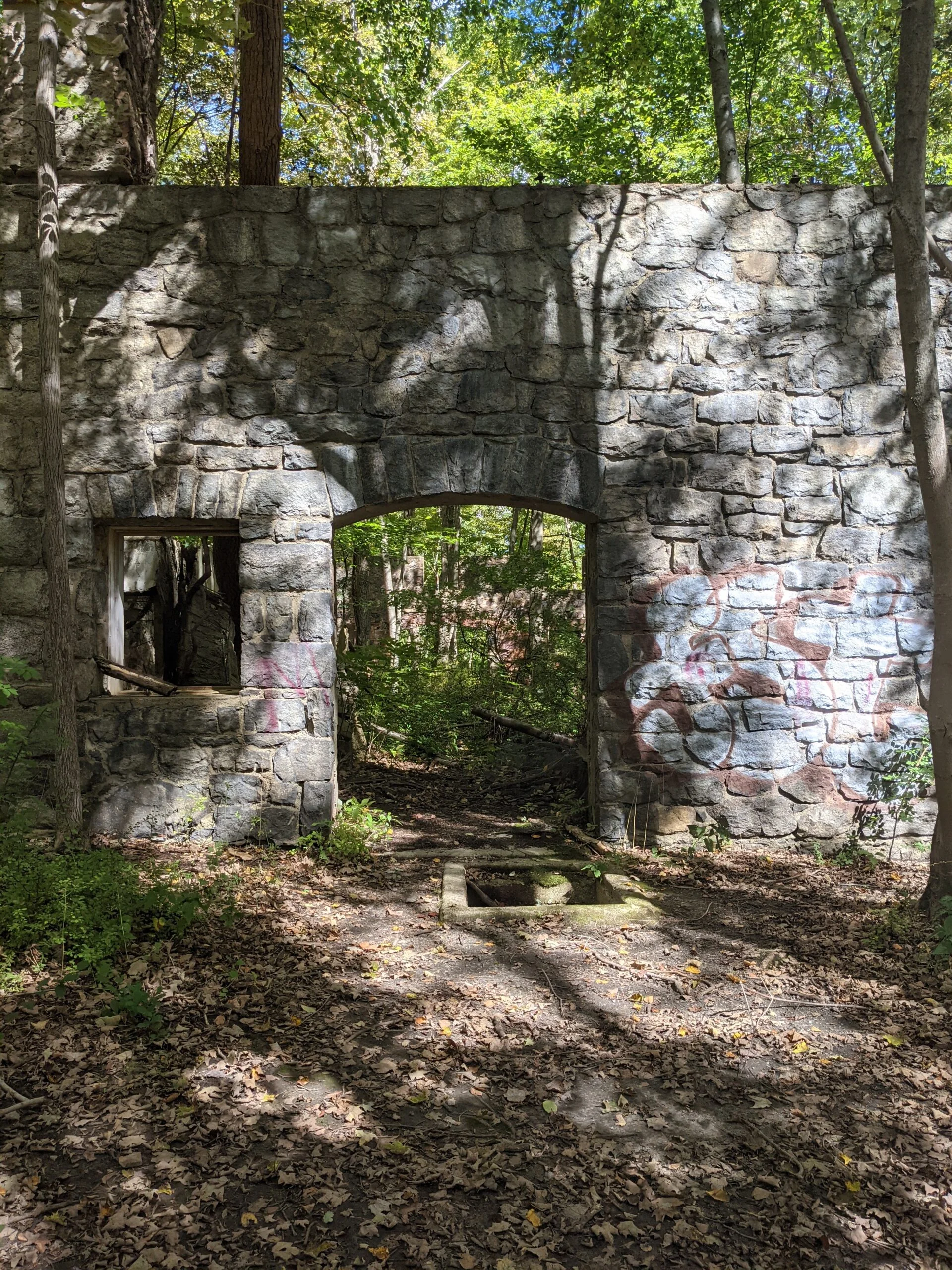
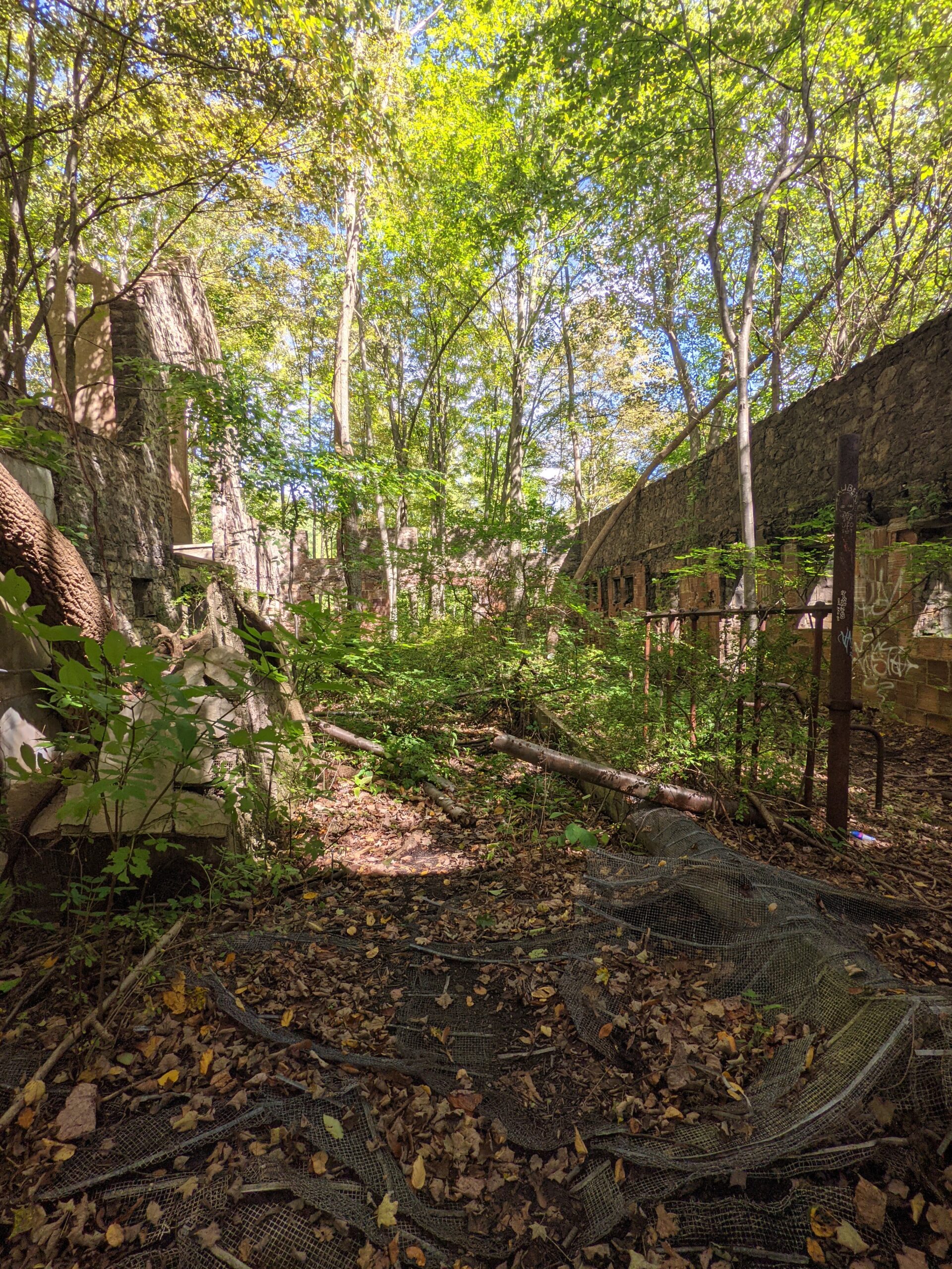
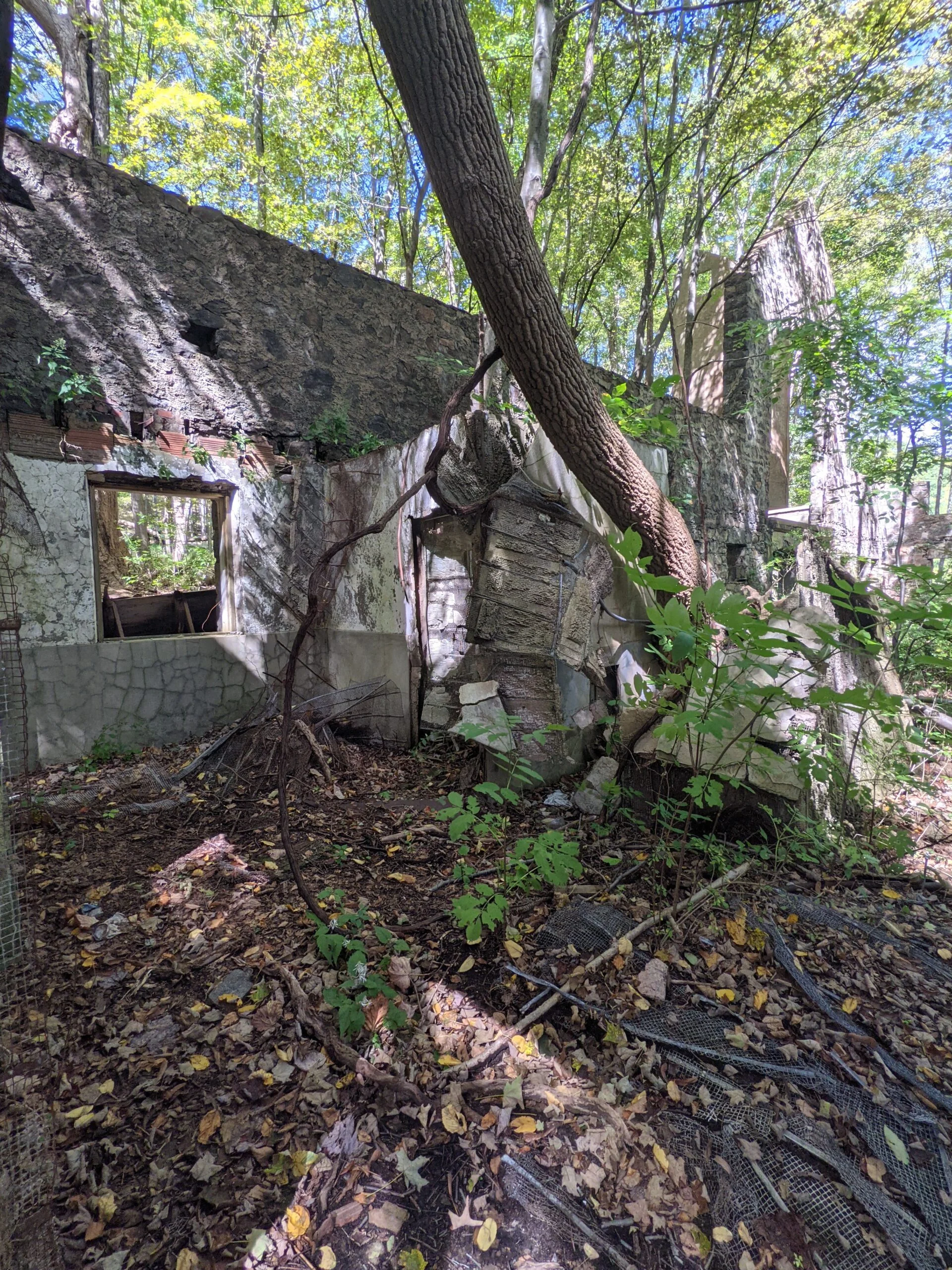
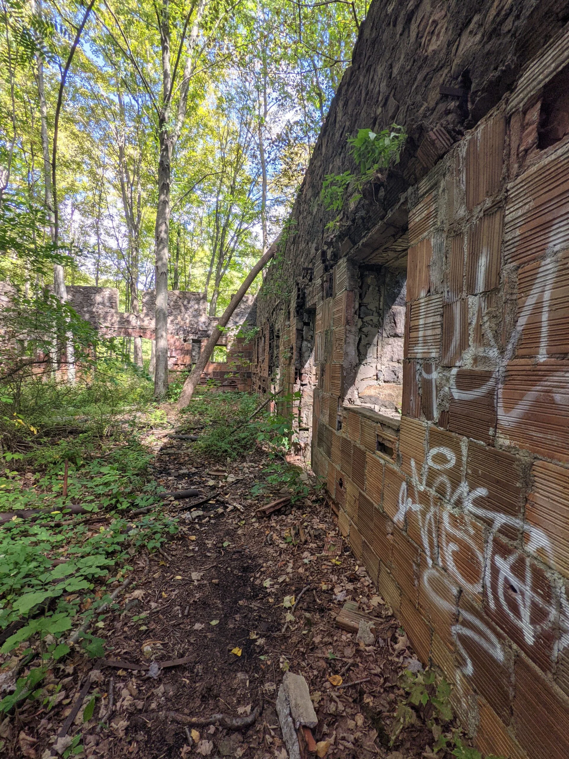
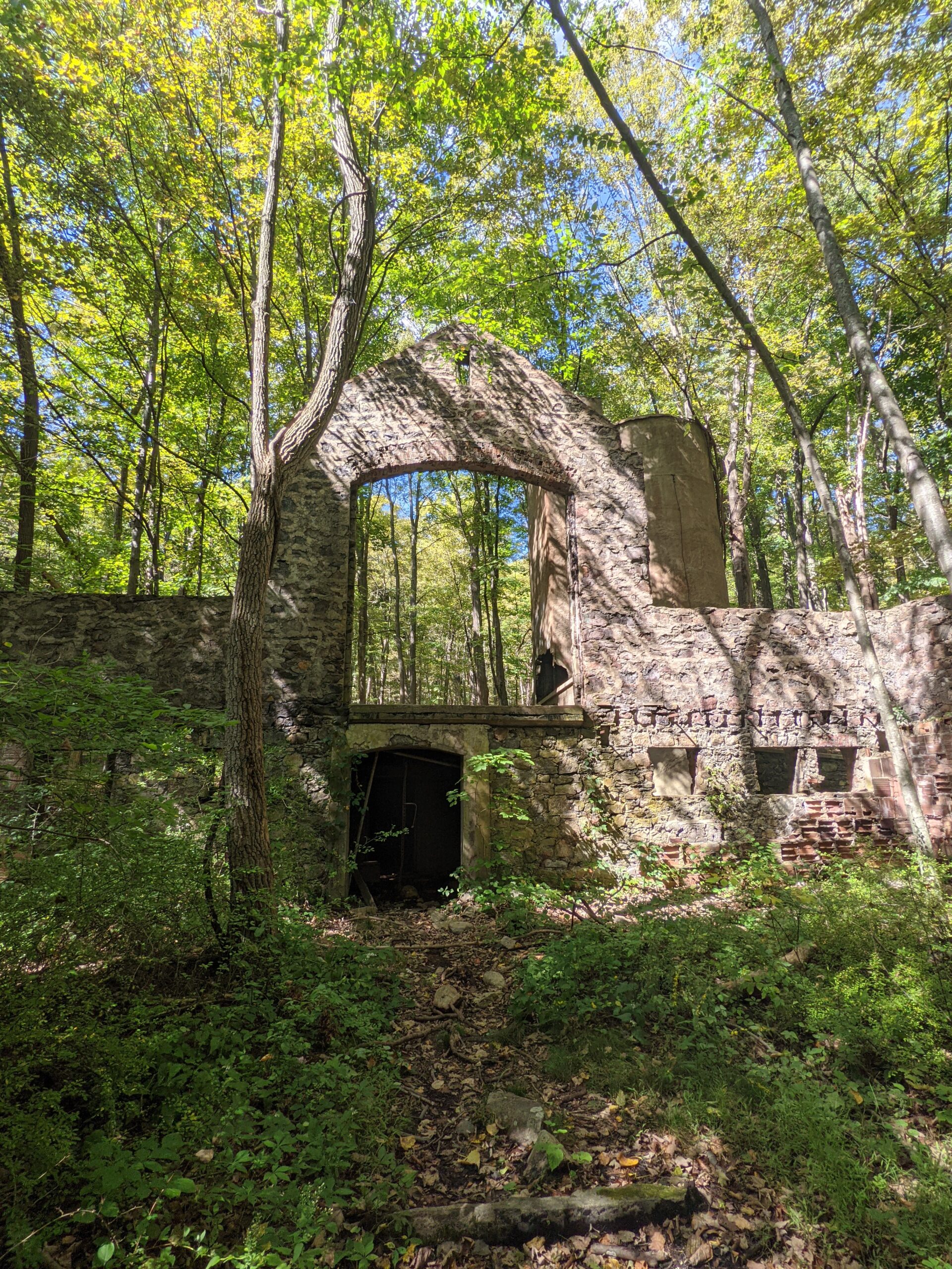
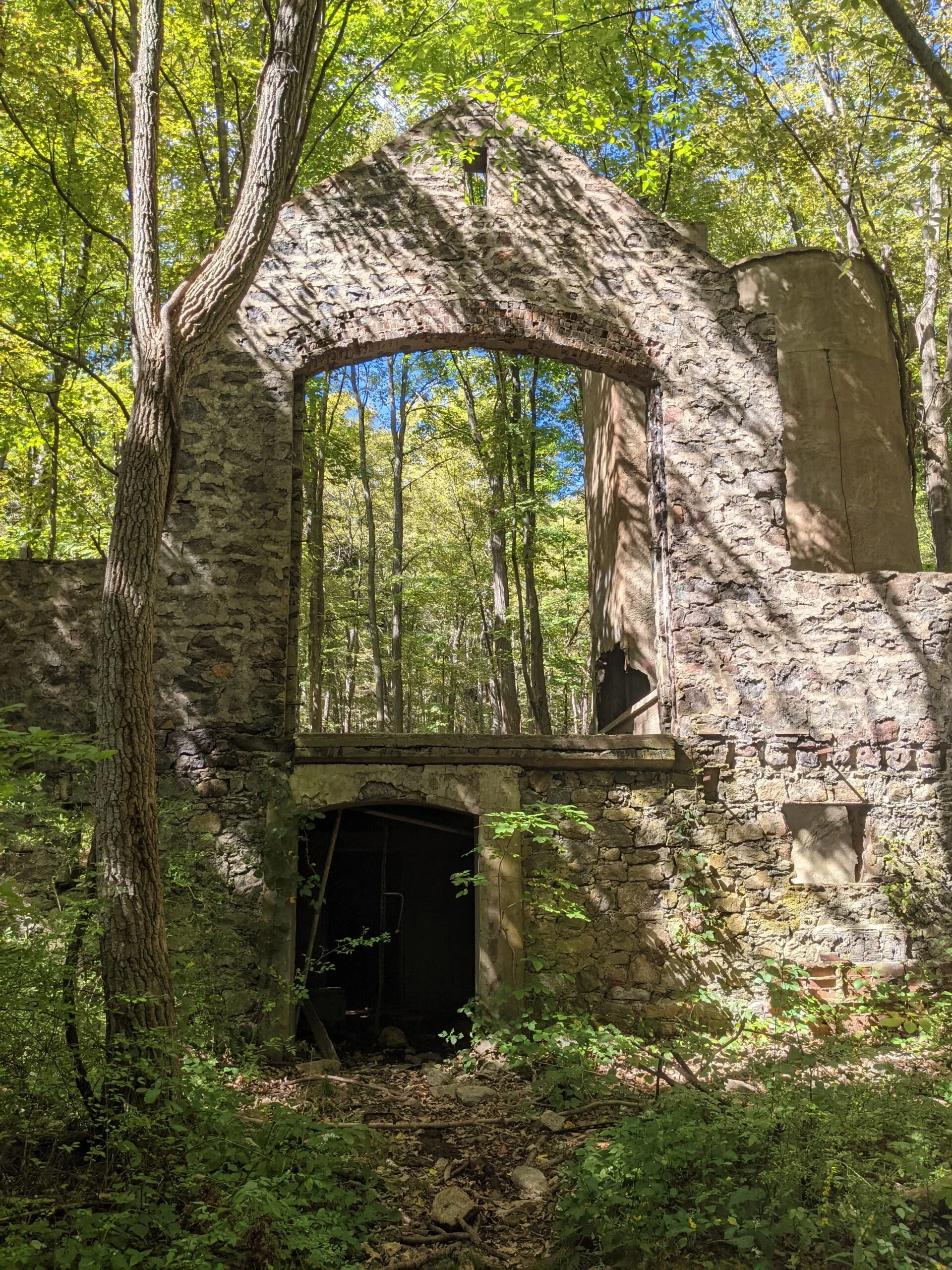
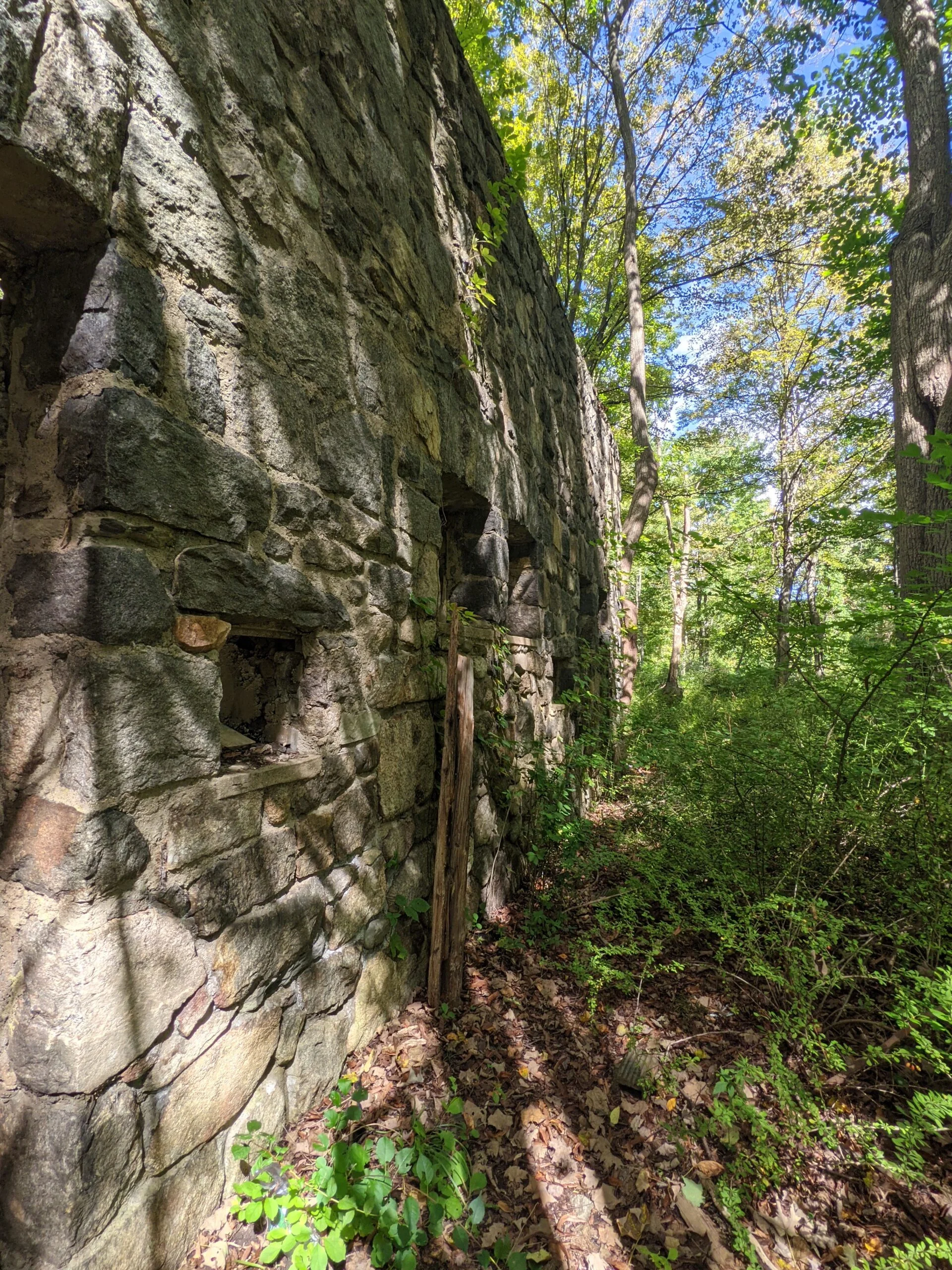
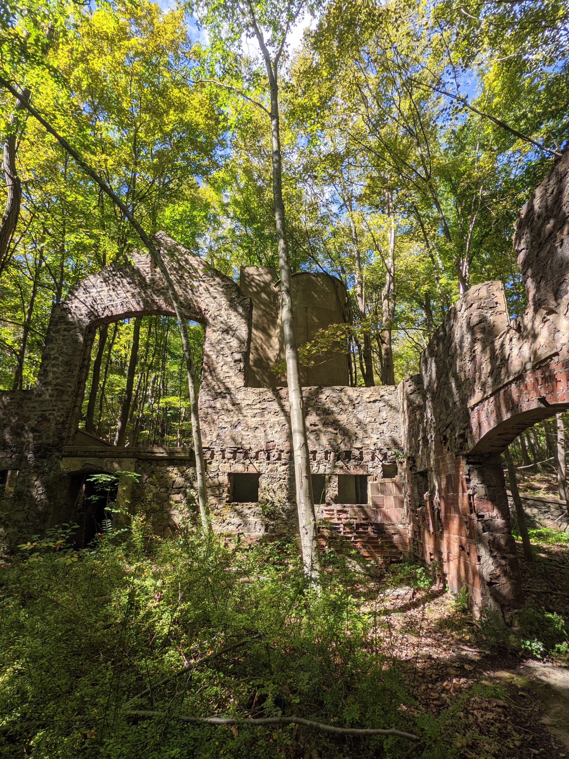
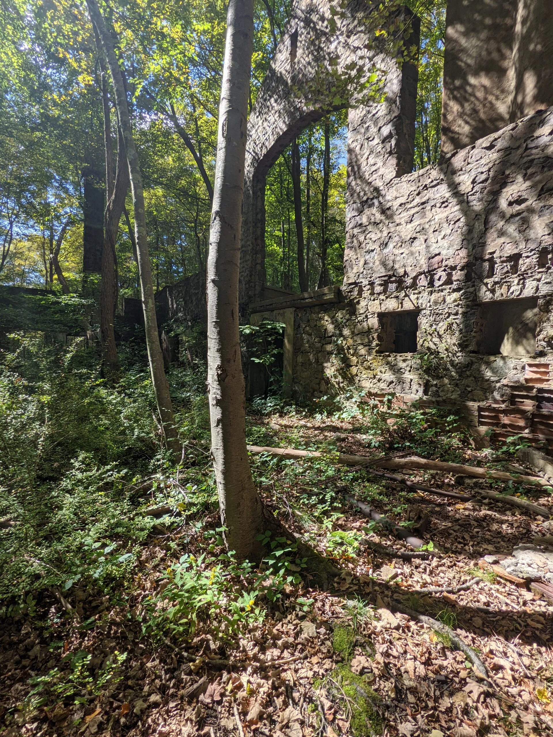
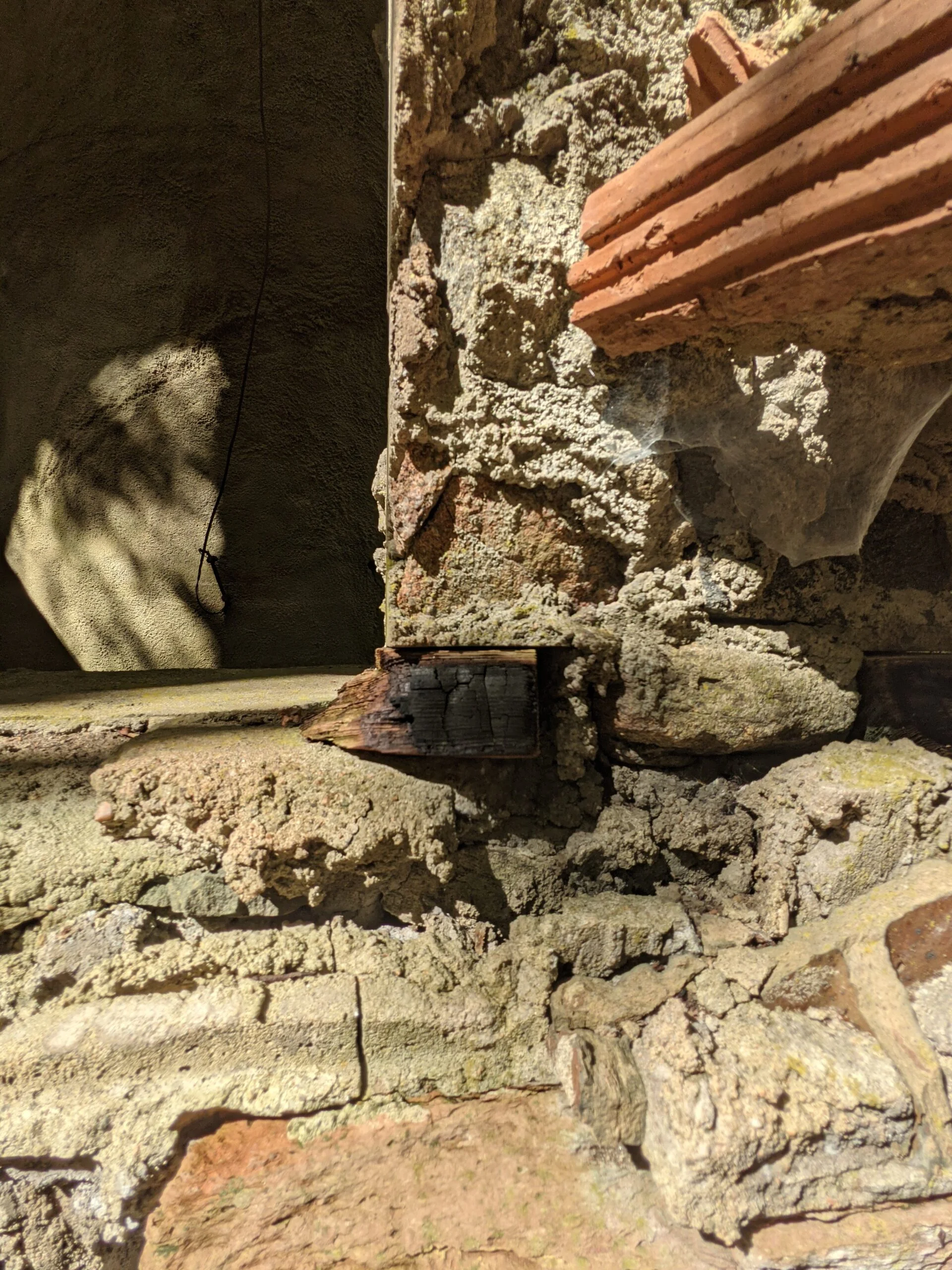
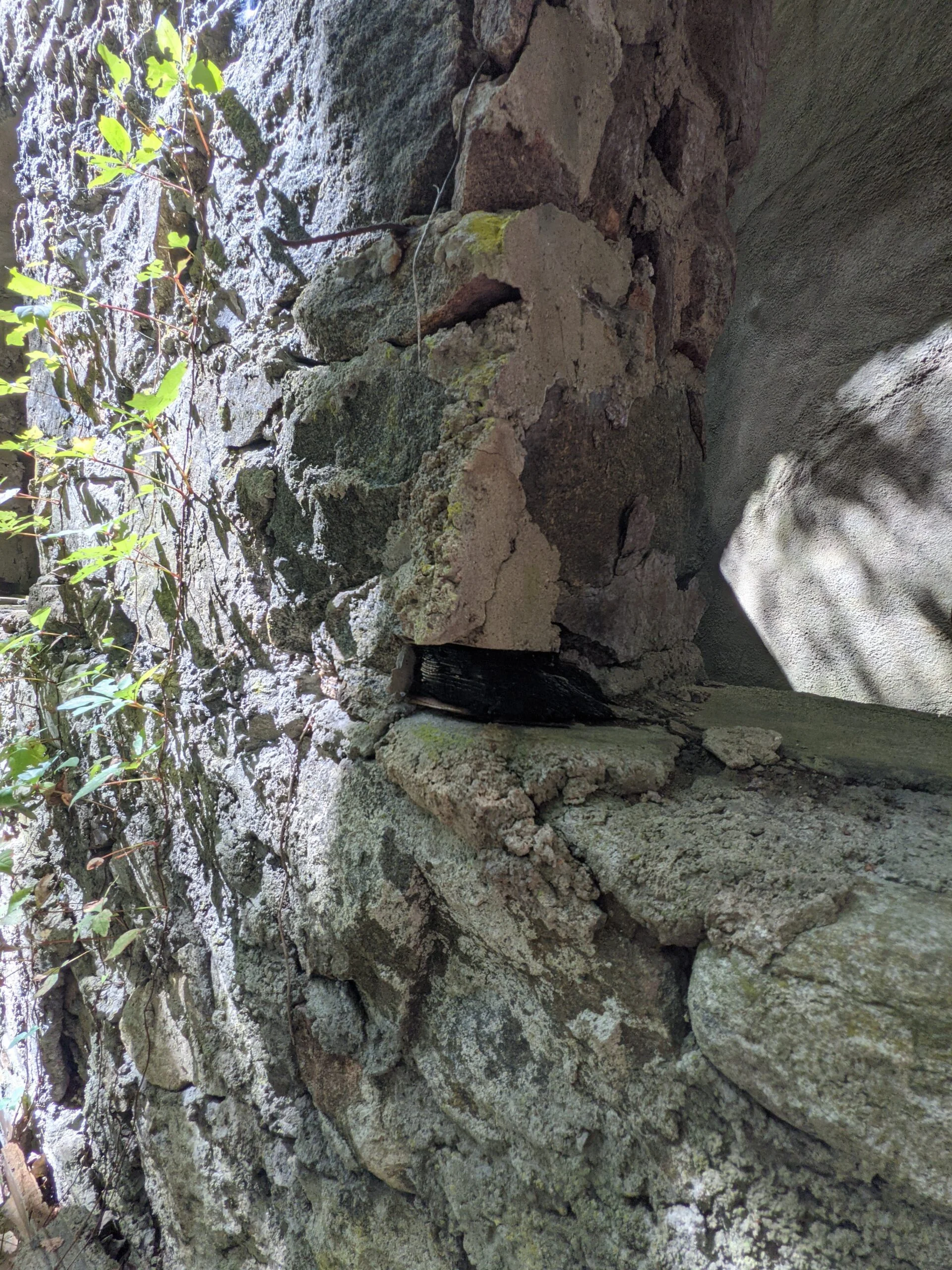
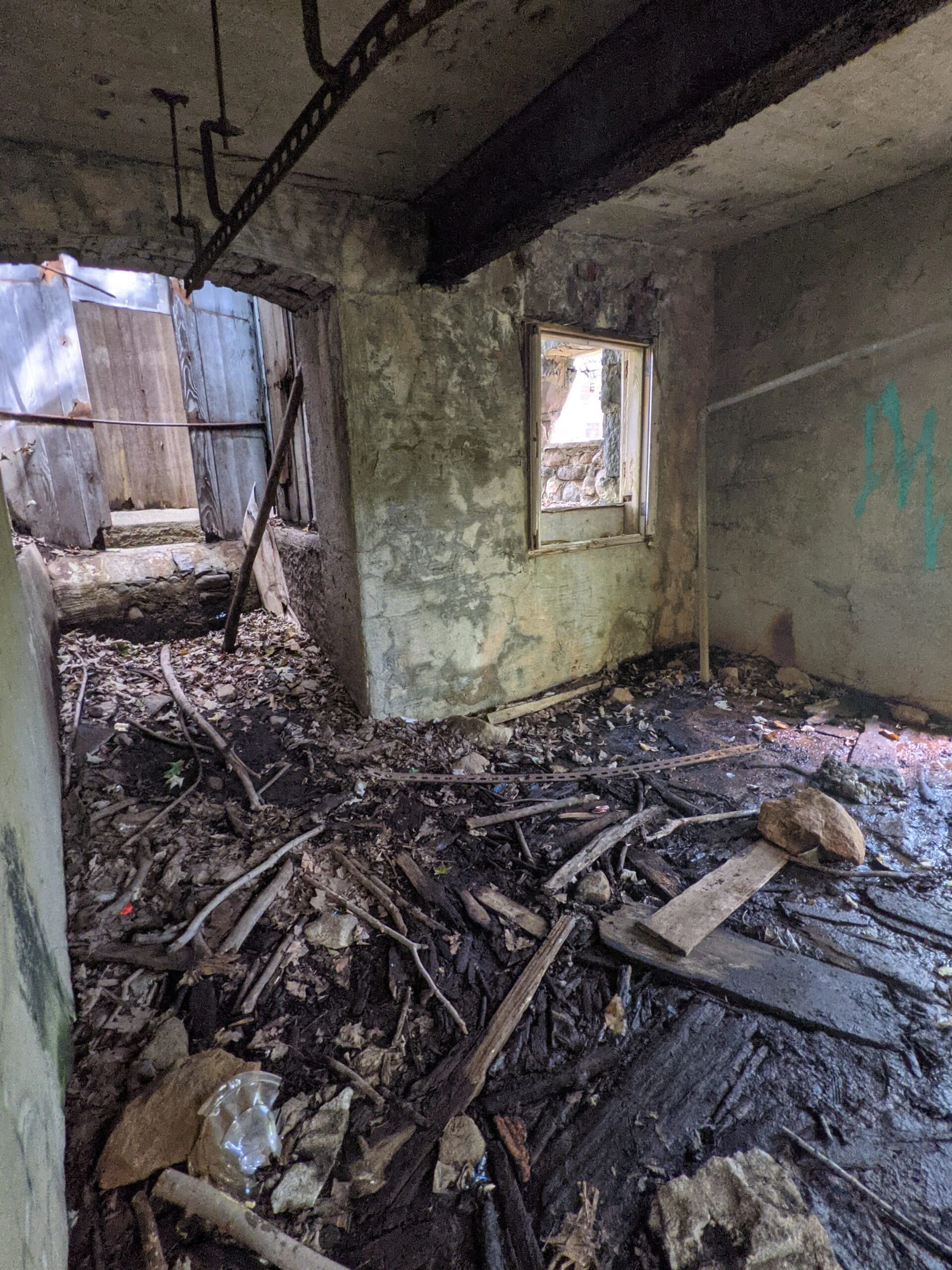
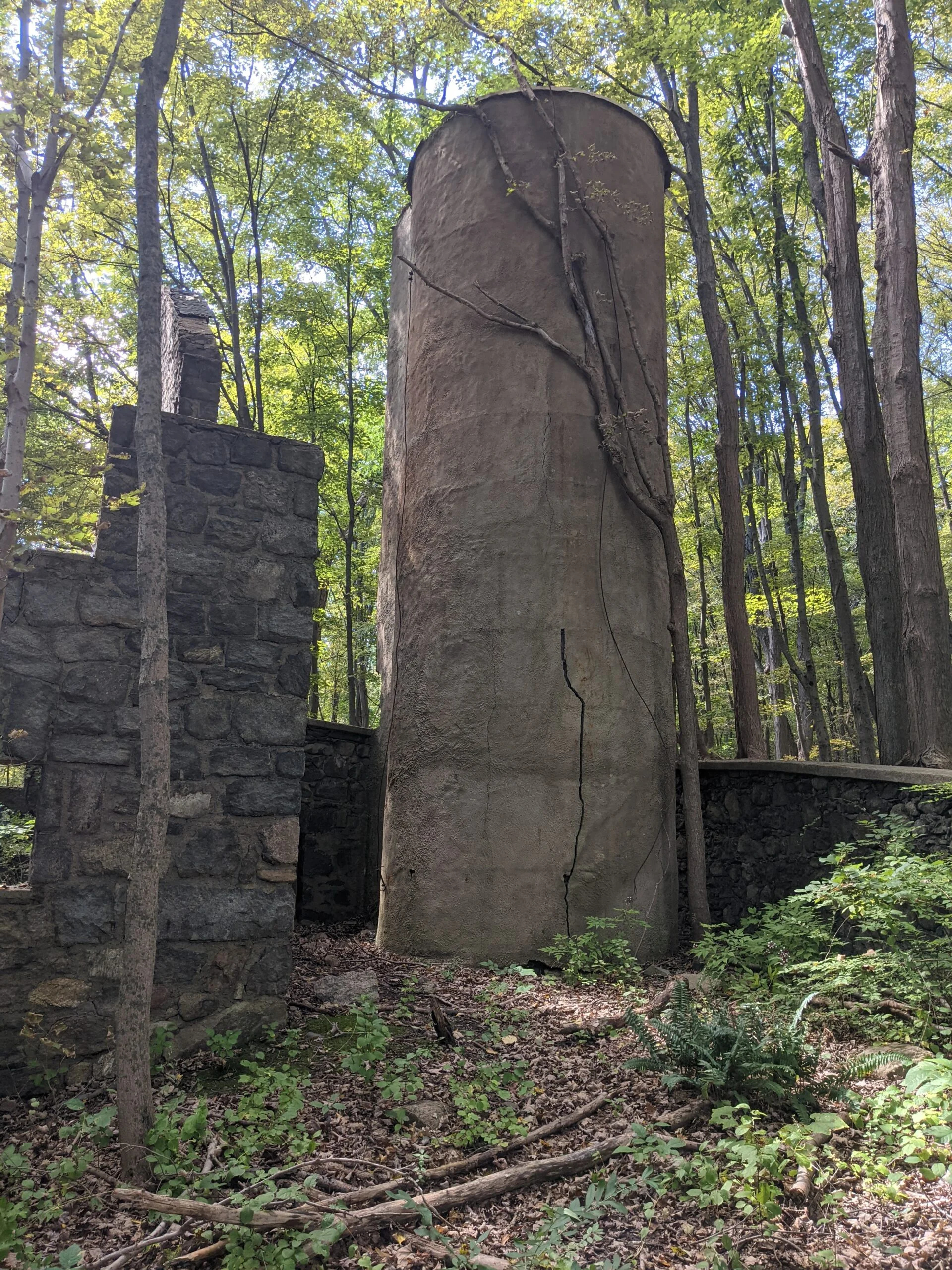
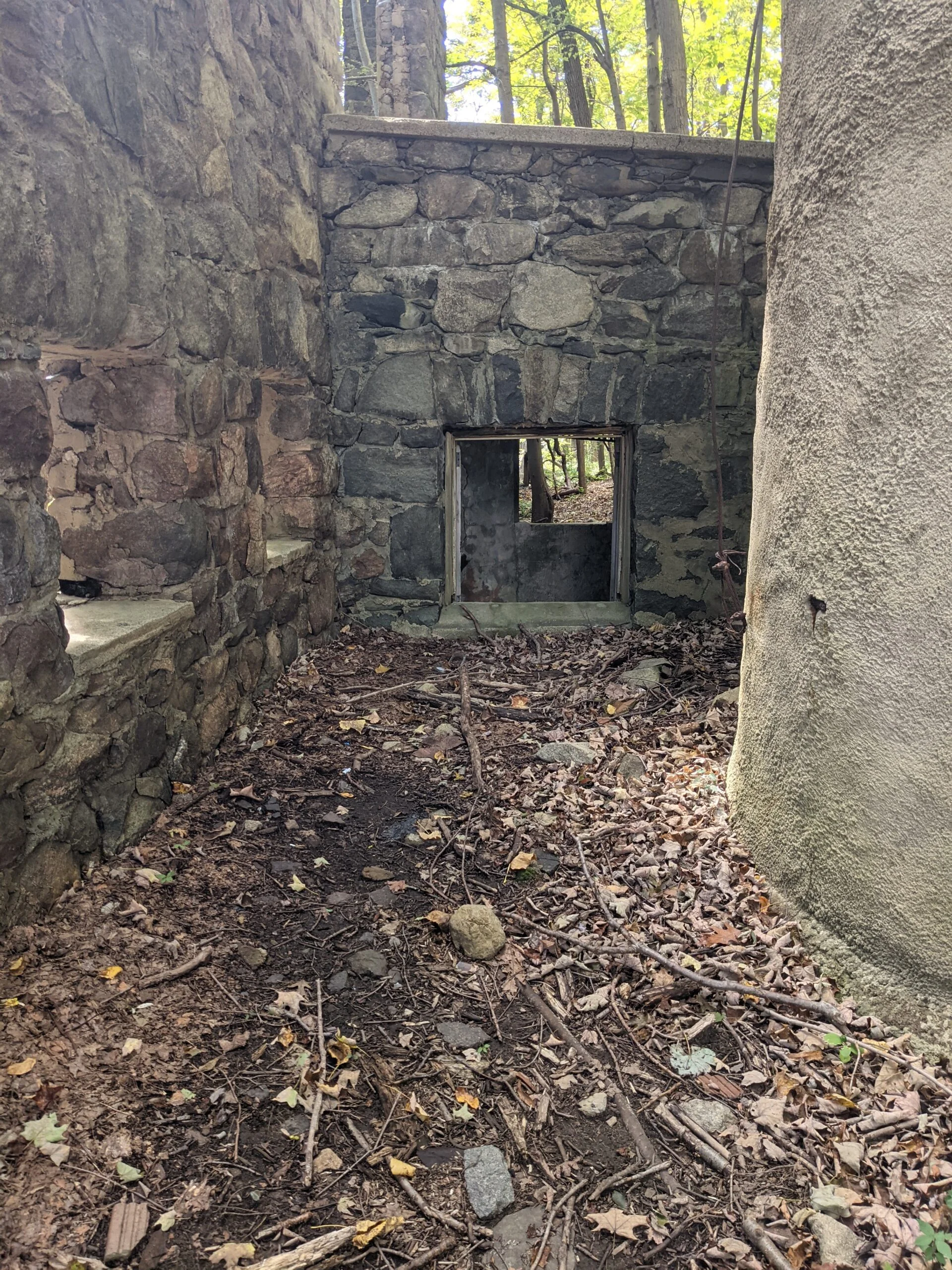
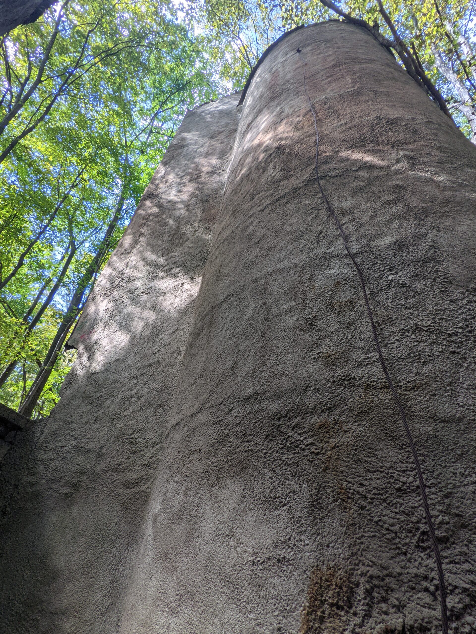
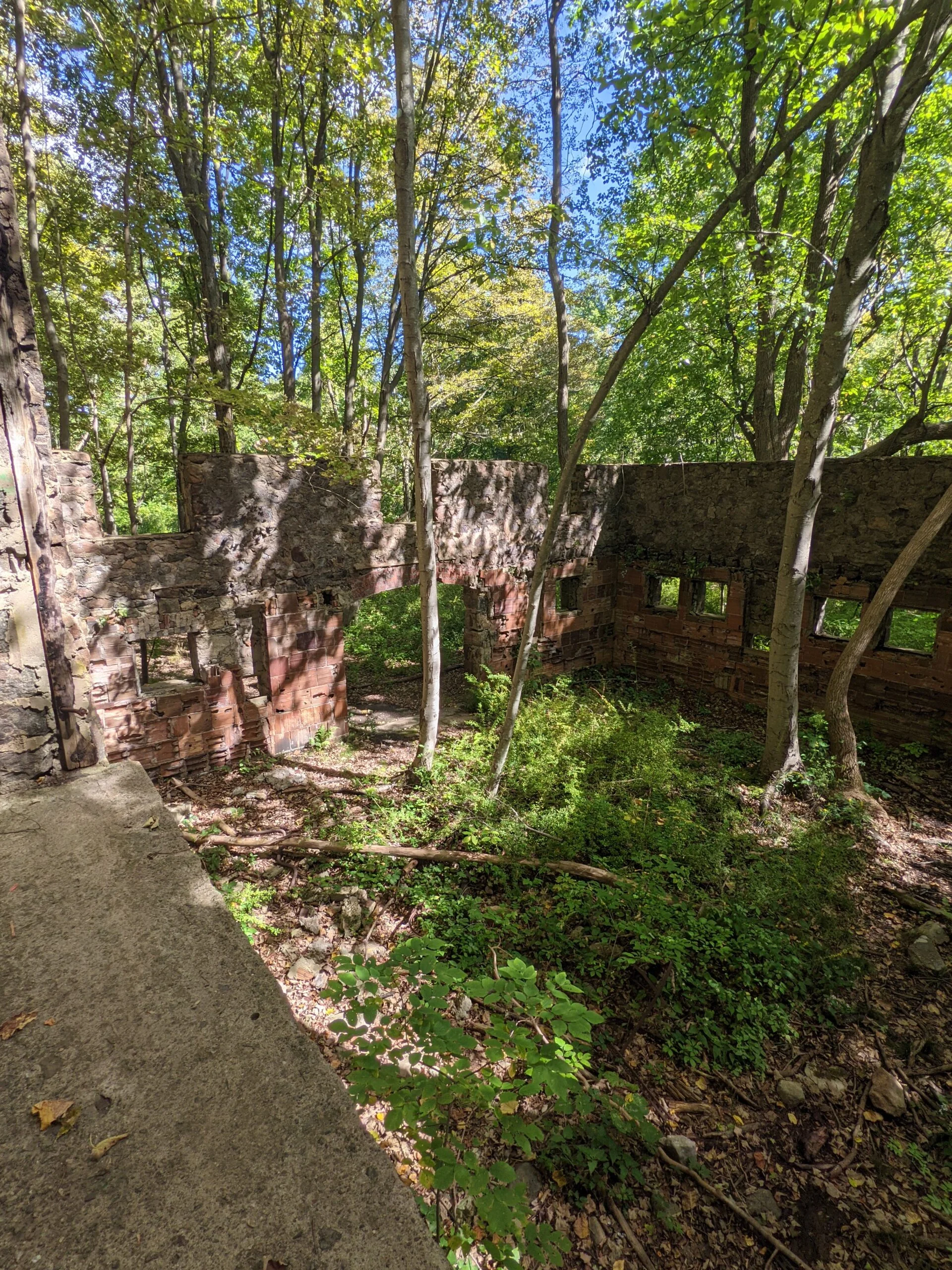
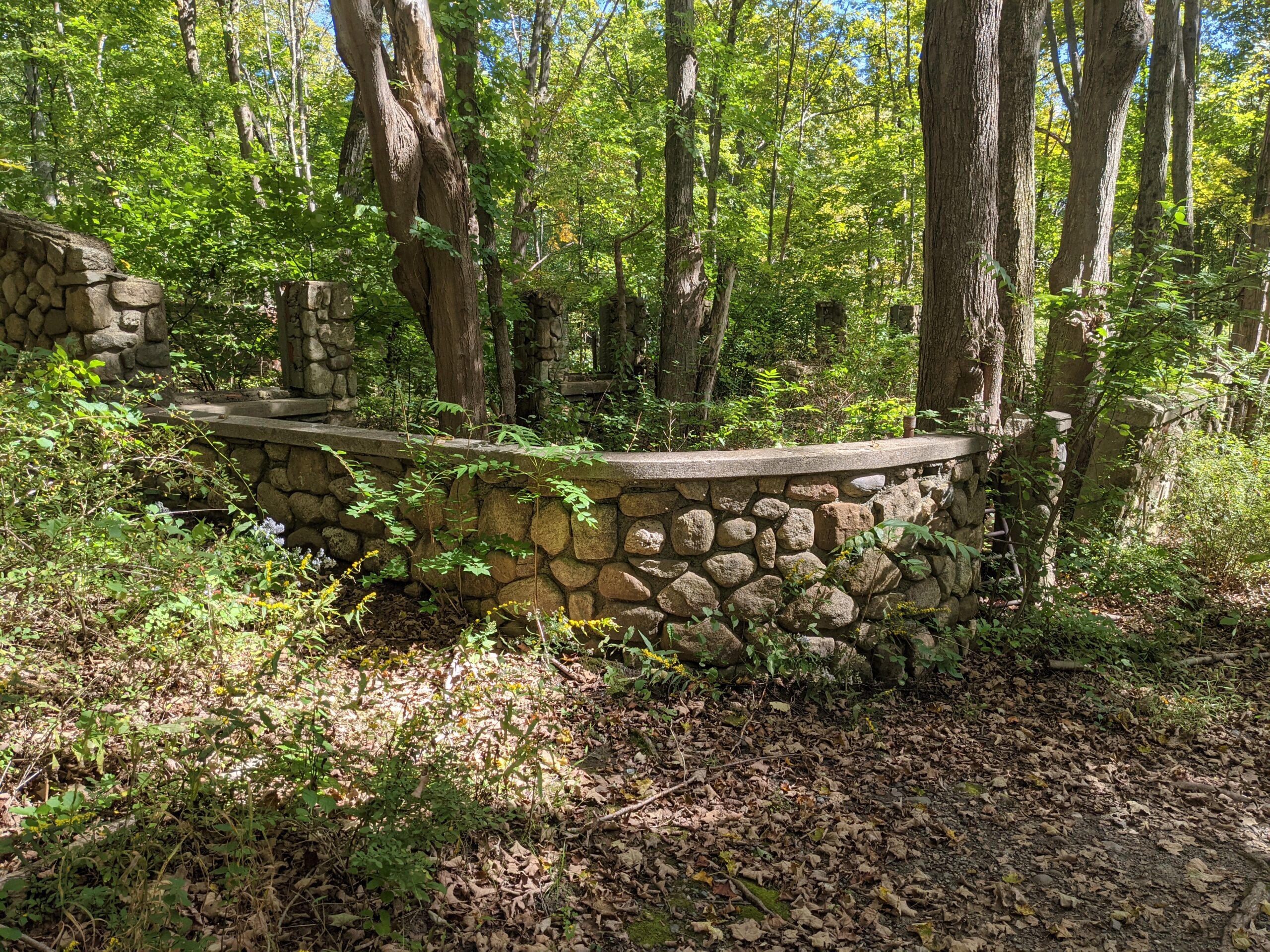
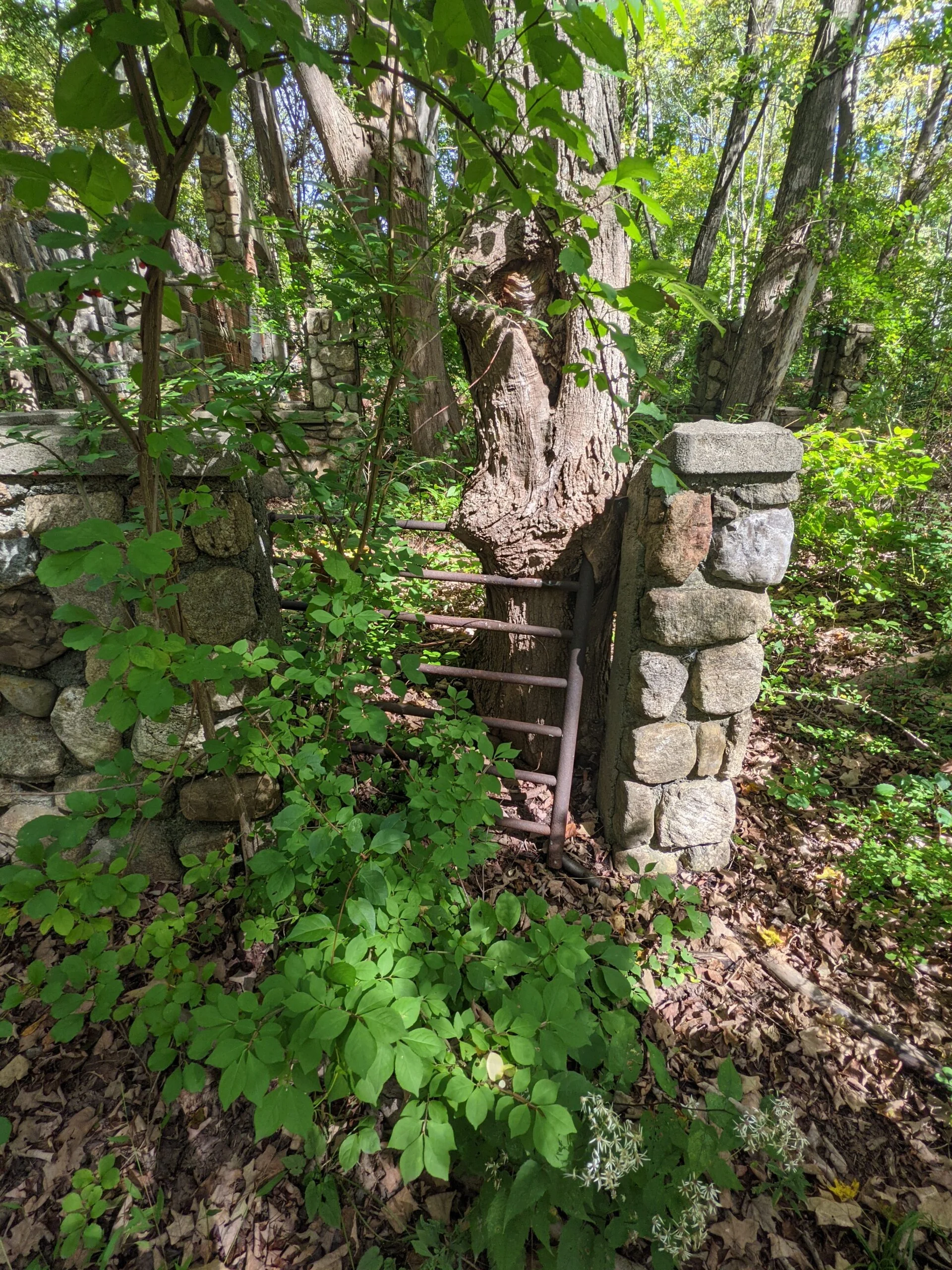
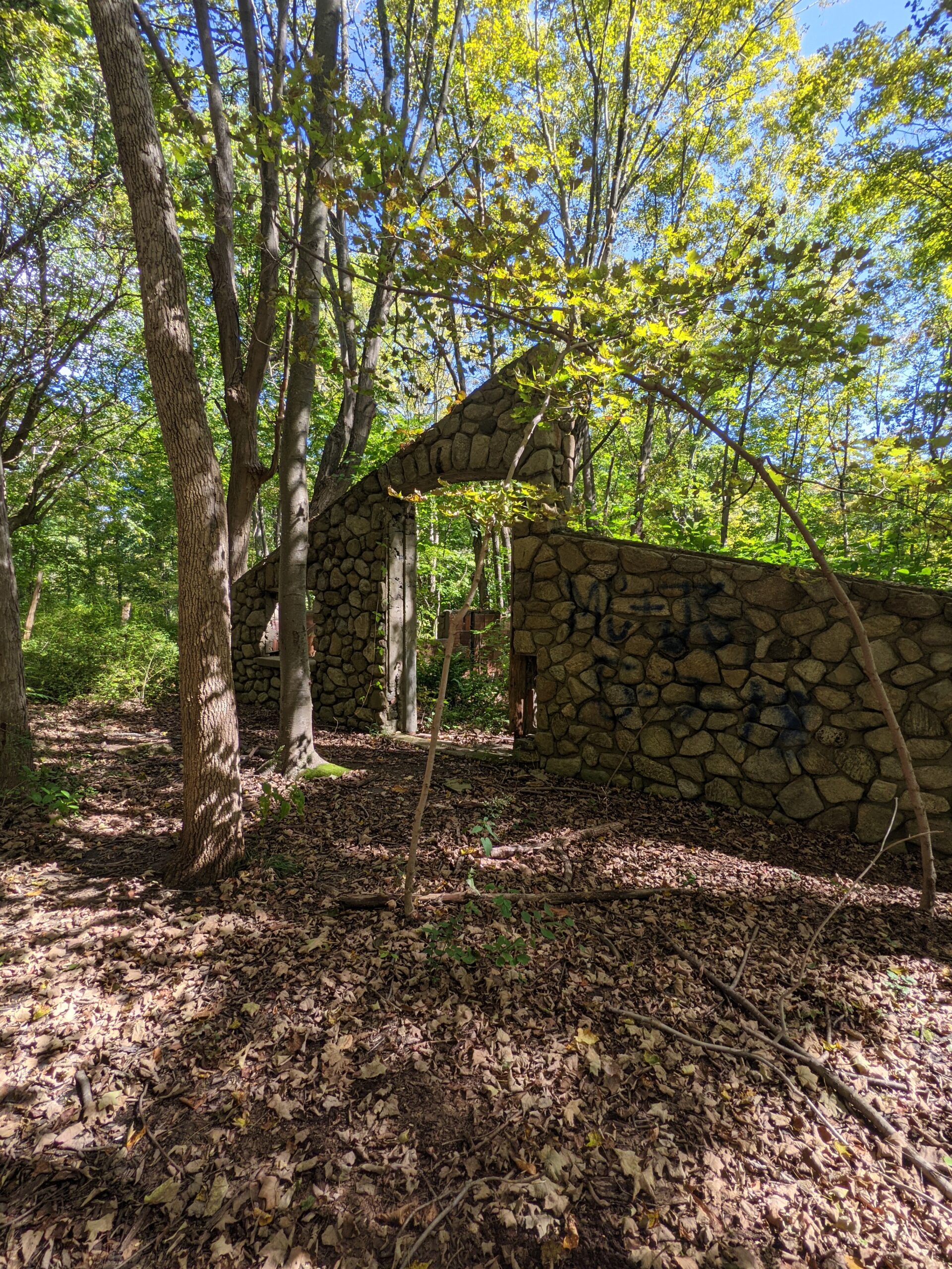
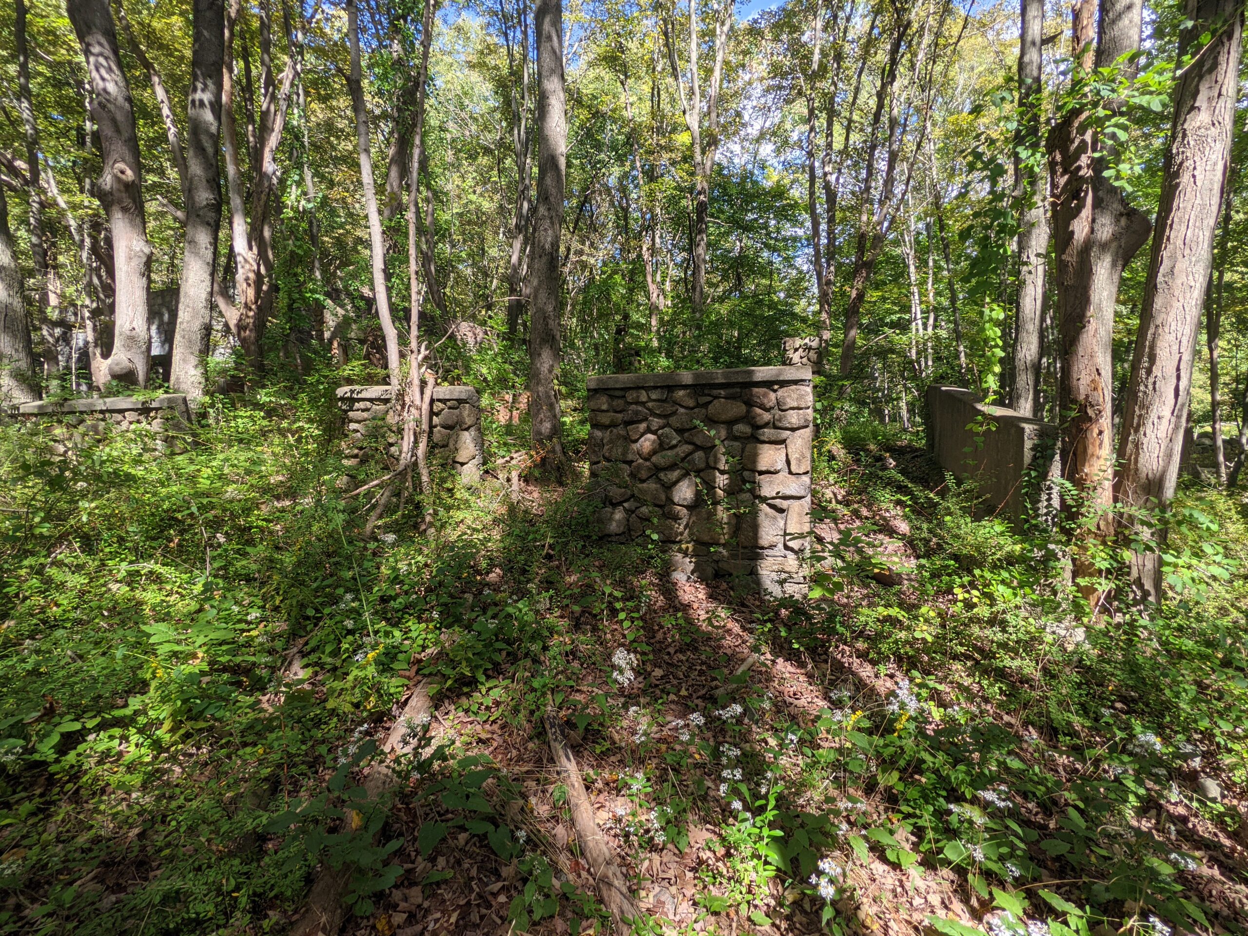
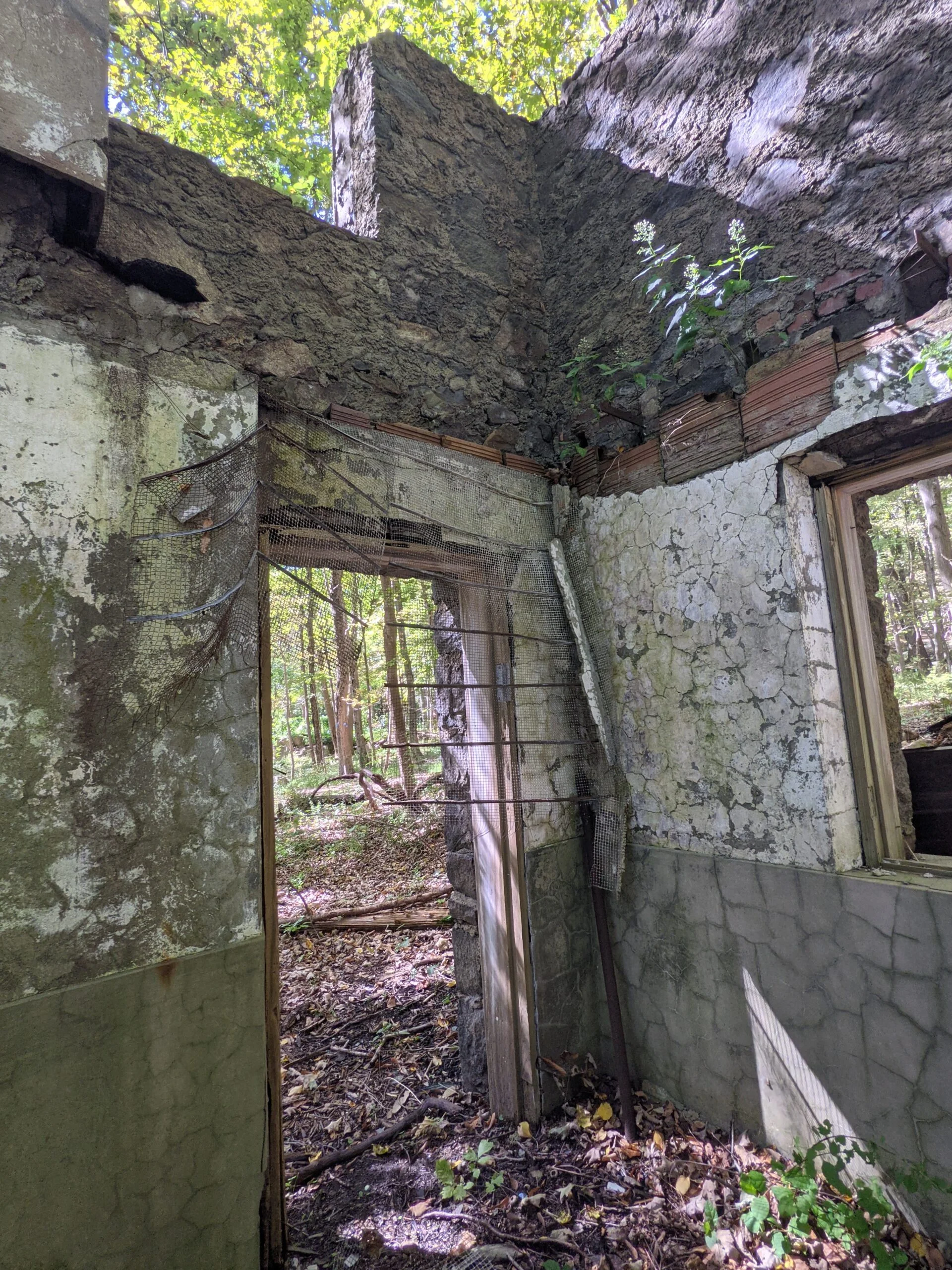
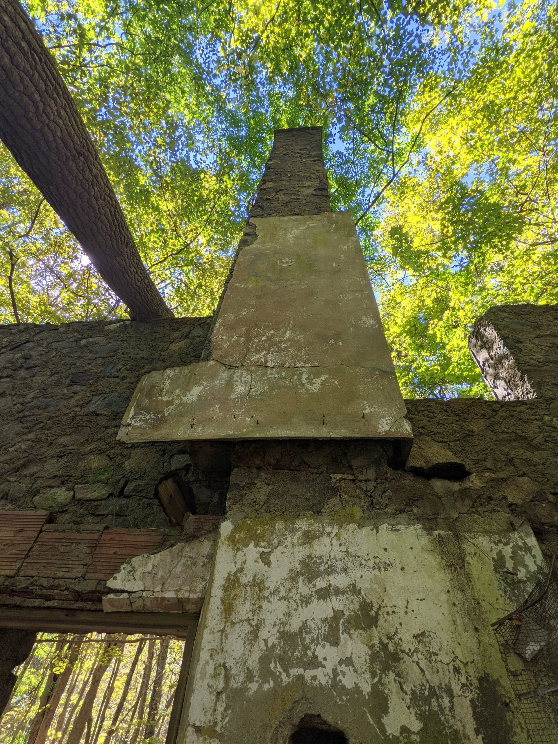
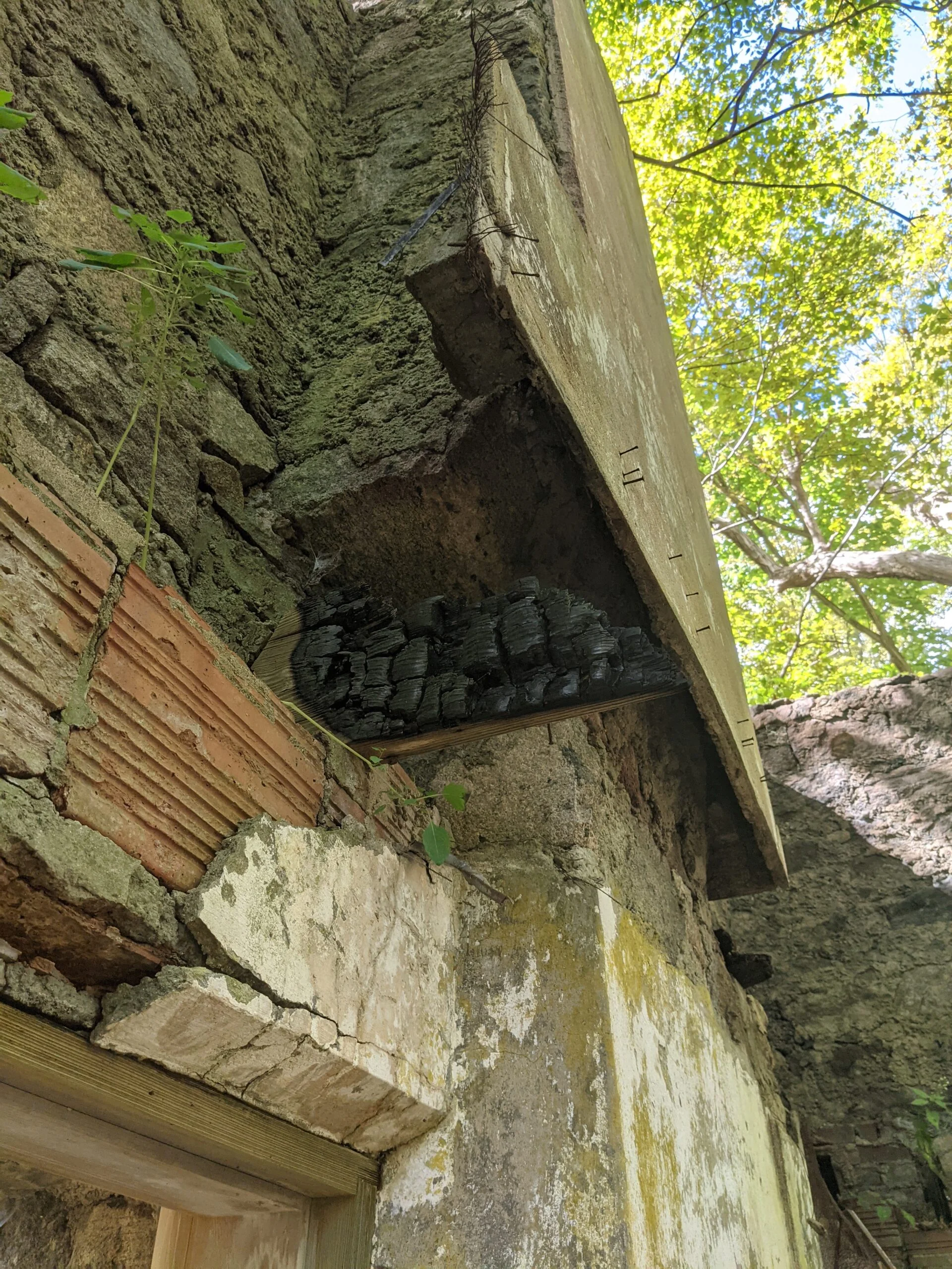
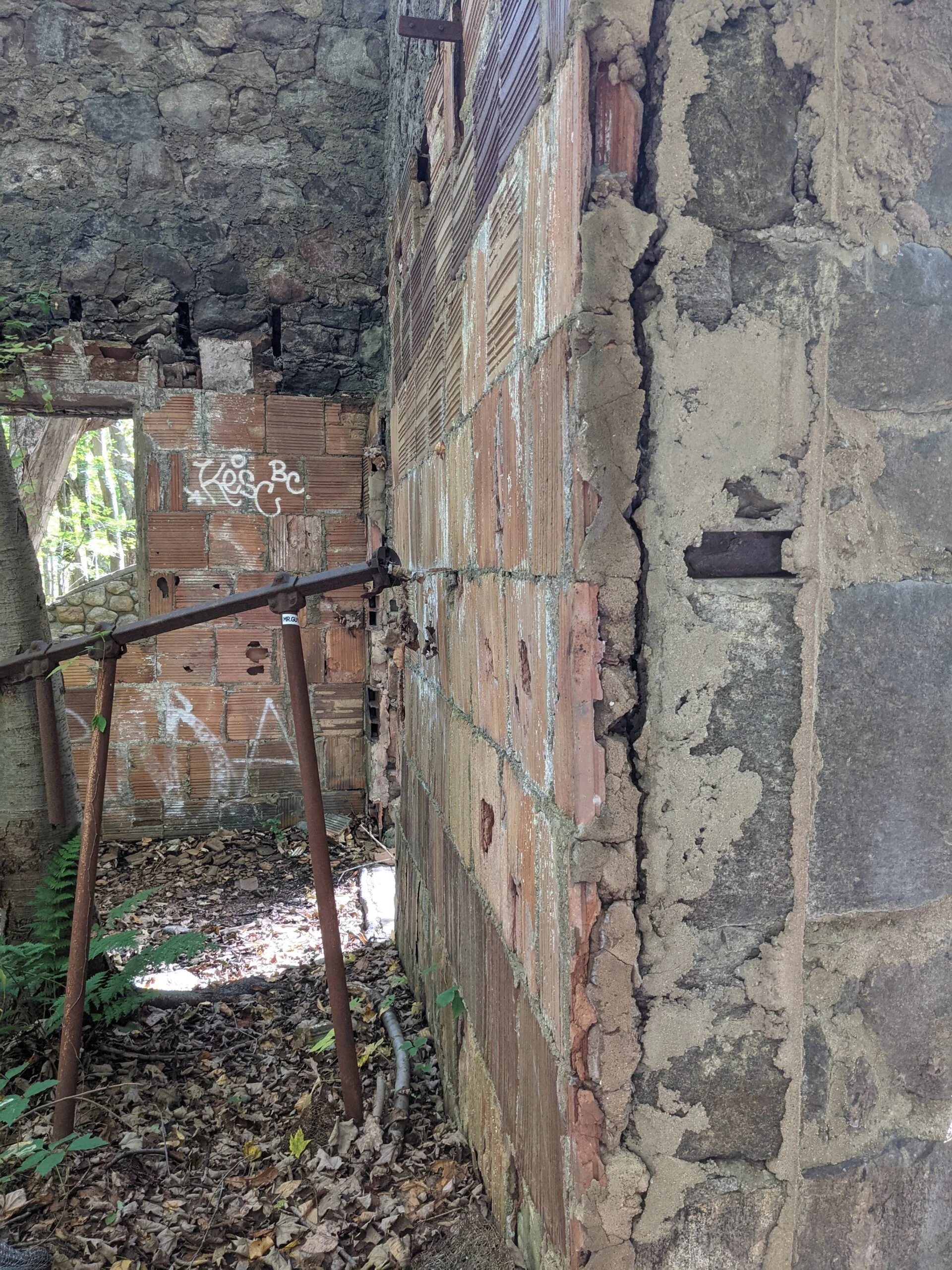
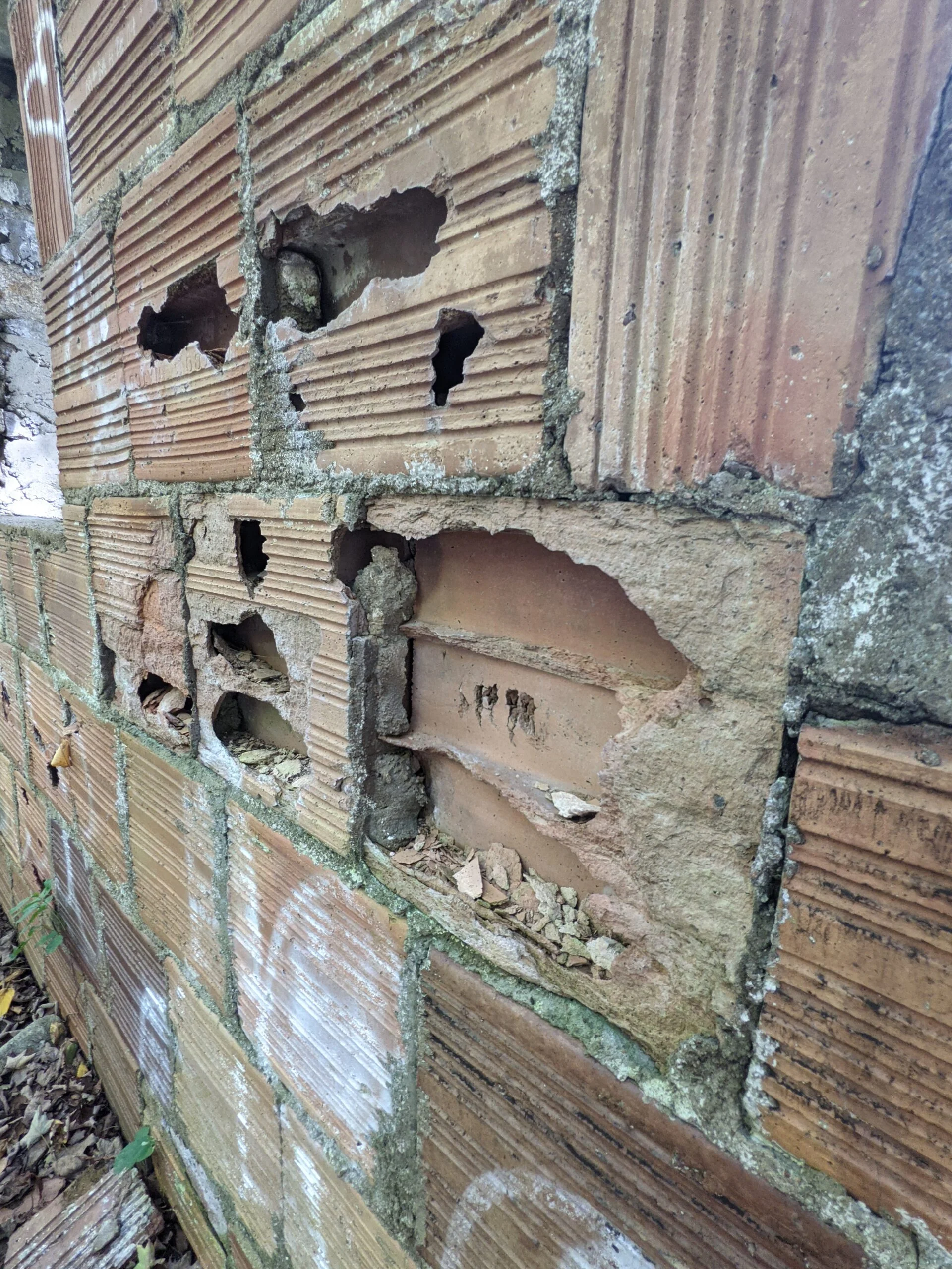
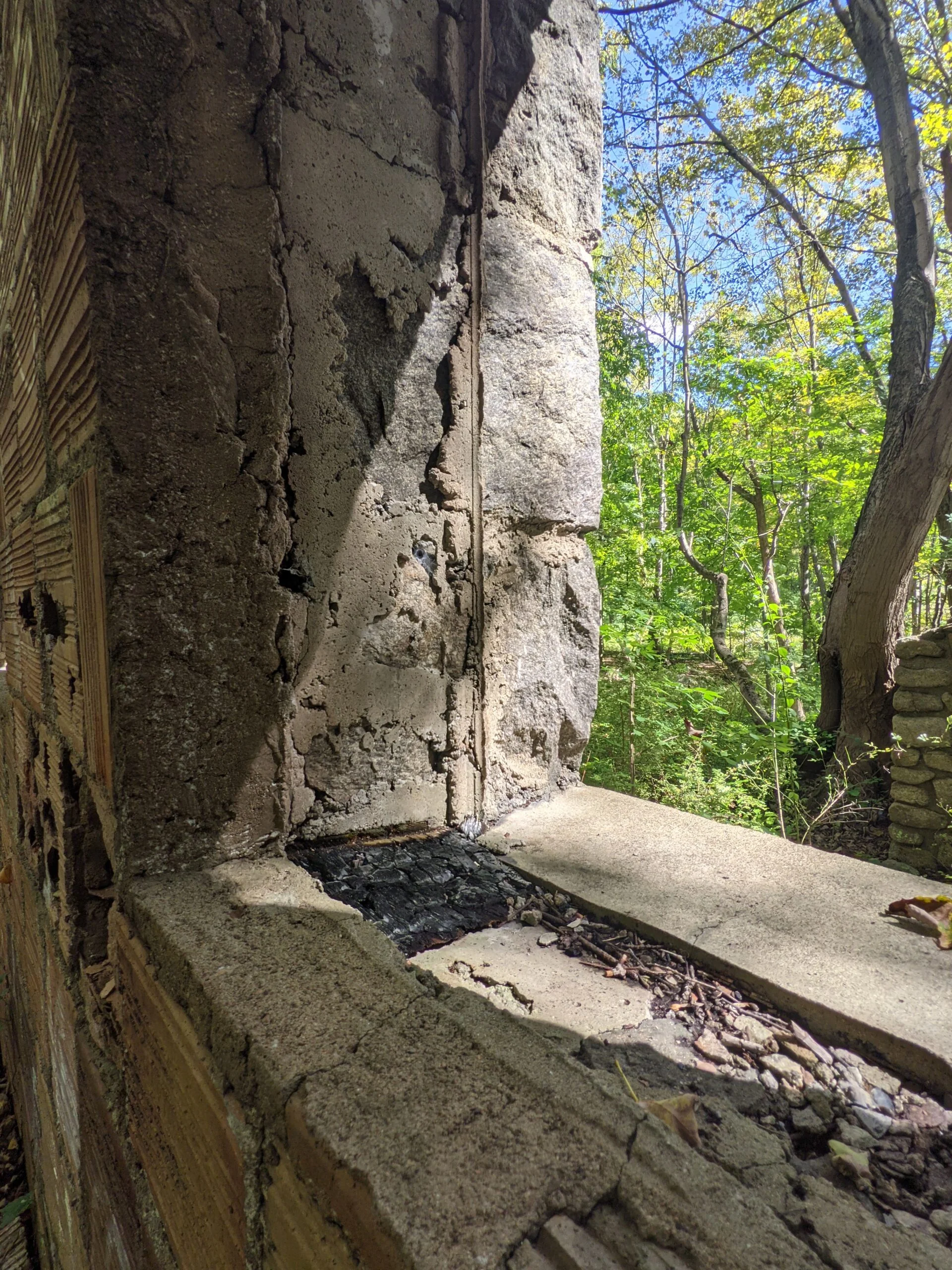
Walking across the front lawn, I started exploring the main house. A fire in 1958 destroyed all of the wooded sections of the house, so what’s left standing is the stone exterior walls and the interior chimneys and fireplaces. It’s interesting to see fireplace towers rising into the air with nothing else surrounding them. I could easily see where the different floors of the house would have been. It turns out my earlier gamble paid off and I was able to spend a full 25 minutes exploring and photographing the main house from various angles before I encountered any other people at the ruins.
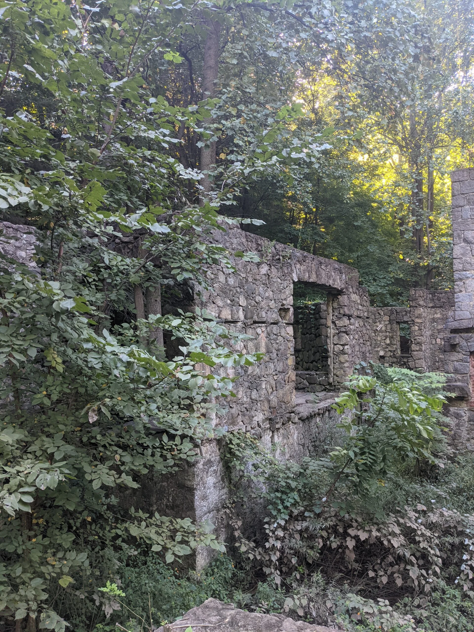
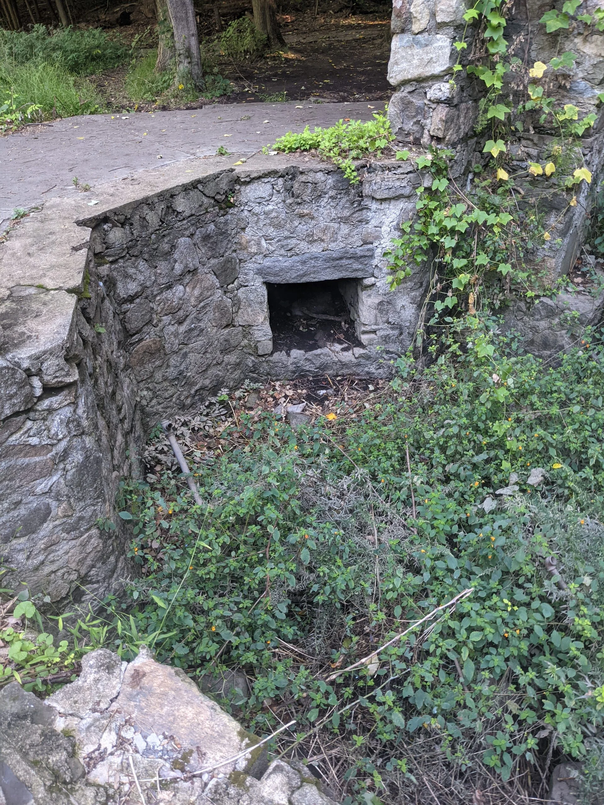
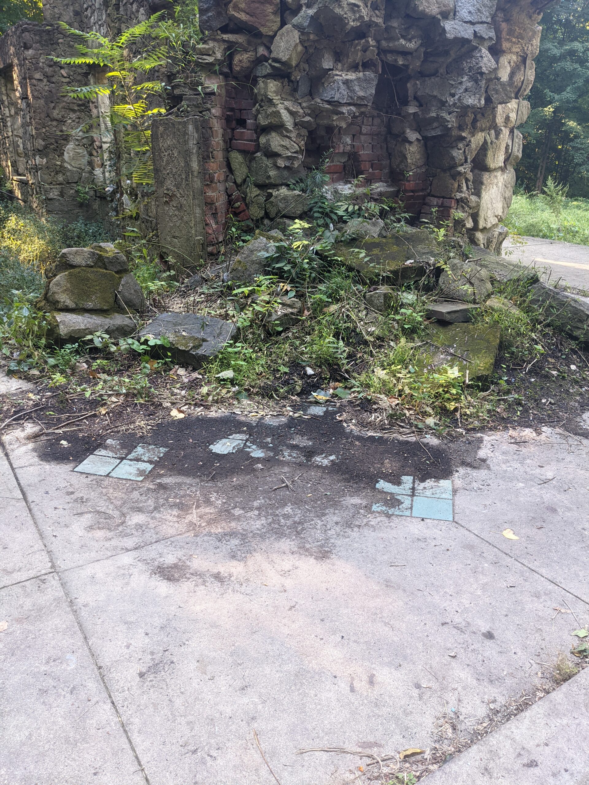
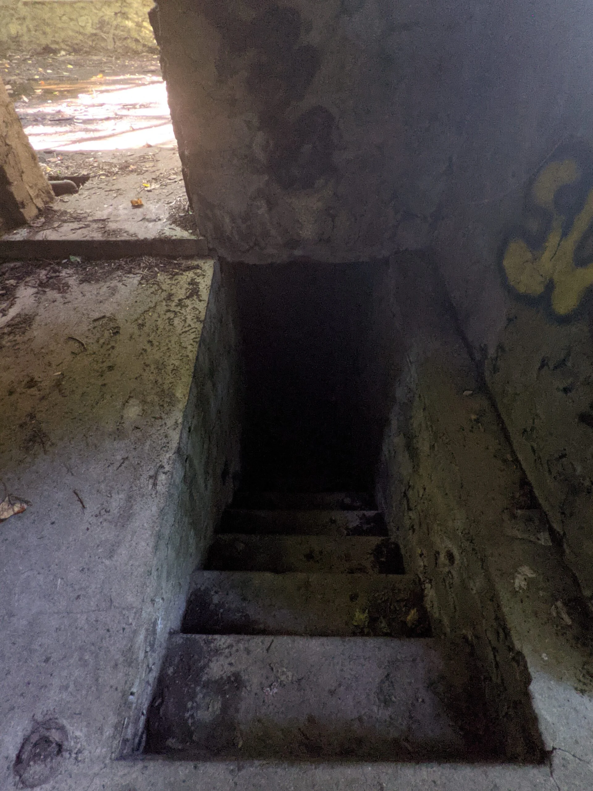
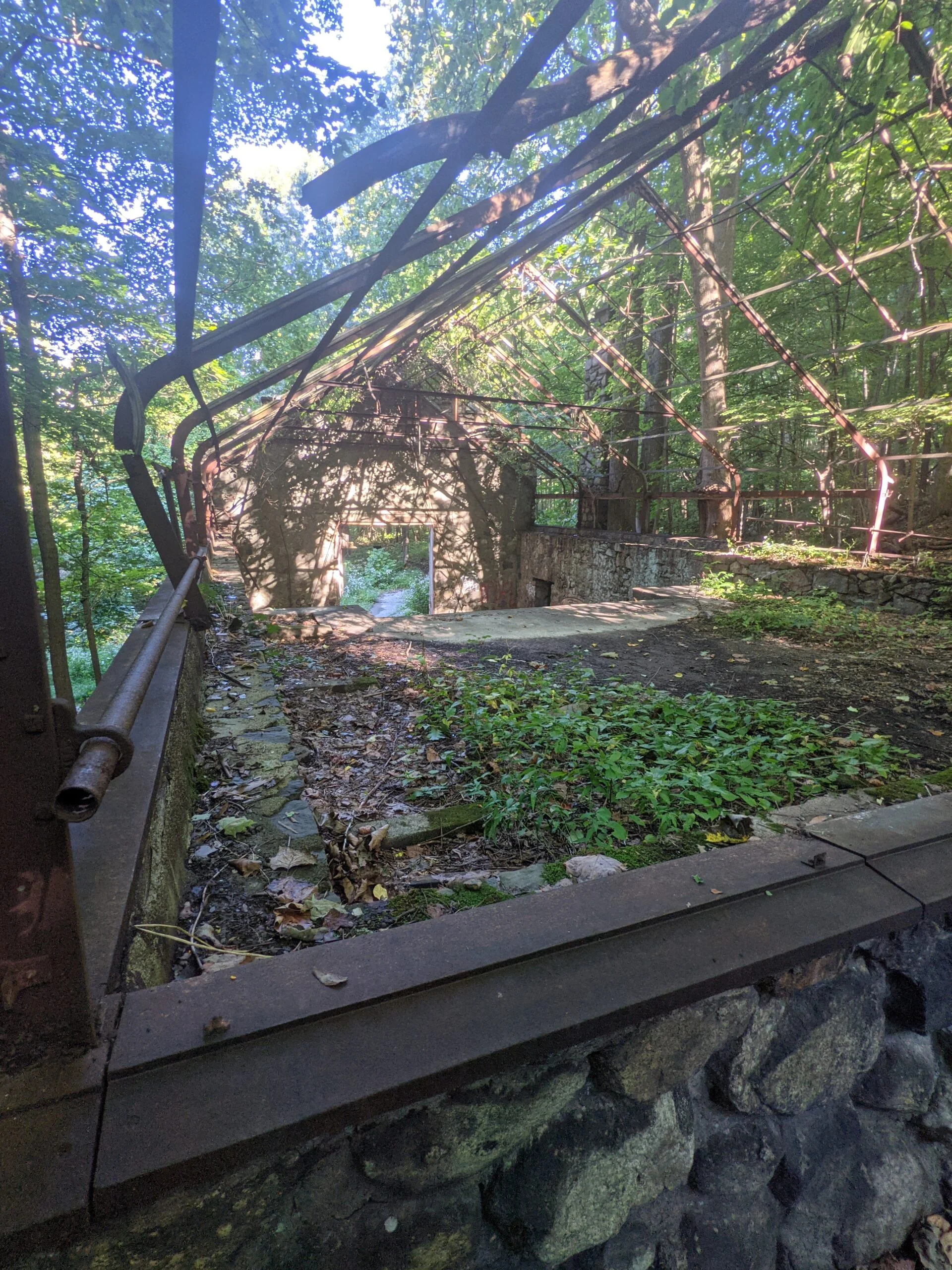
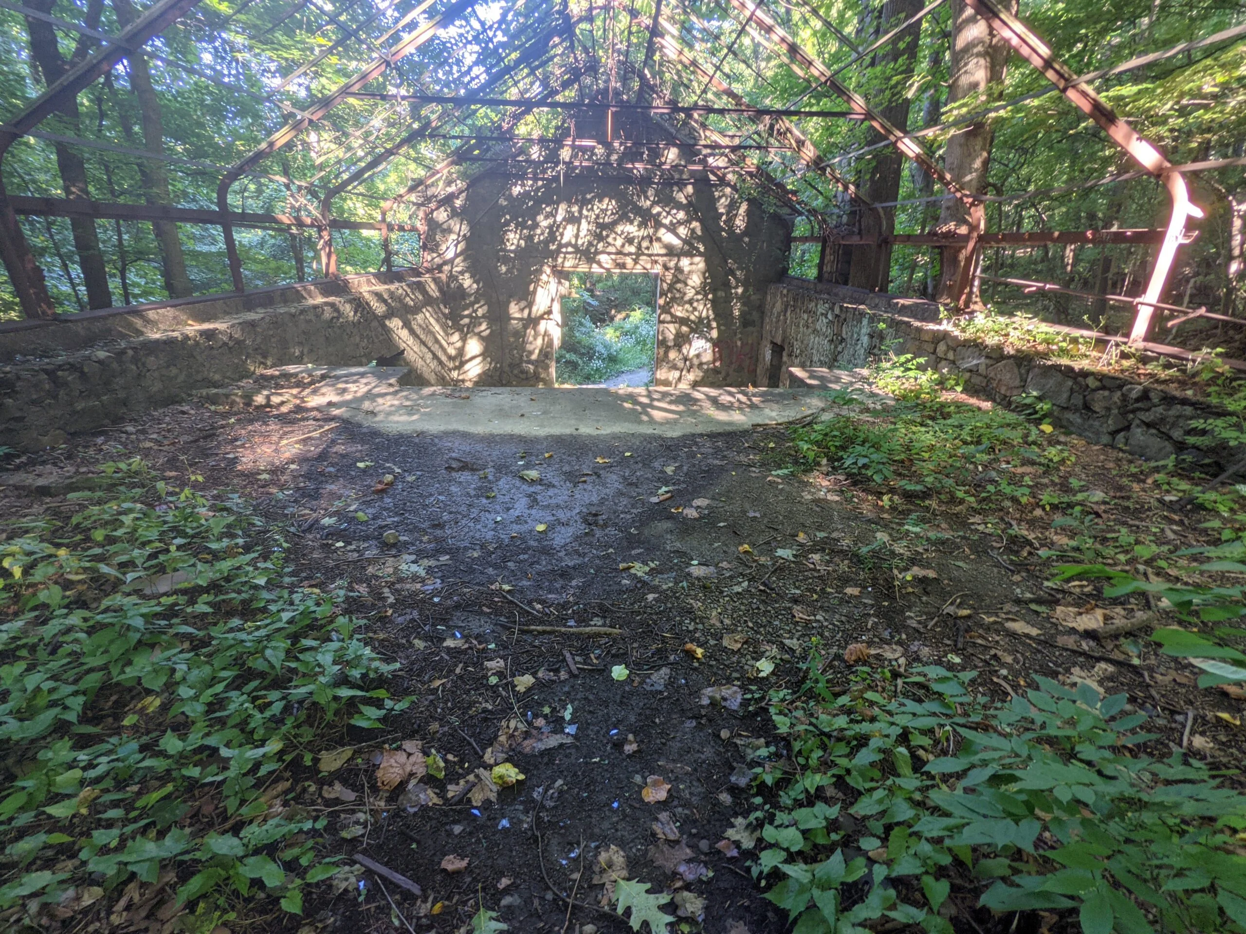
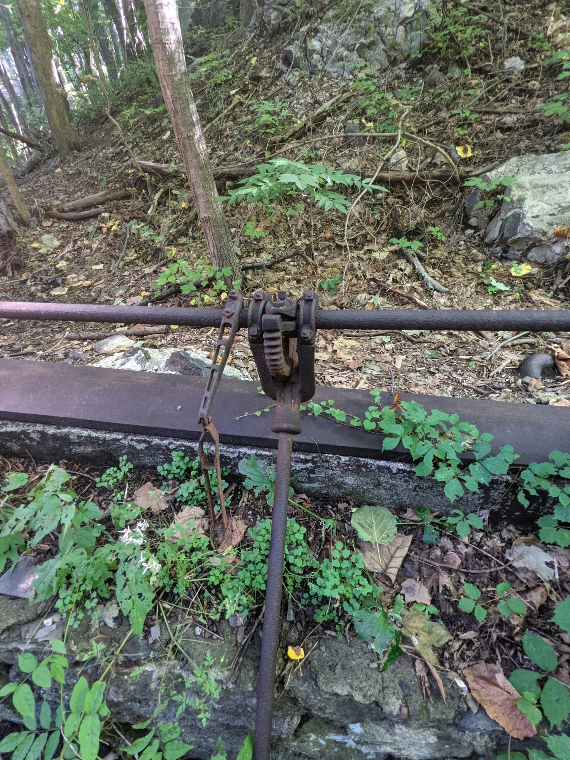
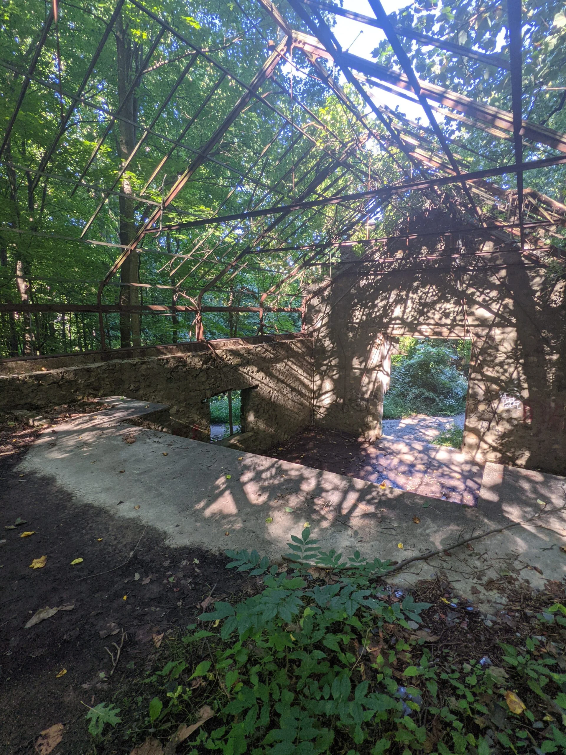
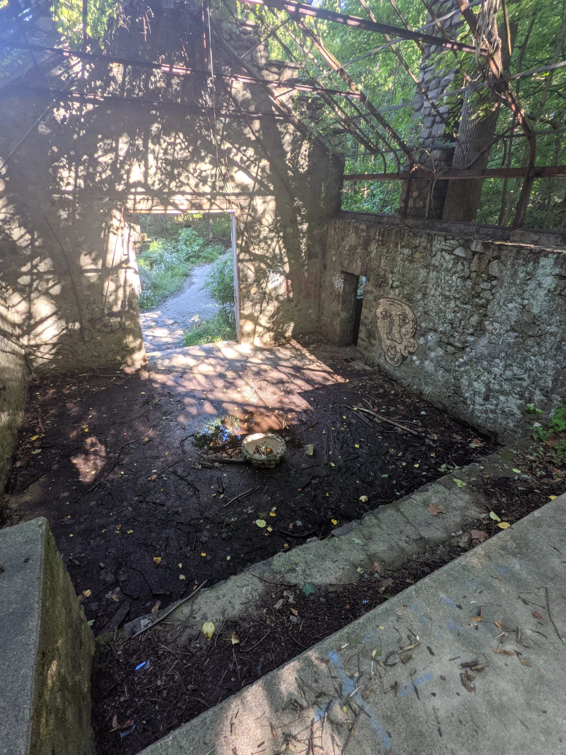
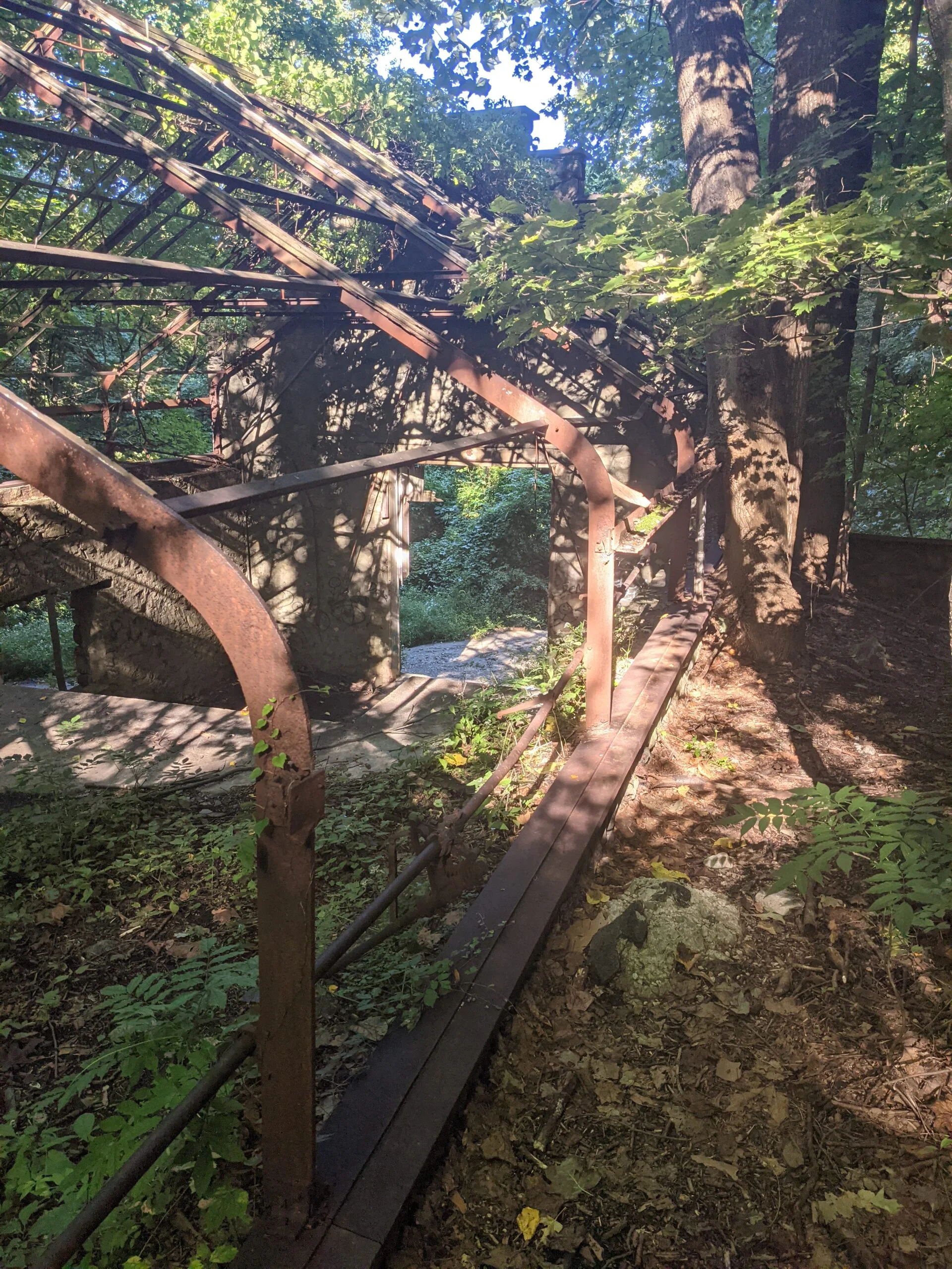
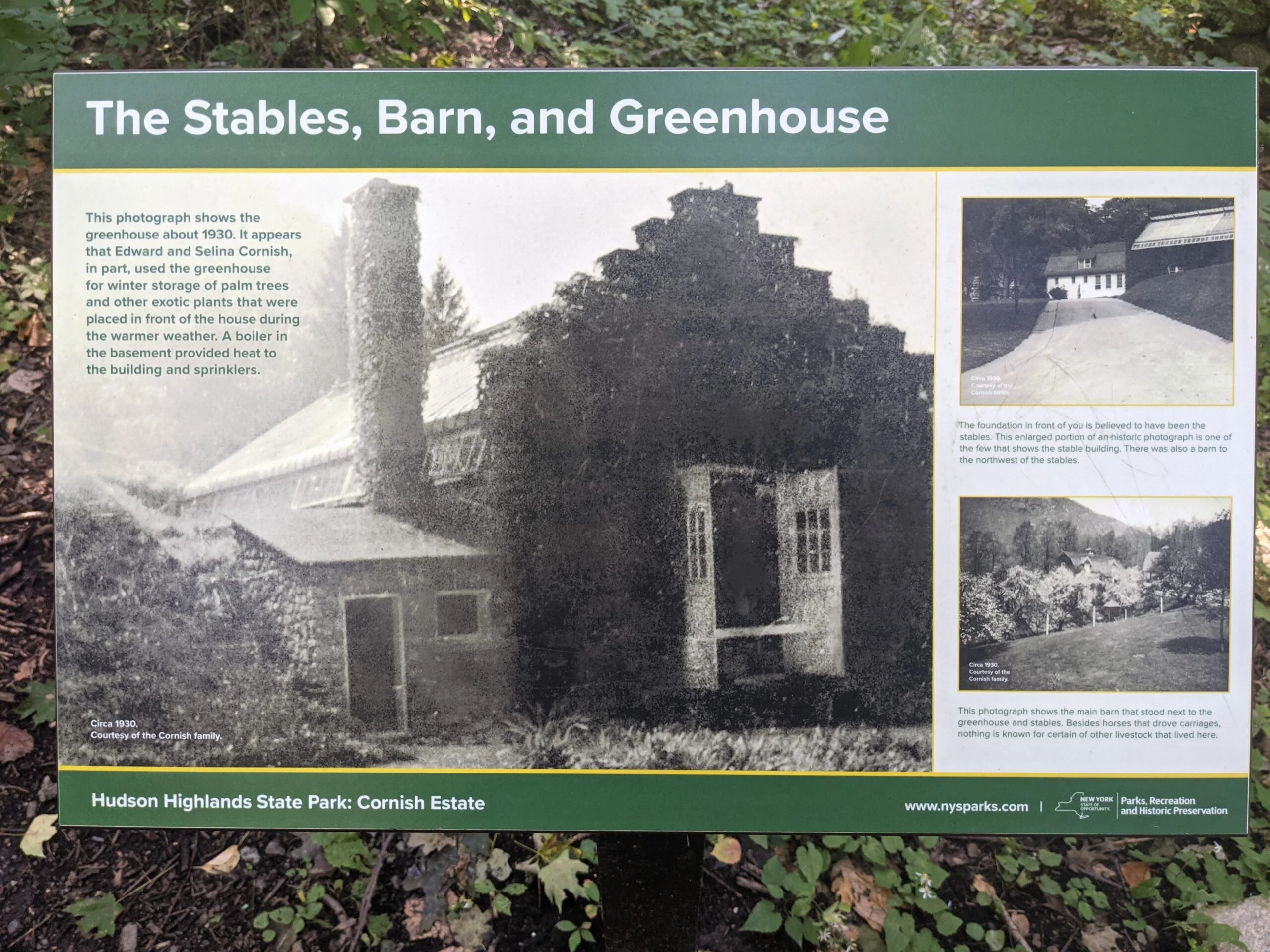
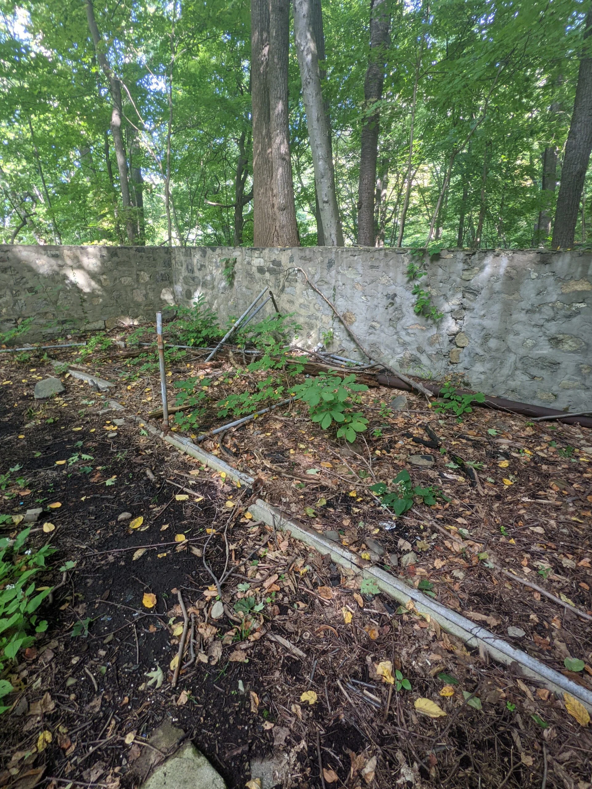
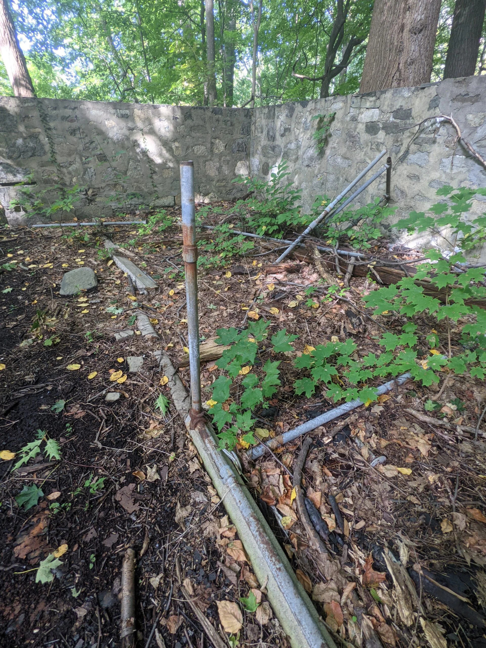
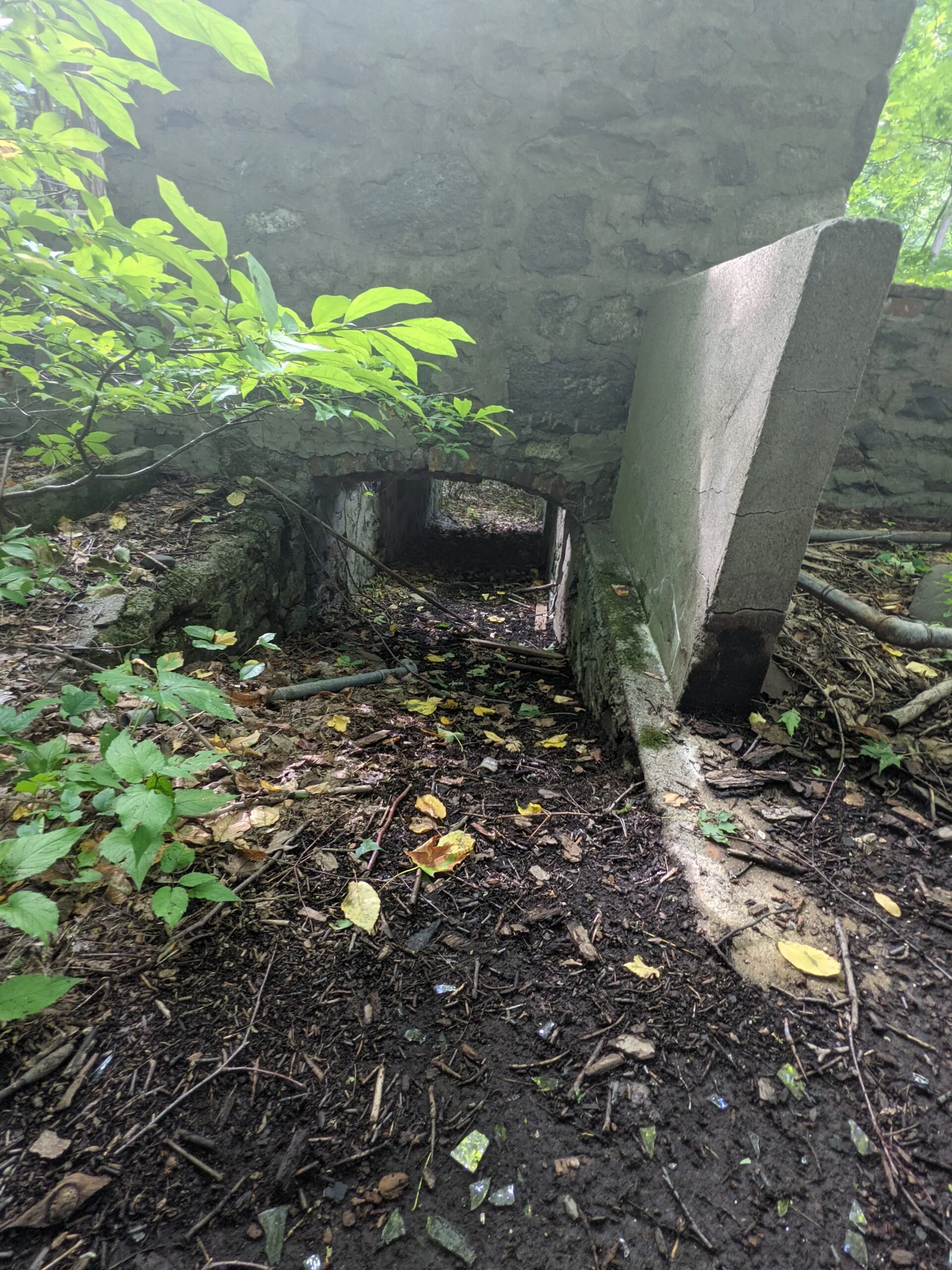
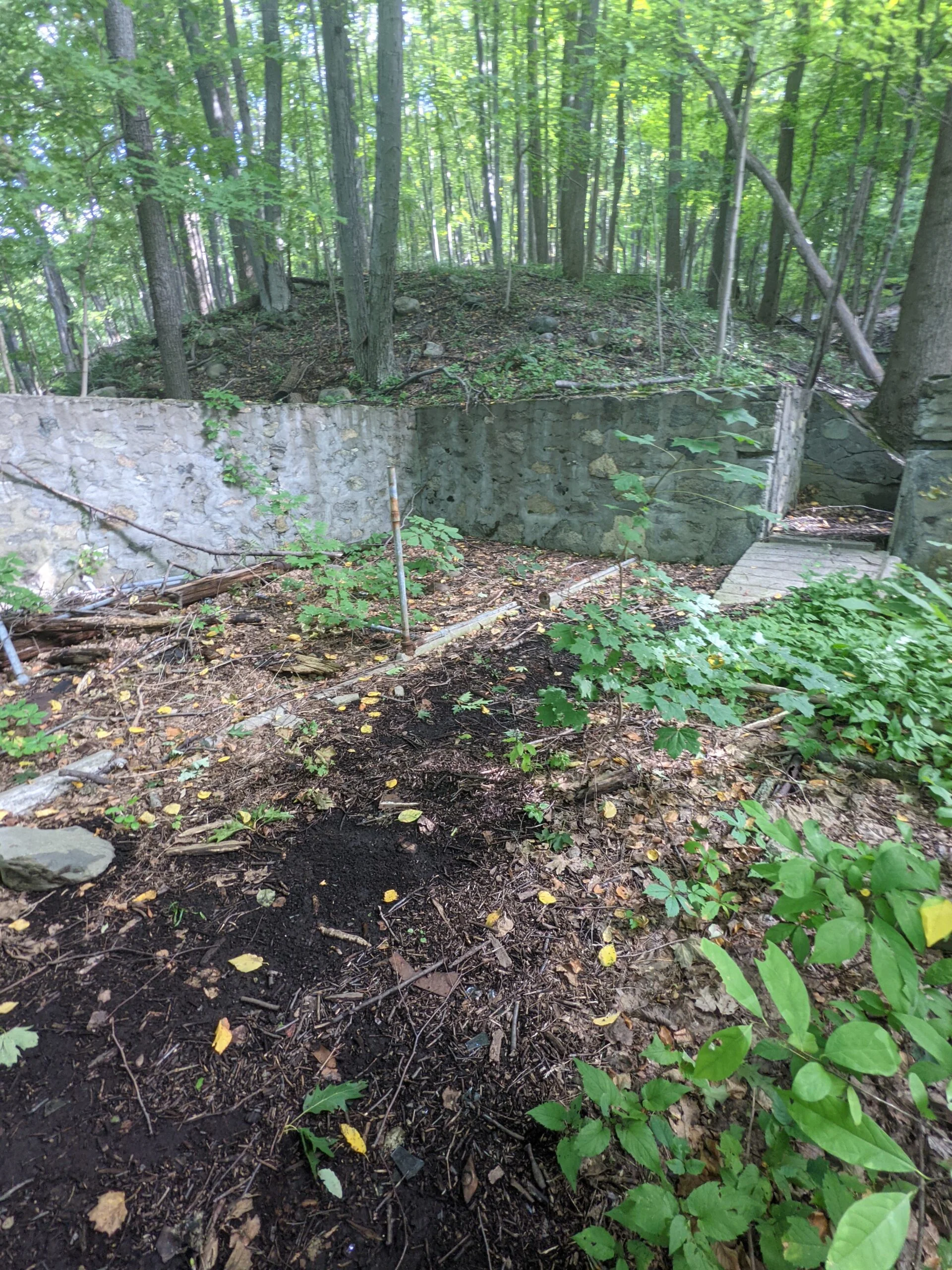
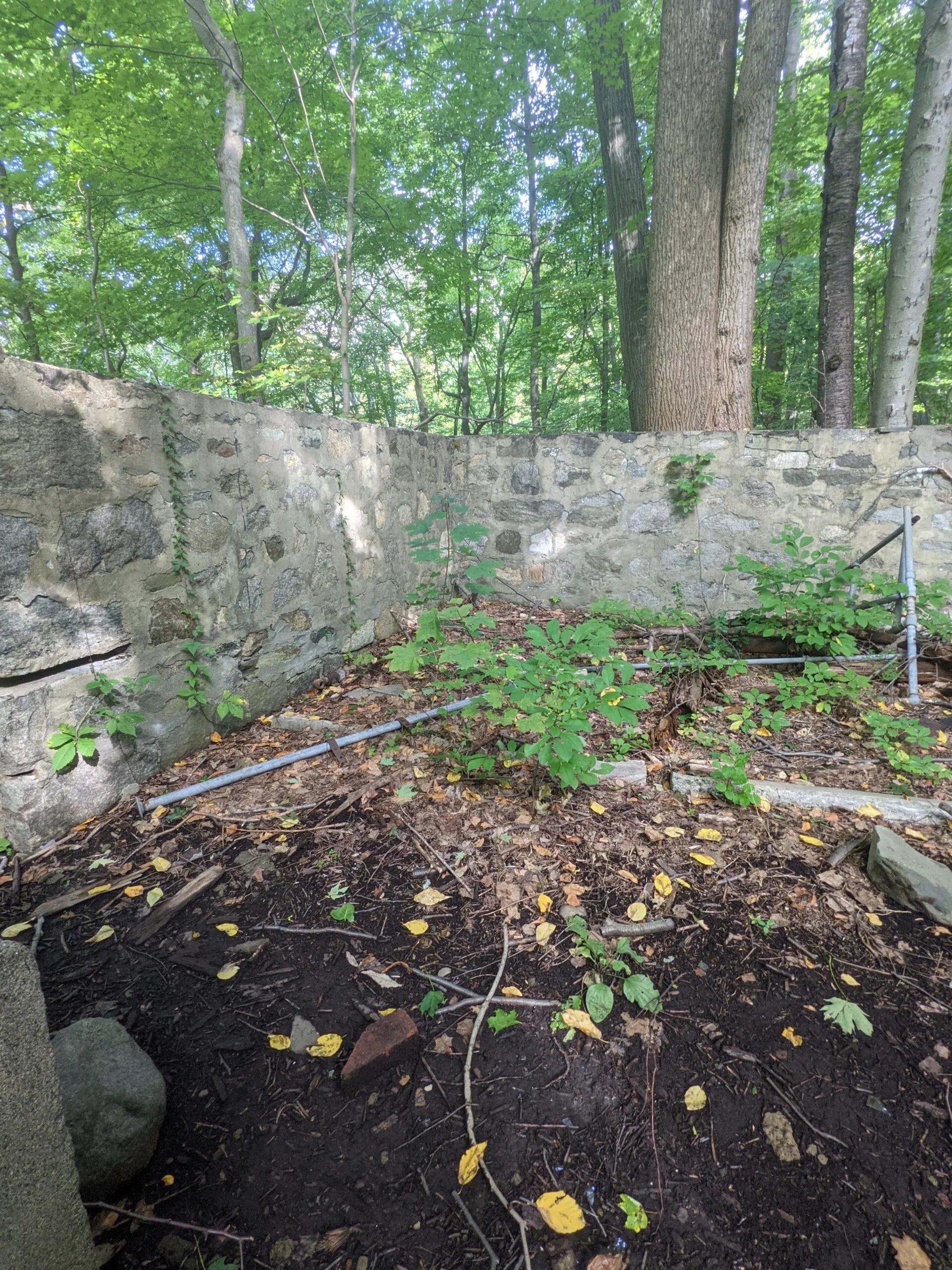
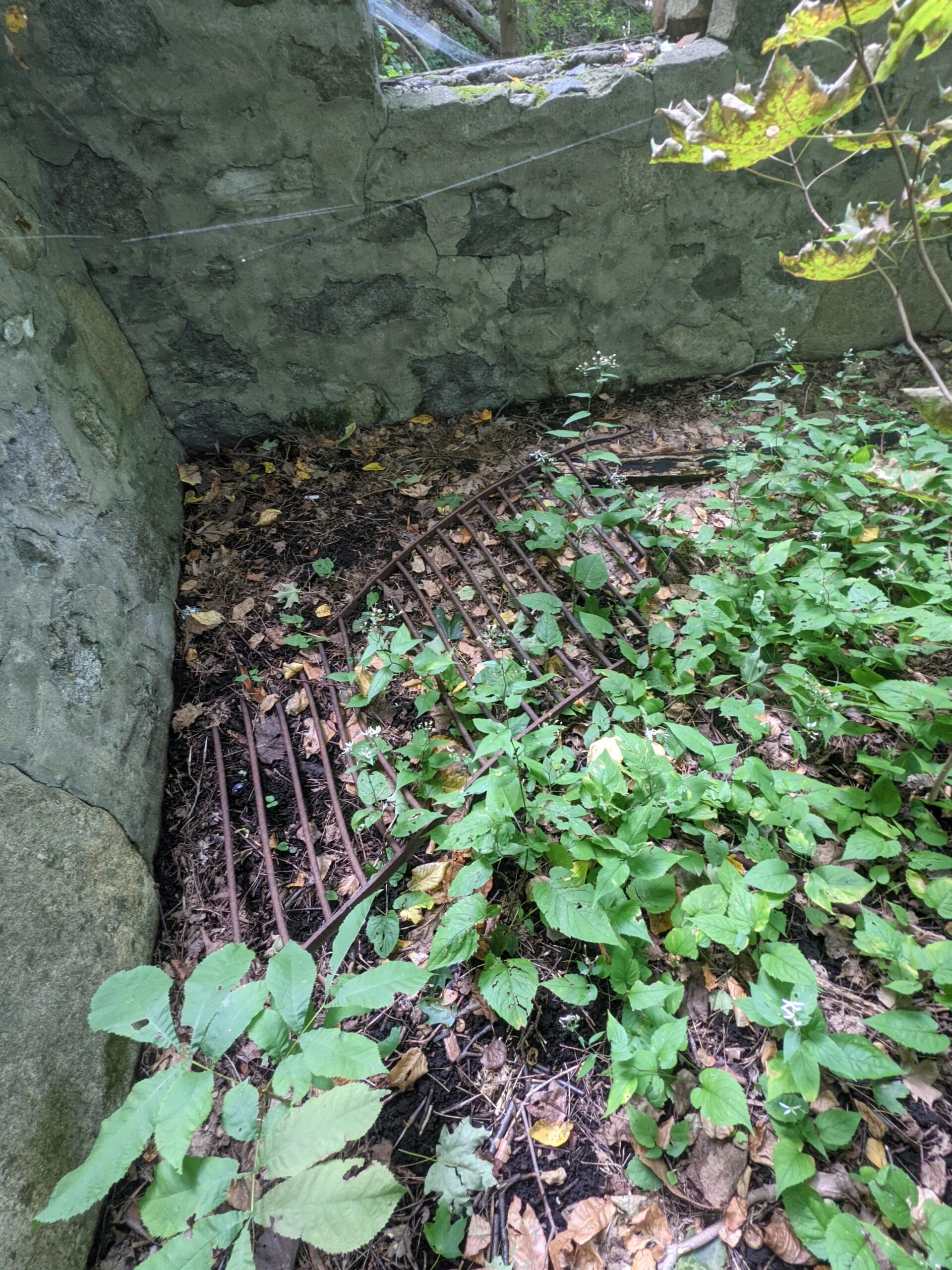
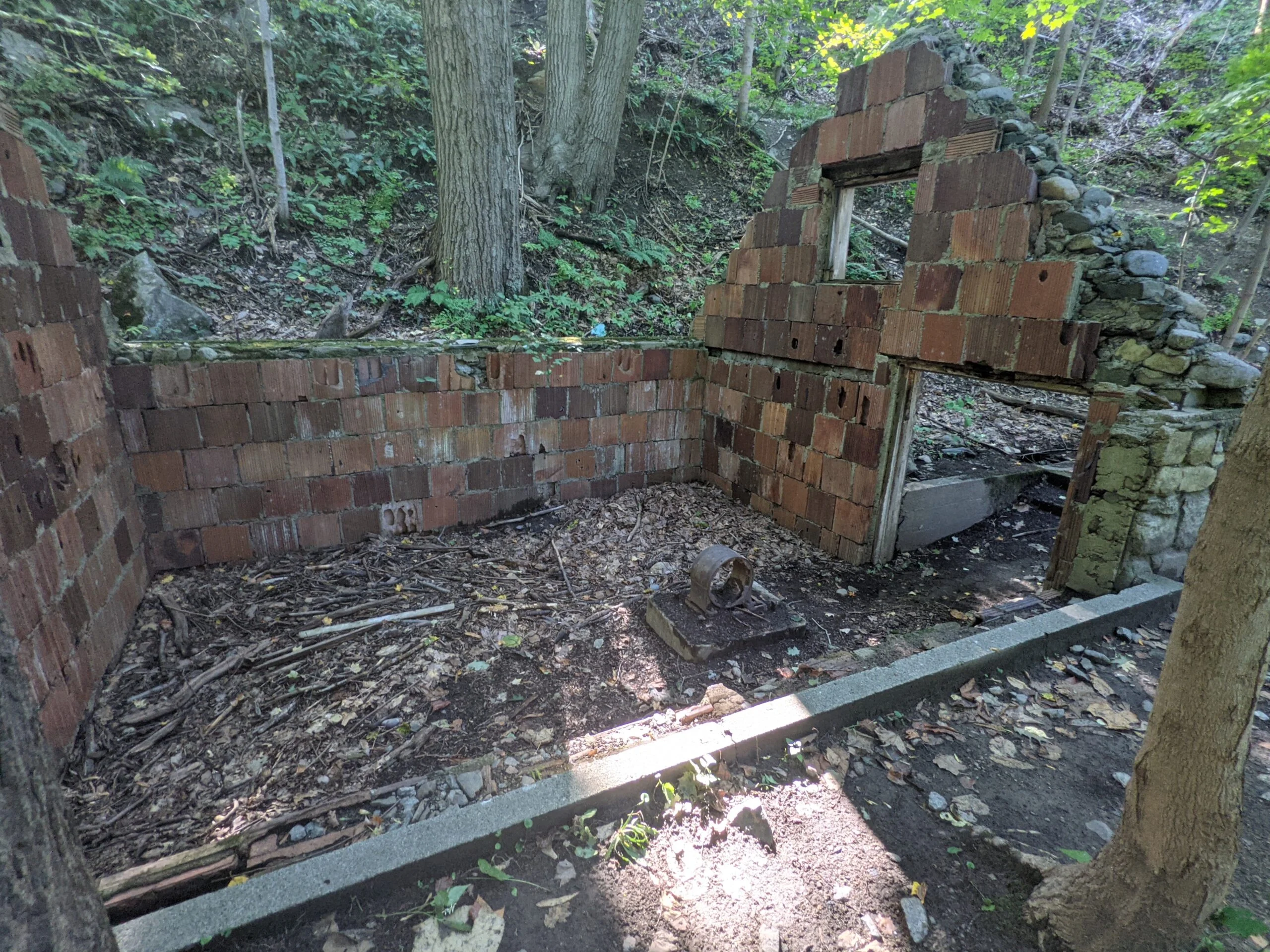
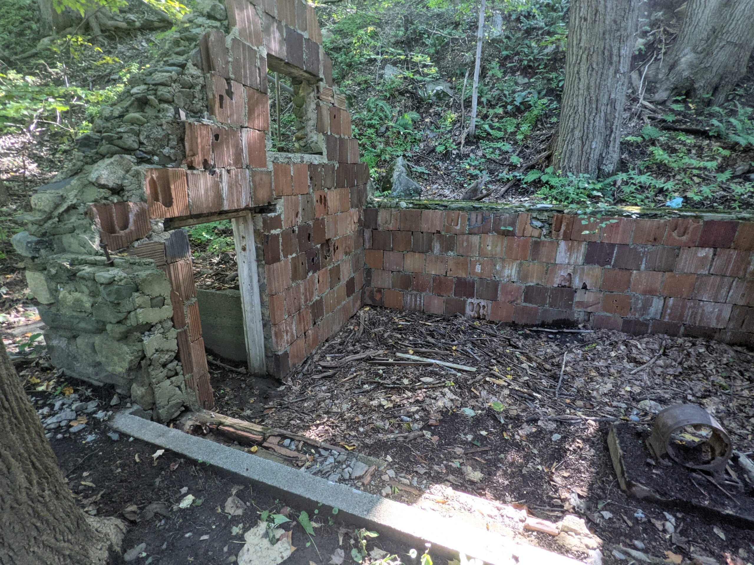
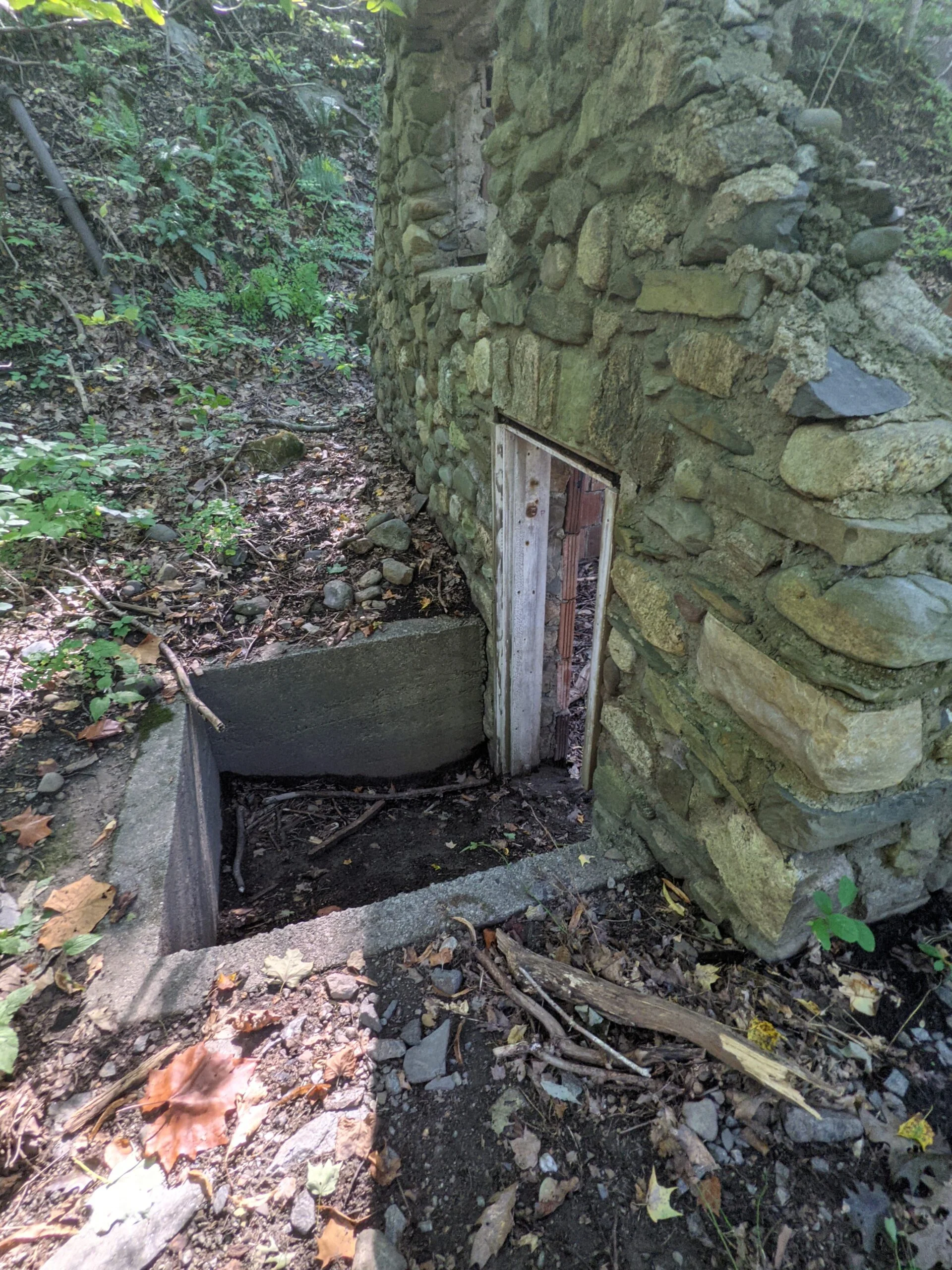
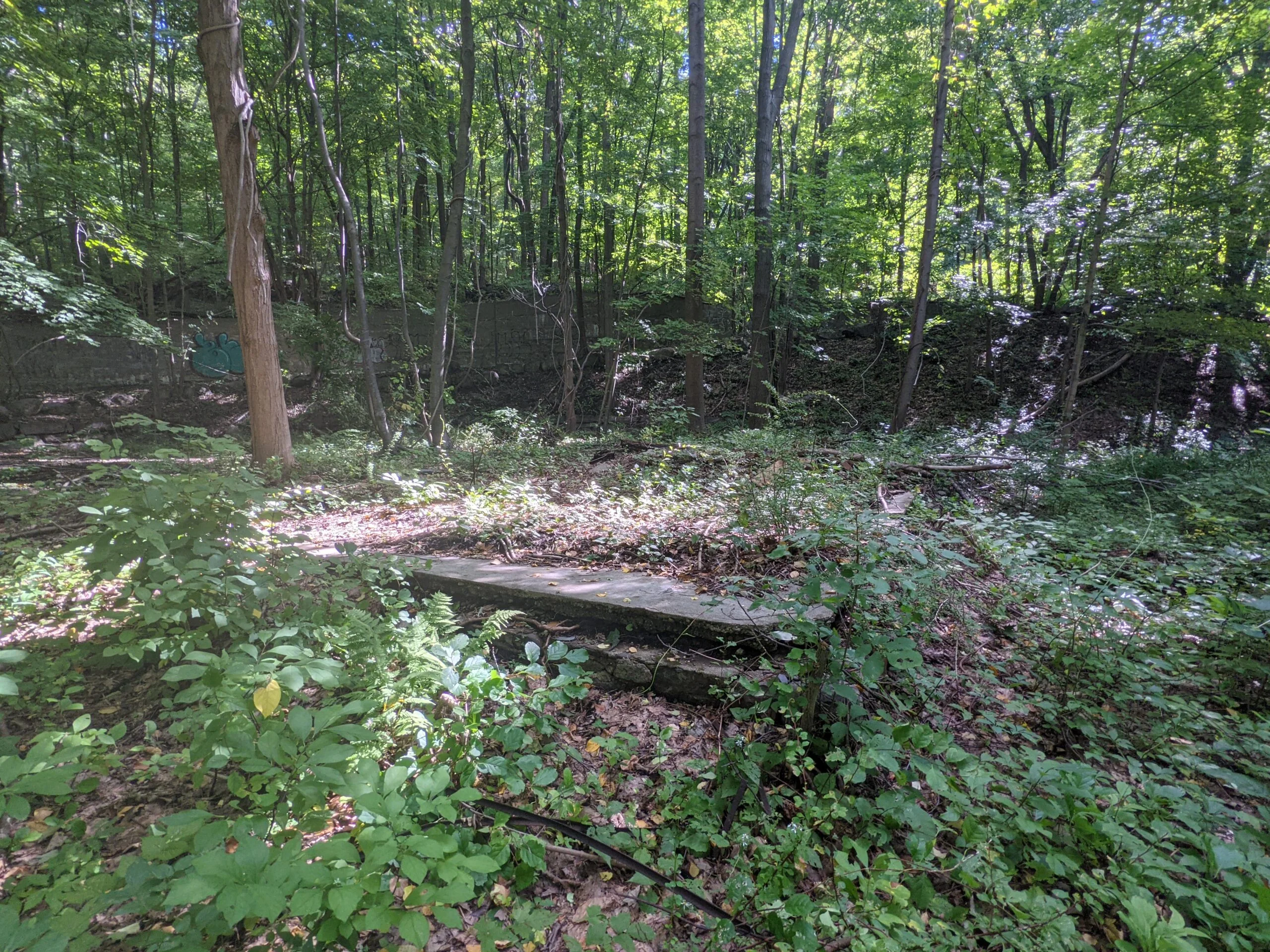
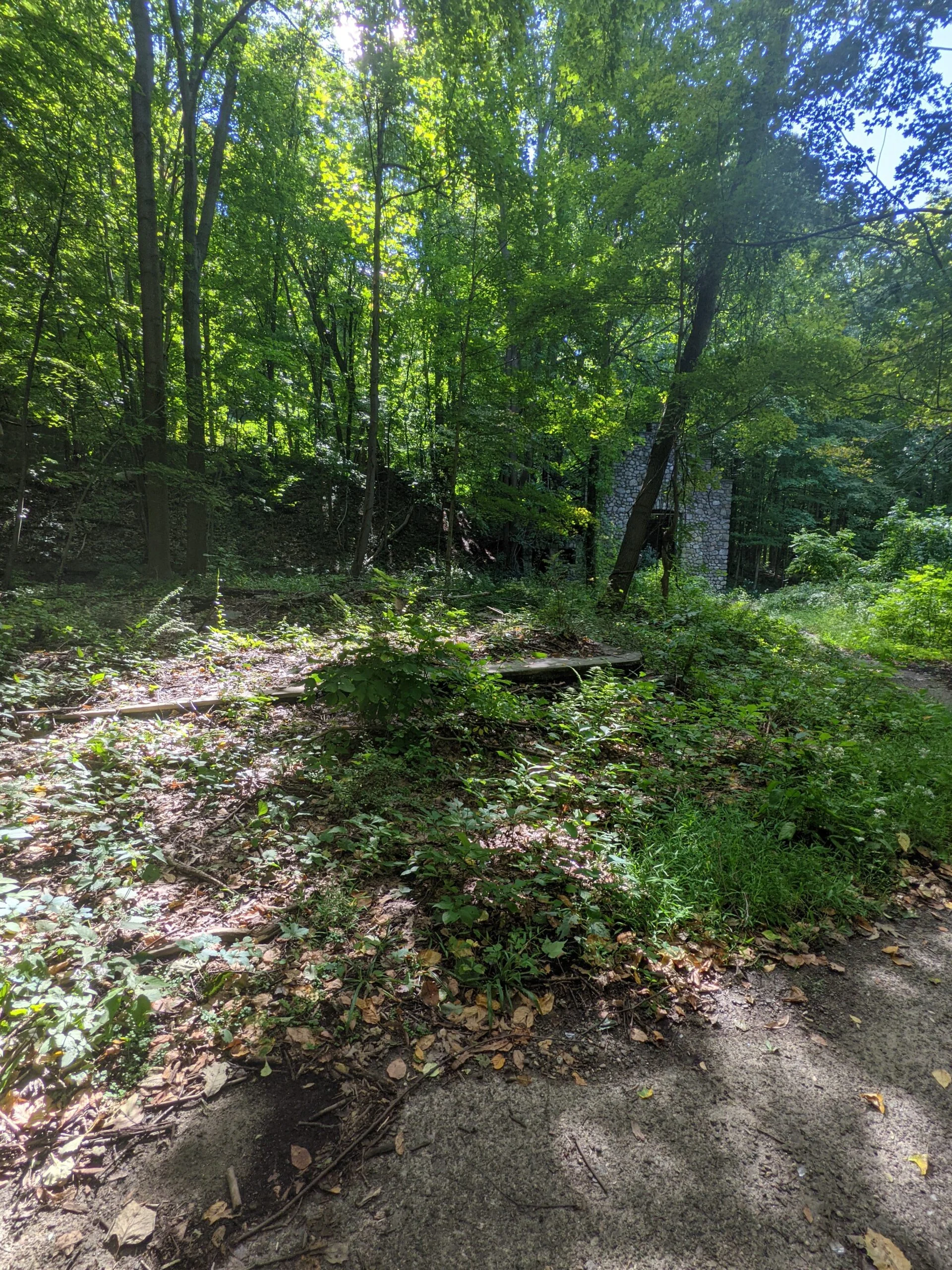
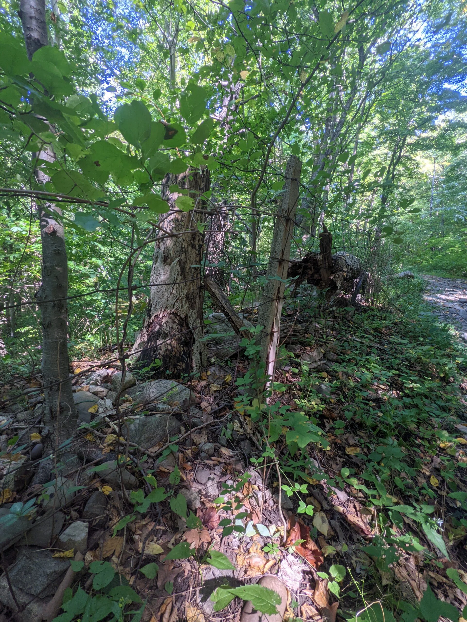
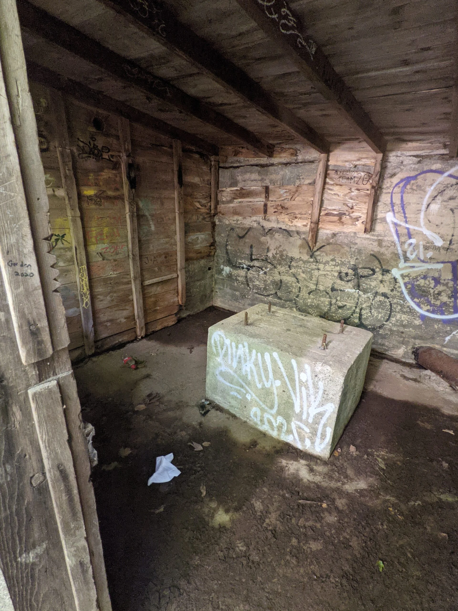
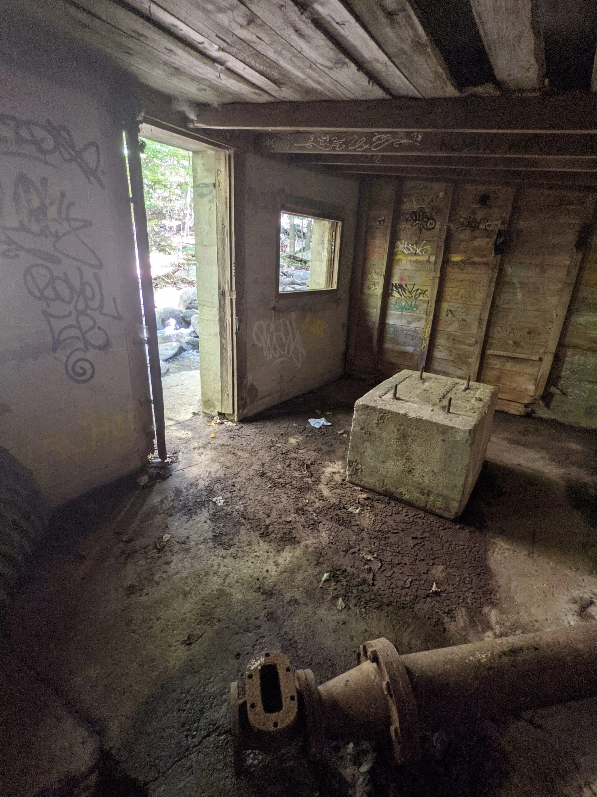
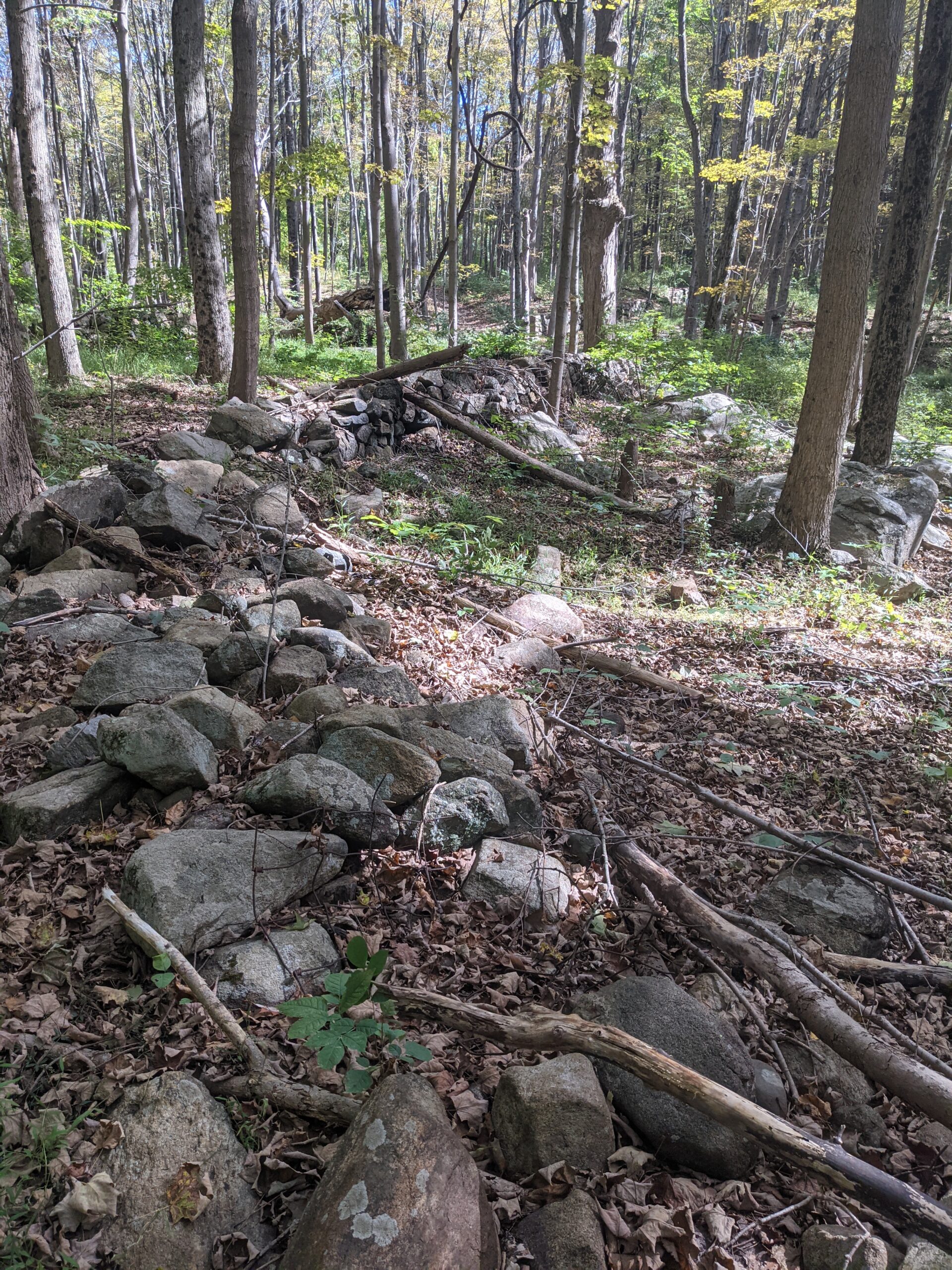
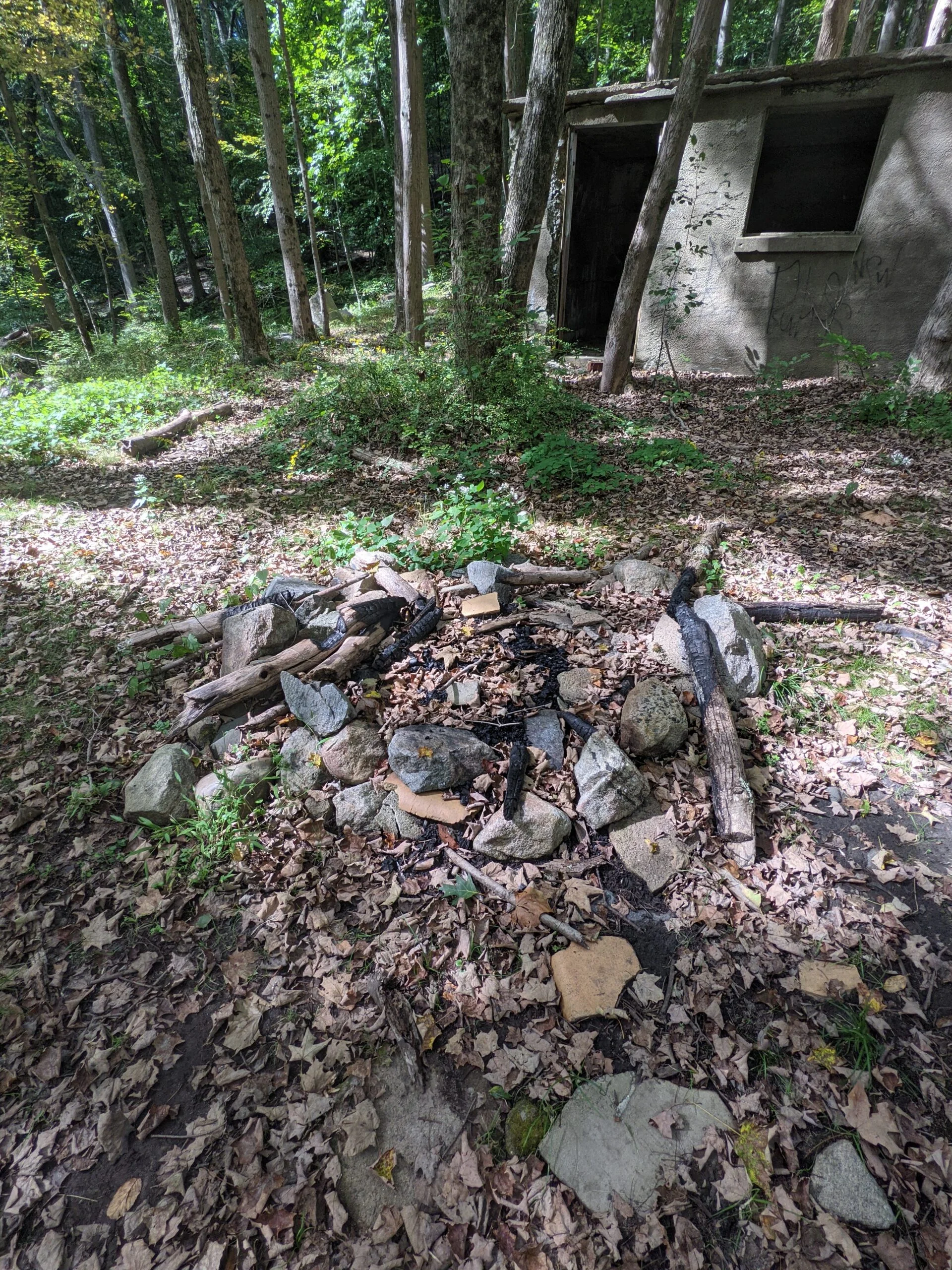
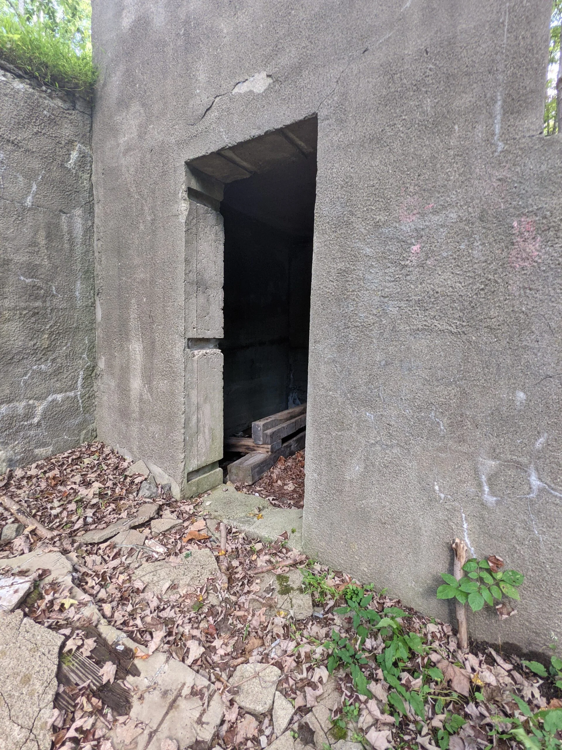
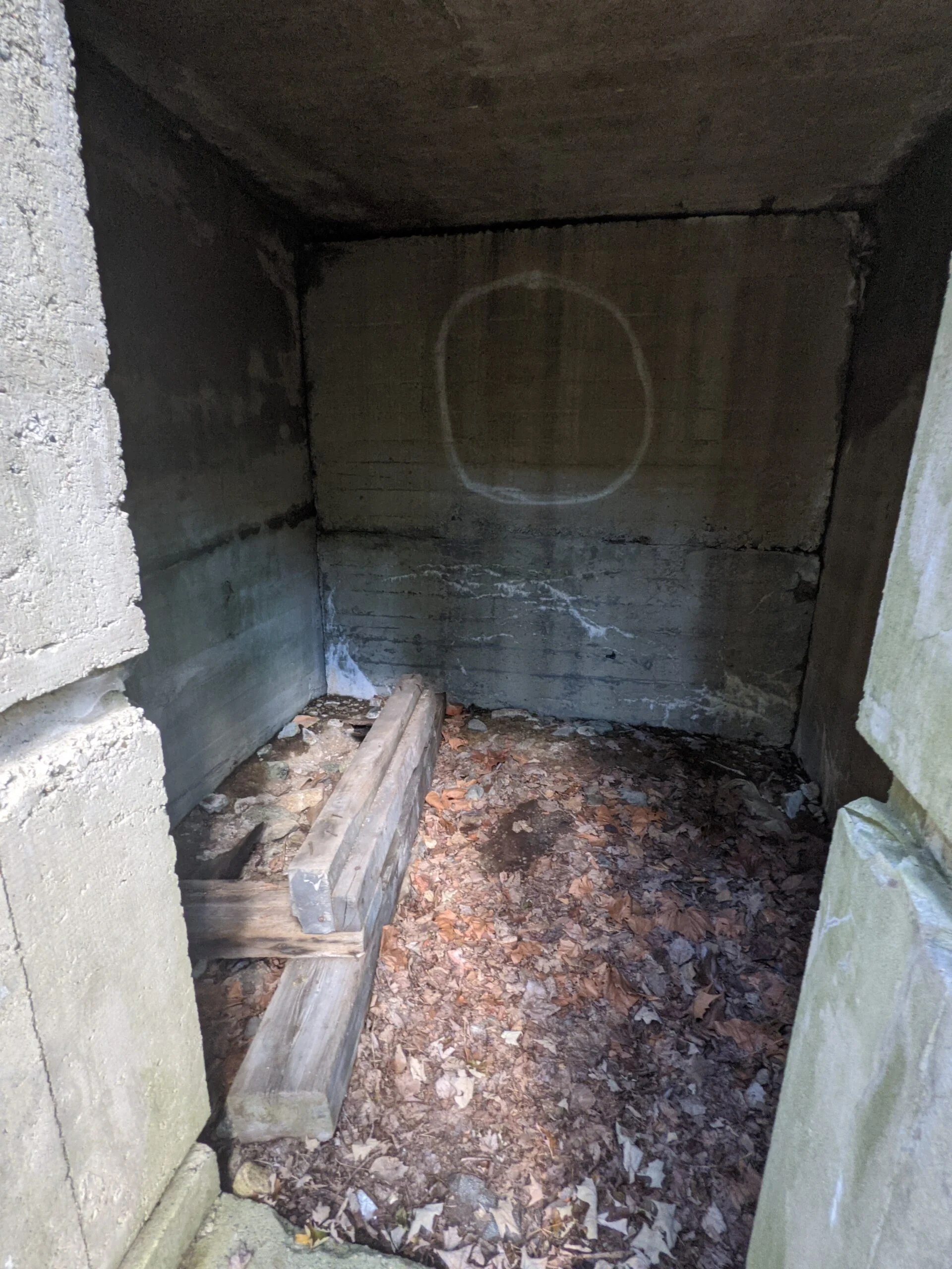
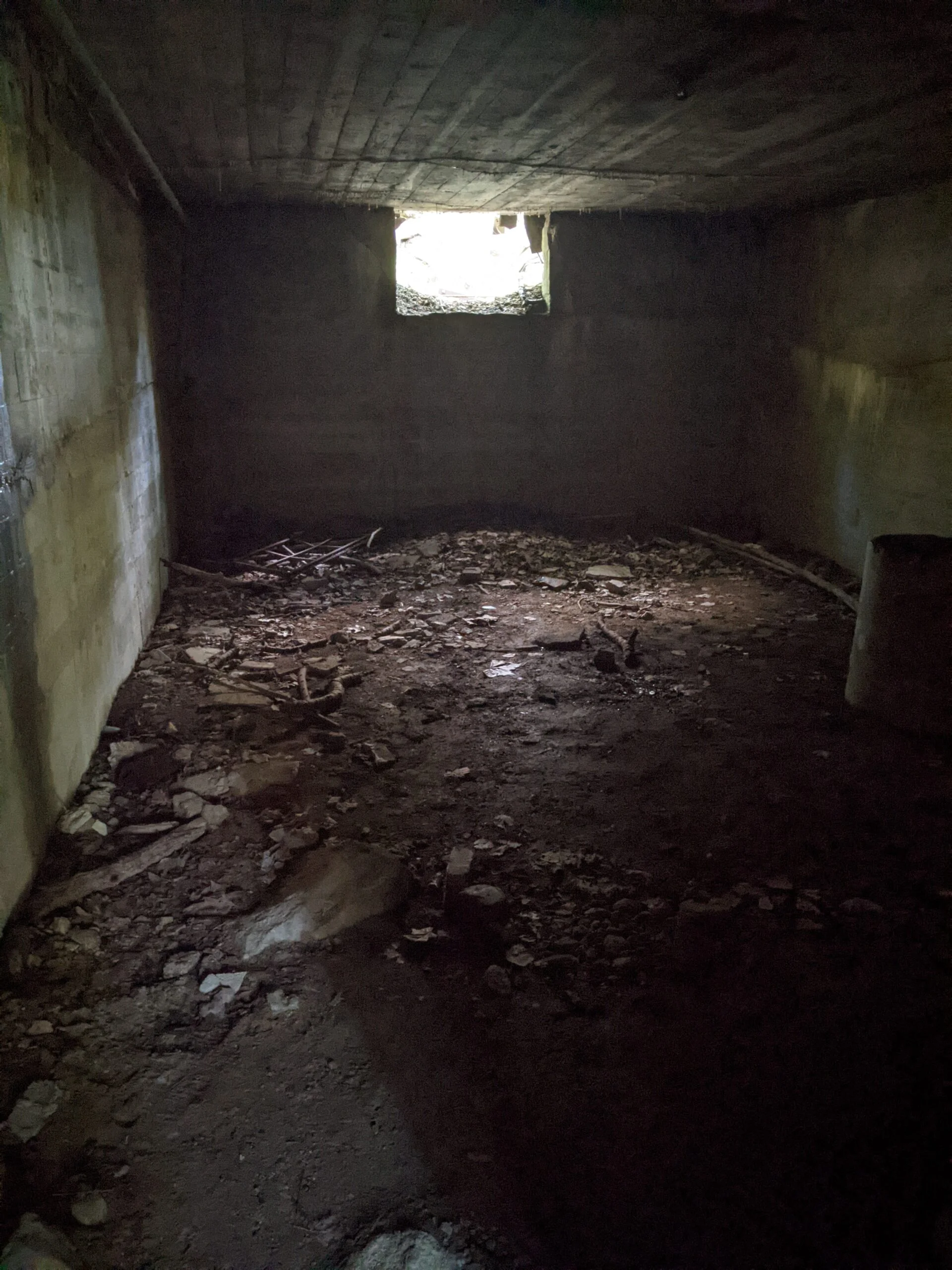
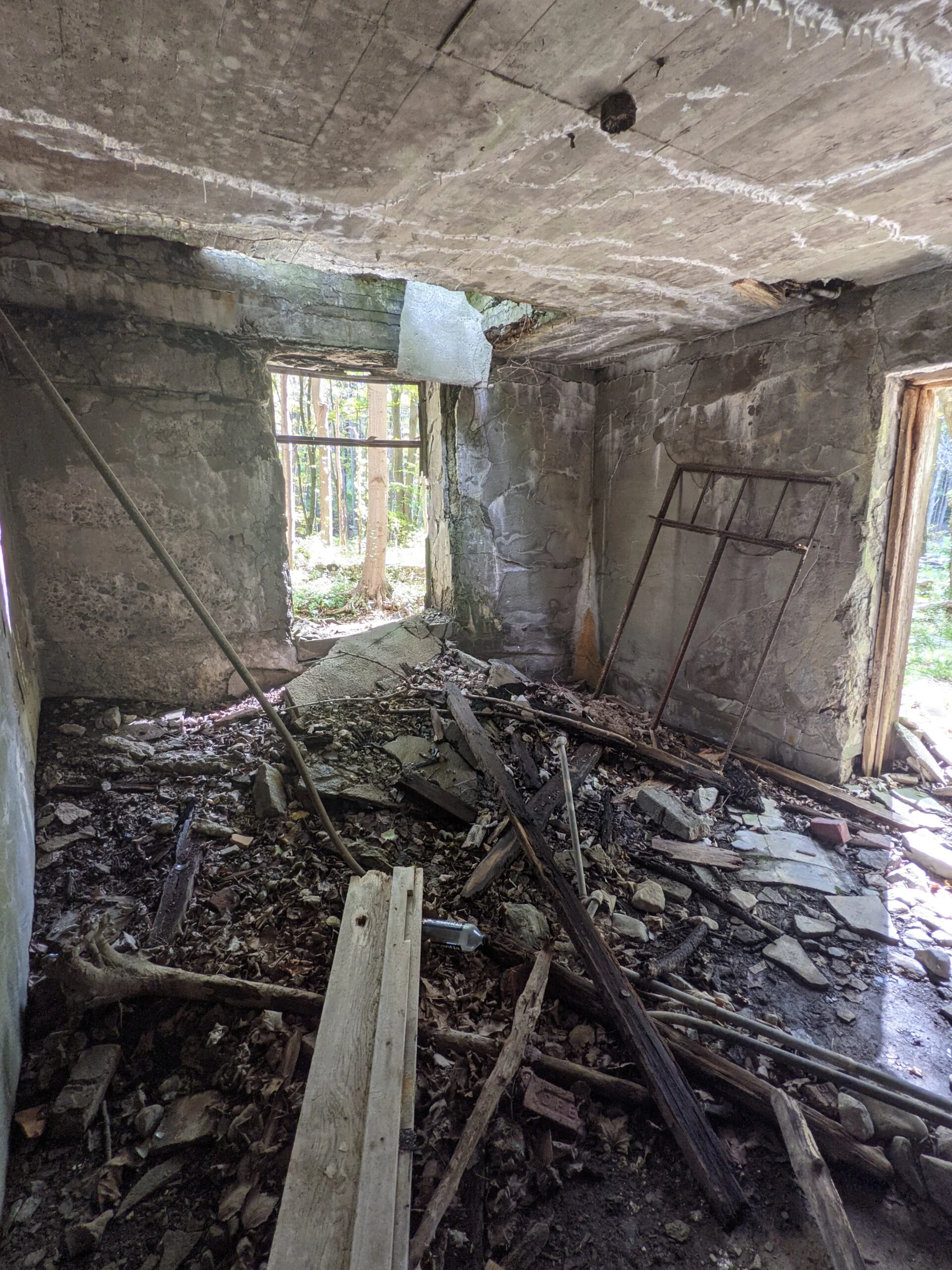
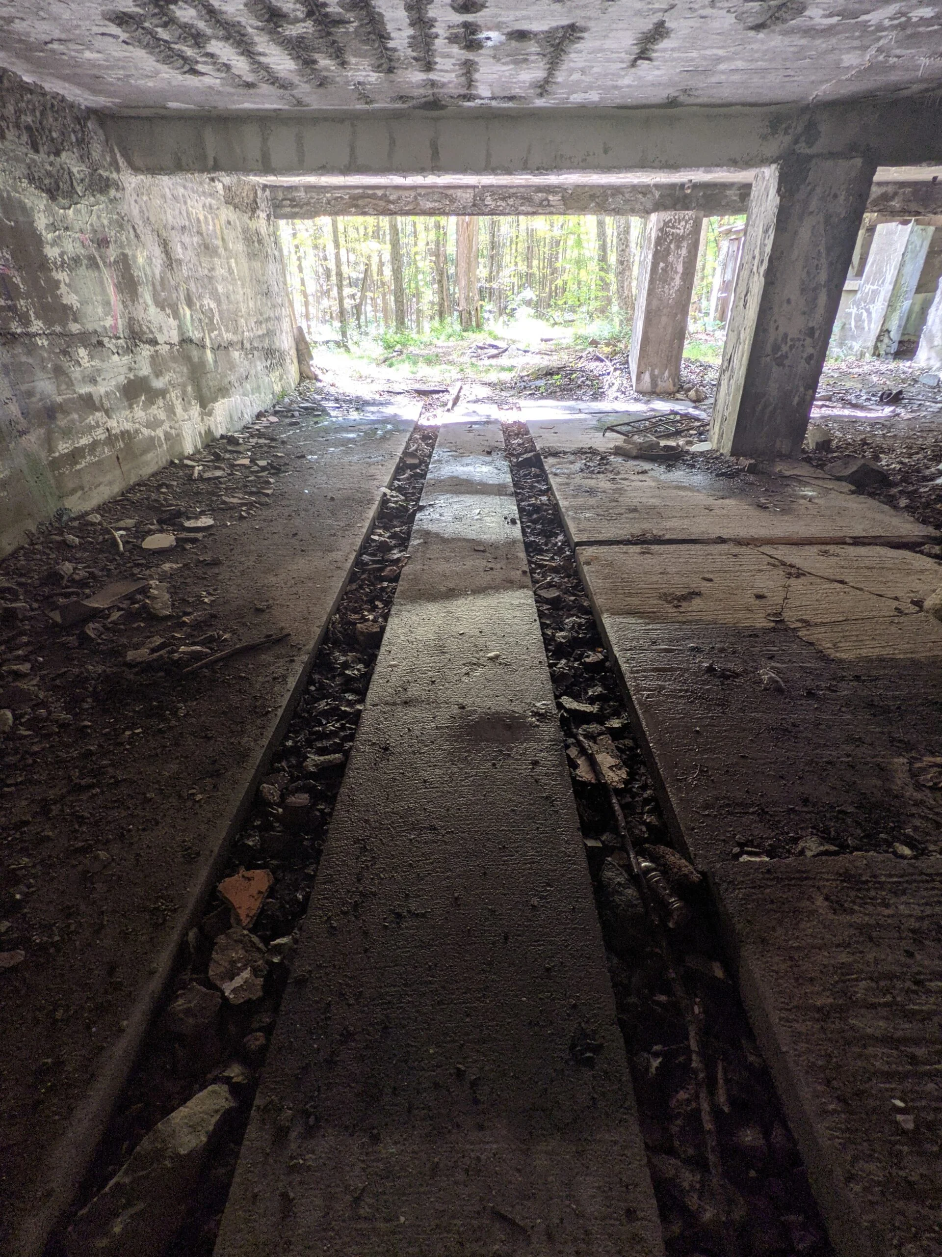
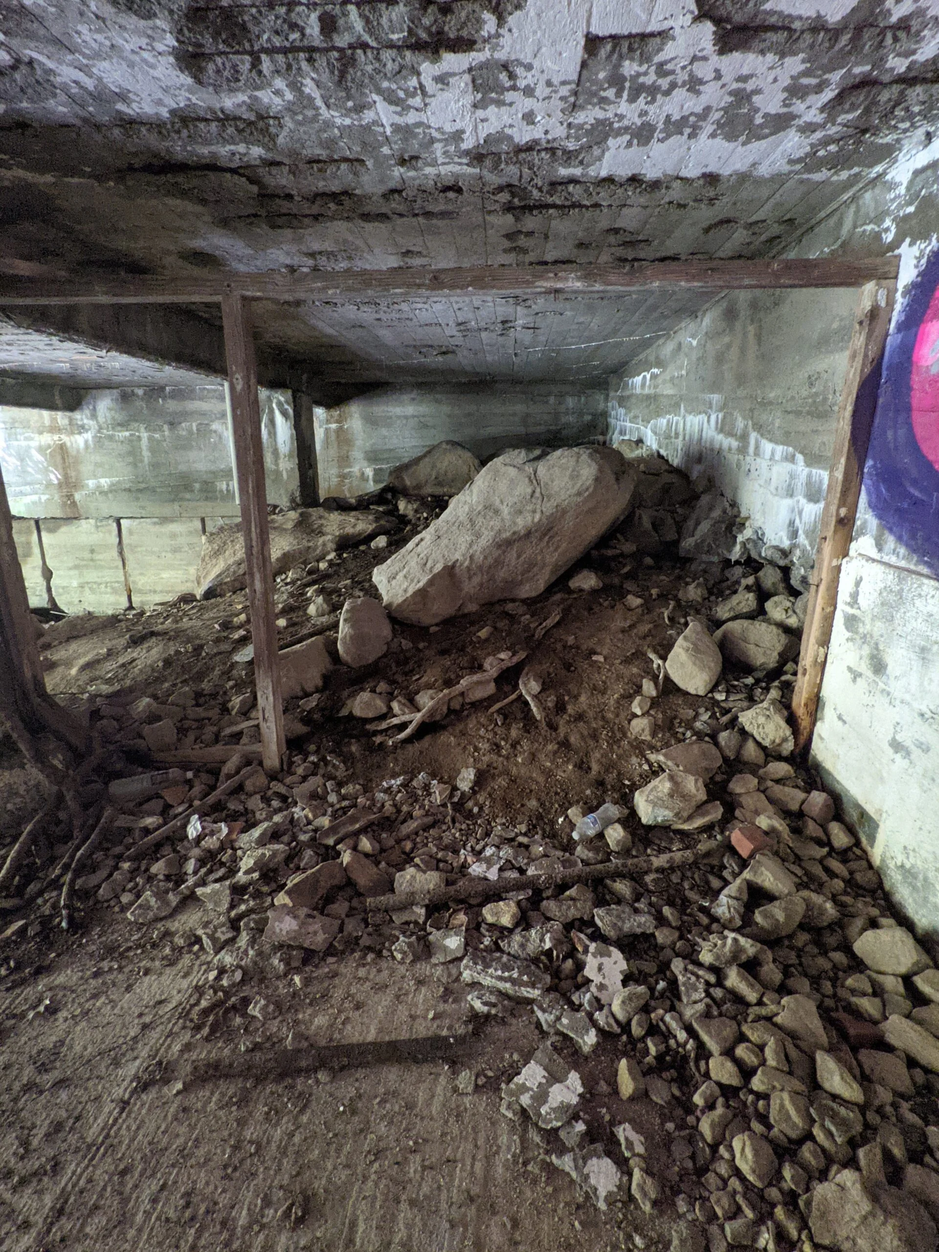
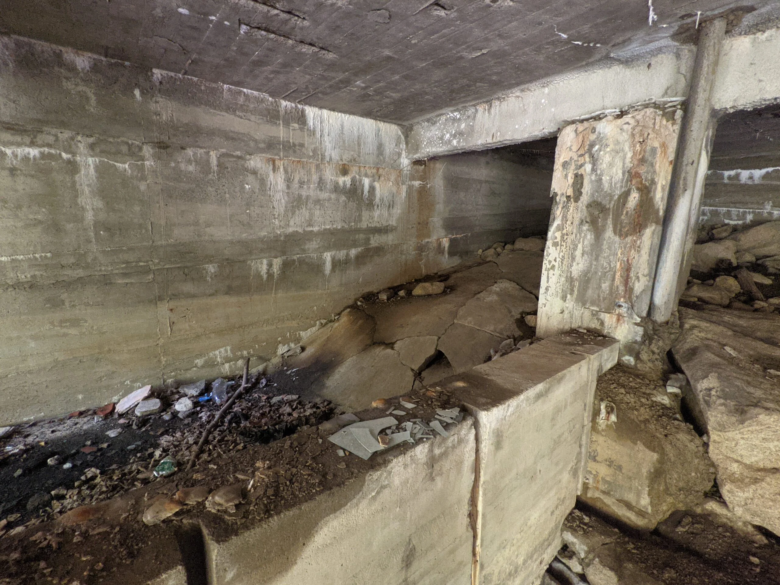
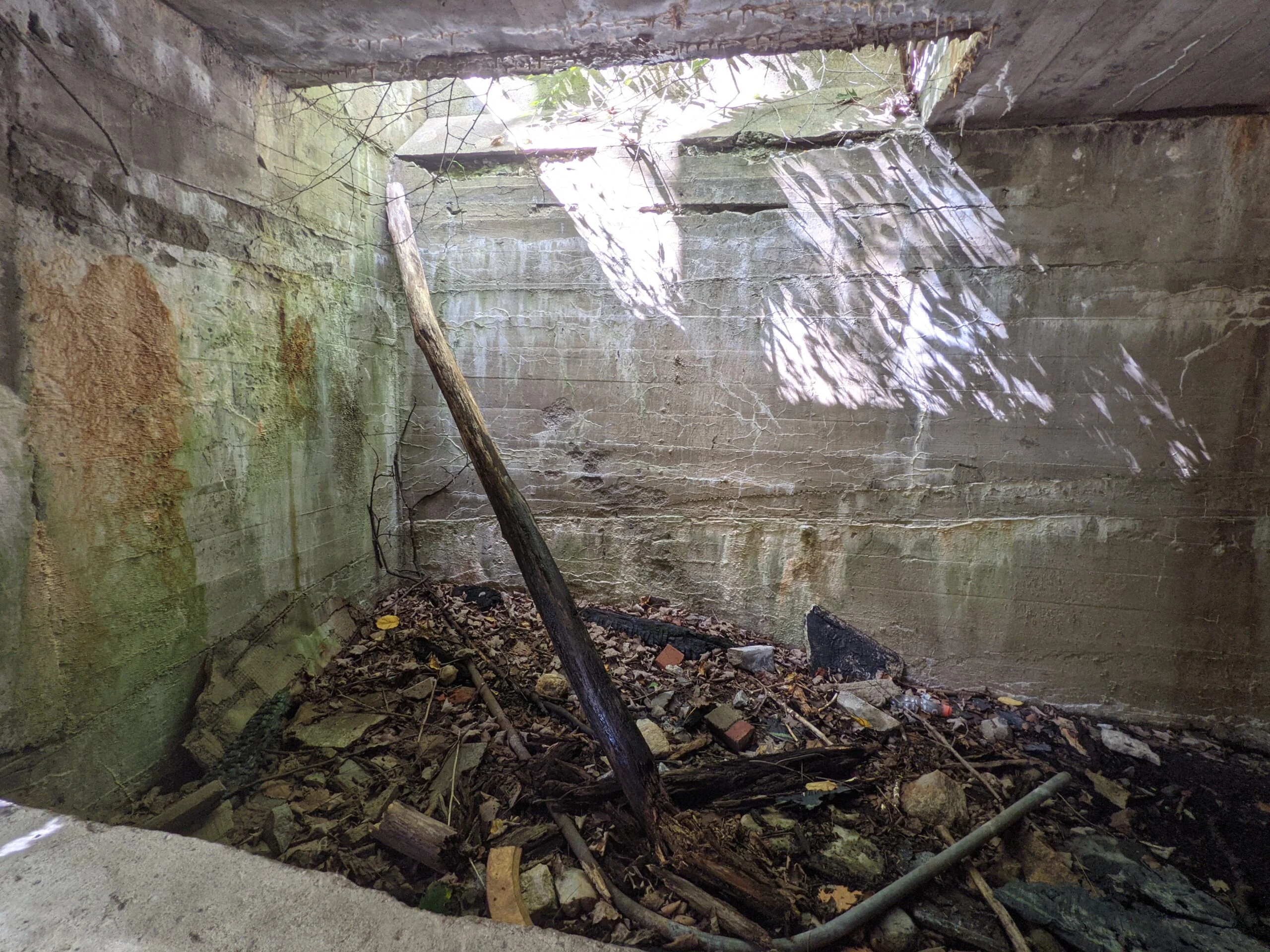
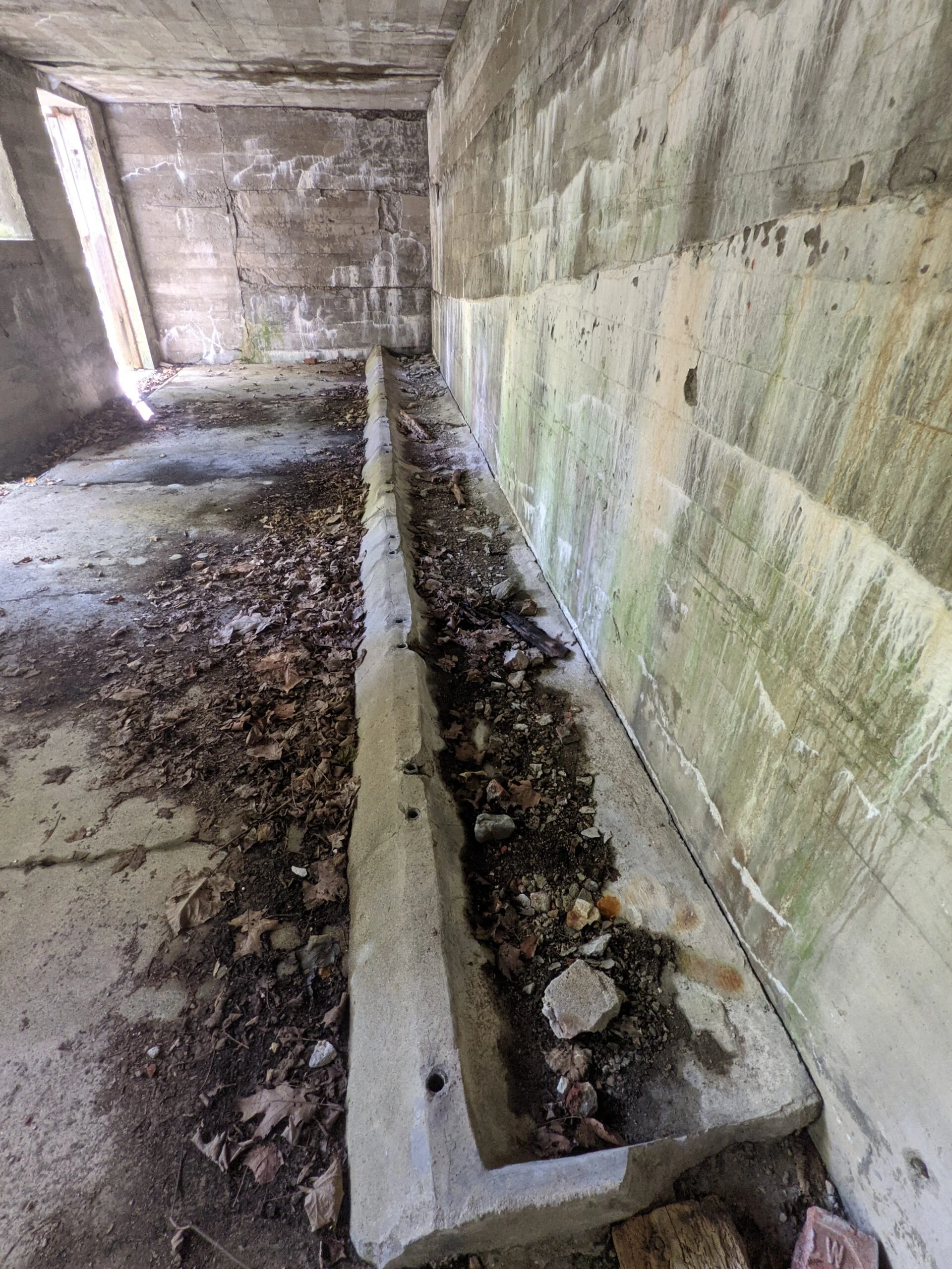
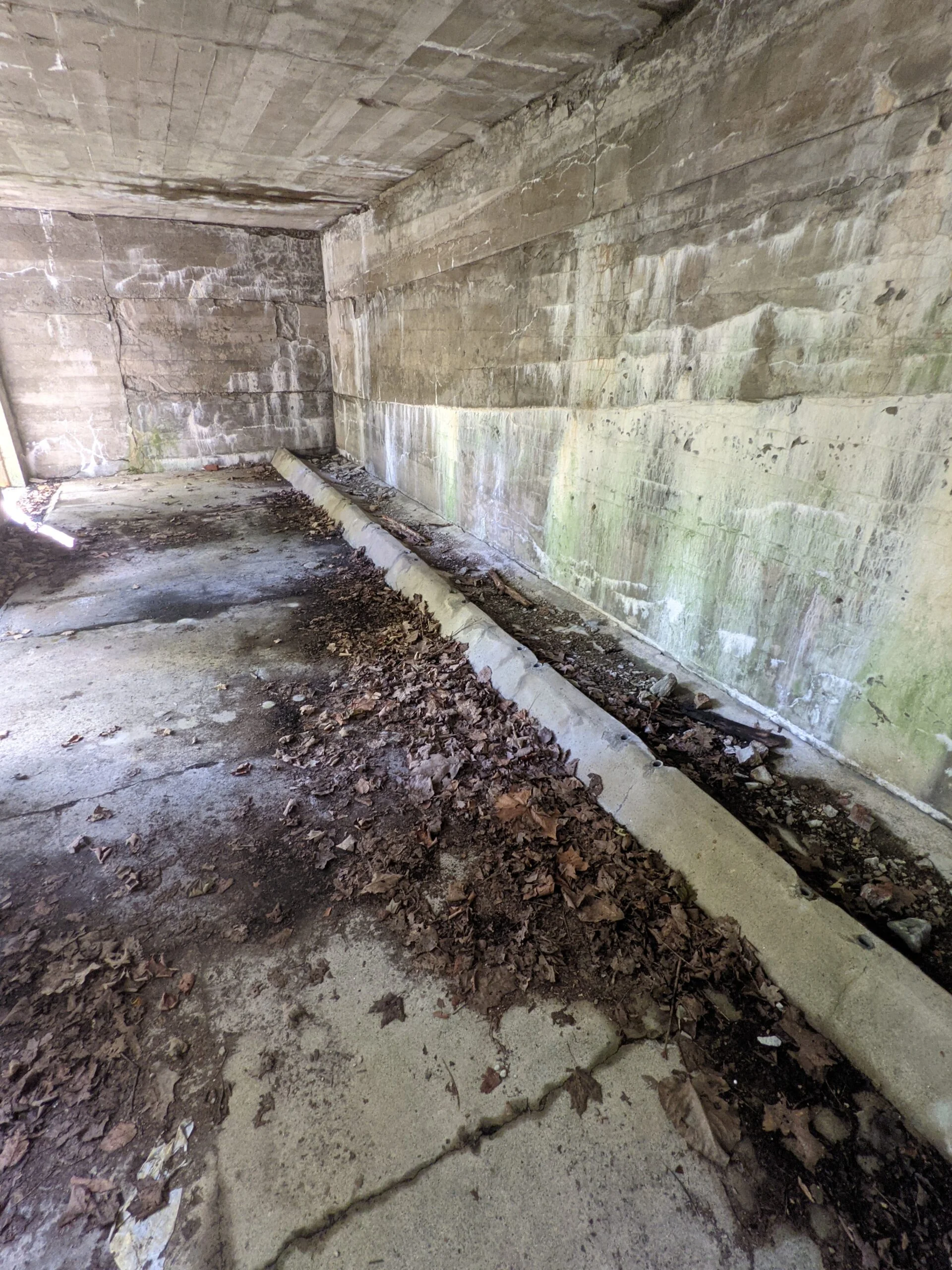
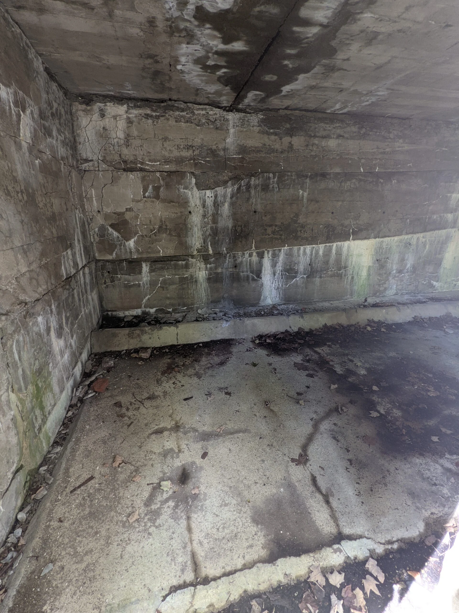
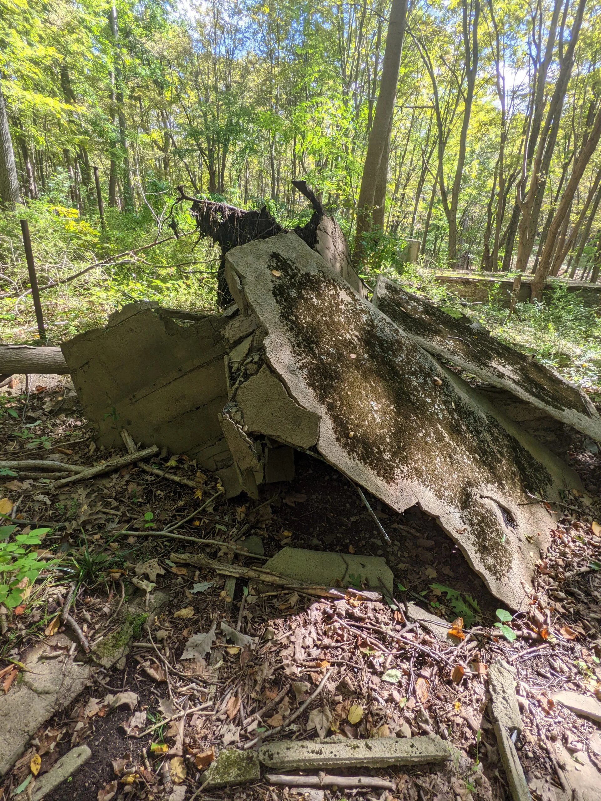
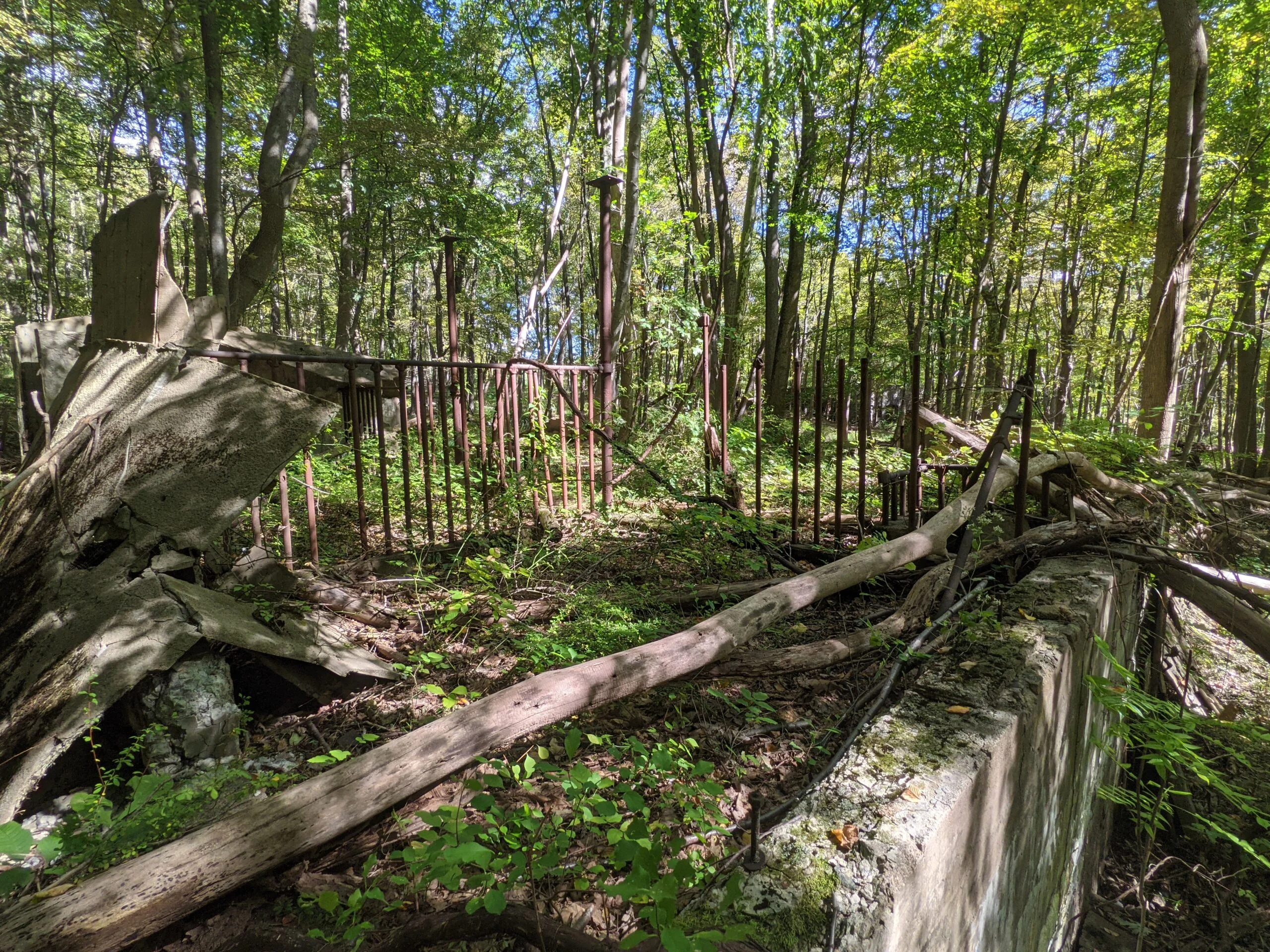
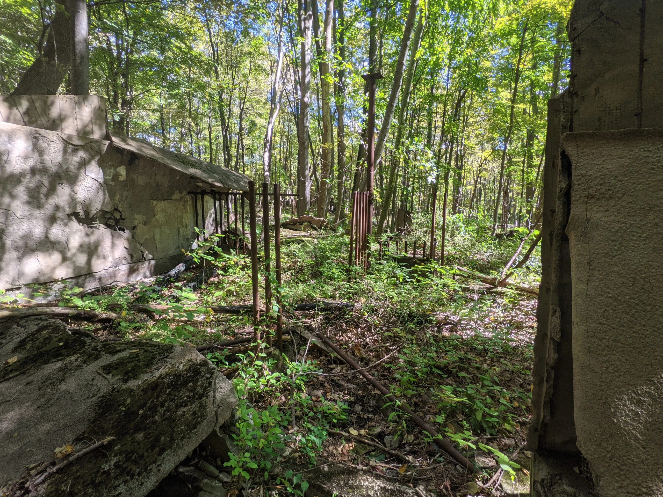
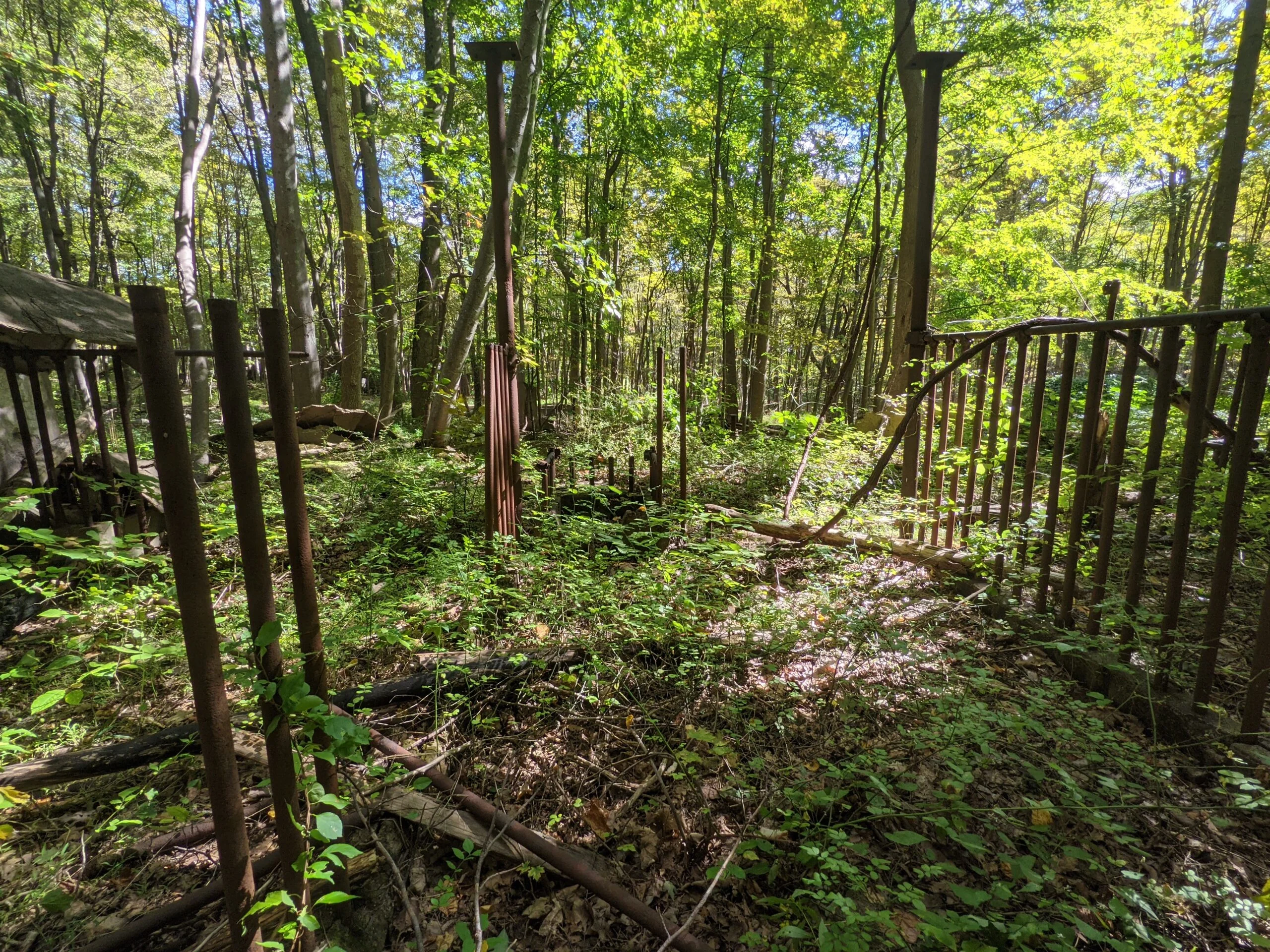
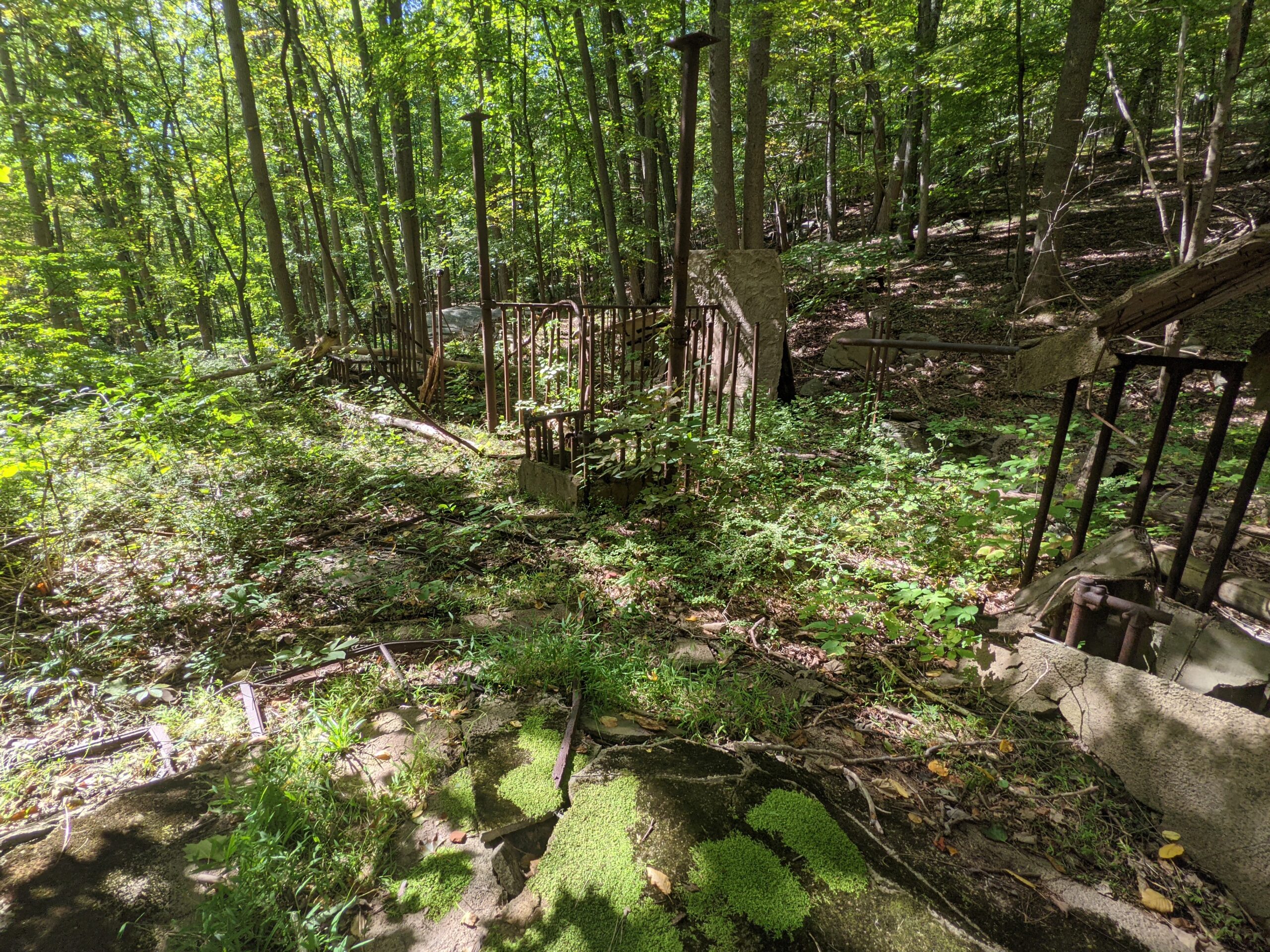
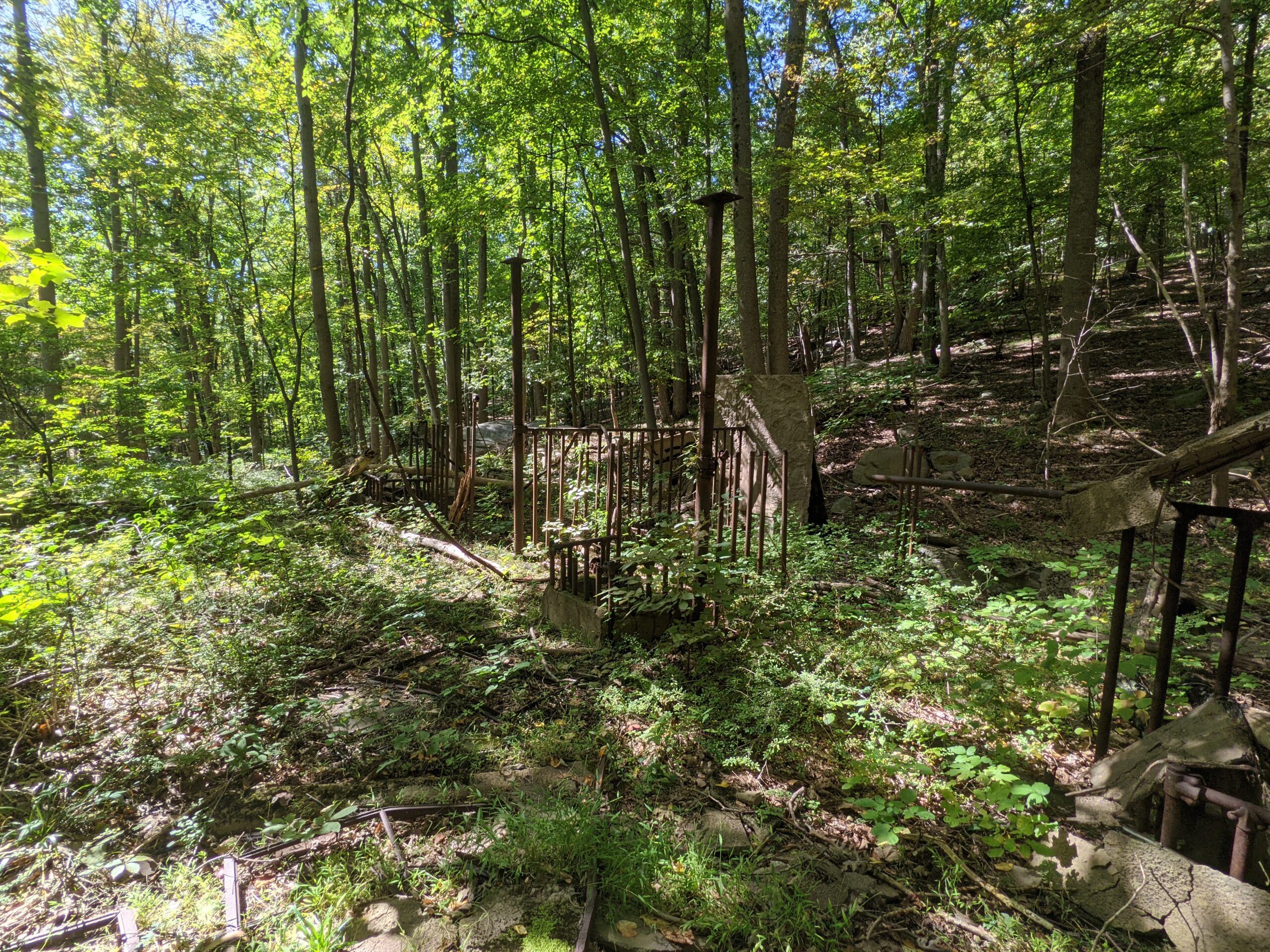
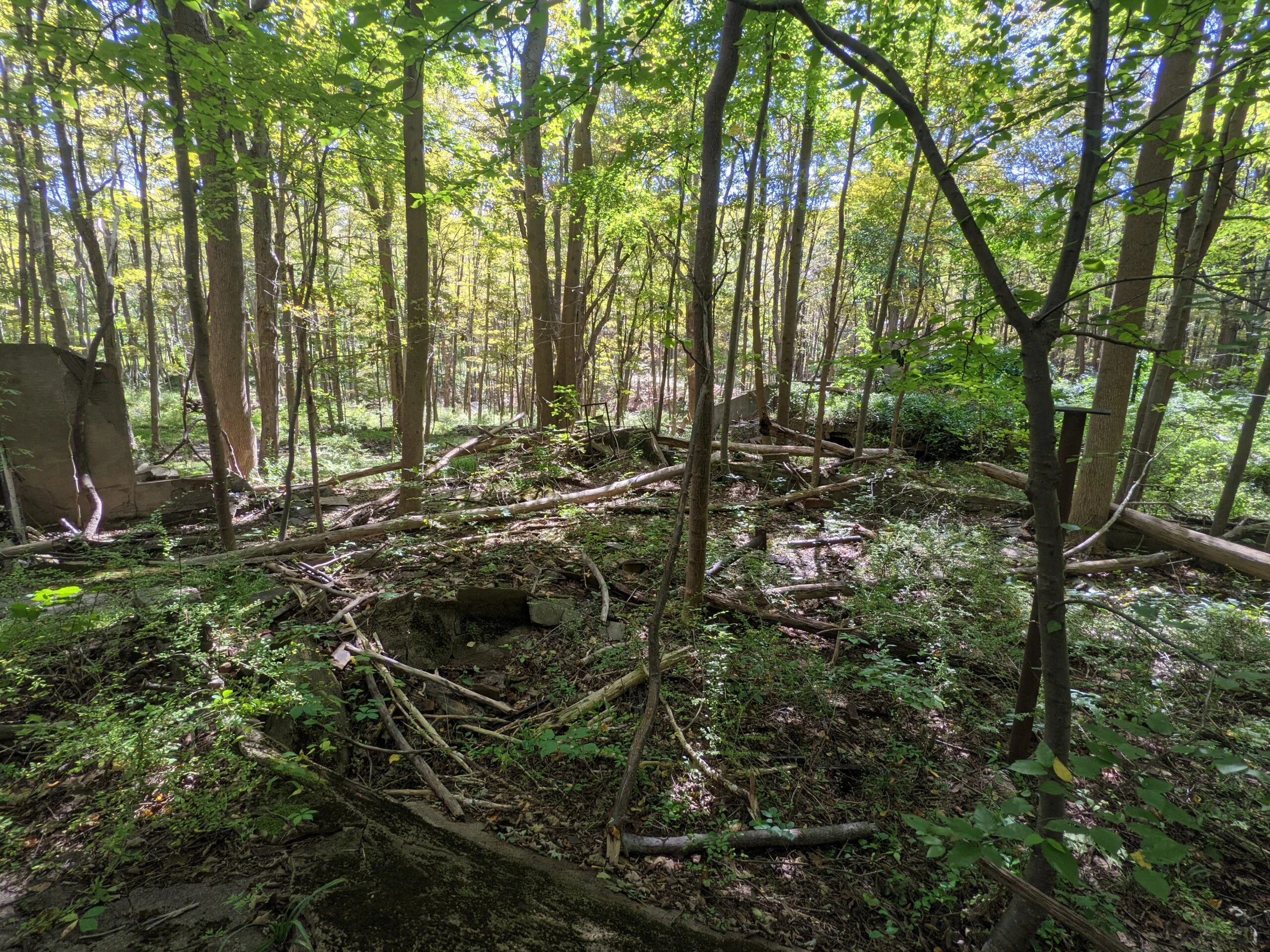
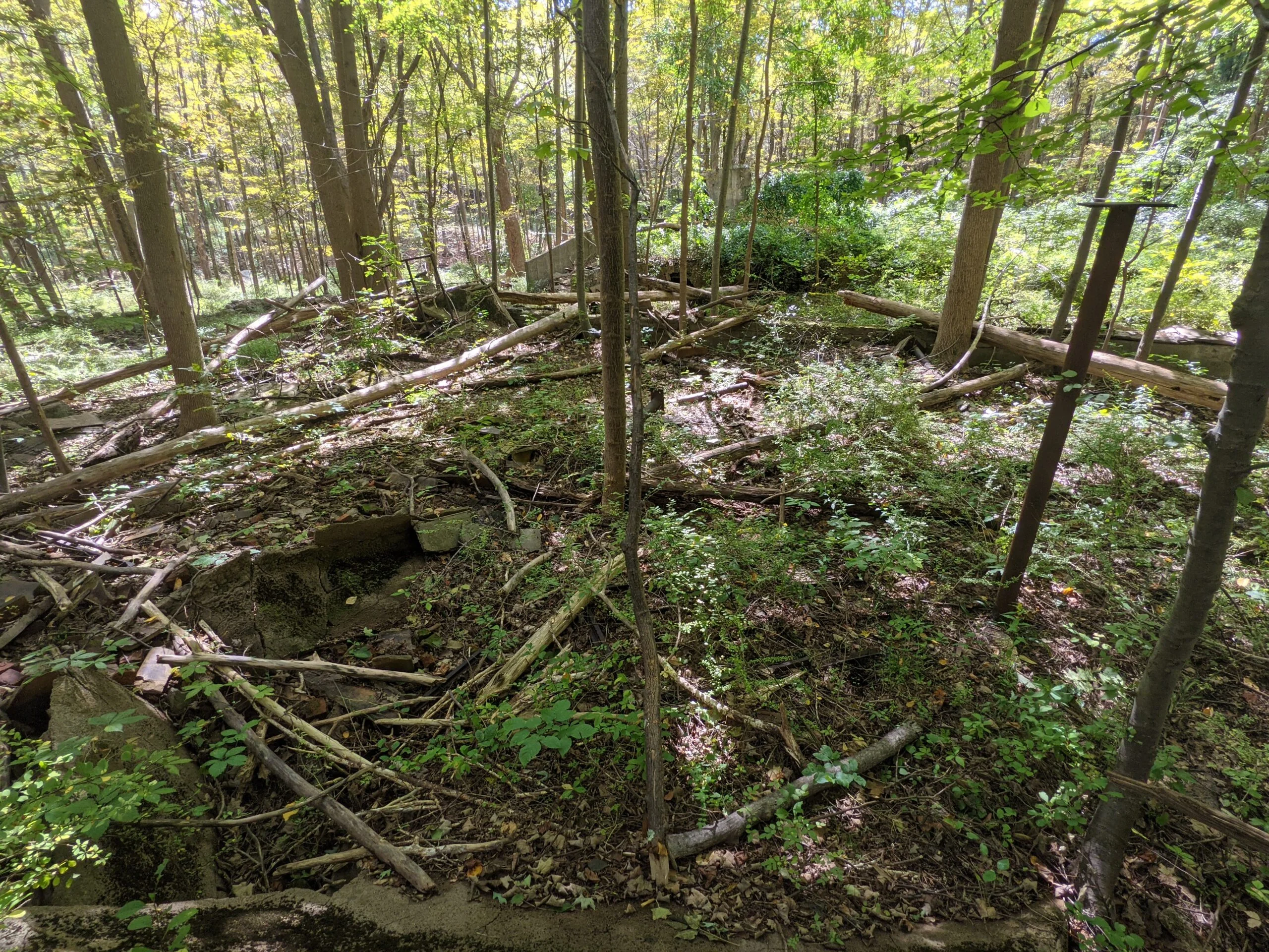
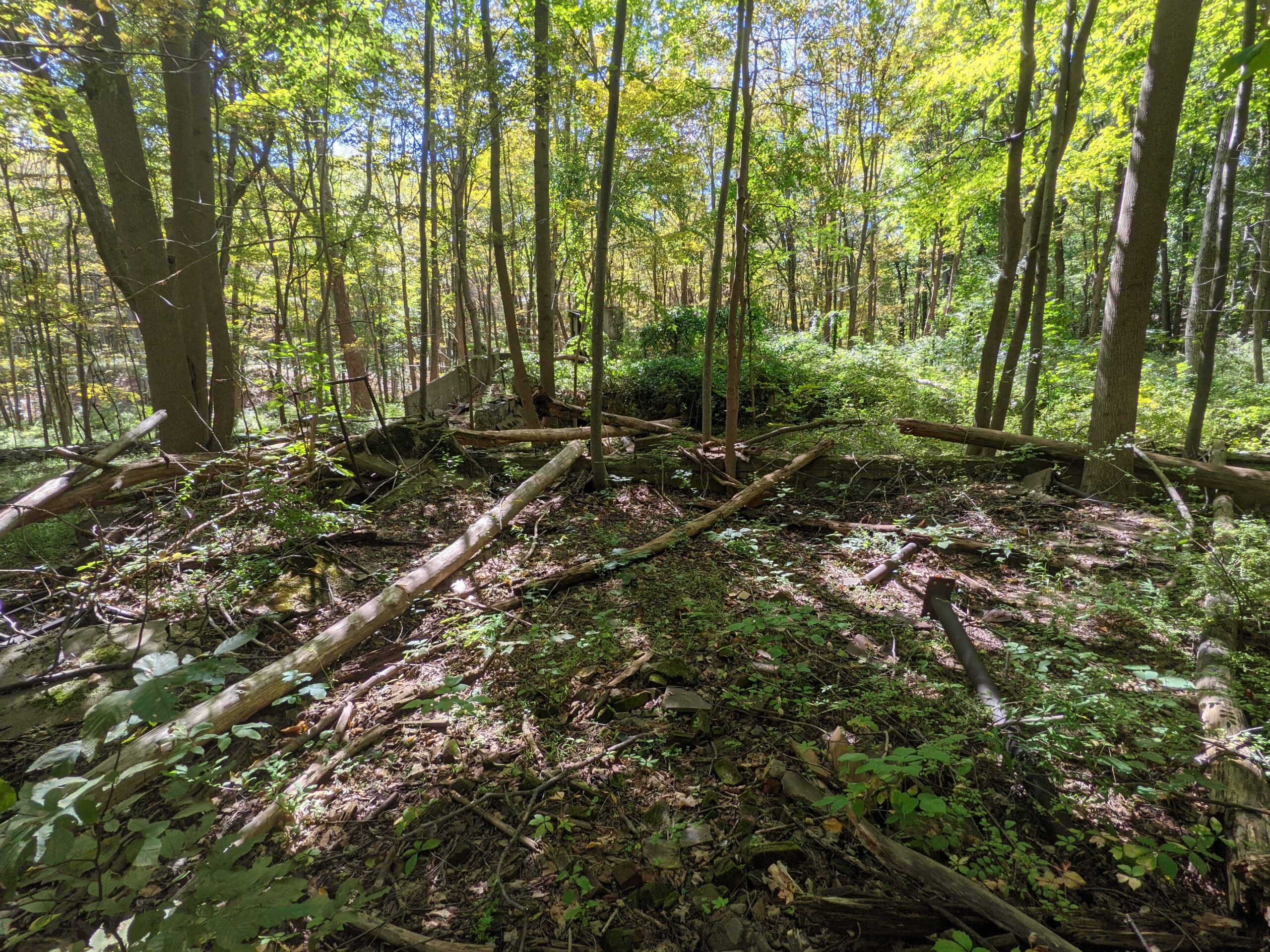
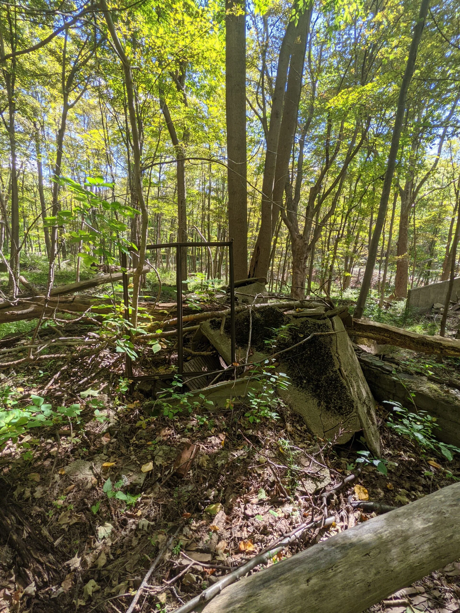
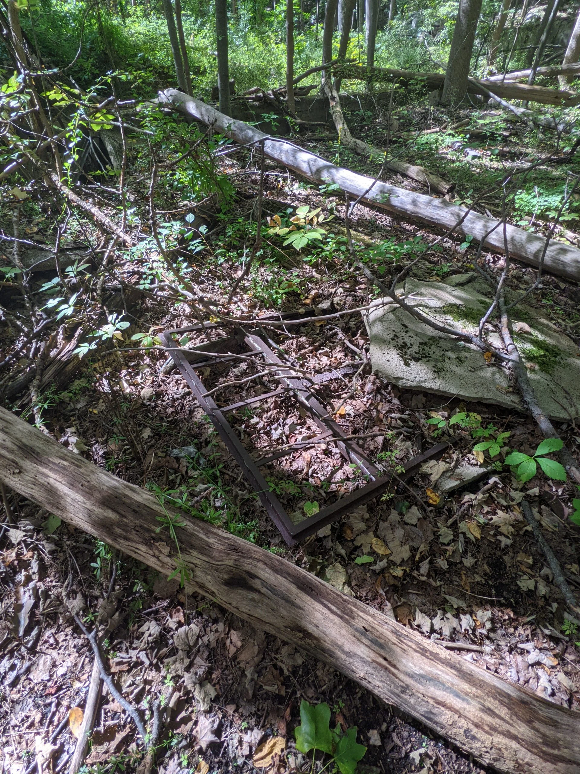
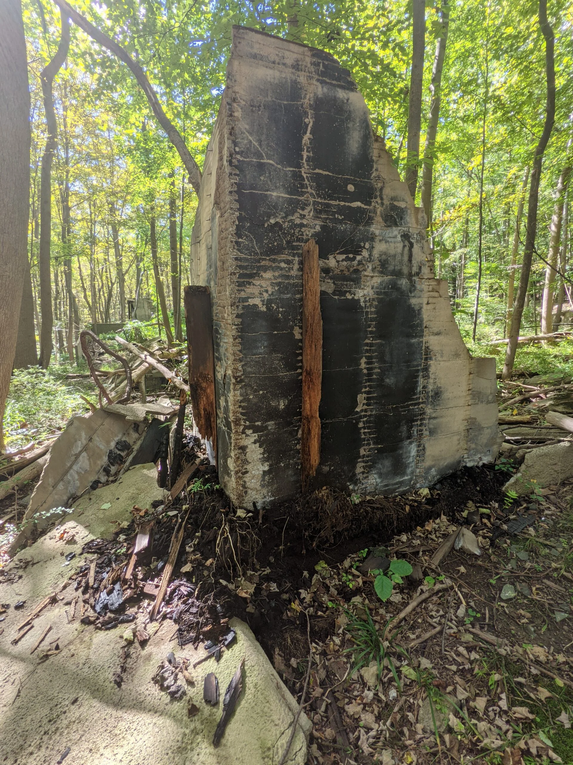
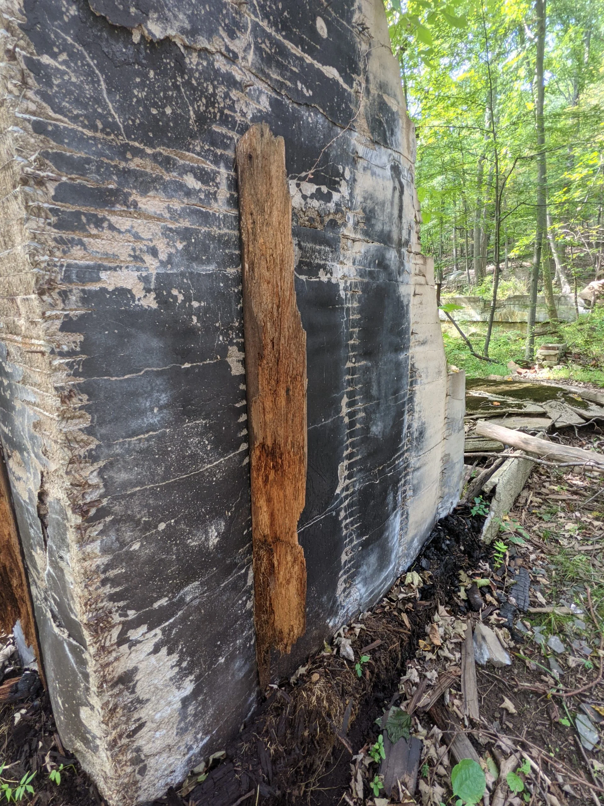
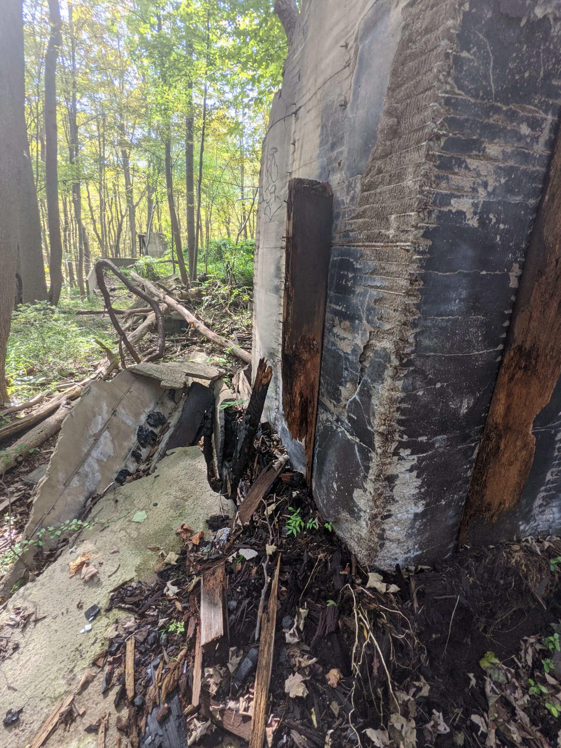
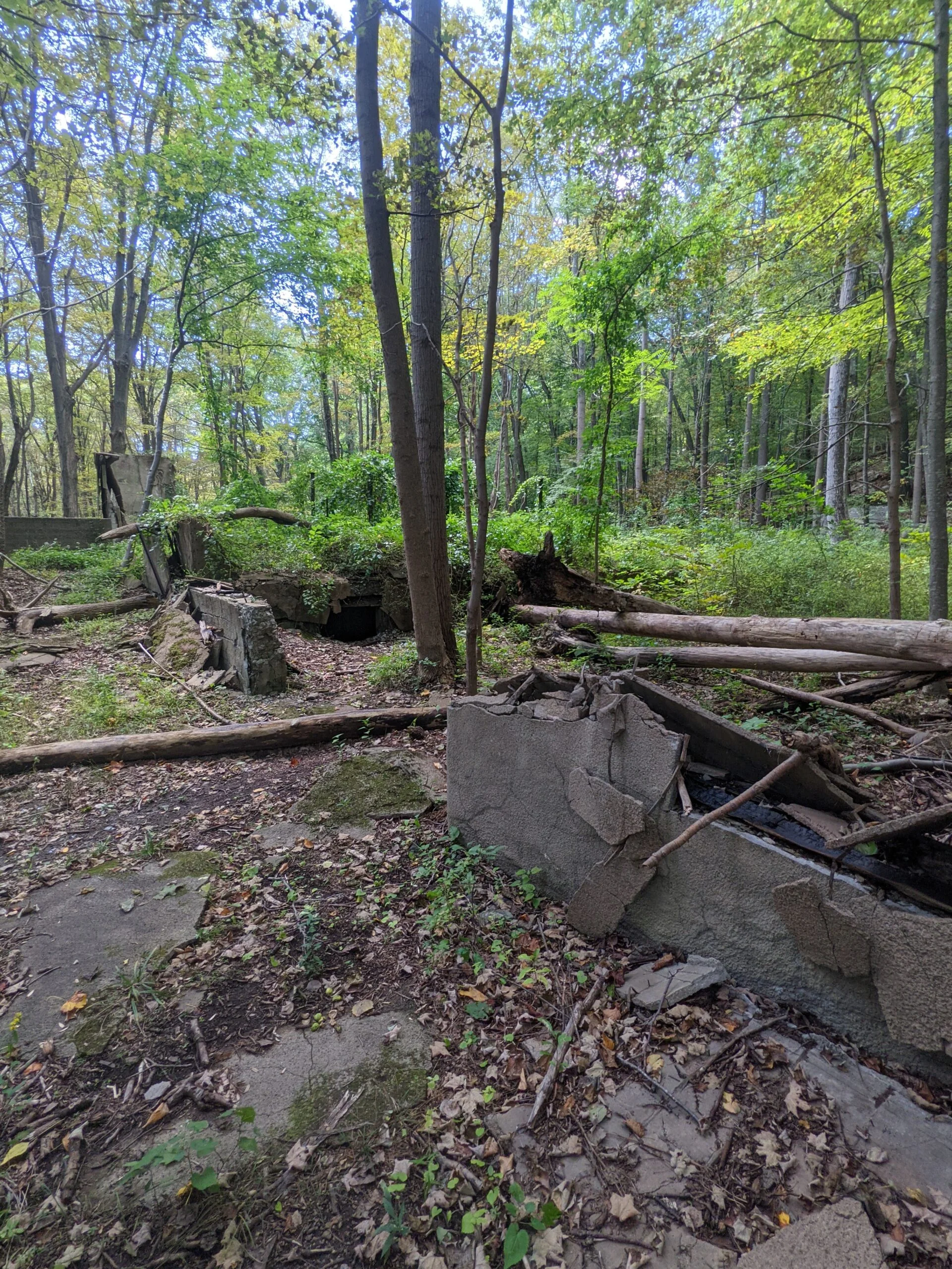
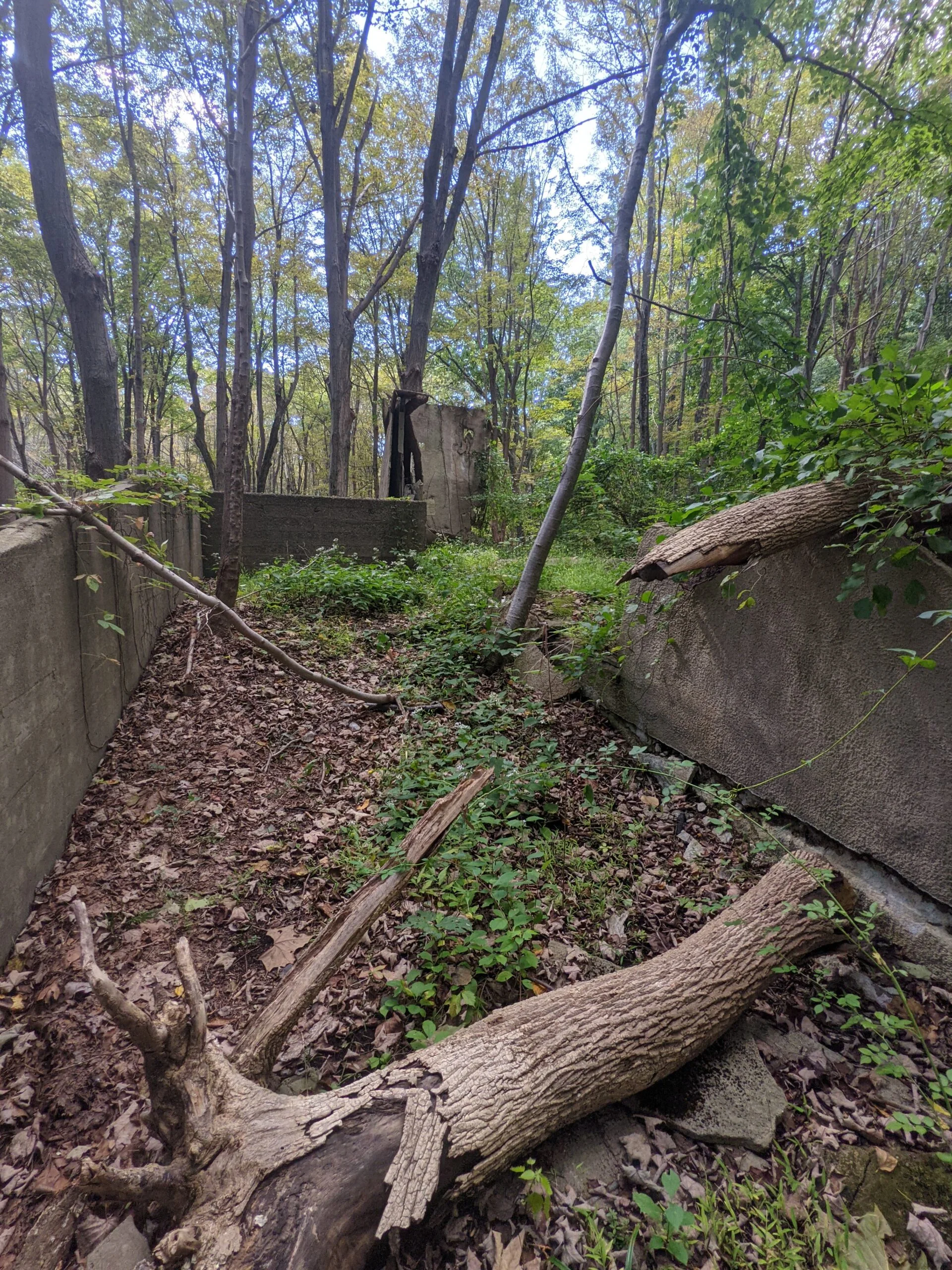
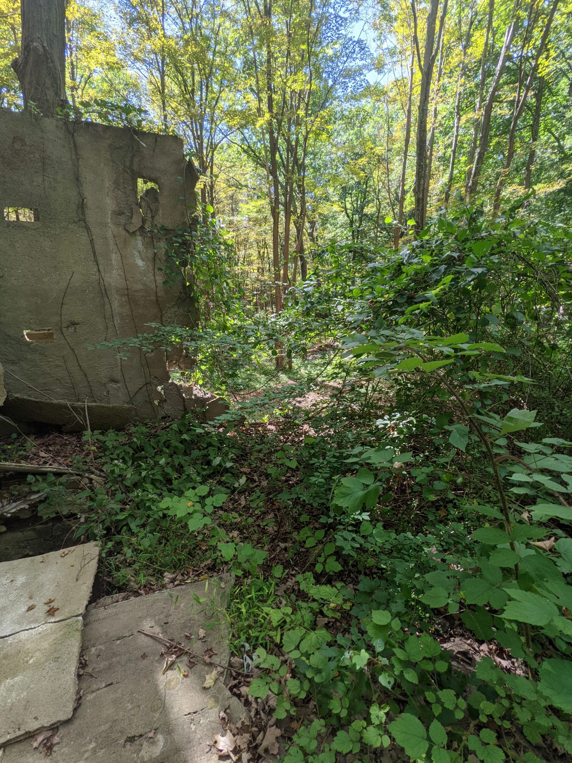
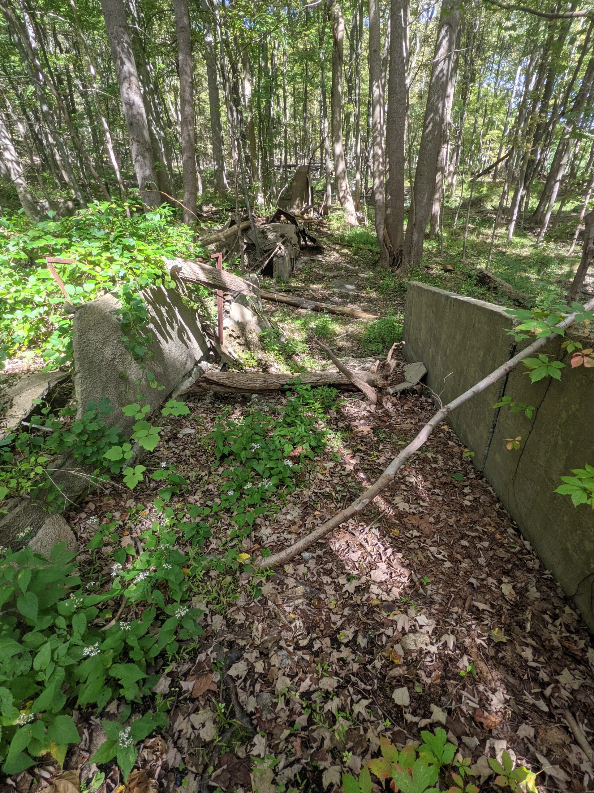
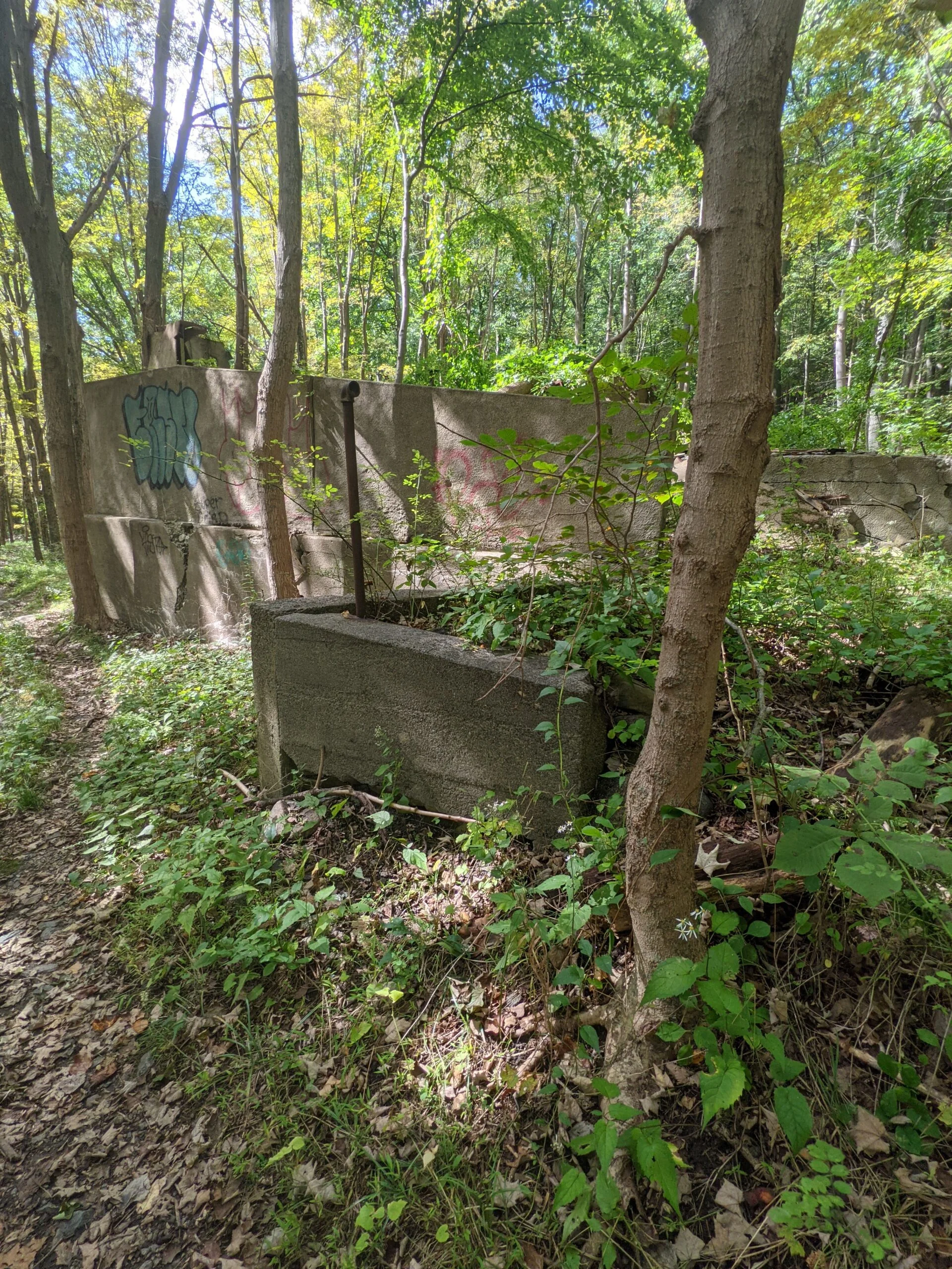
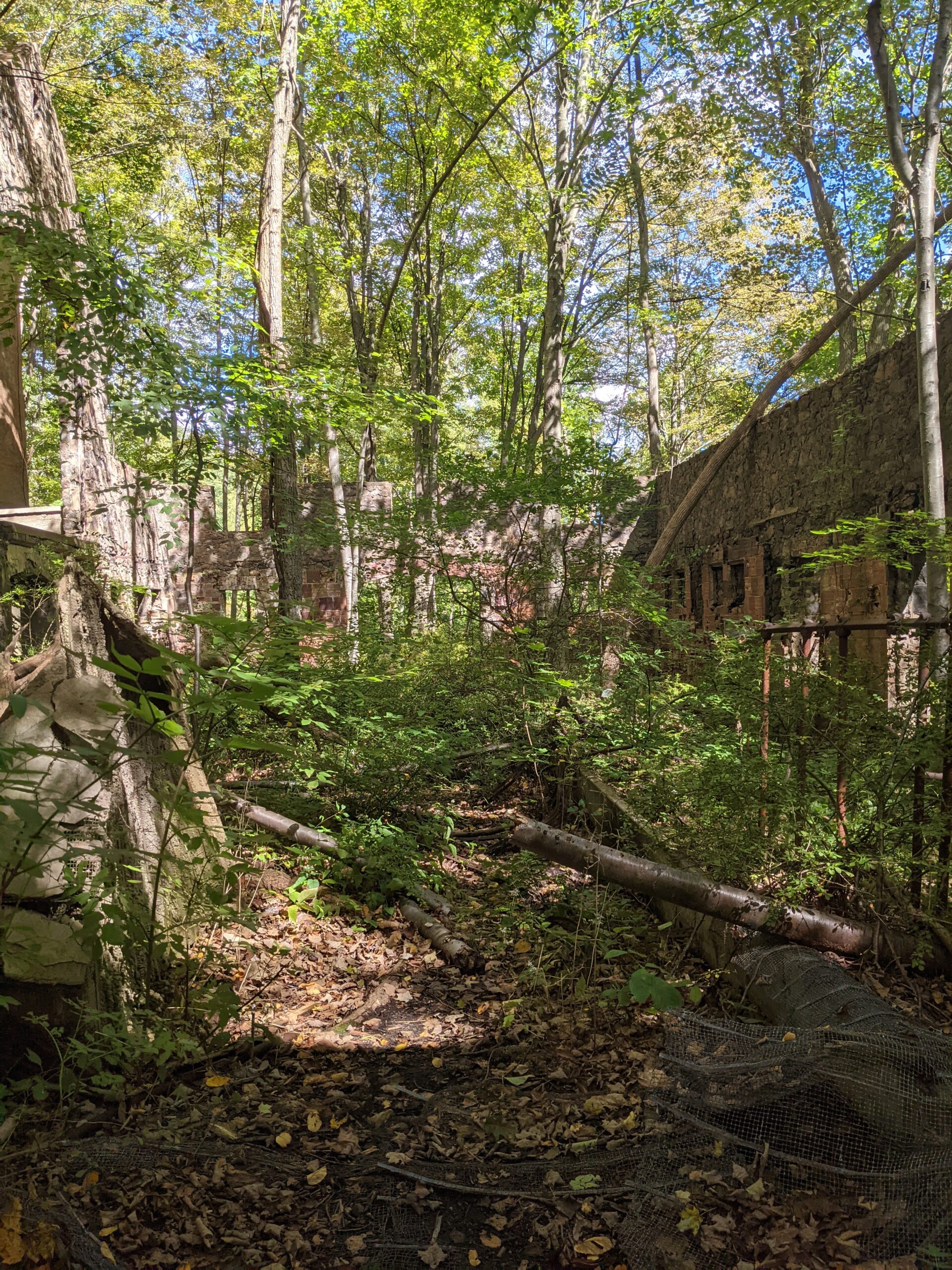
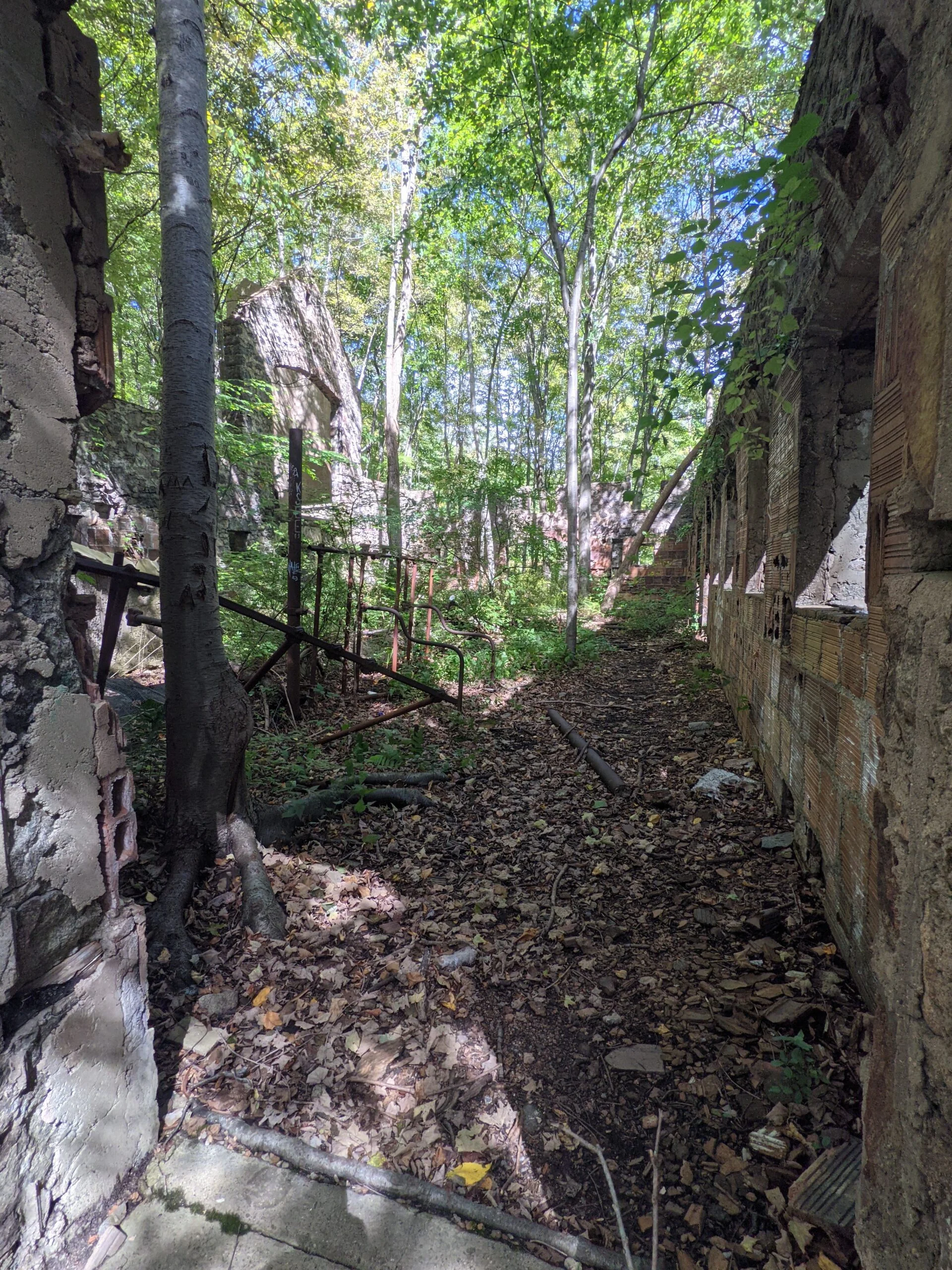
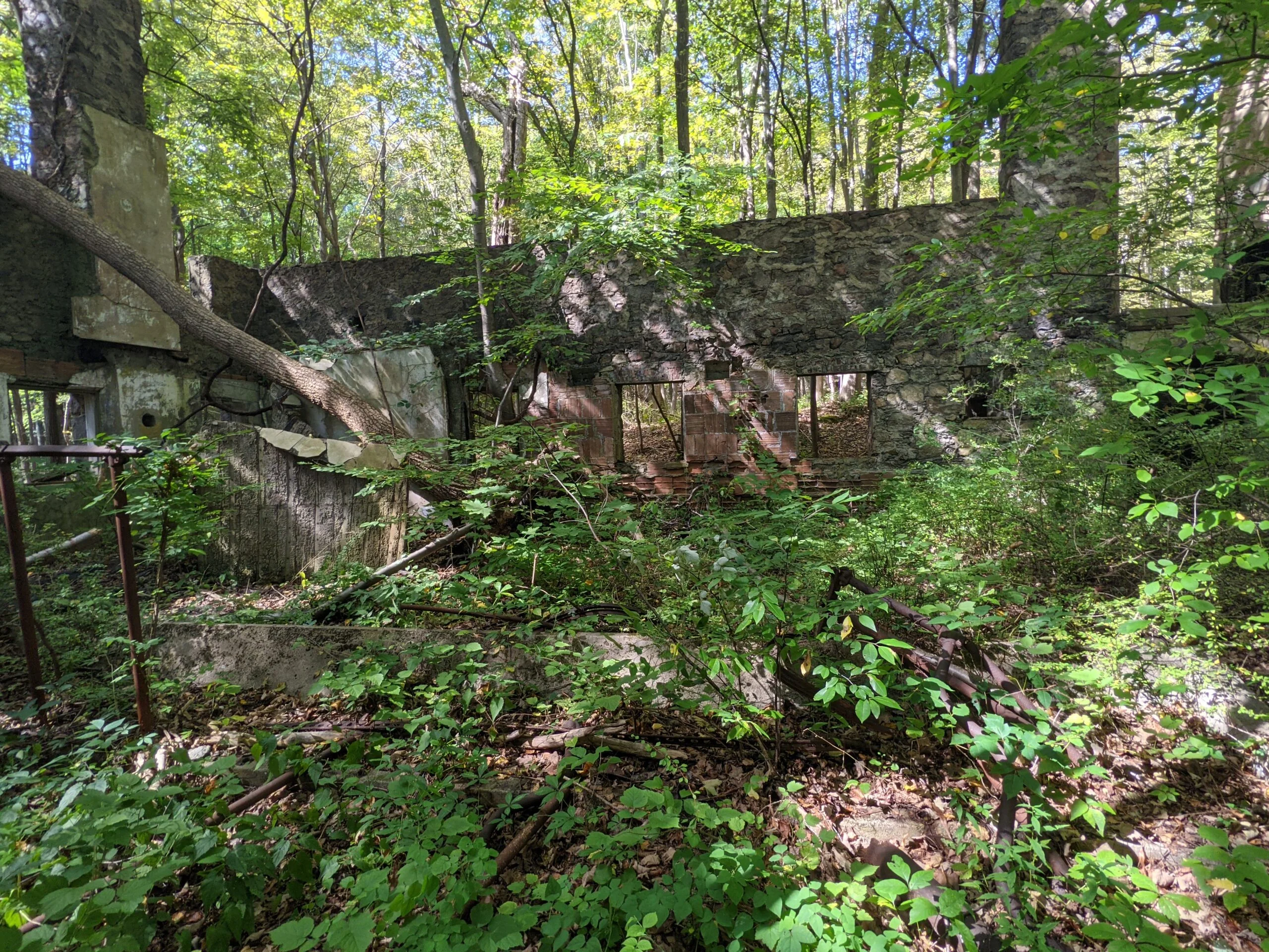
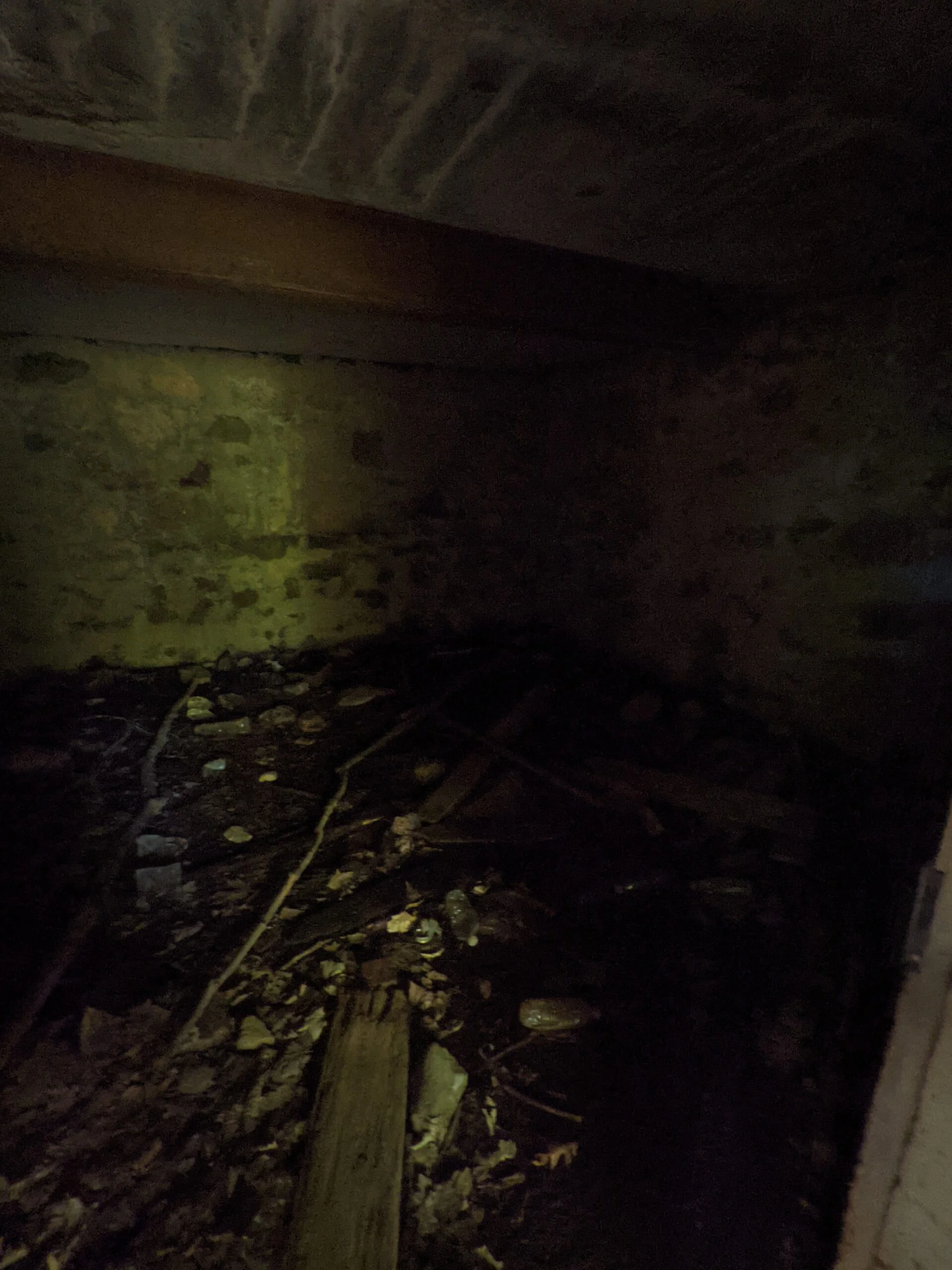
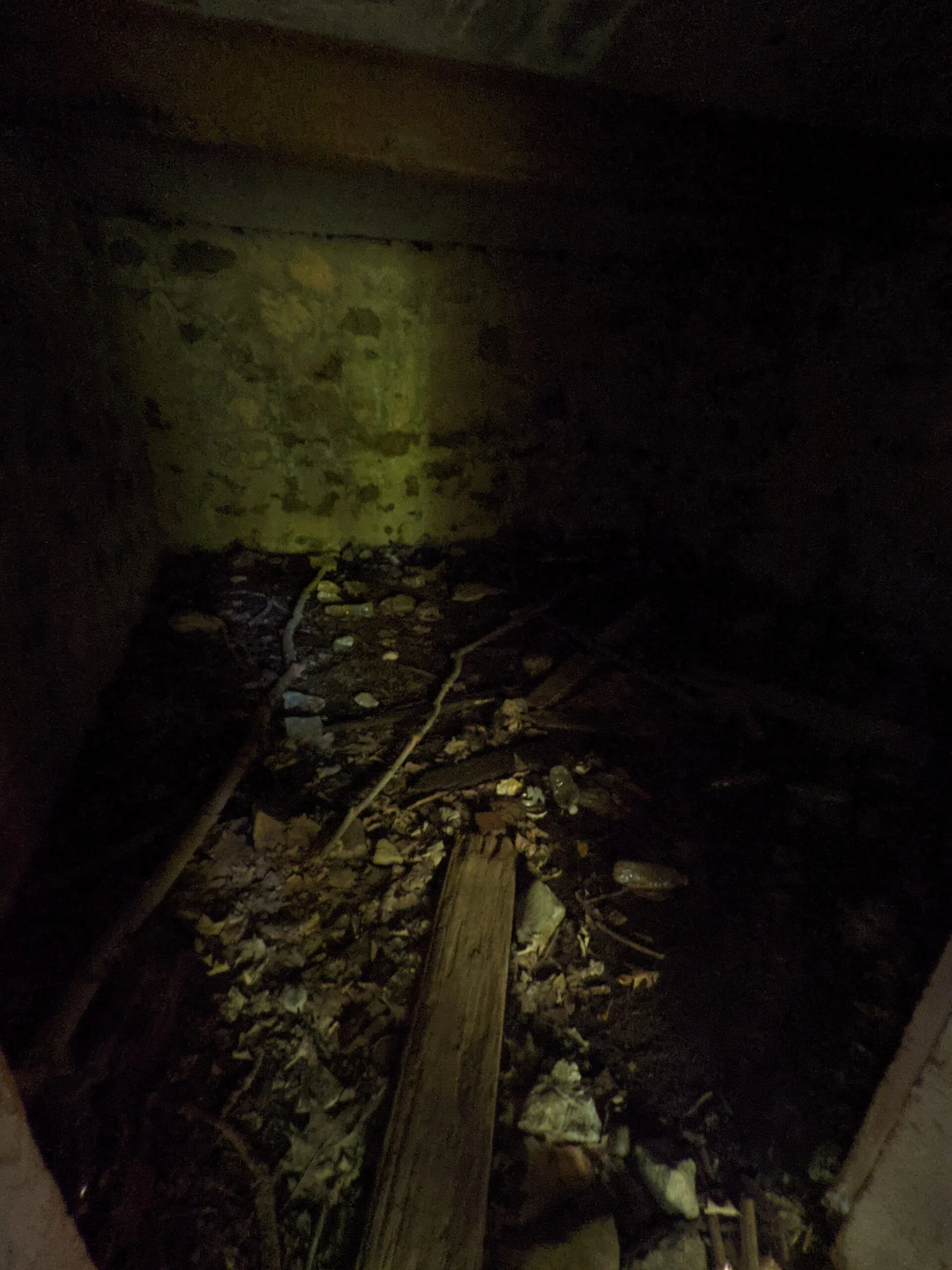
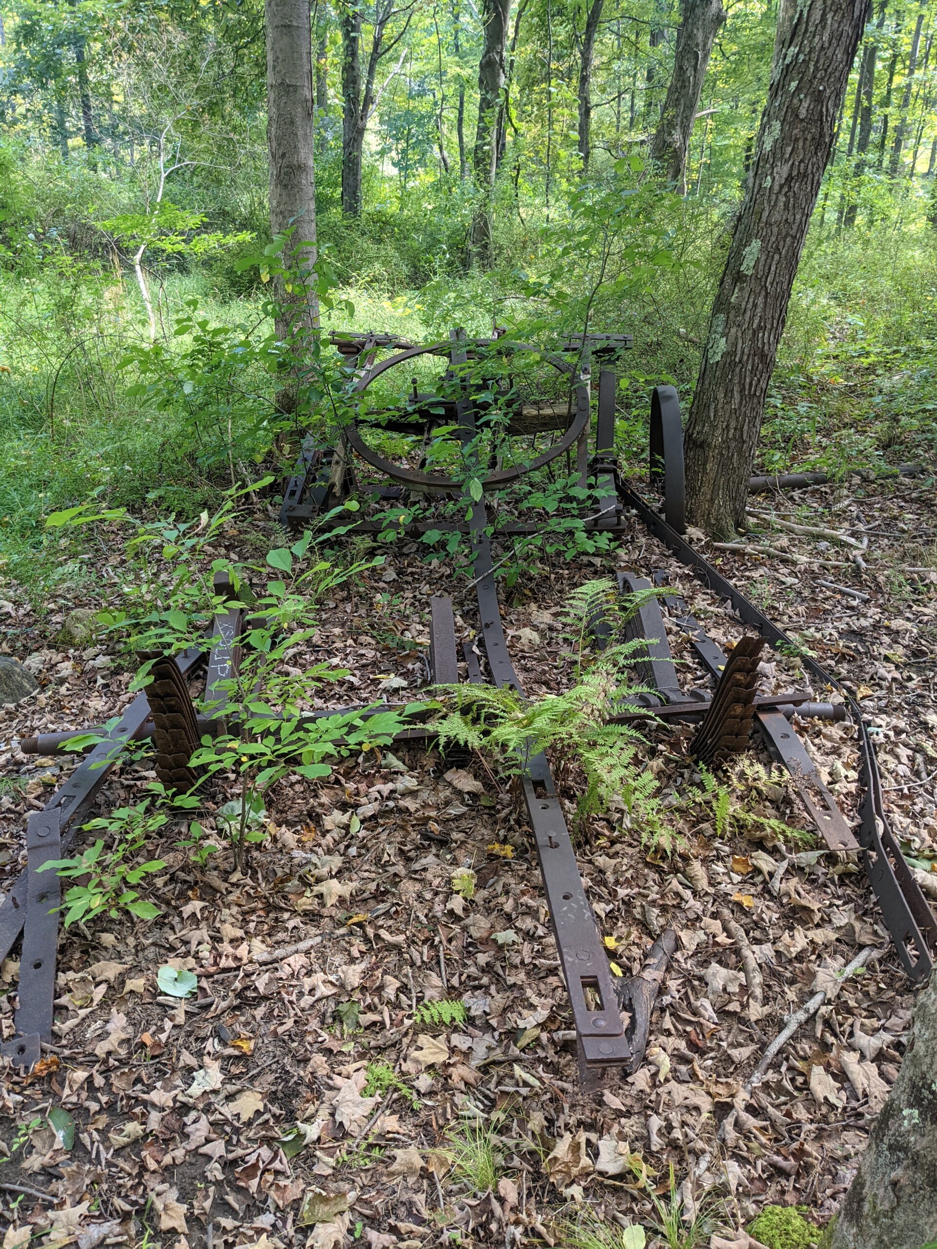
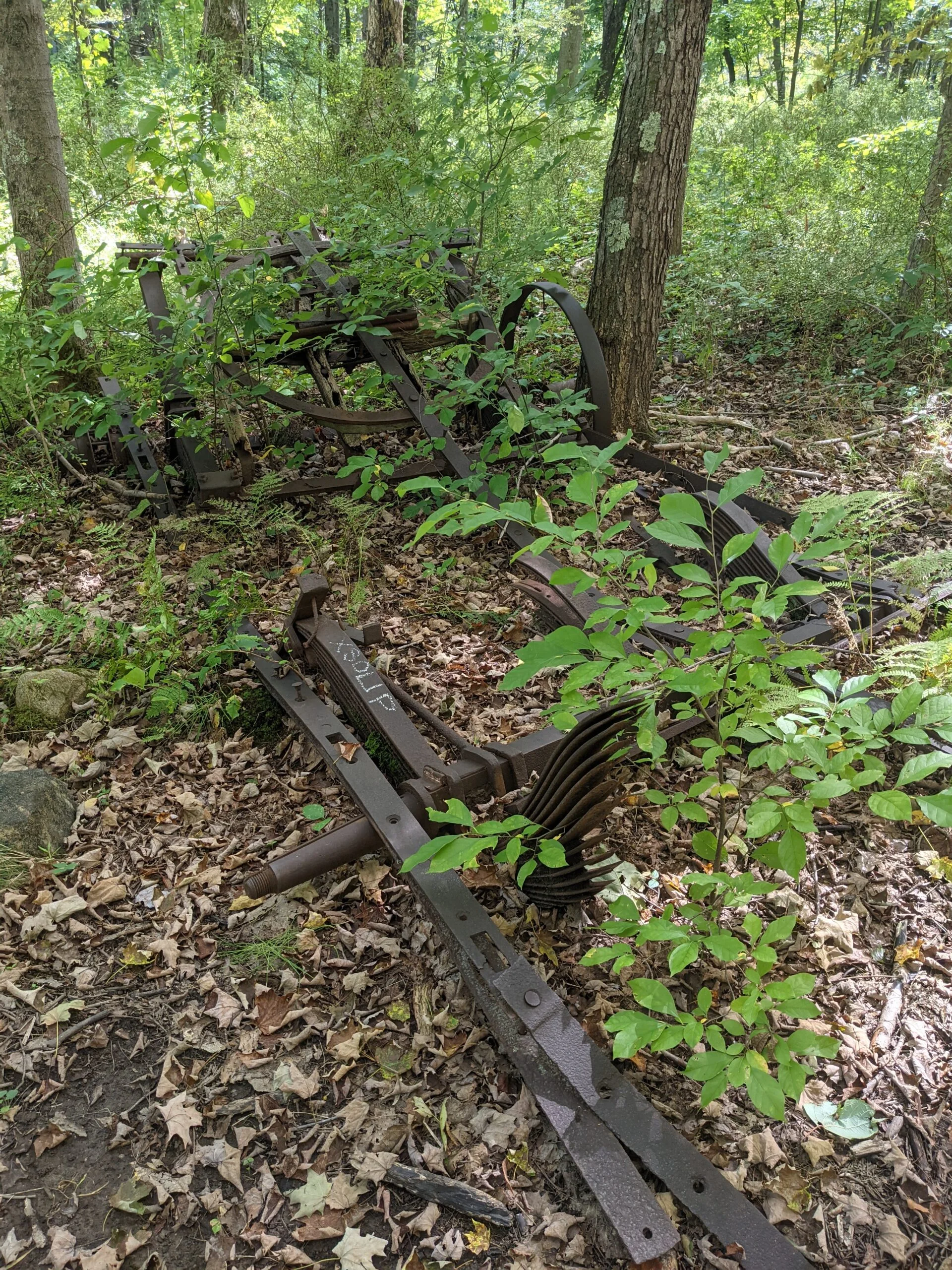
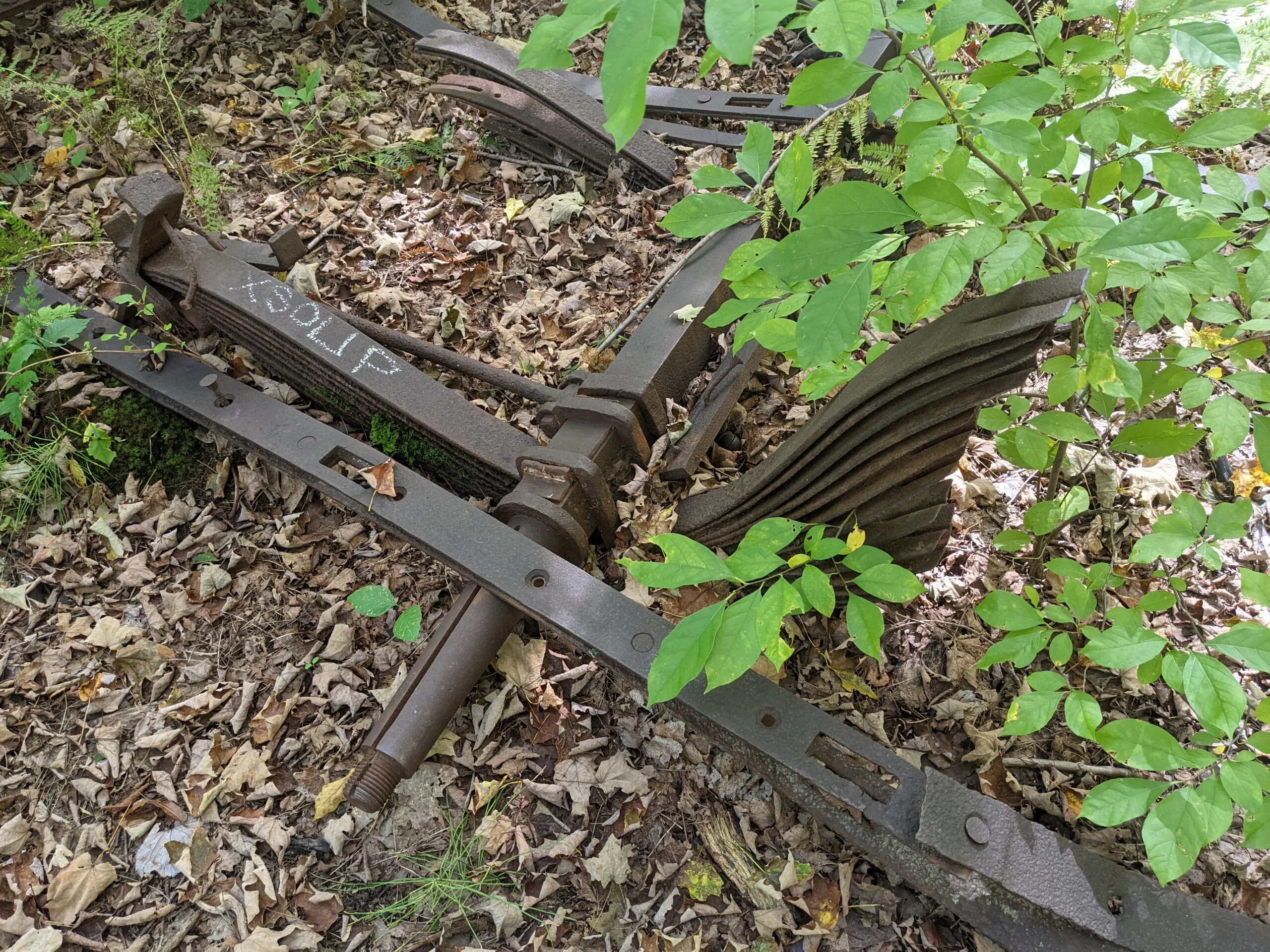
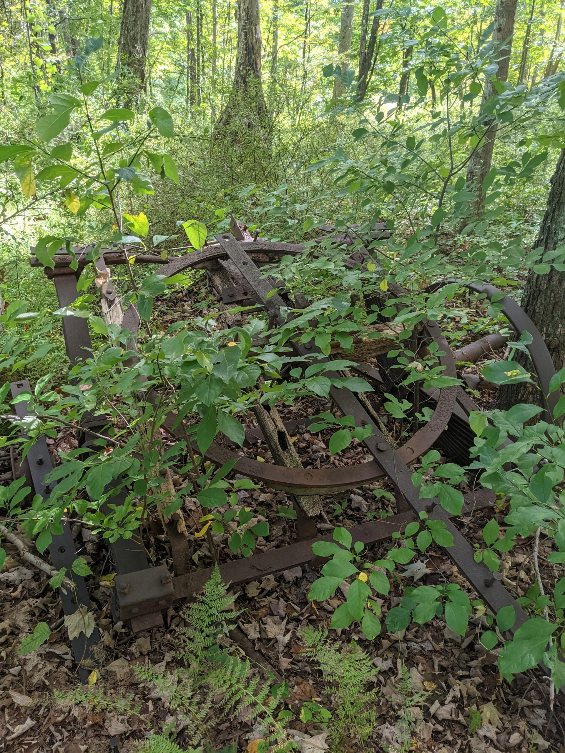
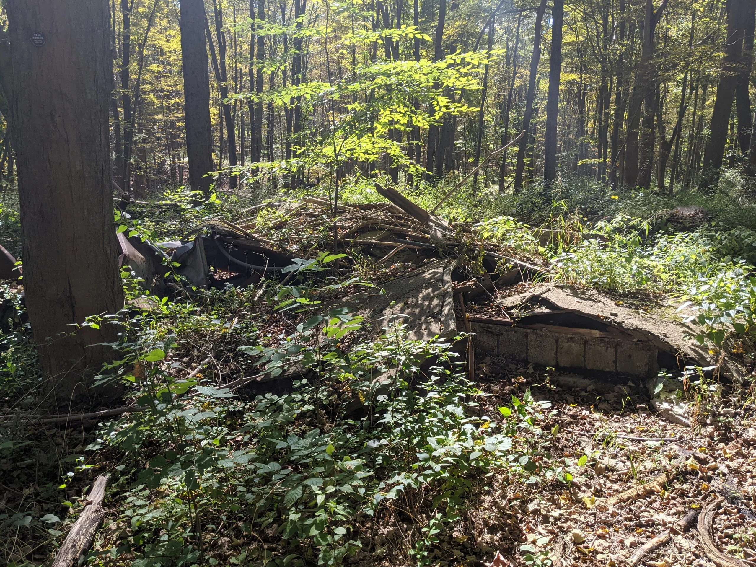
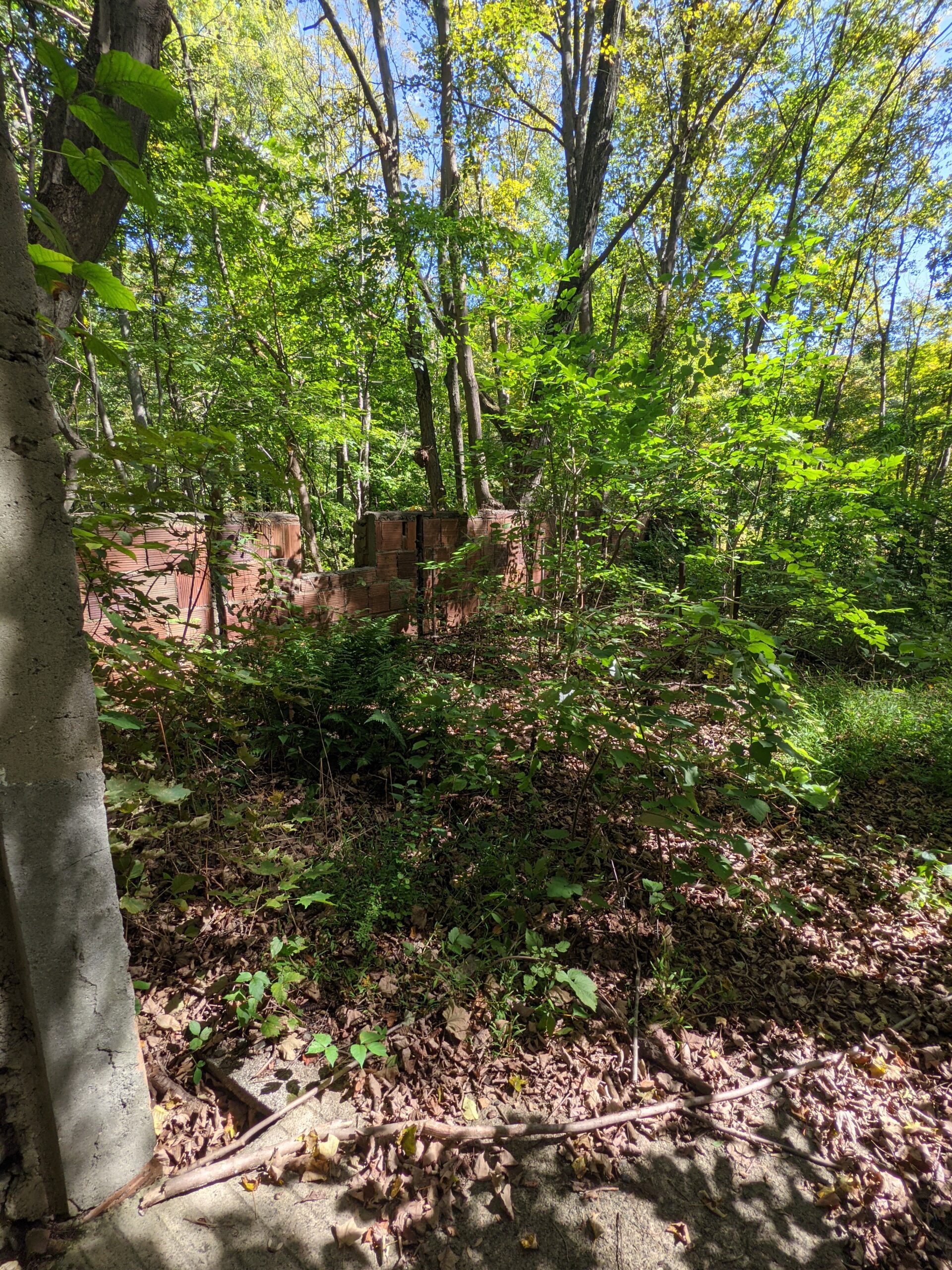
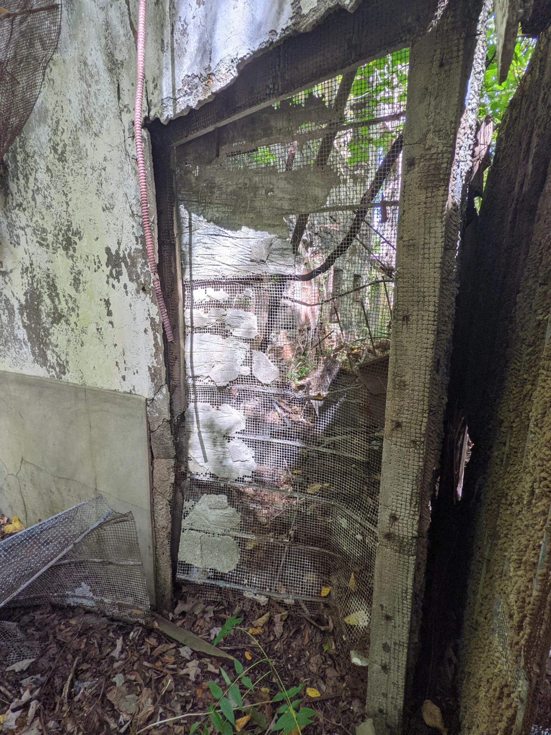
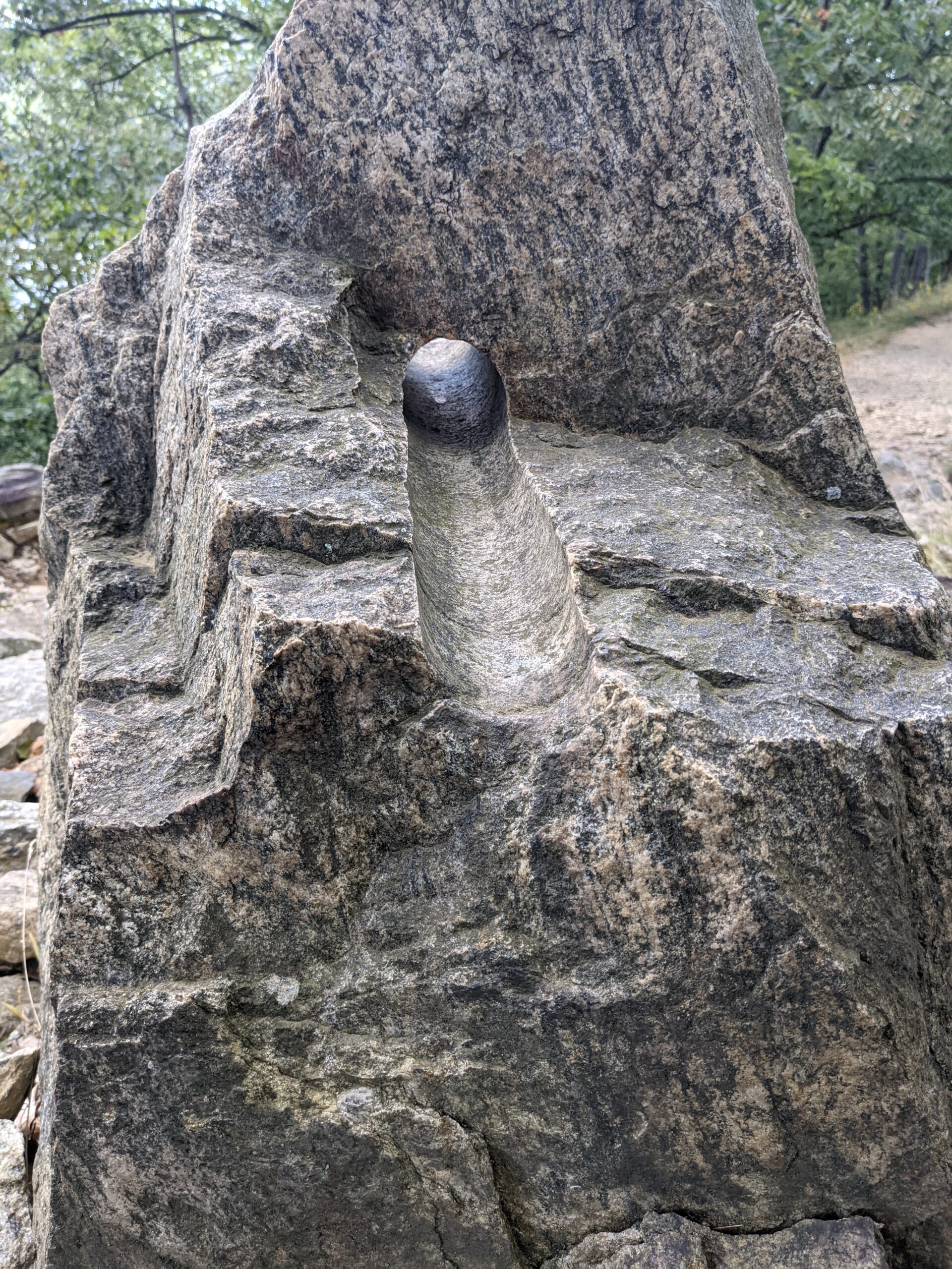
As a Boy Scout troop headed into the main house, I decided it was time to start exploring the rest of the property. I landed first at the greenhouse. The structure itself is in pretty good shape and the original metal roof is mostly intact. The stables and barn are no longer standing, with just a bit of foundation showing. I continued down the Brook Trail (BK, red blazes), past the root cellar, which was completely overgrown and barely visible. I checked out the chauffeur’s garage and the small livestock building, imagining what animals might have been kept there.
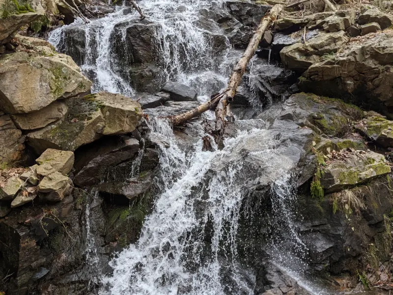
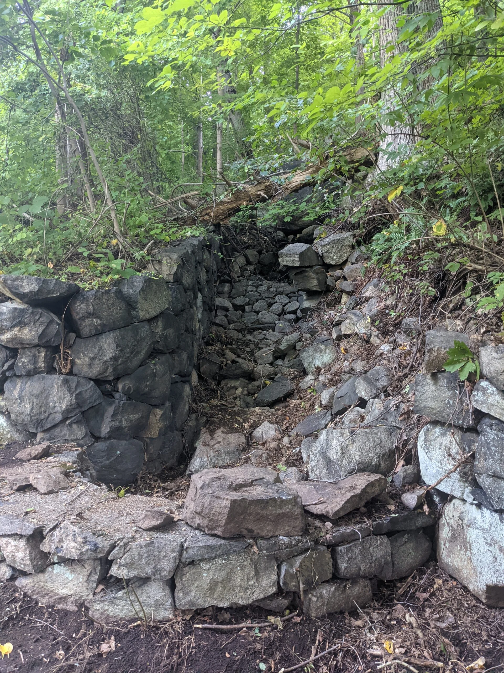
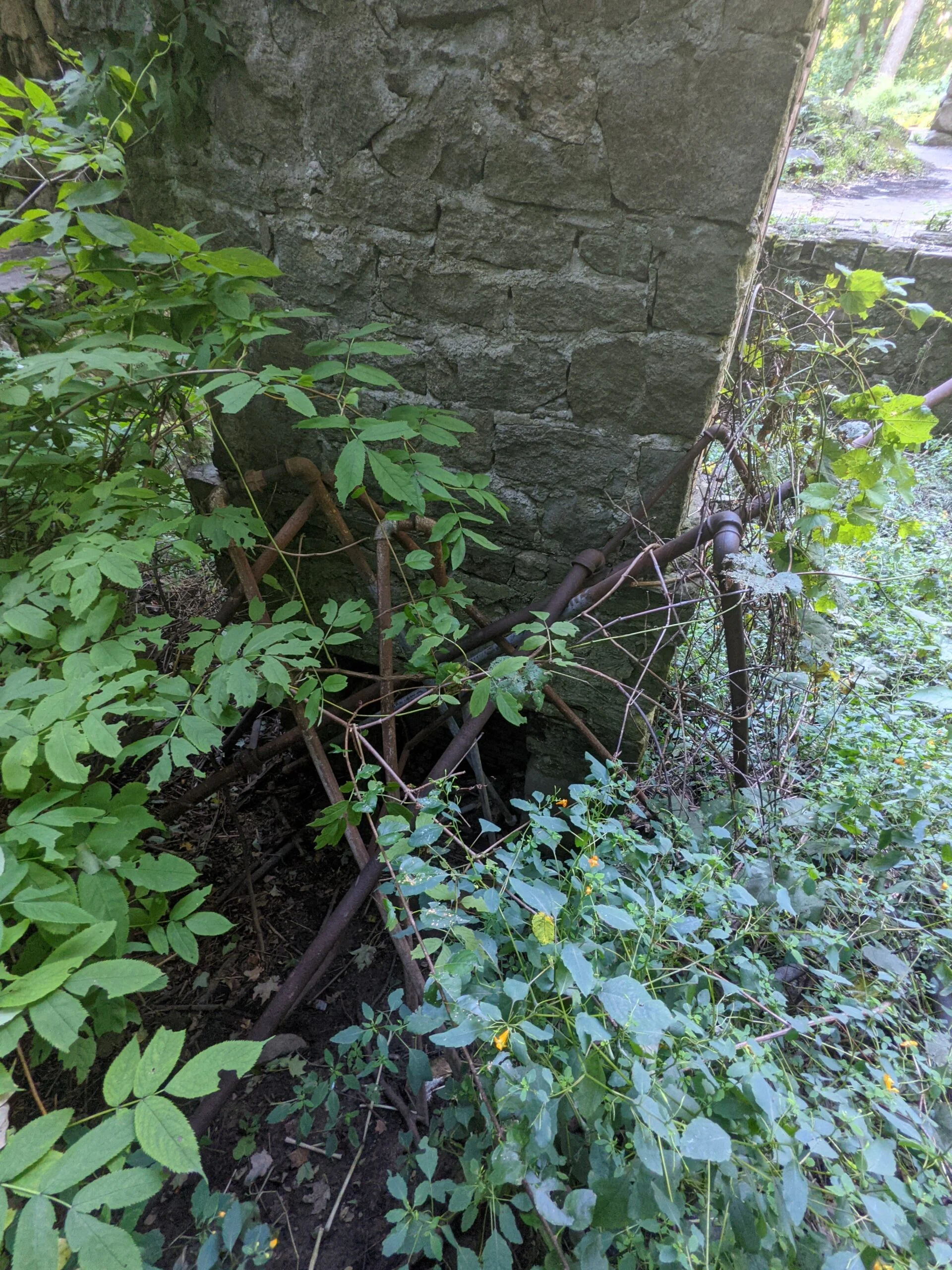
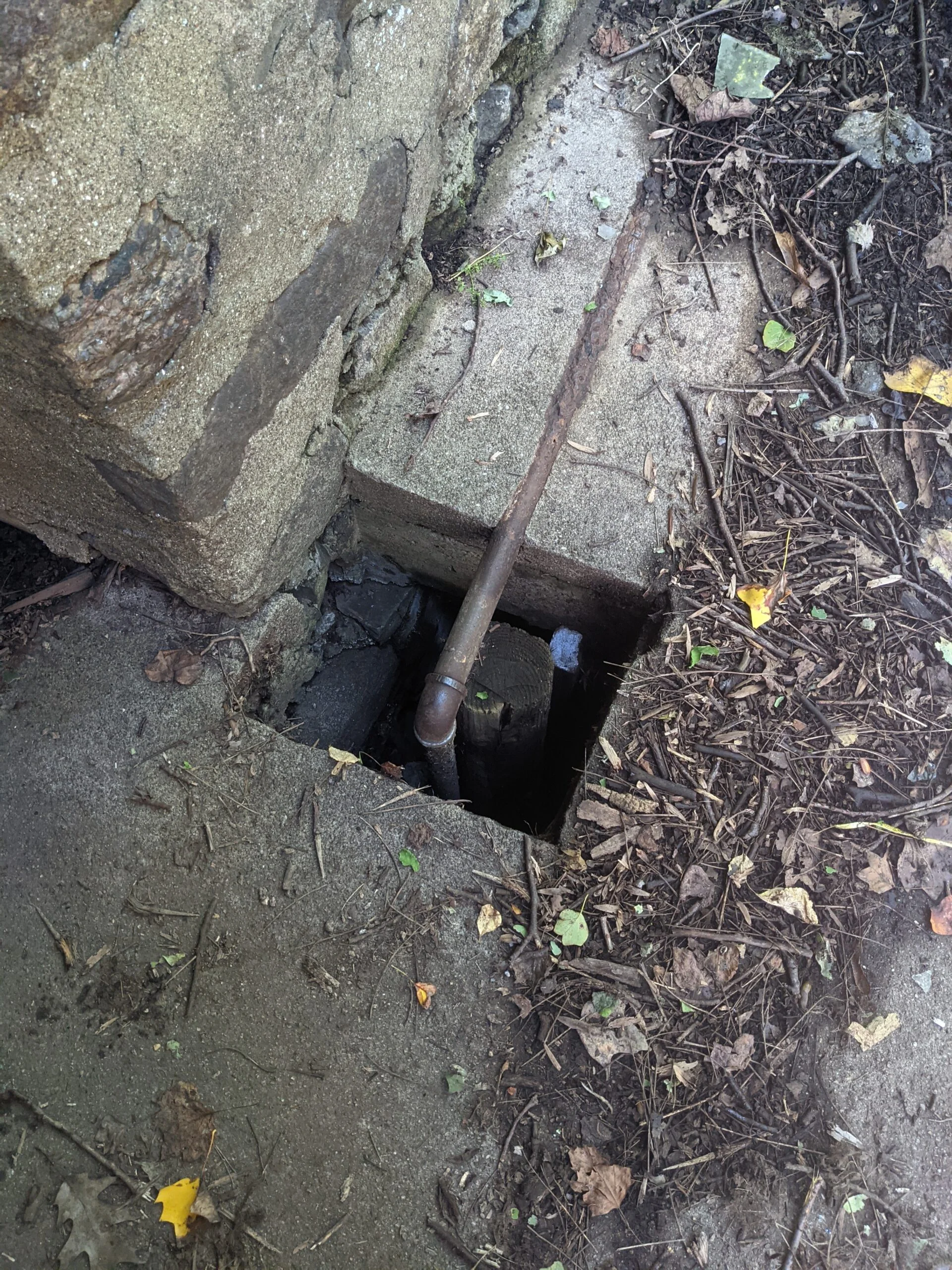
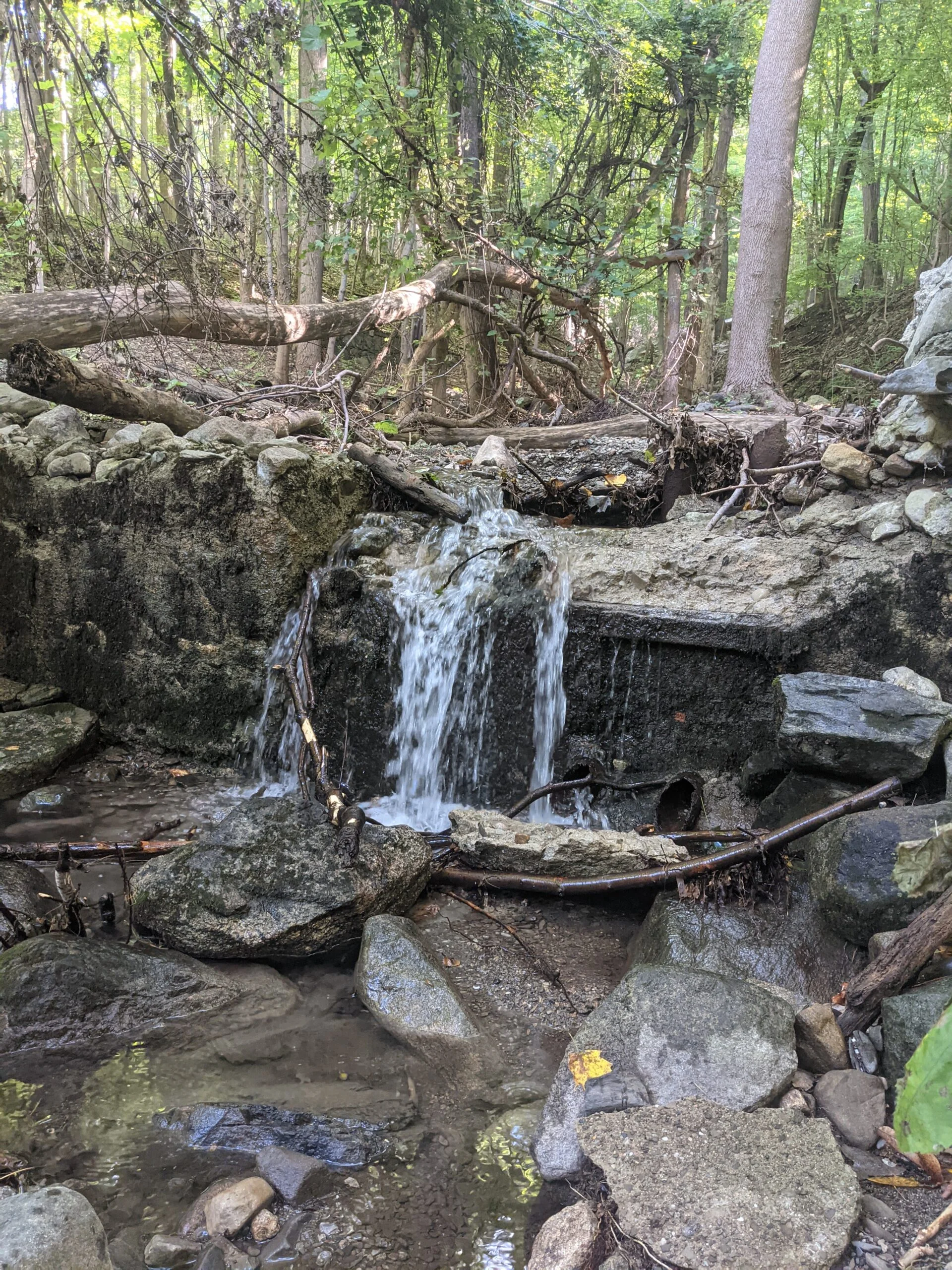
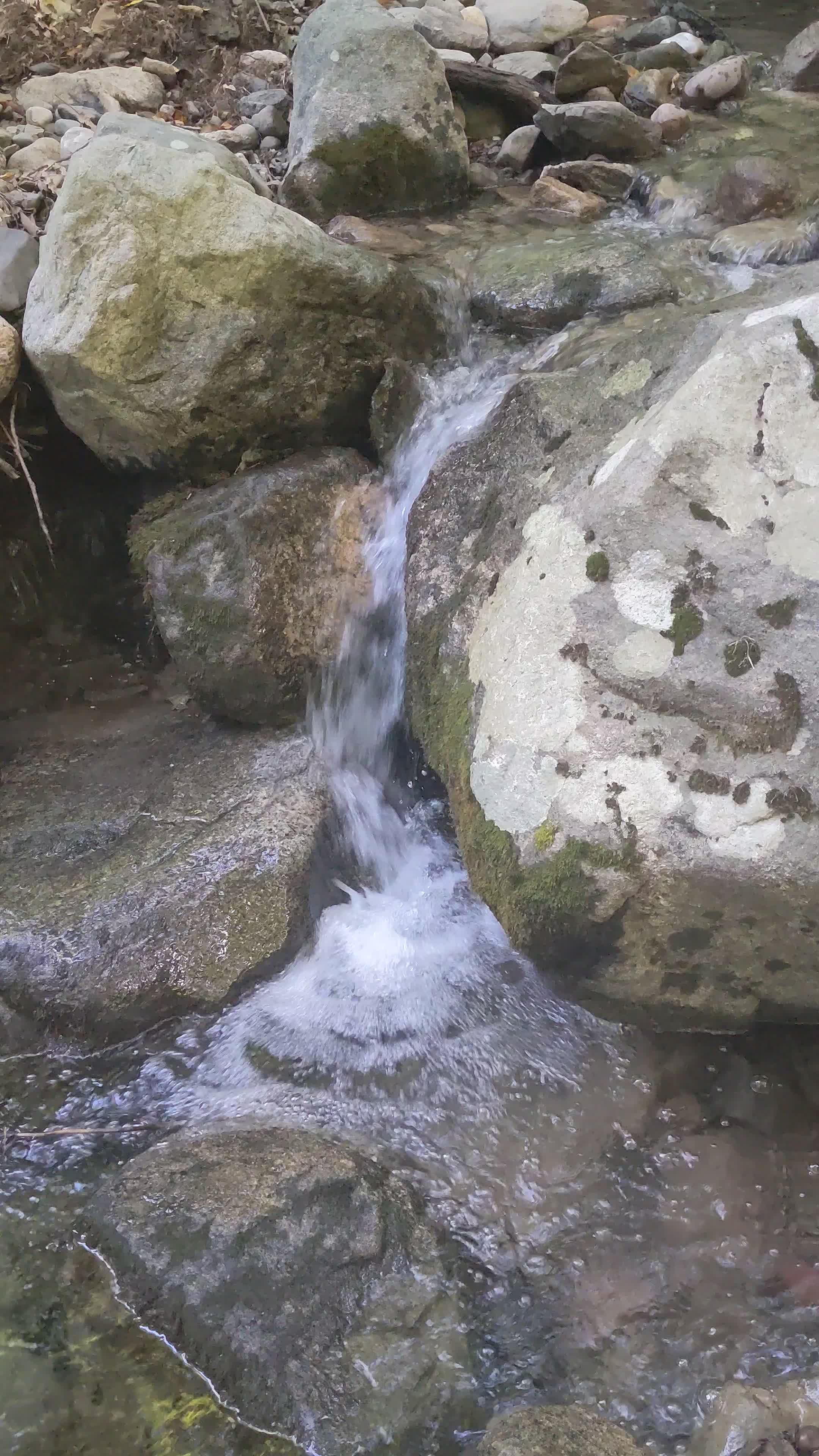
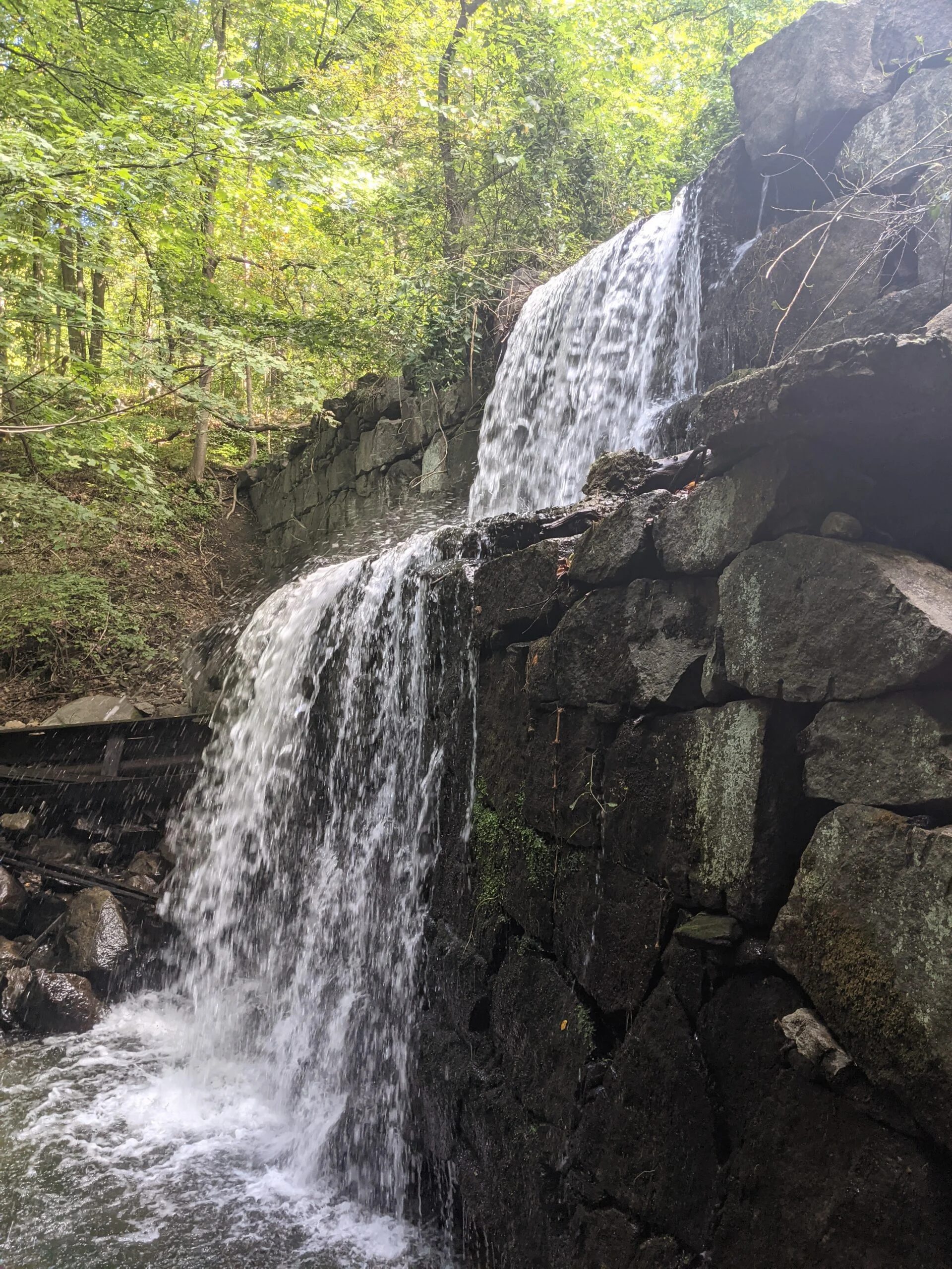
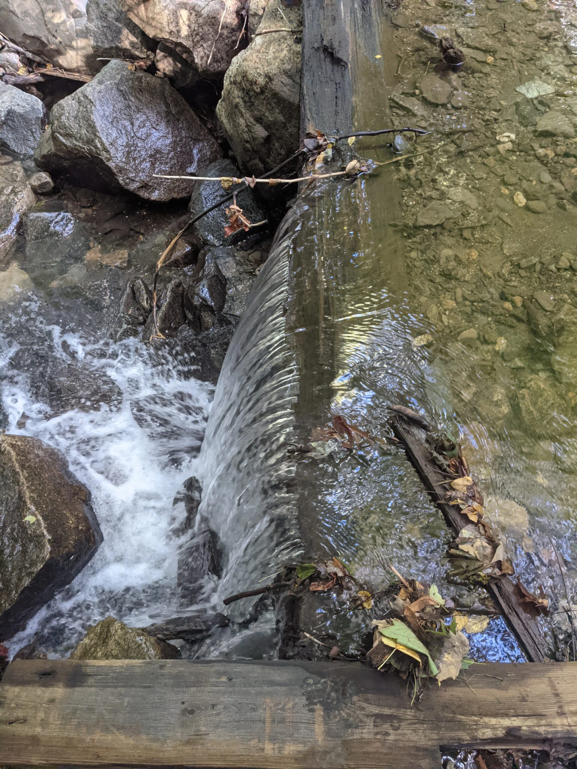
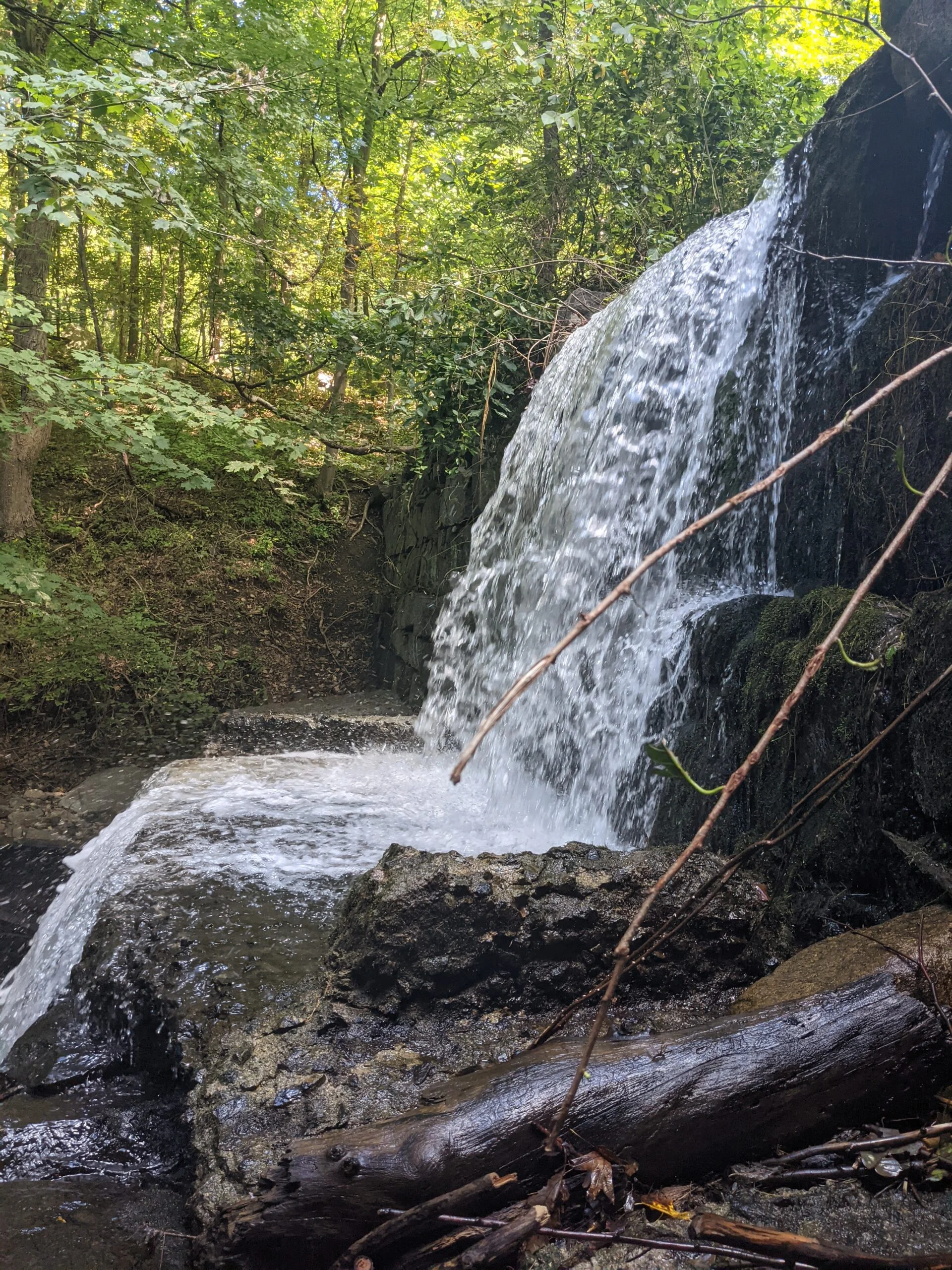
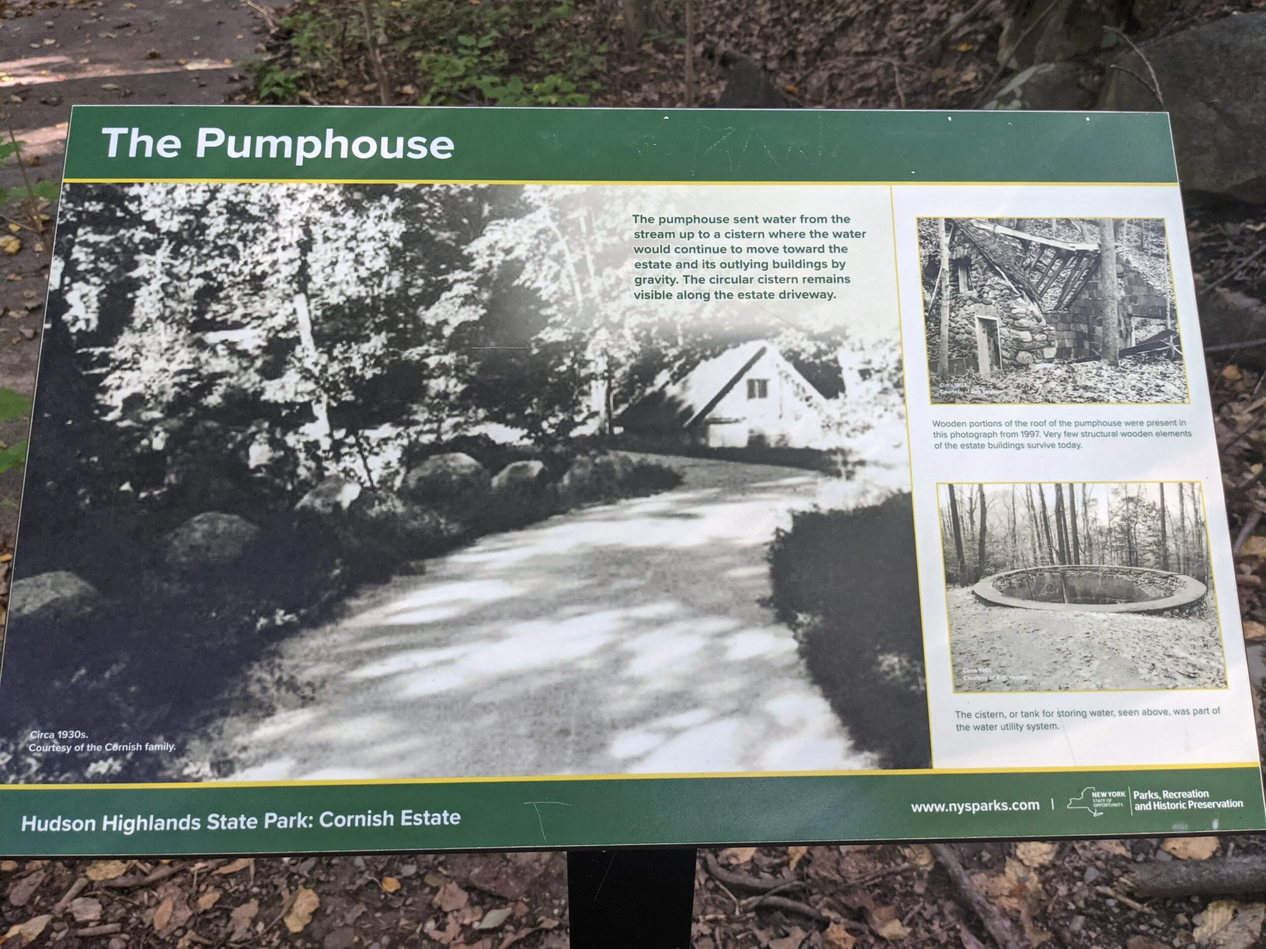
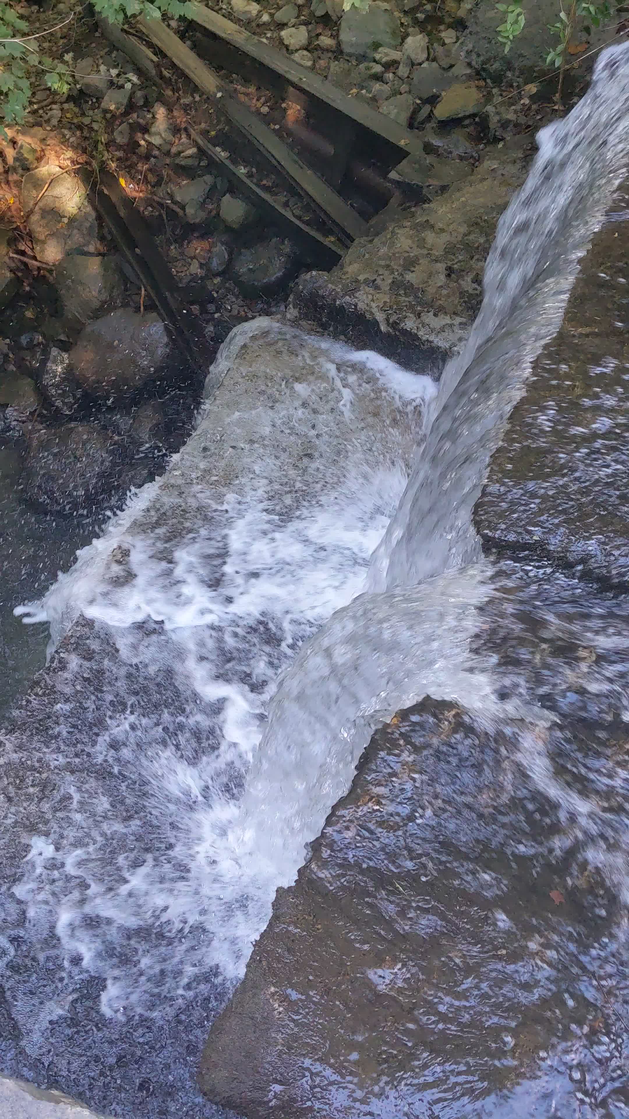
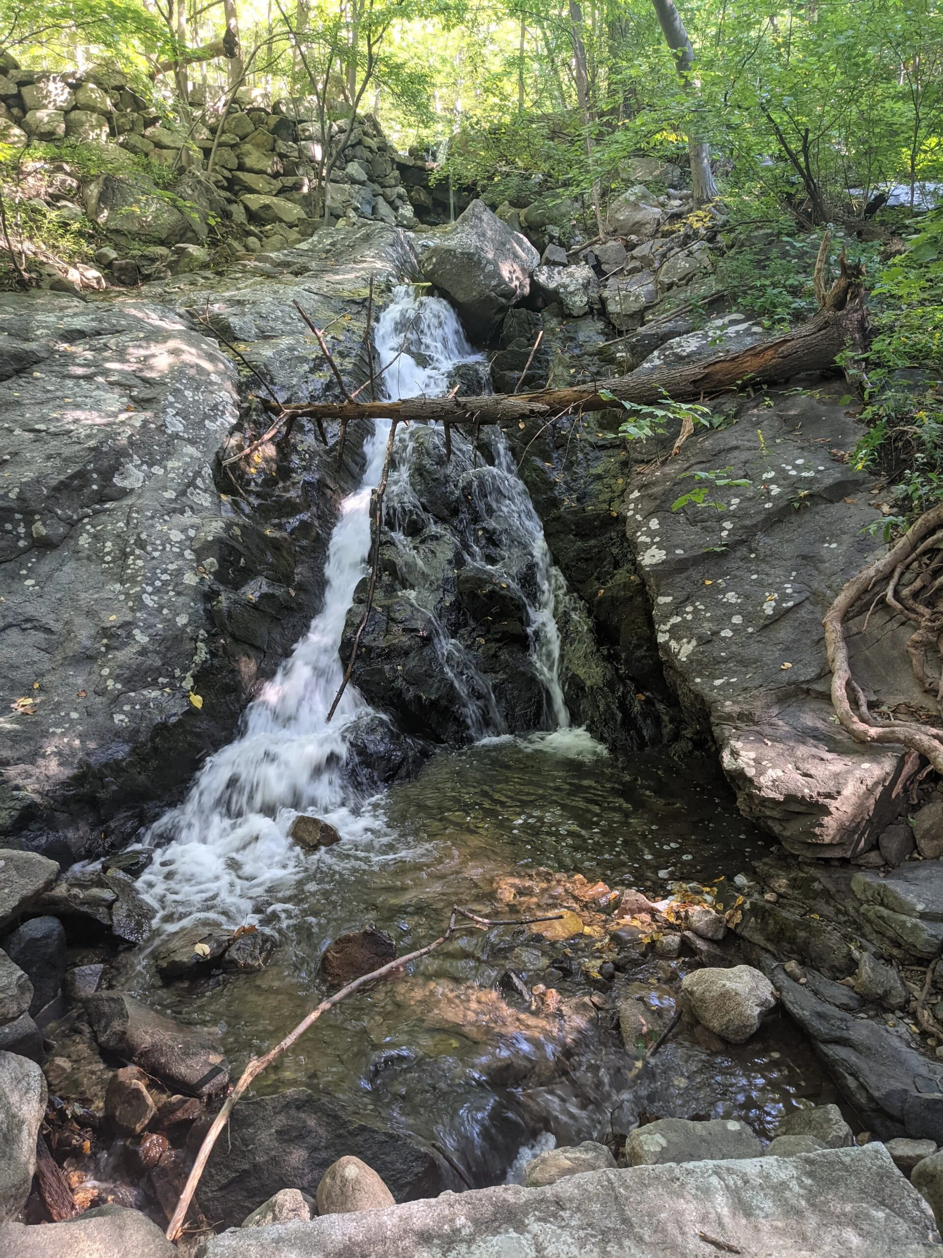
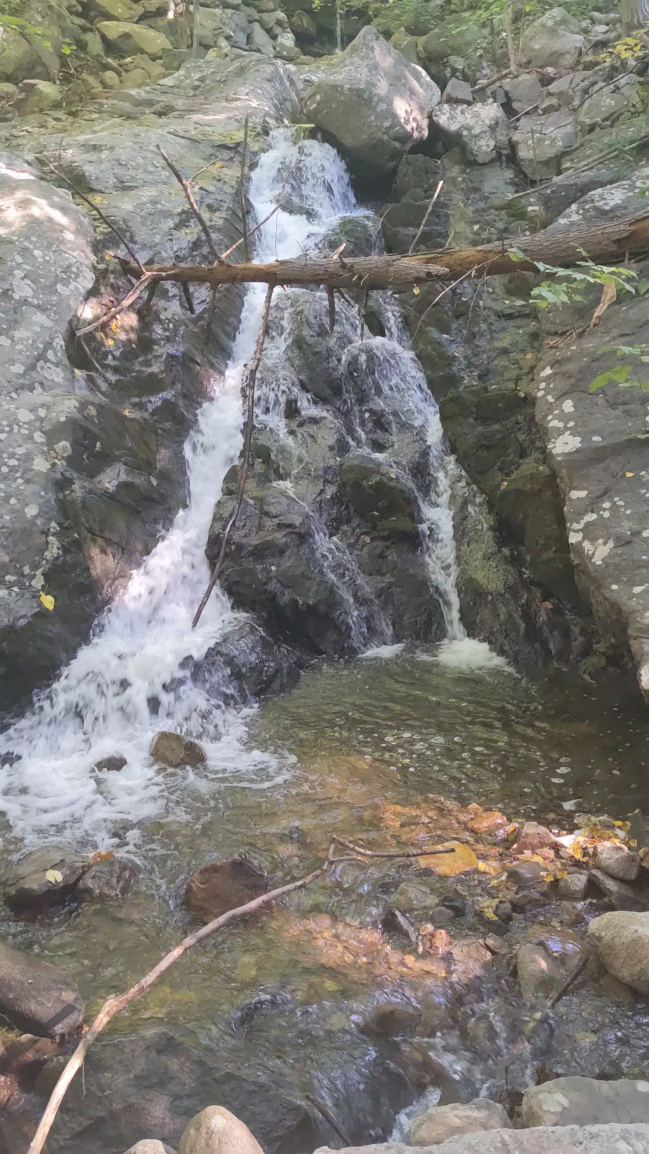
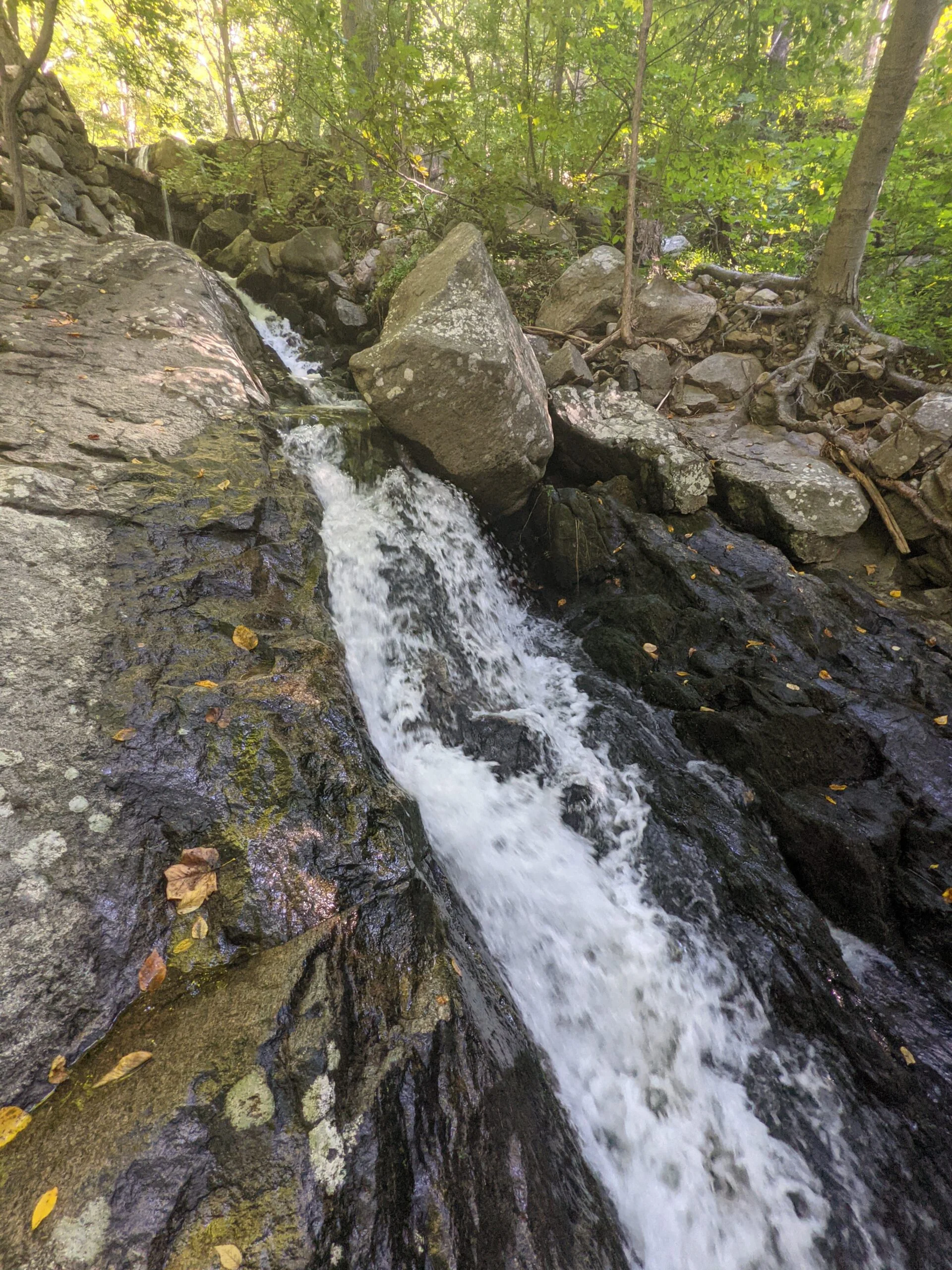
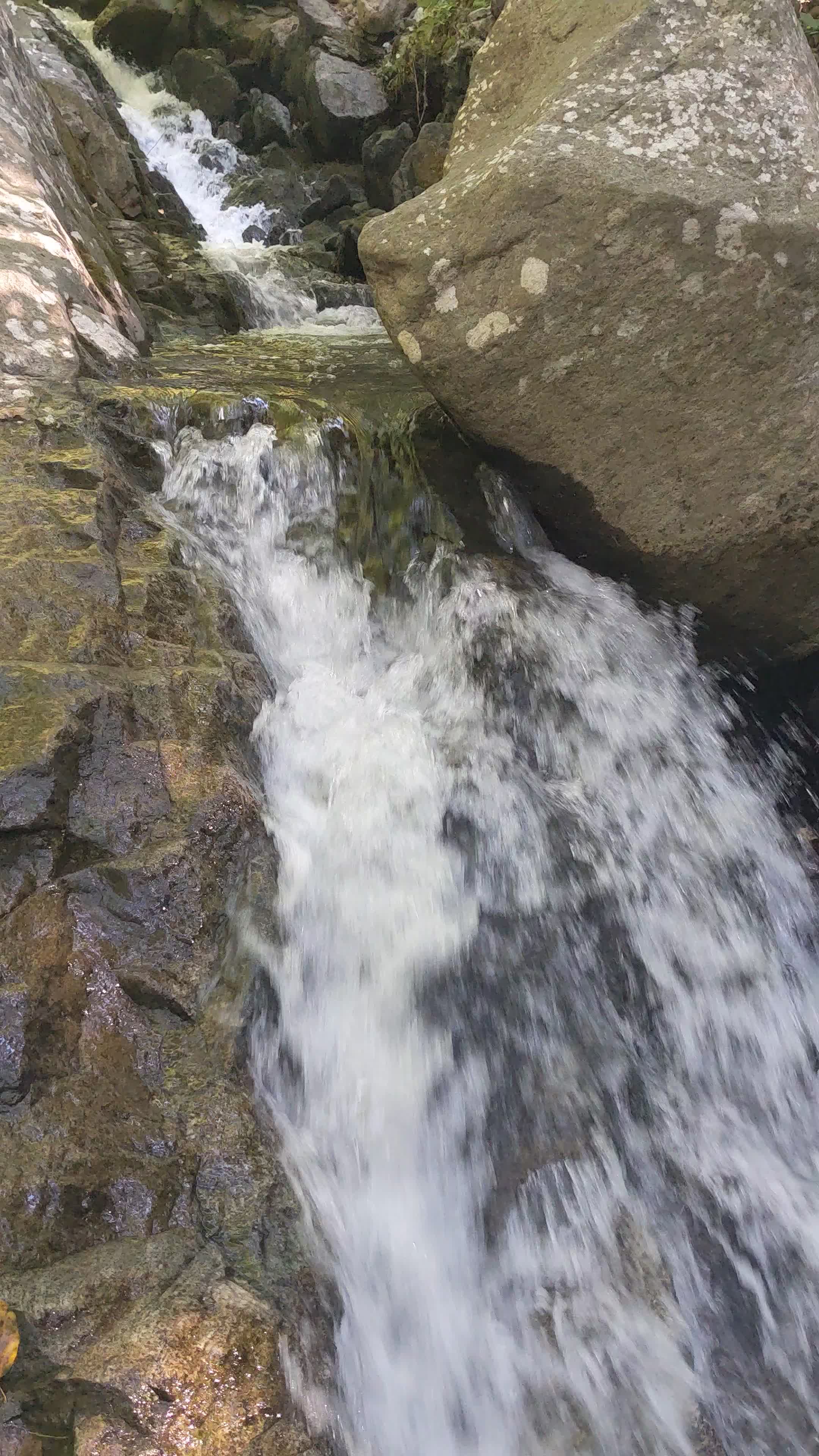
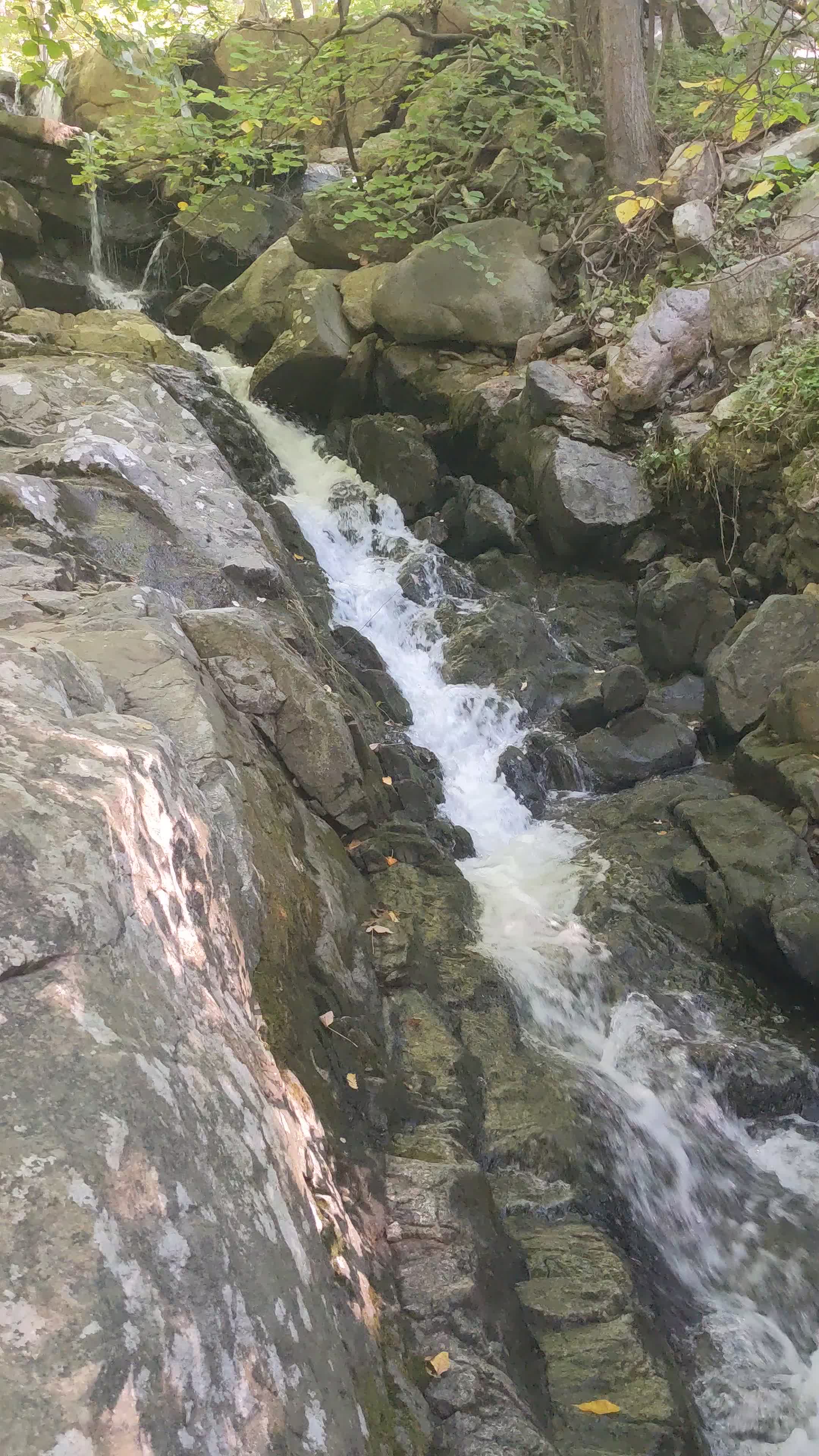
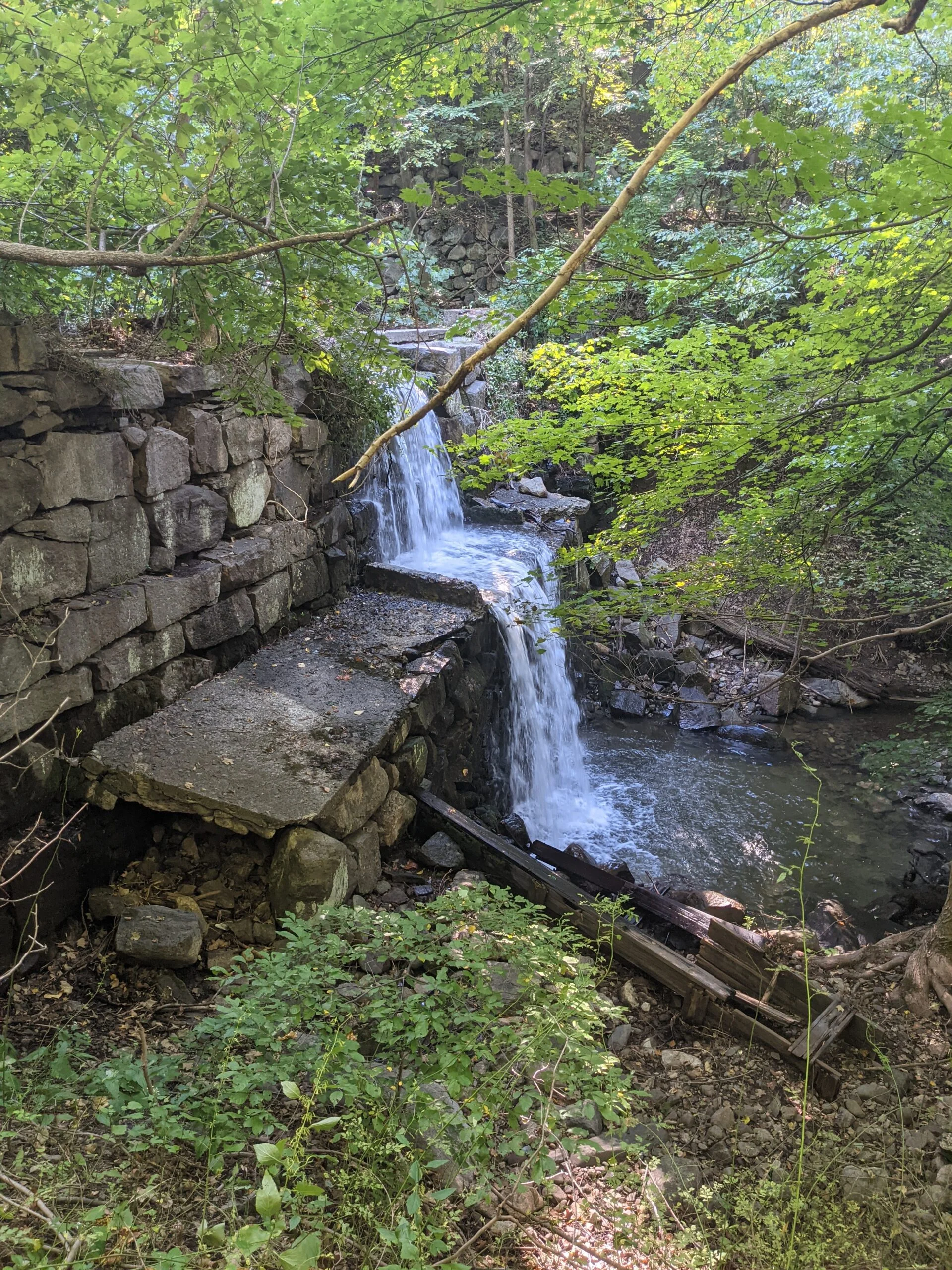
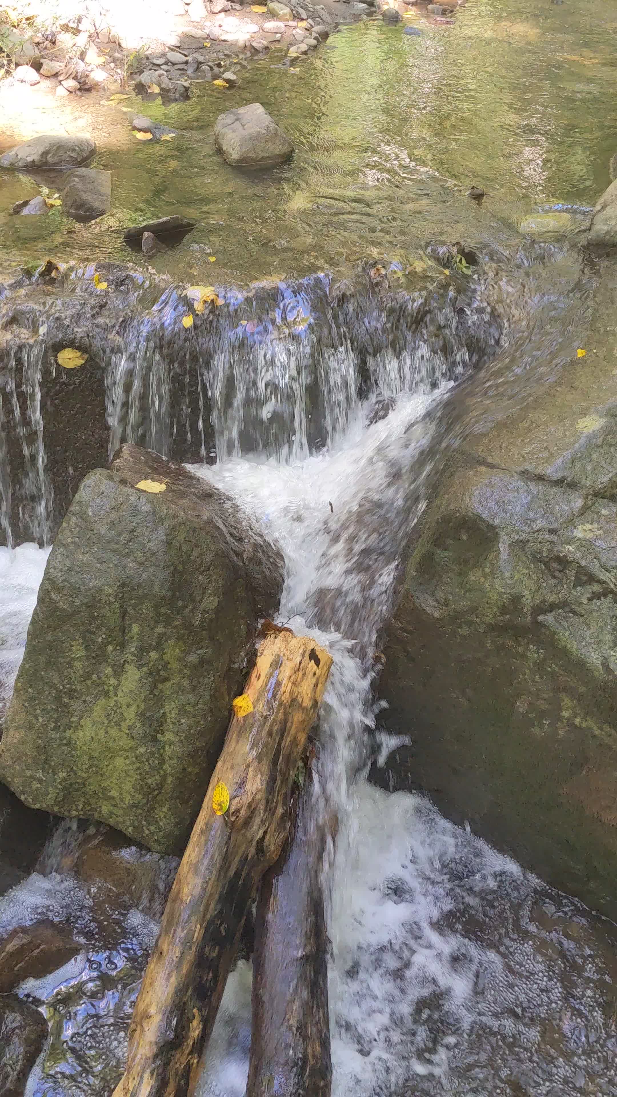
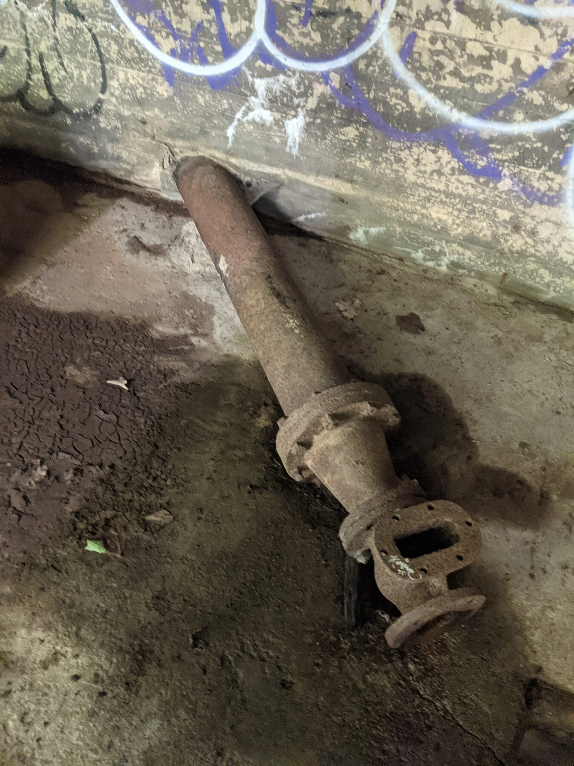
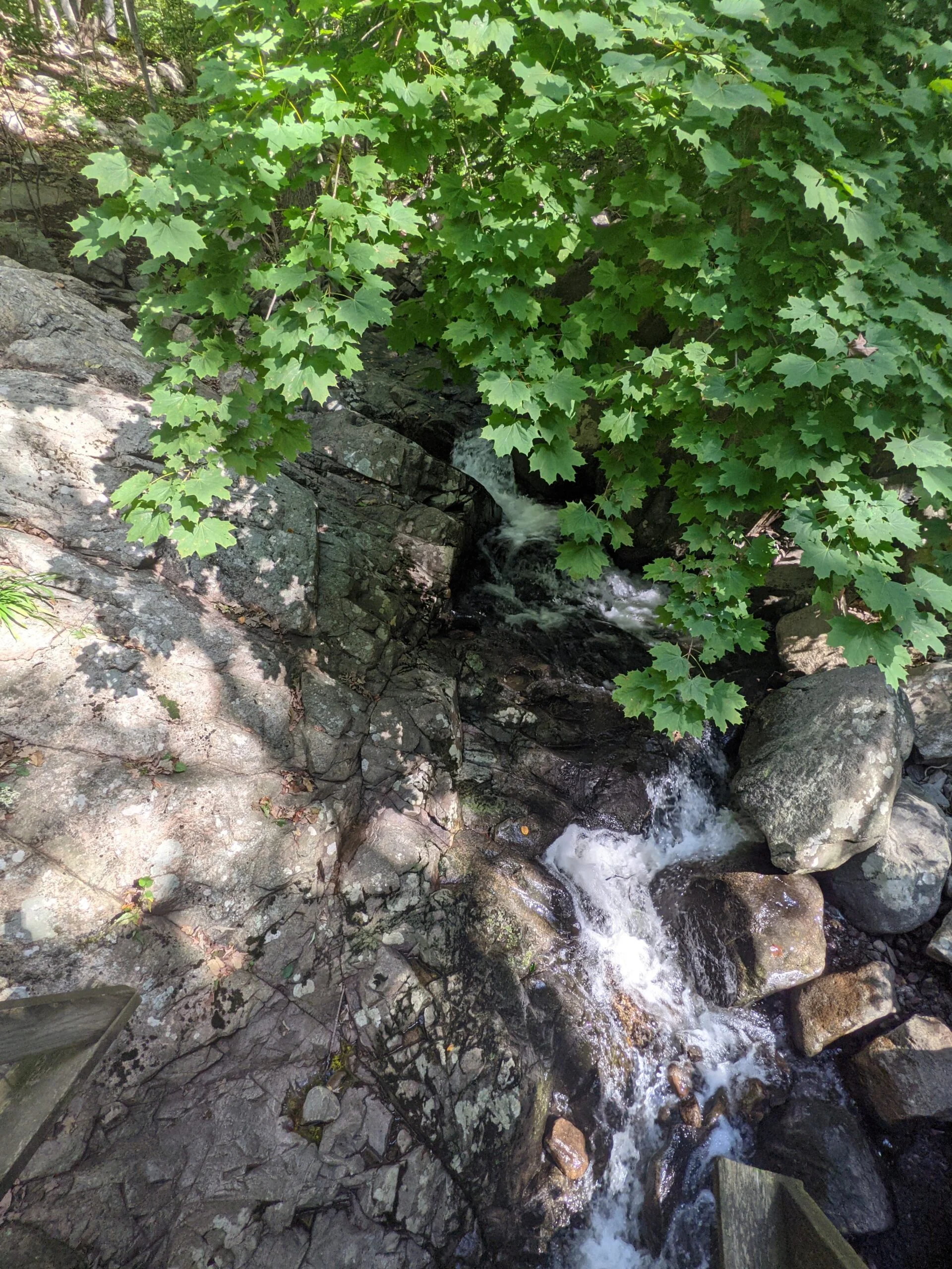
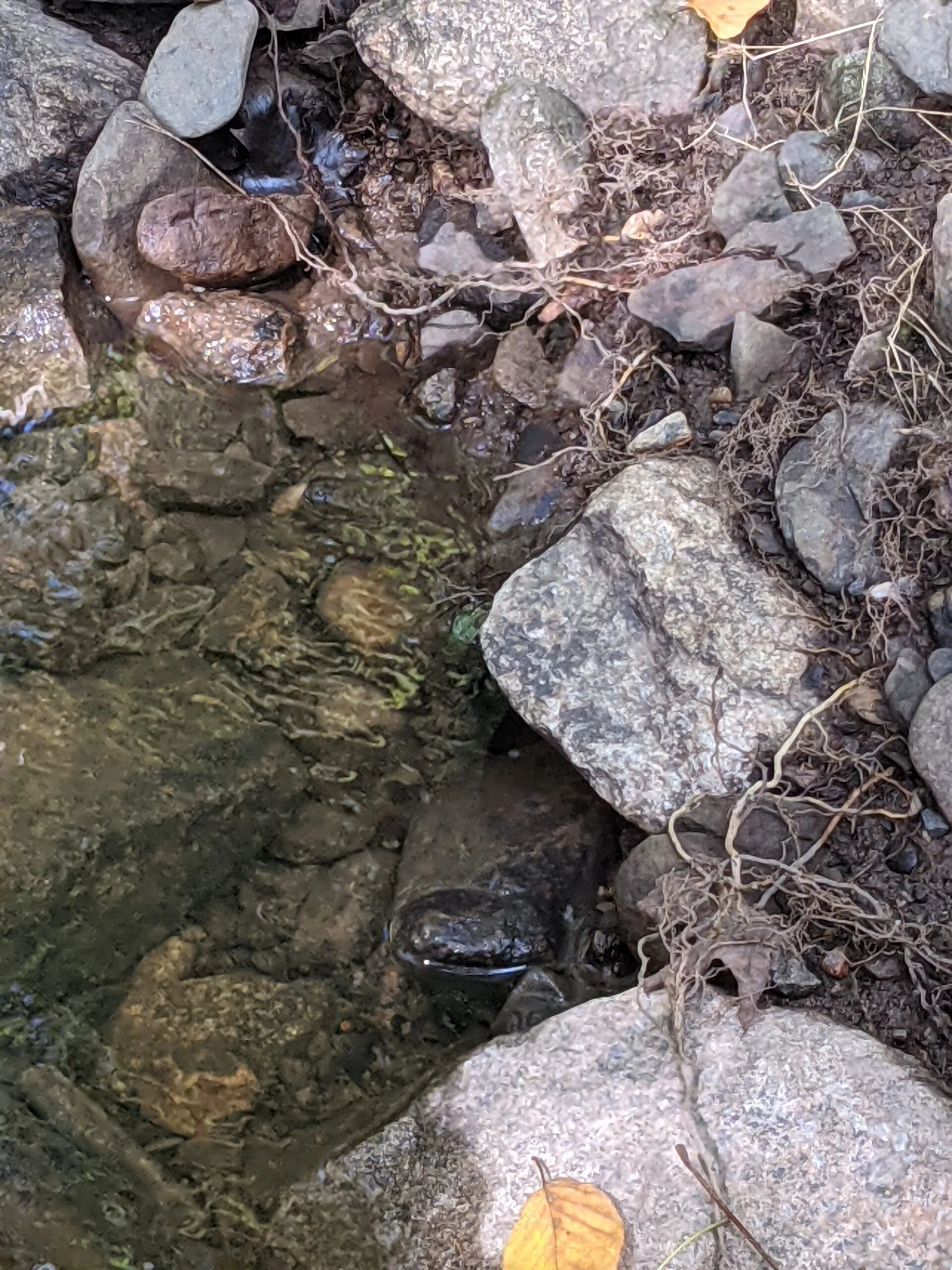
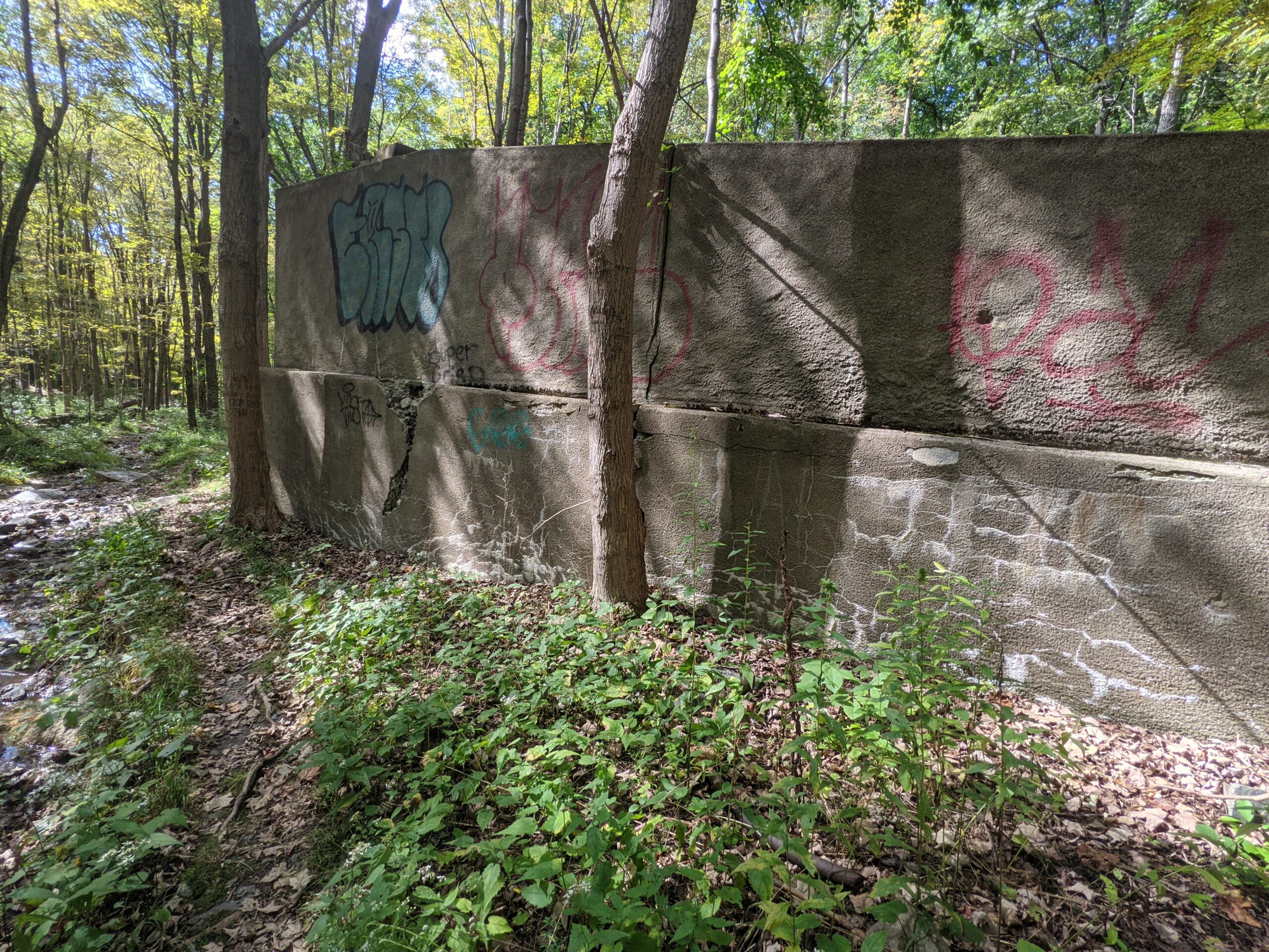
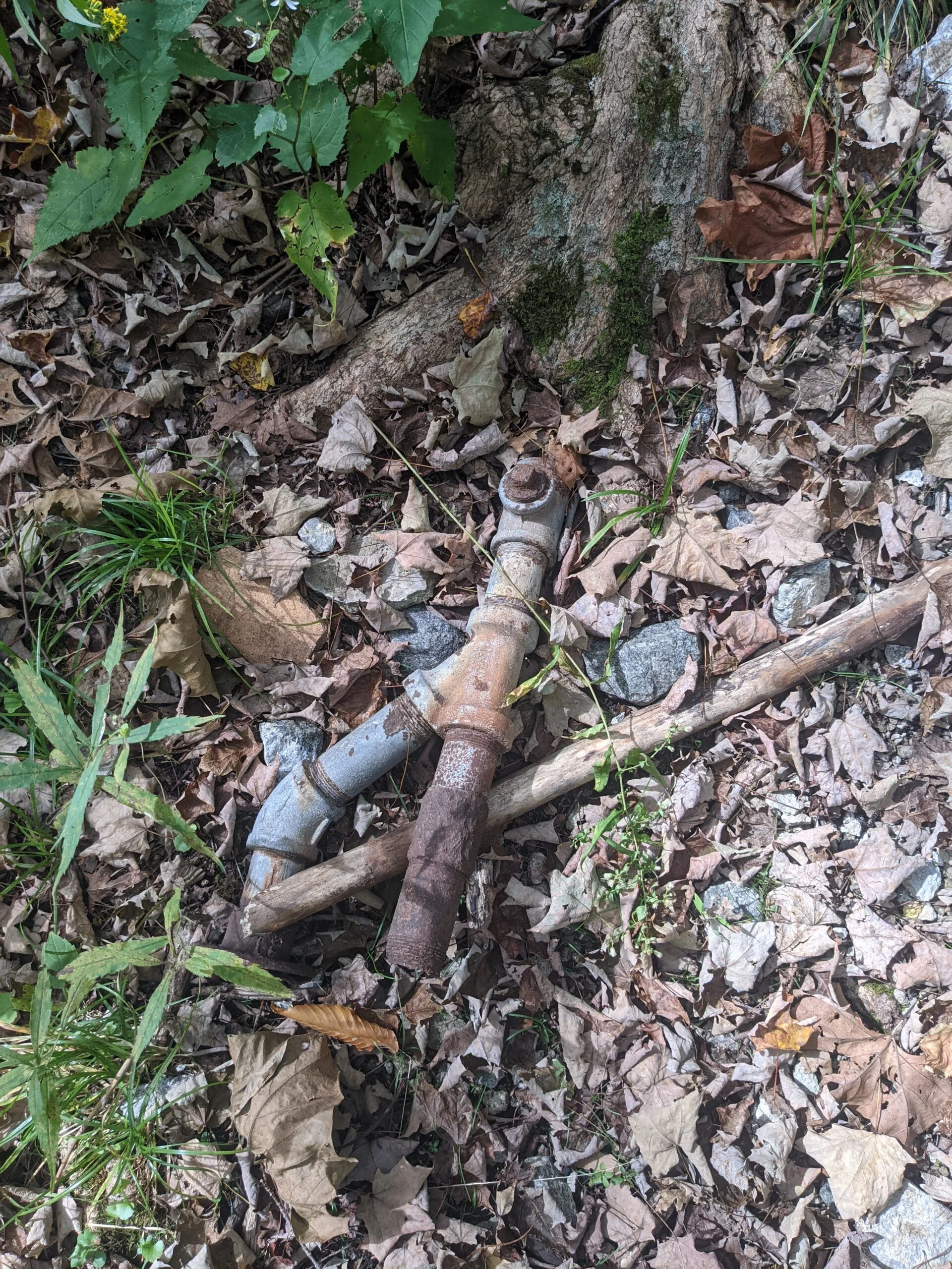
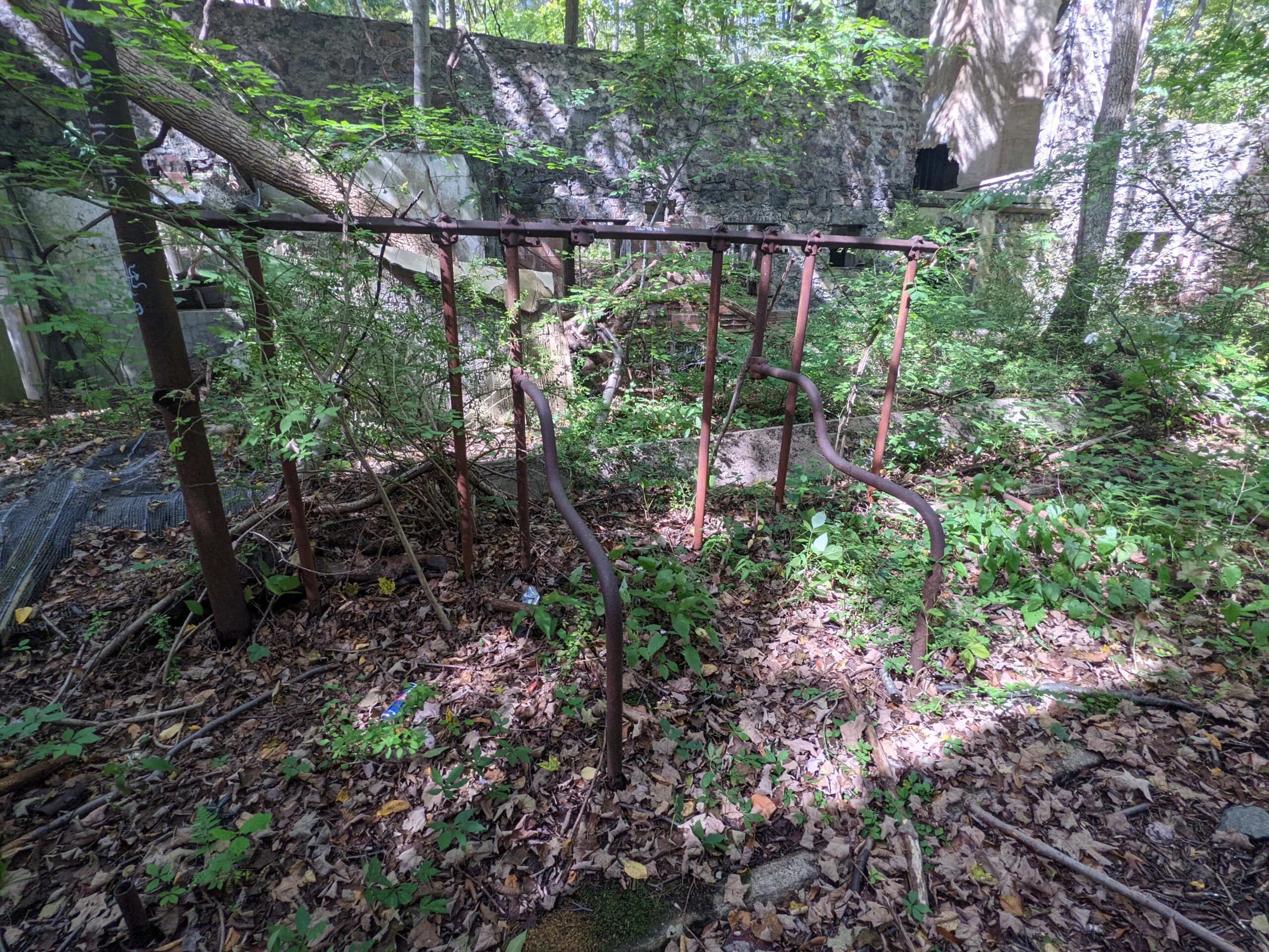
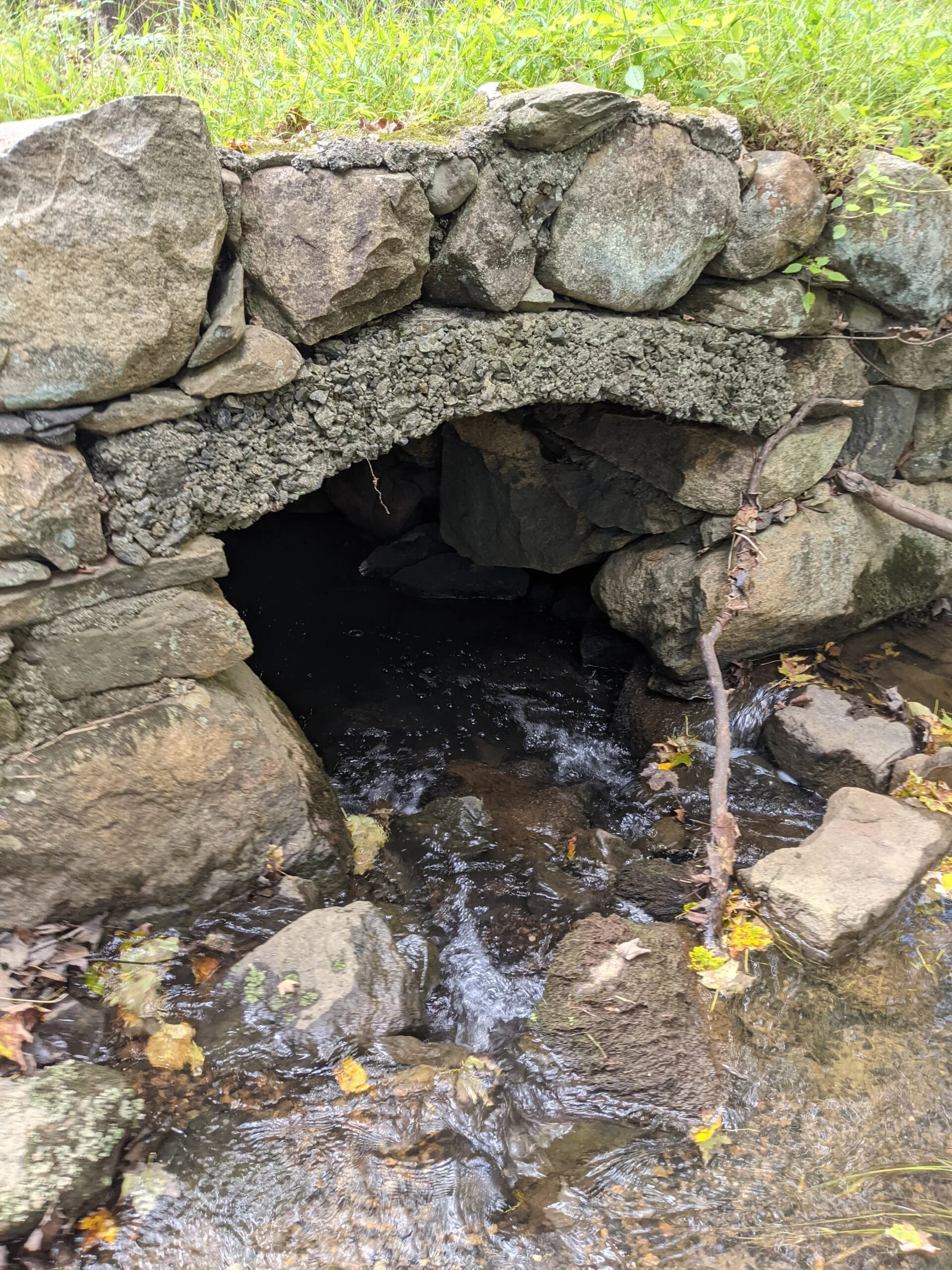
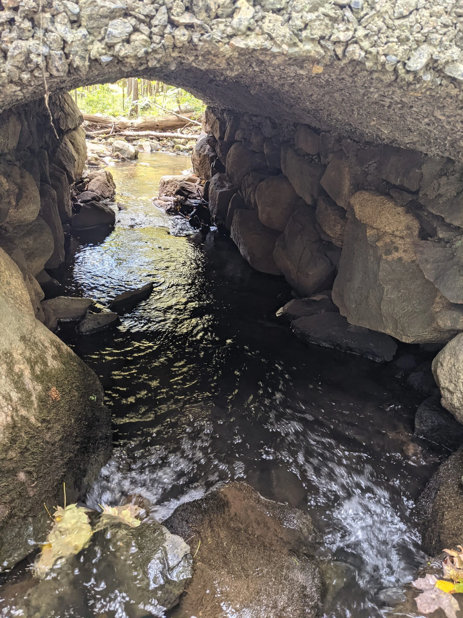
Further down the path, I found a 2-level man made waterfall, labeled as a dam on the map. In either case, water always fascinates me and I spent over 10 minutes taking photos and videos from various angles. Not far from the waterfall is the pump house, which fed water into a cistern at a higher elevation, which would then gravity feed water to the estate and its buildings.
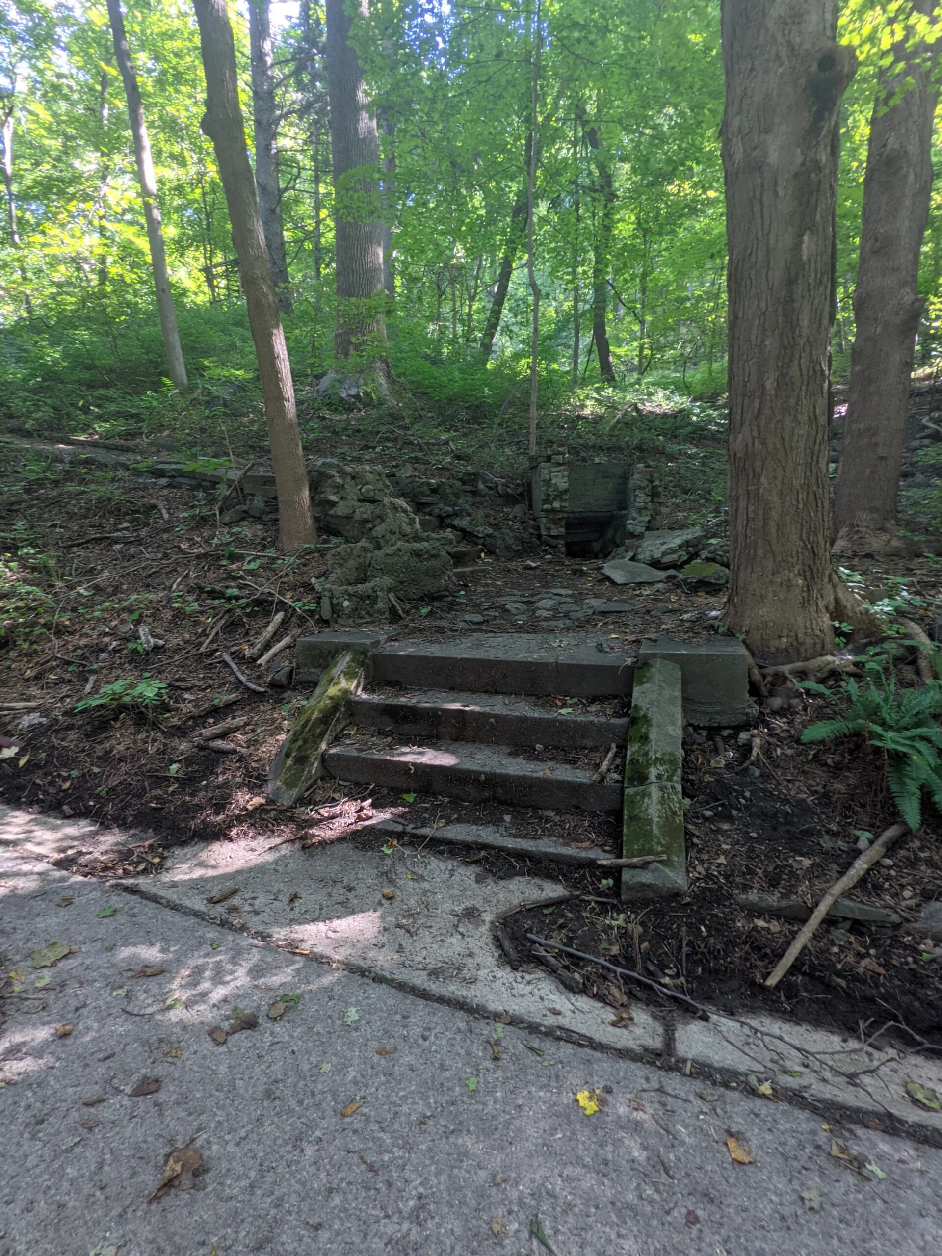
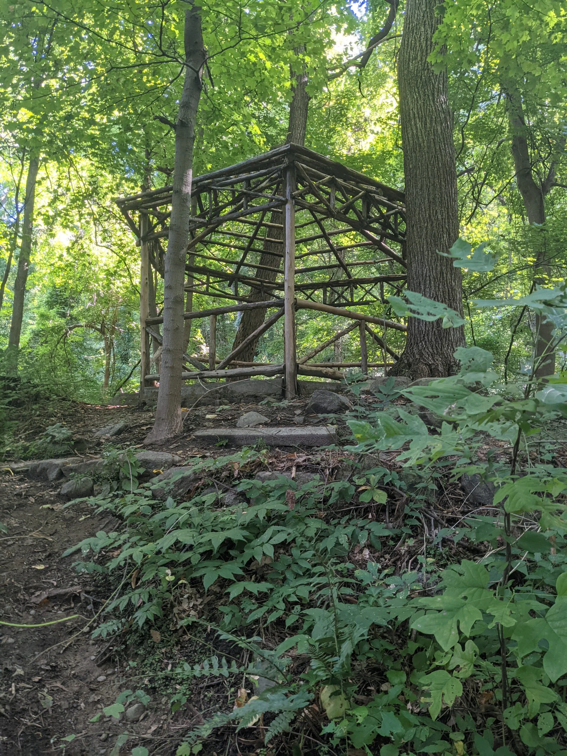
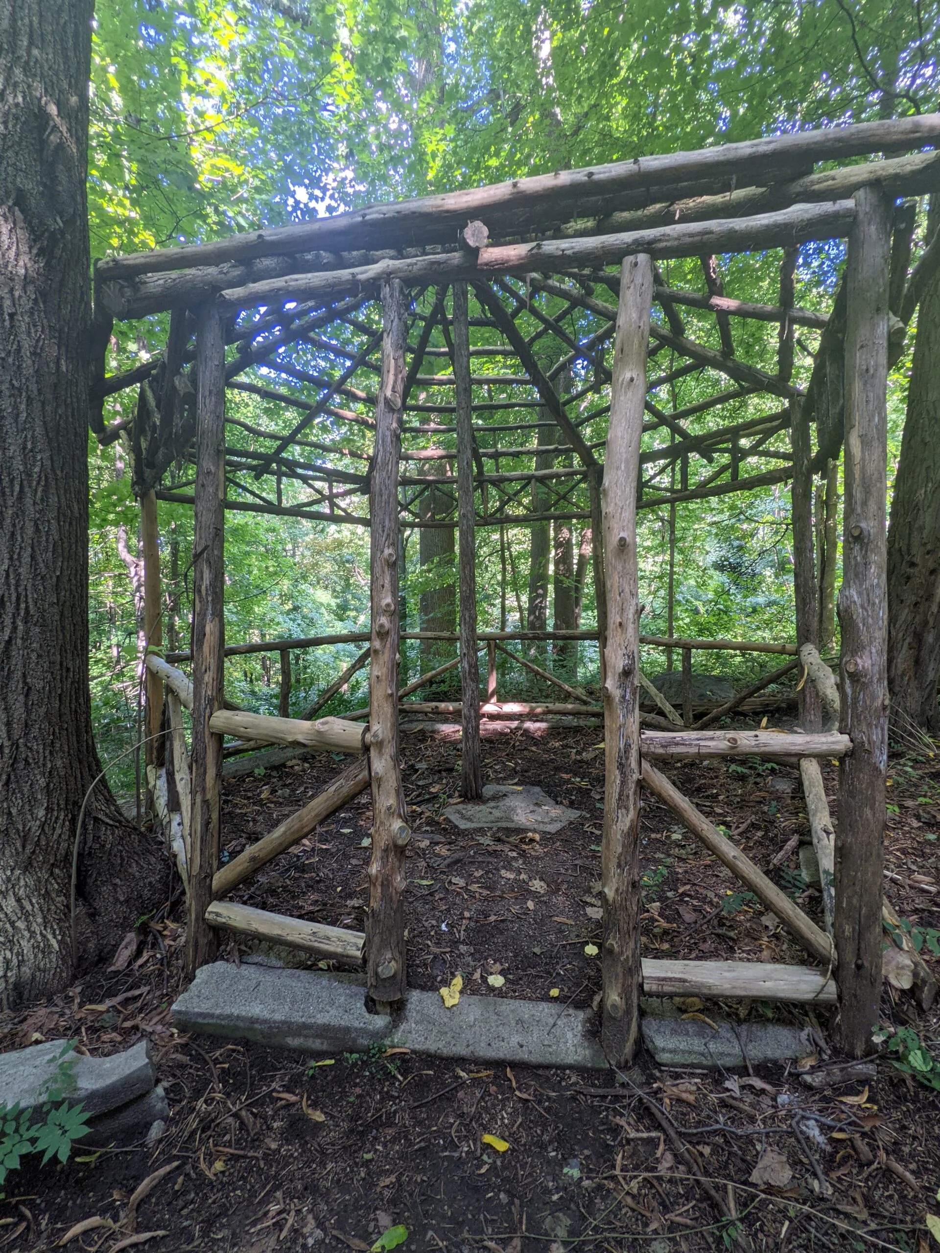
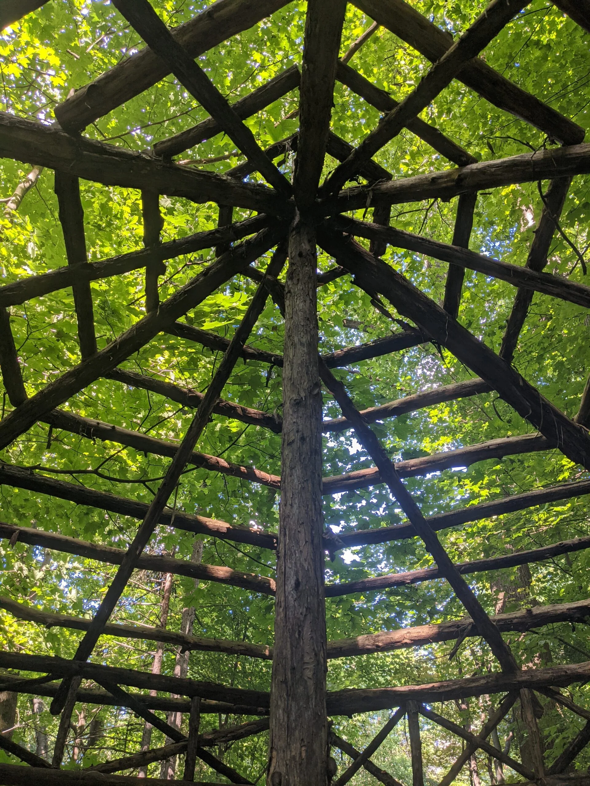
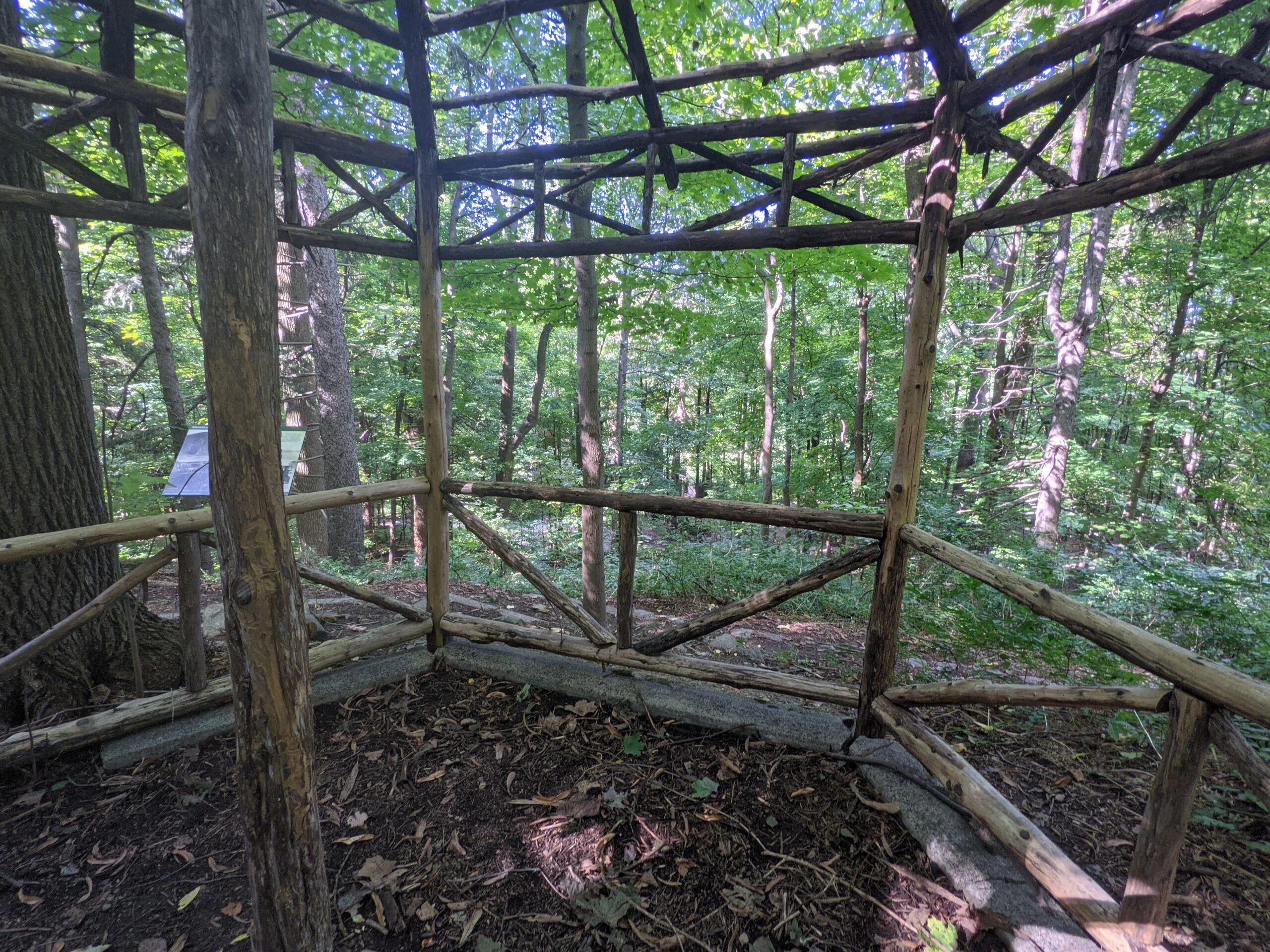
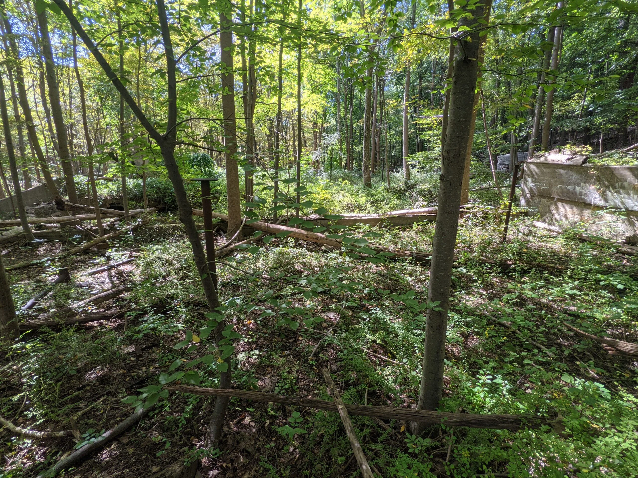
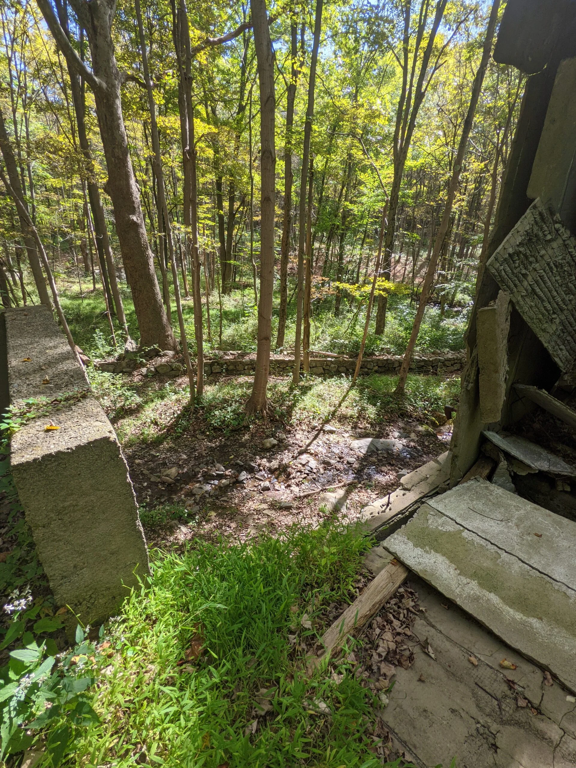
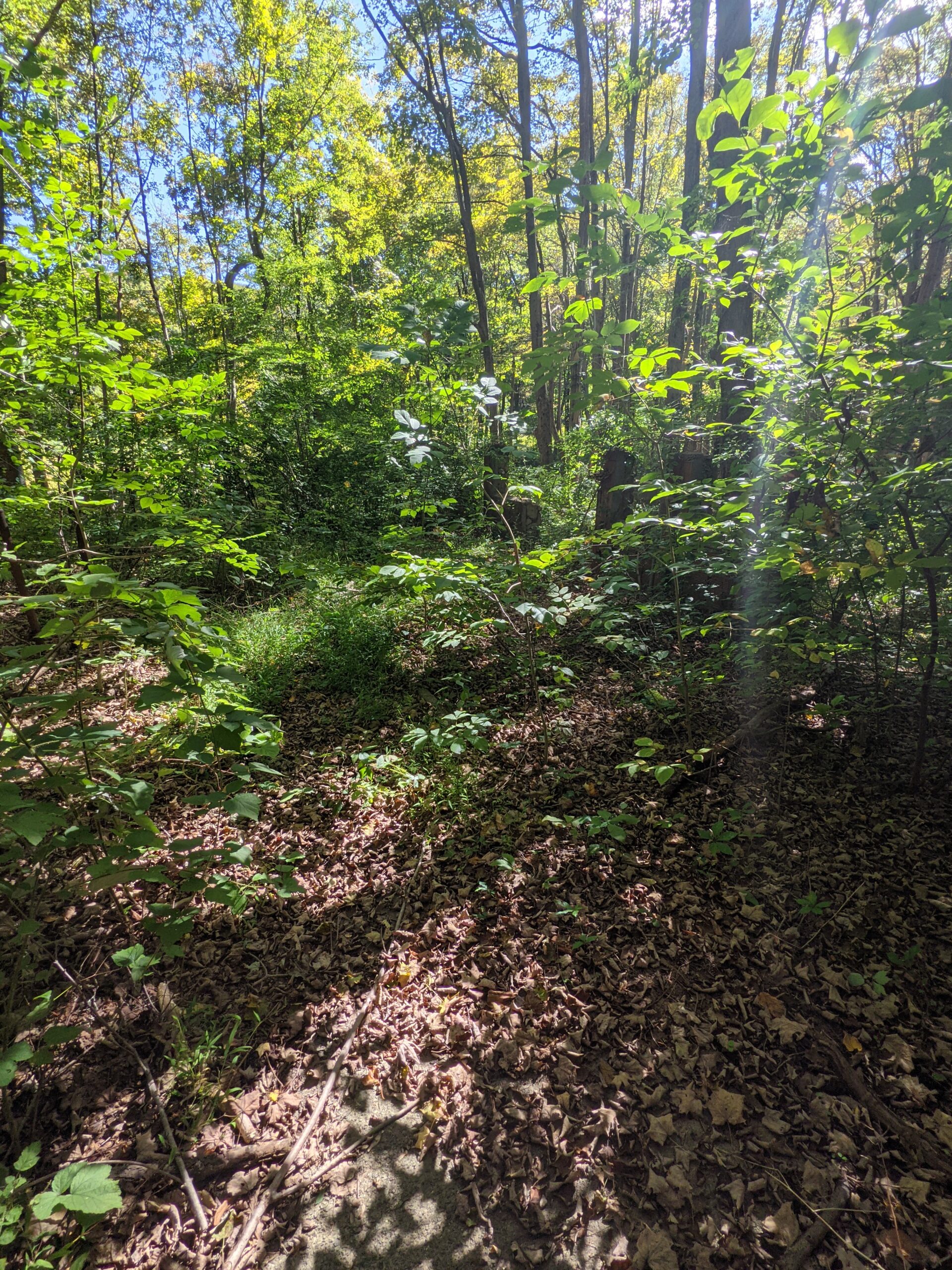
At this point, I turned around and started heading back to the estate. I noticed a water-filled foundation off to the right, slightly before and behind the chauffeur’s garage. This isn’t labeled on the map, so I’m not sure what it was. While reviewing the map, I realized I had missed the gazebo, spring house, and playhouse areas behind the estate, so I walked up to check them out. The gazebo was easy to find, the wood frame having been rebuilt about 7 years ago as an Eagle Scout project, based on the layout of original concrete foundation and old photographs.
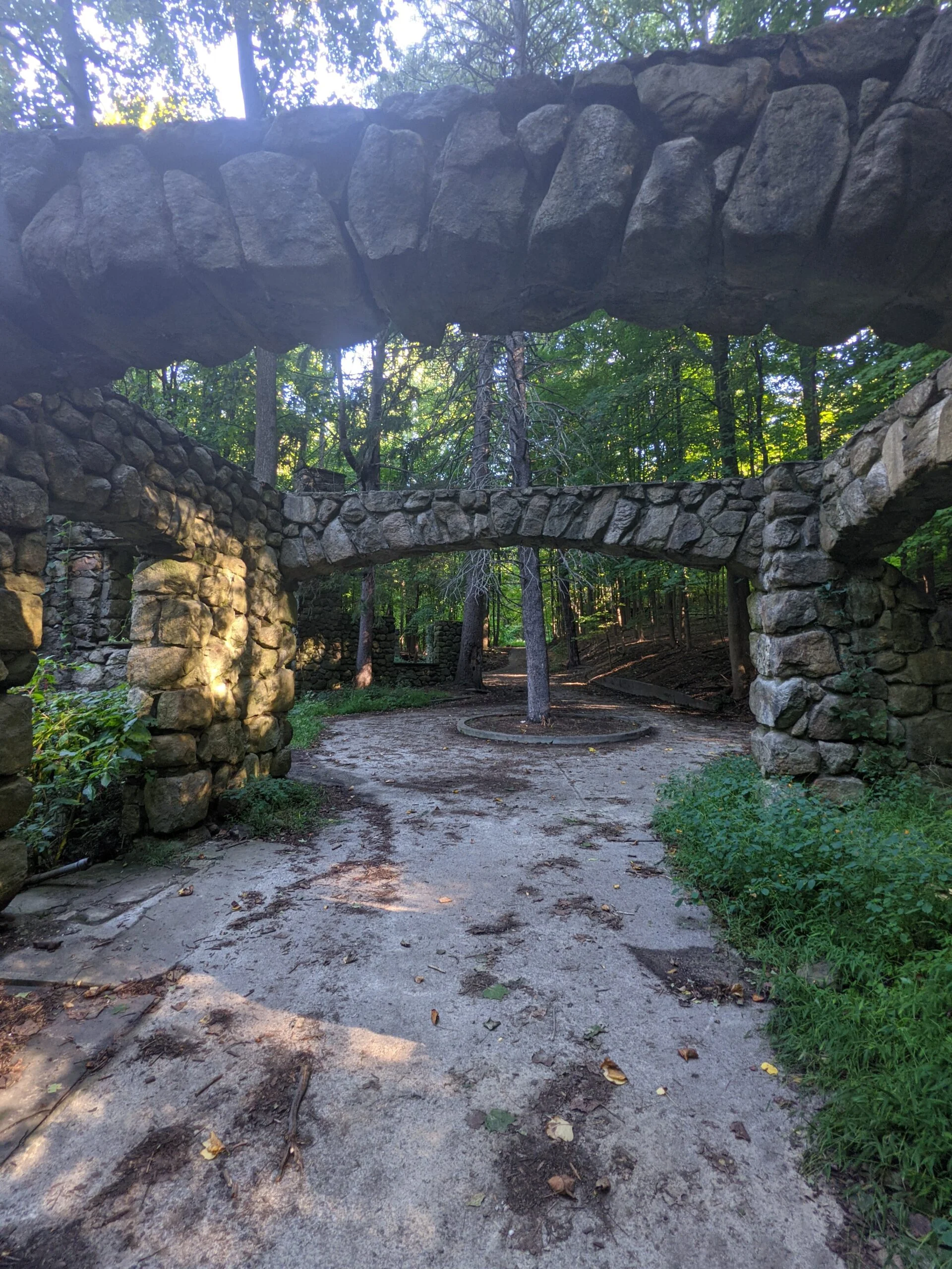
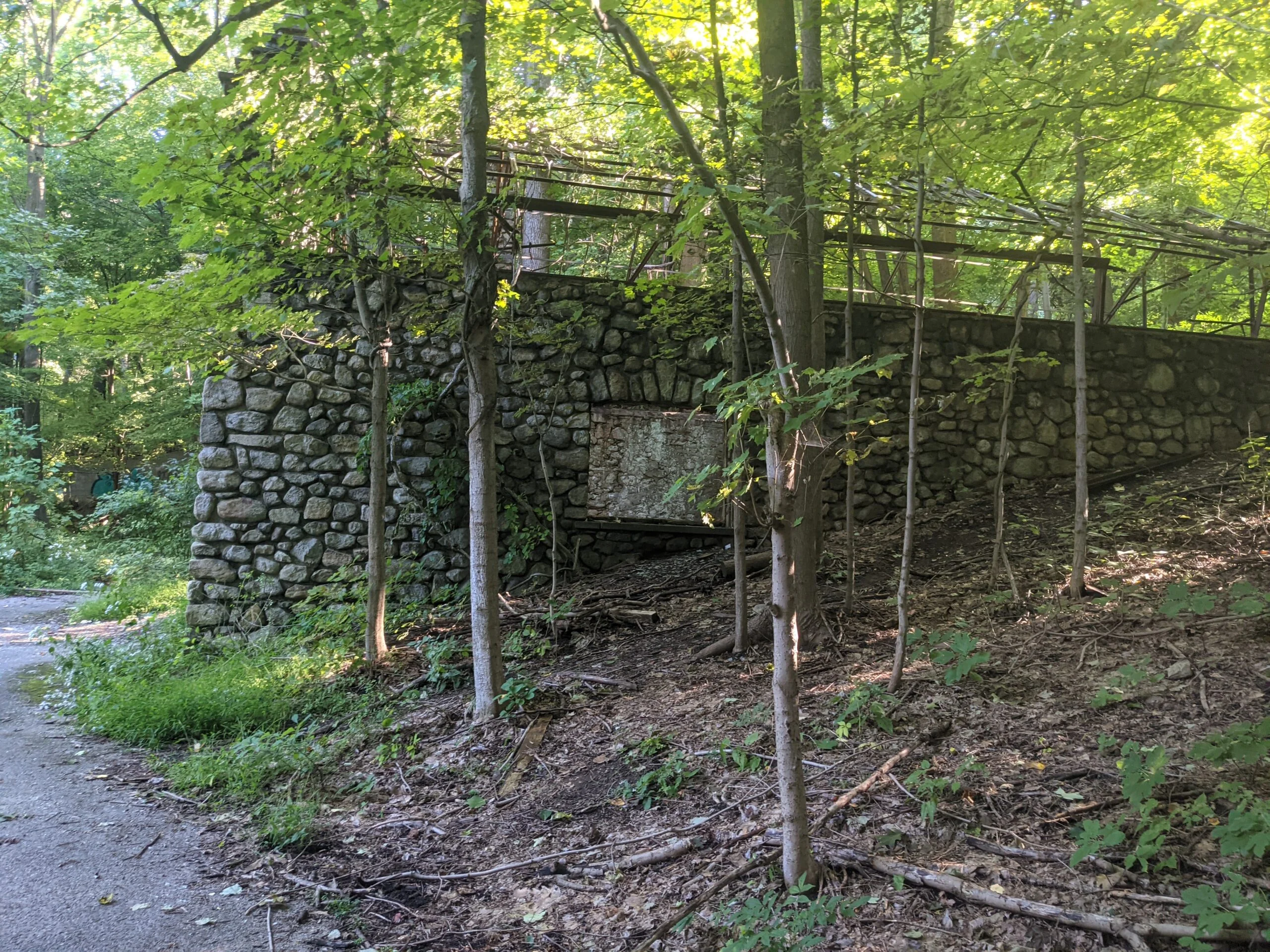
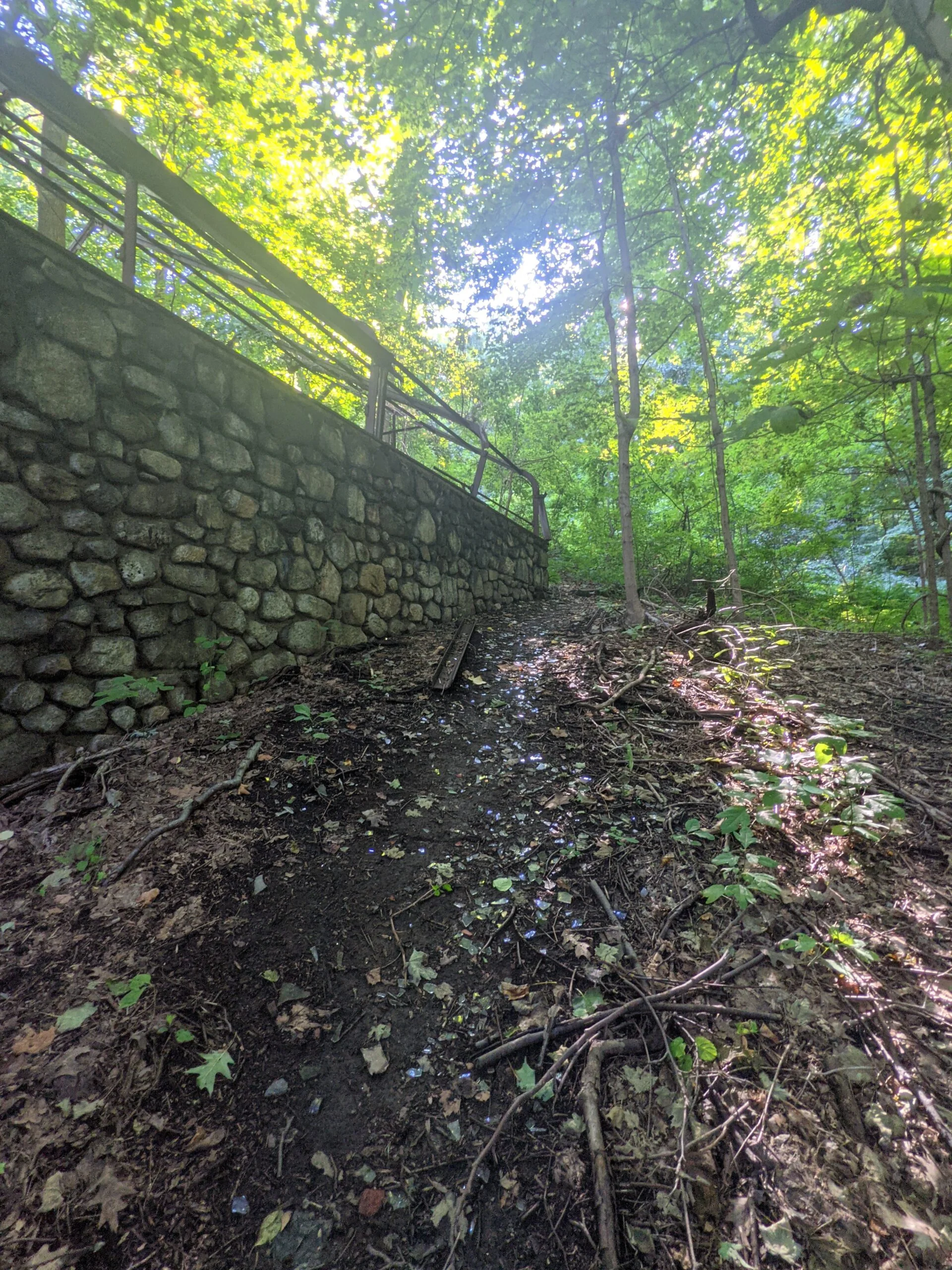
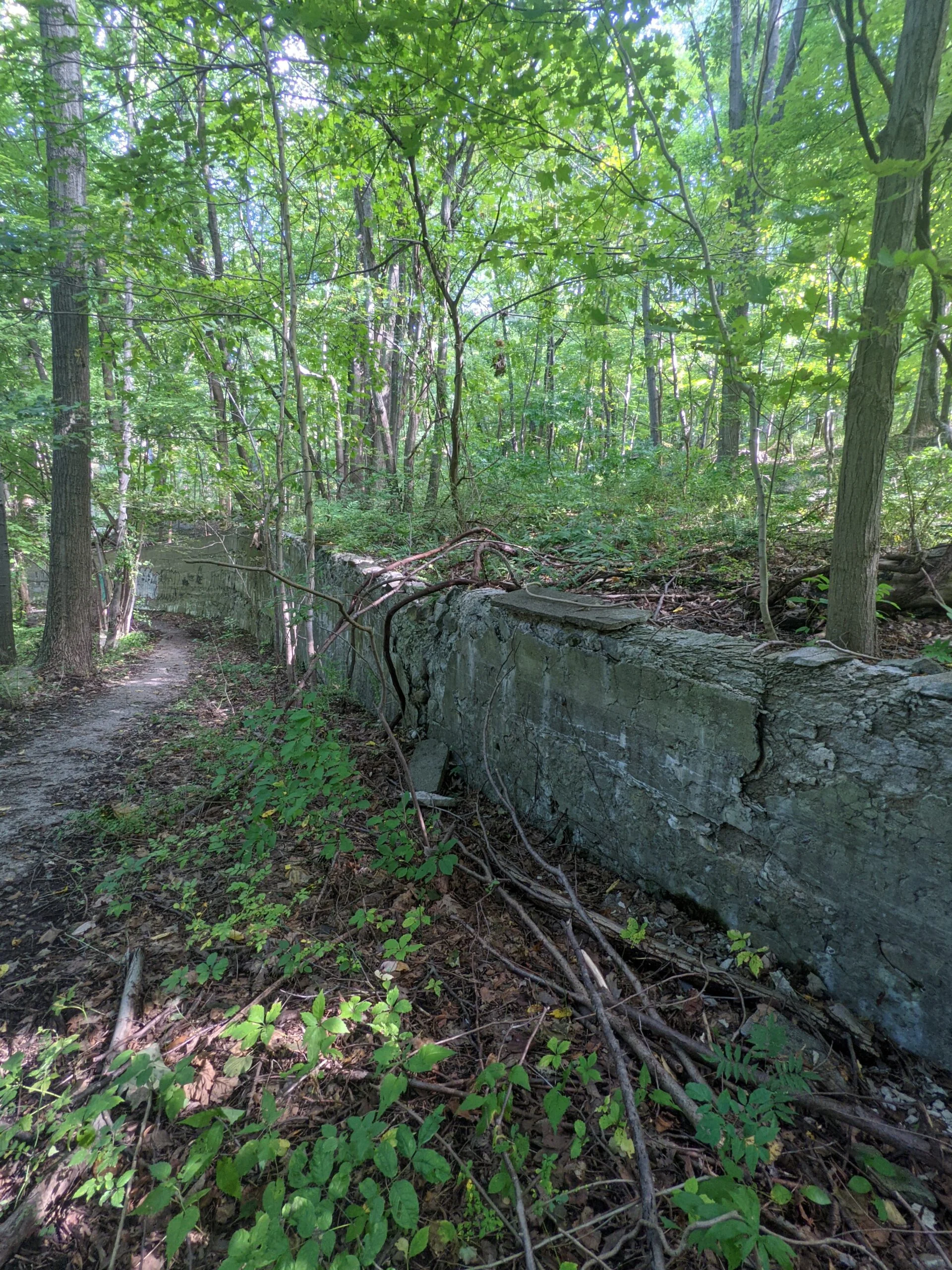
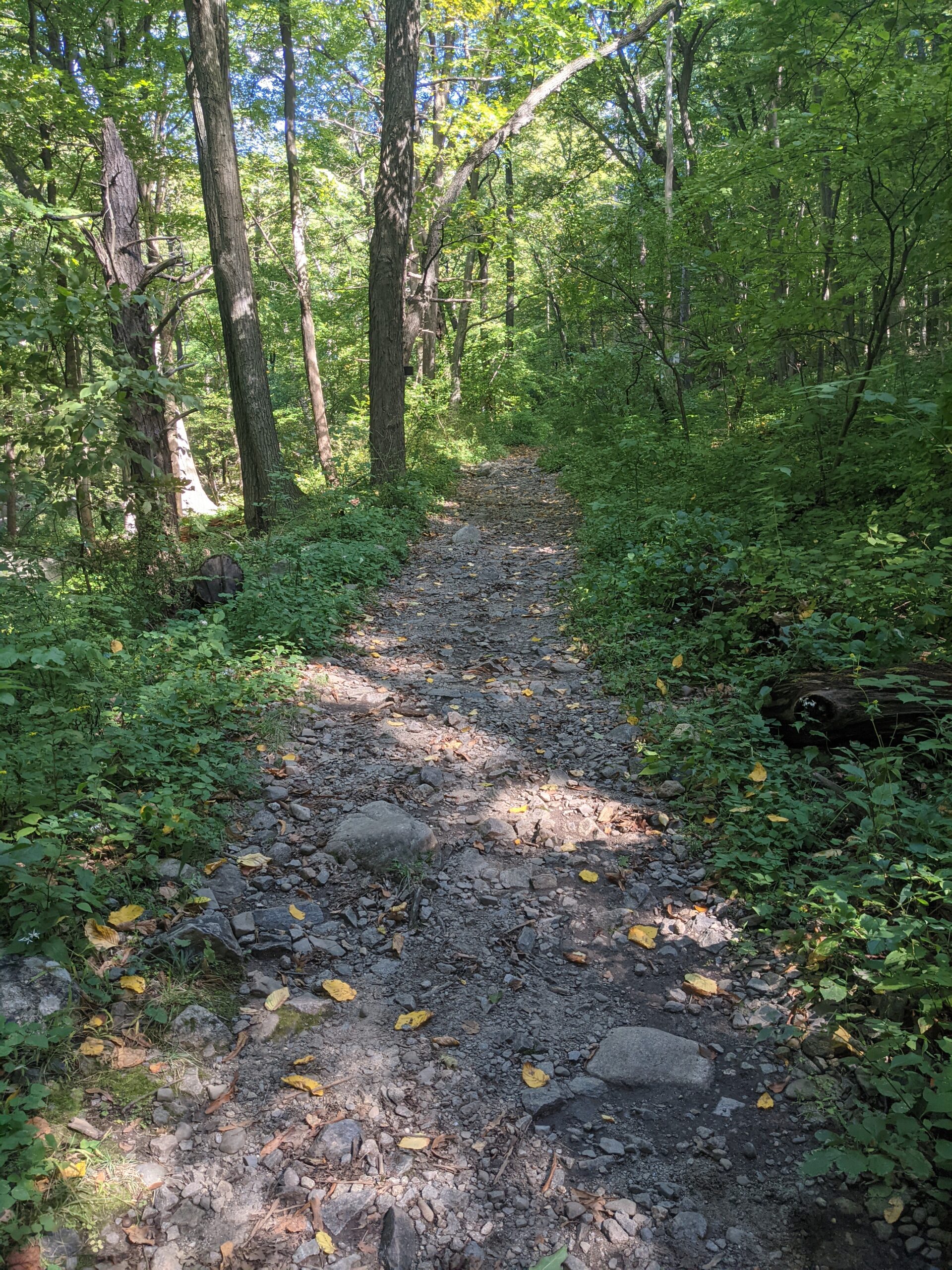
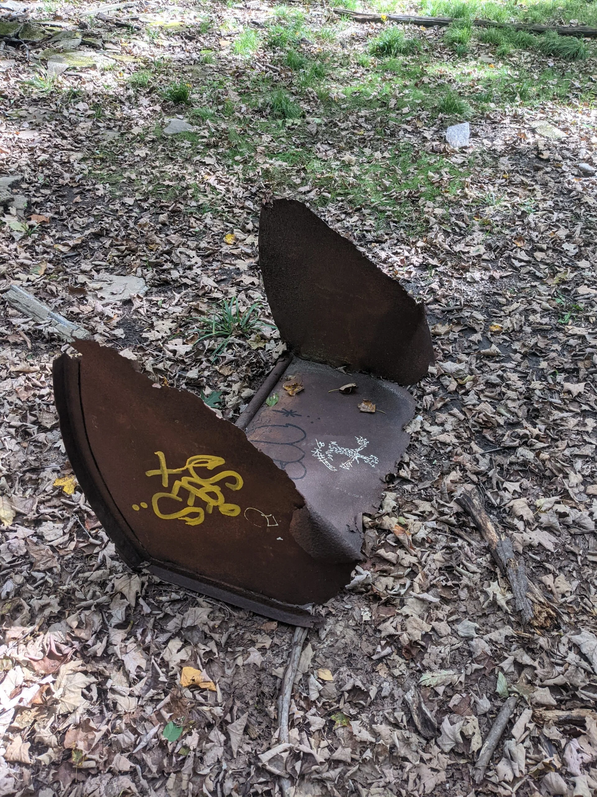
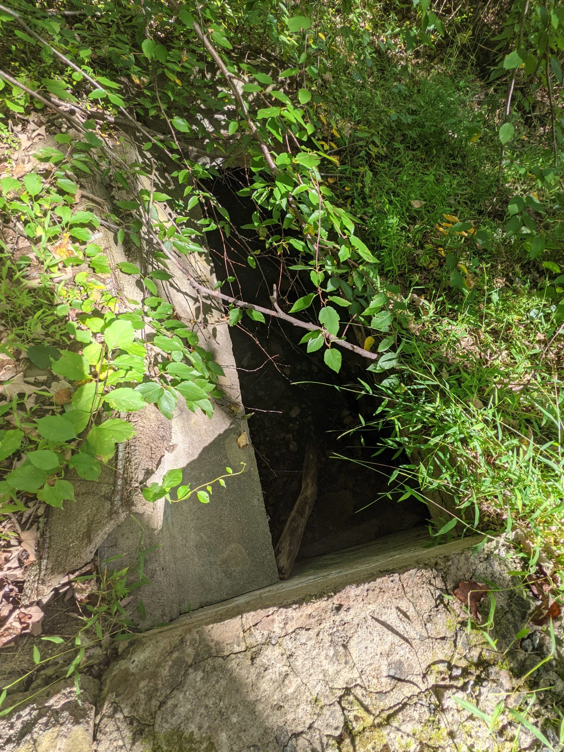
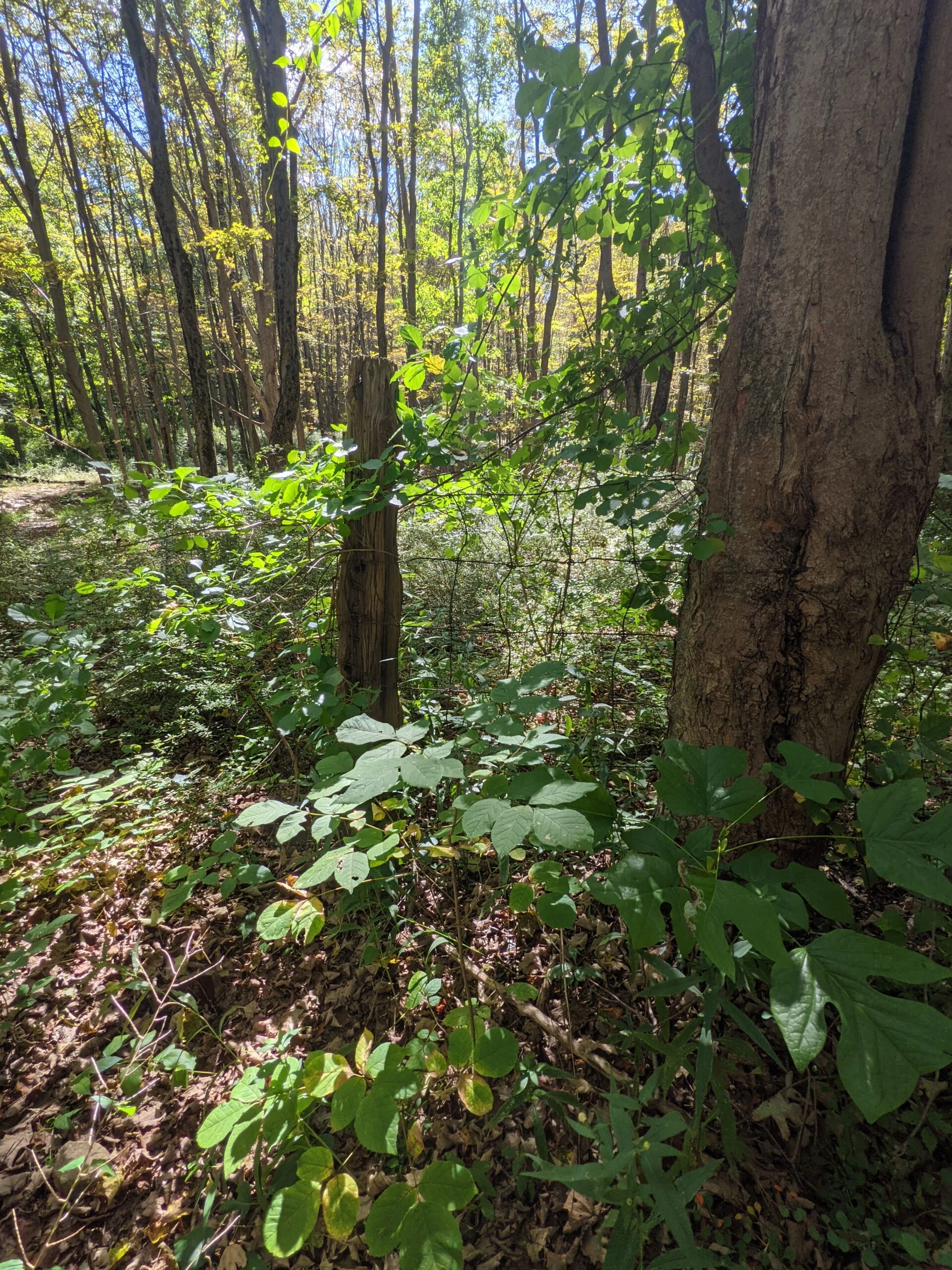
I went back to the barn and stable area to give it a final look, then followed a large retaining wall up to the Cornish trail, which I followed north. I had been exploring the ruins for over 90 minutes now and decided it was time to start the rest of my journey. About 2/10 of a mile up the trail, I found the cistern used by the pump house. It was larger than I imagined and was filled with a ton of branches and some rainwater.
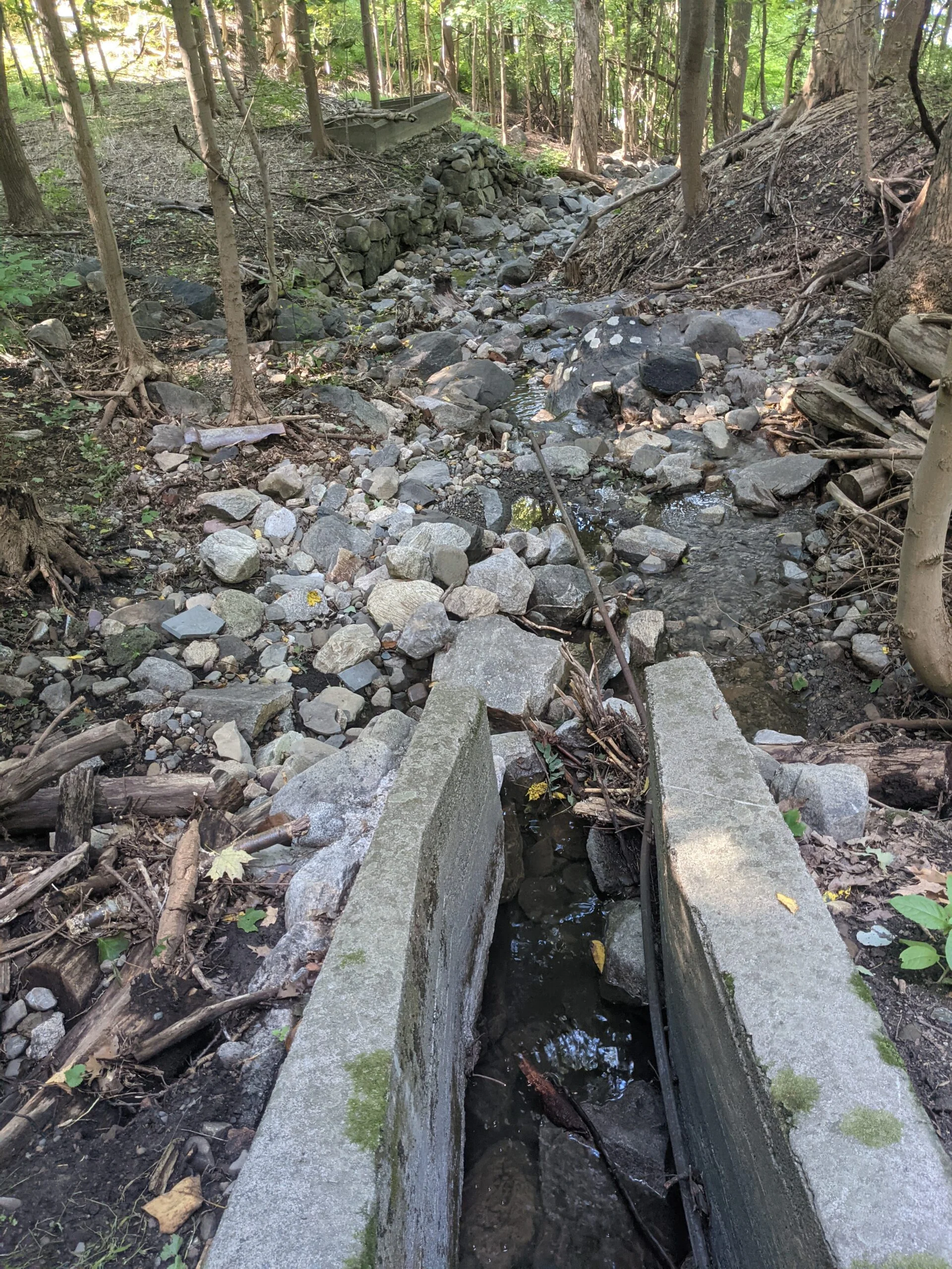
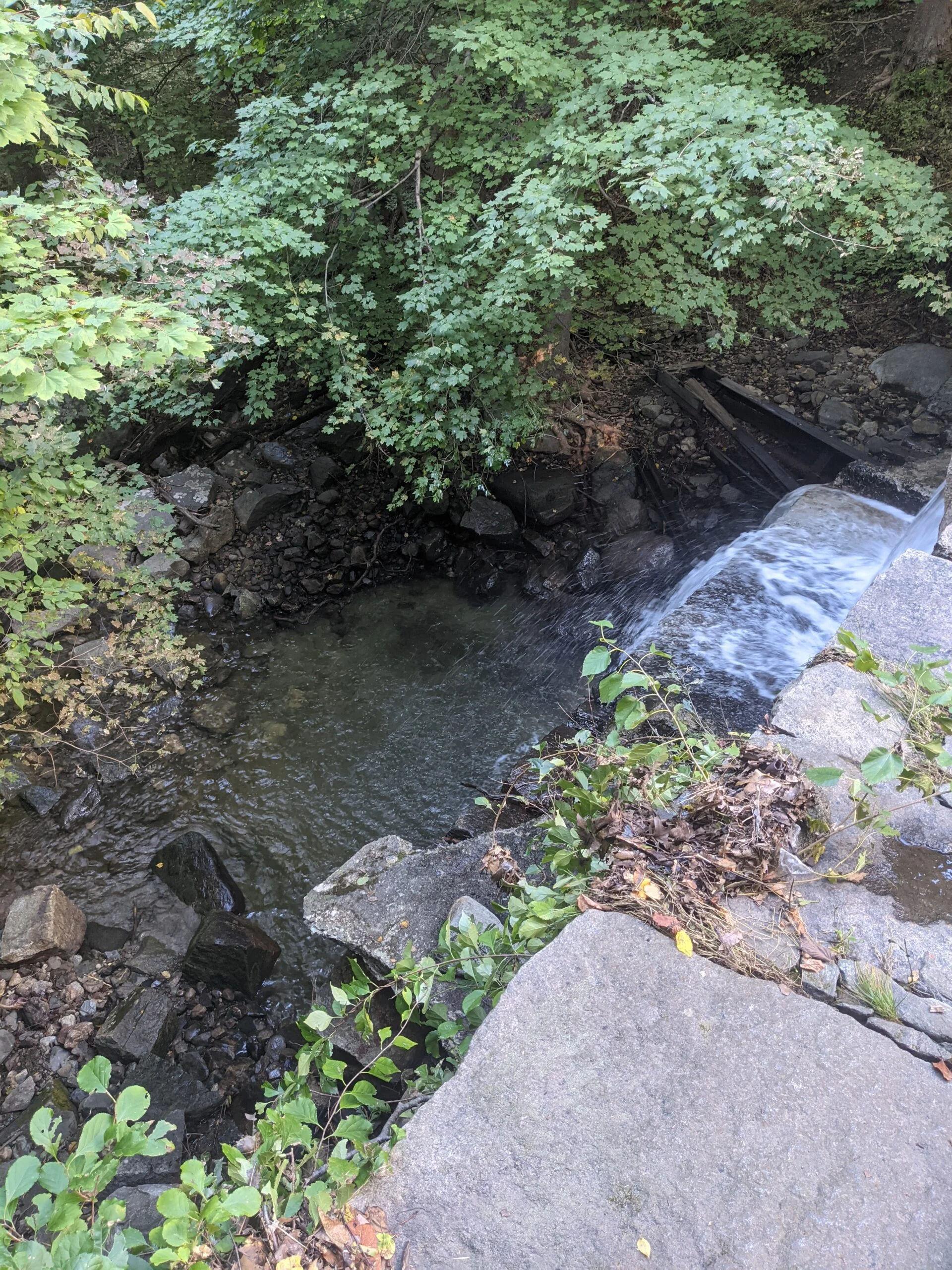
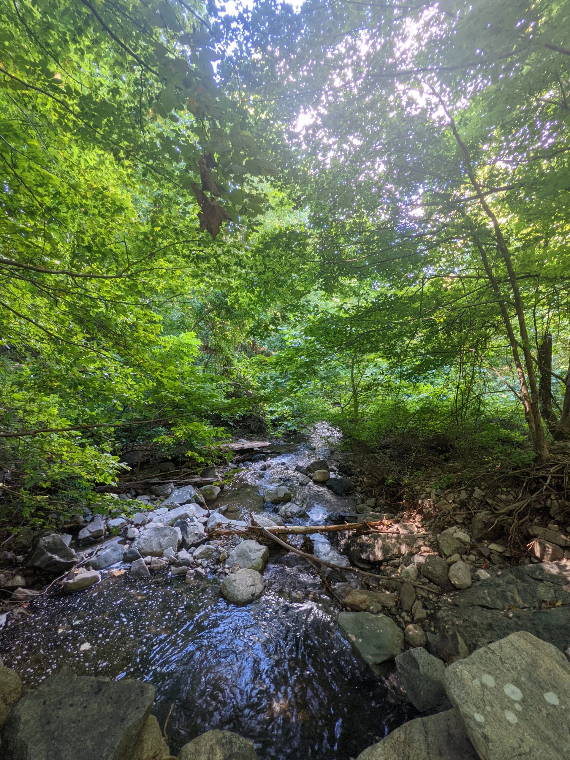
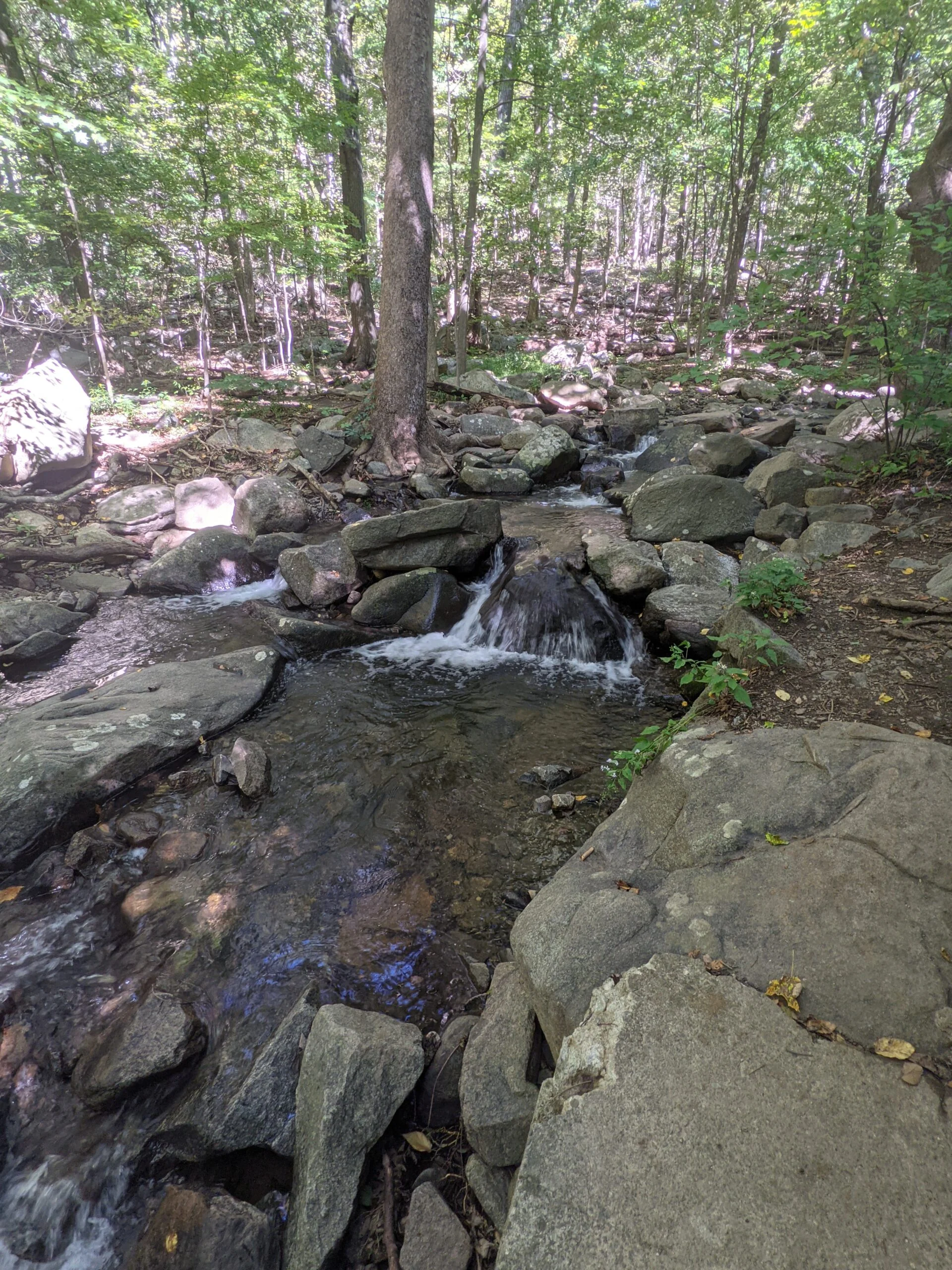
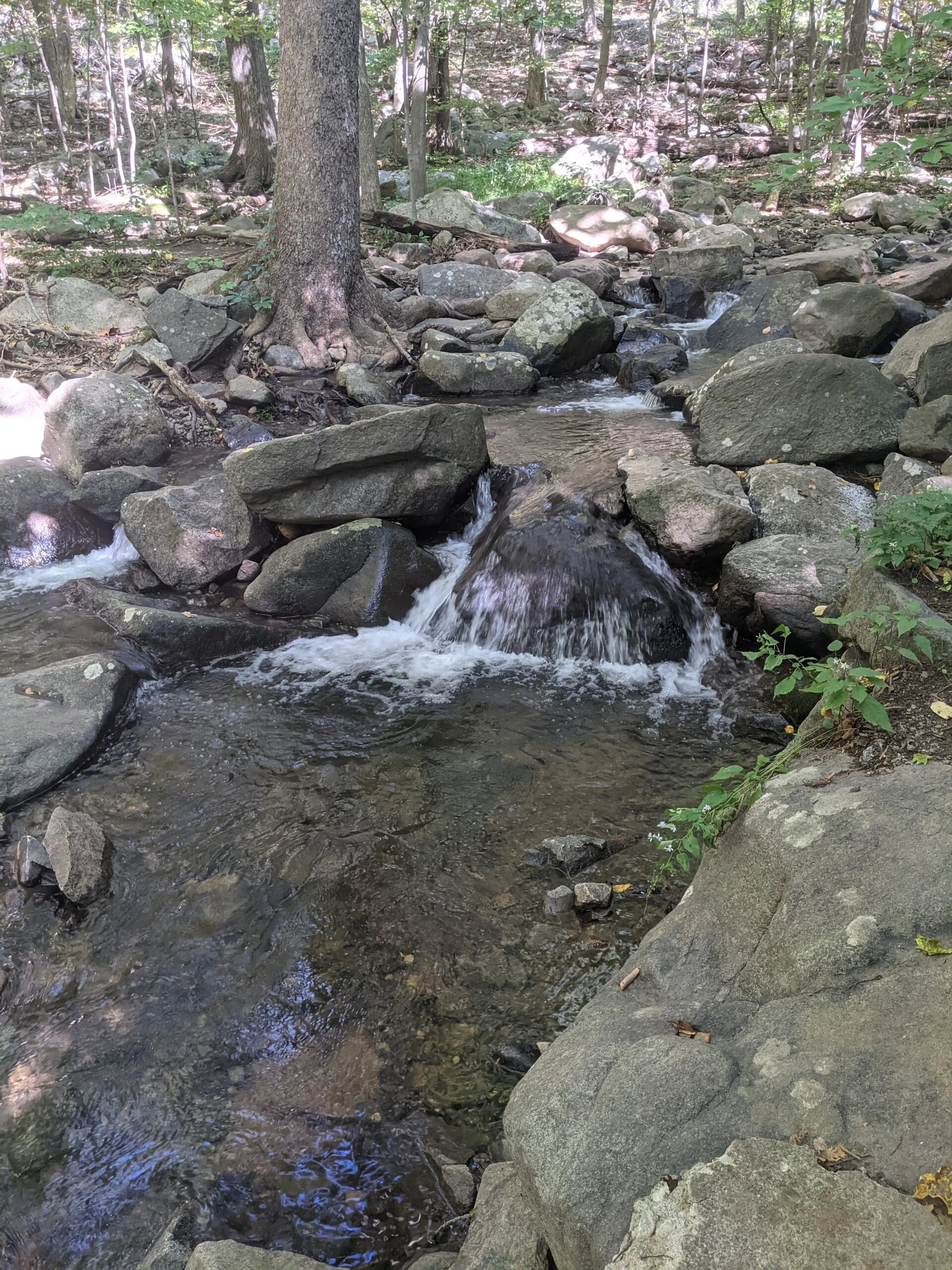
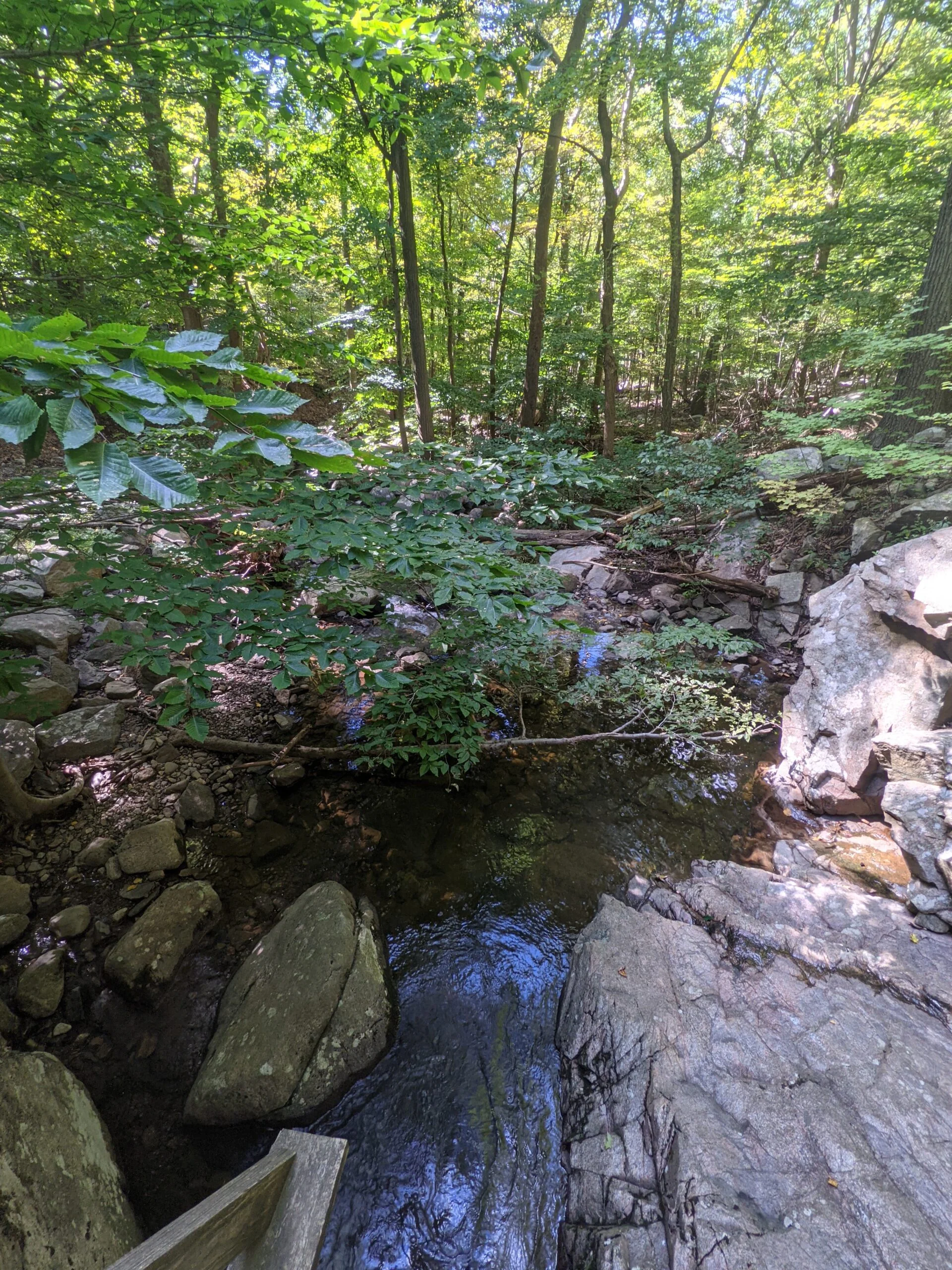
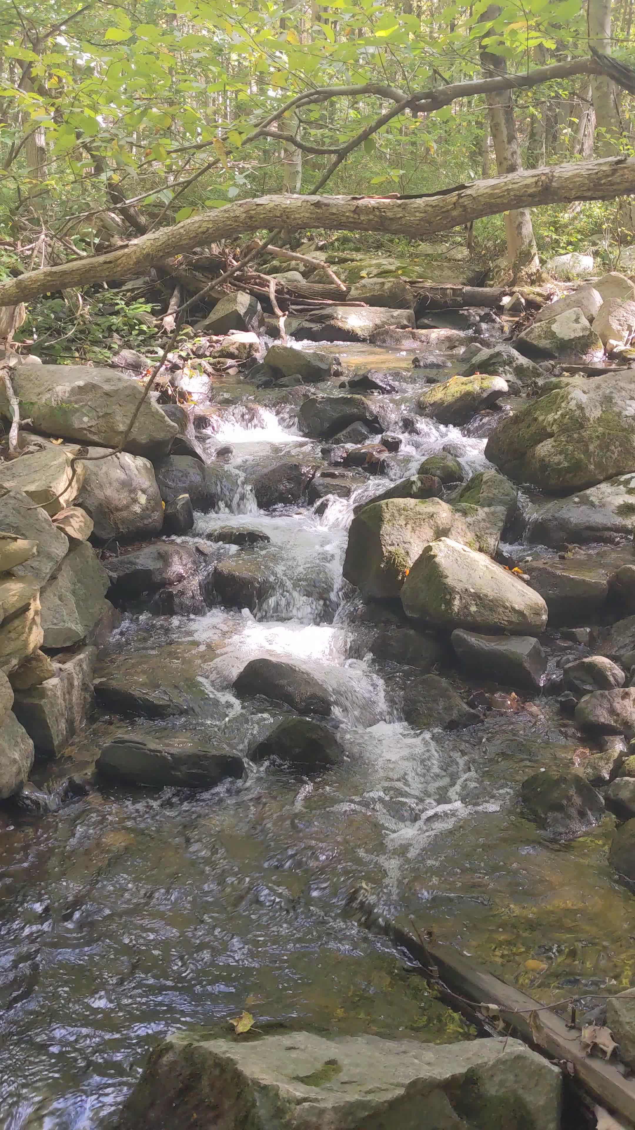
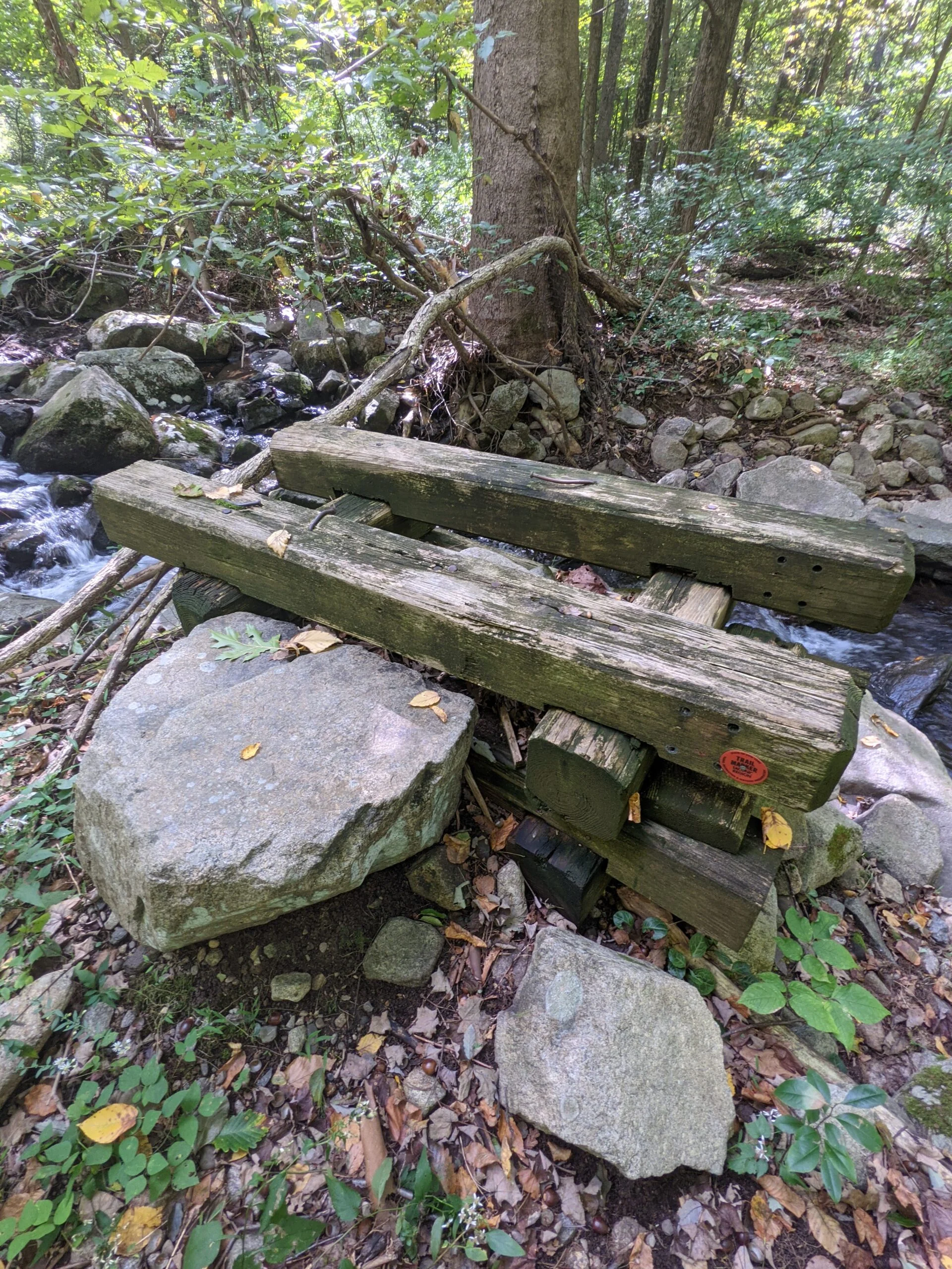
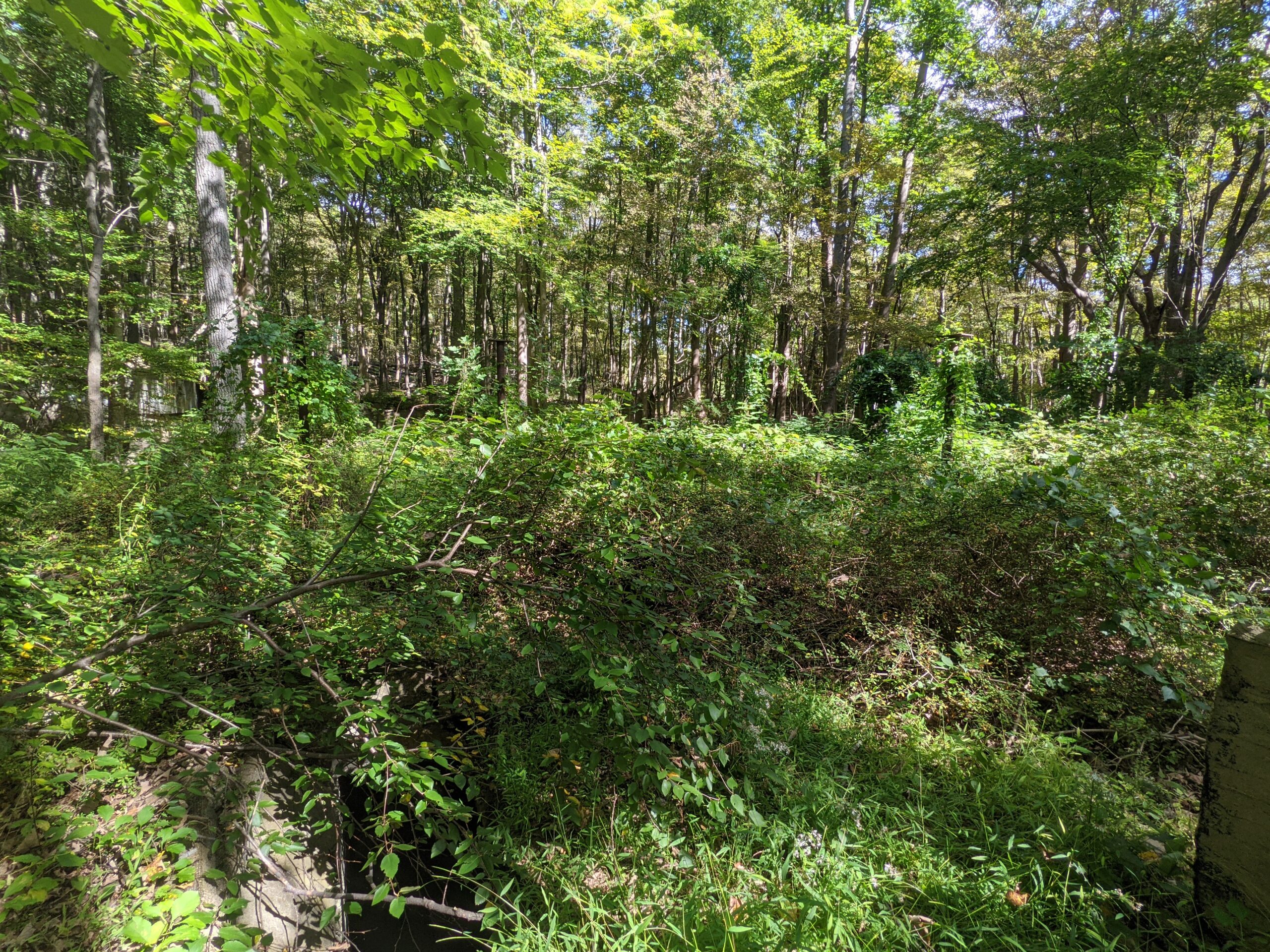
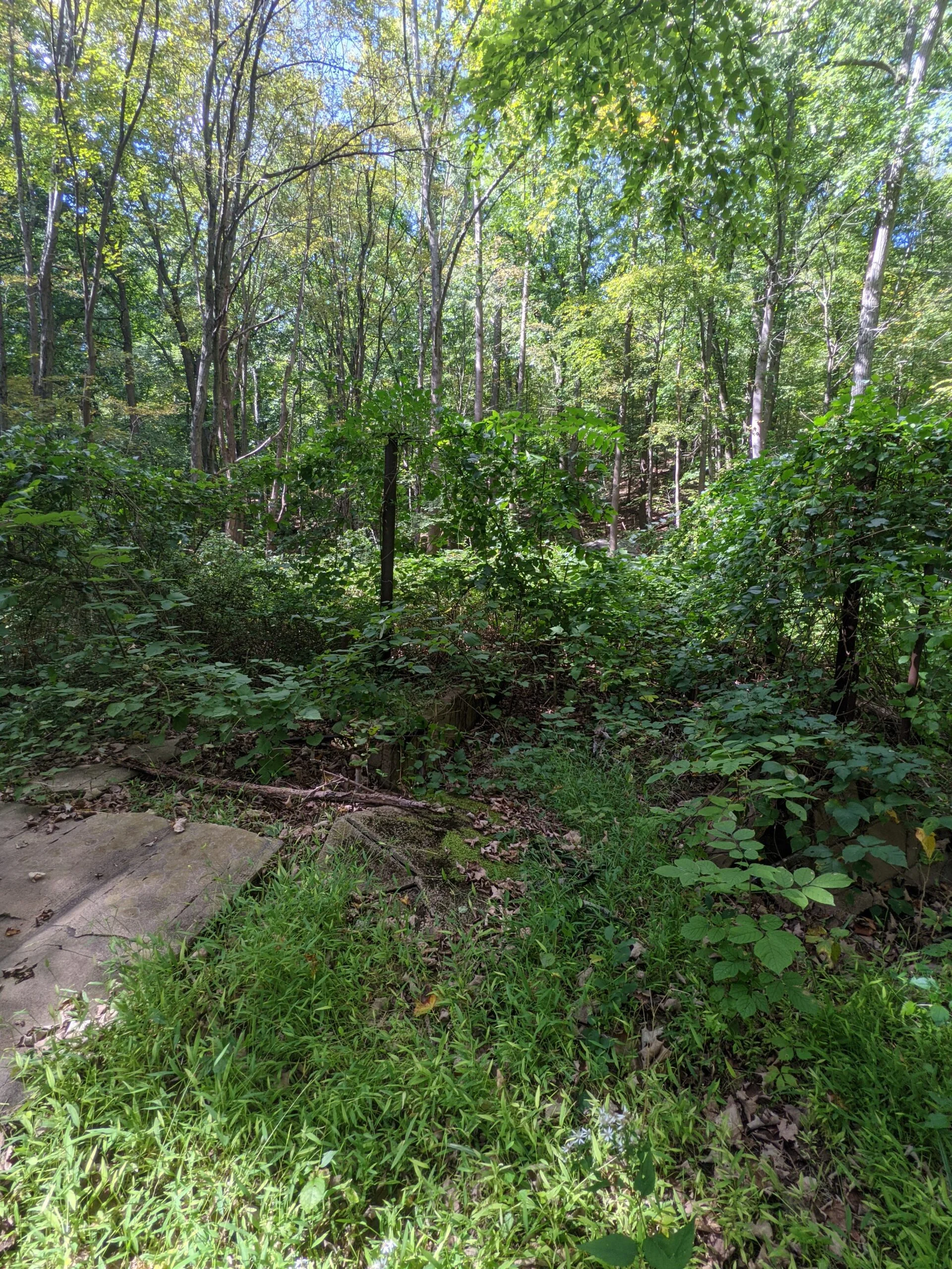
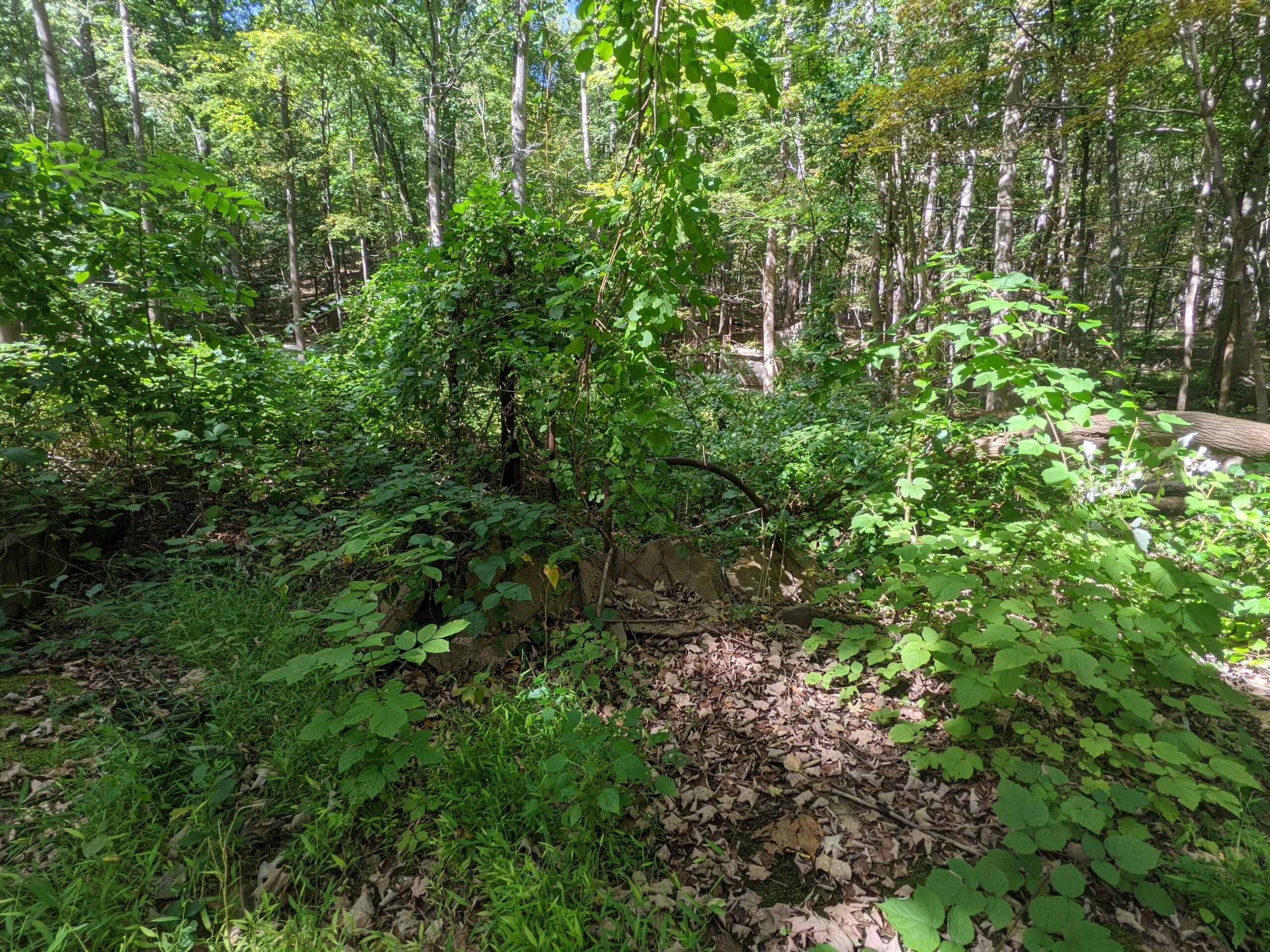
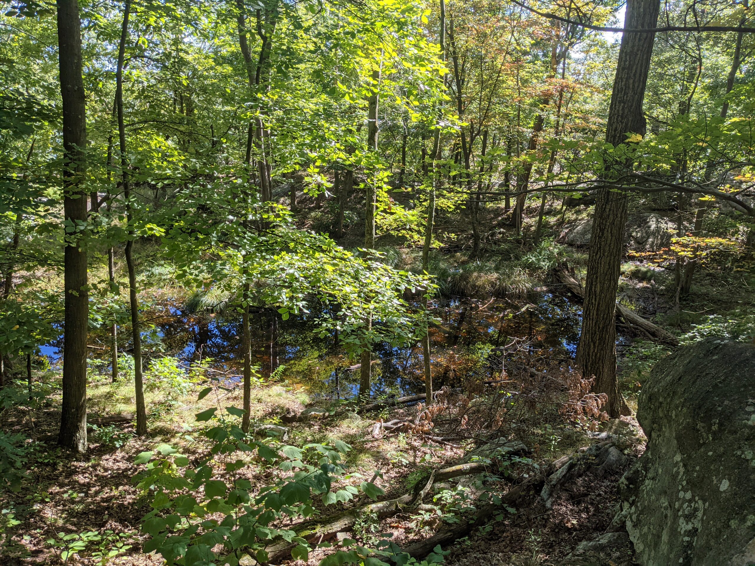
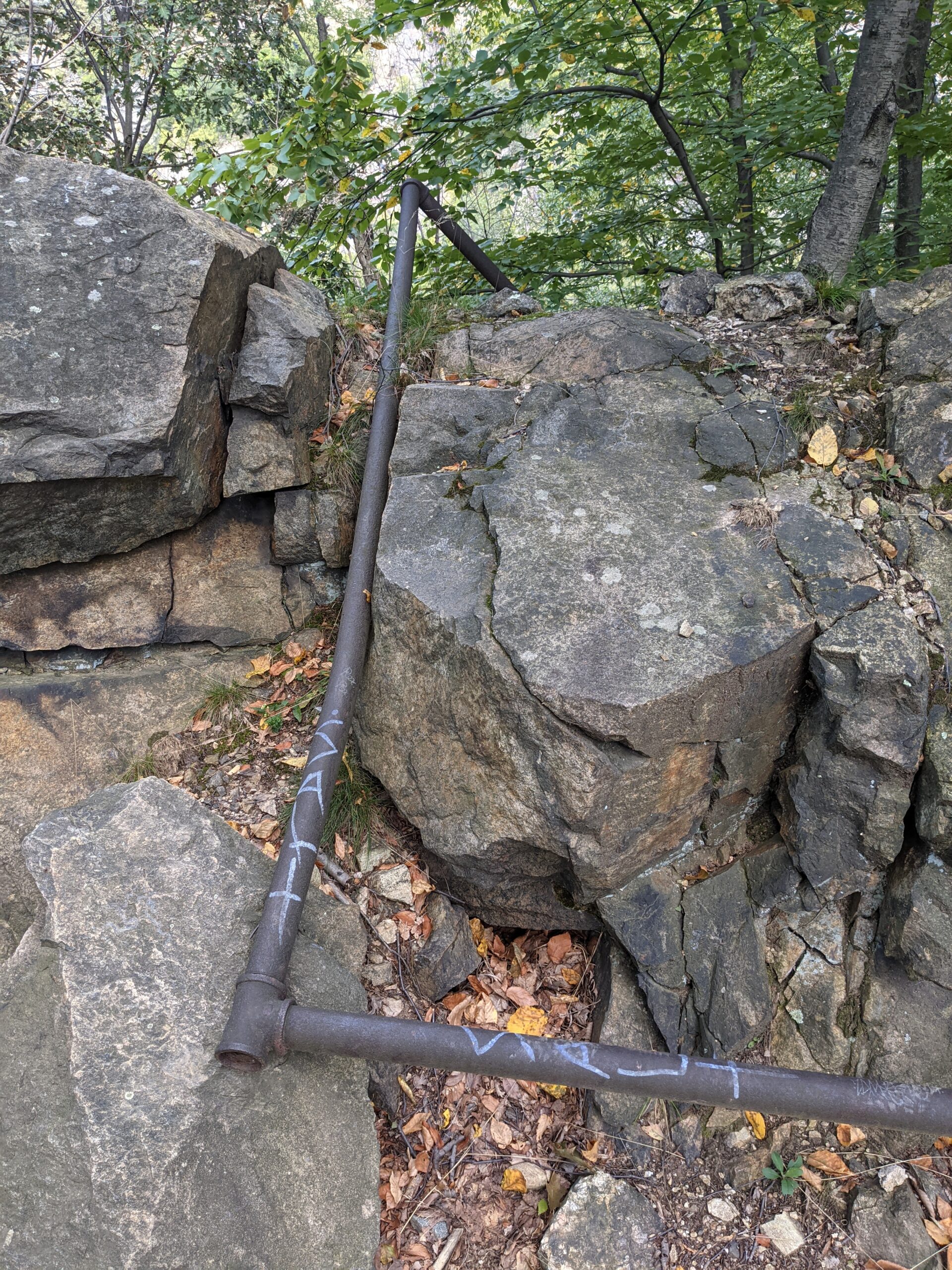
This trail mostly follows Breakneck Brook and soon turns into the Brook Trail (BK, red blazes). Along the way, where it intersects with Undercliff Bypass (UCB, green blazes), I came across a small building right on the brook that I can only assume was another pump house or similar type structure.
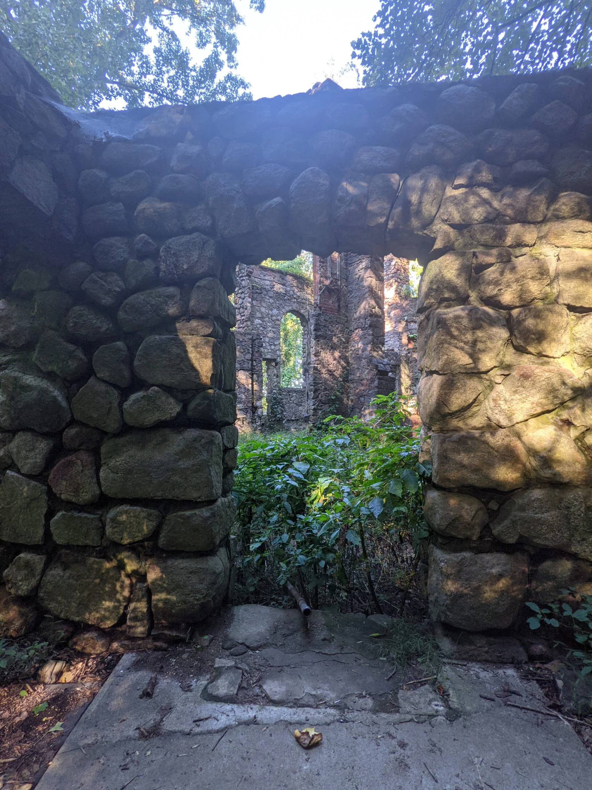
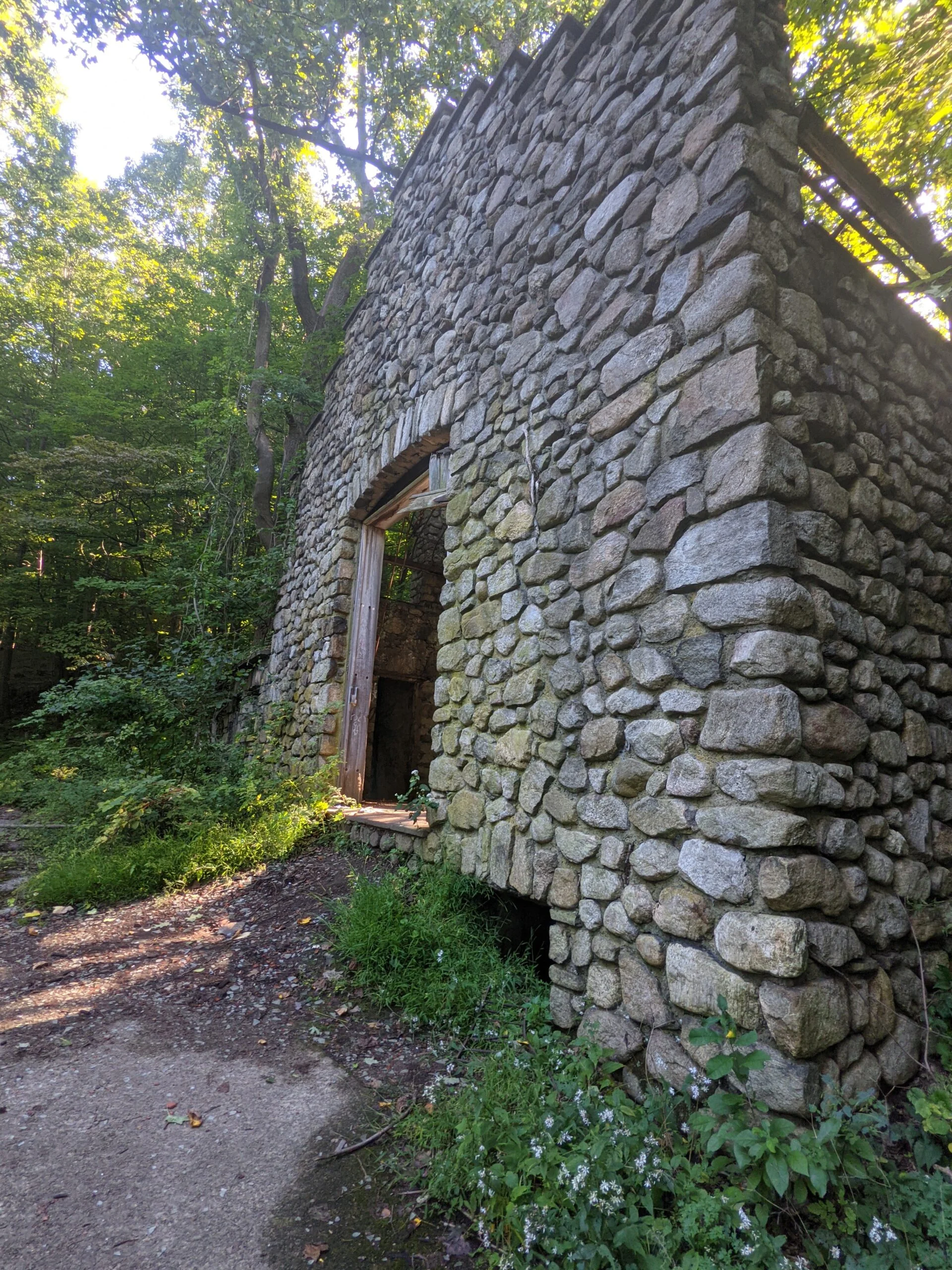
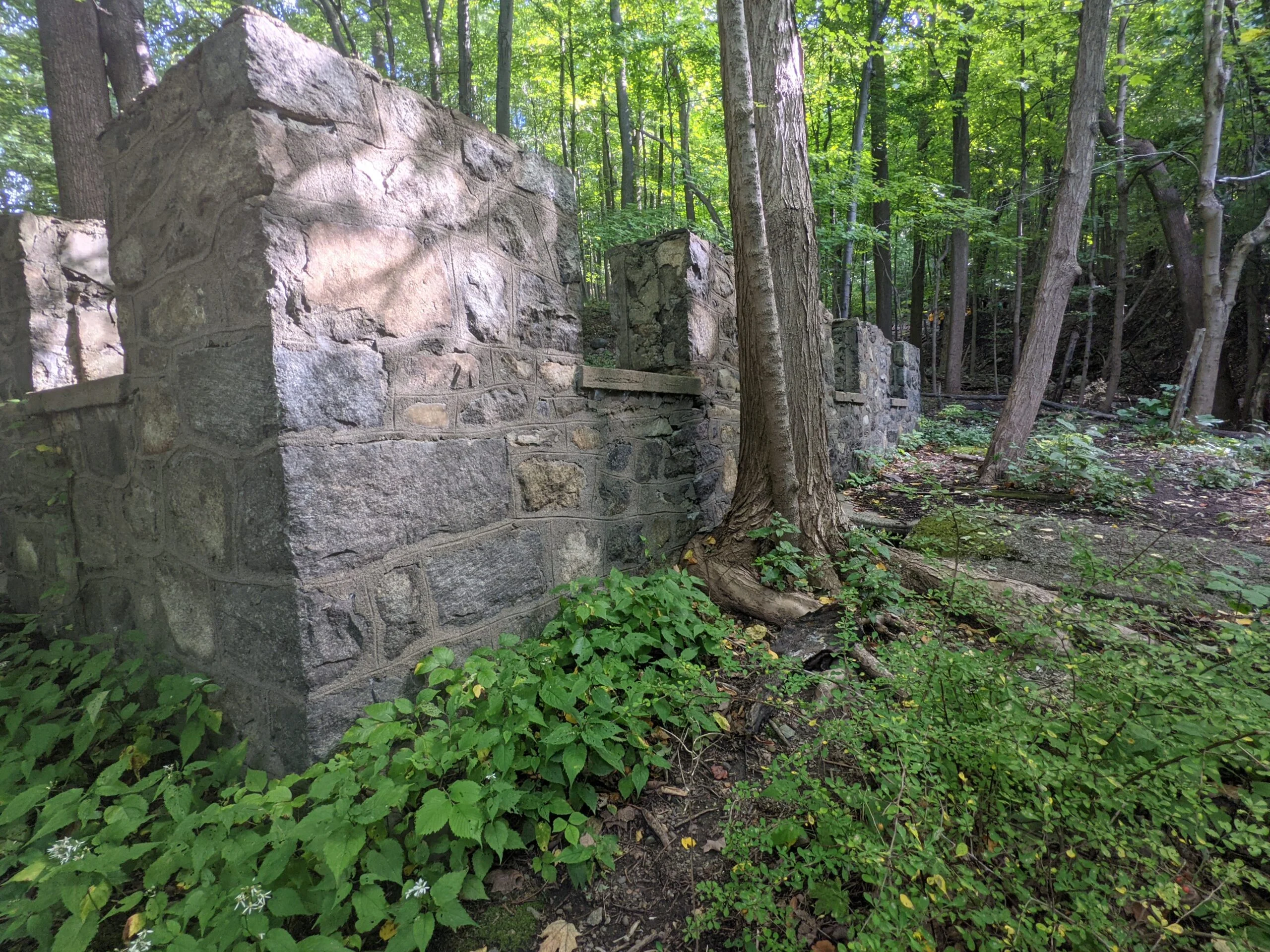
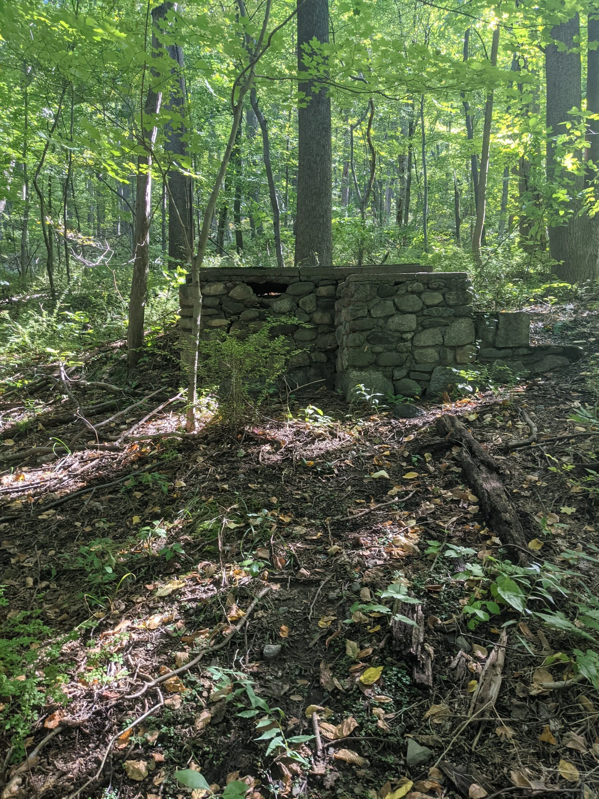
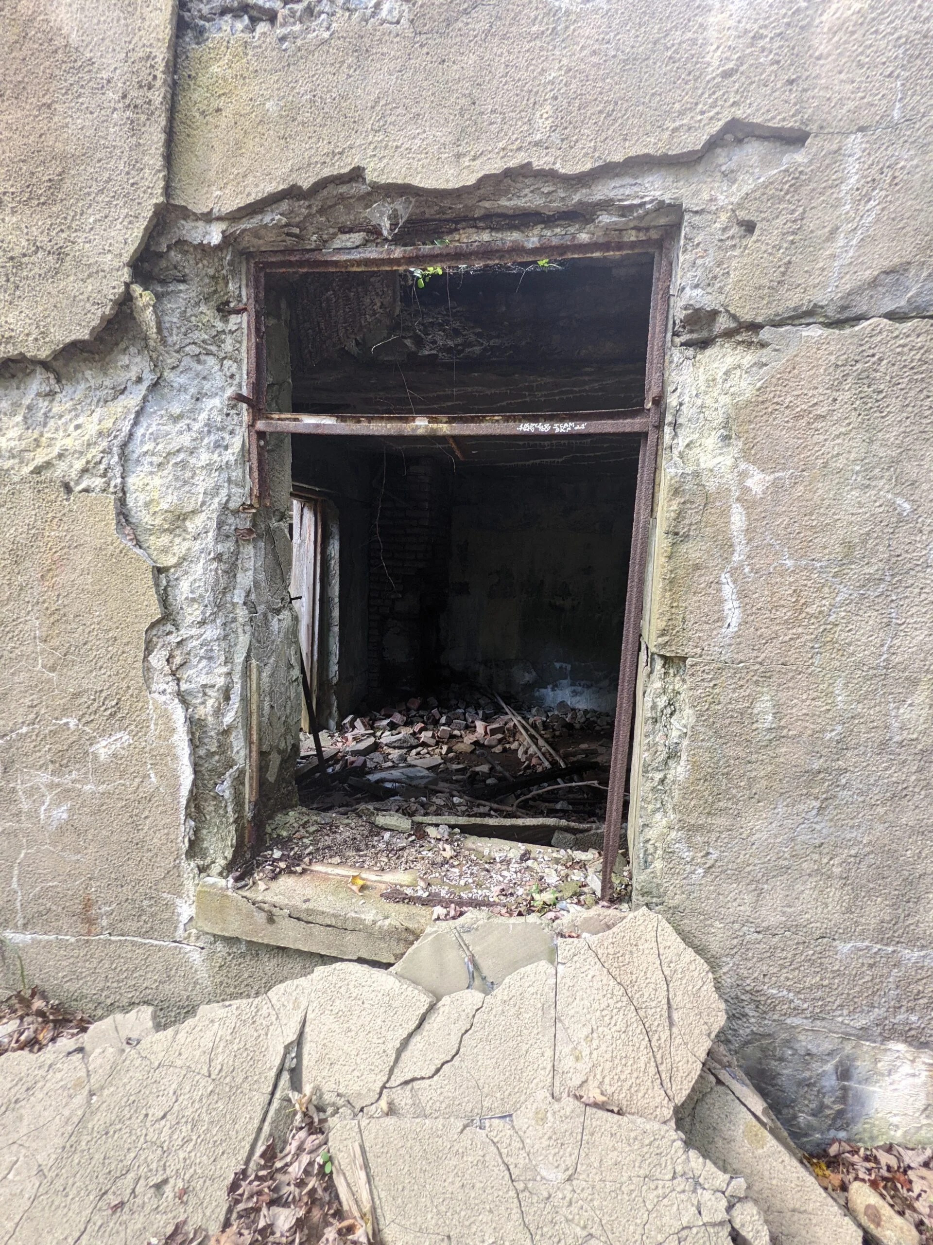
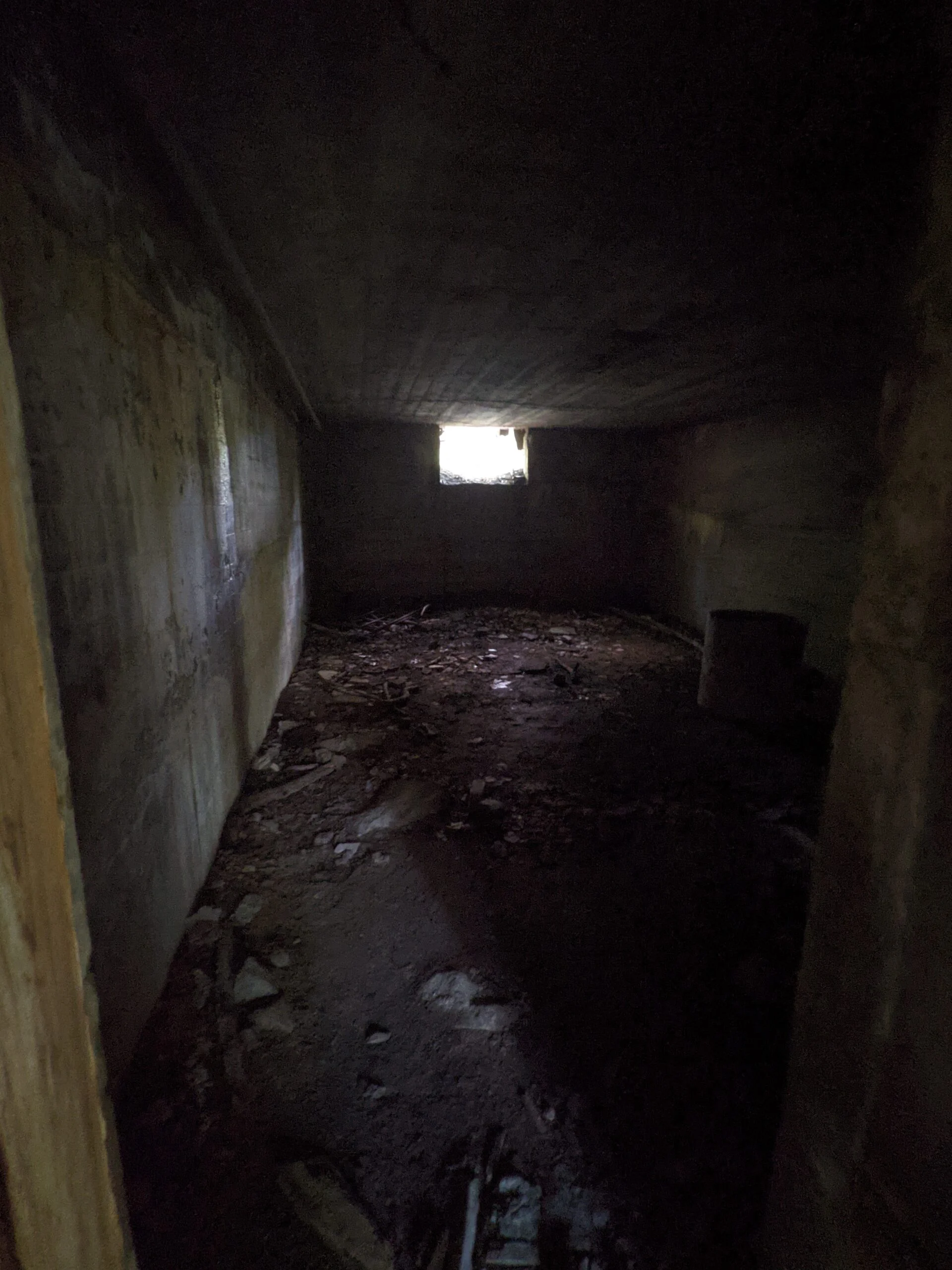
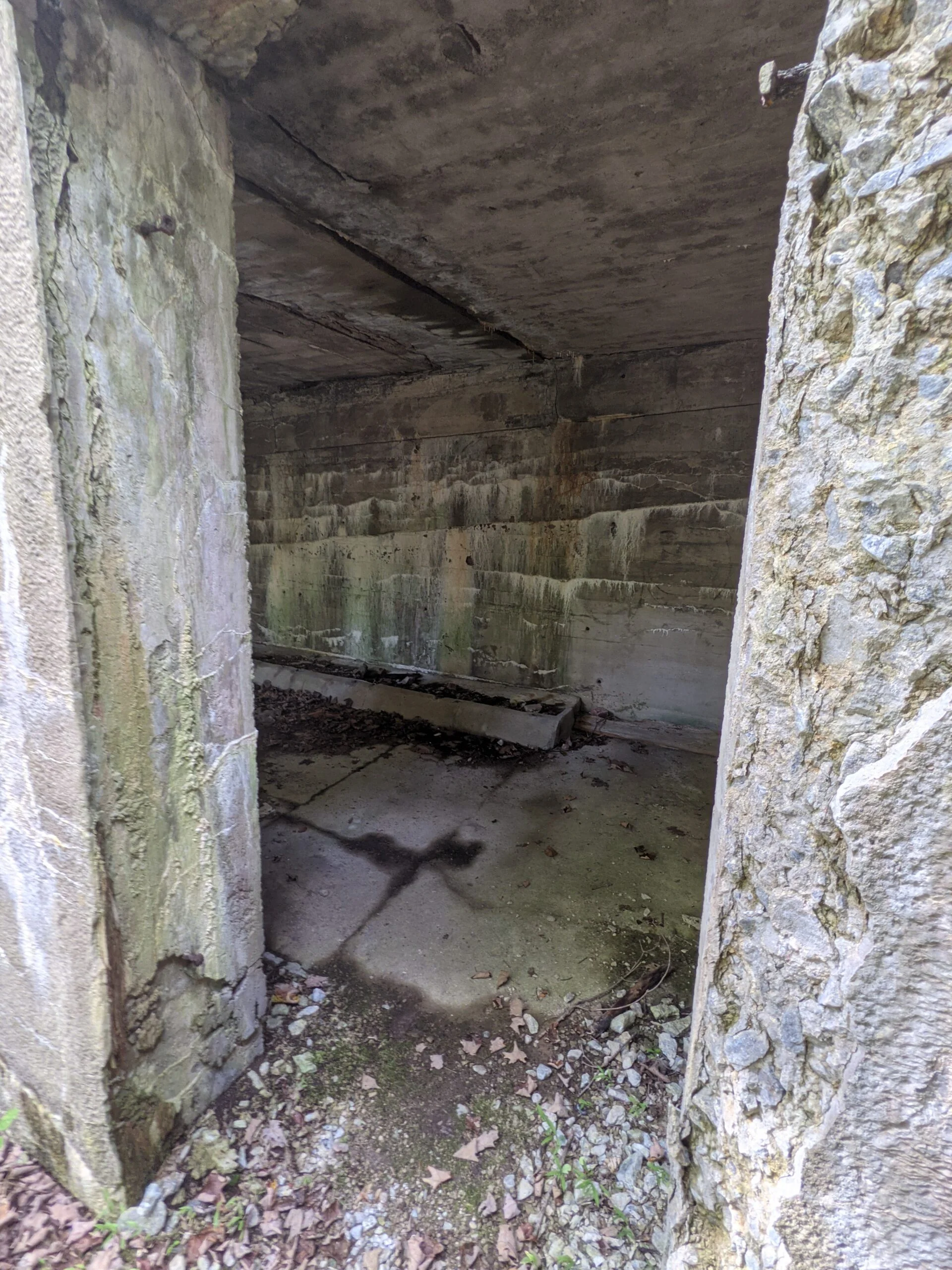
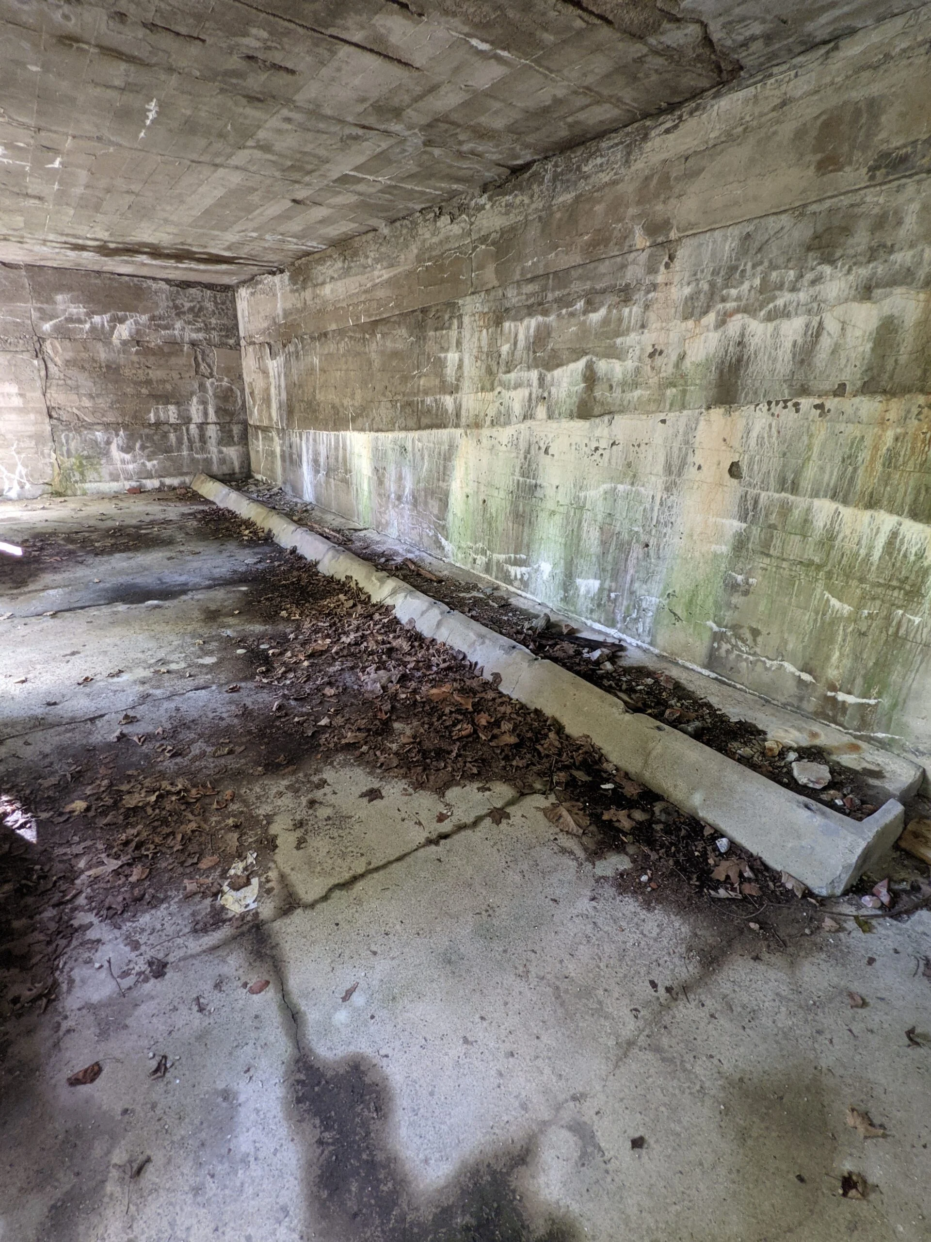
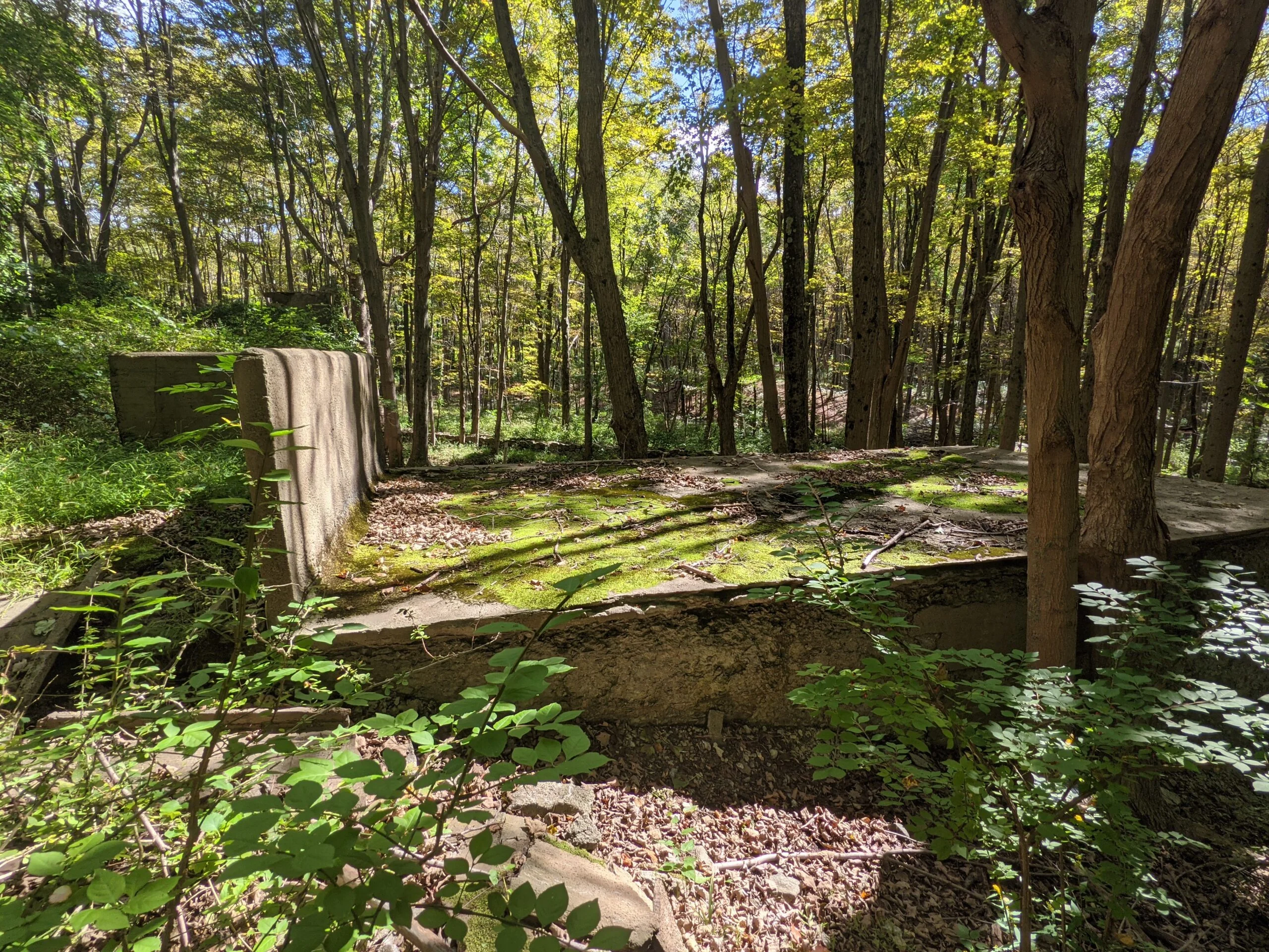
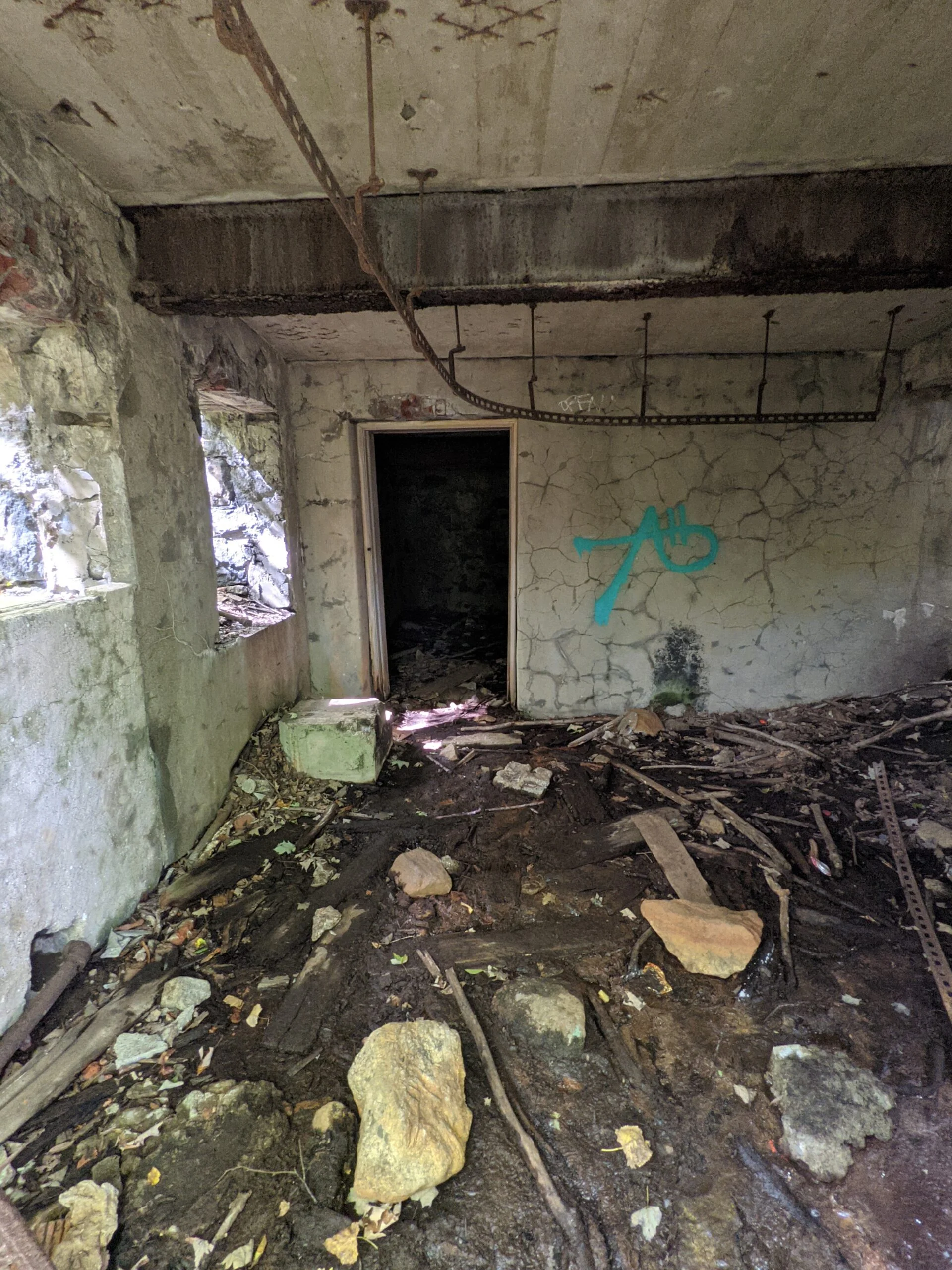
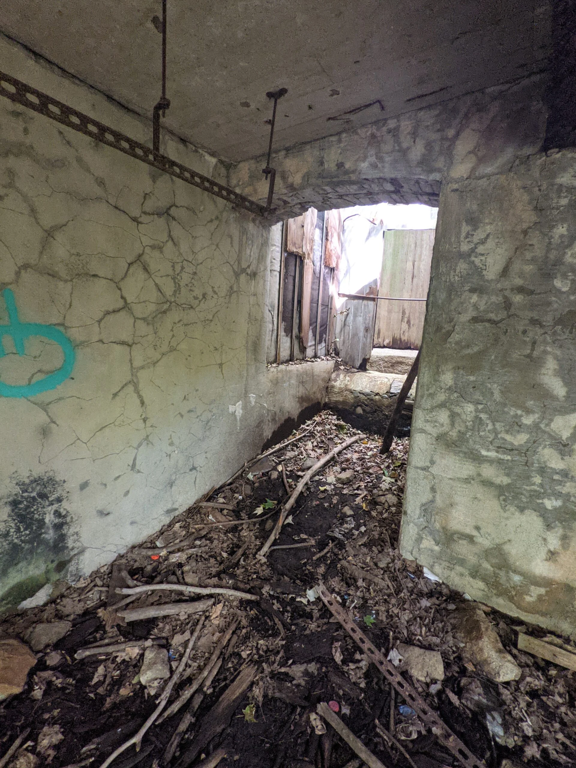
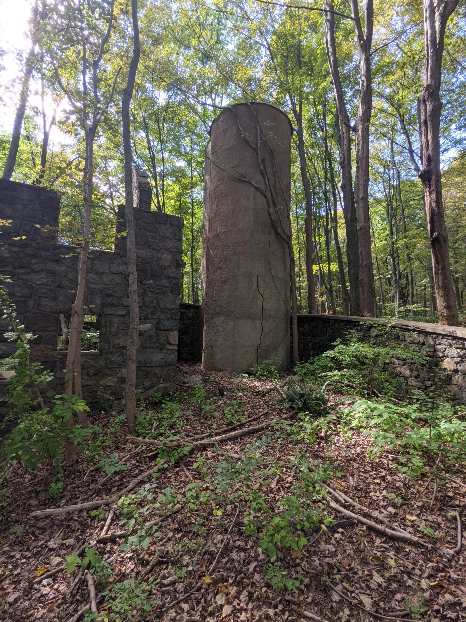
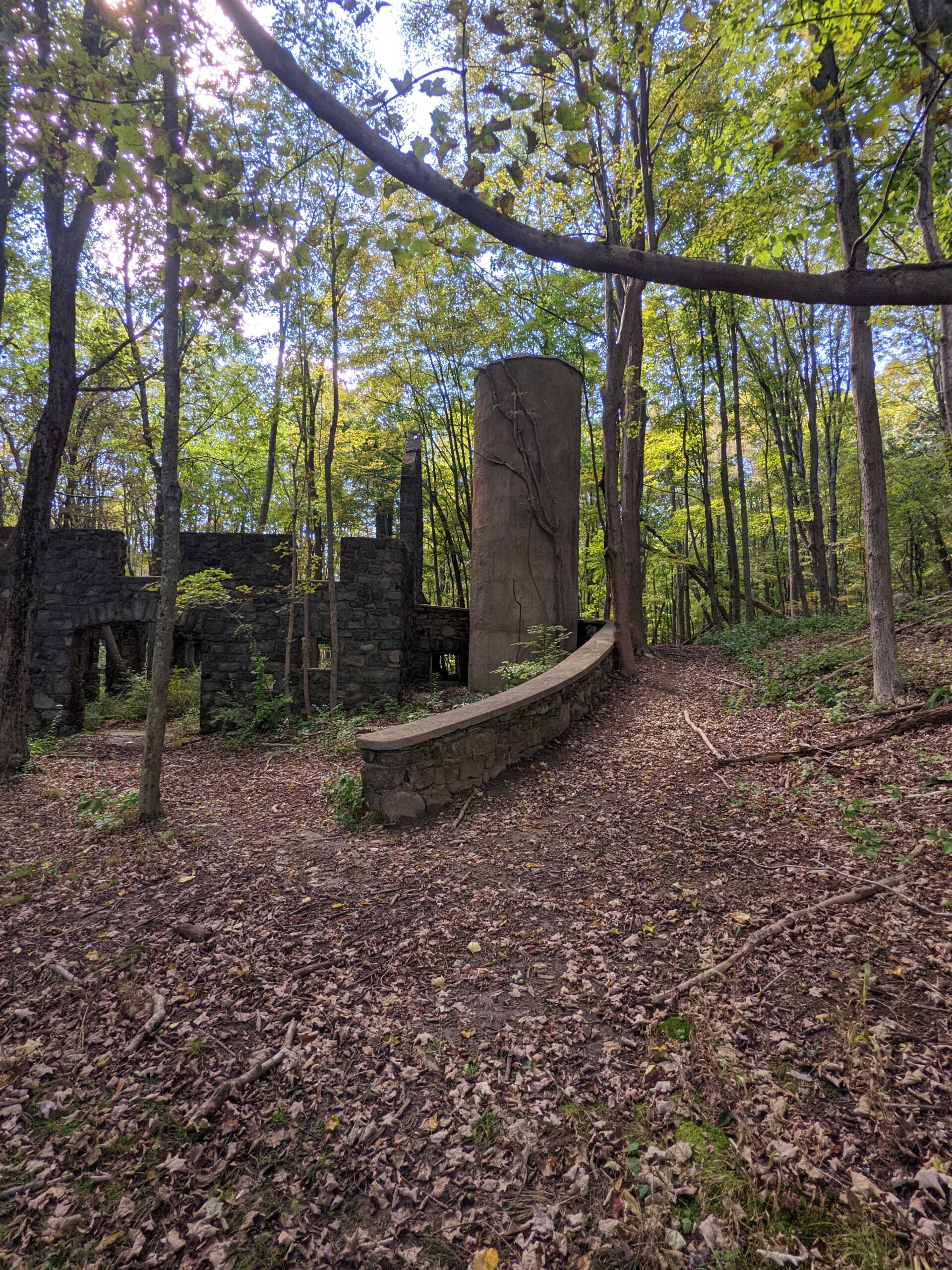
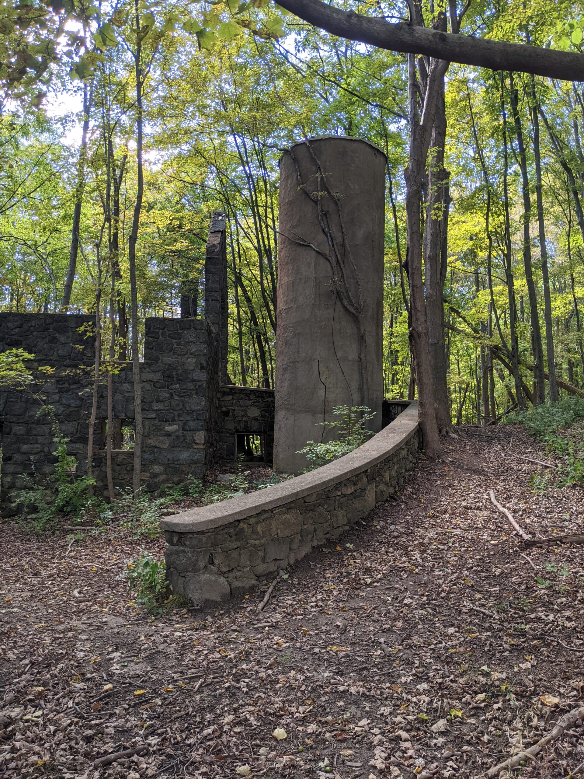
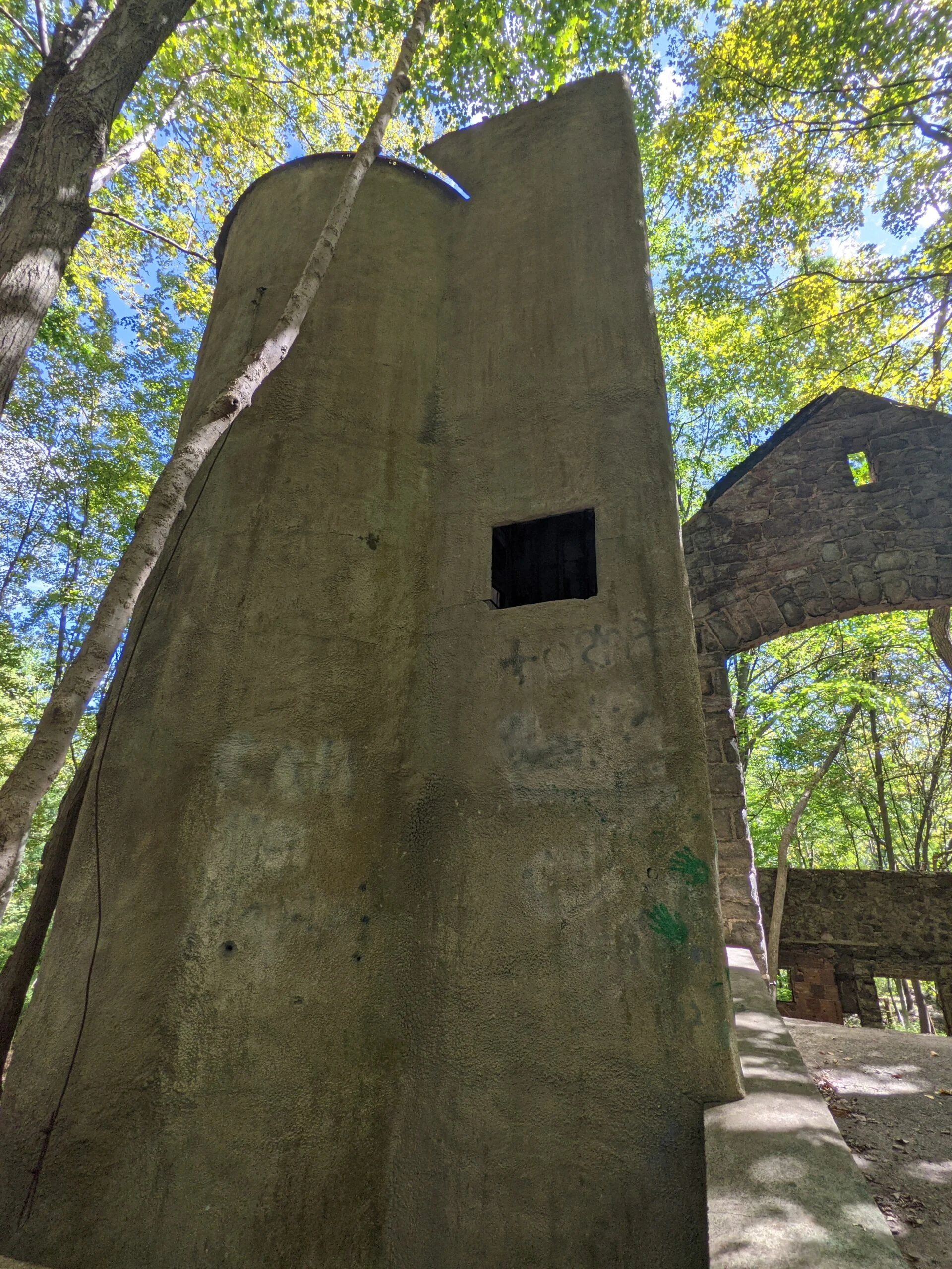
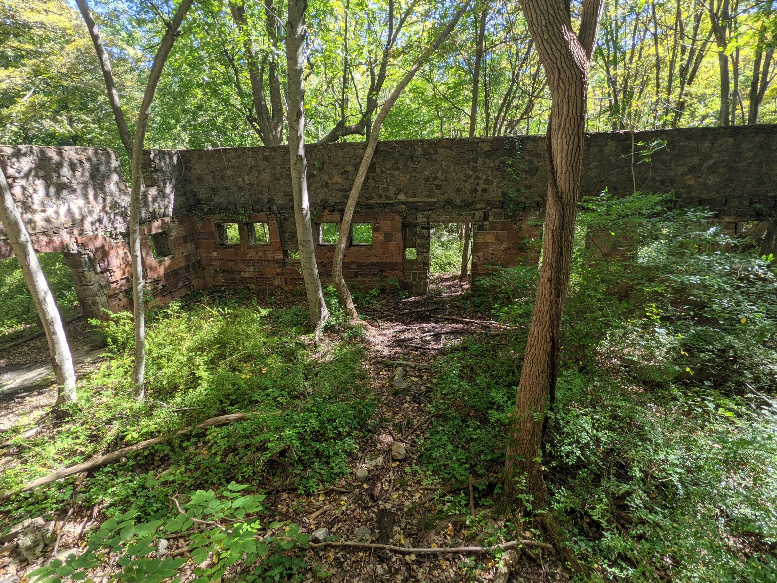
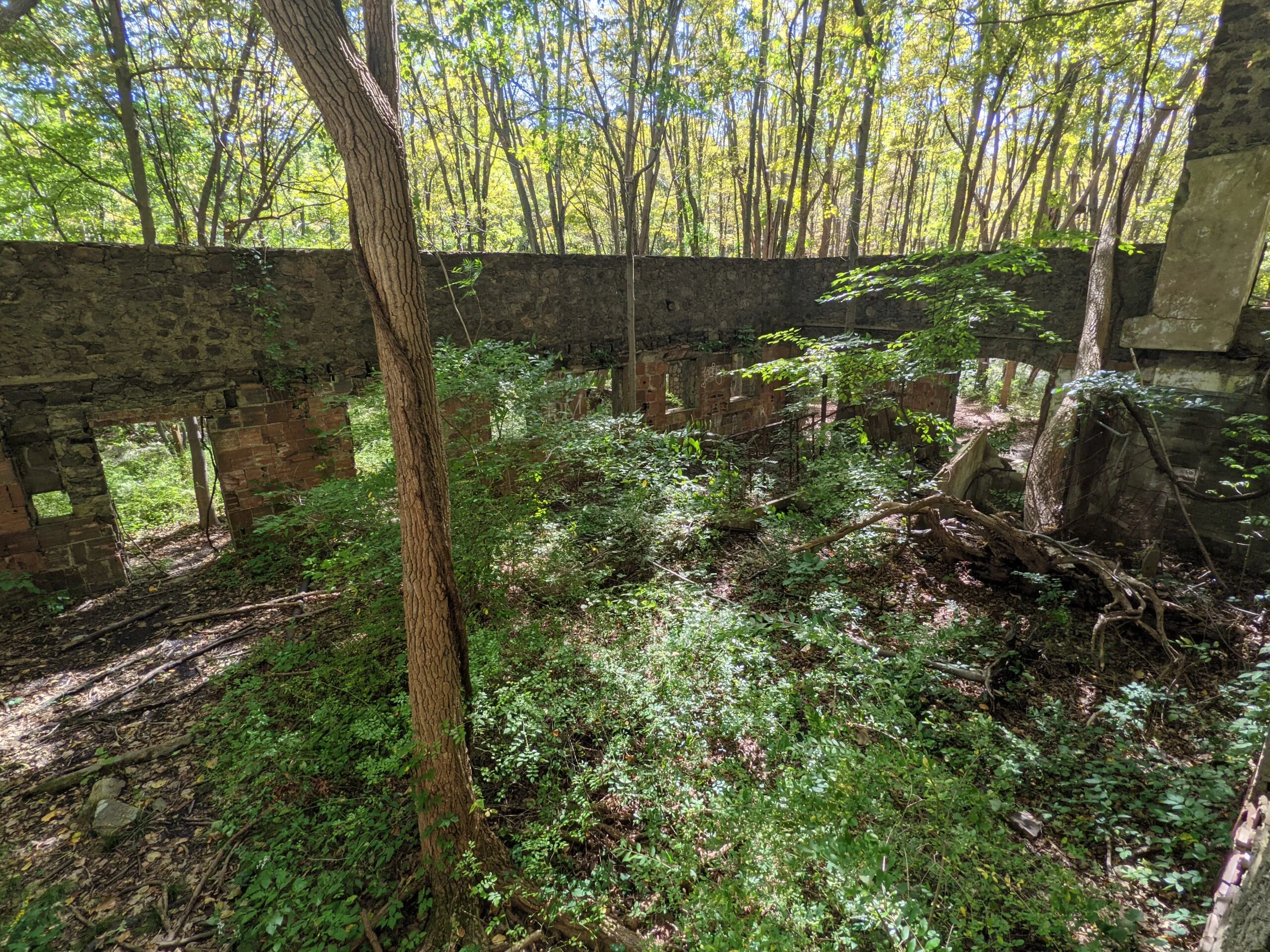
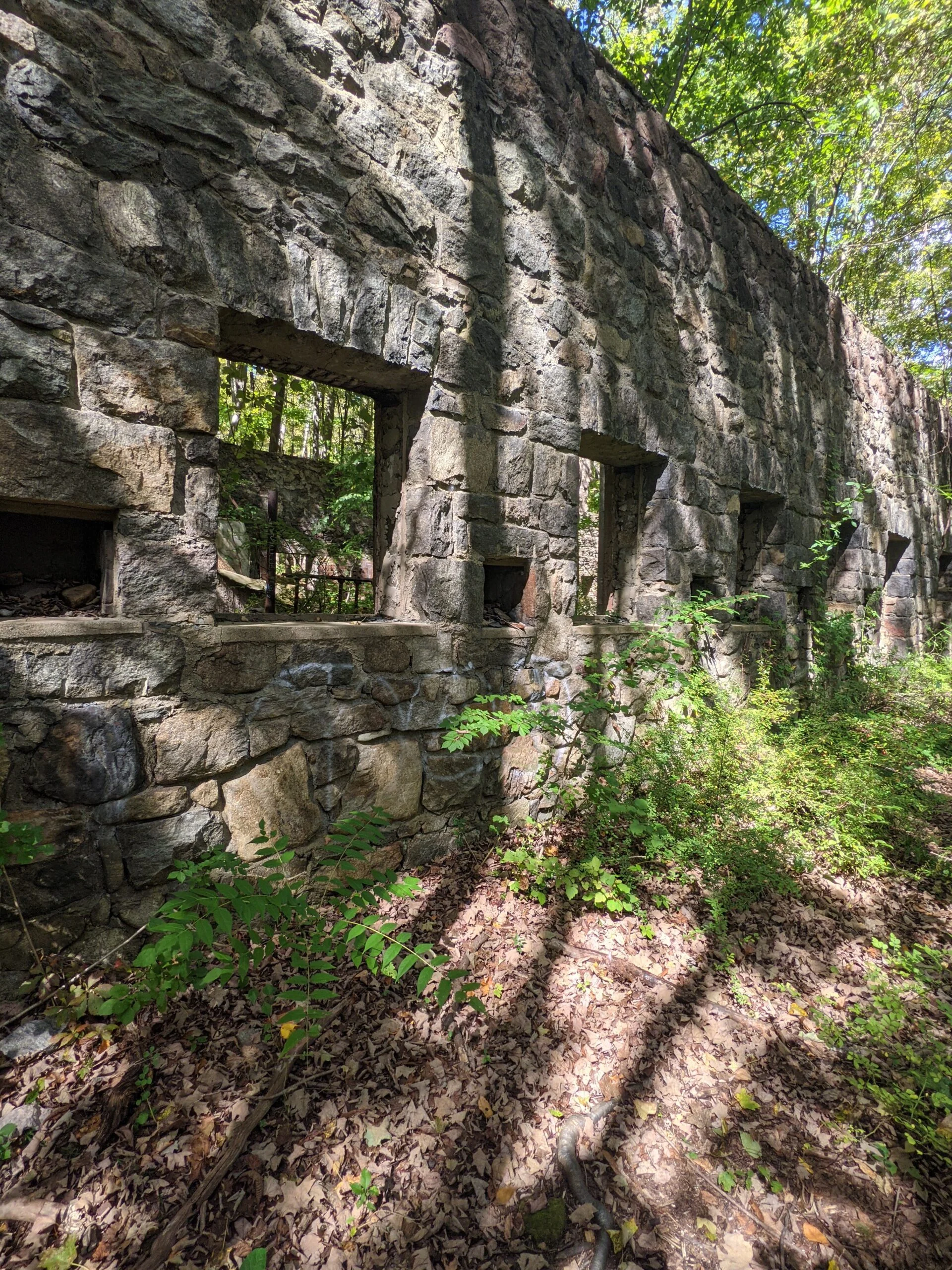
Continuing north, the trail ends and meets with Notch Trail (NT, blue blazes). I was pleasantly surprised to find two more structures to explore. I first encountered what I think was a complex consisting of a garage, feeding pen, and more stables or a livestock barn. Perhaps this is where they did the milking of the dairy cows. The ground floor of the structure is in decent shape, but it’s clear there was an upper floor that is now in disrepair and it’s hard to decipher what might have been there. Further north is a beautiful old barn, complete with a silo. It’s obvious there was fire damage to this structure, but its exterior stone walls are intact.
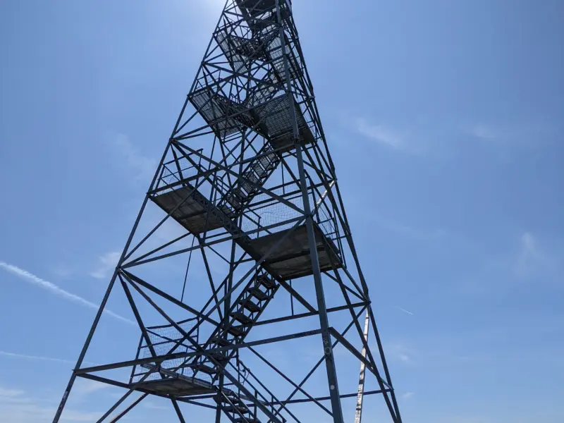
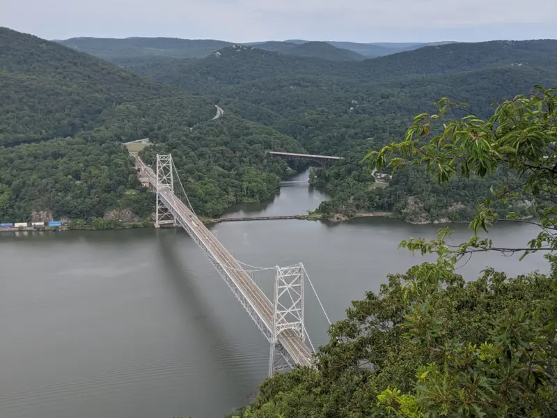
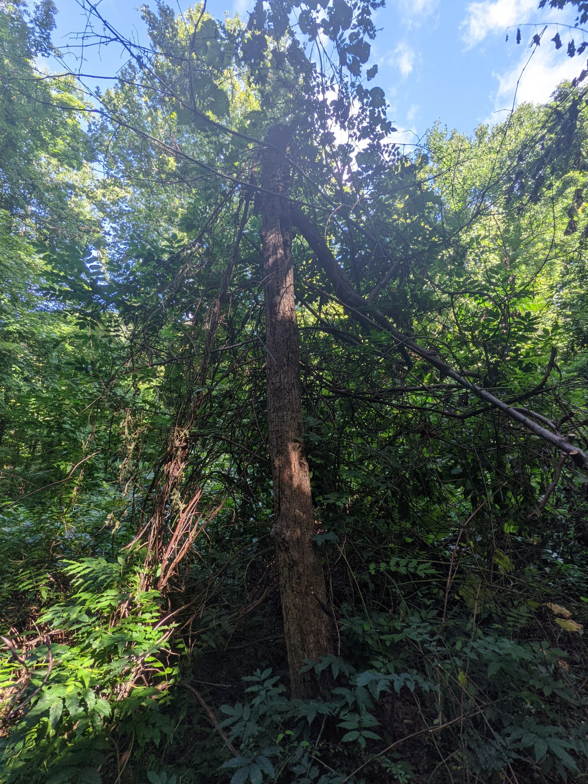
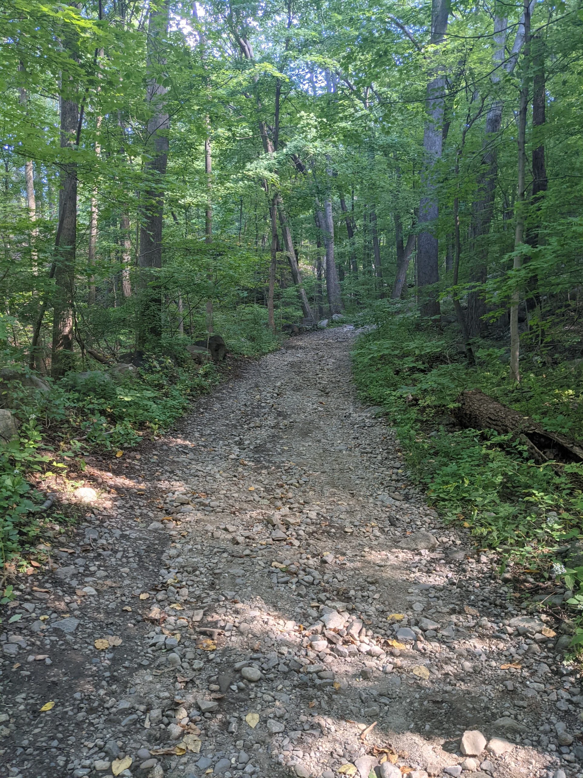
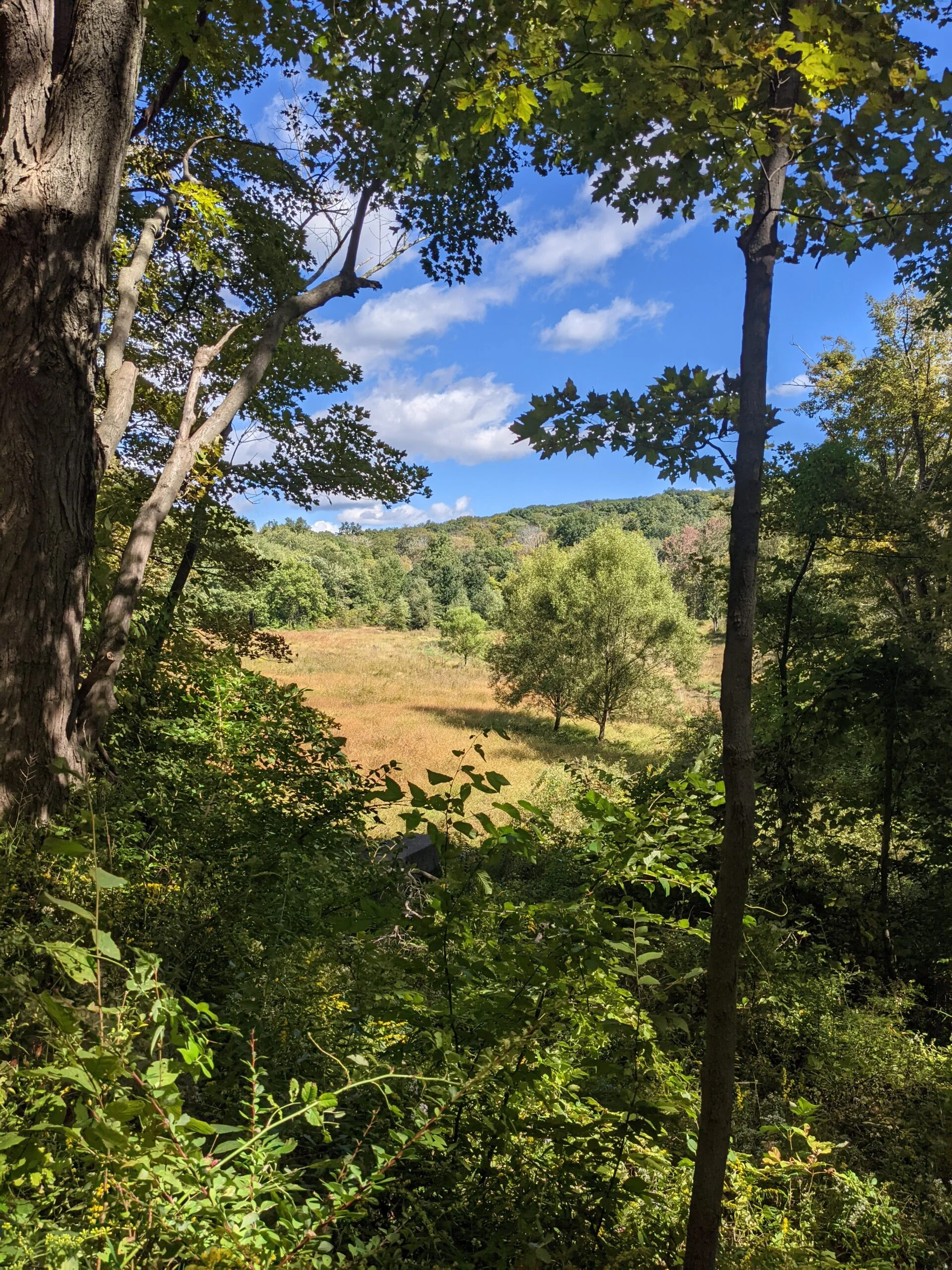
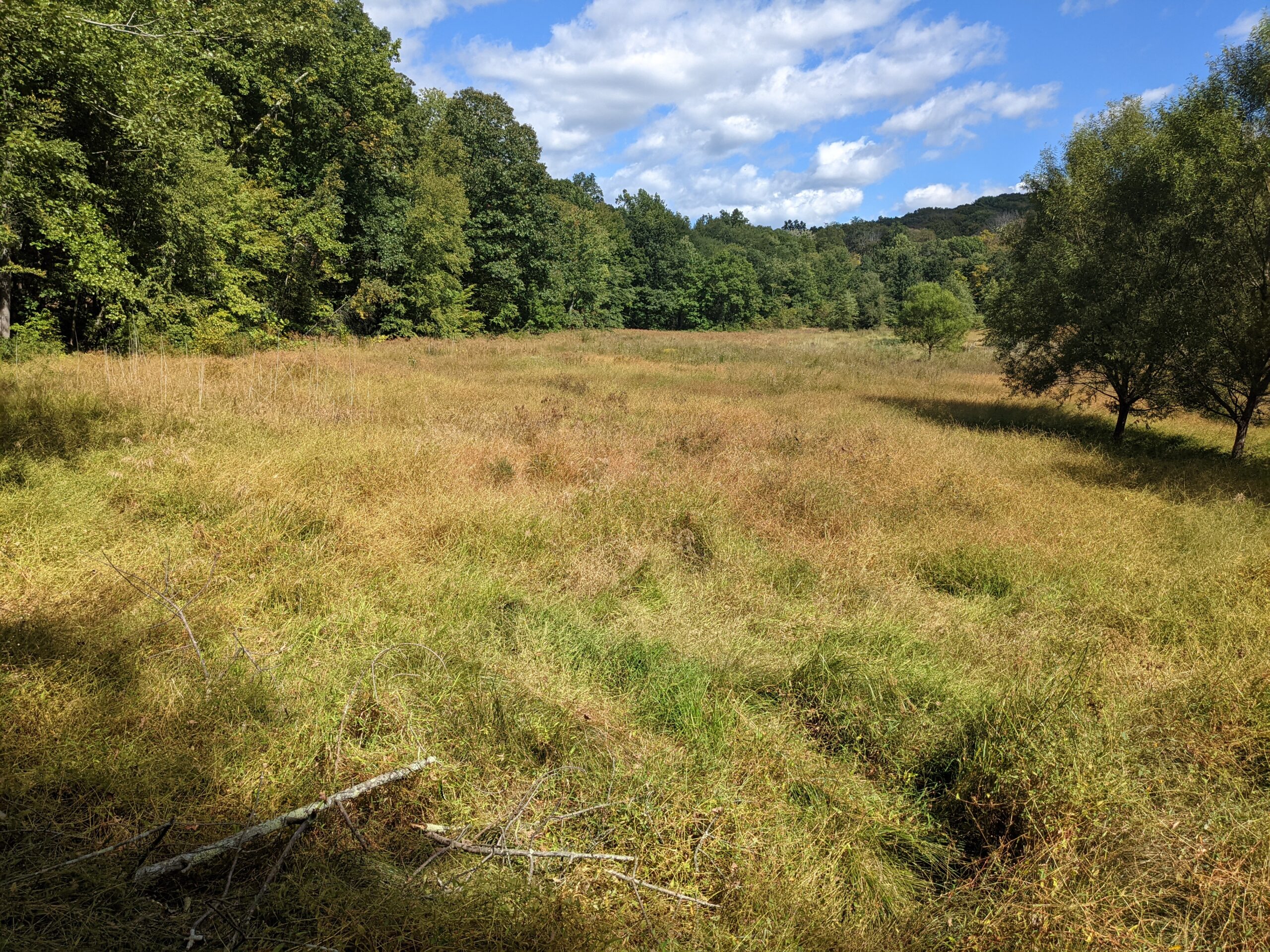
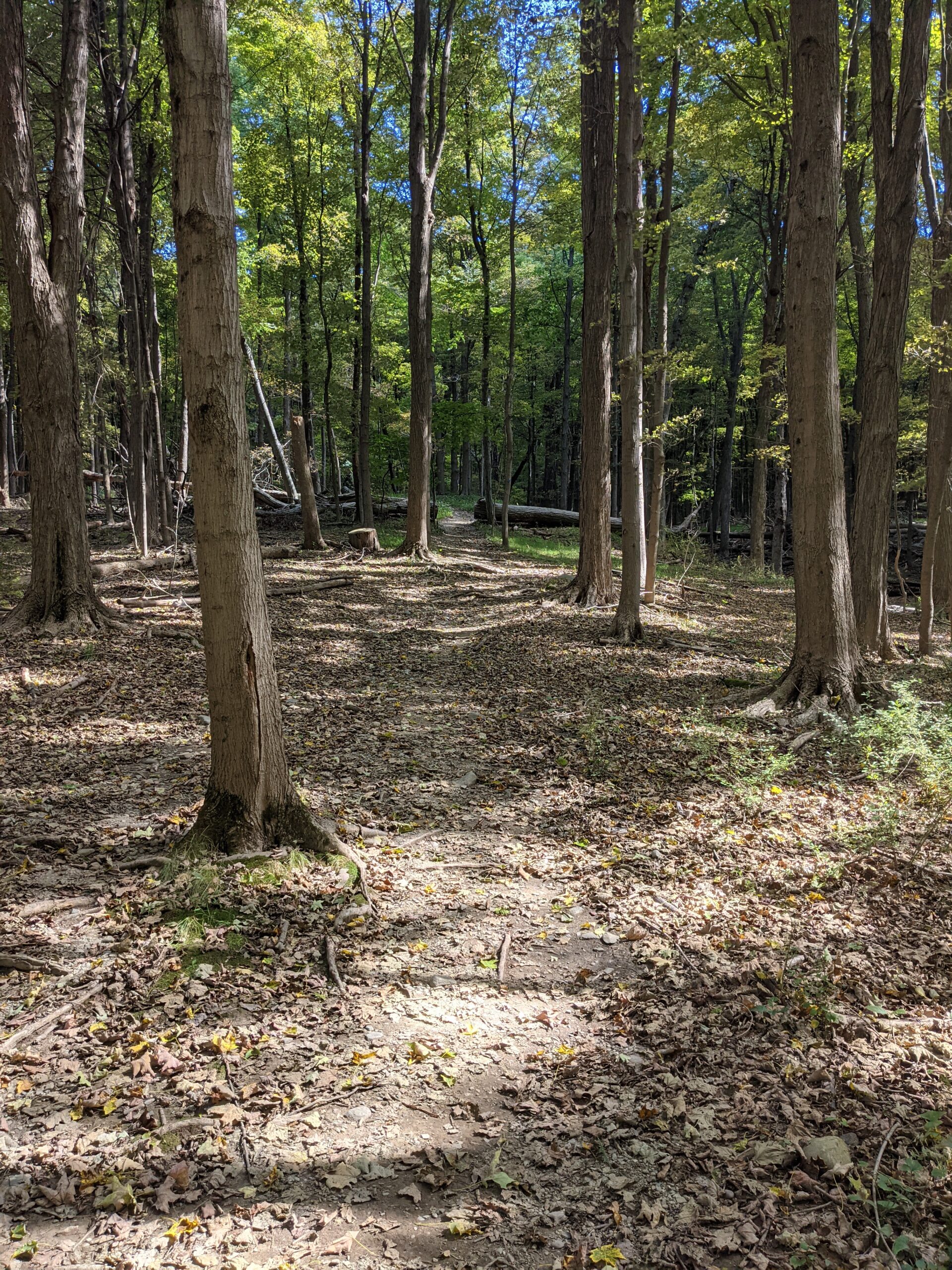
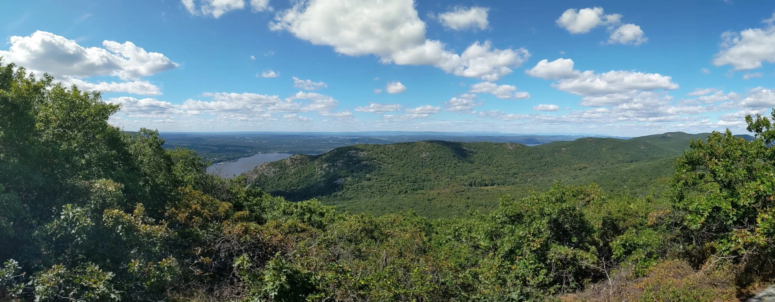
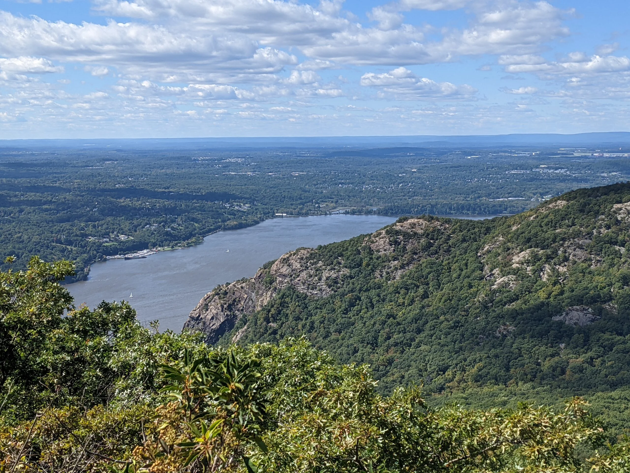
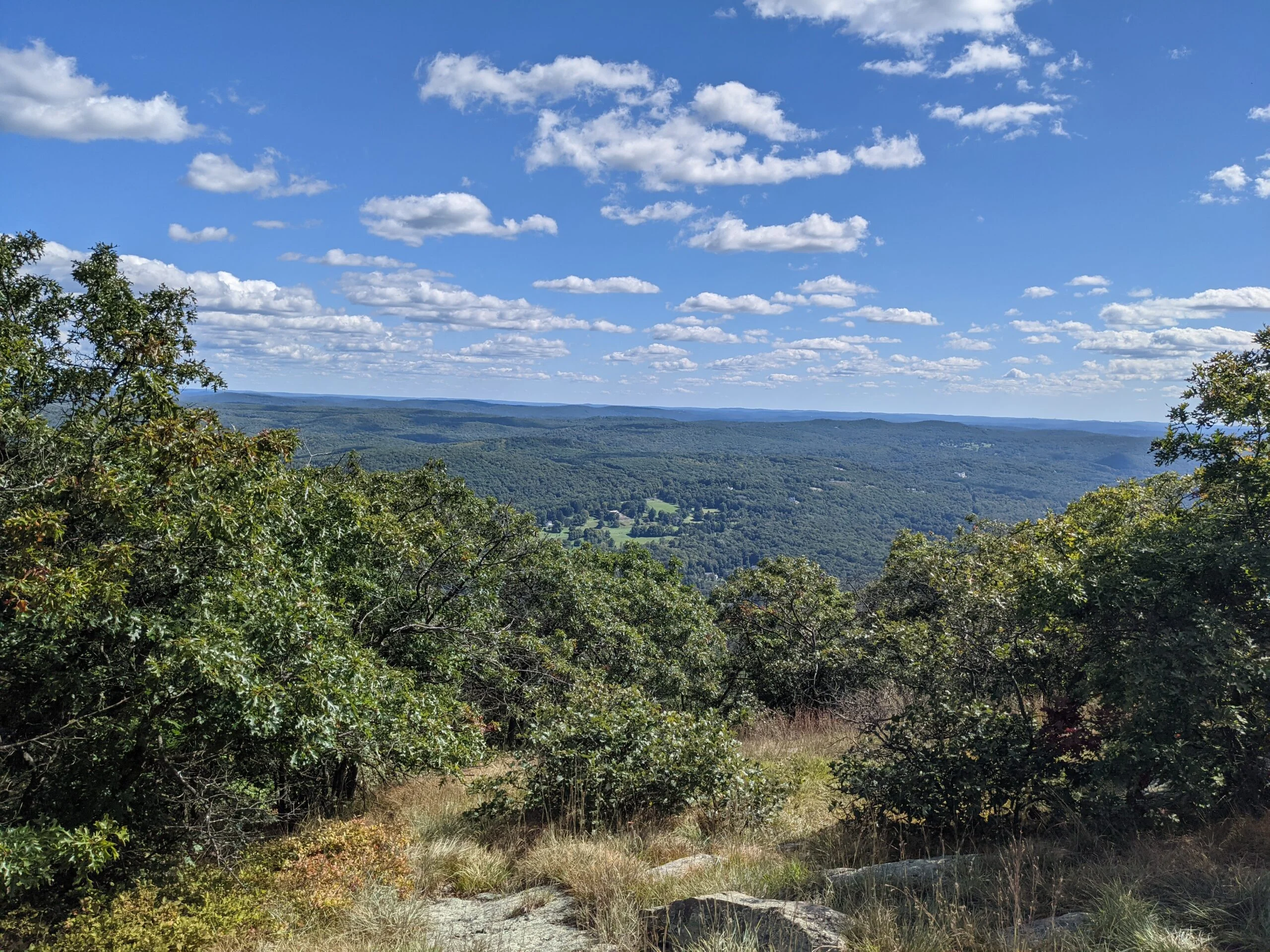
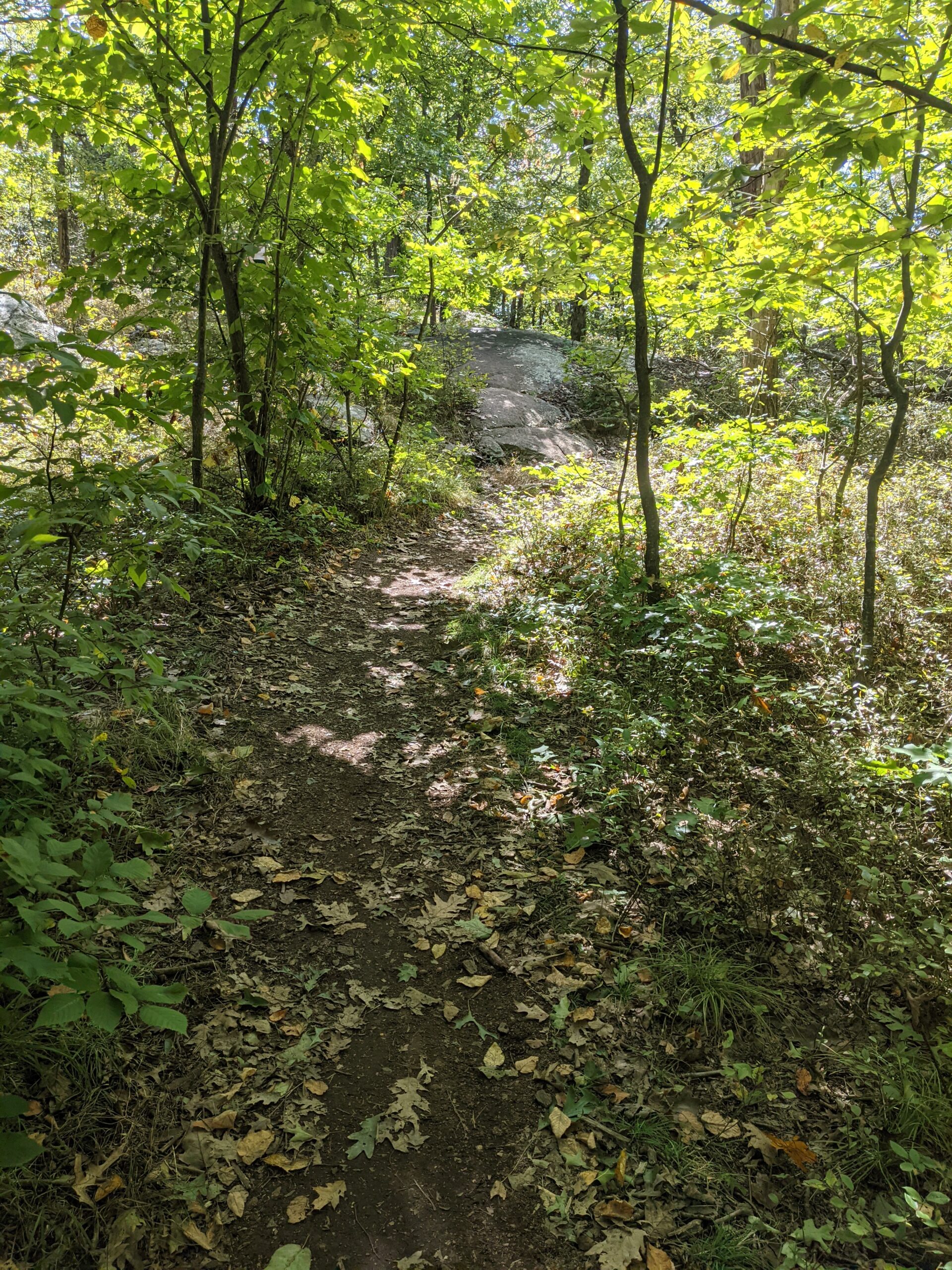
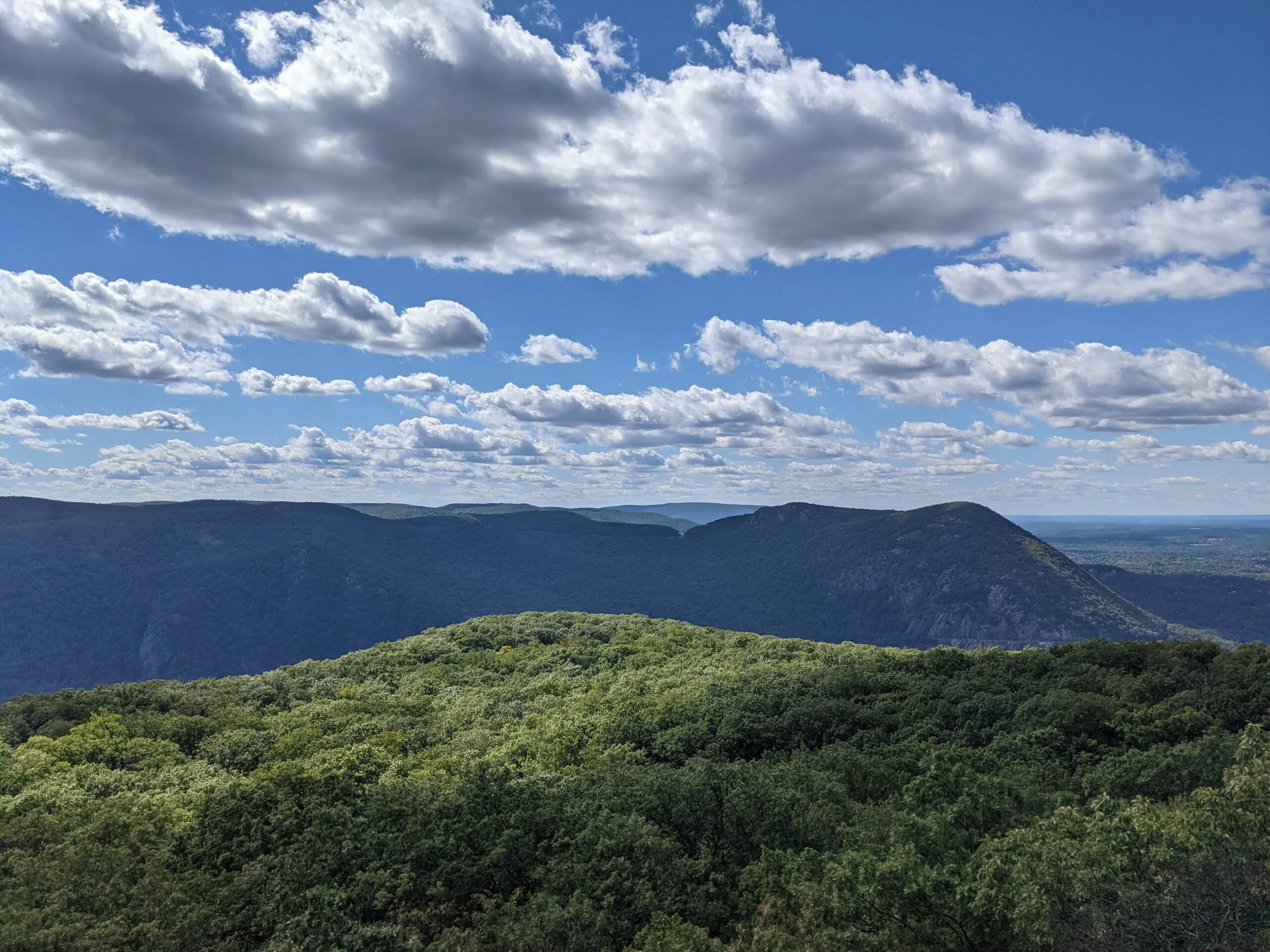
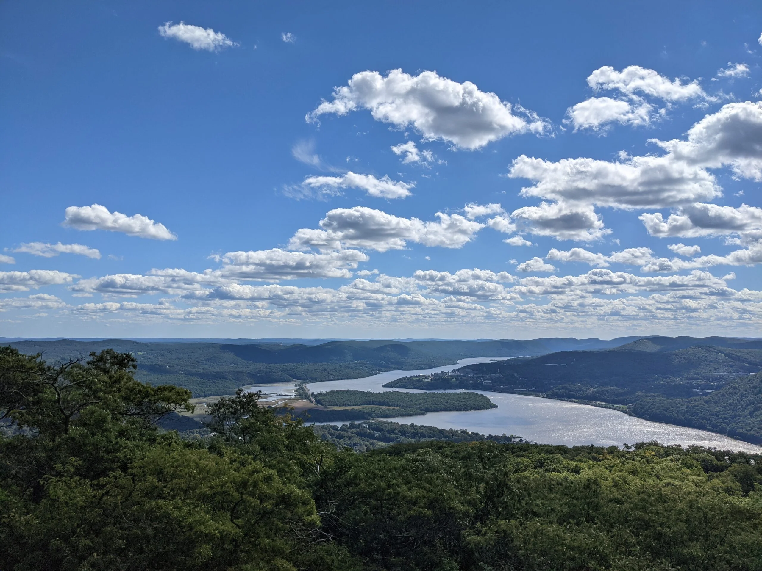
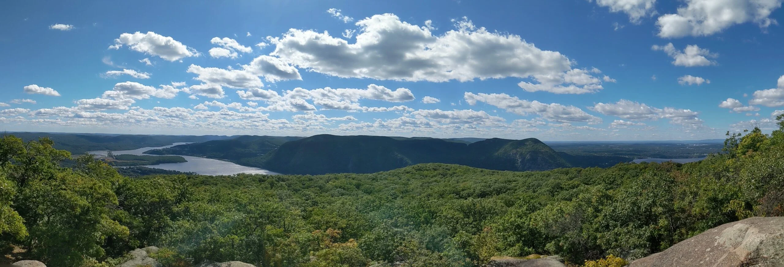
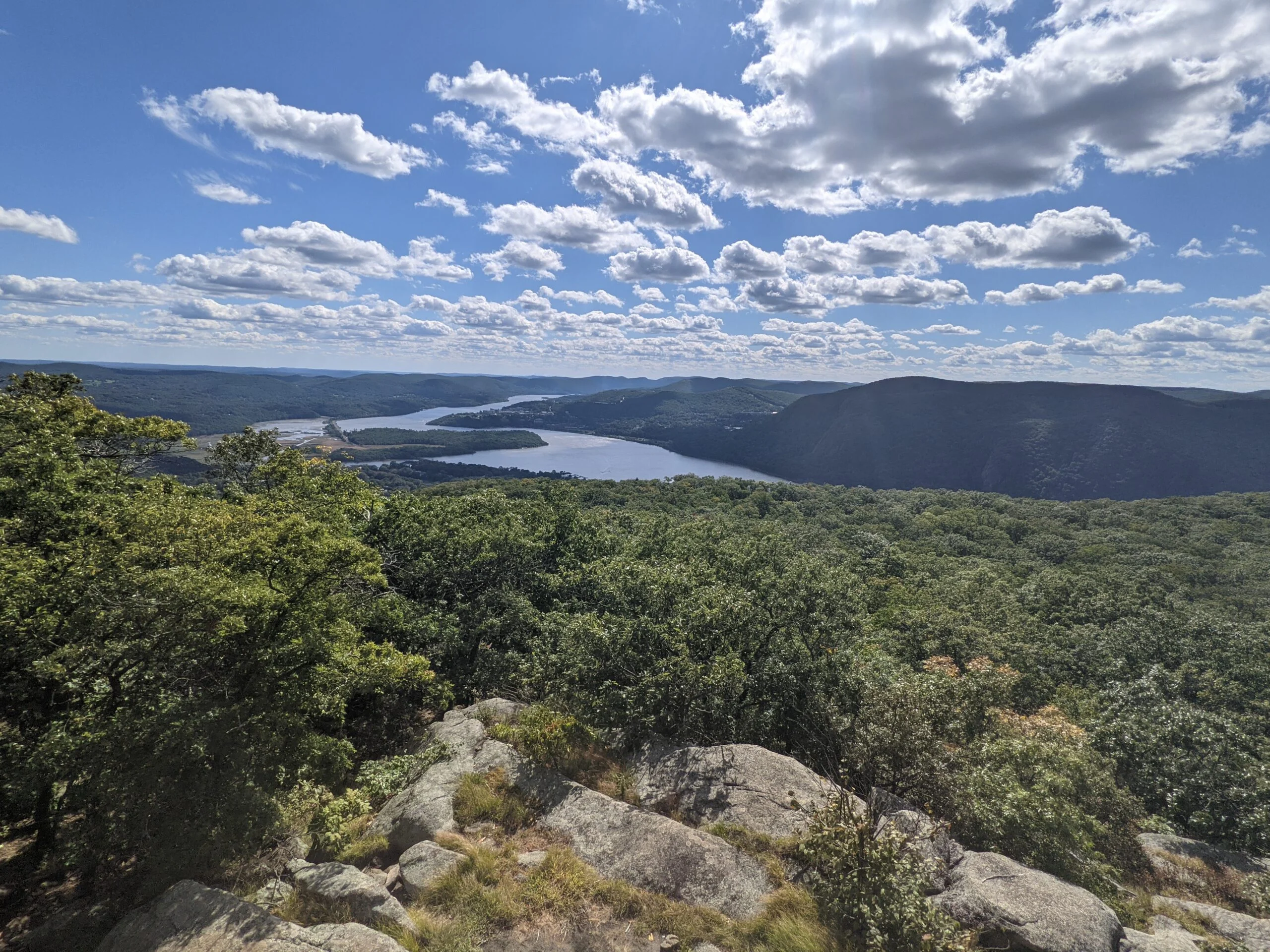
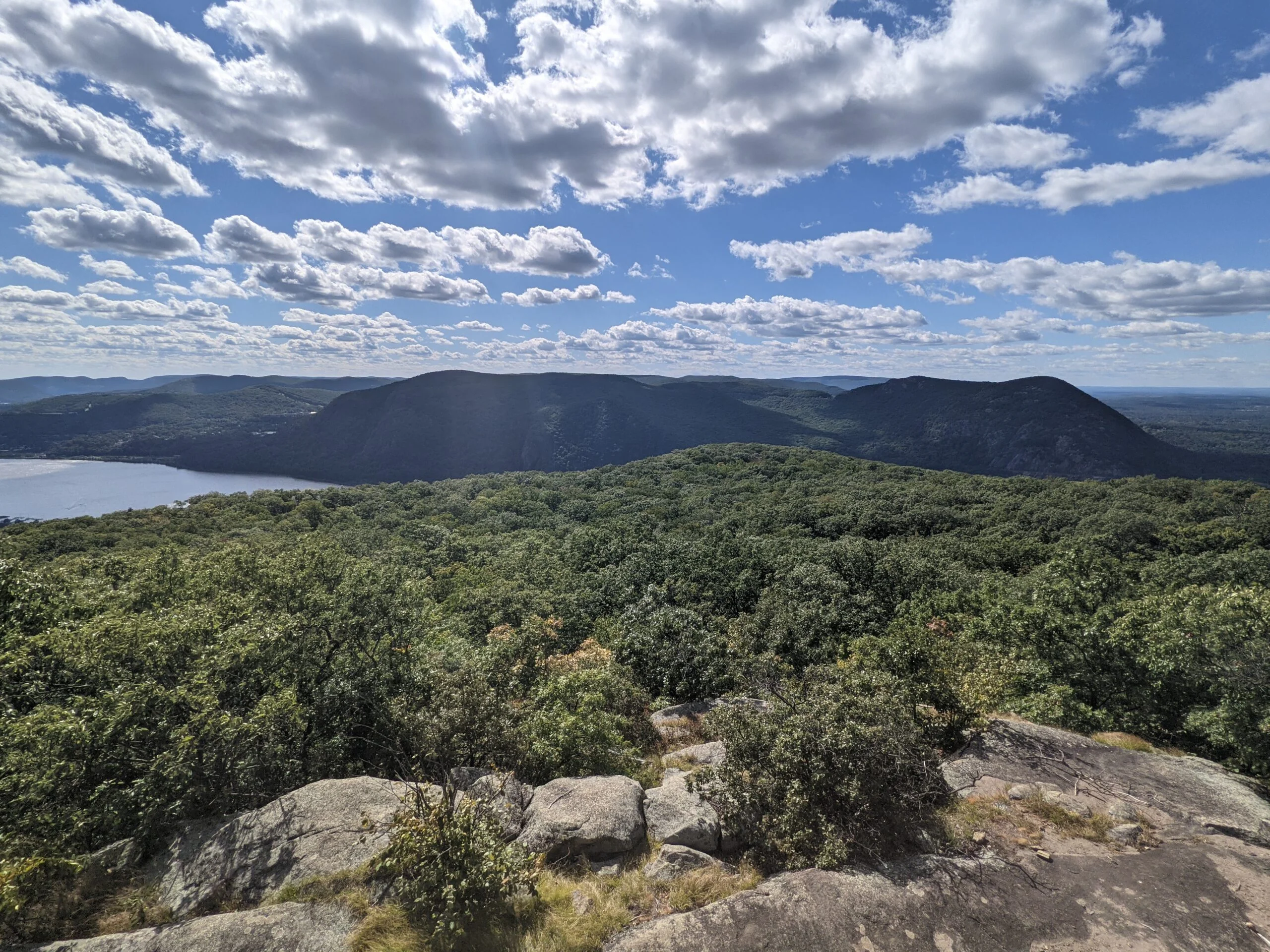
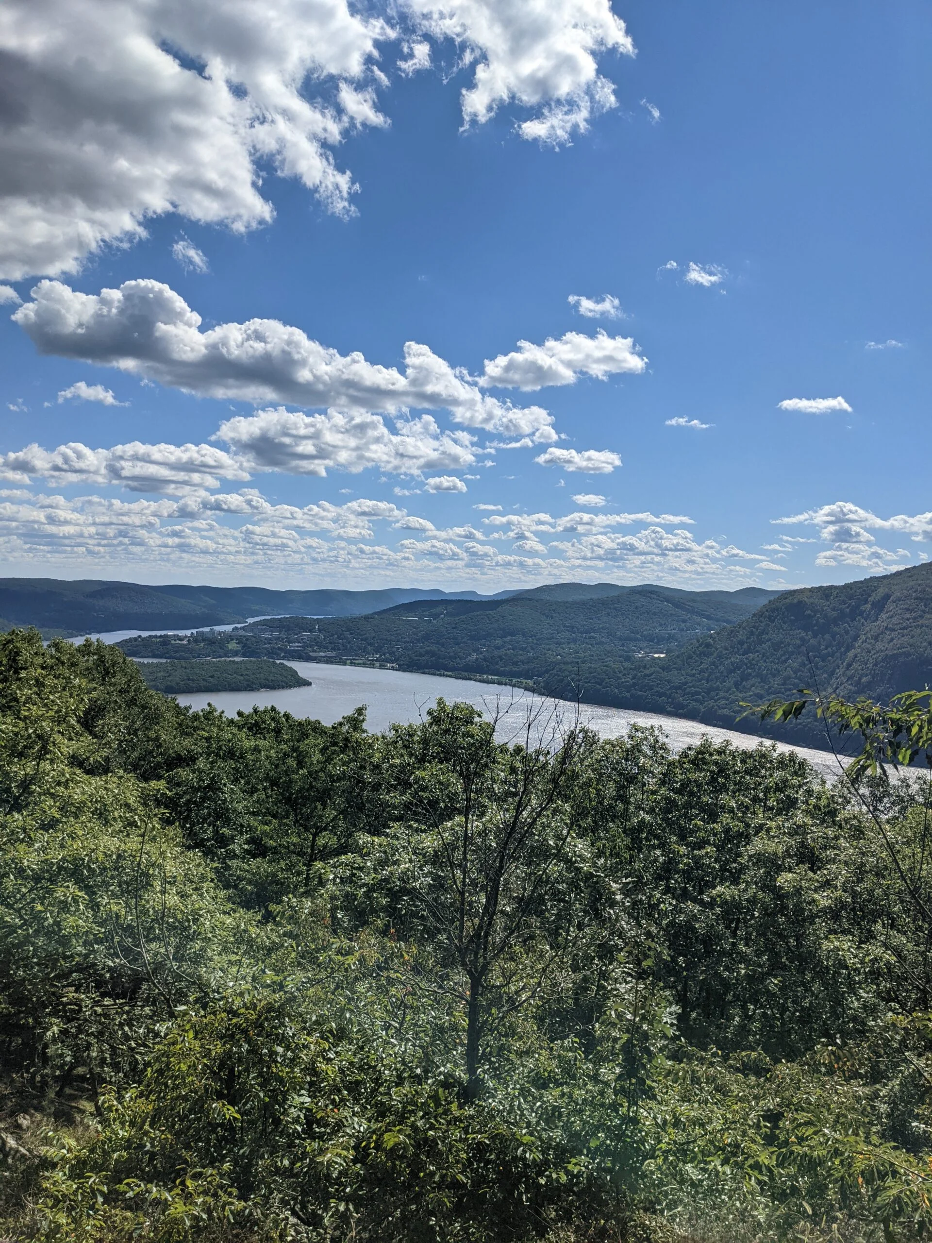
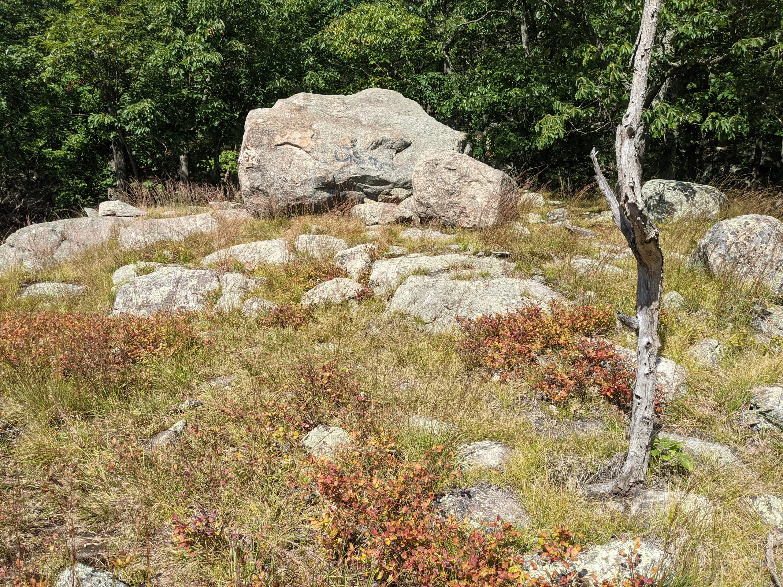
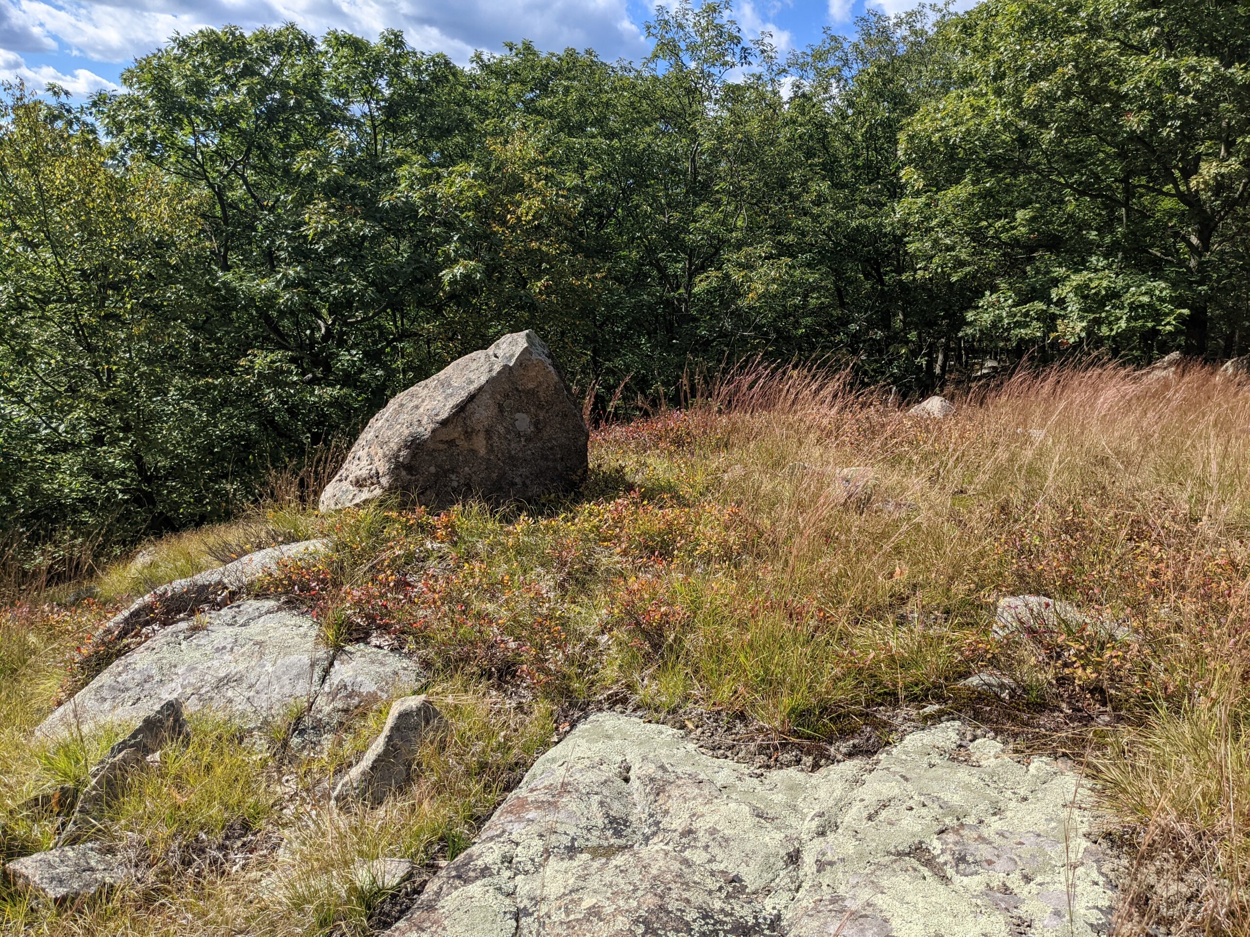
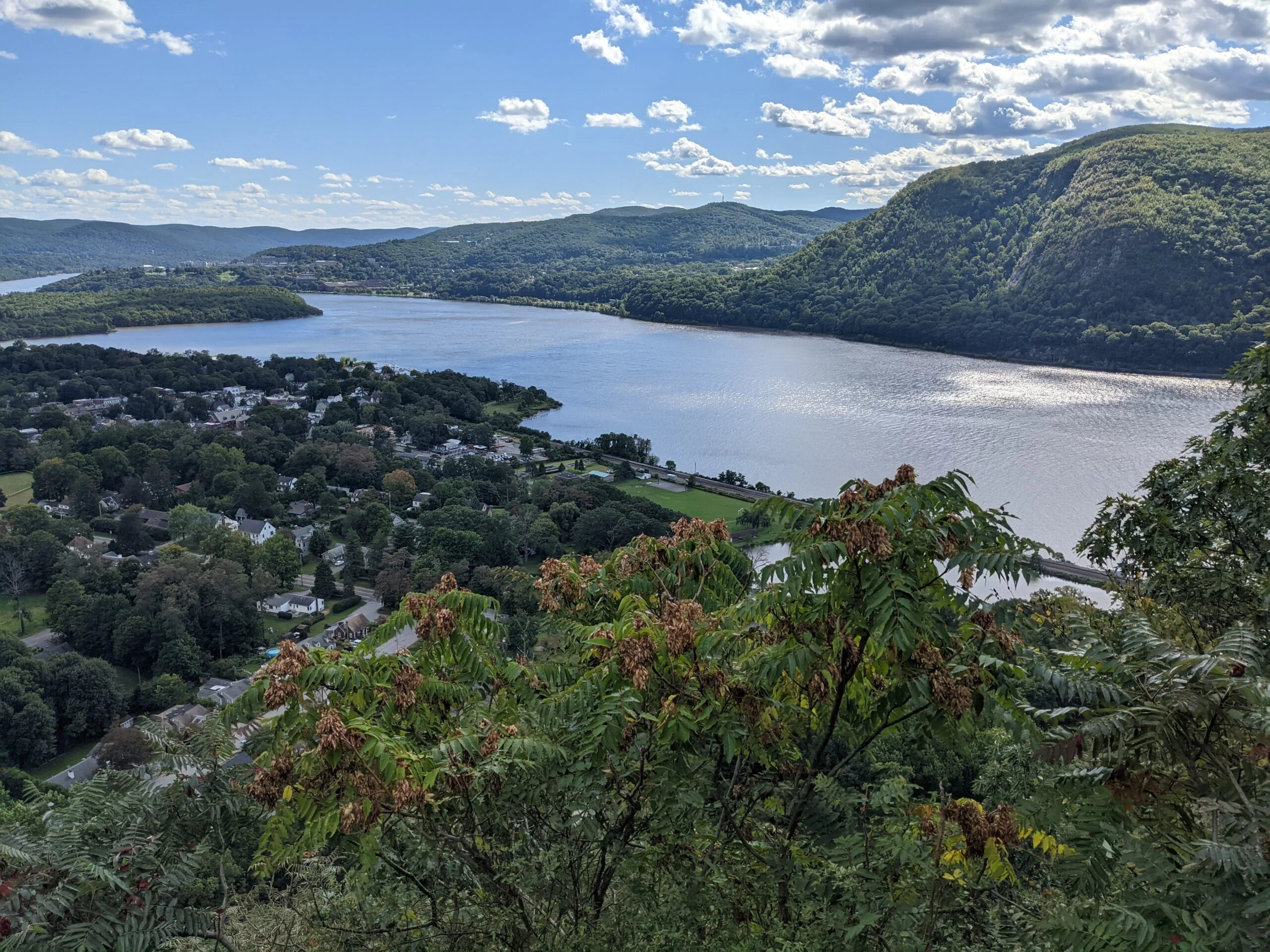
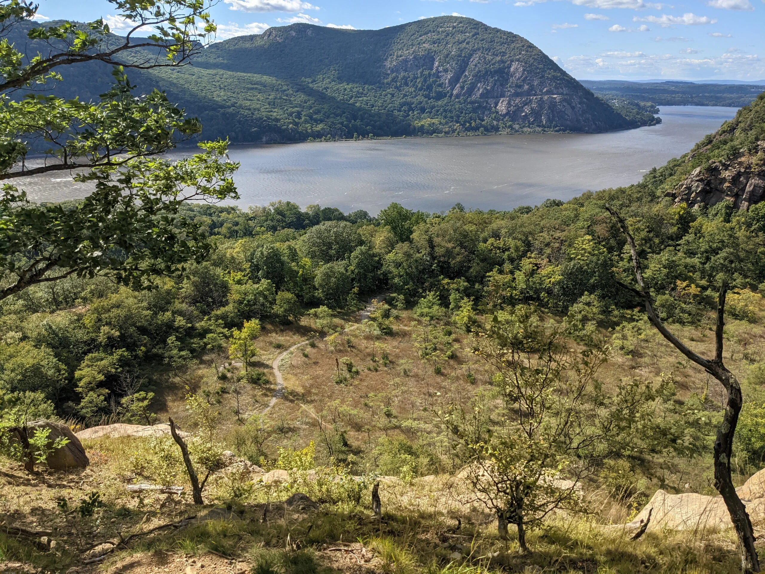
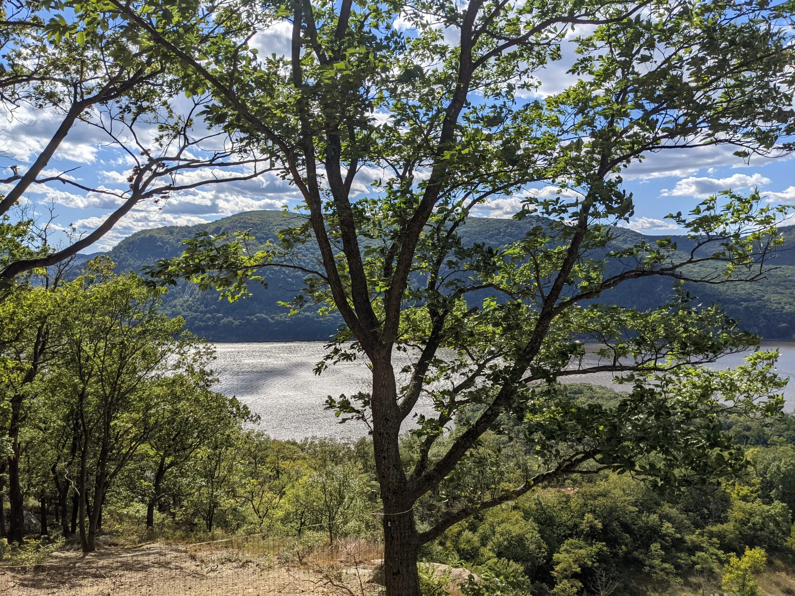
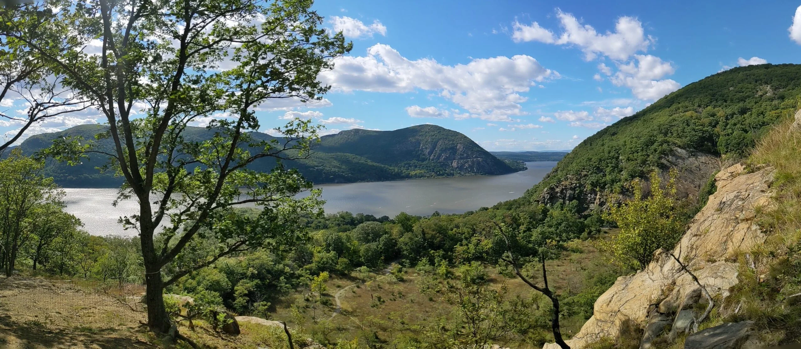
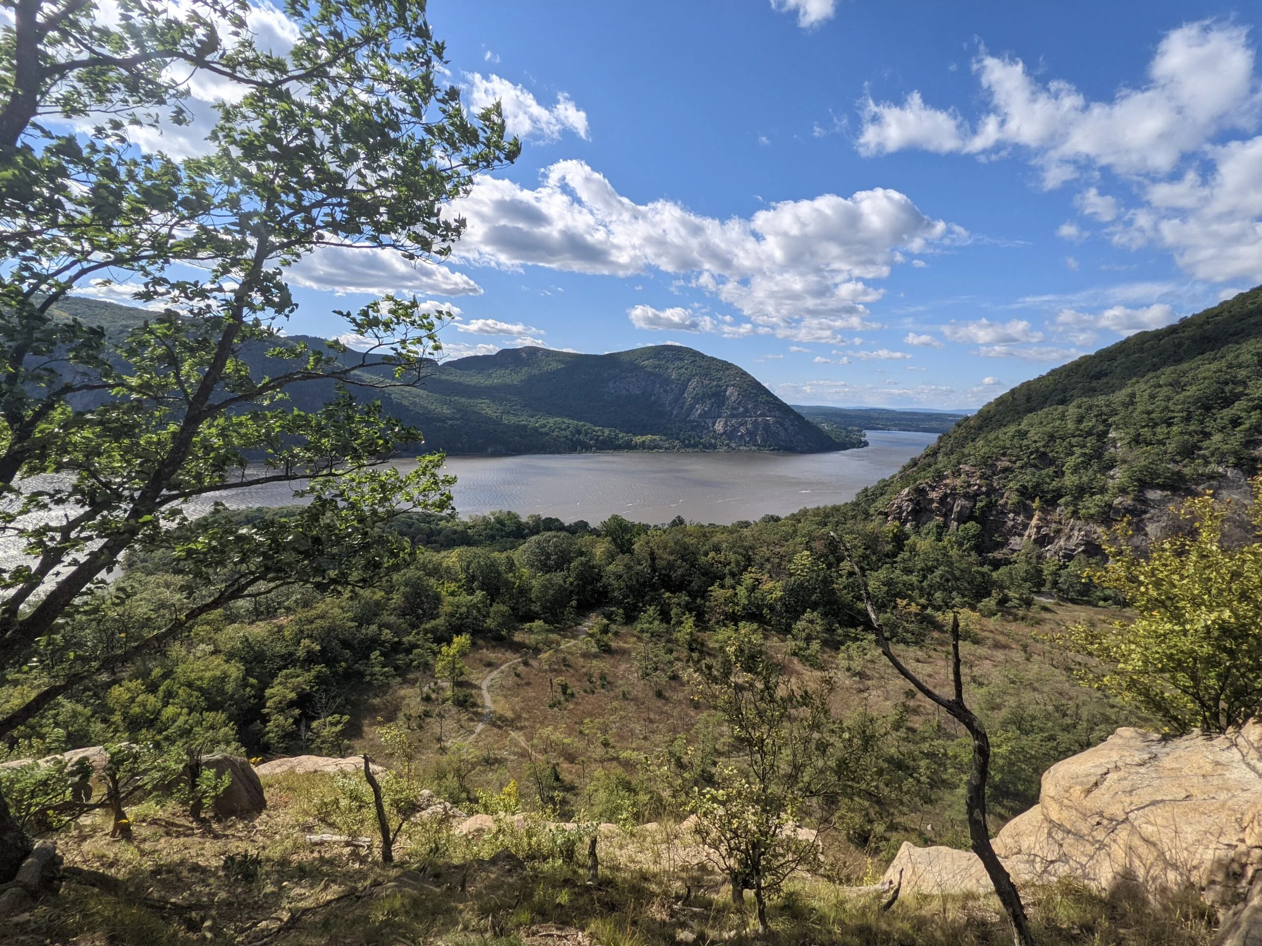
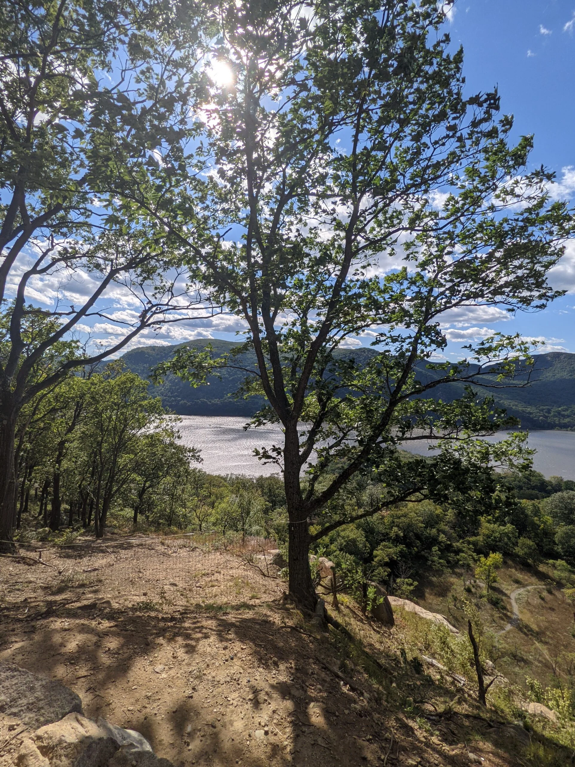
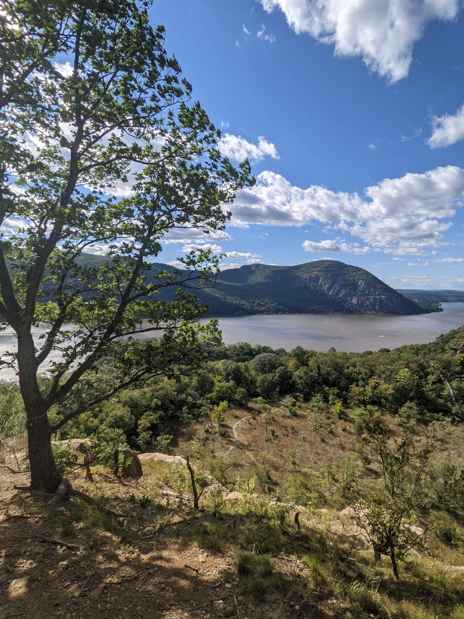
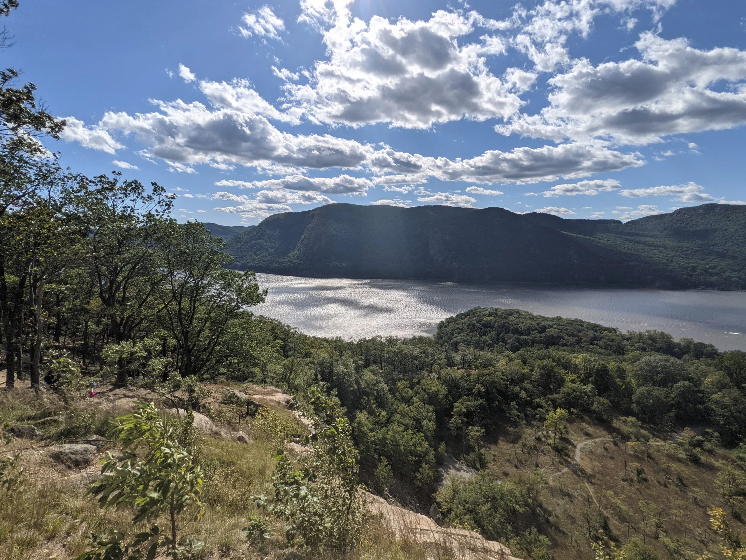
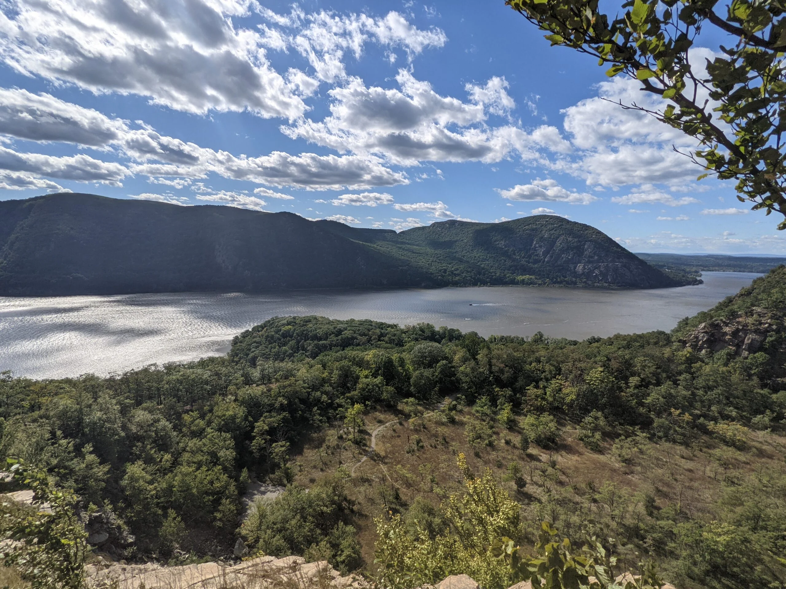
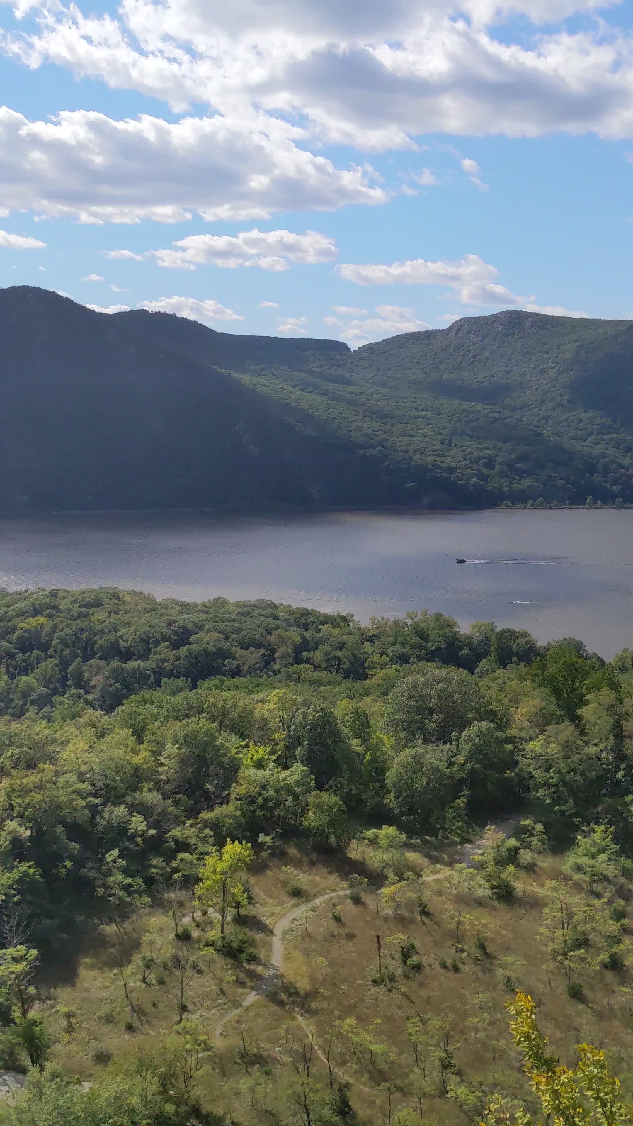
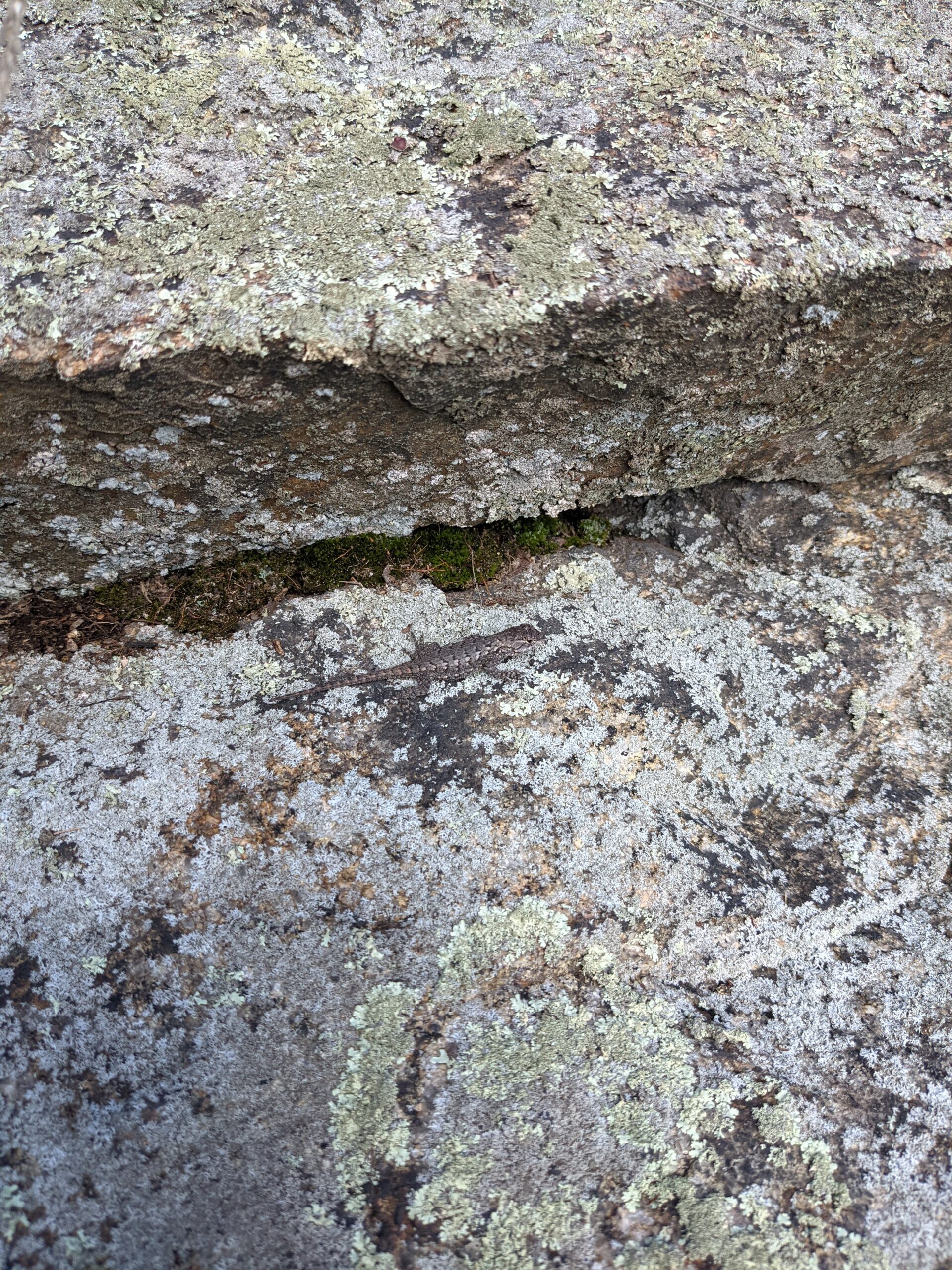
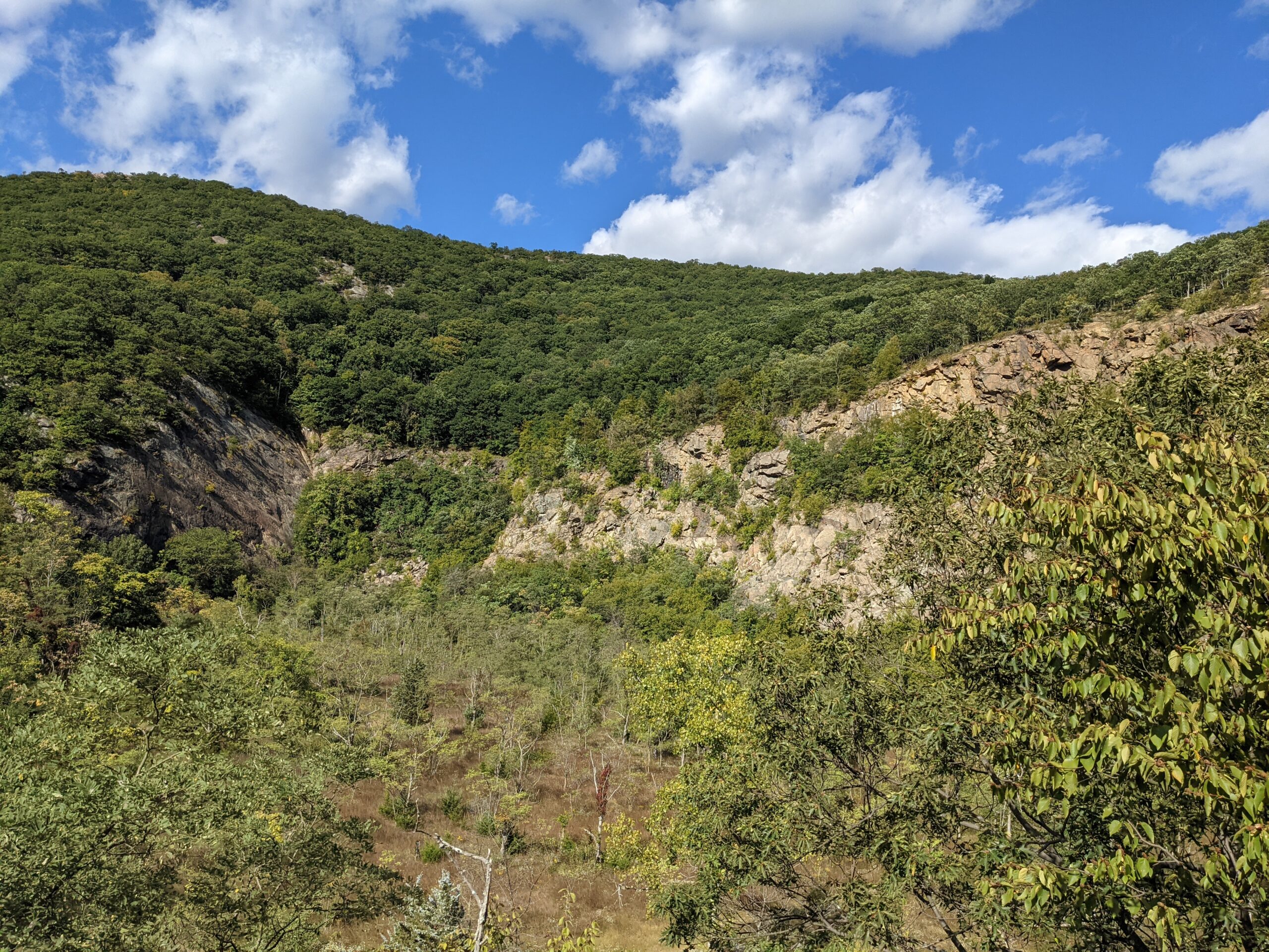
It was time to continue hiking! I followed Notch trail east until it met up with Washburn Trail (WB, white blazes), which took me to Bull Hill (sometimes referred to as Mt. Taurus). On the way through Bull Hill, there are a half dozen or so lookouts offering various views of the Hudson River and surrounding valley. Some are obstructed and some offer good angles. Whenever I thought the views were going to end, I came across yet another lookout and was in awe all over again. Although I’m not writing a lot about this portion of the hike because my focus was more on the ruins, it was rewarding in its own right and I highly recommend it.
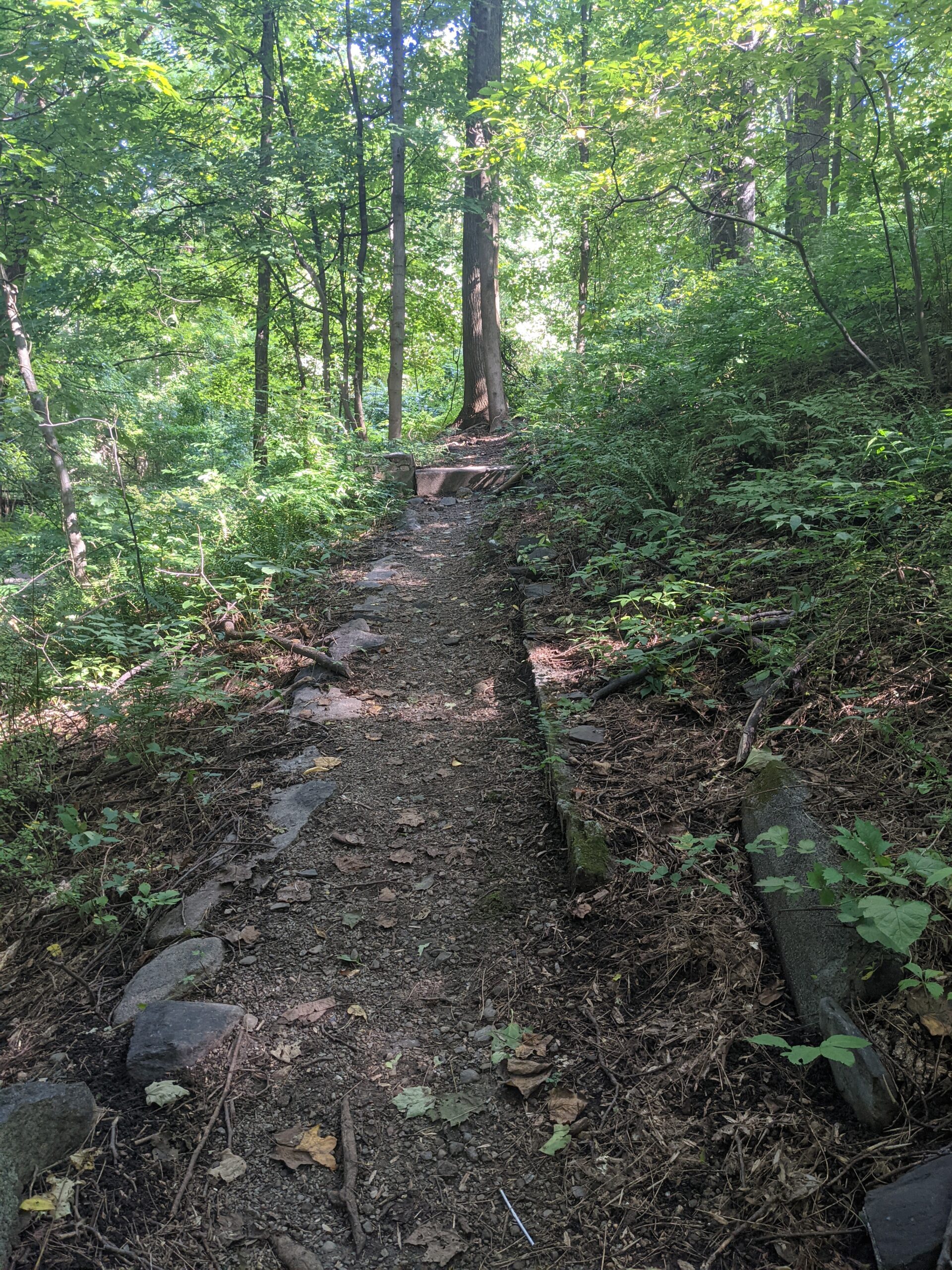
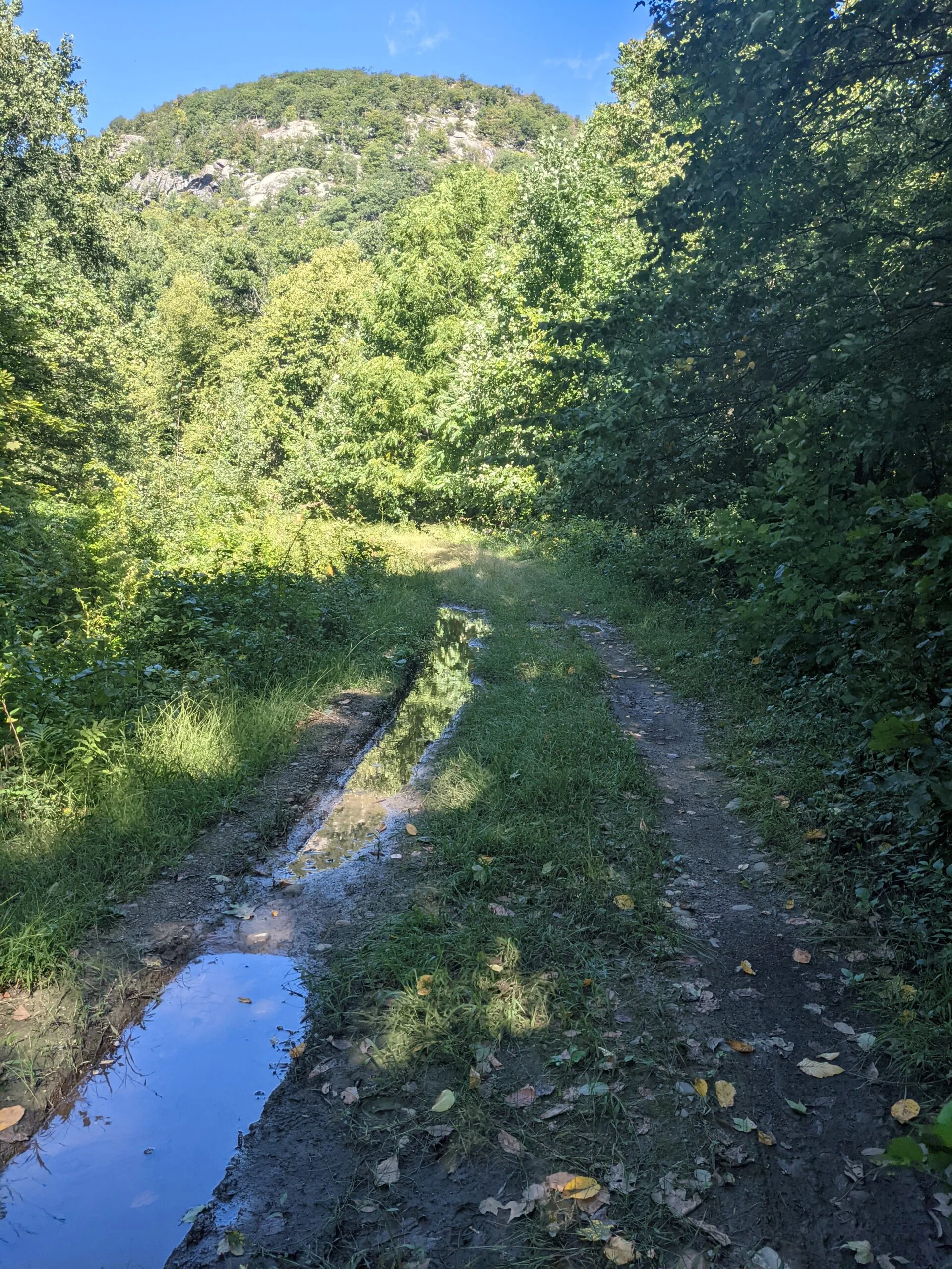
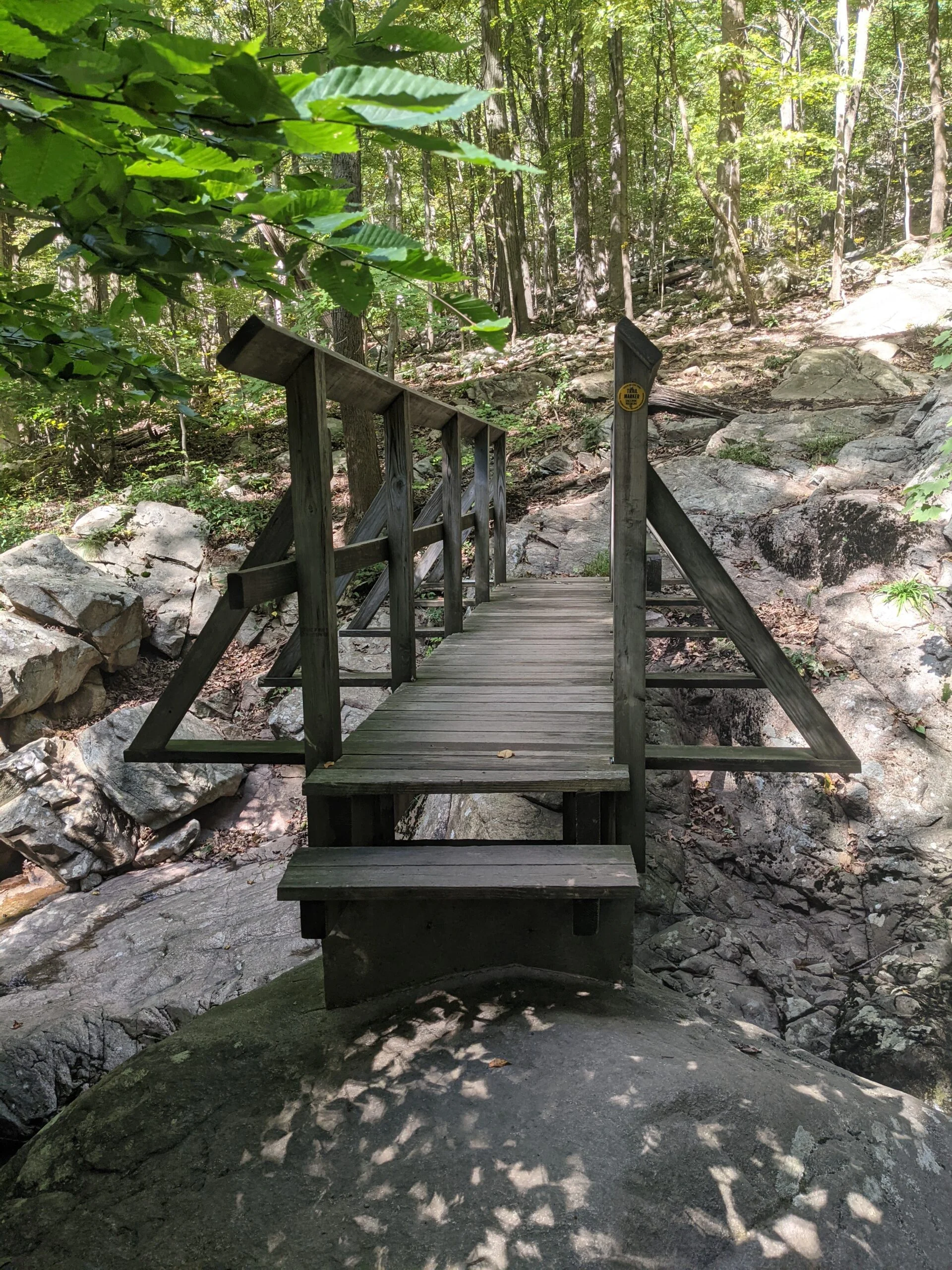
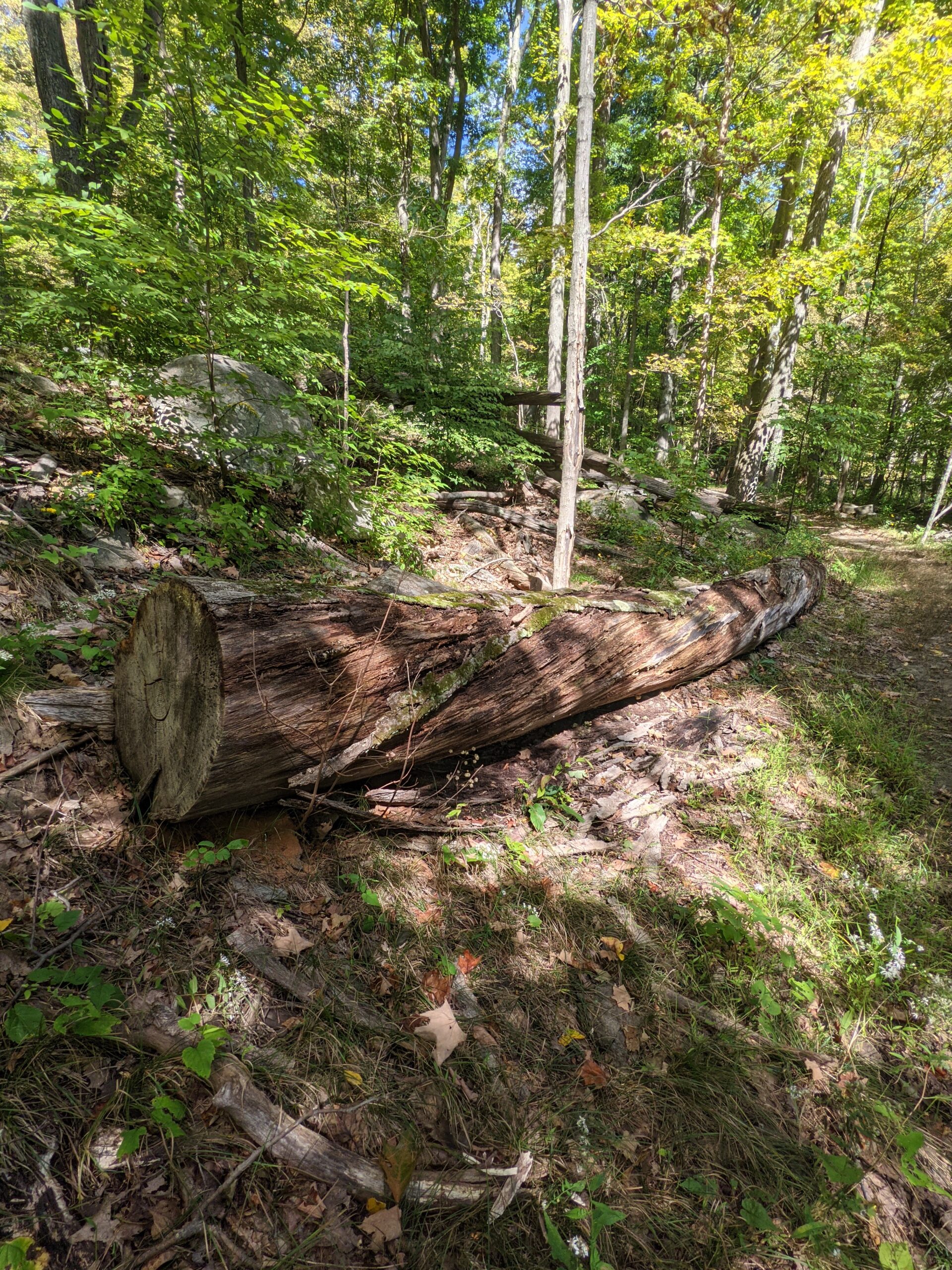
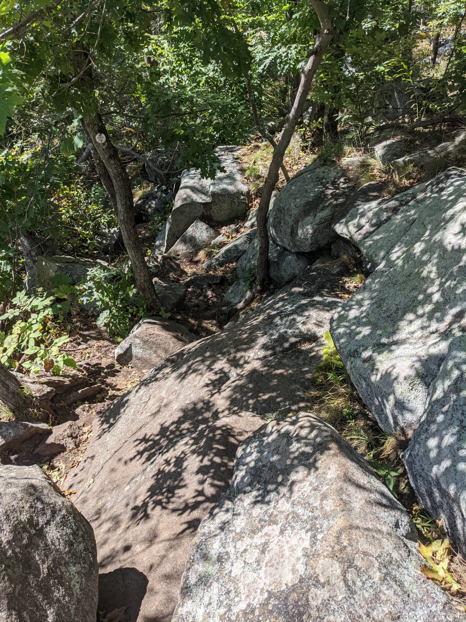
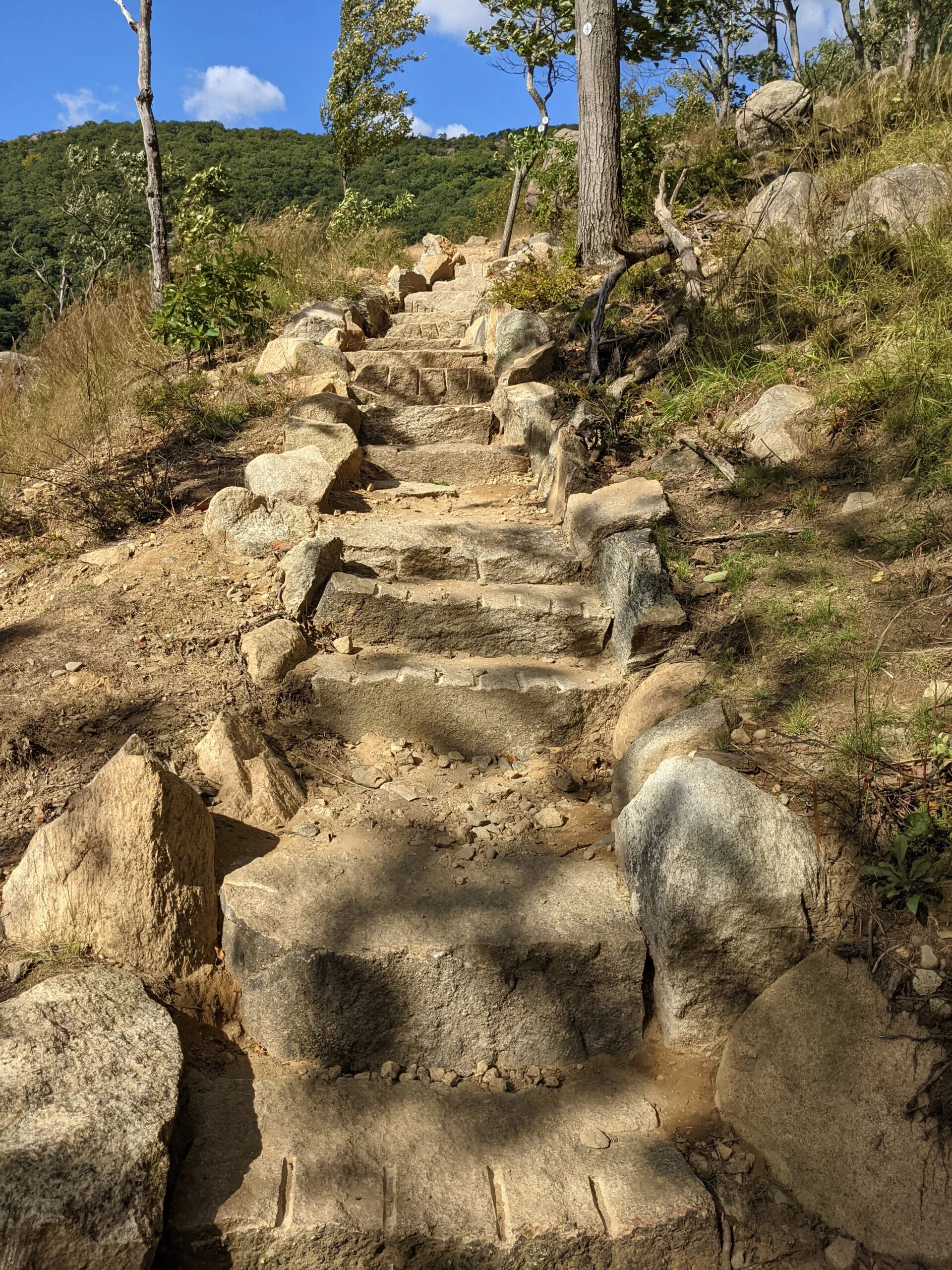
The trip down the mountain had some steep areas, but there were a lot of stone steps put in to help ease the transition. The final 1/2 mile was a carriage trail that led me back to the parking lot.
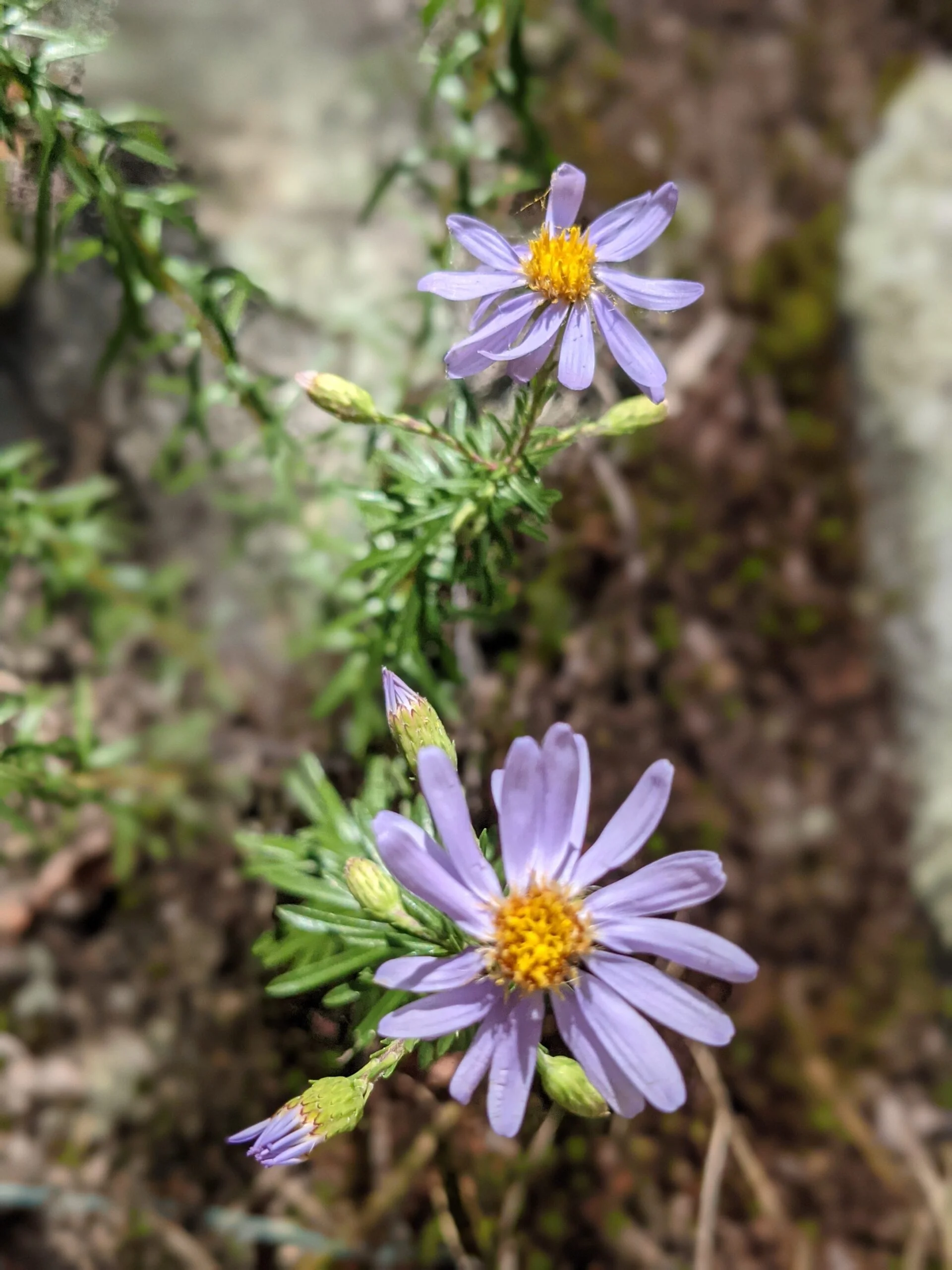
I’m really happy with the way this day turned out! The weather was beautiful, in the low 70’s with no humidity. The dozens of ruins, the waterfalls, the mountain and river views, and the varied terrain put this hike toward the top of my all-time favorite list. The 1,400 foot incline from the start to the summit of Bull Hill is sneaky because it’s a low grade, but still enough to get the blood pumping and I occasionally needed to stop to catch my breath. It’s a very approachable hike for almost any level of hiker.
I ended up taking 650 photos on this hike, which is the most I’ve ever taken. I got rid of duplicates and other things that I thought might not be as interesting because that’s simply too much for the average reader to wade through!
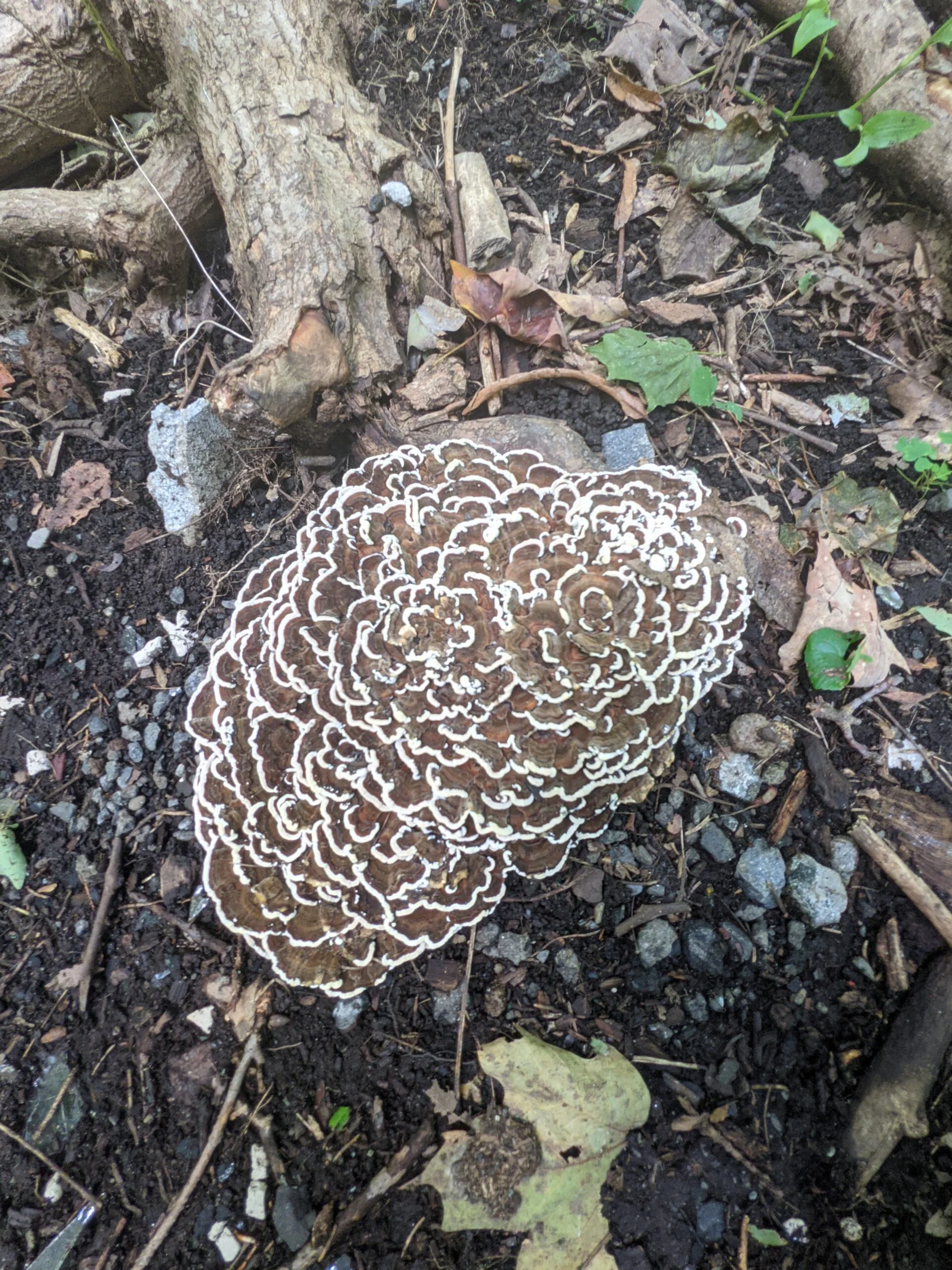
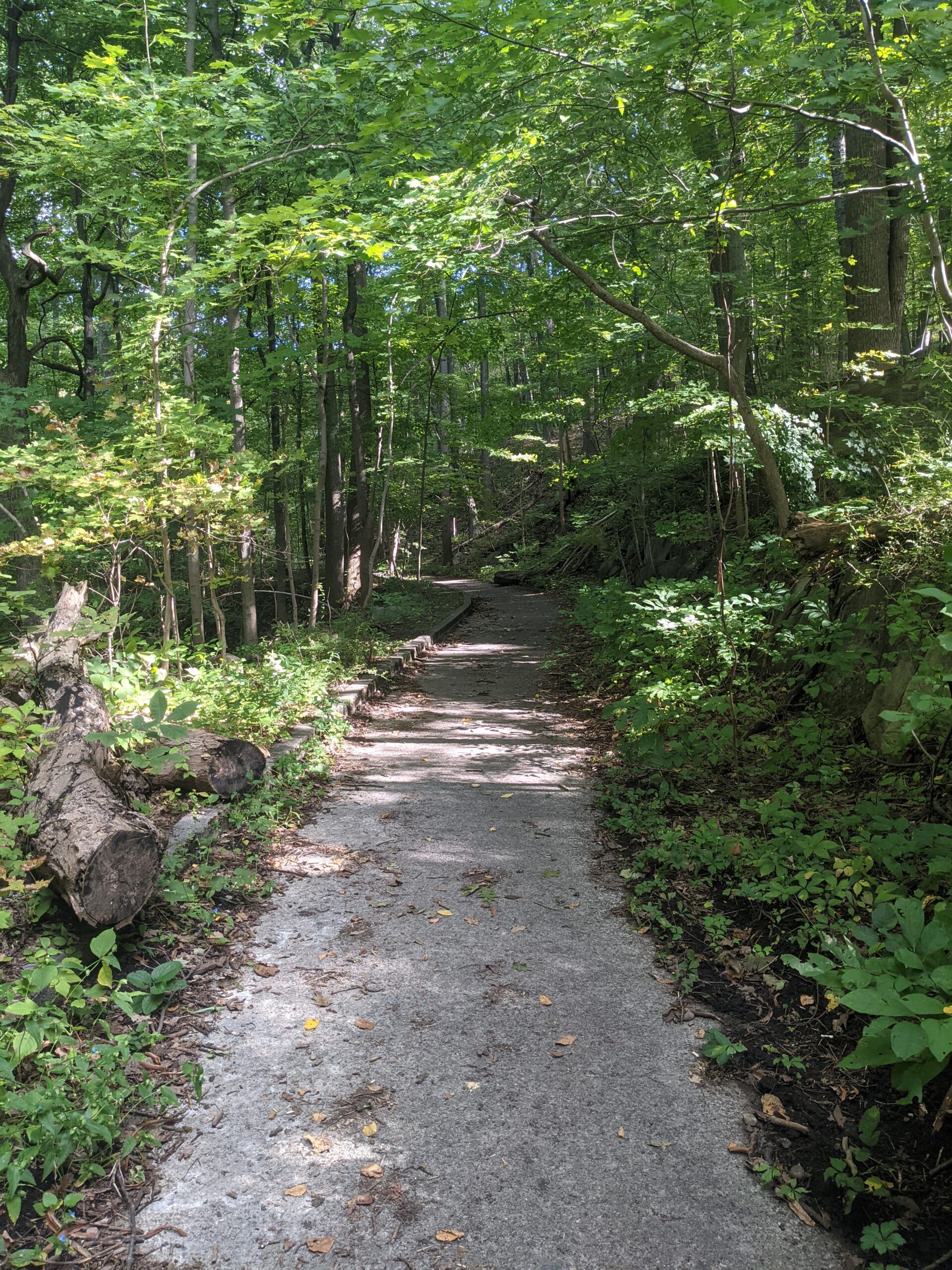
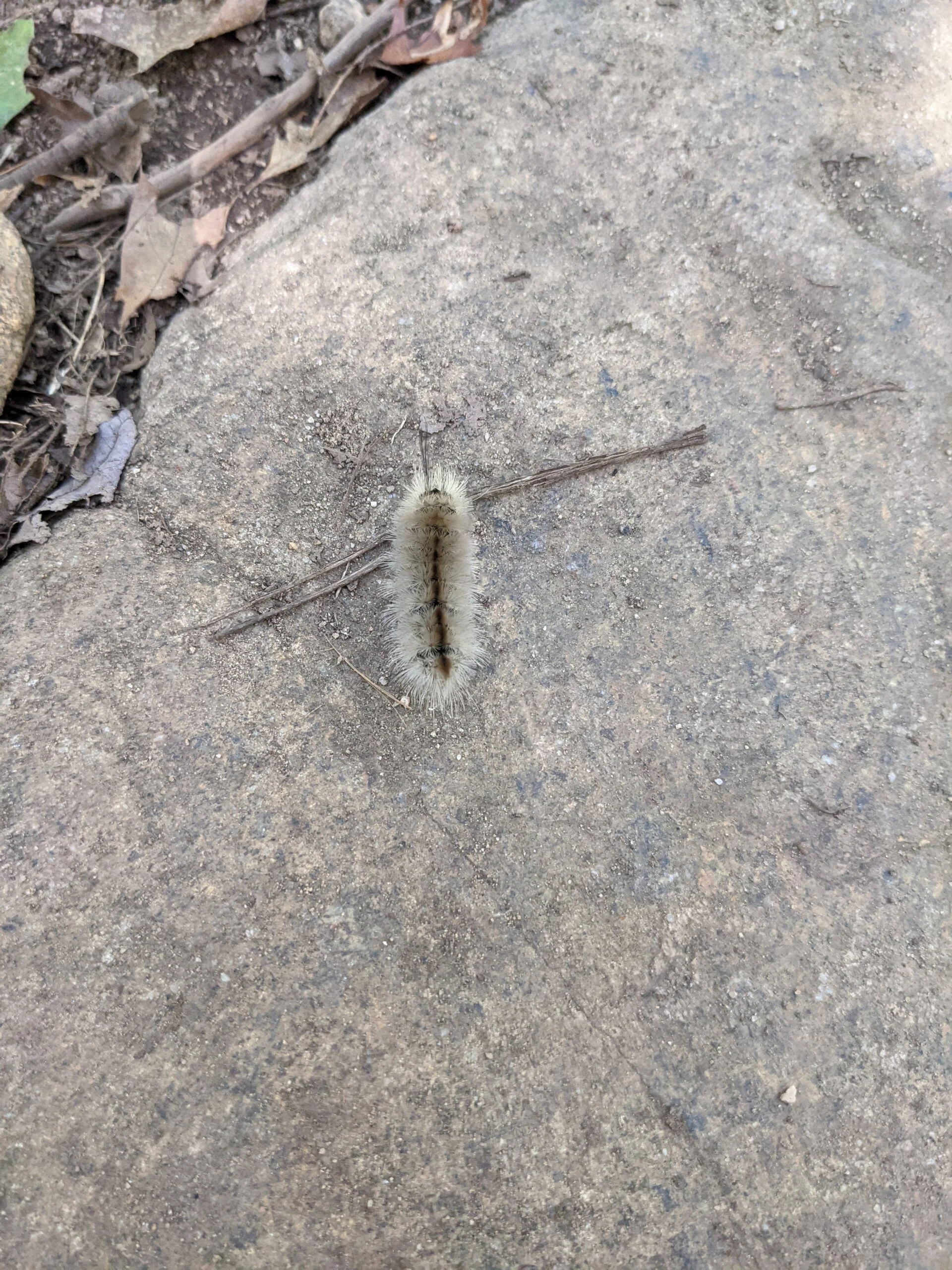
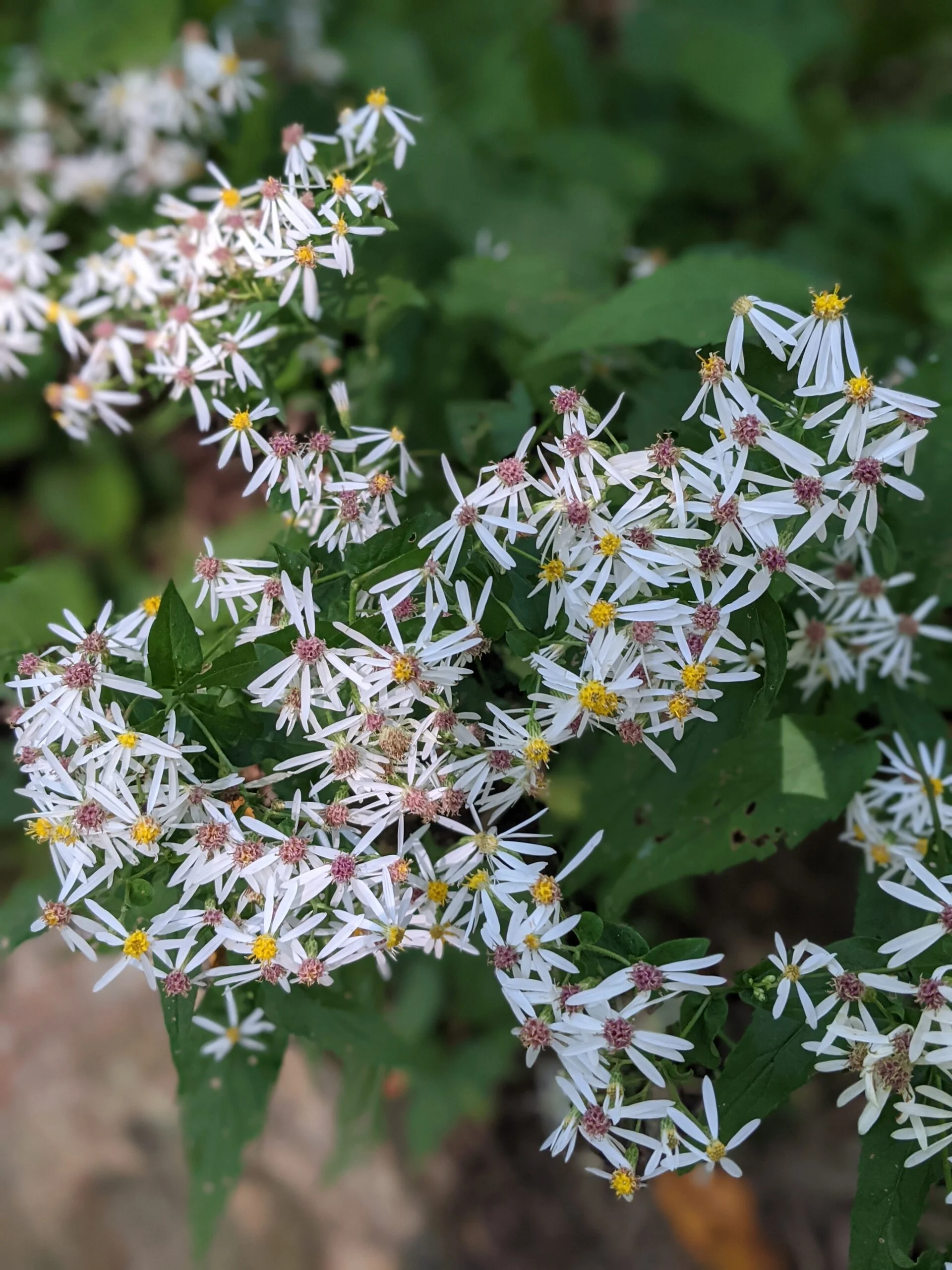
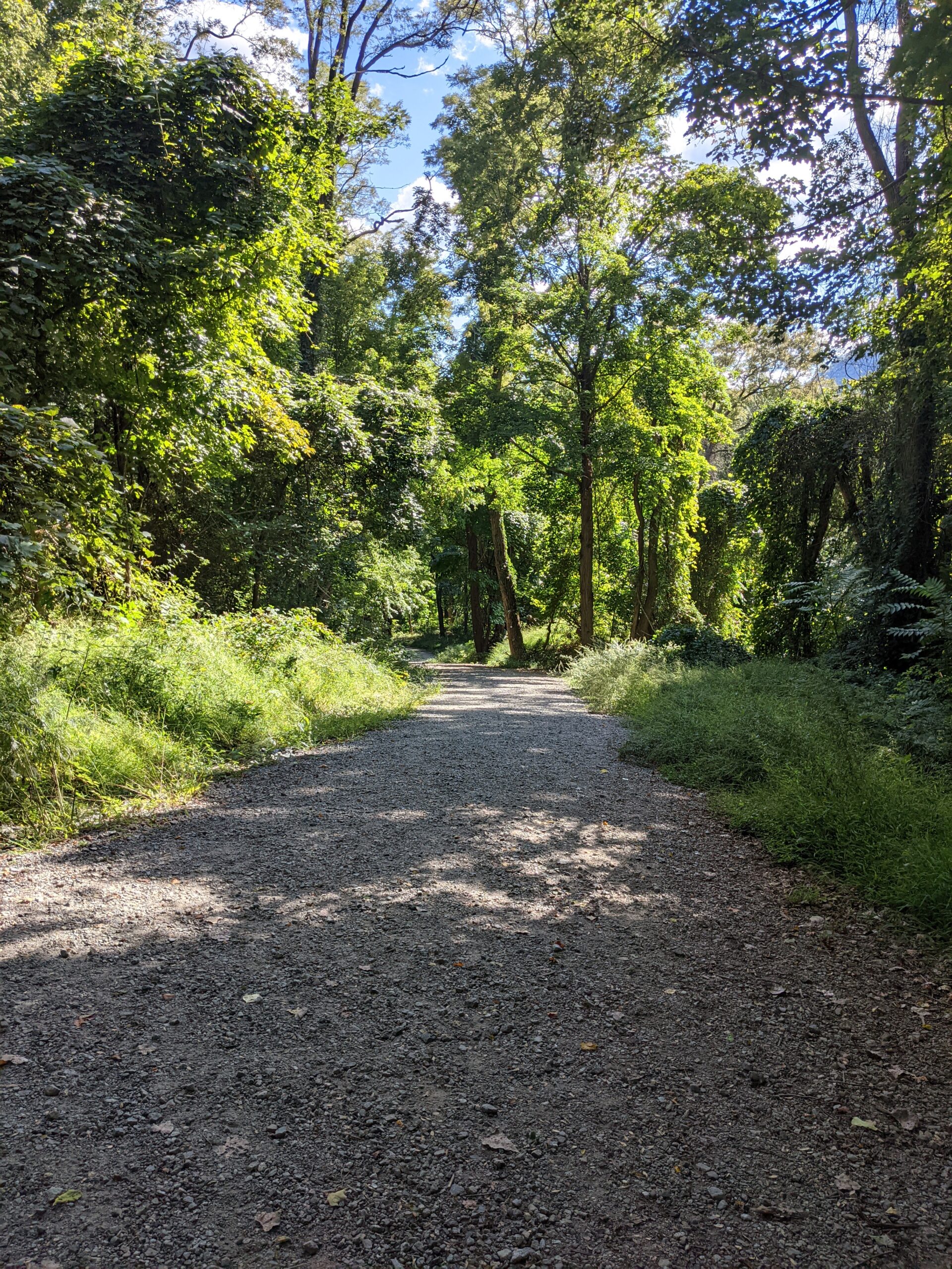
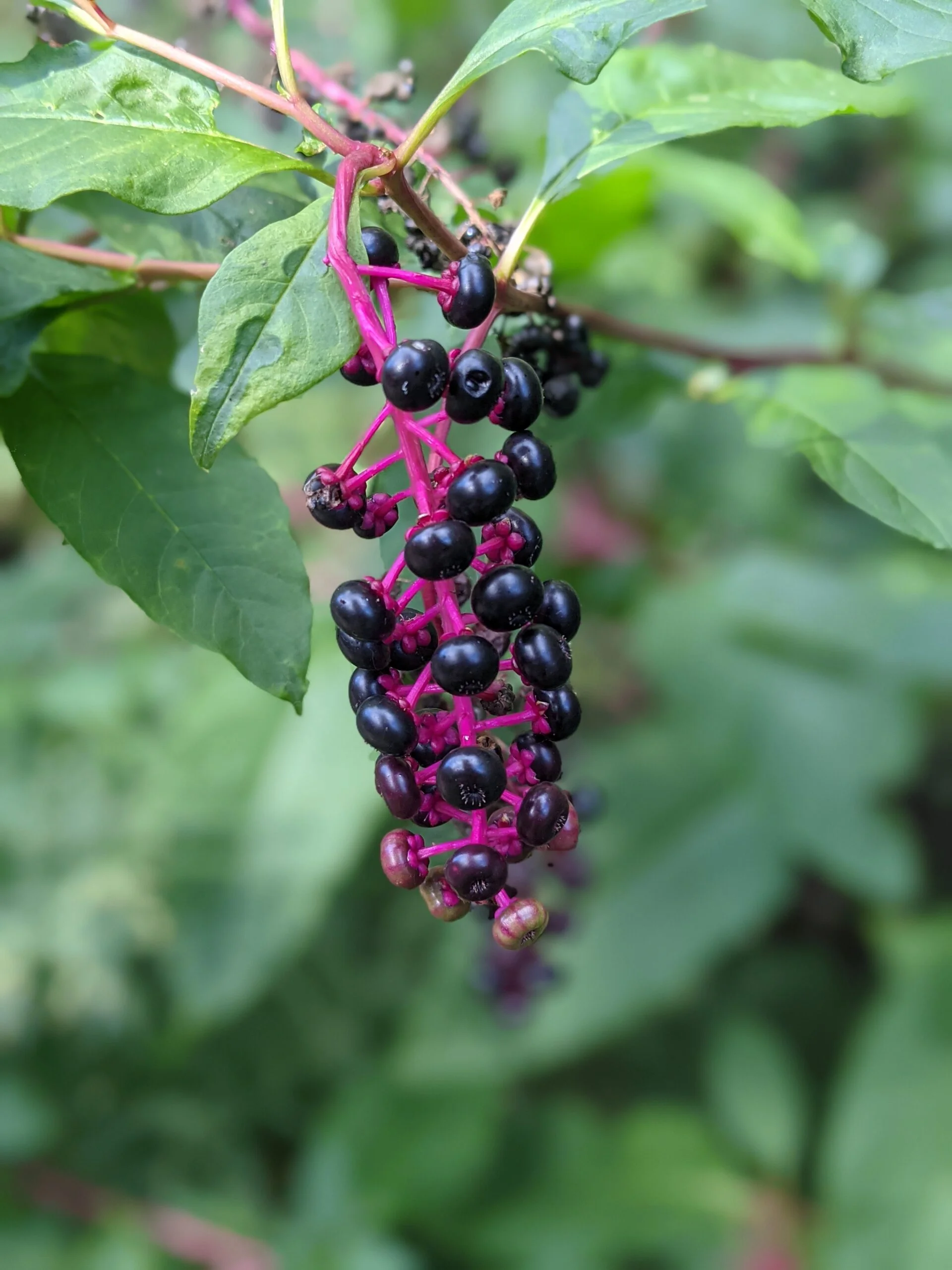
Photos


GPS Route & Elevation
Loads an interactive map; map tiles are served by the U.S. Geological Survey, which receives your IP address. Learn more about maps and your privacy