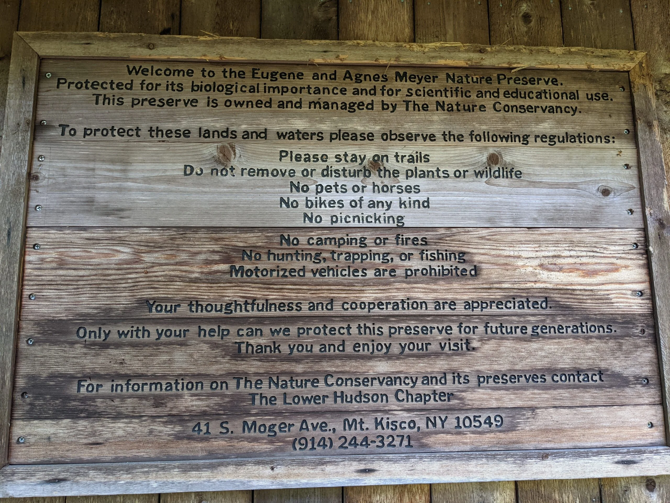
Eugene and Agnes Meyer Preserve
Eugene and Agnes Meyer Preserve – Byram Lake Reservoir, Aqueduct, Upper Meadows
- 6.7 mi
- 820 ft gain
- 04:22:36
- 245 photos
- 9 videos
It’s hard to believe that I went two full months between hikes. The combination of a full social calendar along with a little slacking resulted in me not getting any recent hikes in. I decided to “get back in the saddle” today and pick up where I left off.
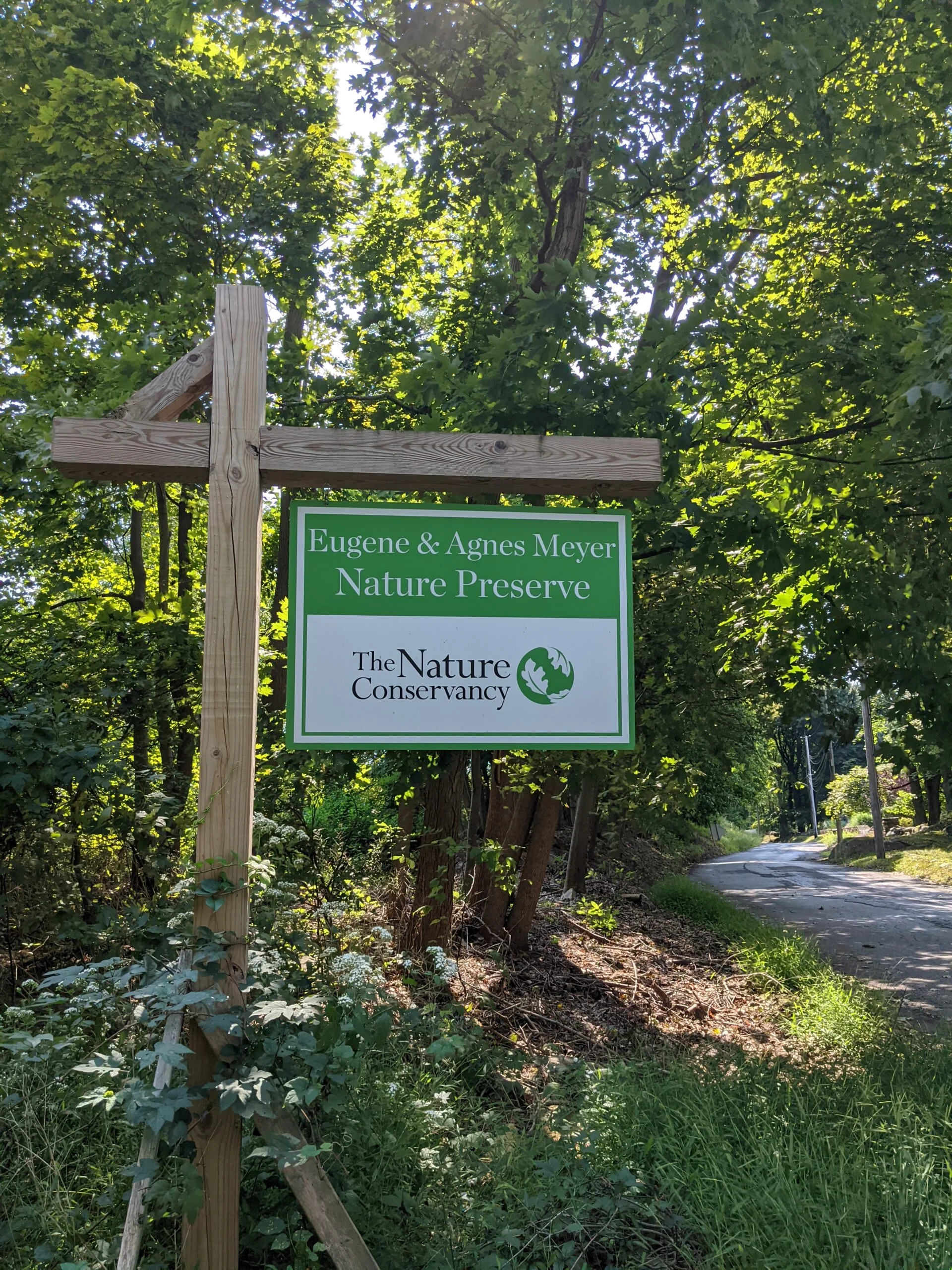
Based on a recommendation in a local magazine, I decided to visit the The Eugene and Agnes Meyer Preserve in New Castle. Since I was dormant for two months, I didn’t want to overdo it the first time back, so I chose a place that would give me a decent amount of mileage without too much elevation change. This spot fit the bill perfectly!
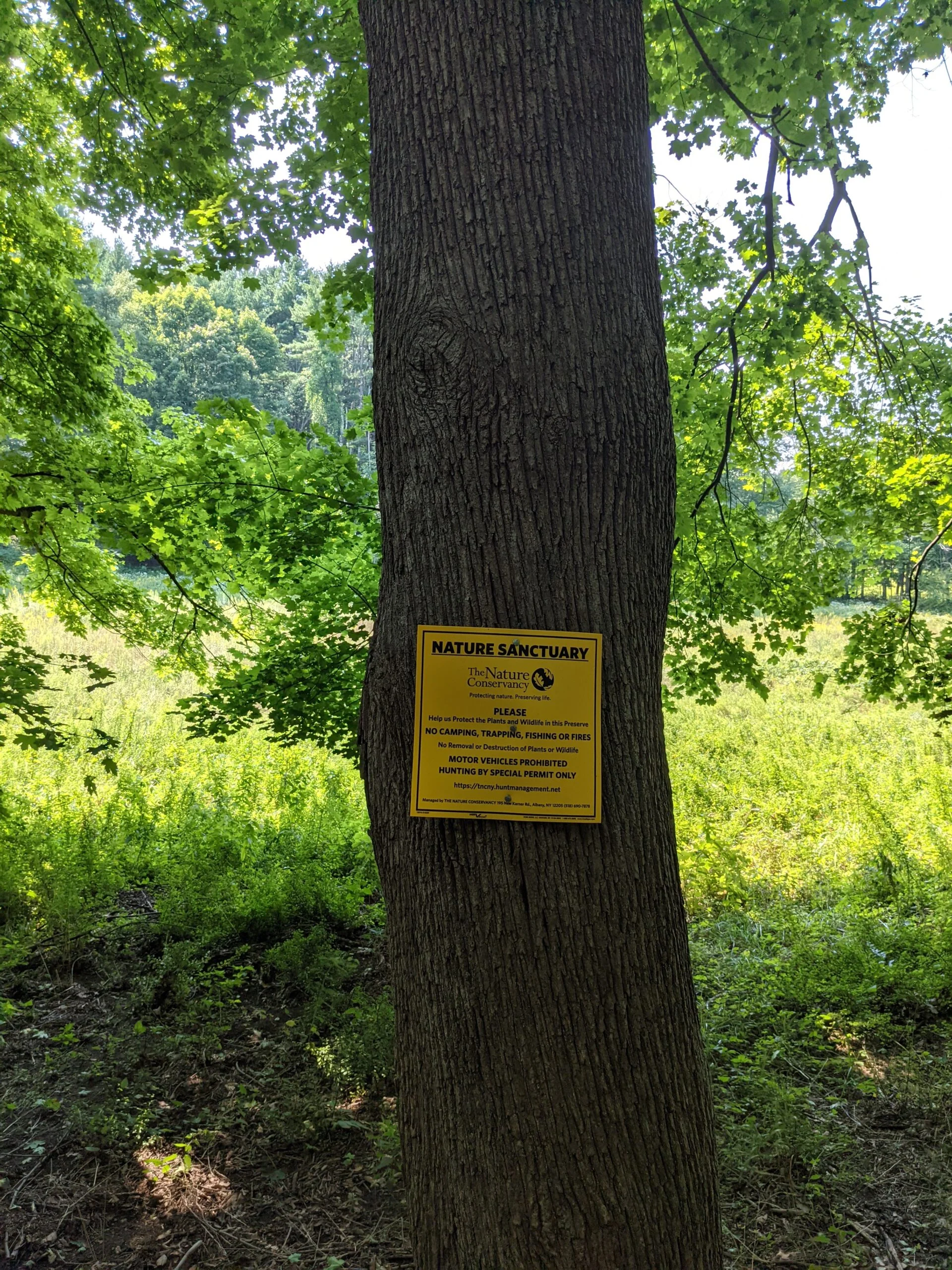
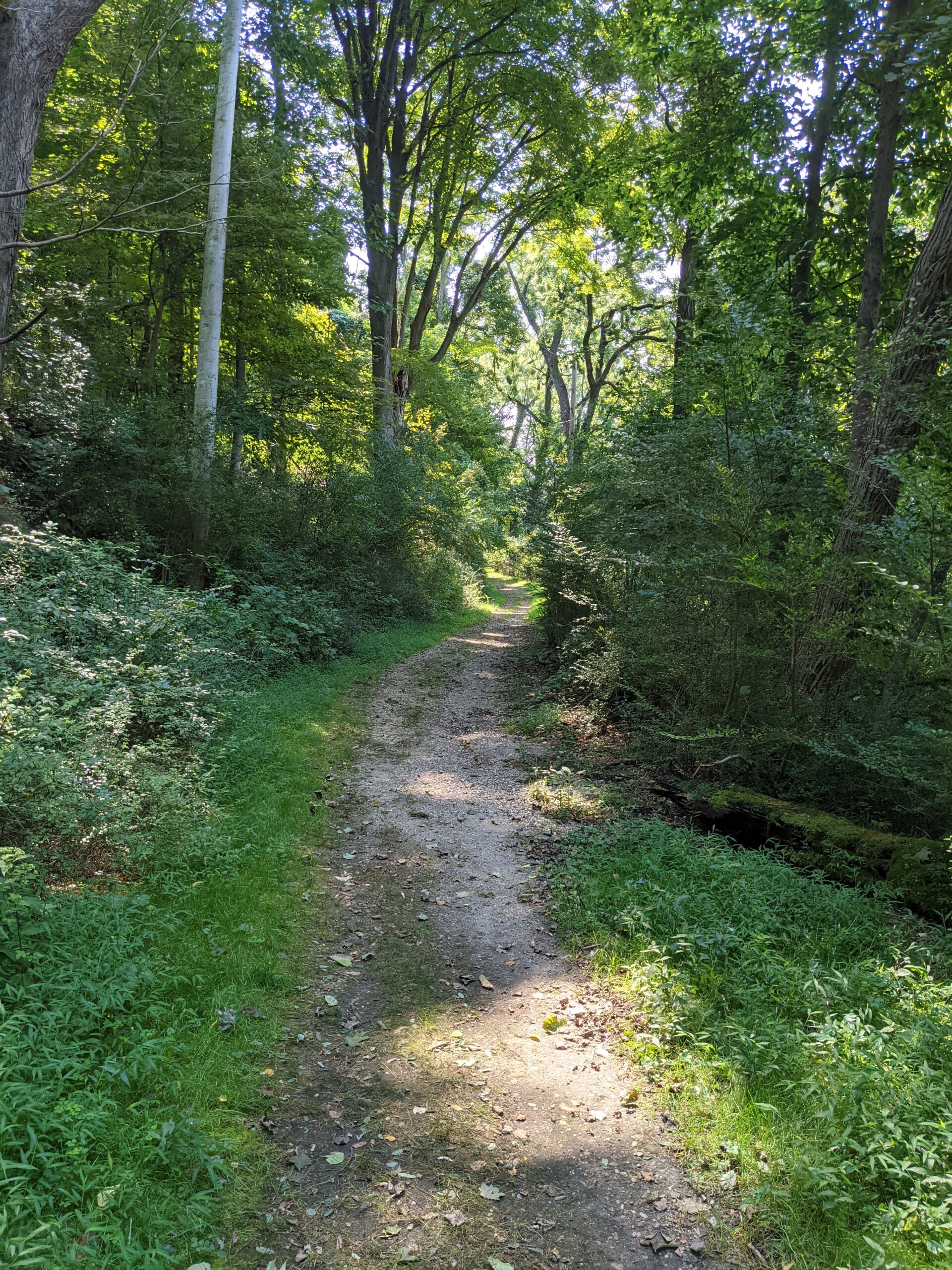
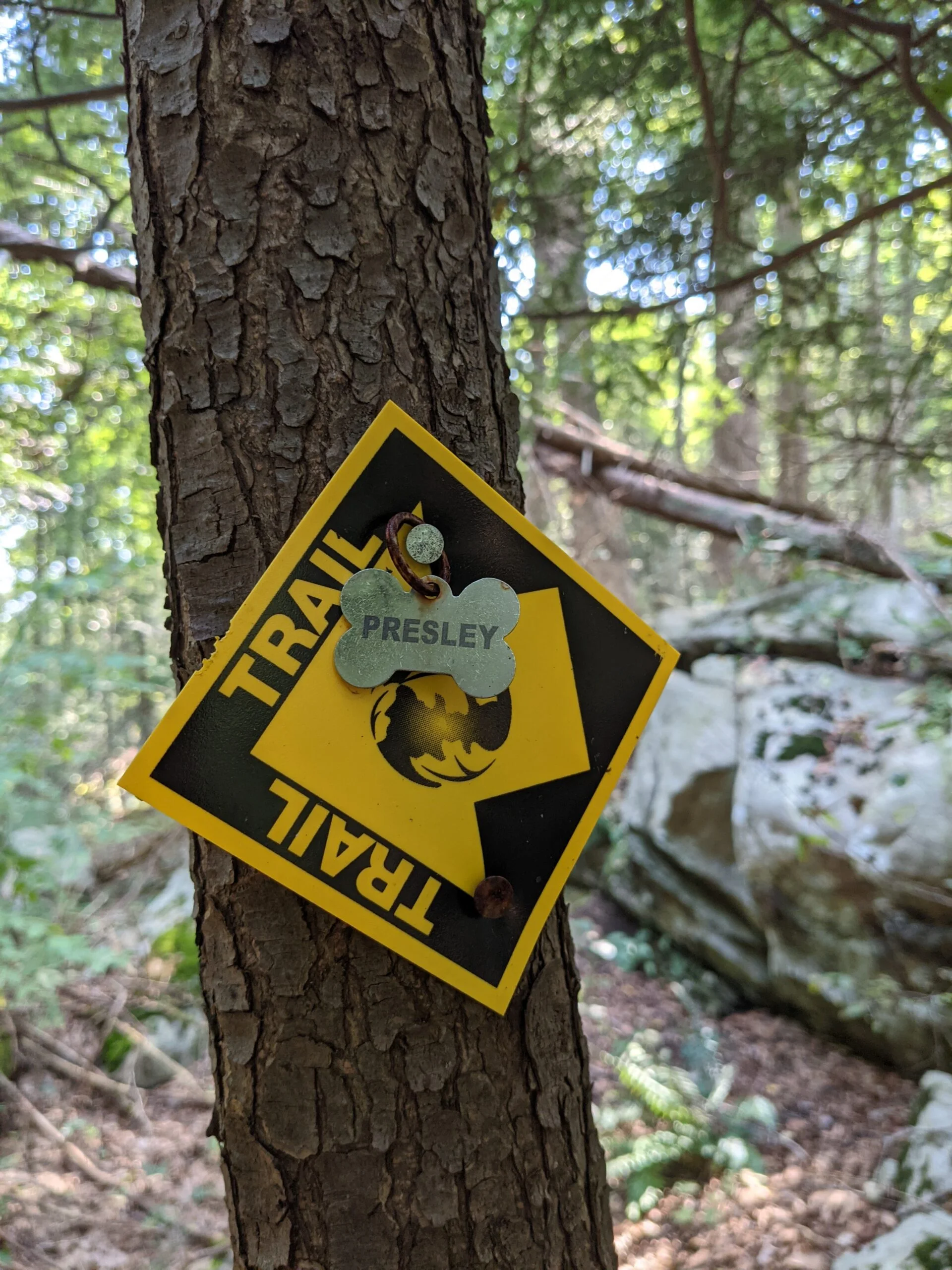
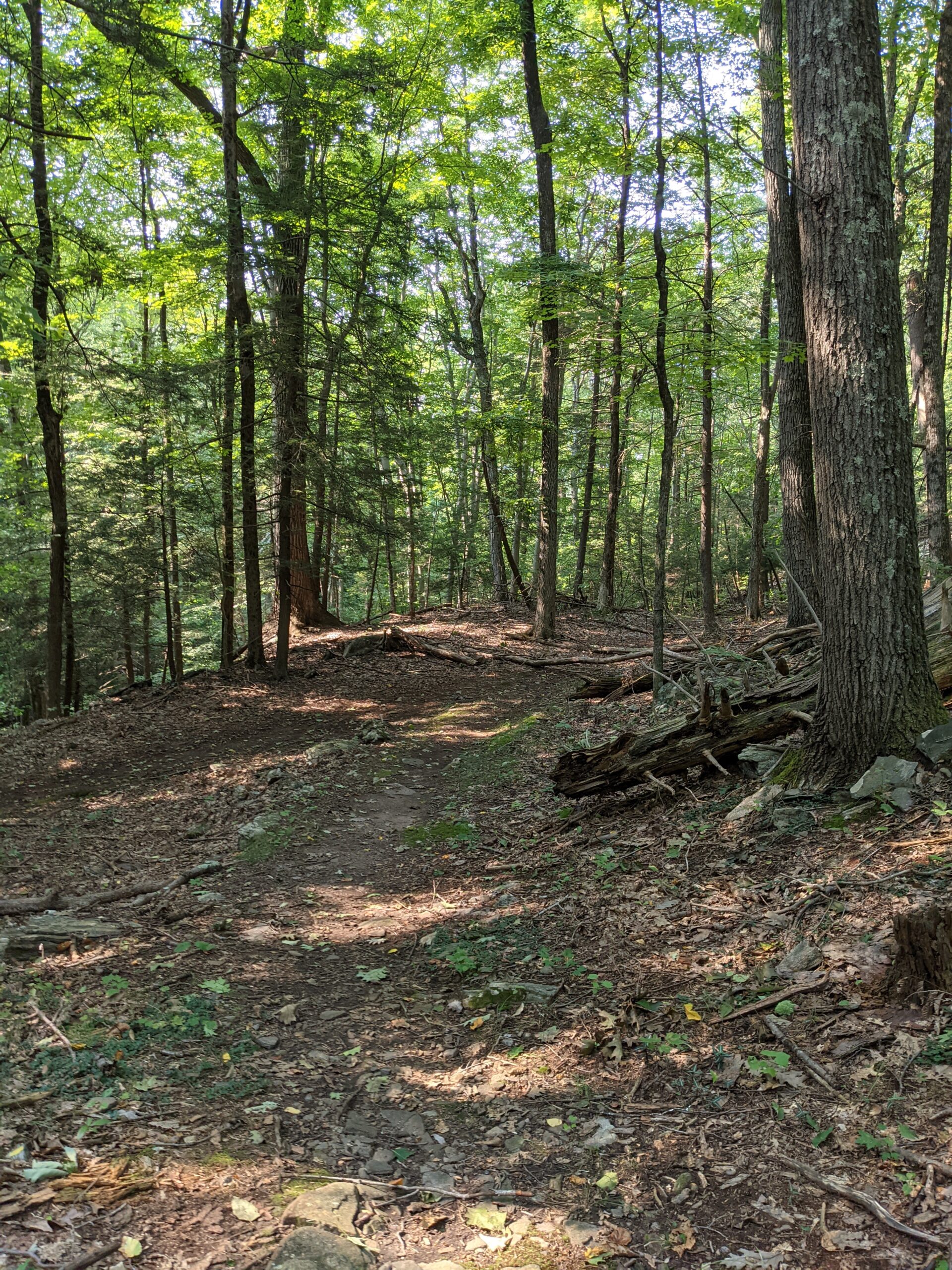
I planned to loosely follow the Meyer Preserve Upper Meadows Trail map from AllTrails. I parked in the preserve’s lot on Sarles Street across from Bretton Ridge Road just before 12:30p. The temperature was in the low 80’s on this beautiful sunny day.
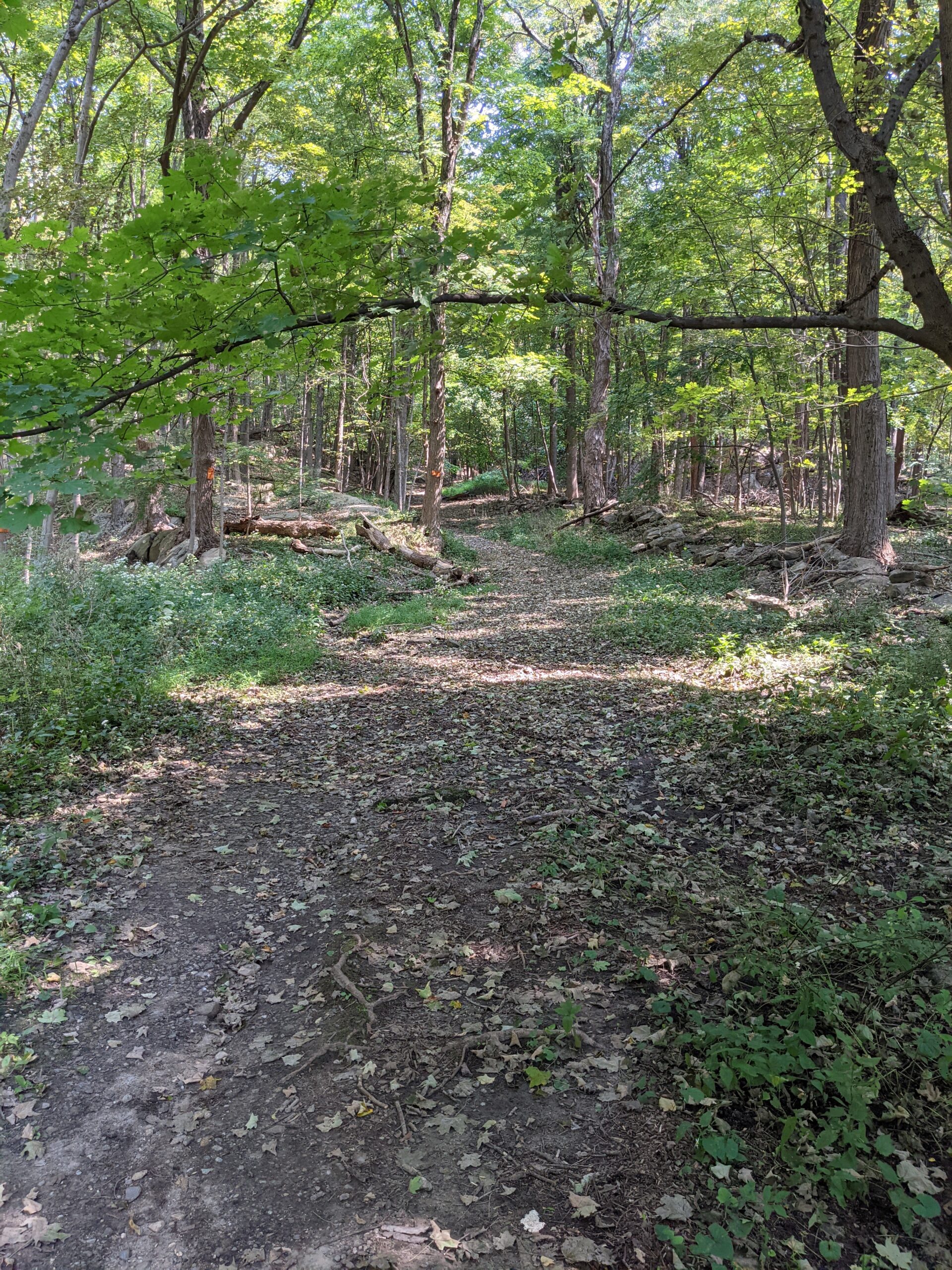
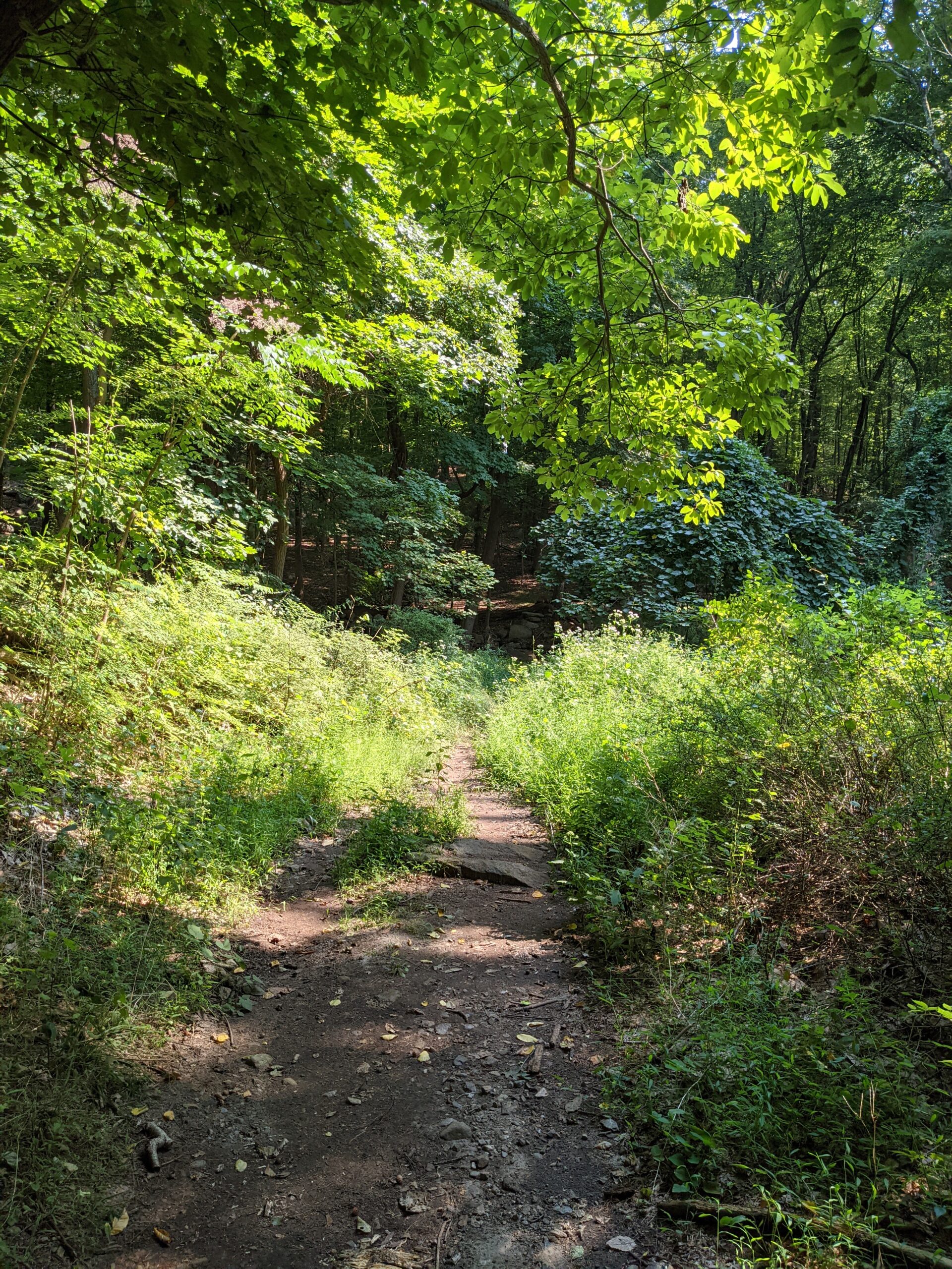
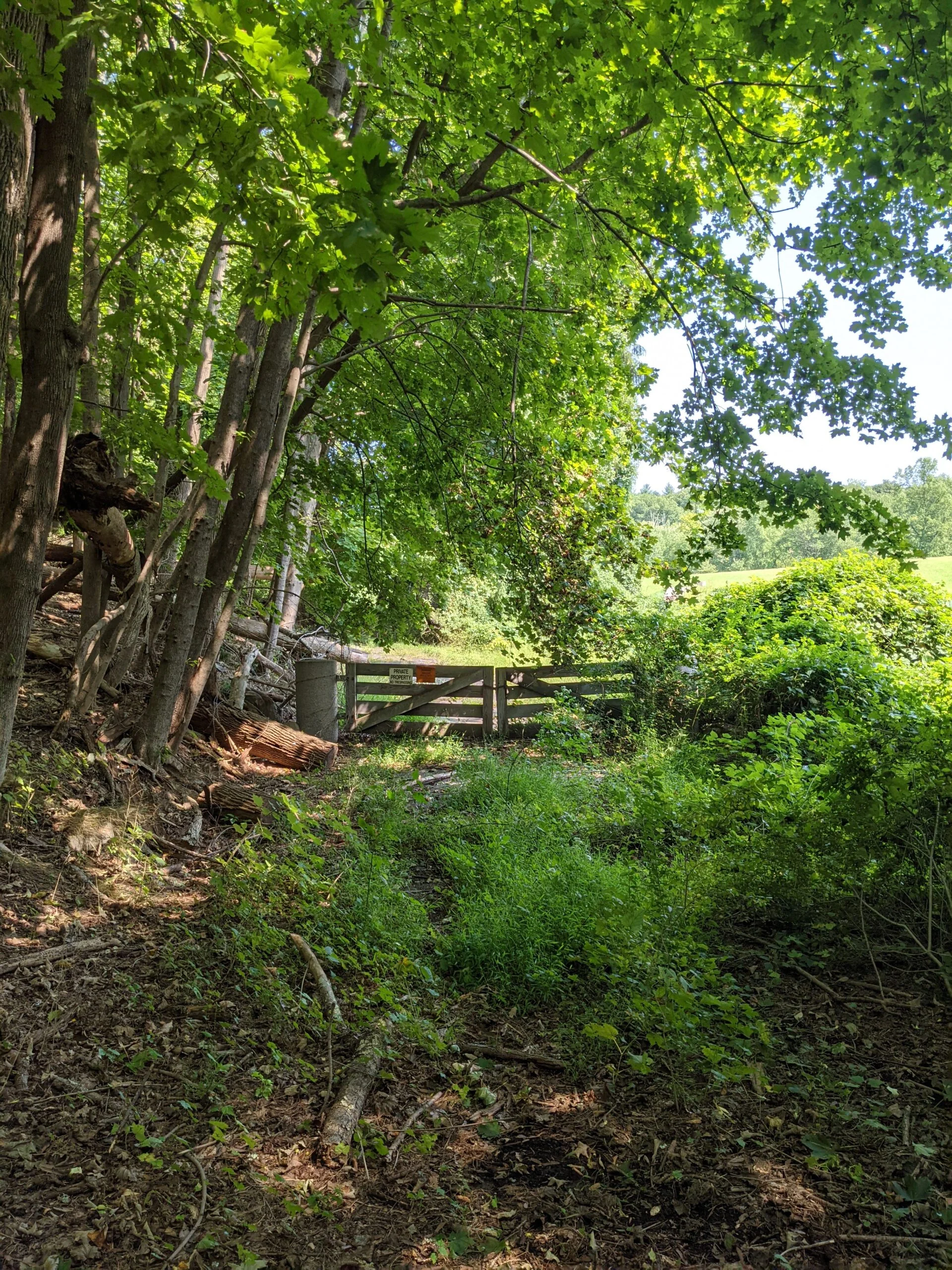
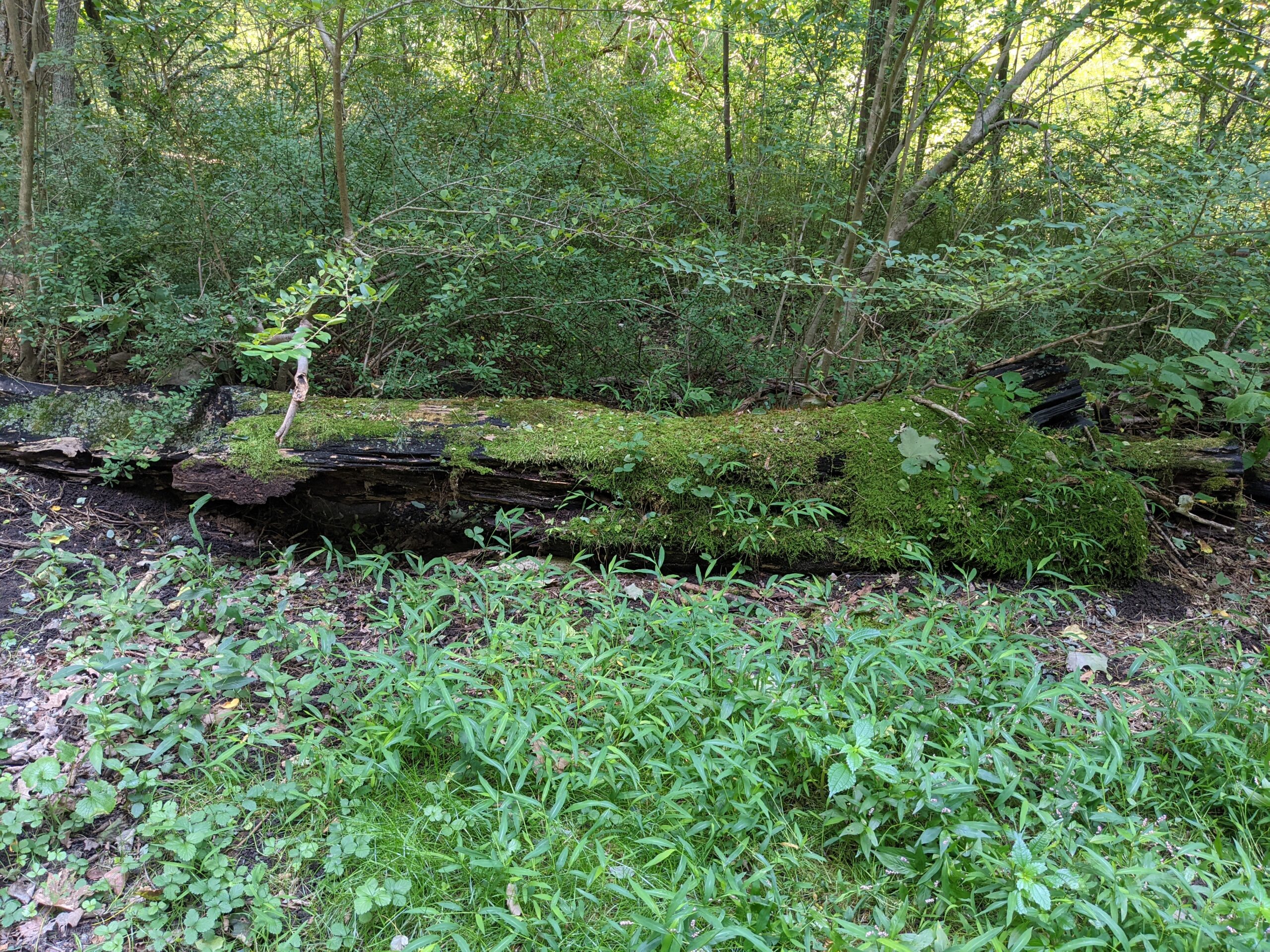
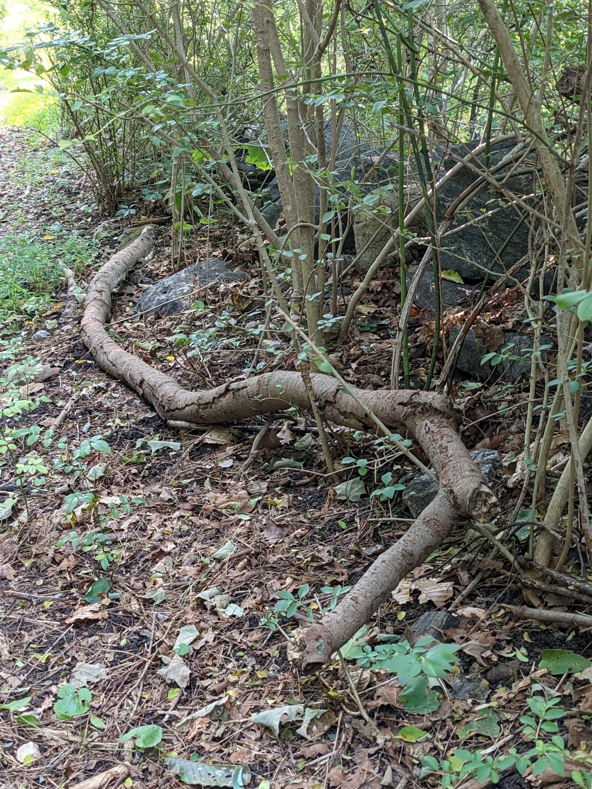
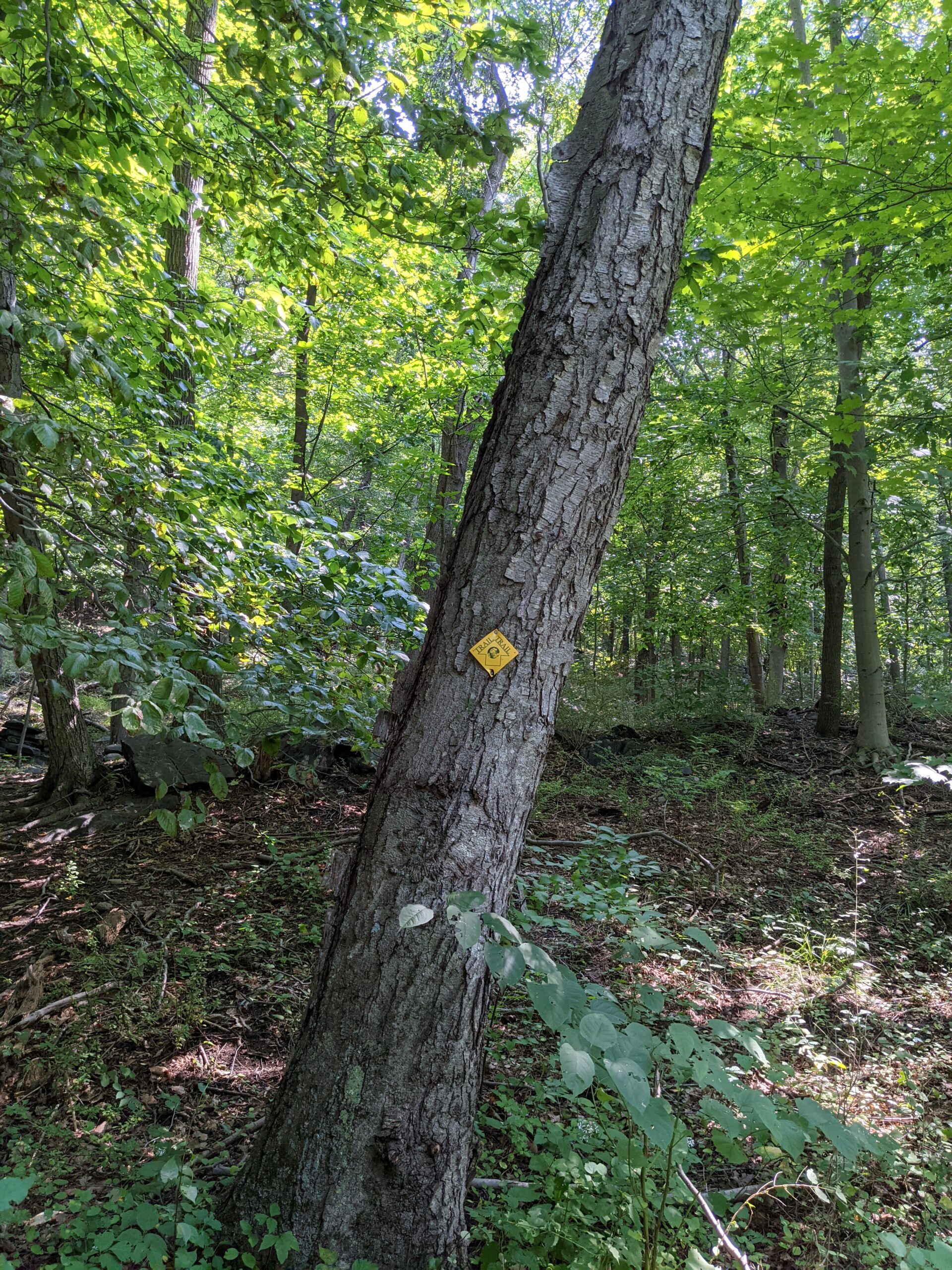
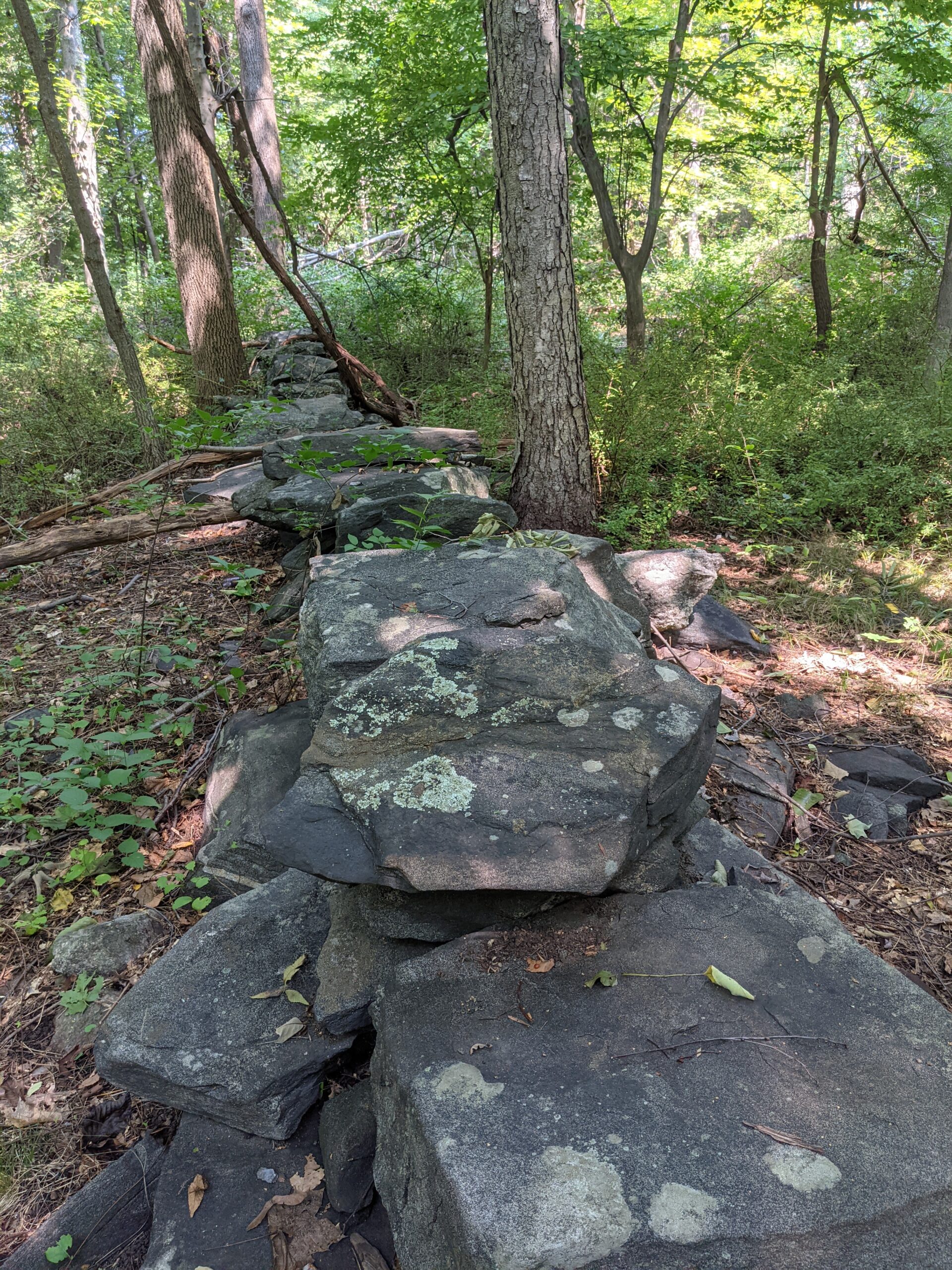
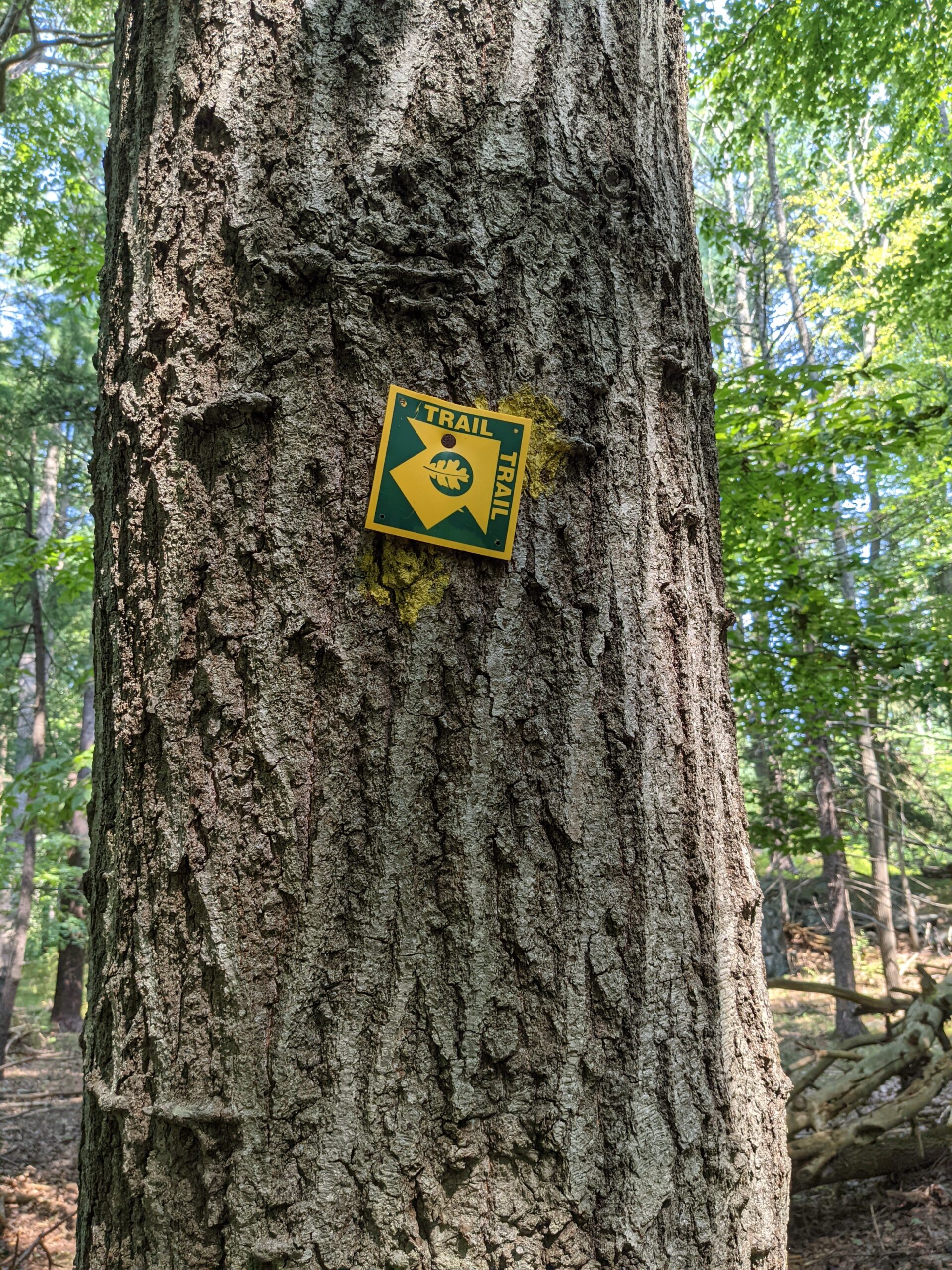
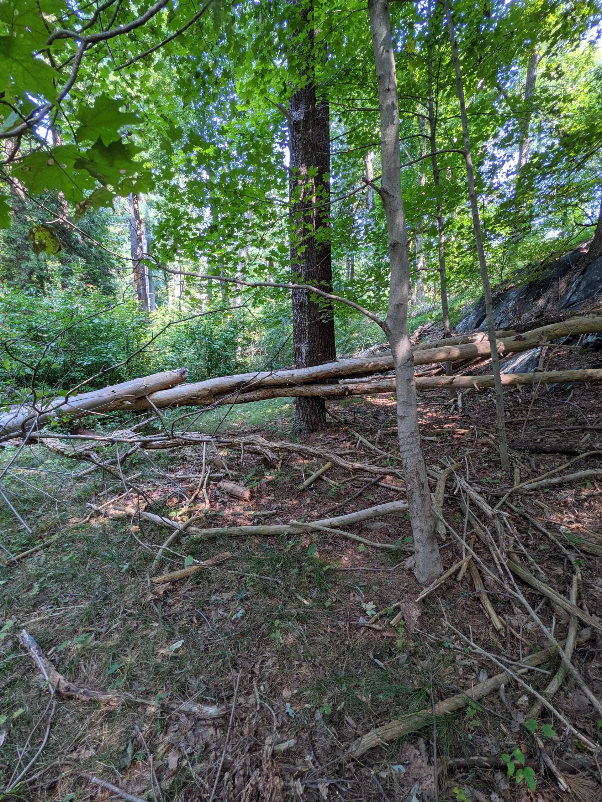
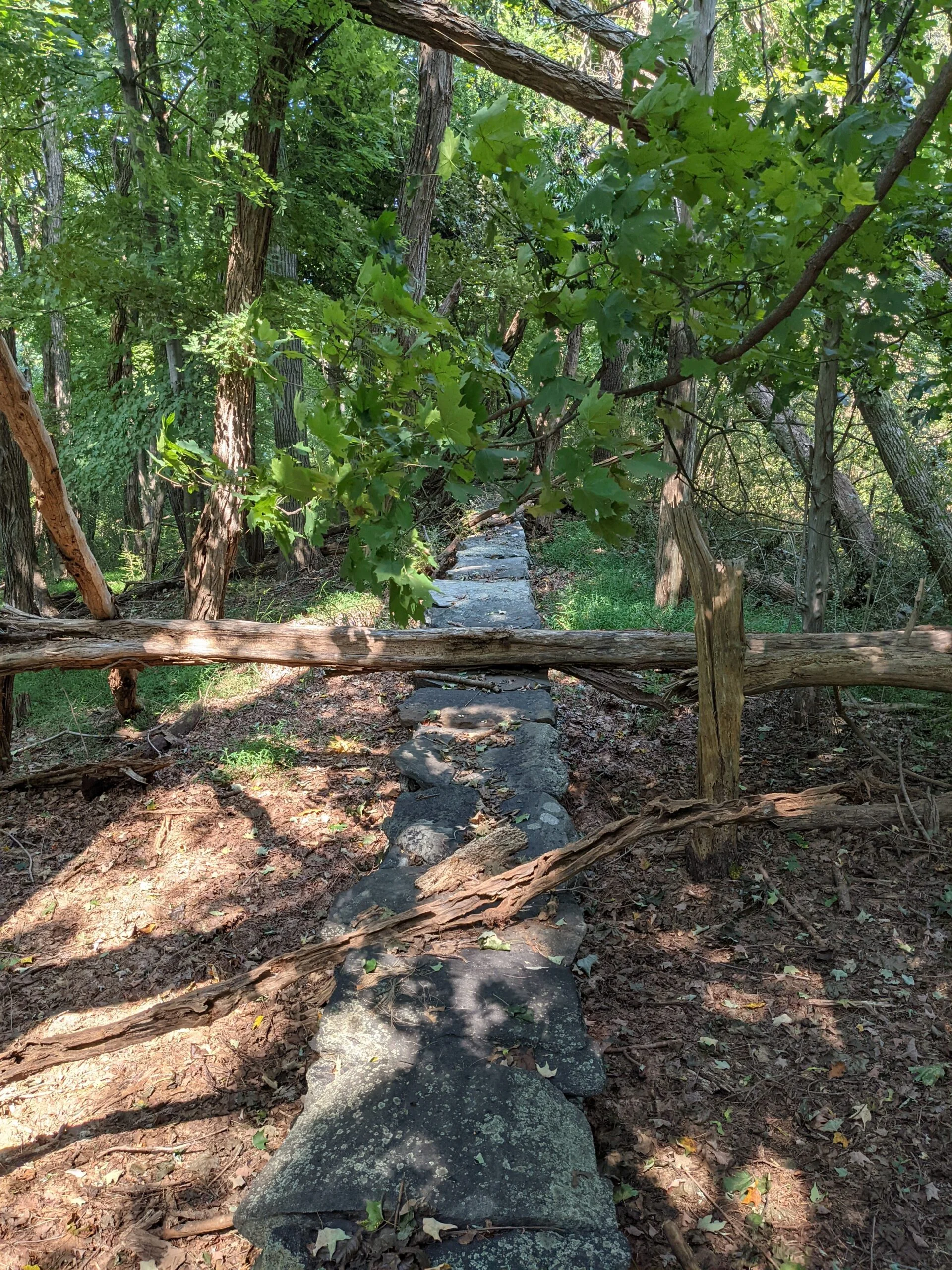
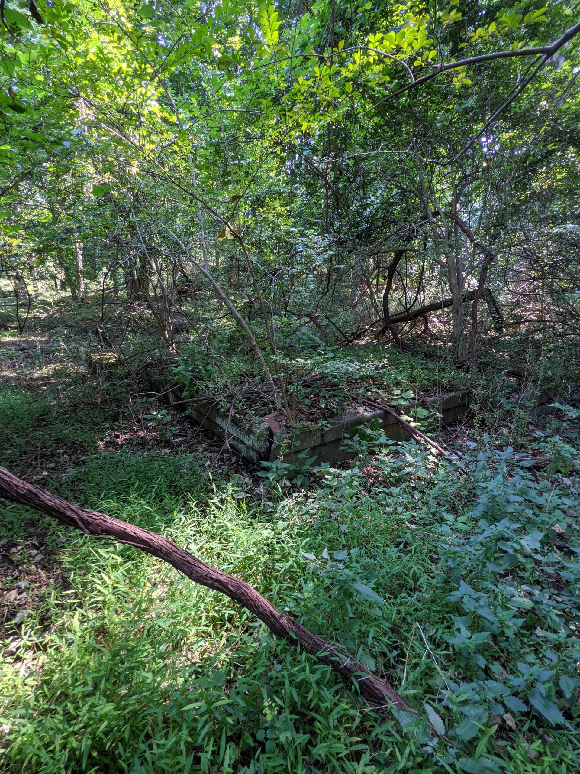
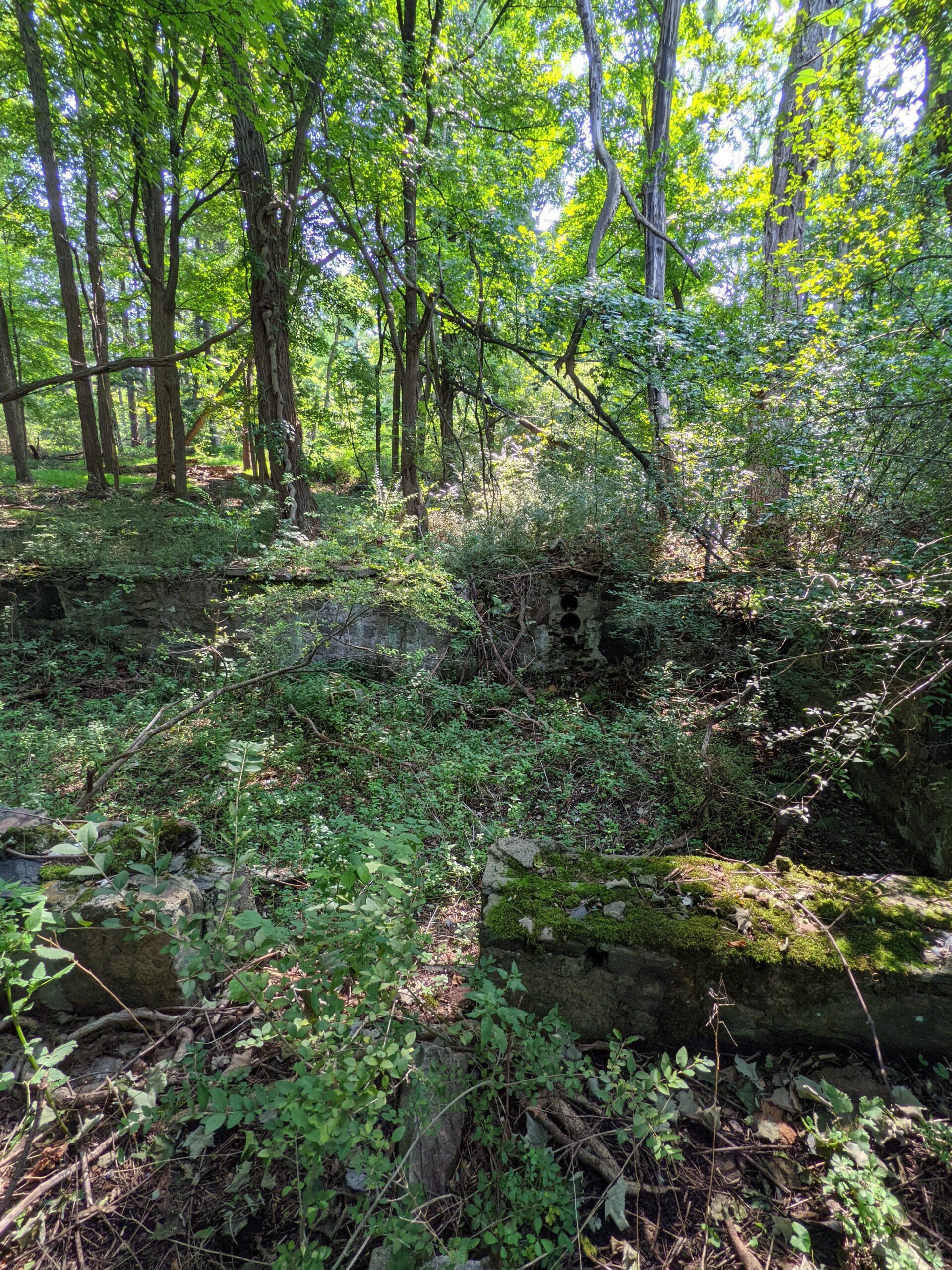
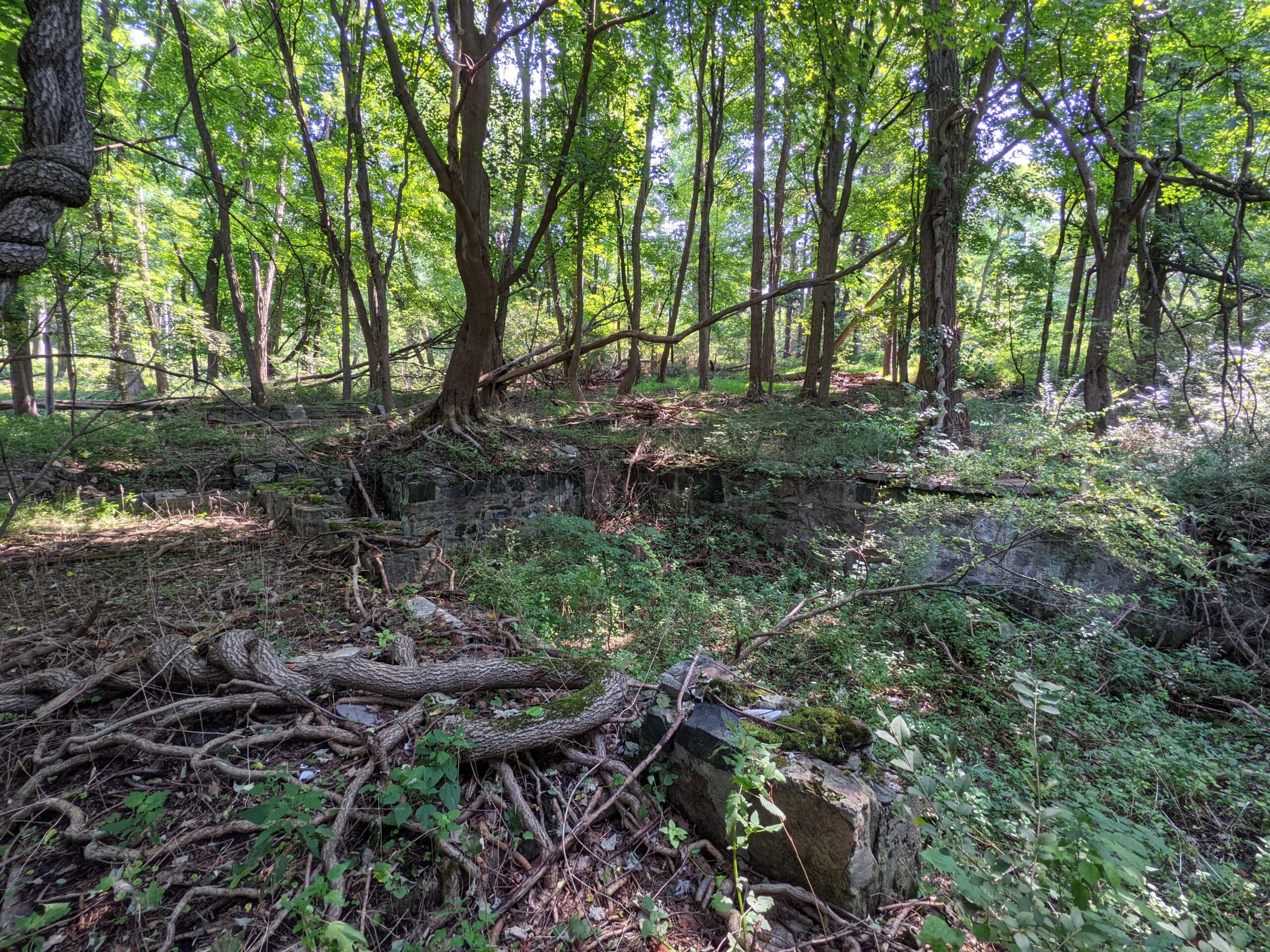
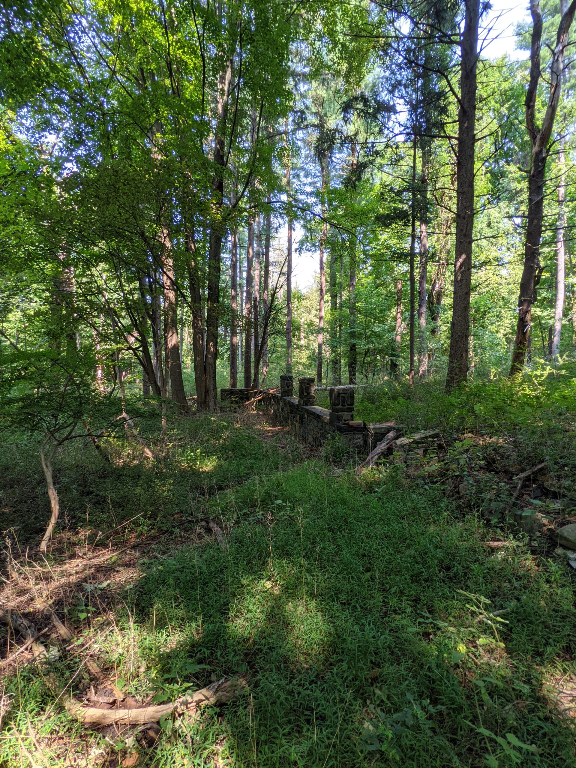
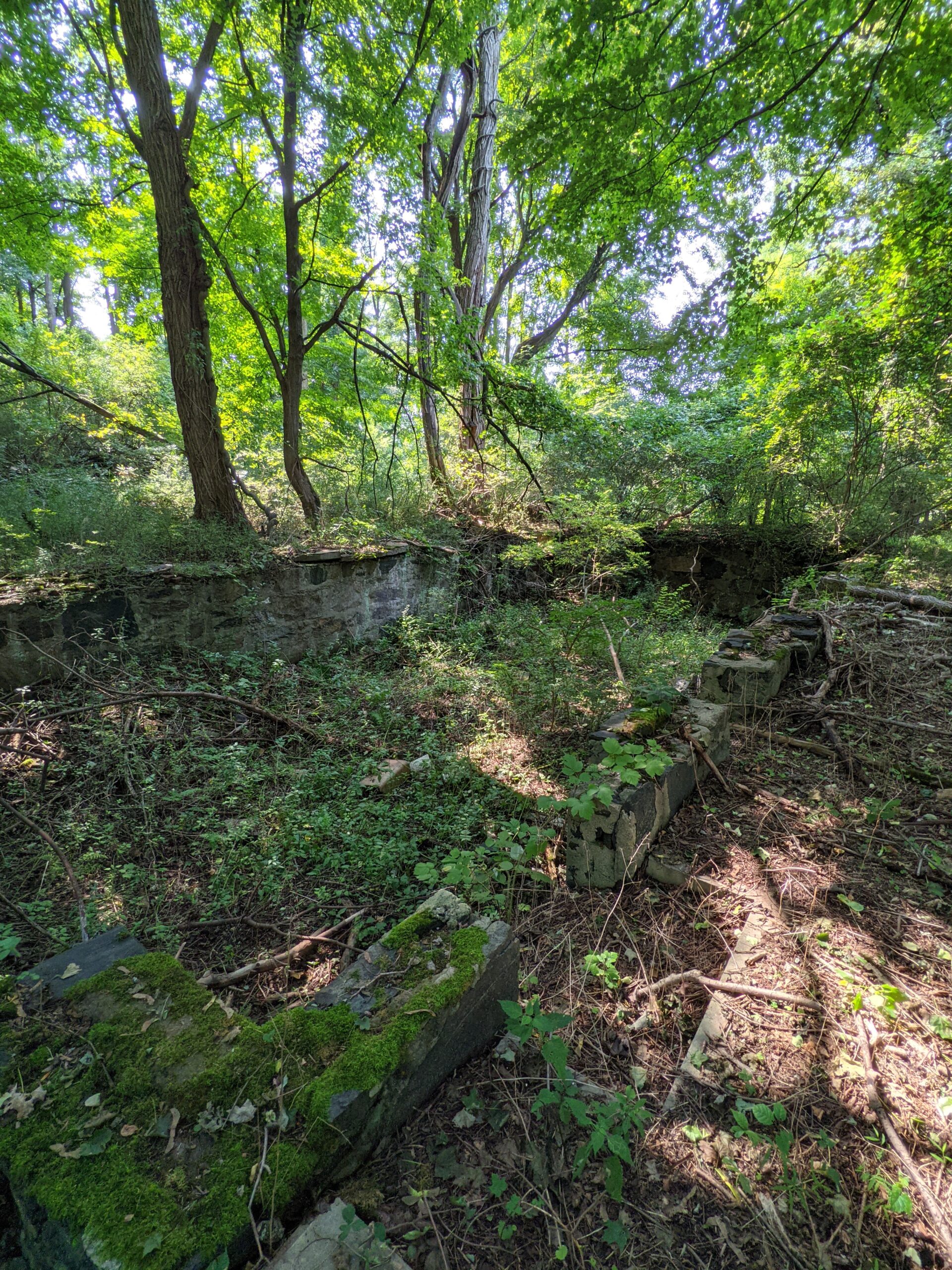
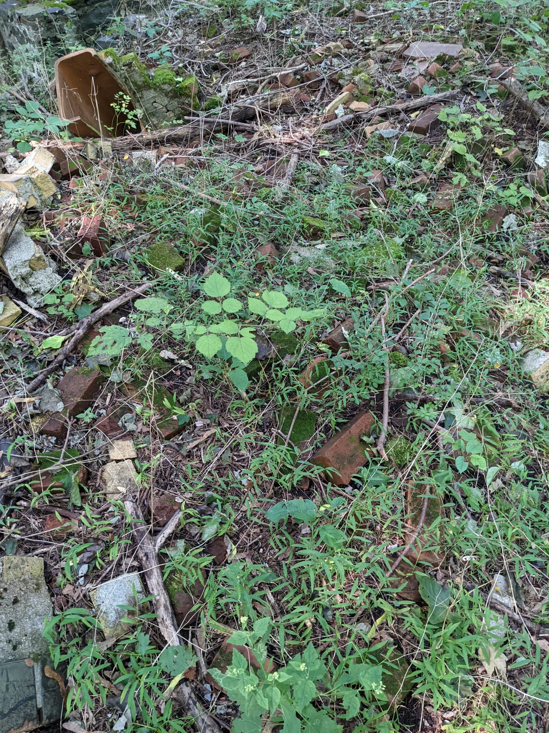
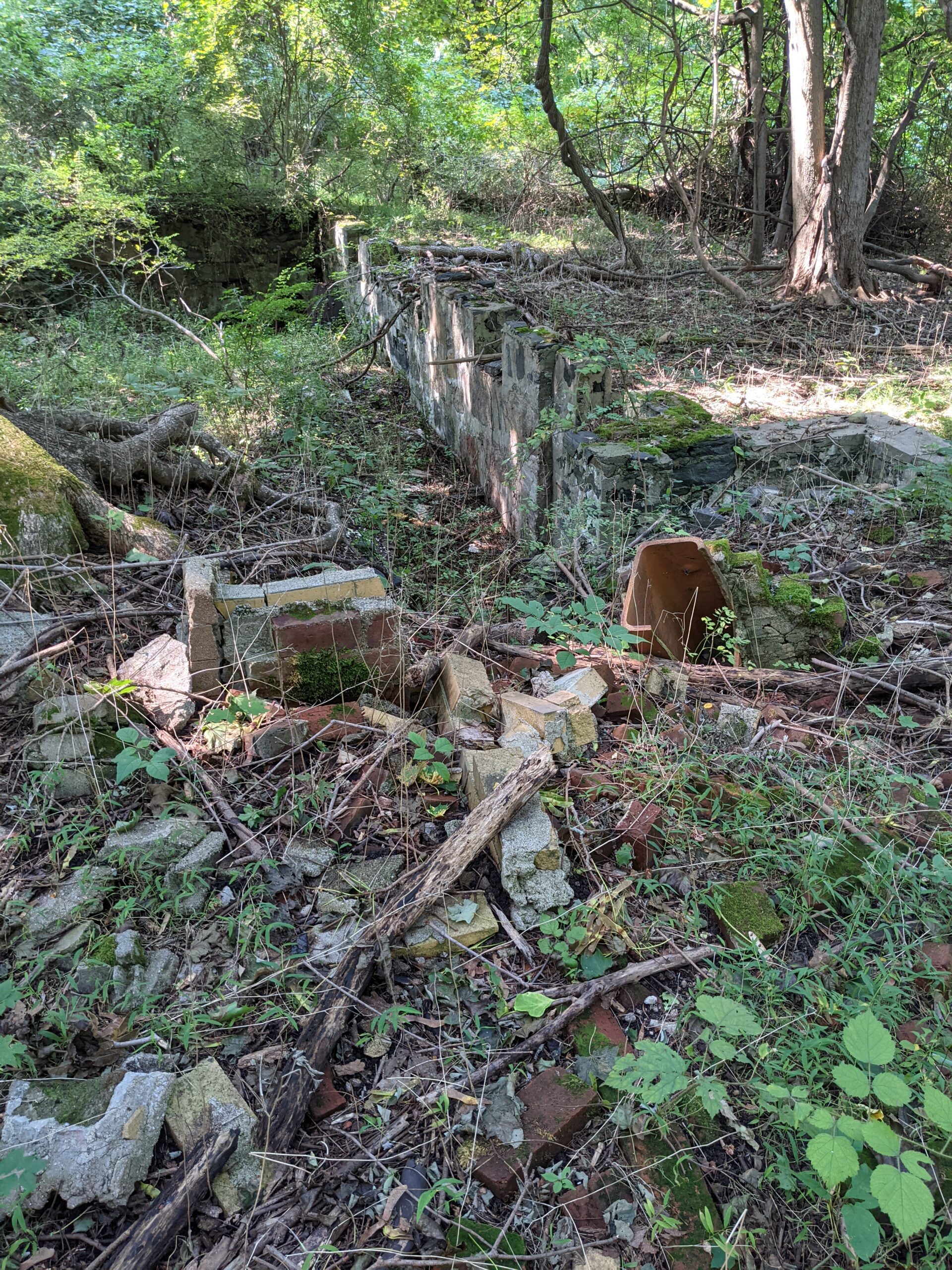
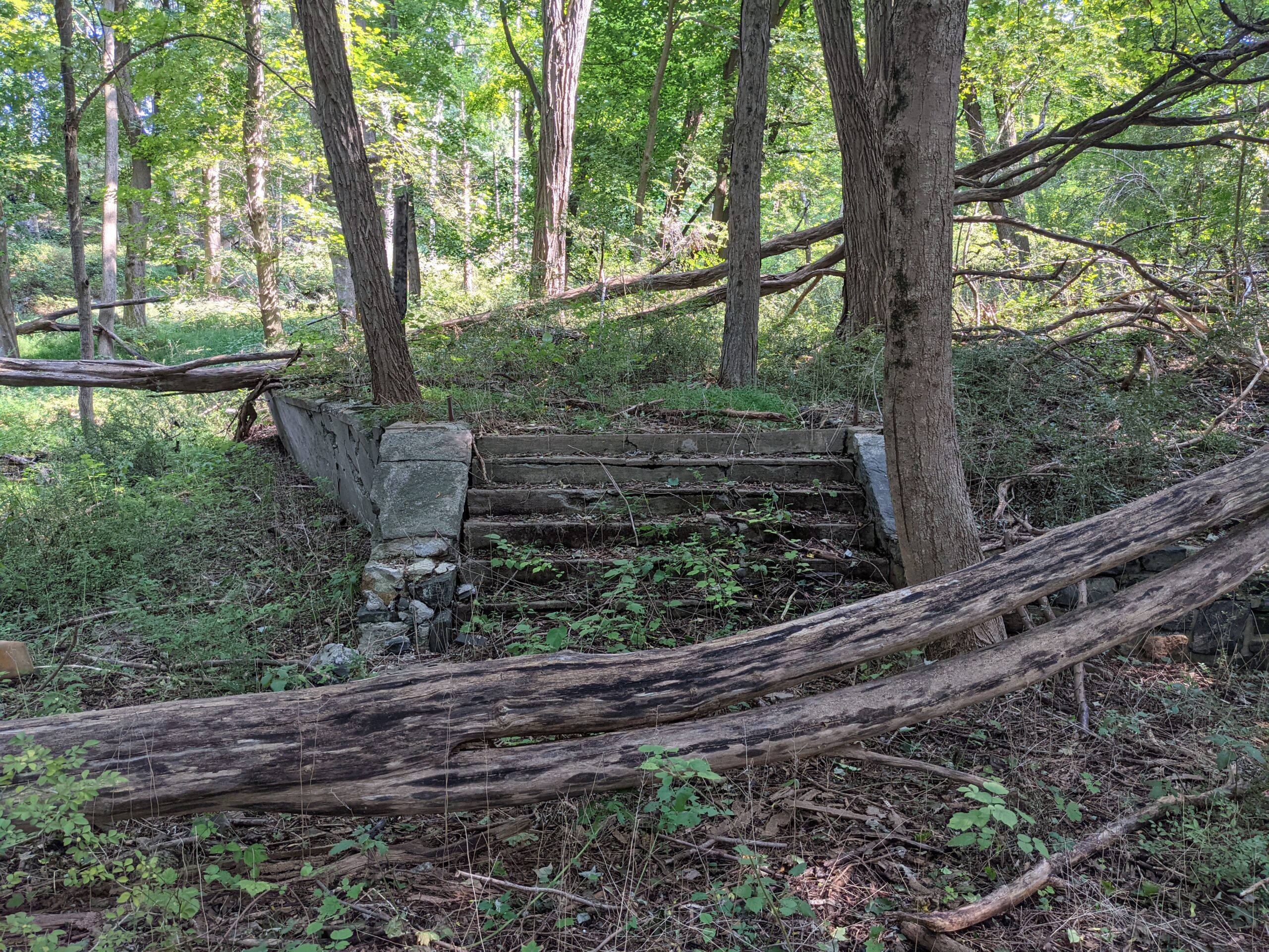
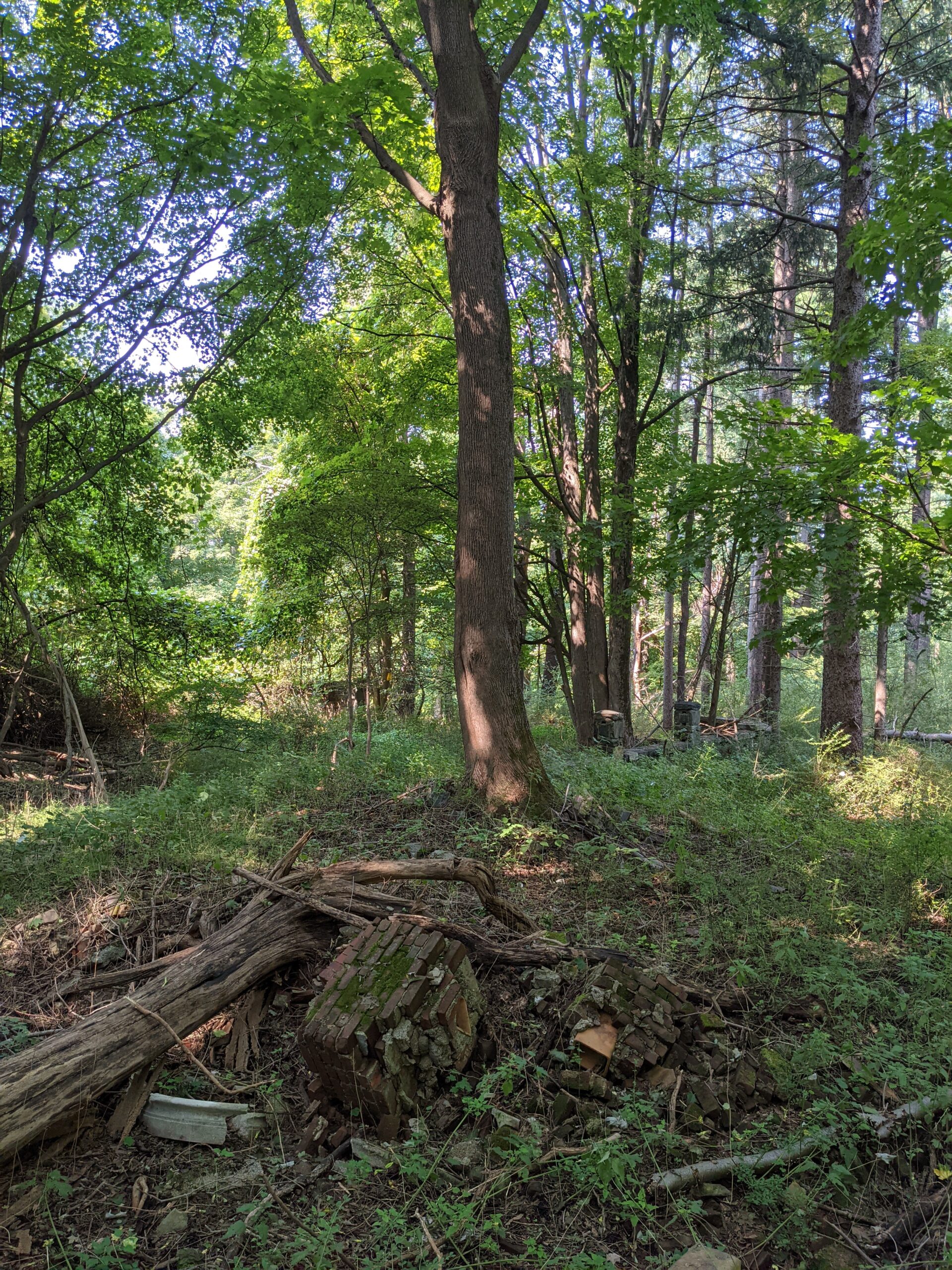
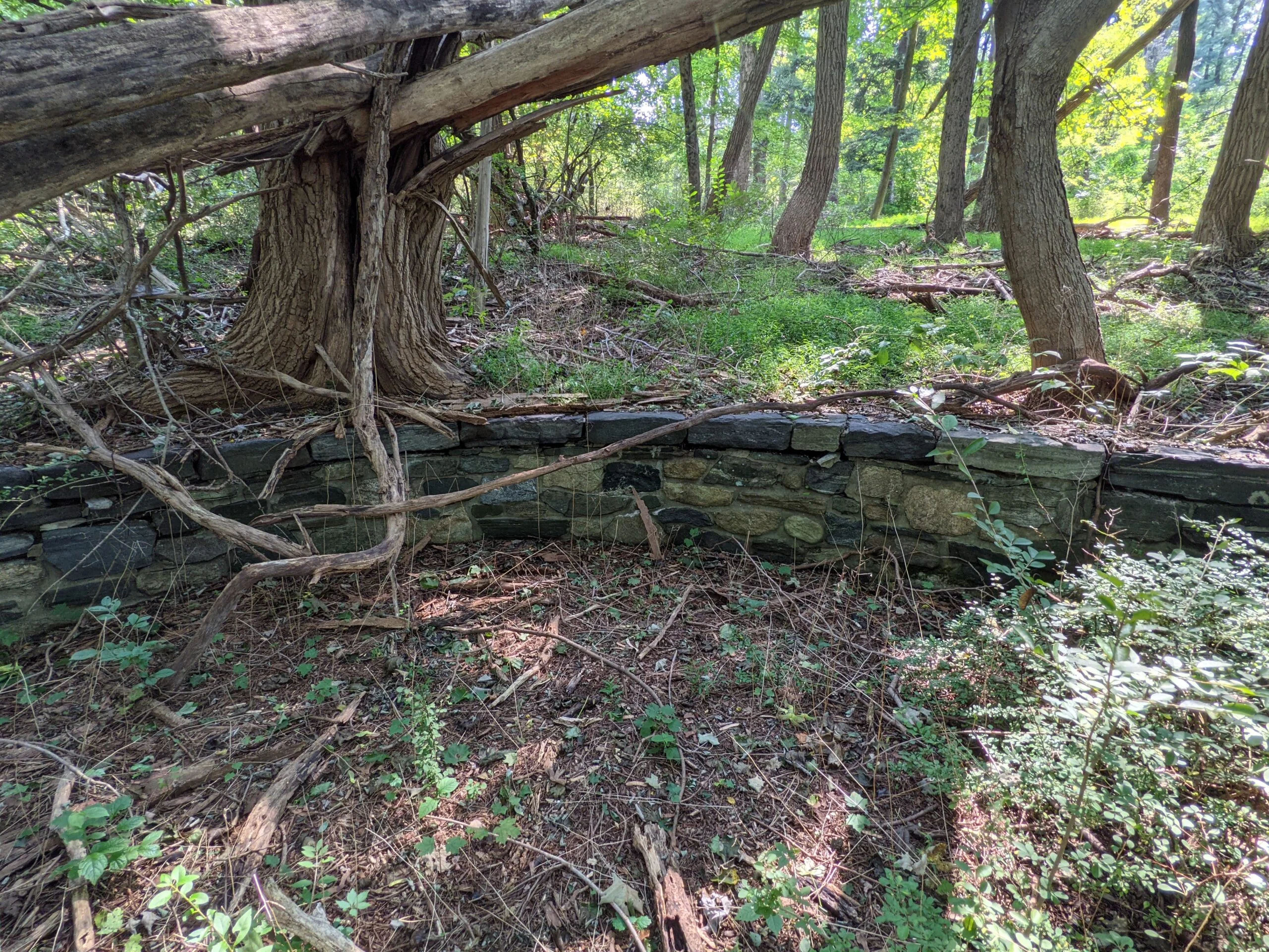
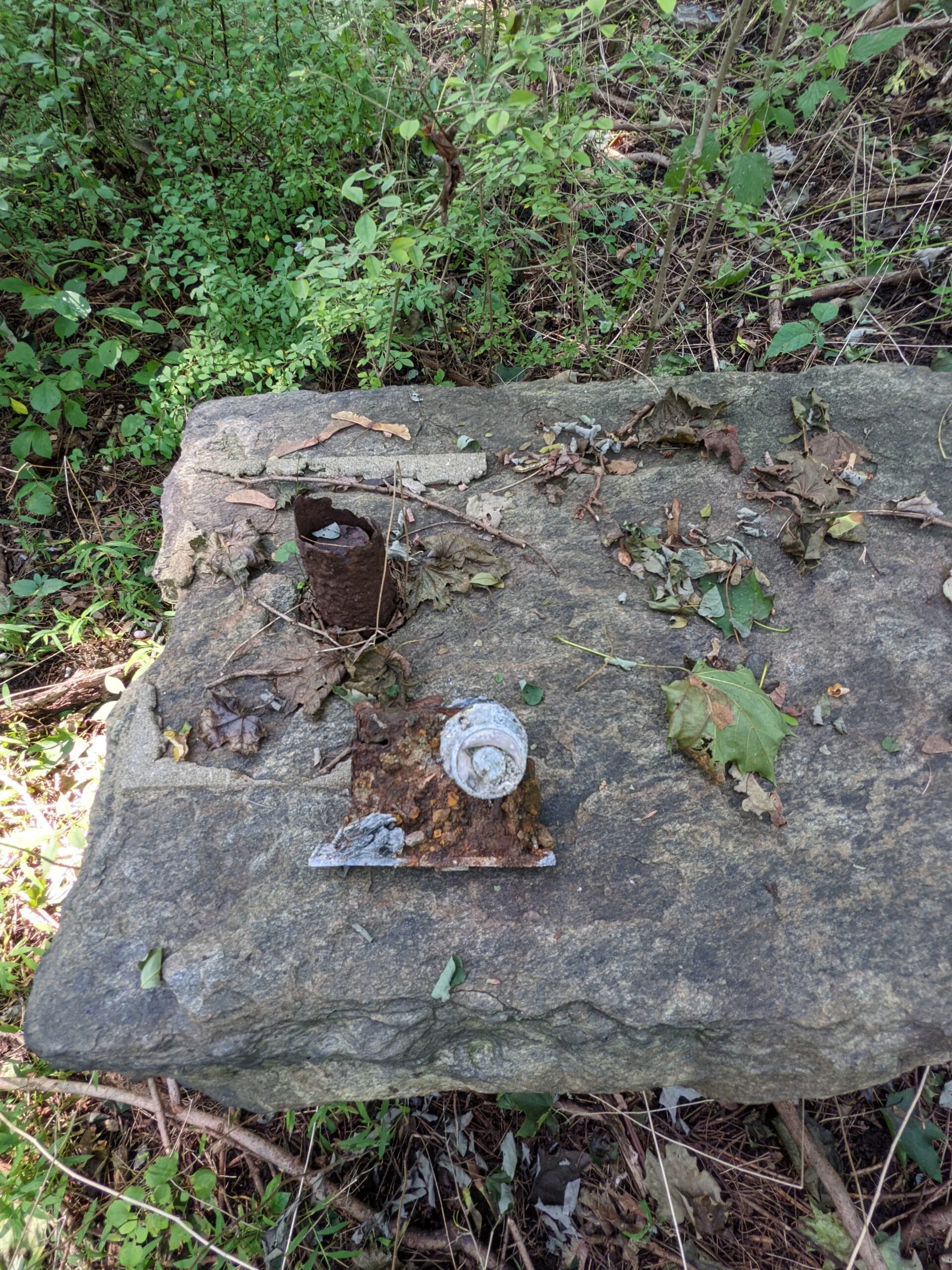
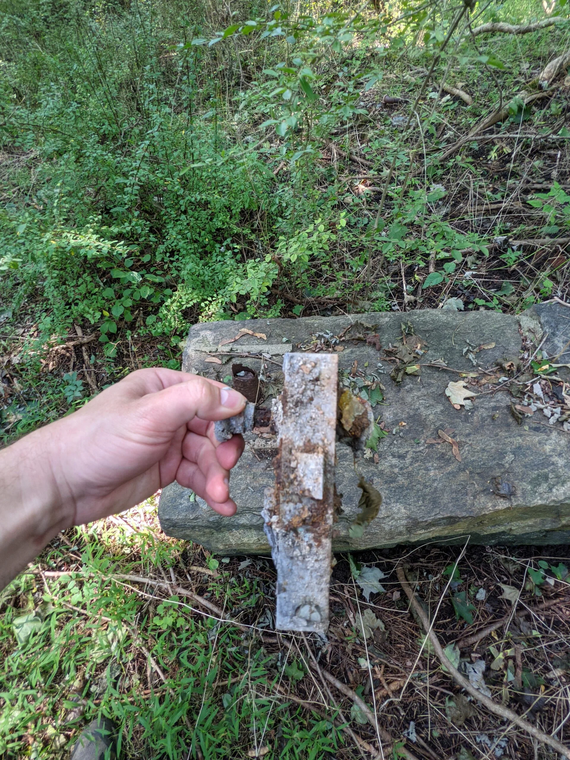
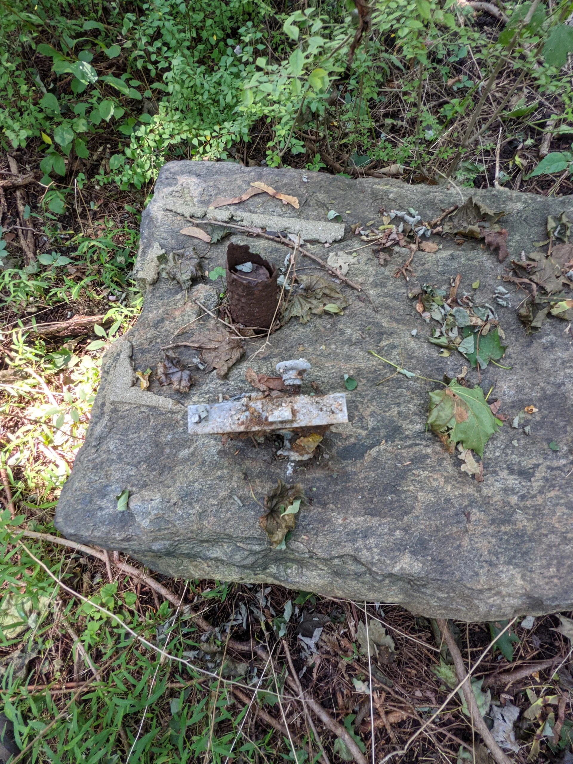
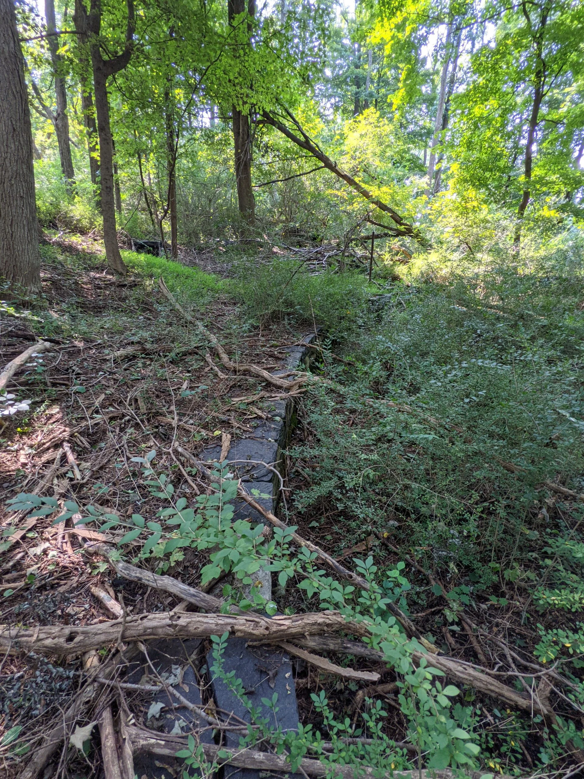
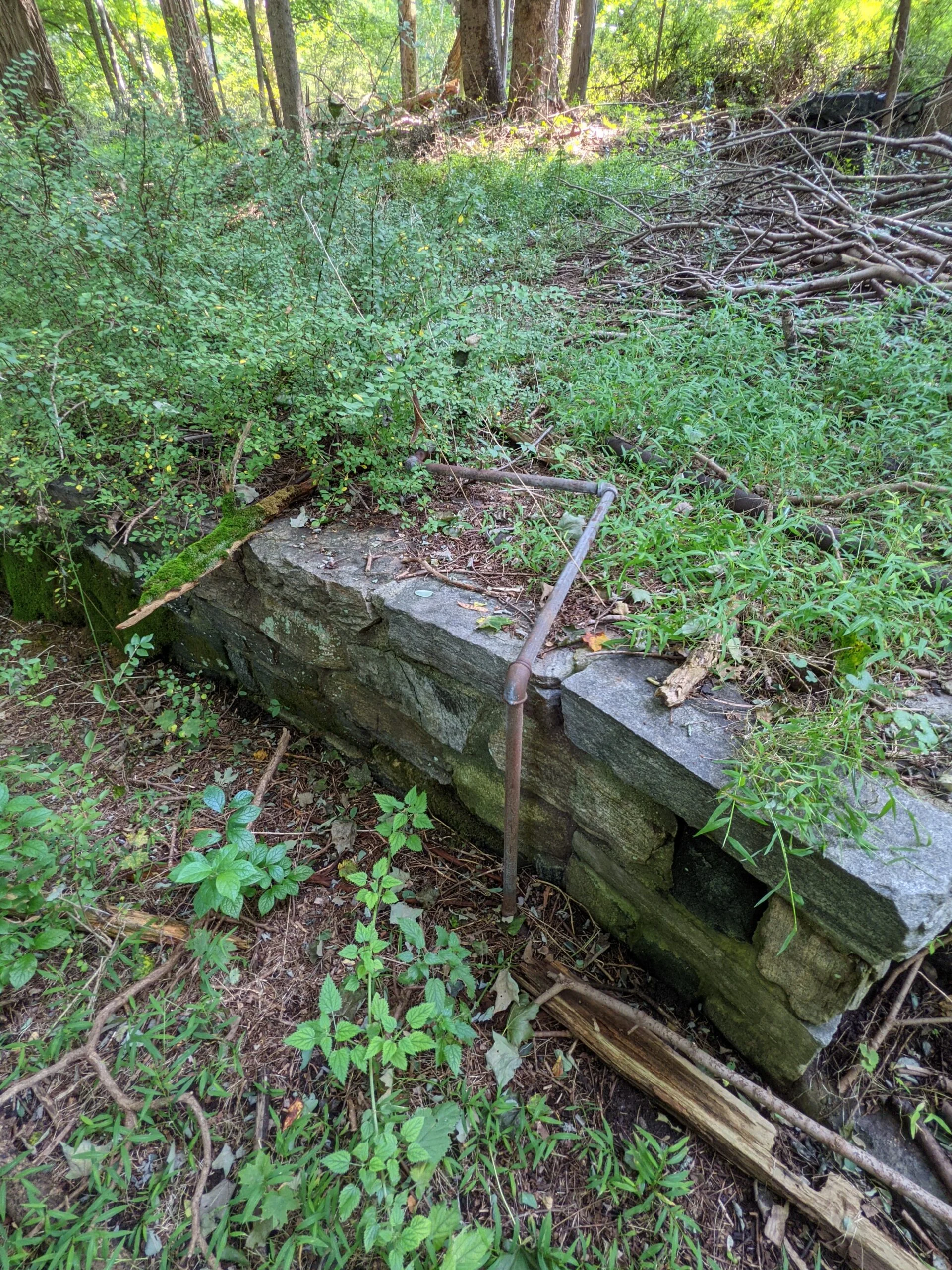
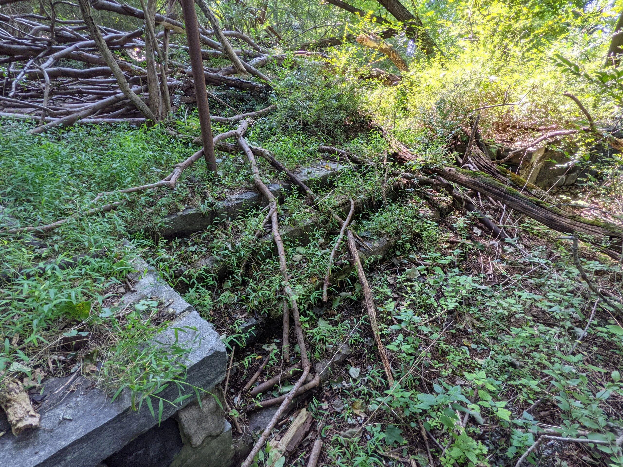
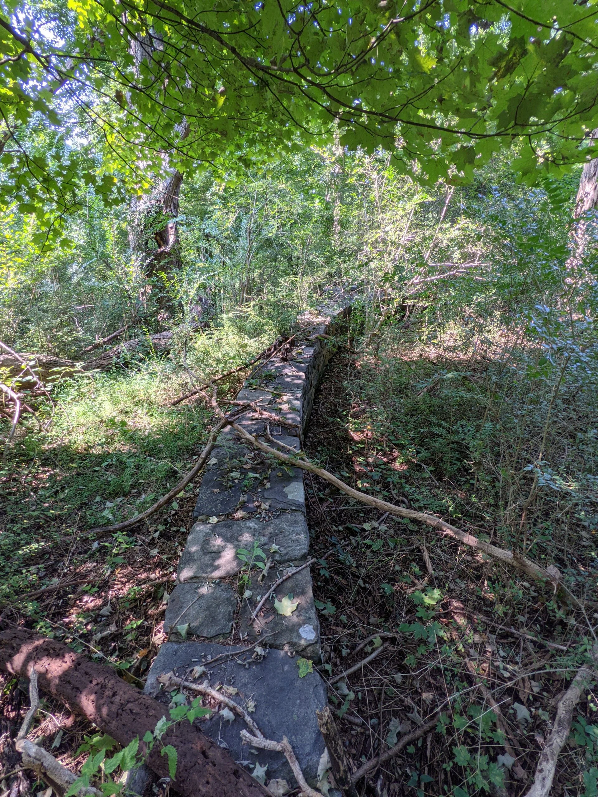
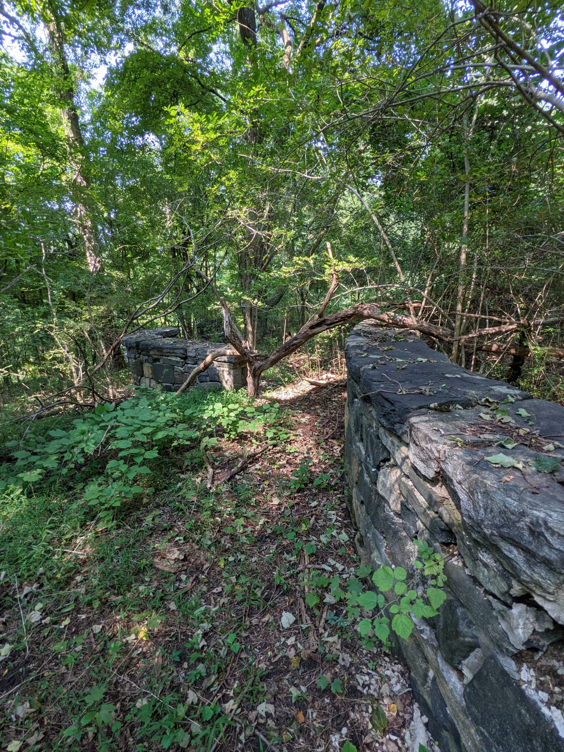
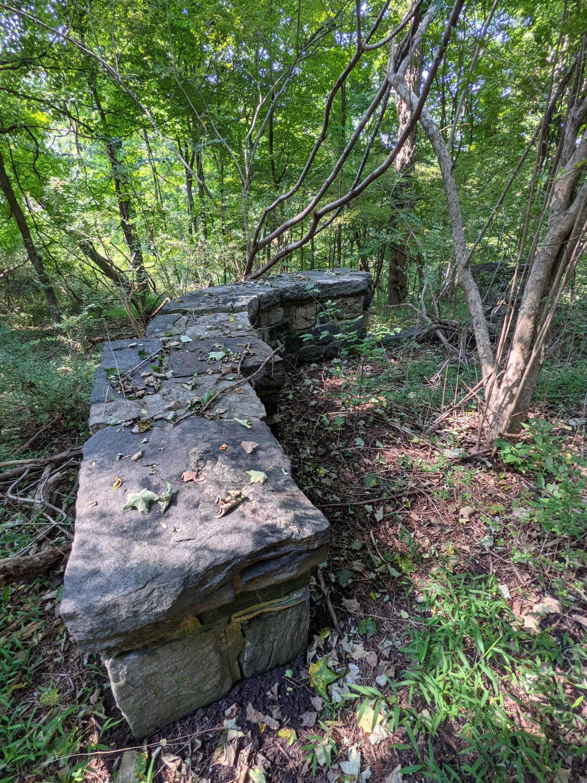
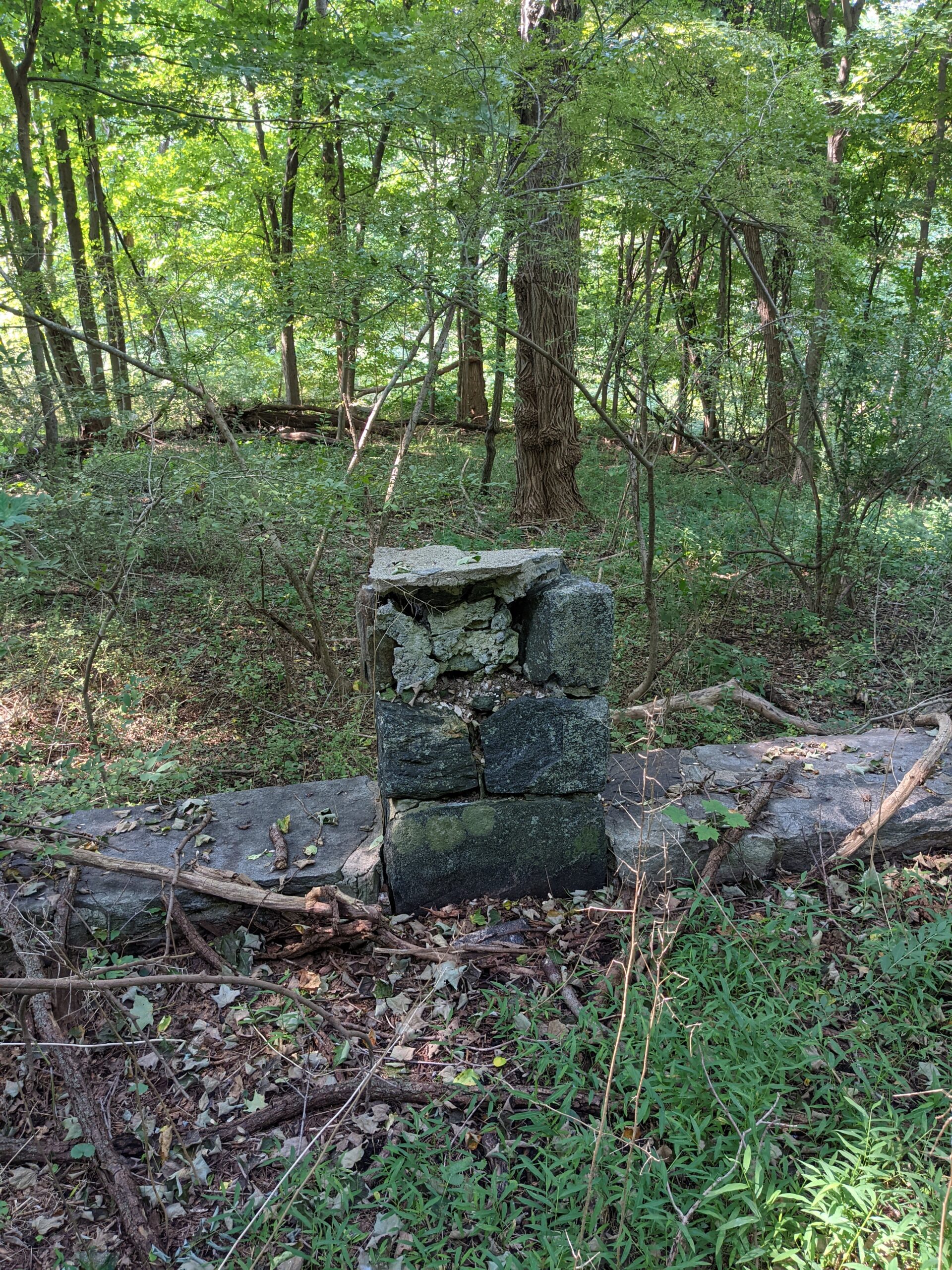
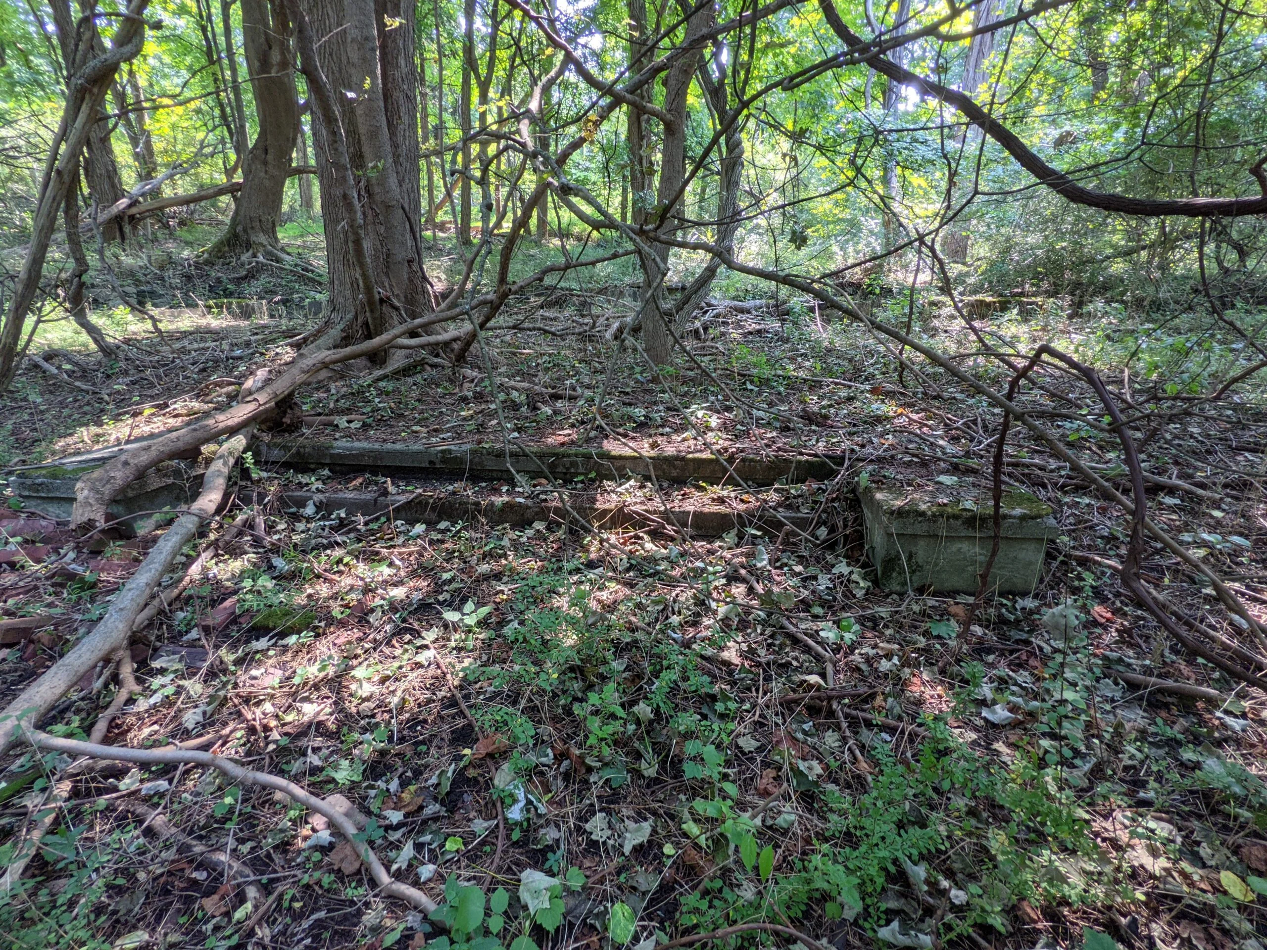
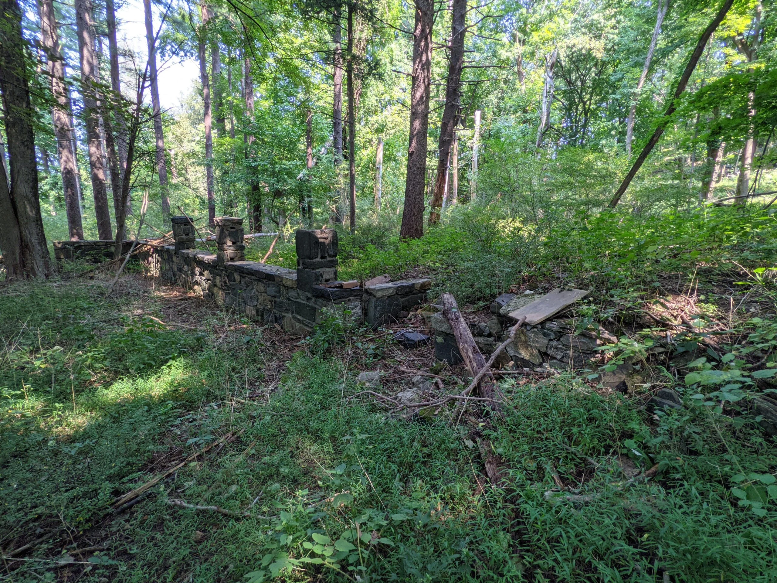
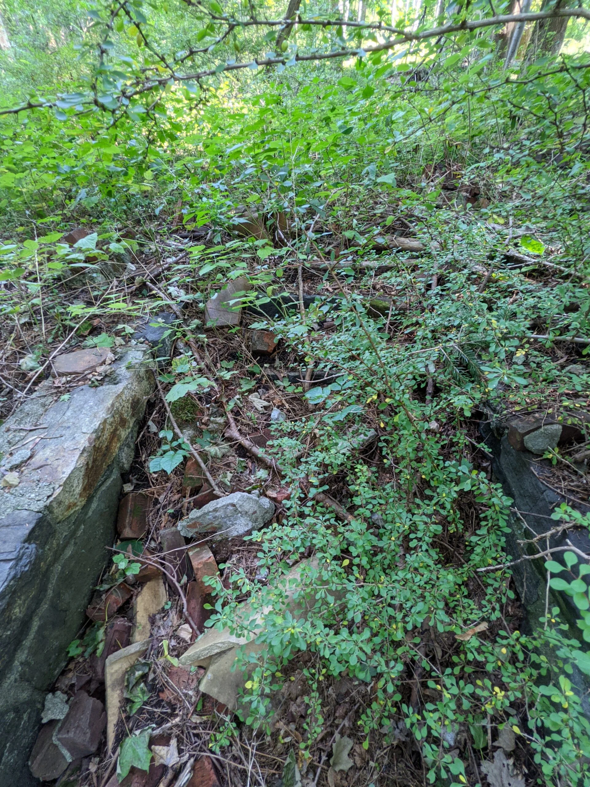
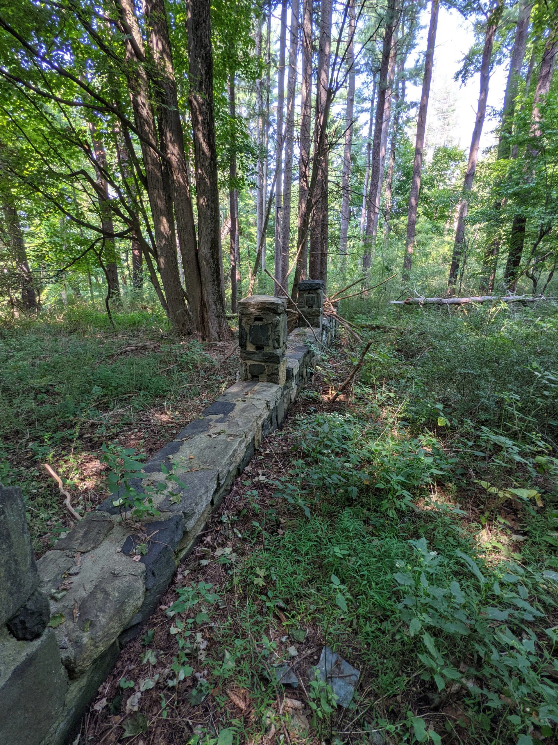
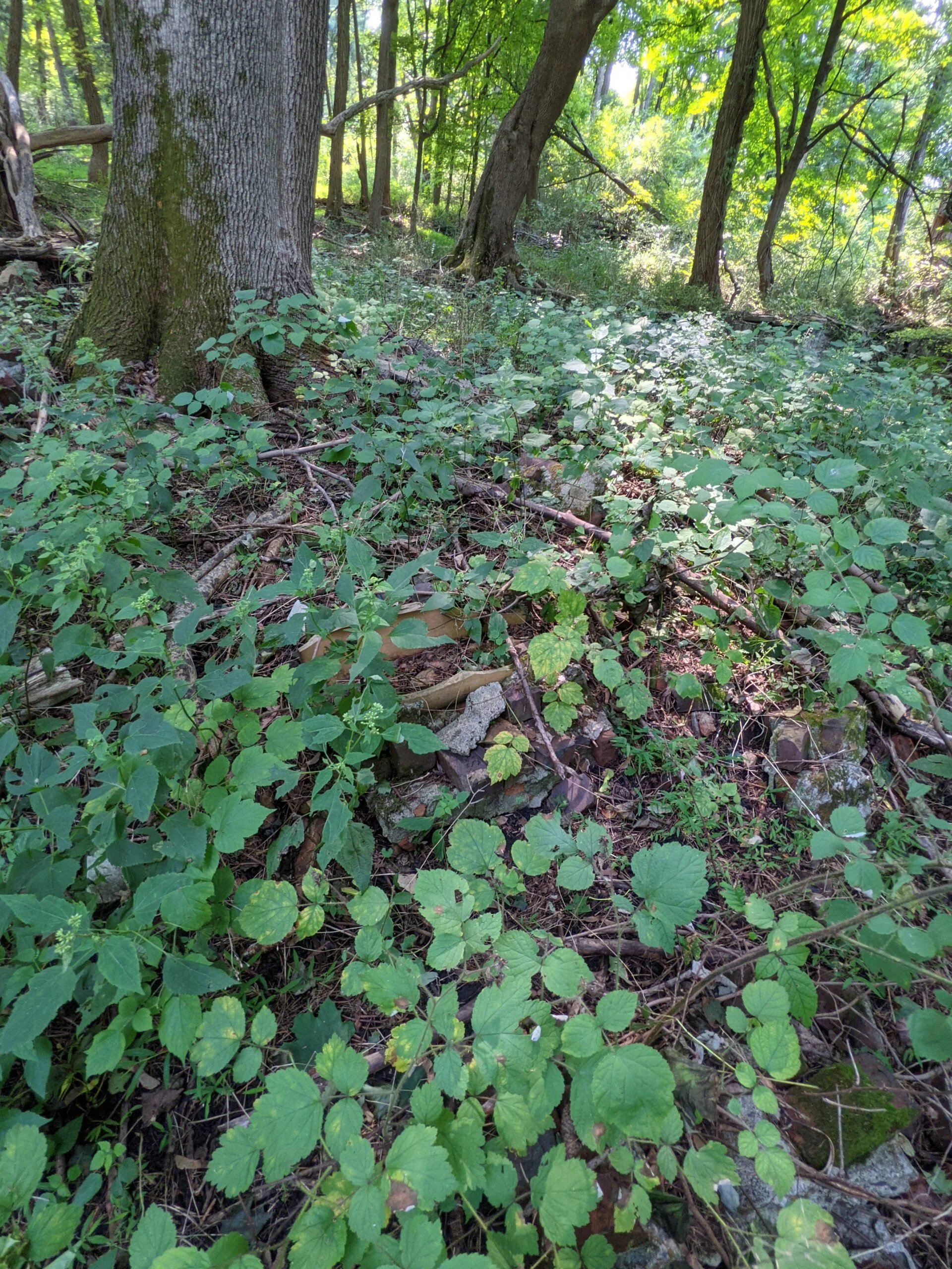
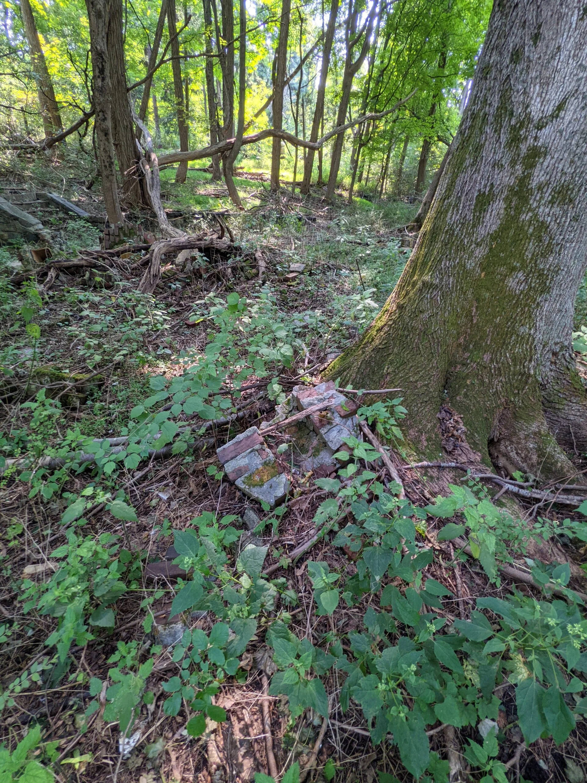
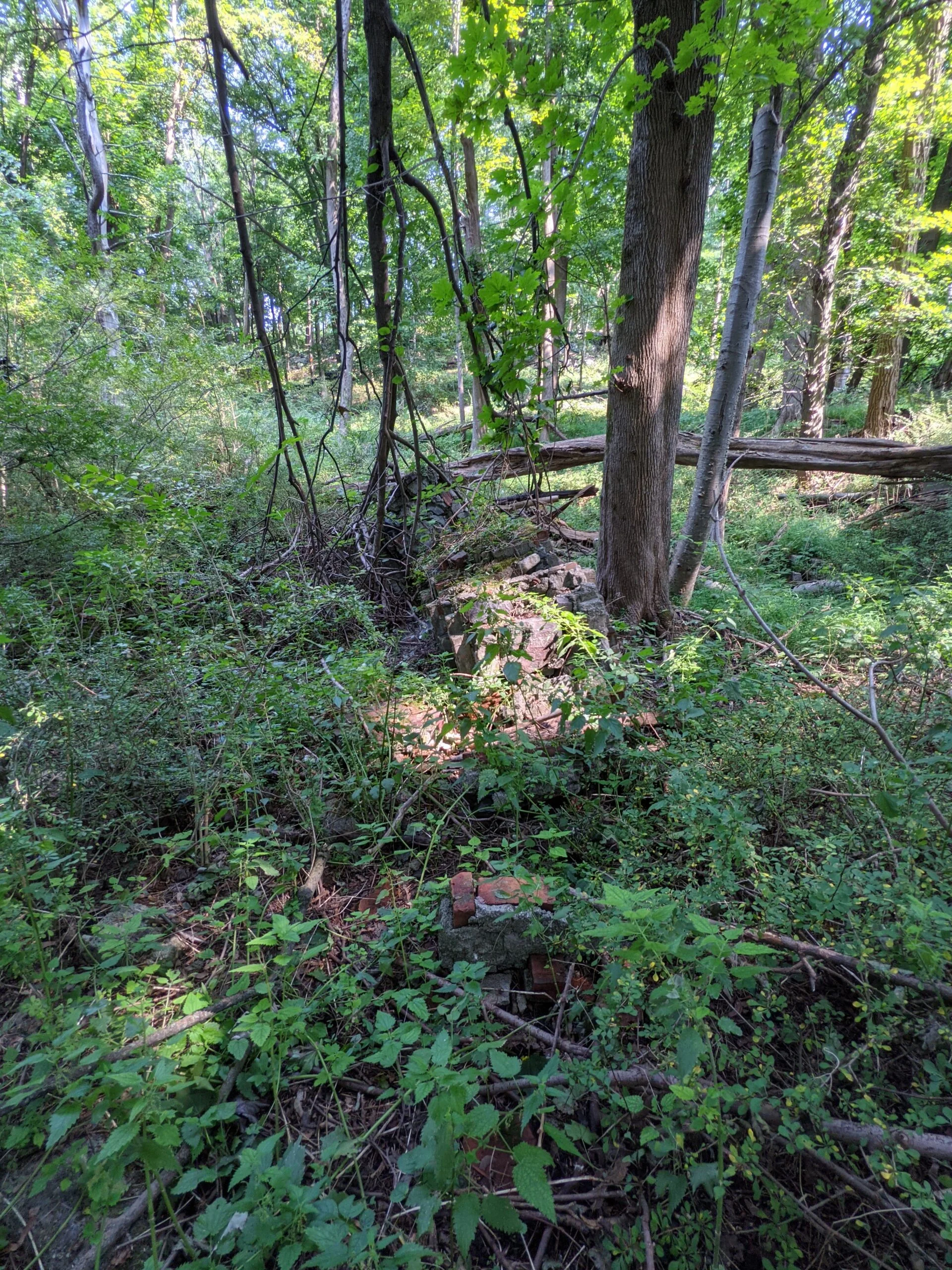
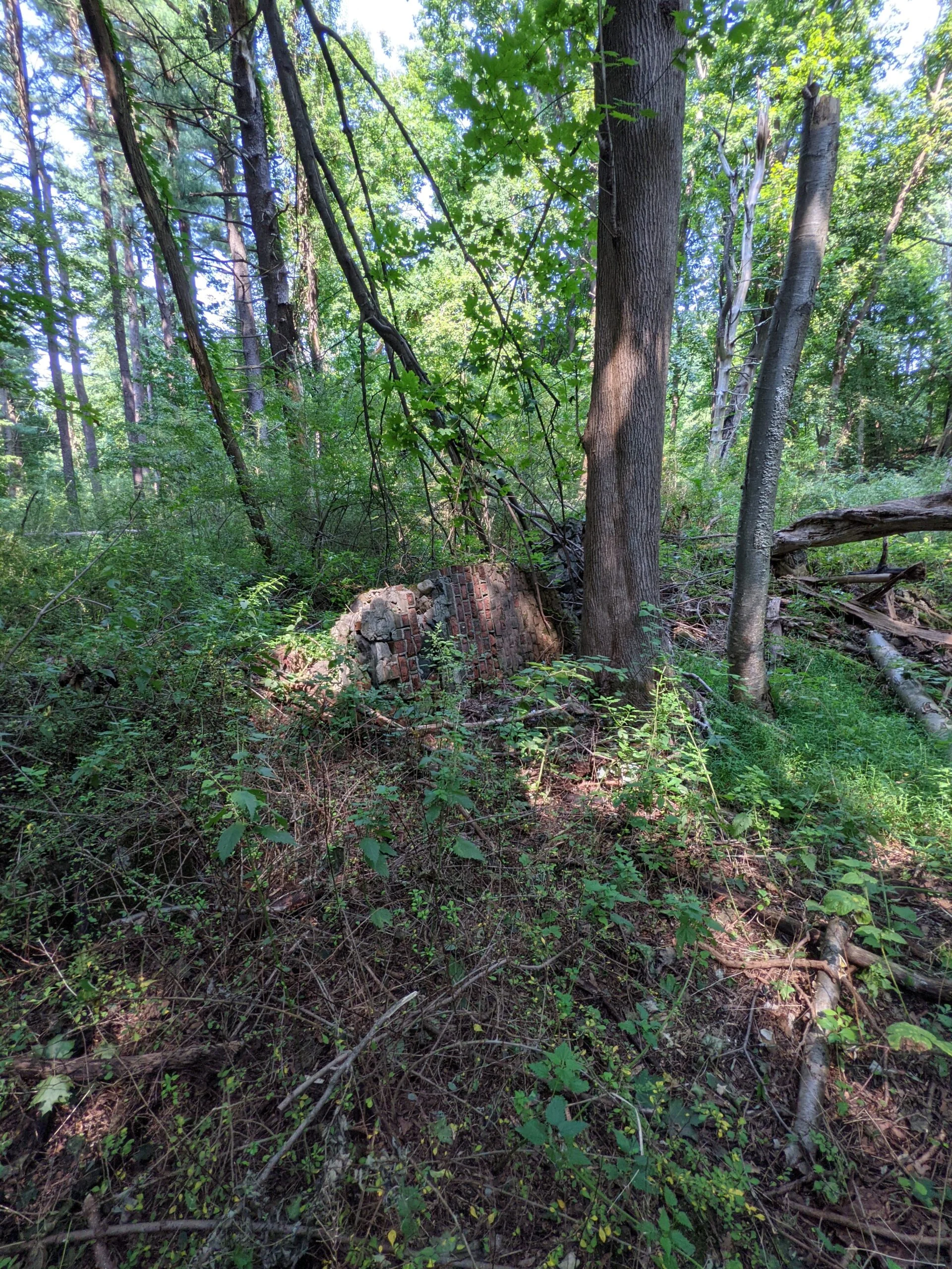
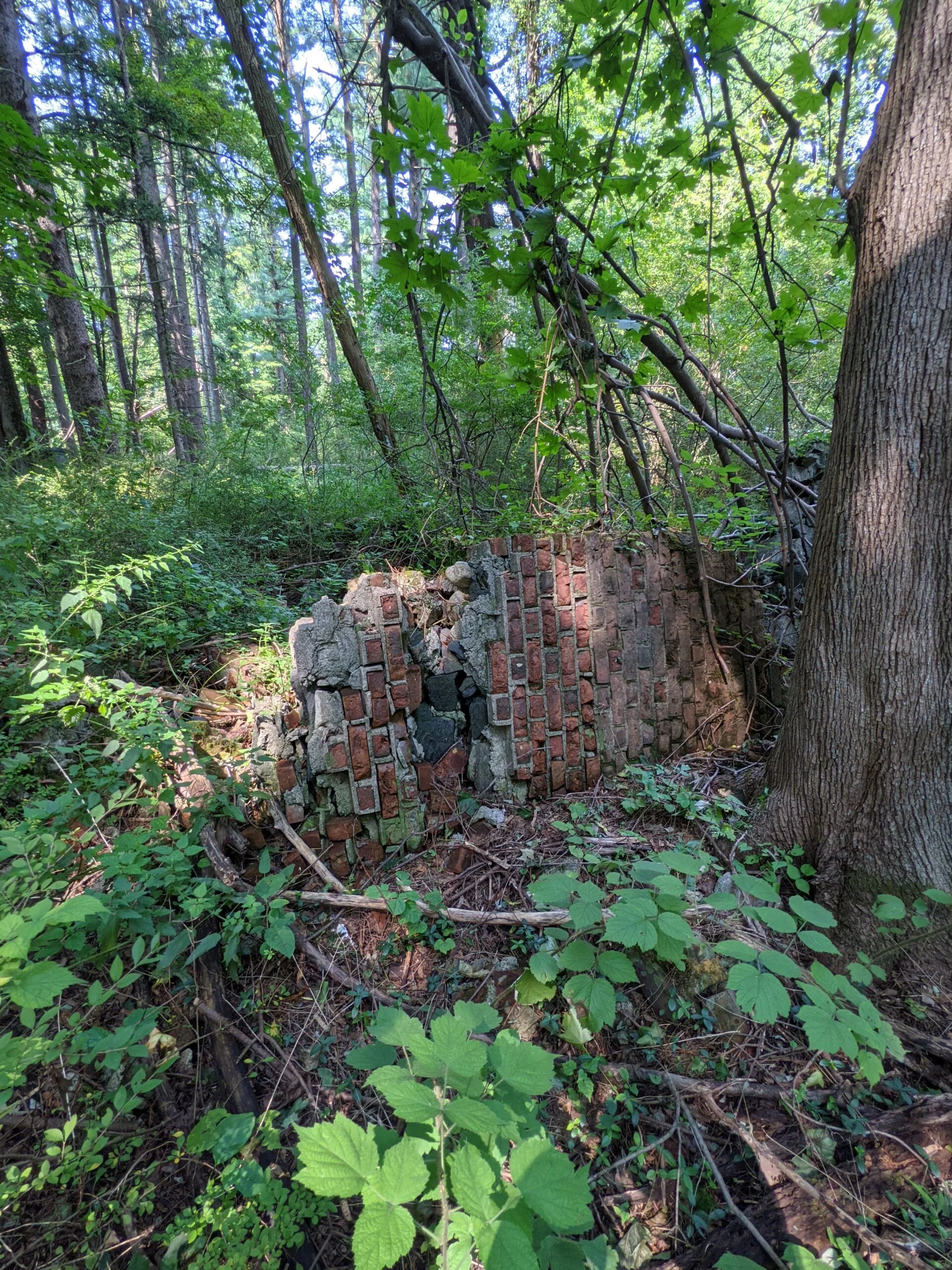
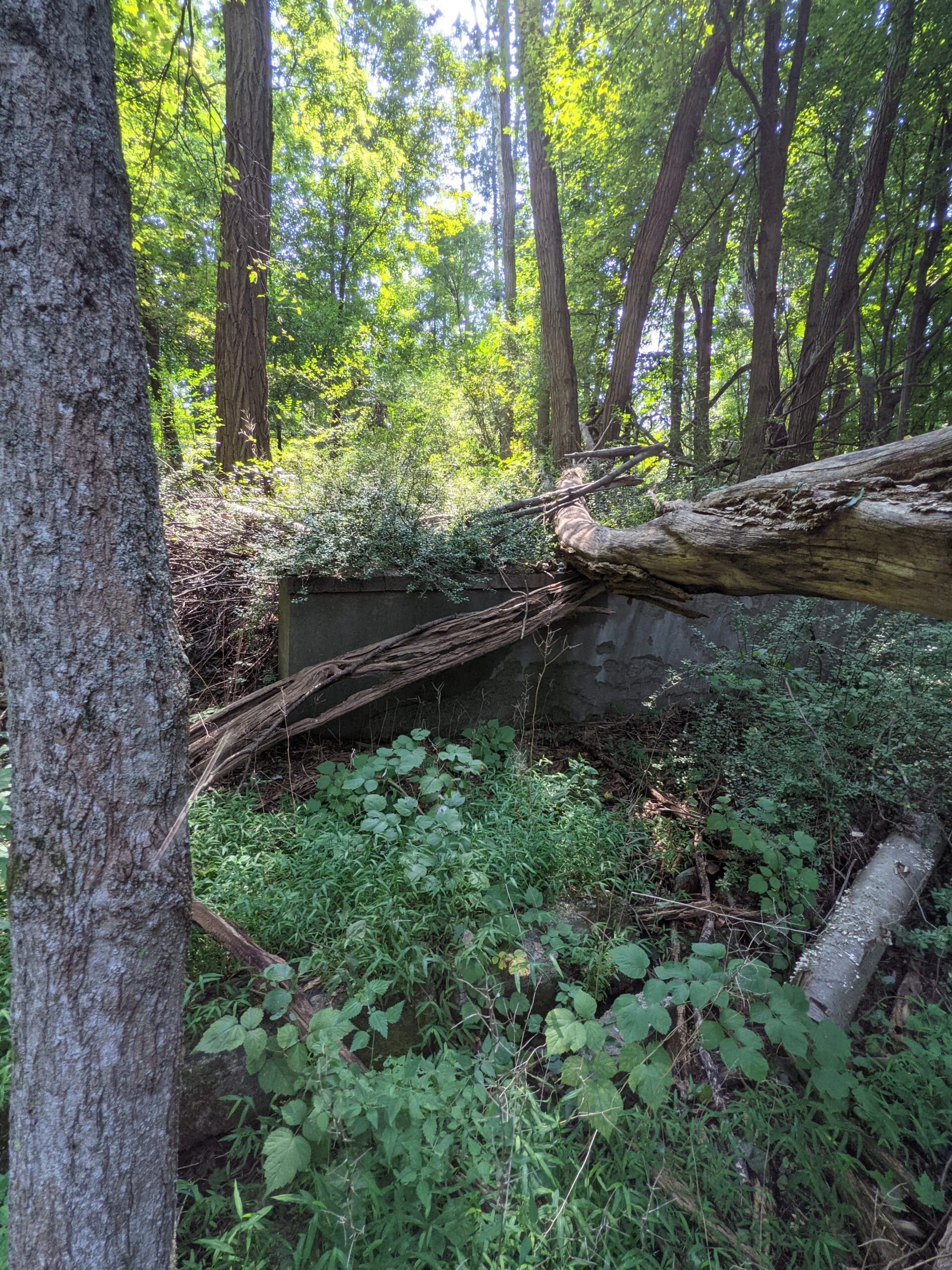
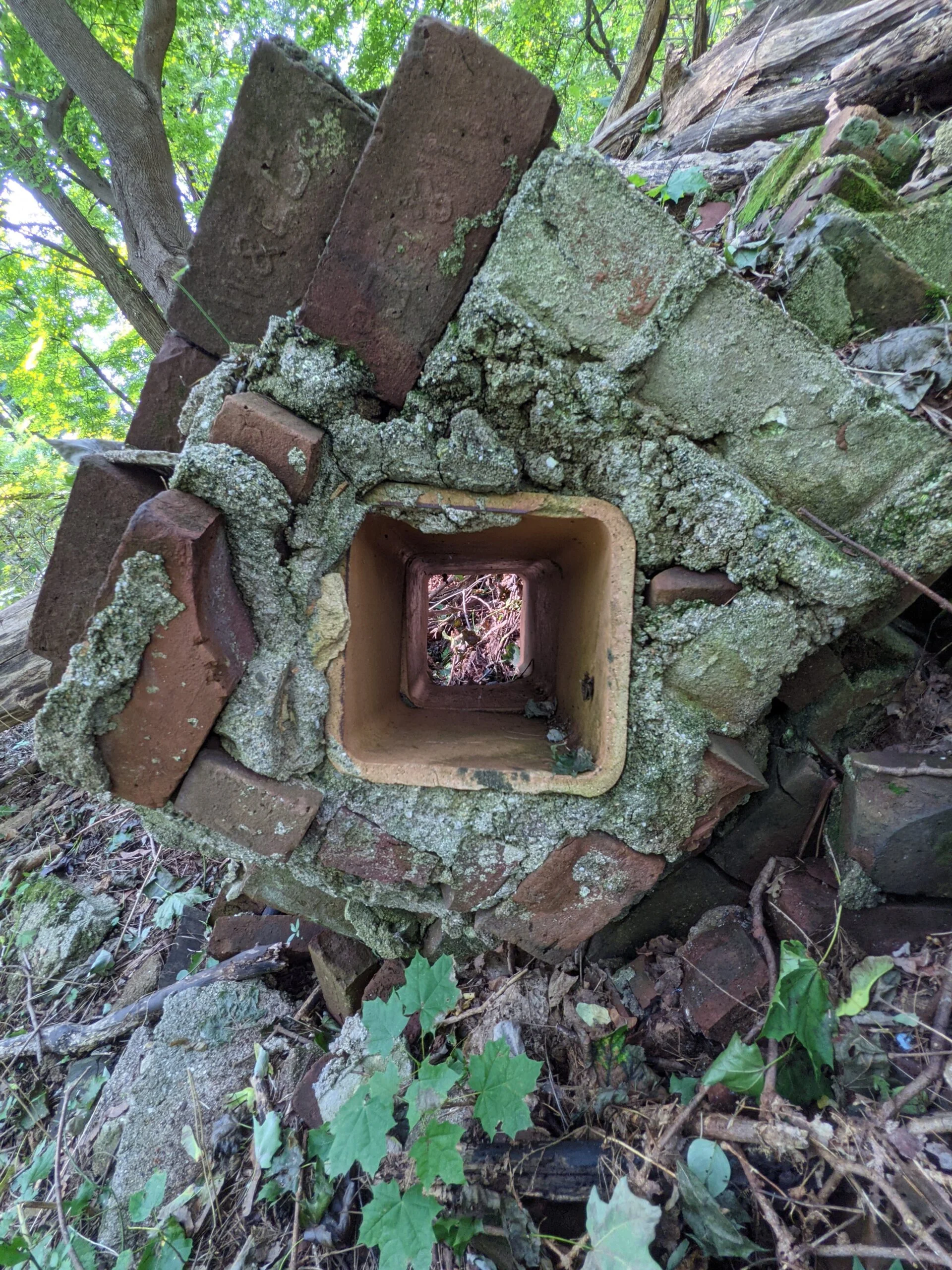
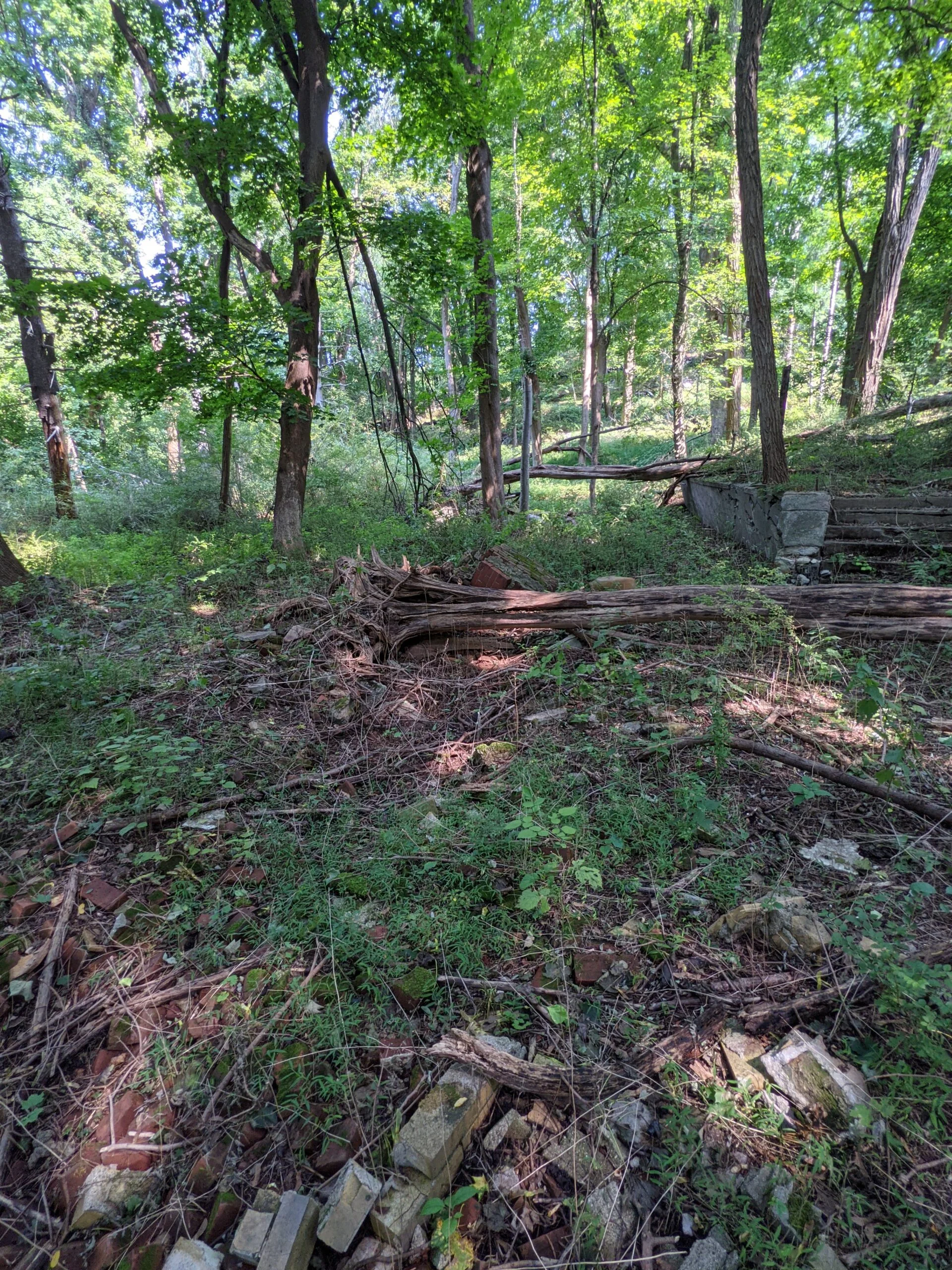
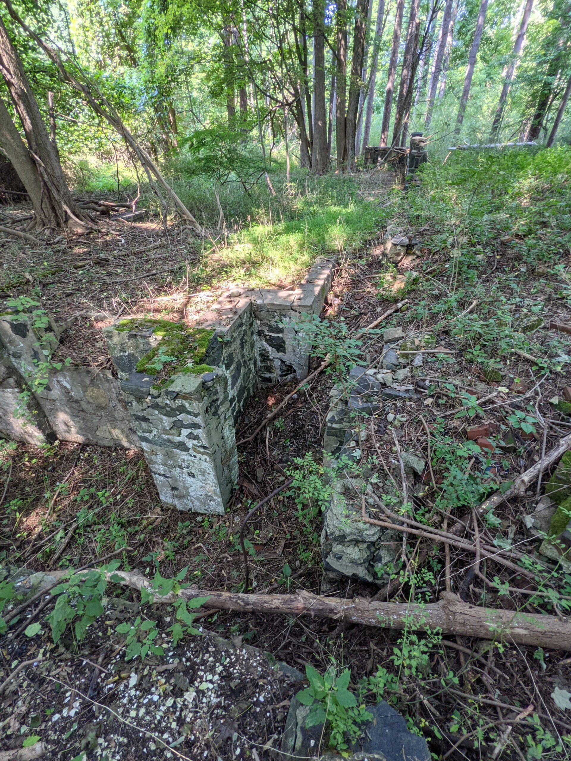
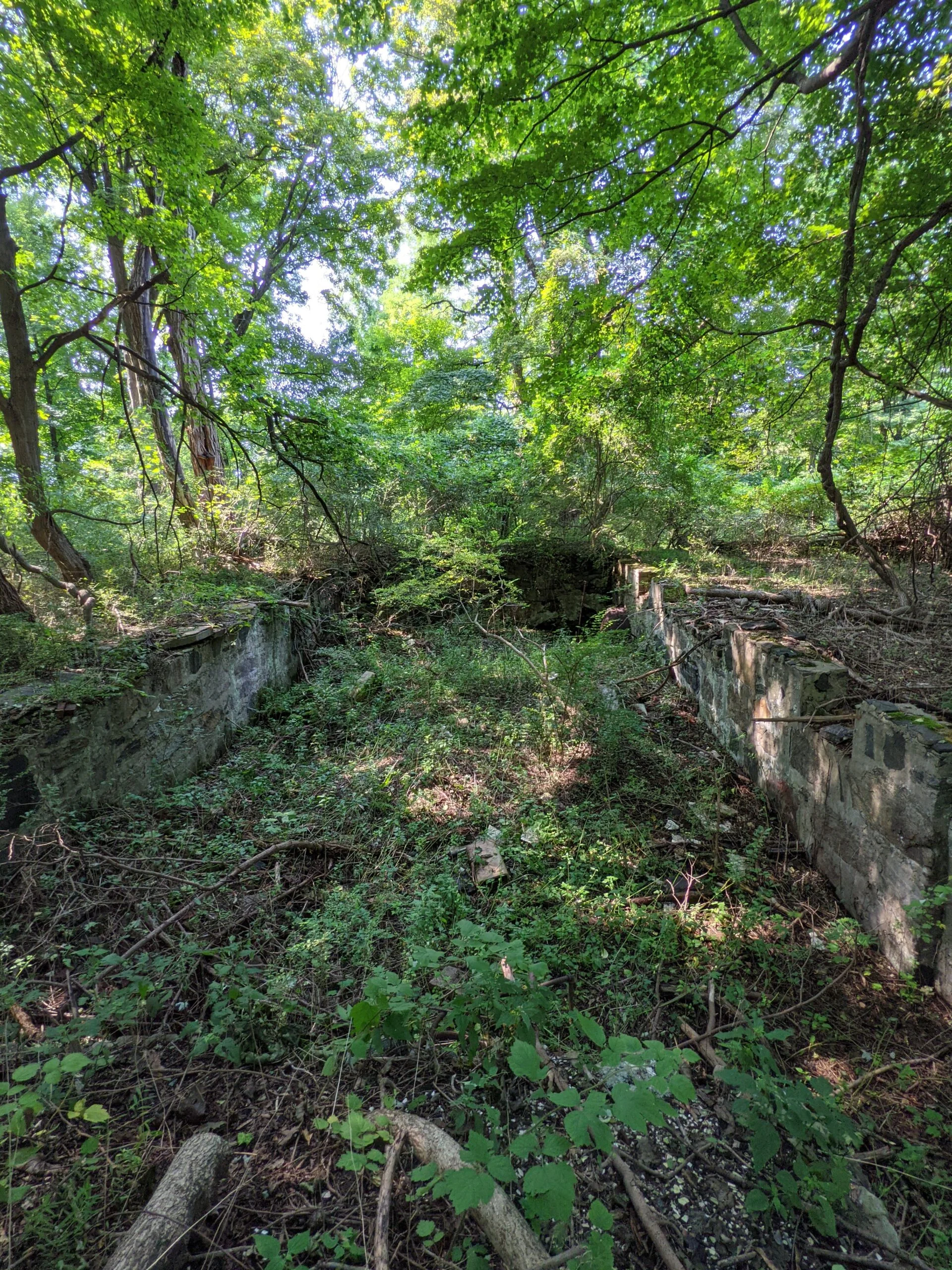
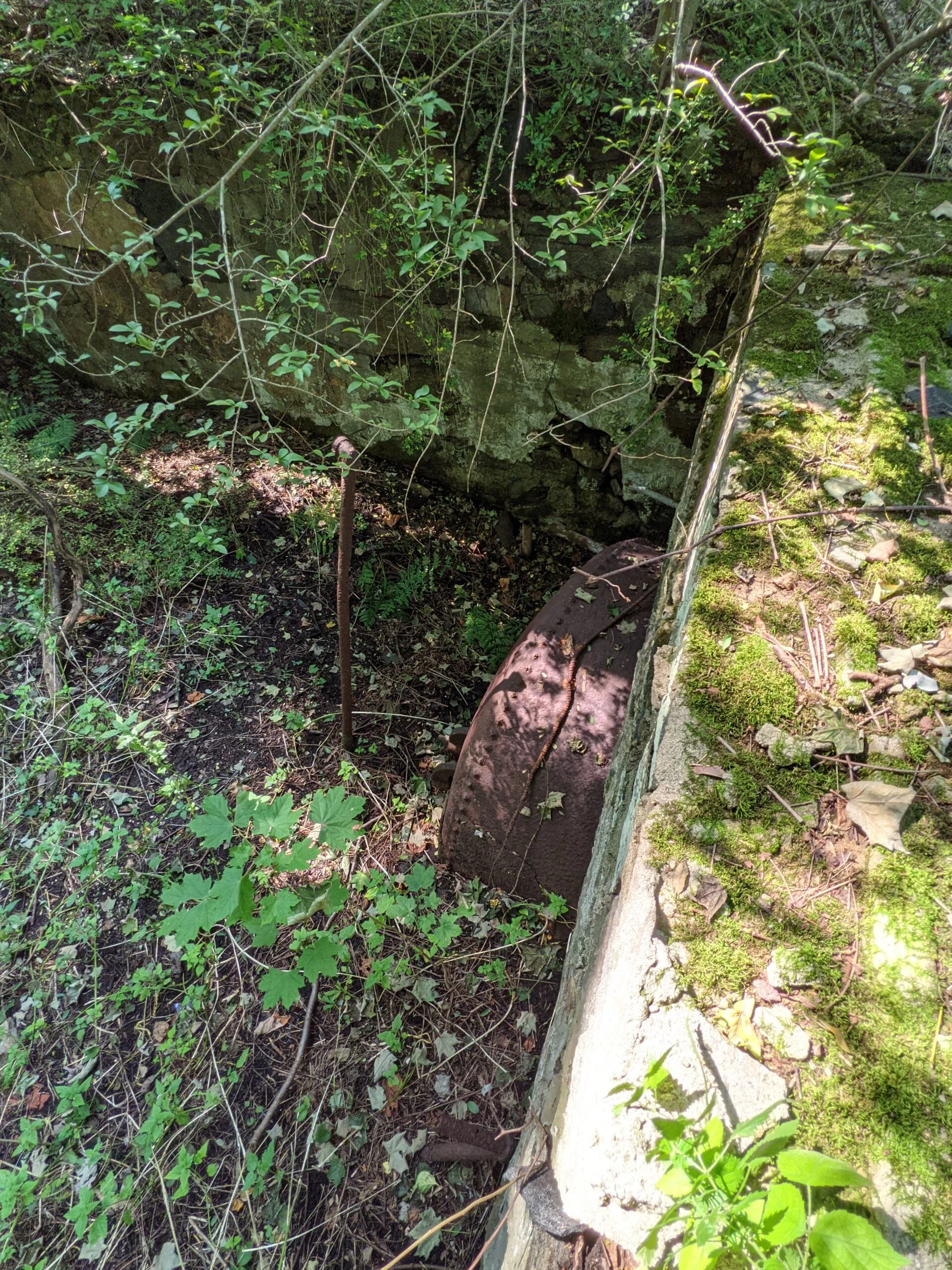
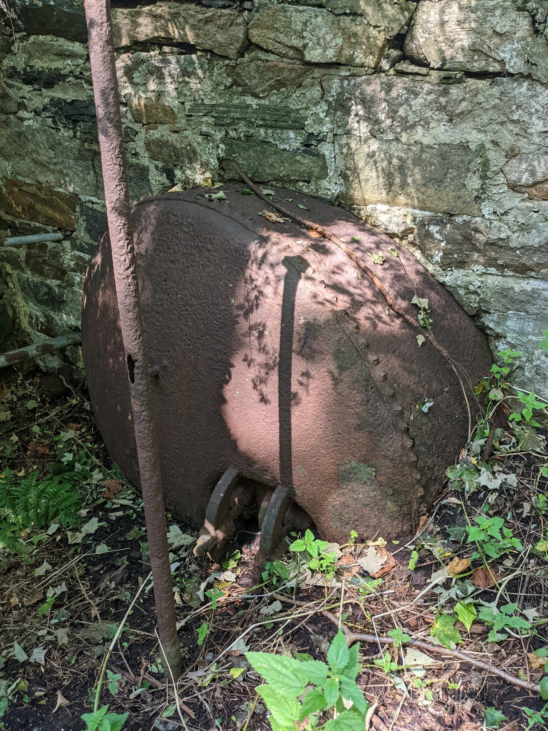
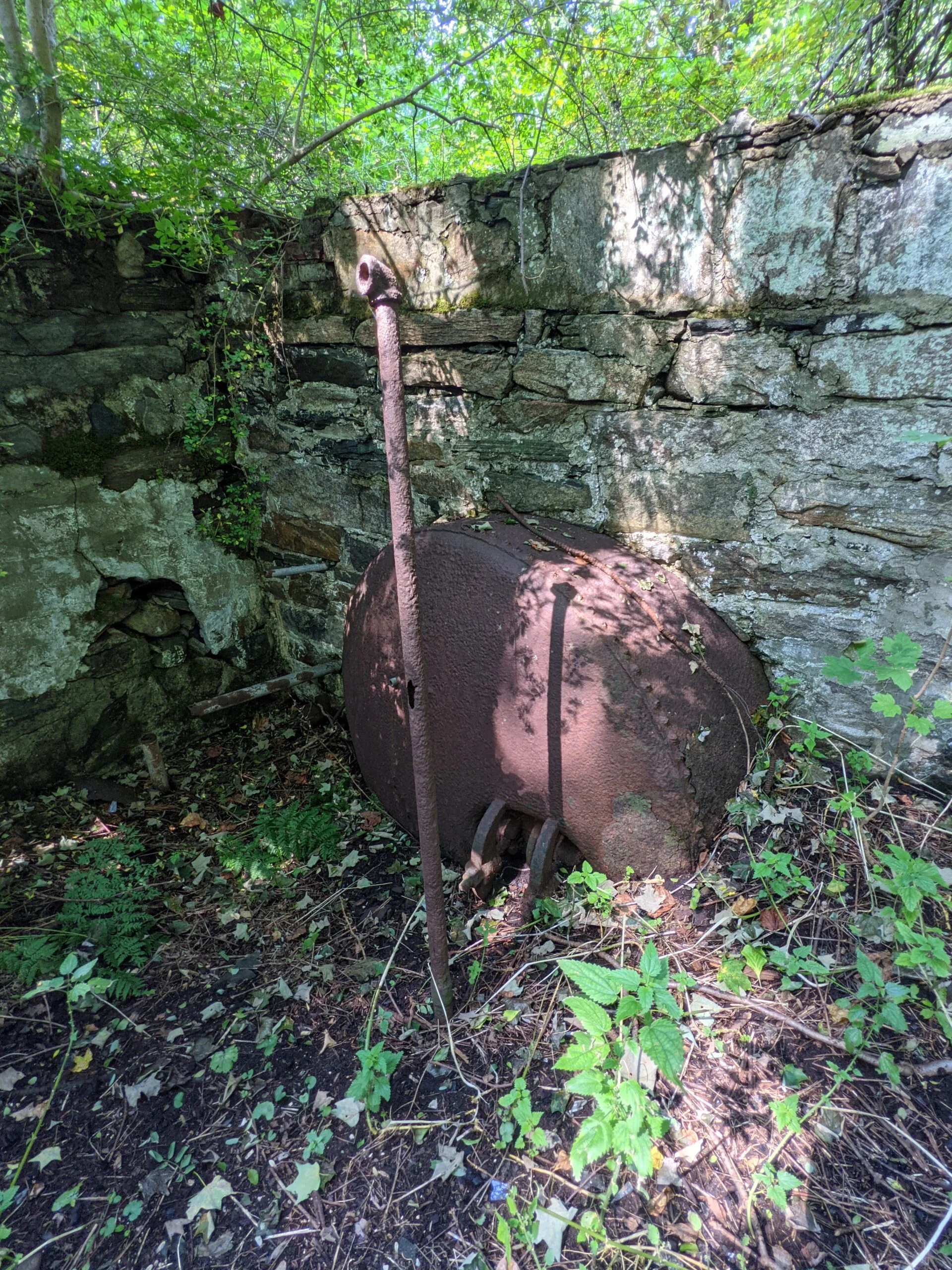
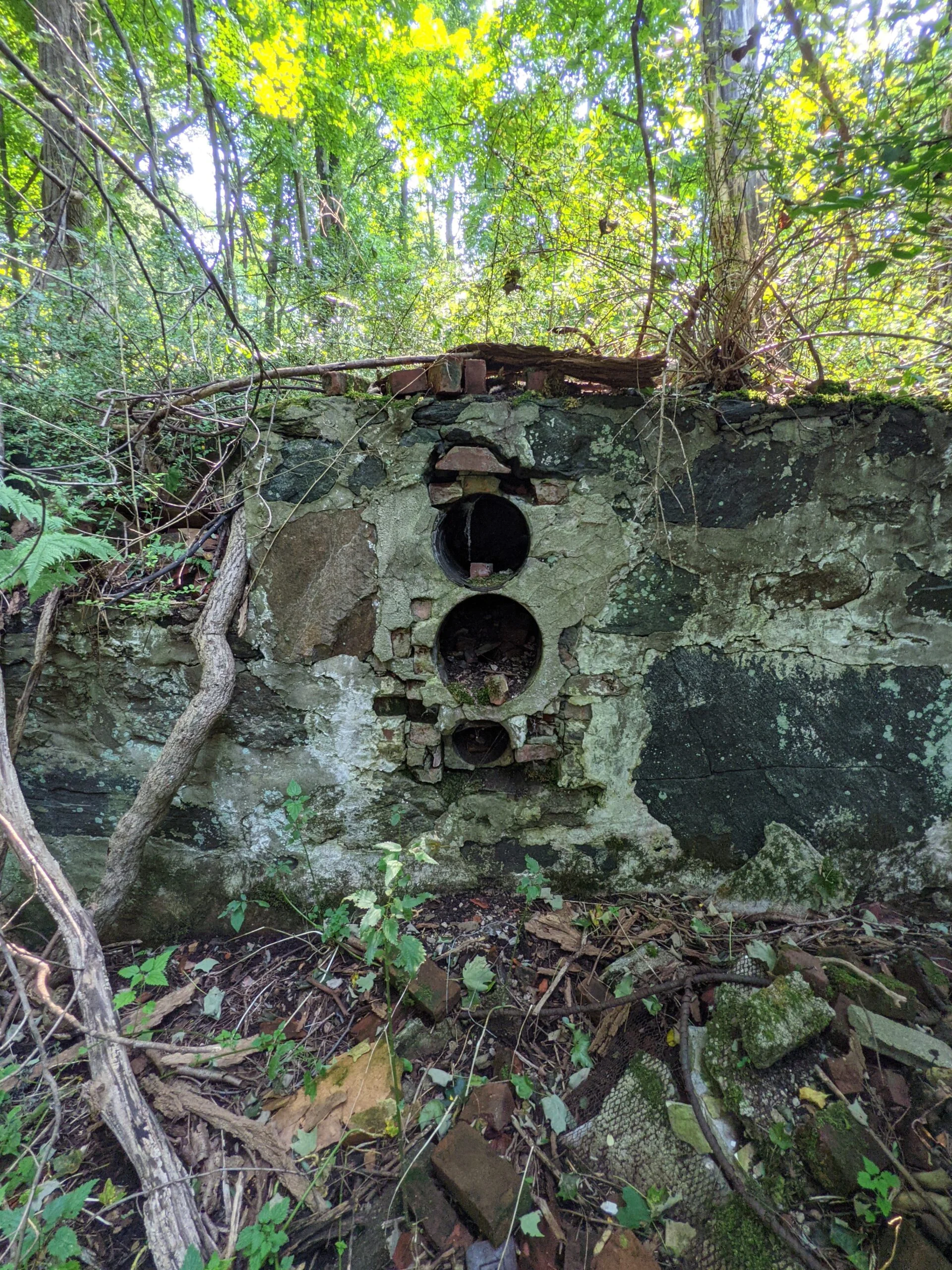
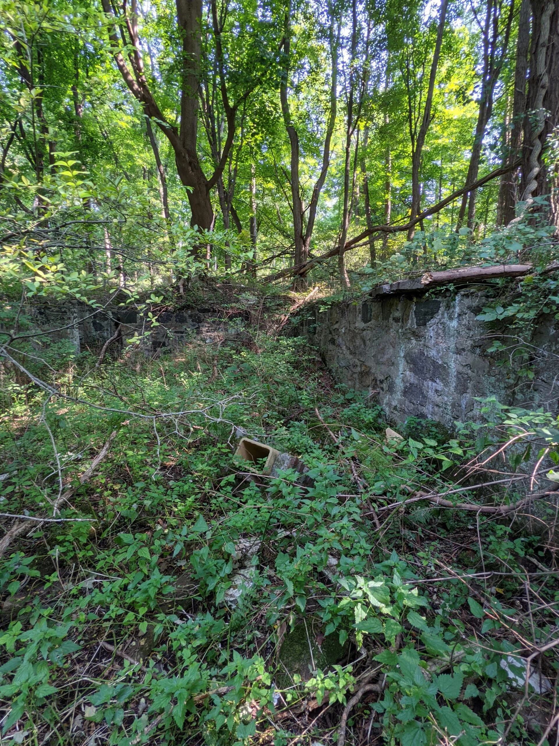
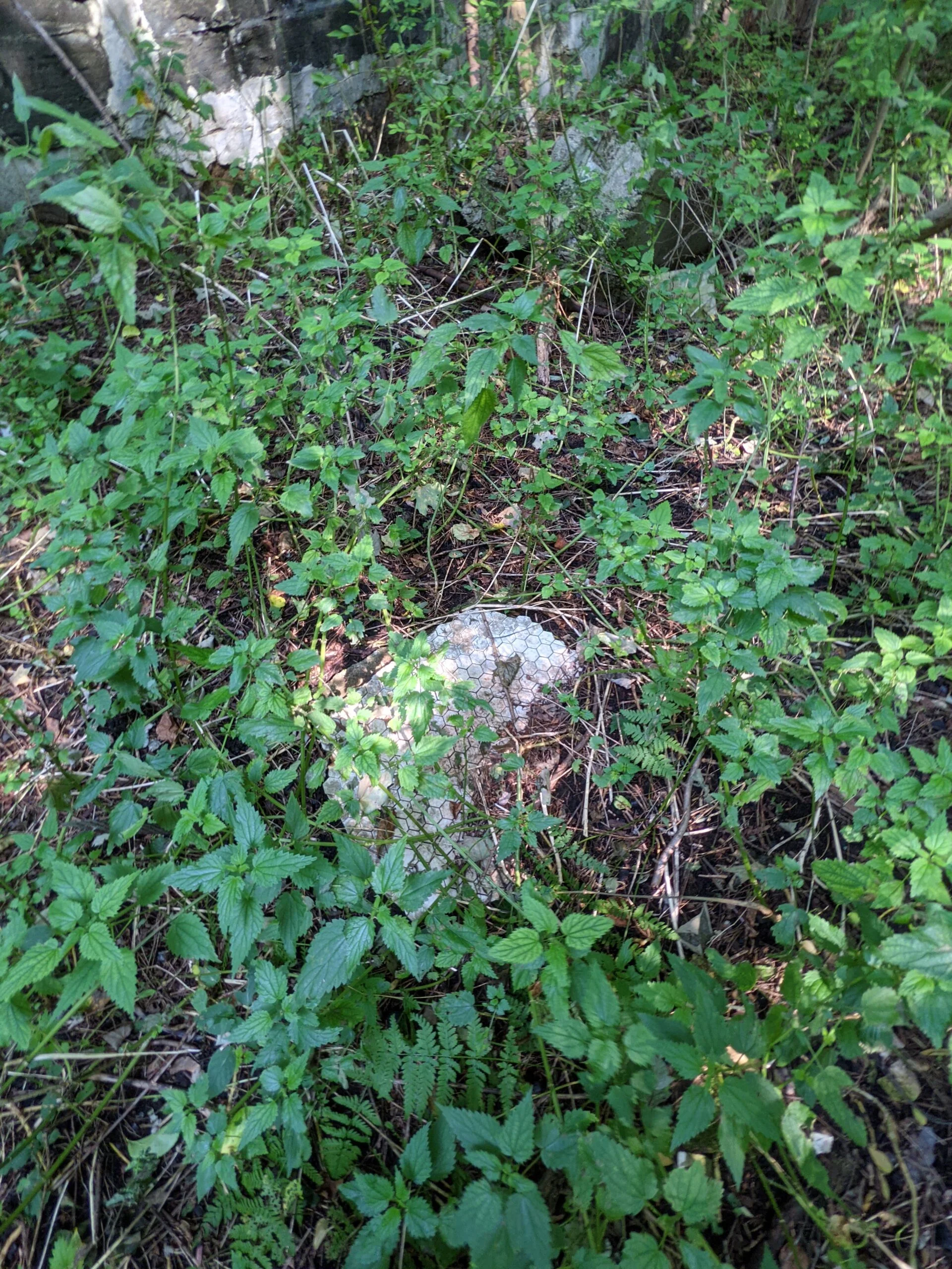
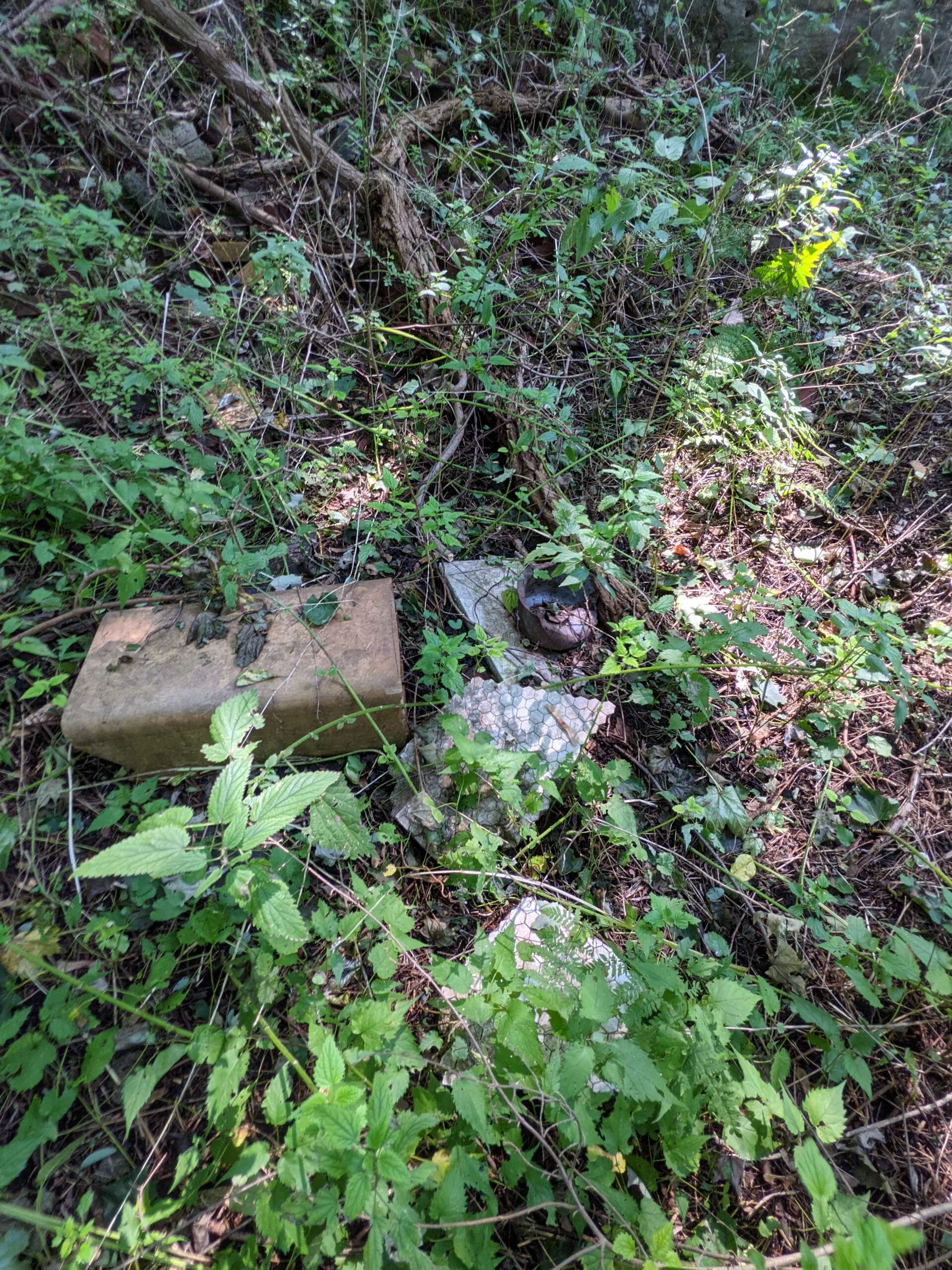
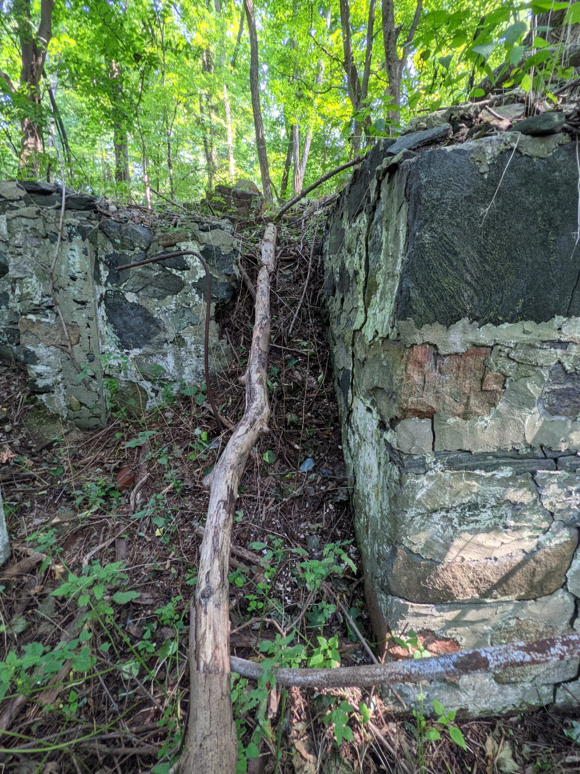
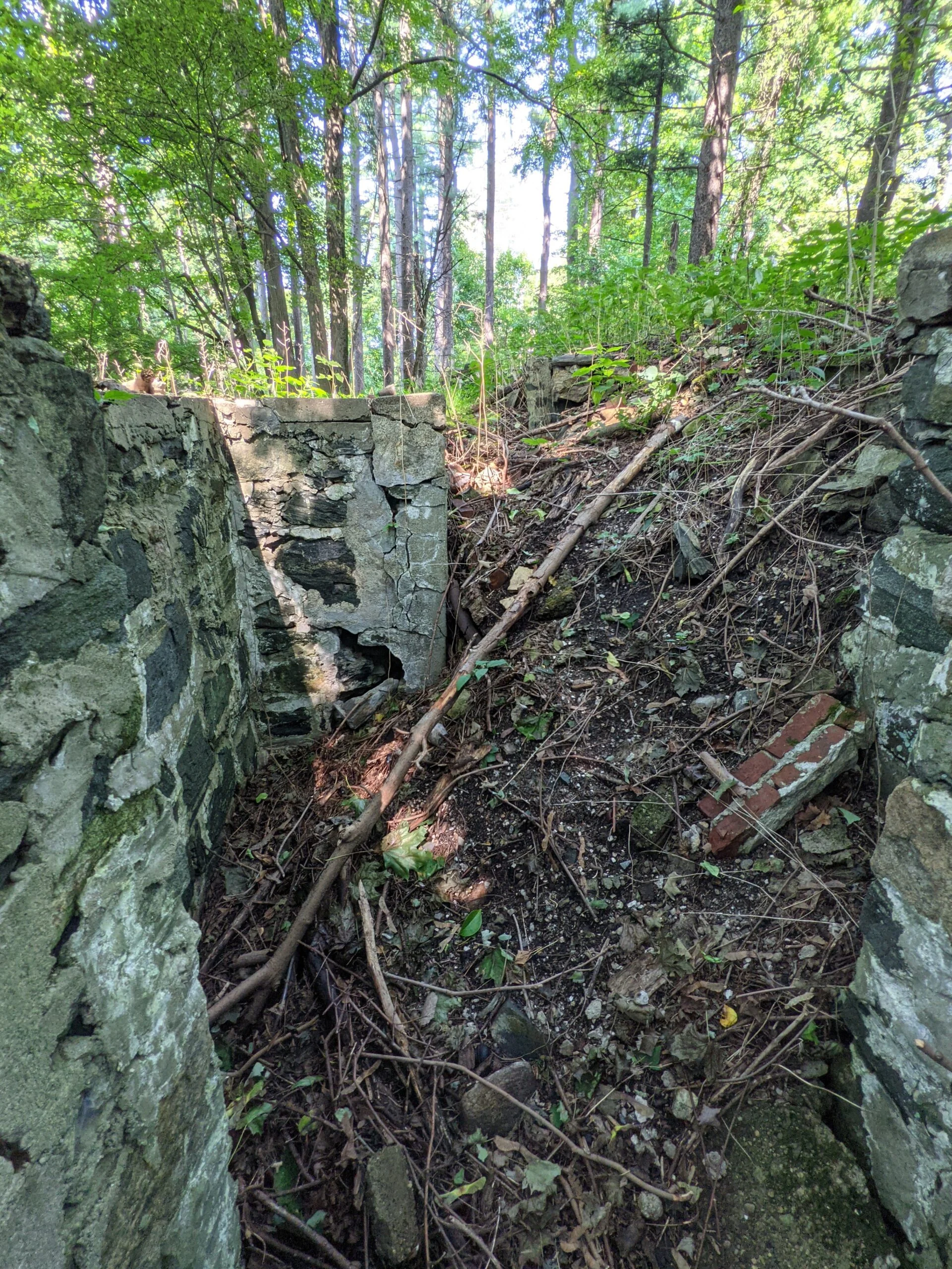
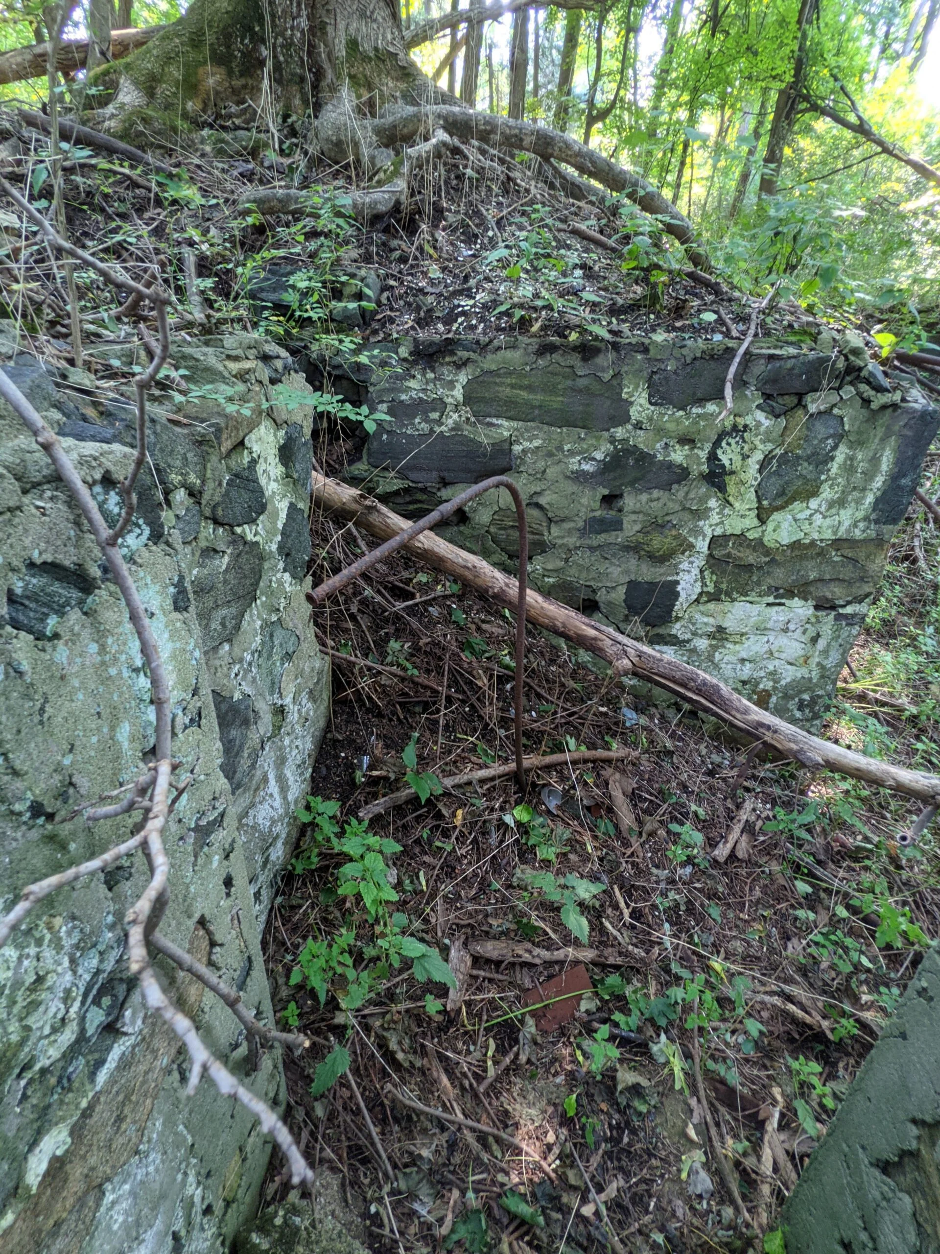
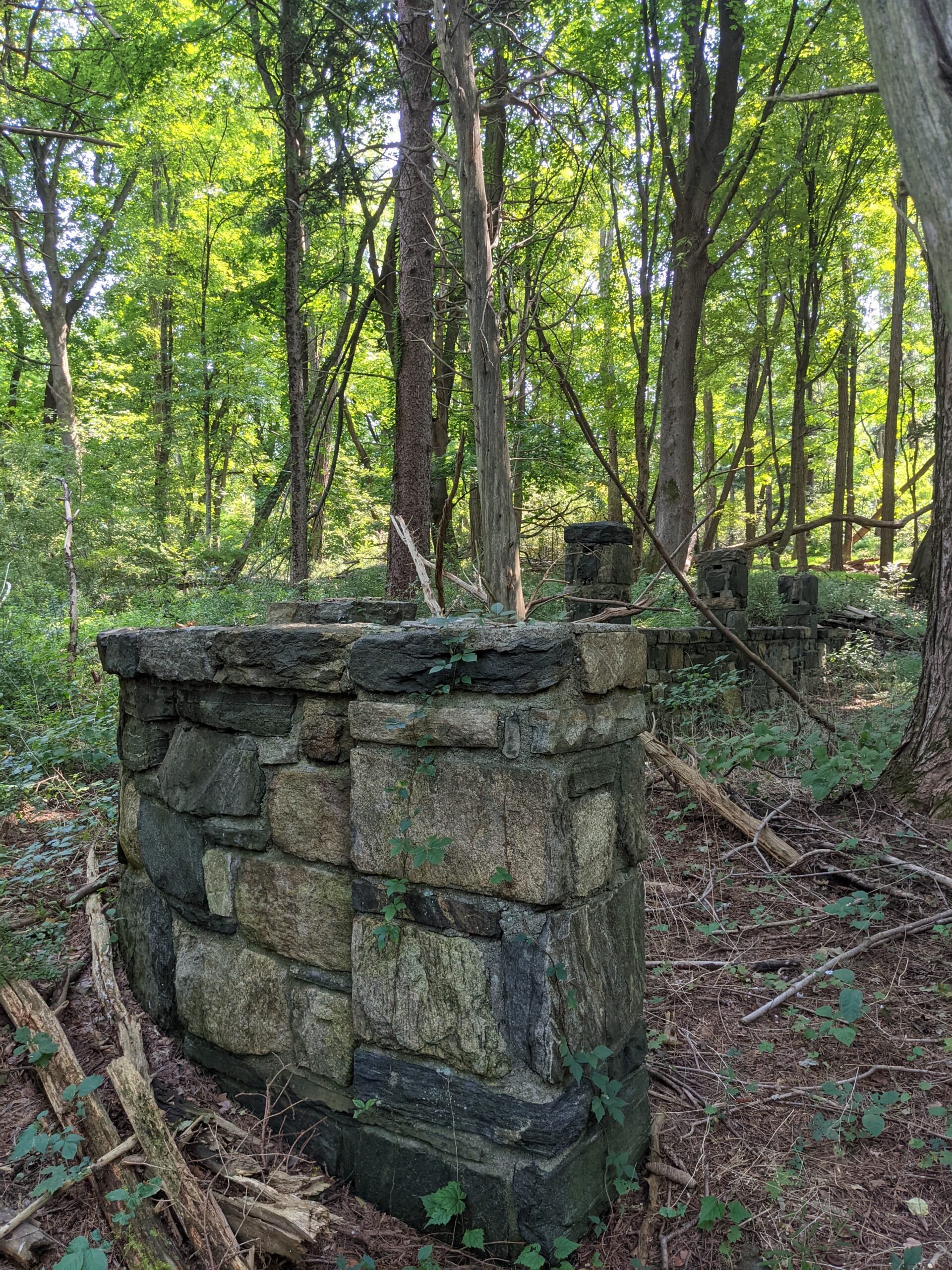
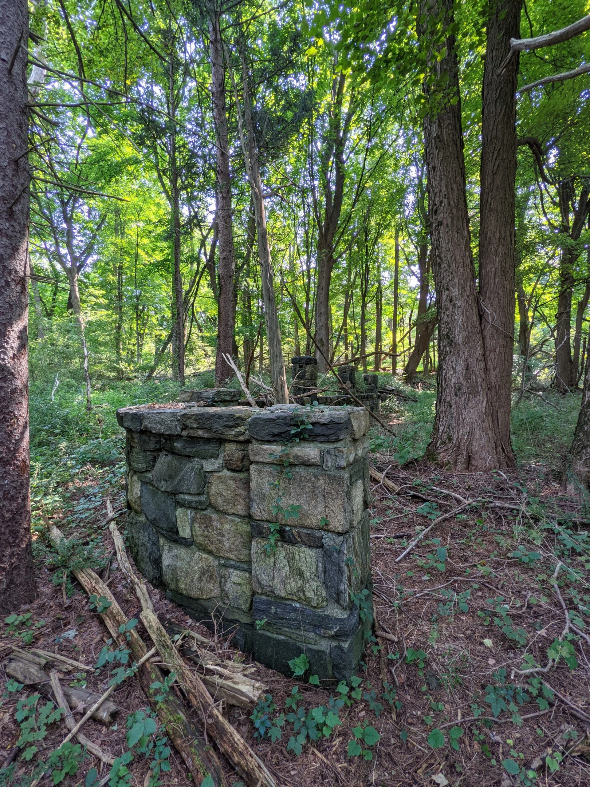
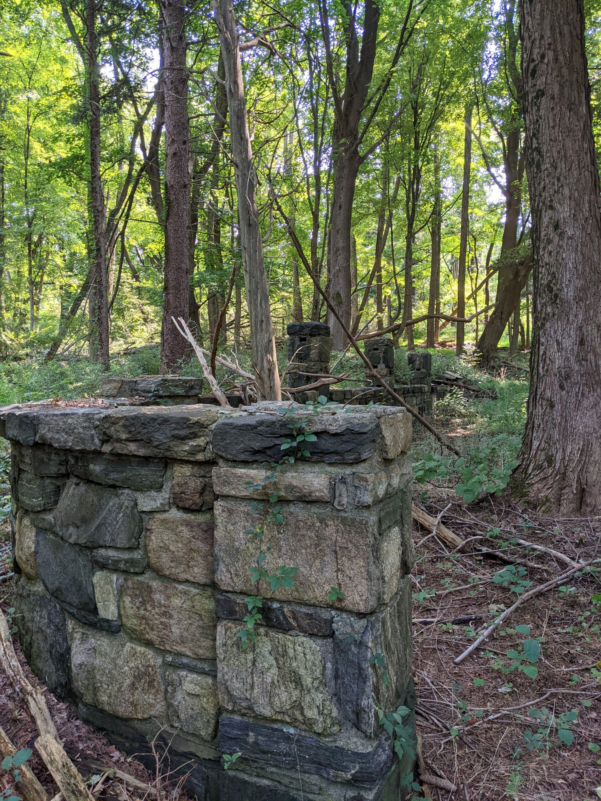
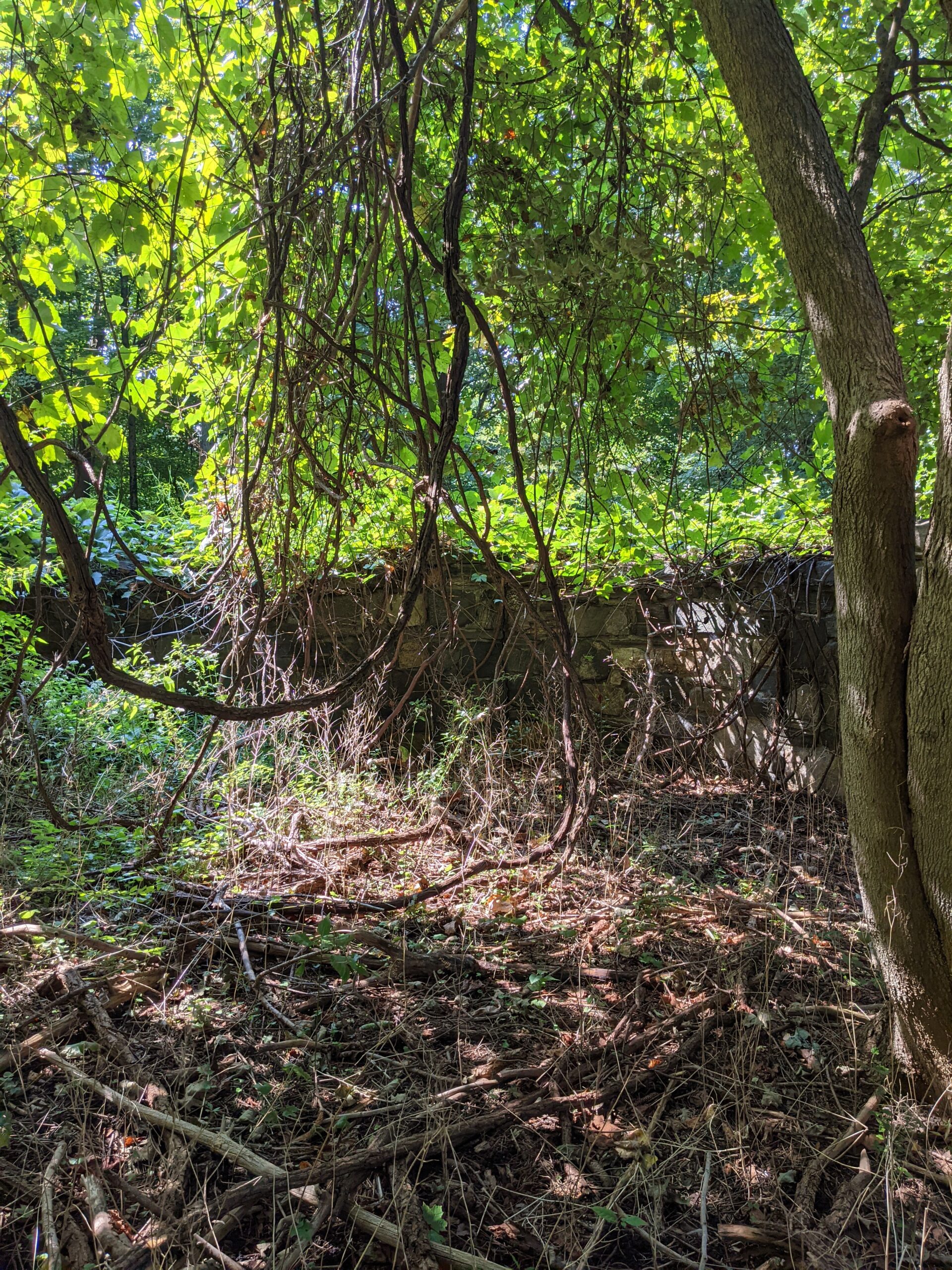
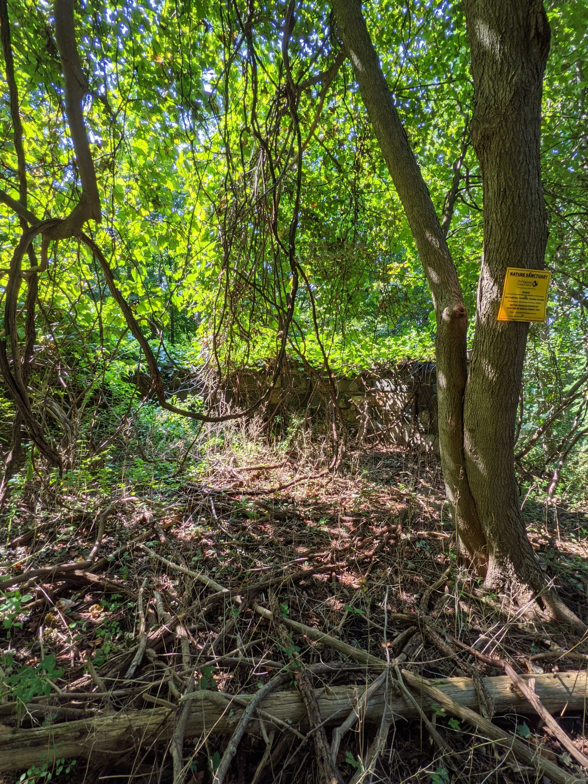
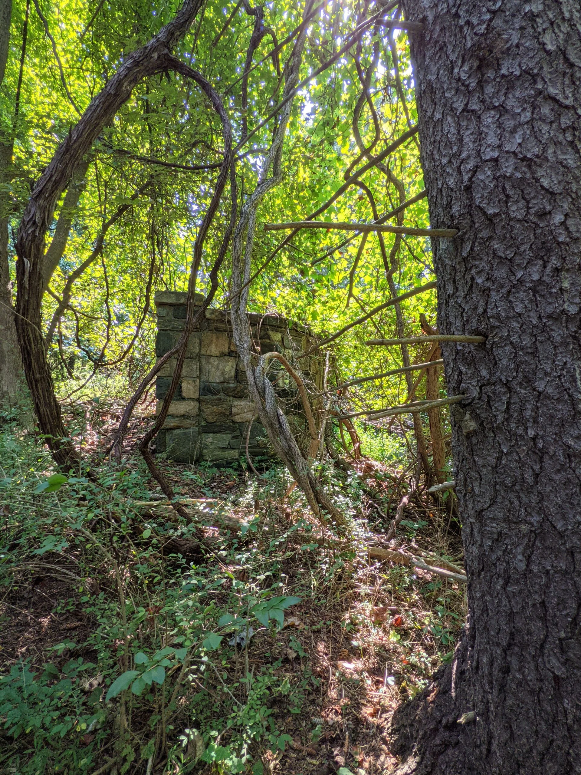
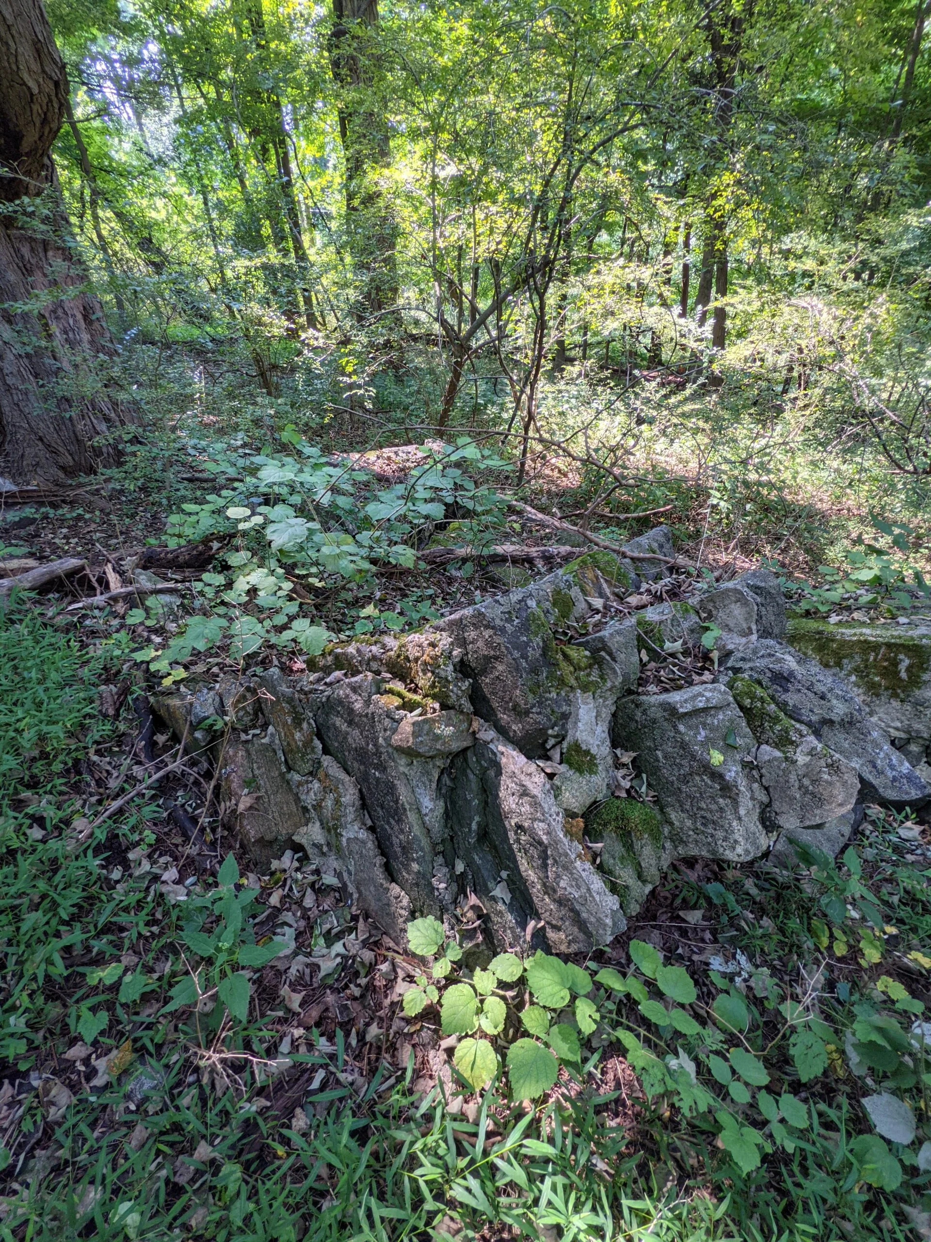
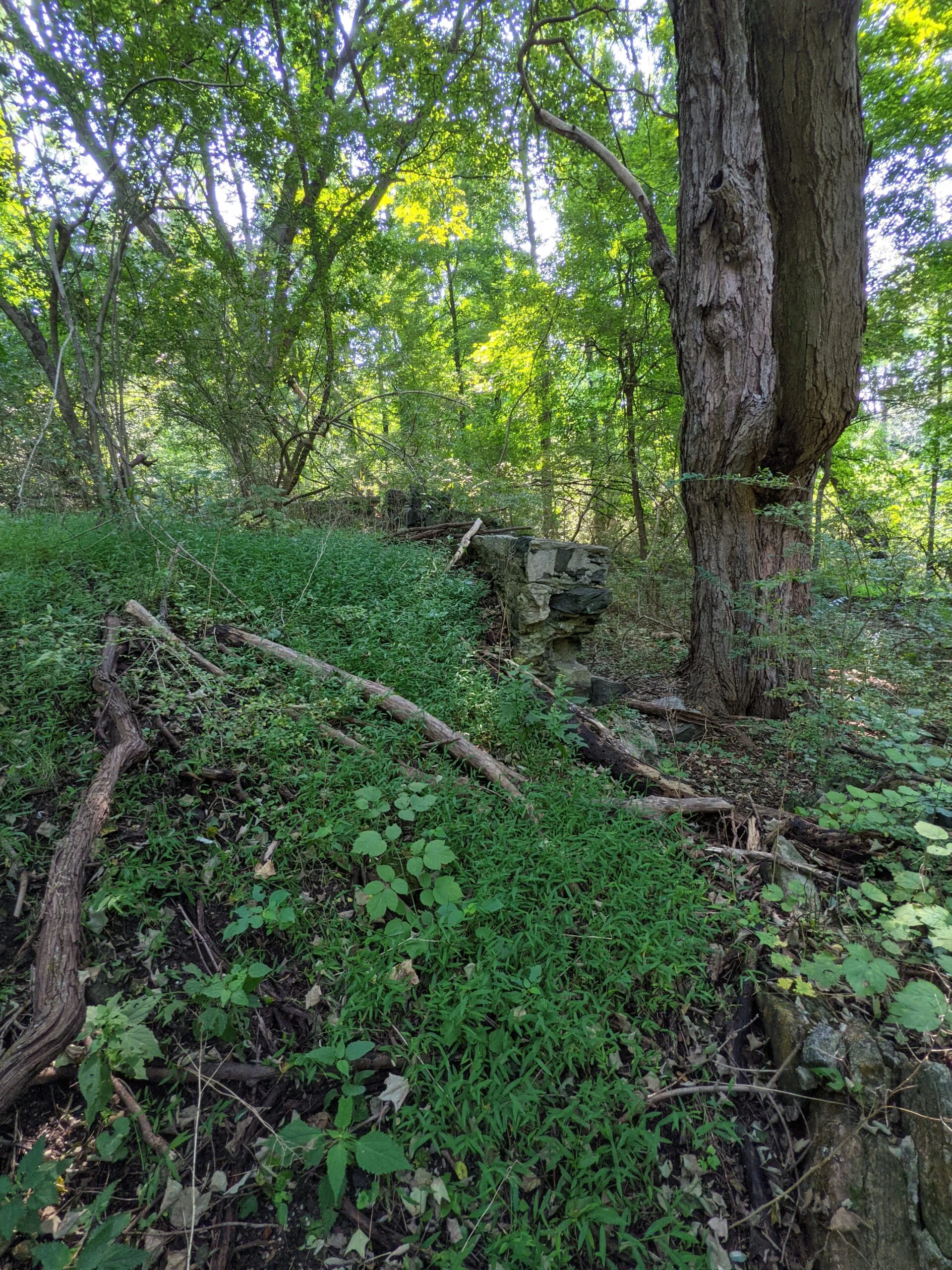
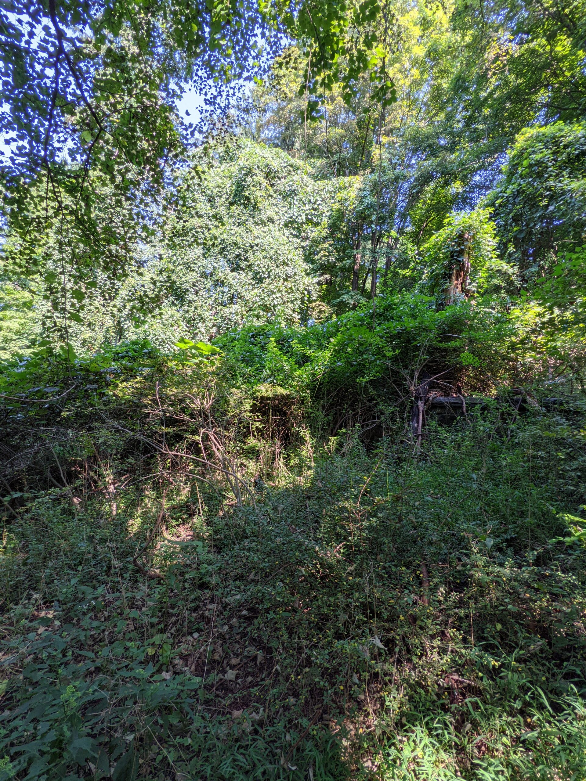
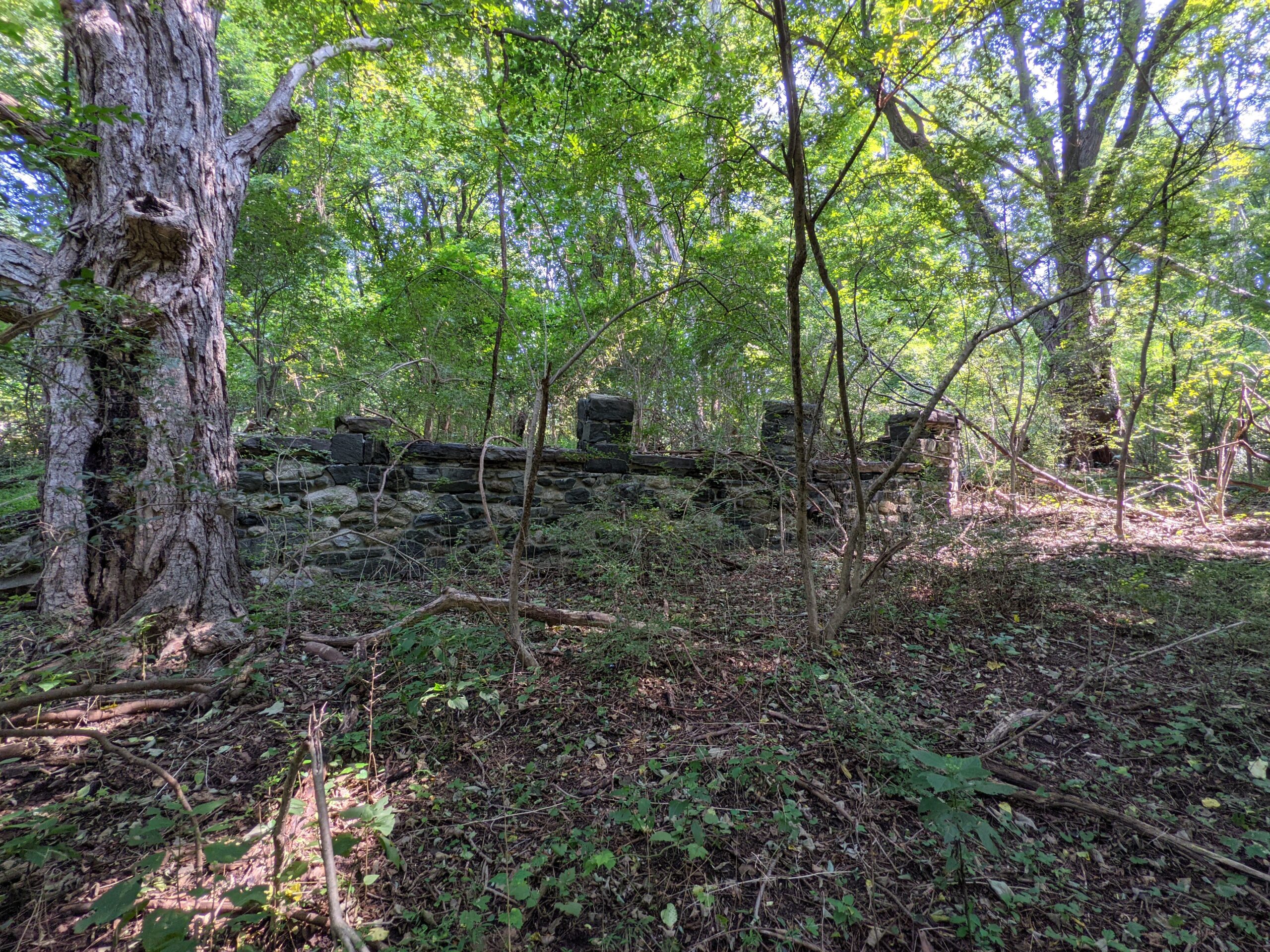
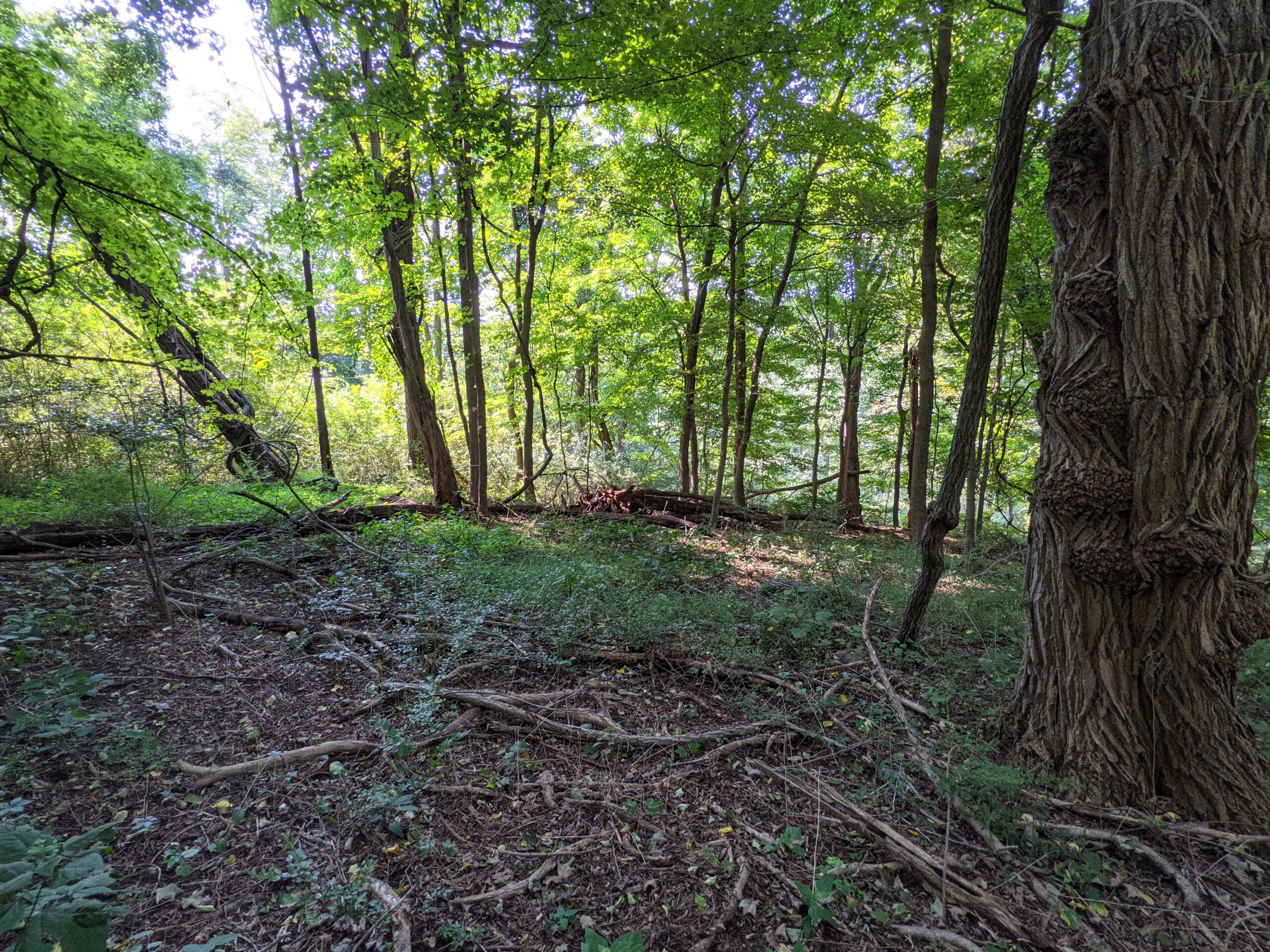
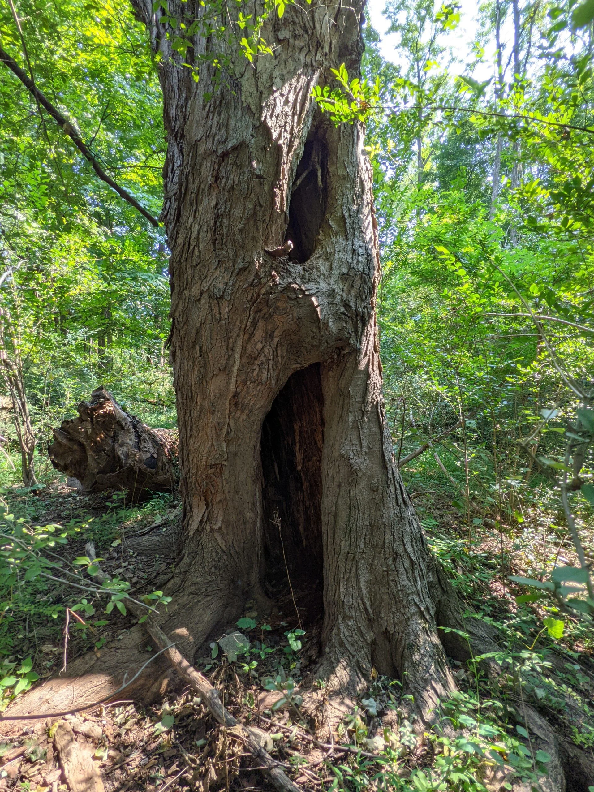
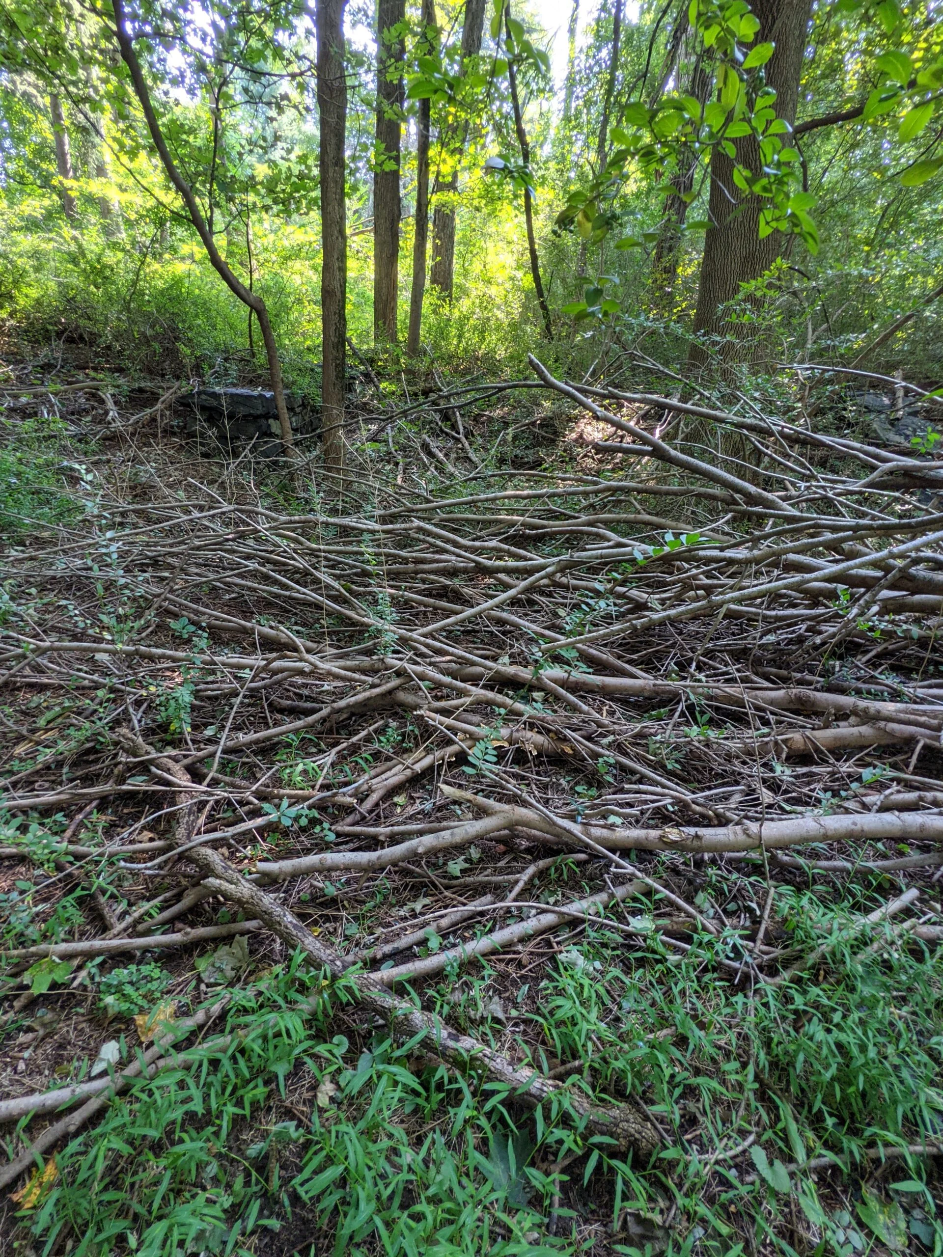
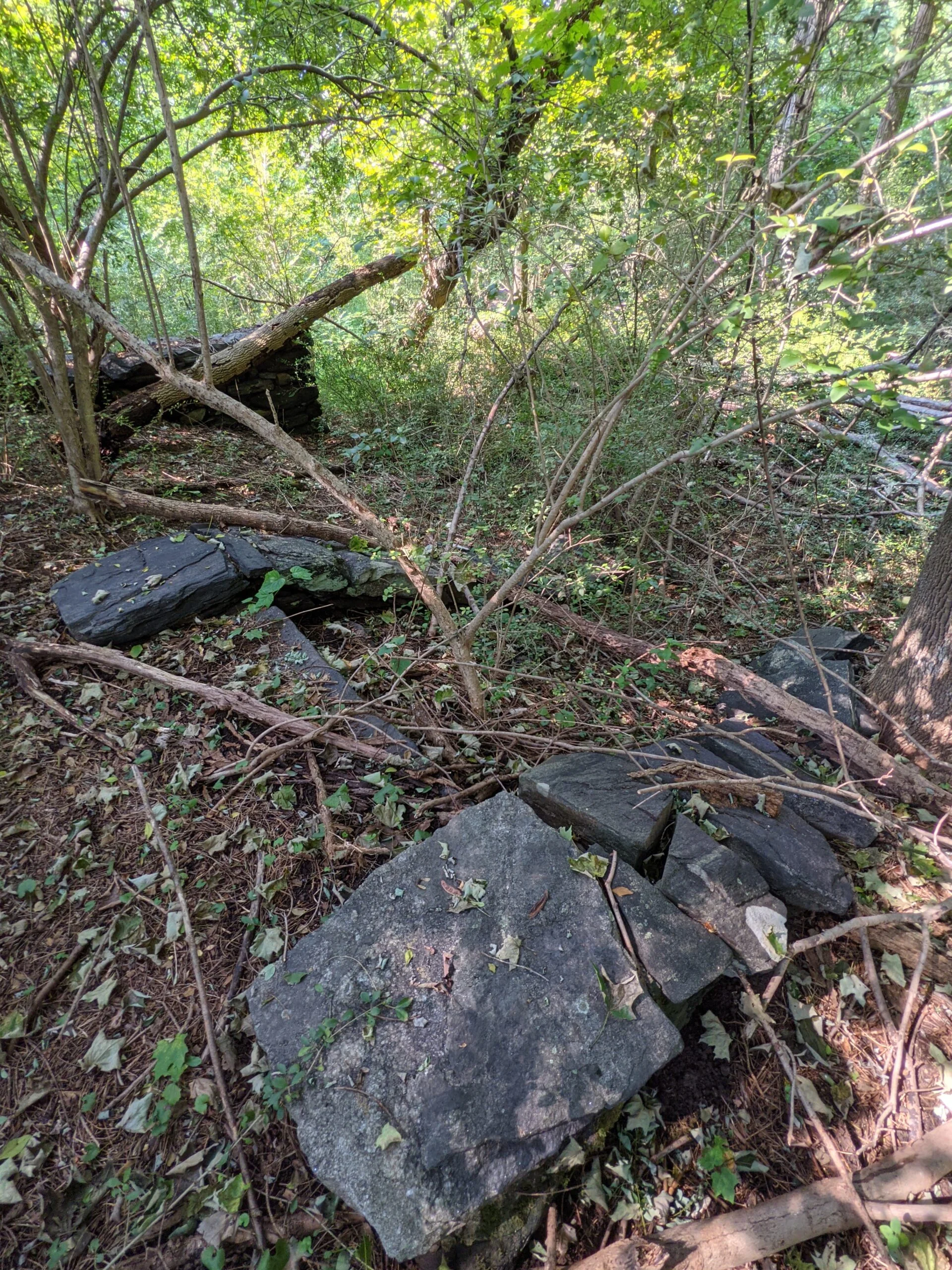
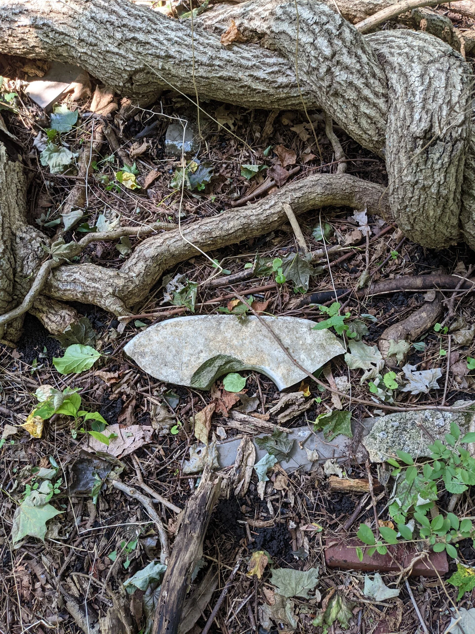
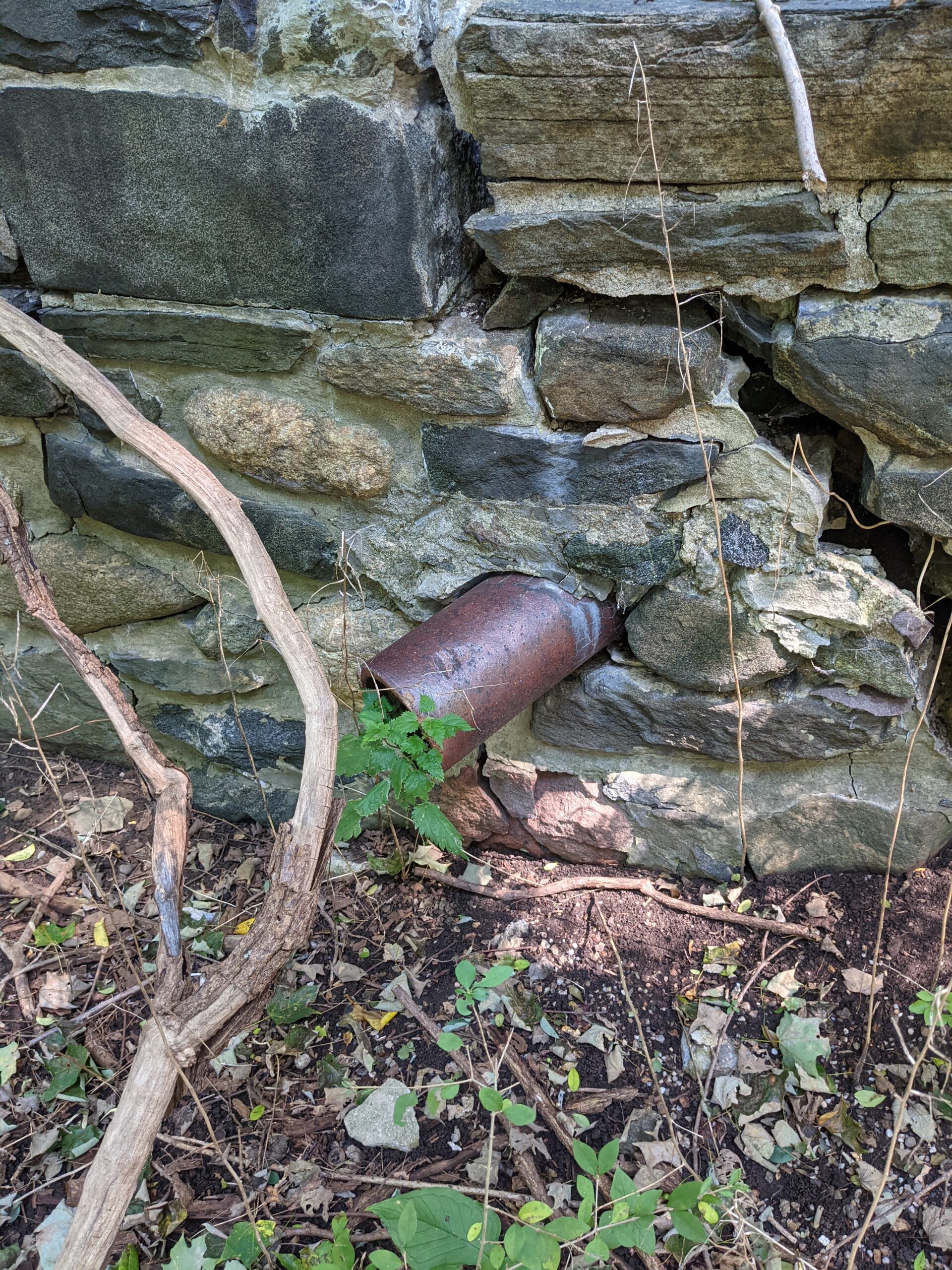
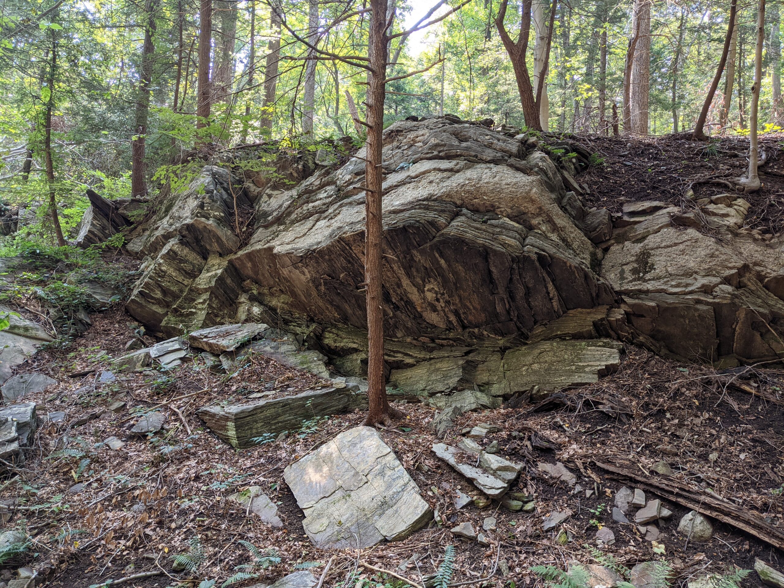
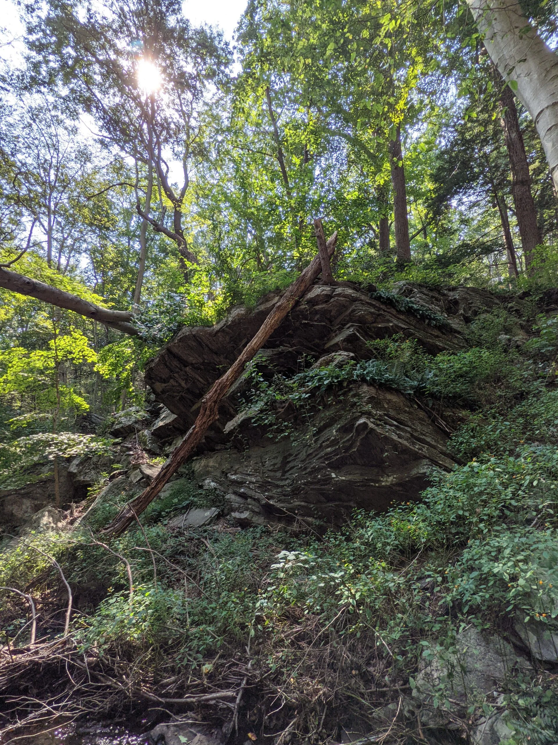
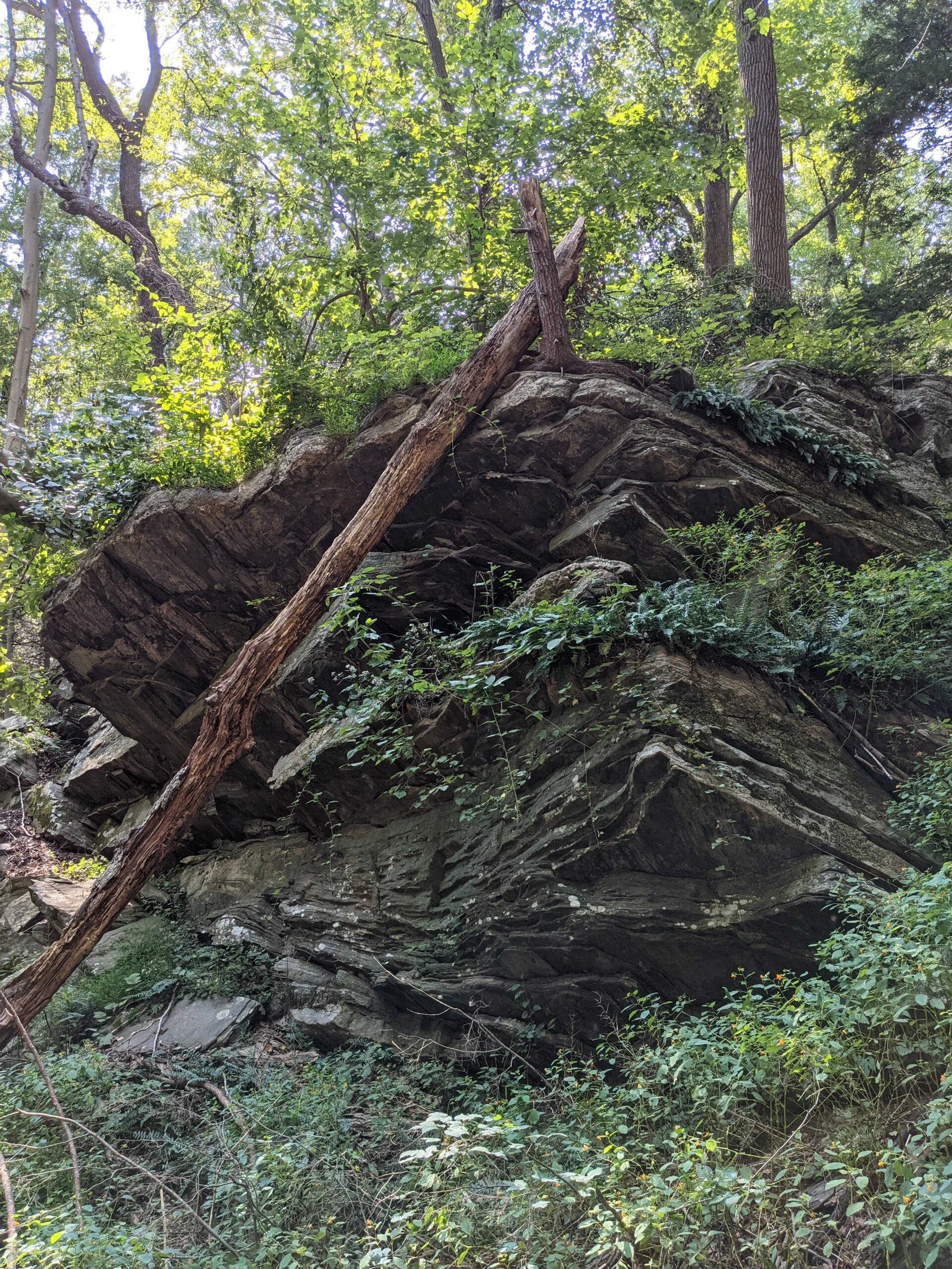
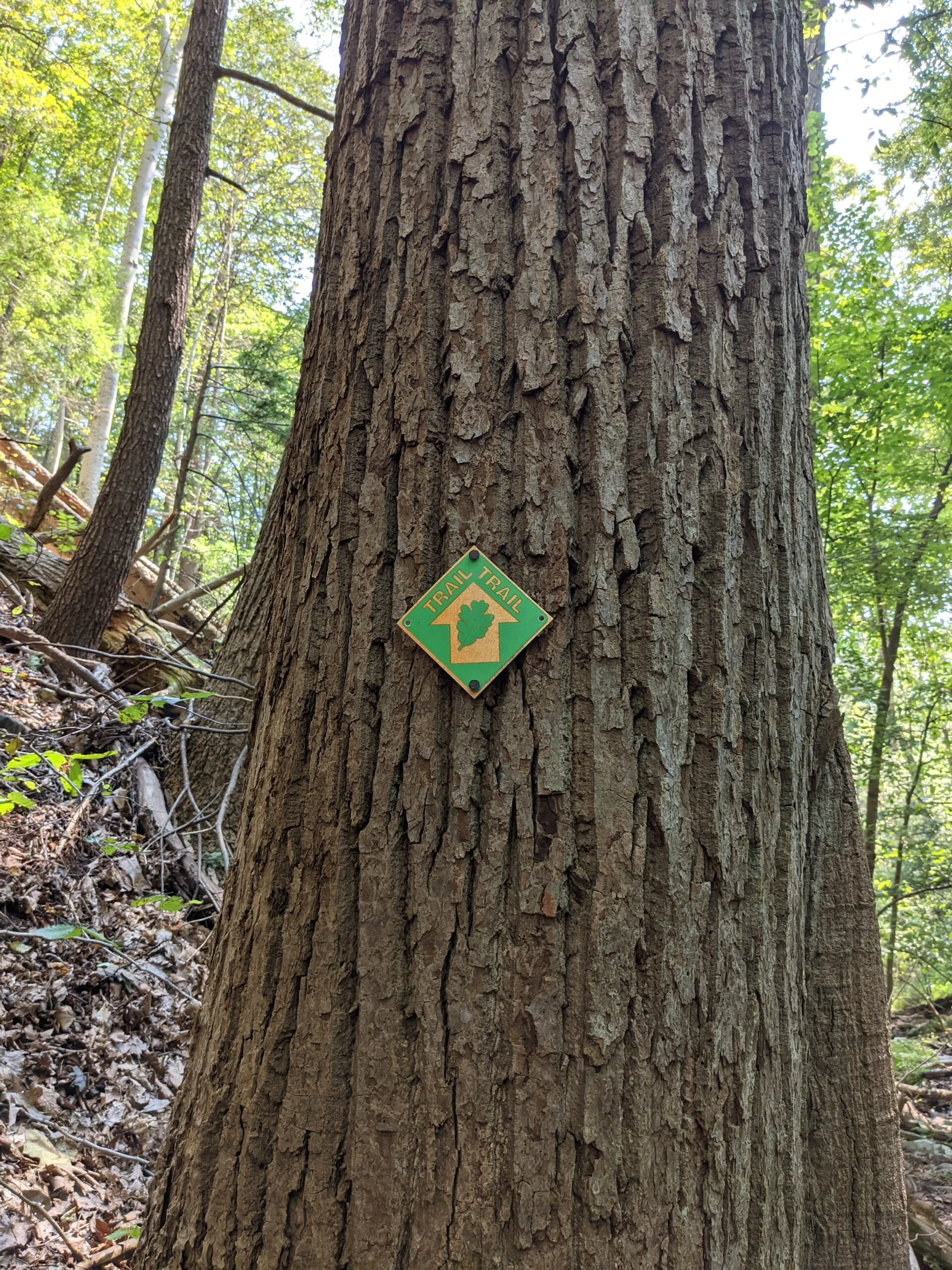
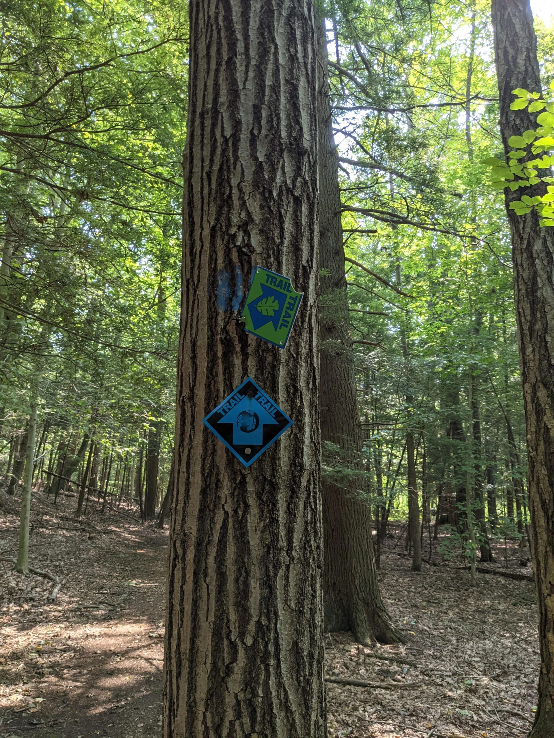
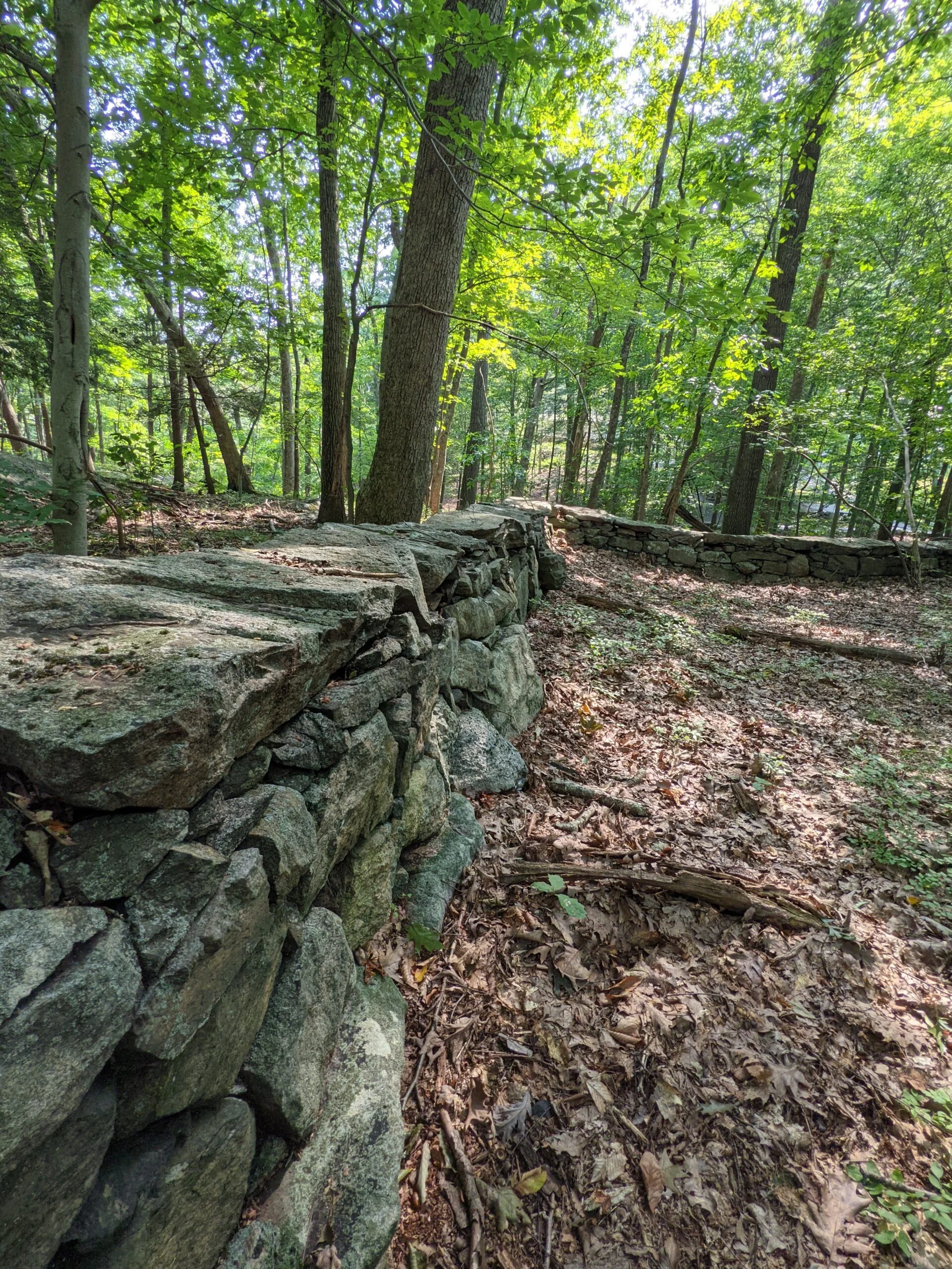
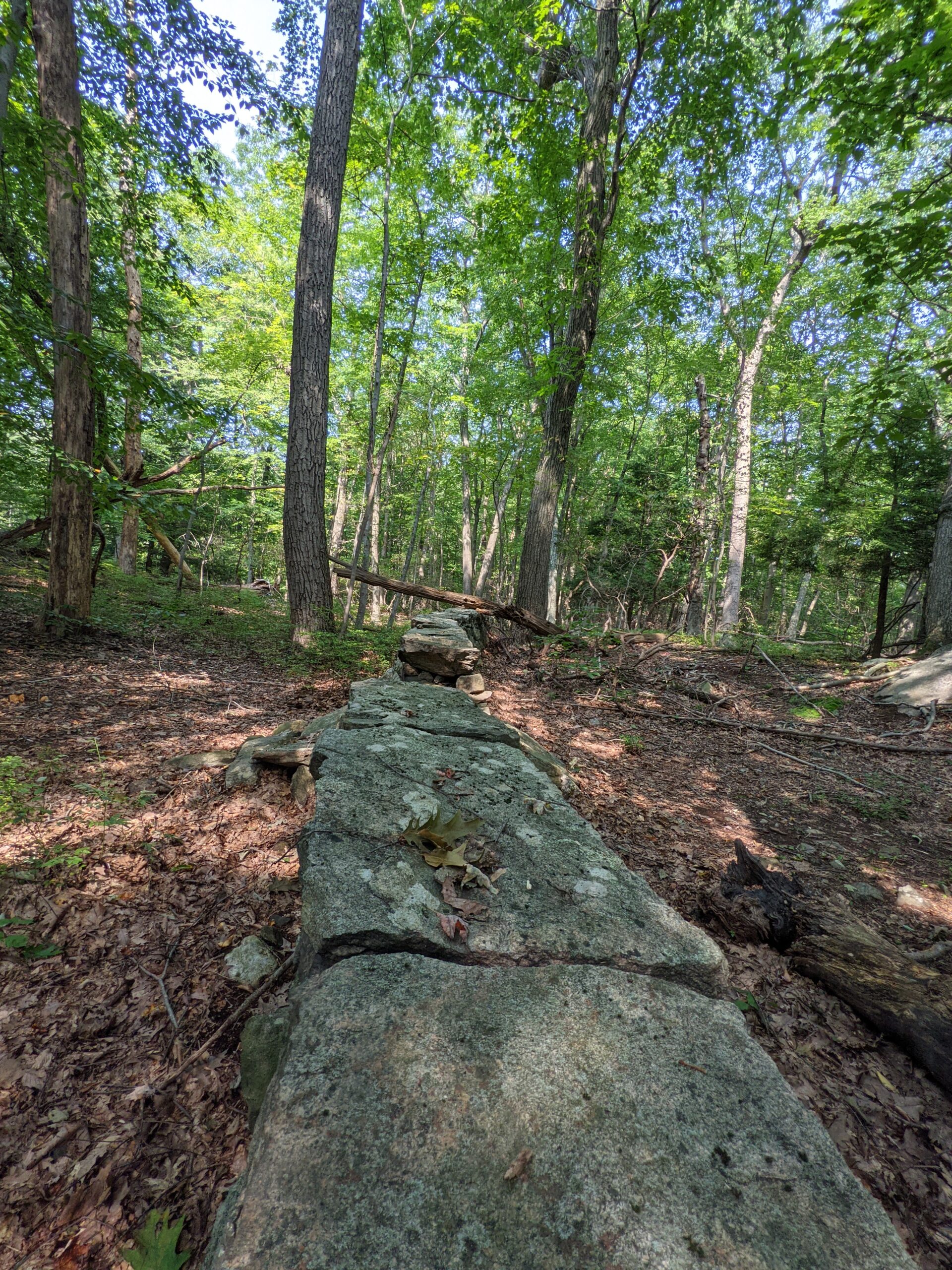
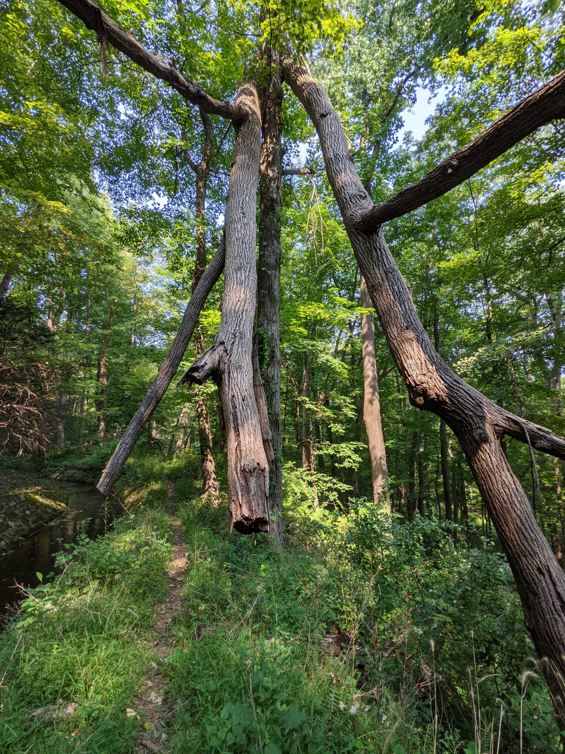
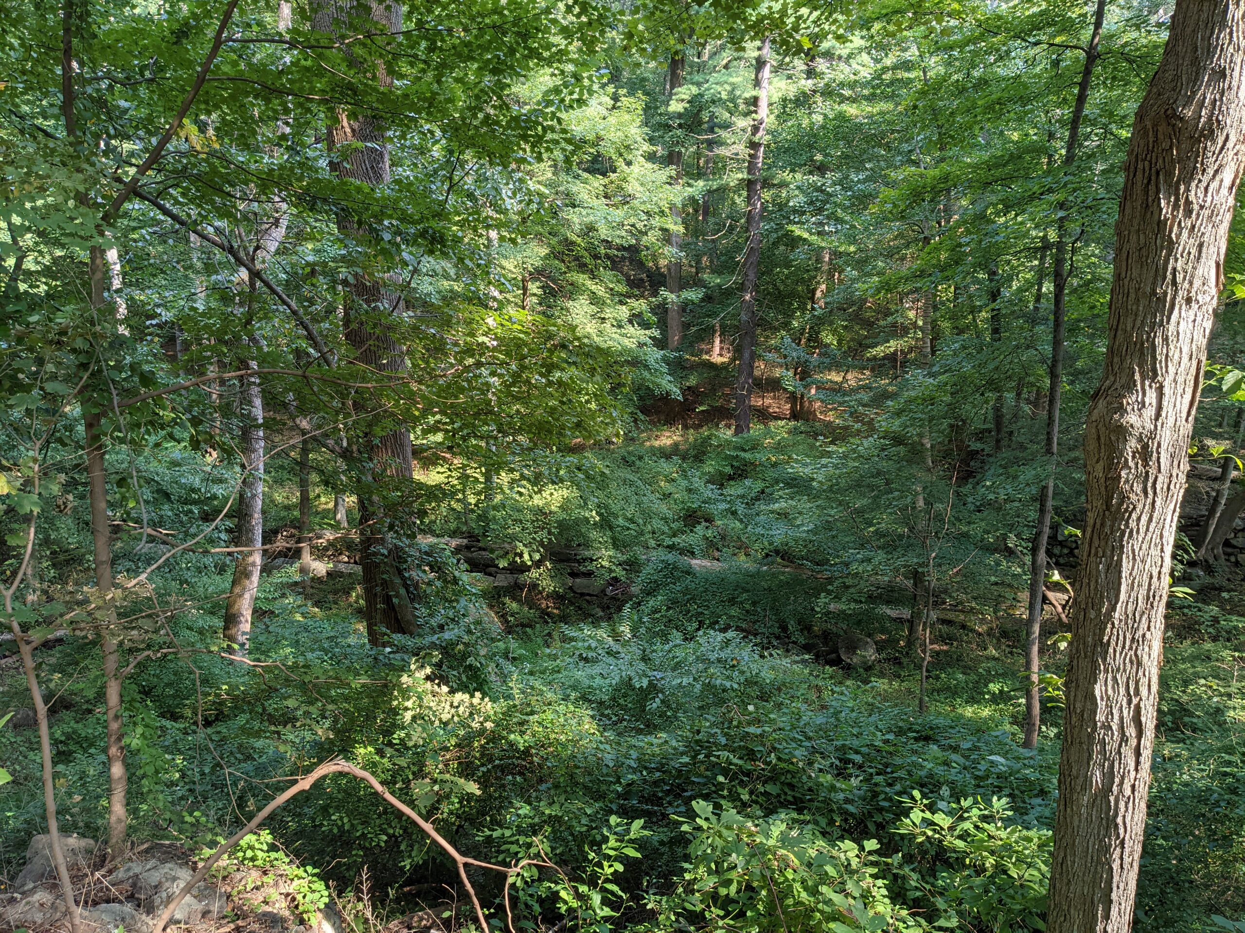
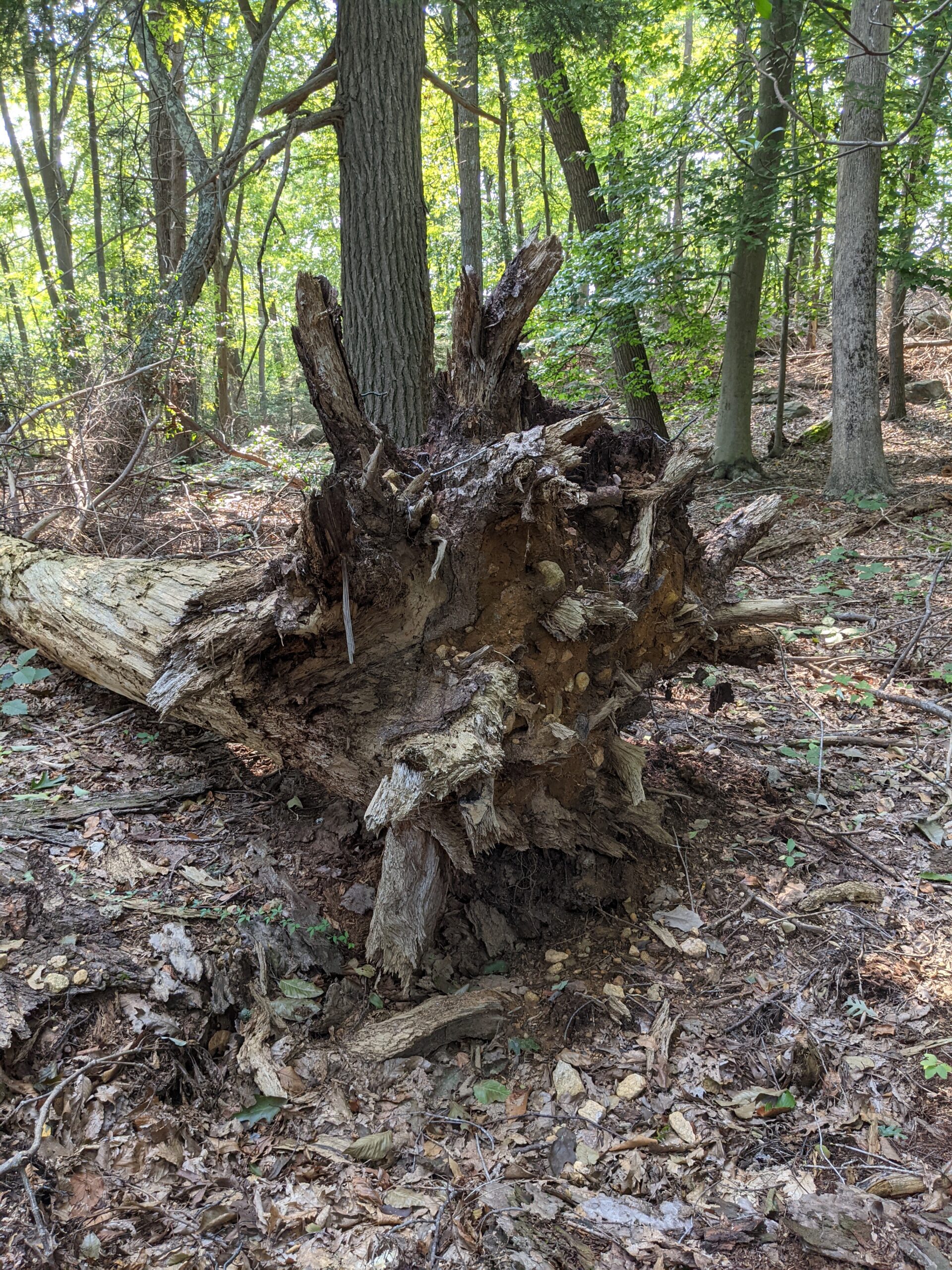
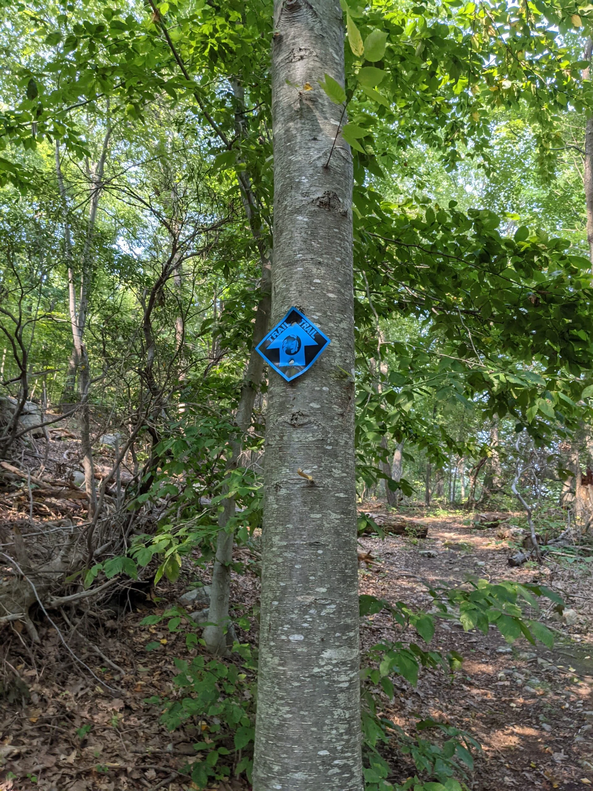
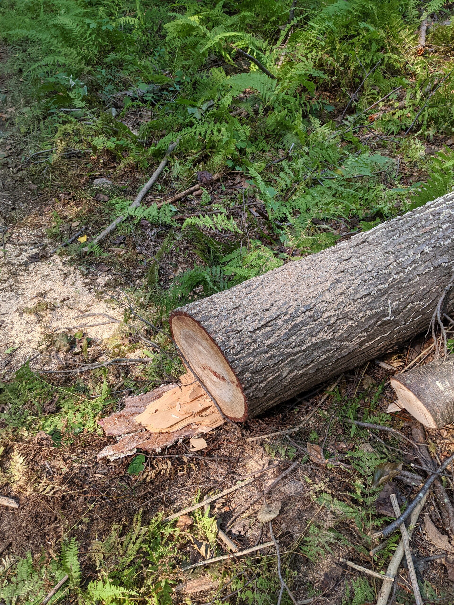
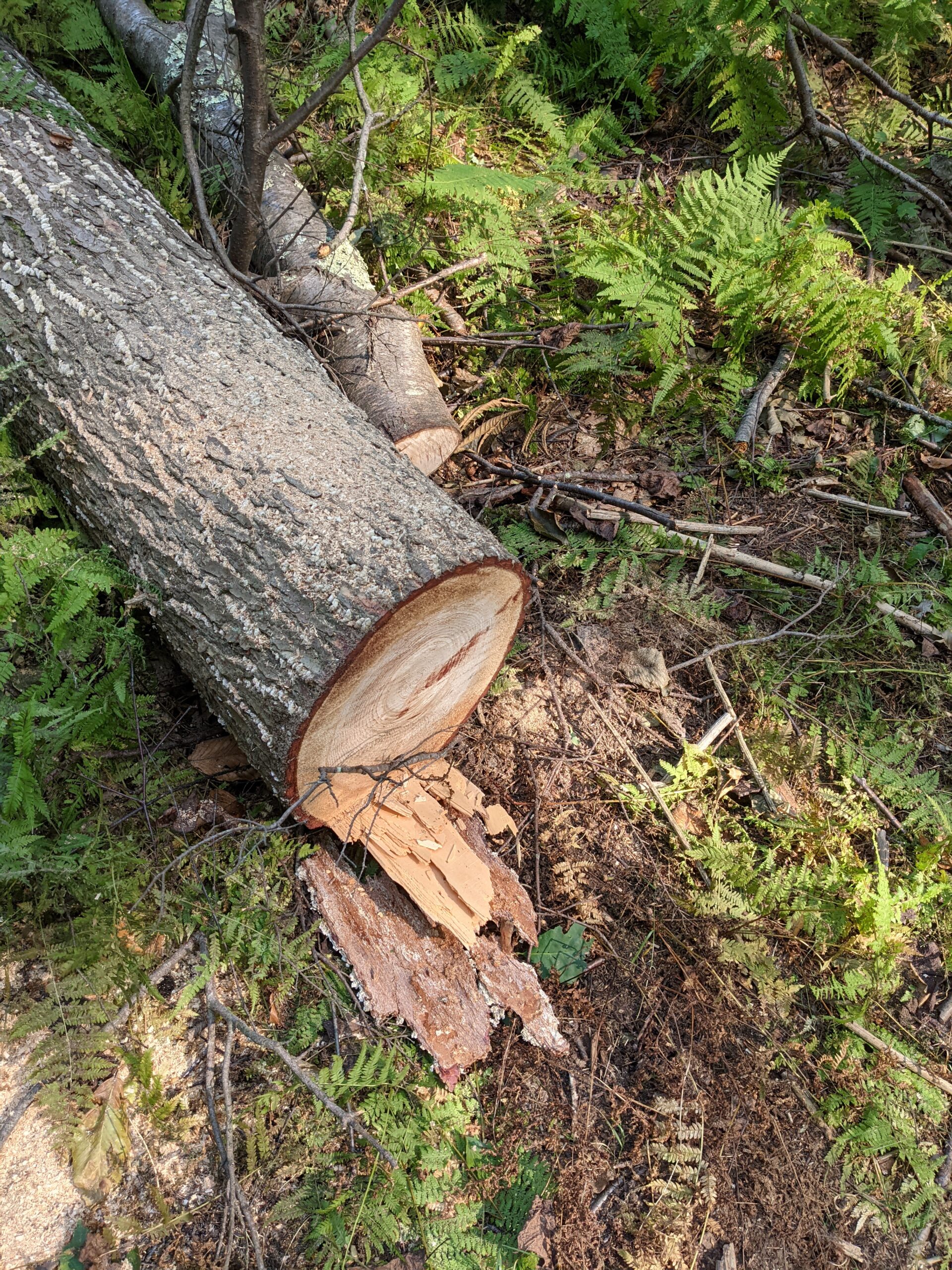
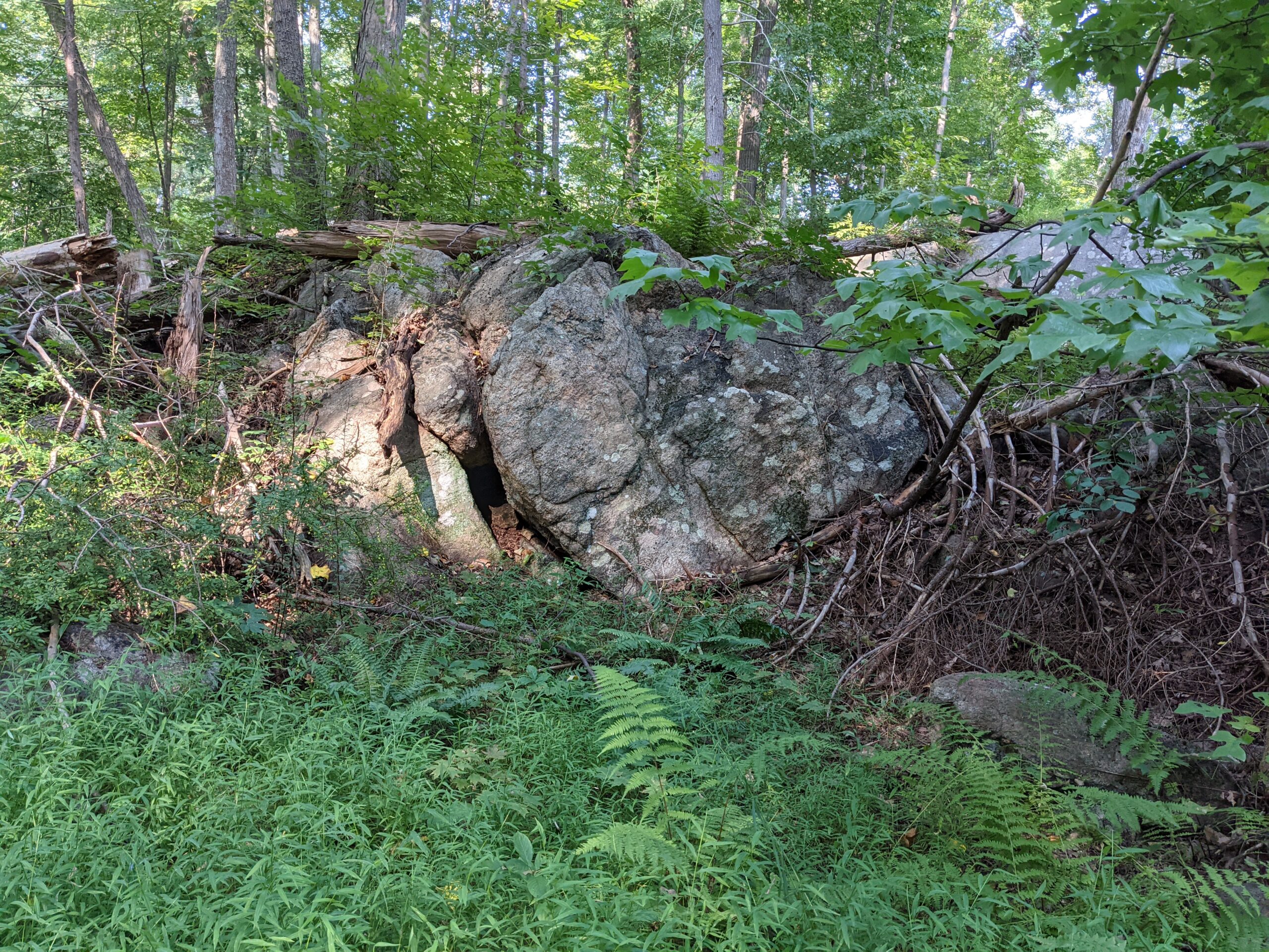
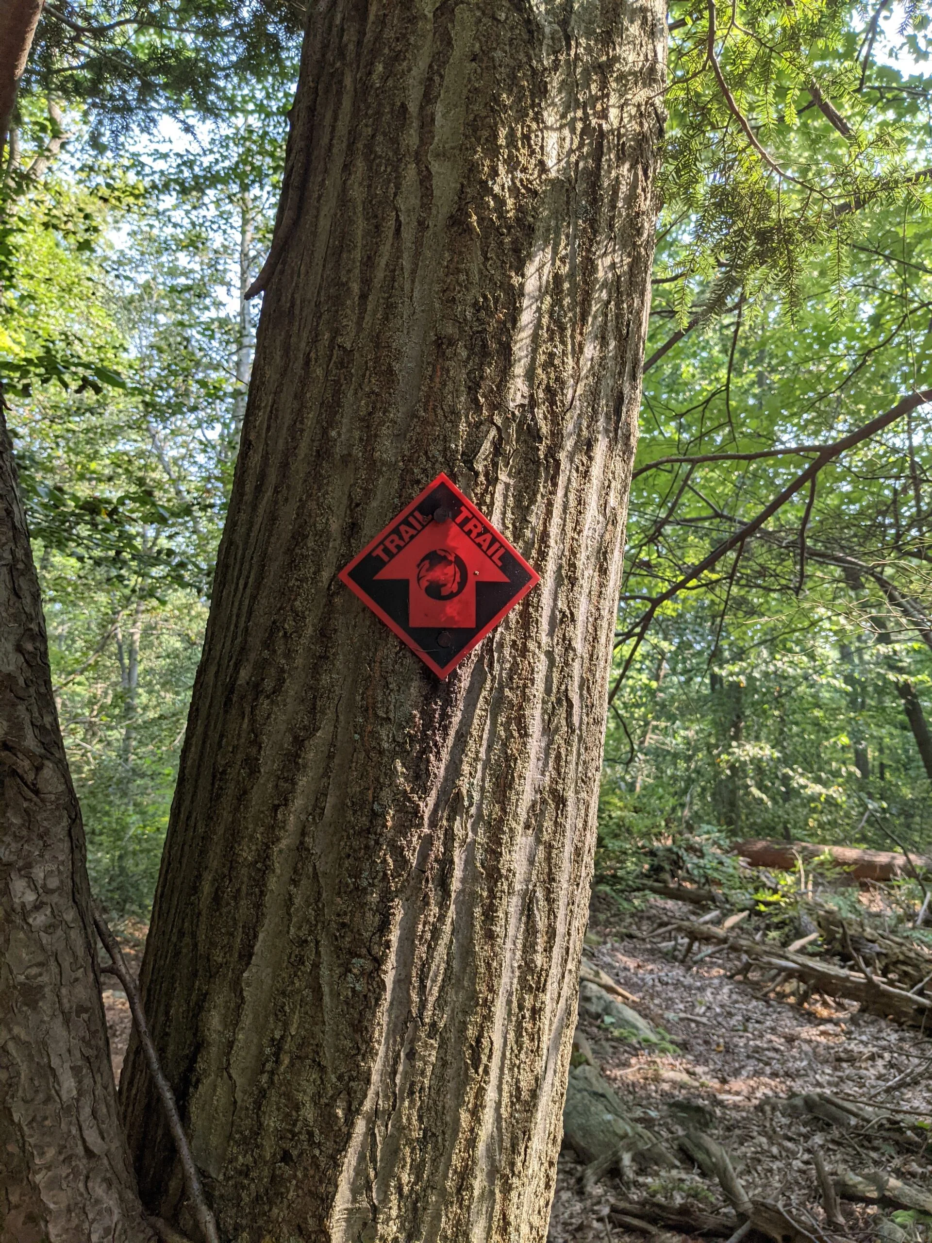
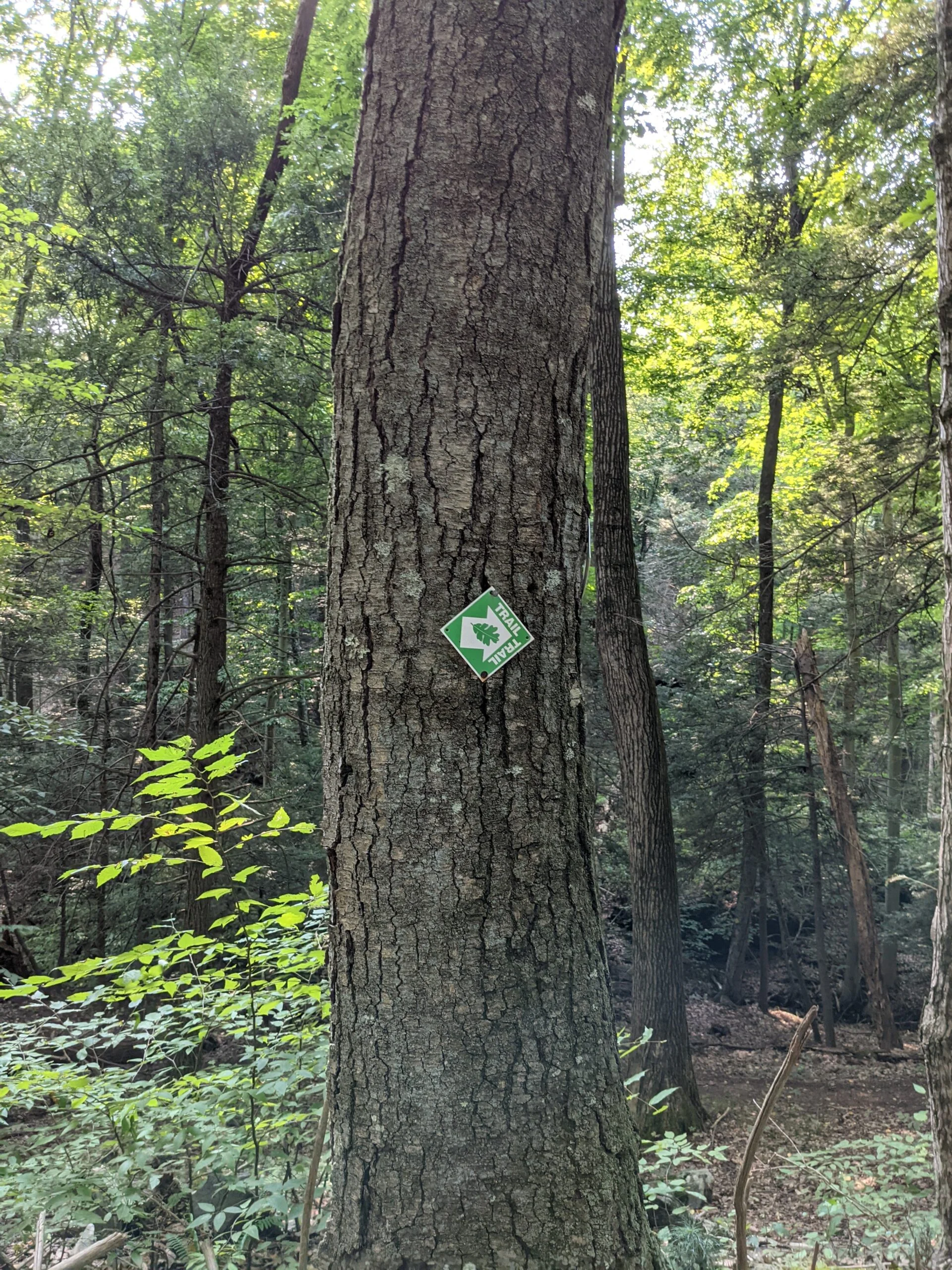
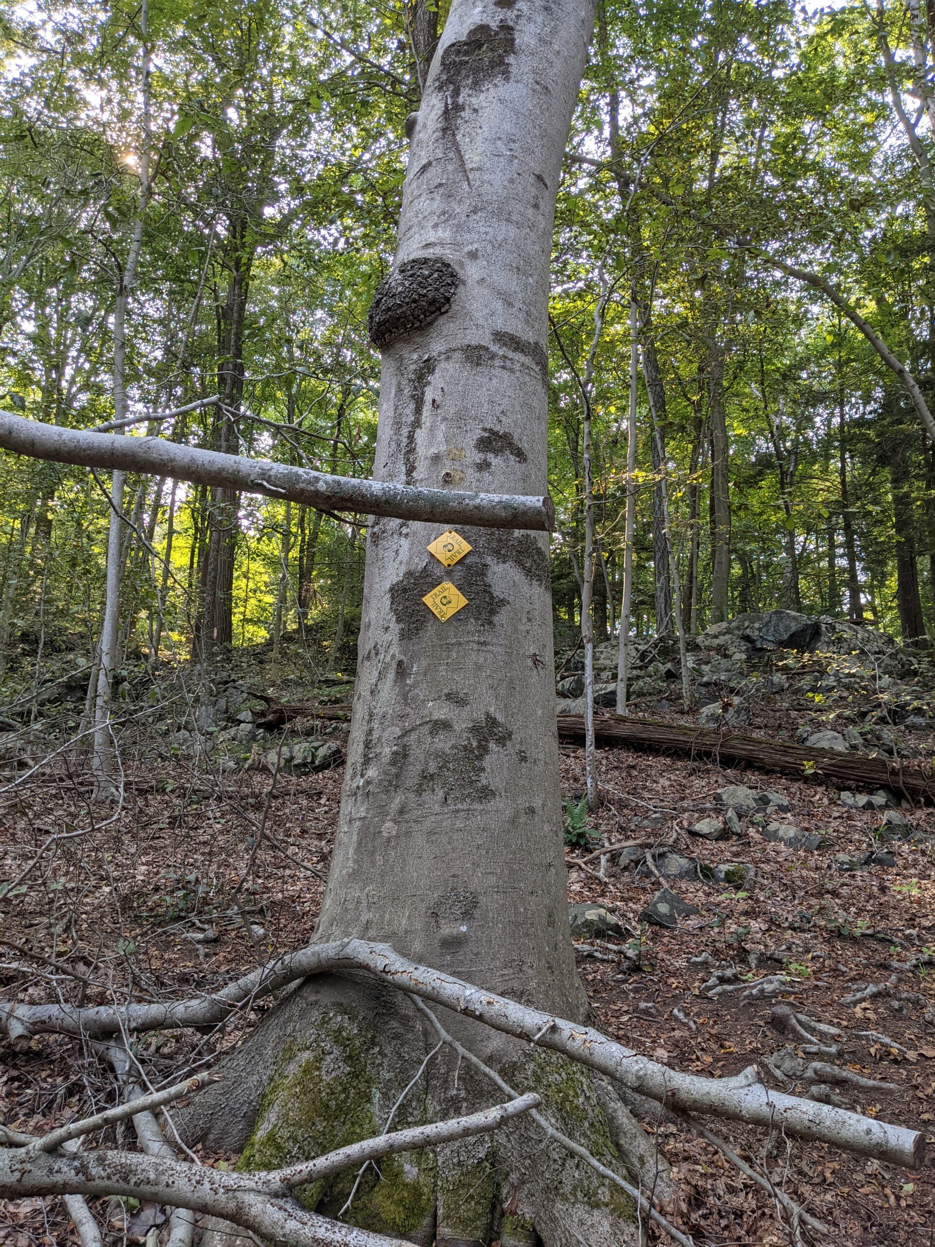
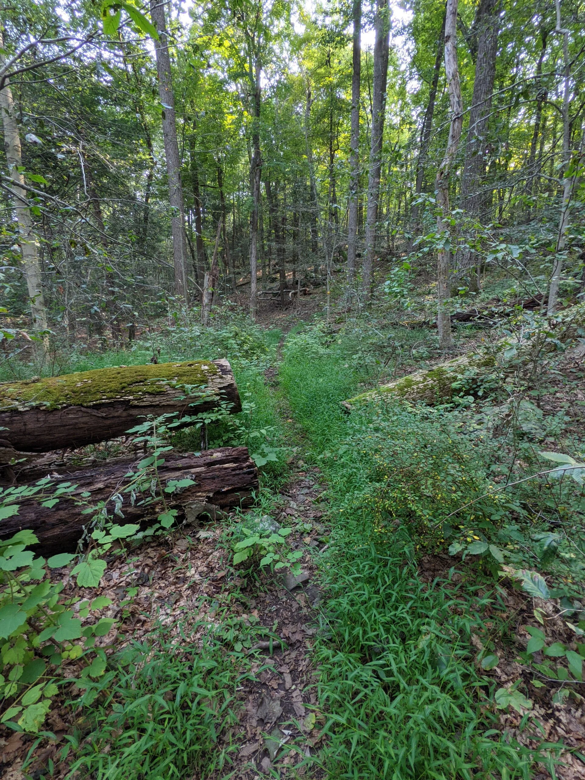
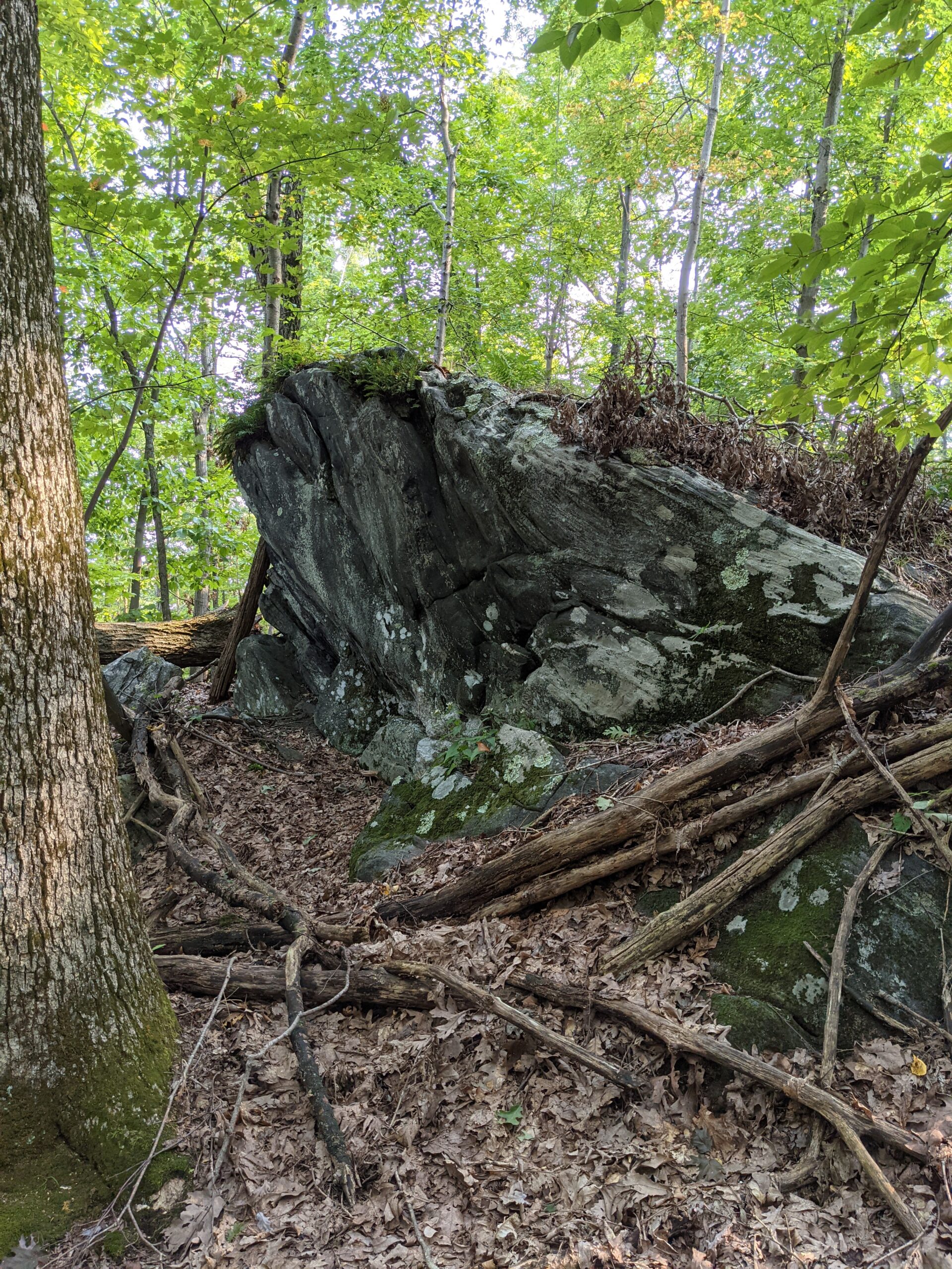
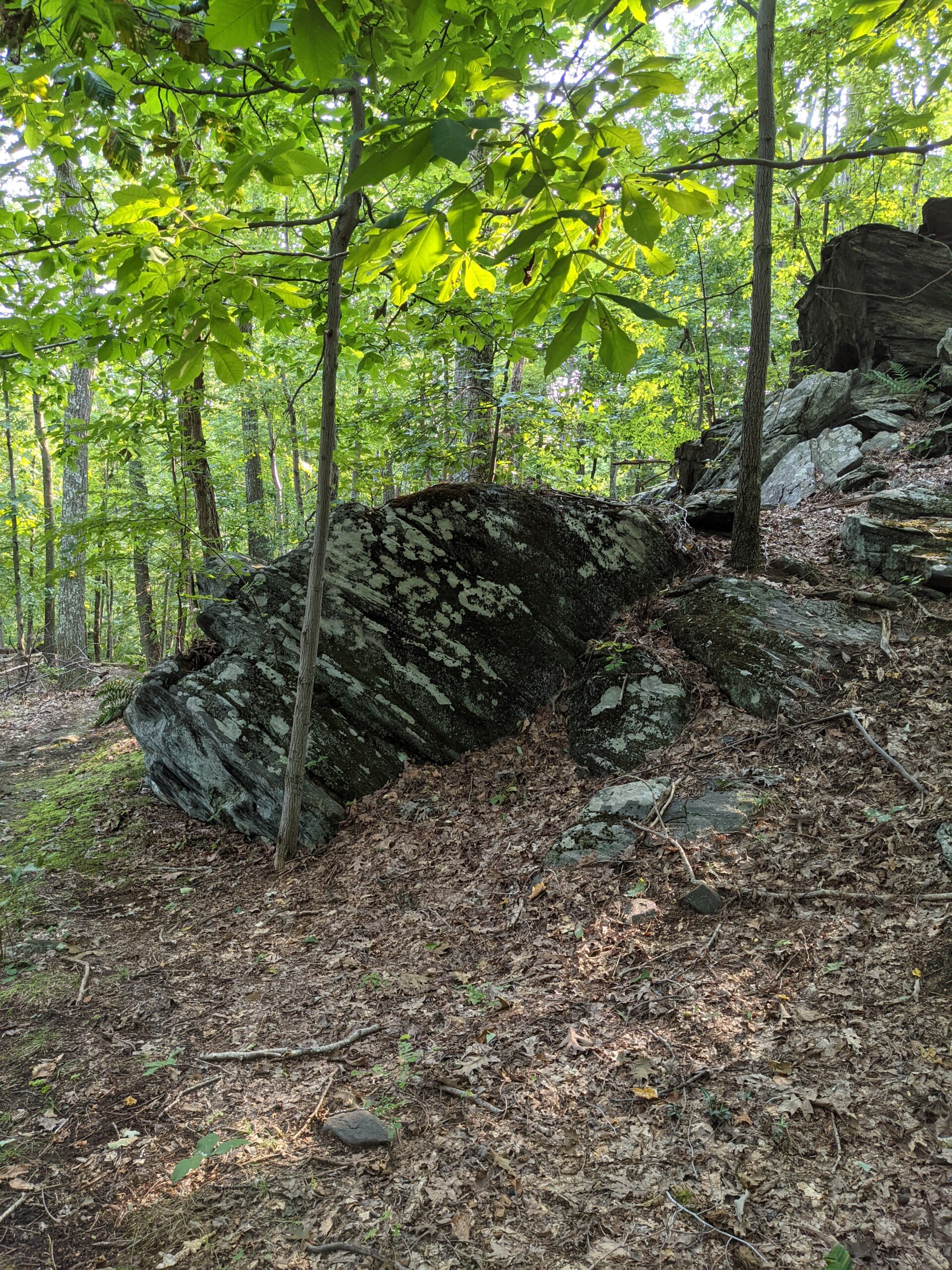
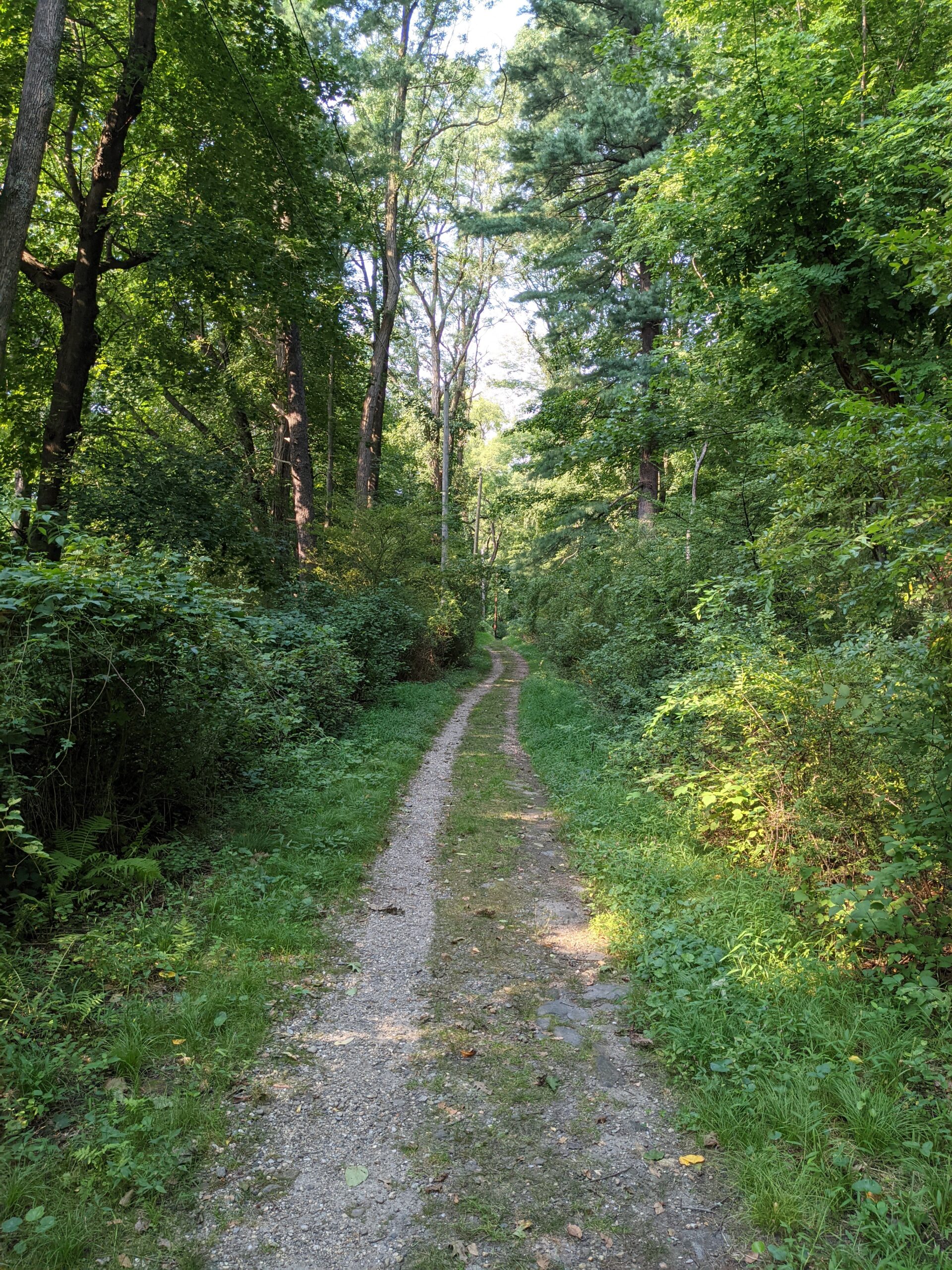
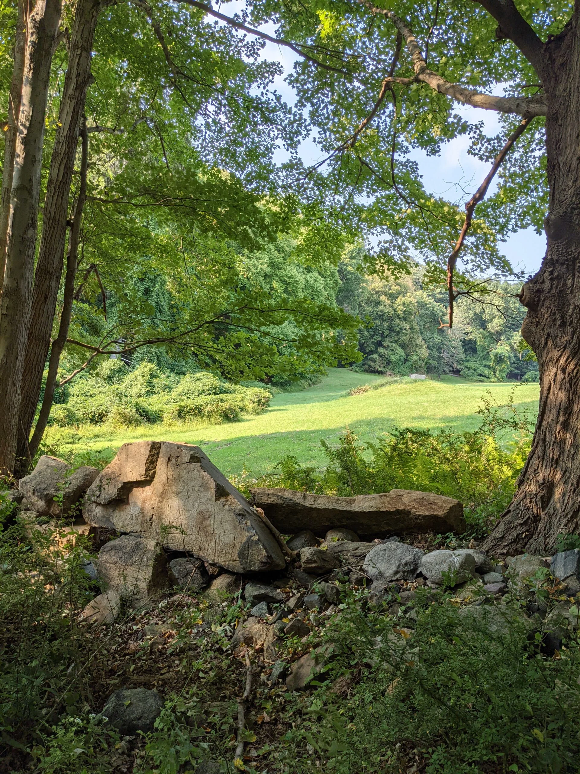
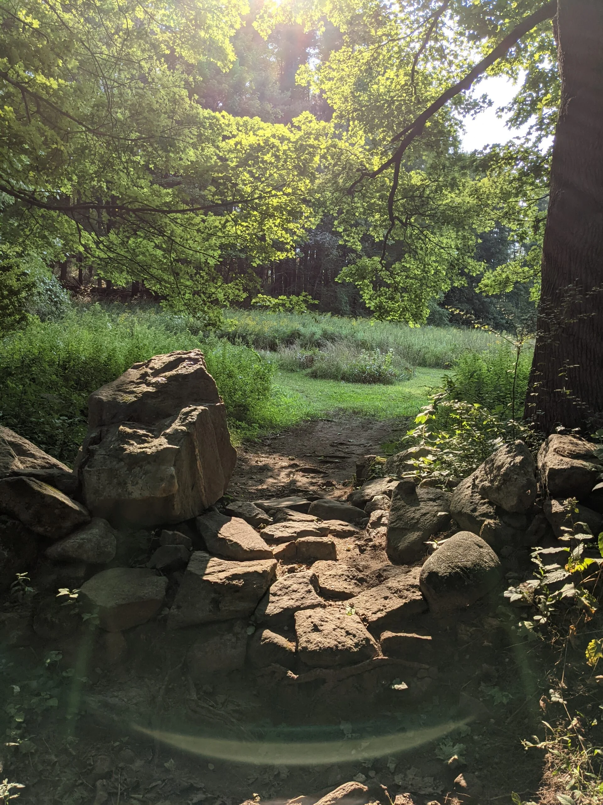
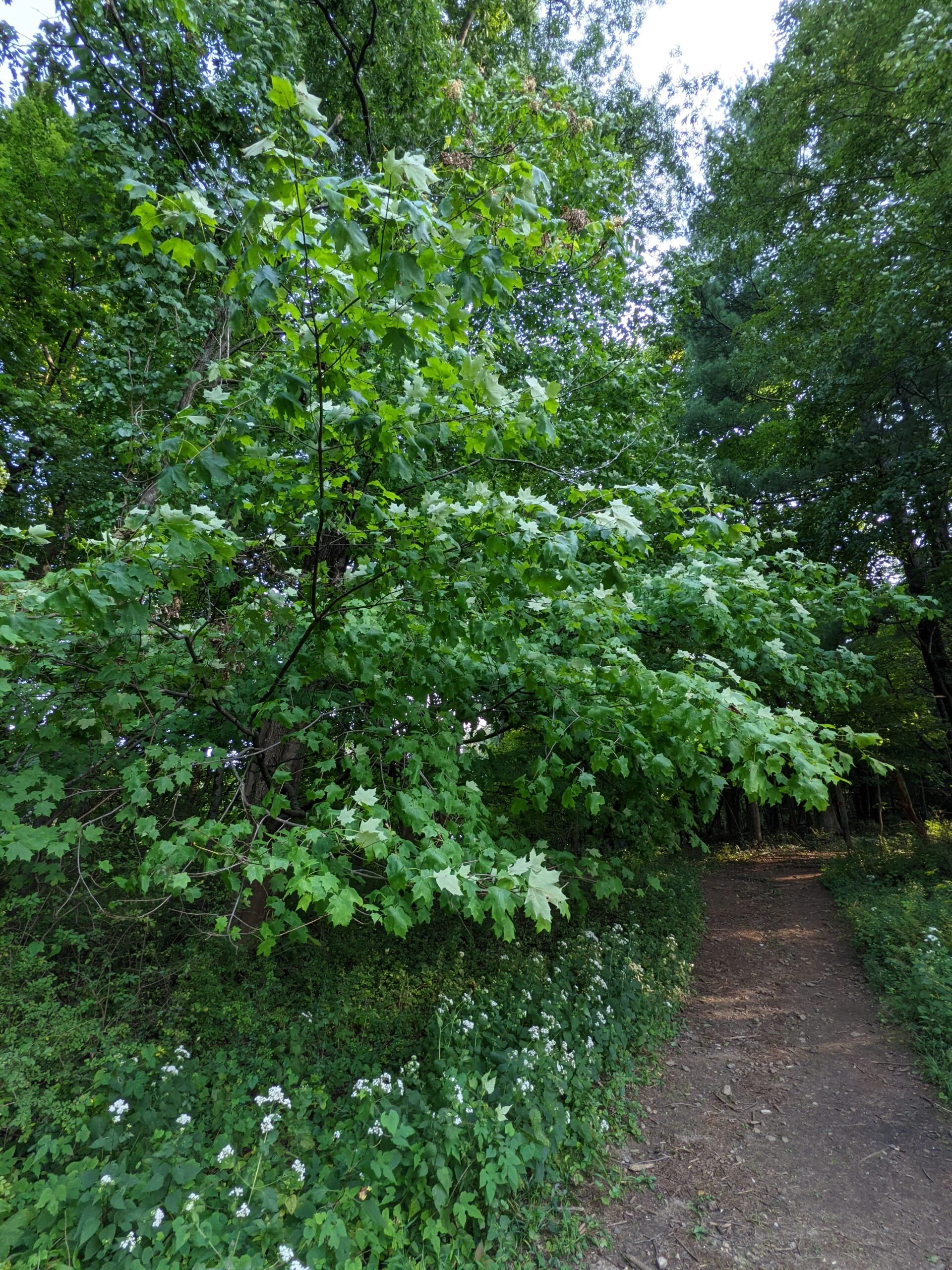
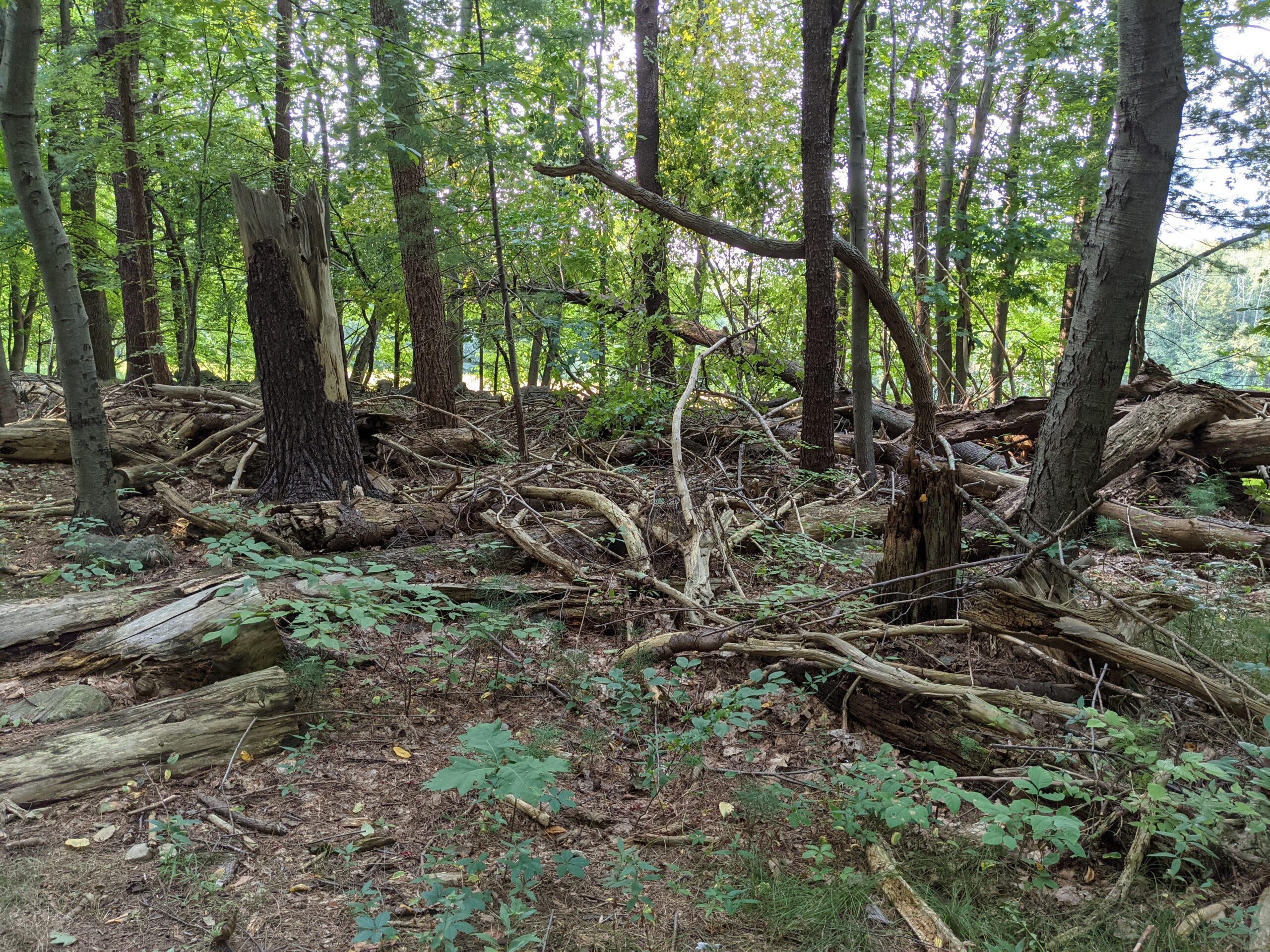
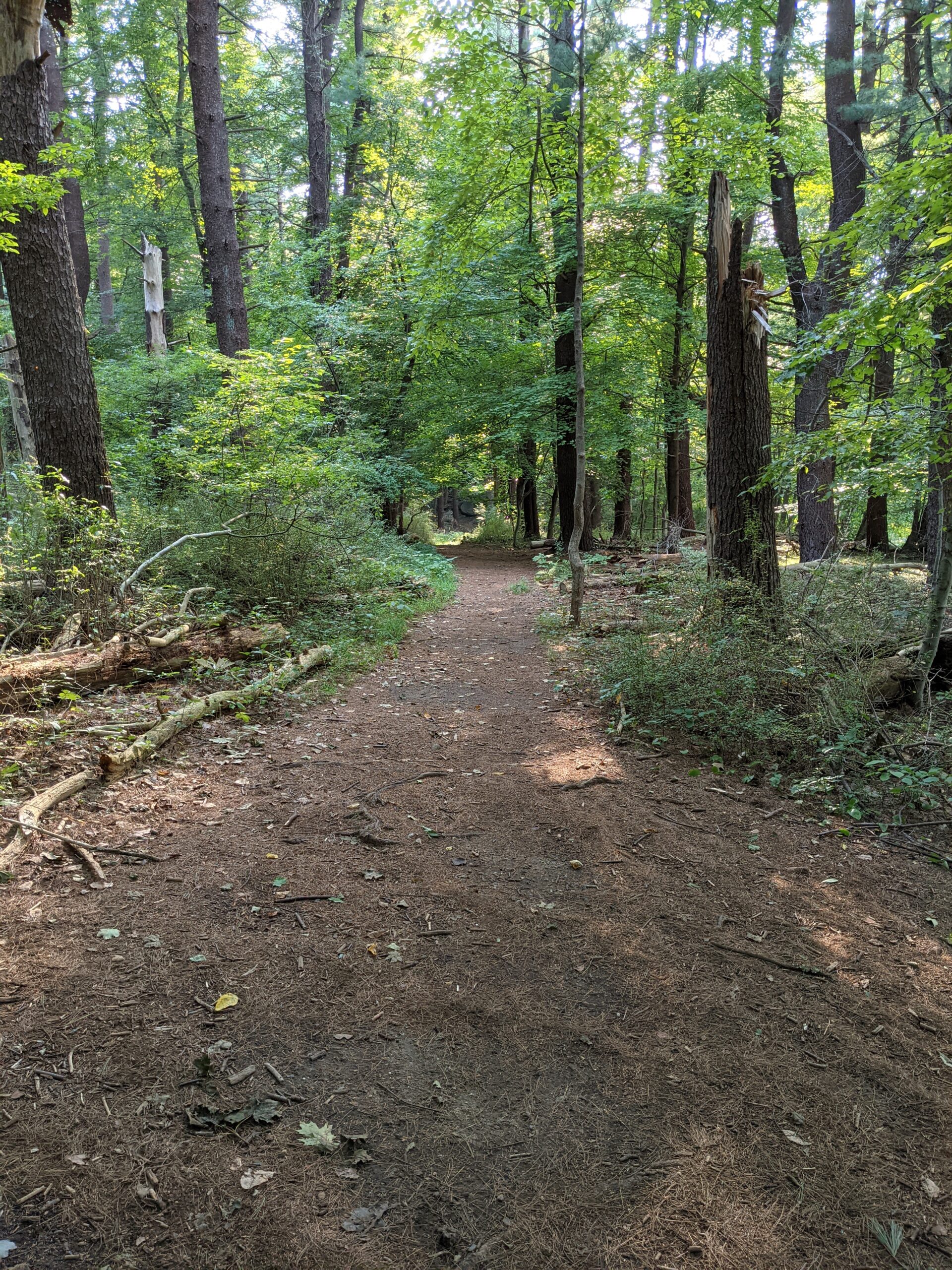
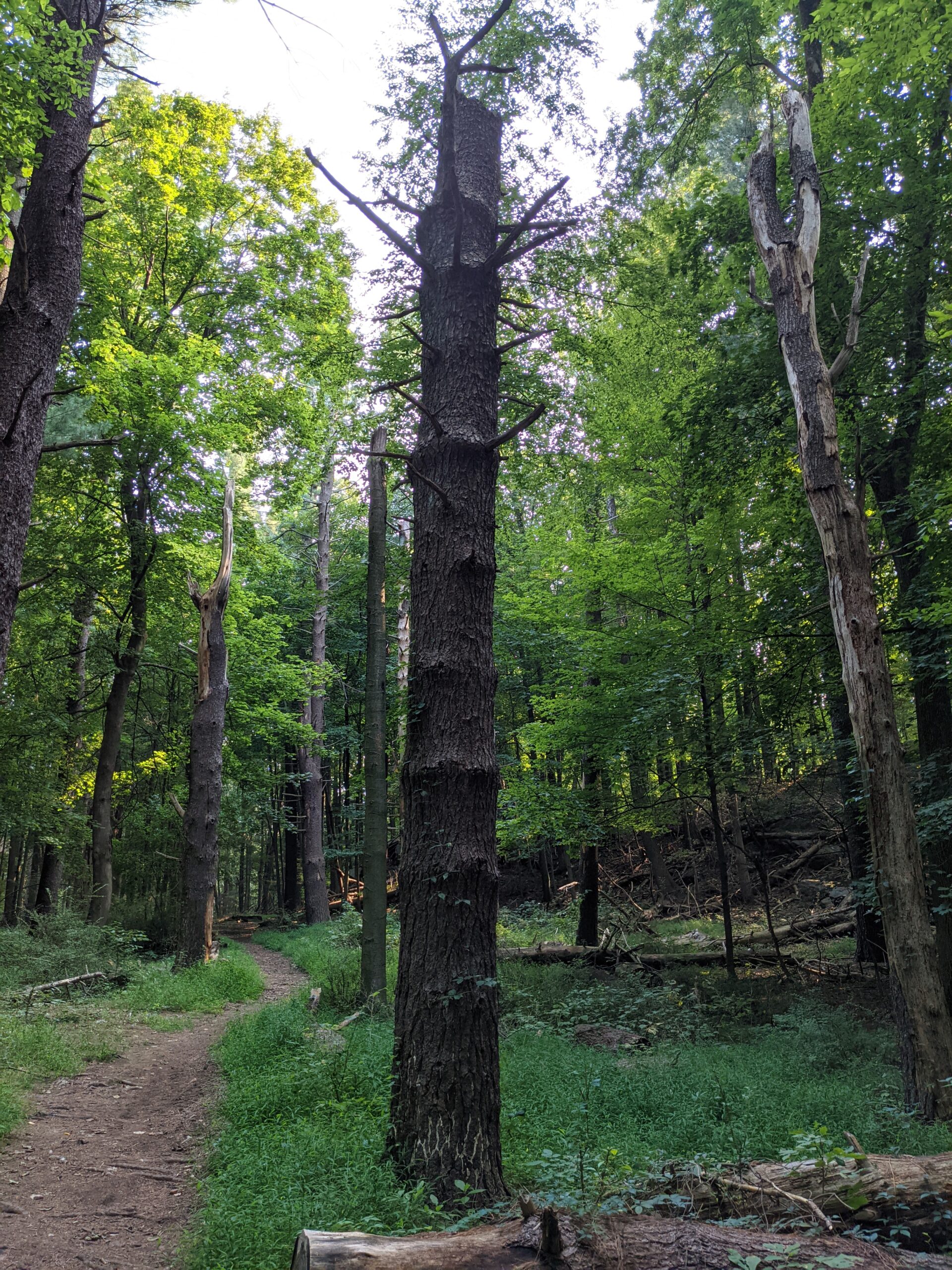
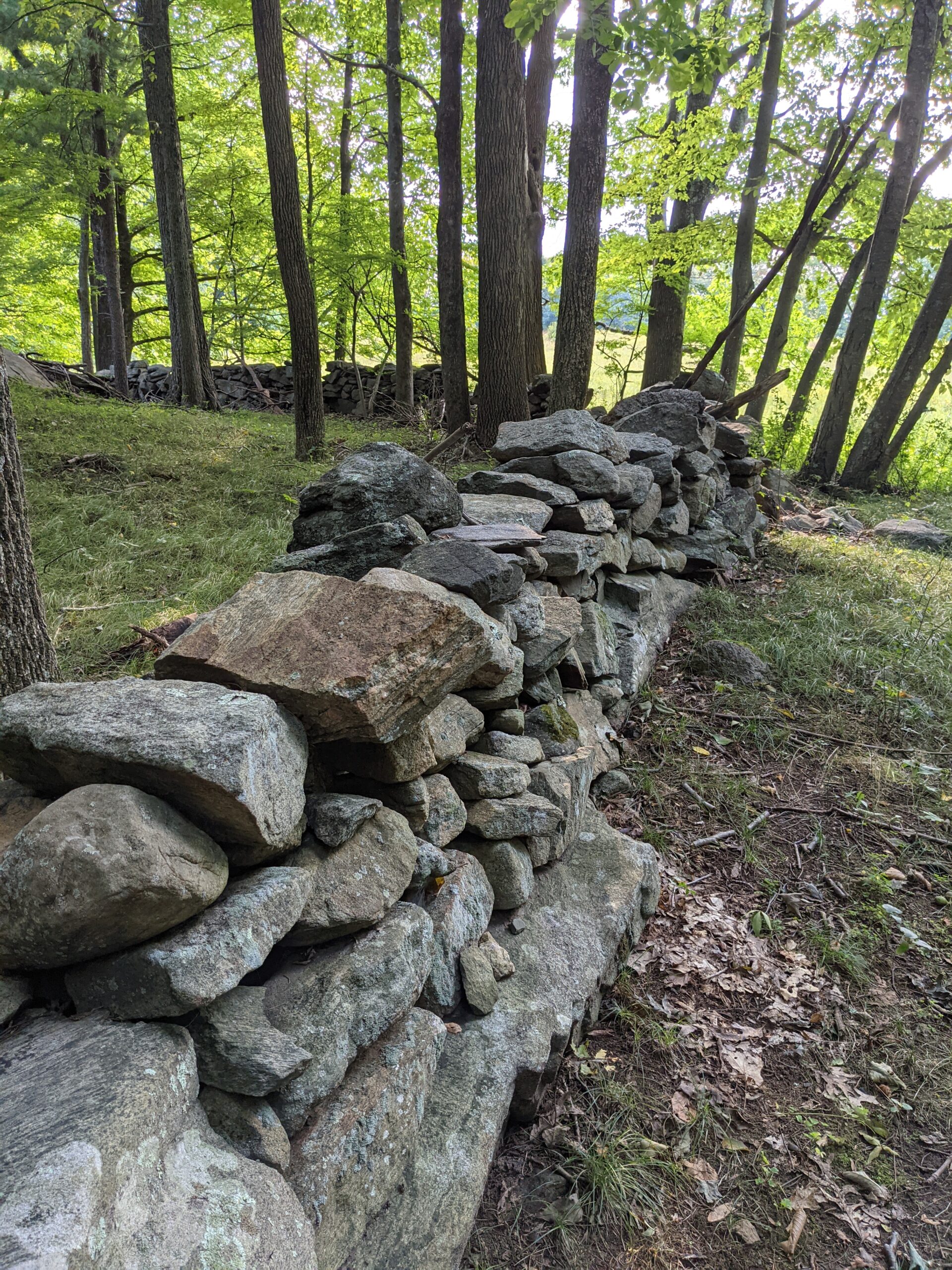
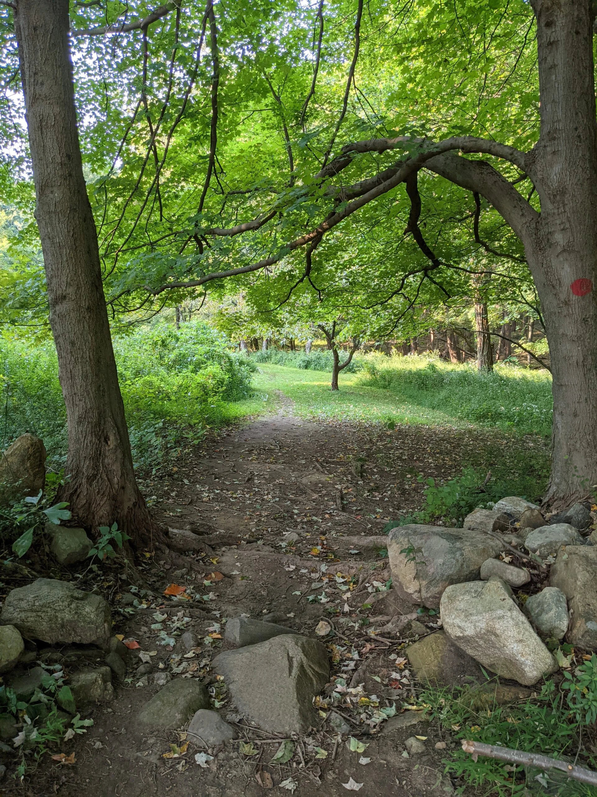
I decided to follow the route in a clockwise direction, taking what’s labeled as the “Walking Trail” on the preserve’s map. I was on there for about 8/10 of a mile before meeting up with the Yellow Trail, then at the 1 mile mark, I noticed a POI labeled “Meyer Estate House Ruins” on the AllTrails map. The AllTrails map showed a trail leading to the ruins, but I could not find one. I ended up walking through a lot of thick brush, roughly following the rock wall, until I found the ruins about 1/10 of a mile in.
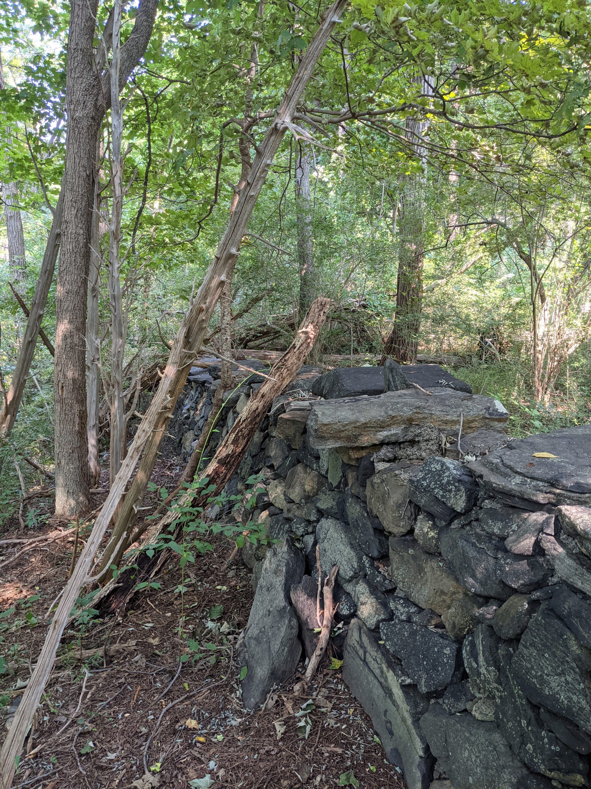
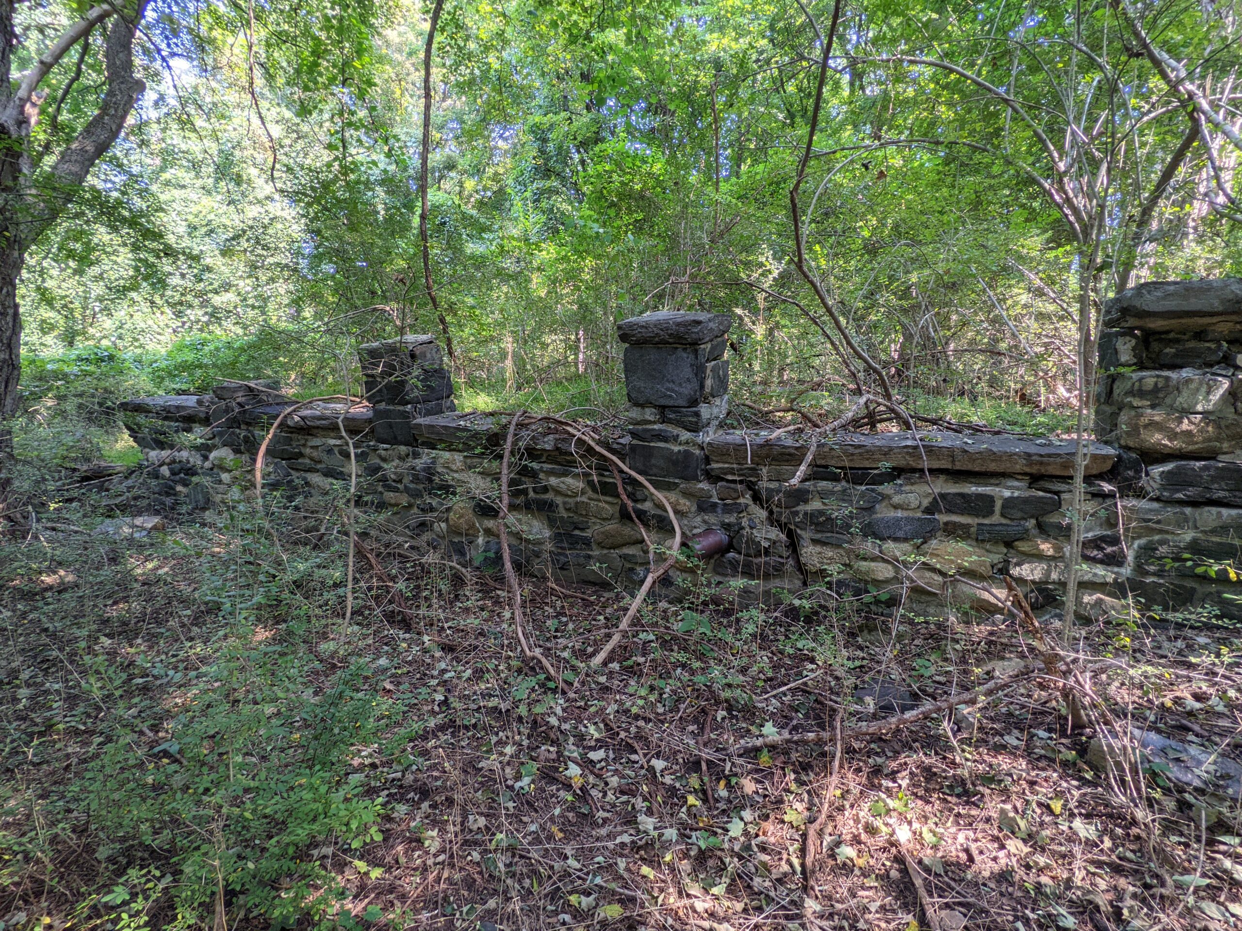
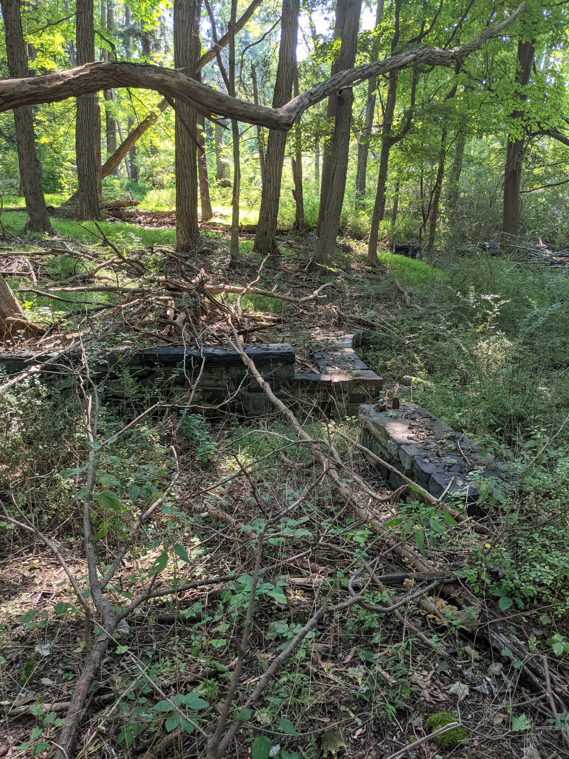
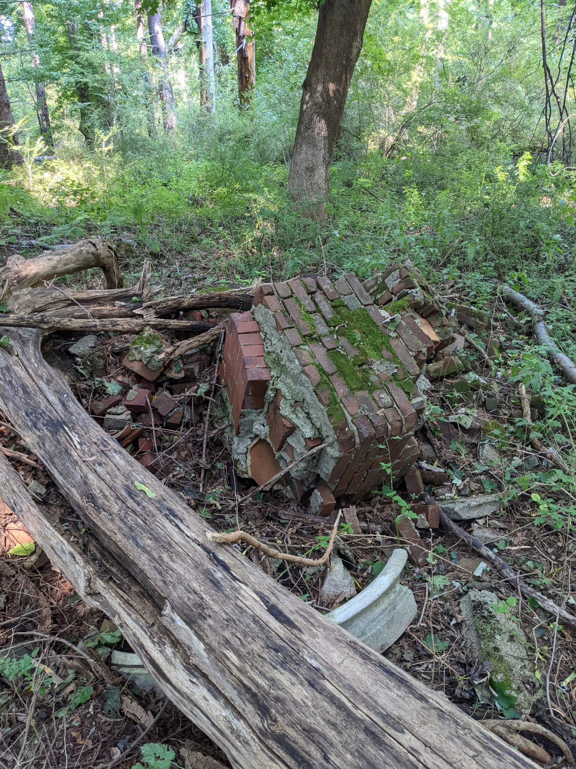
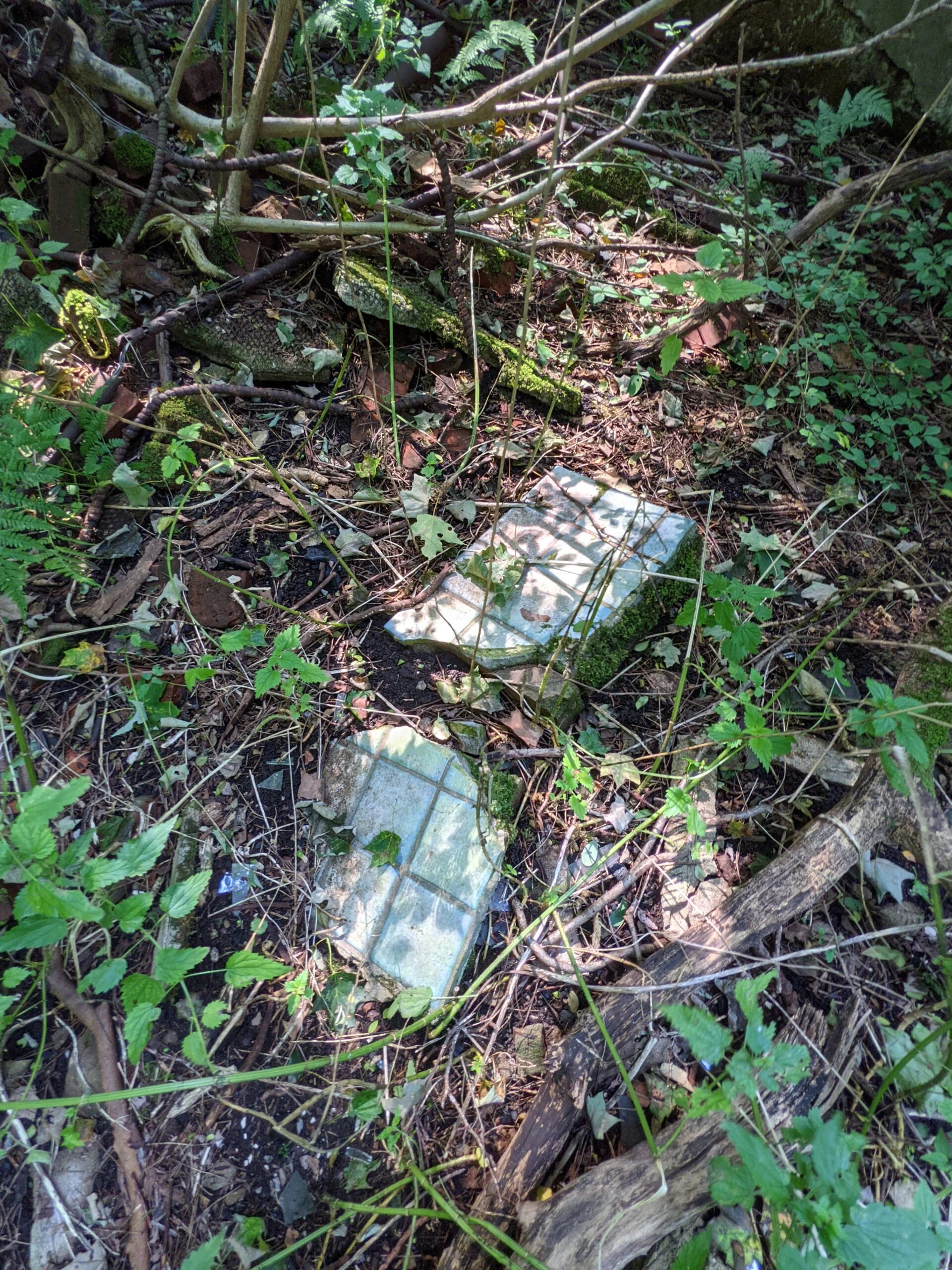
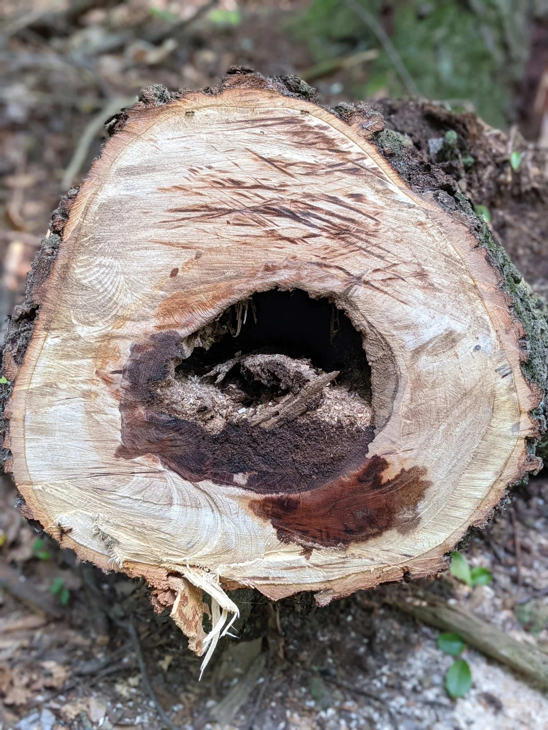
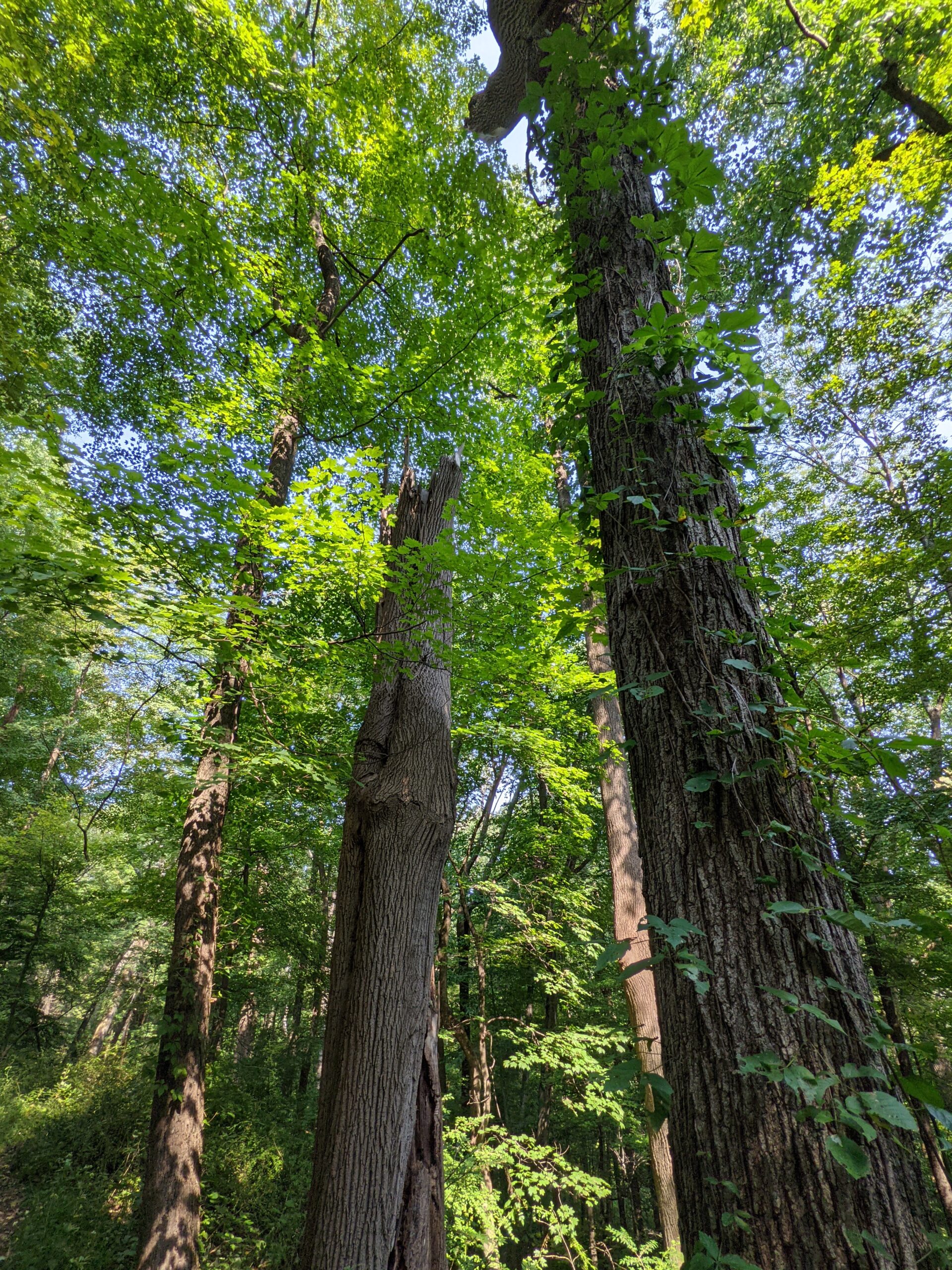
I really enjoy exploring old sites like this! Even though there were only some stone foundations and rock walls left standing, it was interesting to explore what was once probably a large home. I found what I believe was the basement of the house, sunken lower than the other parts and complete with some kind of metal tank, possibly for storing oil. There was also a collapsed brick chimney that appears to have originated from the basement or near that section of the house. I wonder if this was perhaps a wood stove for heating. I counted at least four stone and concrete staircases throughout the area. I’m wondering if these were originally inside or outside of the house. This was a really cool find and definitely worth the work of the detour.
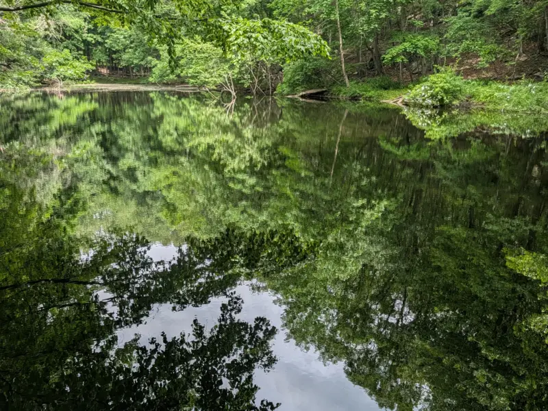
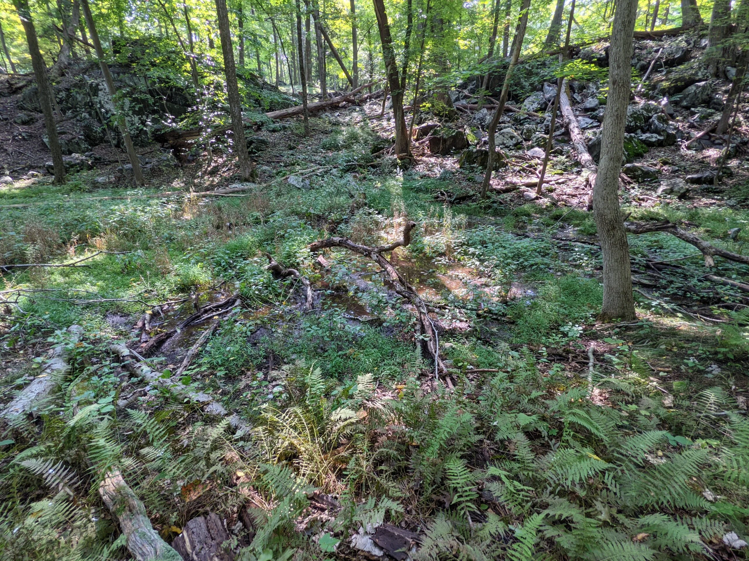
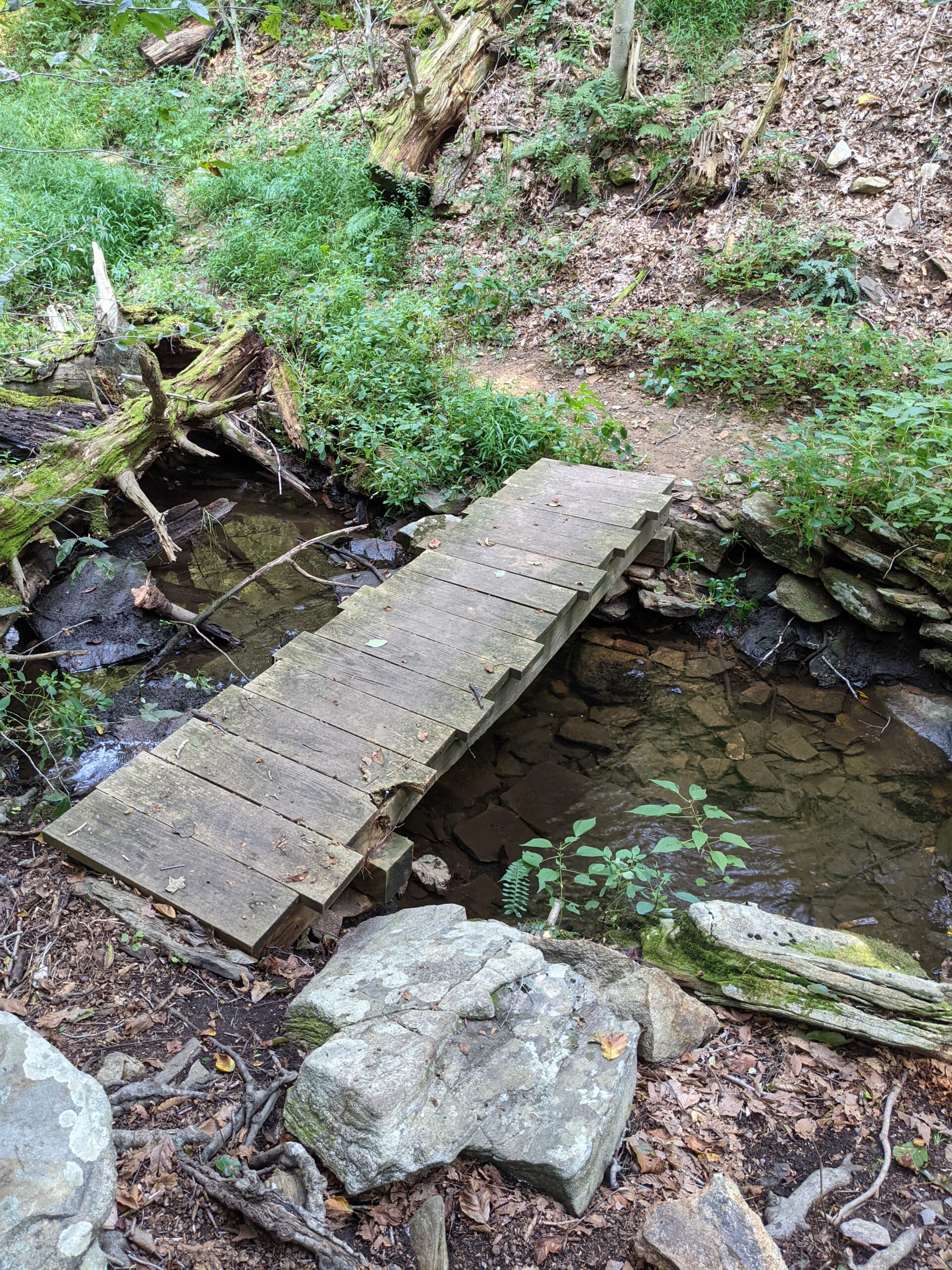
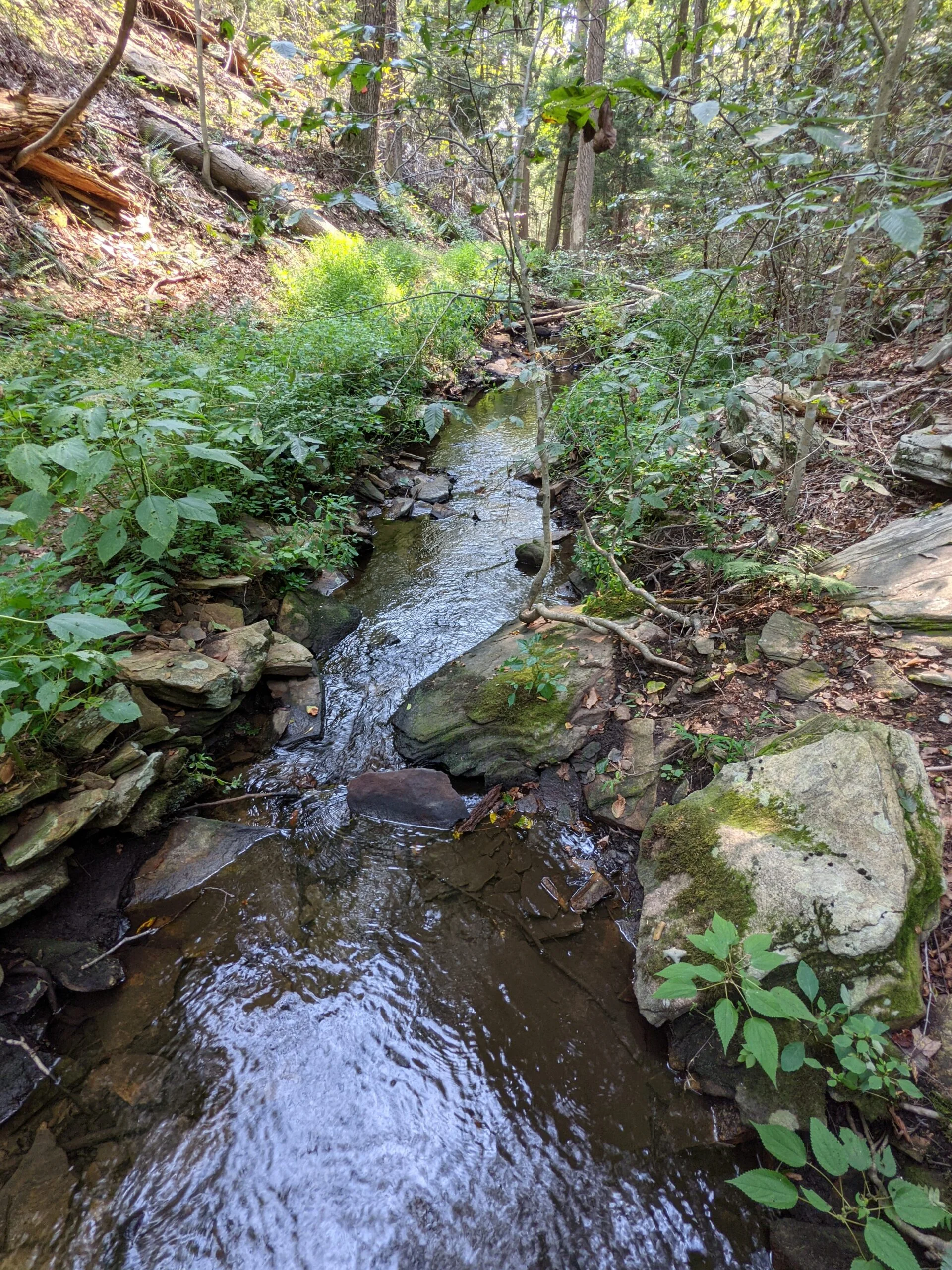
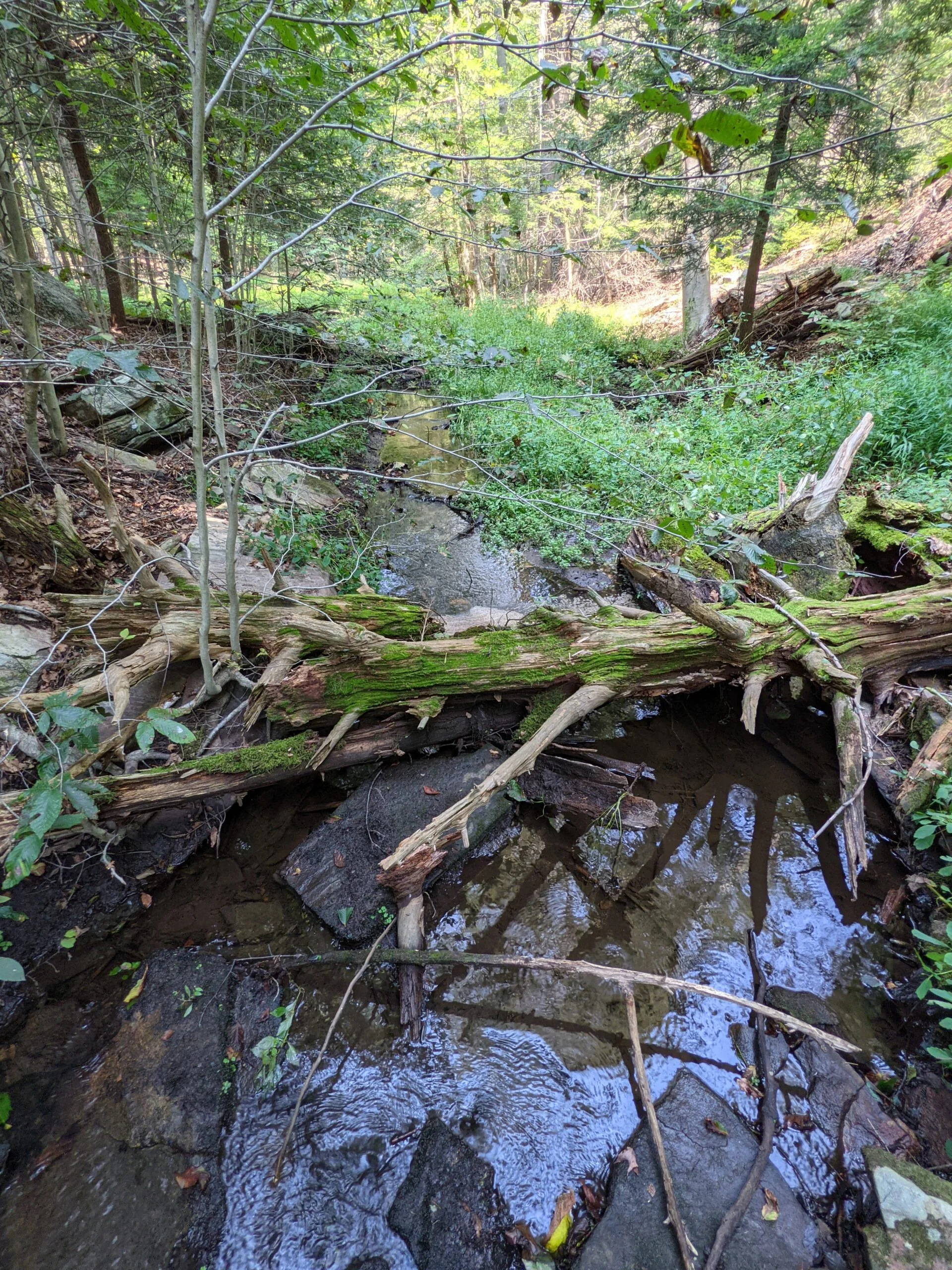
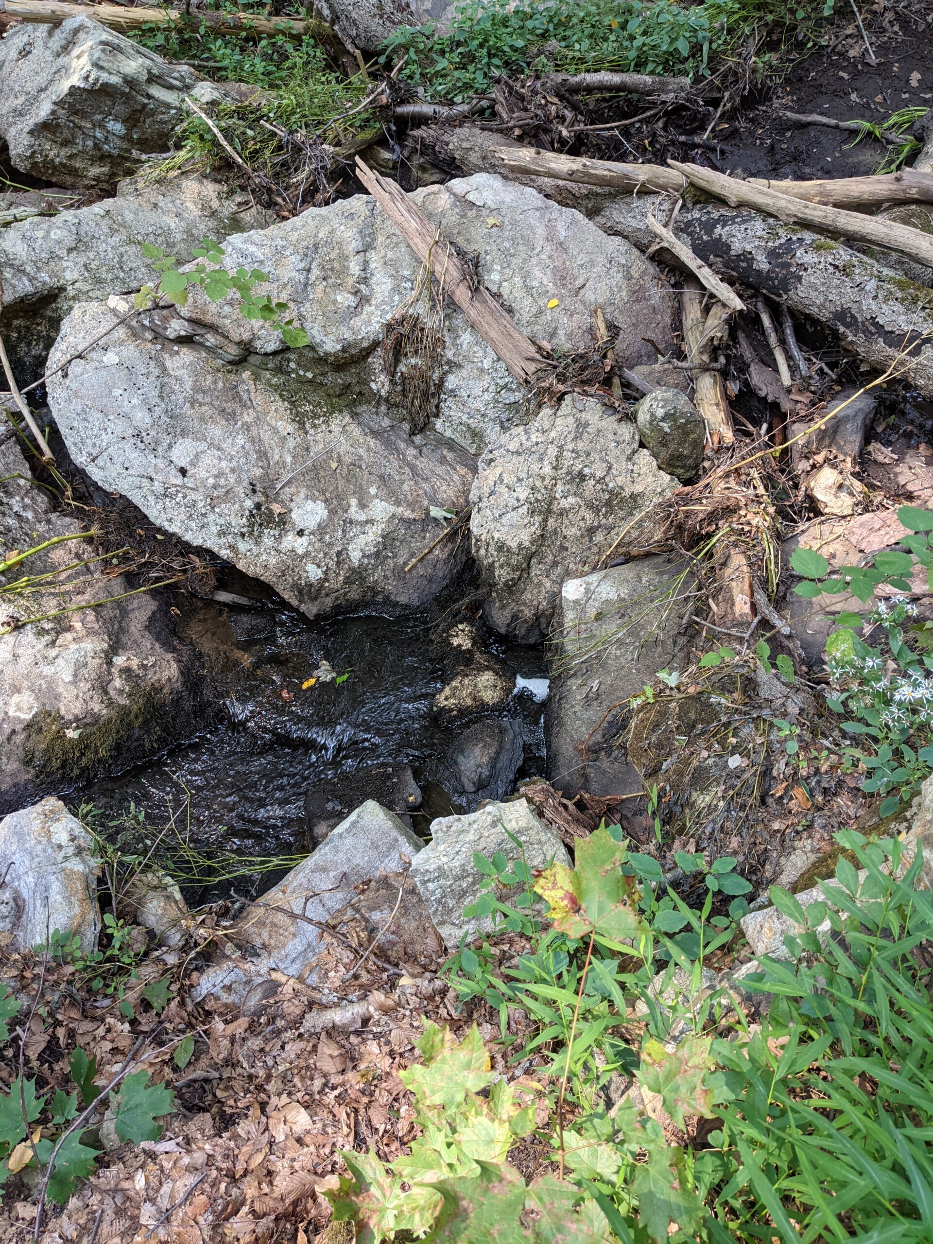
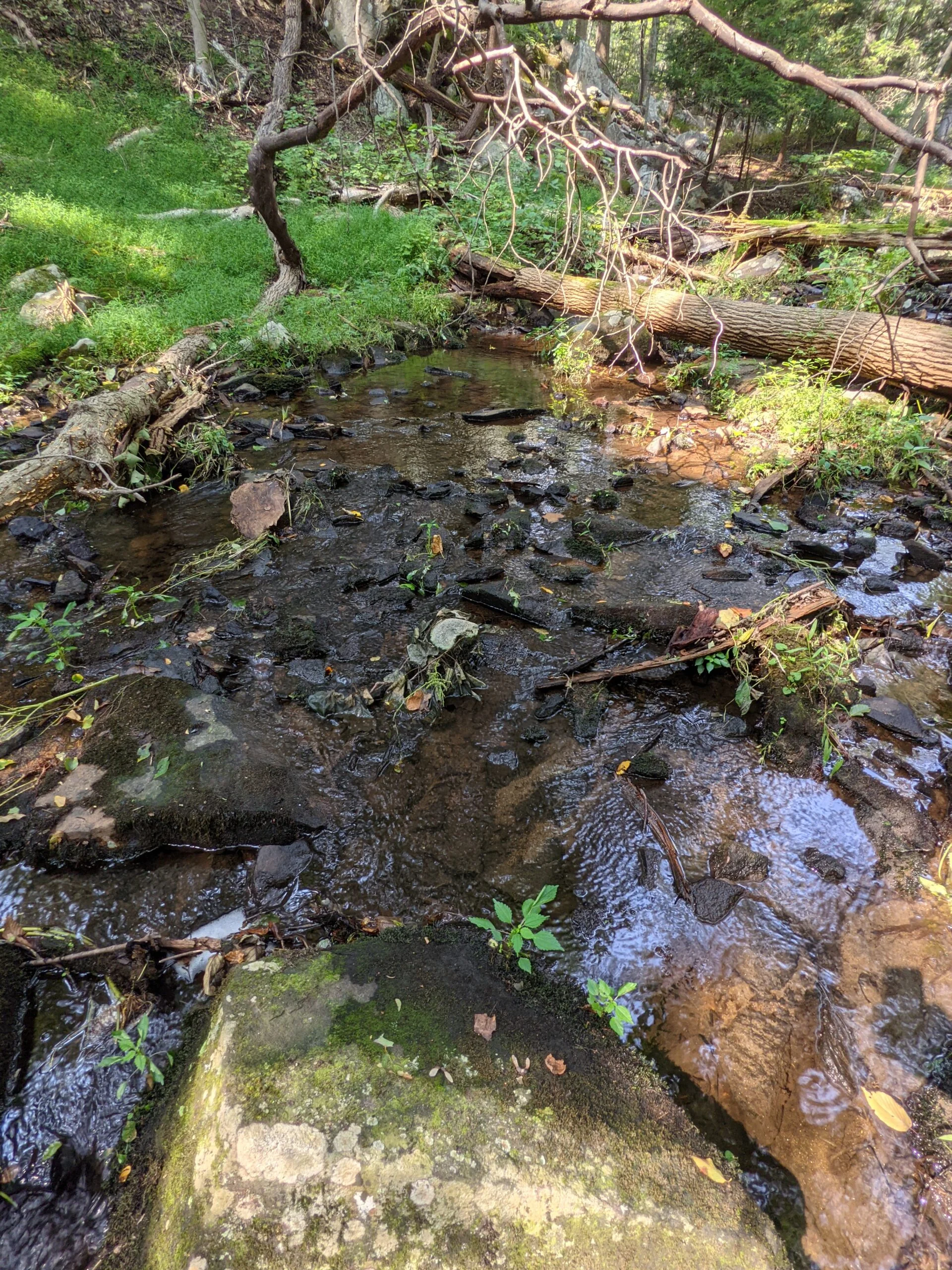
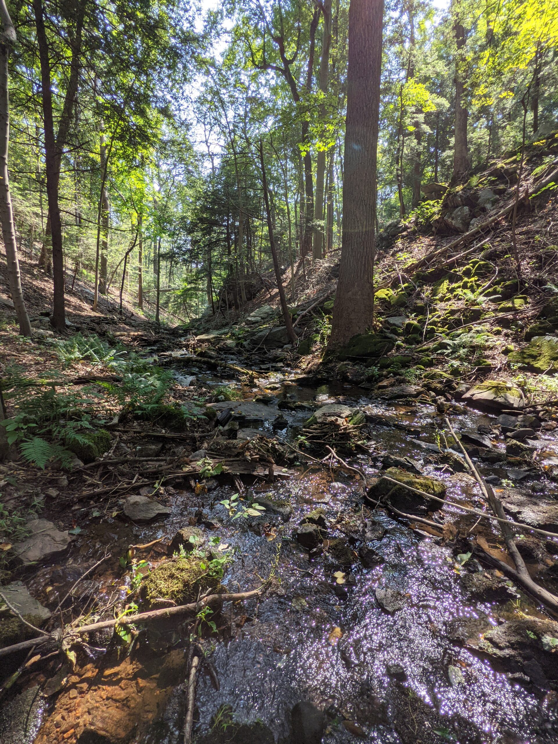
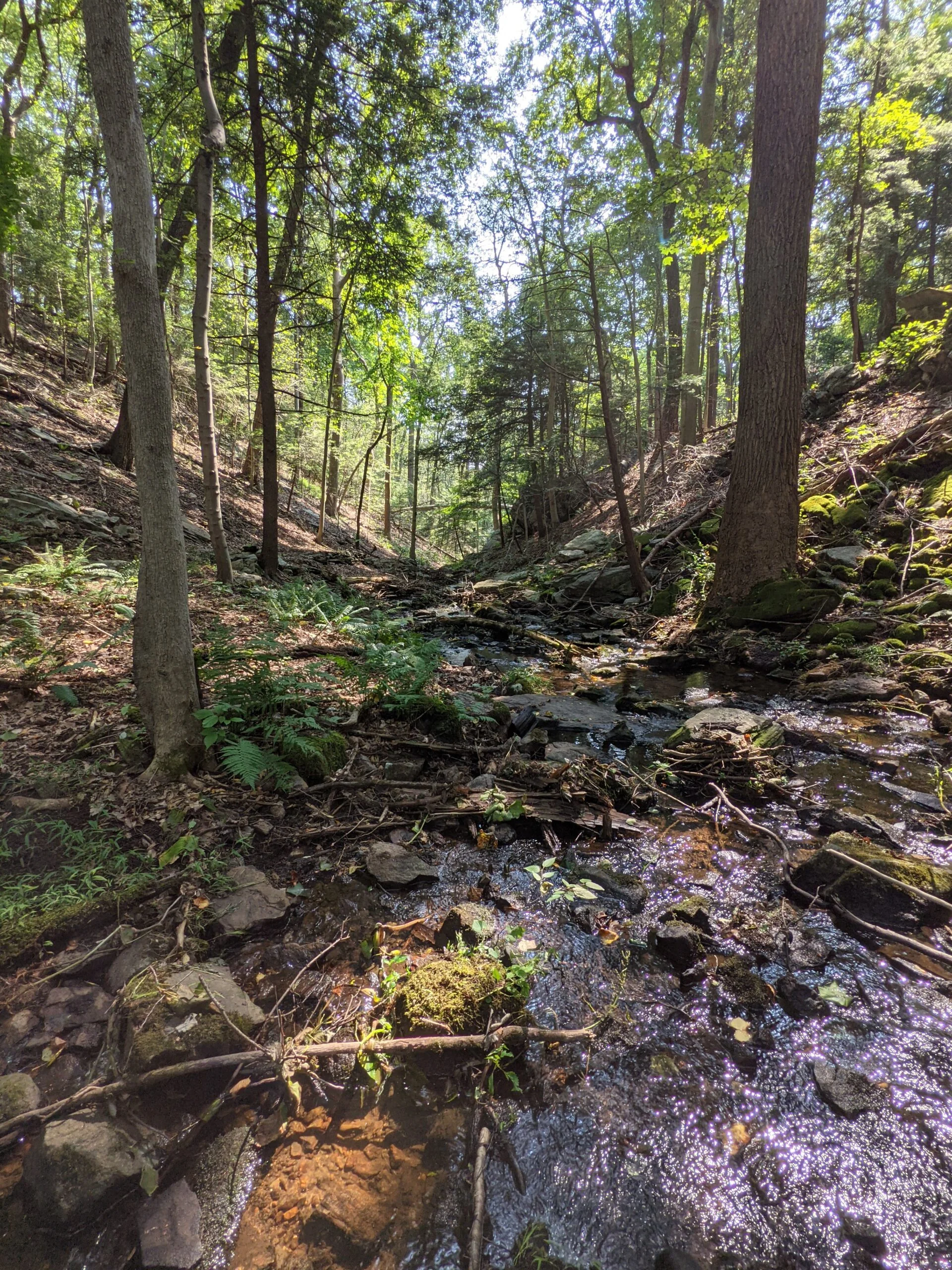
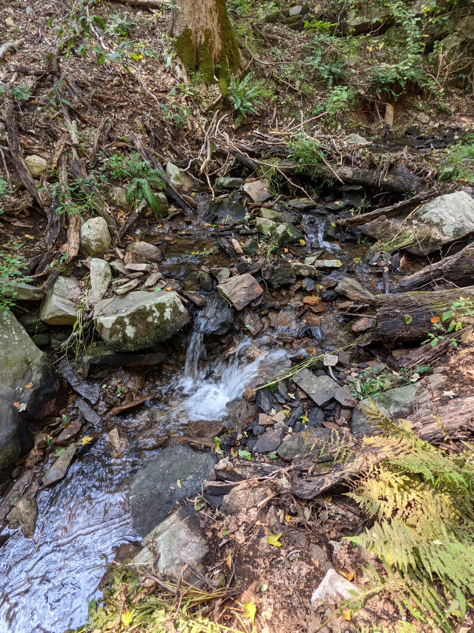
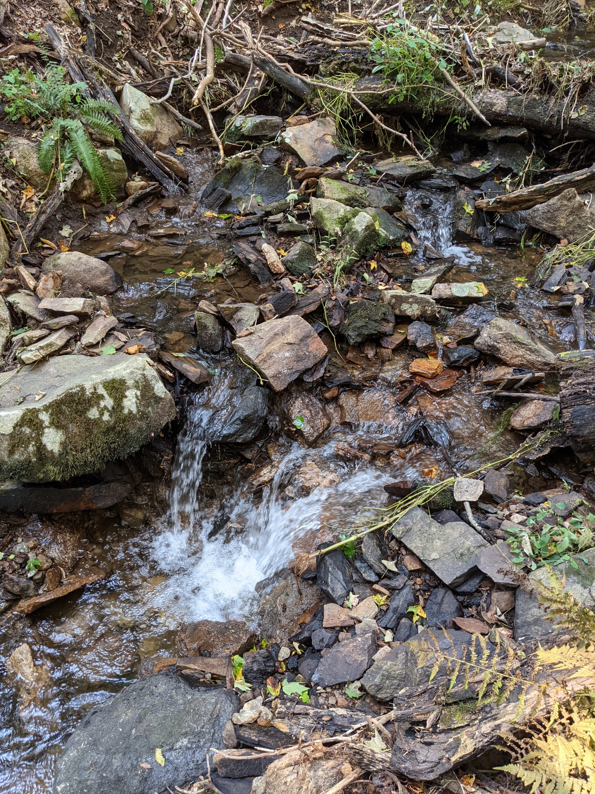
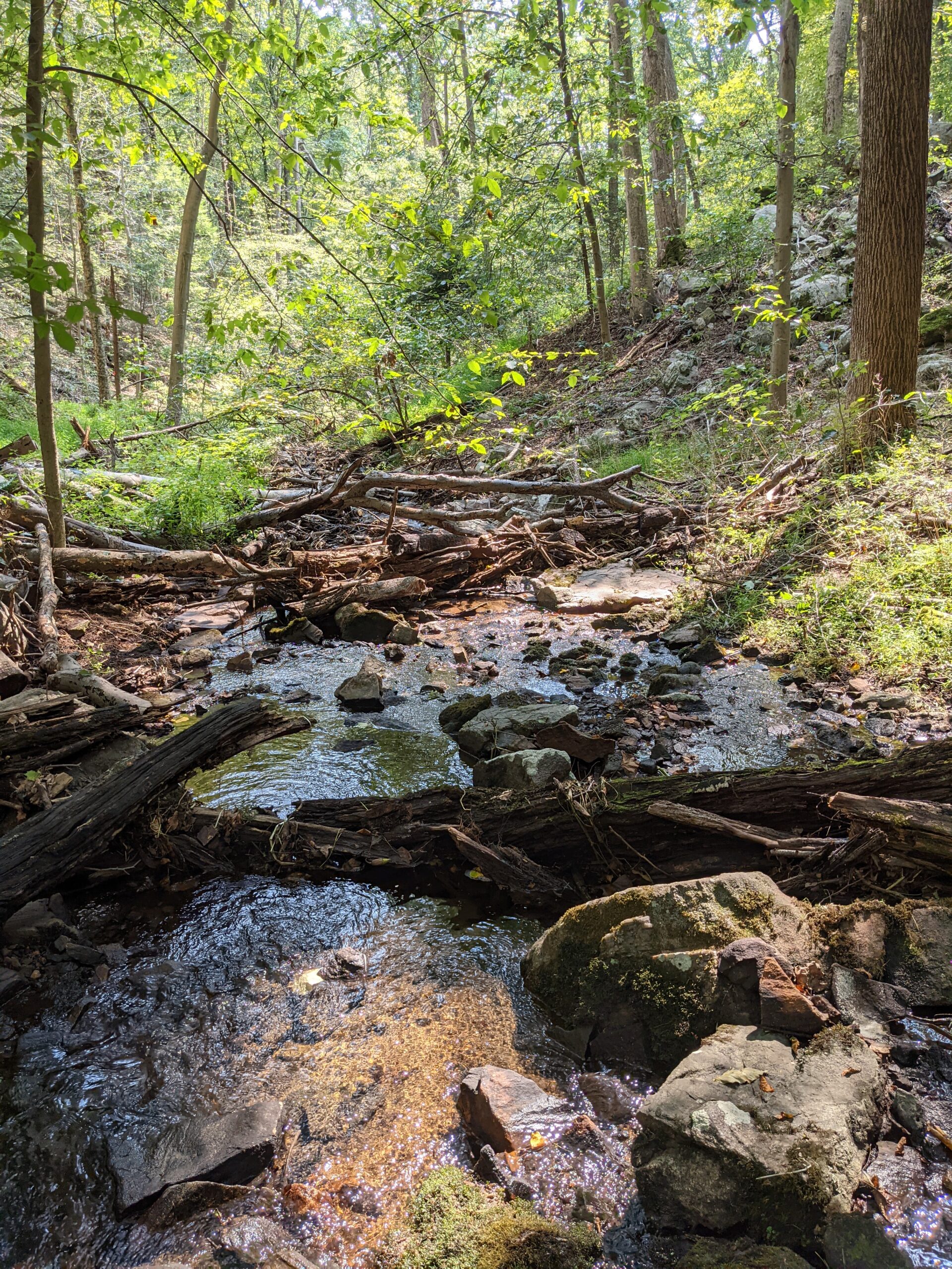
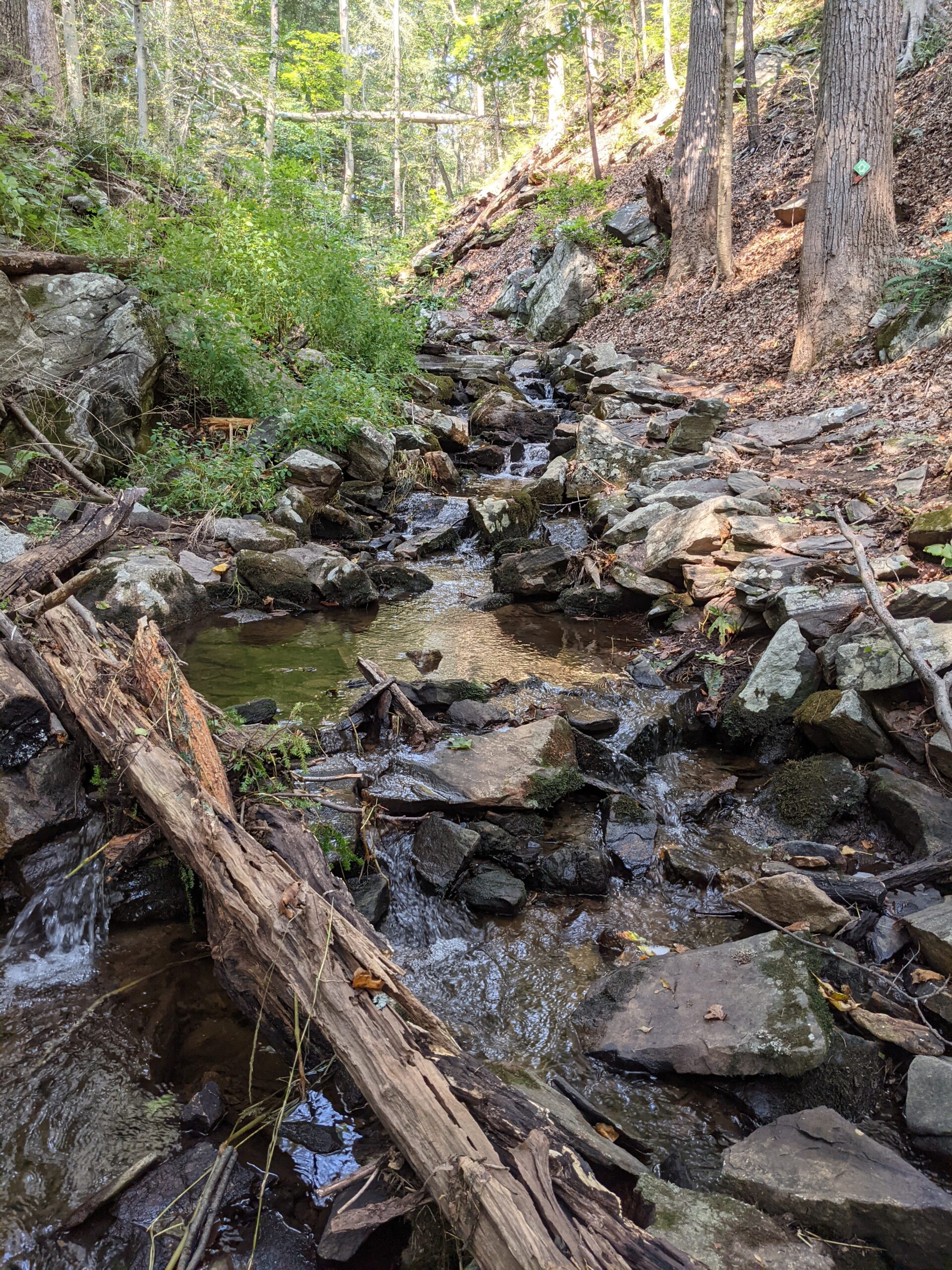
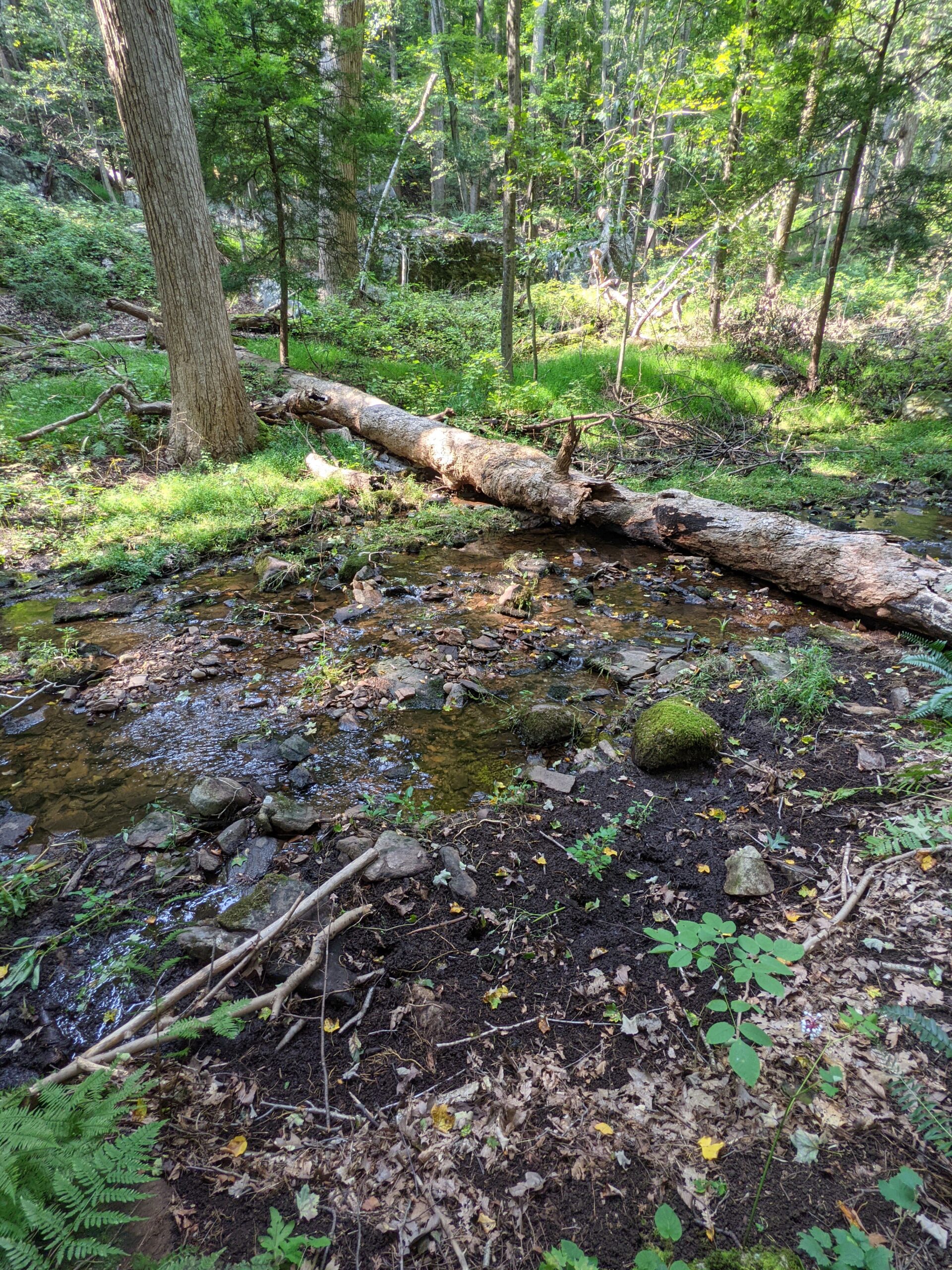
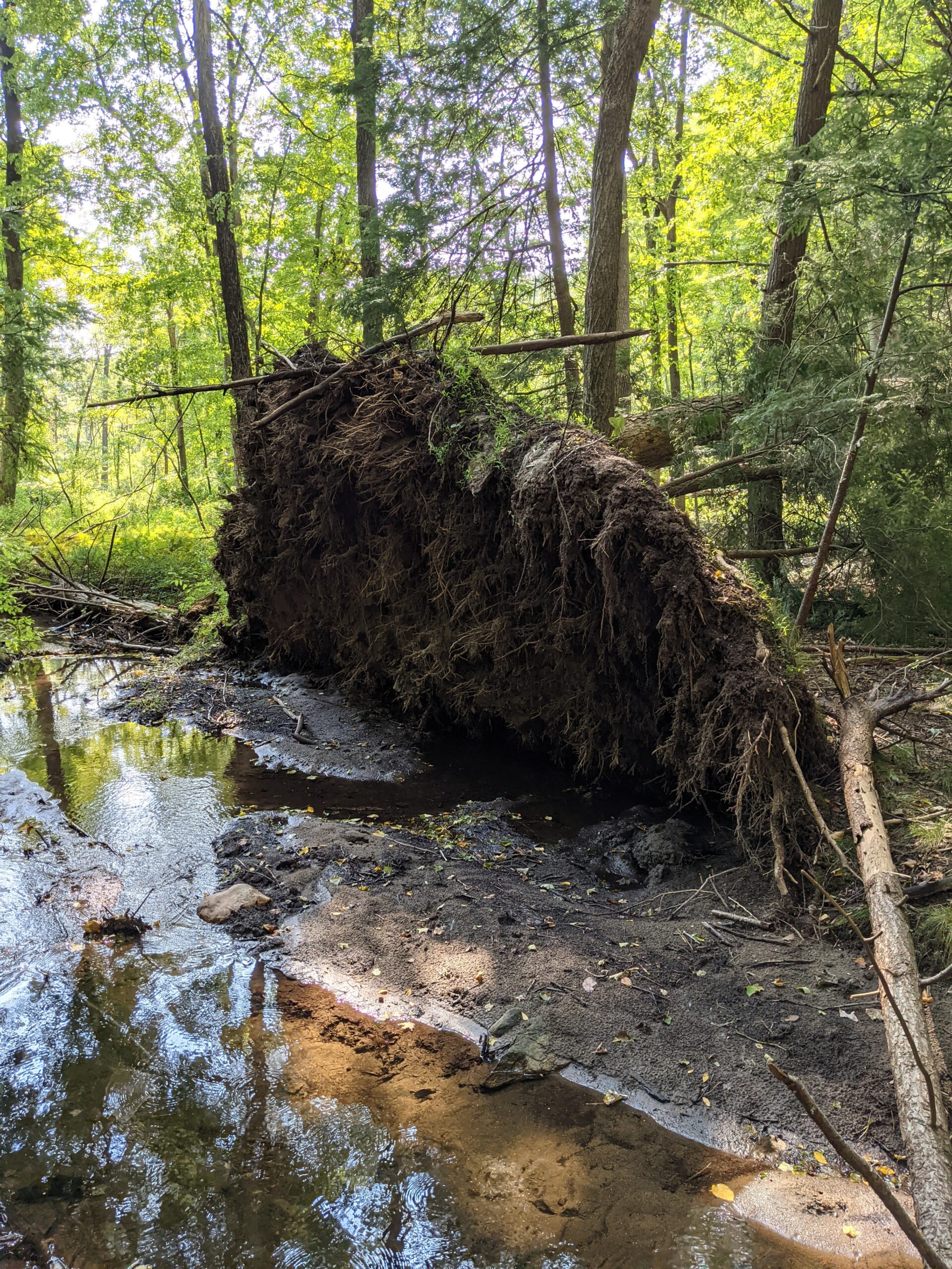
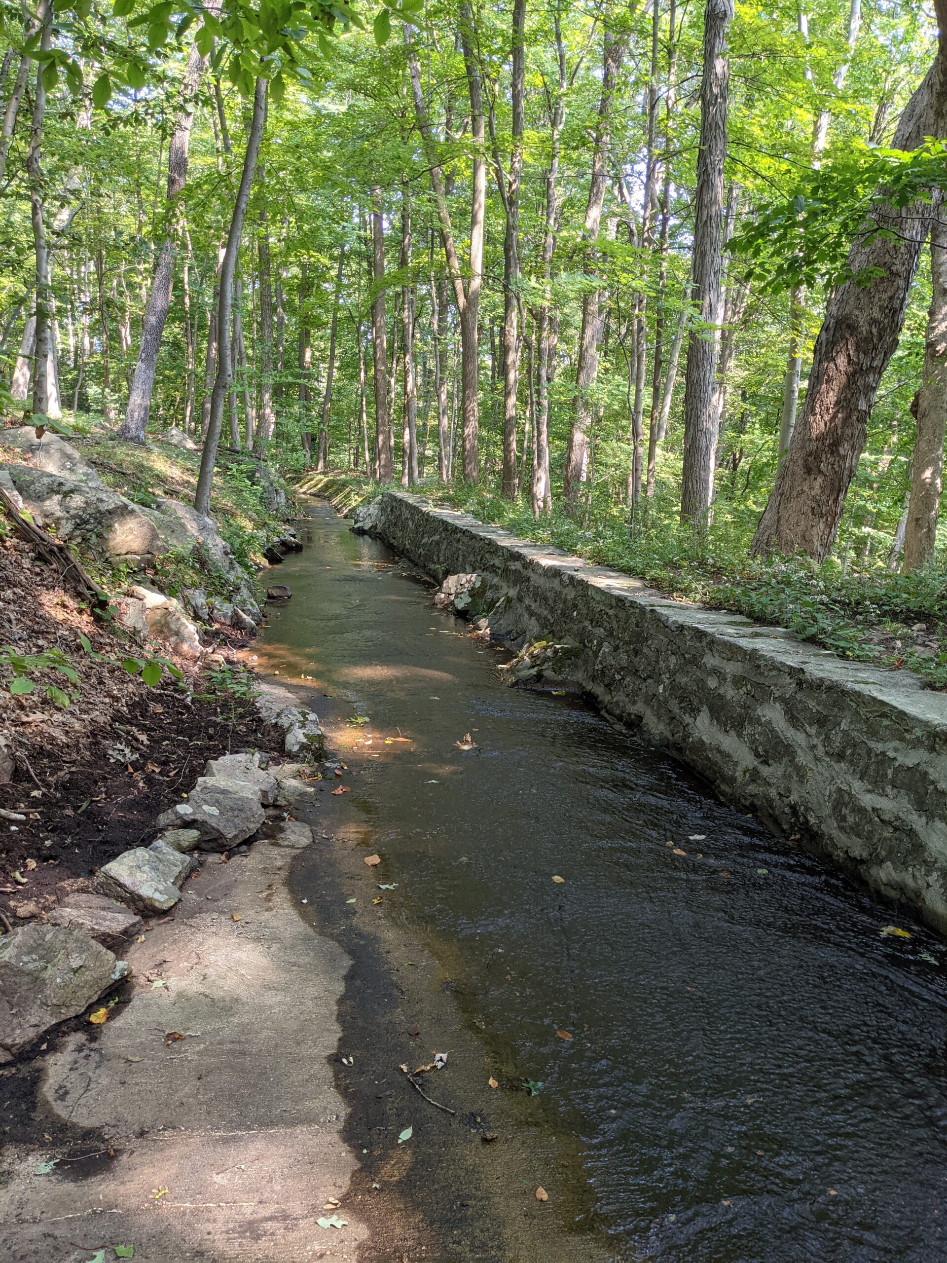
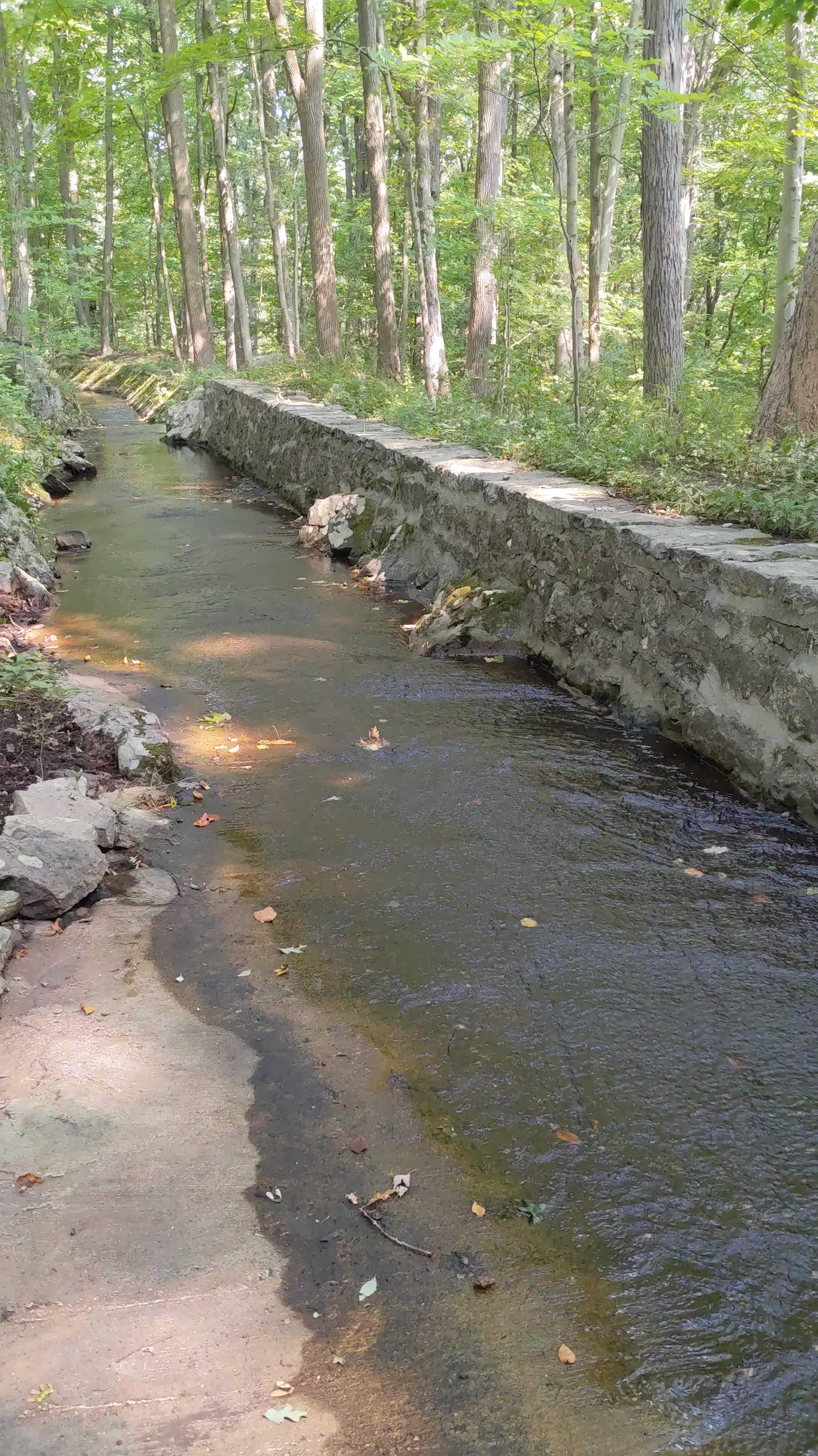
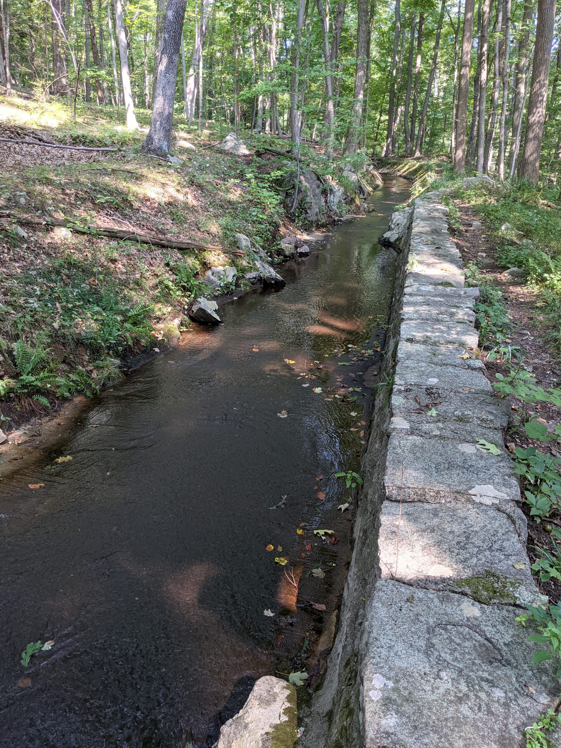
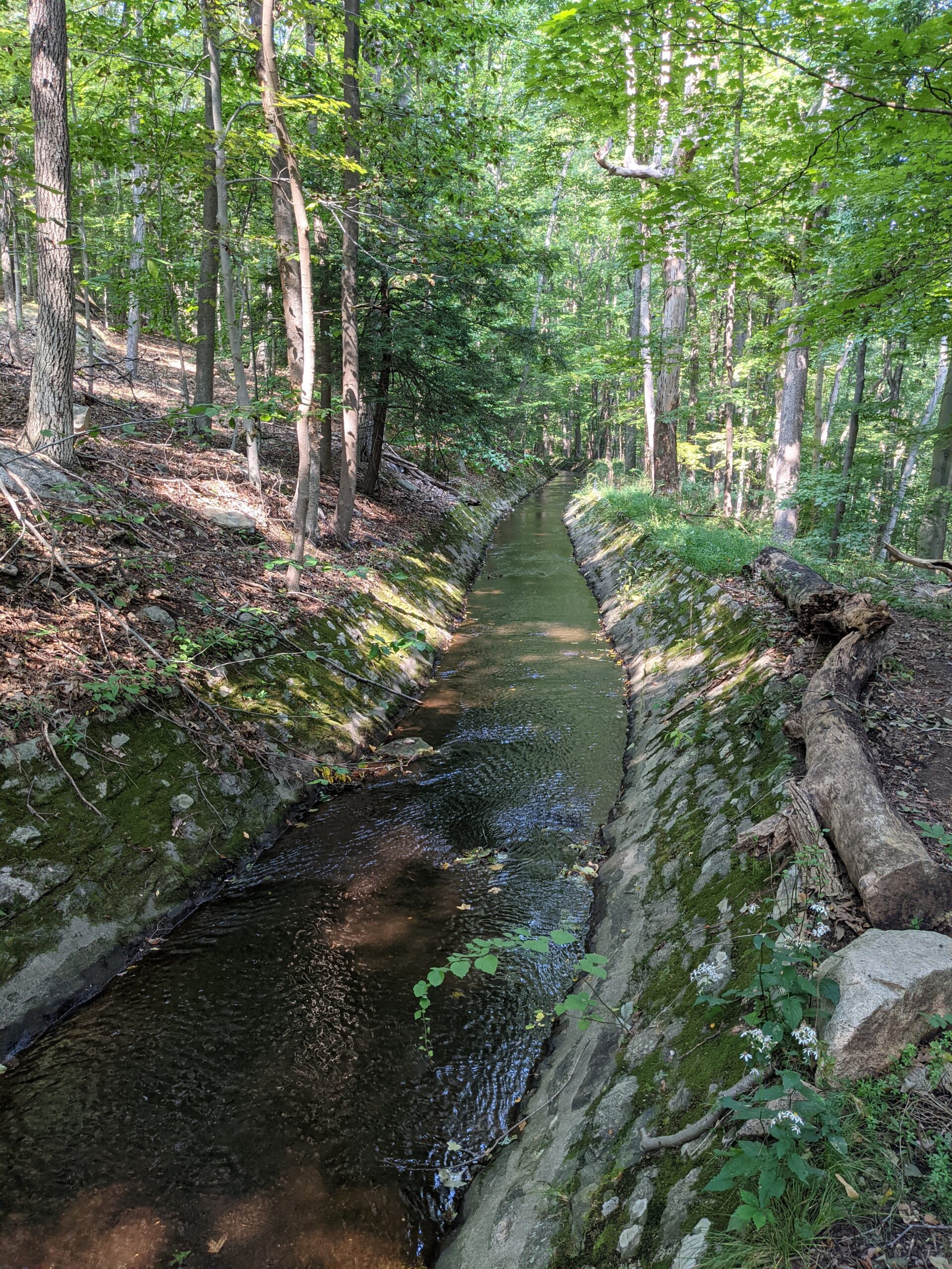
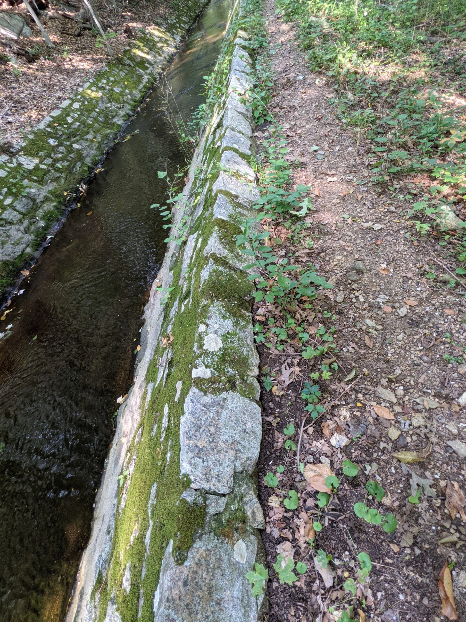
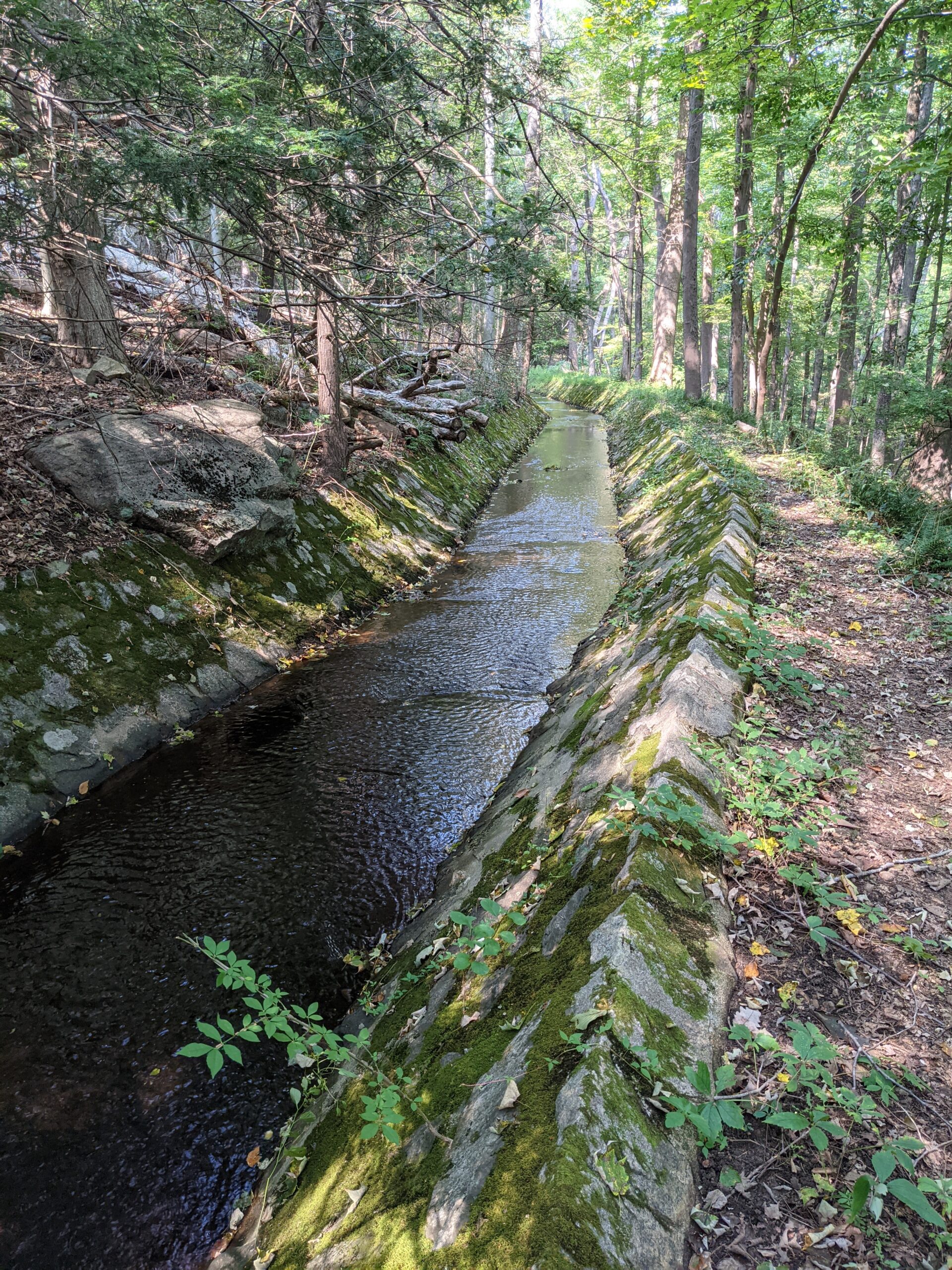
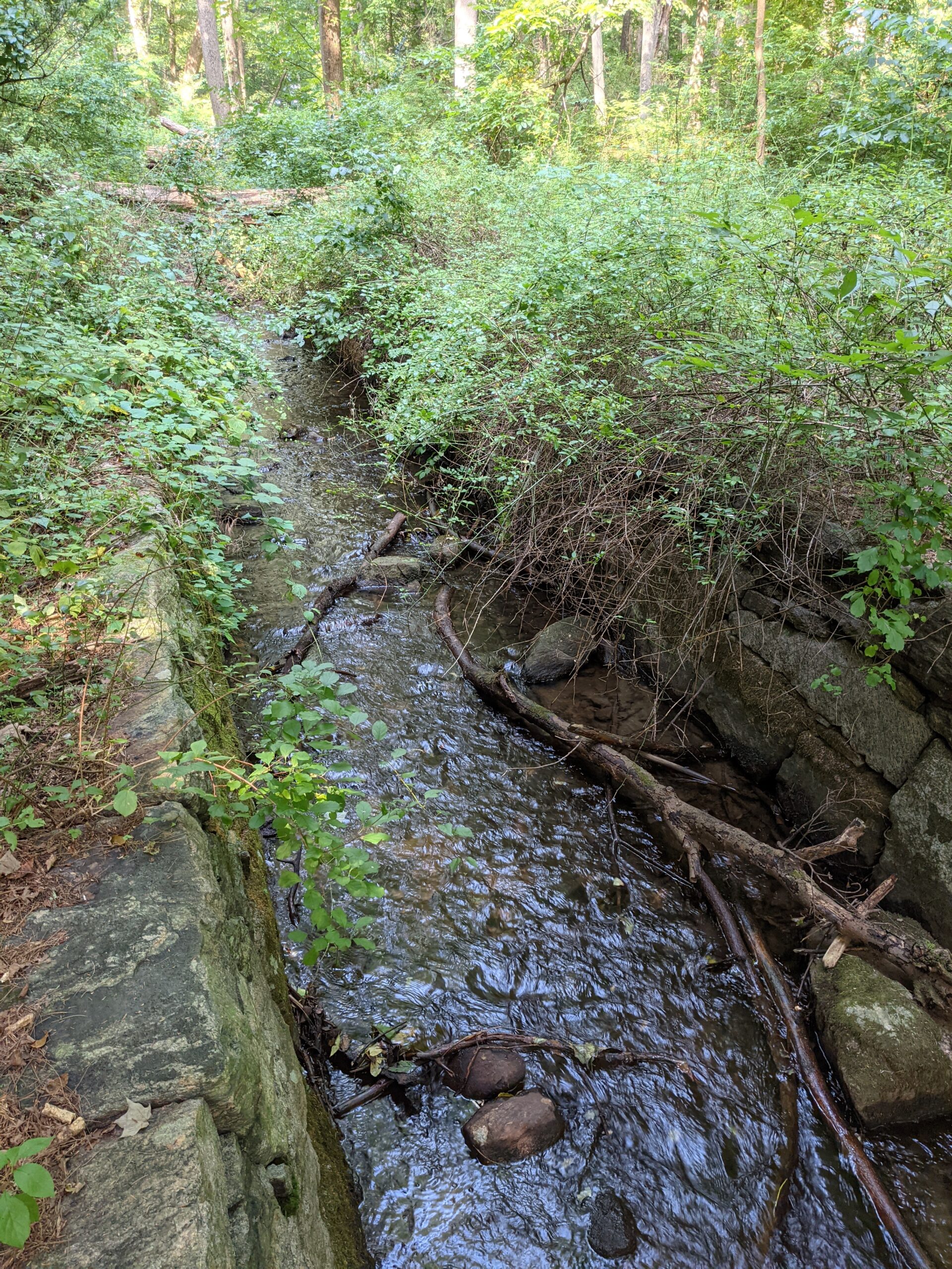
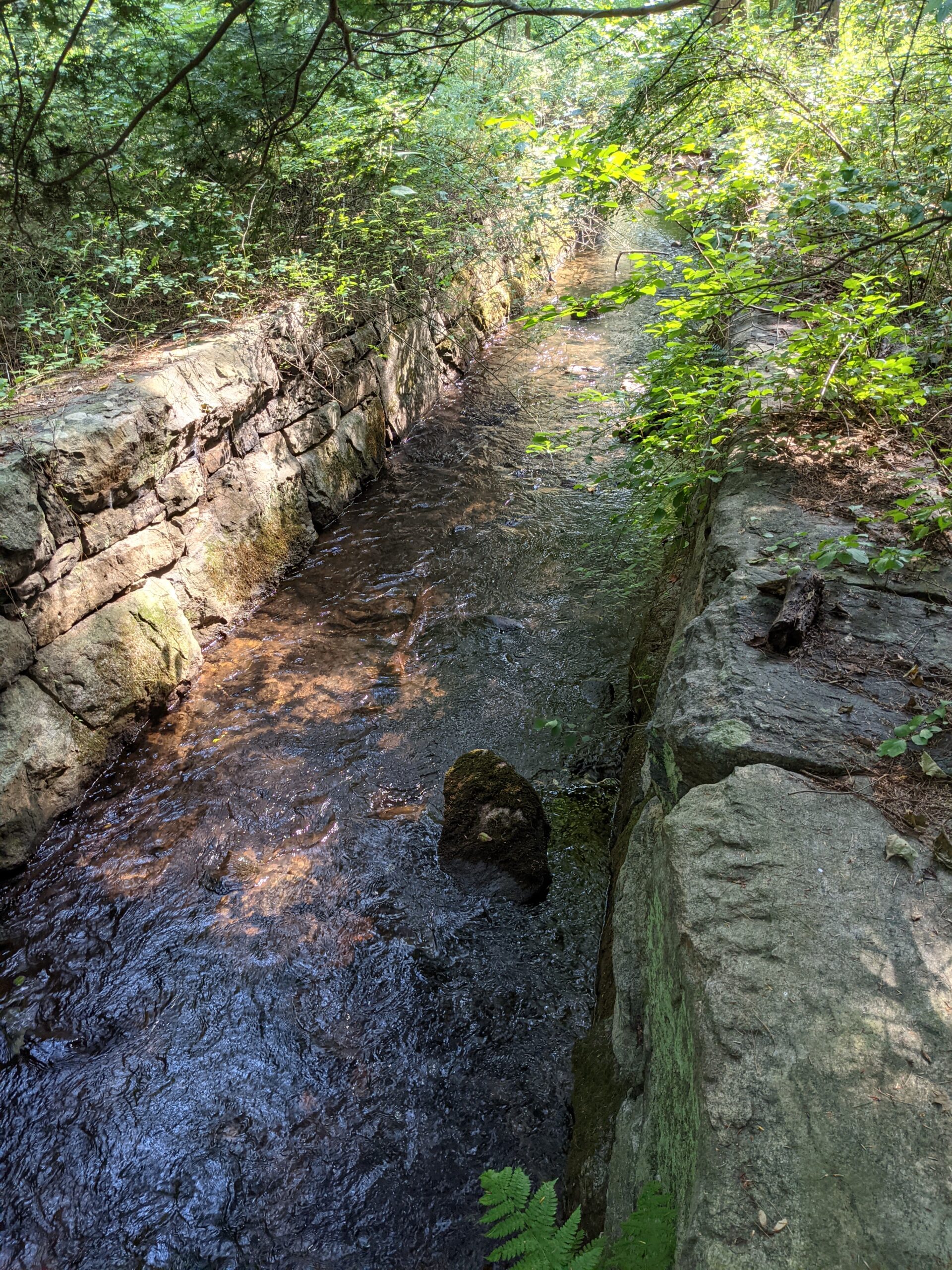
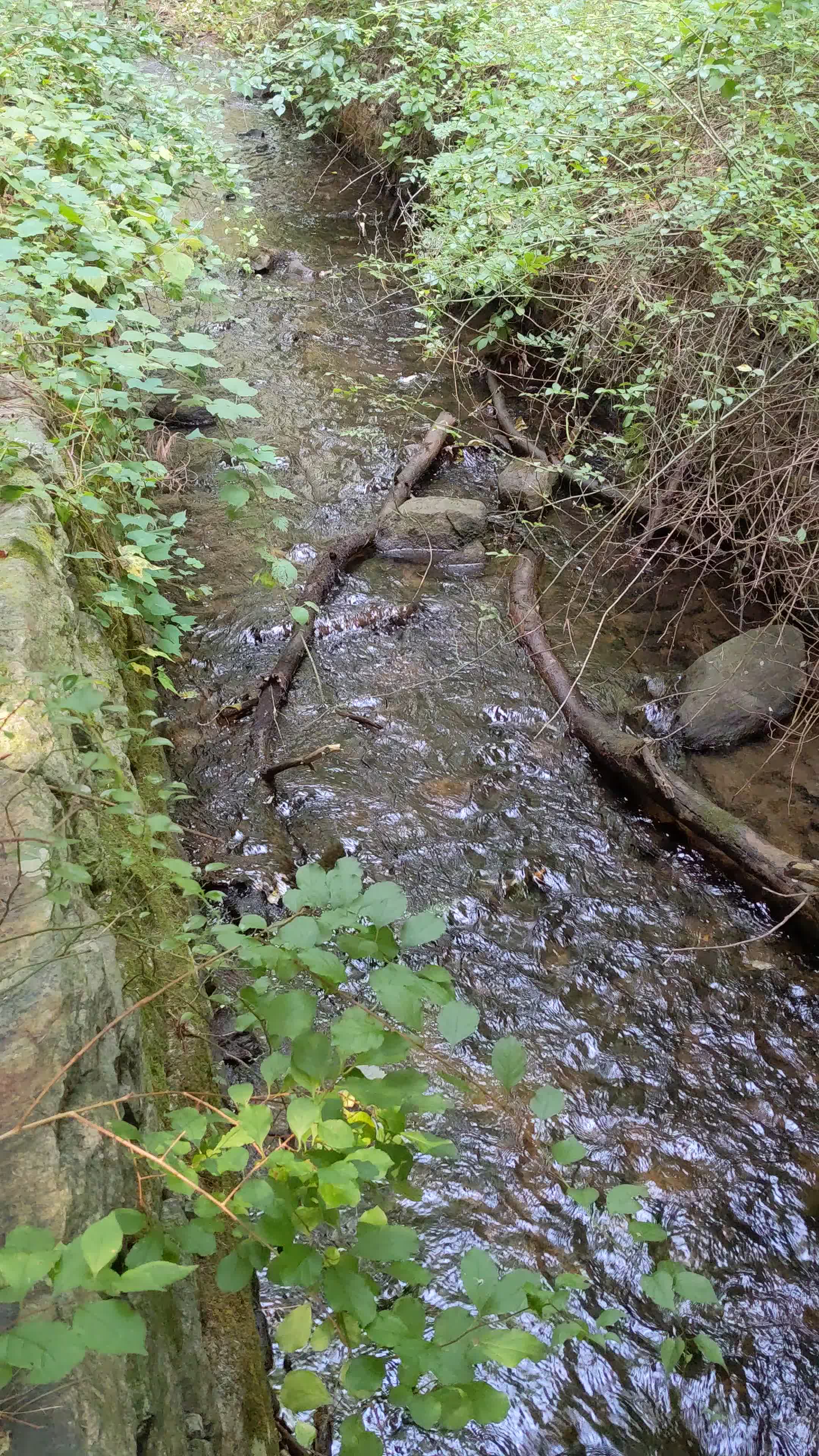
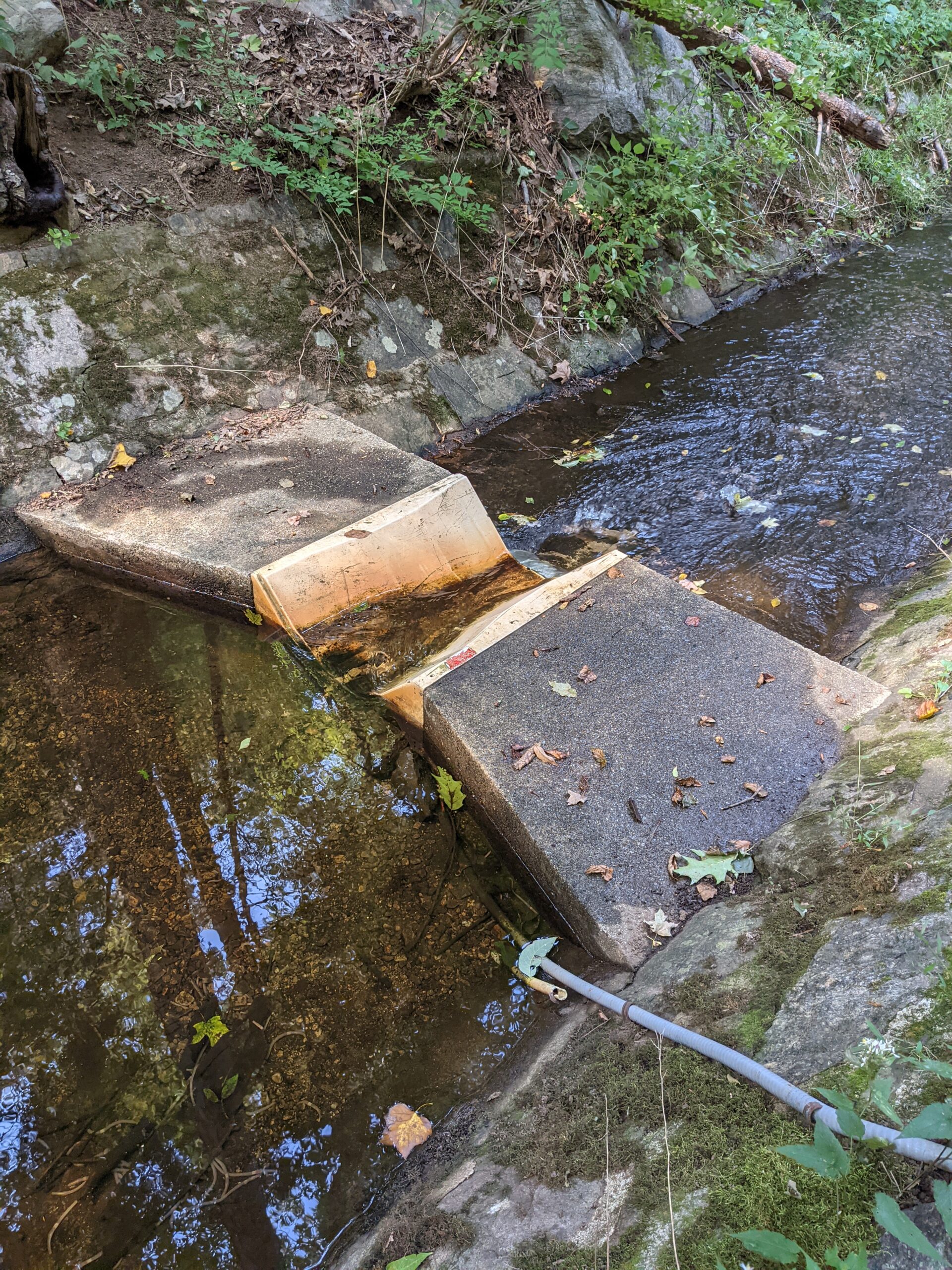
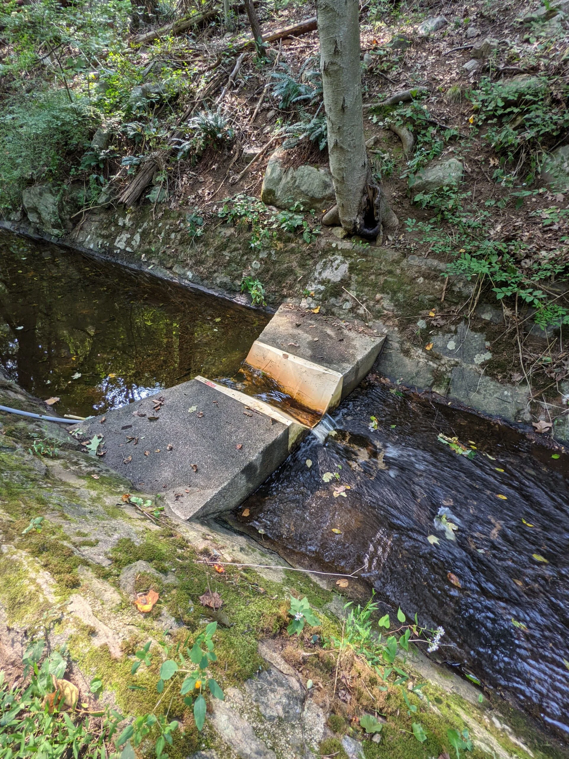
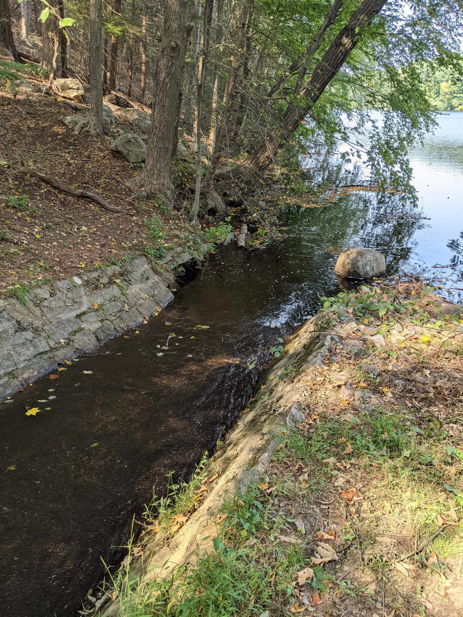
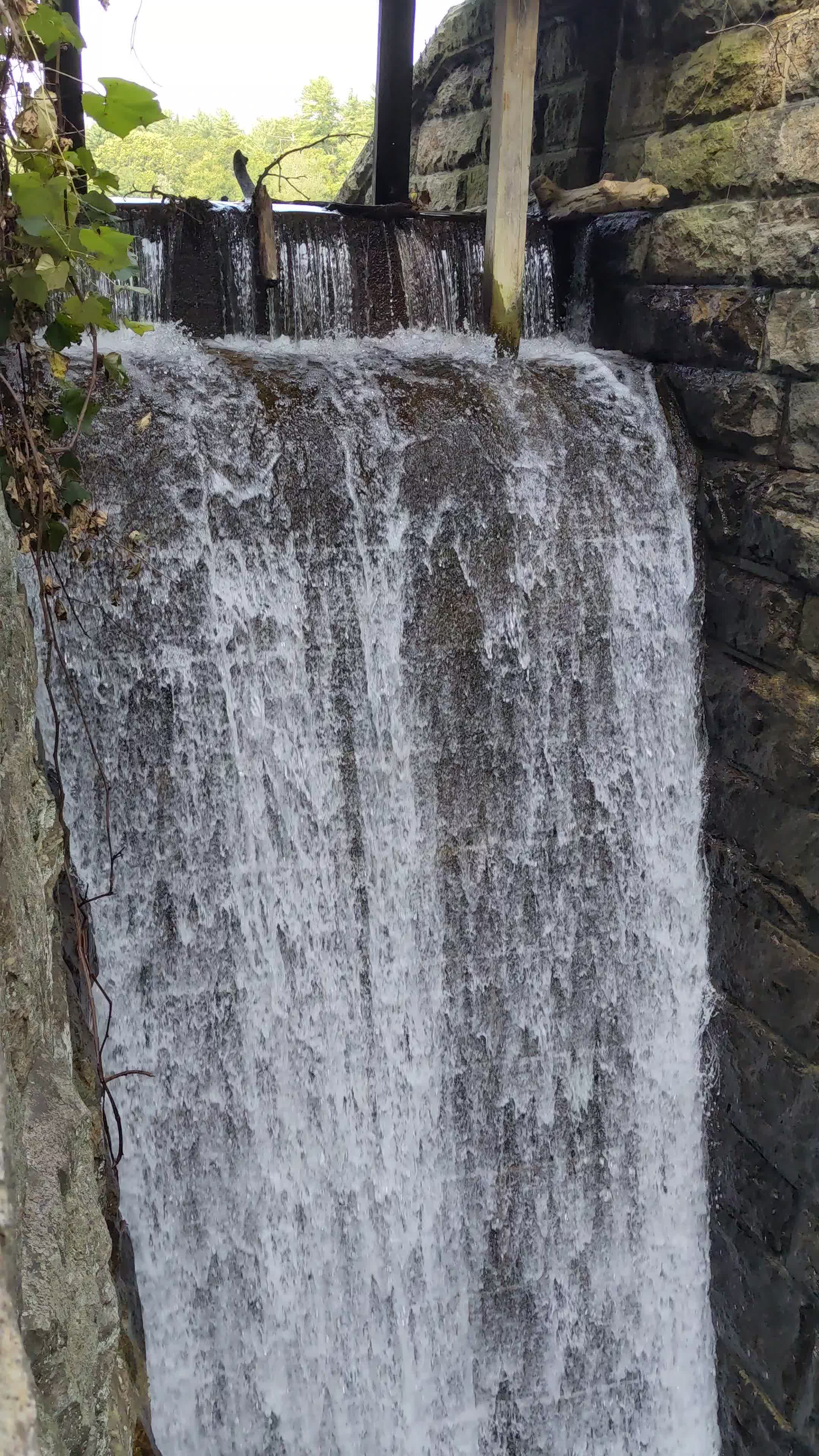
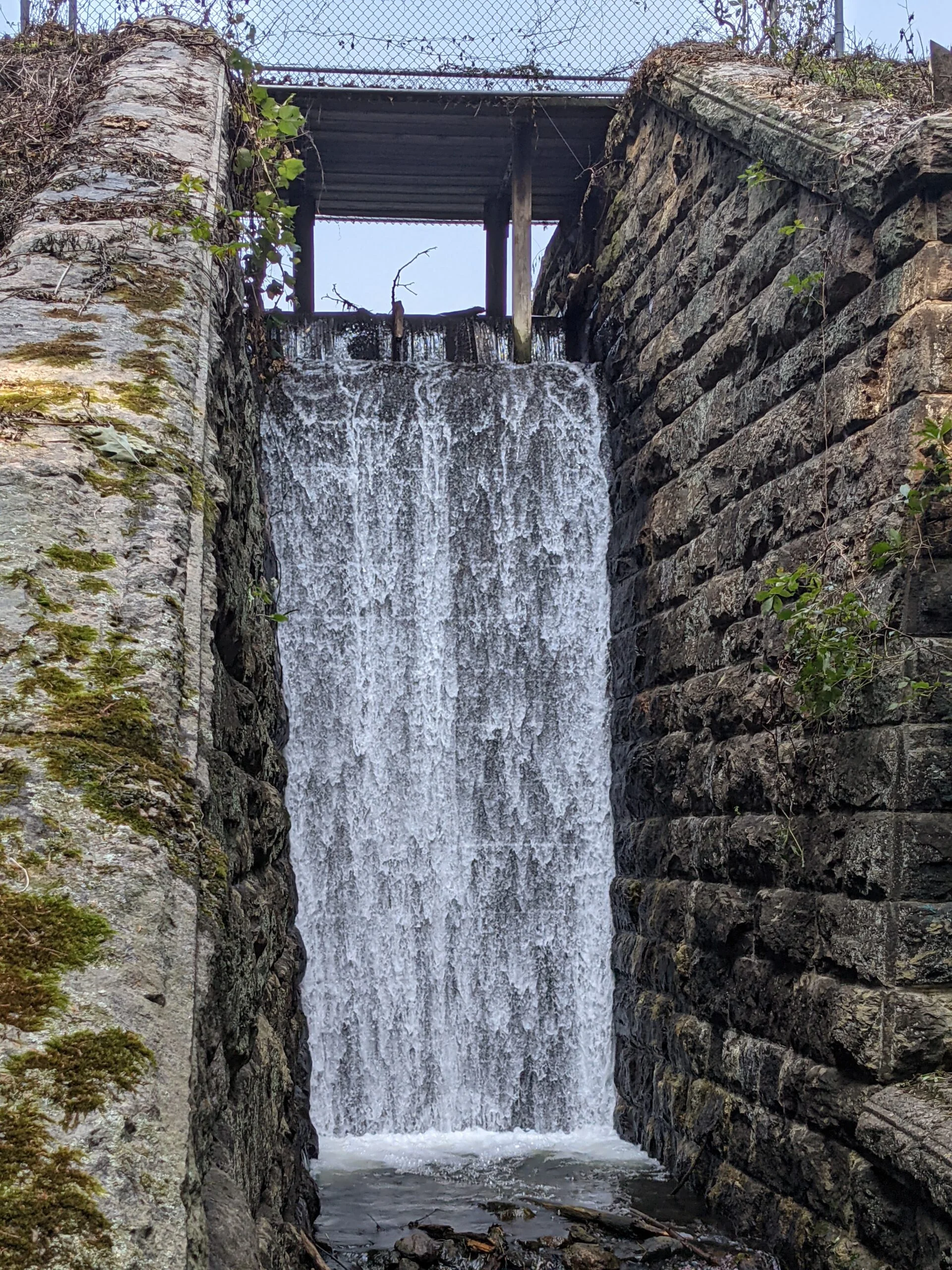
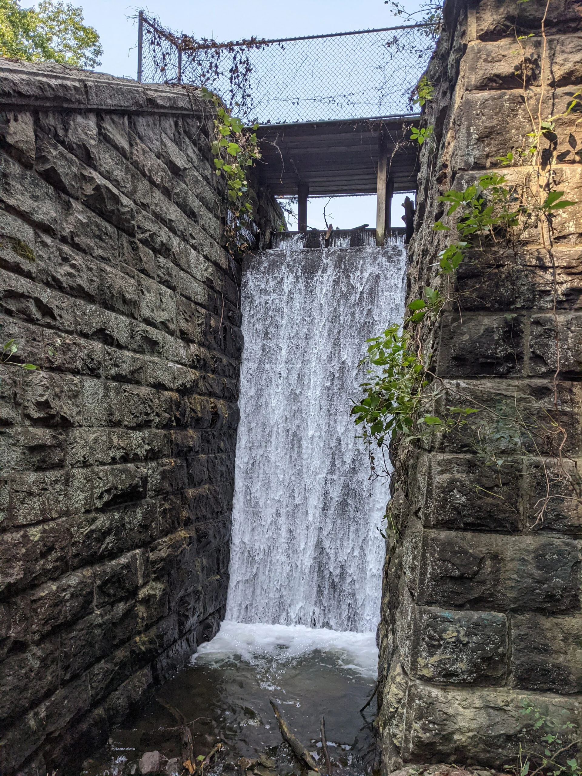
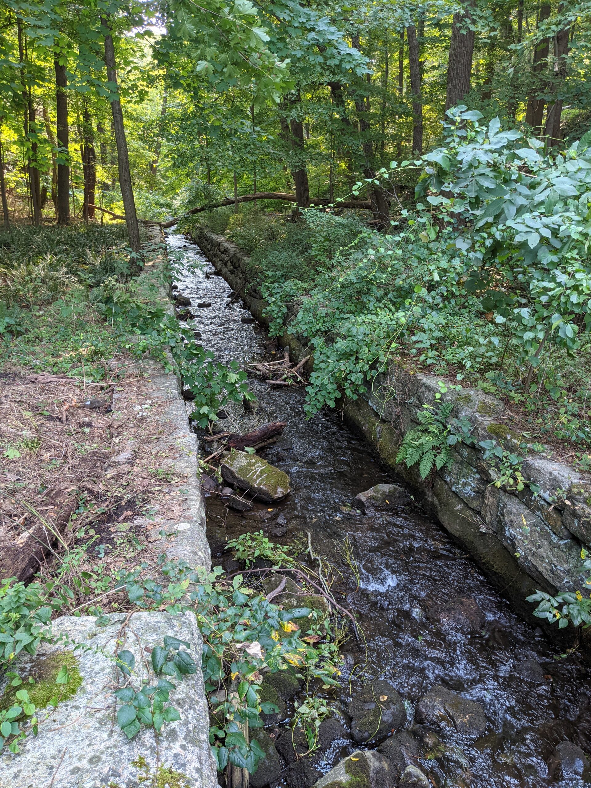
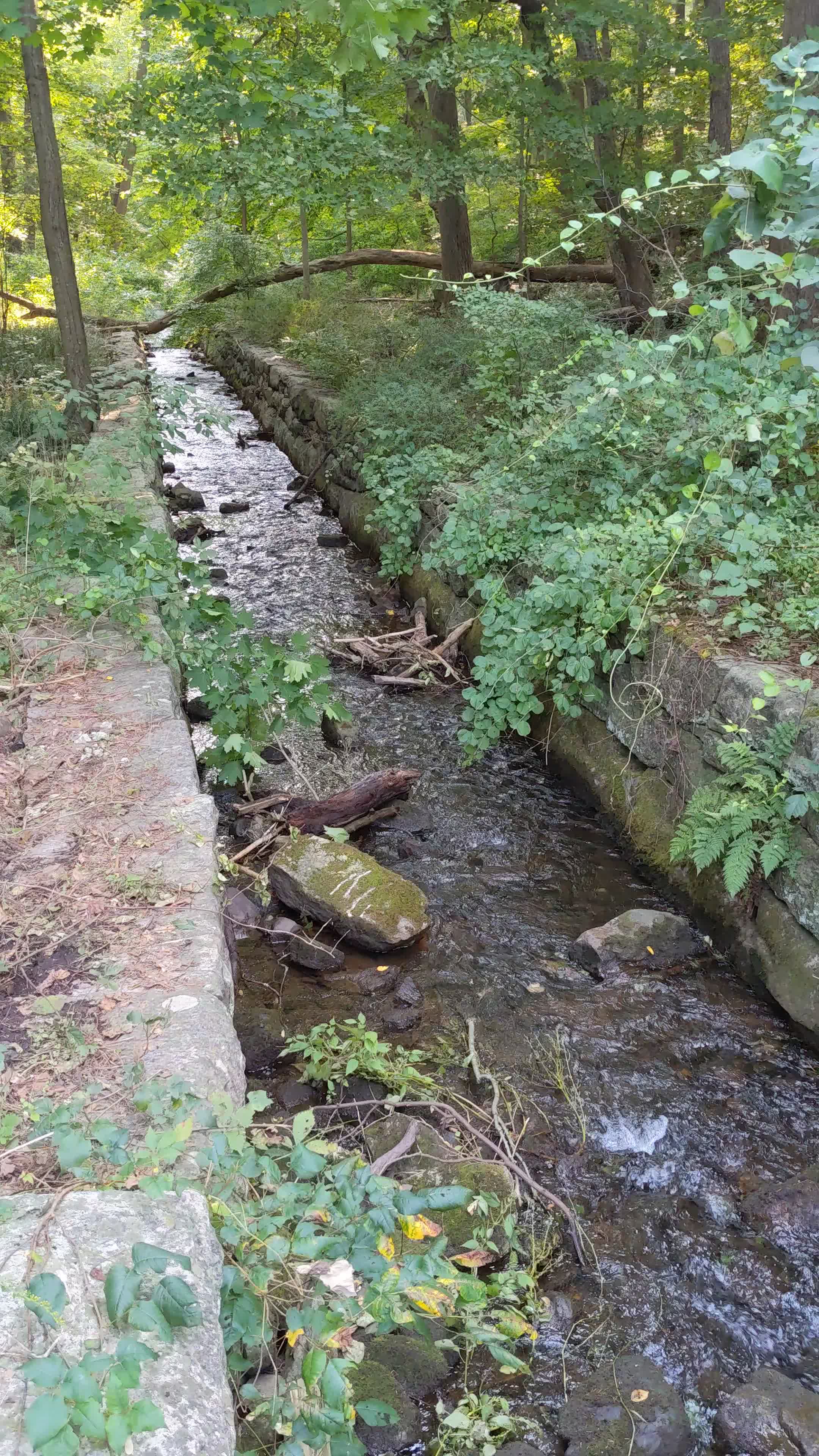
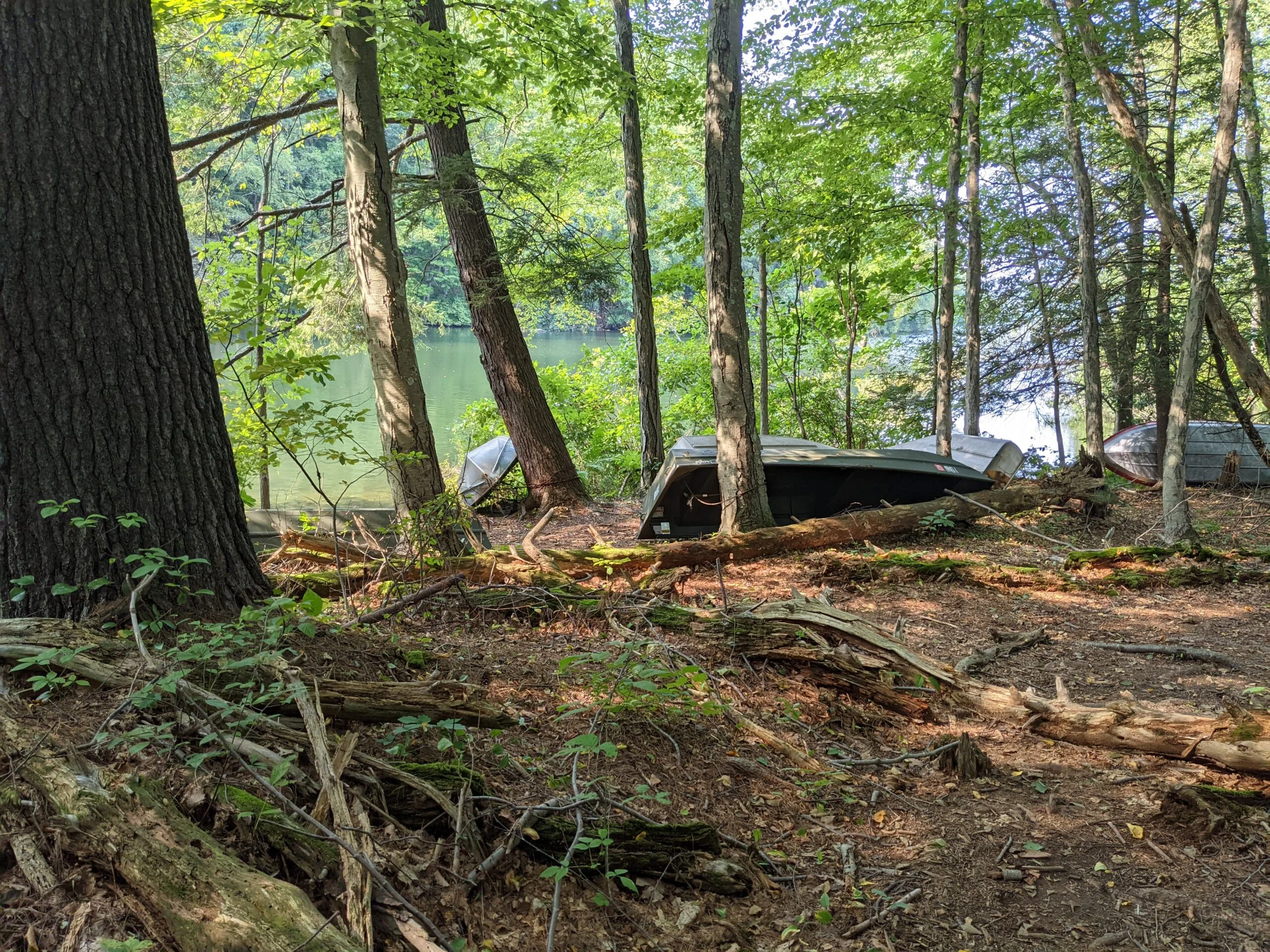
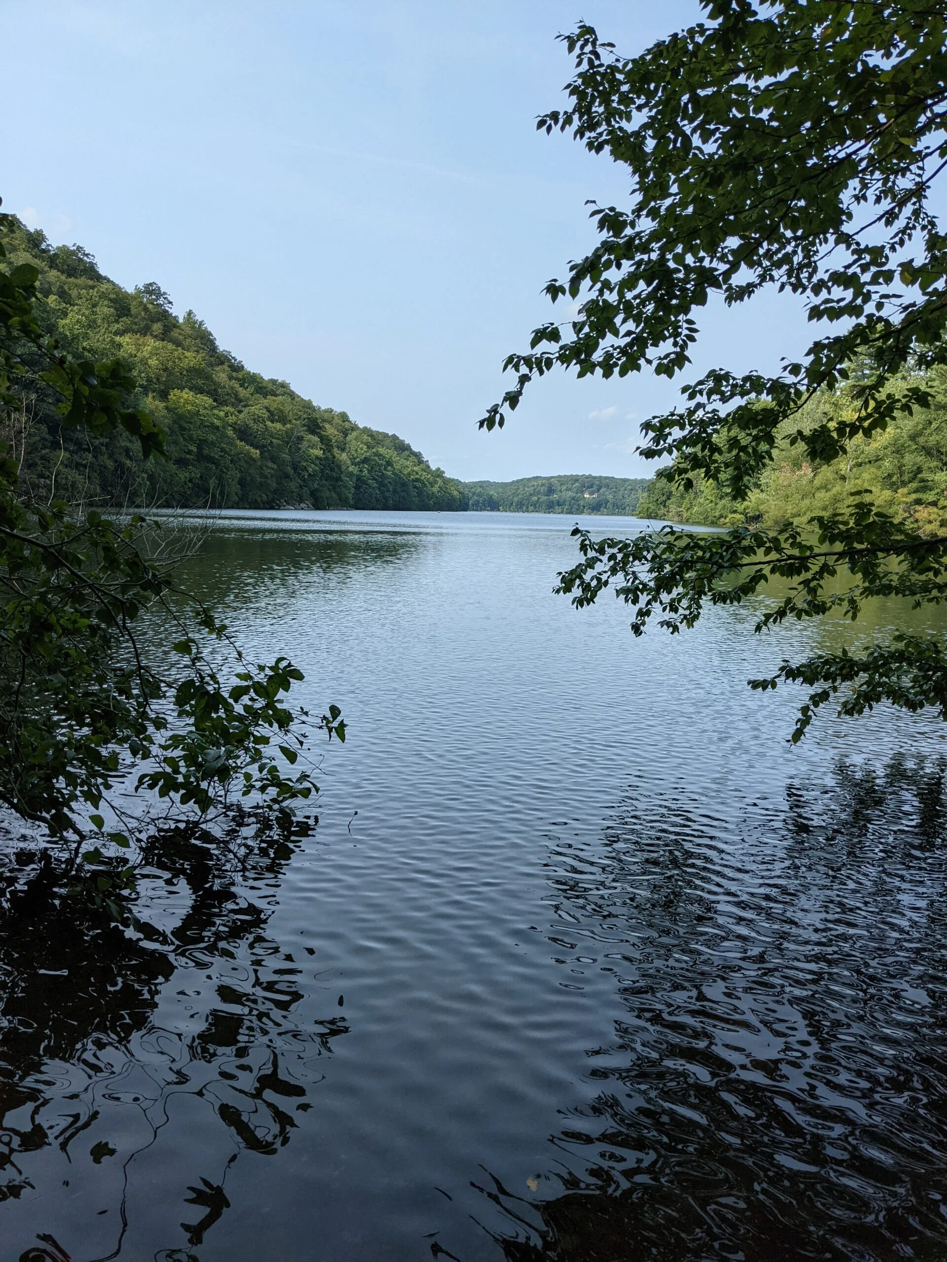
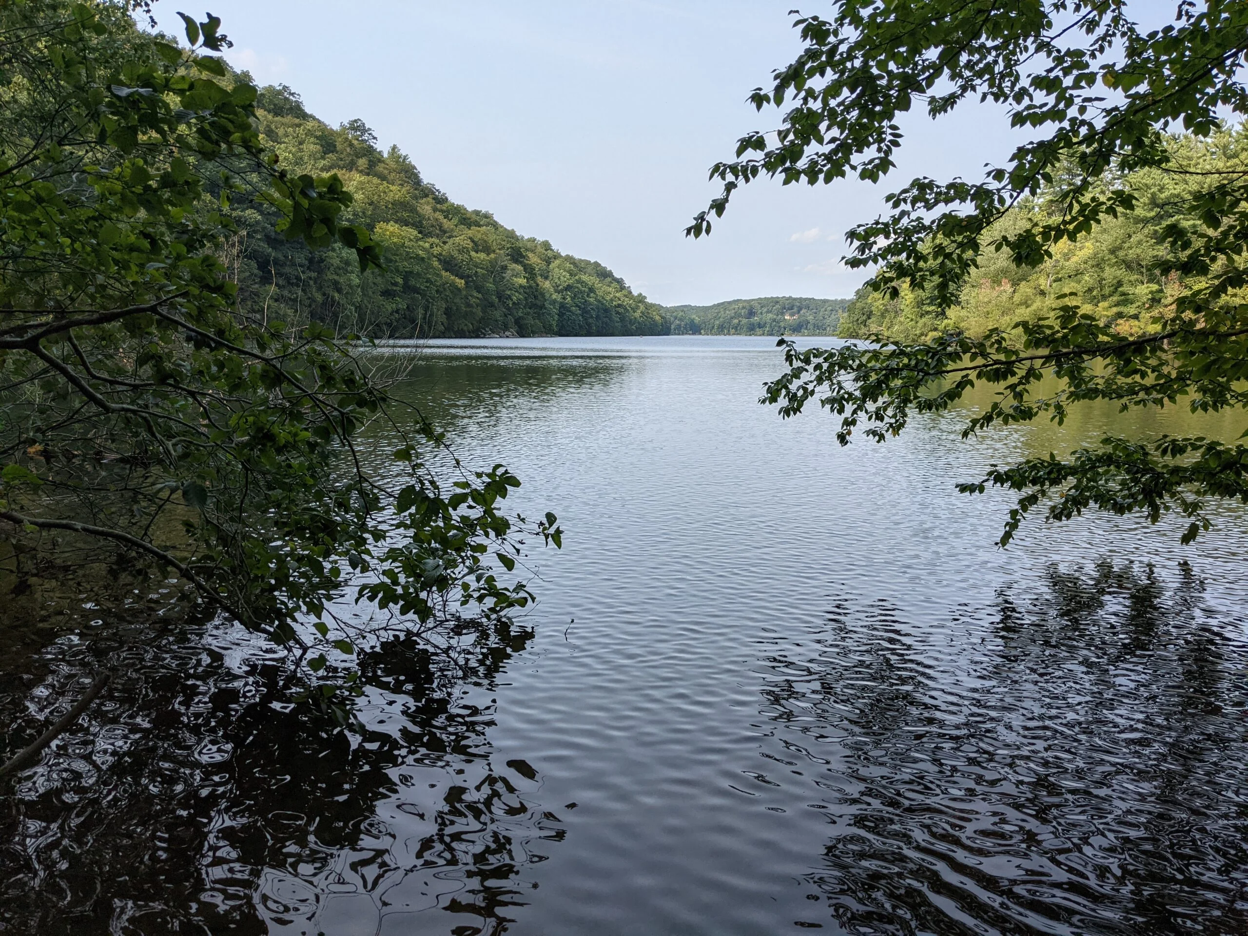
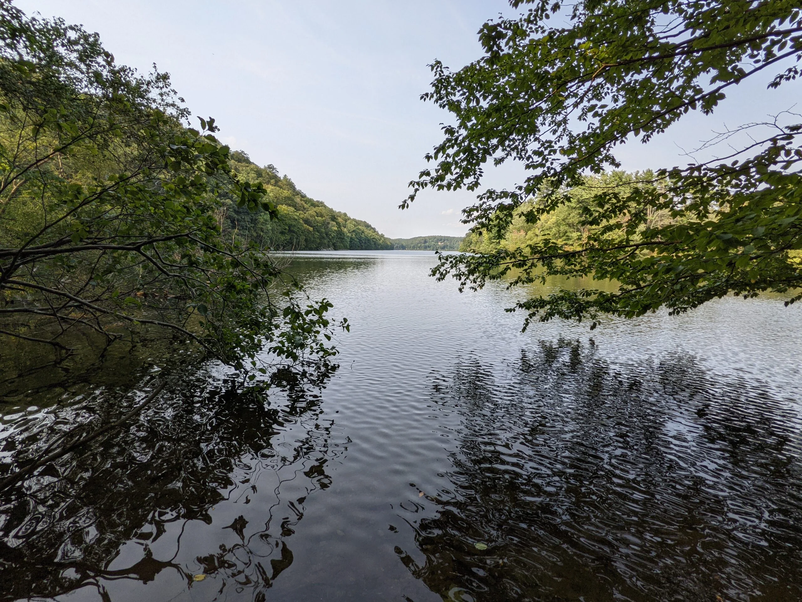
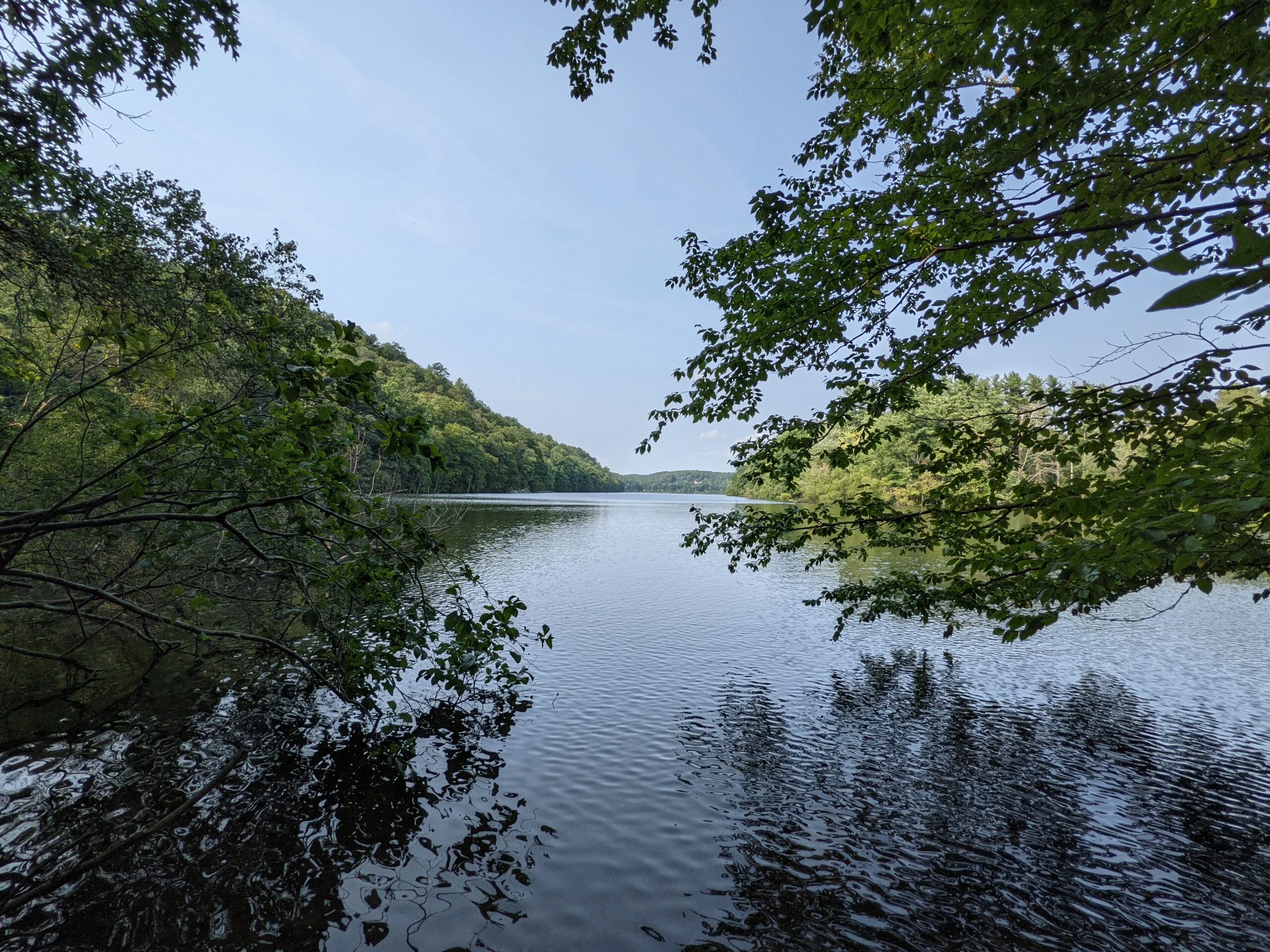
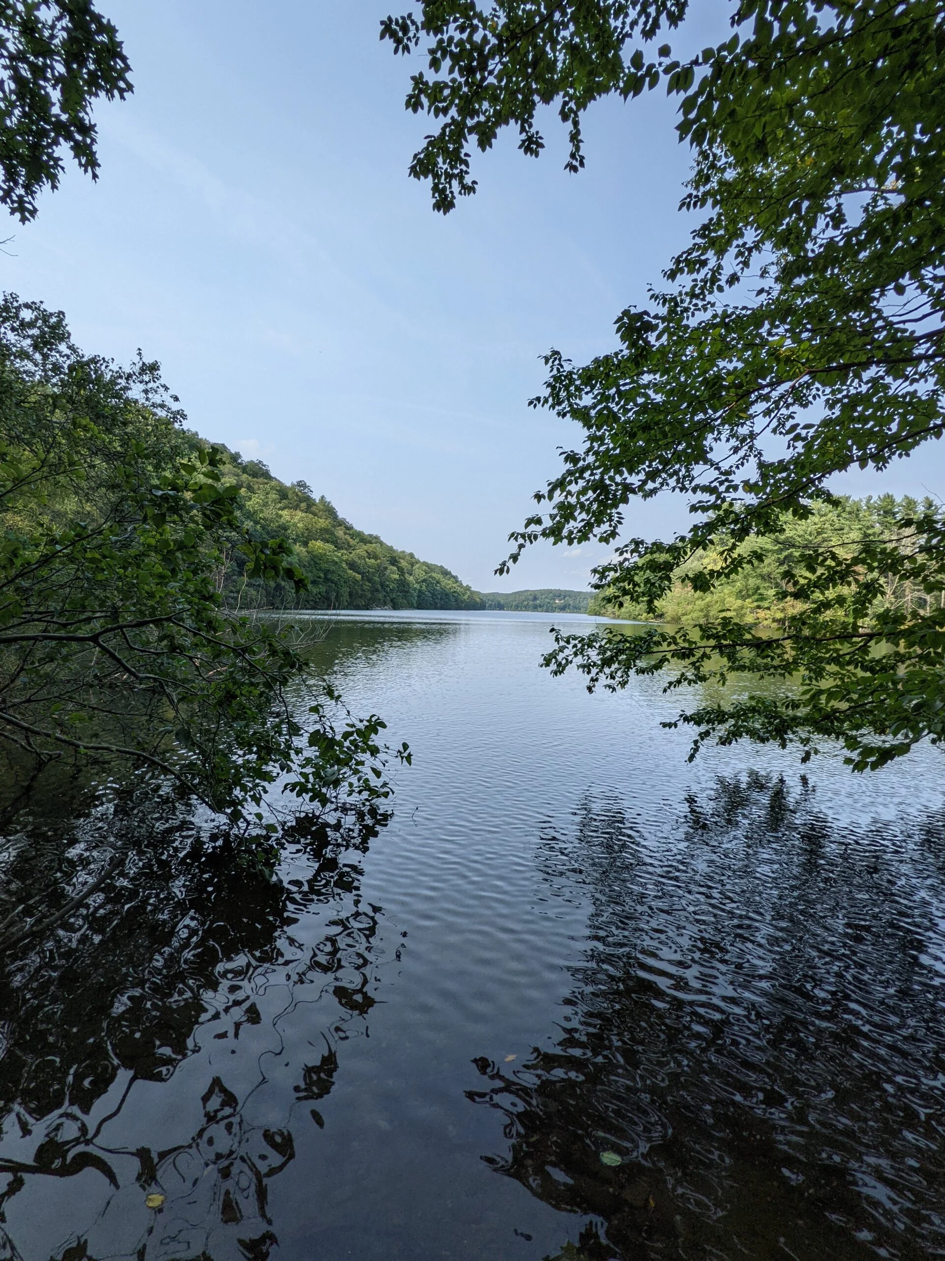
At the 2 mile mark, I connected with the Orange Trail and took that to the right (south). This trail follows a nicely flowing ravine, off to the right, for most of its path. About a 1/2 mile in, the Orange Trail connects with the Blue Trail, and I followed that a short distance until meeting up with the Aqueduct Trail. After reviewing the map, I see that the ravine I was following eventually turns into an aqueduct that flows into Byram Lake Reservoir.
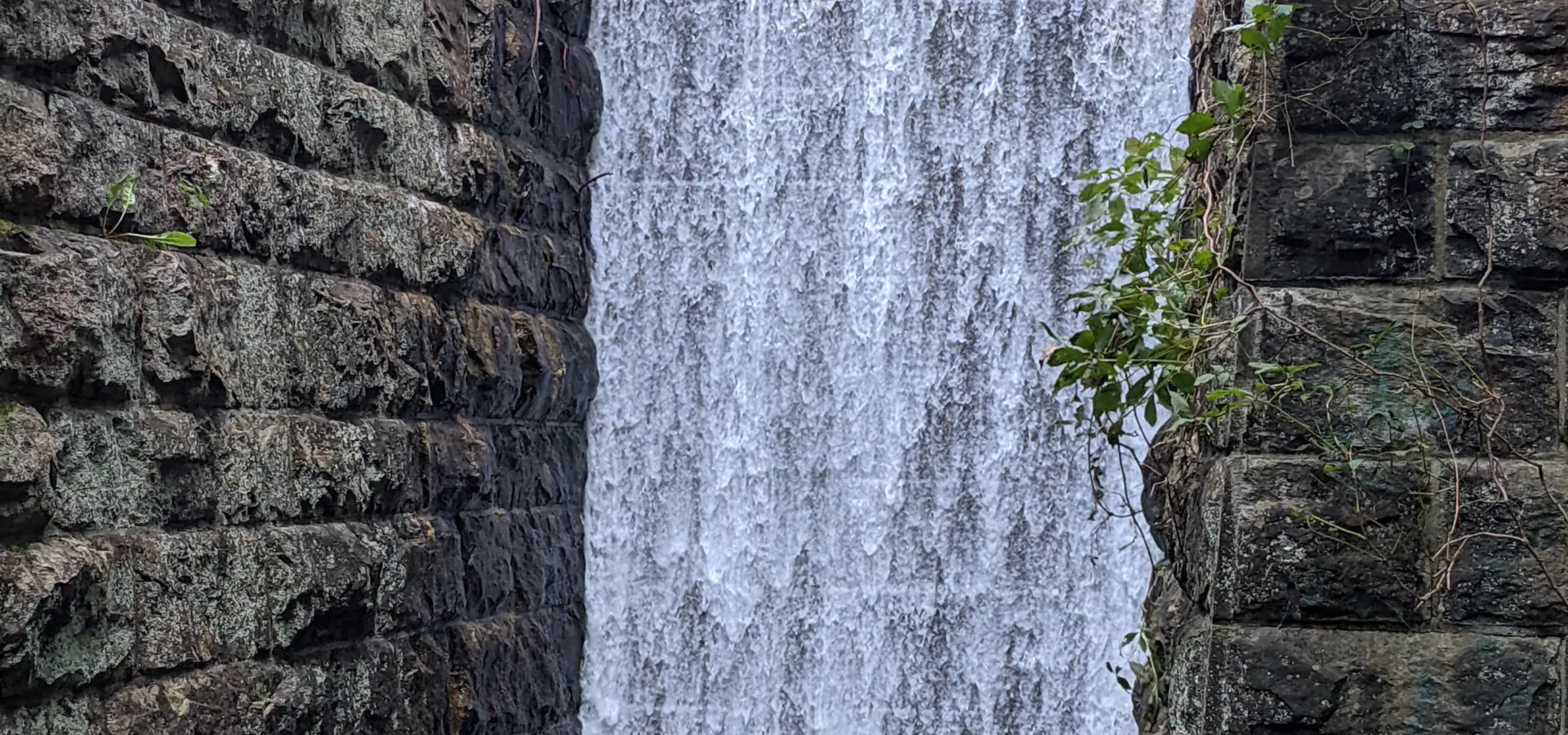
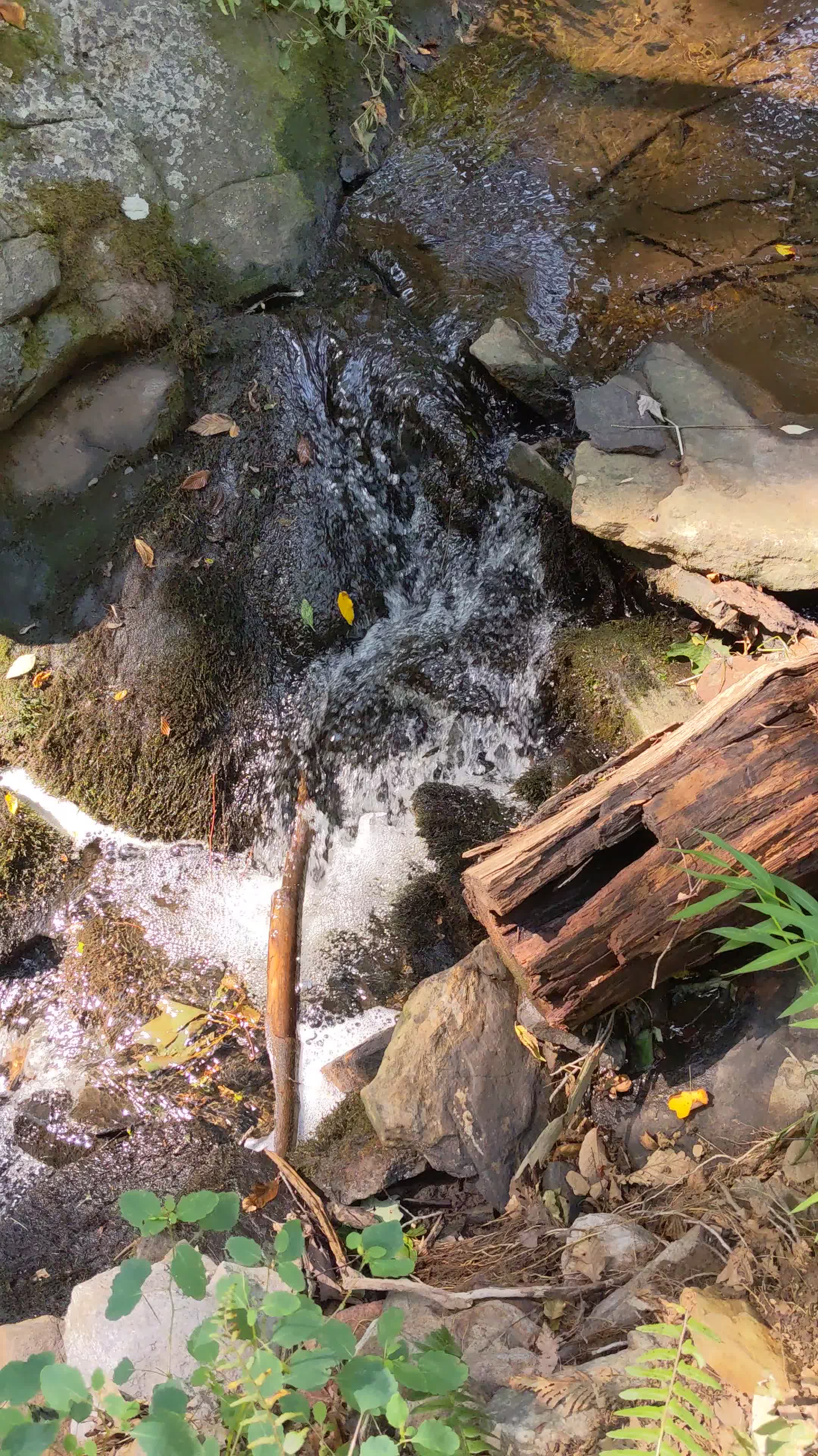
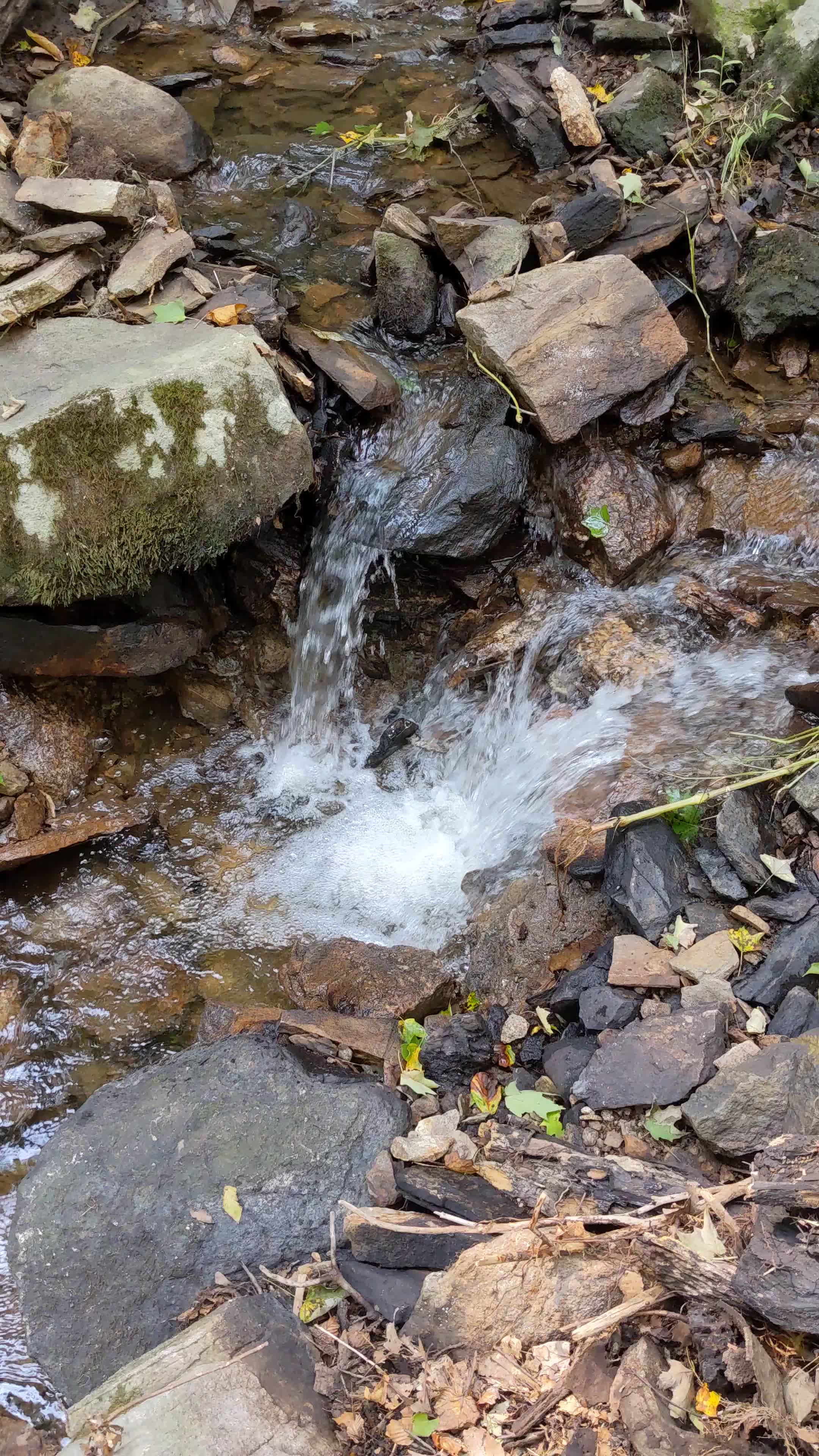
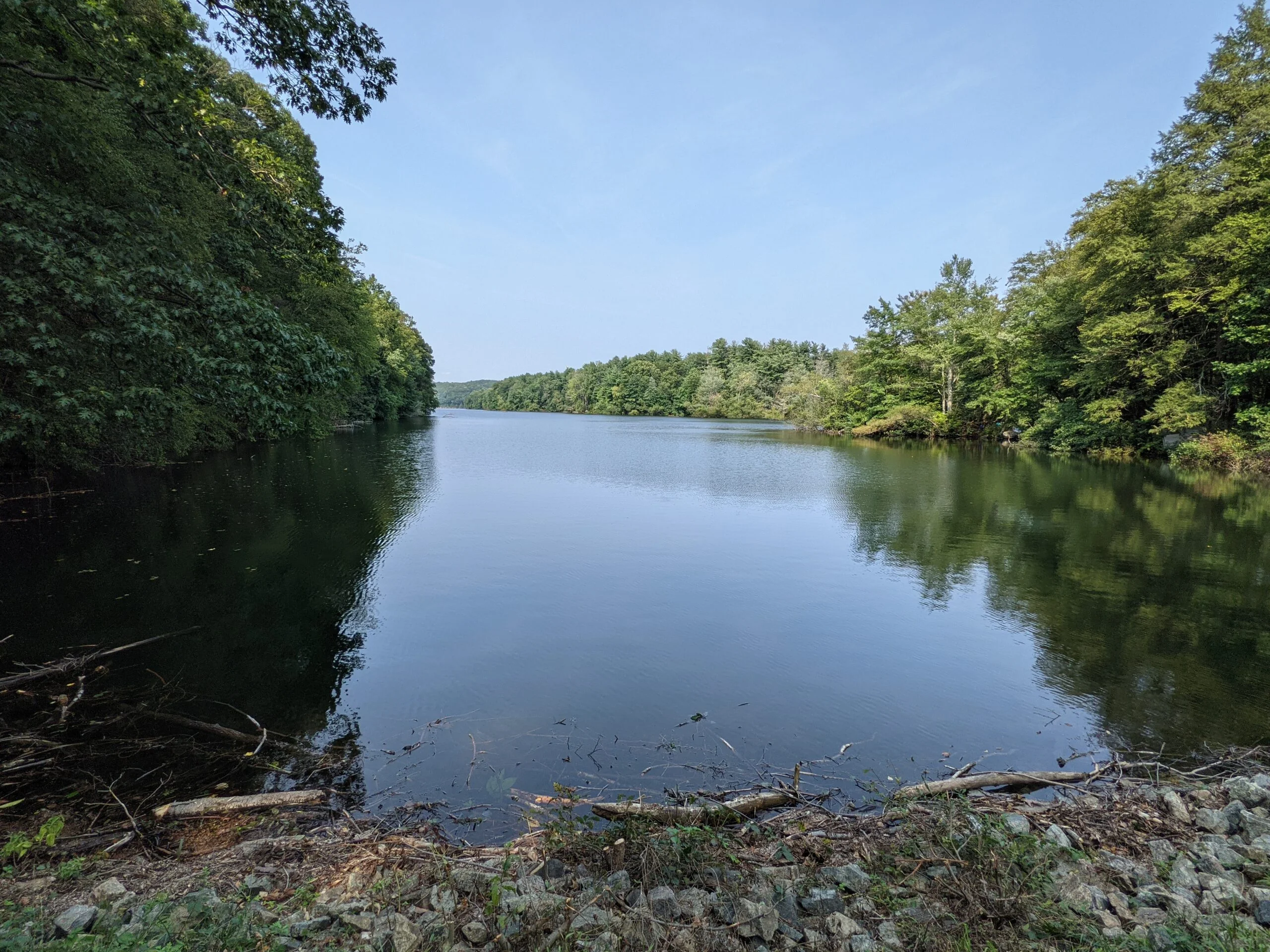
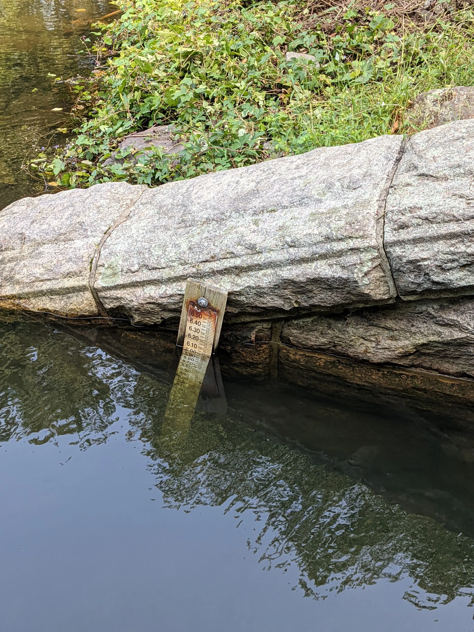
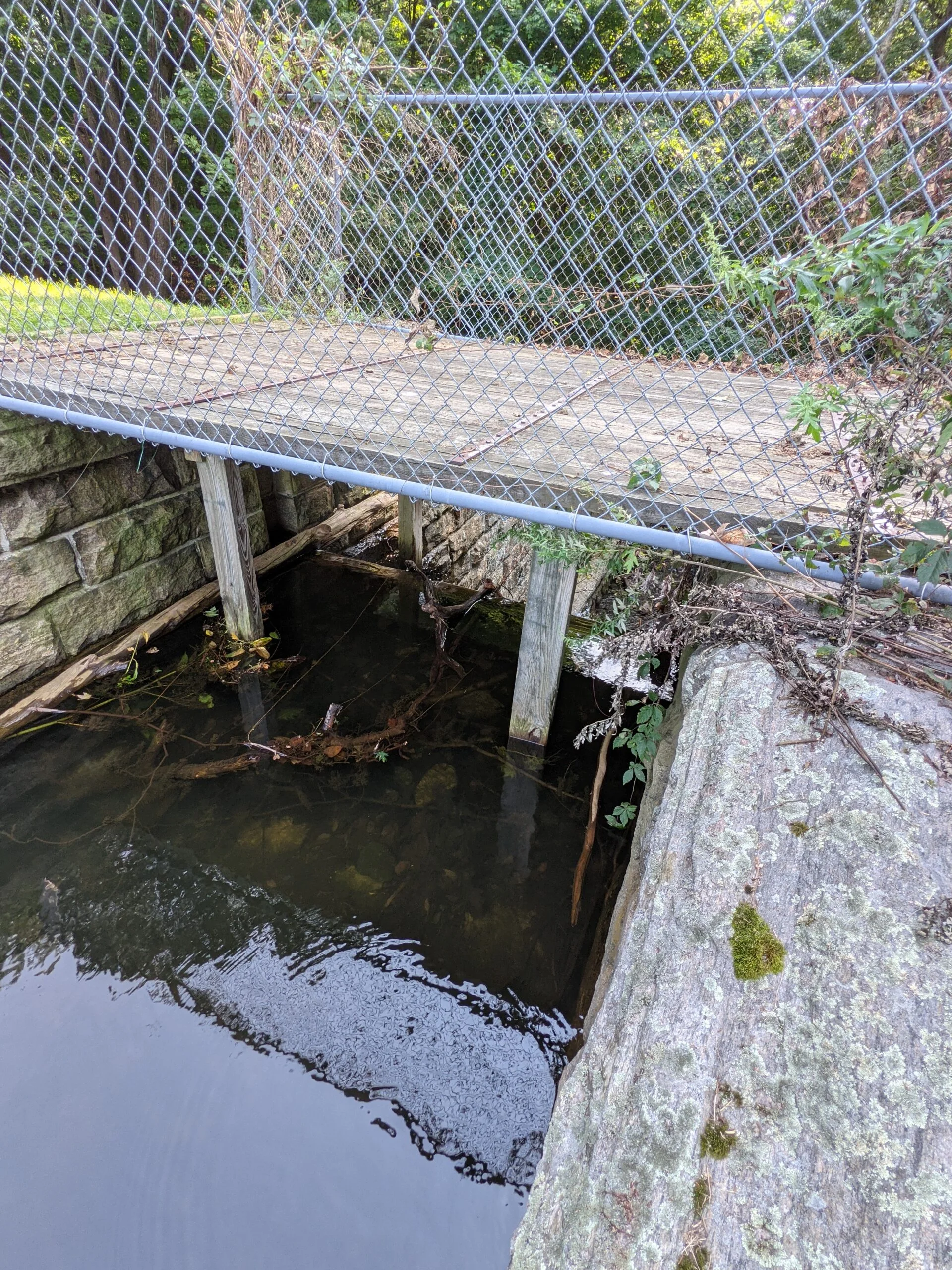
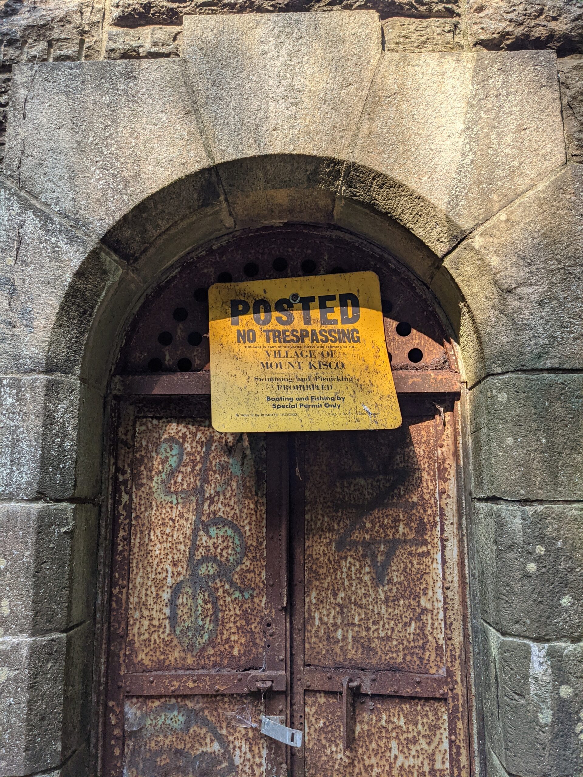
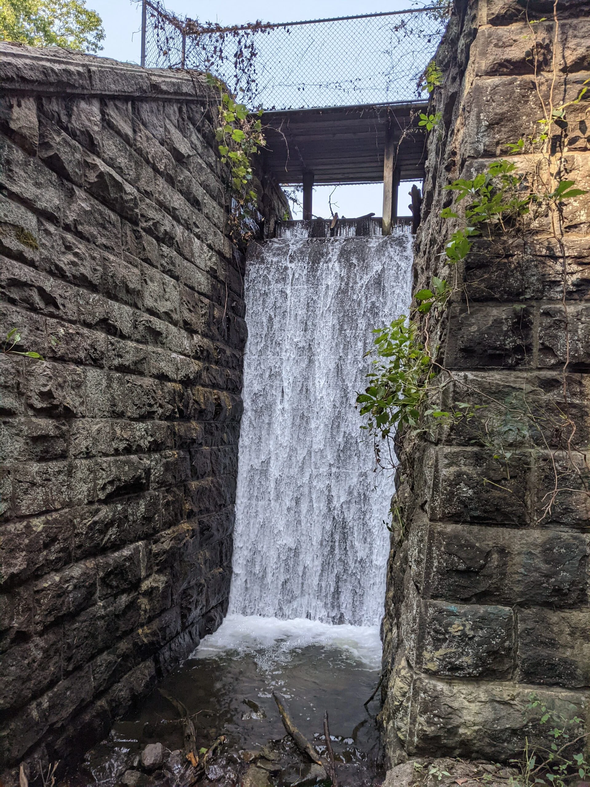
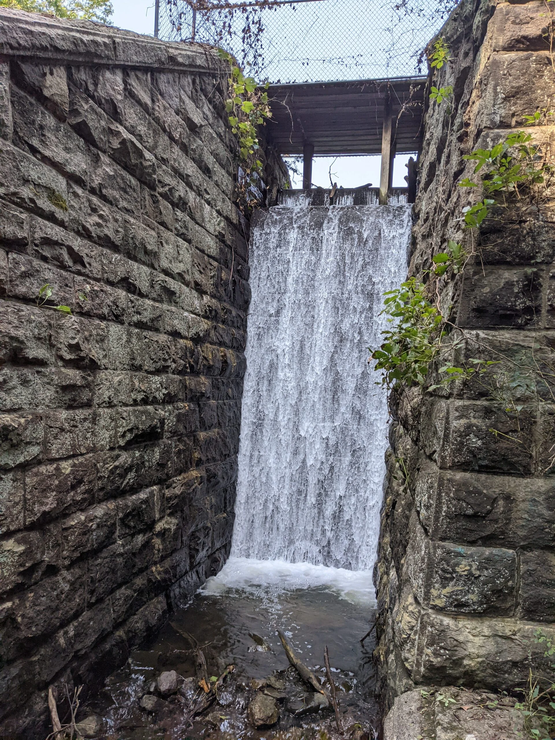
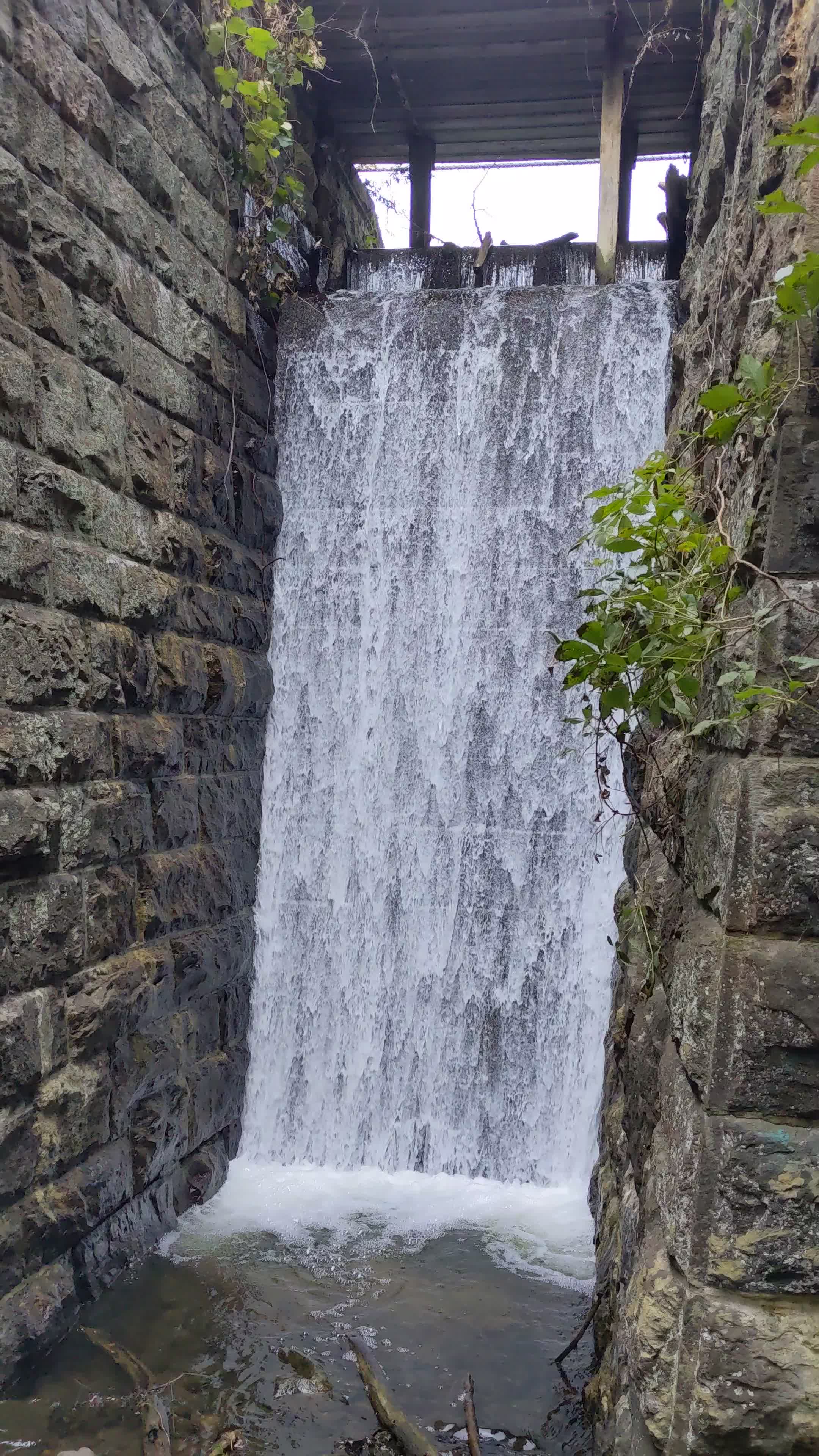
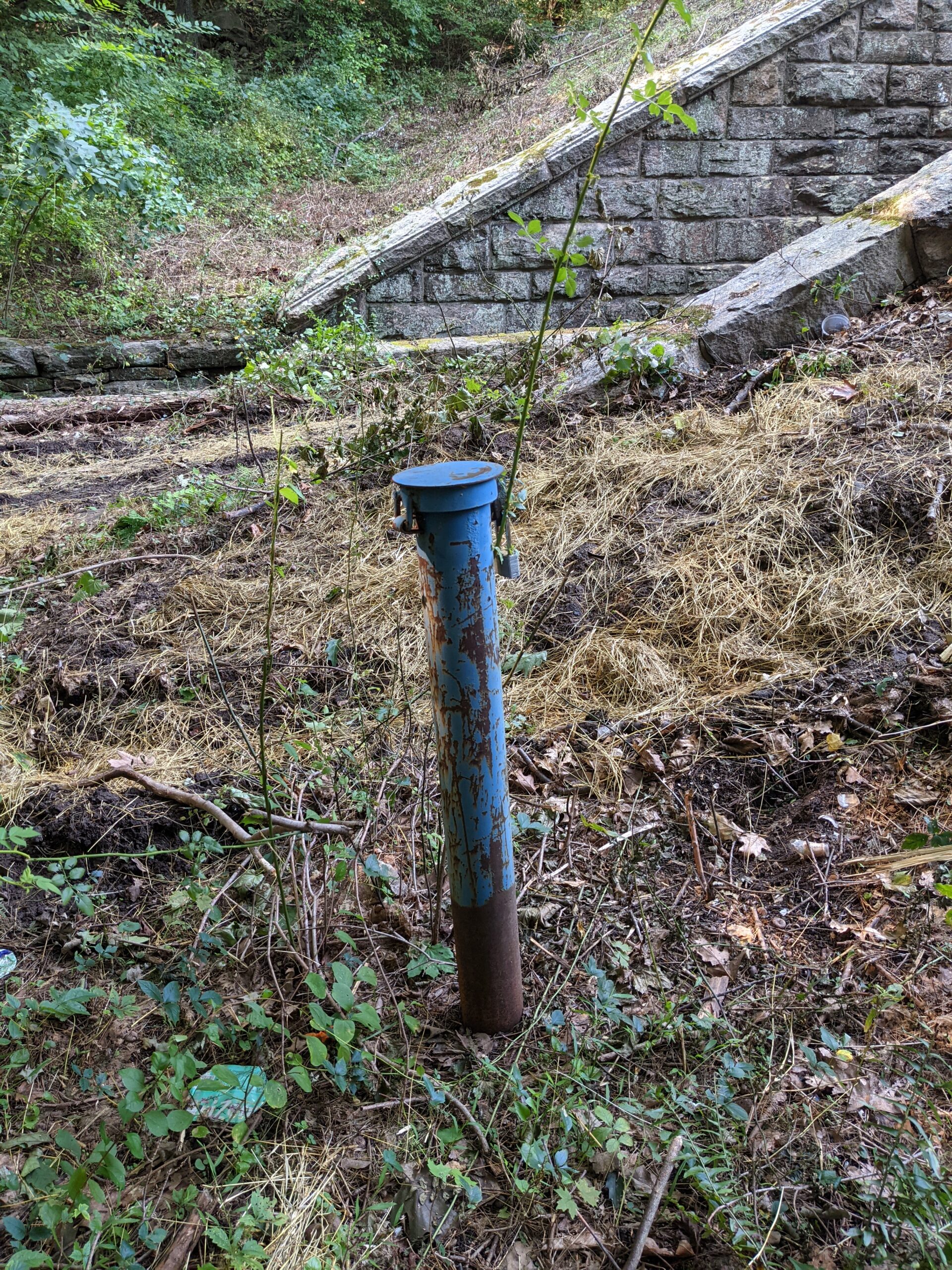
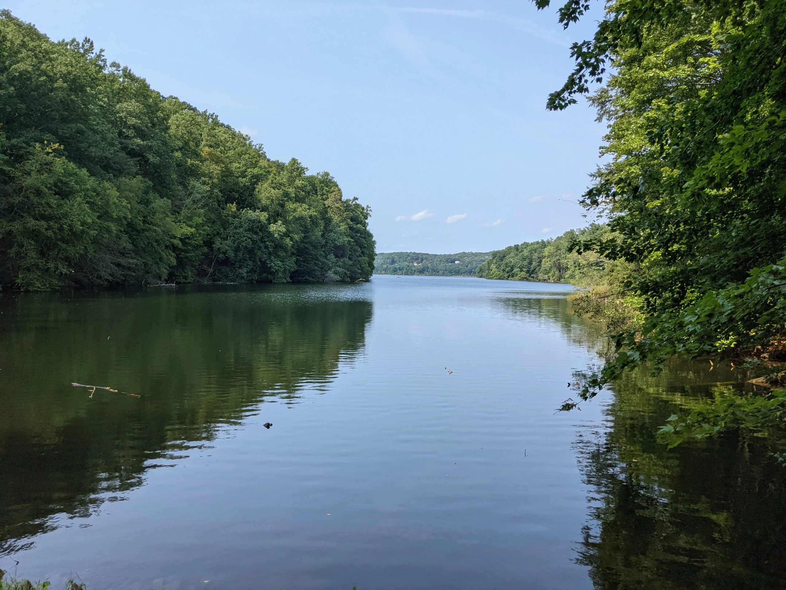
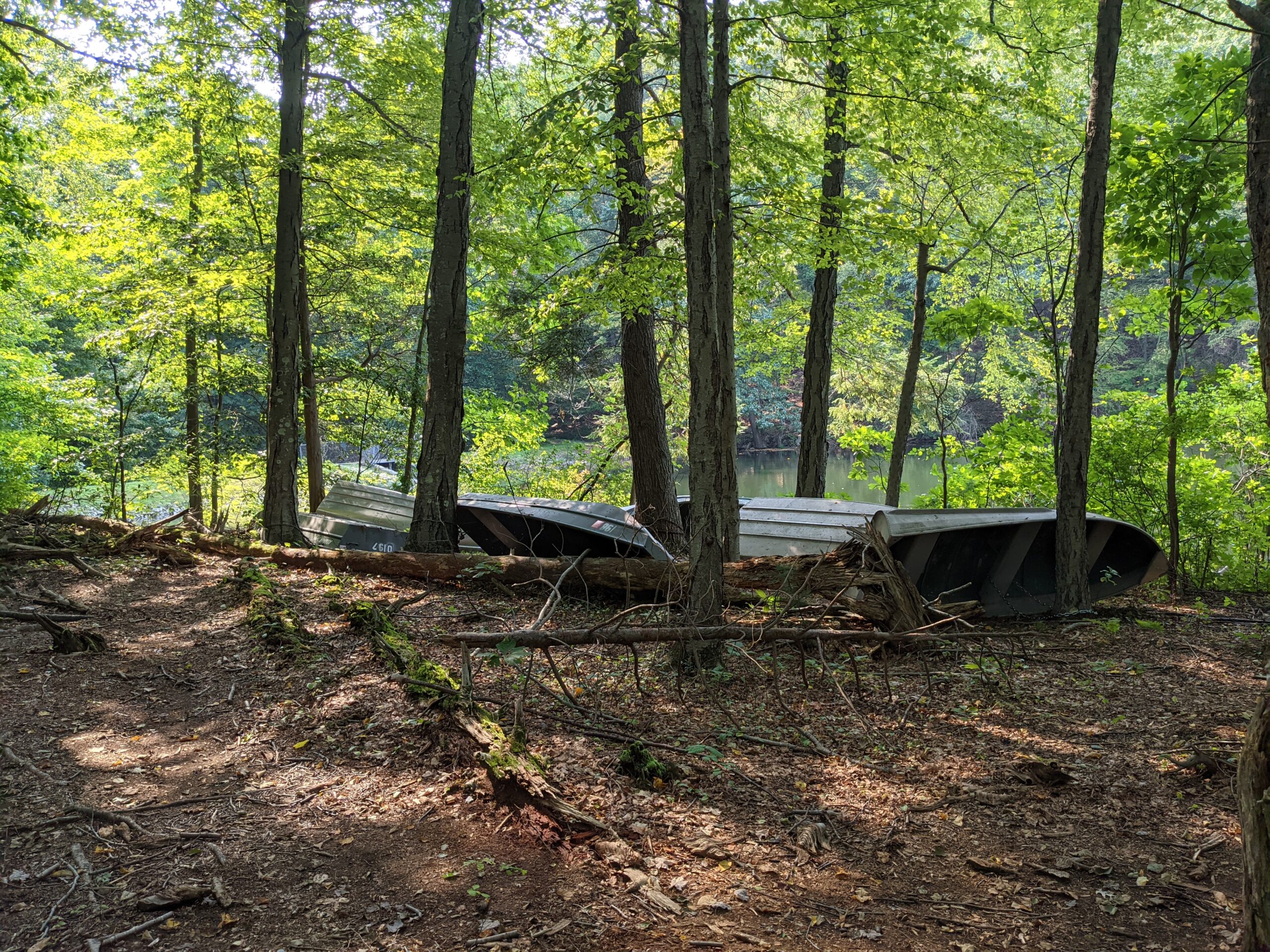
I followed the Aqueduct Trail for about 1/2 a mile before it connected with Byram Lake Reservoir. At this point, I was pleasantly surprised to find a man-made waterfall coming out of the reservoir which feeds the Byram River. The waterfall is approximately 20 feet high, which made for a ton of awesome photos and videos! I explored around the reservoir a bit, then started making my journey back.
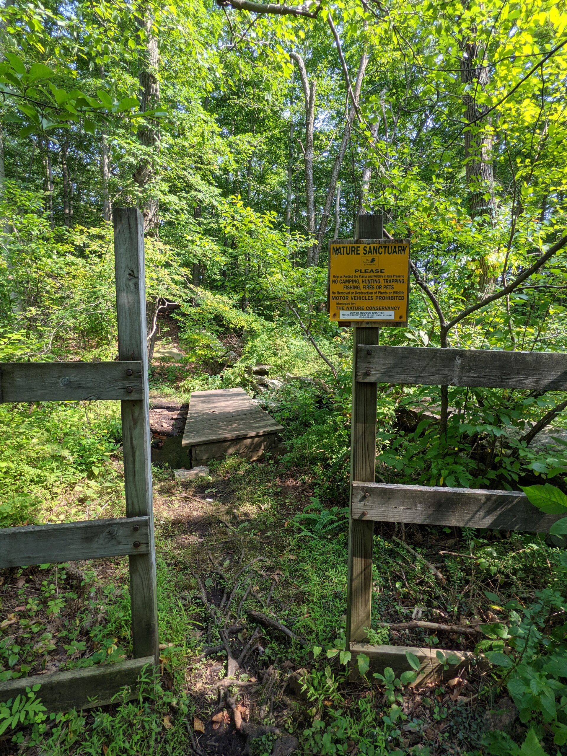
I cut a path up to a more northern part of the Blue Trail, which in hindsight I should not have done because it was not a fun journey up that cliff side. Plus, it goes against etiquette to cut one’s own path through a preserve where the goal is to maintain as much of the natural habitat as possible. I know better than to do this!
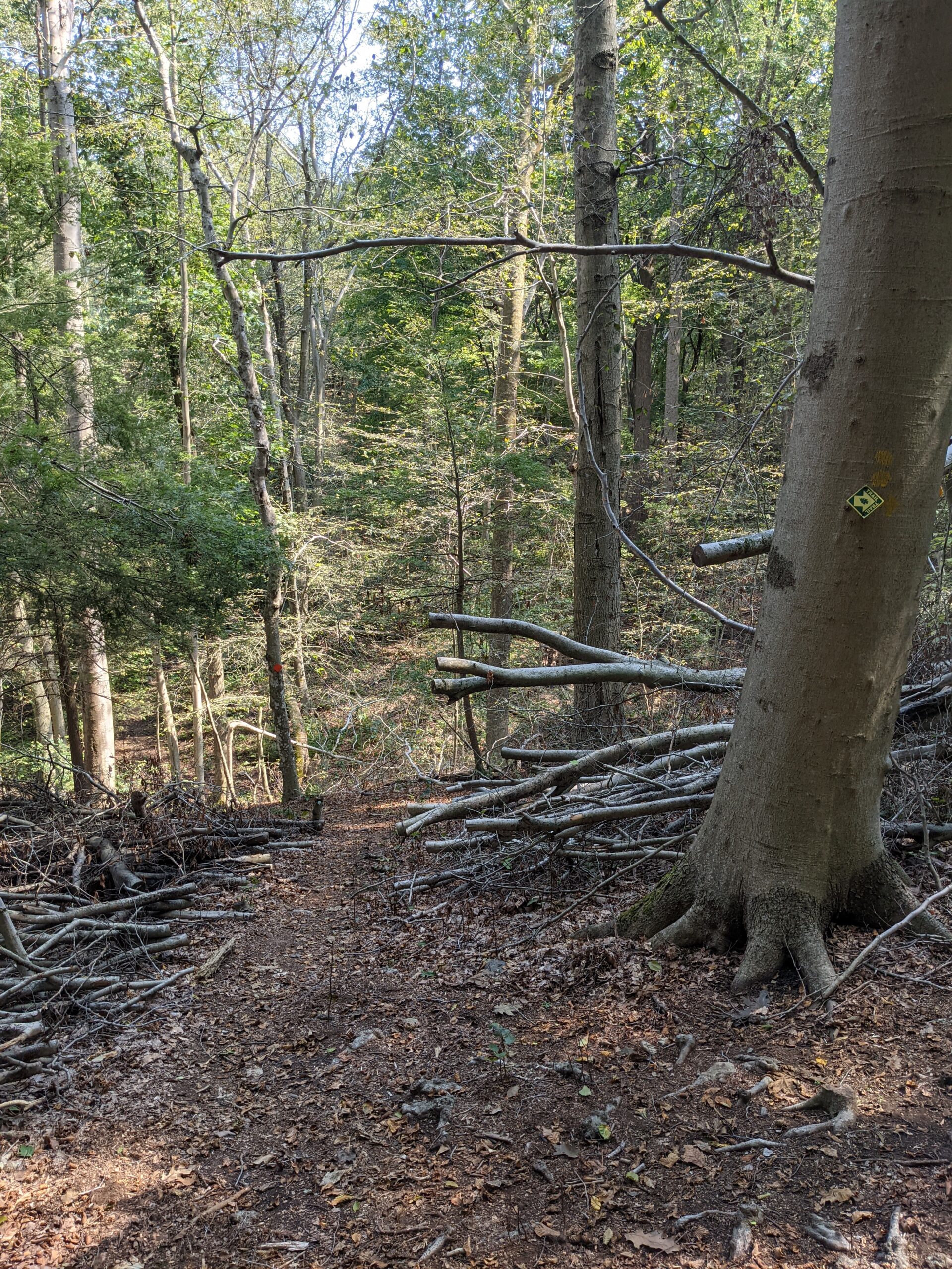
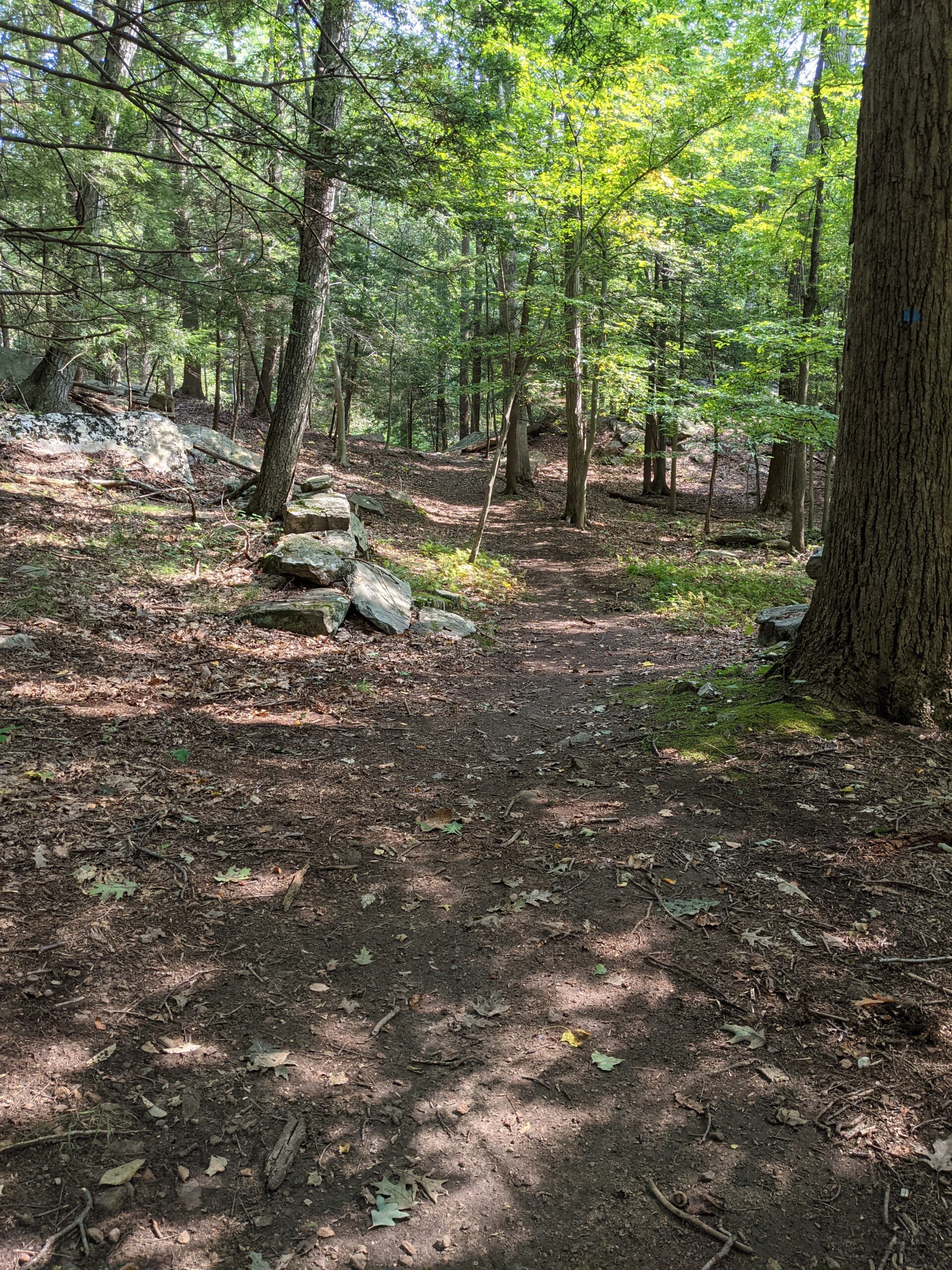
I followed the Blue Trail all the way north until it met up with the Red Trail. After 2/10 of a mile, I turned right (west) onto the White Trail, which connected me back to the Orange Trail. I followed the Orange Trail south until connecting with the Yellow Trail which I originally took into this part of the preserve. This time through, I took the southern loop of the Yellow Trail, eventually meeting back with the Walking Trail.
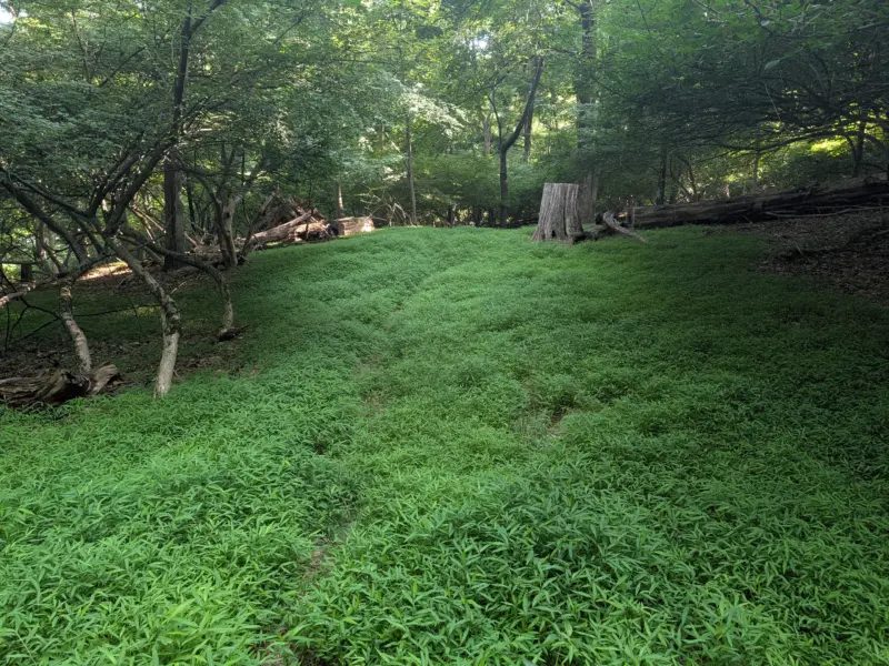
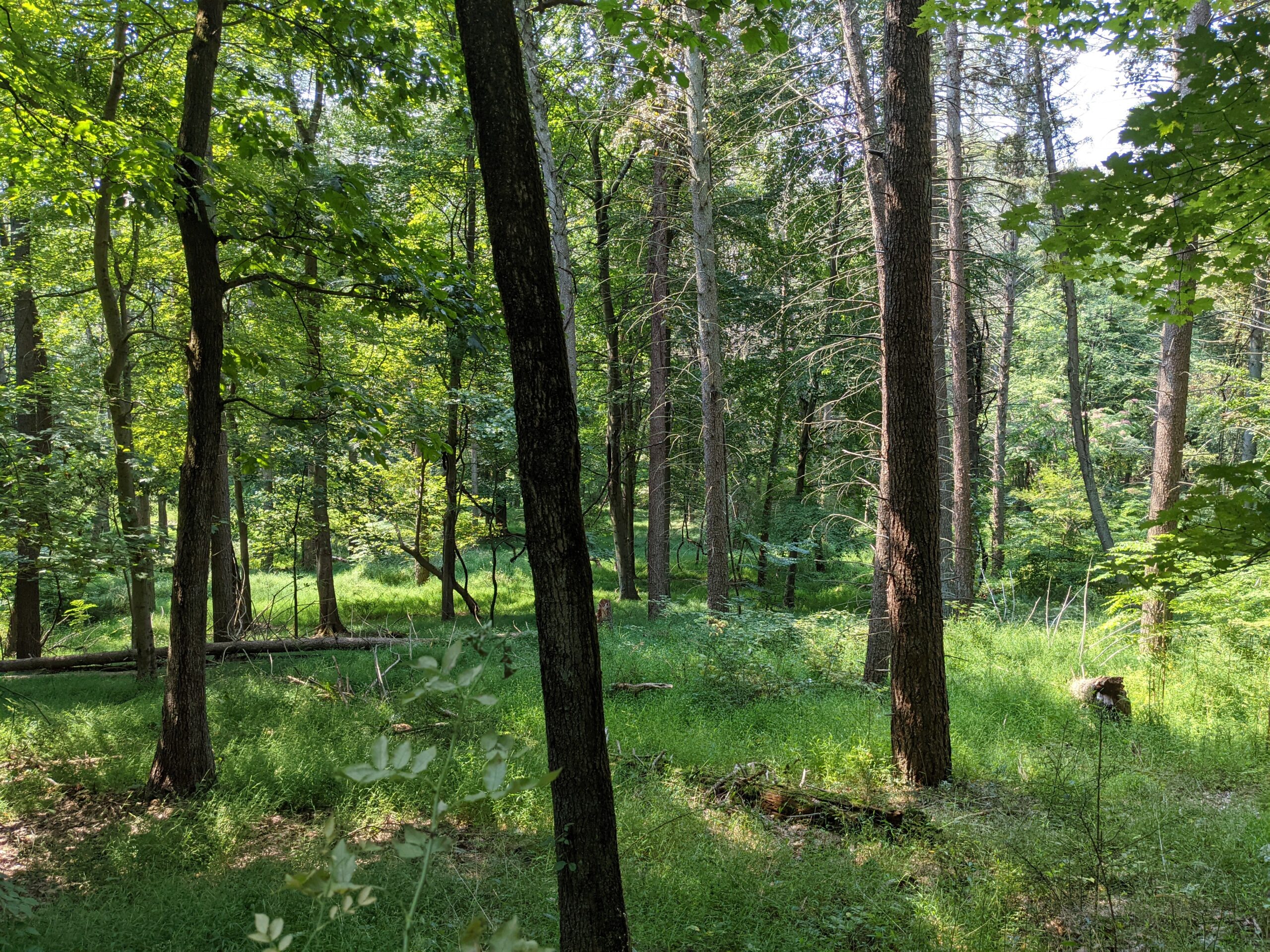
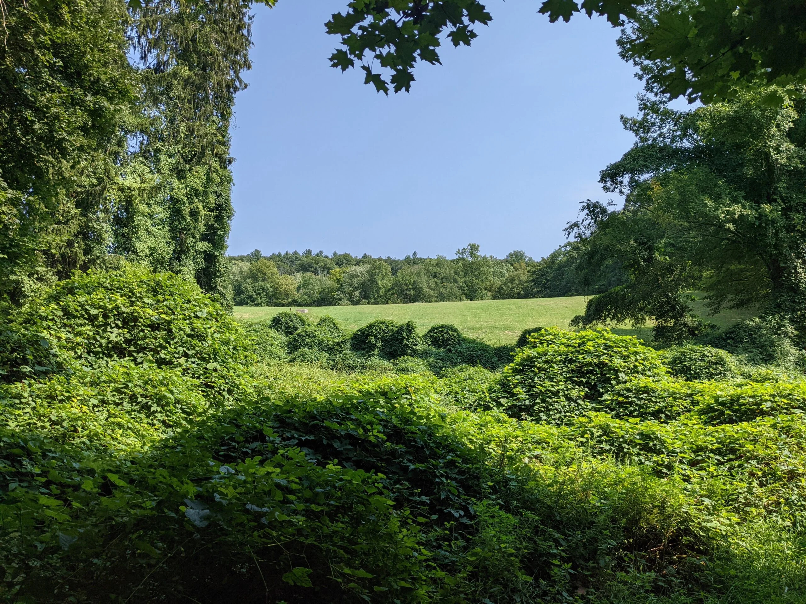
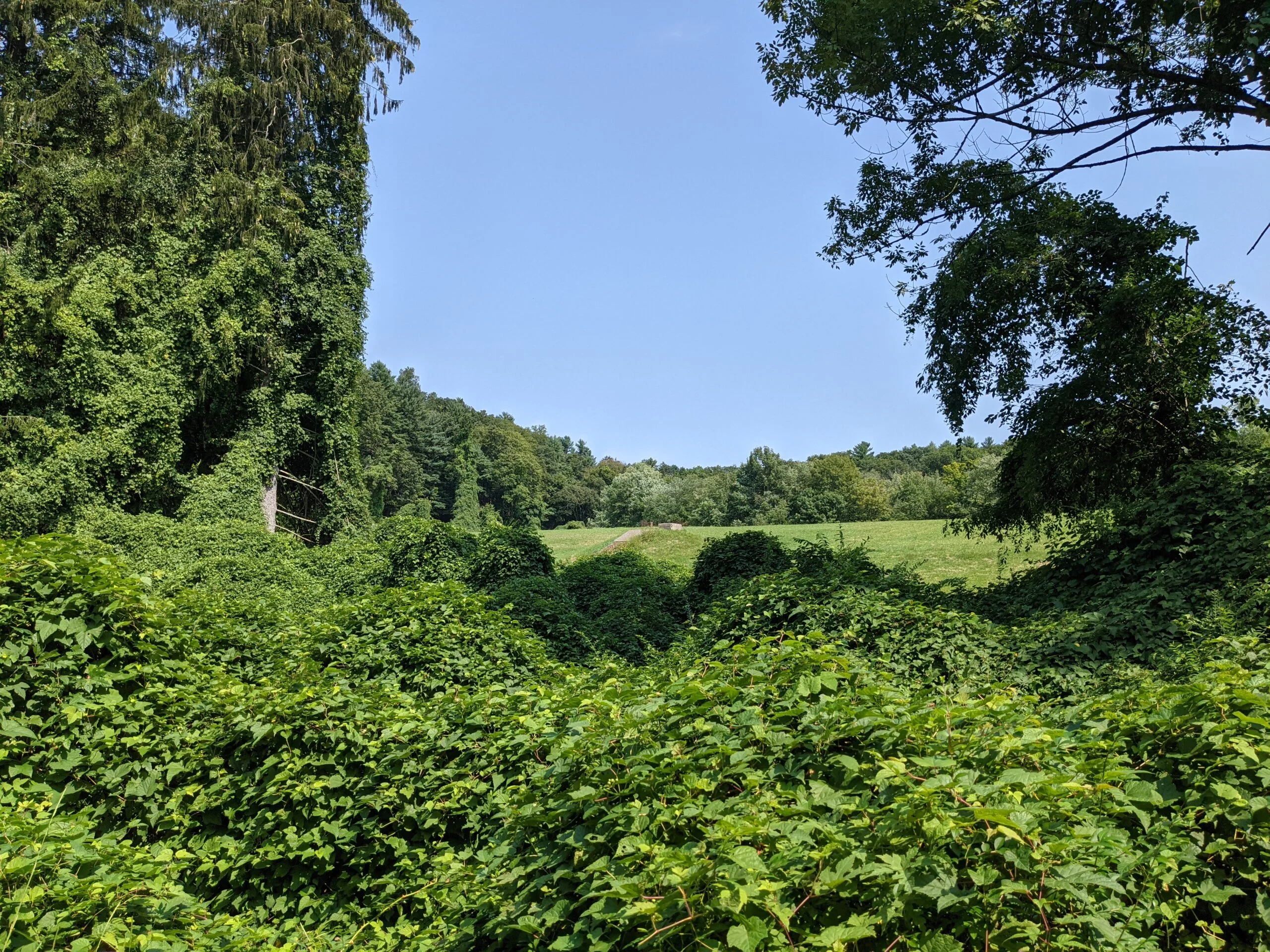
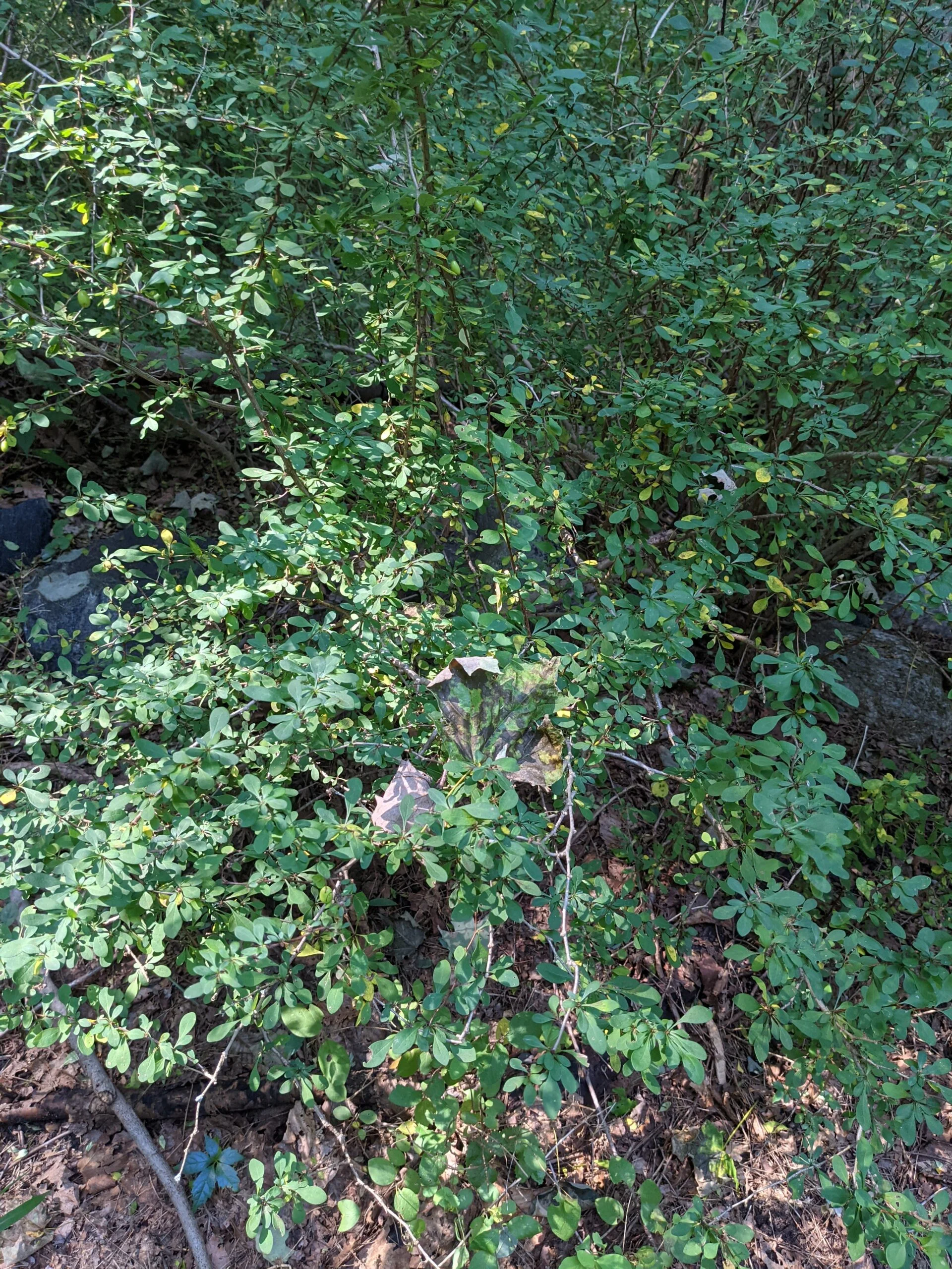
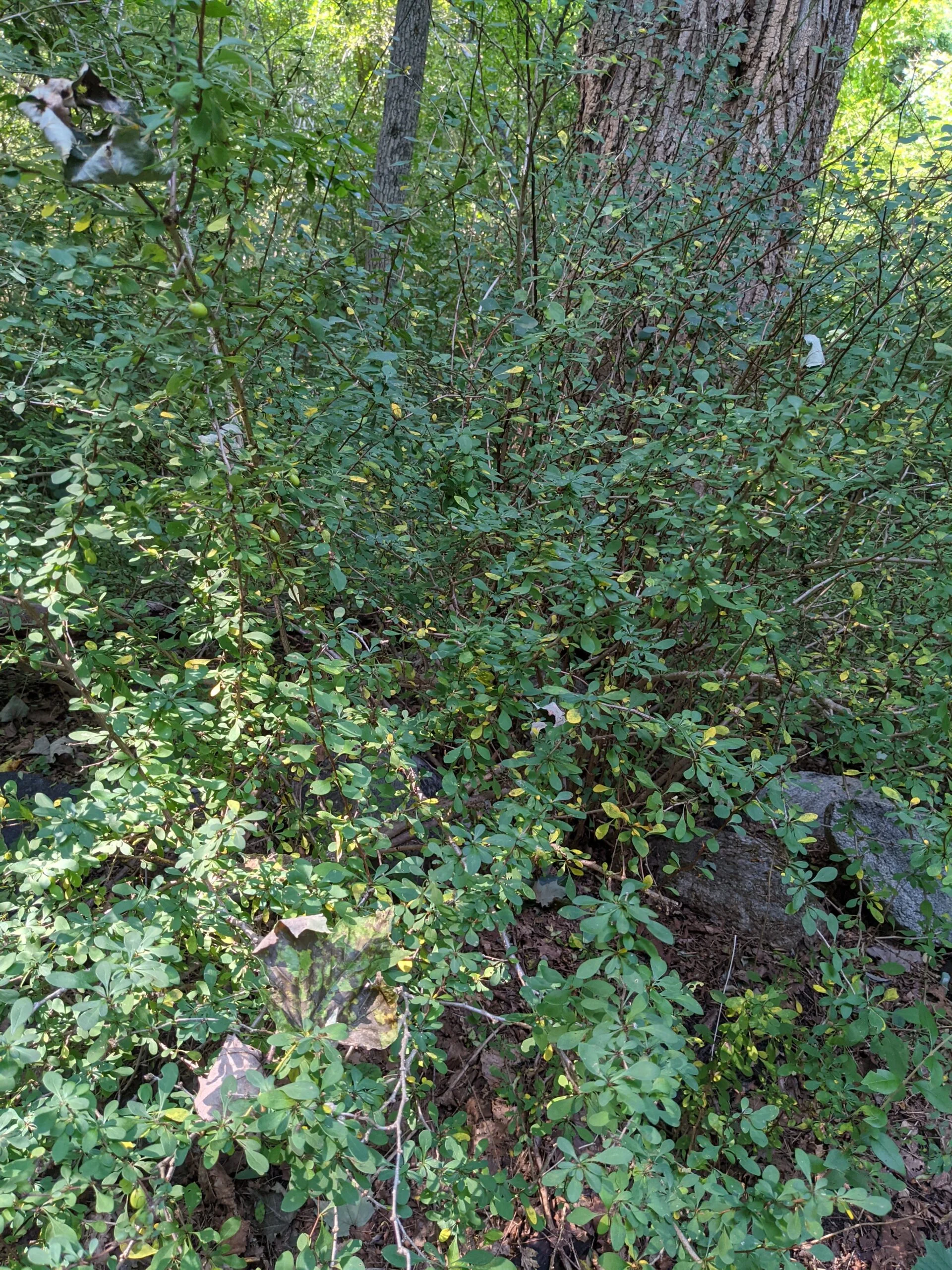
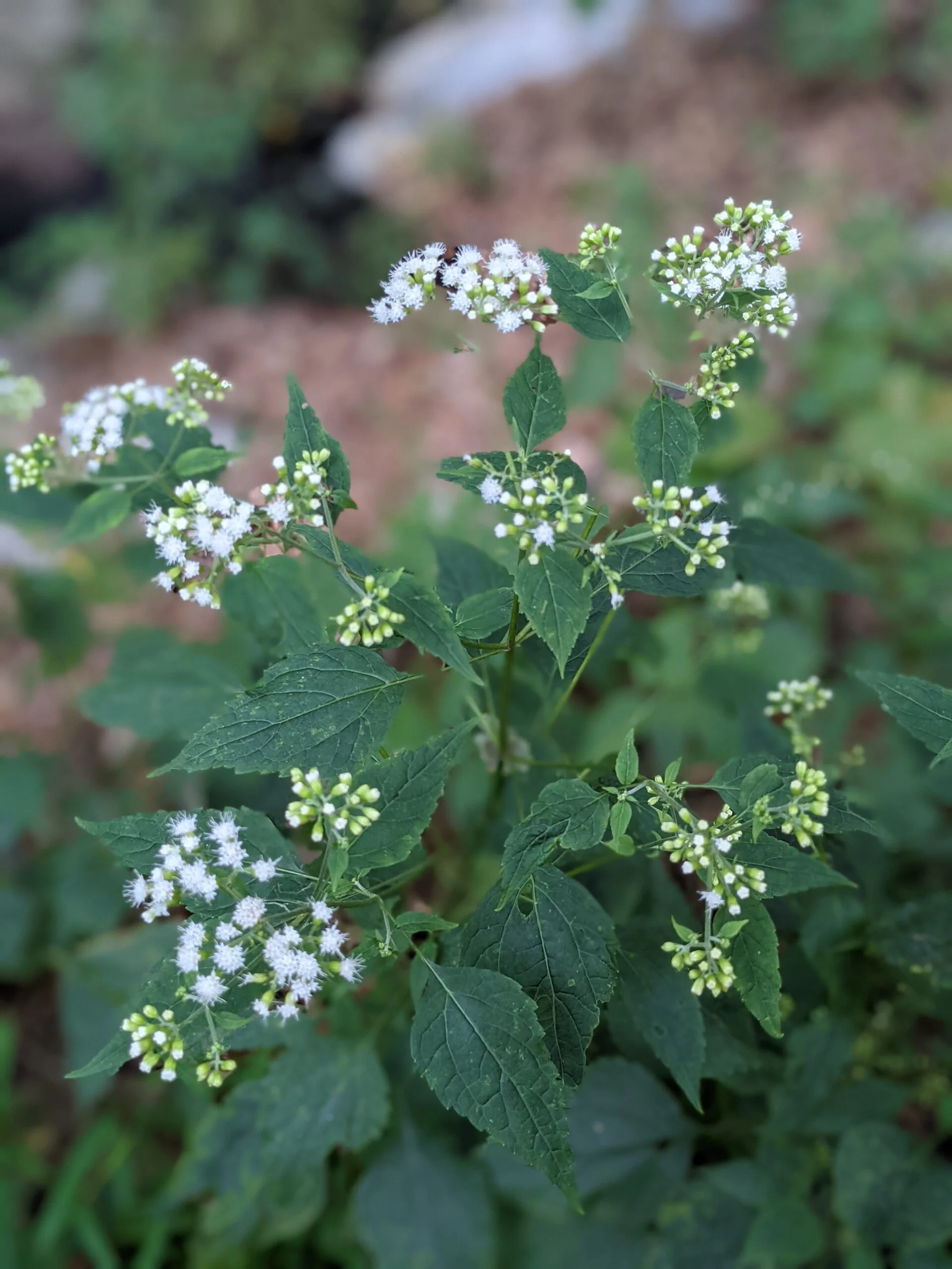
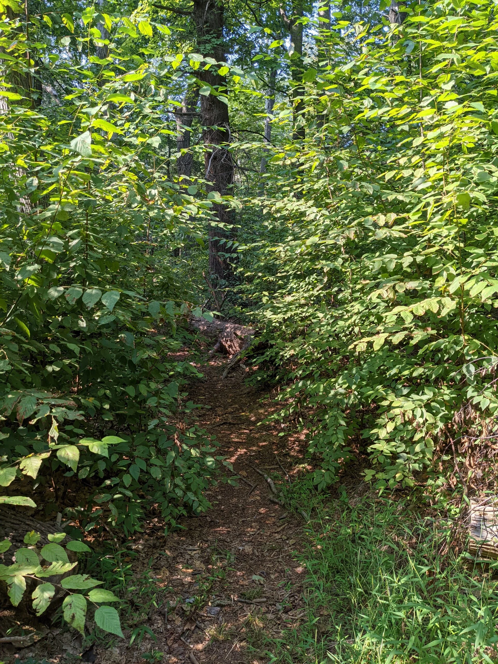
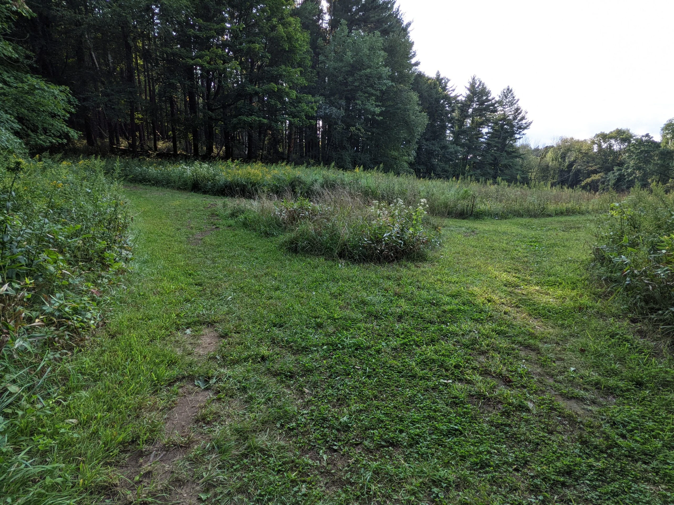
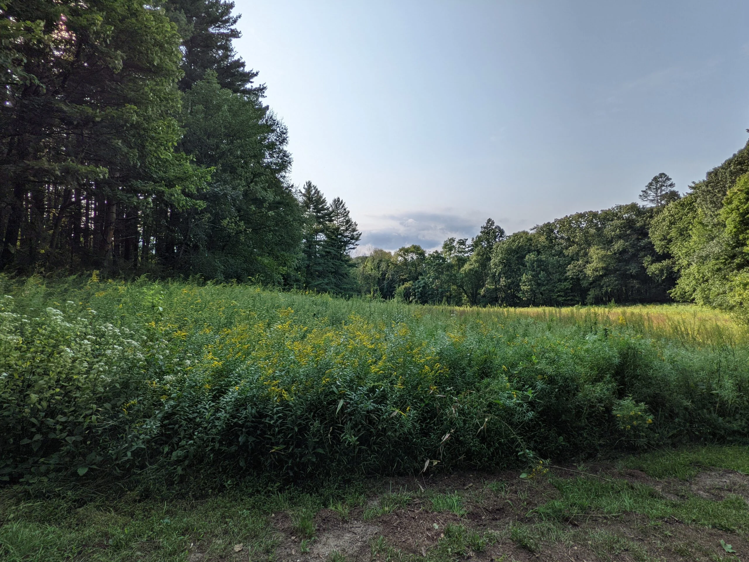
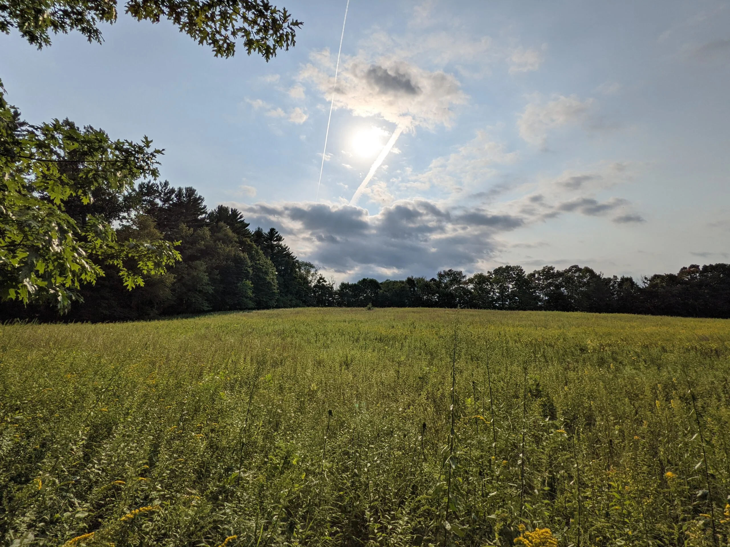
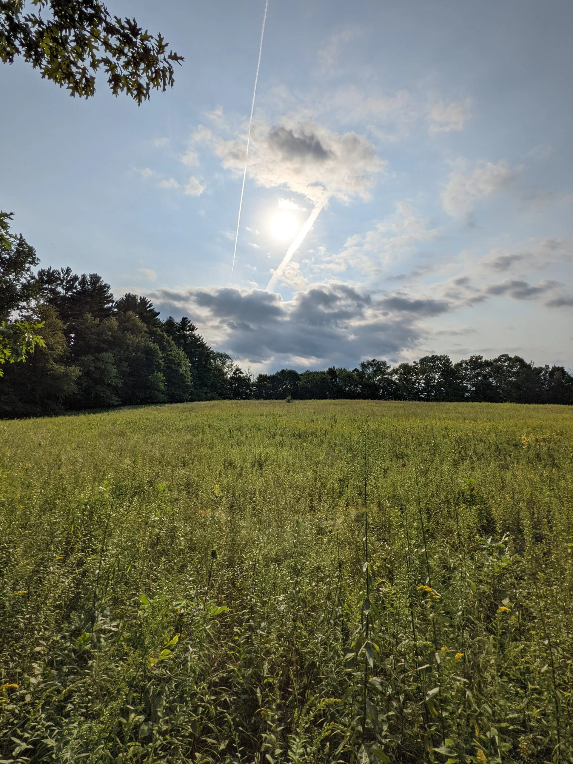
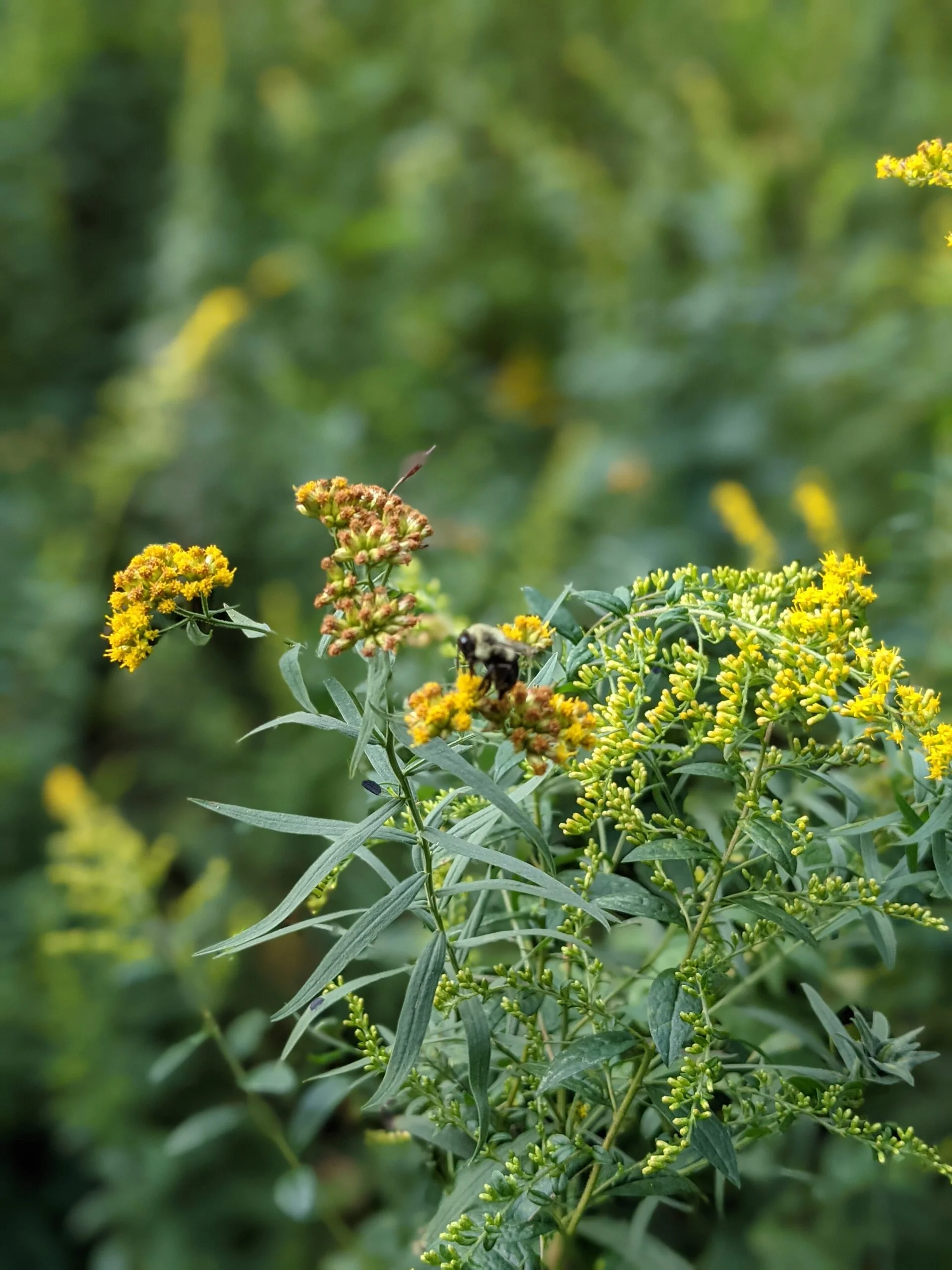
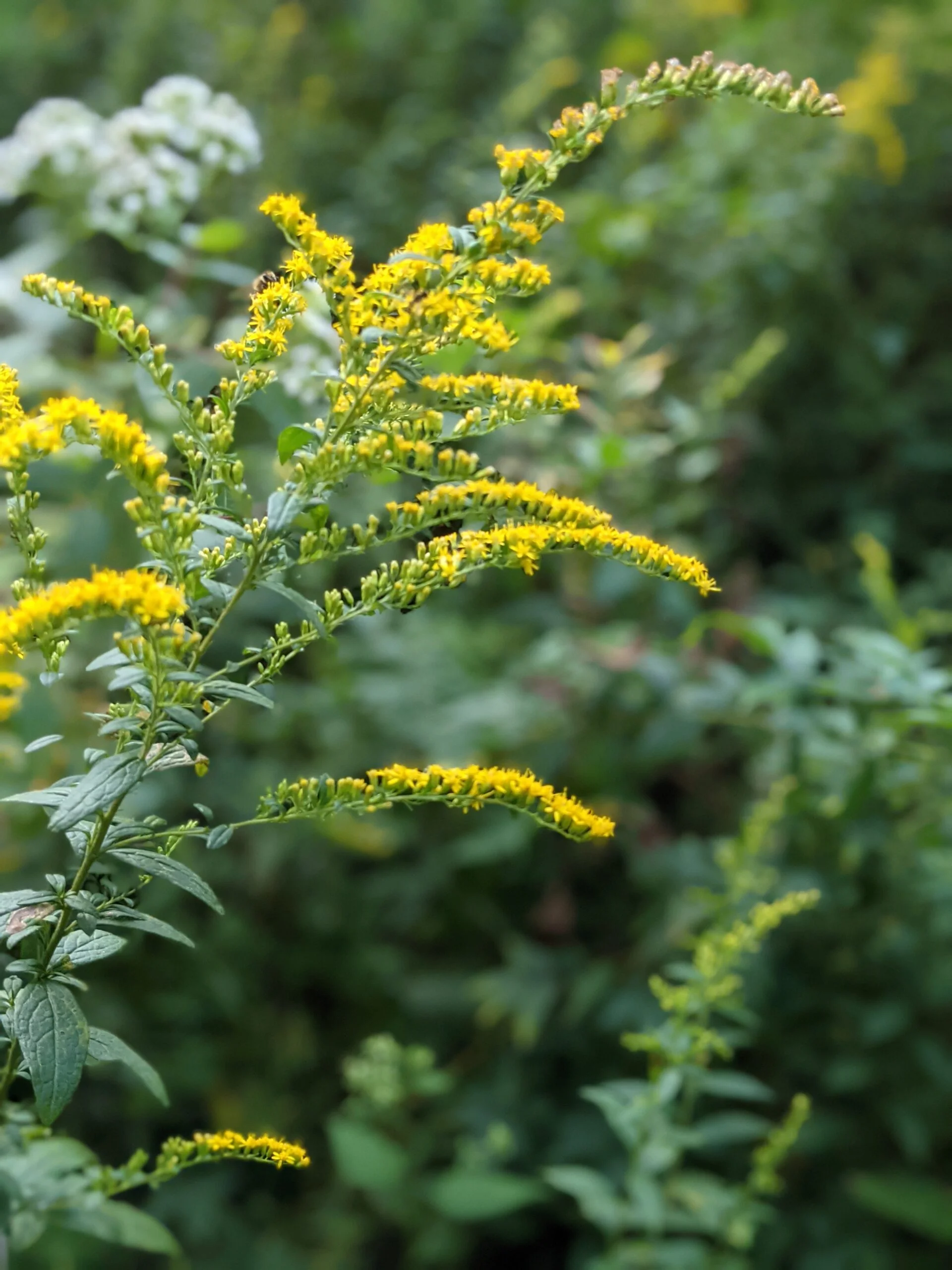
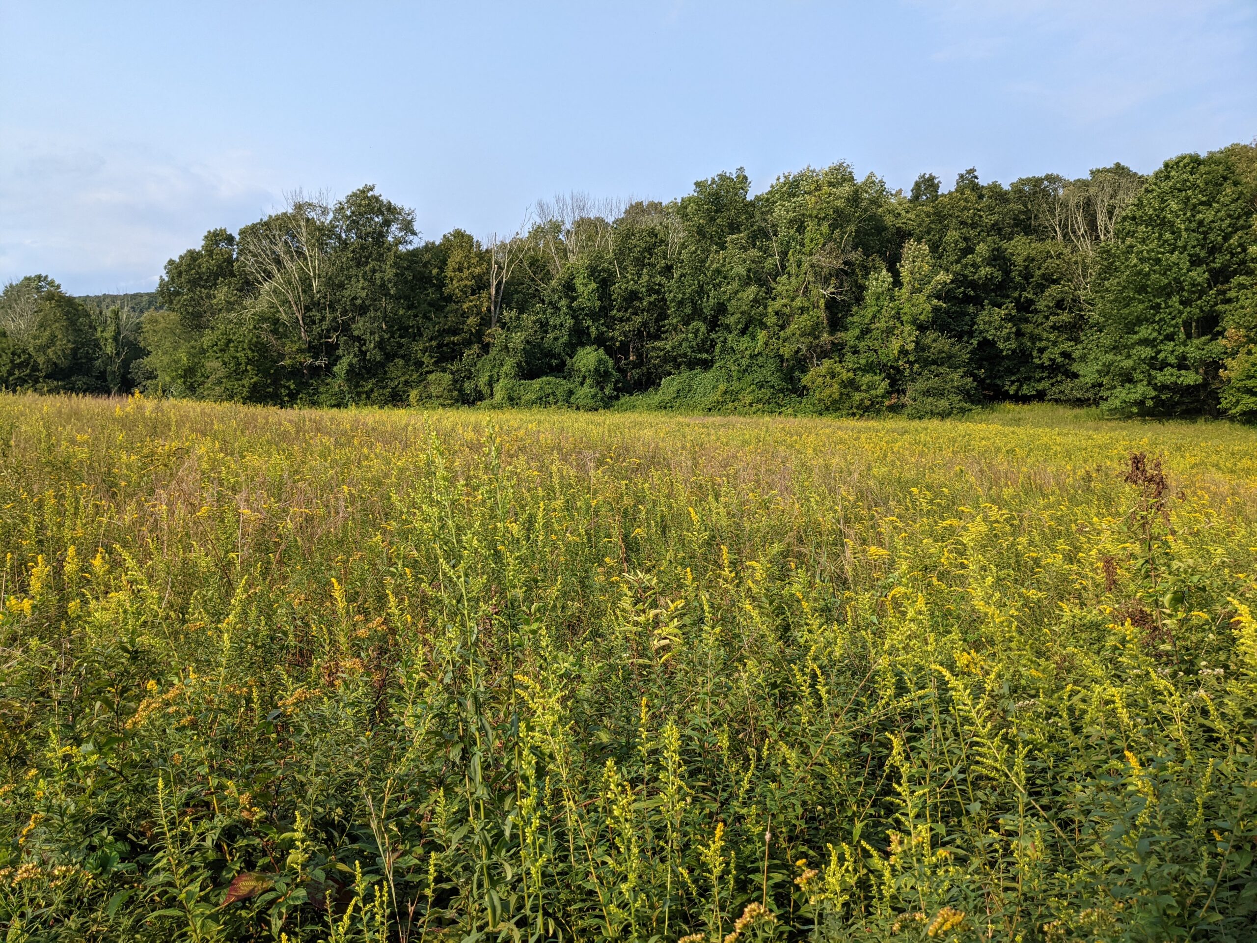
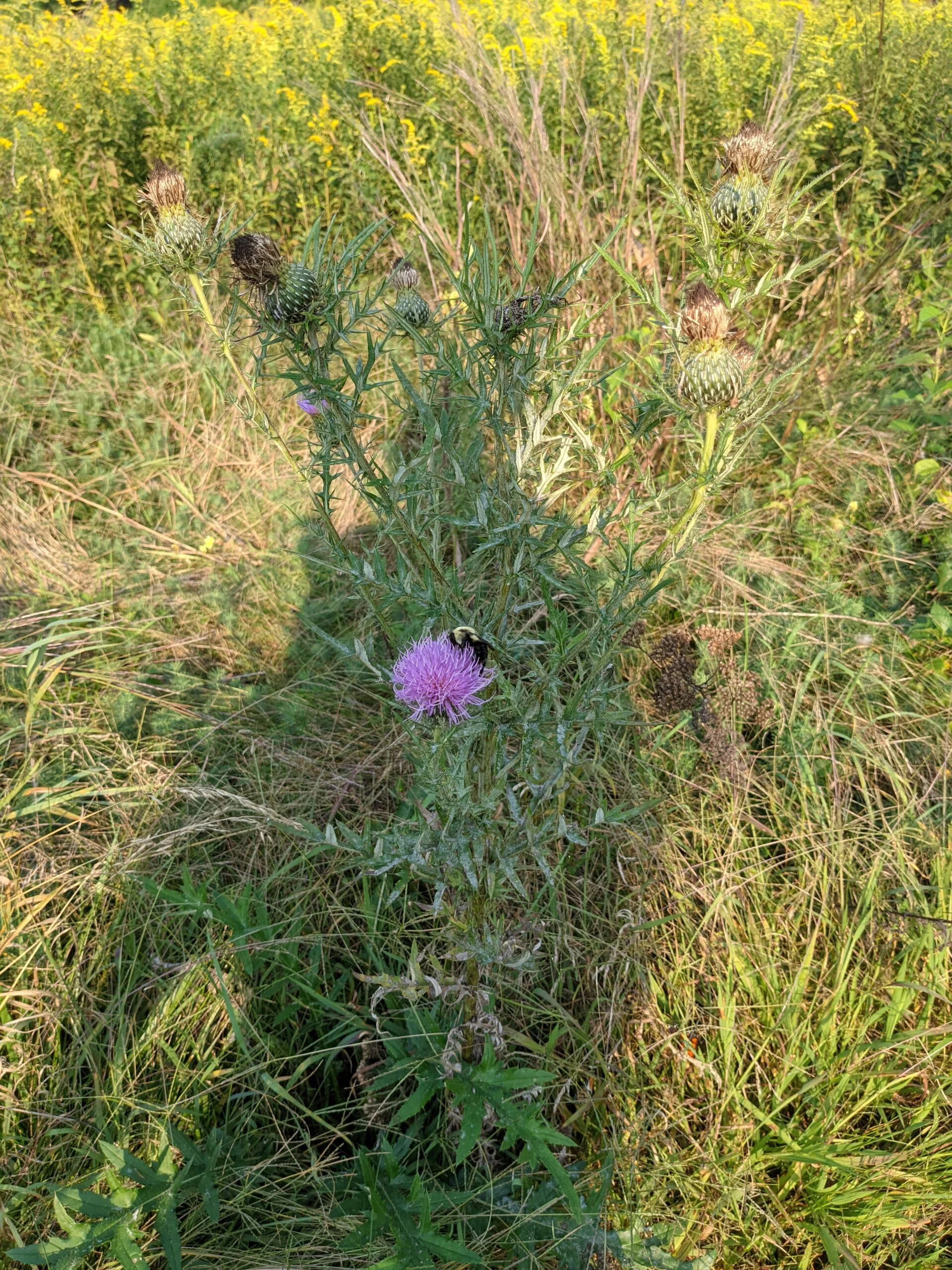
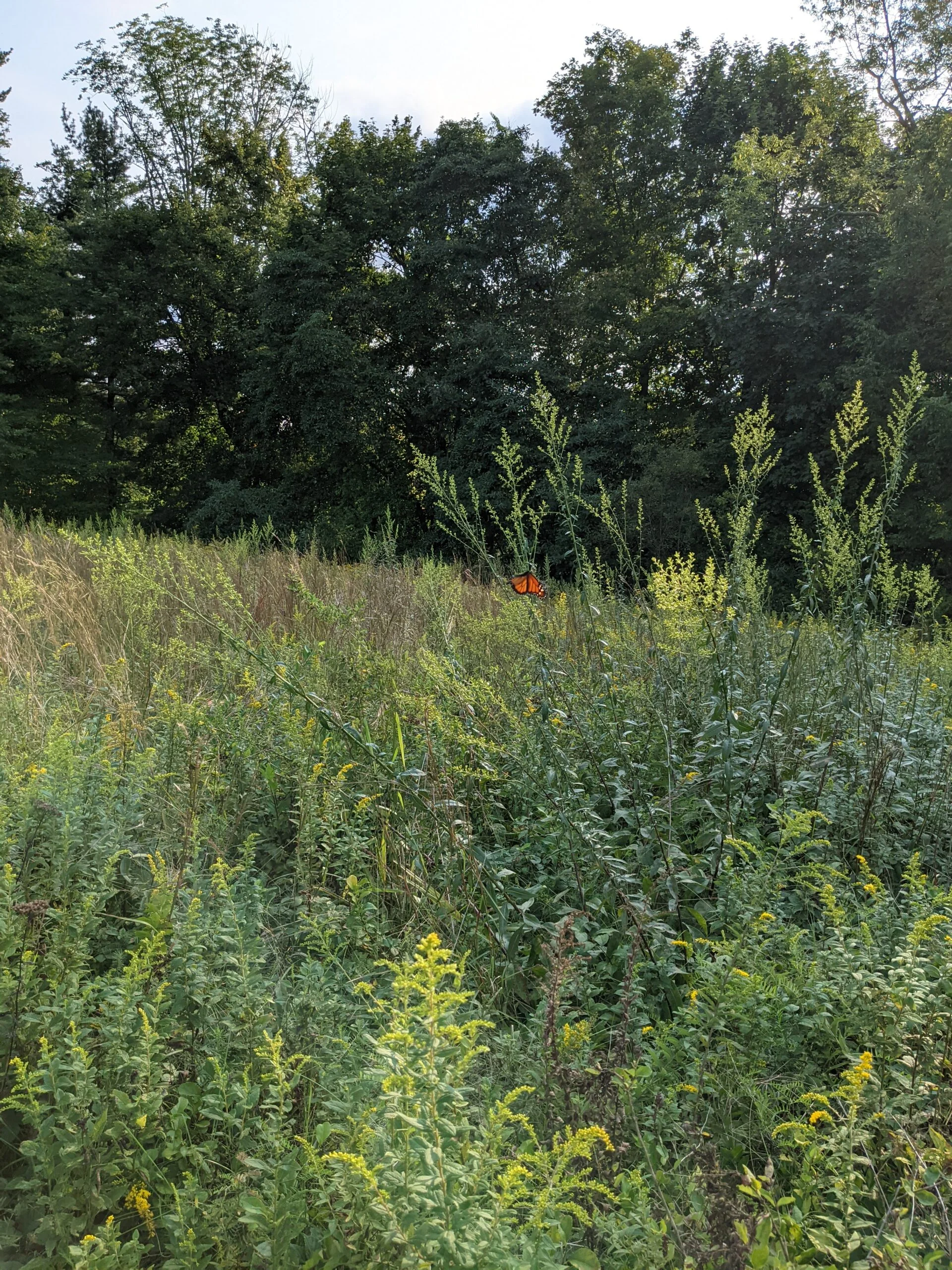
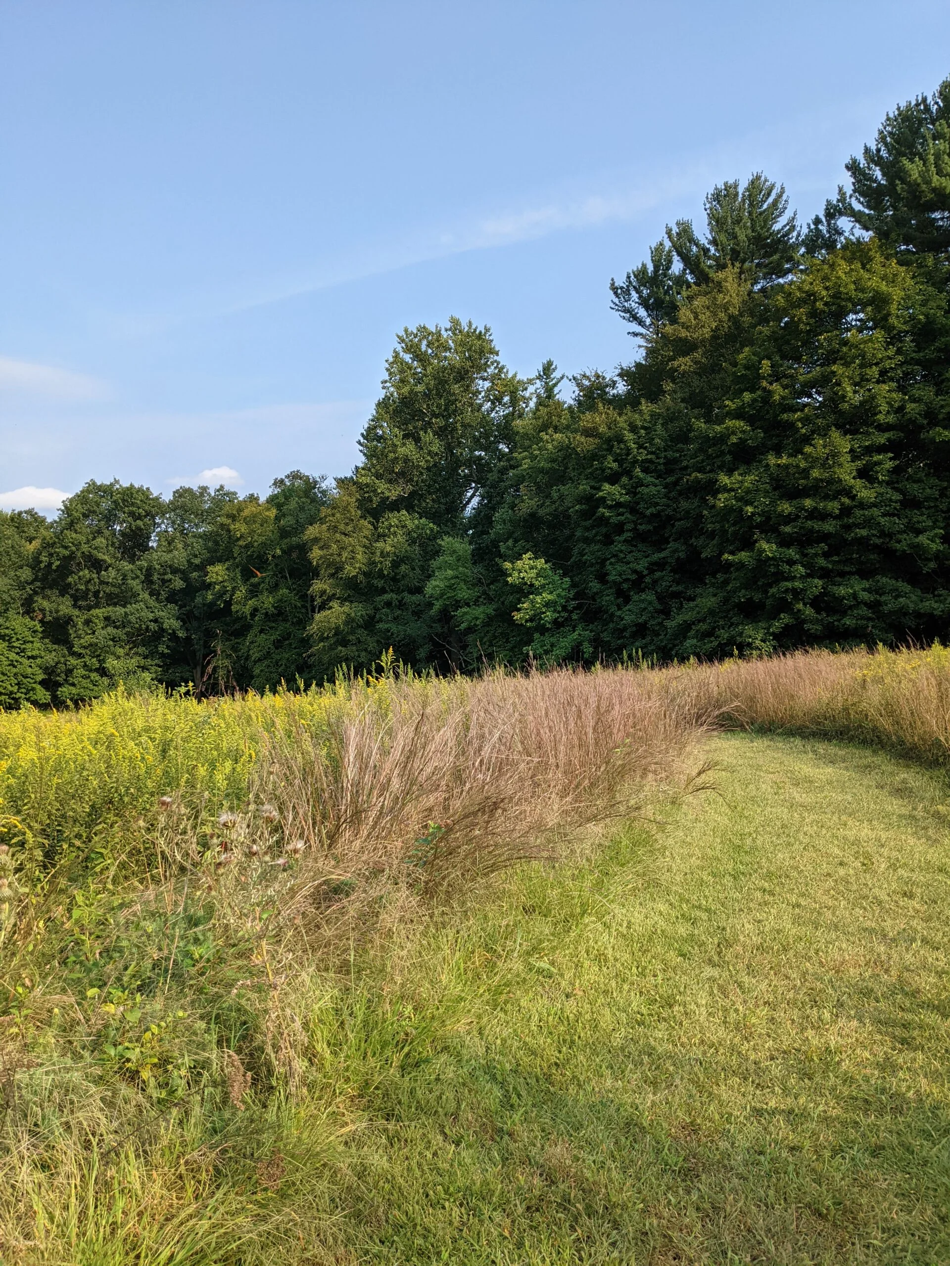
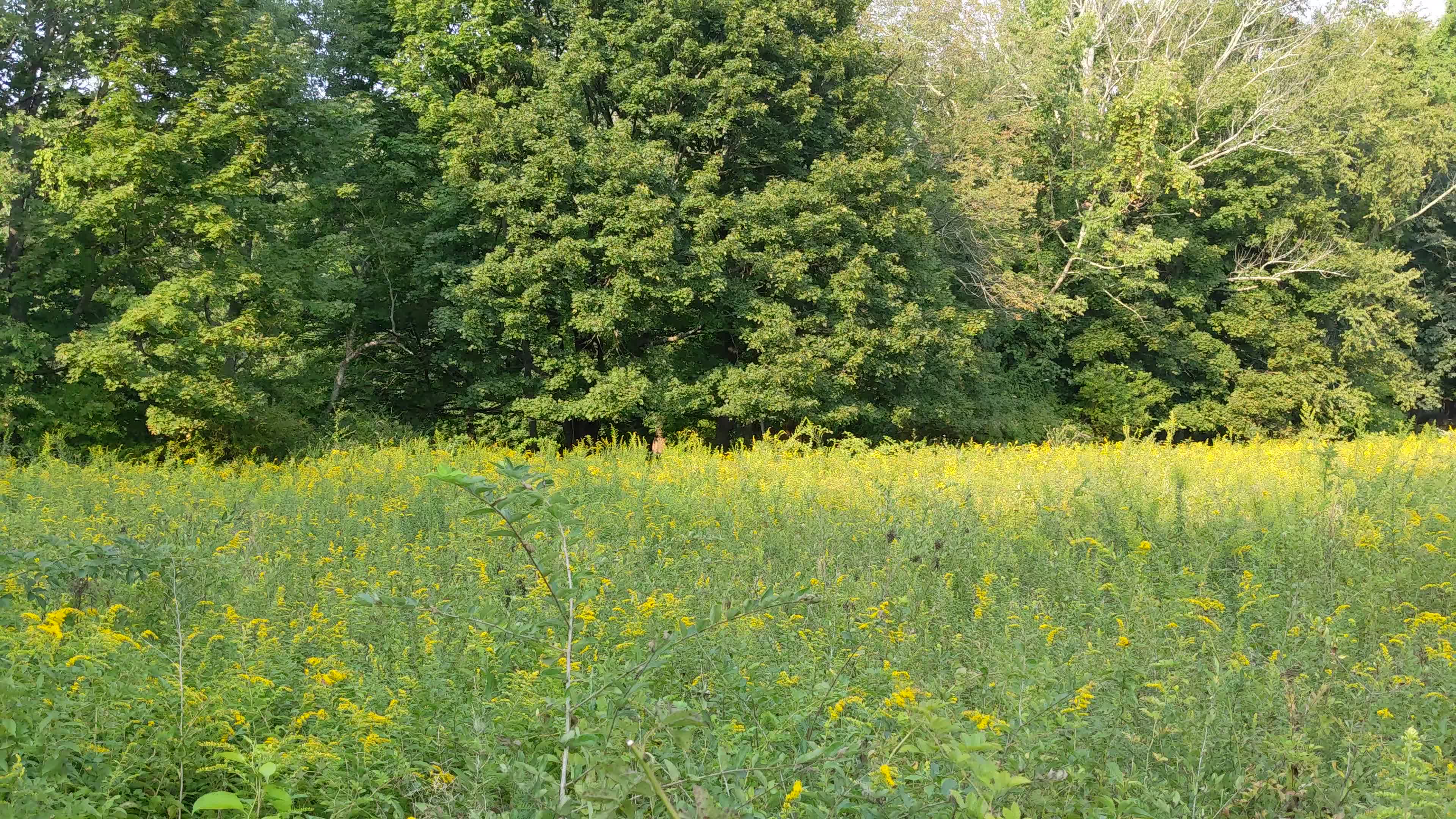
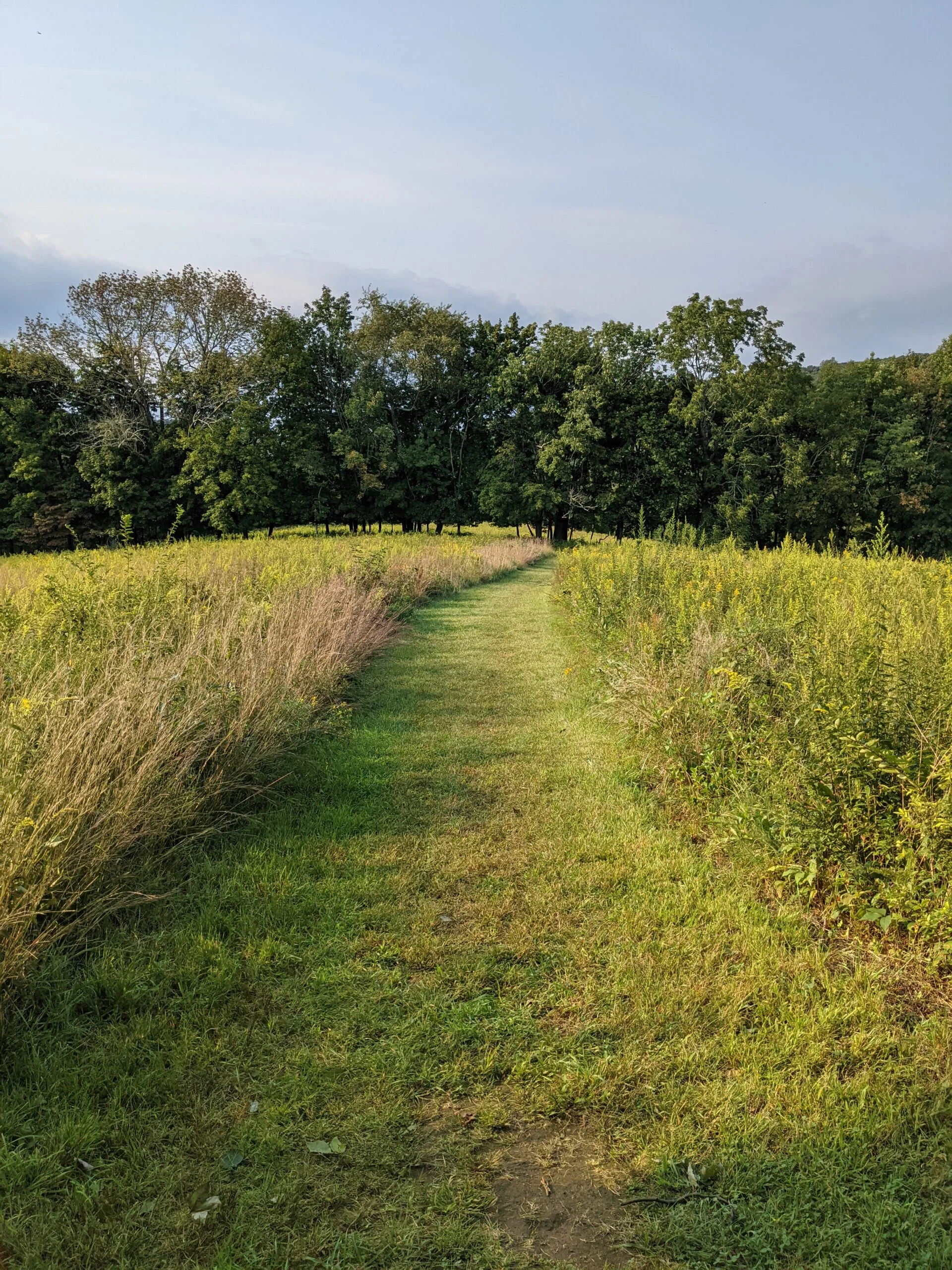
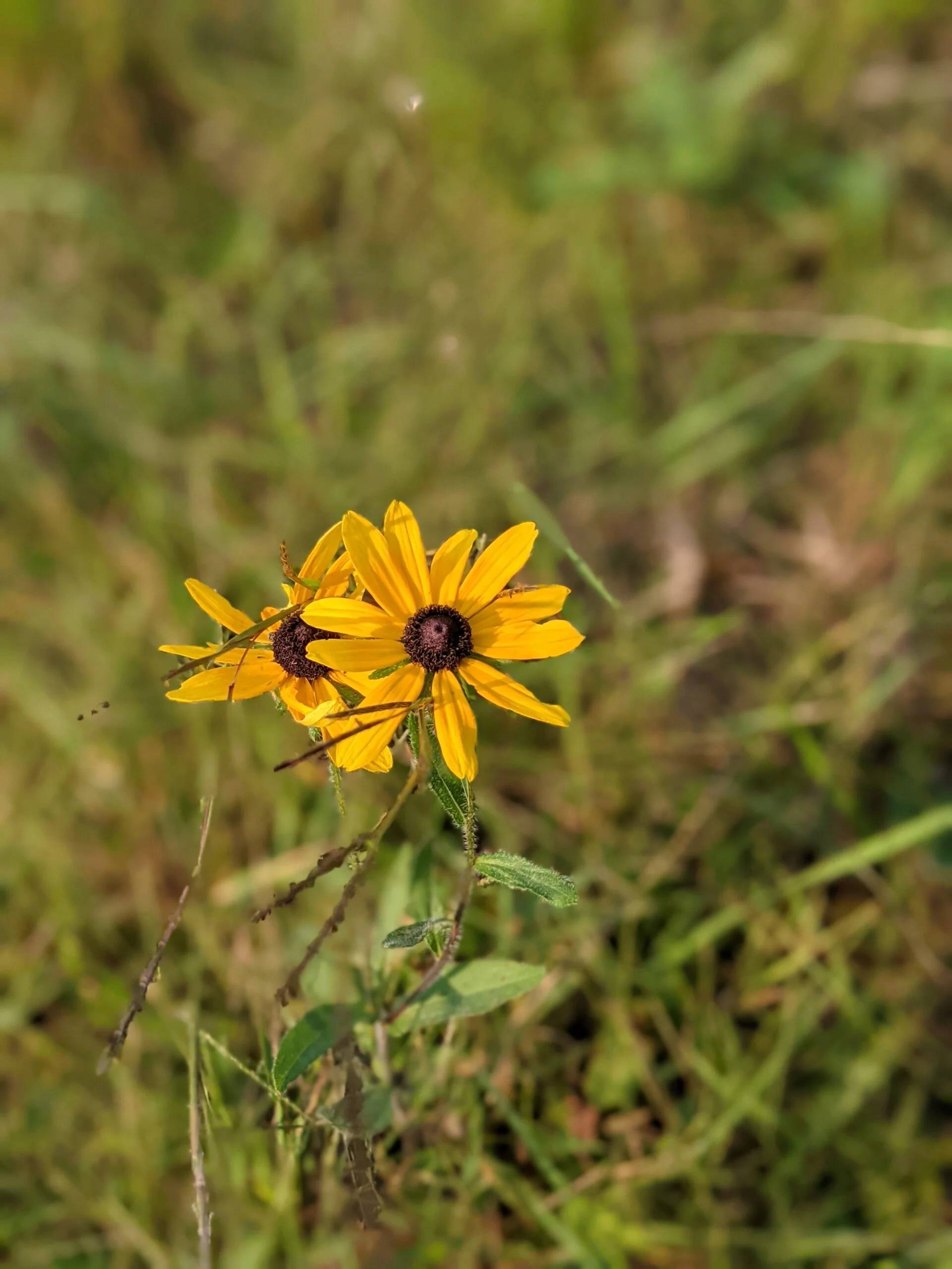
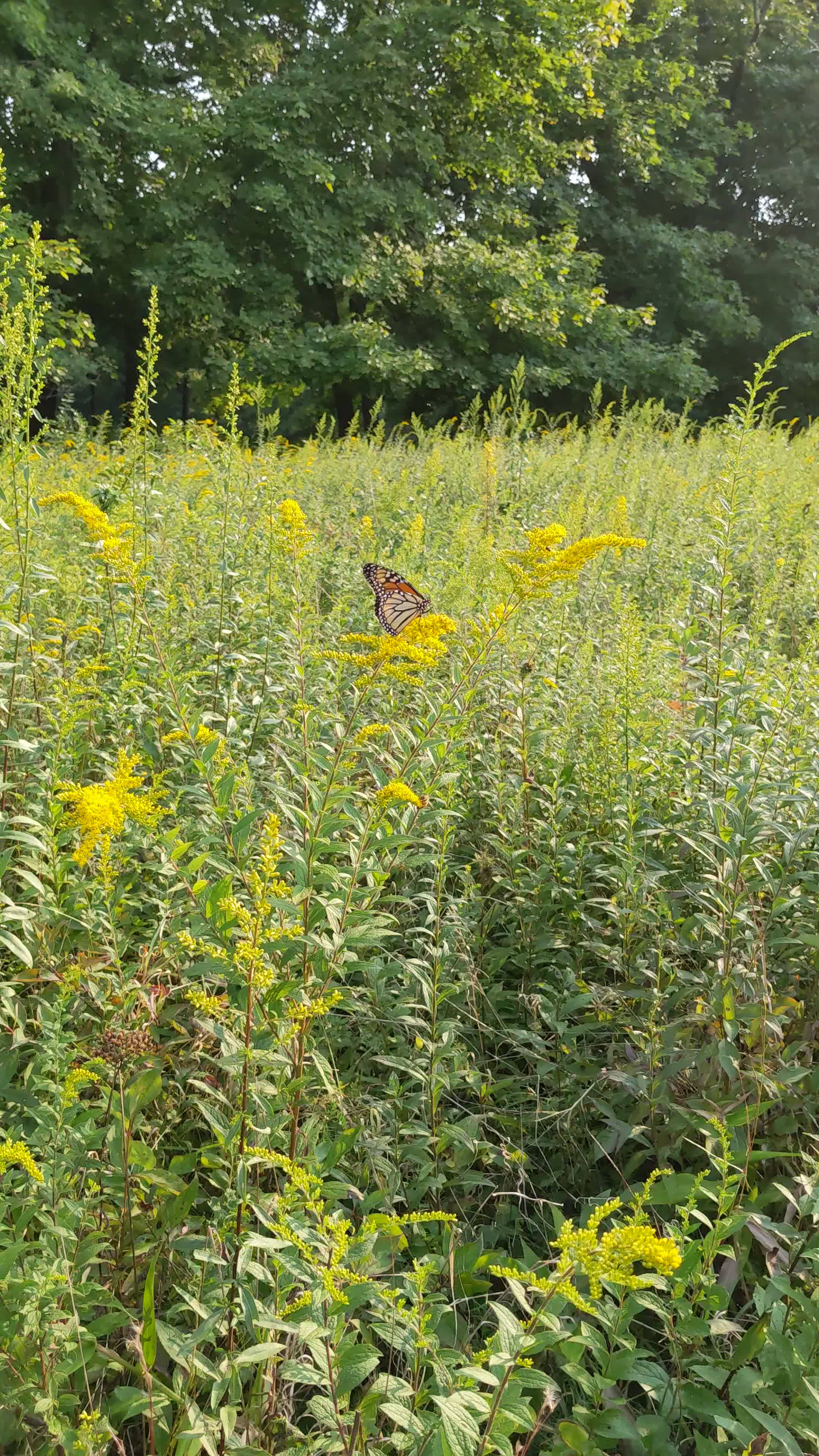
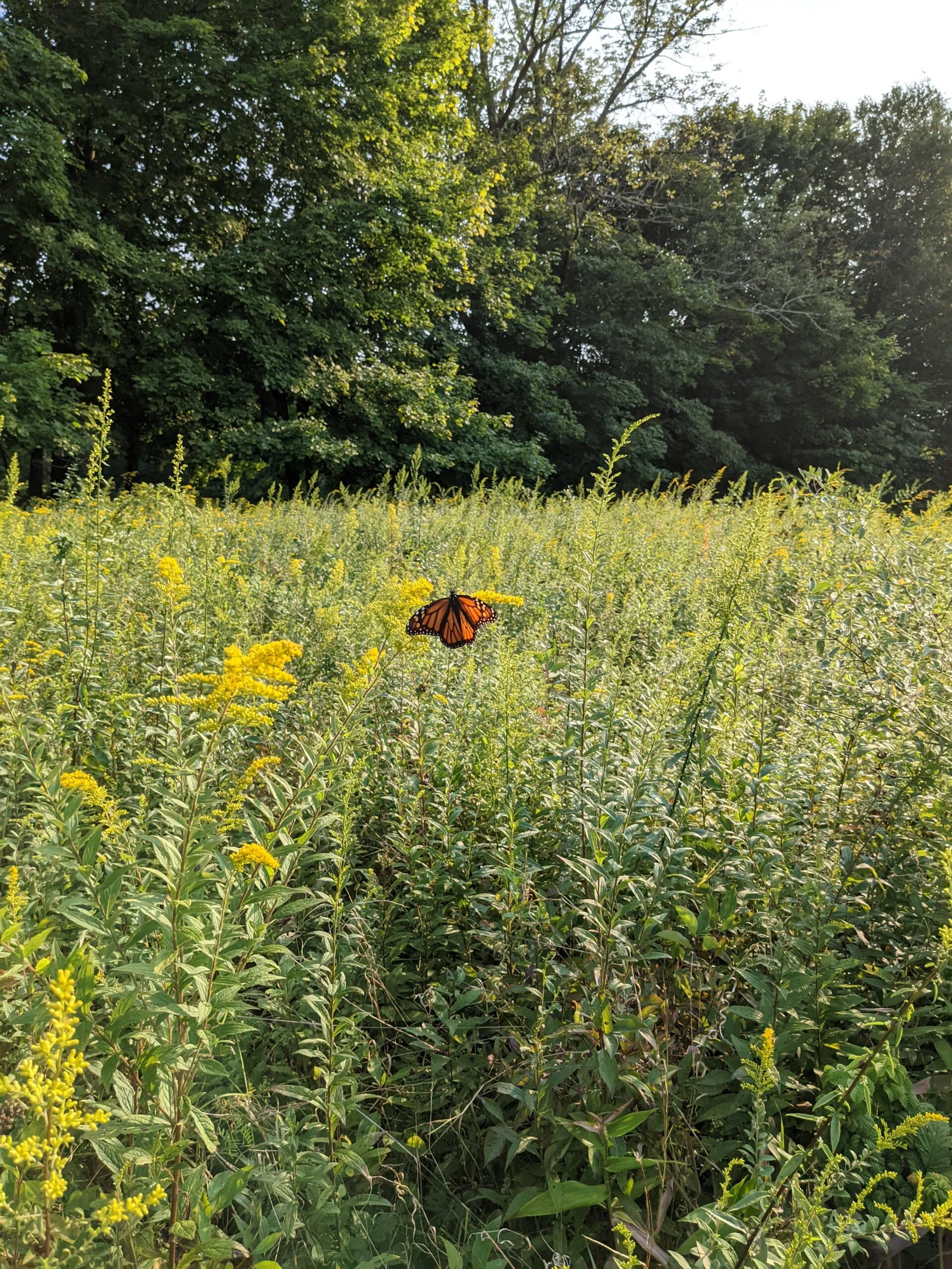
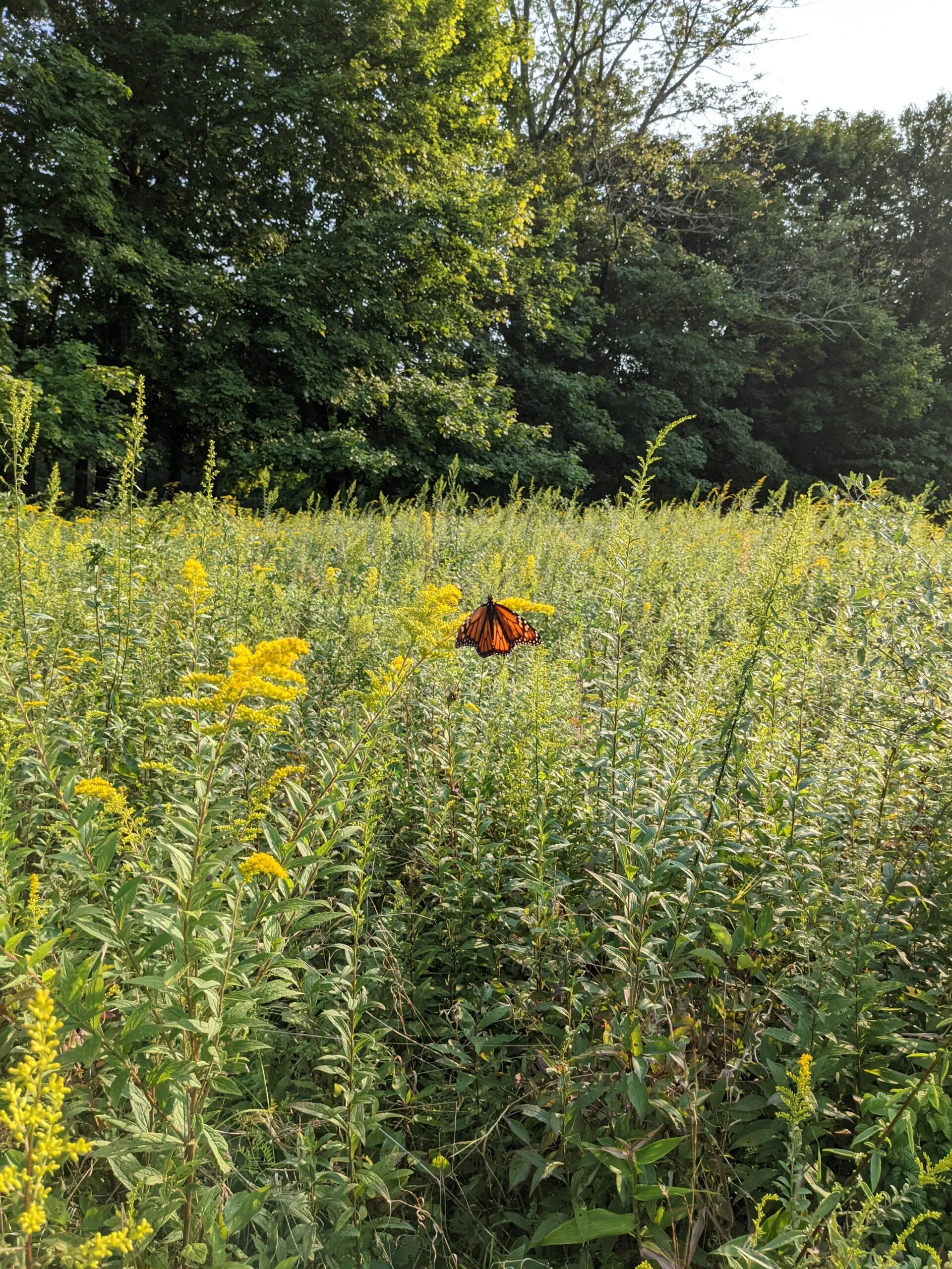
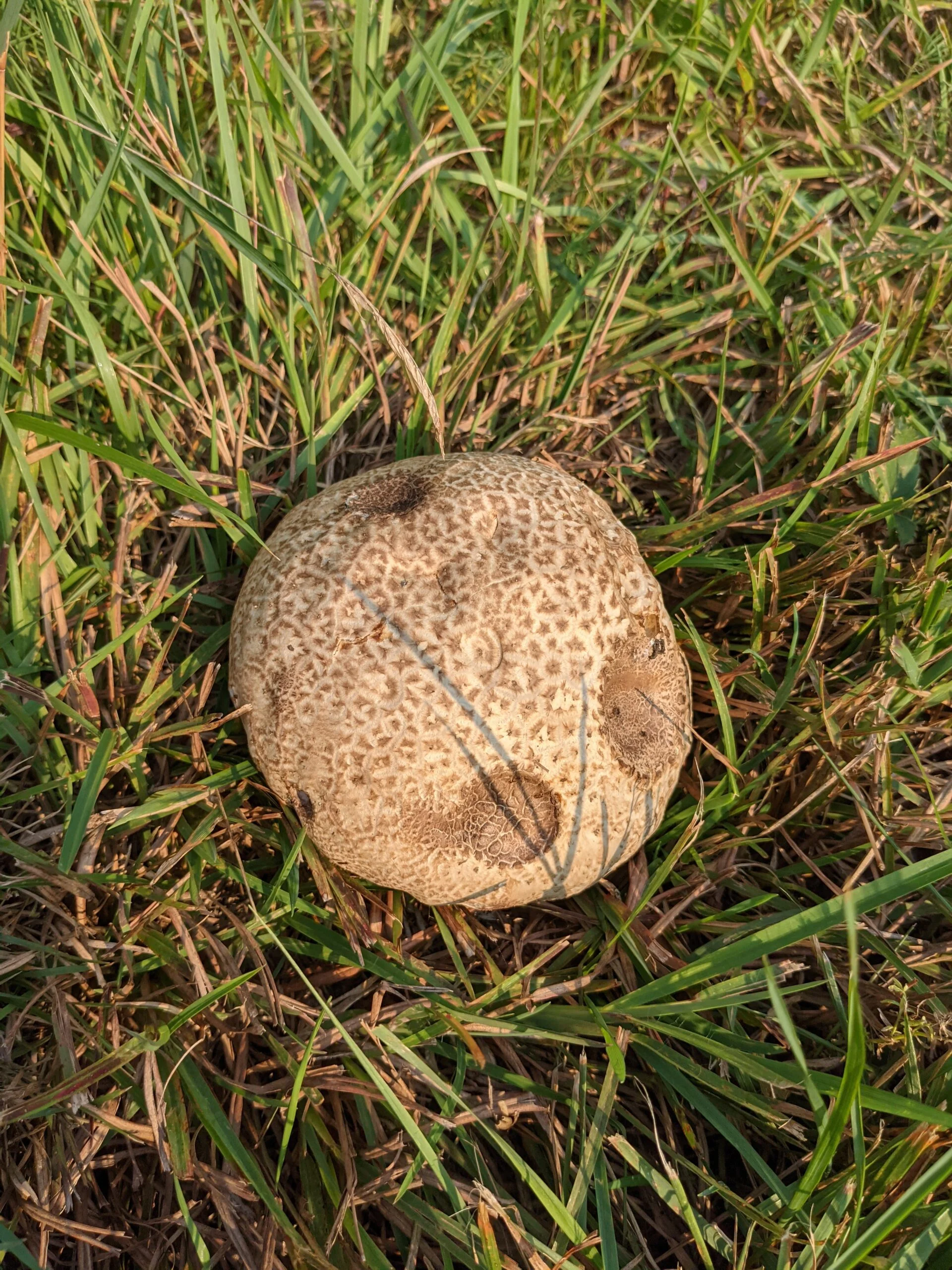
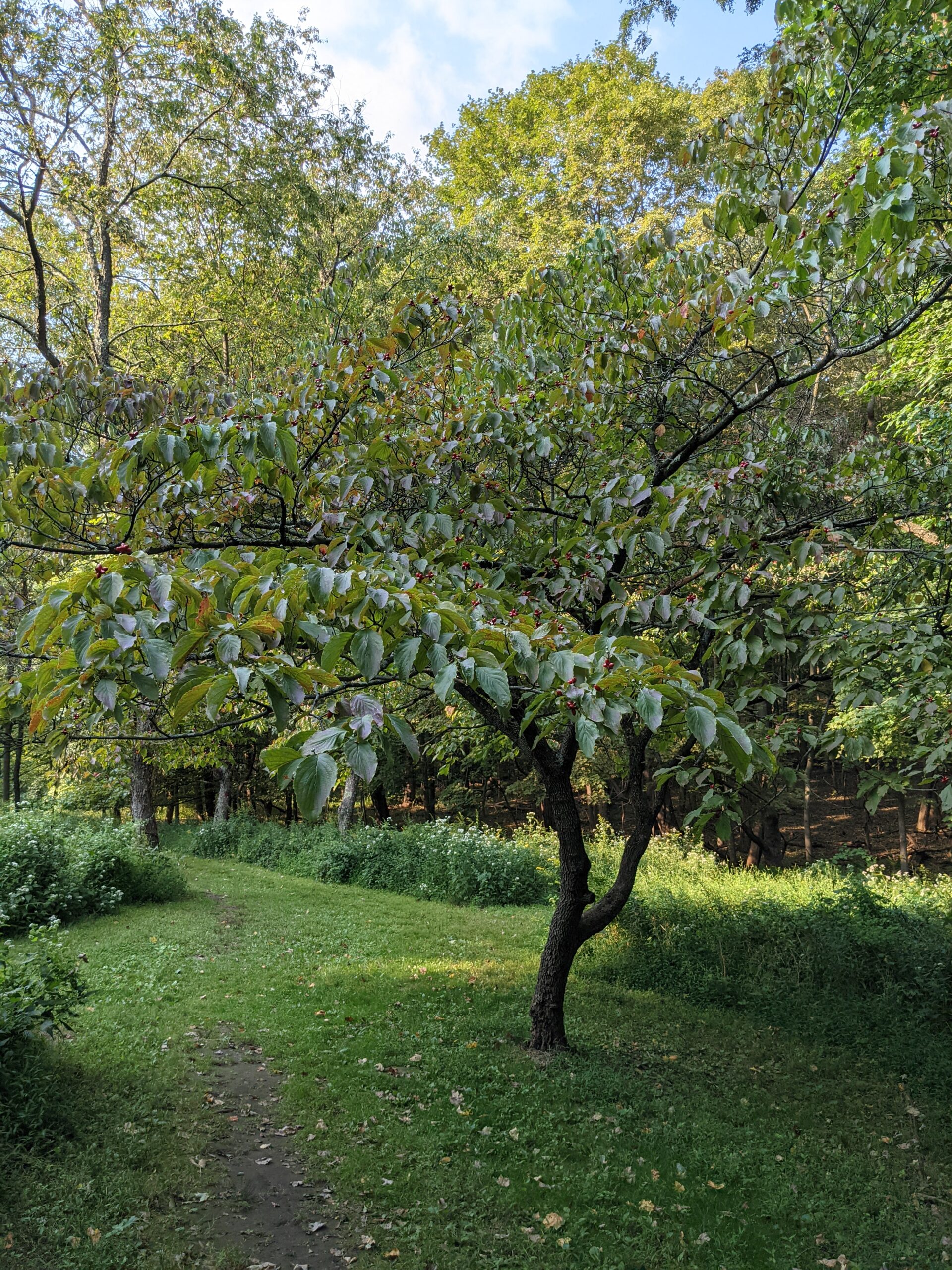
When the Walking Trail met the Red Trail, I took the Red Trail left (west). At this point, there were a ton of options of various trails to take through the Upper Meadows section of the preserve. I chose to first follow the path through the pine forest, which eventually led me back to the open meadow area. There are a series of maze-like mowed paths cut through the middle of several large fields containing wild flowers and other brush. What was really cool about this area was the abundance of insects. I was able to get photos and videos of various bumble bees, honey bees, butterflies, and dragonflies. I originally thought walking through the meadow would be uneventful, but I’m happy I took this path as it was very rewarding.
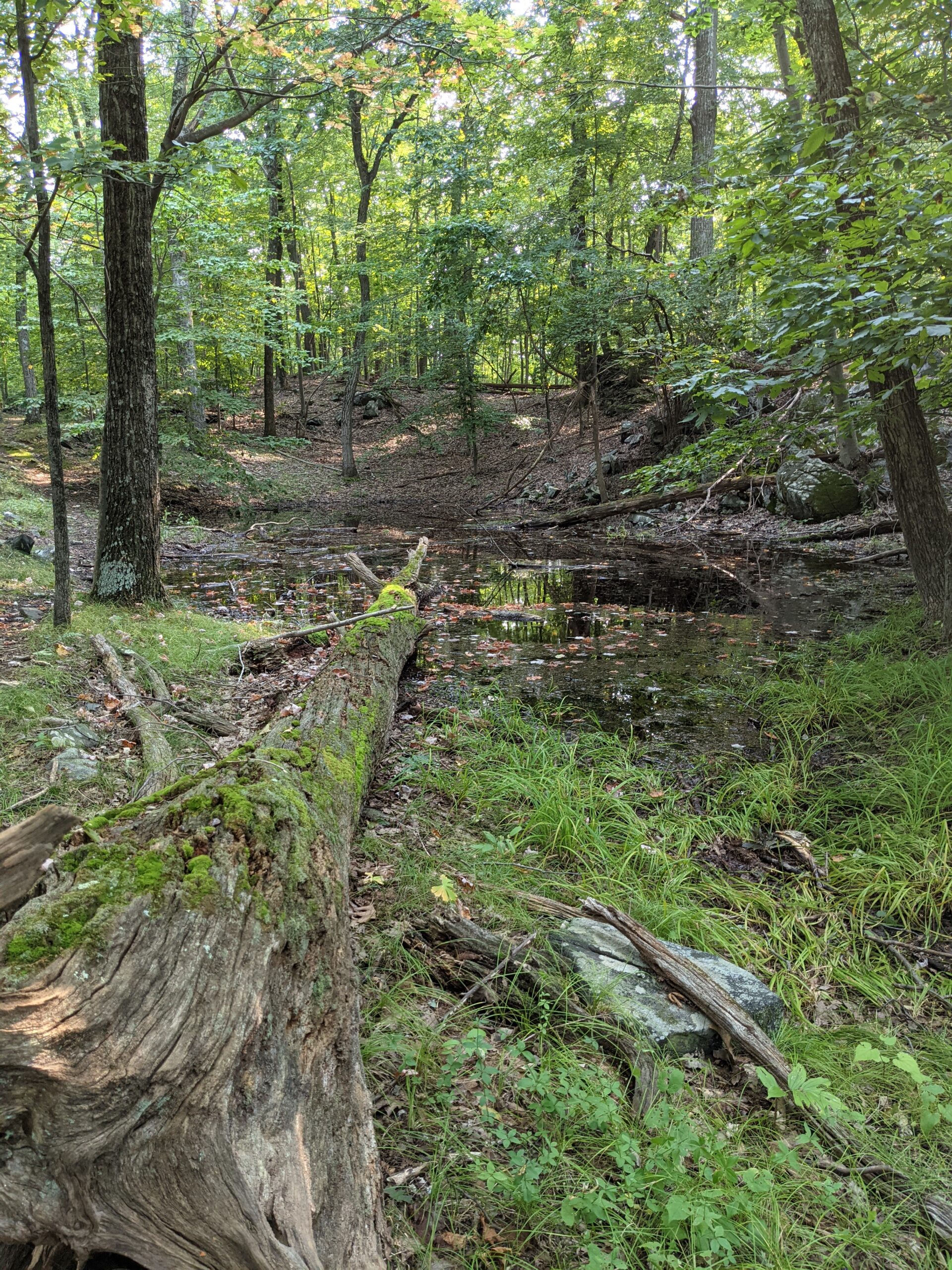
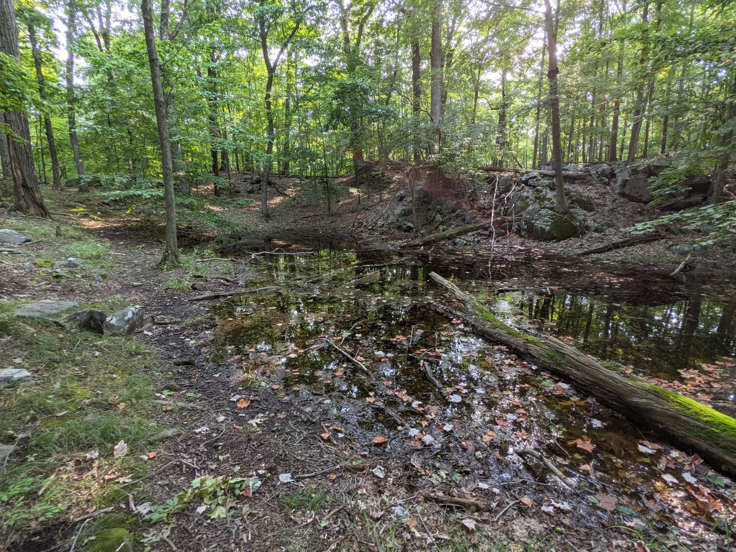
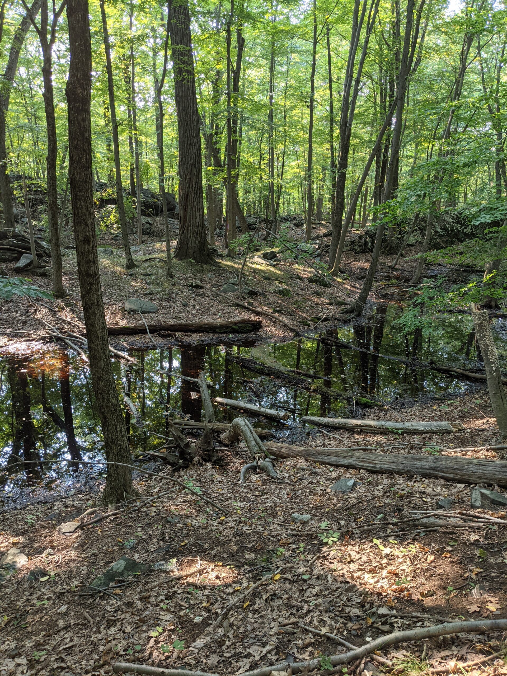
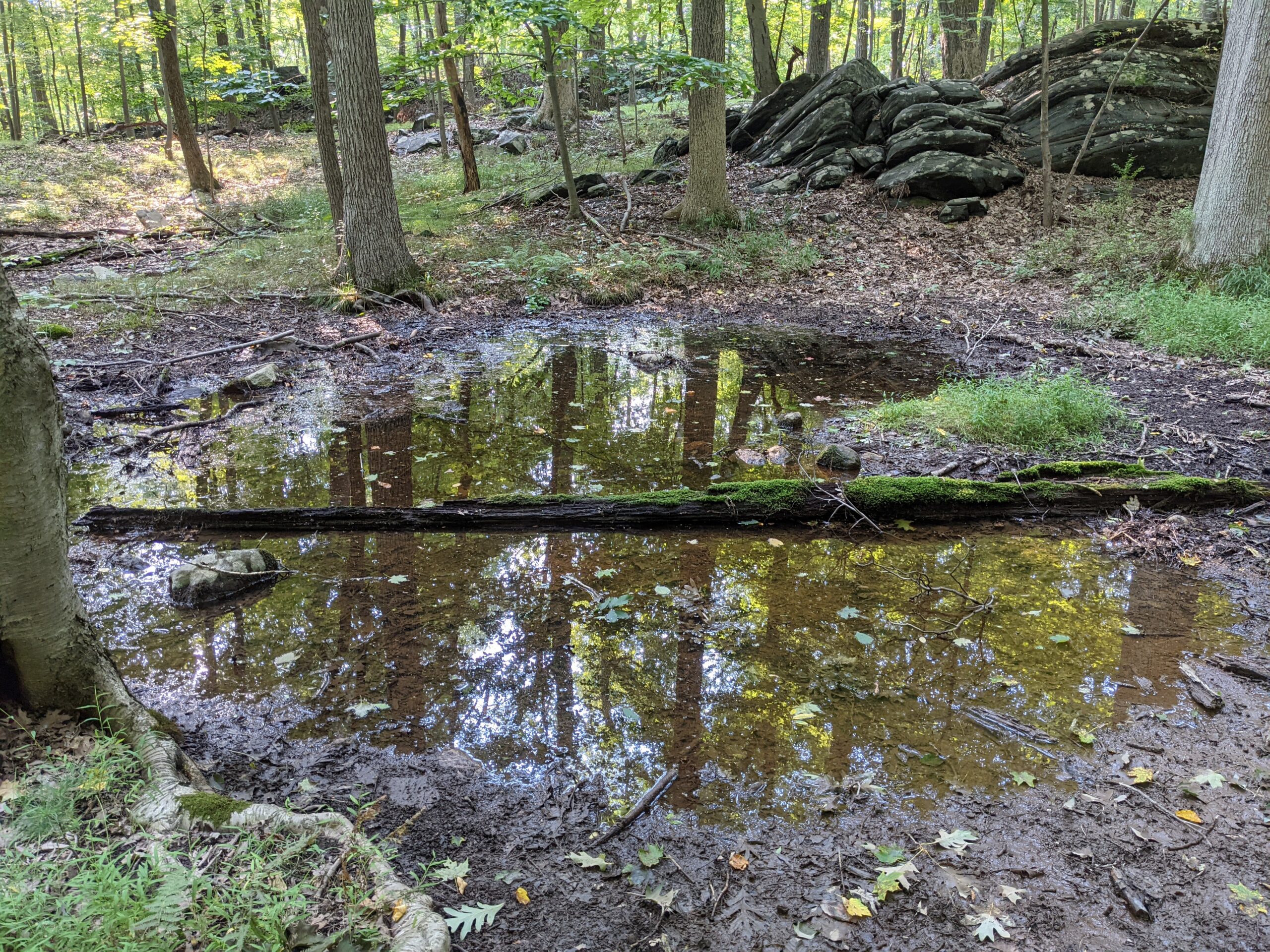
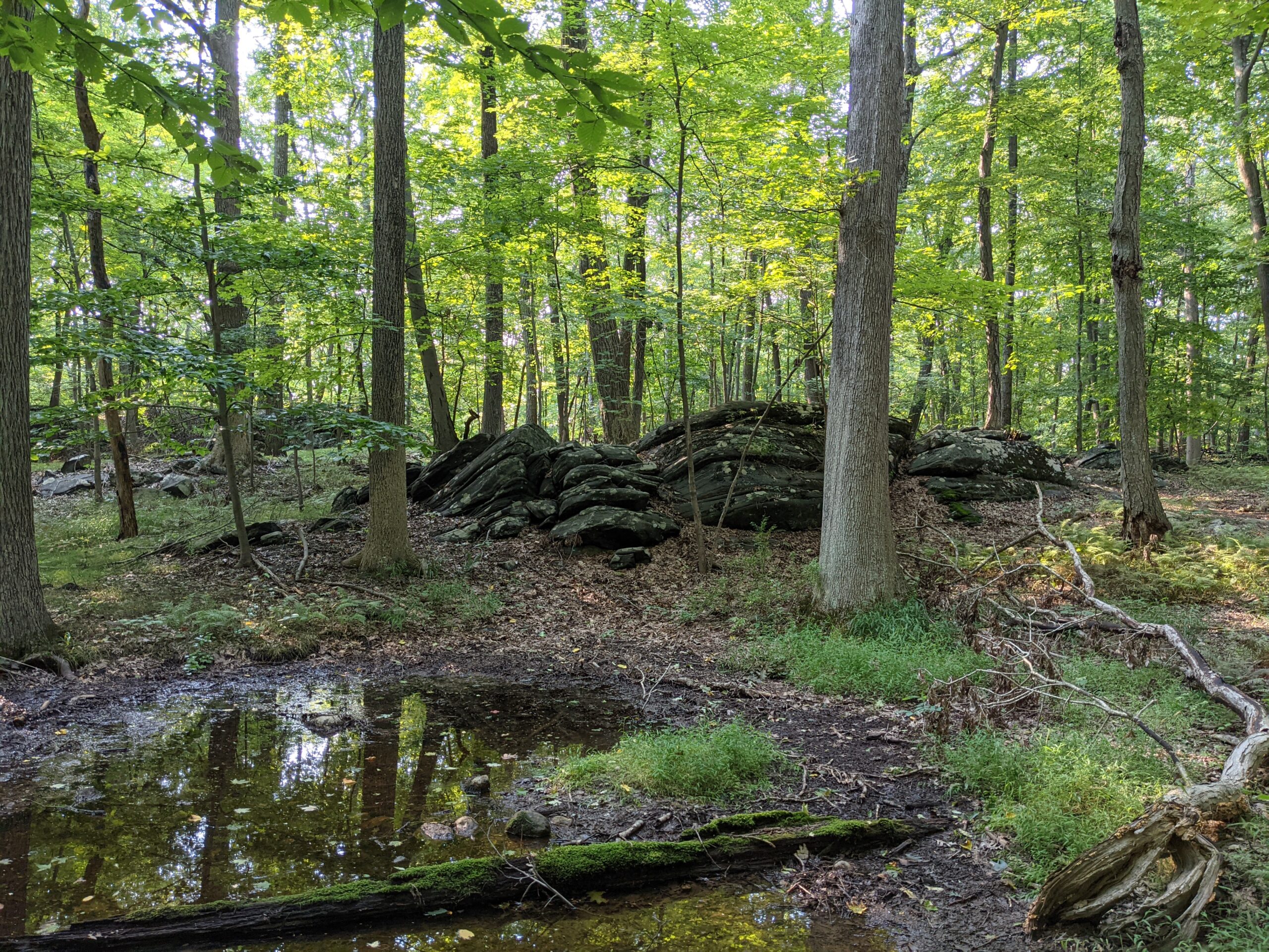
I finished walking through the meadow to reach the parking lot where I started. Overall, it was a very rewarding day with various vernal pools along the way. The elevation changes are minimal and these were all easy trails to follow for even a novice hiker. Just adjust your total mileage accordingly.
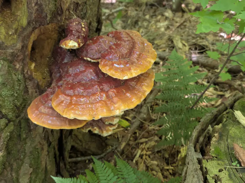
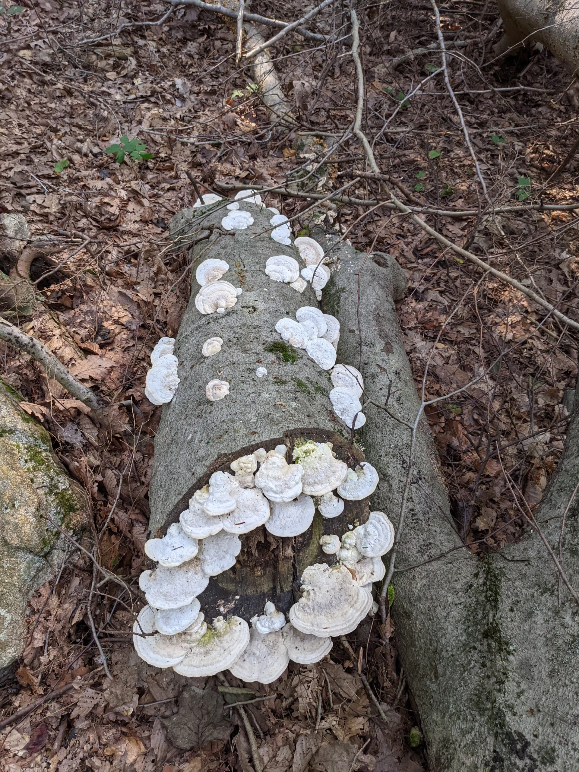
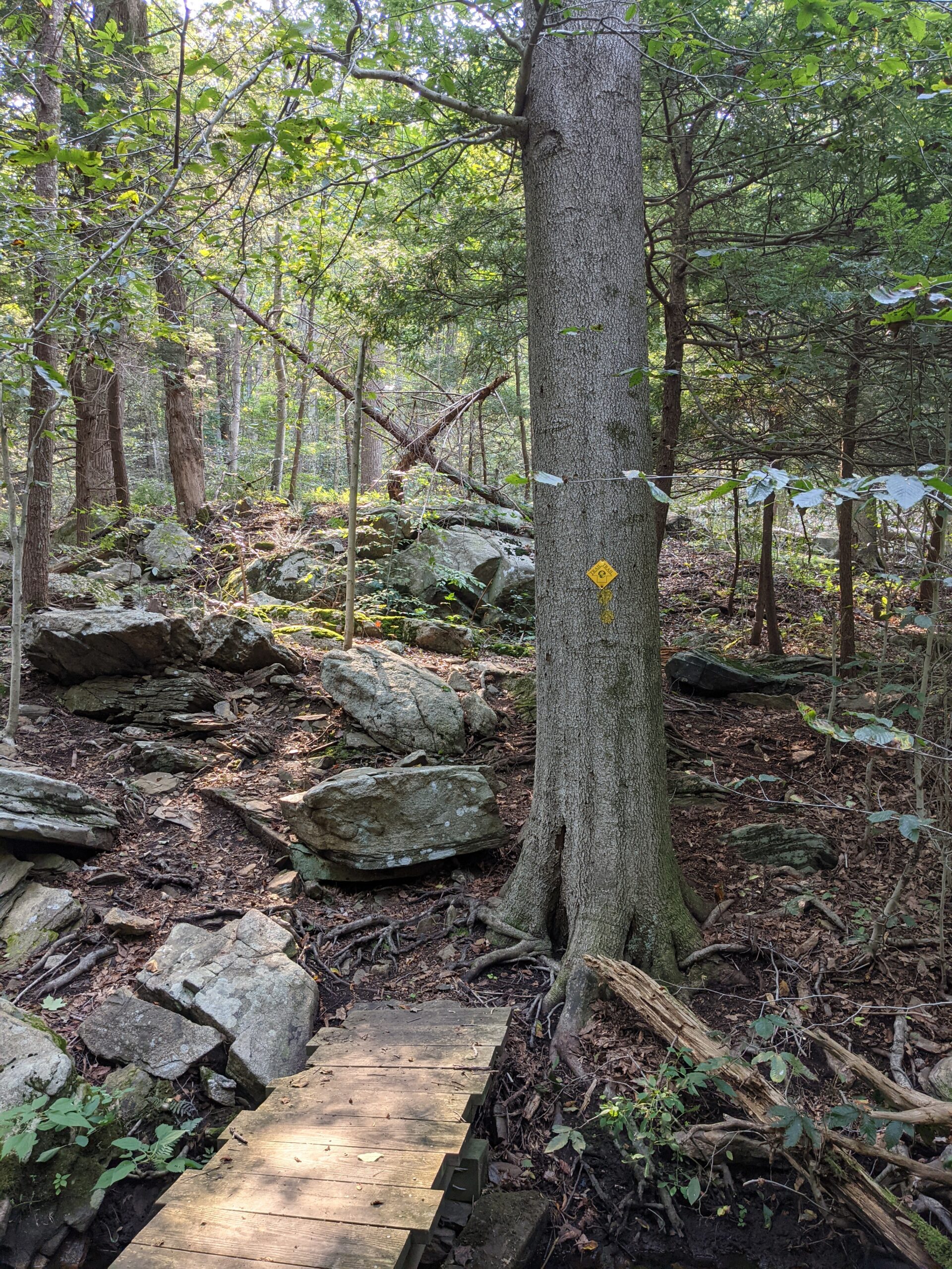
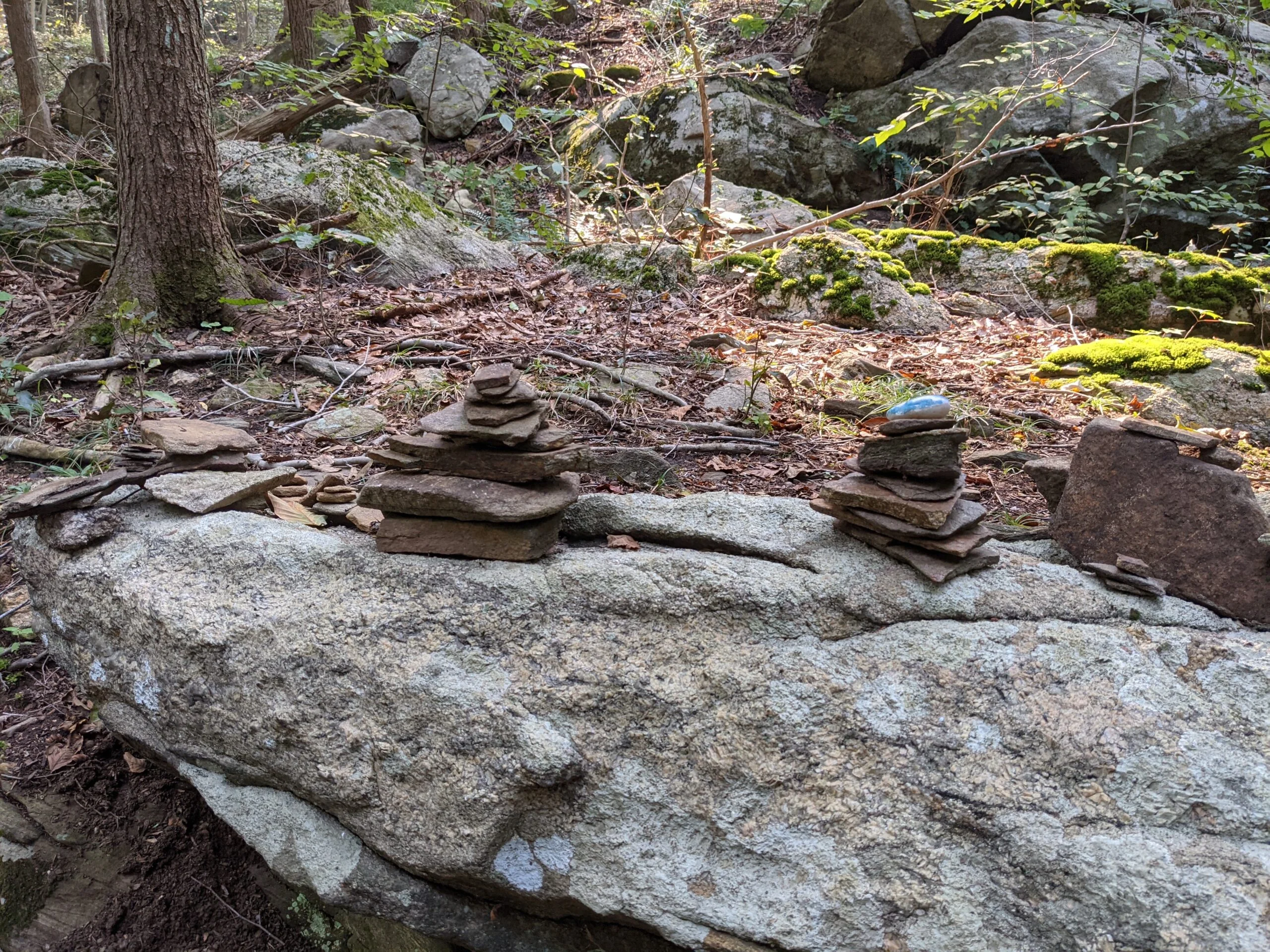
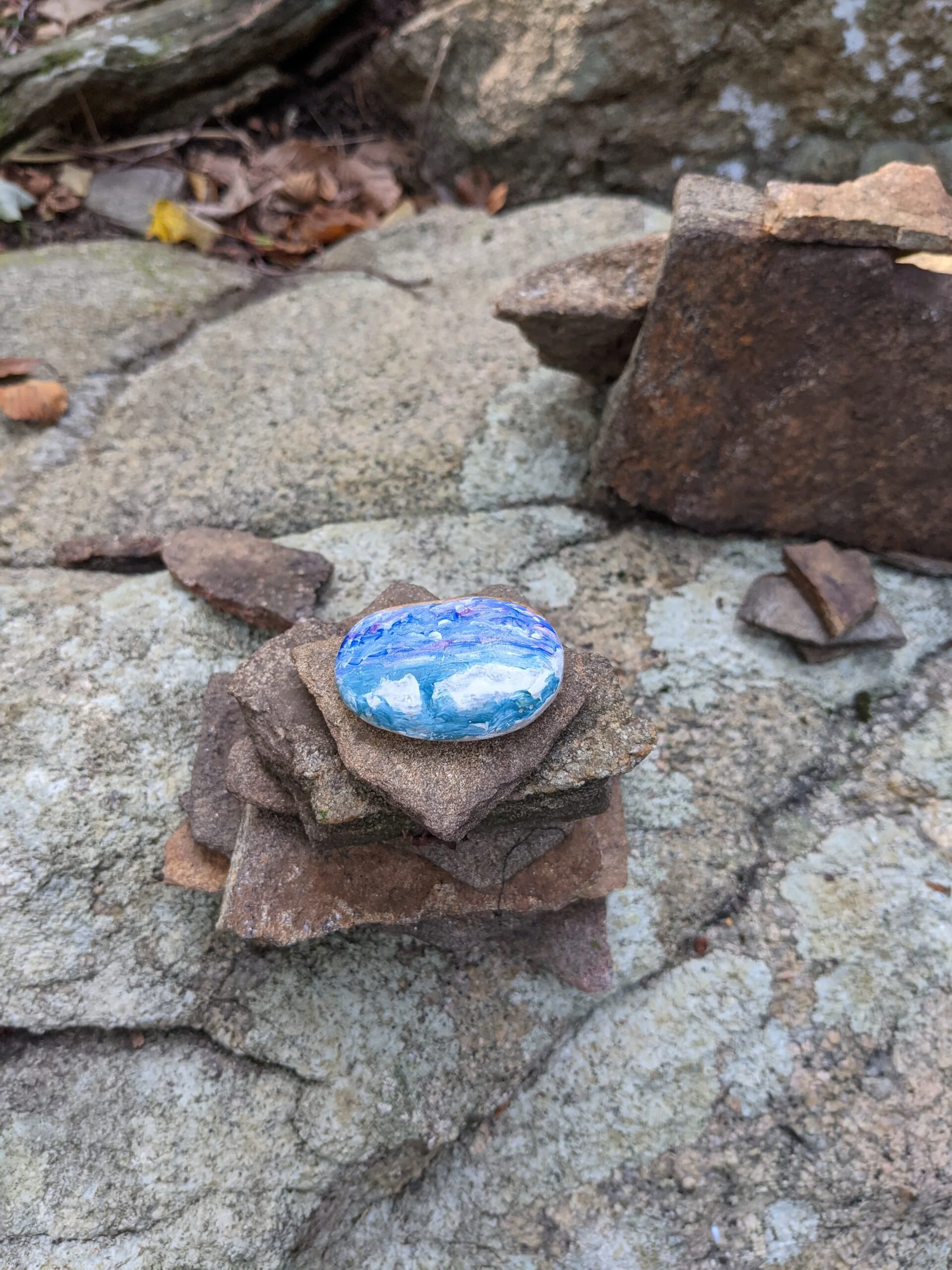
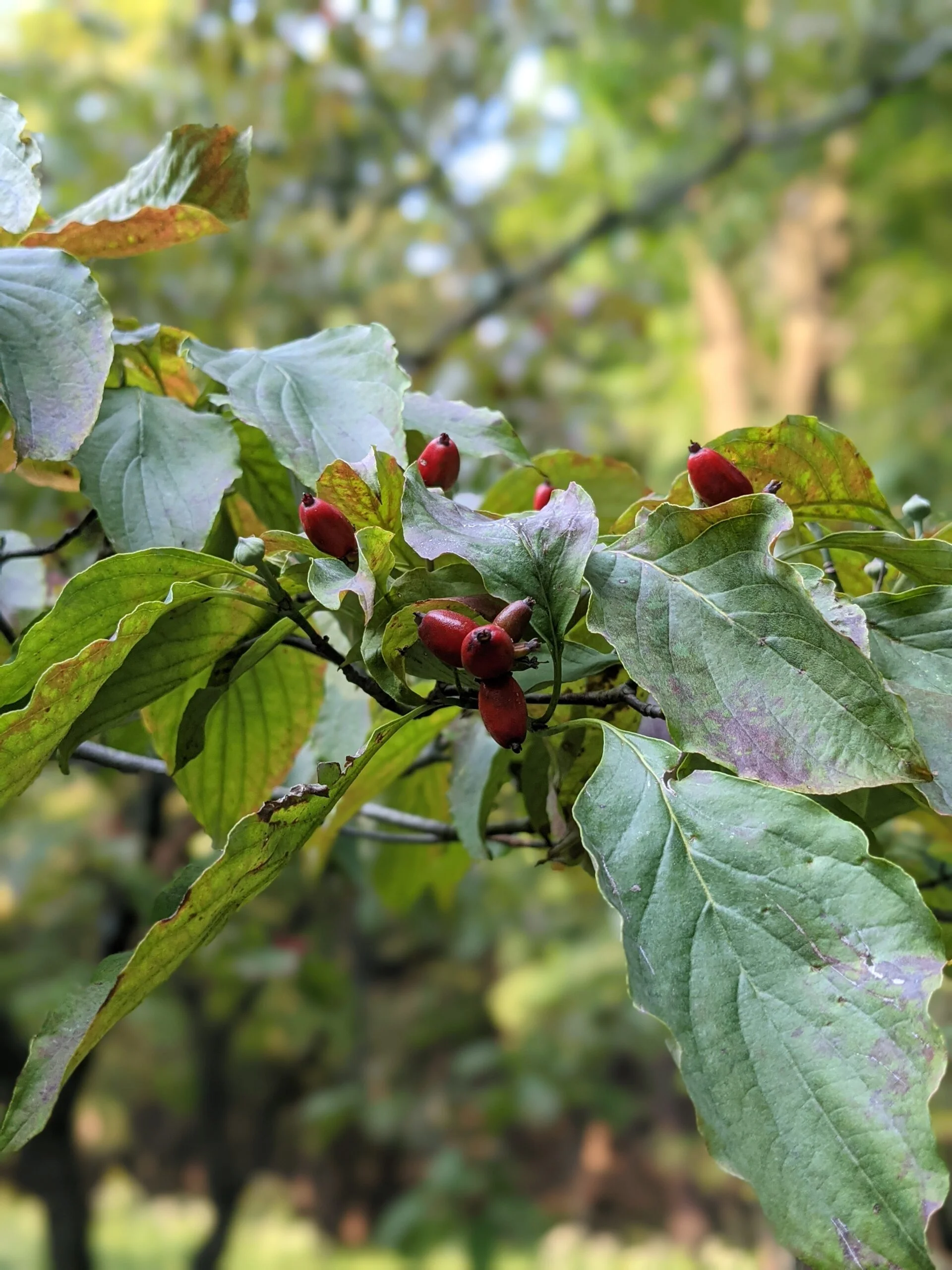
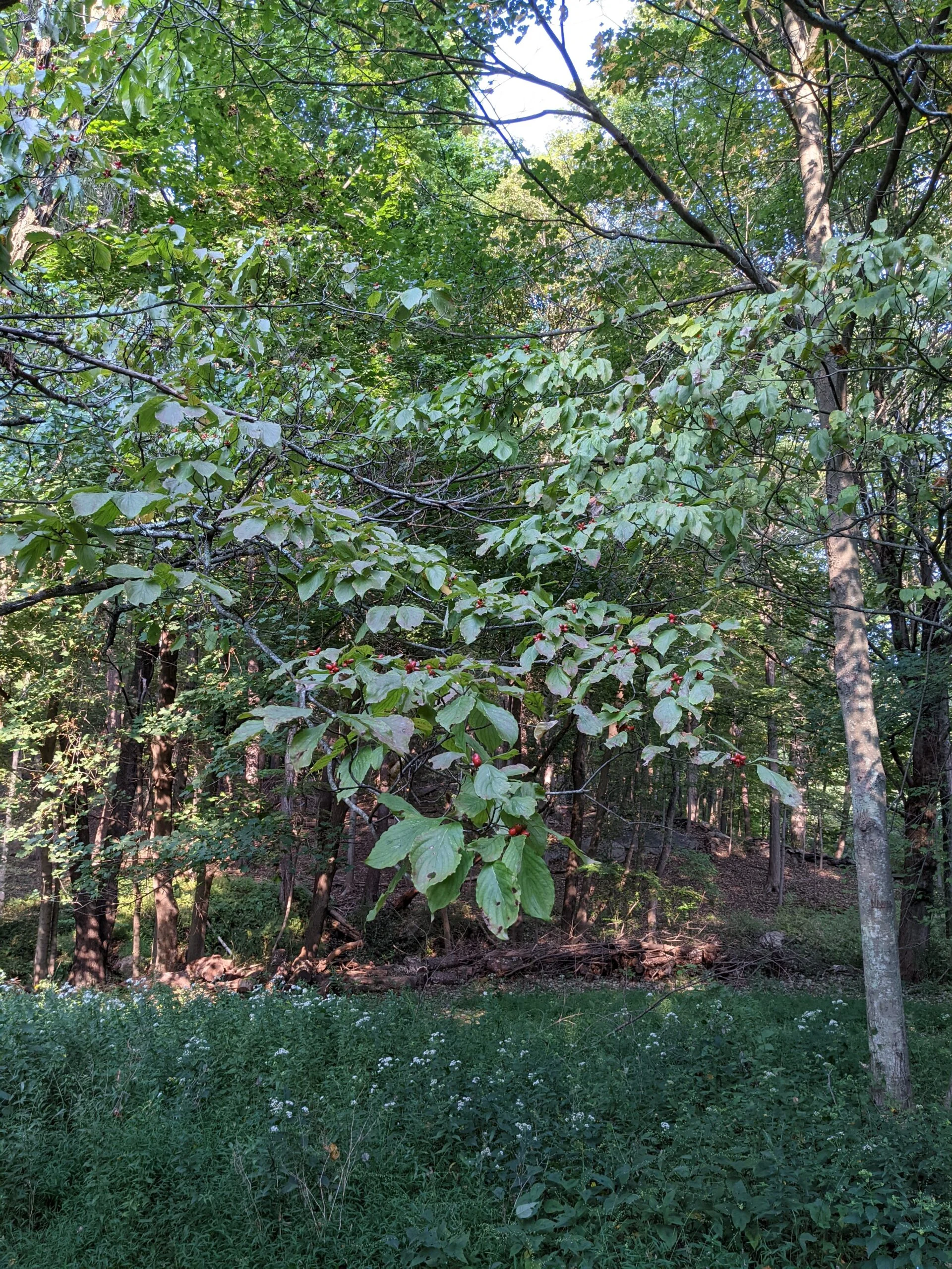
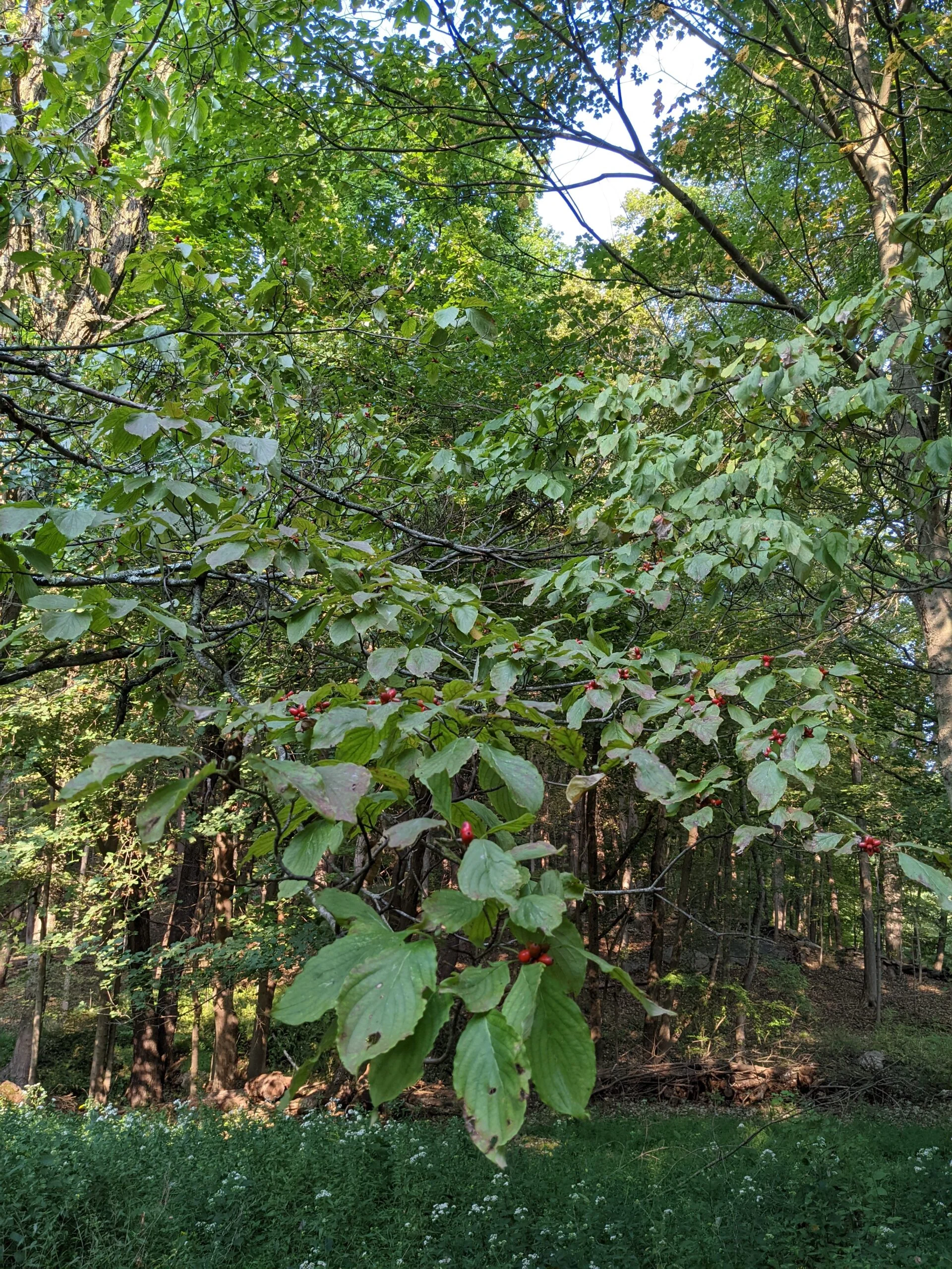
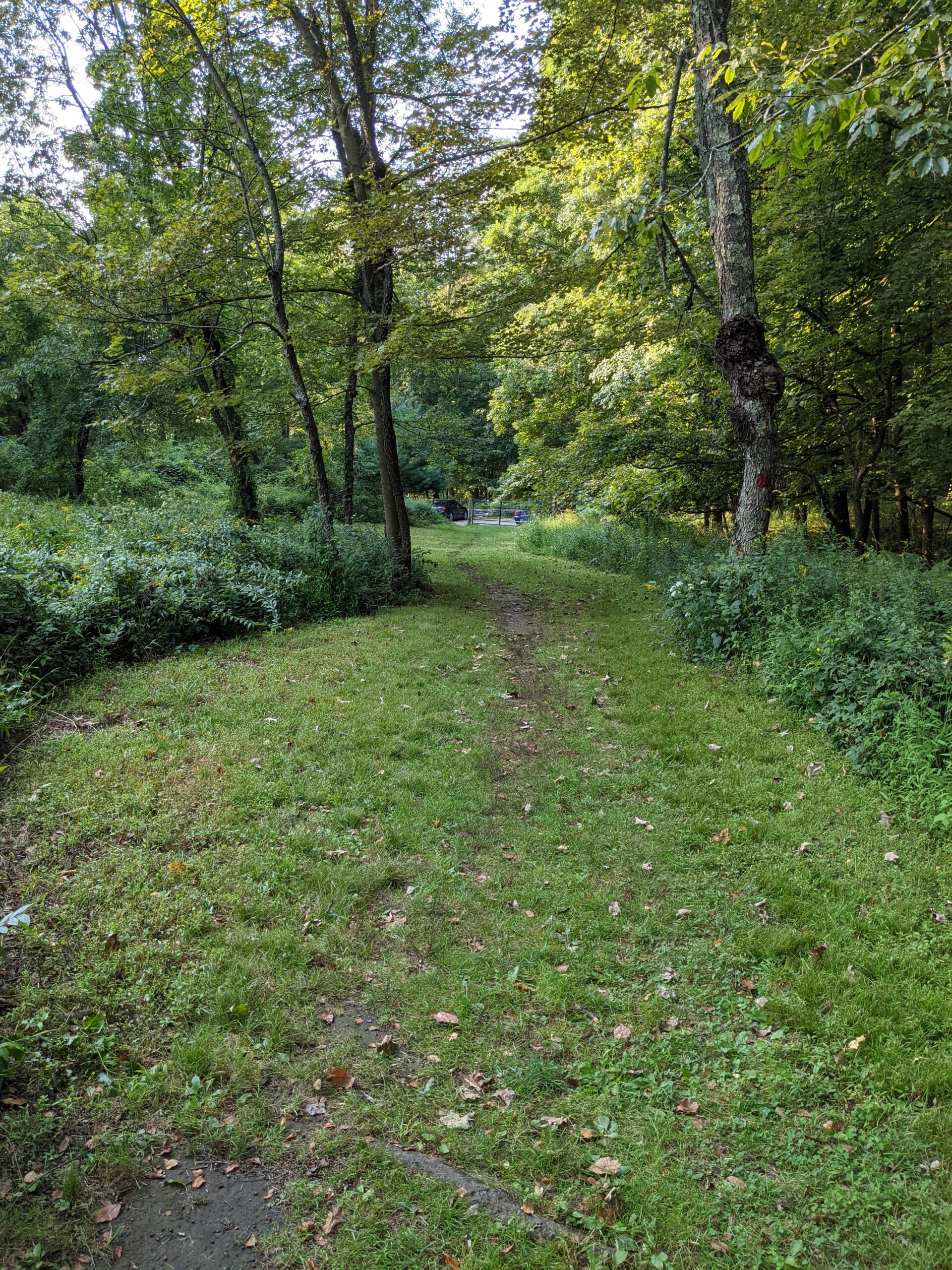
Photos


GPS Route & Elevation
Loads an interactive map; map tiles are served by the U.S. Geological Survey, which receives your IP address. Learn more about maps and your privacy