Mohonk Preserve – Sky Top Tower, Labyrinth, Crevice, Lemon Squeeze
- 9.2 mi
- 1,266 ft gain
- 06:32:03
- 164 photos
A friend invited me and two others to explore Mohonk Preserve. I’ve visited this park many times in the past, but it had probably been about 15 years since my last hike here. I was excited to revisit a familiar place, although I later realized I didn’t remember many of the details.
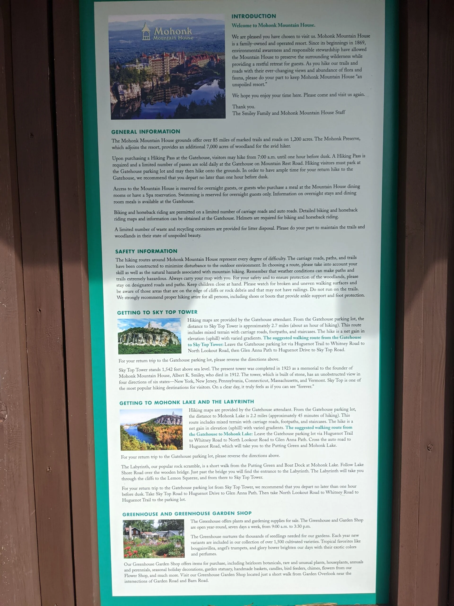
We met at the Visitor Center on Route 55 in Gardiner to buy day passes ($15 per person) and a trail map ($10 for the non-laminated version). Typically I’m the one mapping out the route, but I was off duty this time. My friend used to lead hiking groups through Mohonk Preserve, so we were more than happy to rely on her past experience to set the course for the day.
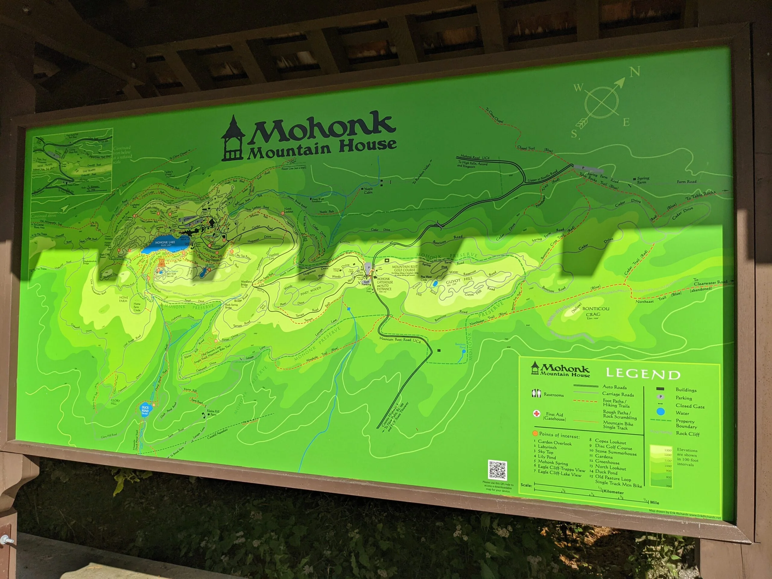
We first attempted to enter at Mohonk Mountain House, but they wouldn’t allow us to park there with our Mohonk Preserve day passes as they are a separate property. We headed a few miles down the road to the Spring Farm Trailhead off 27 Knolls Road in High Falls. We pulled into the lot at approximately 9:45a and it was already mostly full.
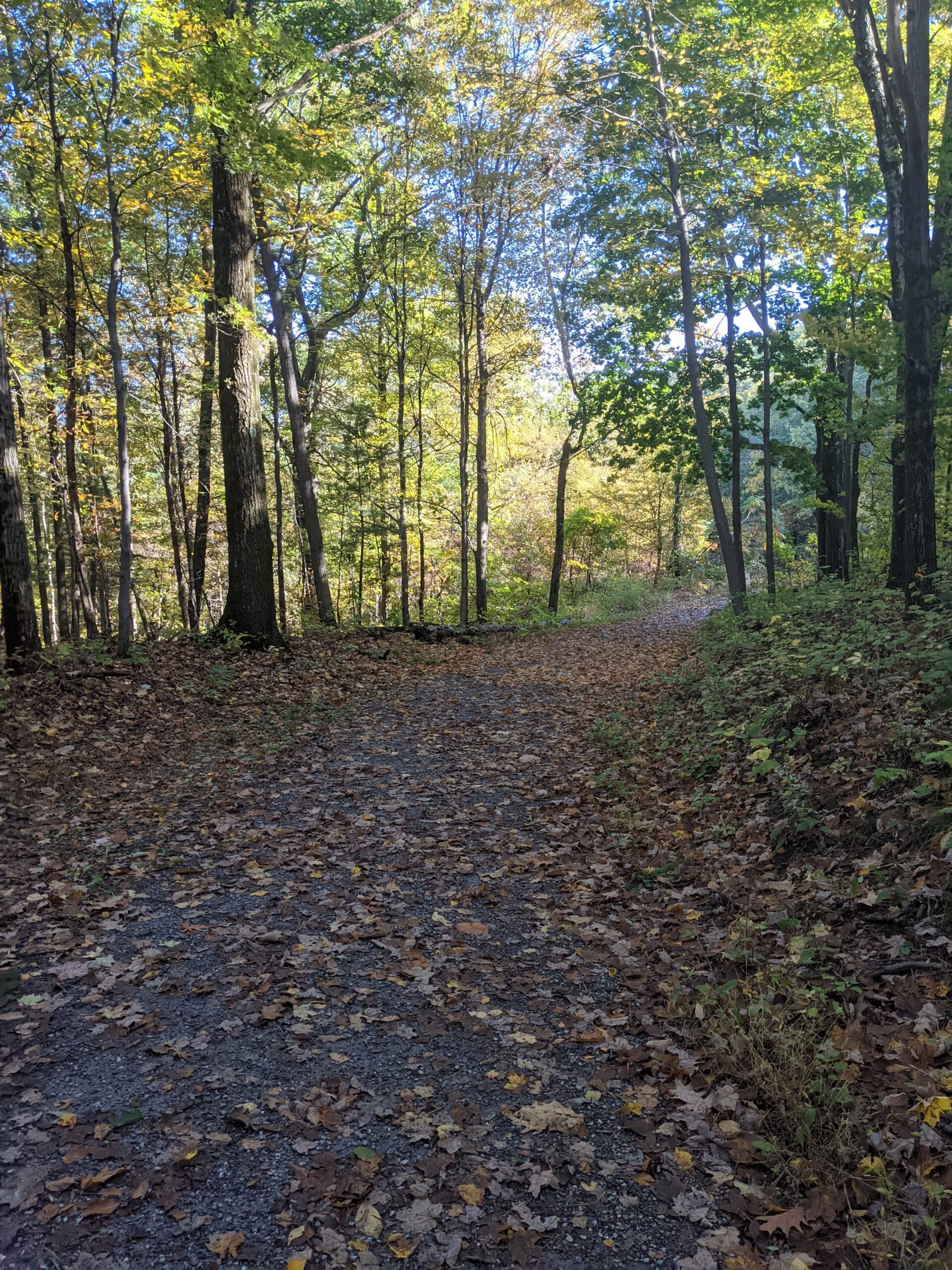
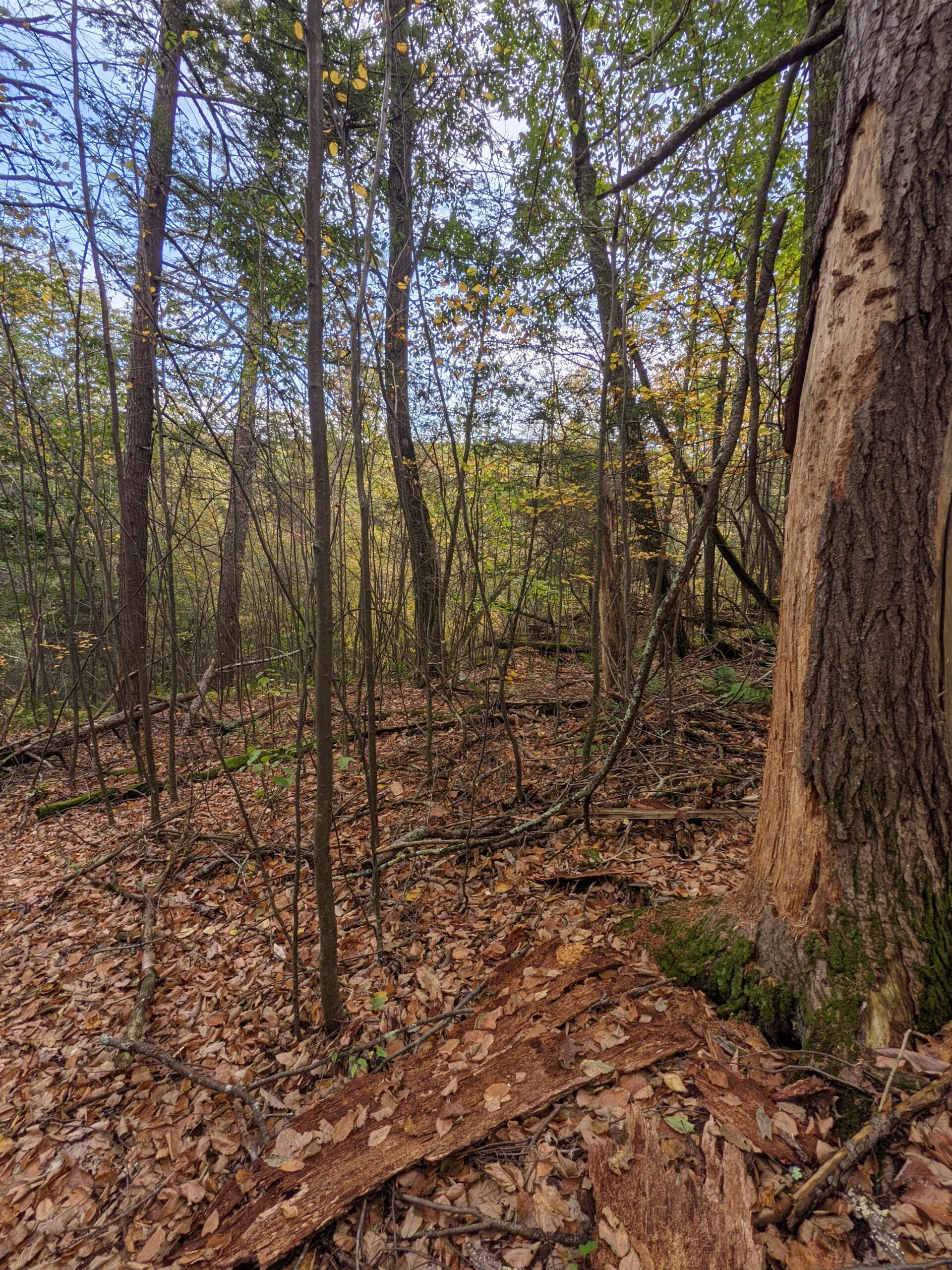
Our plan was to hike to the Mohonk Mountain House property. There were a few ways to get there and we decided the most efficient would be to walk up 27 Knolls Road to Mohonk Road. At the 1 mile mark, we connected with Bonticou Road, which took us out of vehicle traffic and onto a carriage trail in the preserve. Just past the 2 mile mark, we switched to North Lookout Road, another carriage trail.
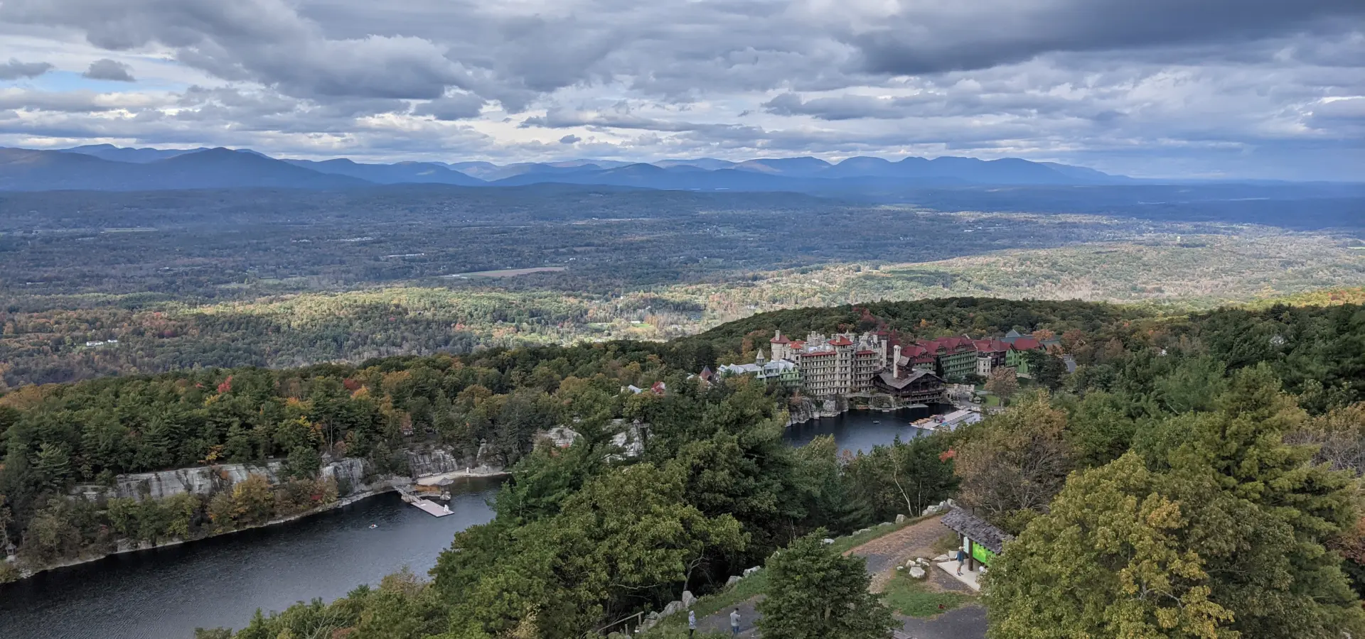
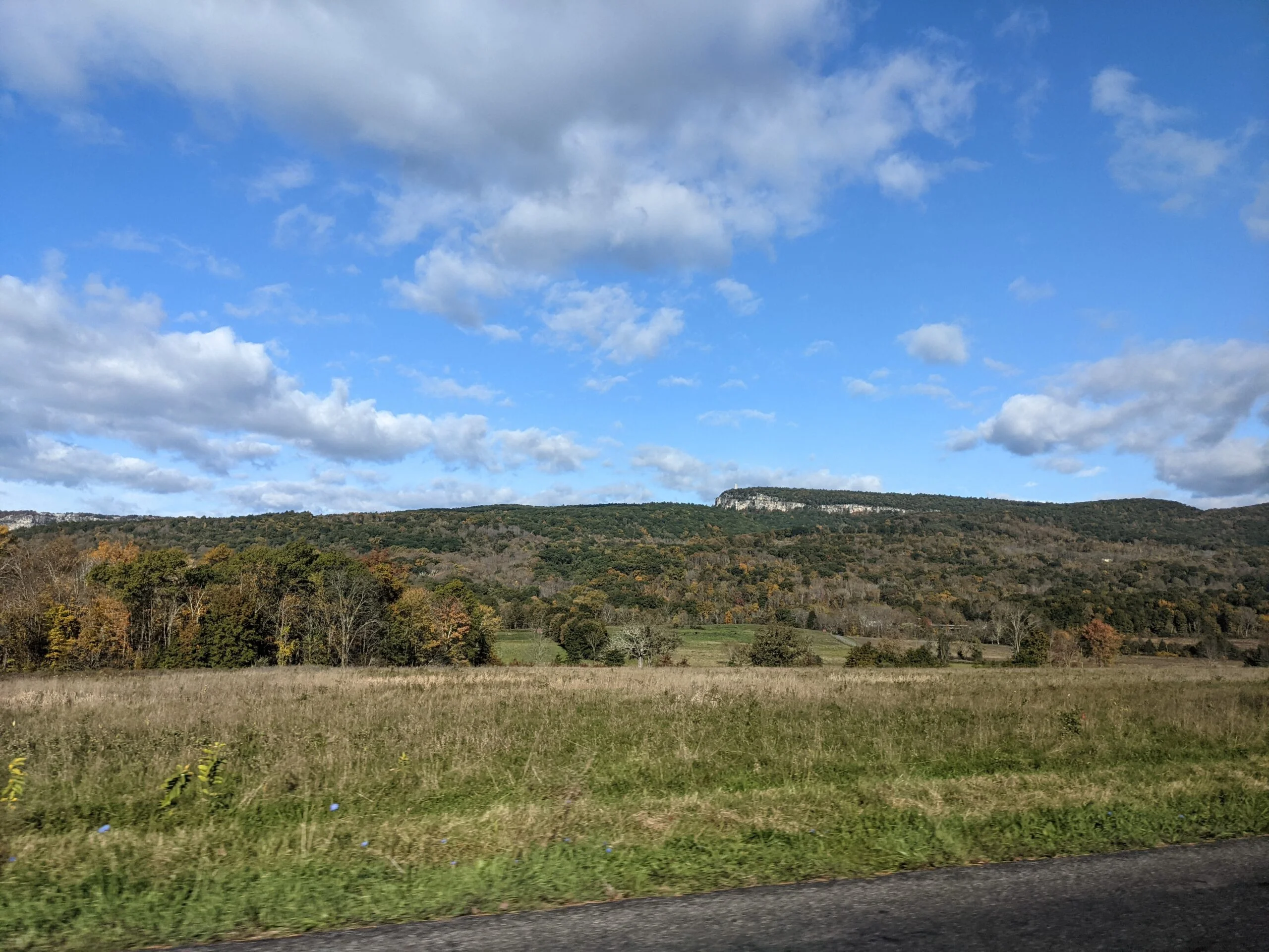
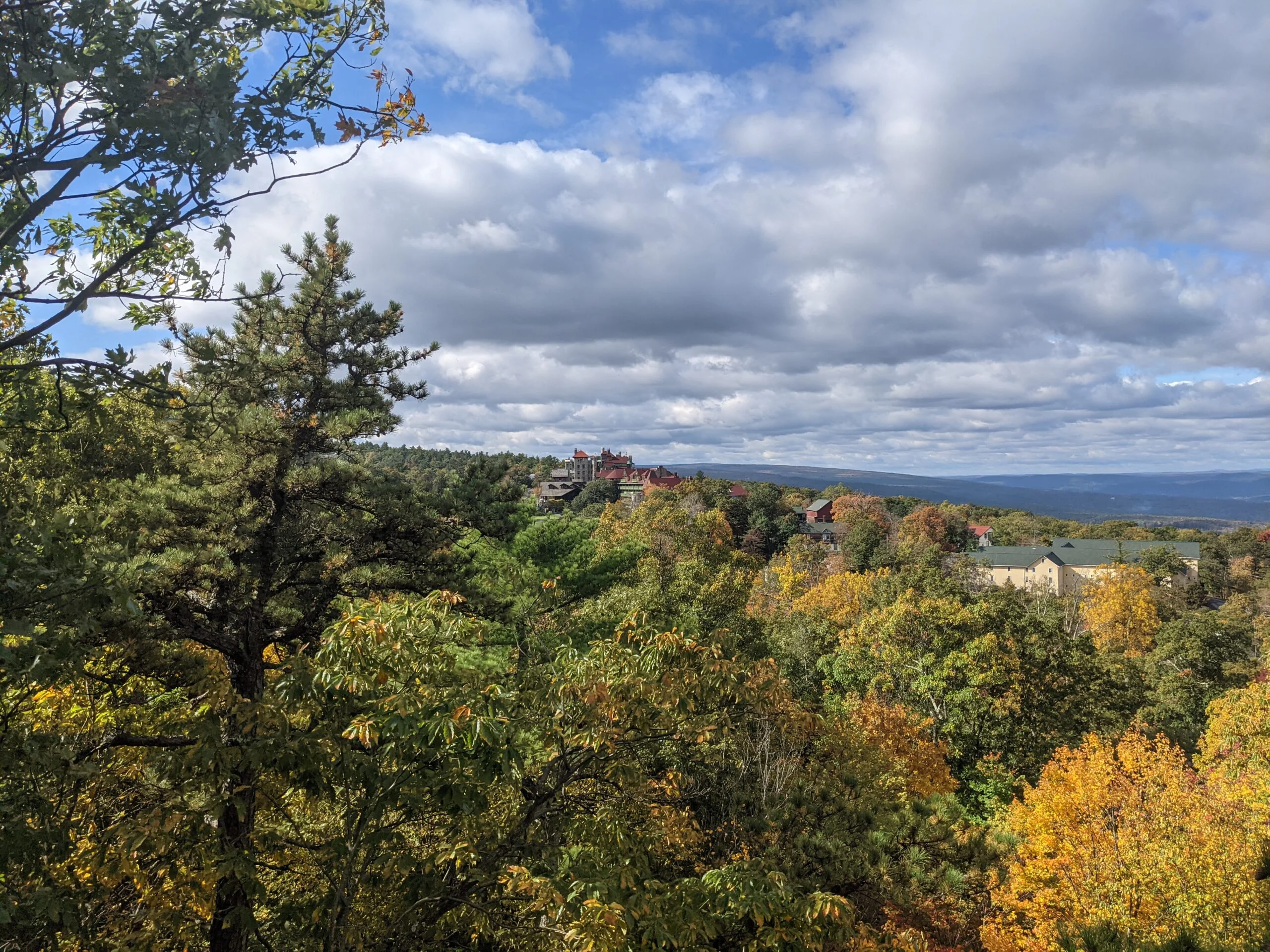
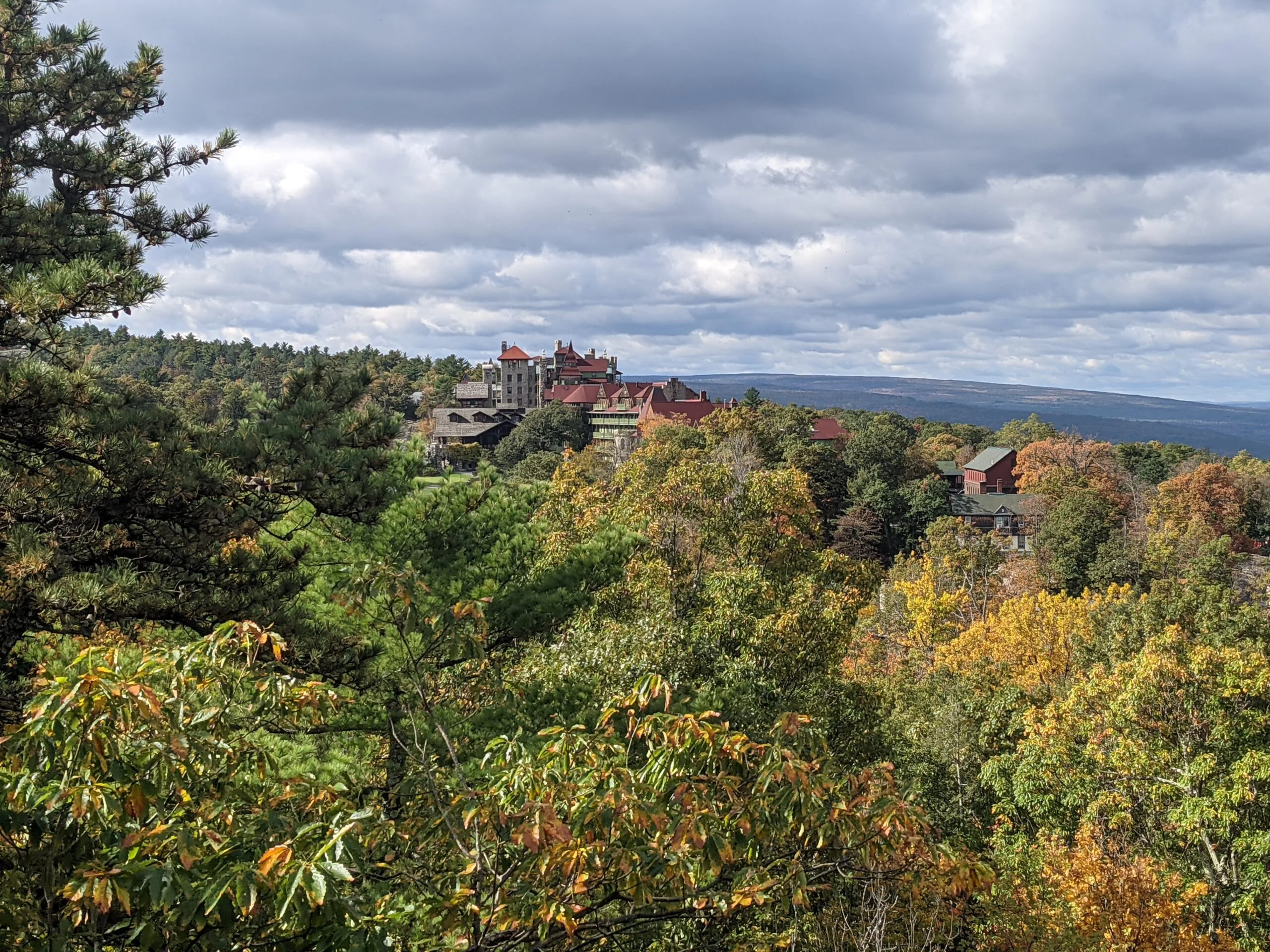
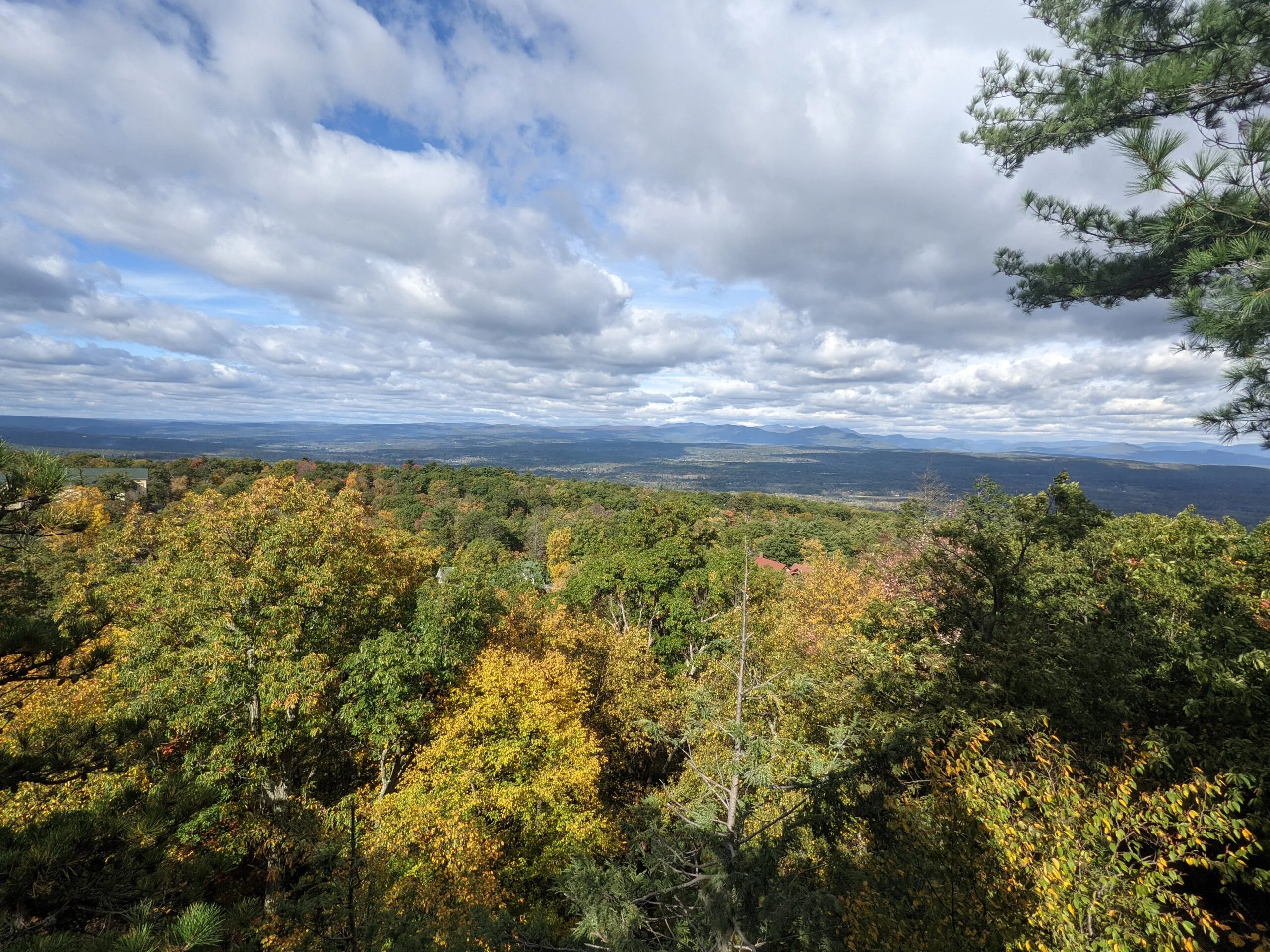
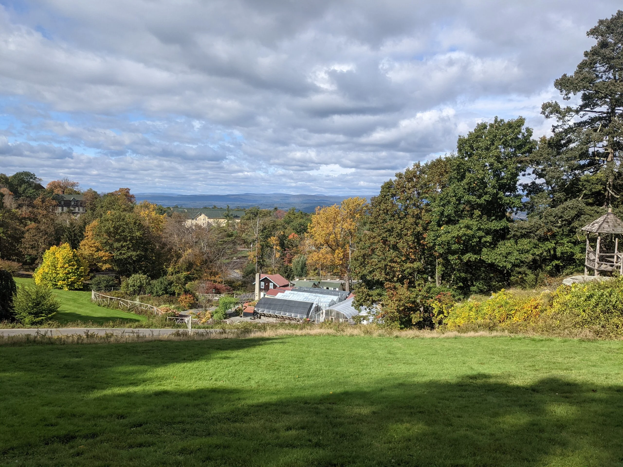
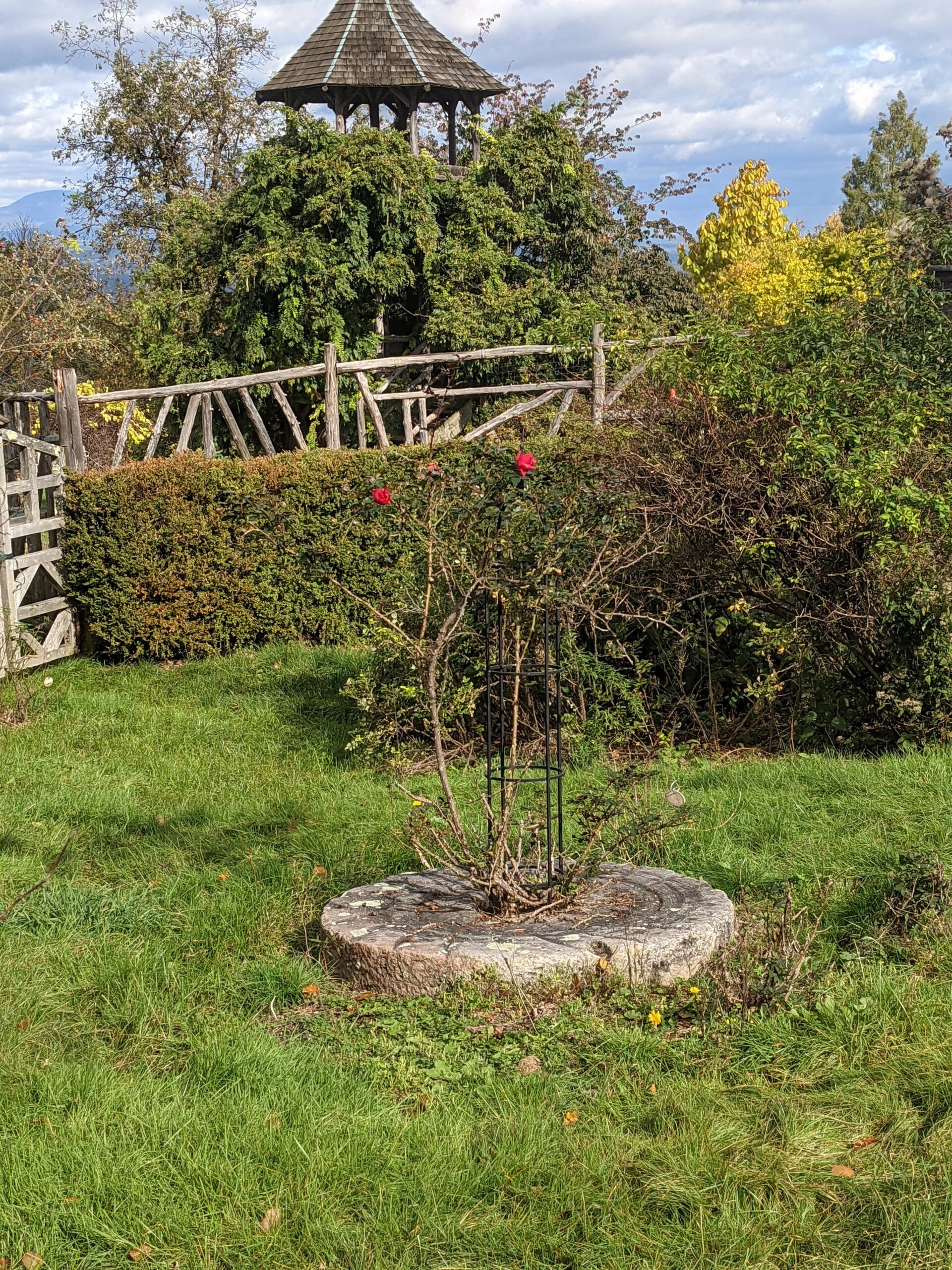
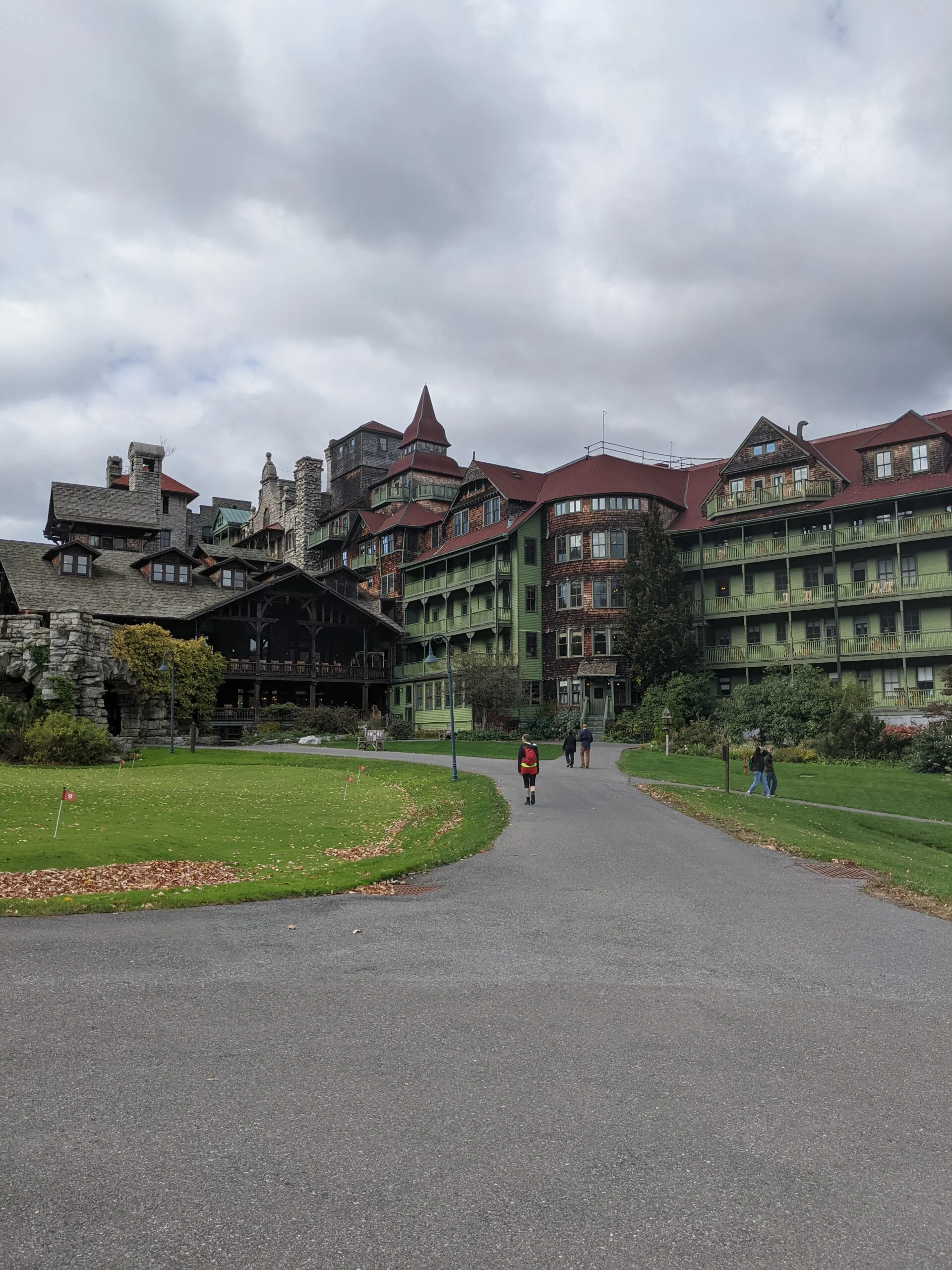
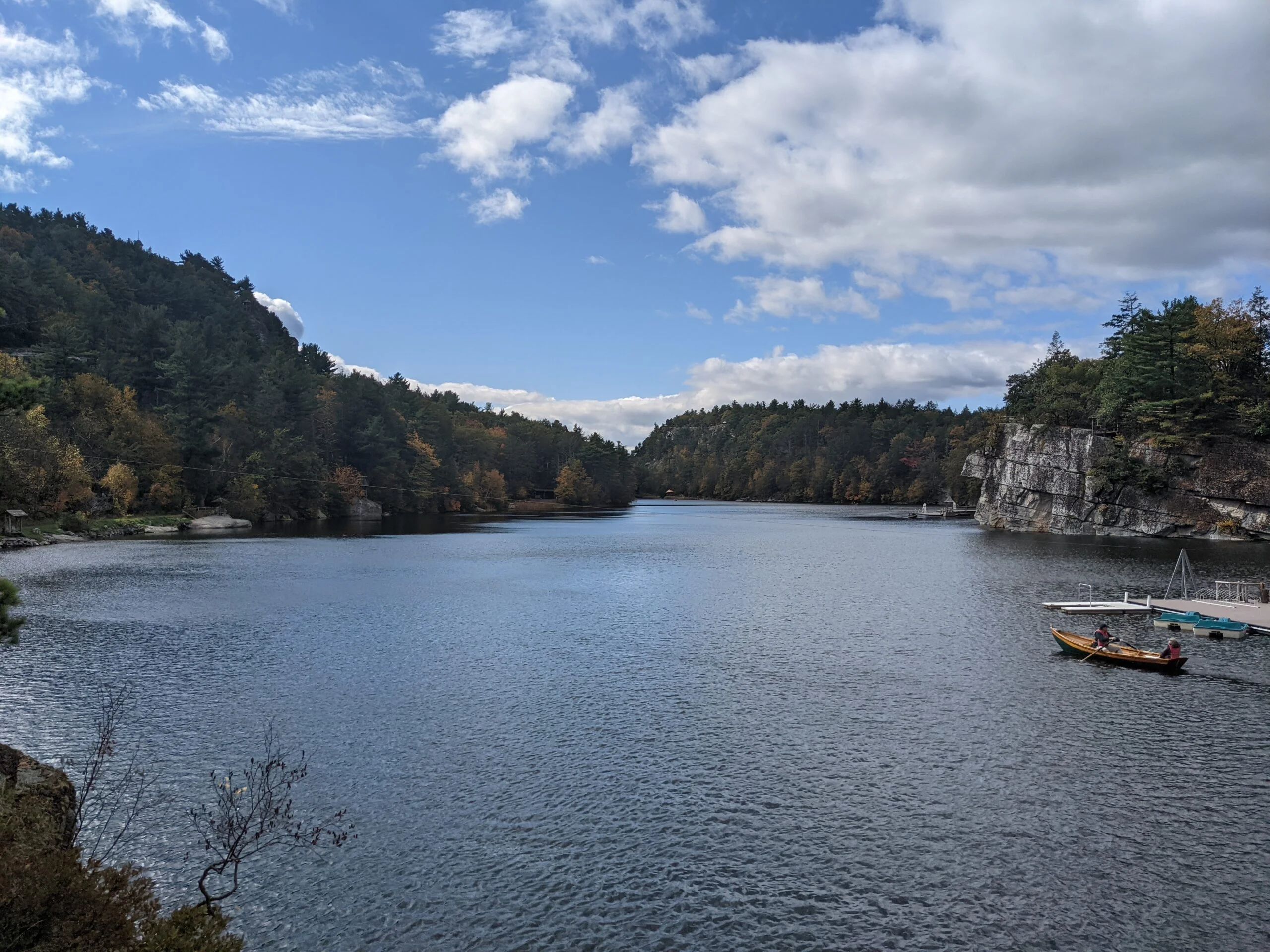
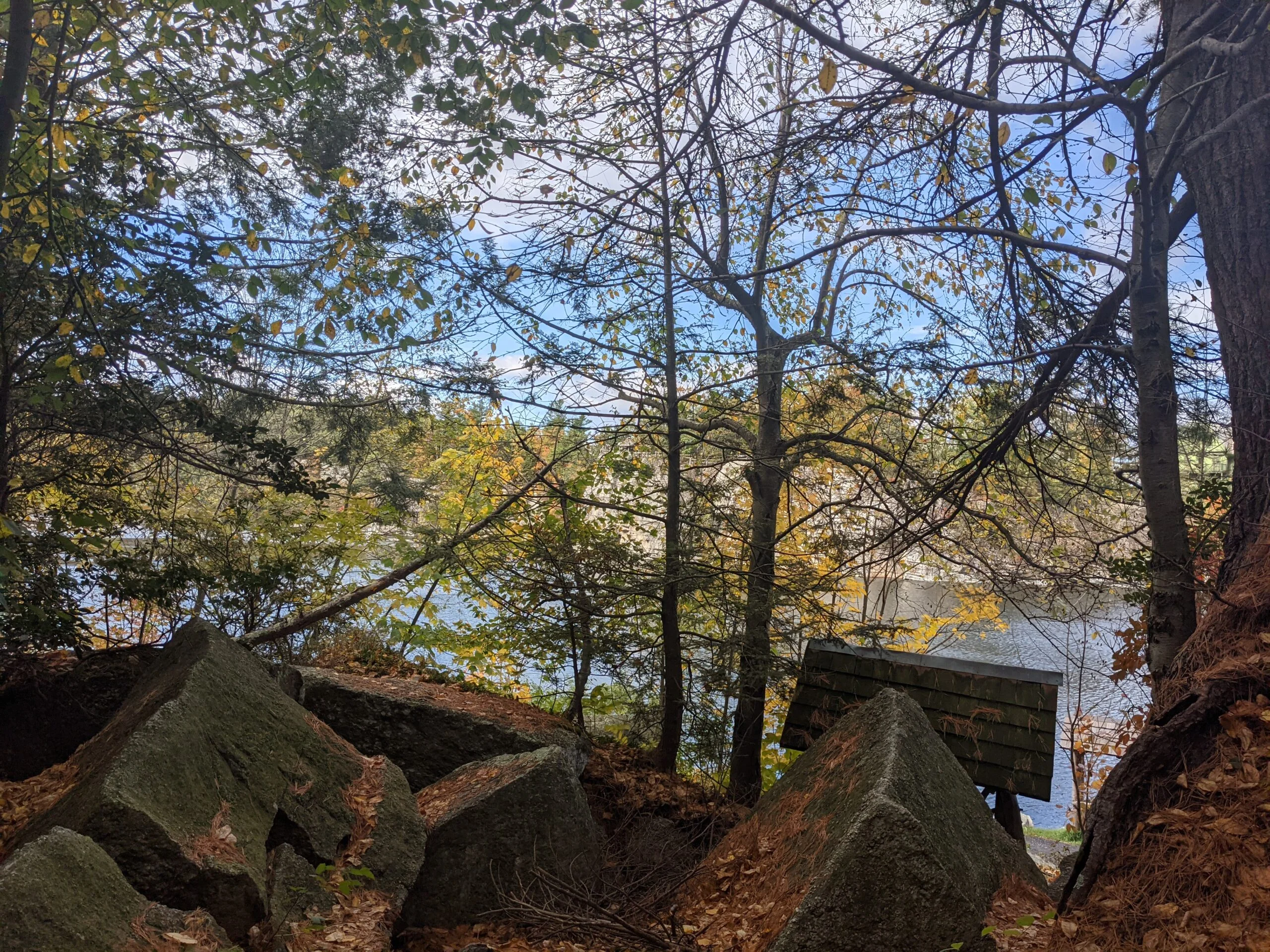
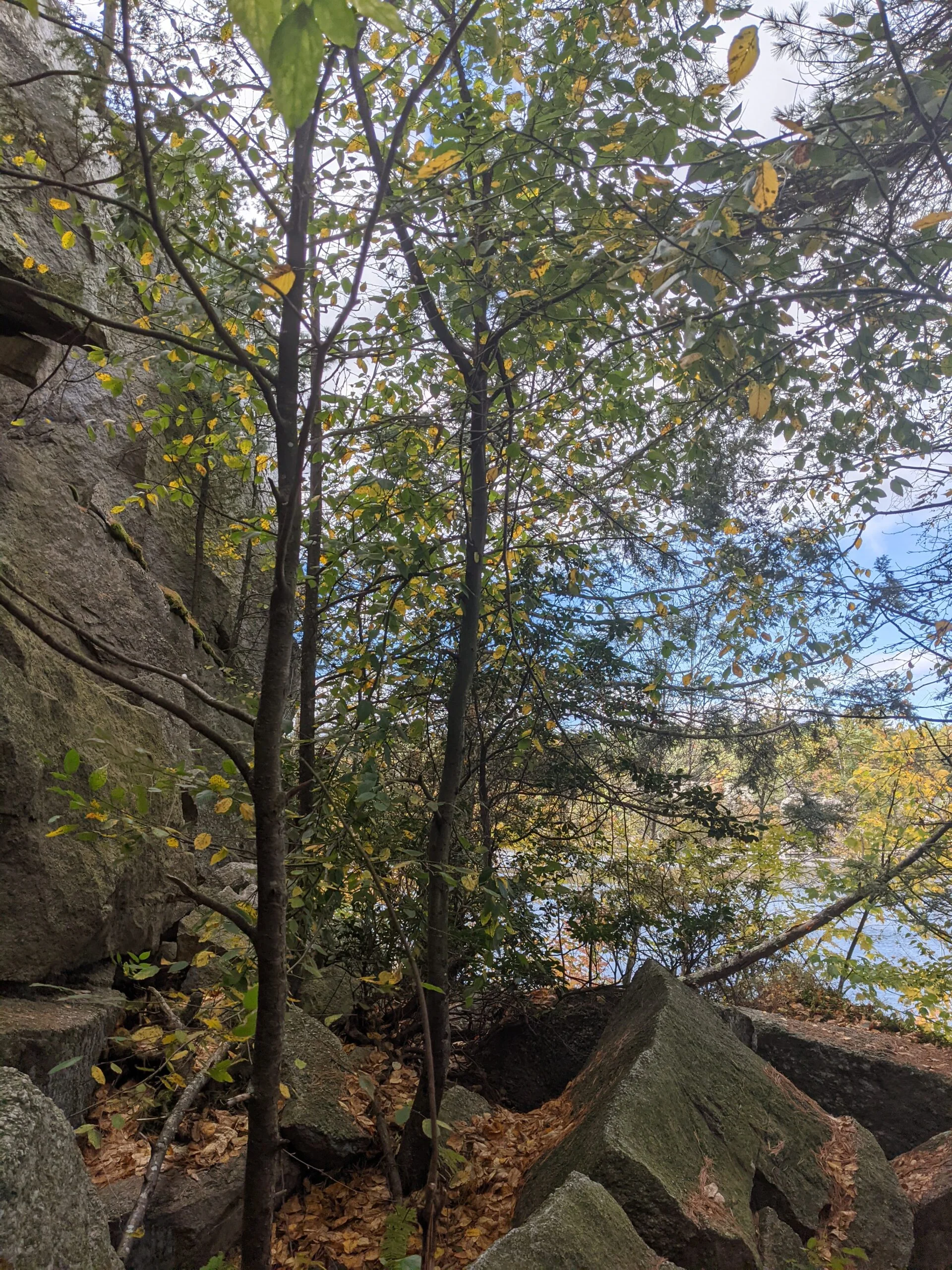
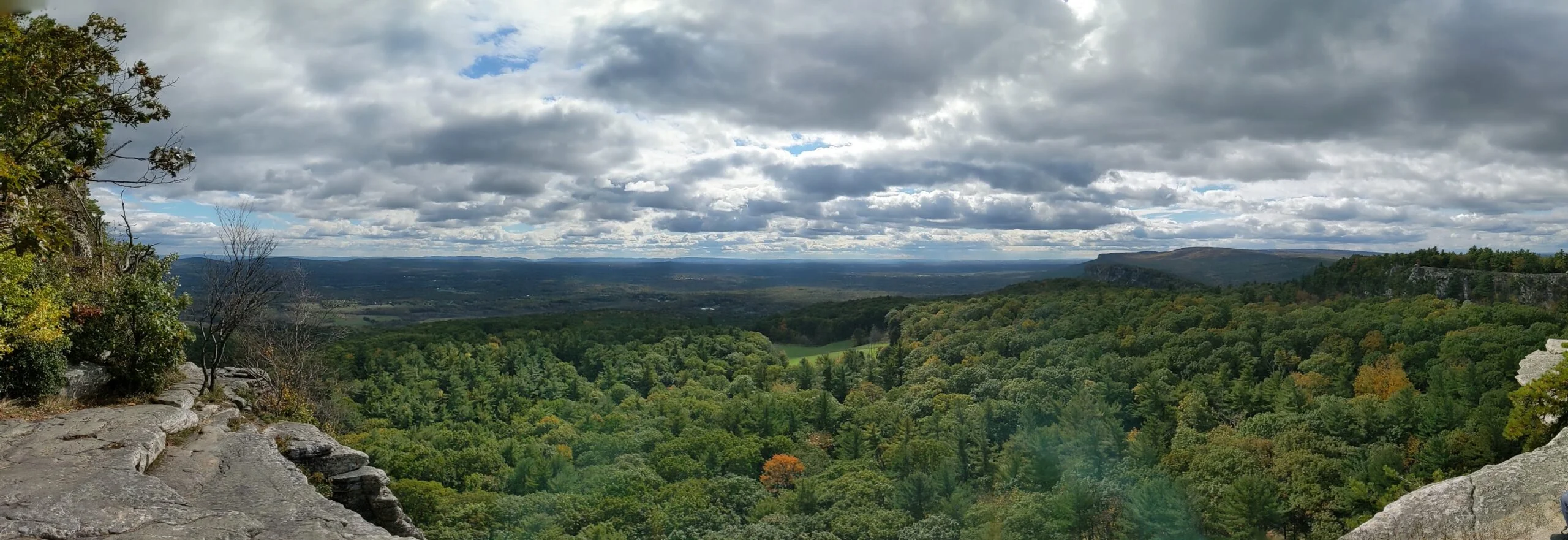
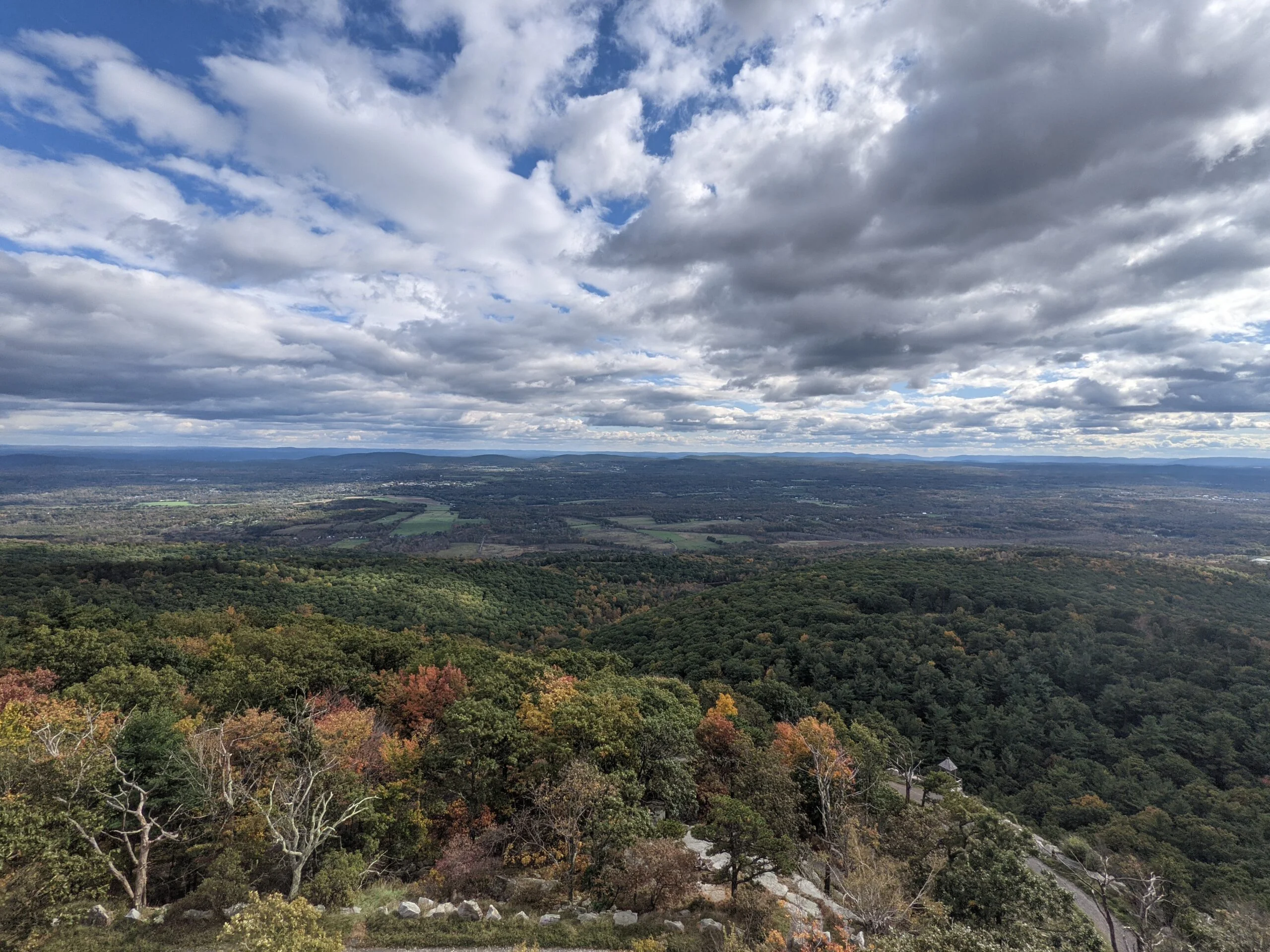
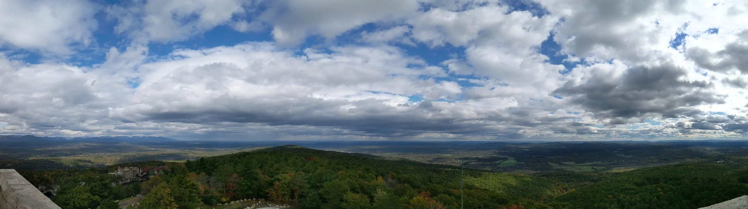
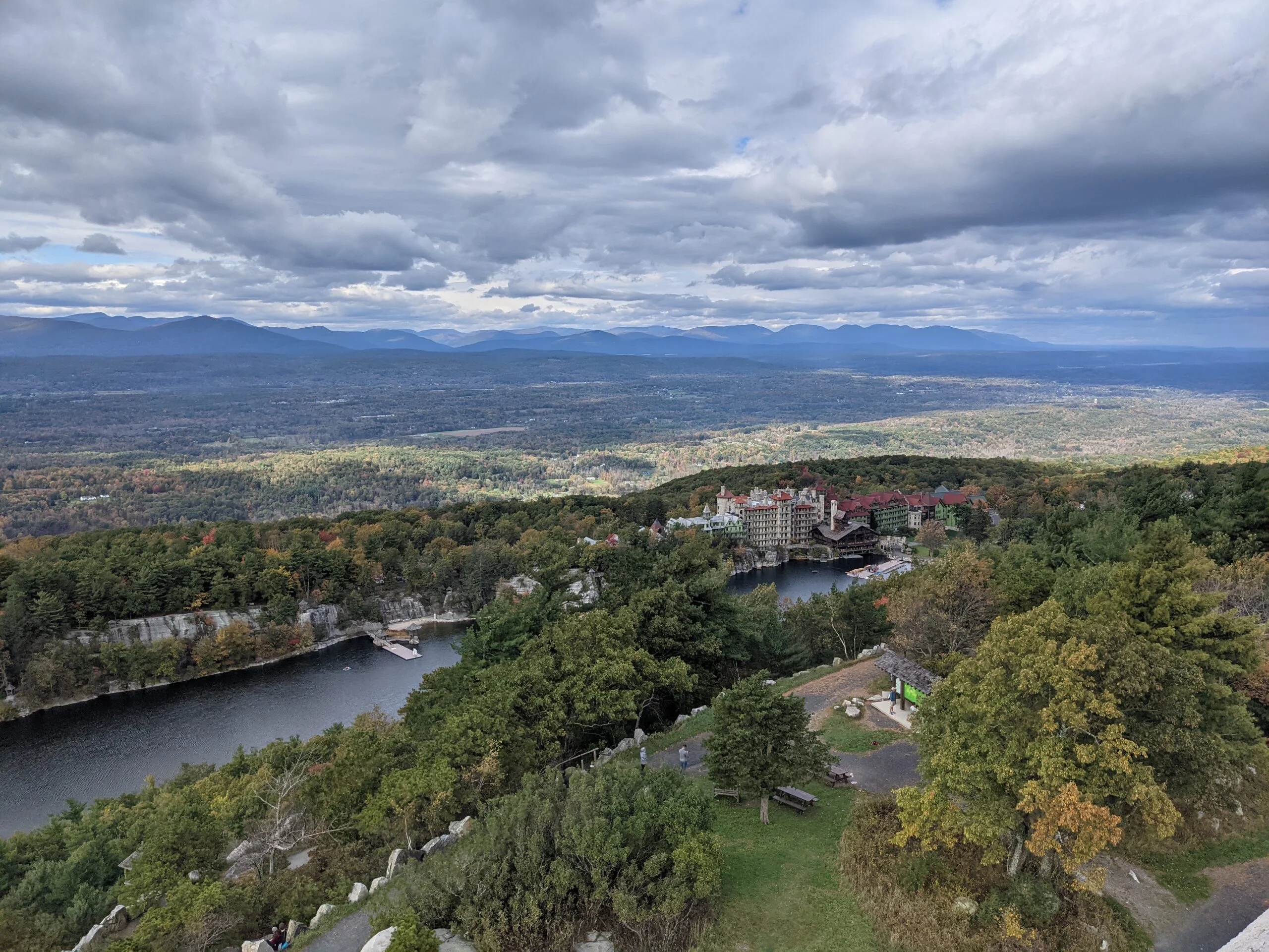
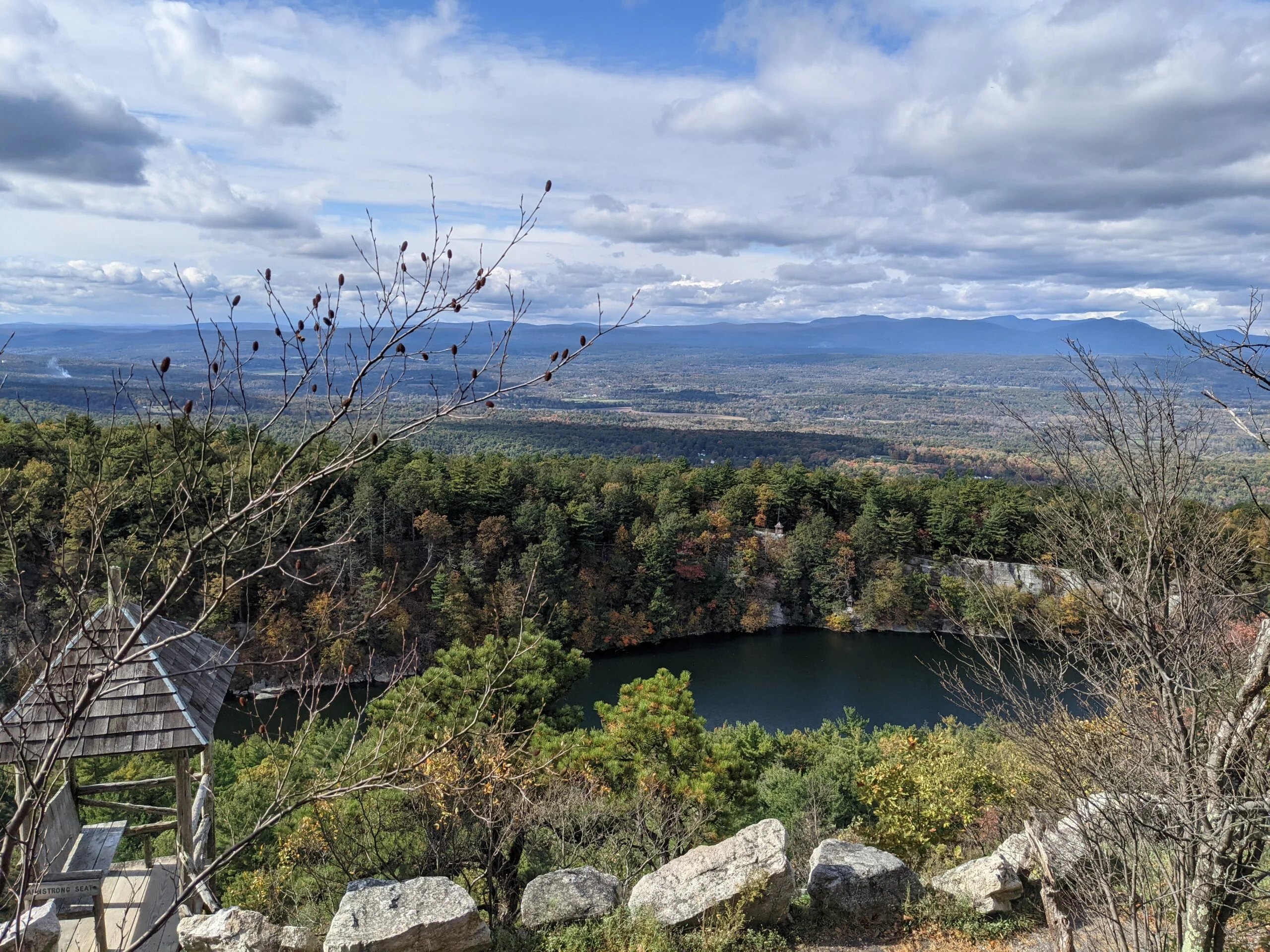
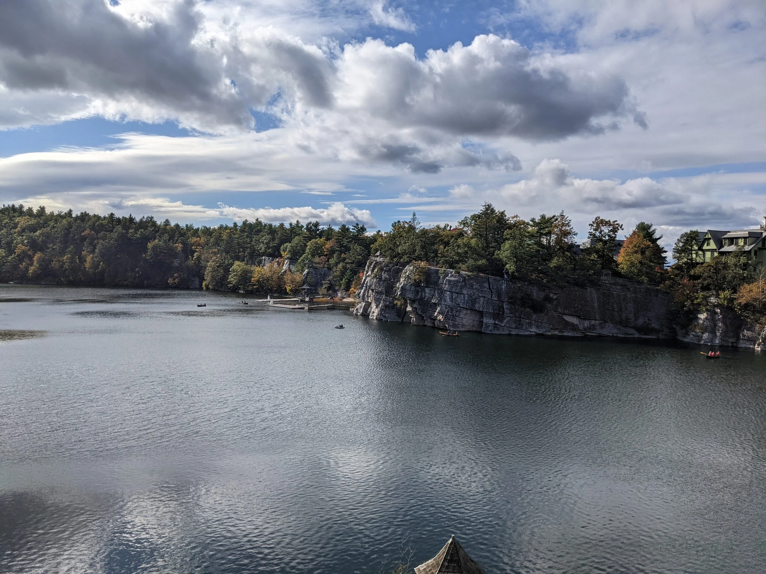
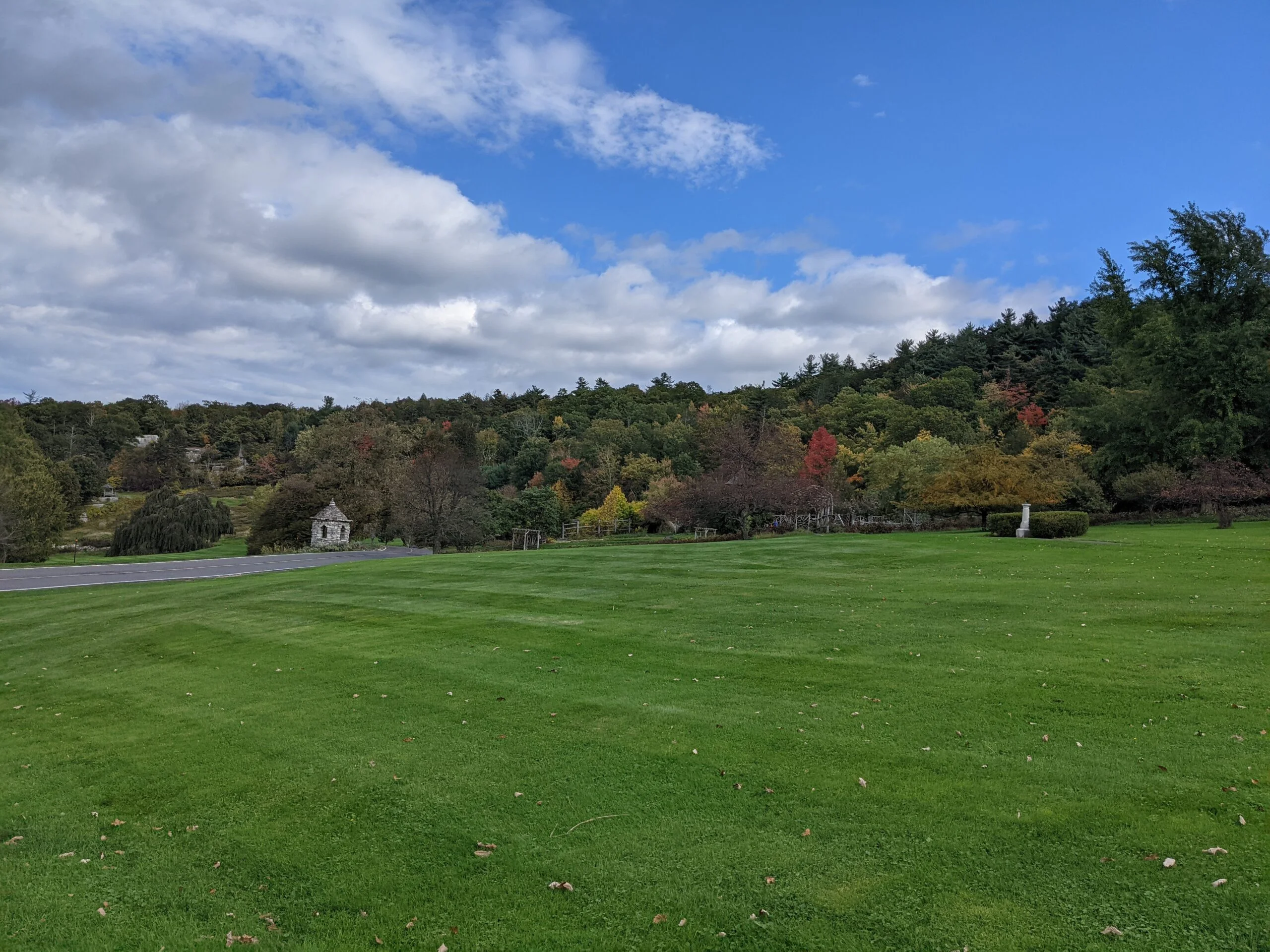
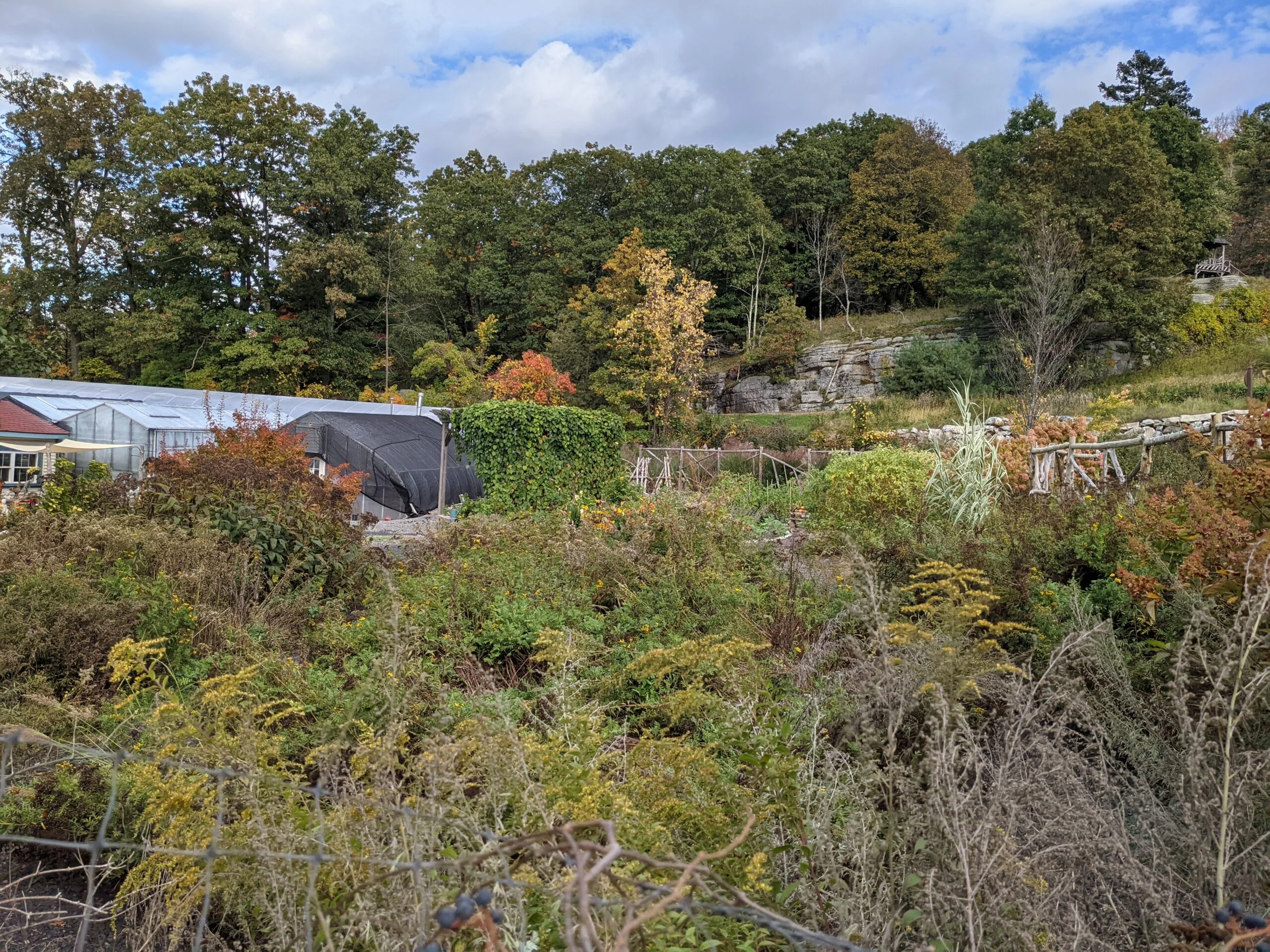
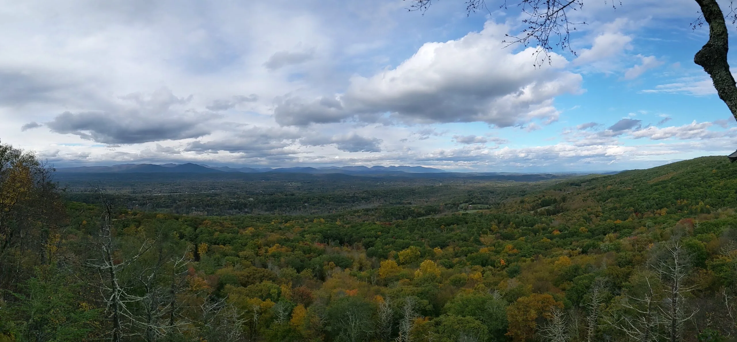
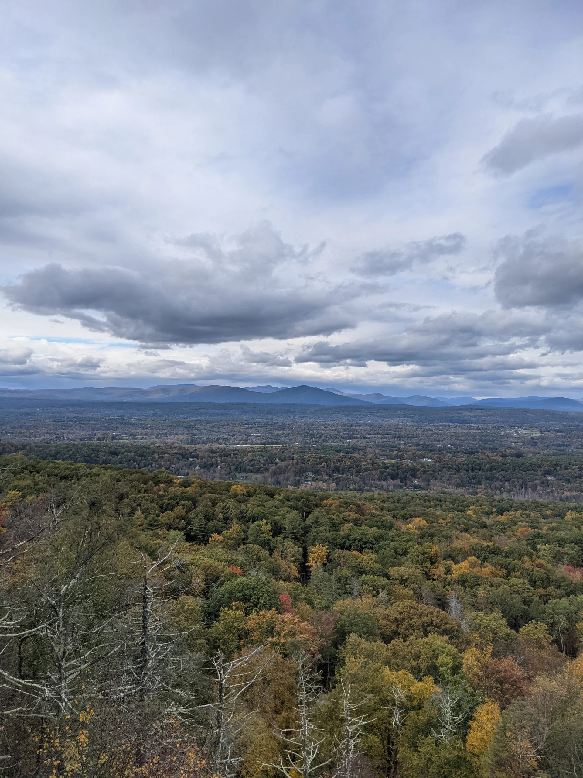
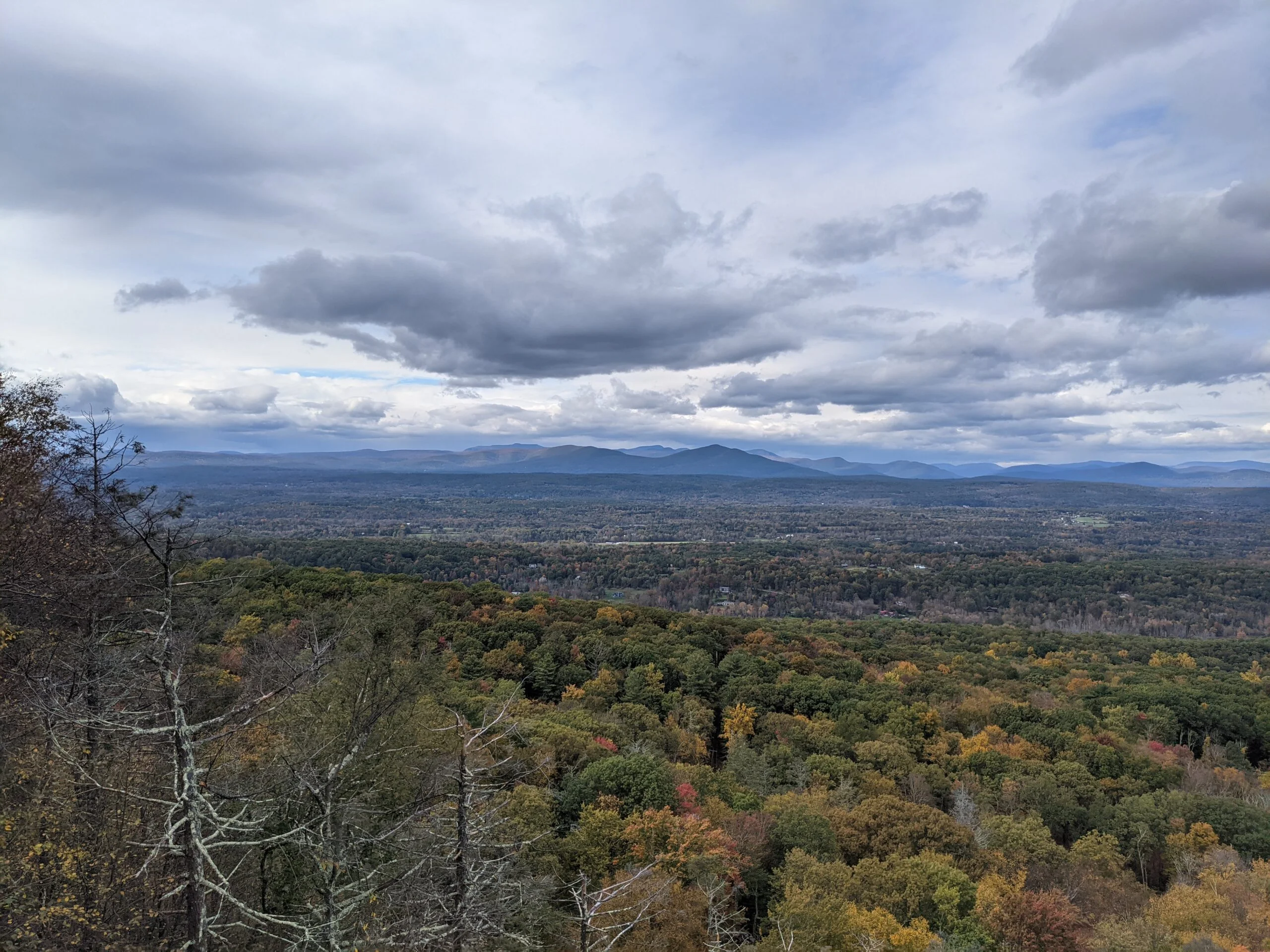
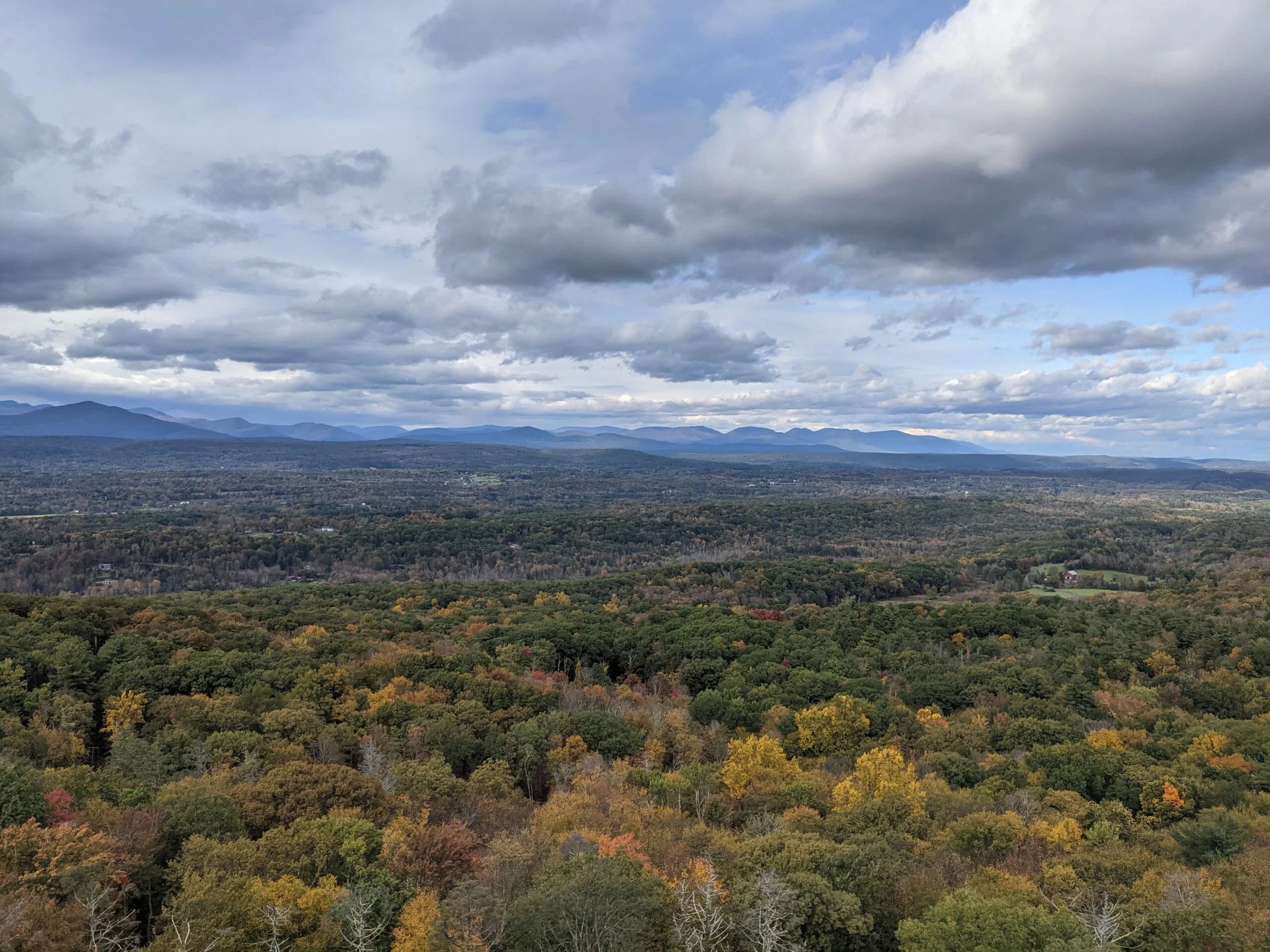
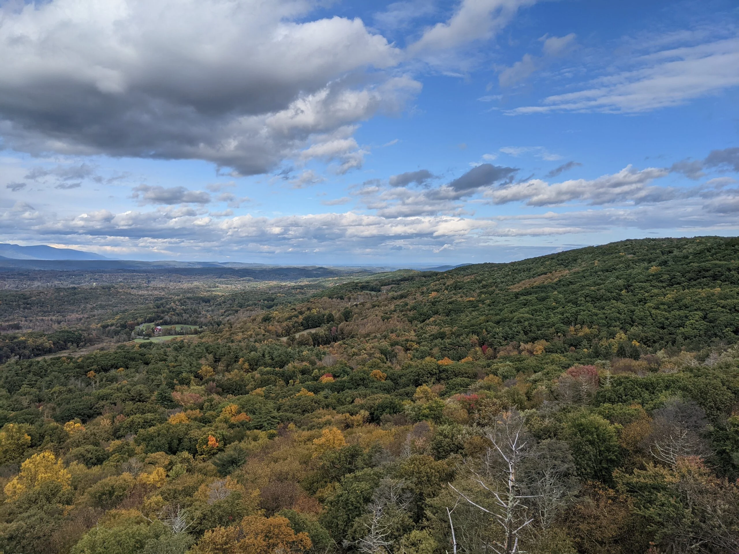
We soon connected with Huegonot Drive, which started bringing more of the Mohonk Mountain House property into view. About halfway along that path, we encountered the Tallman Seat which gave sweeping views of the valley and the hotel off in the distance. We then switched to an unnamed path which brought us onto the hotel property, walking past the gardens, vast lawns, and trellises.
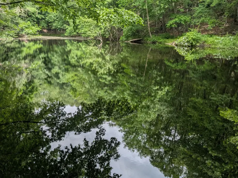
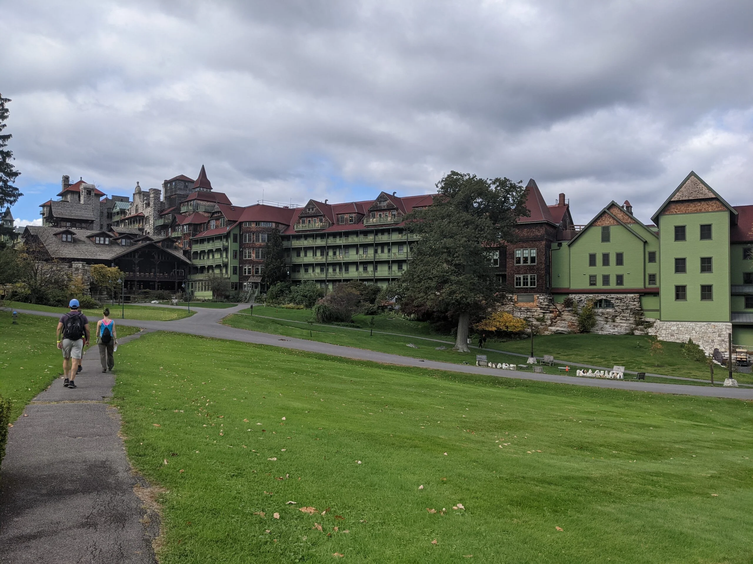
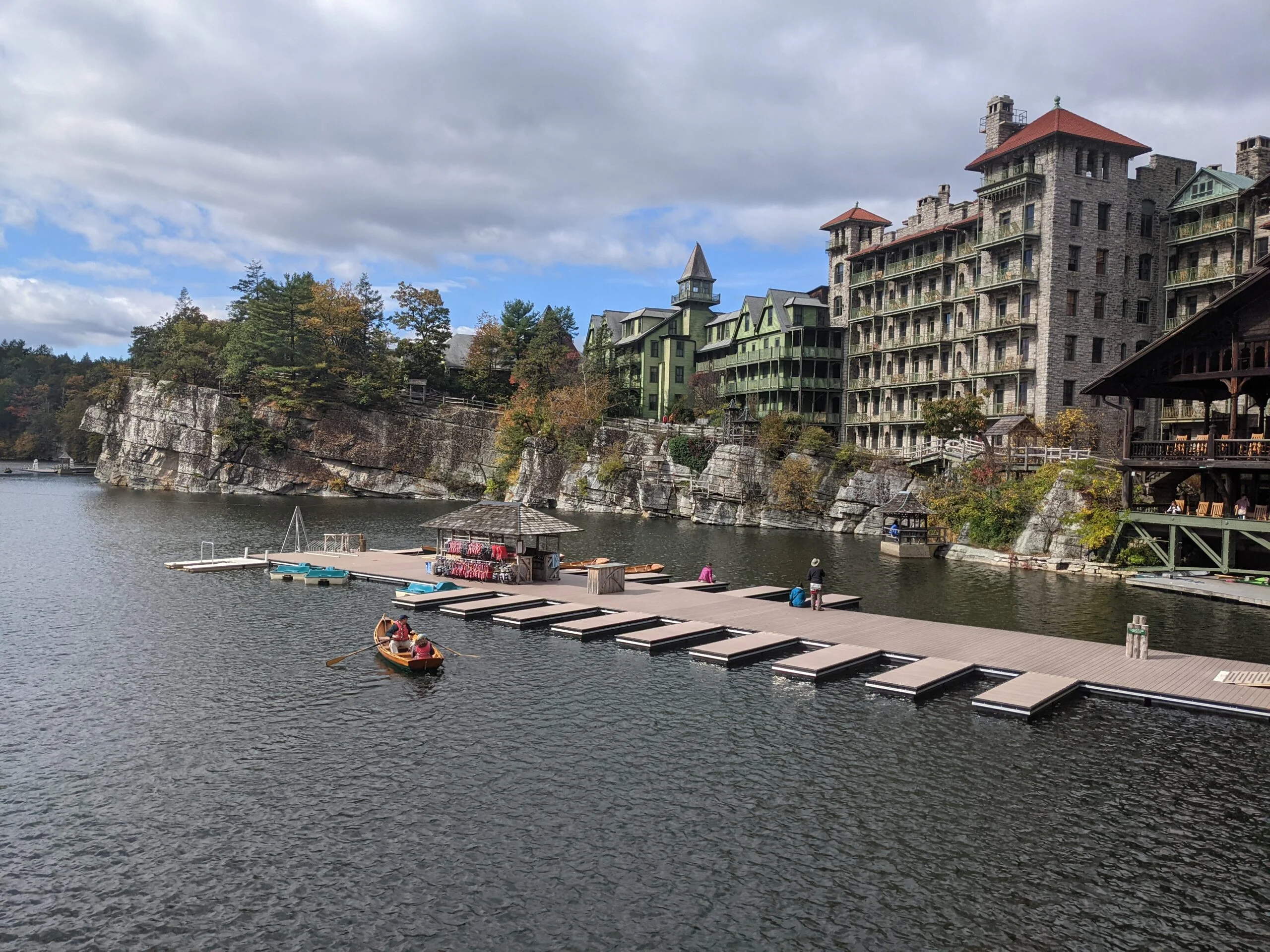
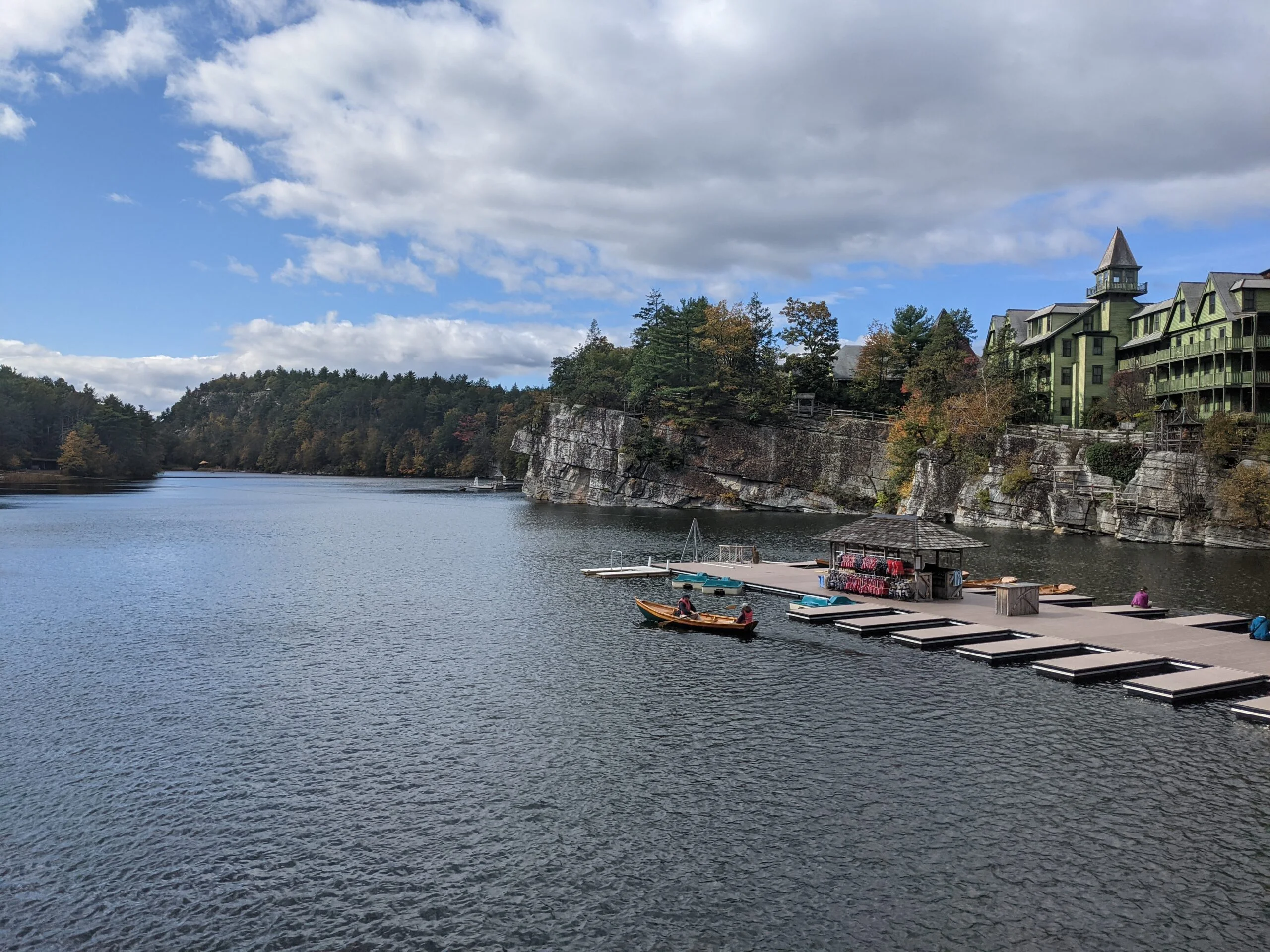
The main resort building was huge and awe-inspiring, with obvious additions being added over the years. Upon walking up to Mohonk Lake, which sits in the hotel’s shadow, we saw people in canoes and paddle boats as others on horseback trotted by. After a quick stop at the public restrooms behind the art studio, we were ready to continue our journey.
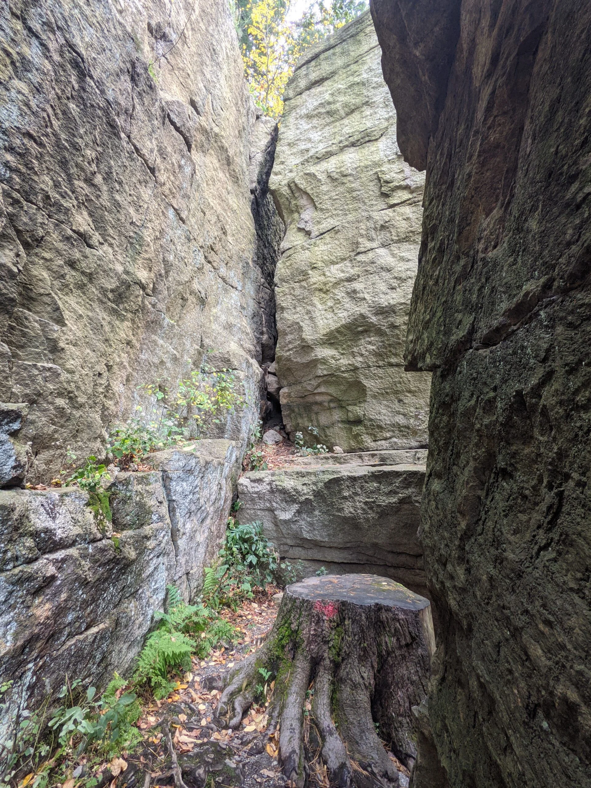
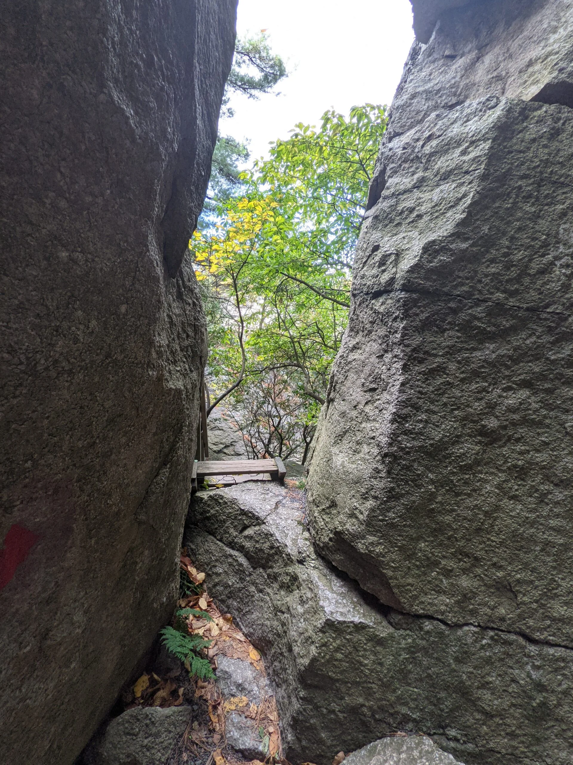
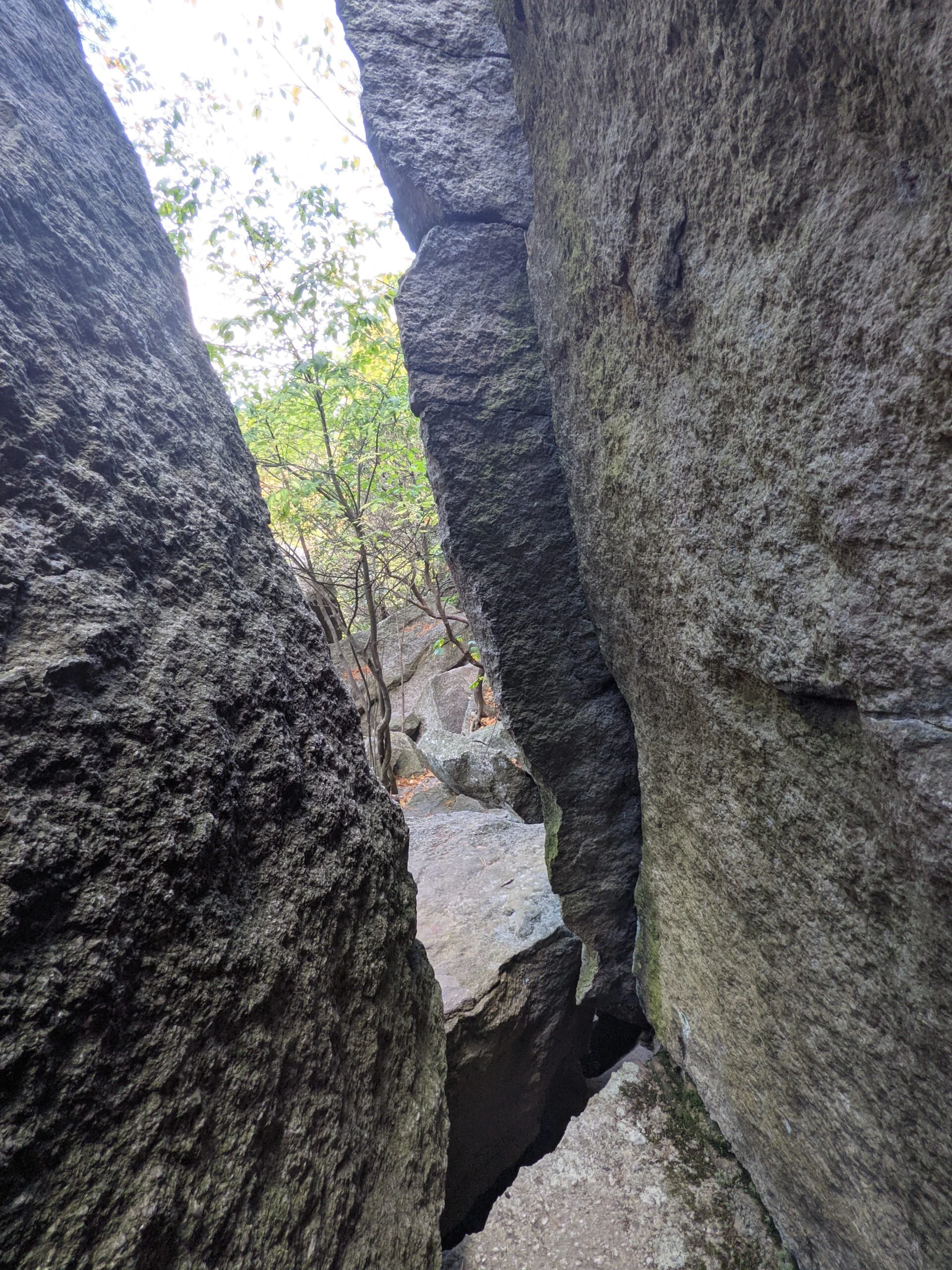
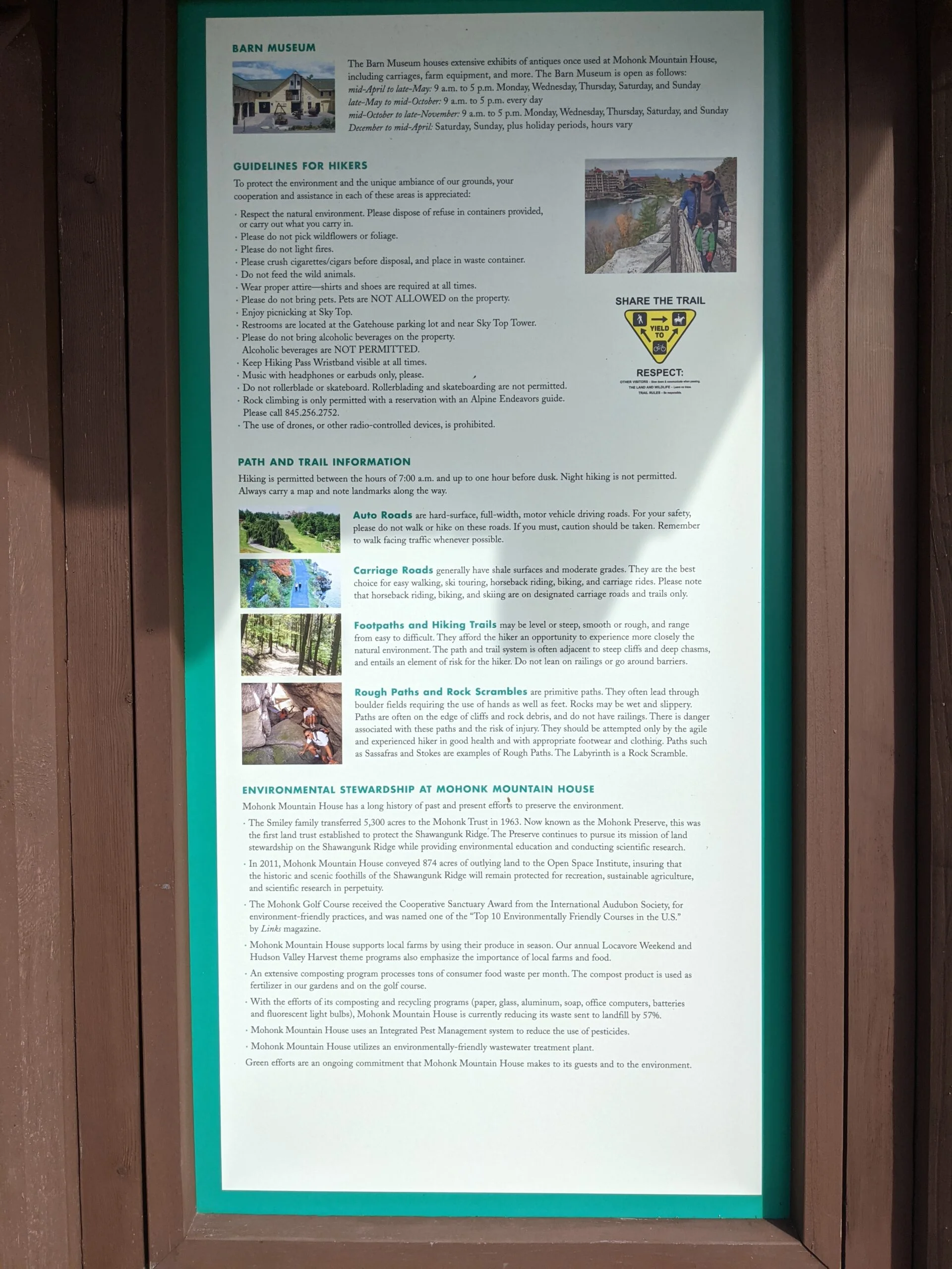
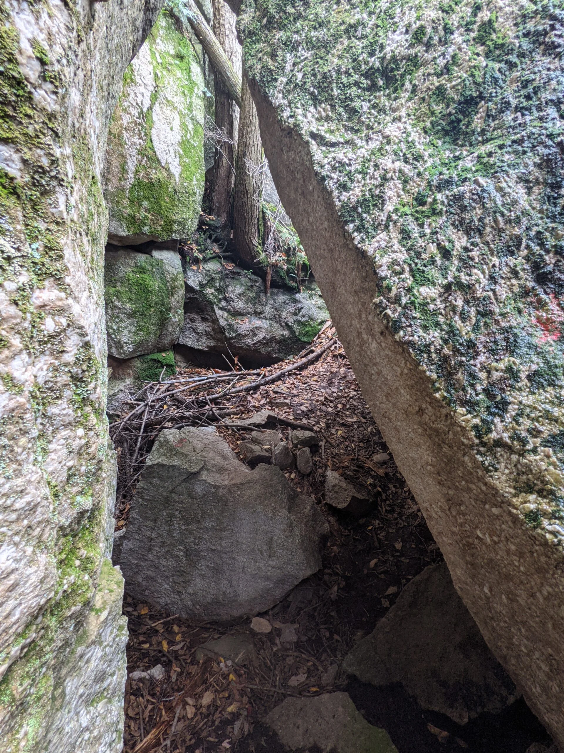
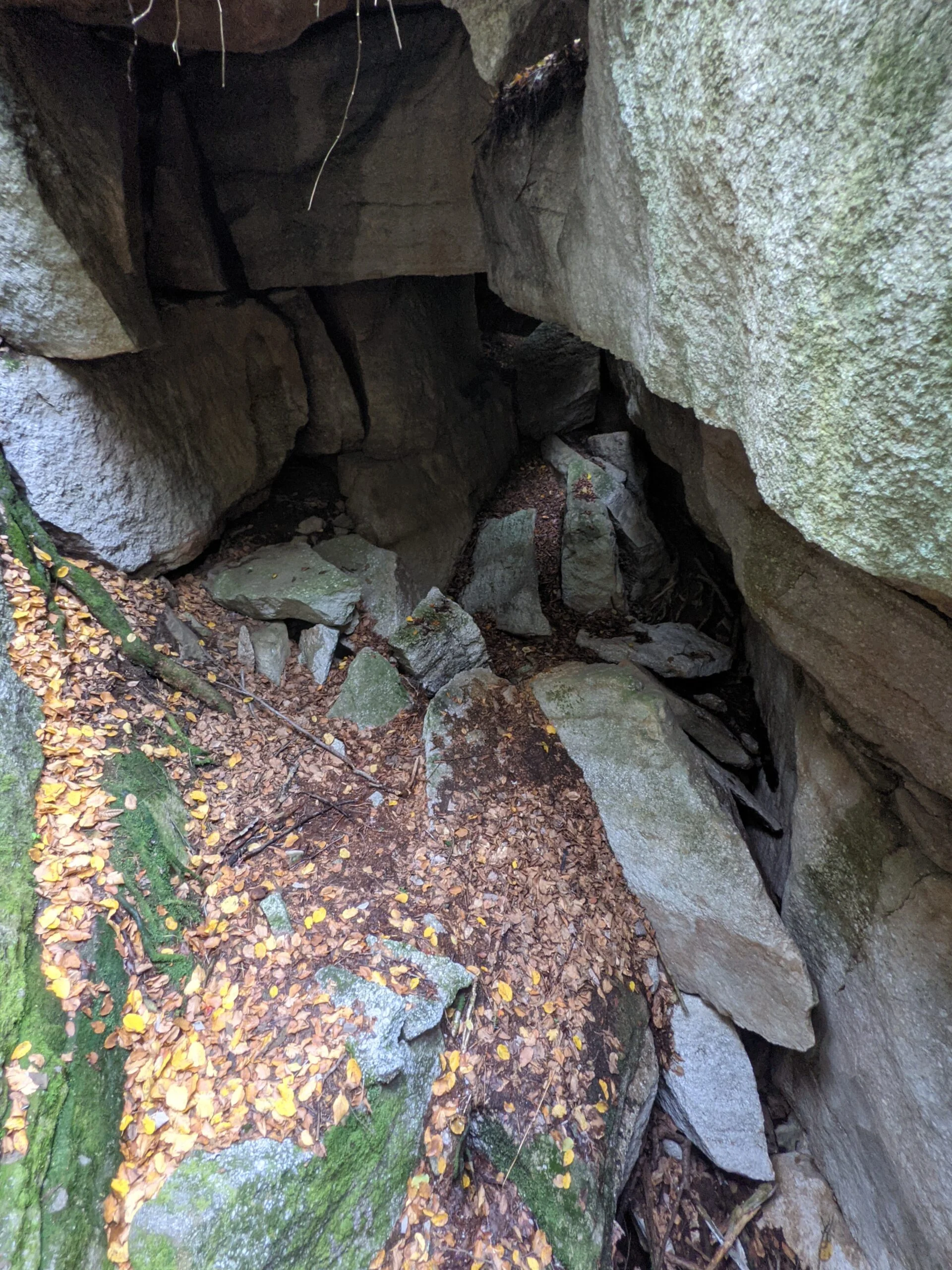
Our plan for the day was to make it to Sky Top Tower. There’s a very simple walking path up to the tower and there’s a more complicated route including several rock scrambles, ladder climbs, and tight spaces. We chose the latter, which starts with The Labyrinth.
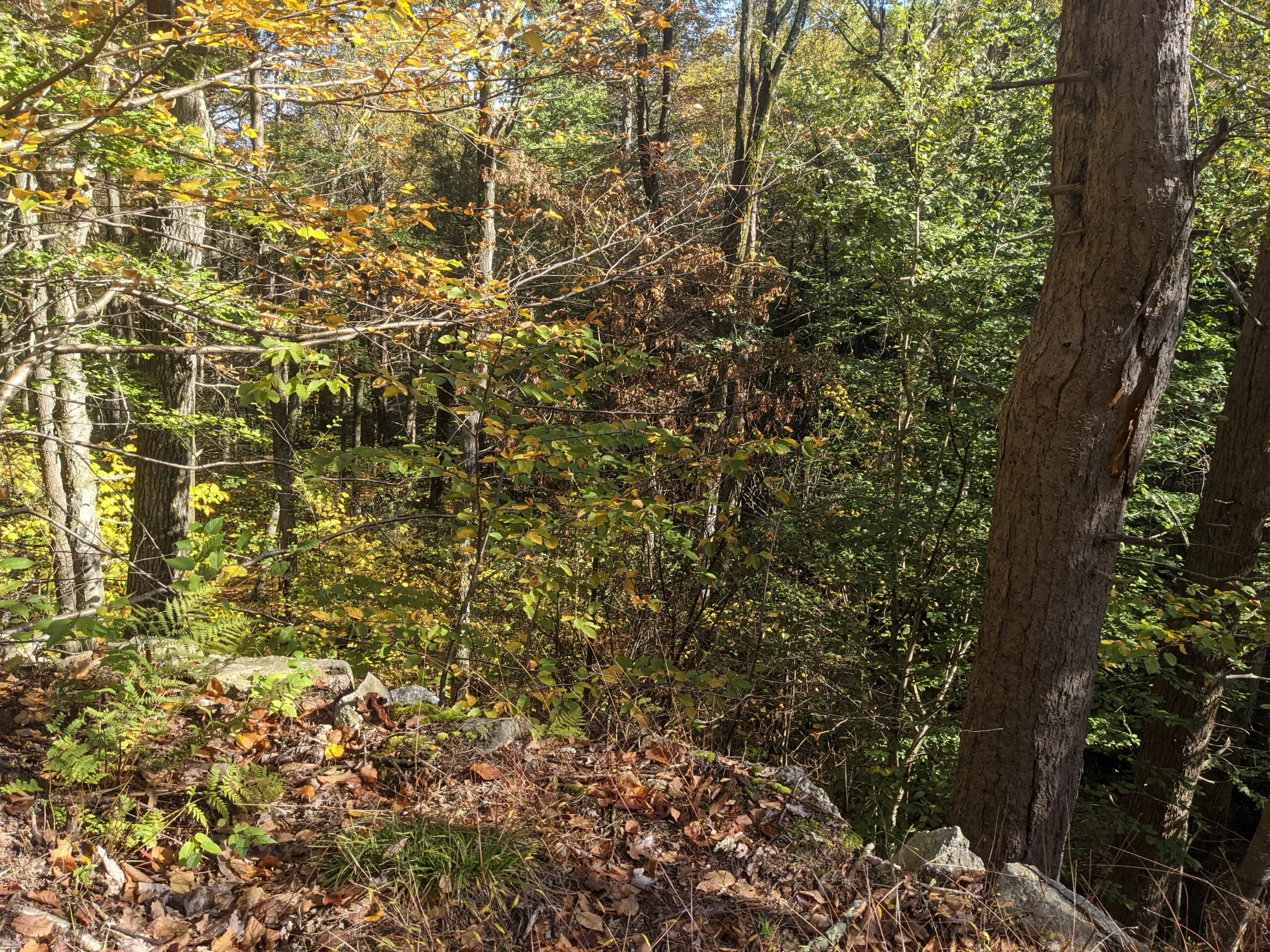
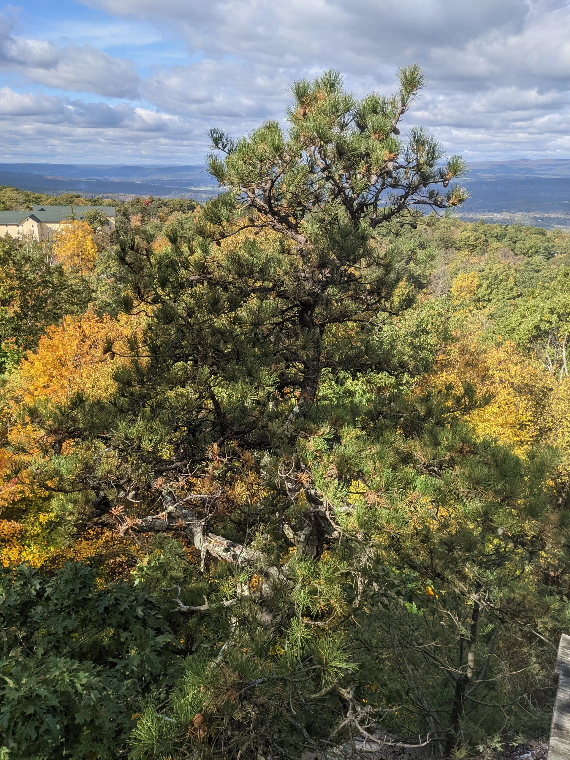
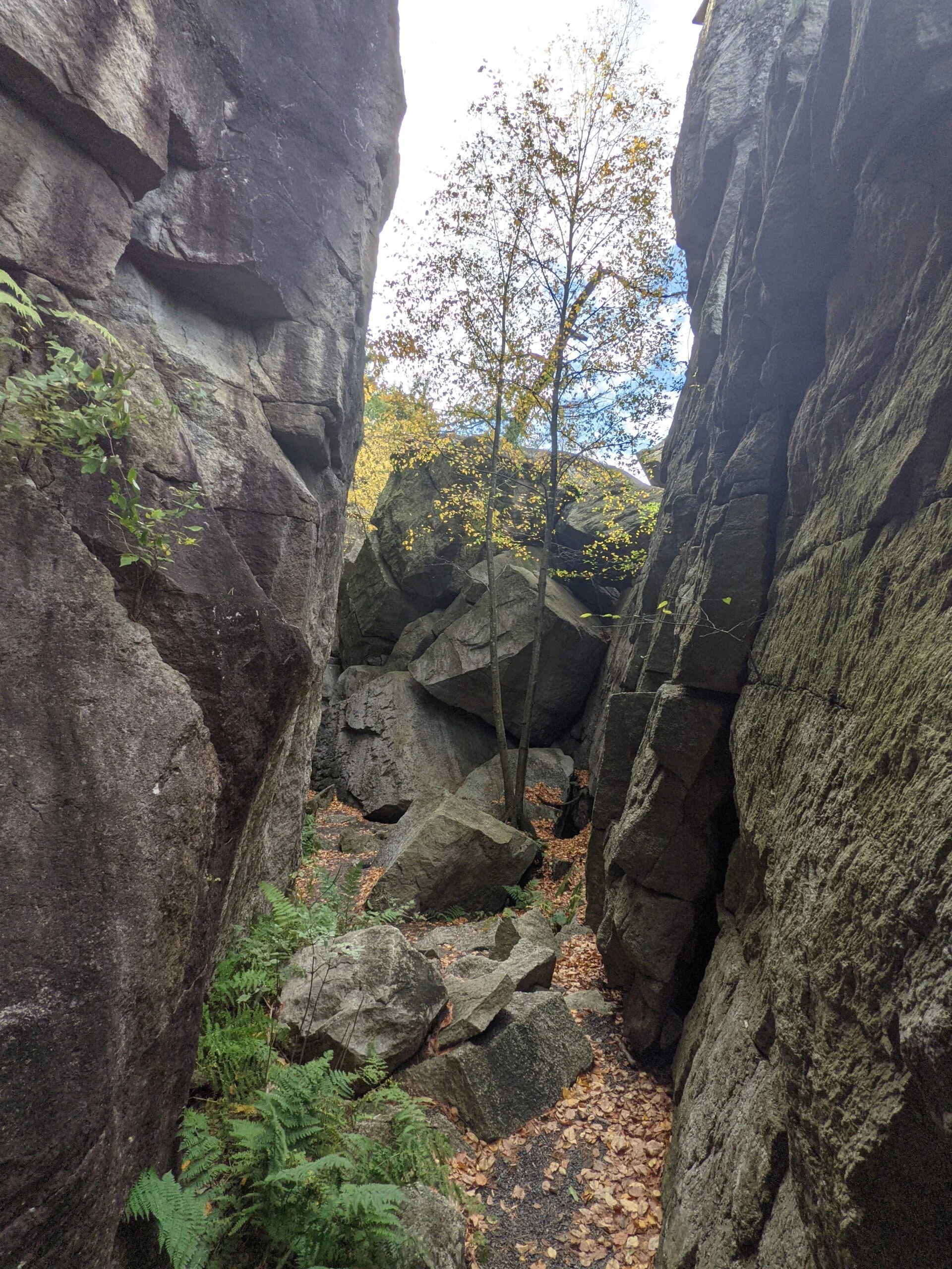
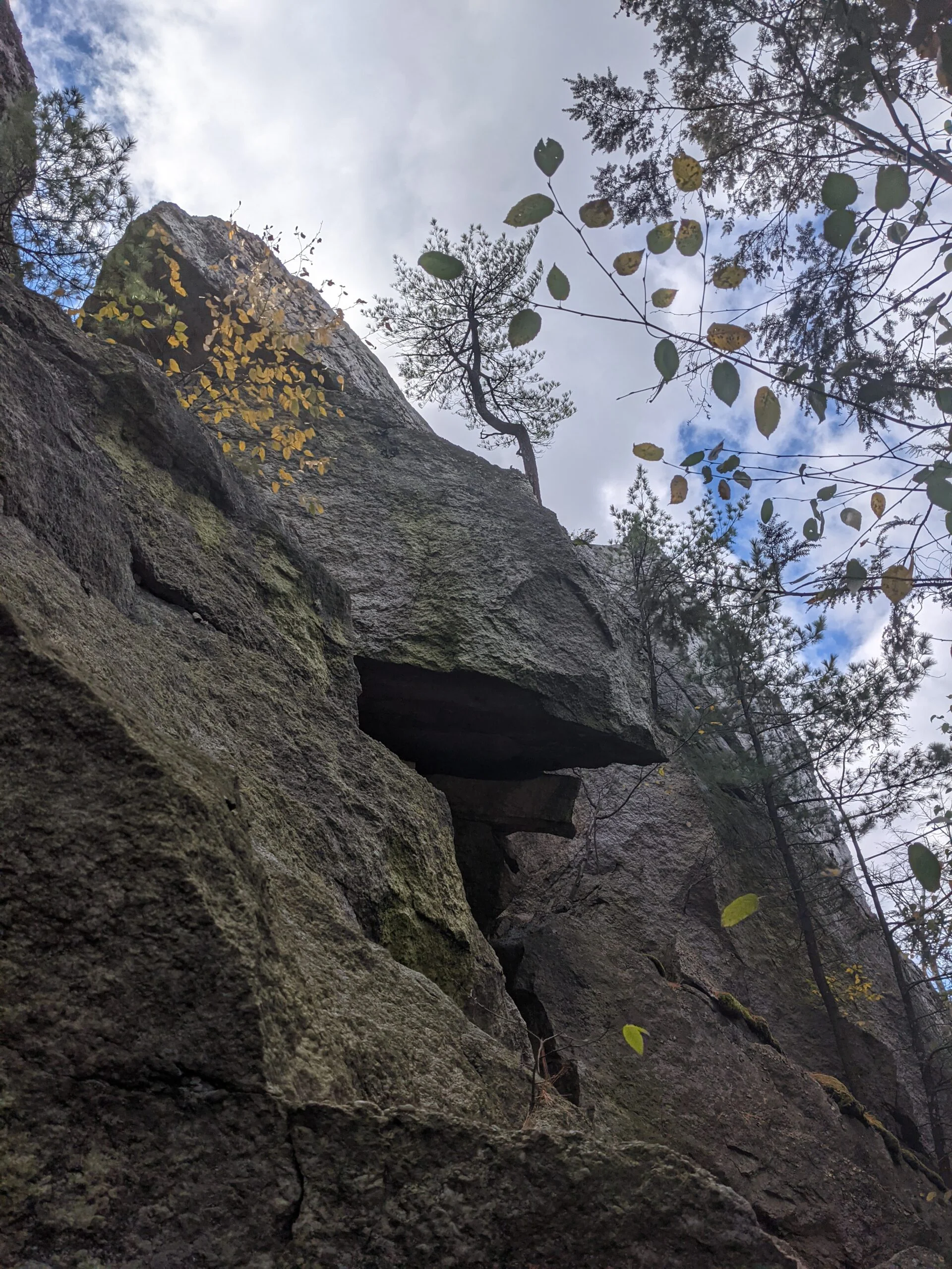
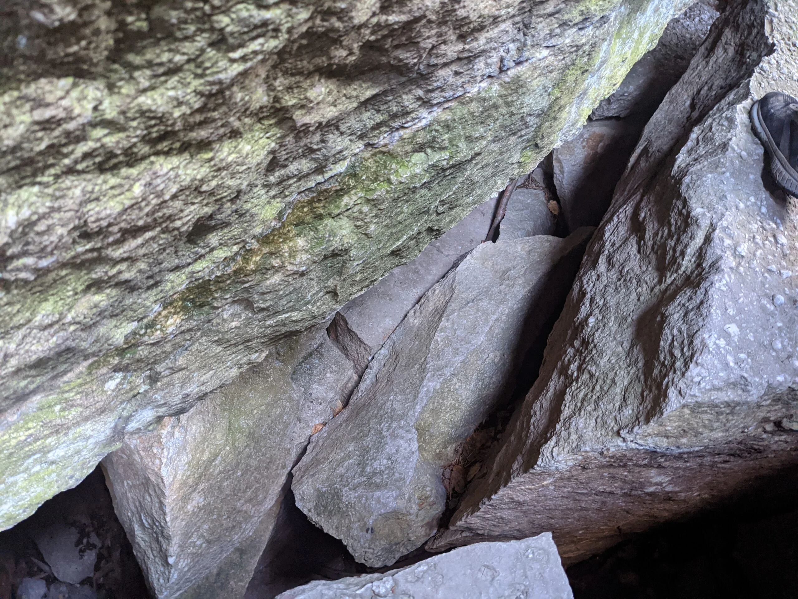
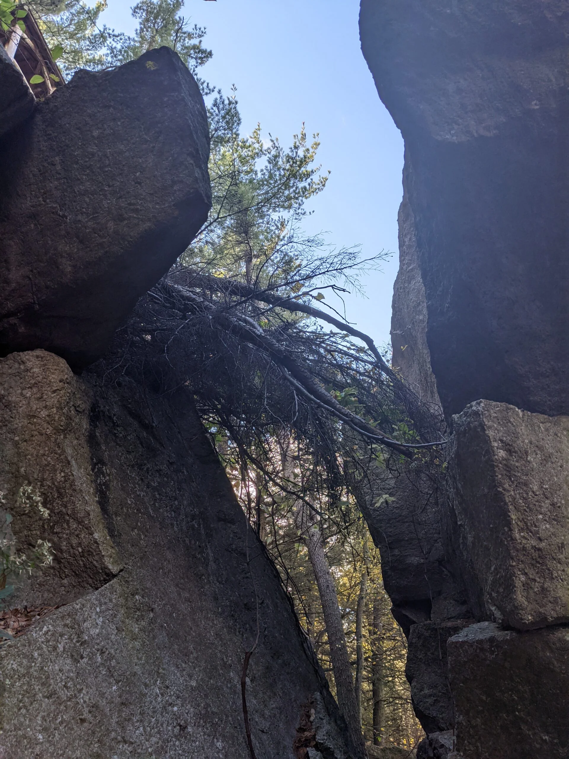
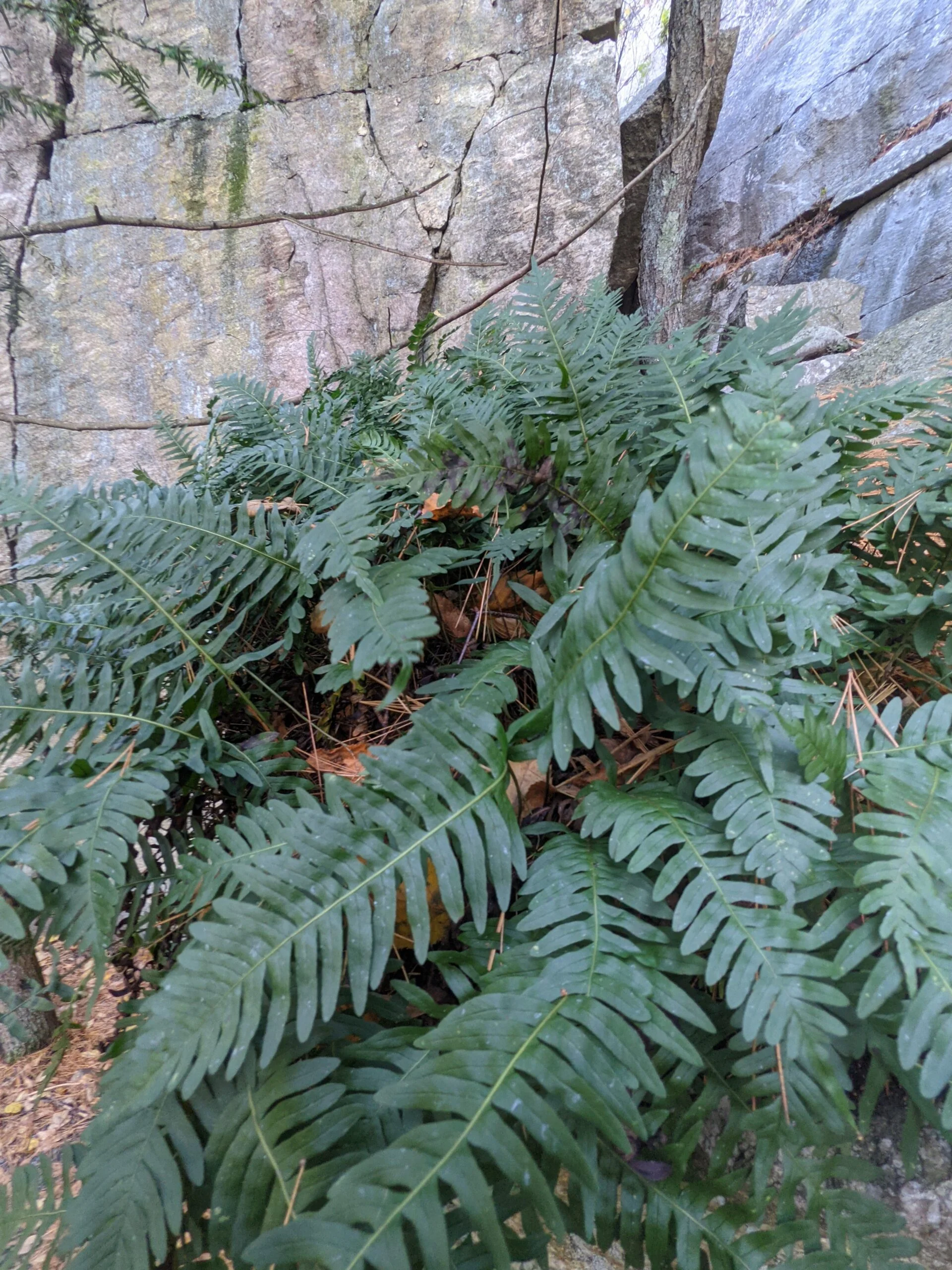
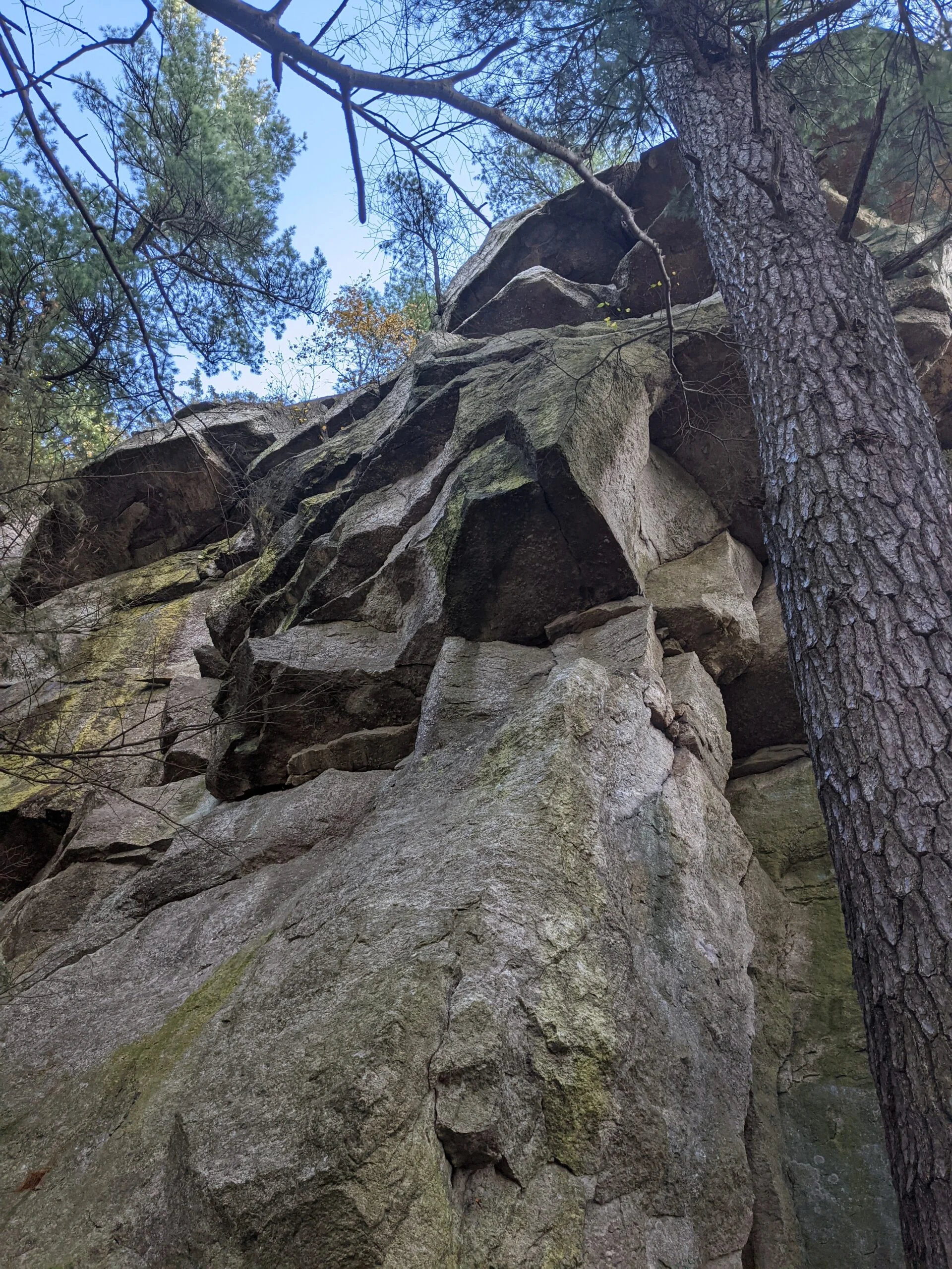
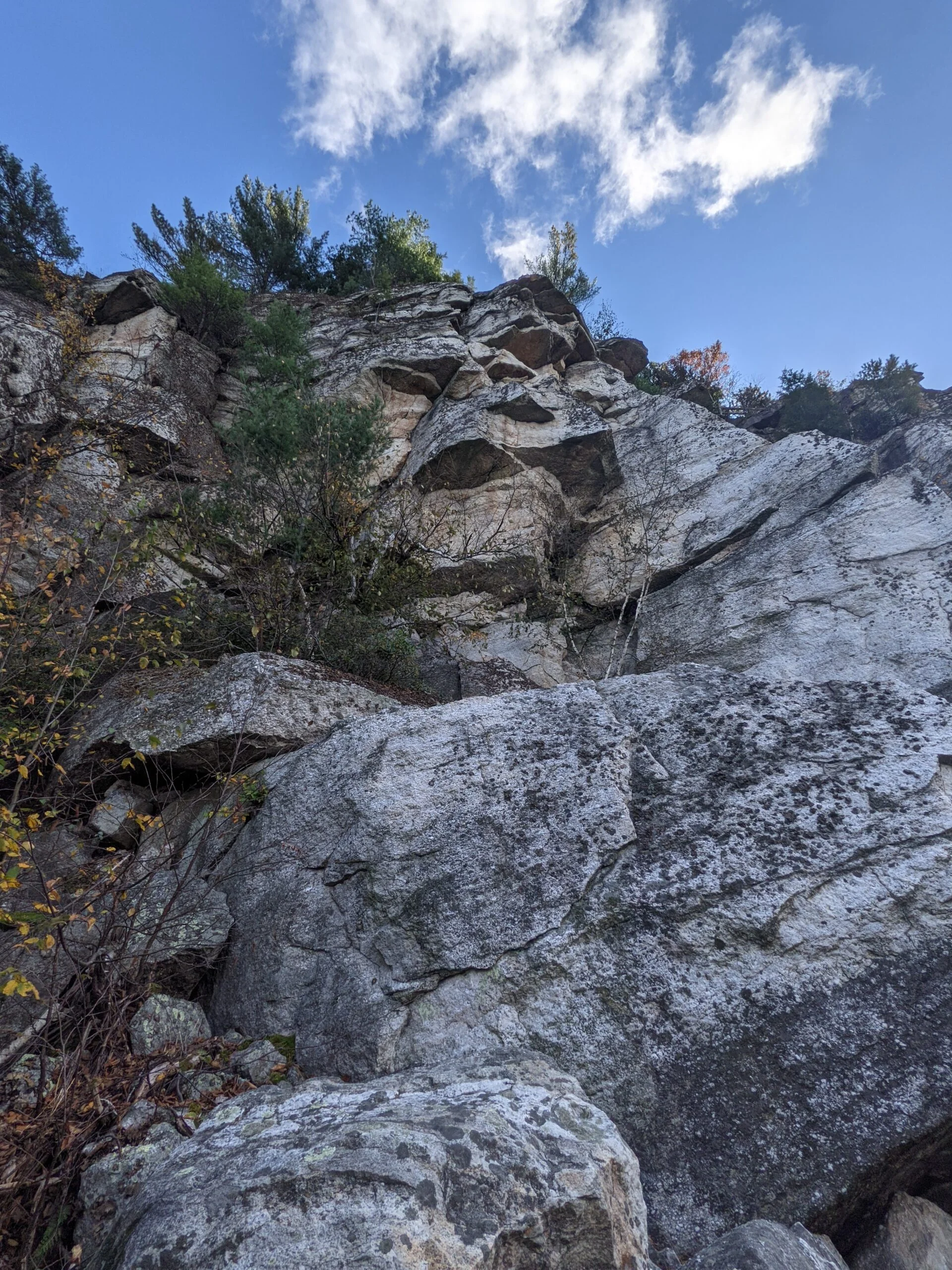
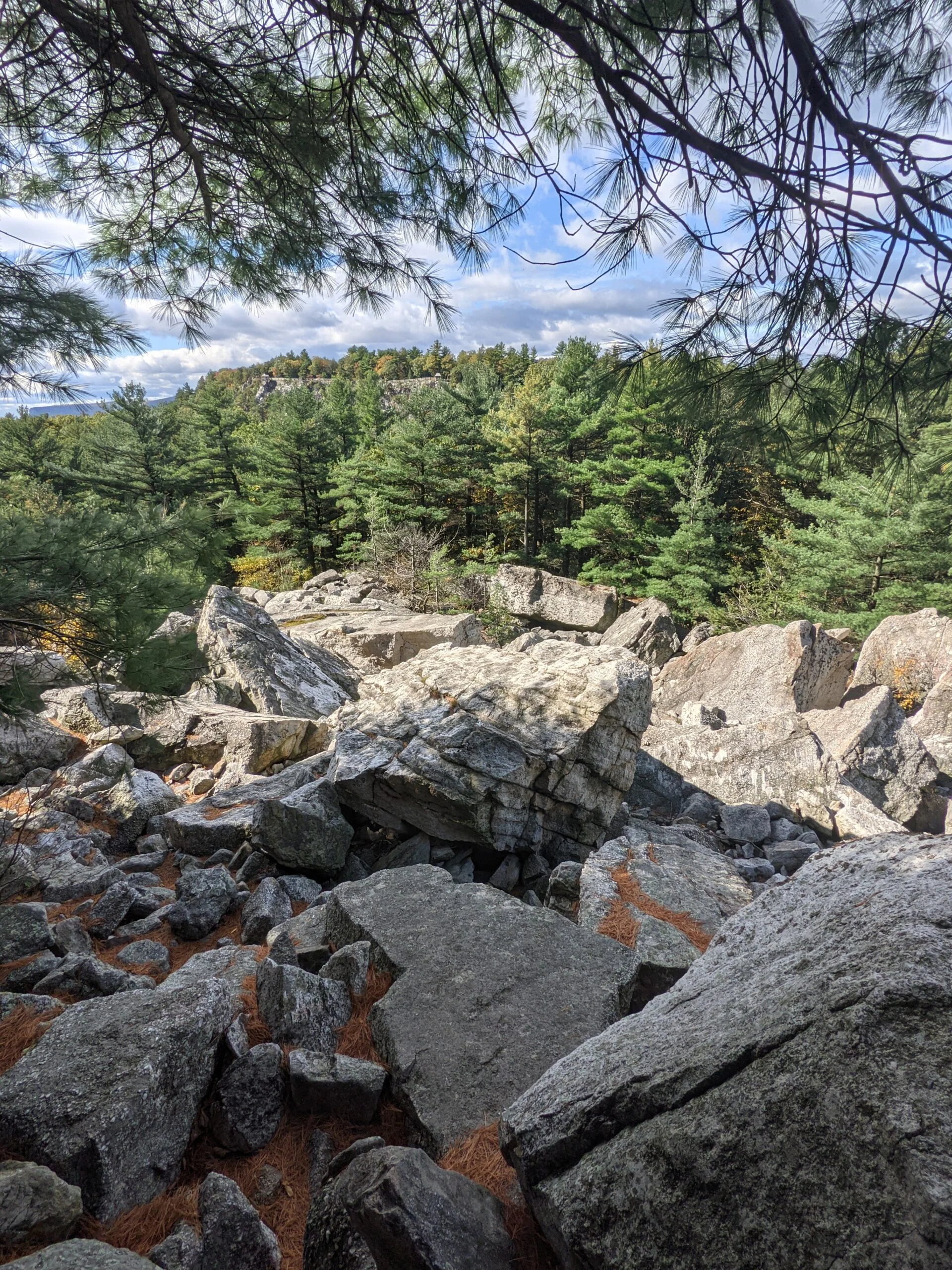
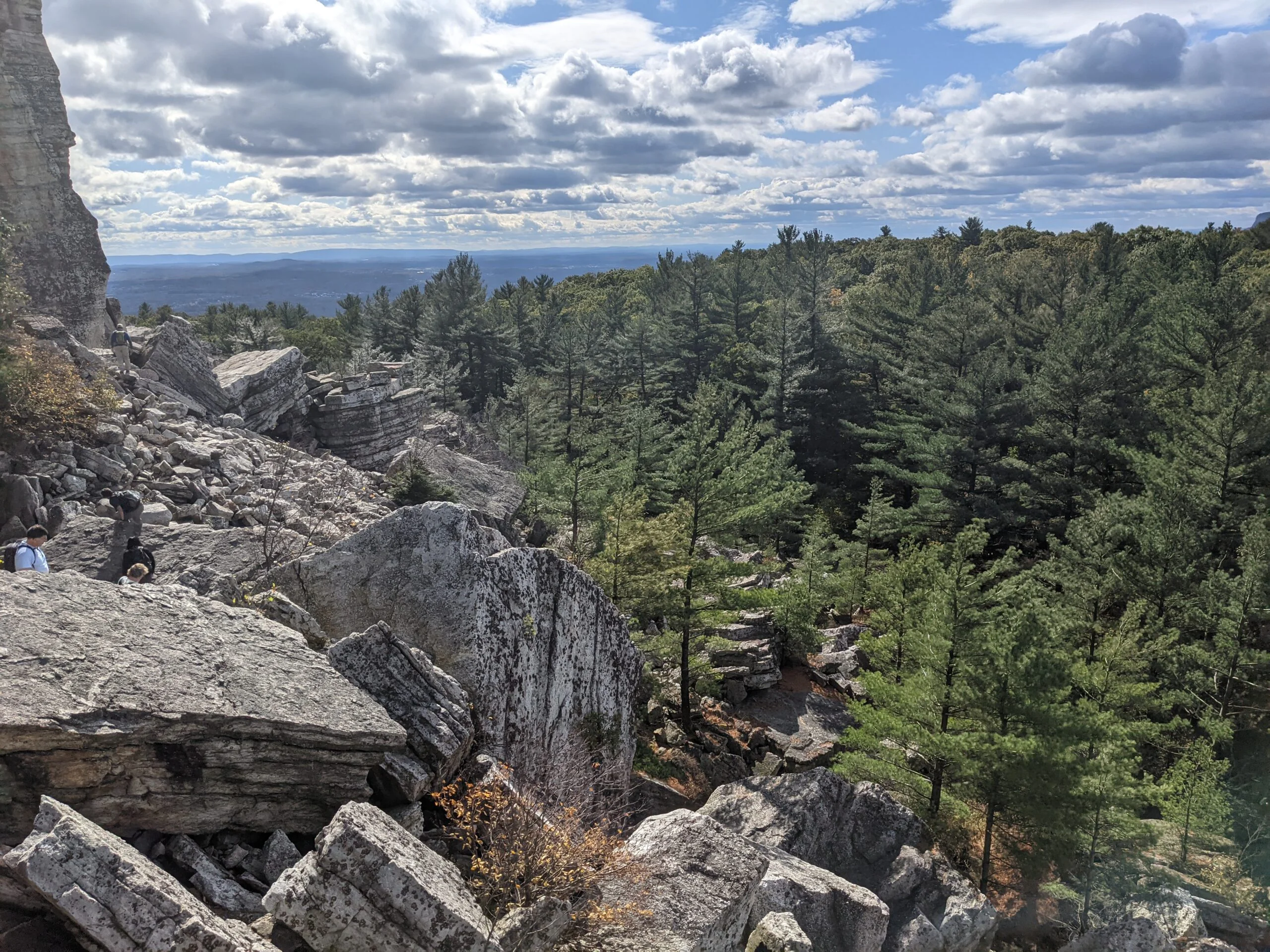
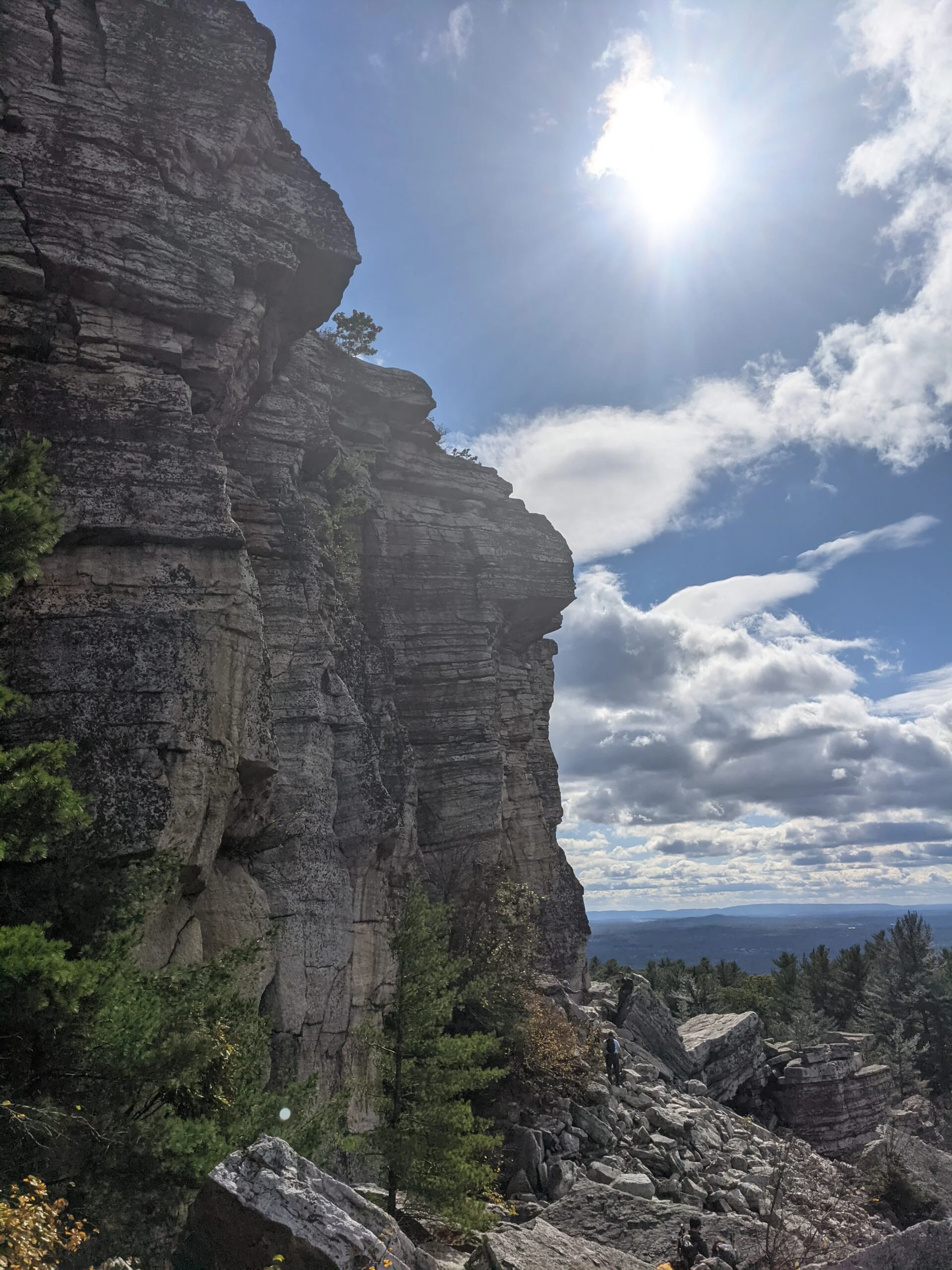
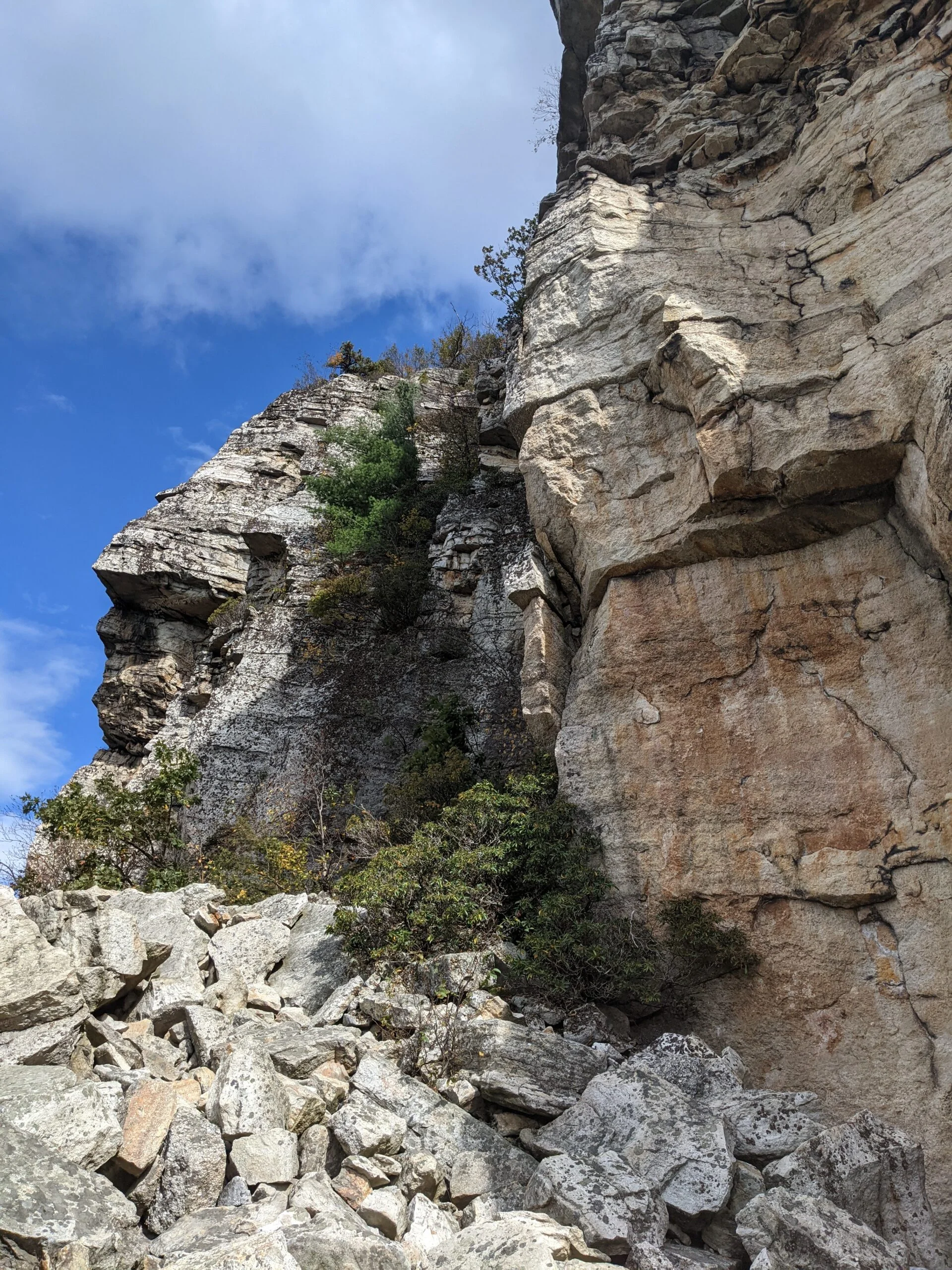
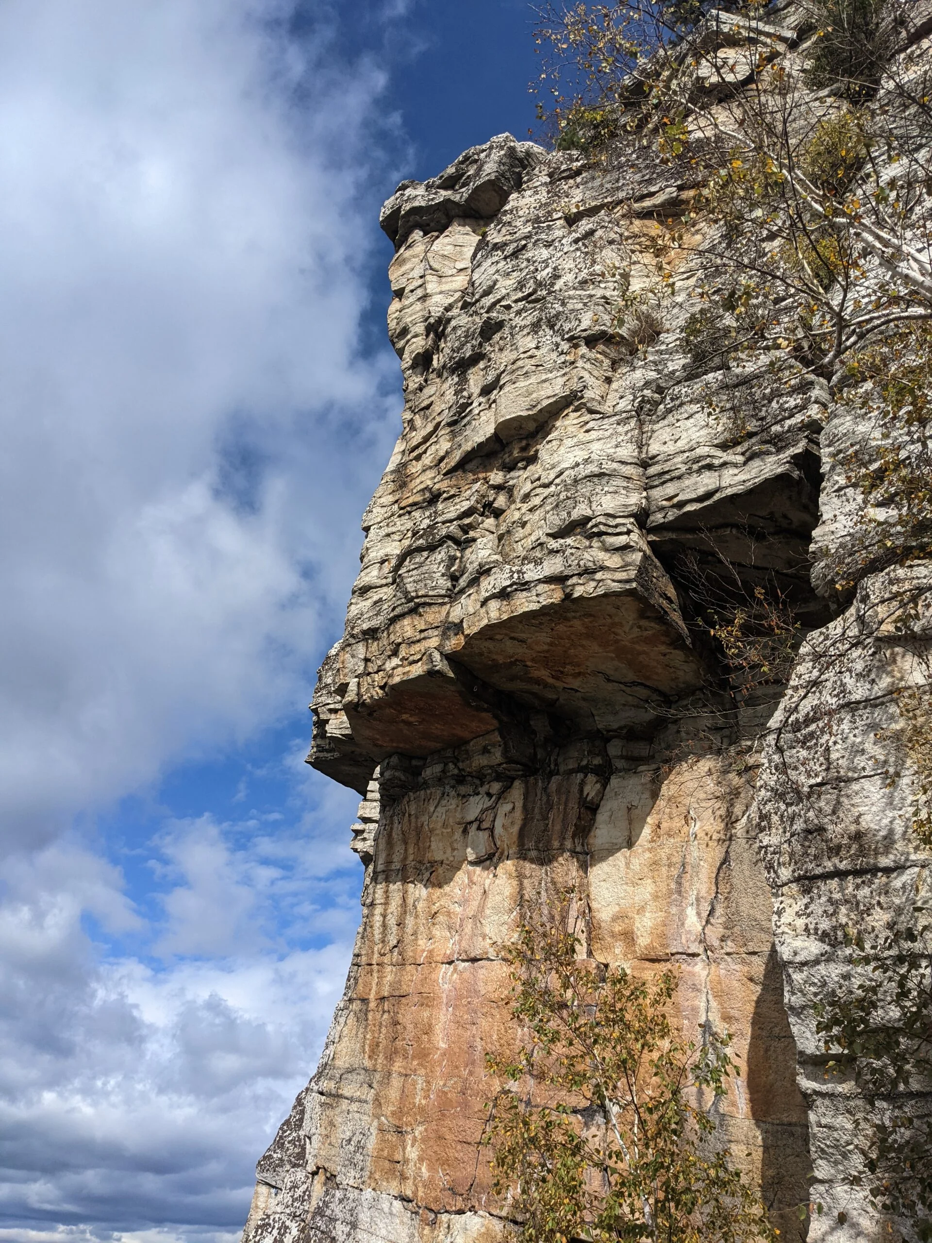
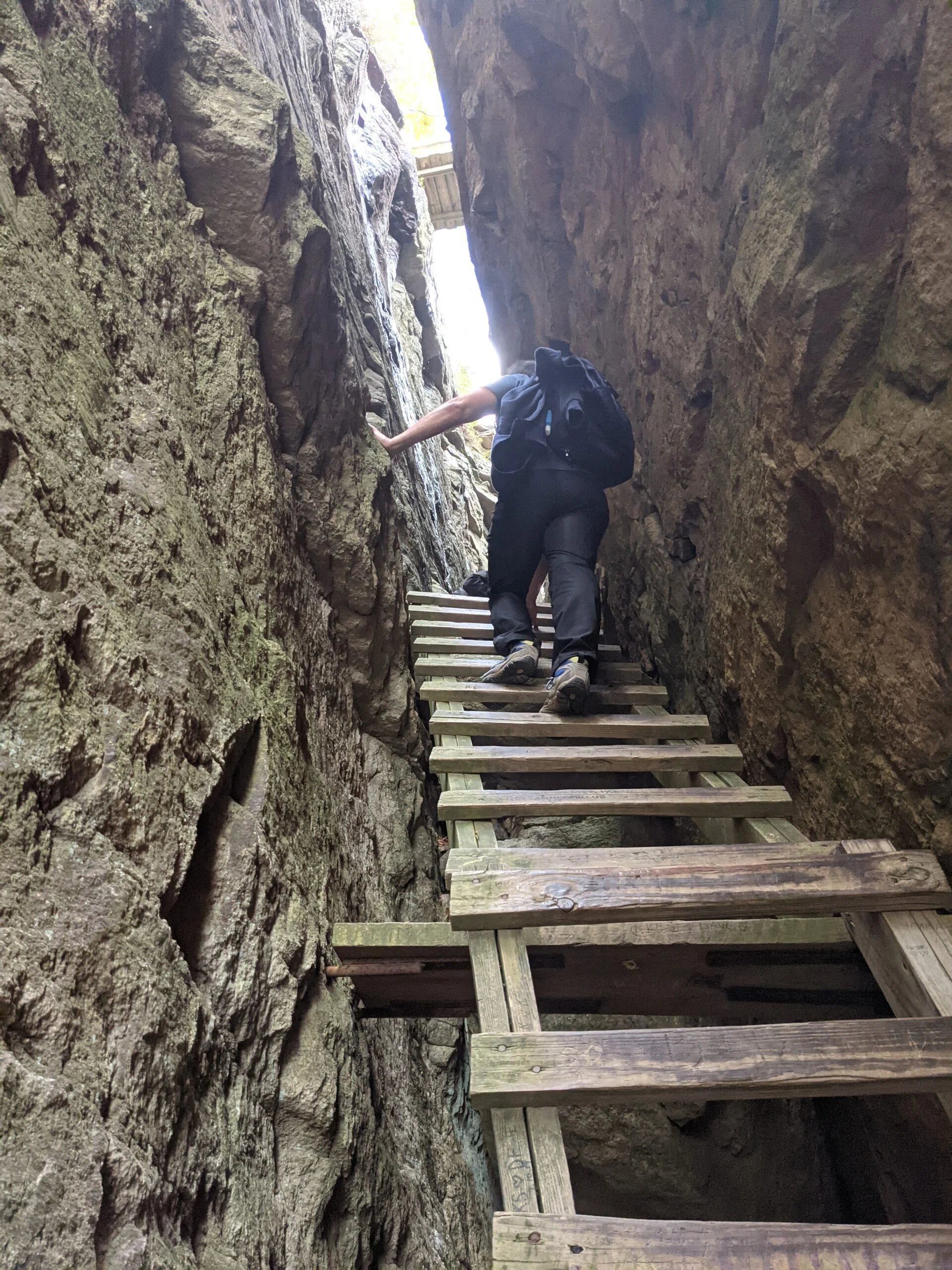
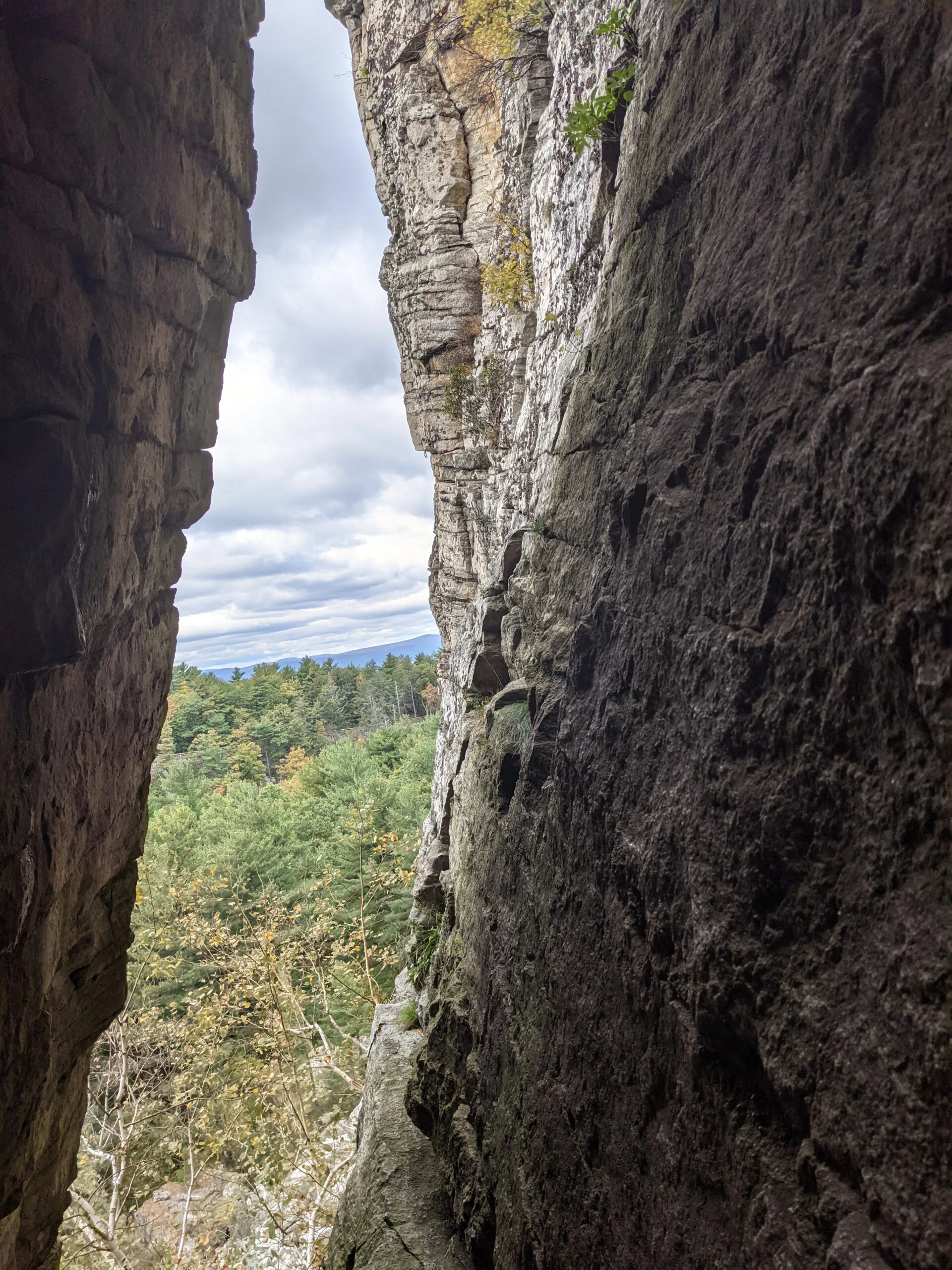
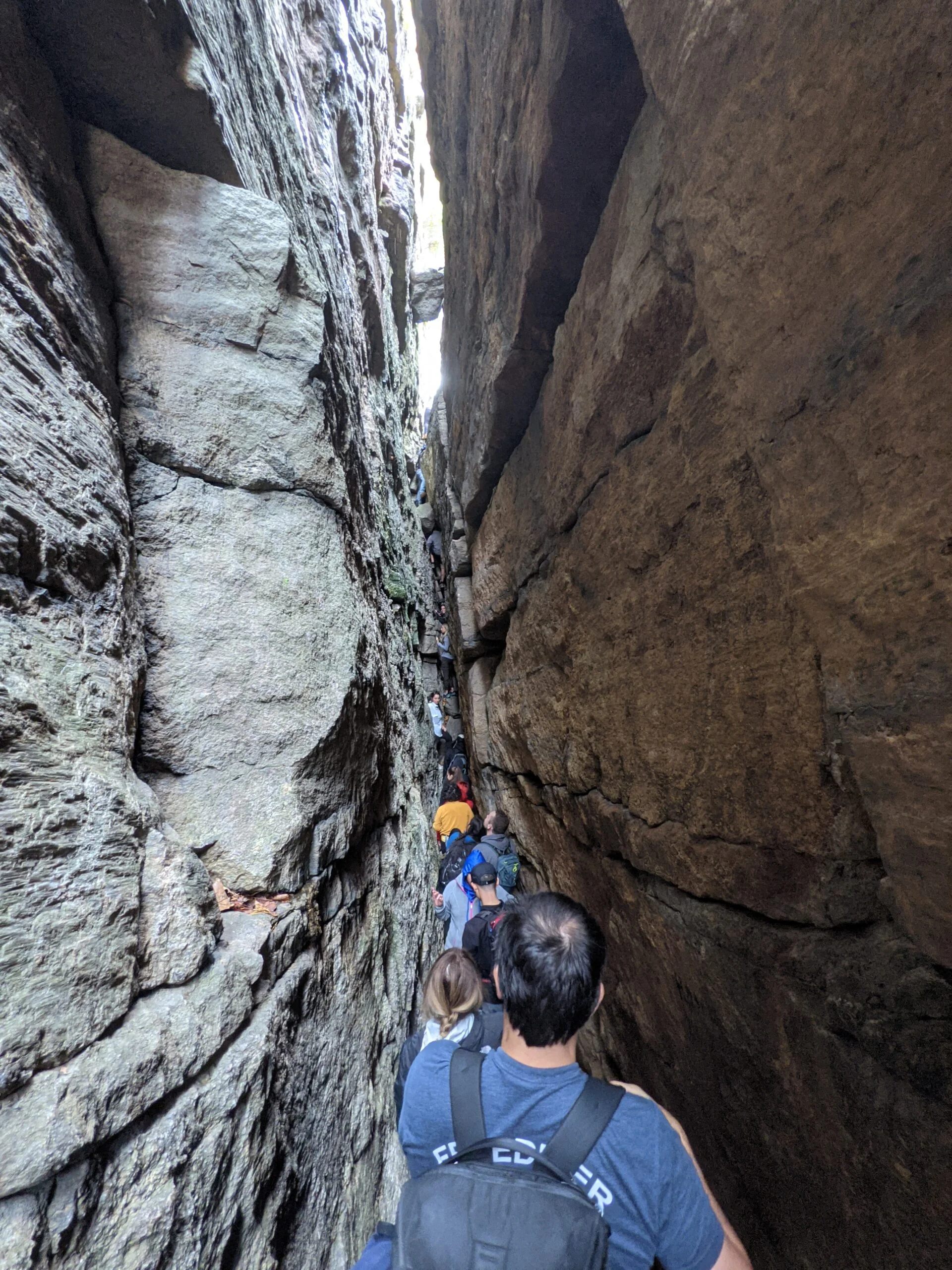
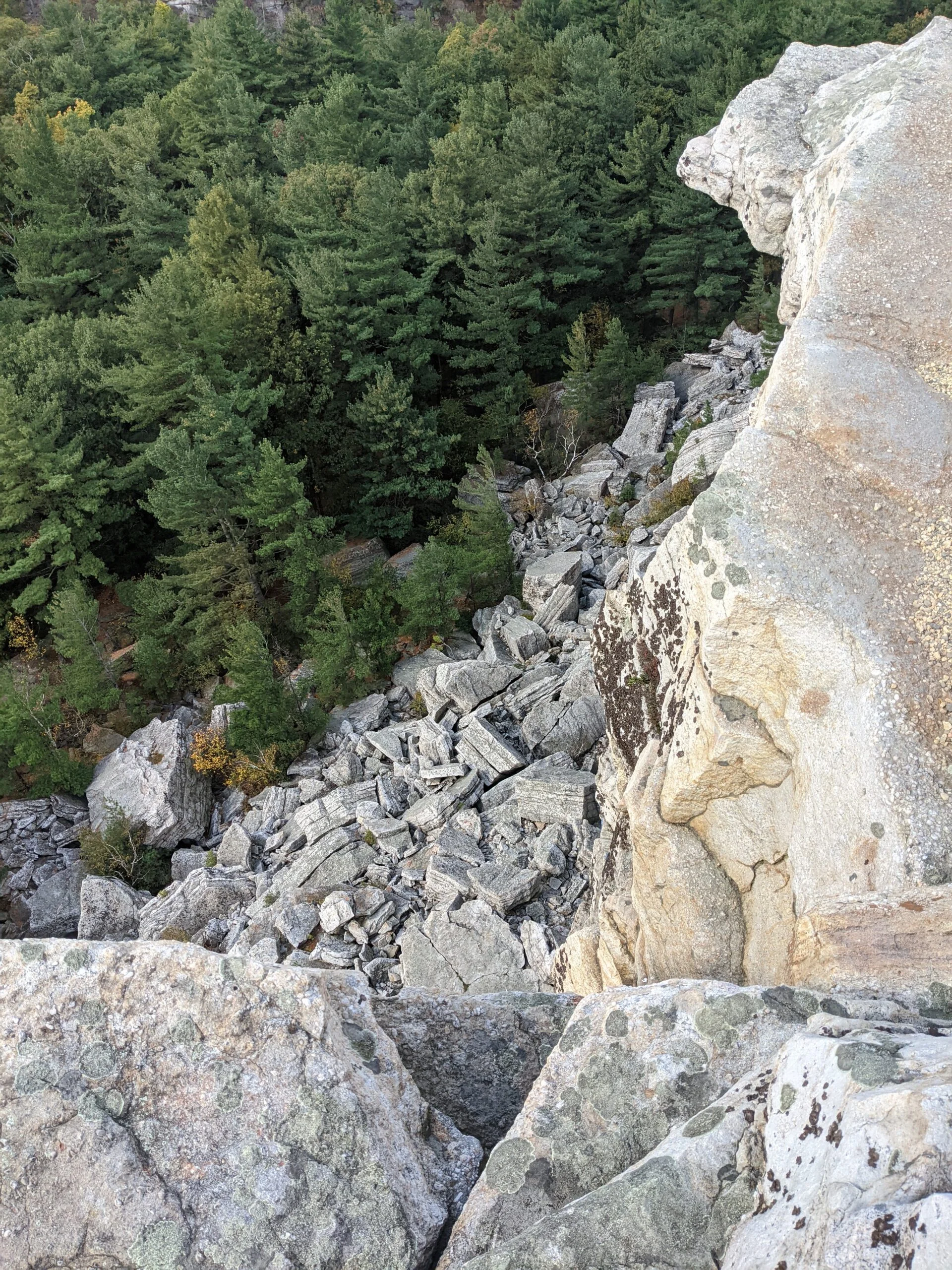
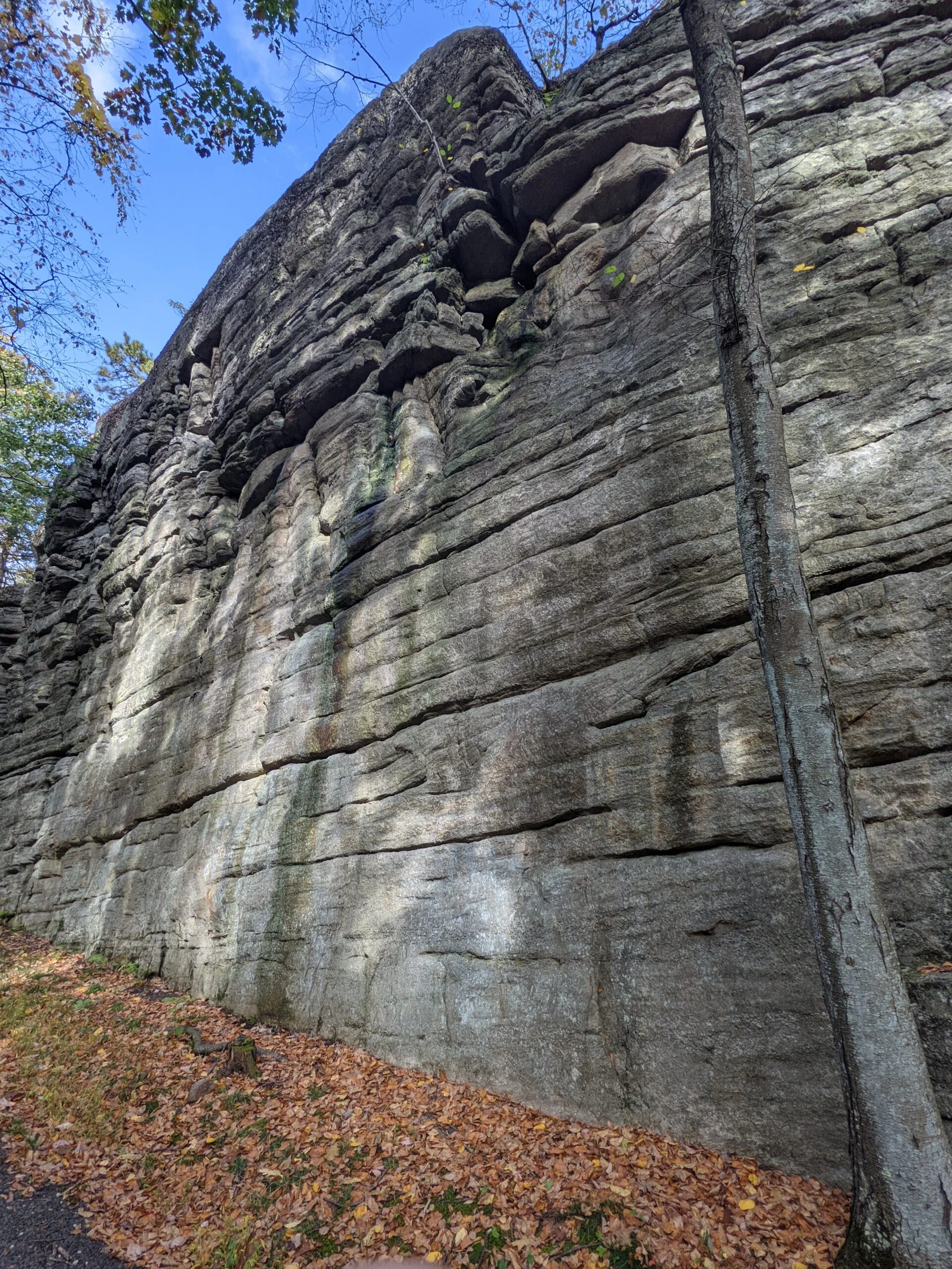
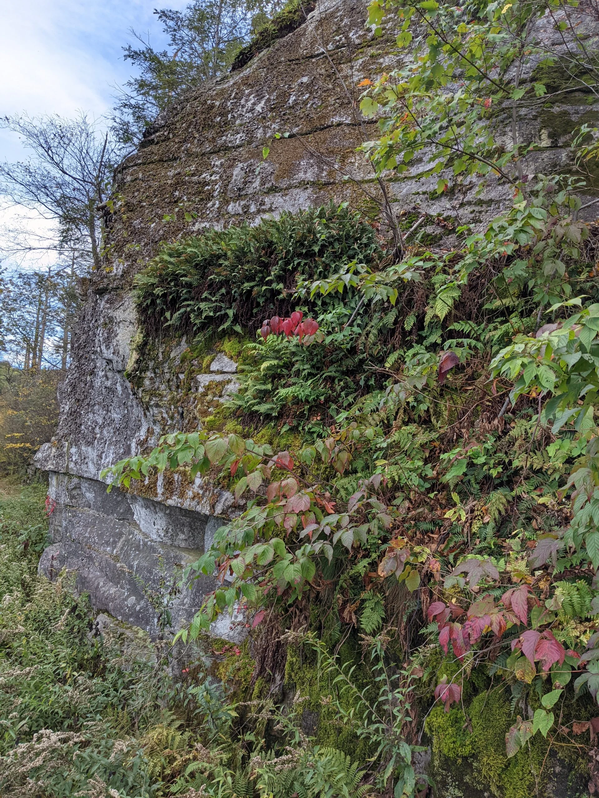
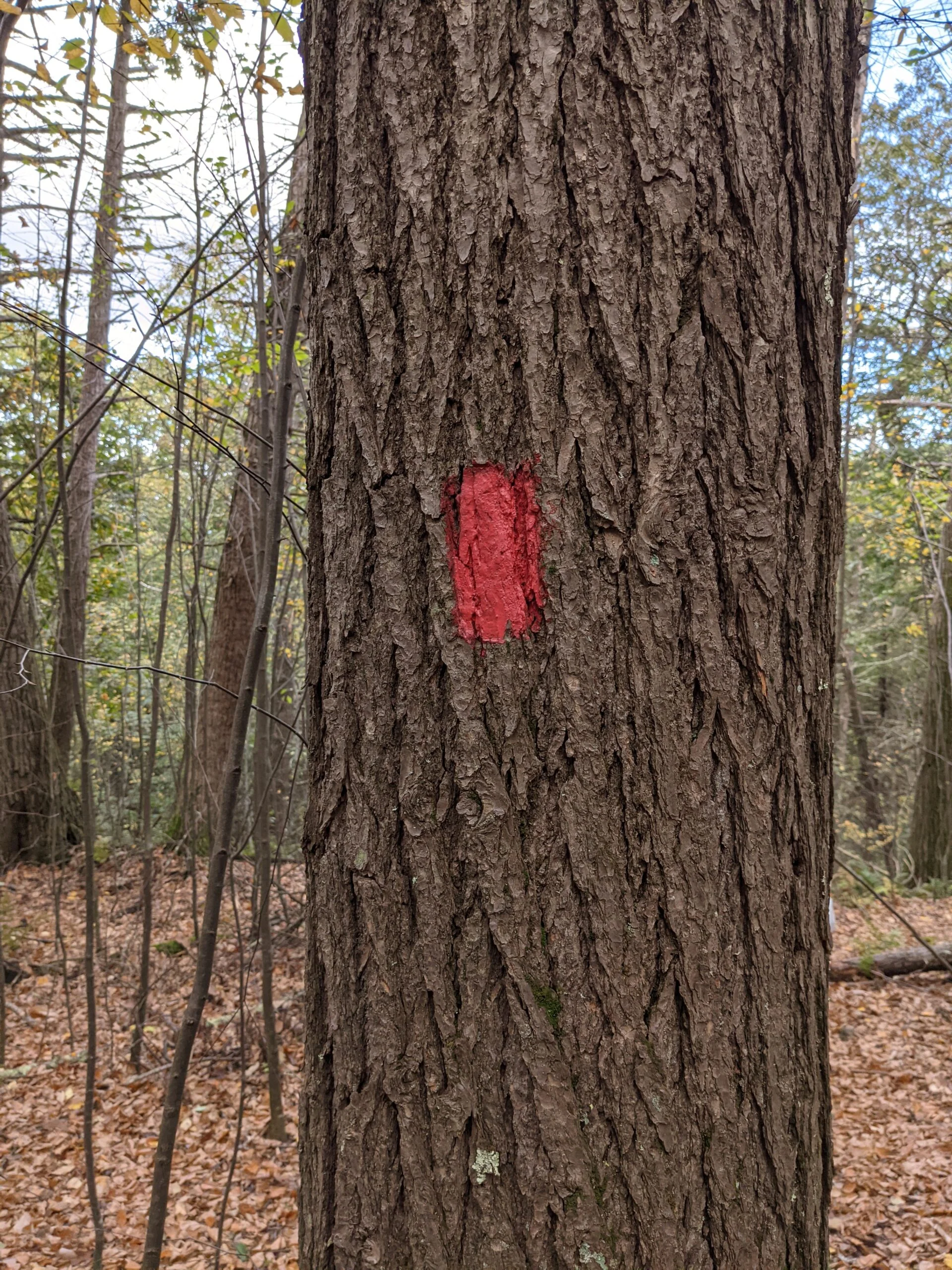
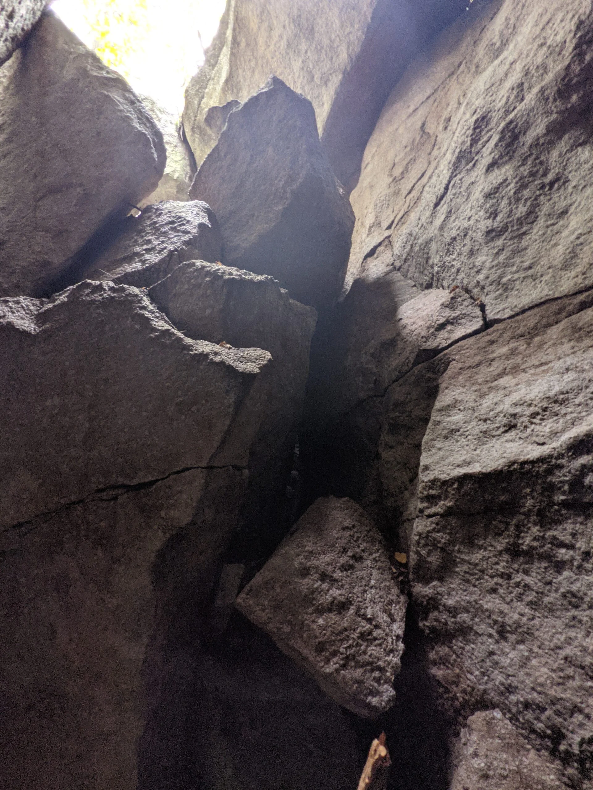
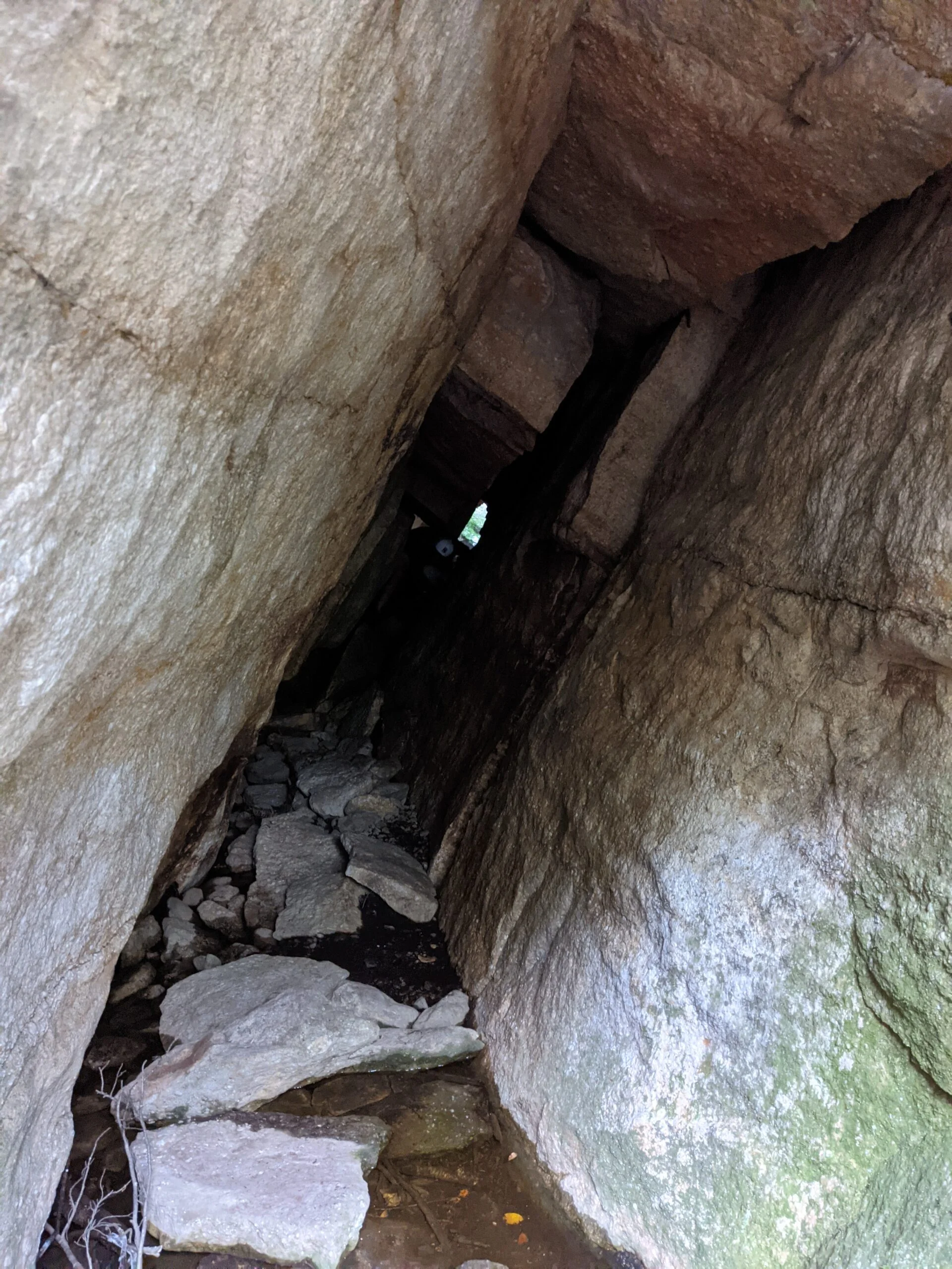
The Labyrinth (red blazes) is a maze-like path, weaving through various gaps between rock structures. There is some simple rock climbing involved, and where there’s not possible, the property has installed wooden ladders to assist with the journey. The sign at the entrance to the Labyrinth advertised rock formations named “Headache Rock”, “Fat Man’s Misery”, “The Lemon Squeeze”, and “The Crevice”. I’m pretty sure there are several headache rocks and I found at least one of them. There are a few spots that require precise maneuvering through tight spaces, which was made even trickier by the backpacks we were wearing.
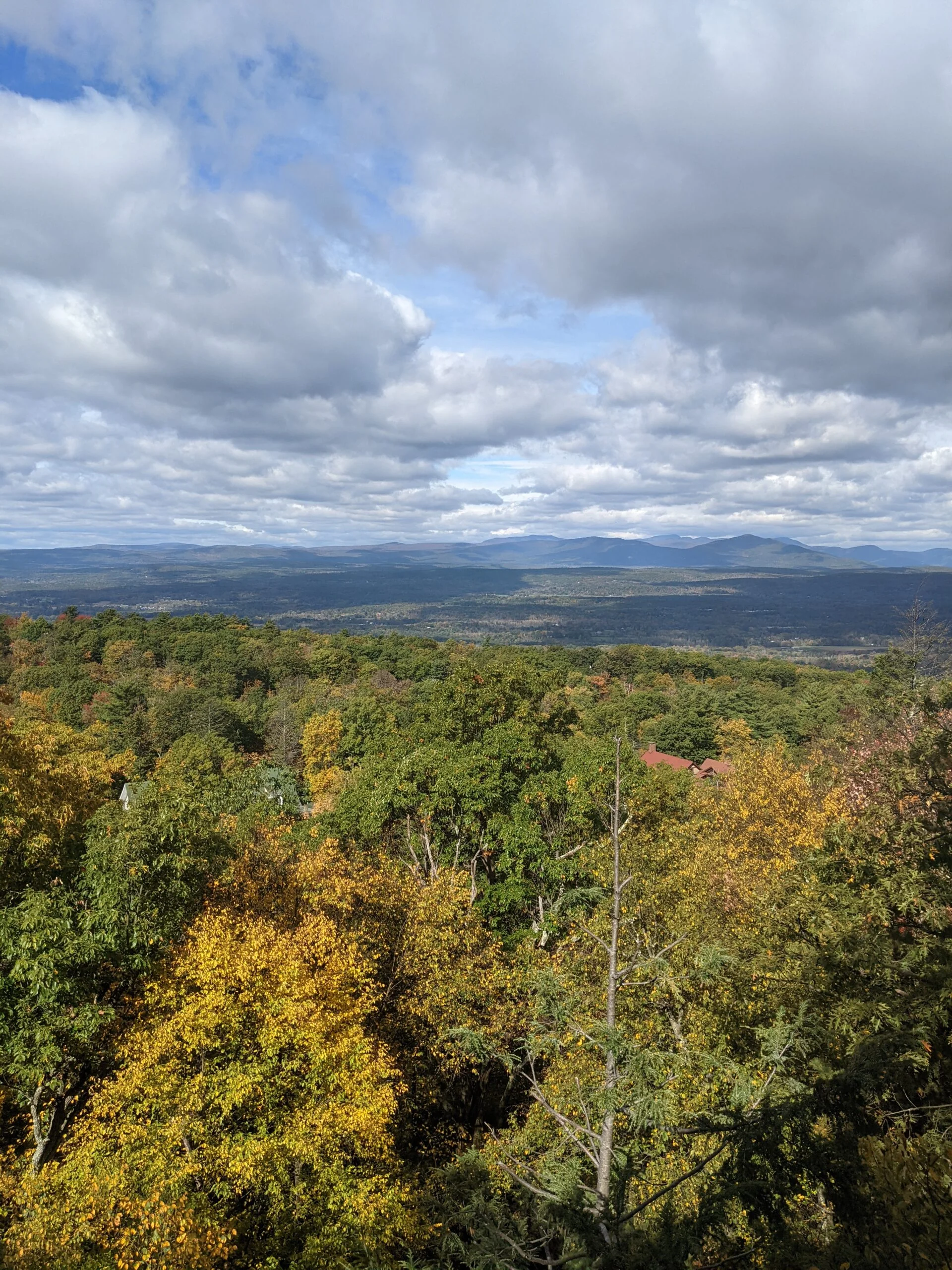
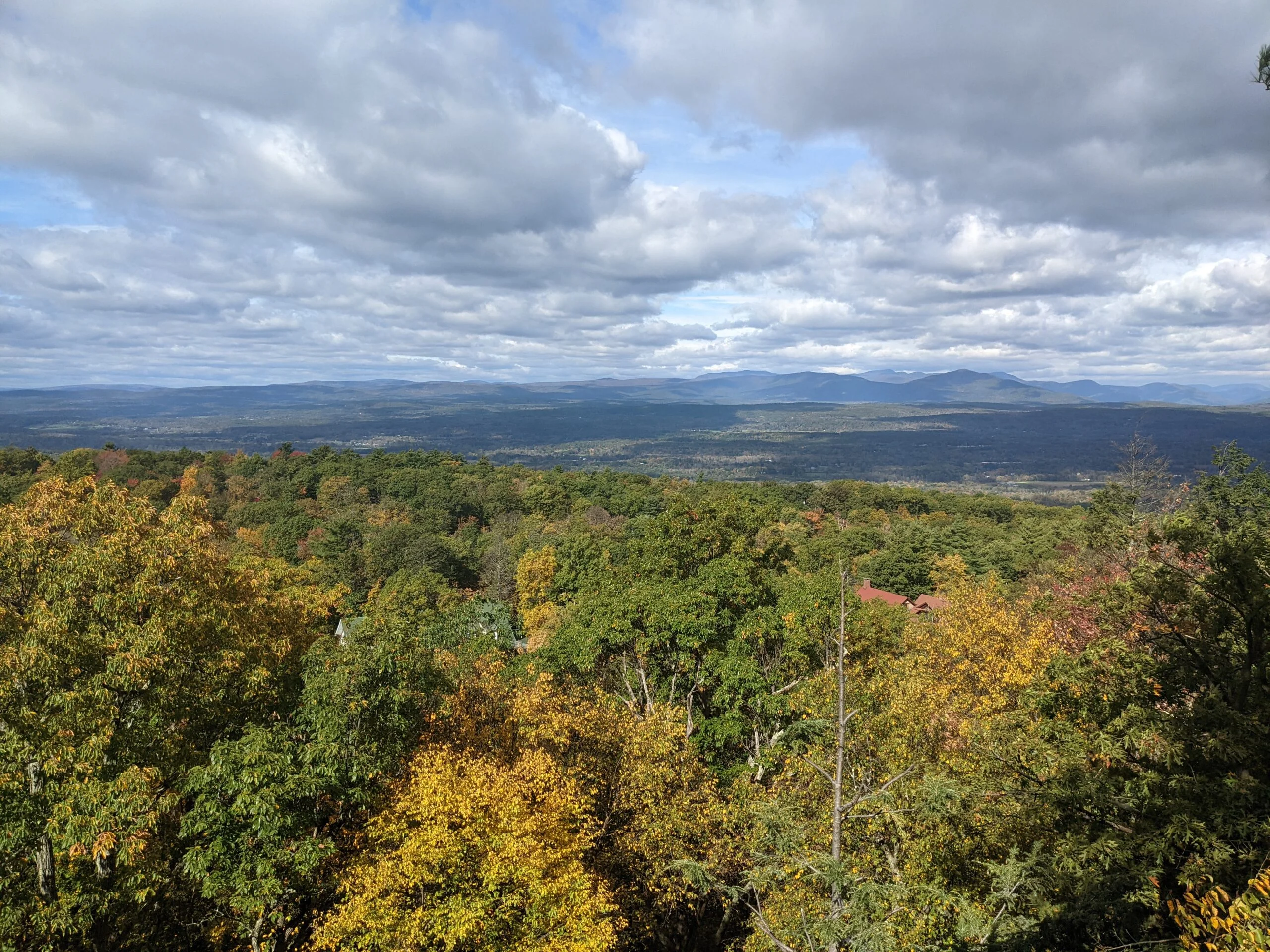
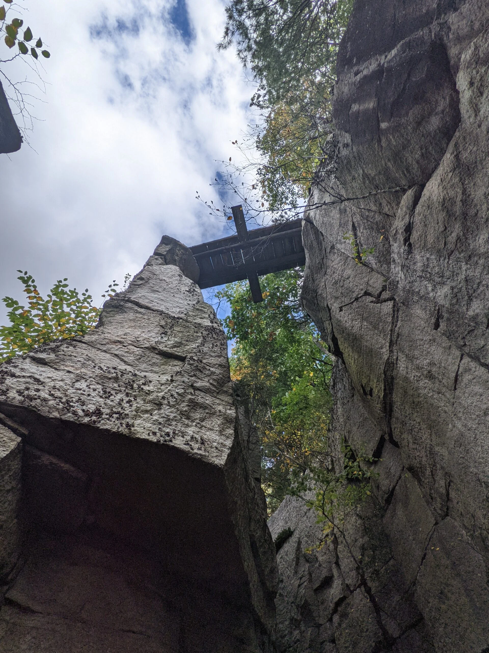
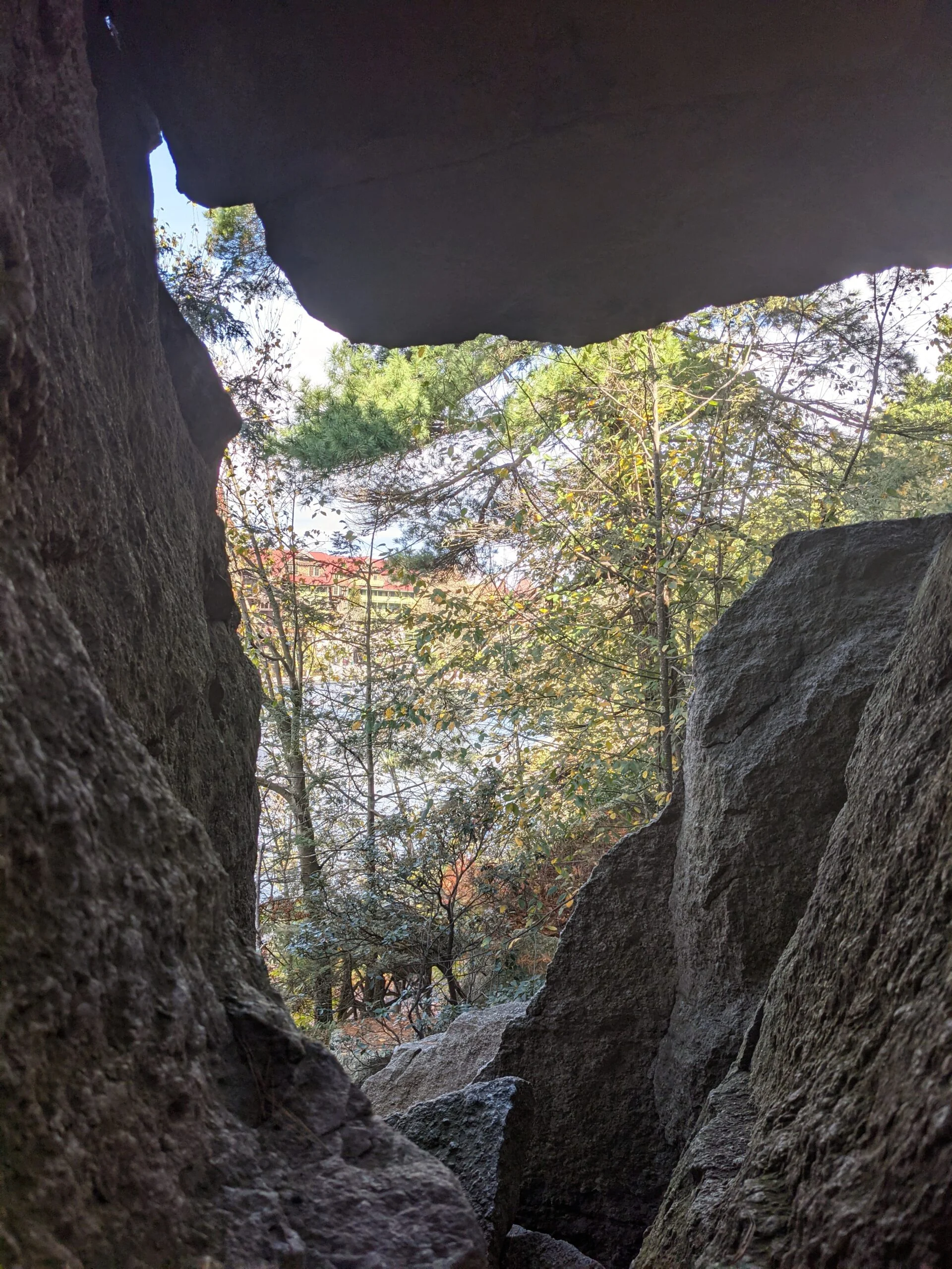
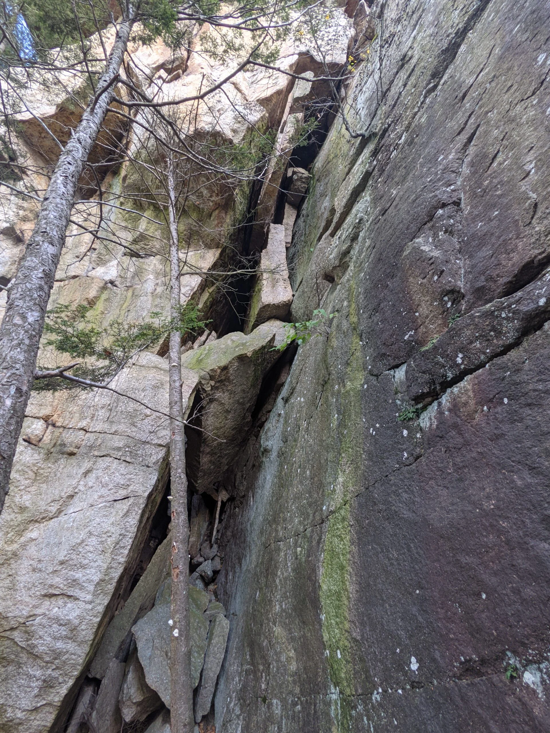
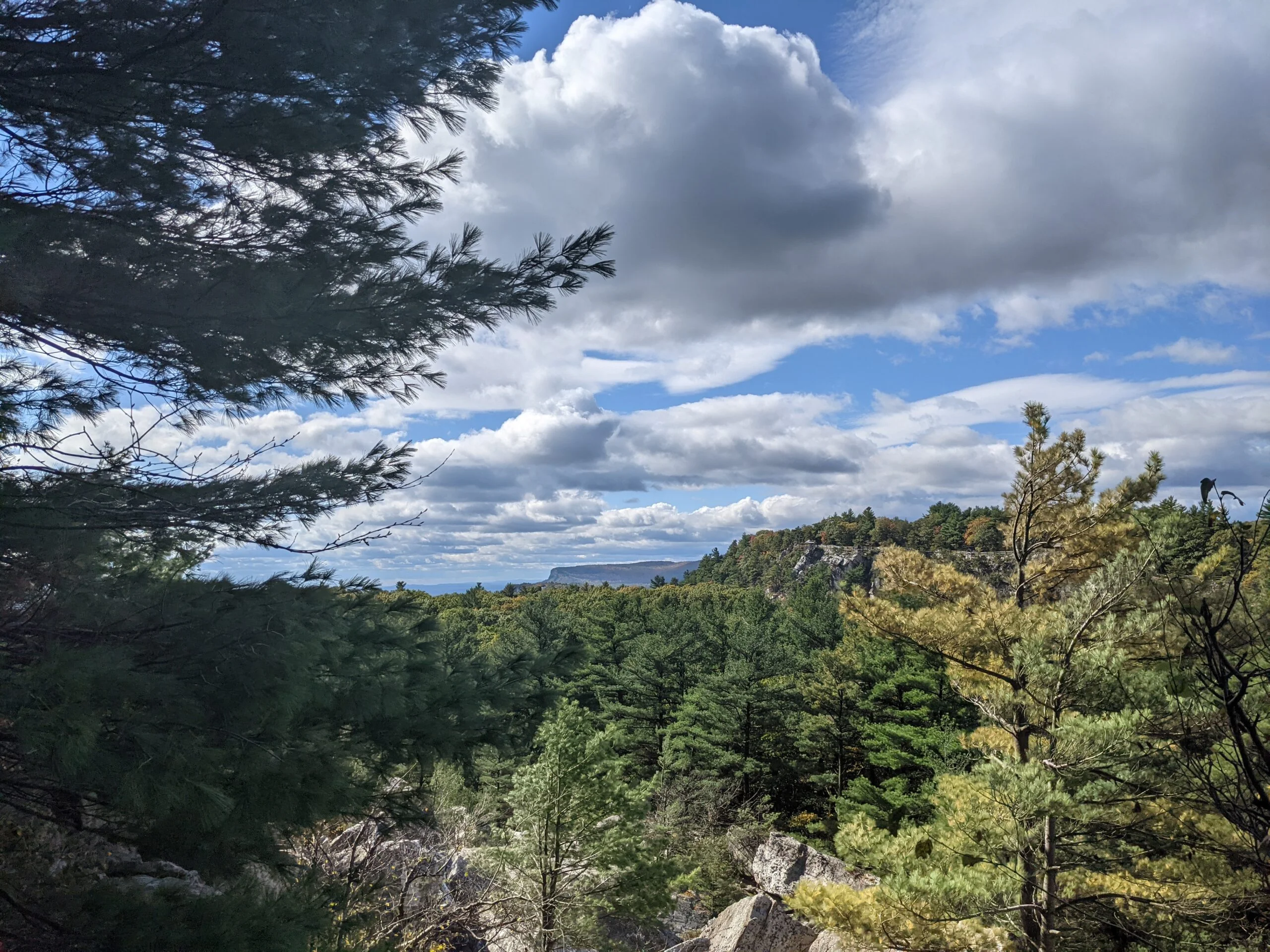
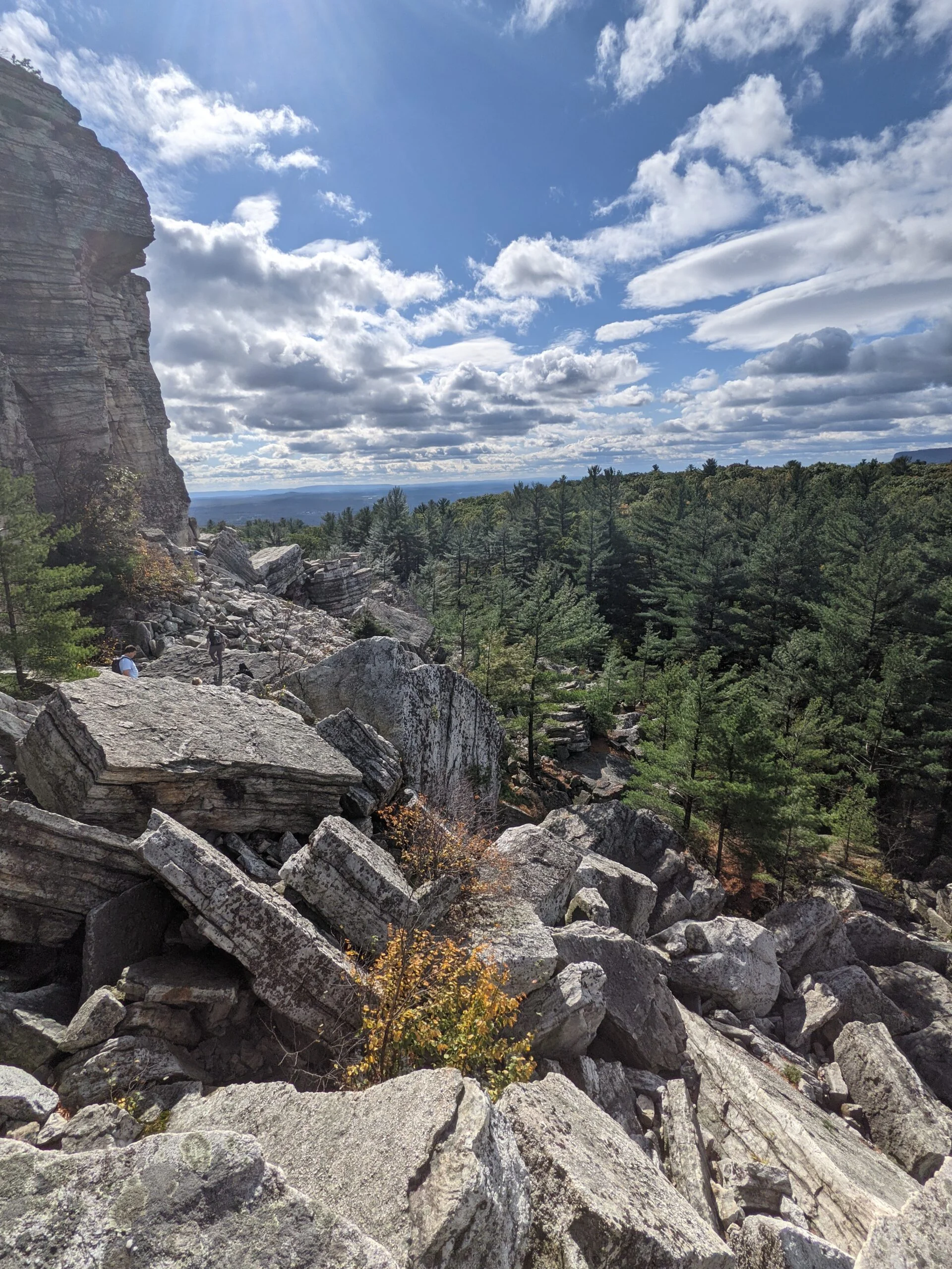
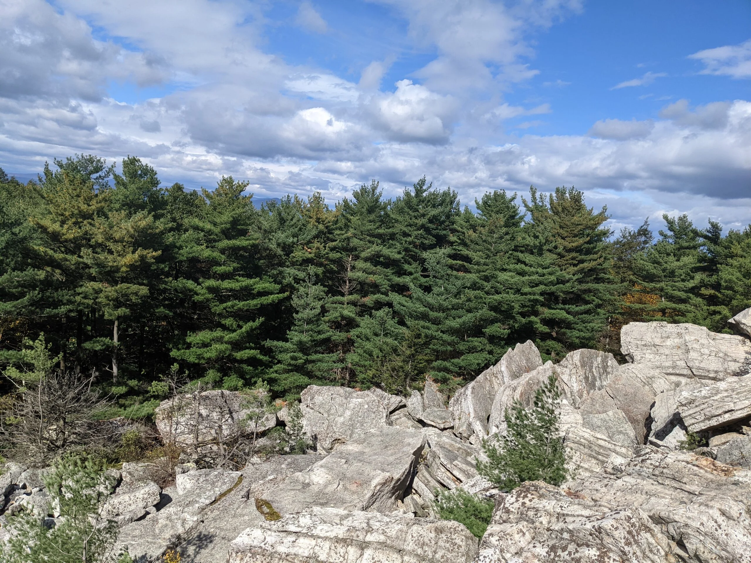
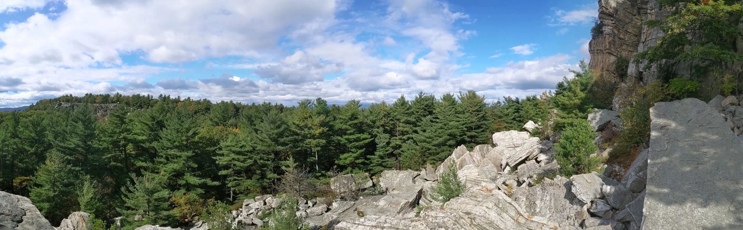
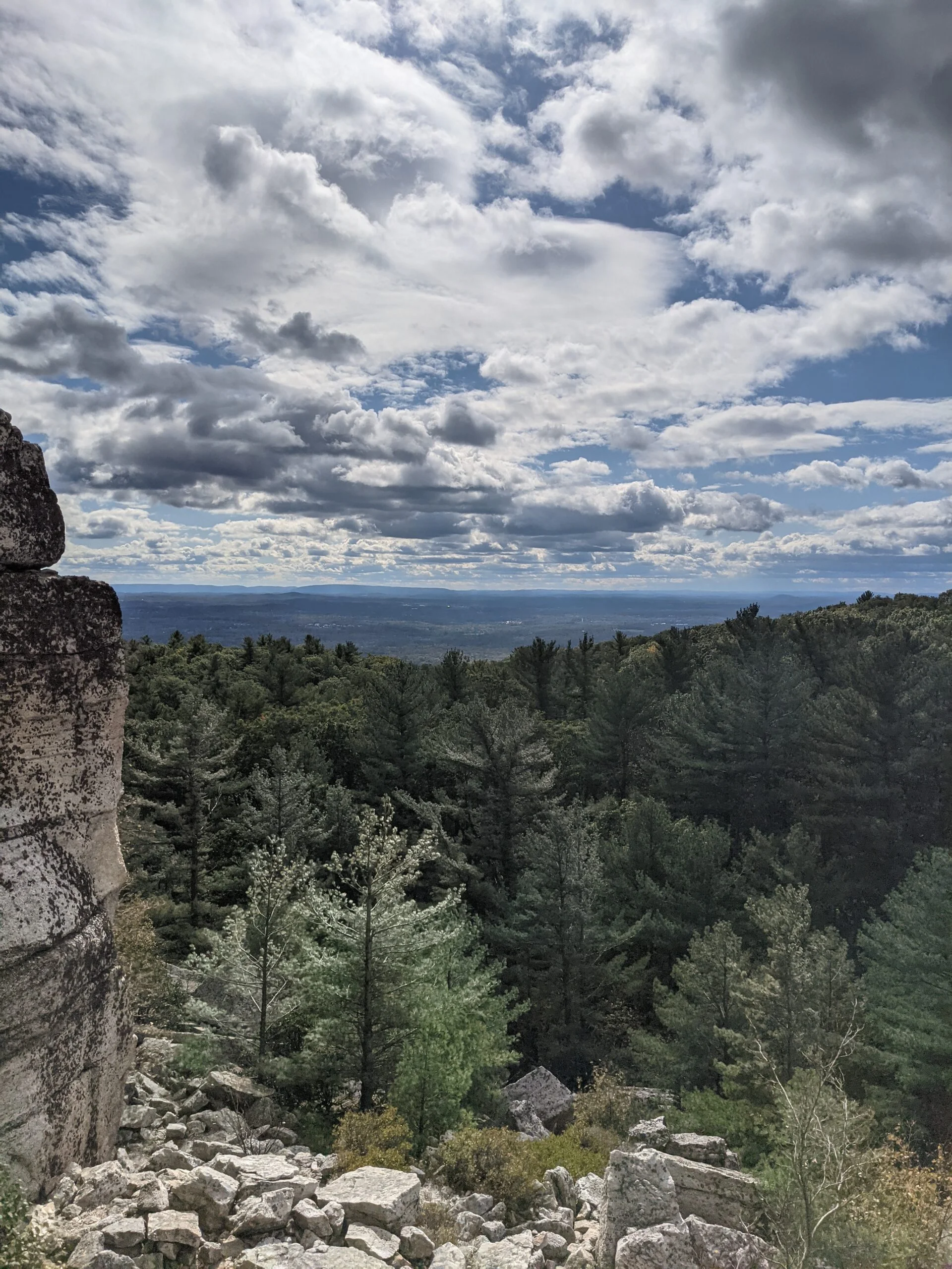
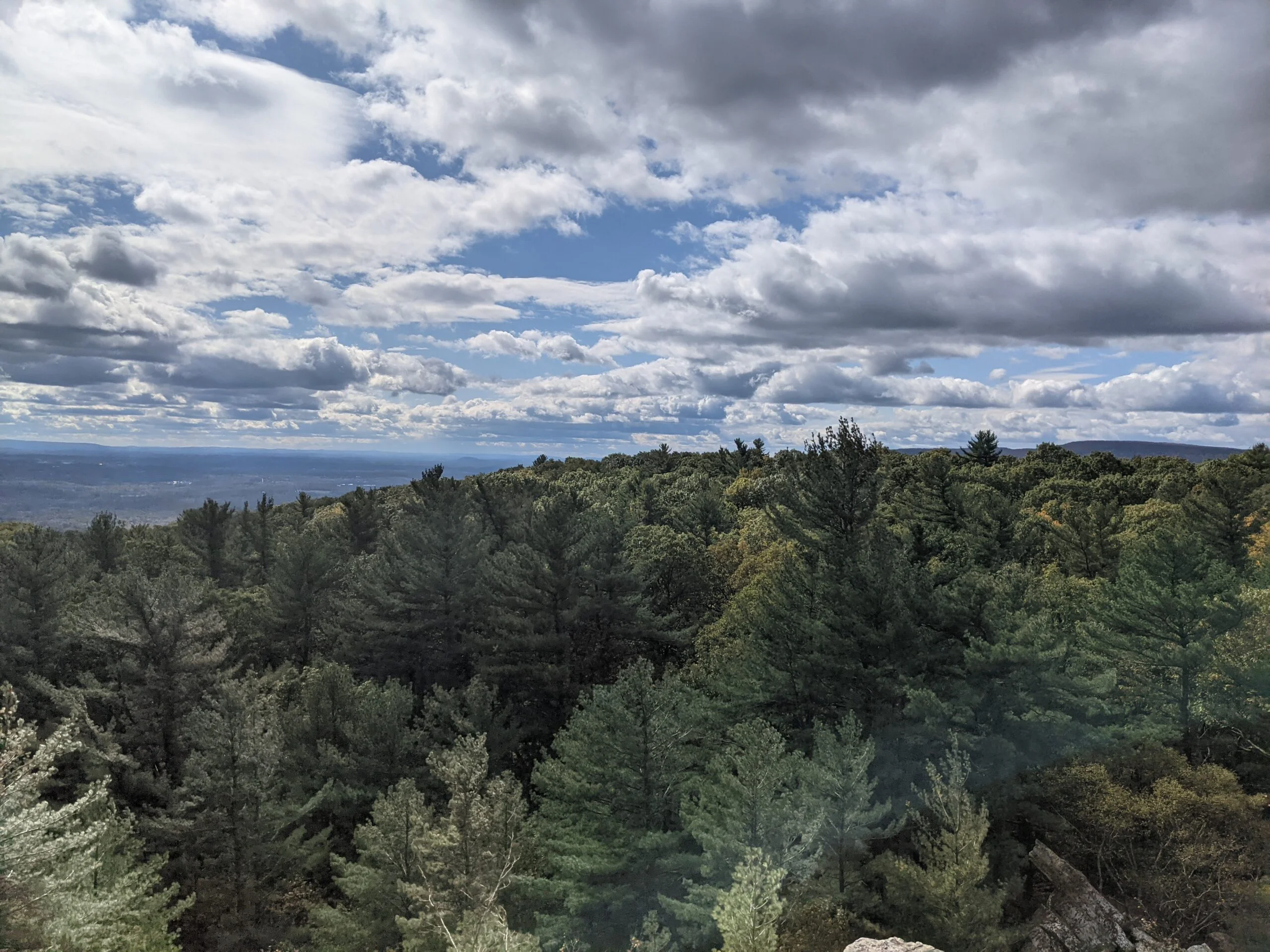
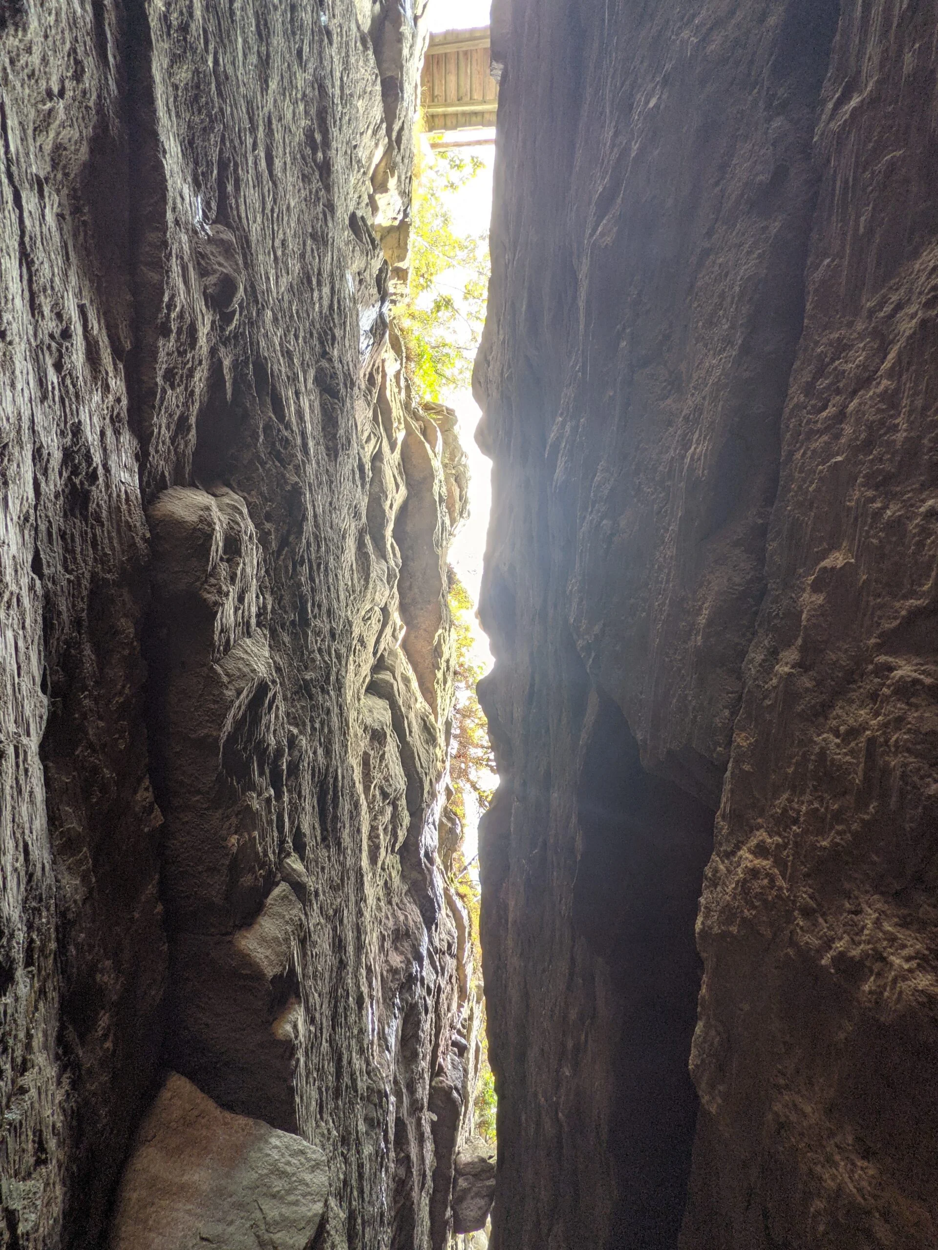
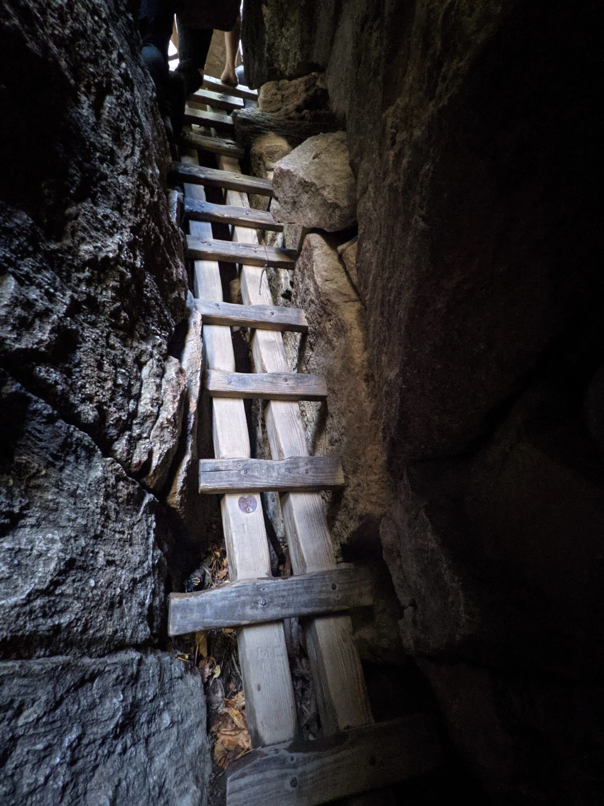
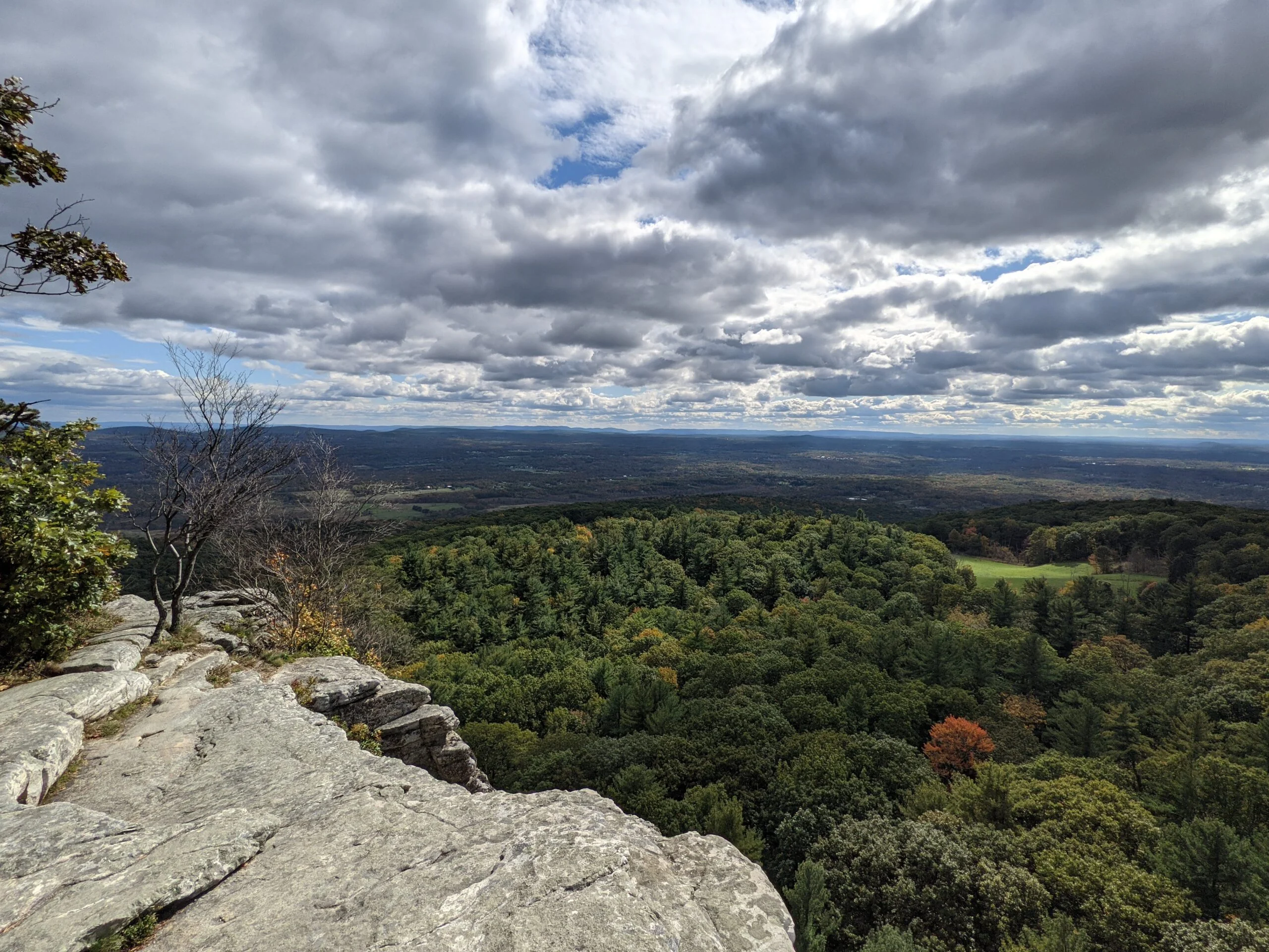
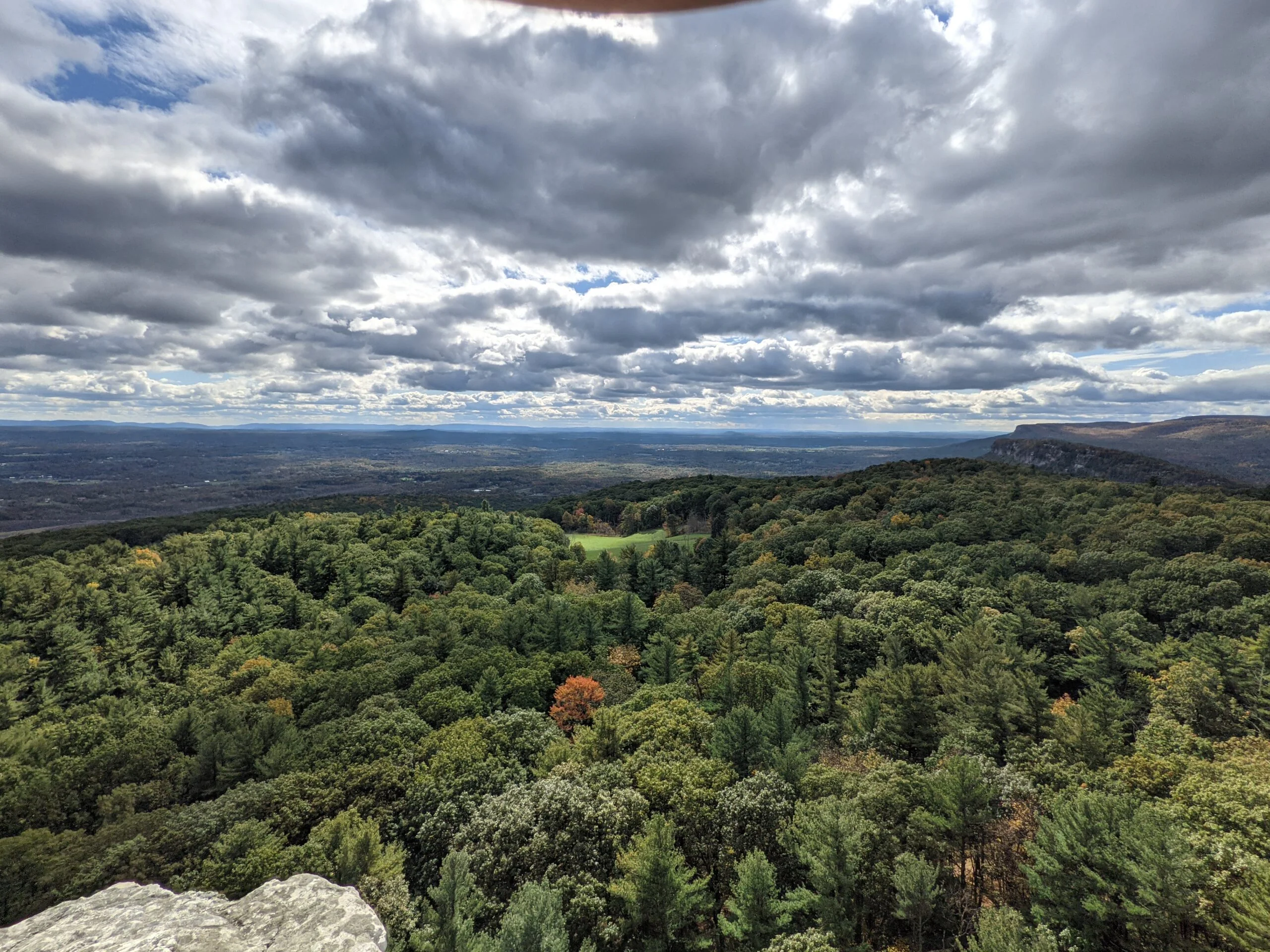
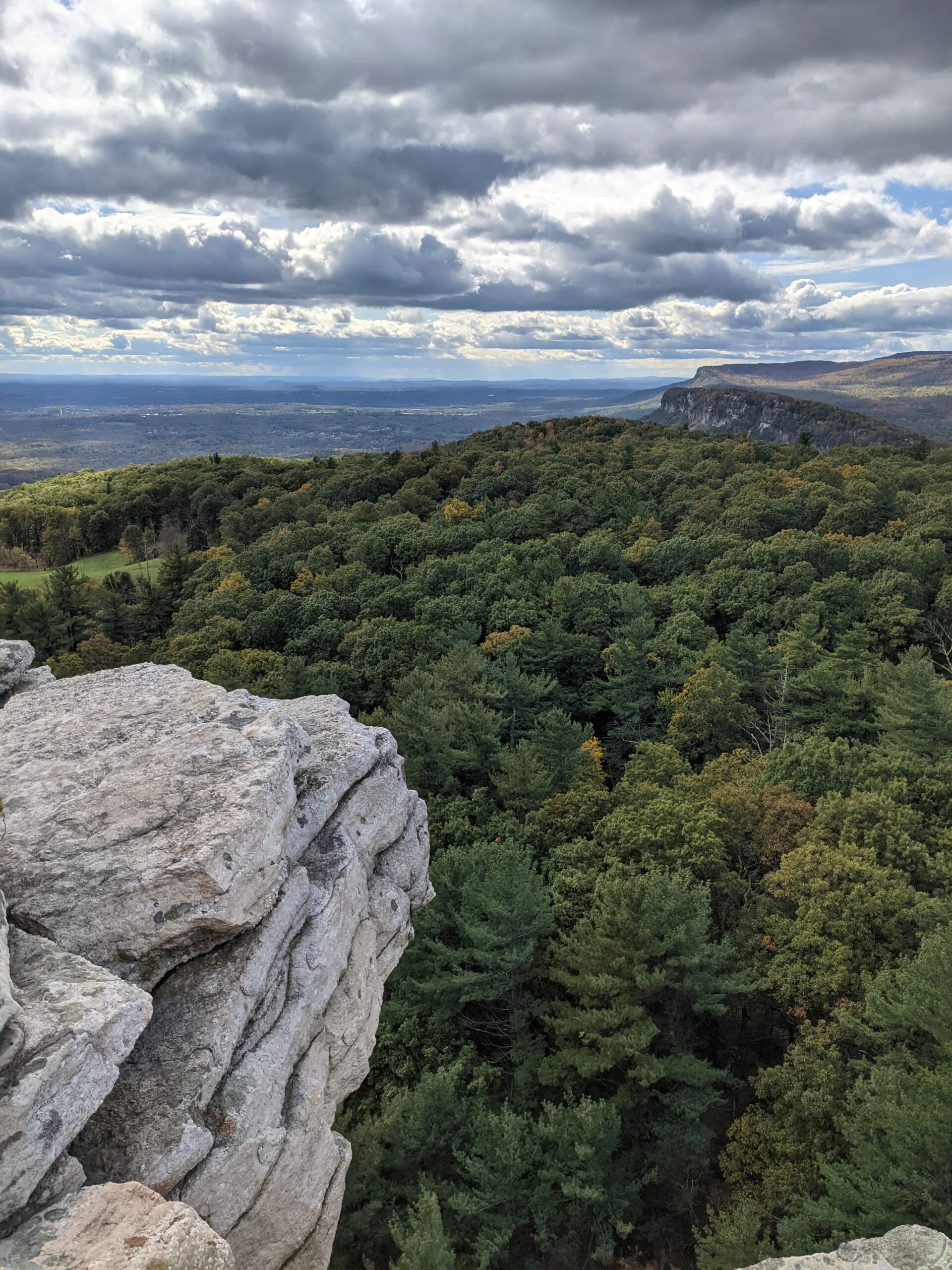
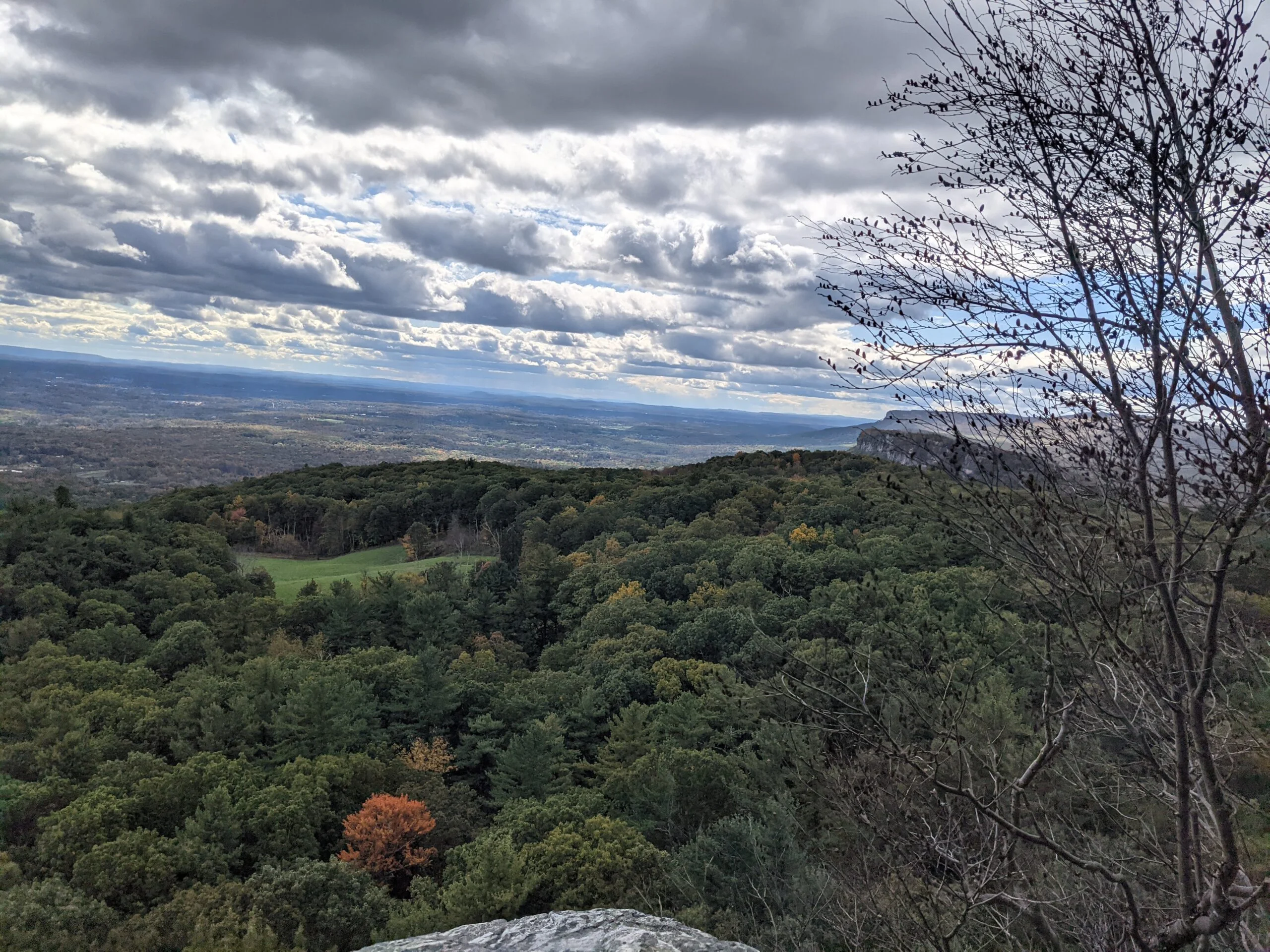
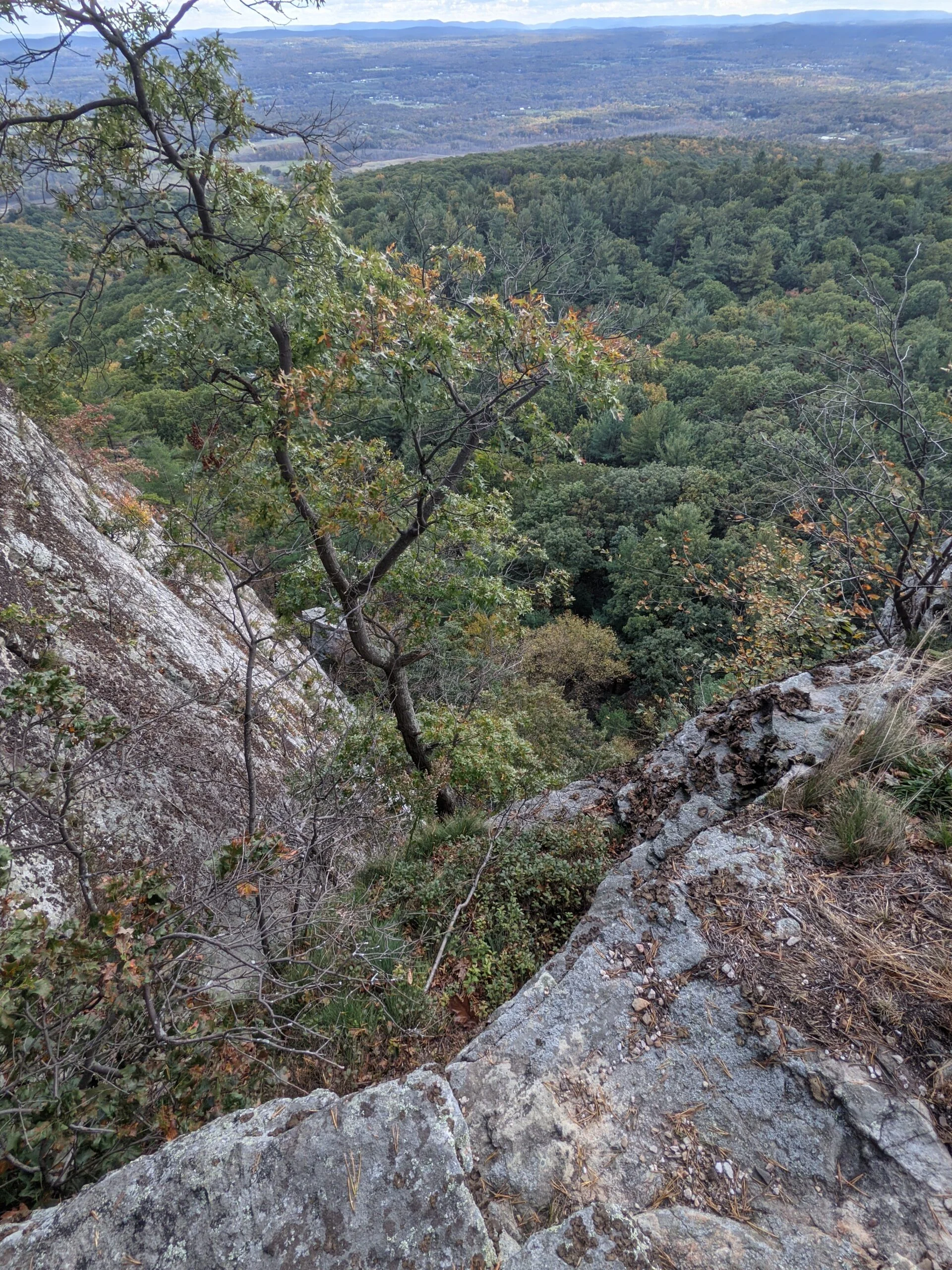
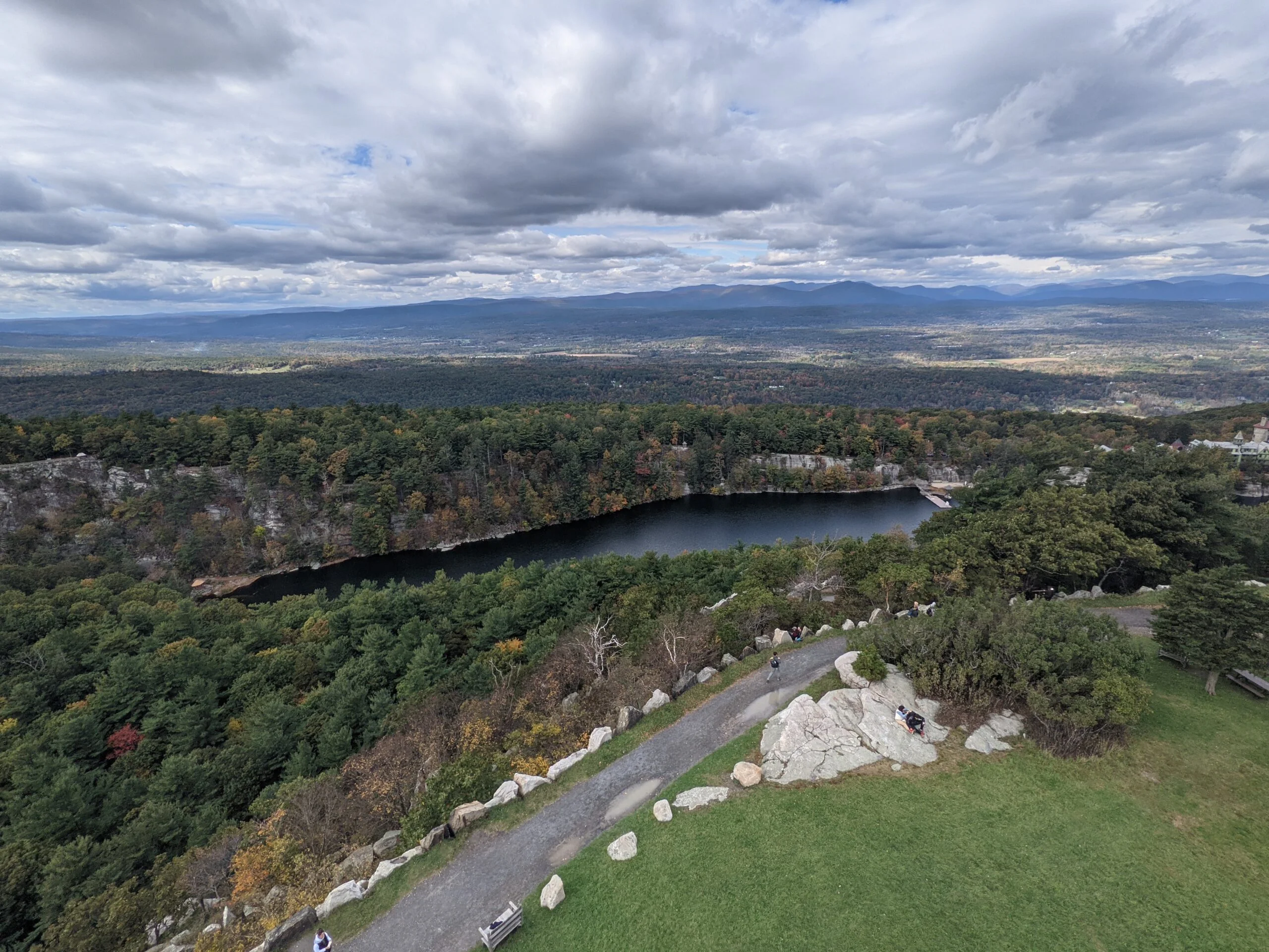
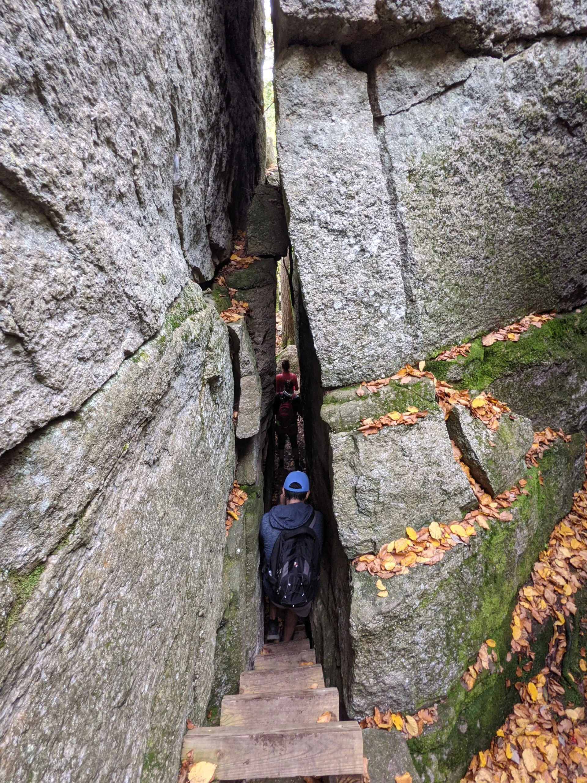
After completing the Labyrinth, the trail opens up along a rocky ridge line high above the valley. We stopped for a snack and a bunch of photos, then pressed forward to the Crevice. This is a very narrow passageway between large rocks, requiring ascending up a series of narrow ladders through to the top of the ridge line. We made it to the Crevice entrance around 12:45pm and it took us a full 30 minutes to make our way to the top due to the sheer number of people in line ahead of us. The line was moving very slowly and in stages as groups of people completed each section of ladders. I didn’t find this obstacle particularly difficult. It just required some careful twisting where it narrows at the top, the “Lemon Squeeze”, which required the removal of my backpack to fit through the tight space.
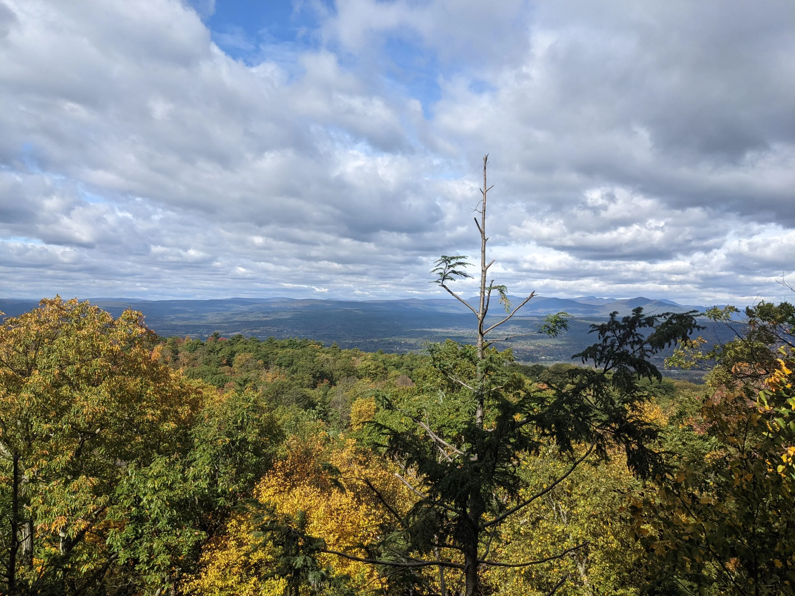
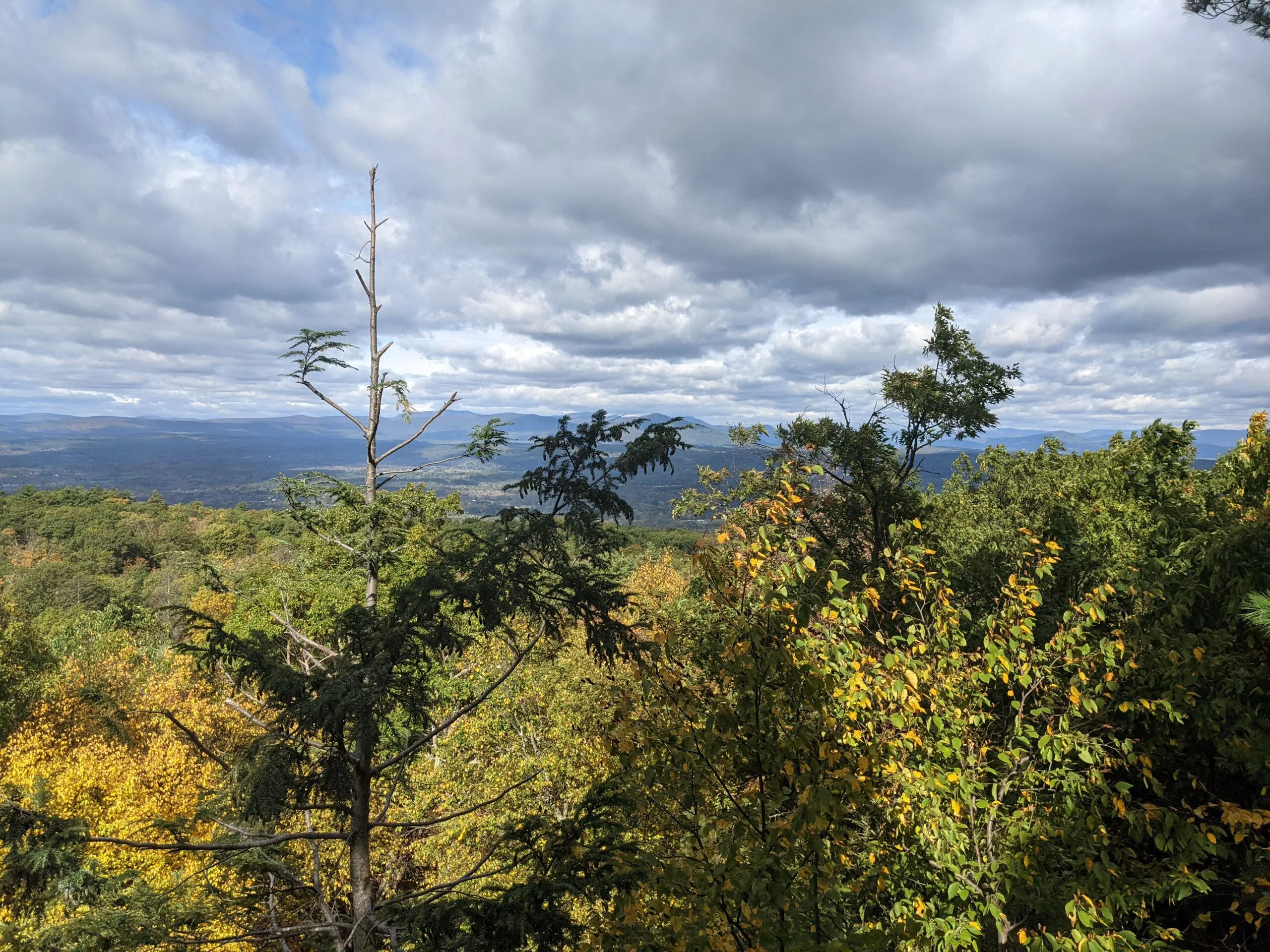
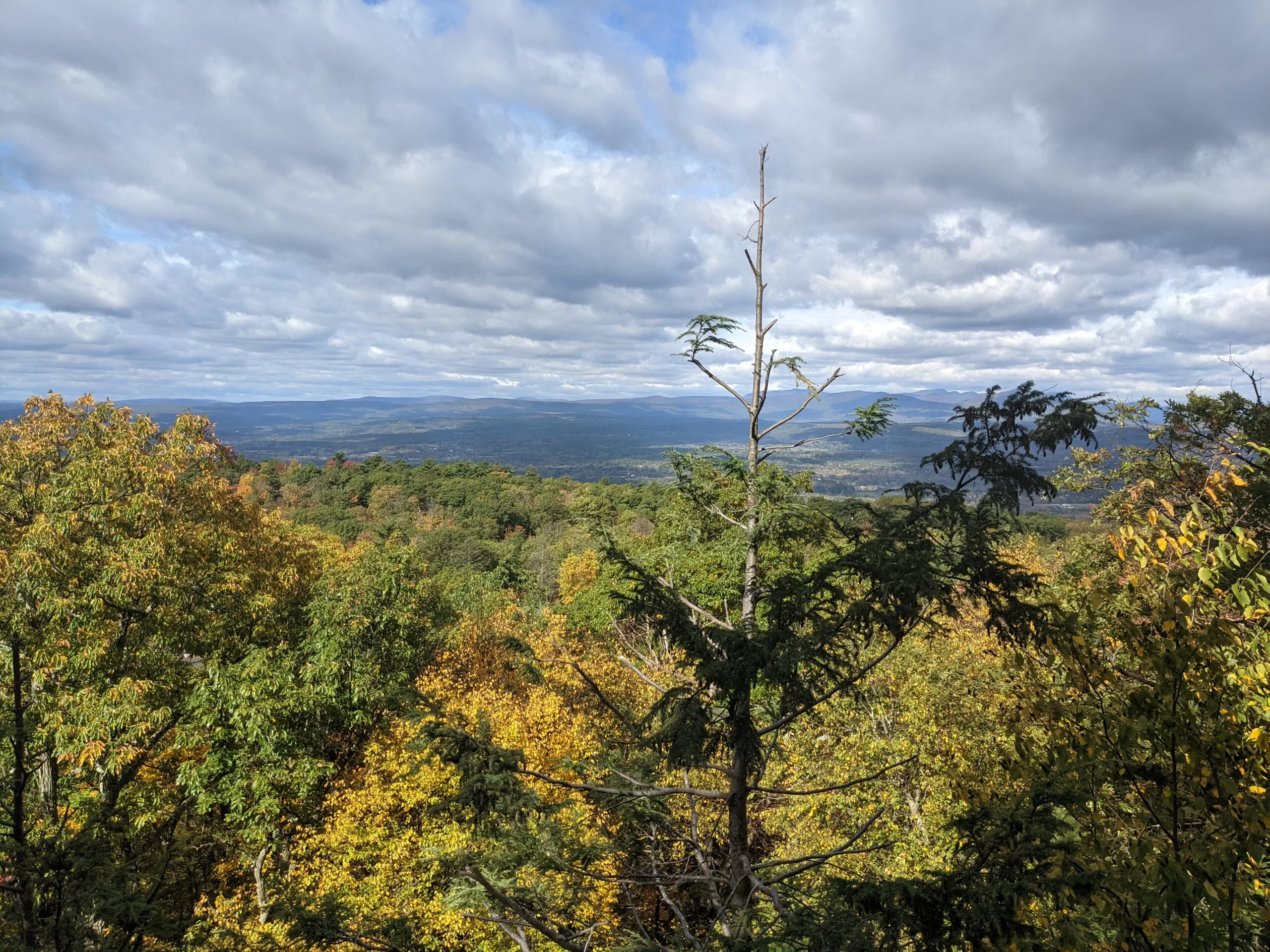
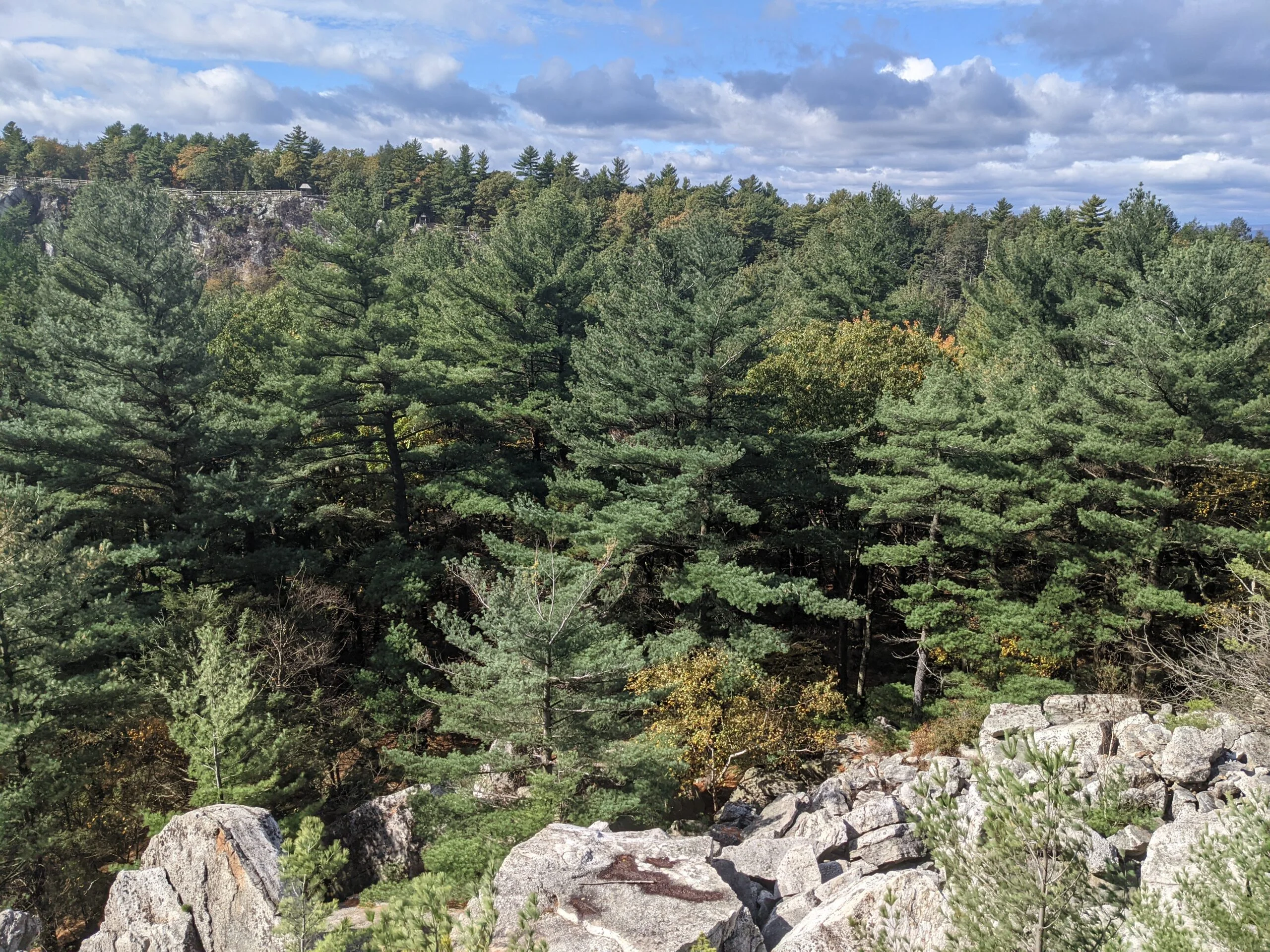
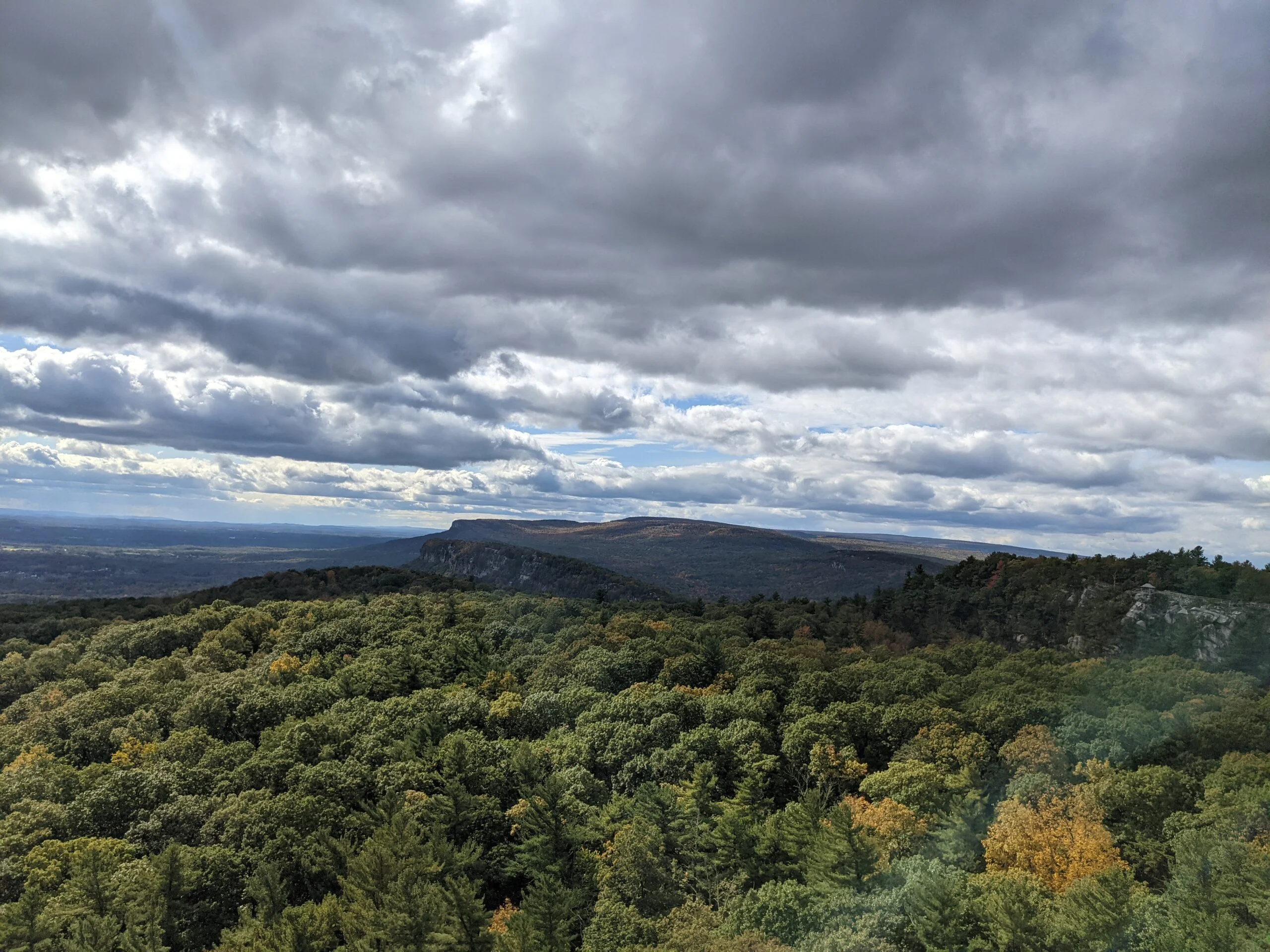
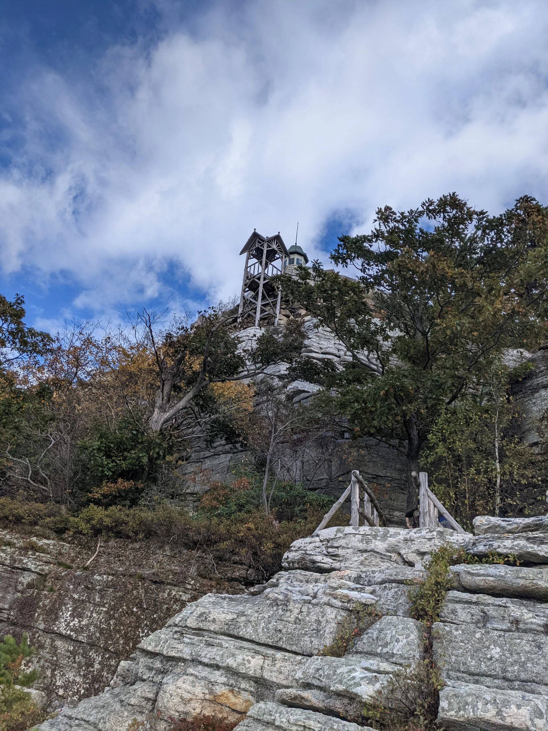
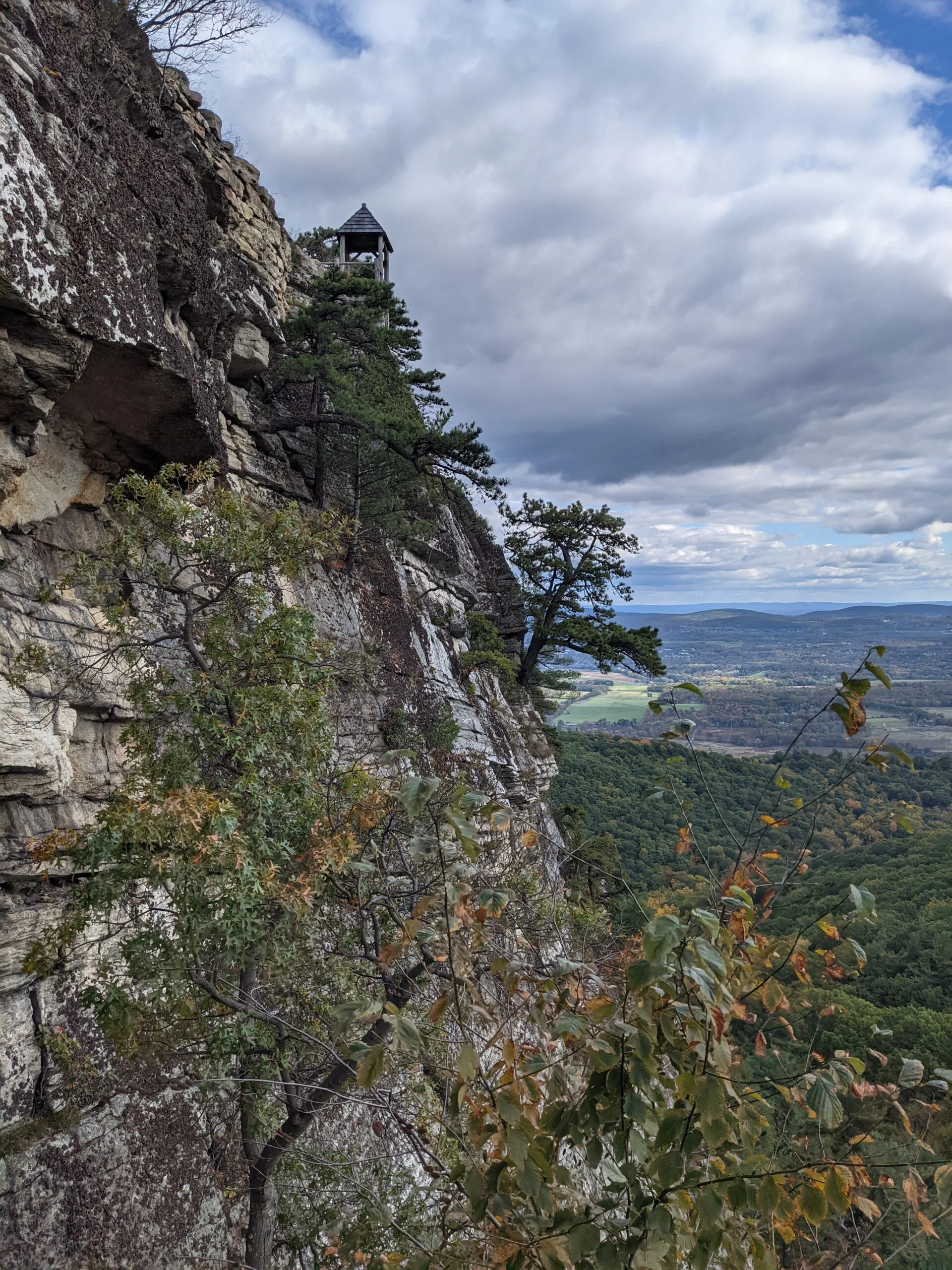
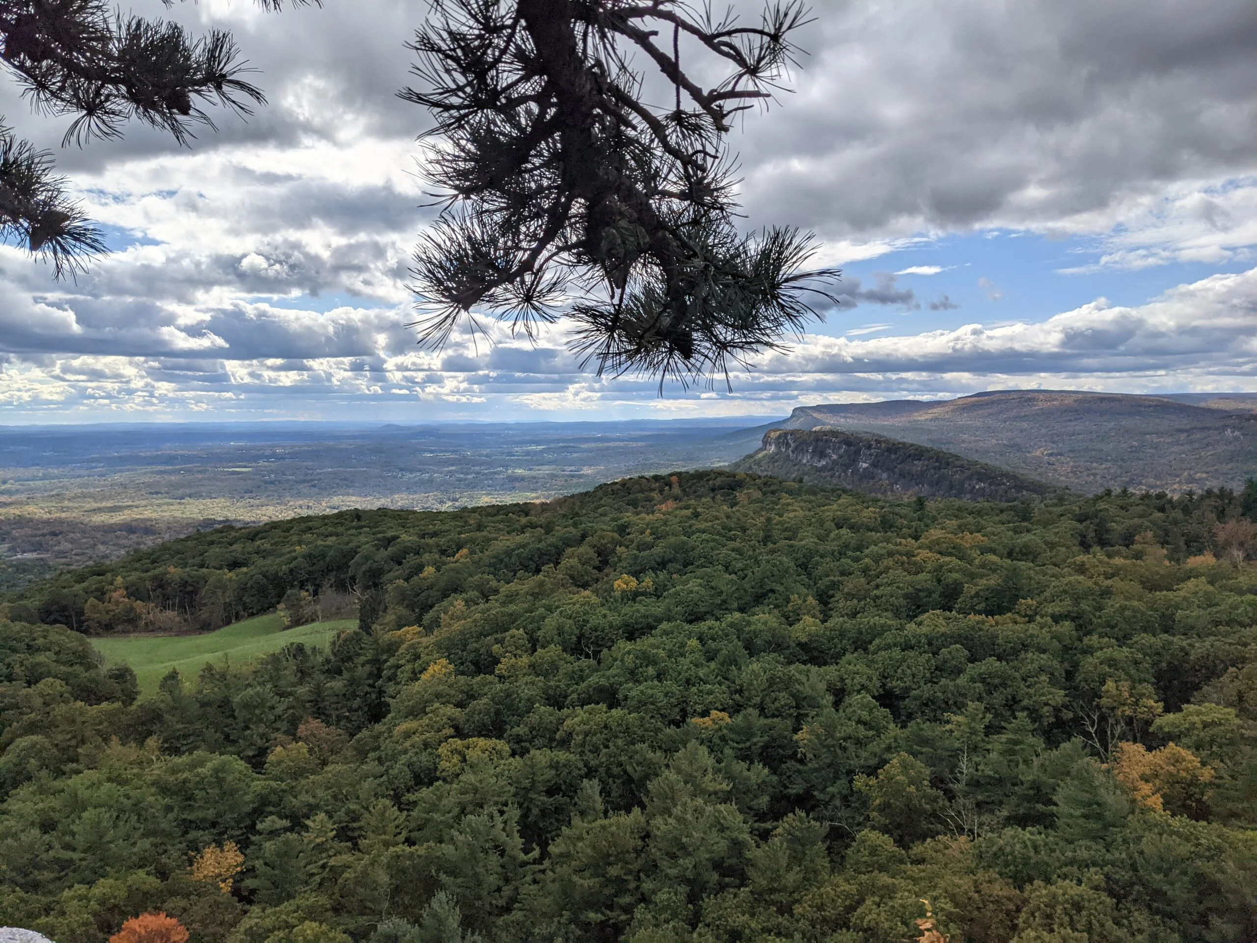
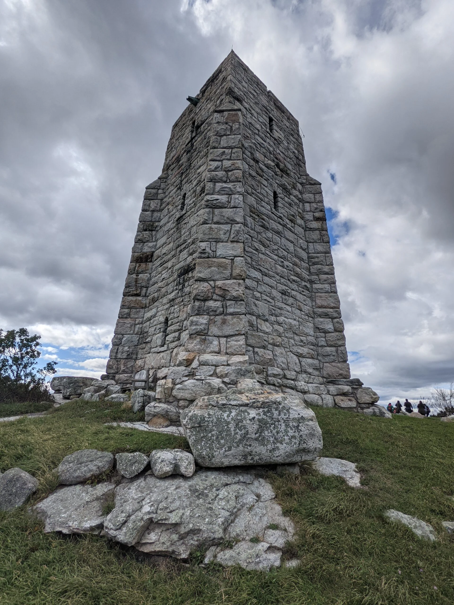
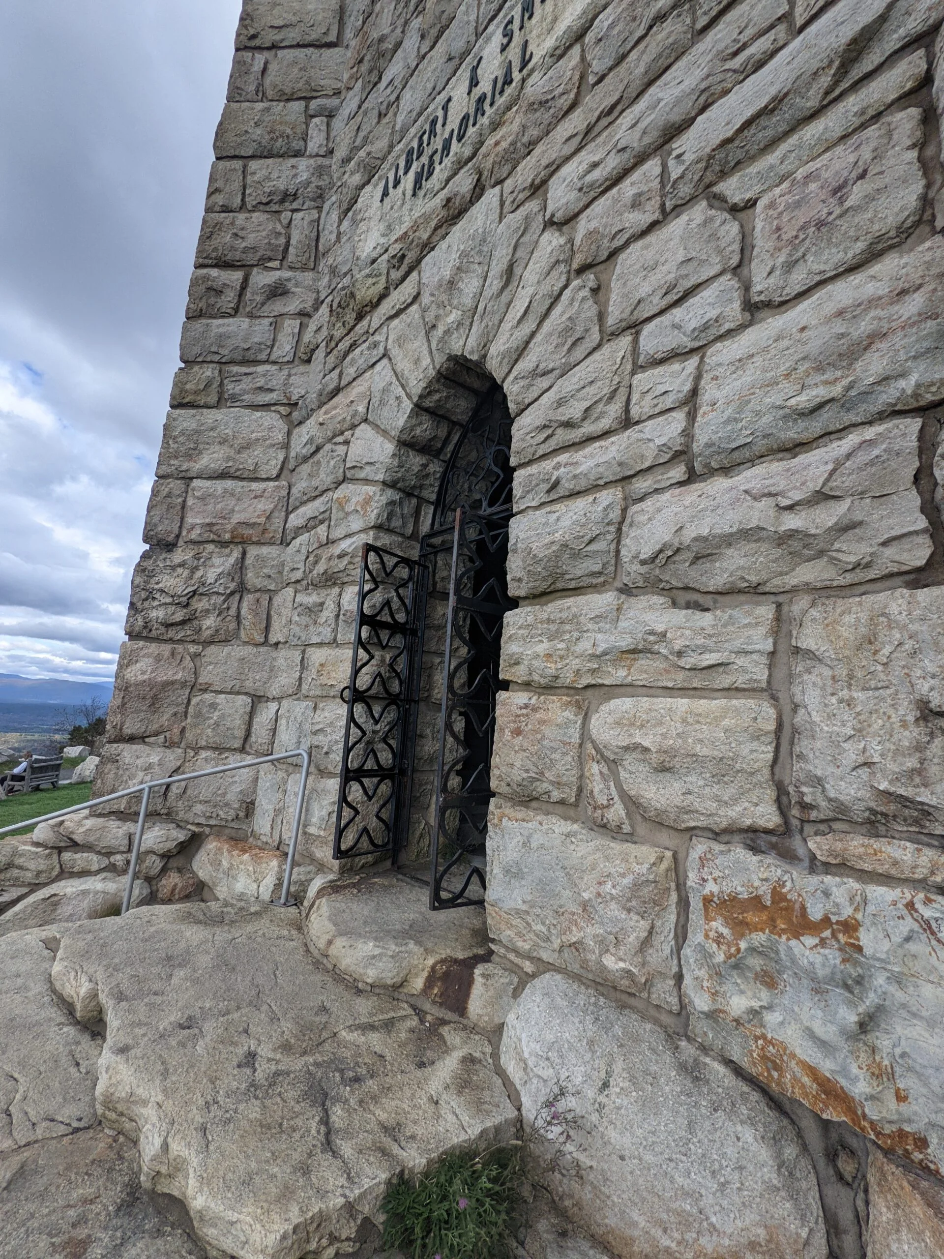
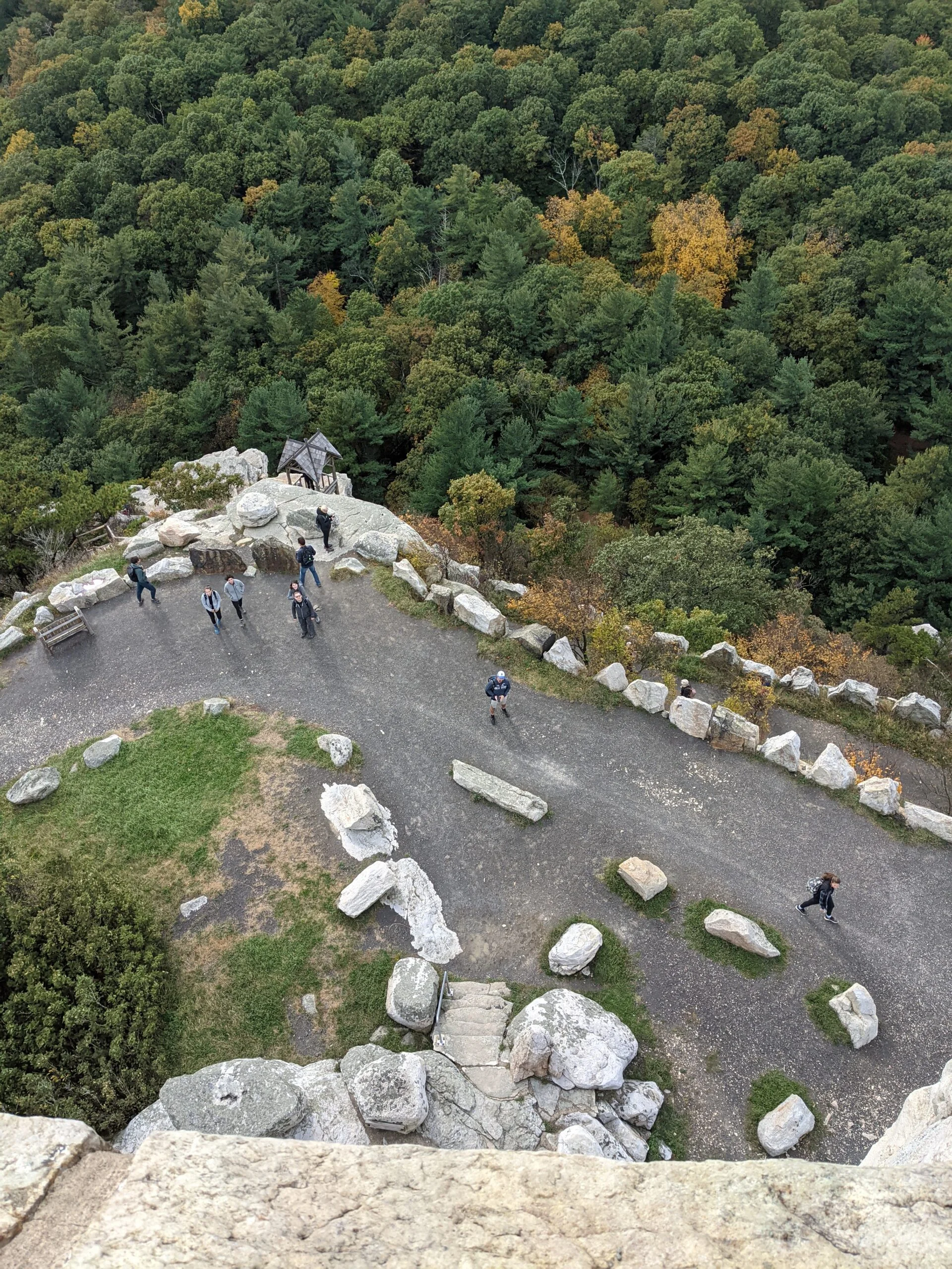
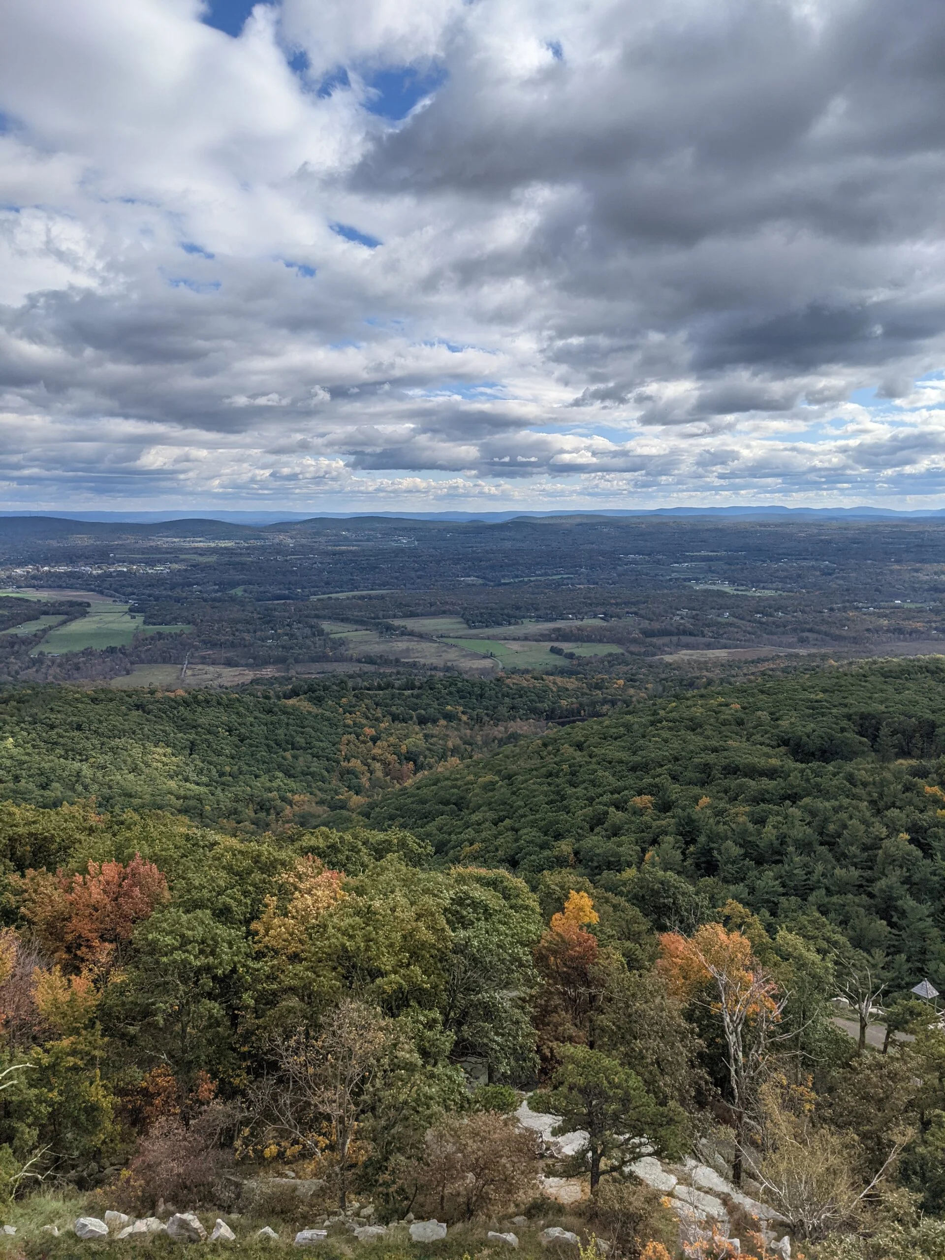
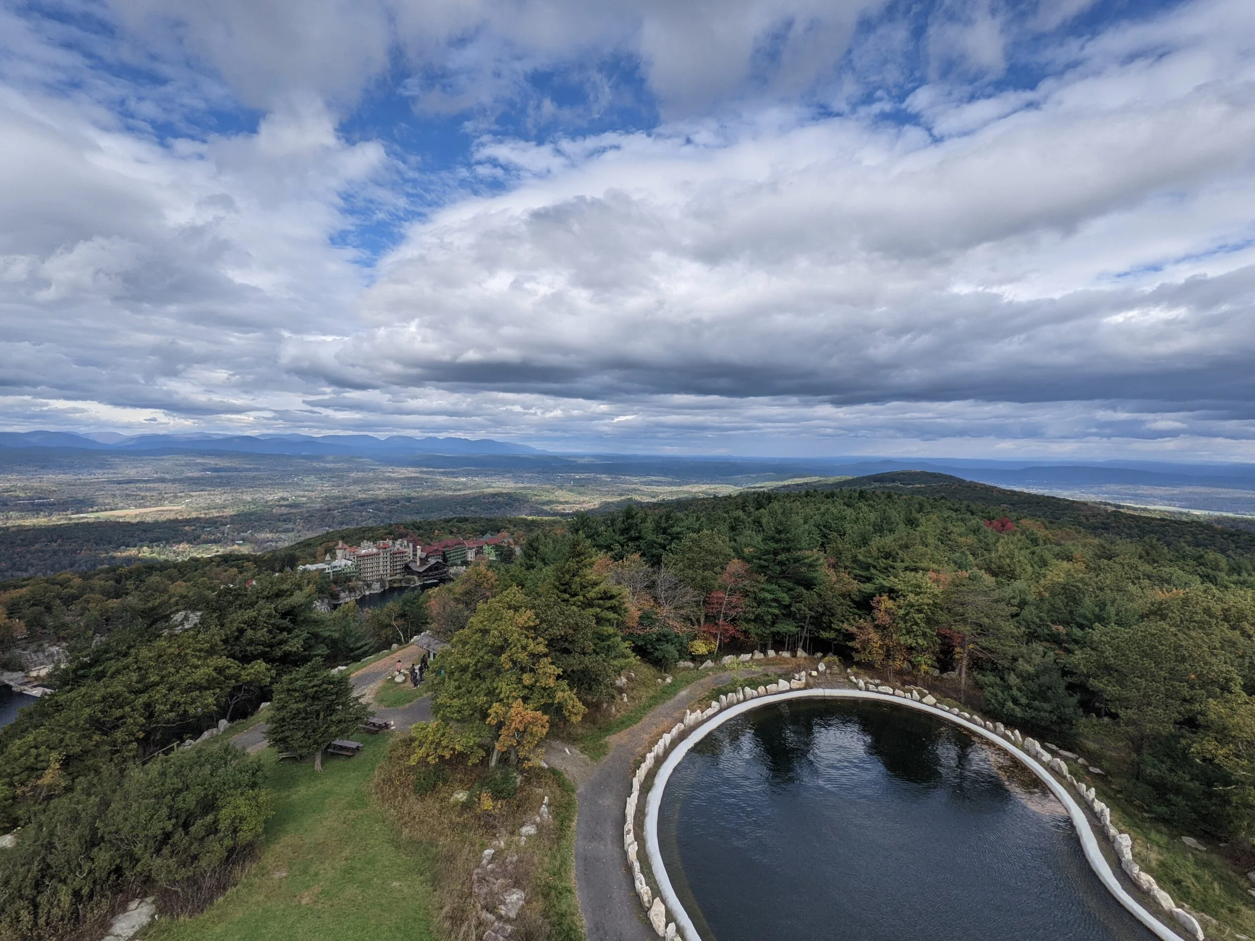
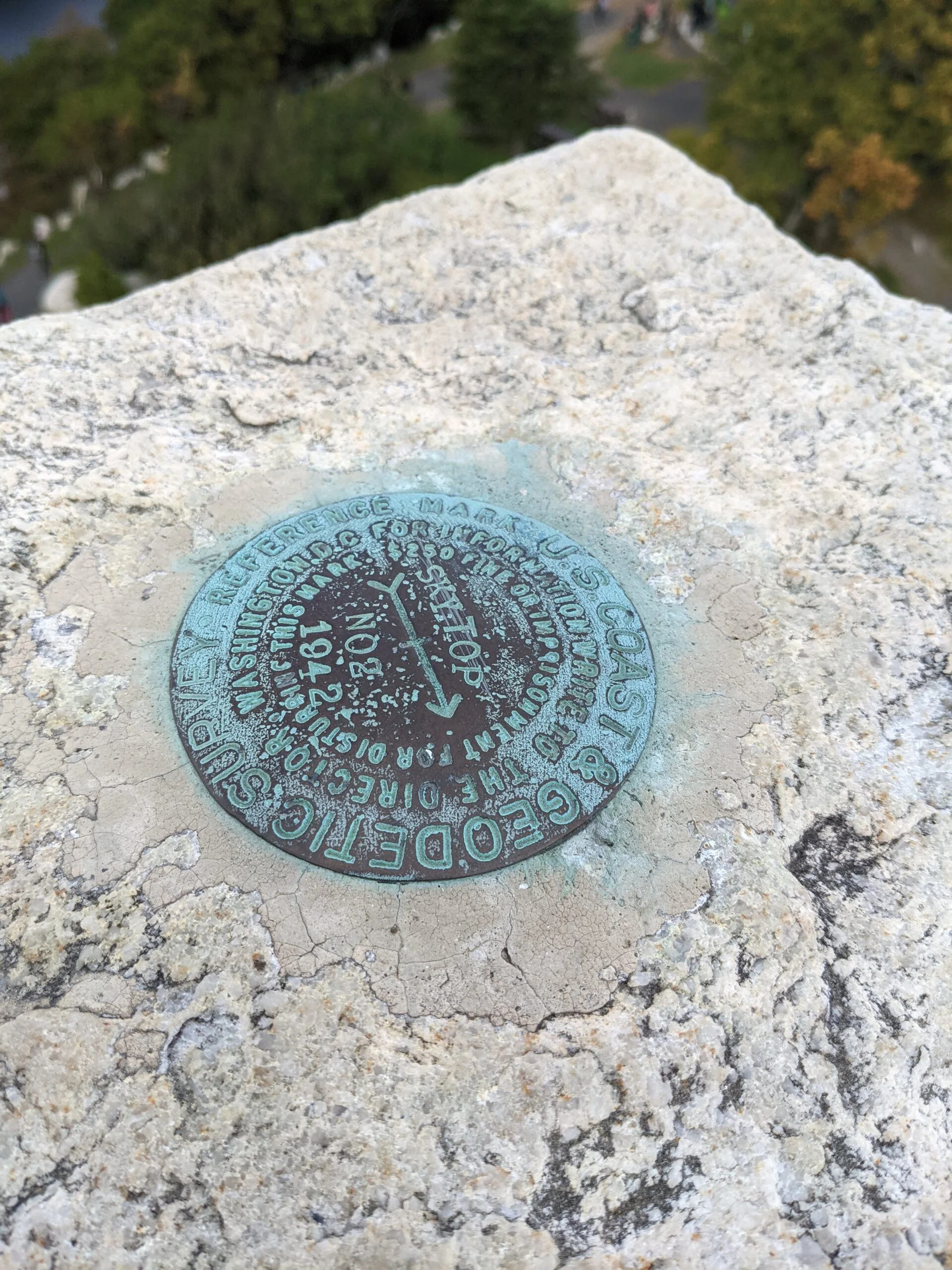
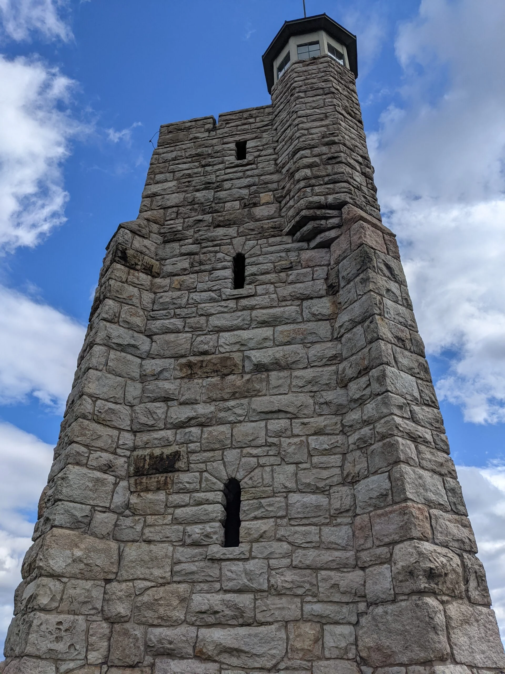
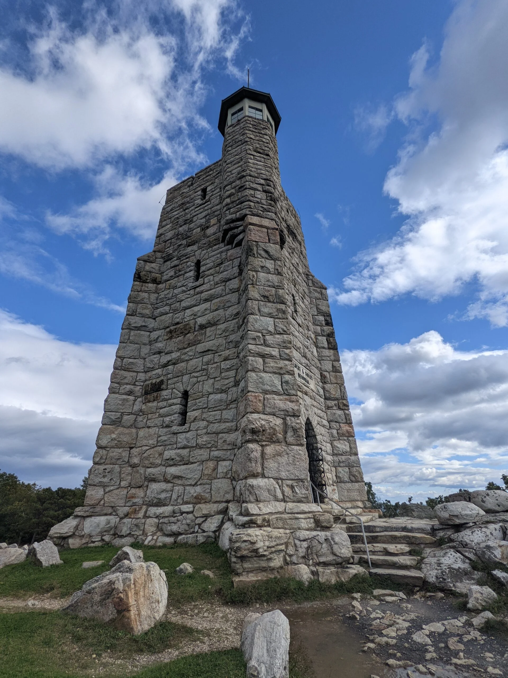
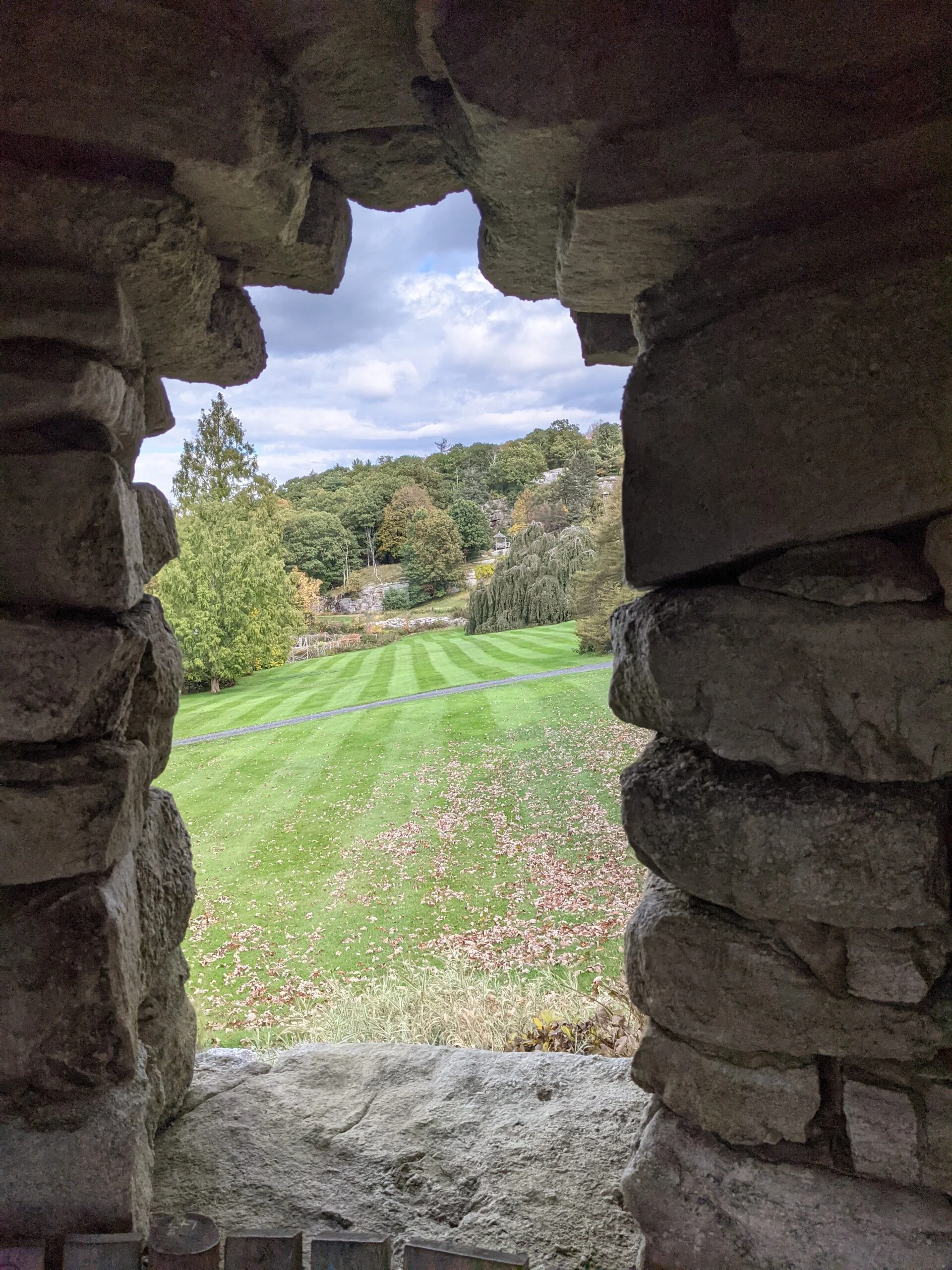
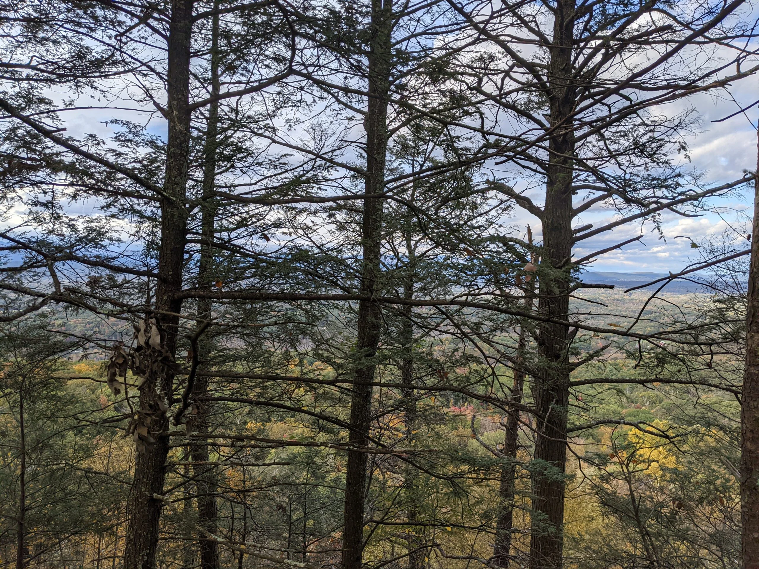
Upon reaching the top, we were rewarded with magnificent views to the south and to the east. We took a few requisite photos near the rocky edges, then made the final ascent up a staircase to the Sky Top Tower. The tower is over 100 years old and is made of stone. From the top of the tower, it is said that one can see New York, New Jersey, Connecticut, Massachusetts, and Pennsylvania, although we couldn’t judge how far off in the distance some of the farther states really were.
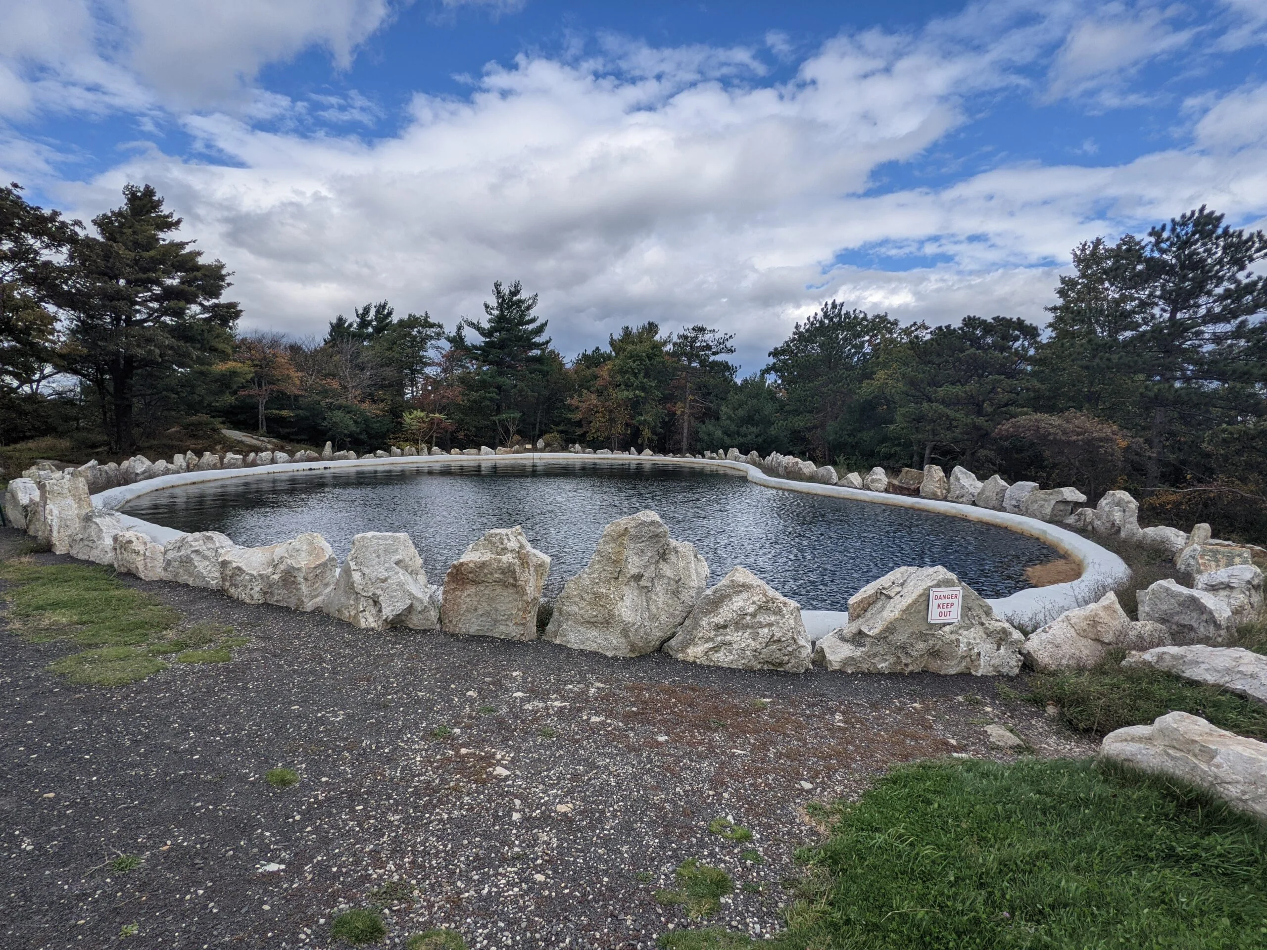
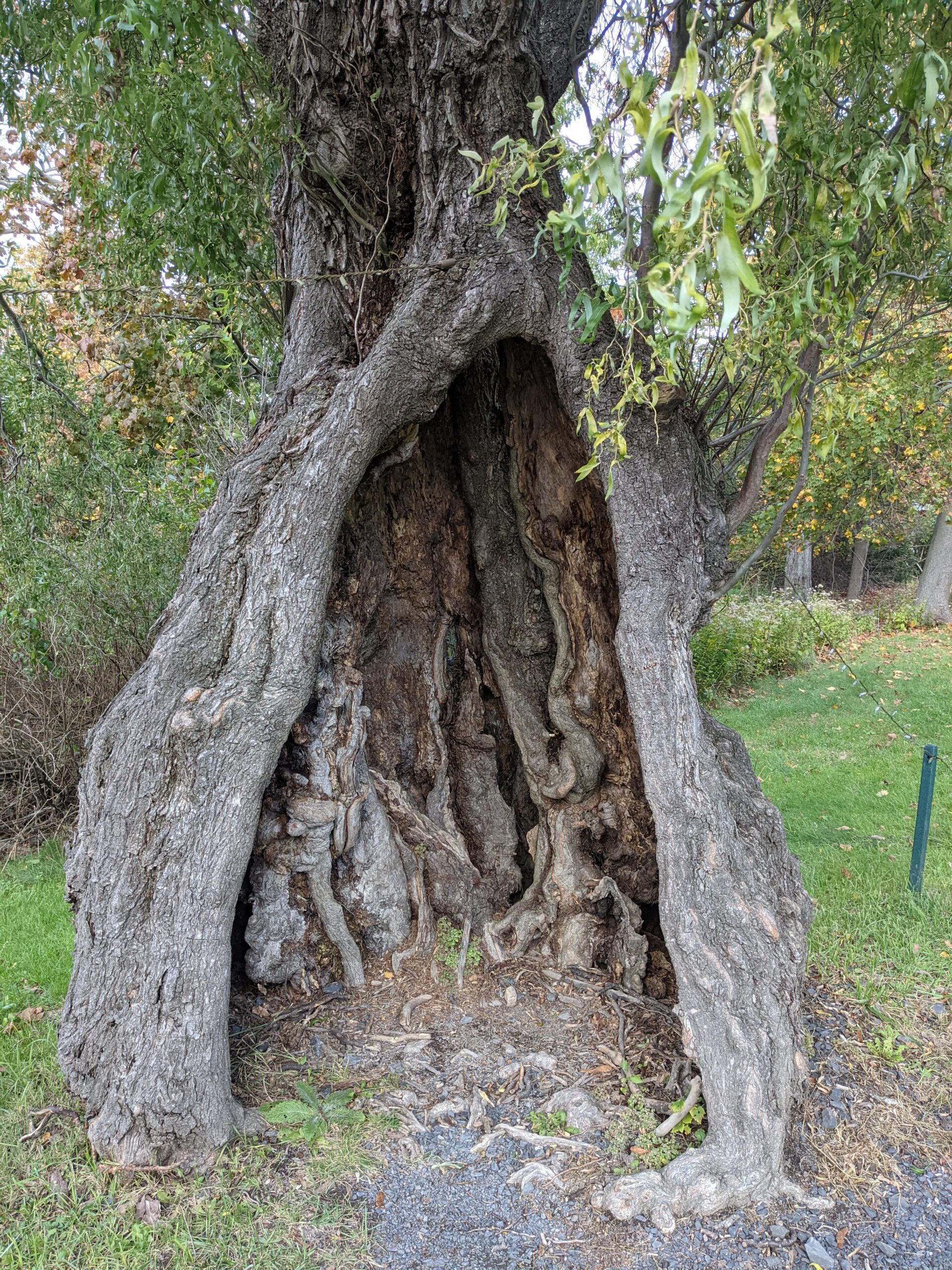
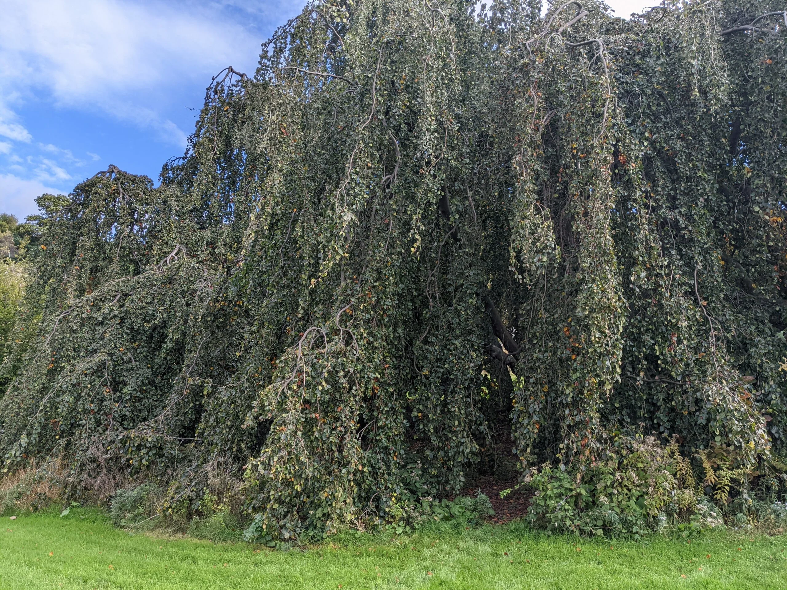
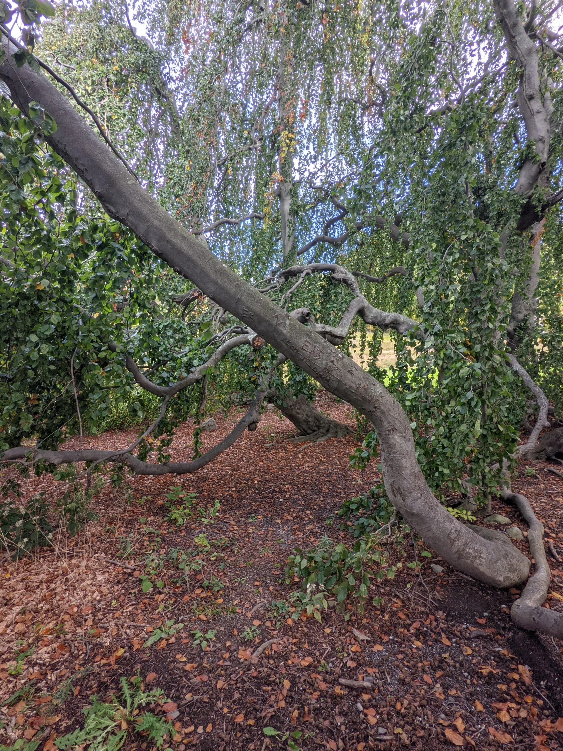
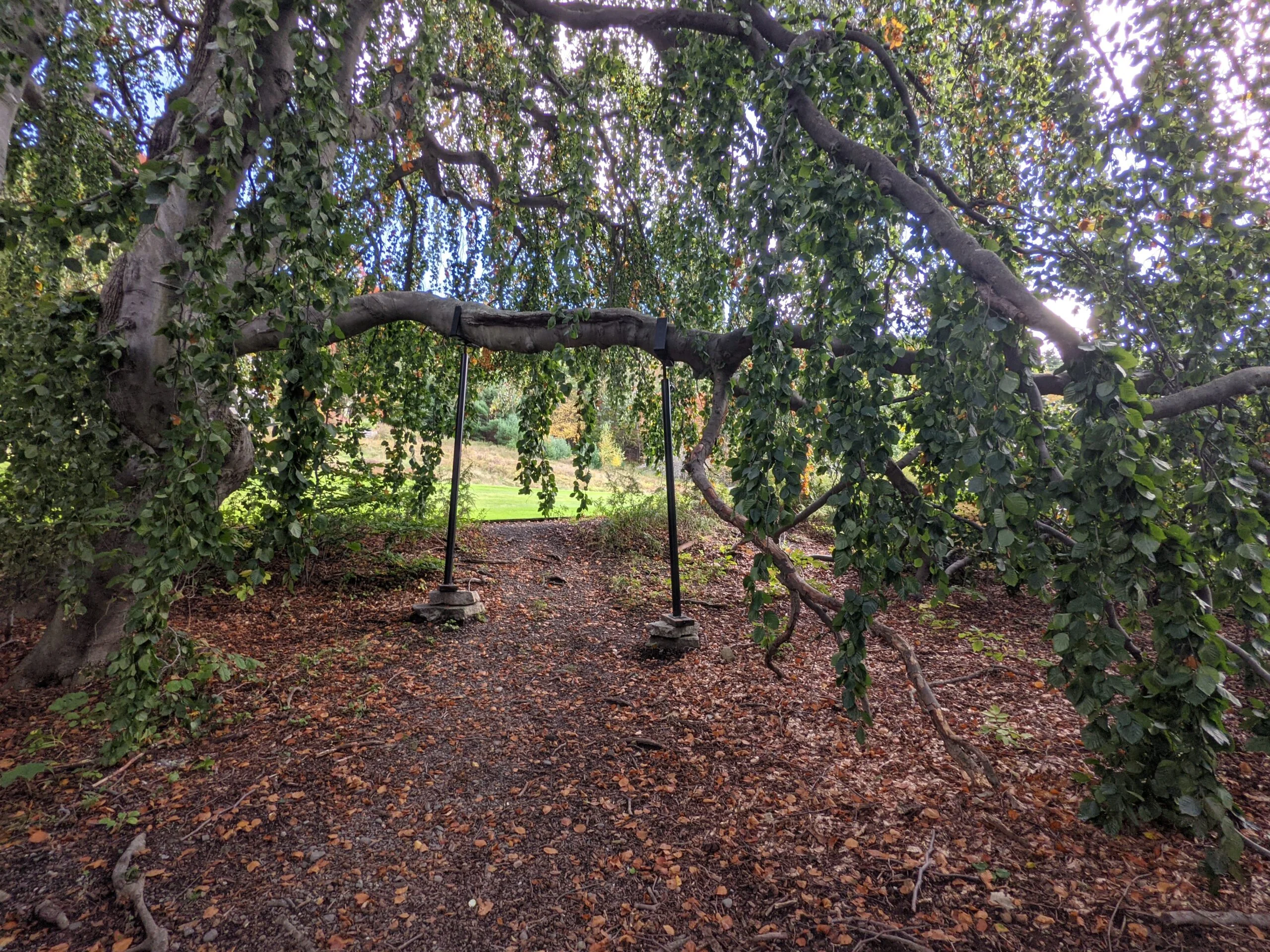
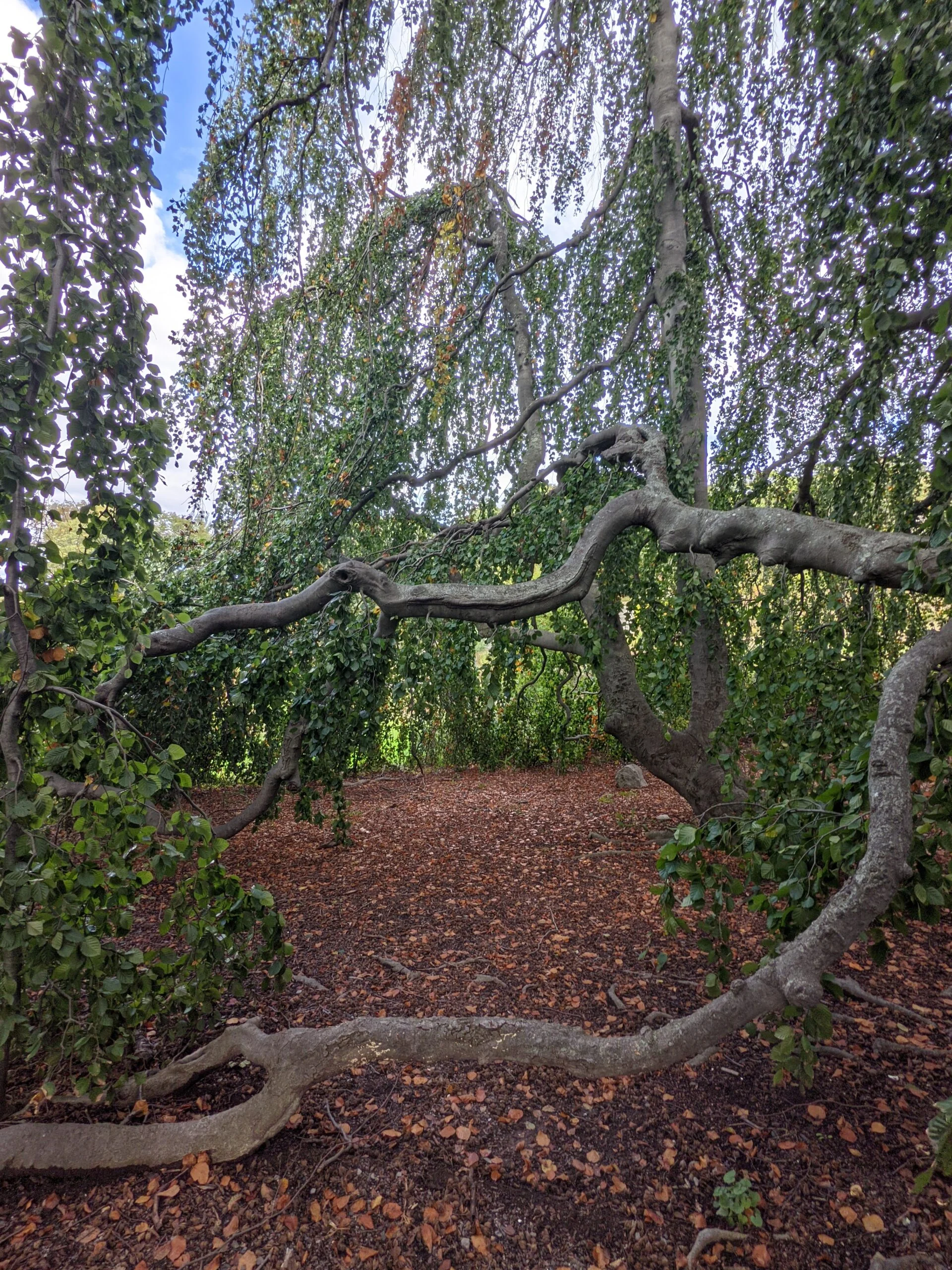
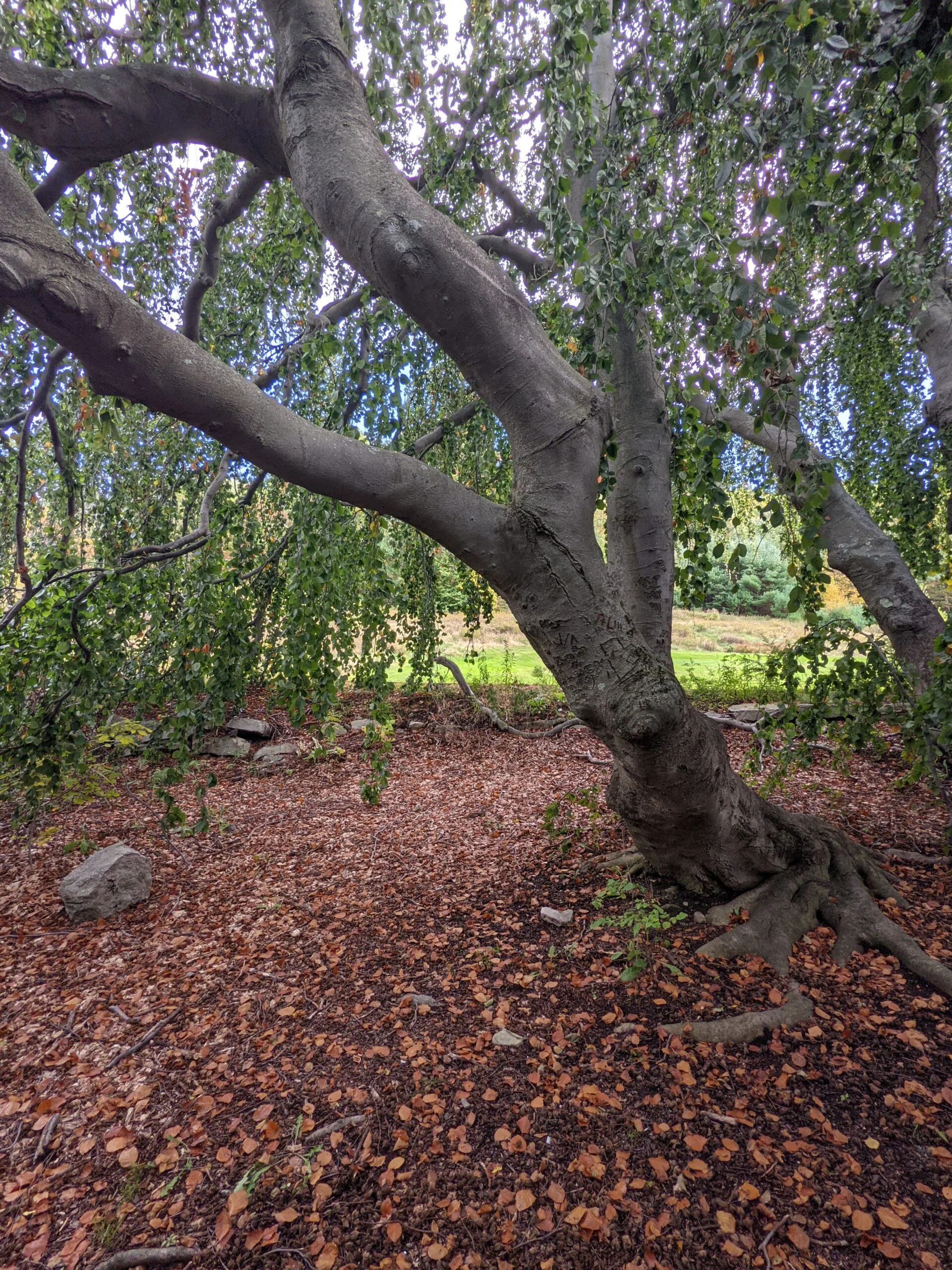
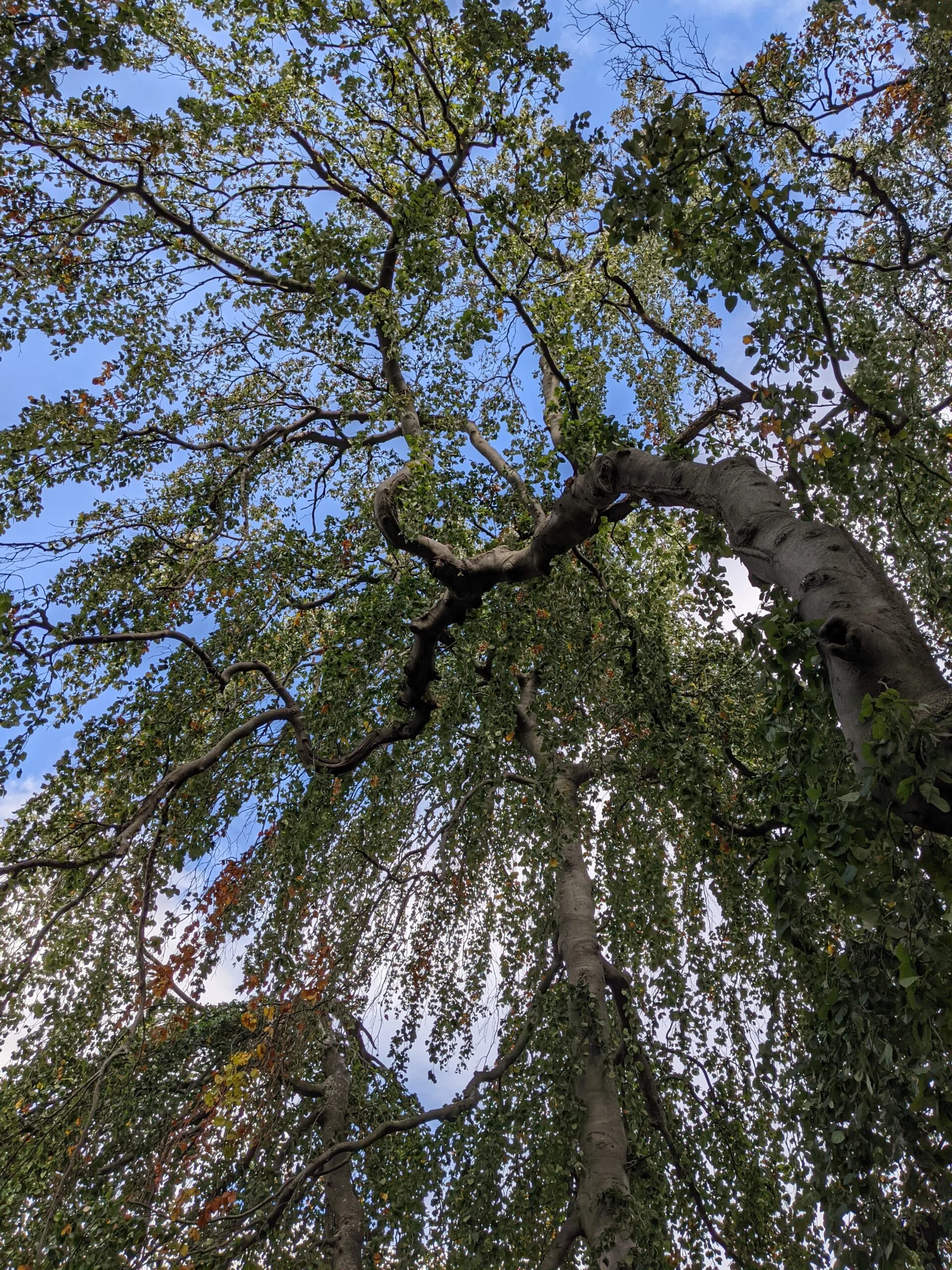
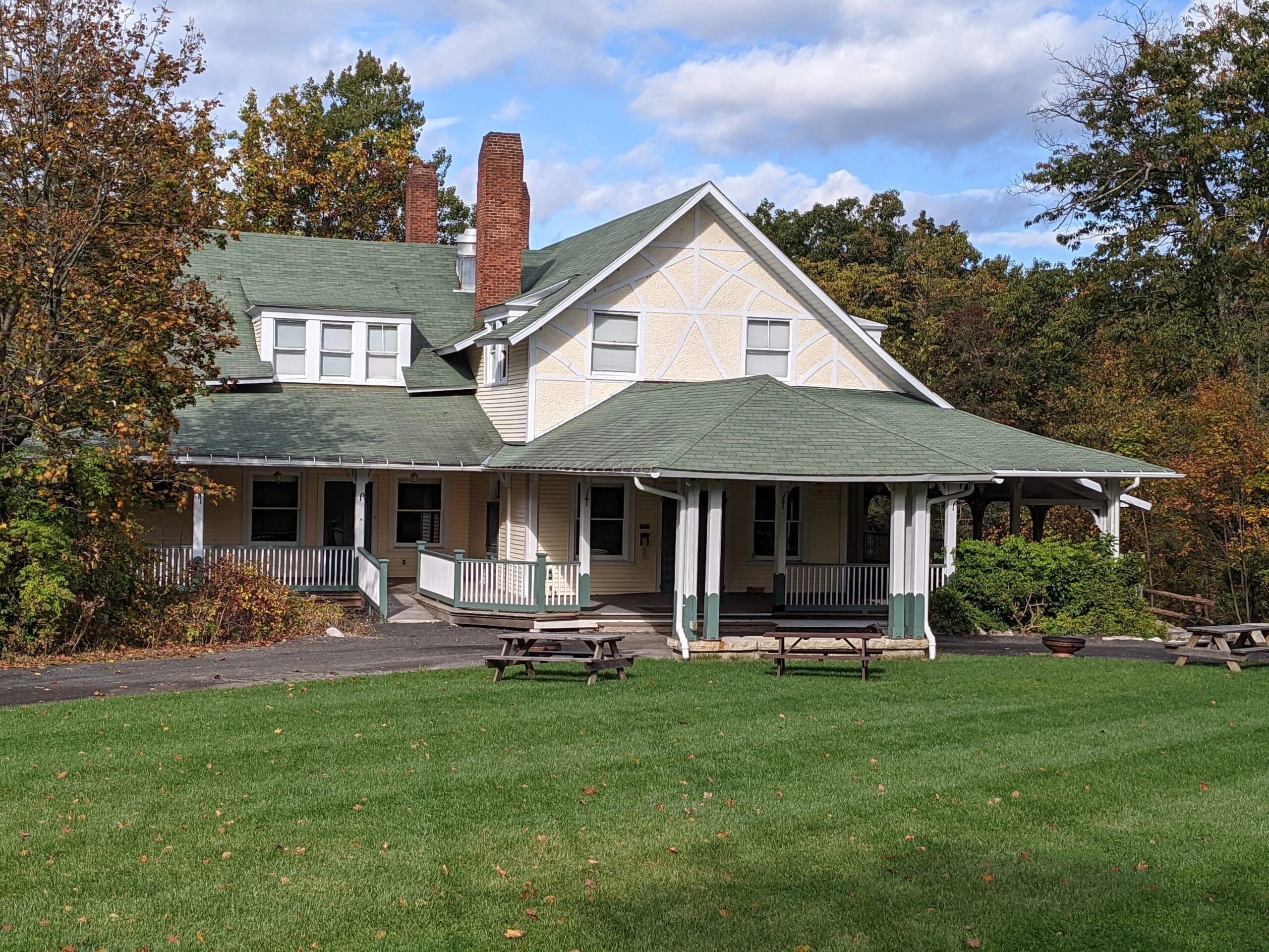
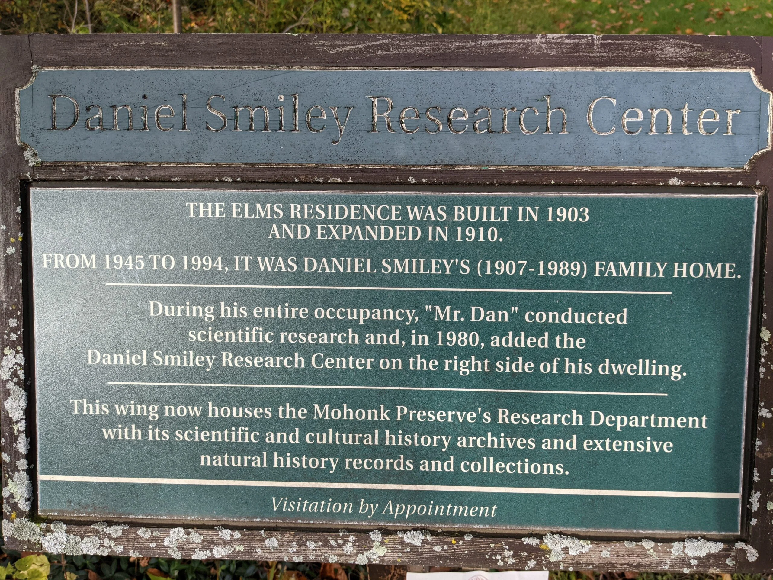
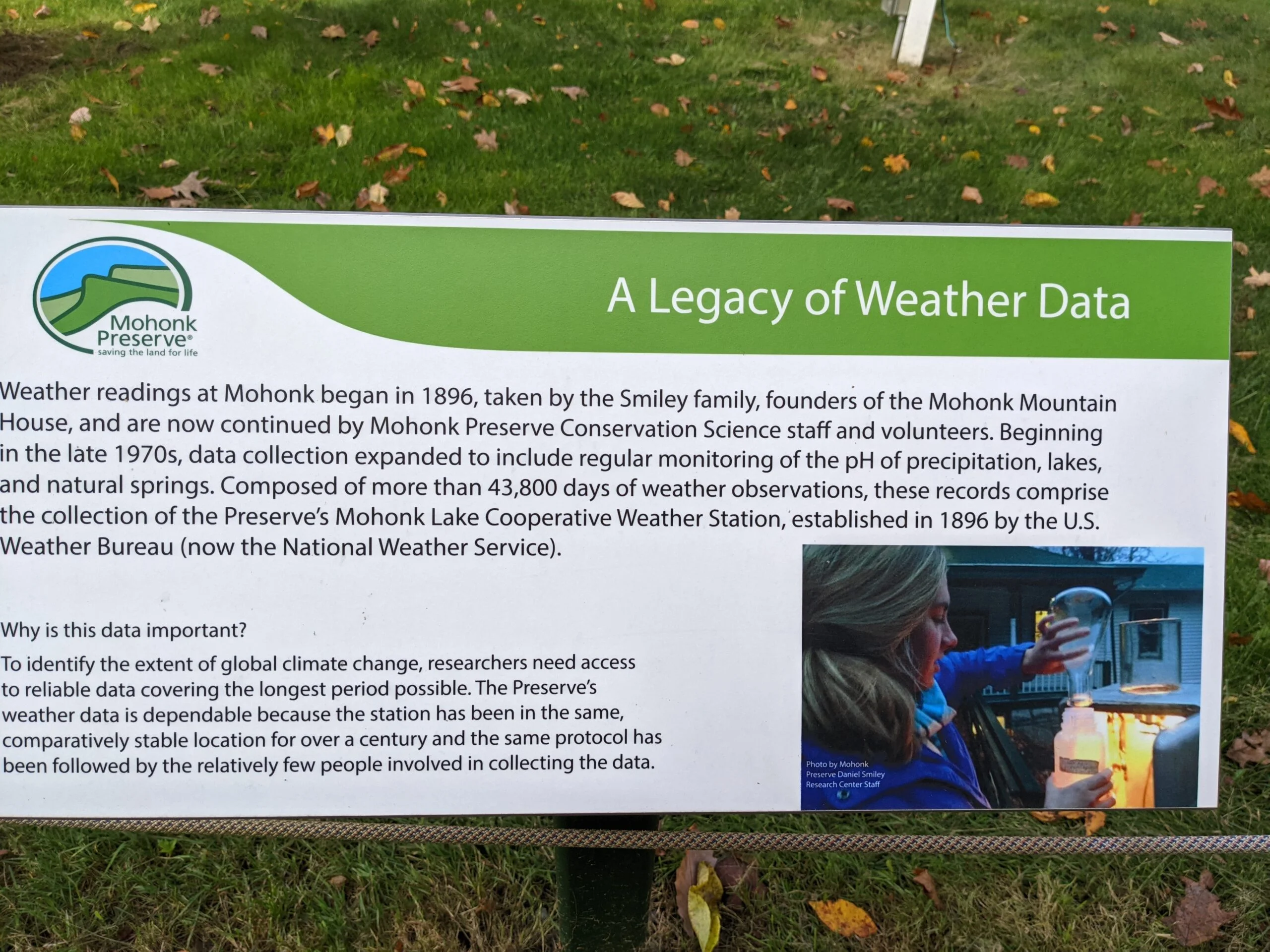
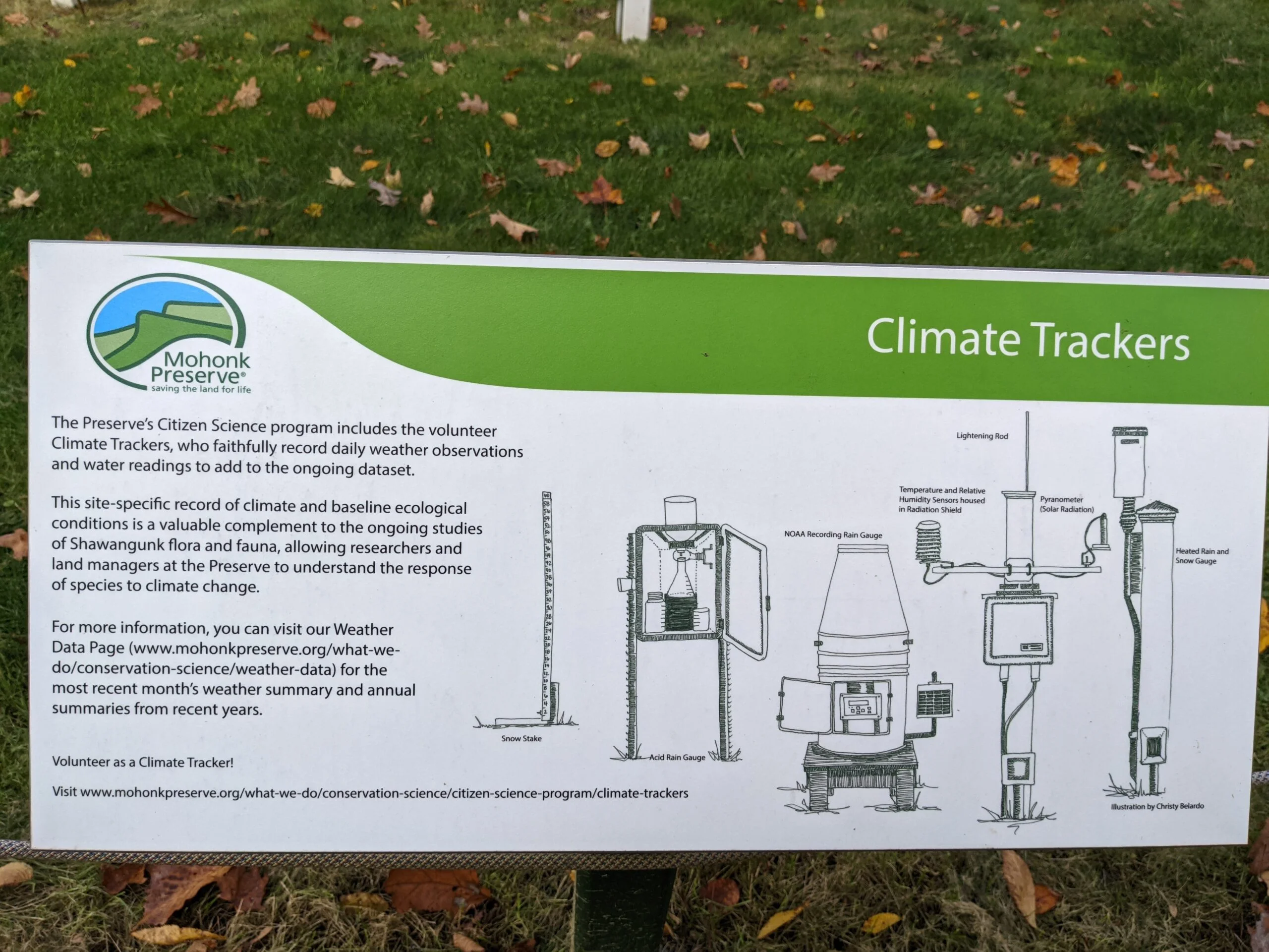
We took a lunch break on the lawn near the tower before making our way down Sky Top Road to Sky Top Path, the easier route to the tower that I mentioned earlier. This put us back by the lake and the resort. We explored the grounds a bit more, including peeking inside the large weeping tree off of Garden Road. We then connected to Barn Road, then to North Lookout Road, which took us past the Smiley Research Center. Placards say continuous weather readings have been measured here since 1896.
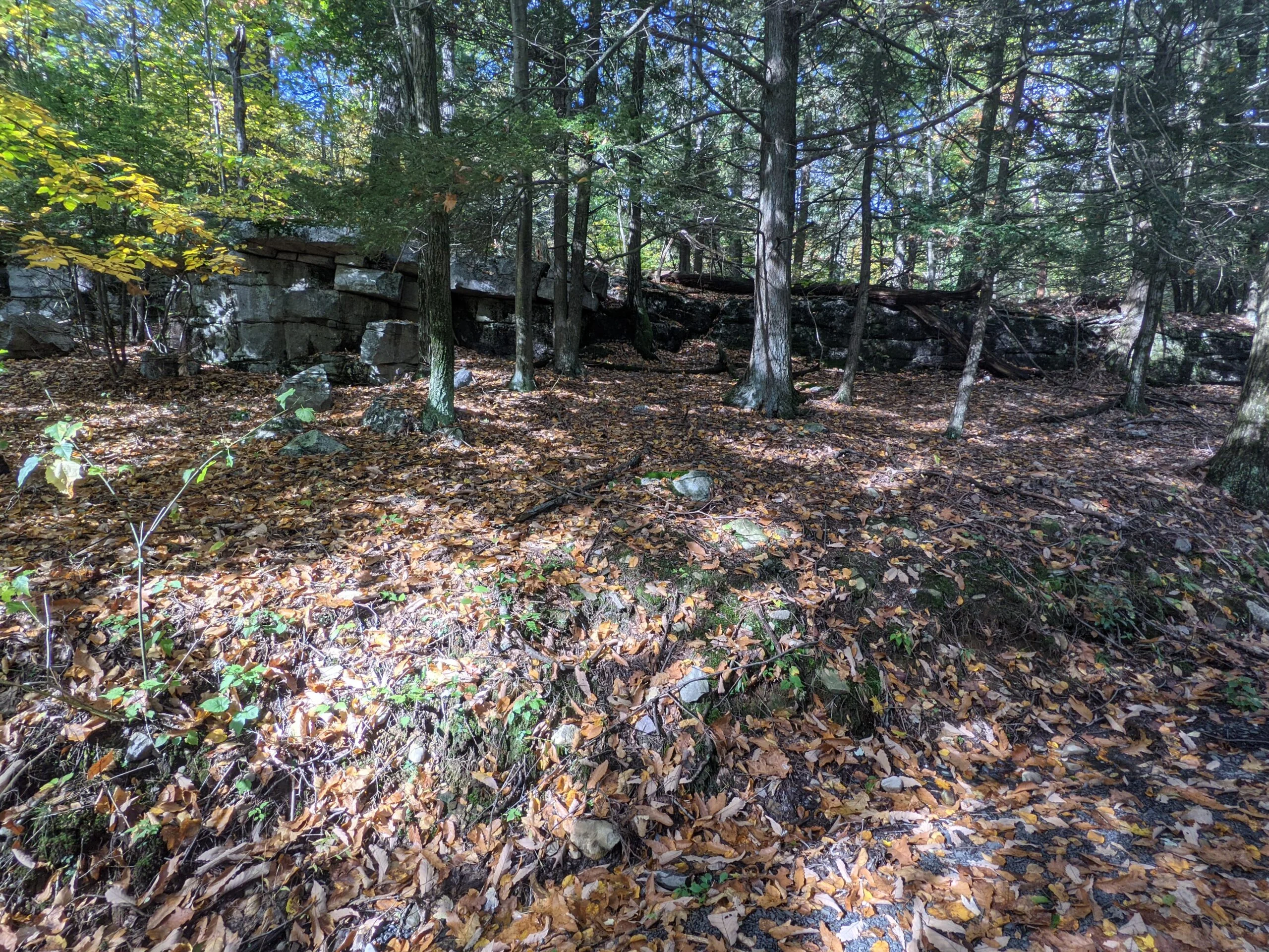
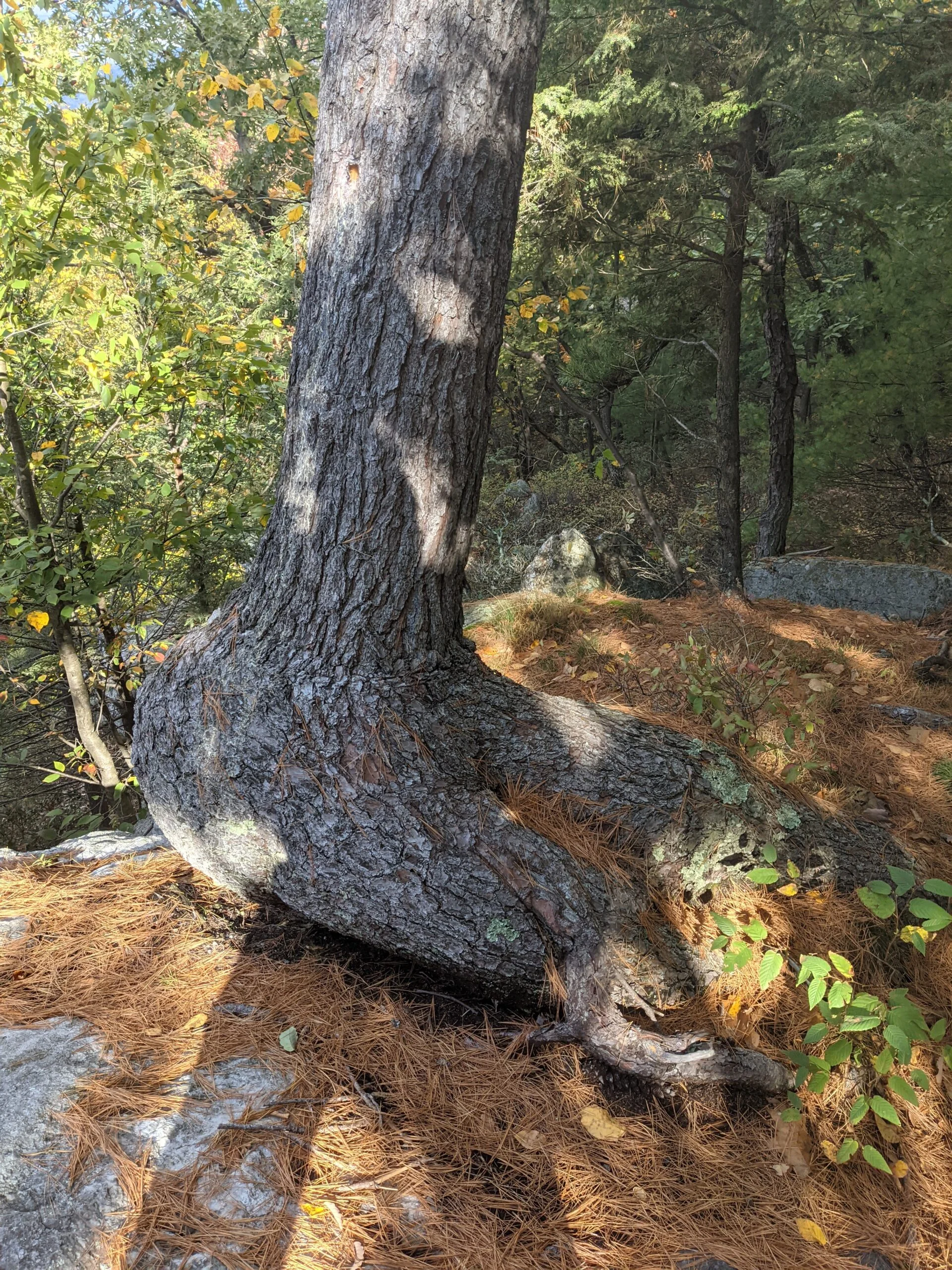
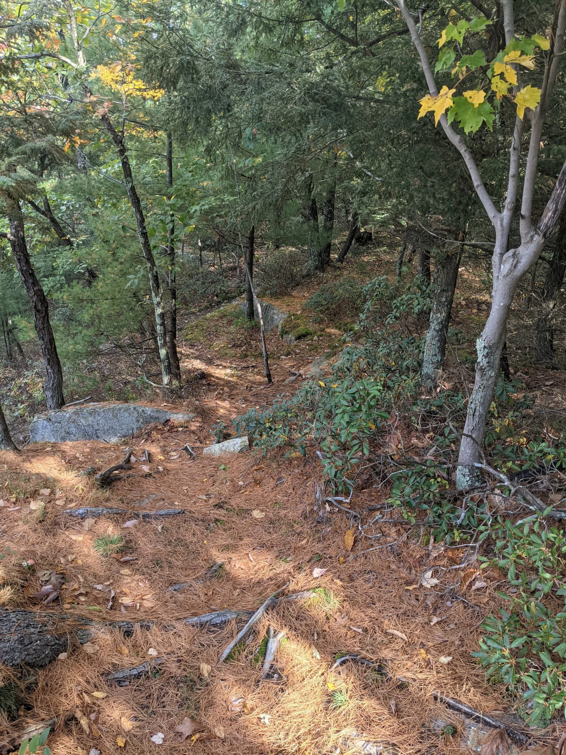
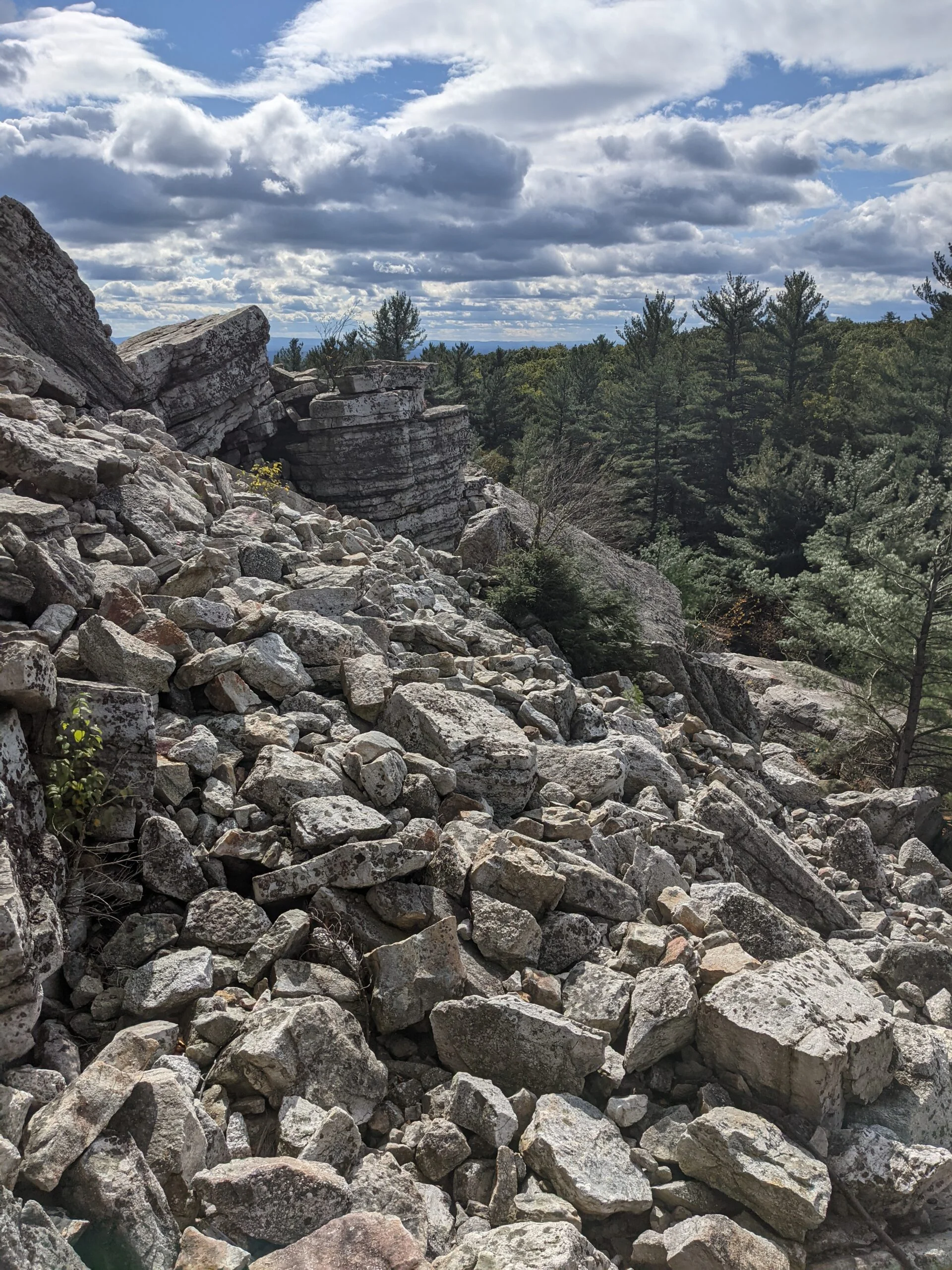
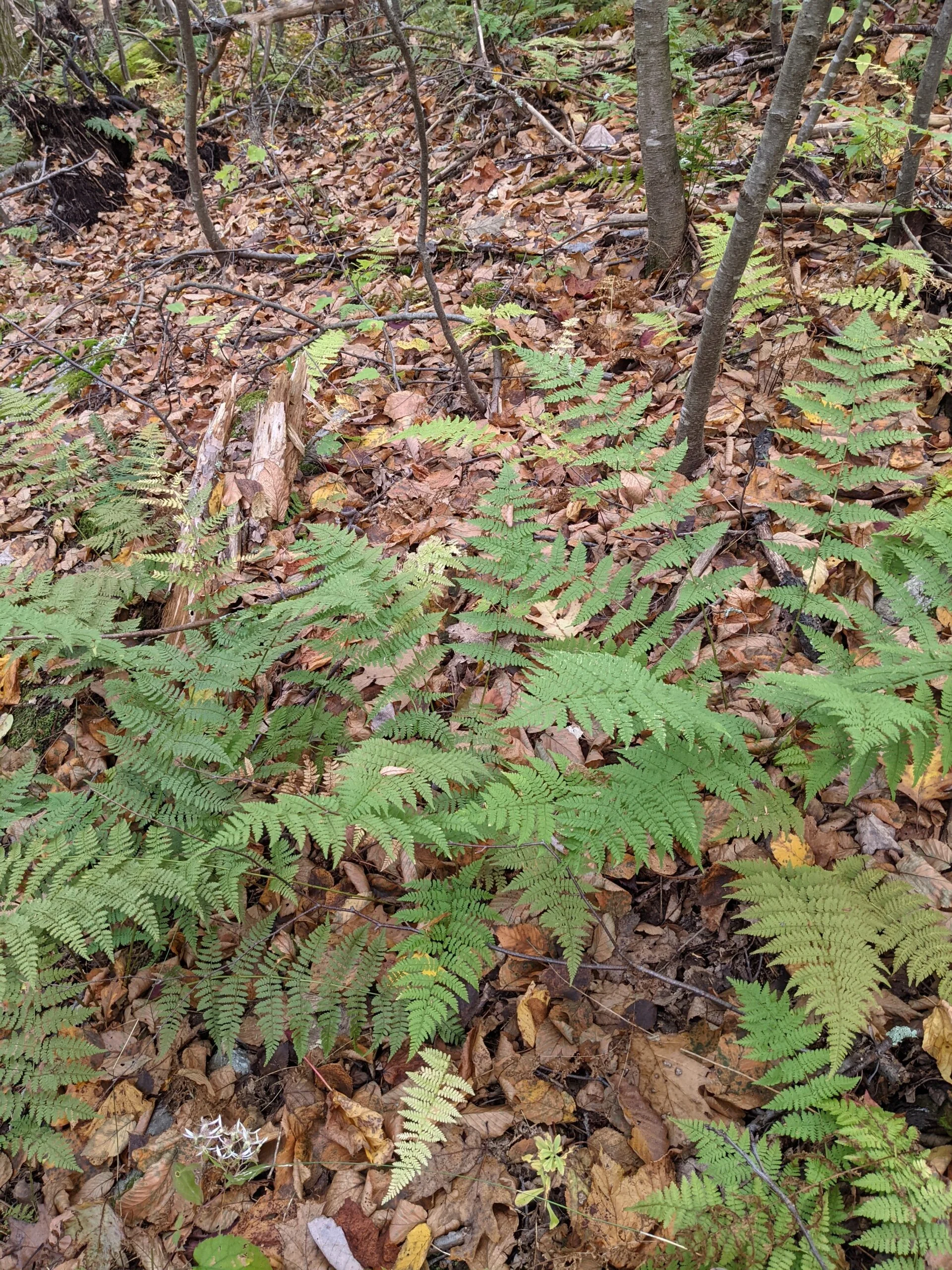
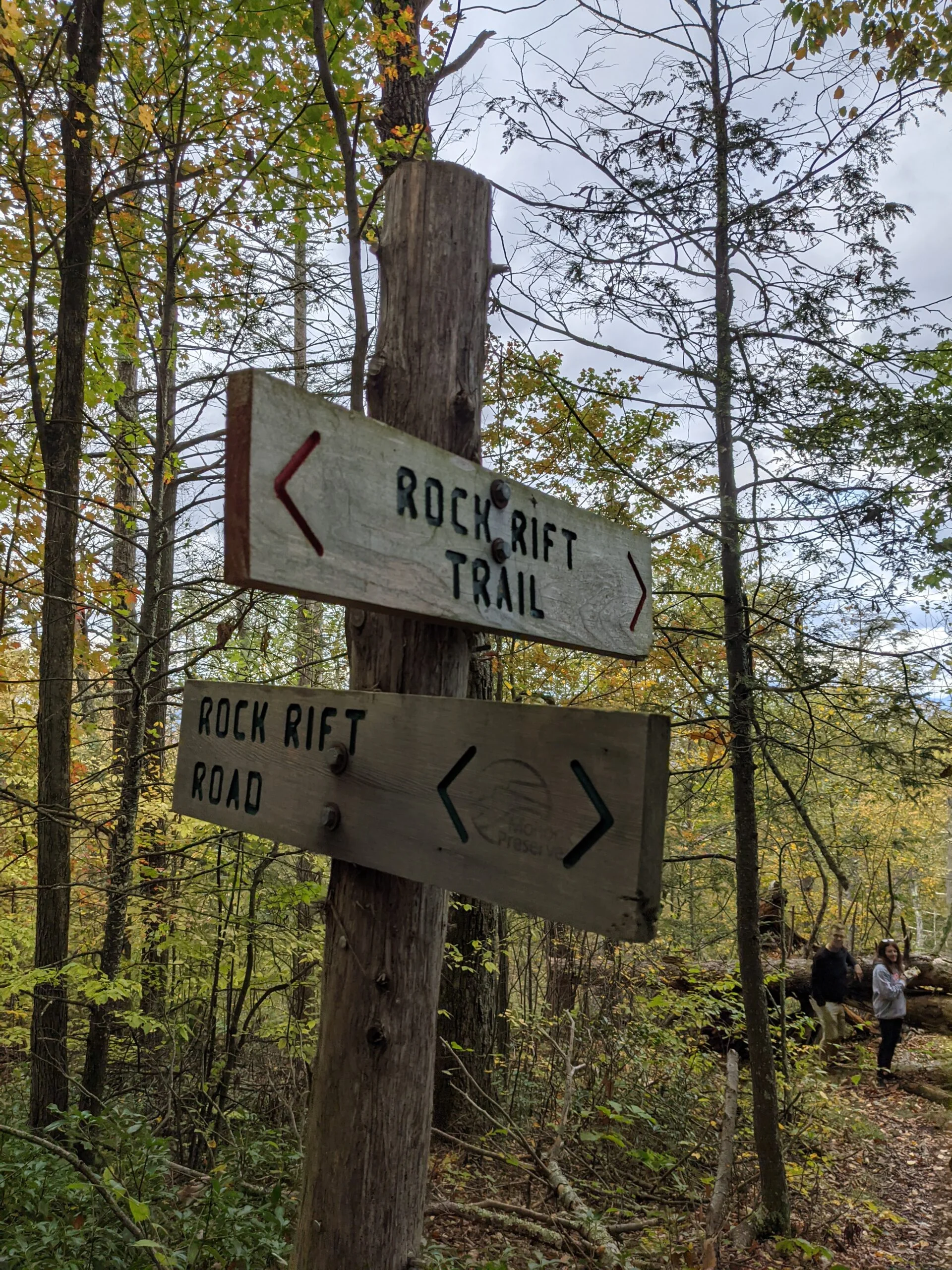
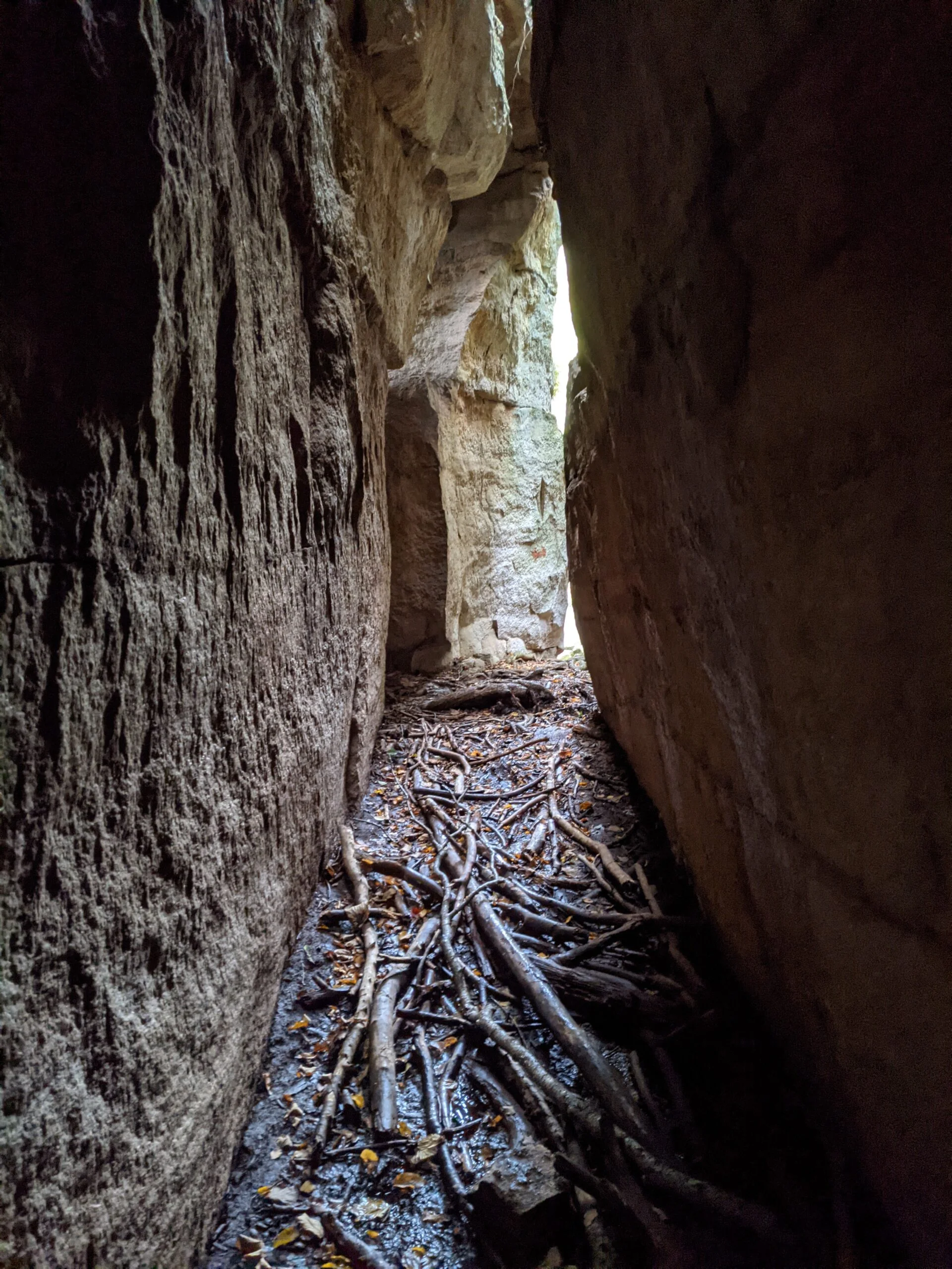
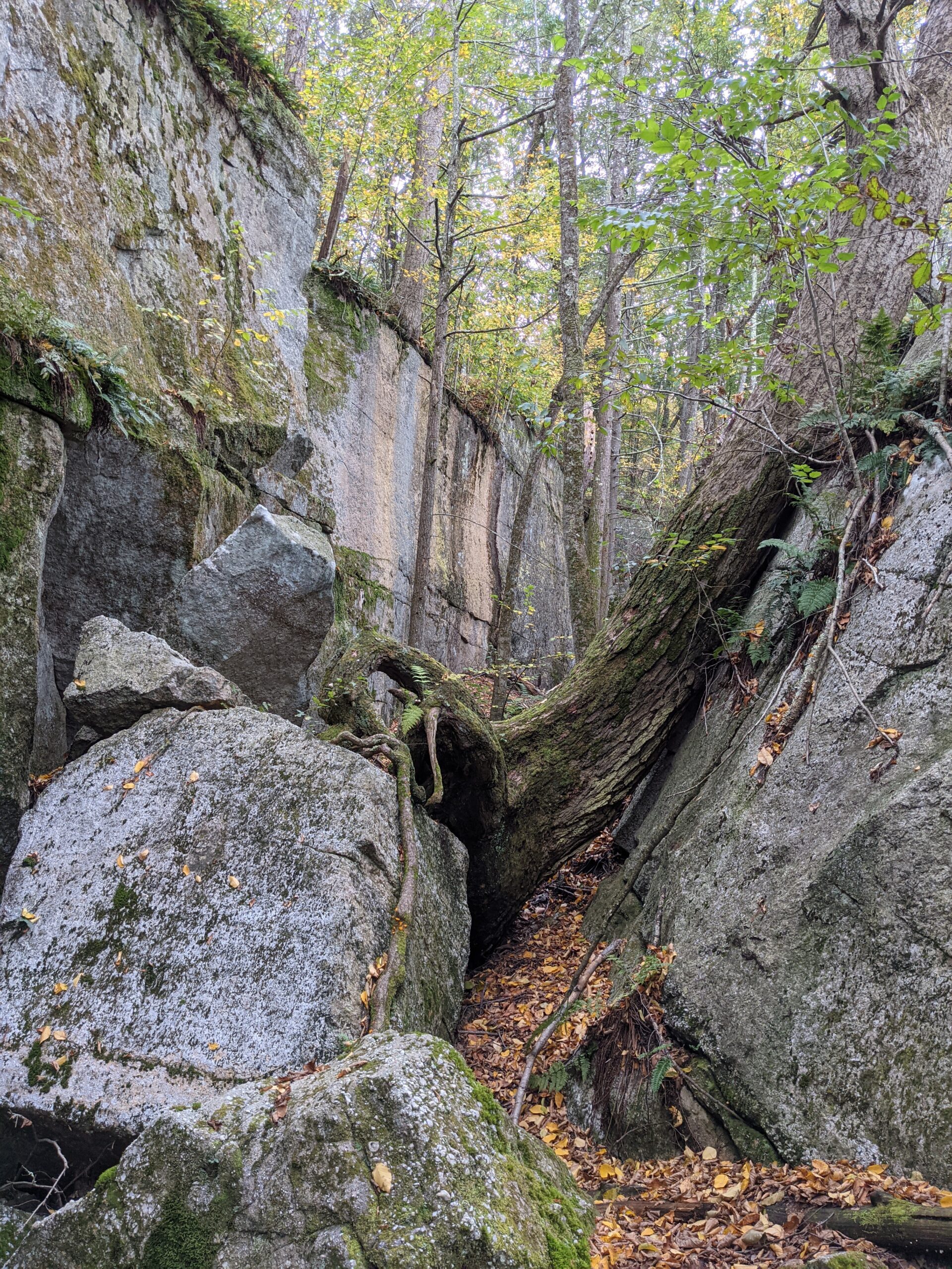
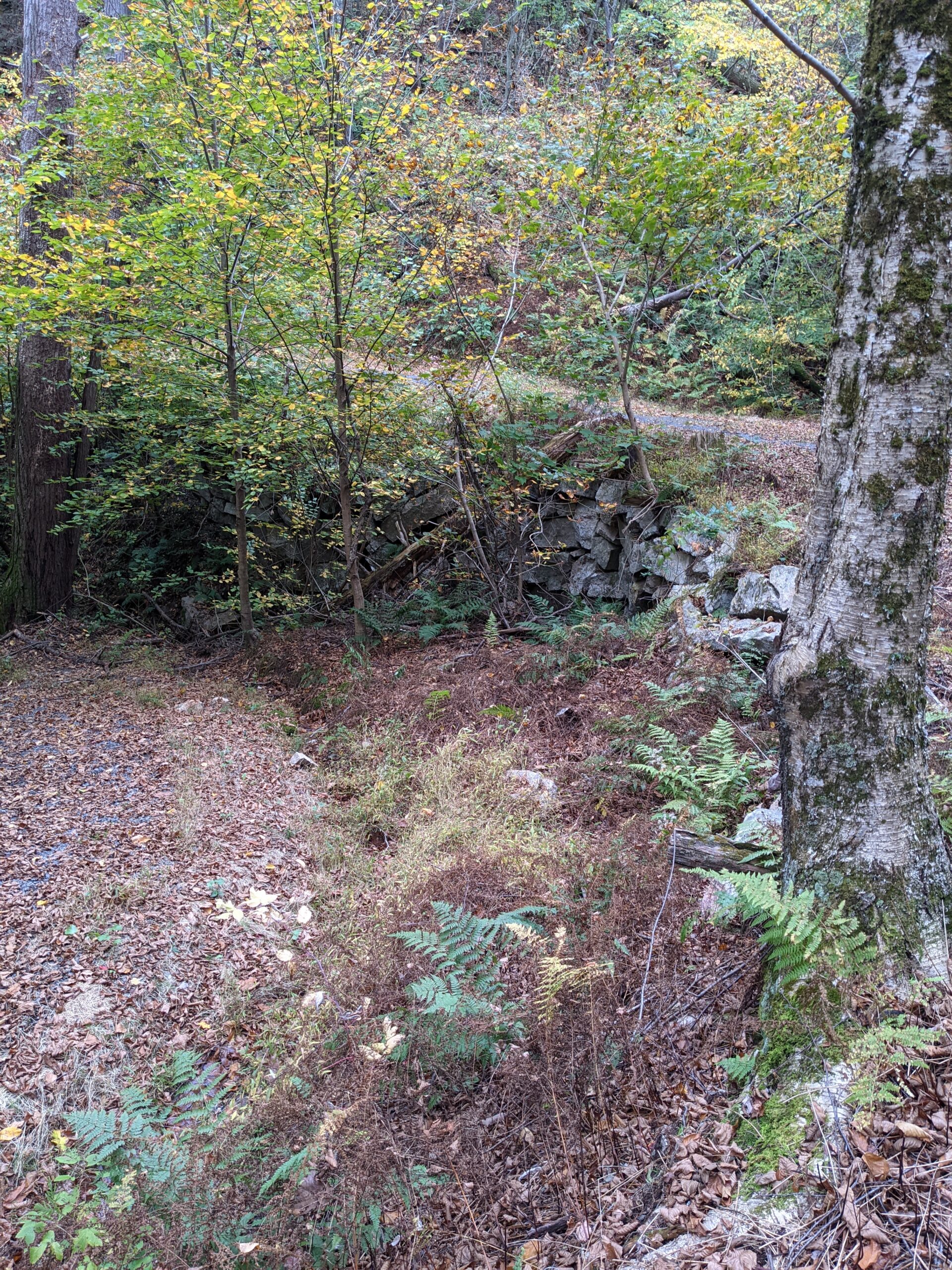
We followed North Lookout Road, a carriage trail, about 7/10 of a mile before reaching Rock Rift Trail (red blazes) off to our left. This took us first into a wooded area and then into another rock squeeze maze. This one required less climbing and was more of an exercise in tight spaces, requiring backpack removal several times to fit through the small openings. Once we navigated our way through the rocks, we connected back with Bonticou Road and retraced our steps back to the car at Spring Farm Trailhead.
Overall, it was an amazing day filled with some challenges I don’t normally encounter on my traditional woods-based hikes. I’m pretty sure I’ve tackled the Labyrinth and Crevice on past trips, but it had been so long that I forgot all of the details. We barely touched the surface of the seemingly endless trails offered by Mohonk Preserve and I’ll definitely be back again soon!
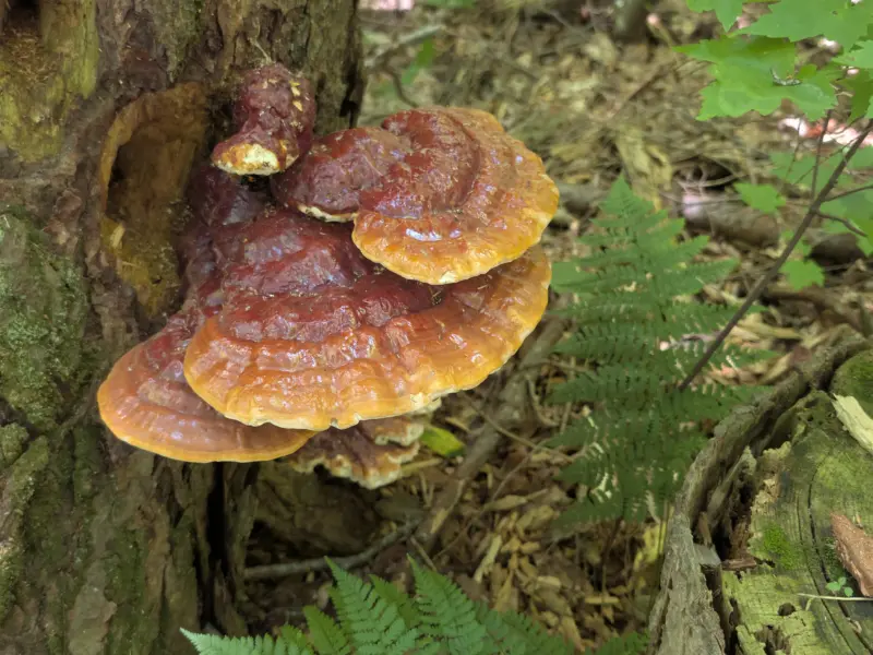
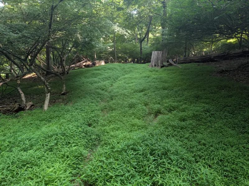
Photos


GPS Route & Elevation
Loads an interactive map; map tiles are served by the U.S. Geological Survey, which receives your IP address. Learn more about maps and your privacy