Harriman State Park Harriman-Bear Mountain State Parks
Harriman State Park – Lake Skenonto, Tom Jones Mountain, Black Rock Mountain
- 13.7 mi
- 2,536 ft gain
- 08:11:58
- 349 photos
- 16 videos
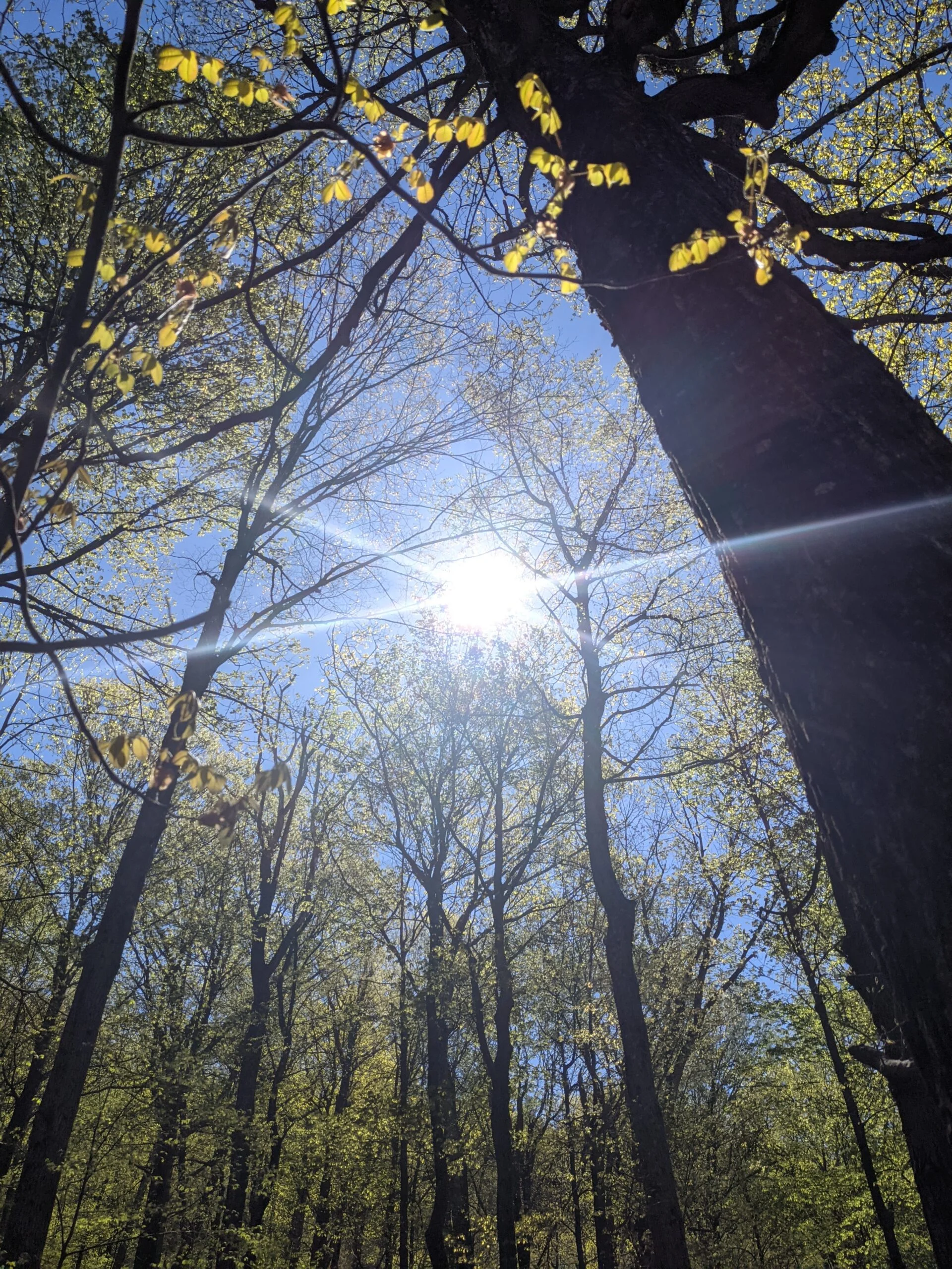
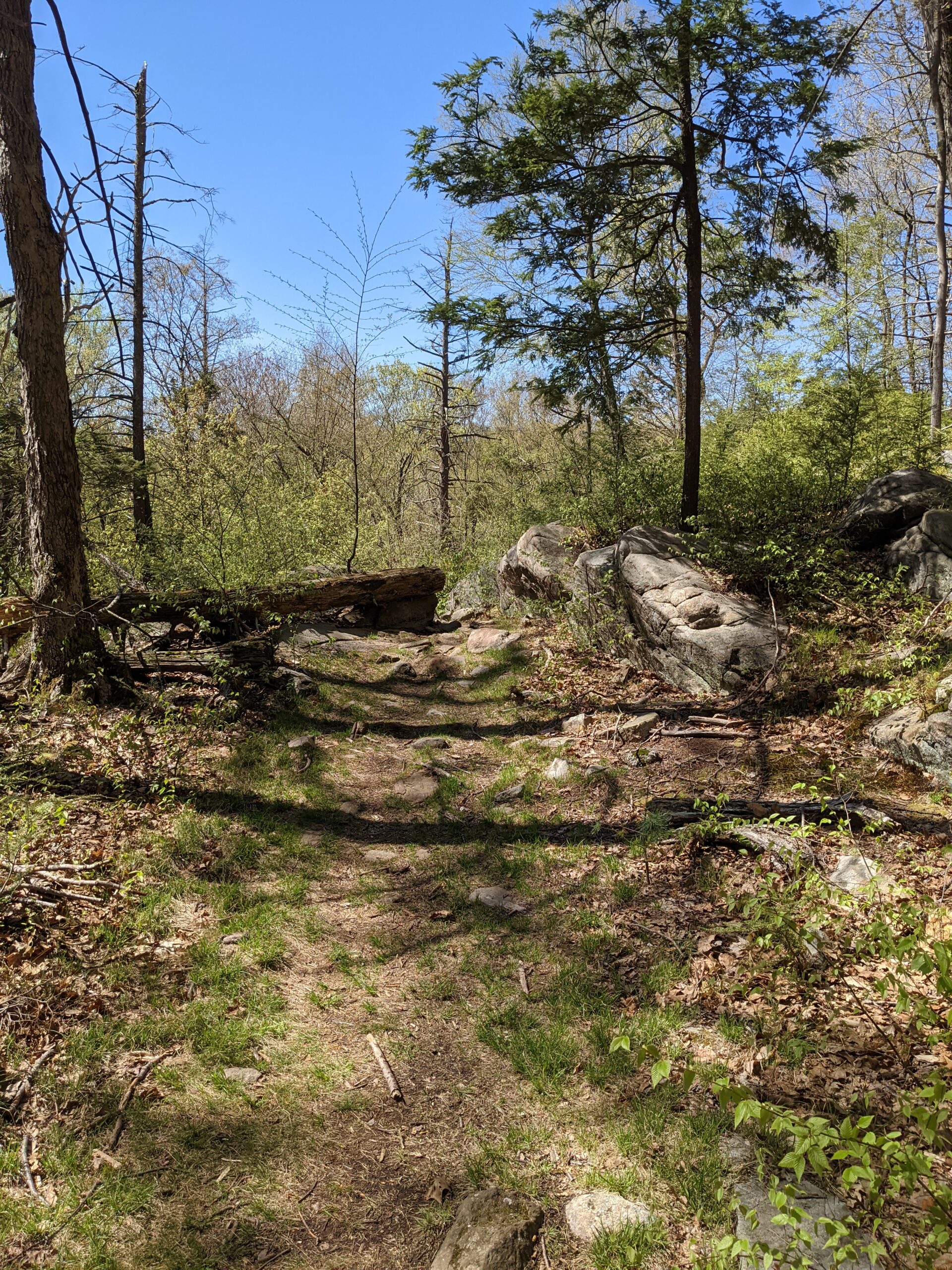
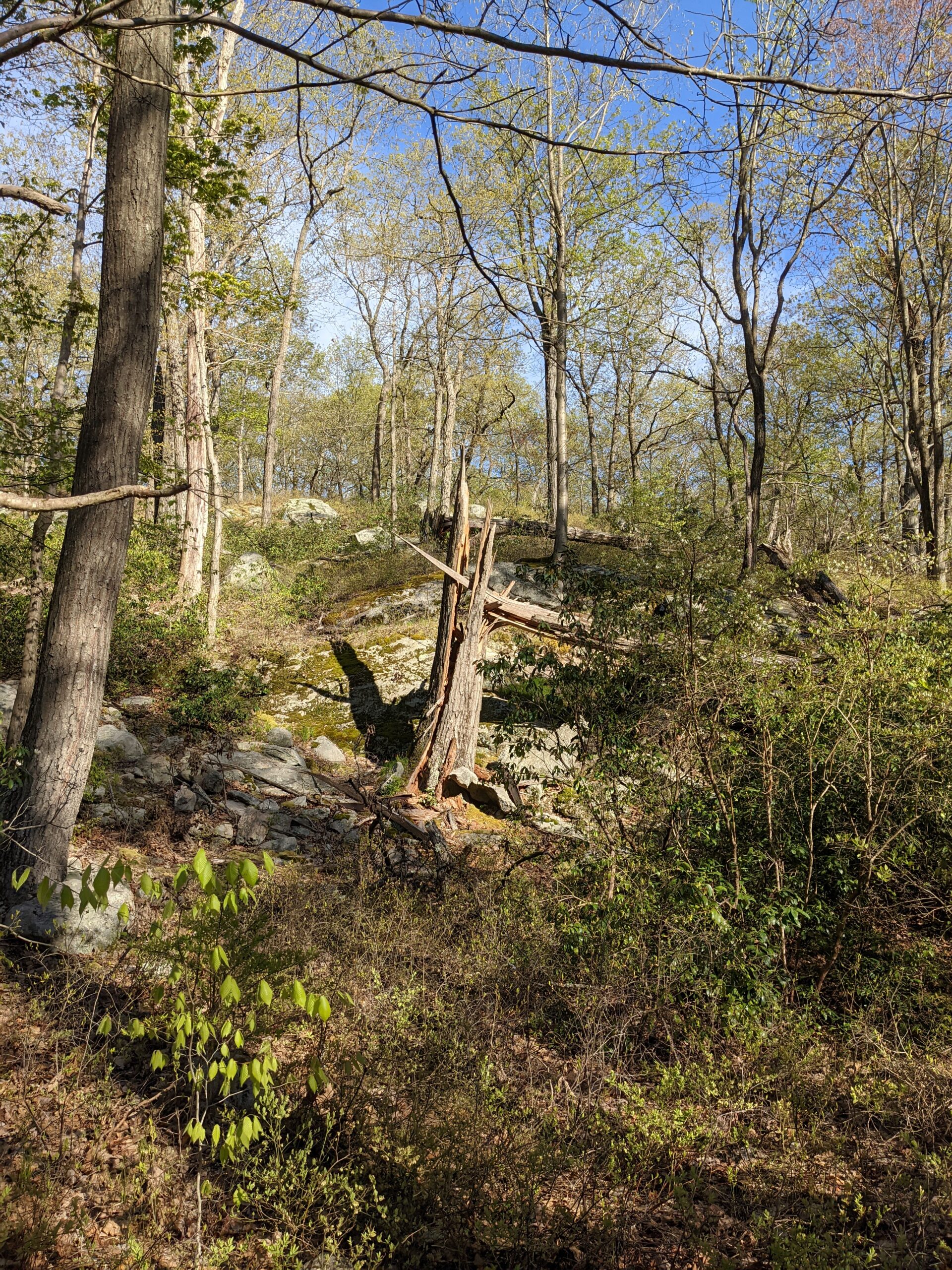
Today I returned Harriman State Park, one of my favorite parks in the area due to its beauty and sheer volume of trails. I mapped out the Tuxedo Park – Tom Jones Mountain – Lake Skenonto trail and planned to hike it counterclockwise.
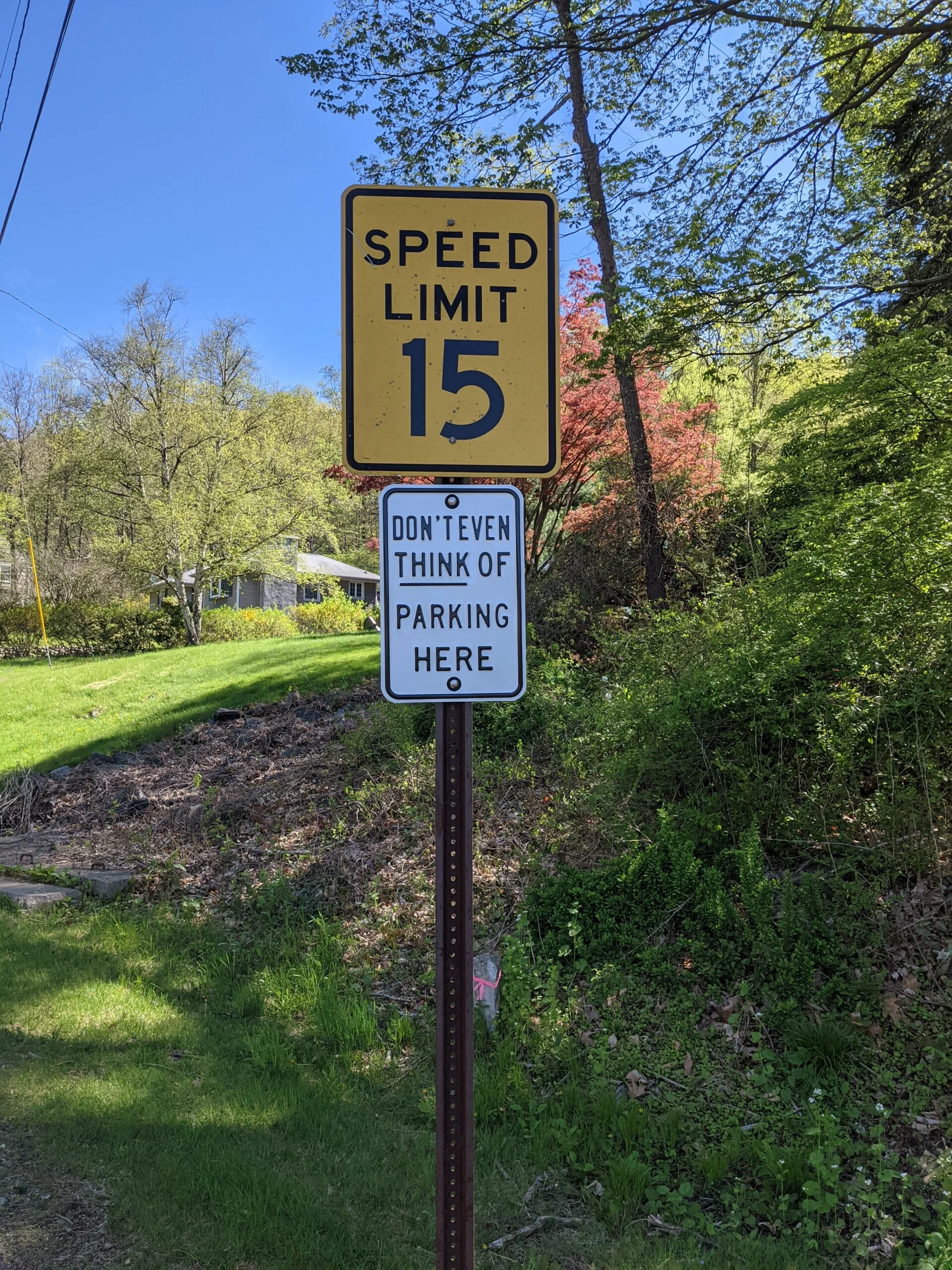
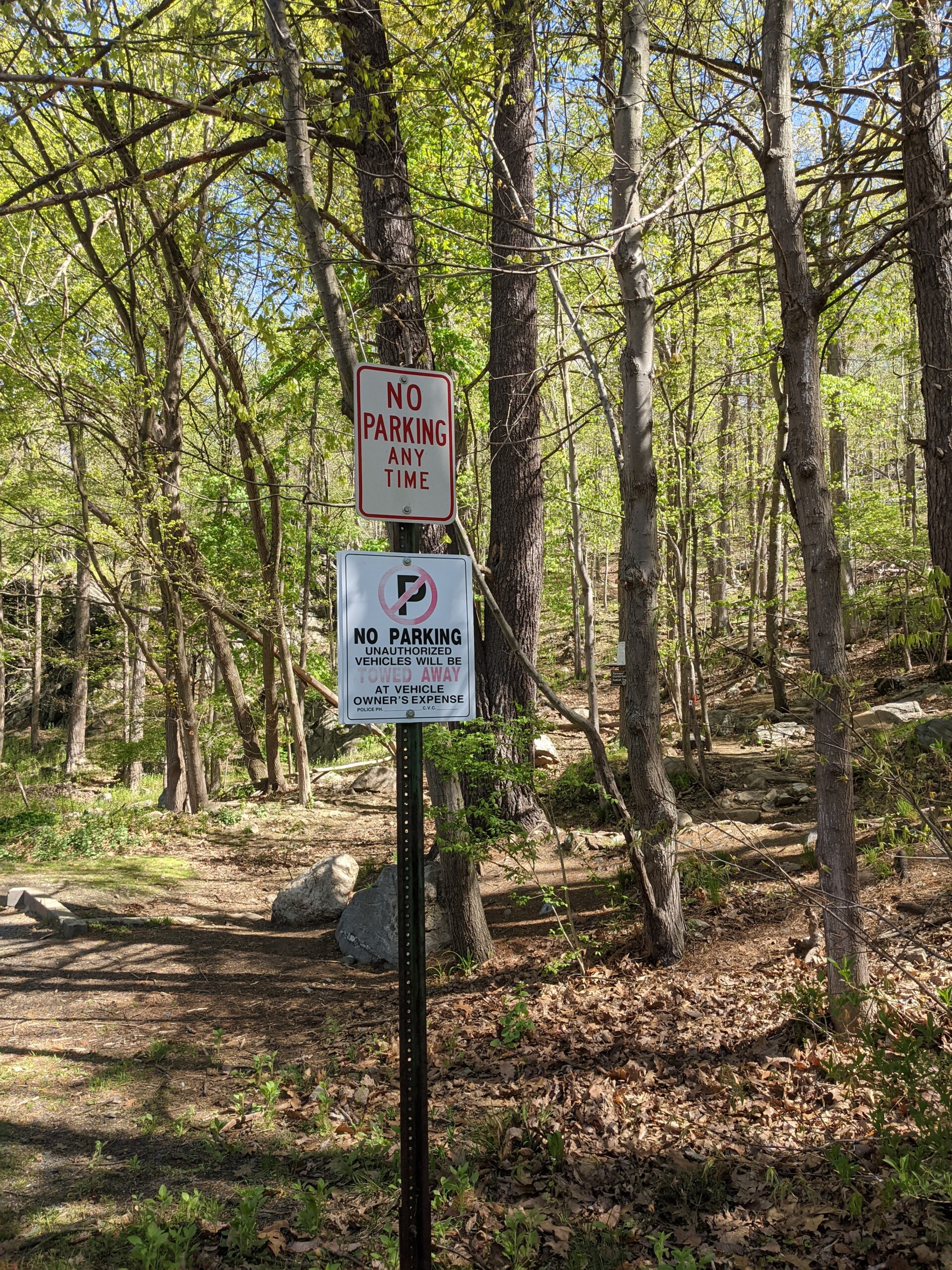
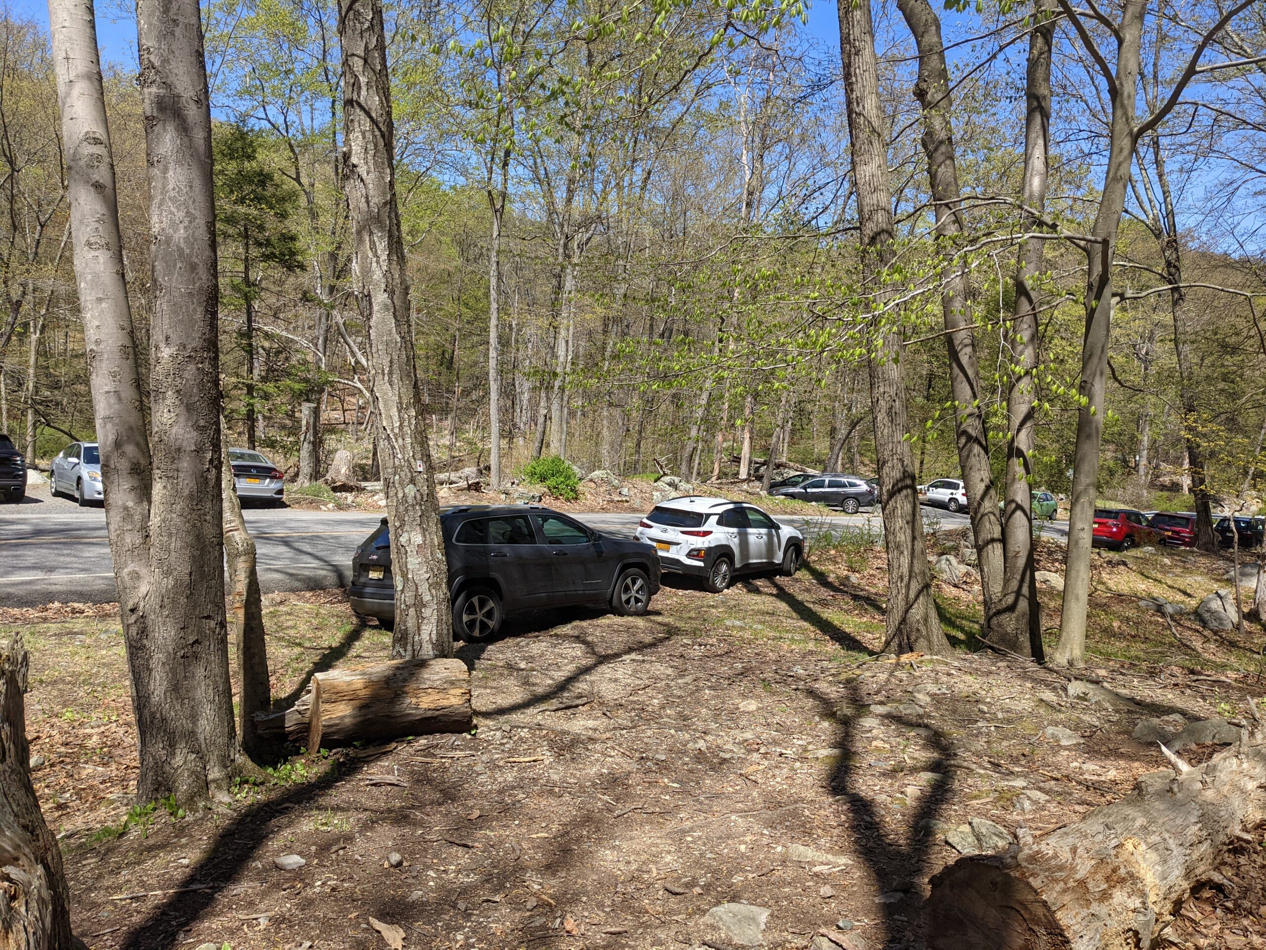
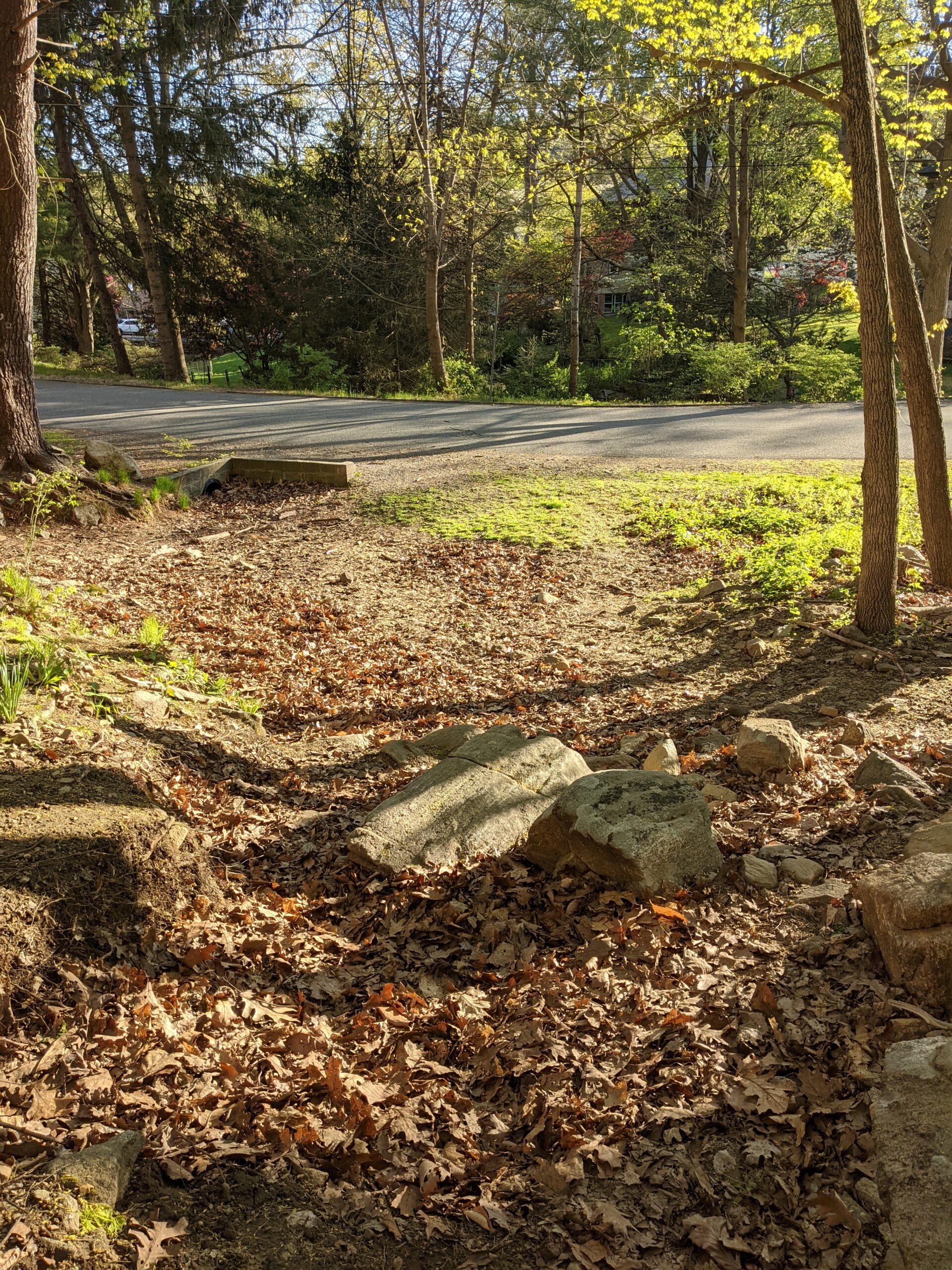
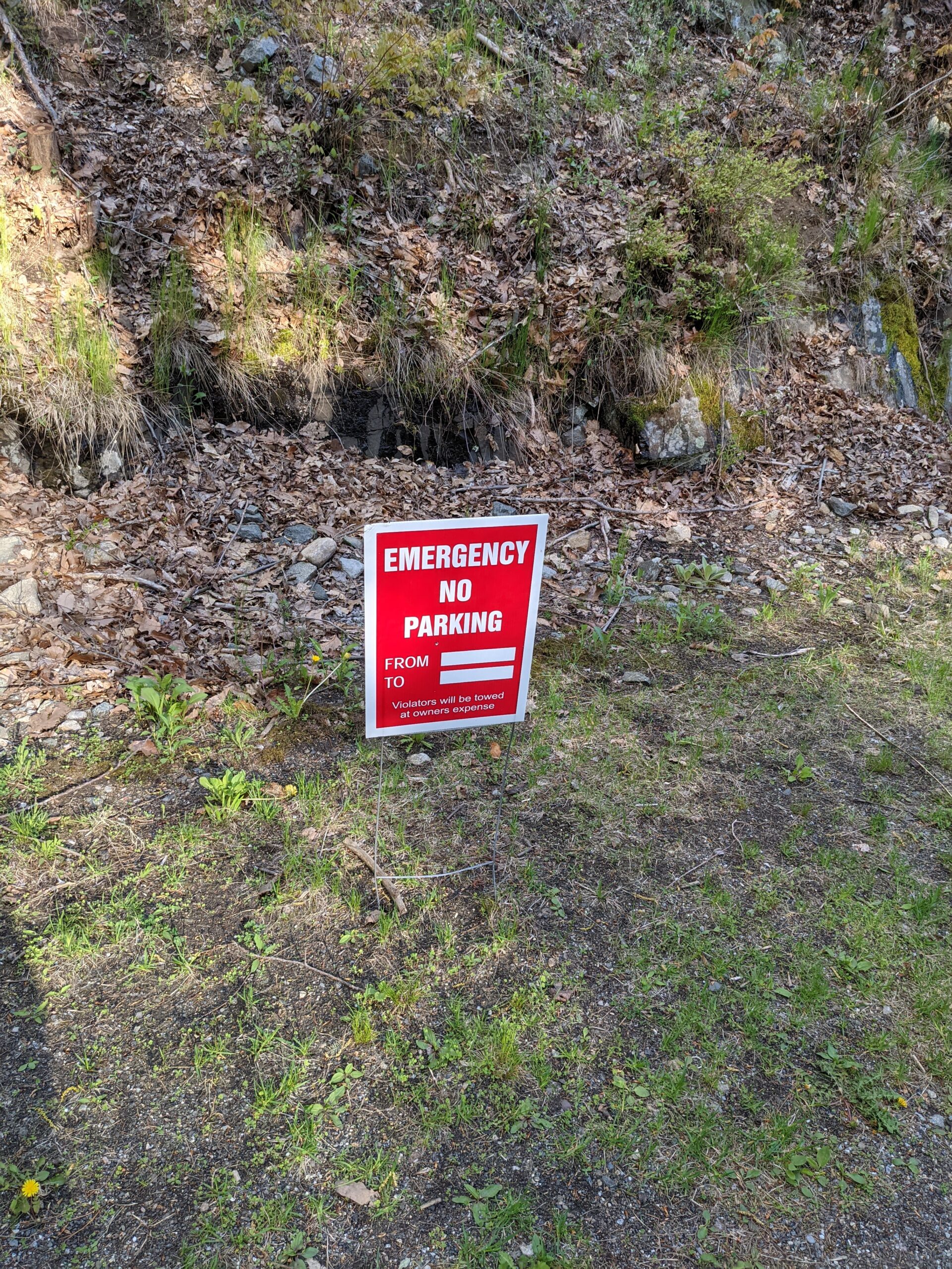
The trailhead is located on Grove Drive in Tuxedo, NY in a residential neighborhood. There are some official looking “No Parking” signs close to the trailhead, and then there are, in my opinion, some unofficial signs on the rest of the street. One of them reads, “Don’t Even Think of Parking Here”. It’s my belief that these signs were put up by residents of the neighborhood who are being snobbish about people parking along their street. I plan to investigate this more, but since I didn’t have time to waste, I played nicely and drove down to the hiker’s parking lot adjacent to the Tuxedo train station parking lot.
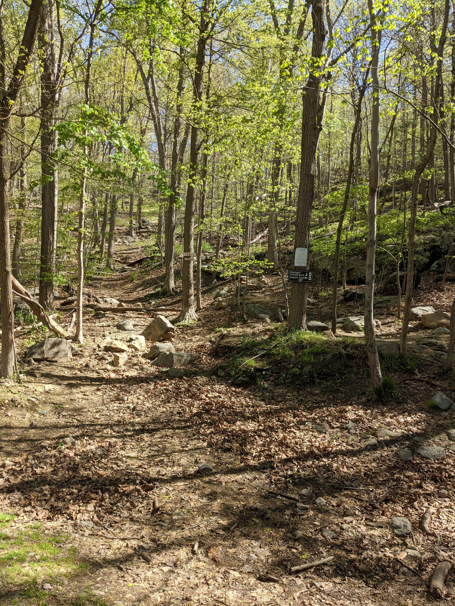
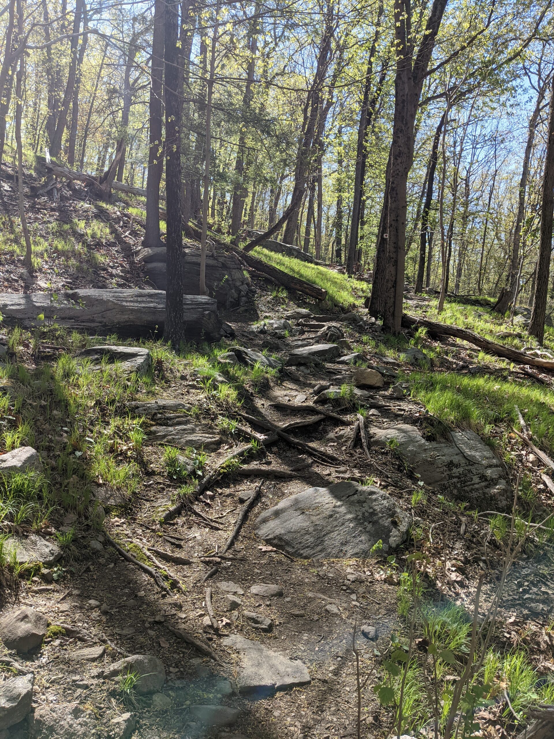
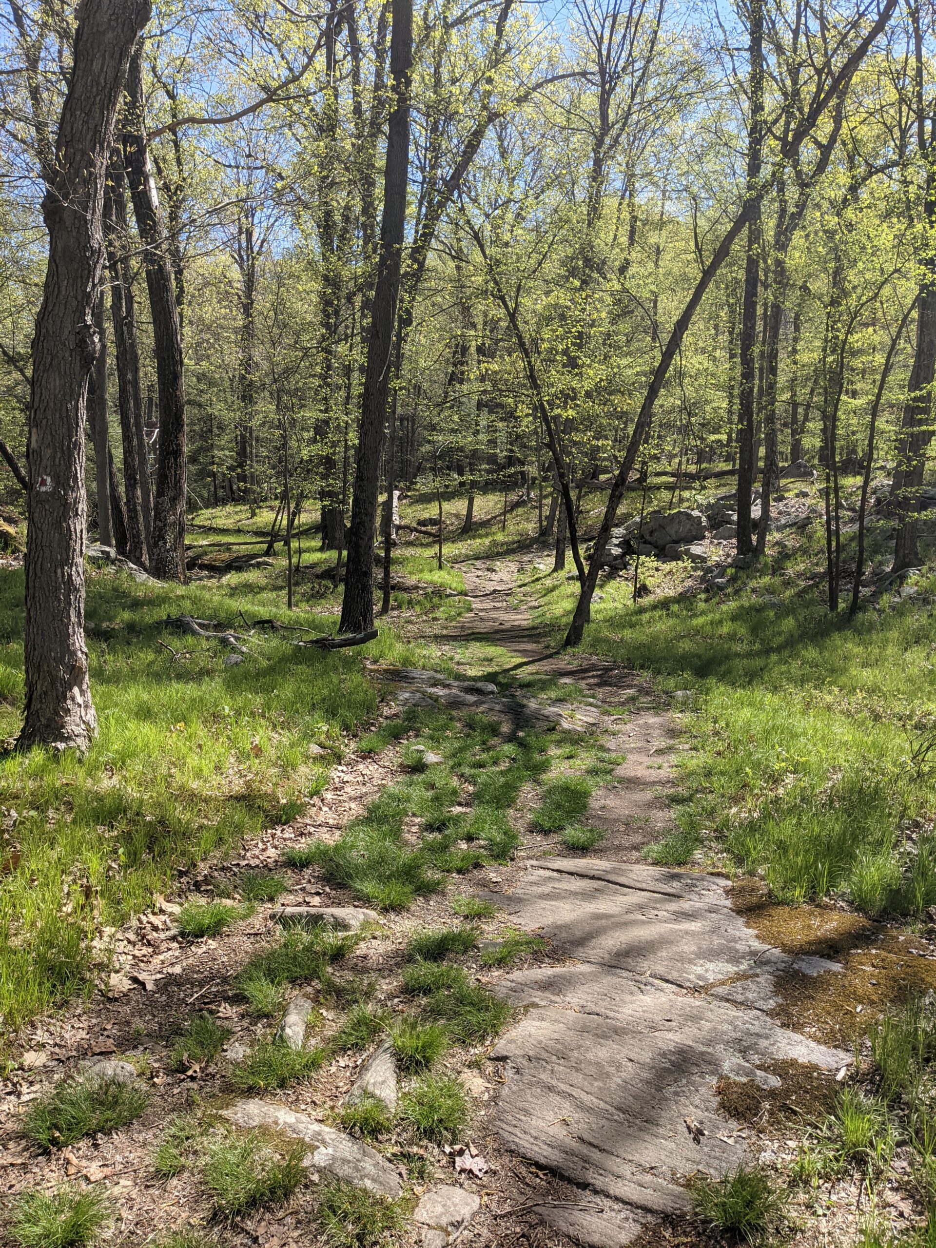
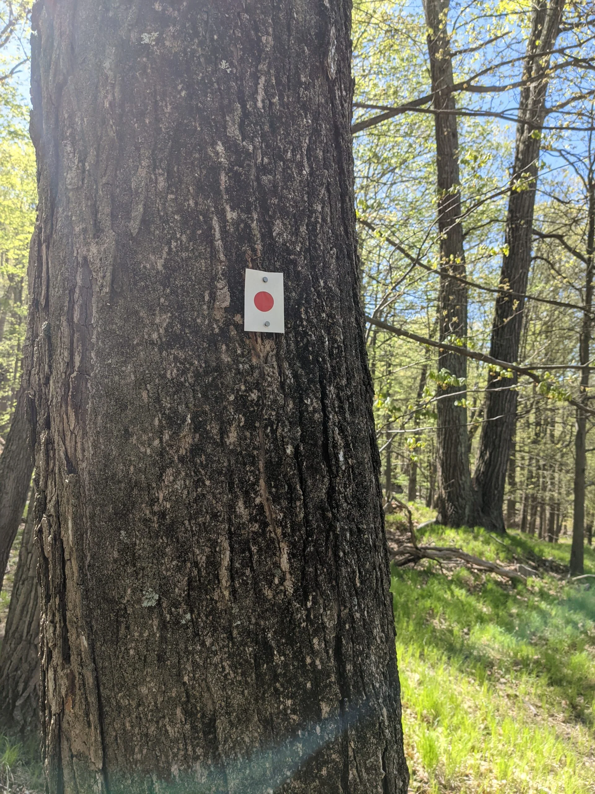
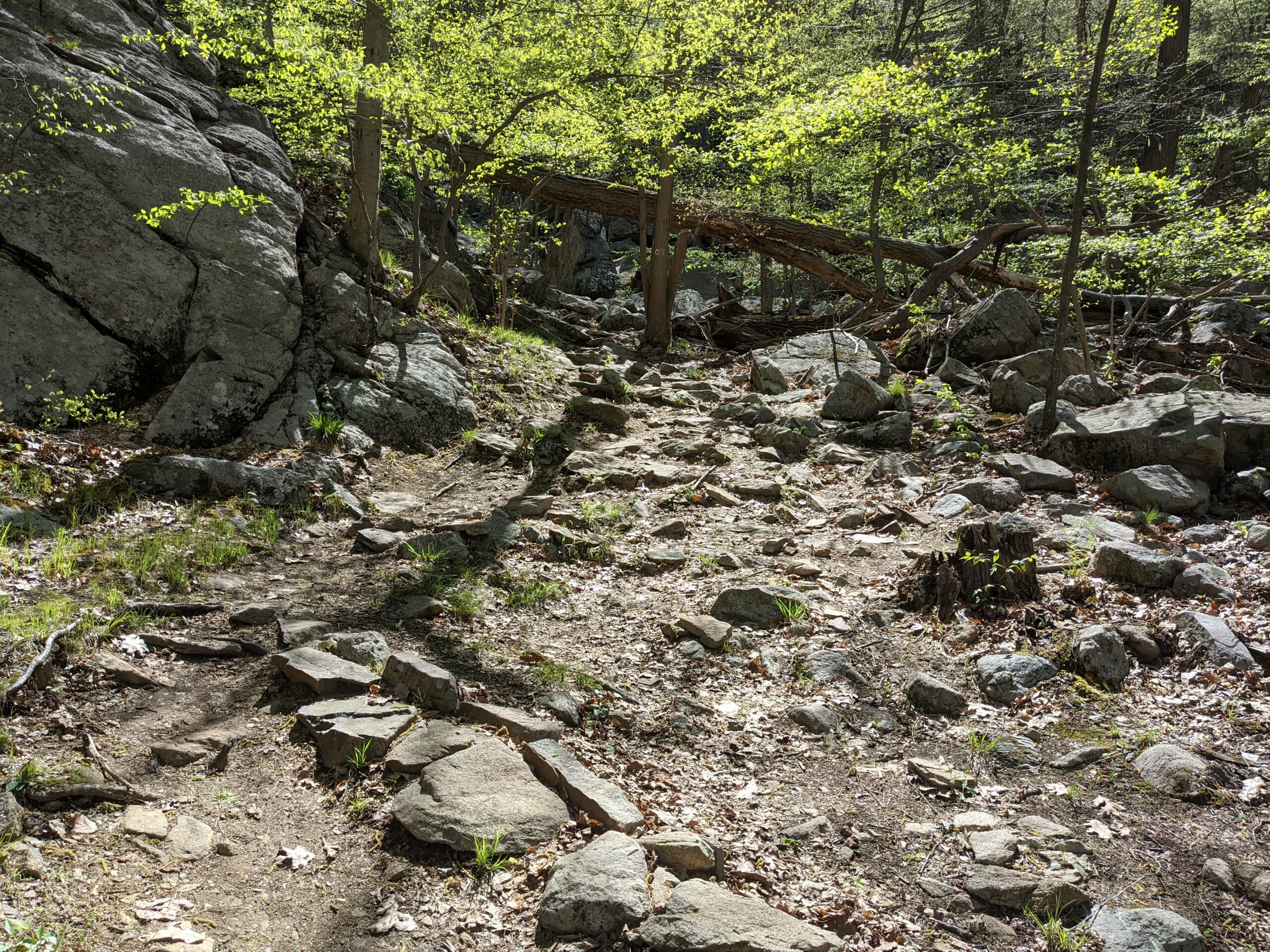
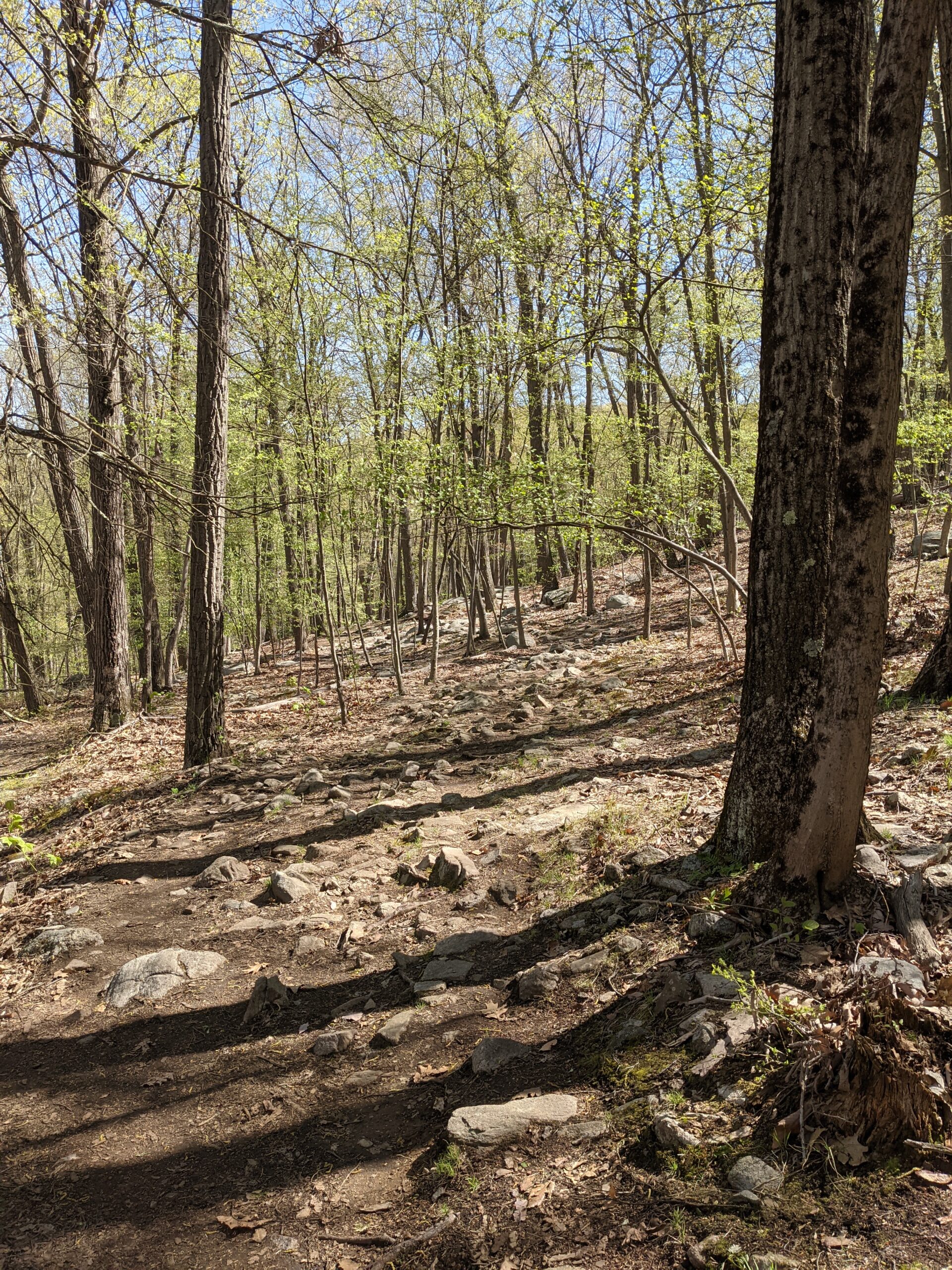
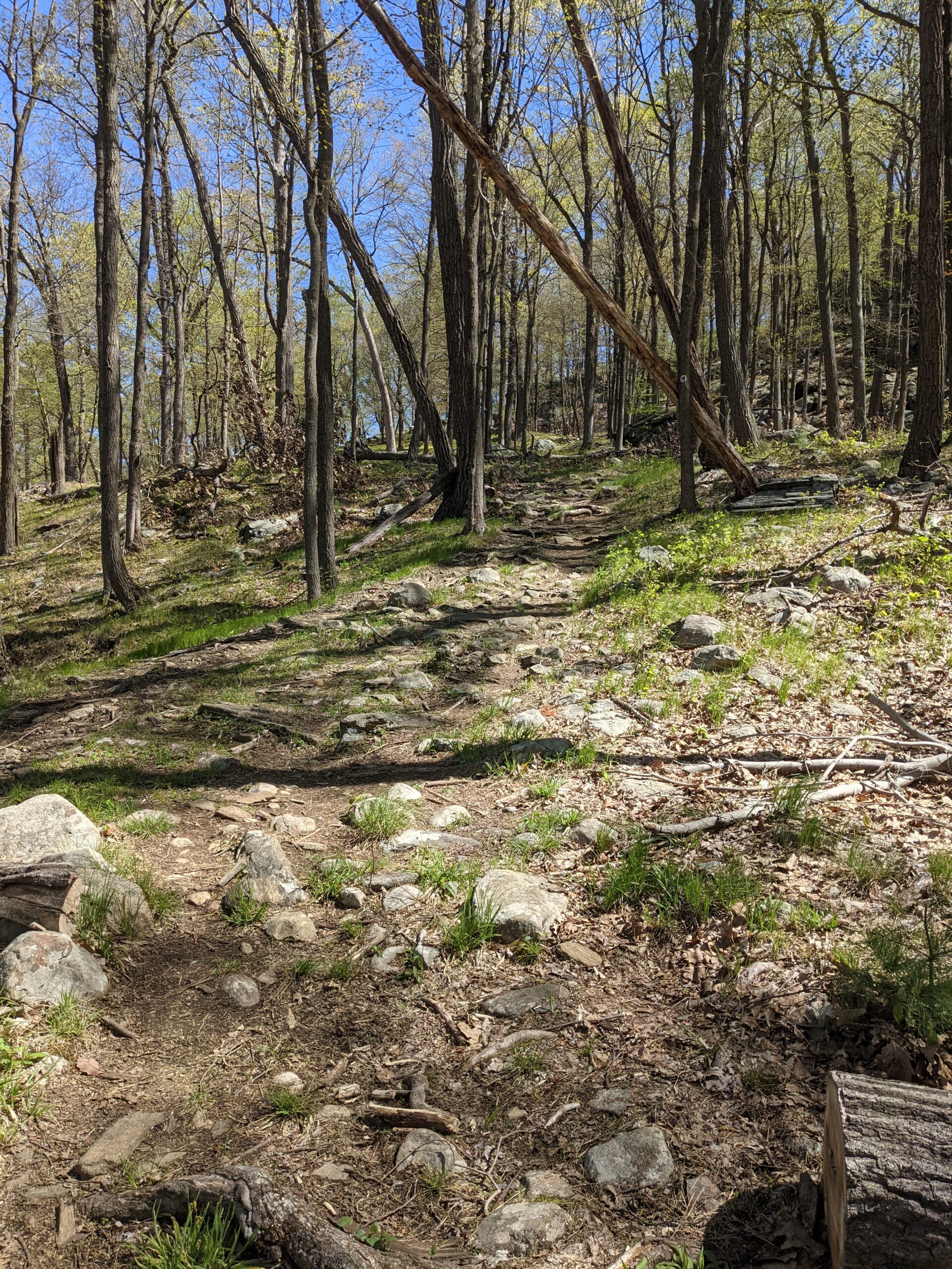
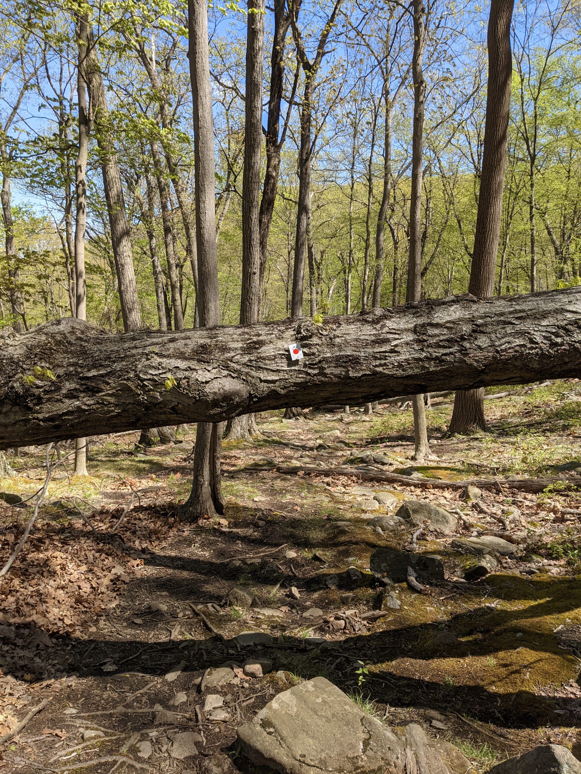
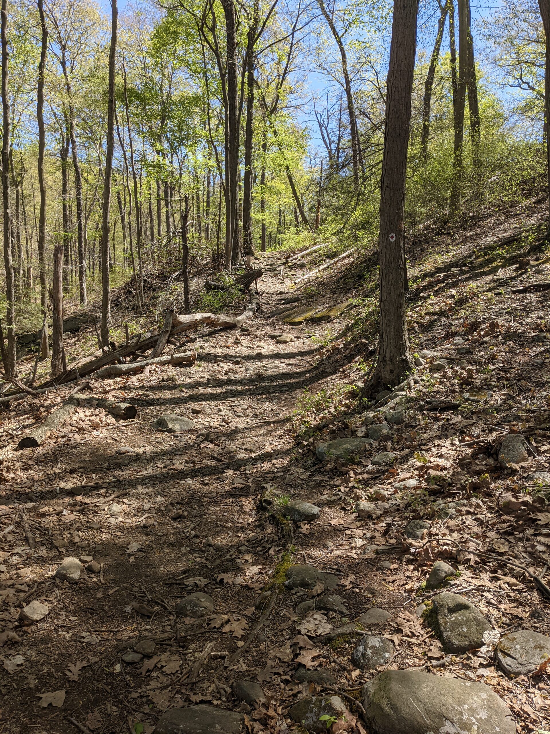
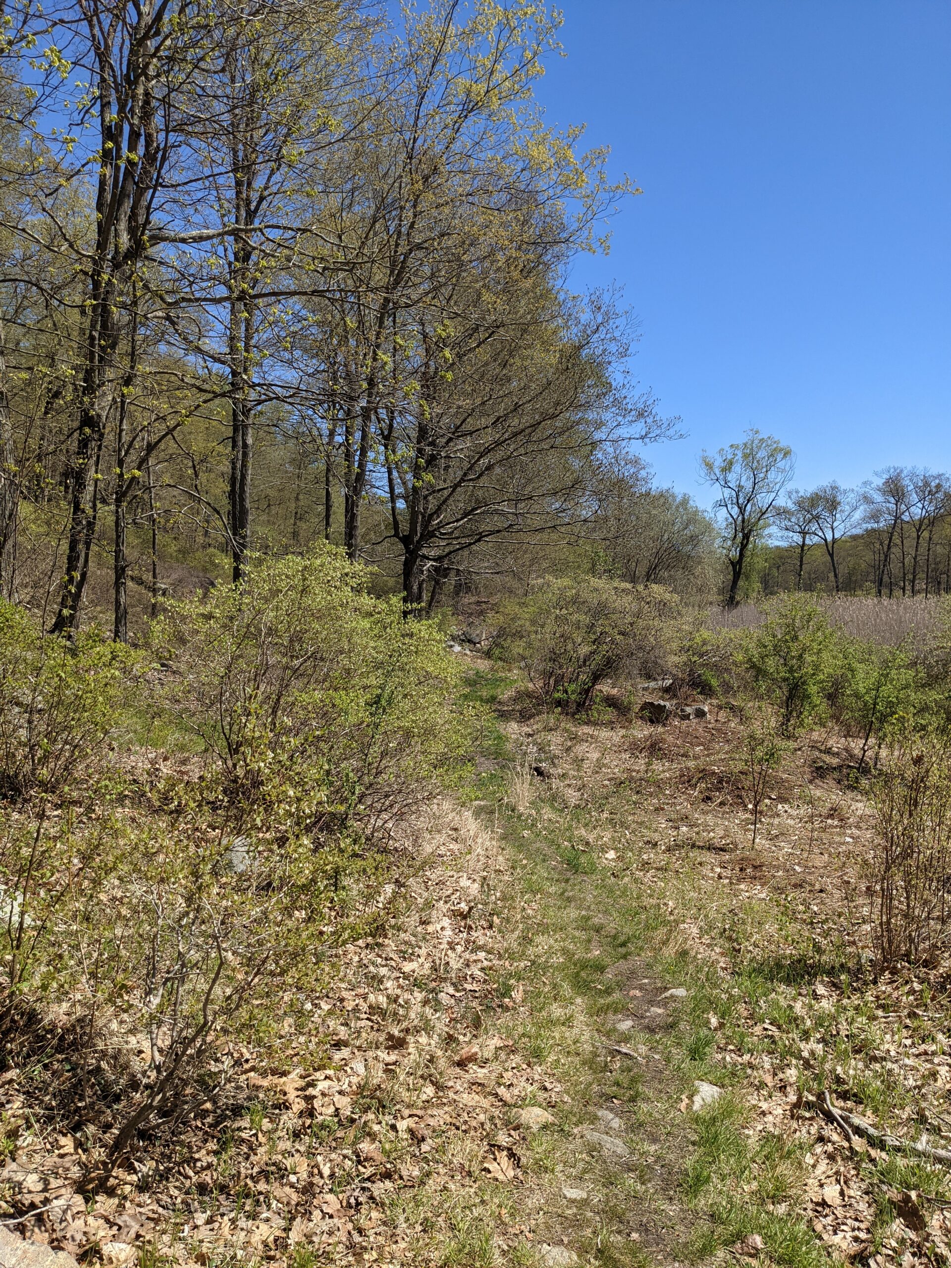
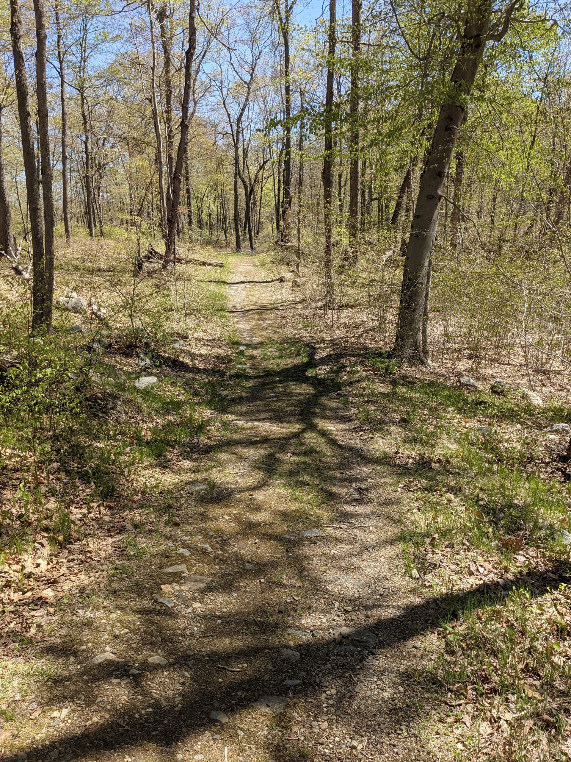
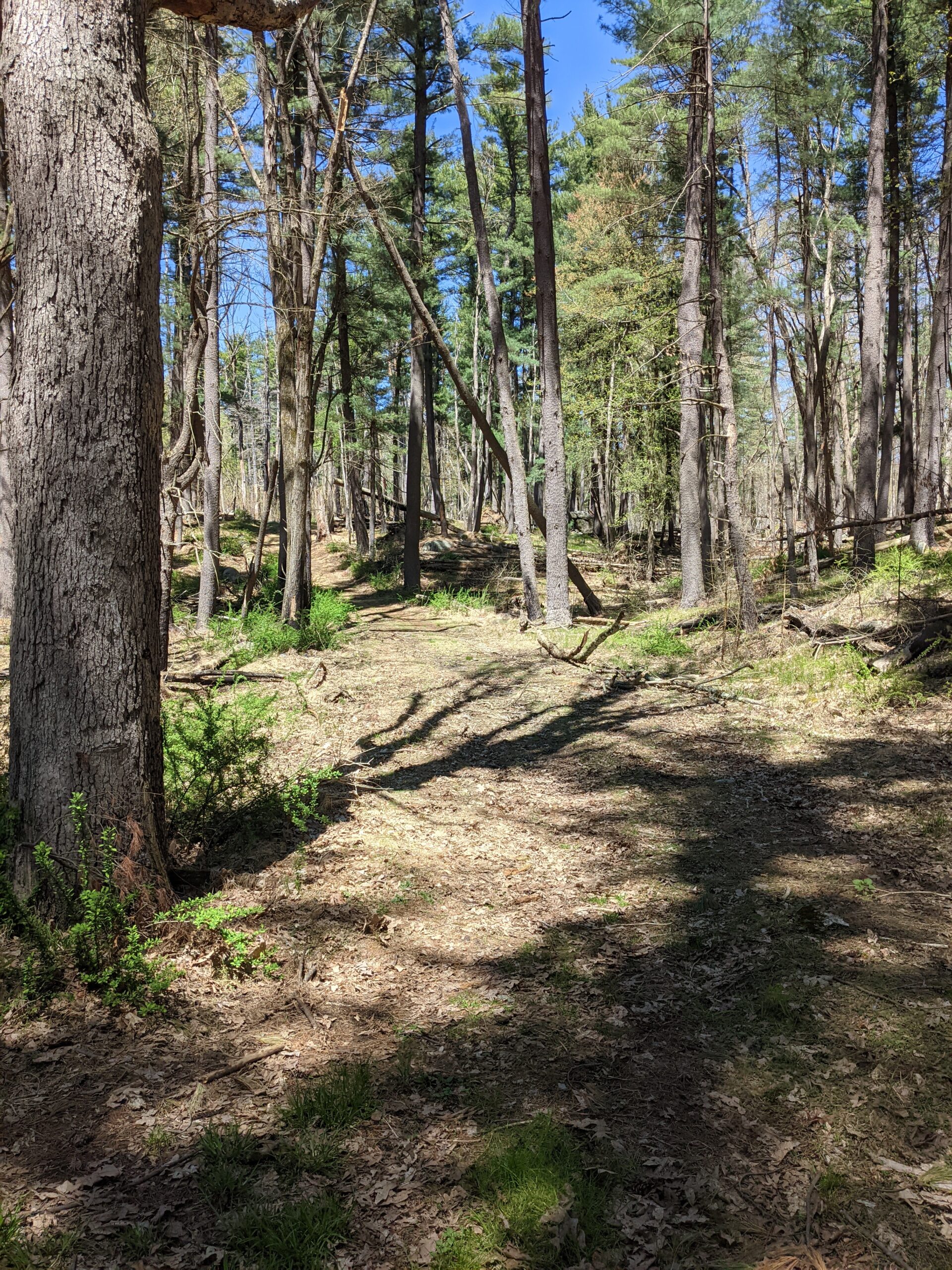
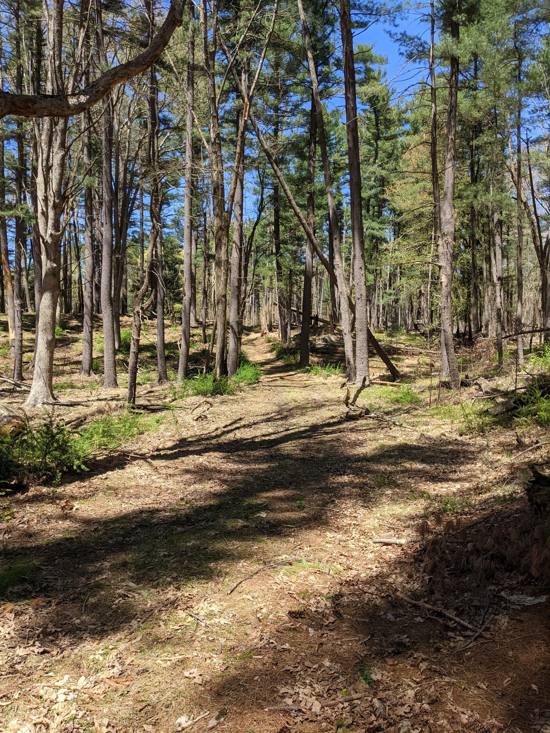
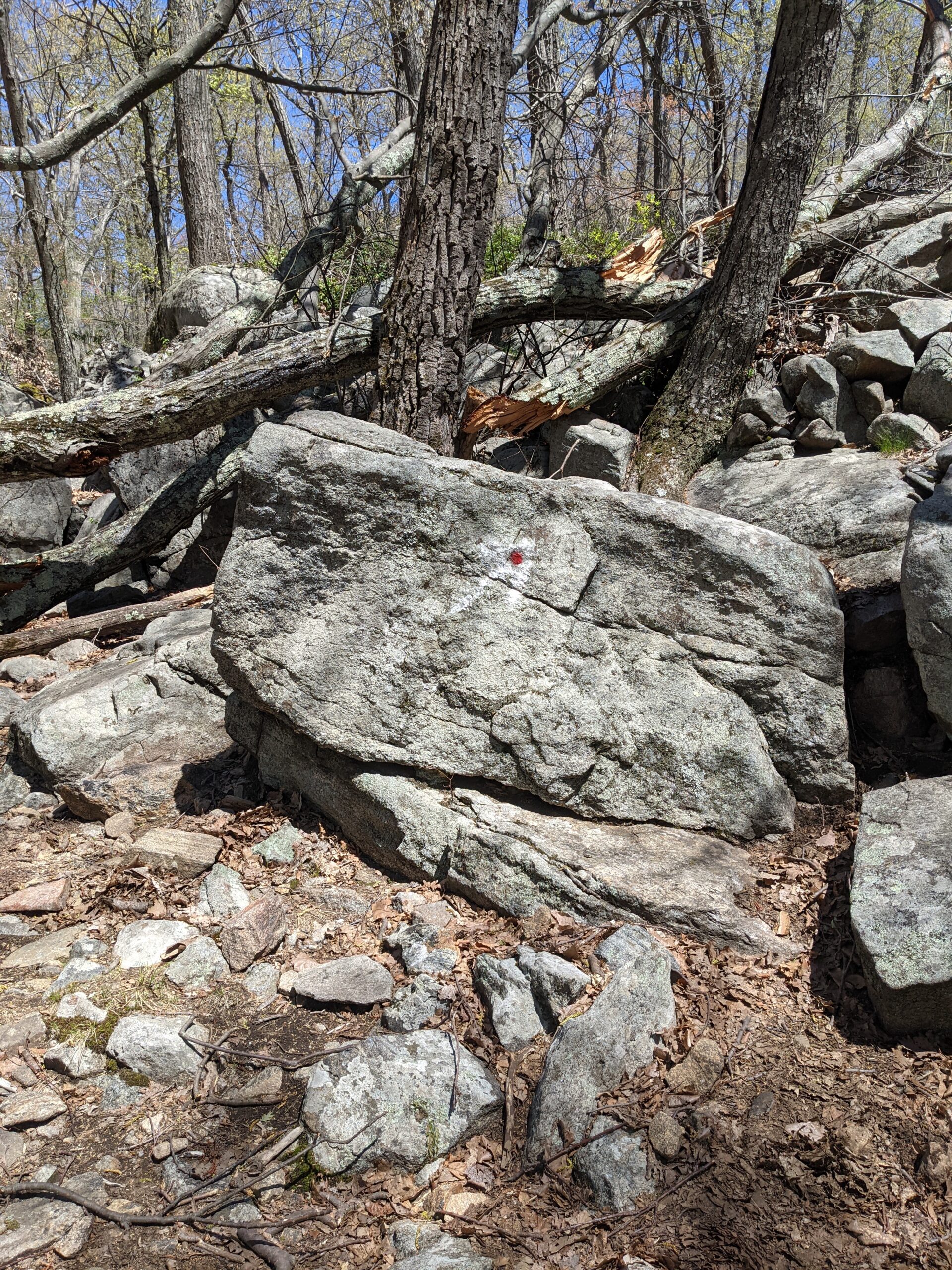
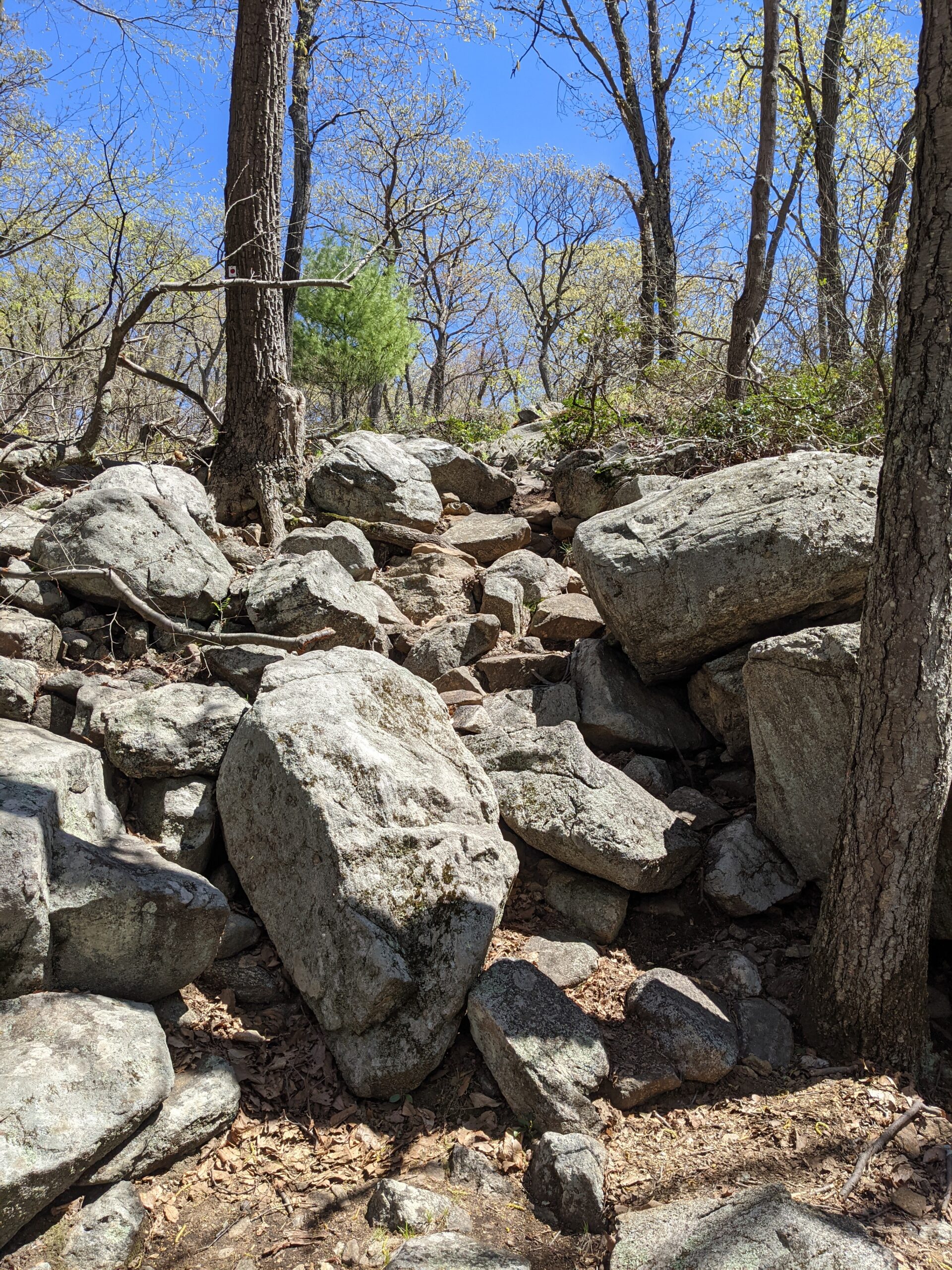
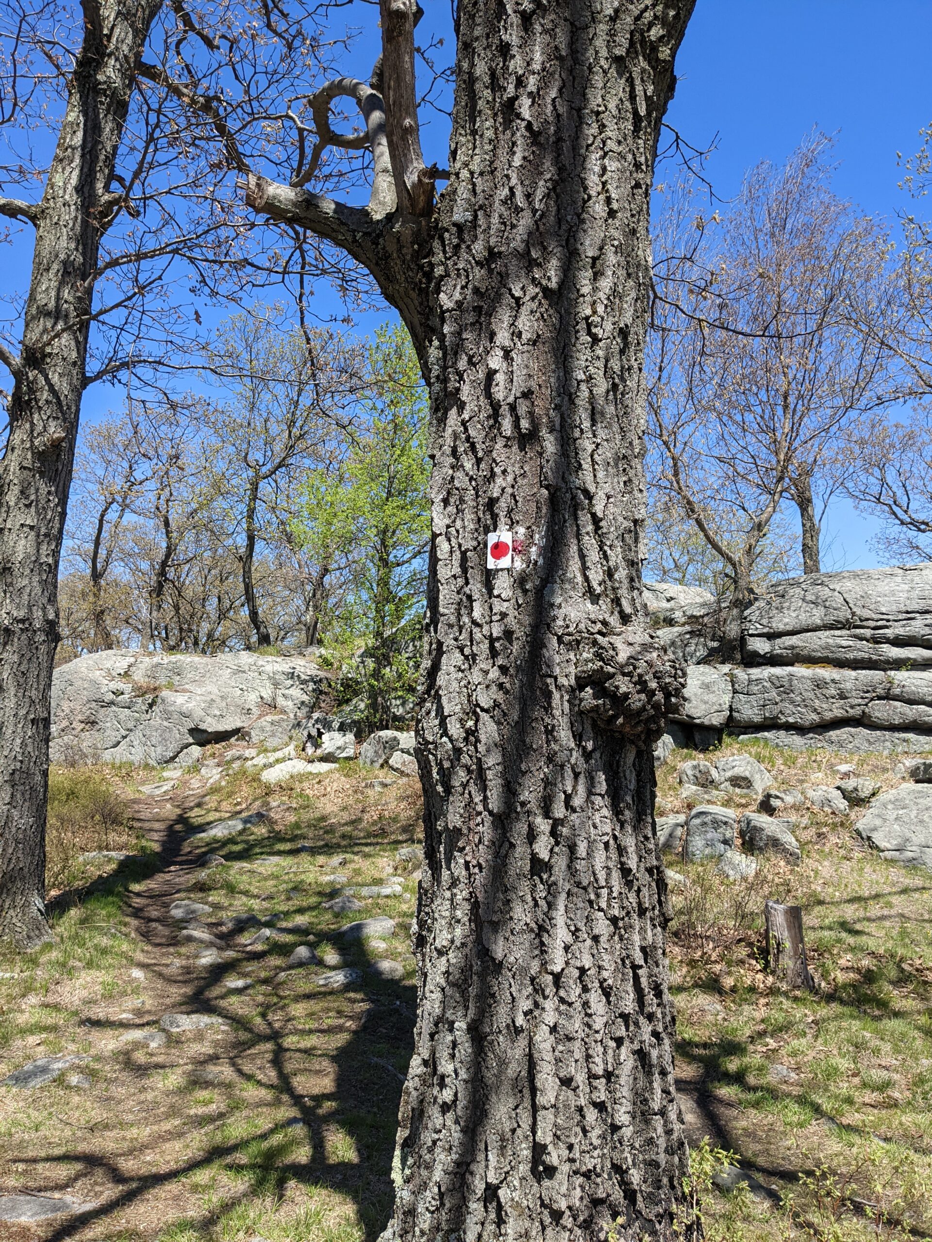
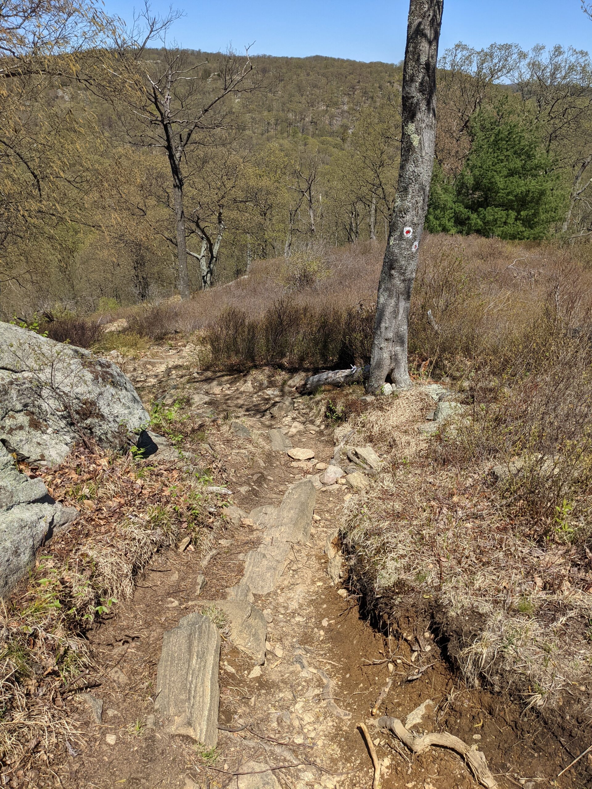
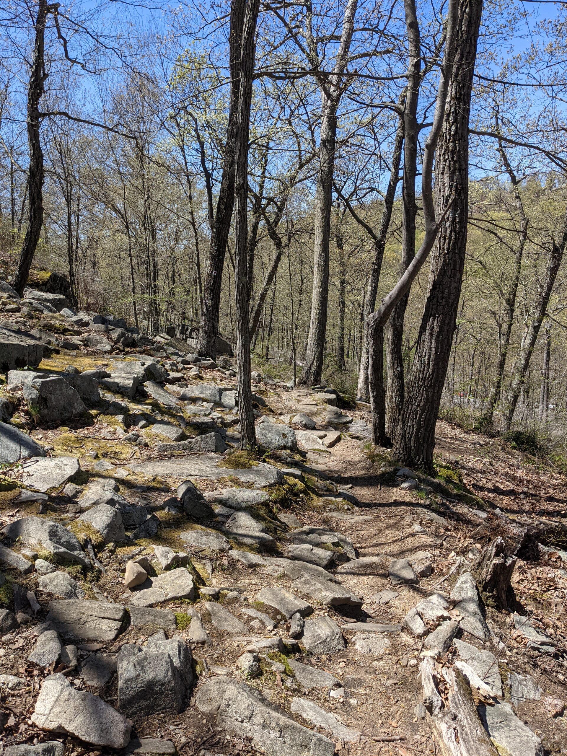
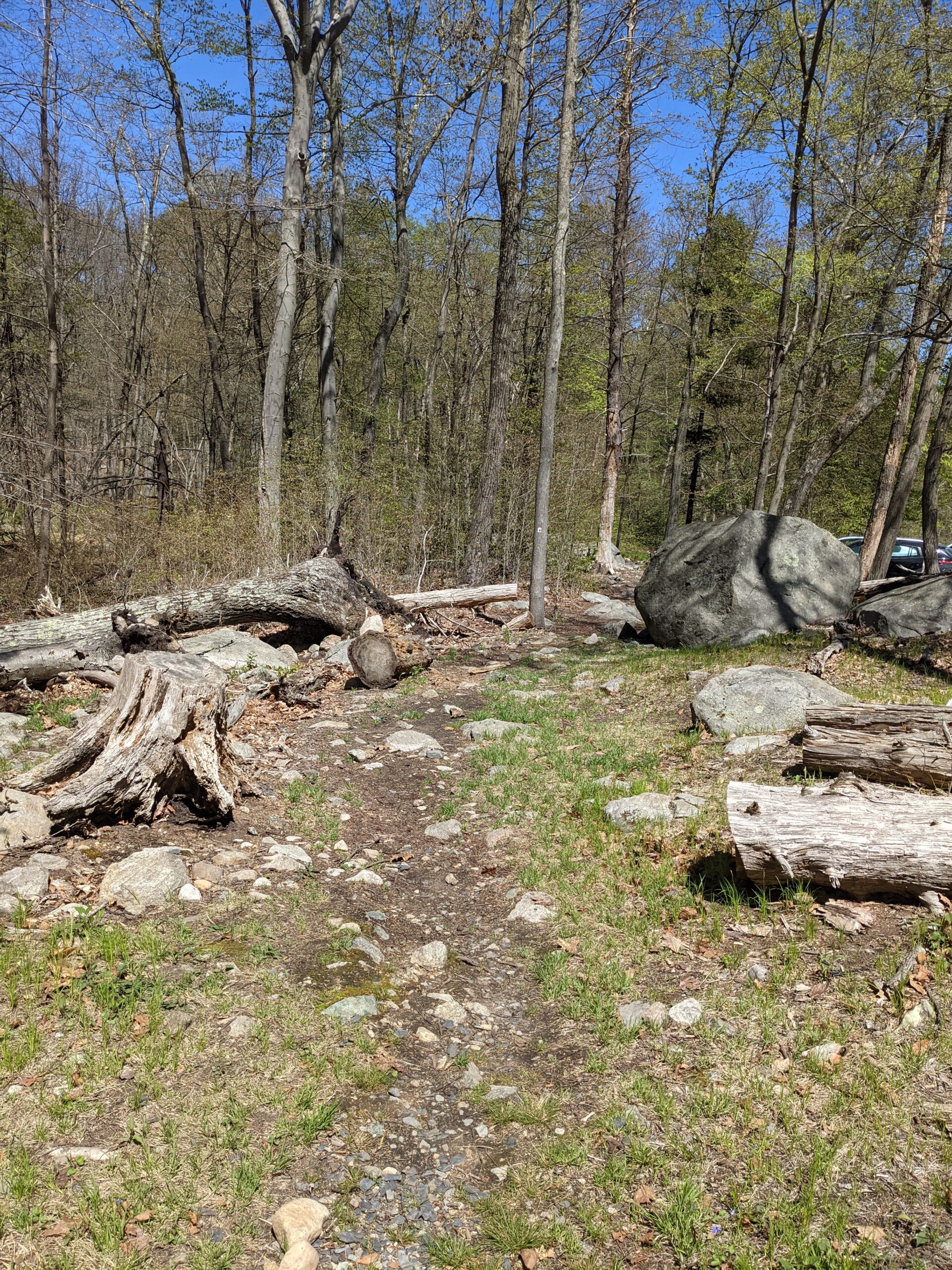
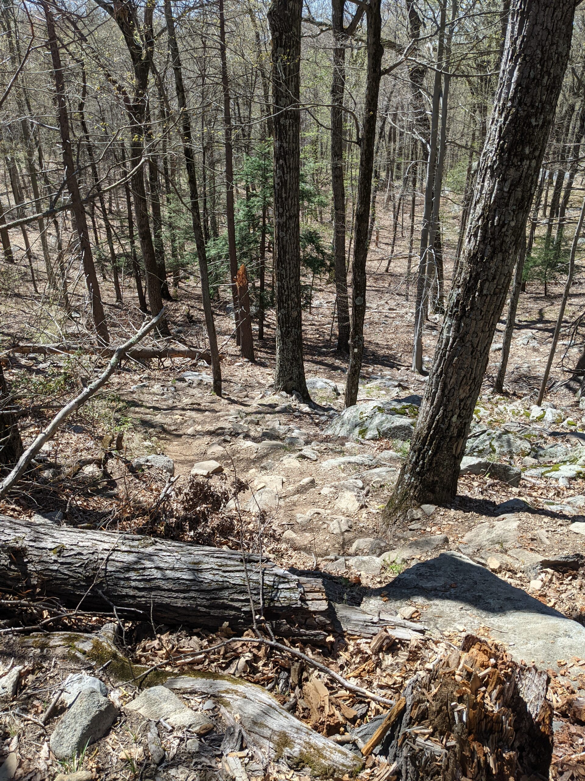
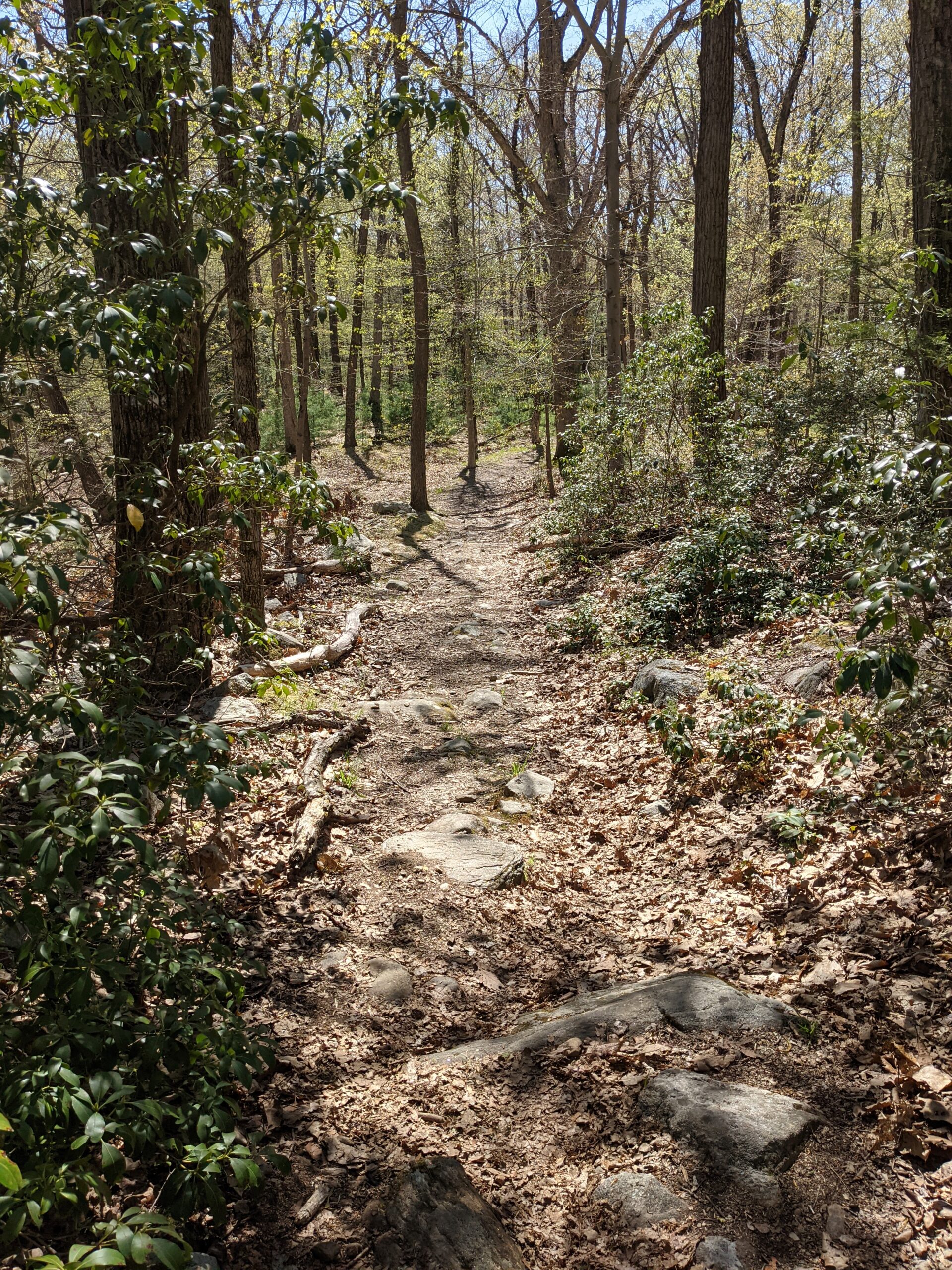
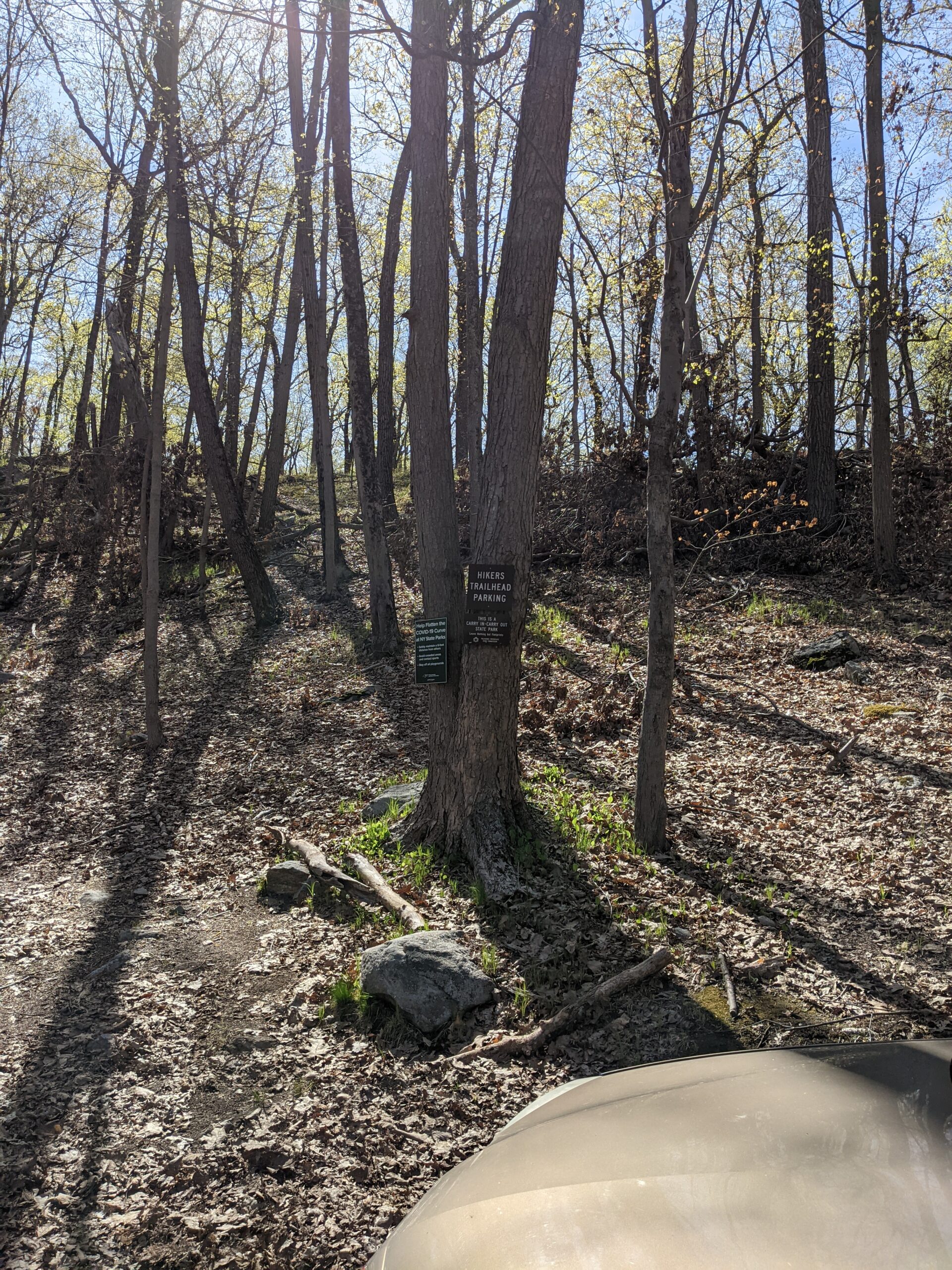
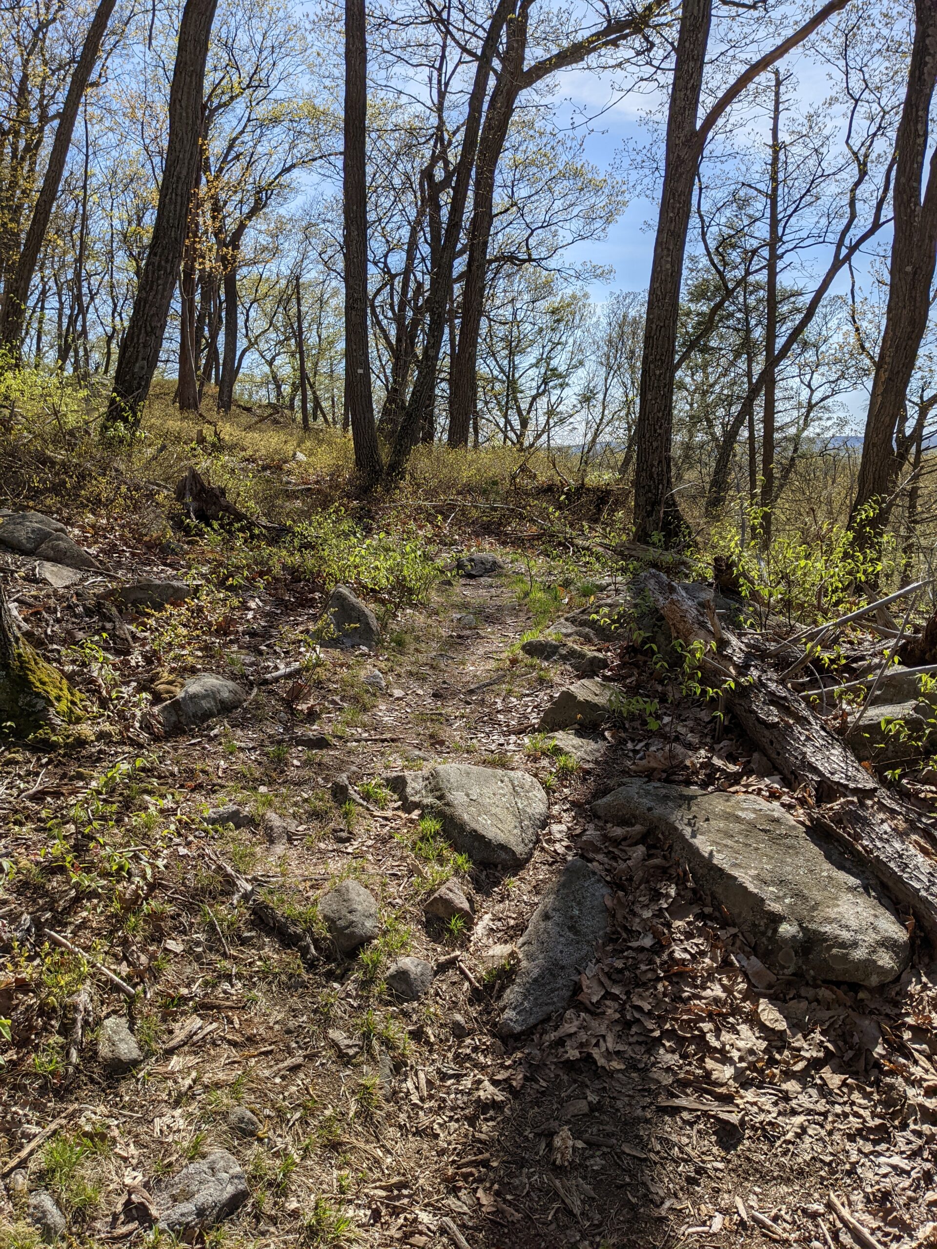
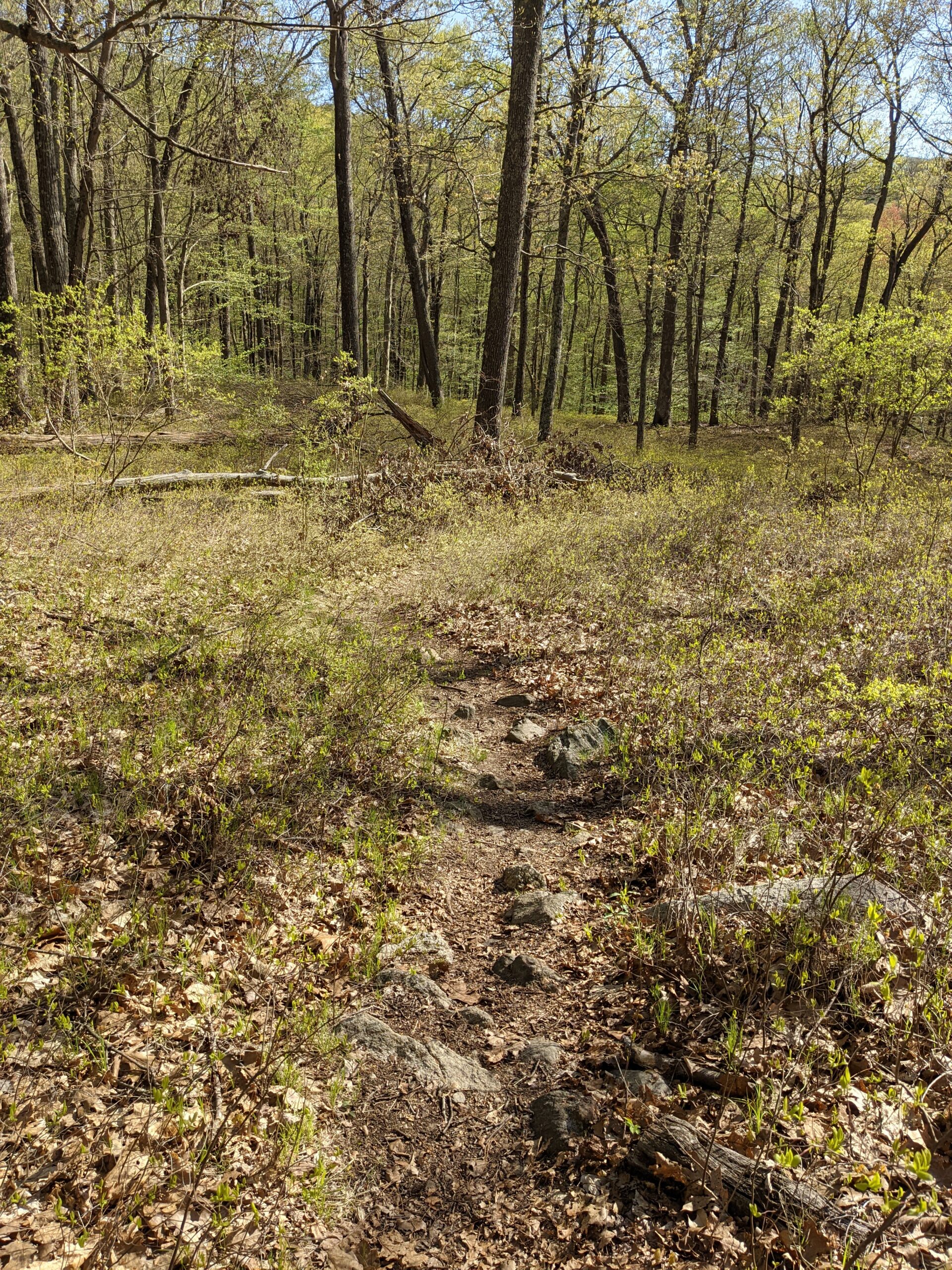
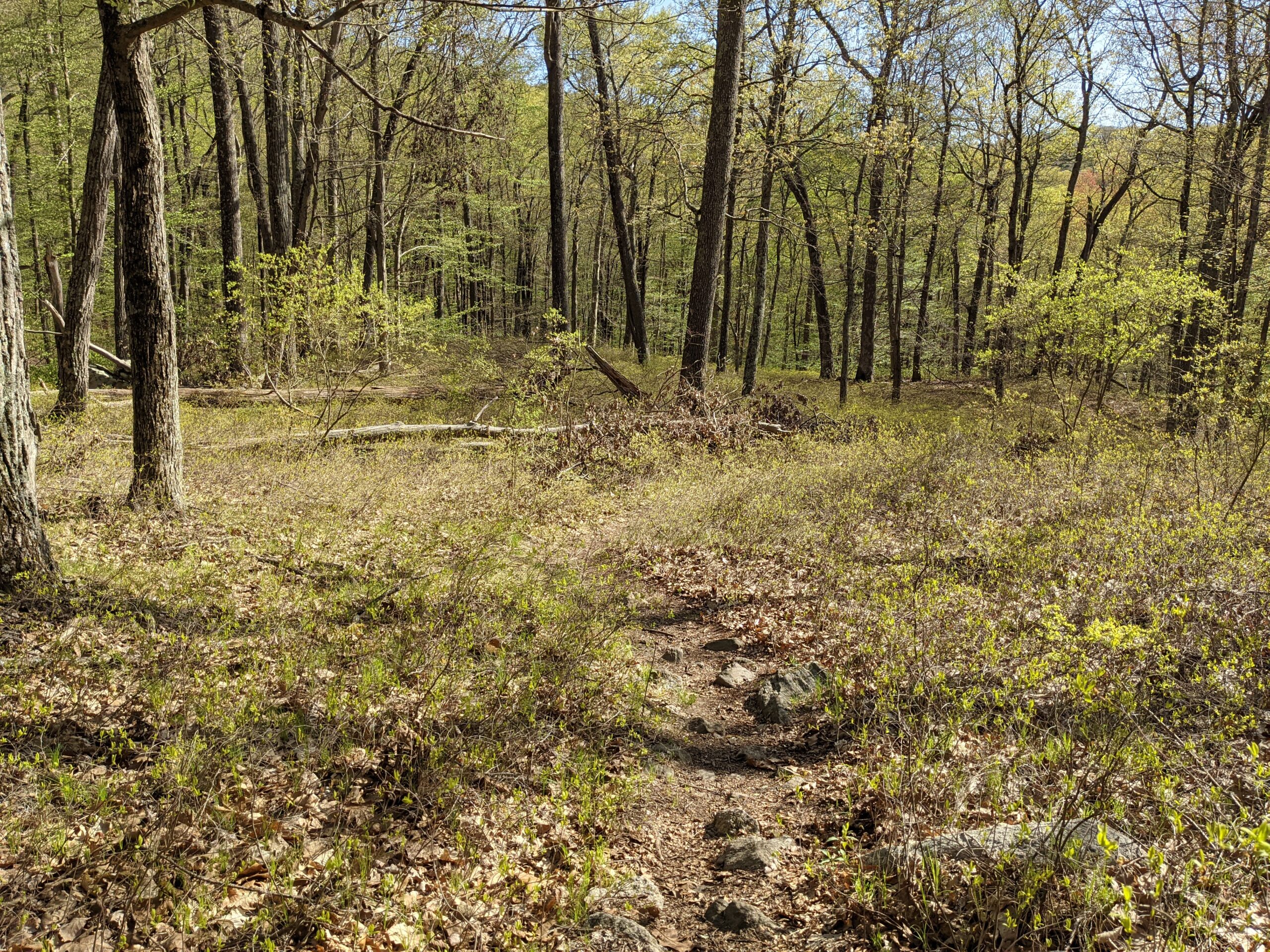
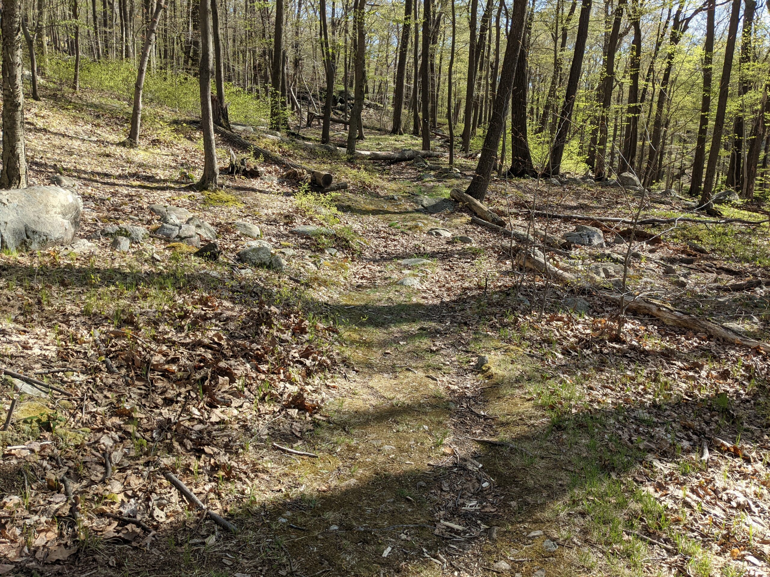
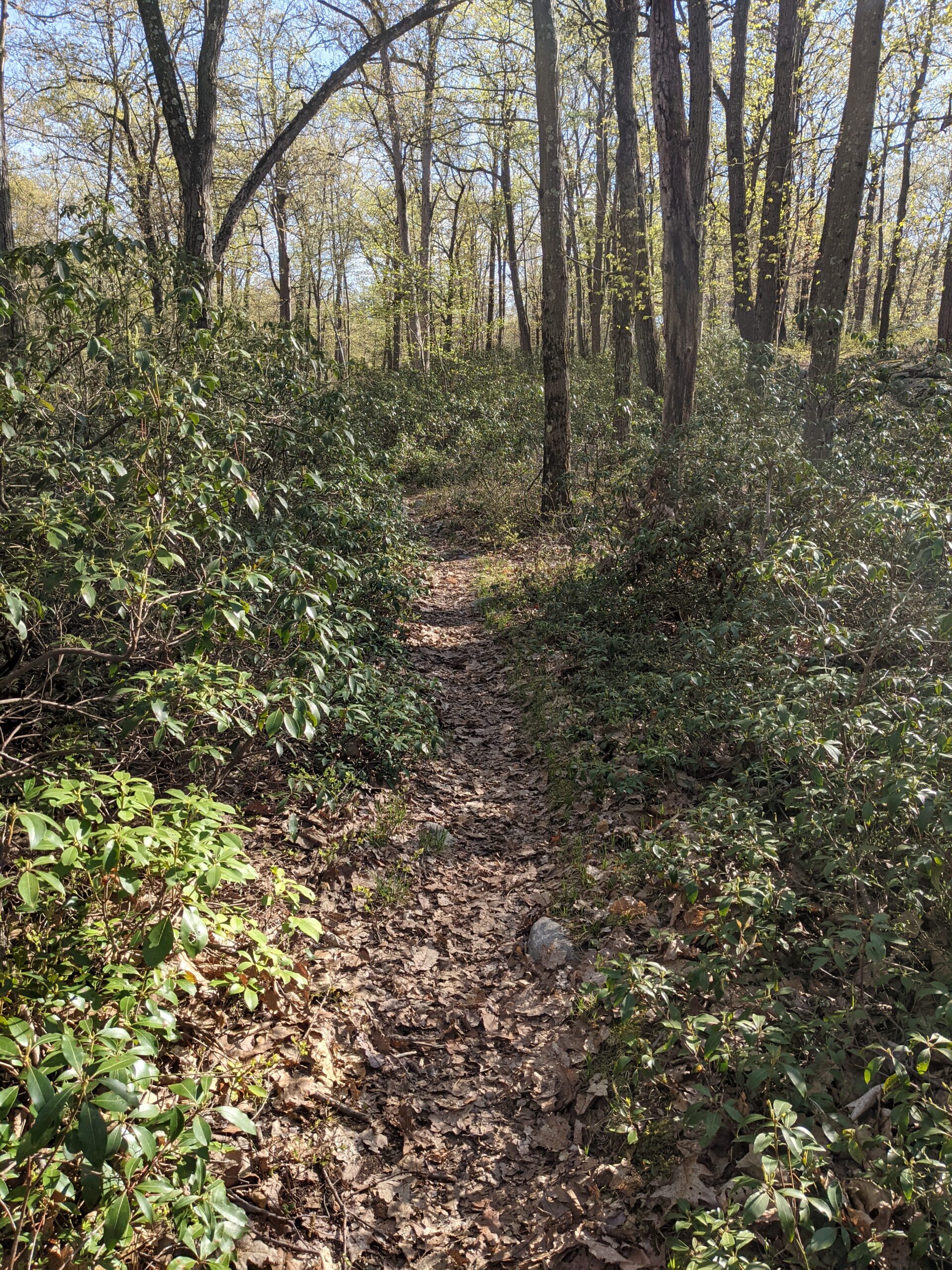
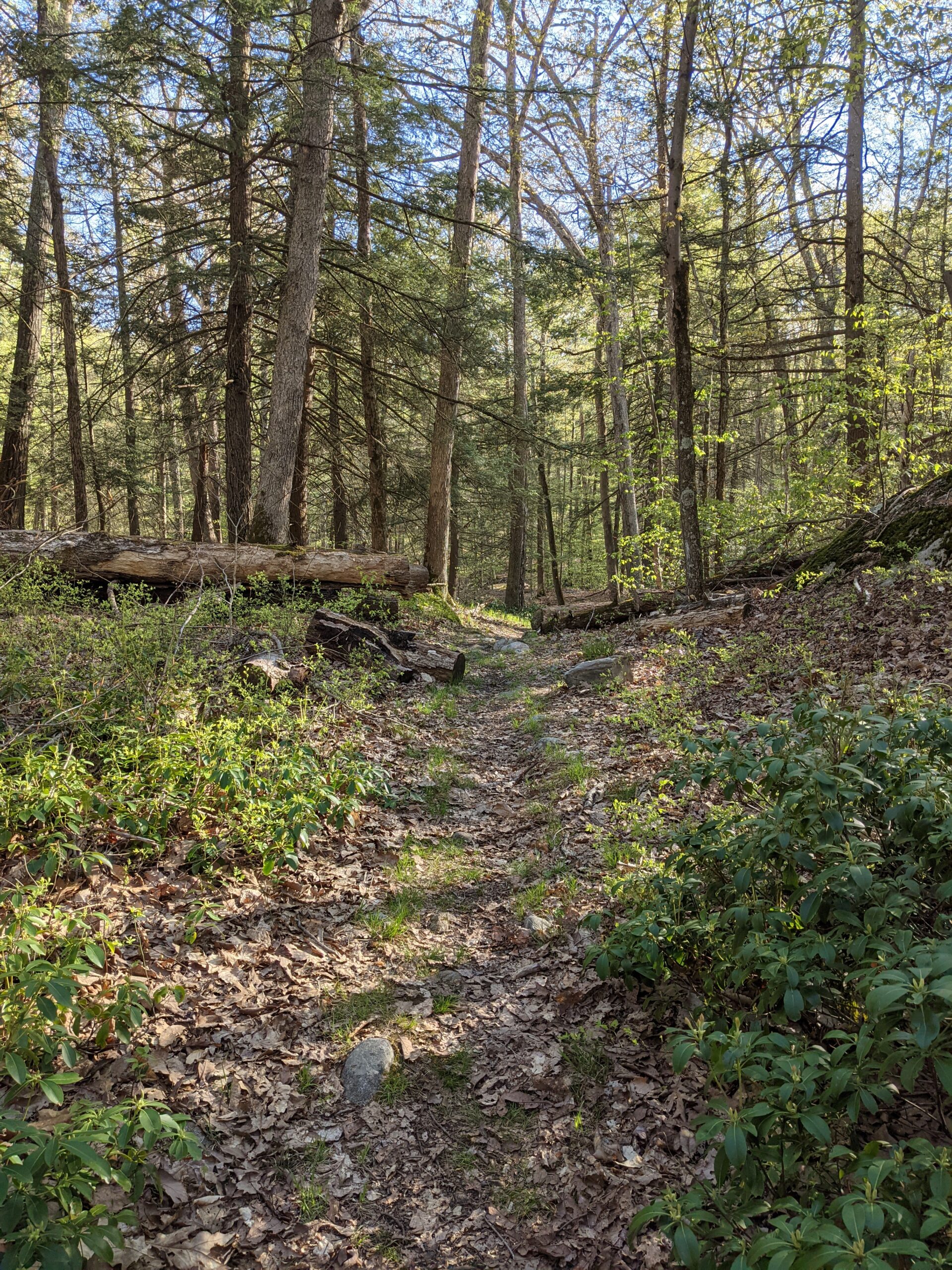
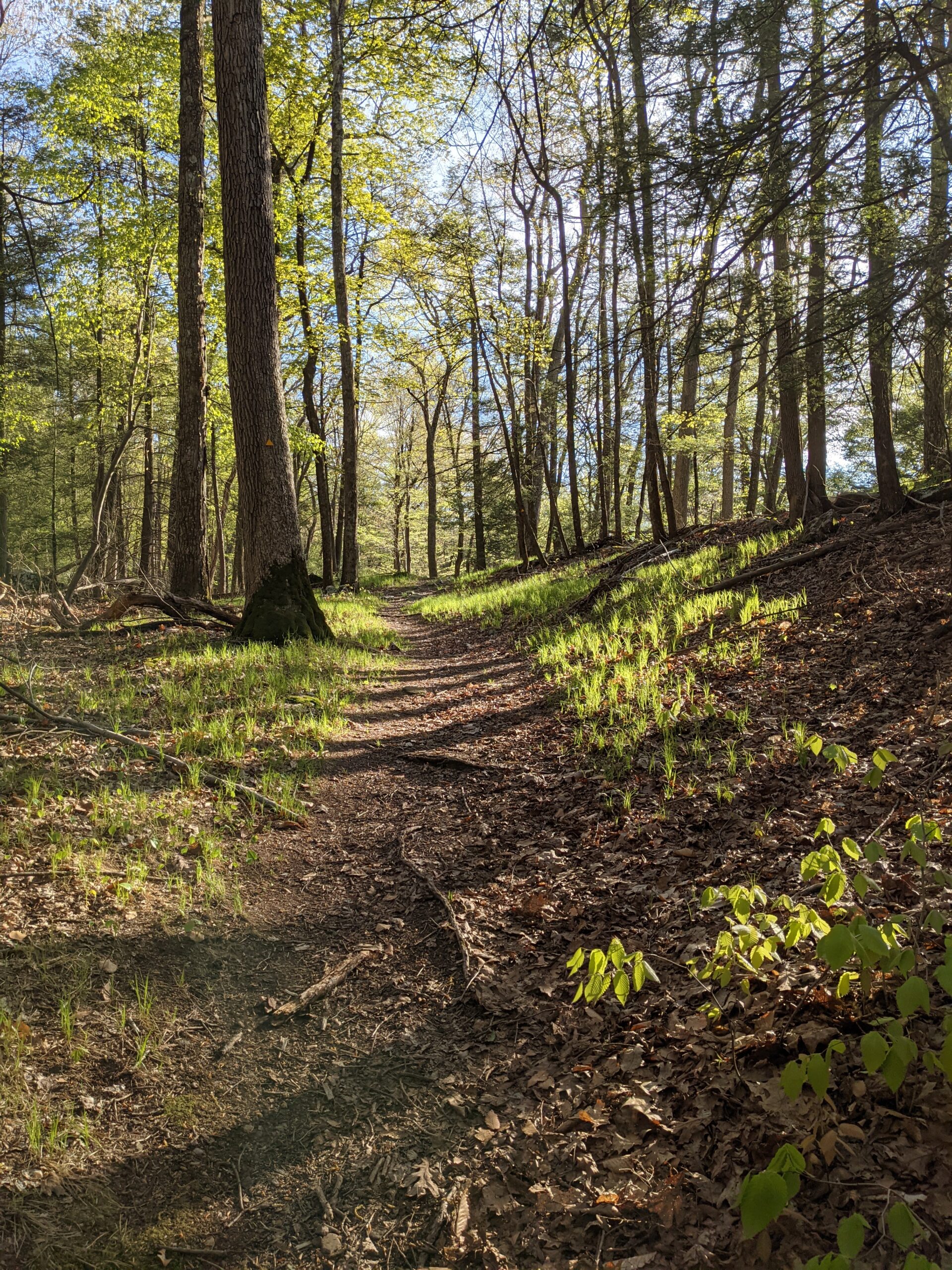
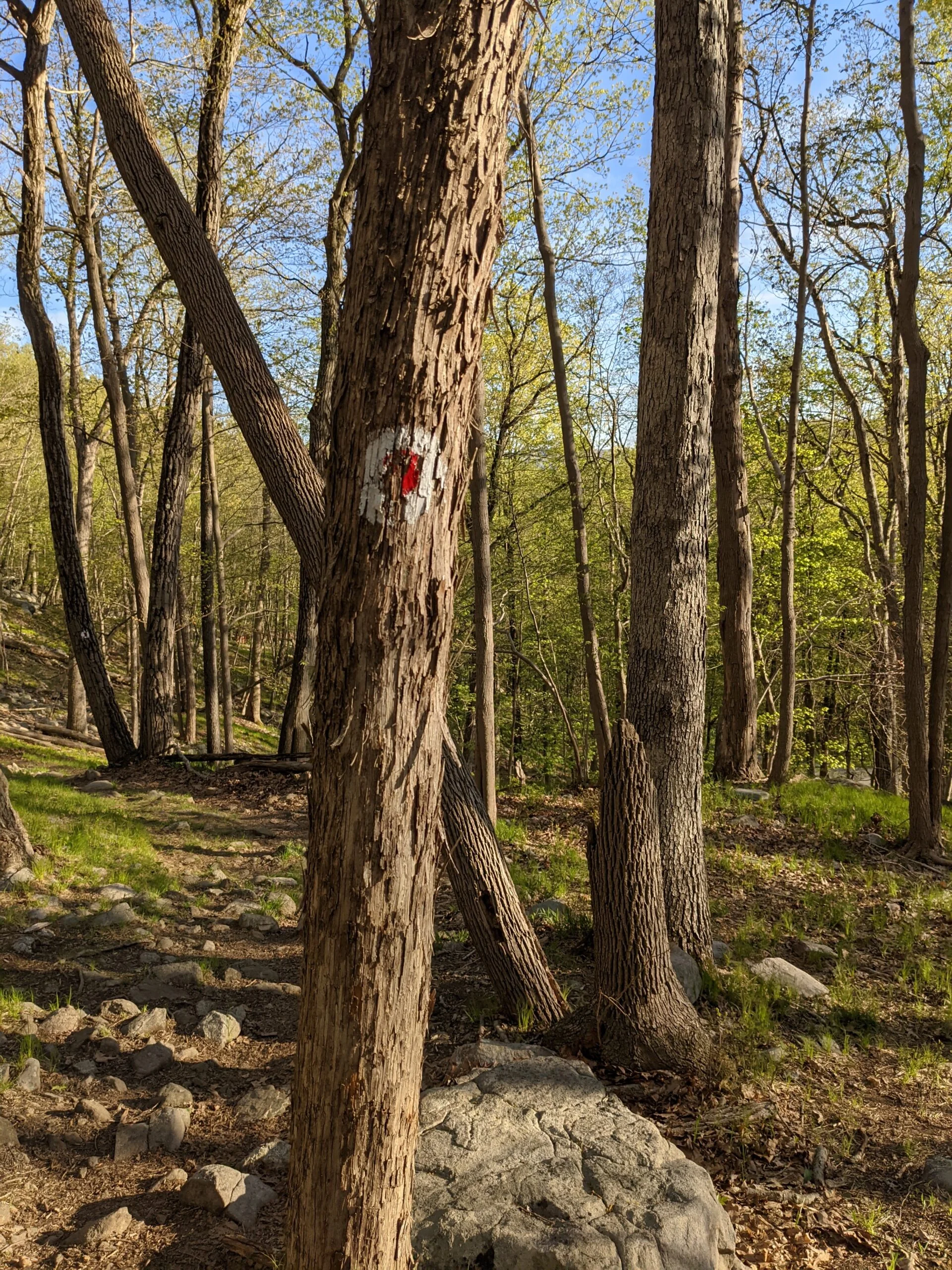
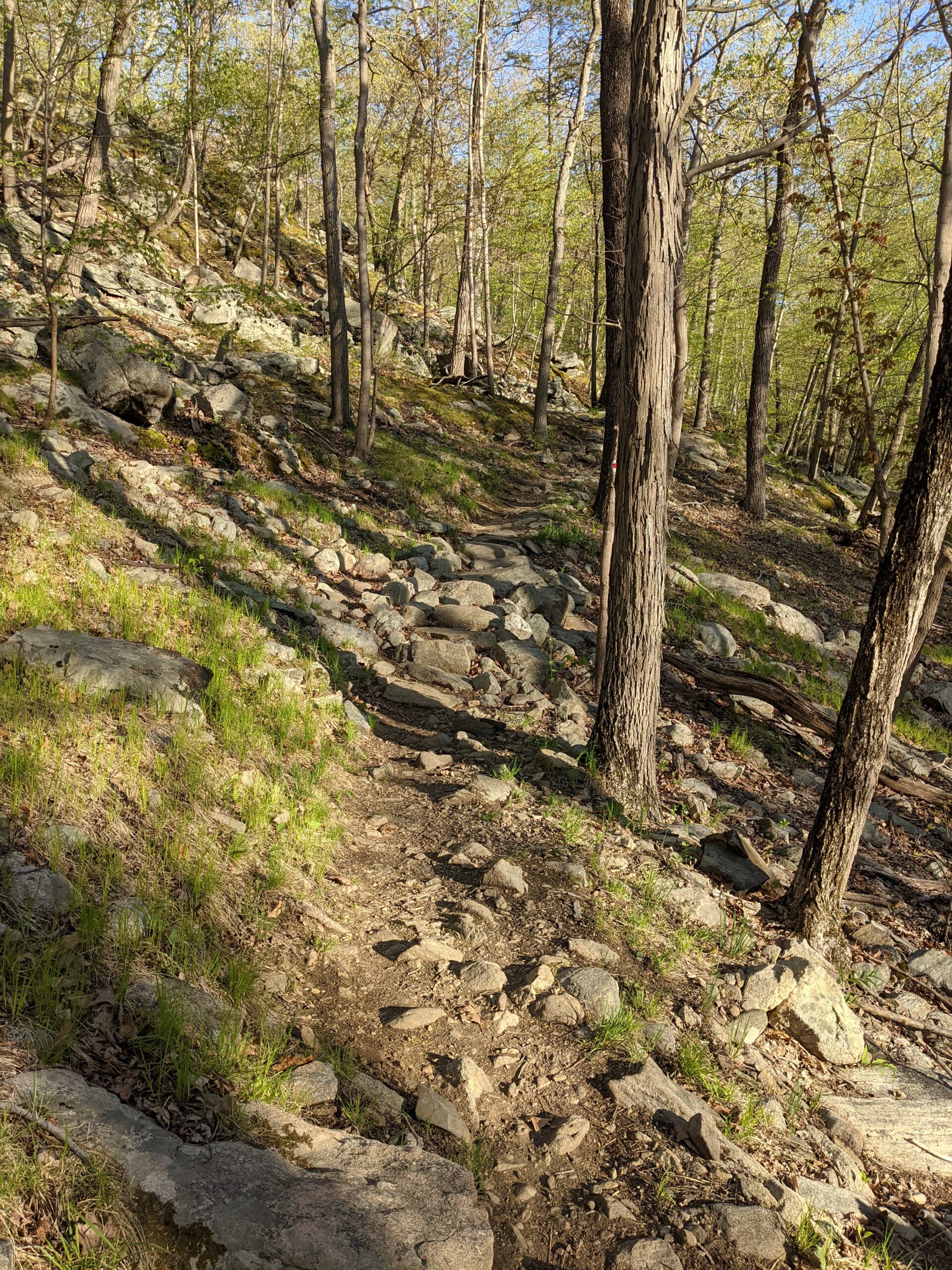
The walk from the parking lot to the trailhead is 1/2 mile through two quiet residential streets. I wasn’t trilled about starting this way, but once I stepped into the woods around 10:30a, I was at peace again. At the entrance, the Kakiat trail (white blazes) is to the far right. I took the Ramapo – Dunderberg trail (RD, white with red circle blazes), which was straight ahead. I was quickly greeted with rock steps to help with the small climb. After about 1/2 mile, RD intersects with the Tuxedo – Mount Ivy trail (white with red dash blazes), but I continued on RD north.
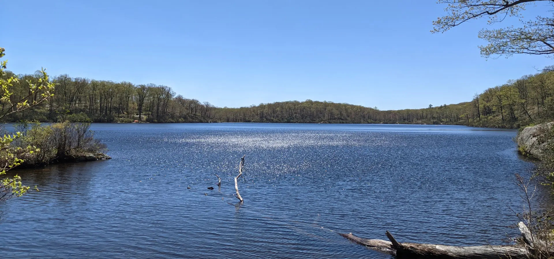
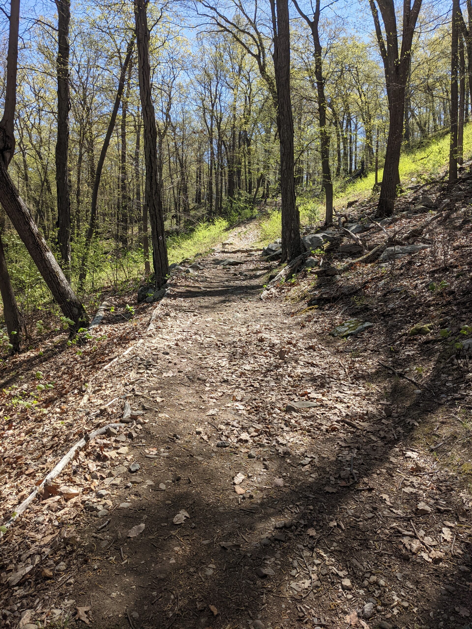
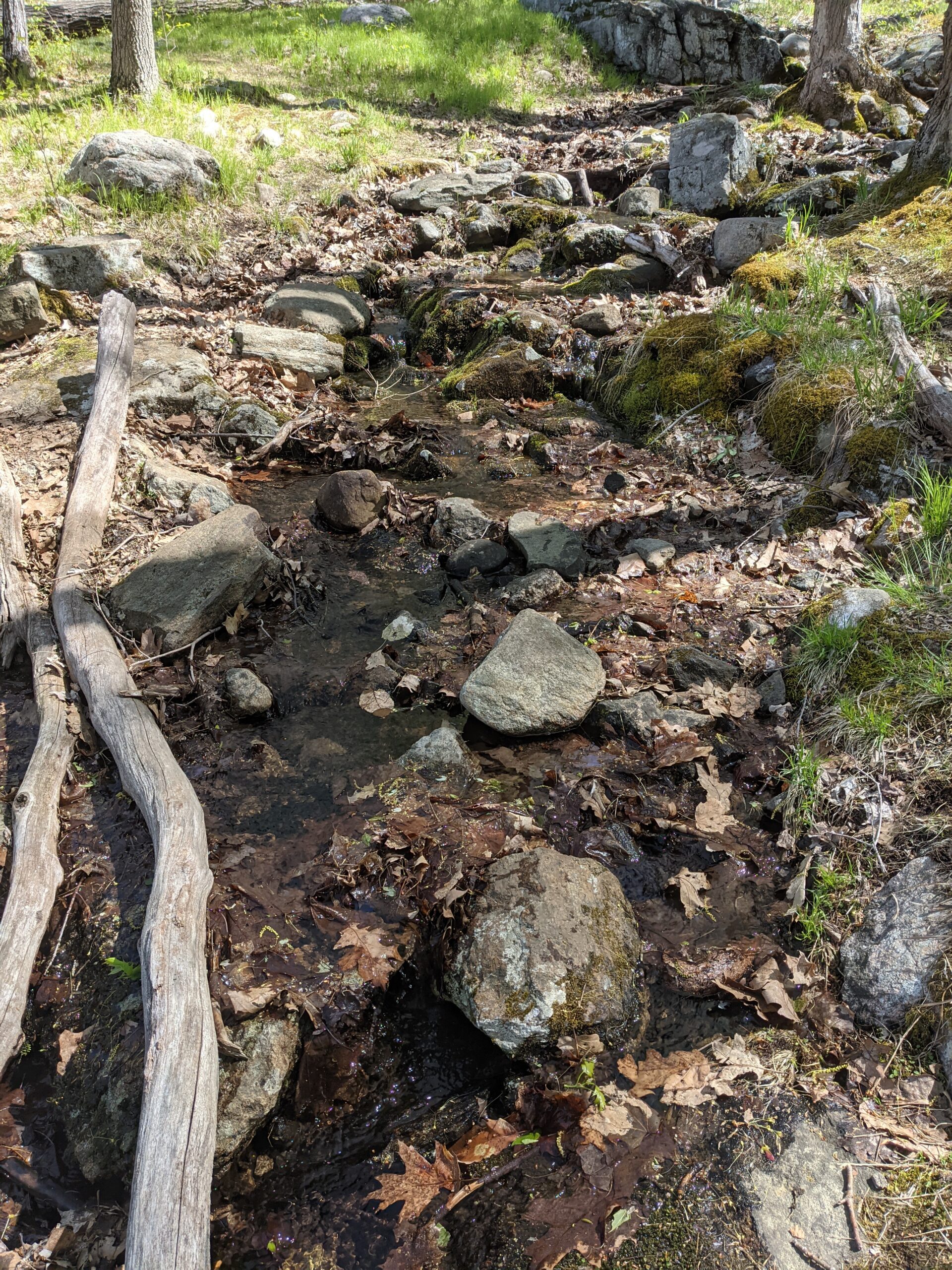
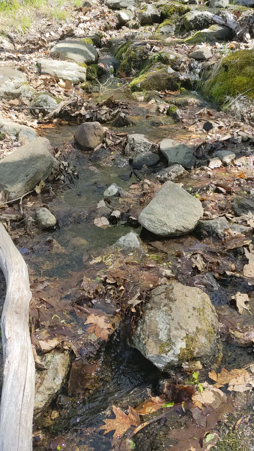
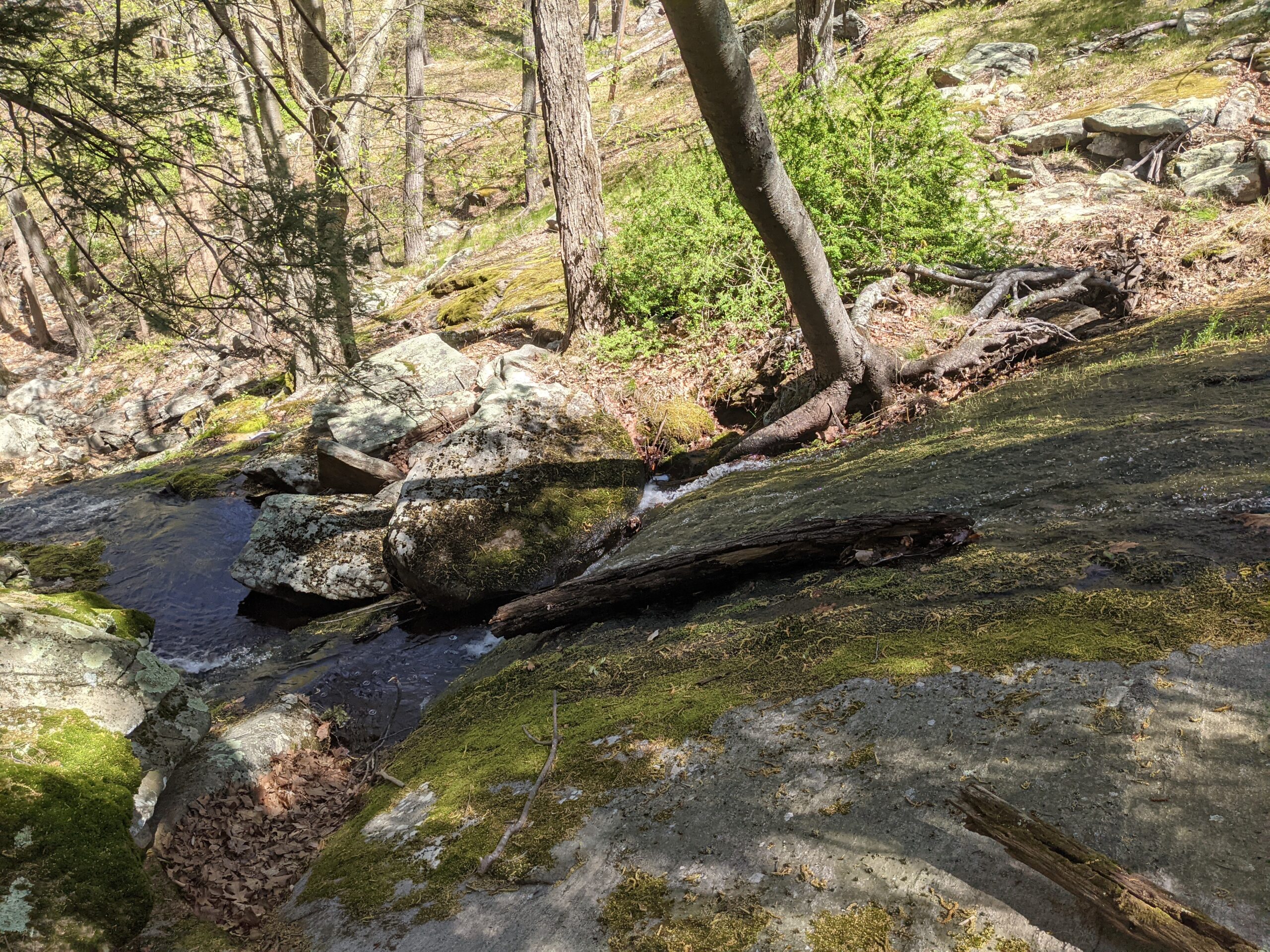
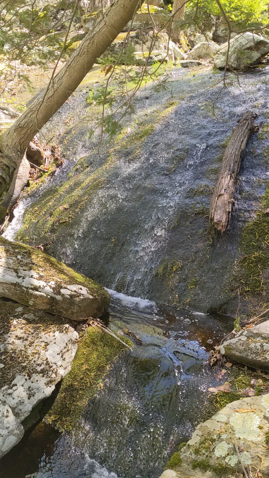
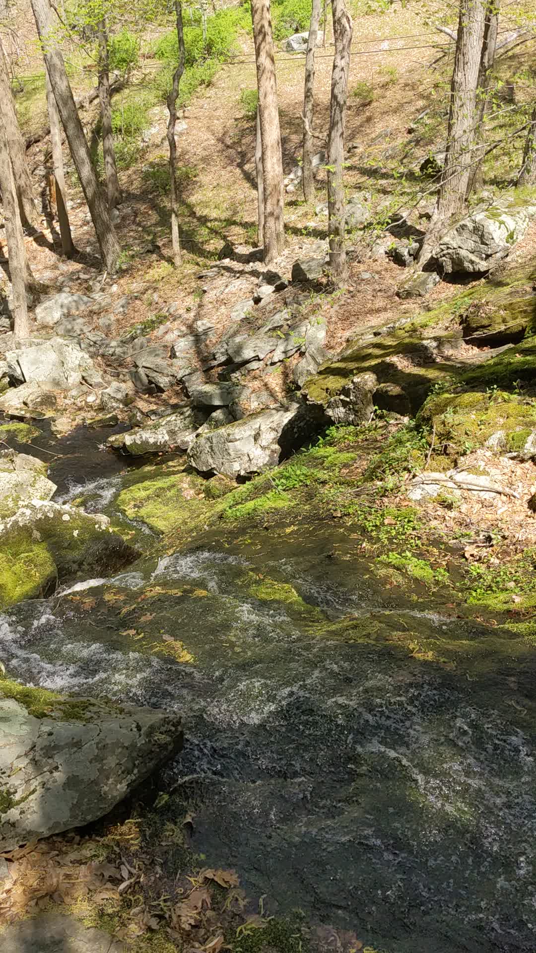
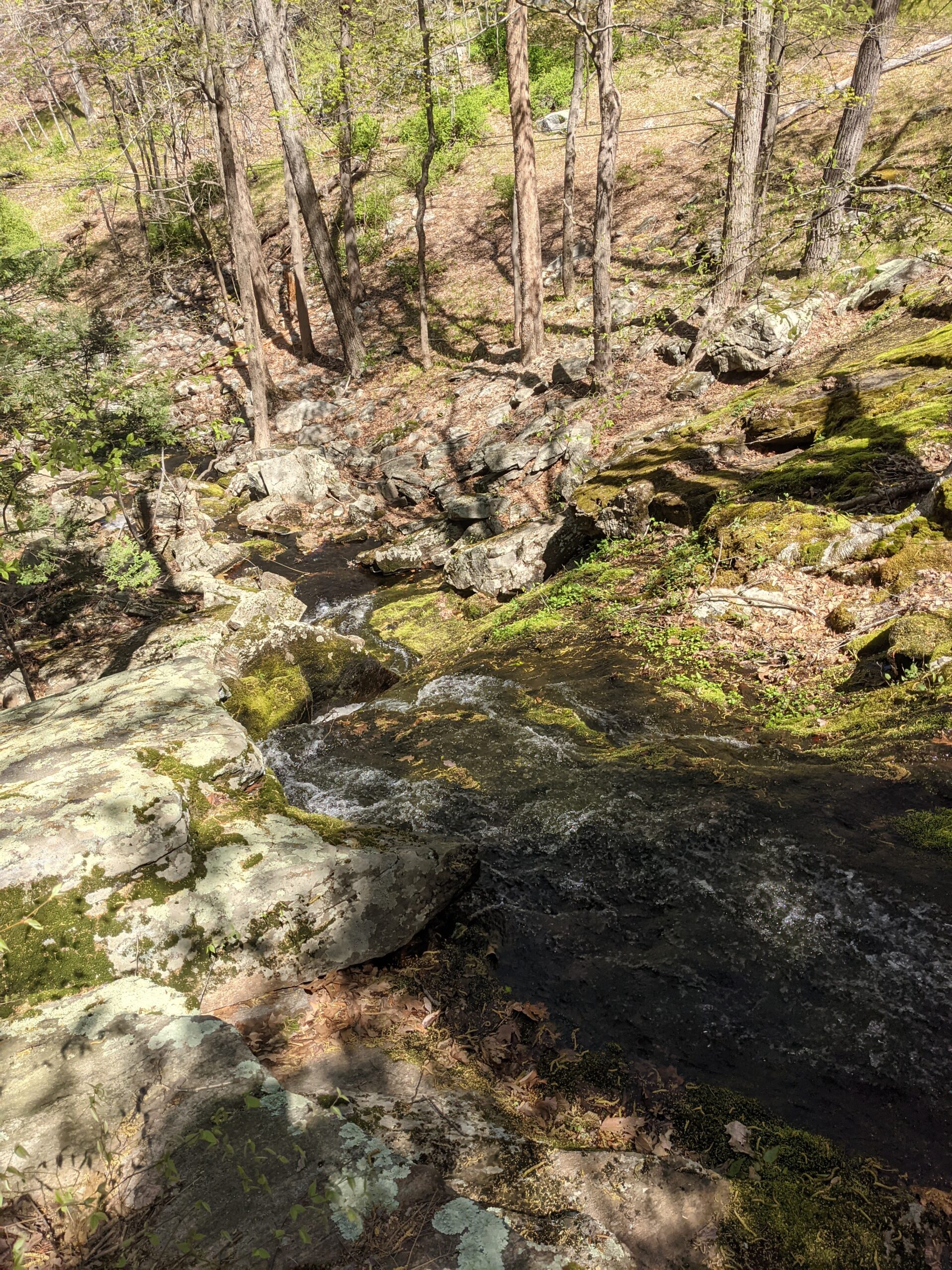
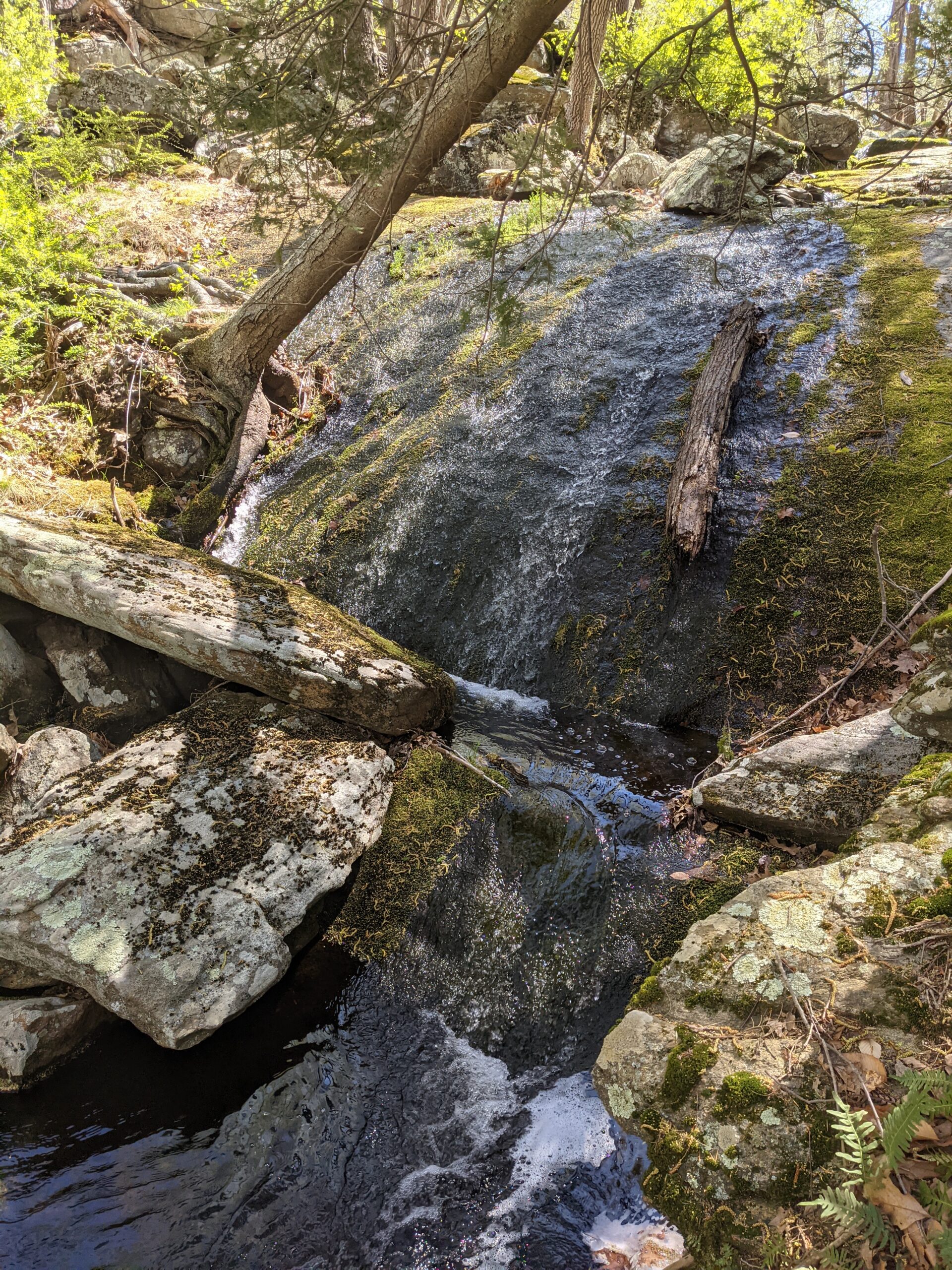
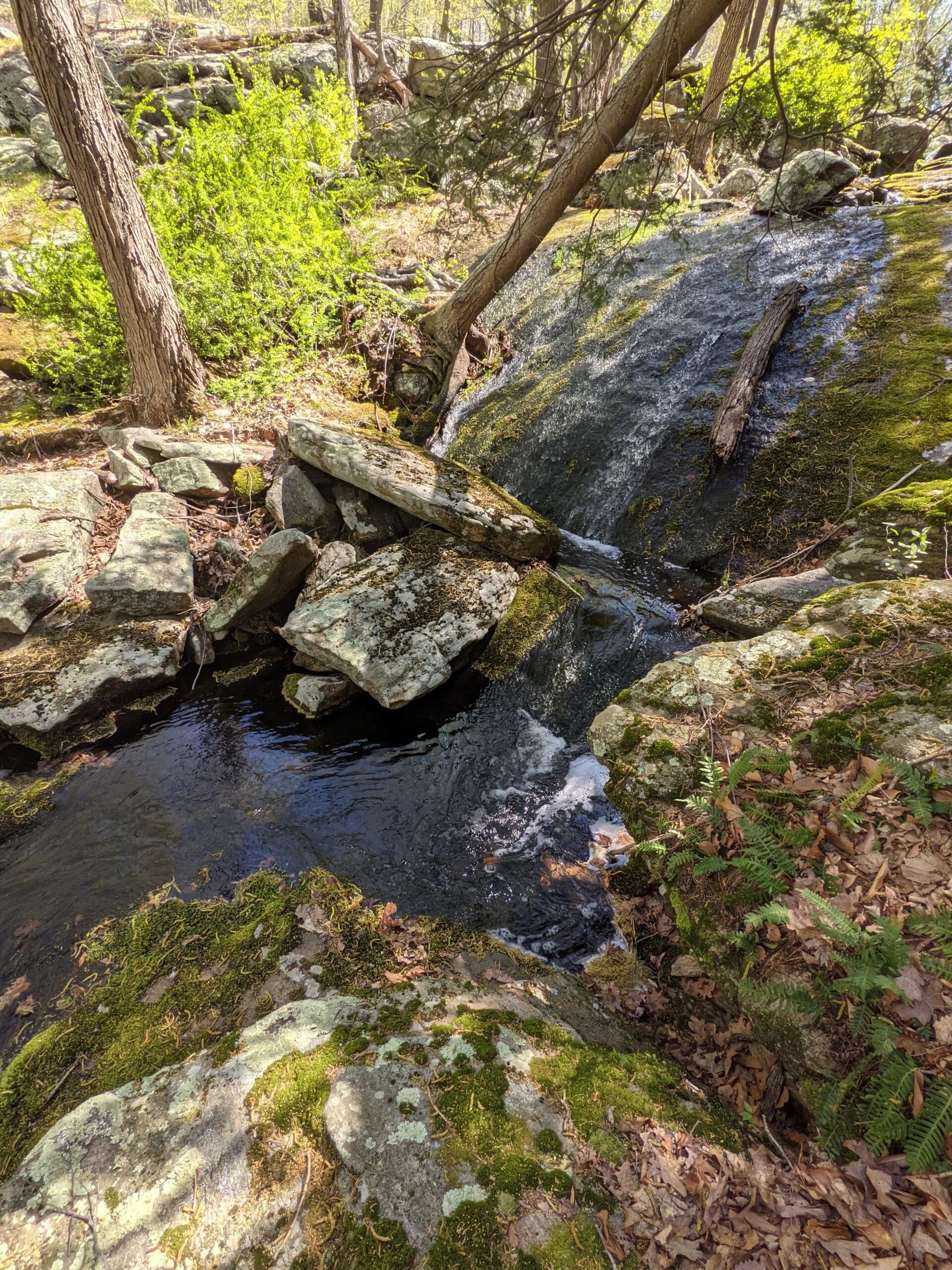
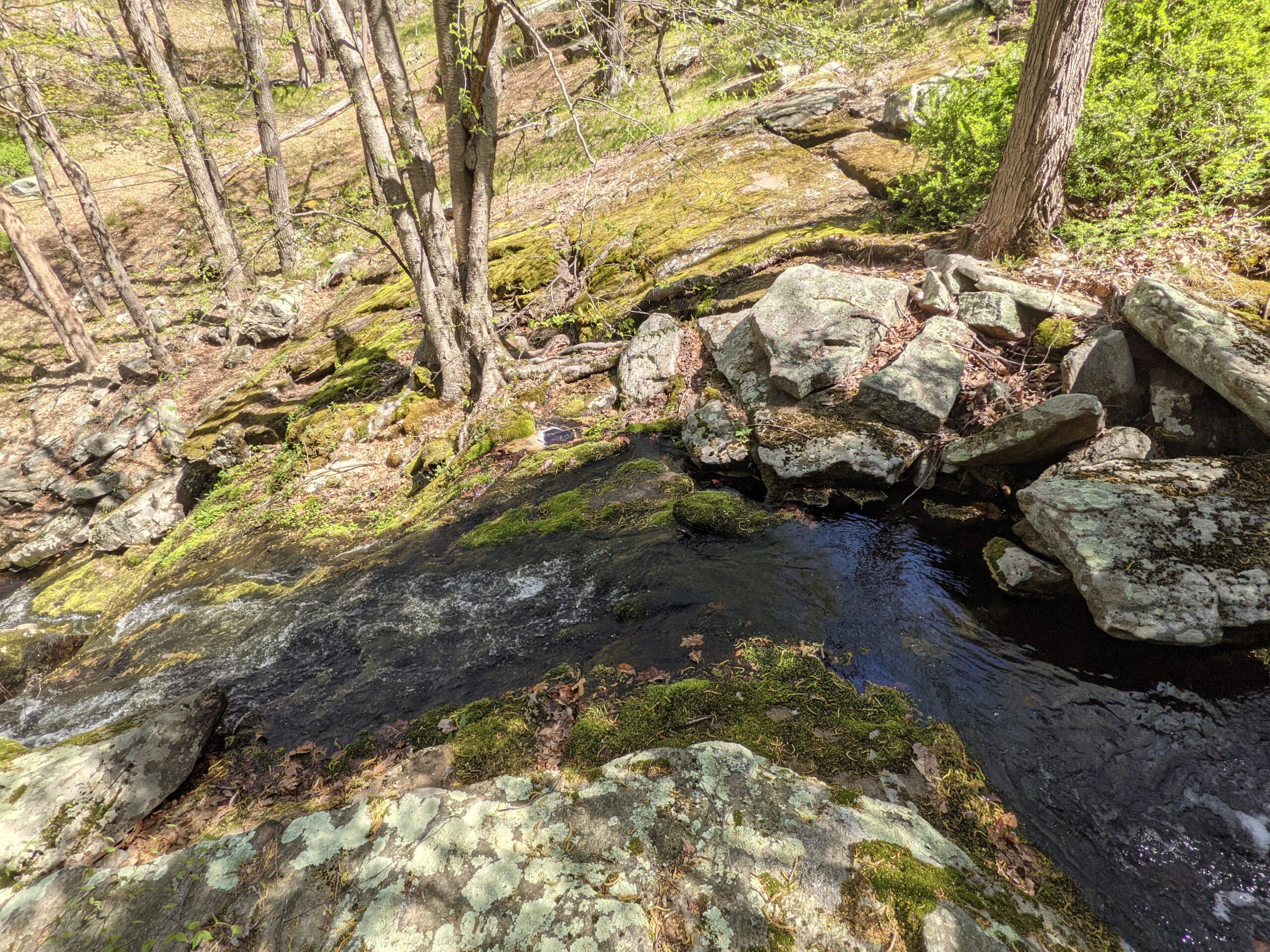
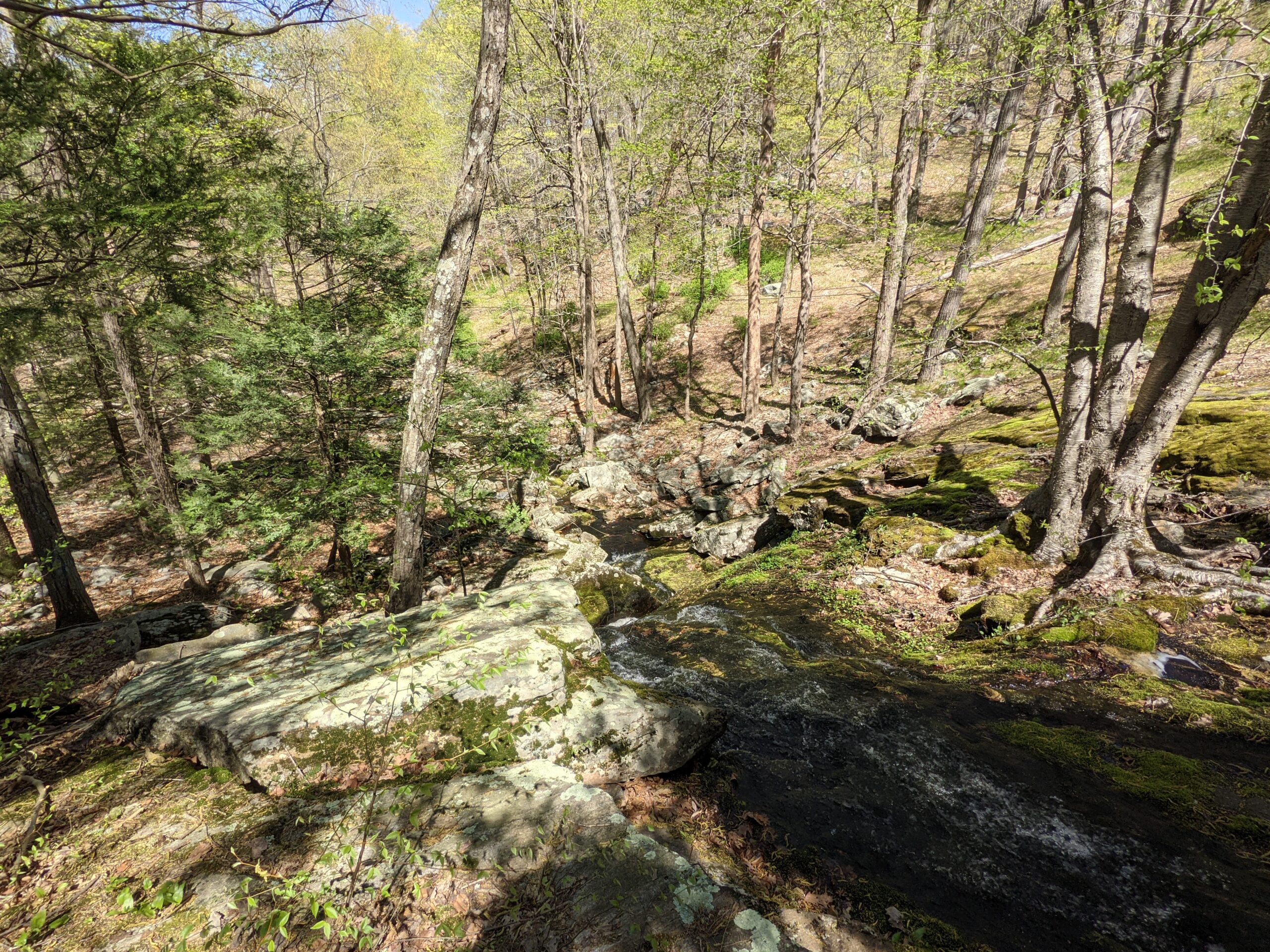
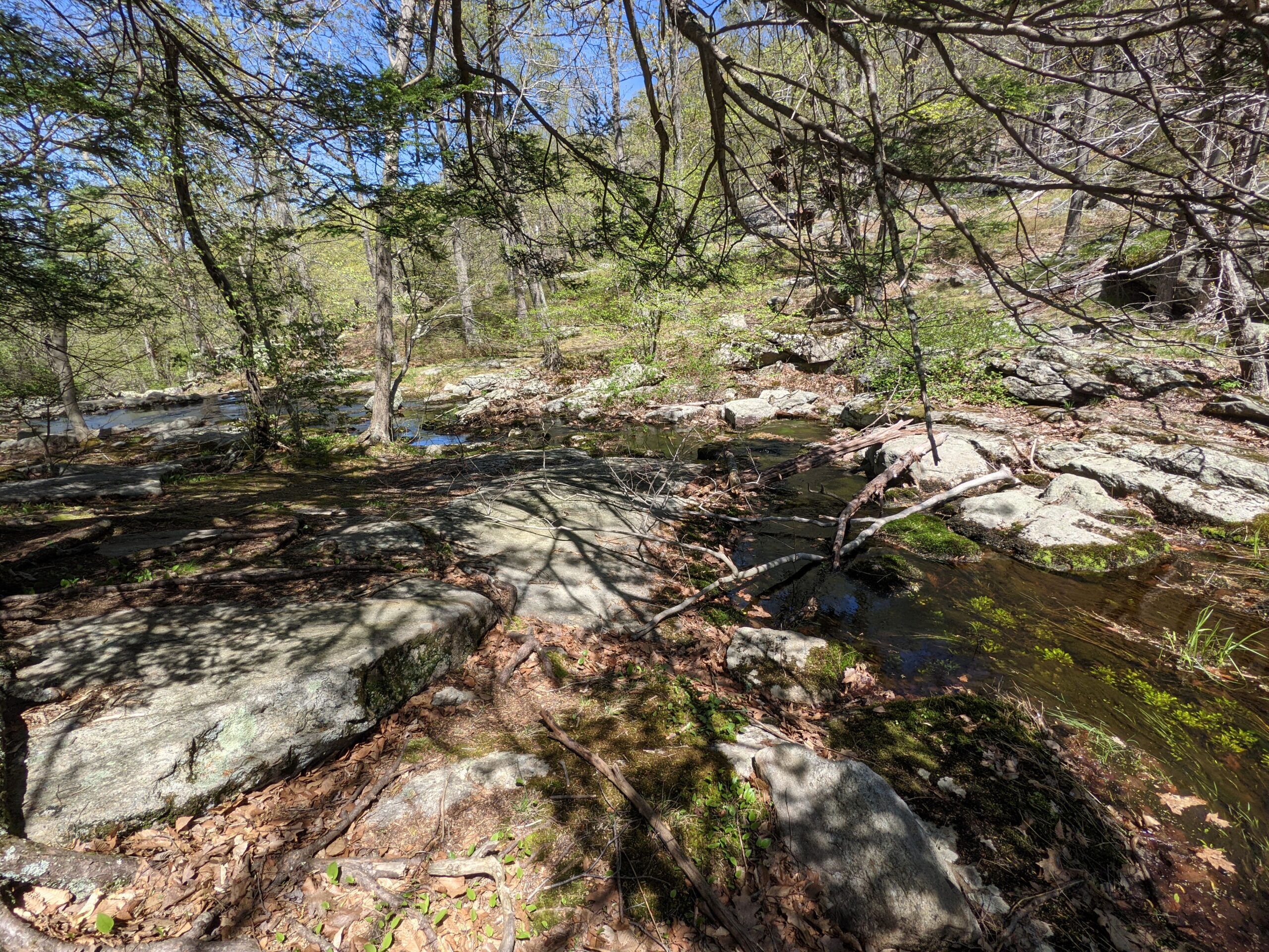
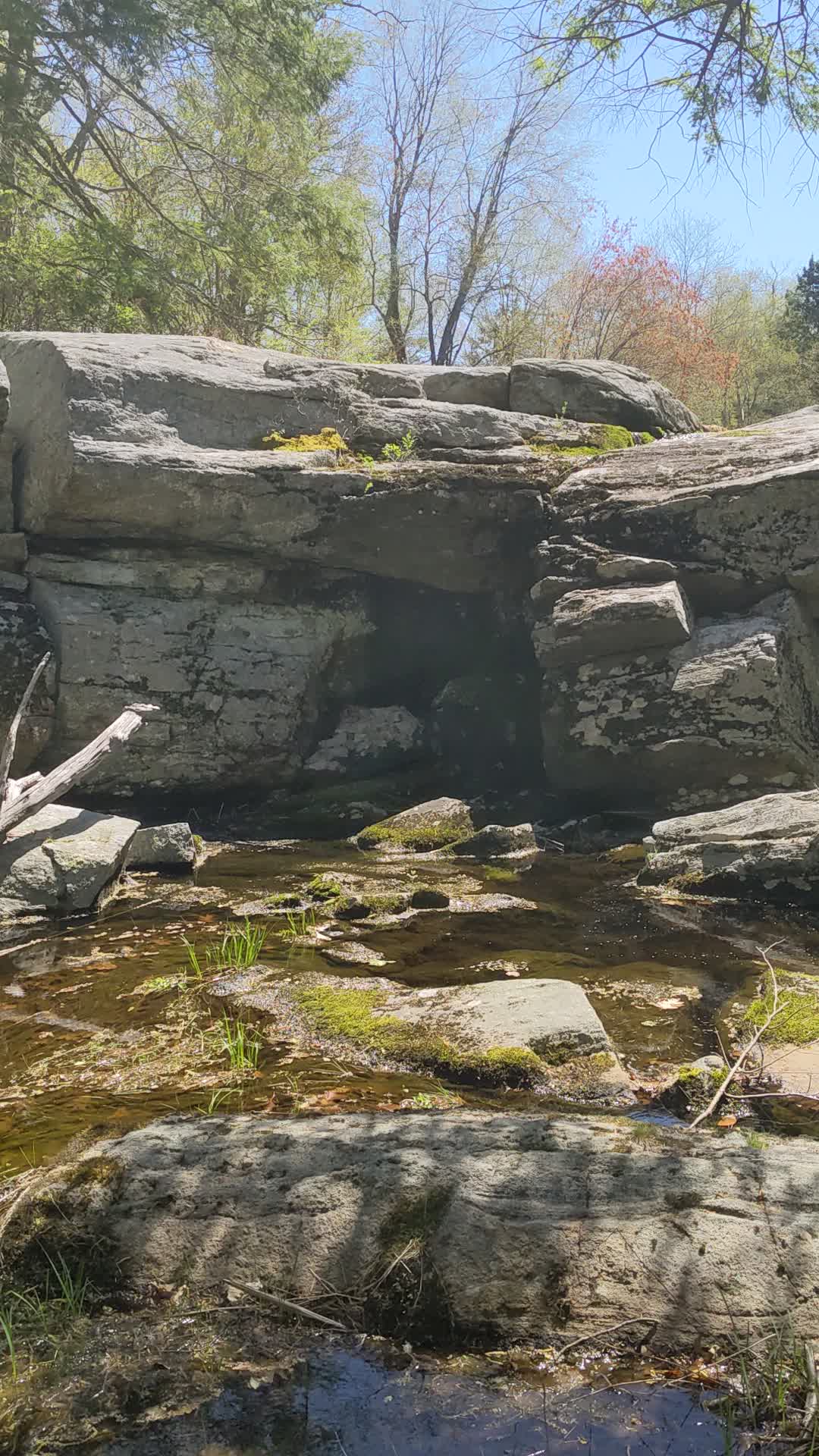
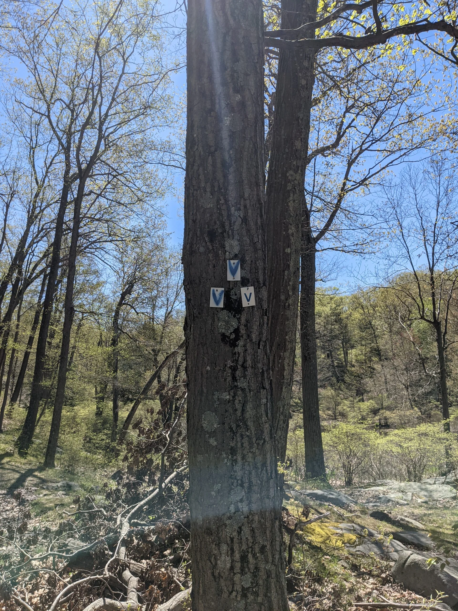
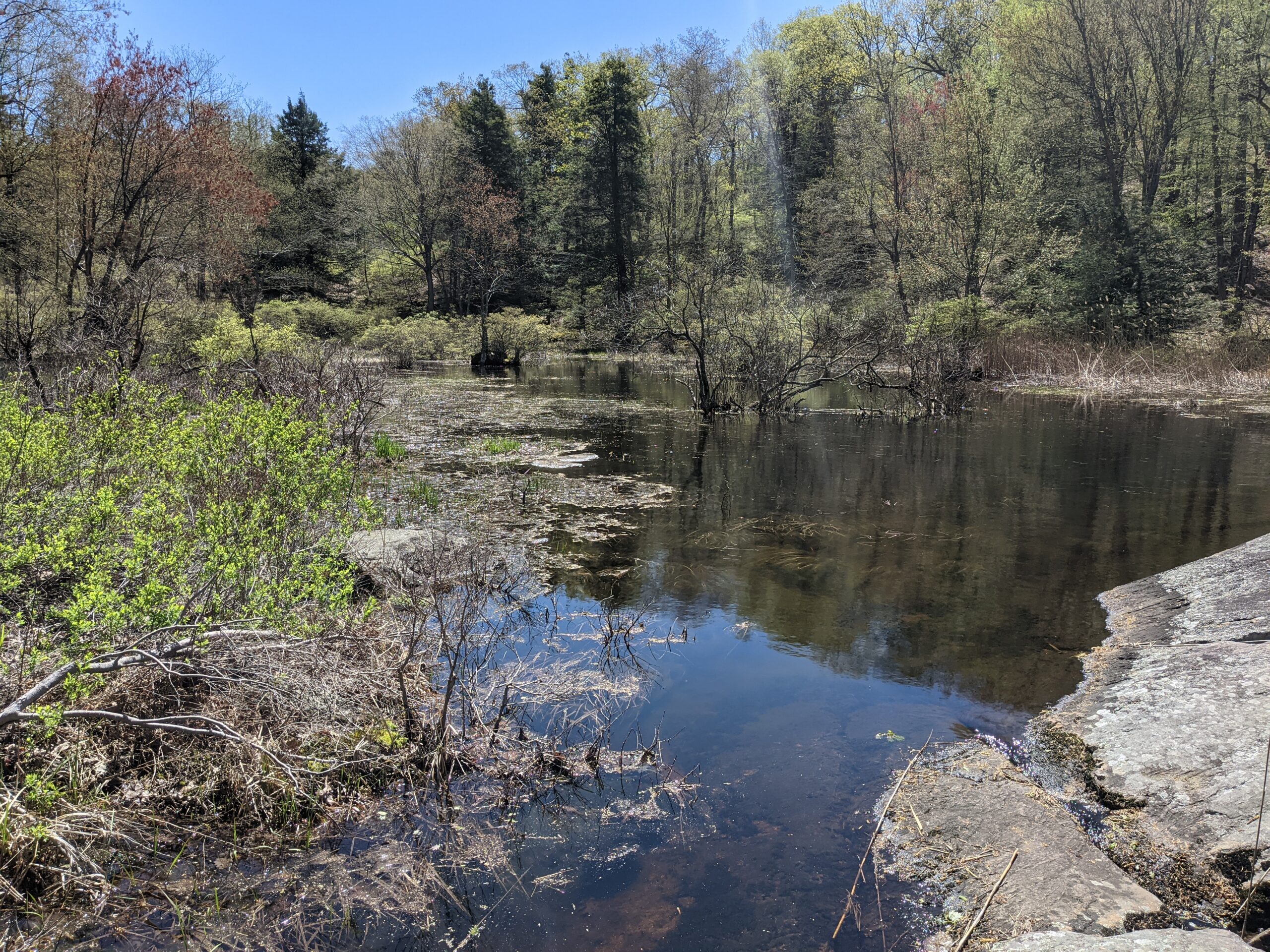
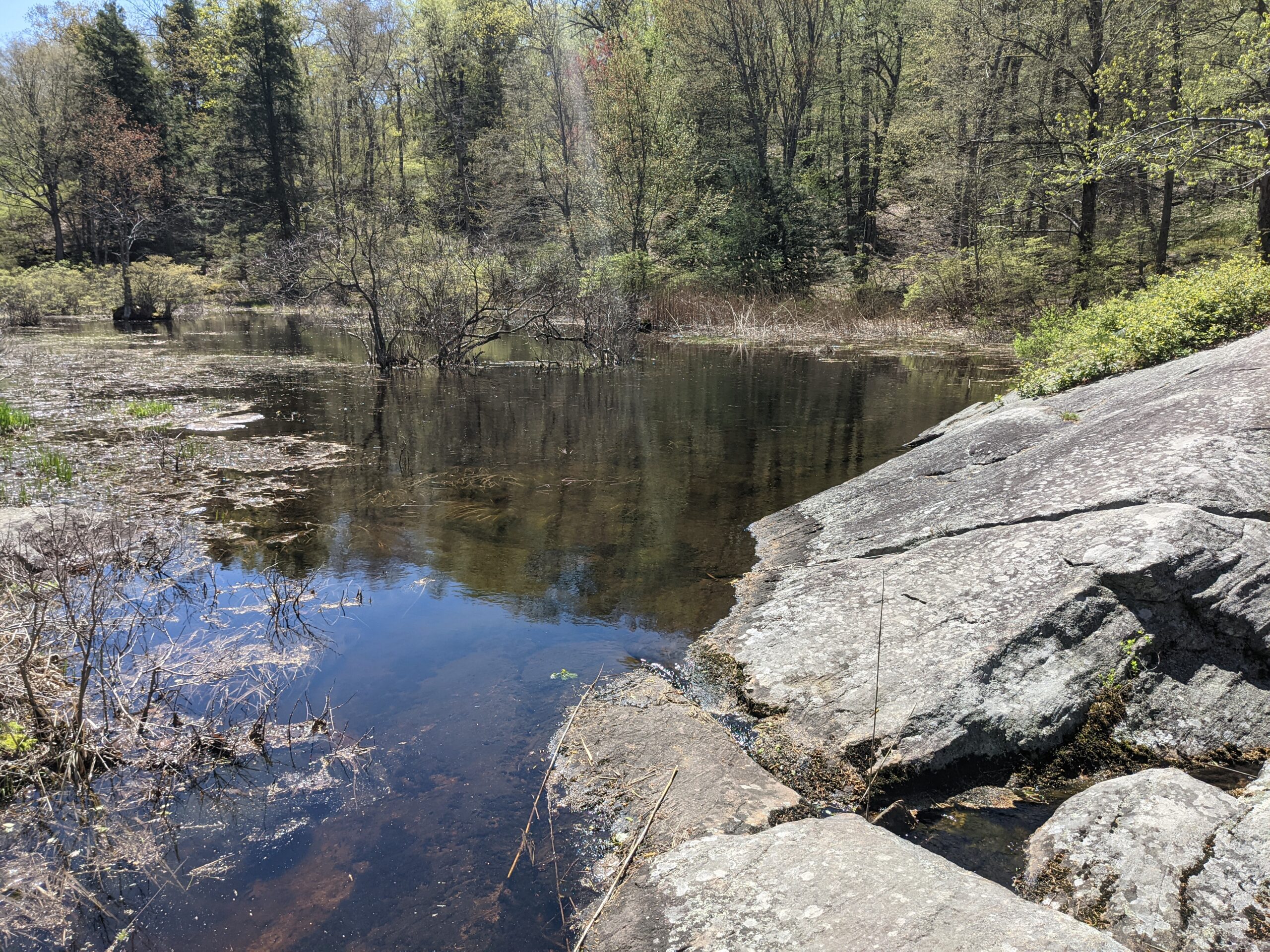
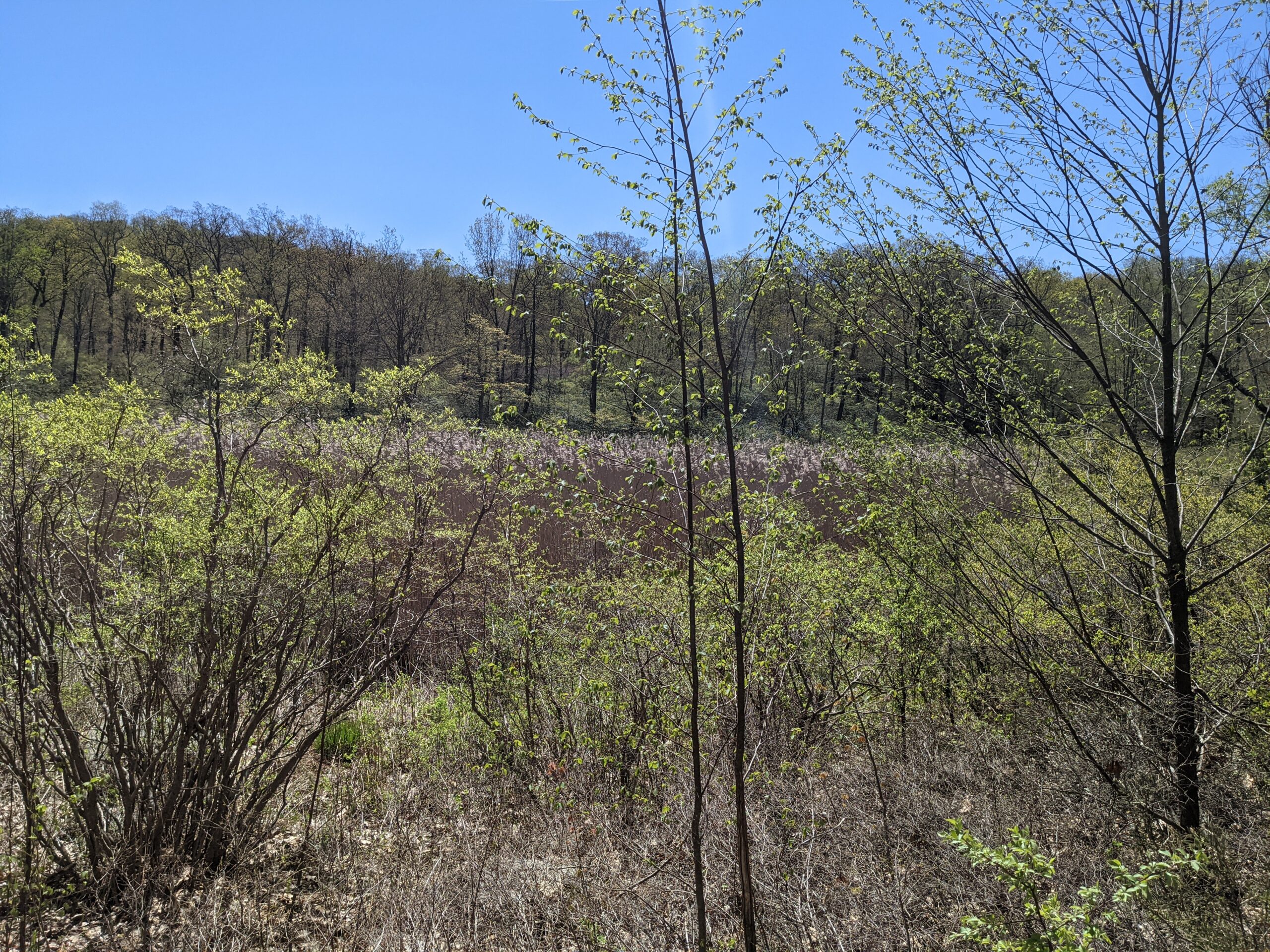
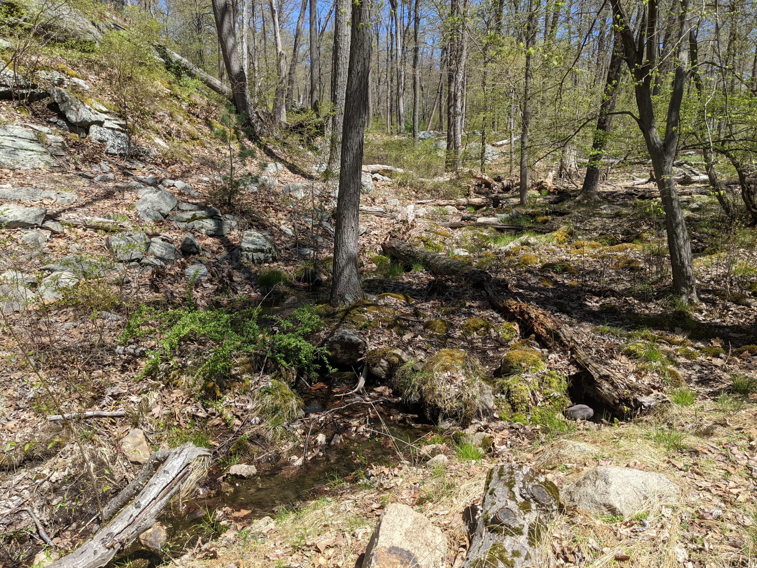
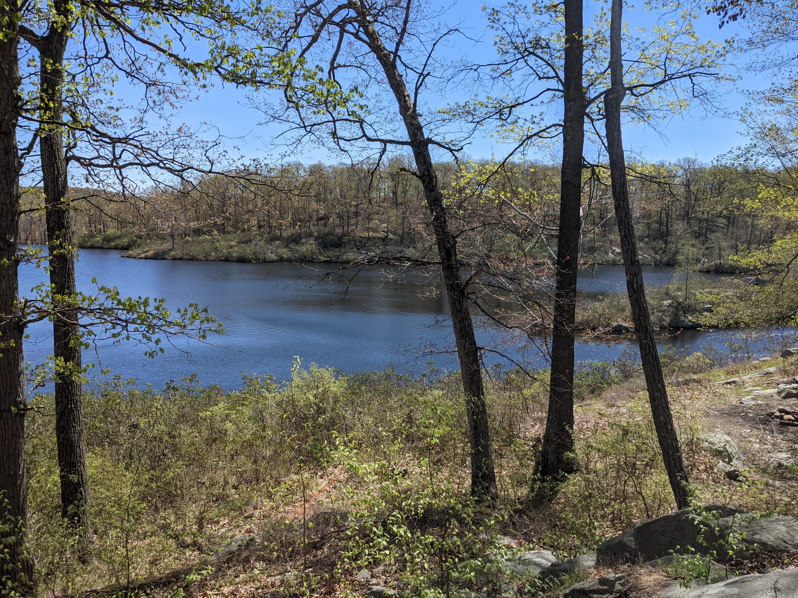
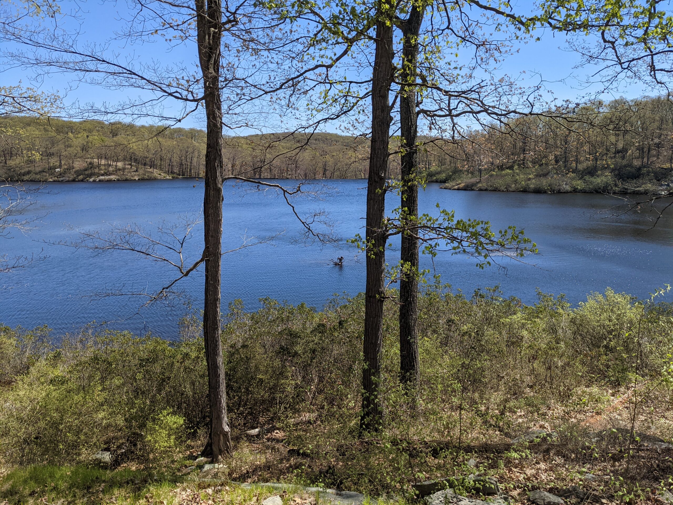
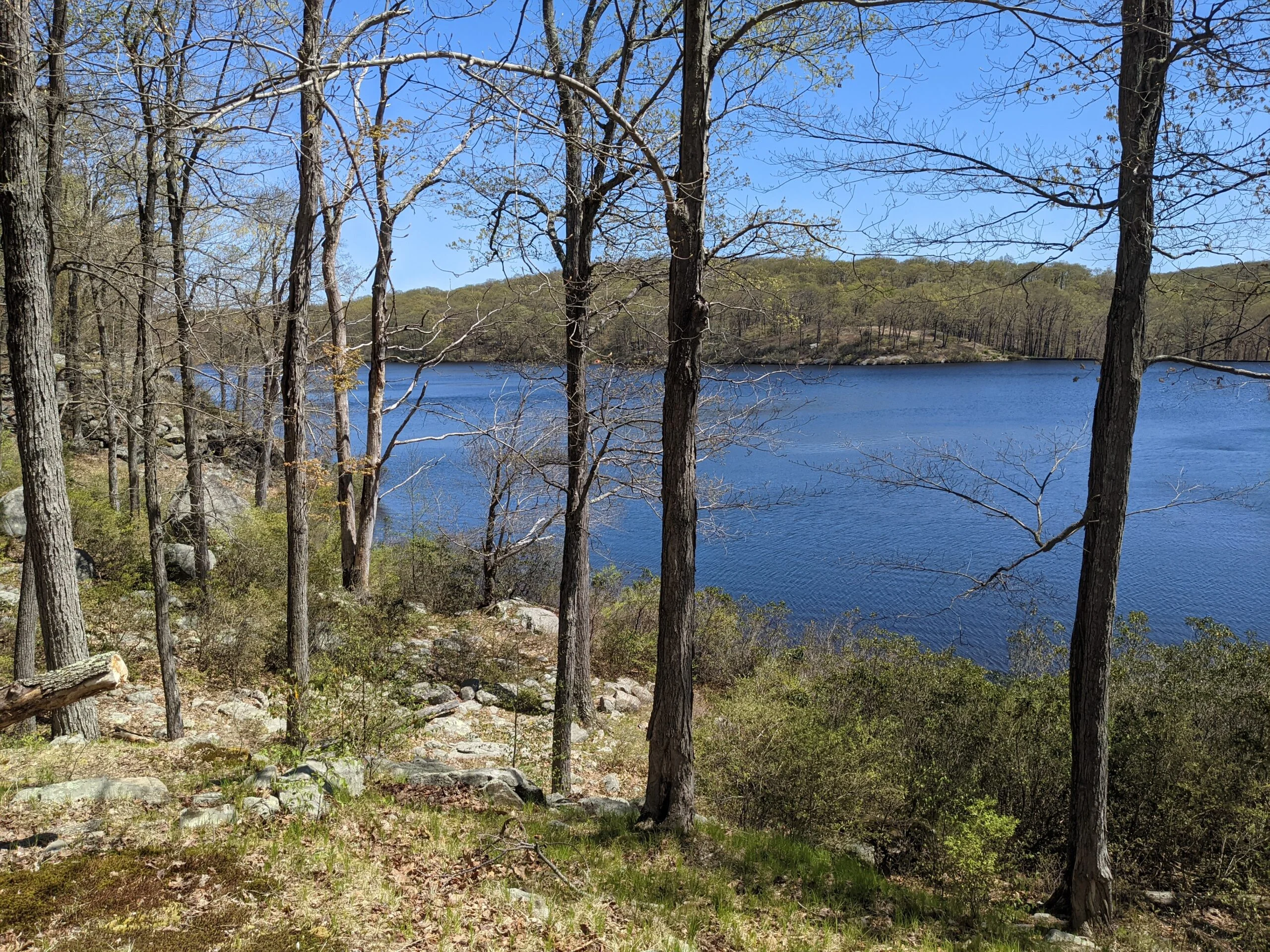
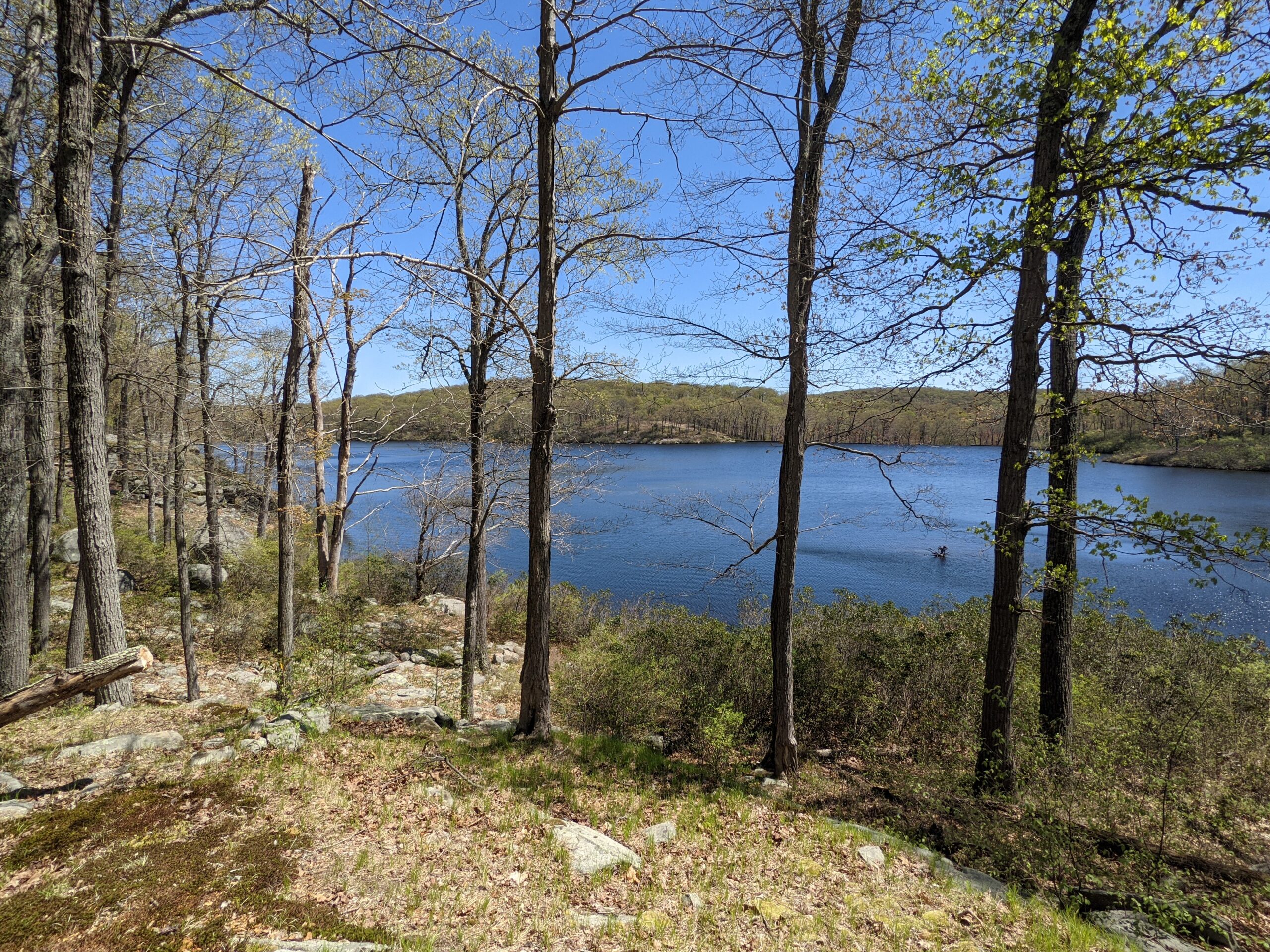
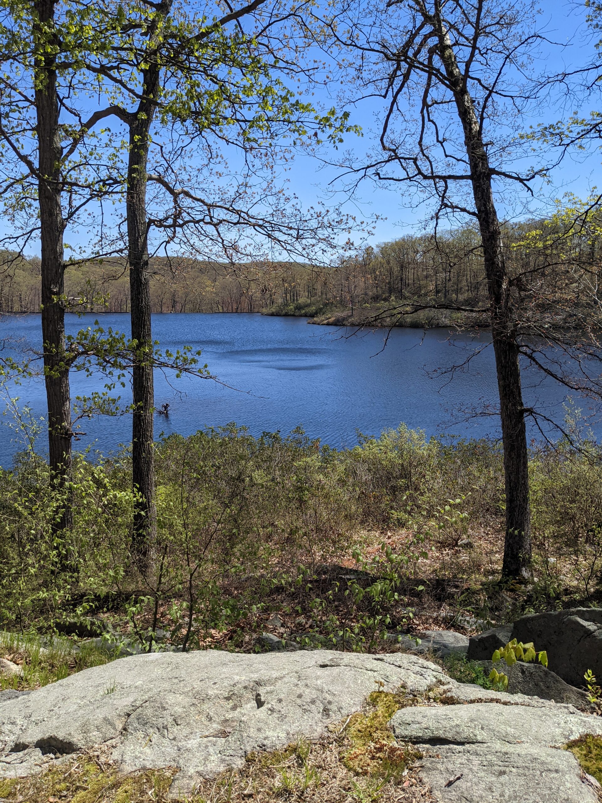
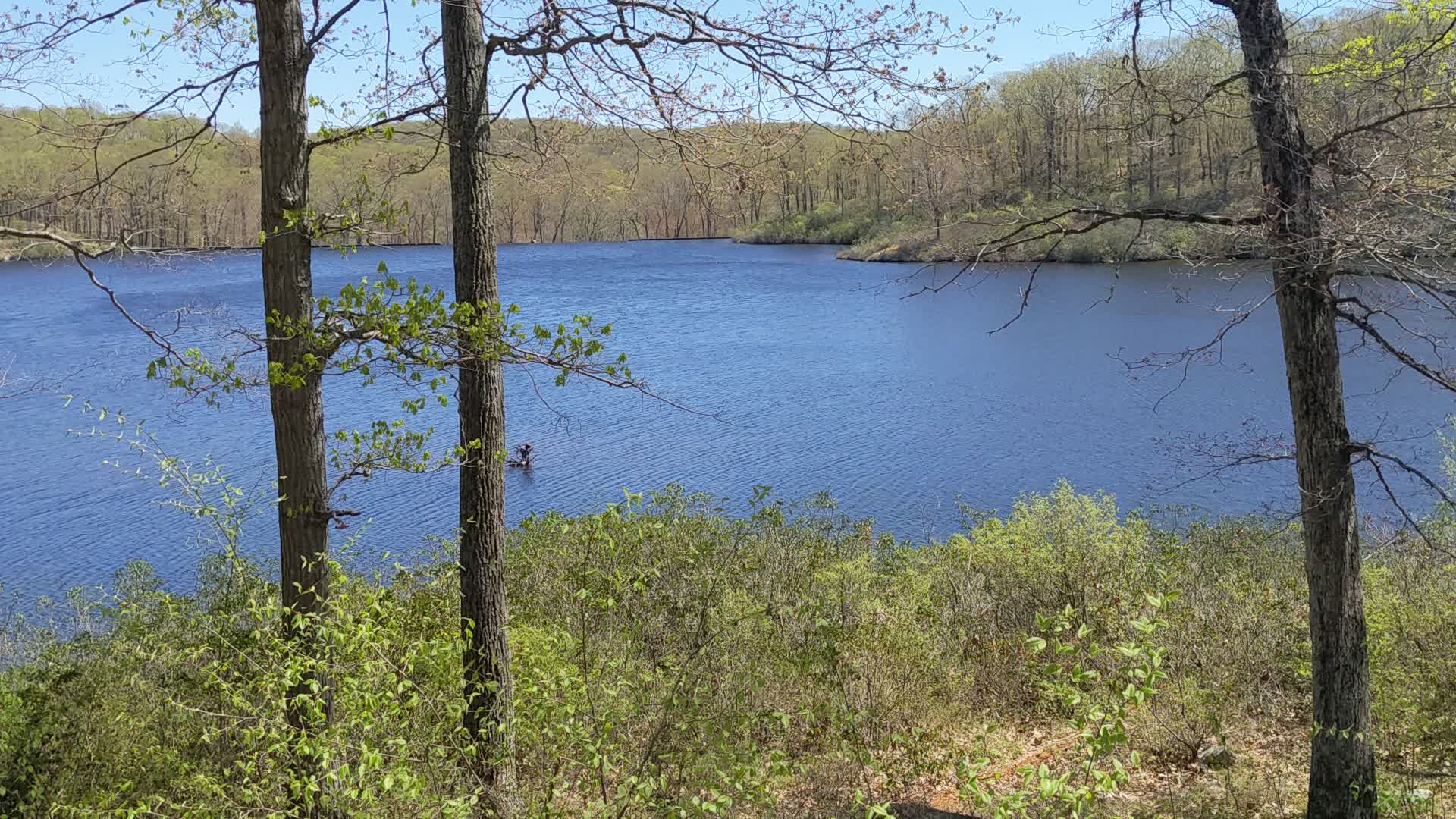
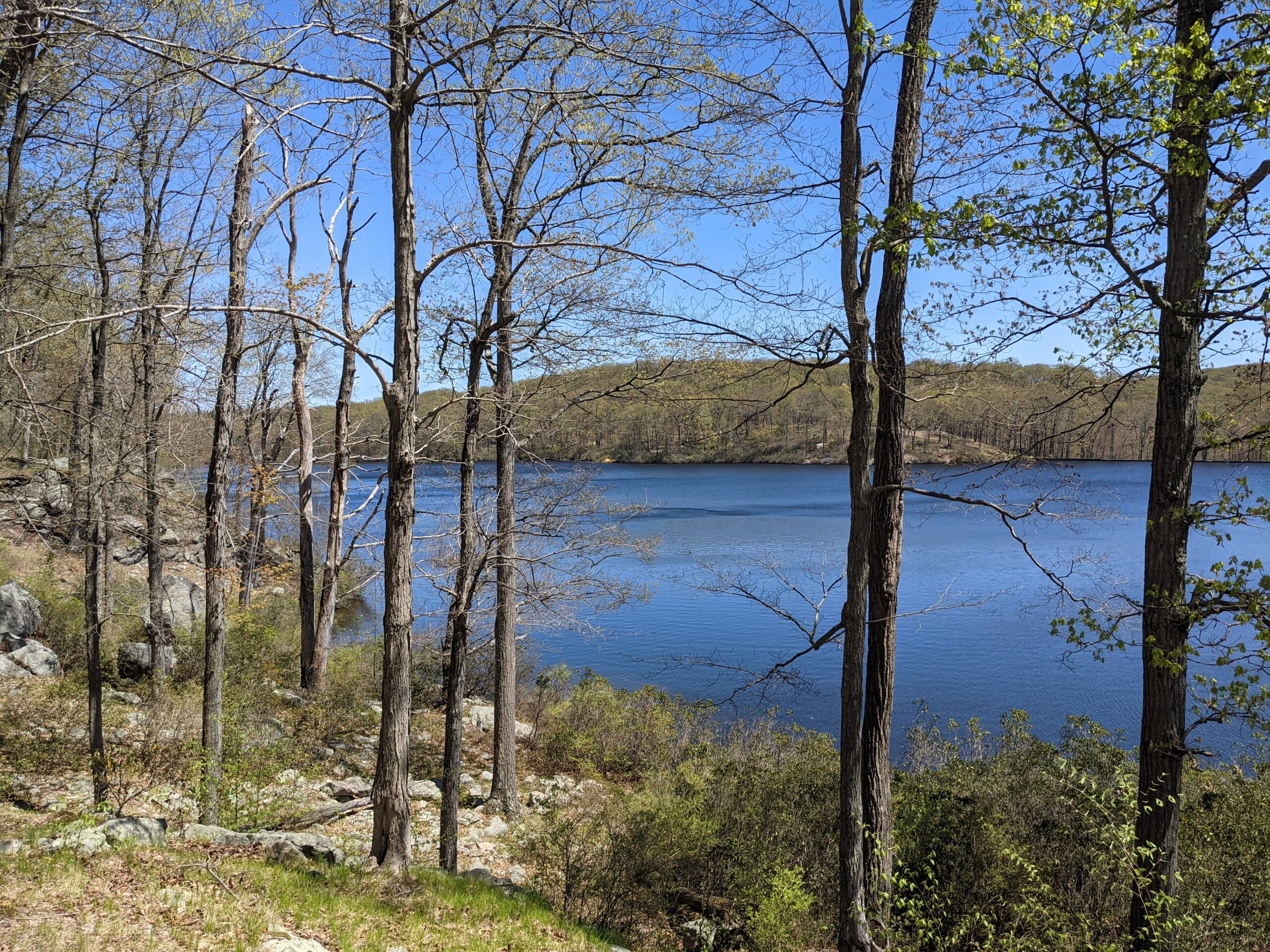
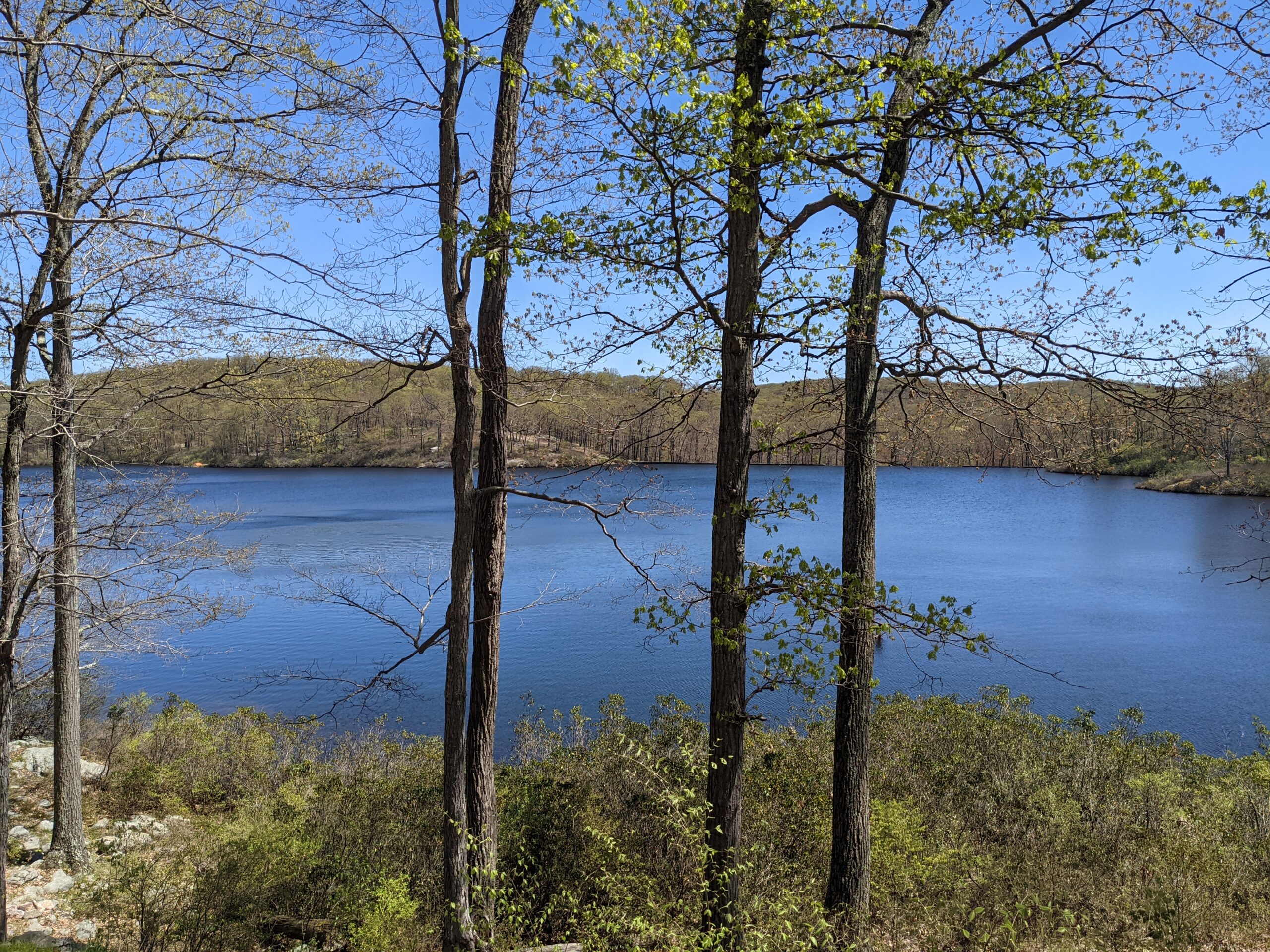
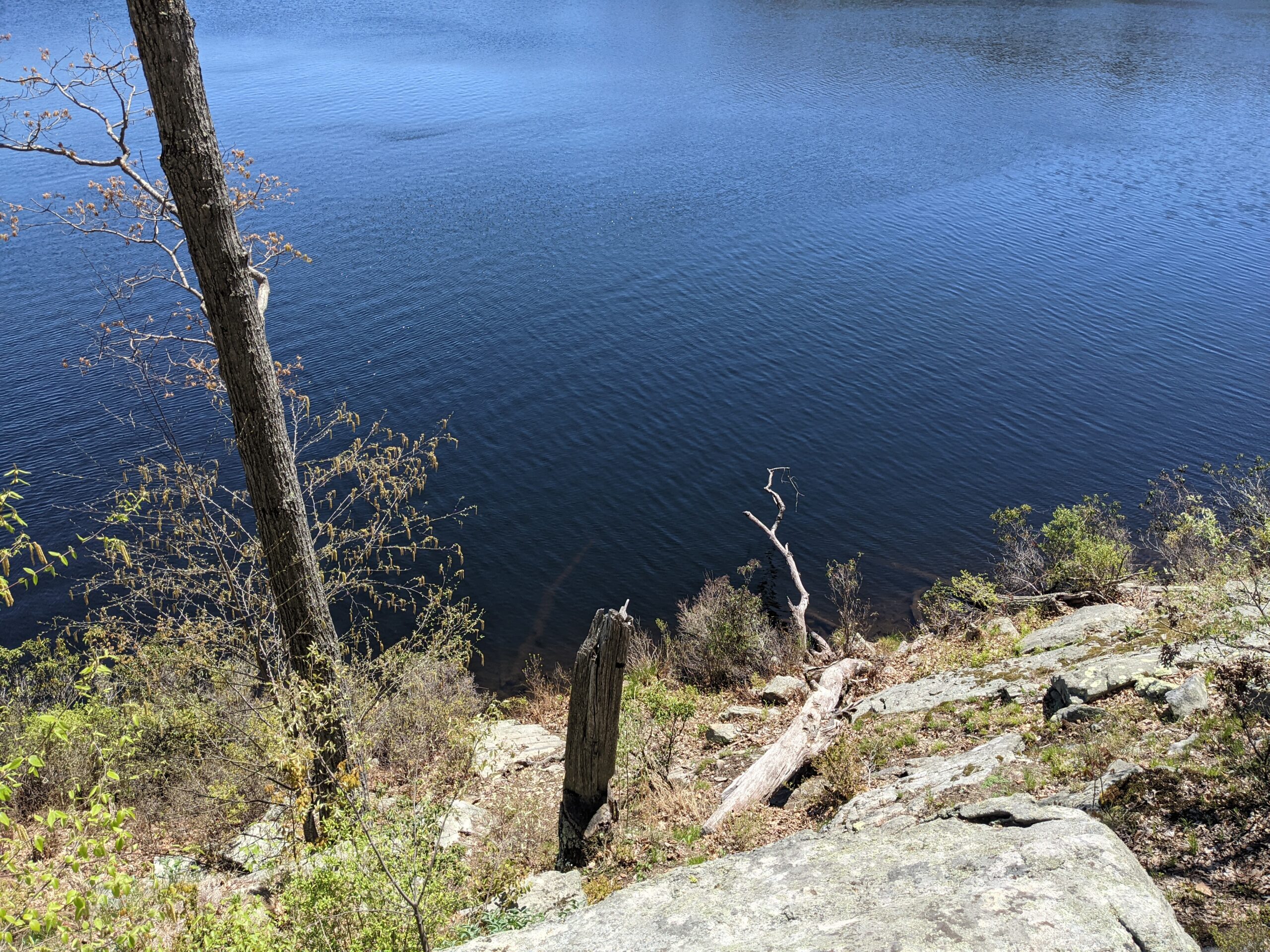
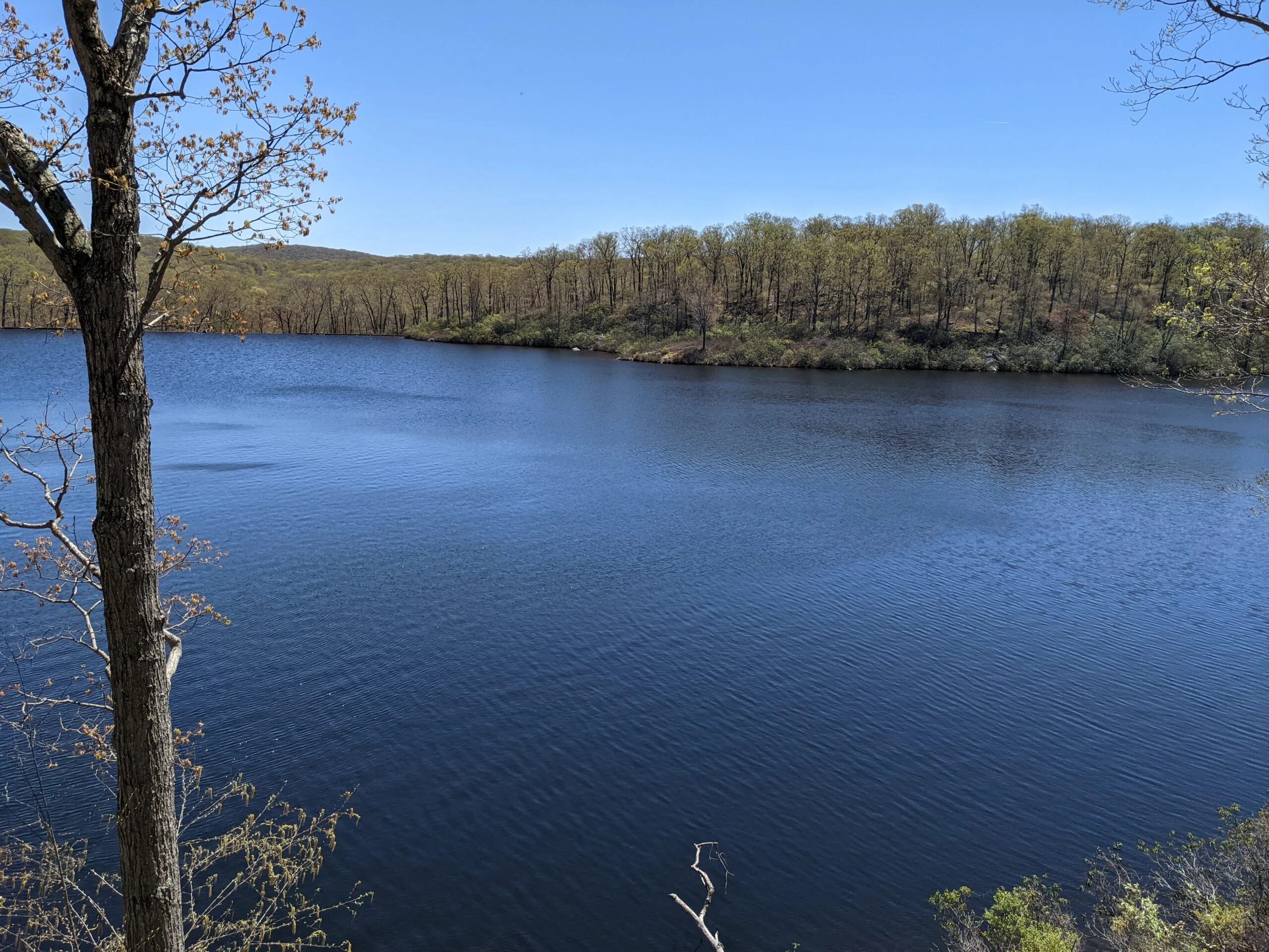
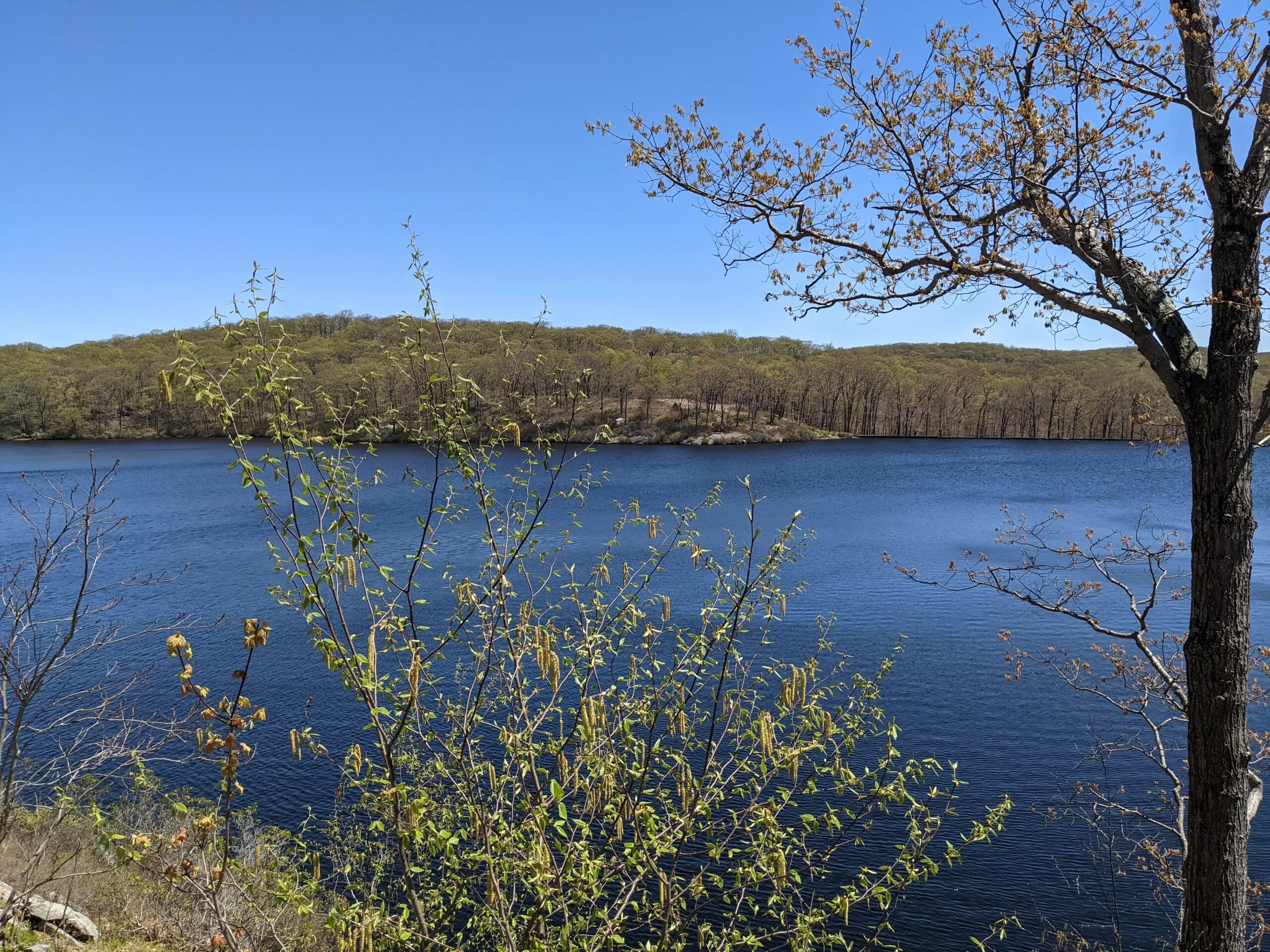
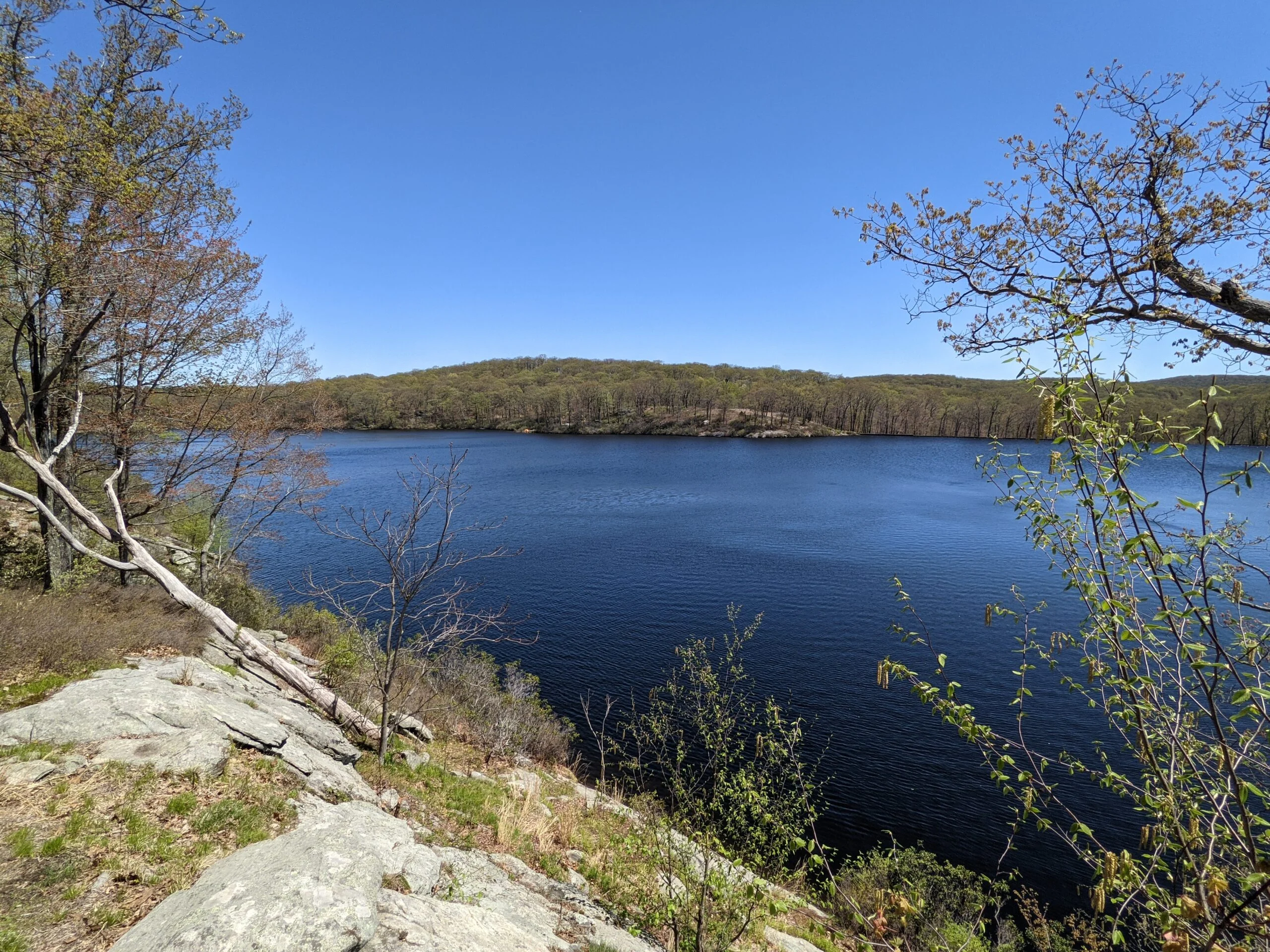
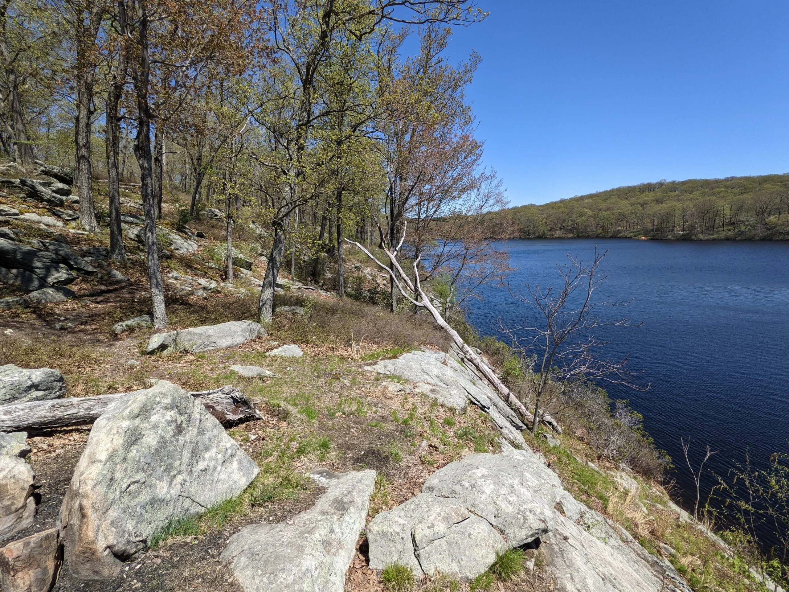
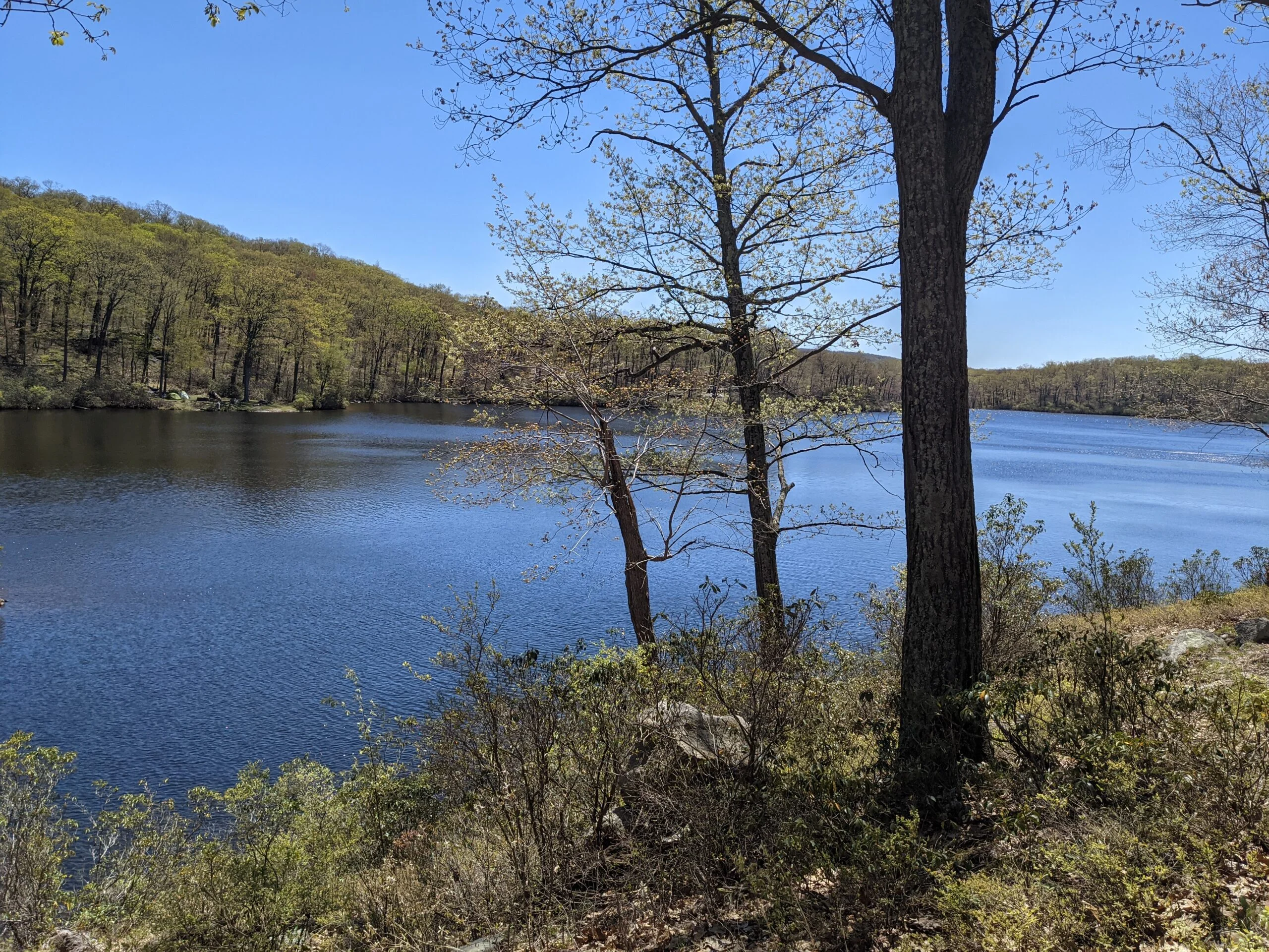
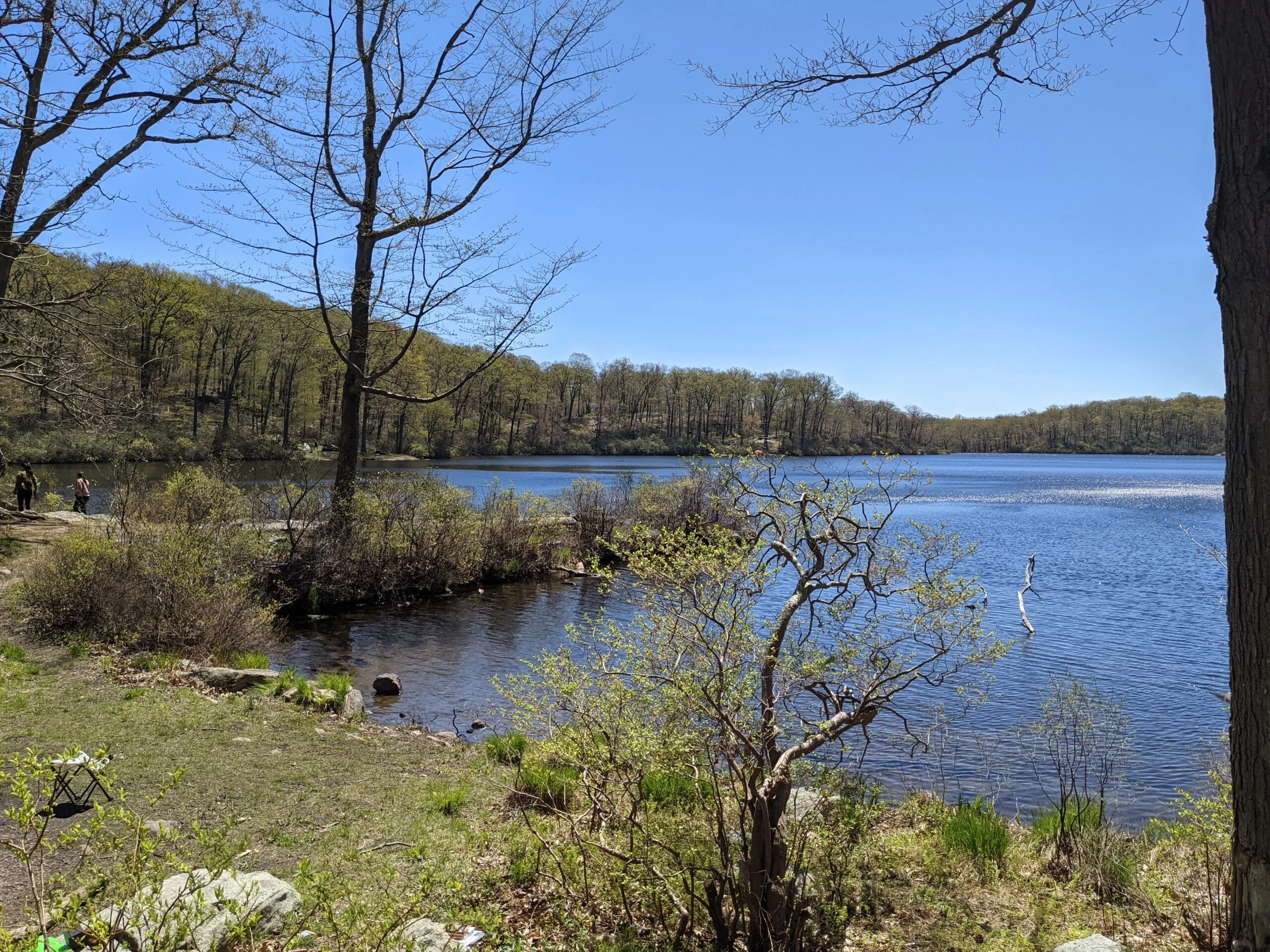
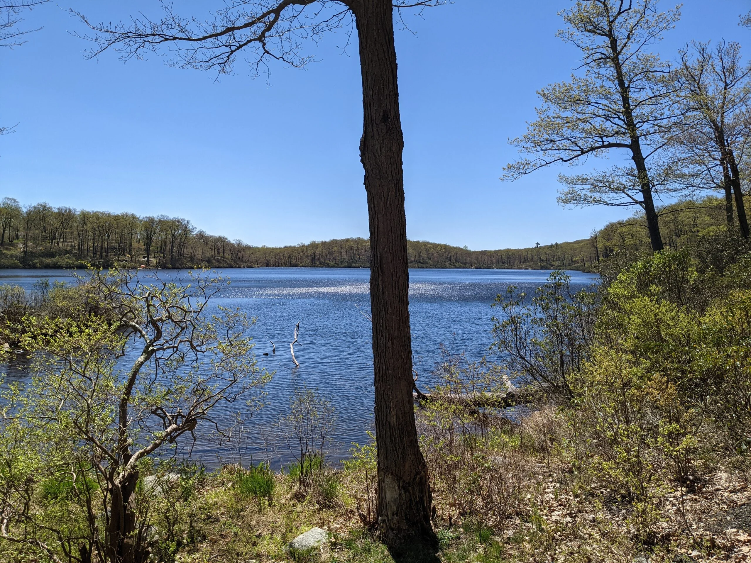
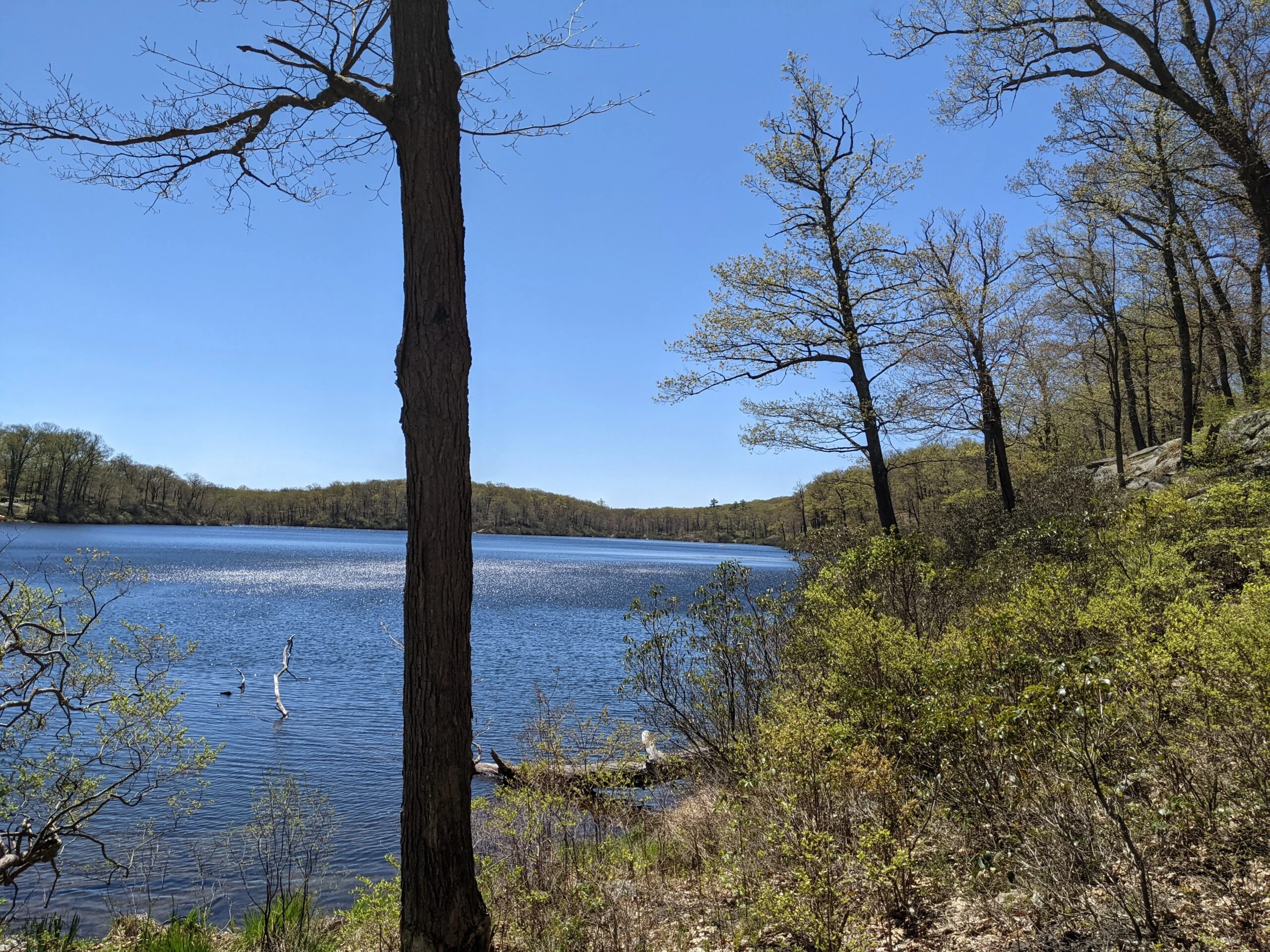
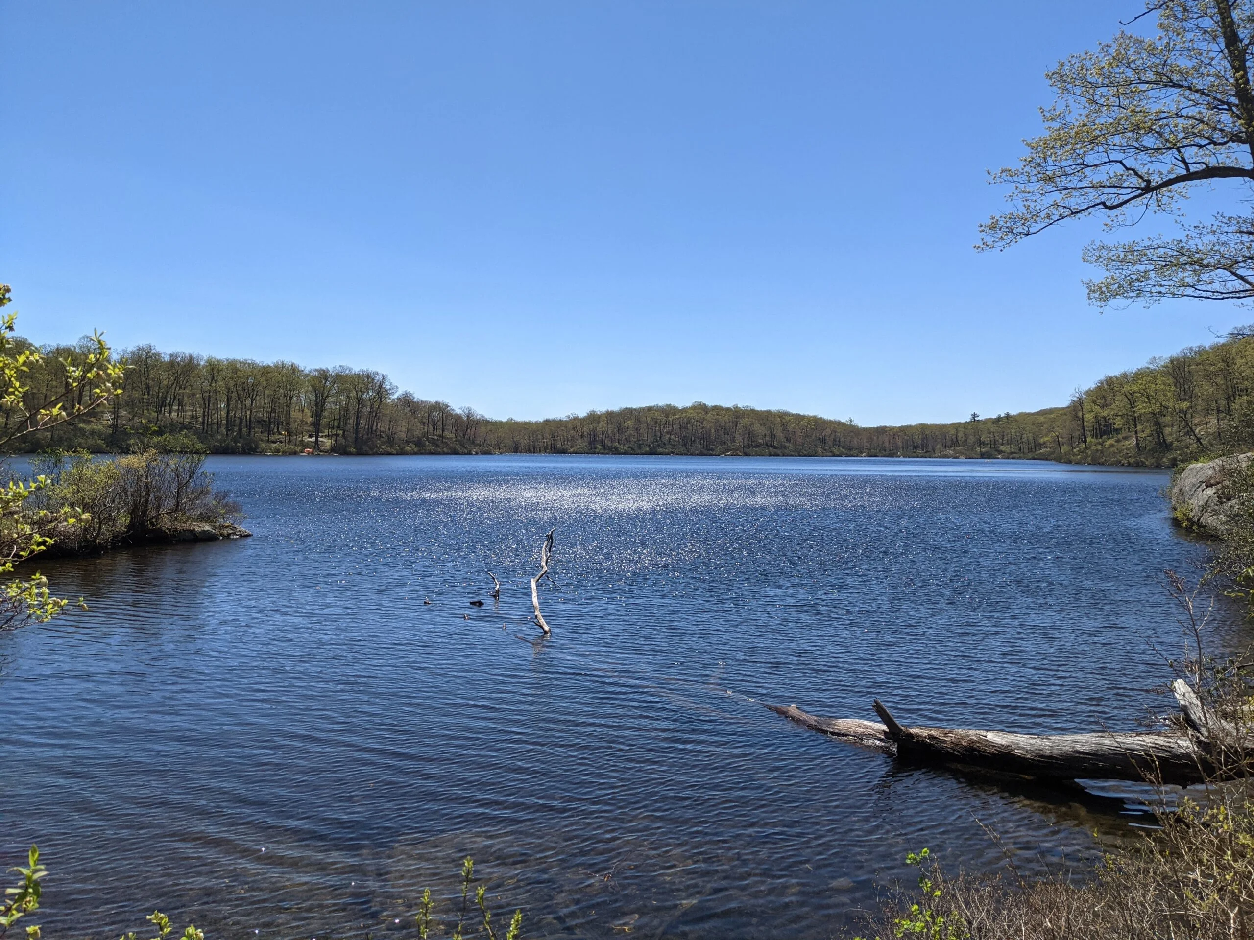
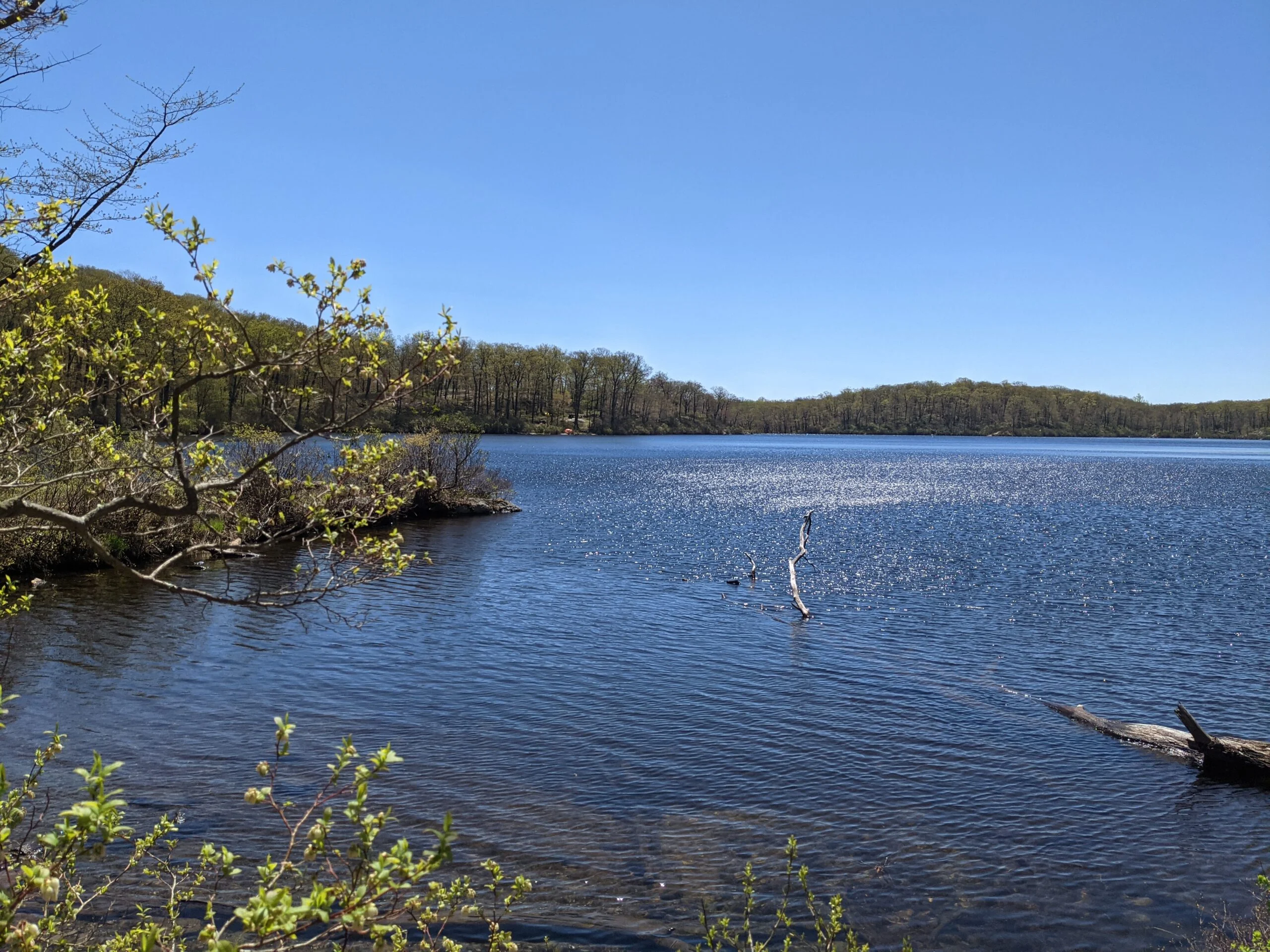
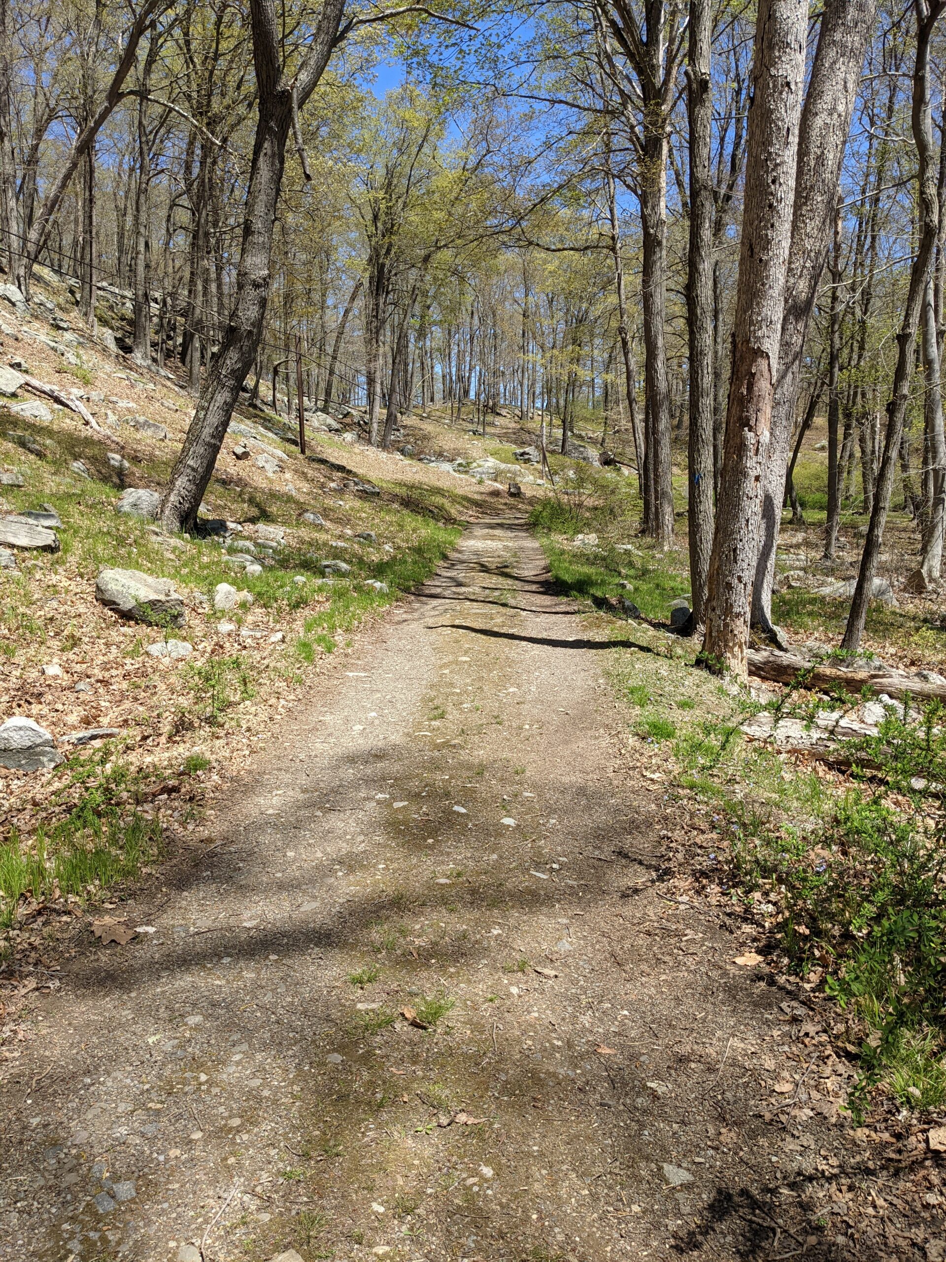
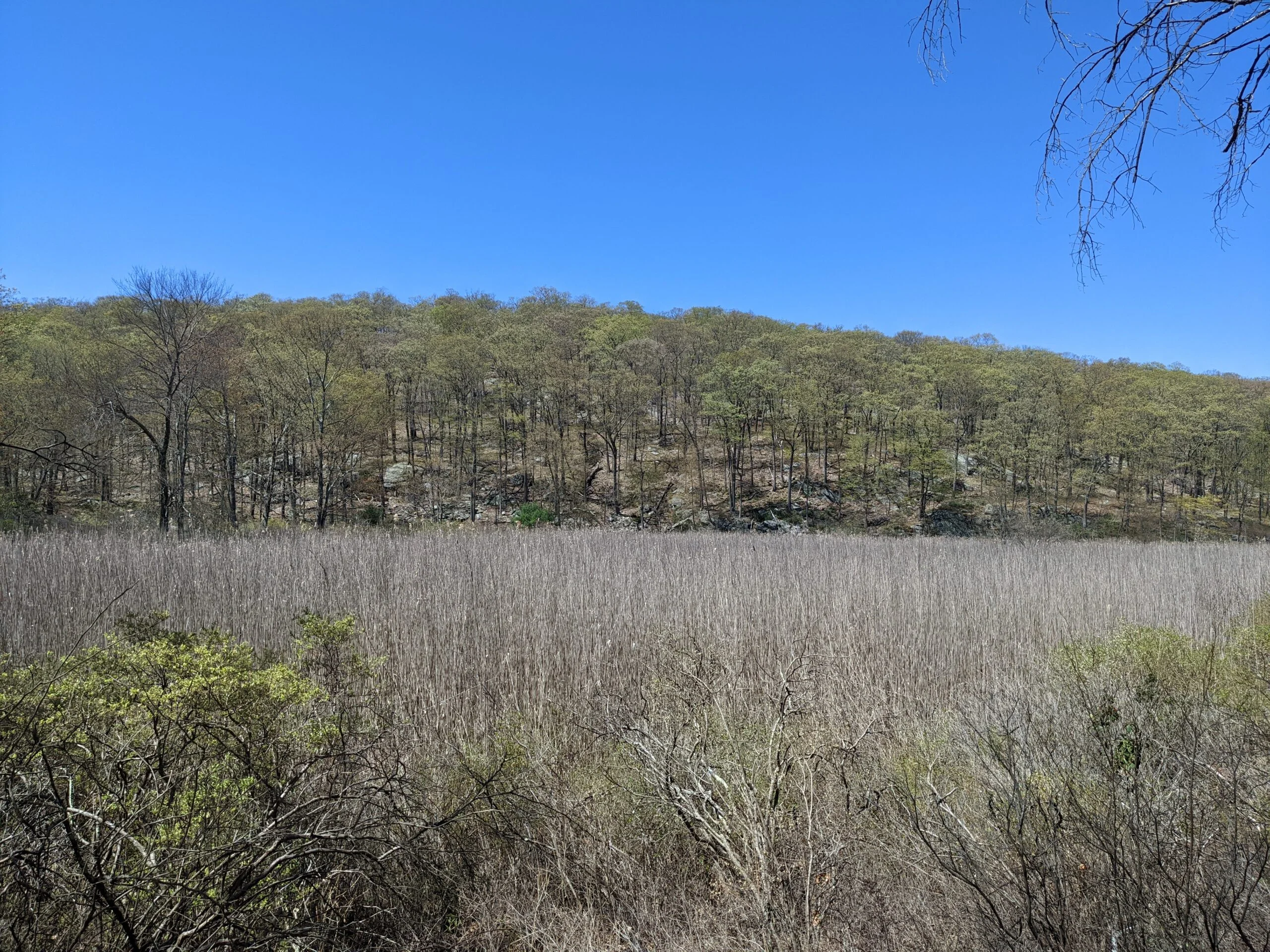
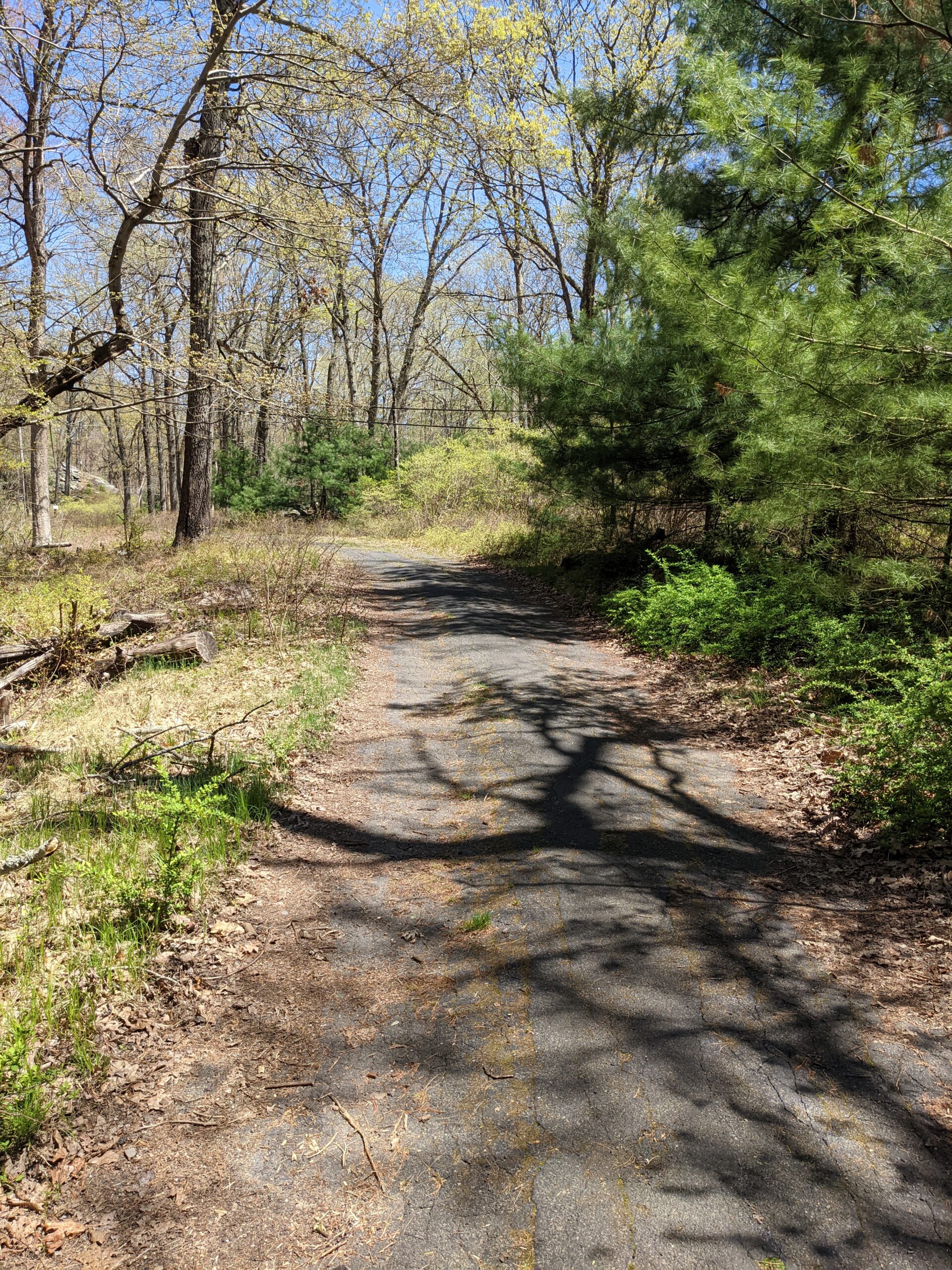
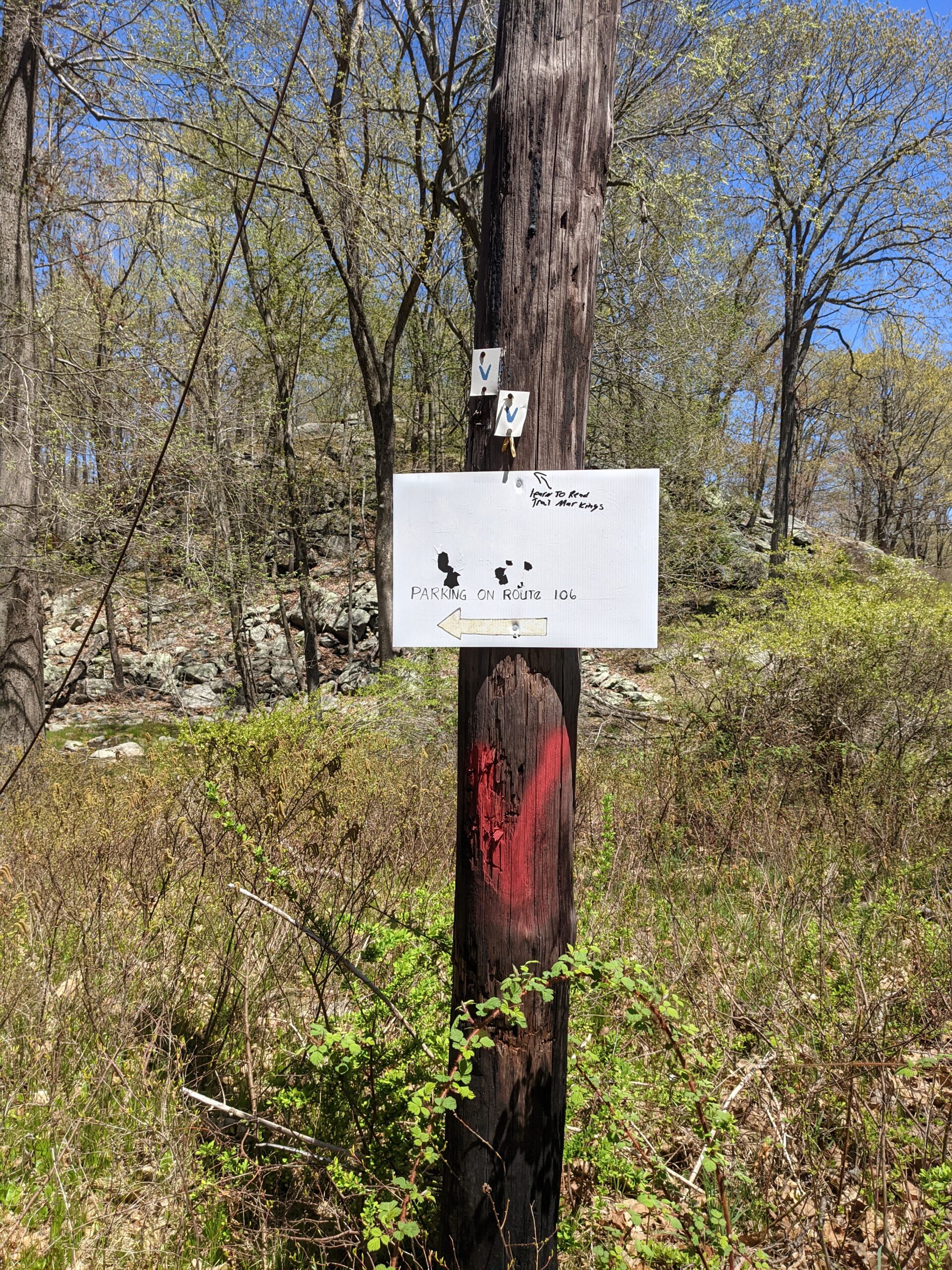
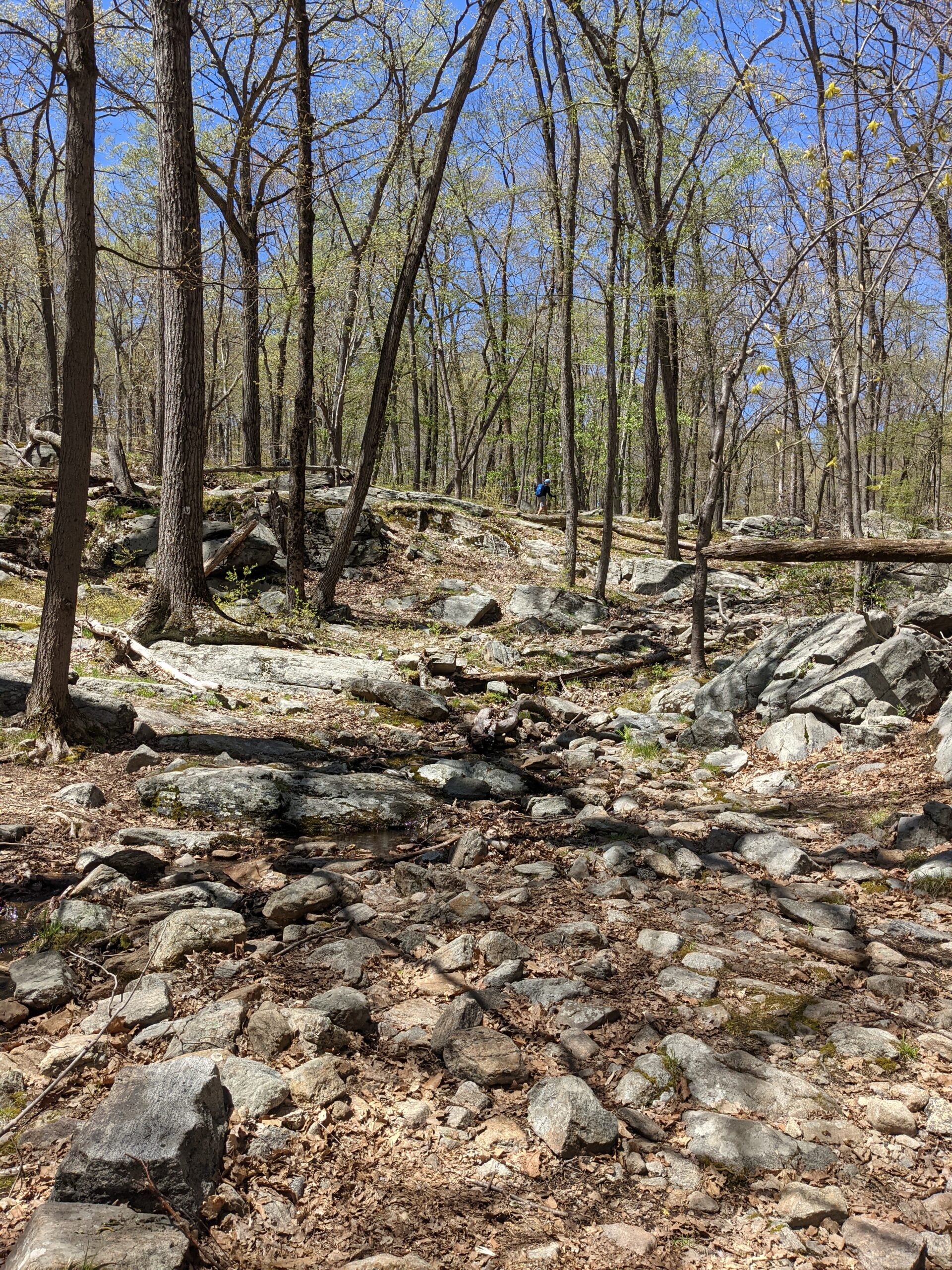
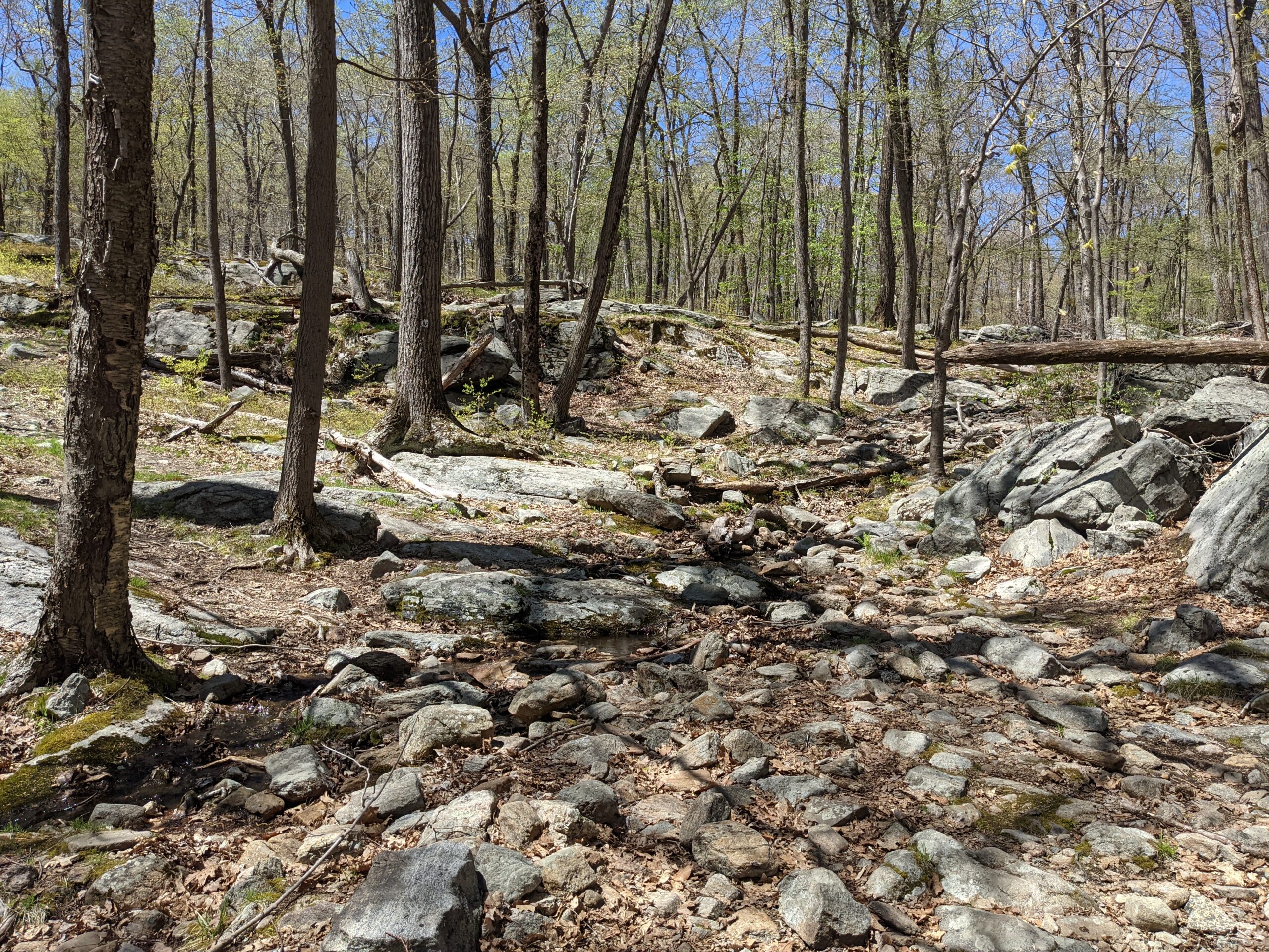
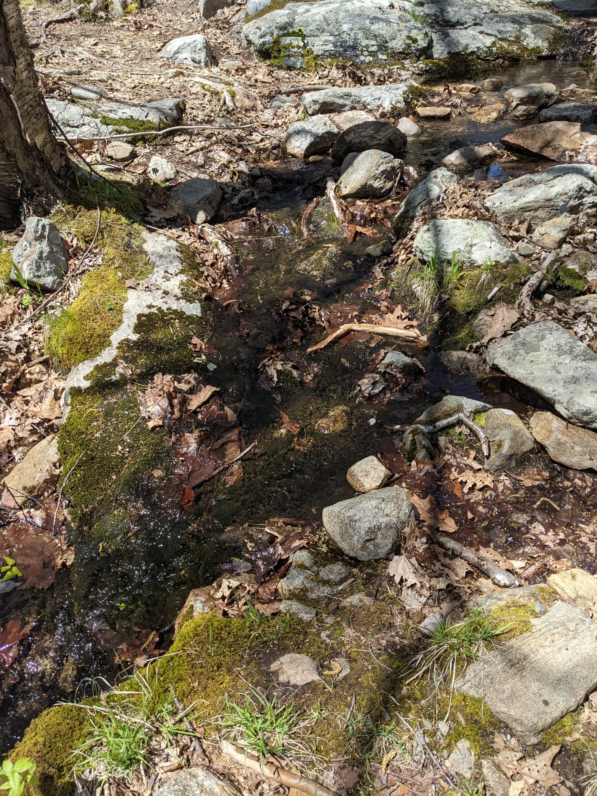
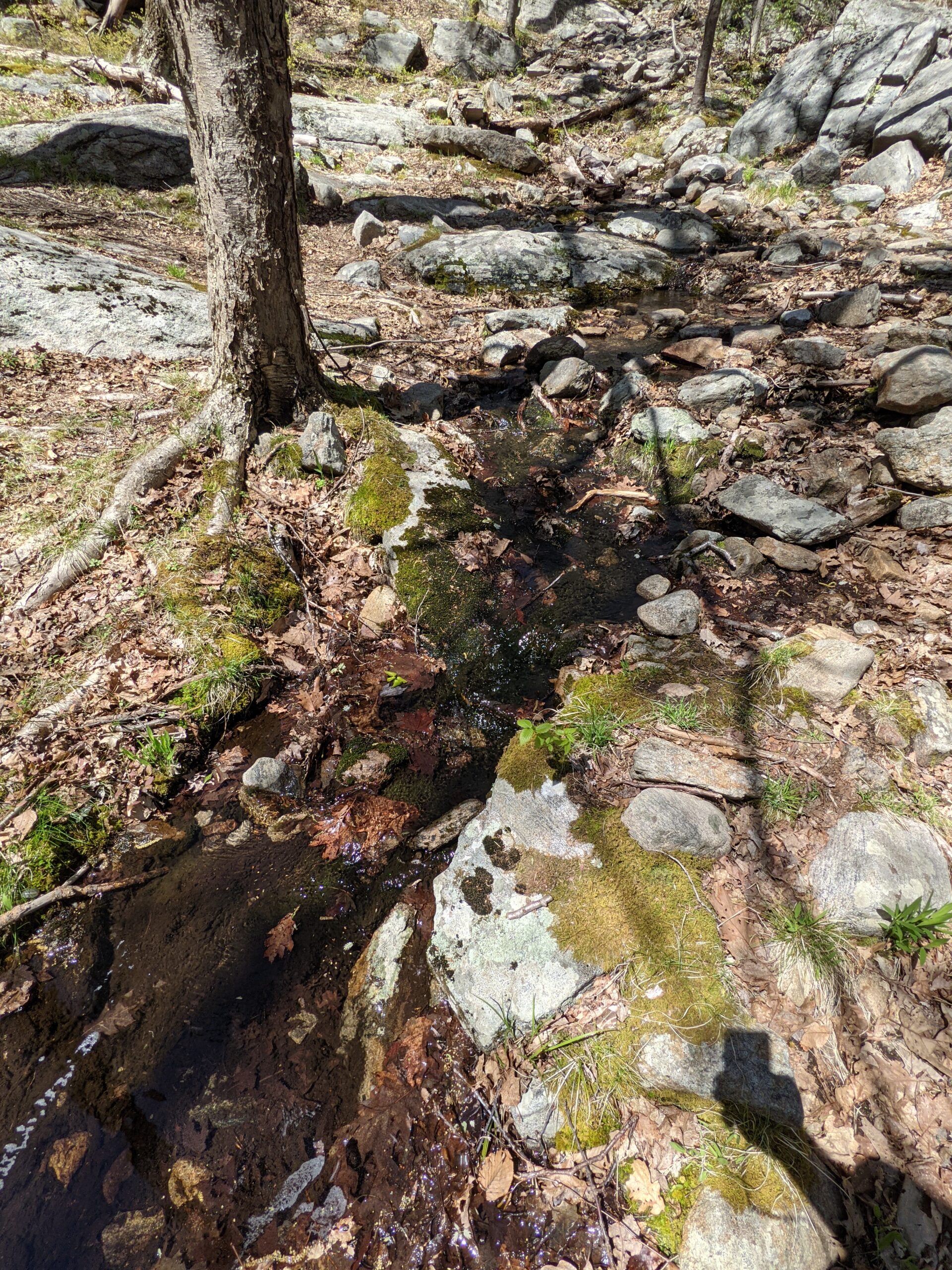
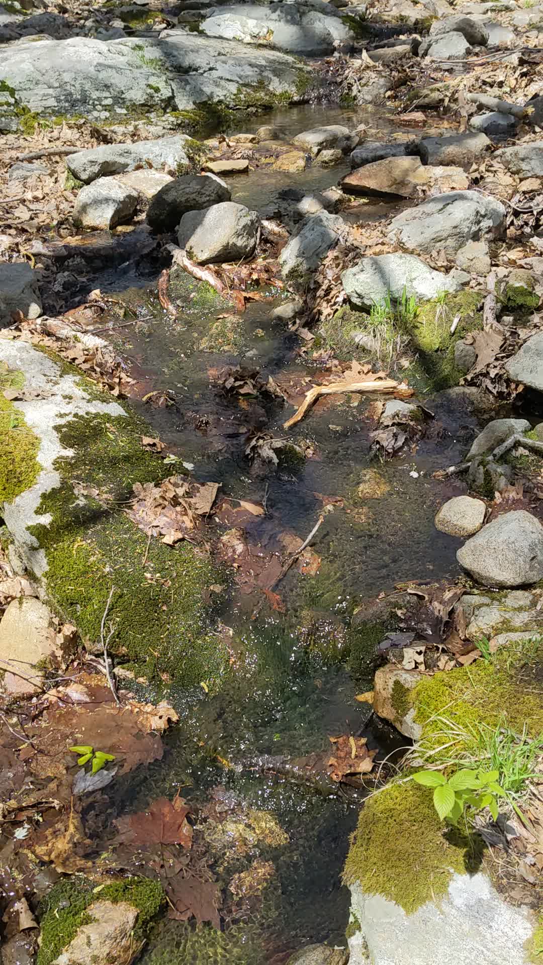
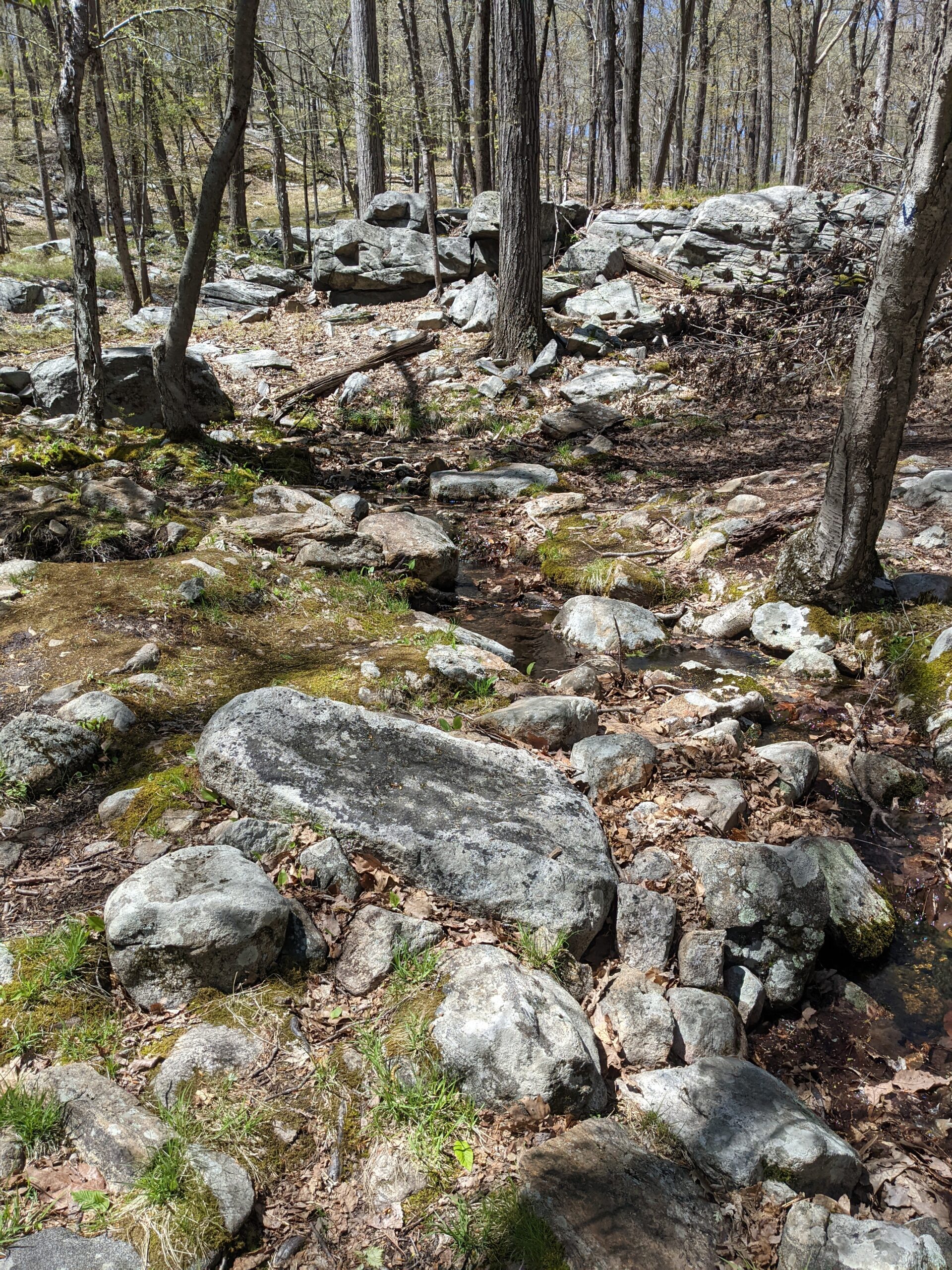
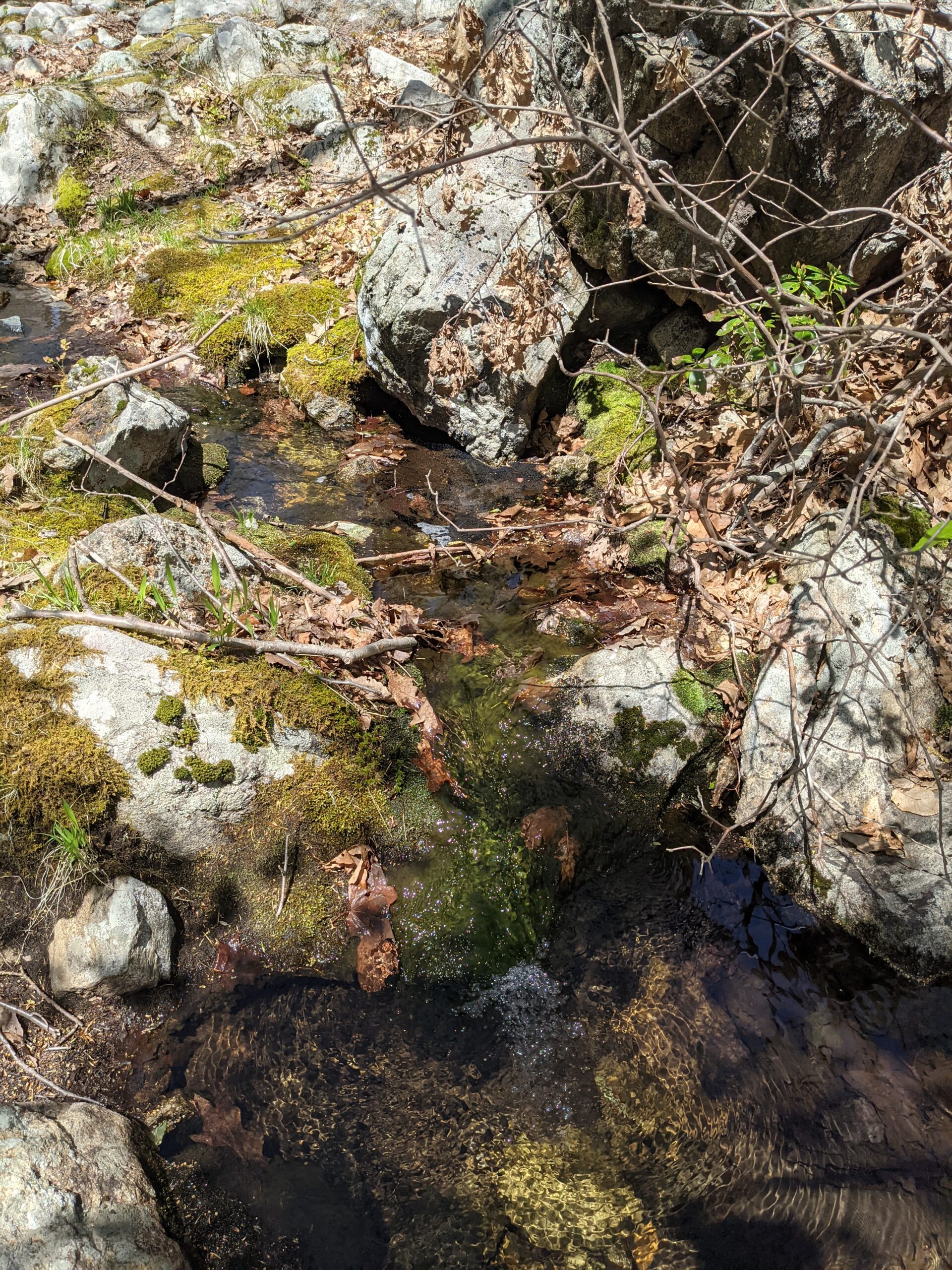
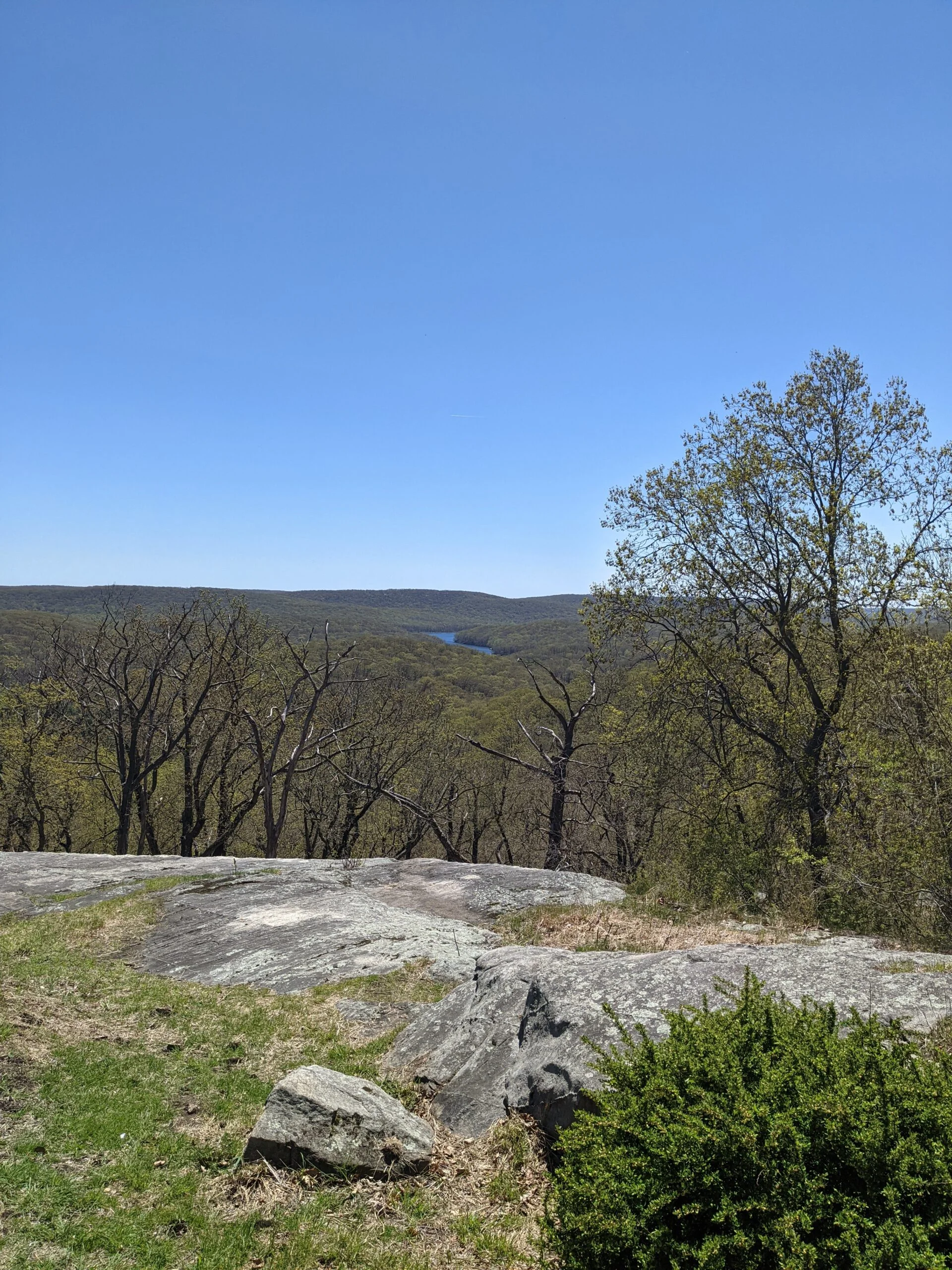
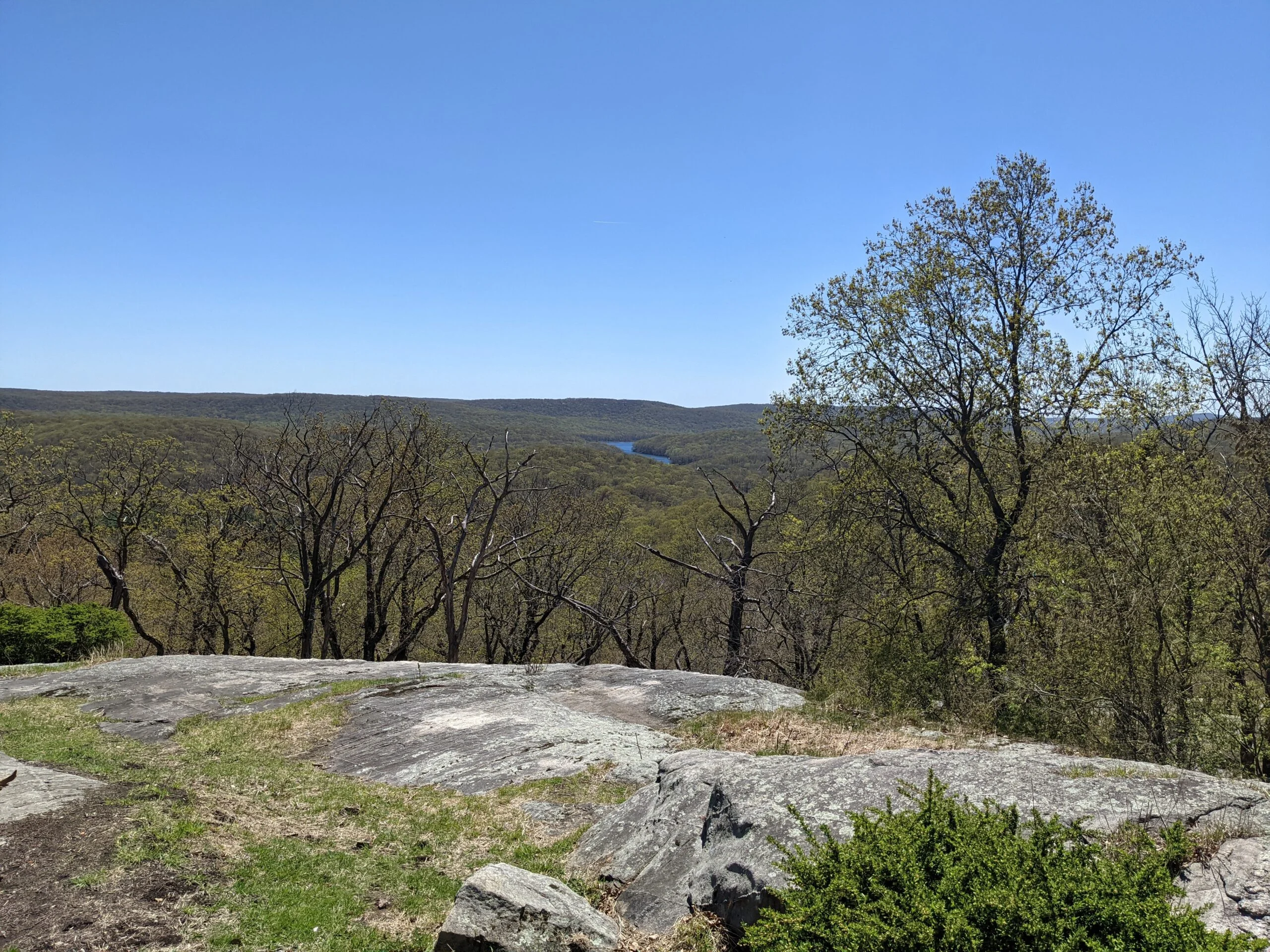
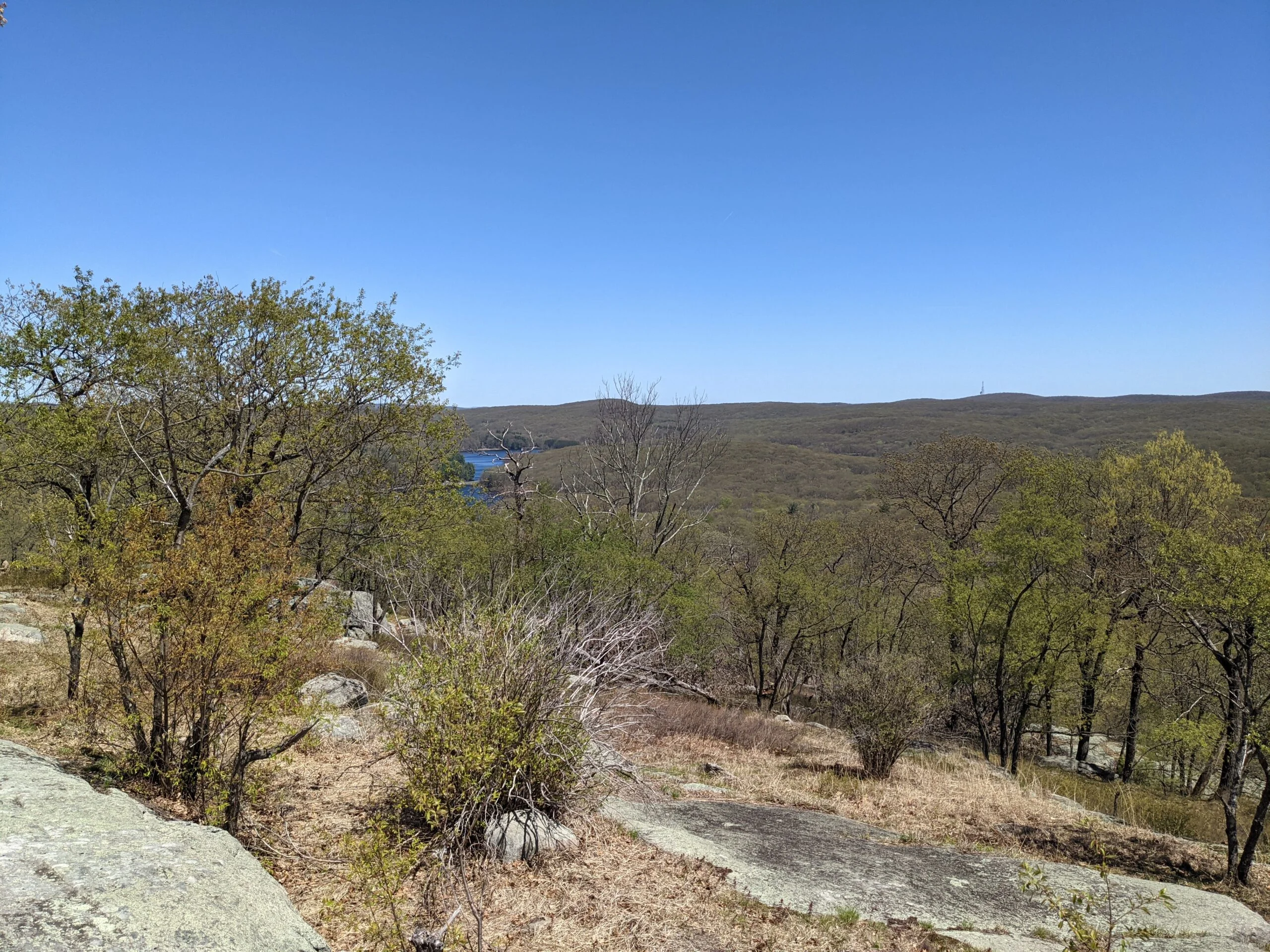
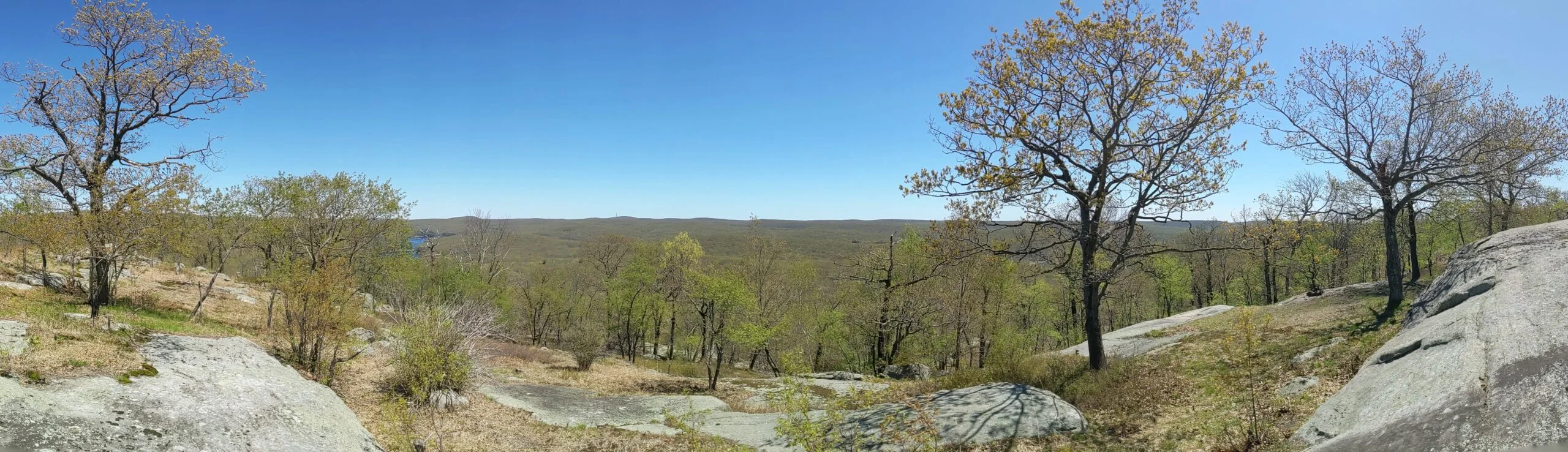
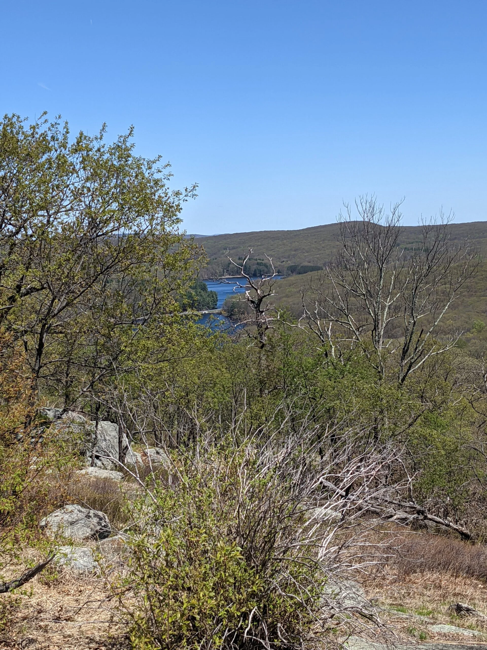
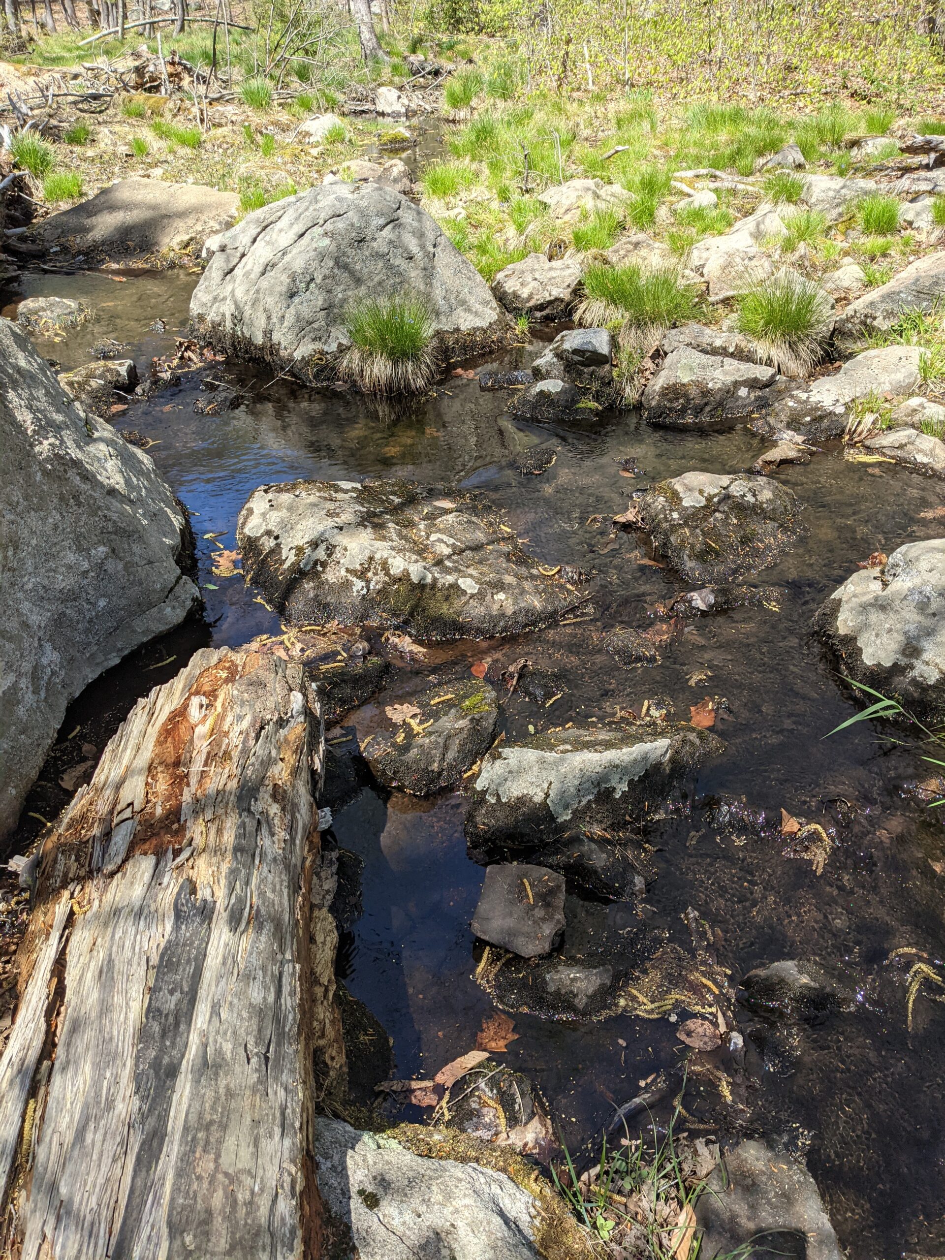
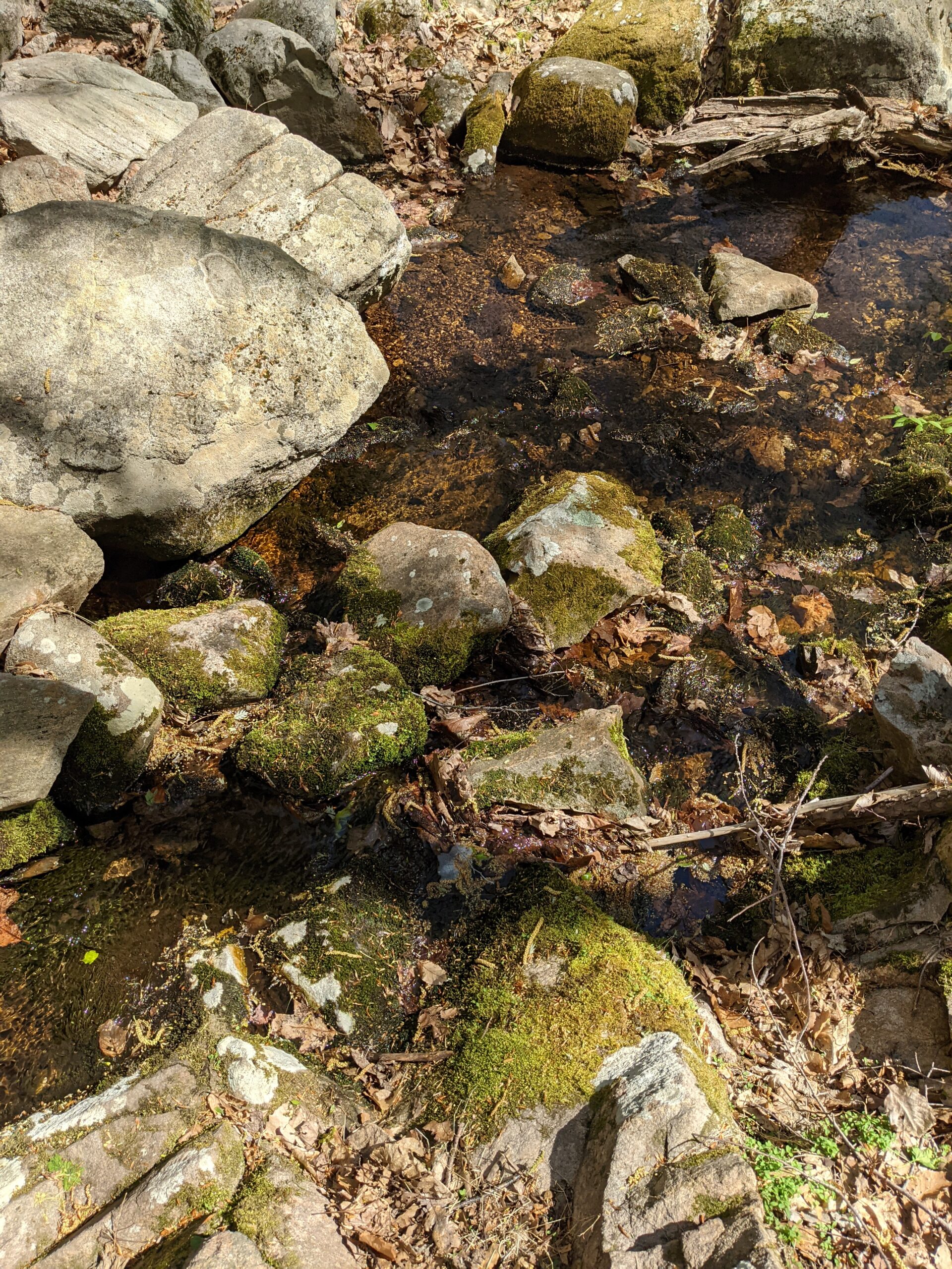
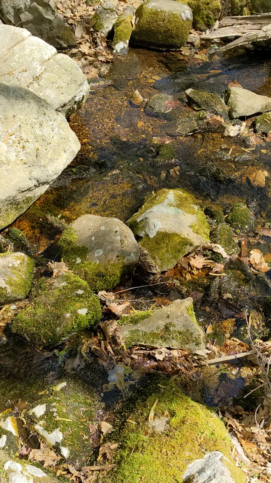
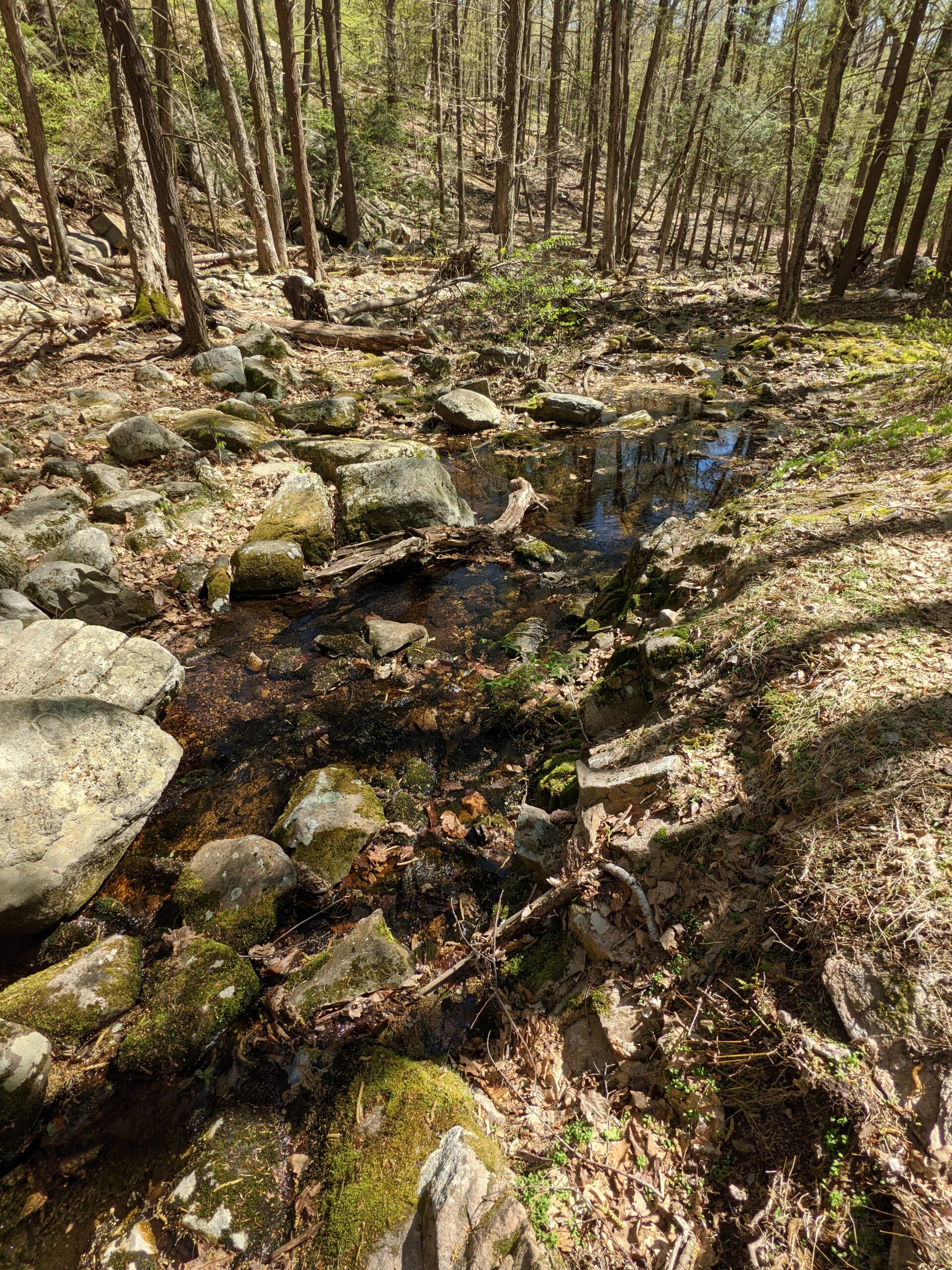
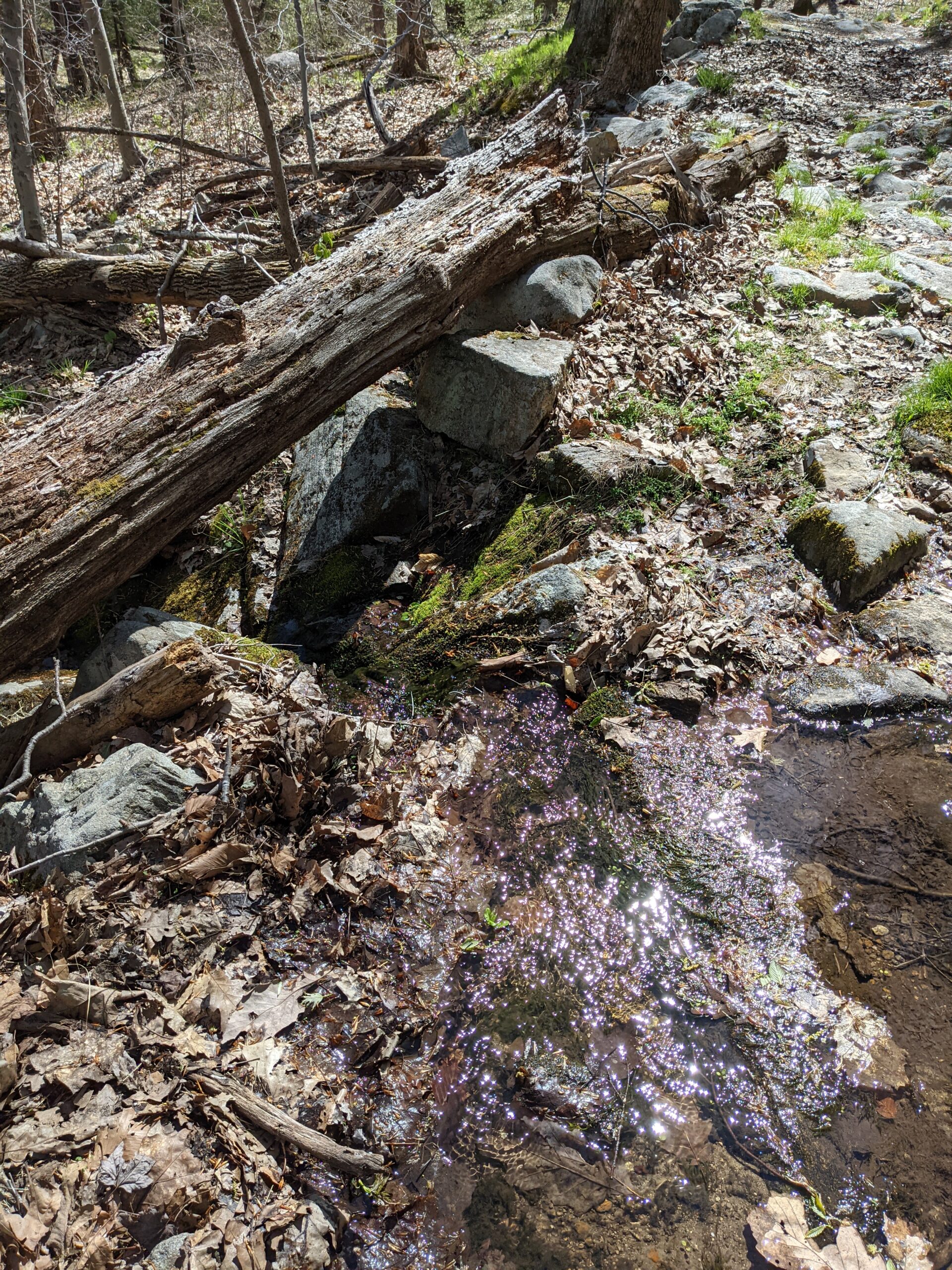
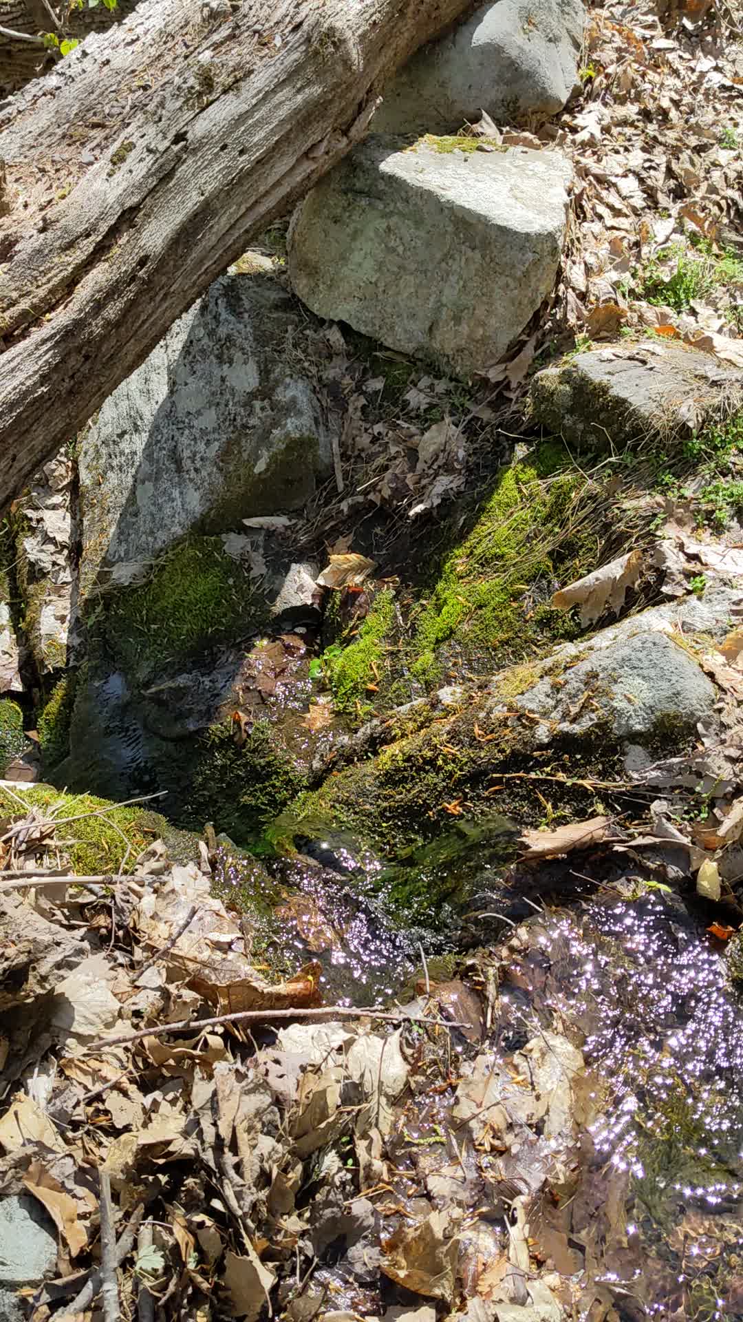
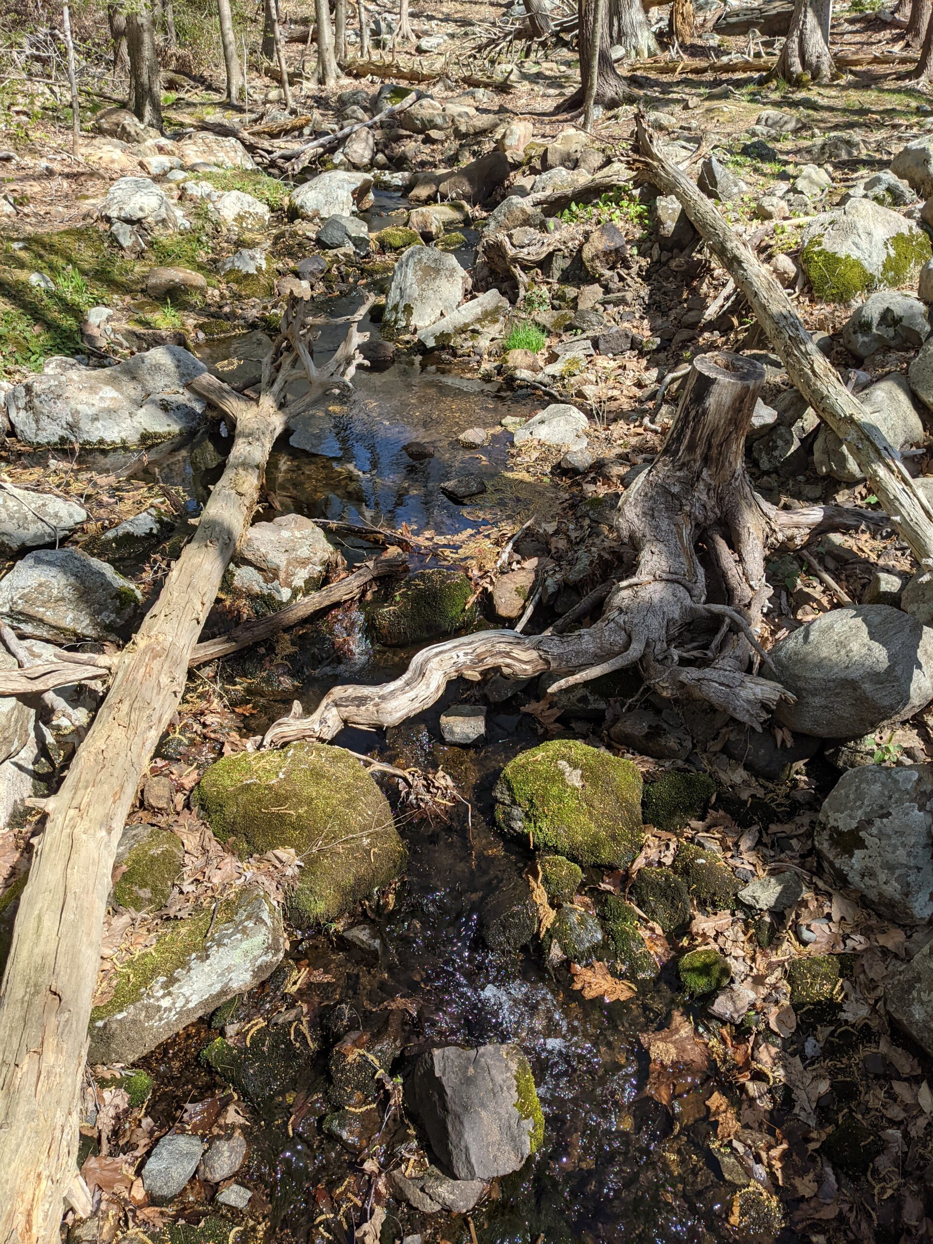
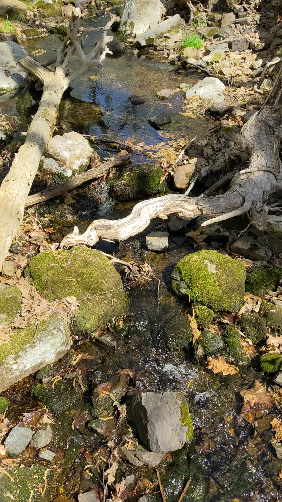
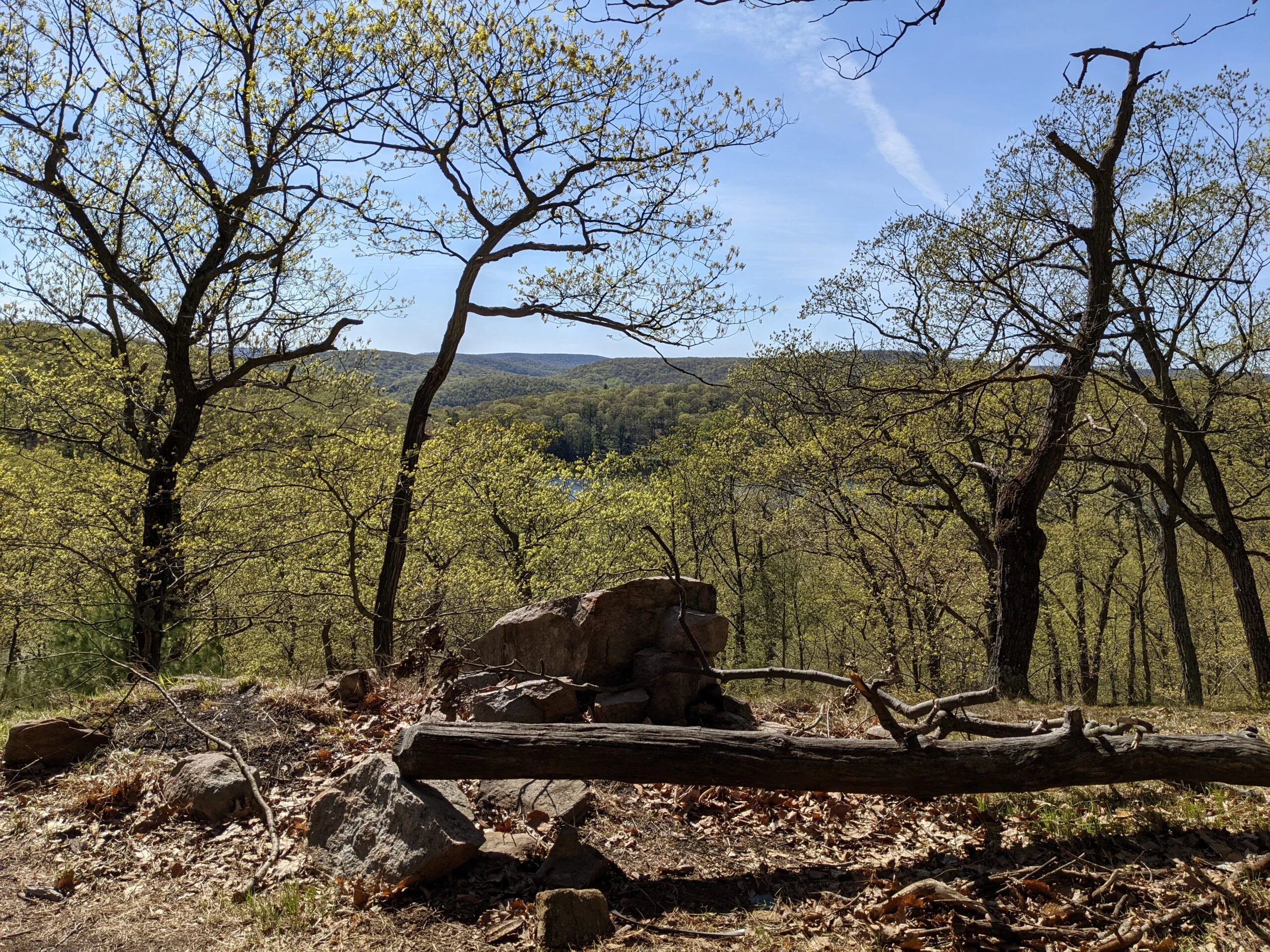
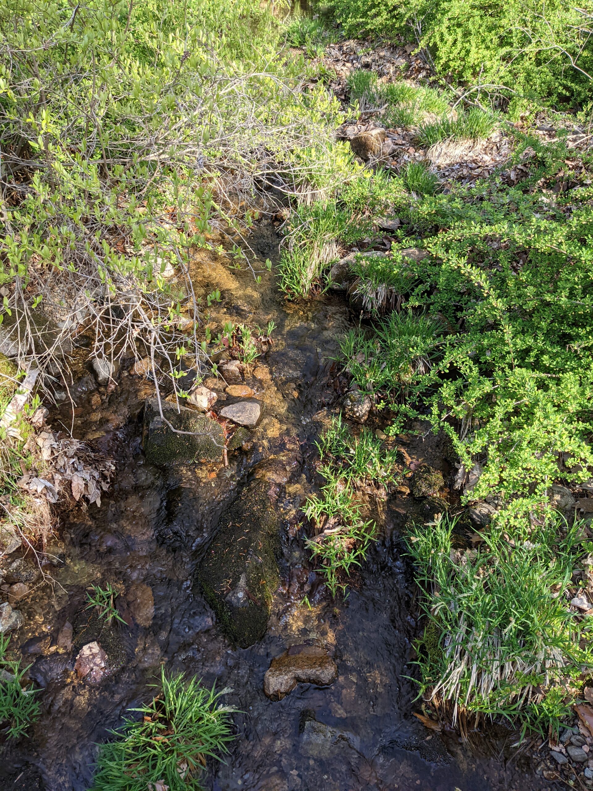
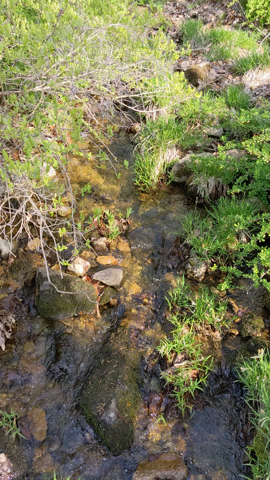
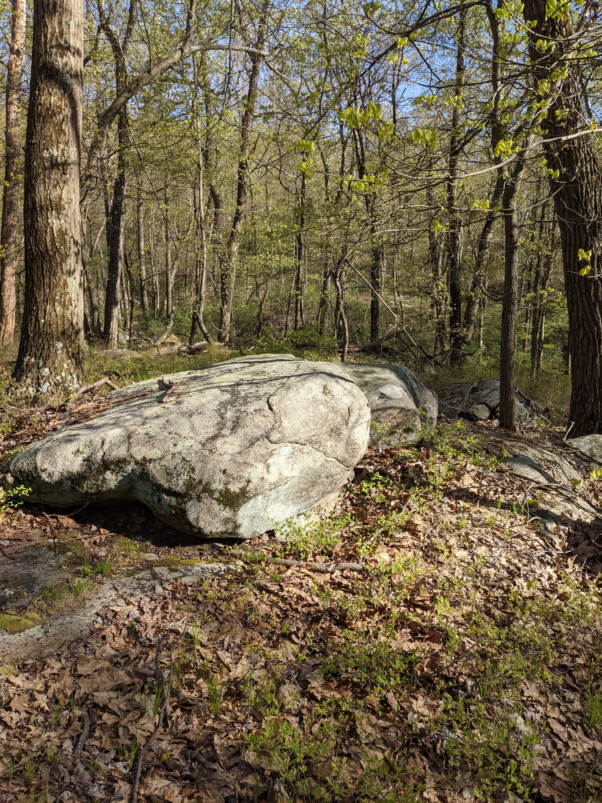
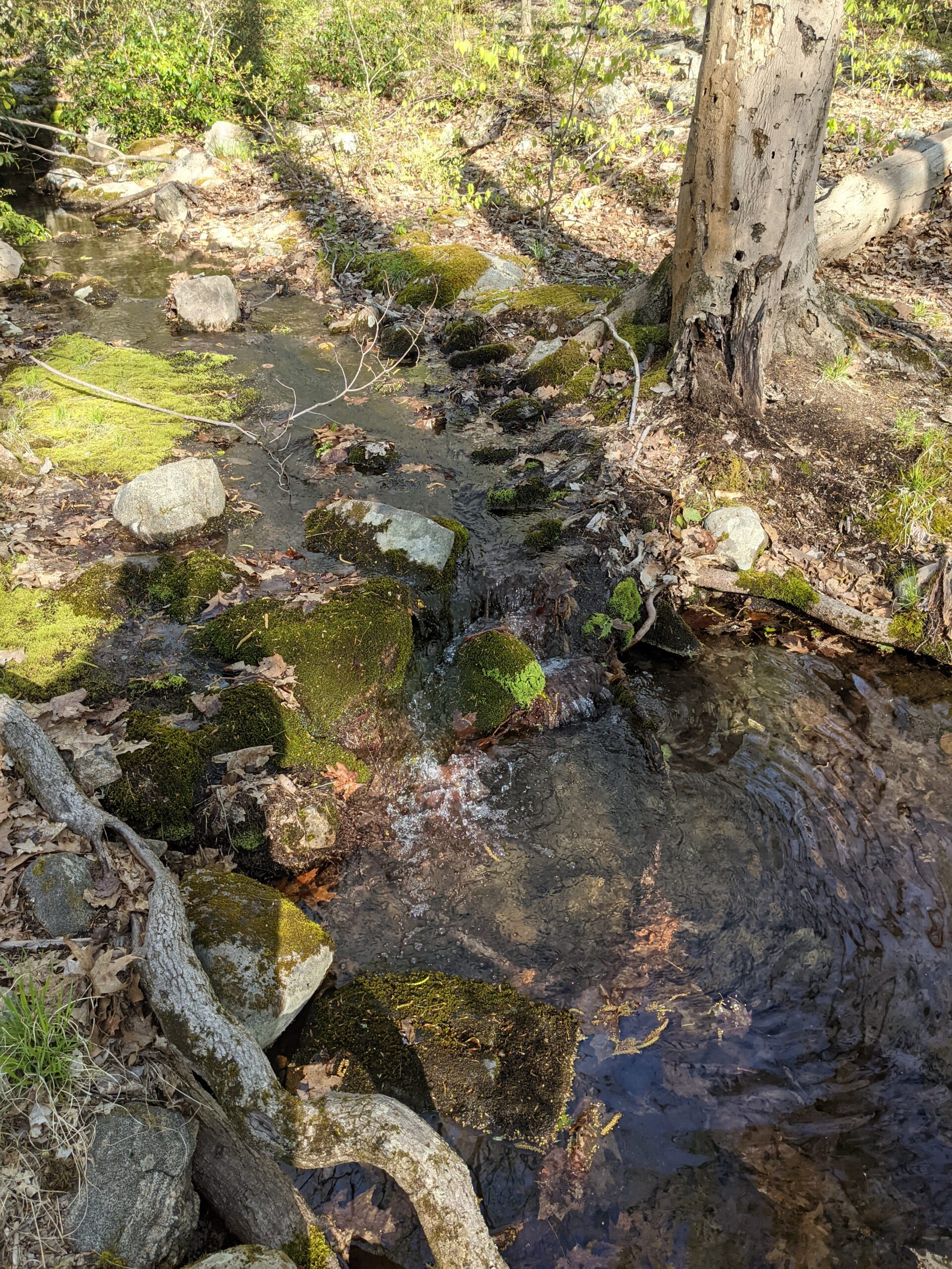
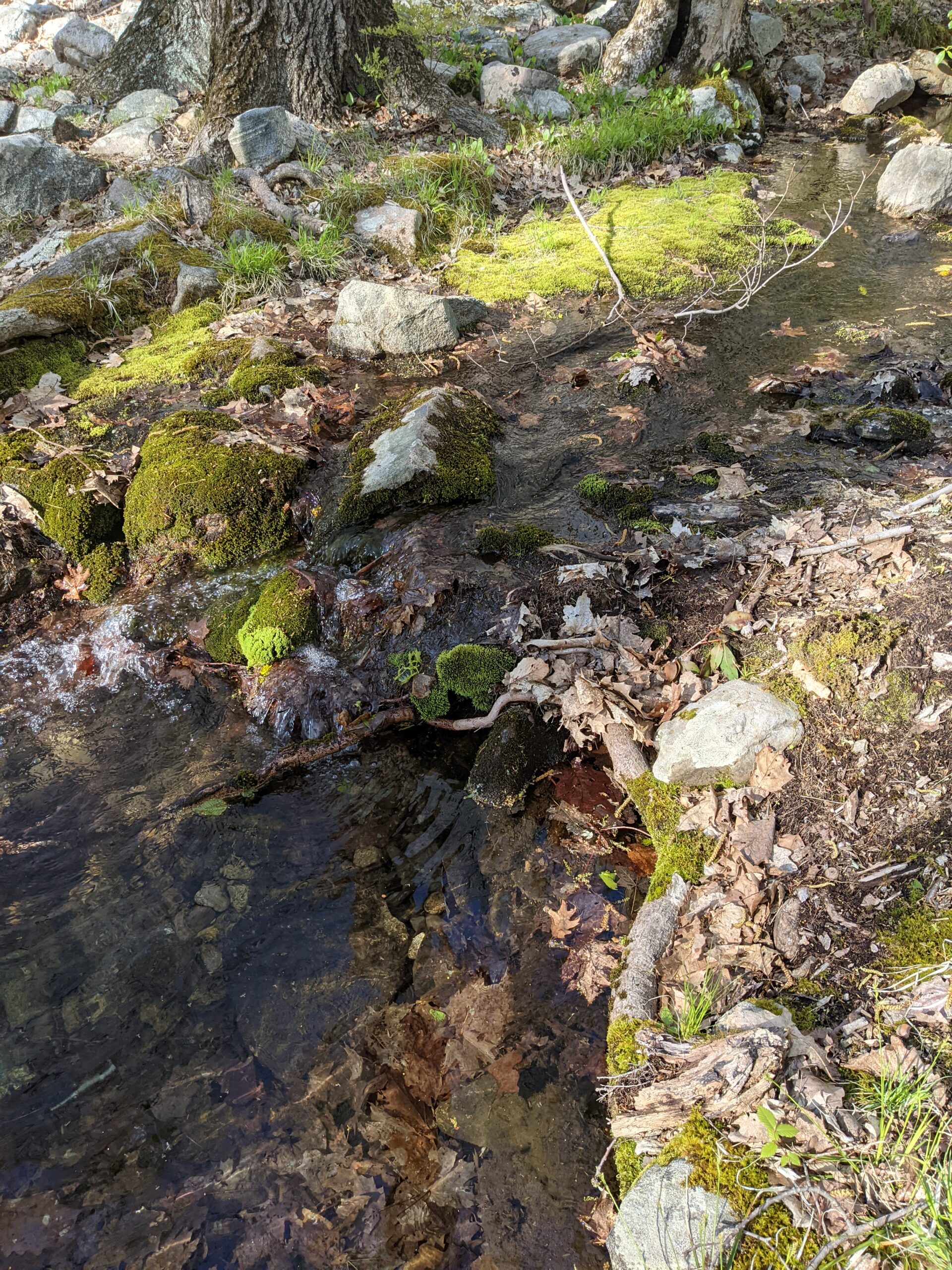
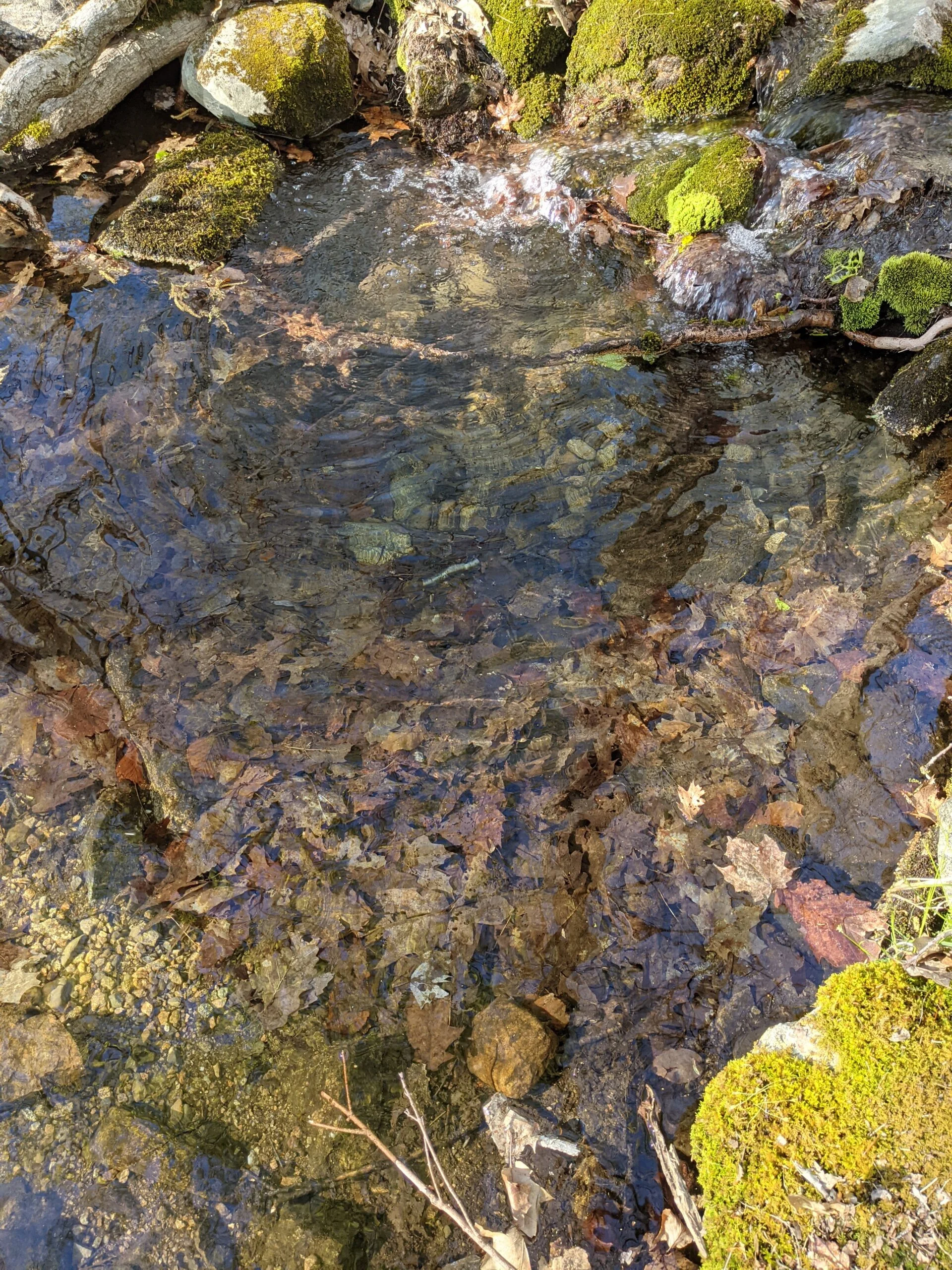
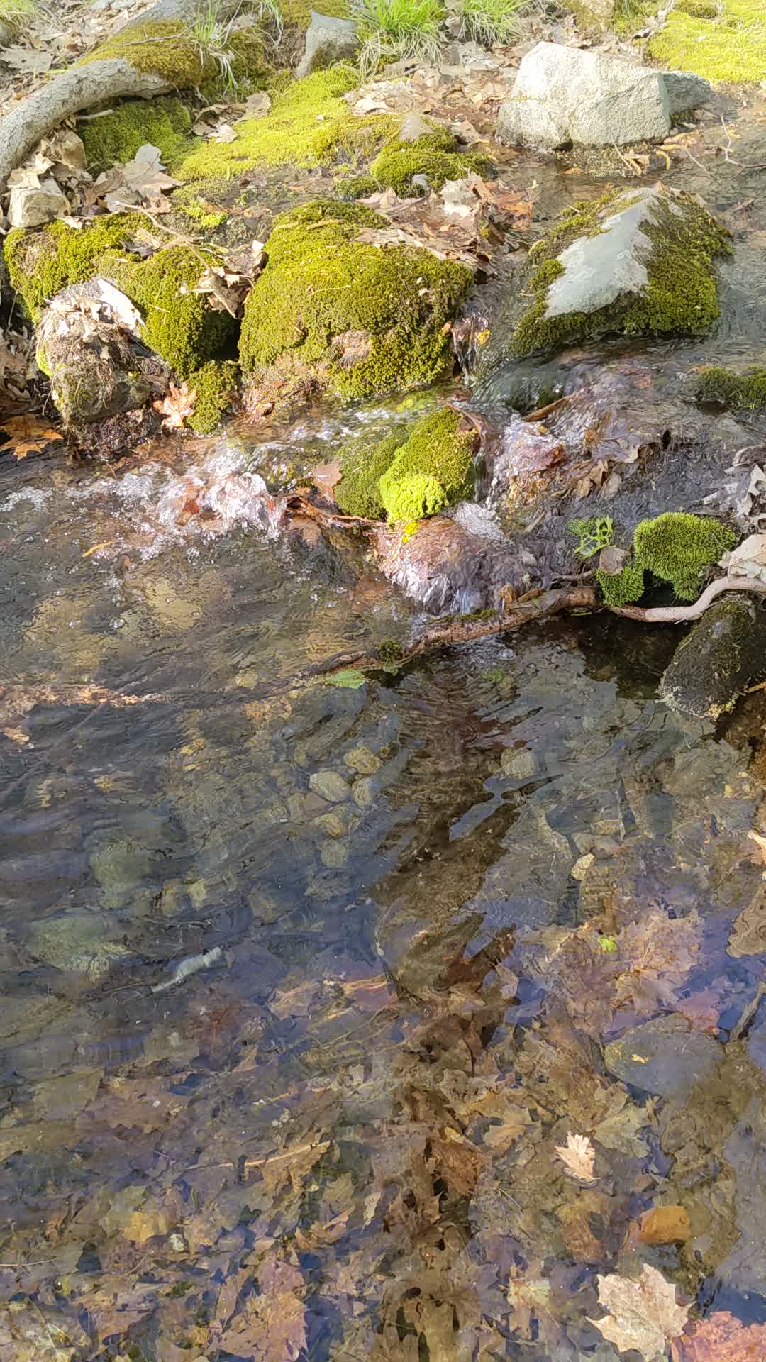
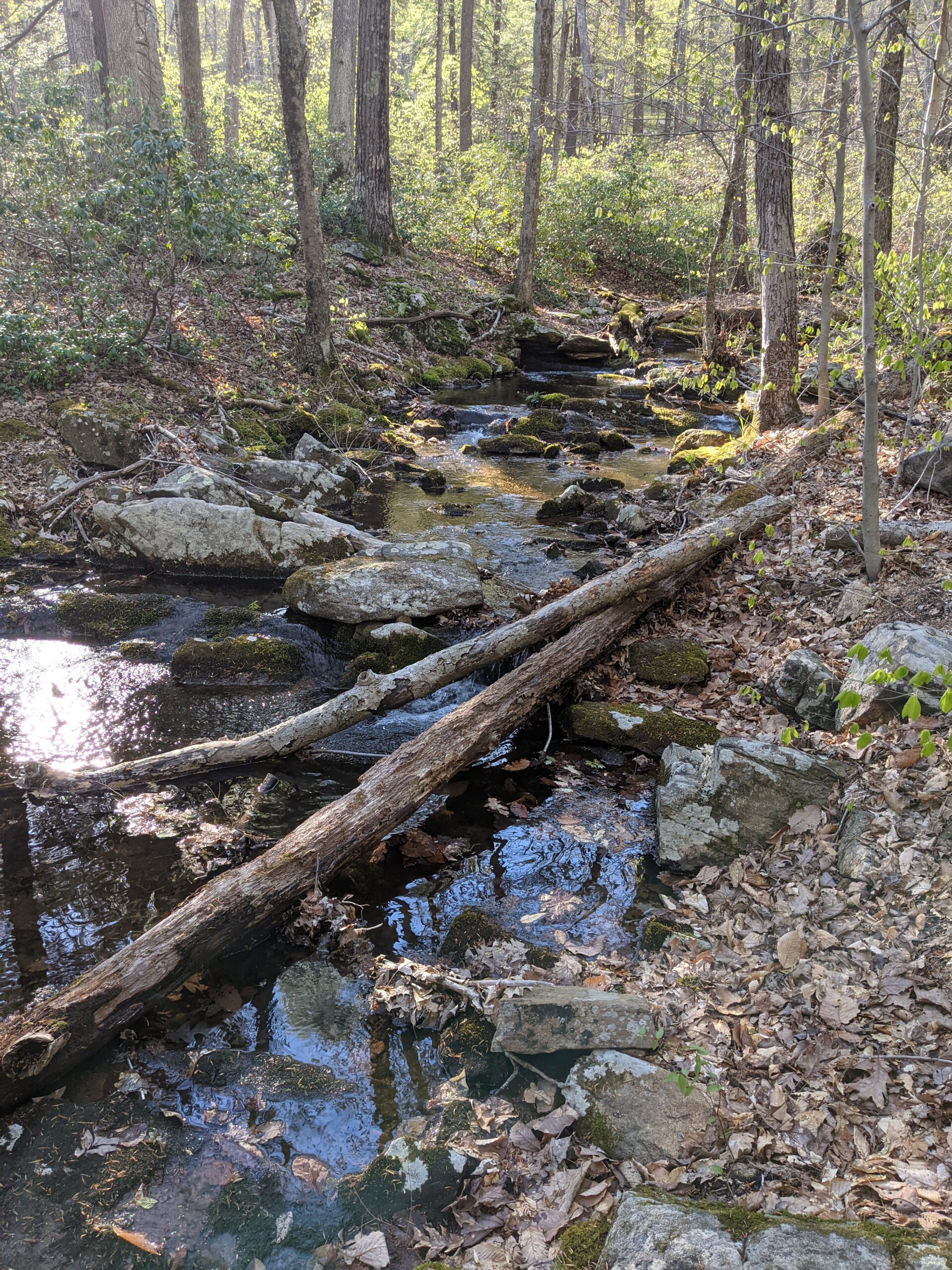
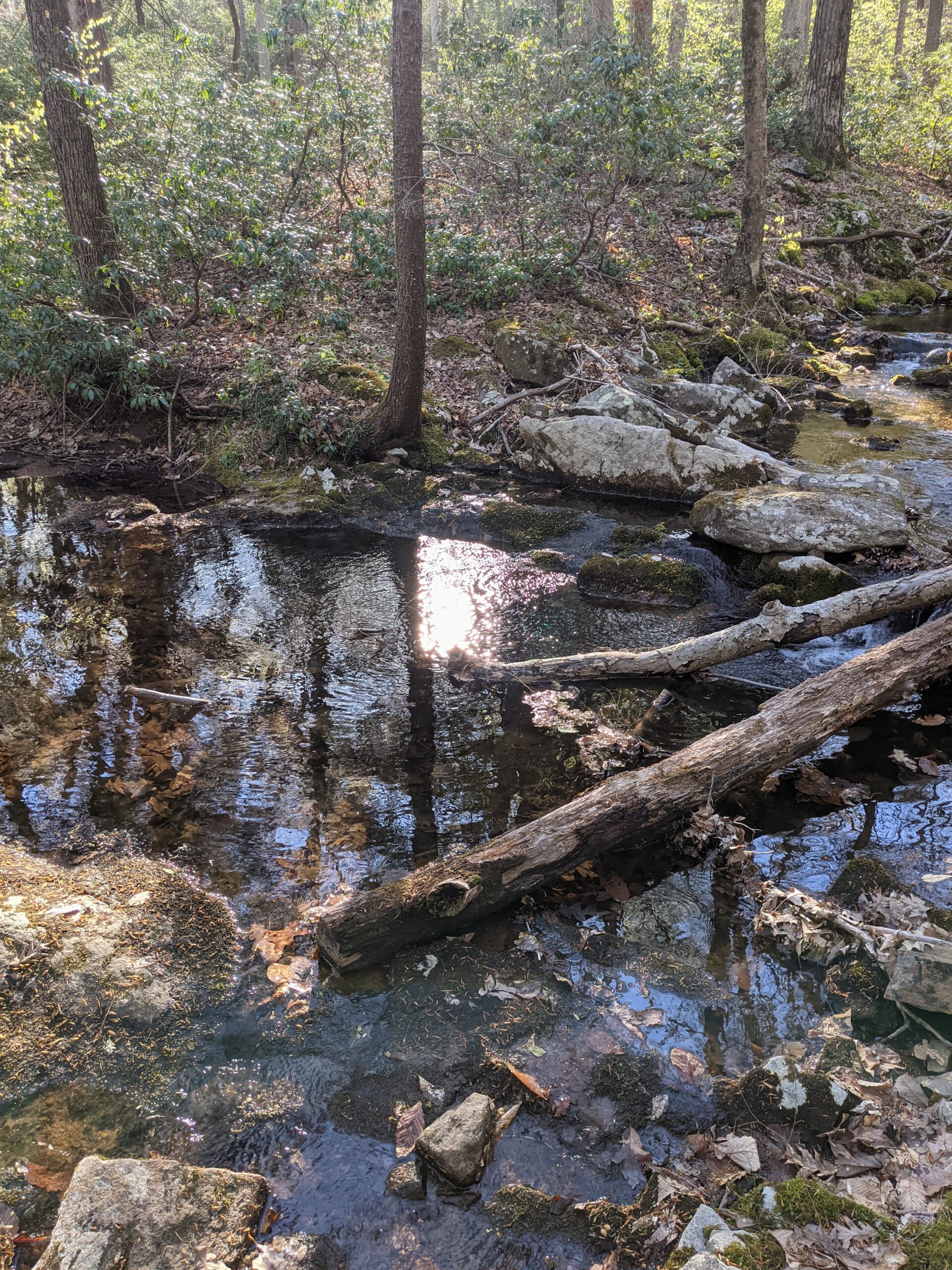
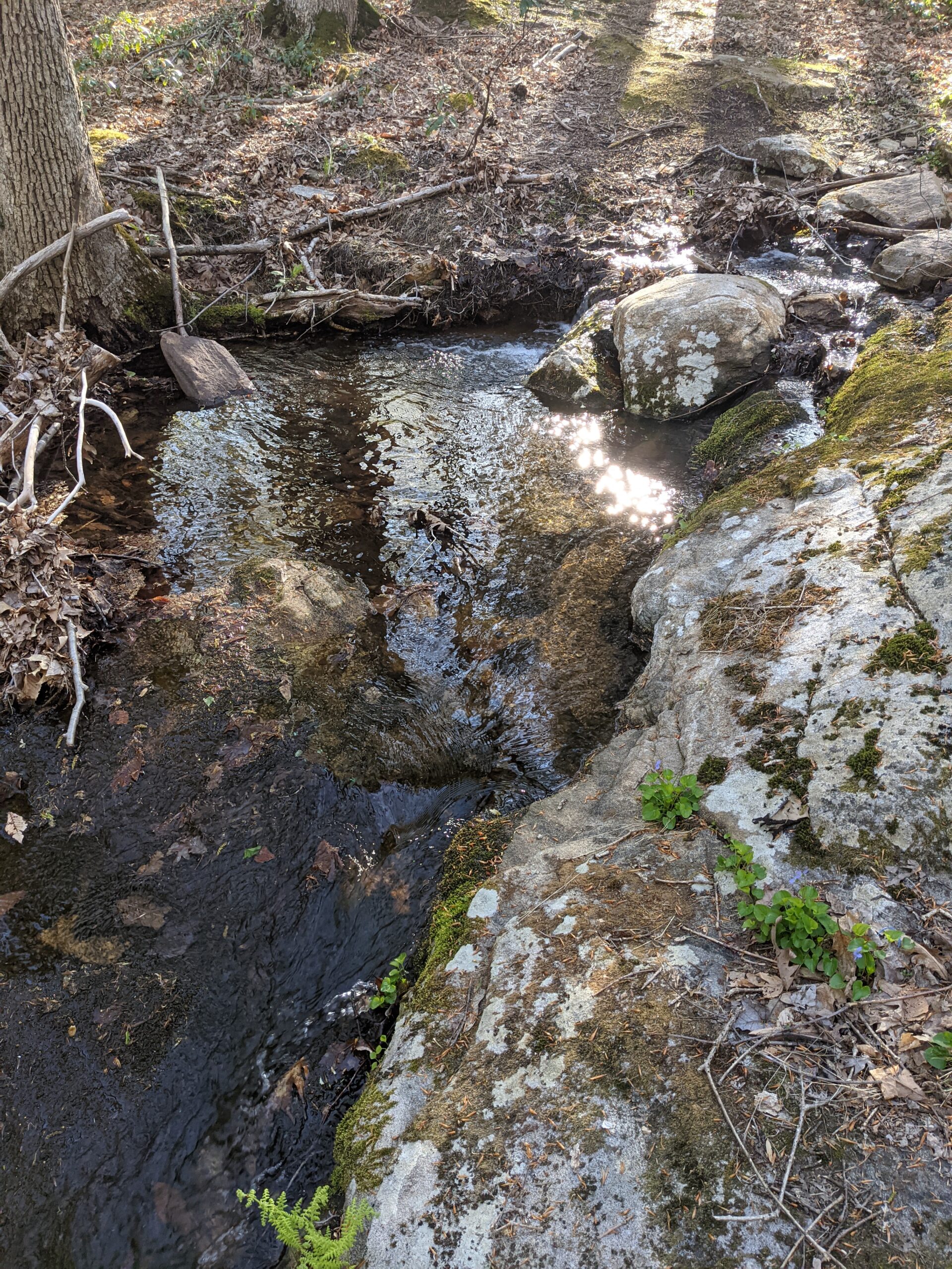
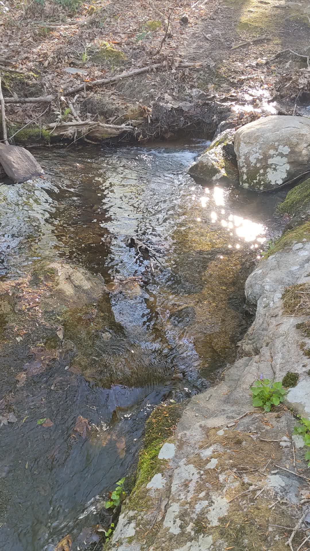
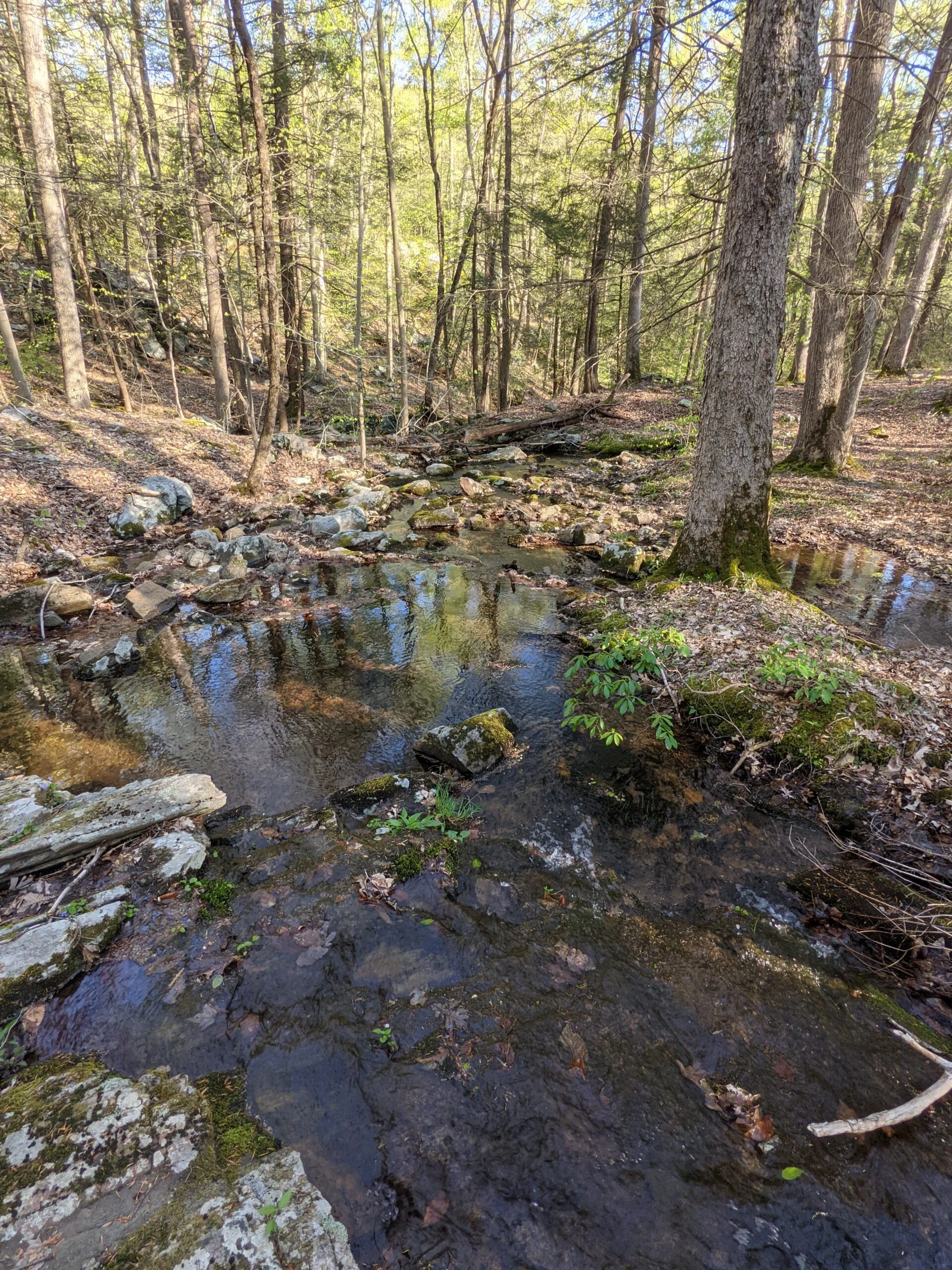
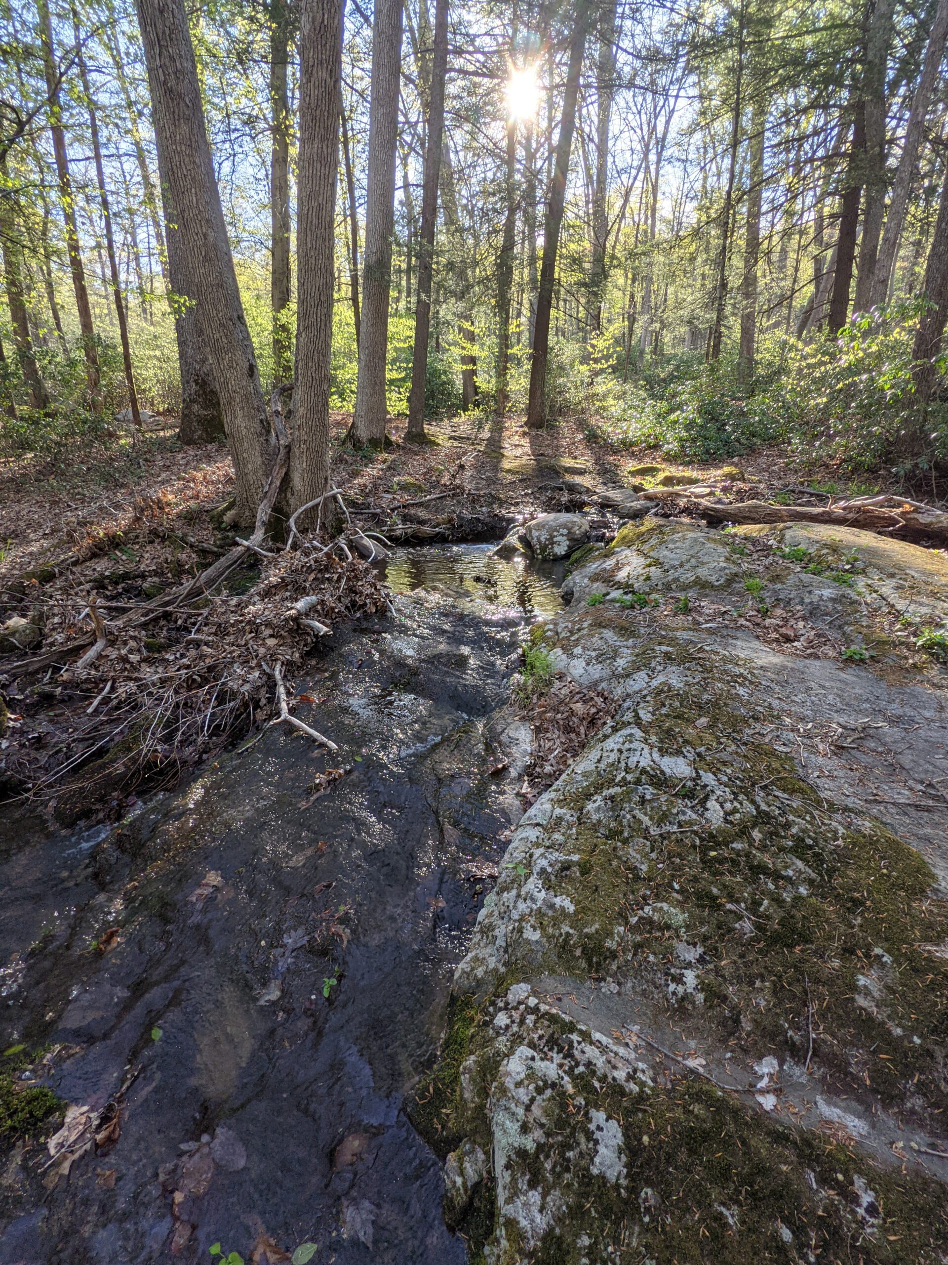
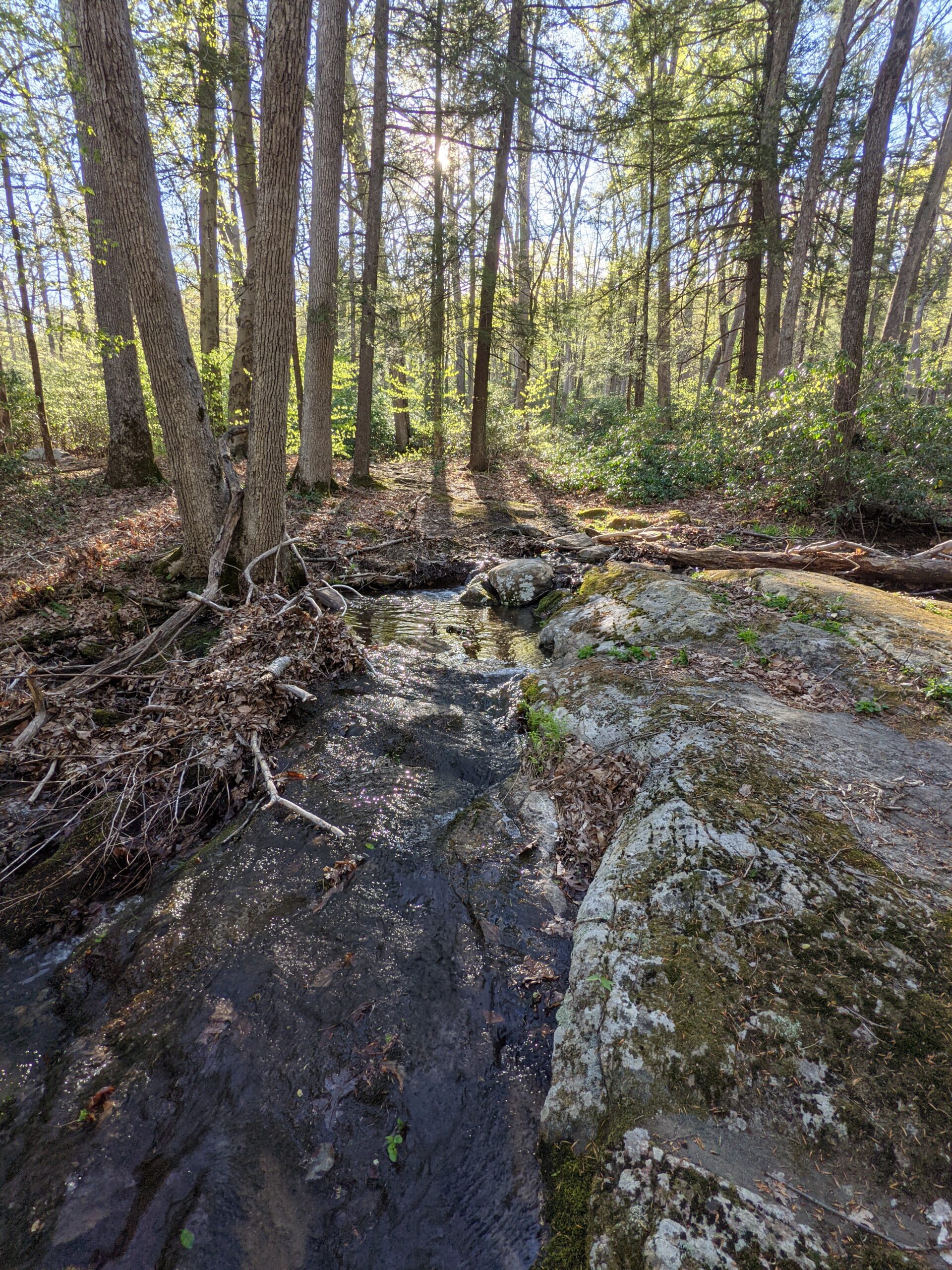
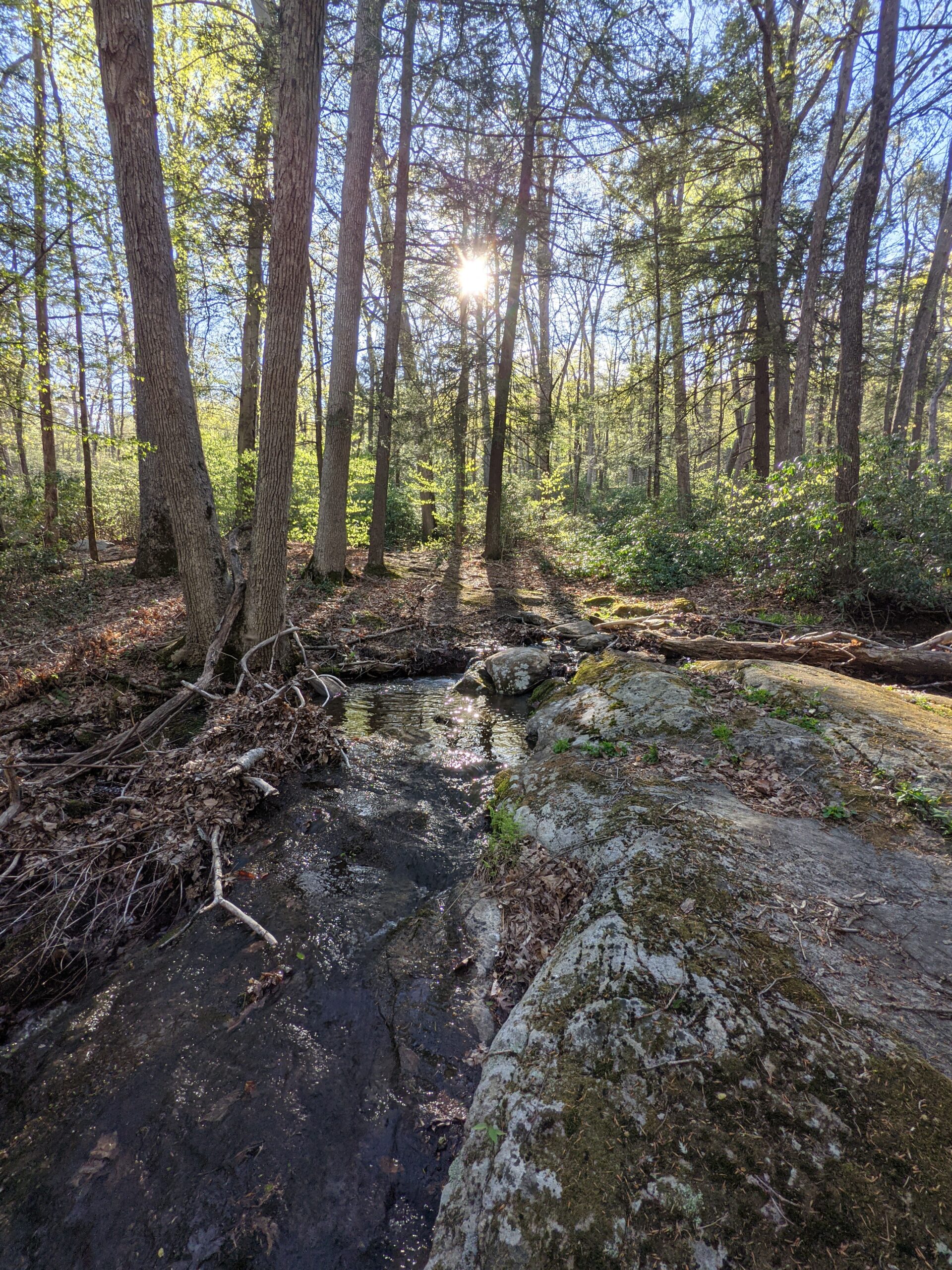
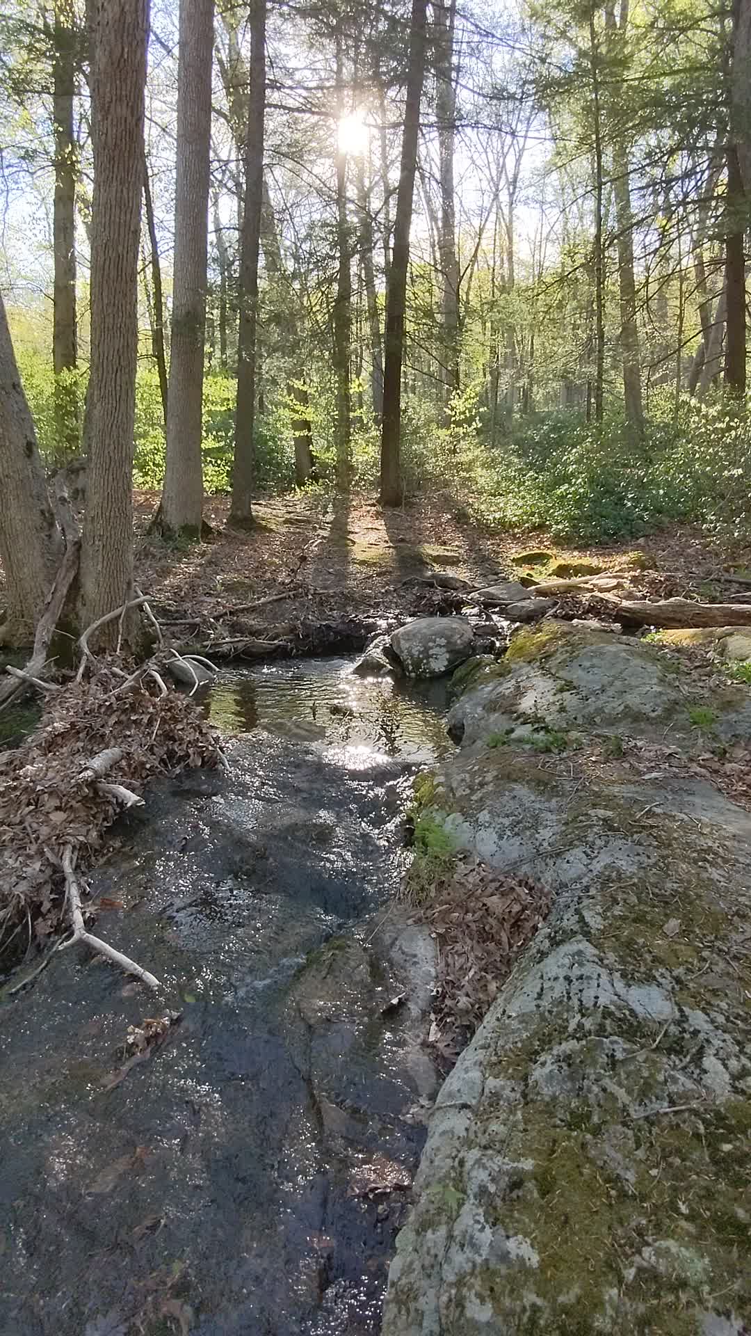
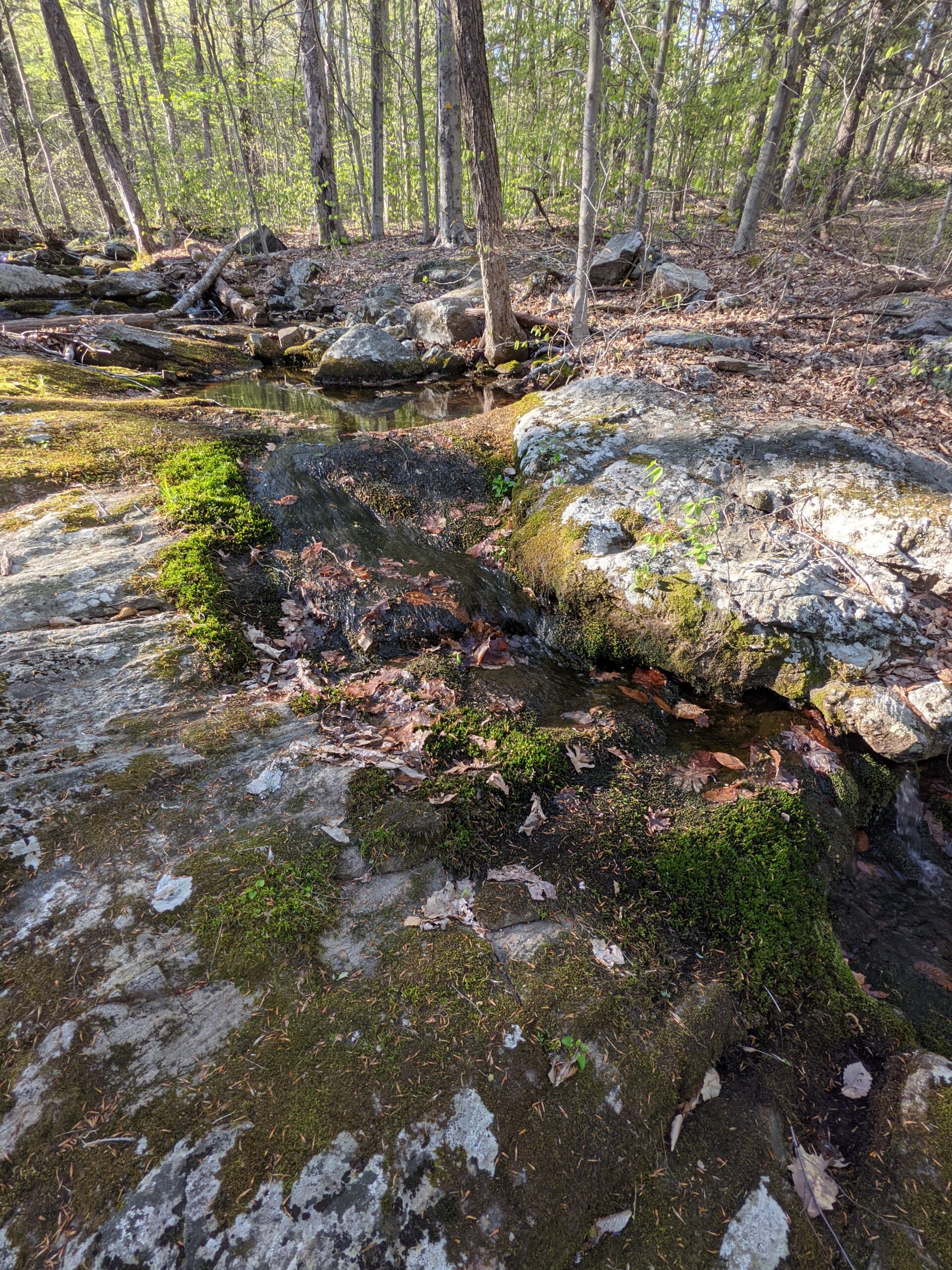
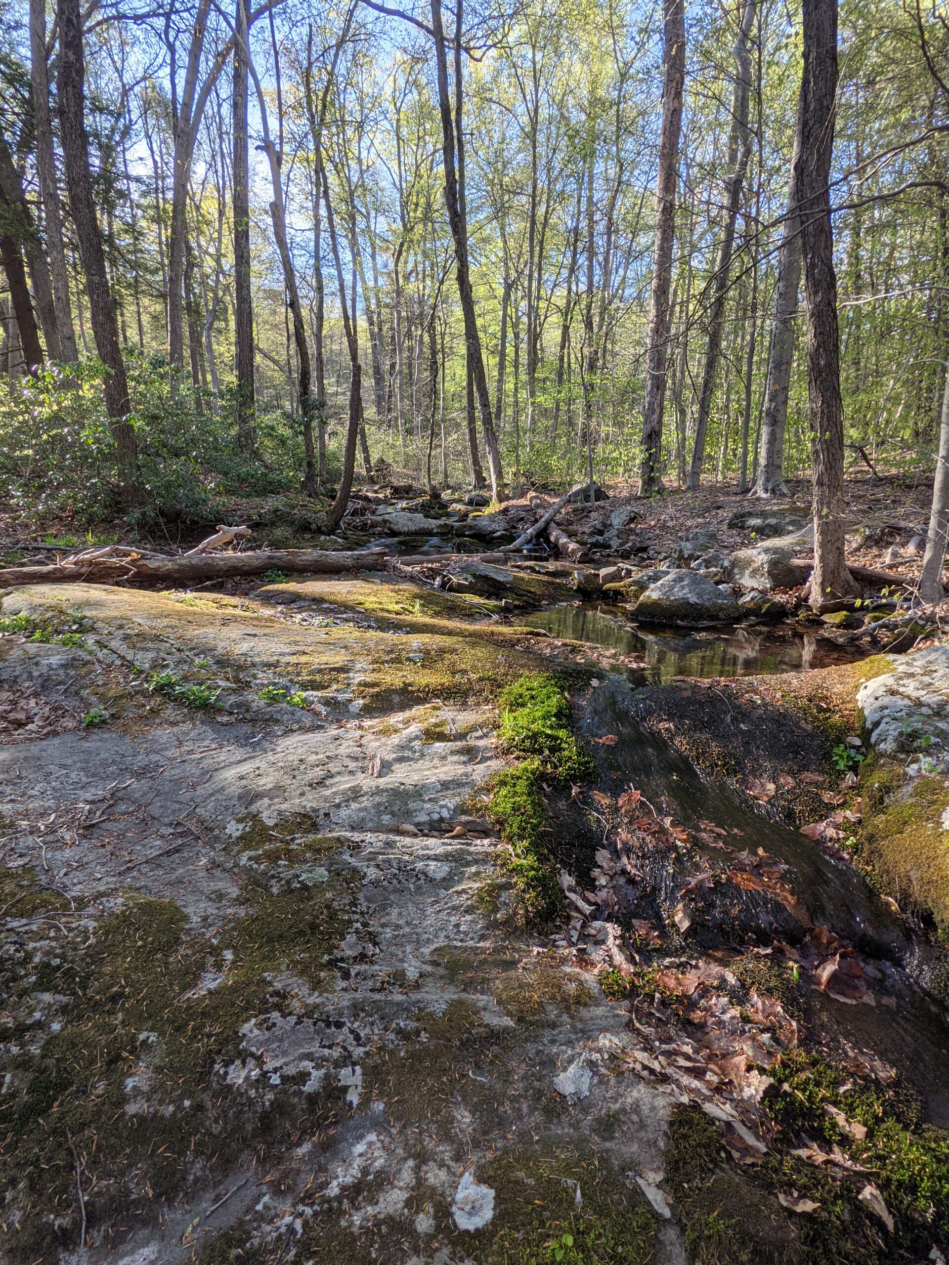
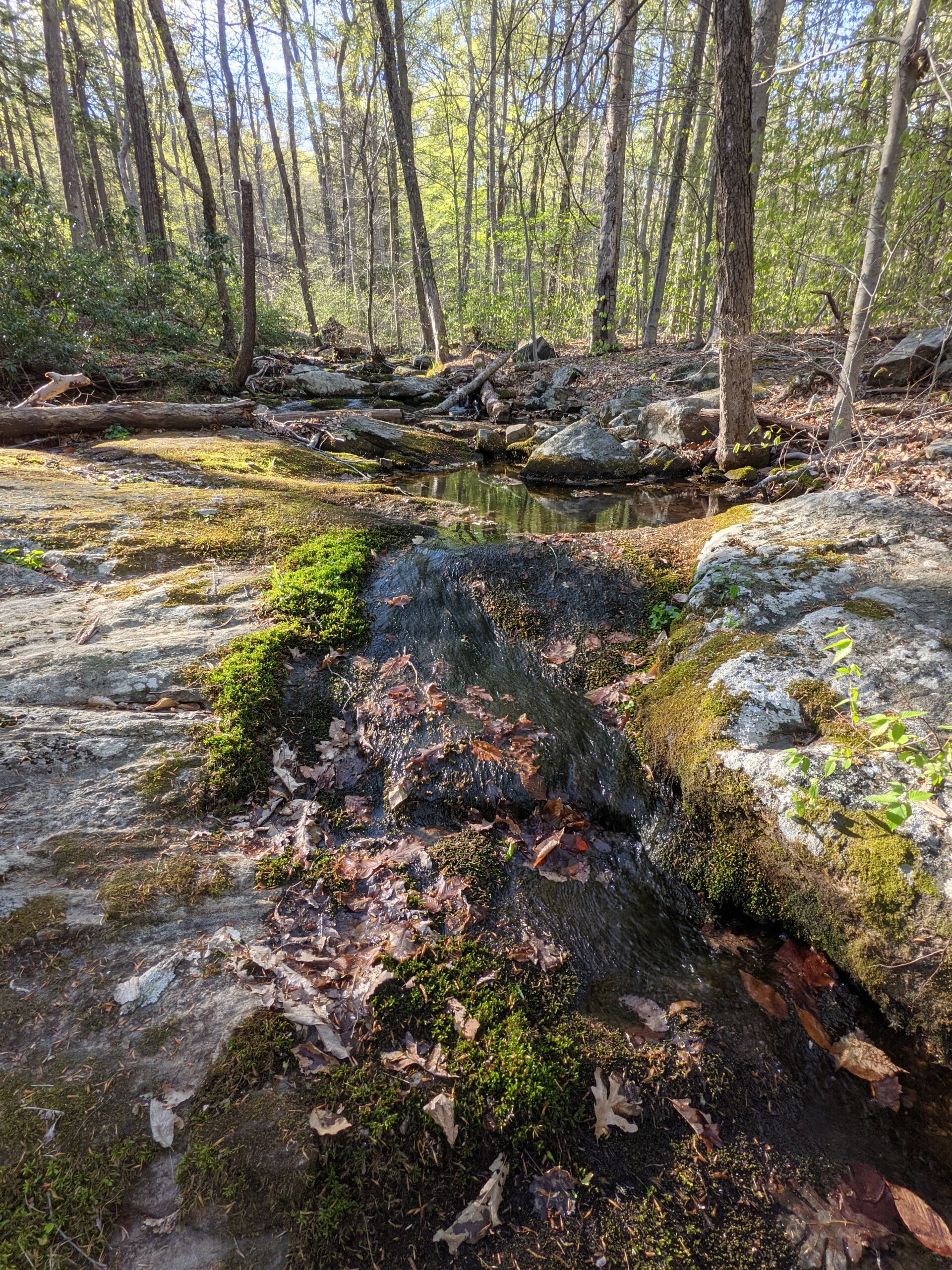
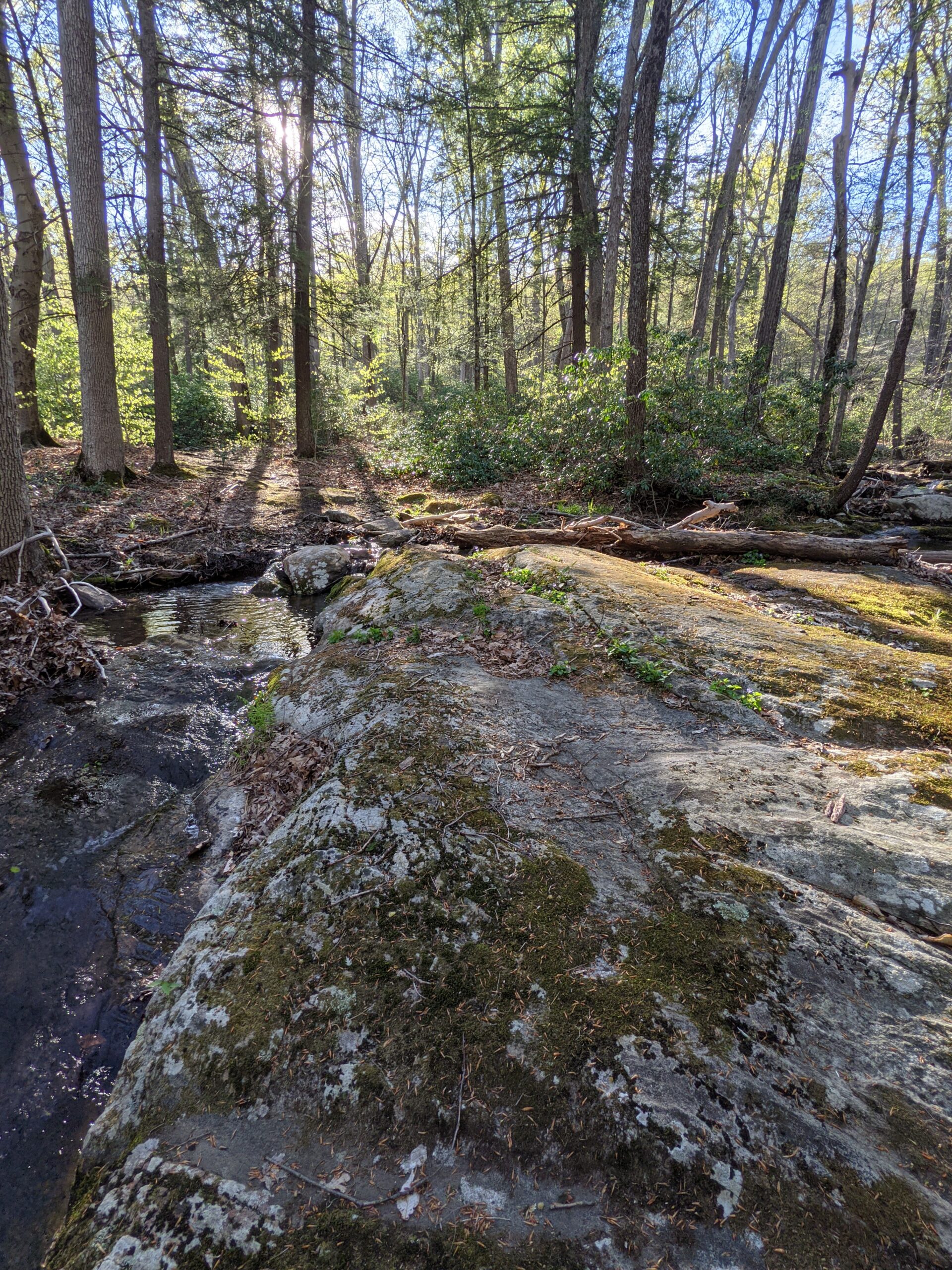
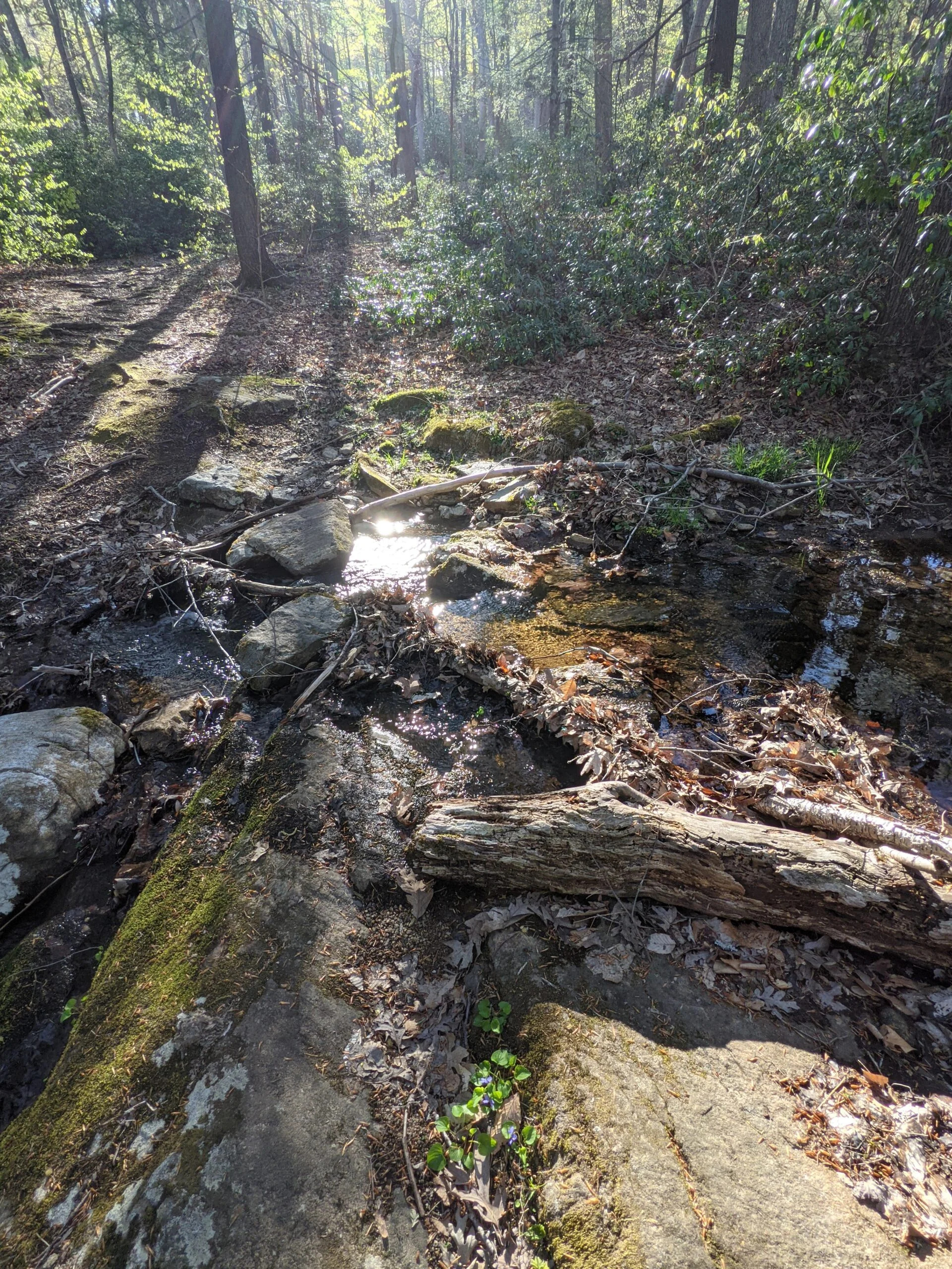
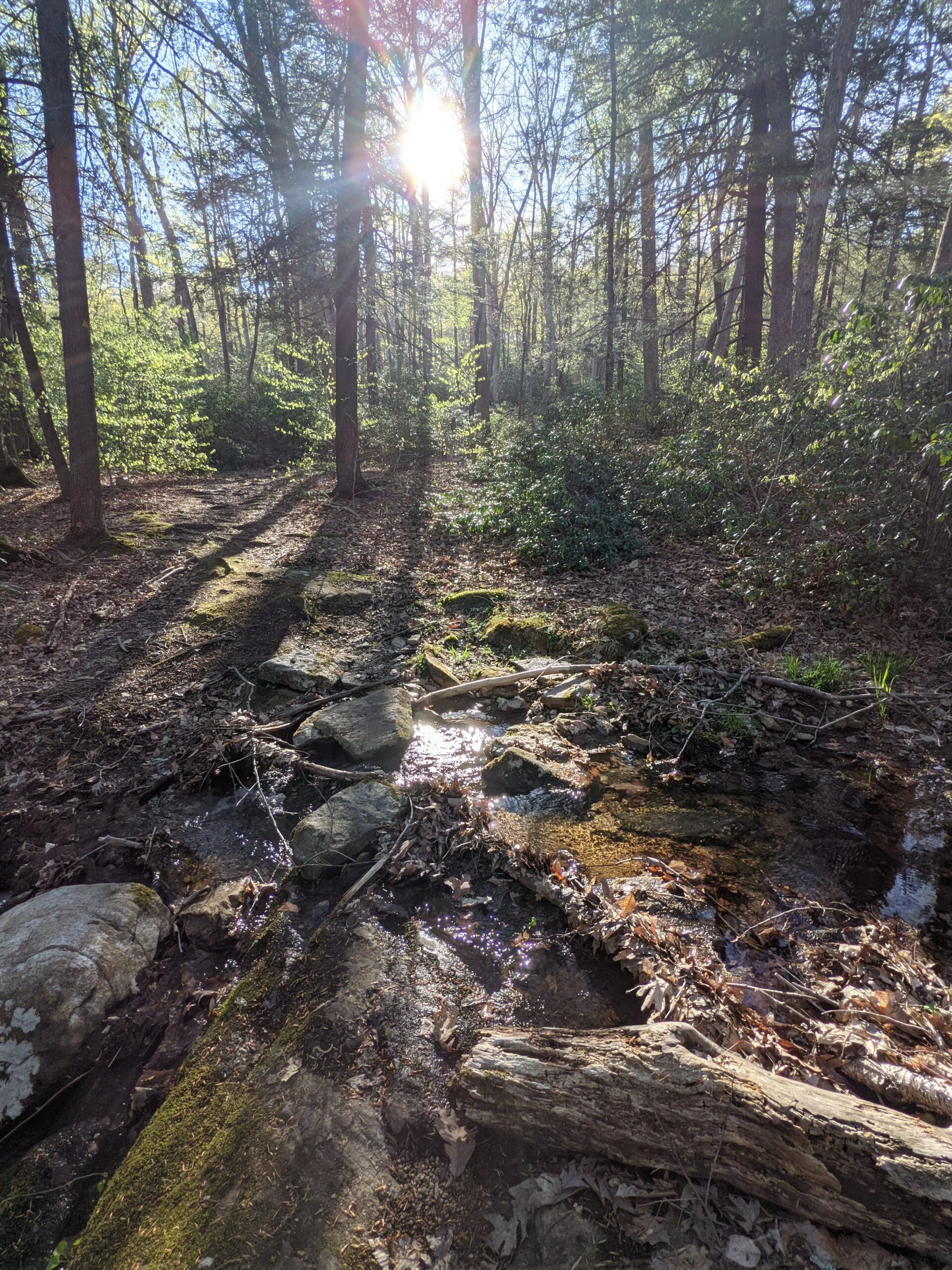
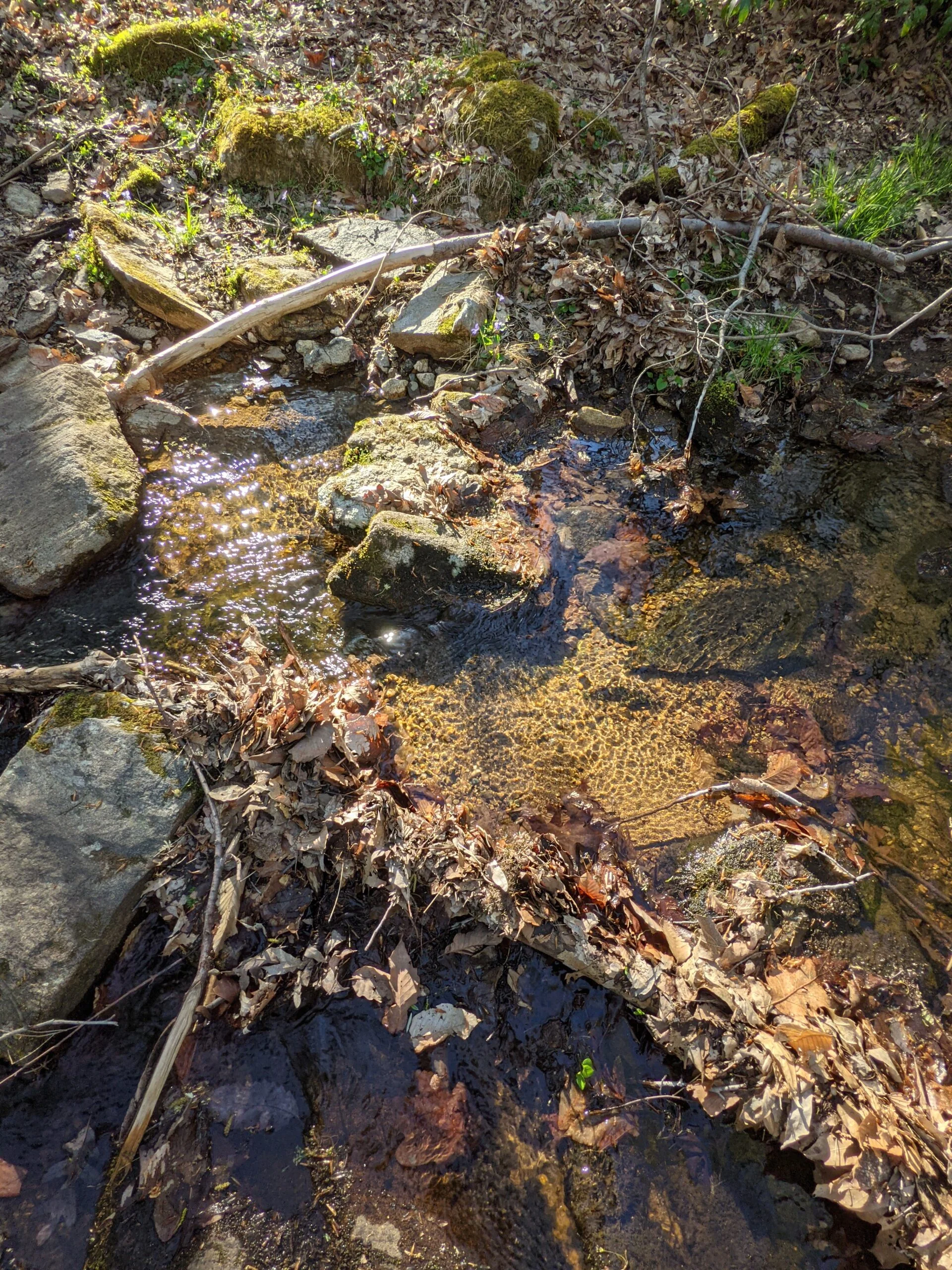
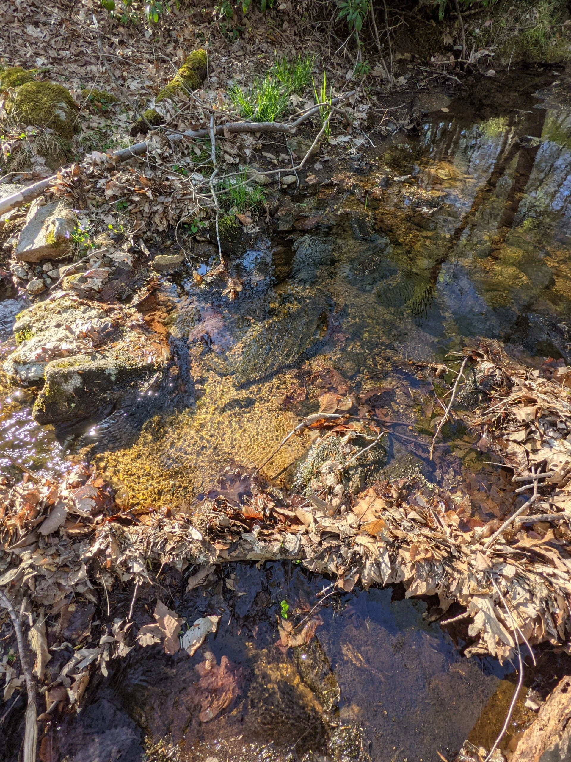
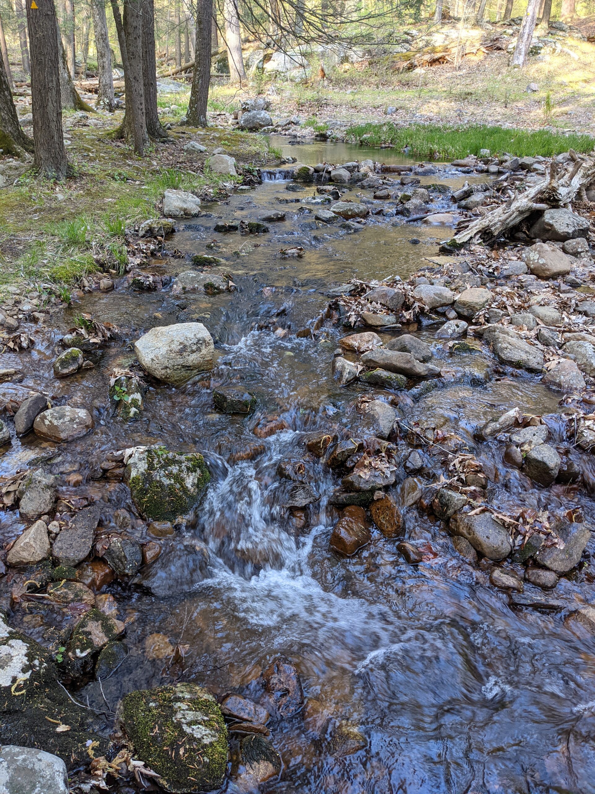
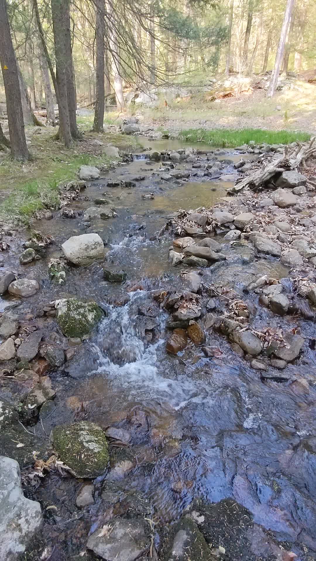
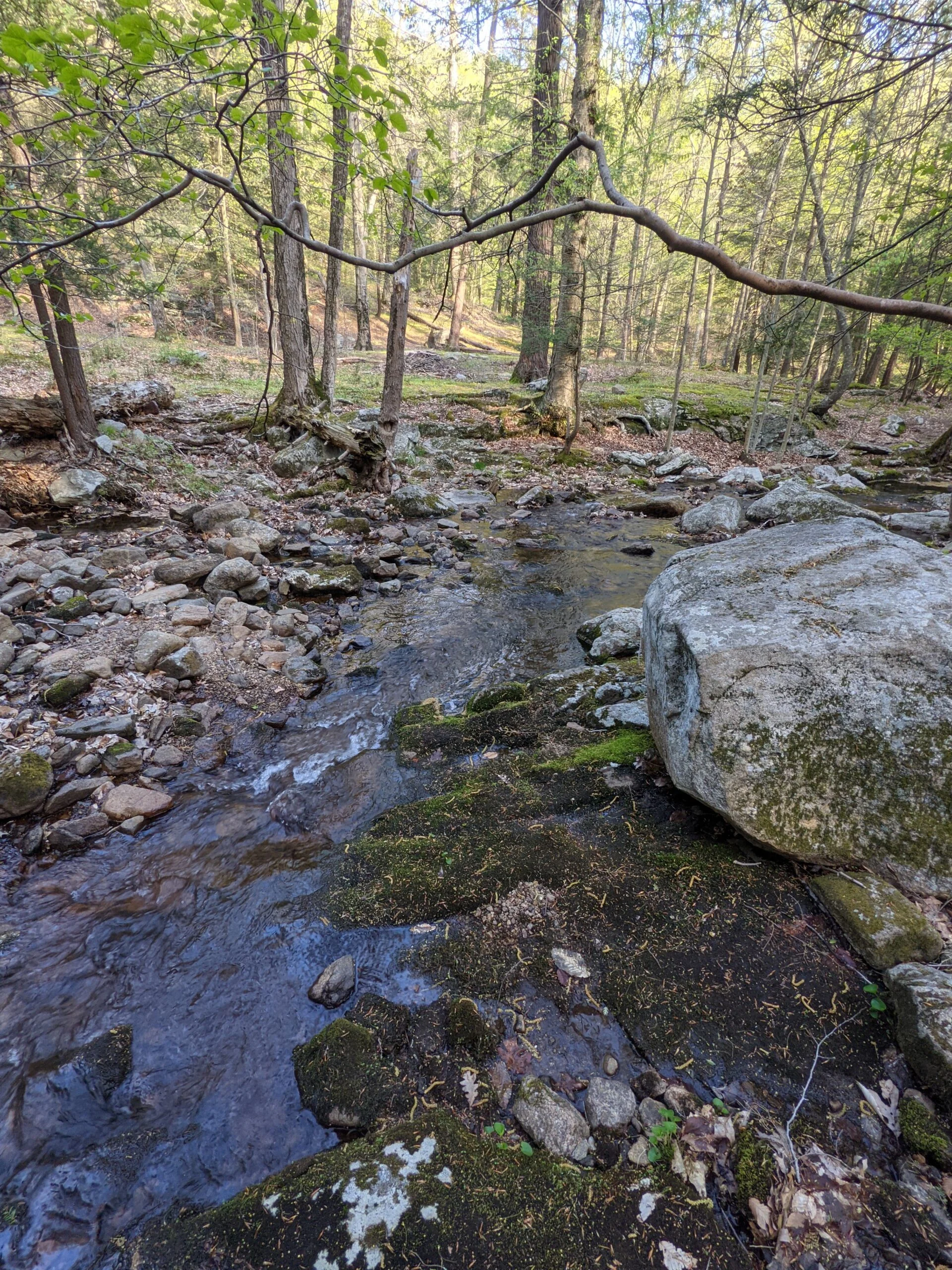
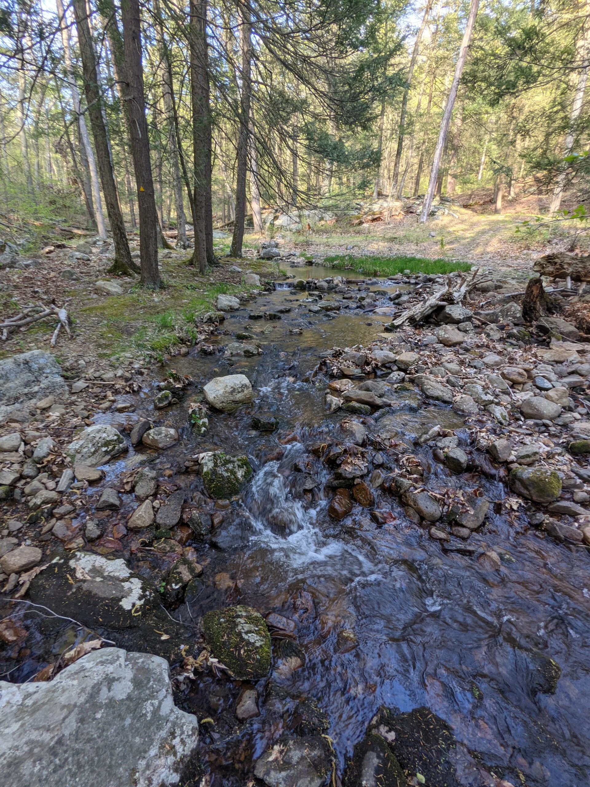
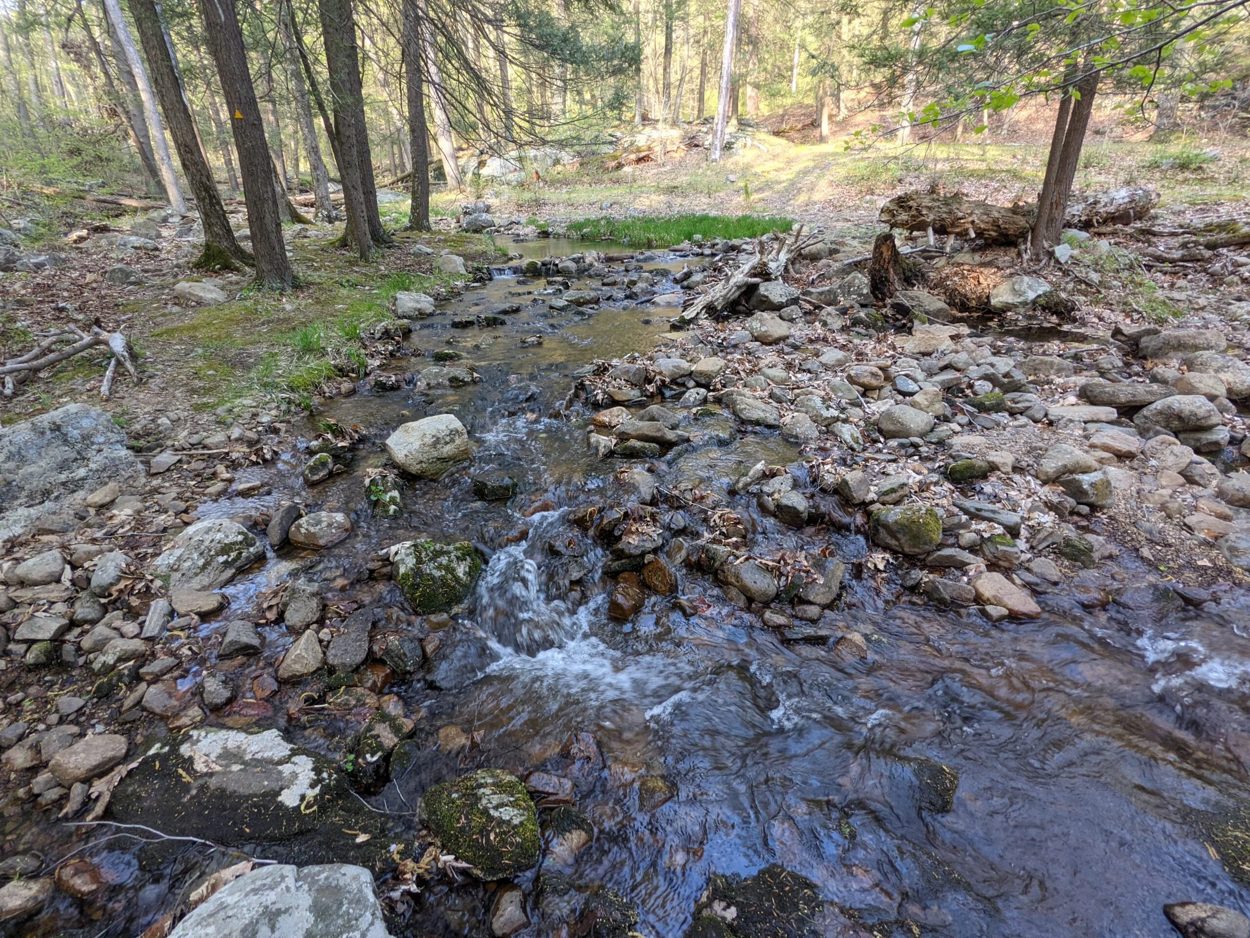
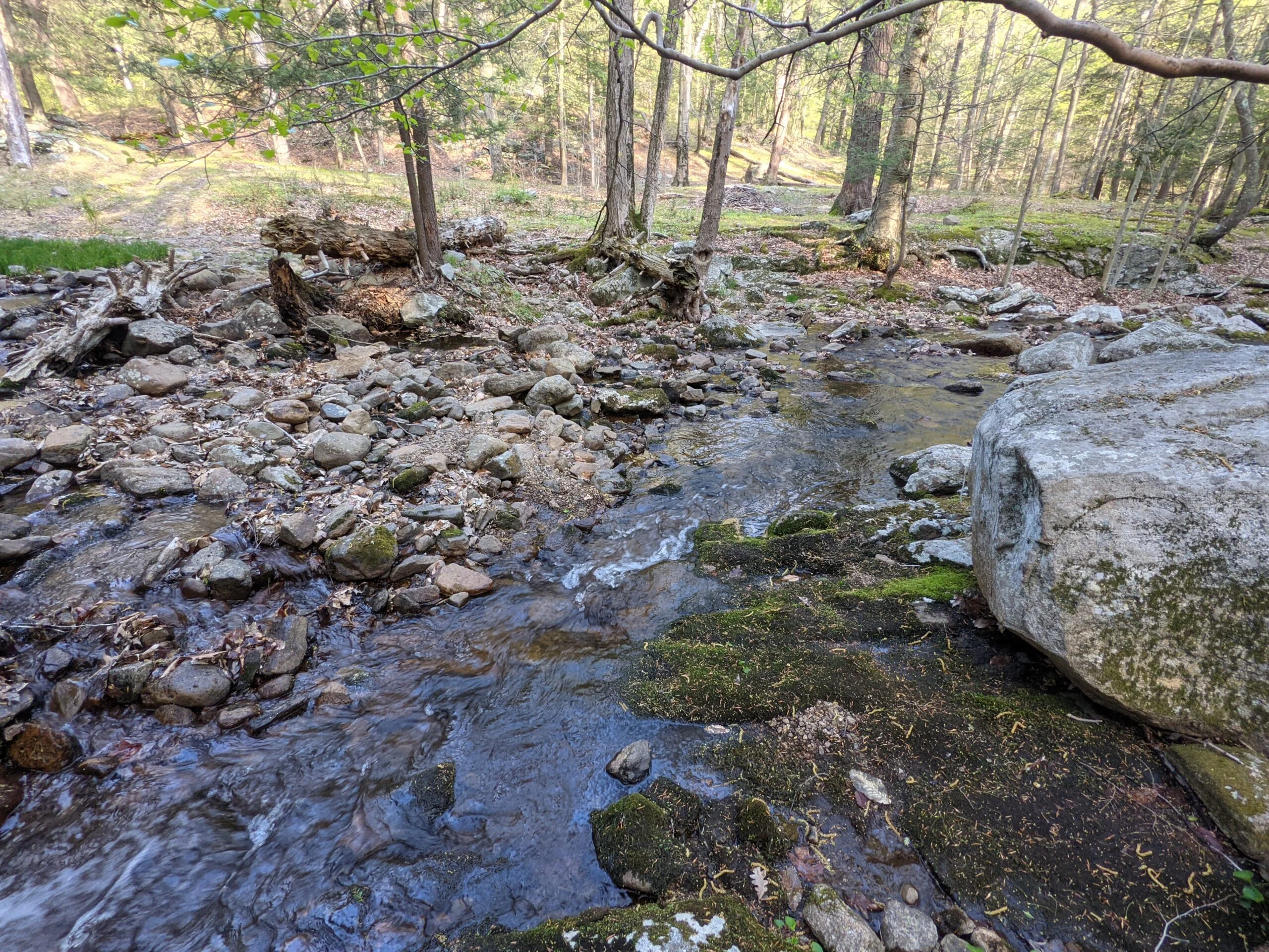
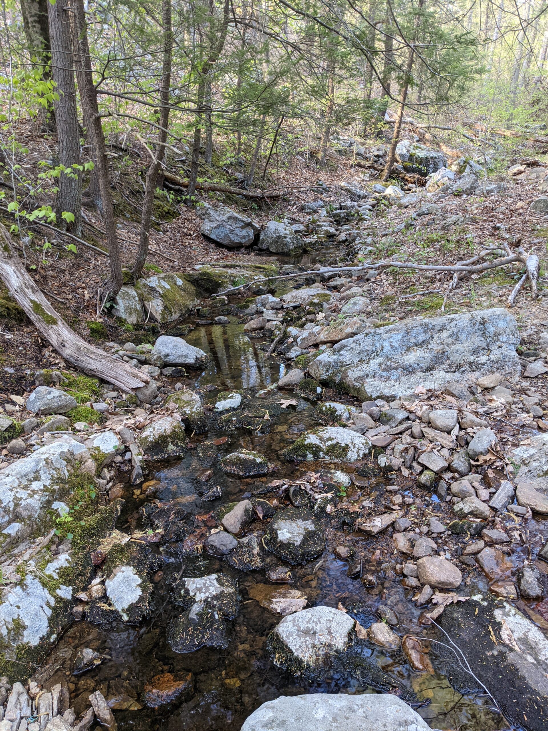
At the two mile mark, just before RD meets up with the Victory trail, I discovered a stream with a series of small waterfalls. Naturally, I stopped for photos and videos. After crossing the stream, I turned into the Victory trail (blazed with a “V” in blue). Most of the Victory trail ended up being a carriage trail, with parts decaying asphalt, some smooth packed dirt, and some loose gravel. Around the 3.5 mile mark, I made it to Lake Skenonto. I found a rock with a nice view of the lake and stopped for a snack break.
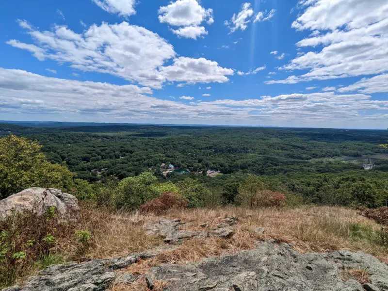
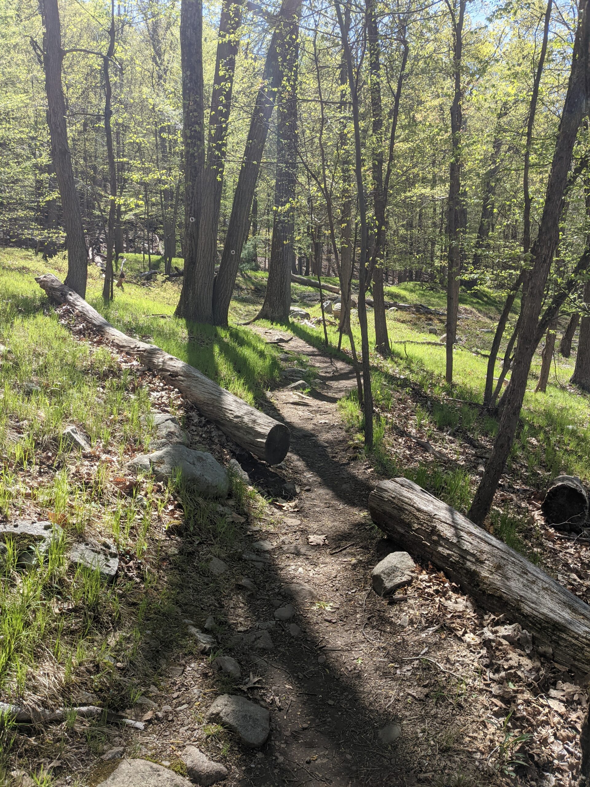
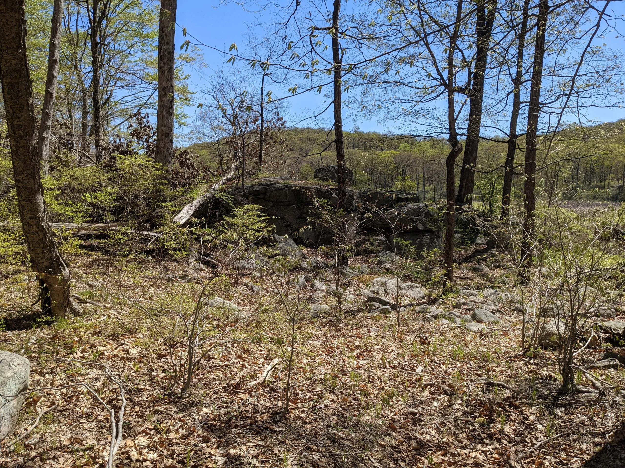
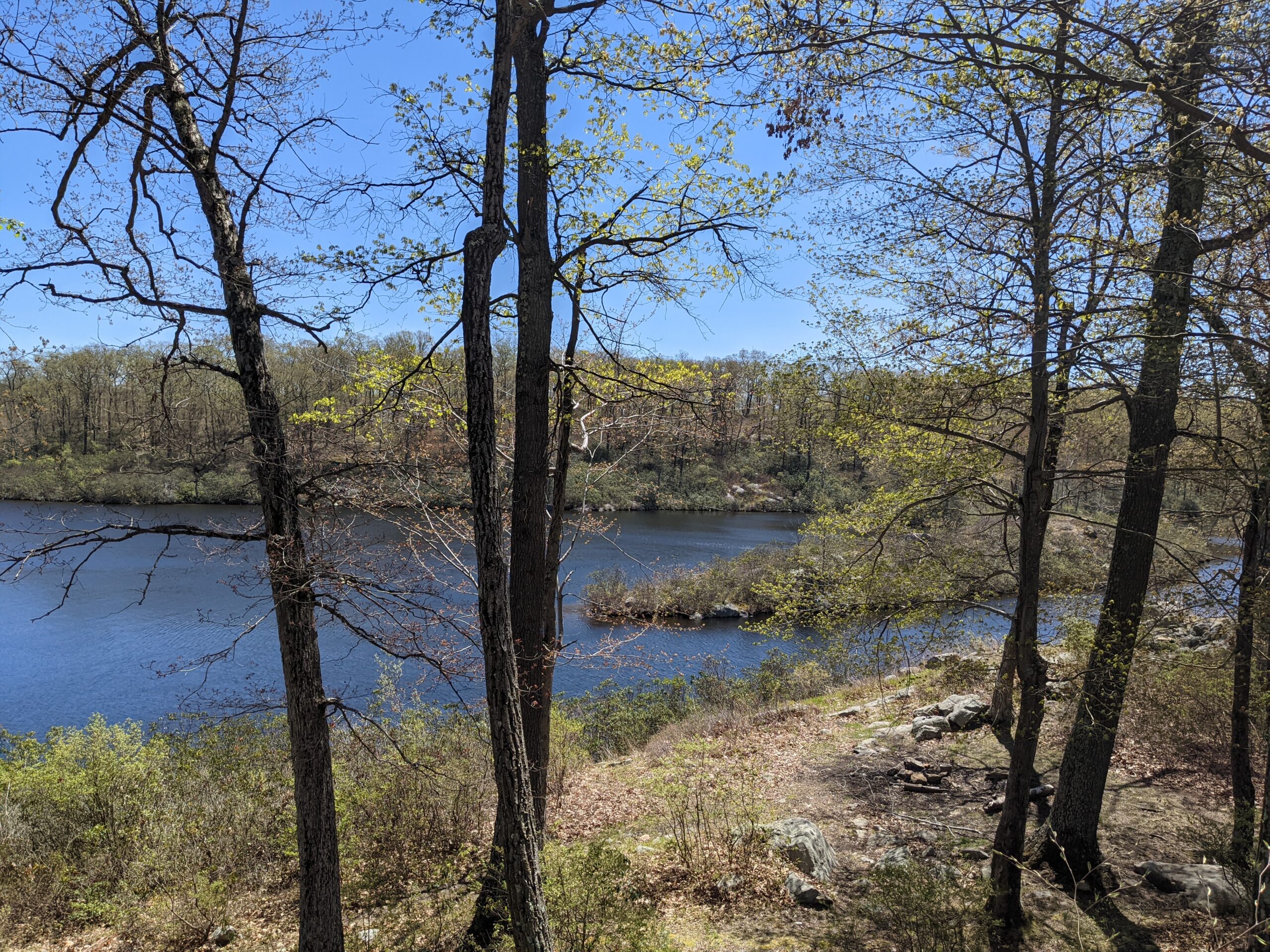
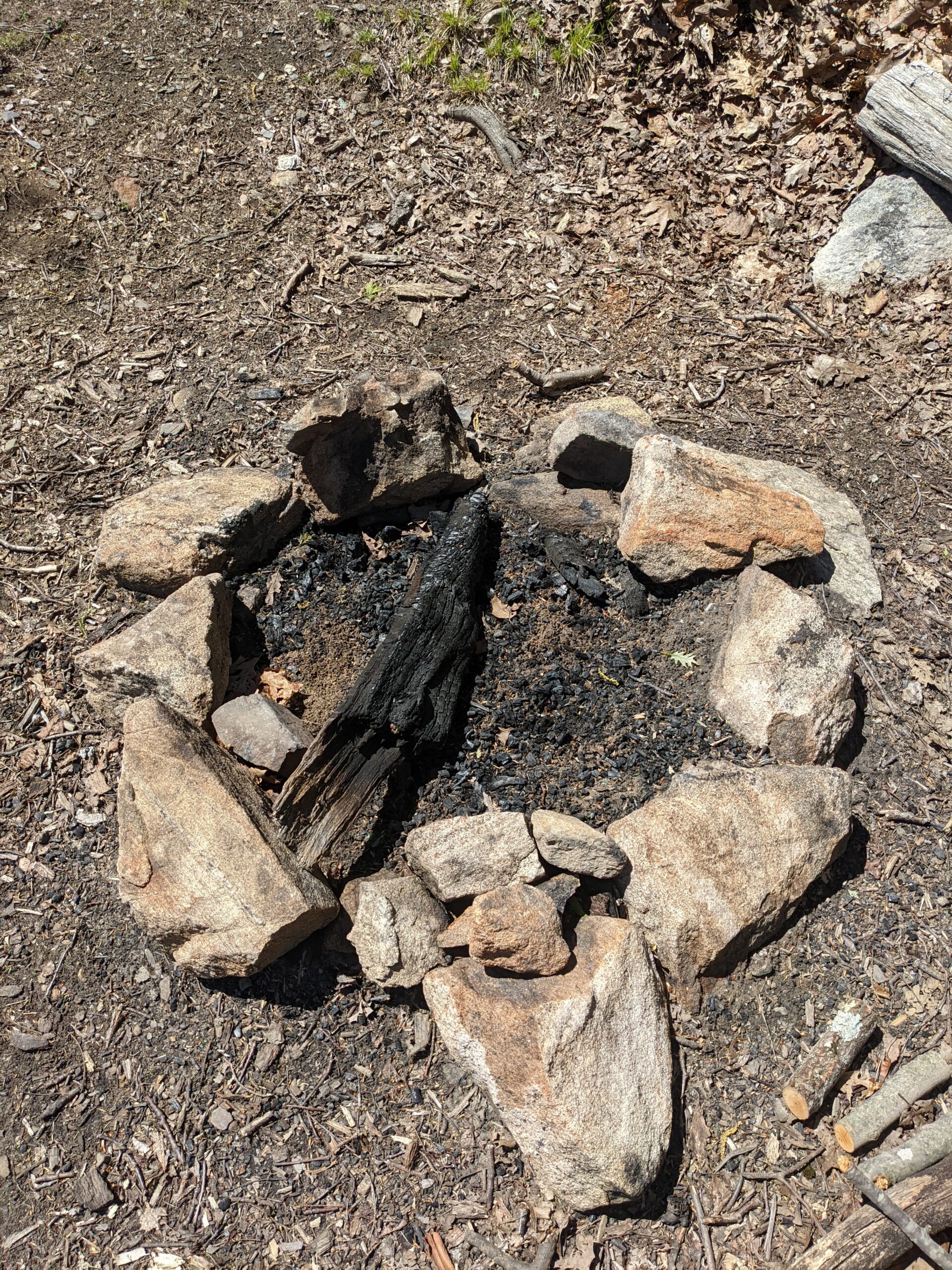
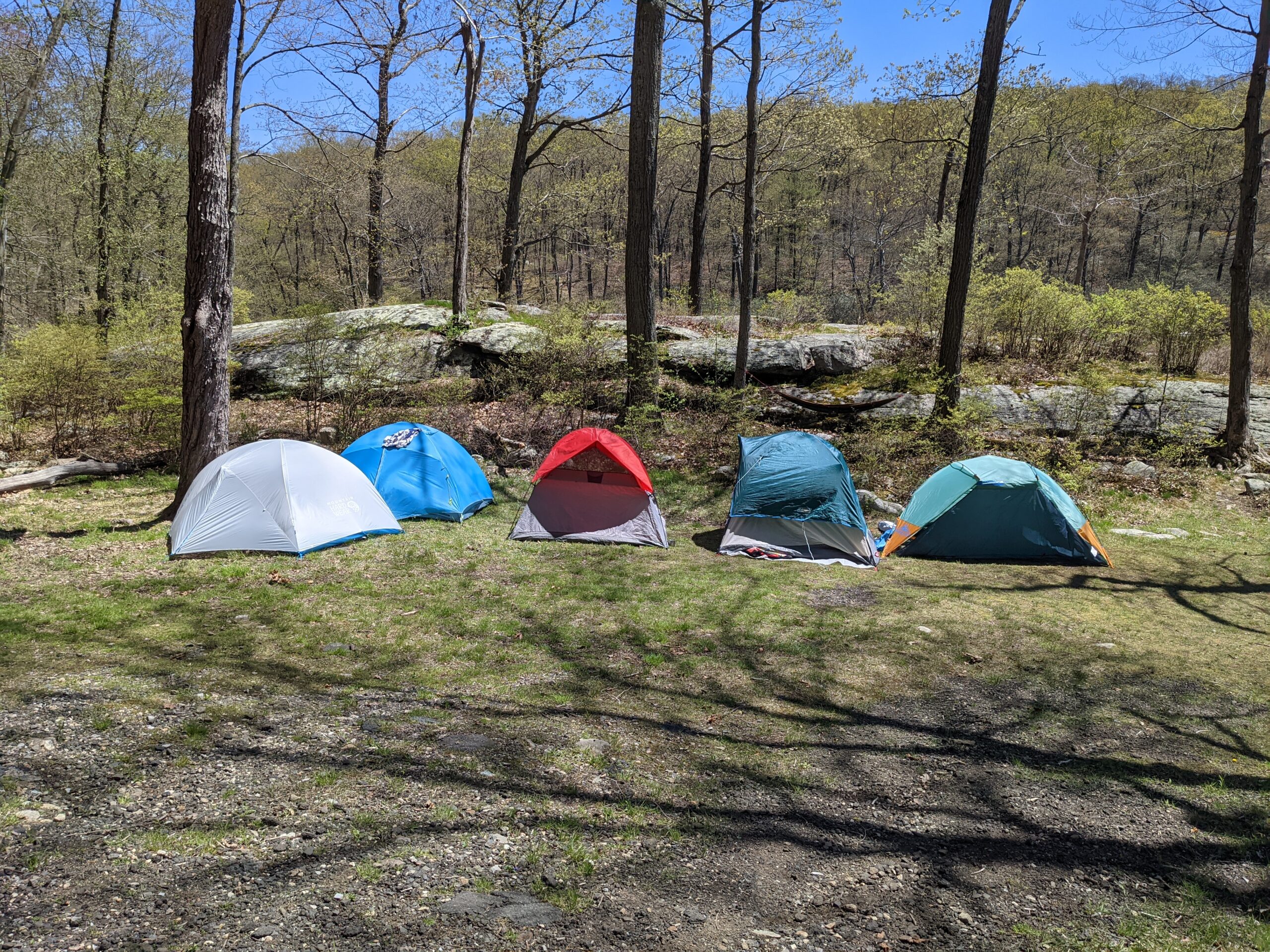
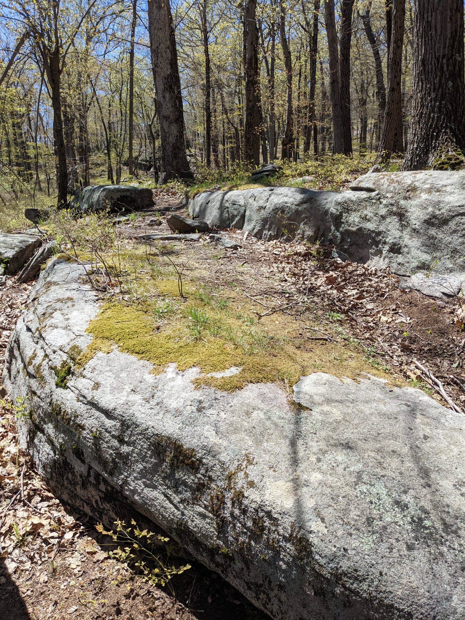
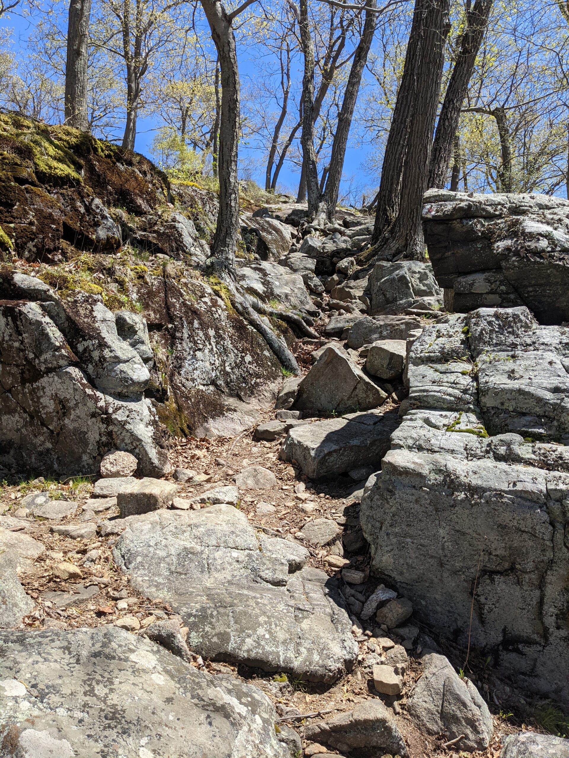
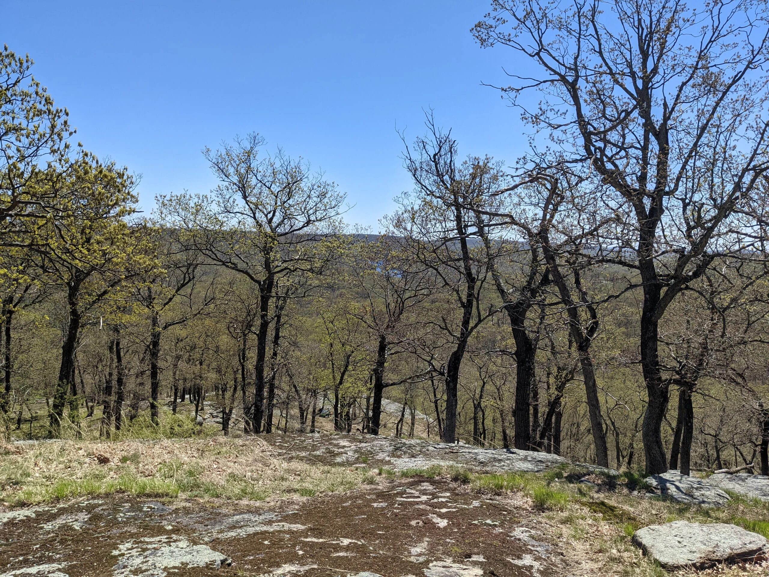
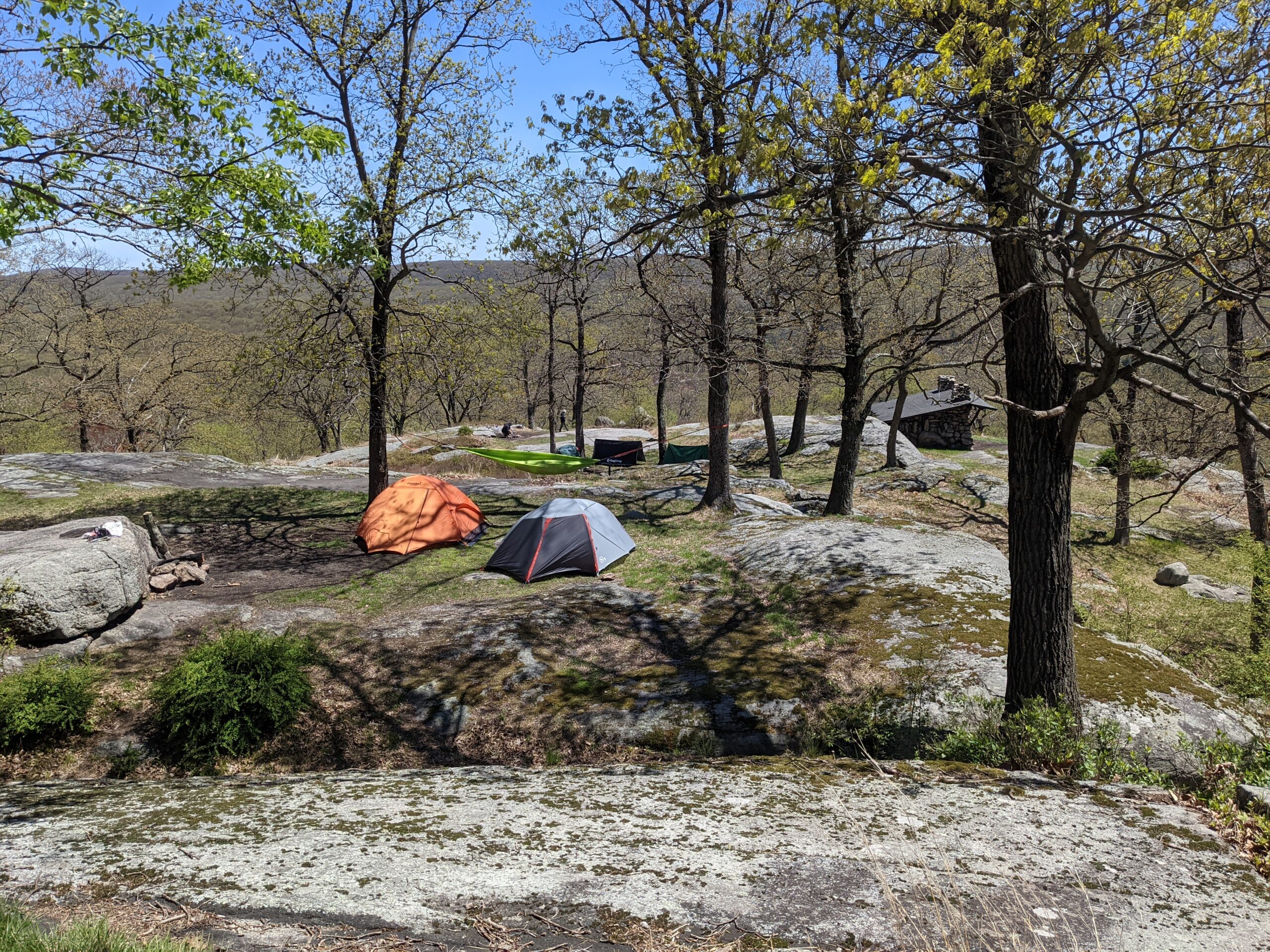
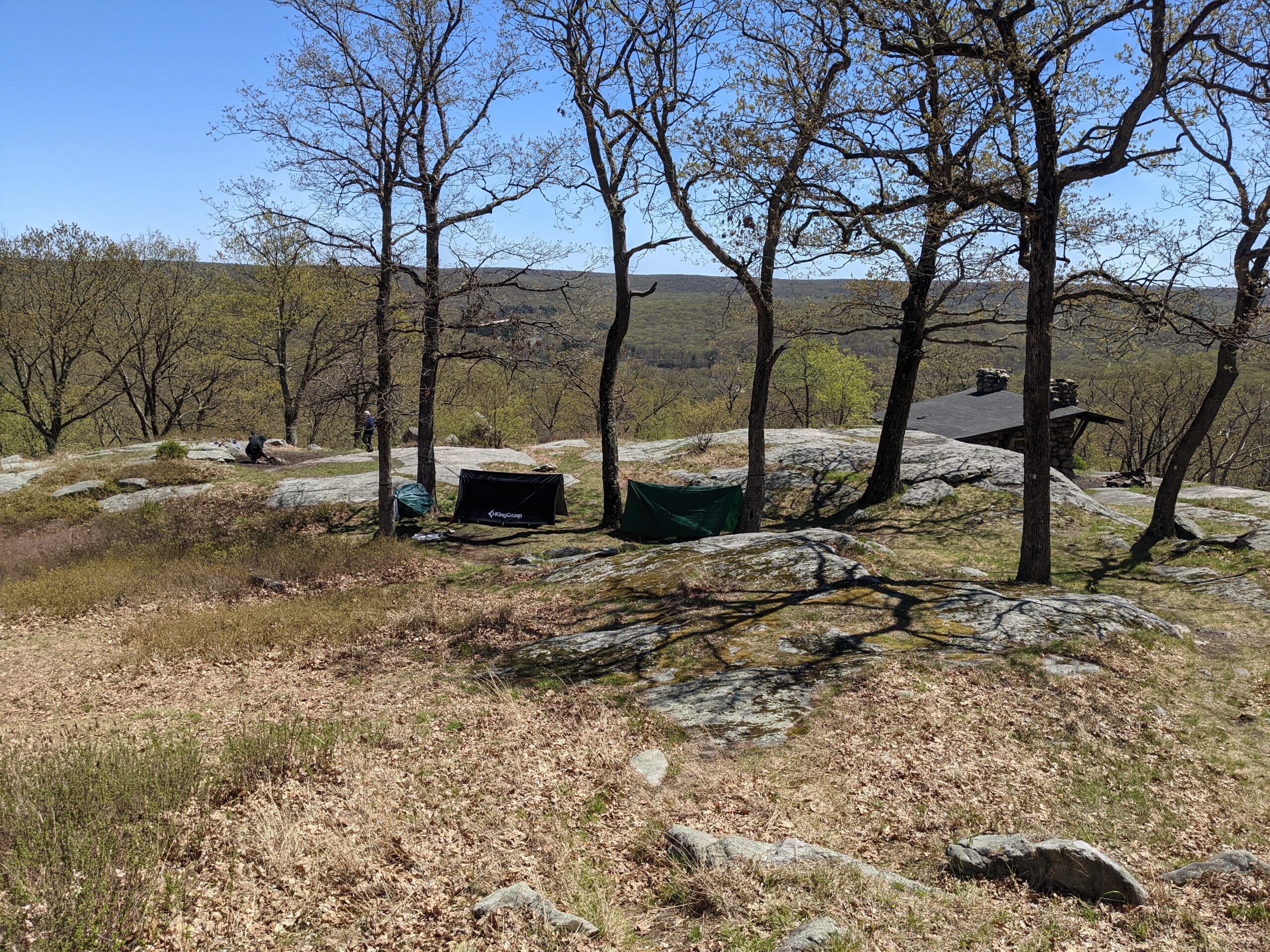
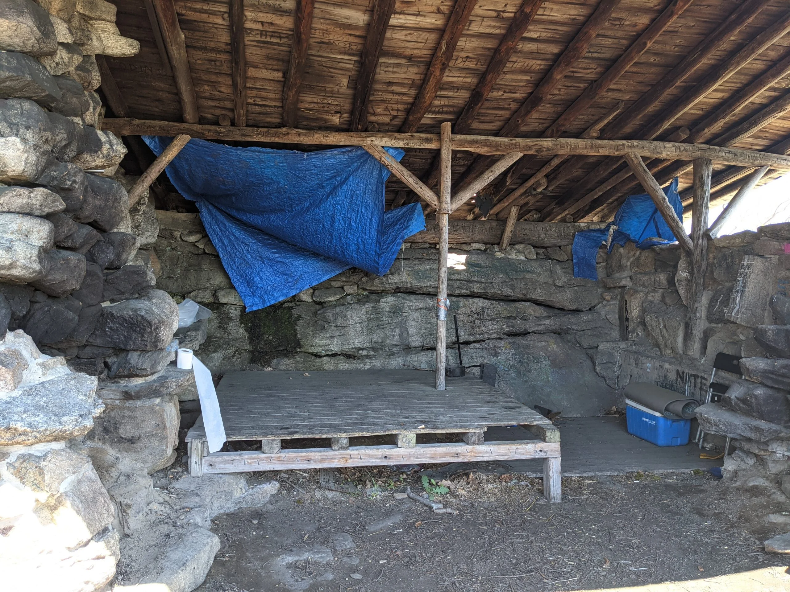
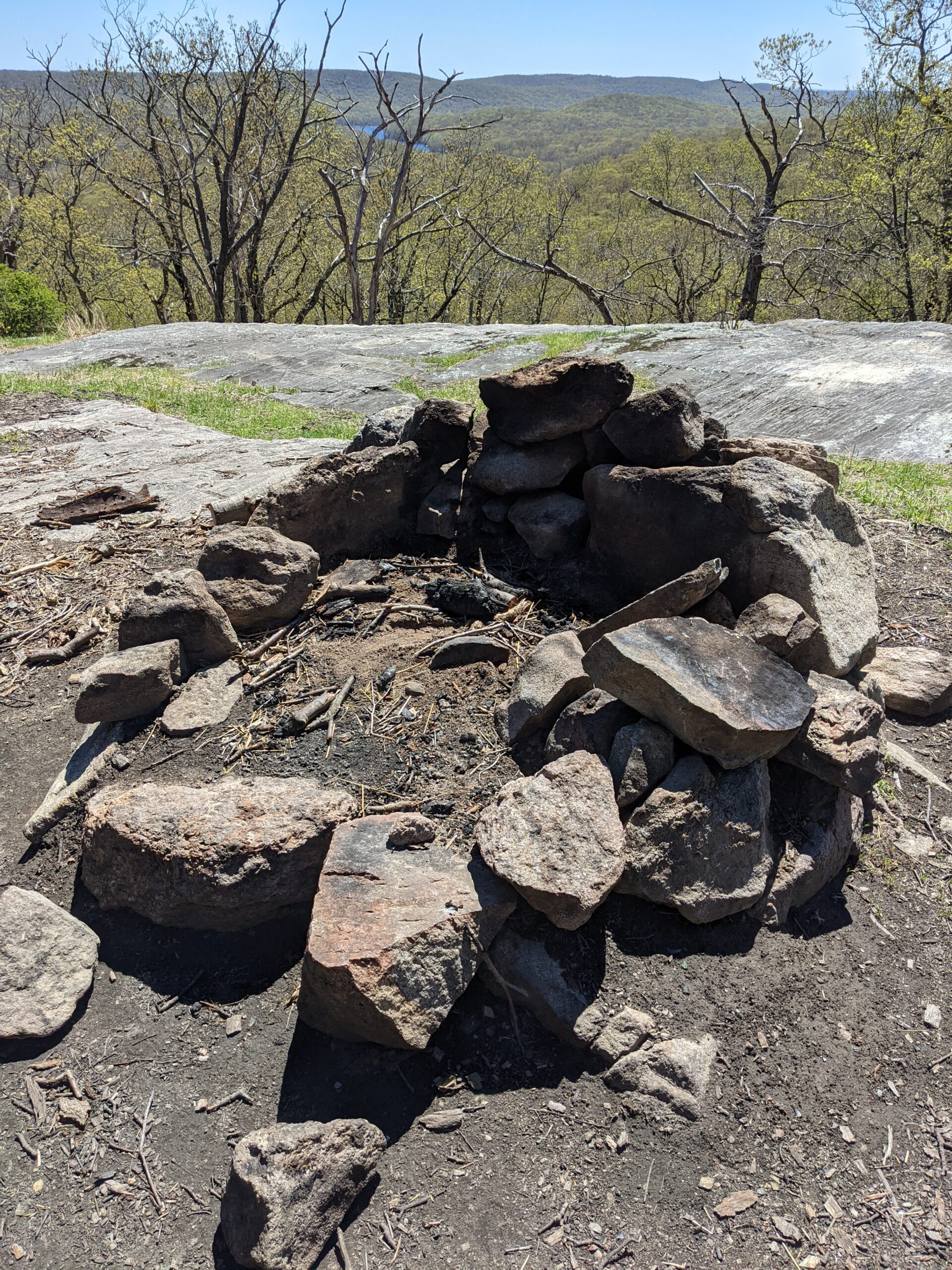
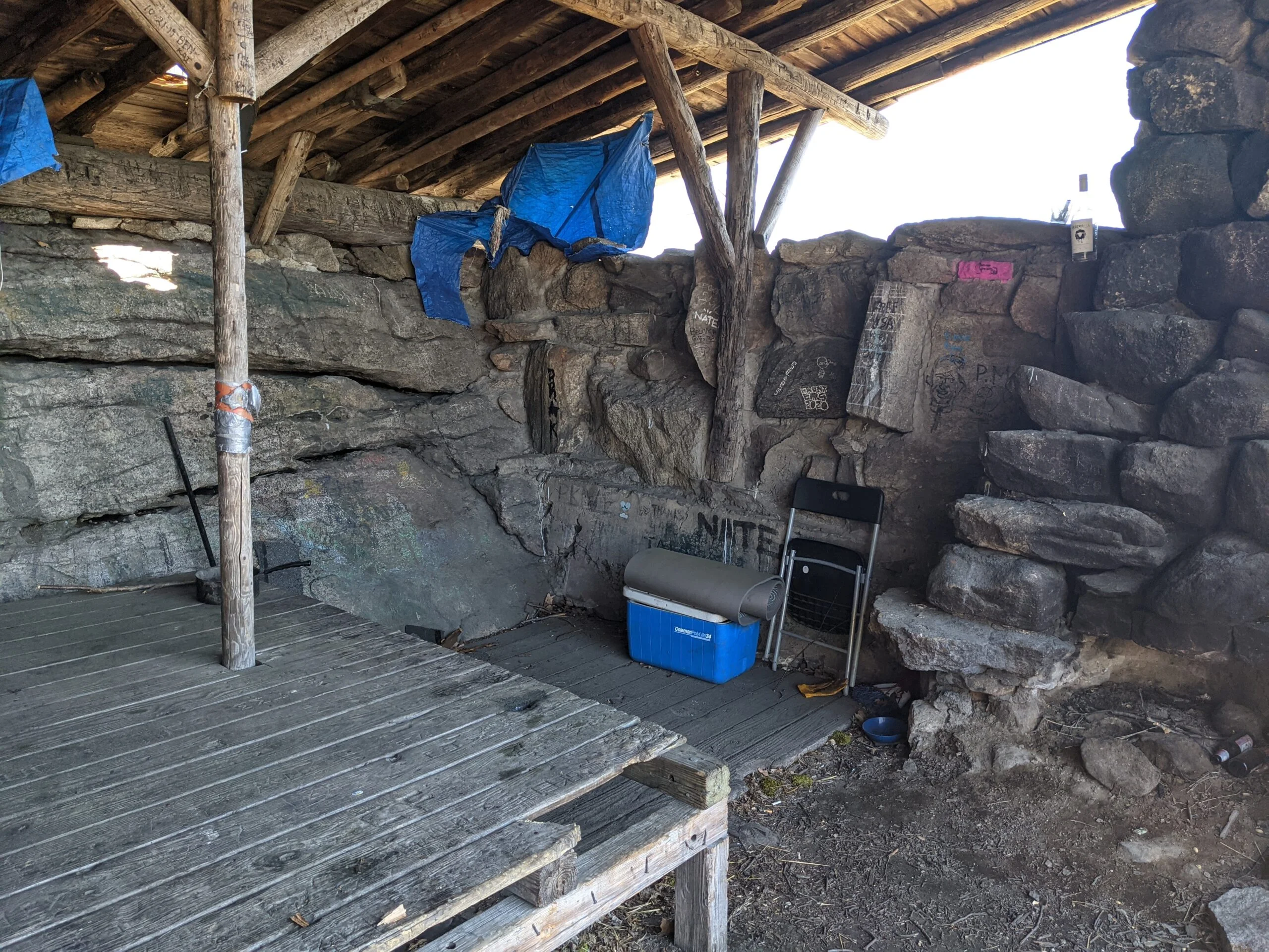
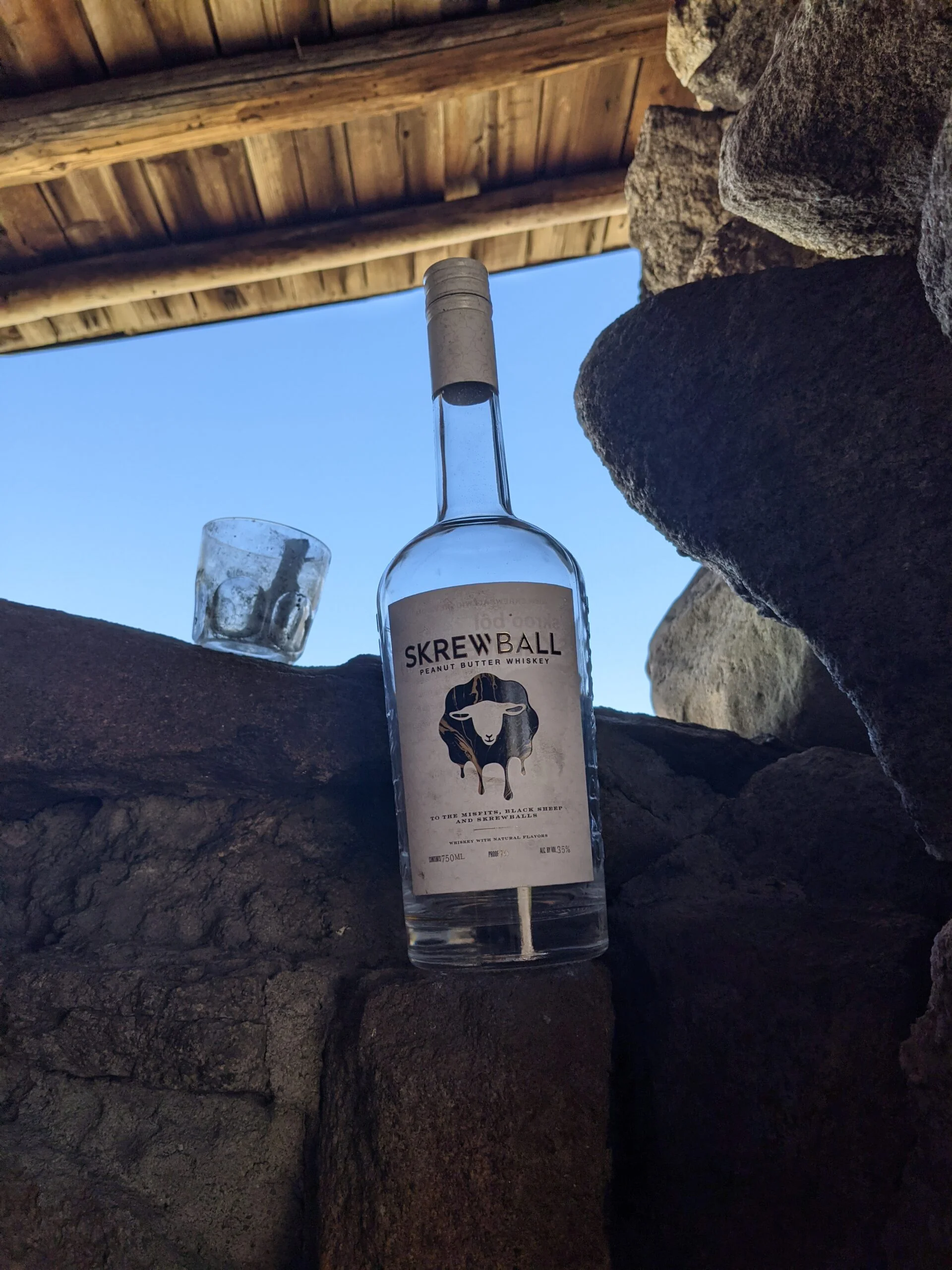
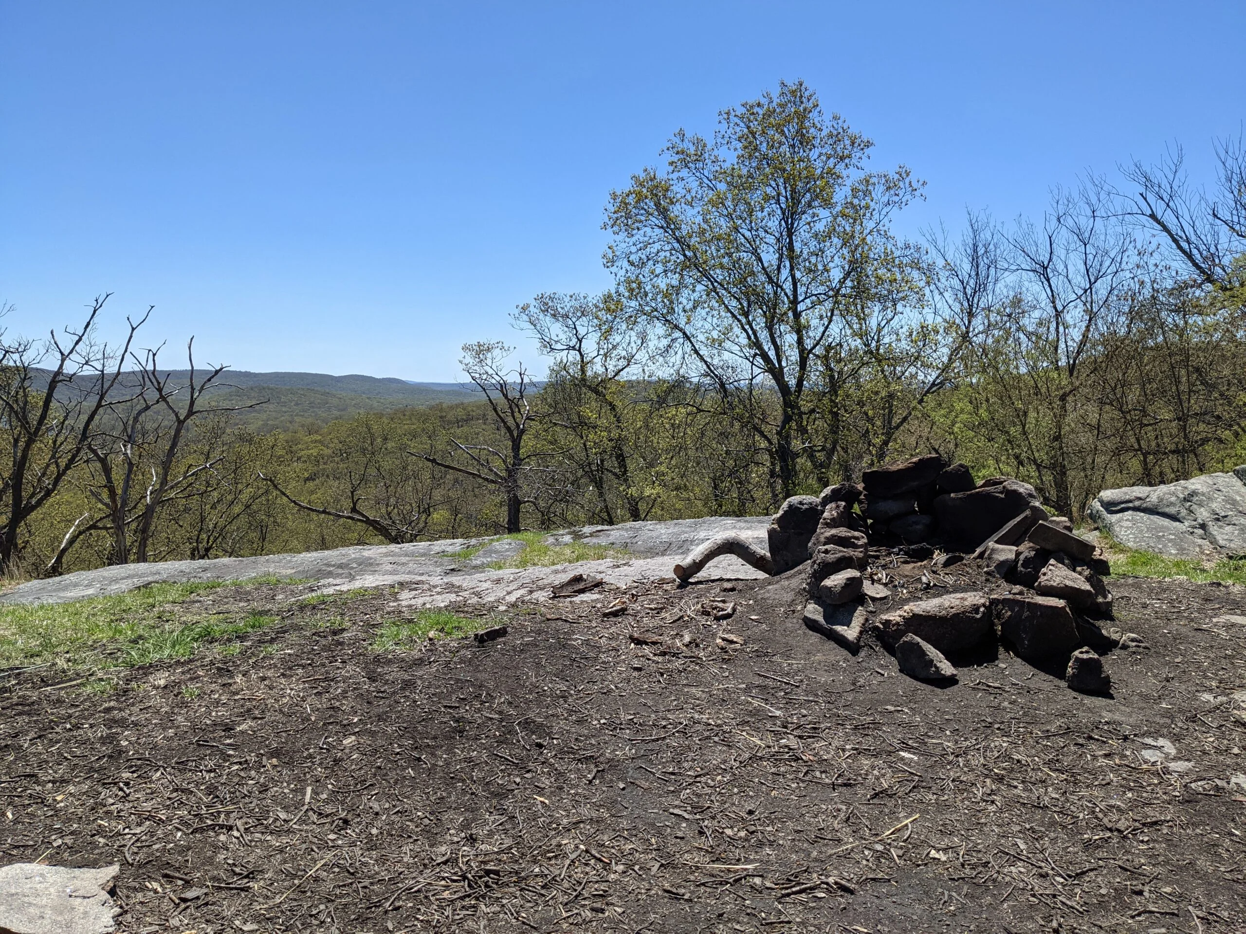
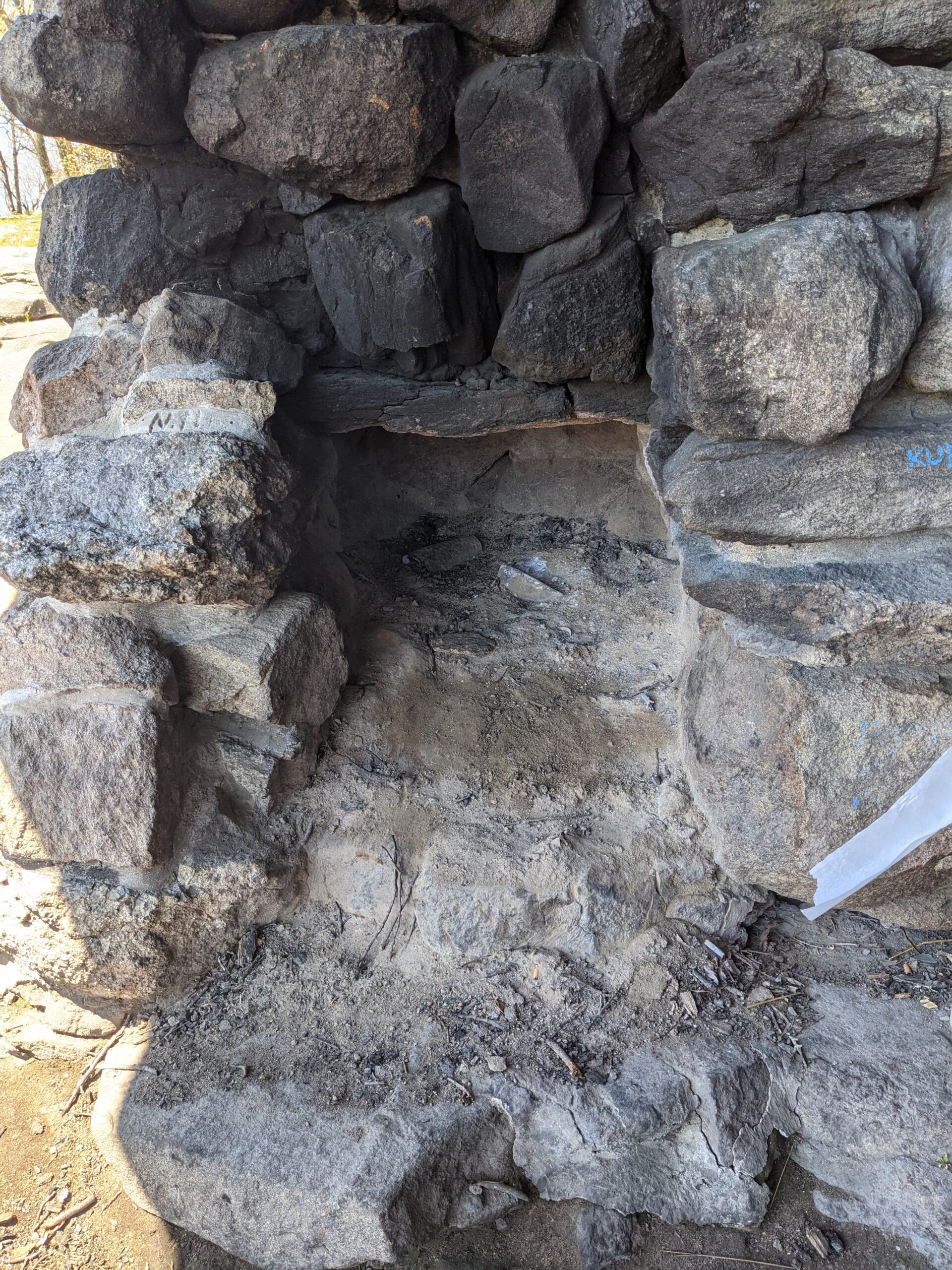
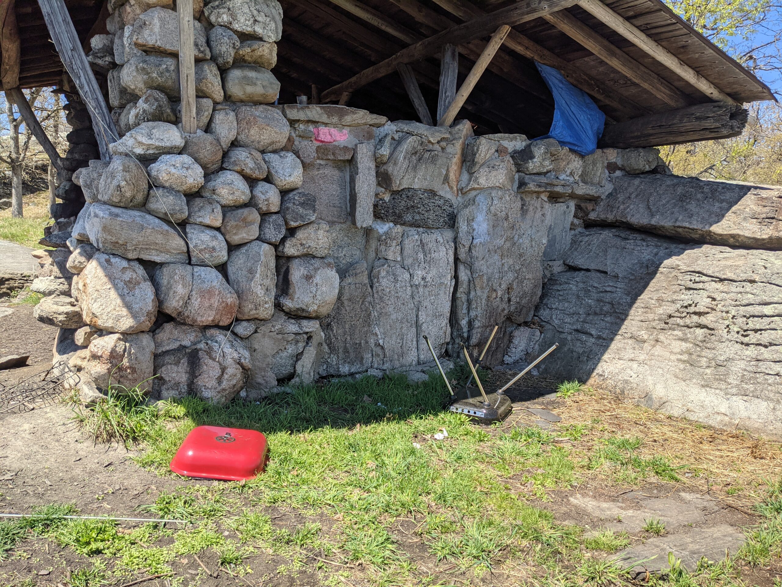
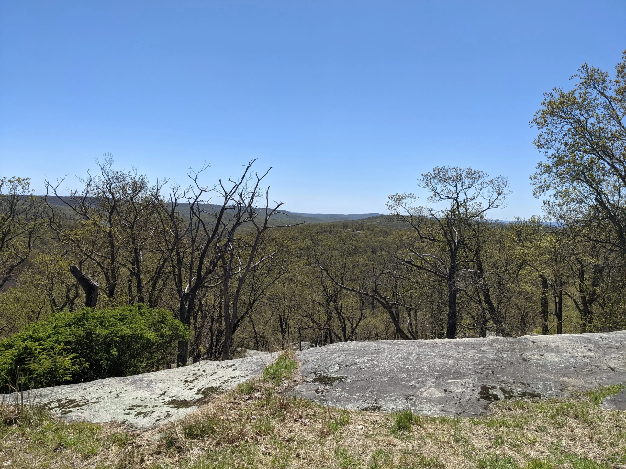
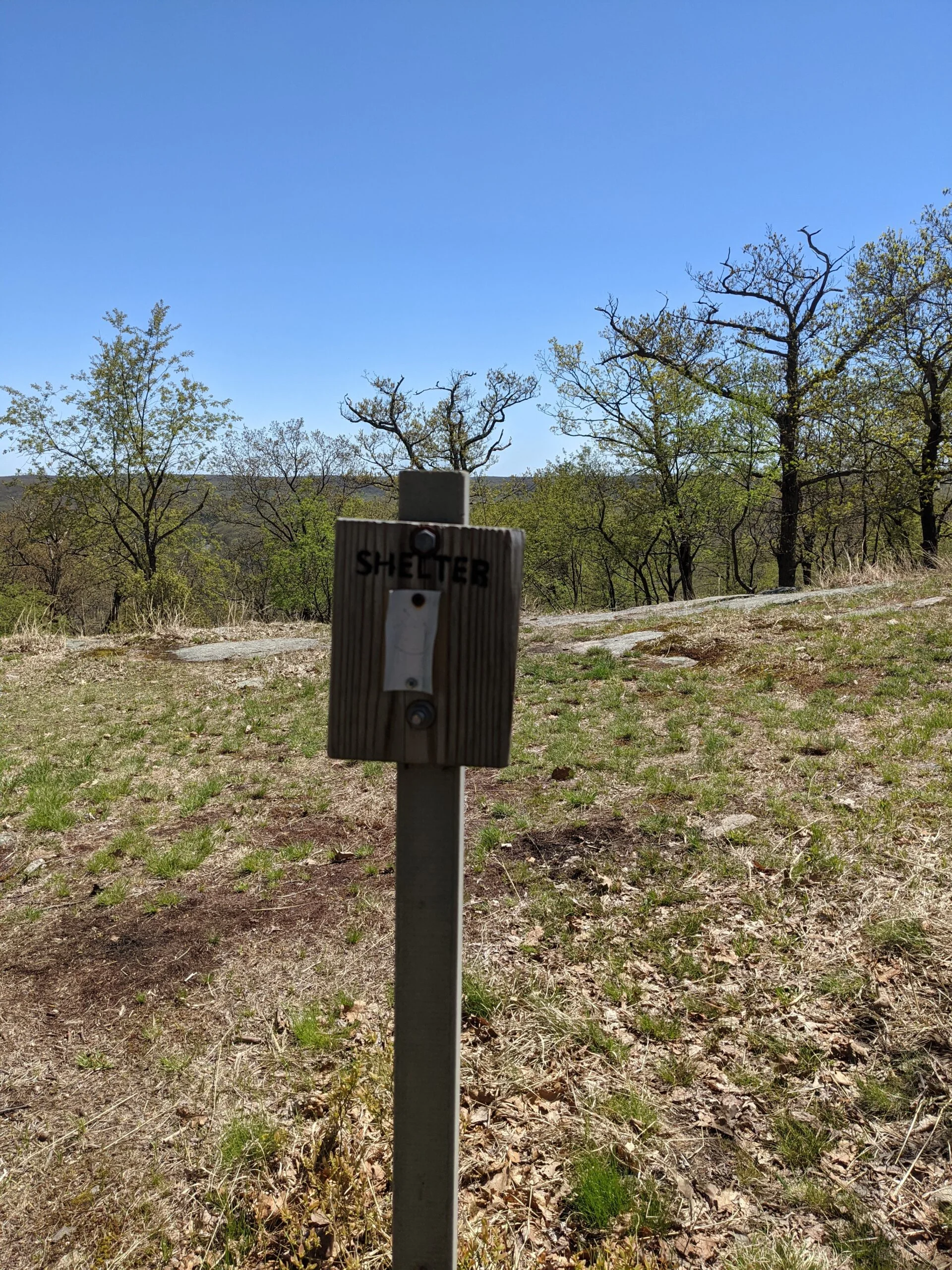
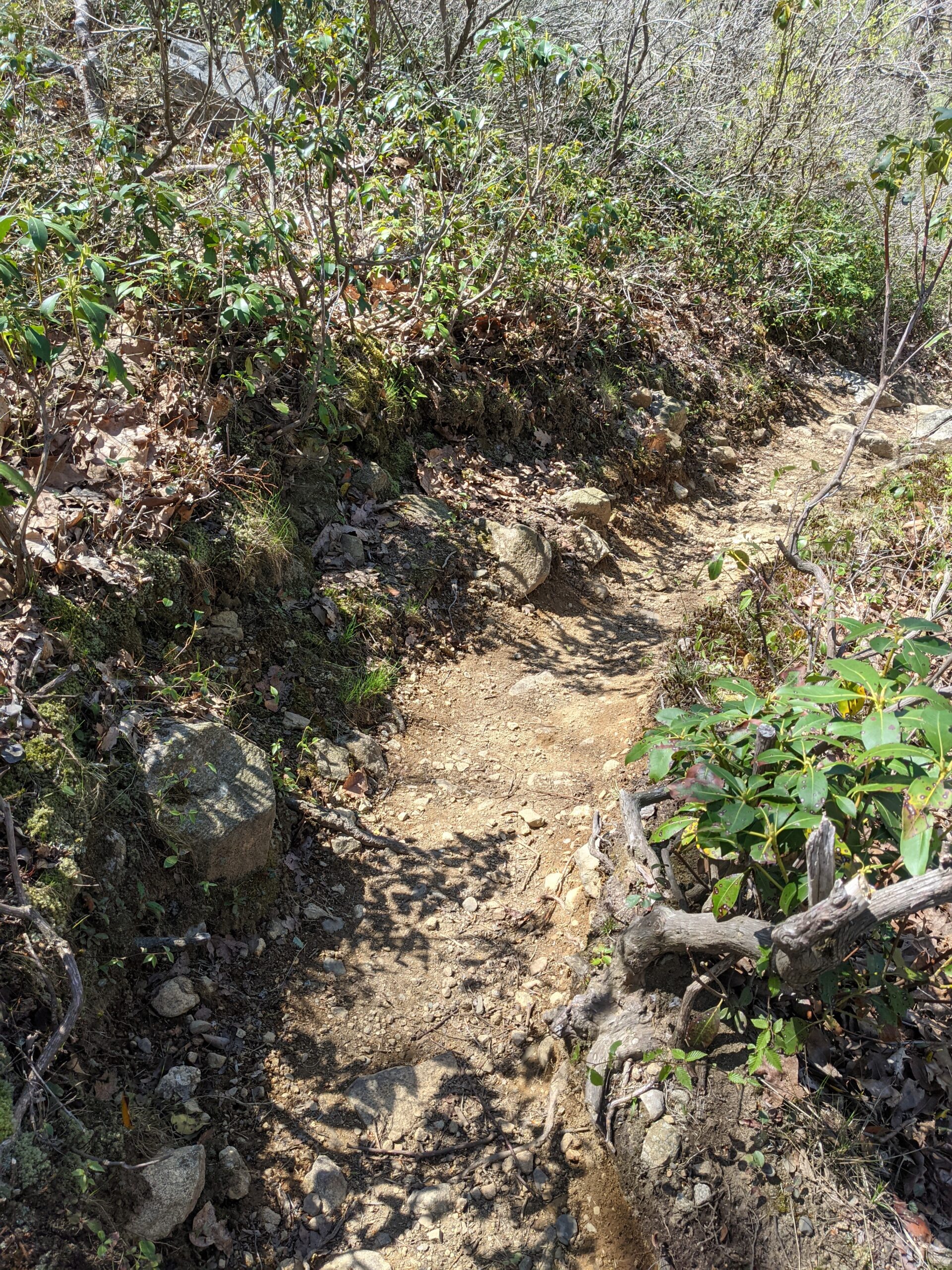
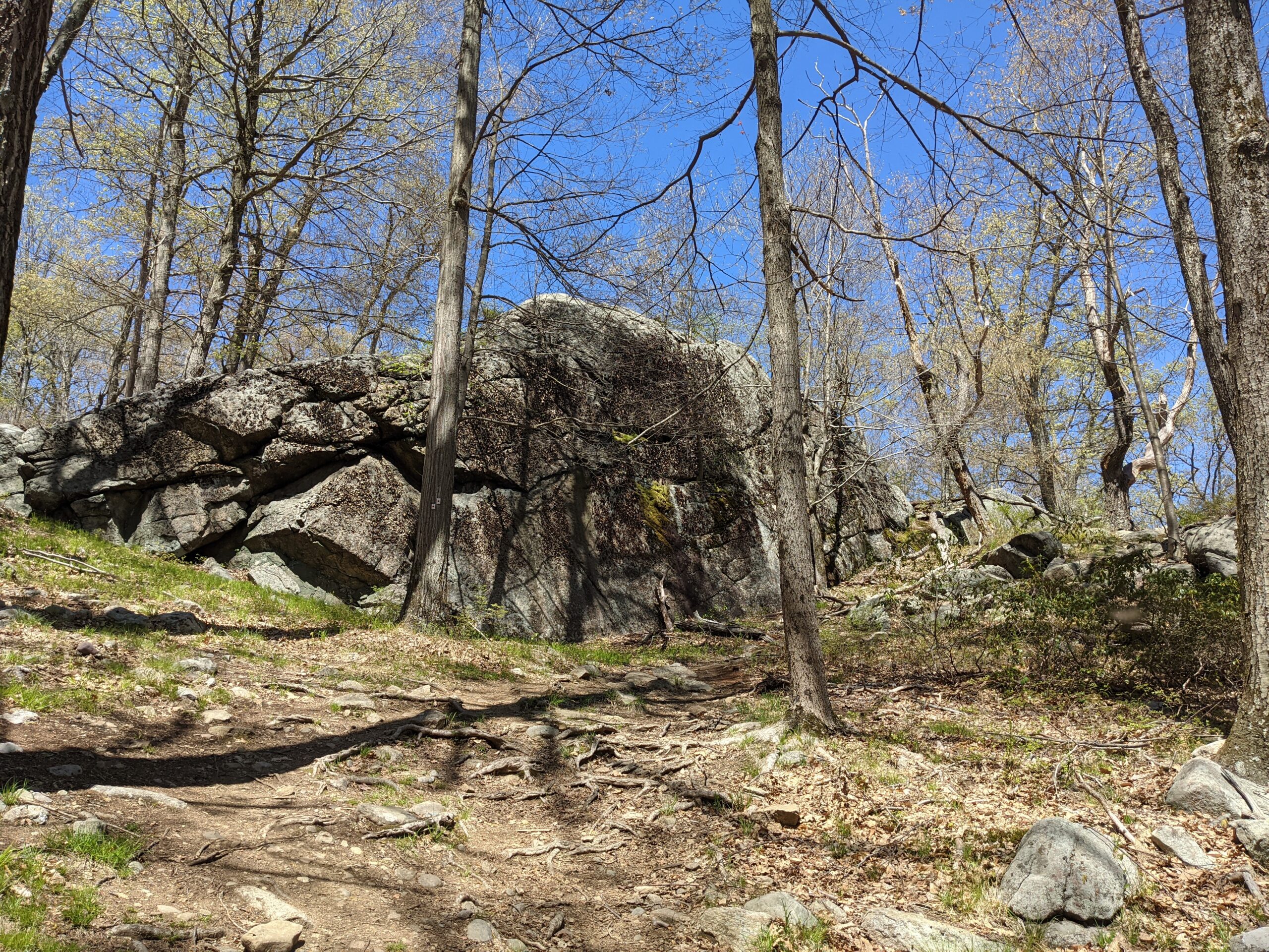
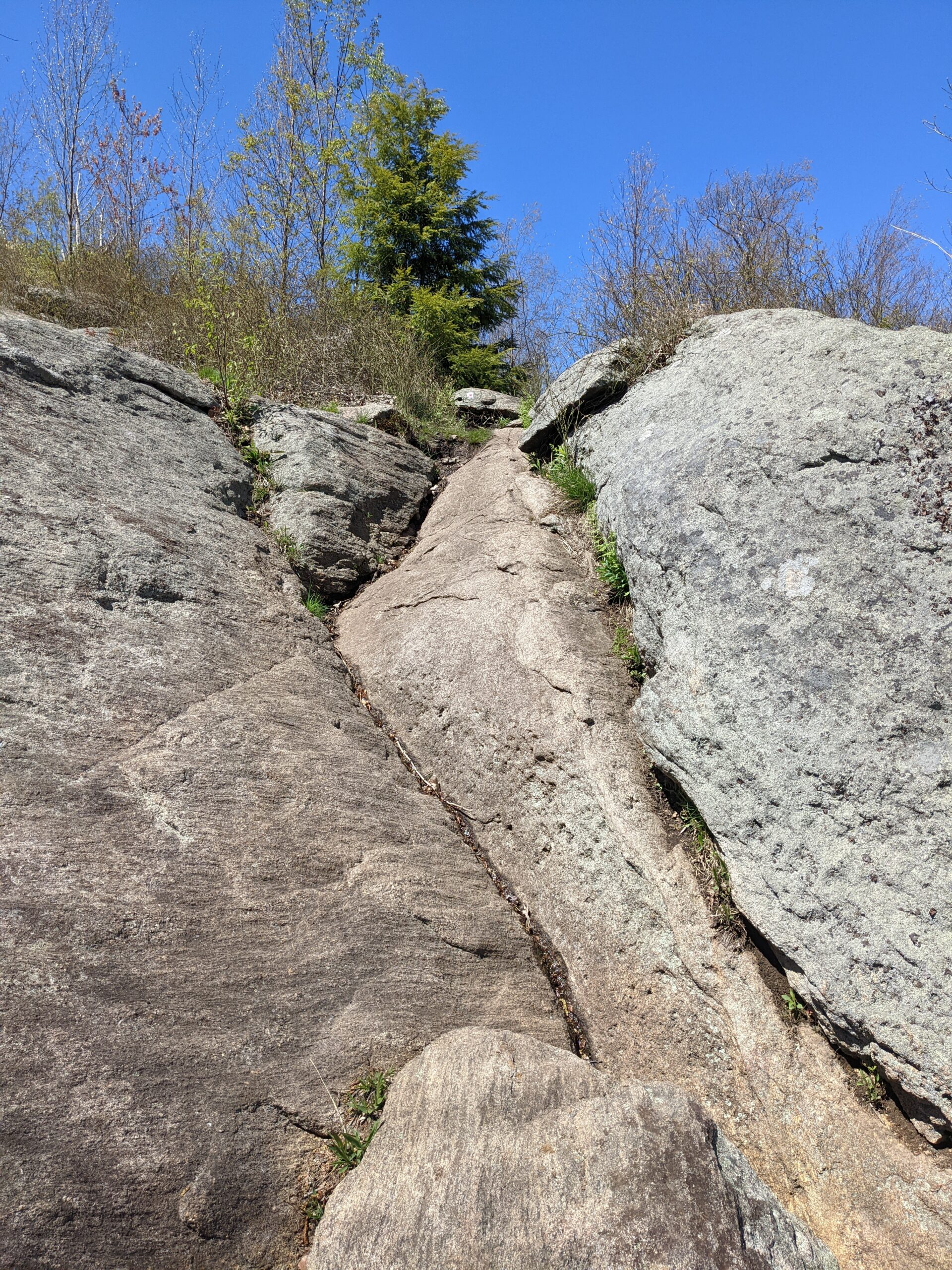
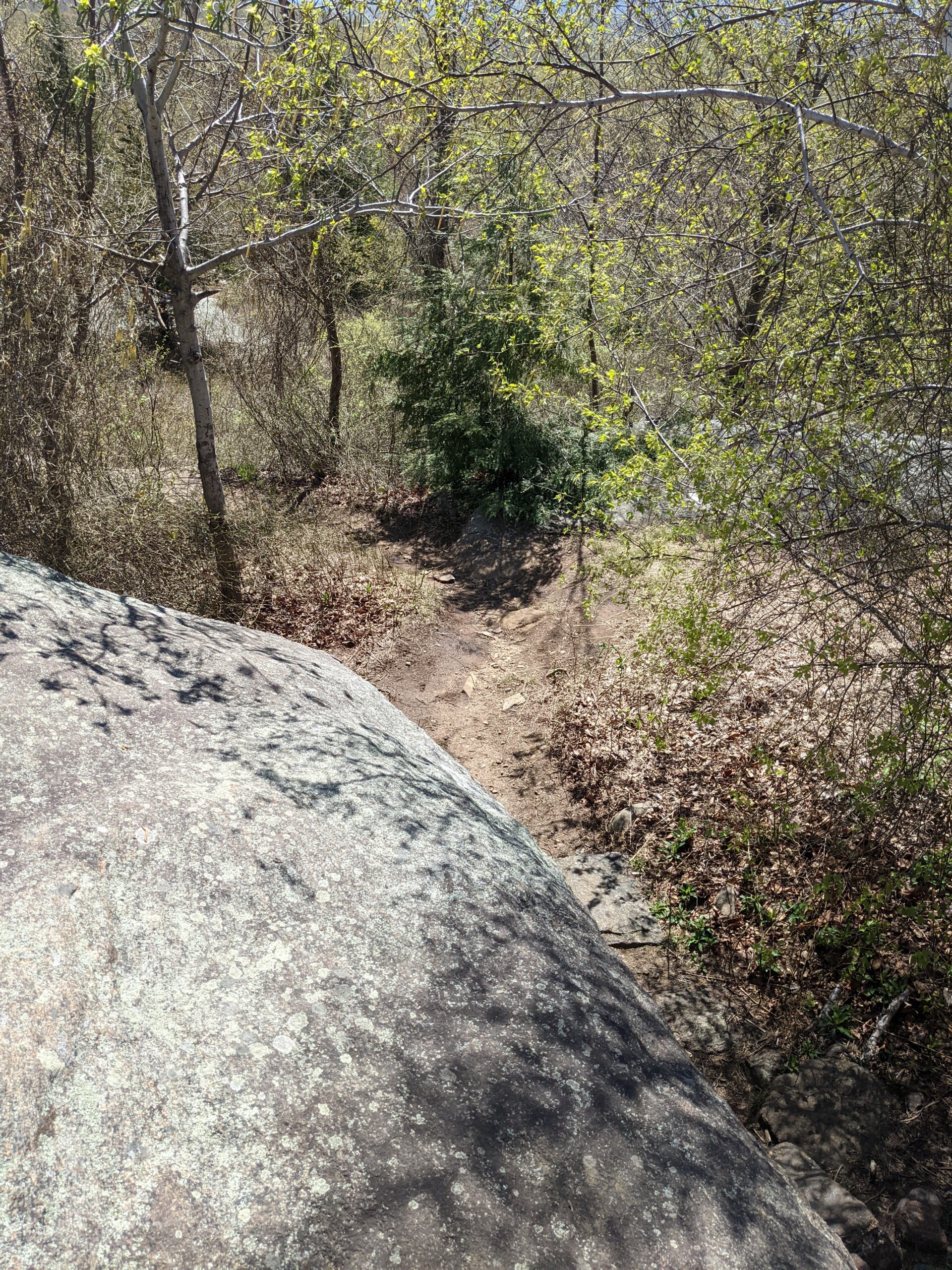
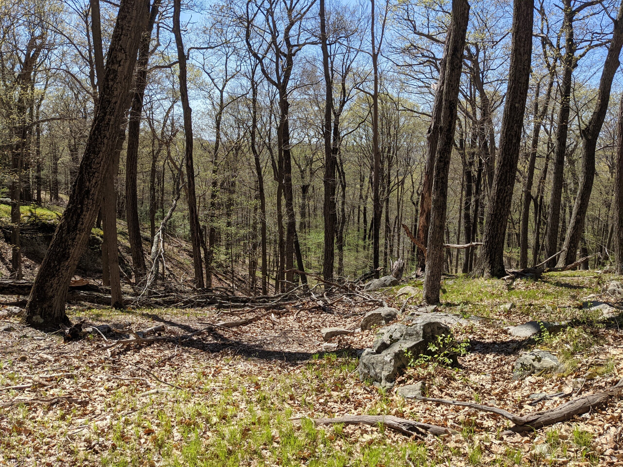
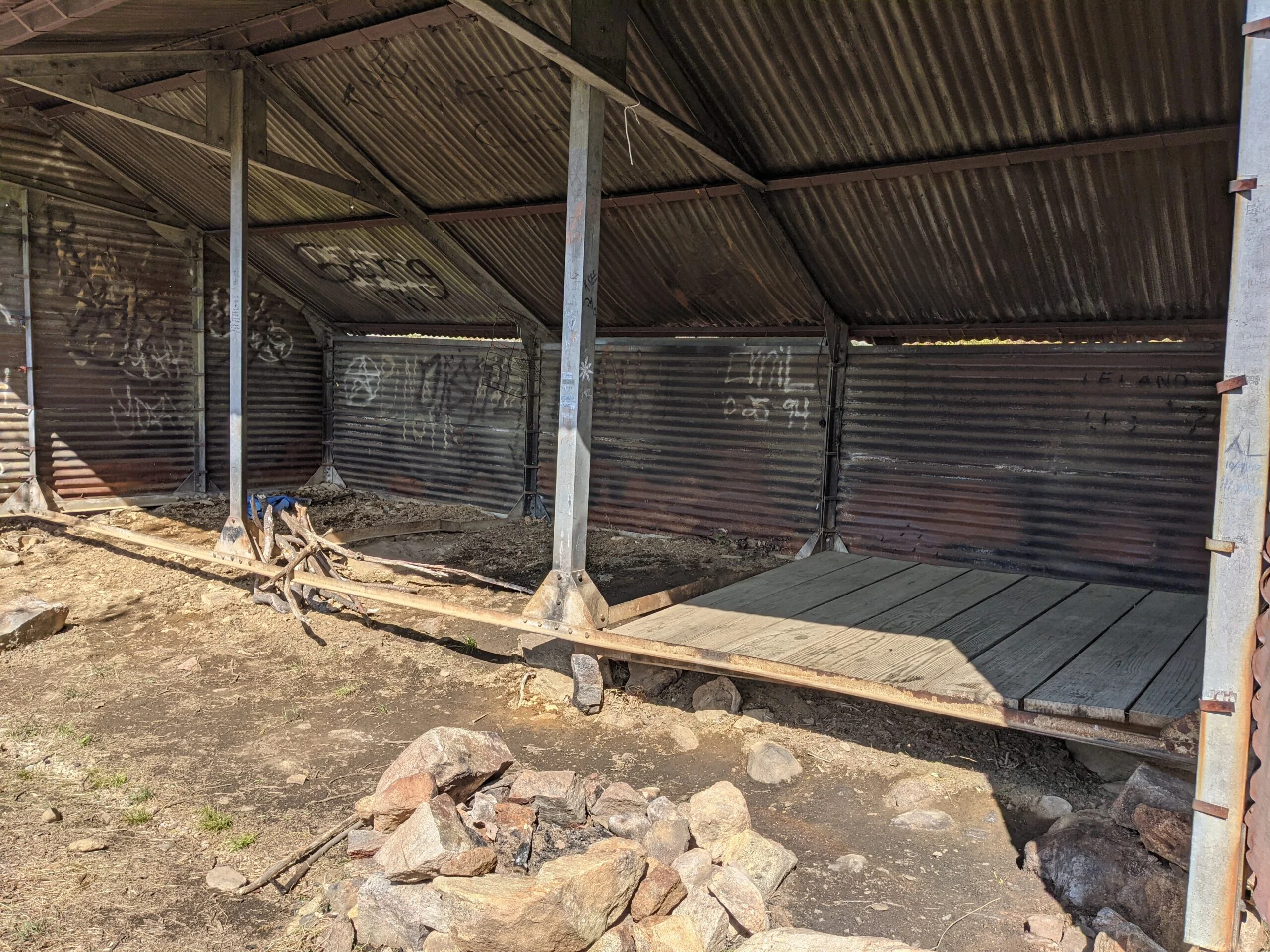
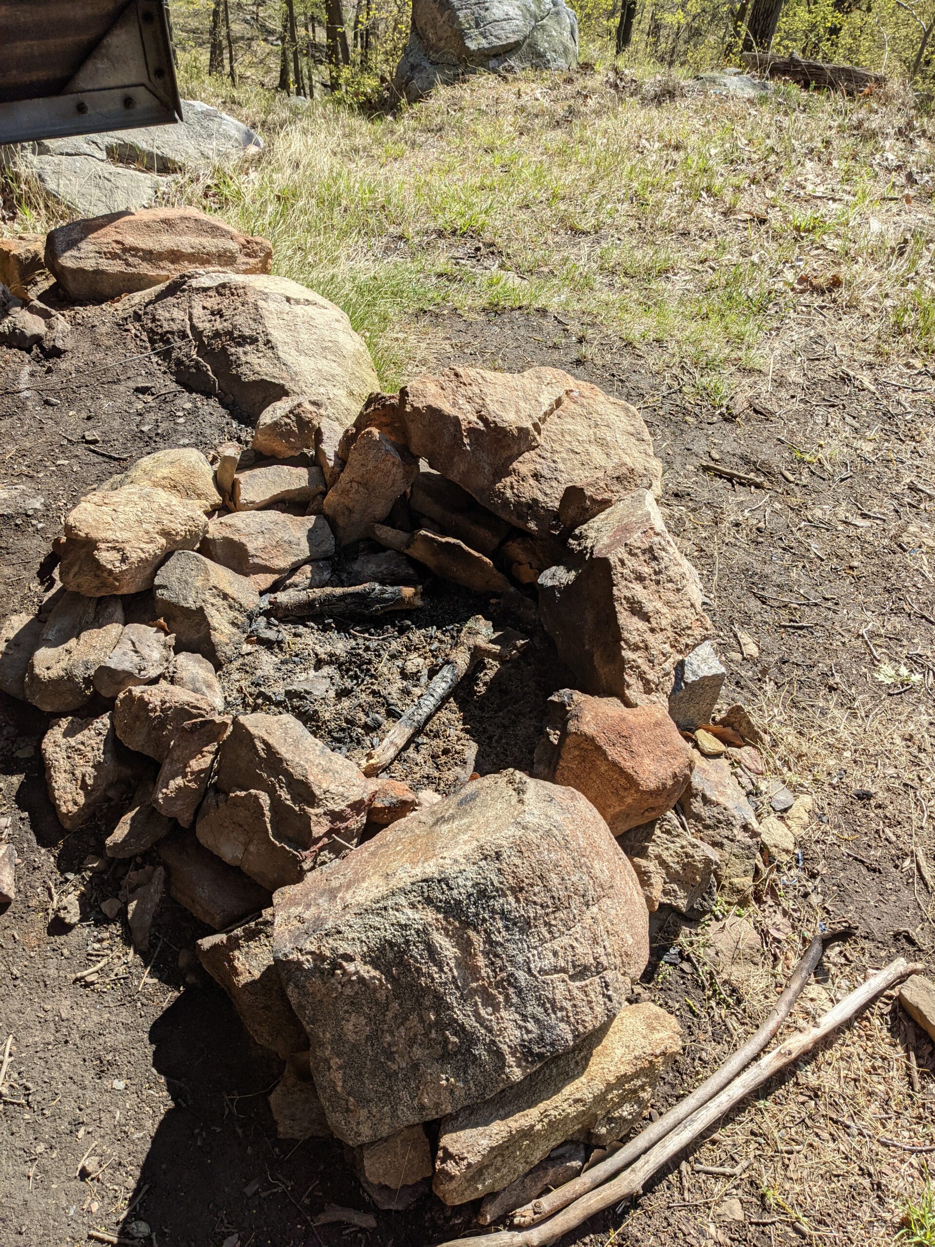
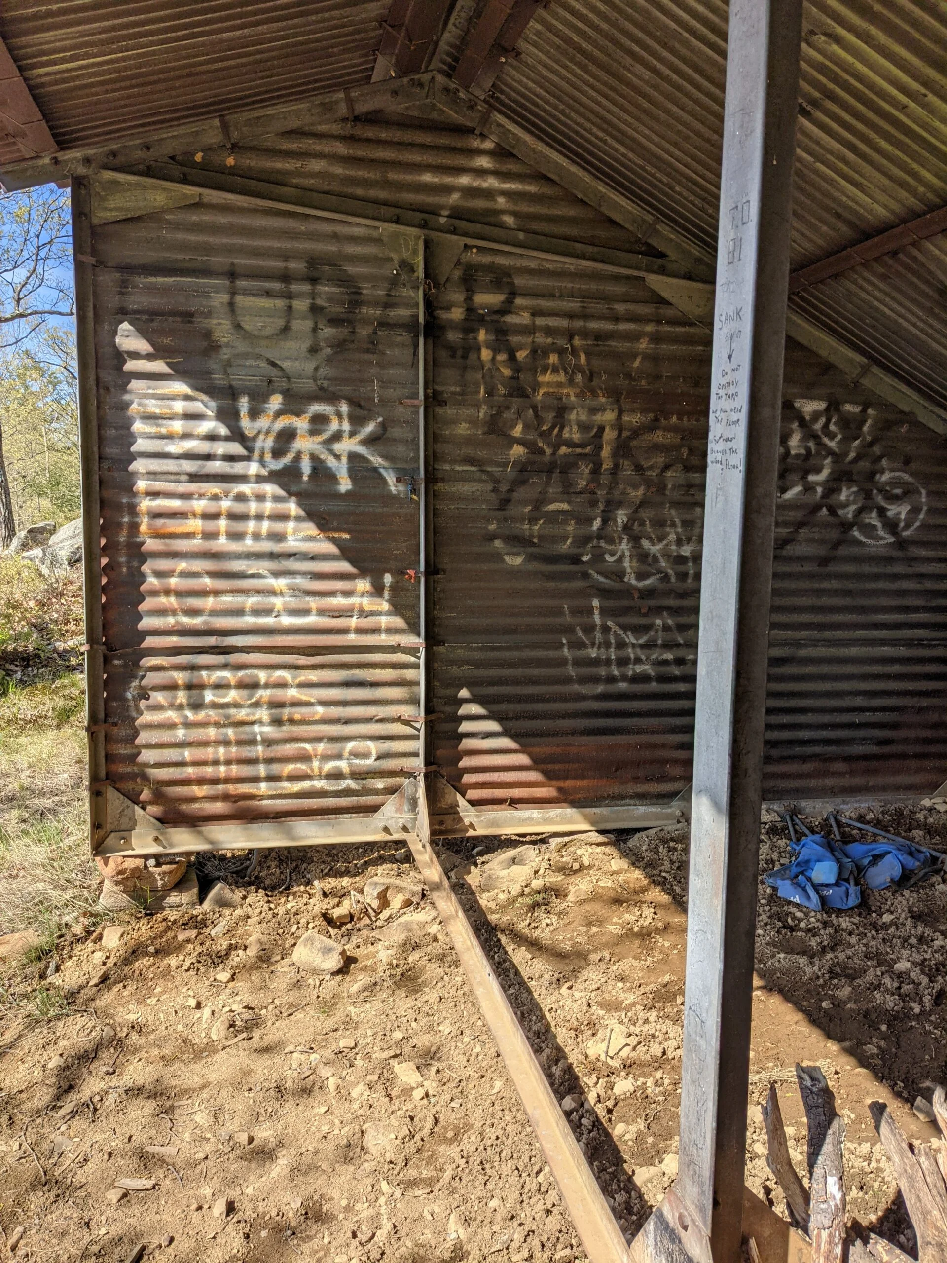
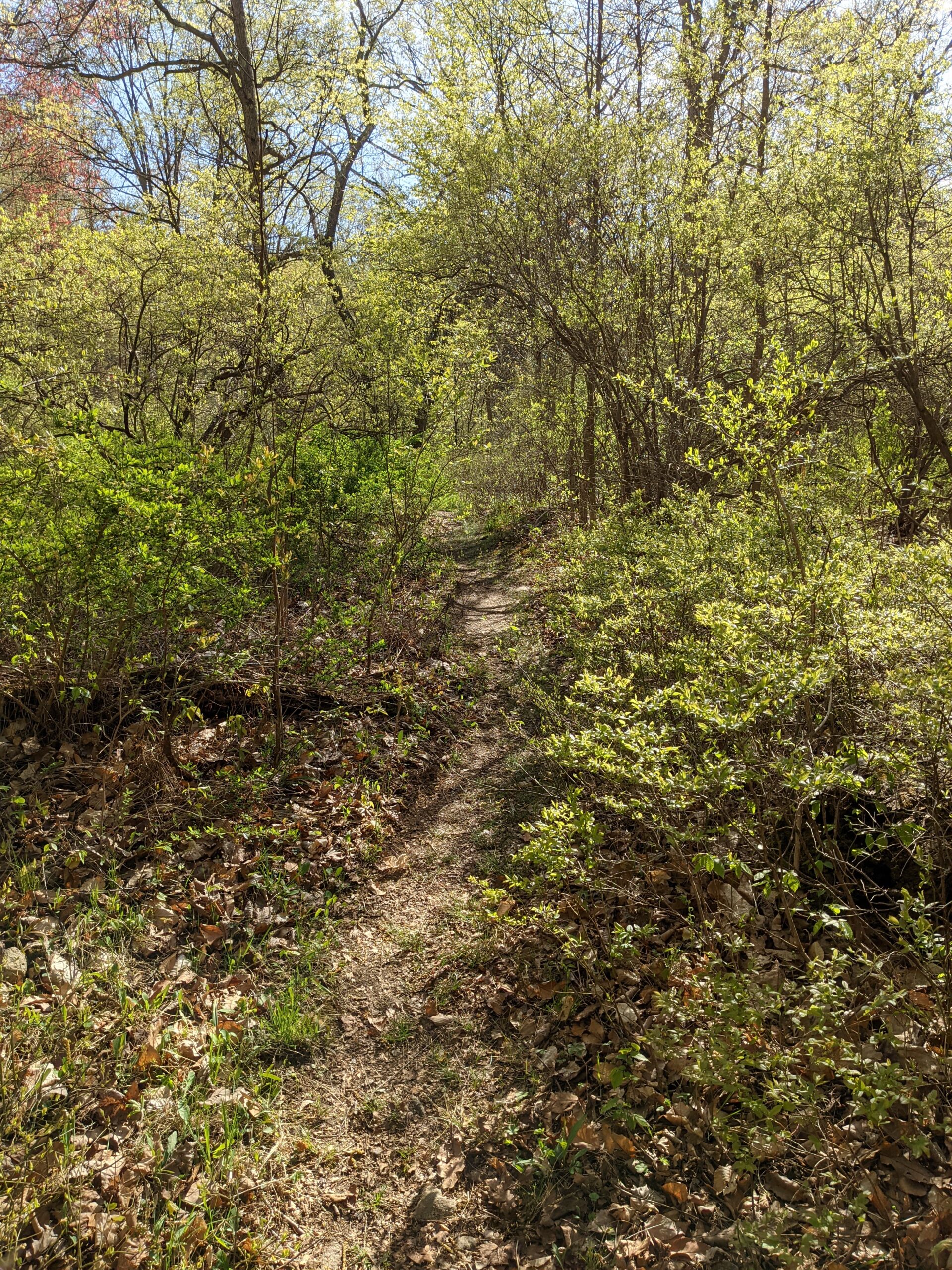
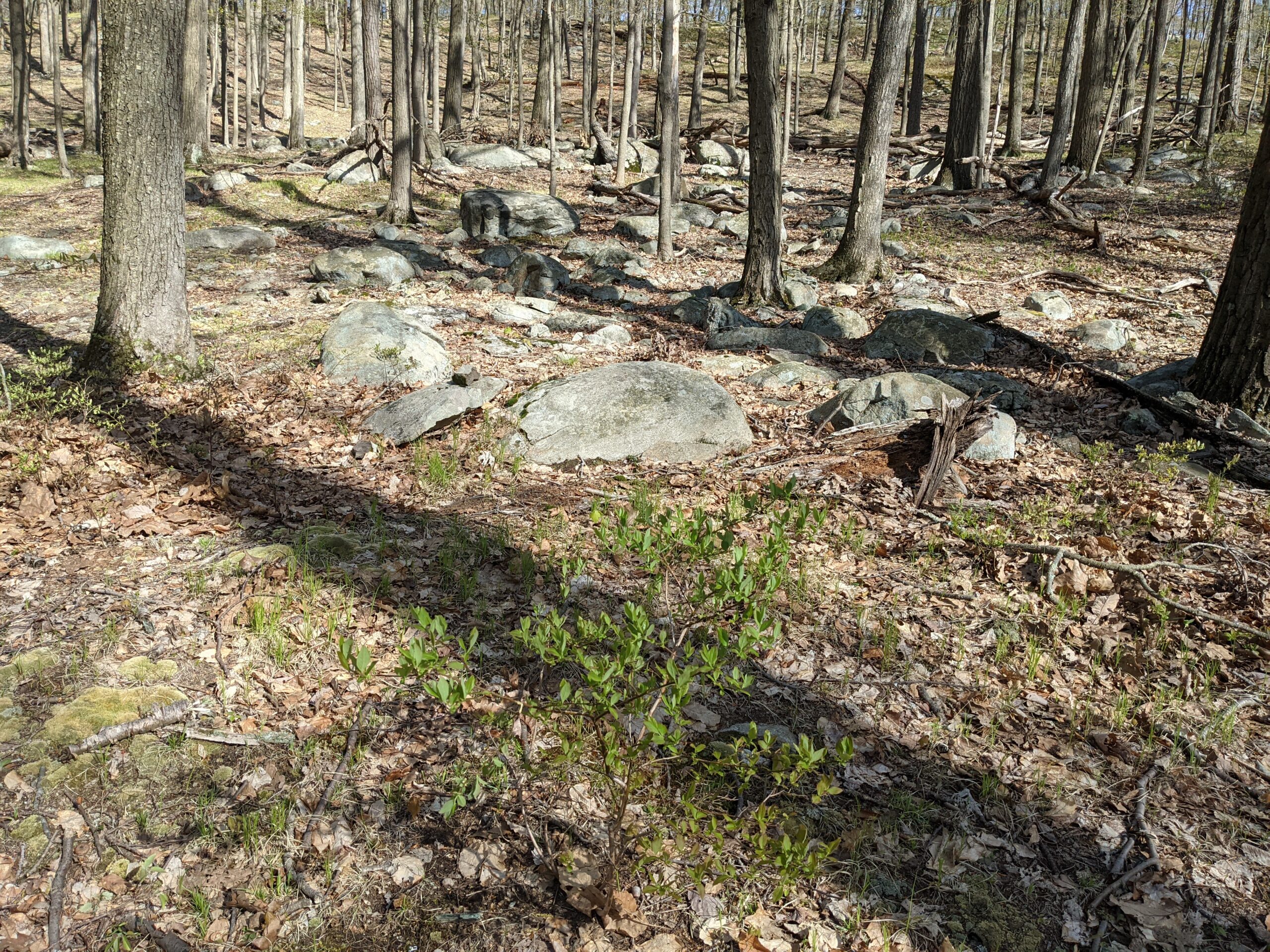
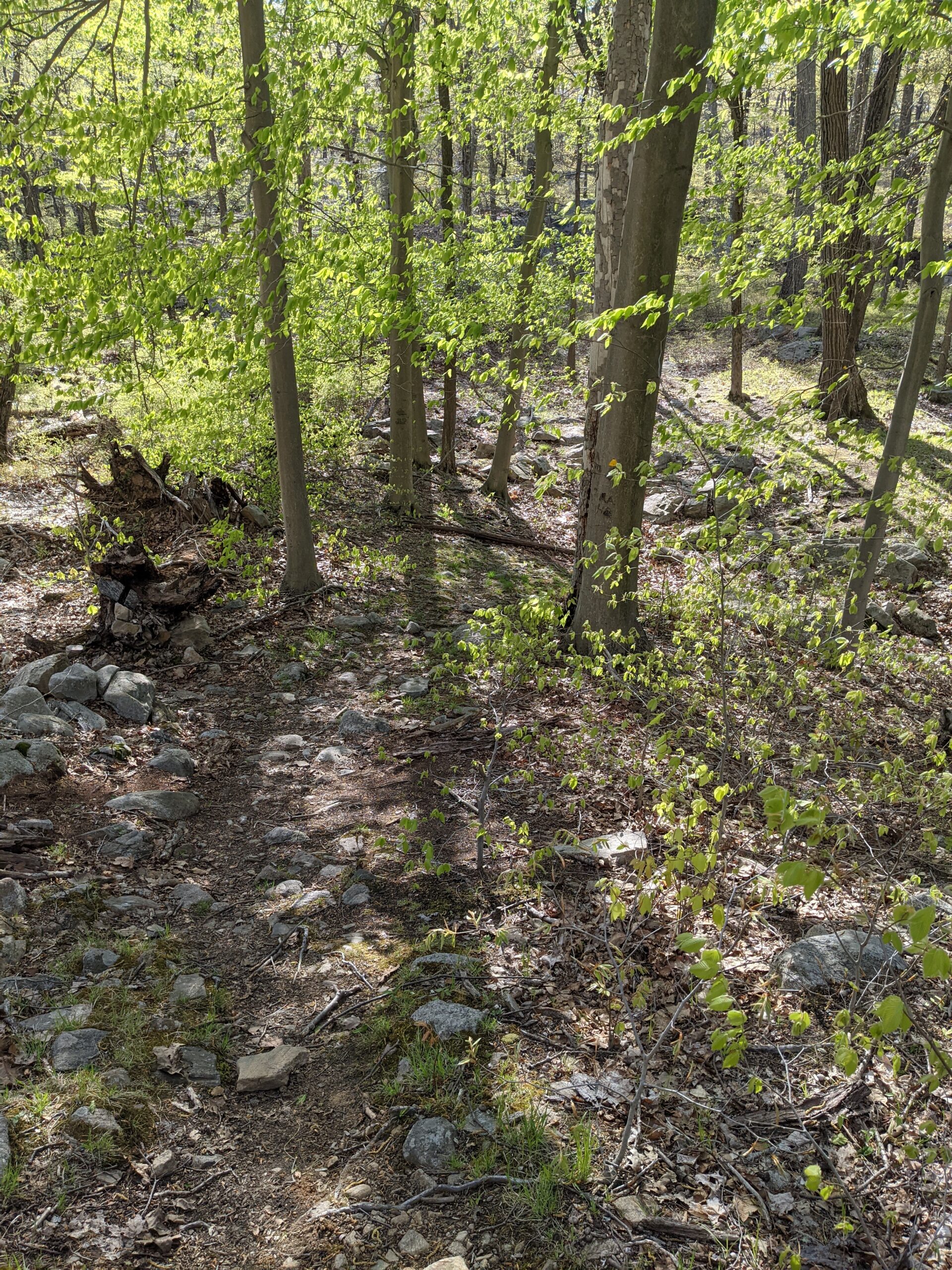
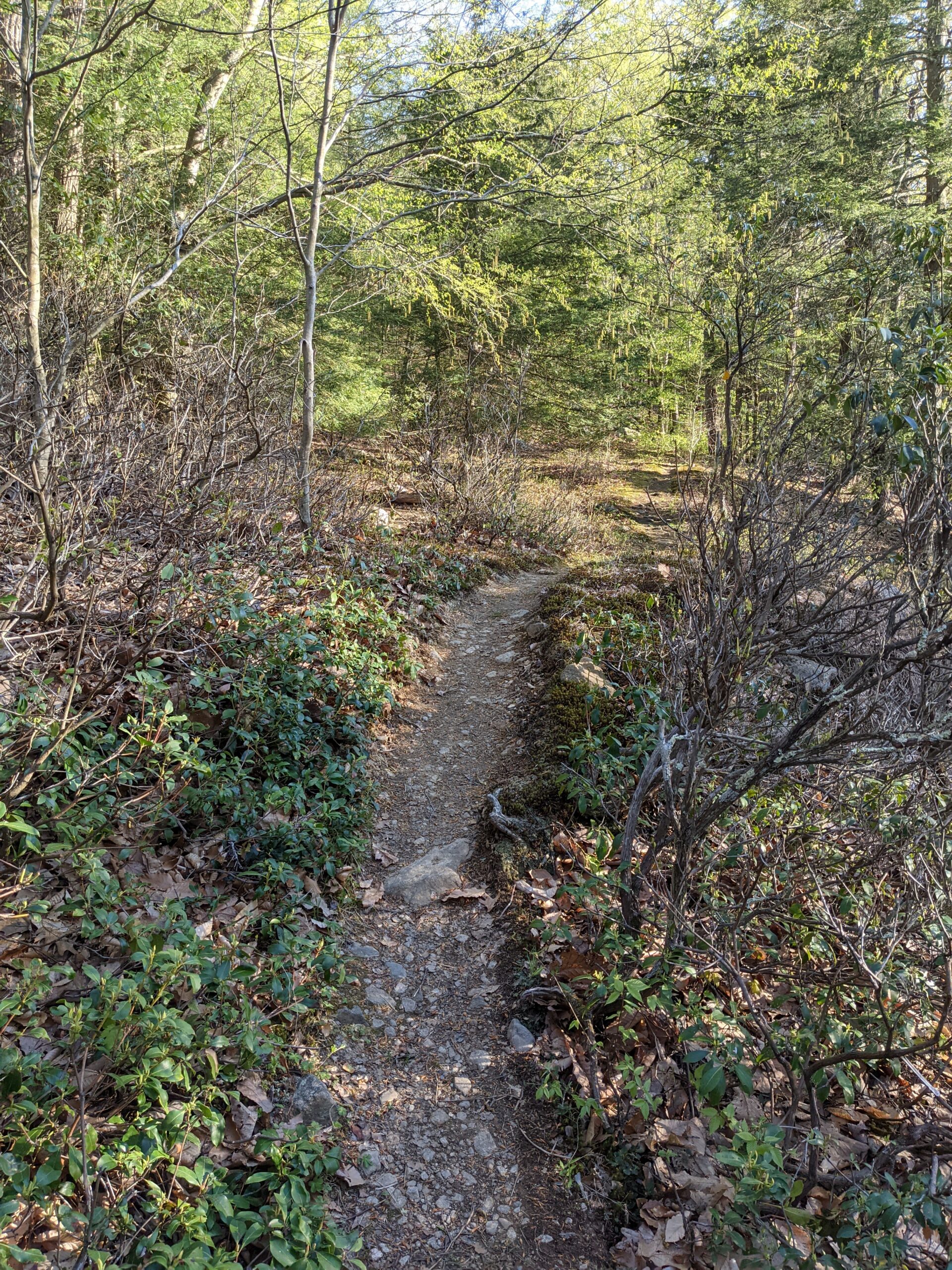
Continuing on Victory, I spotted my first campsite of the day toward the northern end of the lake. Shortly thereafter, Victory takes a turn to the left and turns back into a traditional hiking trail. At around the 5.5 mile mark, Victory intersected with RD and I followed that to the right (north east). A bit of rock scrambling later, I made it to the top of Tom Jones Mountain and found the Tom Jones lean-to shelter along with a few campsites.
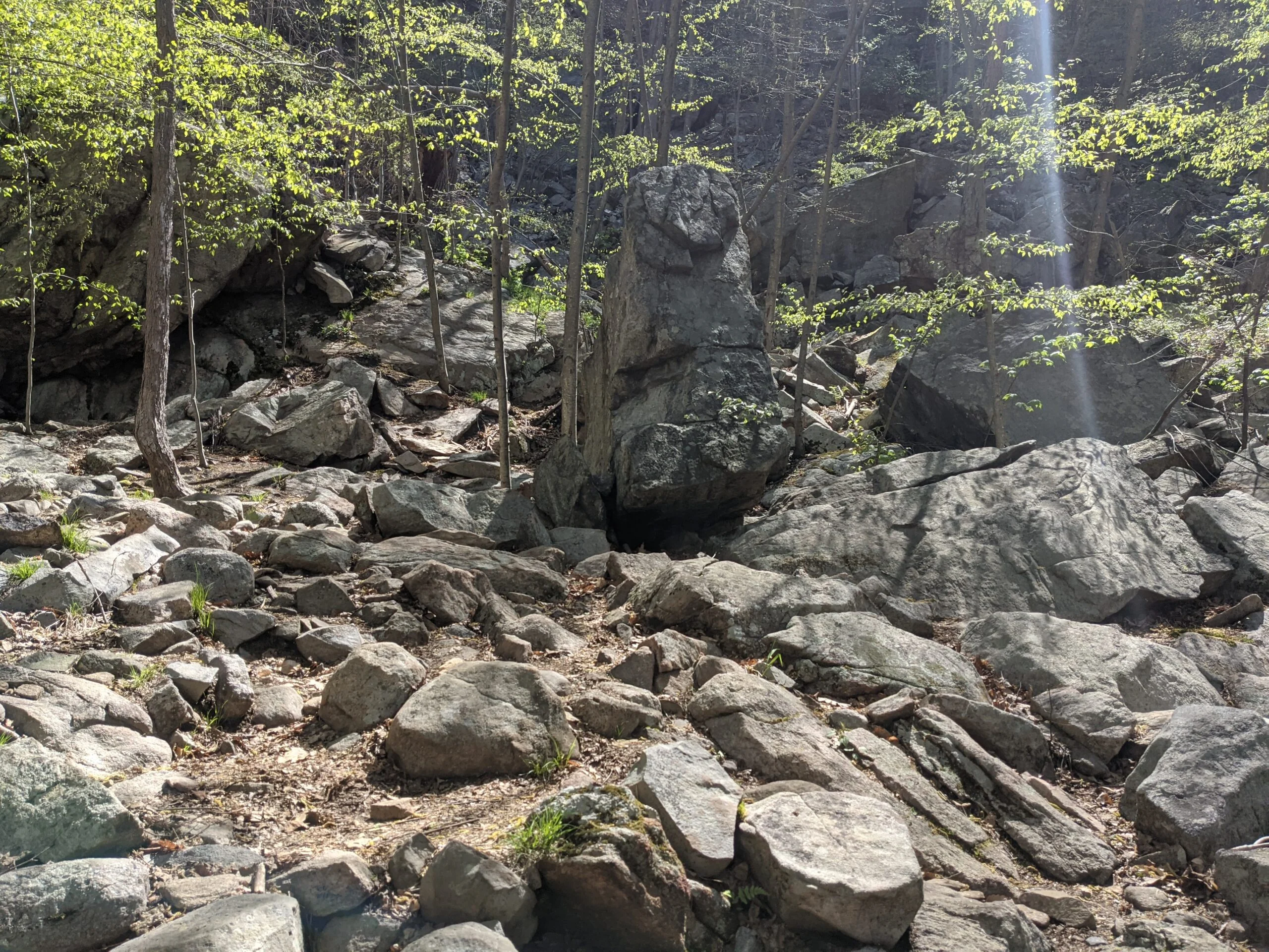
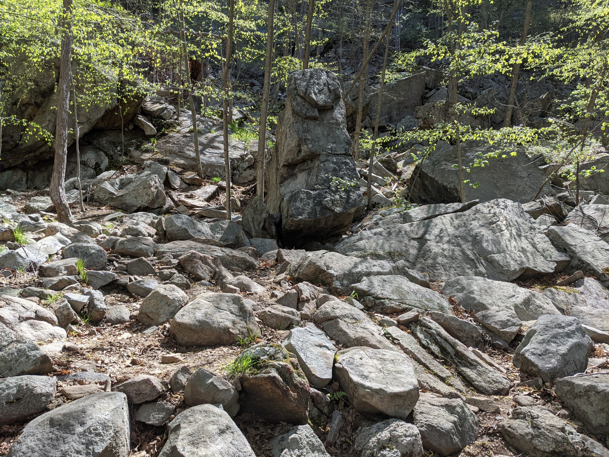
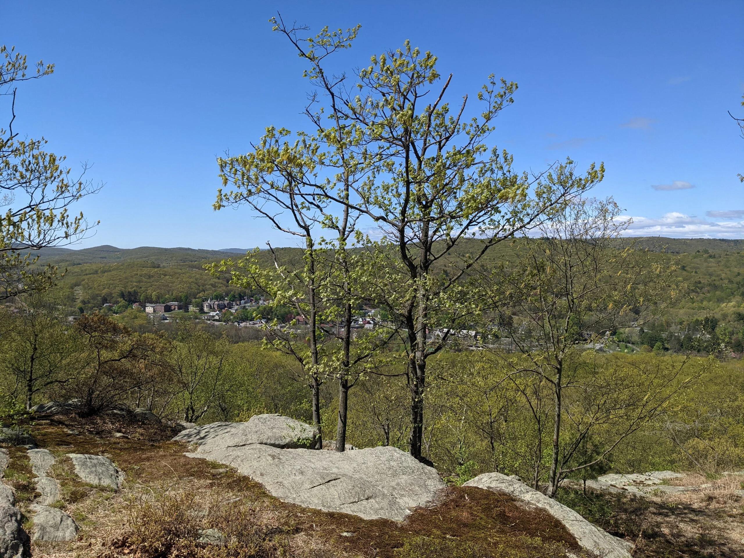
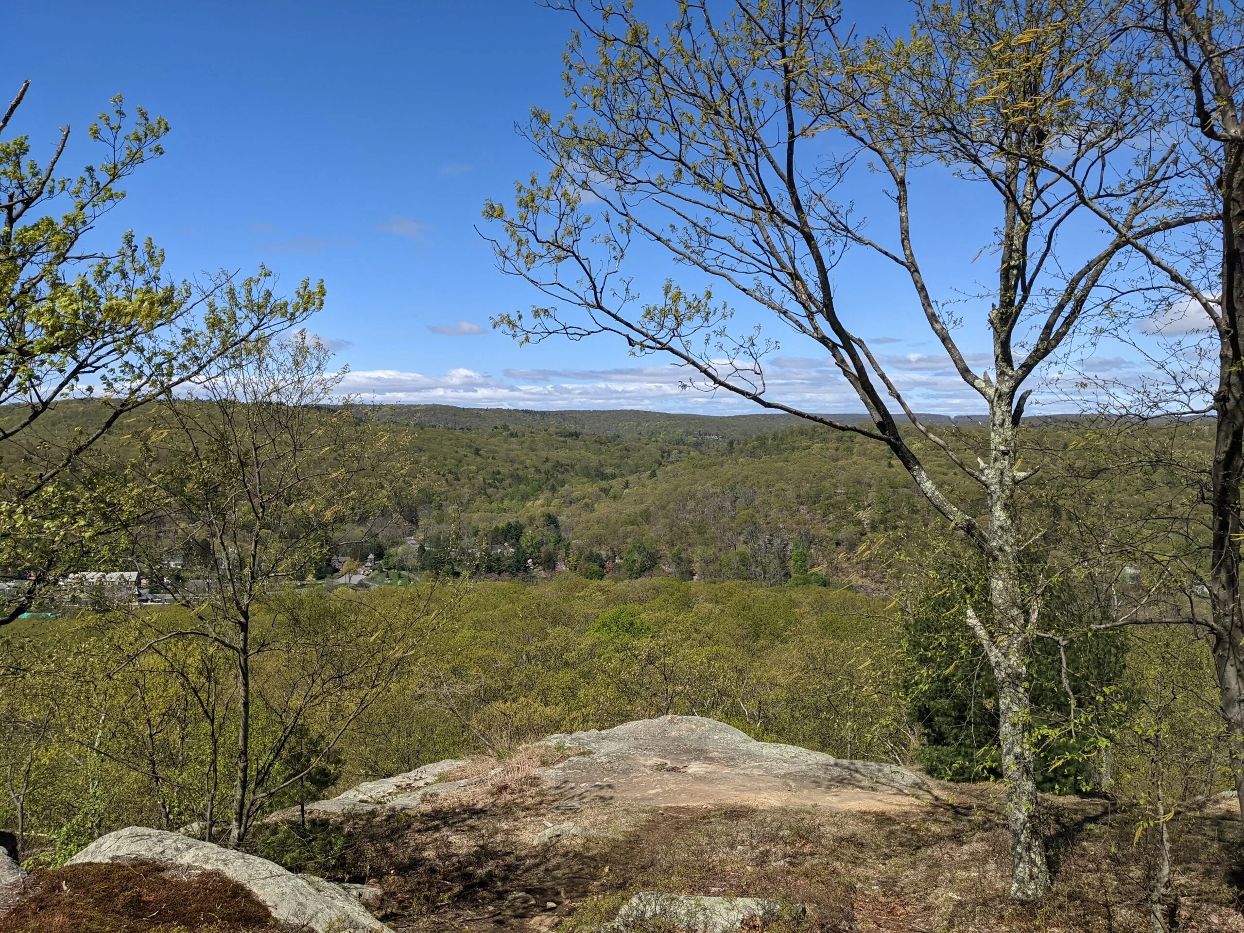
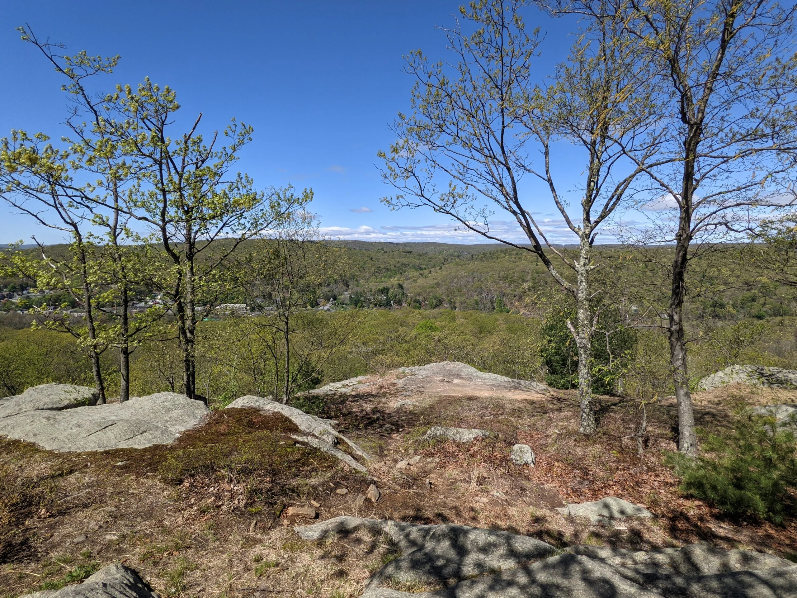
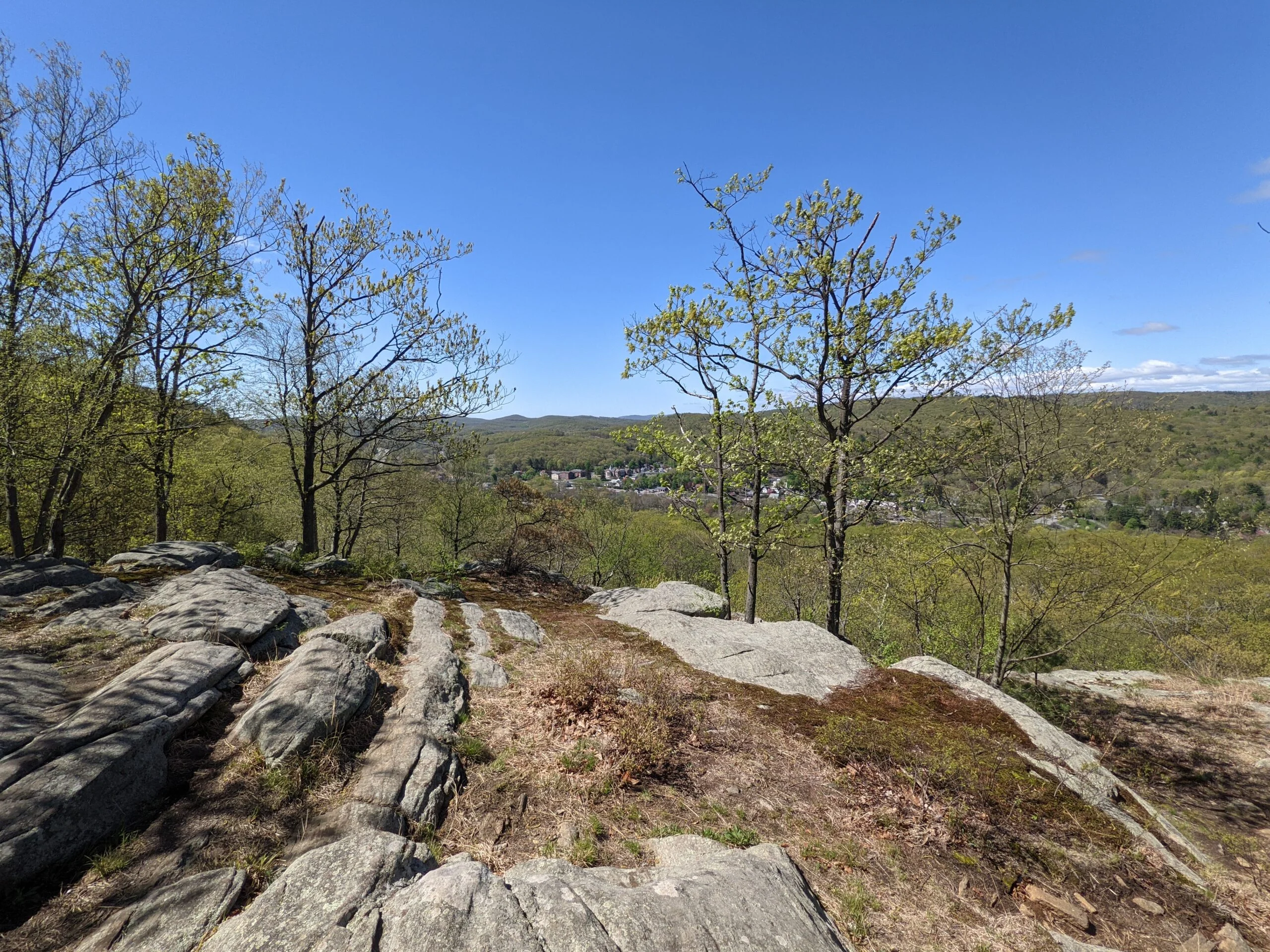
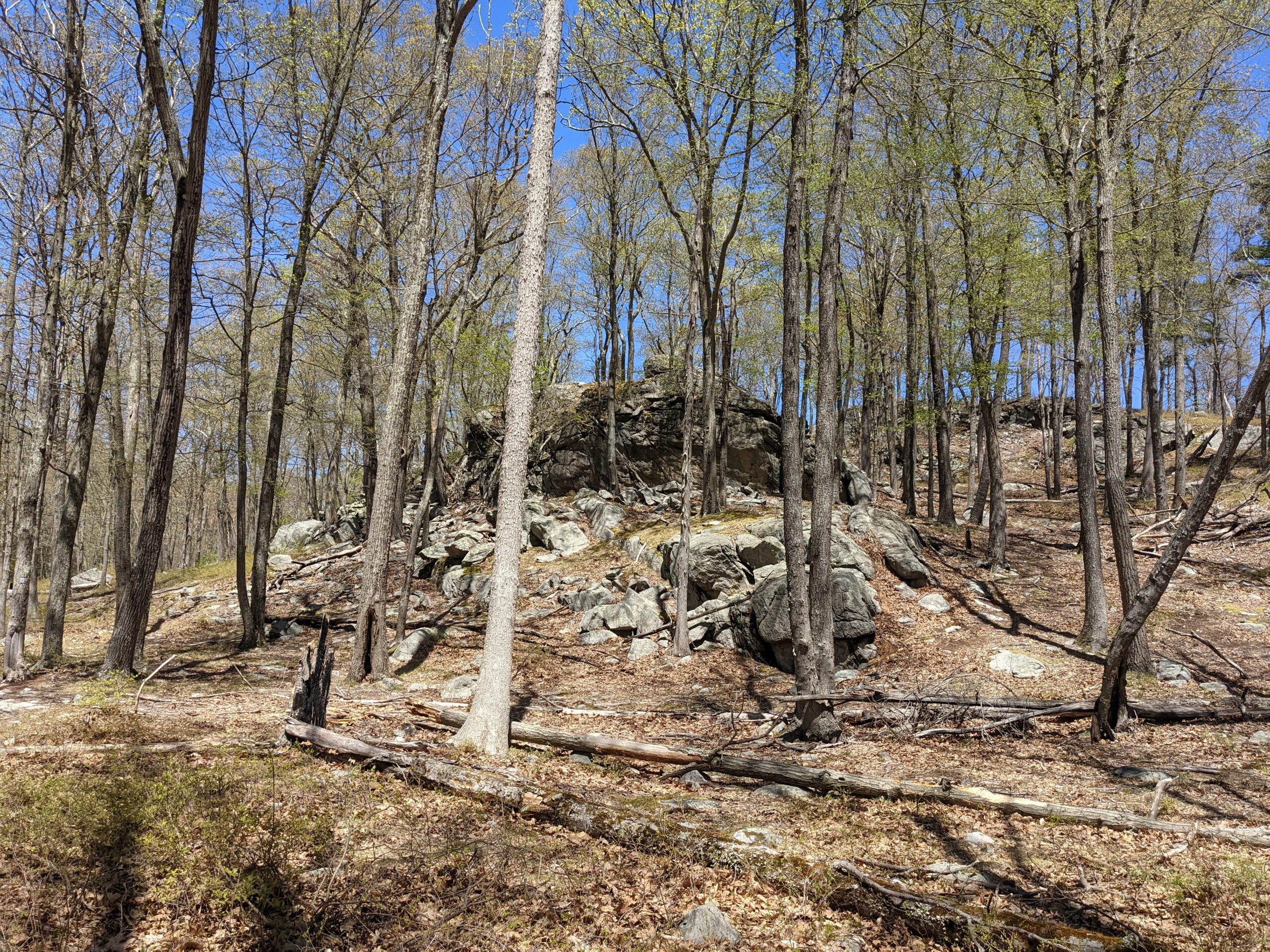
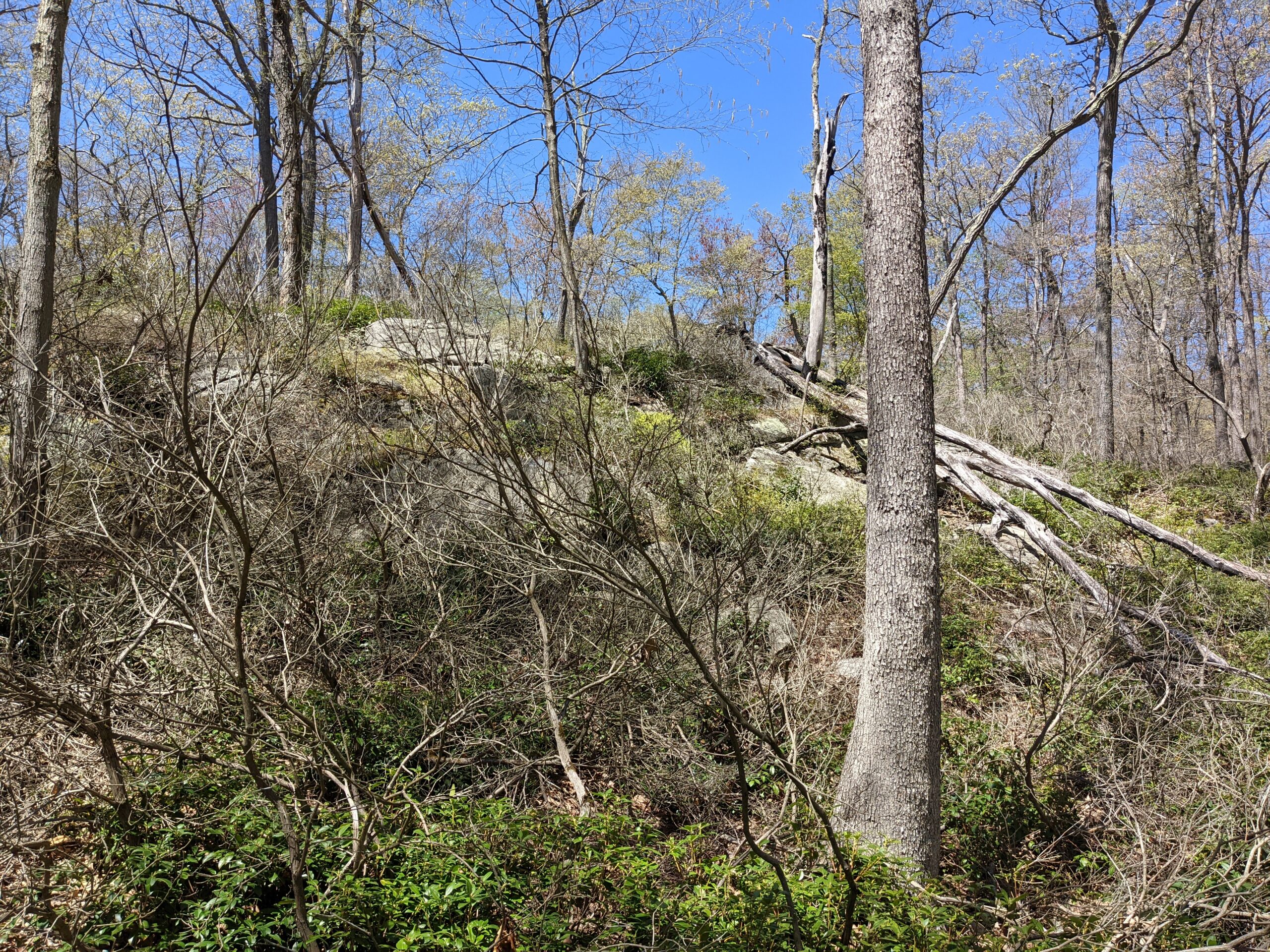
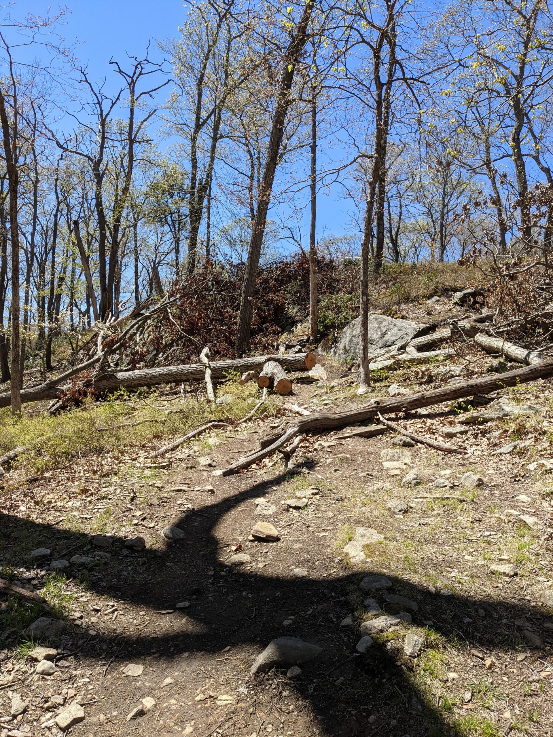
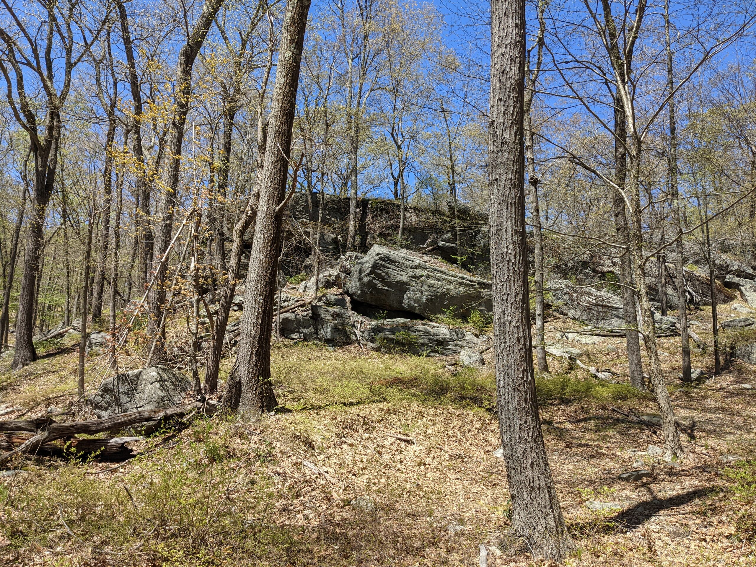
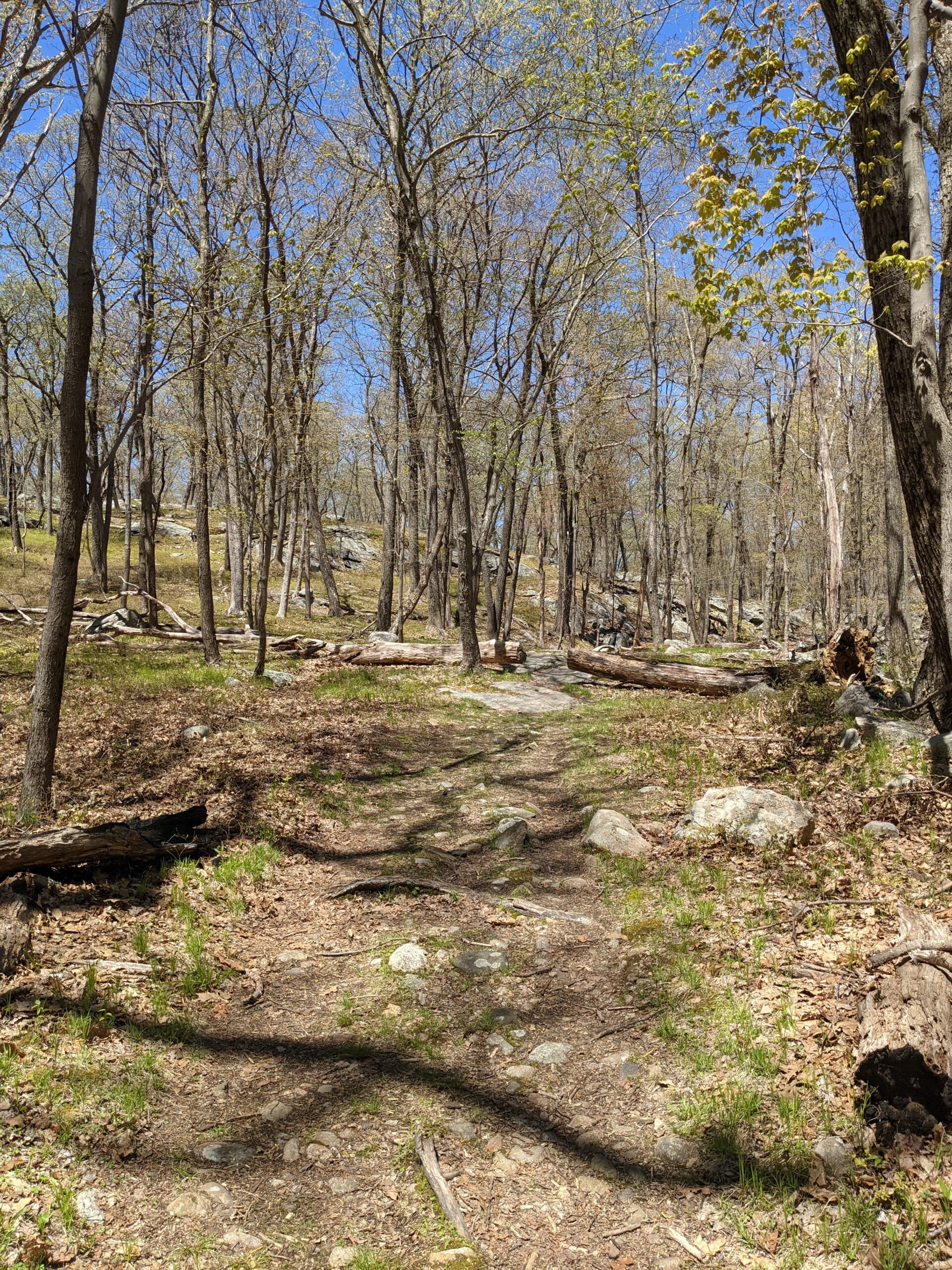
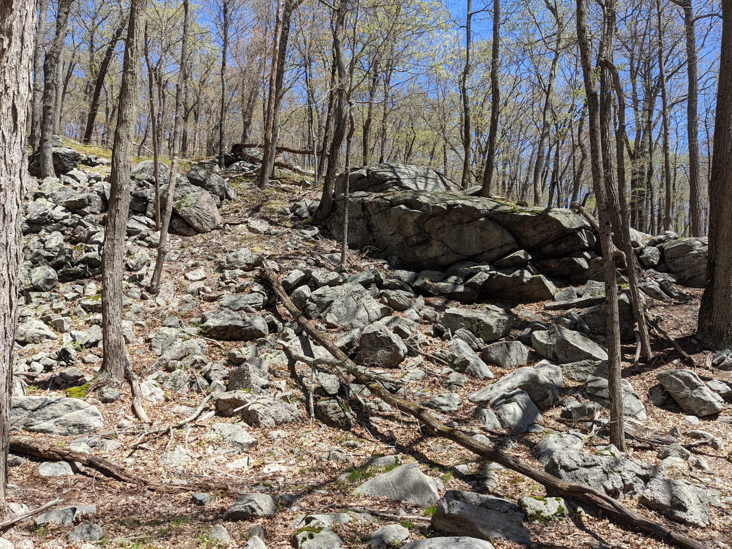
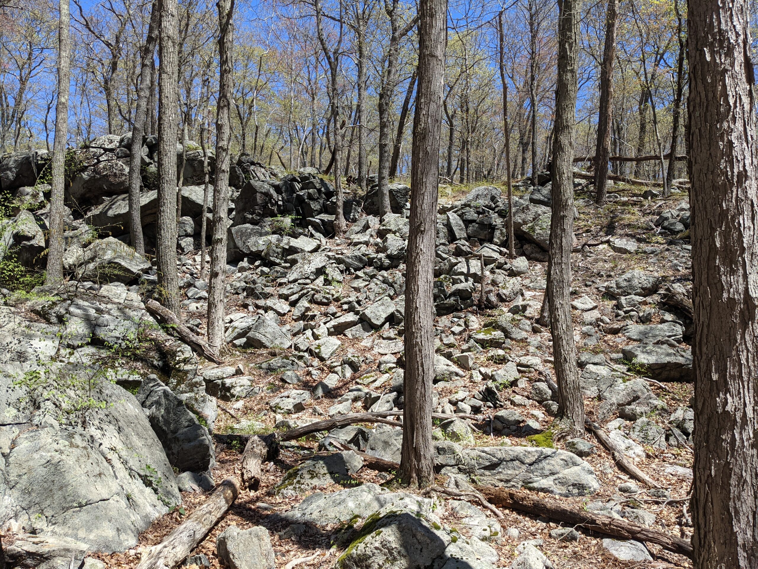
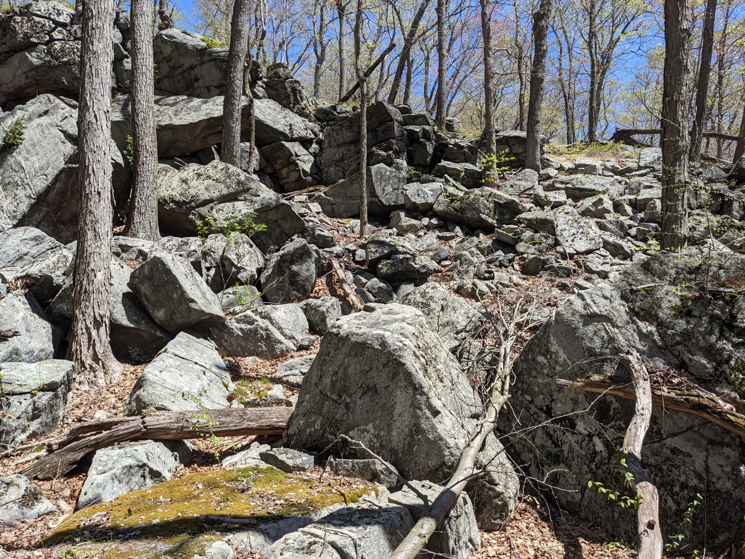
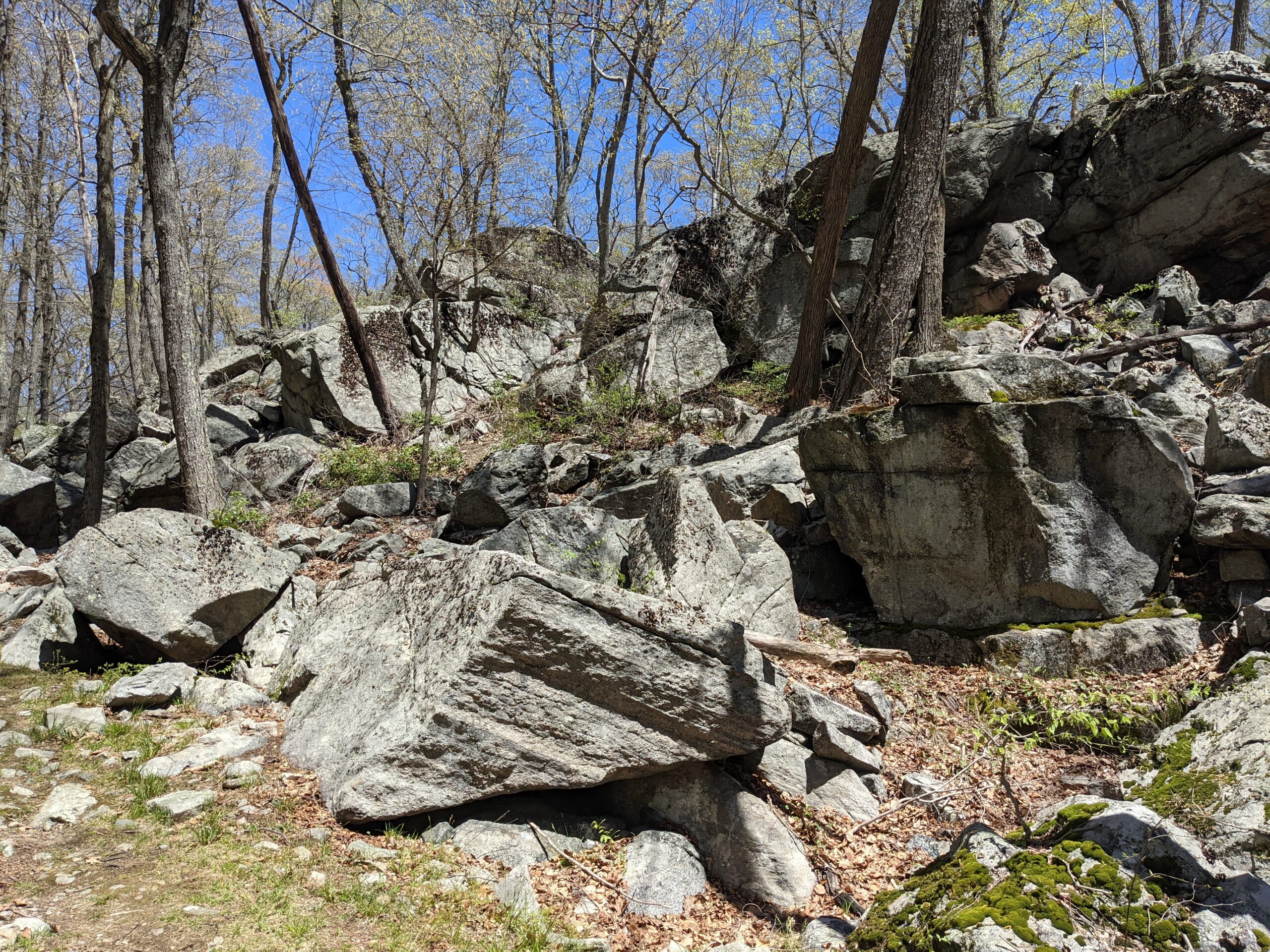
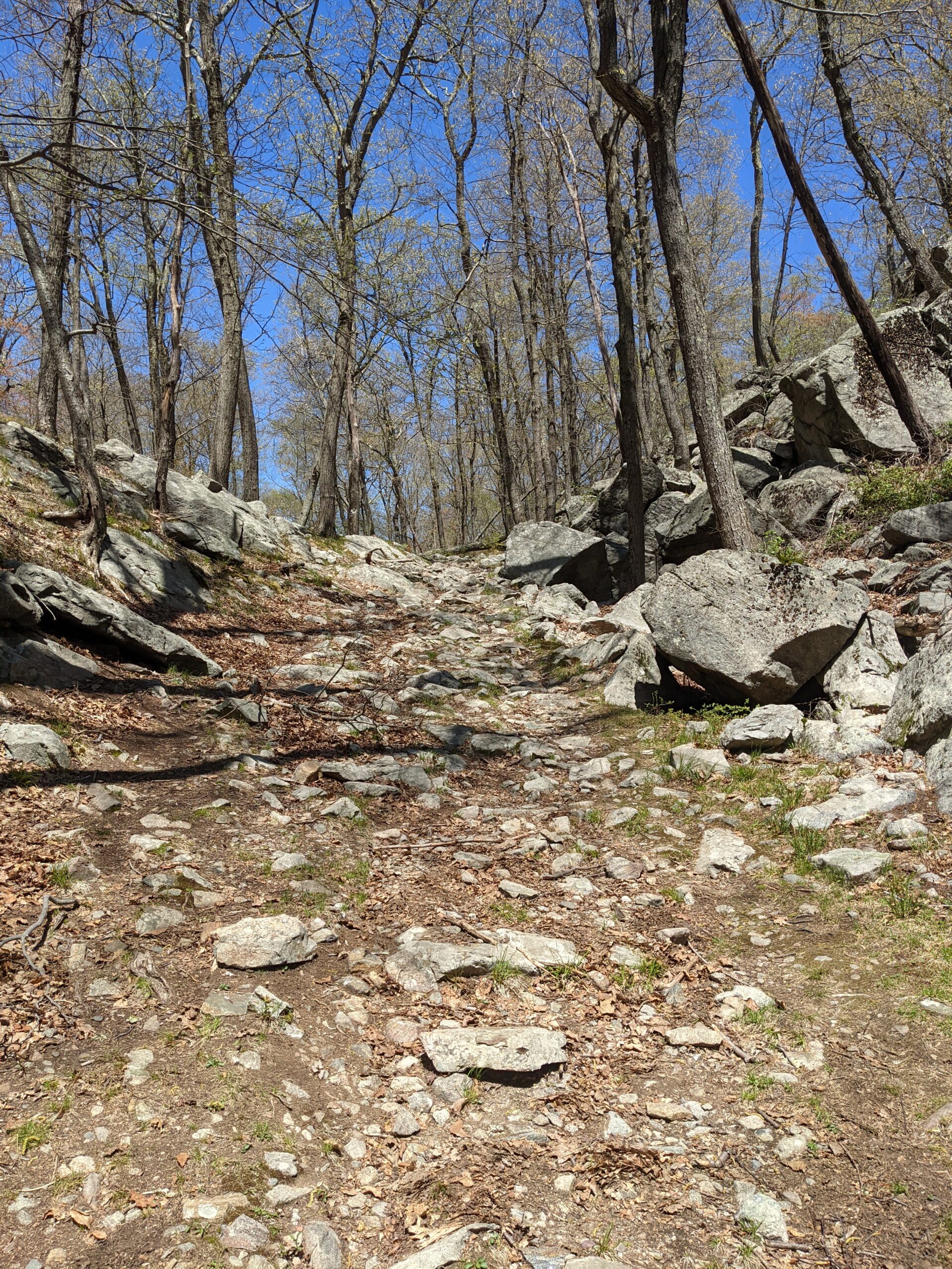
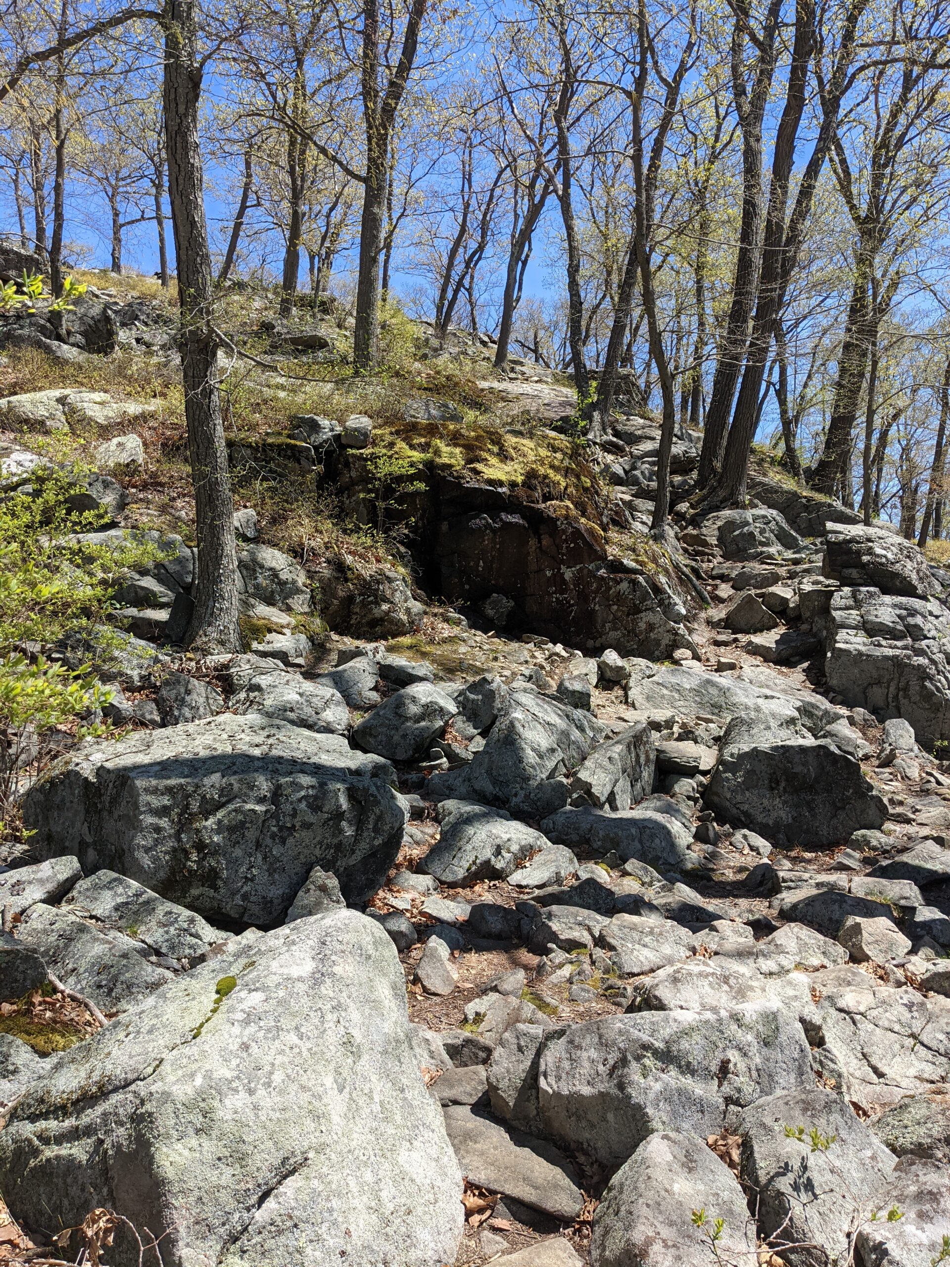
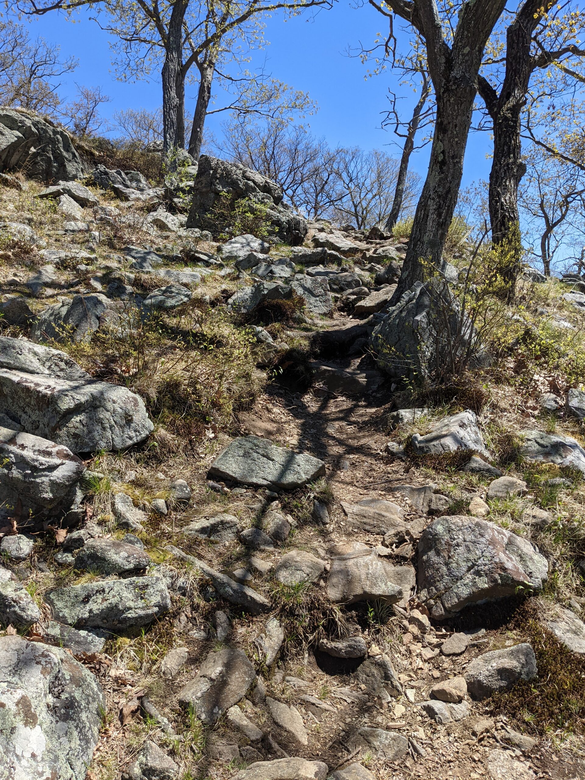
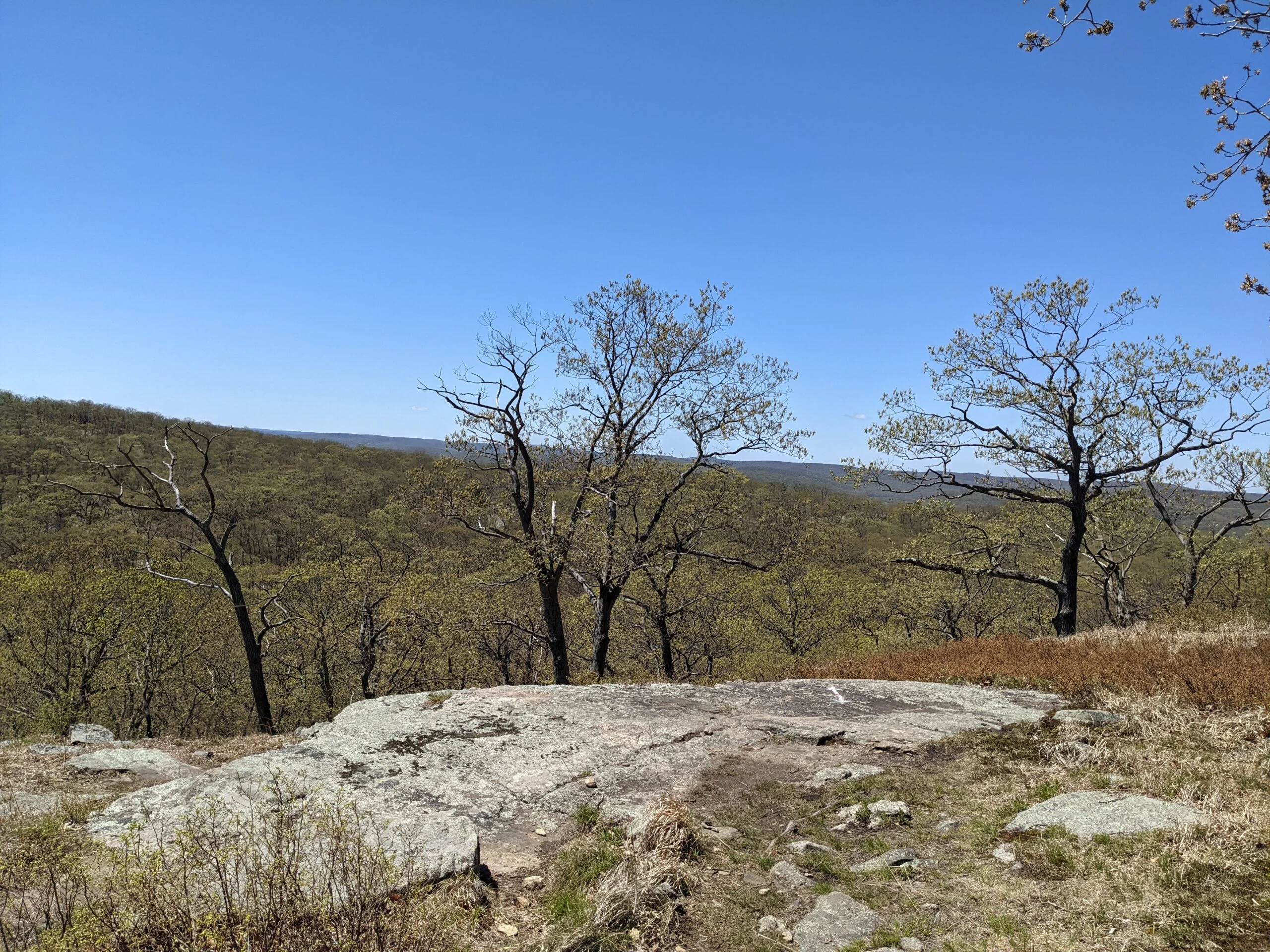
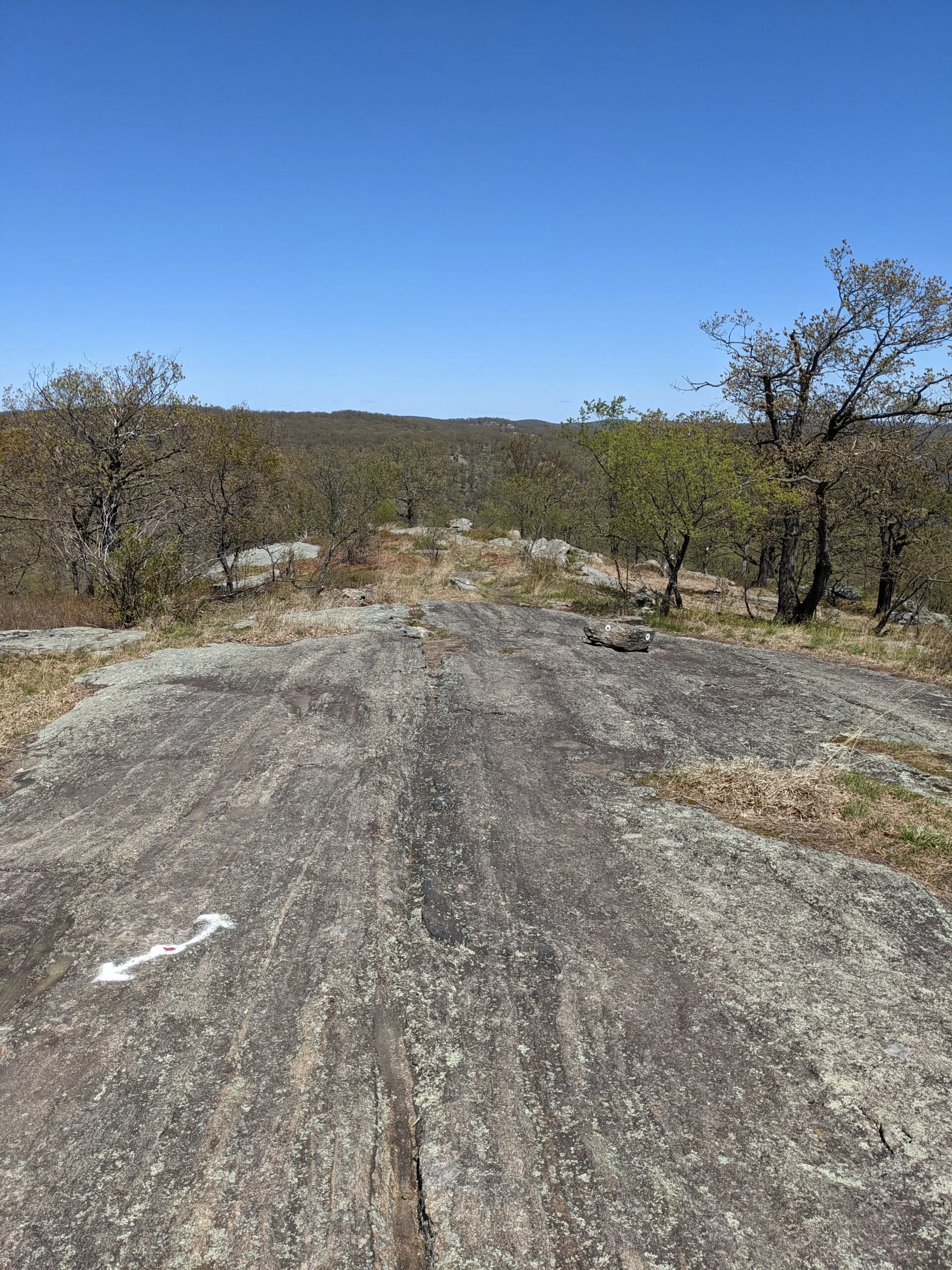
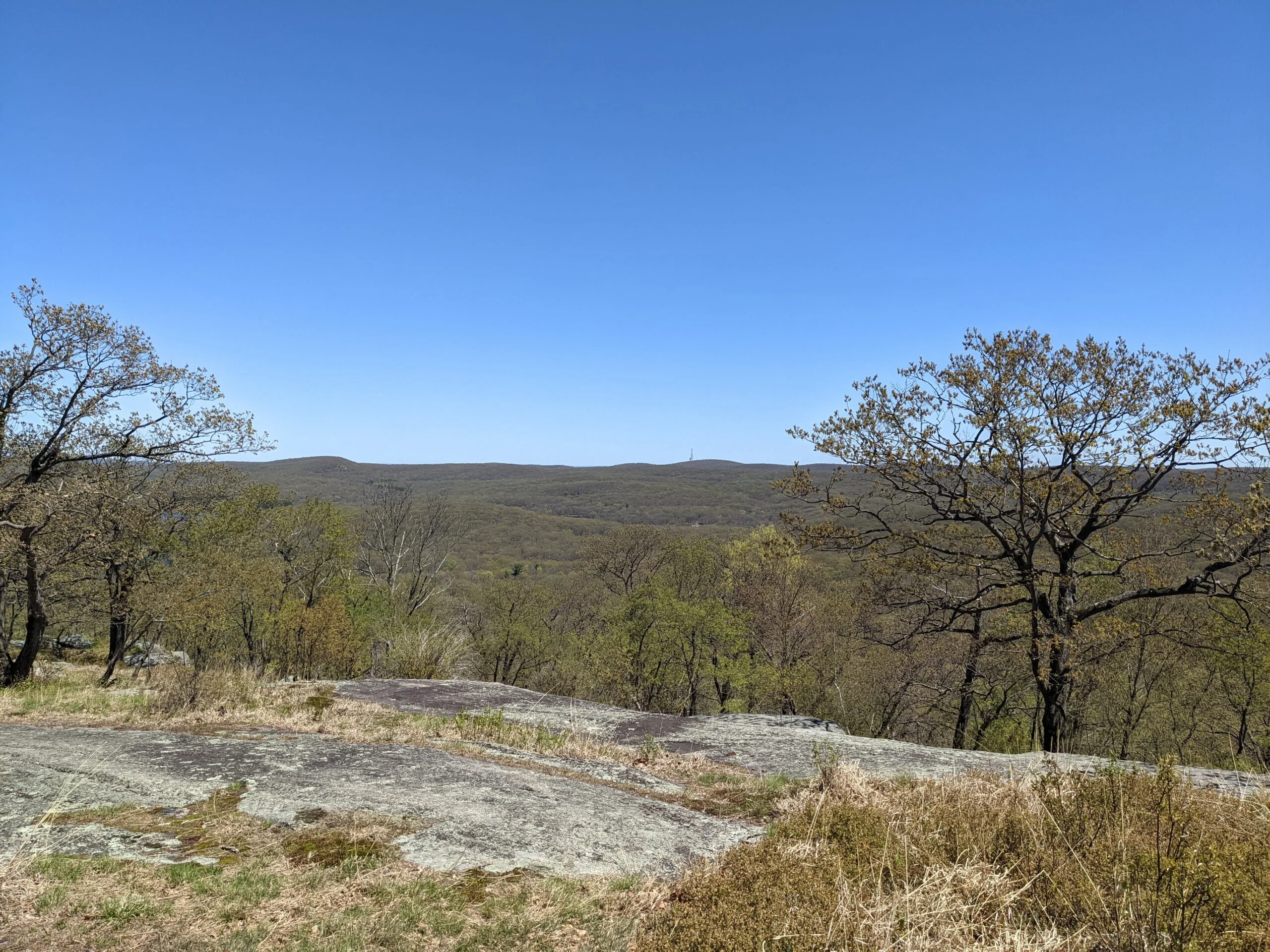
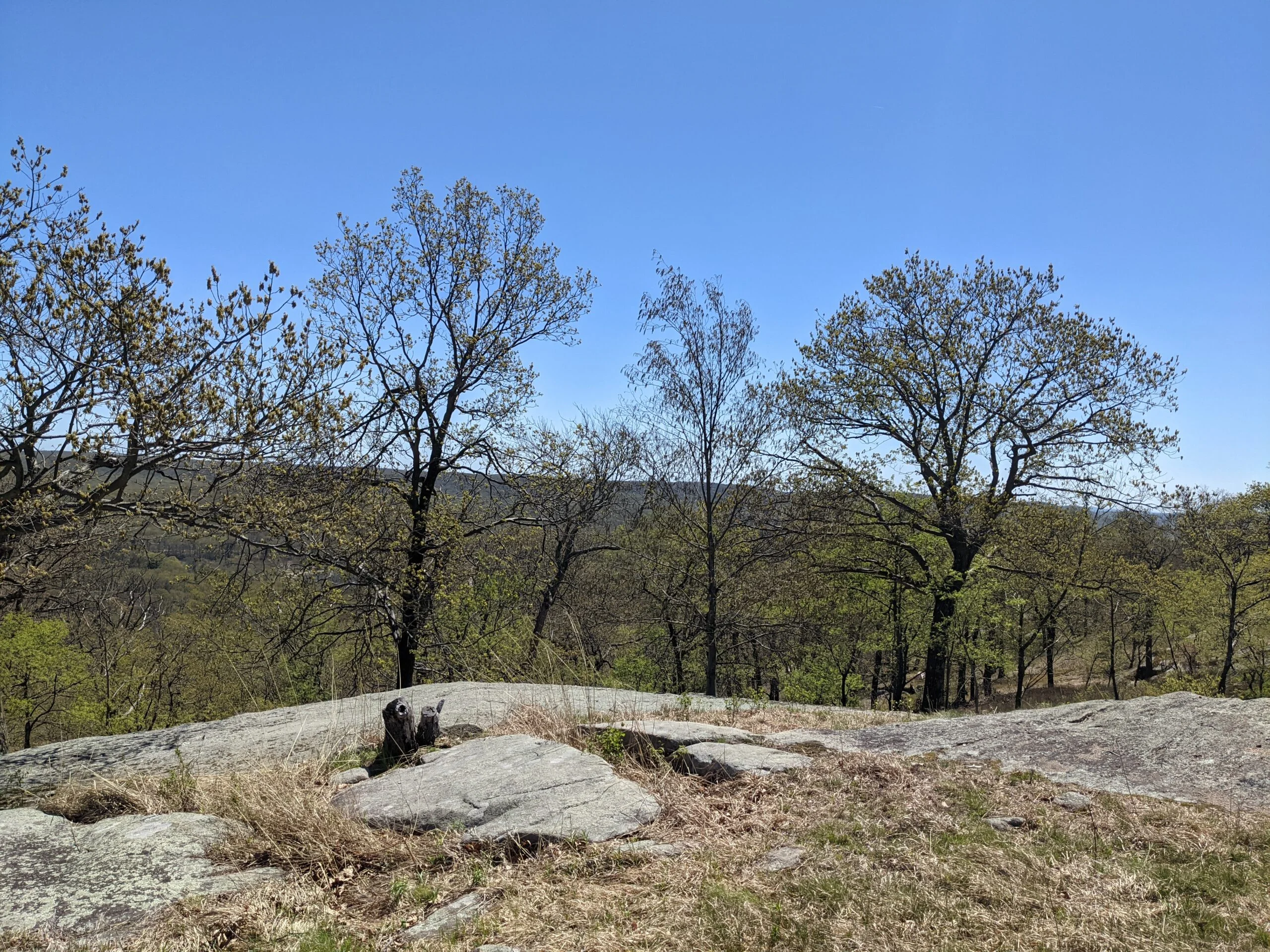
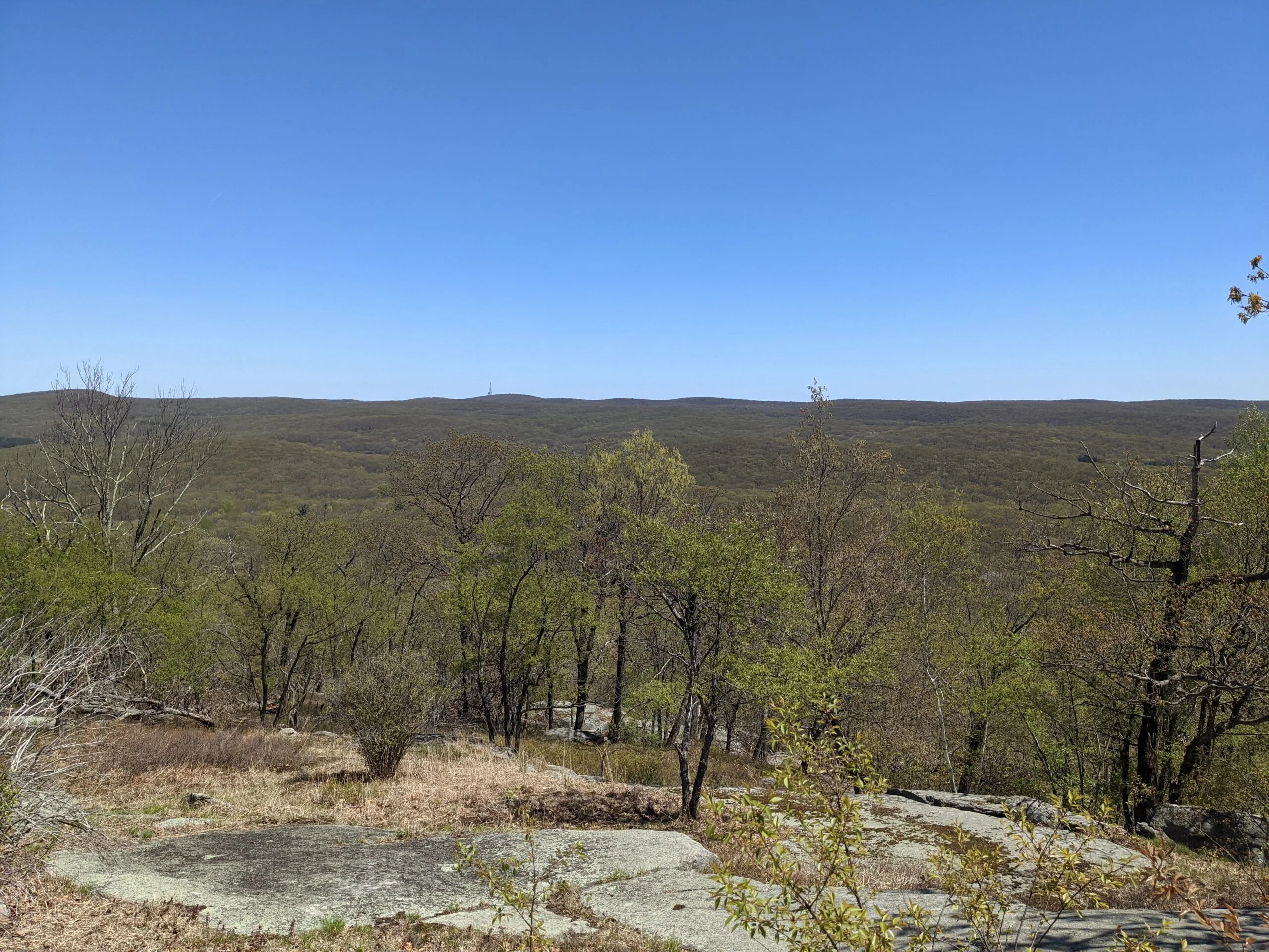
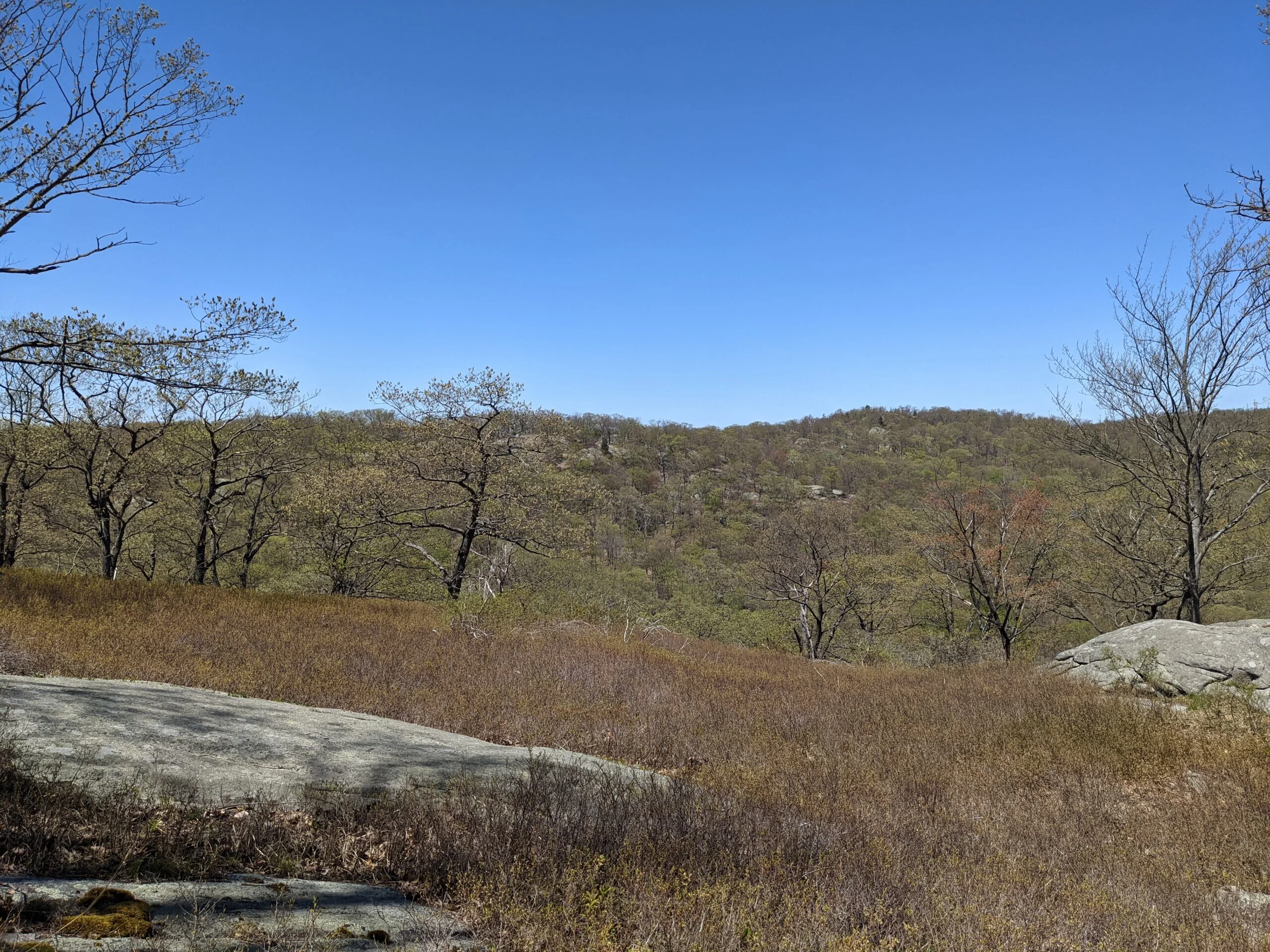
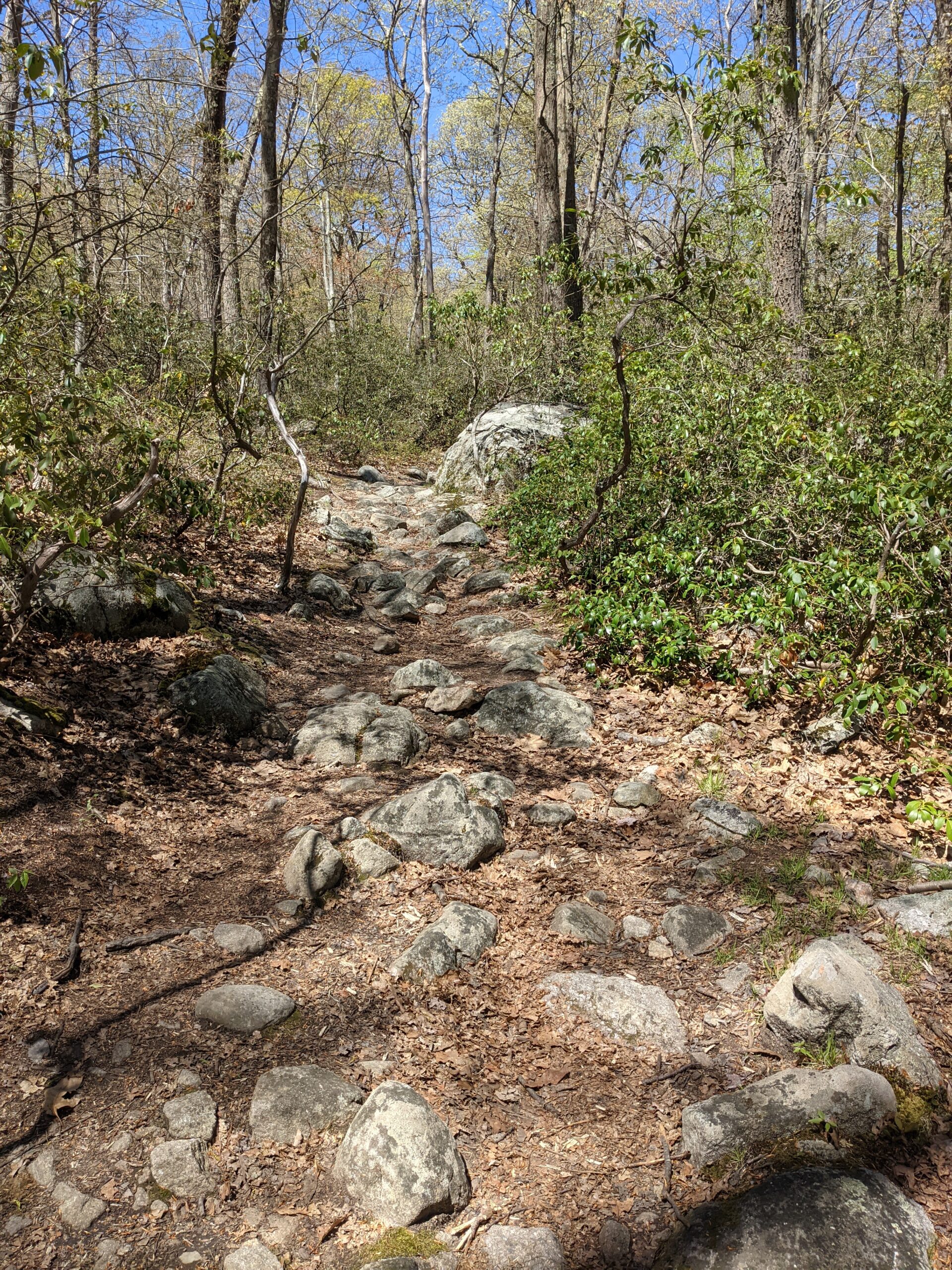
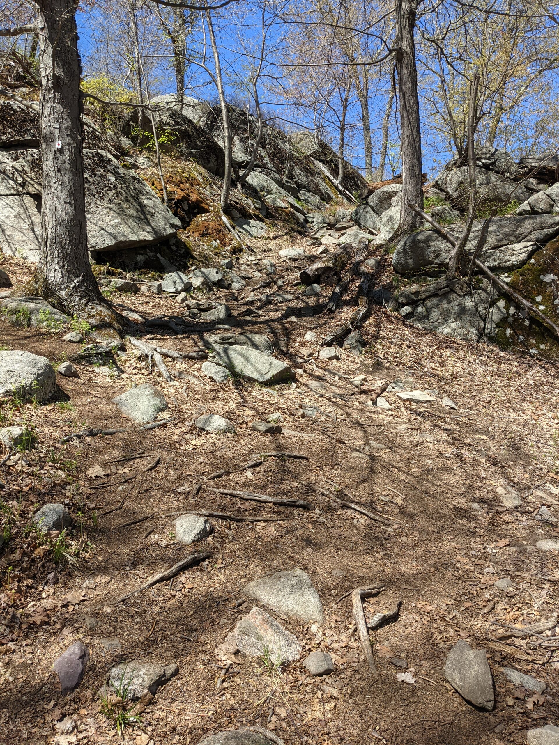
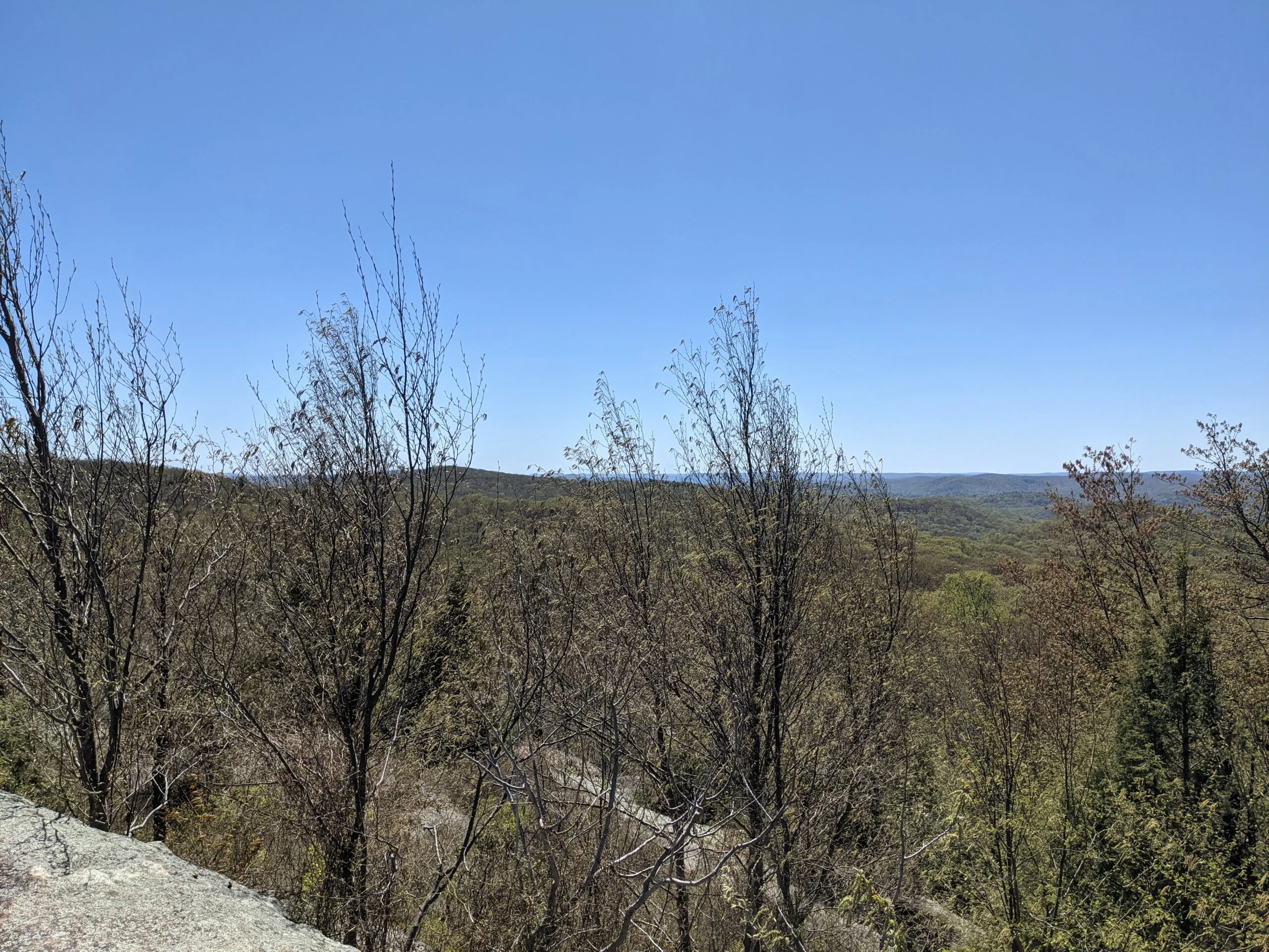
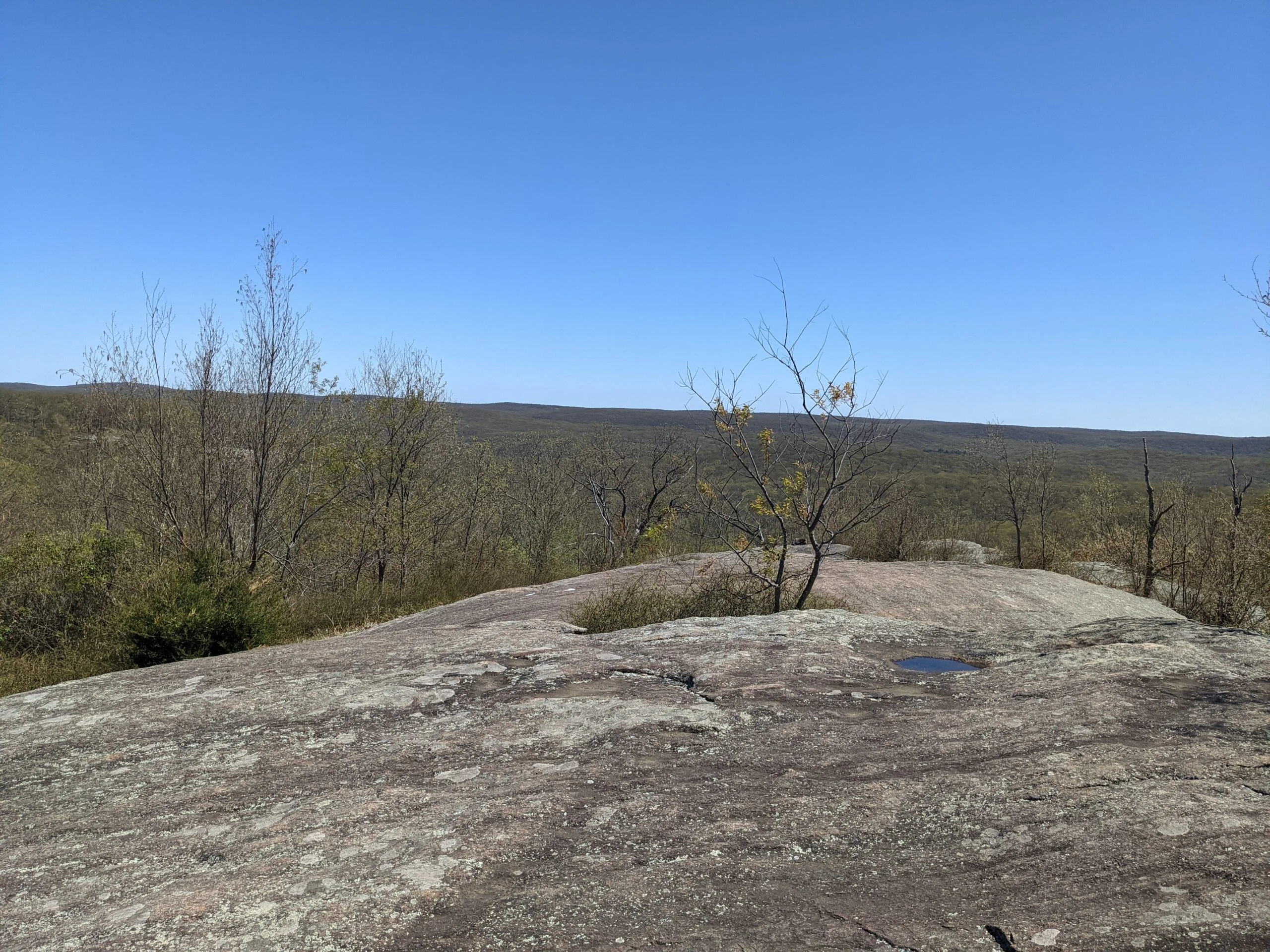
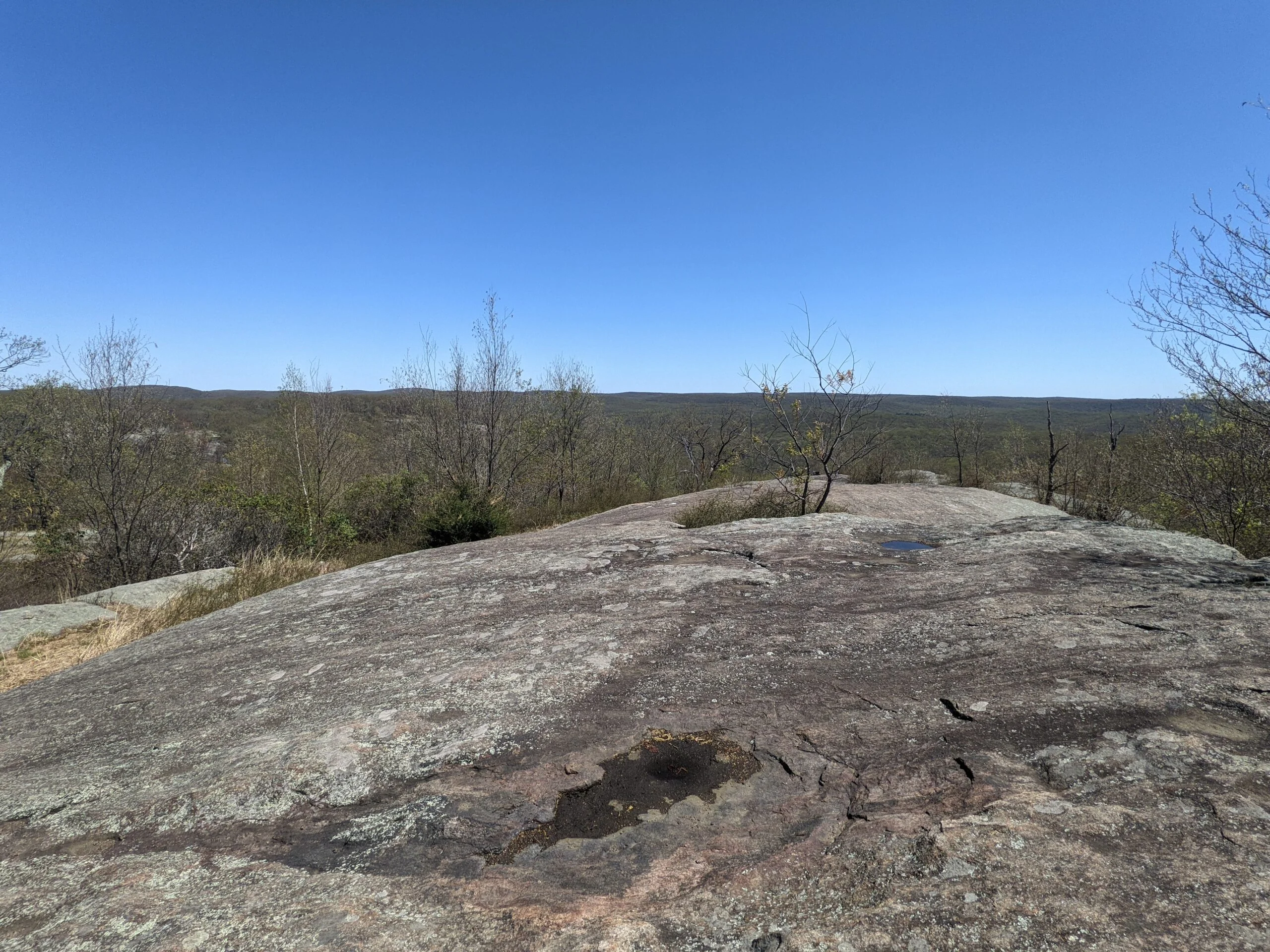
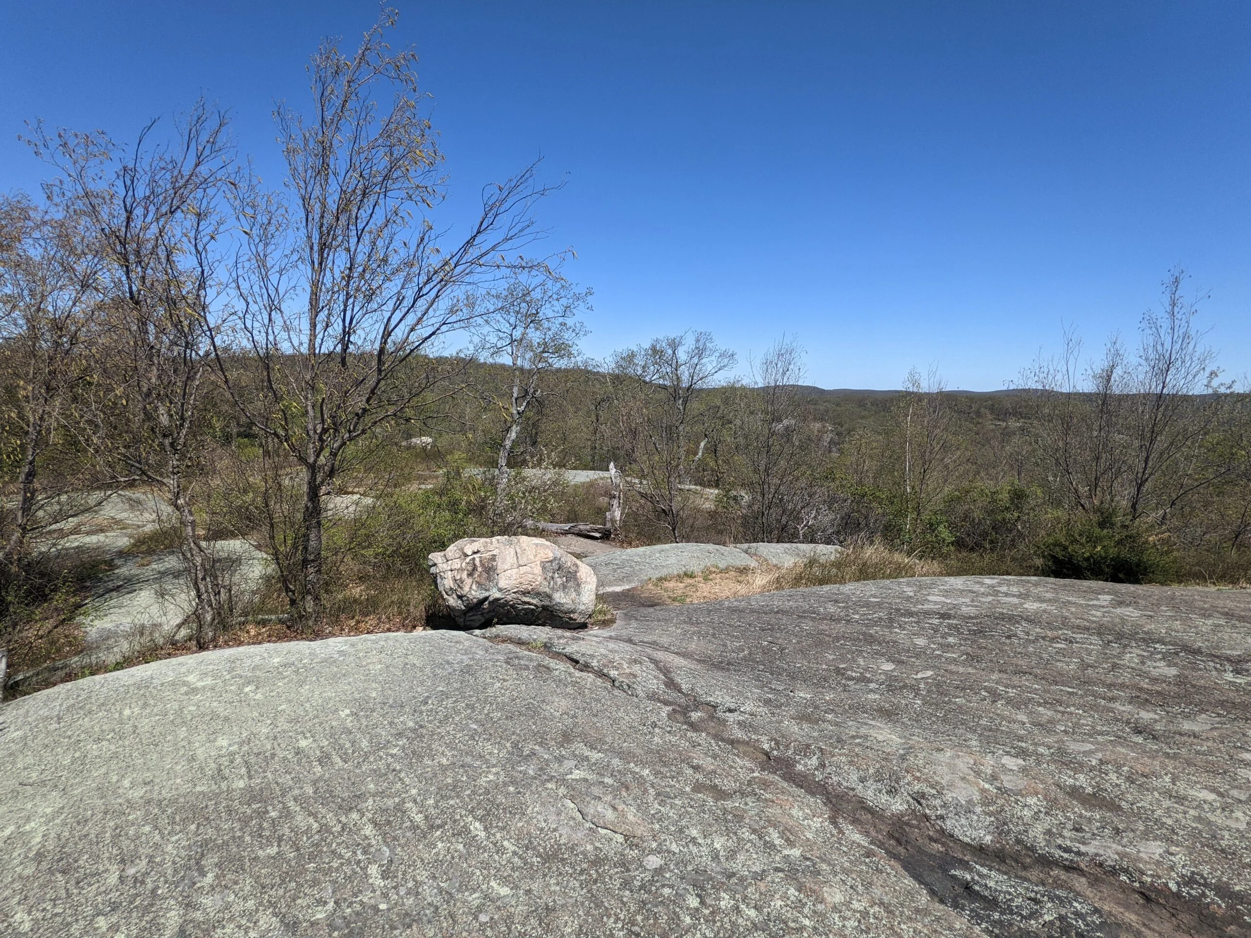
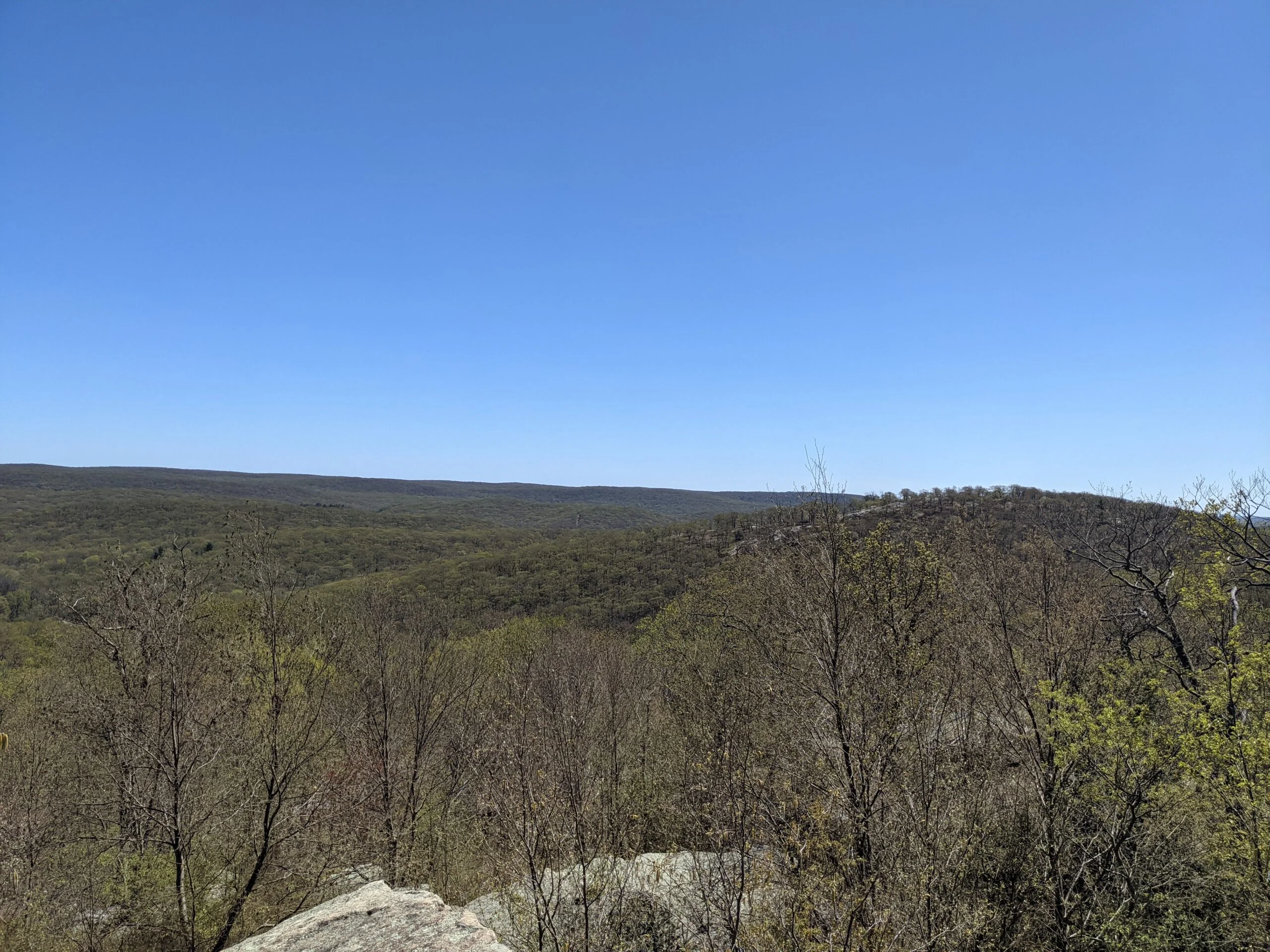
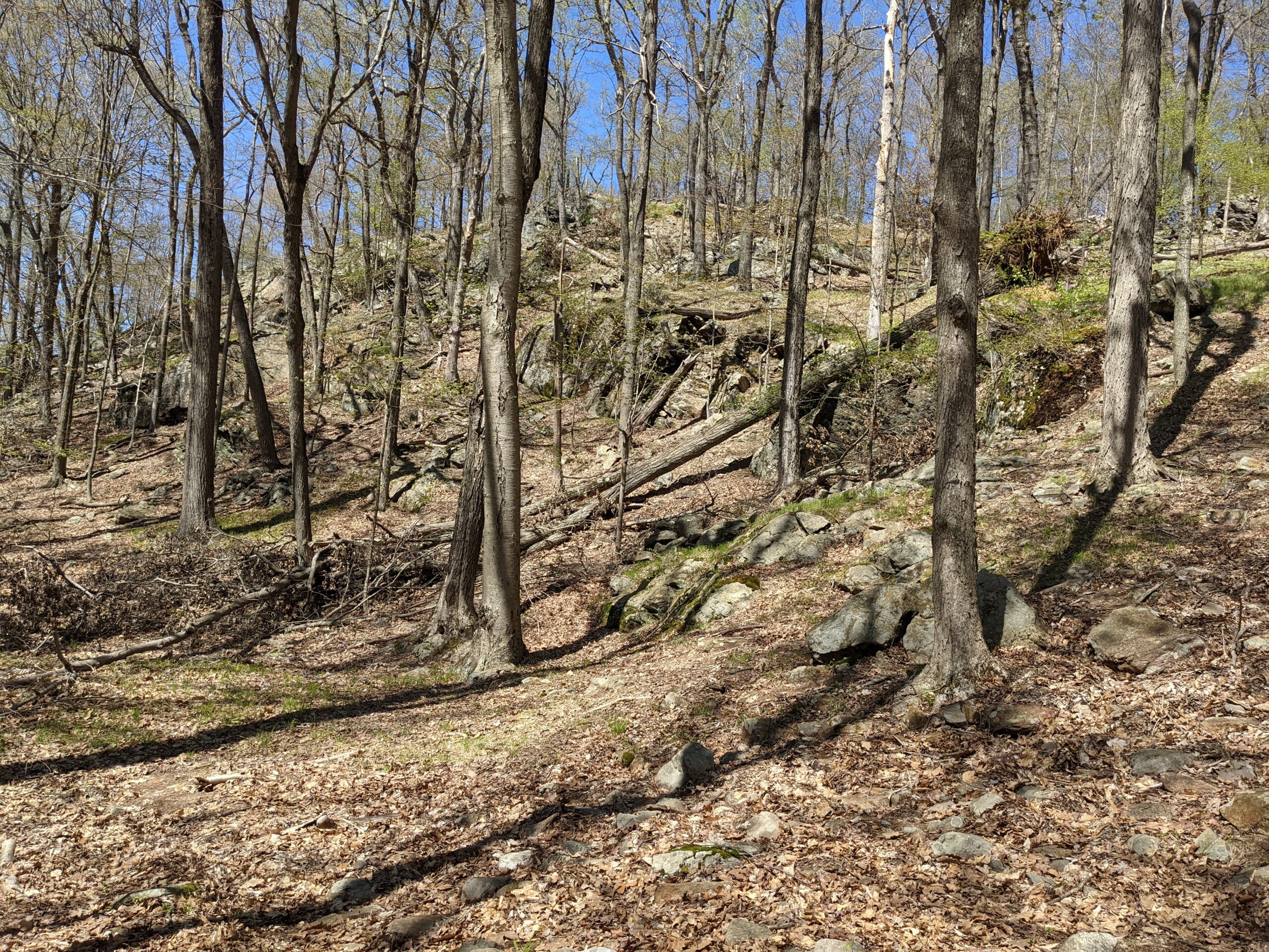
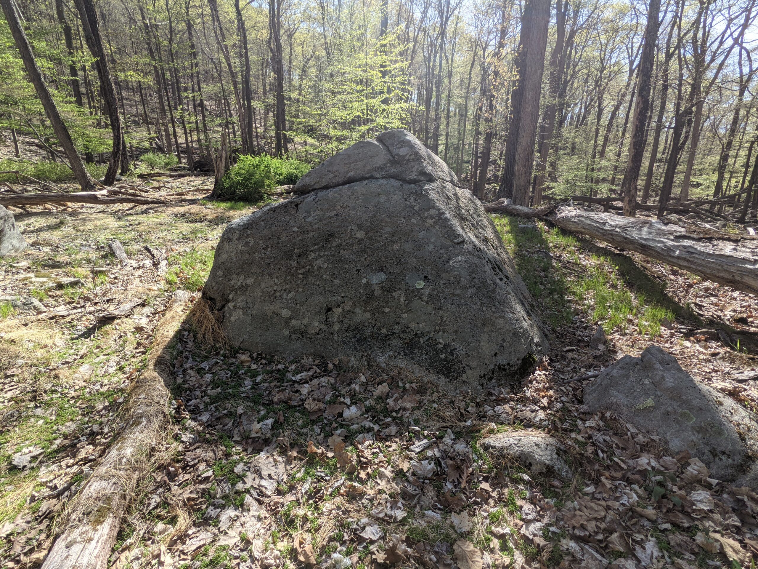
After my detour to the shelter, I followed the white shelter trail back to RD. Around the 6.5 mile mark, RD crossed over County Road 106 and through a trailhead parking lot. I picked RD back up across the street, then began the 300 ft ascent up RD to the top of Black Rock mountain. Shortly before reaching the top, I heard a noise in the brush to my right and discovered a black snake making its way over the rocks and through the brush. I was able to get a short video of it crossing over the rock. Once at the top of Black Rock mountain, I took another snack break.
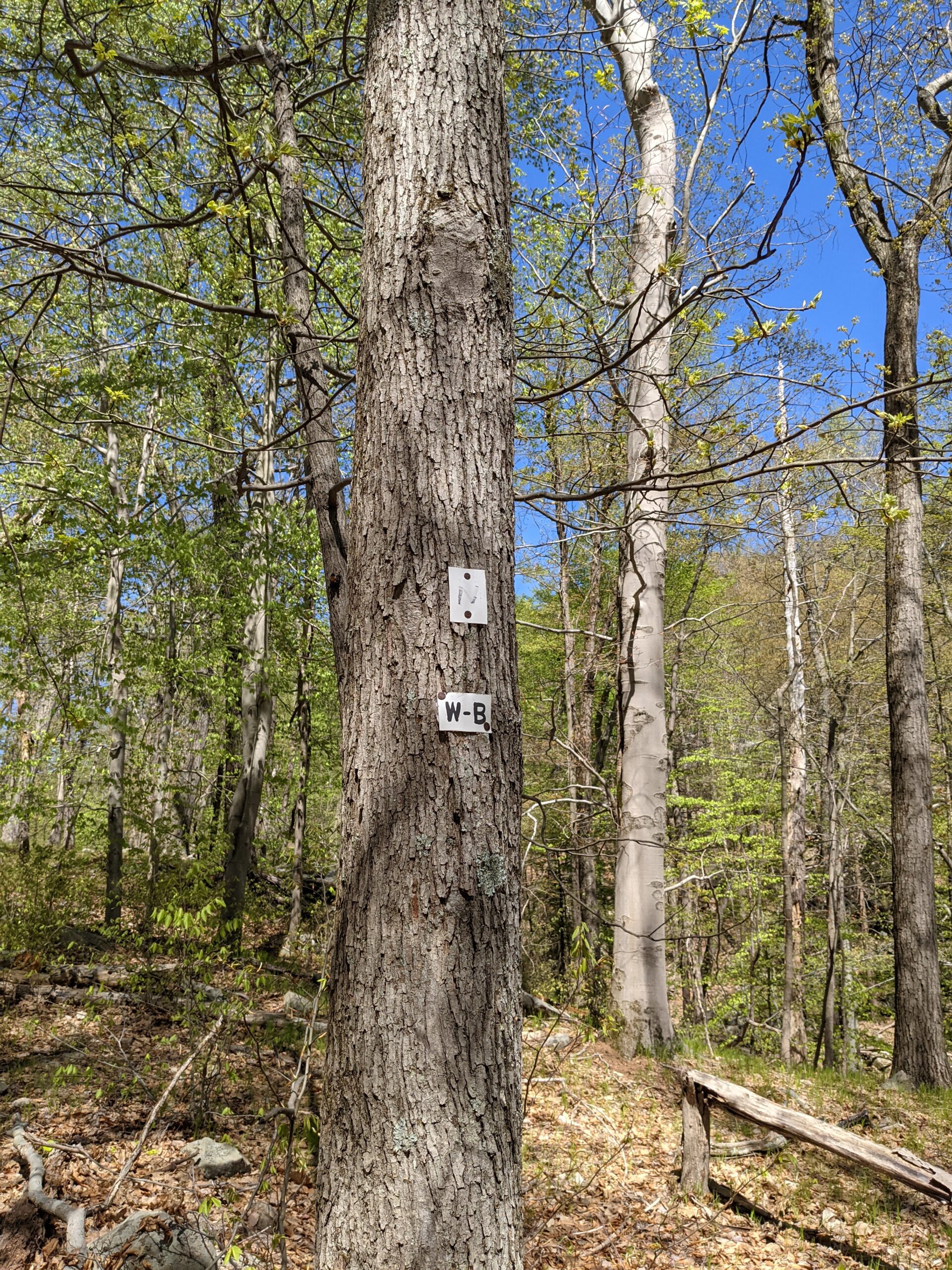
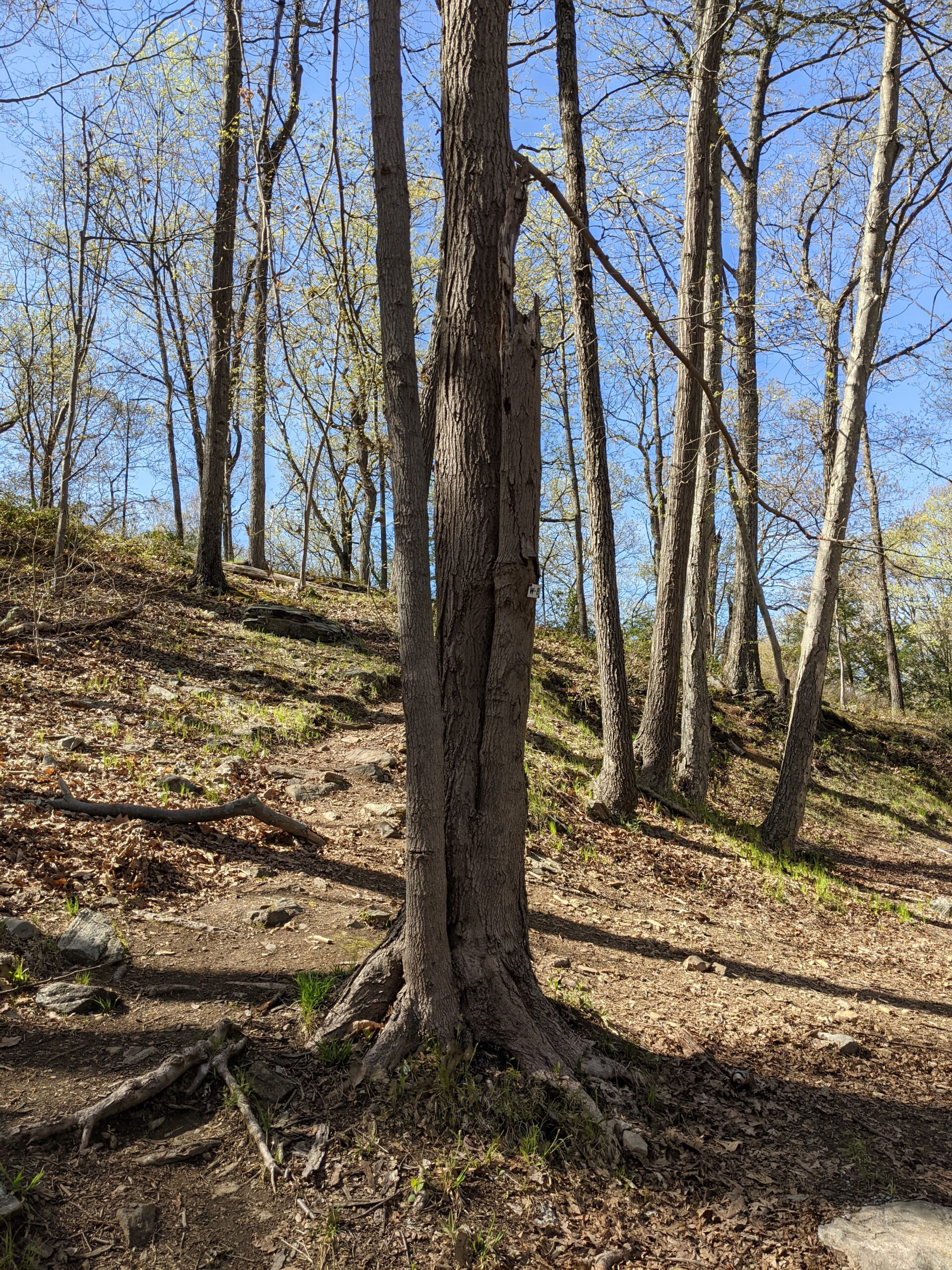
I started making my way down the mountain via the Nurian trail (white blazes, some marked with an N). Nurian quickly turned into the White Bar trail (white blazes, some marked with W-B). I met up with another parking lot along a different section of County Road 106 and picked up WB across the street. After about 2/10 of a mile, I realized I was missing my sweat towel. It’s a cheap towel that’s easily replaceable, but being a good forest steward, I didn’t want to leave it lying around for someone else to find. I retraced my steps and found it about 3/10 a mile back along the trail, and then caught up to where I left off.
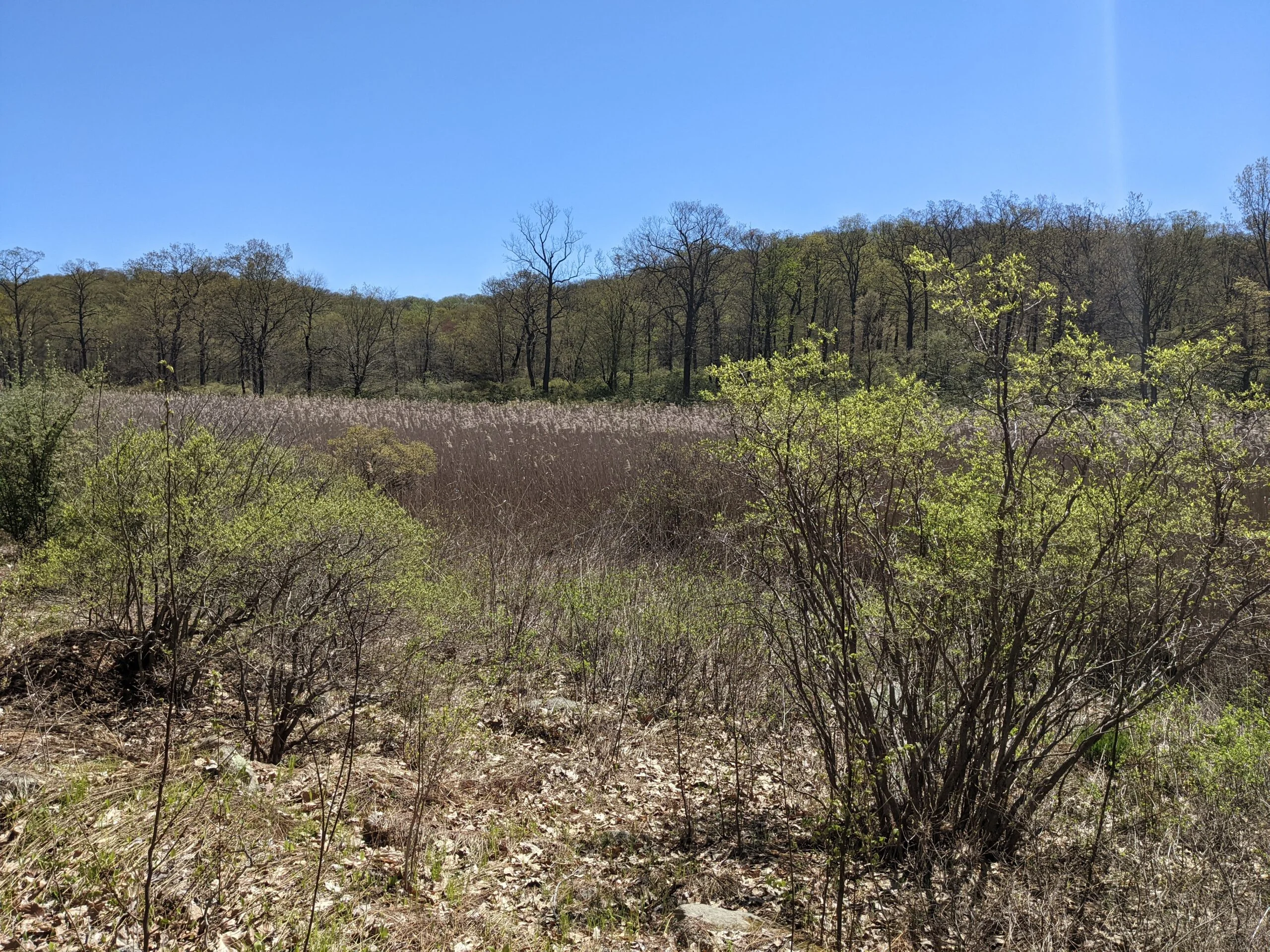
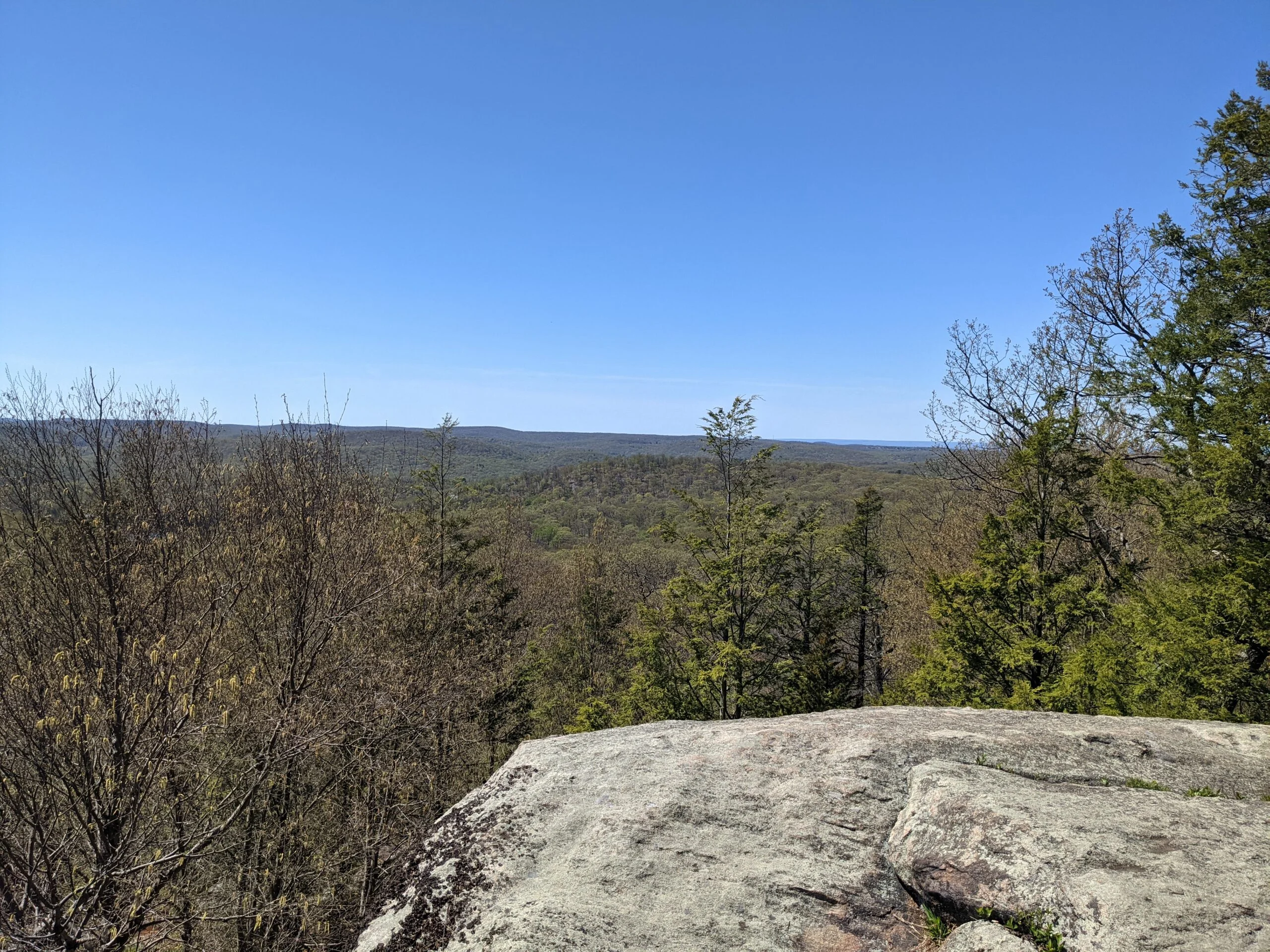
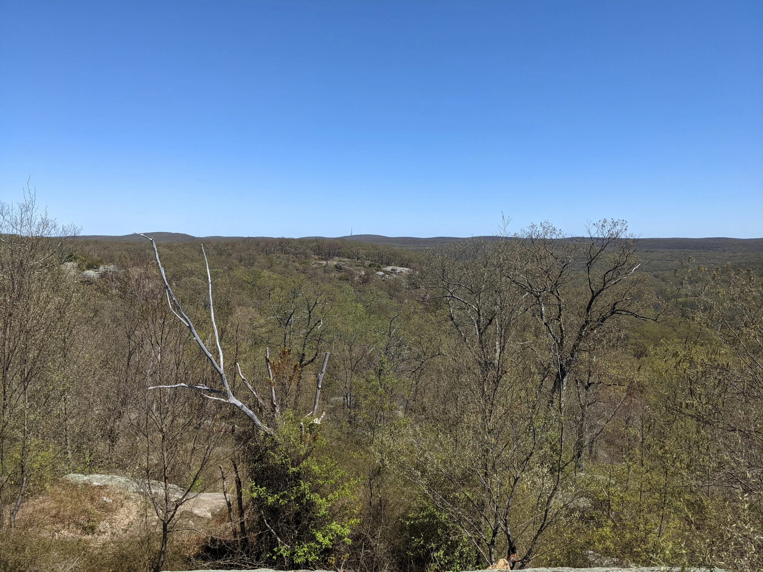
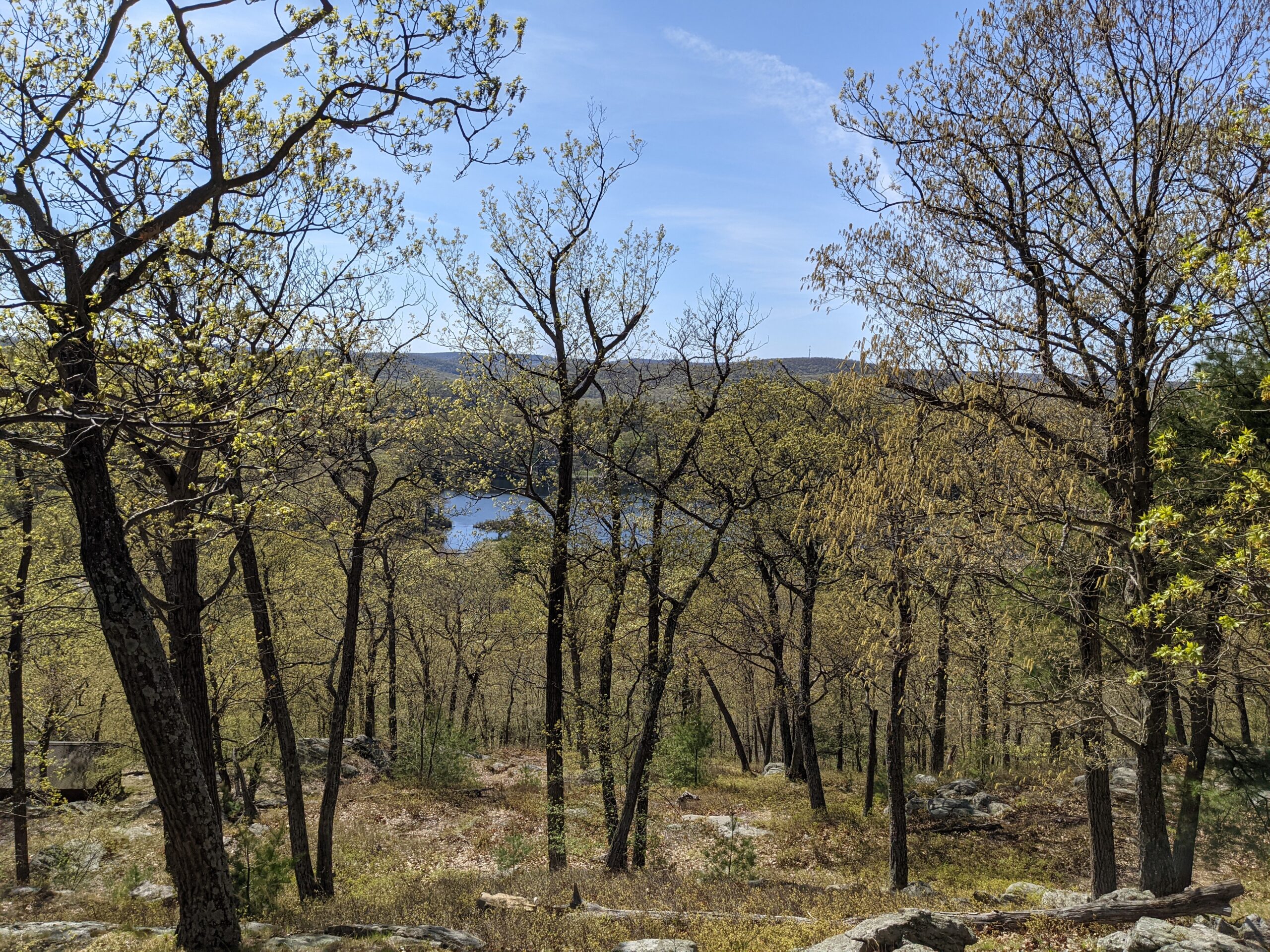
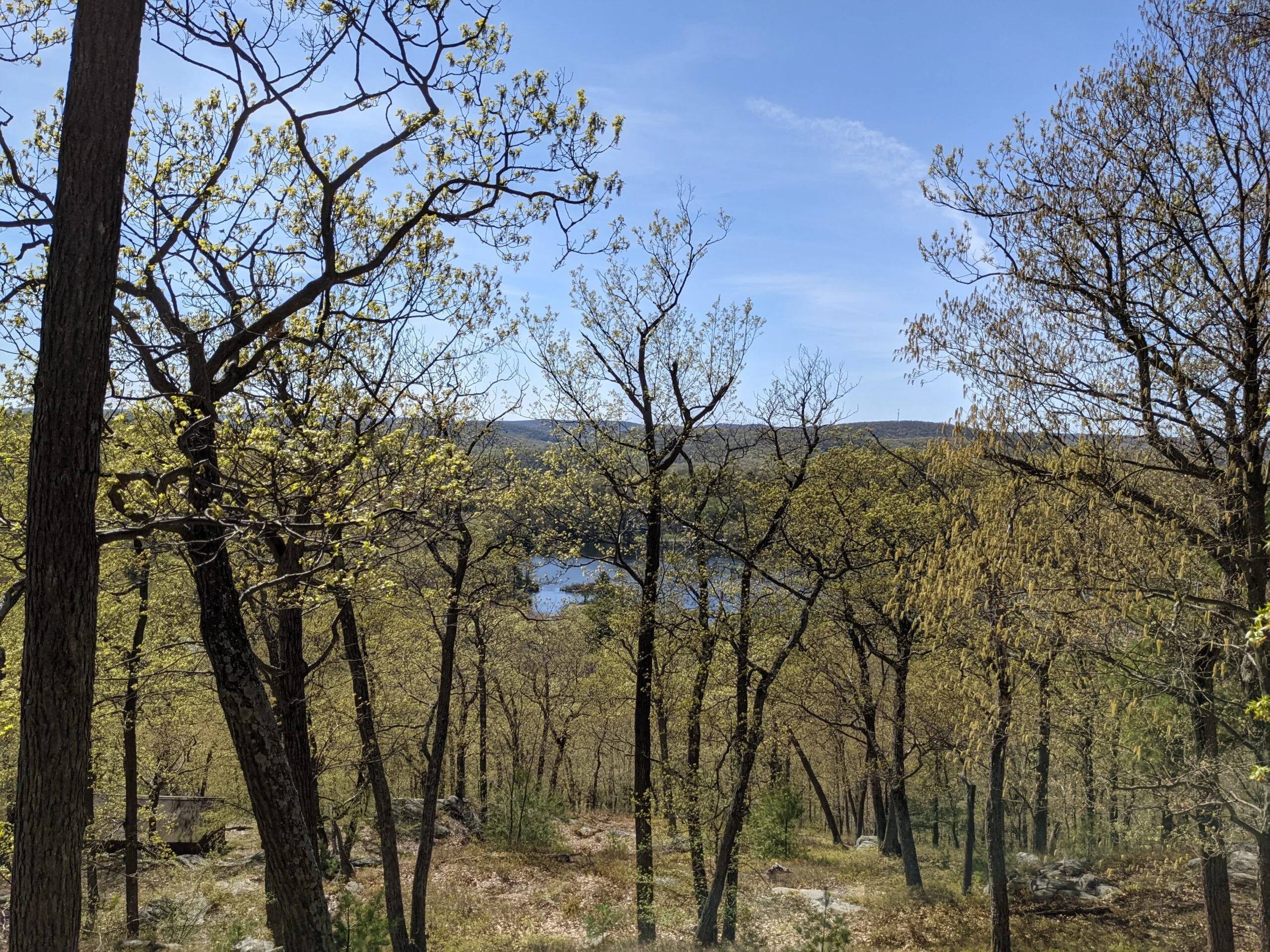
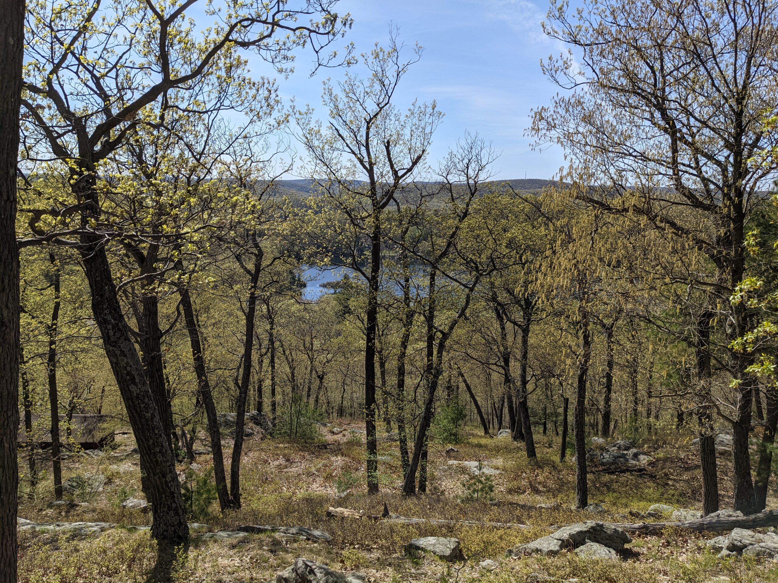
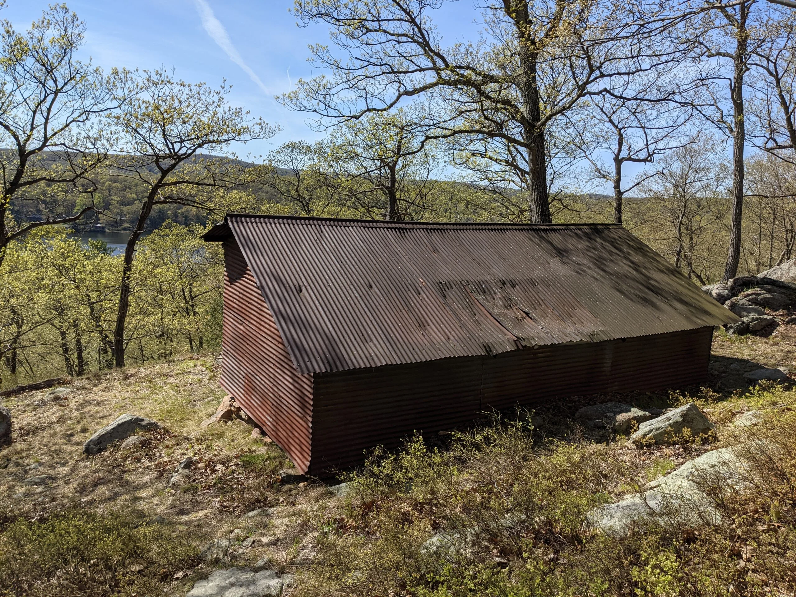
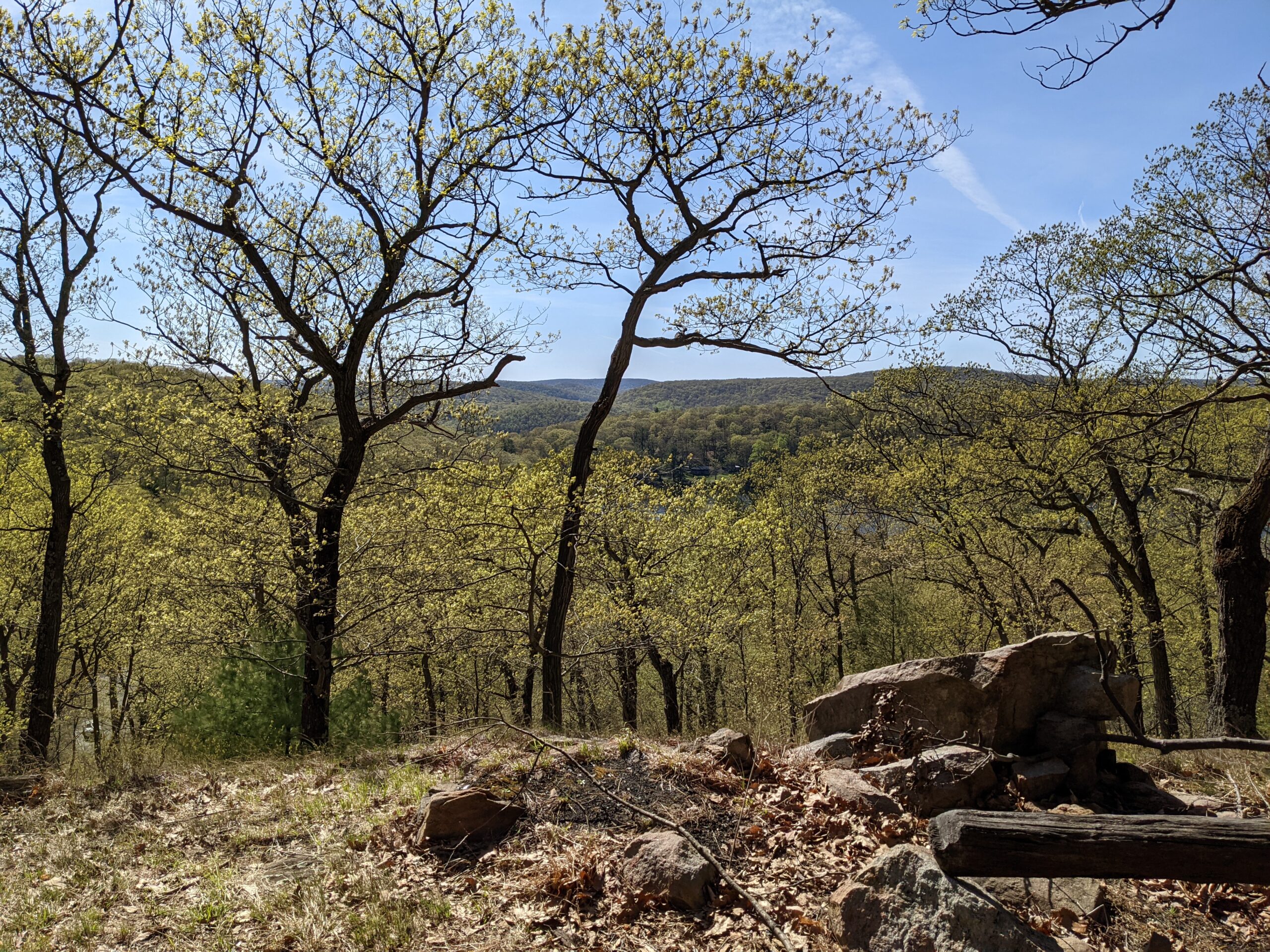
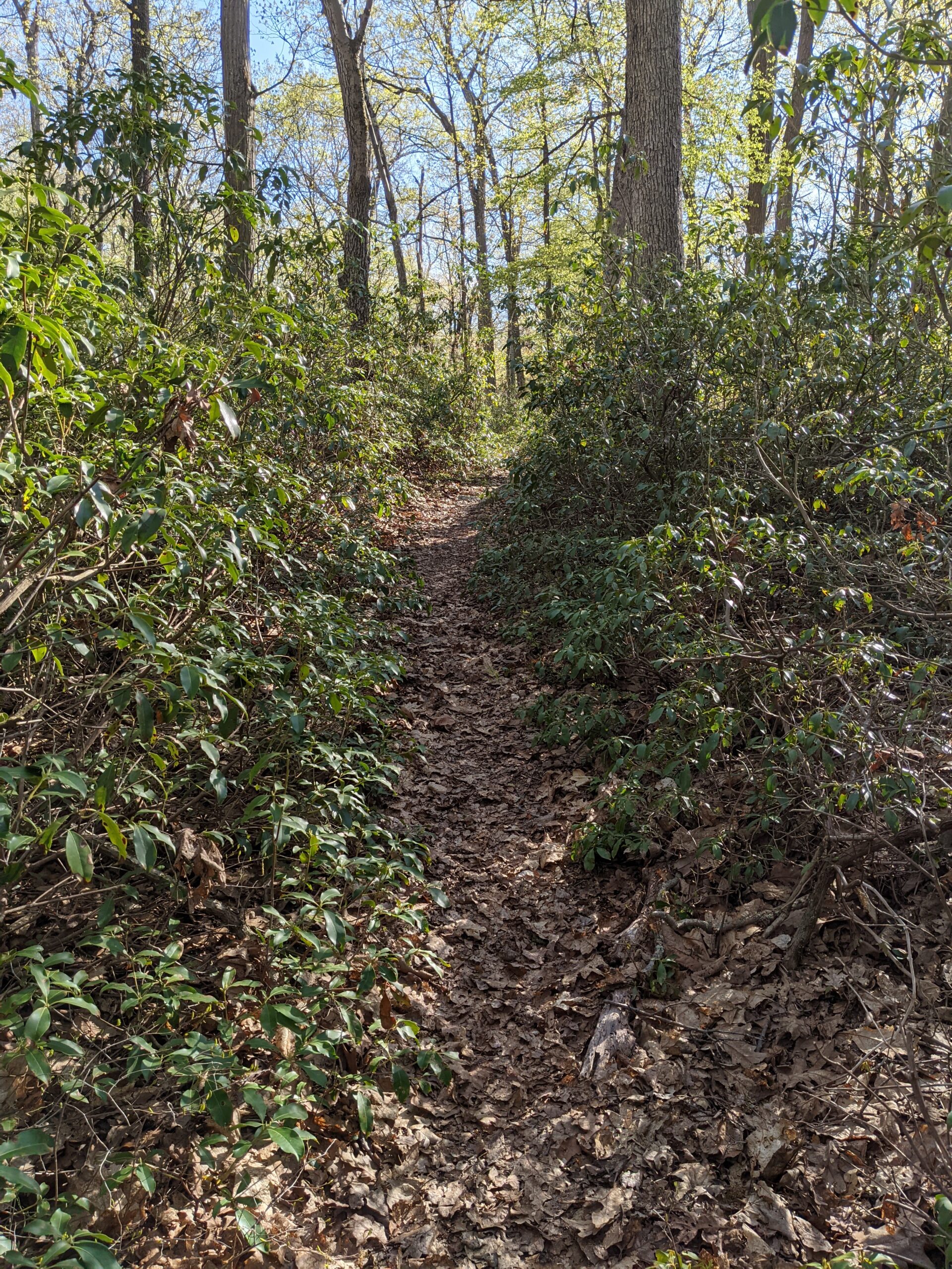
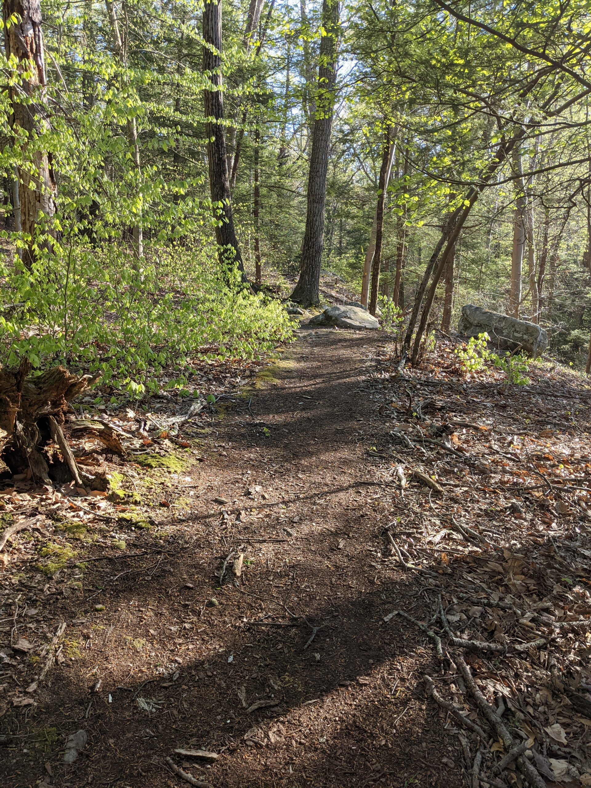
Around the 9.2 mile mark, I took a detour off WB to checkout the view of Lake Stahahe from the top of Car Pond mountain. The view was pretty obstructed, but I did find an unmarked metal shelter overlooking the lake, so it was worth getting sidetracked. Around the 9.6 mile mark, after a small climb up another mountain, I took my final snack break. Leaving that mountain began my gradual 600ft descent back through the forest.
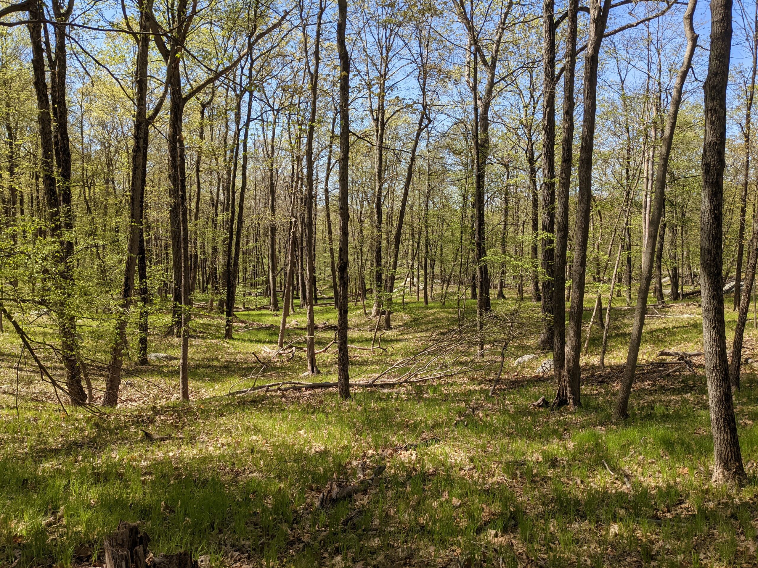
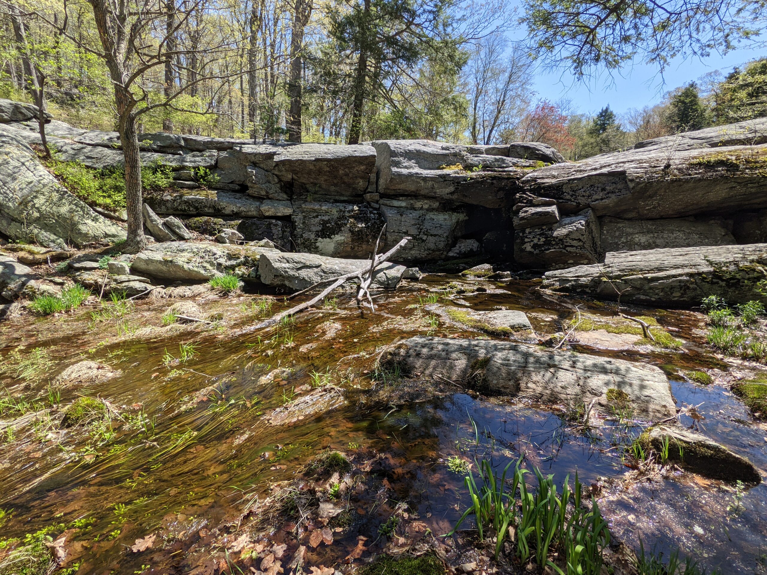
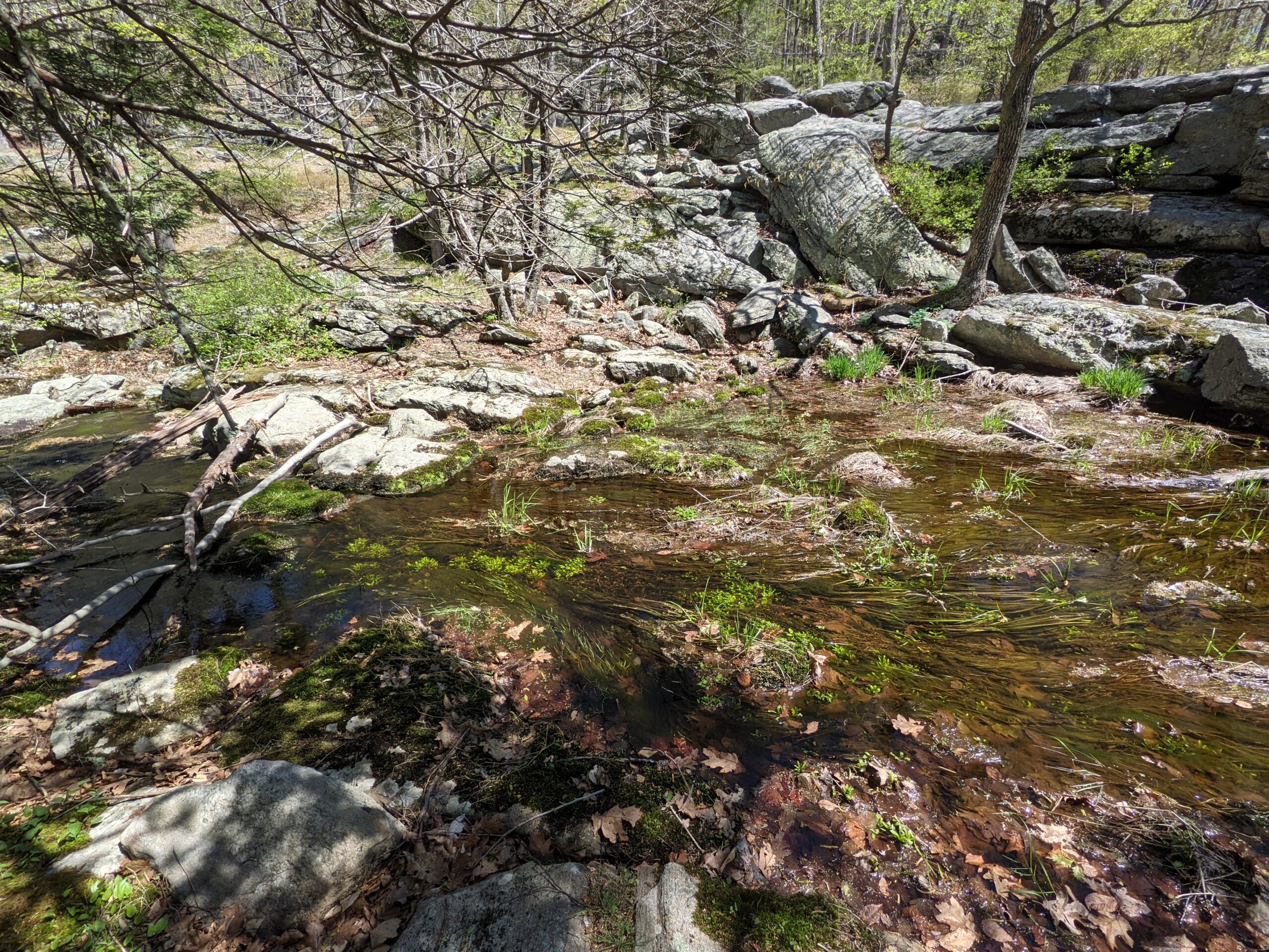
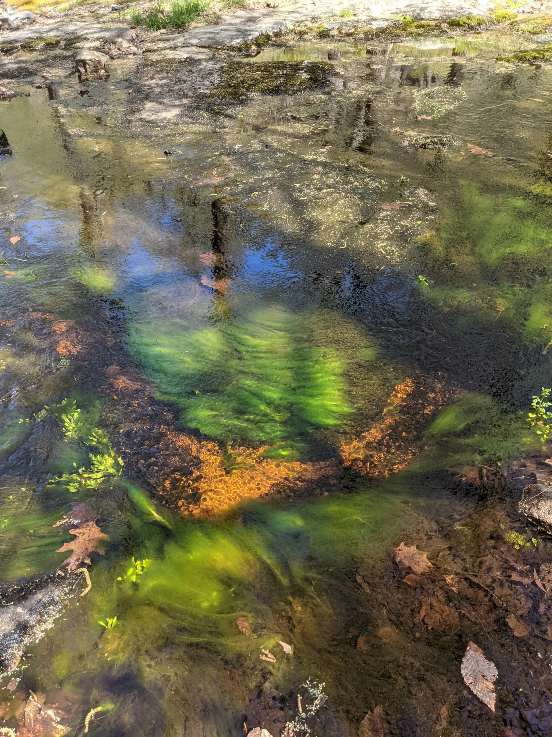
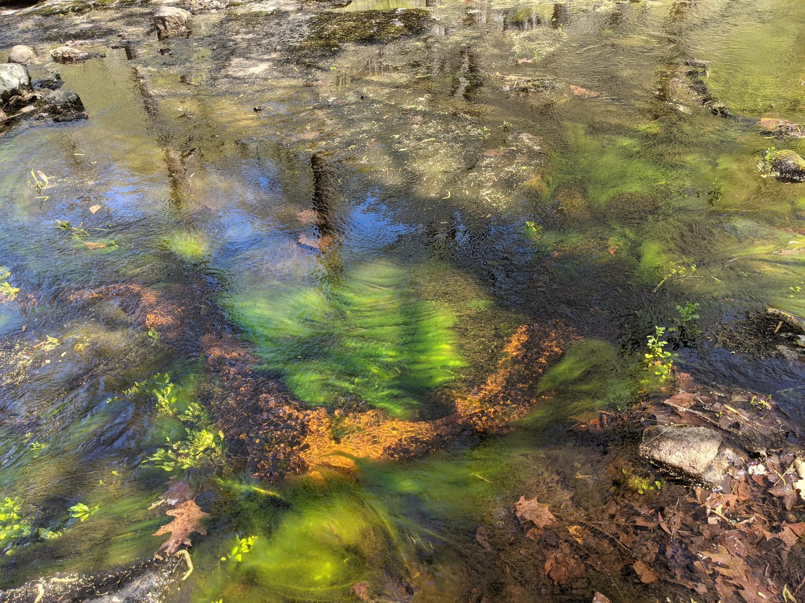
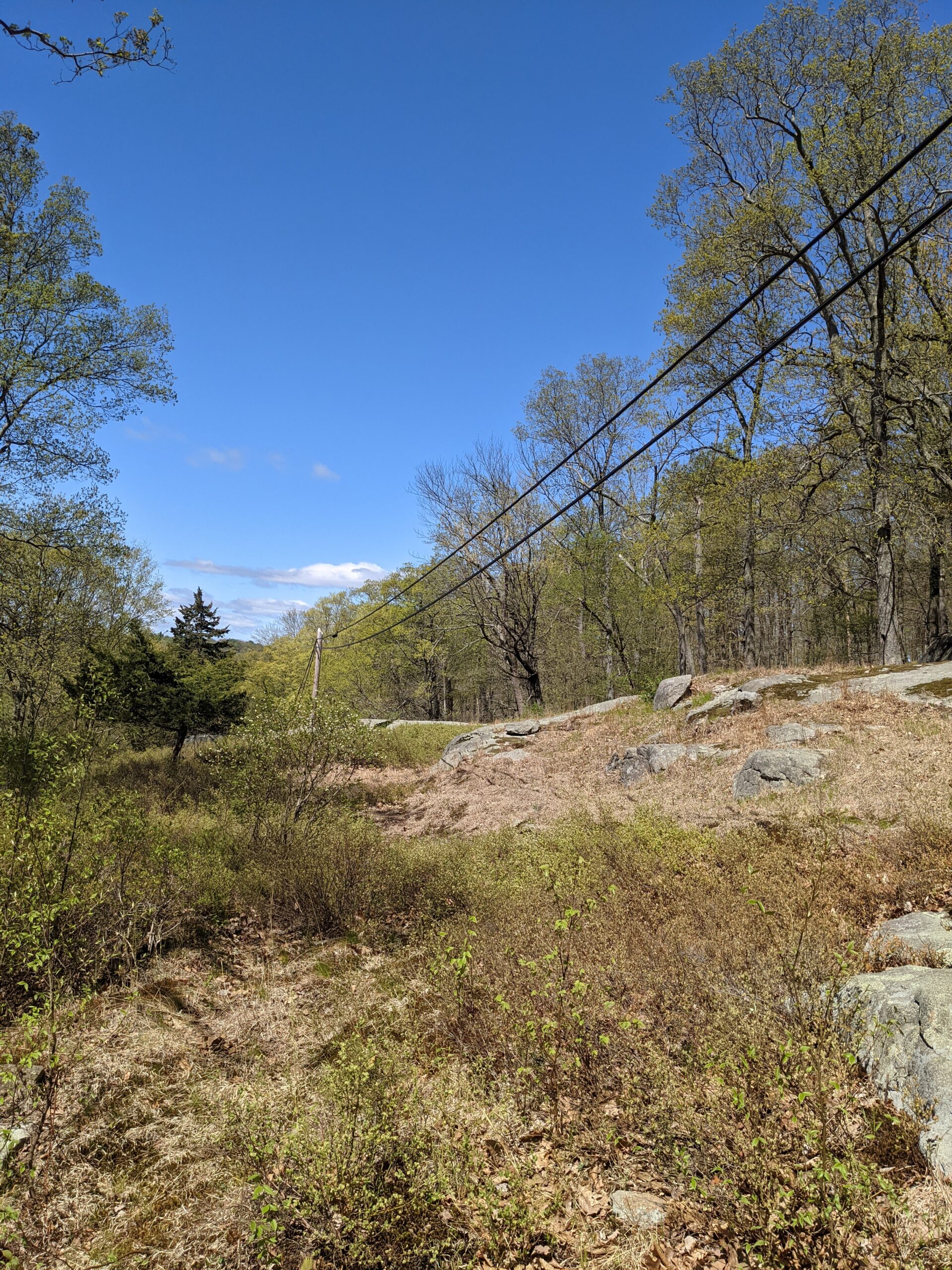
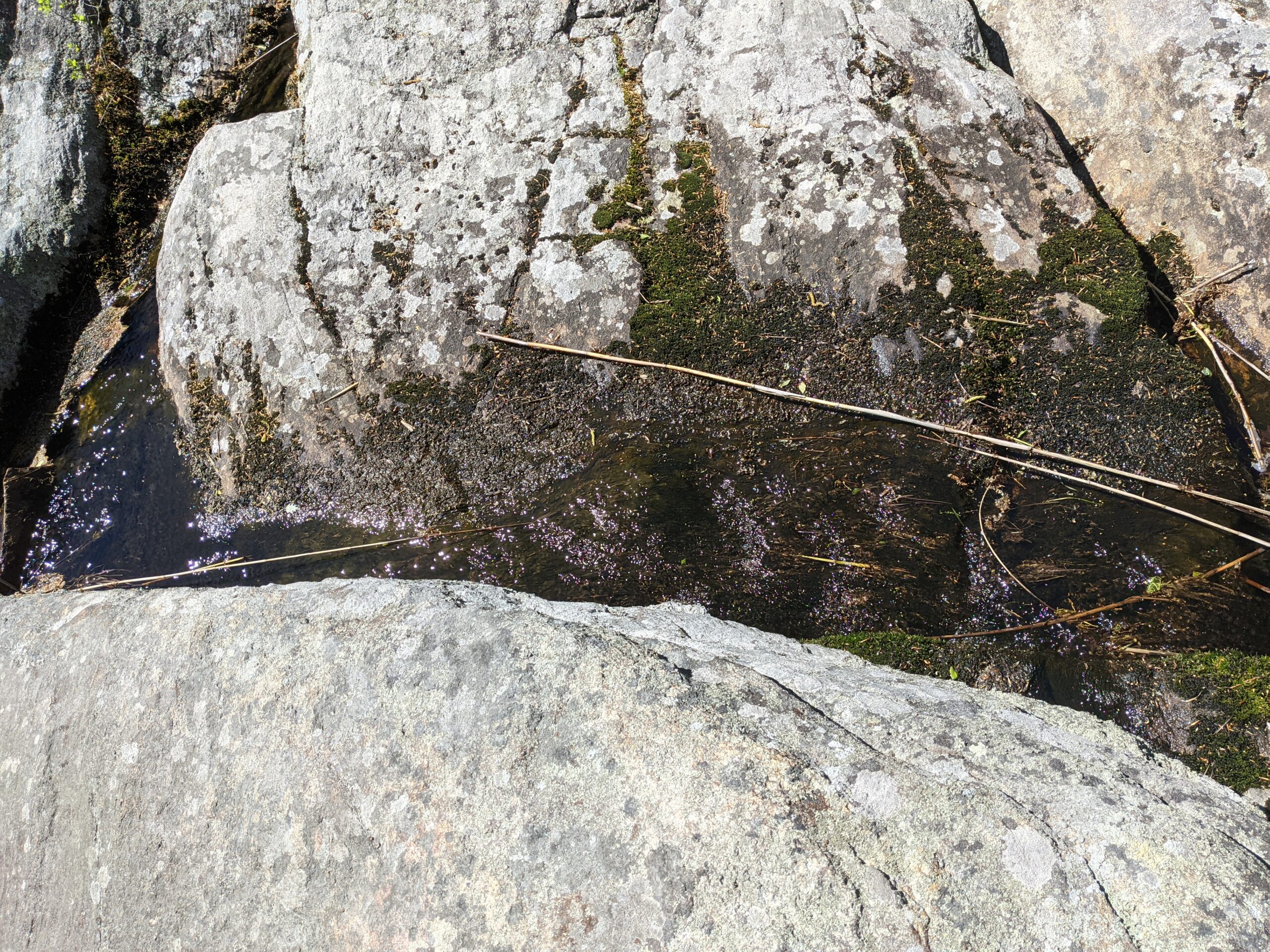
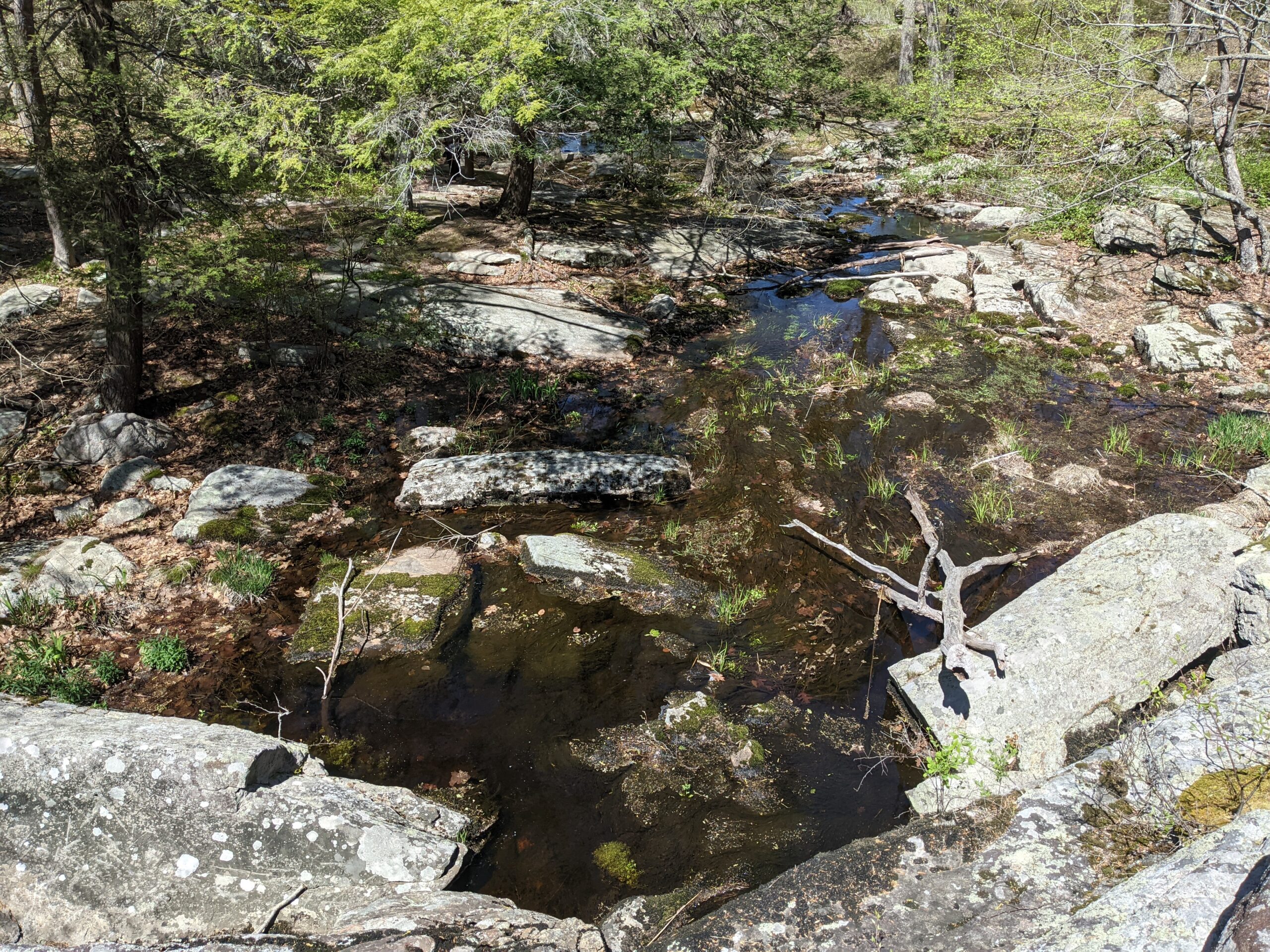
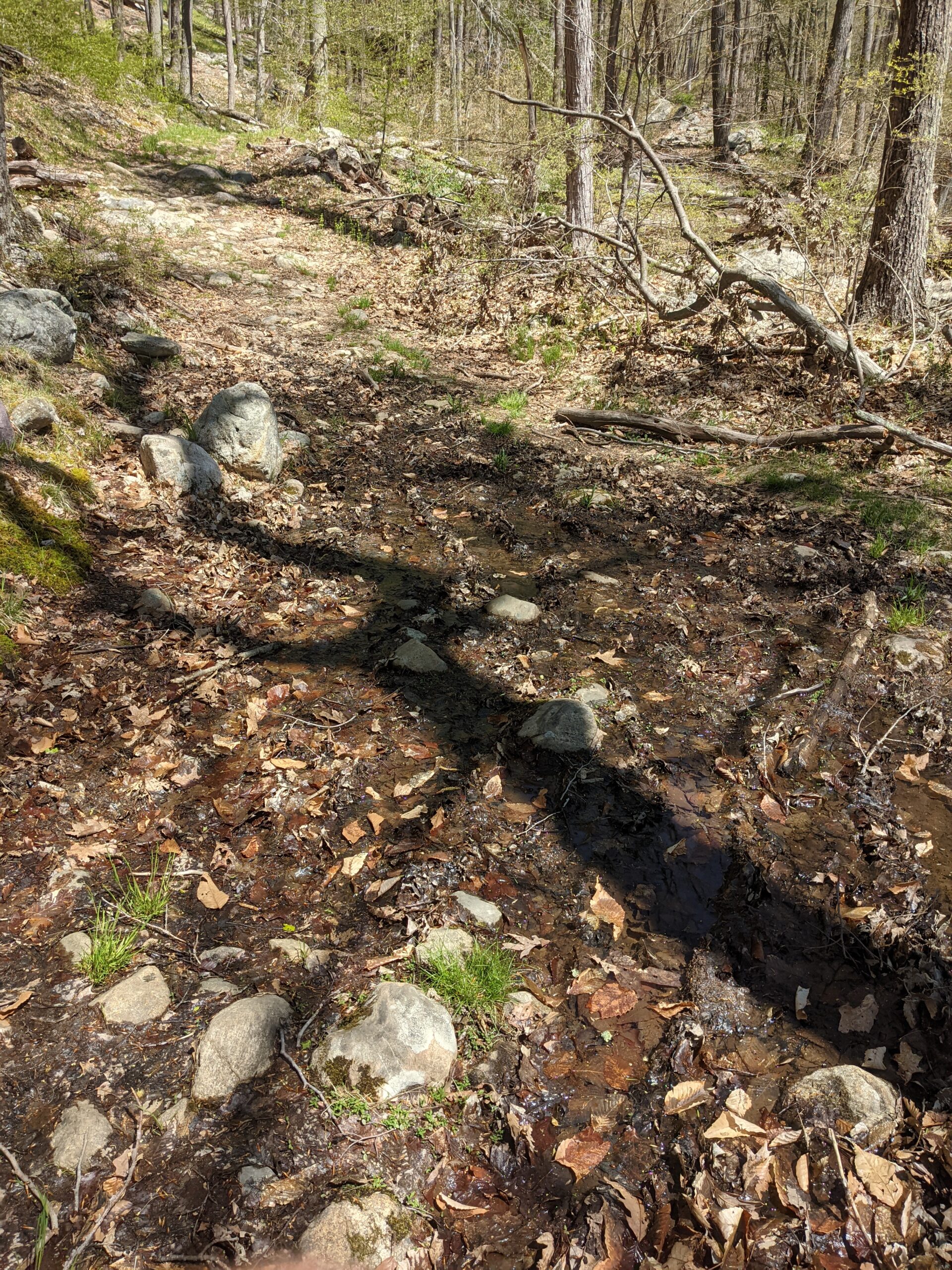
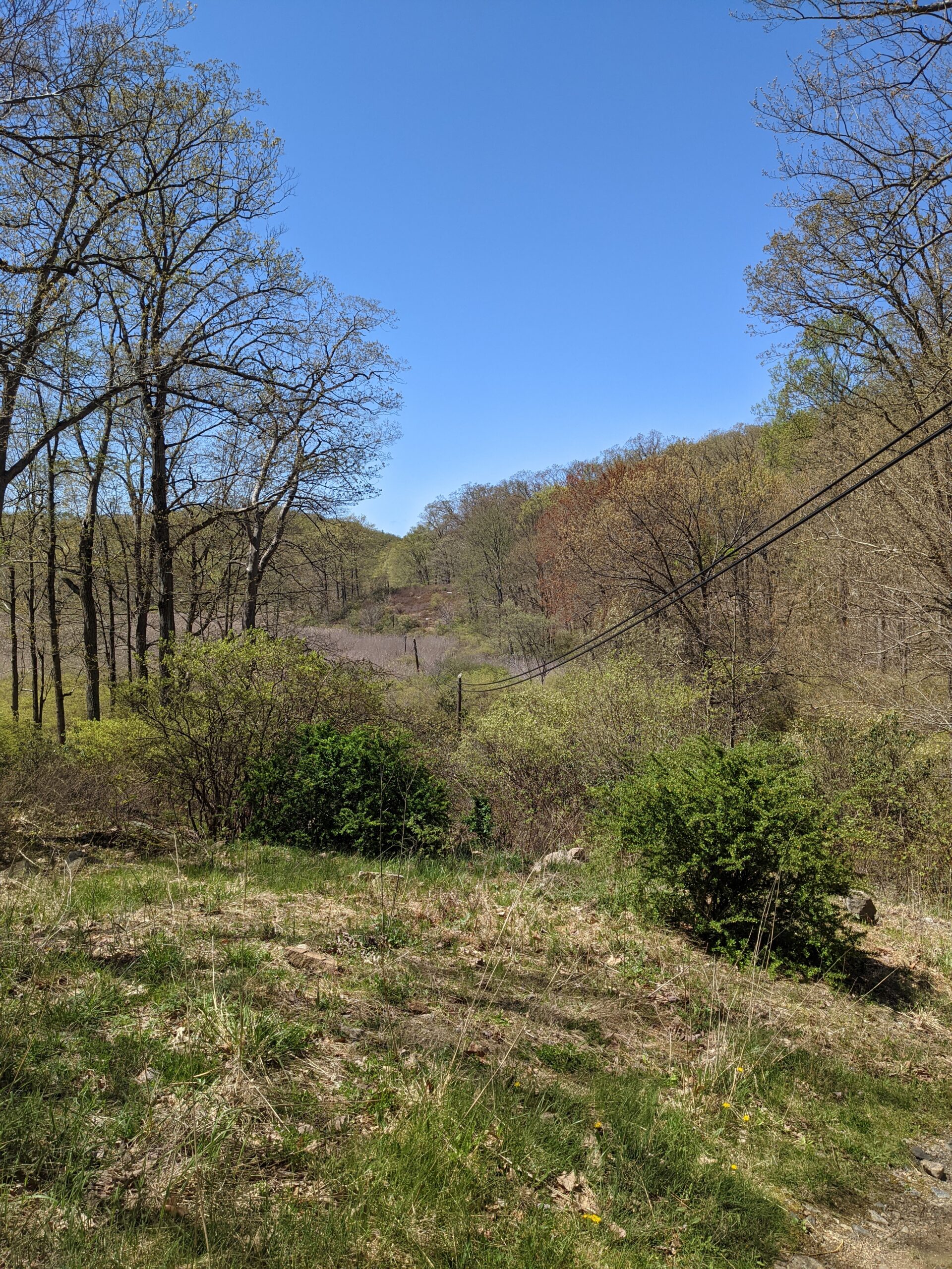
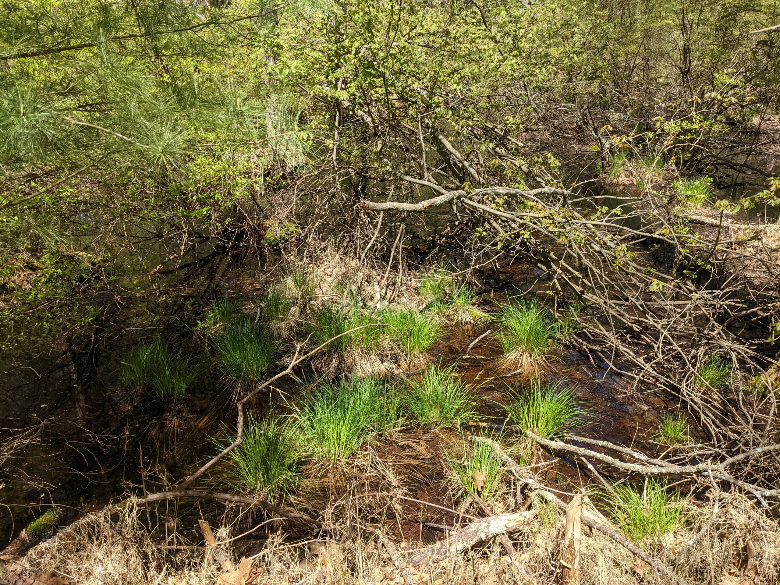
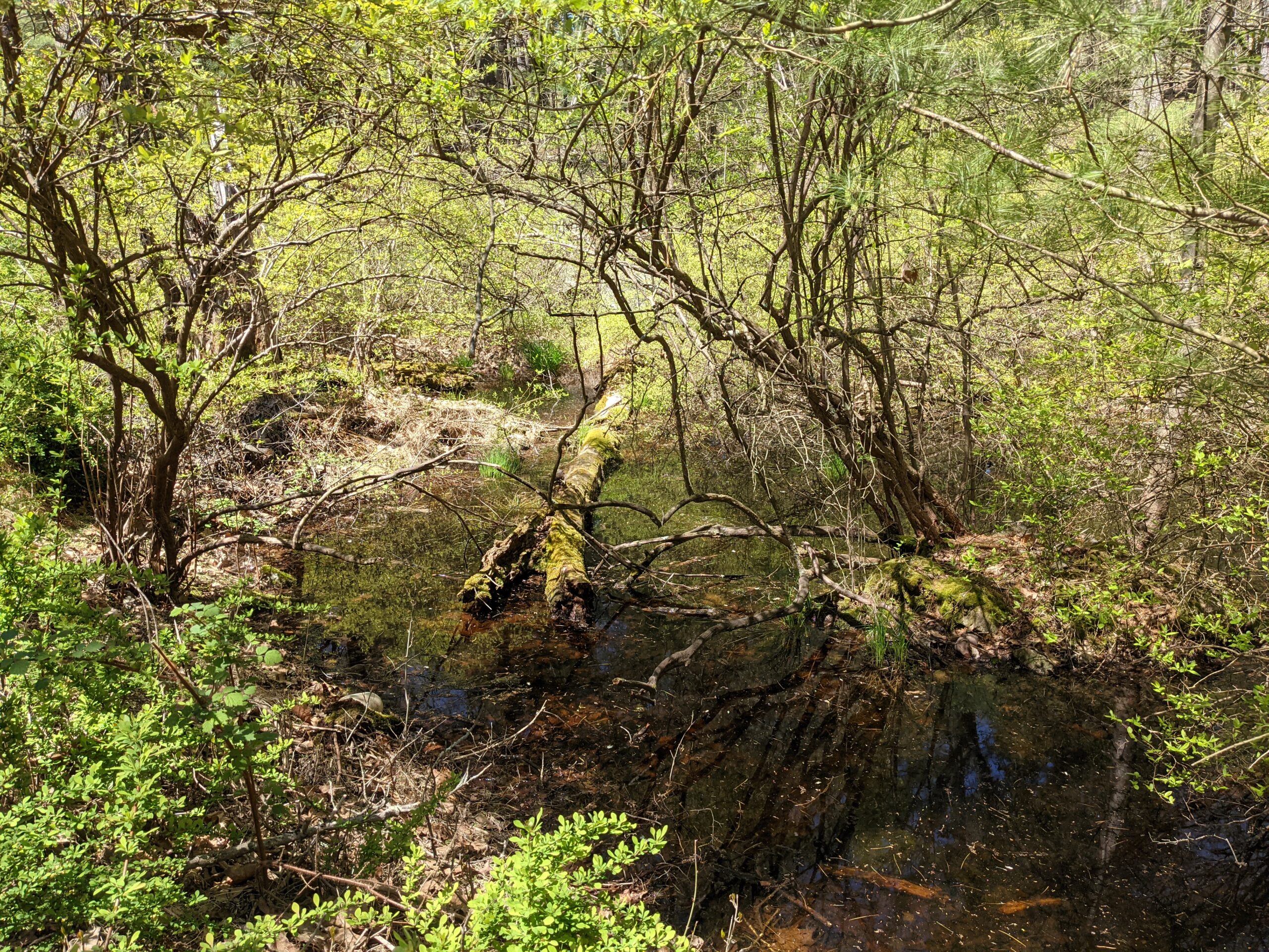
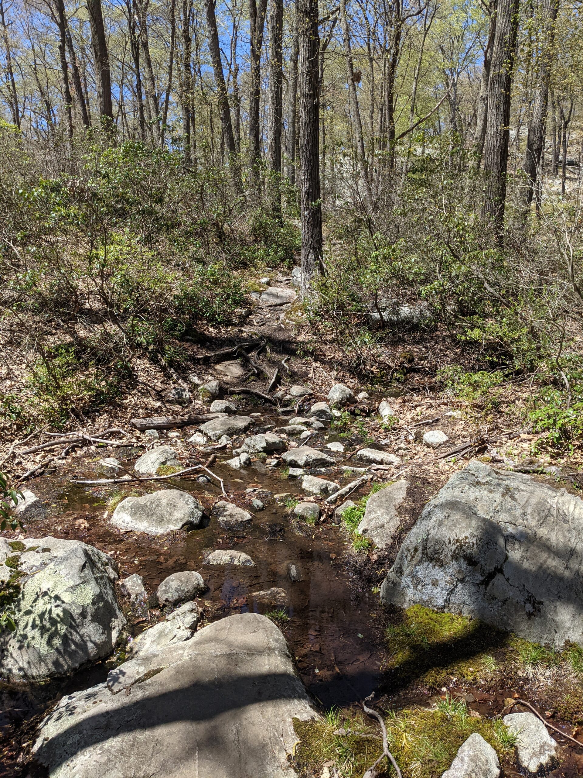
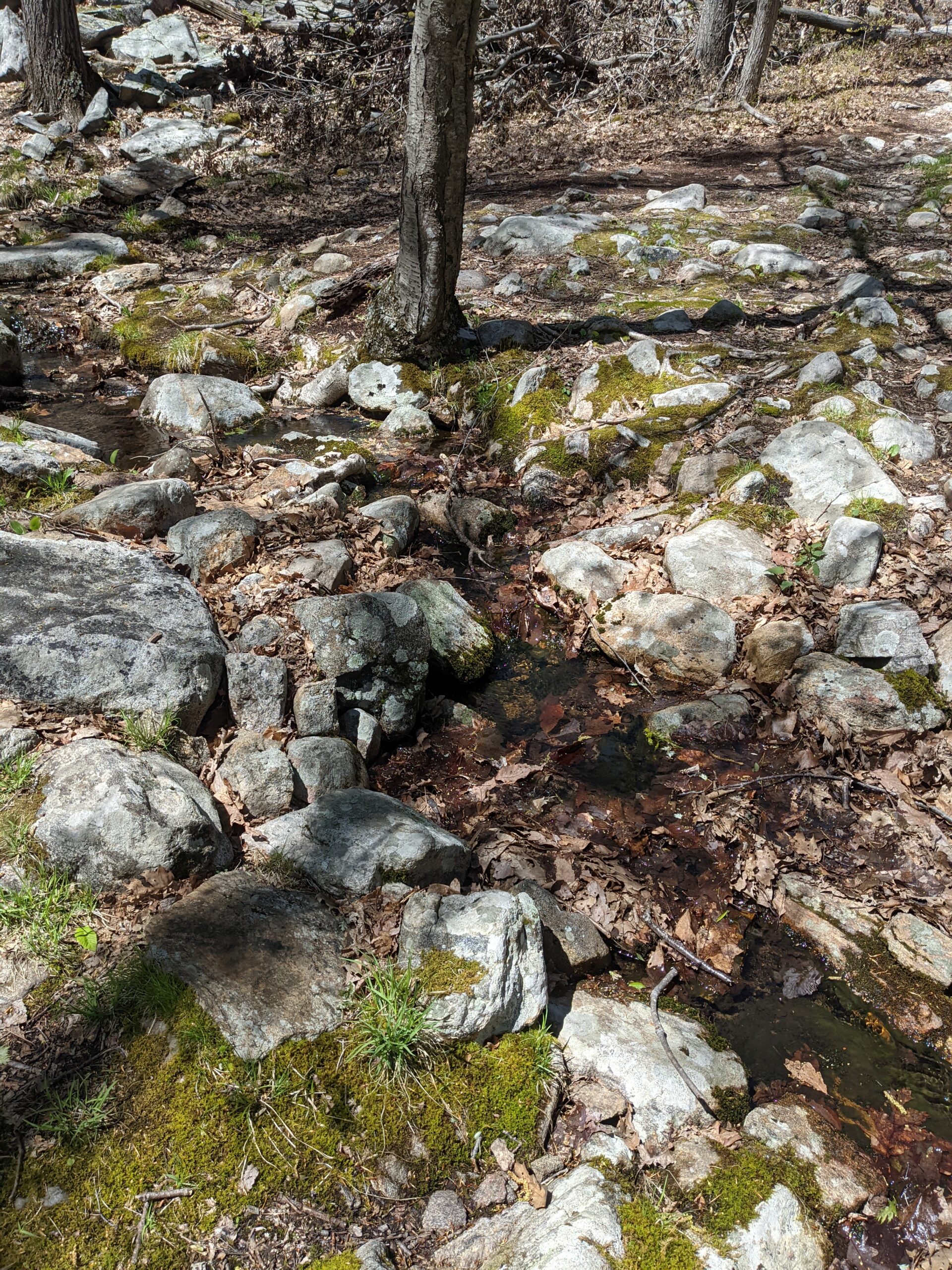
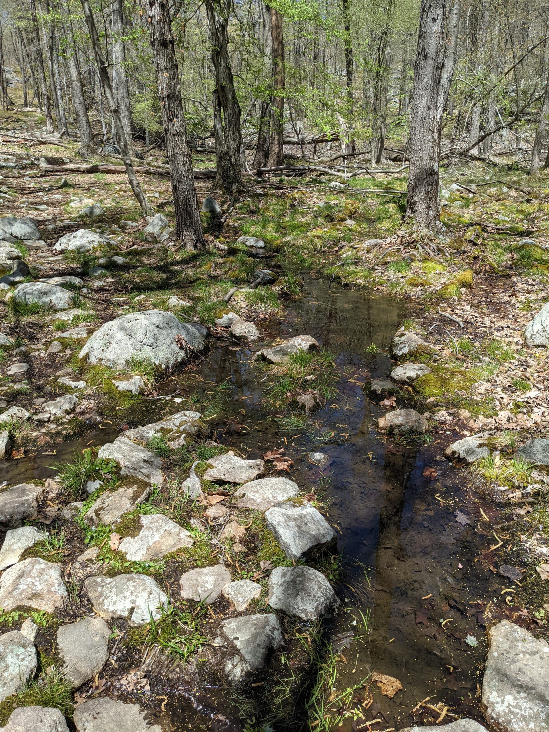
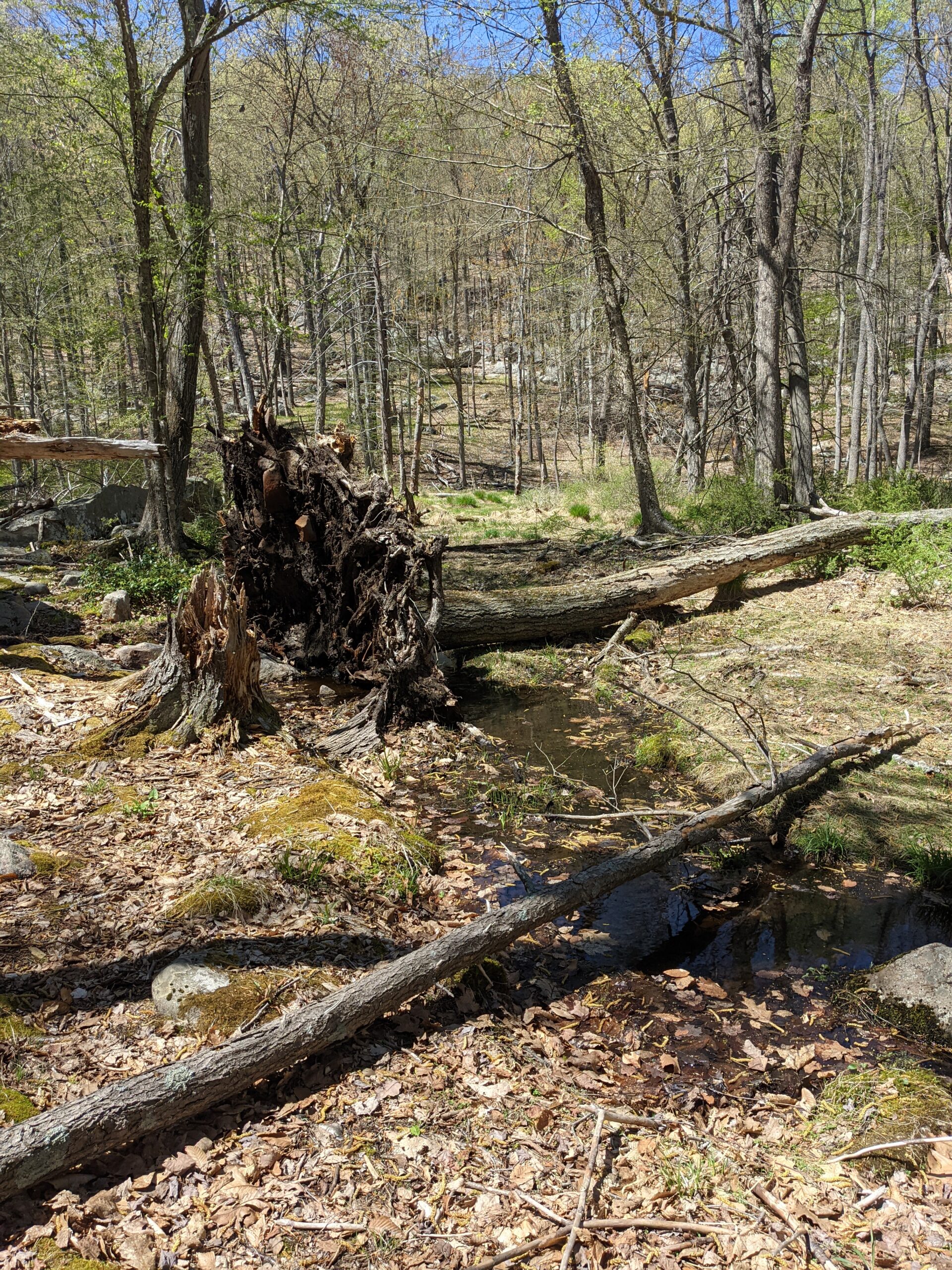
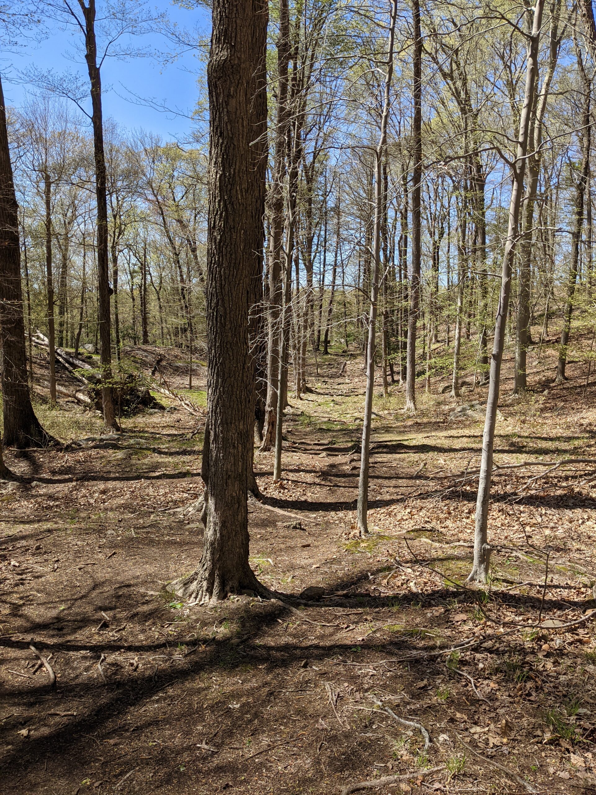
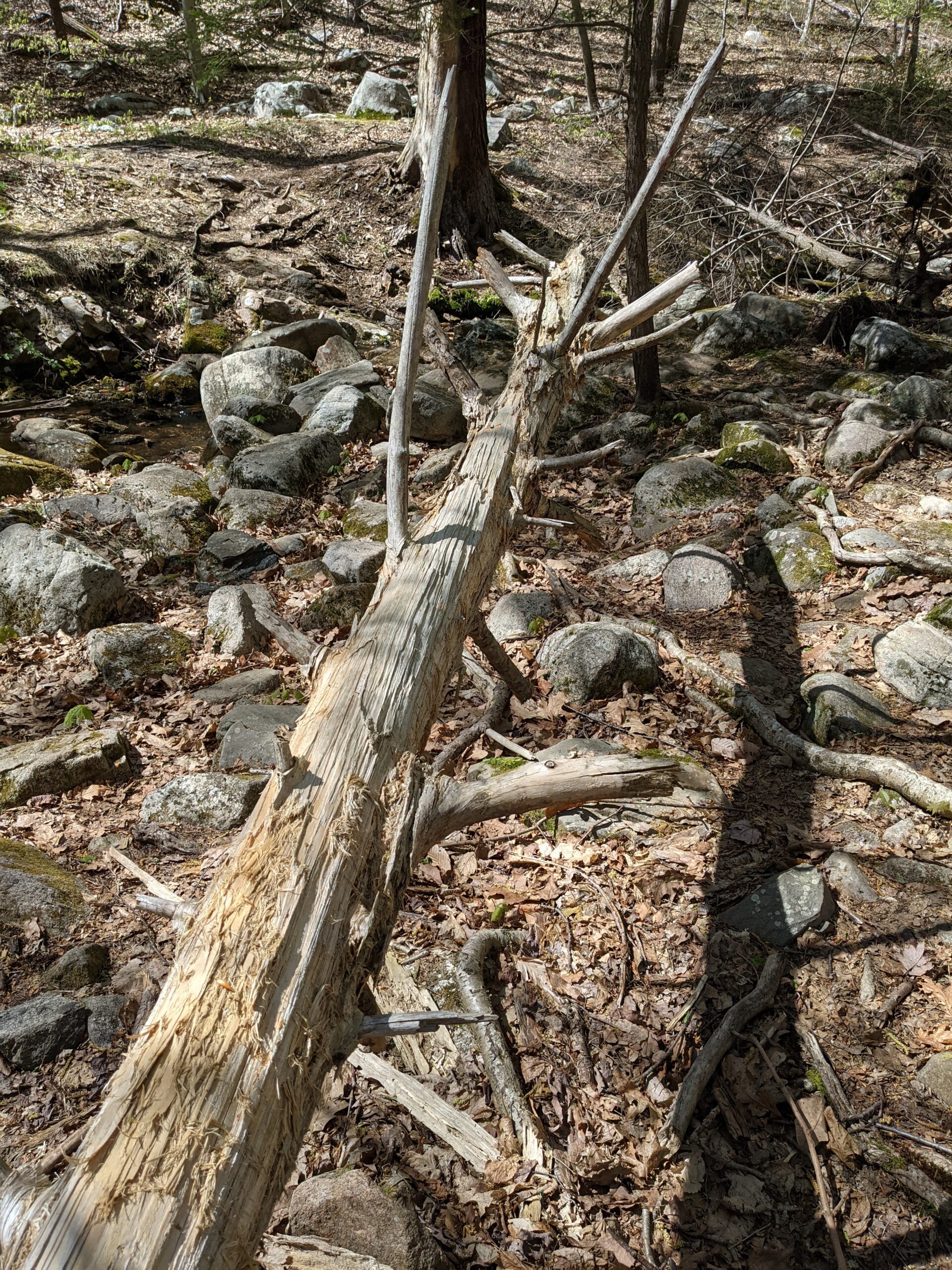
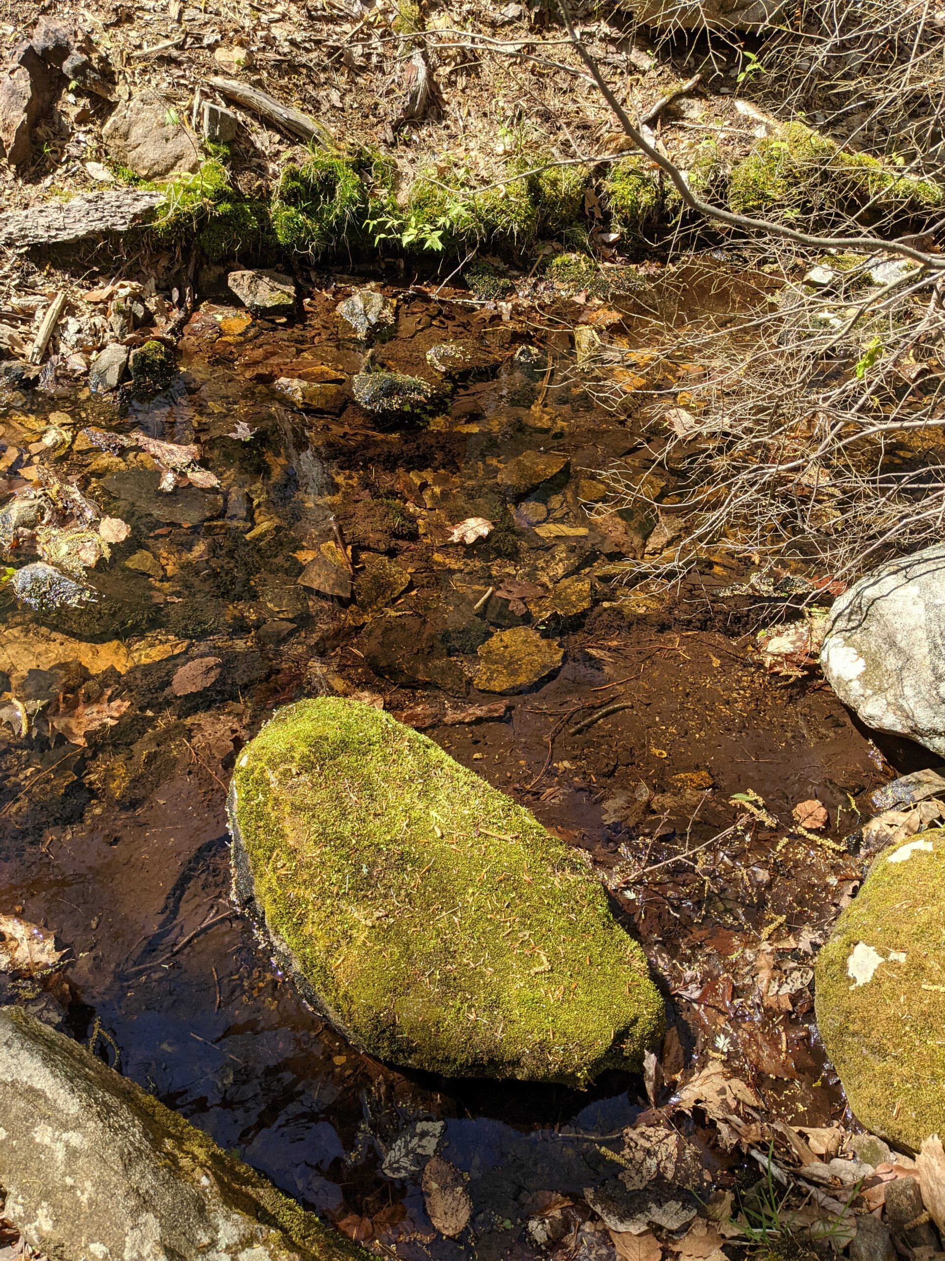
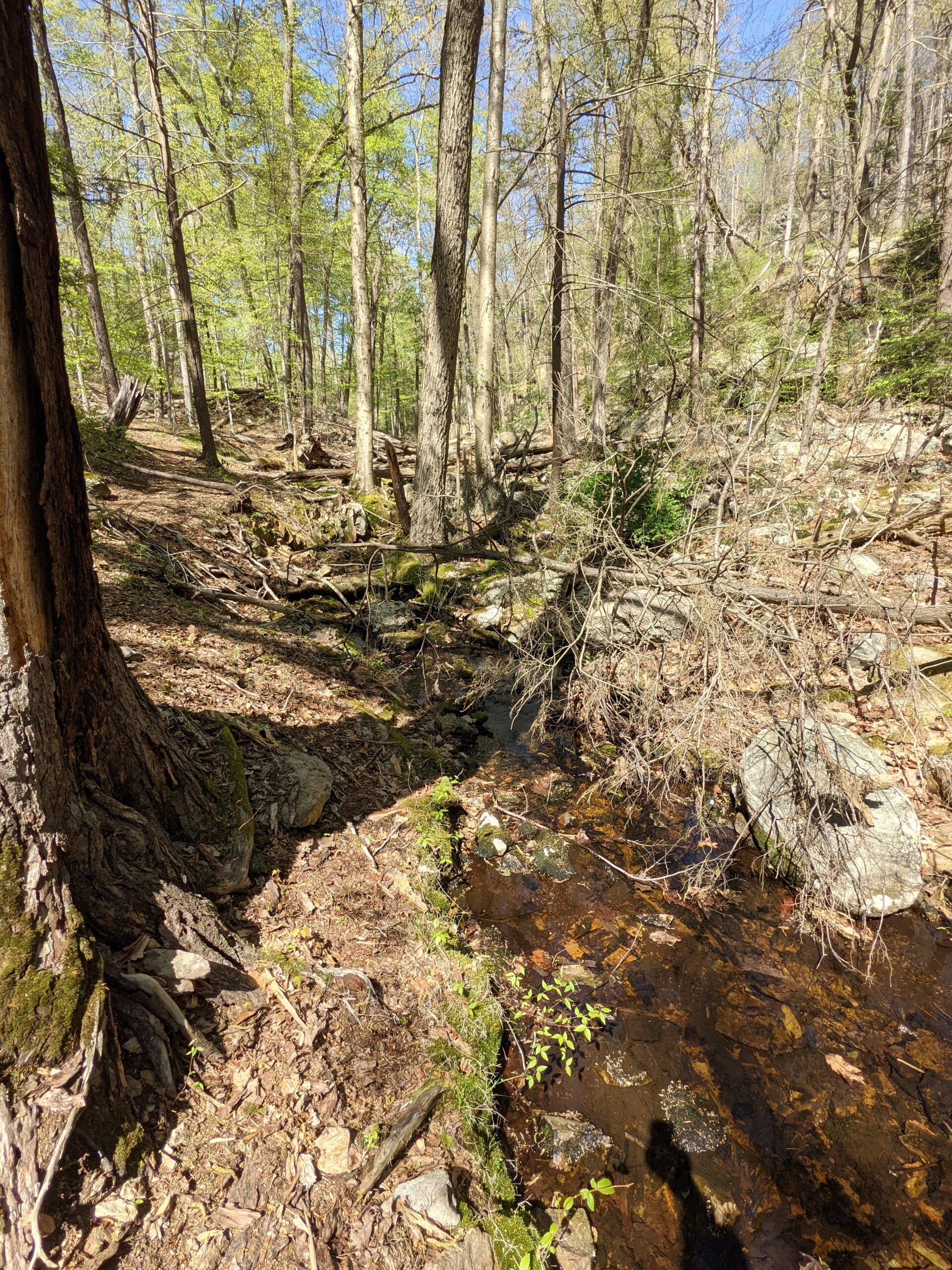
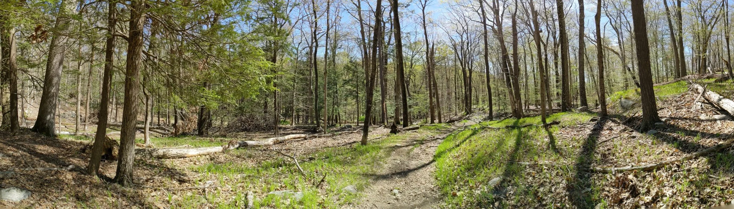
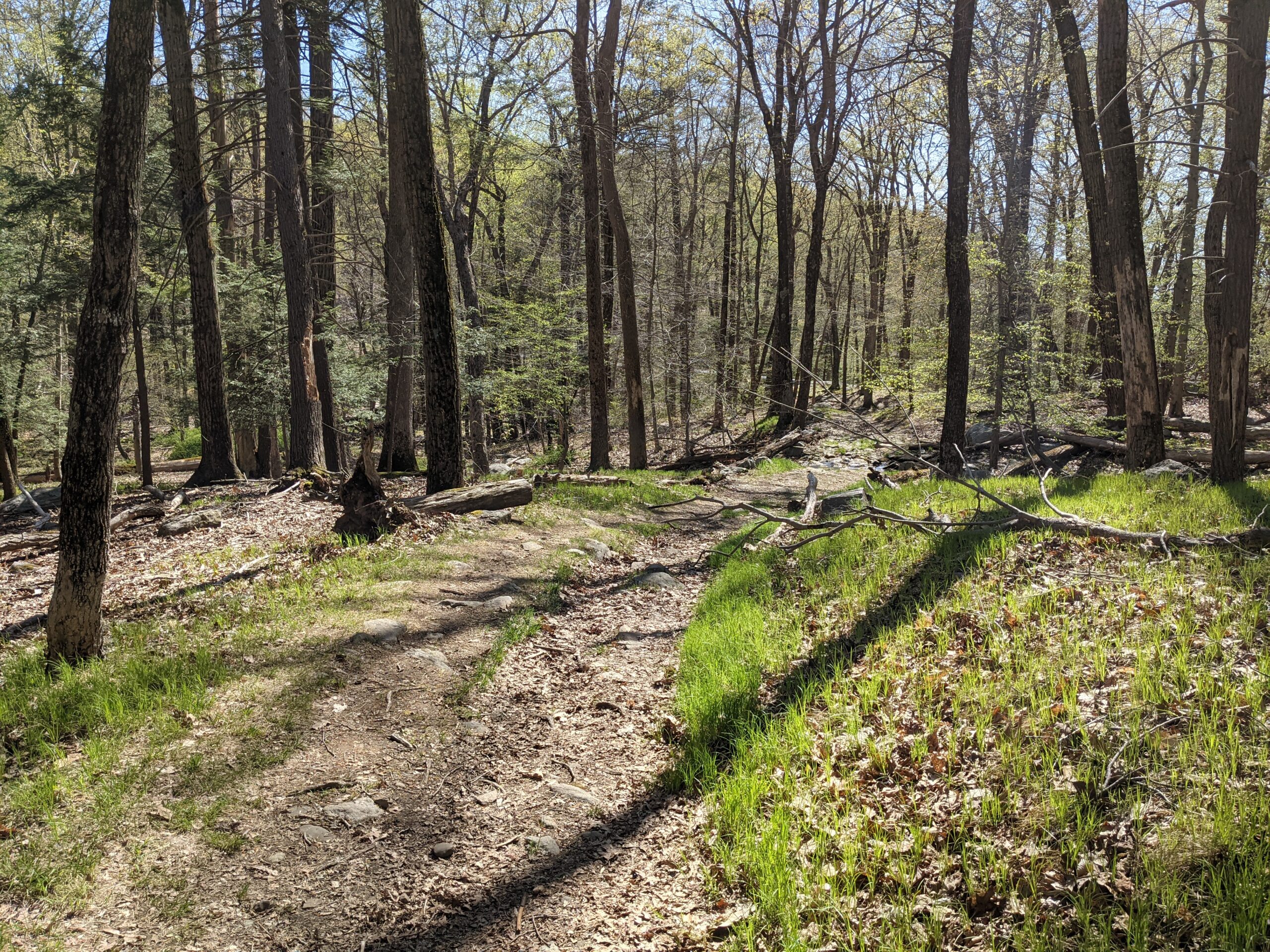
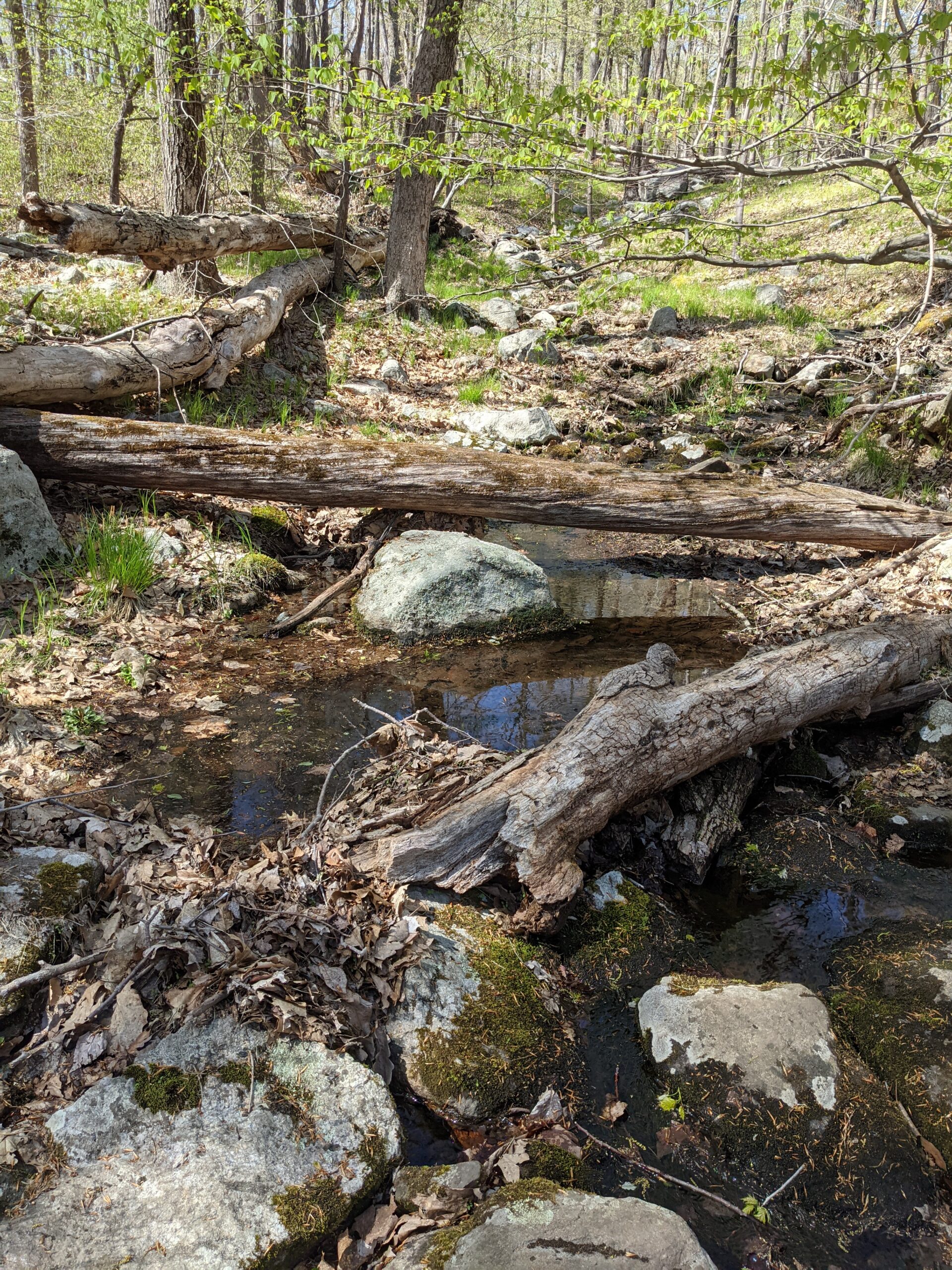
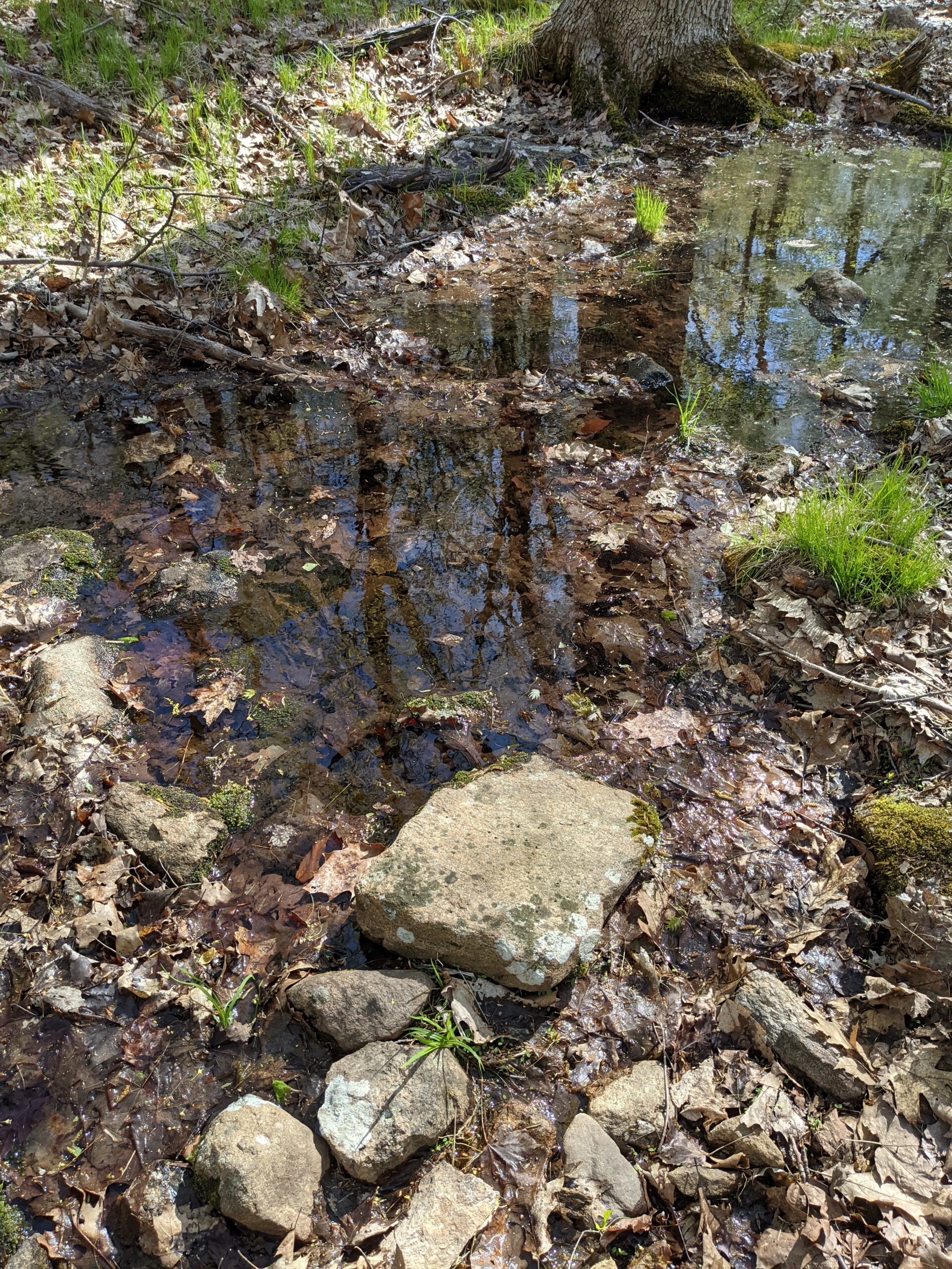
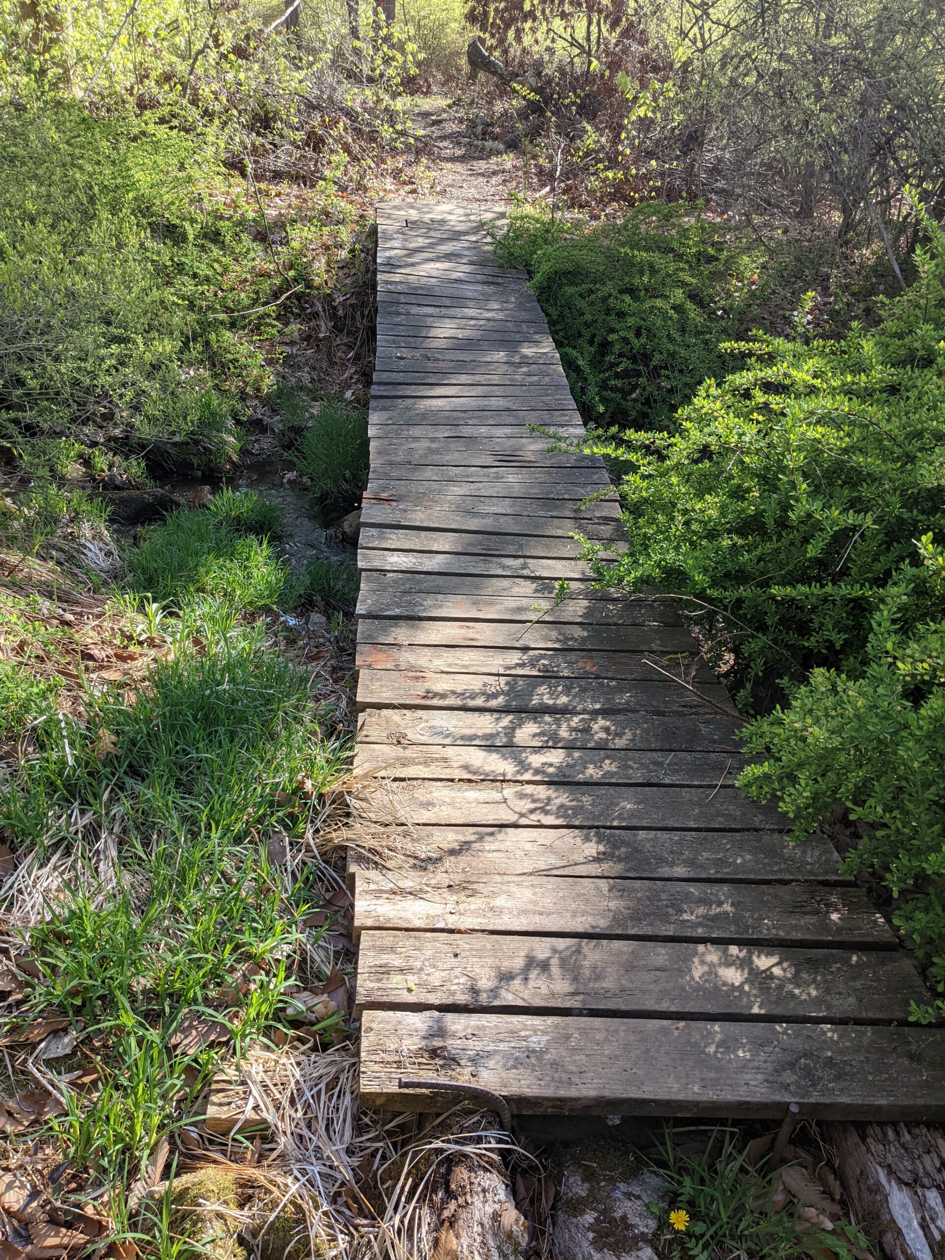
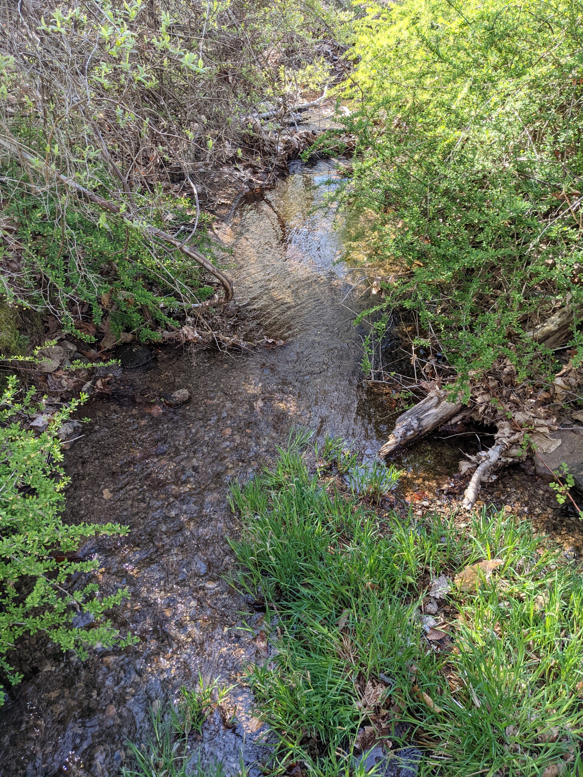
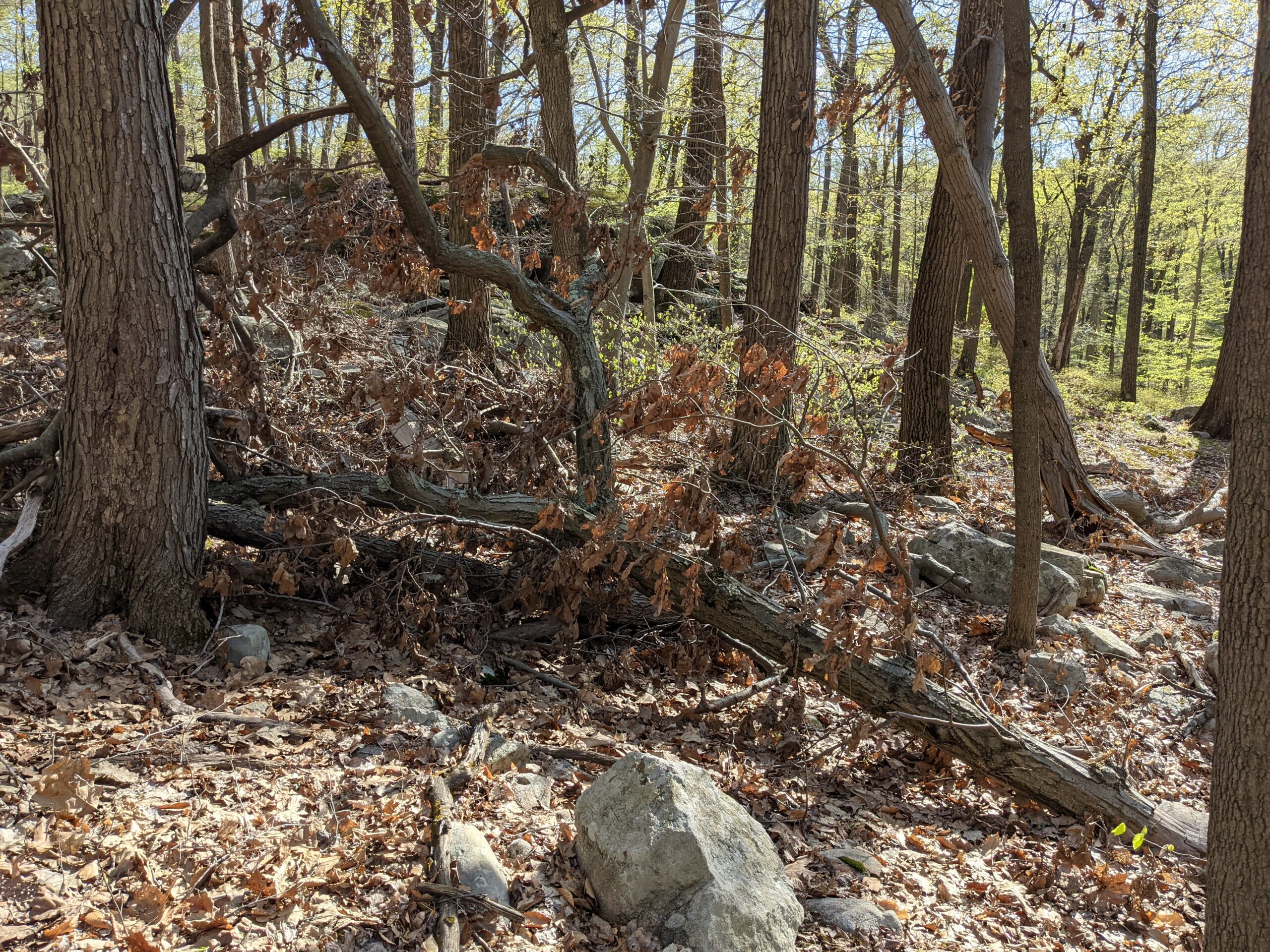
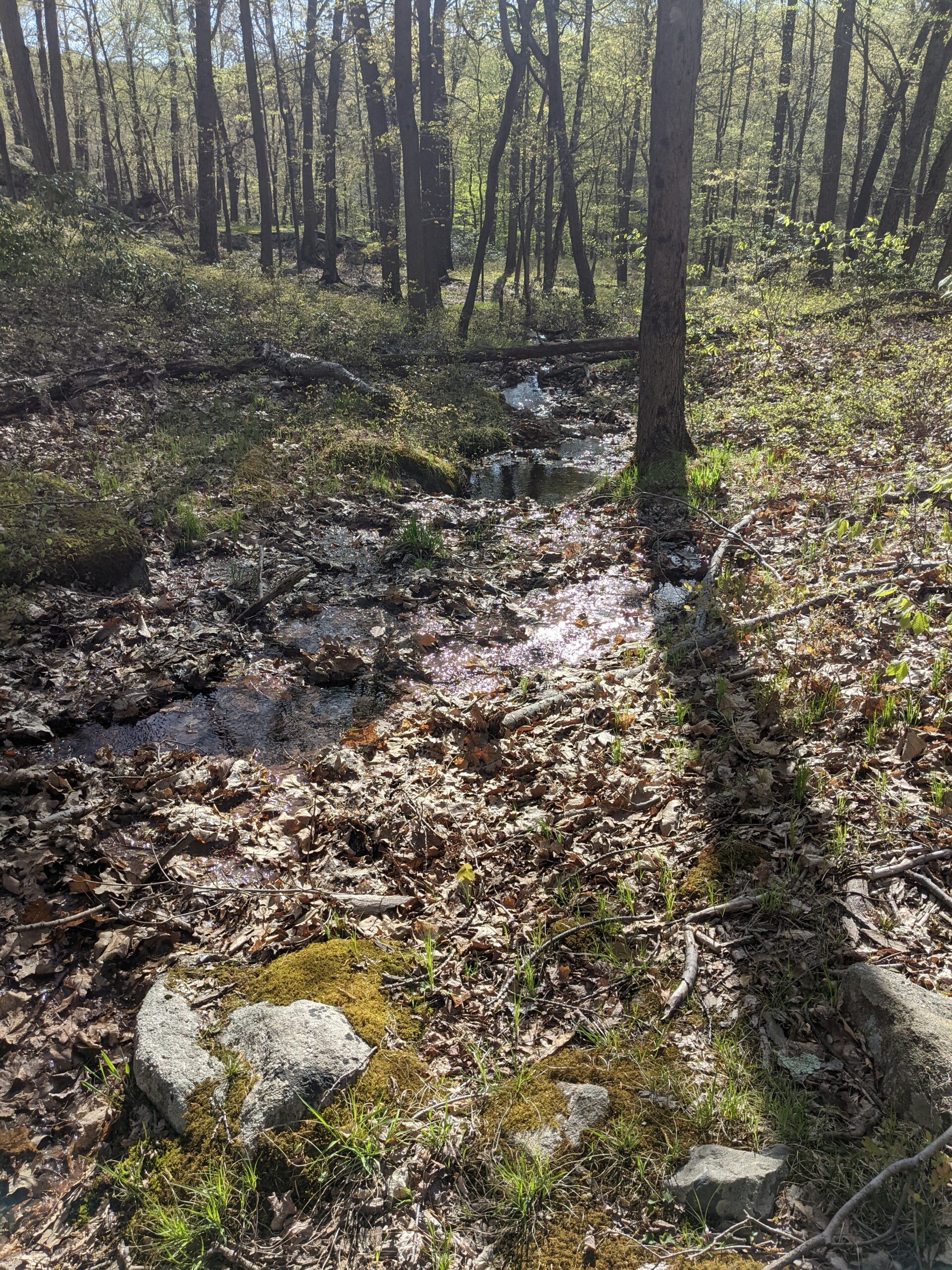
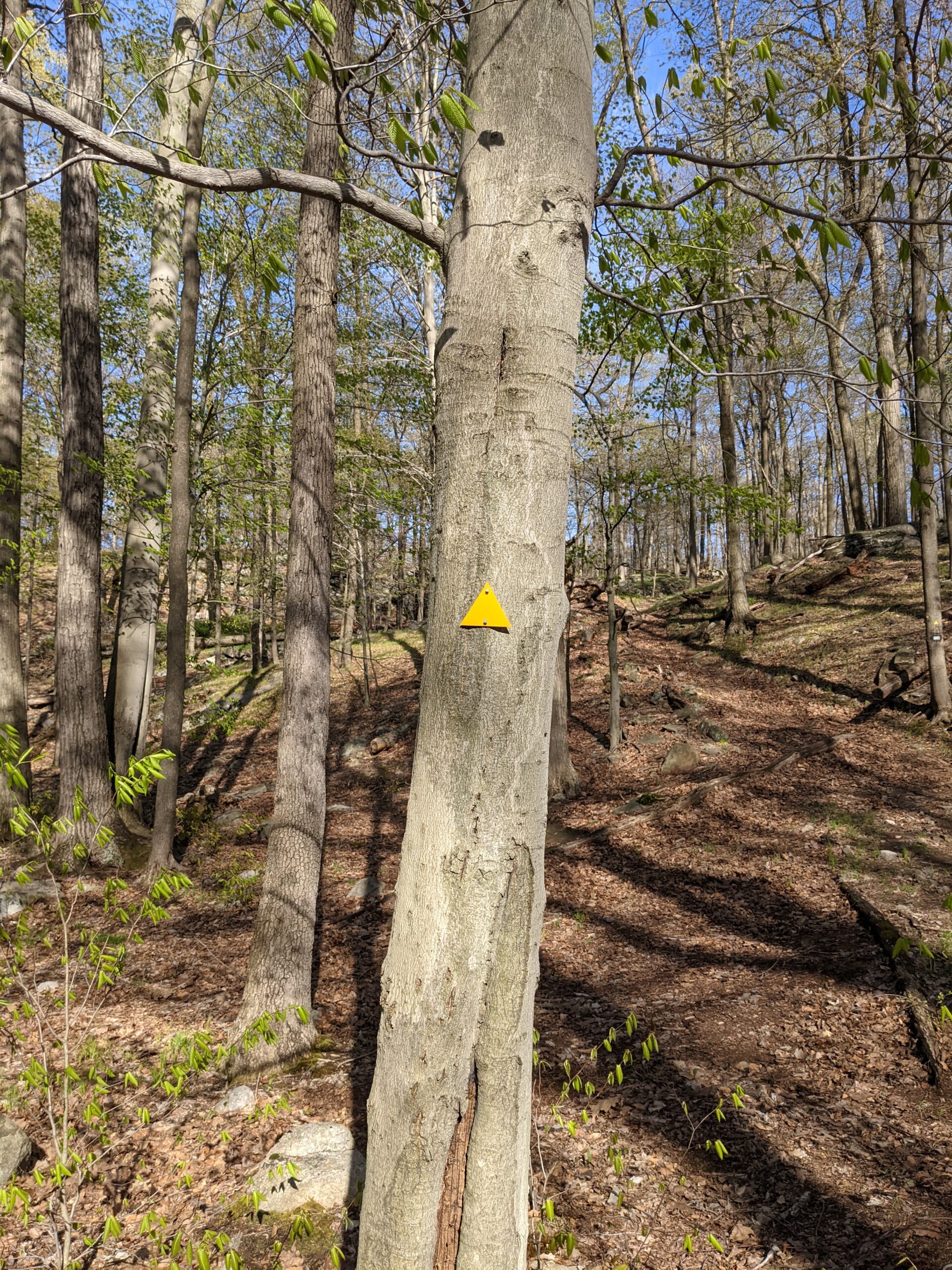
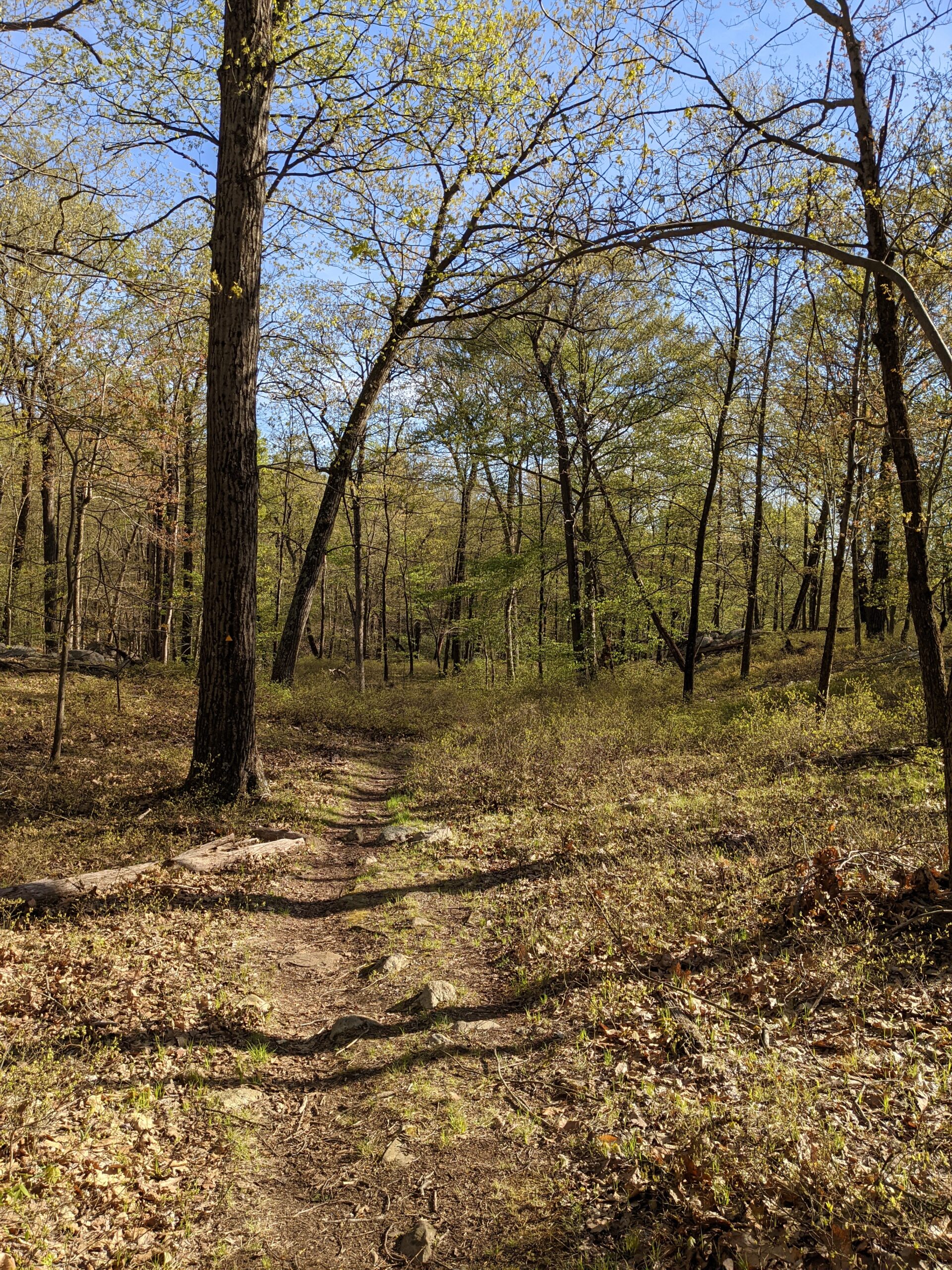
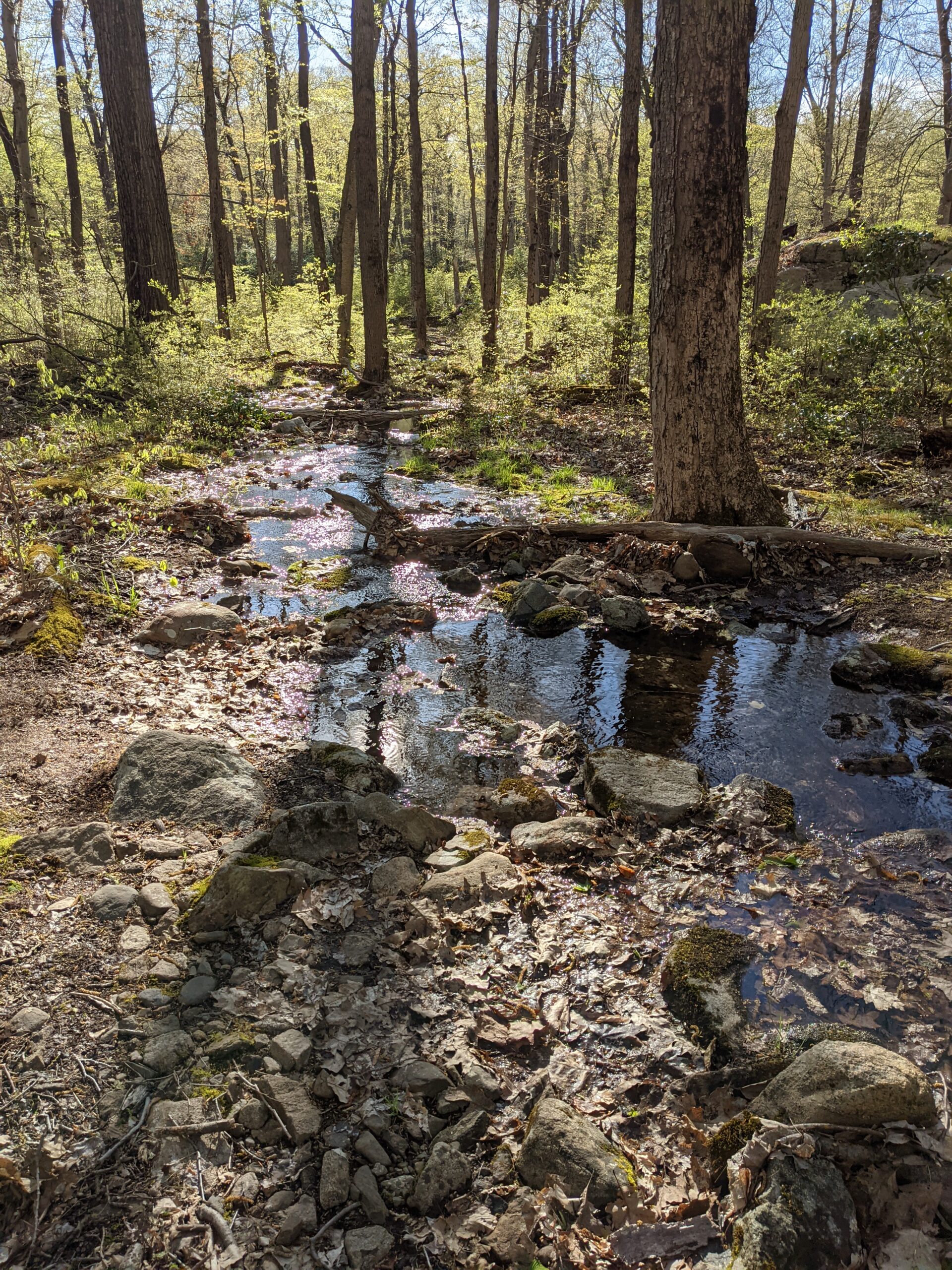
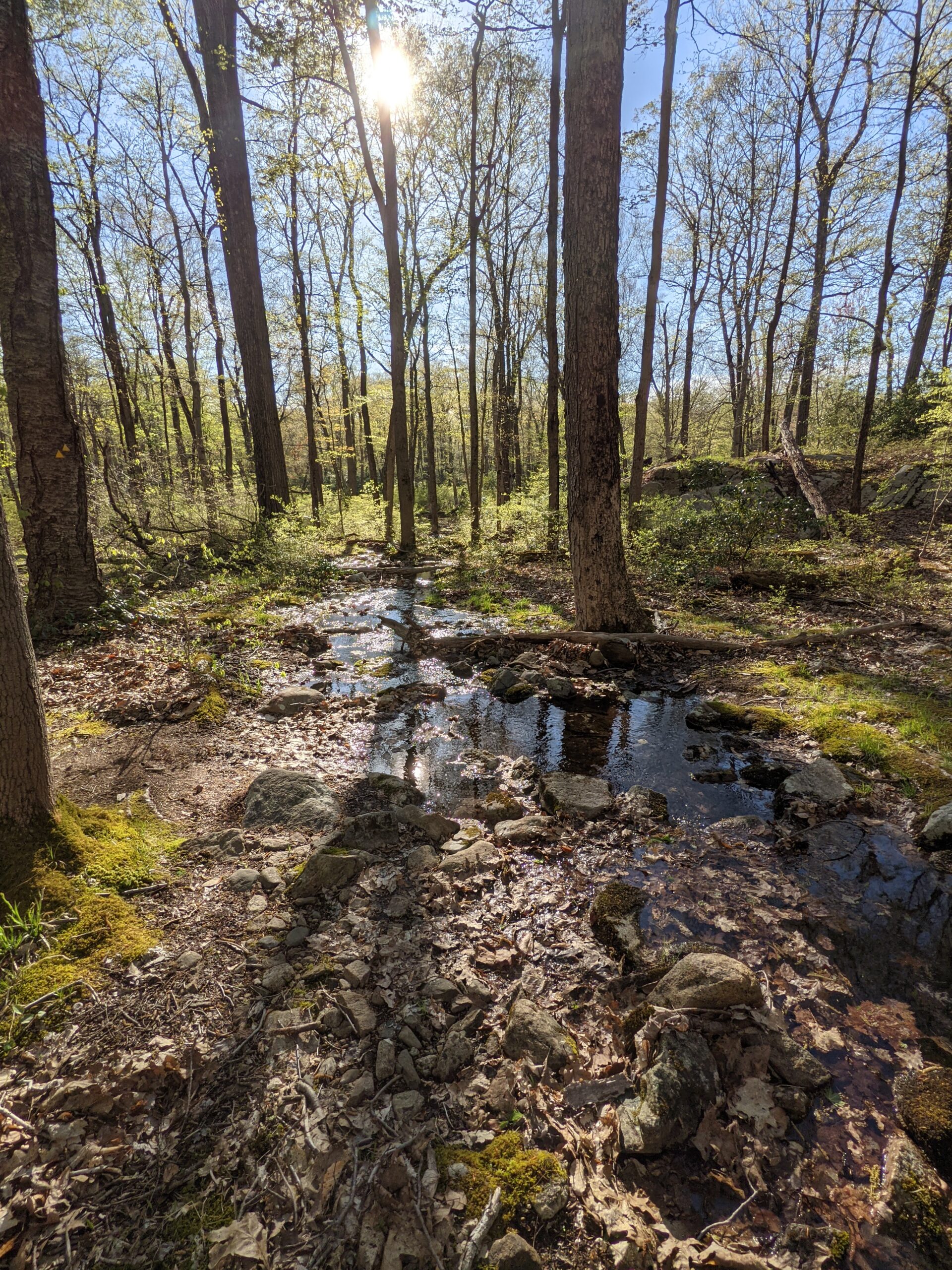
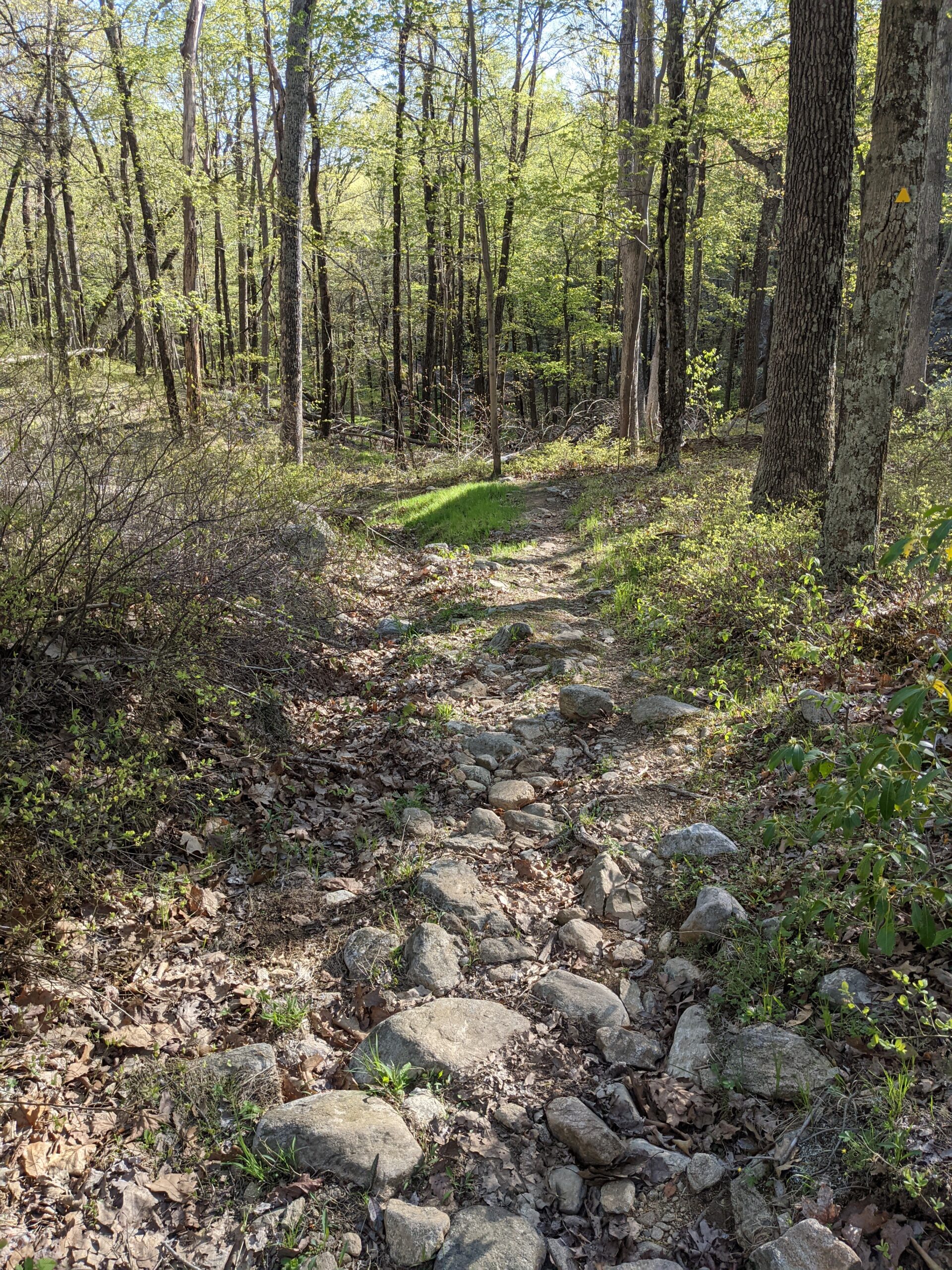
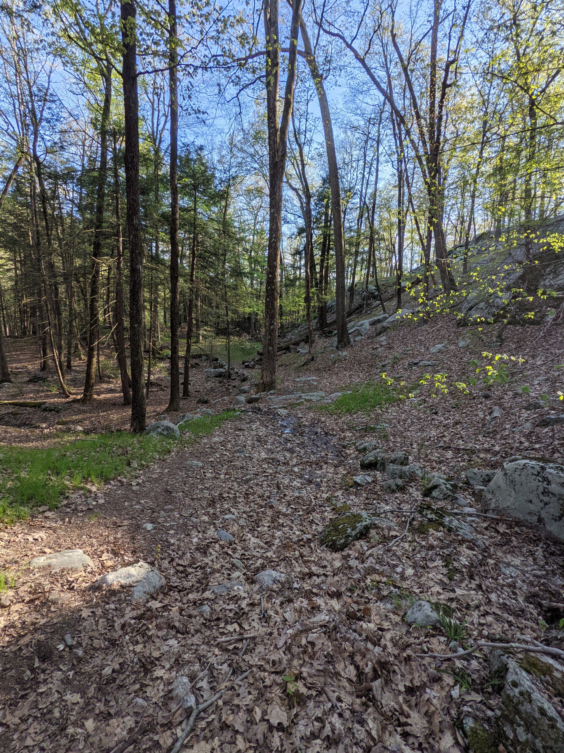
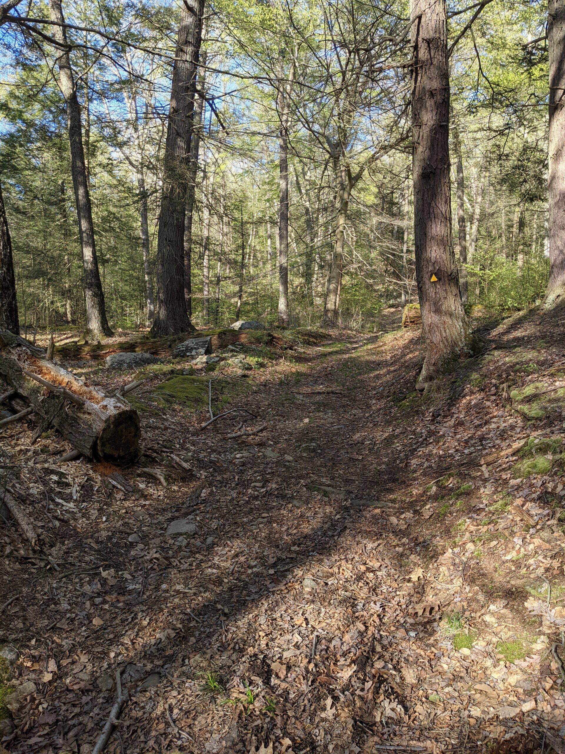
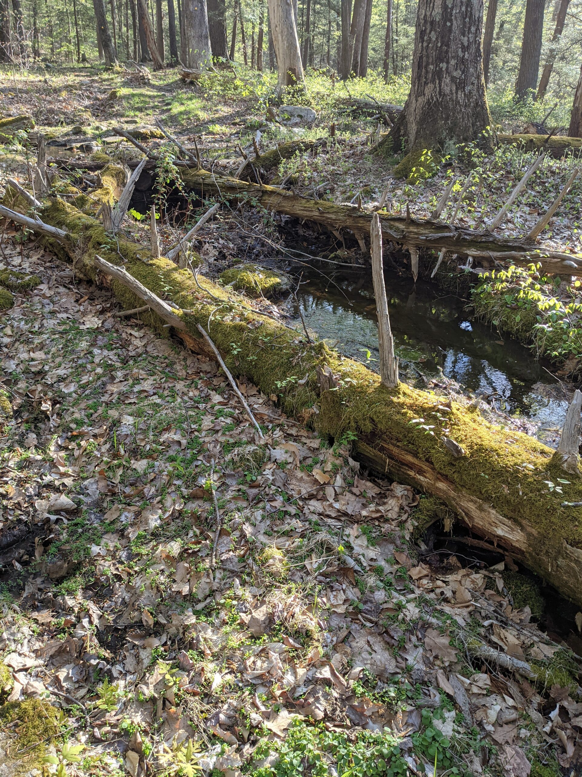
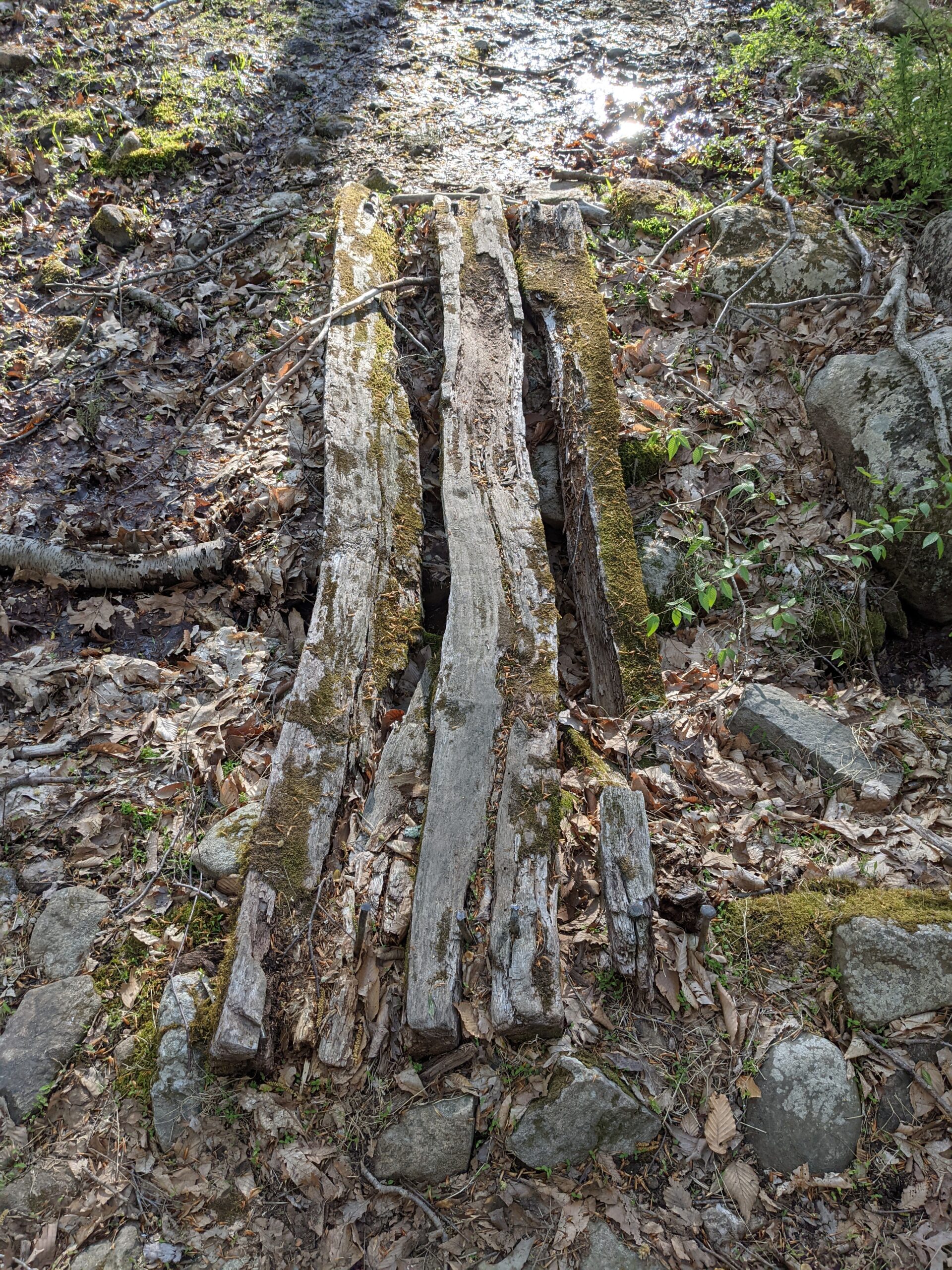
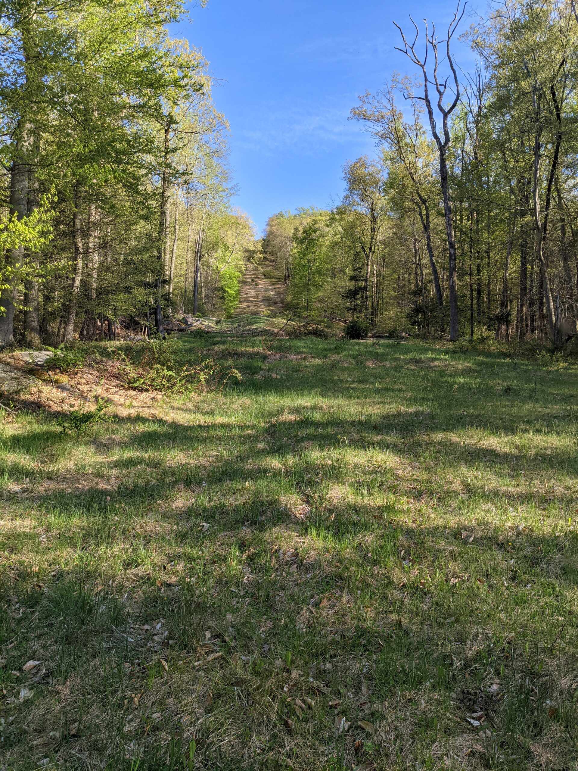
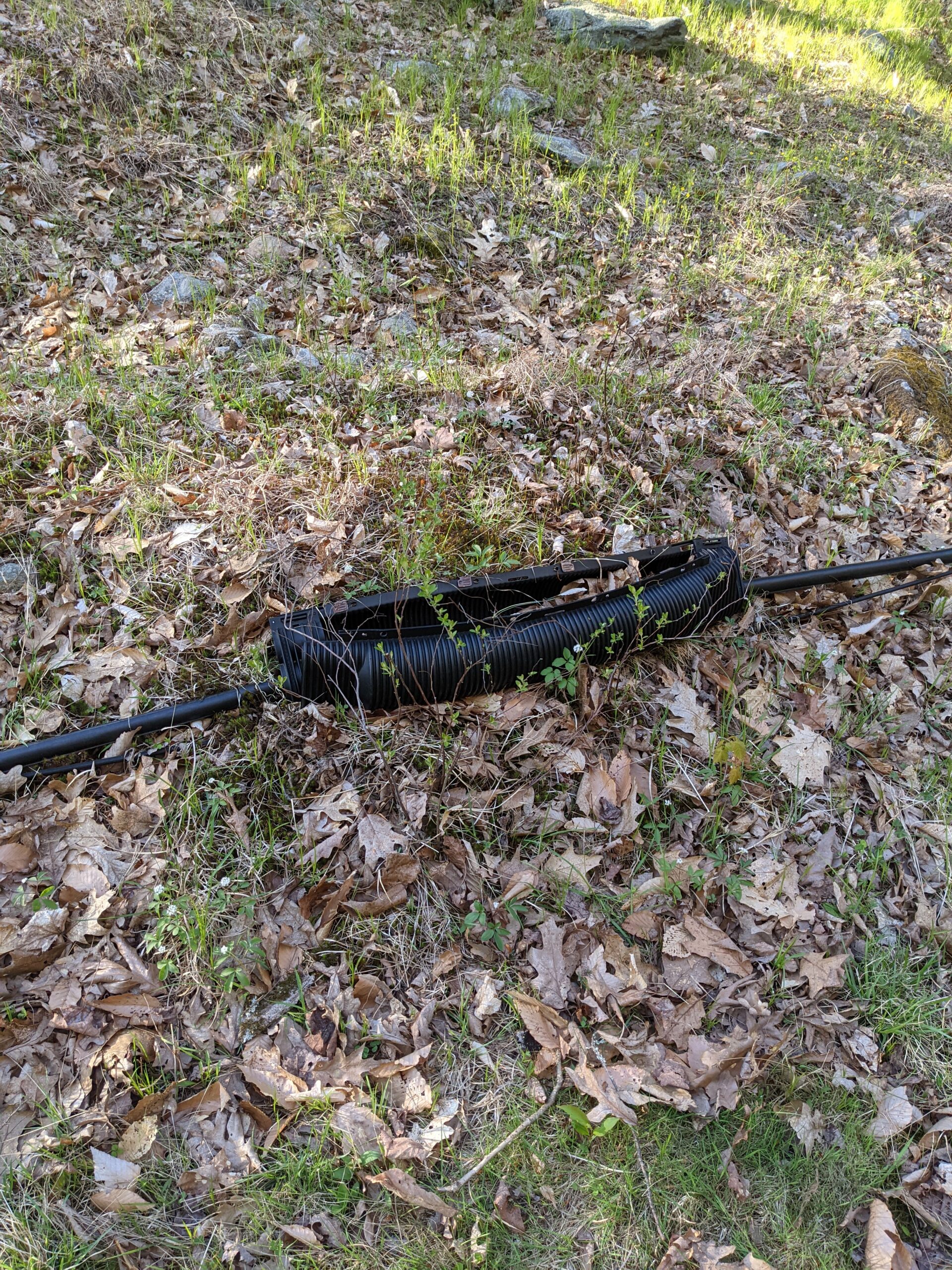
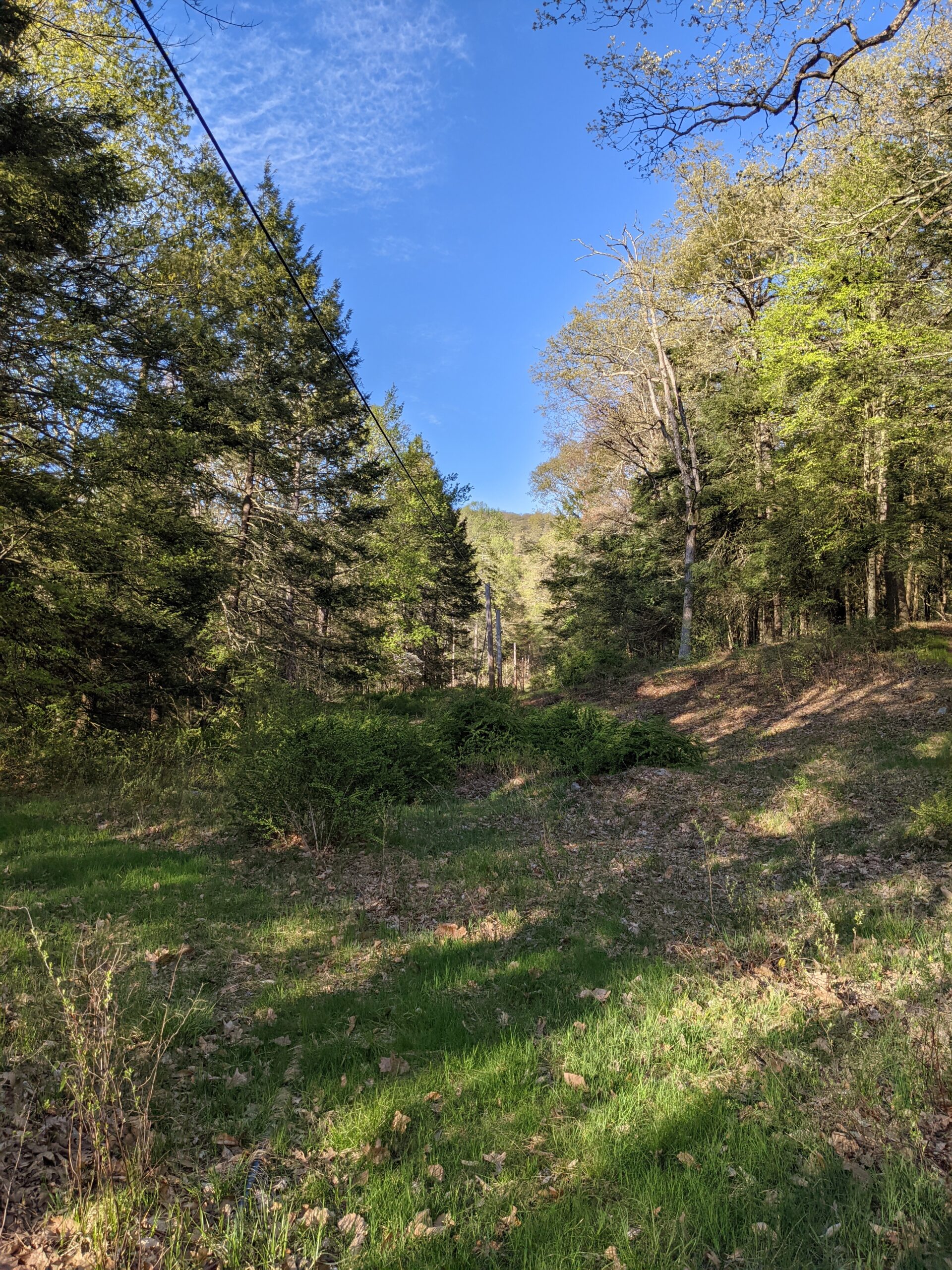
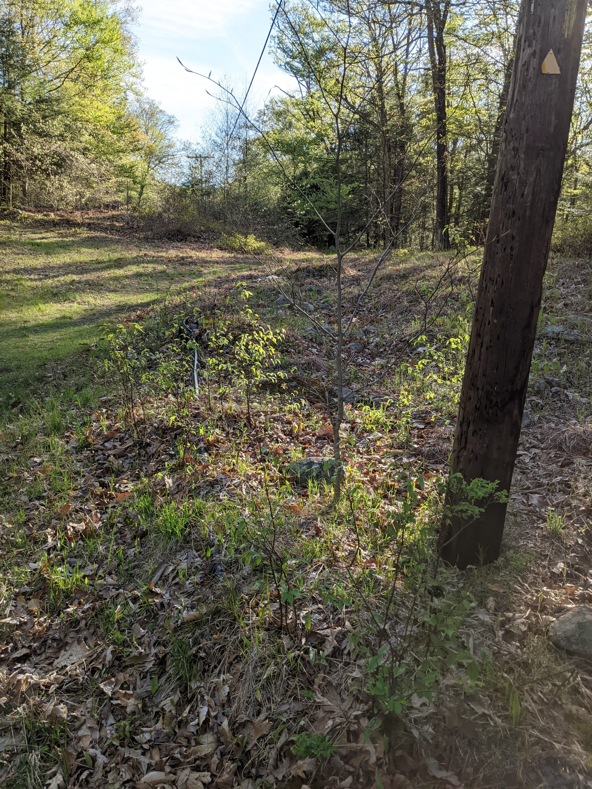
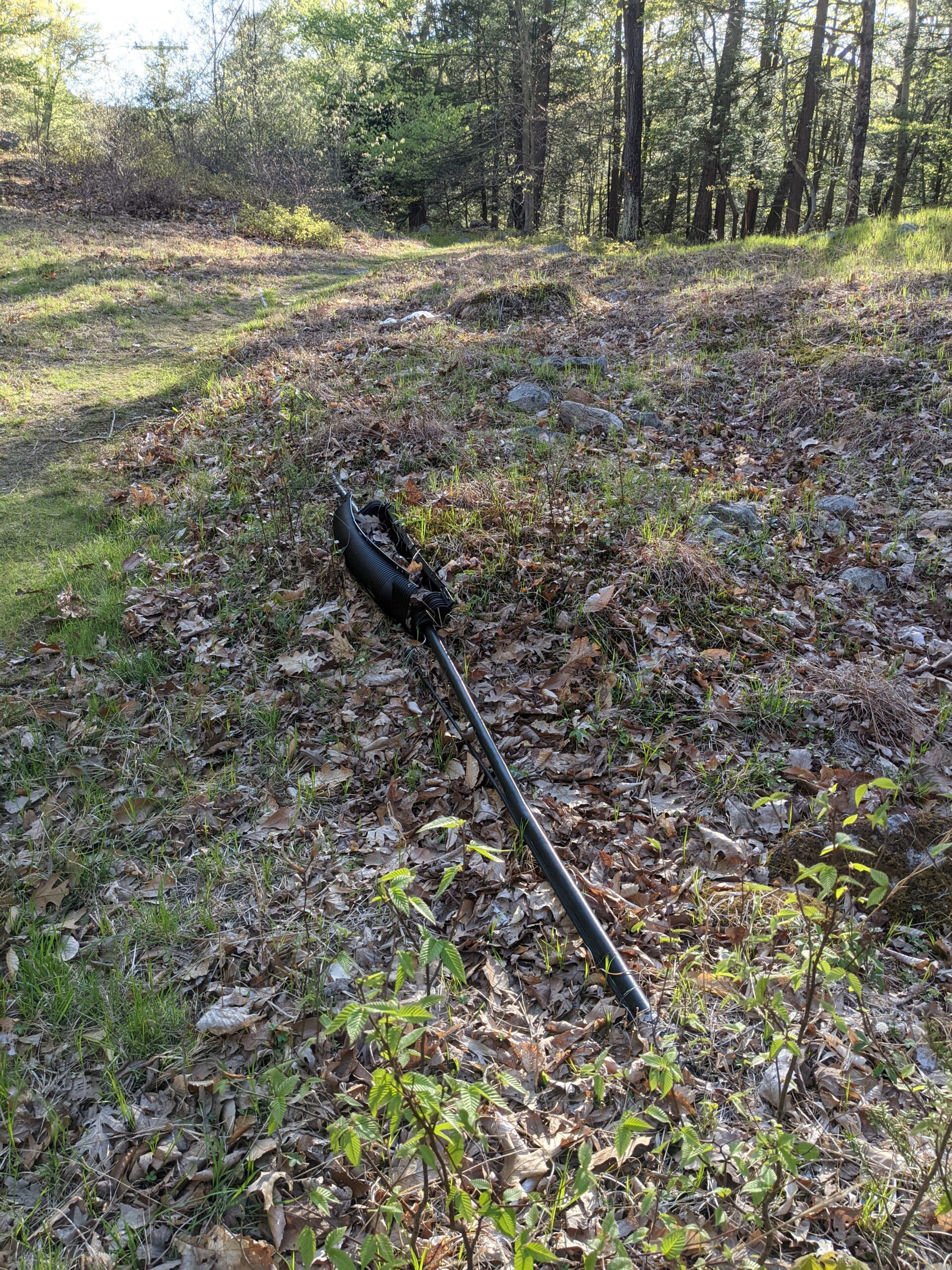
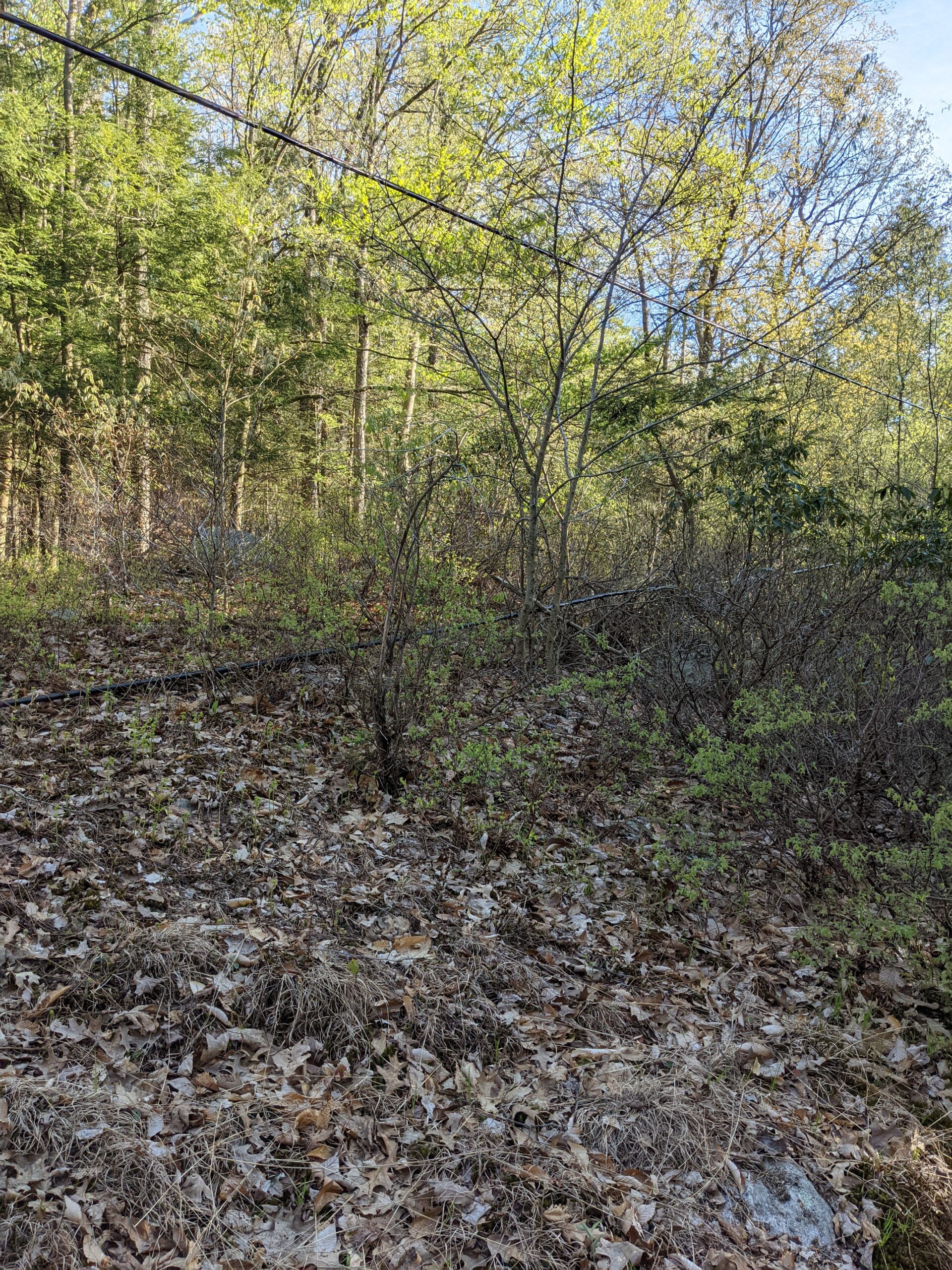
The WB trail eventually met up with the Triangle trail (yellow triangle blazes) around the 10.5 mile mark. Most of this trail was easy going, with a bunch of running streams along the way, which always fascinate me. I crossed over the pipeline clearing, then connected back with RD around the 13 mile mark to make my way down the rock steps and back to the parking lot.
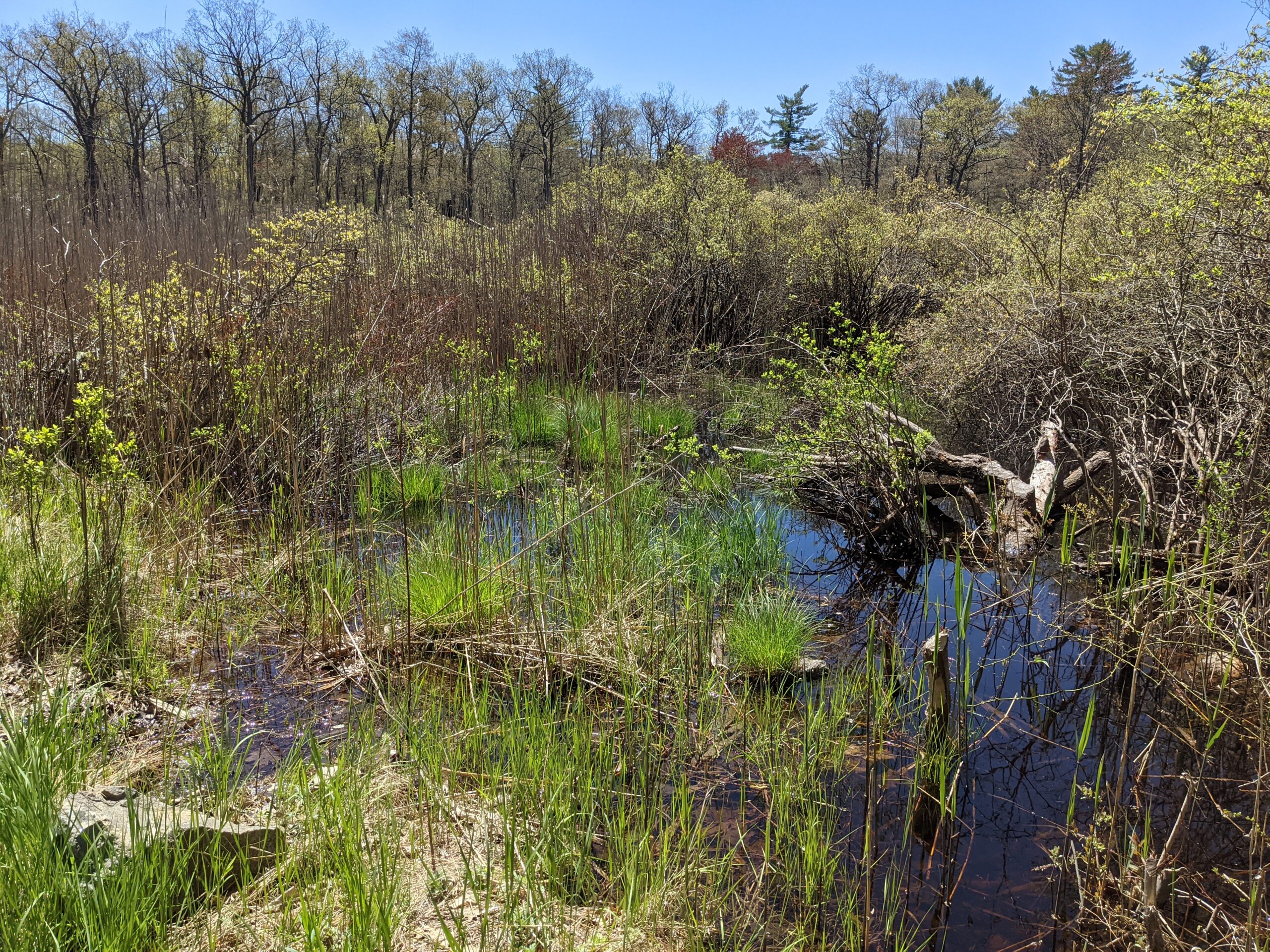
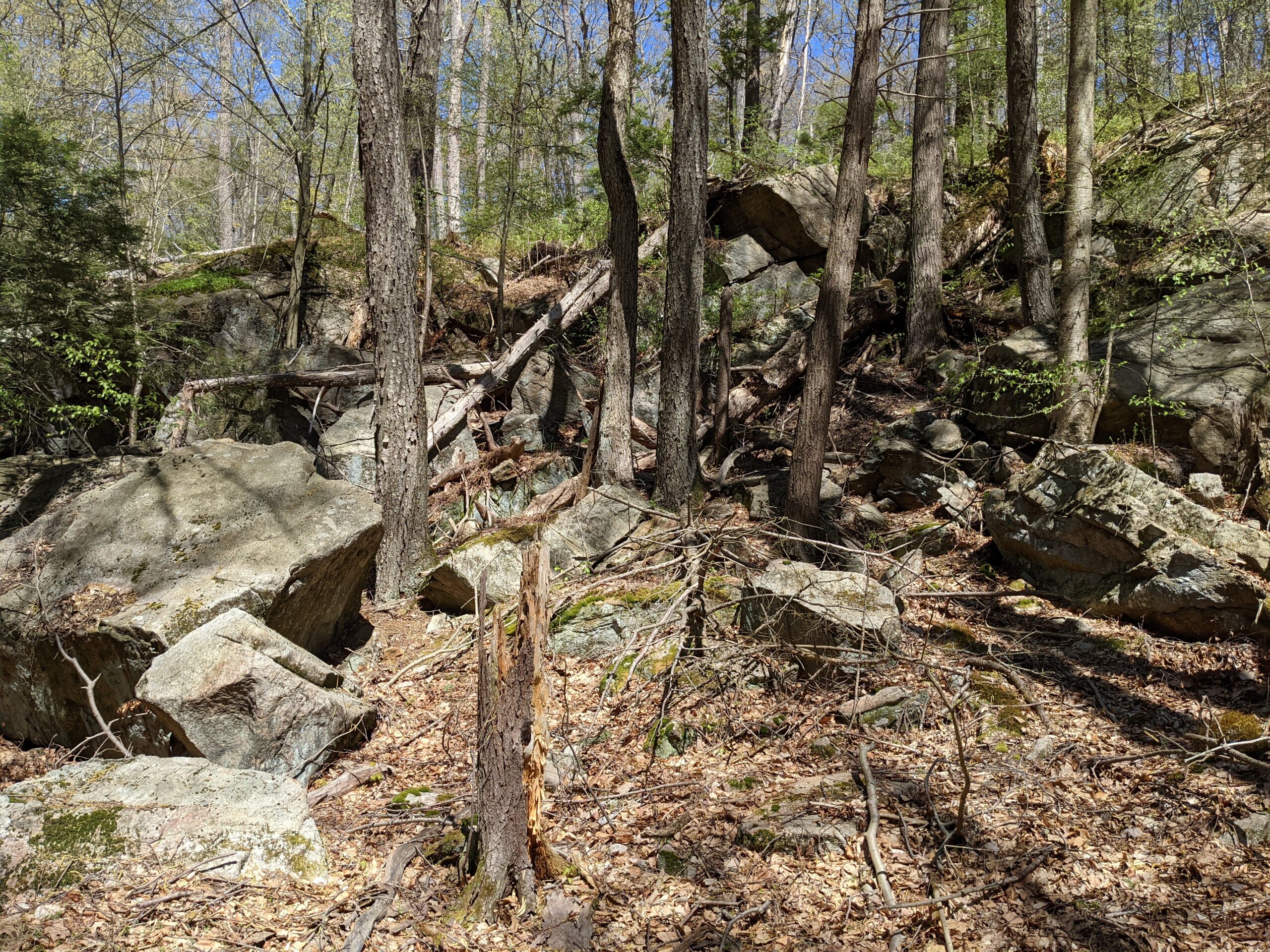
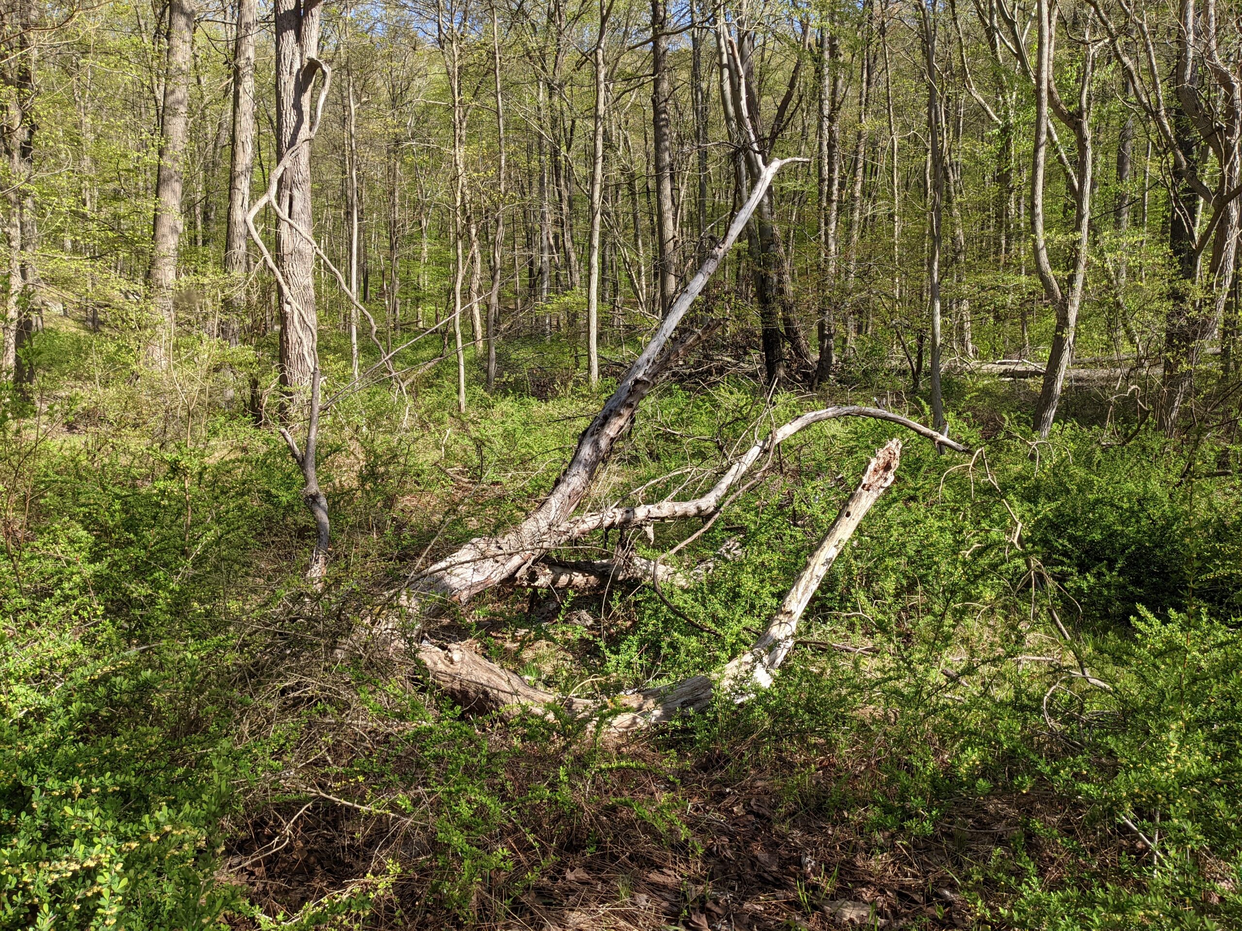
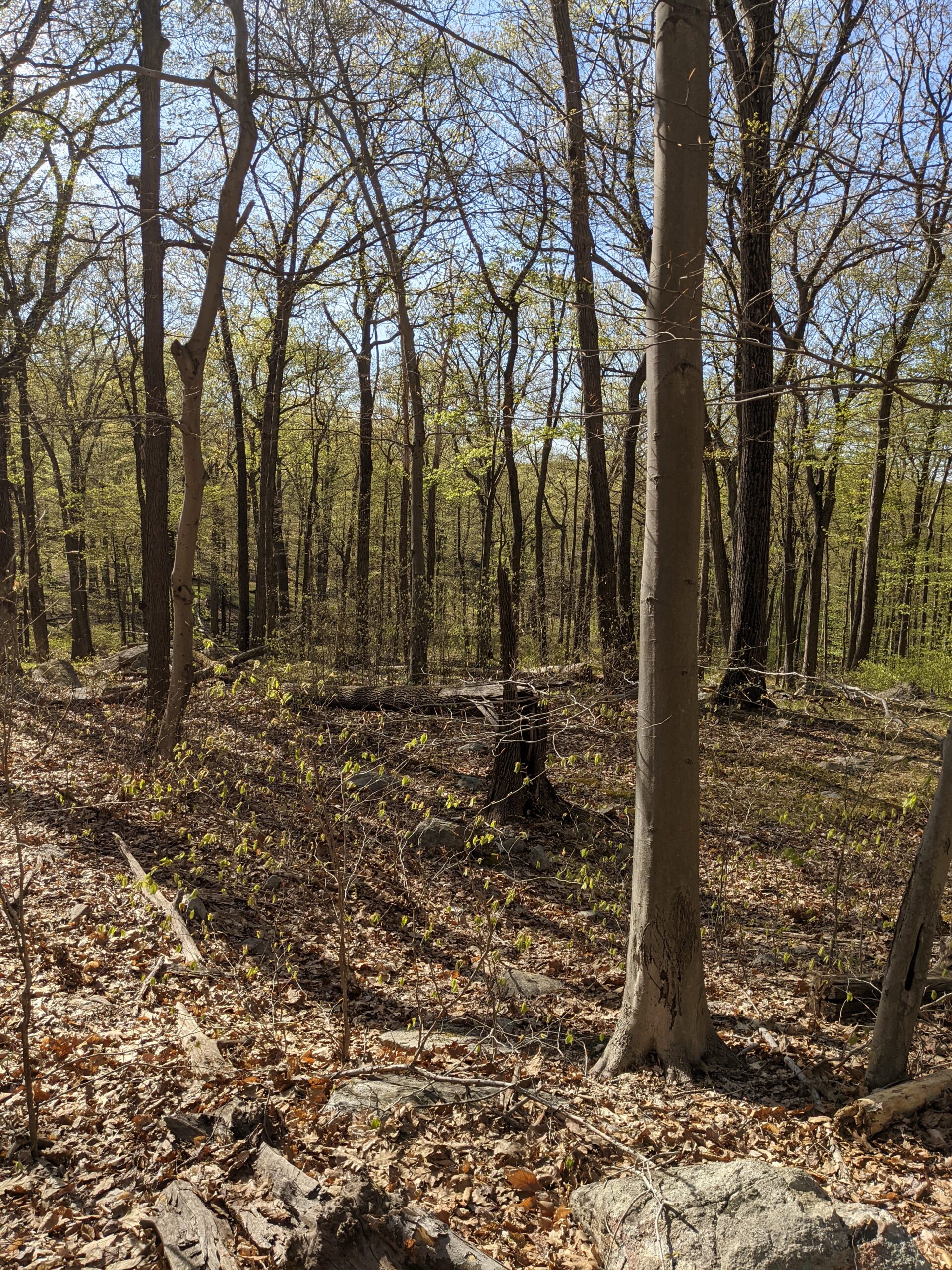
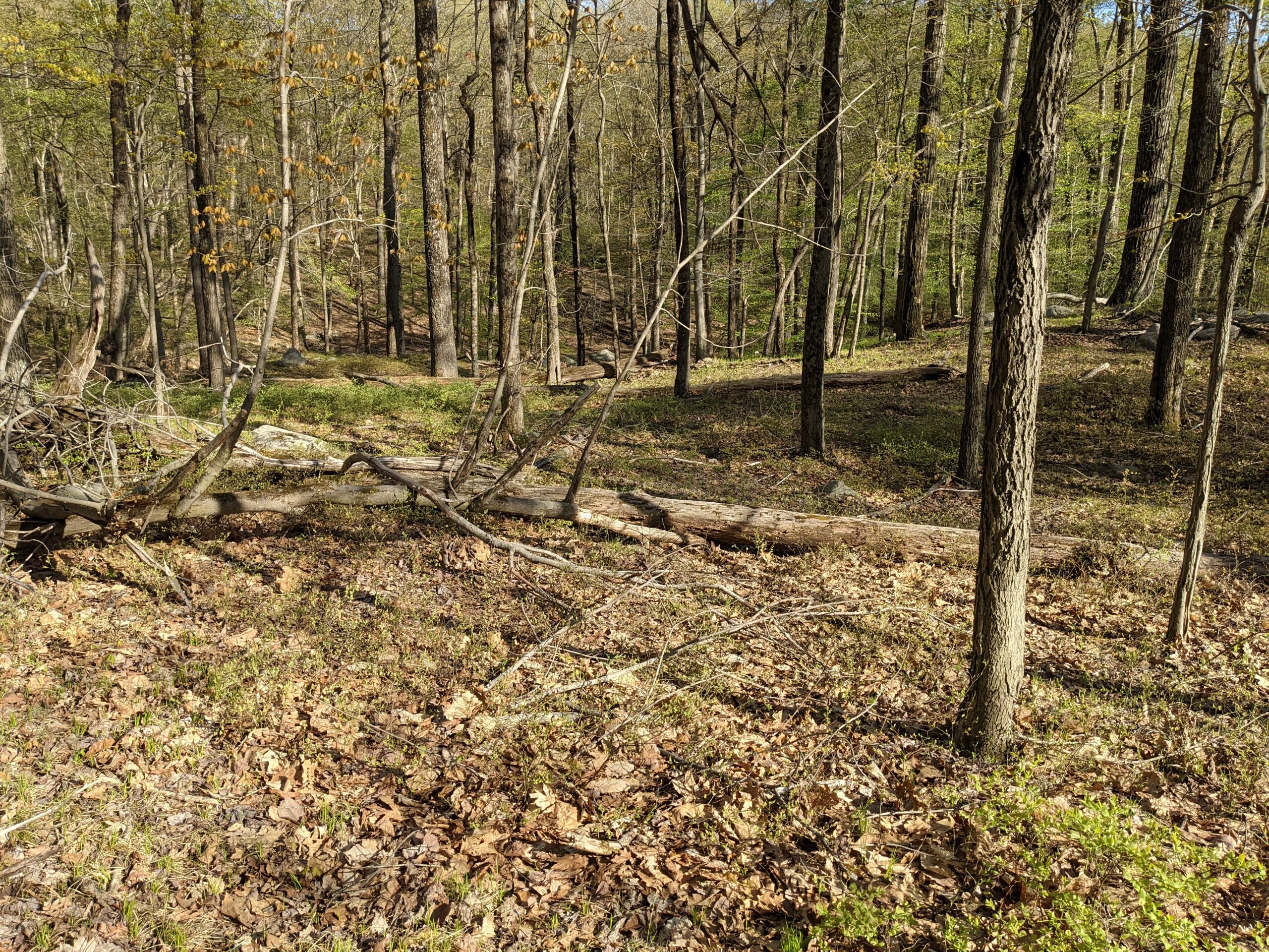
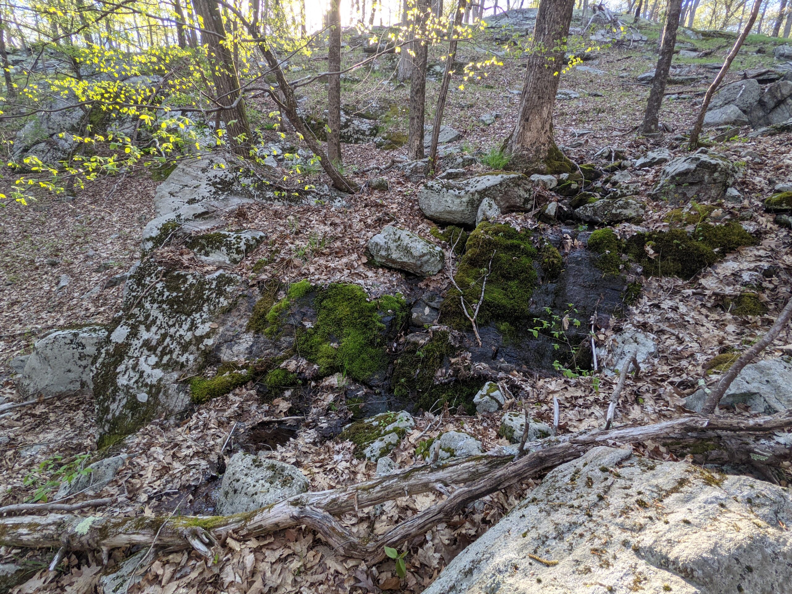
I really enjoyed this hike and the variety of terrain and scenery it offered. I was a bit sore afterwards, as this was the longest hike I’ve ever done at this point and was my first hike over 10 miles in 6 months. The weather was around 60 degrees most of the day and the wind sometimes put a chill in the air, but it kept me from overheating. Harriman is abundant with water sources, as I encountered over a dozen streams on this hike alone.
Photos





























GPS Route & Elevation
Loads an interactive map; map tiles are served by the U.S. Geological Survey, which receives your IP address. Learn more about maps and your privacy